Webcams in the region of Sugar Grove, Virginia, USA
The List of Webcams near Sugar Grove, Virginia, USA:

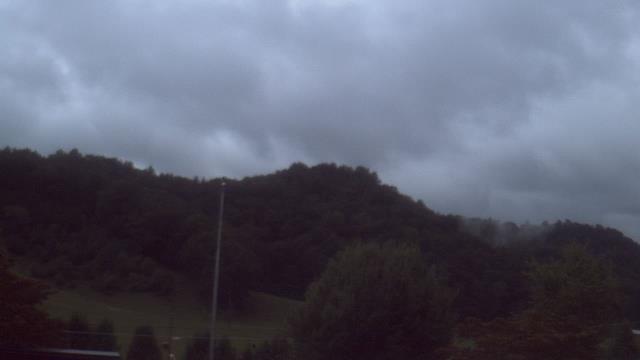
Riner, Virginia, USA - 6.6 miles from Sugar Grove: Auburn Middle School - A webcam in Riner, Virginia - camera location: Auburn Middle School.
Operator: WeatherBug
Operator: WeatherBug


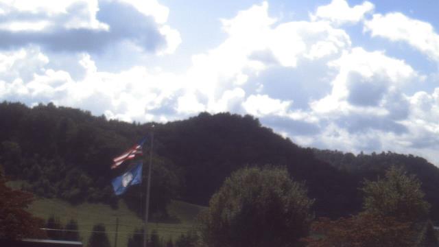
Salem, Virginia, USA - 20.1 miles from Sugar Grove: City of Salem Civic Center - A webcam in Salem, Virginia - camera location: City of Salem Civic Center.
Operator: WeatherBug
Operator: WeatherBug


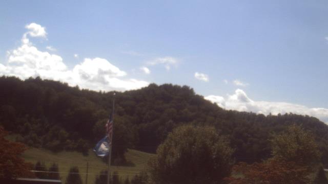
Roanoke, Virginia, USA - 24.3 miles from Sugar Grove: Roanoke Catholic School - A webcam in Roanoke, Virginia - camera location: Roanoke Catholic School.
Operator: WeatherBug
Operator: WeatherBug


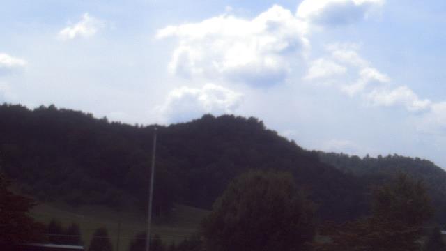
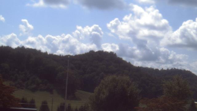
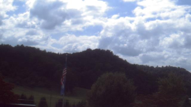
Roanoke, Virginia, USA - 24.3 miles from Sugar Grove: Mountain View - Looking SW over Appalachians near Blue Ridge Pkwy.
Operator: Roanoke Weather Page
Operator: Roanoke Weather Page


Martinsville, Virginia, USA - 37.9 miles from Sugar Grove: Virginia Museum of Natural History - A webcam in Martinsville, Virginia - camera location: Virginia Museum of Natural History.
Operator: WeatherBug
Operator: WeatherBug


Wytheville, Virginia, USA - 43.7 miles from Sugar Grove: Wytheville Community College - A webcam in Wytheville, Virginia - camera location: Wytheville Community College.
Operator: WeatherBug
Operator: WeatherBug


Buchanan, Virginia, USA - 45.8 miles from Sugar Grove: James River High School - A webcam in Buchanan, Virginia - camera location: James River High School.
Operator: WeatherBug
Operator: WeatherBug


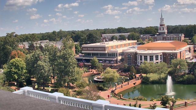
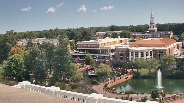
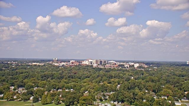
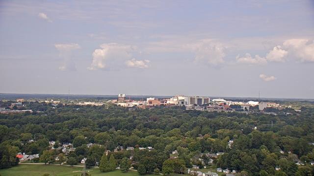
High Point, North Carolina, USA - 81.3 miles from Sugar Grove: High Point University - A webcam in High Point, North Carolina - camera location: High Point University.
Operator: WeatherBug
Operator: WeatherBug


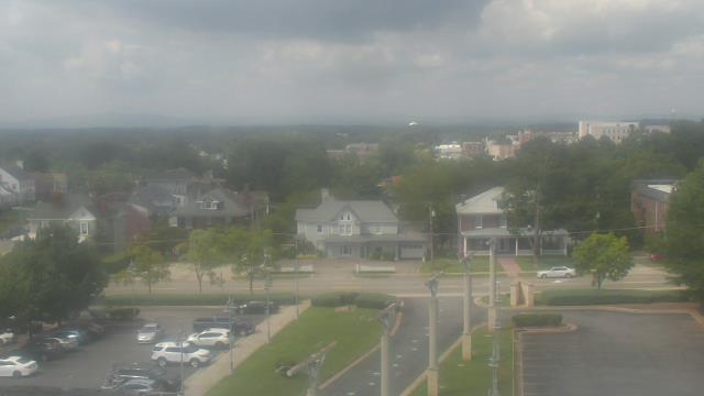
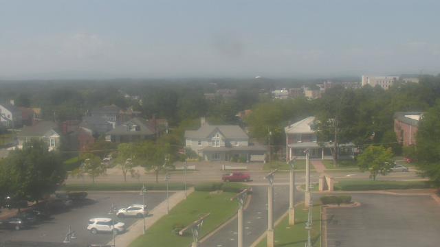
High Point, North Carolina, USA - 81.3 miles from Sugar Grove: WGHP-TV - A webcam in High Point, North Carolina - camera location: WGHP-TV.
Operator: WeatherBug
Operator: WeatherBug


Abingdon, Virginia, USA - 95 miles from Sugar Grove: Watauga Elementary School - A webcam in Abingdon, Virginia - camera location: Watauga Elementary School.
Operator: WeatherBug
Operator: WeatherBug


Some other places in this country: Stacy - Stone Creek - Stratton - Suburban Acres - Sussex - Sutherland - Tabb - Talbot Park - Taylorstown - Thessalia