Webcams in the region of Ruxton (historical), Virginia, USA
The List of Webcams near Ruxton (historical), Virginia, USA:

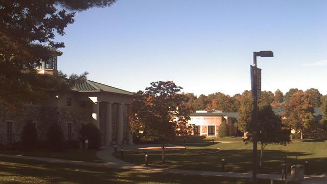
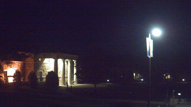
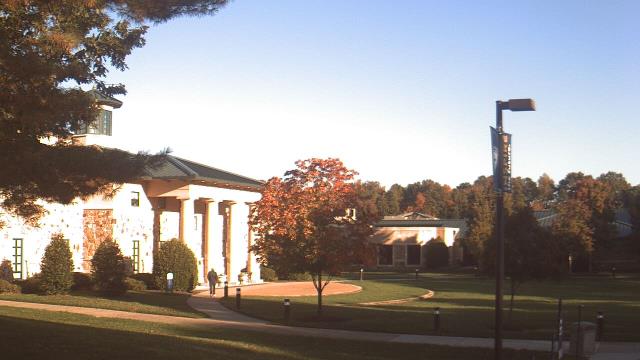
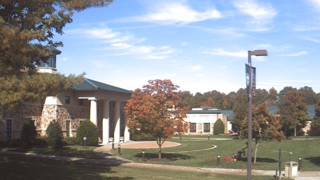
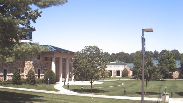
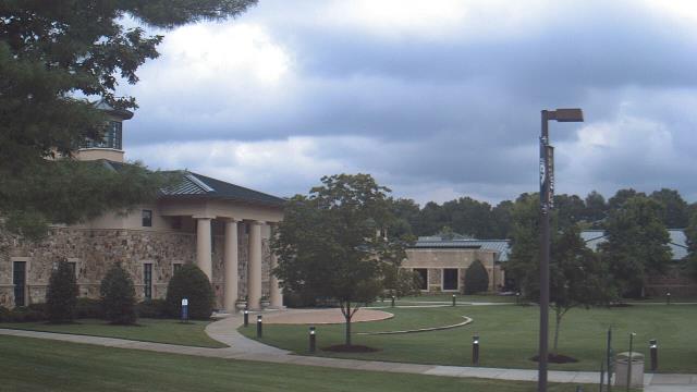
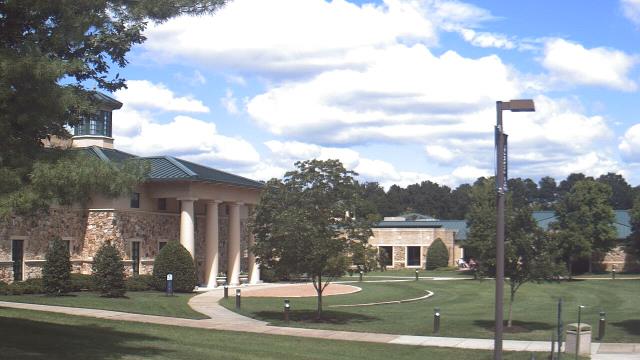
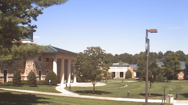
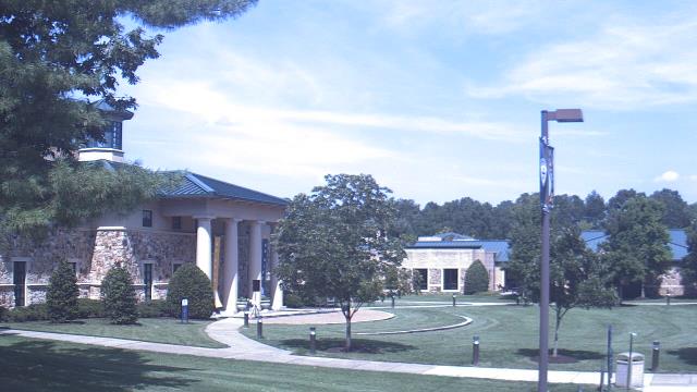
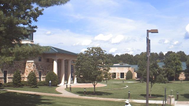
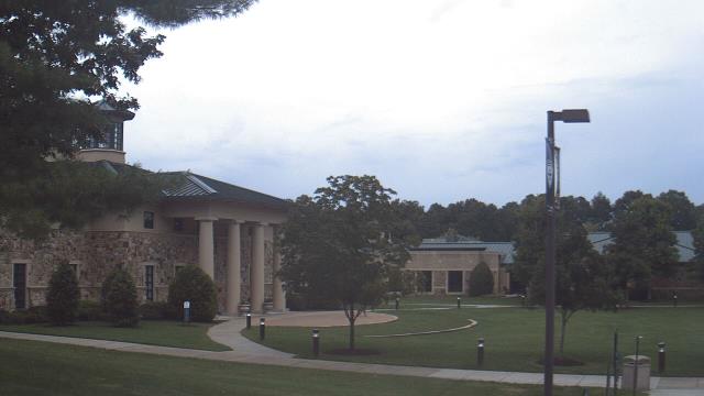
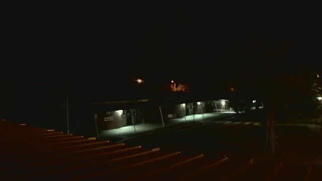
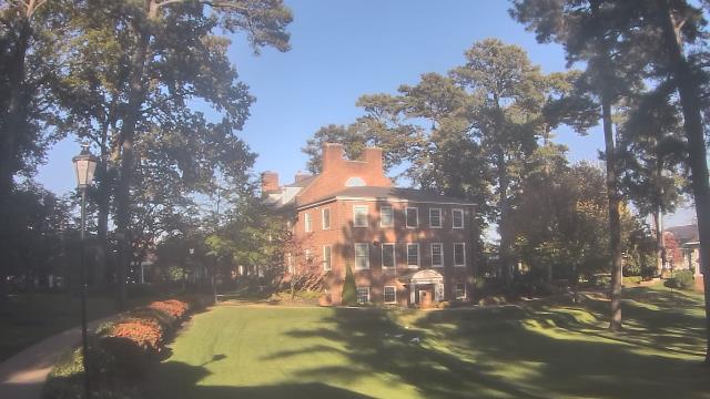
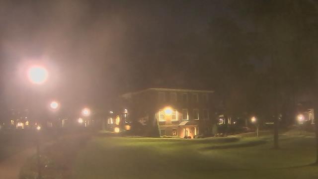
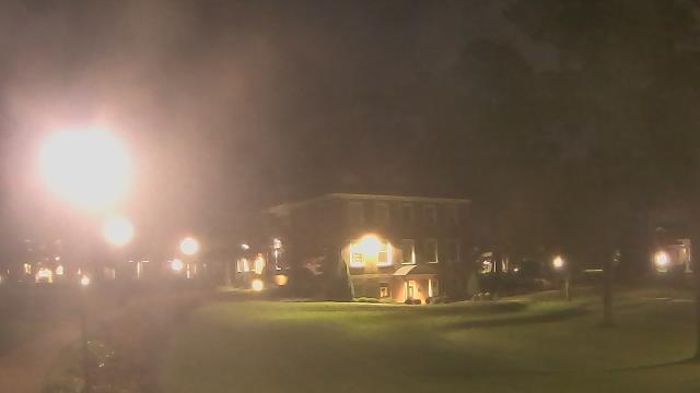
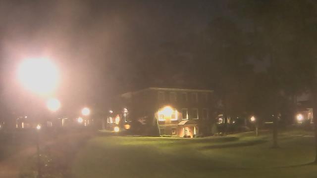
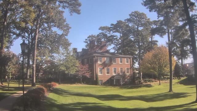
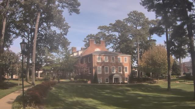
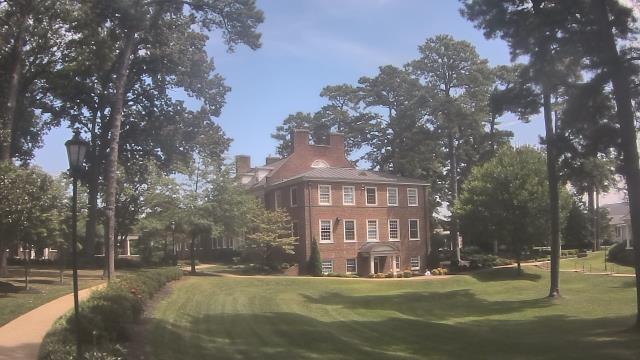
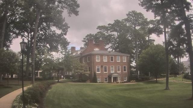
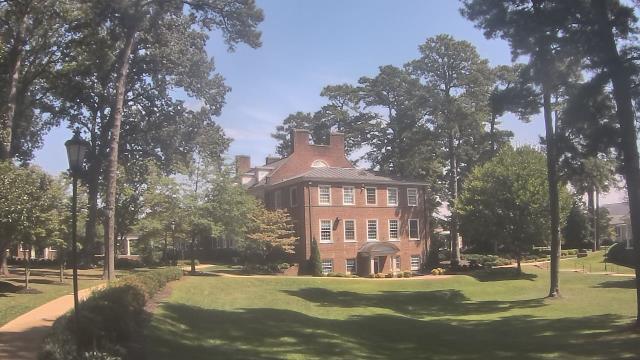
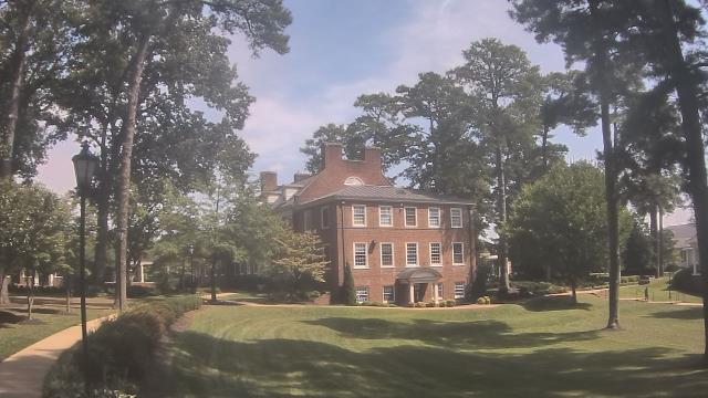
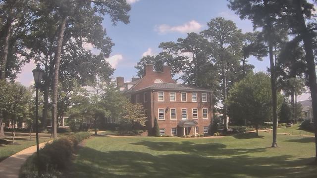
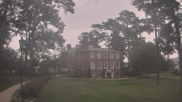
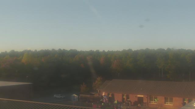
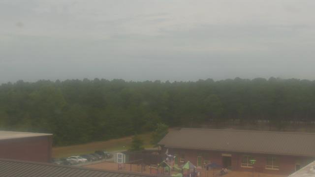
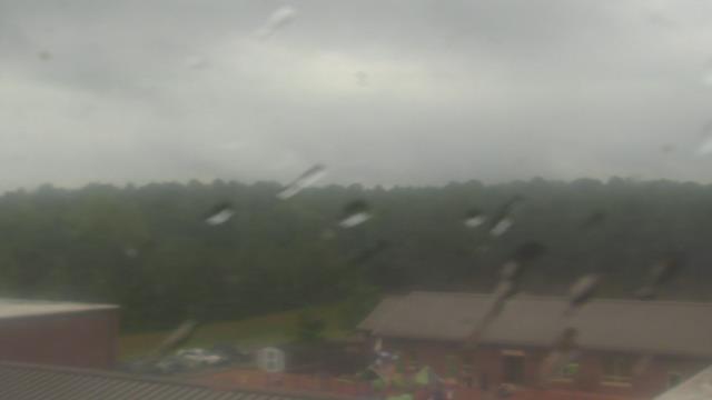
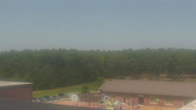
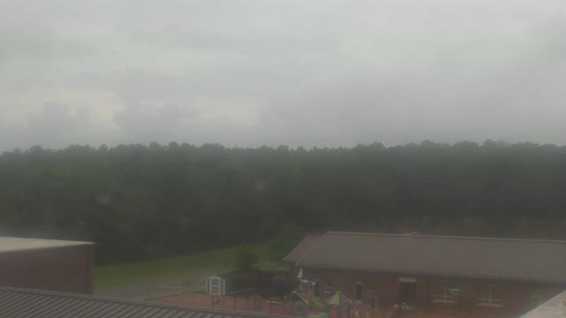
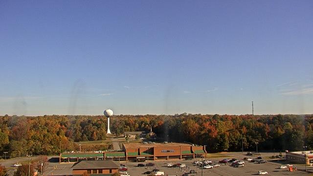
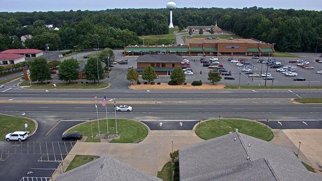
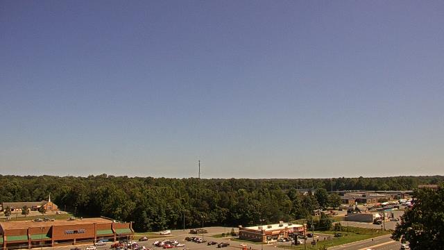
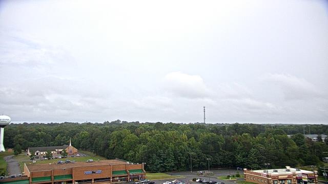
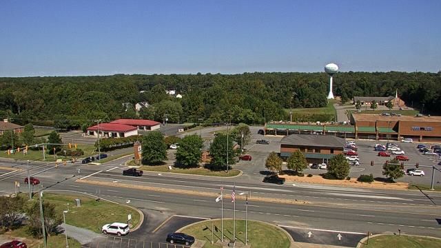
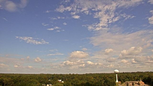
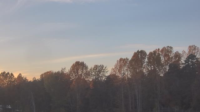
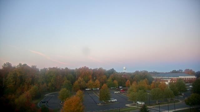
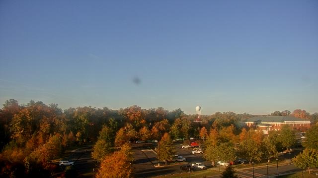
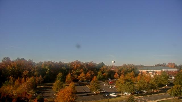
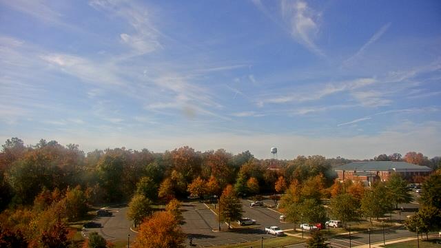
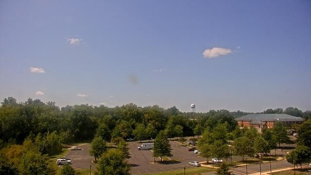
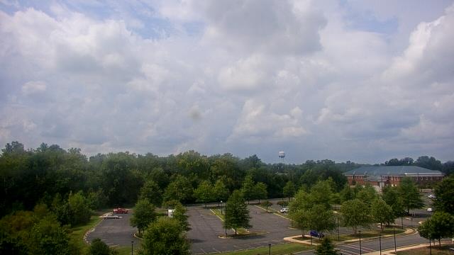
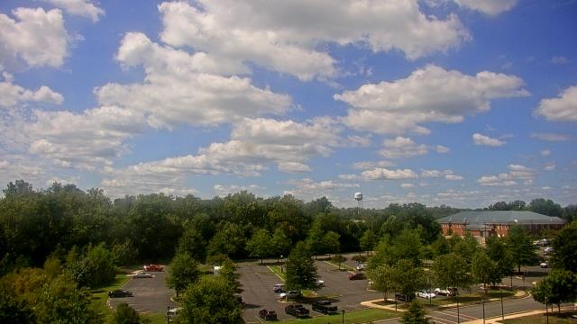
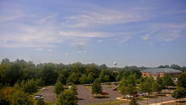
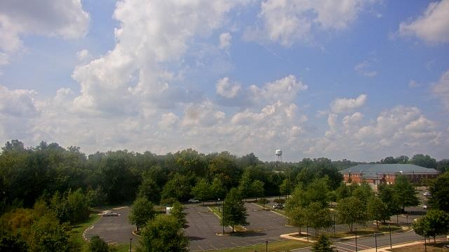
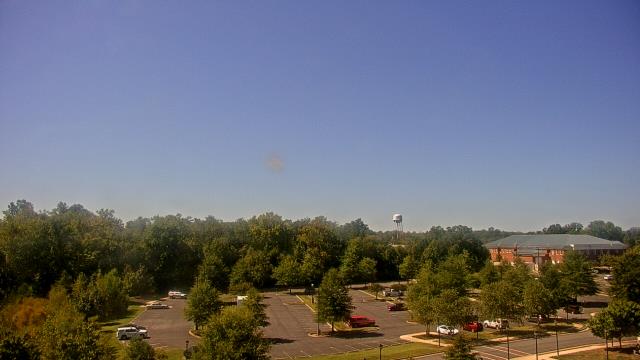
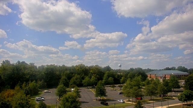
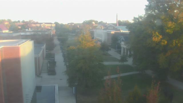
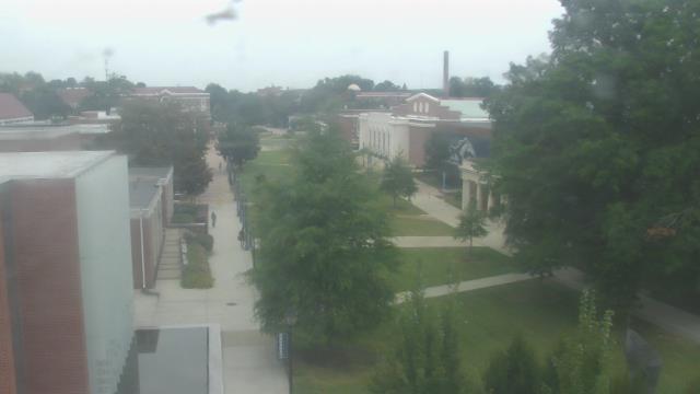
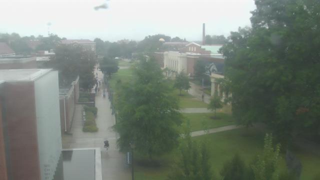
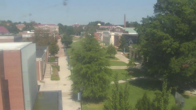
Richmond, Virginia, USA - 79.7 miles from Ruxton (historical): The Steward School - A webcam in Richmond, Virginia - camera location: The Steward School.
Operator: WeatherBug
Operator: WeatherBug
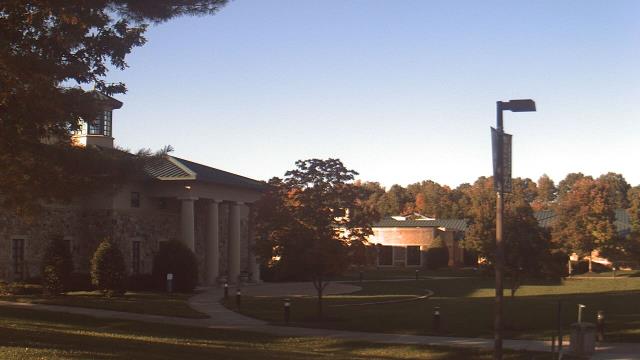


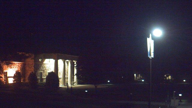


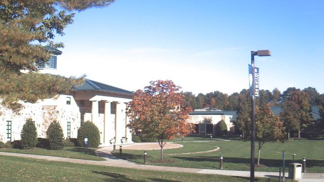
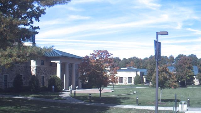
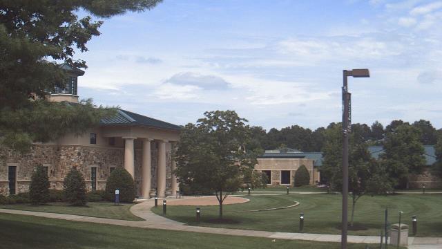
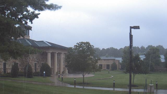
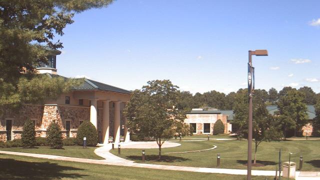
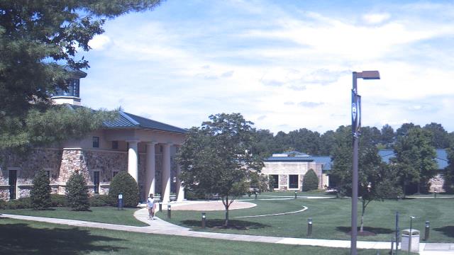
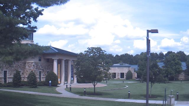
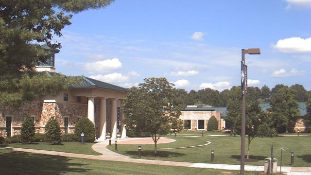

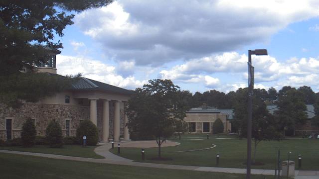

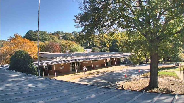
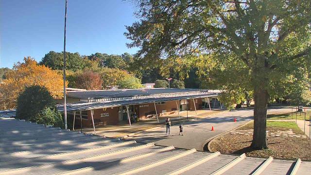
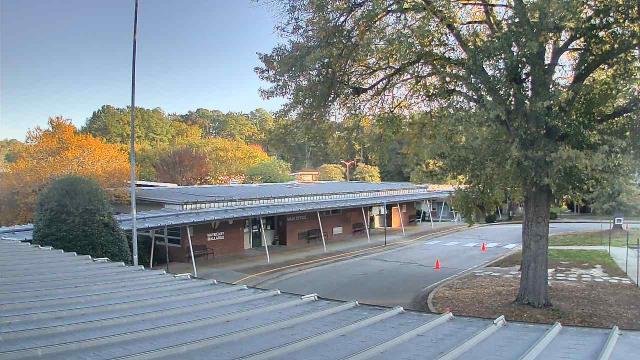
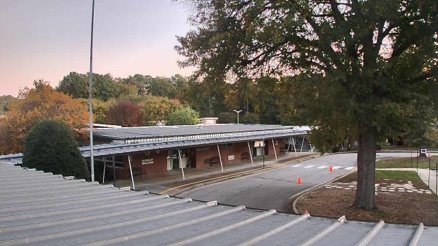
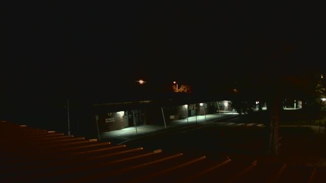
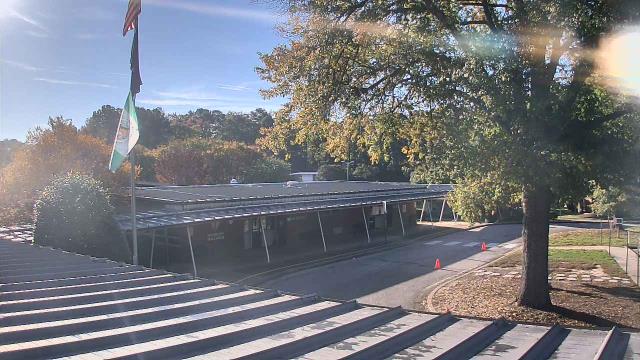
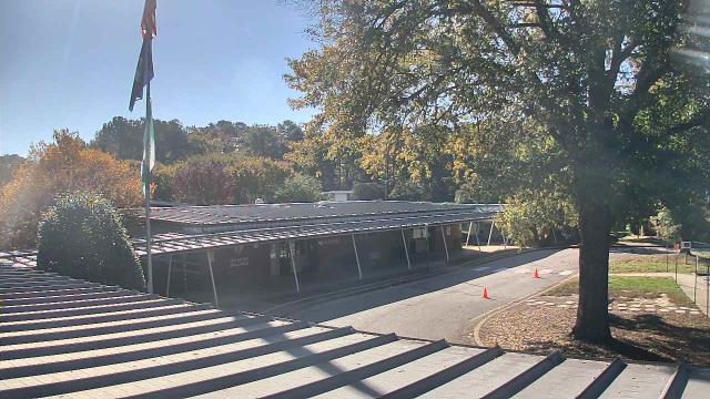
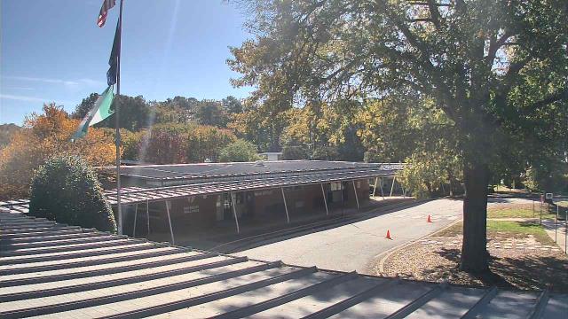
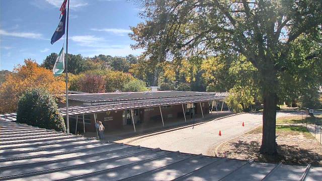
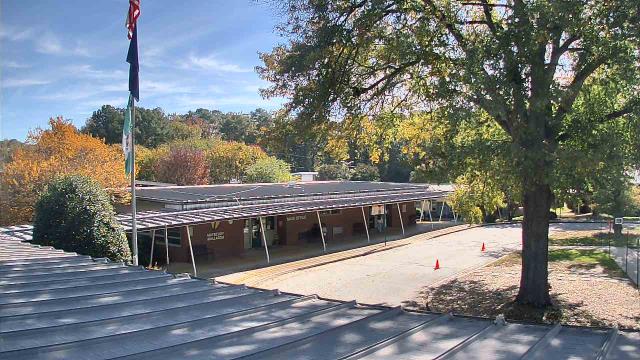
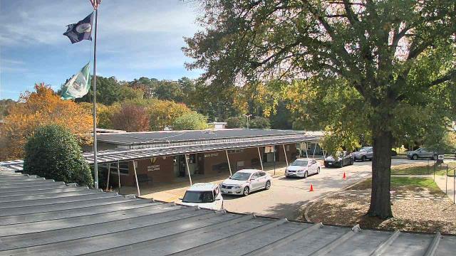
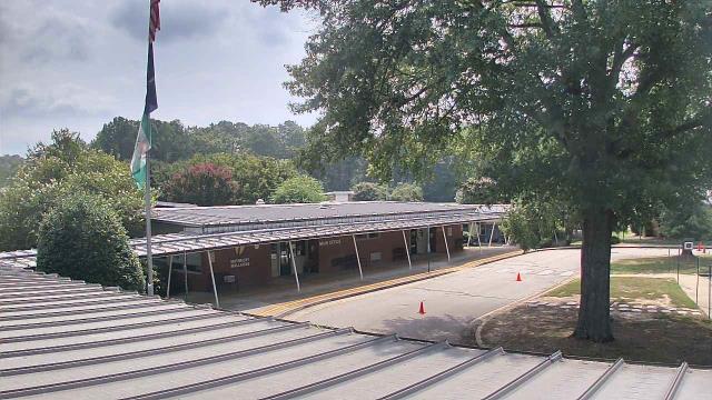
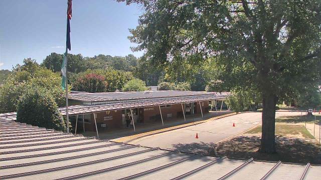
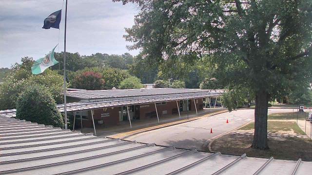
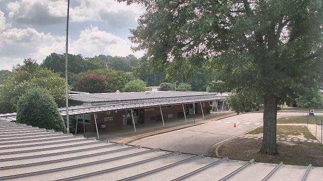
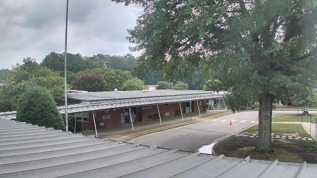
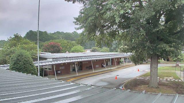
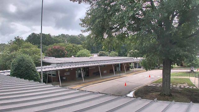
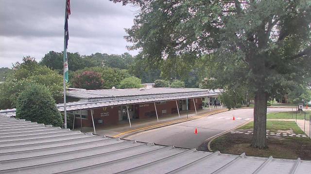
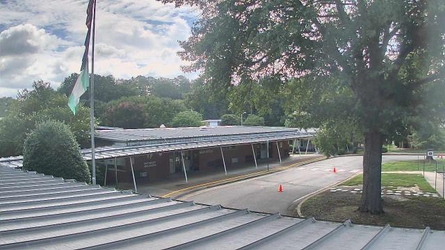
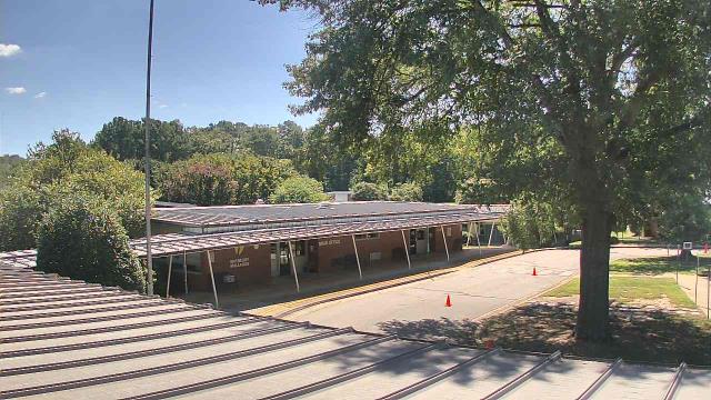
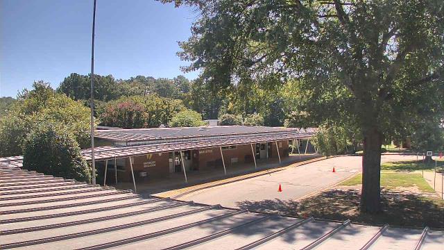
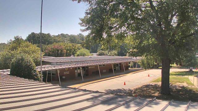
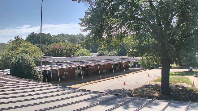
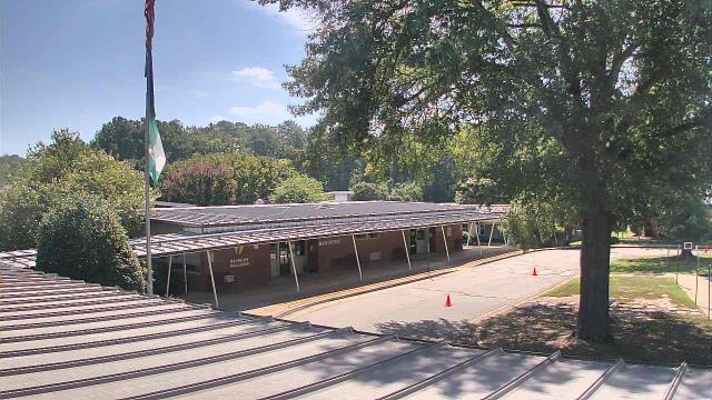
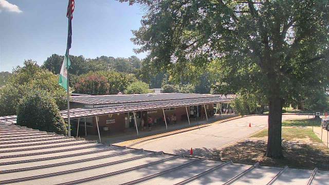
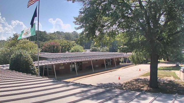
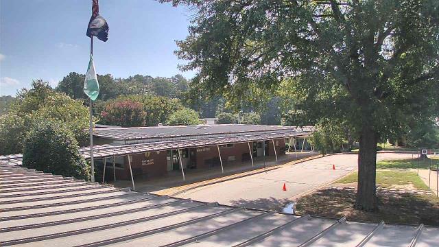
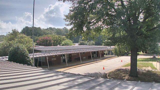
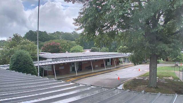
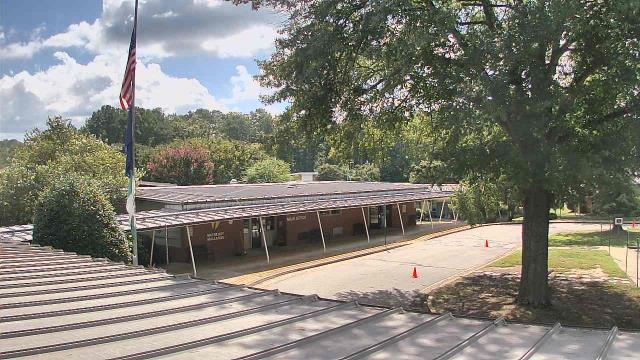
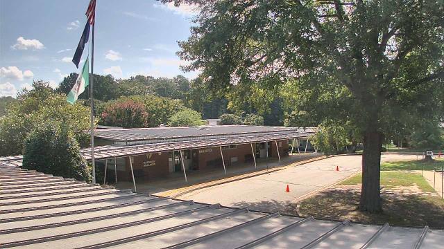
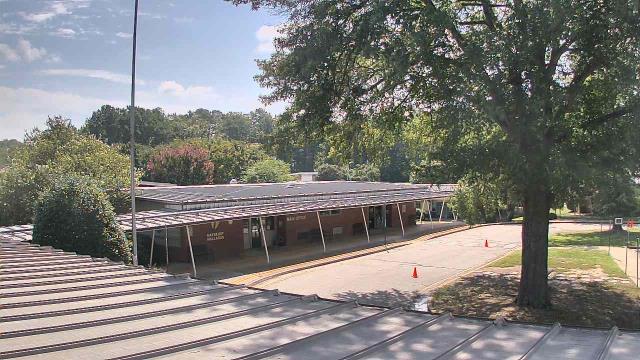
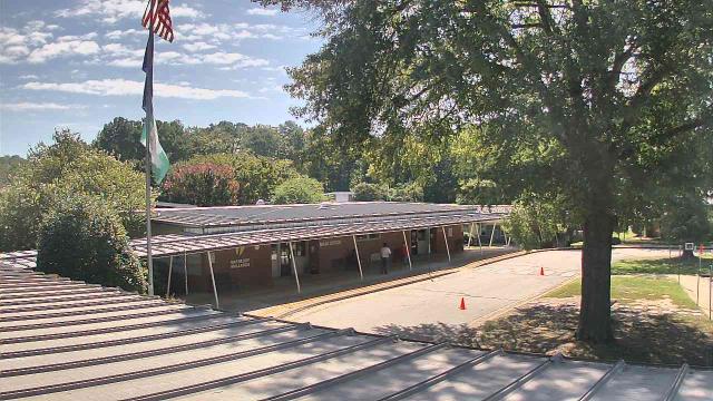
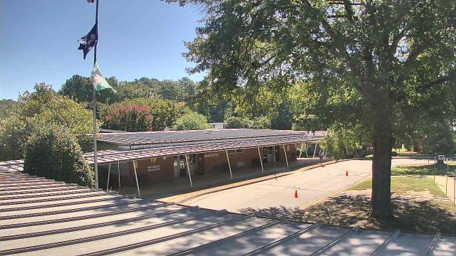
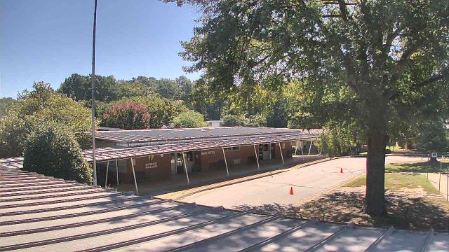
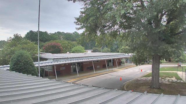
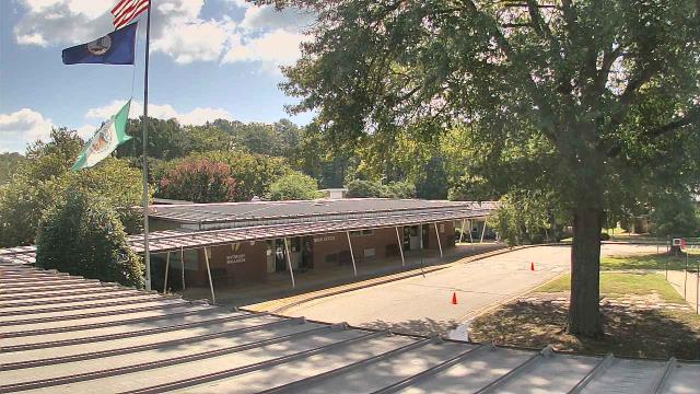
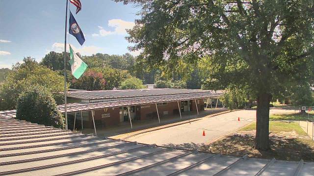
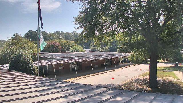
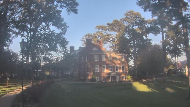
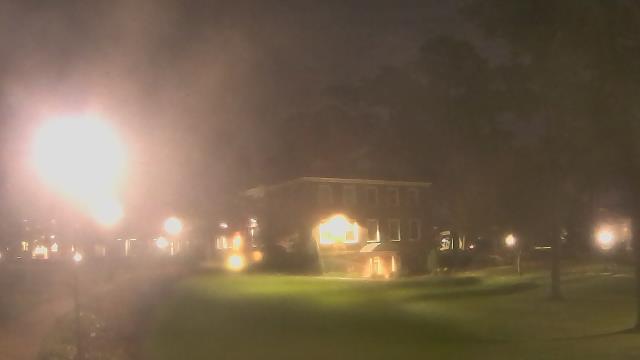
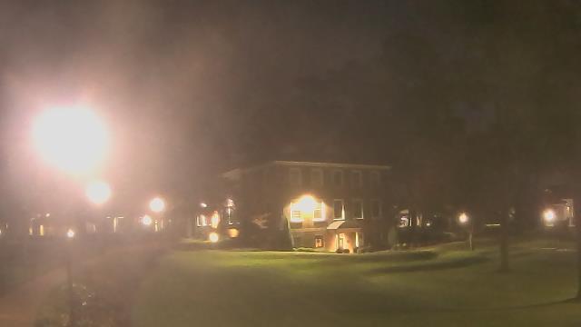
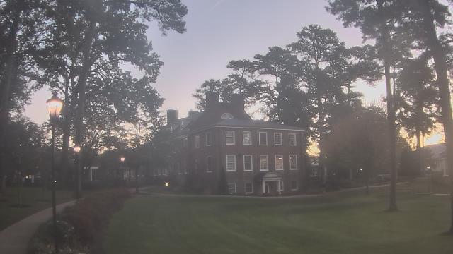
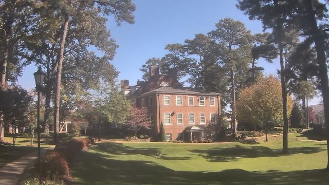
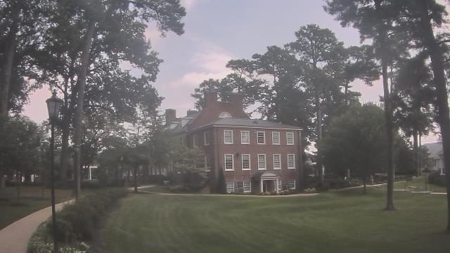
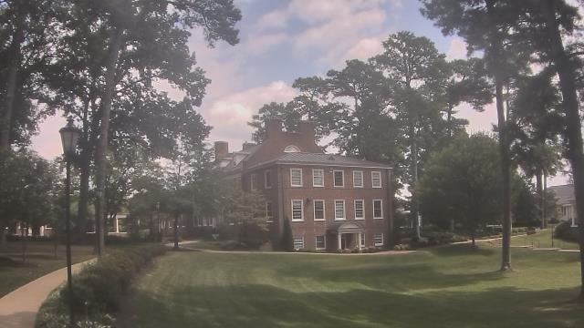
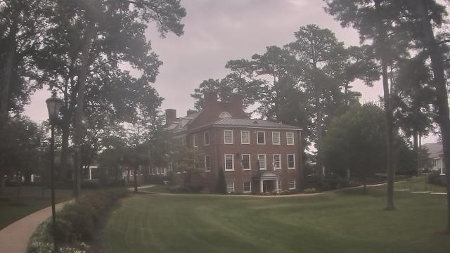
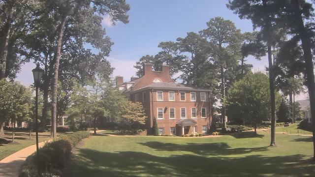
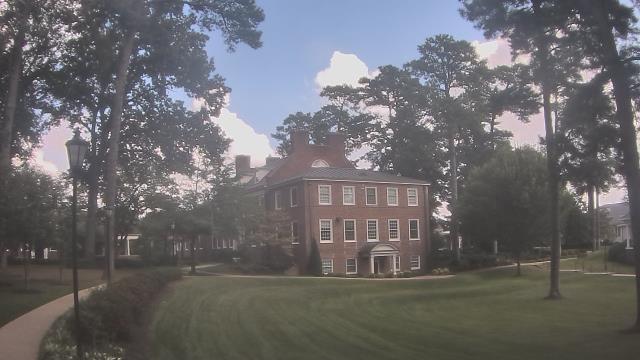
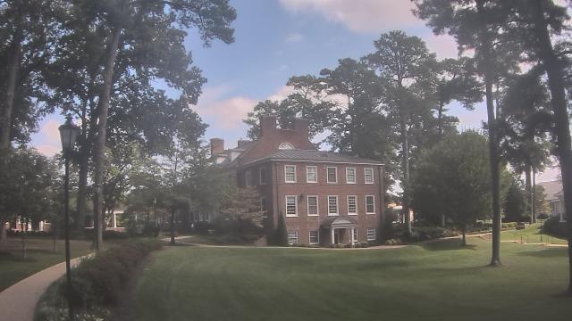
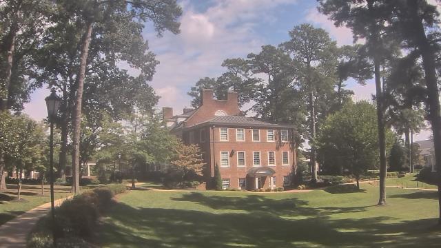
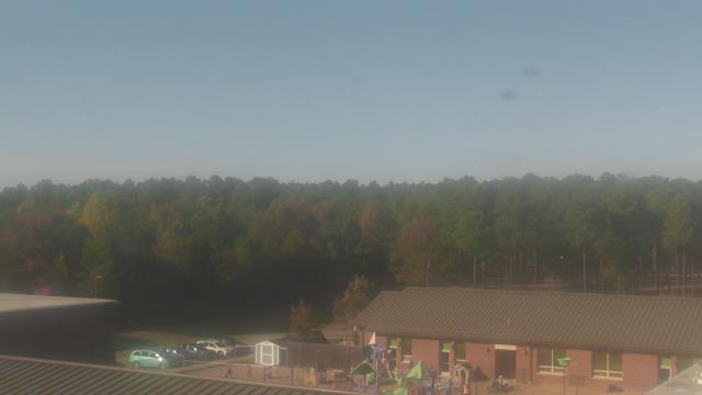
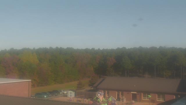
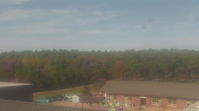
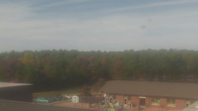
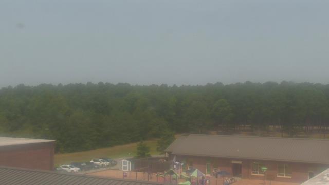
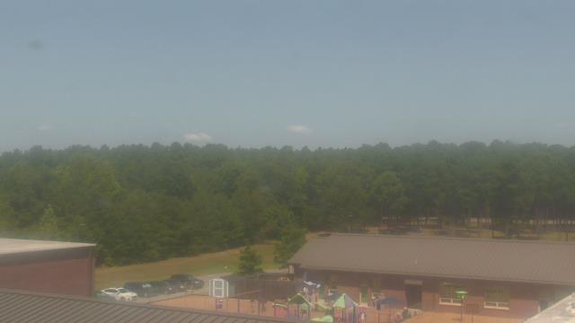
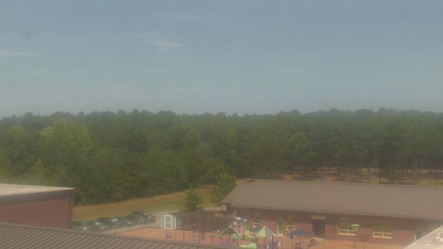
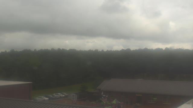
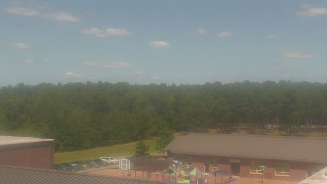
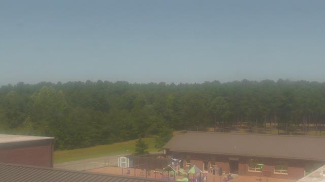
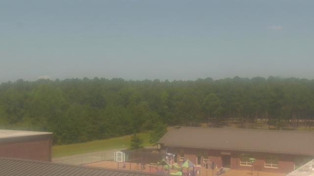
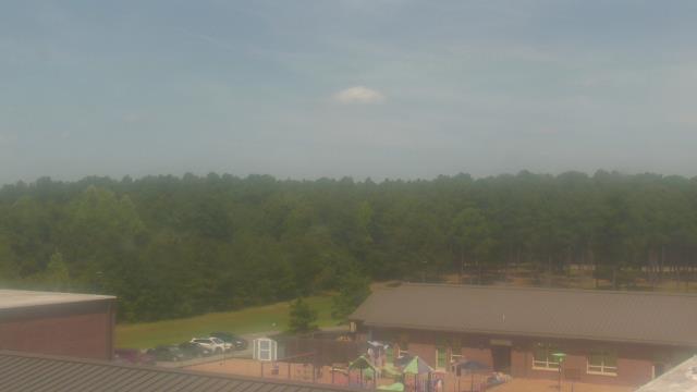
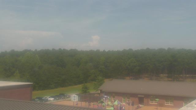
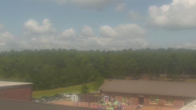
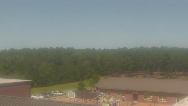
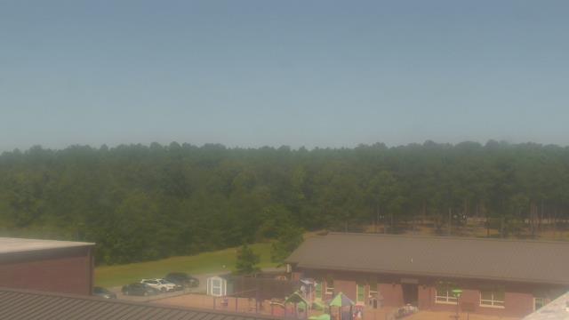
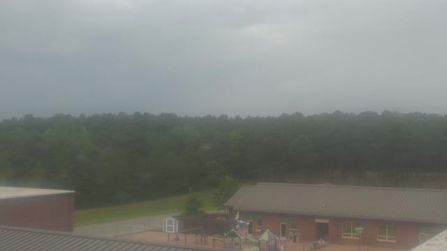
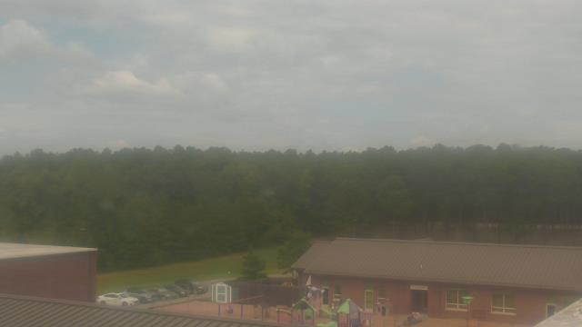
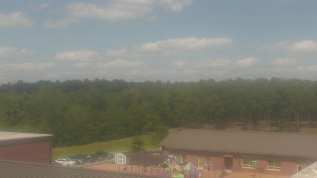
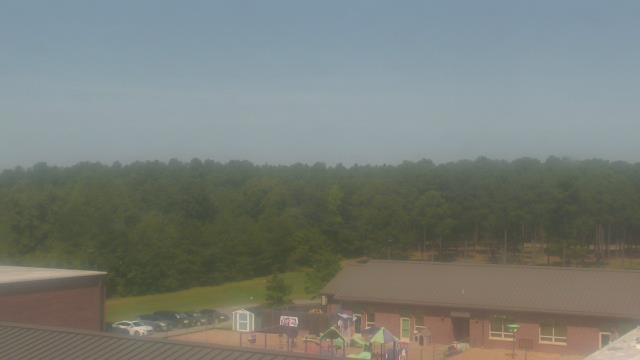
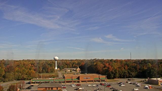
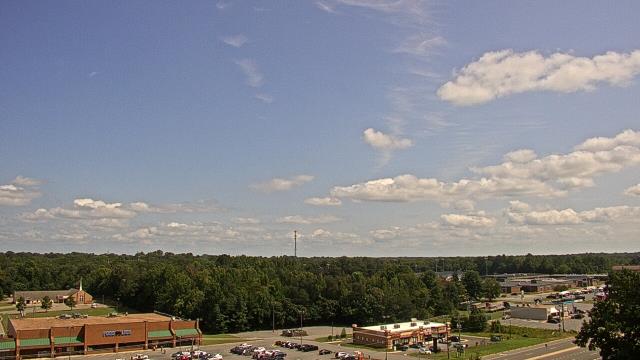
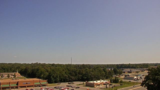
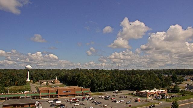
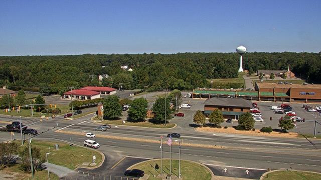
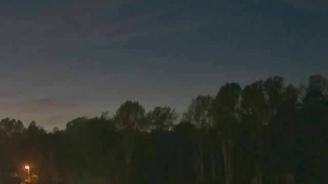
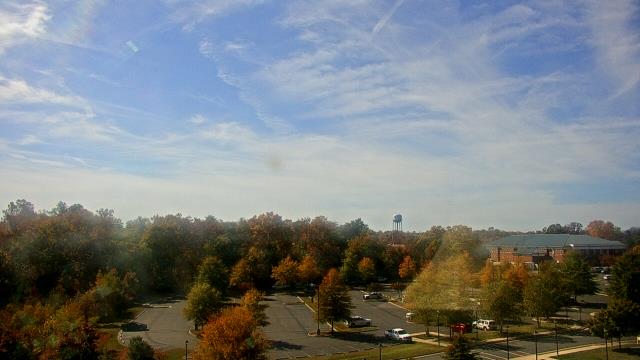
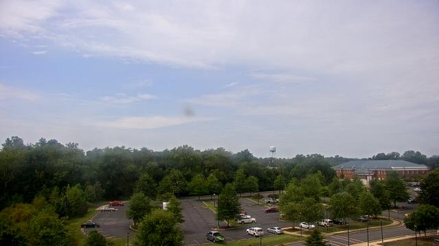
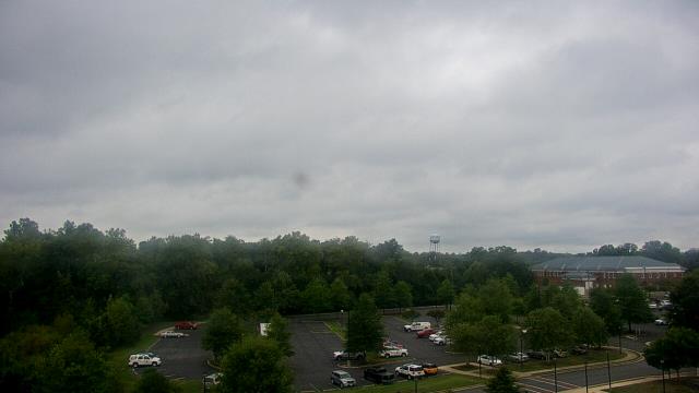
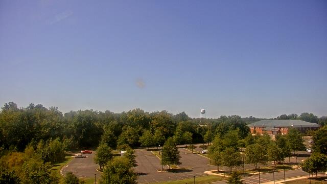
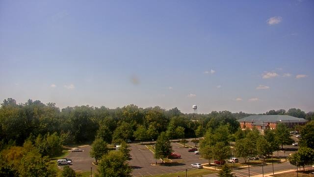
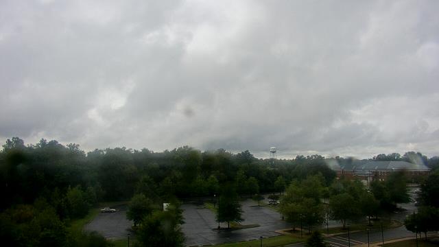
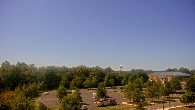
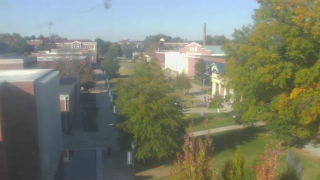
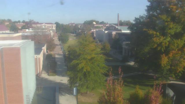
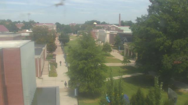
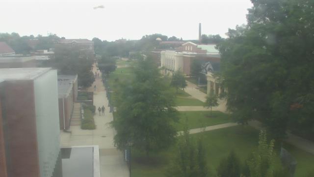
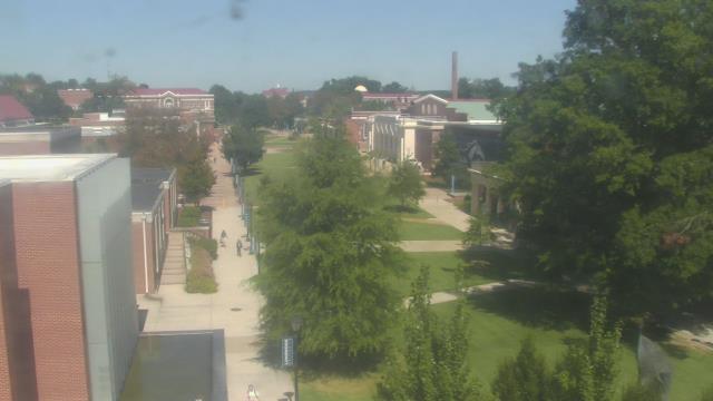
Richmond, Virginia, USA - 79.7 miles from Ruxton (historical): Maybeury Elementary School - A webcam in Richmond, Virginia - camera location: Maybeury Elementary School.
Operator: WeatherBug
Operator: WeatherBug
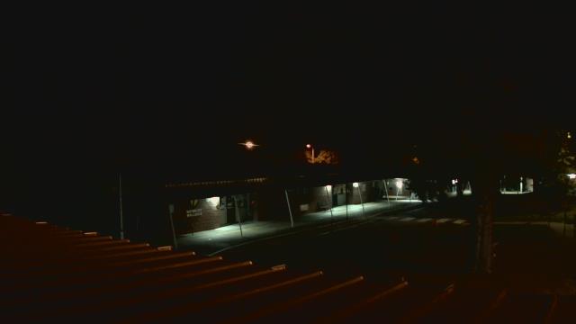

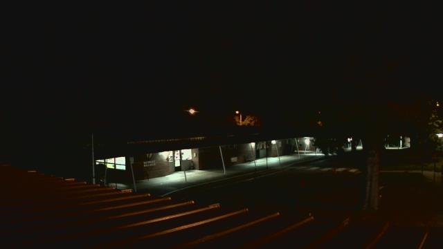
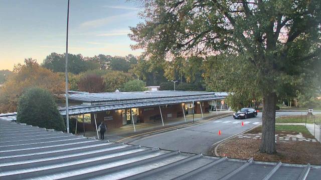


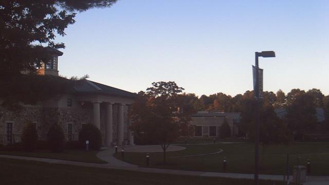
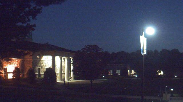
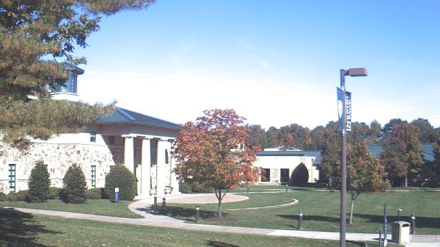
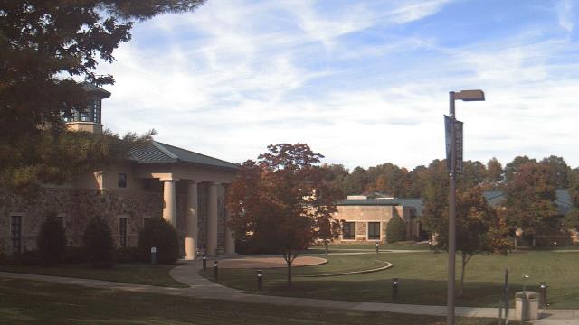
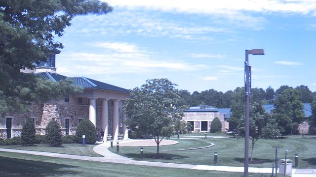
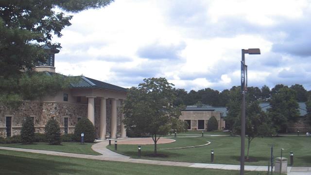
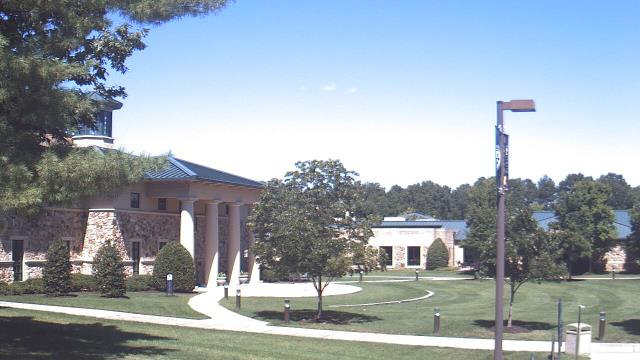
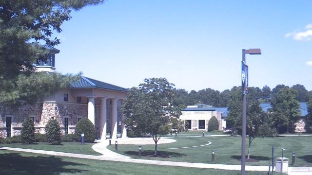
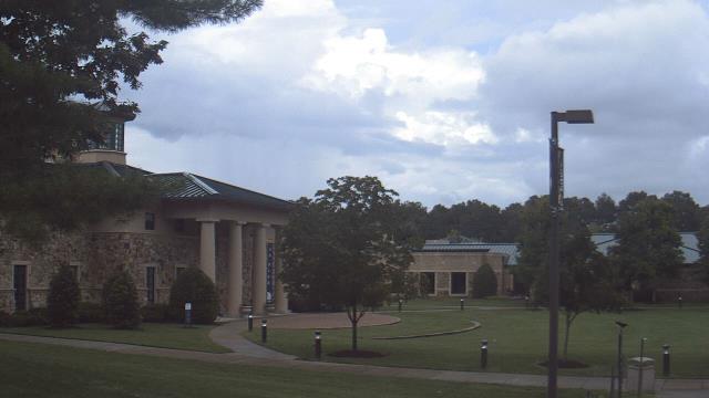
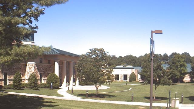
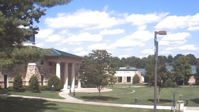
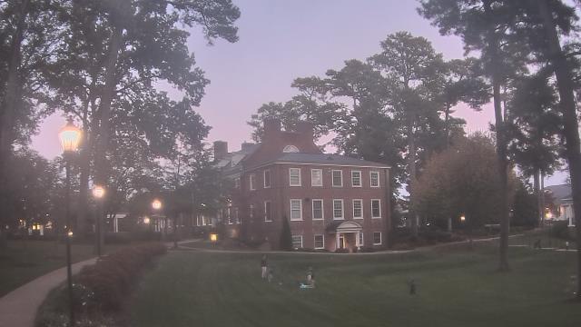
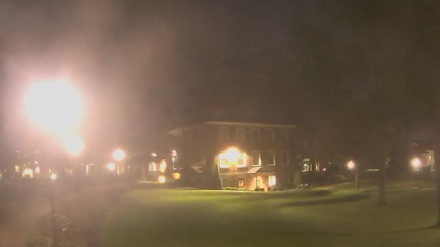
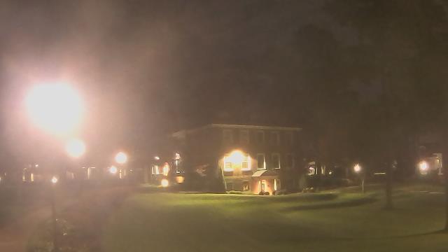
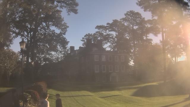
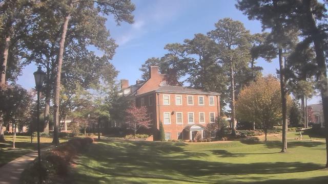
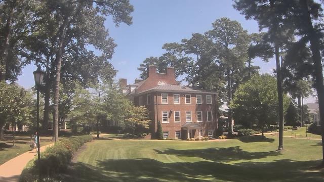
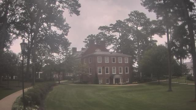
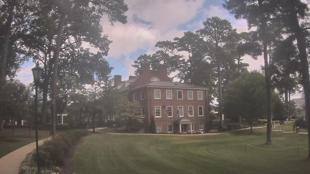
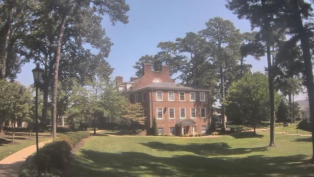
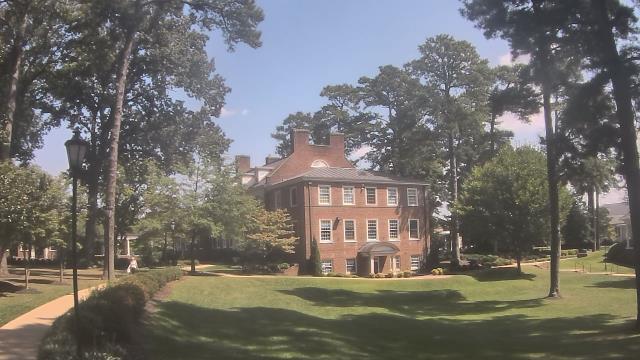
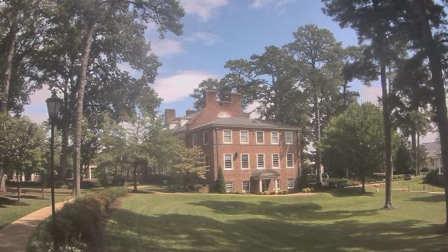
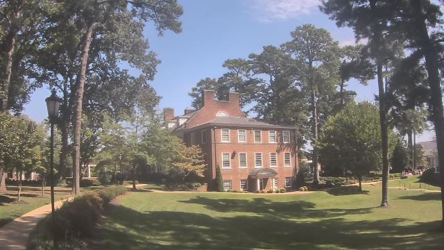
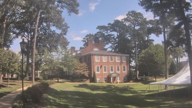
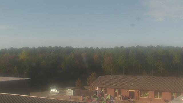
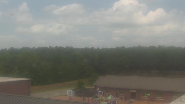
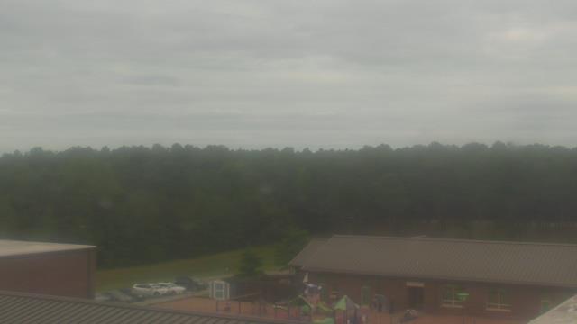
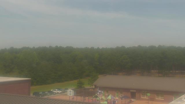
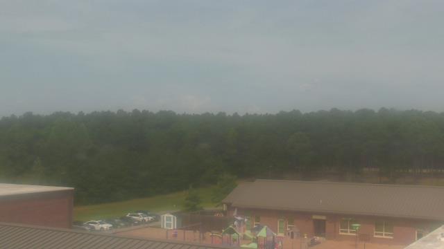
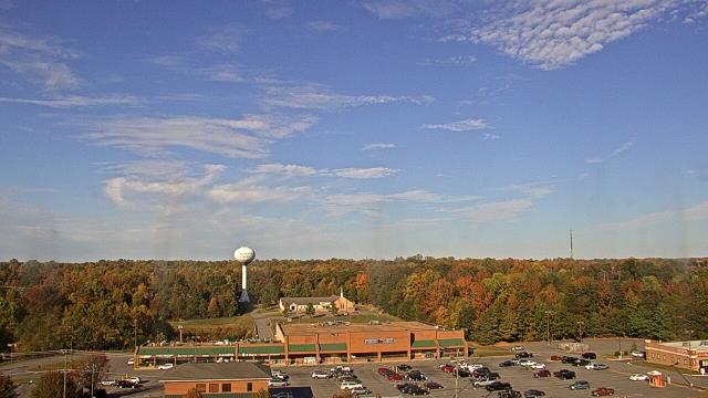
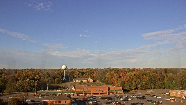
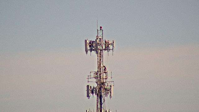
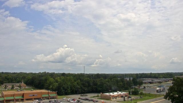
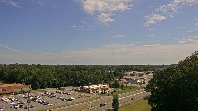
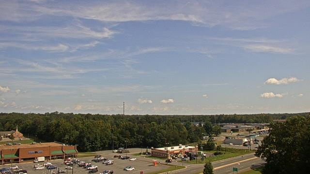
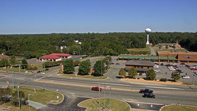
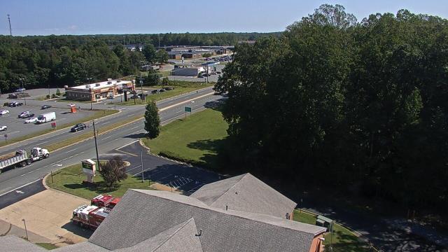
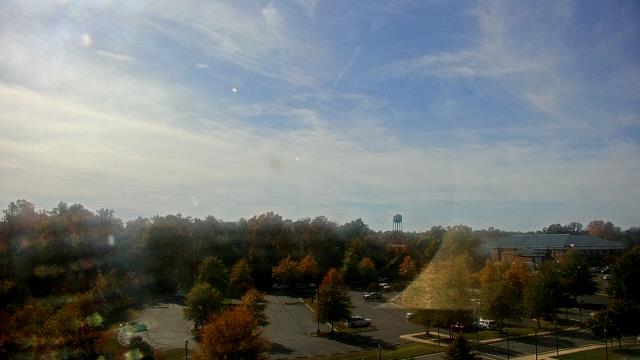
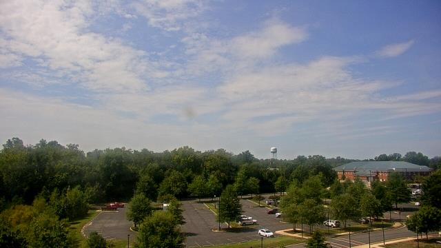
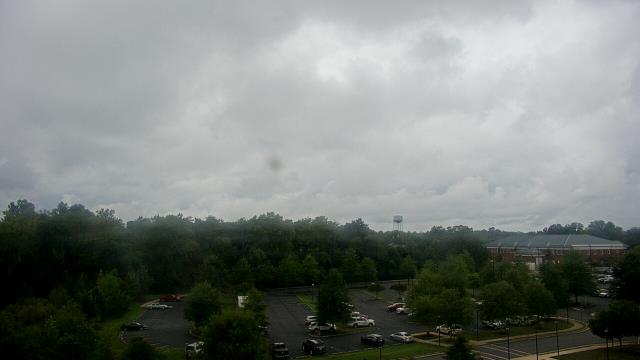
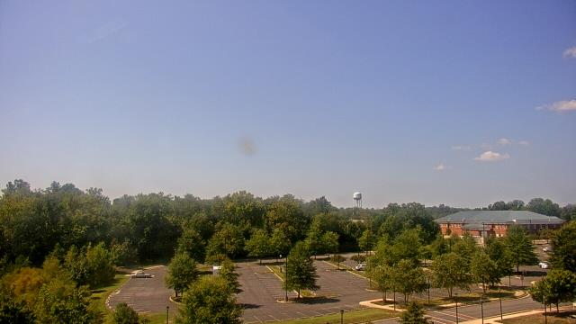
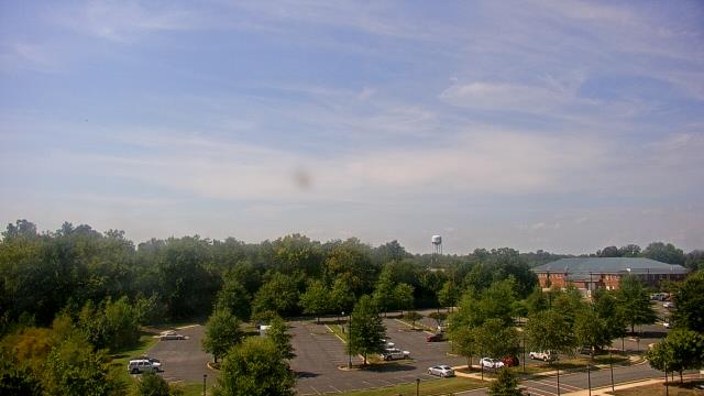
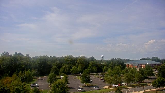
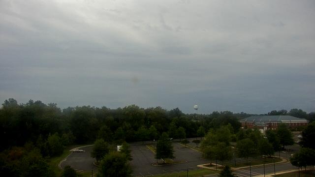
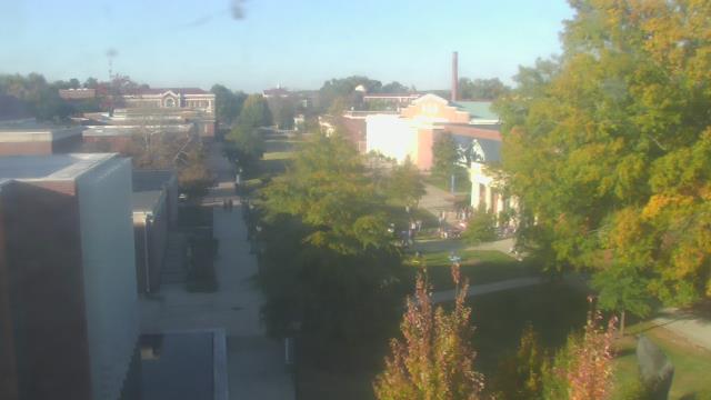
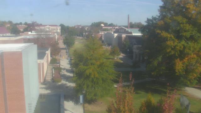
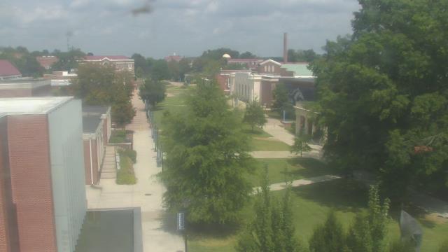
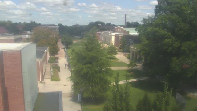
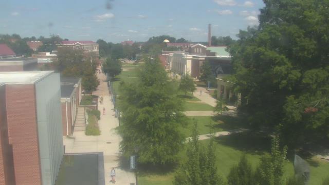
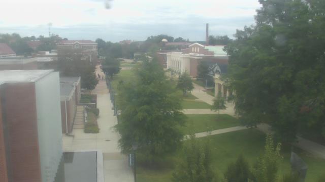
Richmond, Virginia, USA - 79.7 miles from Ruxton (historical): St. Christophers School - Webcam and current weather data - camera location: St. Christophers School.
Operator: WeatherBug
Operator: WeatherBug


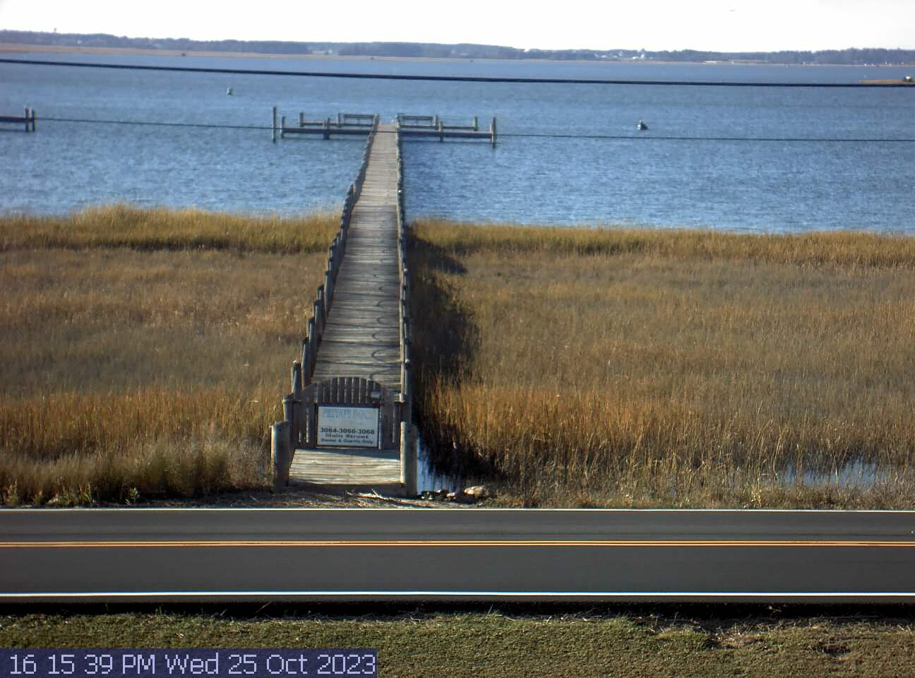
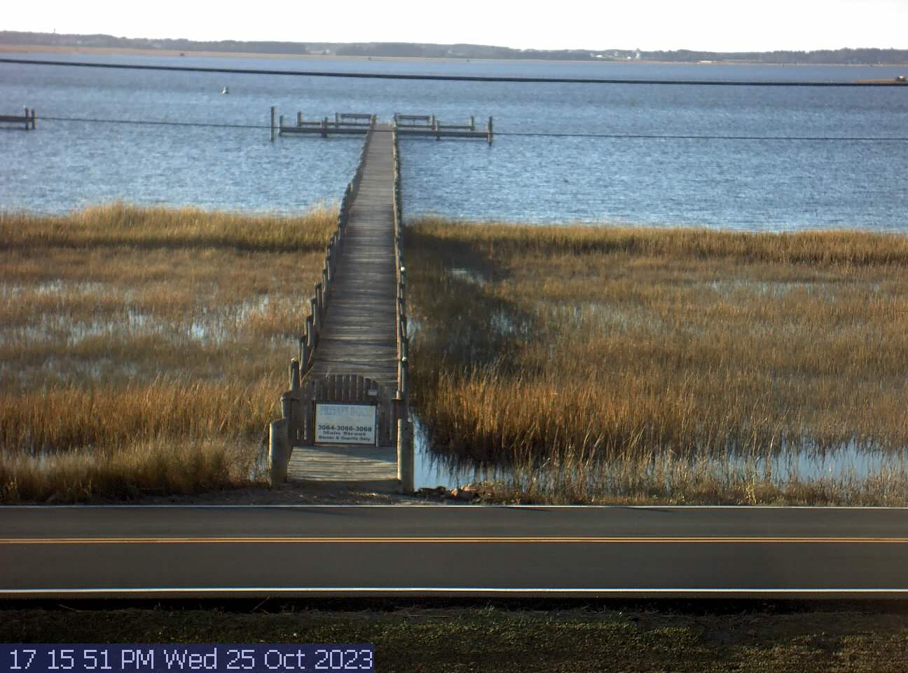
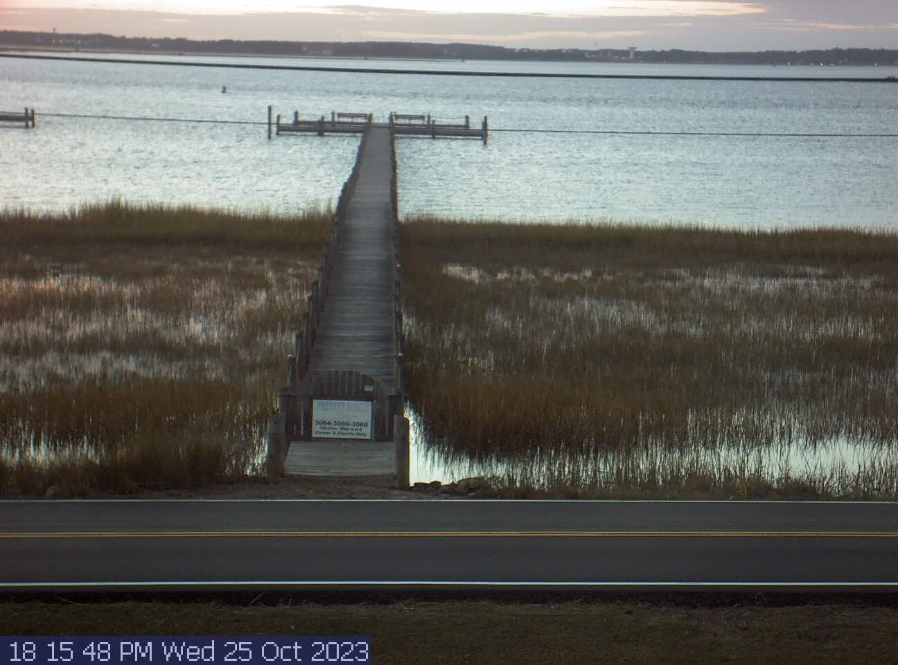
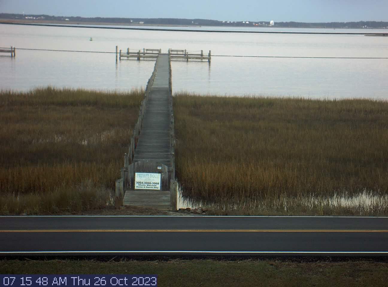
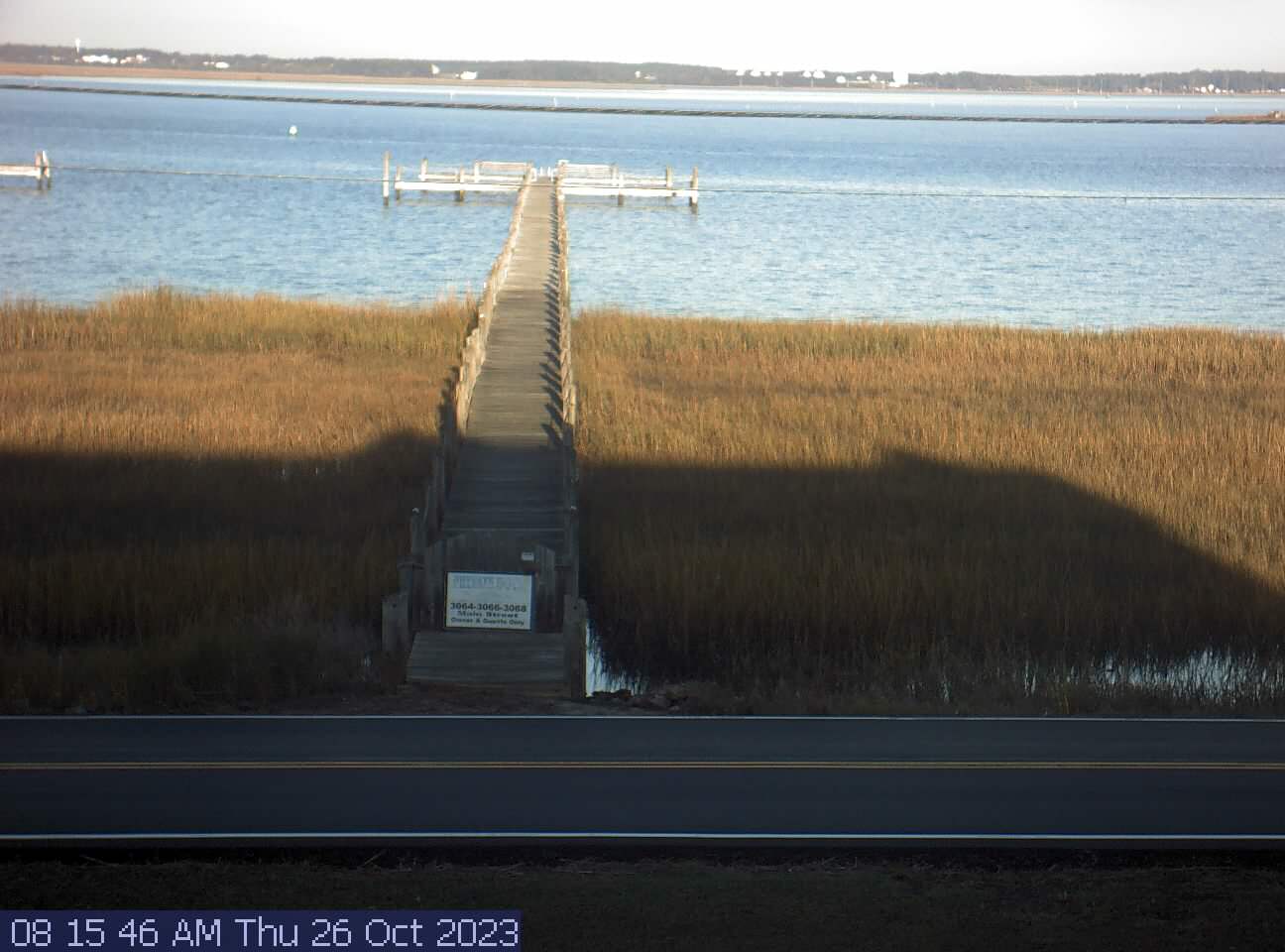
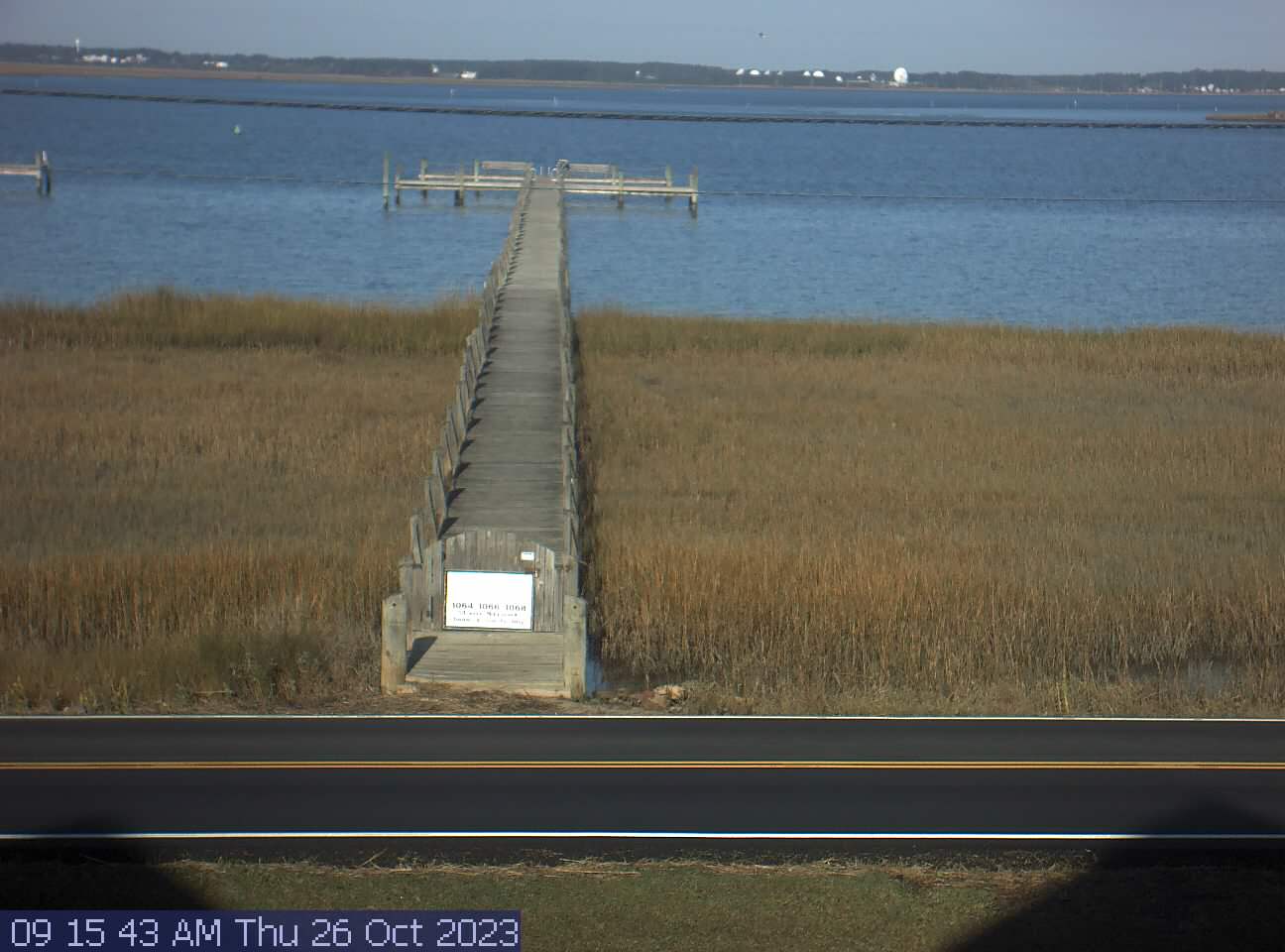
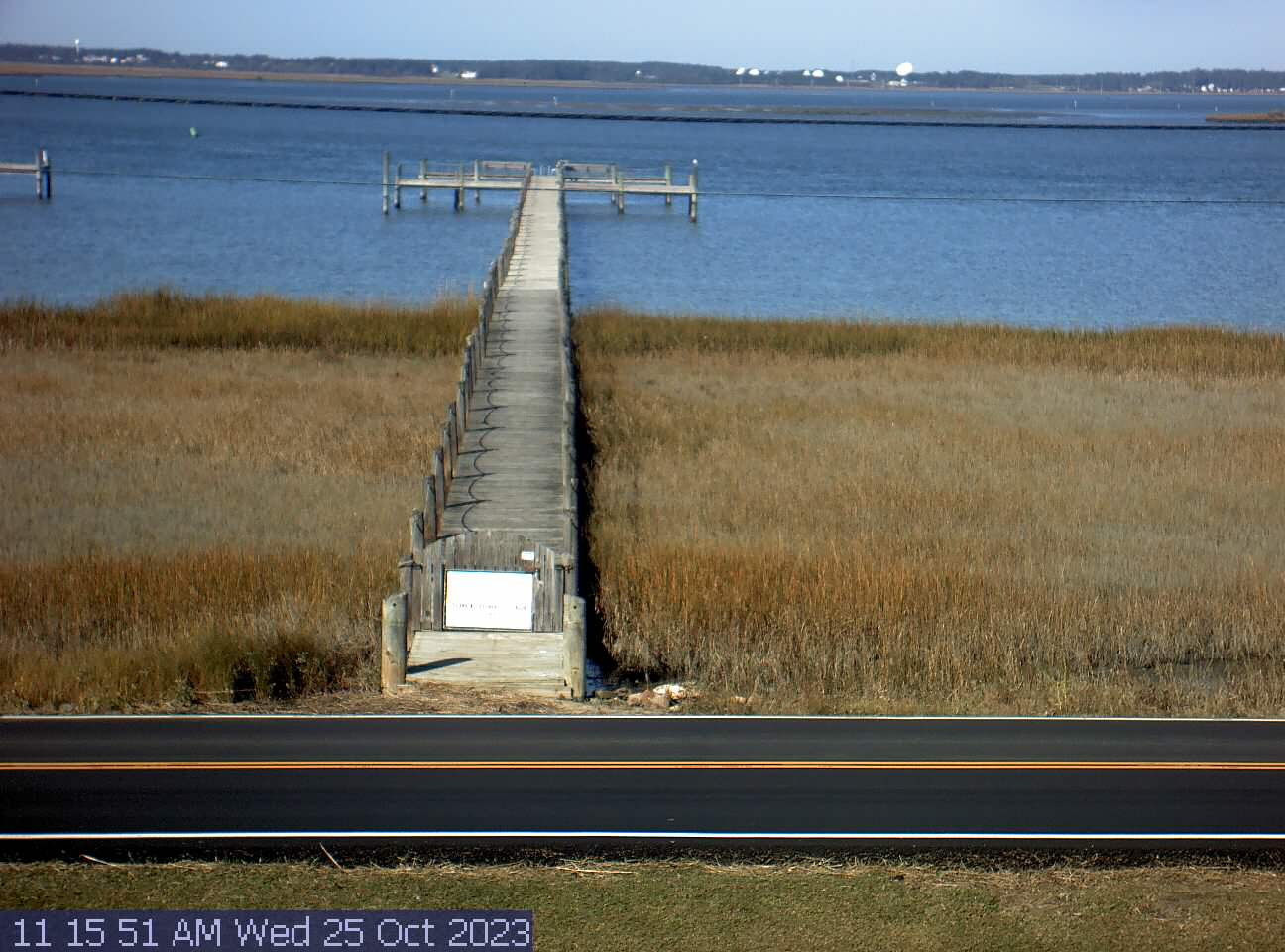
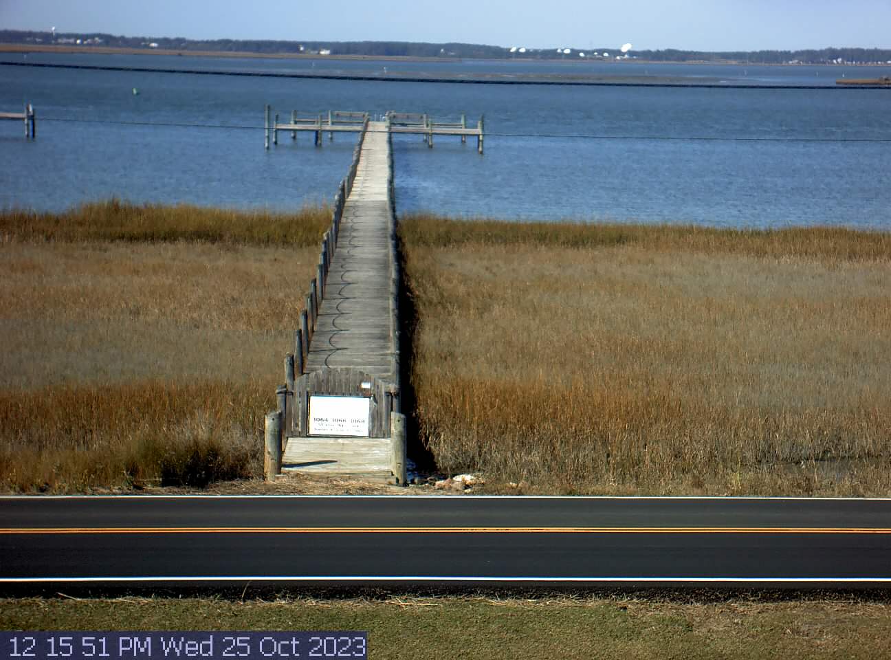
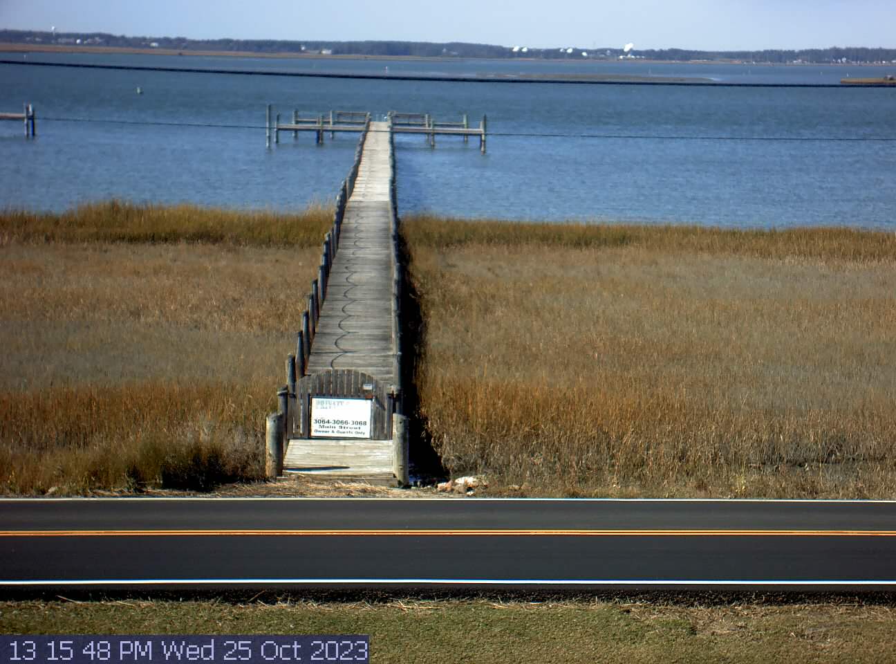
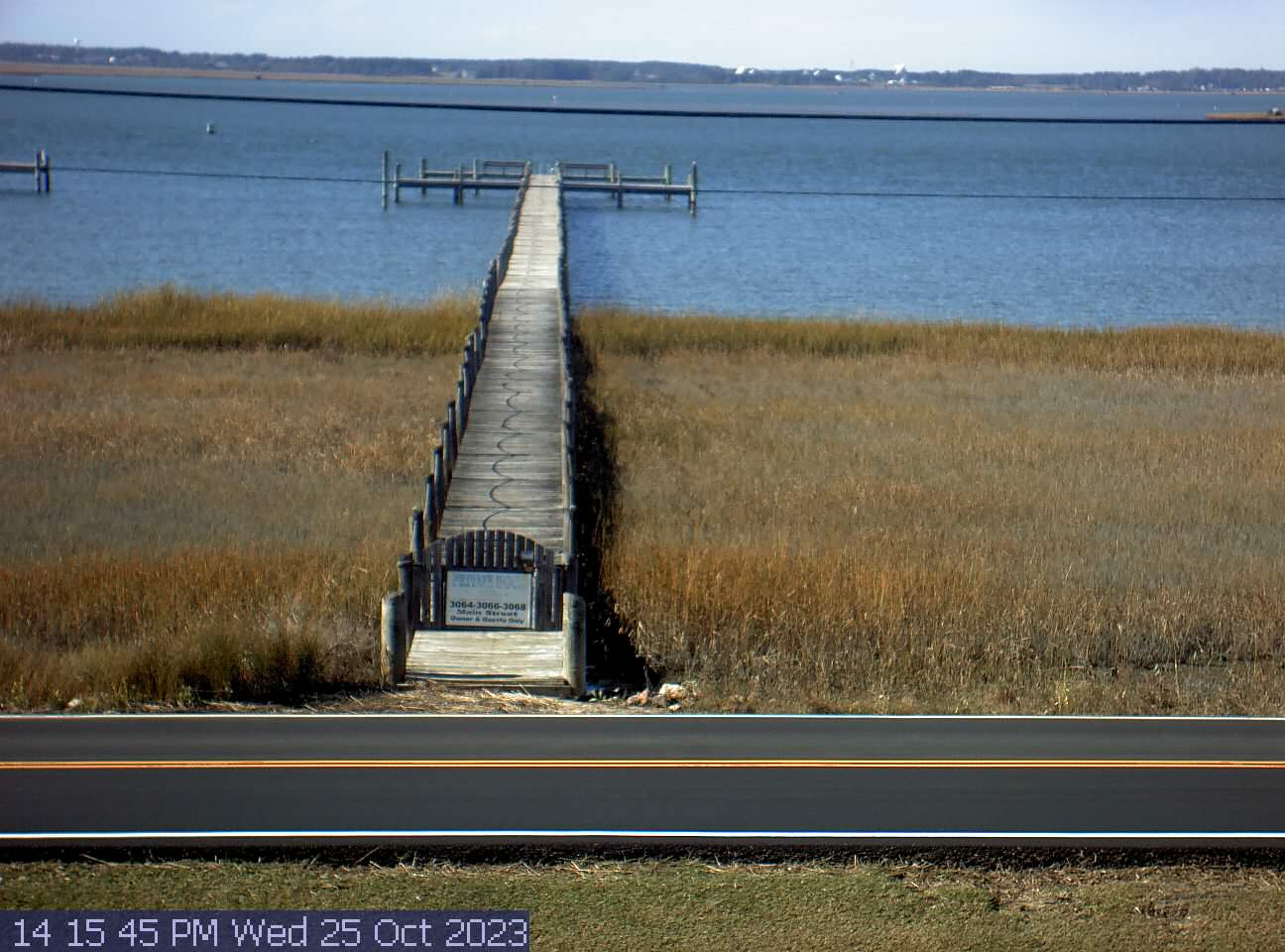
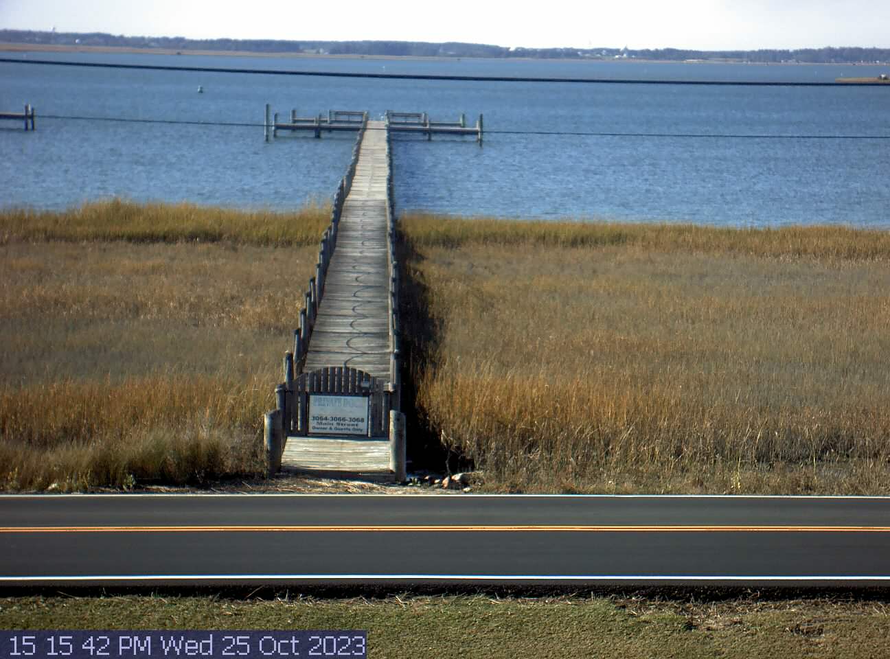
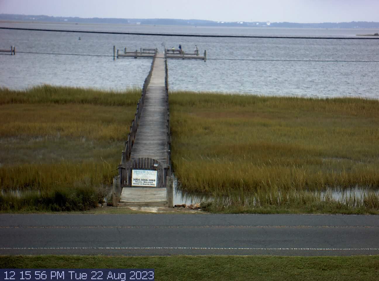
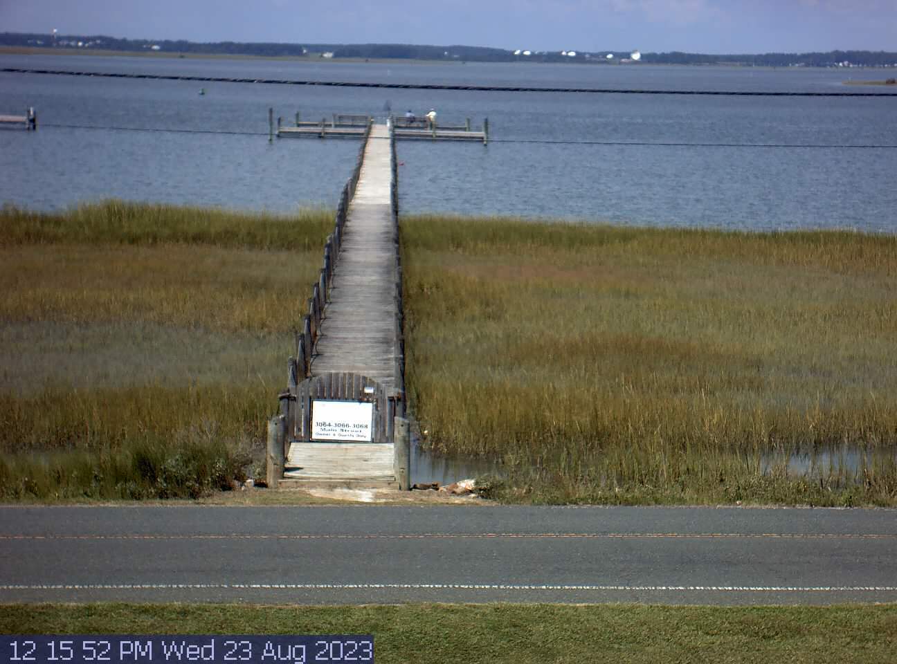
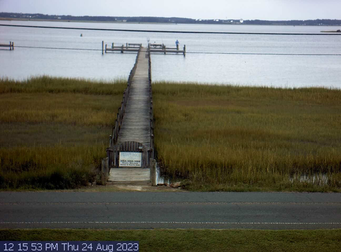
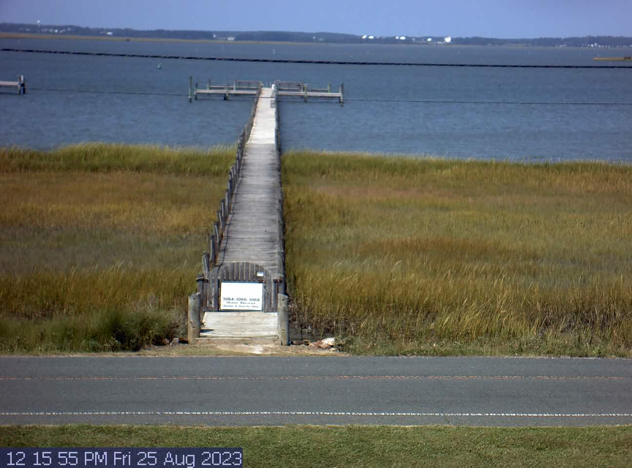
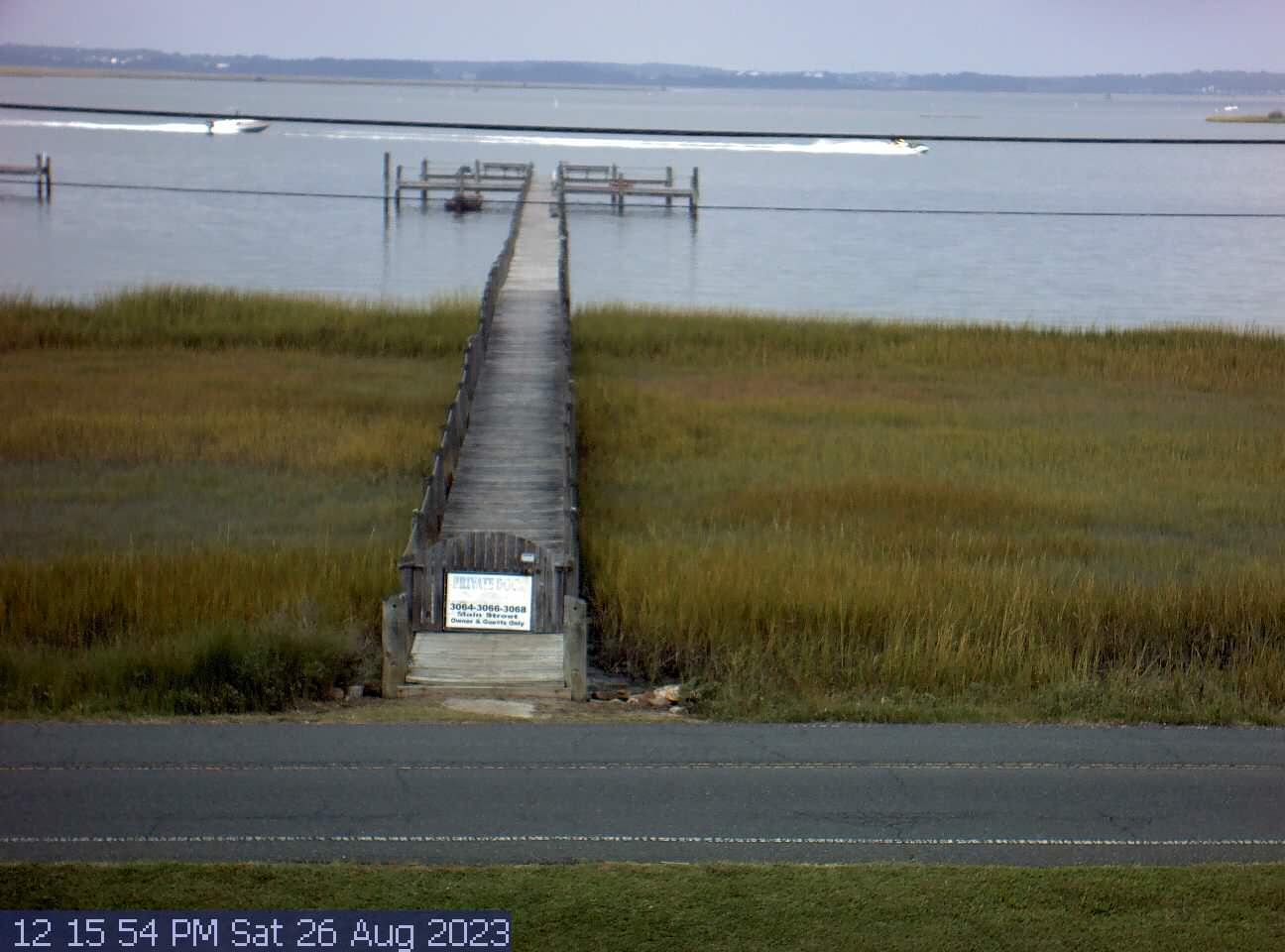
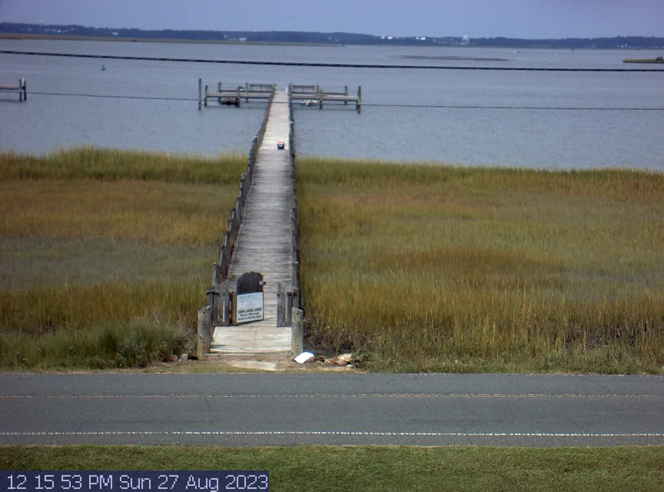
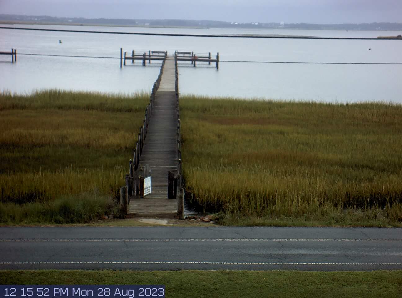
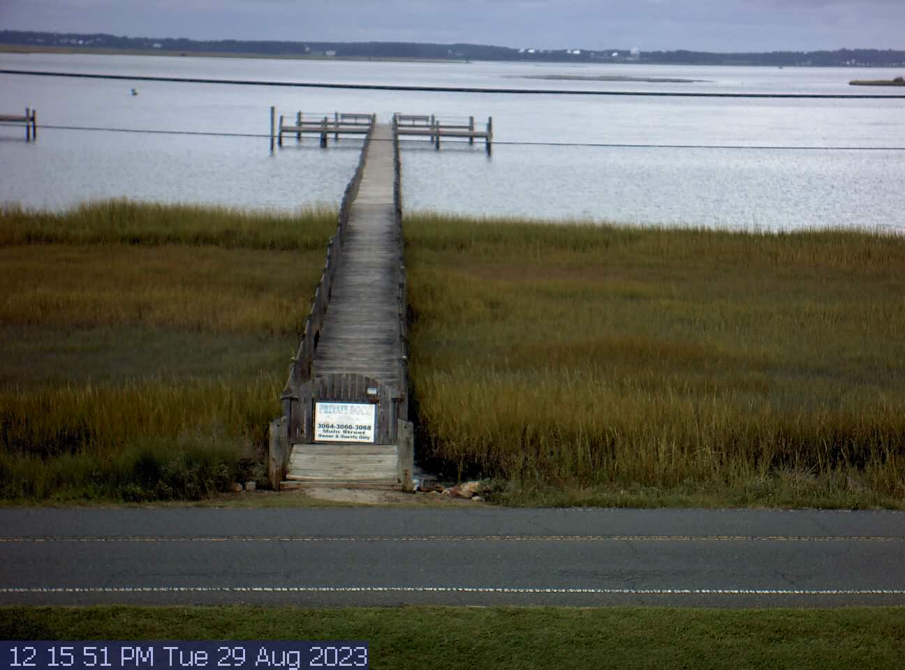
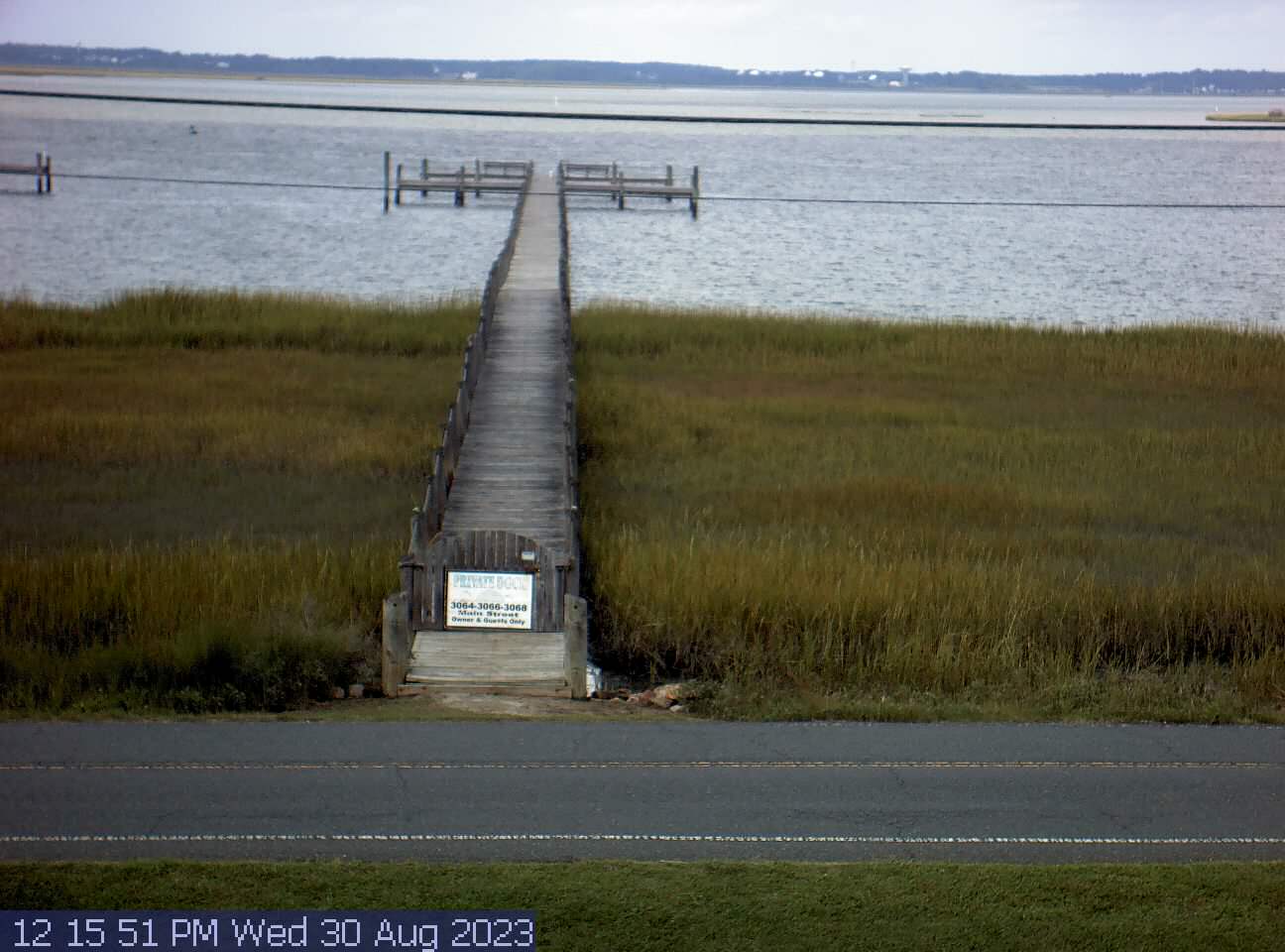
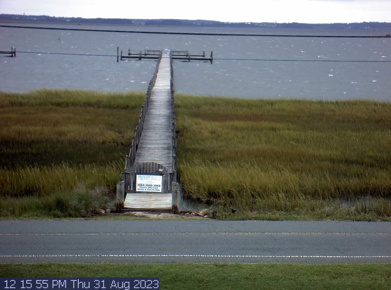
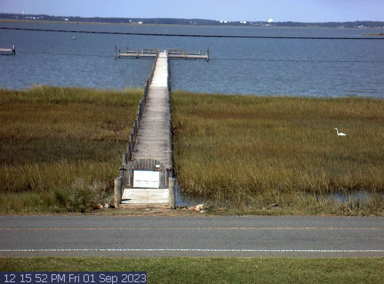
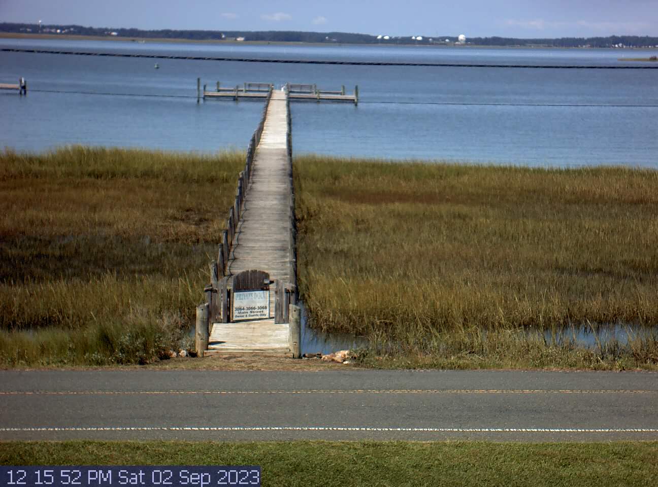
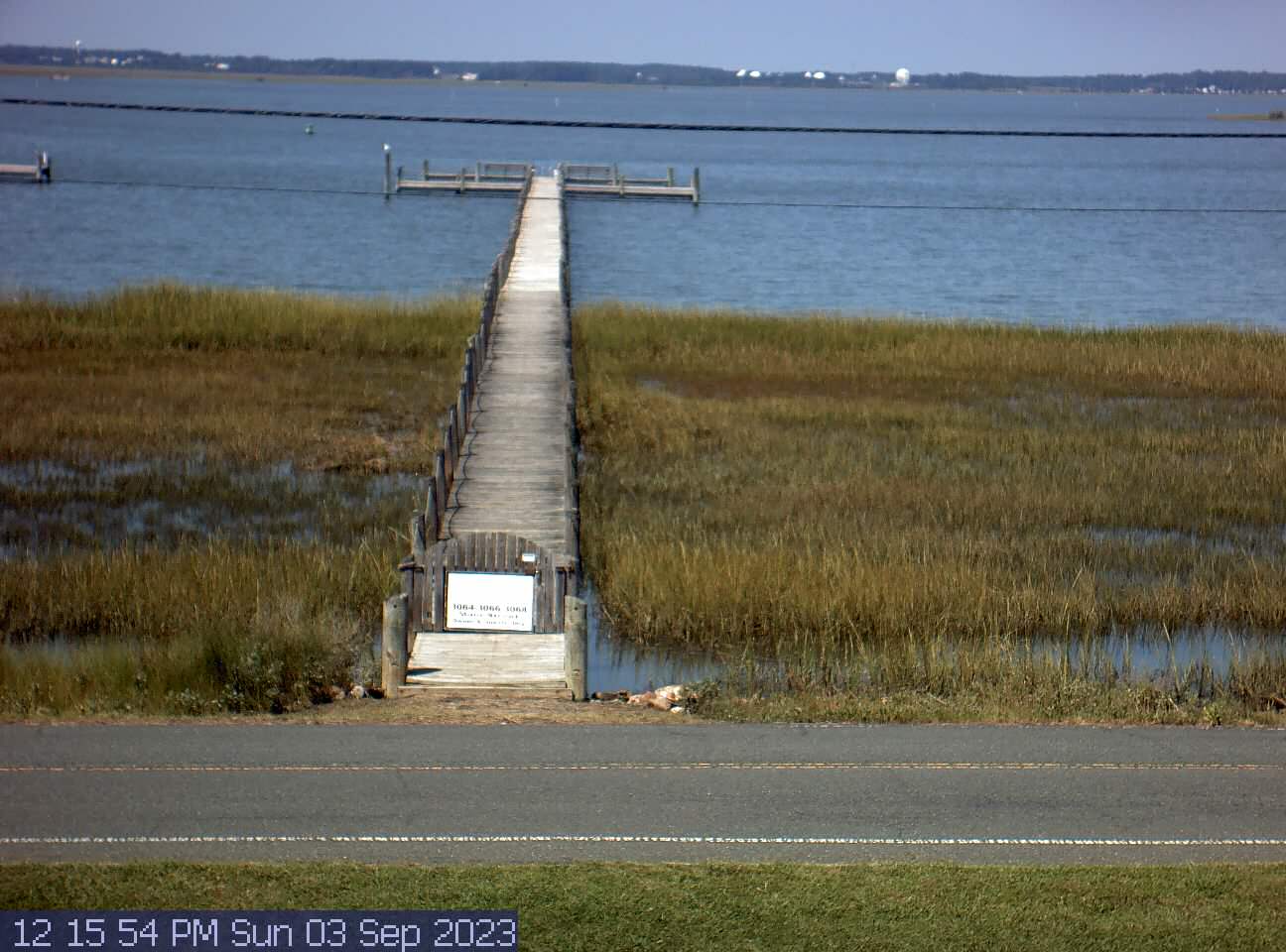
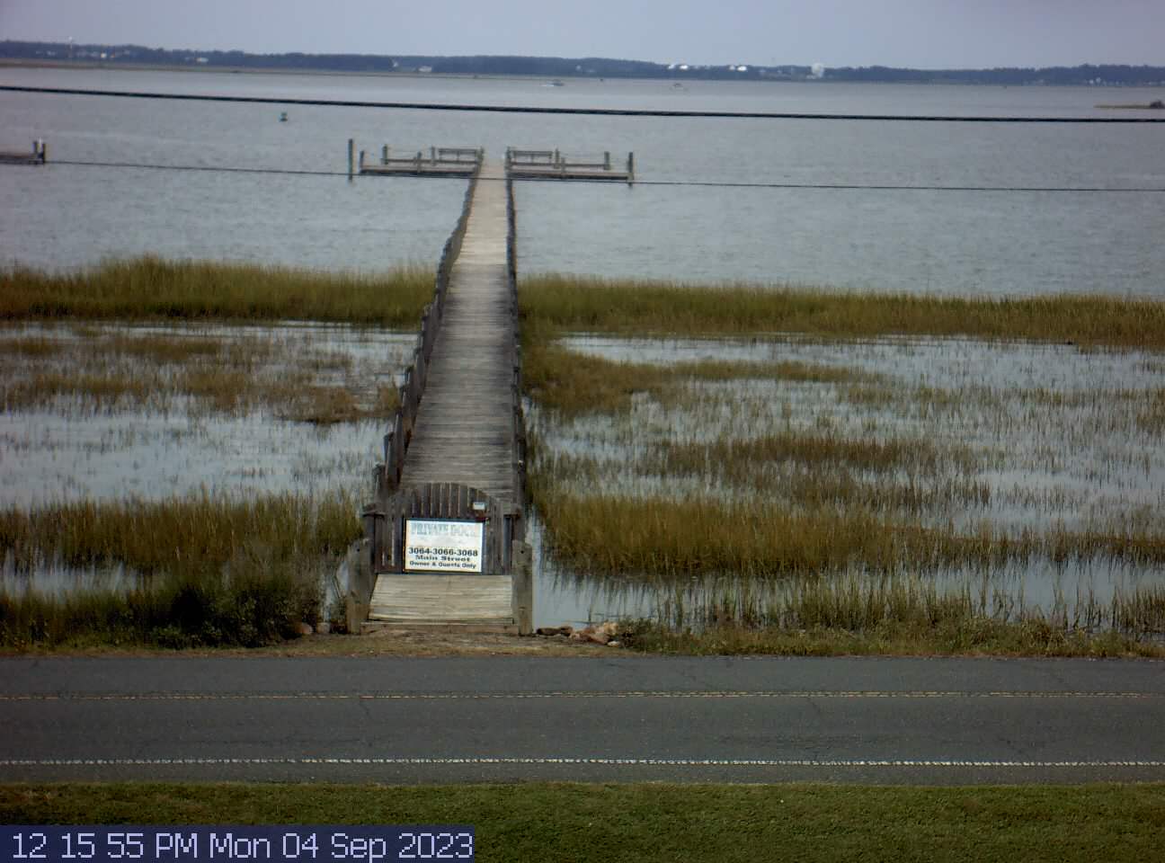
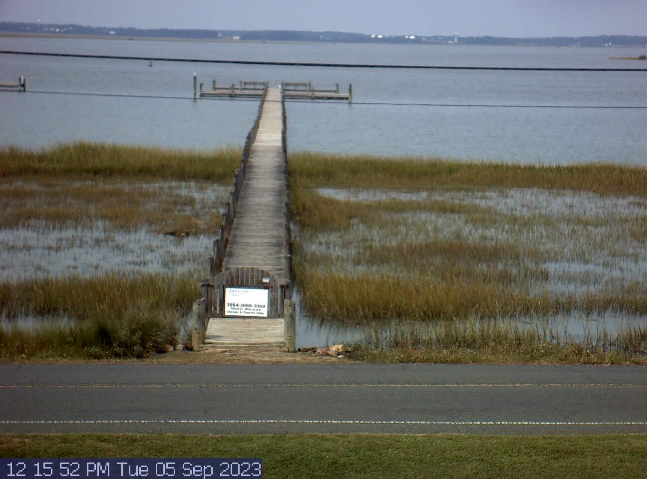
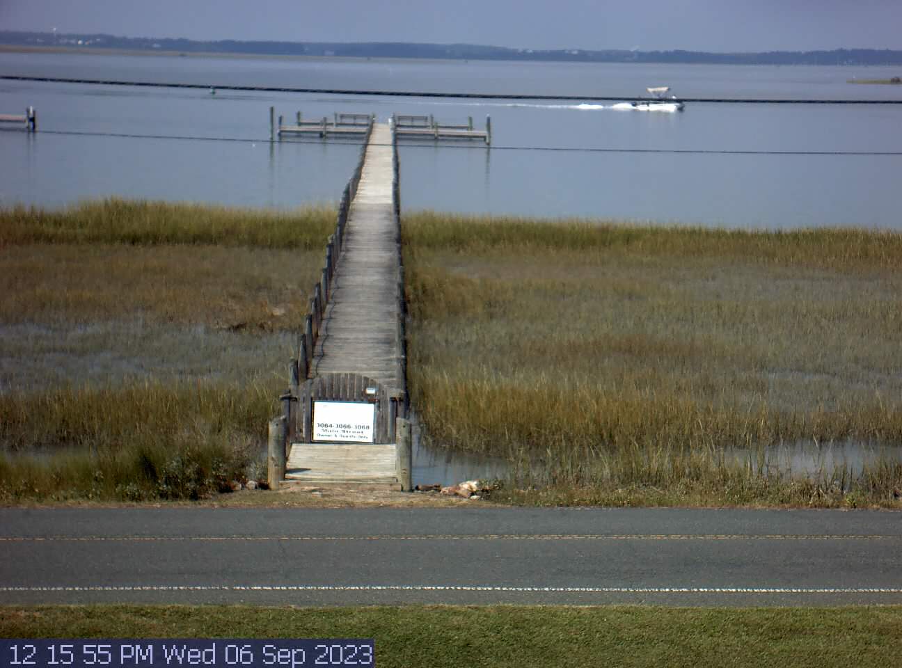
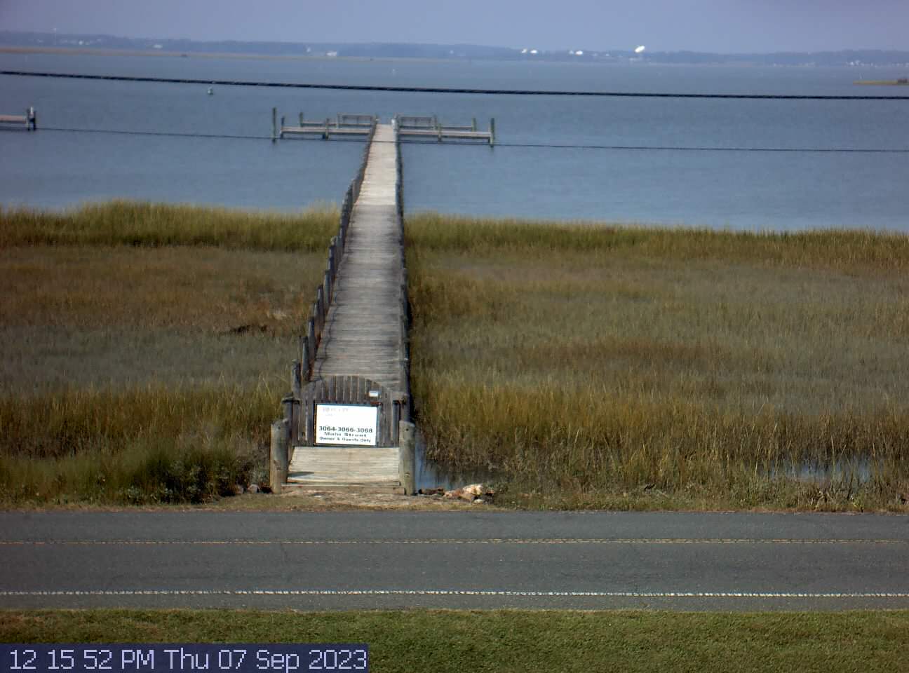
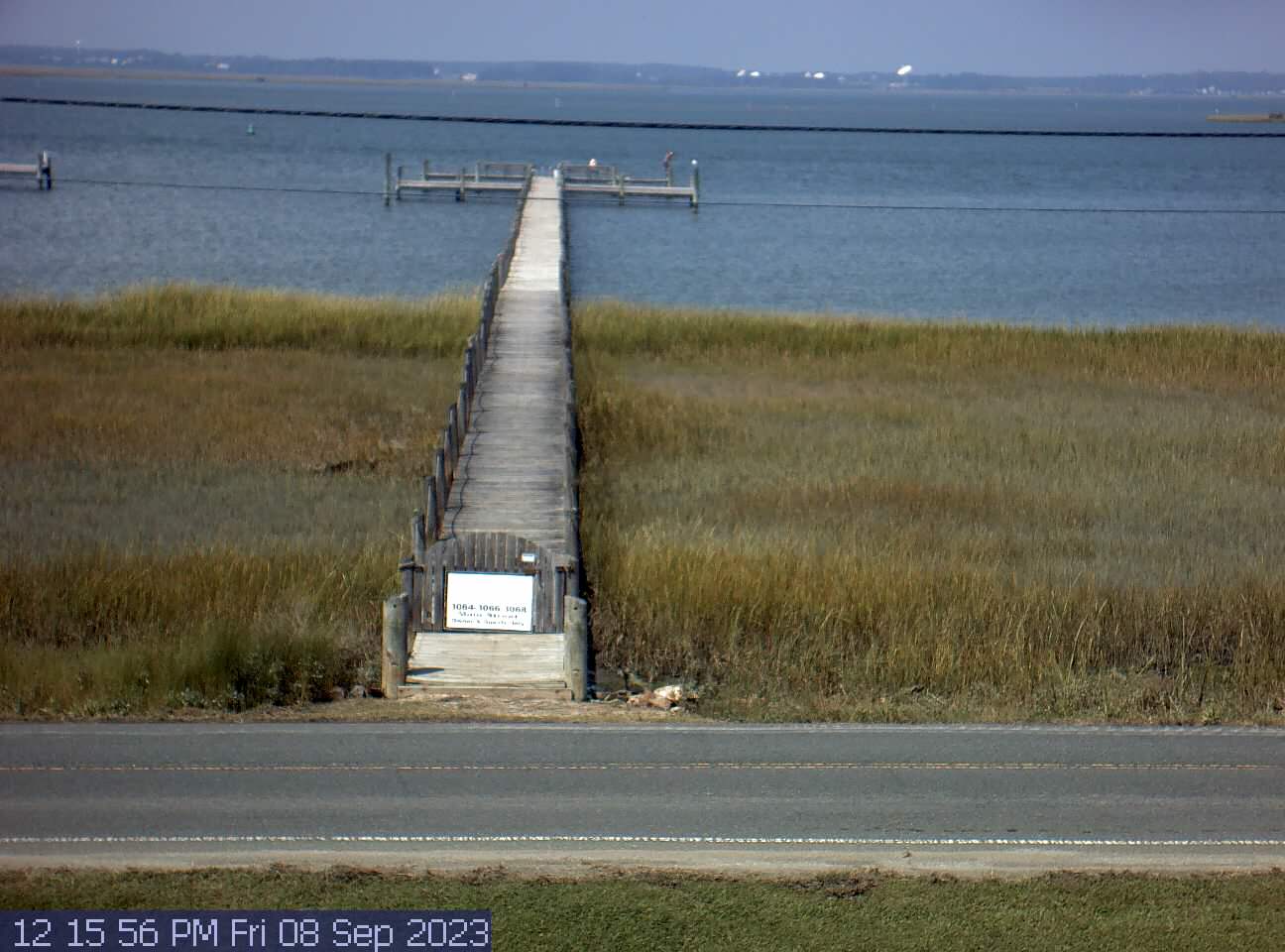
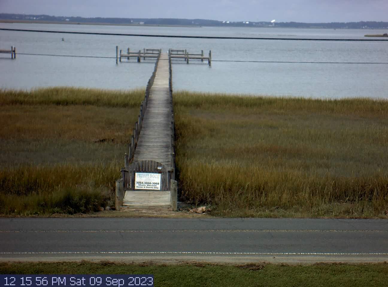
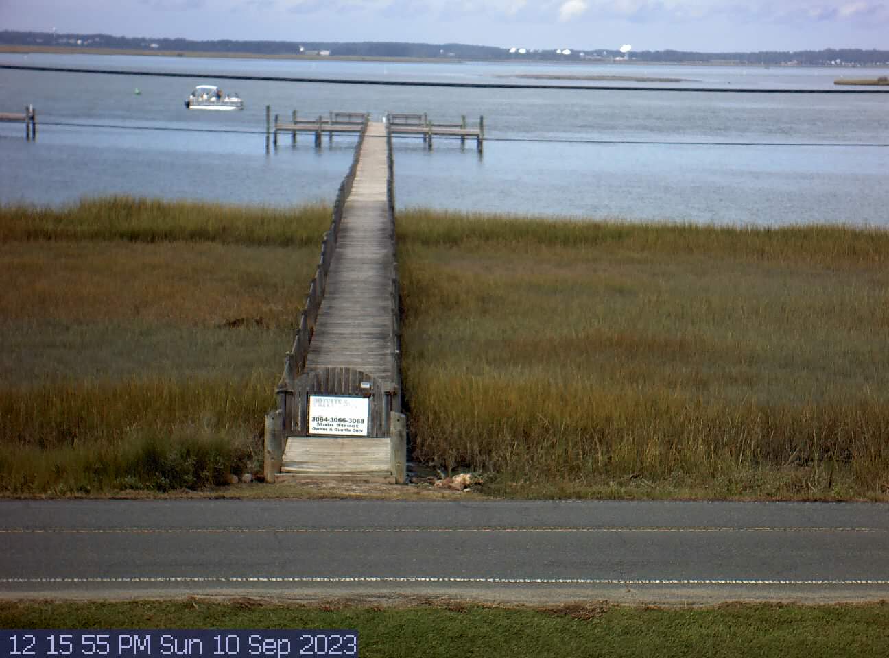
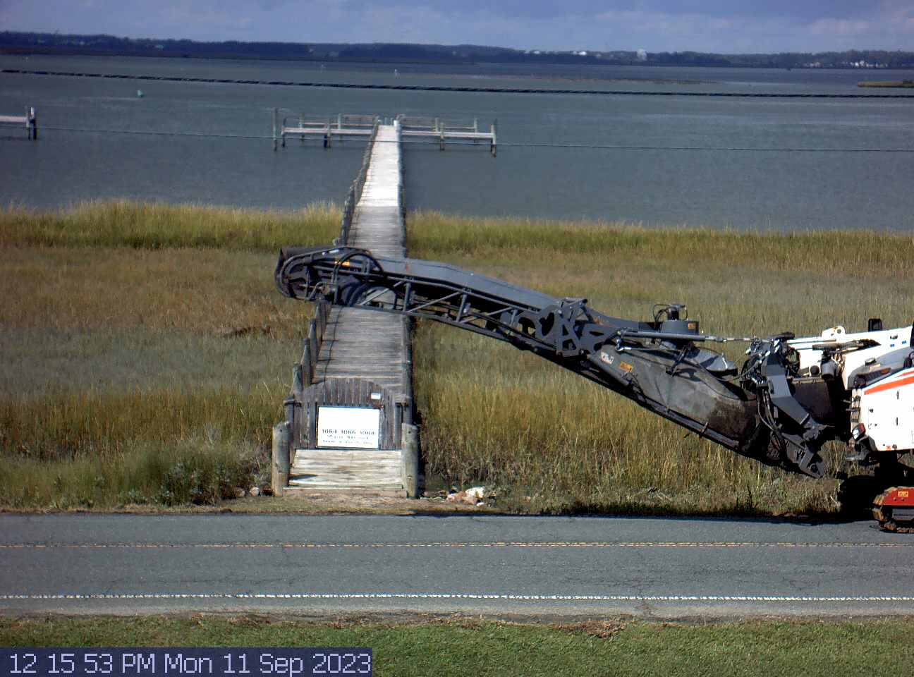
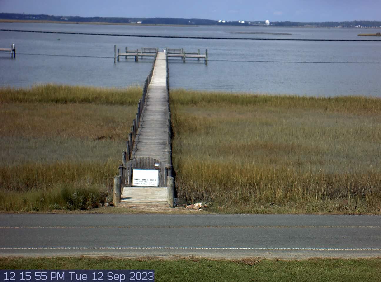
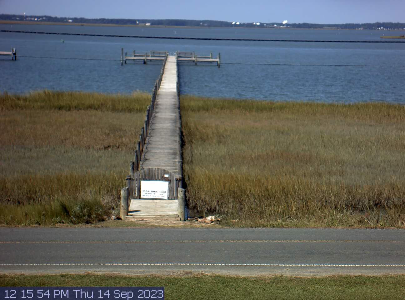
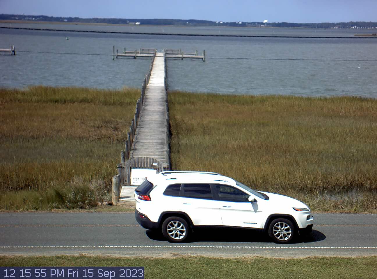
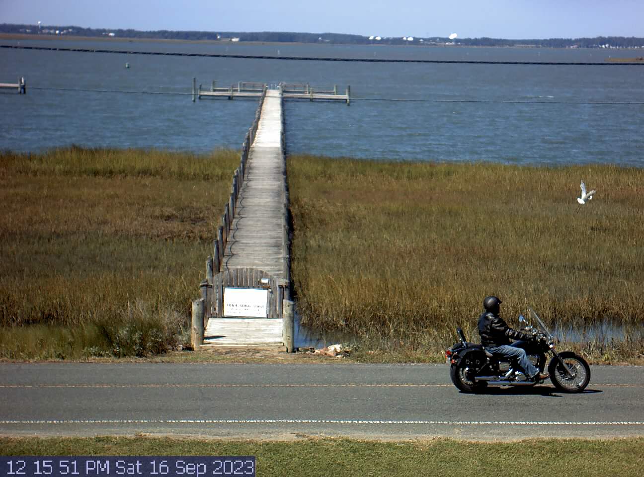
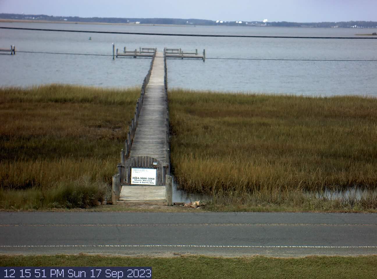
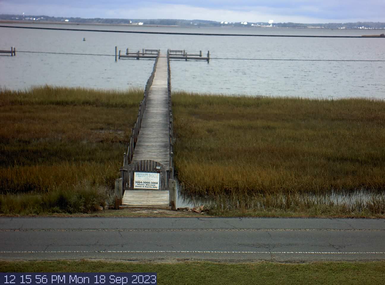
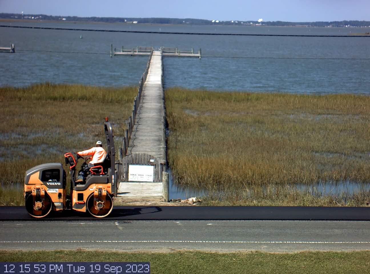
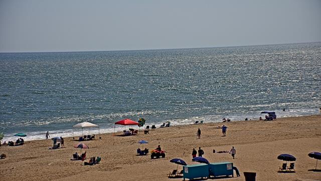
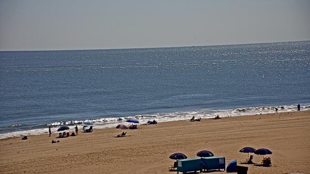
Chincoteague Island, Virginia, USA - 87.3 miles from Ruxton (historical): Chincoteague Bay
Operator: Easy Does It Vacations
Operator: Easy Does It Vacations


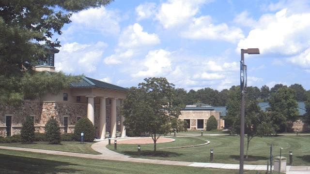
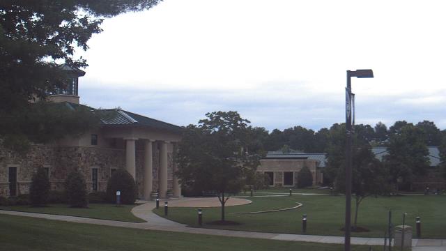
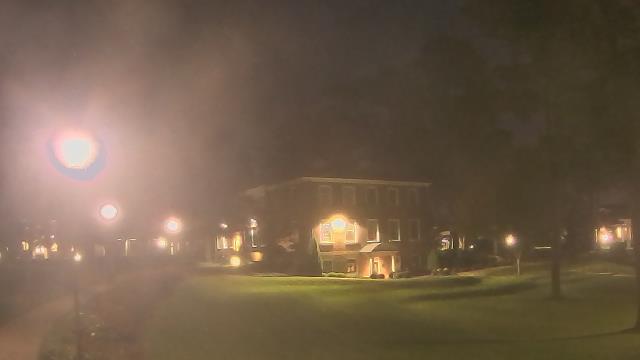
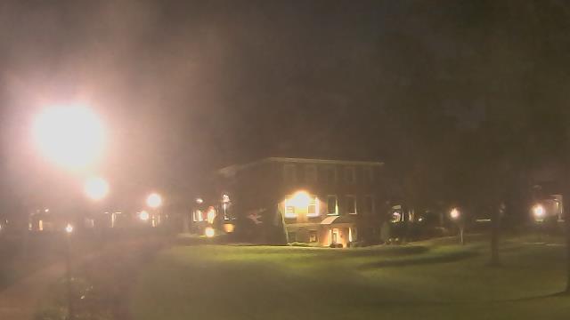
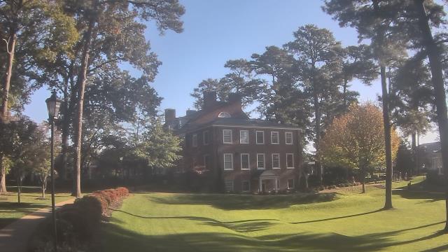
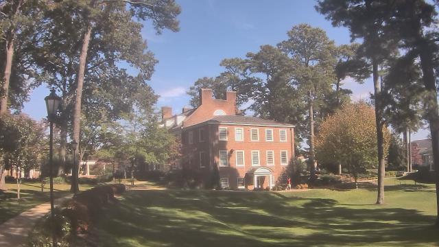
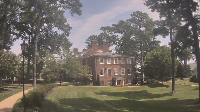
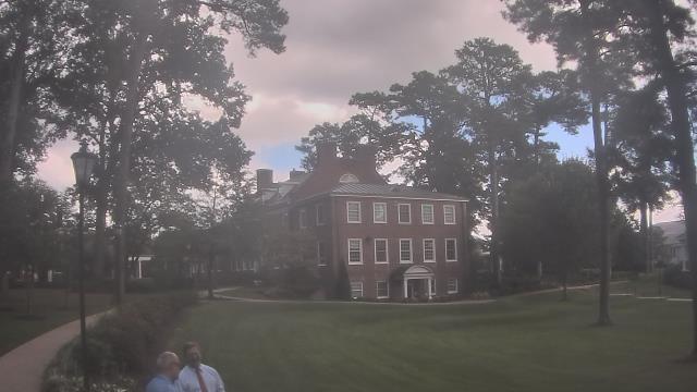
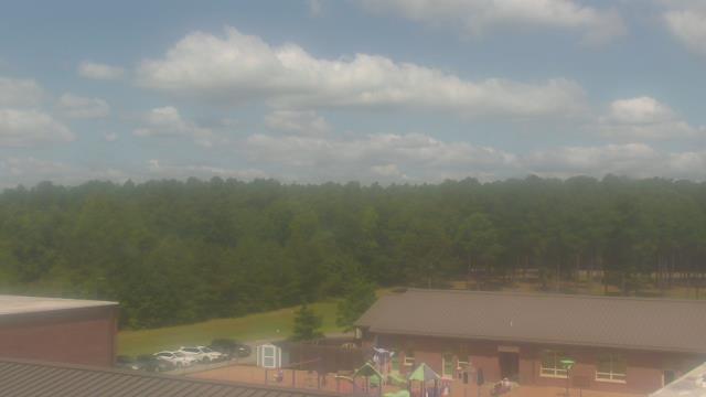
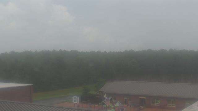
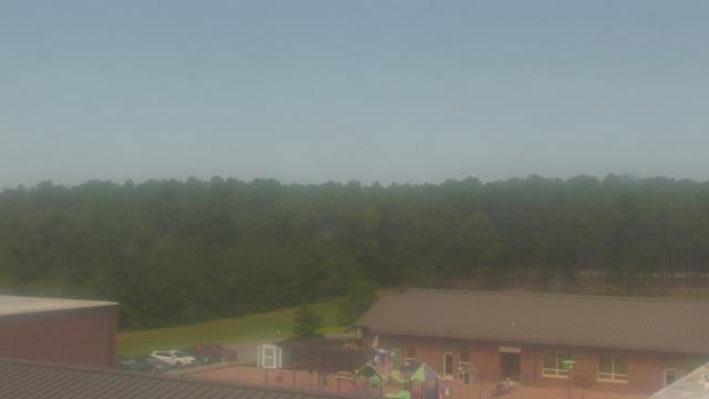
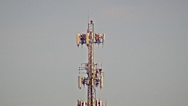
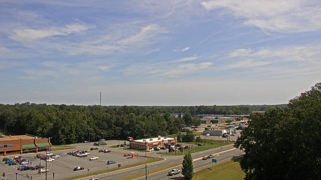
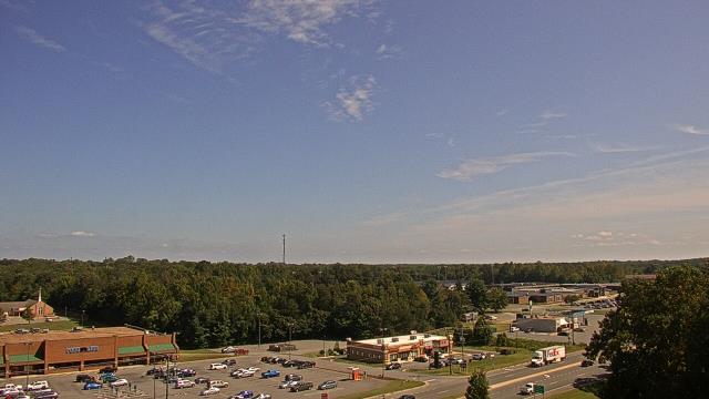
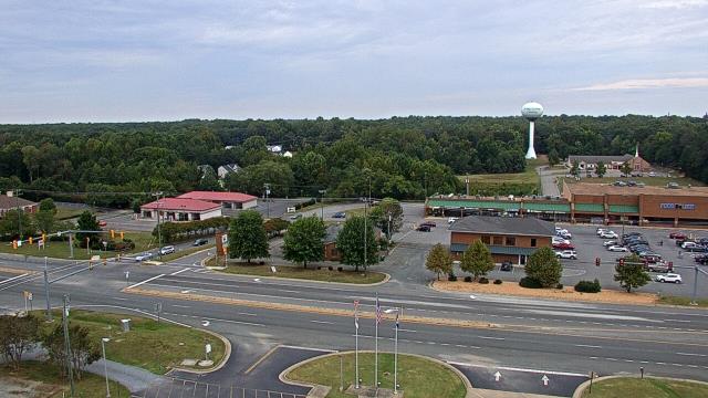
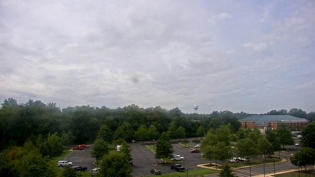
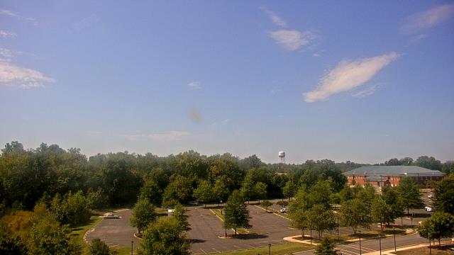
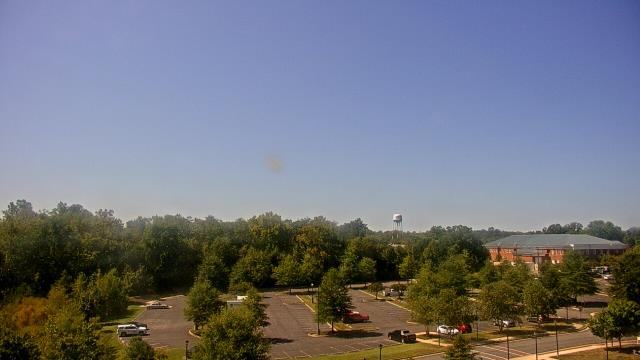
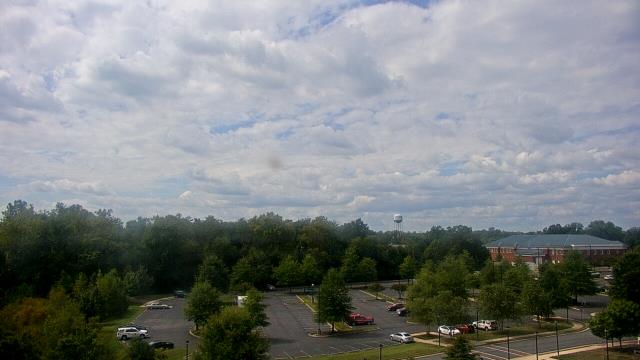
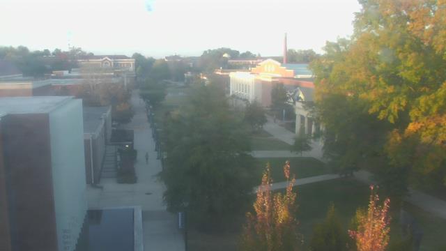
Ruther Glen, Virginia, USA - 98.3 miles from Ruxton (historical): The Carmel School - A webcam in Ruther Glen, Virginia - camera location: The Carmel School.
Operator: WeatherBug
Operator: WeatherBug


King George, Virginia, USA - 108.8 miles from Ruxton (historical): King George County EOC - A webcam in King George, Virginia - camera location: King George County EOC.
Operator: WeatherBug
Operator: WeatherBug


Goochland, Virginia, USA - 116.6 miles from Ruxton (historical): Byrd Elementary School - A webcam in Goochland, Virginia - camera location: Byrd Elementary School.
Operator: WeatherBug
Operator: WeatherBug


Spotsylvania, Virginia, USA - 117.1 miles from Ruxton (historical): Spotsylvania County Fire and Rescue - A webcam in Spotsylvania, Virginia - camera location: Spotsylvania County Fire and Rescue.
Operator: WeatherBug
Operator: WeatherBug


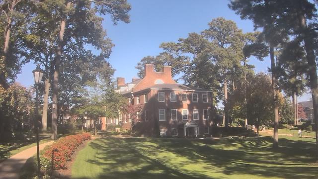
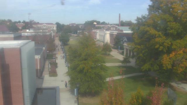
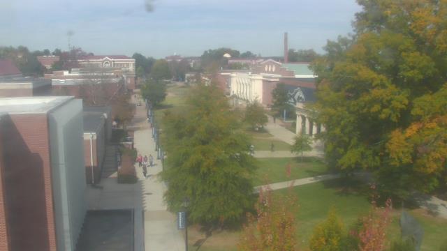
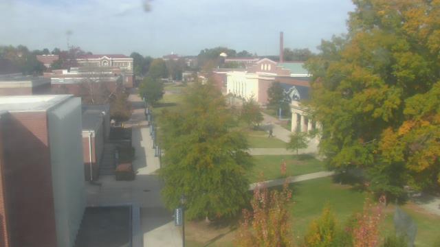
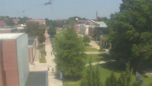
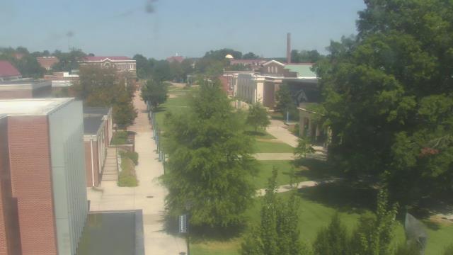
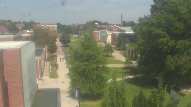
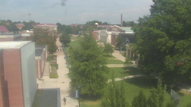
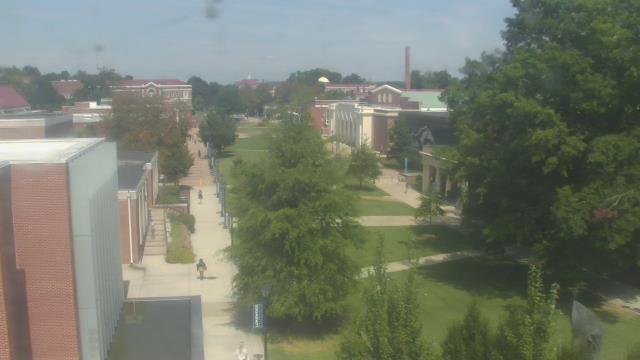
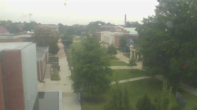
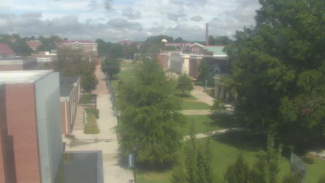
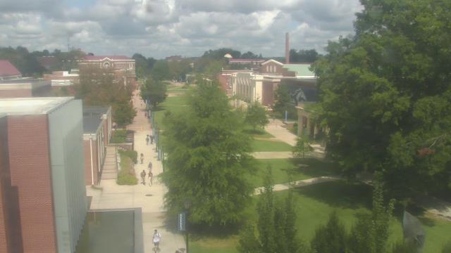
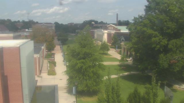
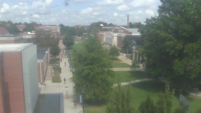
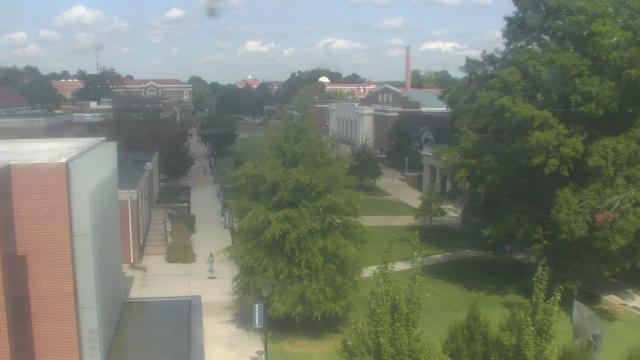
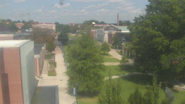
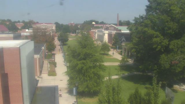
Farmville, Virginia, USA - 121.7 miles from Ruxton (historical): Longwood University - A webcam in Farmville, Virginia - camera location: Longwood University.
Operator: WeatherBug
Operator: WeatherBug


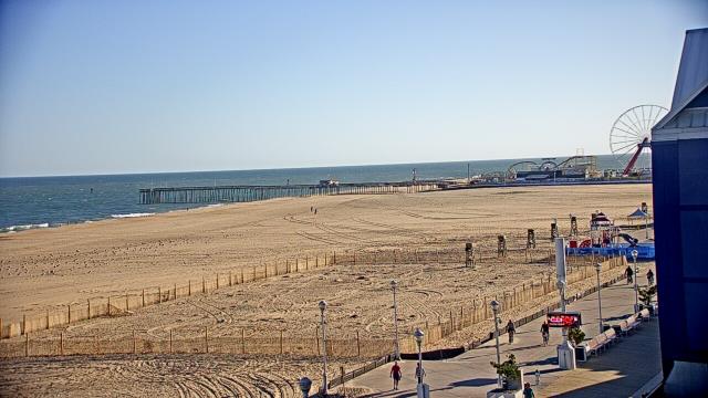
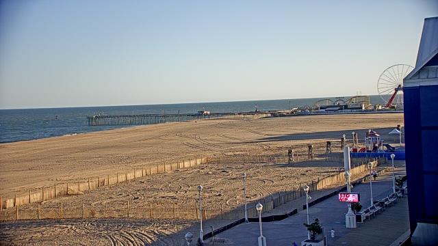
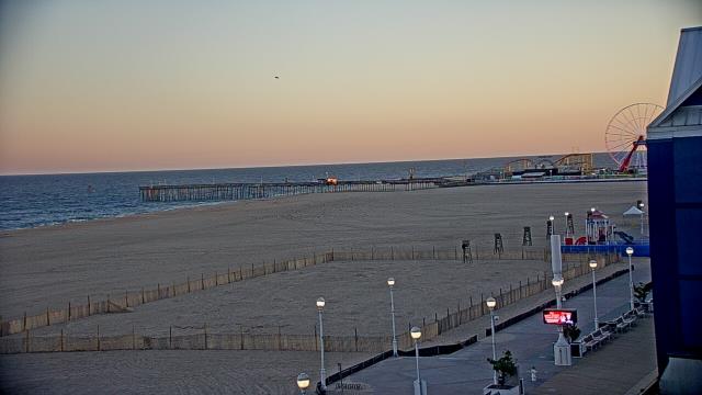
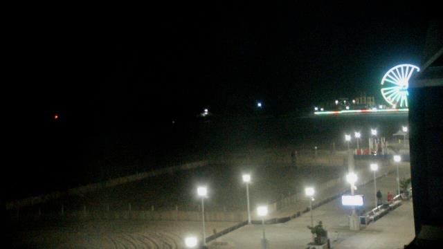
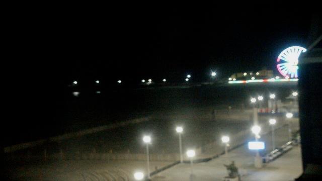
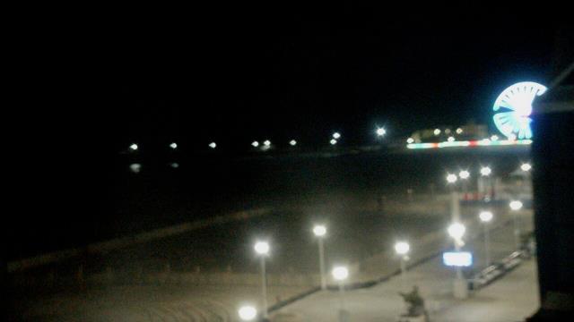
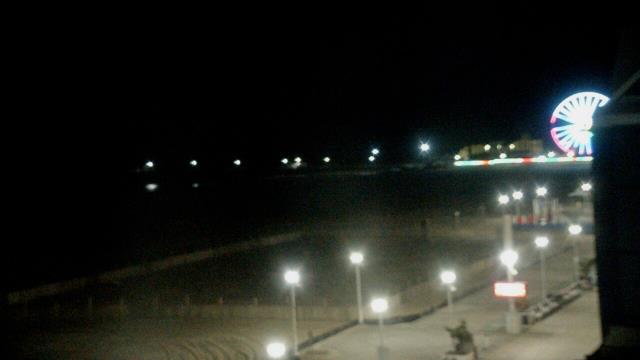
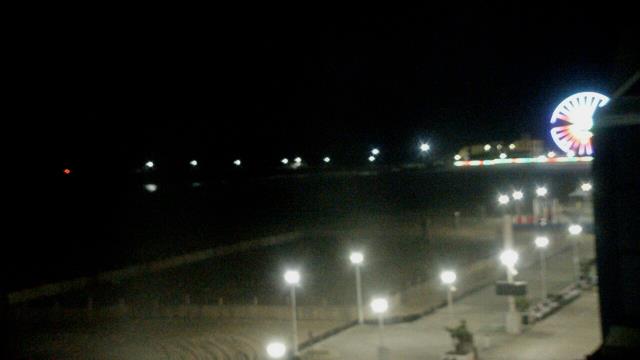
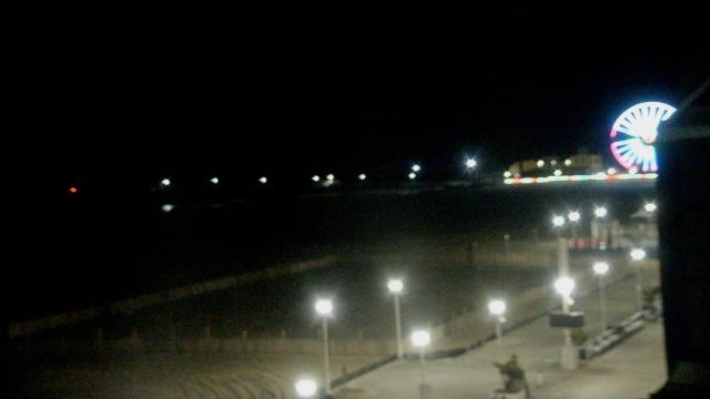
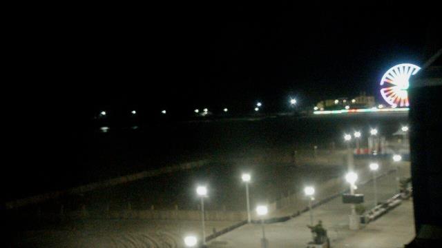
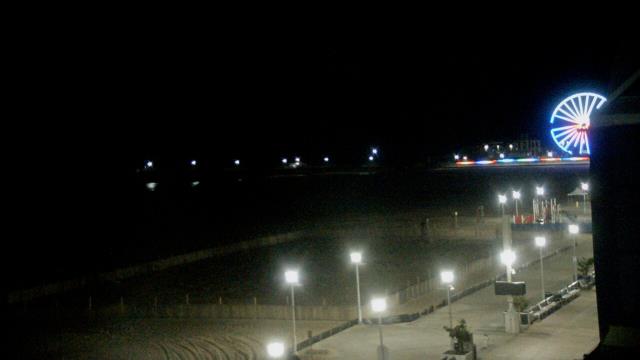
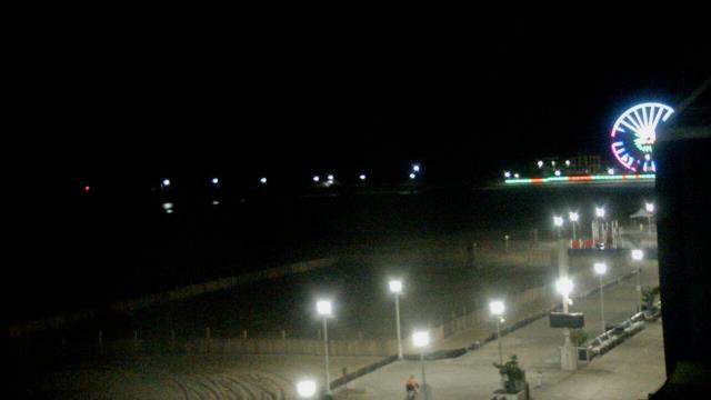
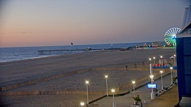
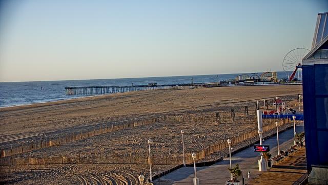
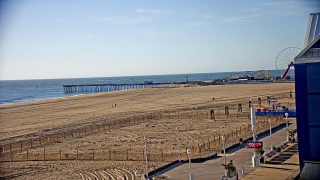
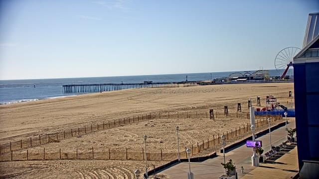
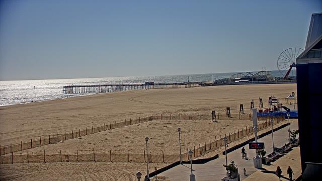
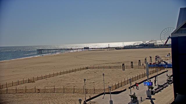
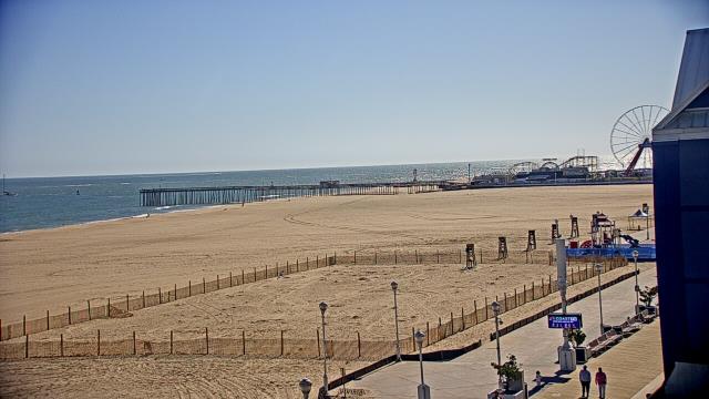
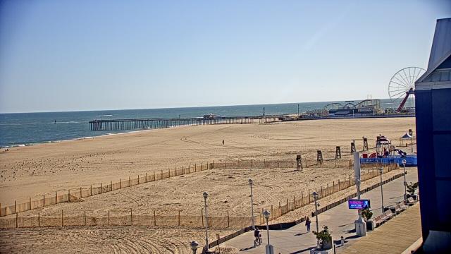
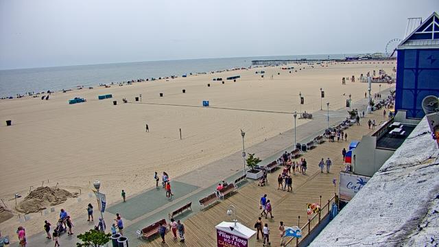
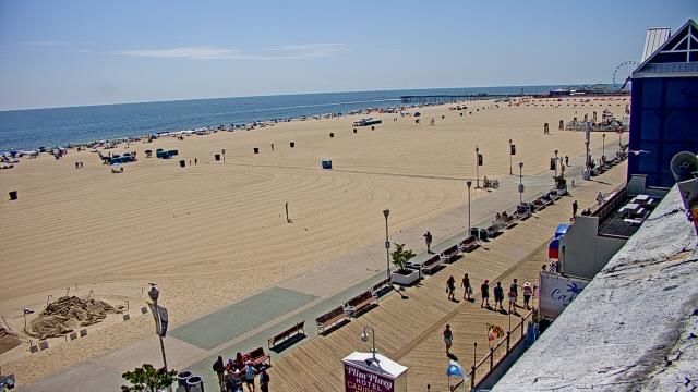
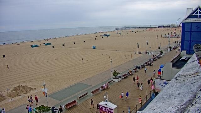
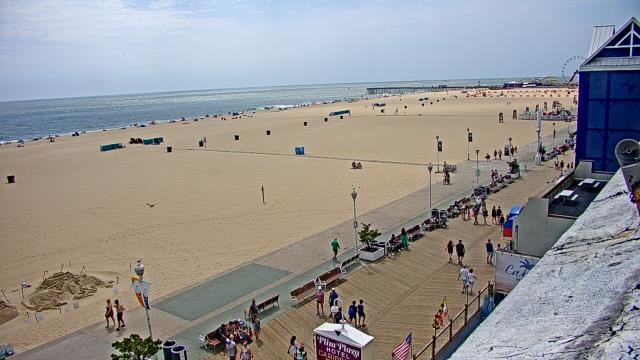
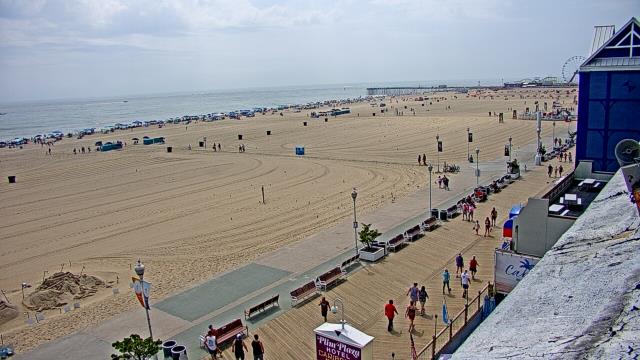
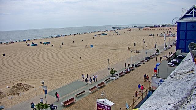
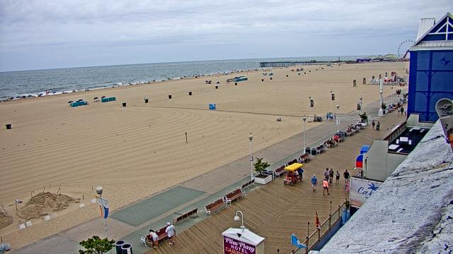
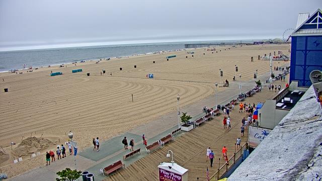
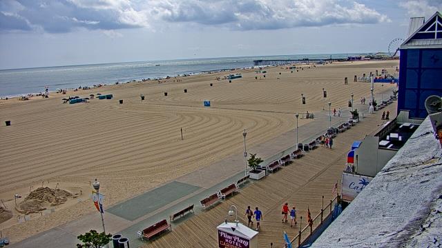
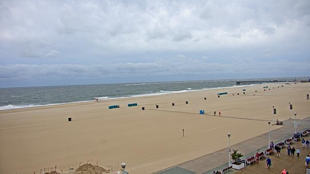
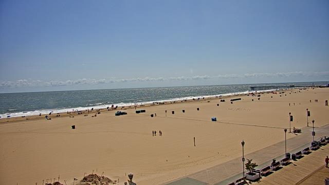
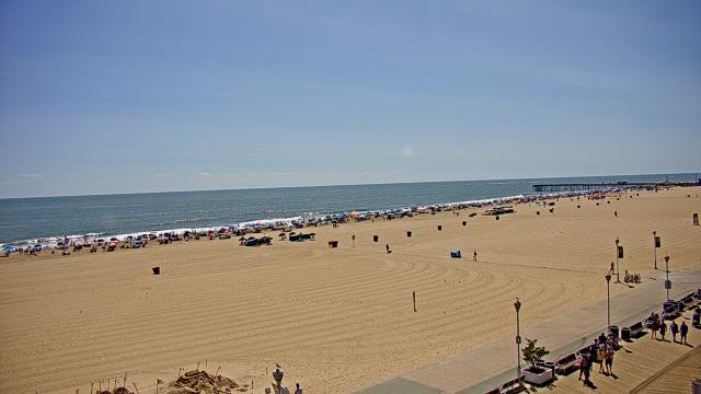
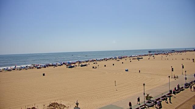
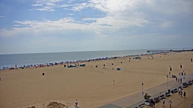
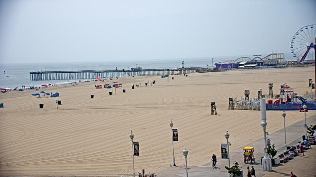
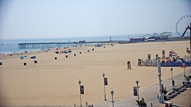
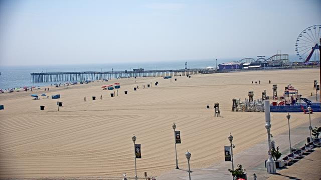
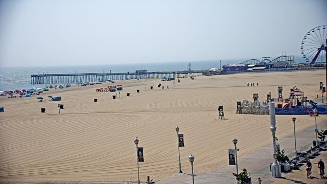
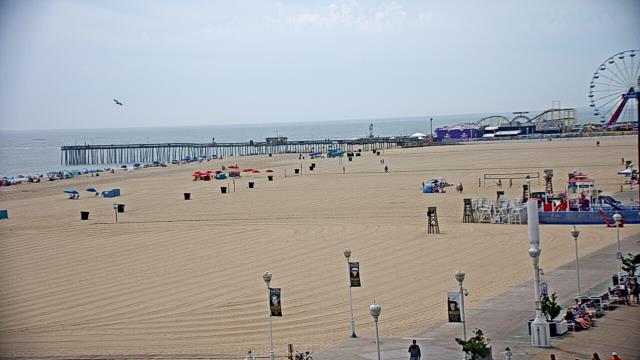
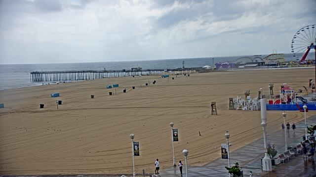
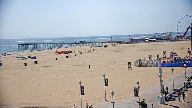
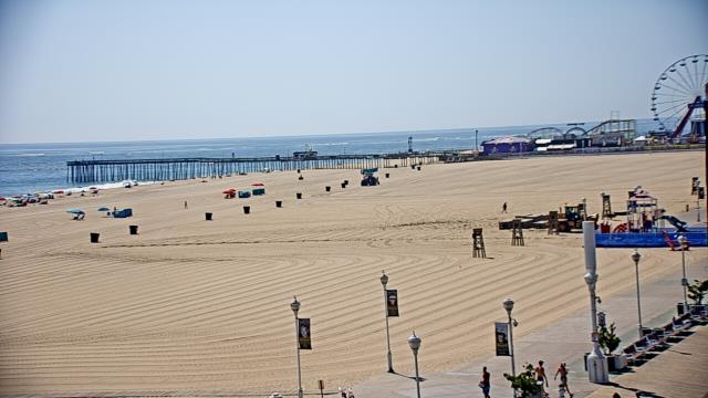
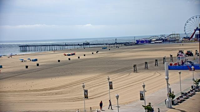
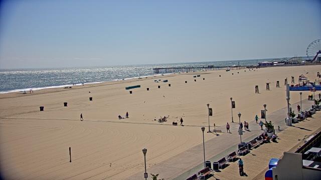
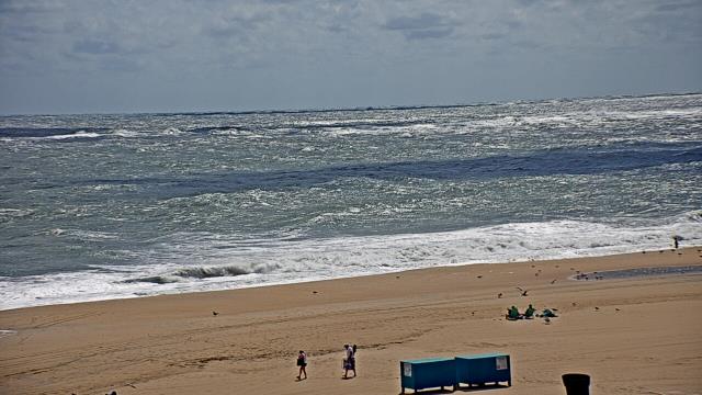
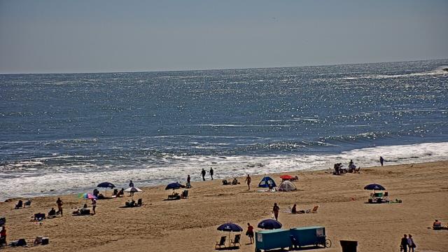
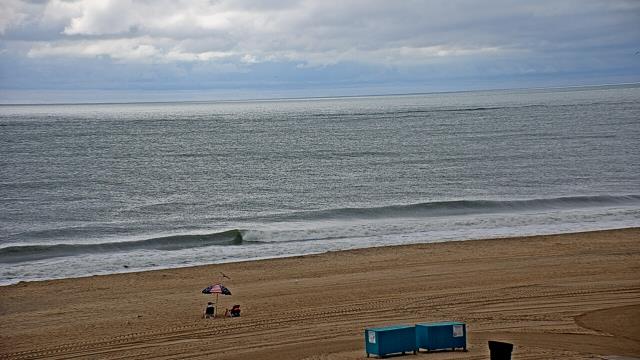
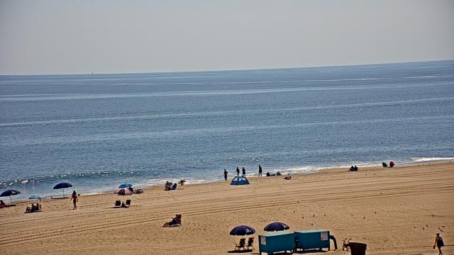
Ocean City, Maryland, USA - 123.6 miles from Ruxton (historical): Plim Plaza Hotel - A webcam in Ocean City, Maryland - camera location: Plim Plaza Hotel.
Operator: WeatherBug
Operator: WeatherBug

Some other places in this country: Raleigh Heights - Holly Acres - Cedar Point - Pine Beach (historical) - Tanners Cross Roads (historical) - Appomattox (historical) - Fore Store - Mineral (historical) - Old Pilot (historical) - Davis Store