Webcams in the region of Mill Branch (historical), Virginia, USA
The List of Webcams near Mill Branch (historical), Virginia, USA:

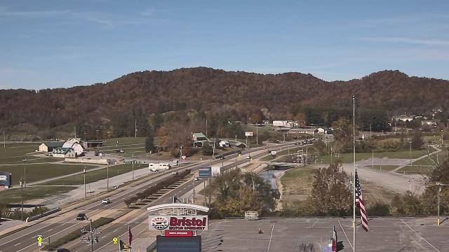
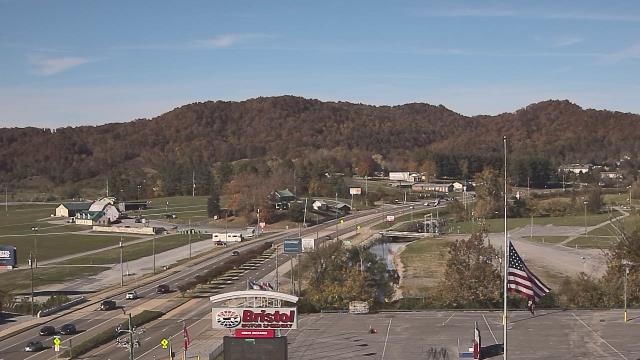
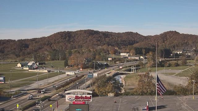
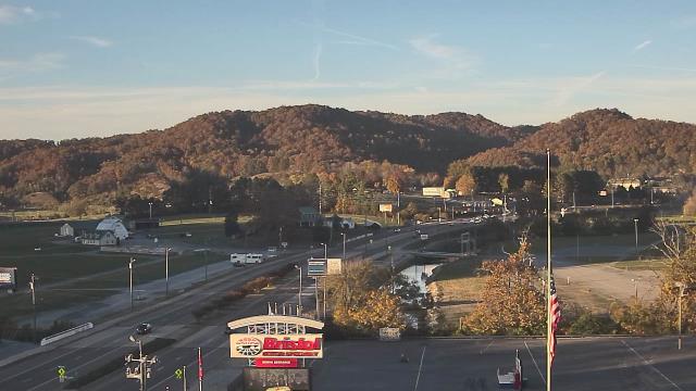
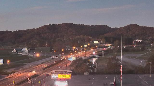
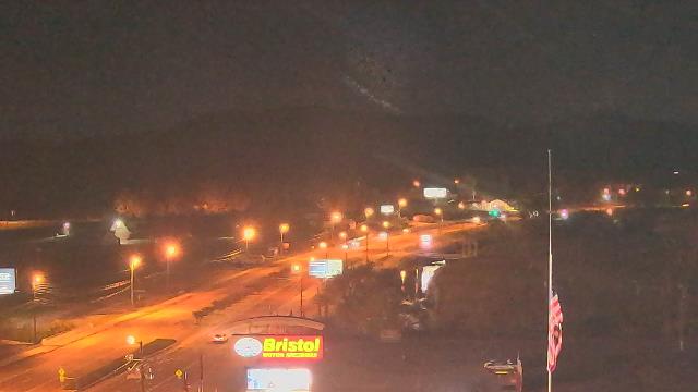
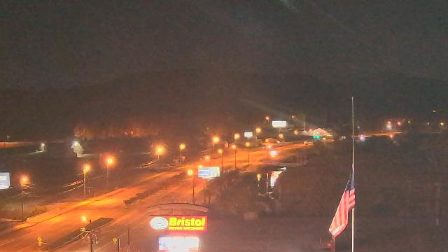
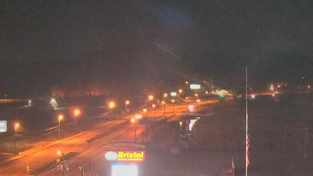
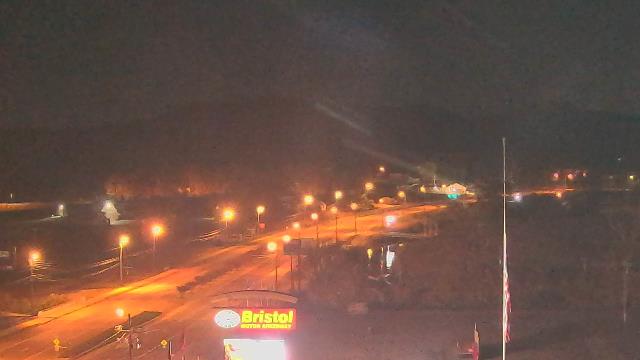
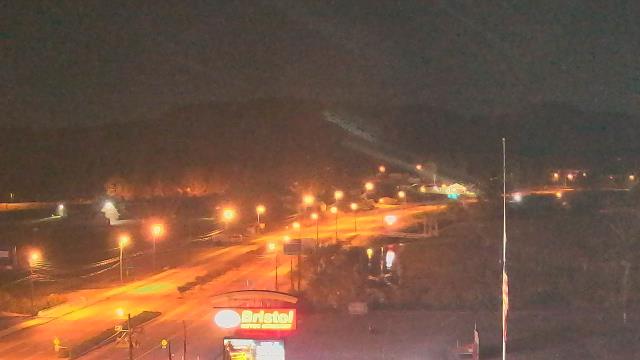
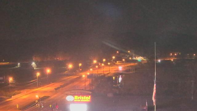
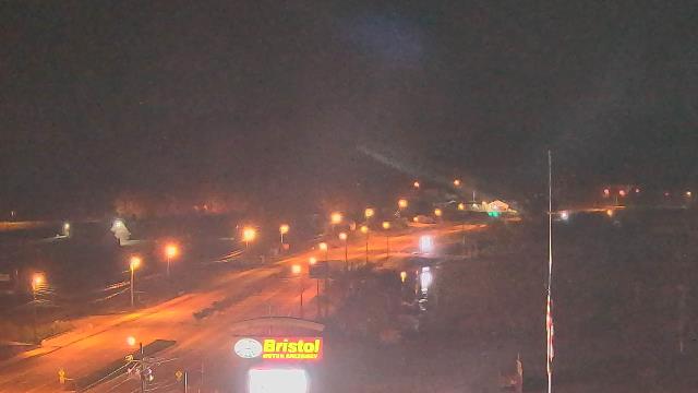
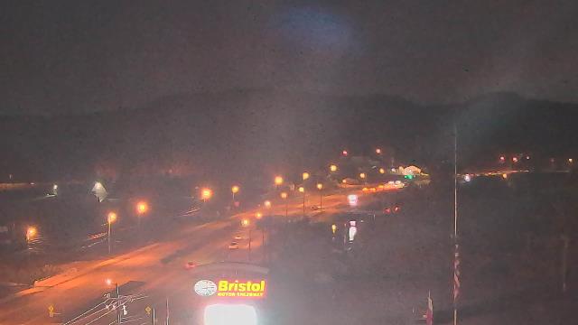
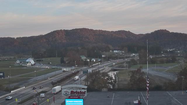
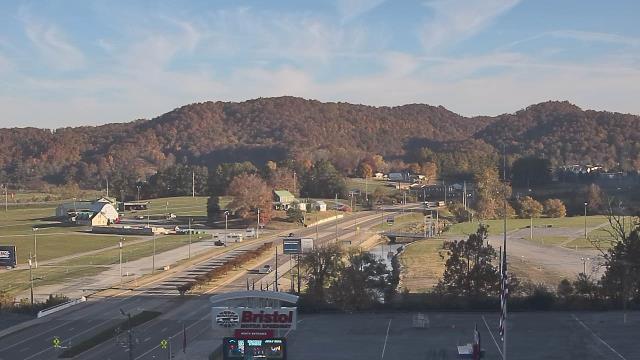
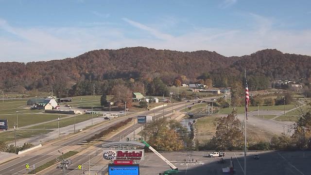
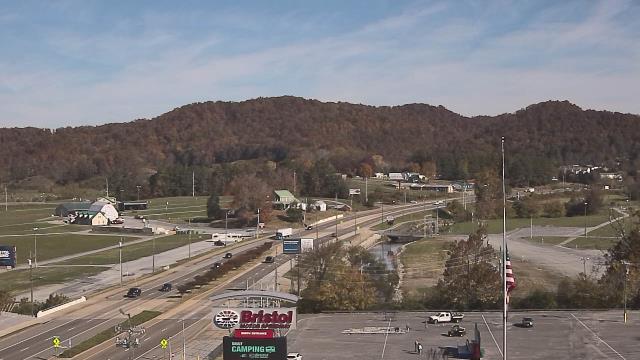
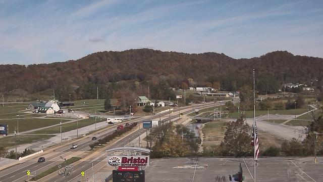
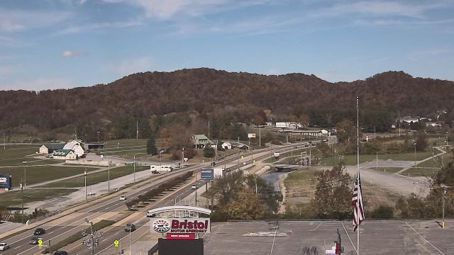
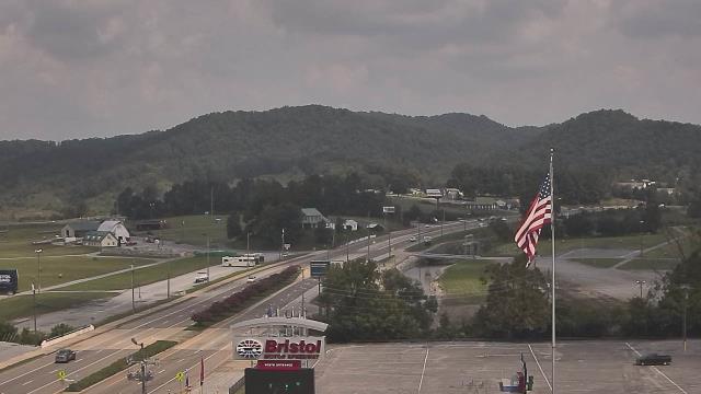
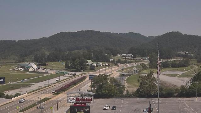
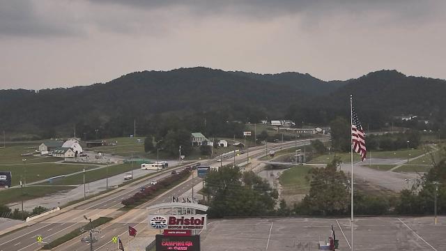
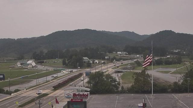
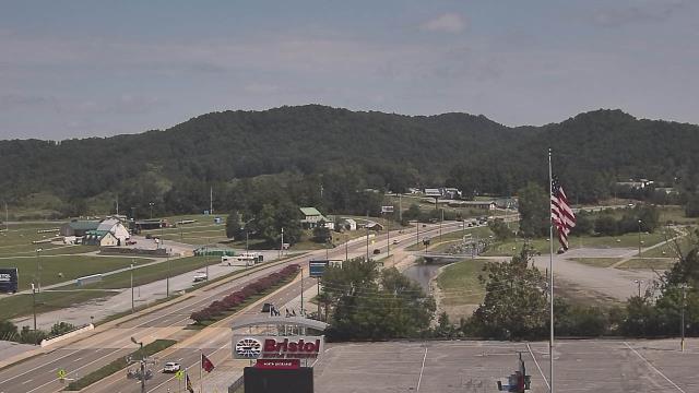
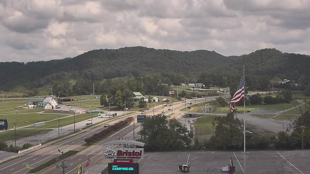
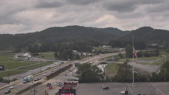
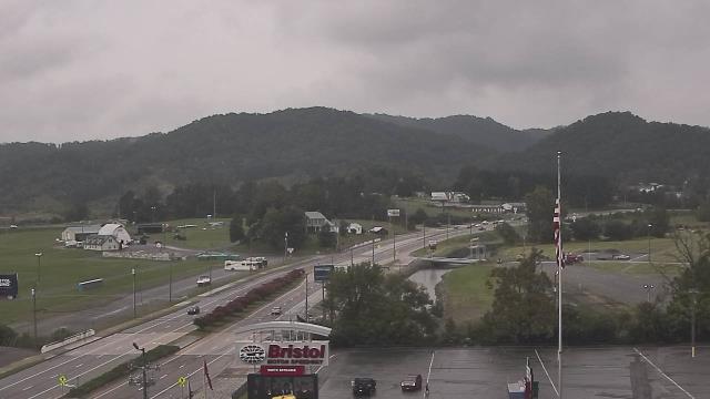
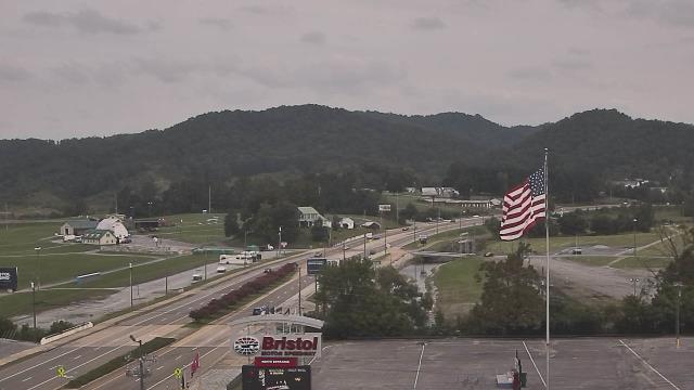
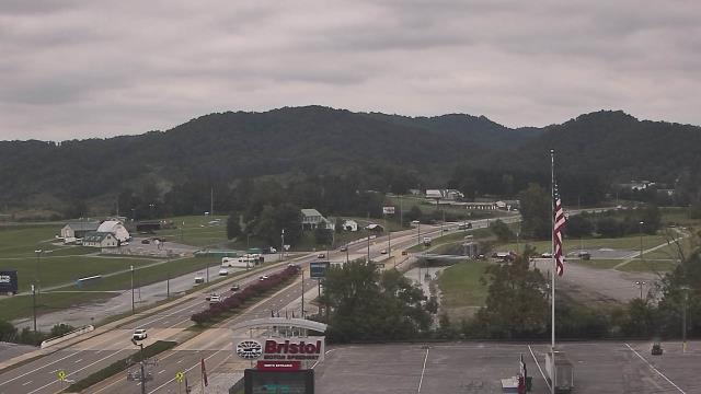
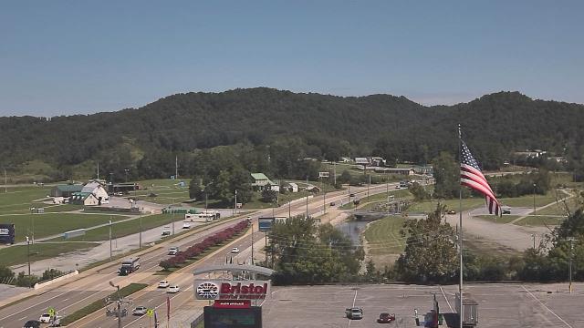
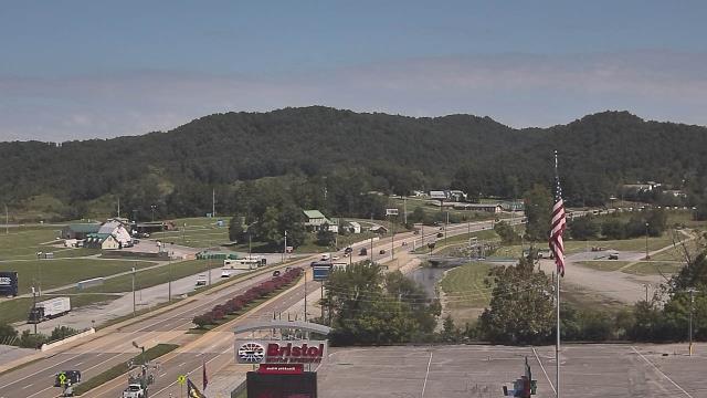
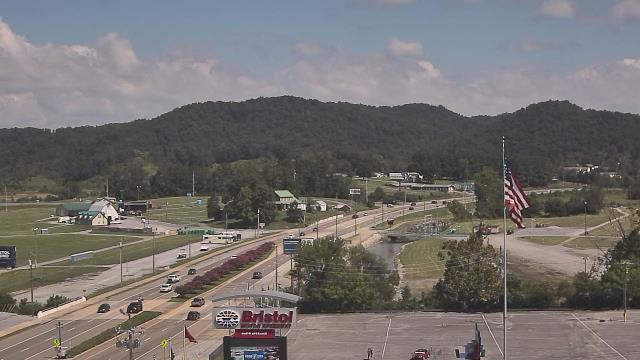
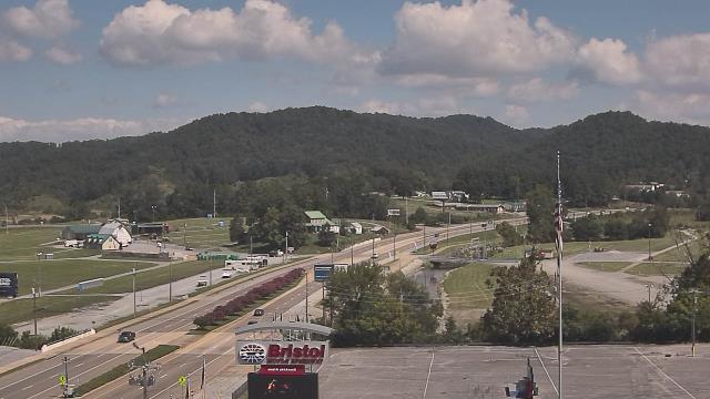
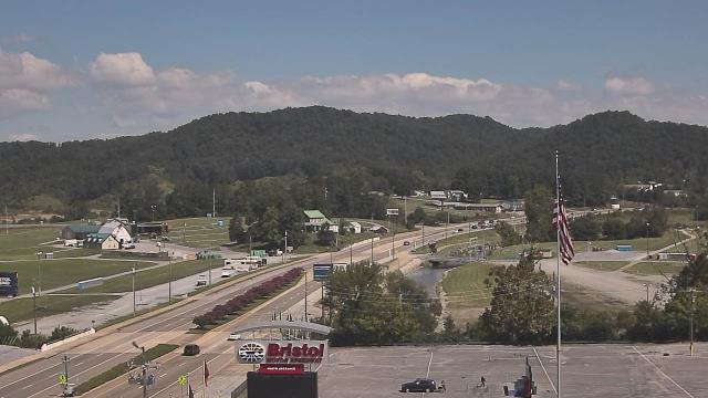
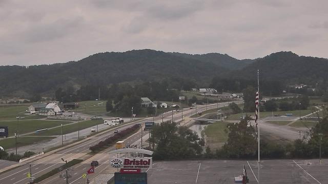
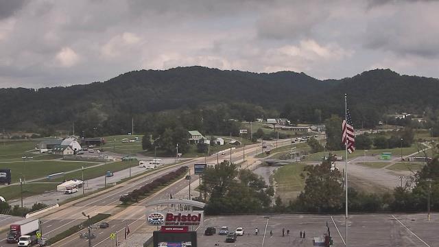
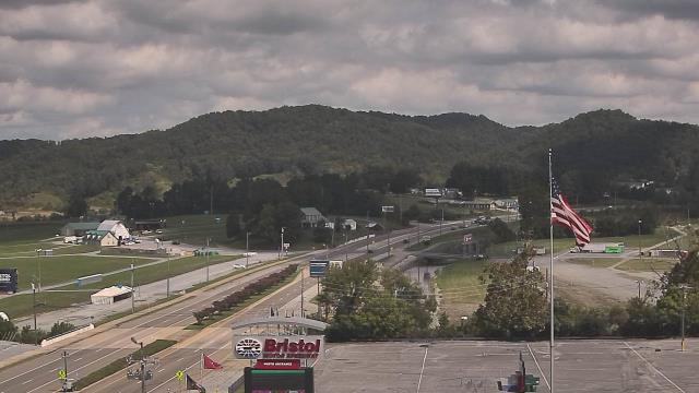
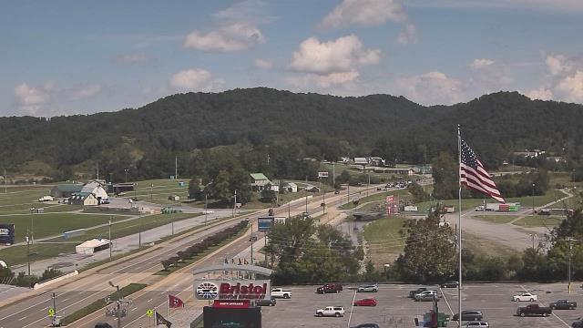
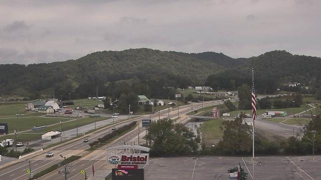
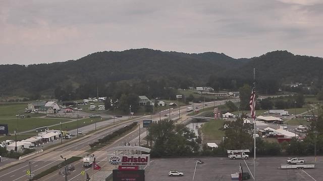
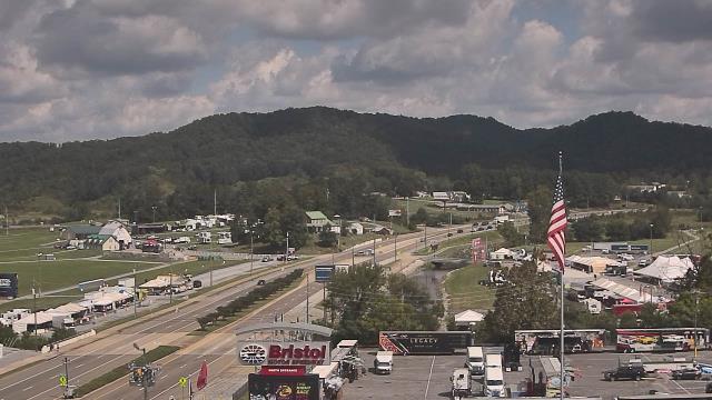
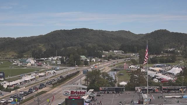
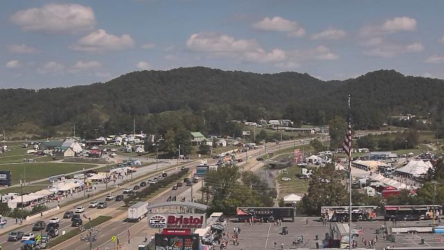
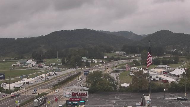
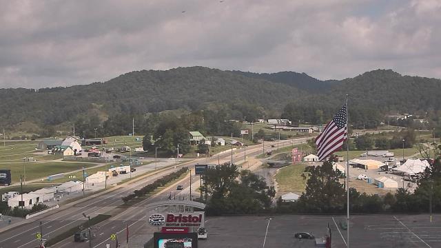
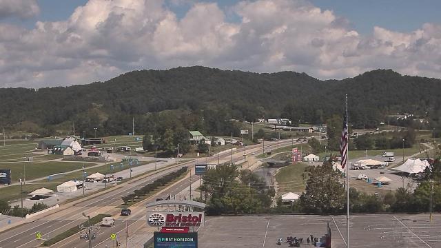
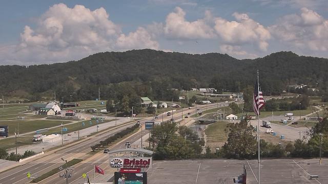
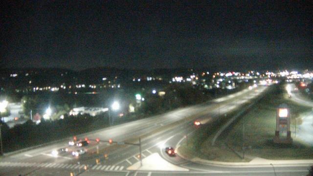
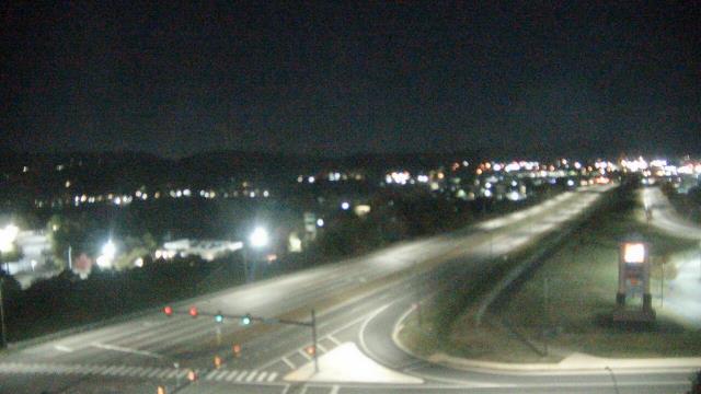
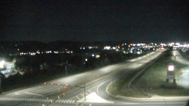
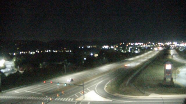
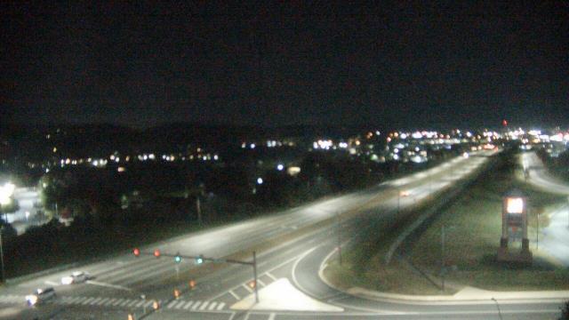
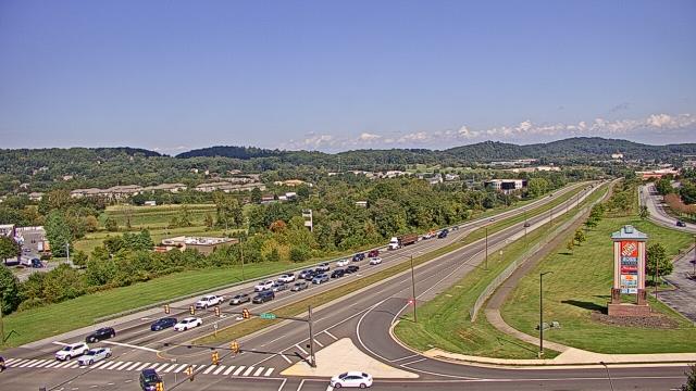
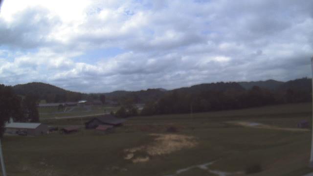
Bristol, Tennessee, USA - 45.3 miles from Mill Branch (historical): Bristol Motor Speedway - A webcam in Bristol, Tennessee - camera location: Bristol Motor Speedway.
Operator: WeatherBug
Operator: WeatherBug


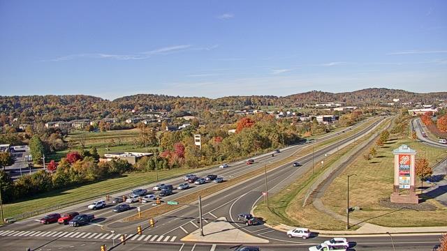
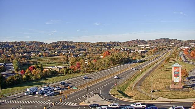
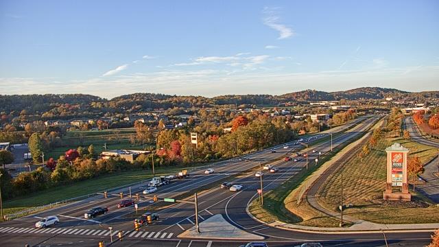
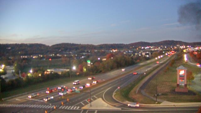
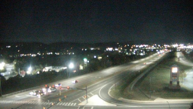
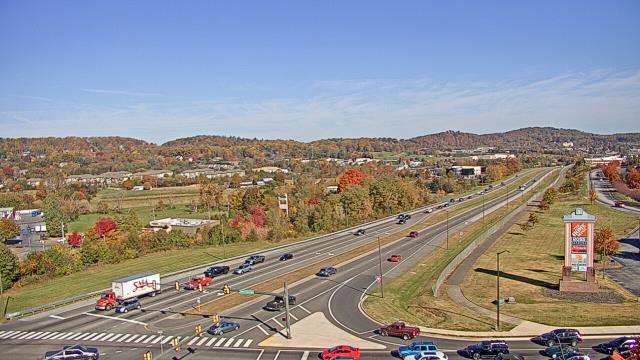
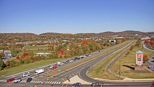
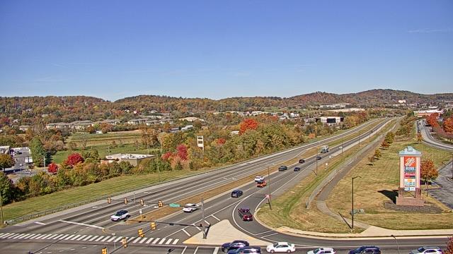
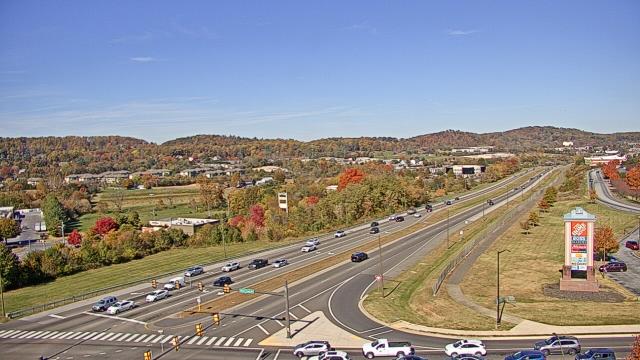
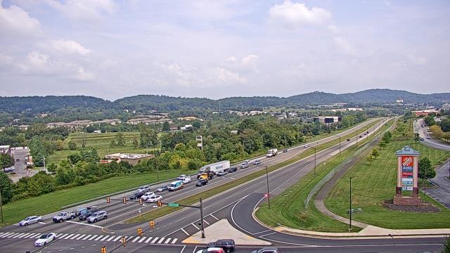
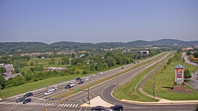
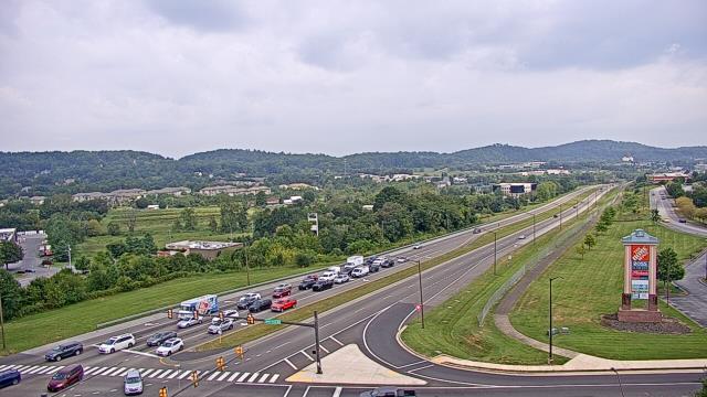
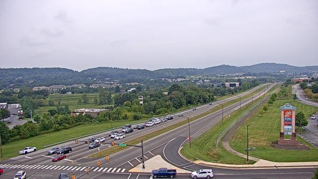
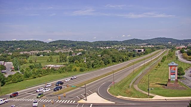
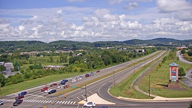
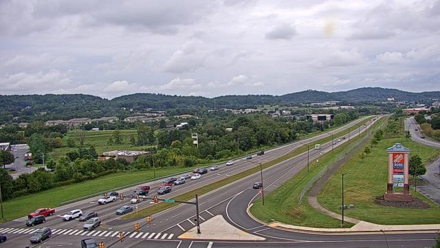
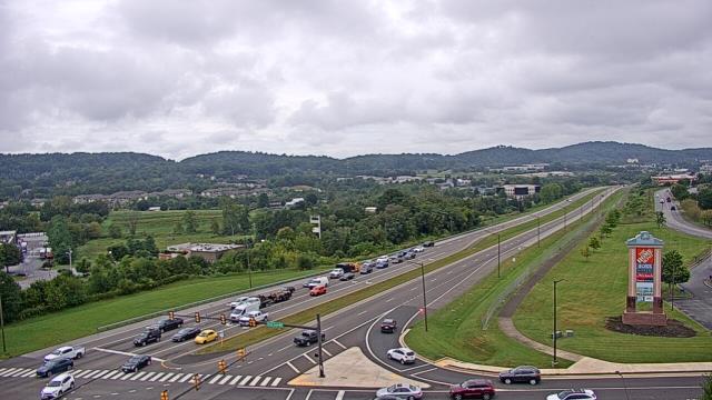
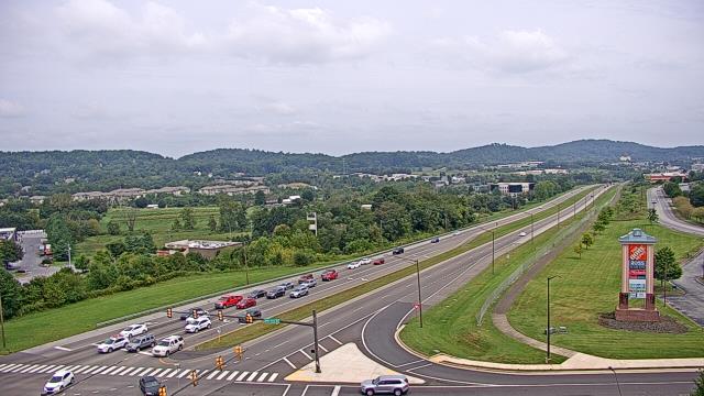
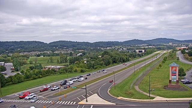
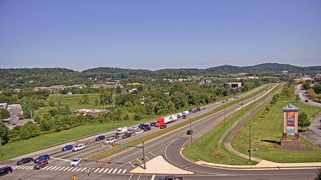
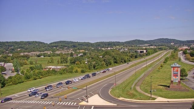
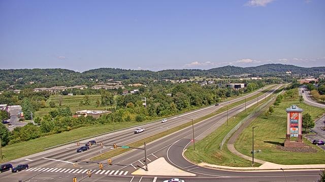
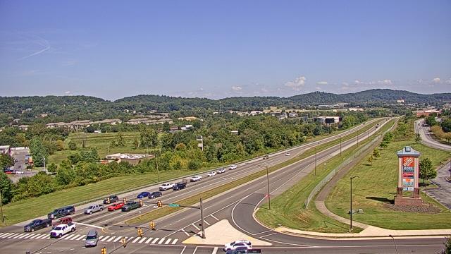
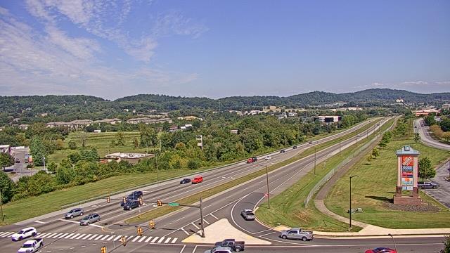
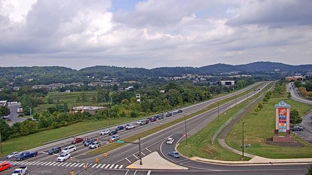
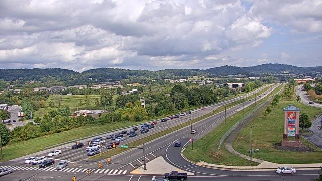
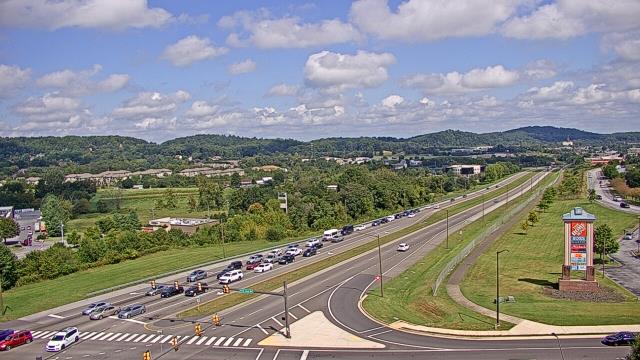
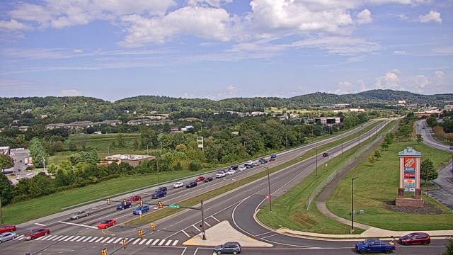
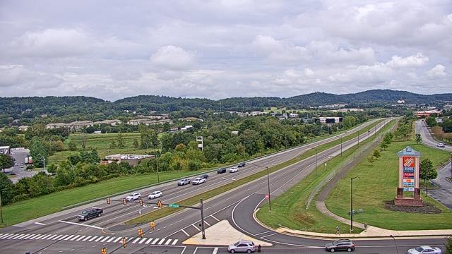
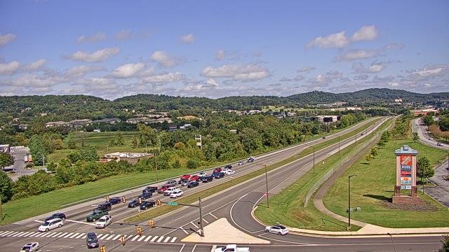
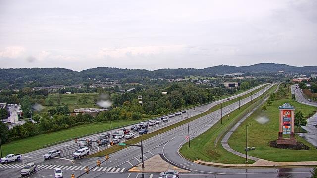
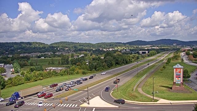
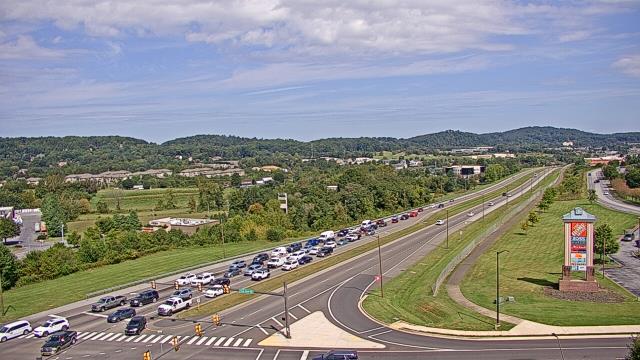
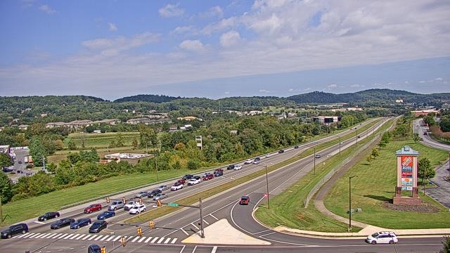
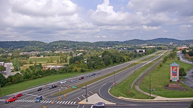
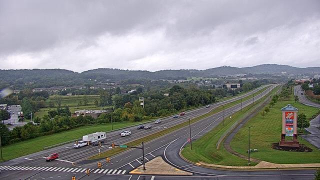
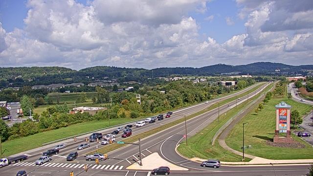
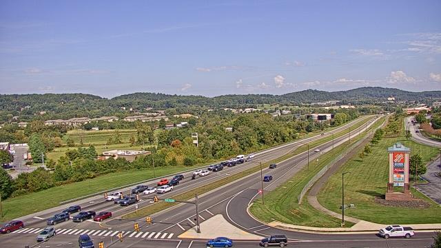
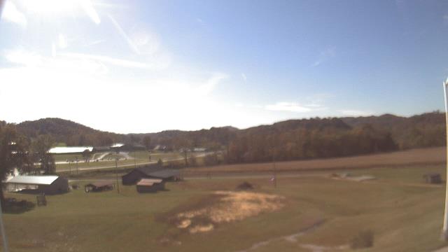
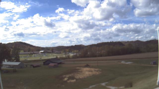
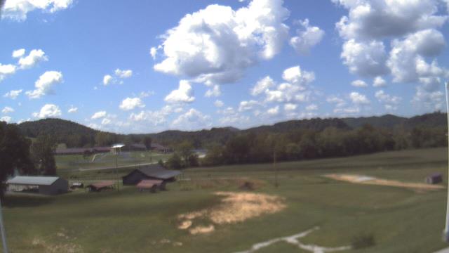
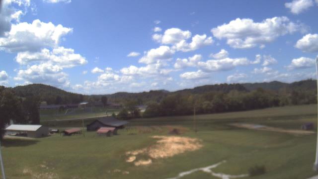
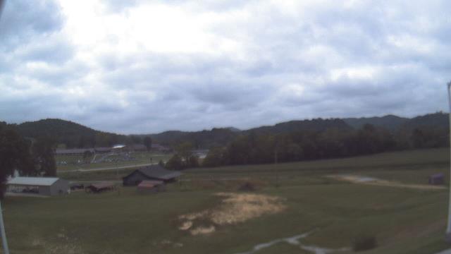
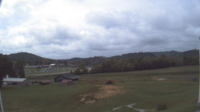
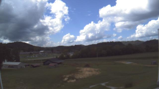
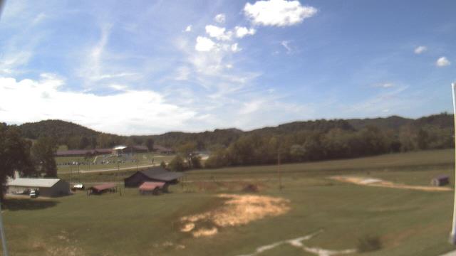
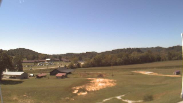
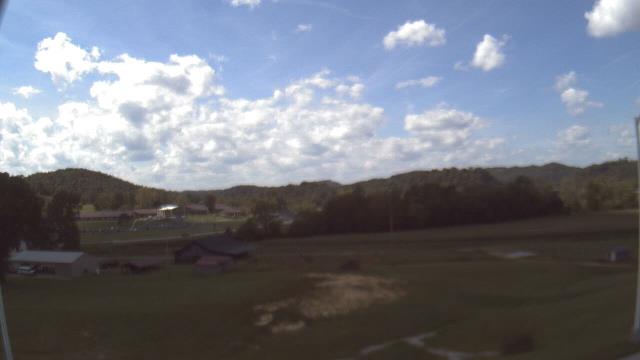
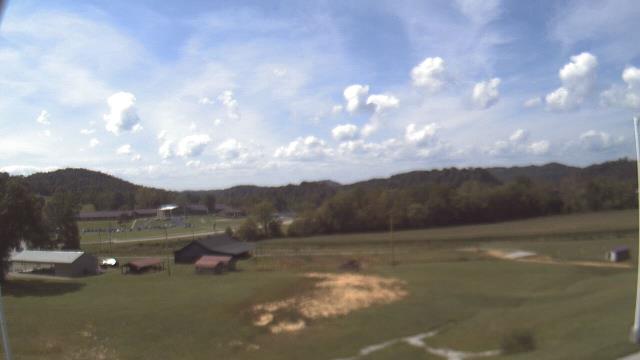
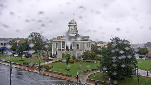
Johnson City, Tennessee, USA - 48.1 miles from Mill Branch (historical): Bank of Tennessee - A webcam in Johnson City, Tennessee - camera location: Bank of Tennessee.
Operator: WeatherBug
Operator: WeatherBug
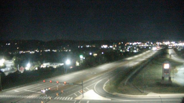


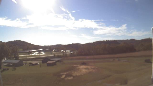
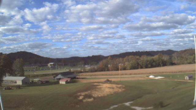
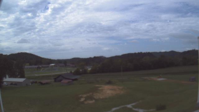
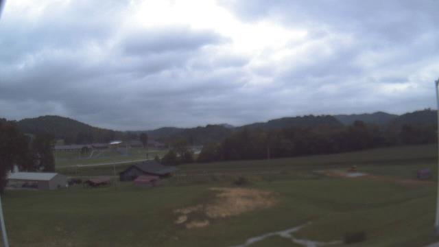
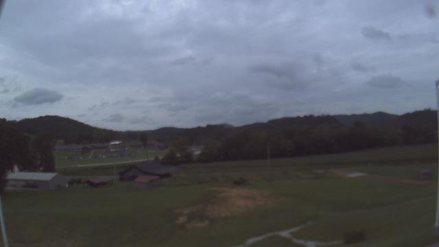
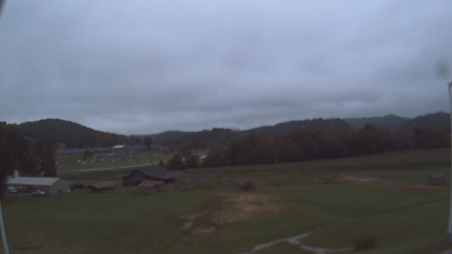
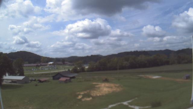
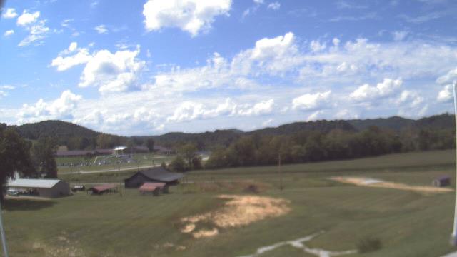
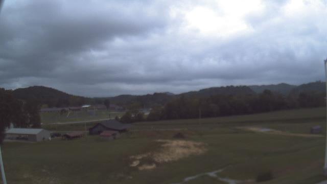
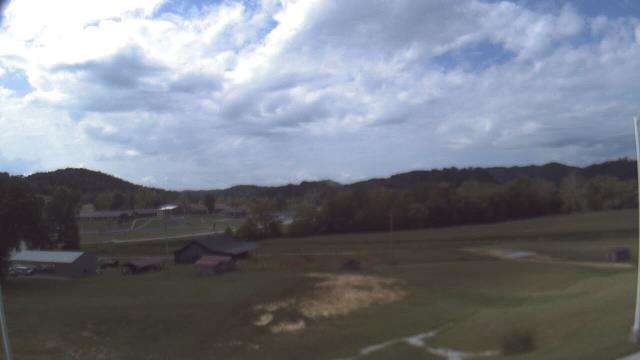
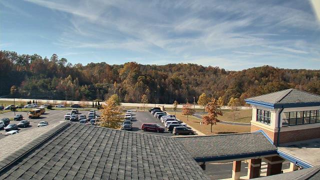
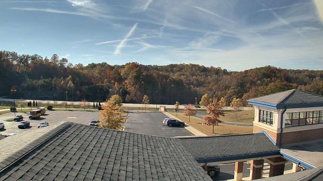
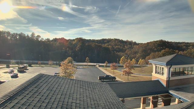
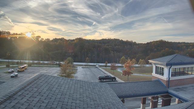
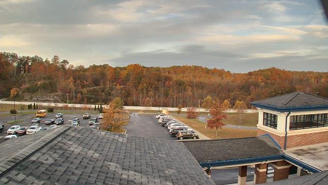
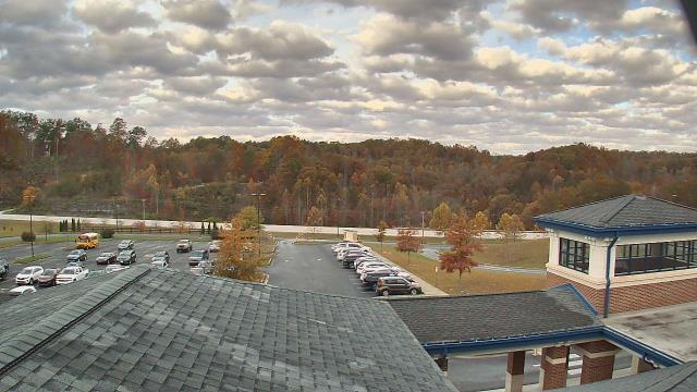
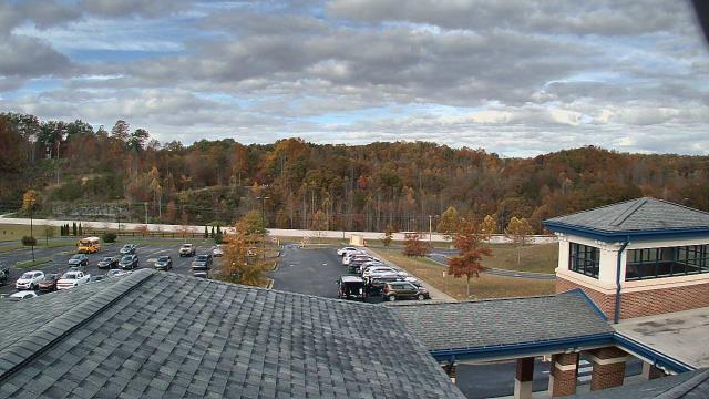
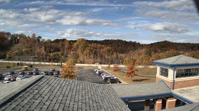
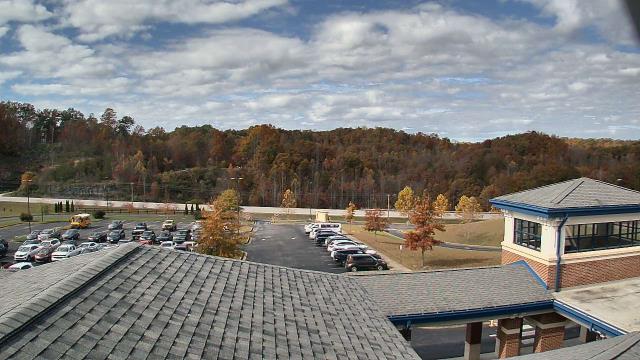
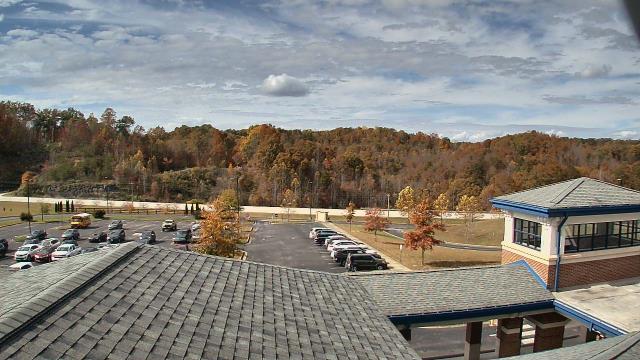
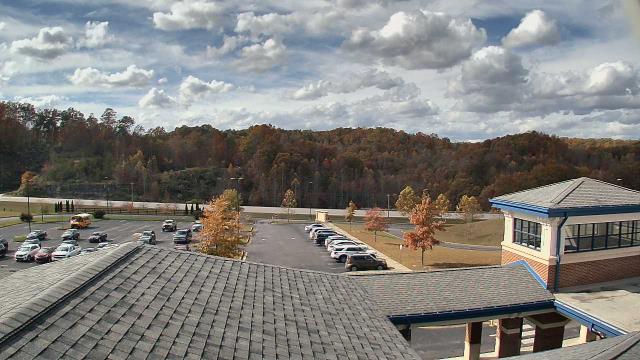
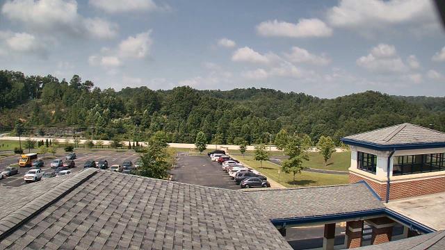
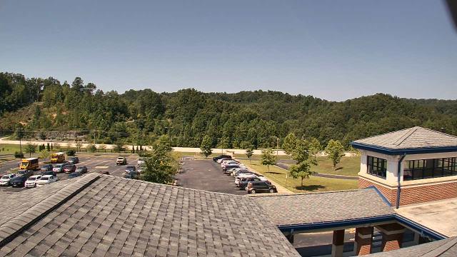
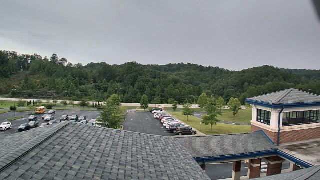
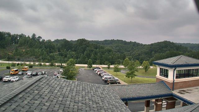
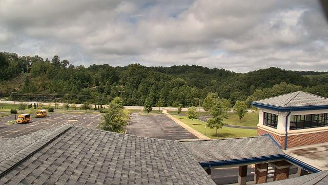
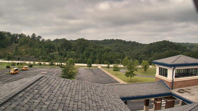
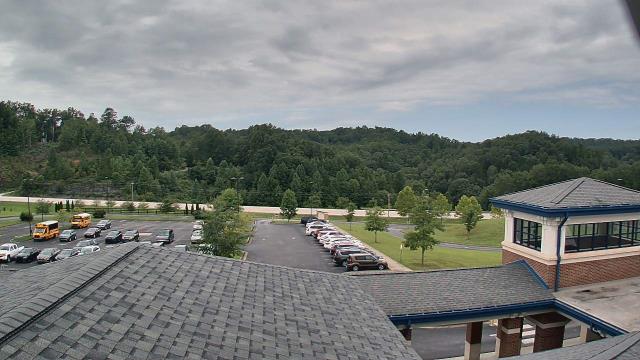
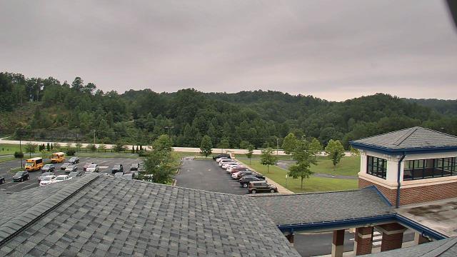
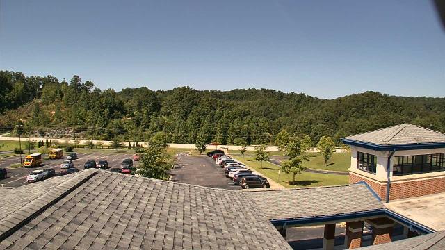
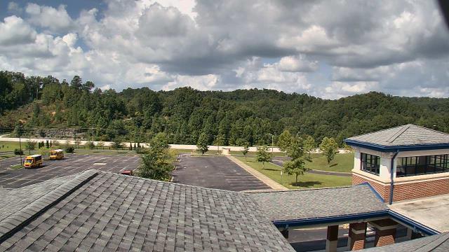
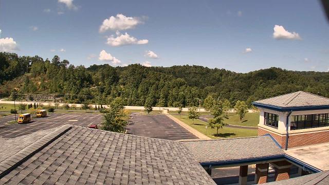
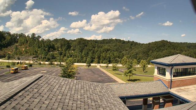
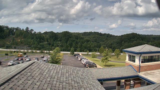
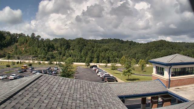
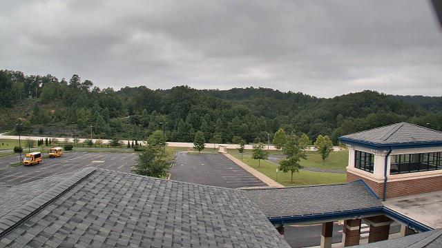
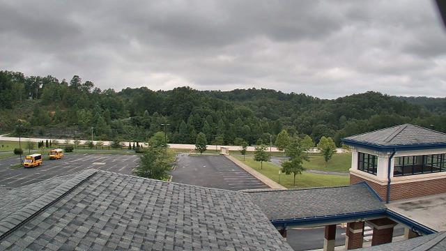
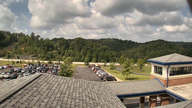
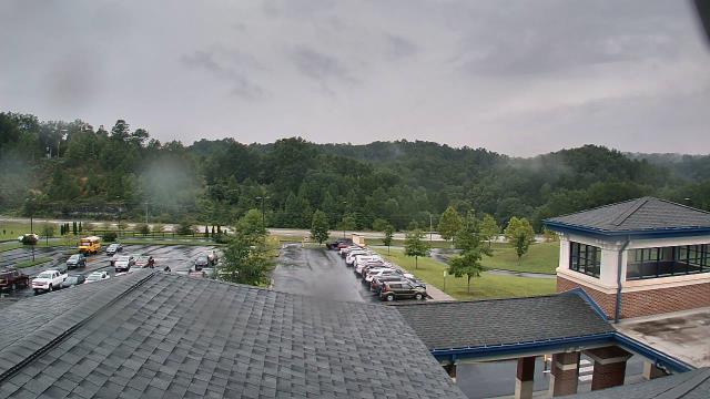
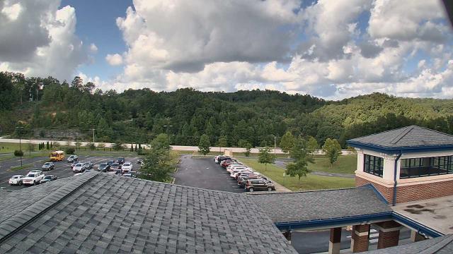
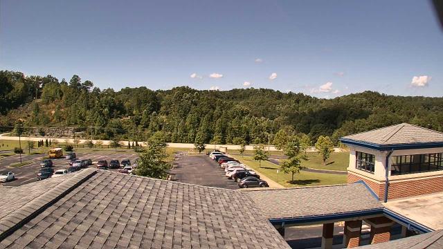
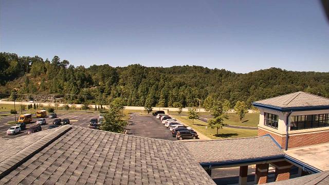
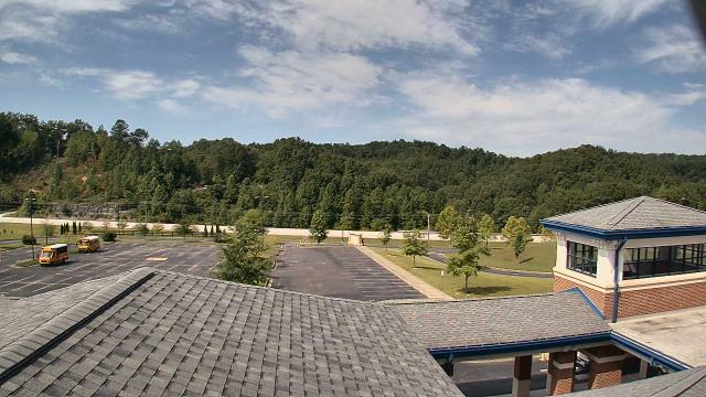
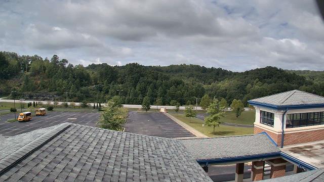
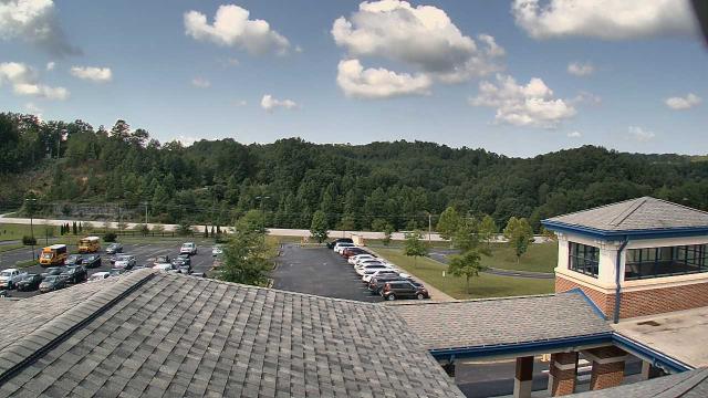
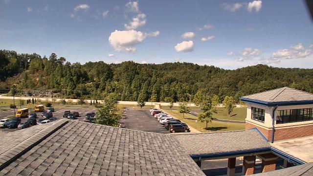
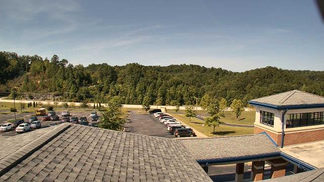
Abingdon, Virginia, USA - 54.7 miles from Mill Branch (historical): Watauga Elementary School - A webcam in Abingdon, Virginia - camera location: Watauga Elementary School.
Operator: WeatherBug
Operator: WeatherBug


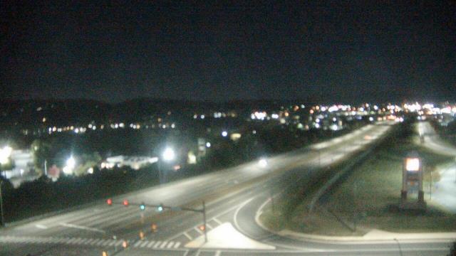
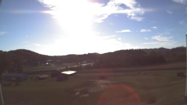
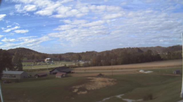
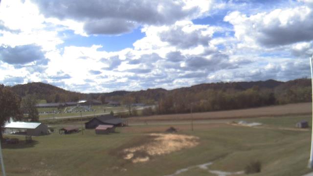
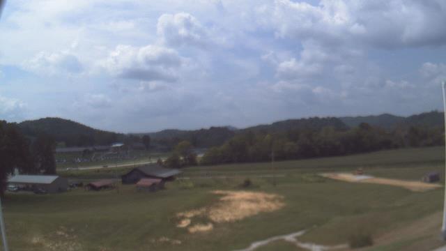
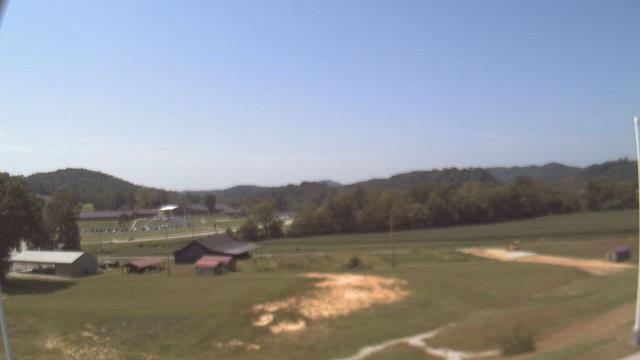
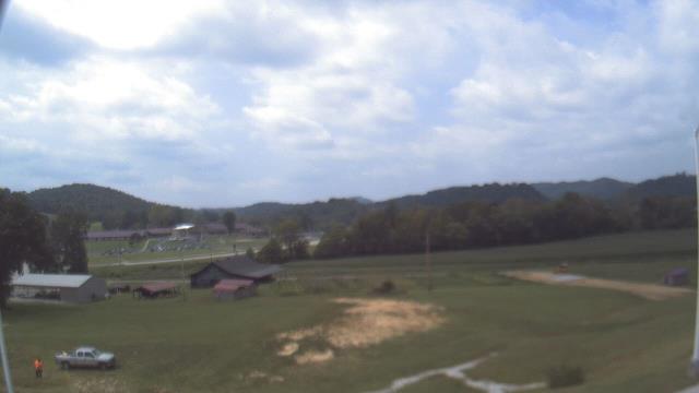
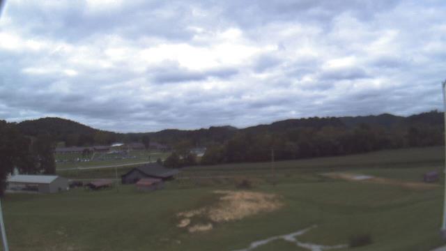
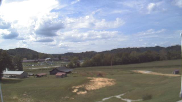
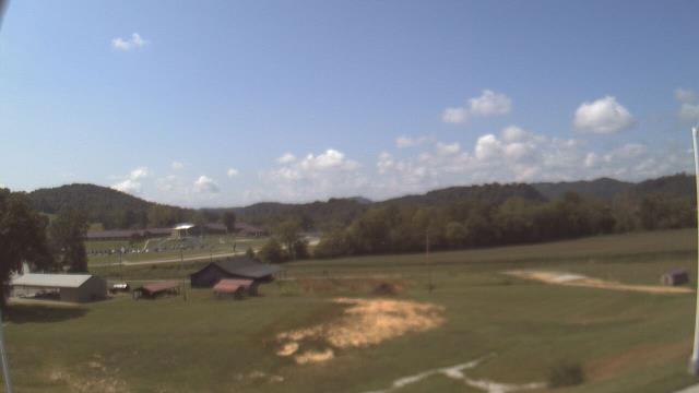
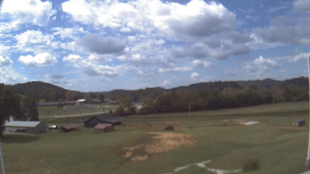
Booneville, Kentucky, USA - 60.5 miles from Mill Branch (historical): Owsley Co Jr Sr High School - A webcam in Booneville, Kentucky - camera location: Owsley Co Jr Sr High School.
Operator: WeatherBug
Operator: WeatherBug
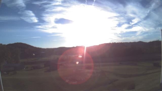


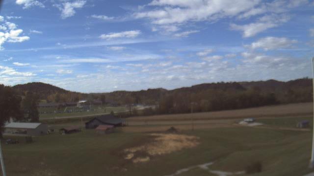

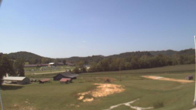

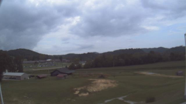
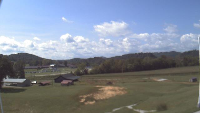

West Liberty, Kentucky, USA - 78.4 miles from Mill Branch (historical): West Liberty Elementary School - A webcam in West Liberty, Kentucky - camera location: West Liberty Elementary School.
Operator: WeatherBug
Operator: WeatherBug


Gatlinburg, Tennessee, USA - 80.9 miles from Mill Branch (historical): Anakeesta's Firefly Village - View of Anakeesta's Firefly Village with the Great Smoky Mountains in the background.
Operator: Skyline Webcams
Operator: Skyline Webcams


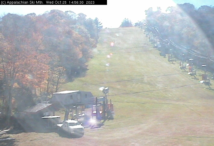
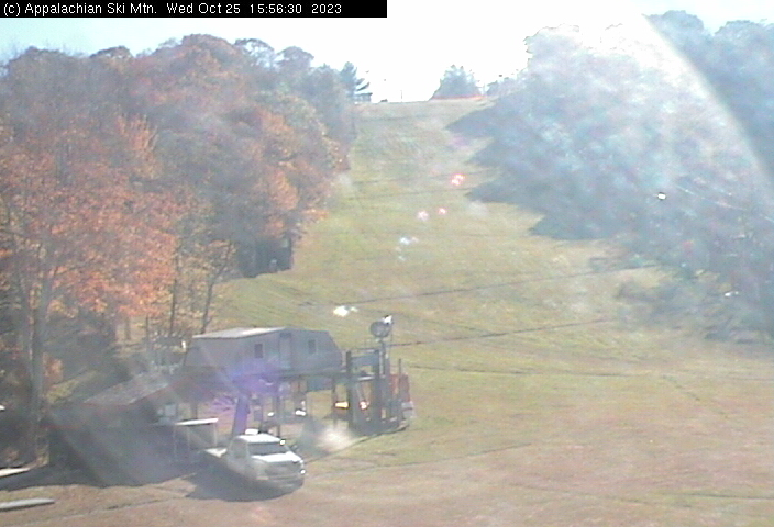
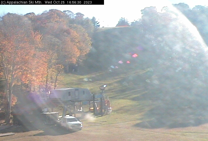
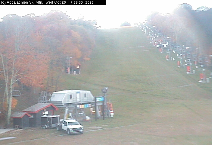
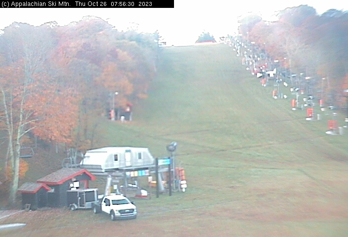
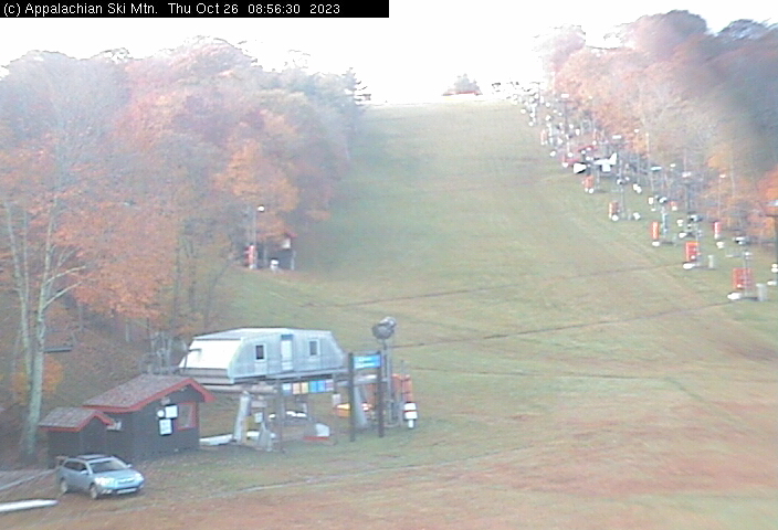
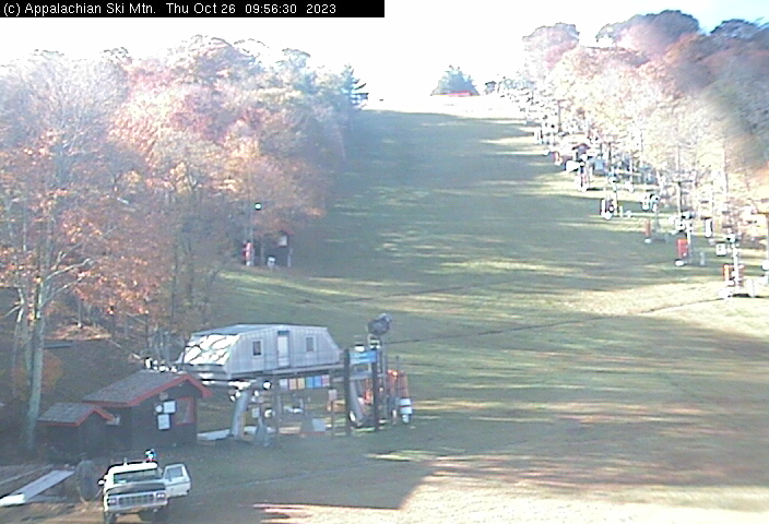
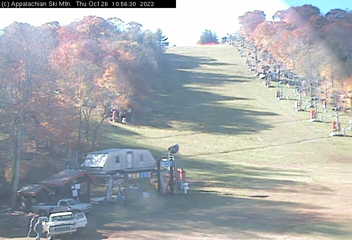
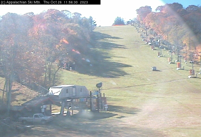
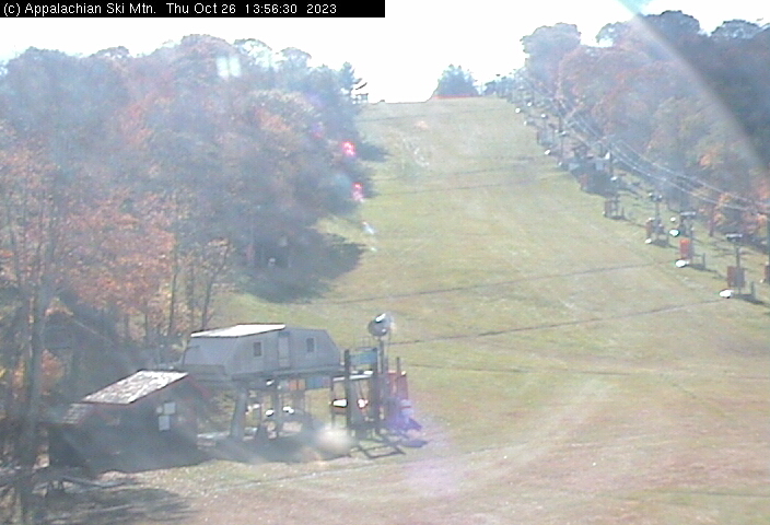
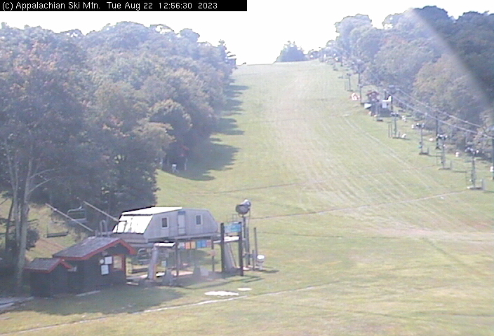
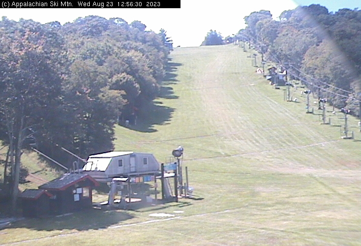
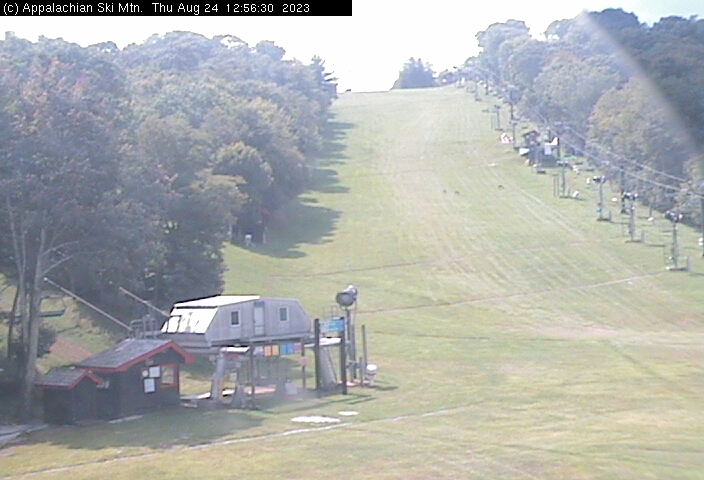
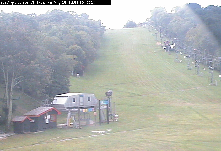
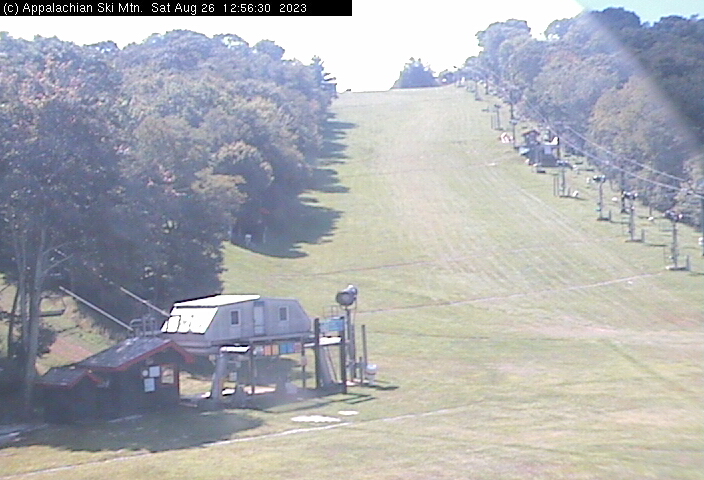
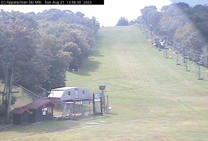
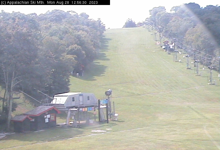
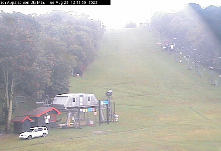
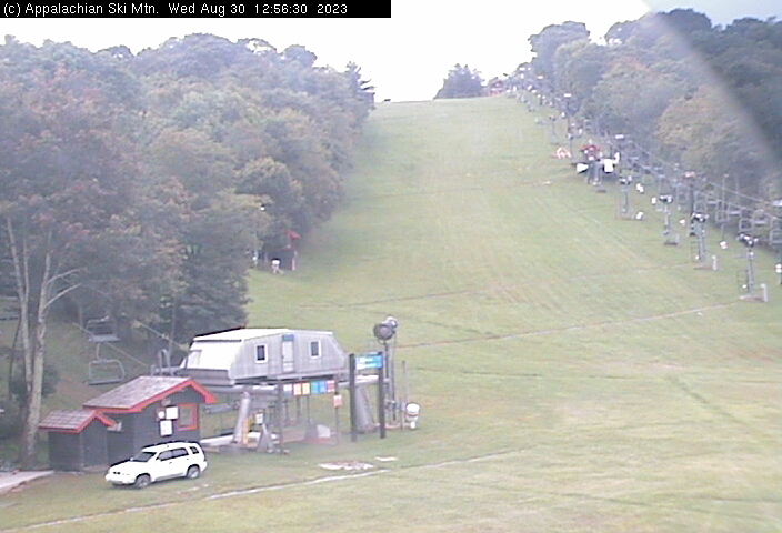
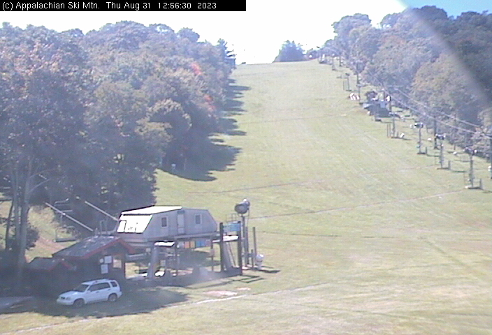
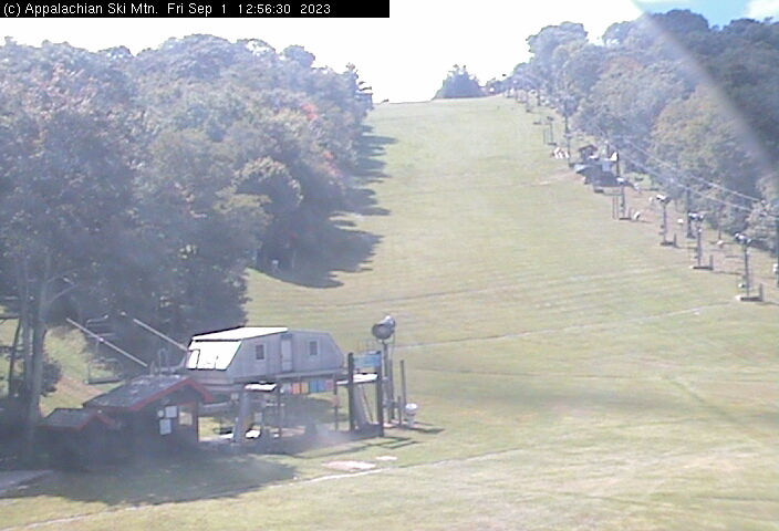
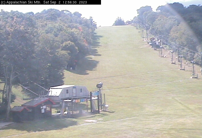
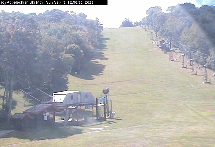
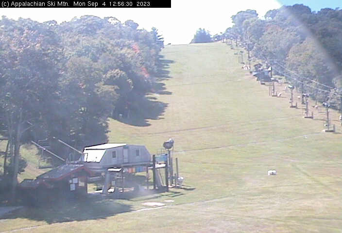
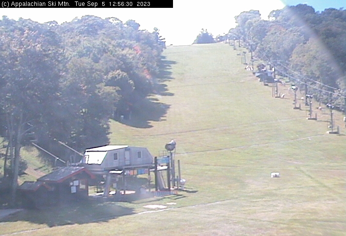
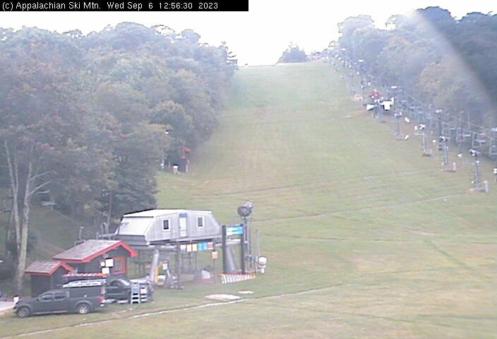
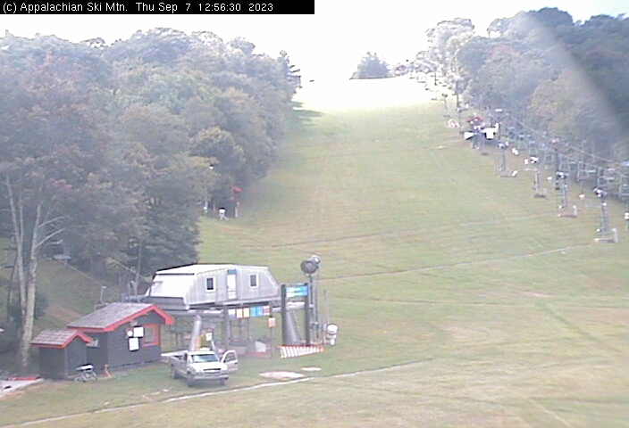
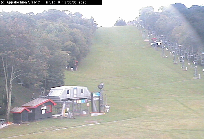
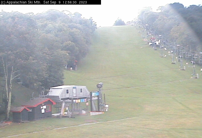
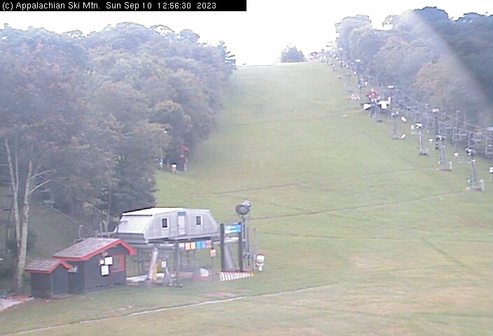
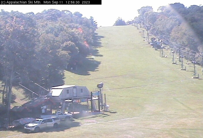
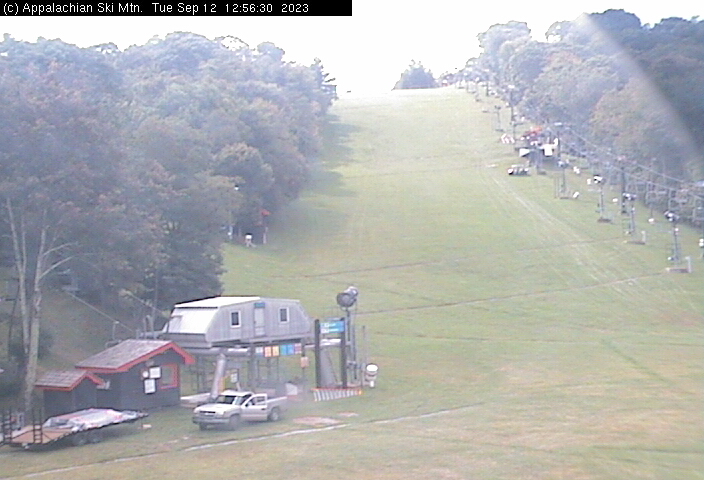
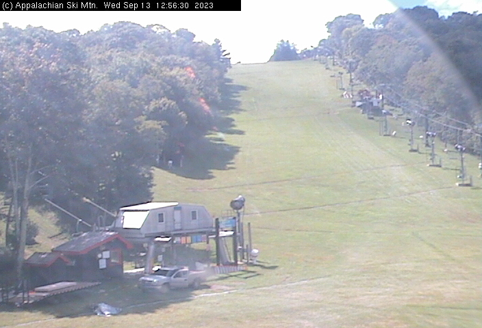
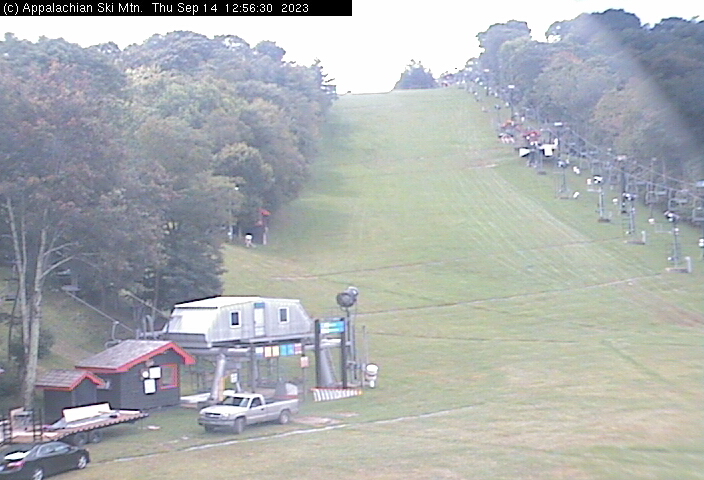
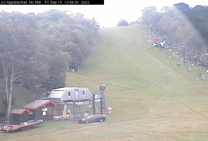
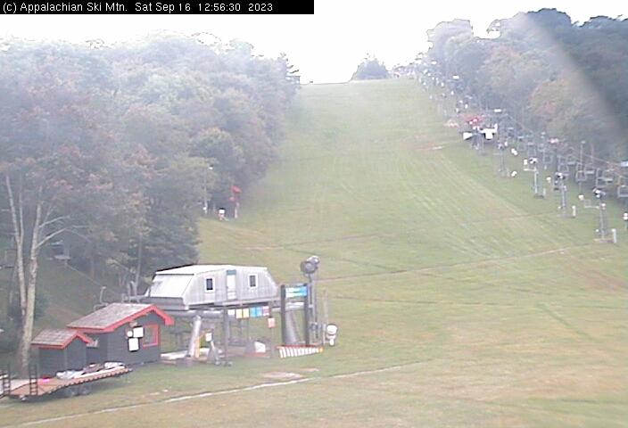
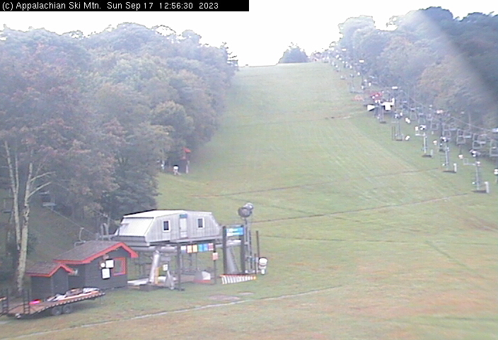
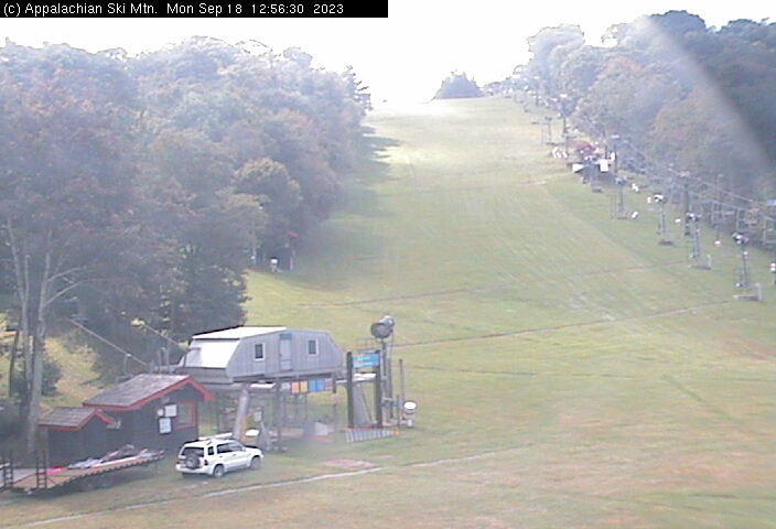
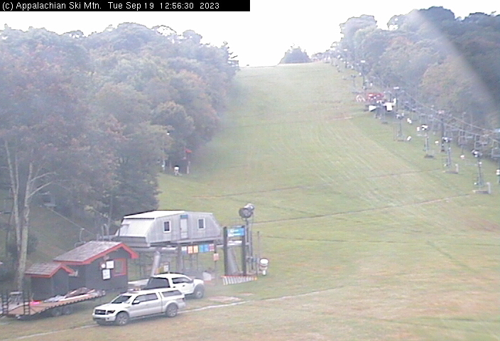
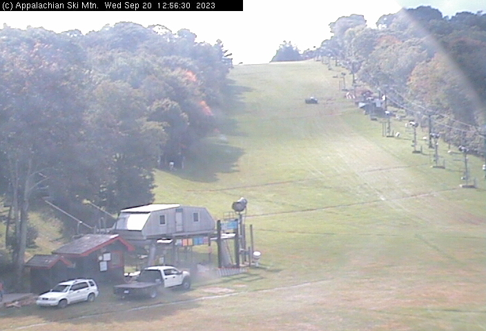
Blowing Rock, North Carolina, USA - 85.1 miles from Mill Branch (historical): Appalachian Ski Mtn., Inc. - A webcam in Blowing Rock, North Carolina - camera location: Appalachian Ski Mtn., Inc..
Operator: Appalachian Ski Mtn.
Operator: Appalachian Ski Mtn.


Whittier, North Carolina, USA - 97.8 miles from Mill Branch (historical): Conleys Creek - A live view from Whittier, Smokey Mountains, North Carolina.
Operator: crews.cc
Operator: crews.cc


Sylva, North Carolina, USA - 100.5 miles from Mill Branch (historical): Town View - A nice view of Sylva, North Carolina.
Operator: The Sylva Herald
Operator: The Sylva Herald

Morganton, North Carolina, USA - 102.3 miles from Mill Branch (historical): WBTV Morganton Bureau - A webcam in Morganton, North Carolina - camera location: WBTV Morganton Bureau.
Operator: WeatherBug
Operator: WeatherBug


Some other places in this country: Imperial (historical) - Johnsons Mill (historical) - Lee (historical) - Leona Mines (historical) - Mohawk (historical) - Robbins (historical) - Beechwood (historical) - Canepatch (historical) - Clark (historical) - Clear Creek (historical)