Webcams in the region of Marrowbone Heights, Virginia, USA
The List of Webcams near Marrowbone Heights, Virginia, USA:

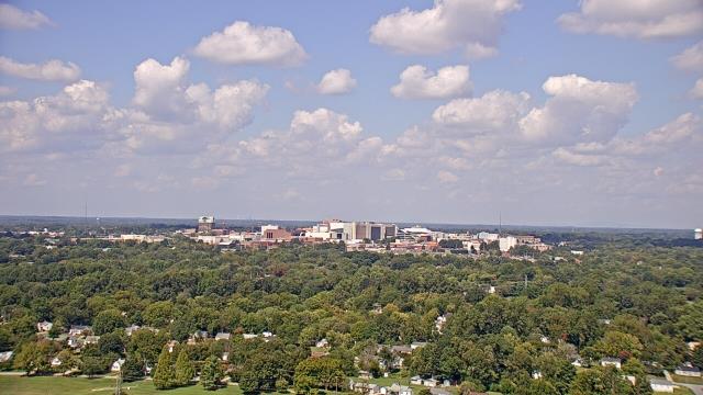
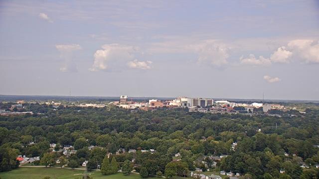
Martinsville, Virginia, USA - 5.3 miles from Marrowbone Heights: Virginia Museum of Natural History - A webcam in Martinsville, Virginia - camera location: Virginia Museum of Natural History.
Operator: WeatherBug
Operator: WeatherBug


Riner, Virginia, USA - 44.8 miles from Marrowbone Heights: Auburn Middle School - A webcam in Riner, Virginia - camera location: Auburn Middle School.
Operator: WeatherBug
Operator: WeatherBug


Roanoke, Virginia, USA - 45.5 miles from Marrowbone Heights: Roanoke Catholic School - A webcam in Roanoke, Virginia - camera location: Roanoke Catholic School.
Operator: WeatherBug
Operator: WeatherBug


Roanoke, Virginia, USA - 45.5 miles from Marrowbone Heights: Mountain View - Looking SW over Appalachians near Blue Ridge Pkwy.
Operator: Roanoke Weather Page
Operator: Roanoke Weather Page


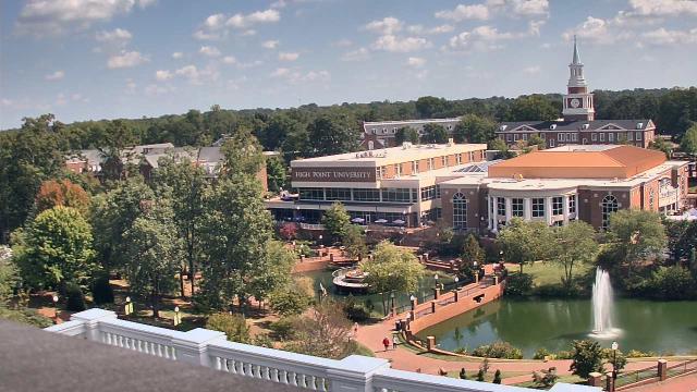
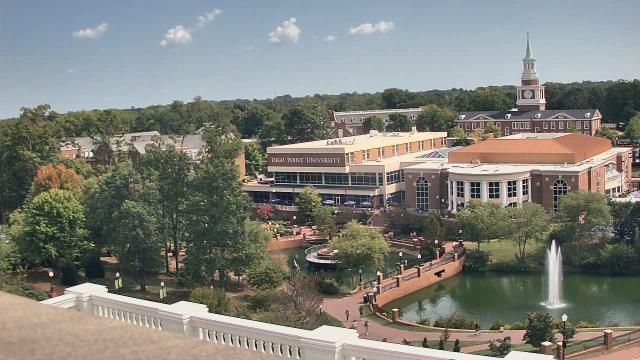
High Point, North Carolina, USA - 46.4 miles from Marrowbone Heights: High Point University - A webcam in High Point, North Carolina - camera location: High Point University.
Operator: WeatherBug
Operator: WeatherBug


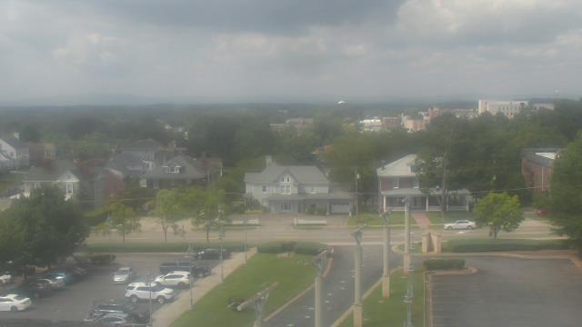
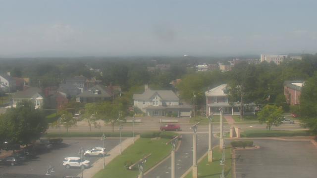
High Point, North Carolina, USA - 46.4 miles from Marrowbone Heights: WGHP-TV - A webcam in High Point, North Carolina - camera location: WGHP-TV.
Operator: WeatherBug
Operator: WeatherBug


Salem, Virginia, USA - 48 miles from Marrowbone Heights: City of Salem Civic Center - A webcam in Salem, Virginia - camera location: City of Salem Civic Center.
Operator: WeatherBug
Operator: WeatherBug


Buchanan, Virginia, USA - 64.9 miles from Marrowbone Heights: James River High School - A webcam in Buchanan, Virginia - camera location: James River High School.
Operator: WeatherBug
Operator: WeatherBug


Chapel Hill, North Carolina, USA - 67.8 miles from Marrowbone Heights: Top of the Hill Restaurant - A webcam in Chapel Hill, North Carolina - camera location: Top of the Hill Restaurant.
Operator: WeatherBug
Operator: WeatherBug


Wytheville, Virginia, USA - 72 miles from Marrowbone Heights: Wytheville Community College - A webcam in Wytheville, Virginia - camera location: Wytheville Community College.
Operator: WeatherBug
Operator: WeatherBug


Some other places in this country: Heusley - Lakewood Forest - Laurel Park - Lithia Springs - Reed Creek Village - Rock Run - Shannon Hills - Sheffield Terrace - Stockton - Alka (historical)