Webcams in the region of Cedar City, Utah, USA
The List of Webcams near Cedar City, Utah, USA:

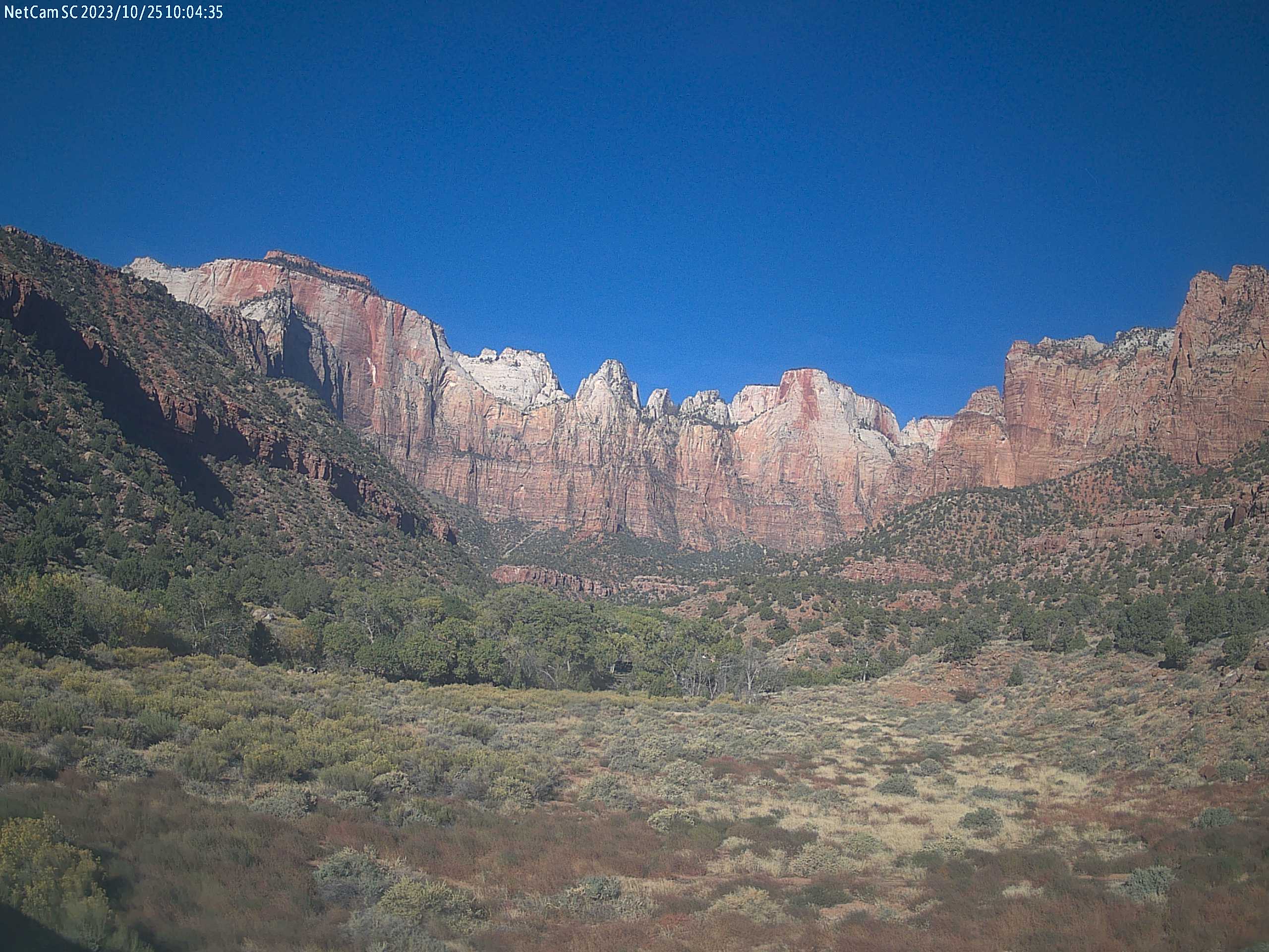
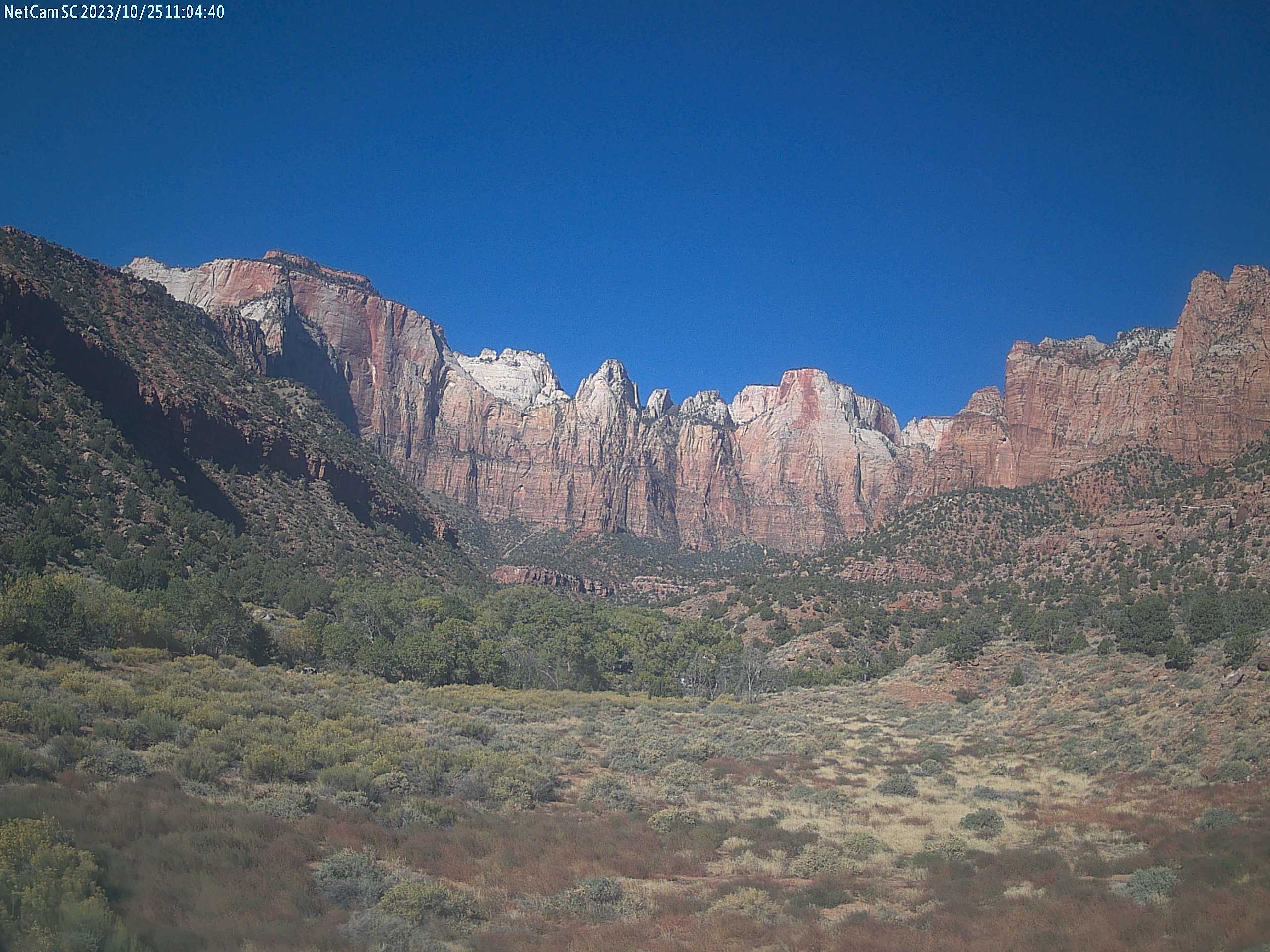
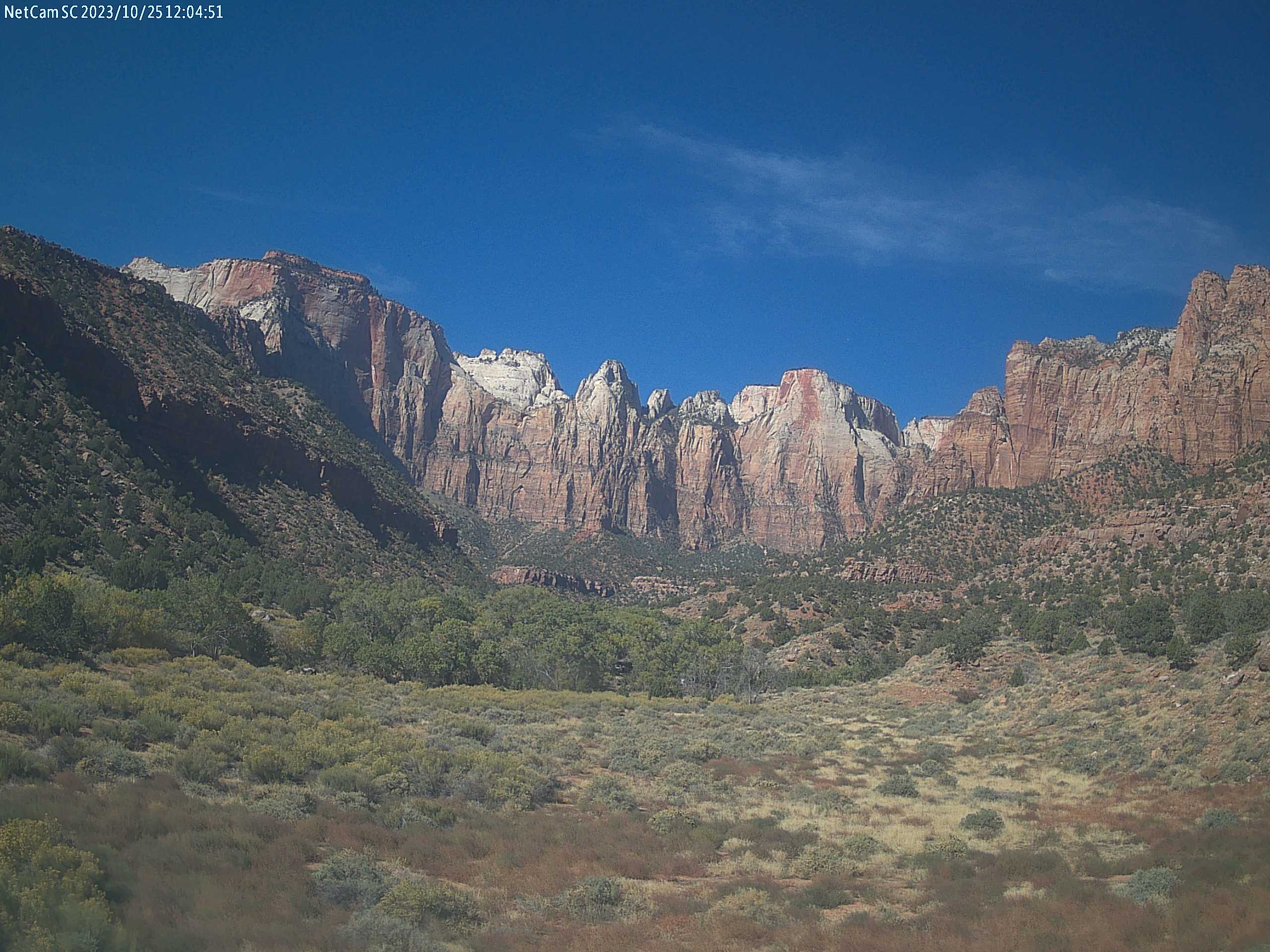
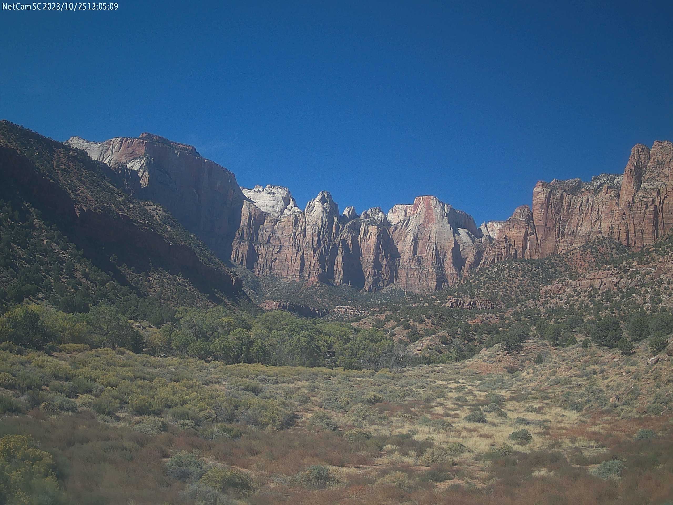
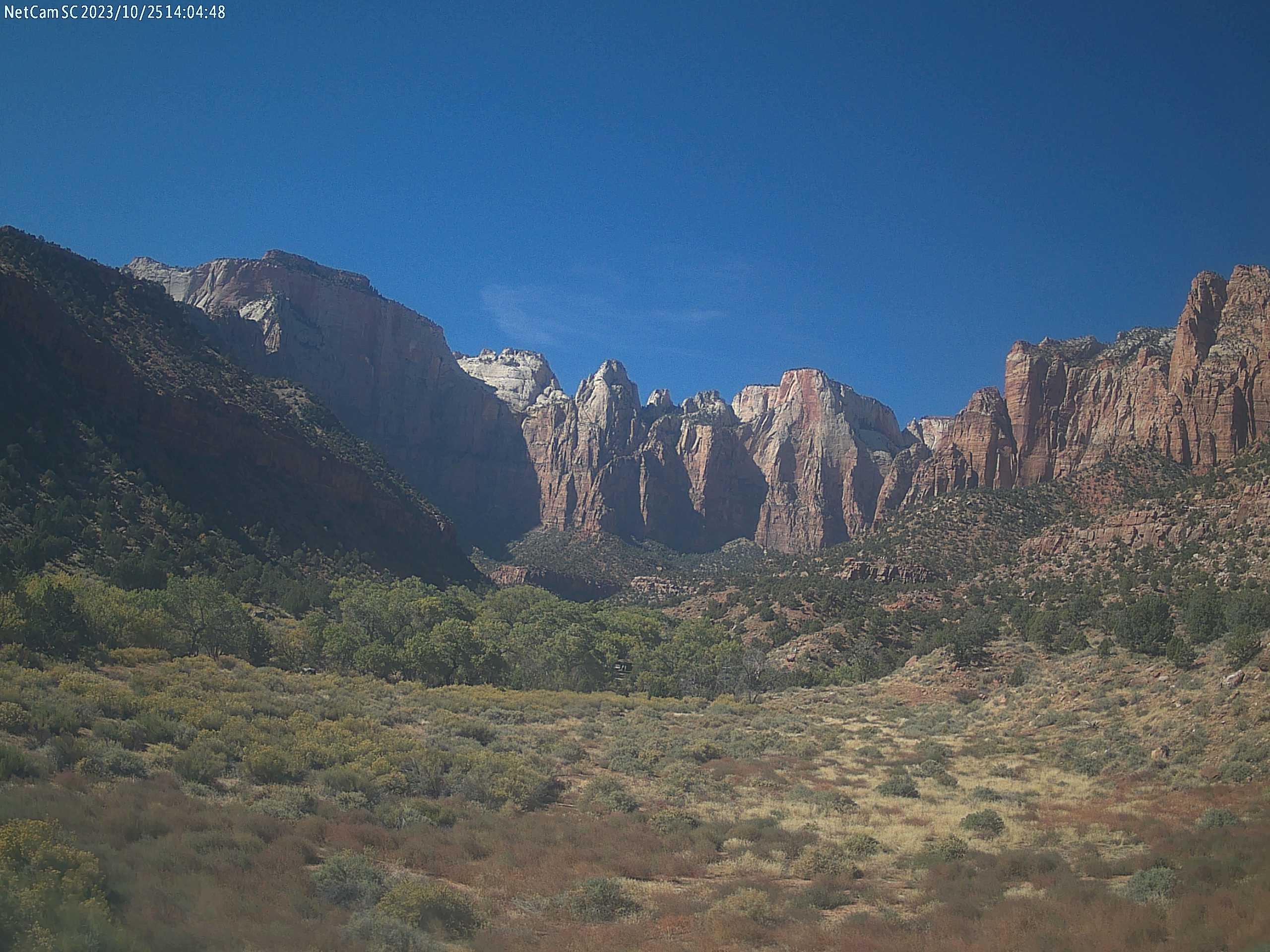
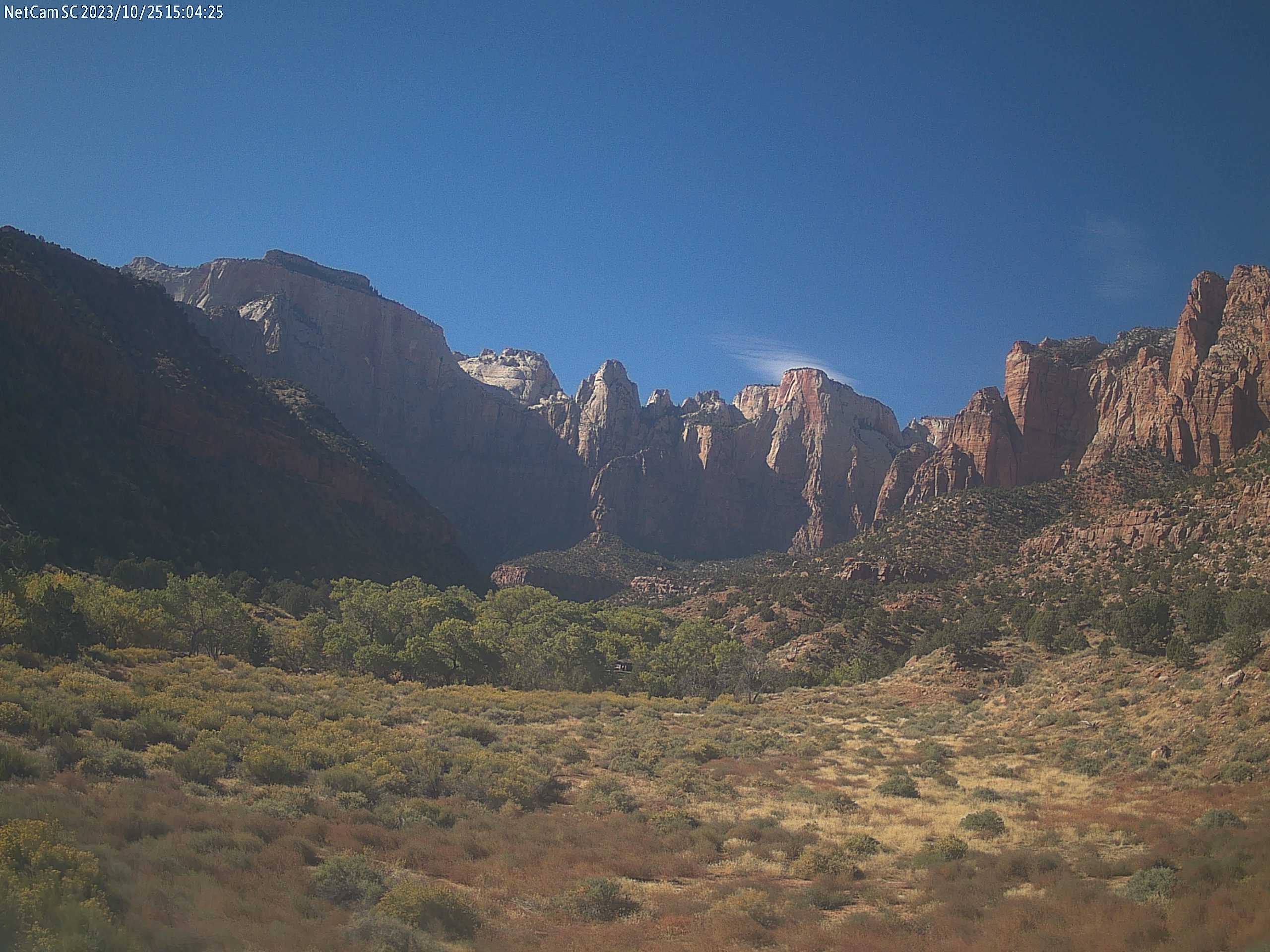
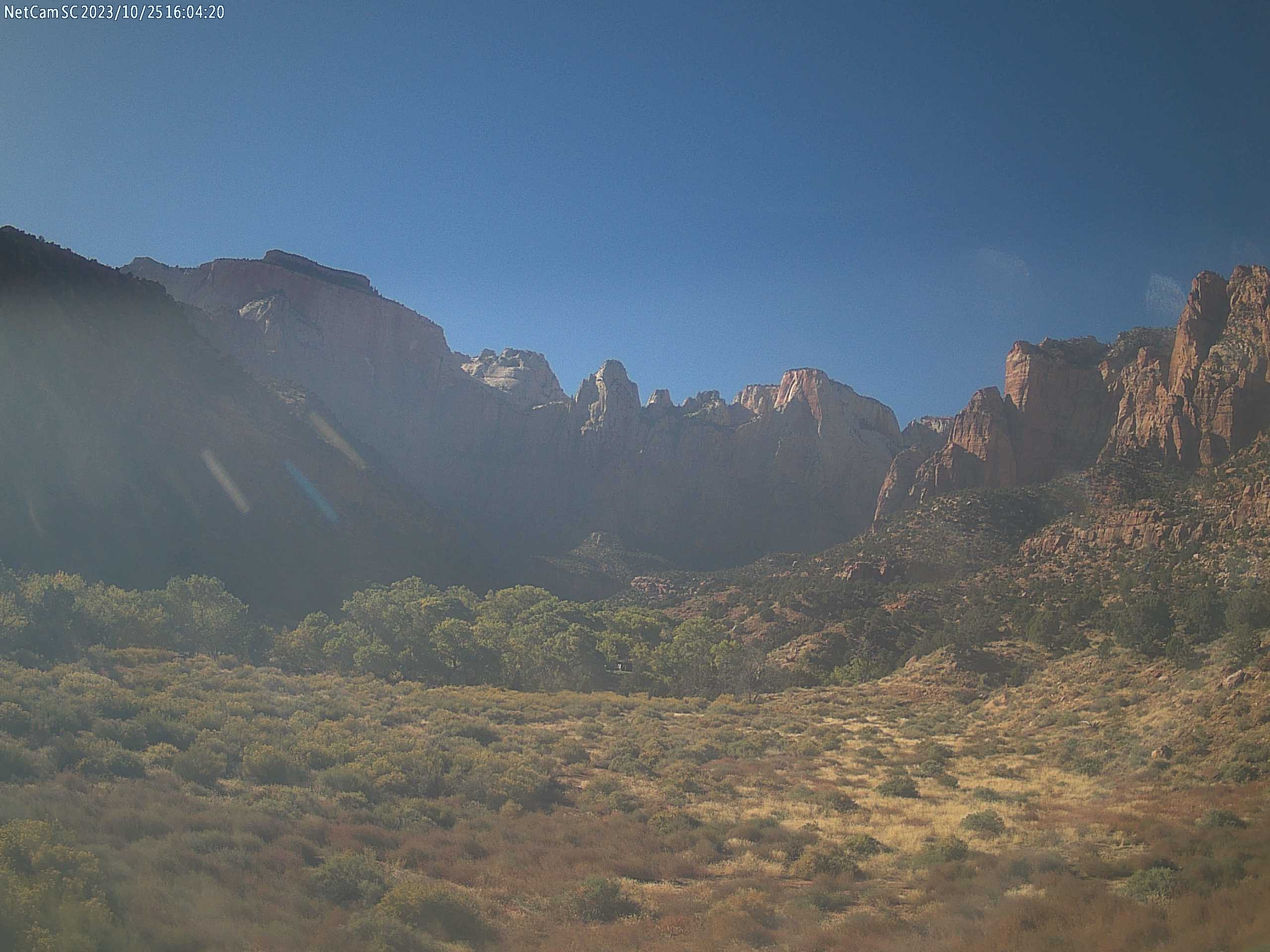
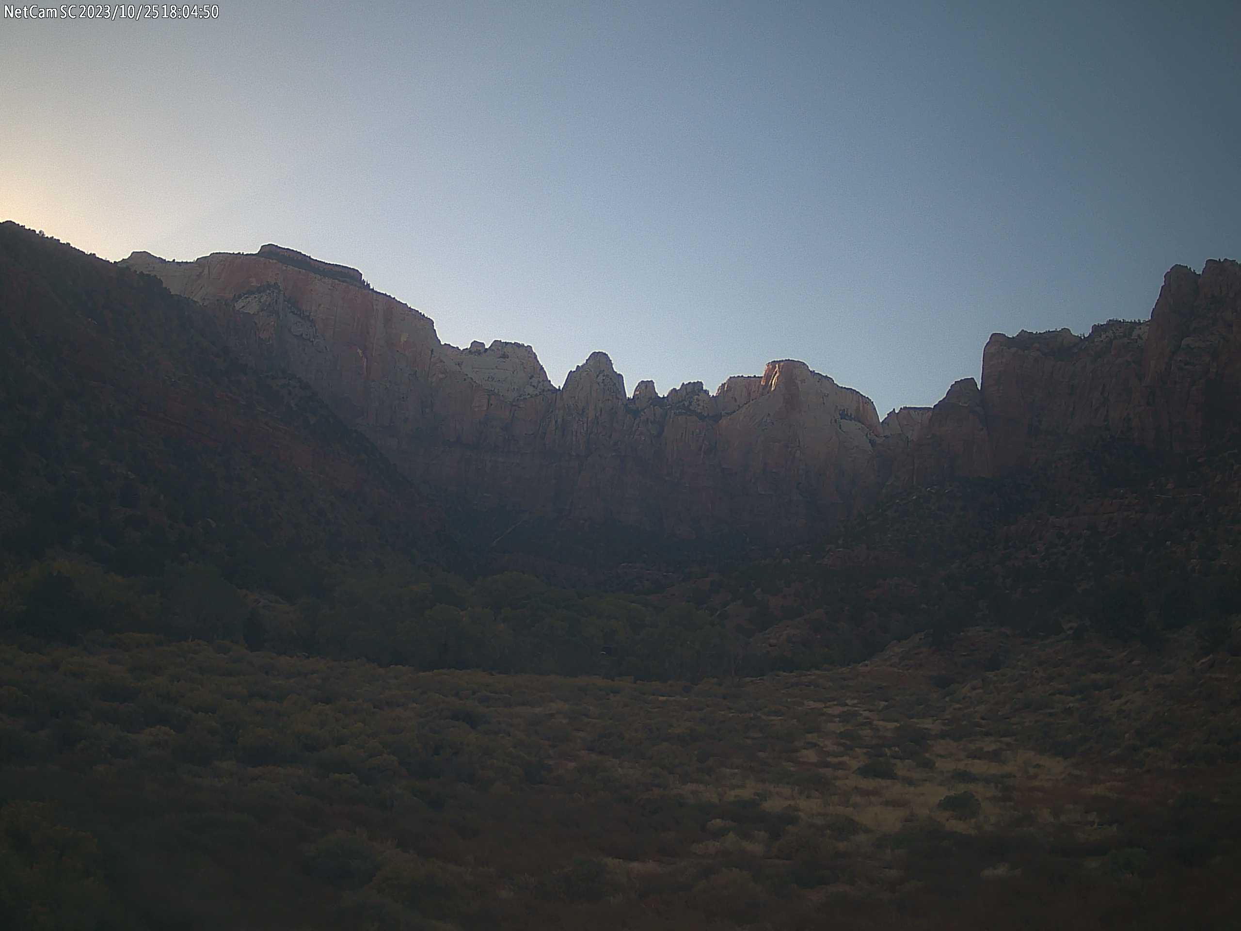
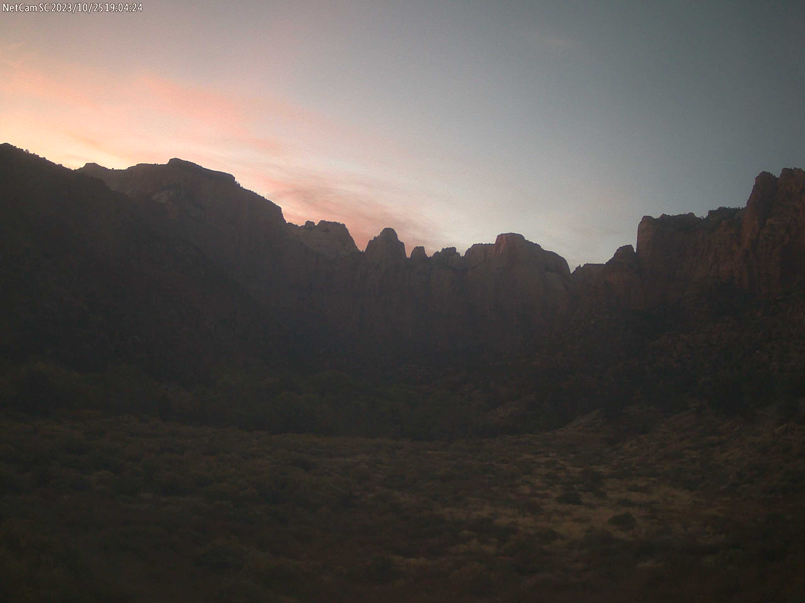
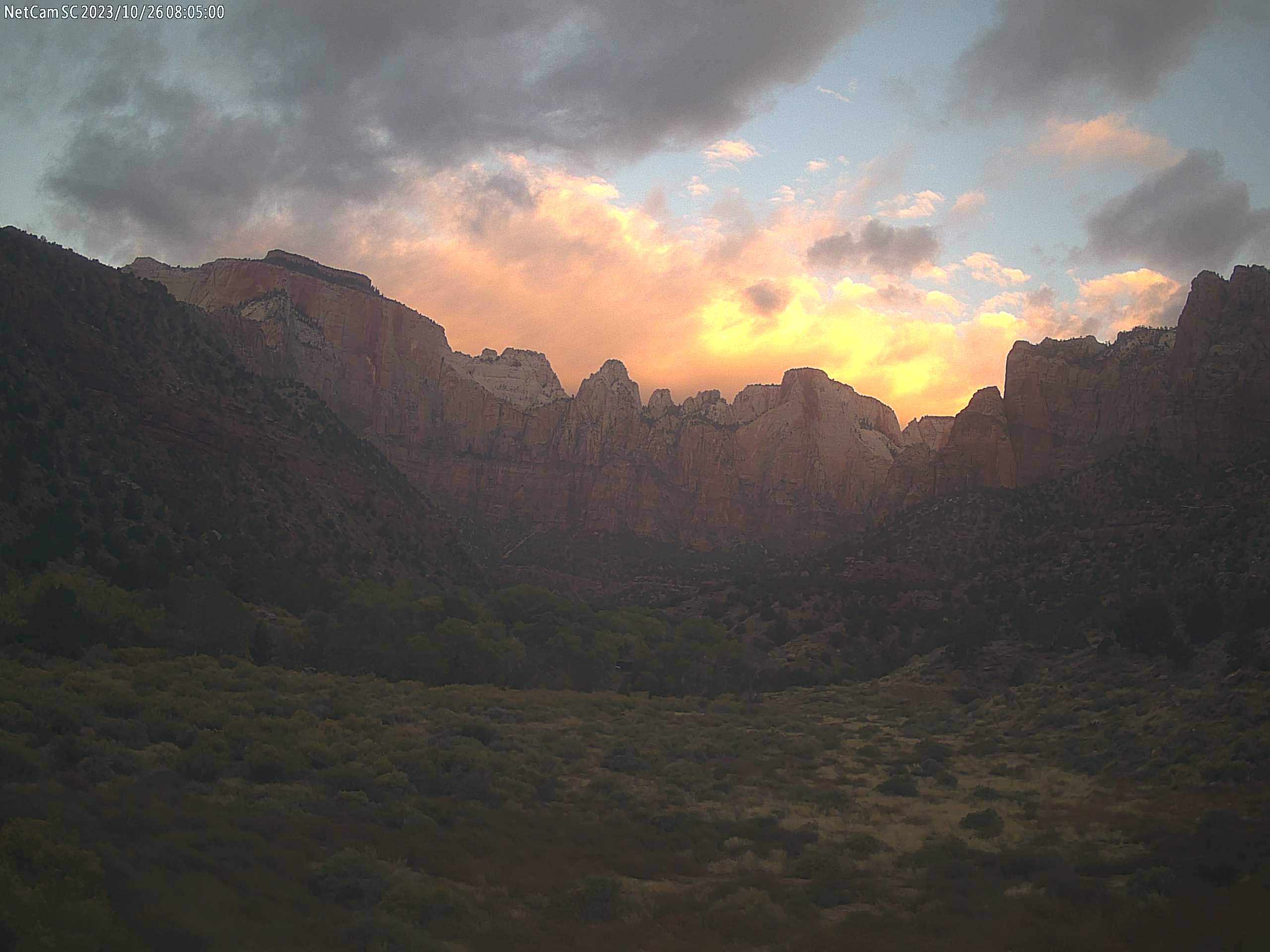
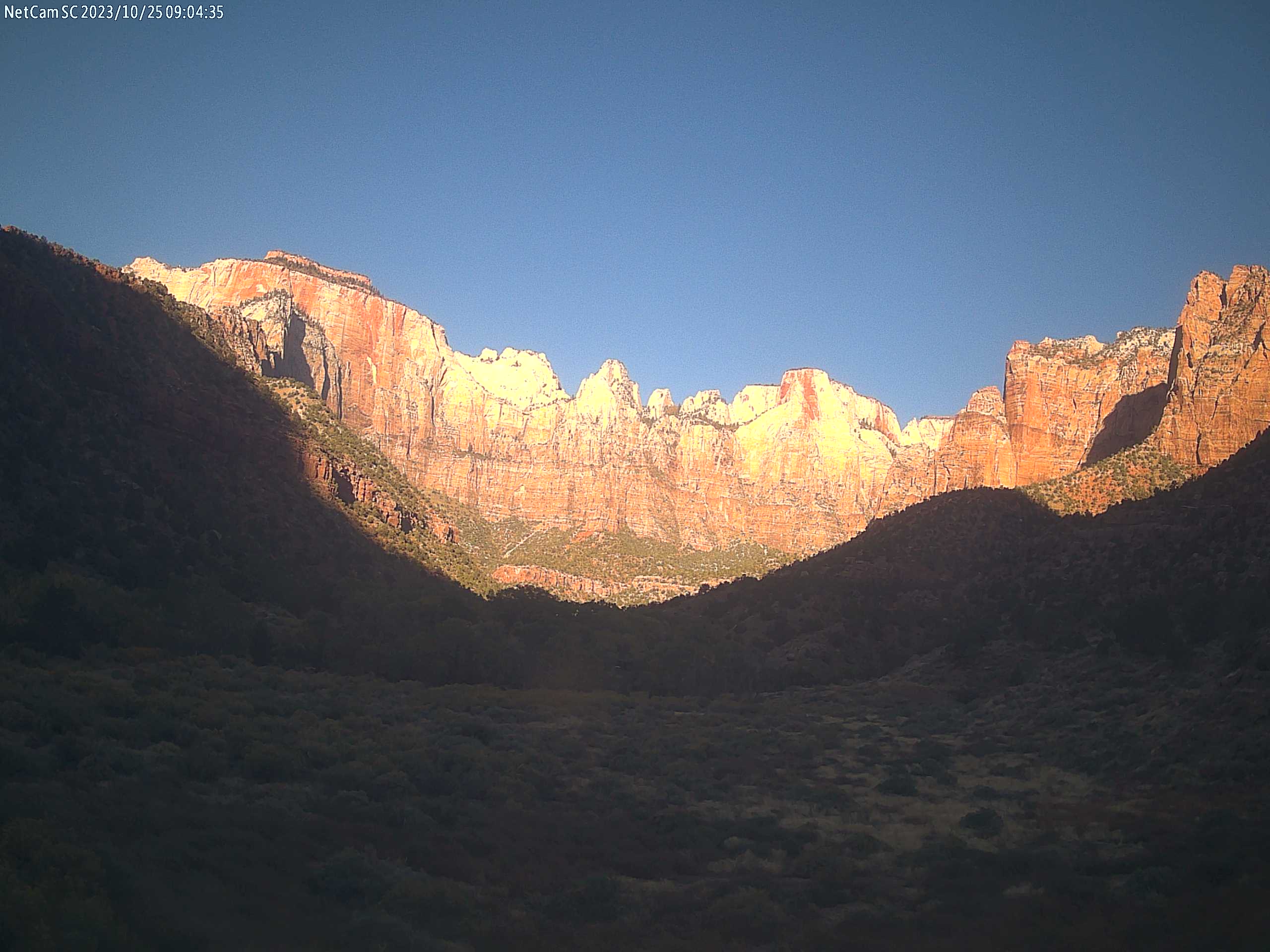
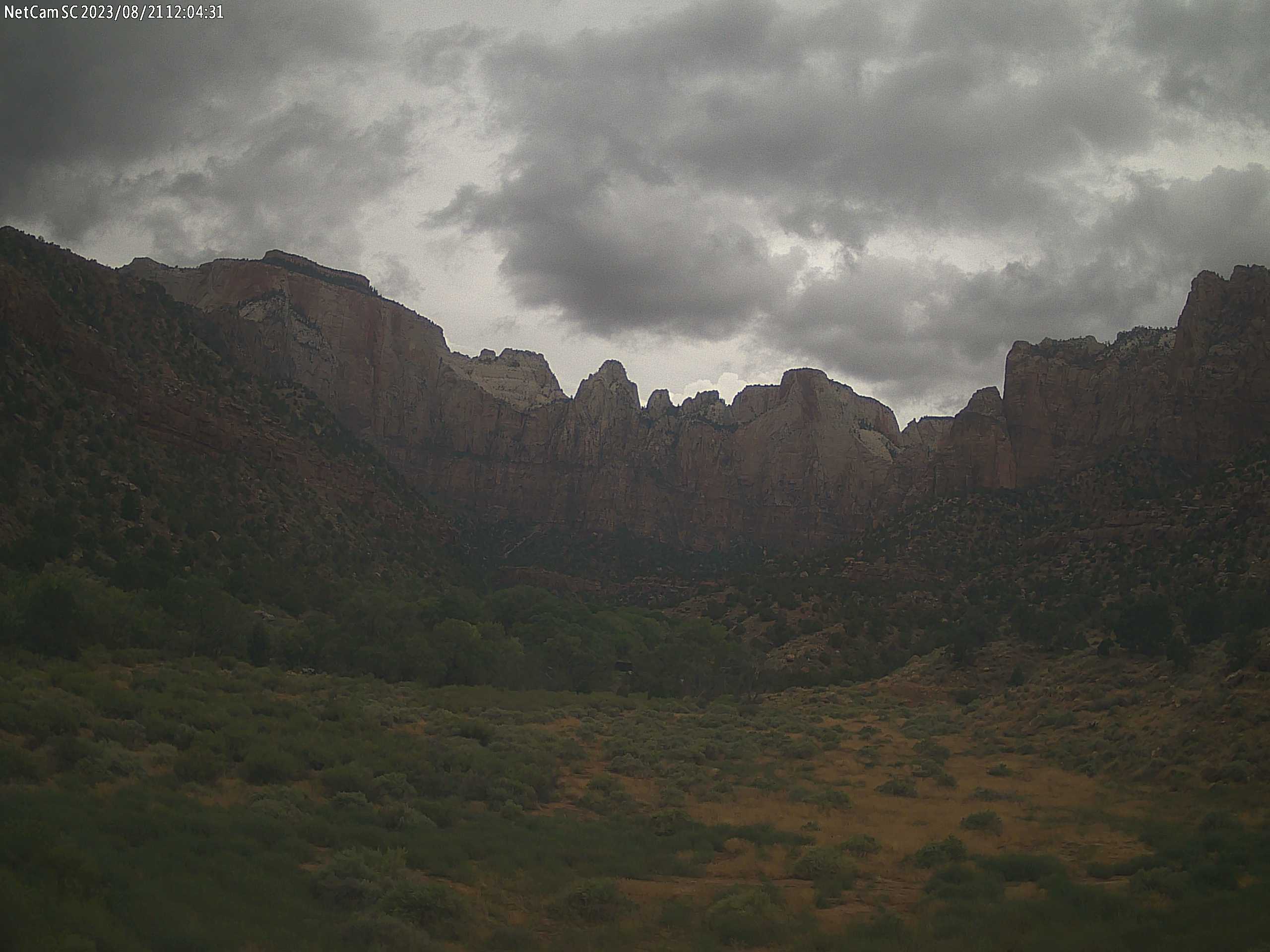
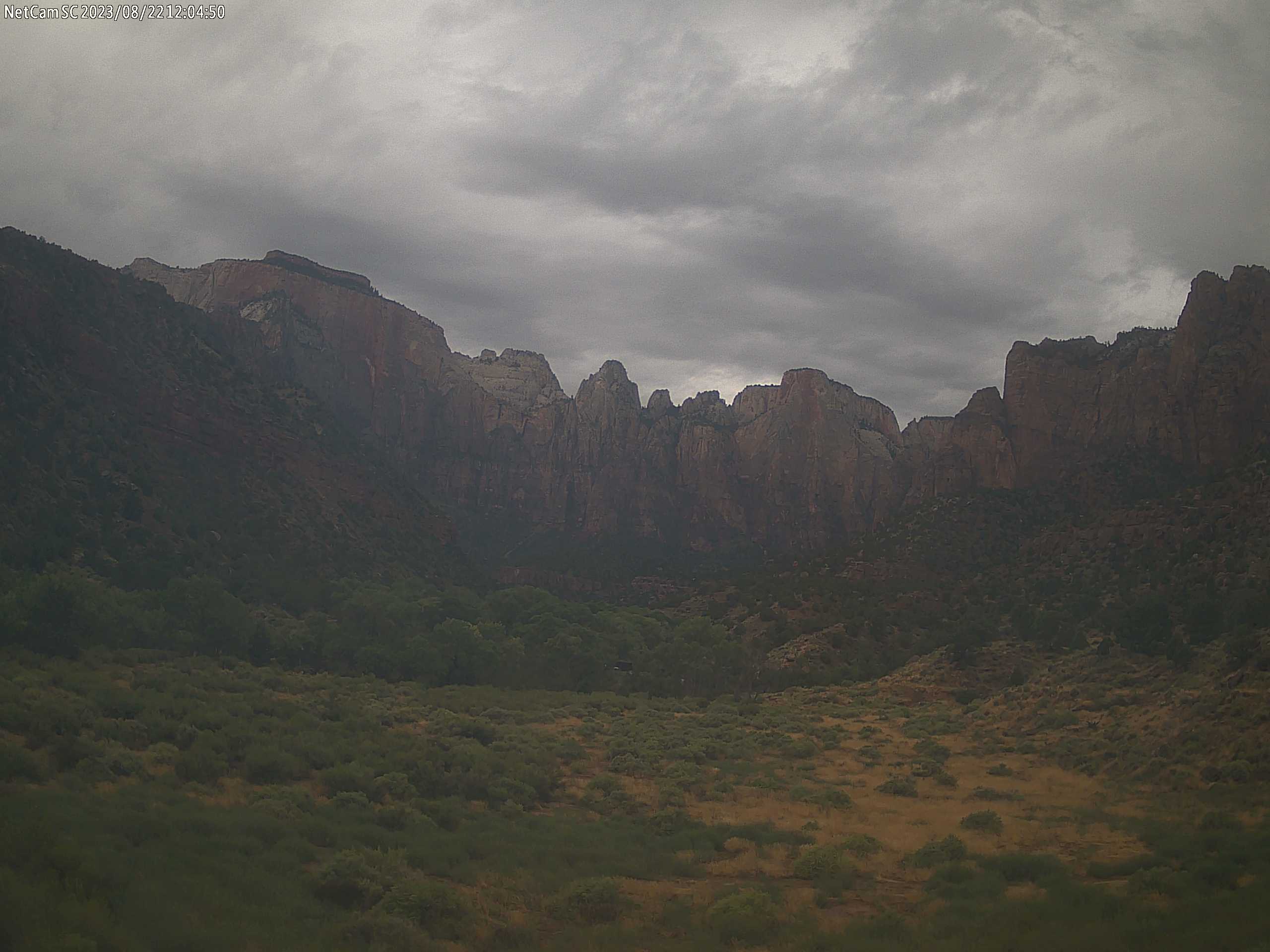
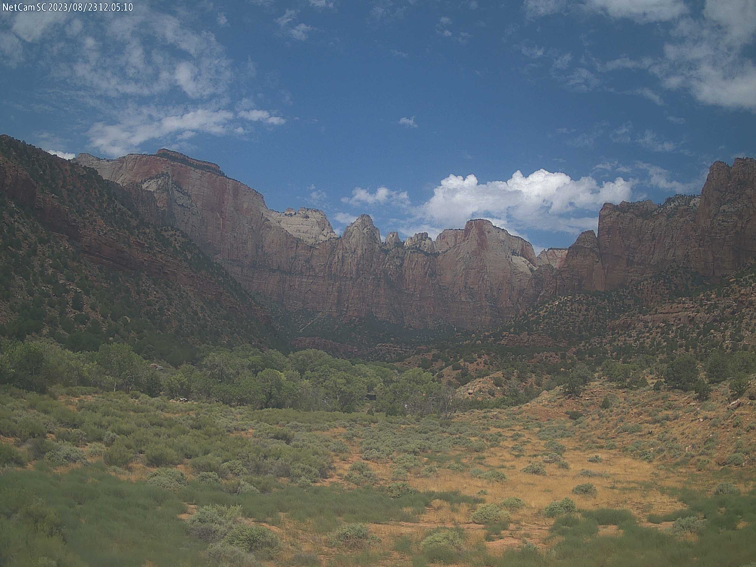
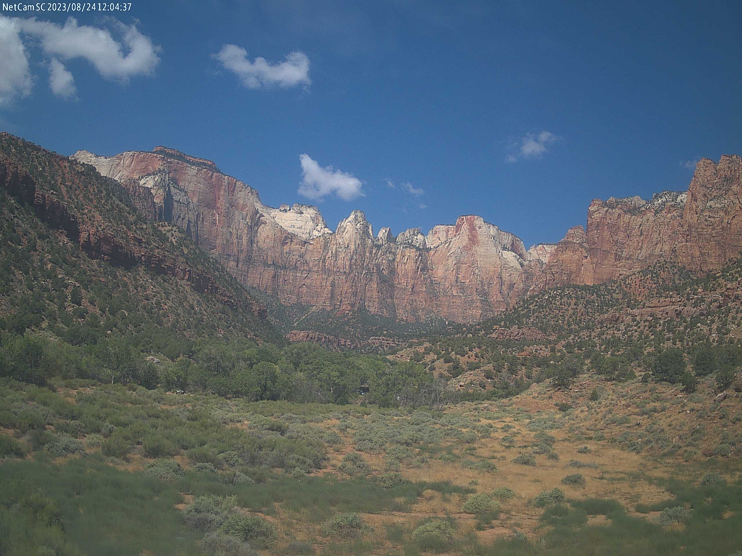
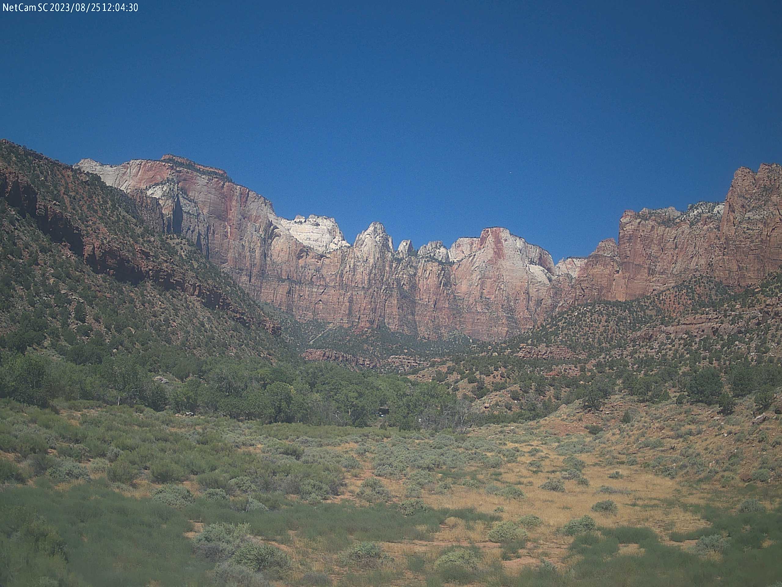
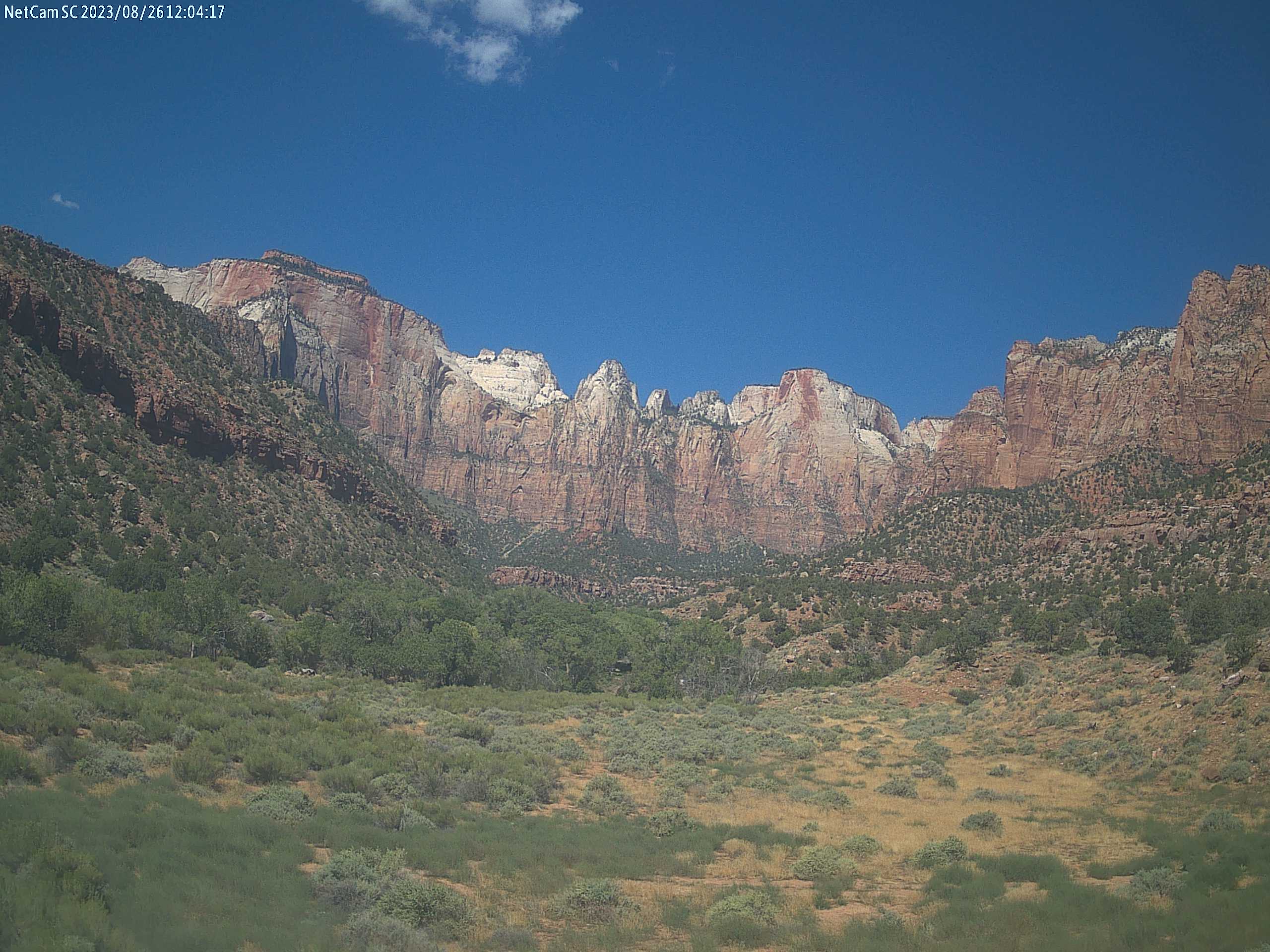
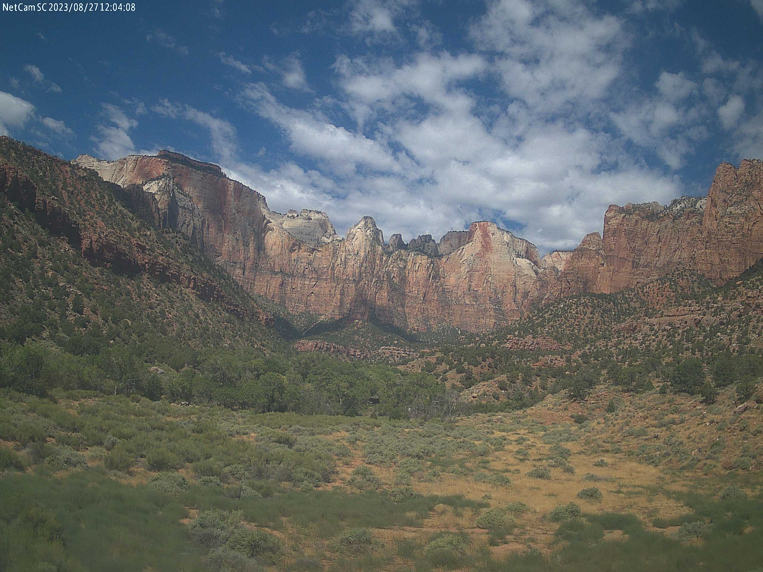
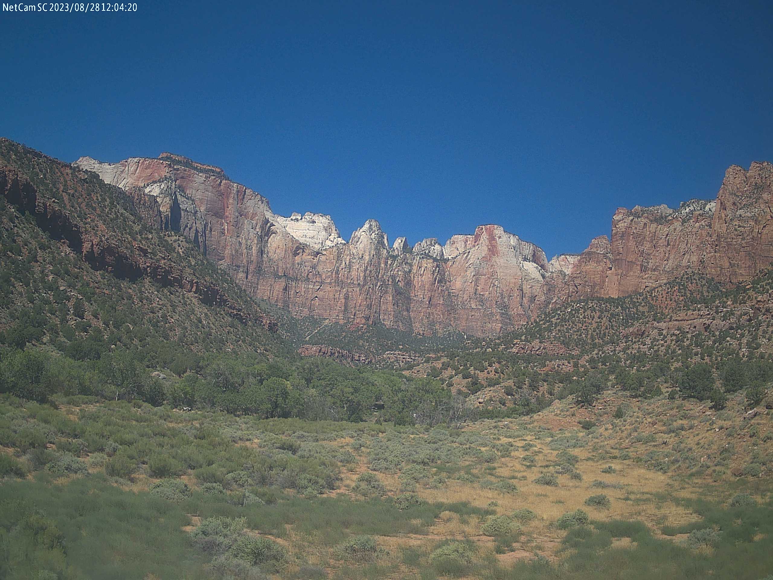
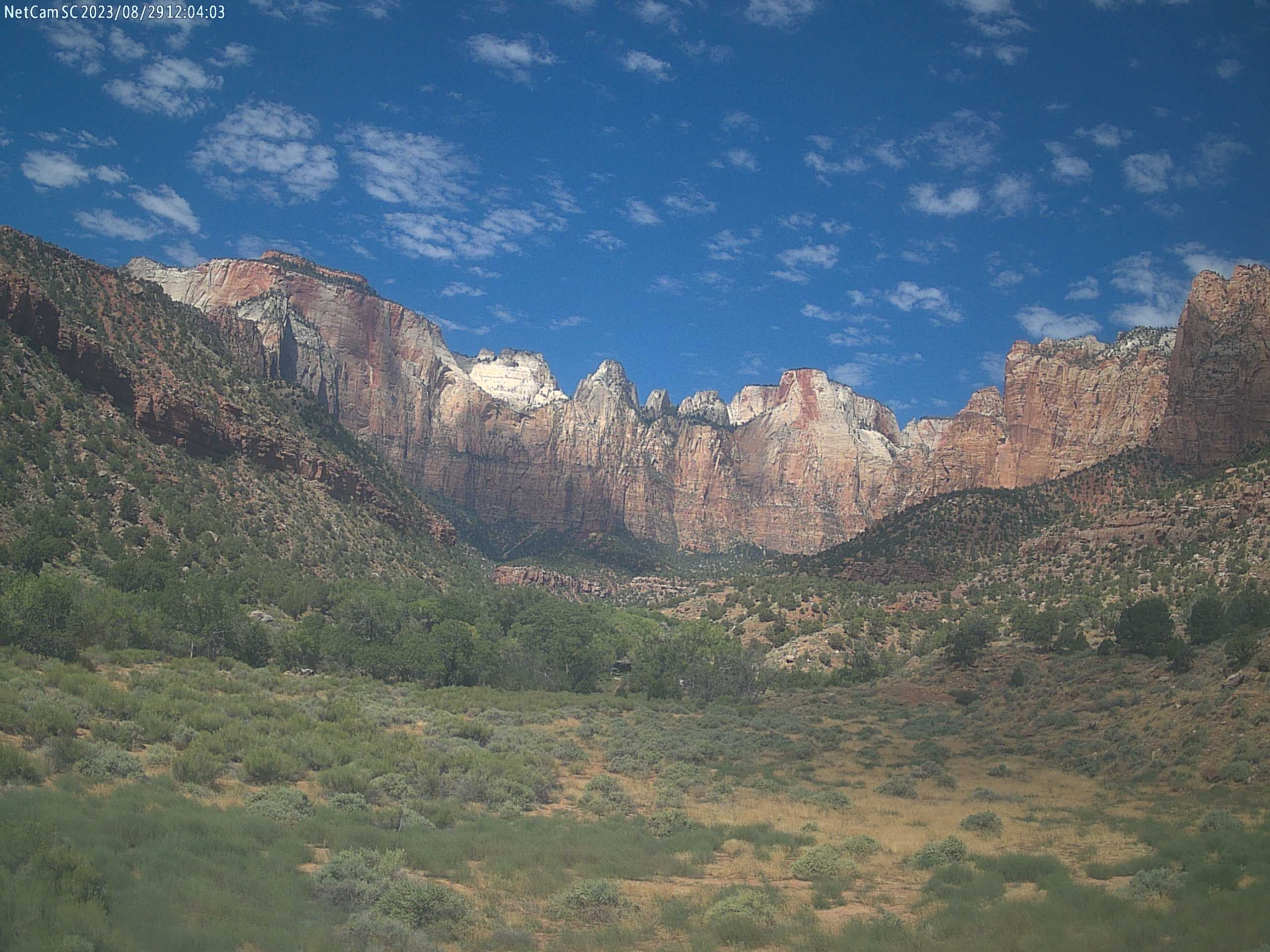
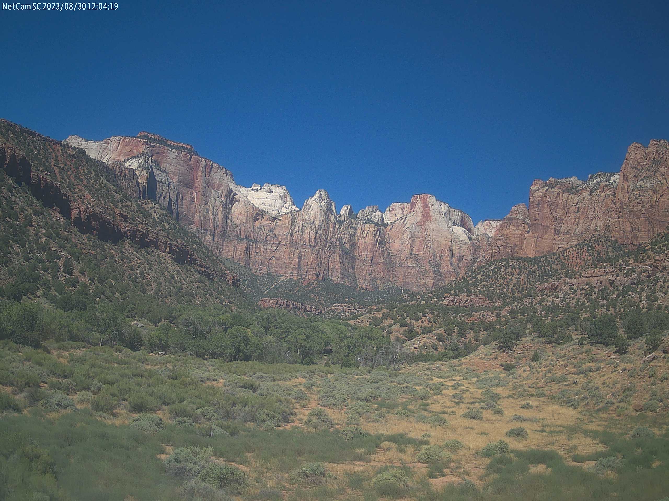
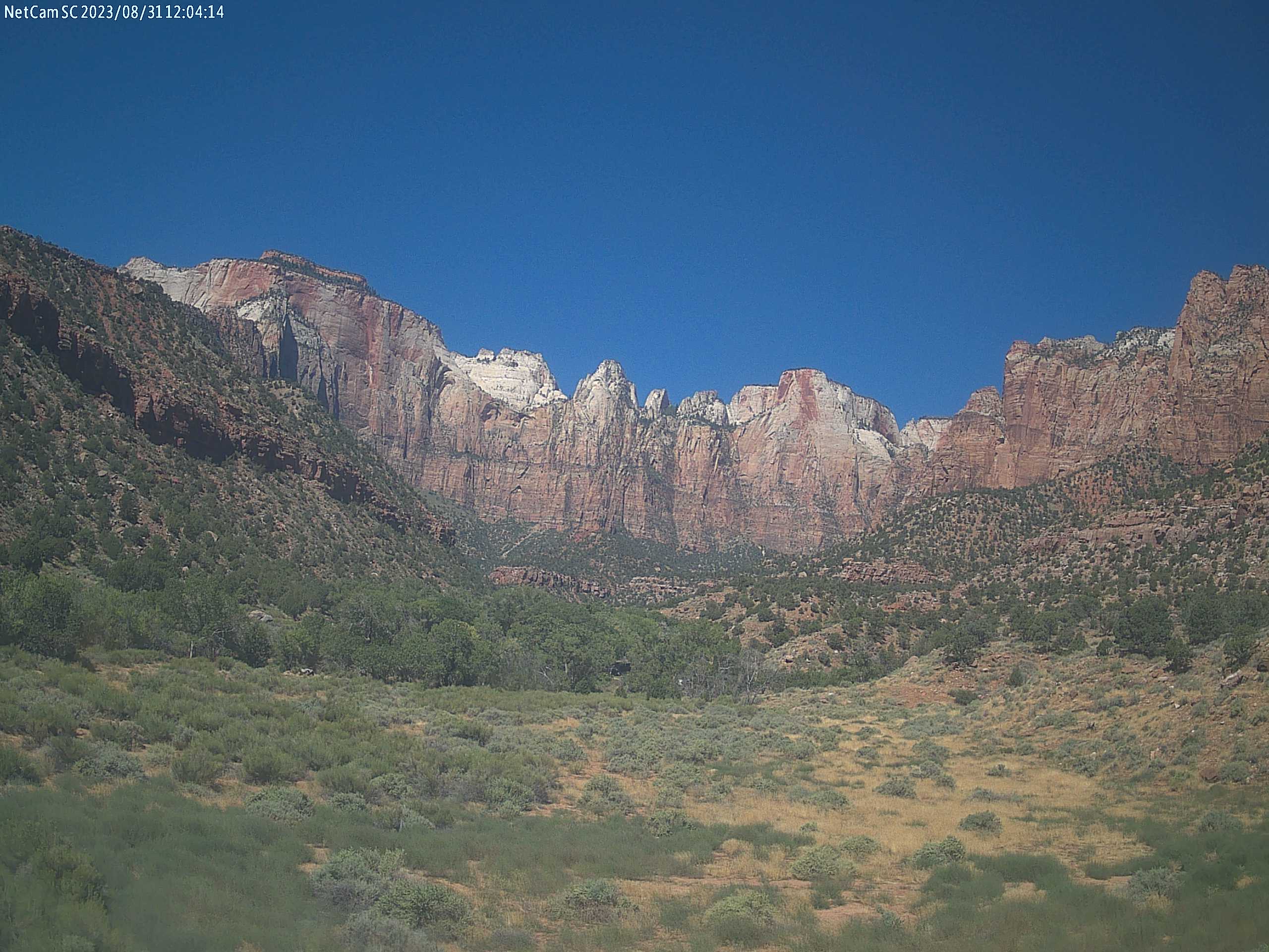
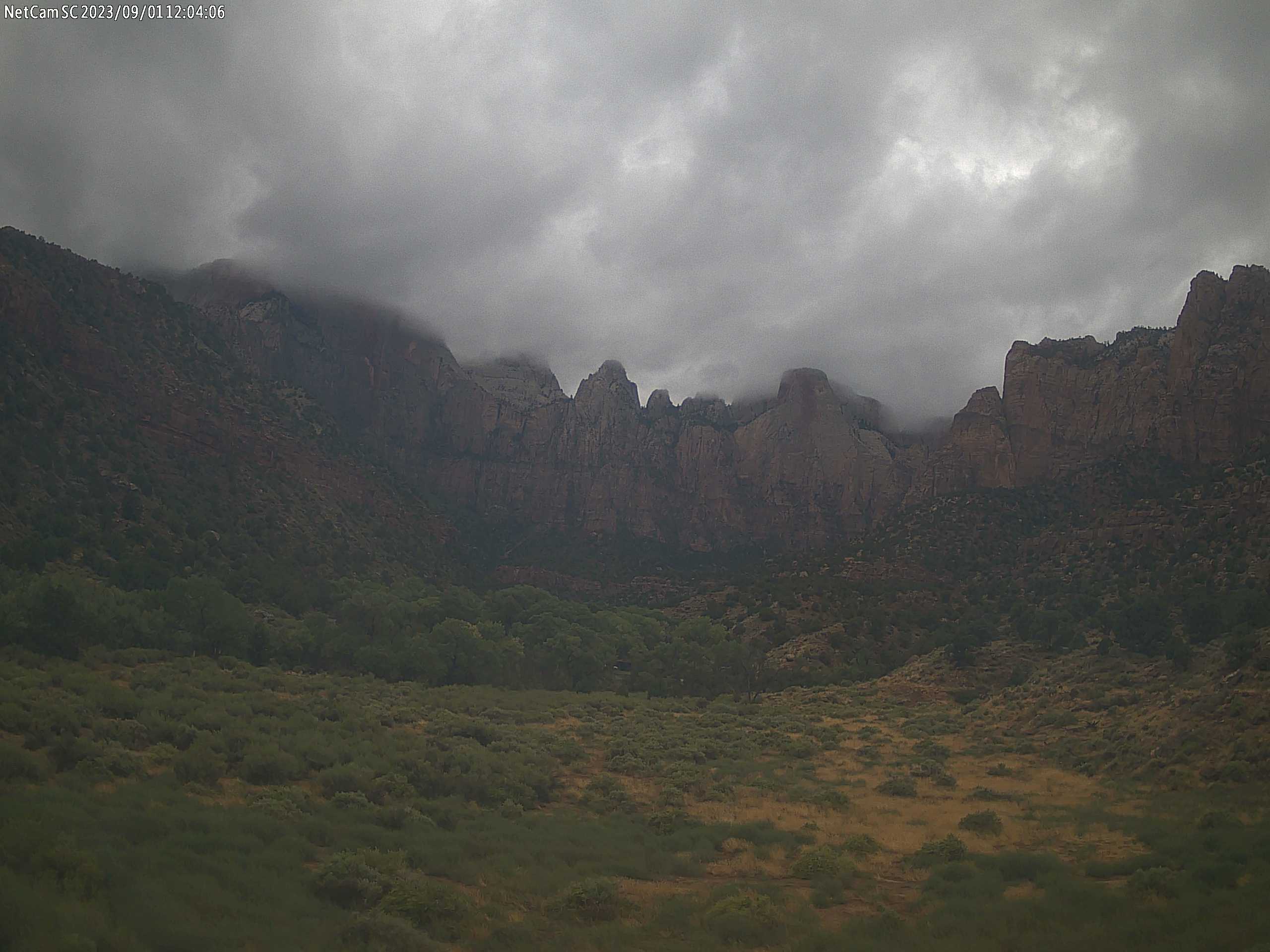
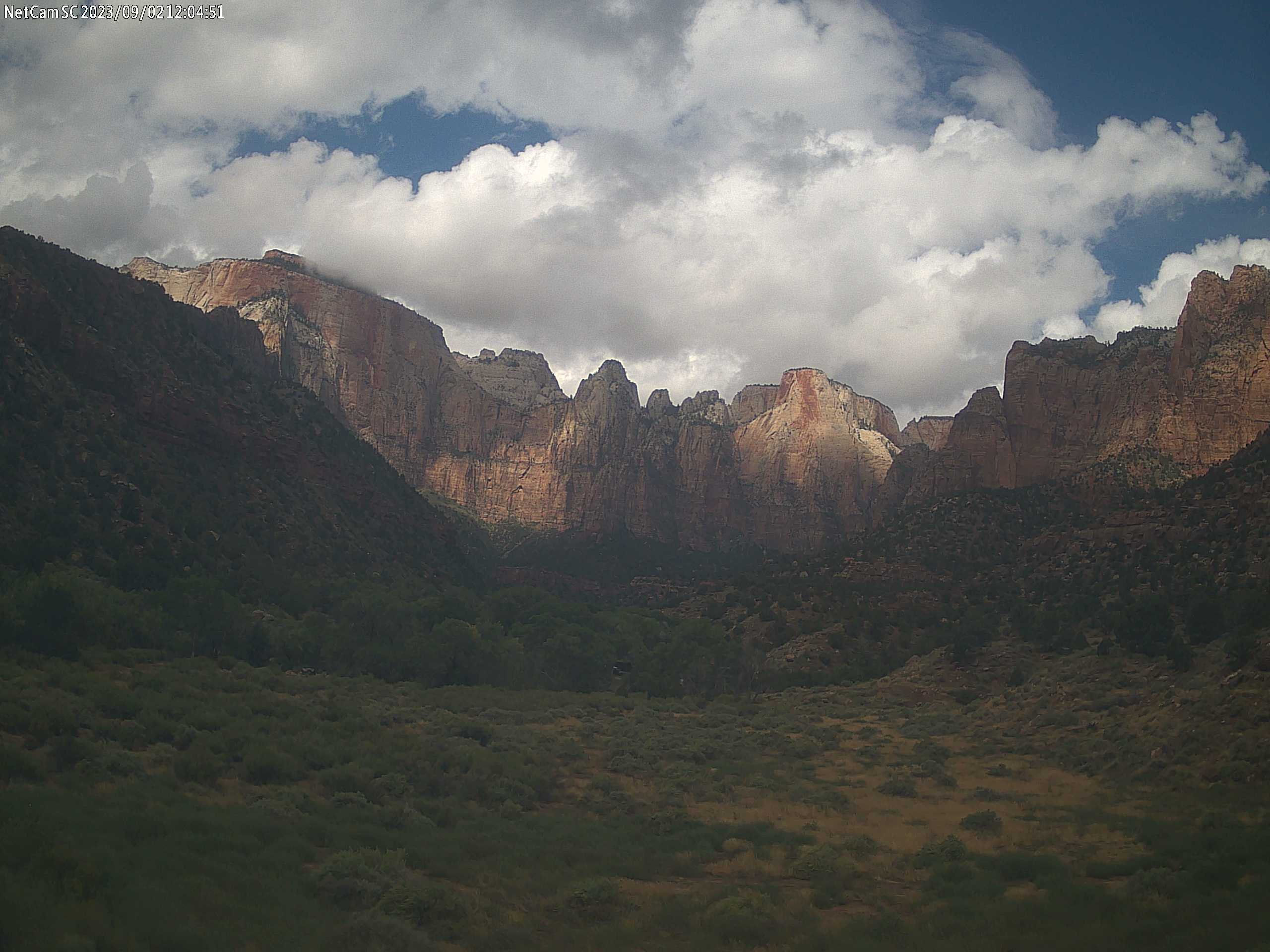
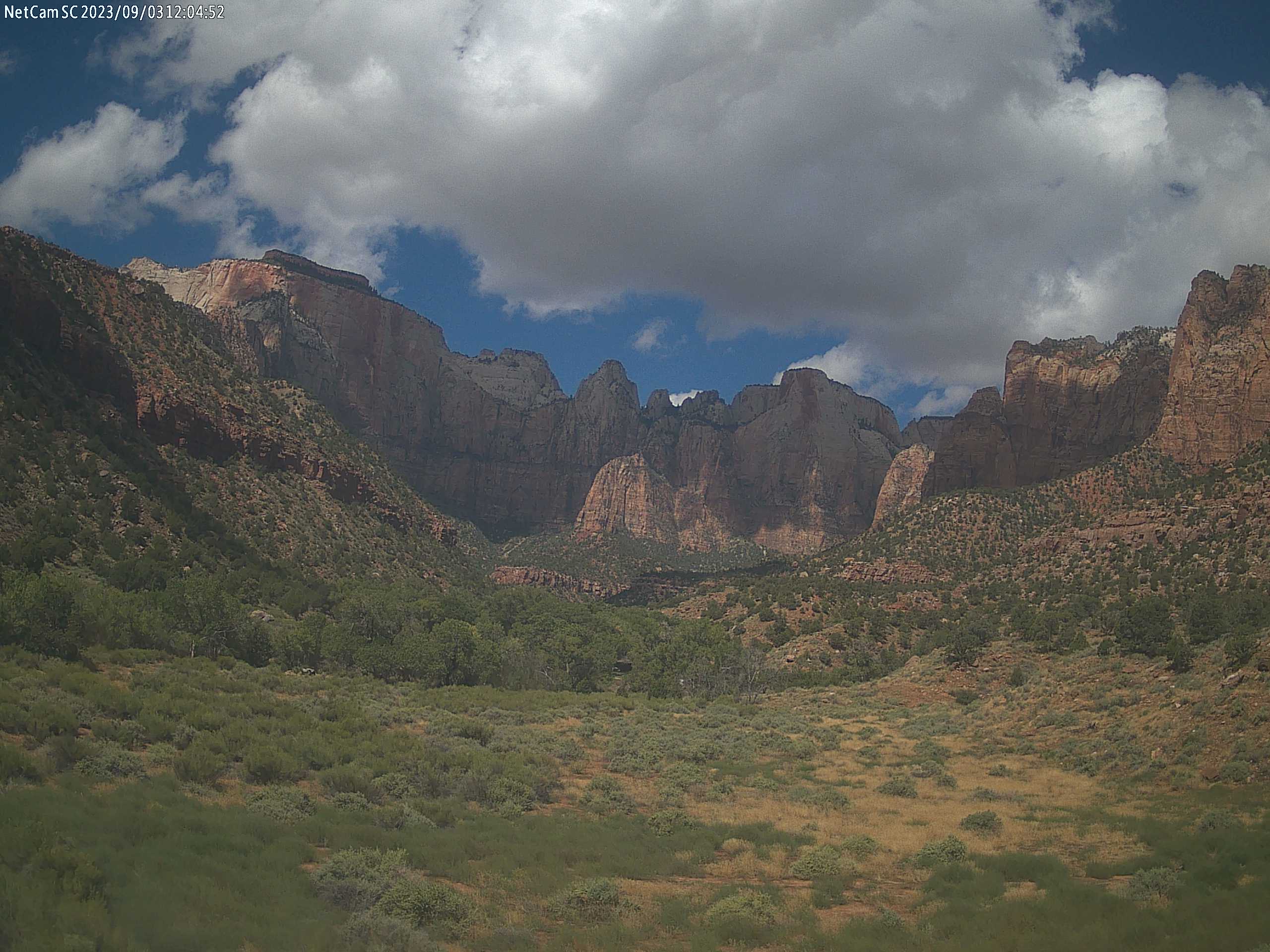
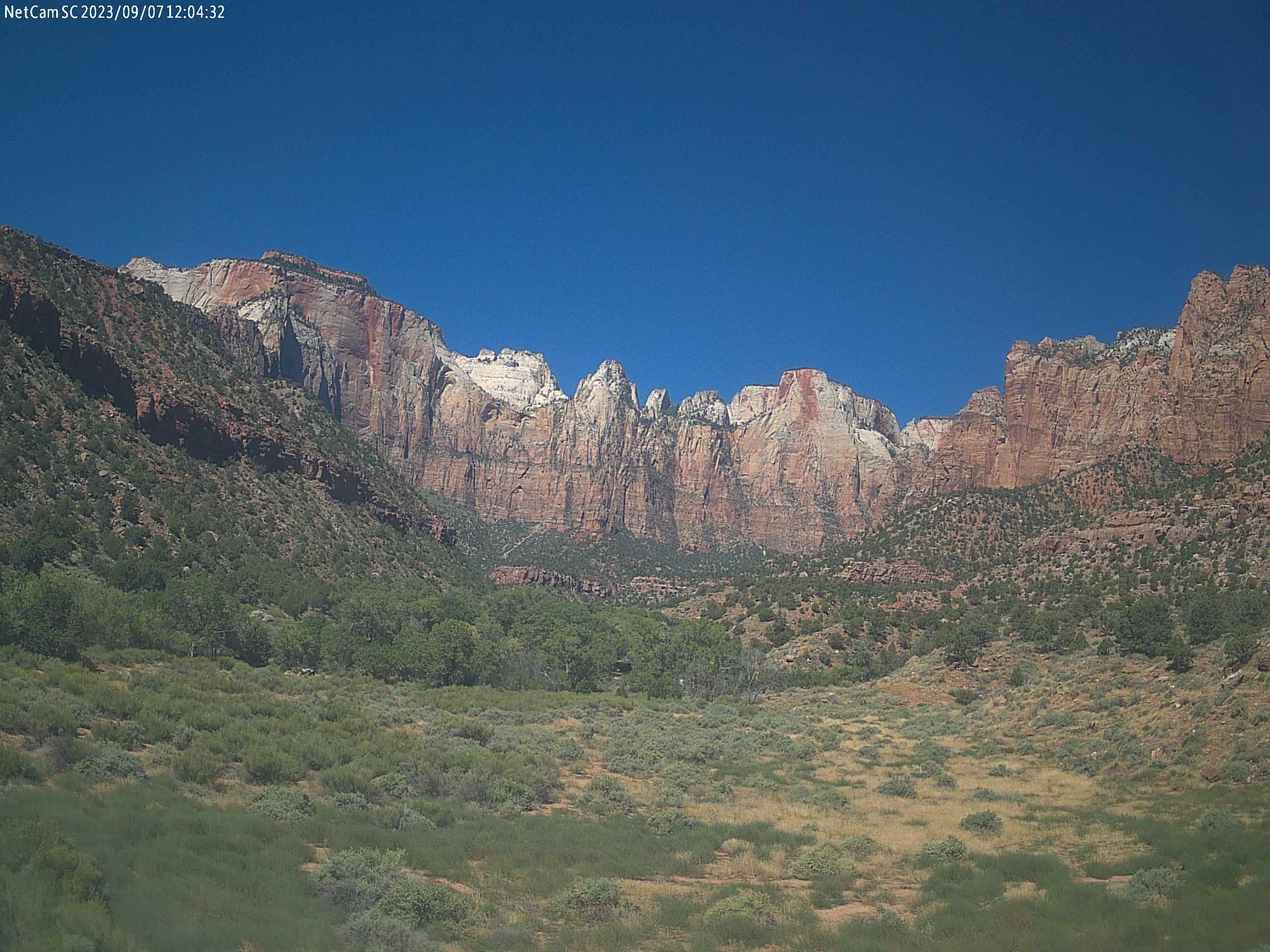
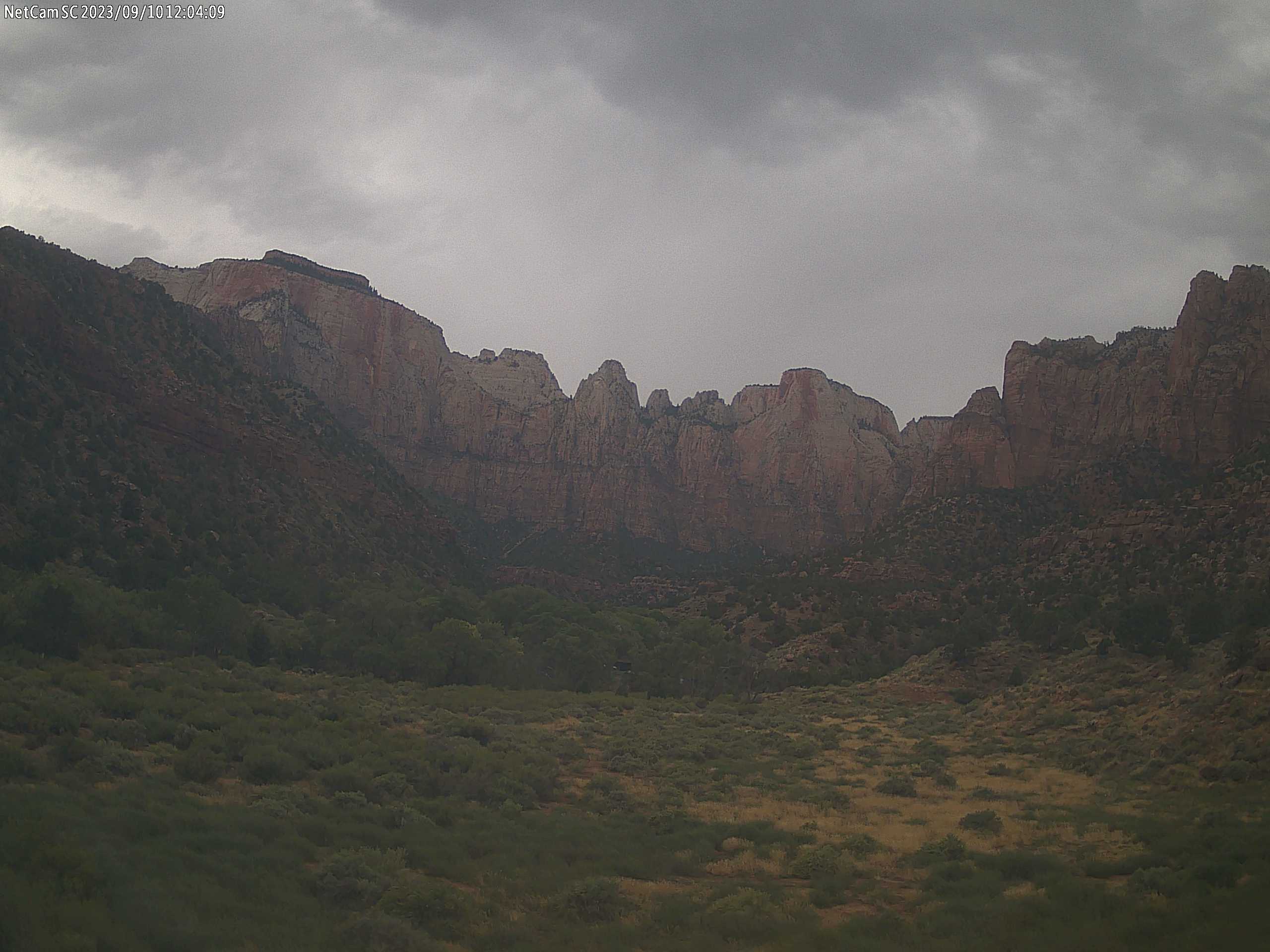
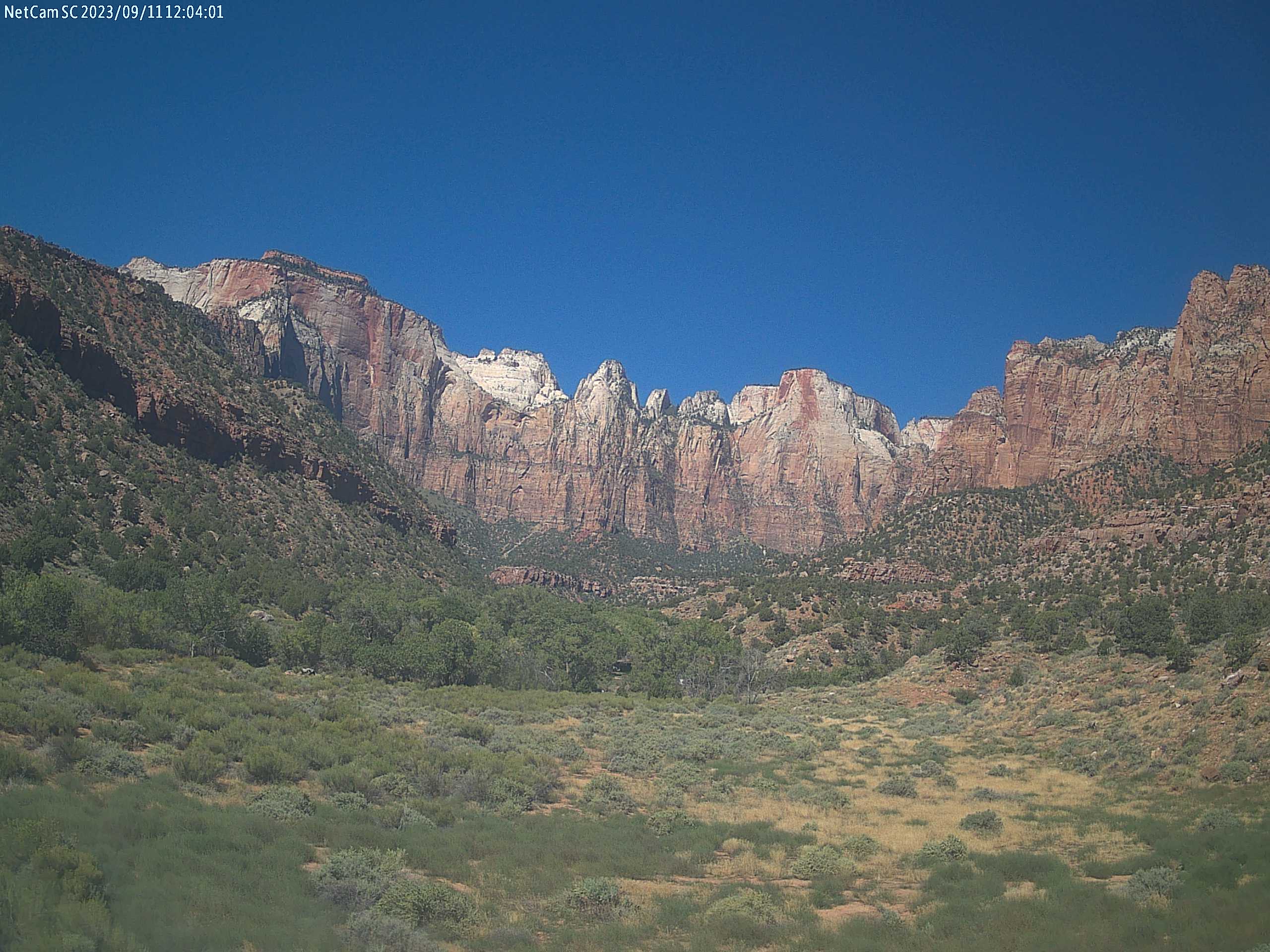
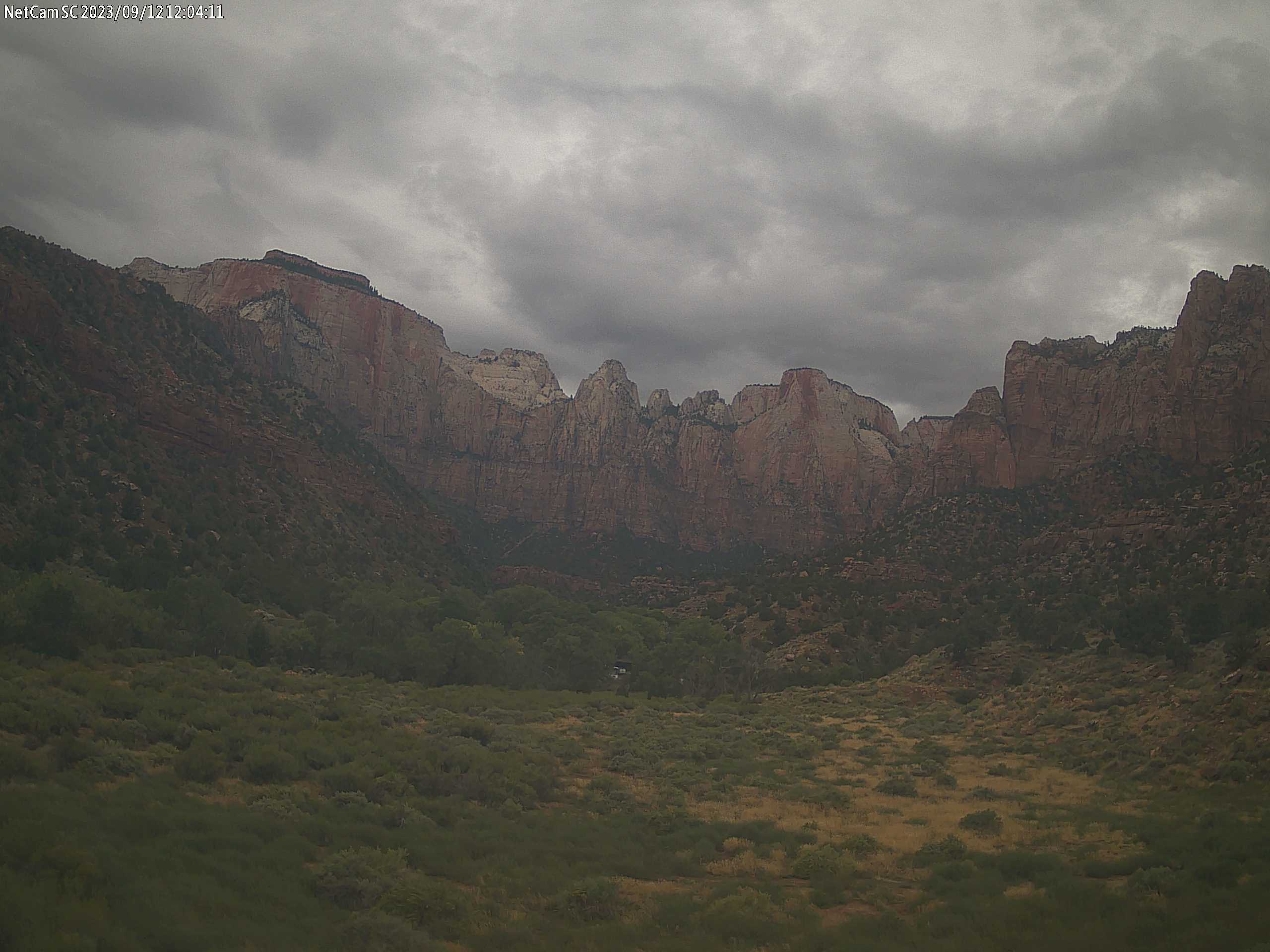
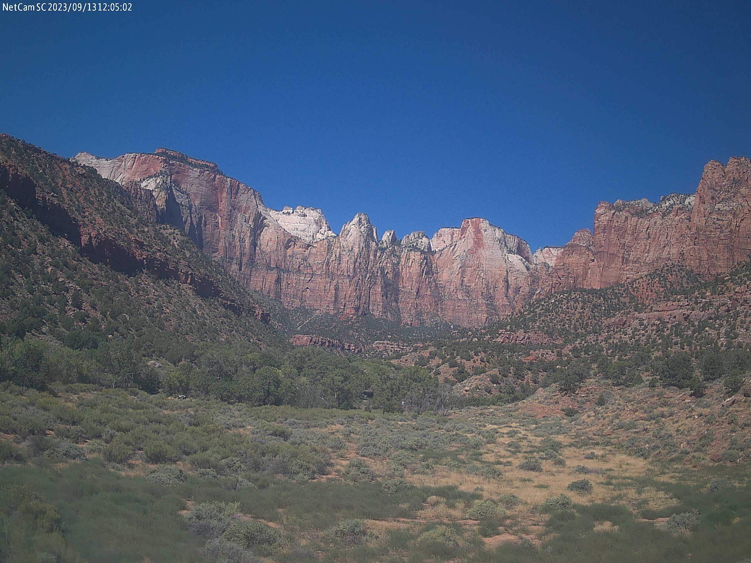
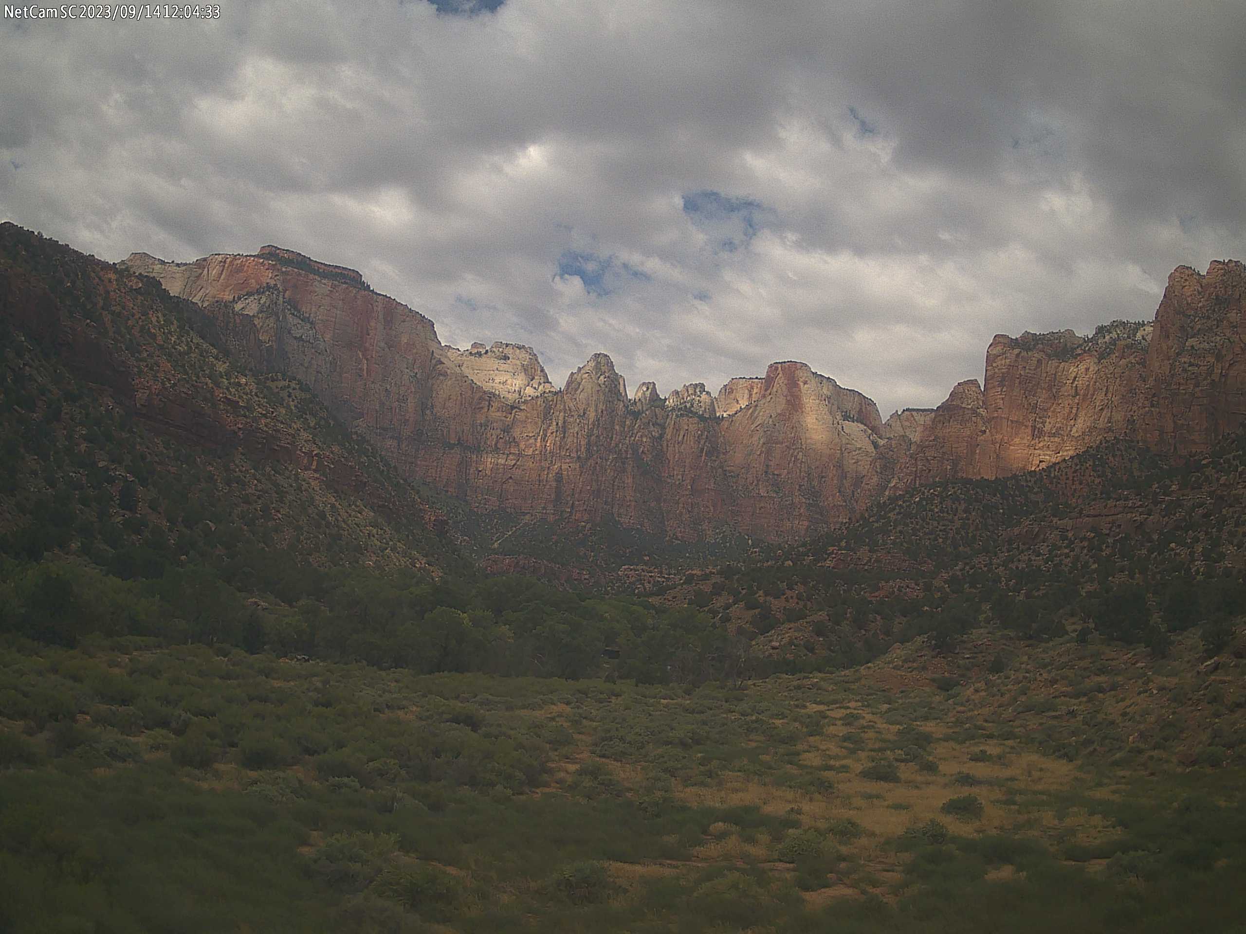
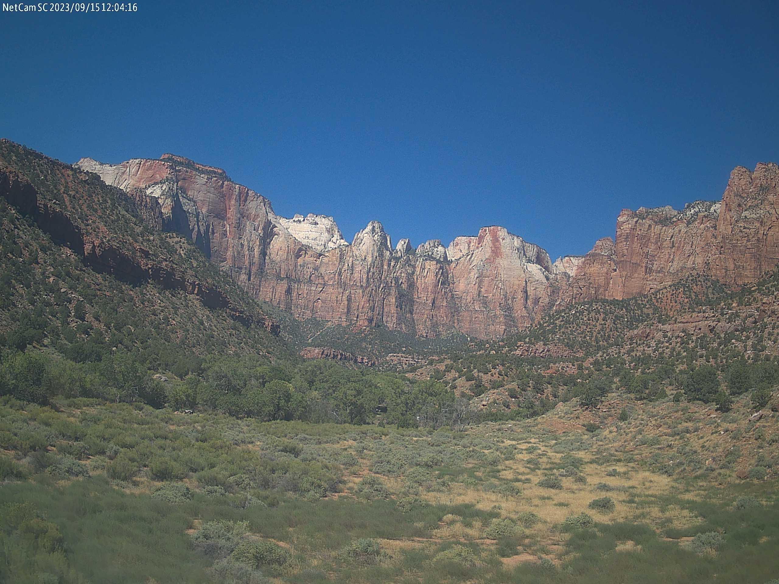
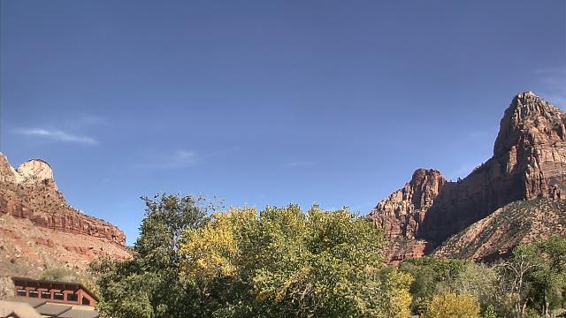
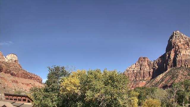
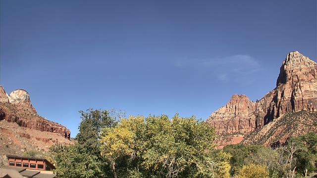
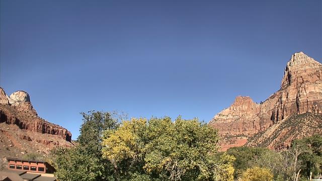
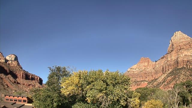
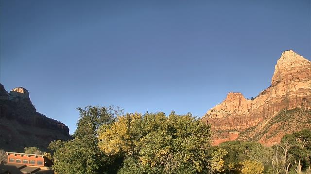
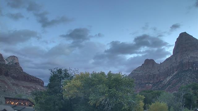
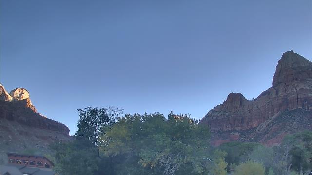
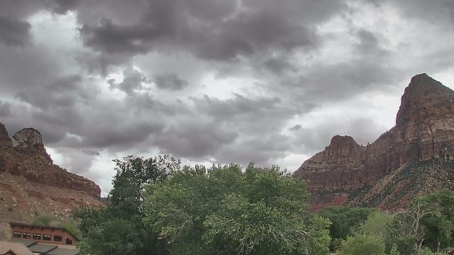
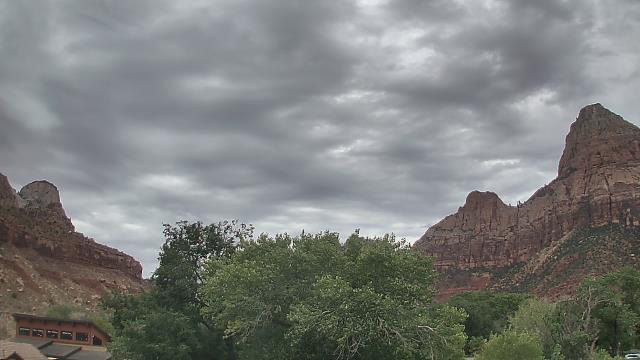
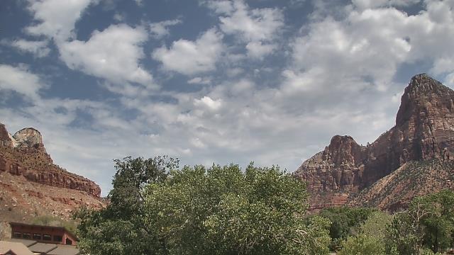
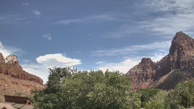
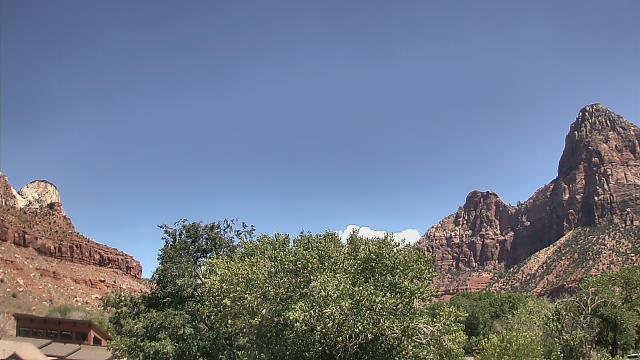
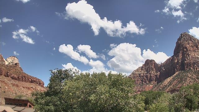
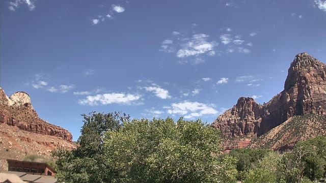
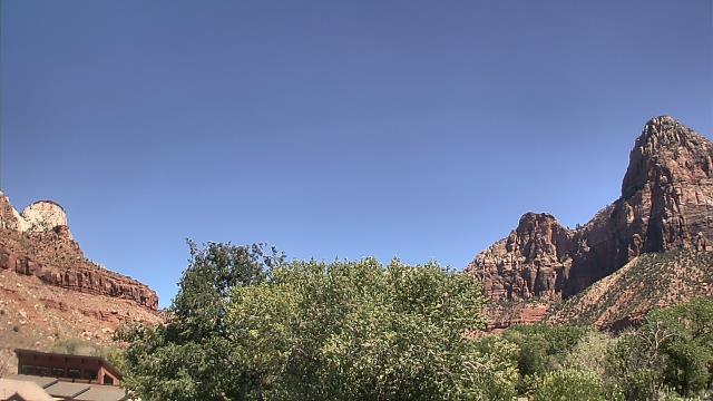
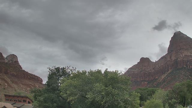
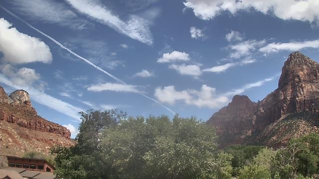
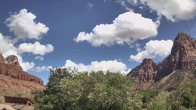
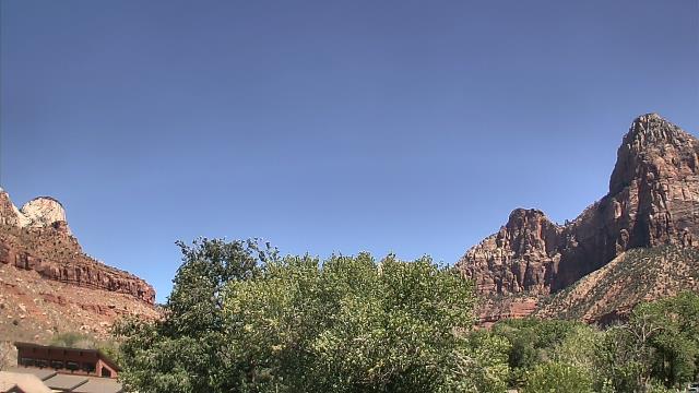
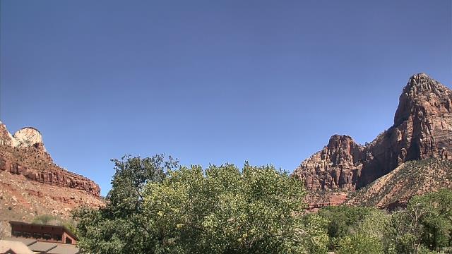
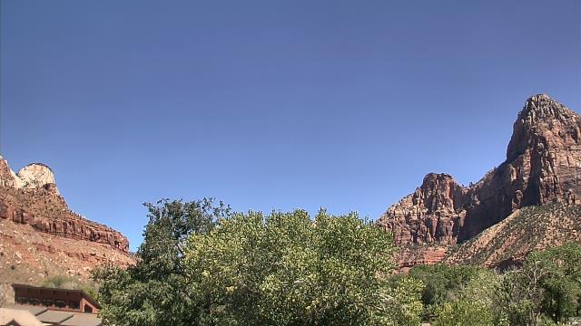
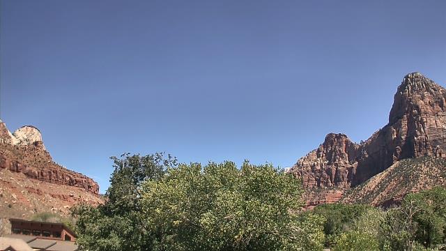
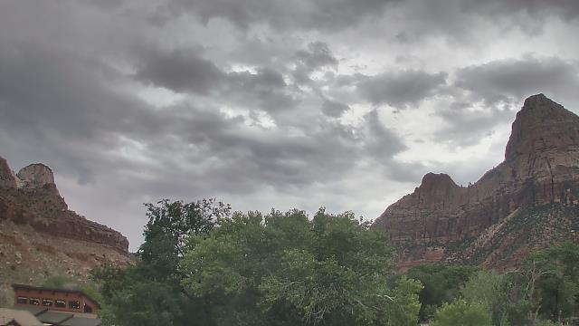
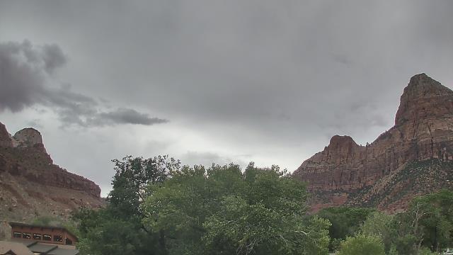
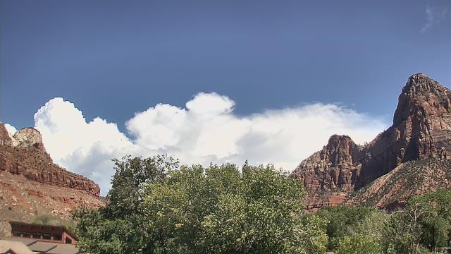
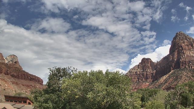
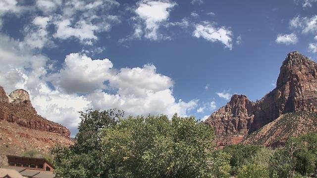
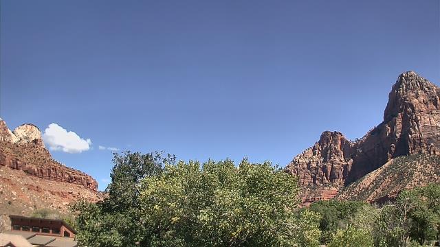
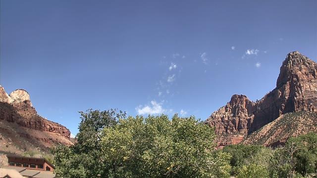
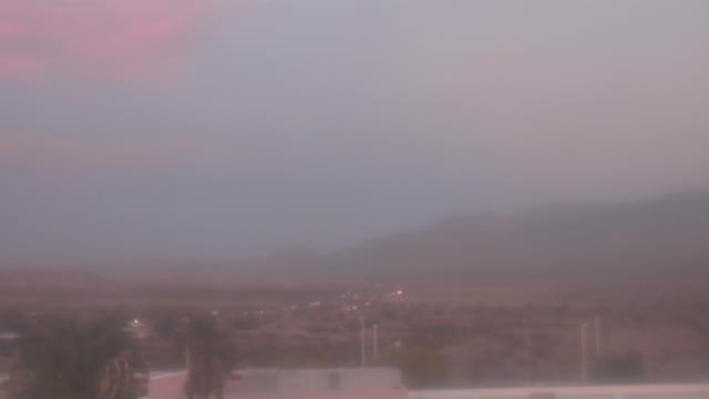
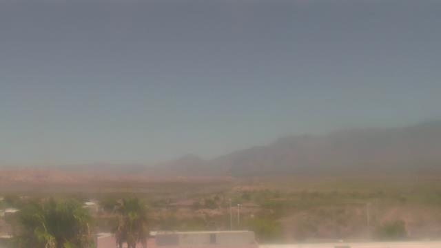
Zion National Park, Utah, USA - 32.7 miles from Cedar City: The Temples and Towers of the Virgin - The view from the Zion National Park headquarters.
Operator: U.S. National Park Service
Operator: U.S. National Park Service


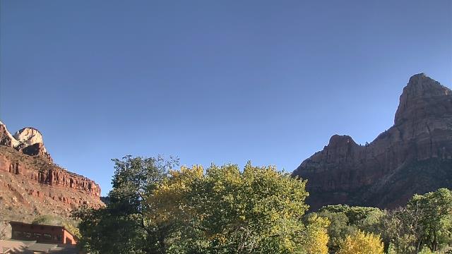
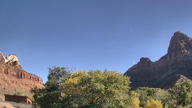
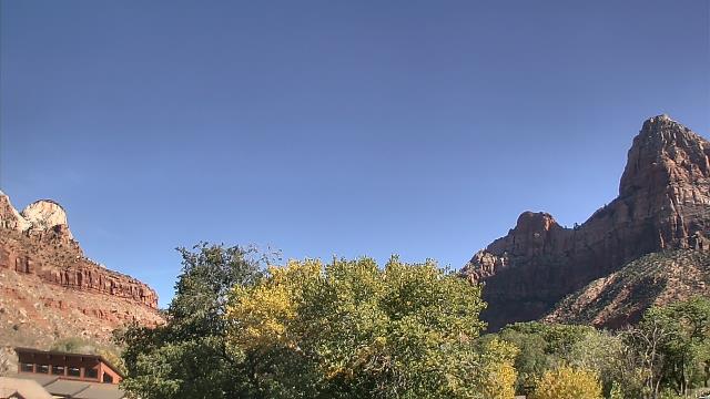
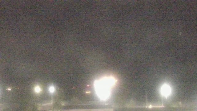
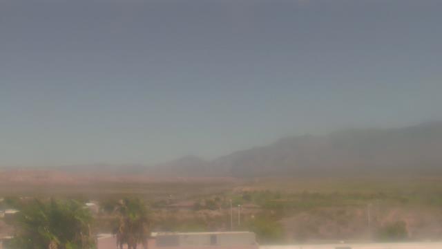
Springdale, Utah, USA - 33.9 miles from Cedar City: Zion Canyon Theatre - A webcam in Springdale, Utah - camera location: Zion Canyon Theatre.
Operator: WeatherBug
Operator: WeatherBug


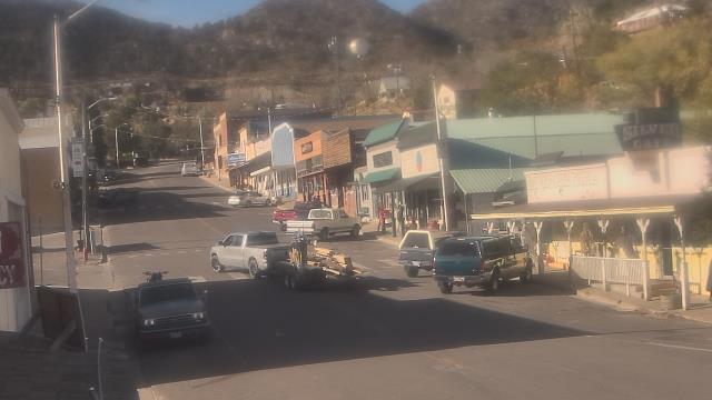
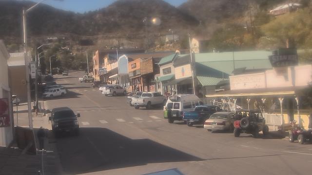
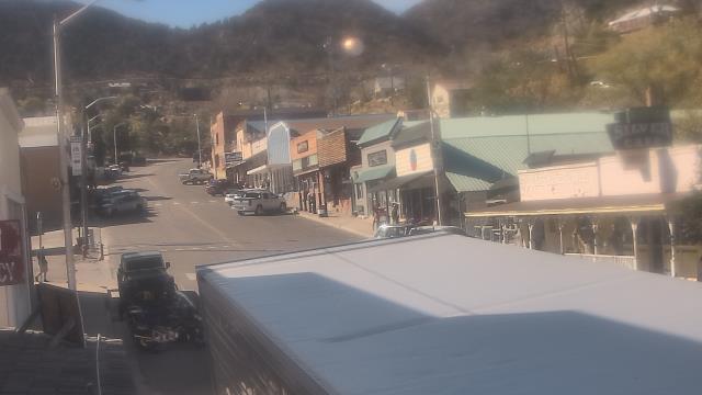
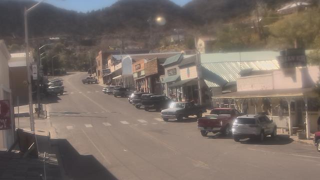
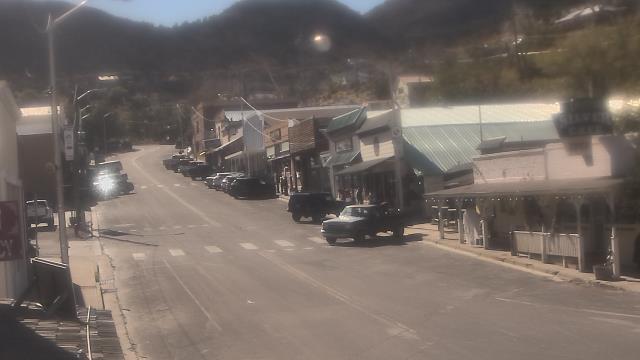
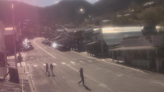
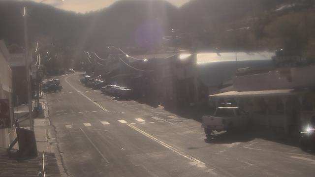
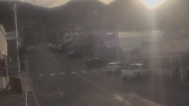
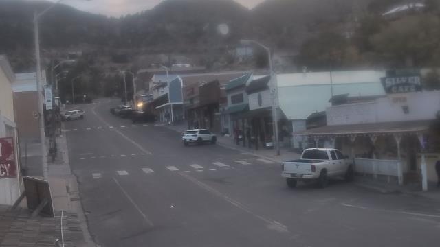
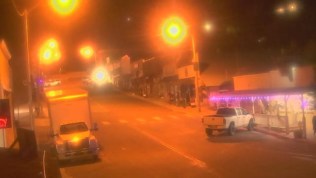
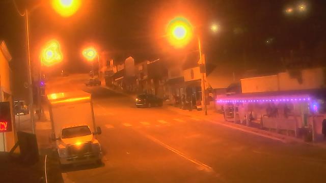
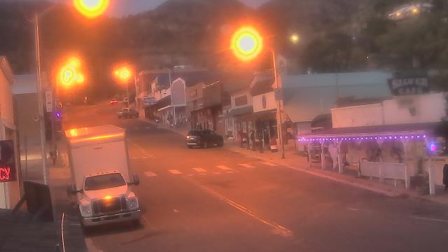
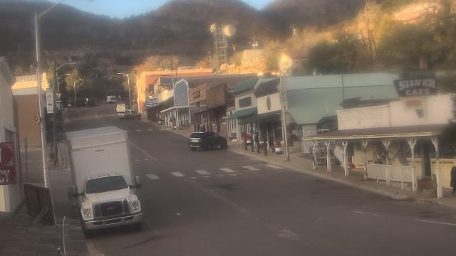
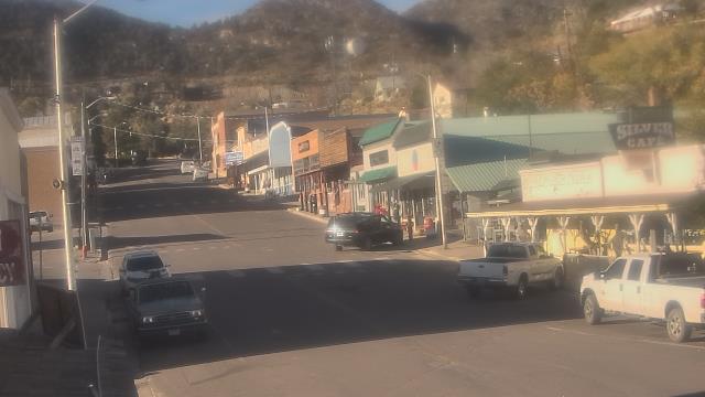
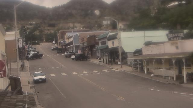
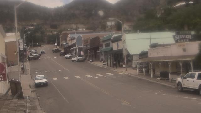
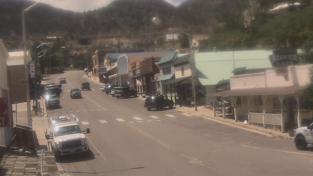
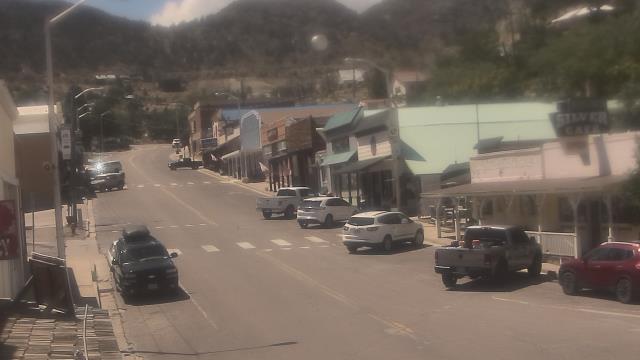
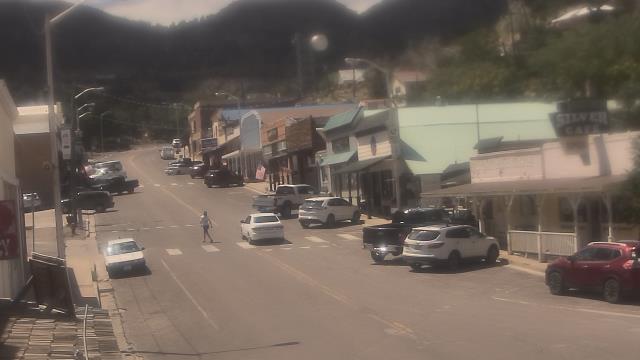
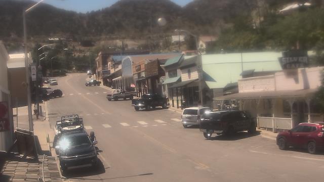
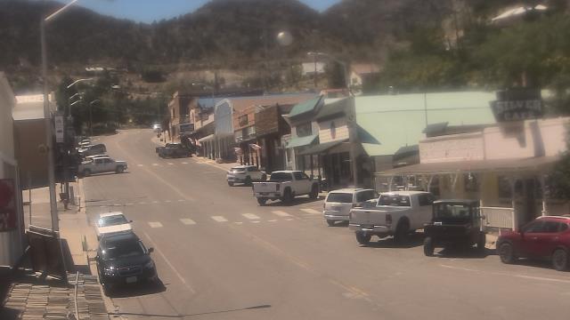
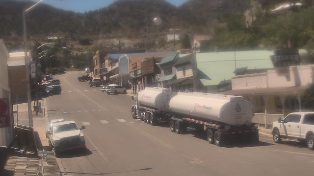
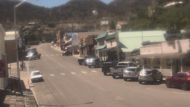
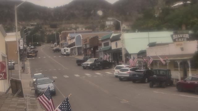
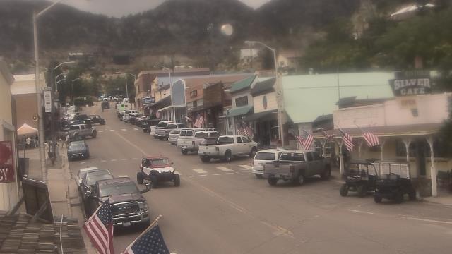
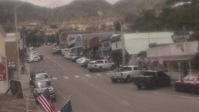
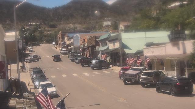
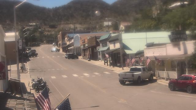
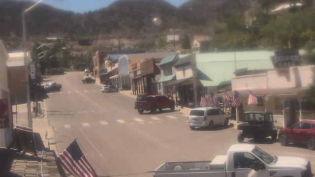
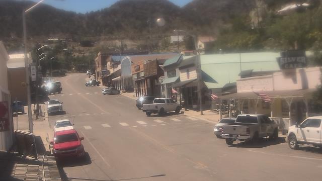
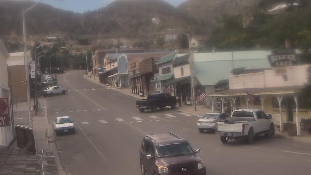
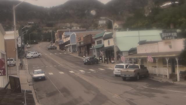
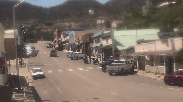
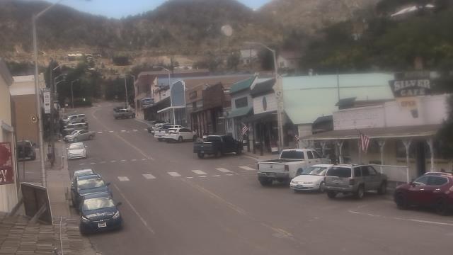
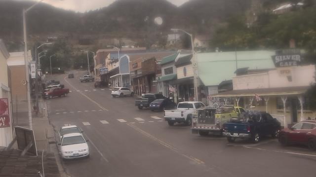
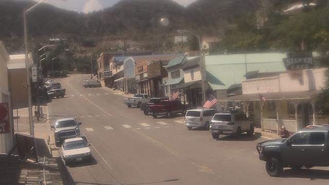
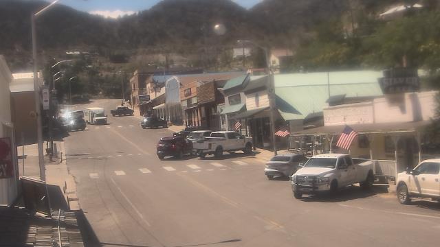
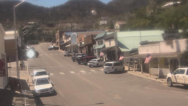
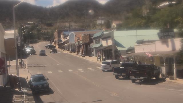
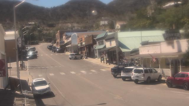
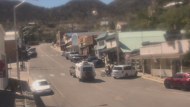
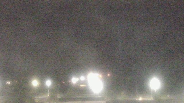
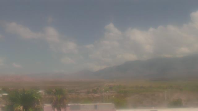
Pioche, Nevada, USA - 77.8 miles from Cedar City: Overland Hotel - Webcam and current weather data - camera location: Overland Hotel.
Operator: WeatherBug
Operator: WeatherBug


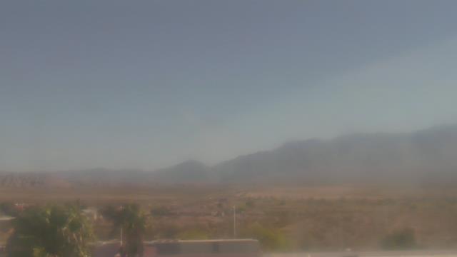
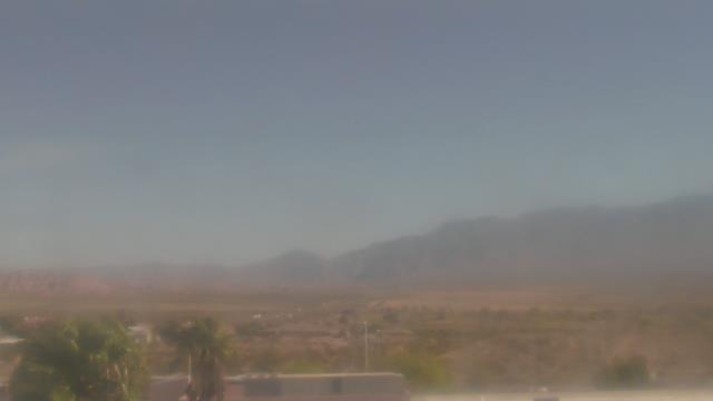
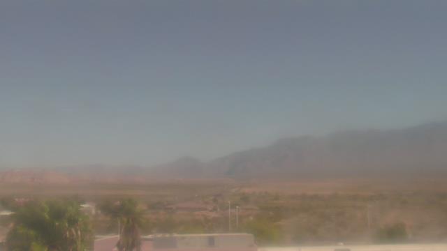
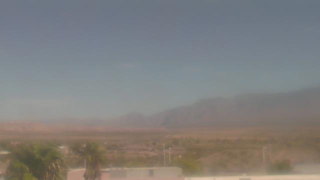
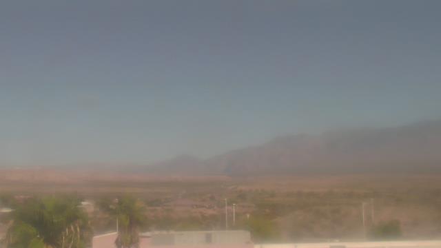
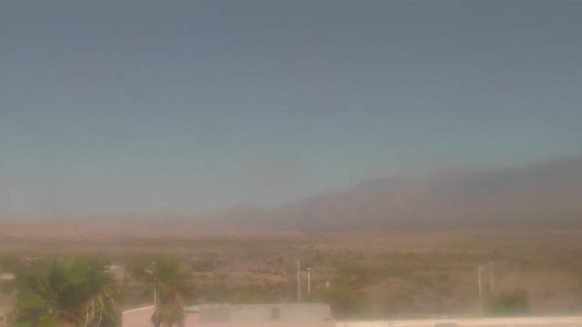
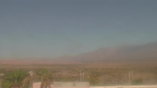
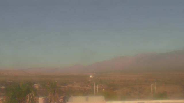
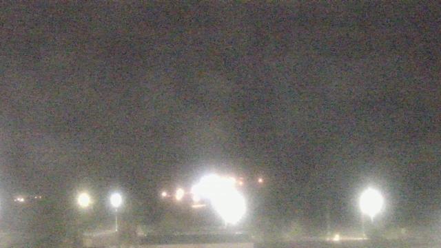
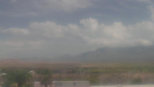
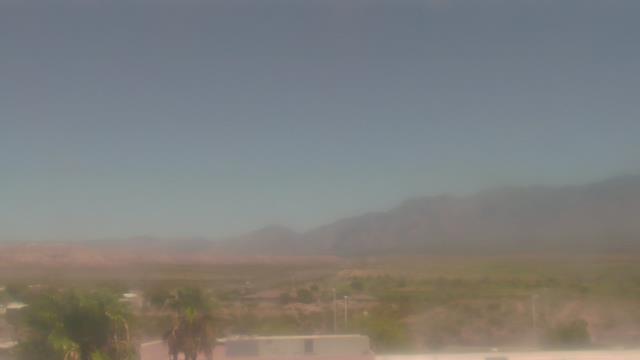
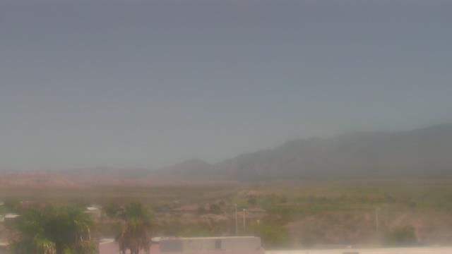
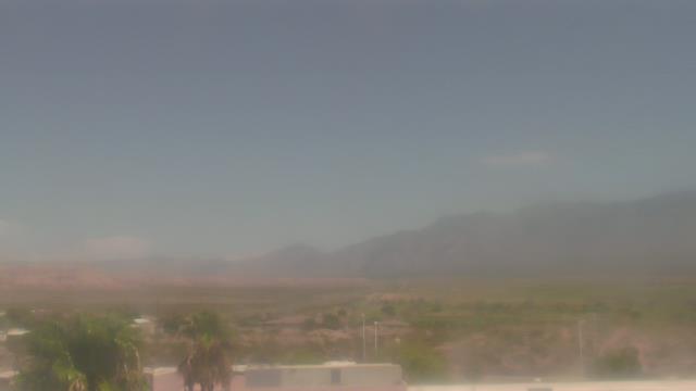
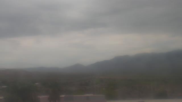
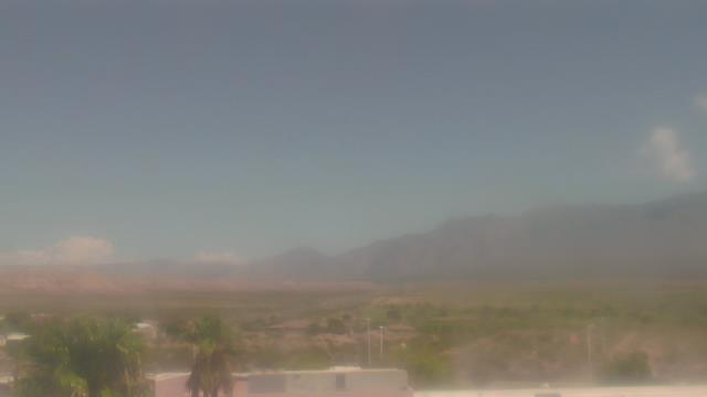
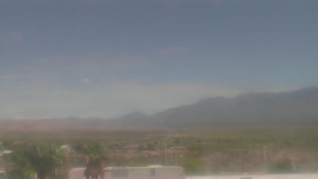
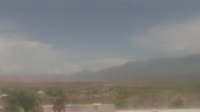
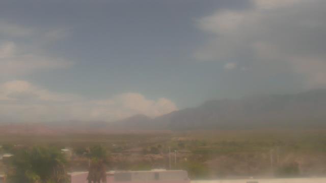
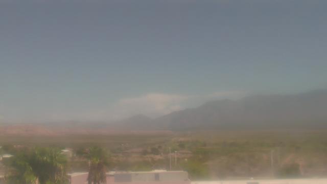
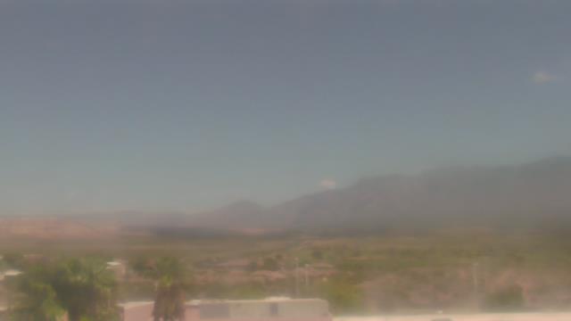
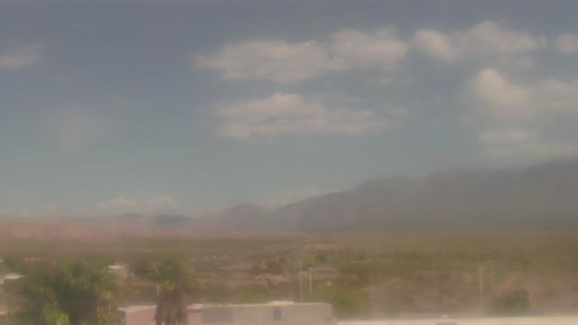
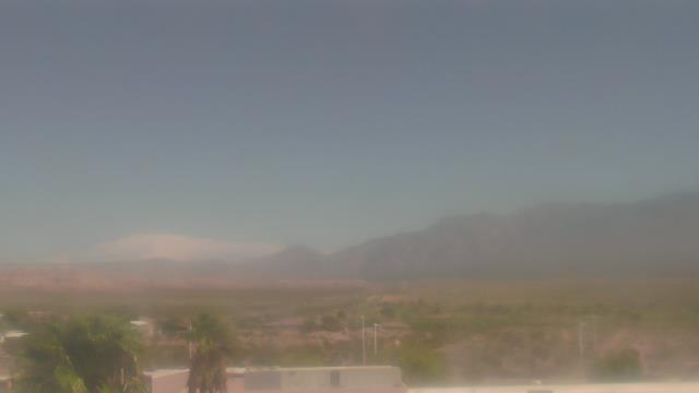
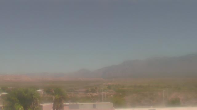
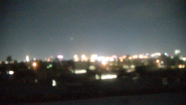
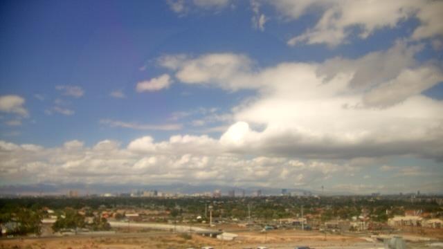
Mesquite, Nevada, USA - 81.8 miles from Cedar City: Virgin Valley High School - A webcam in Mesquite, Nevada - camera location: Virgin Valley High School.
Operator: WeatherBug
Operator: WeatherBug


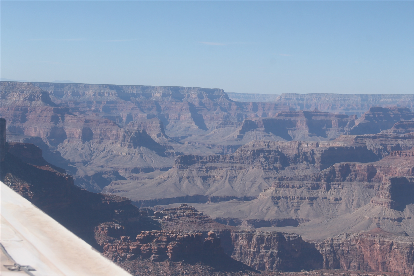
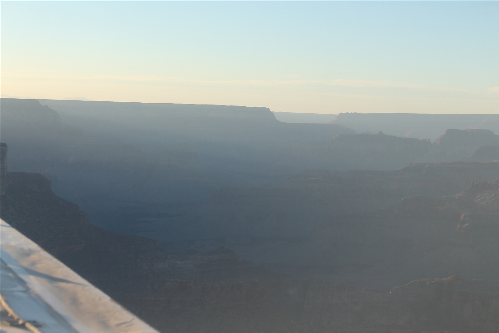
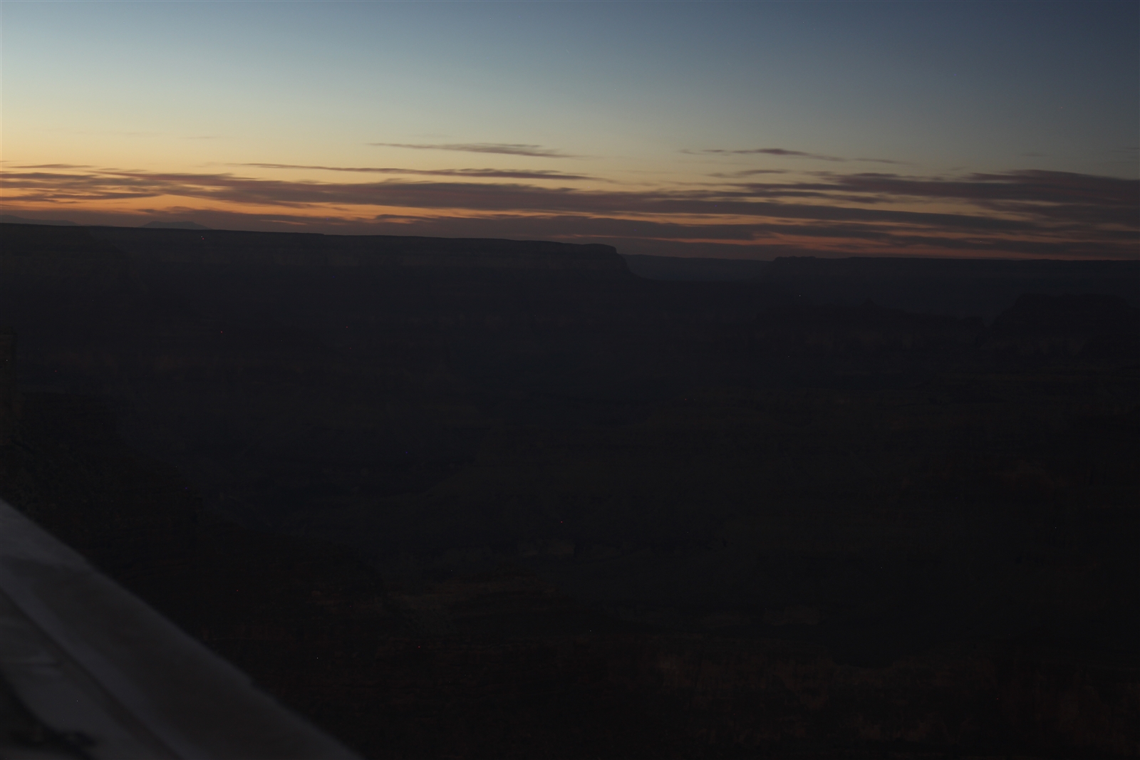
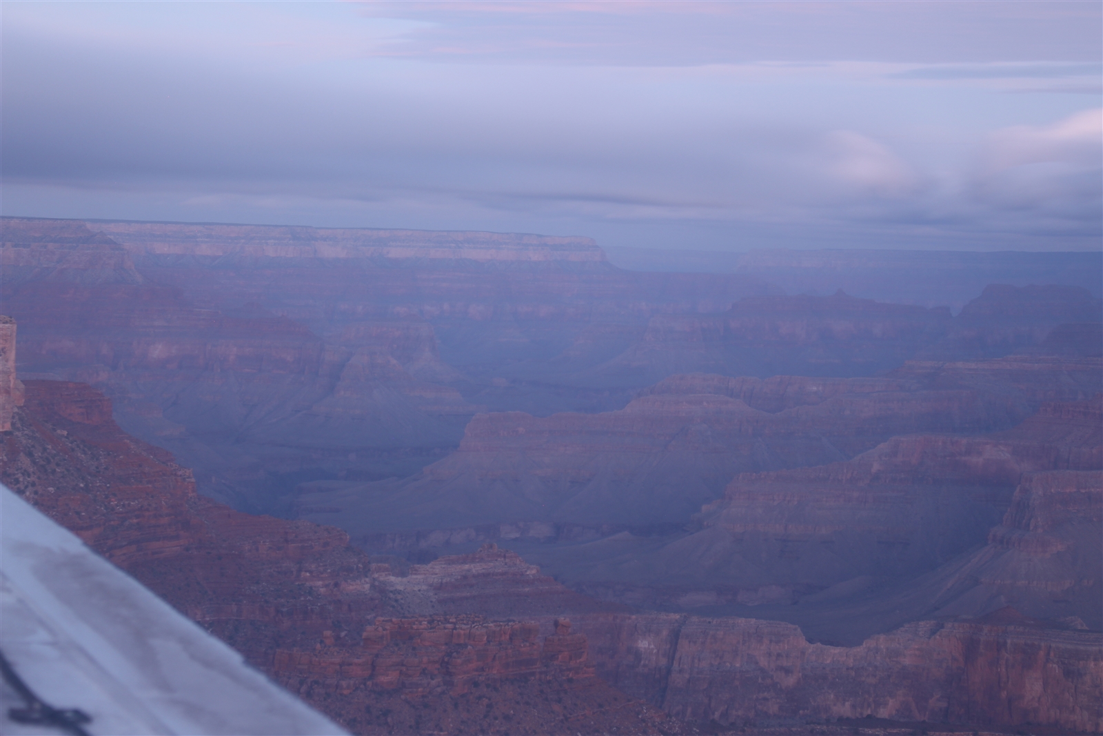
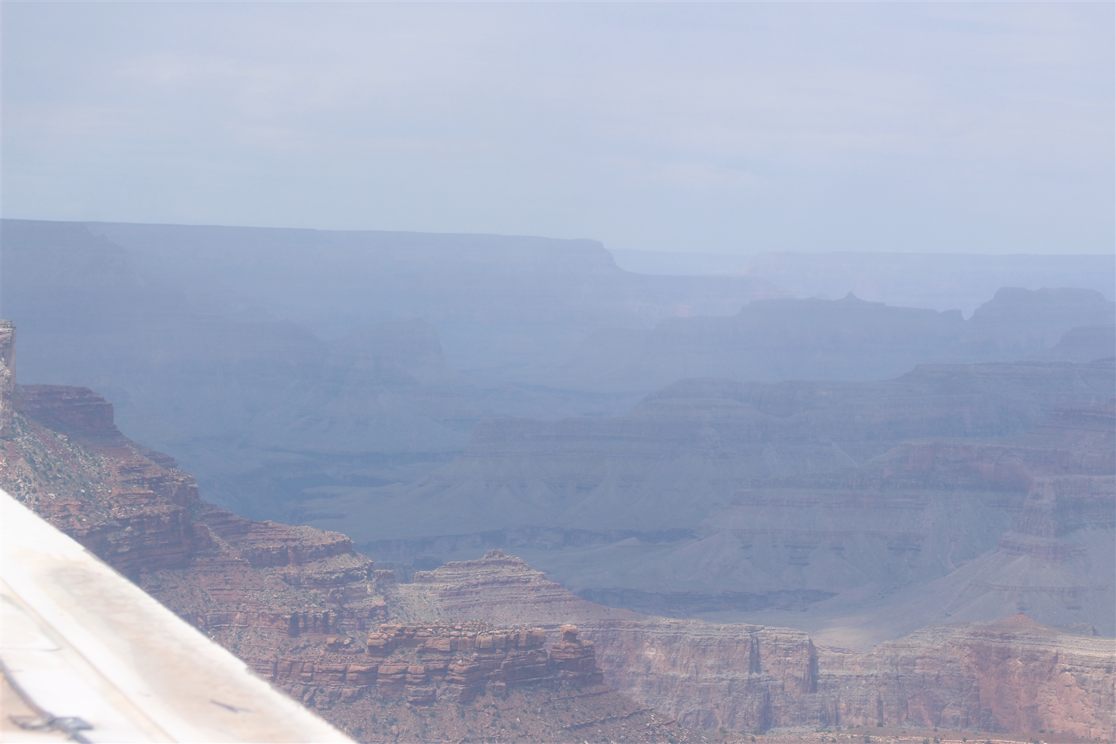
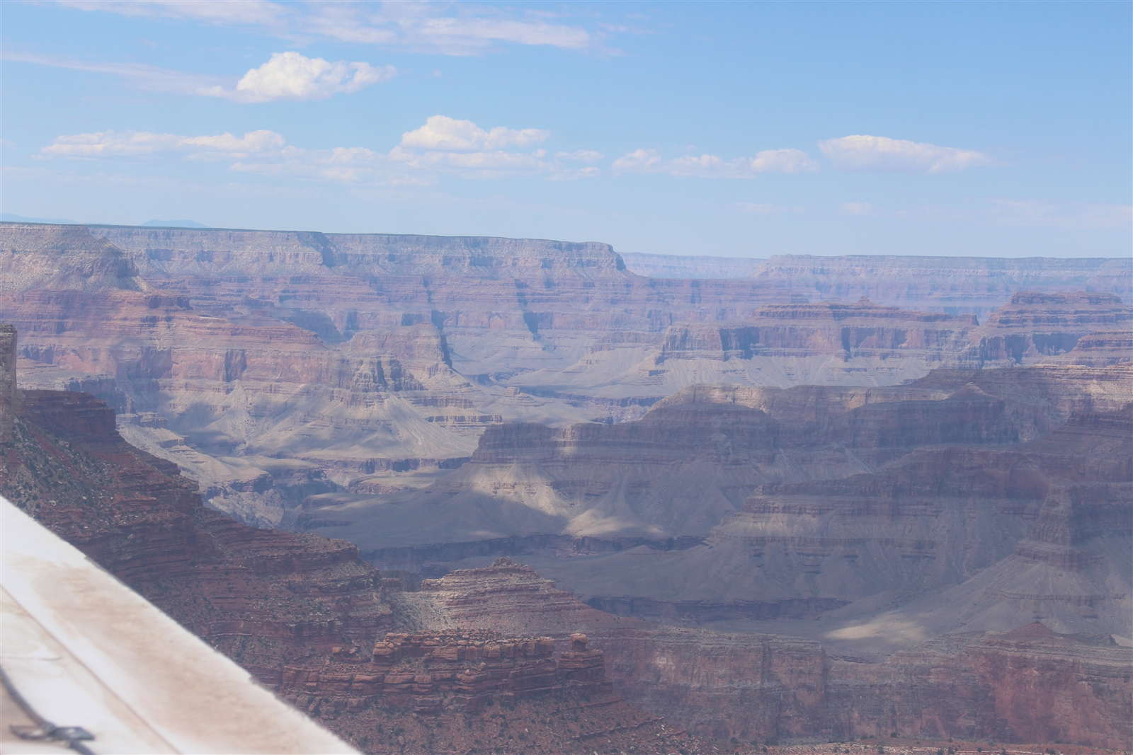
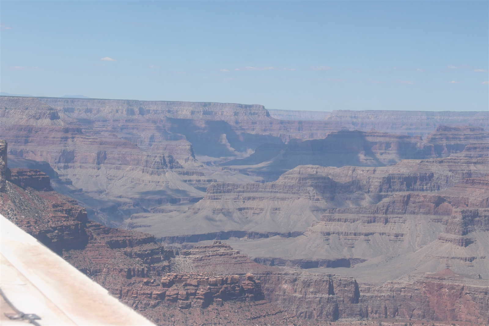
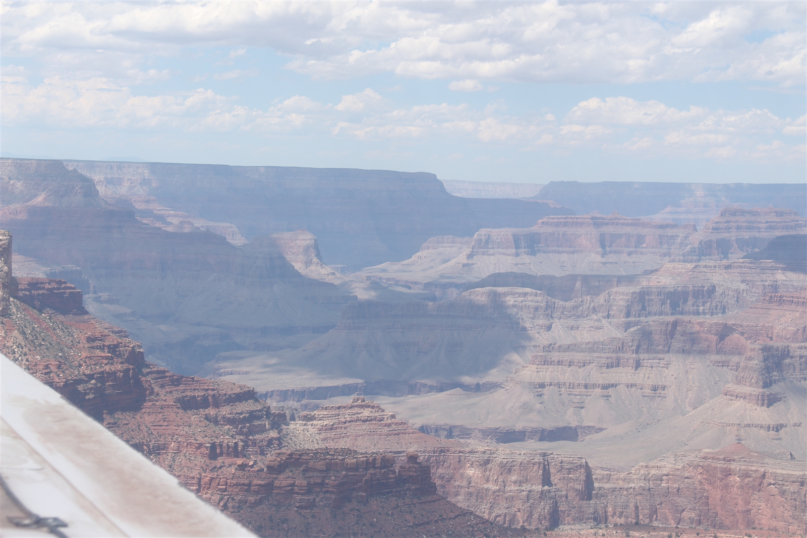
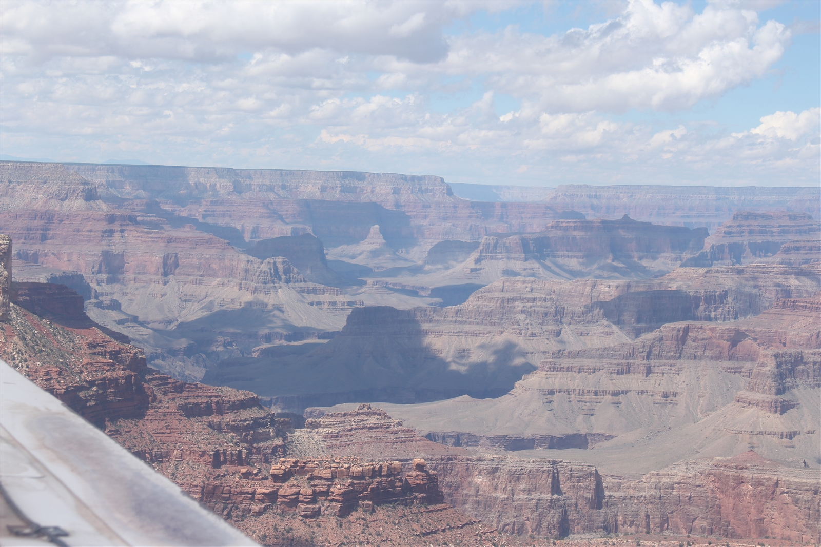
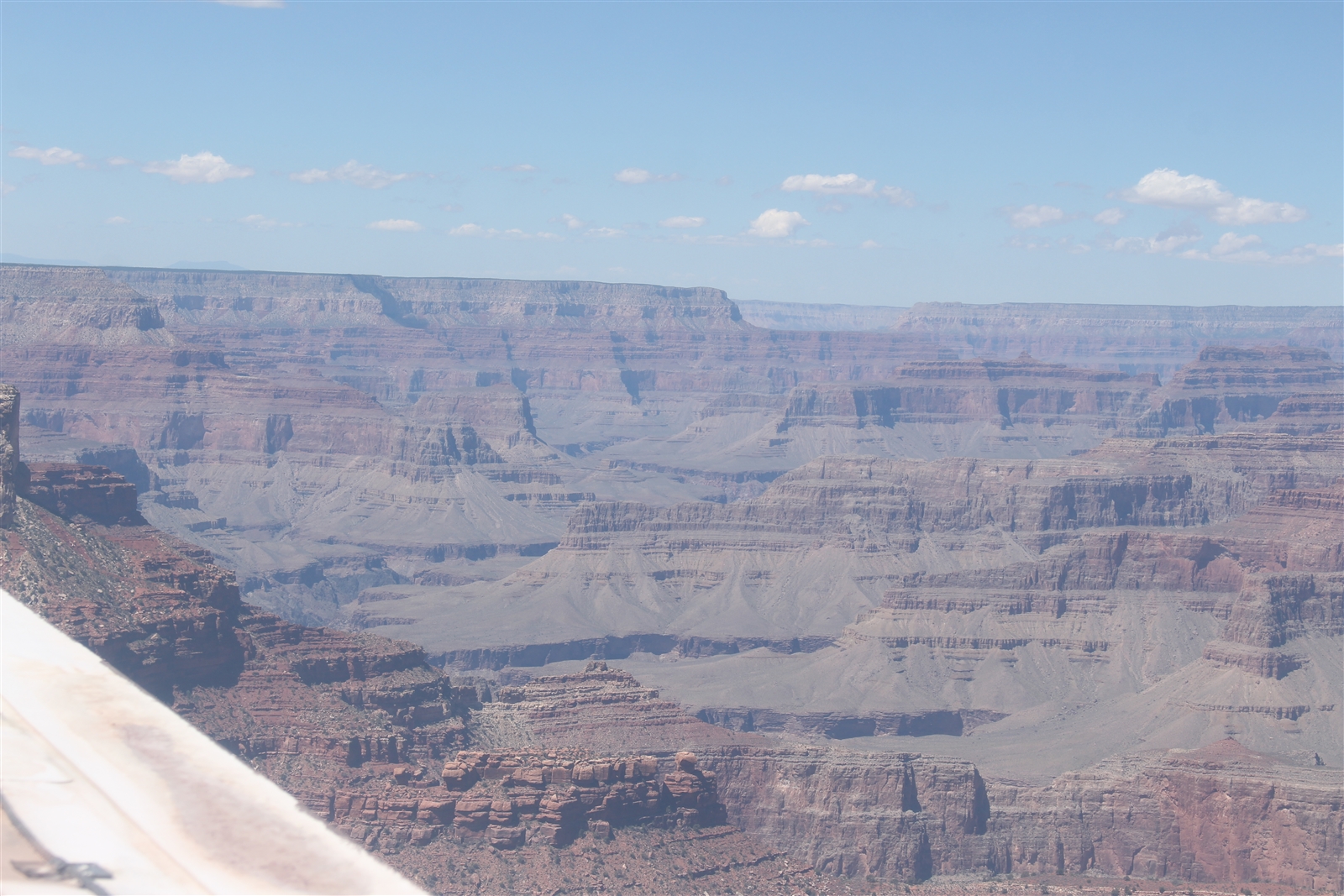
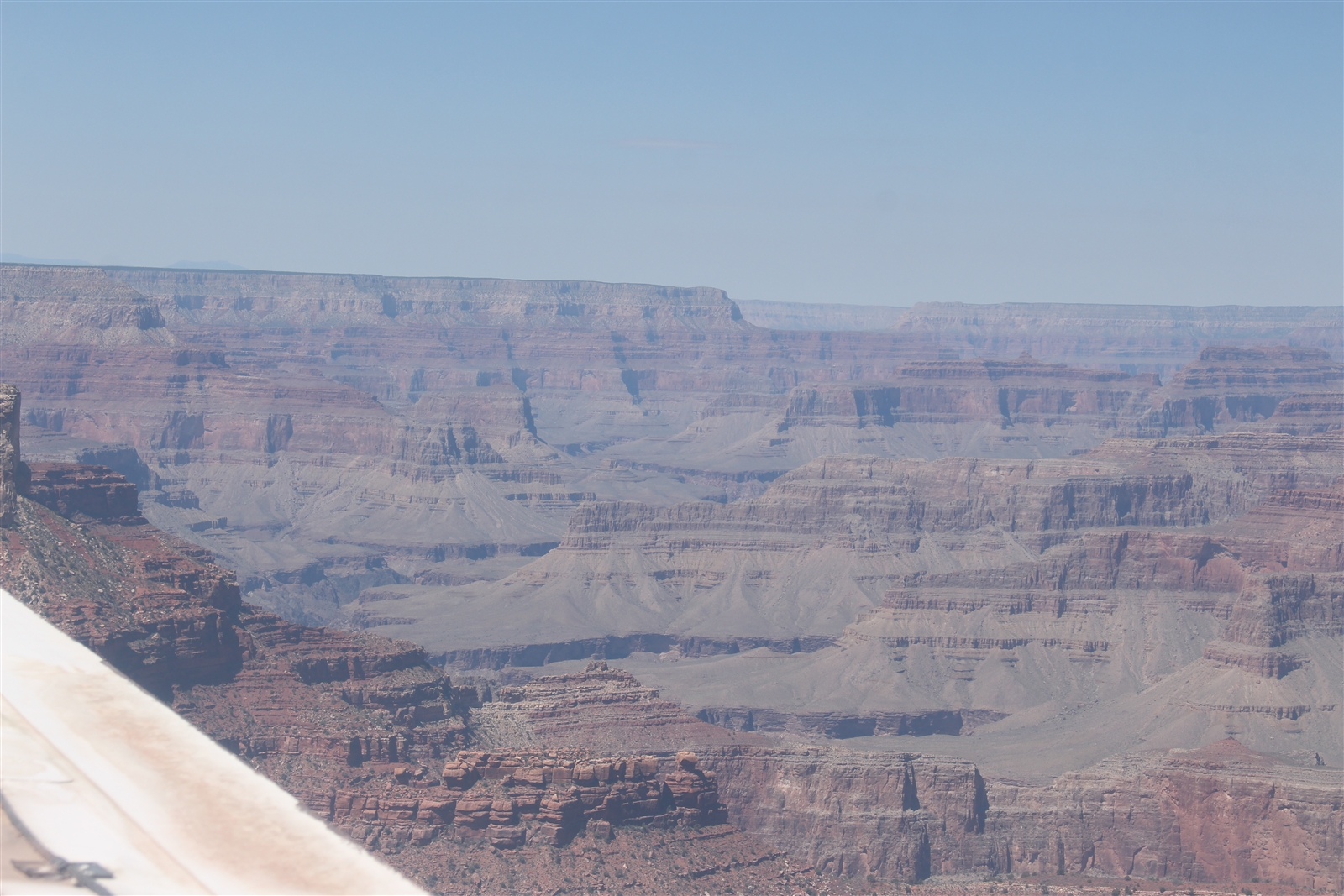
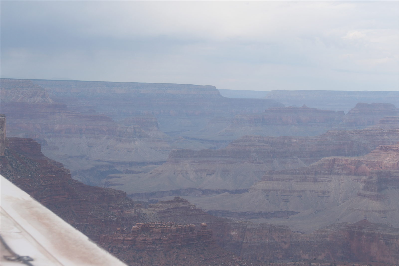
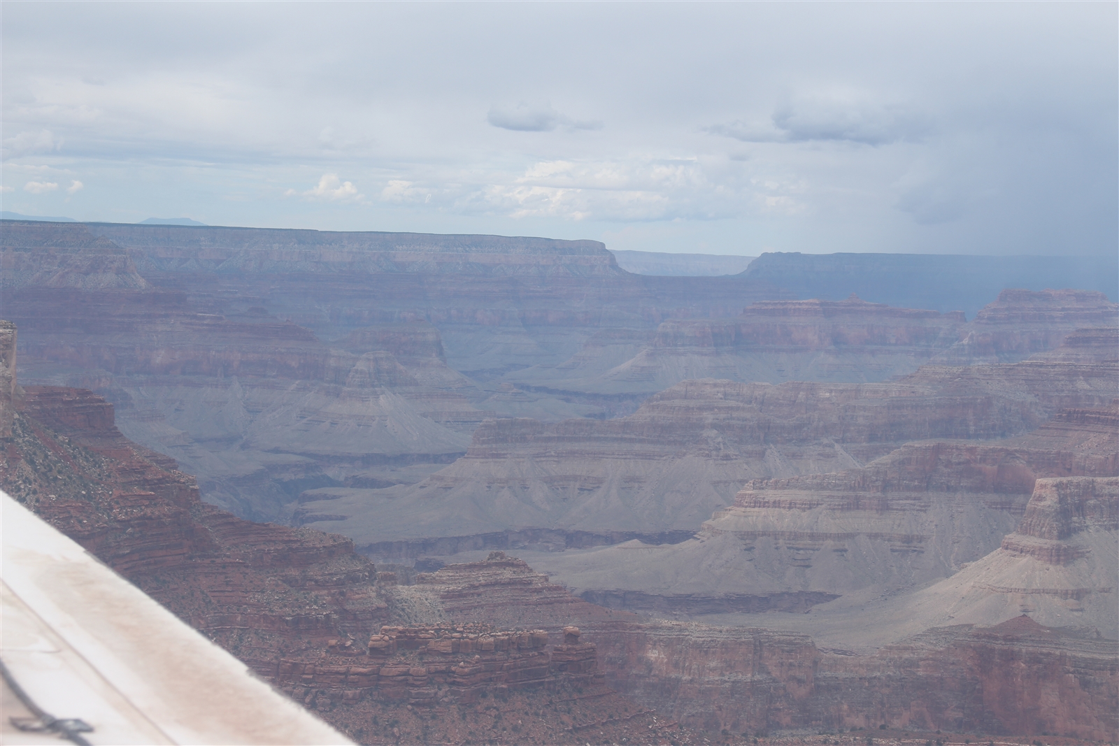
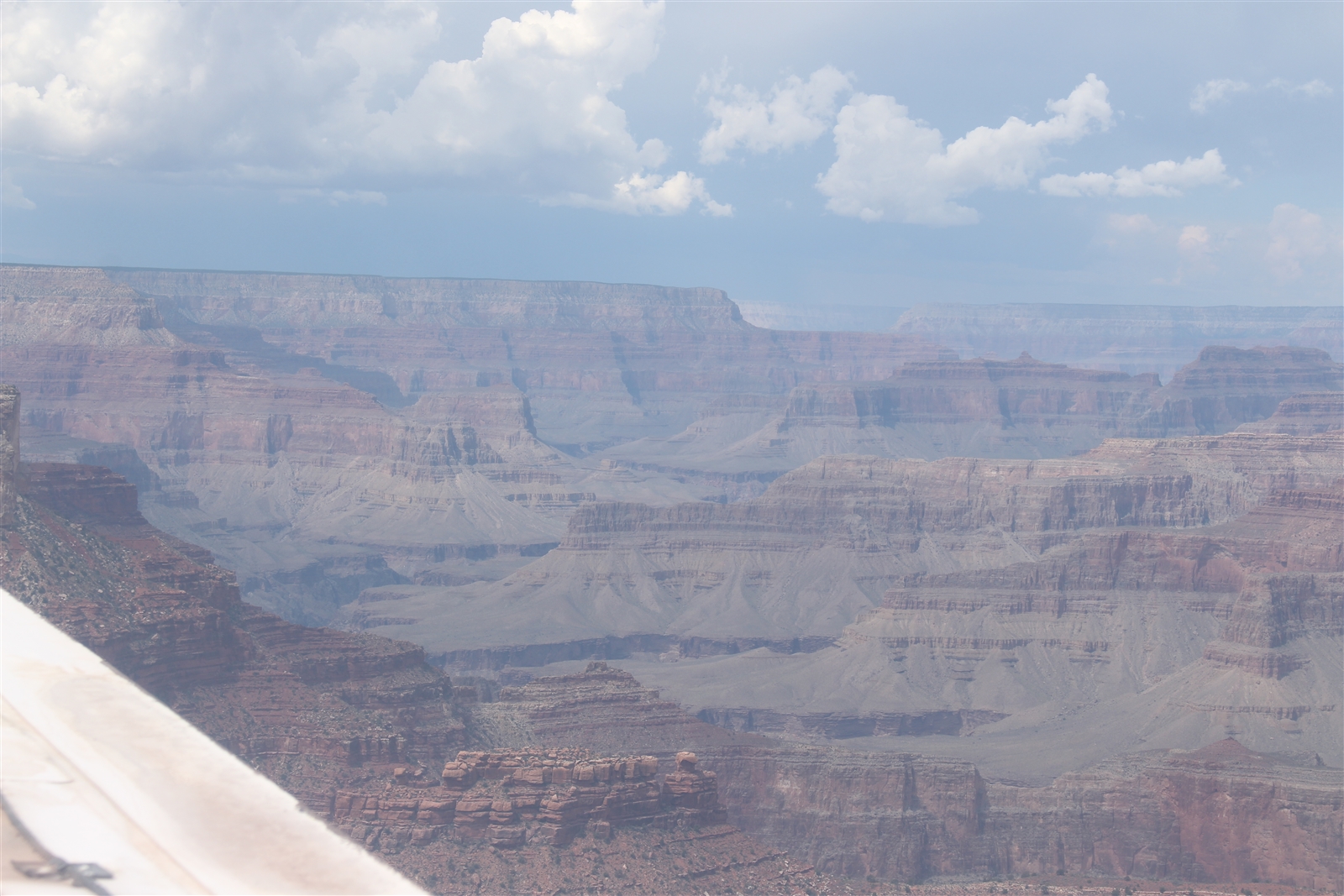
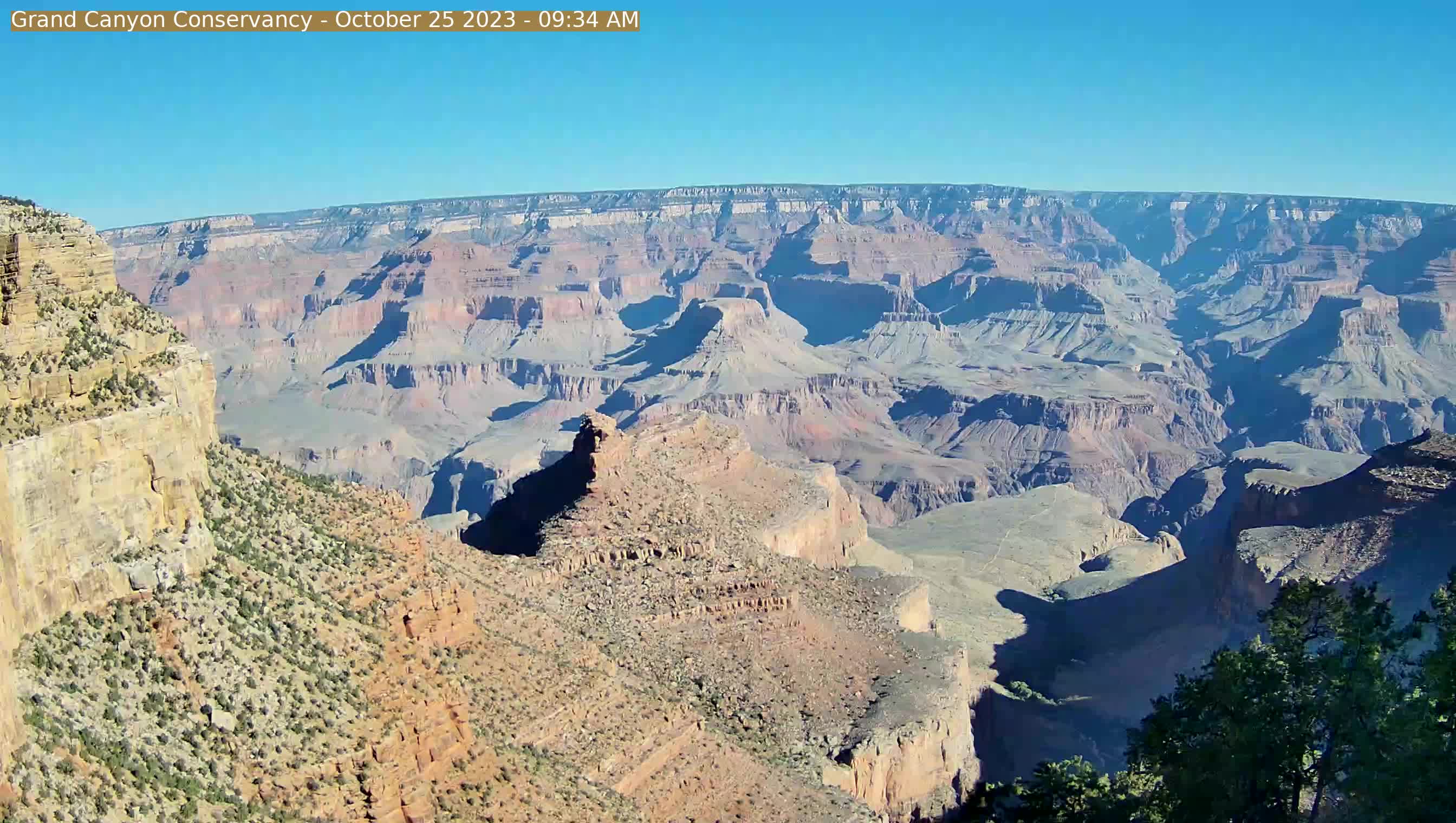
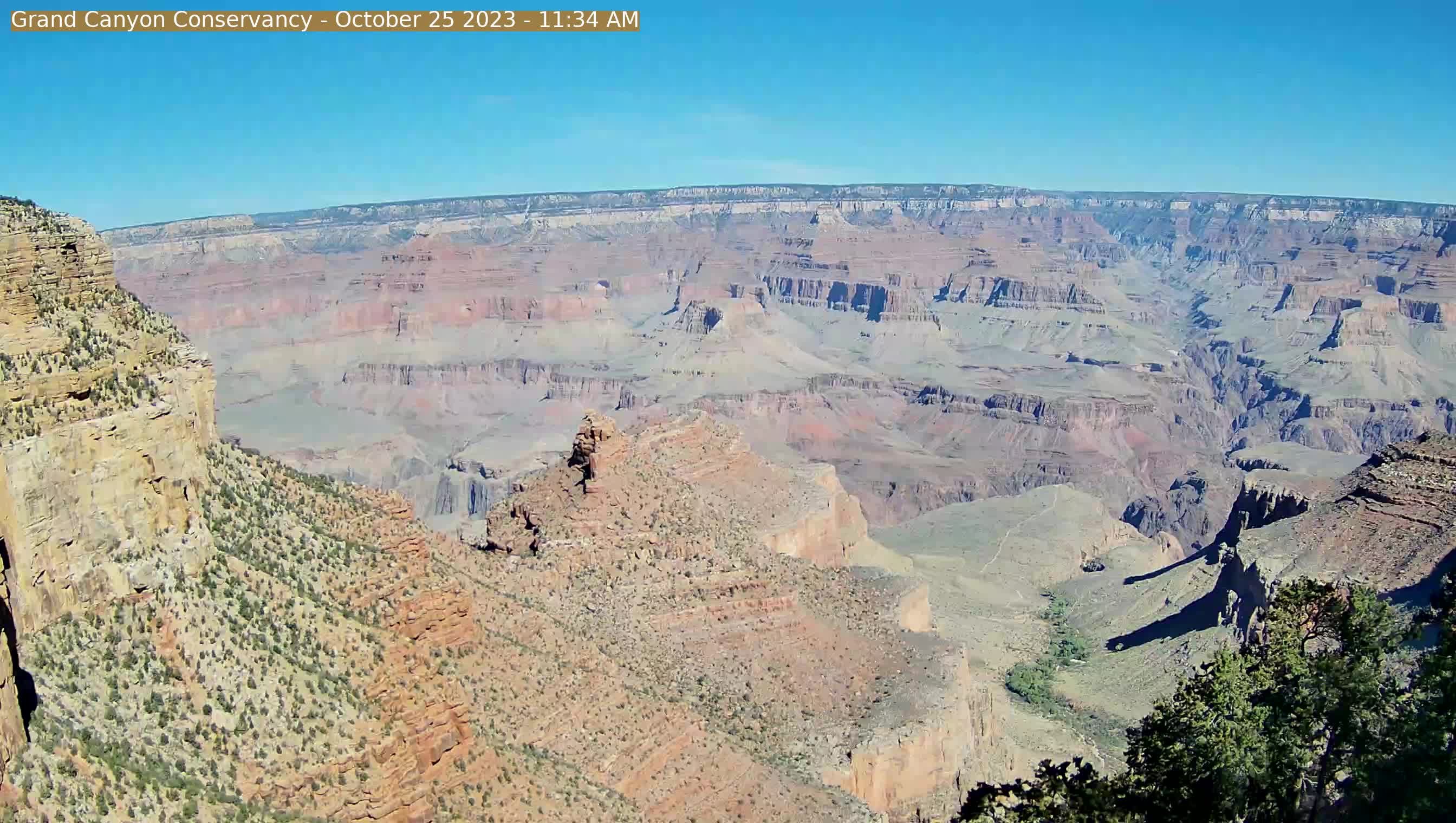
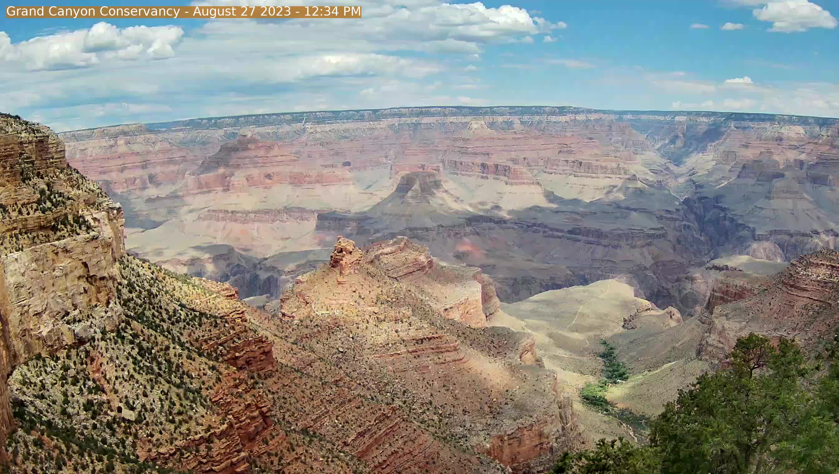
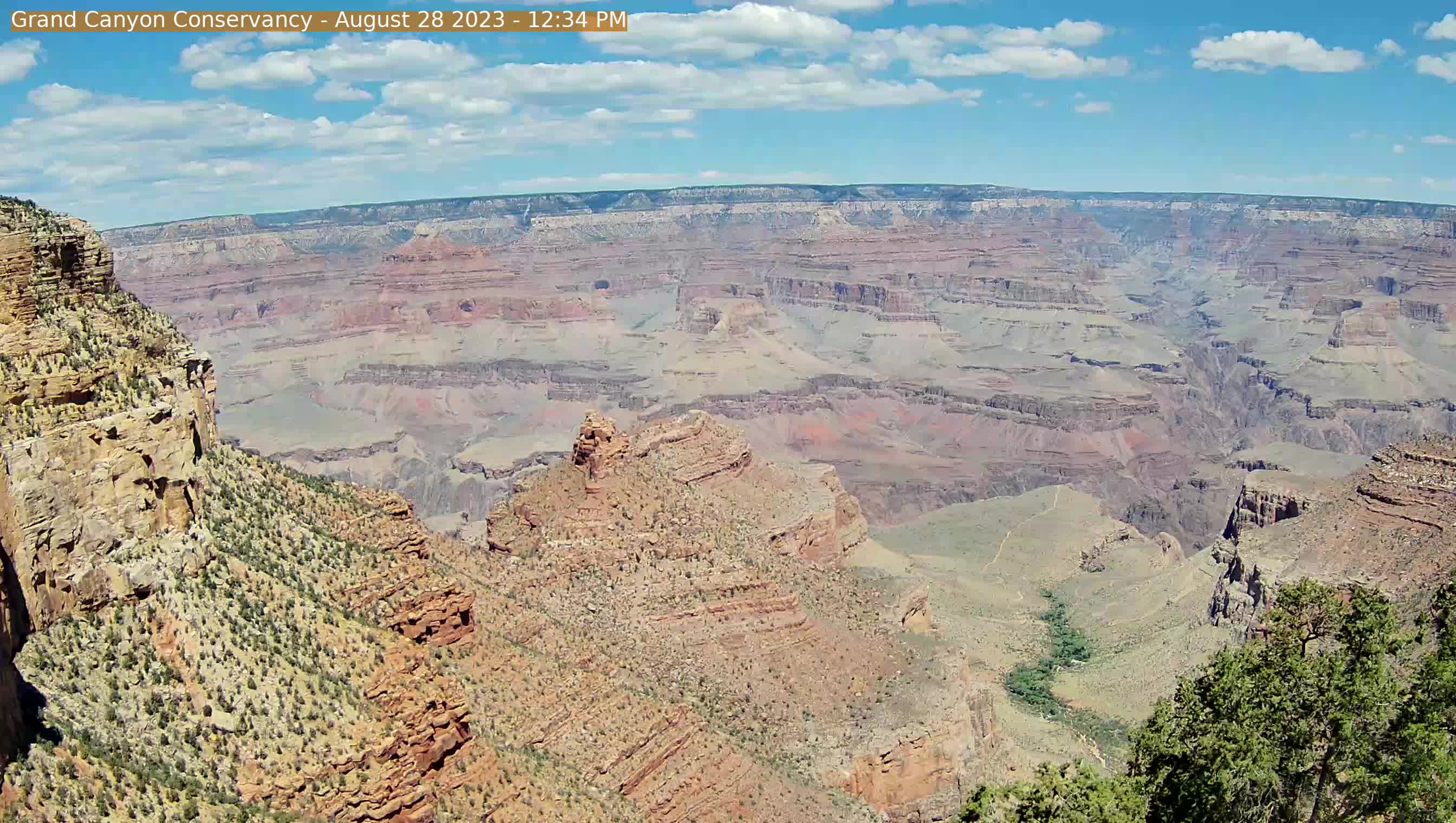
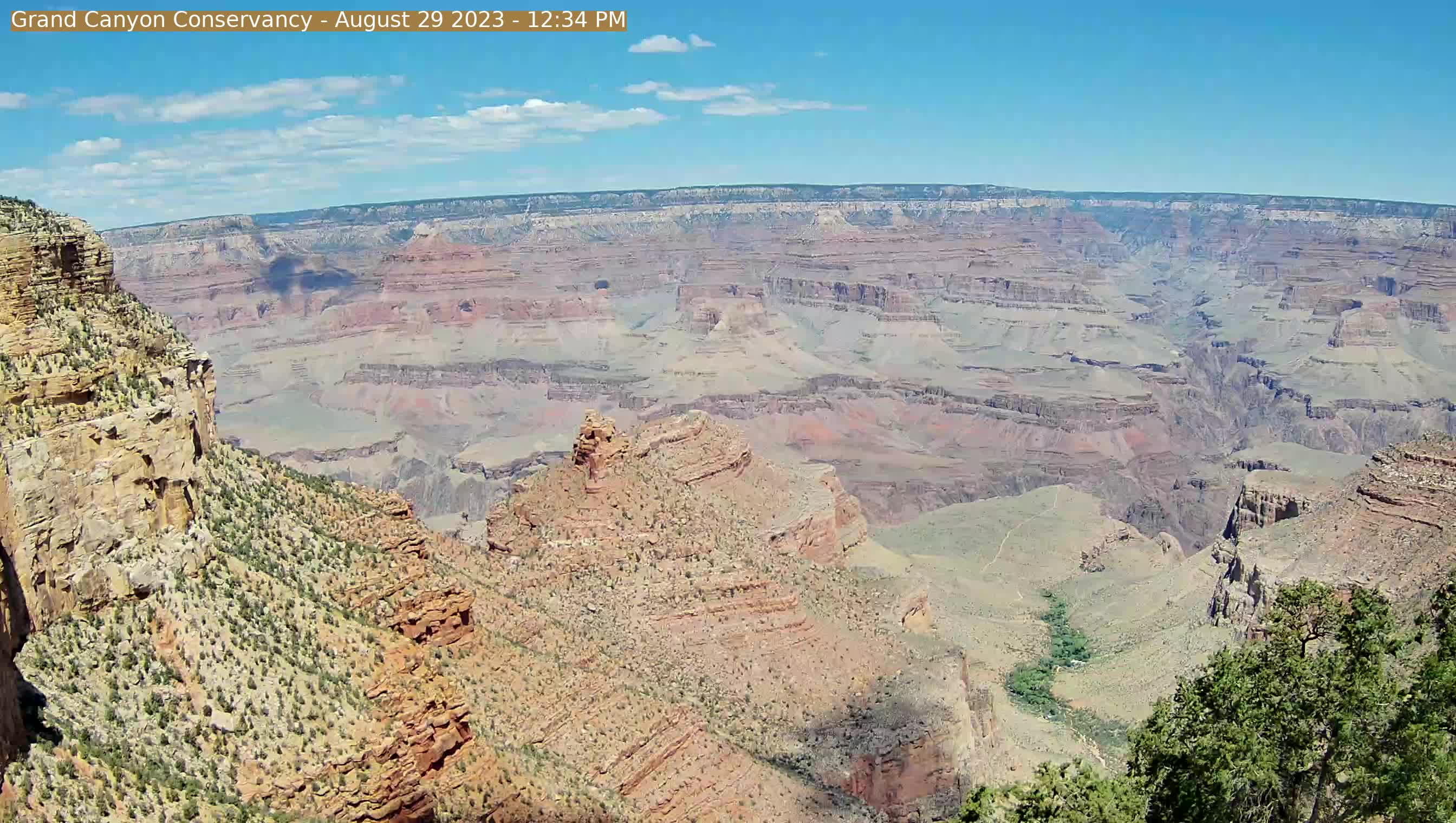
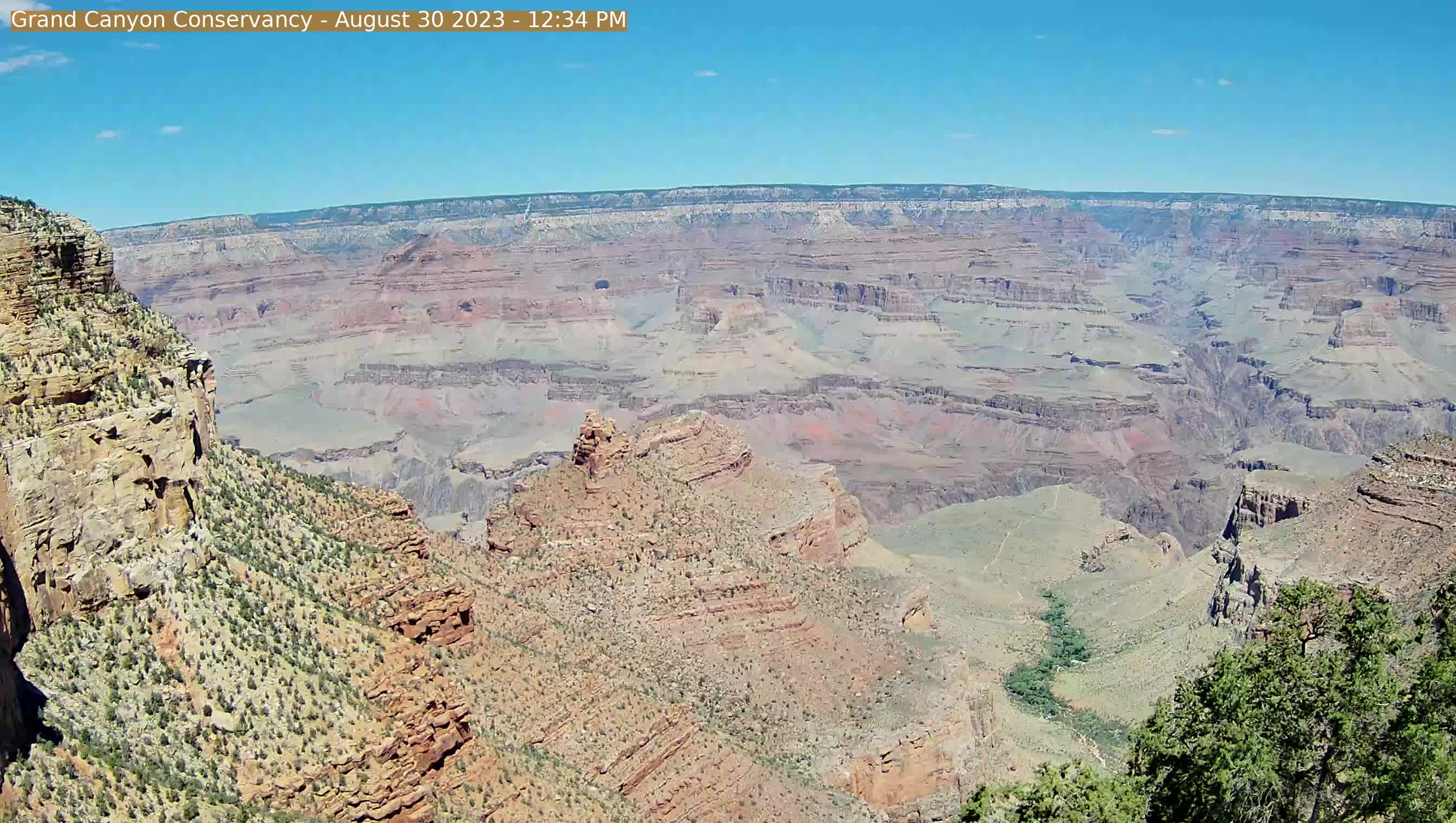
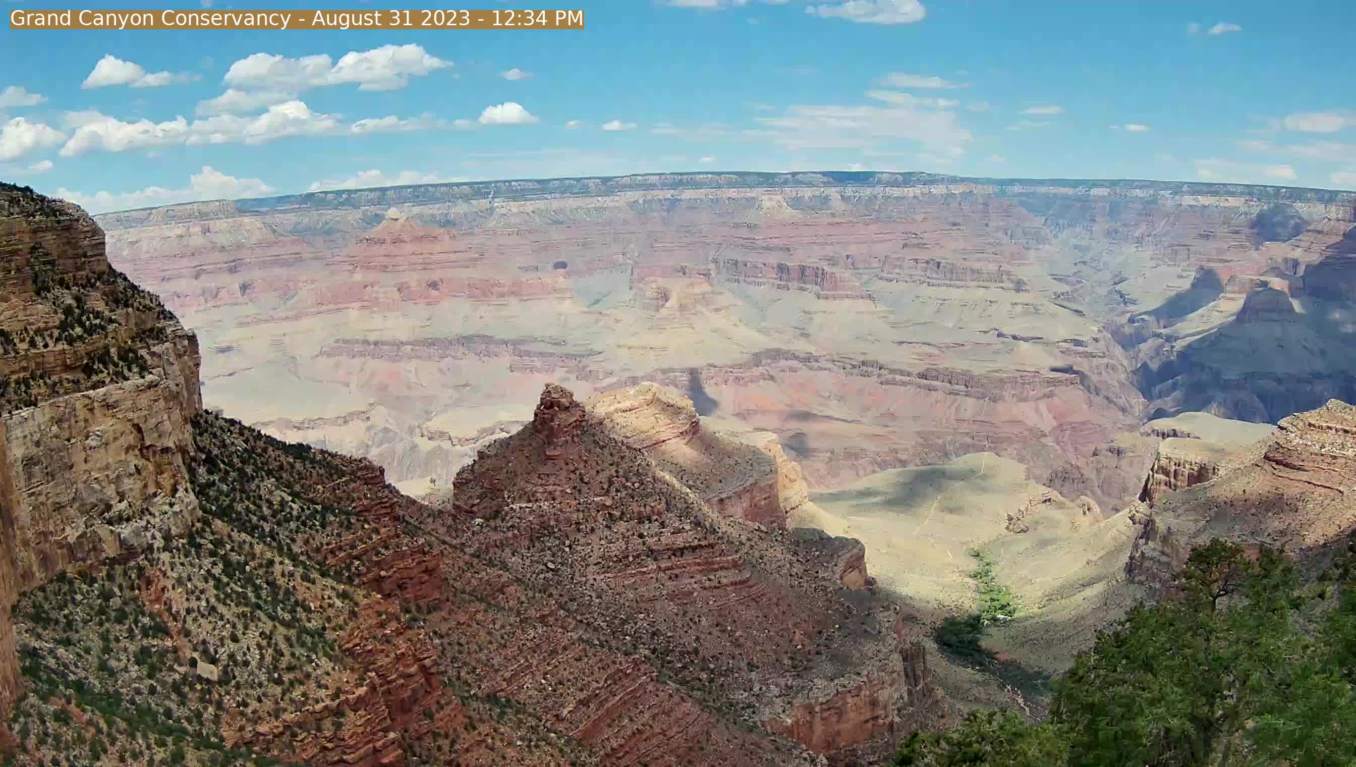
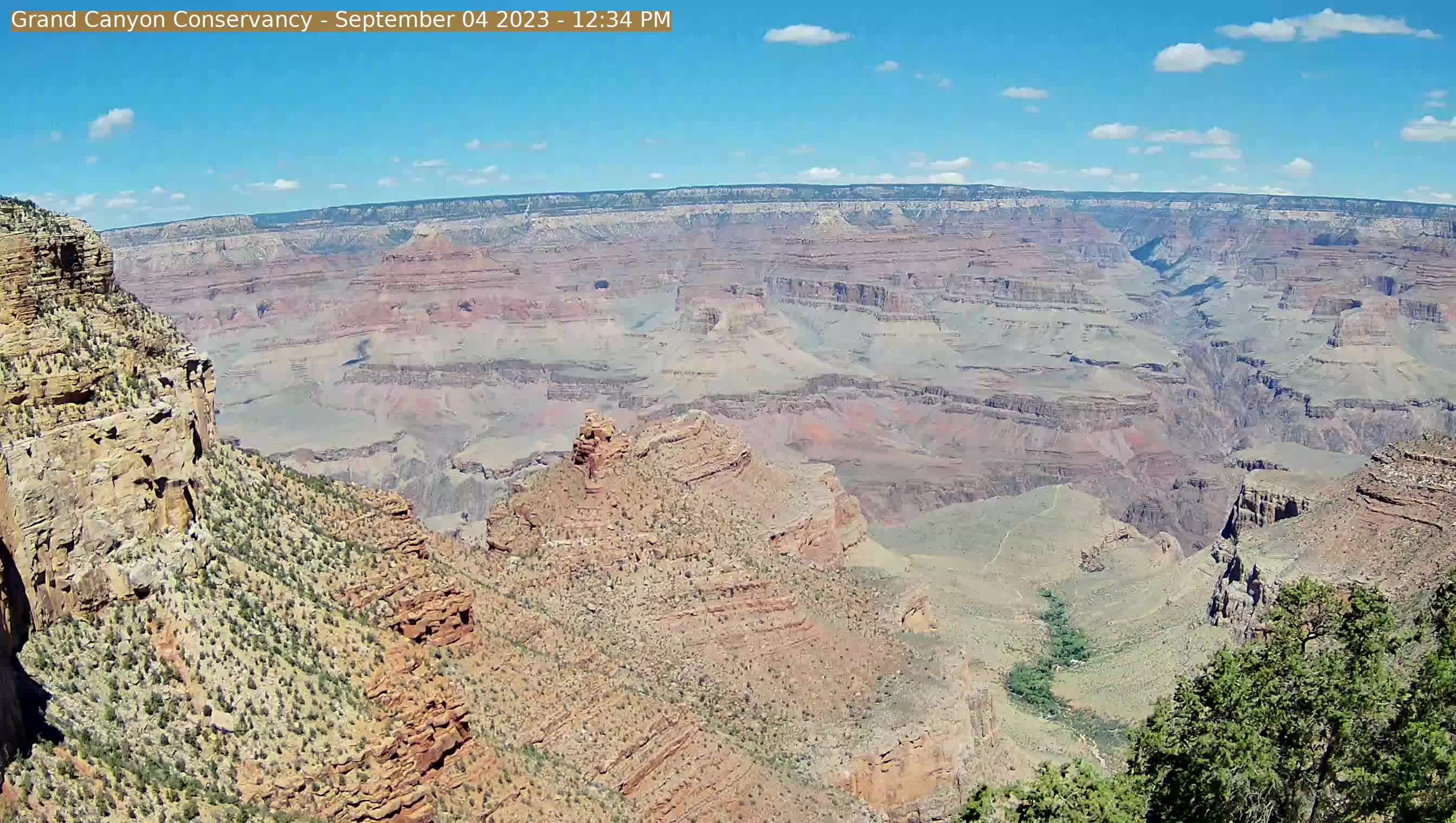
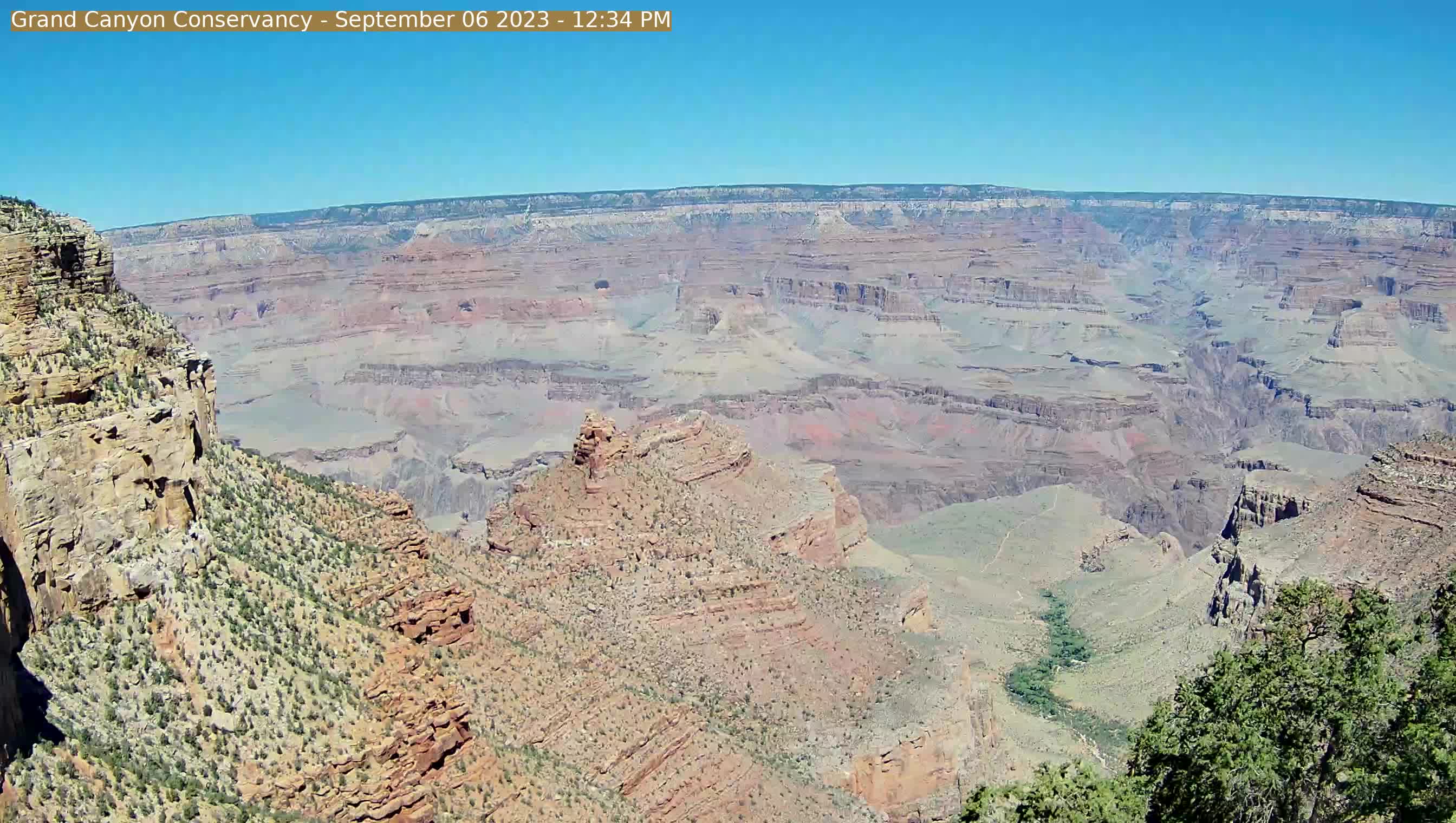
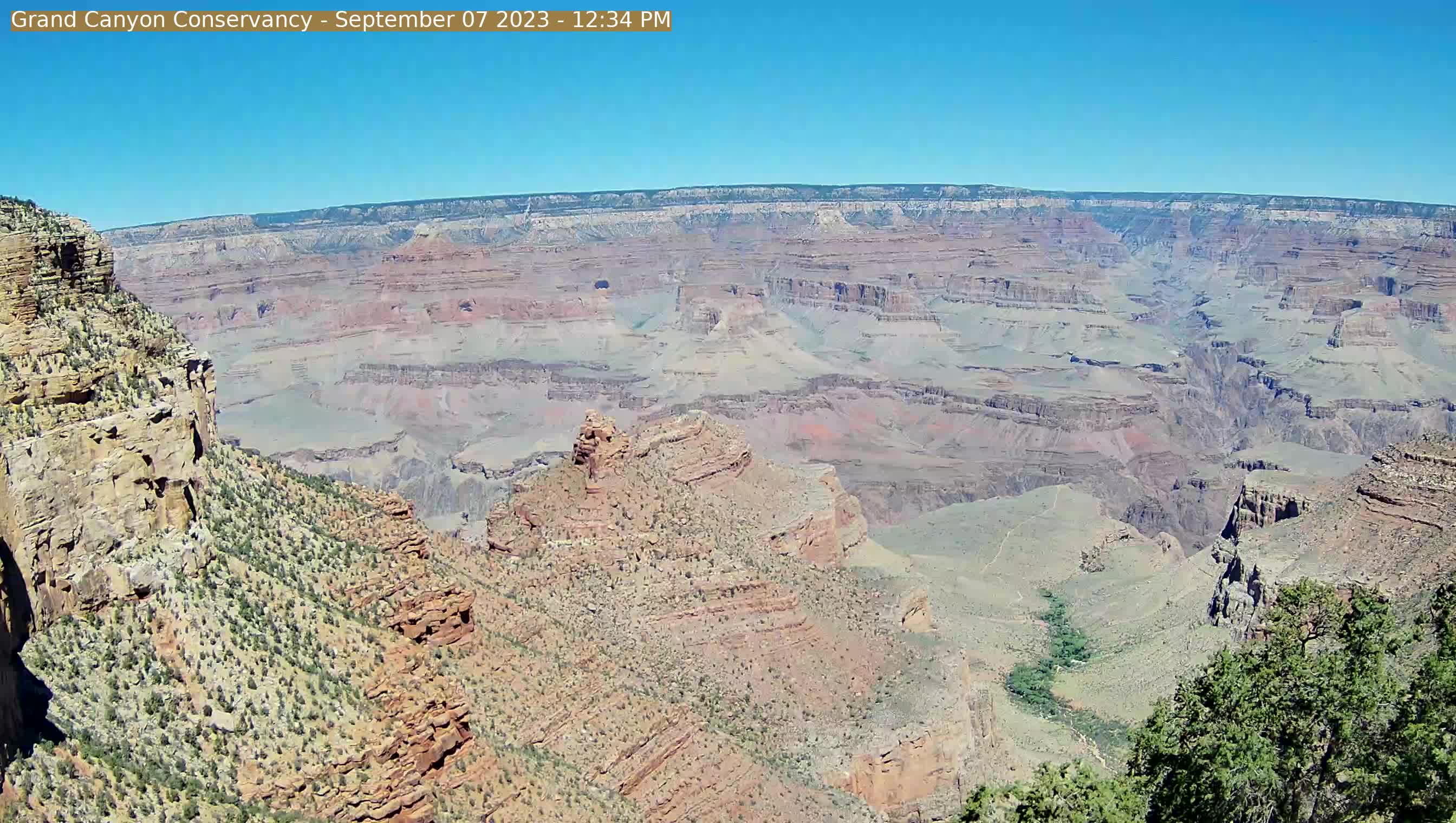
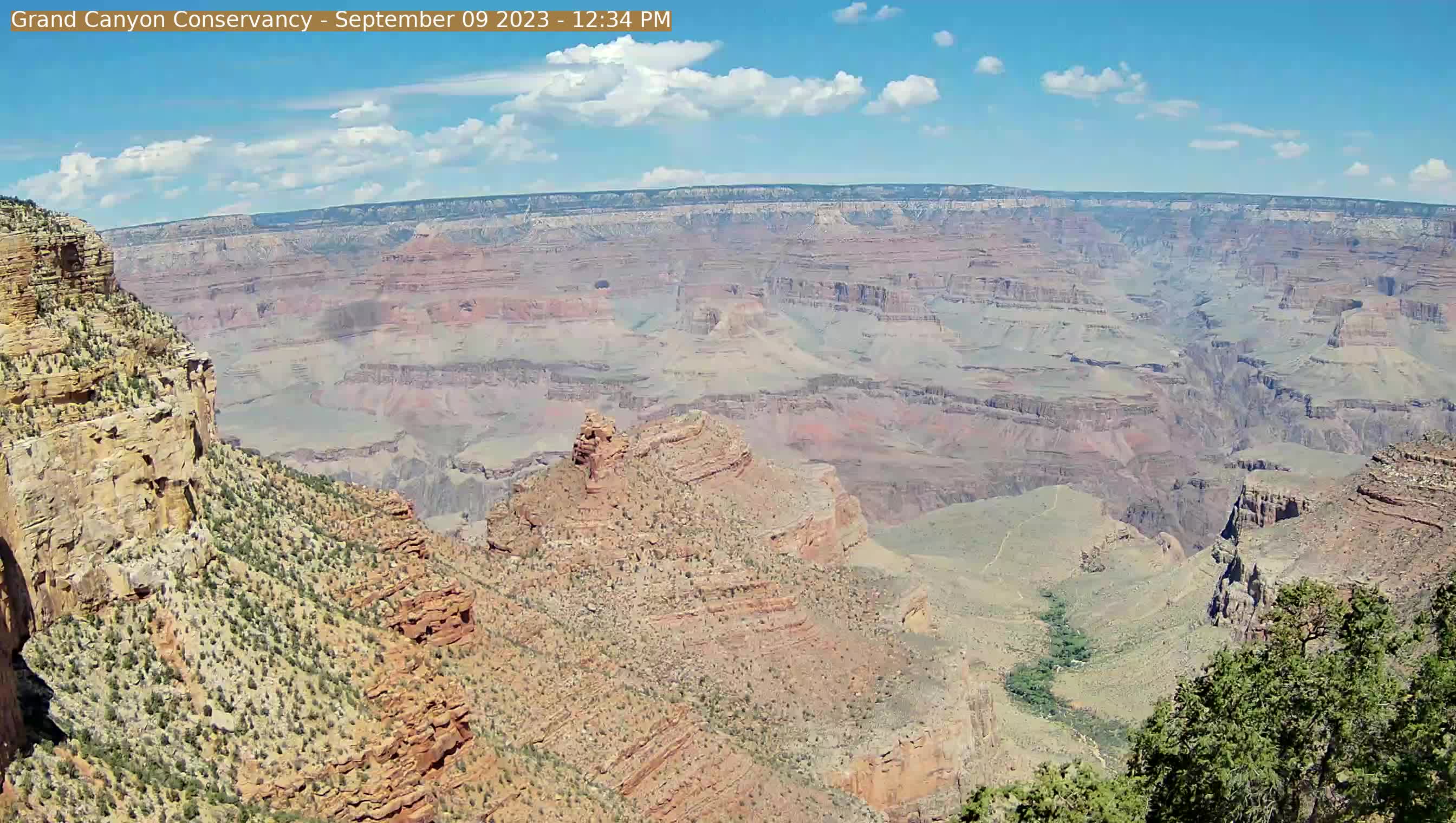
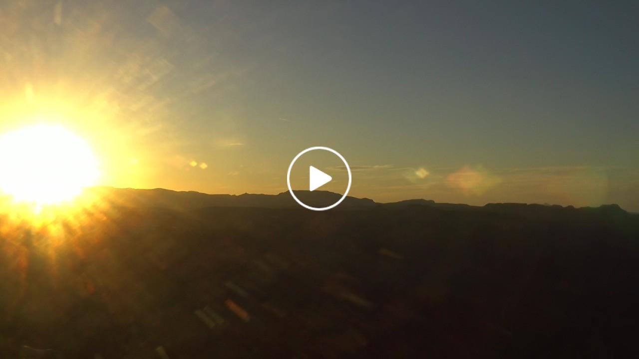
Grand Canyon - Yavapai Point, Arizona, USA - 107.6 miles from Cedar City: View over the Grand Canyon - A nice panorama view from the Yavapai Point.
Operator: Grand Canyon National Park (National Park Service)
Operator: Grand Canyon National Park (National Park Service)
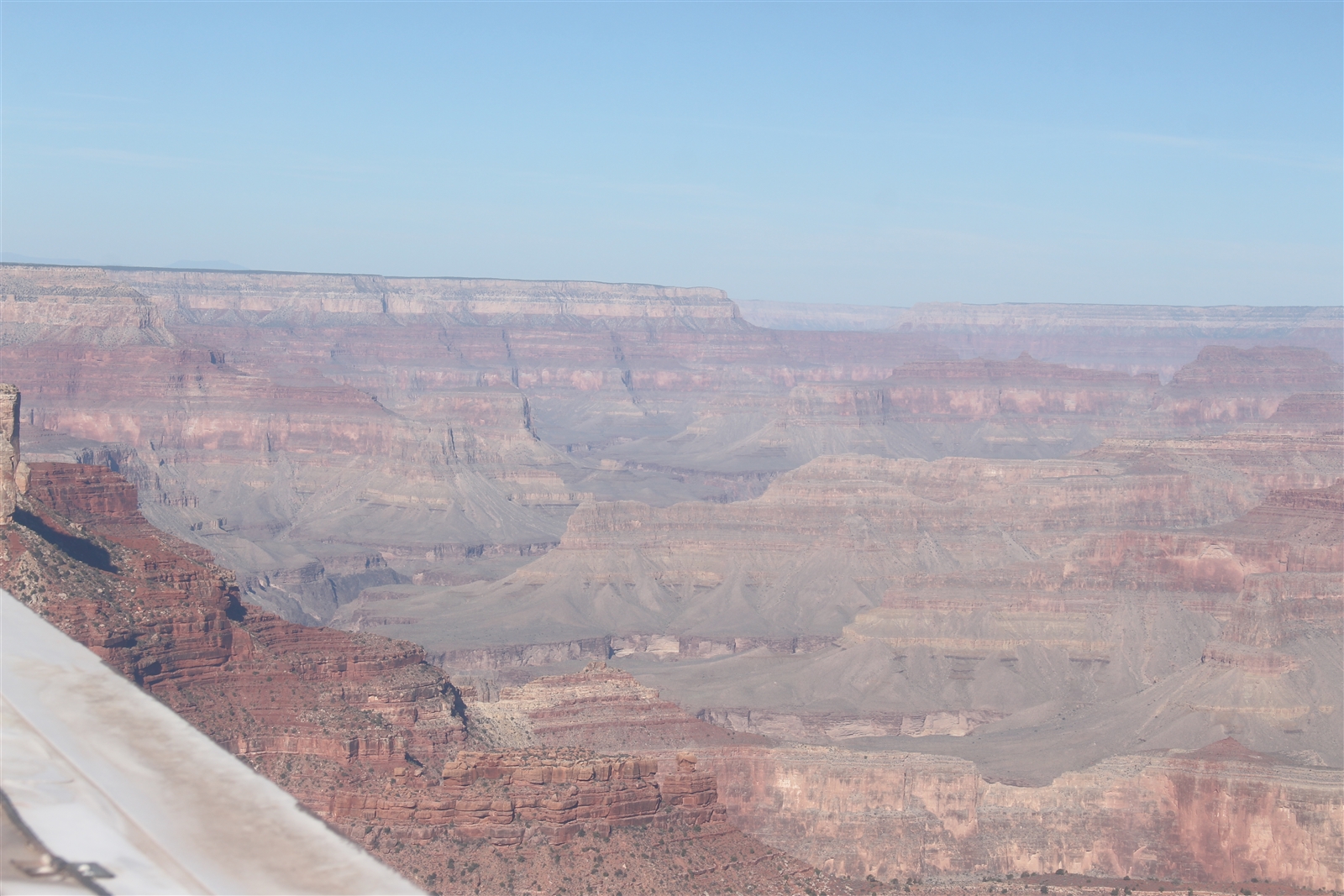
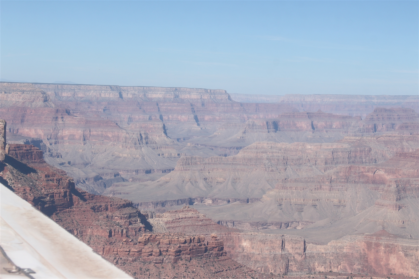

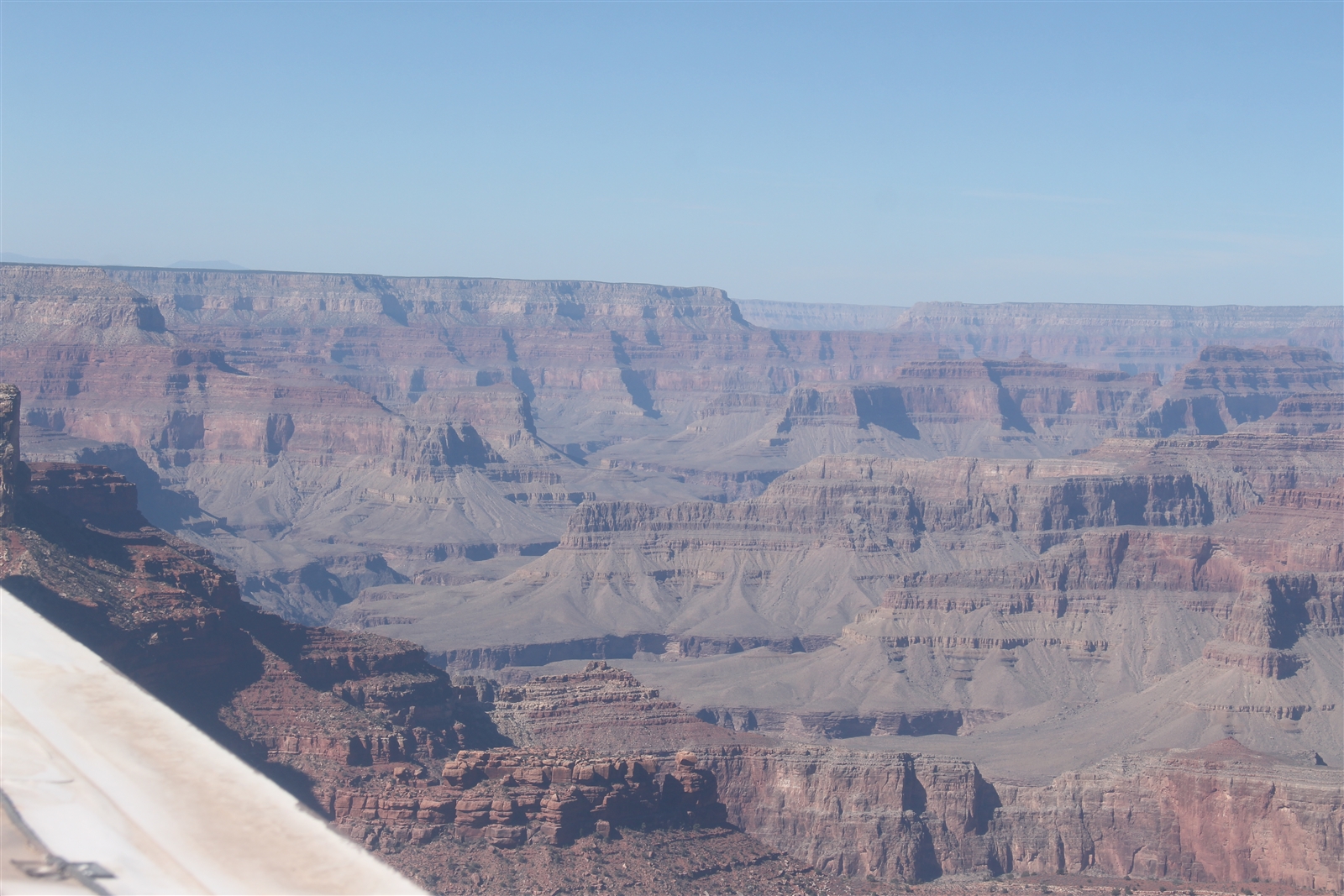
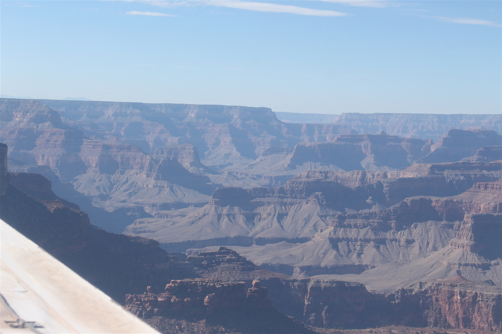


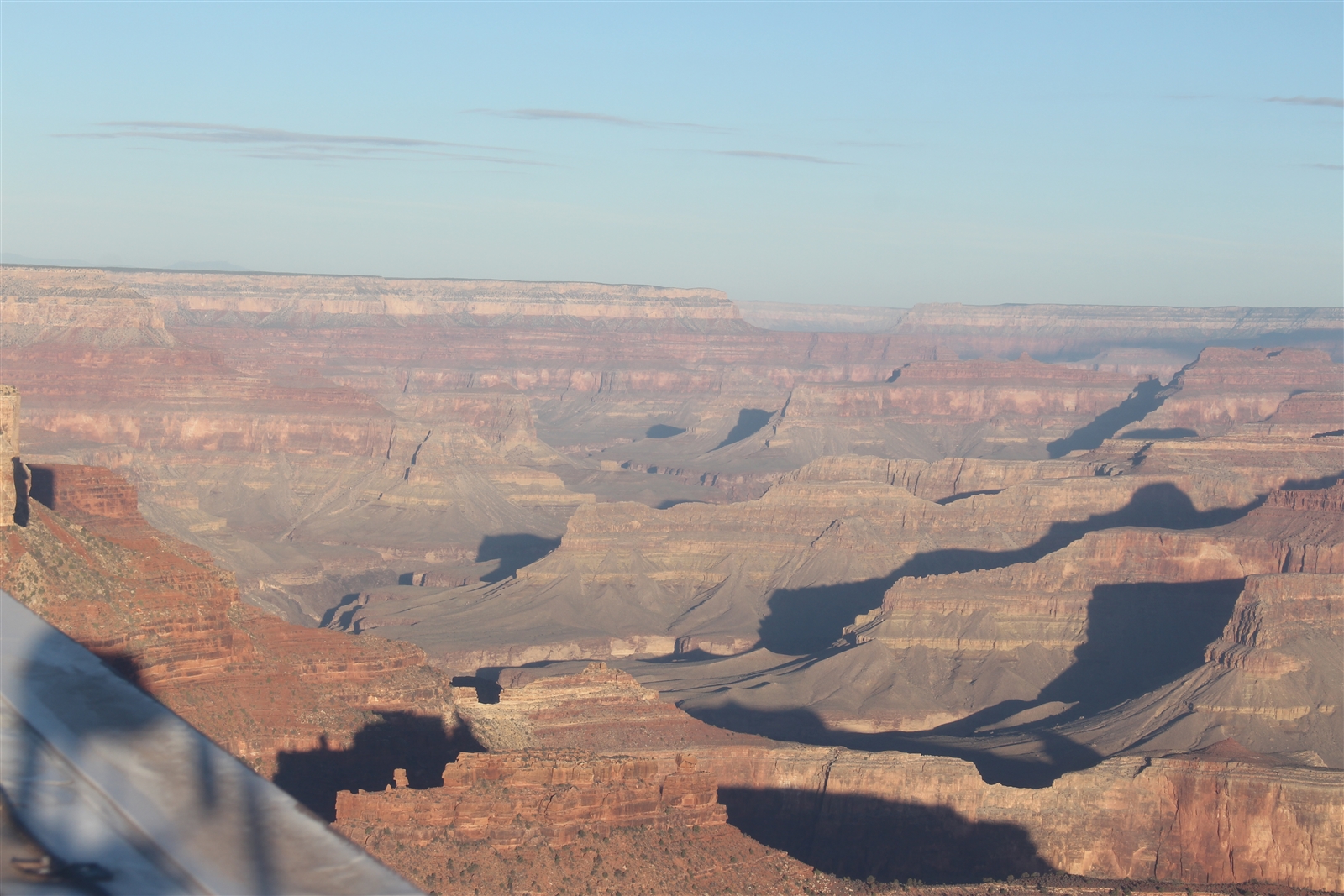
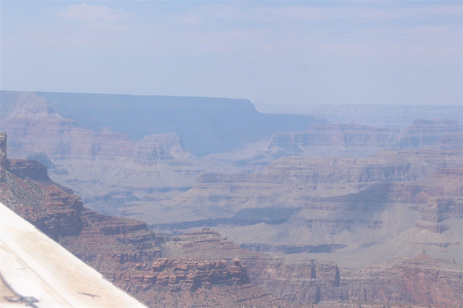

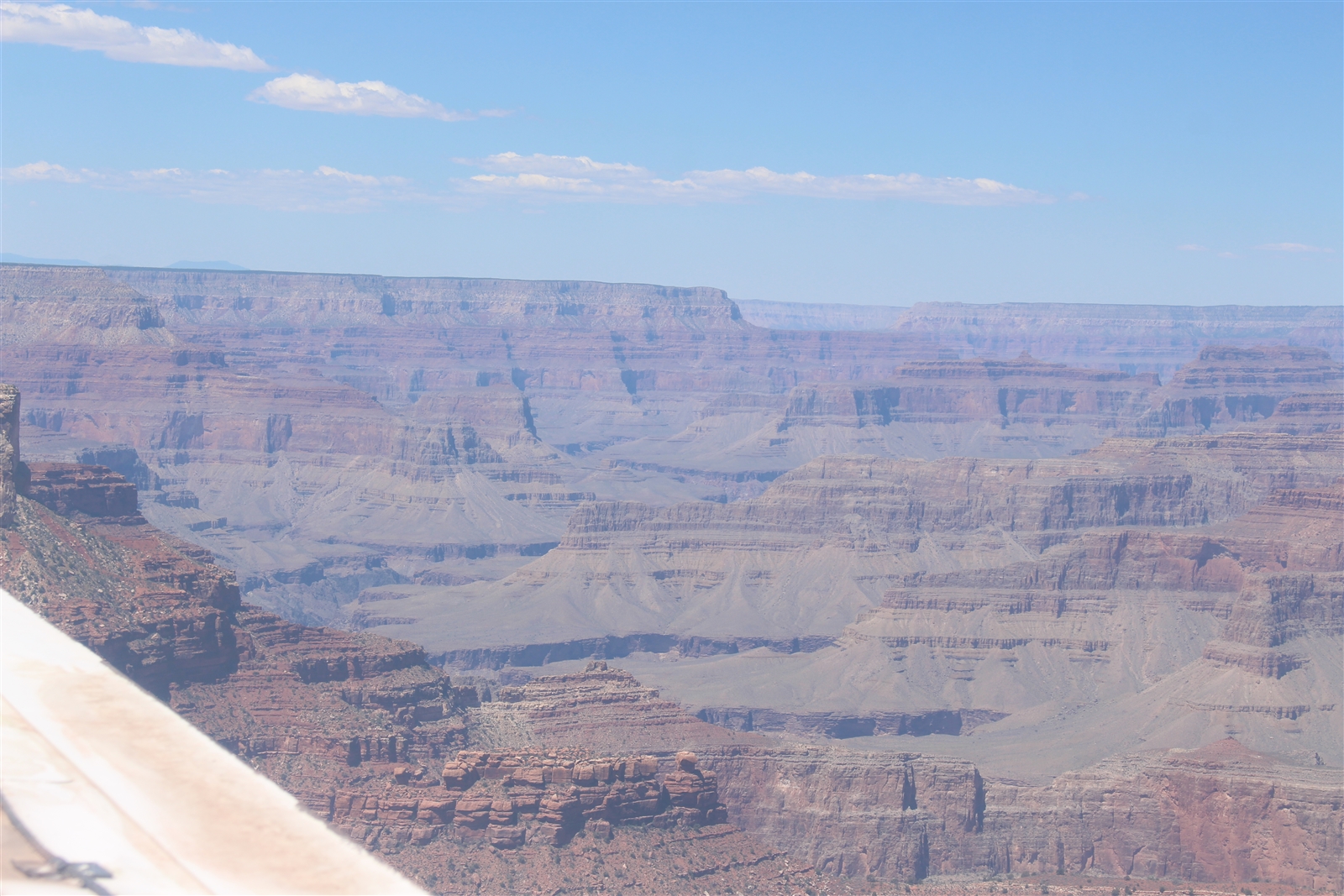
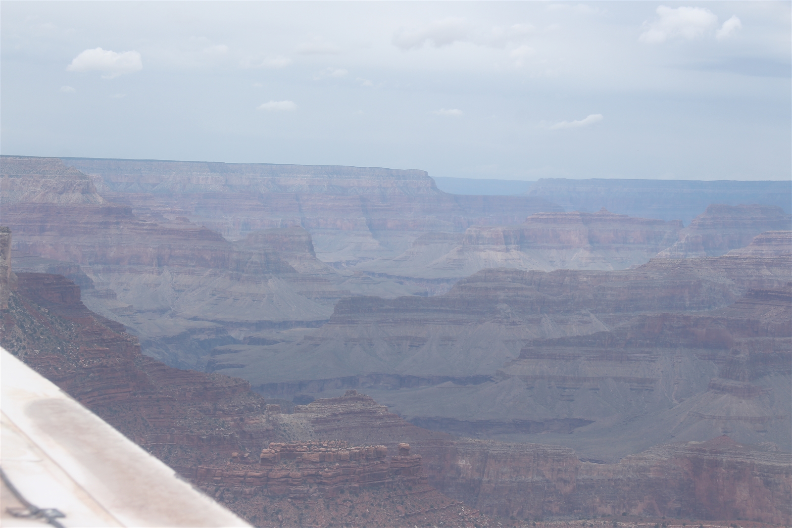
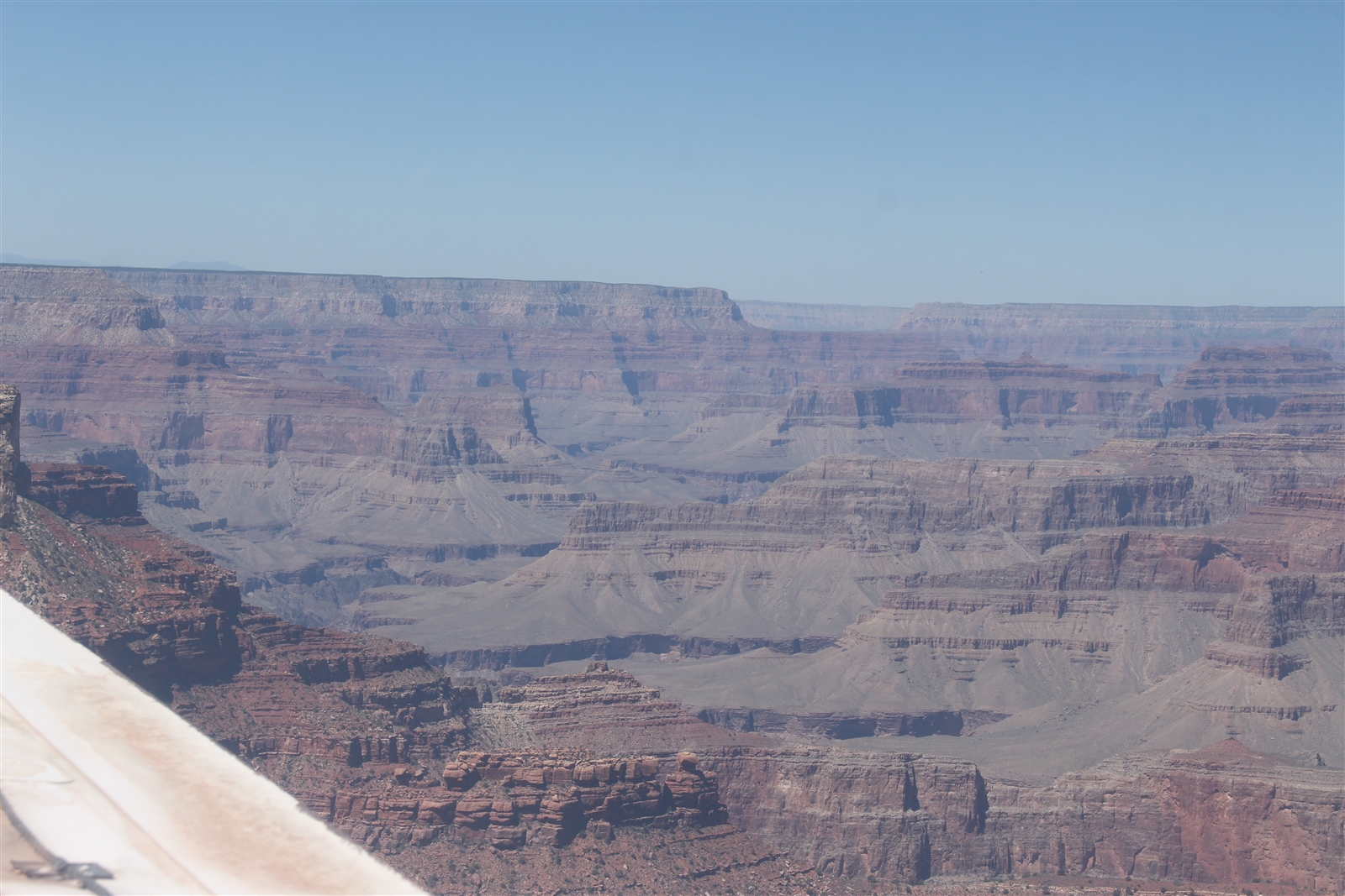

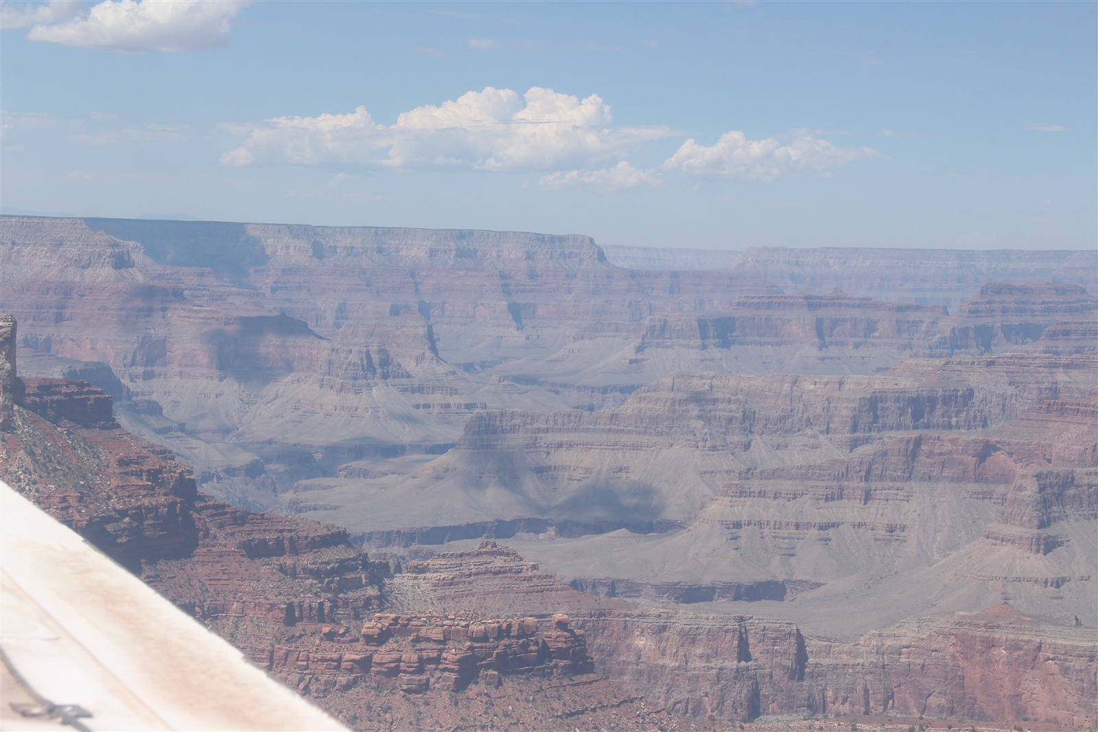
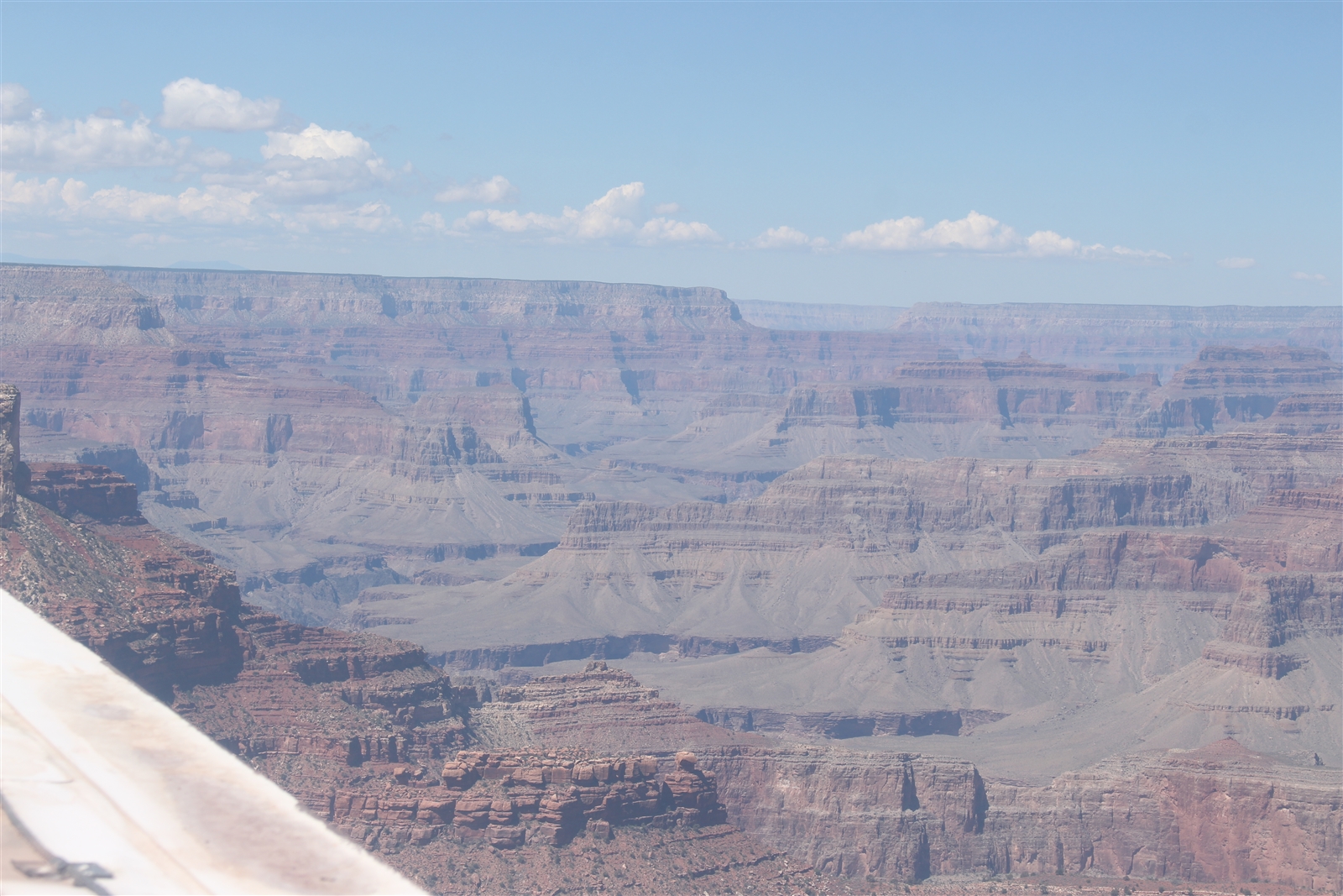
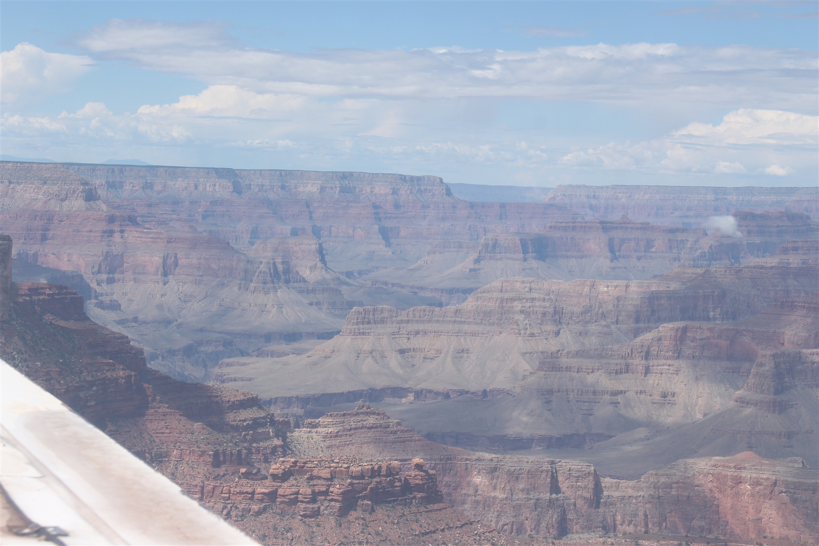
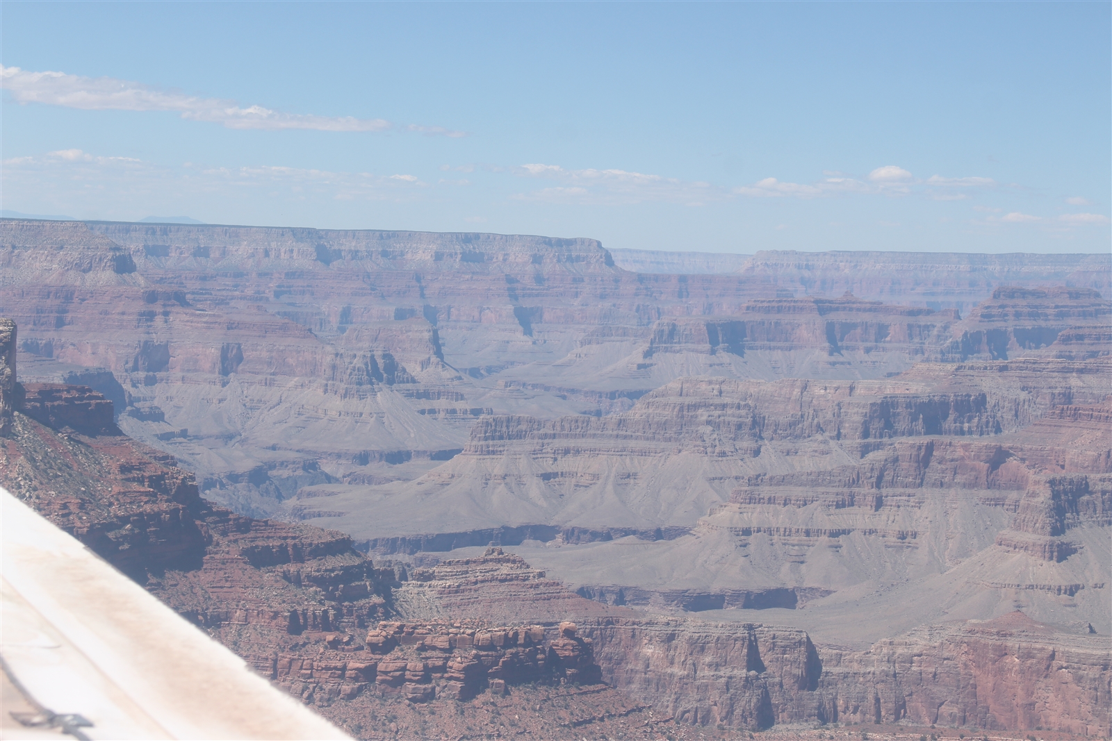
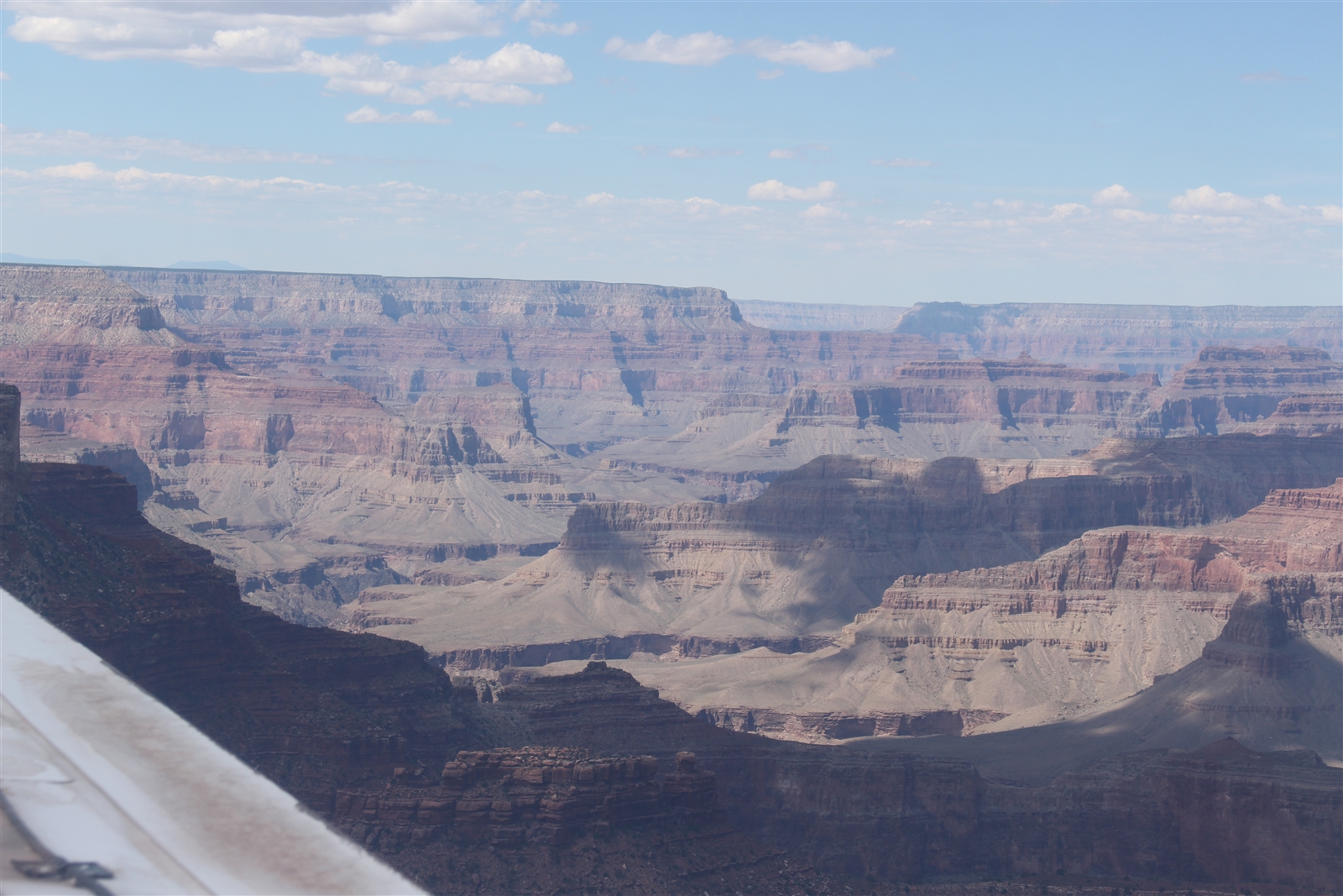
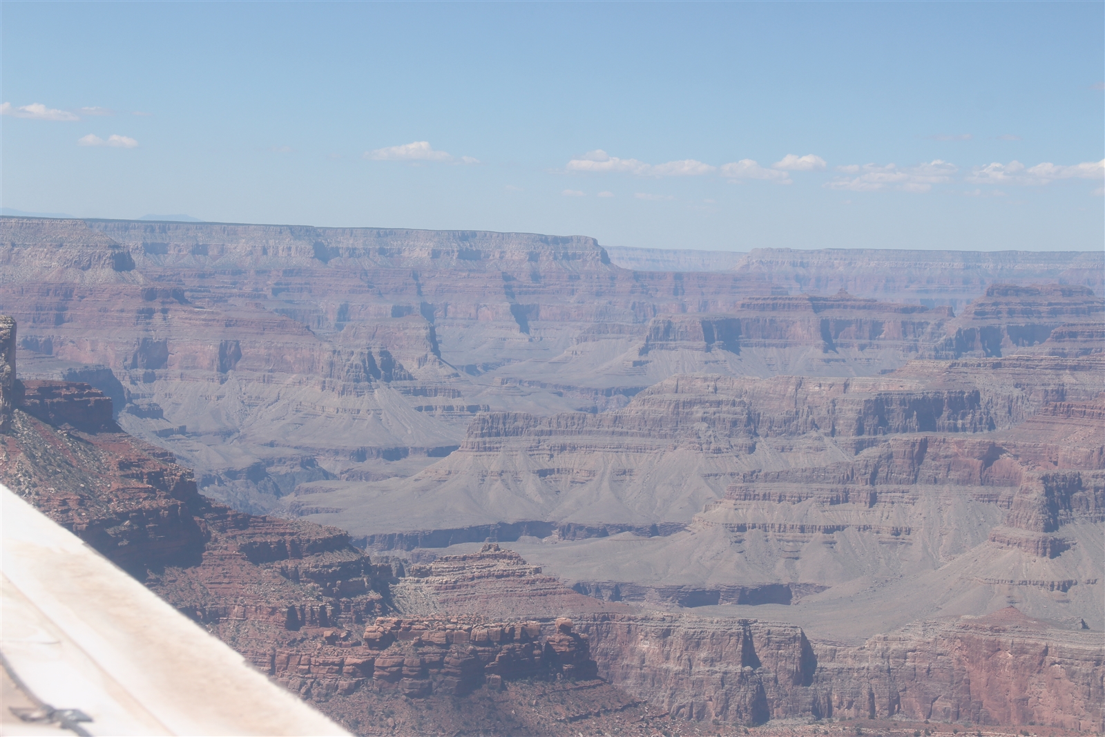


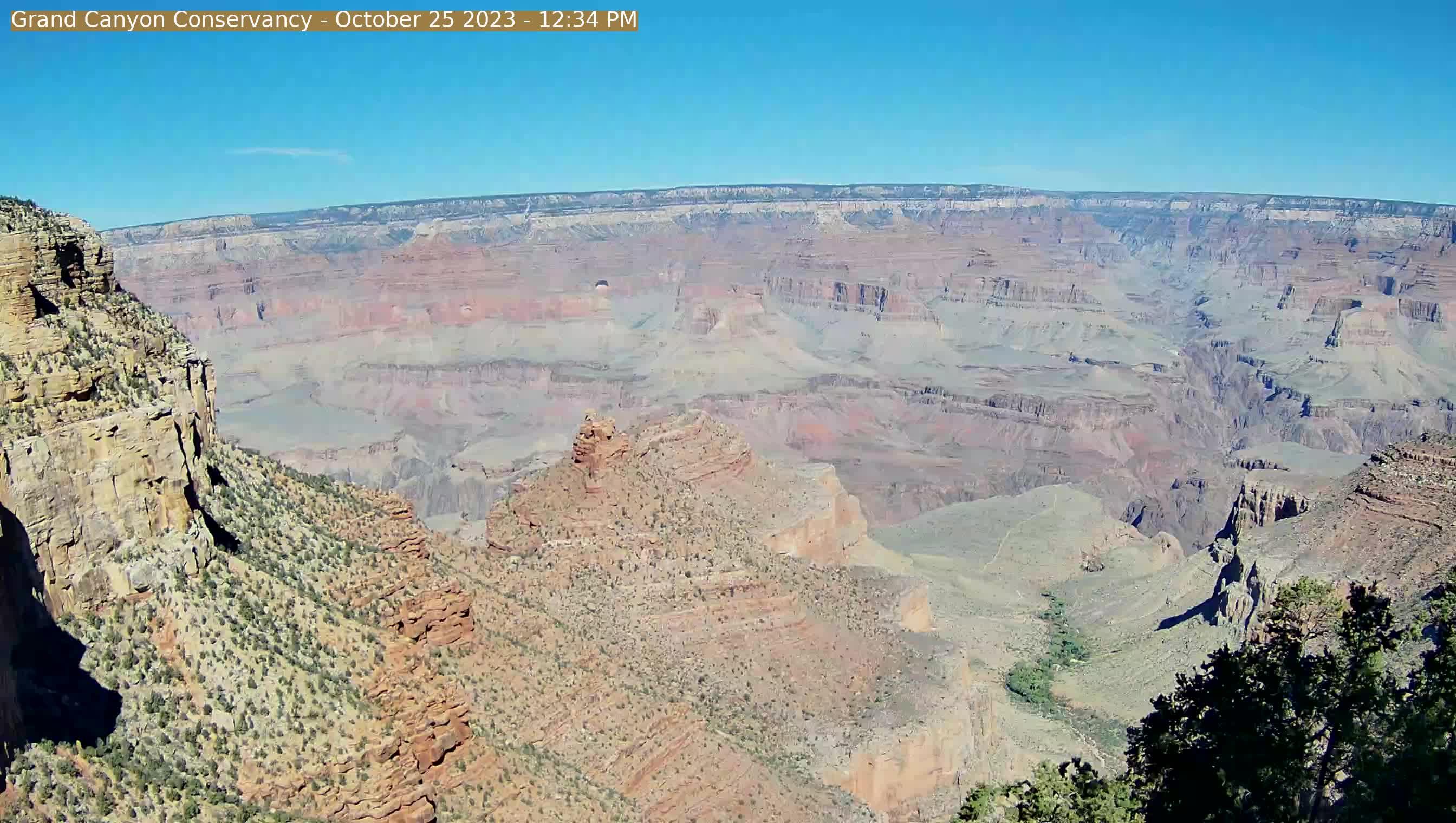
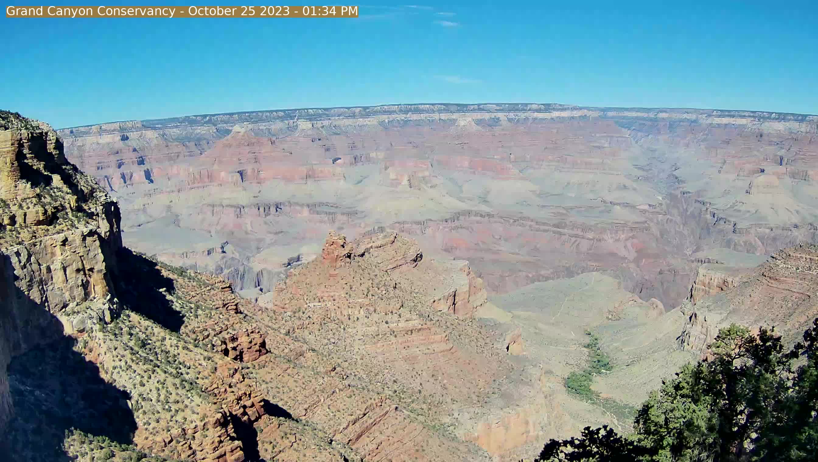
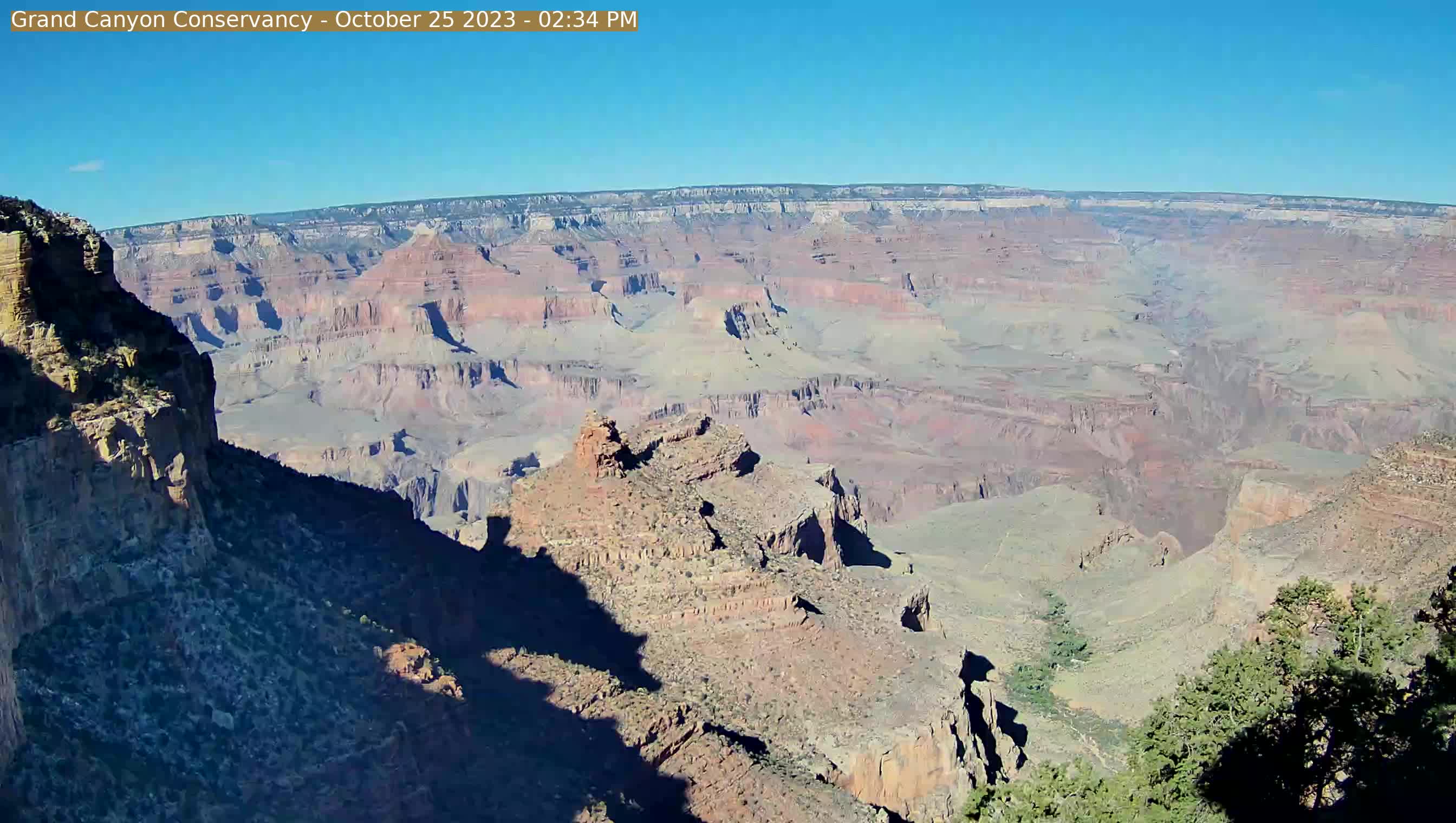
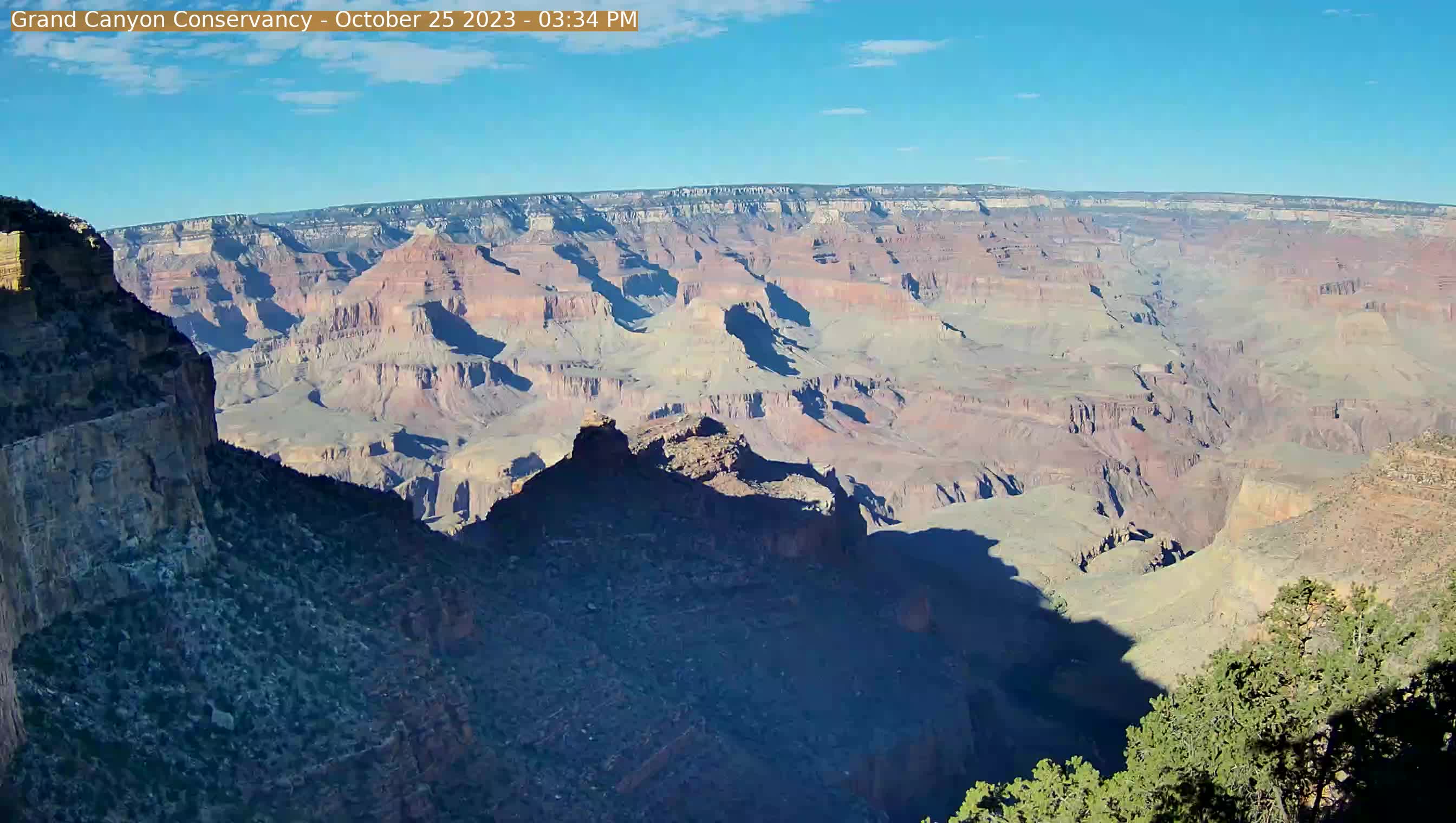
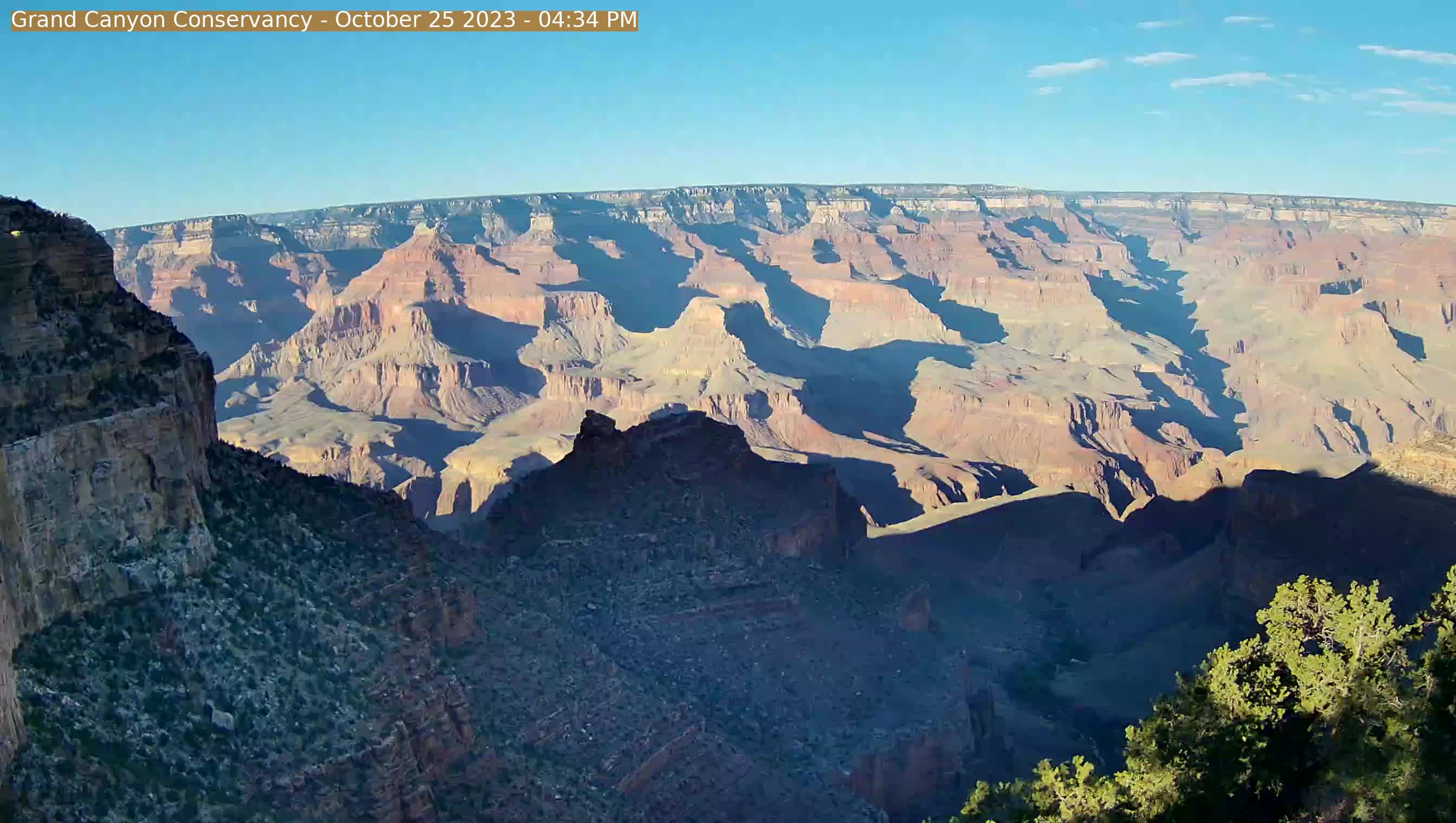
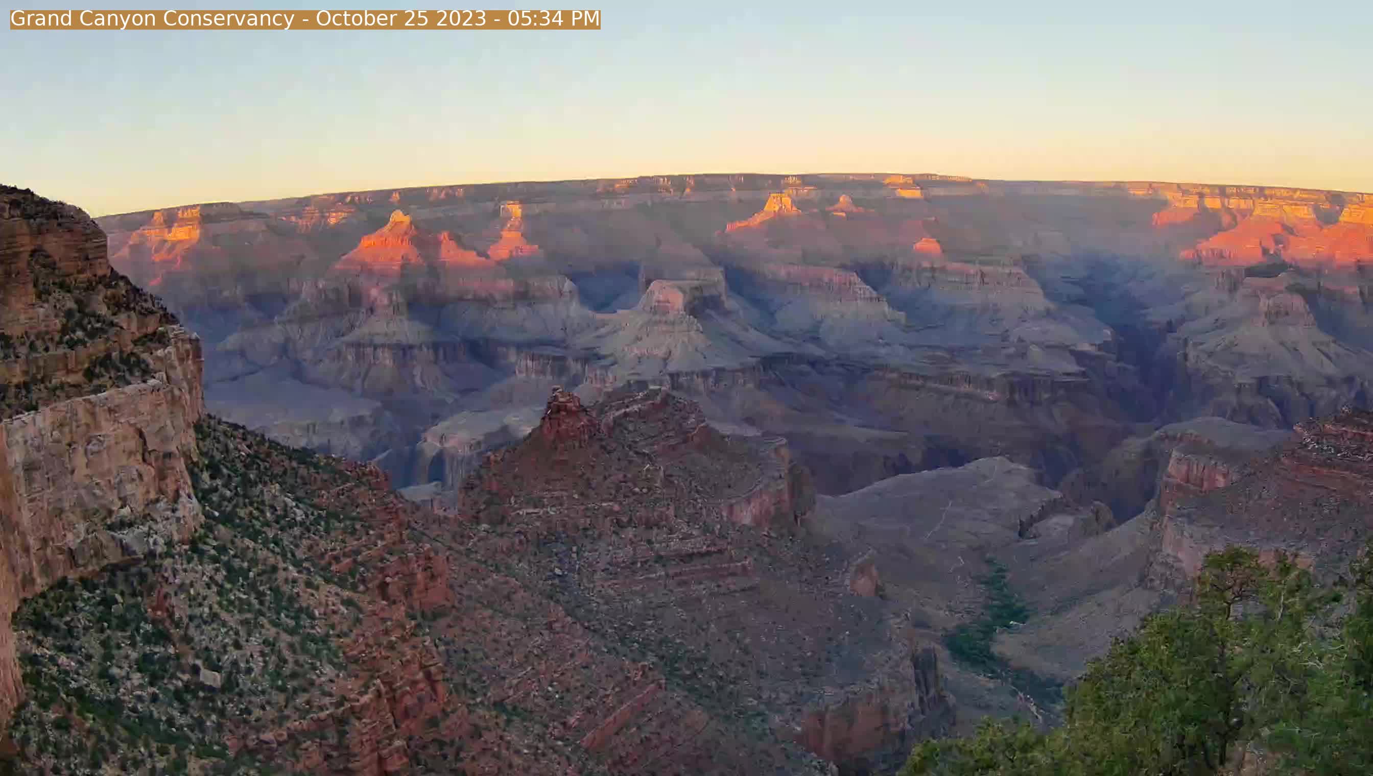
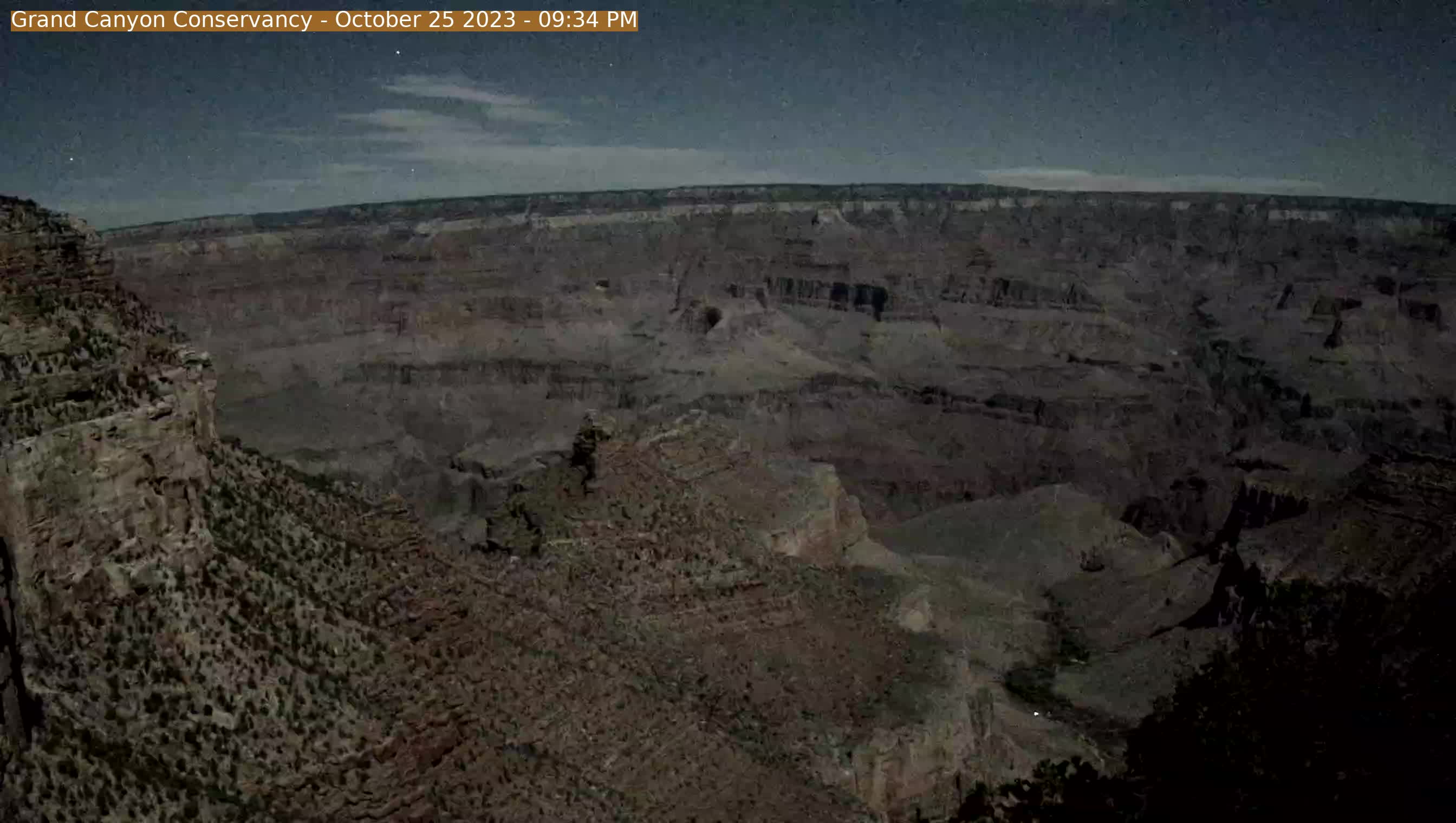
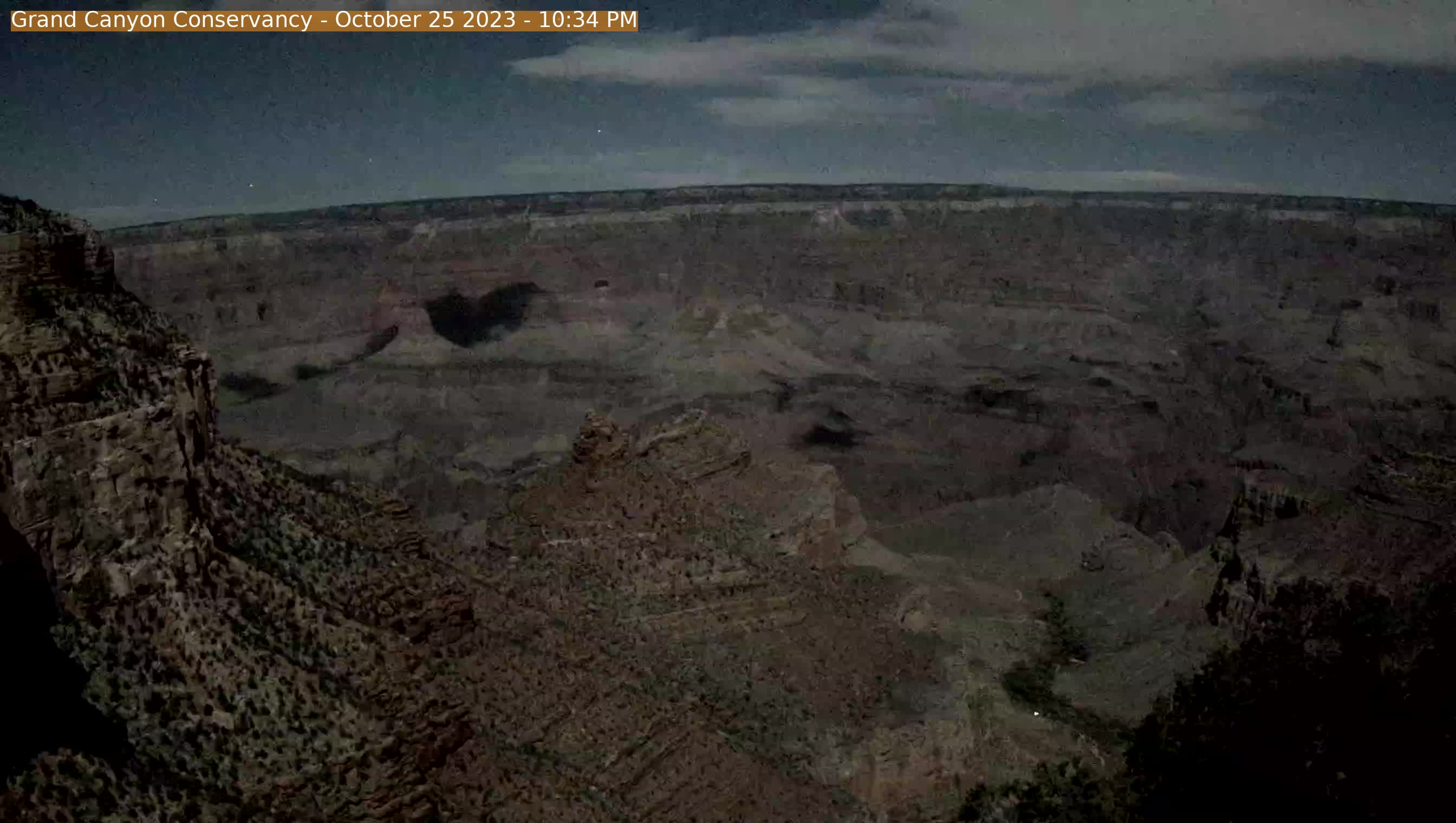
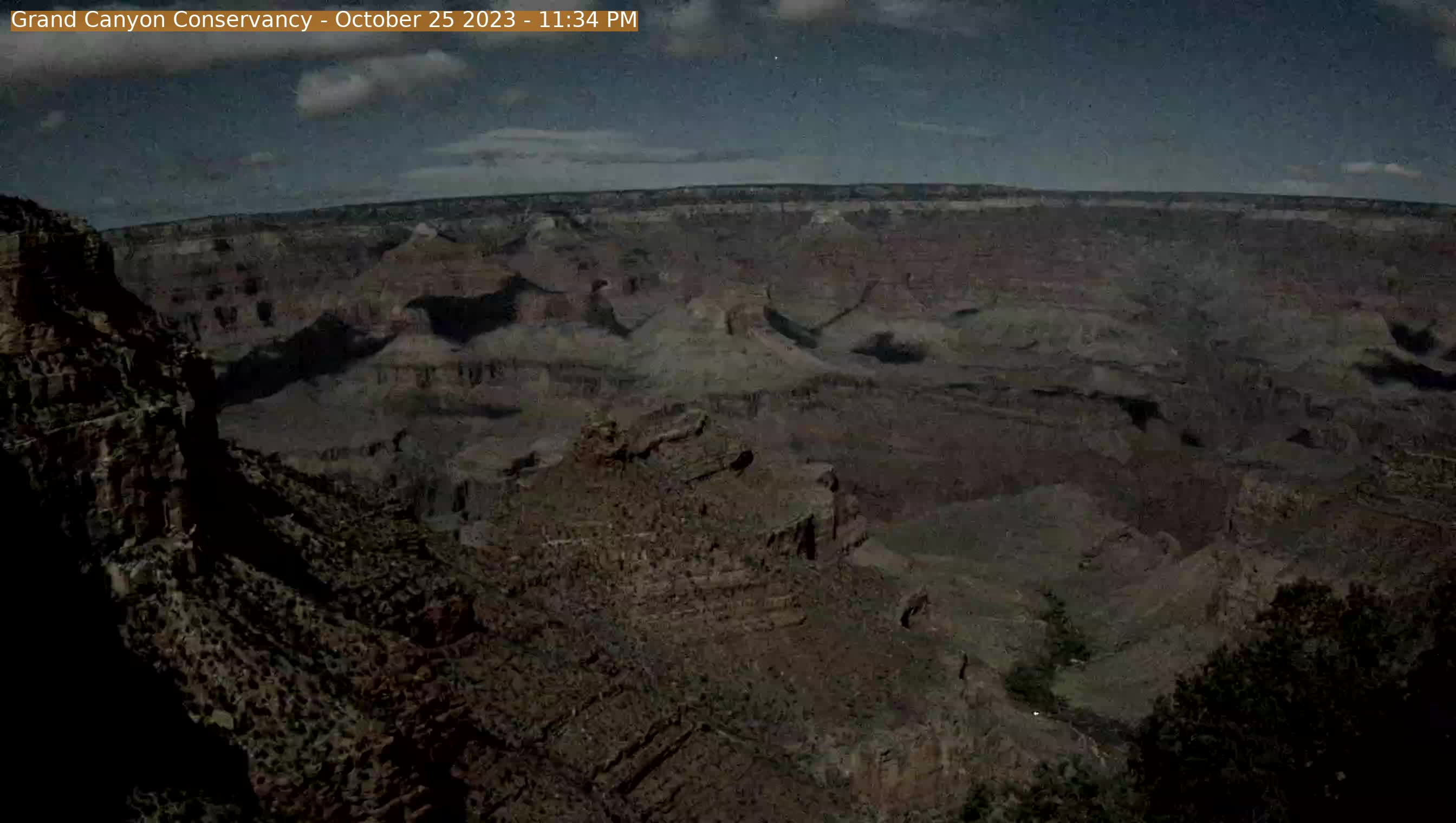
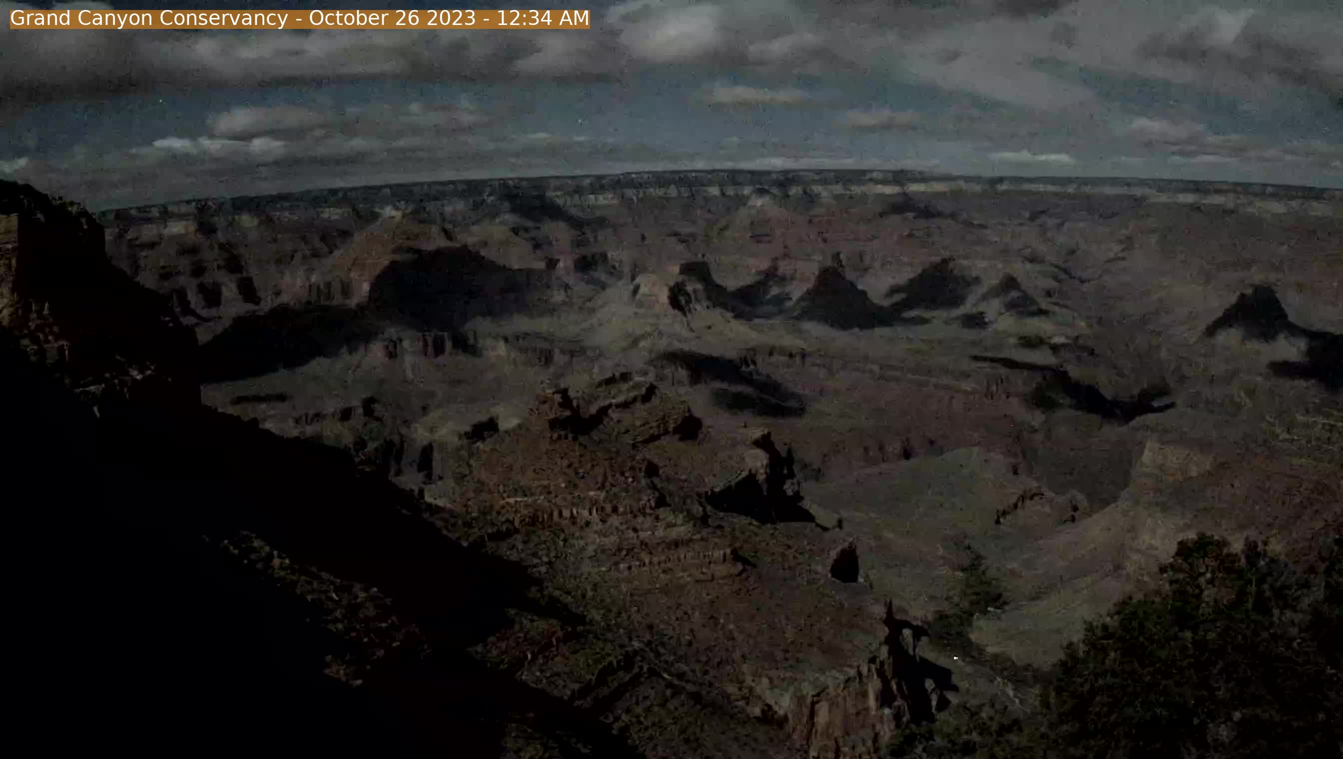
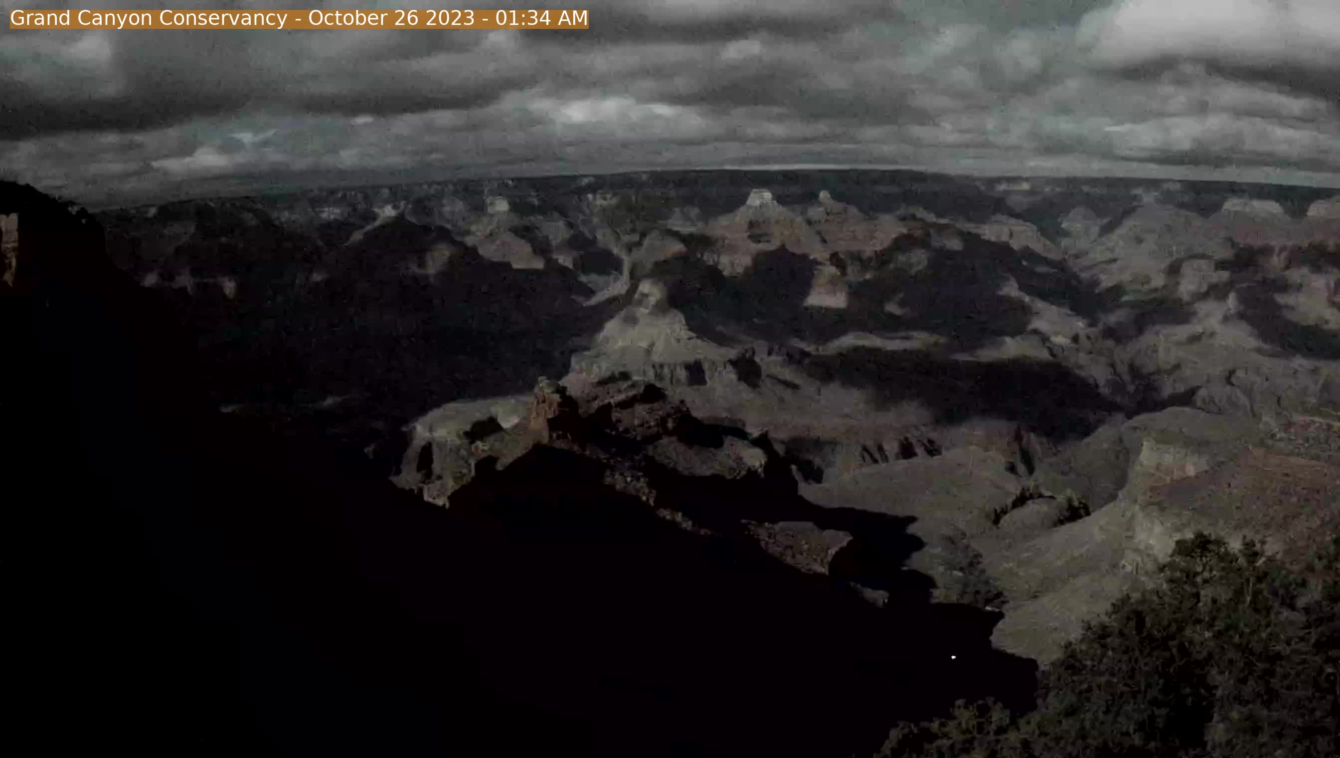
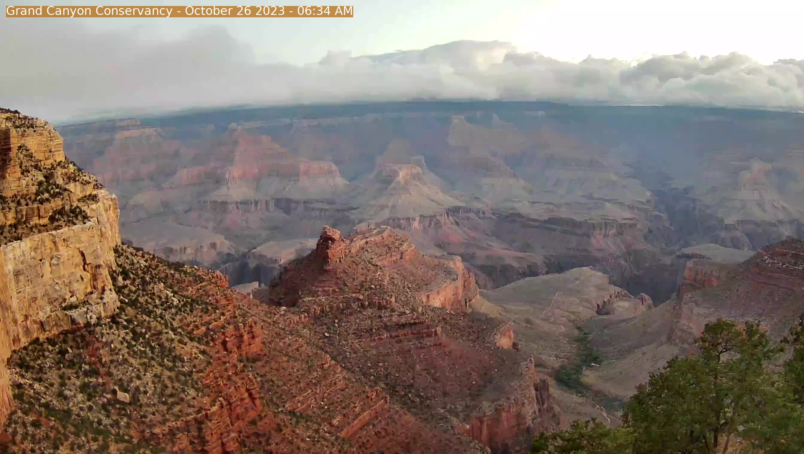
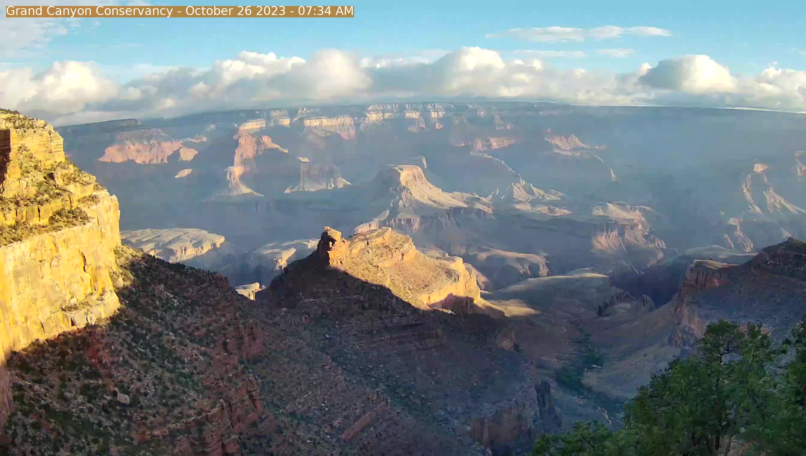
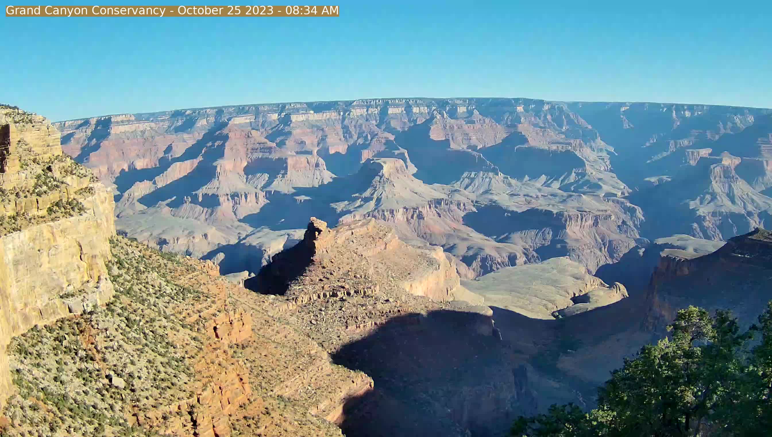
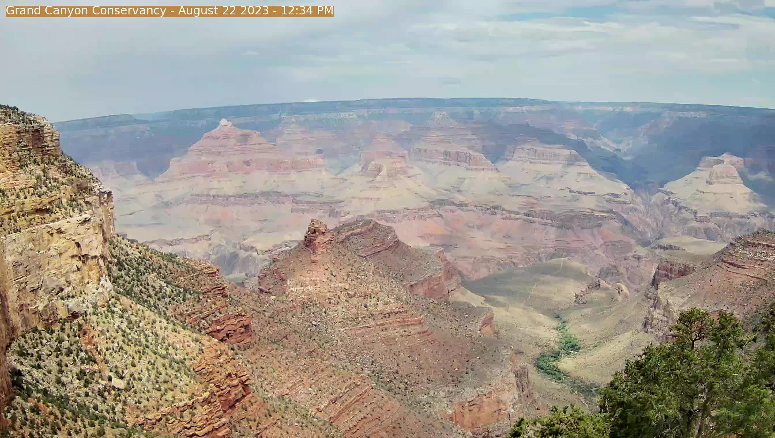
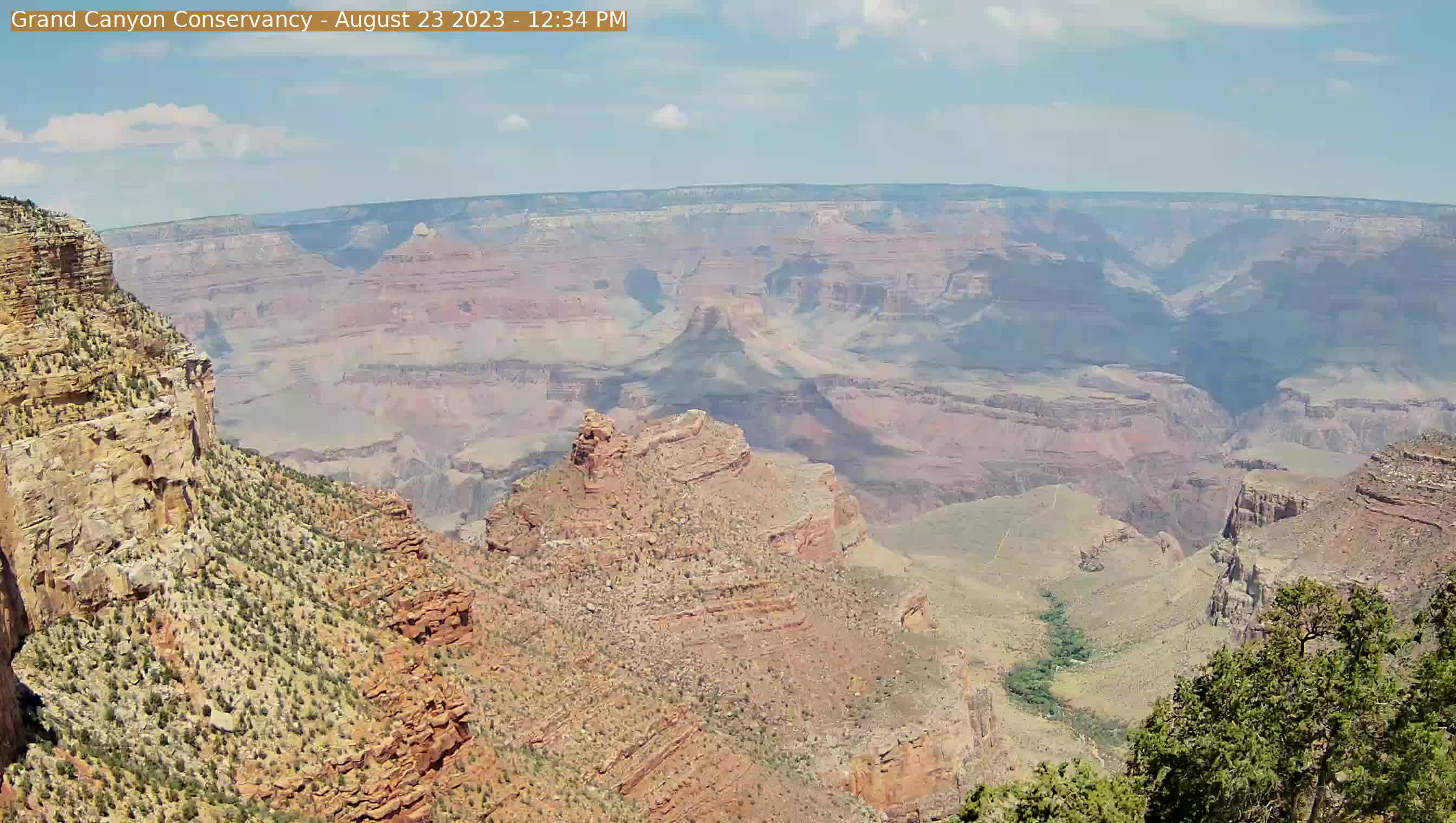
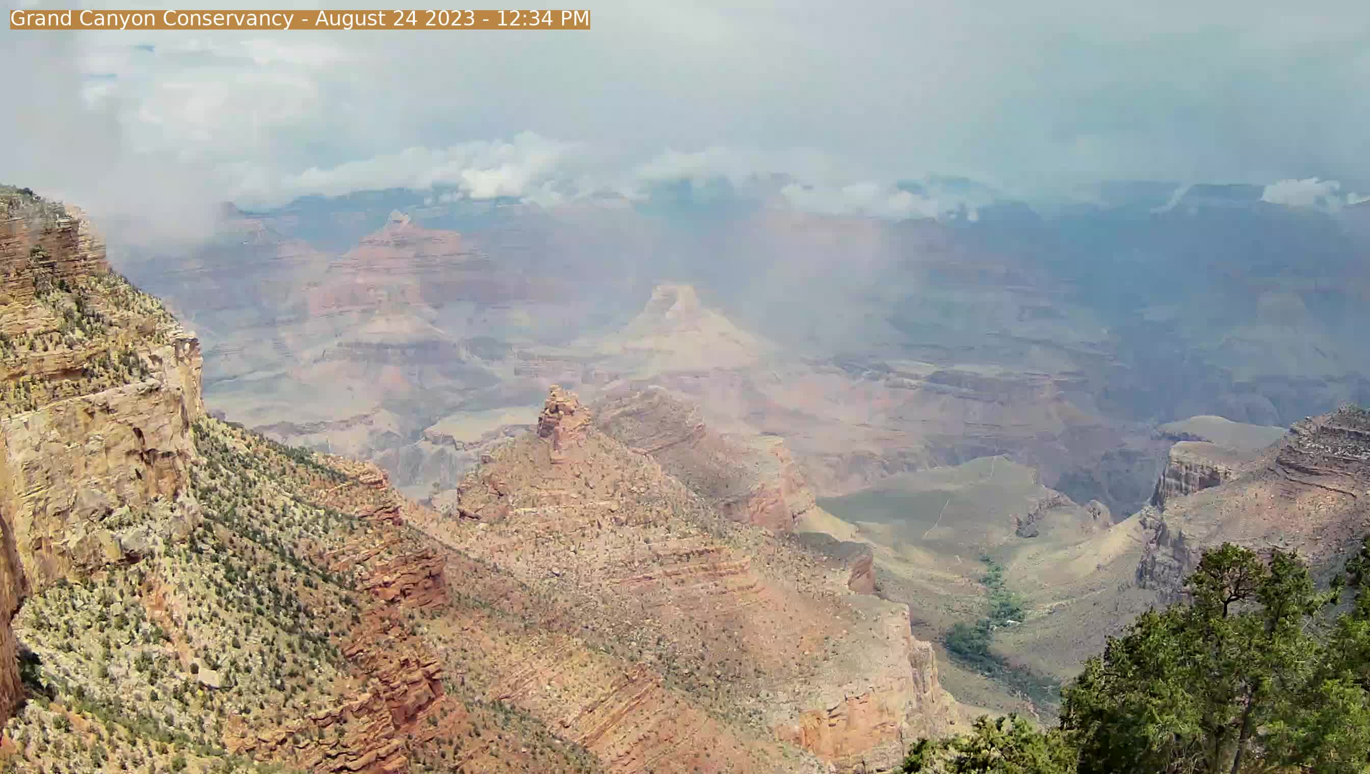
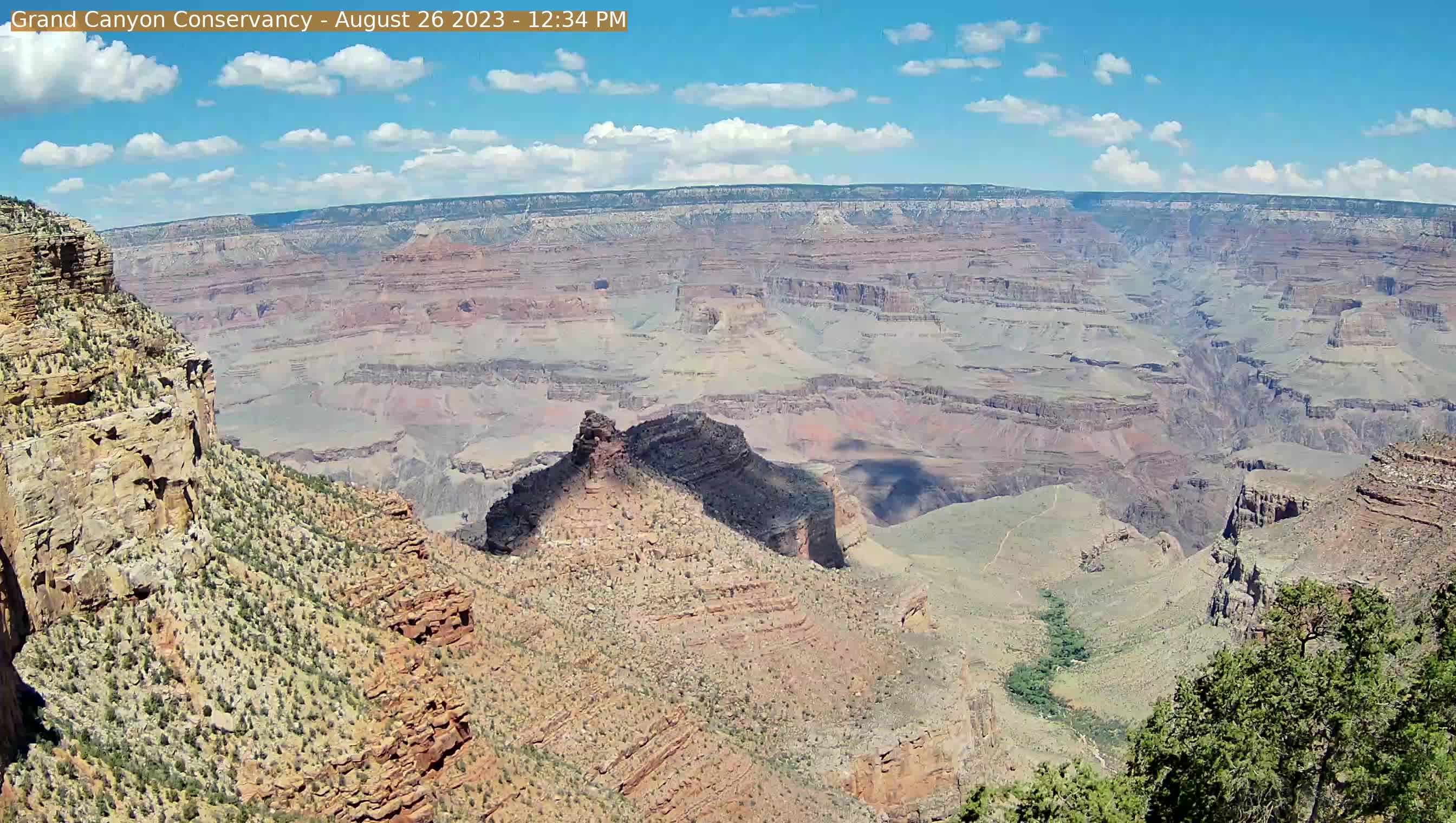
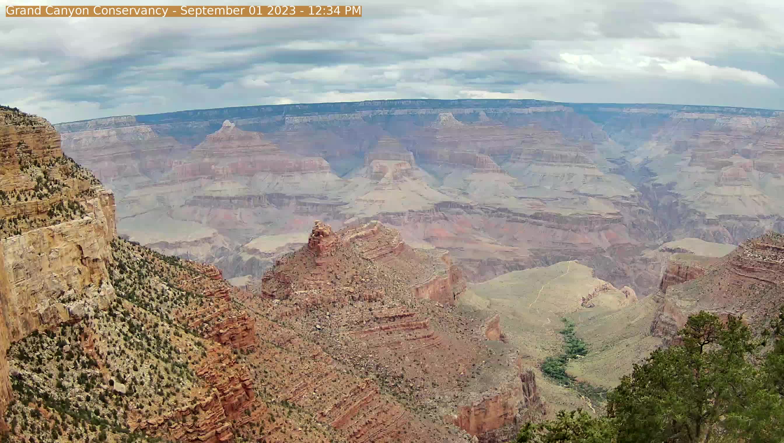
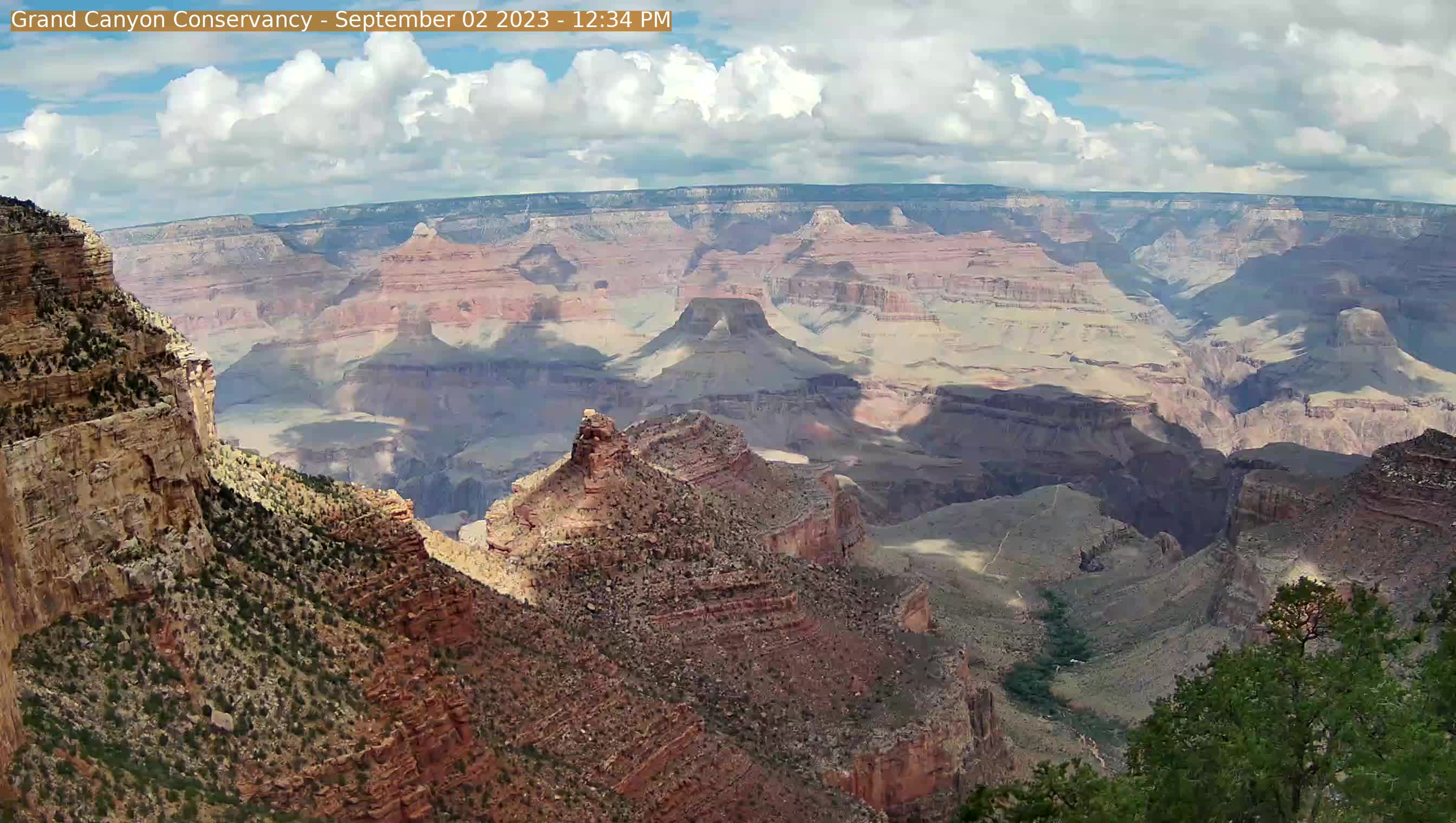
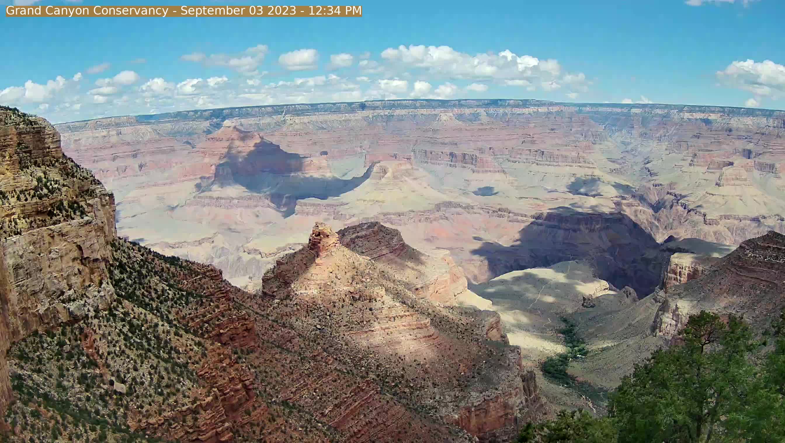
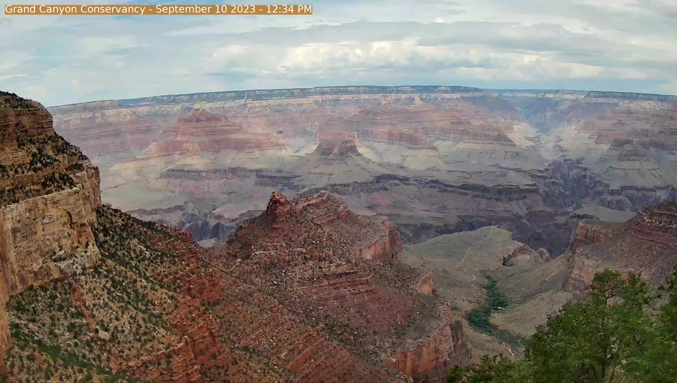
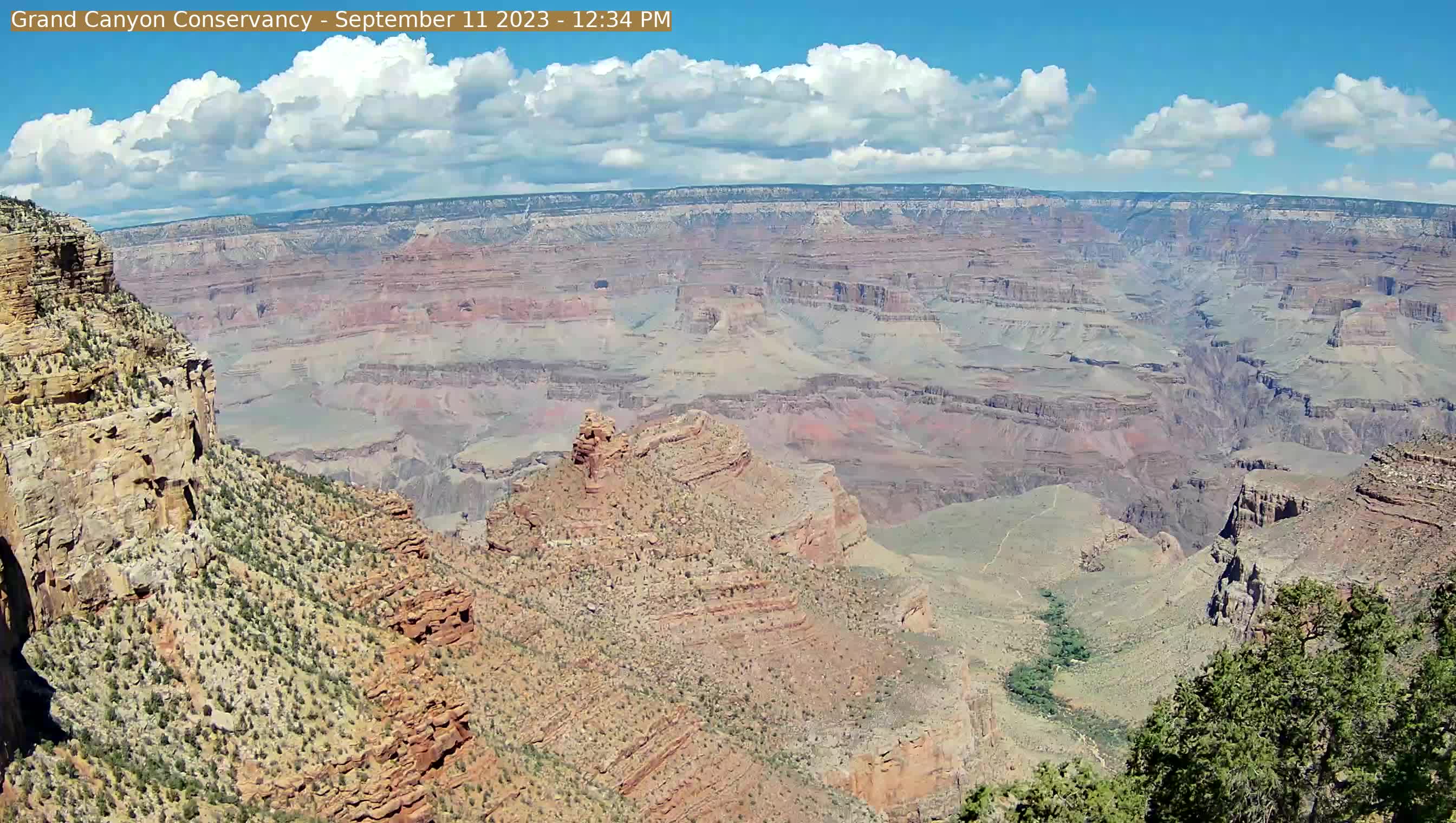
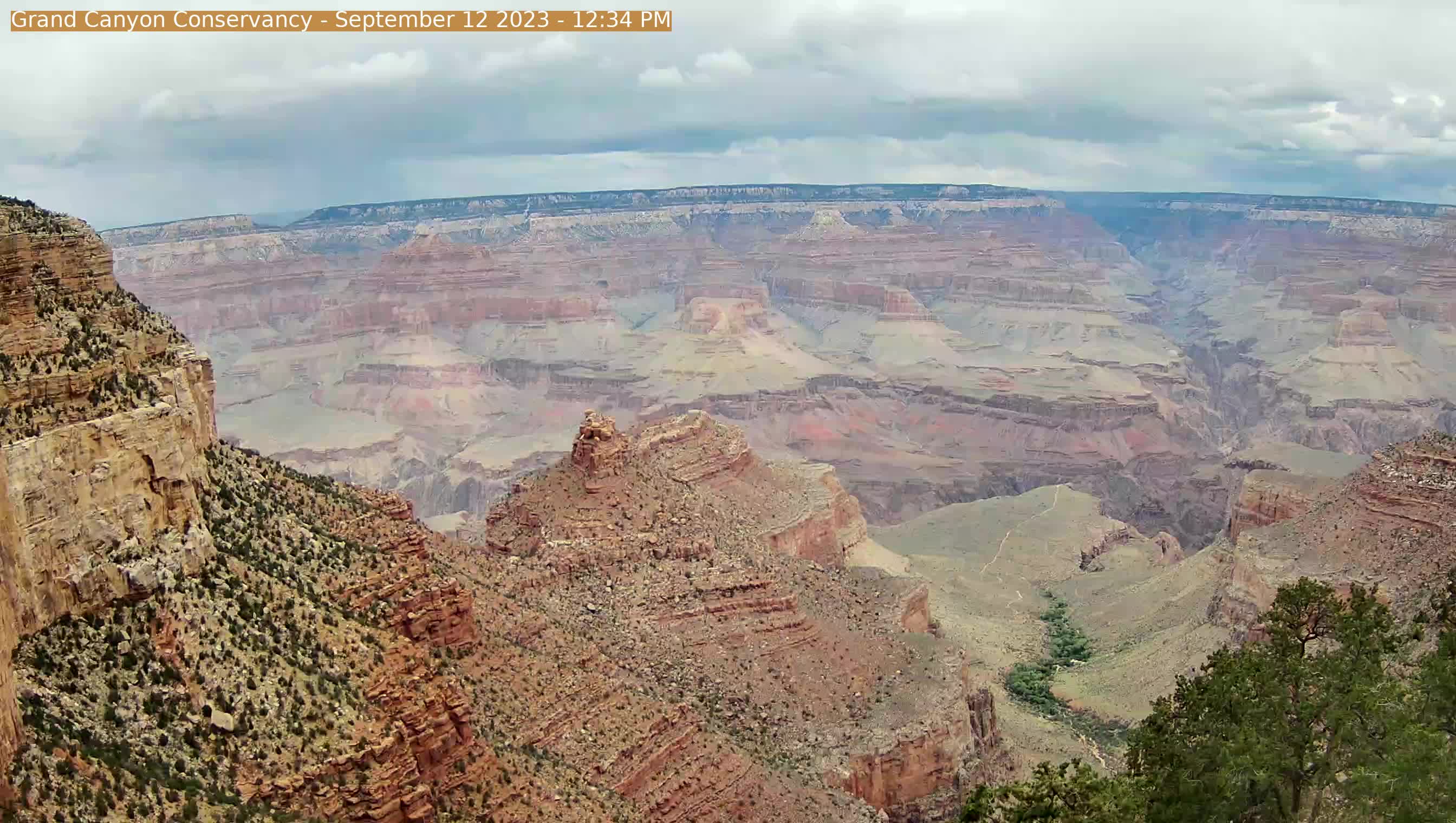
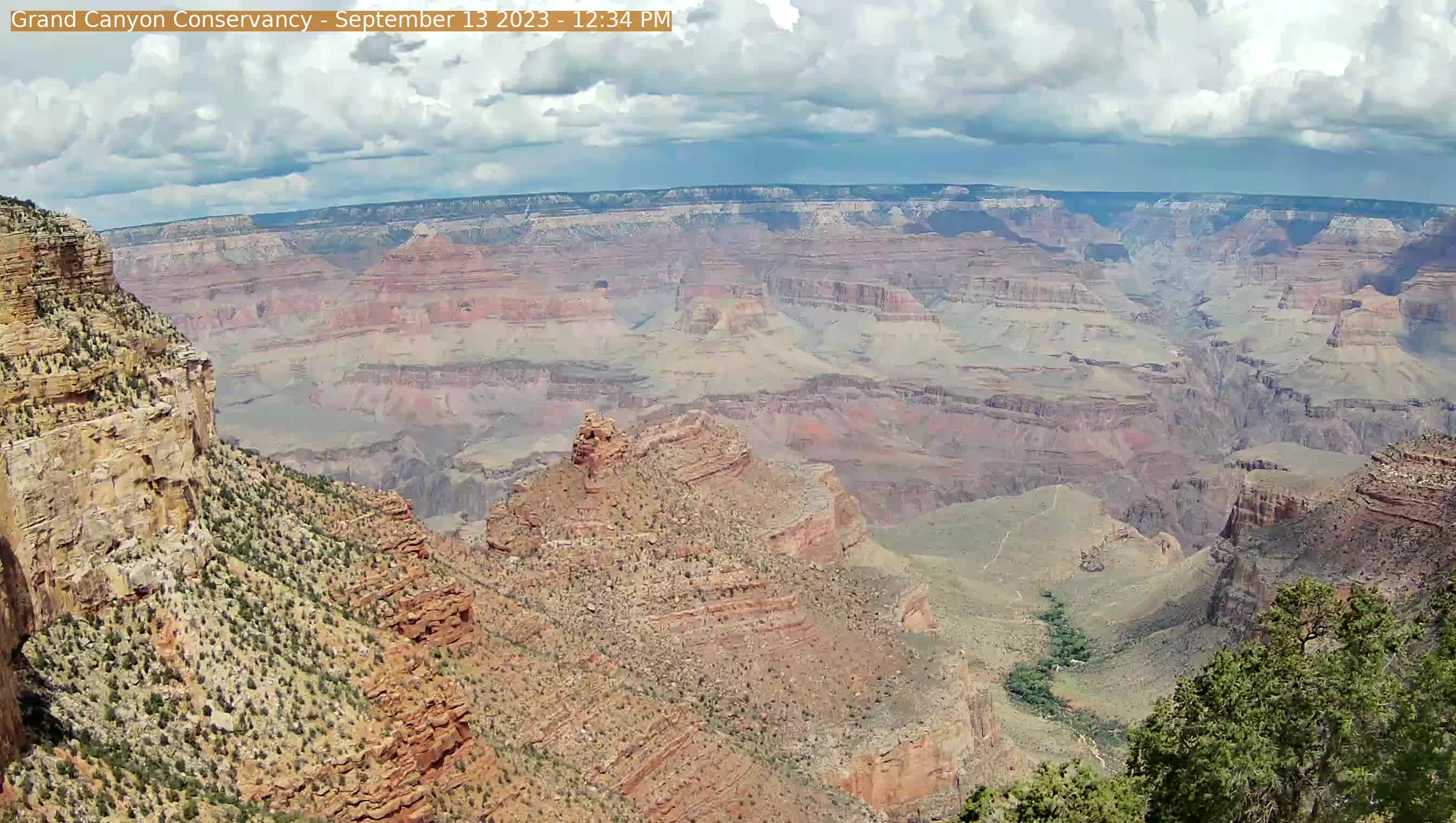
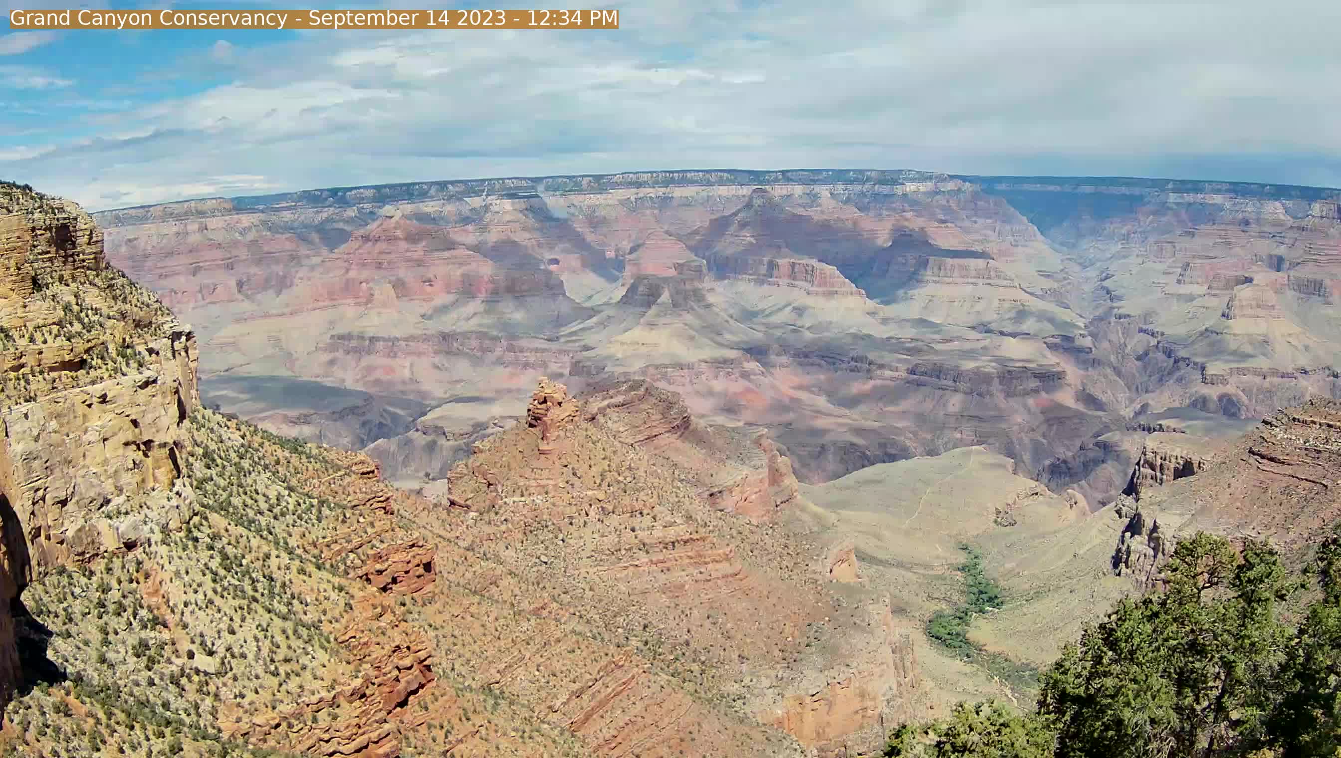
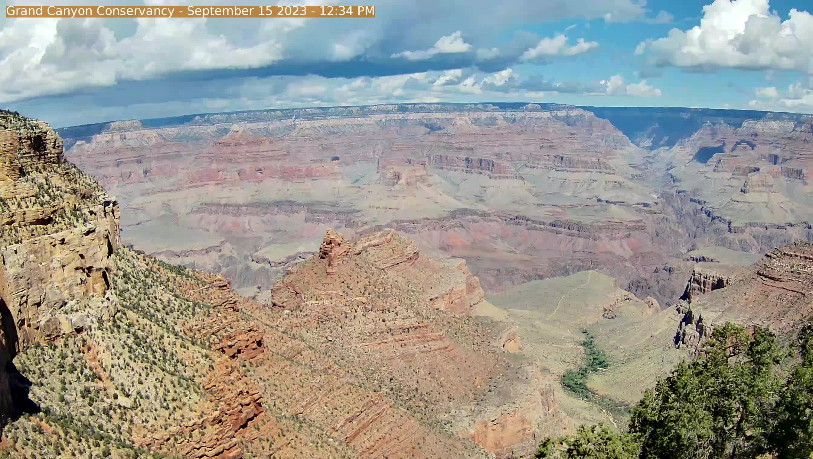
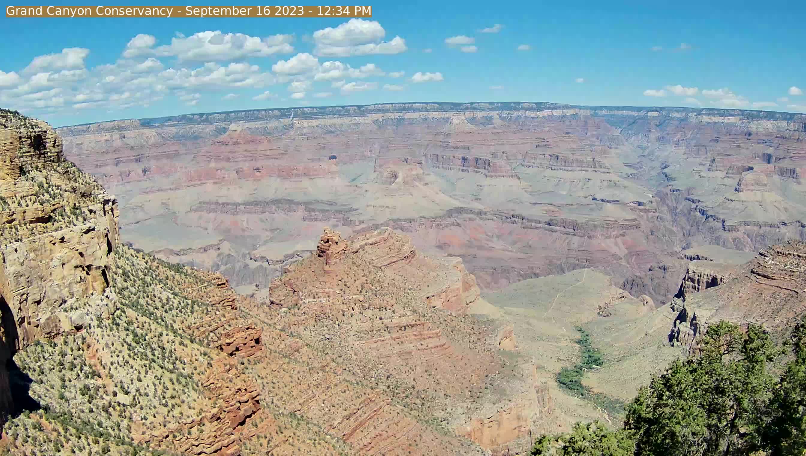
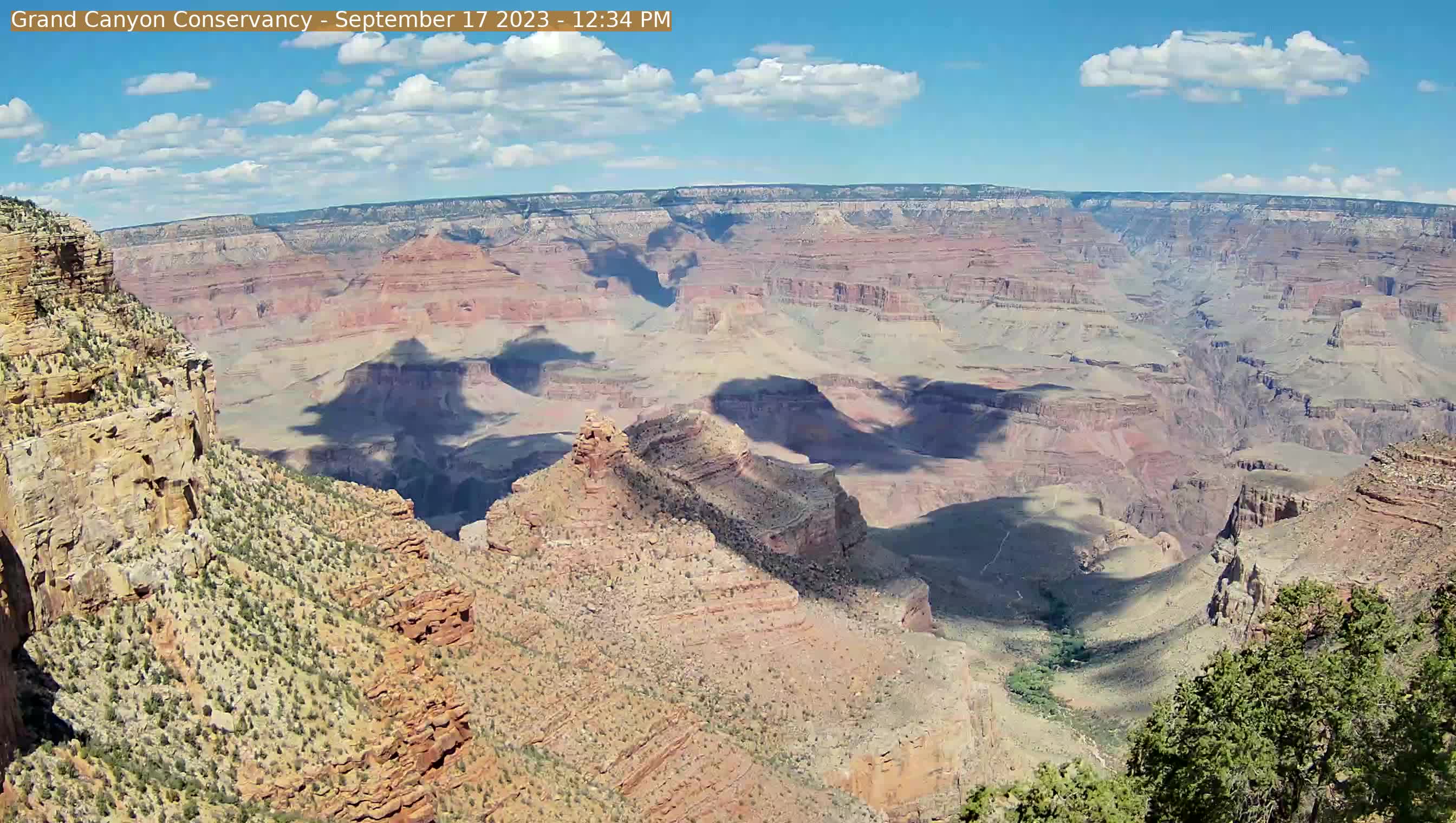
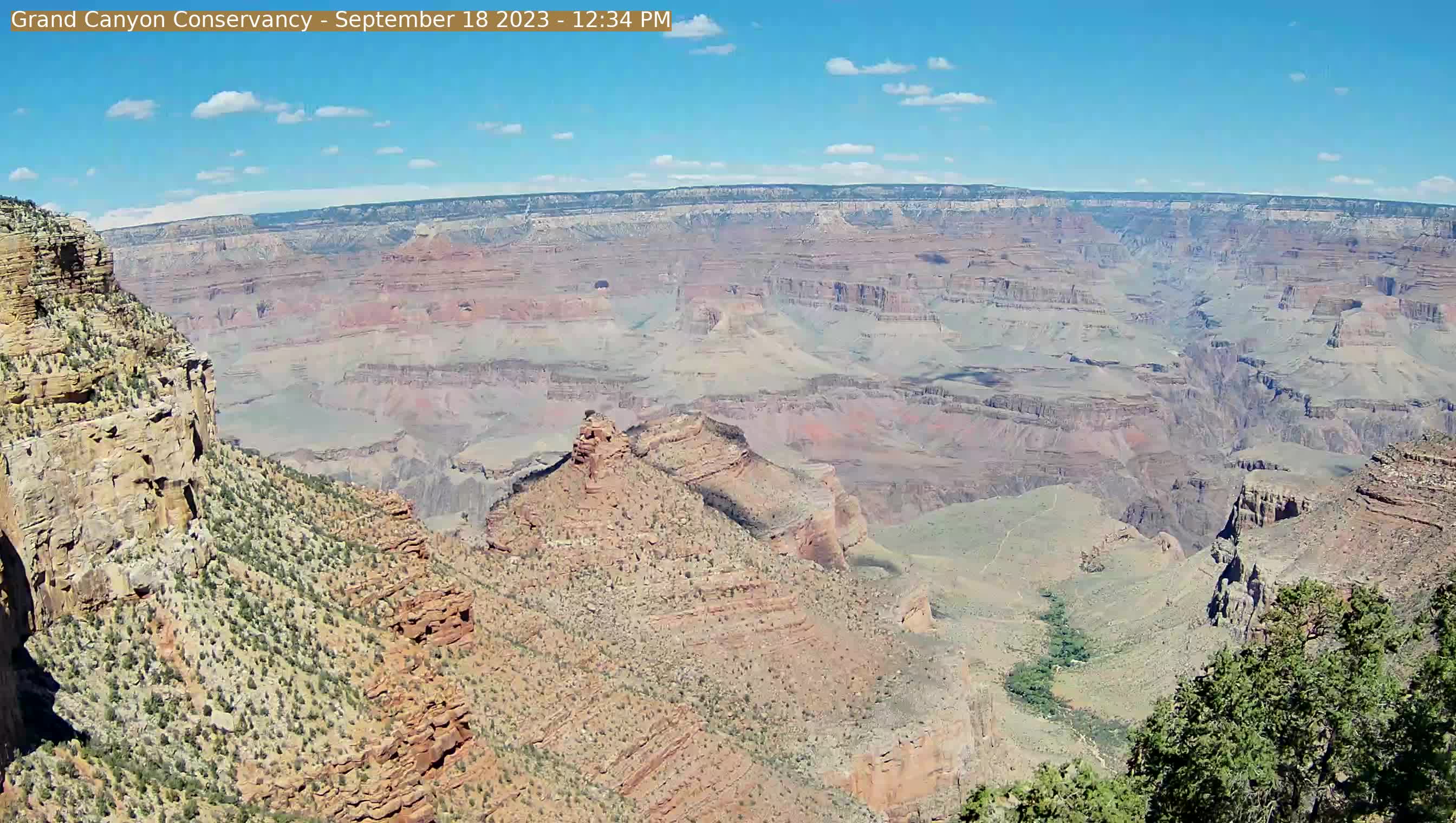
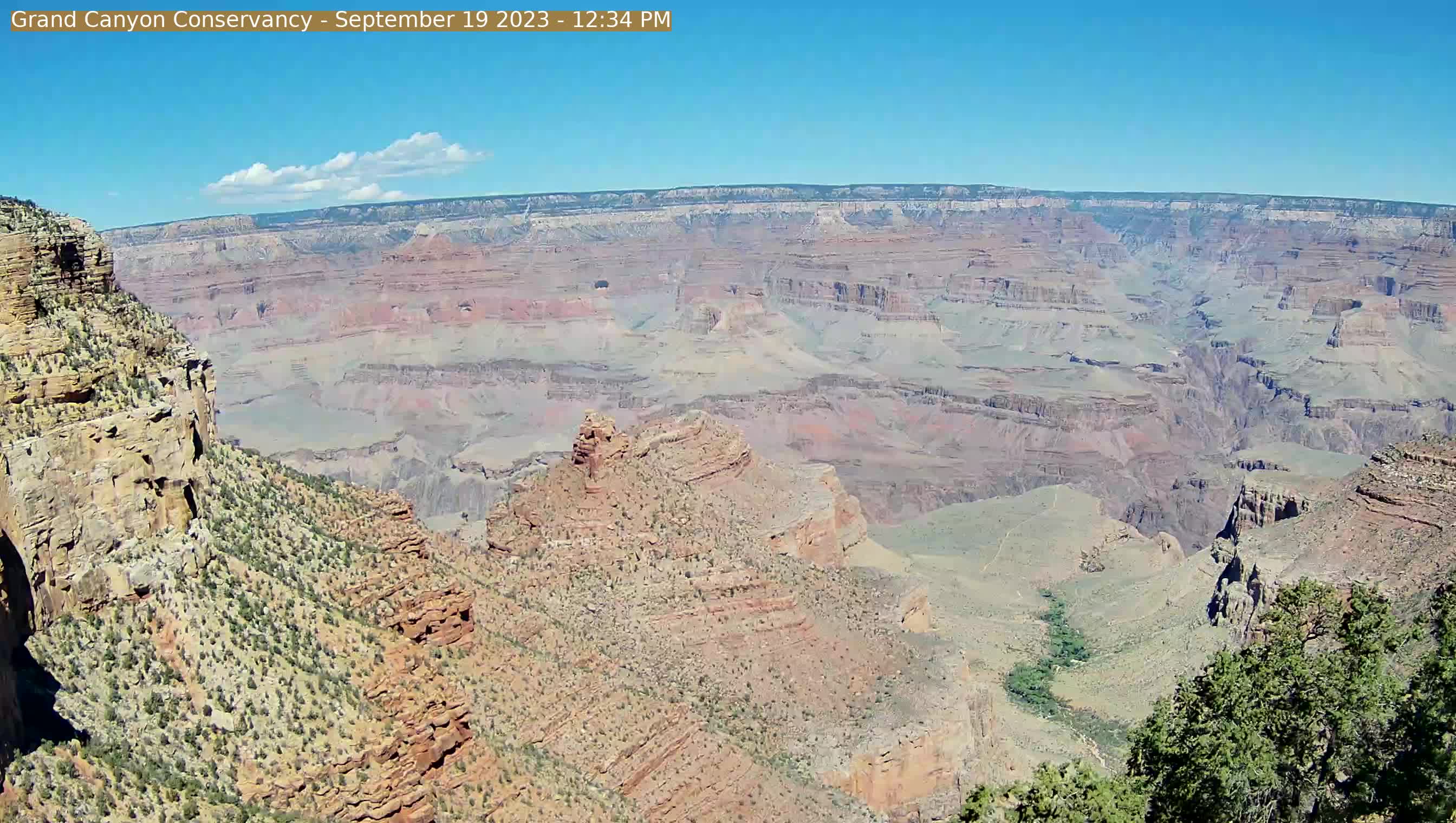
Grand Canyon, USA - 123.2 miles from Cedar City: Panorama Grand Canyon - A great view from the Kolb Studio in Grand Canyon Village, Arizona.
Operator: U.S. National Park Service
Operator: U.S. National Park Service


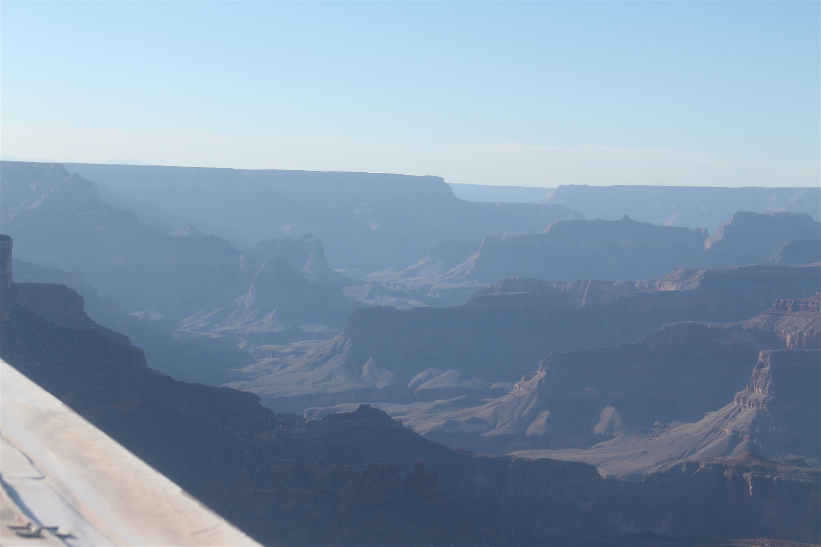
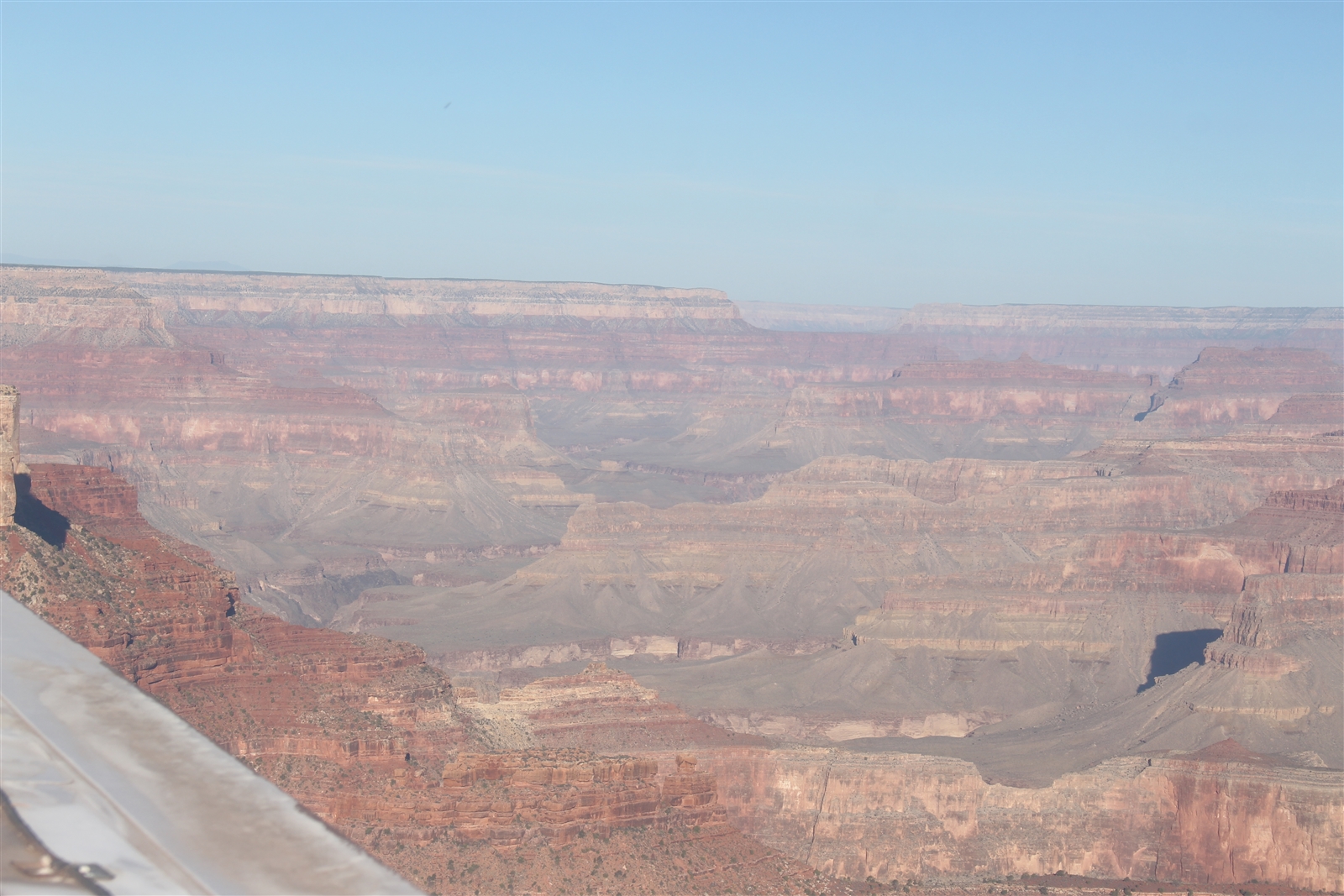
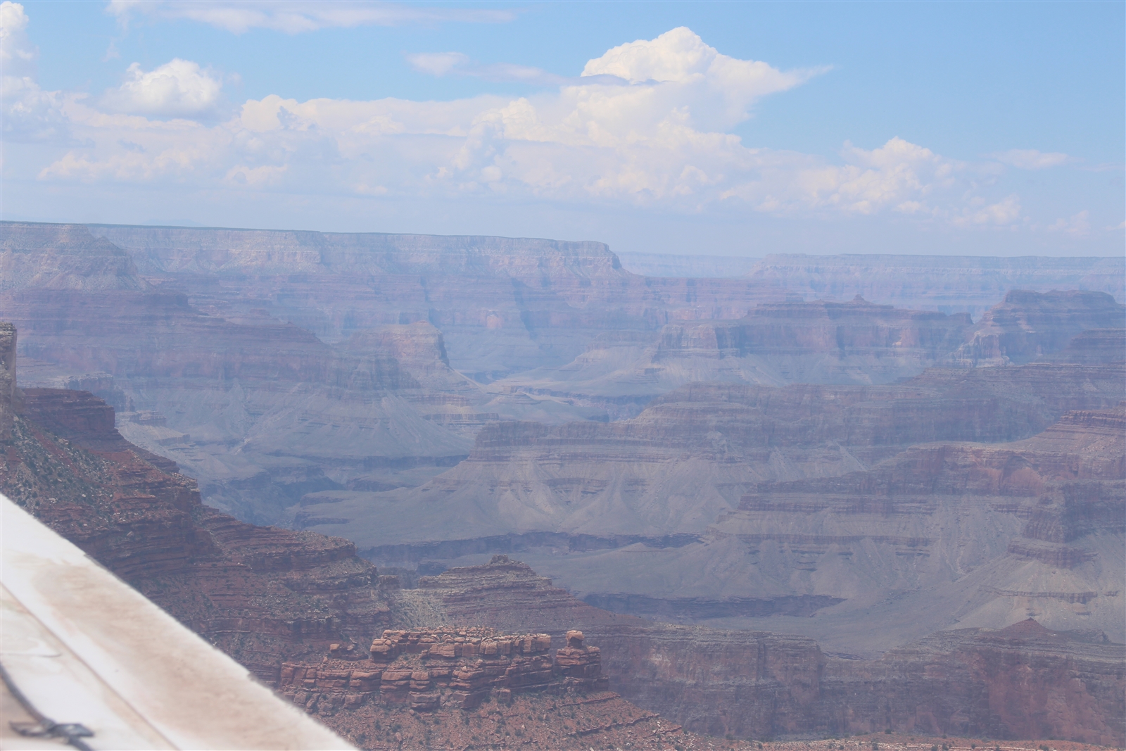
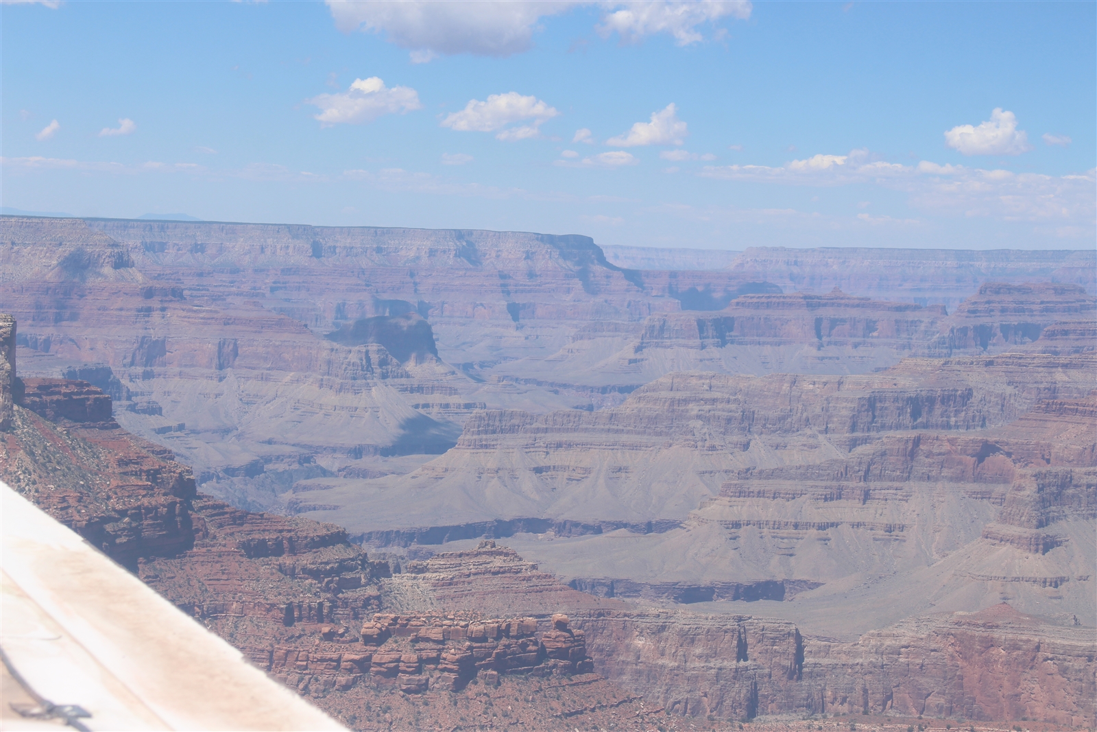
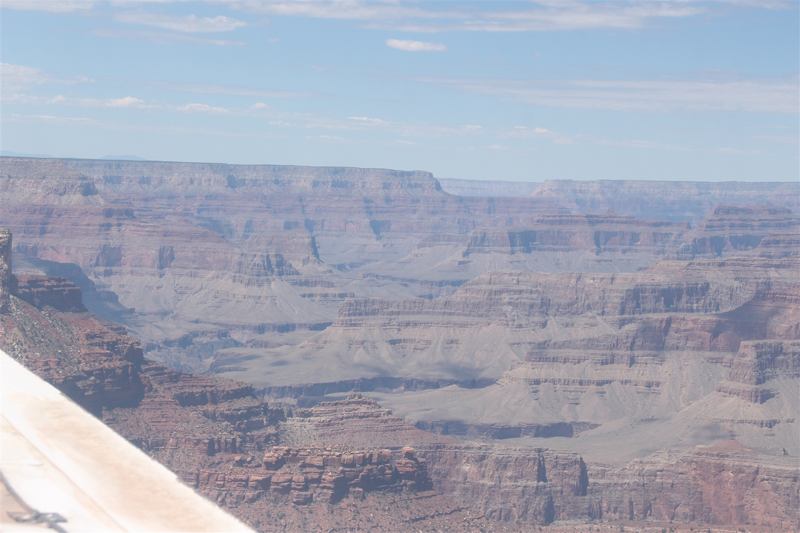
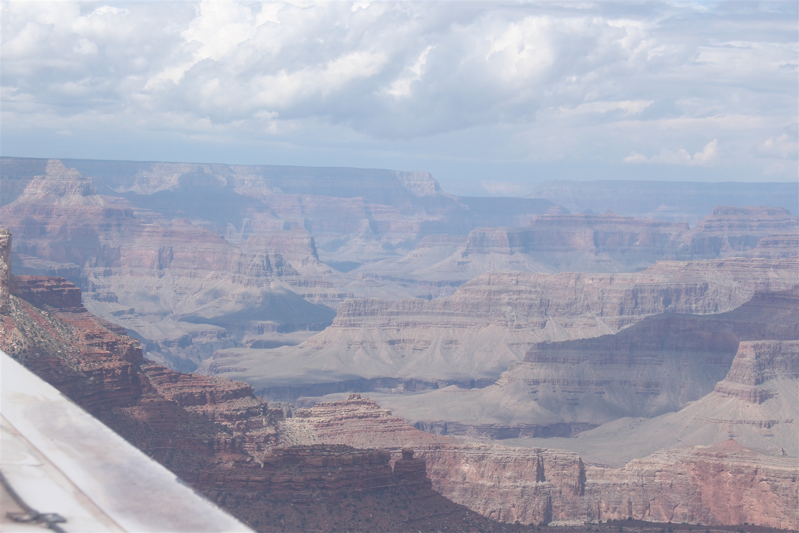
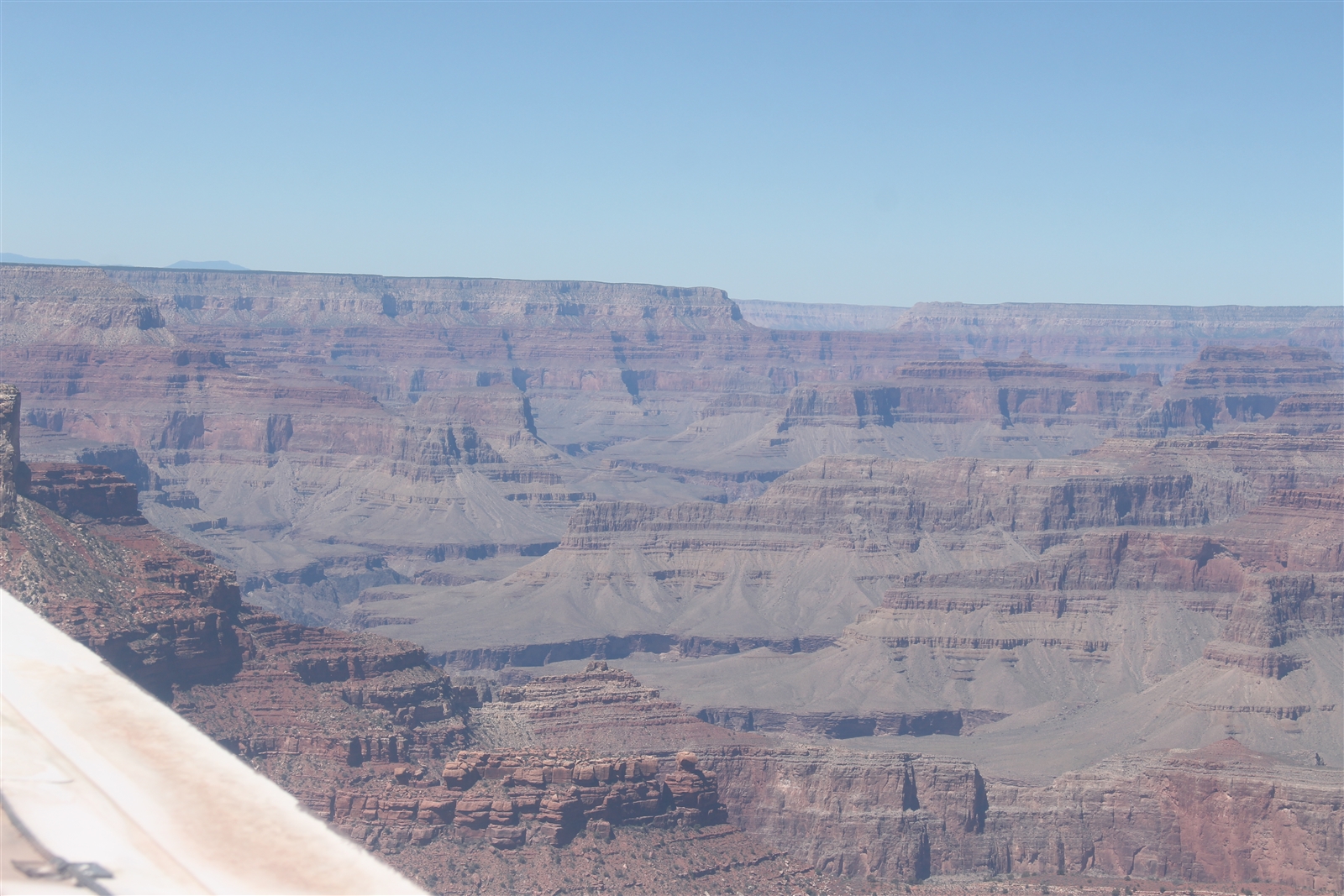
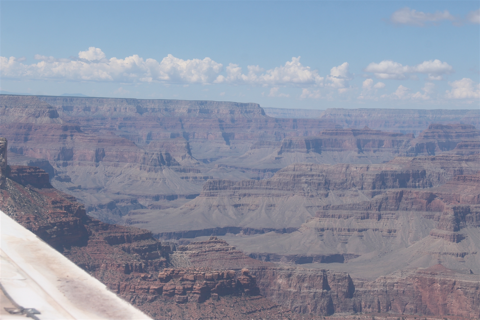
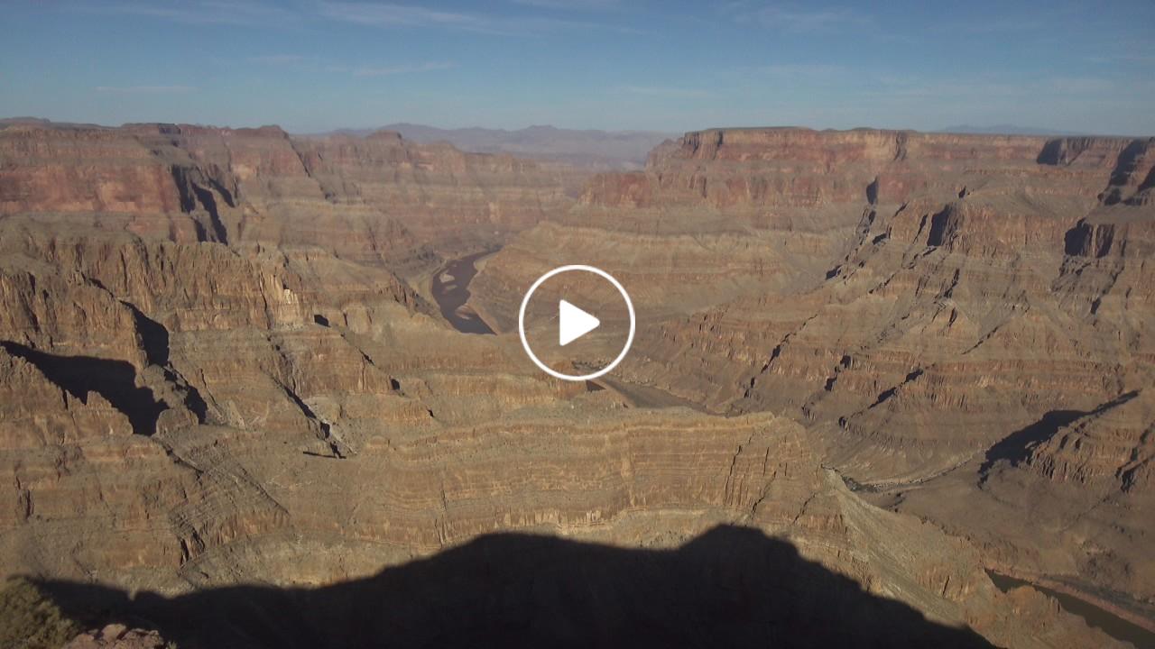
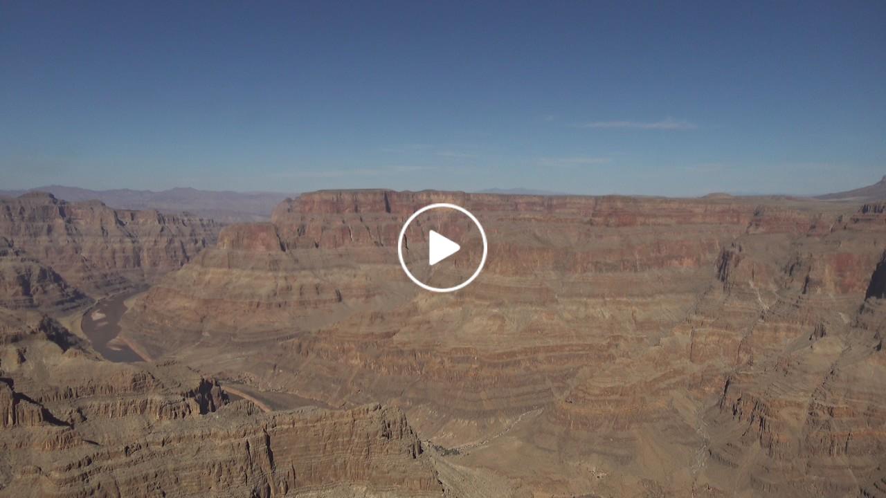
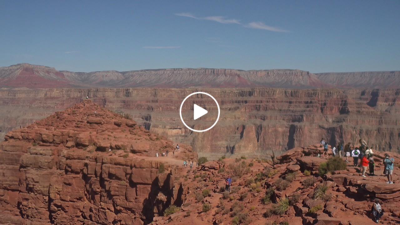
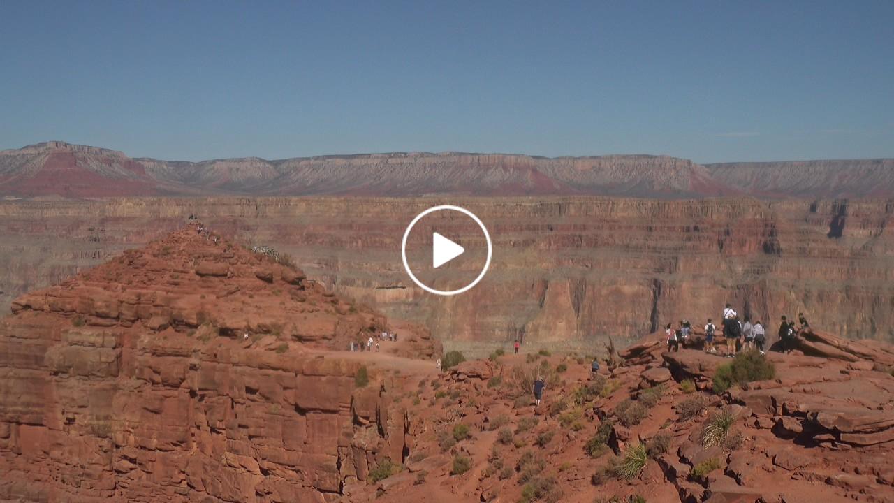
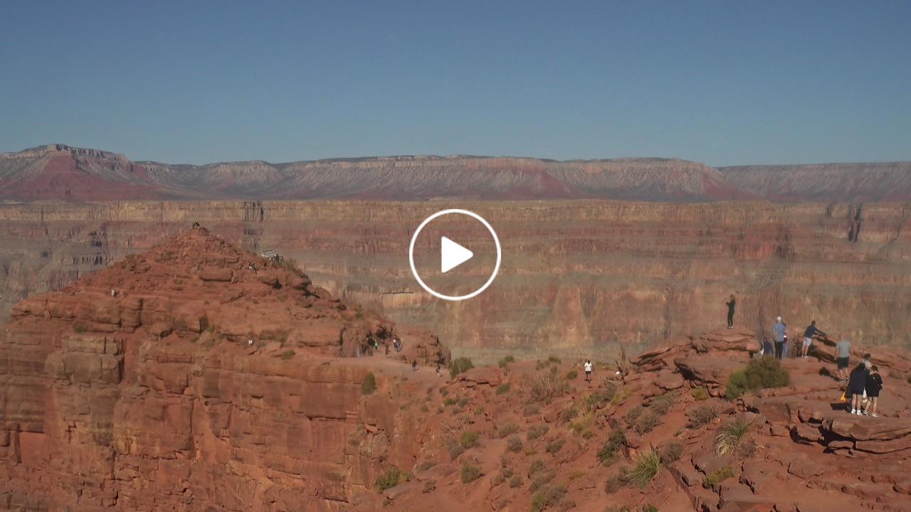
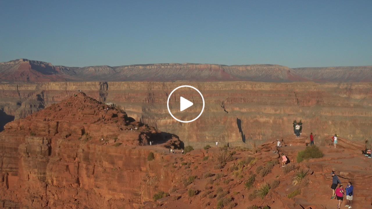
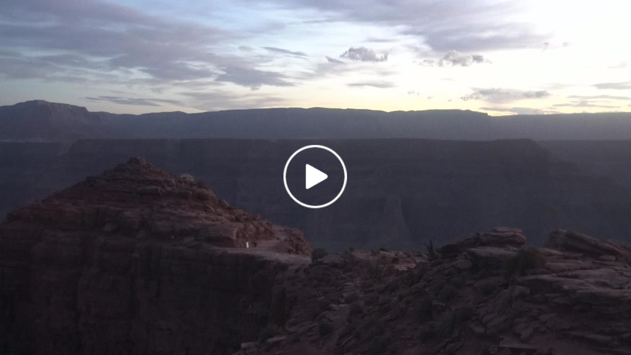
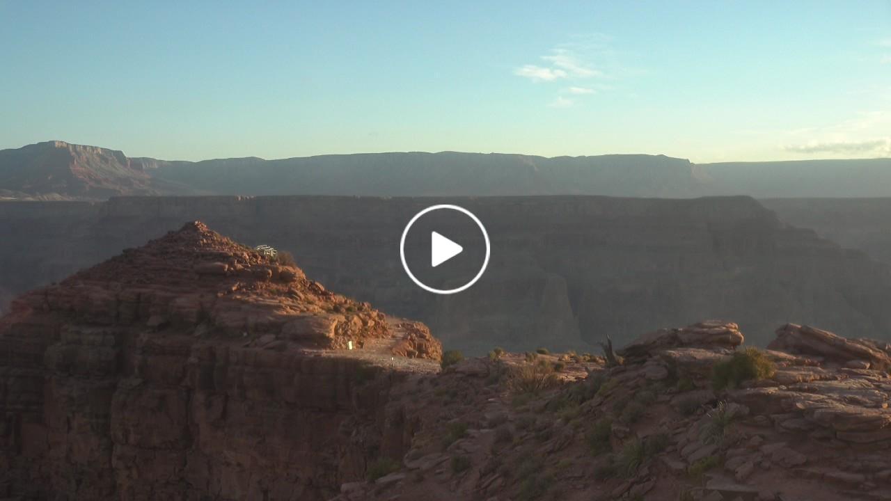
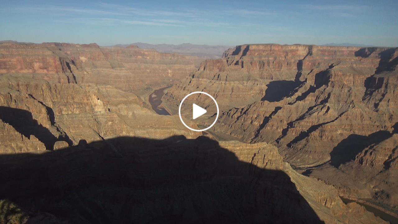
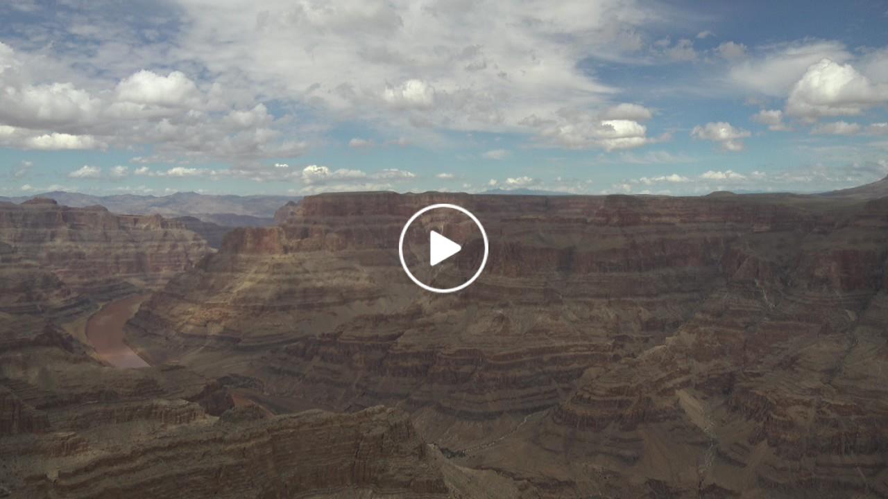
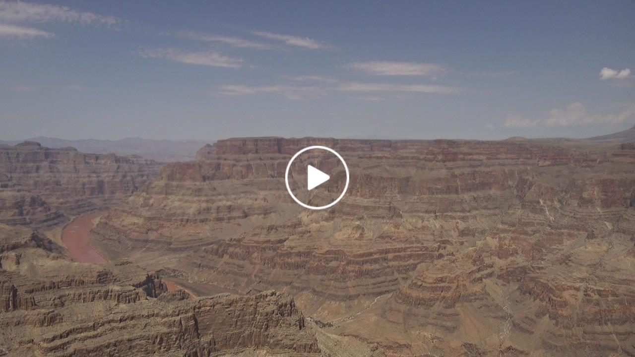
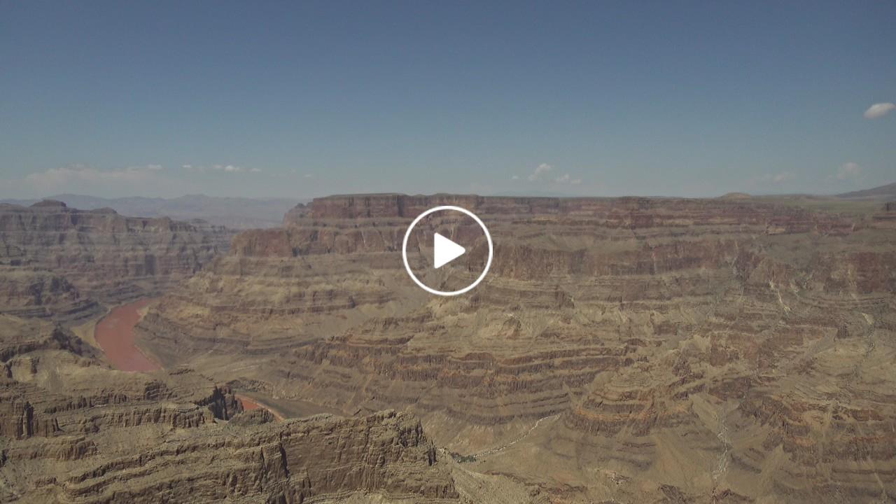
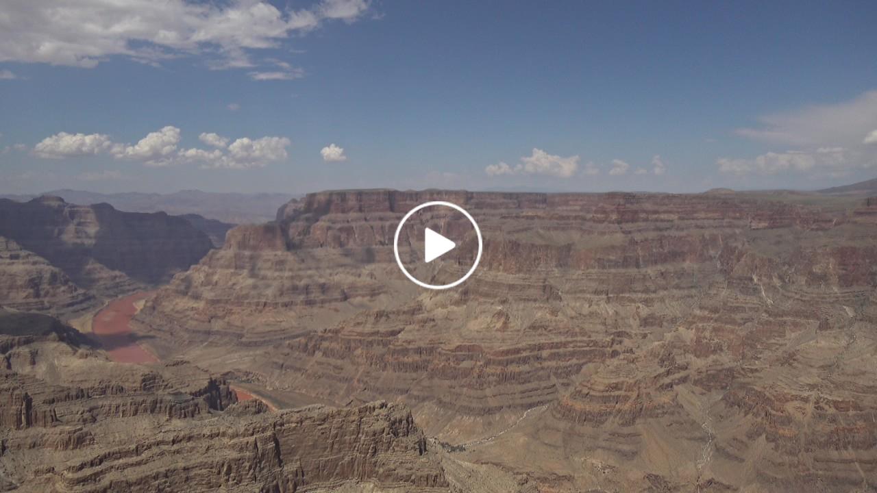
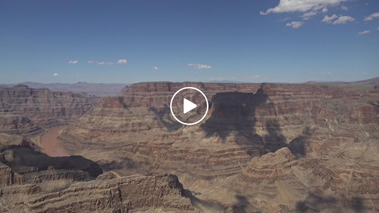
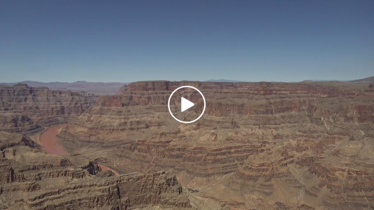
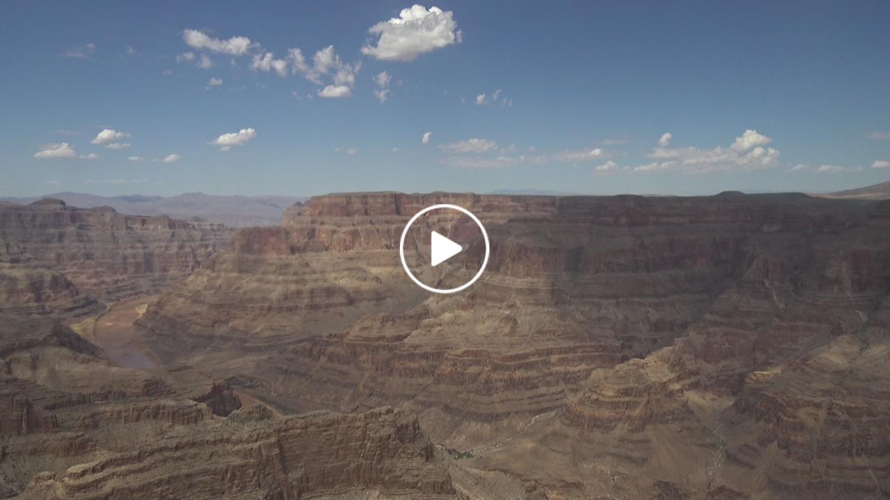
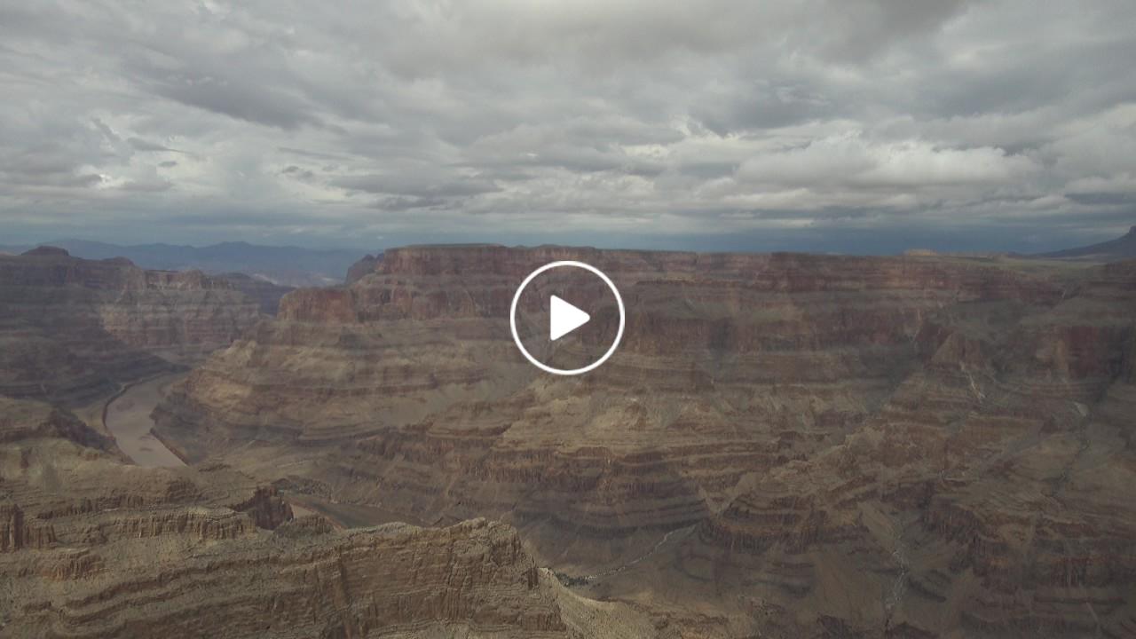
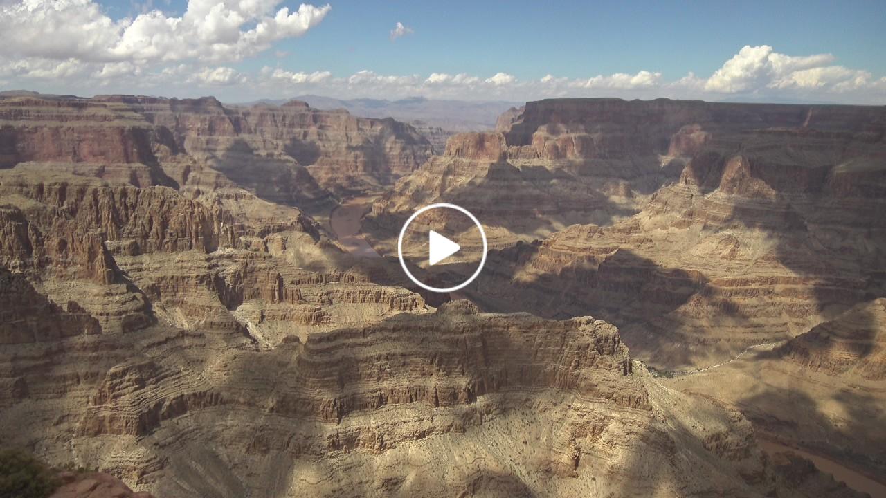
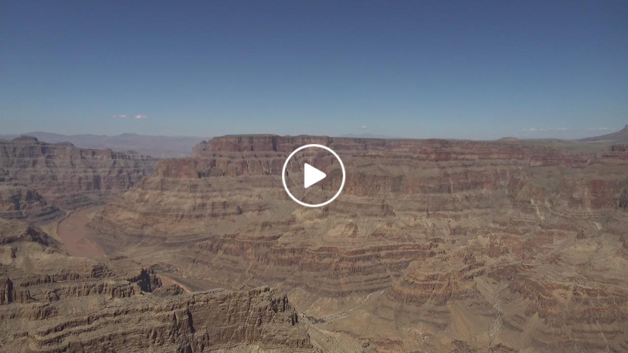
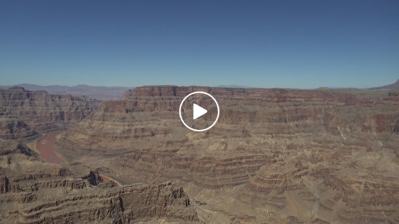
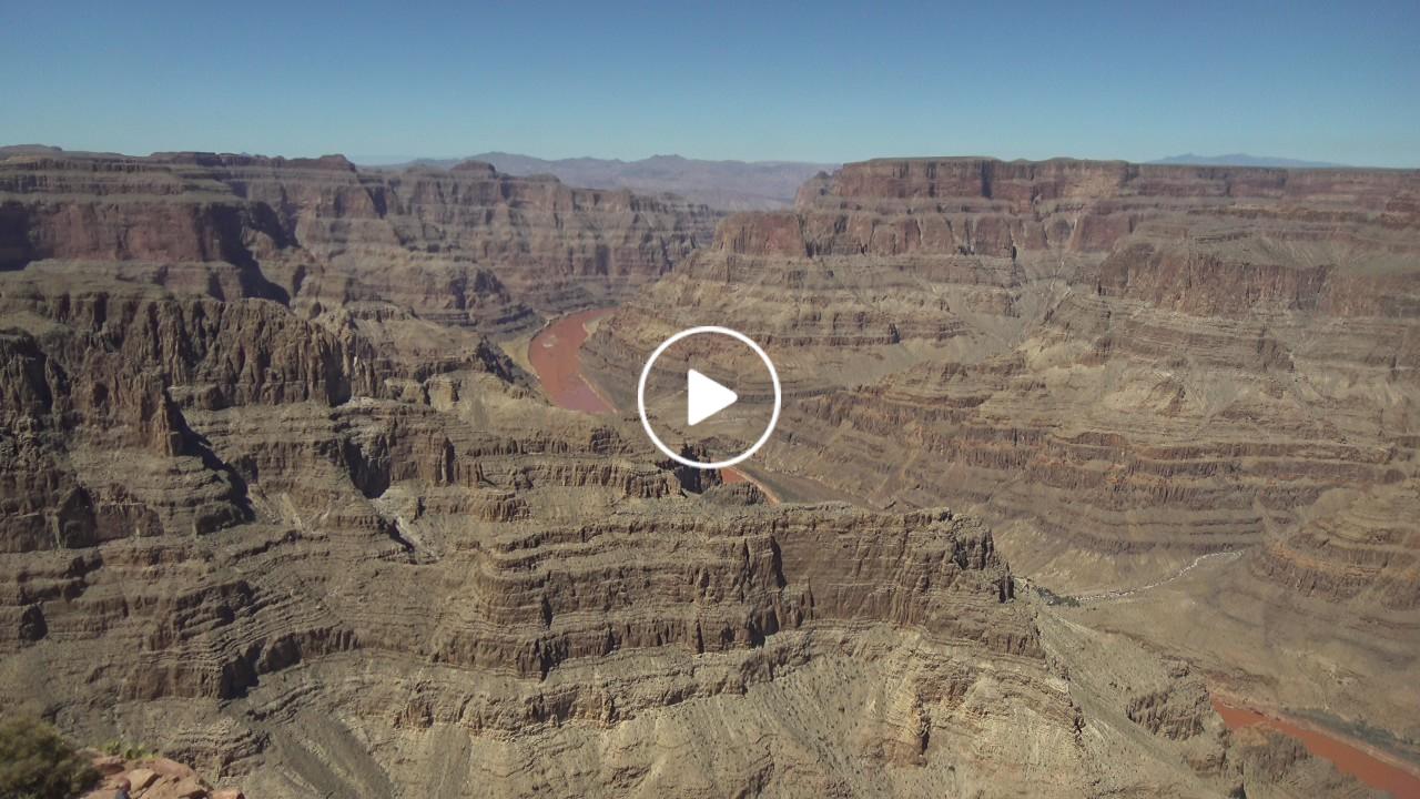
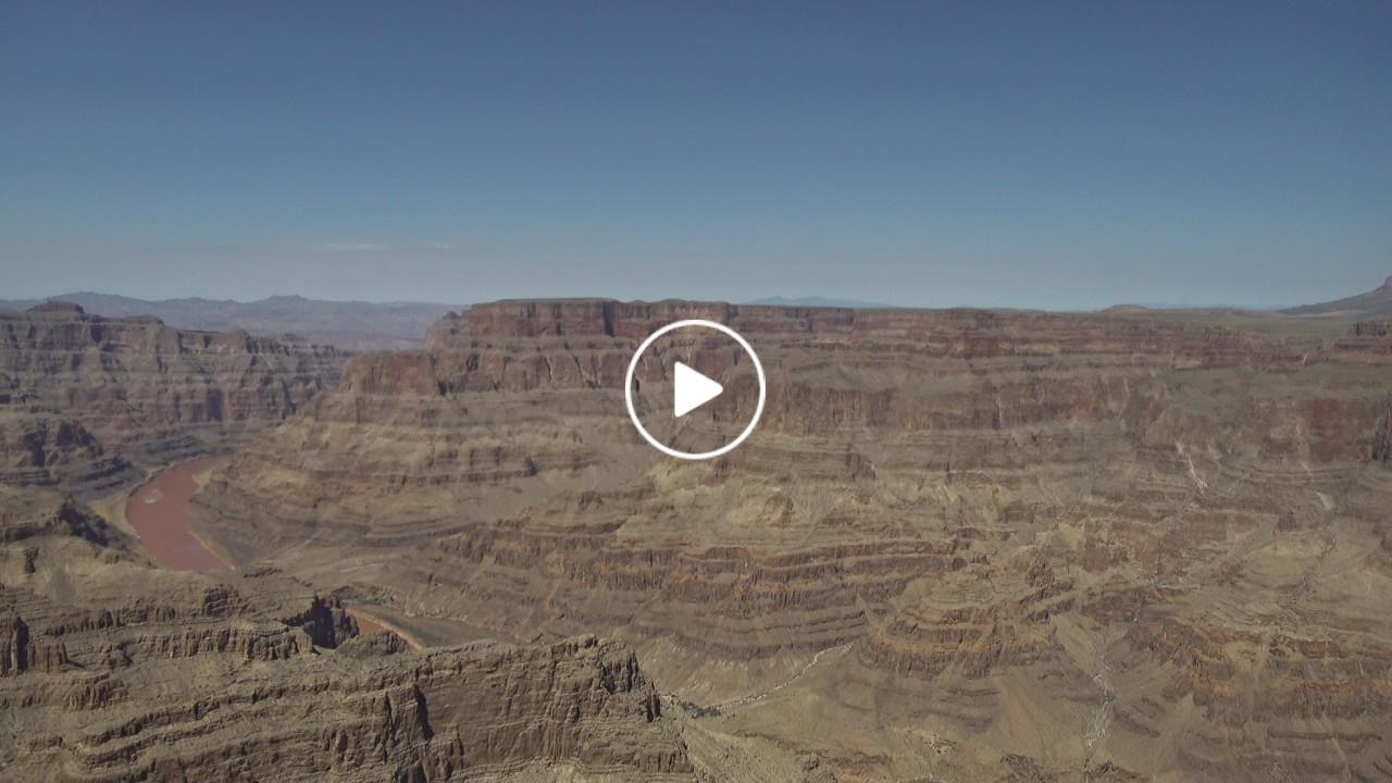
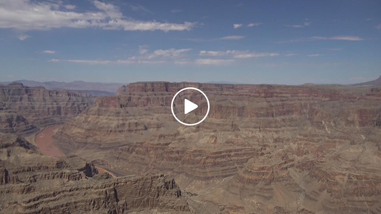
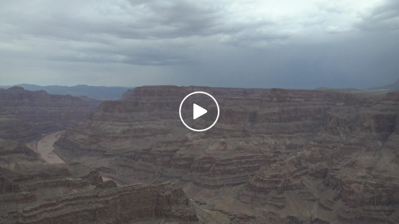
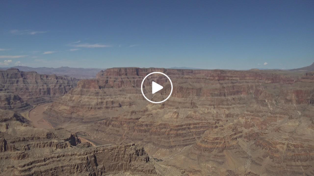
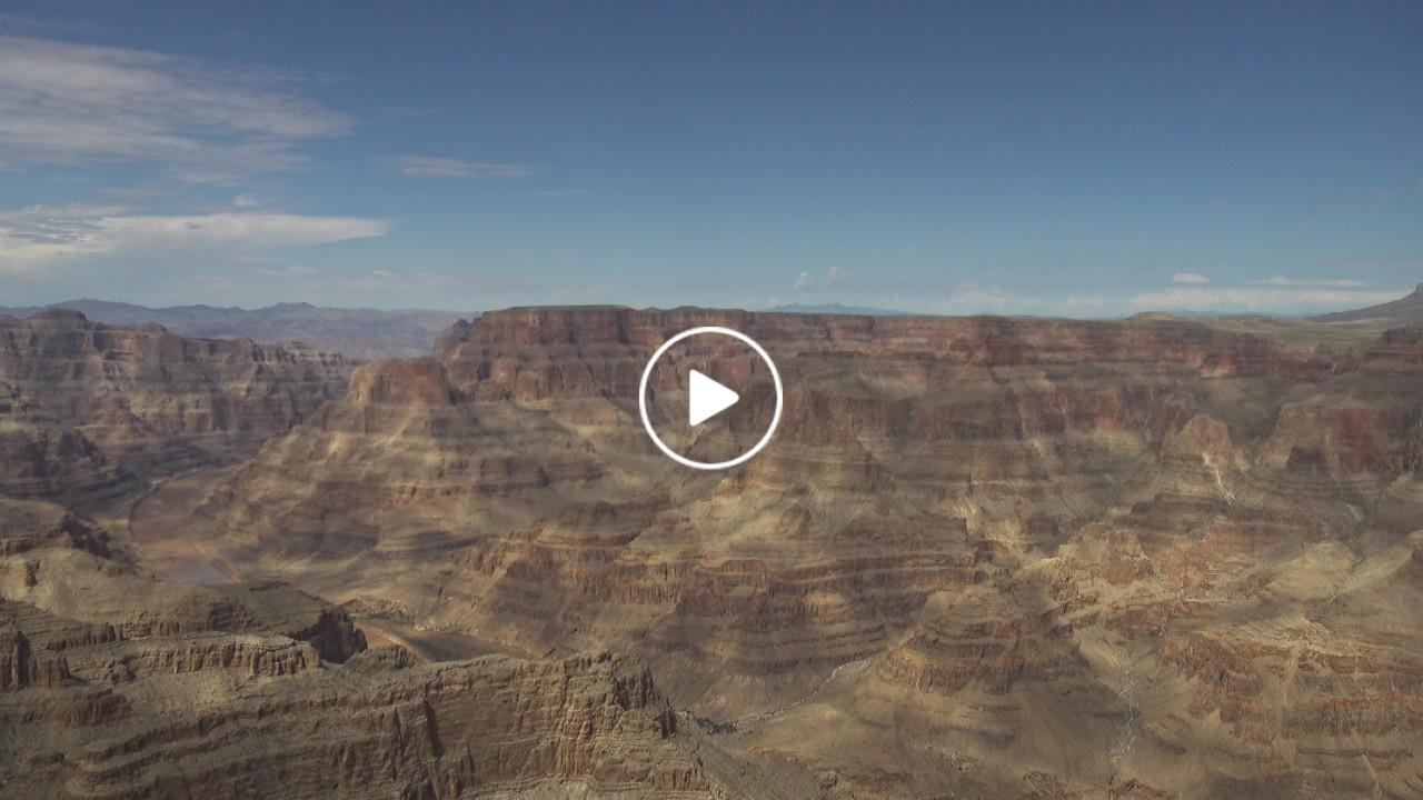
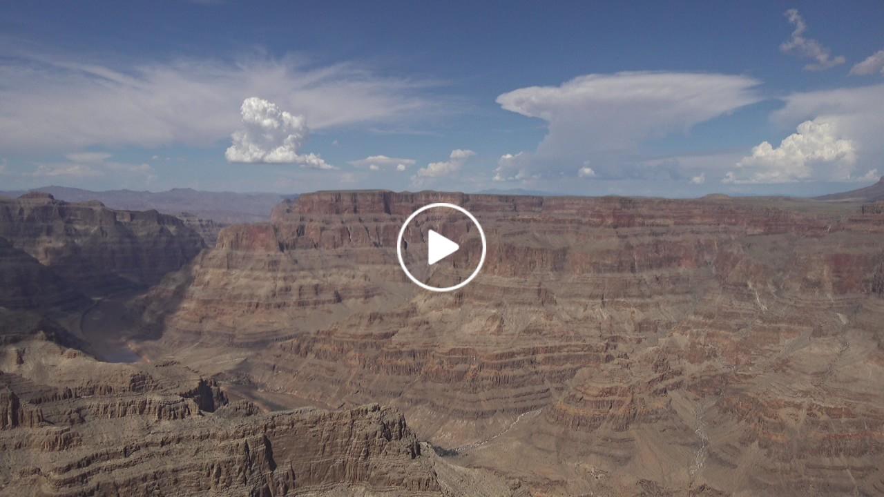
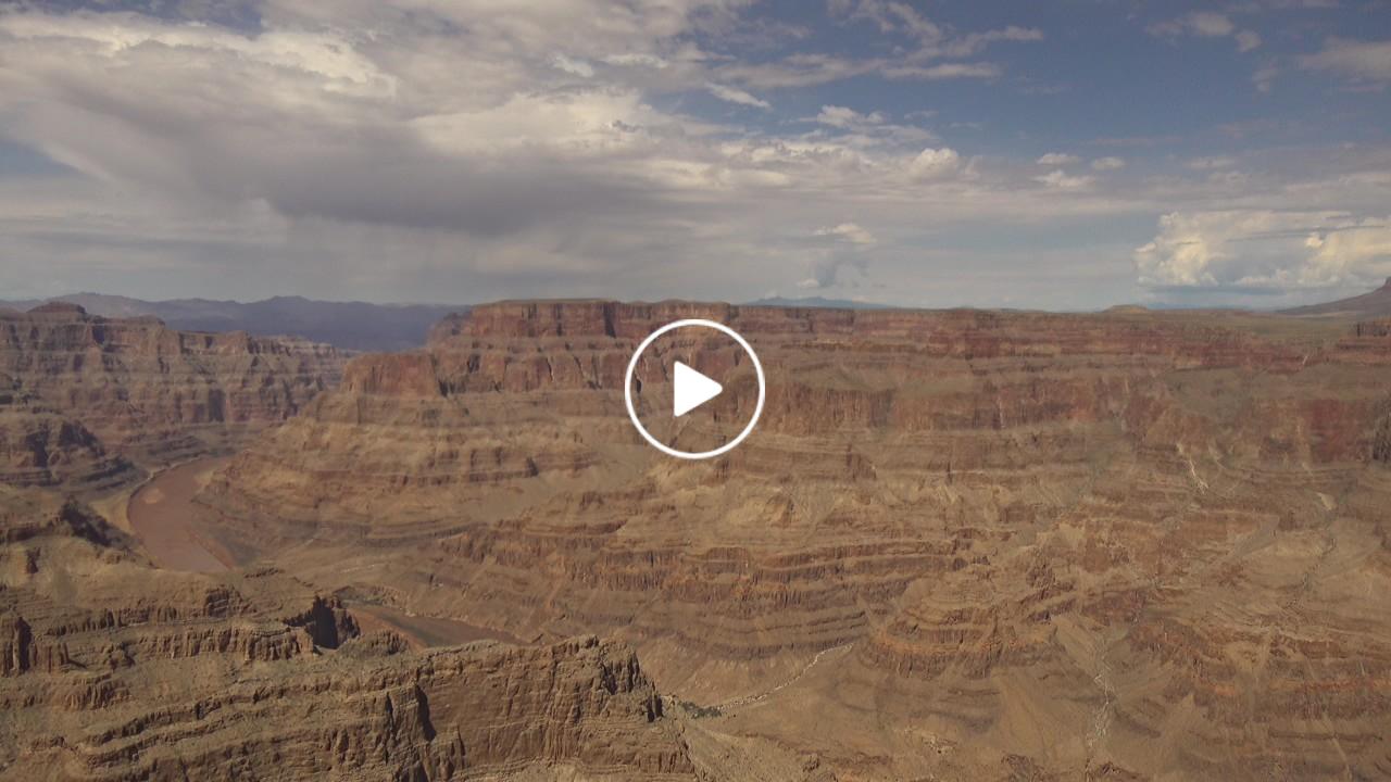
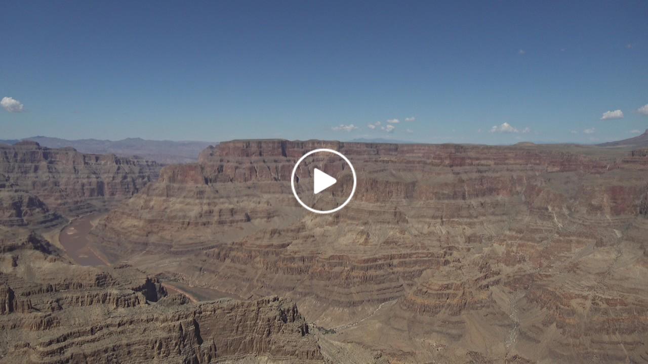
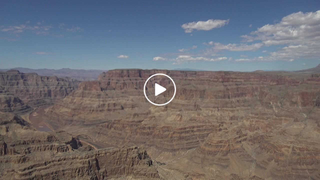
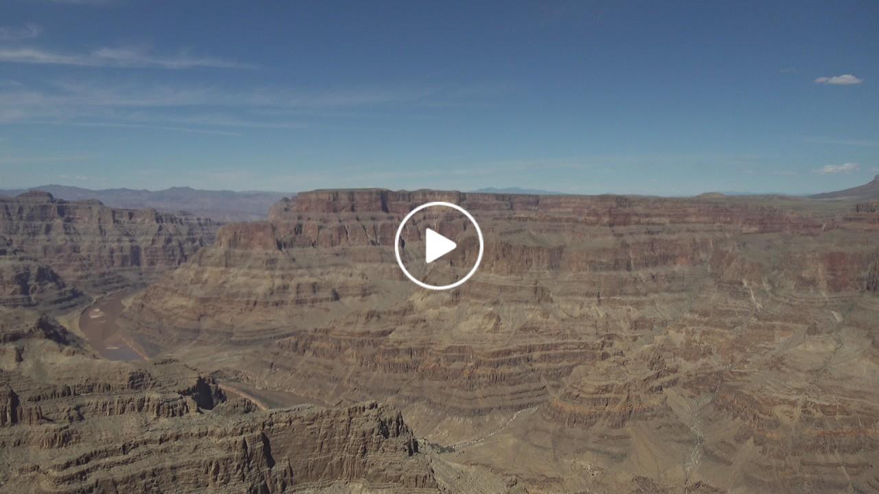
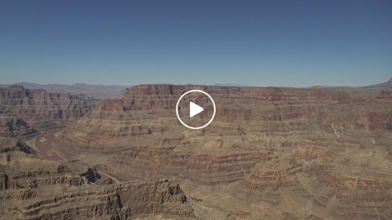
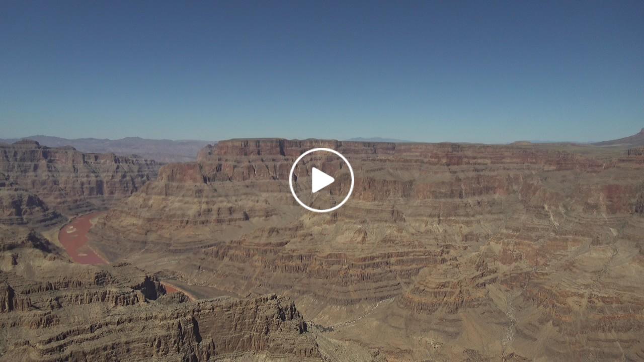
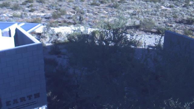
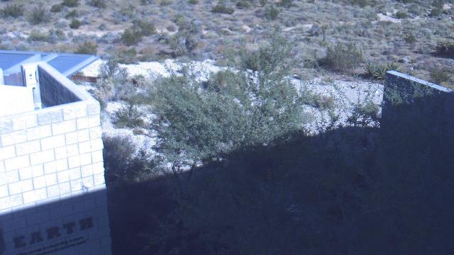
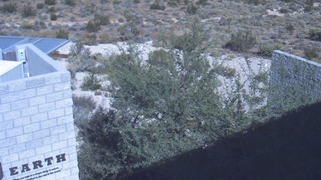
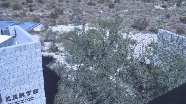
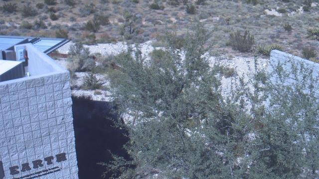
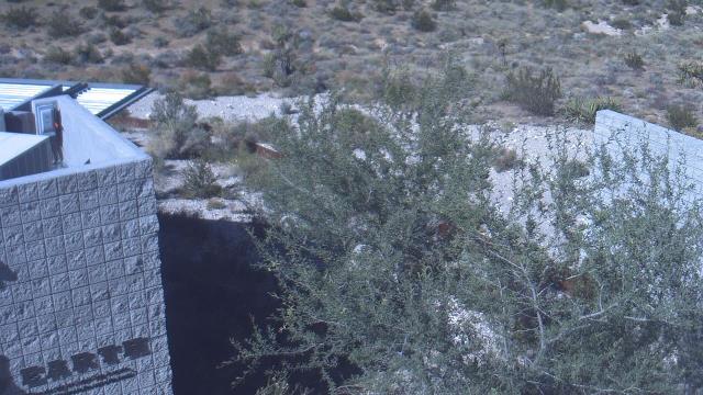
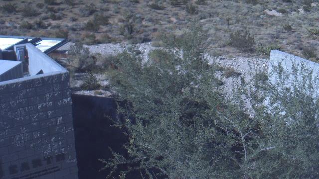
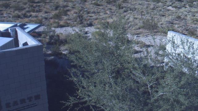
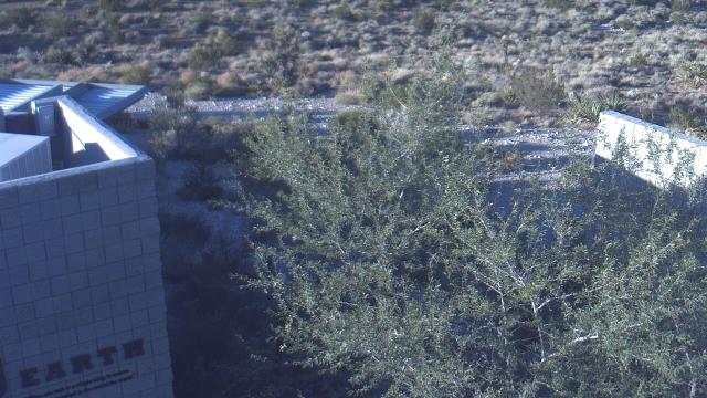
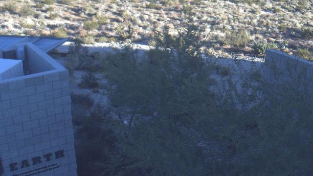
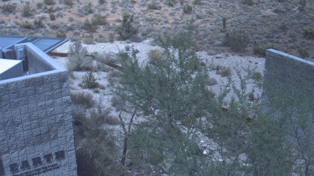
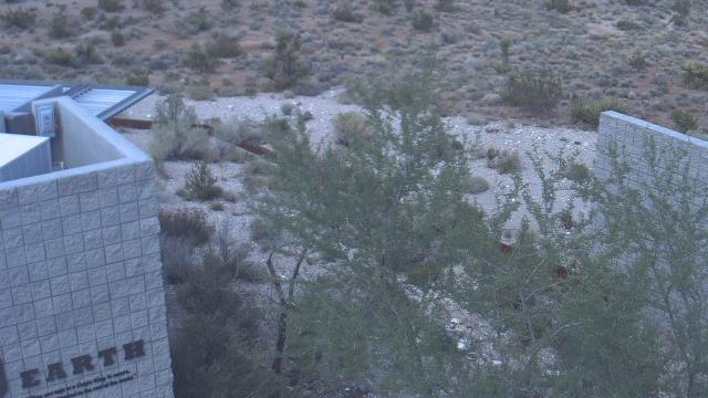
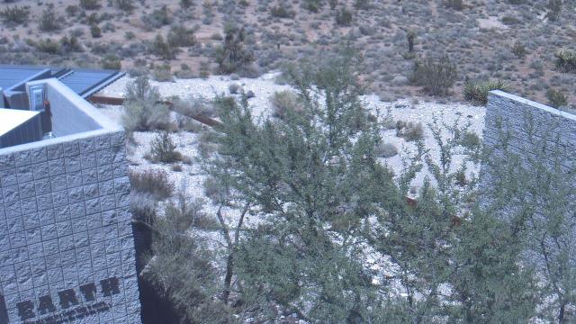
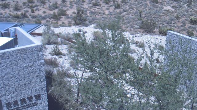
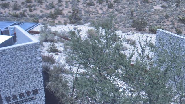
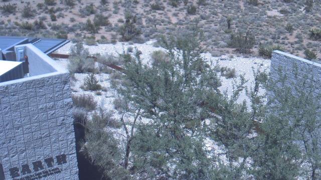
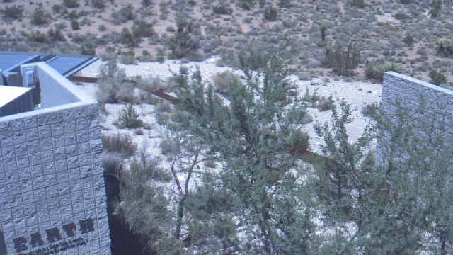
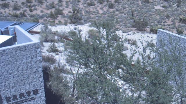
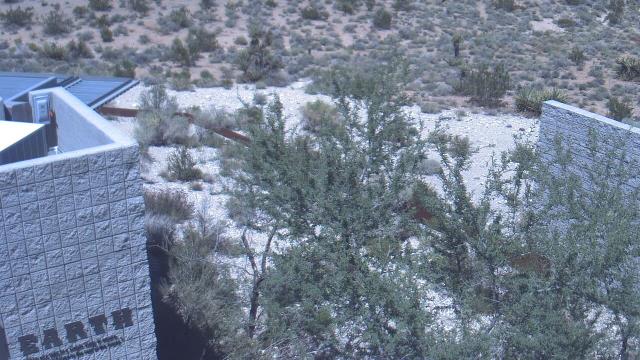
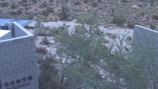
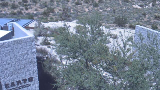
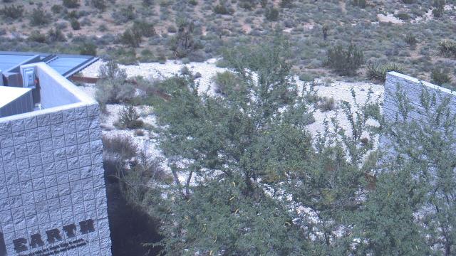
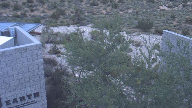
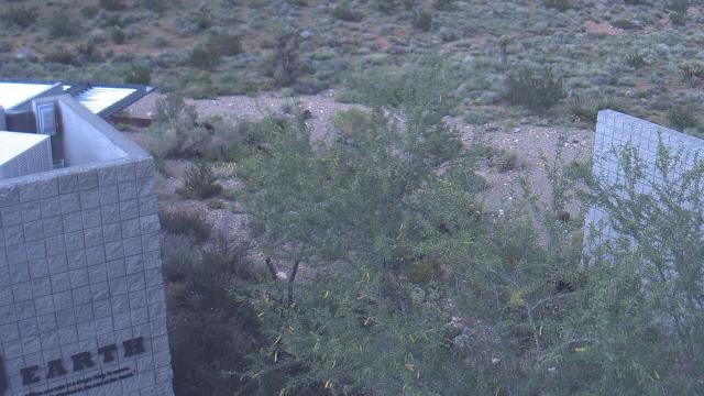
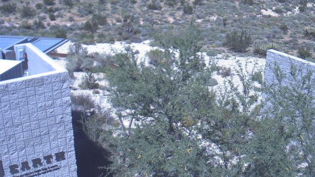
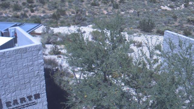
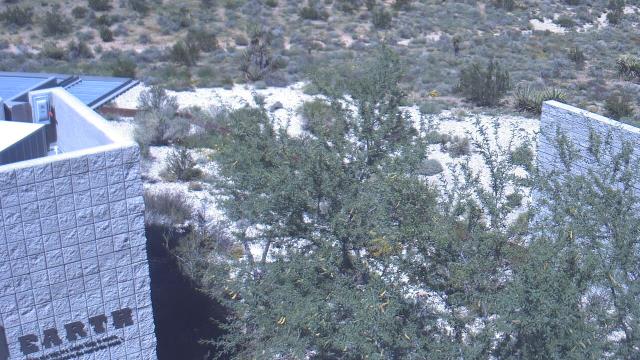
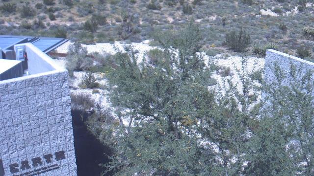
Grand Canyon, USA - 123.2 miles from Cedar City: Grand Canyon West Rim - A spectacular view from the Grand Canyon West Resort.
Operator: EarthCam
Operator: EarthCam


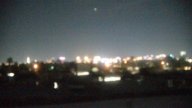
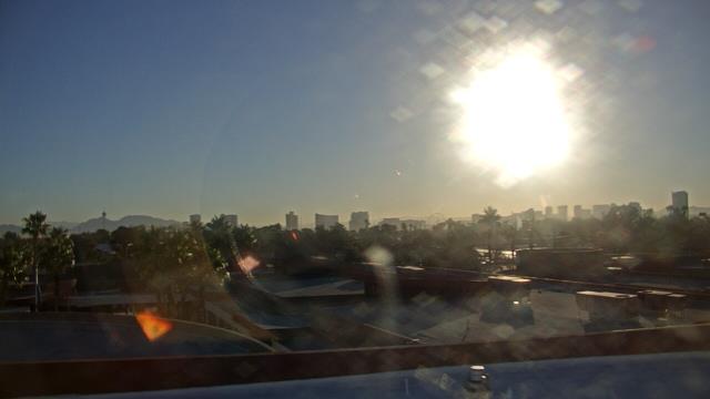
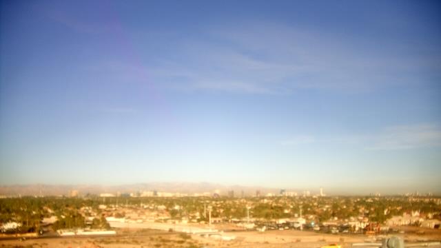
Las Vegas, Nevada, USA - 158.9 miles from Cedar City: Las Vegas Day School - A webcam in Las Vegas, Nevada - camera location: Las Vegas Day School.
Operator: WeatherBug
Operator: WeatherBug

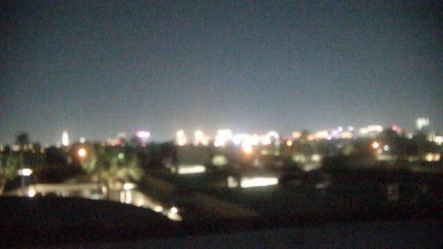


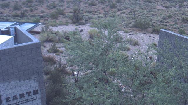
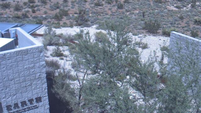
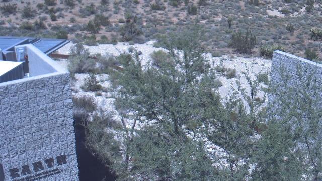
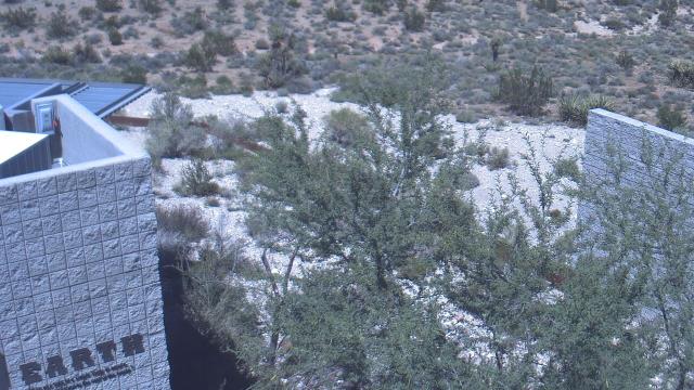
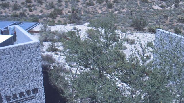
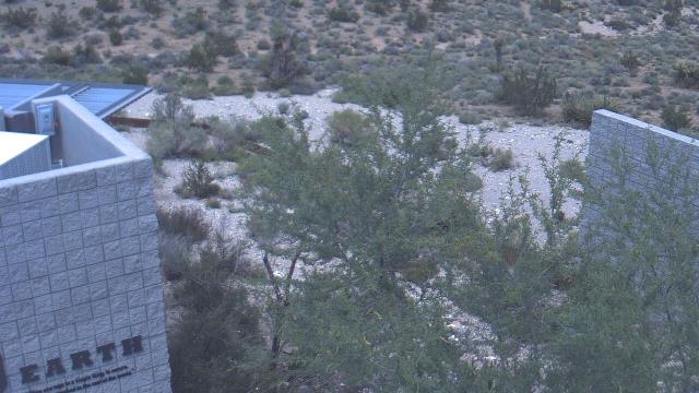
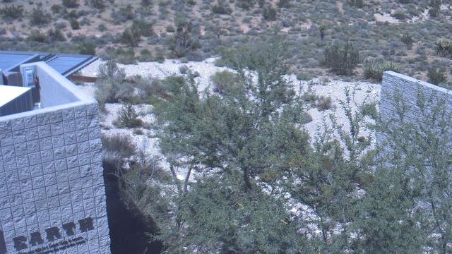
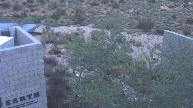
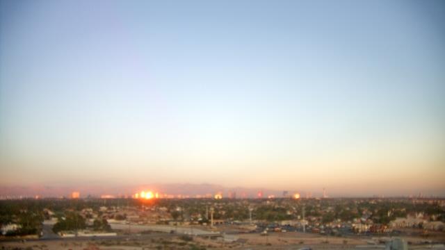
Las Vegas, Nevada, USA - 158.9 miles from Cedar City: Red Rock Visitor Center - A webcam in Las Vegas, Nevada - camera location: Red Rock Visitor Center.
Operator: WeatherBug
Operator: WeatherBug


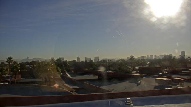
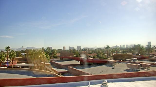
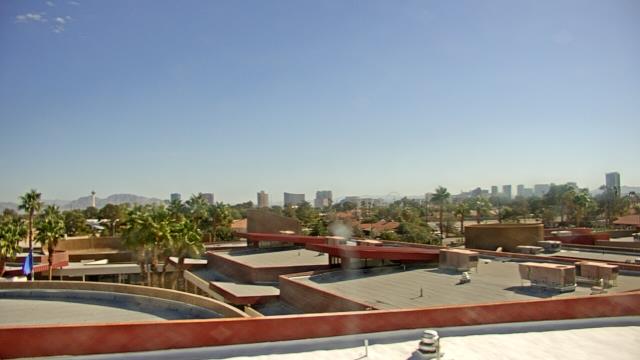
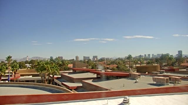
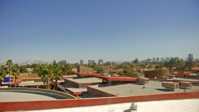
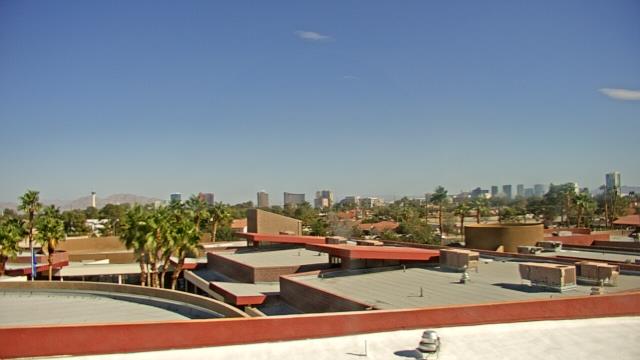
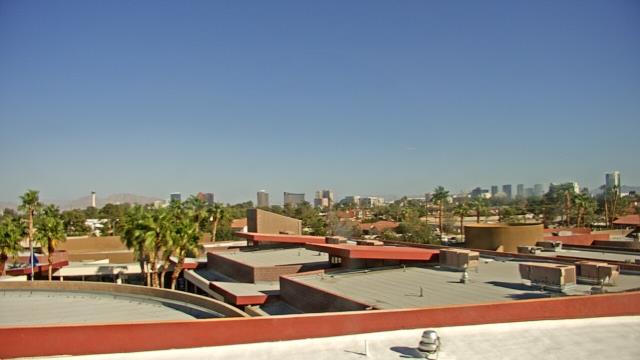
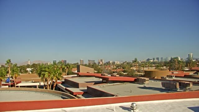
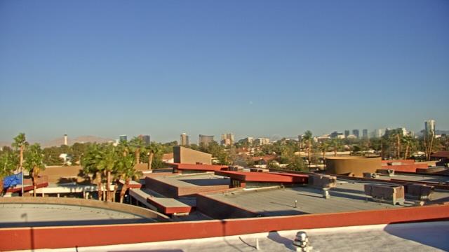
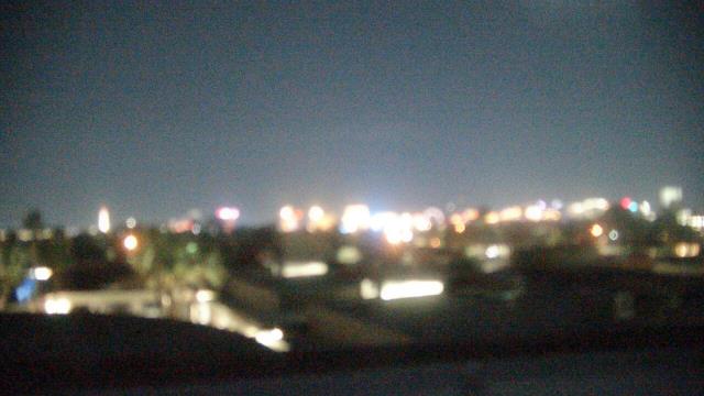
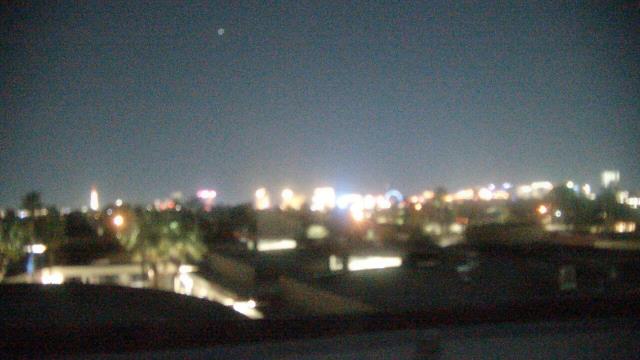
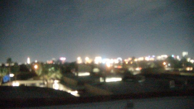
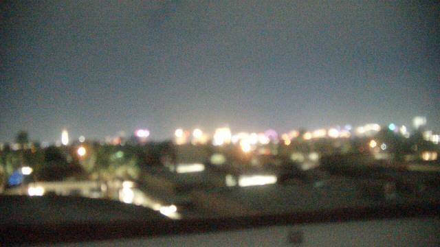
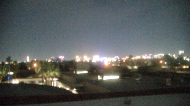
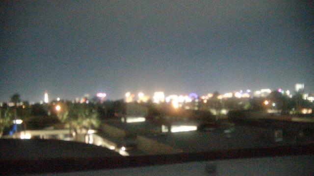
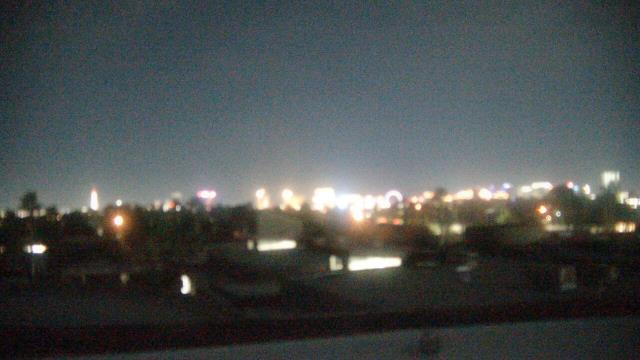
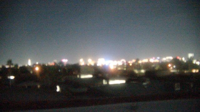
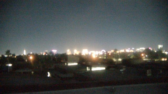
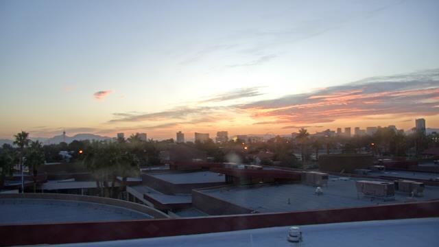
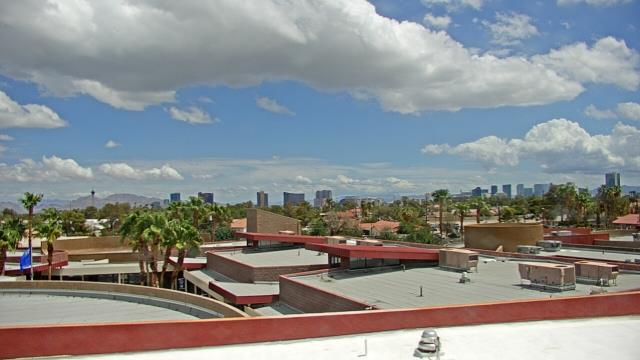
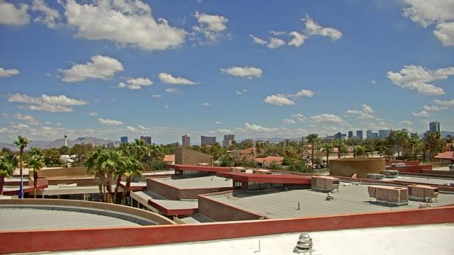
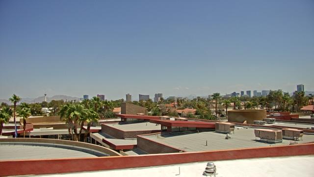
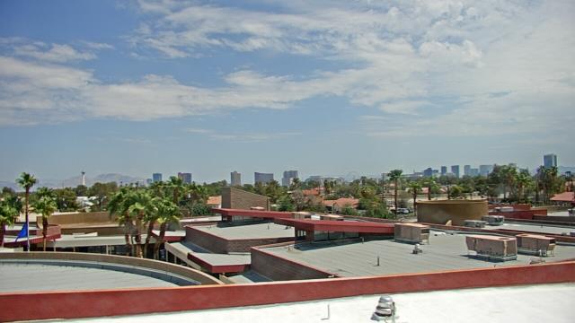
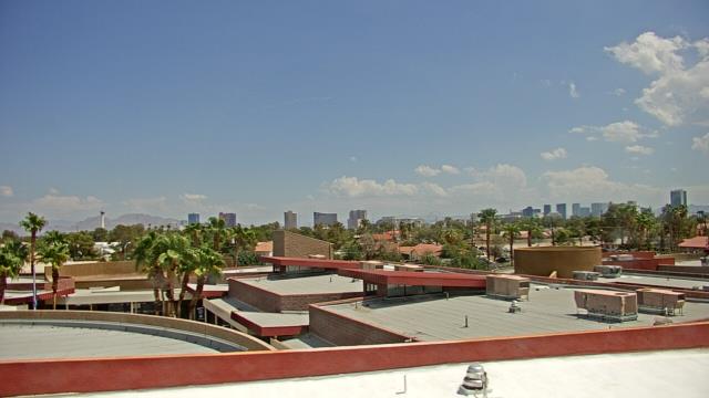
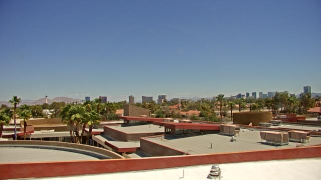
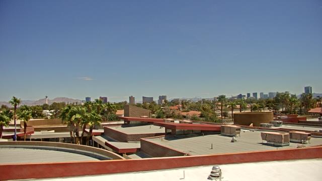
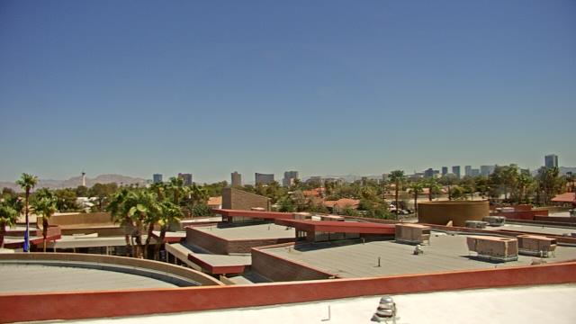
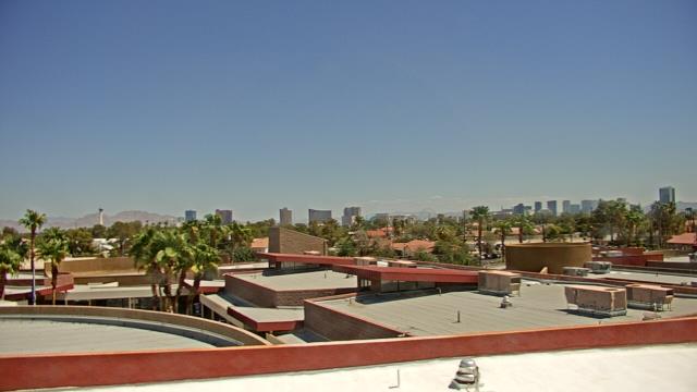
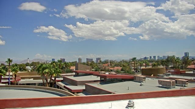
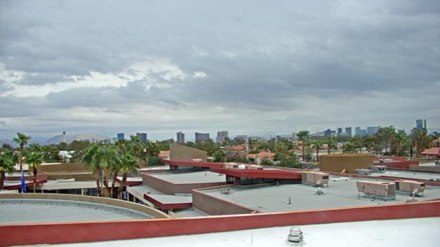
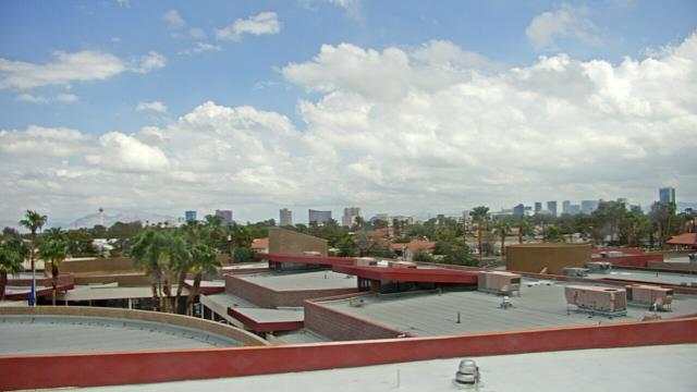
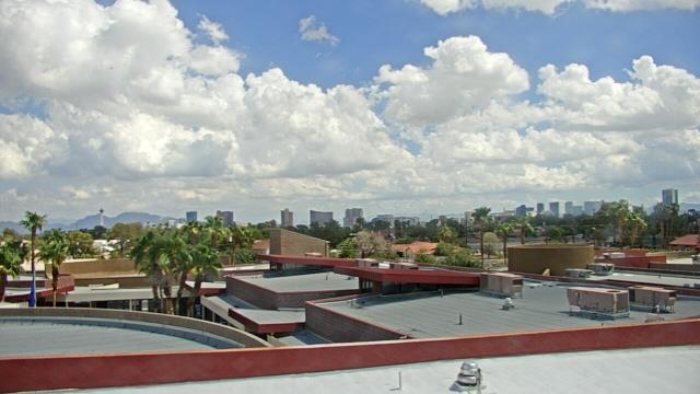
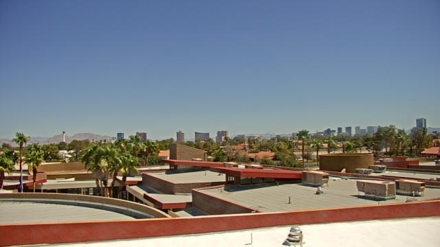
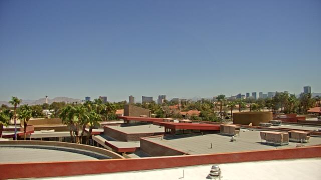
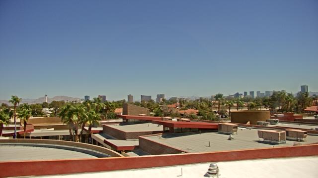
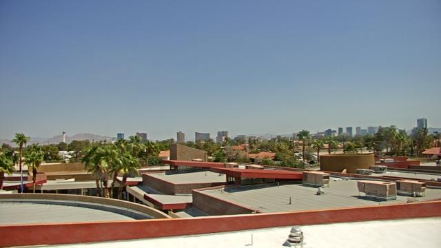
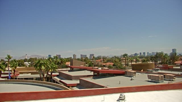
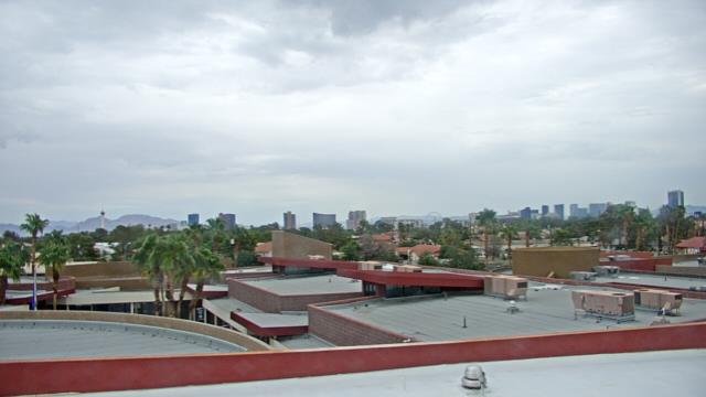
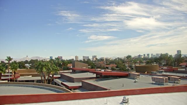
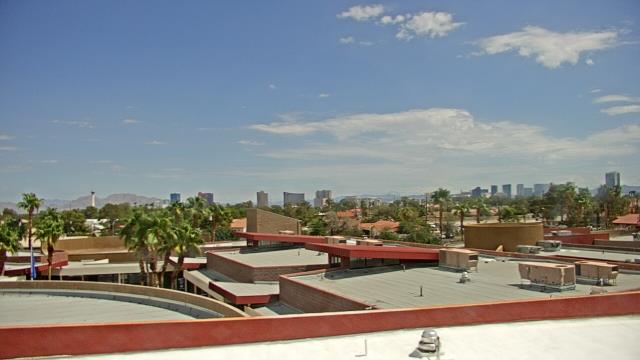
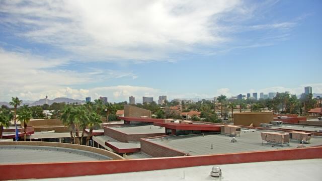
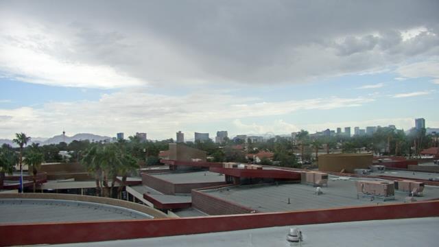
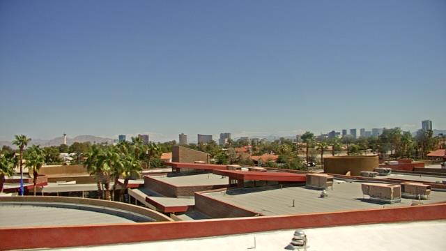
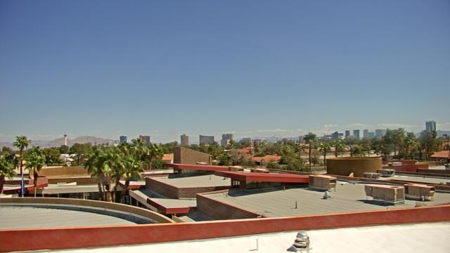
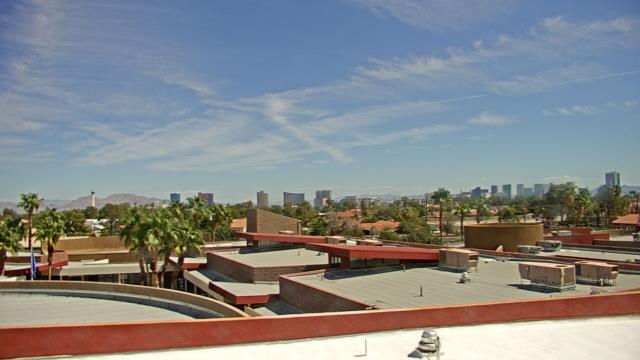
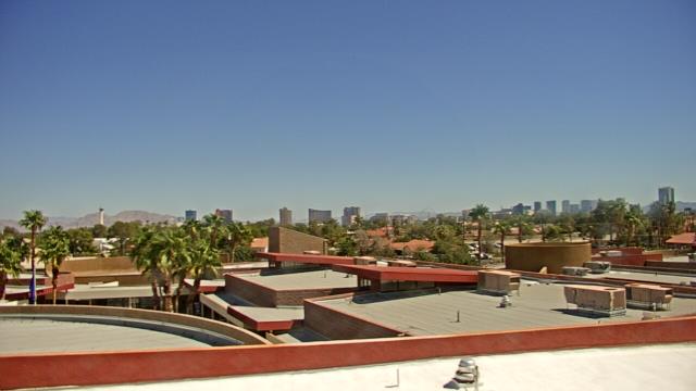
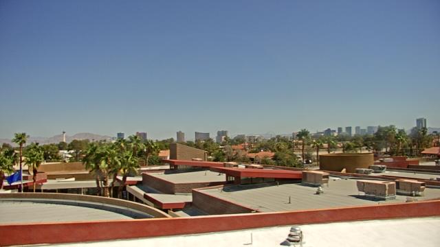
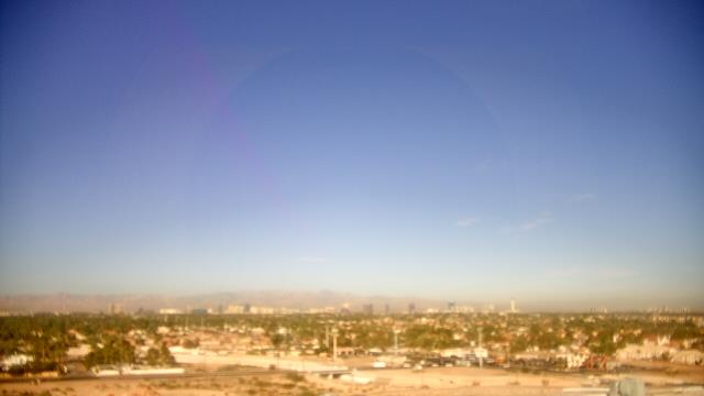
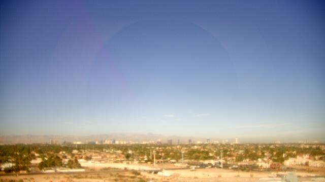
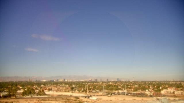
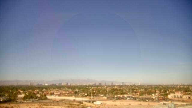
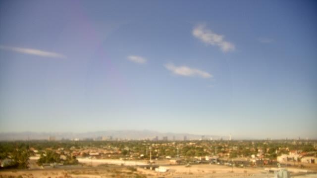
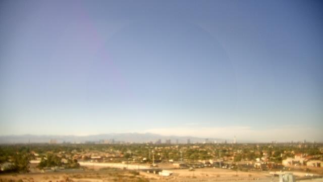
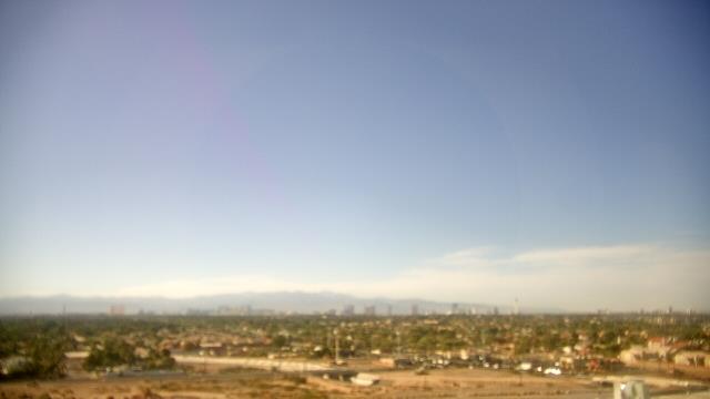
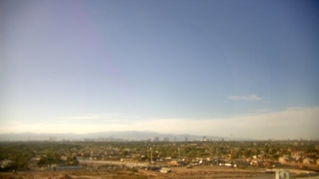
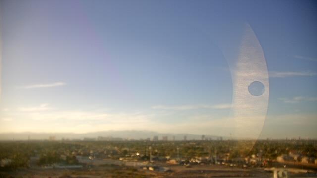
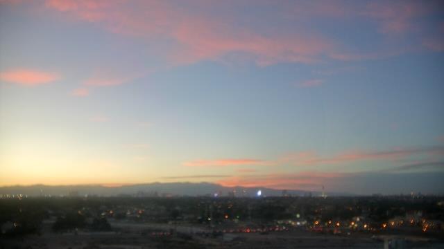
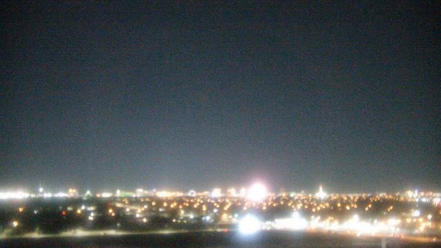
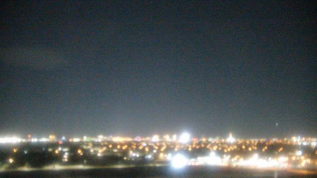
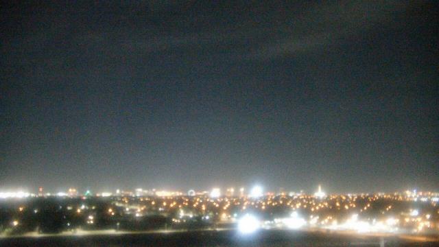
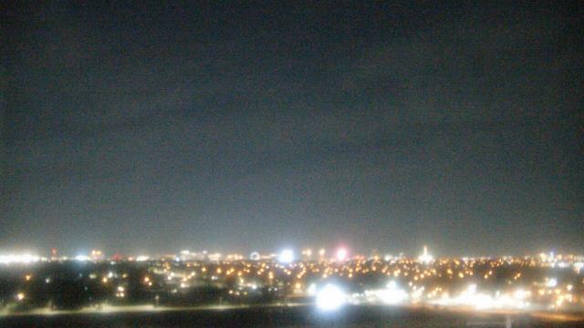
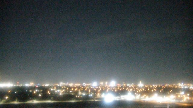
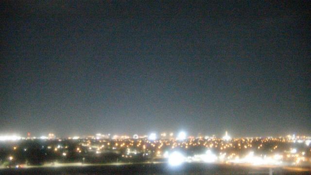
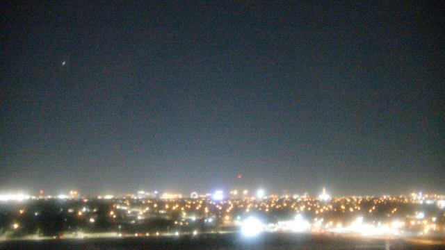
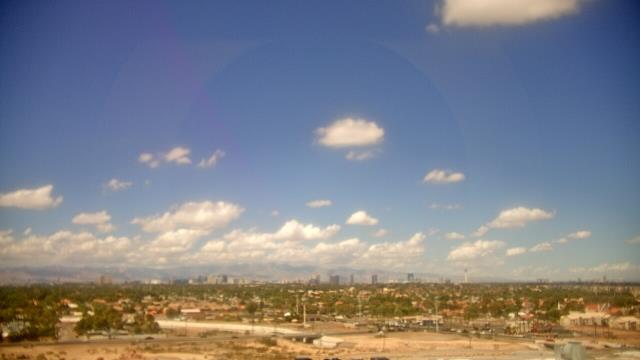
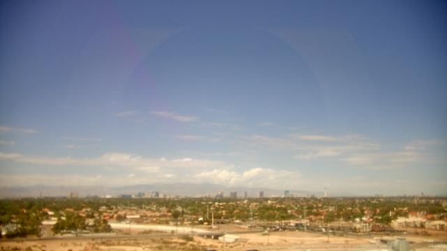
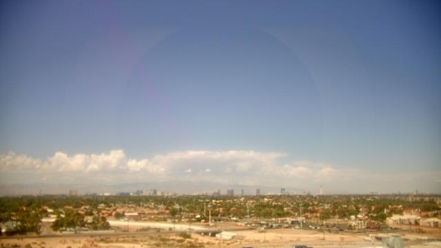
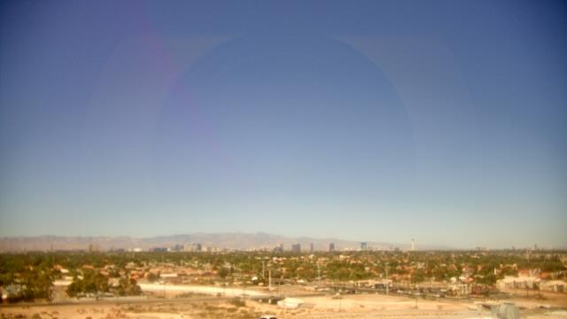
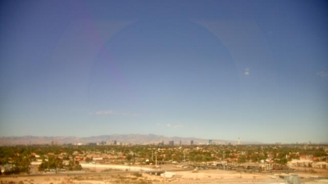
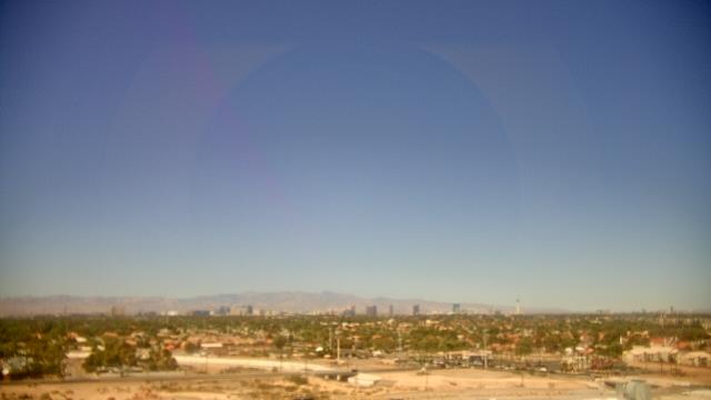
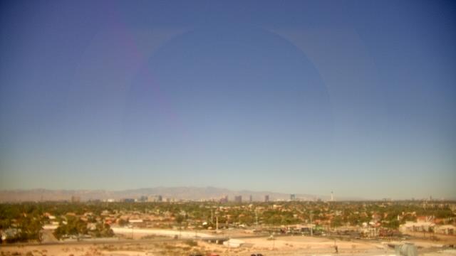
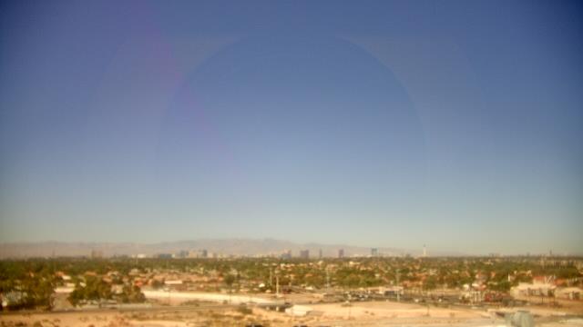
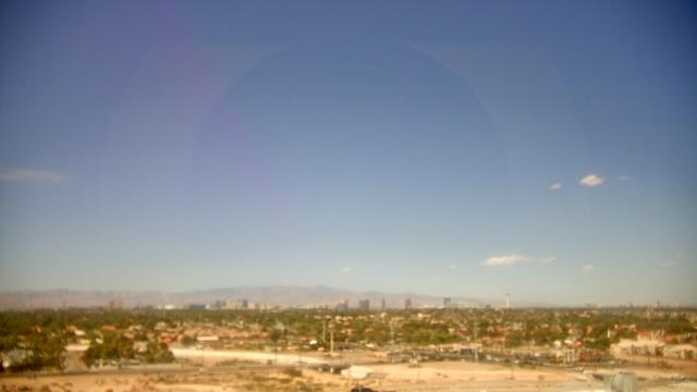
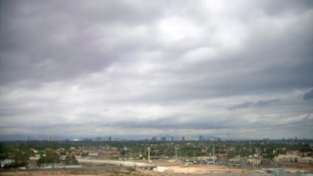
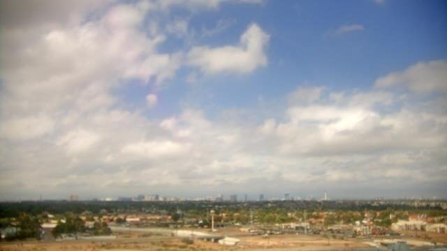
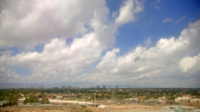
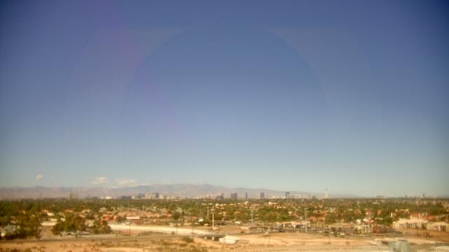
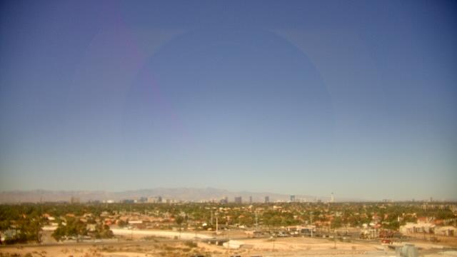
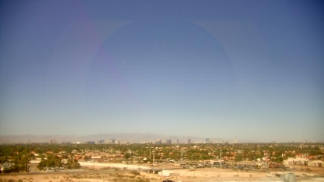
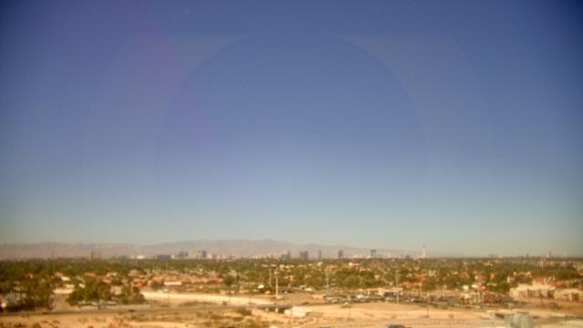
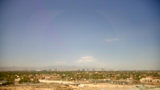
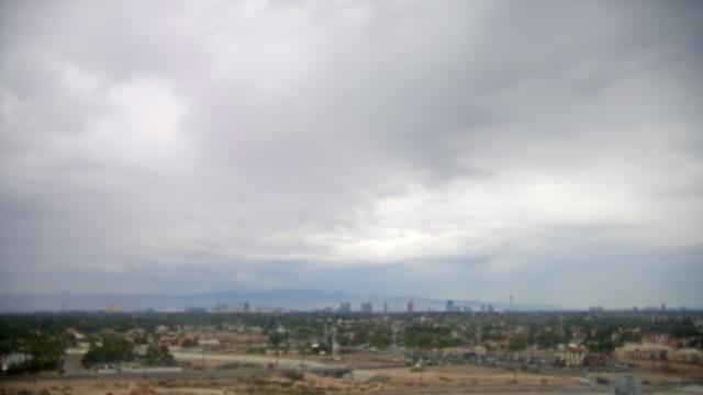
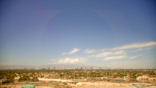
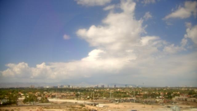
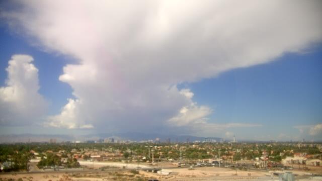
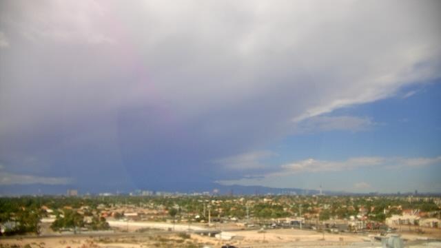
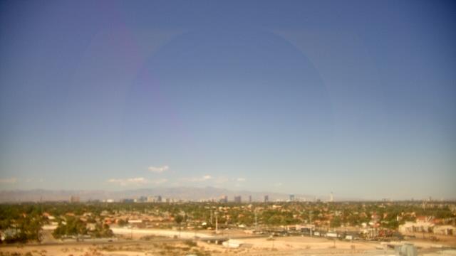
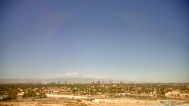
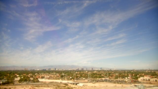
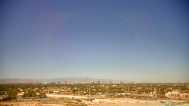
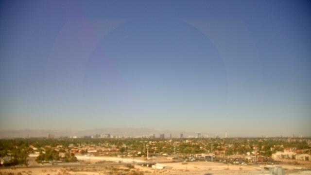
Las Vegas, Nevada, USA - 158.9 miles from Cedar City: Skyline - A webcam in Las Vegas, Nevada - camera location: Southeast Career Technical Academy.
Operator: WeatherBug
Operator: WeatherBug


Some other places in this country: Carbonville - Castle Dale - Centerfield - Charleston - Clarkston - Clawson - Cleveland - Clinton - Coalville - Columbia