Webcams in the region of Lampeter, United Kingdom
The List of Webcams near Lampeter, United Kingdom:

Newcastle Emlyn, United Kingdom - 17.9 miles from Lampeter: River Teifi at Newcastle Emlyn
Operator: Farson Digital Watercams
Operator: Farson Digital Watercams

Llangennith, United Kingdom - 36.7 miles from Lampeter: Beach View - A webcam with predefined views at the Wormshead Hotel in Llangennith.
Operator: Gower Live
Operator: Gower Live

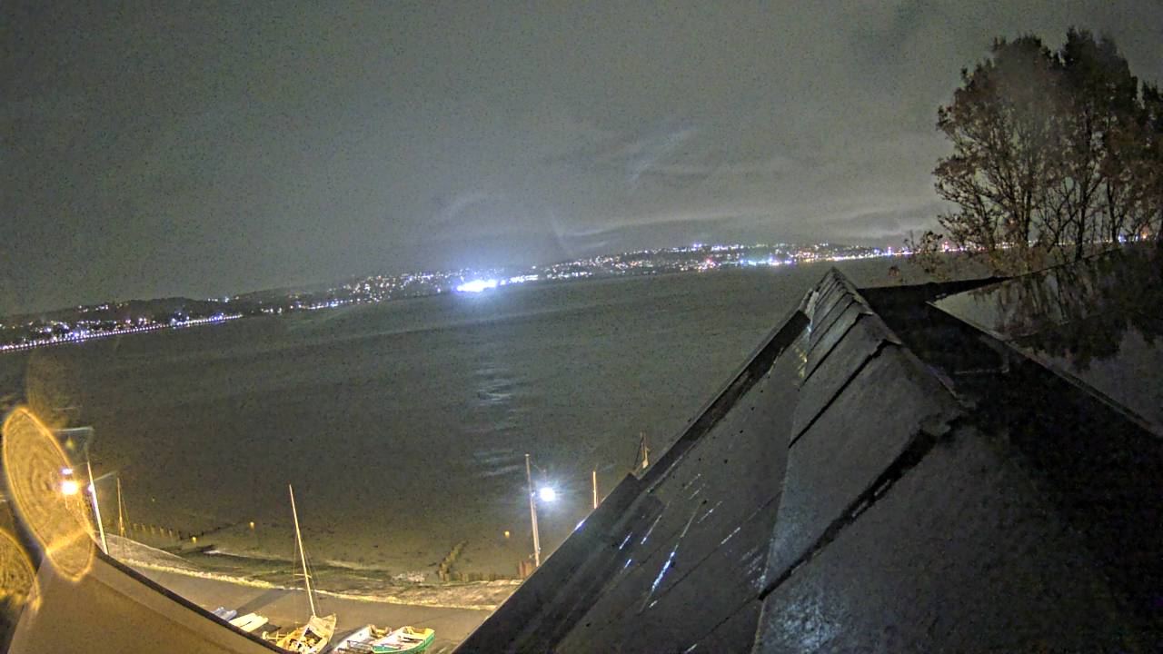
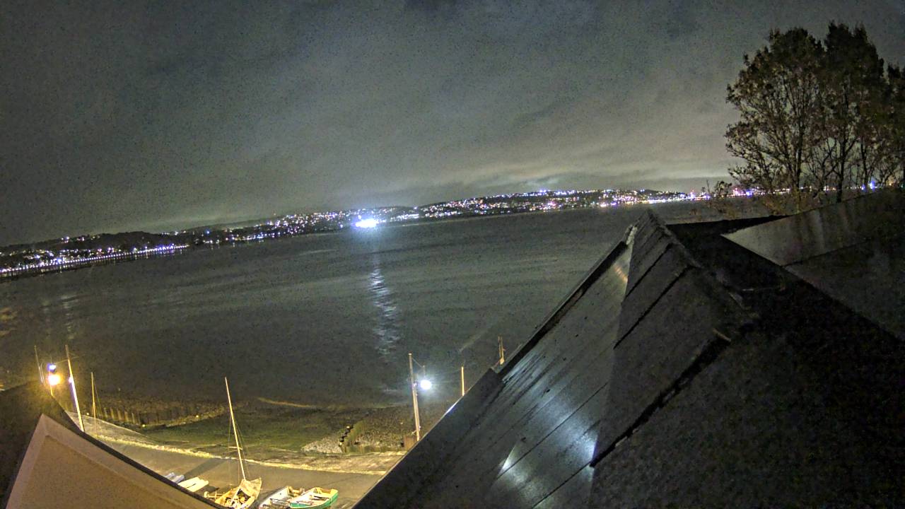
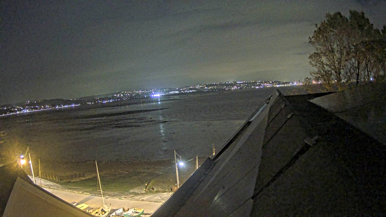
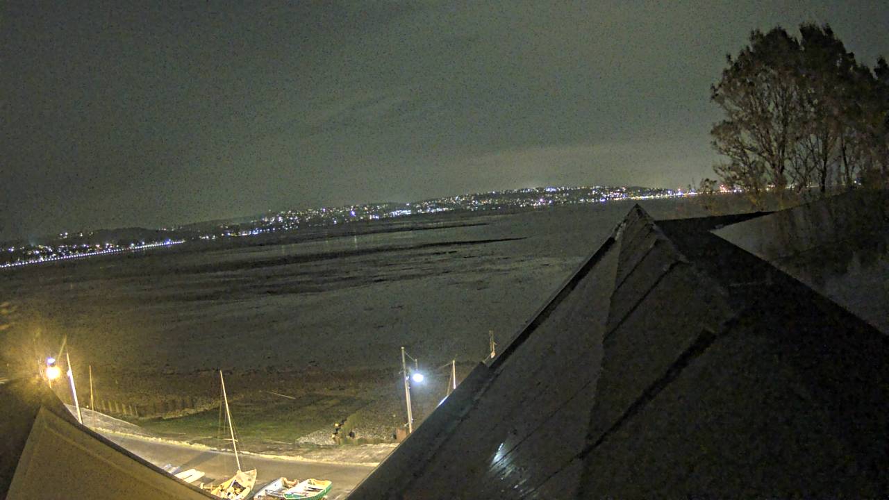
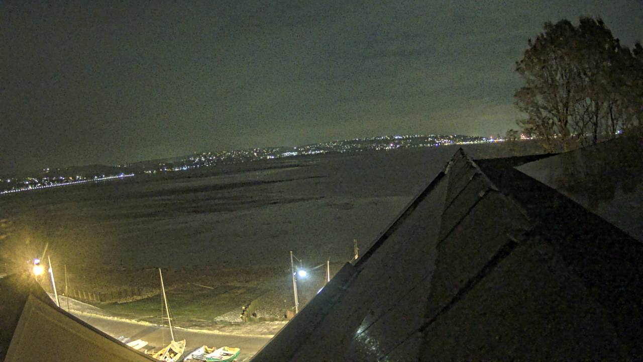
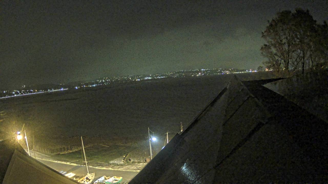
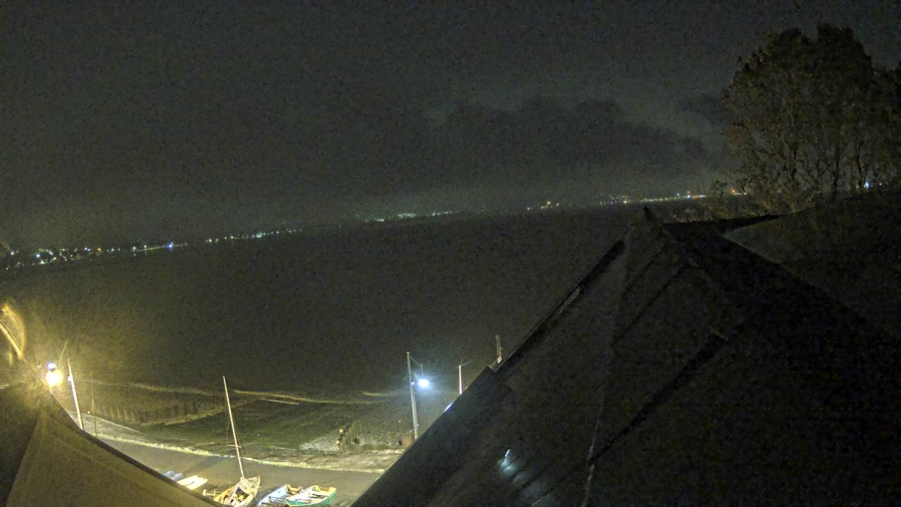
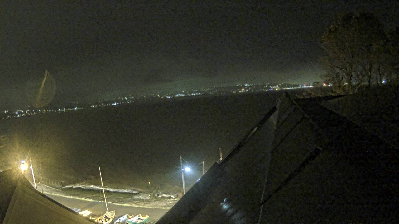
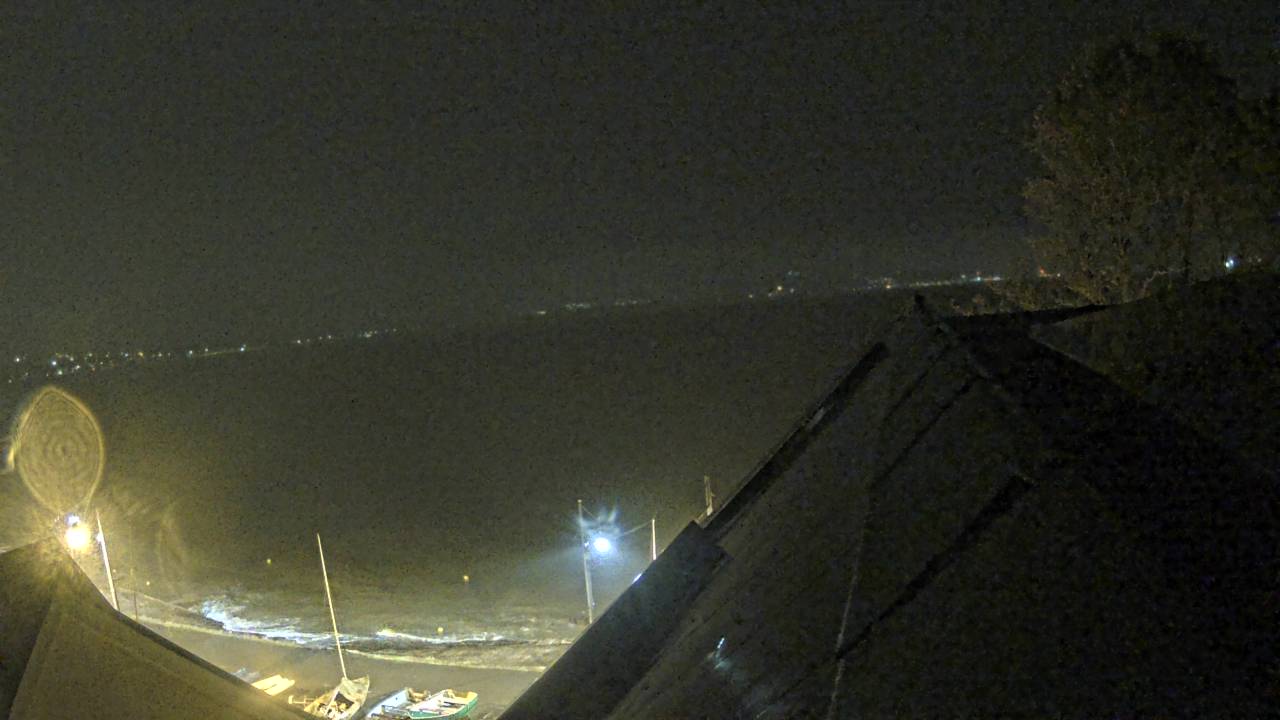
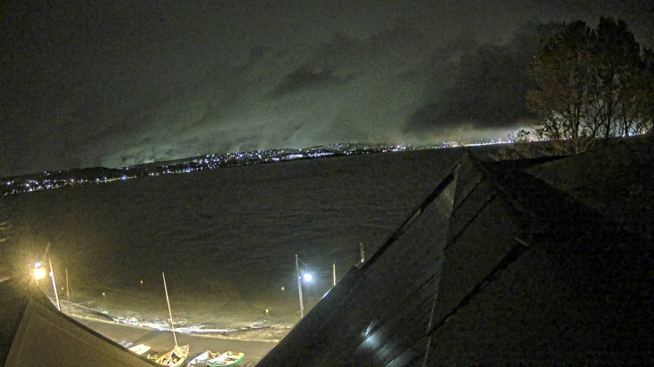
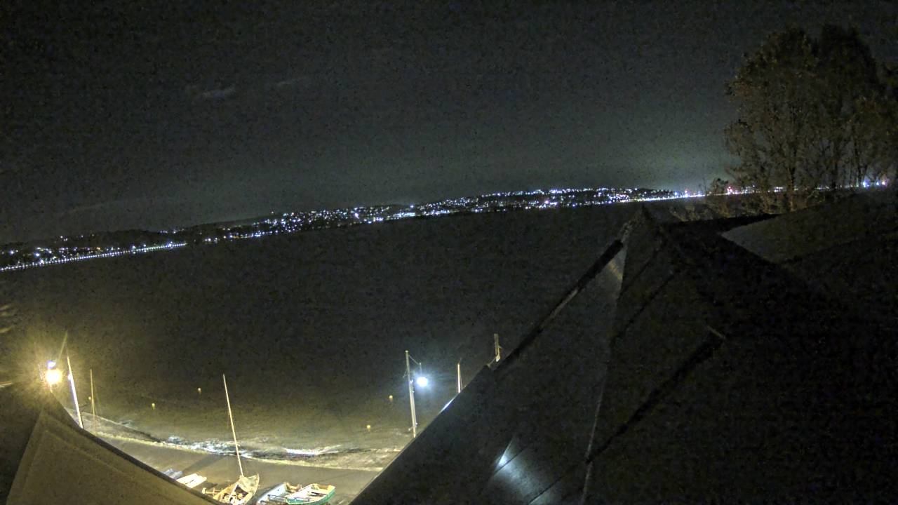
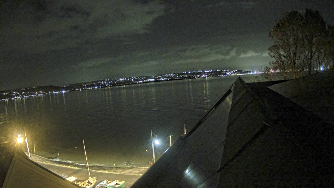
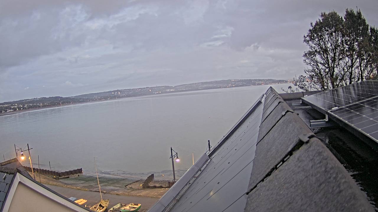
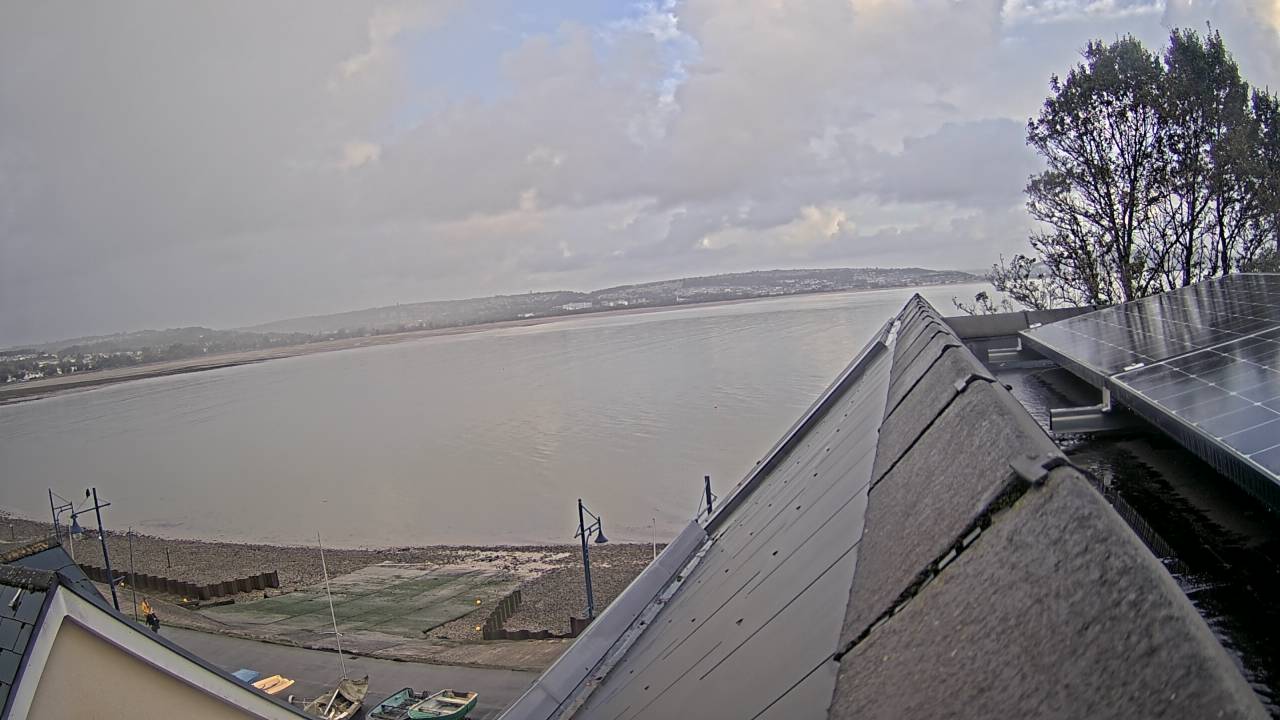
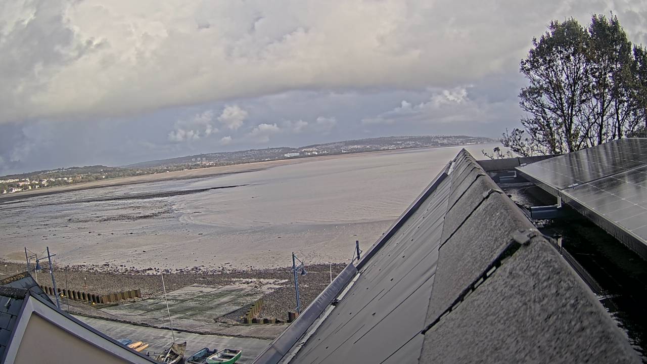
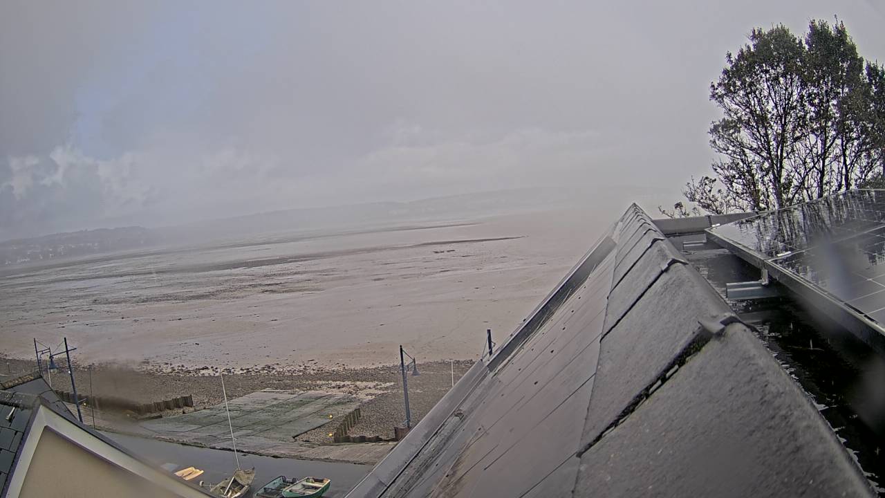
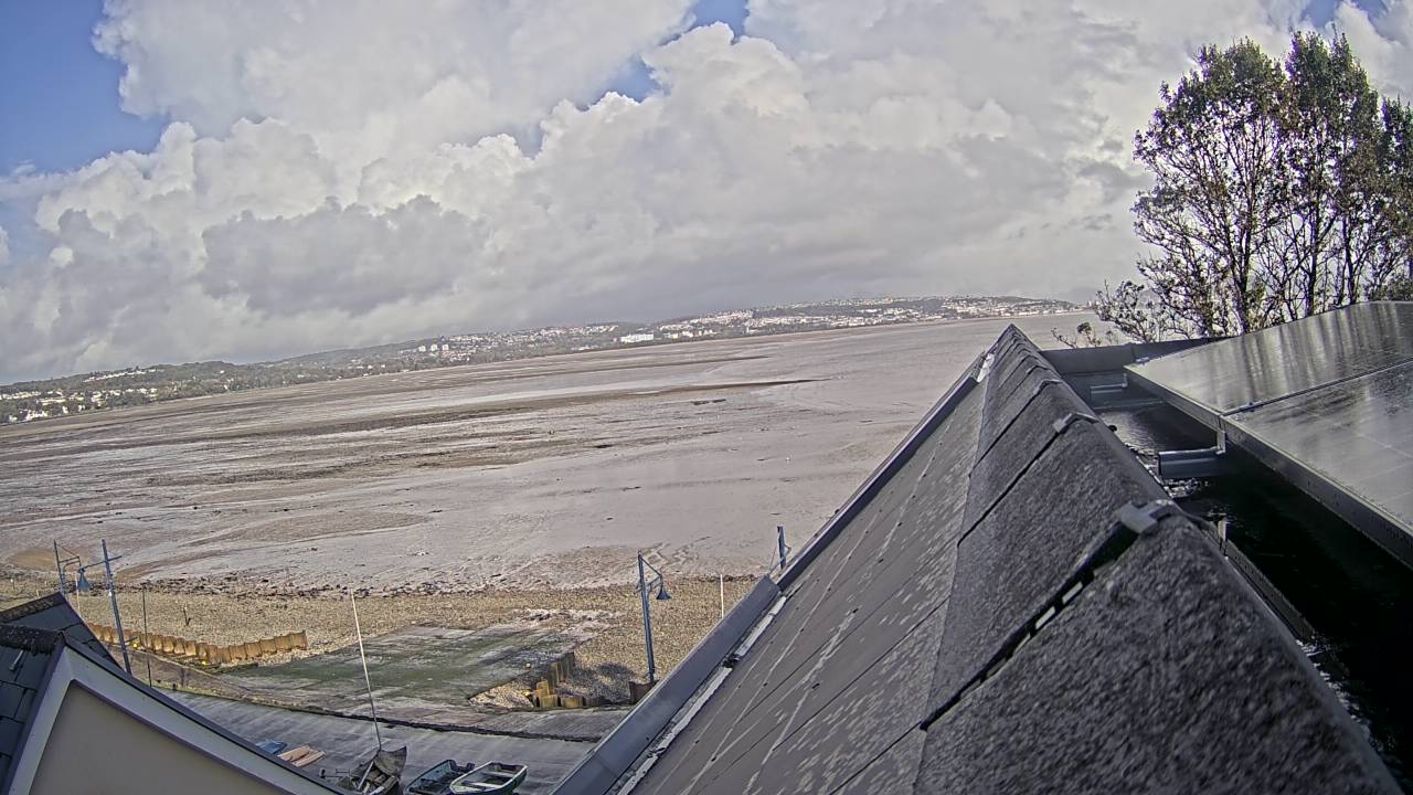
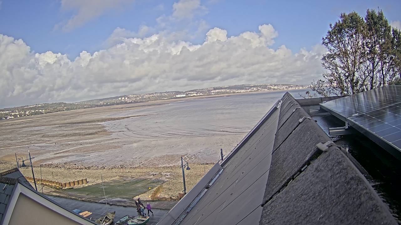
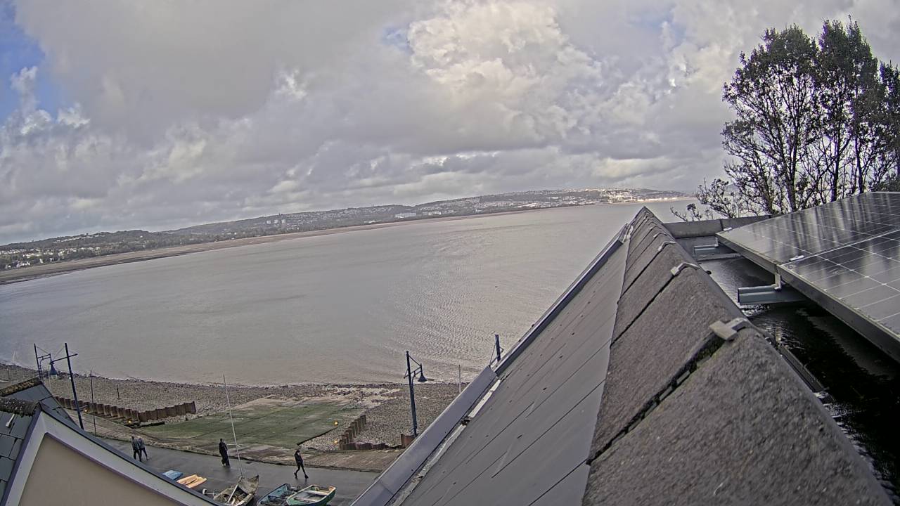
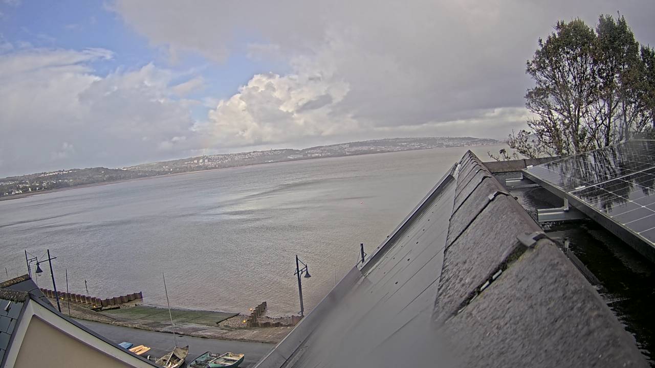
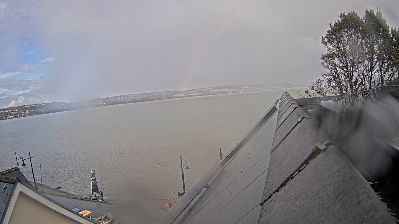
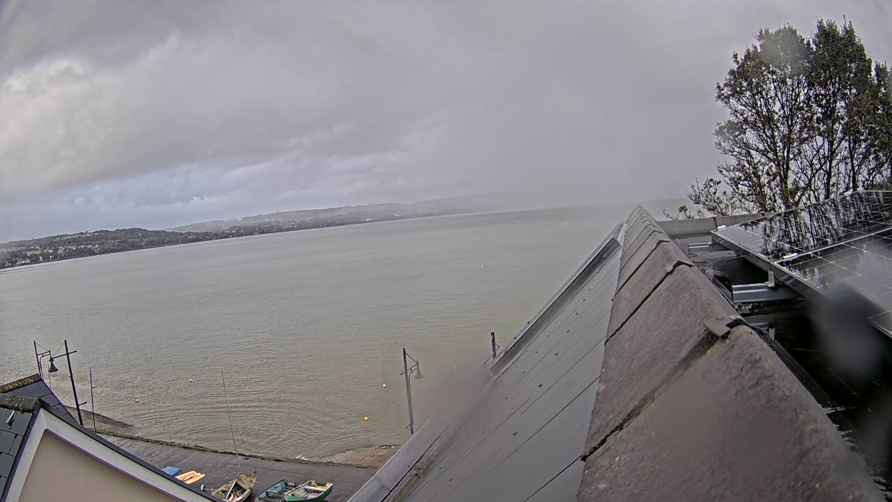
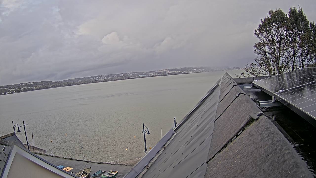
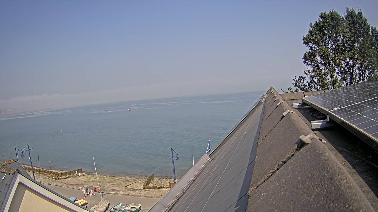
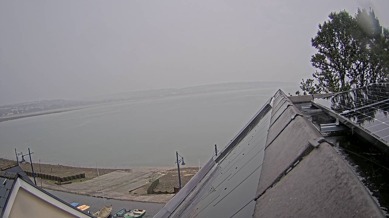
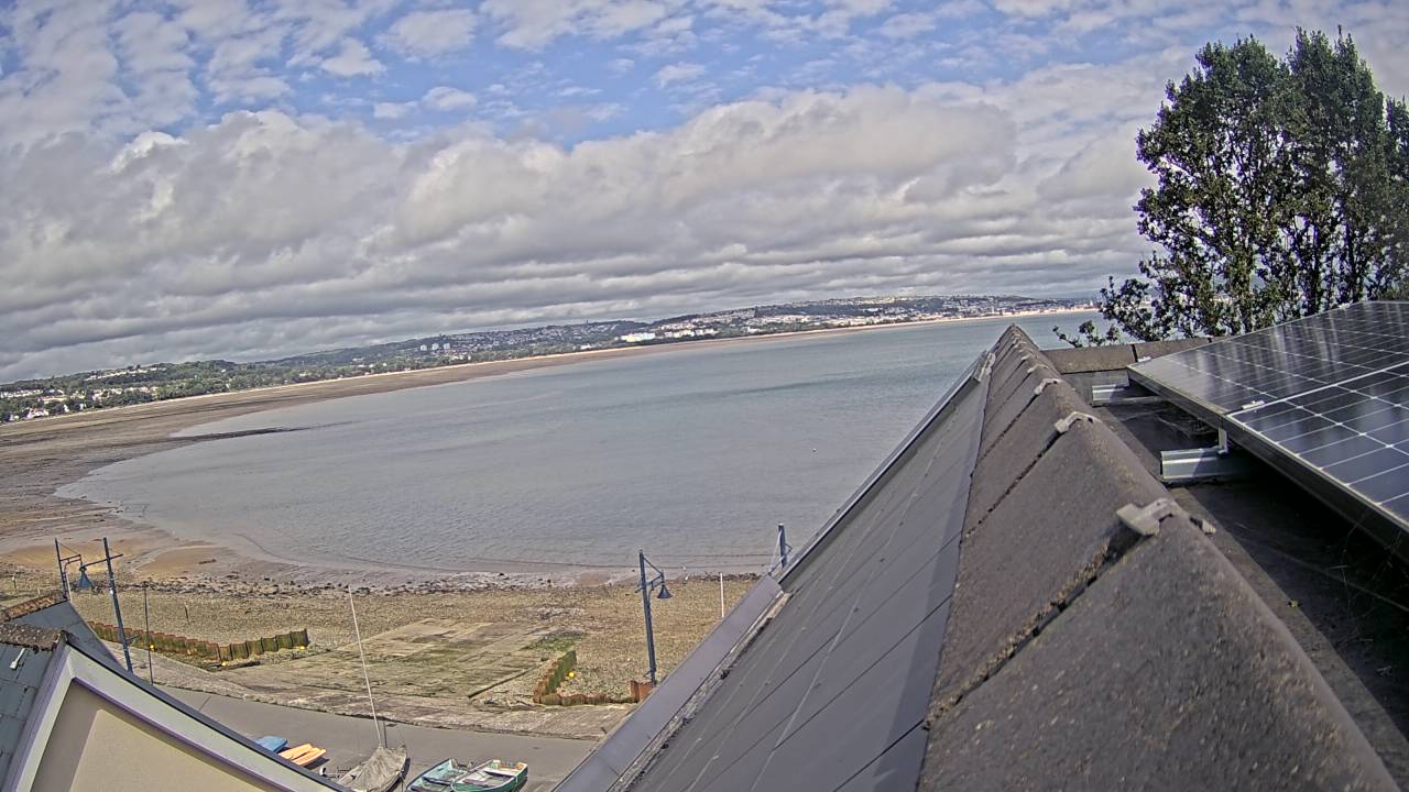
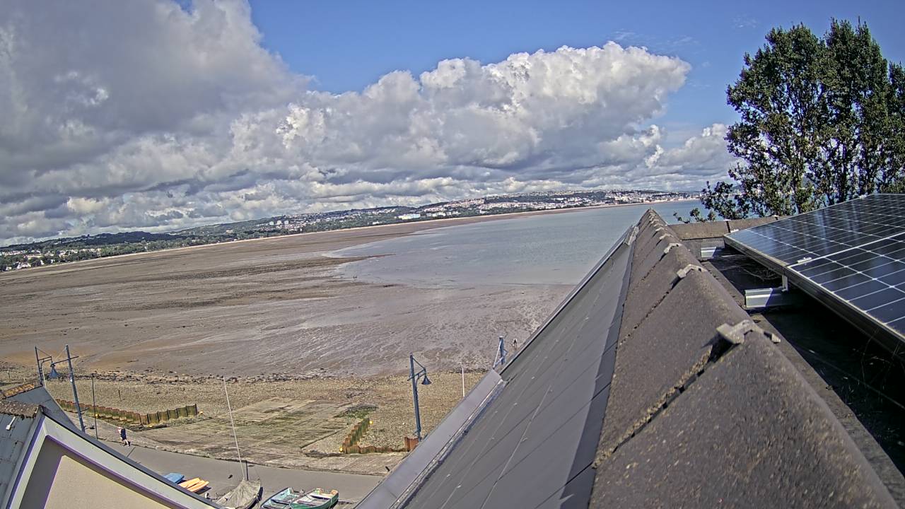
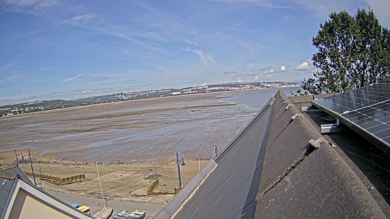
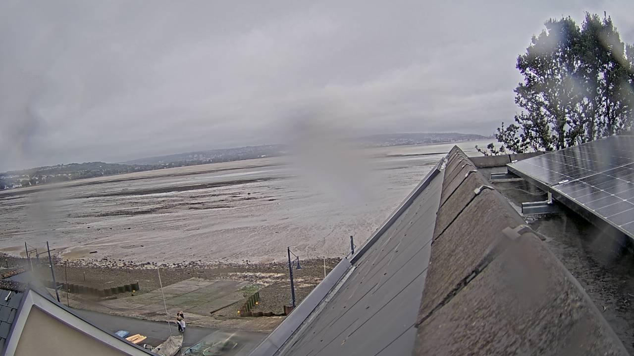
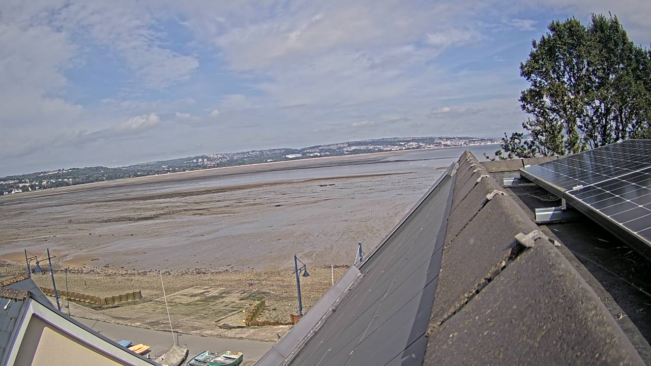
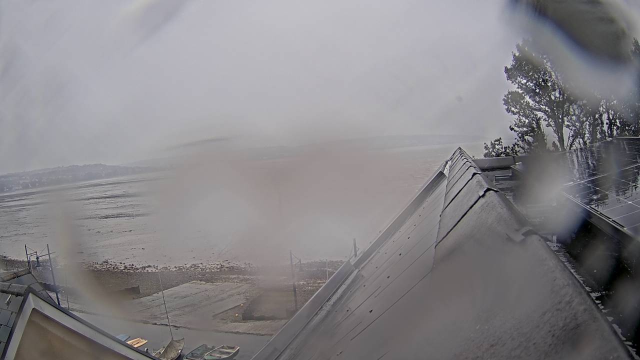
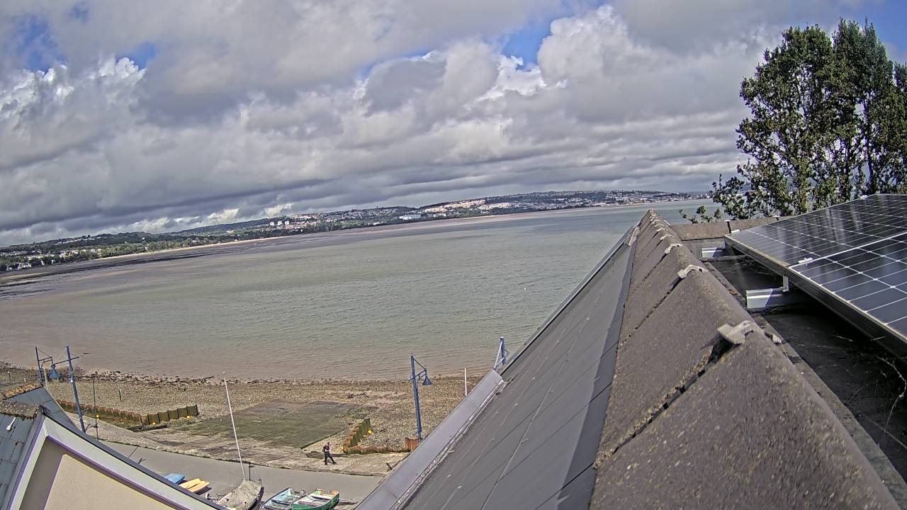
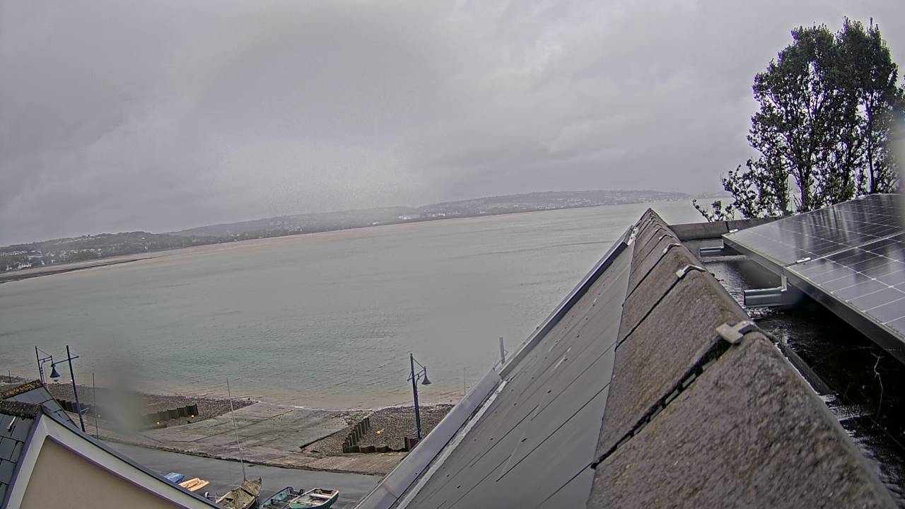
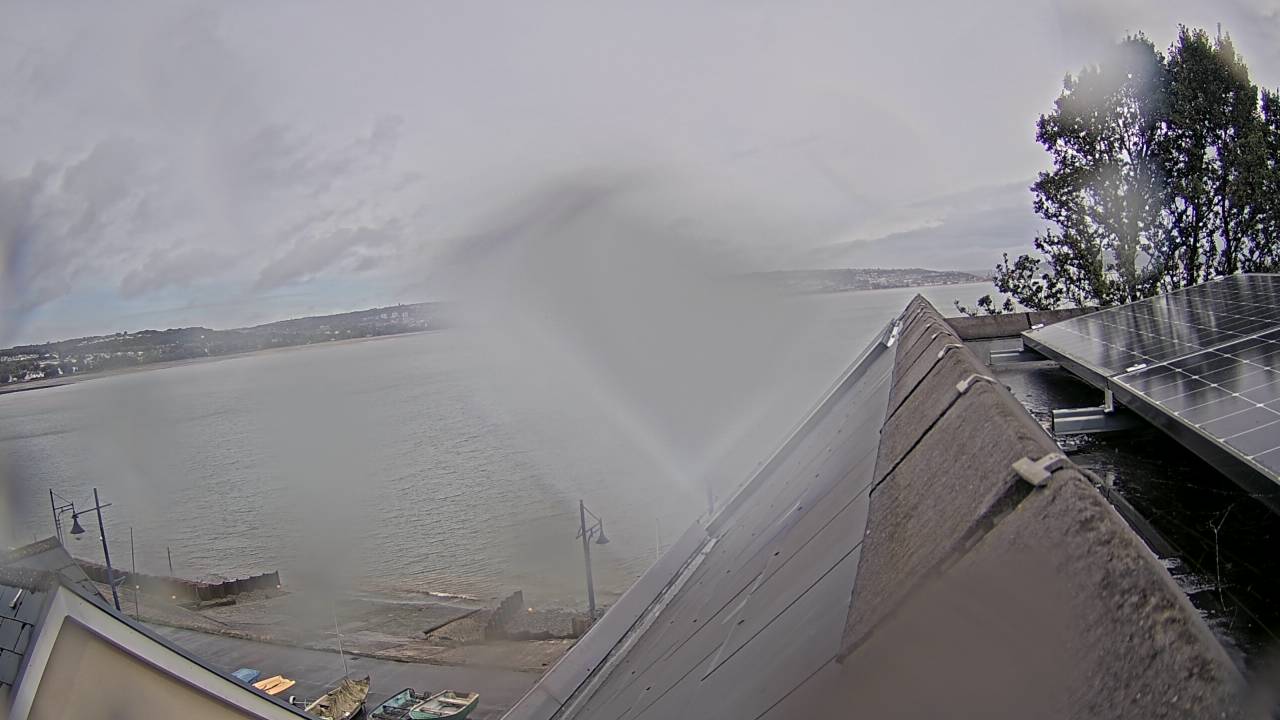
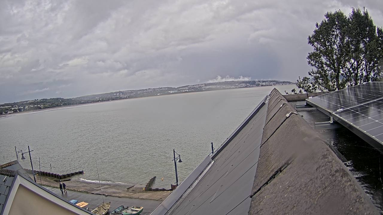
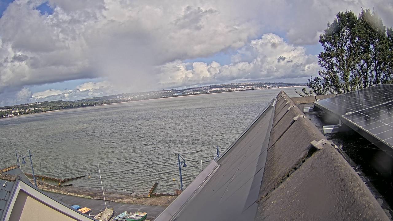
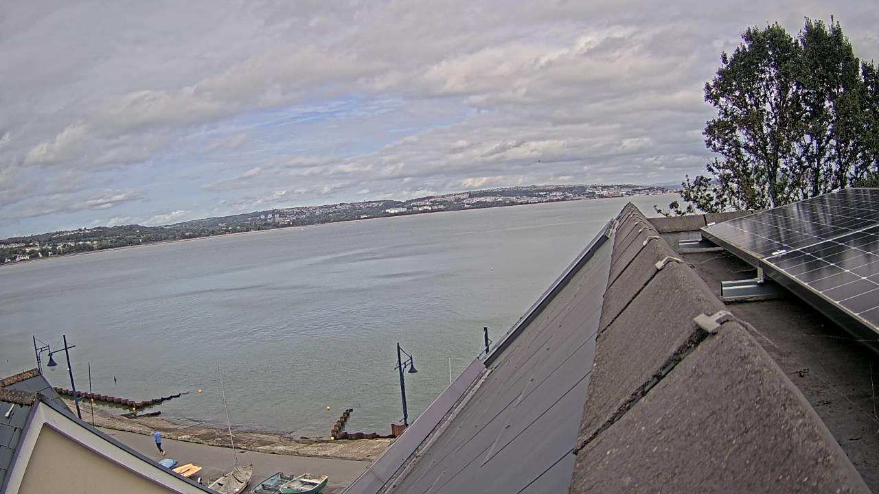
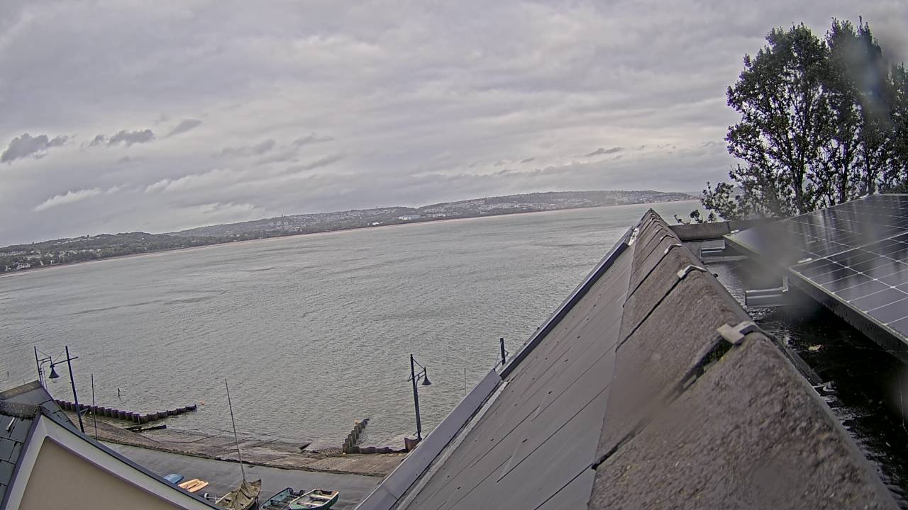
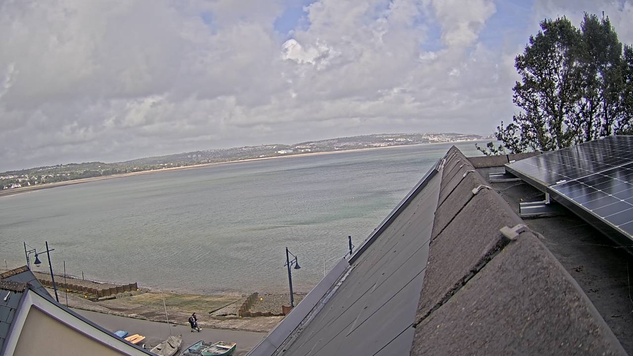
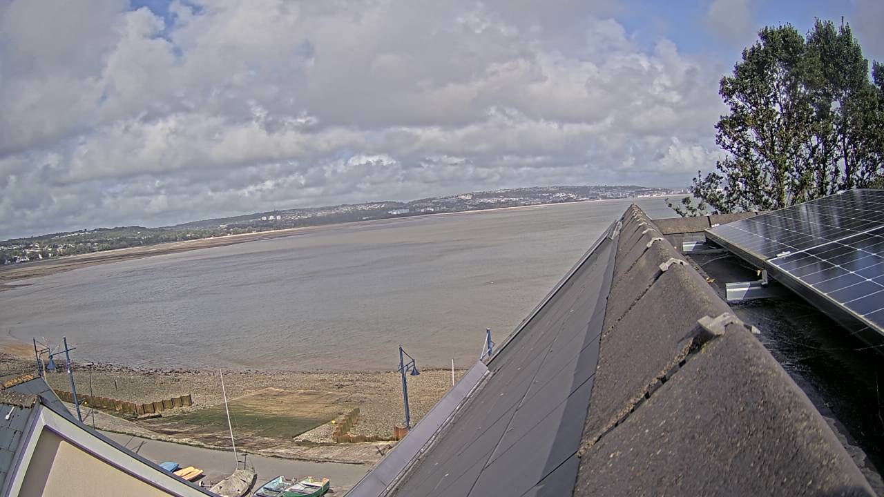
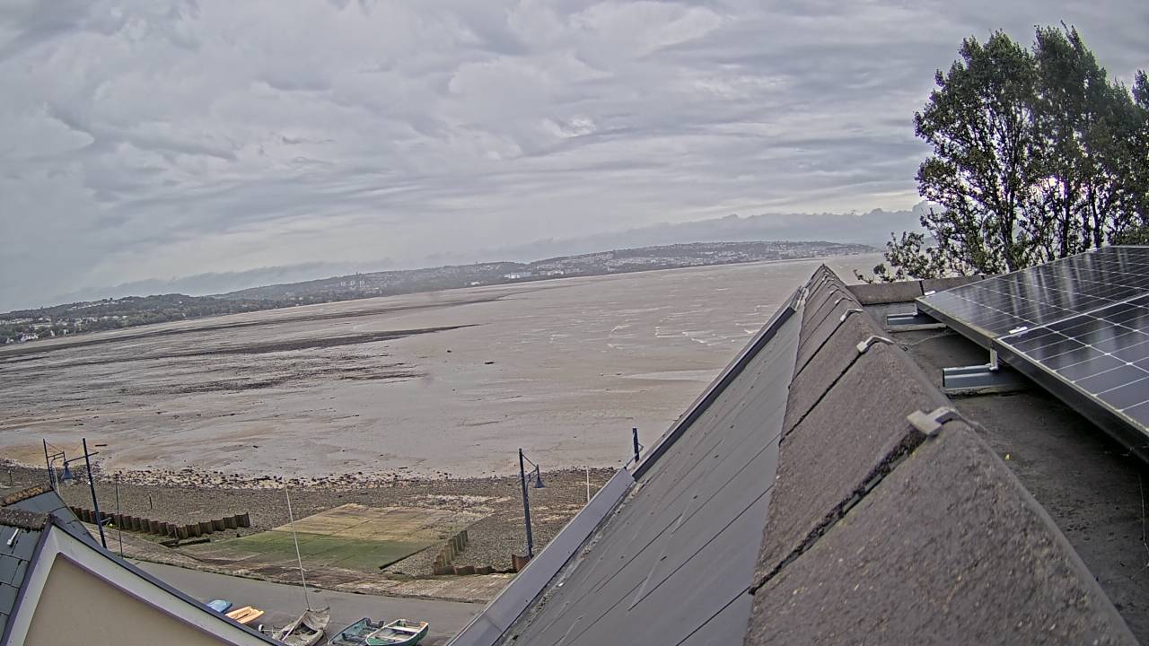
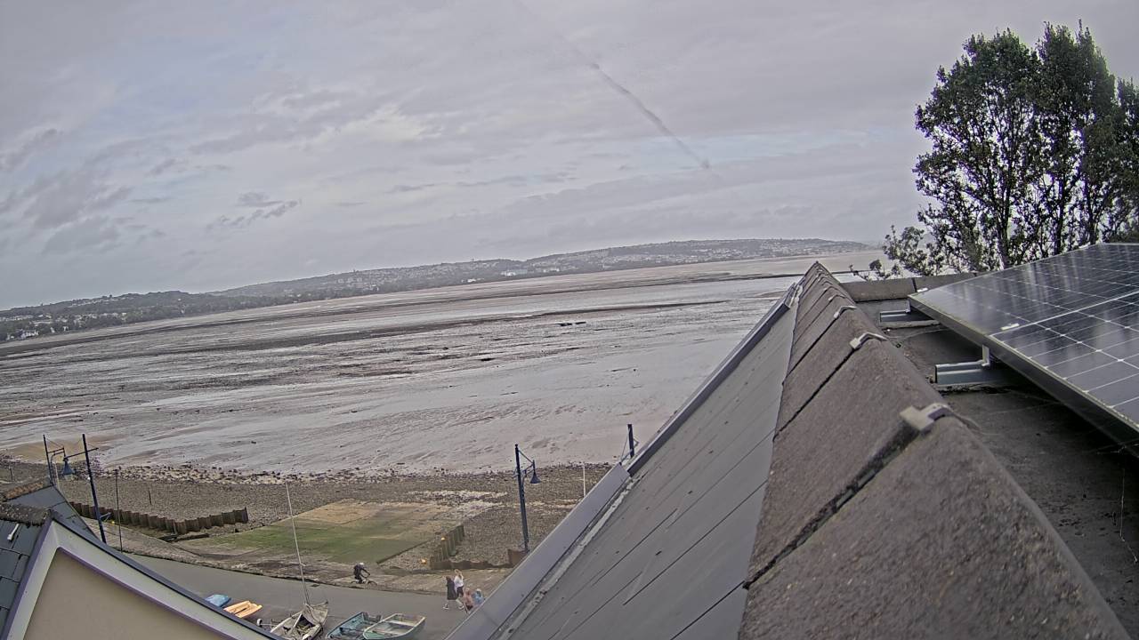
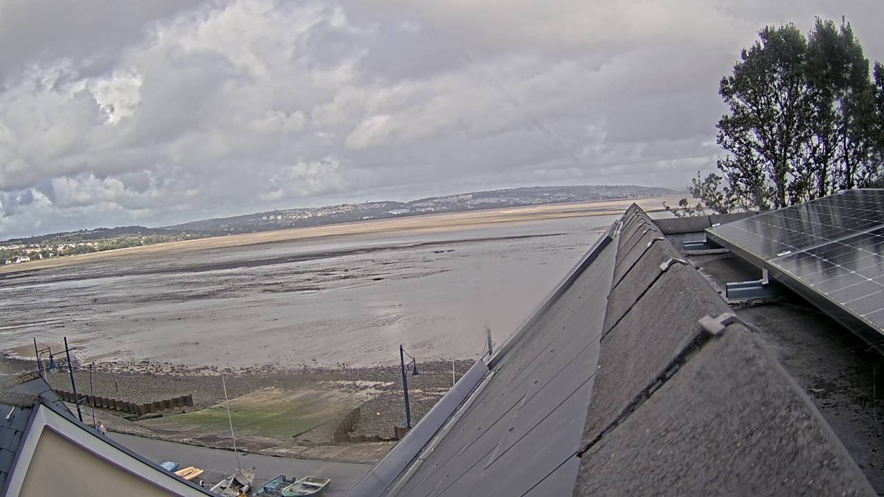
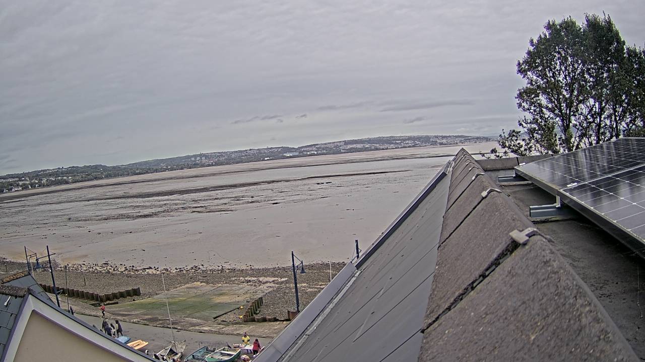
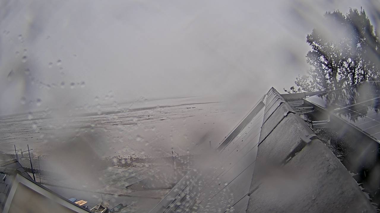
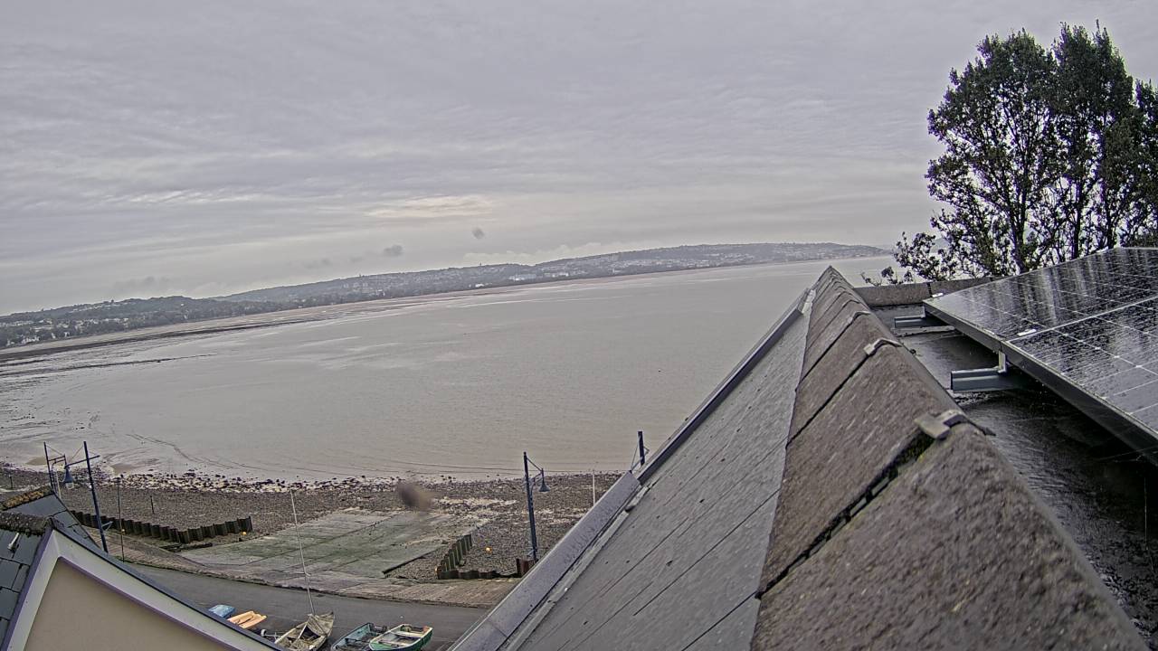
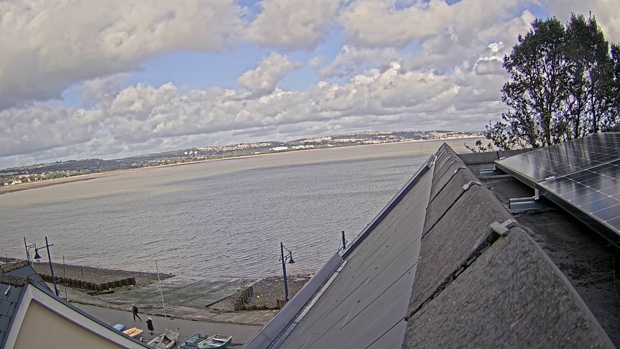
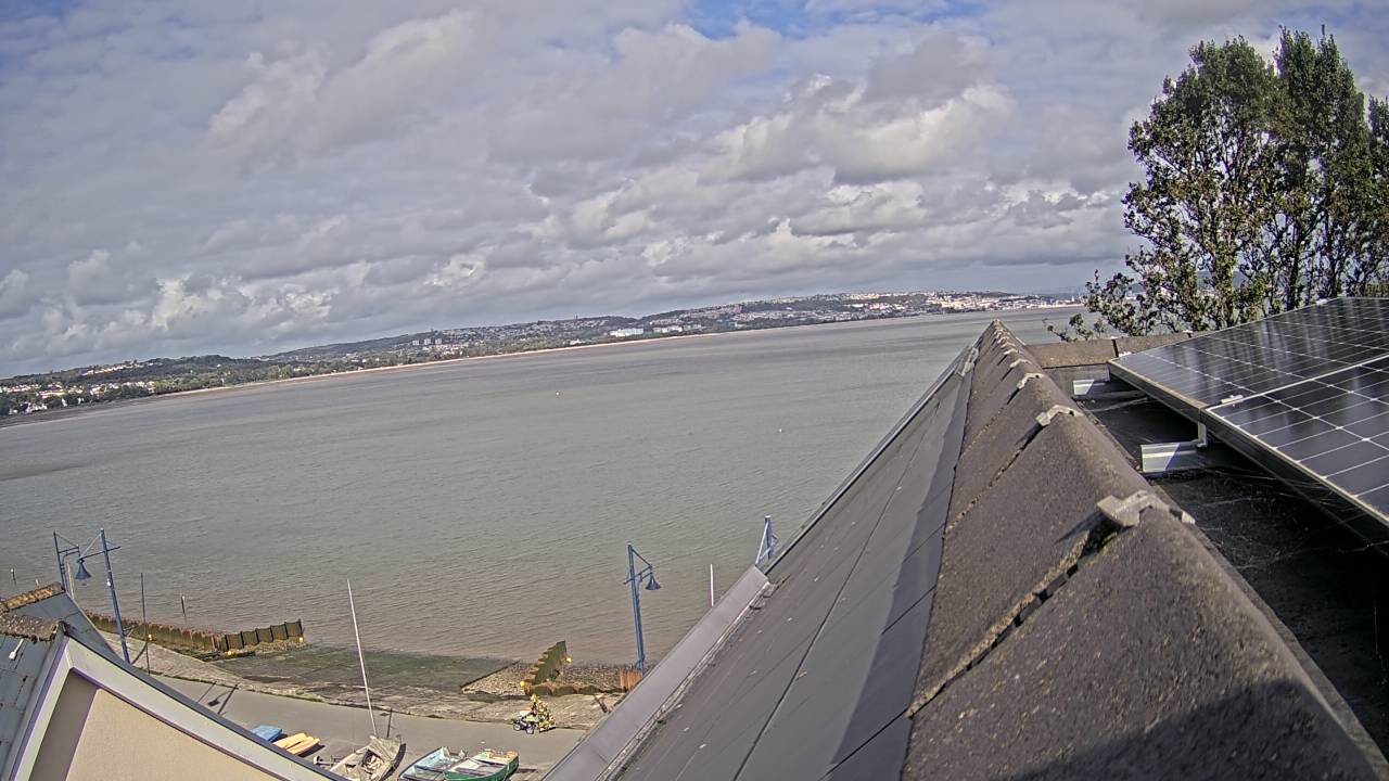
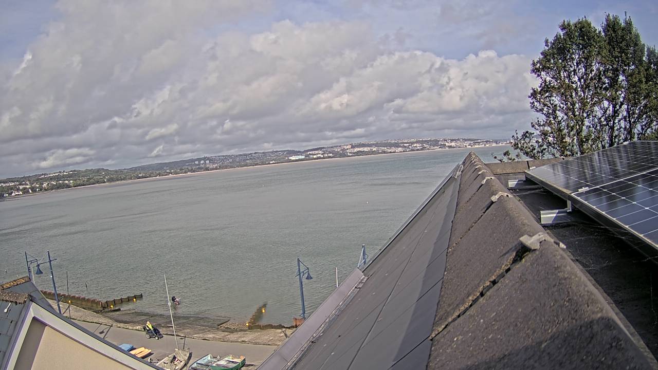
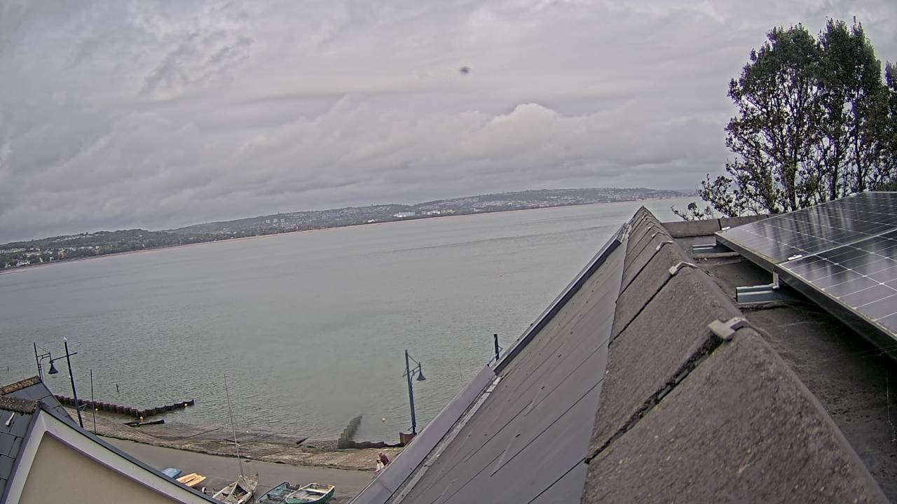
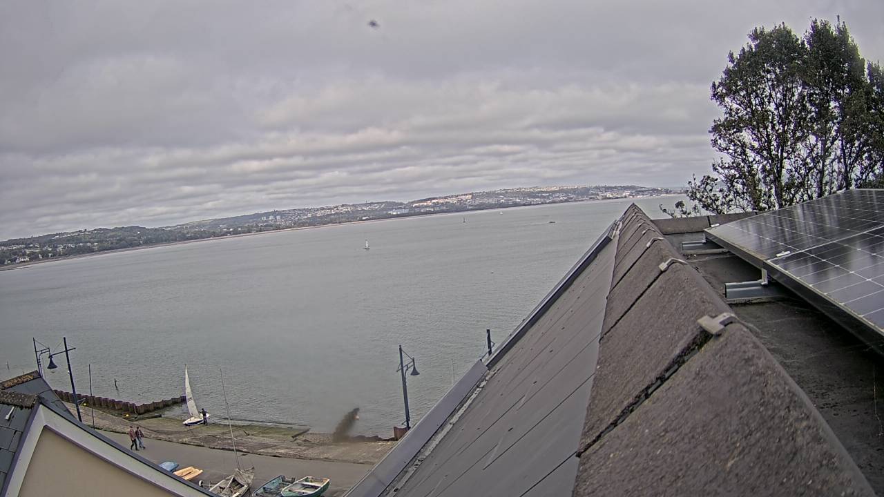
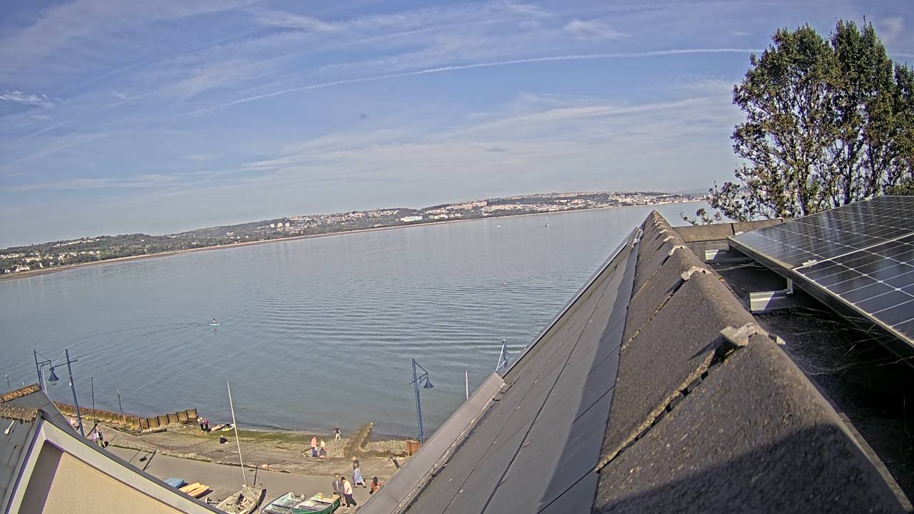
Mumbles, United Kingdom - 37.5 miles from Lampeter: Mumbles Bay - A view over the bay.
Operator: GowerLive
Operator: GowerLive


Langland Bay, United Kingdom - 38.1 miles from Lampeter: Langland Surfcam - View of the current weather and water conditions at Langland Bay.
Operator: Gover Live
Operator: Gover Live

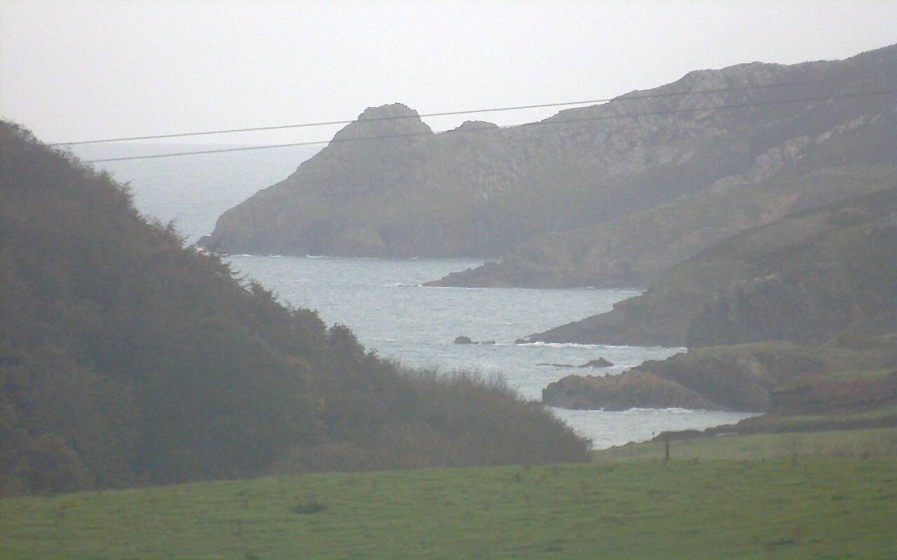
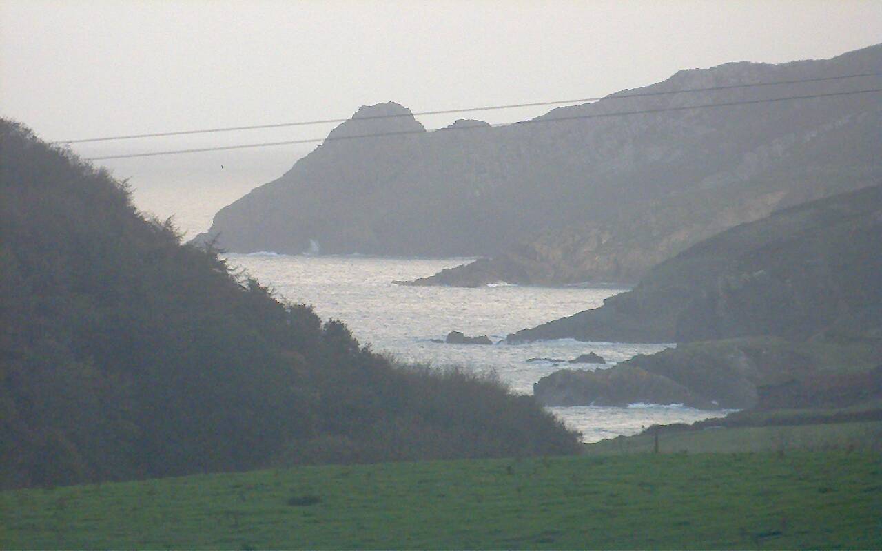
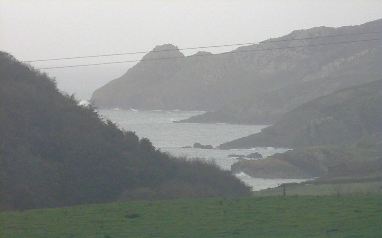
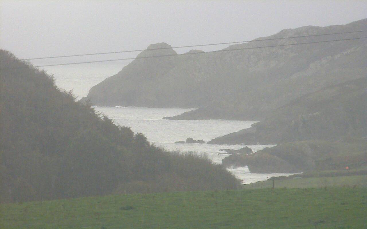
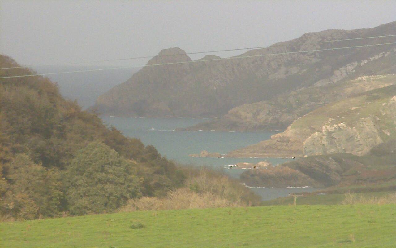
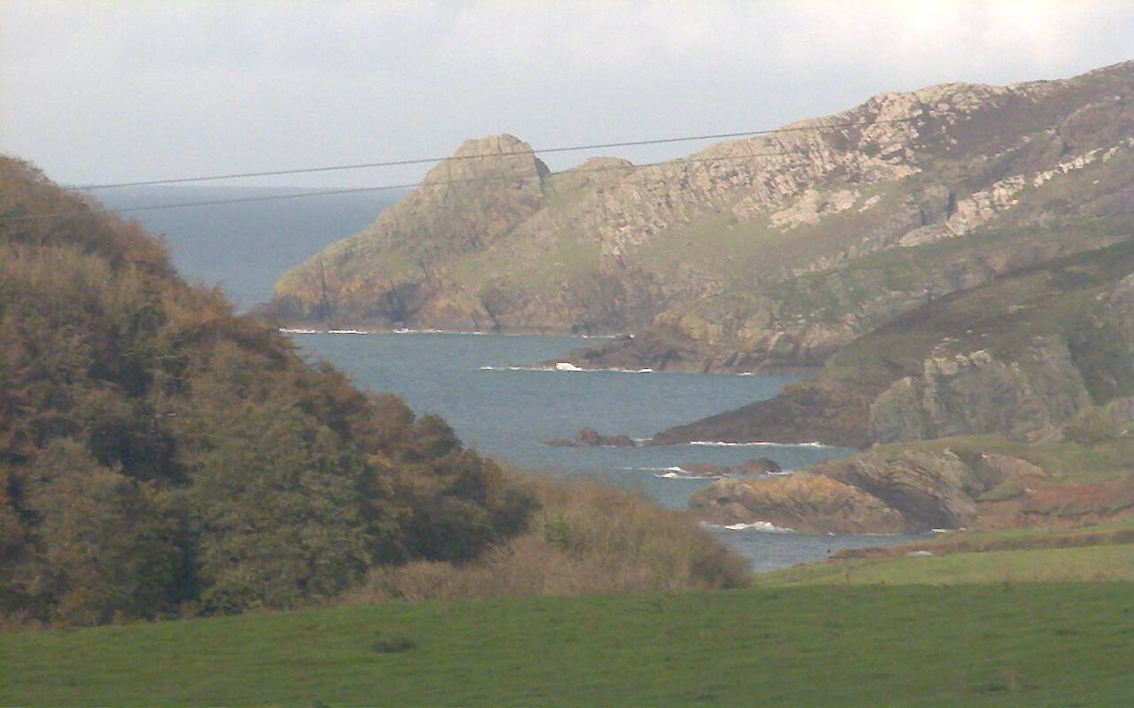
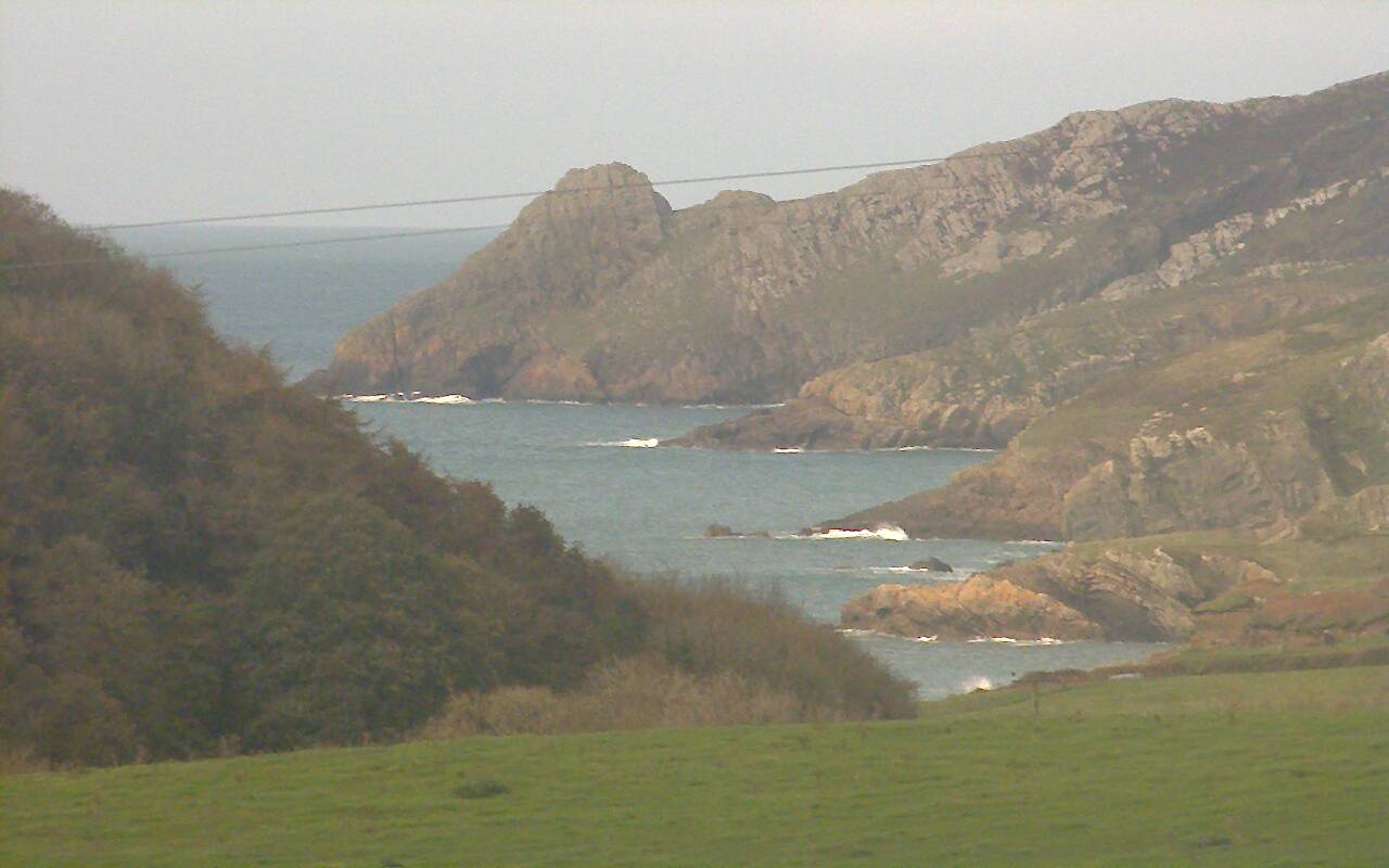
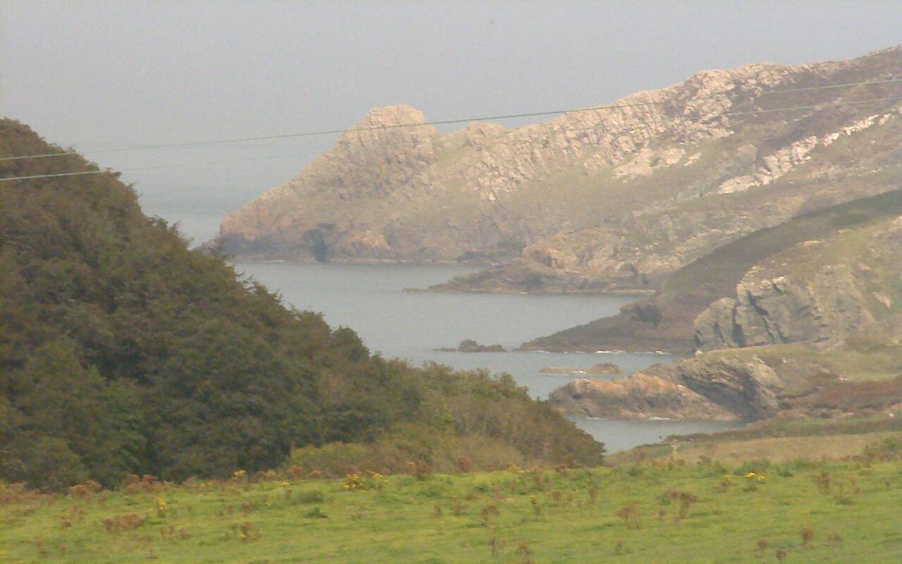
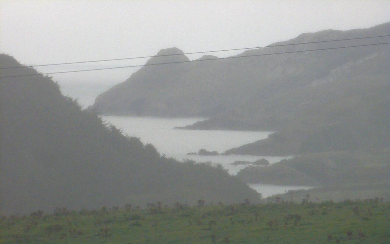
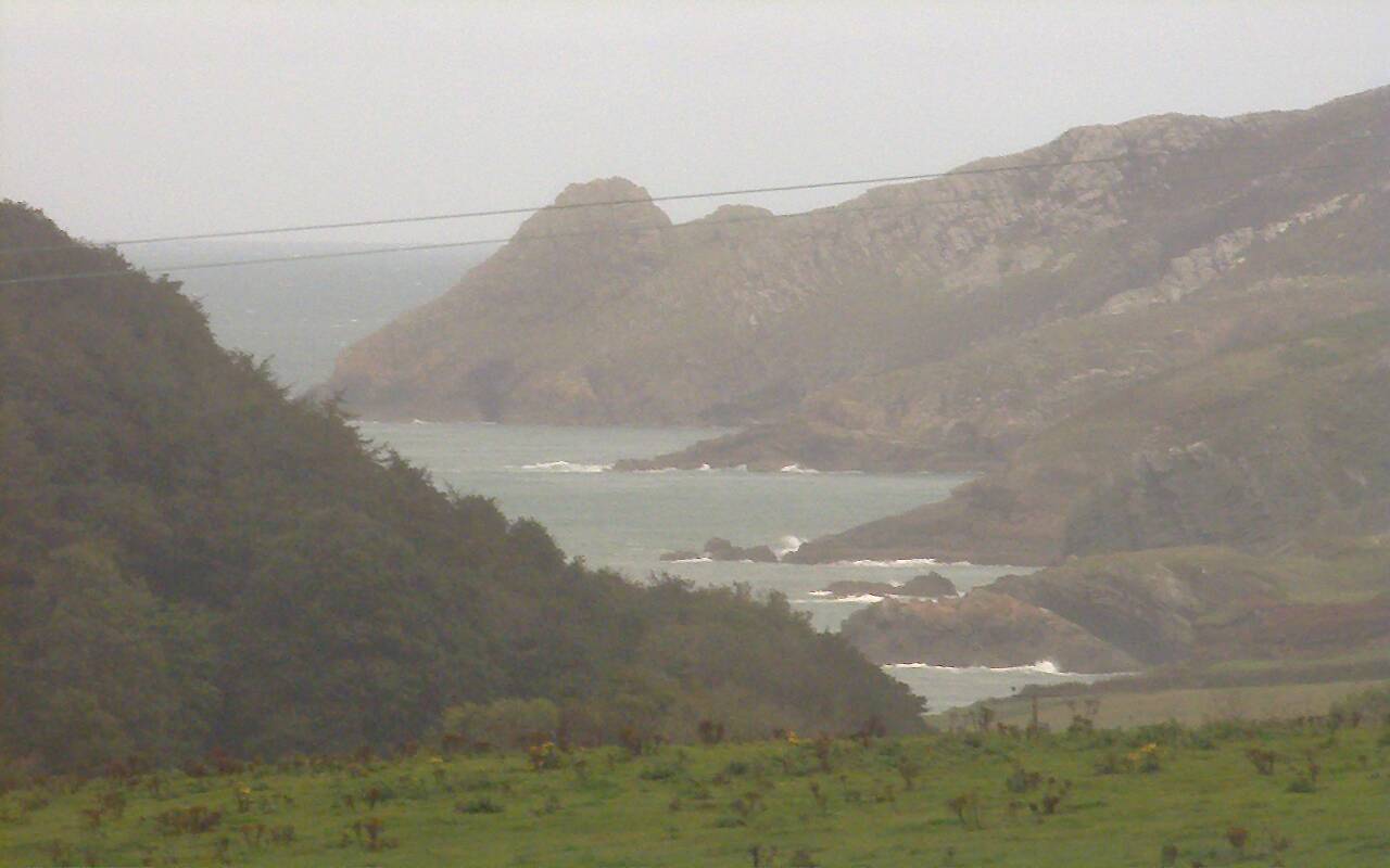
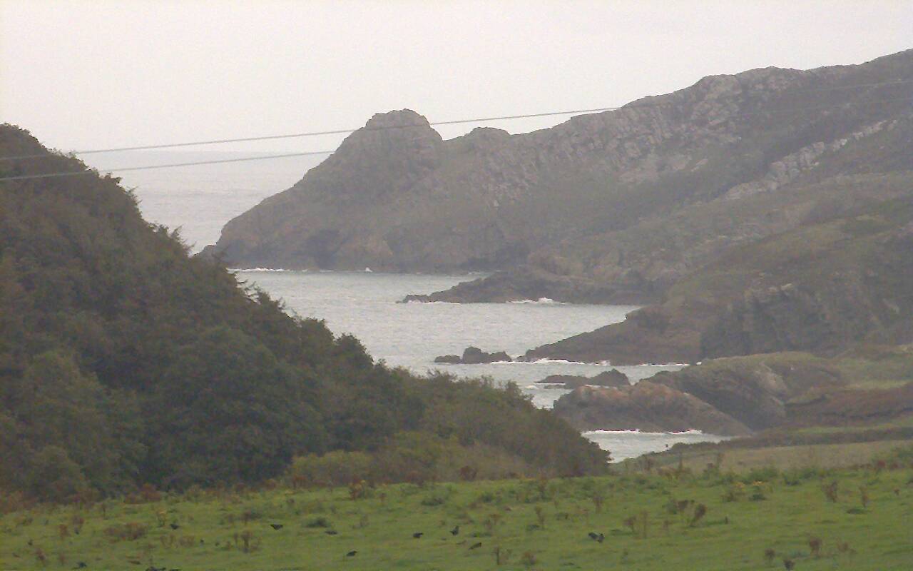
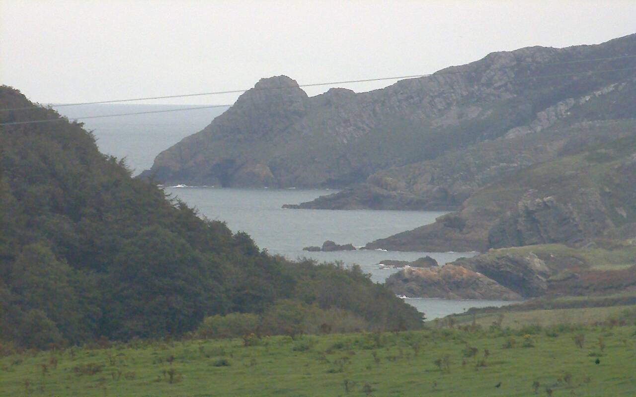
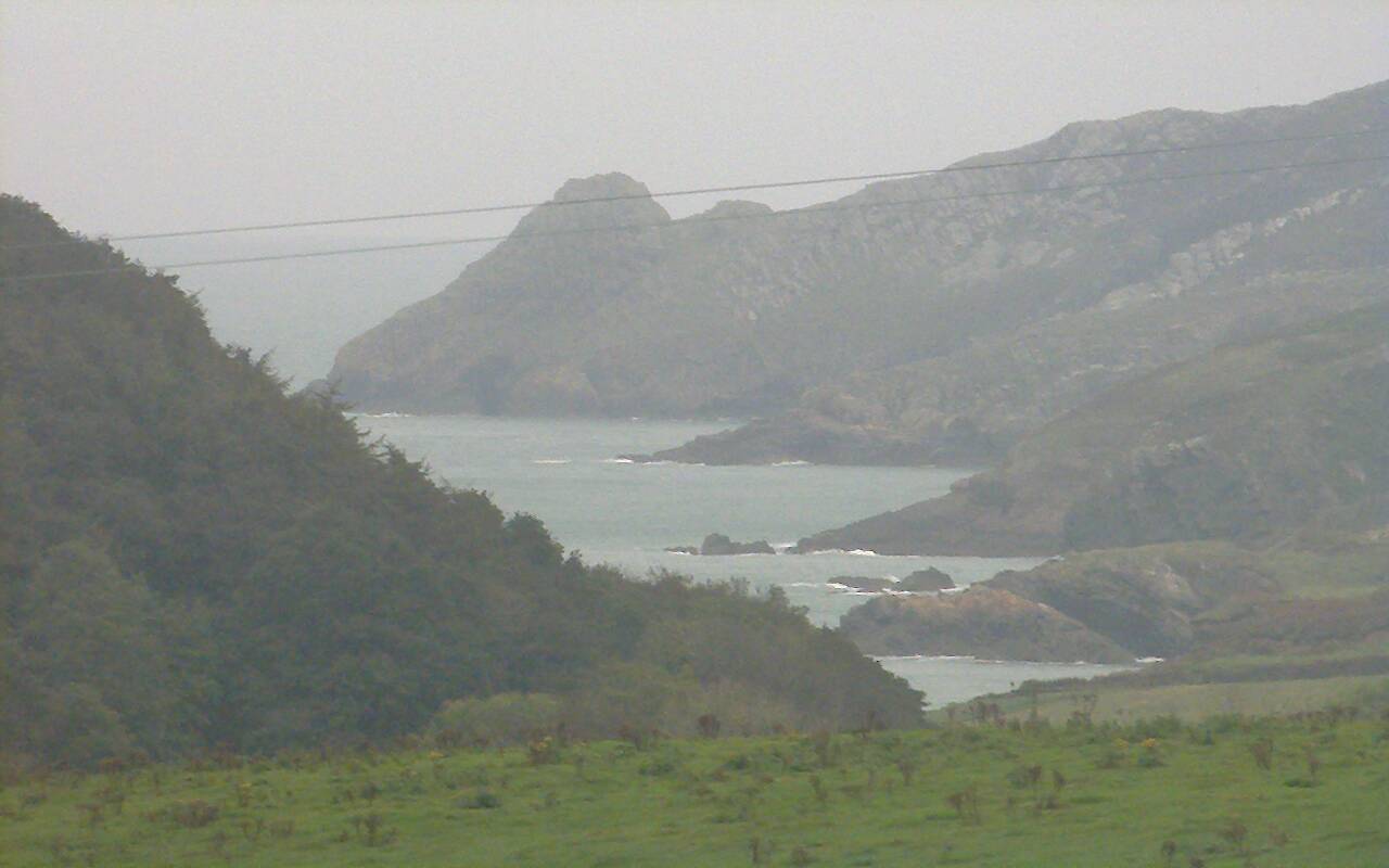
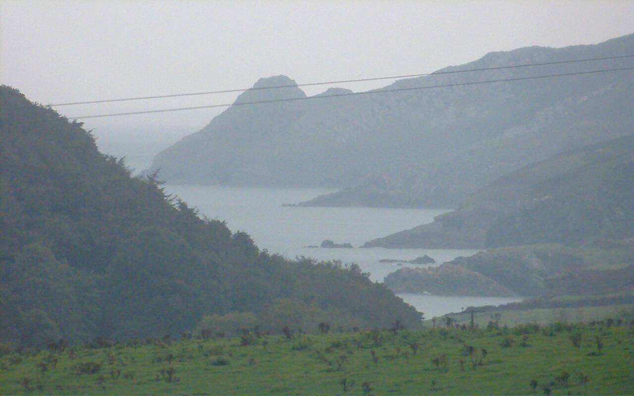
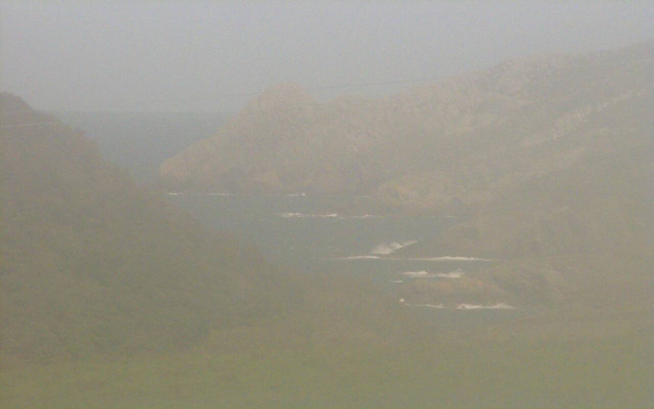
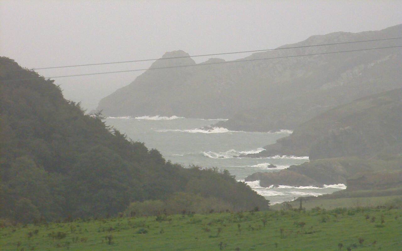
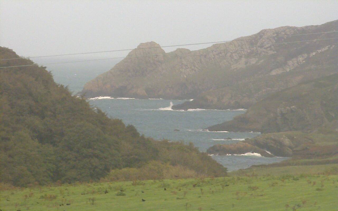
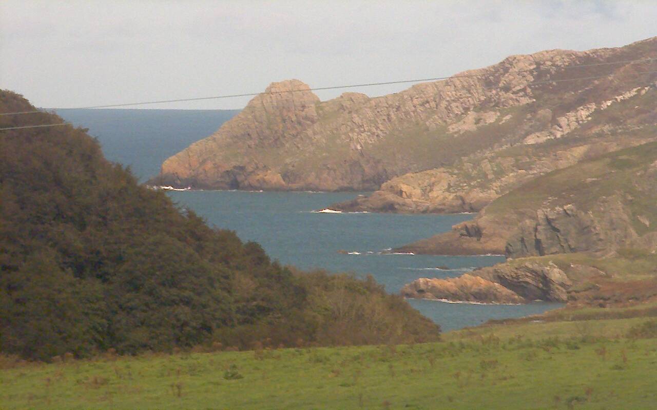
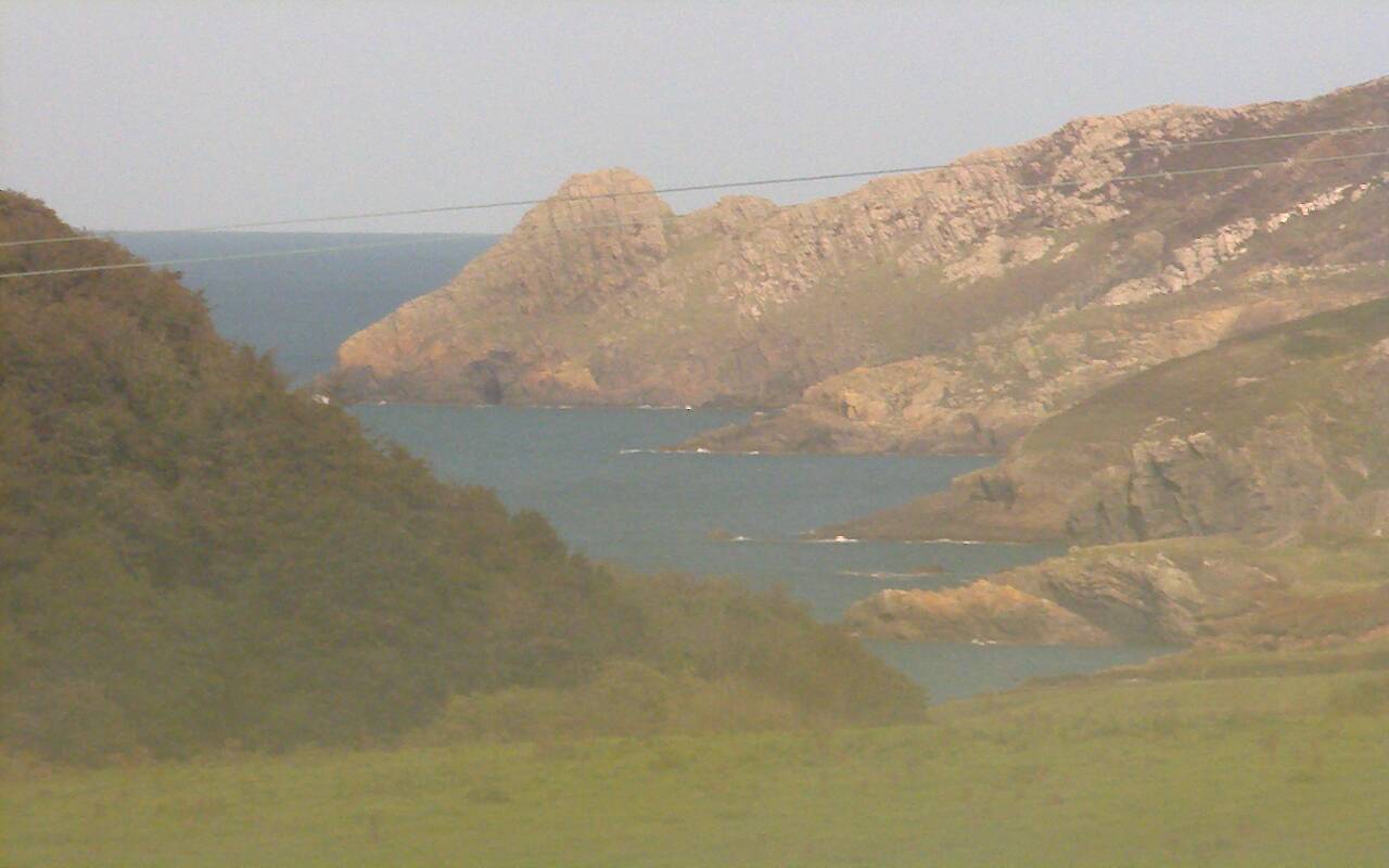
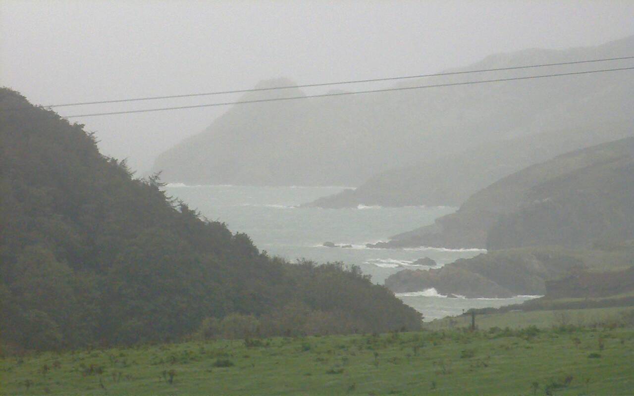
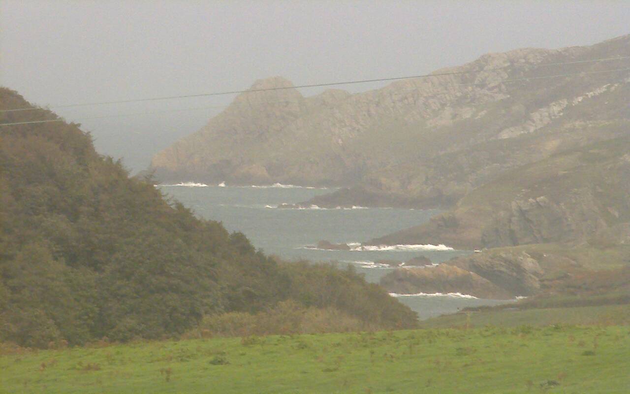
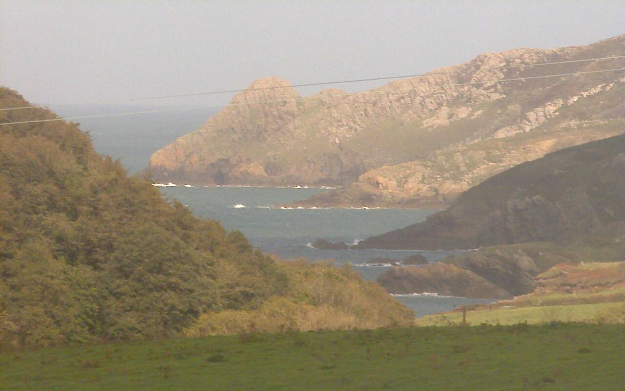
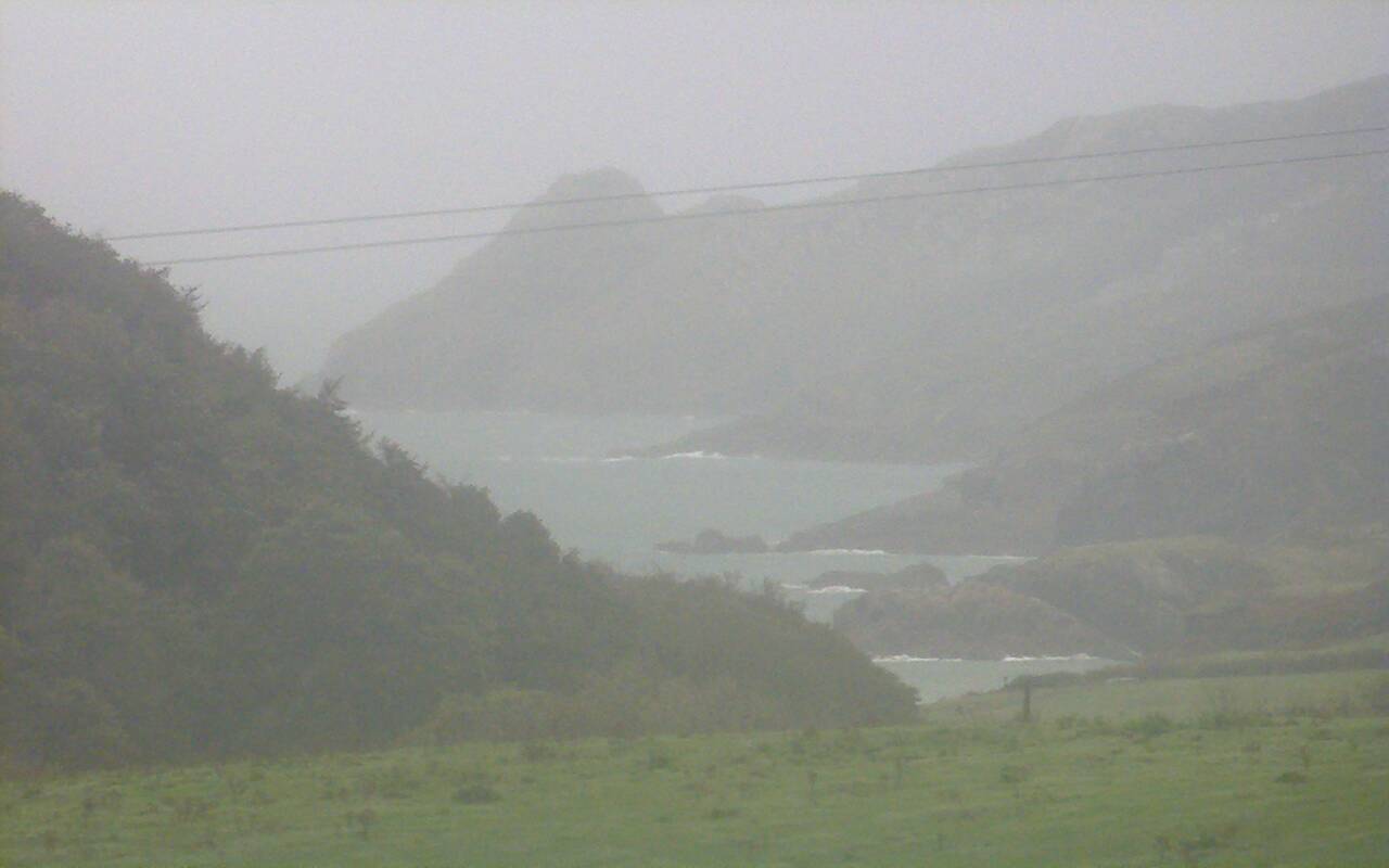
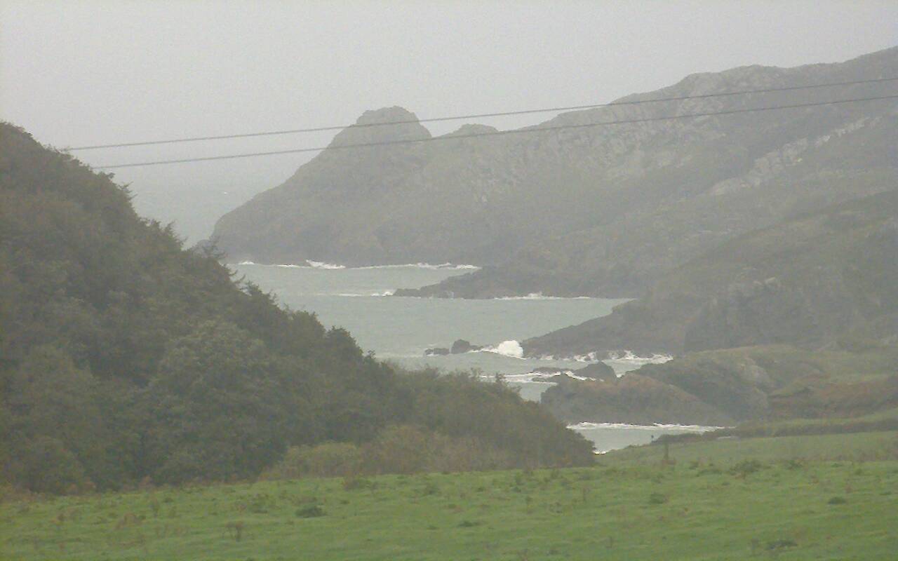
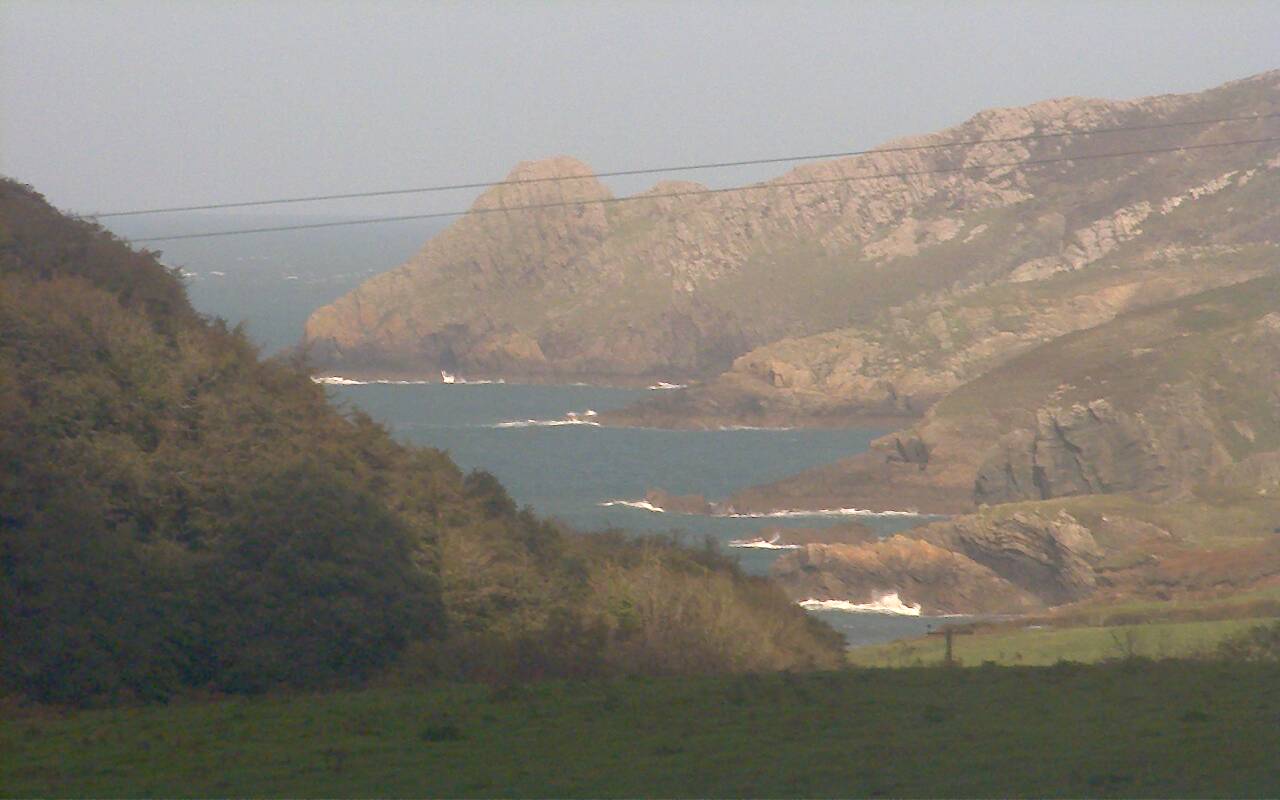
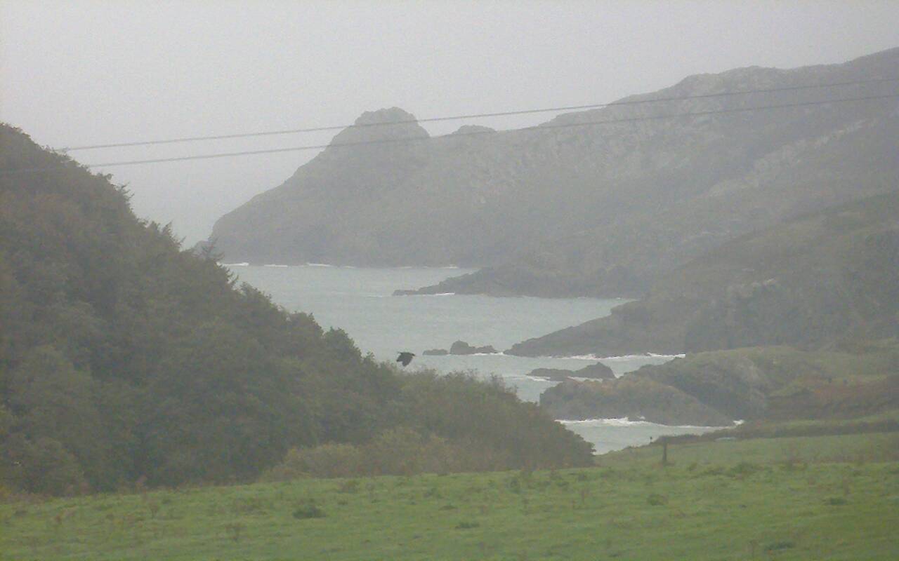
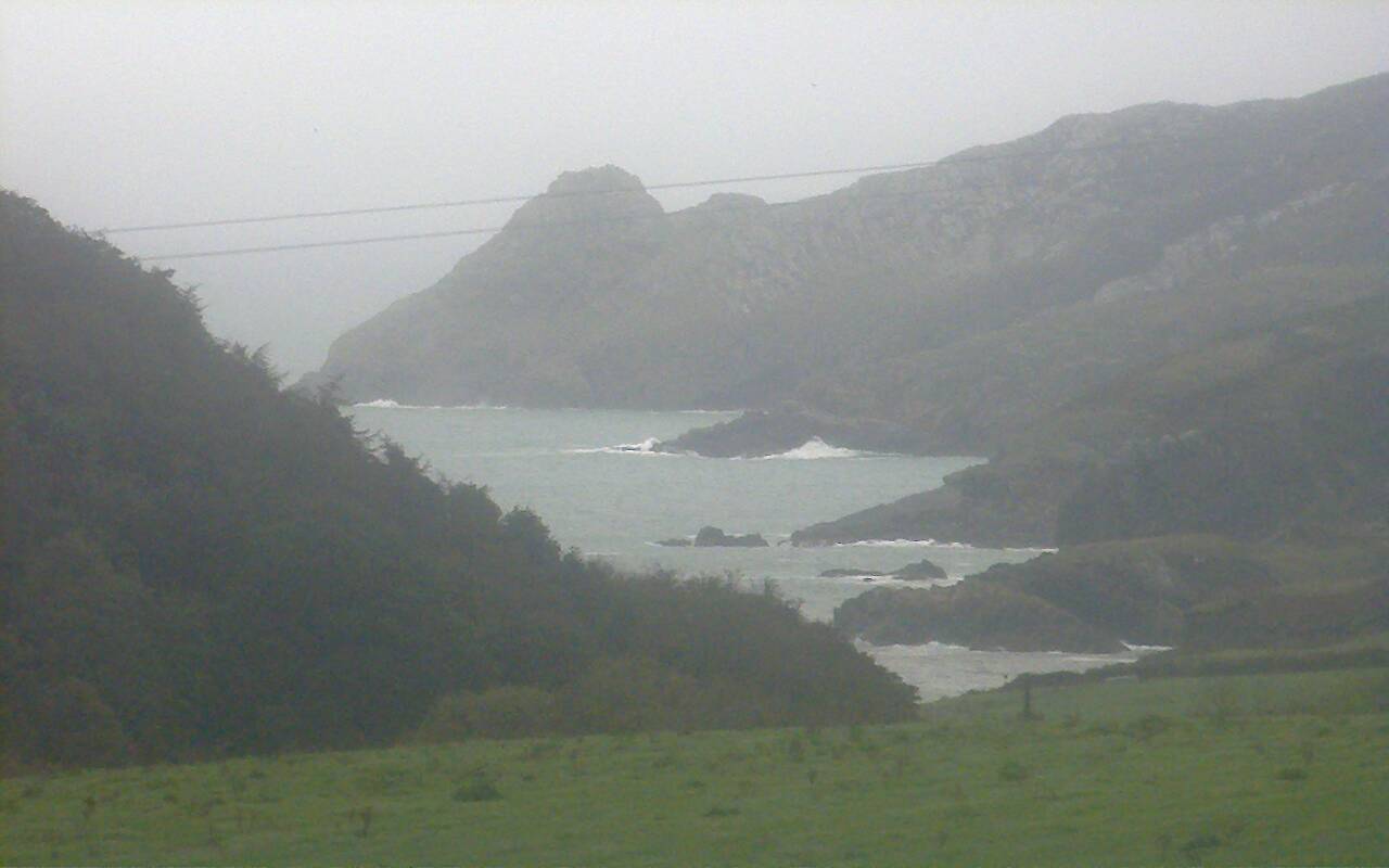
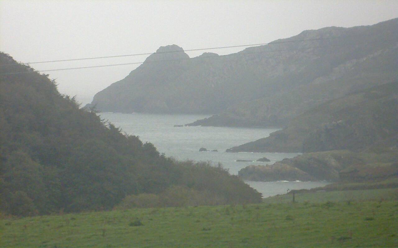
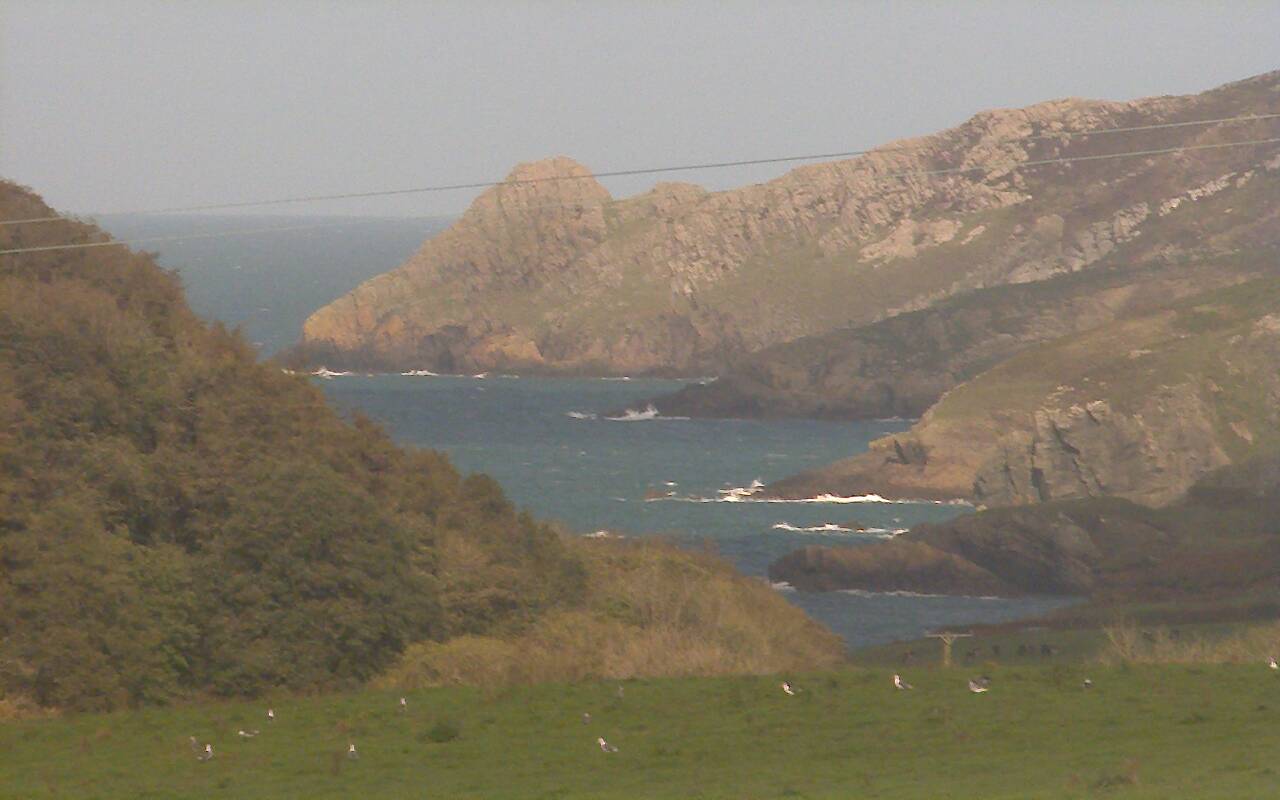
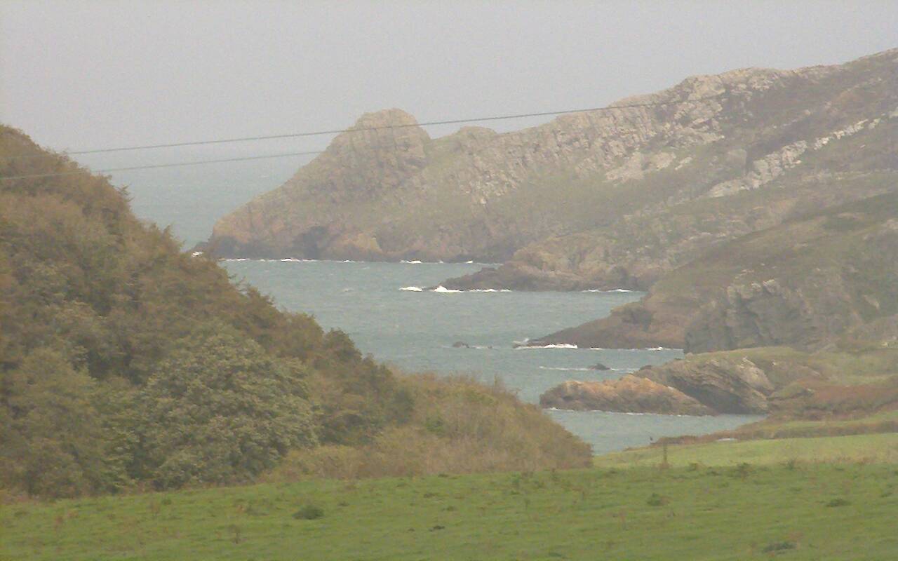
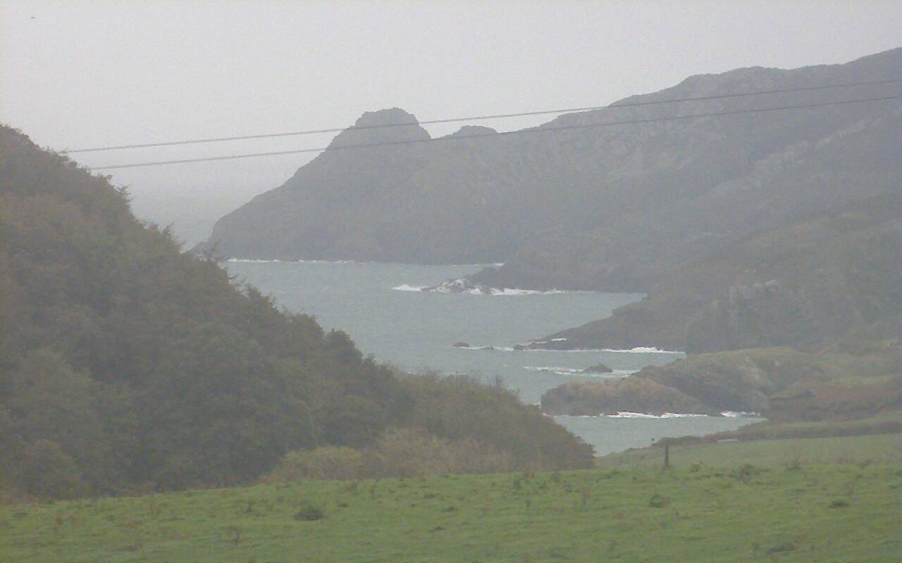
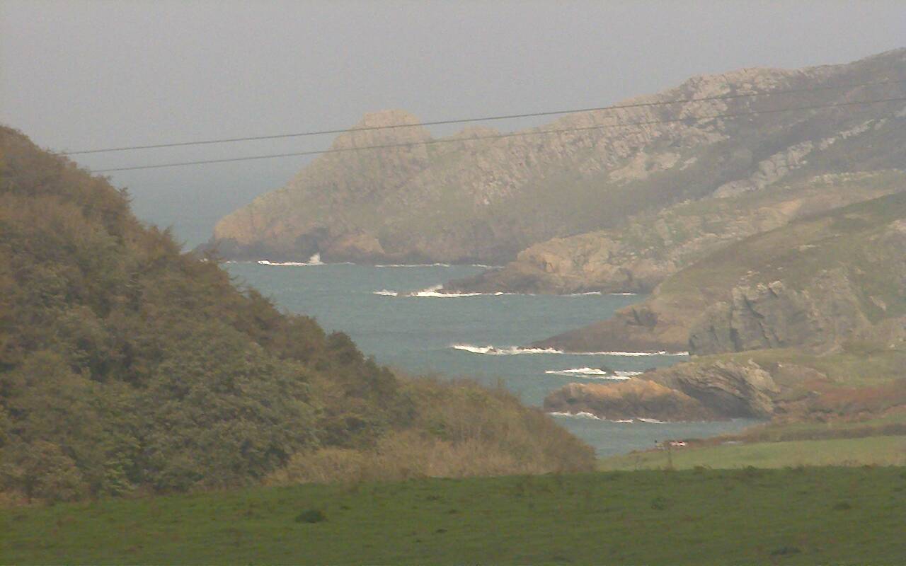
Mathry, United Kingdom - 45 miles from Lampeter: Abermawr View in Pembrokeshire - A view from the Preseli Venture lodge - down the valley to Abermawr beach.
Operator: Preseli Venture
Operator: Preseli Venture


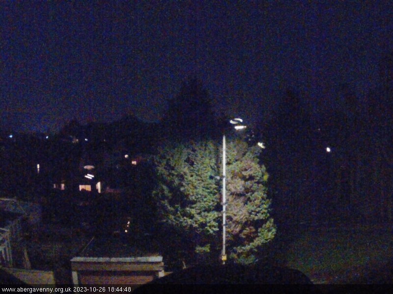
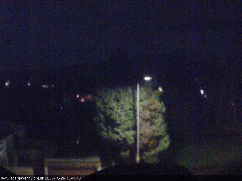
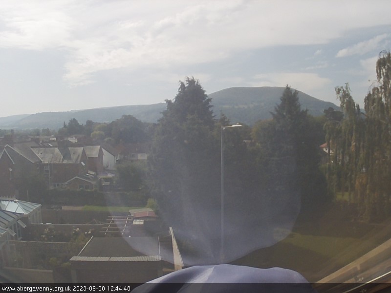
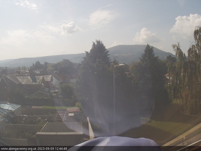
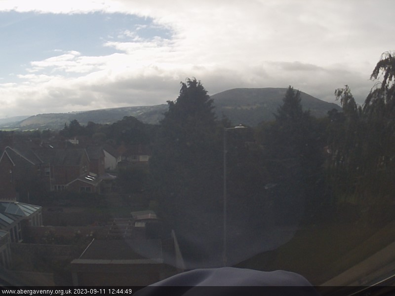
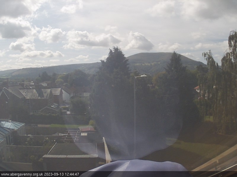
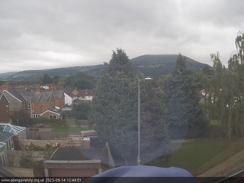
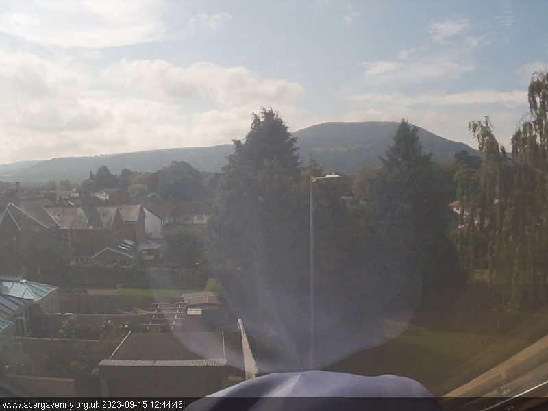
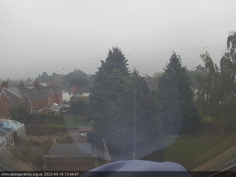
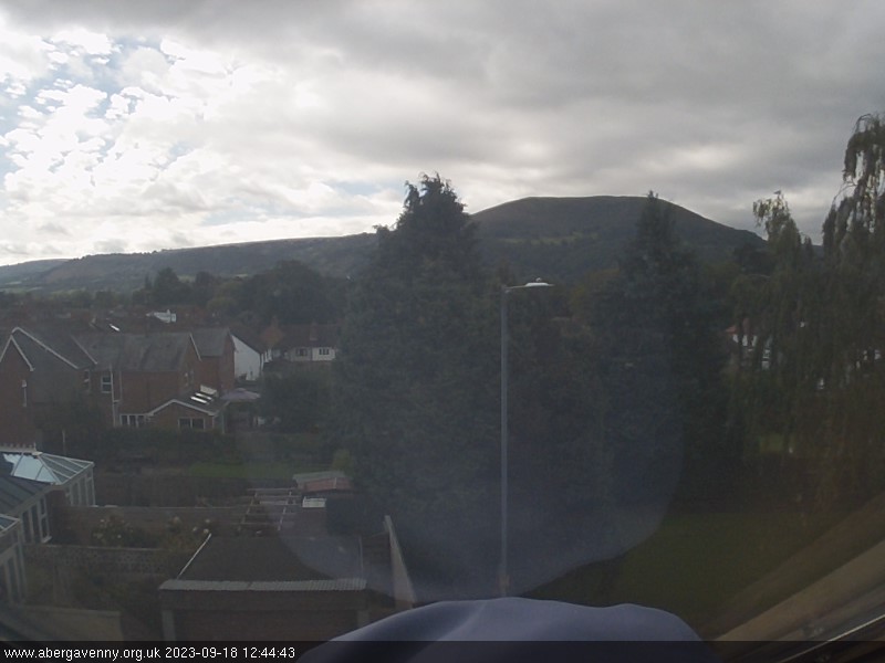
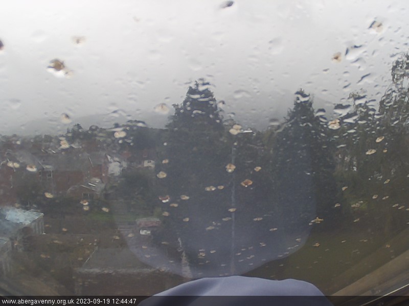
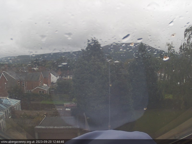
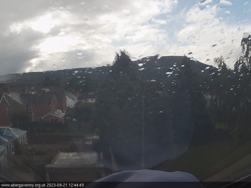
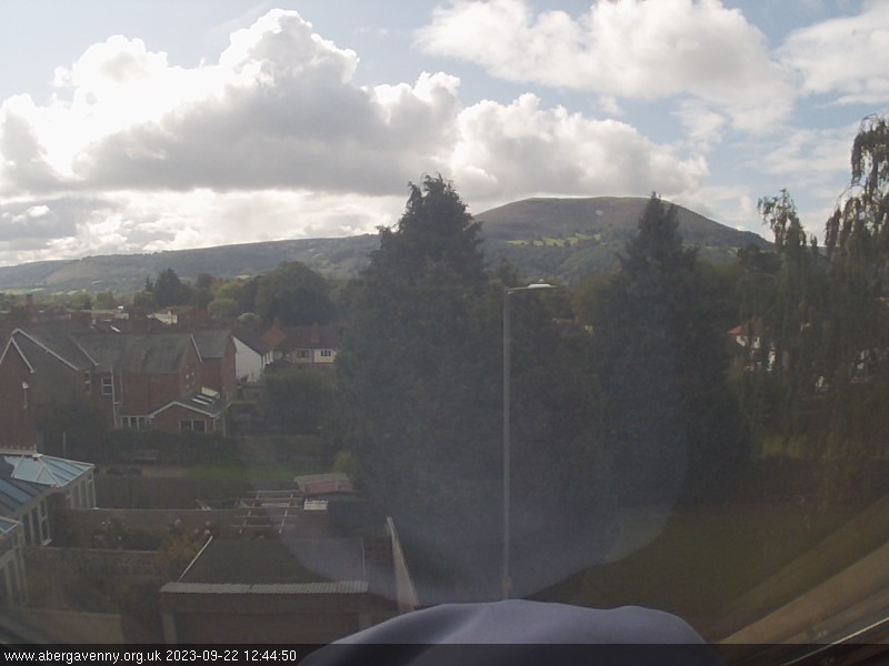
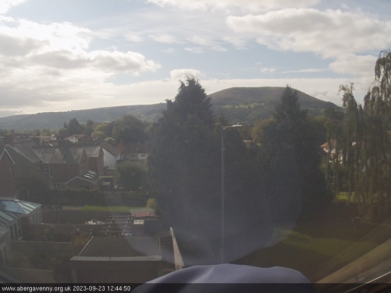
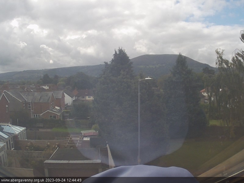
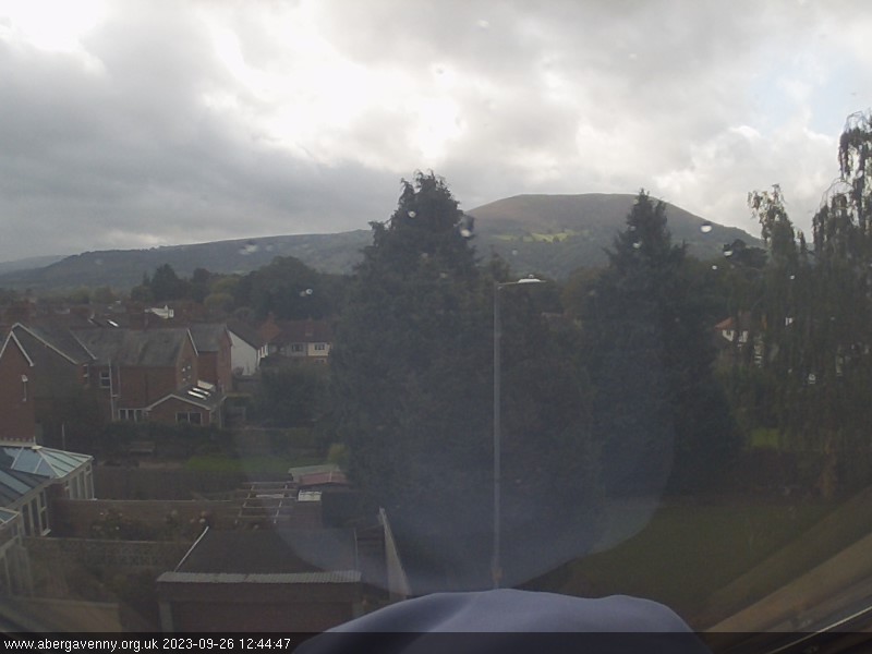
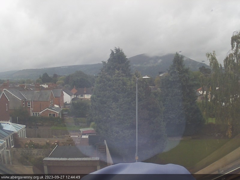
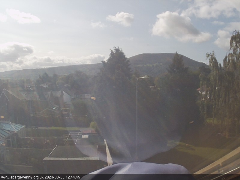
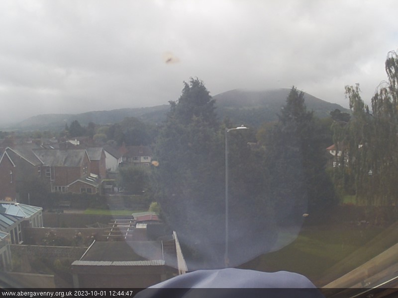
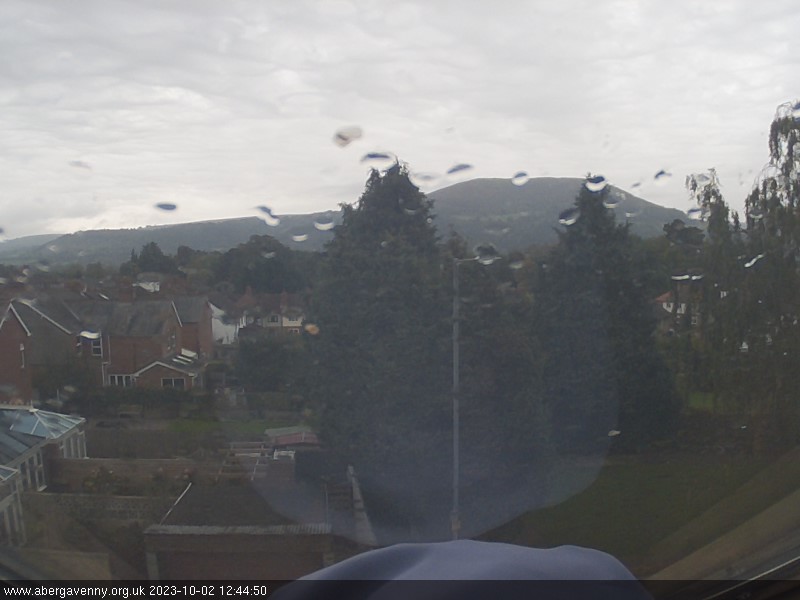
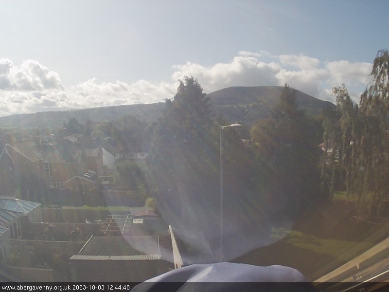
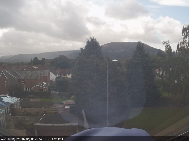
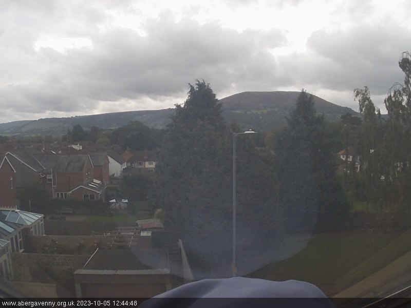
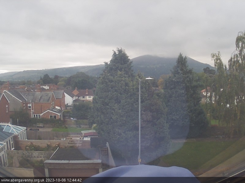
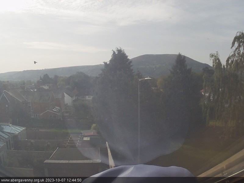
Abergavenny, United Kingdom - 48.8 miles from Lampeter: Blorenge Mountain - Abergavenny web cam overlooking the Blorenge mountain.
Operator: Abergavenny Tourist Guide
Operator: Abergavenny Tourist Guide


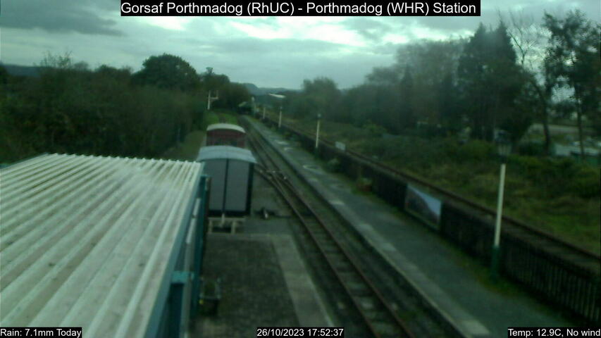
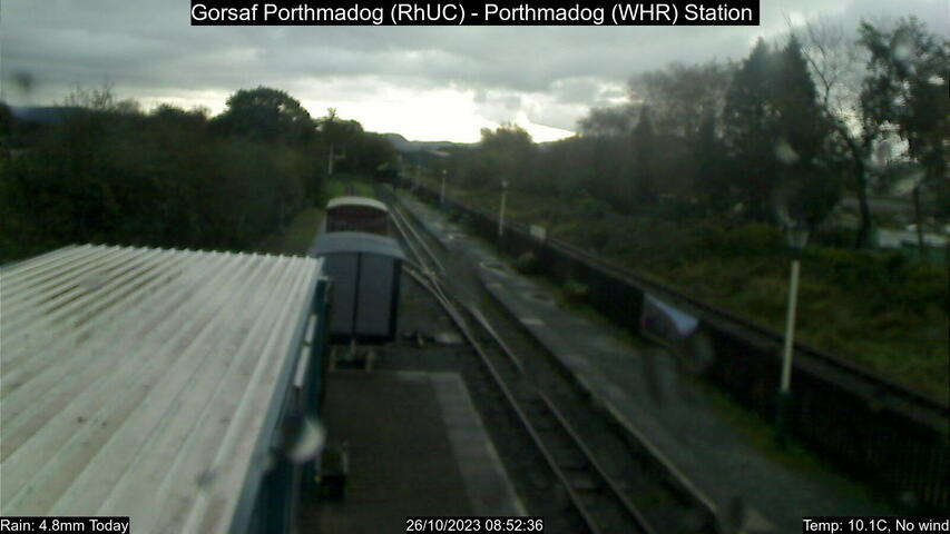
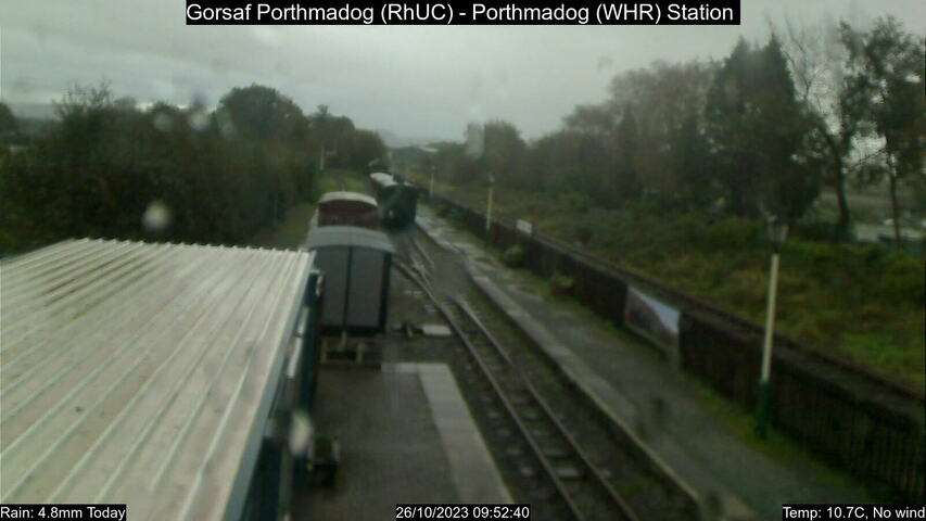
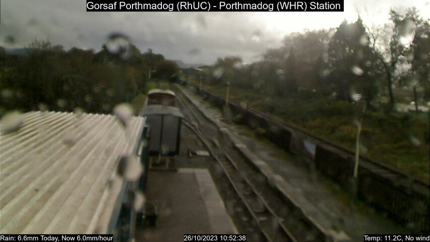
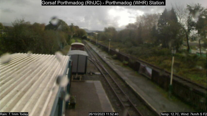
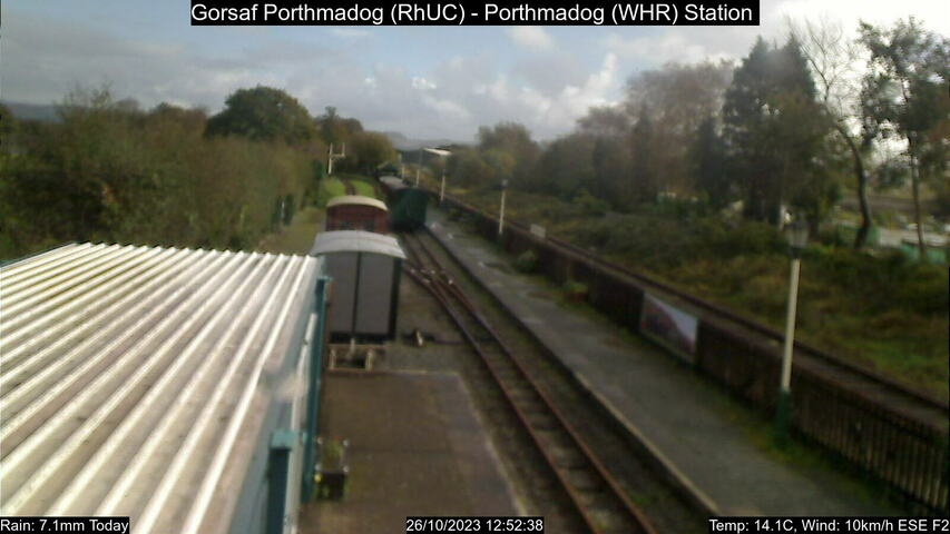
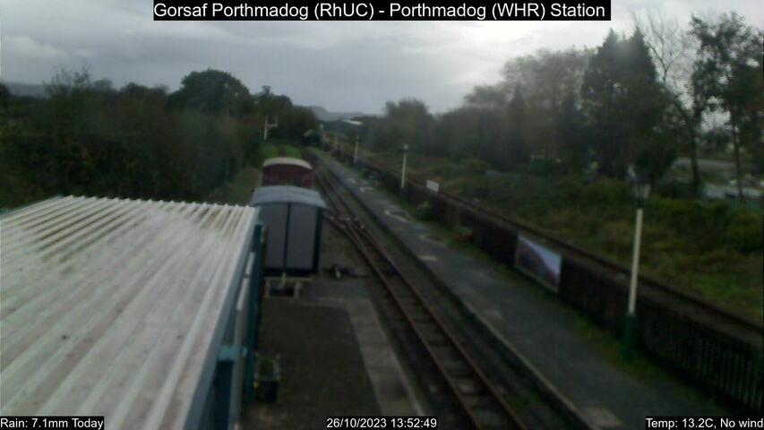
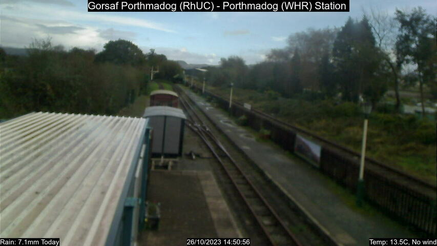
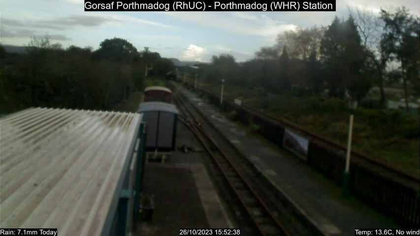
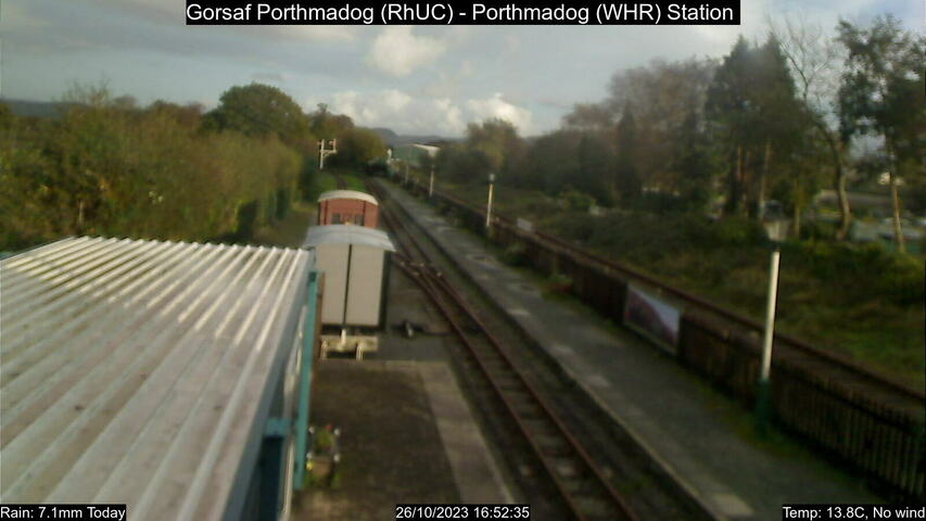
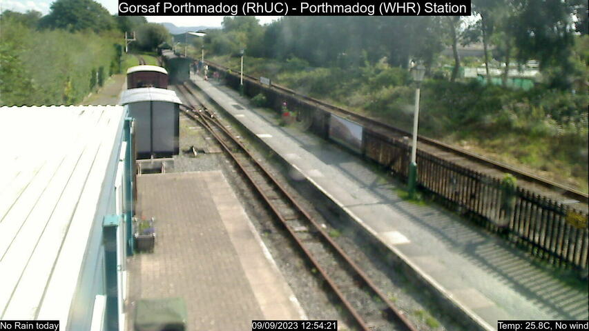
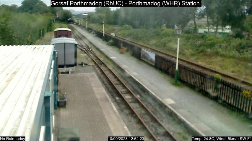
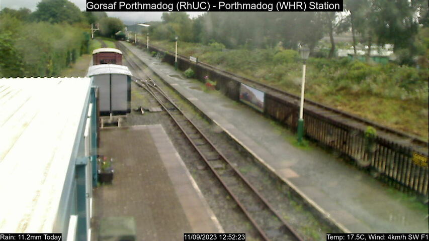
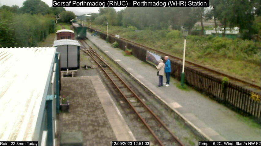
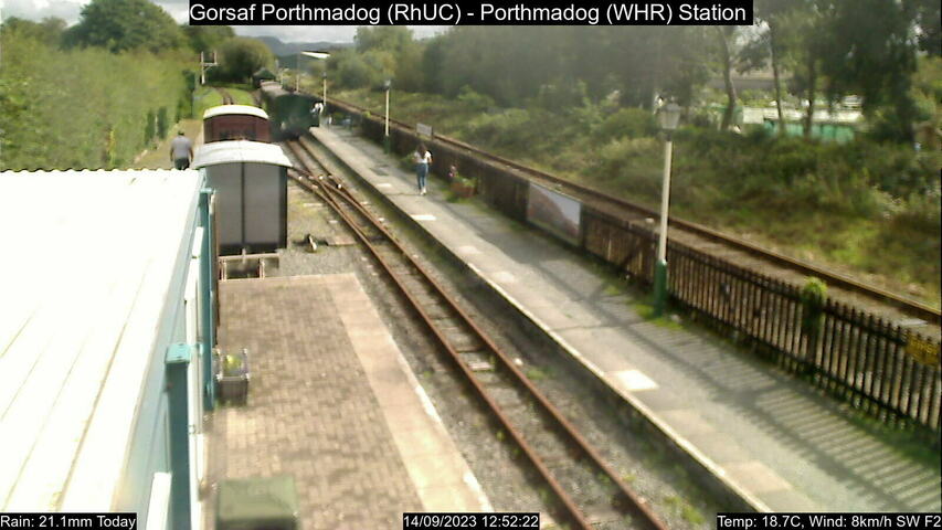
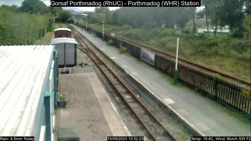
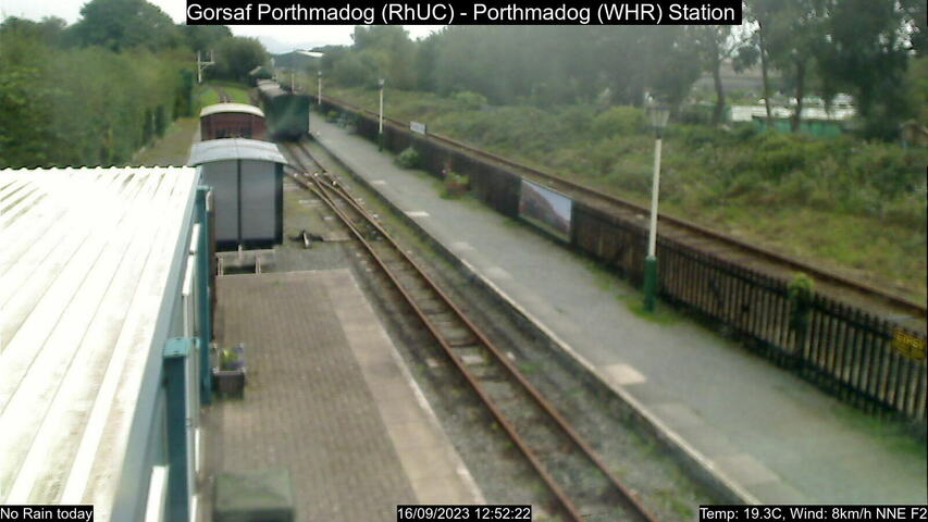
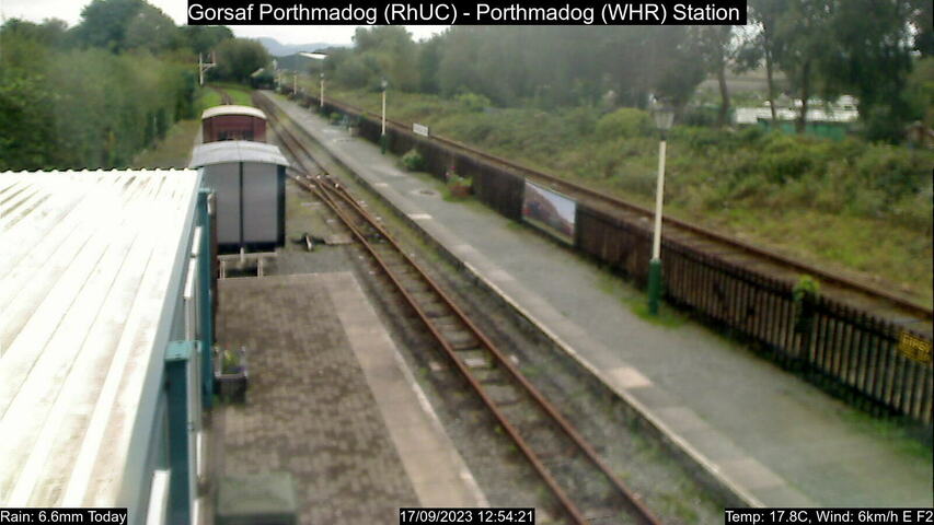
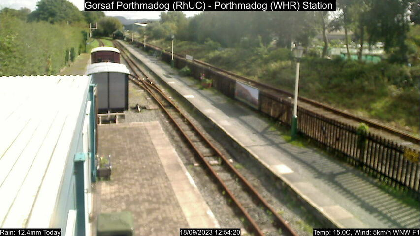
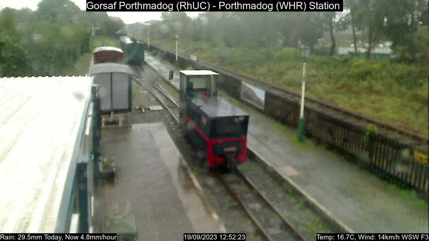
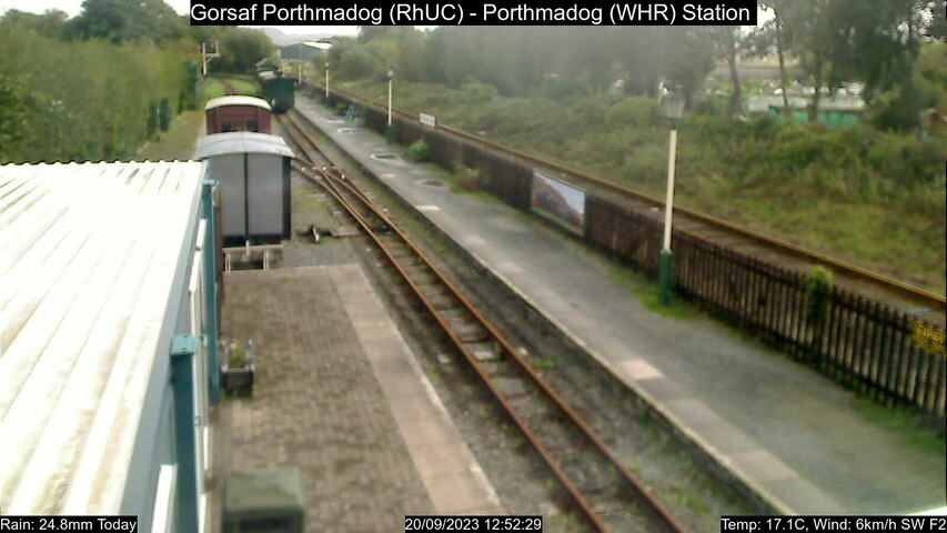
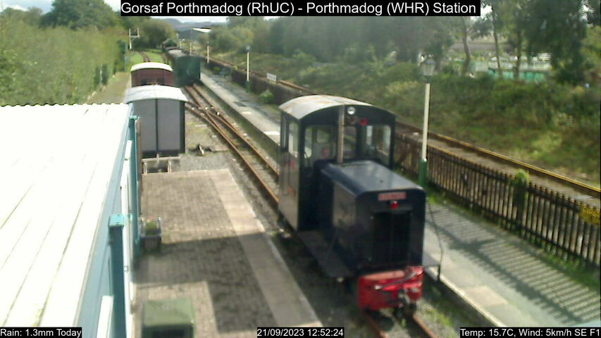
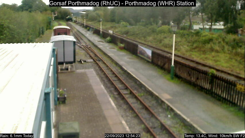
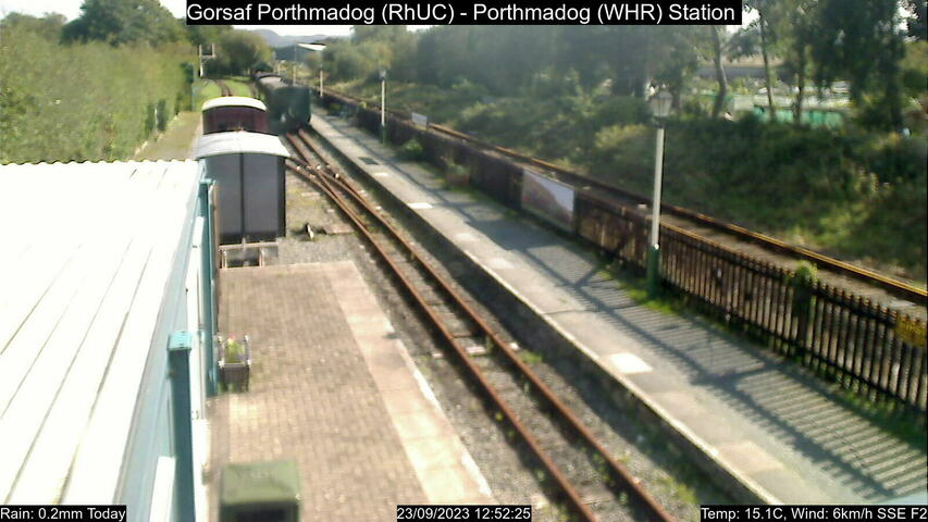
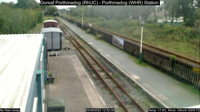
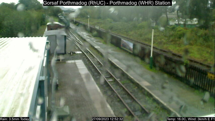
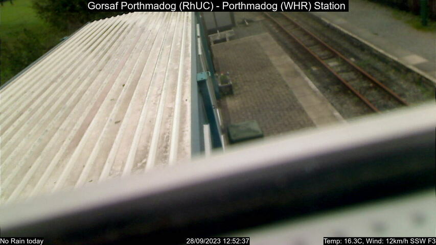
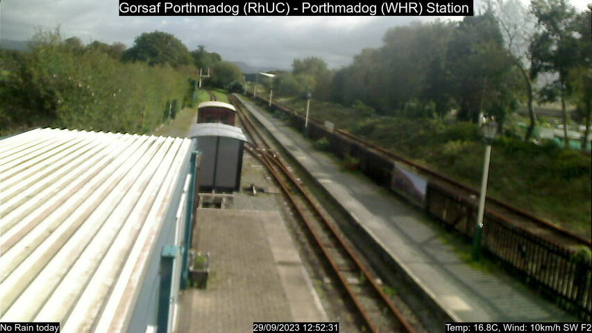
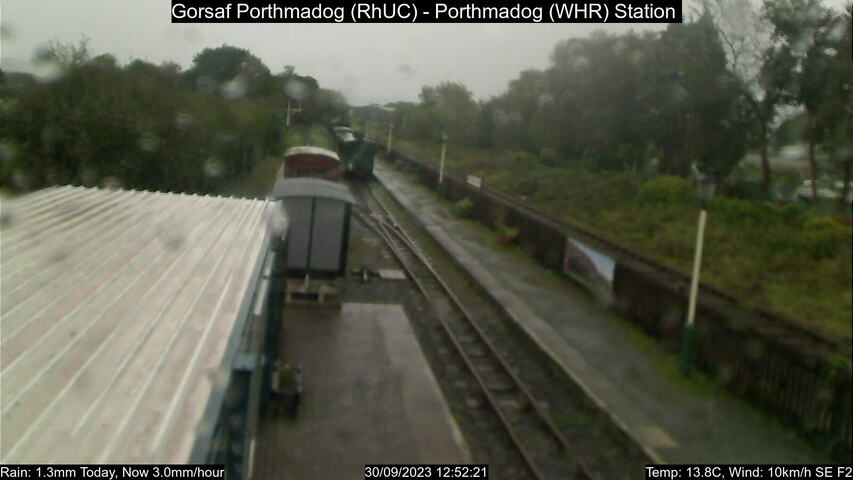
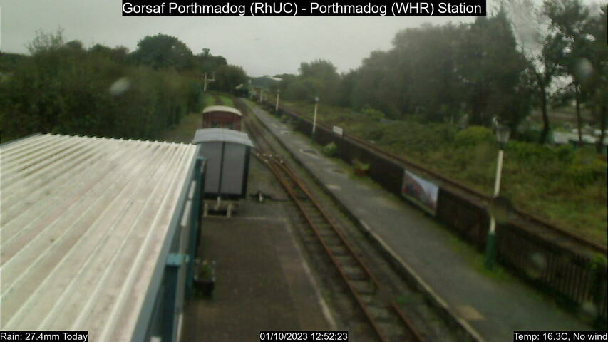
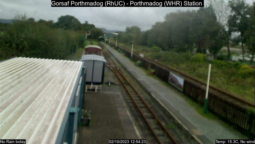
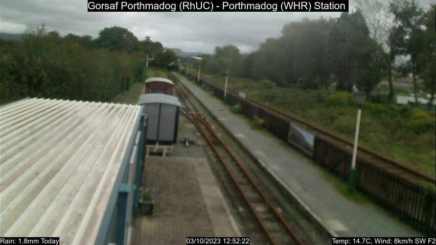
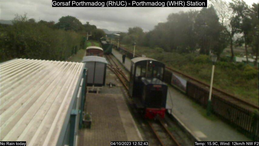
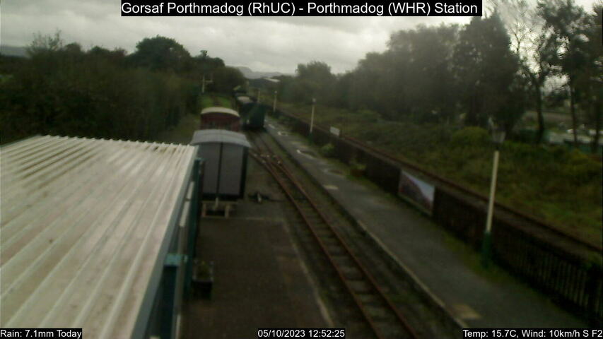
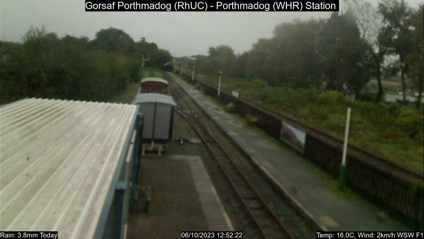
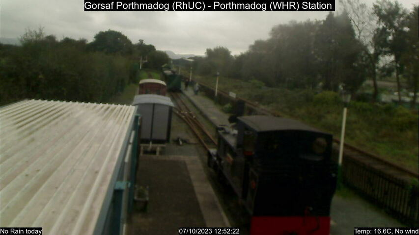
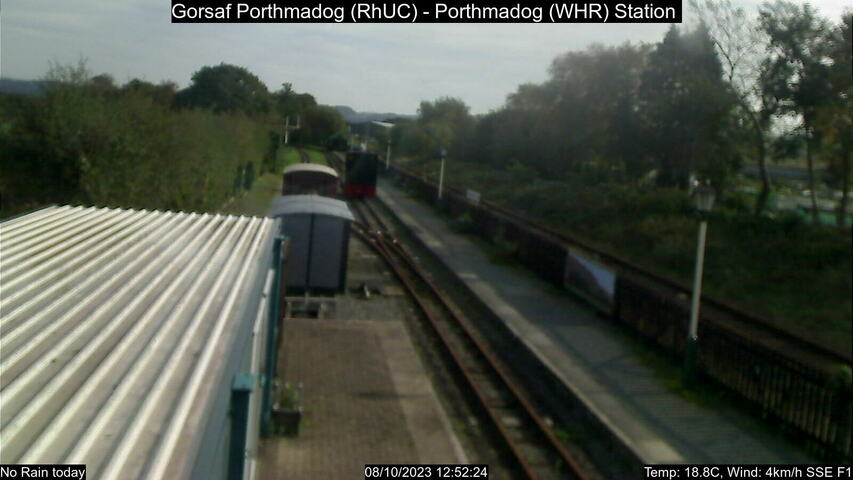
Porthmadog, United Kingdom - 56.1 miles from Lampeter: Porthmadog Station - A webcam of the Welsh Highland Heritage Railway at the station of Porthmadog.
Operator: Welsh Highland Heritage Railway
Operator: Welsh Highland Heritage Railway


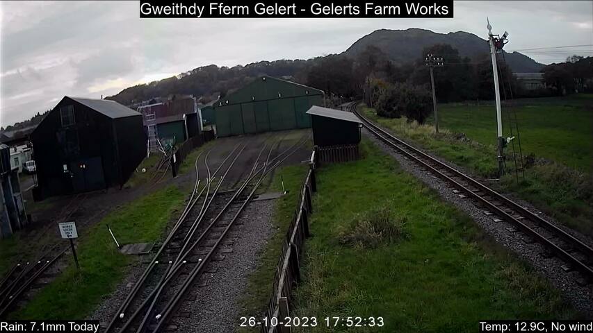
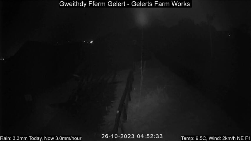
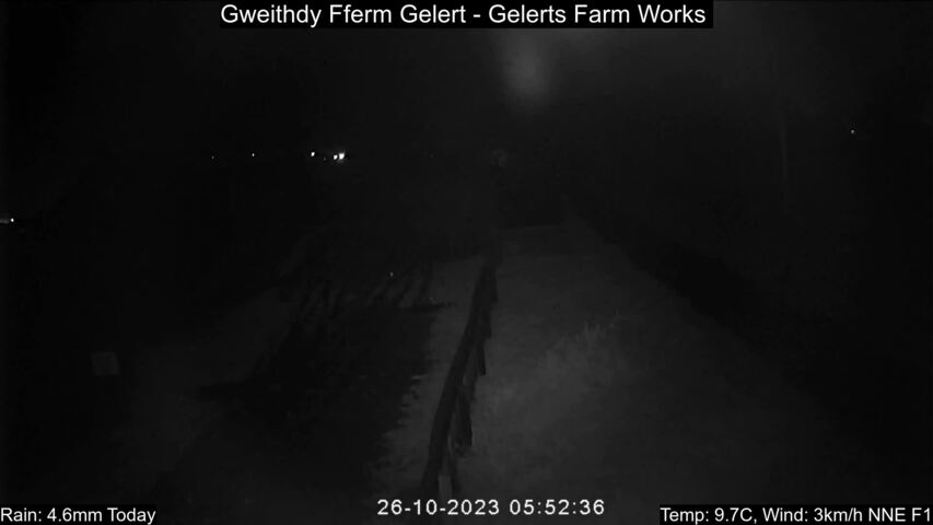
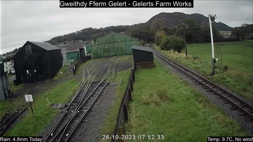
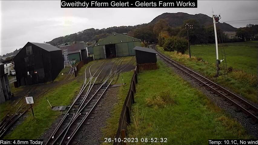
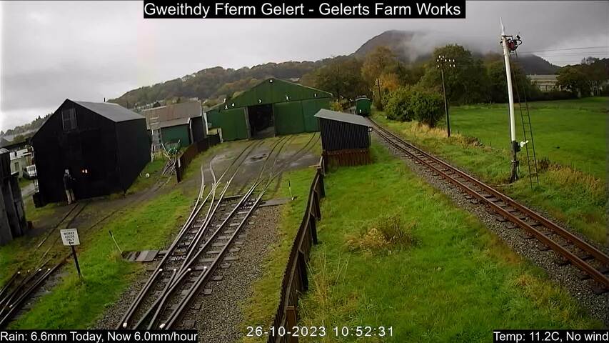
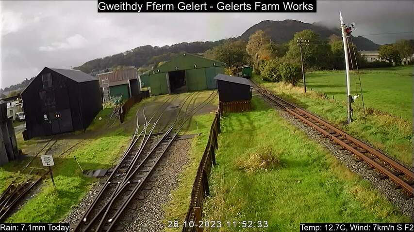
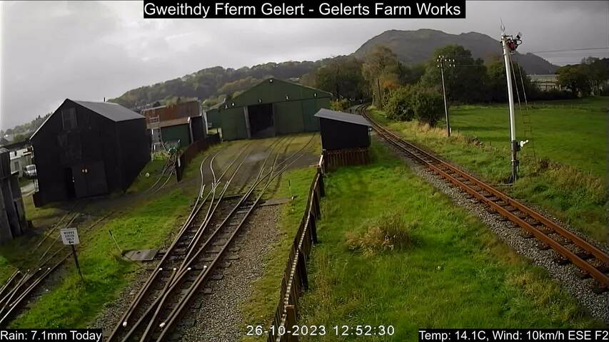
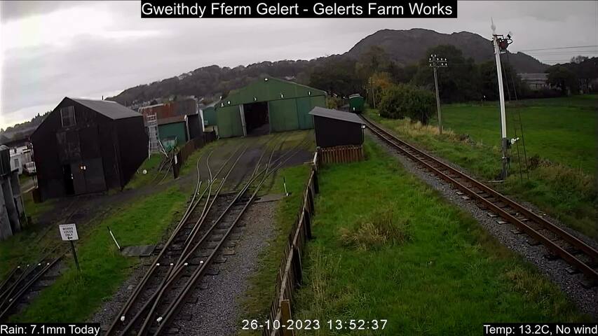
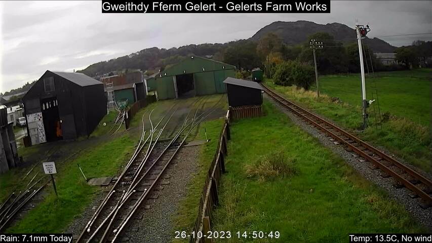
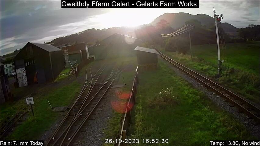
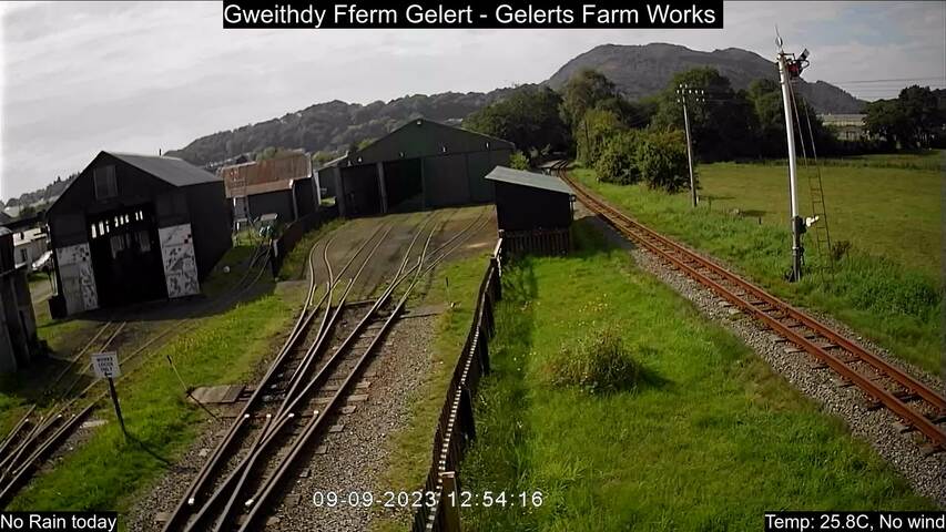
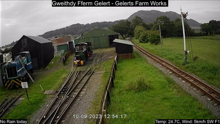
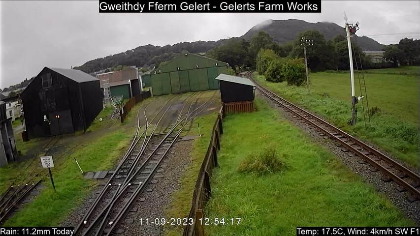
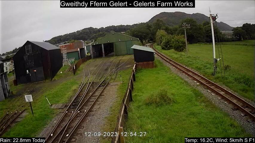
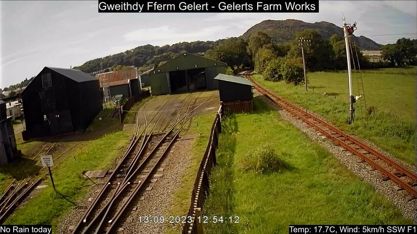
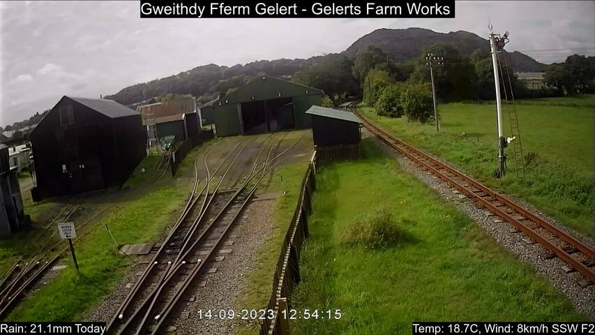
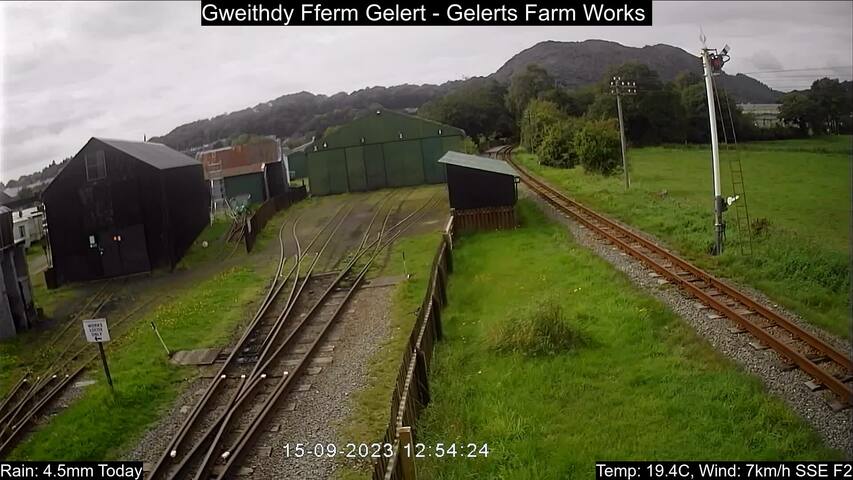
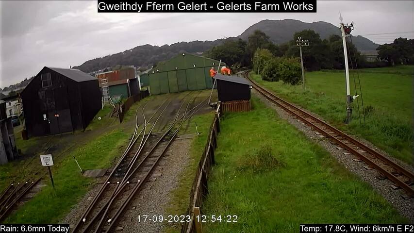
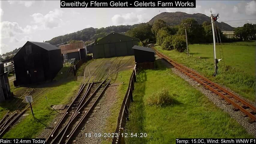
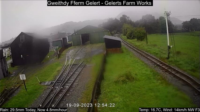
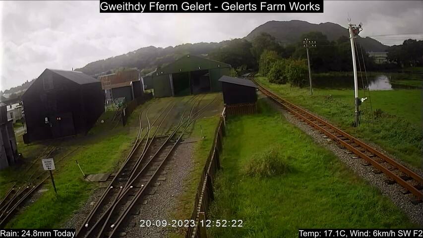
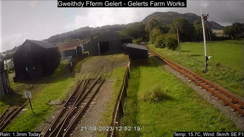
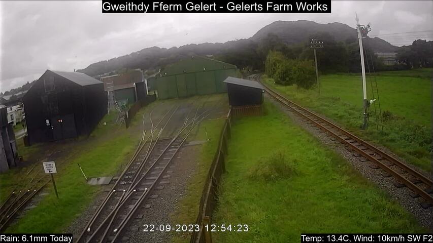
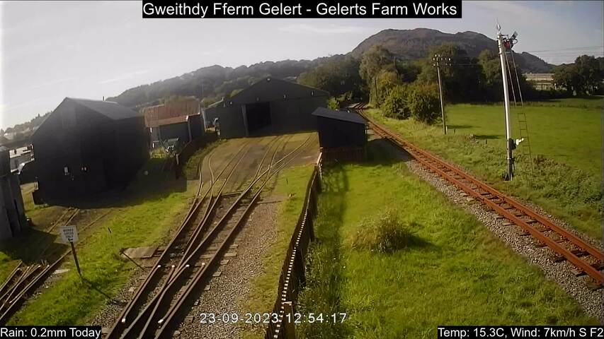
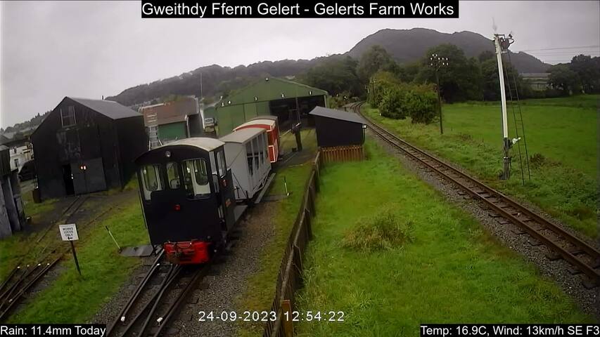
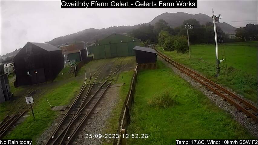
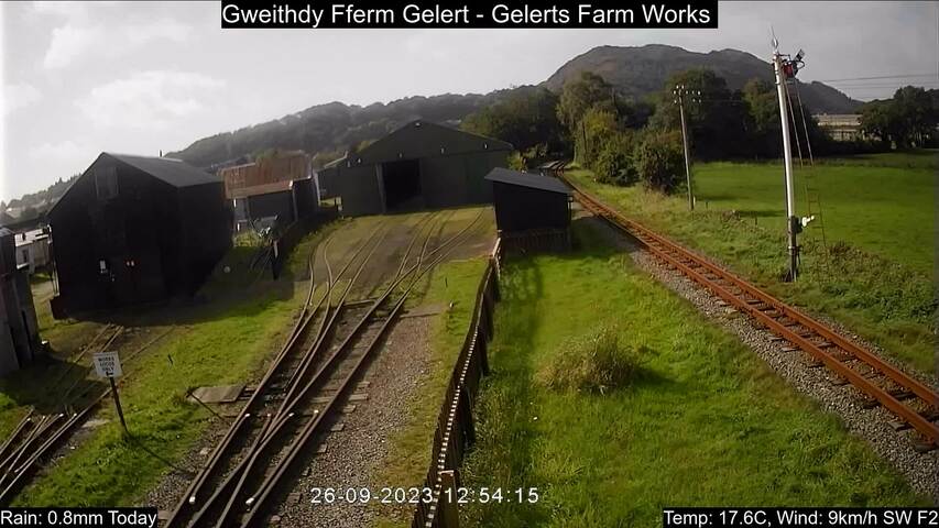
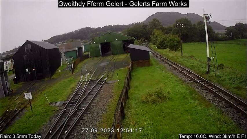
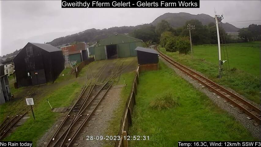
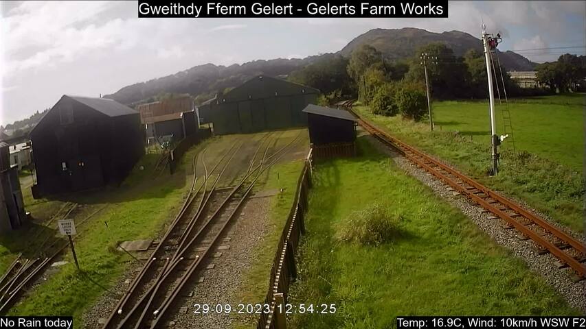
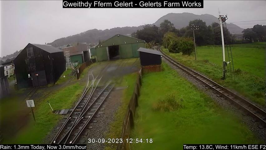
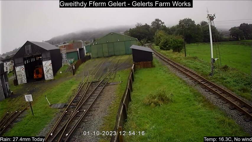
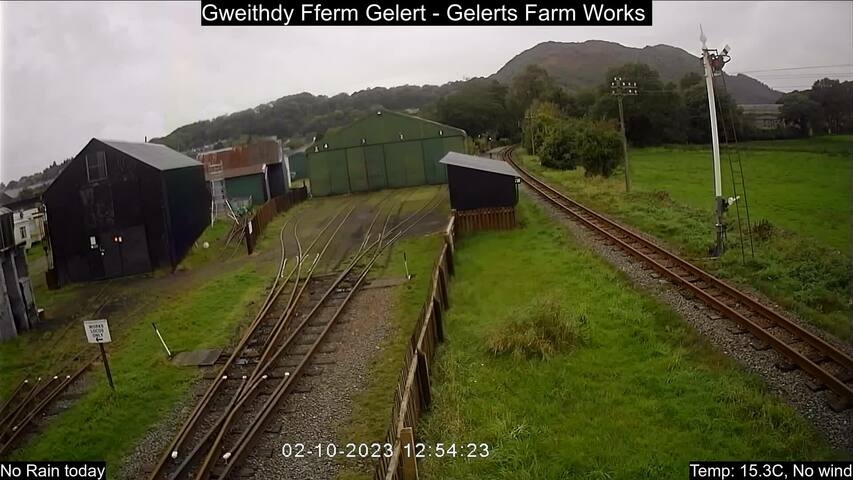
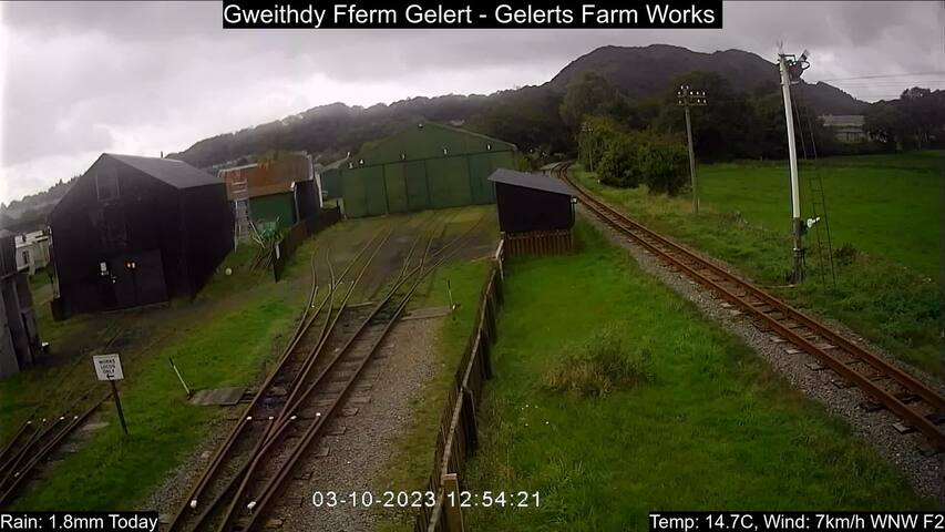
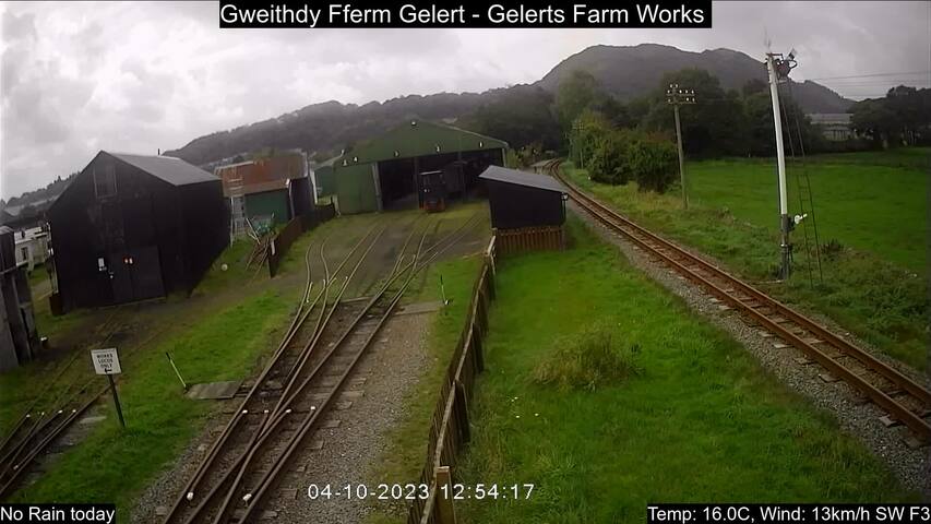
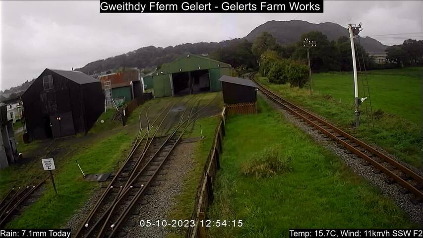
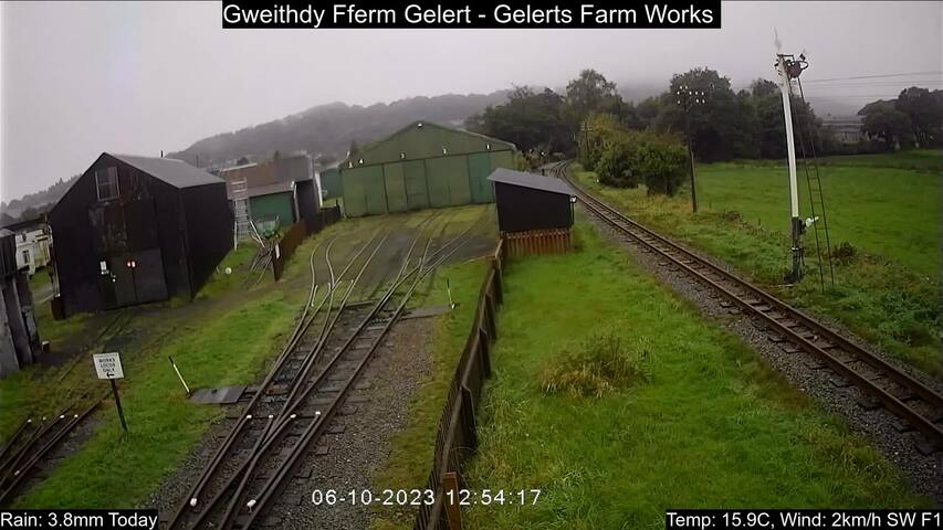
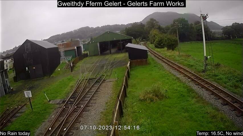
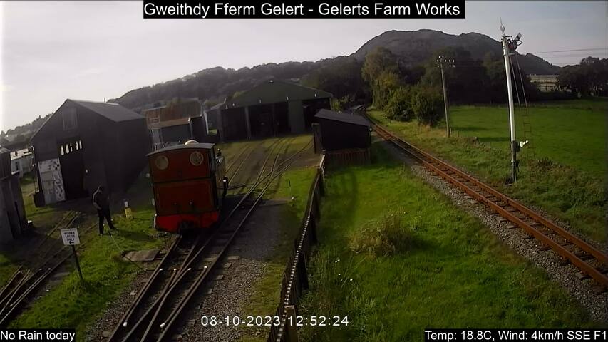
Gelert's Farm halt, United Kingdom - 56.3 miles from Lampeter: Liveview - A webcam view of Gelert's Farm halt of the Welsh Highland Railway.
Operator: Welsh Highland Heritage Railway
Operator: Welsh Highland Heritage Railway


Hereford, United Kingdom - 57.5 miles from Lampeter: River Wye at Hereford
Operator: Farson Digital Watercams
Operator: Farson Digital Watercams
Some other places in this country: Lamesley - Lamington - Lamlash - Lammas - Lampeter Velfrey - Lamphey - Lamplugh - Lamport - Lamyatt - Lanark