Webcams in the region of Nanatlugunyi (historical), Tennessee, USA
The List of Webcams near Nanatlugunyi (historical), Tennessee, USA:

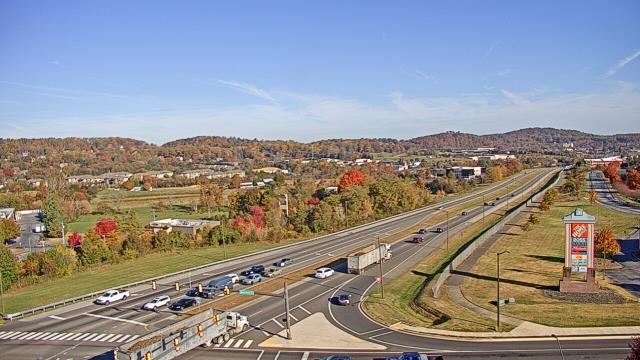
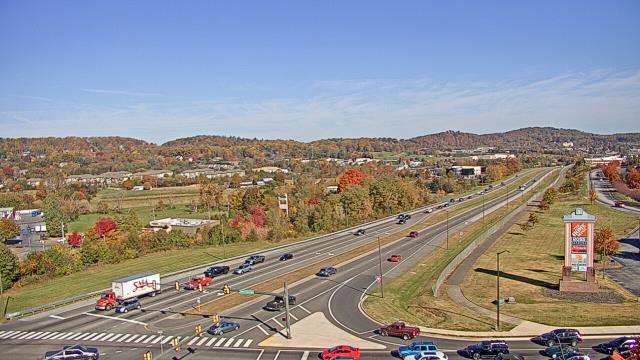
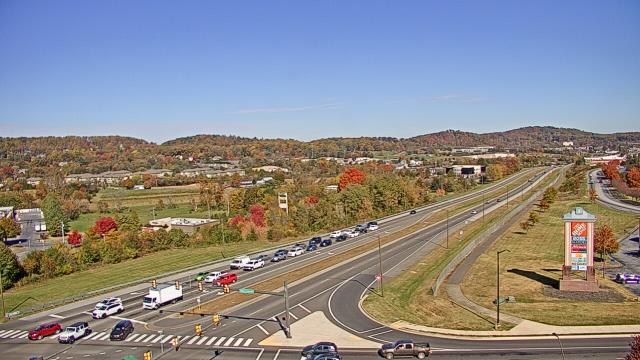
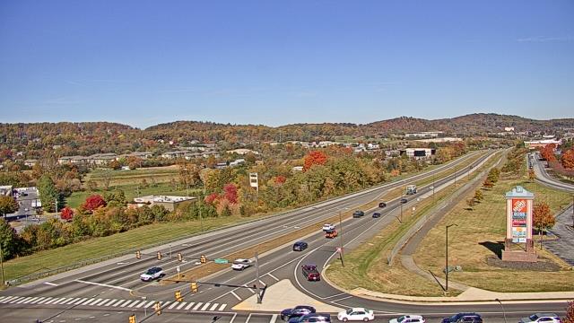
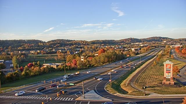
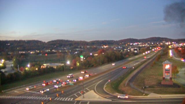
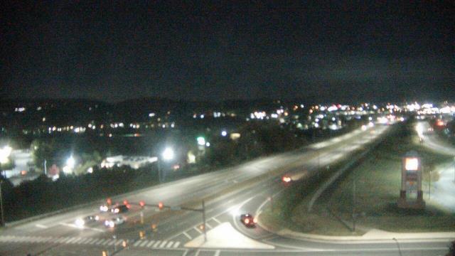
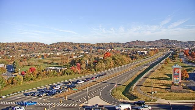
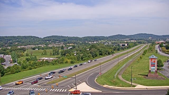
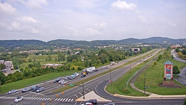
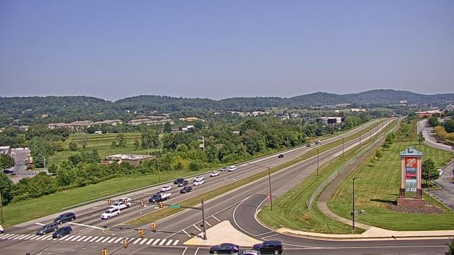
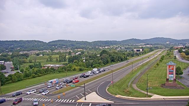
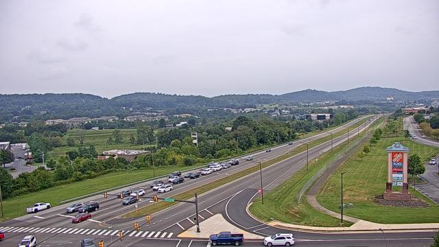
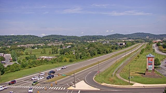
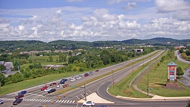
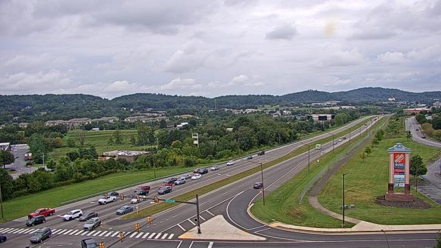
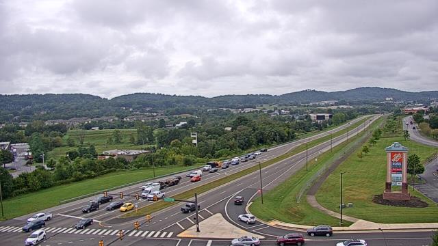
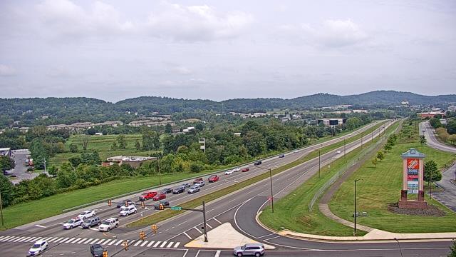
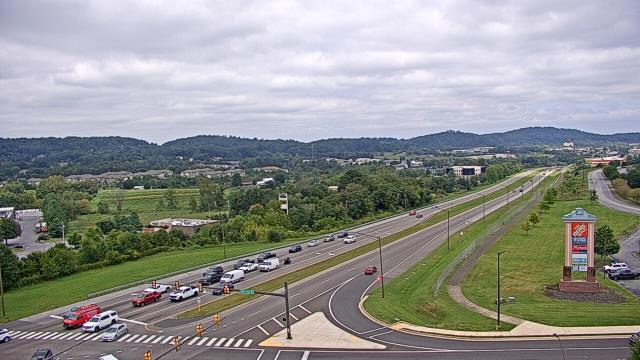
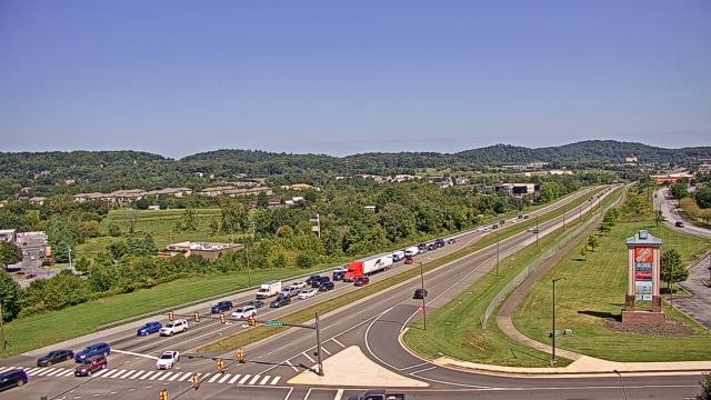
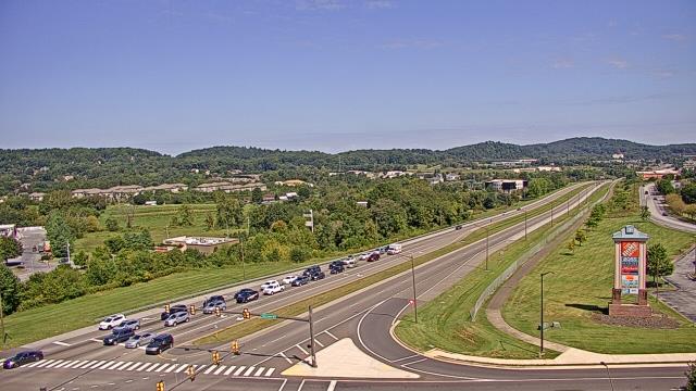
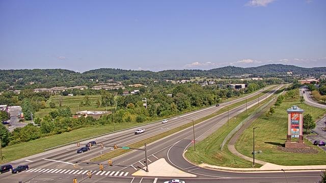
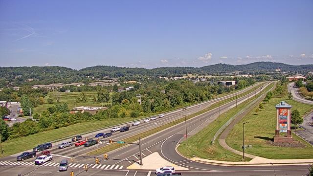
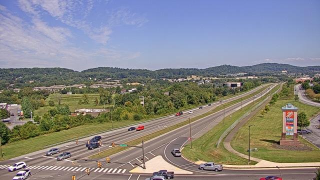
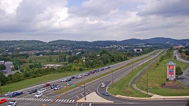
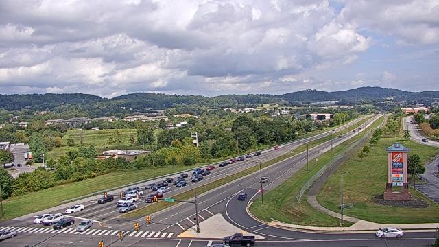
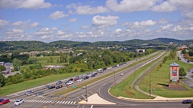
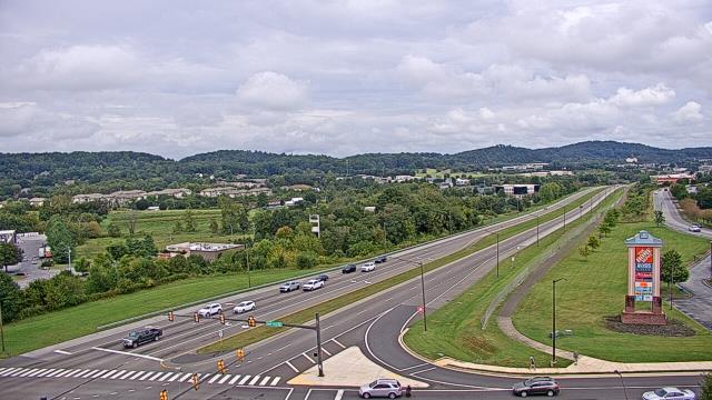
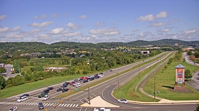
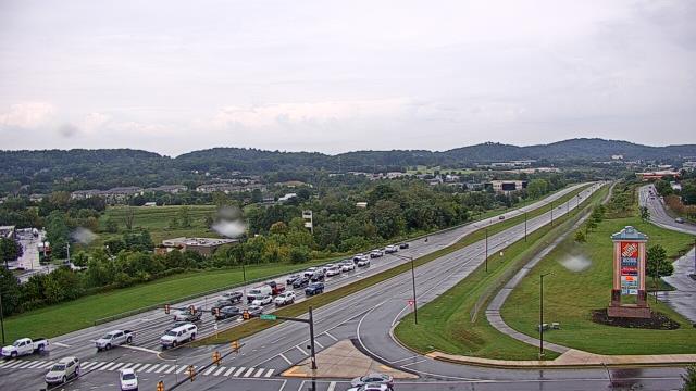
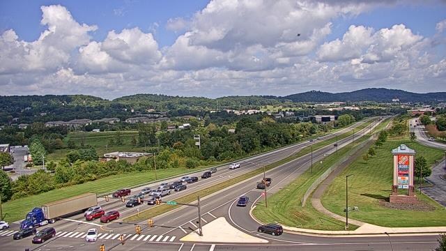
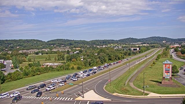
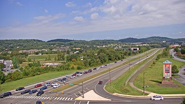
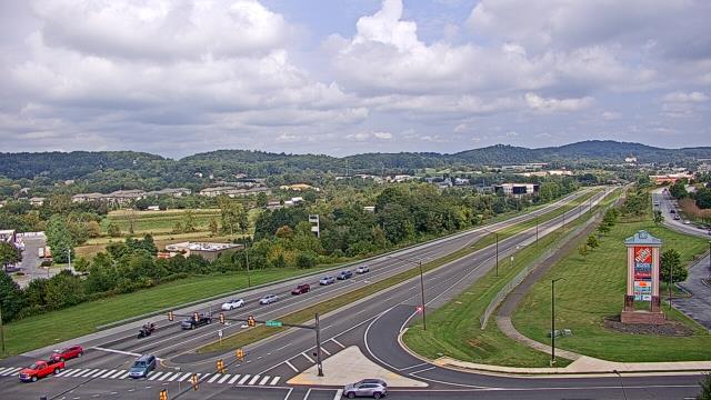
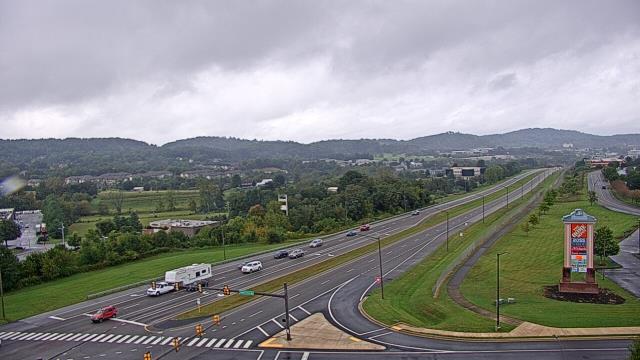
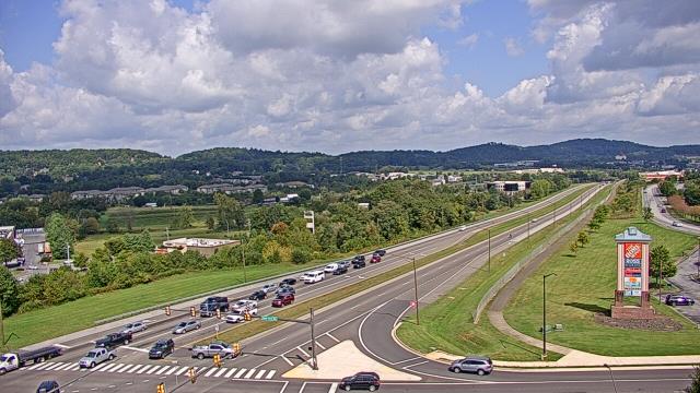
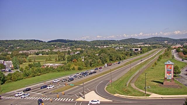
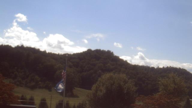
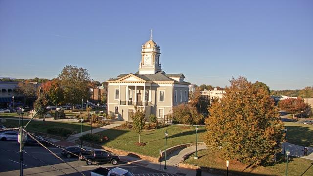
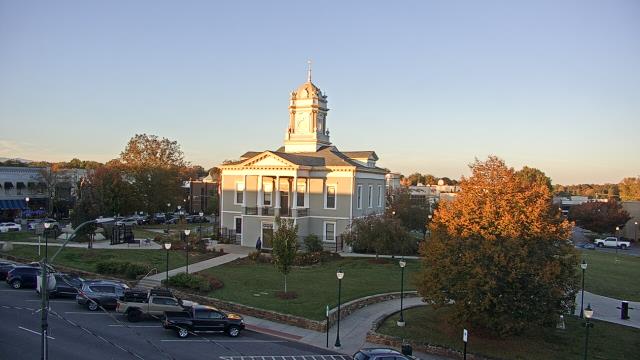
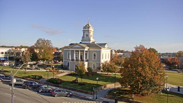
Johnson City, Tennessee, USA - 6.9 miles from Nanatlugunyi (historical): Bank of Tennessee - A webcam in Johnson City, Tennessee - camera location: Bank of Tennessee.
Operator: WeatherBug
Operator: WeatherBug


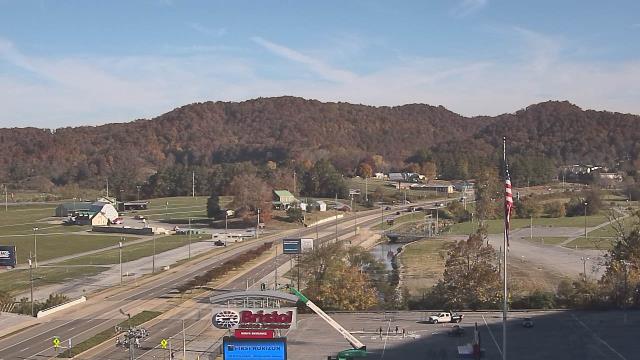
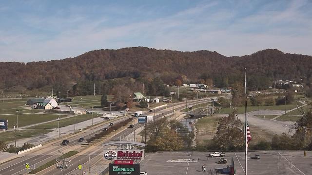
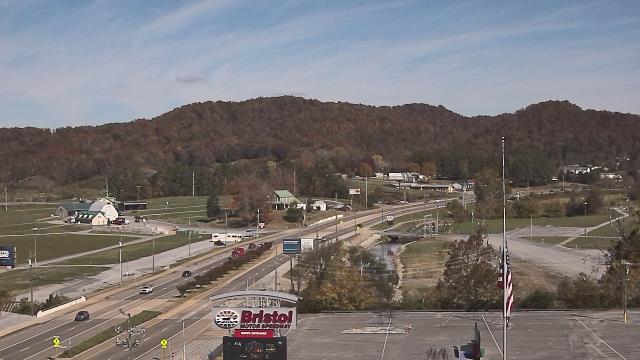
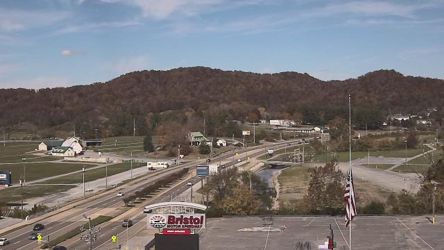
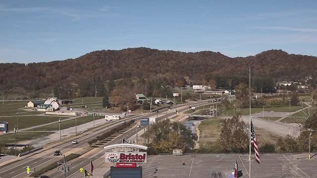
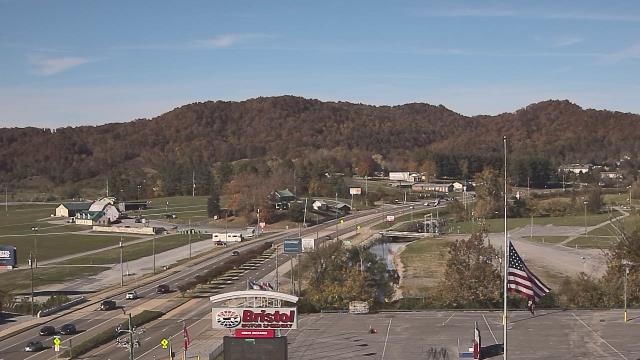
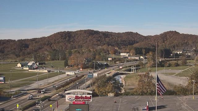
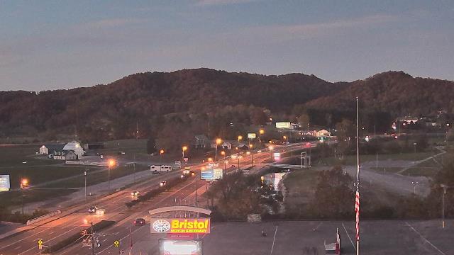
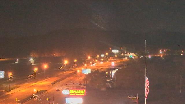
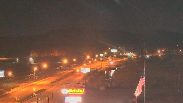
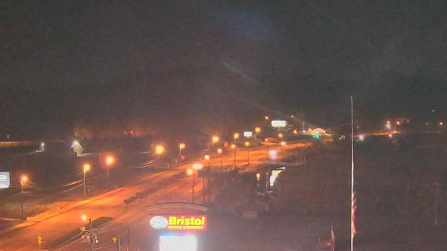
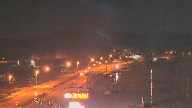
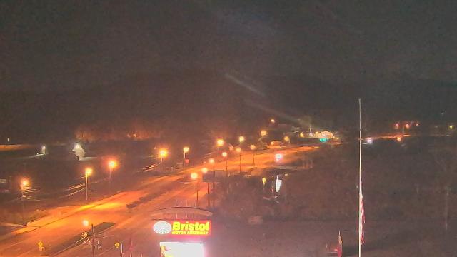
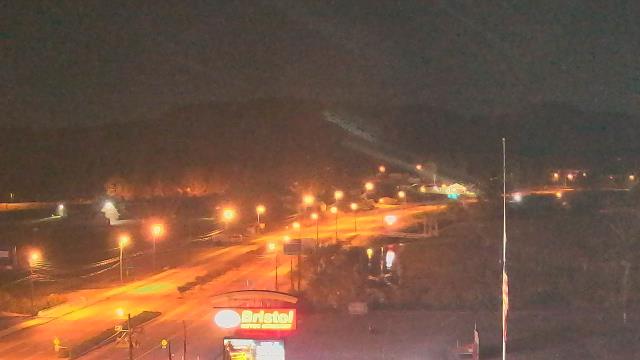
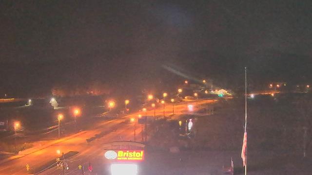
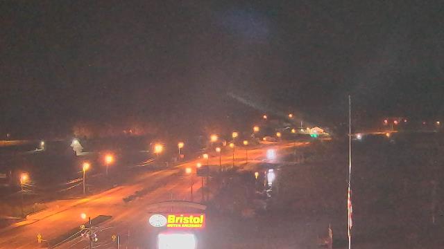
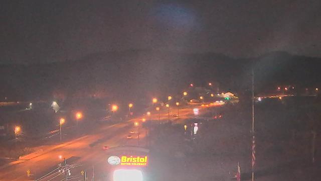
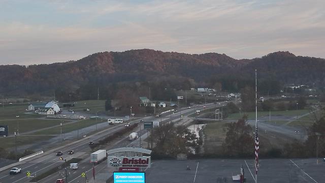
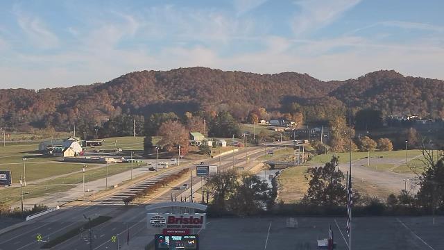
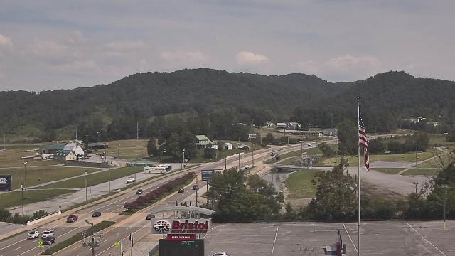
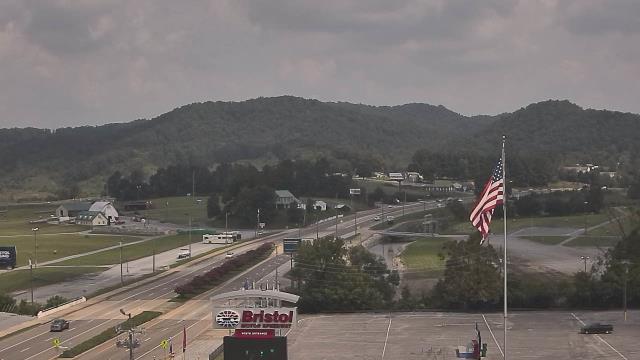
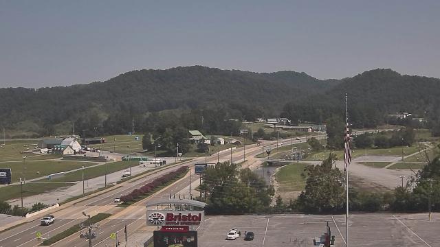
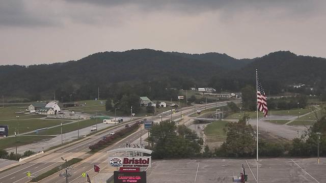
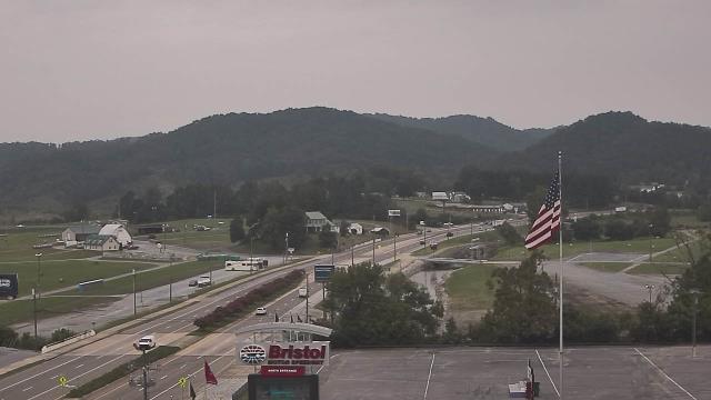
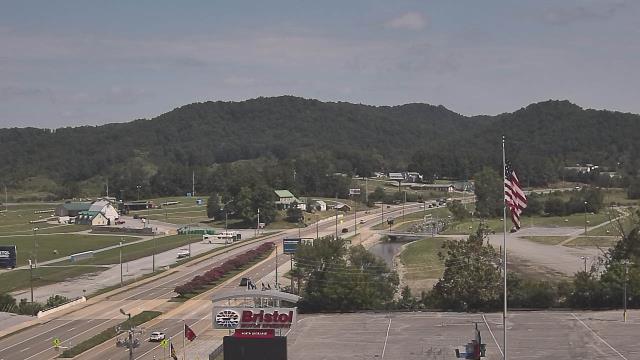
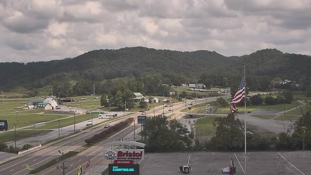
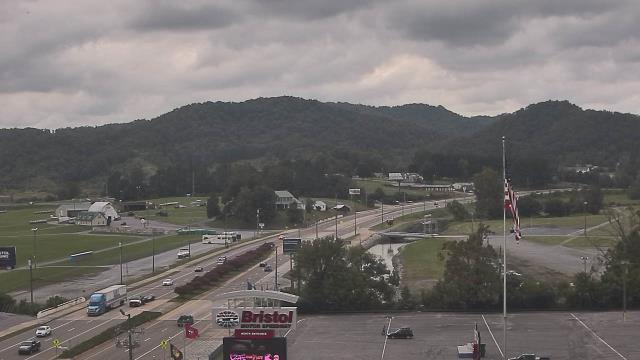
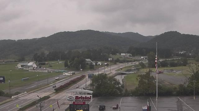
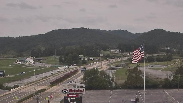
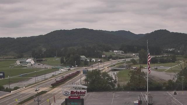
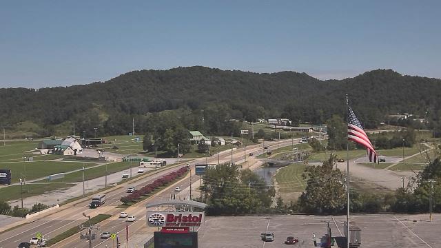
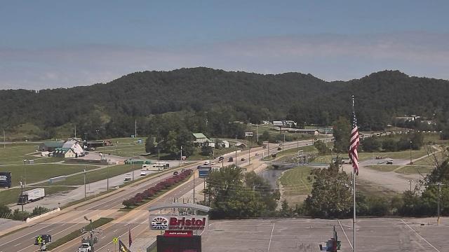
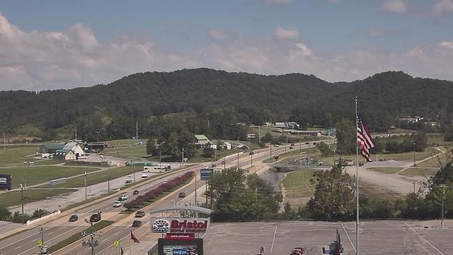
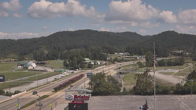
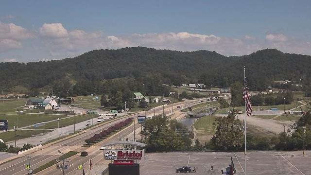
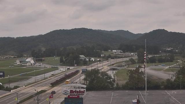
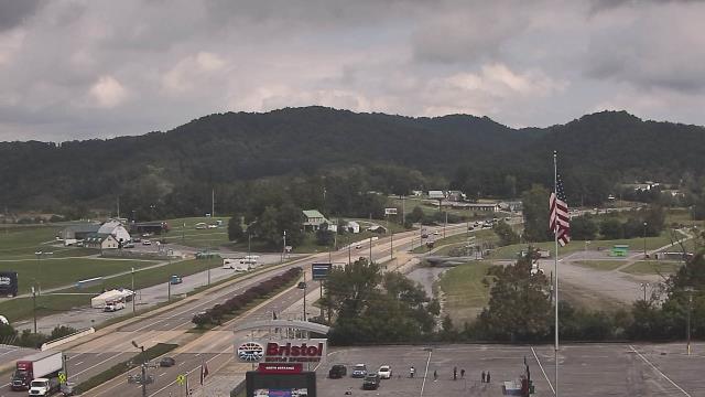
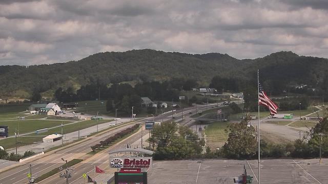
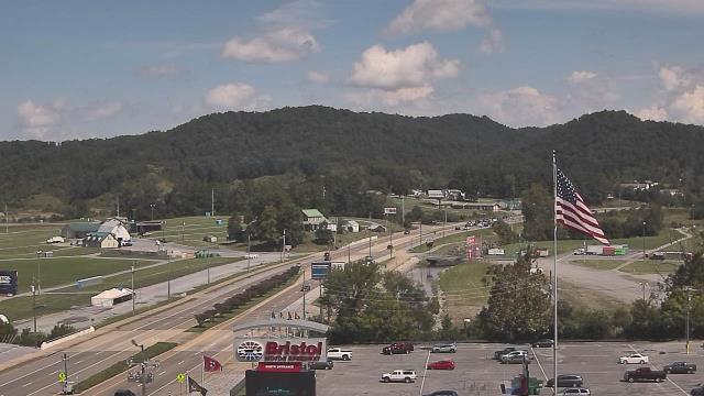
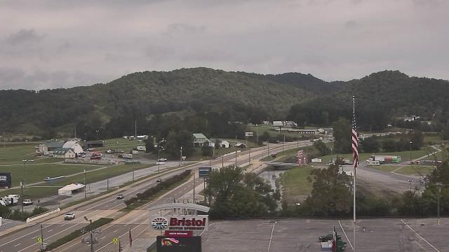
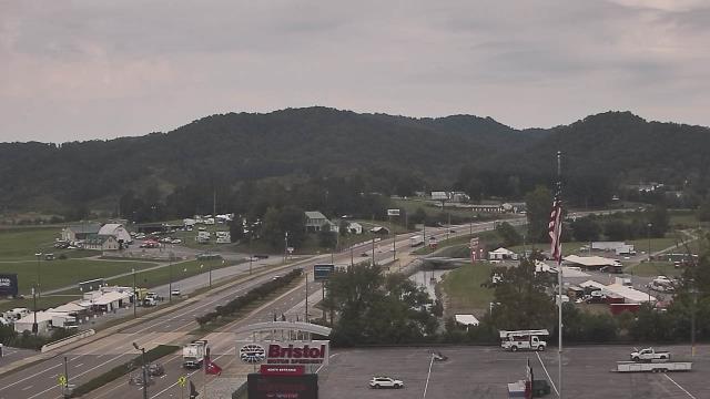
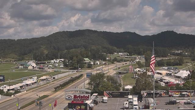
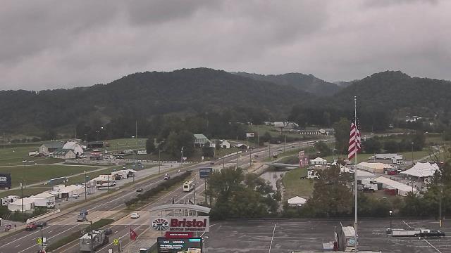
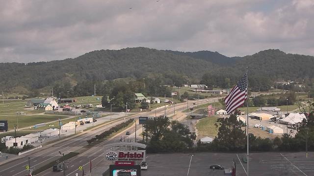
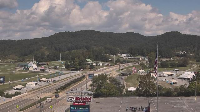
Bristol, Tennessee, USA - 26.3 miles from Nanatlugunyi (historical): Bristol Motor Speedway - A webcam in Bristol, Tennessee - camera location: Bristol Motor Speedway.
Operator: WeatherBug
Operator: WeatherBug


Abingdon, Virginia, USA - 40 miles from Nanatlugunyi (historical): Watauga Elementary School - A webcam in Abingdon, Virginia - camera location: Watauga Elementary School.
Operator: WeatherBug
Operator: WeatherBug


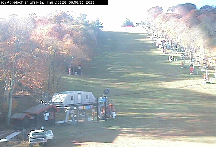
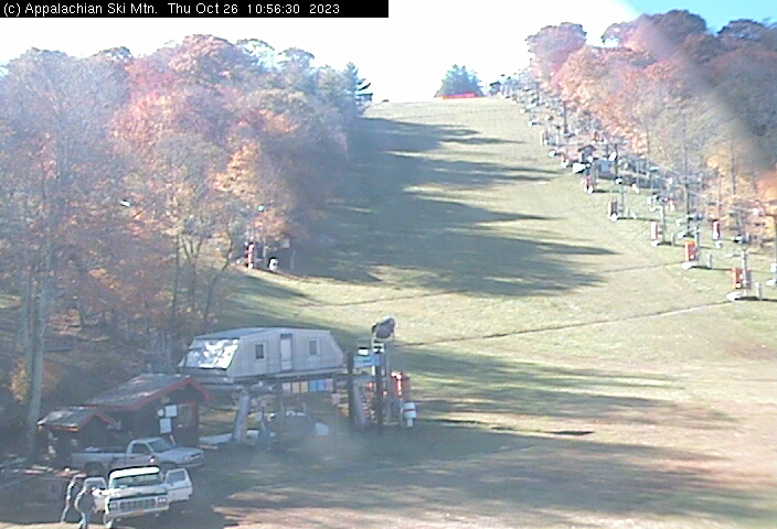
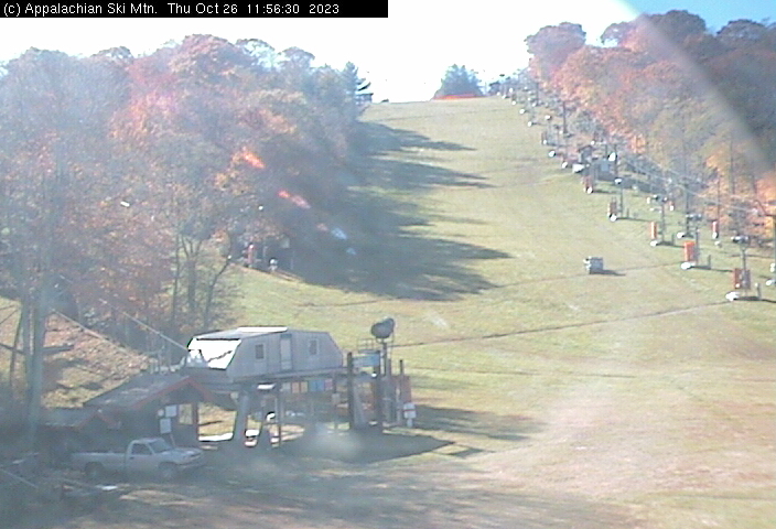
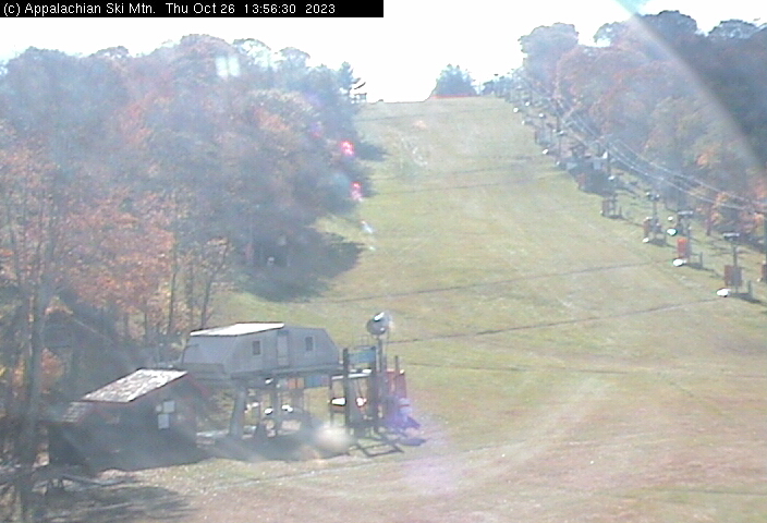
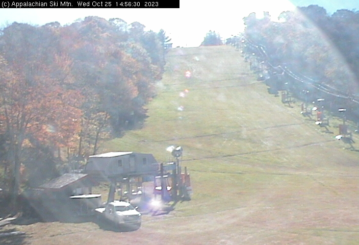
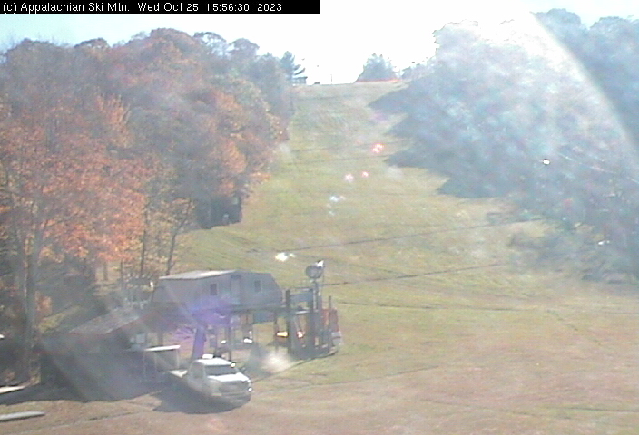
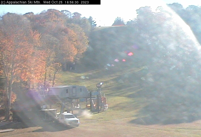
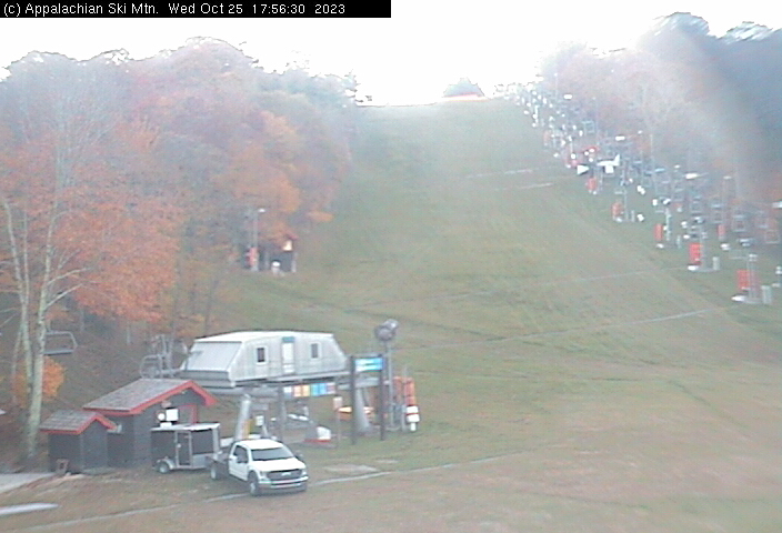
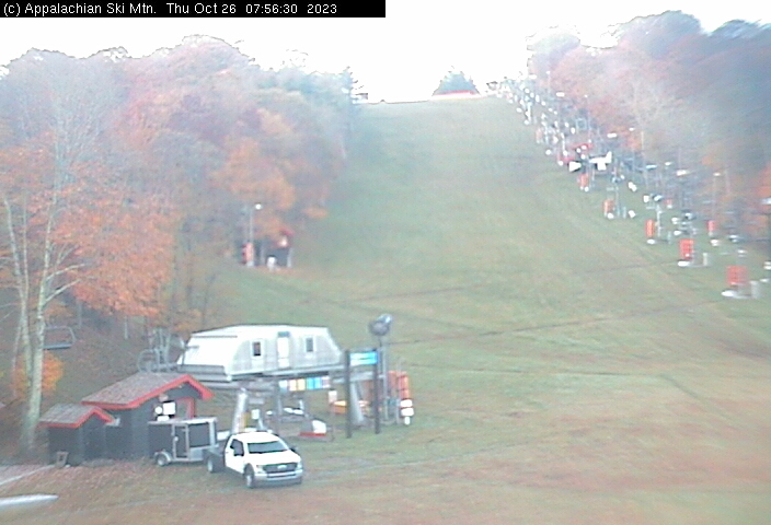
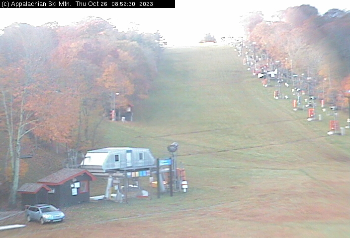
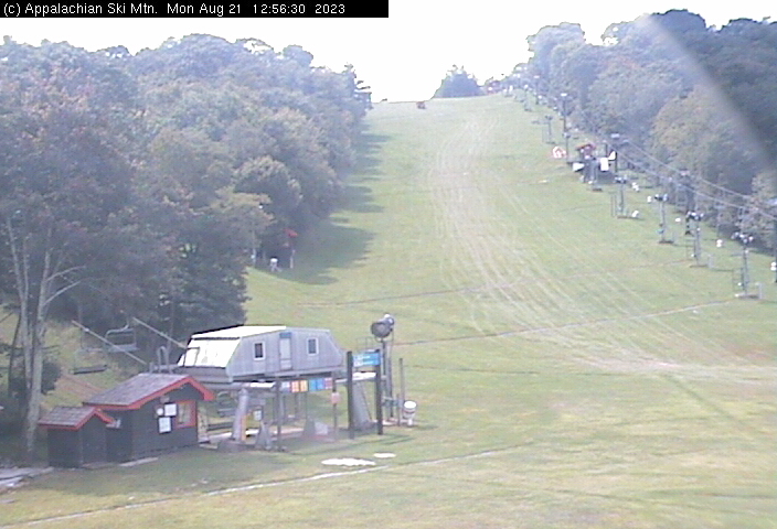
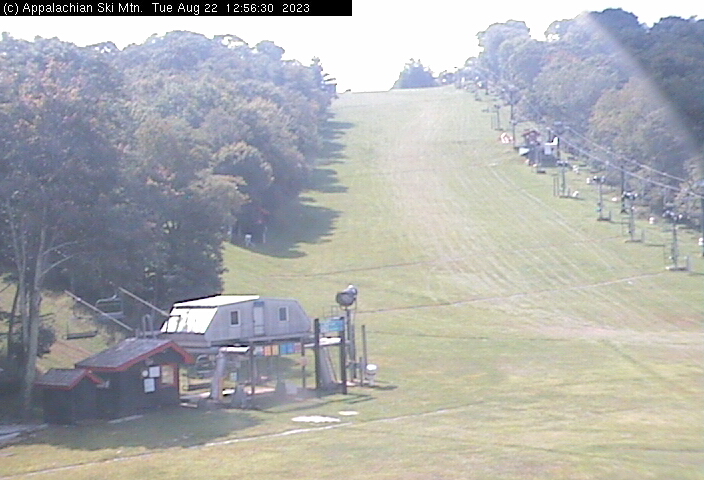
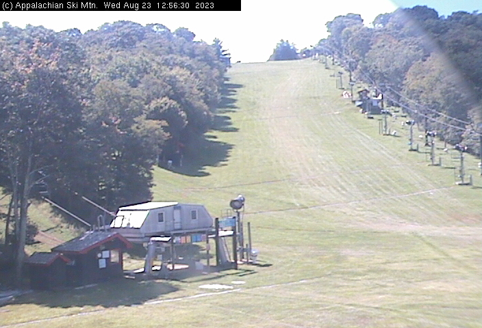
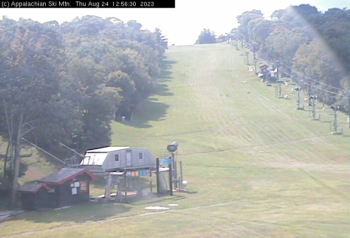
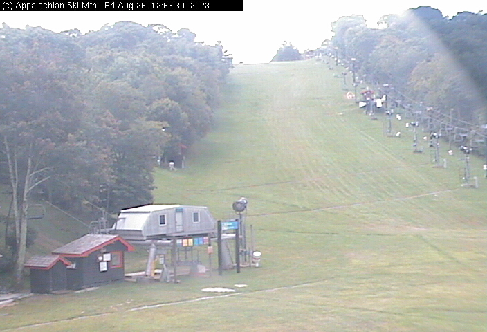
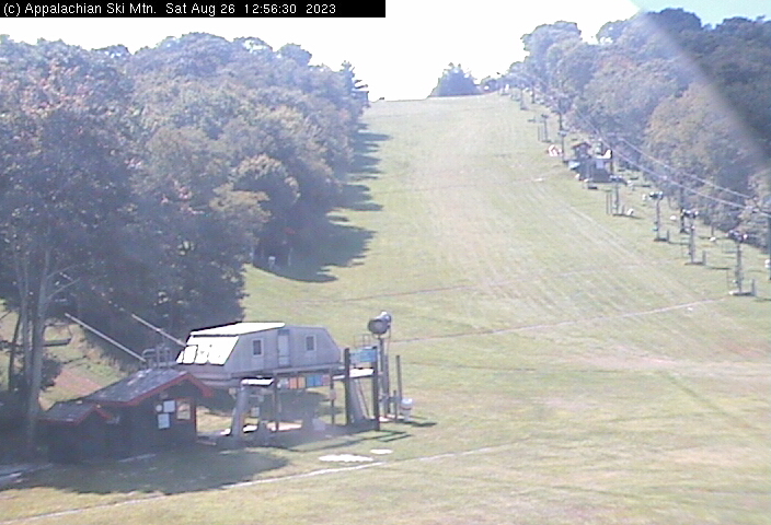
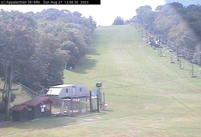
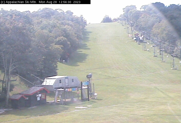
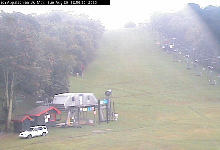
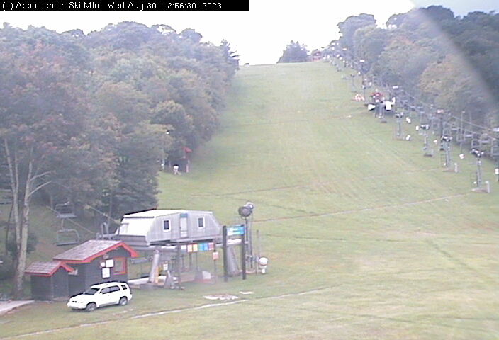
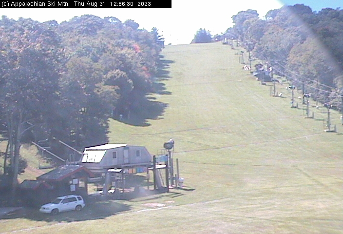
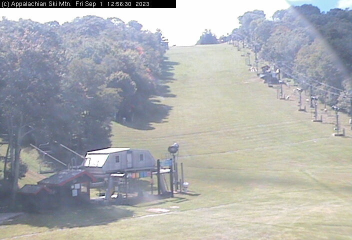
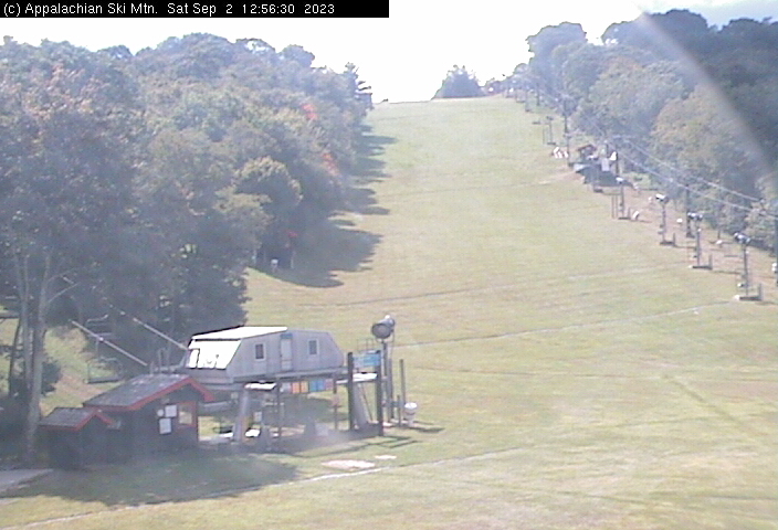
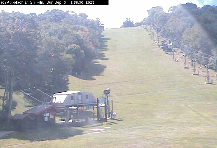
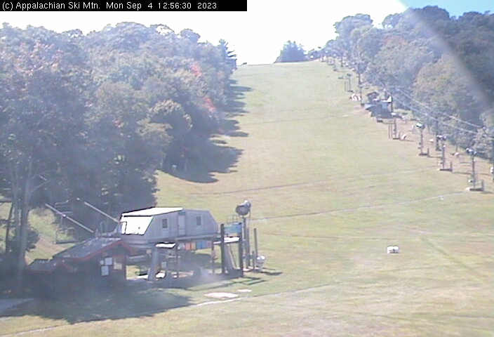
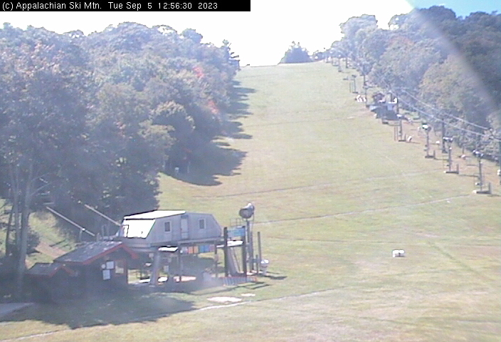
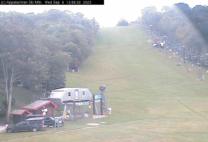
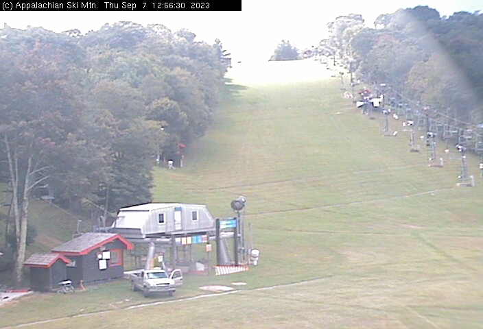
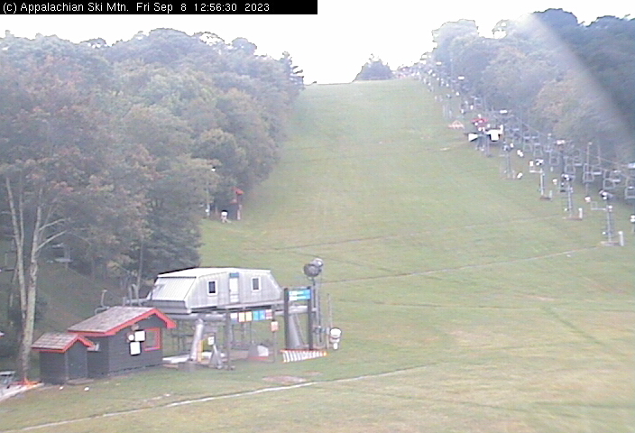
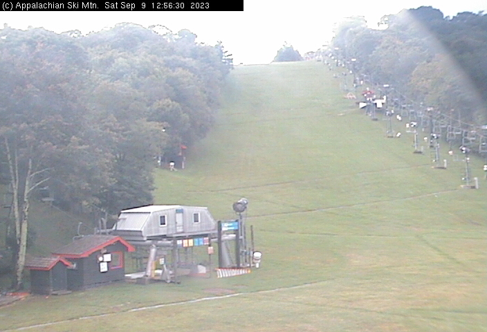
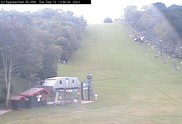
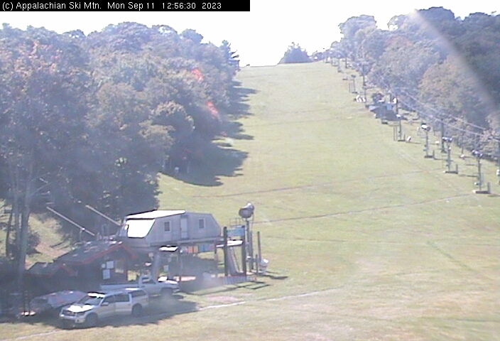
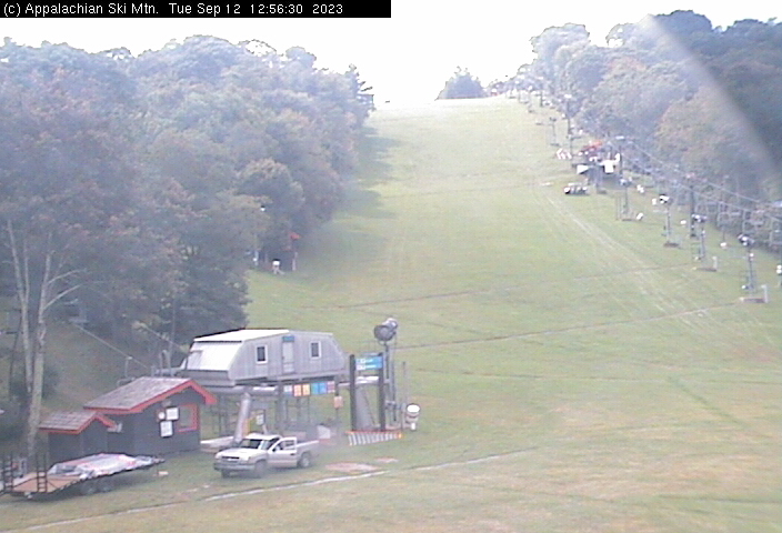
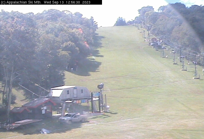
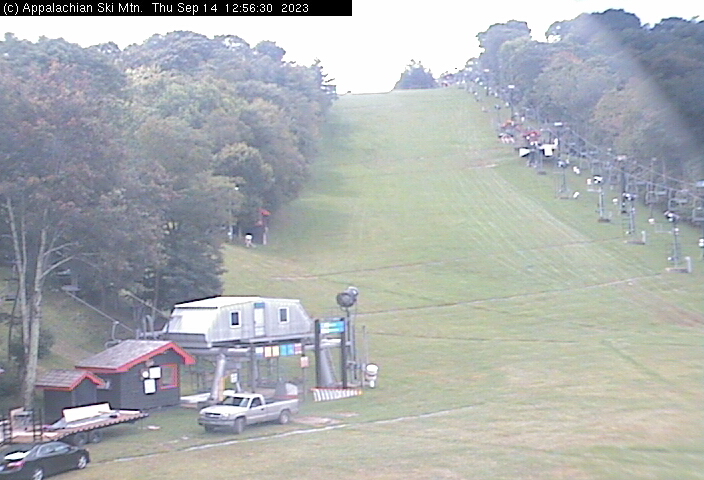
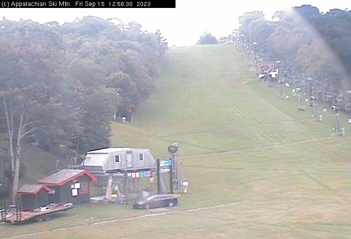
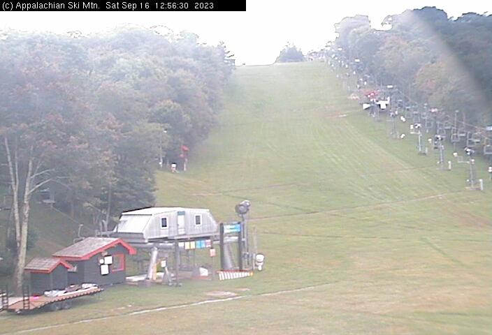
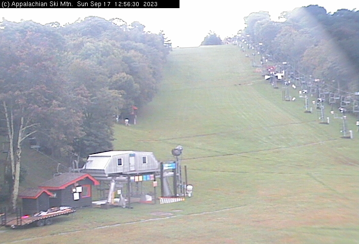
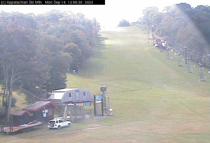
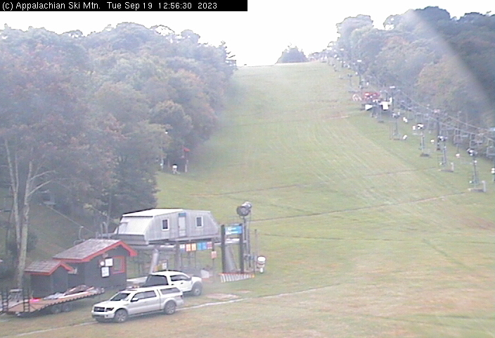
Blowing Rock, North Carolina, USA - 45.7 miles from Nanatlugunyi (historical): Appalachian Ski Mtn., Inc. - A webcam in Blowing Rock, North Carolina - camera location: Appalachian Ski Mtn., Inc..
Operator: Appalachian Ski Mtn.
Operator: Appalachian Ski Mtn.


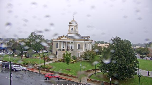
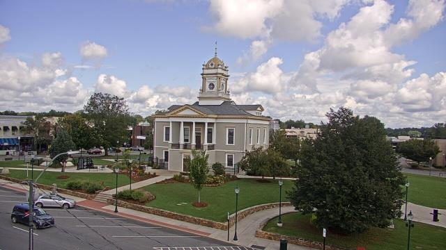
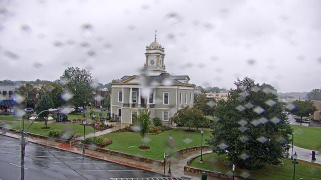
Morganton, North Carolina, USA - 58.1 miles from Nanatlugunyi (historical): WBTV Morganton Bureau - A webcam in Morganton, North Carolina - camera location: WBTV Morganton Bureau.
Operator: WeatherBug
Operator: WeatherBug


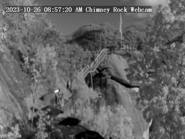
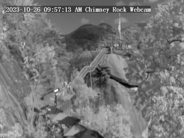
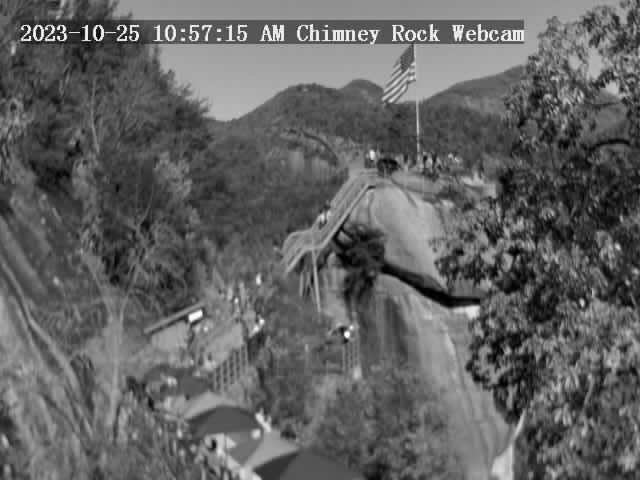
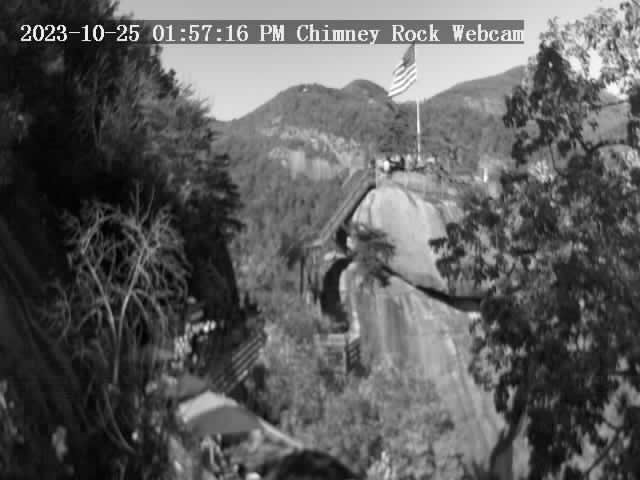
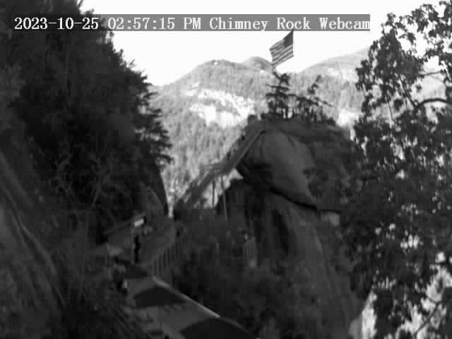
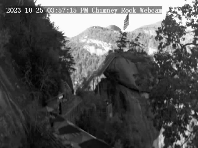
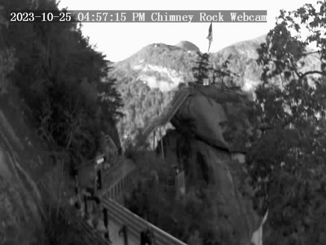
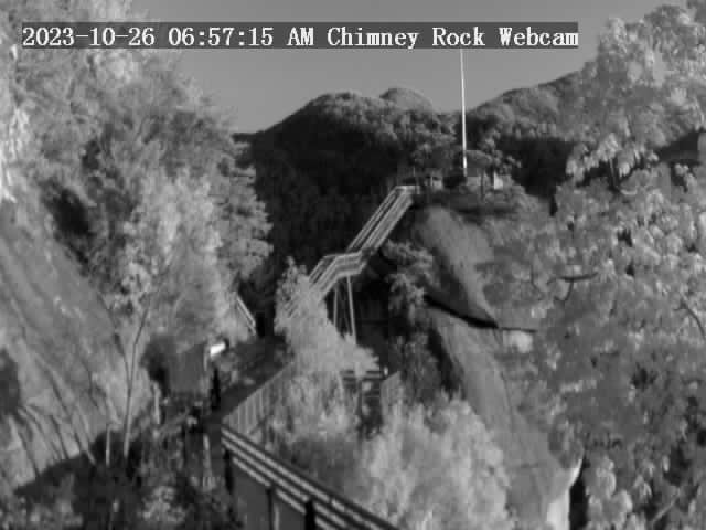
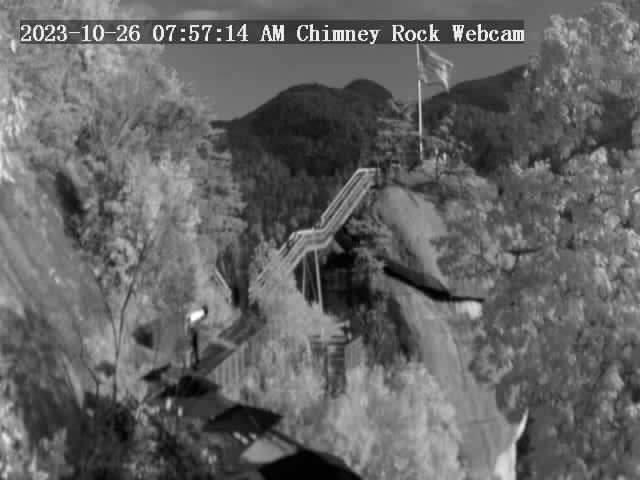
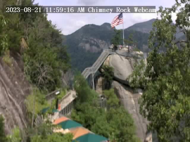
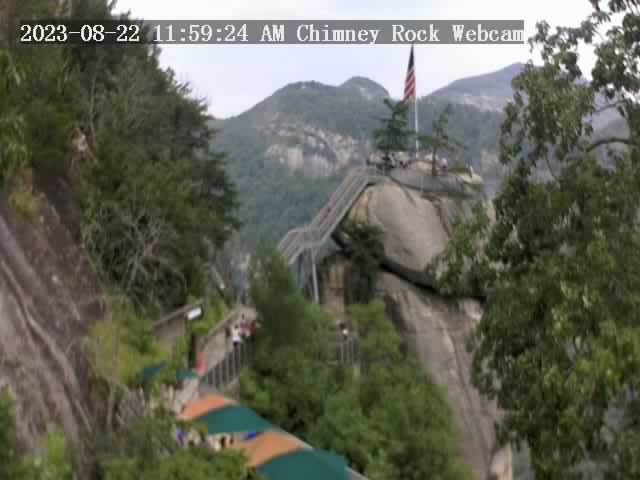
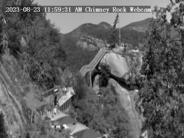
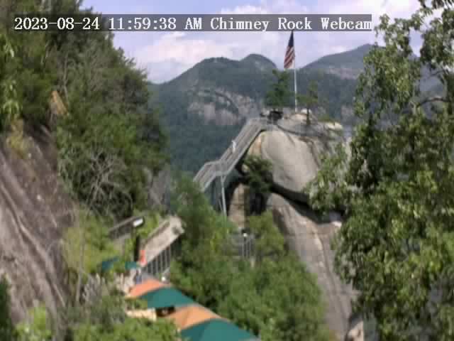
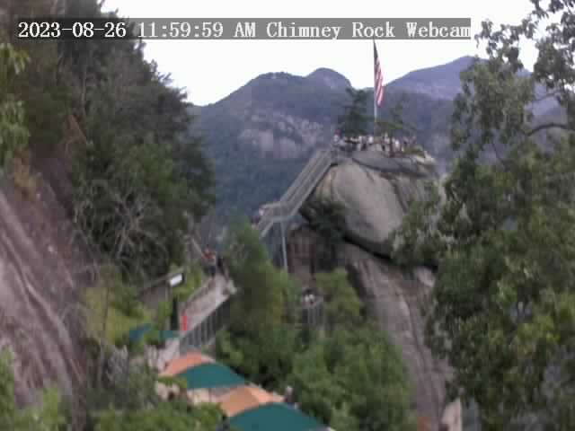
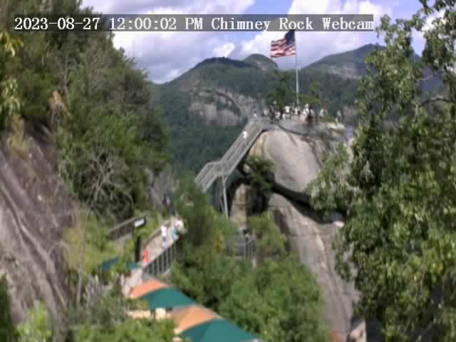
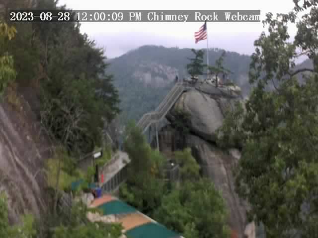
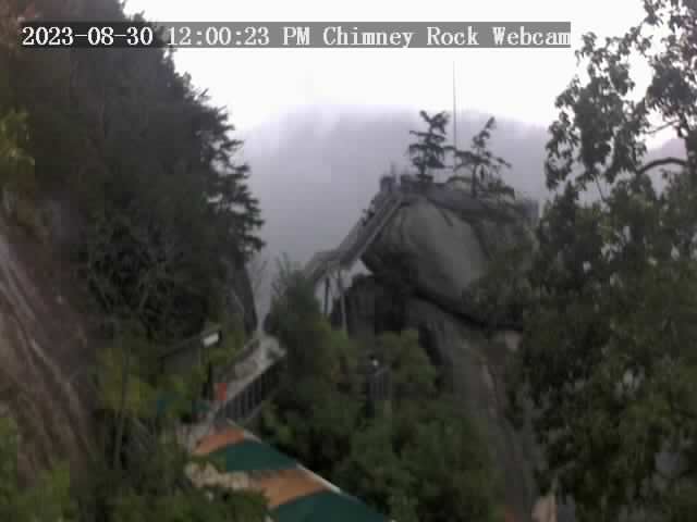
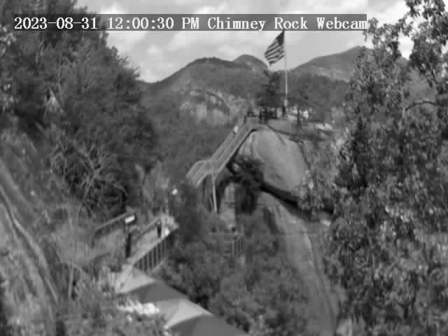
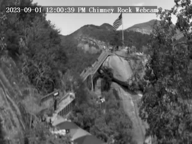
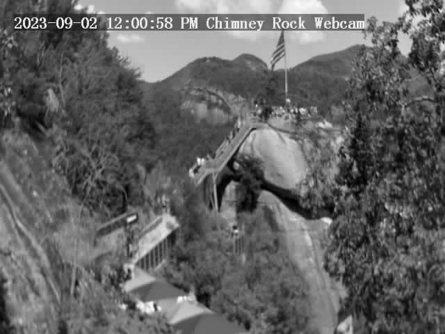
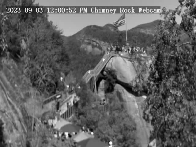
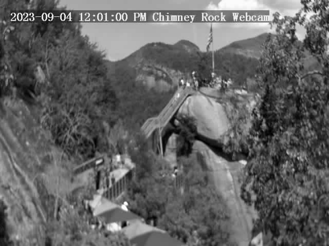
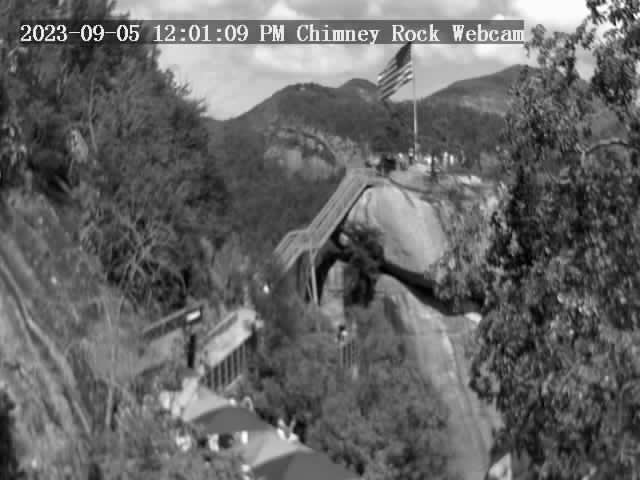
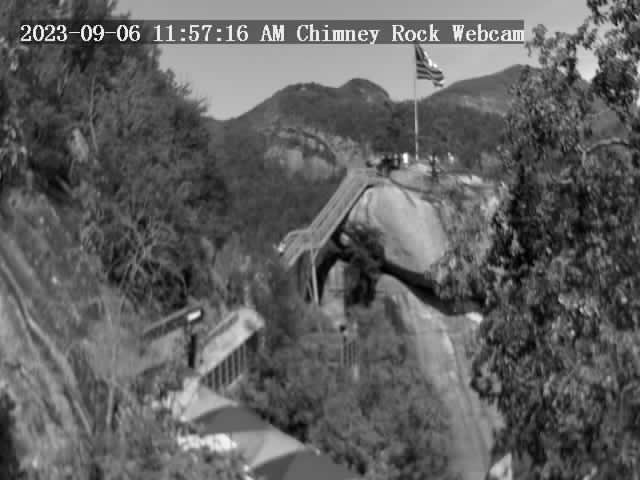
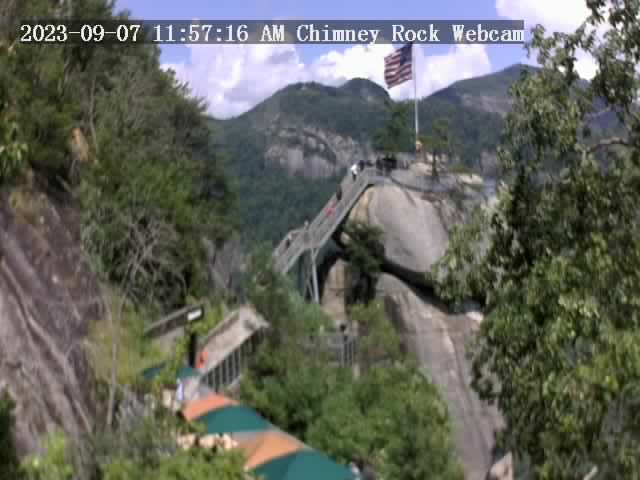
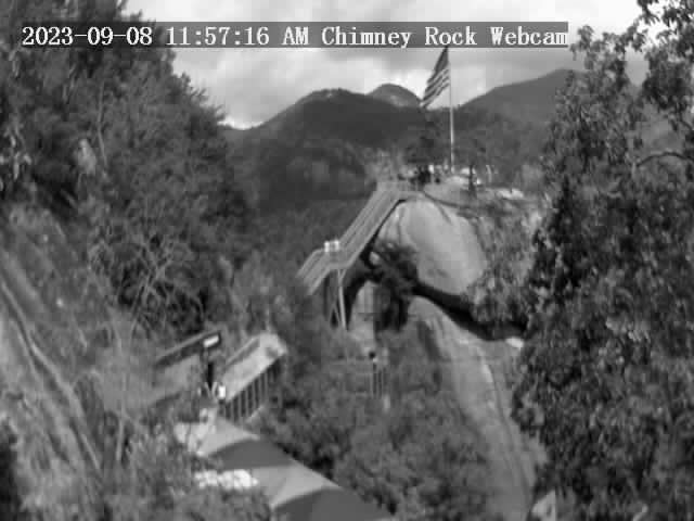
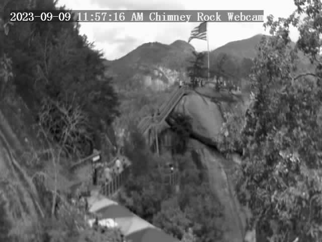
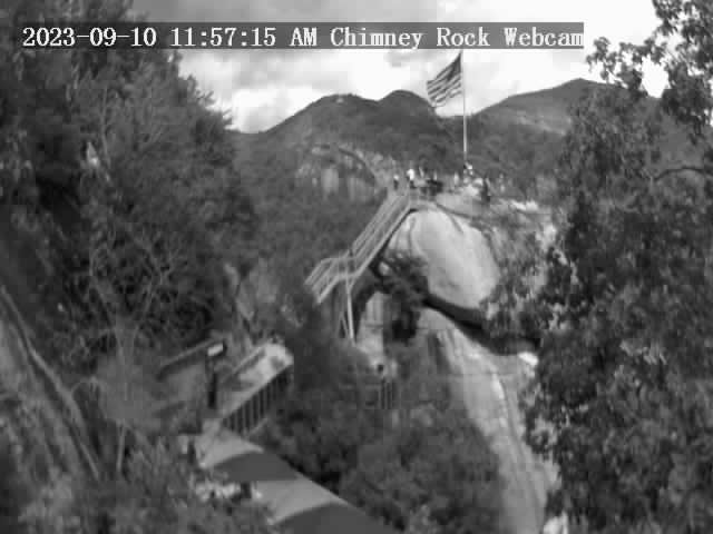
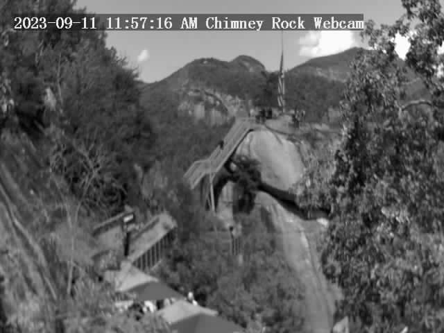
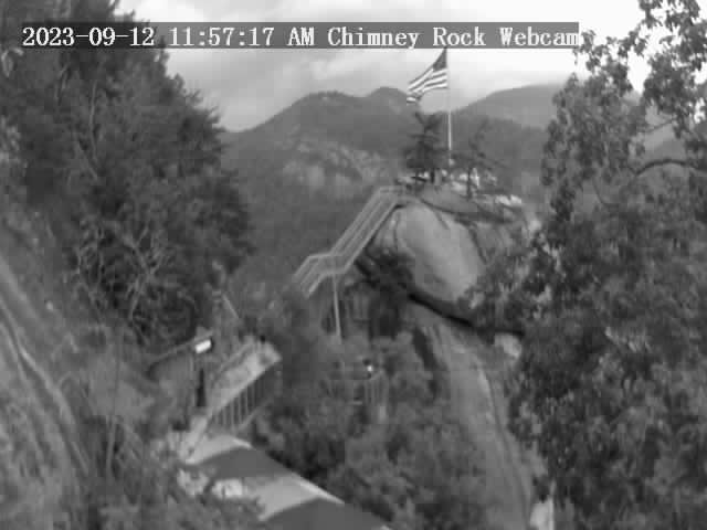
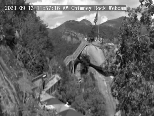
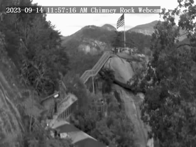
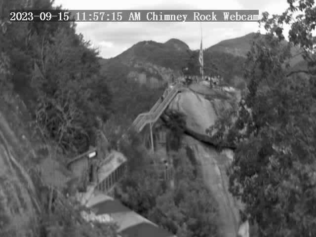
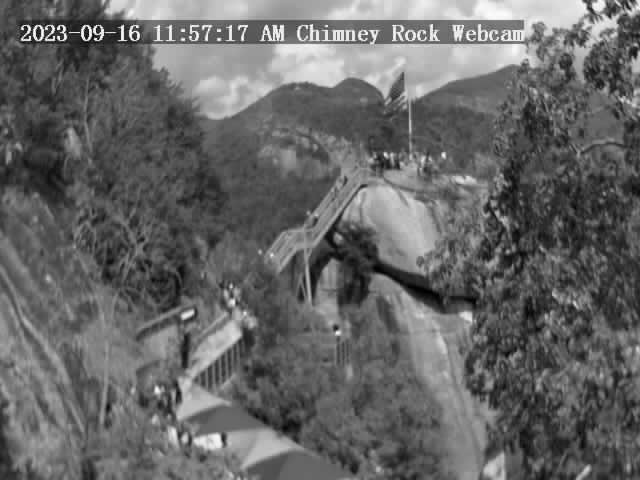
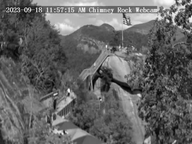
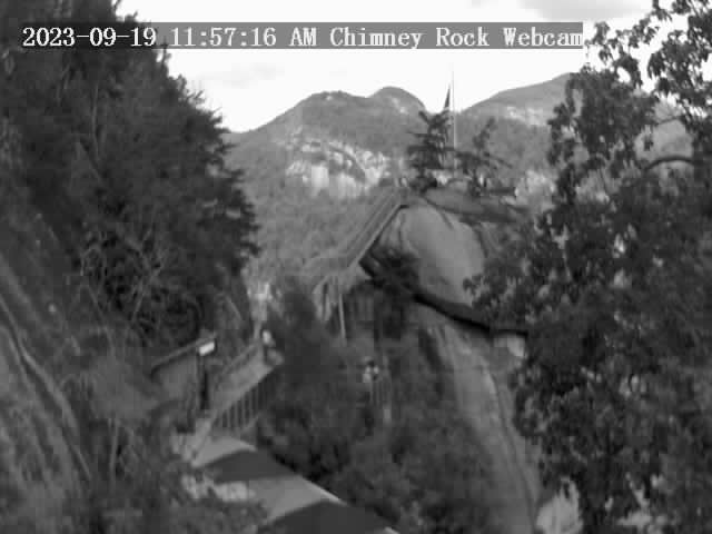
Chimney Rock, North Carolina, USA - 60.3 miles from Nanatlugunyi (historical): Chimney Rock State Park - A view of the Chimney Rock.
Operator: Chimney Rock State Park
Operator: Chimney Rock State Park


Gatlinburg, Tennessee, USA - 69.1 miles from Nanatlugunyi (historical): Anakeesta's Firefly Village - View of Anakeesta's Firefly Village with the Great Smoky Mountains in the background.
Operator: Skyline Webcams
Operator: Skyline Webcams


Sylva, North Carolina, USA - 76.1 miles from Nanatlugunyi (historical): Town View - A nice view of Sylva, North Carolina.
Operator: The Sylva Herald
Operator: The Sylva Herald

Whittier, North Carolina, USA - 77.2 miles from Nanatlugunyi (historical): Conleys Creek - A live view from Whittier, Smokey Mountains, North Carolina.
Operator: crews.cc
Operator: crews.cc


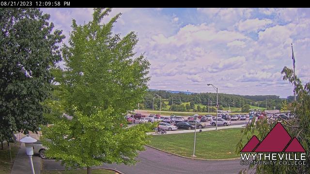
Wytheville, Virginia, USA - 88.7 miles from Nanatlugunyi (historical): Wytheville Community College - A webcam in Wytheville, Virginia - camera location: Wytheville Community College.
Operator: WeatherBug
Operator: WeatherBug


Some other places in this country: Memphis - English Creek - Madisonville - Tellassee (historical) - Waynesboro - Mount Hope - Valleyview Subdivision - Mount Cumberland - Carters Chapel - Enon