Webcams in the region of Mill Creek (historical), Tennessee, USA
The List of Webcams near Mill Creek (historical), Tennessee, USA:

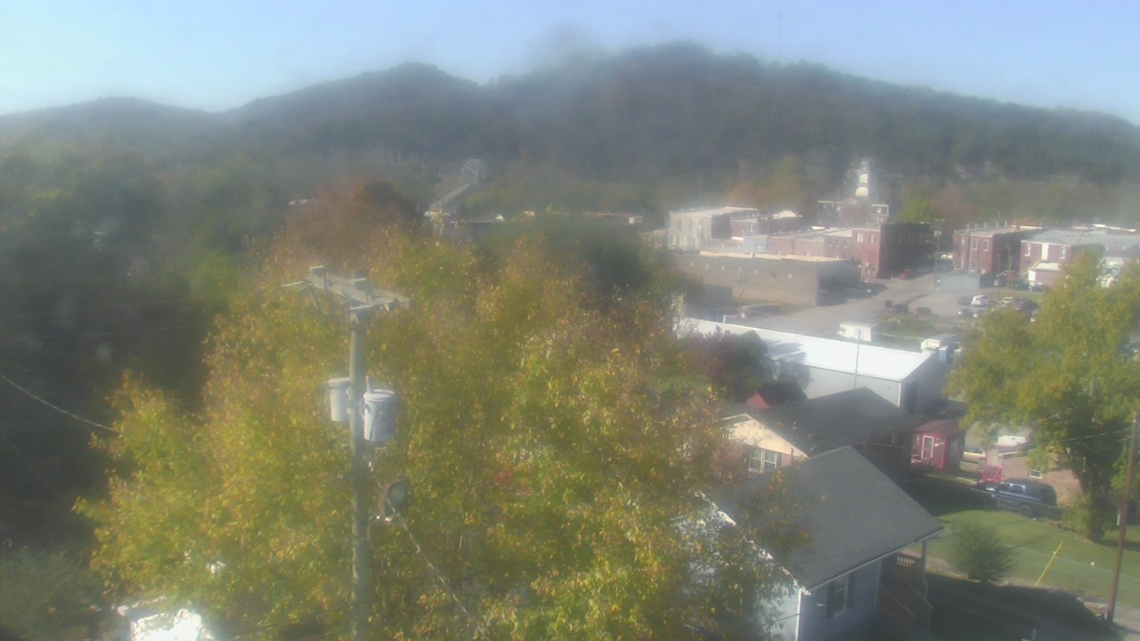
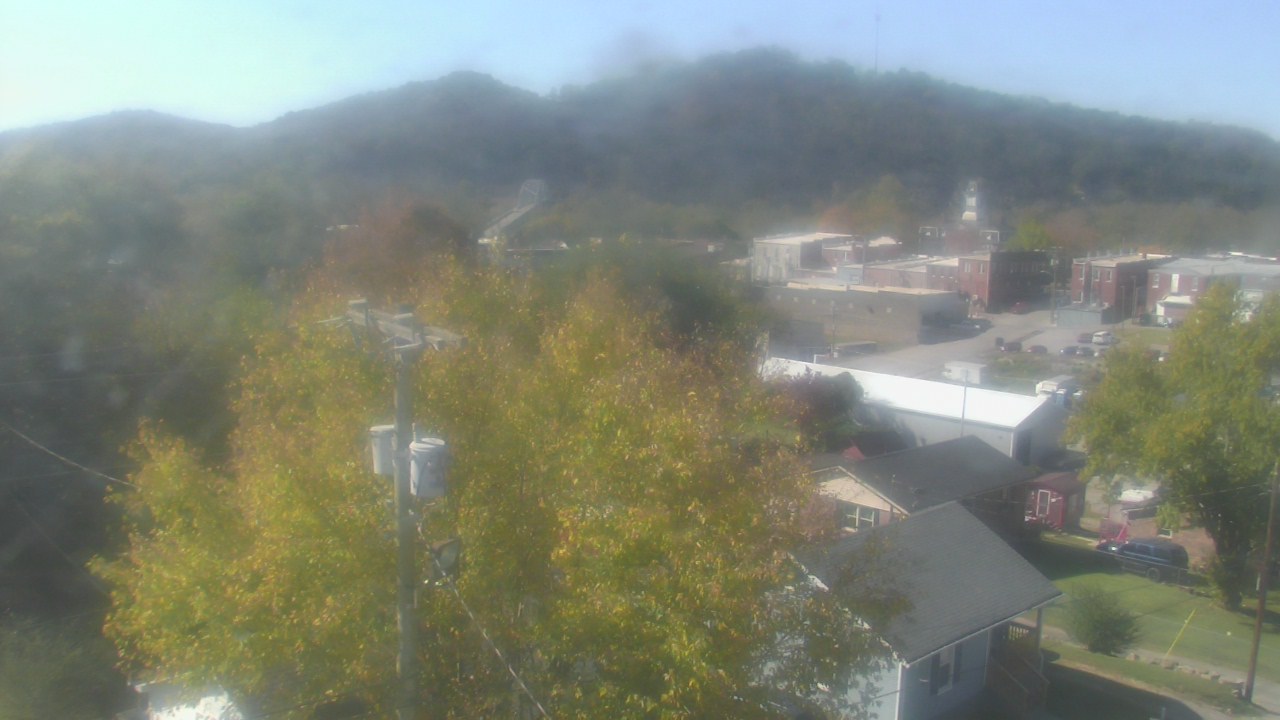
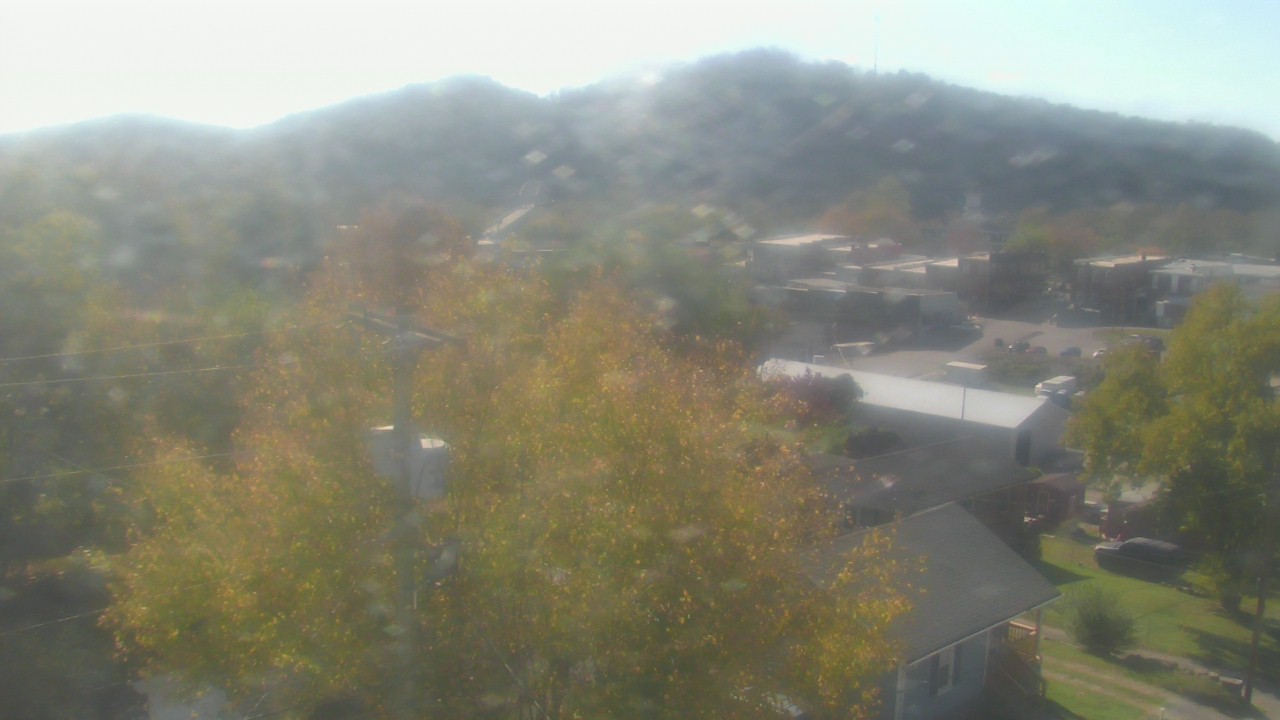
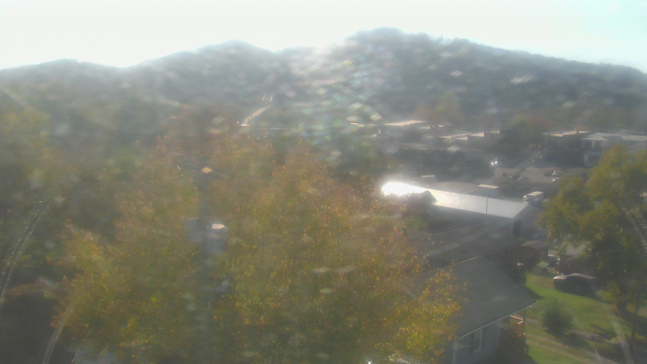
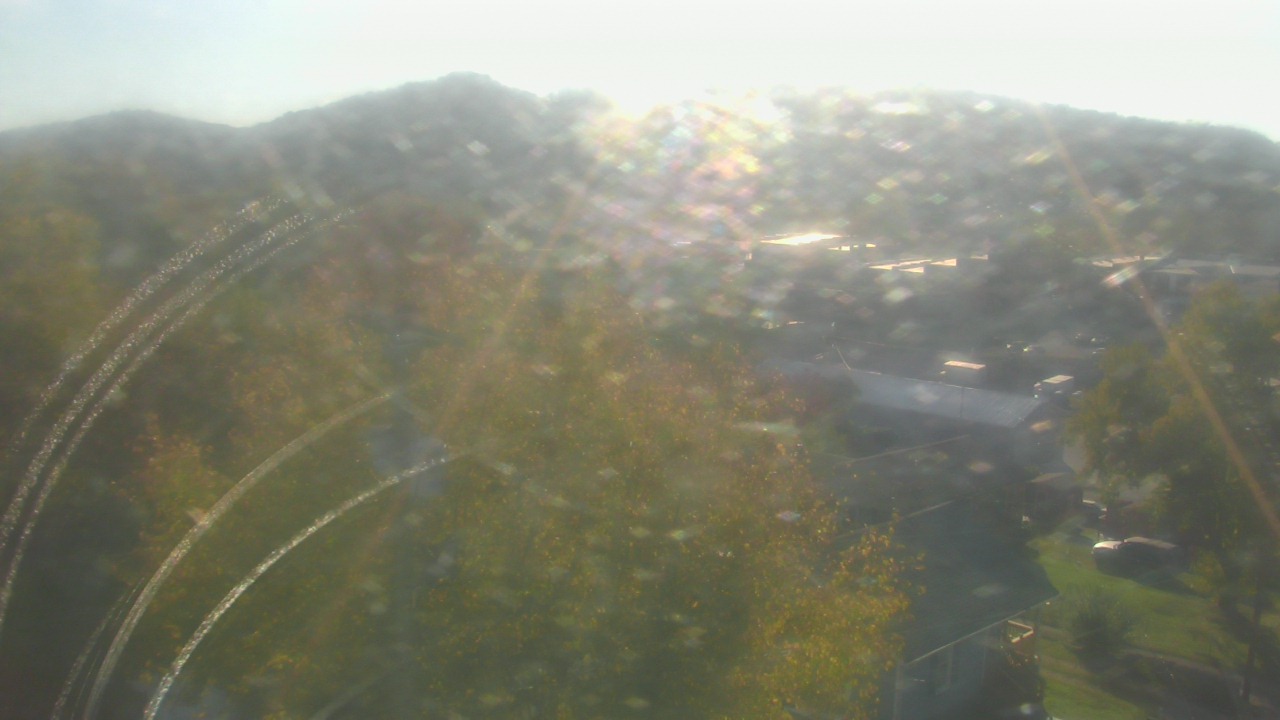
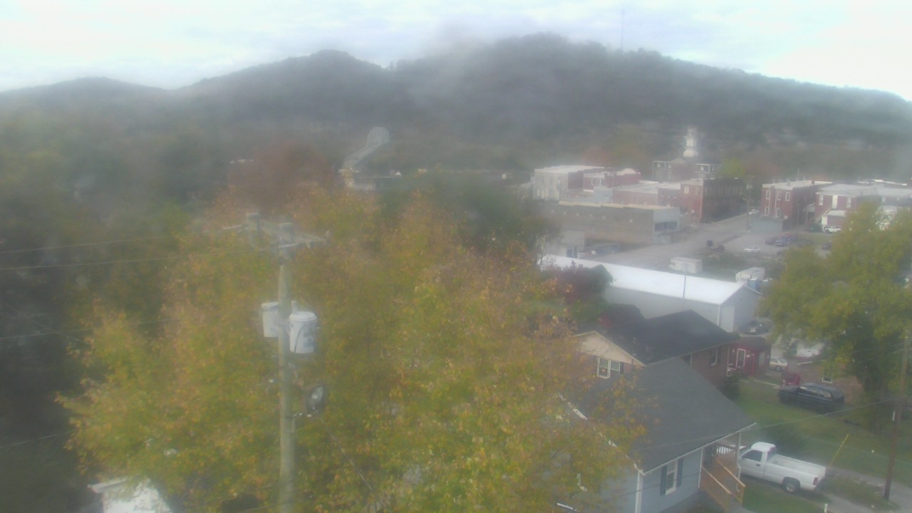
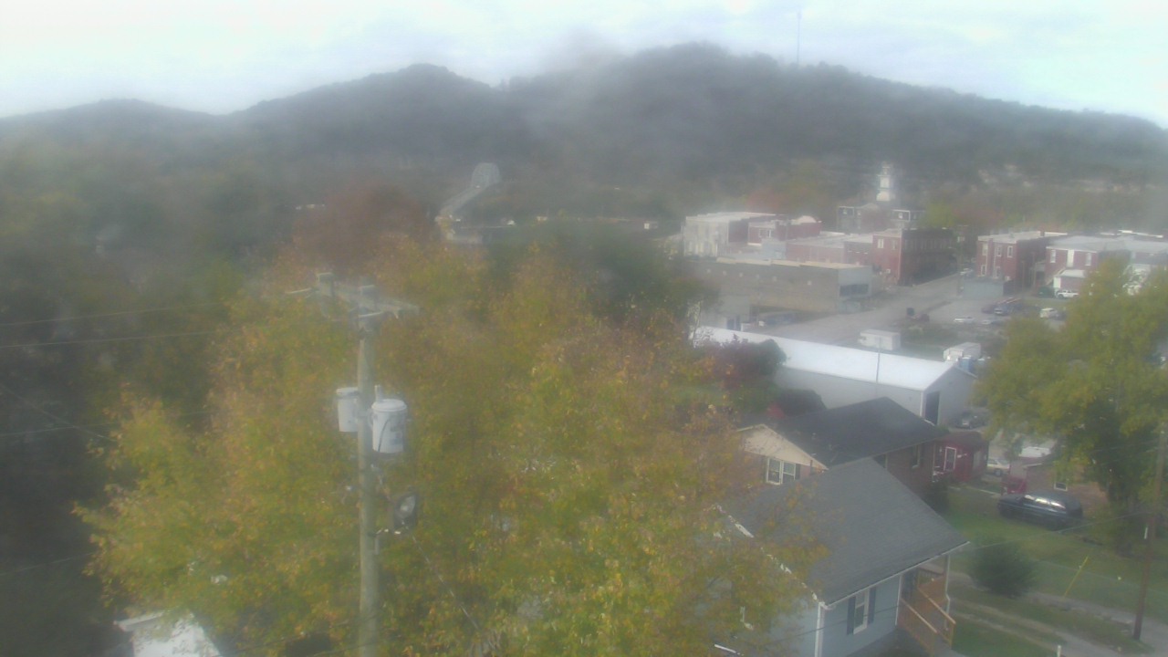
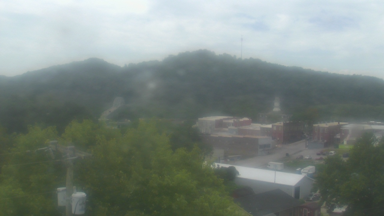
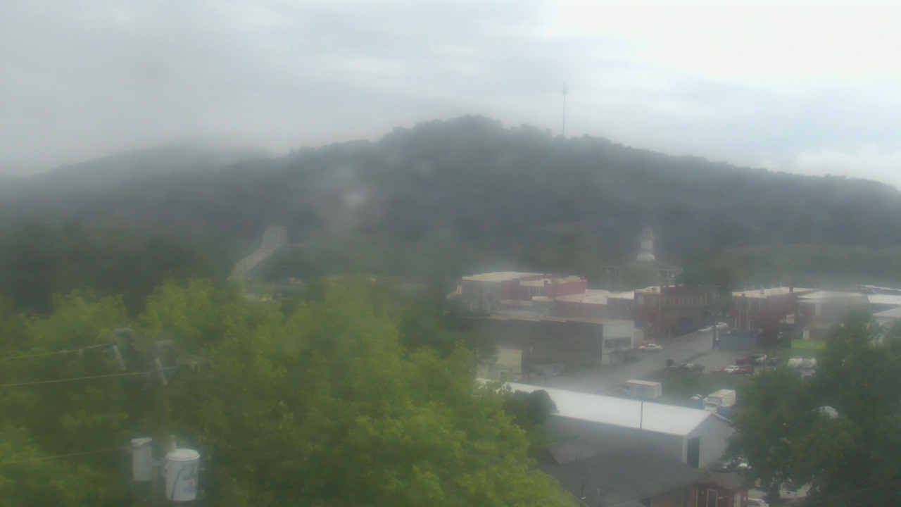
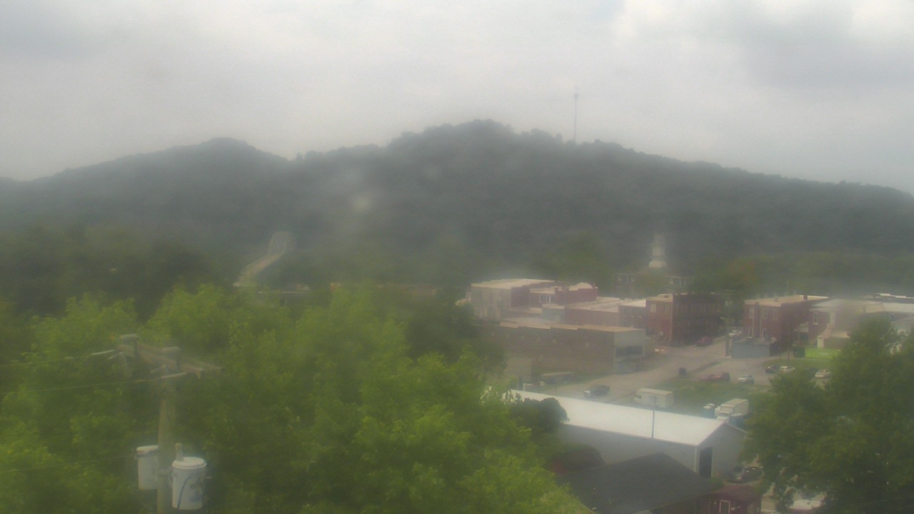
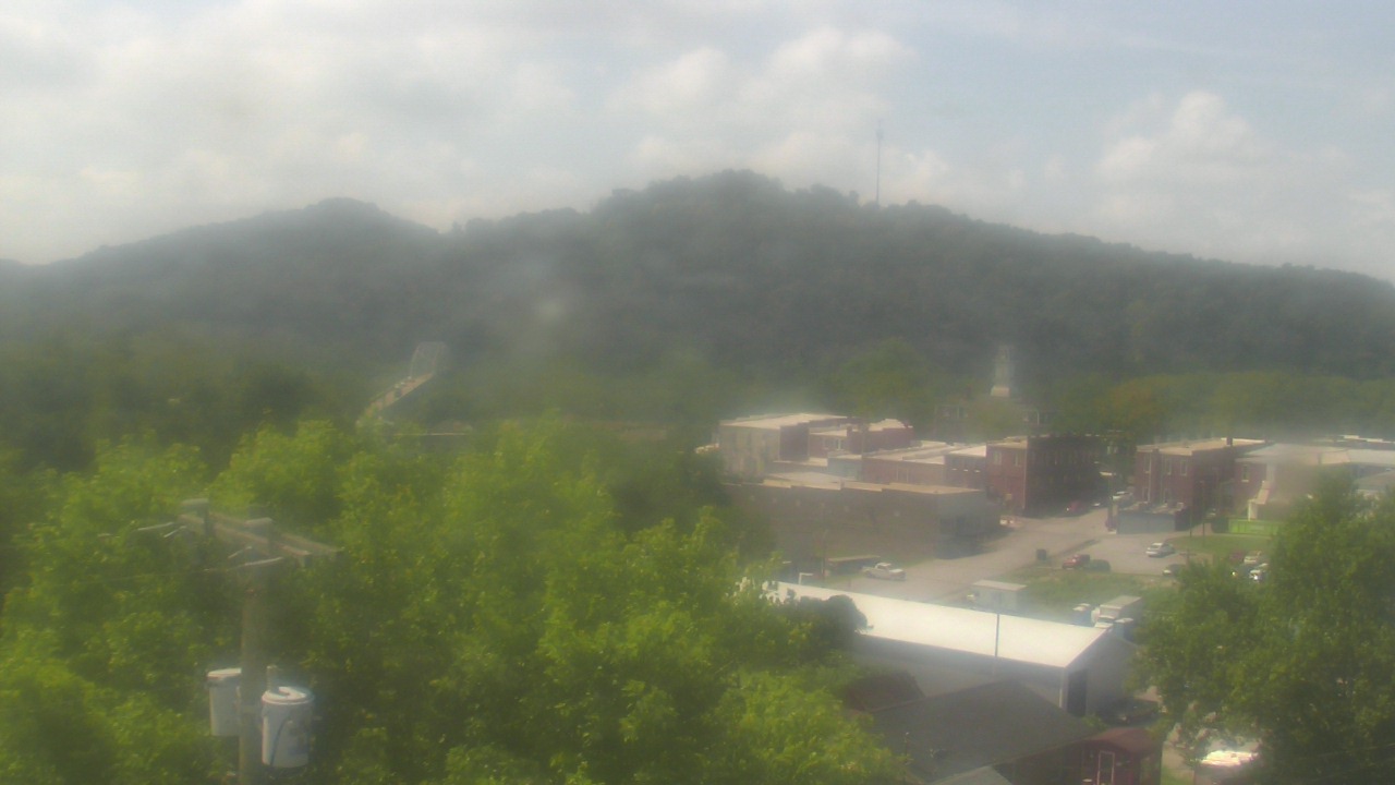
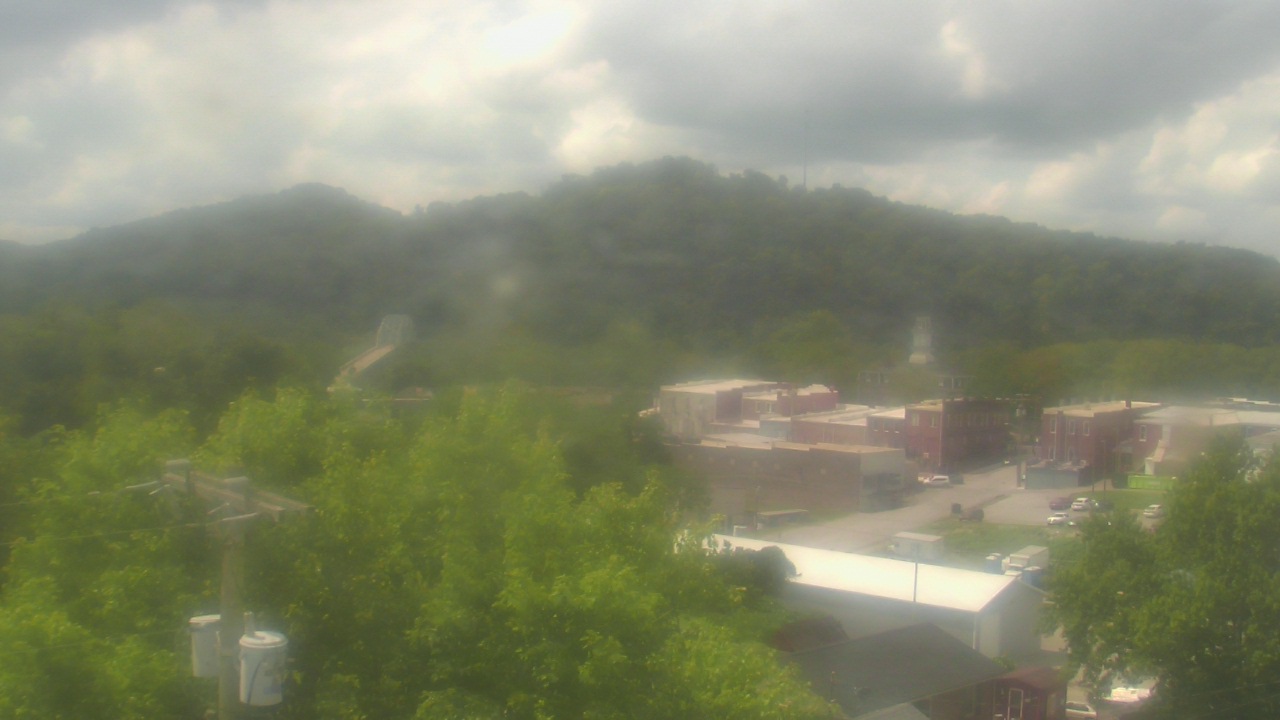
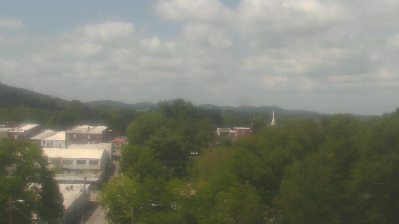
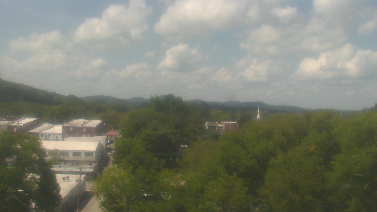
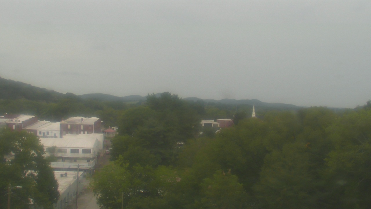
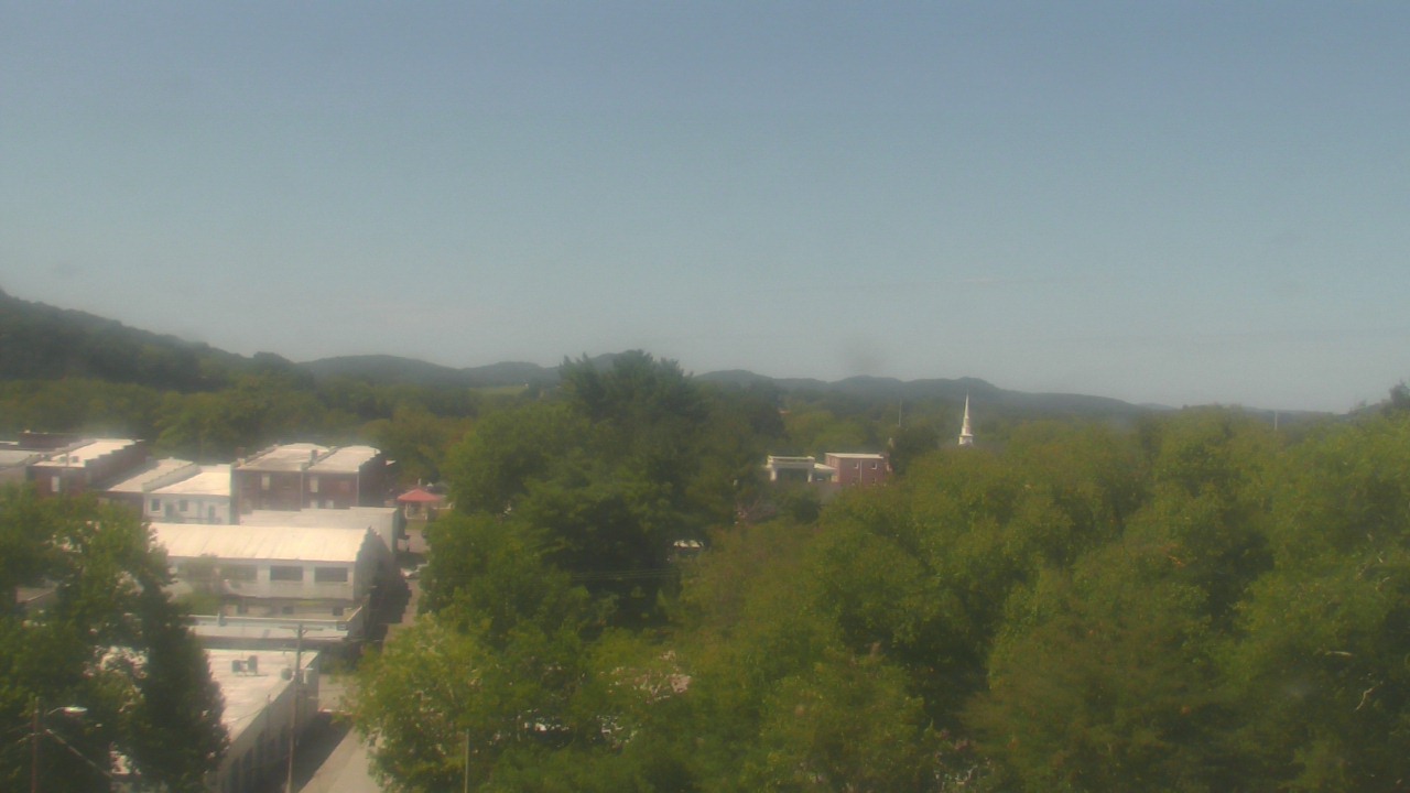
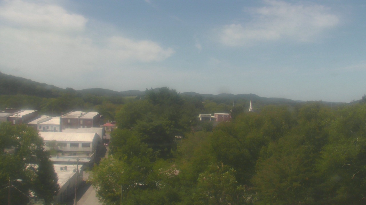
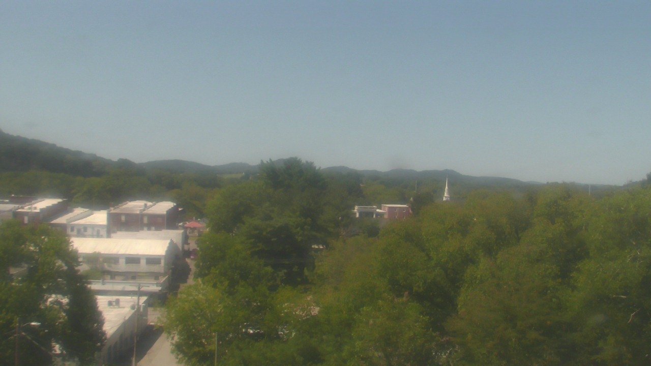
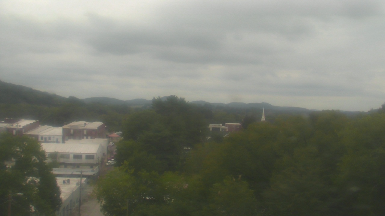
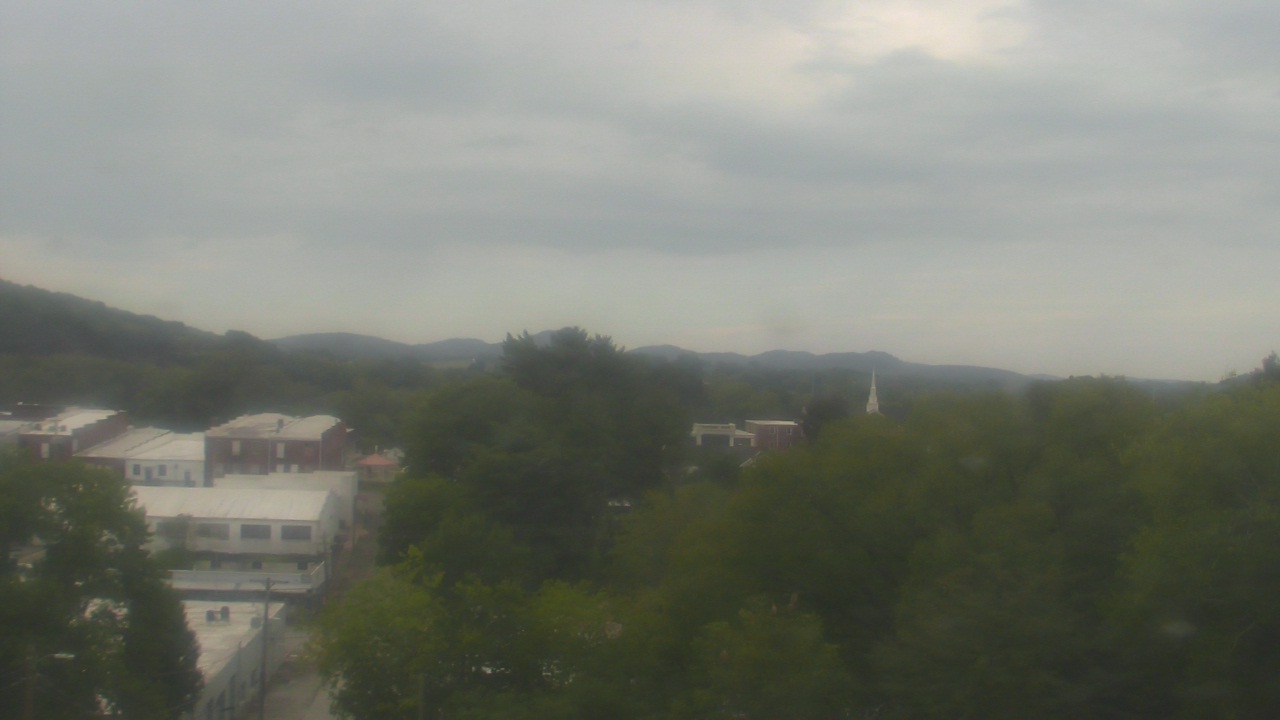
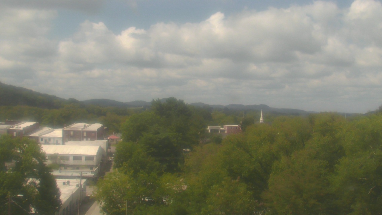
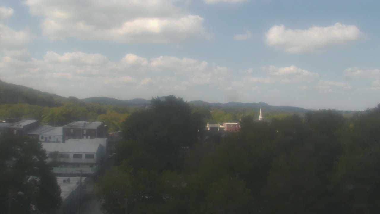
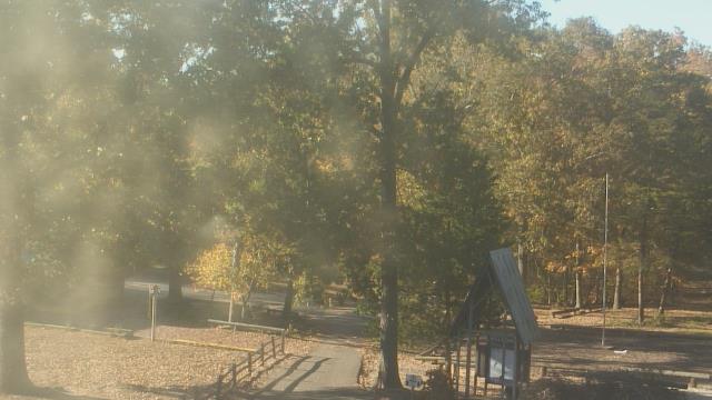
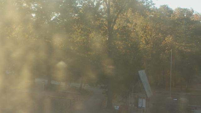
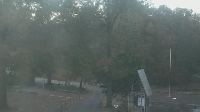
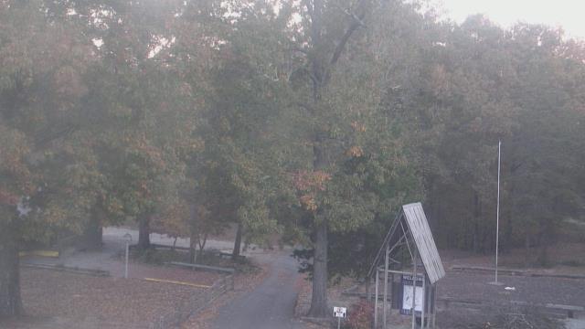
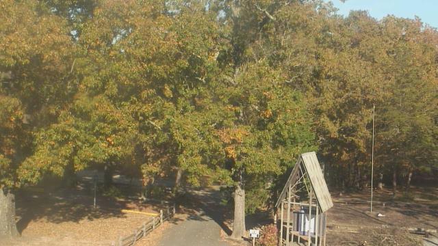
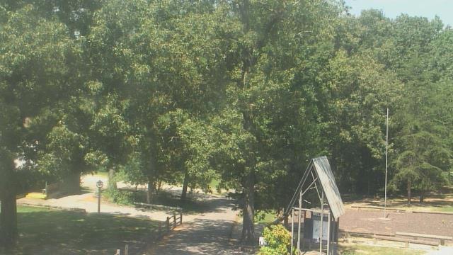
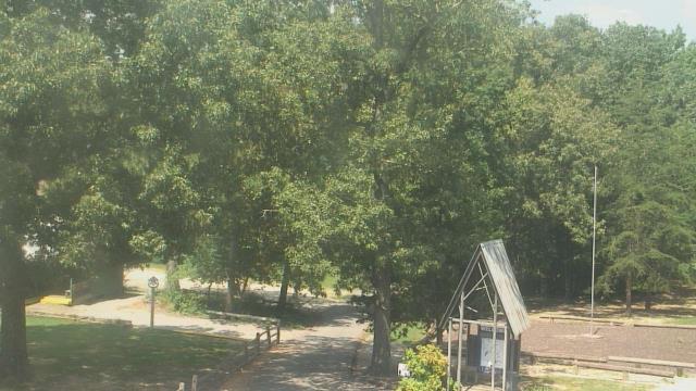
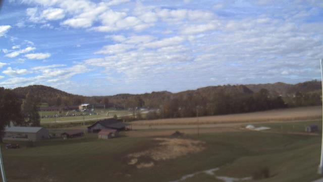
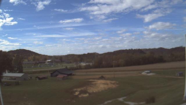
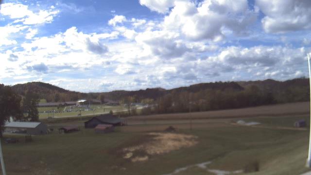
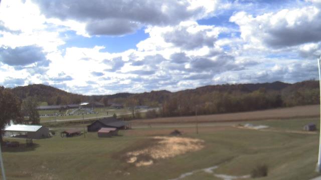
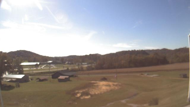
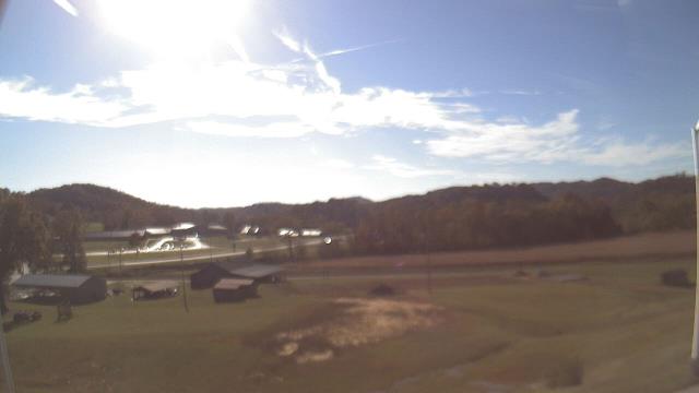
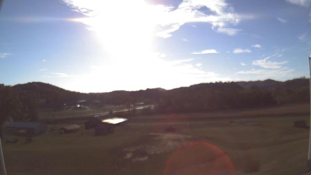
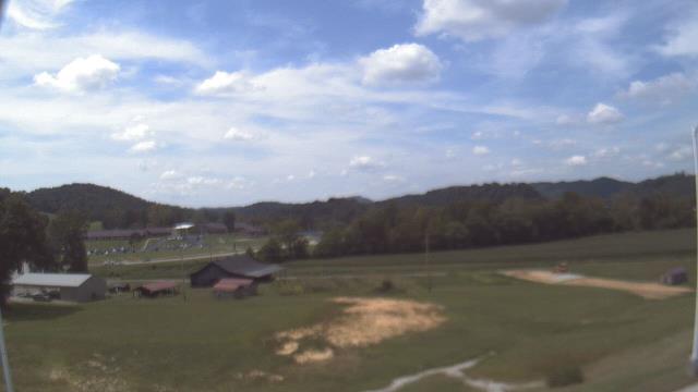
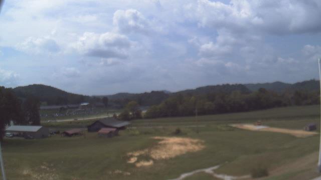
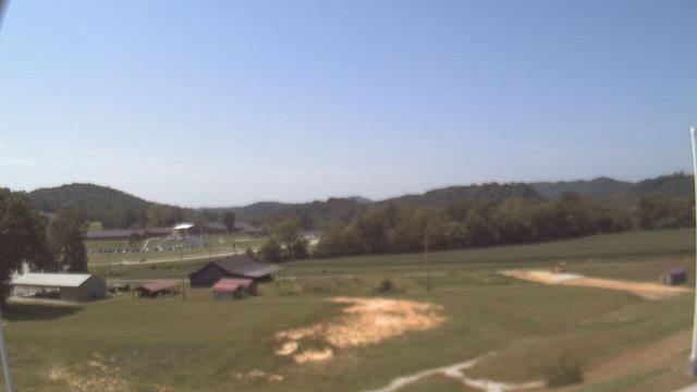
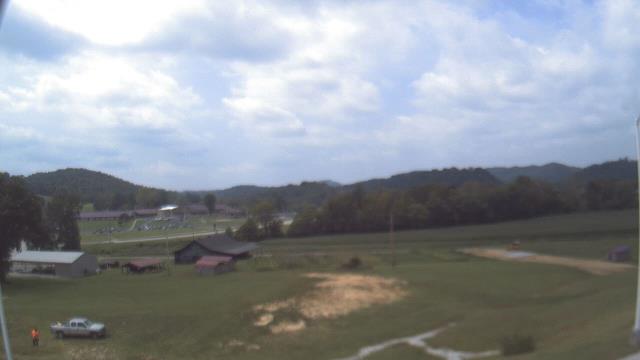
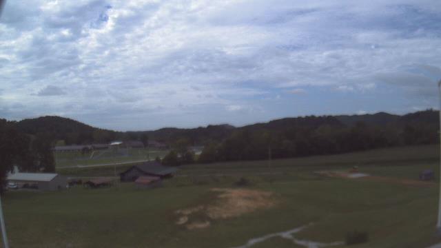
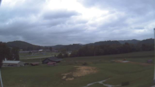
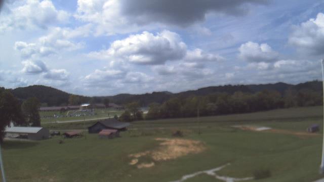
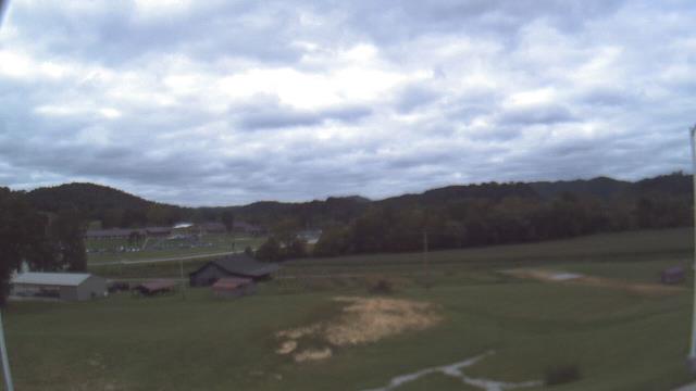
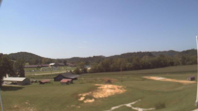
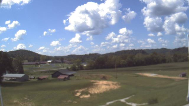
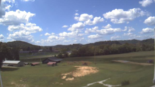
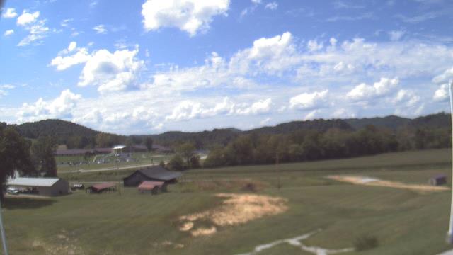
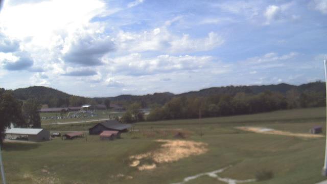
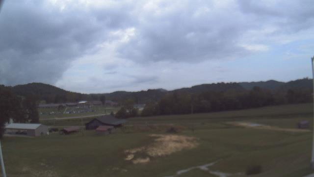
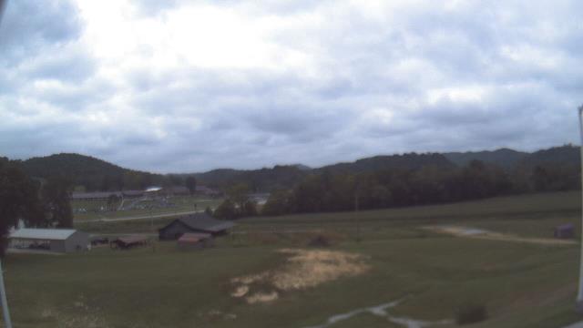
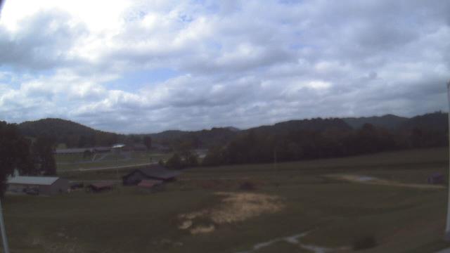
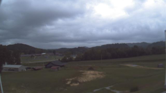
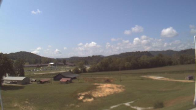
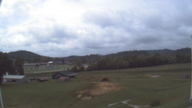
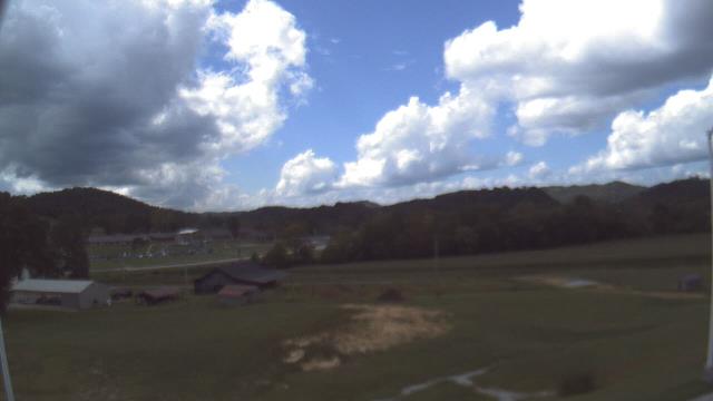
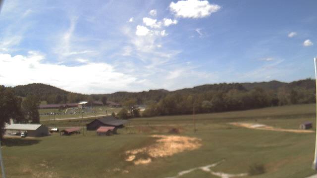
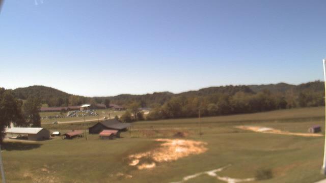
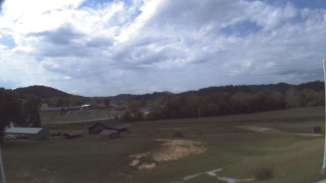
Carthage, Tennessee, USA - 54.8 miles from Mill Creek (historical): Smith County Chamber of Commerce - A webcam in Carthage, Tennessee - camera location: Smith County Chamber of Commerce.
Operator: WeatherBug
Operator: WeatherBug


Gatlinburg, Tennessee, USA - 87.2 miles from Mill Creek (historical): Anakeesta's Firefly Village - View of Anakeesta's Firefly Village with the Great Smoky Mountains in the background.
Operator: Skyline Webcams
Operator: Skyline Webcams


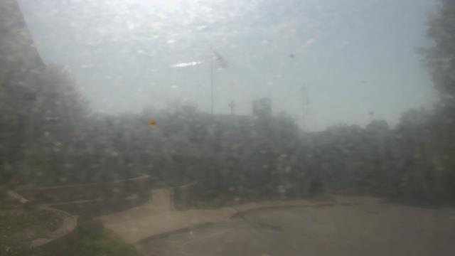
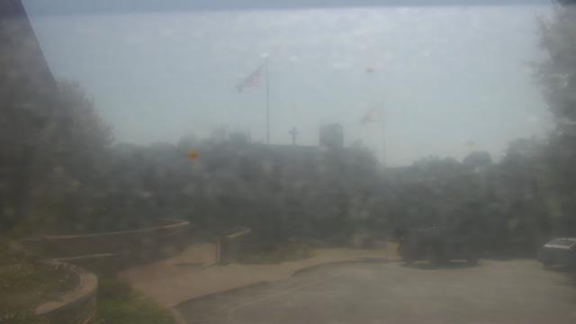
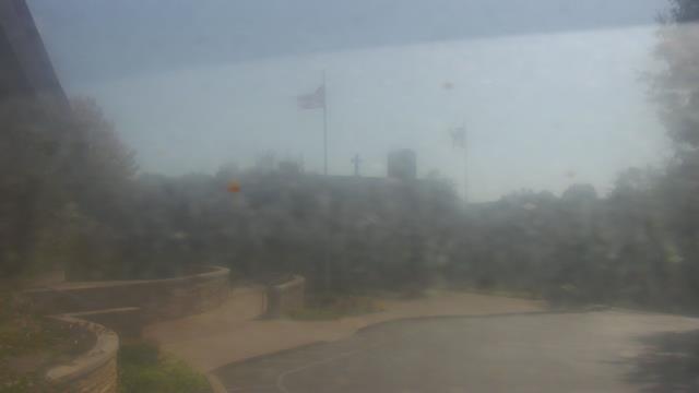
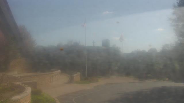
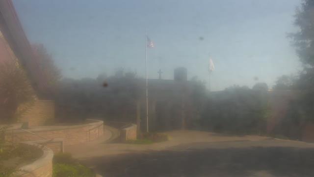
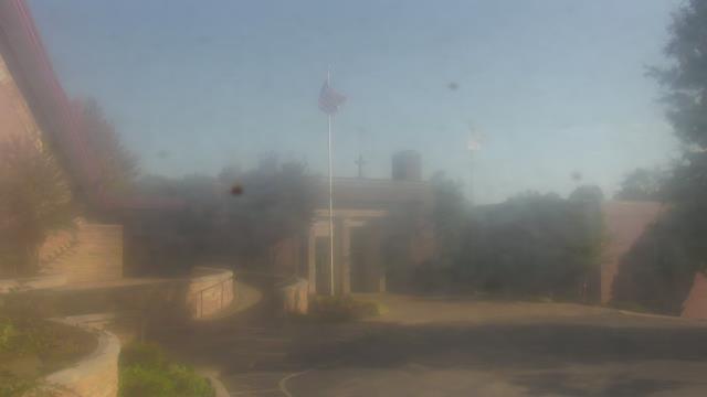
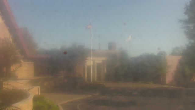
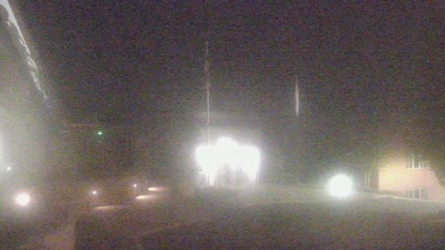
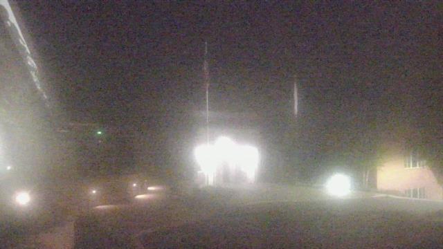
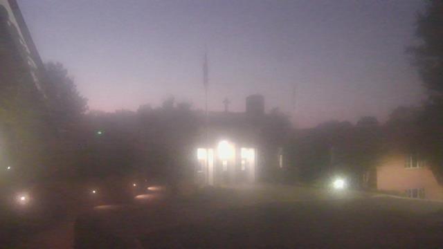
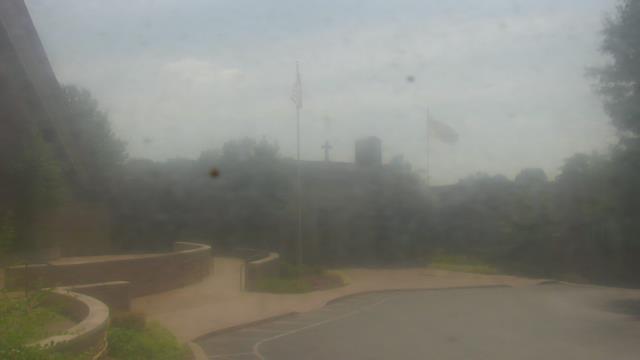
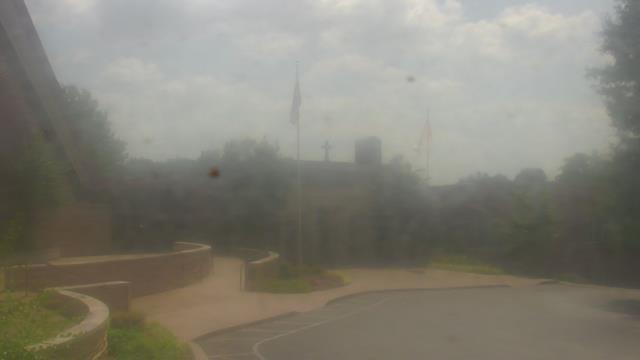
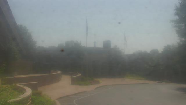
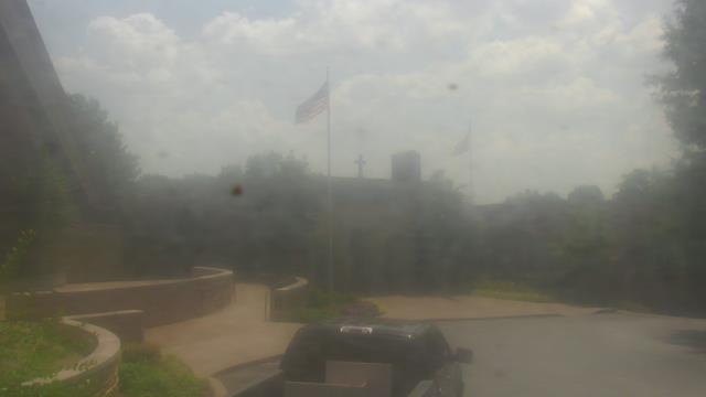
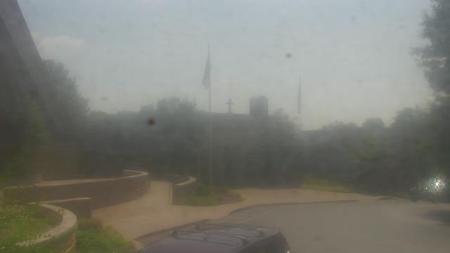
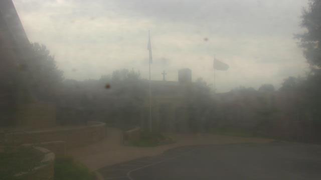
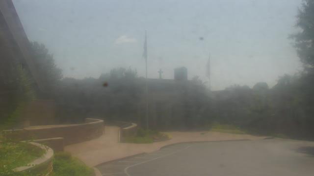
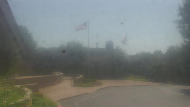
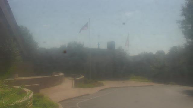
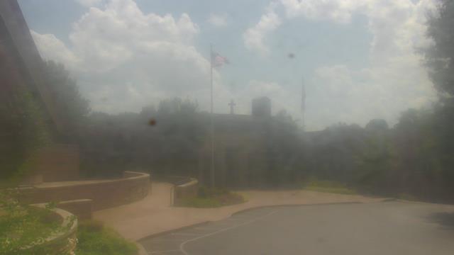
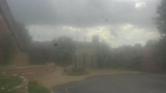
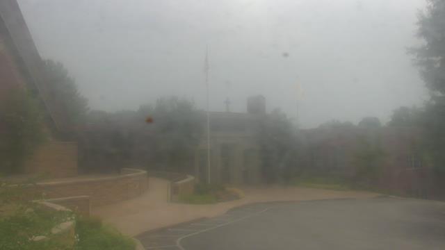
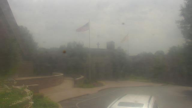
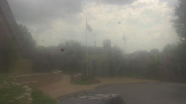
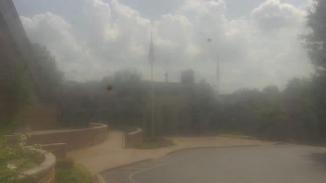
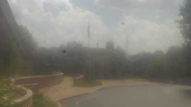
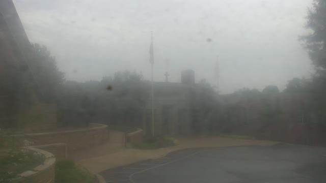
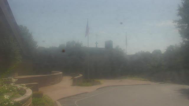
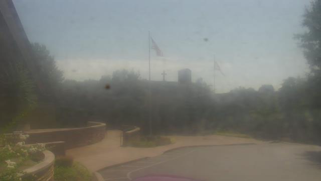
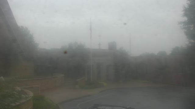
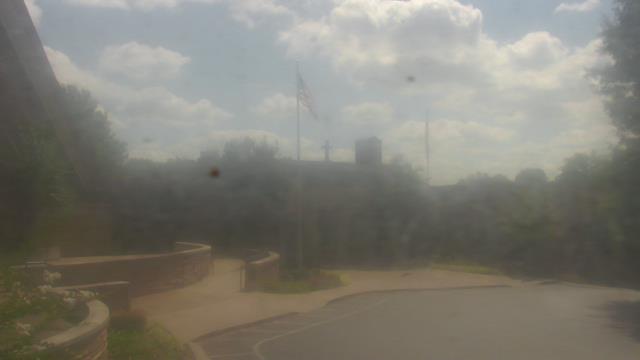
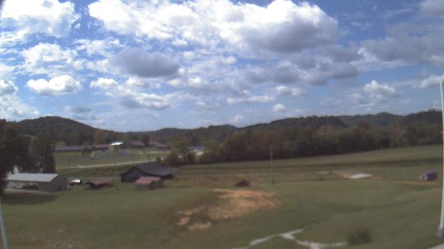
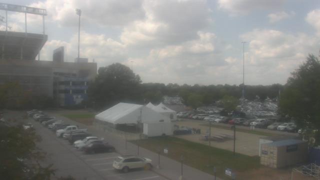
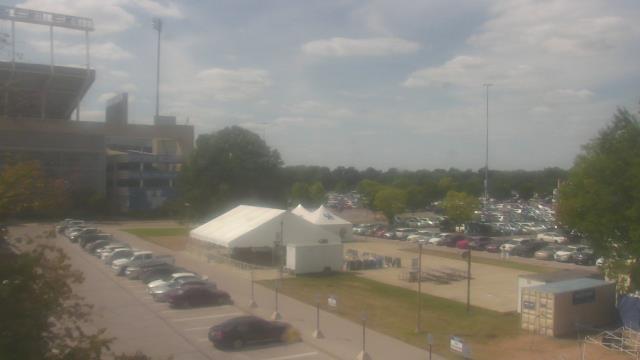
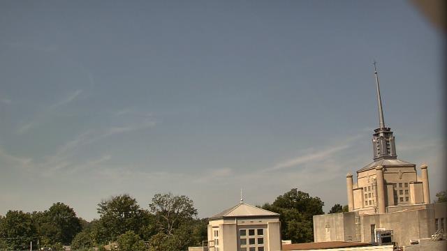
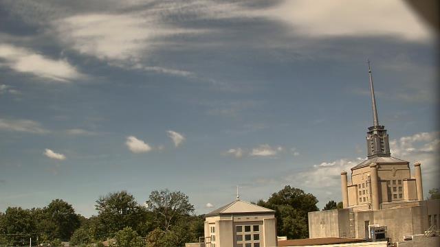
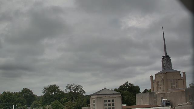
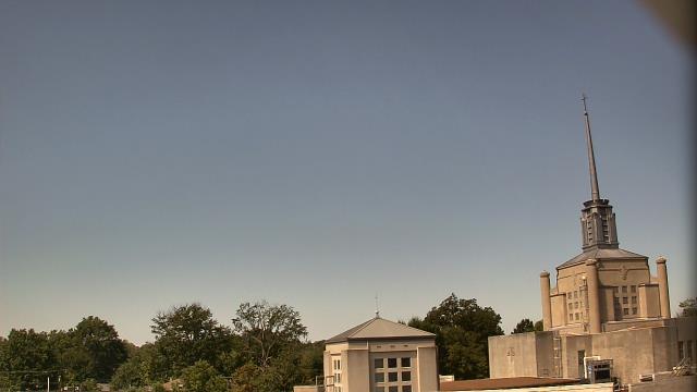
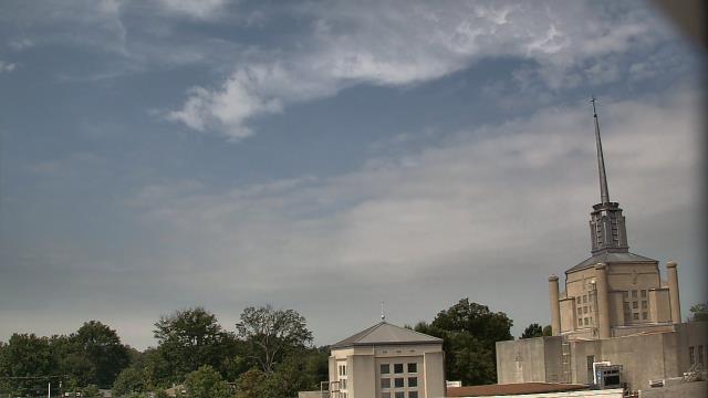
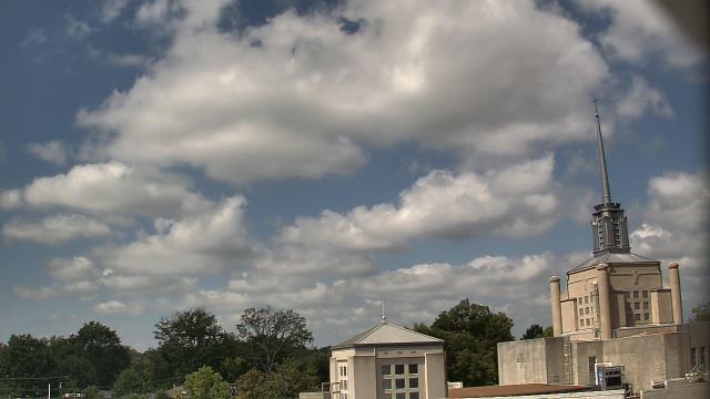
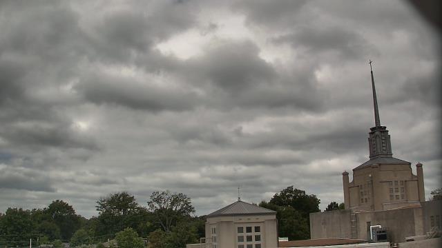
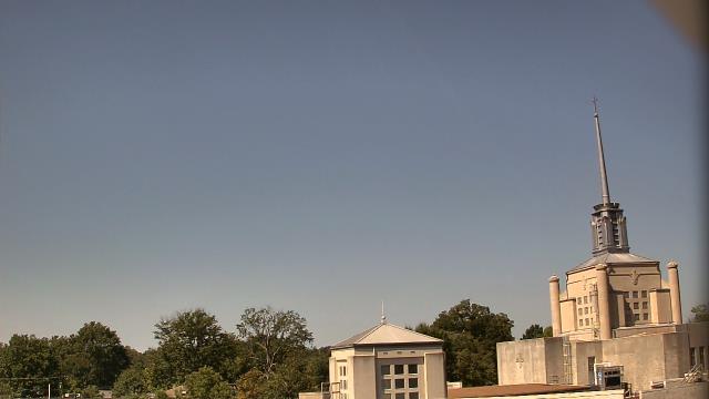
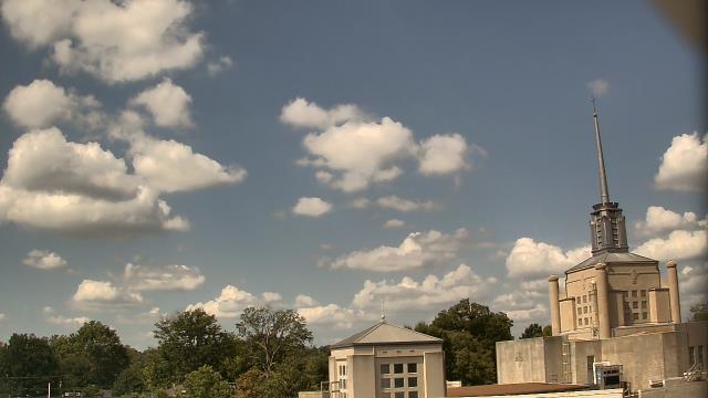
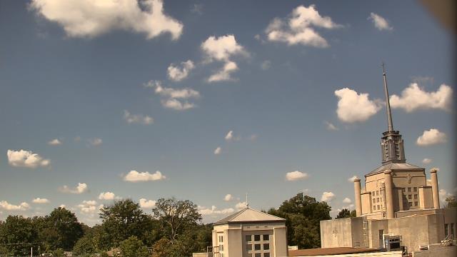
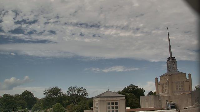
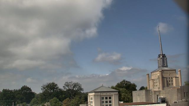
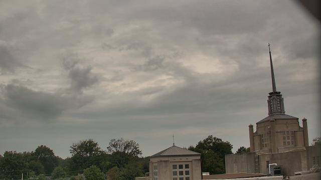
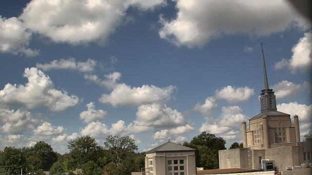
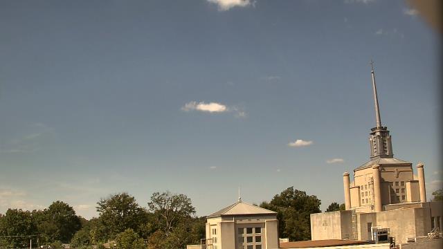
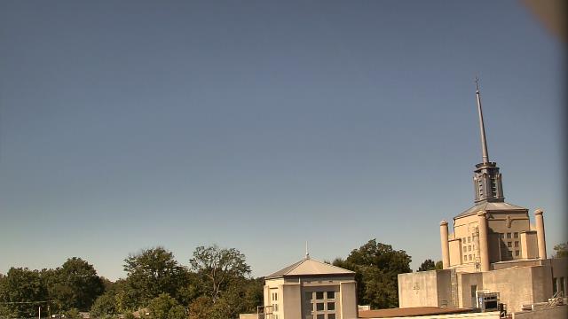
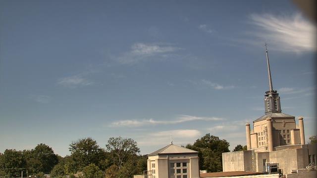
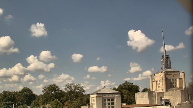
Madison, Tennessee, USA - 97 miles from Mill Creek (historical): St Joseph School - A webcam in Madison, Tennessee - camera location: St Joseph School.
Operator: WeatherBug
Operator: WeatherBug


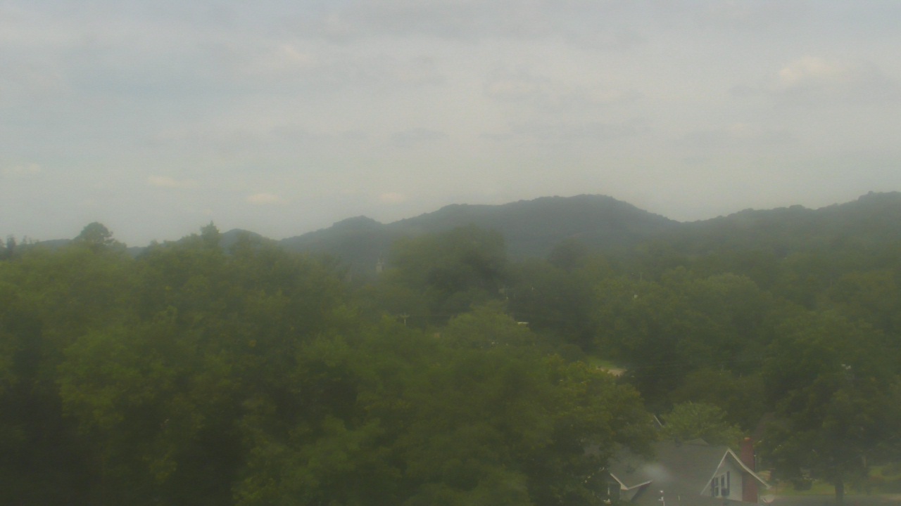
Whittier, North Carolina, USA - 101.5 miles from Mill Creek (historical): Conleys Creek - A live view from Whittier, Smokey Mountains, North Carolina.
Operator: crews.cc
Operator: crews.cc


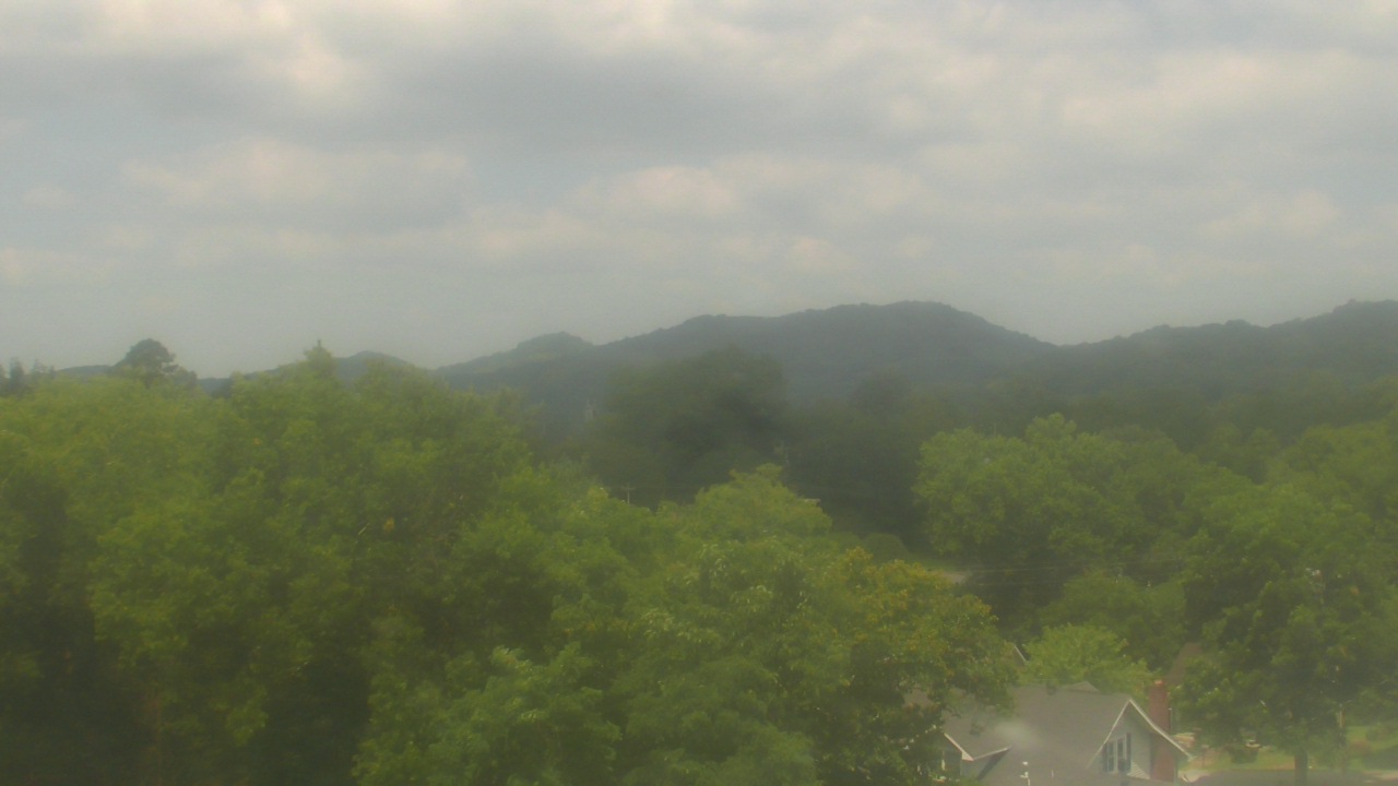
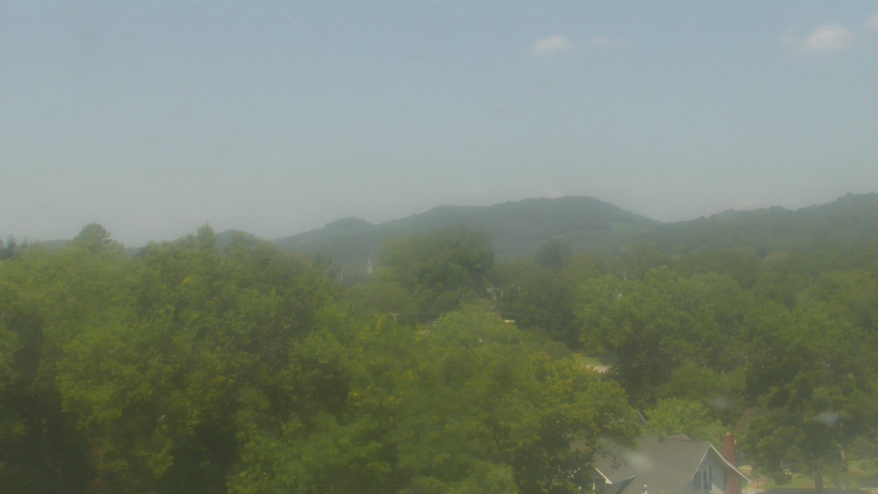
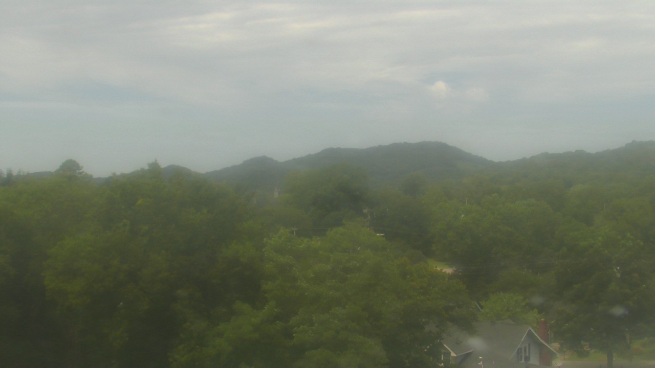
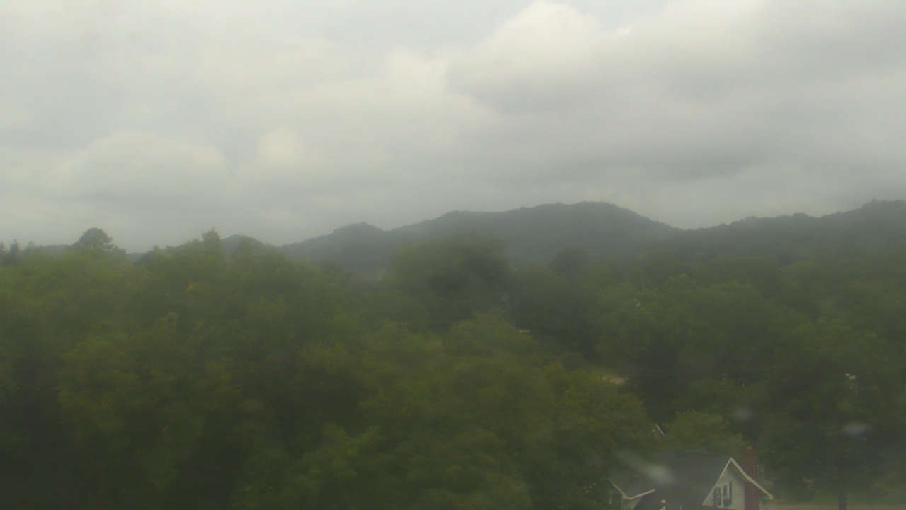
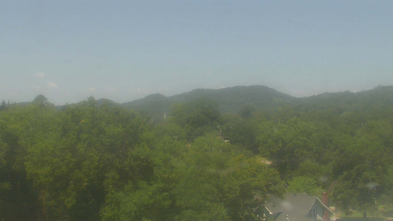
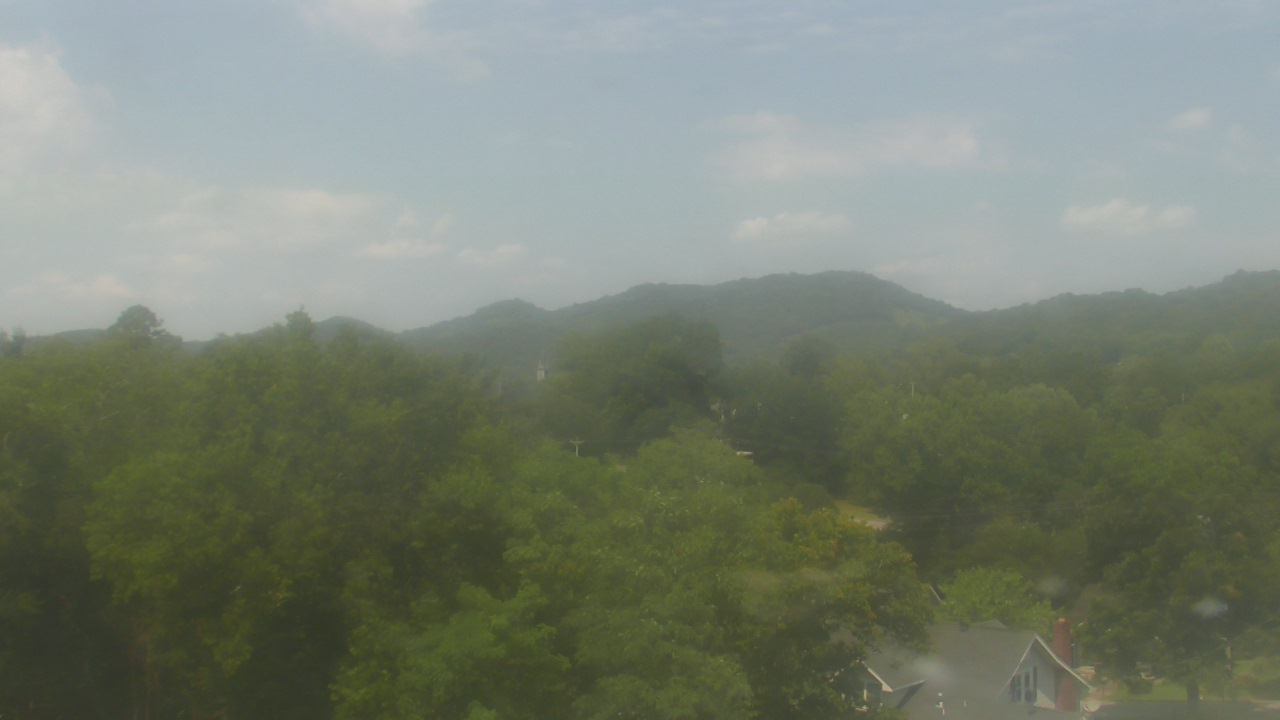
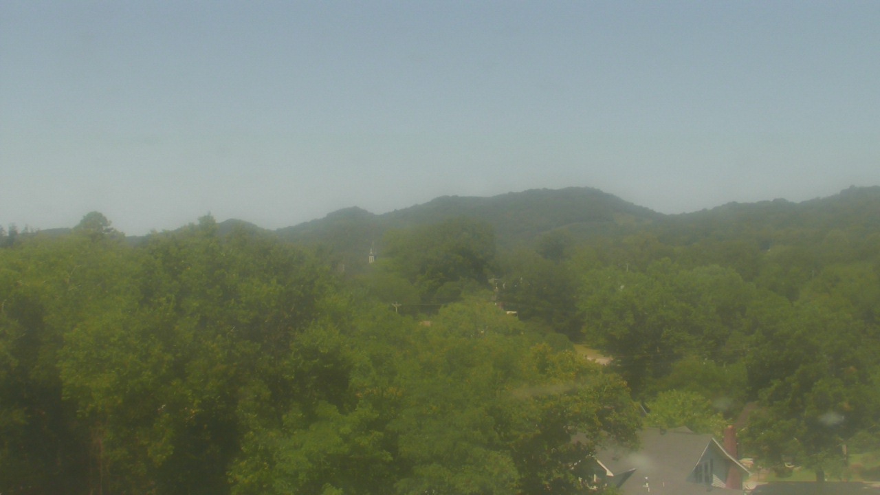
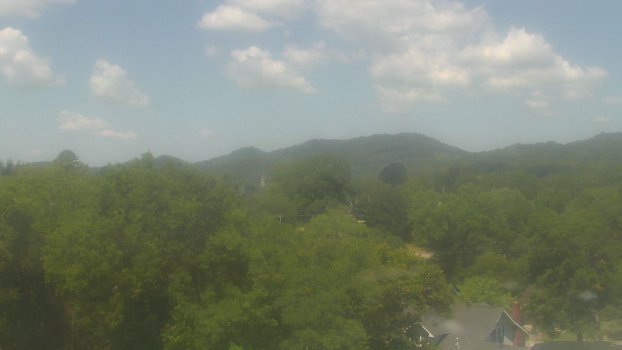
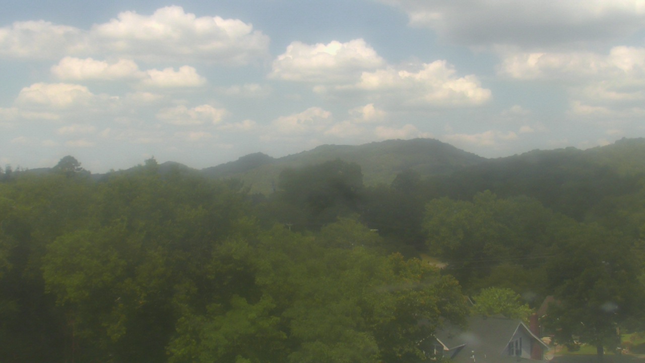
Sylva, North Carolina, USA - 110.1 miles from Mill Creek (historical): Town View - A nice view of Sylva, North Carolina.
Operator: The Sylva Herald
Operator: The Sylva Herald

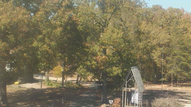
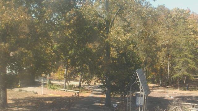
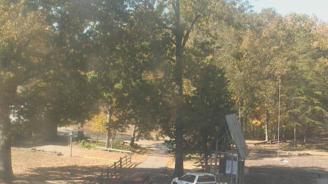
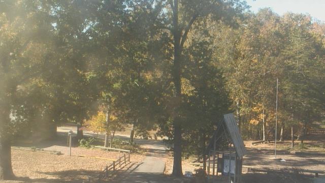
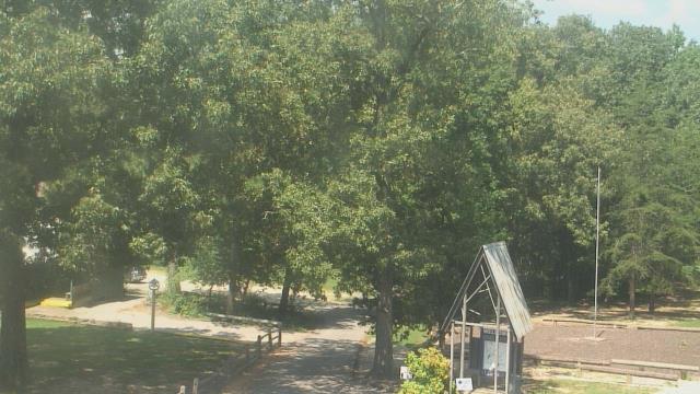
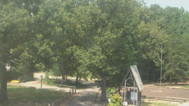
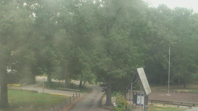
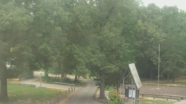
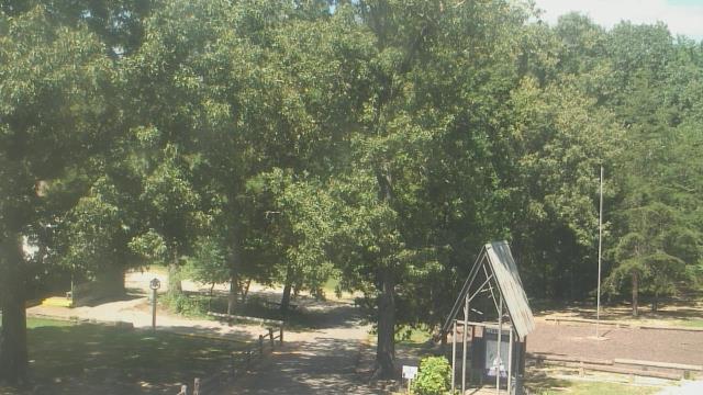
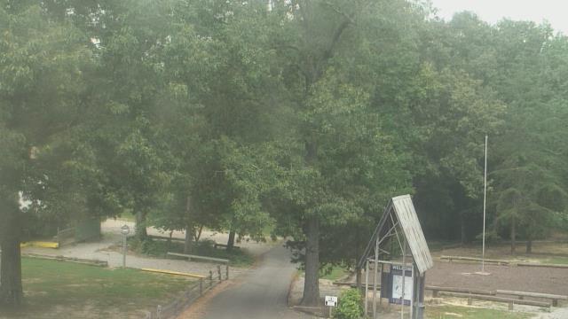
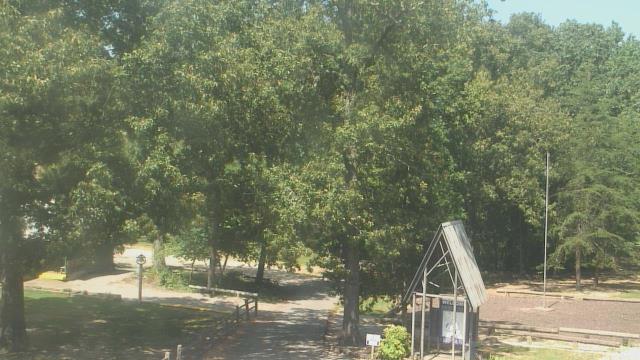
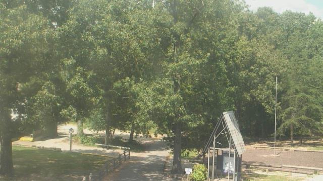
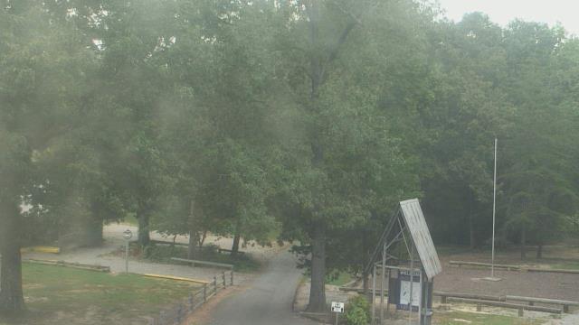
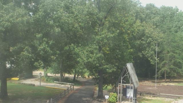
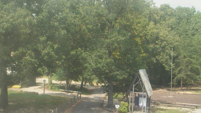
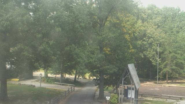
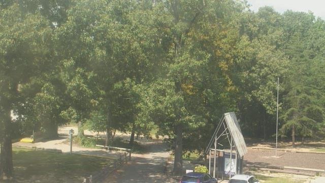
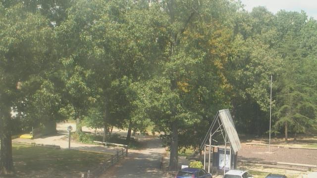
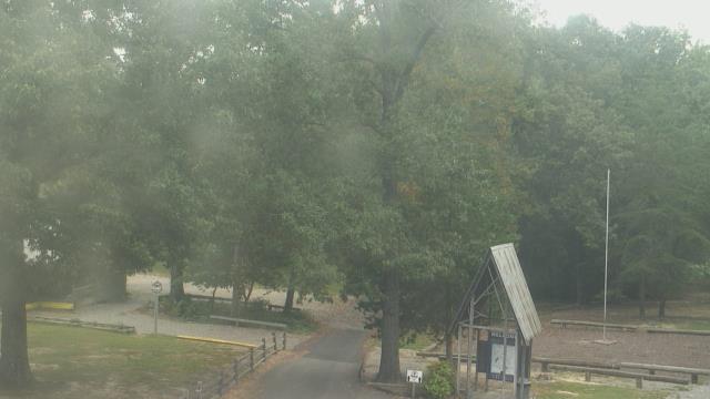
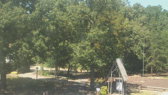
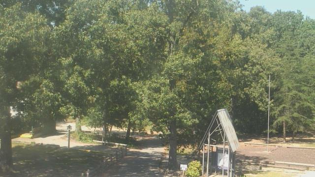
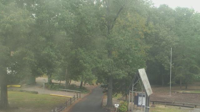
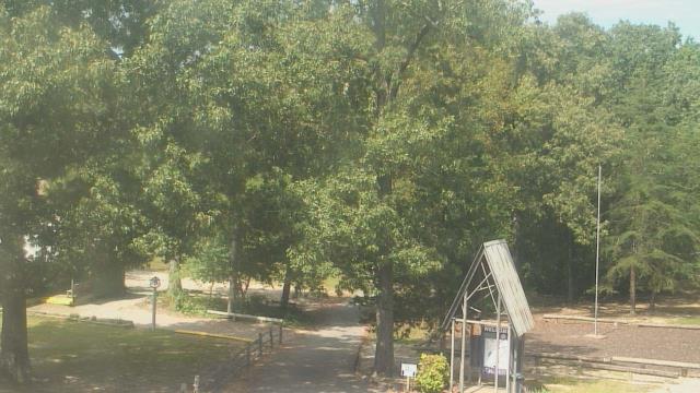
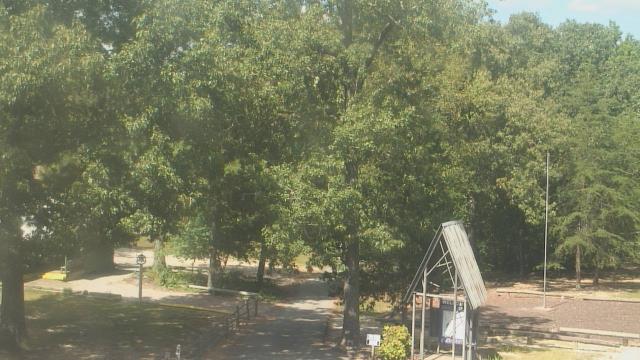
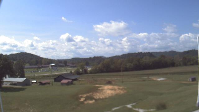
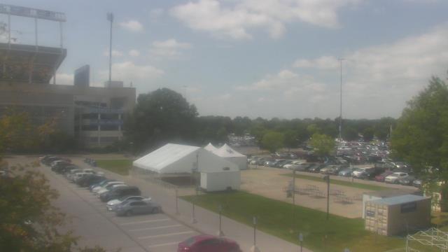
Fairview, Tennessee, USA - 119.4 miles from Mill Creek (historical): Camp Marymount - A webcam in Fairview, Tennessee - camera location: Camp Marymount.
Operator: WeatherBug
Operator: WeatherBug


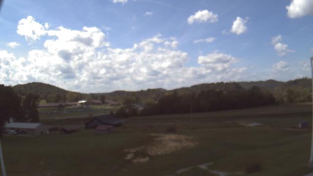
Booneville, Kentucky, USA - 121.3 miles from Mill Creek (historical): Owsley Co Jr Sr High School - A webcam in Booneville, Kentucky - camera location: Owsley Co Jr Sr High School.
Operator: WeatherBug
Operator: WeatherBug


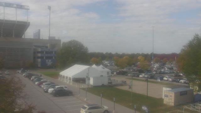
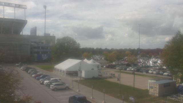
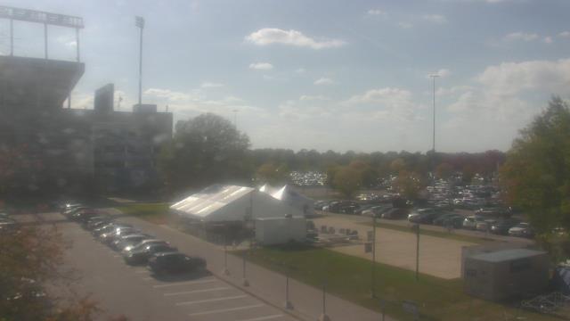
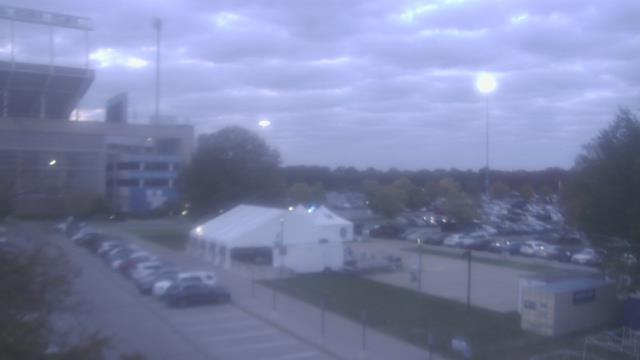
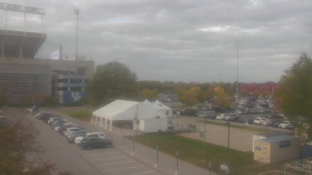
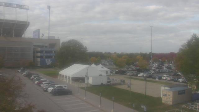
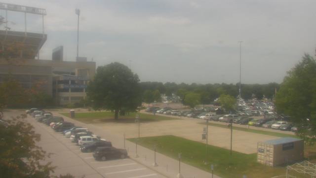
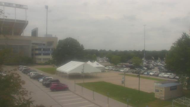
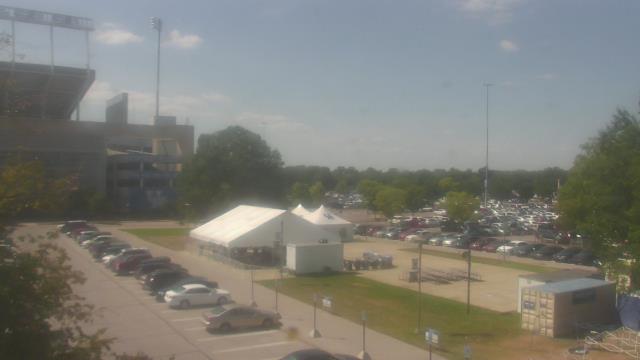
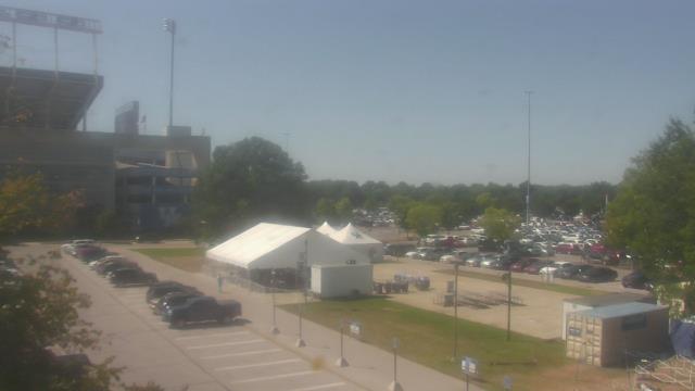
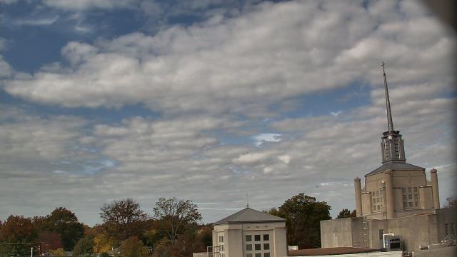
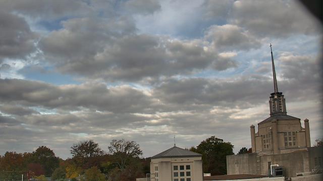
Lexington, Kentucky, USA - 138.1 miles from Mill Creek (historical): Bluegrass Community & Technical College - A webcam in Lexington, Kentucky - camera location: Bluegrass Community & Technical College.
Operator: WeatherBug
Operator: WeatherBug
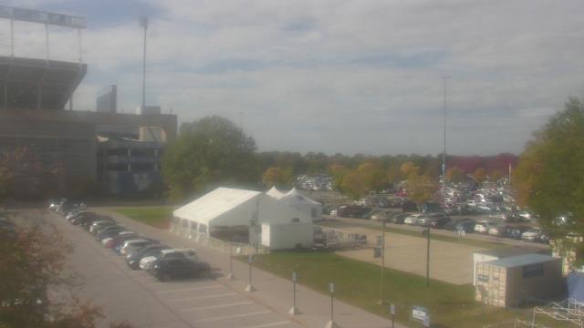
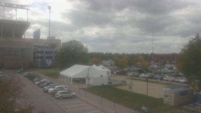
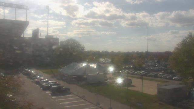


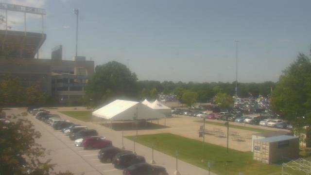


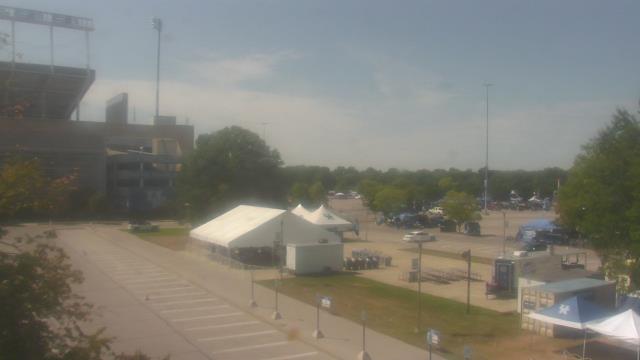
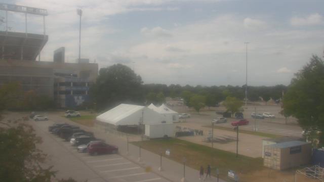

Lexington, Kentucky, USA - 138.1 miles from Mill Creek (historical): Christ The King School - A webcam in Lexington, Kentucky - camera location: Christ The King School.
Operator: WeatherBug
Operator: WeatherBug


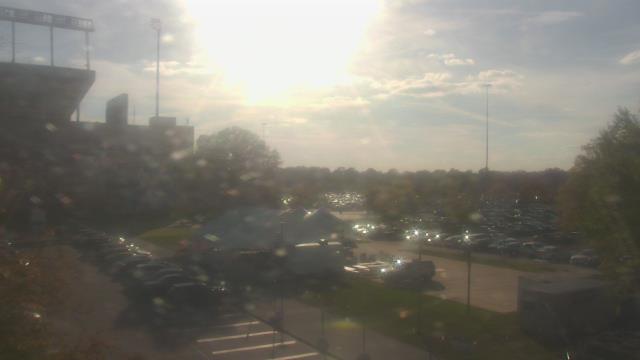
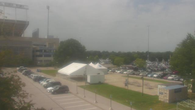
Guntersville, Alabama, USA - 139.5 miles from Mill Creek (historical): Wyndham Garden Lake Guntersville - A webcam in Guntersville, Alabama - camera location: Wyndham Garden Lake Guntersville.
Operator: WeatherBug
Operator: WeatherBug


Some other places in this country: Oak Grove - Olive Branch - Cold Springs (historical) - Slate Springs - Smith Chapel - Taylors Chapel - Haleys Grove - Burgesstown (historical) - Awalt (historical) - Lakeside Estates