Webcams in the region of Chestnut Orchard, Tennessee, USA
The List of Webcams near Chestnut Orchard, Tennessee, USA:

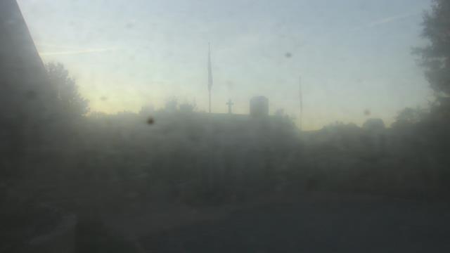
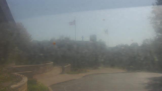
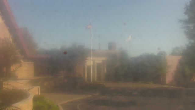
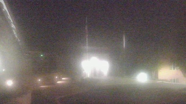
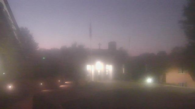
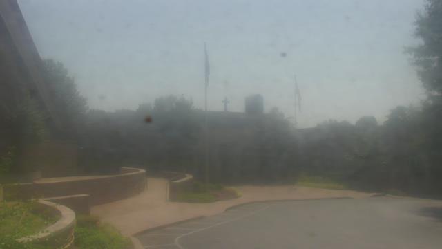
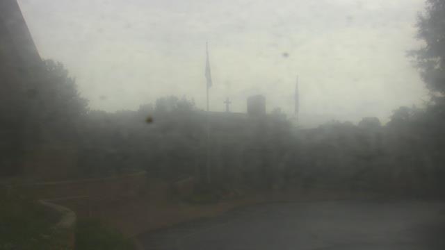
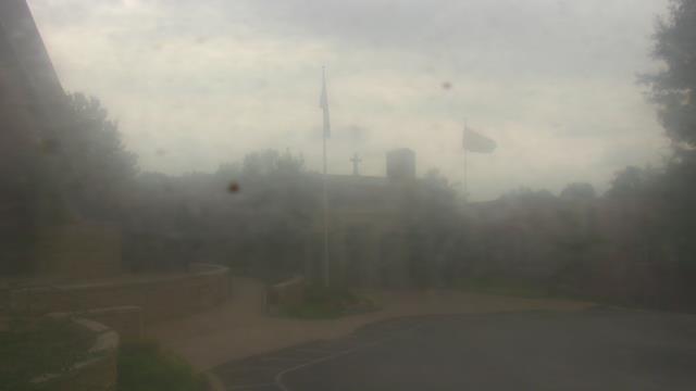
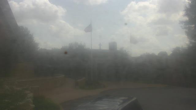
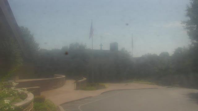
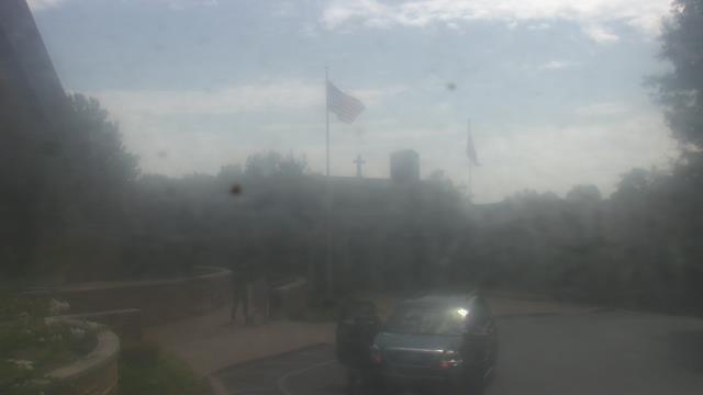
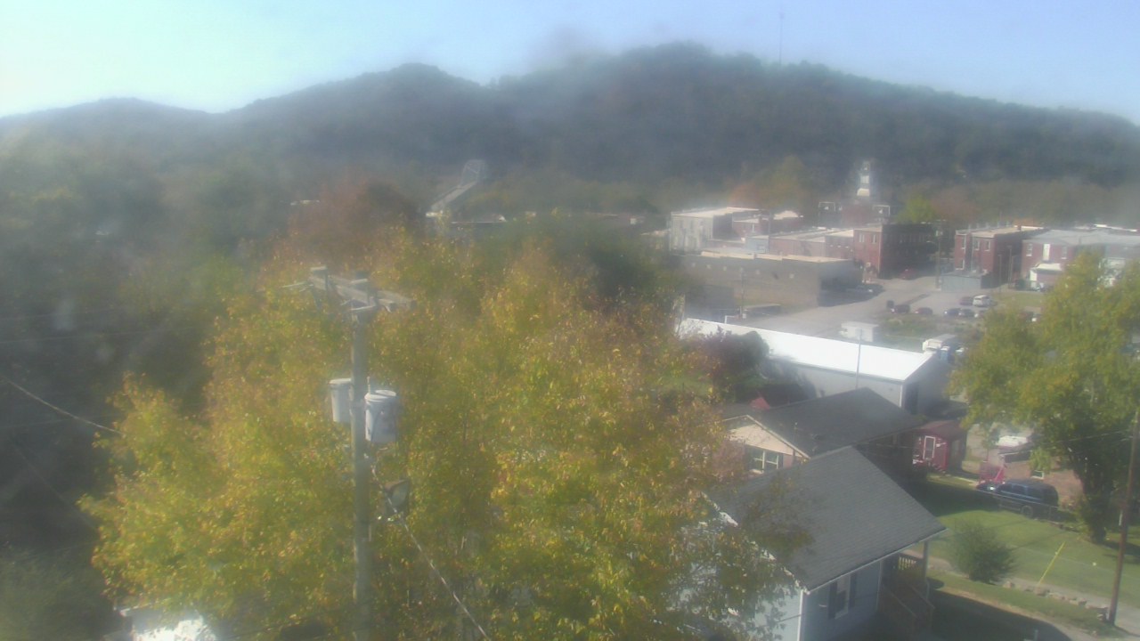
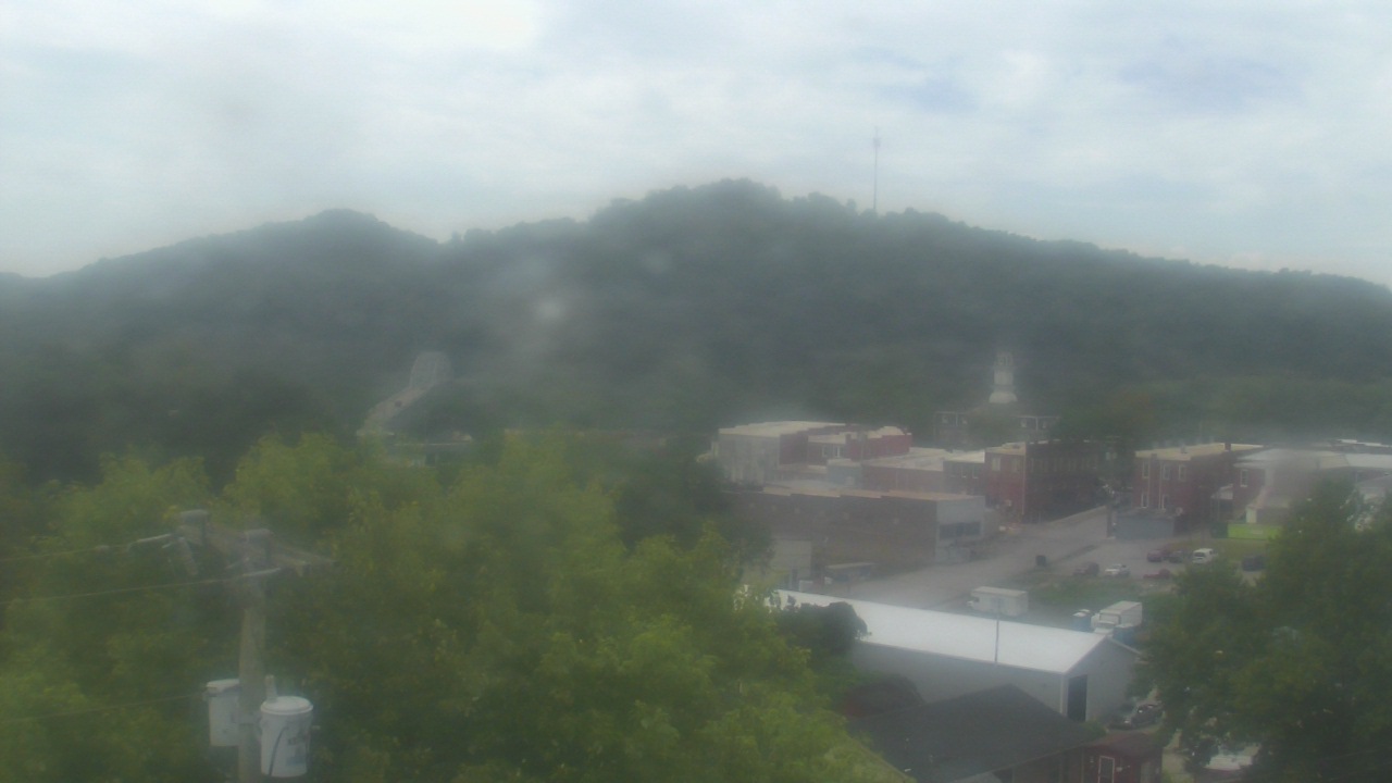
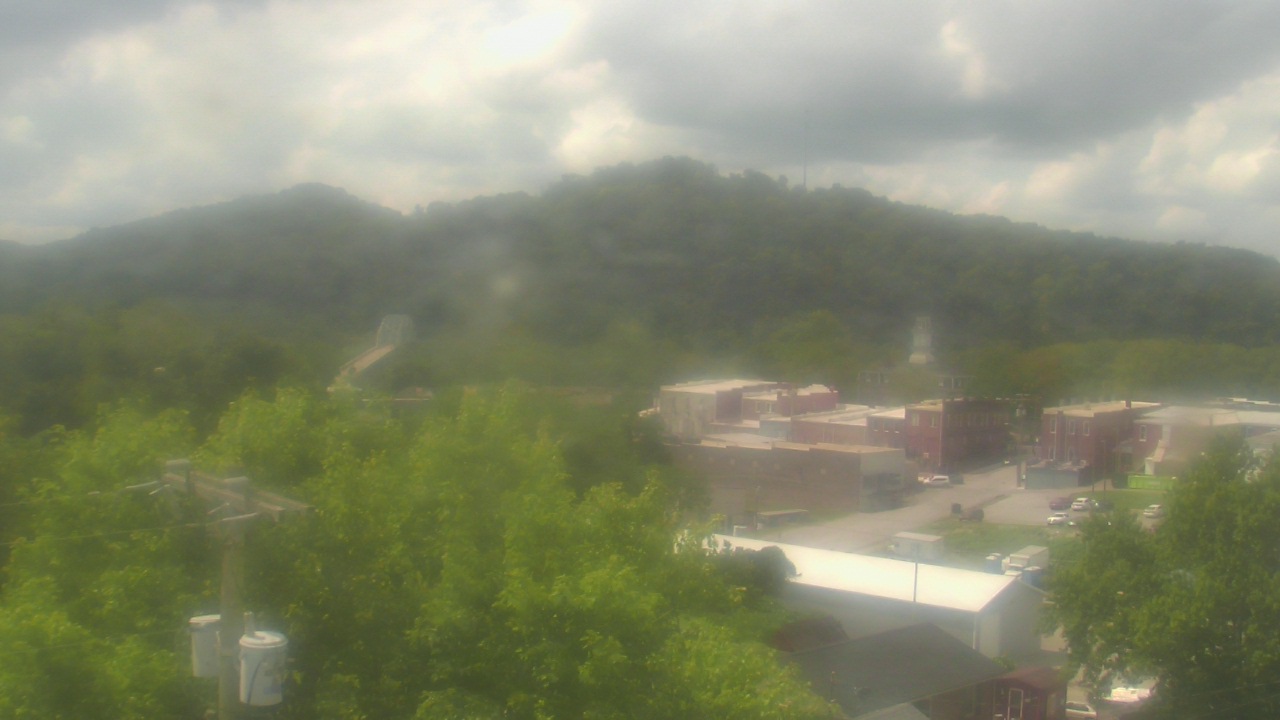
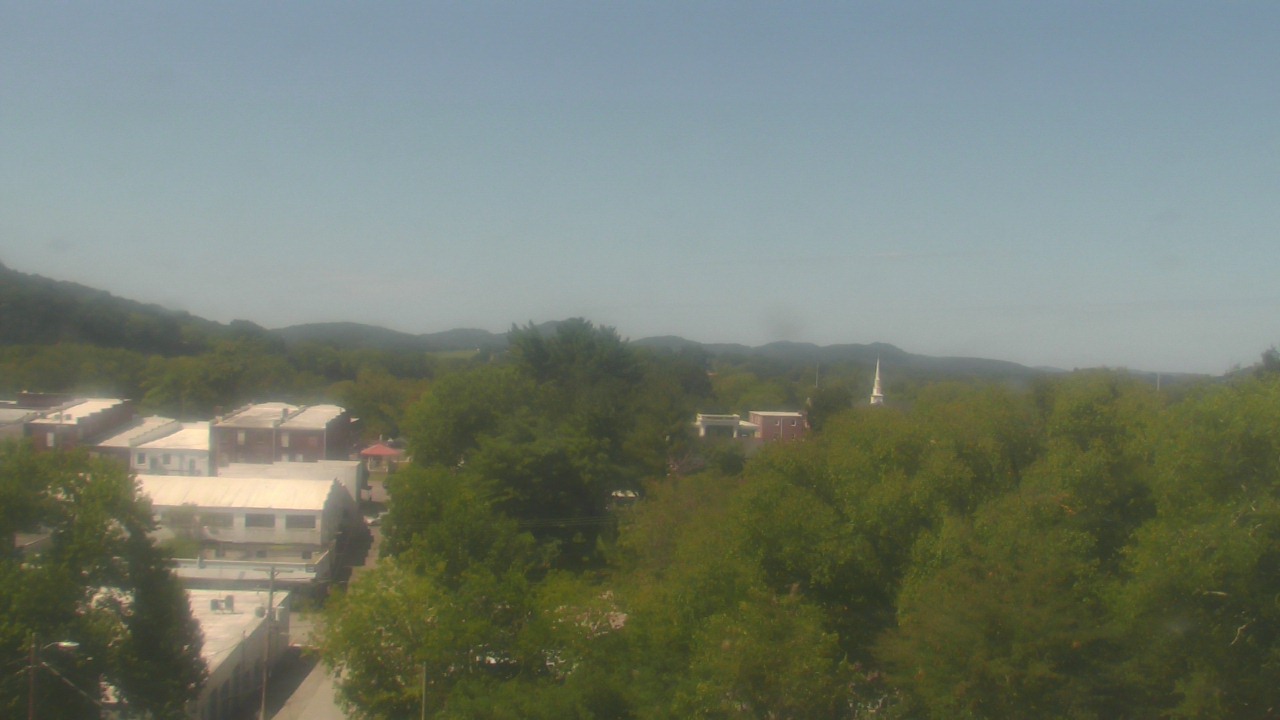
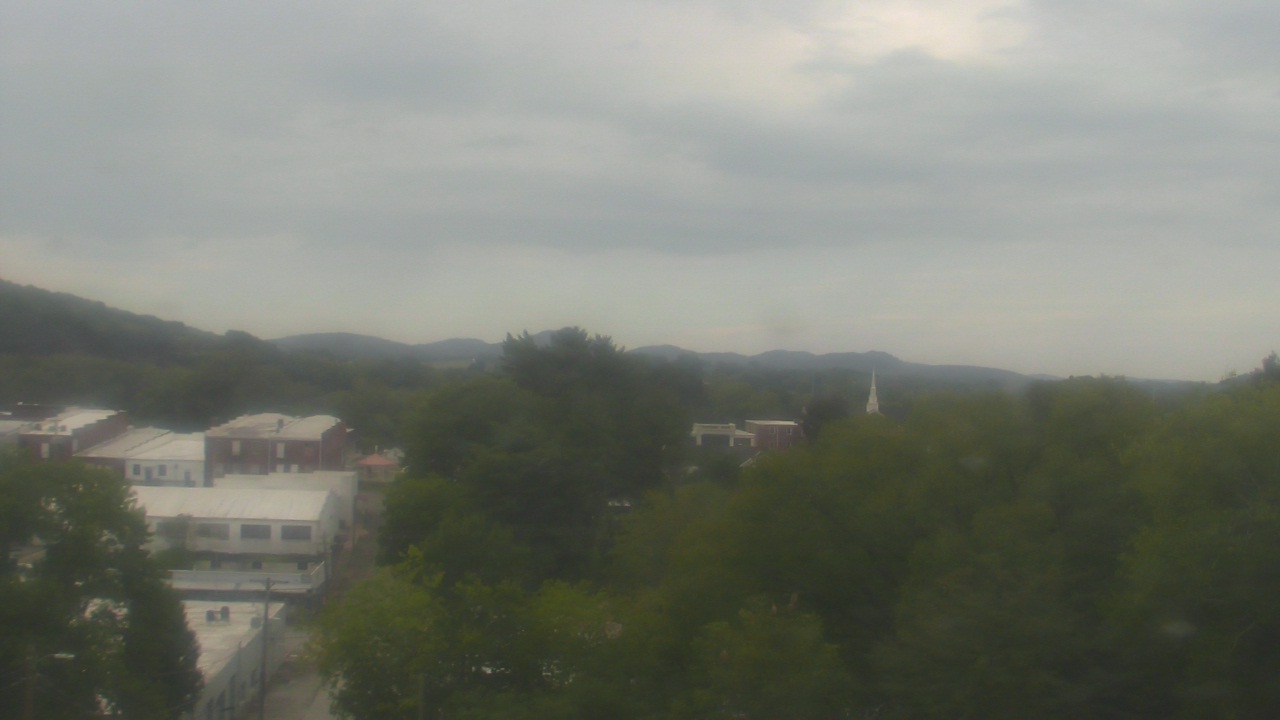
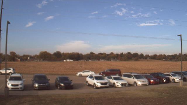
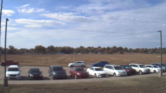
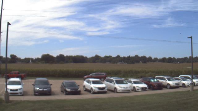
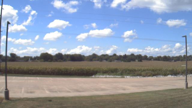
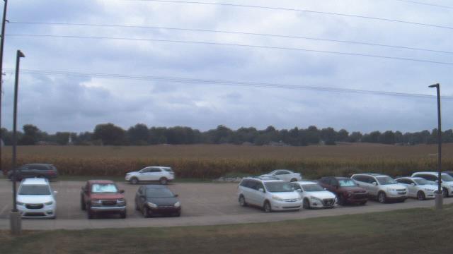
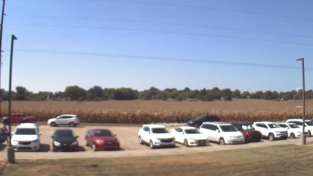
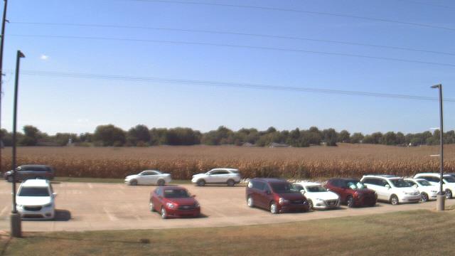
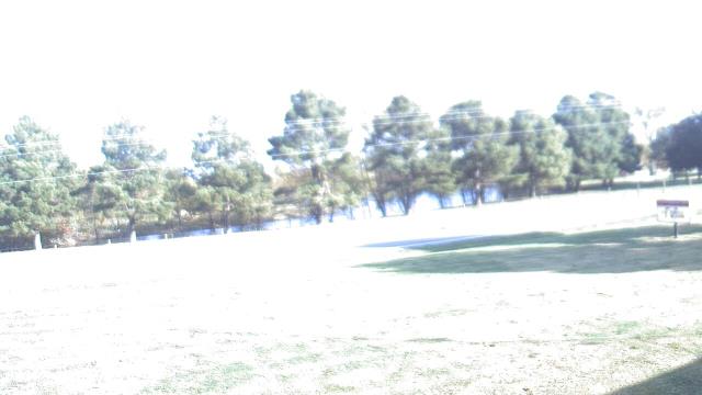
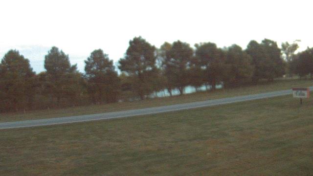
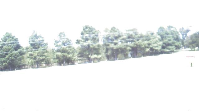
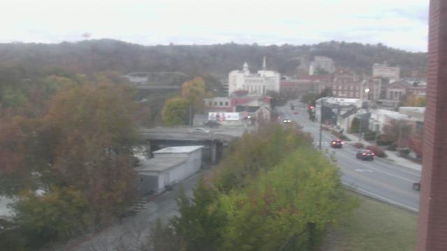
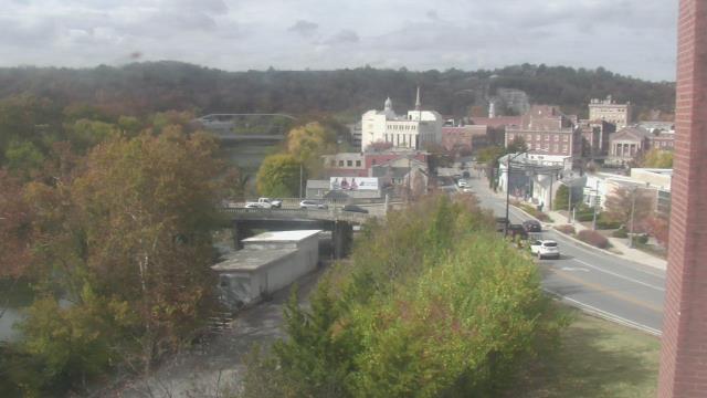
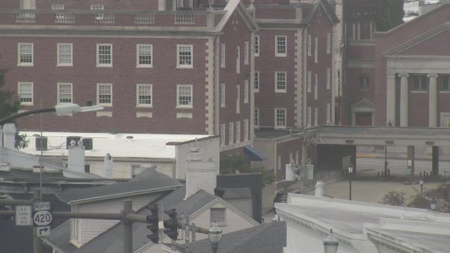
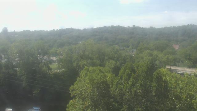
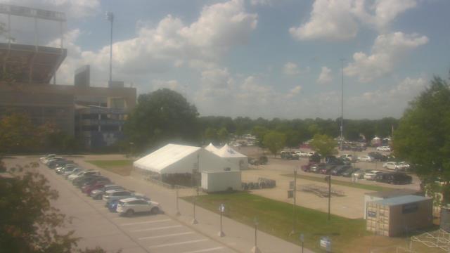
Madison, Tennessee, USA - 16.8 miles from Chestnut Orchard: St Joseph School - A webcam in Madison, Tennessee - camera location: St Joseph School.
Operator: WeatherBug
Operator: WeatherBug

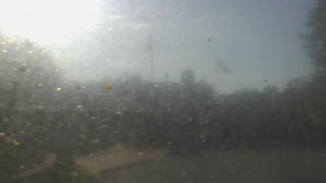
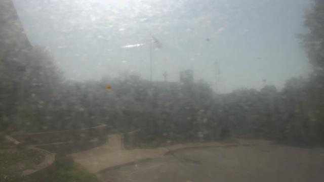
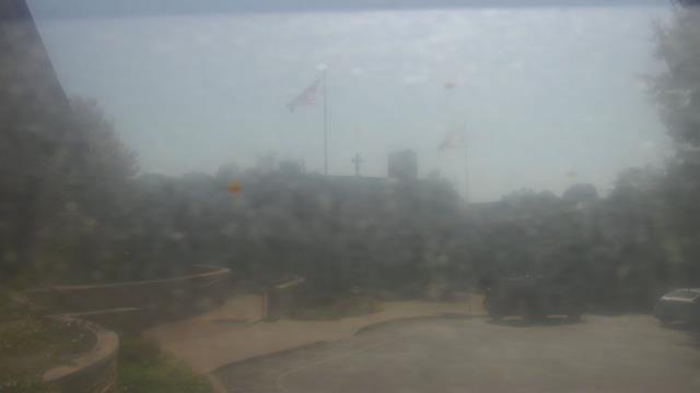
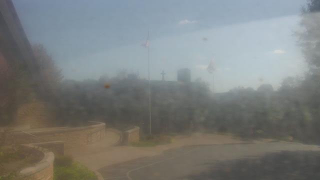
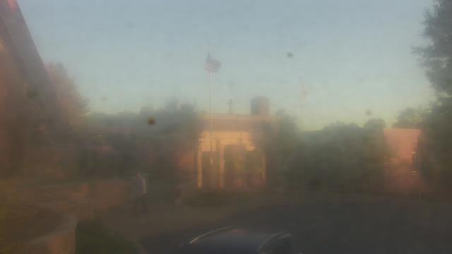


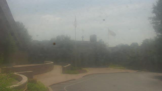
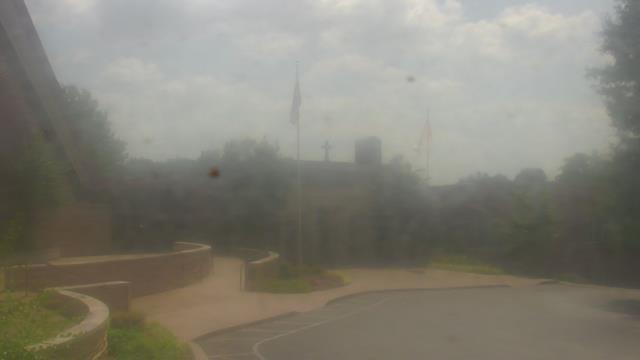
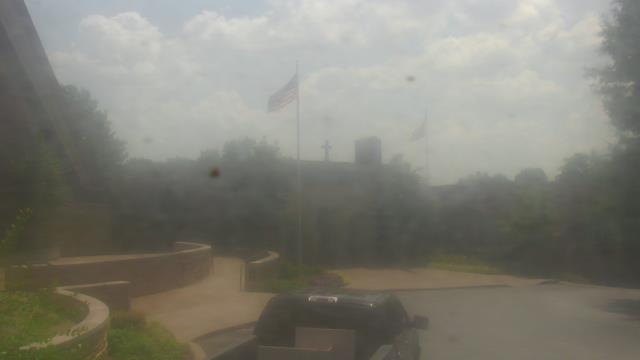
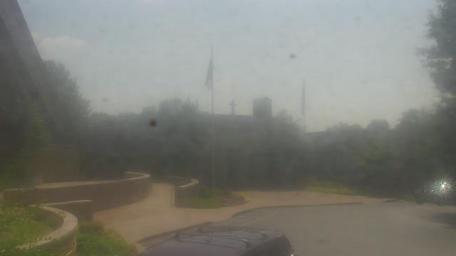
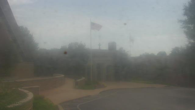
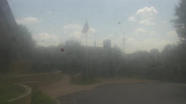
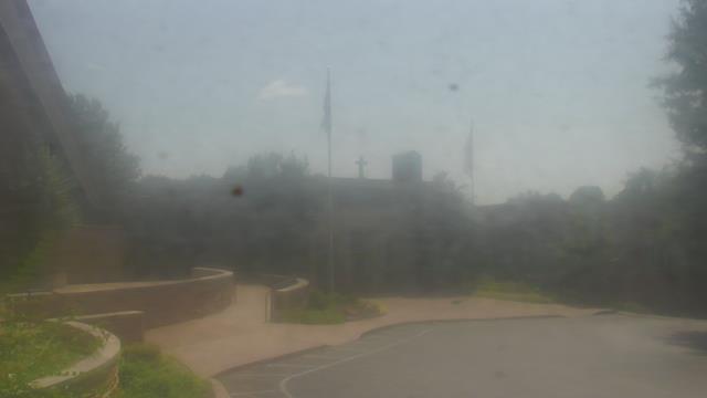

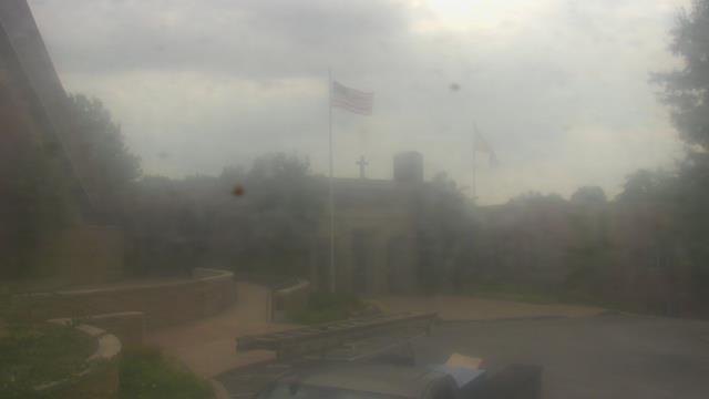
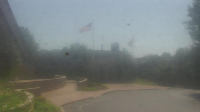
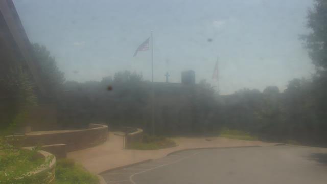
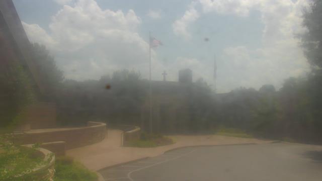
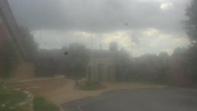
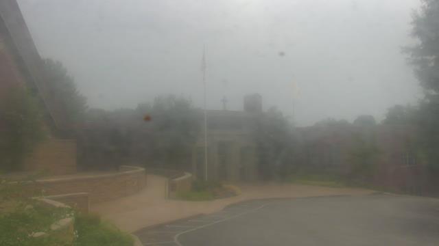
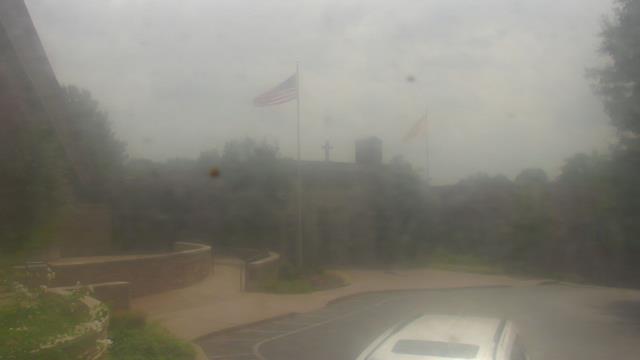
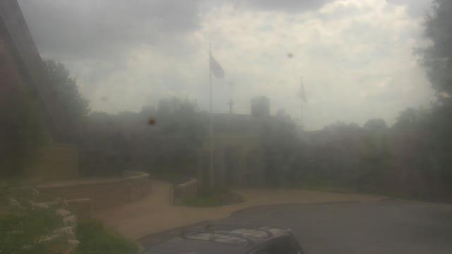
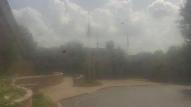
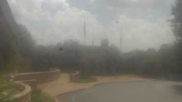
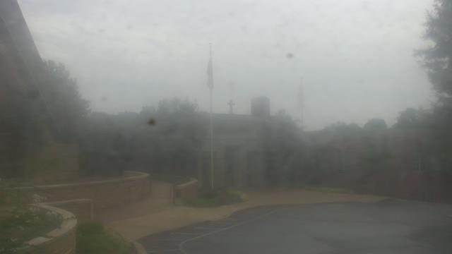
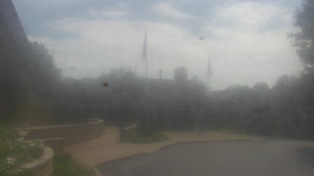
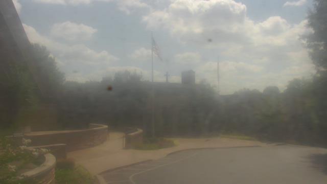


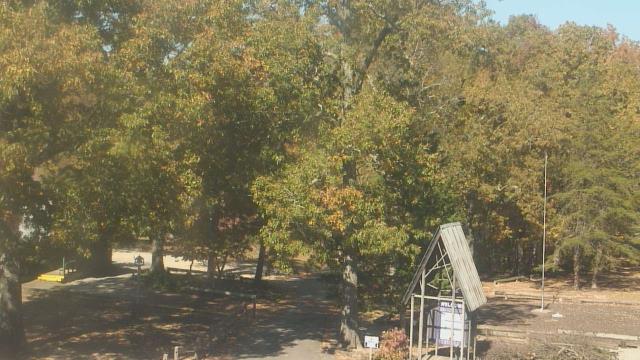
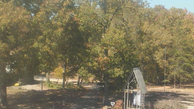
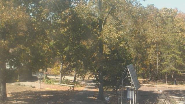
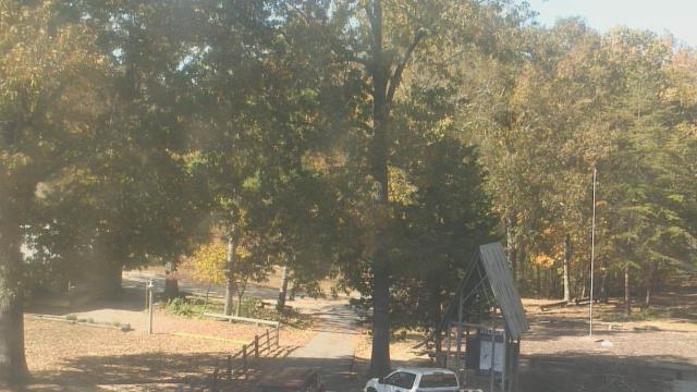
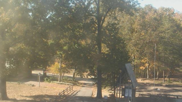
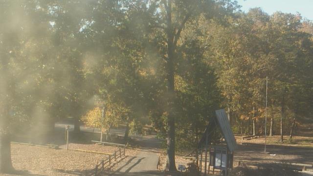
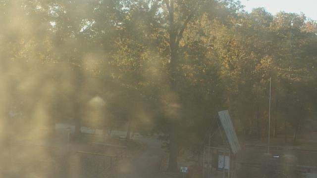
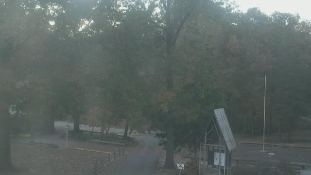
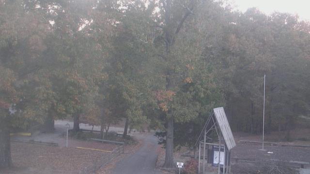
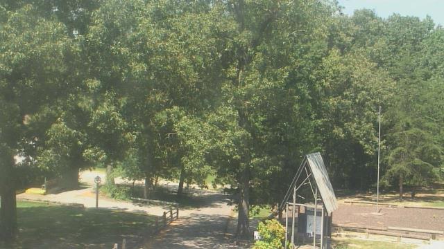
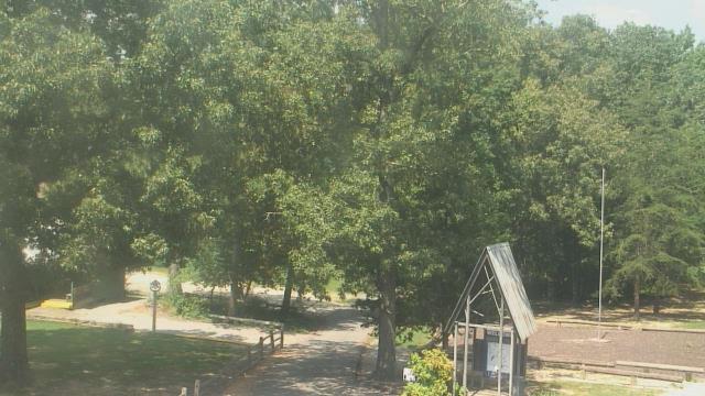
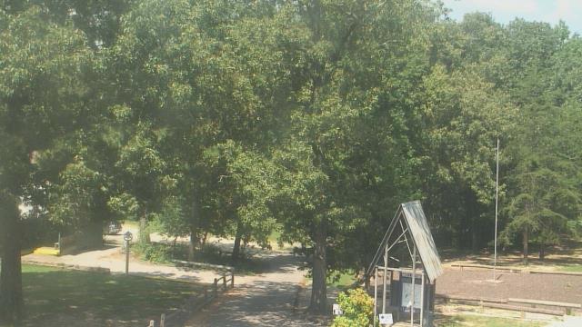
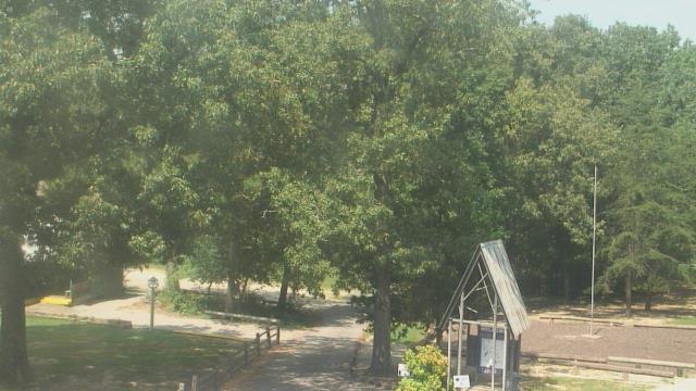
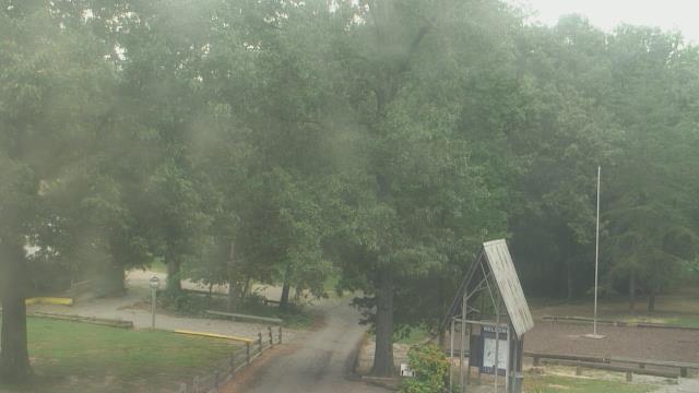
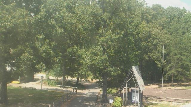
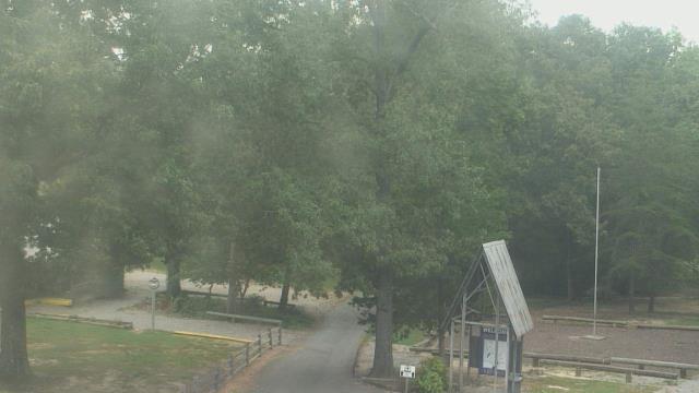
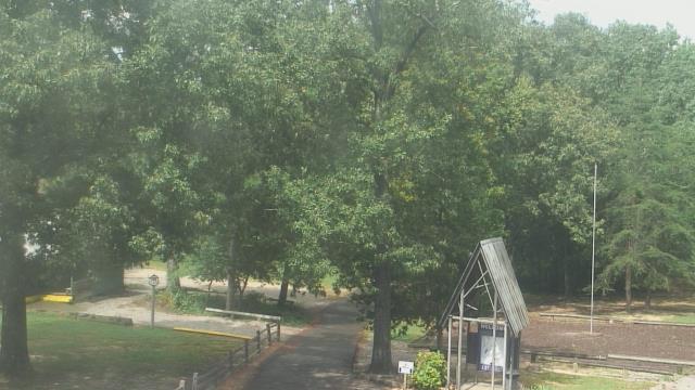
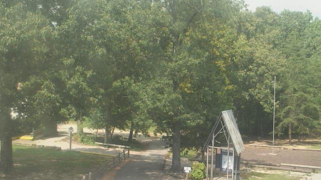
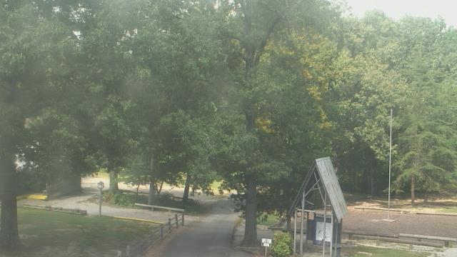
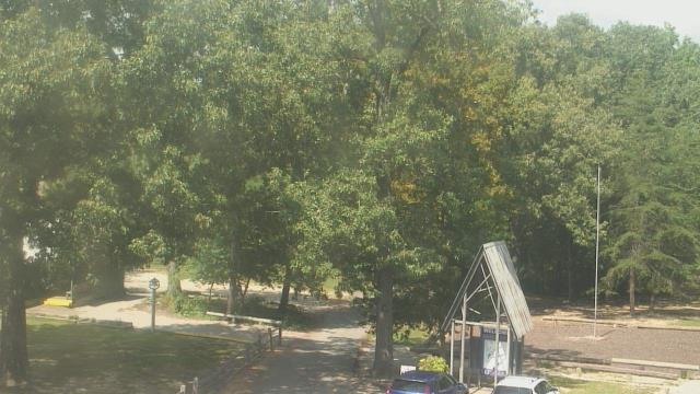
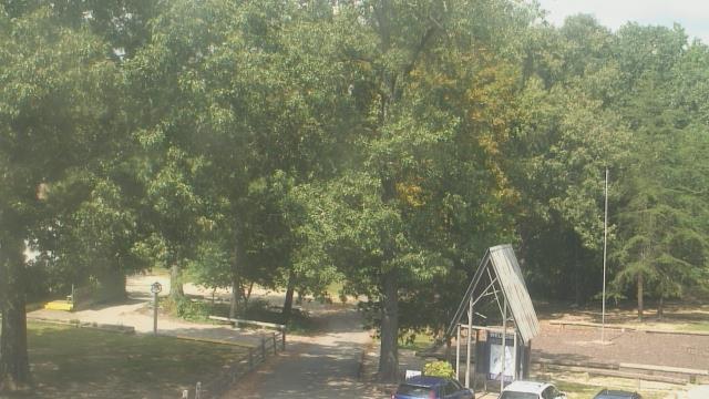
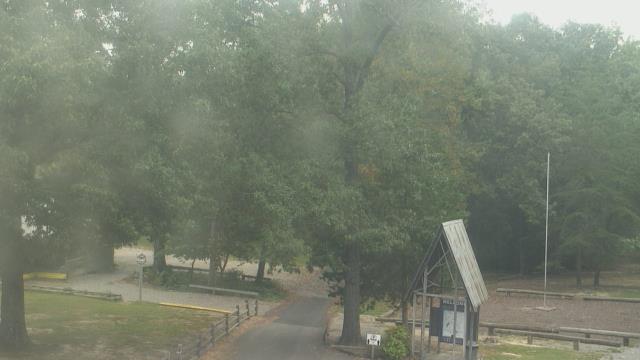
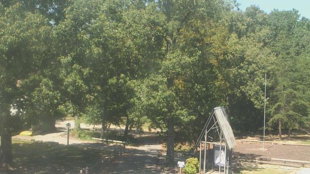
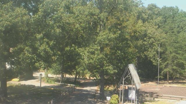
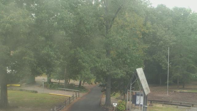
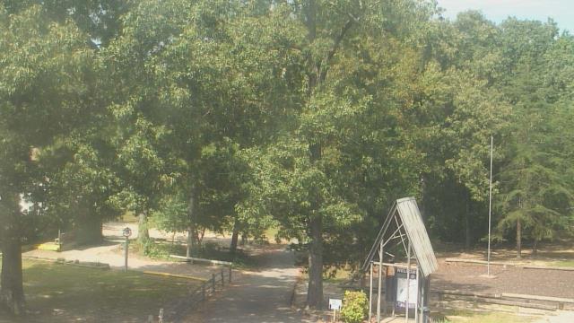
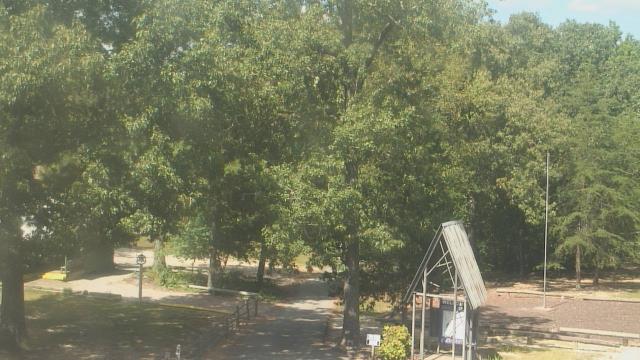
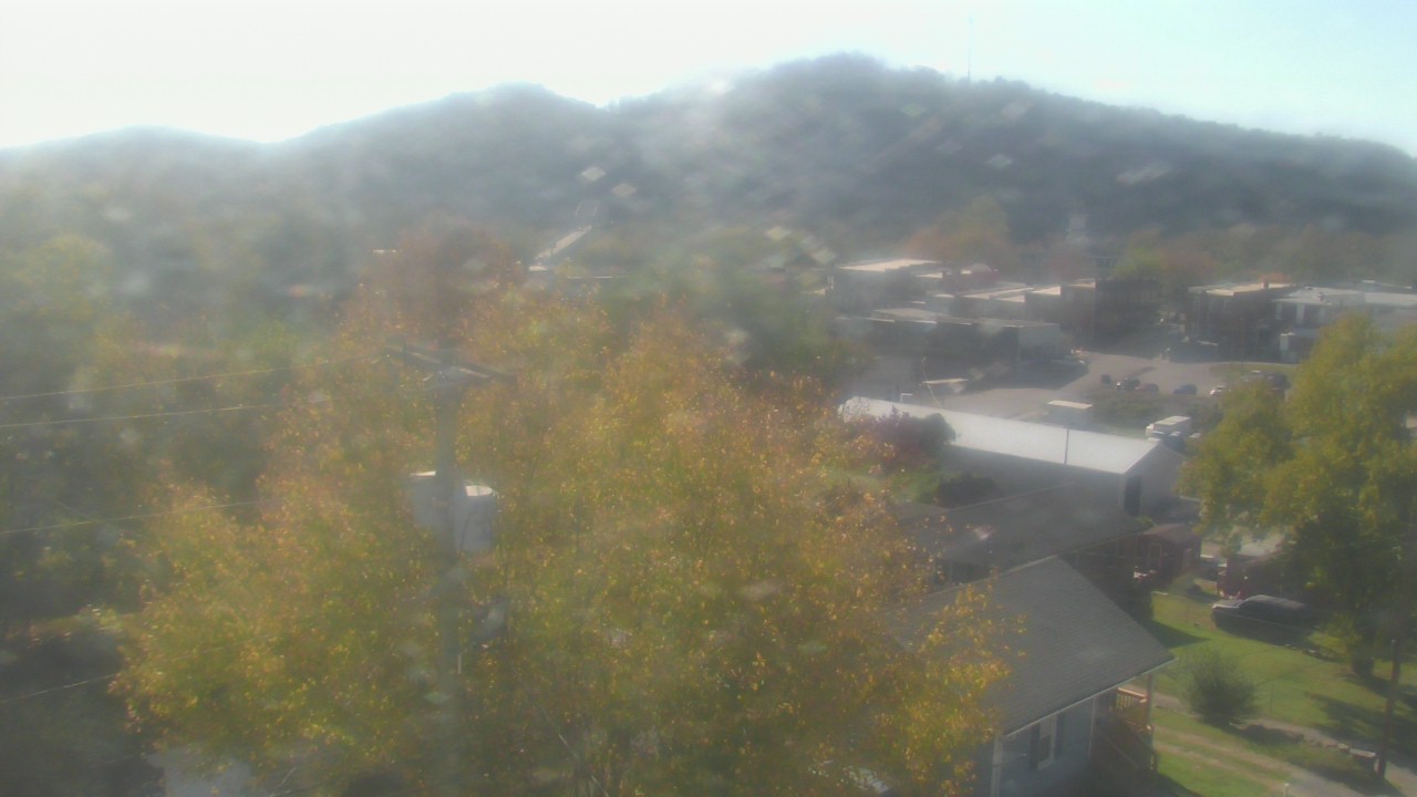
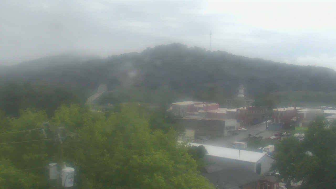
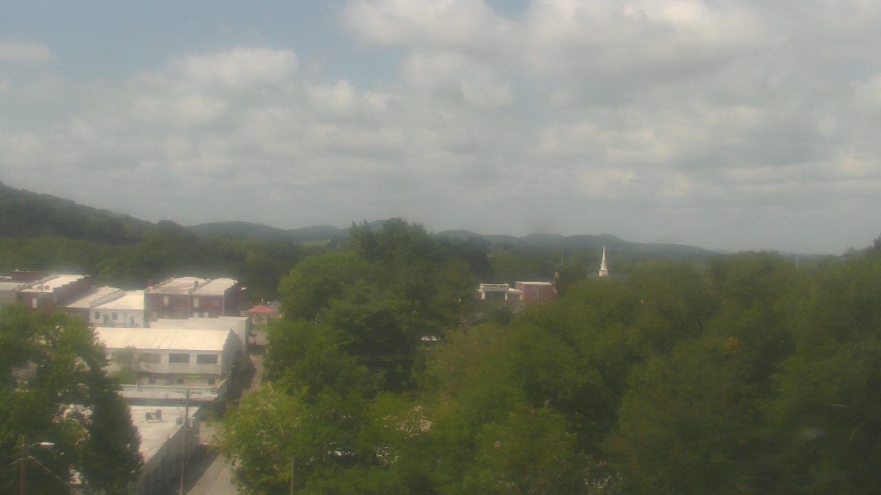
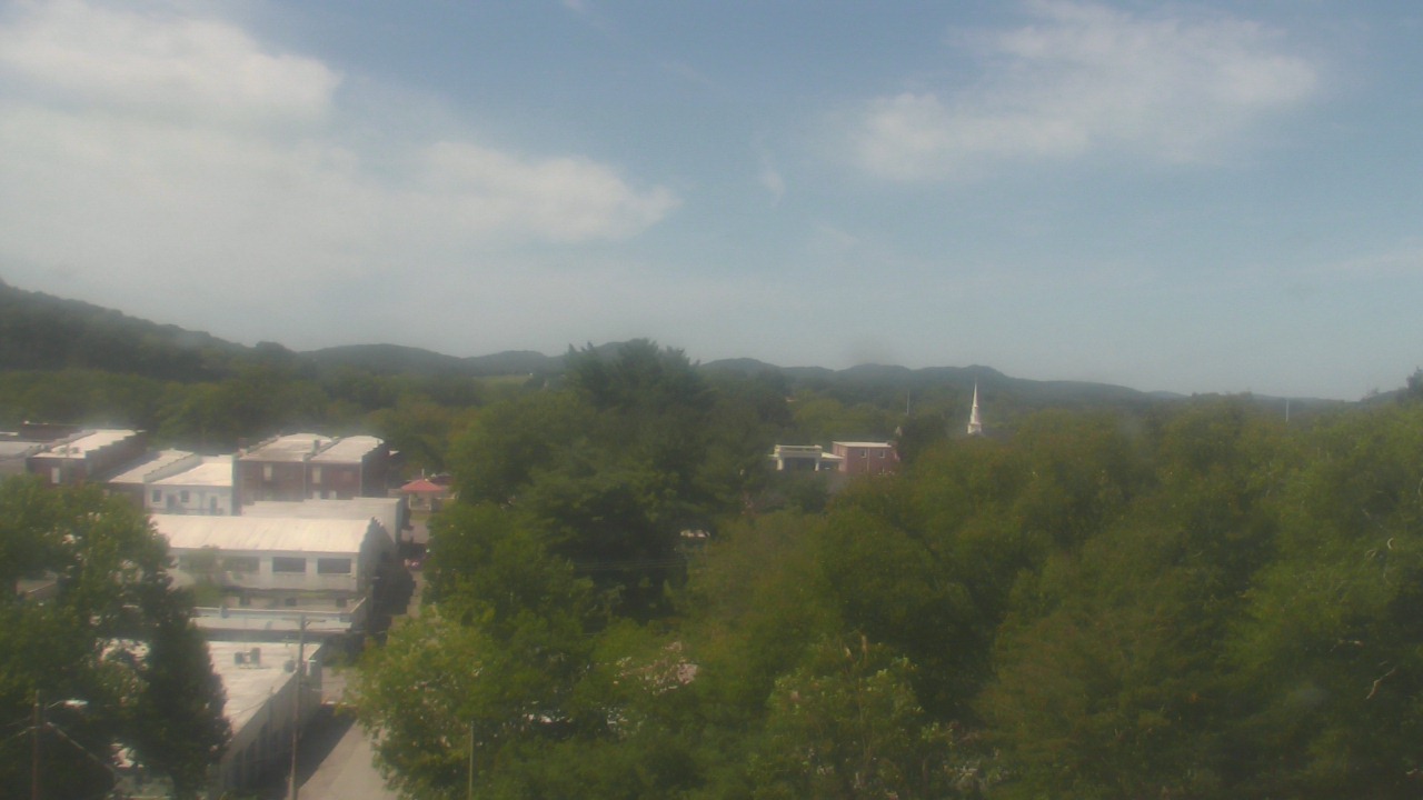
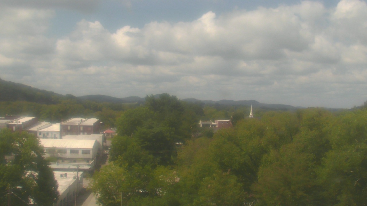
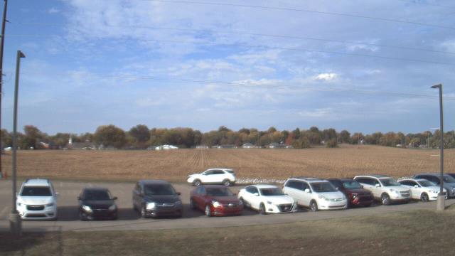
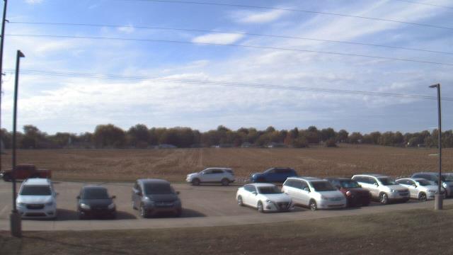
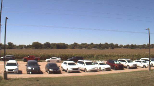
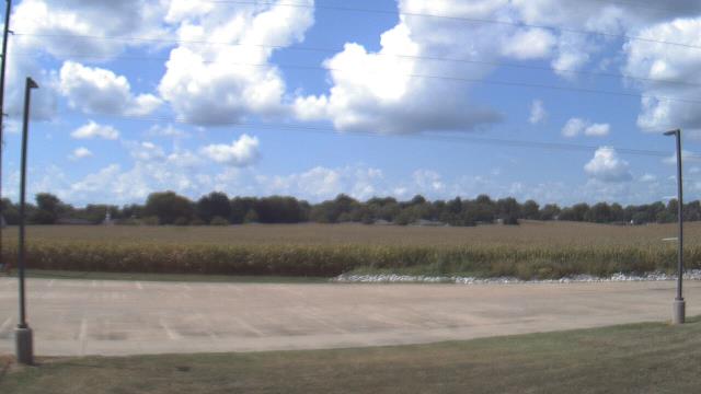
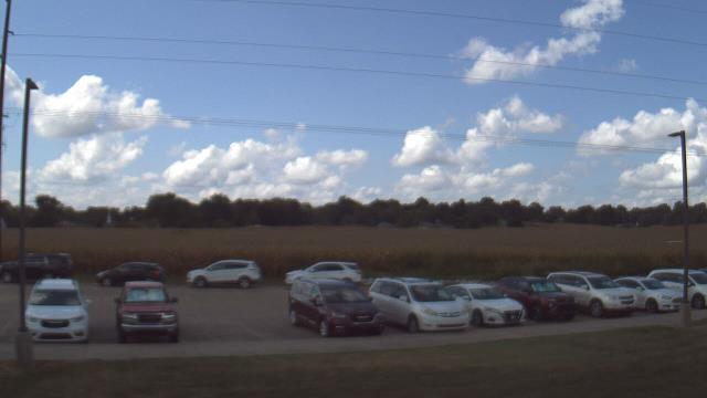
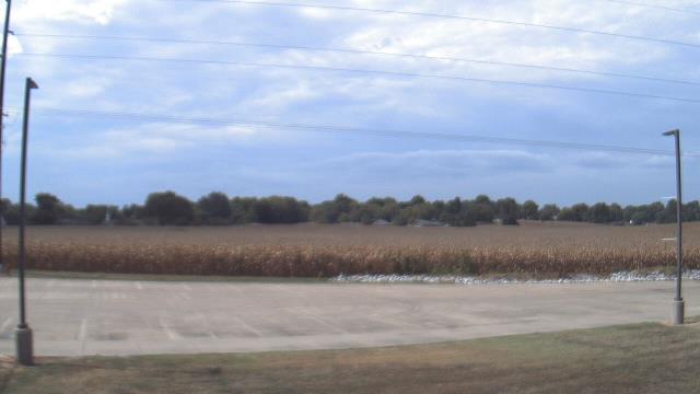
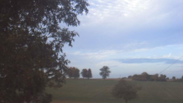
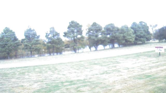
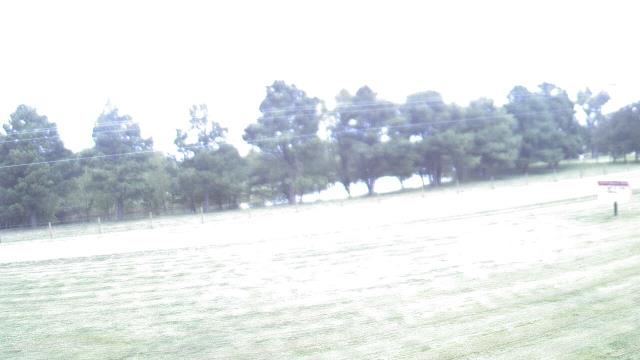
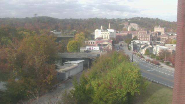
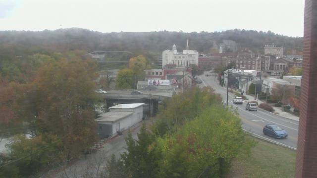
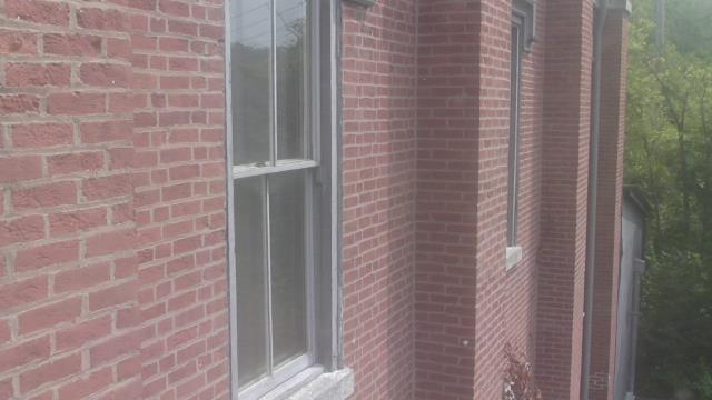
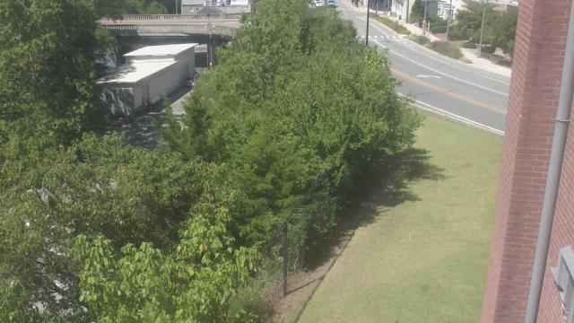
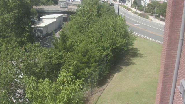
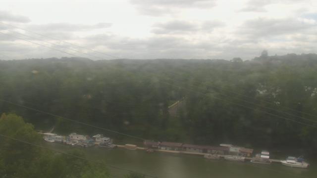
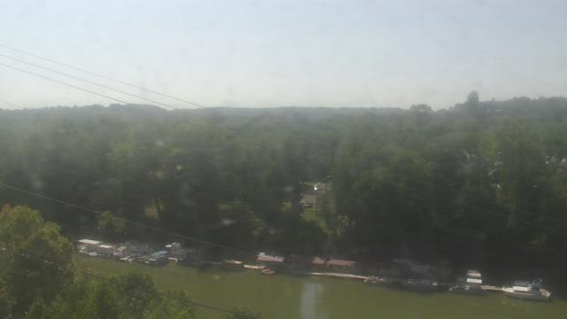
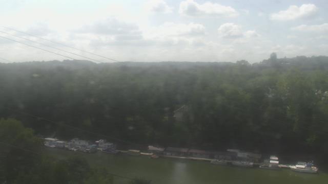
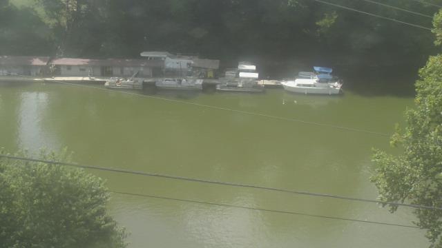
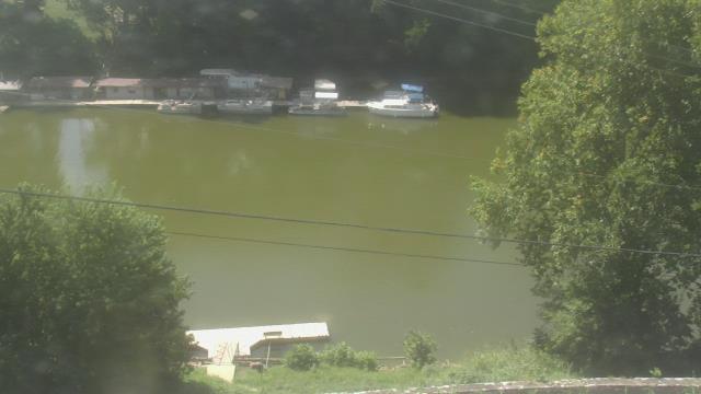
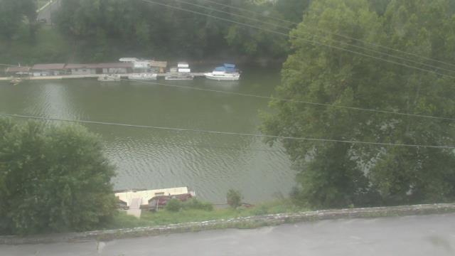
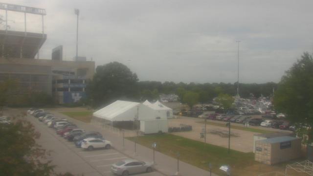
Fairview, Tennessee, USA - 35.1 miles from Chestnut Orchard: Camp Marymount - A webcam in Fairview, Tennessee - camera location: Camp Marymount.
Operator: WeatherBug
Operator: WeatherBug

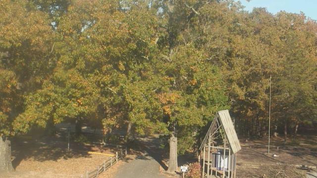
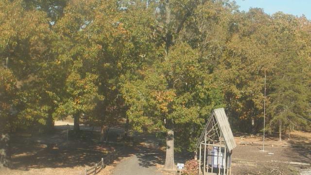


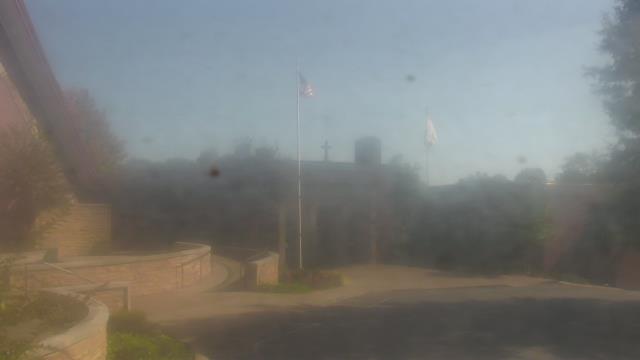
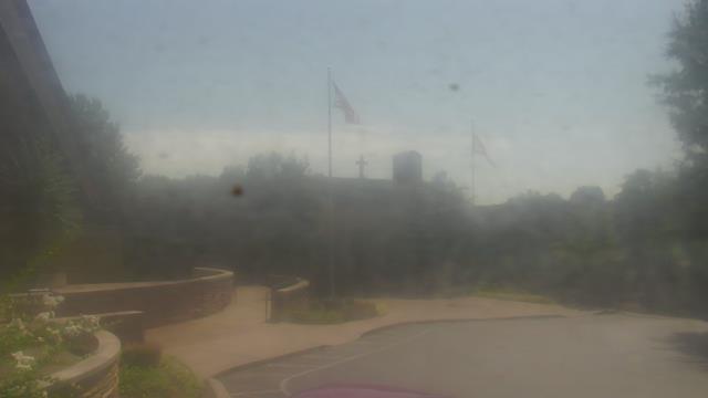
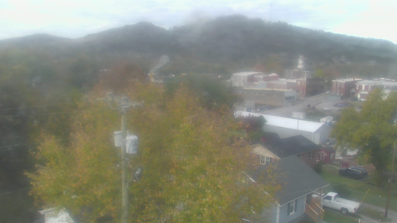
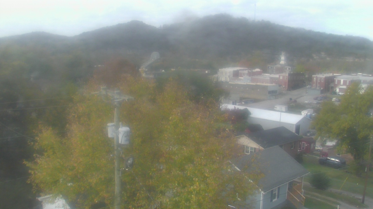
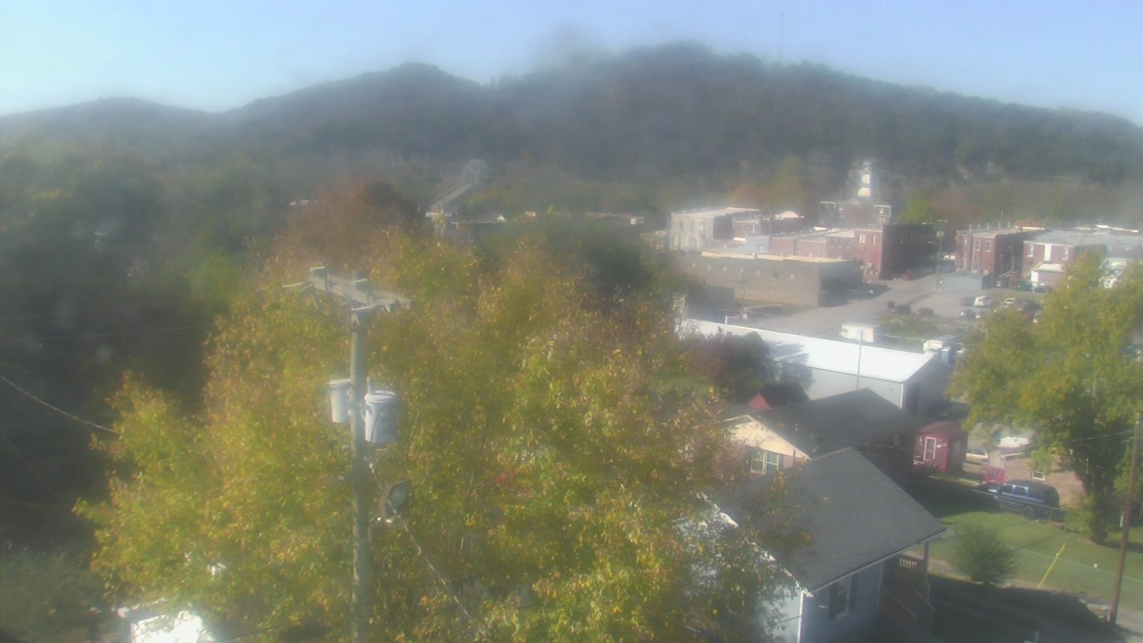
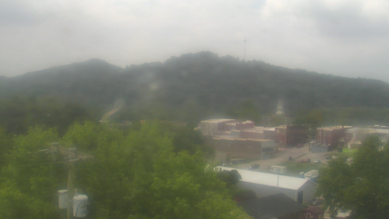
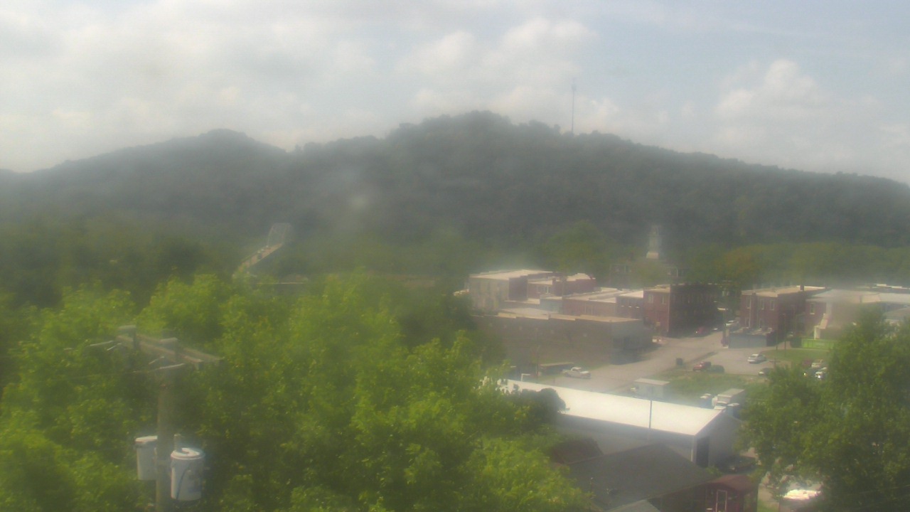
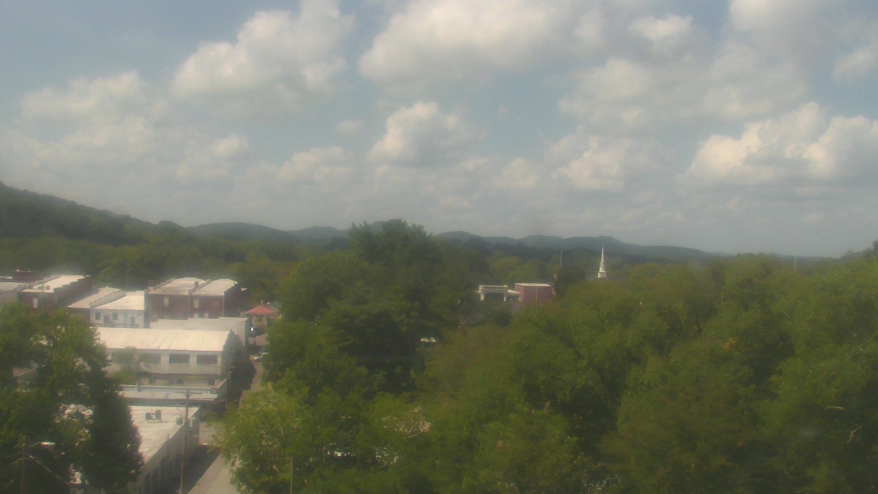
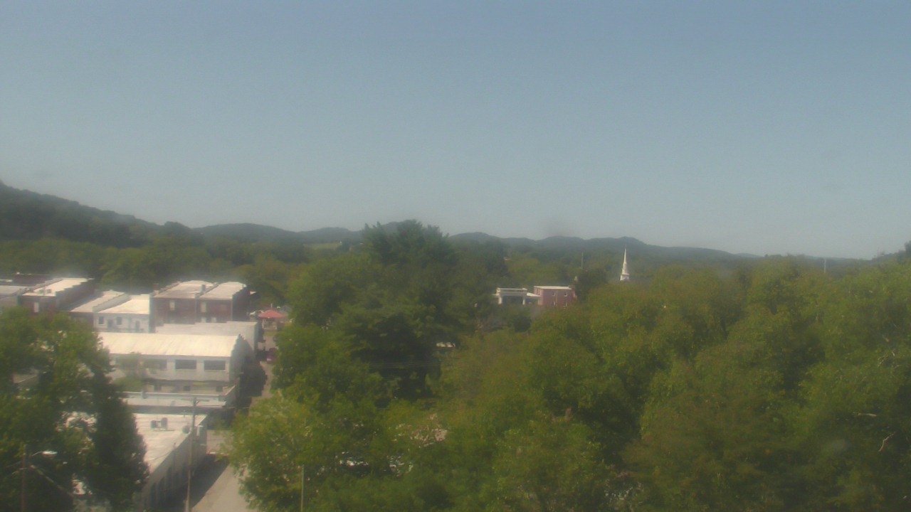
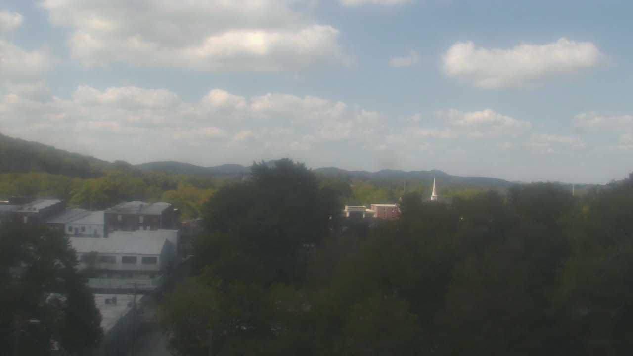
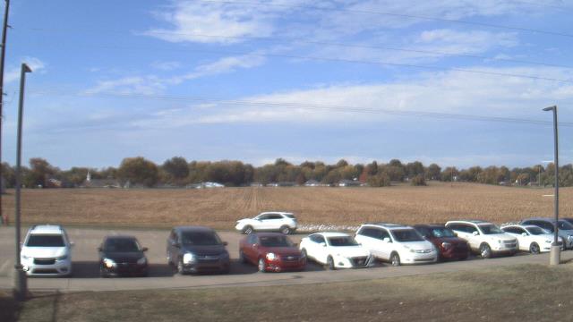
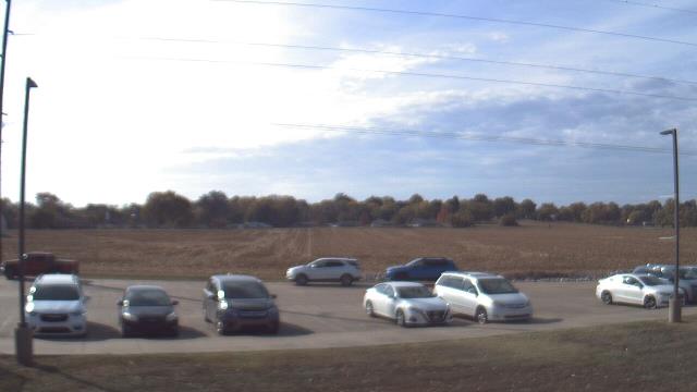
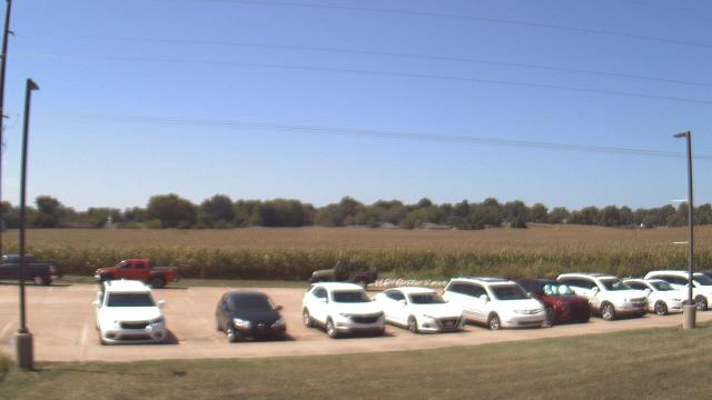
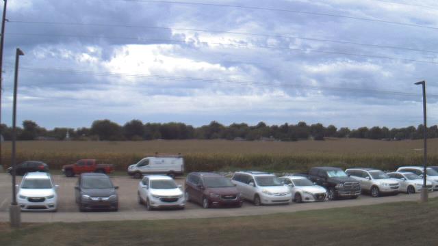
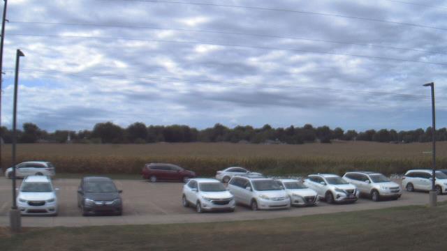
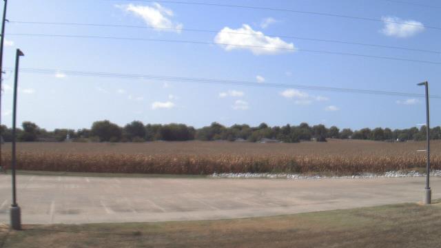
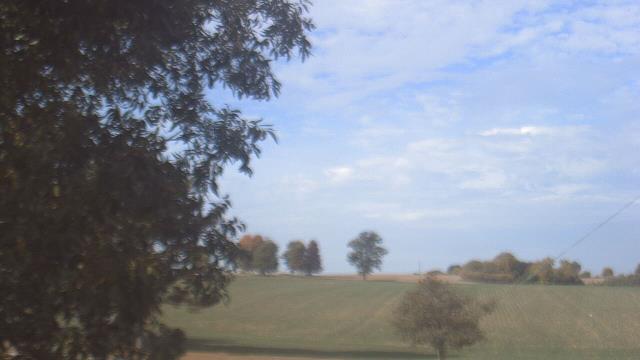
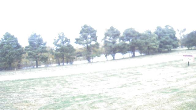
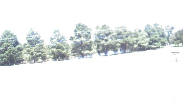
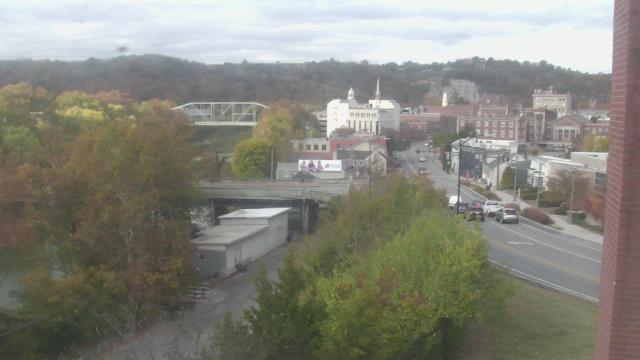
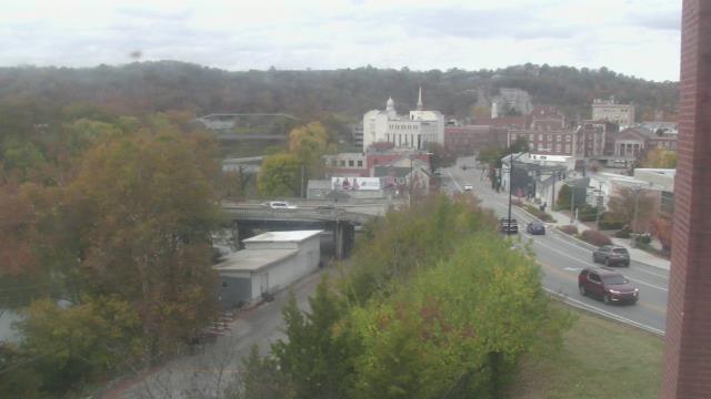
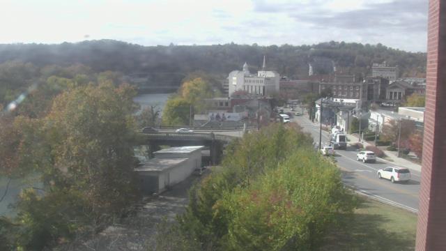
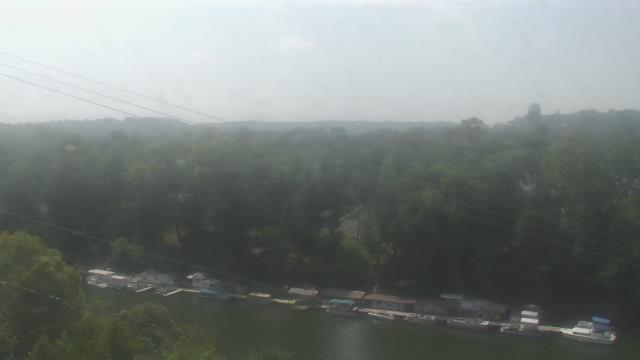
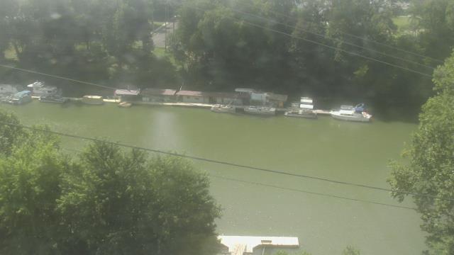
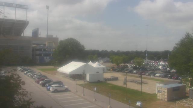
Carthage, Tennessee, USA - 54.4 miles from Chestnut Orchard: Smith County Chamber of Commerce - A webcam in Carthage, Tennessee - camera location: Smith County Chamber of Commerce.
Operator: WeatherBug
Operator: WeatherBug


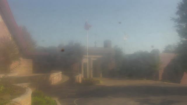
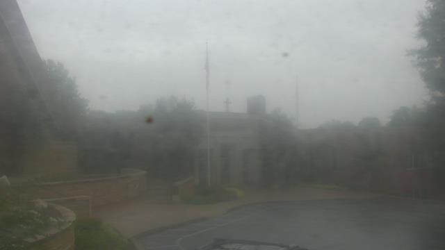
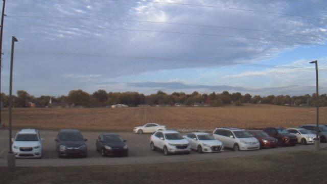
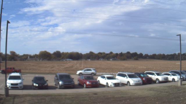
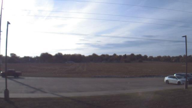
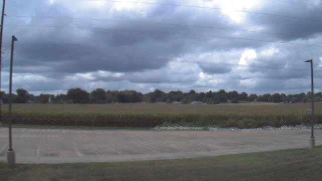
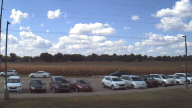
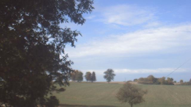
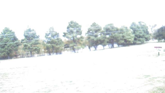
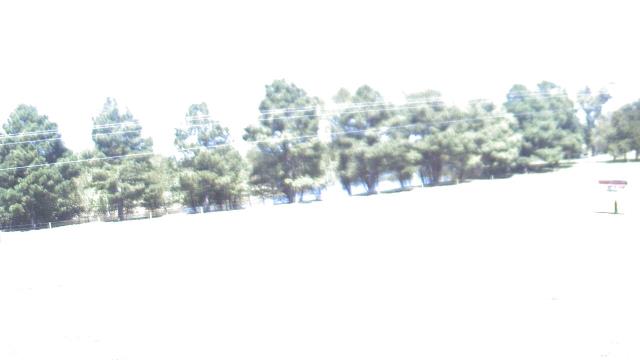
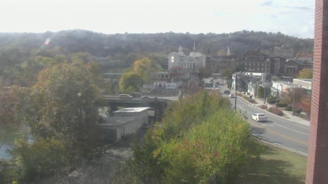
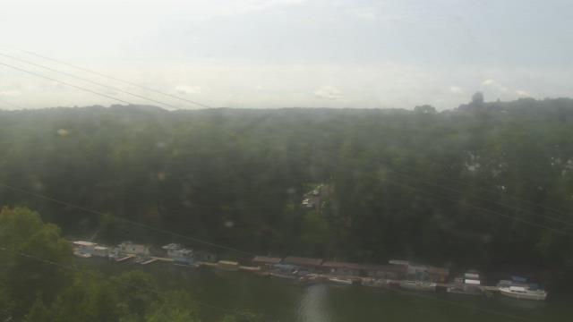
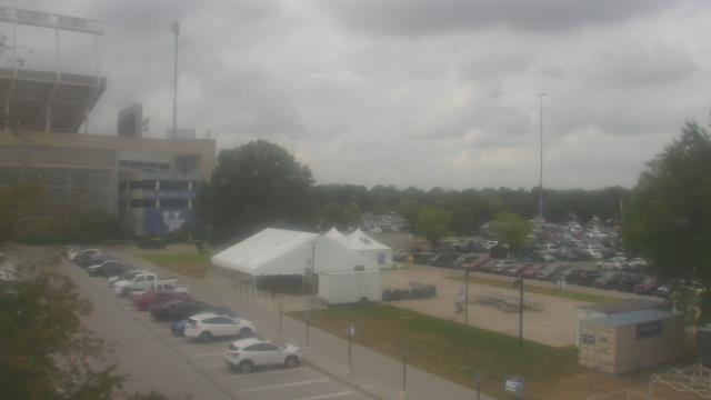
Mount Vernon, Indiana, USA - 116.2 miles from Chestnut Orchard: West Elementary School - A webcam in Mount Vernon, Indiana - camera location: West Elementary School.
Operator: WeatherBug
Operator: WeatherBug


Mount Vernon, Indiana, USA - 116.2 miles from Chestnut Orchard: Farmersville School - A webcam in Mount Vernon, Indiana - camera location: Farmersville School.
Operator: WeatherBug
Operator: WeatherBug


Pittsburg, Illinois, USA - 141.5 miles from Chestnut Orchard: Lincoln Elementary School - A webcam in Pittsburg, Illinois - camera location: Lincoln Elementary School.
Operator: WeatherBug
Operator: WeatherBug


Guntersville, Alabama, USA - 148.6 miles from Chestnut Orchard: Wyndham Garden Lake Guntersville - A webcam in Guntersville, Alabama - camera location: Wyndham Garden Lake Guntersville.
Operator: WeatherBug
Operator: WeatherBug


Frankfort, Kentucky, USA - 164 miles from Chestnut Orchard: Military History Museum - A webcam in Frankfort, Kentucky - camera location: Military History Museum.
Operator: WeatherBug
Operator: WeatherBug


Mount Vernon, Illinois, USA - 169.6 miles from Chestnut Orchard: Holiday Inn Mt. Vernon - A webcam in Mount Vernon, Illinois - camera location: Holiday Inn Mt. Vernon.
Operator: WeatherBug
Operator: WeatherBug


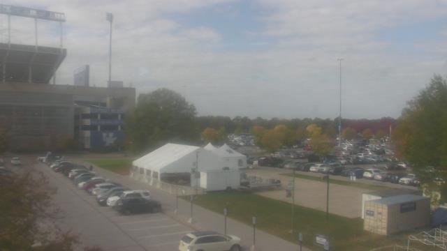
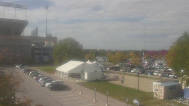
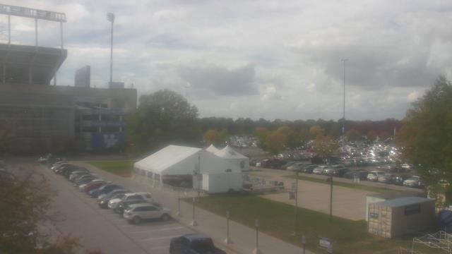
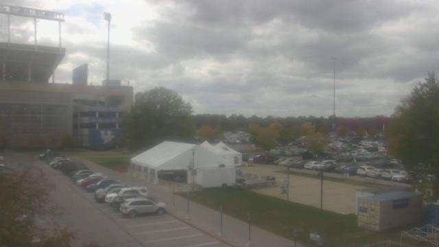
Lexington, Kentucky, USA - 171.1 miles from Chestnut Orchard: Bluegrass Community & Technical College - A webcam in Lexington, Kentucky - camera location: Bluegrass Community & Technical College.
Operator: WeatherBug
Operator: WeatherBug


Some other places in this country: Richland Trace Subdivision - Smith Subdivision - Cedar Bluff - New Hope - Peaceful Acres - Laws Hill - Crosby - Elm Springs - Meadow Branch - Oakland