Webcams in the region of Potato Creek, South Dakota, USA
The List of Webcams near Potato Creek, South Dakota, USA:

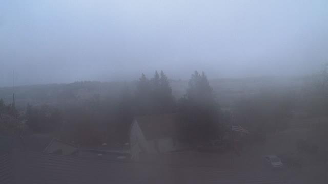
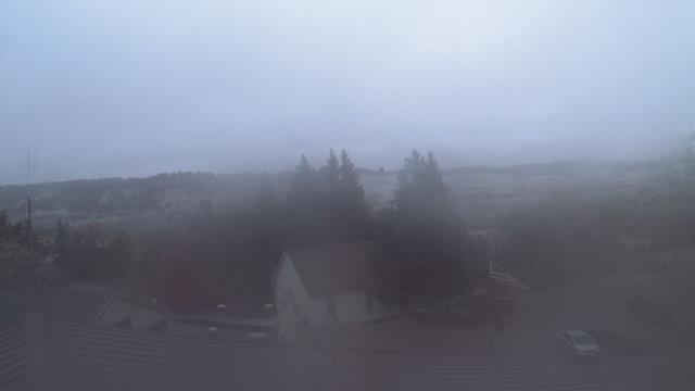
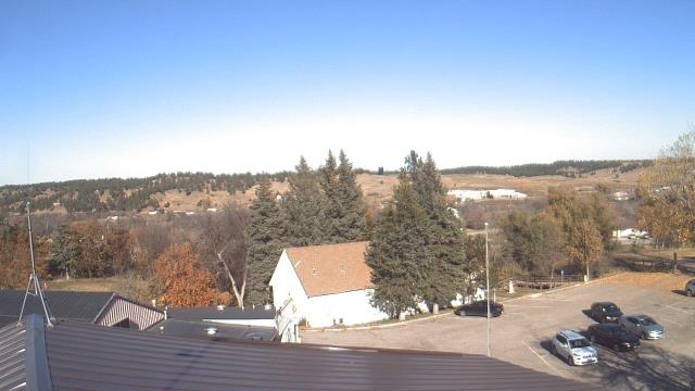
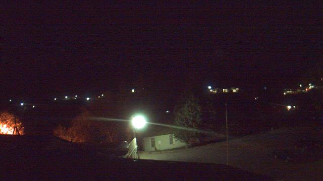
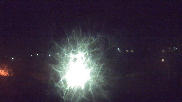
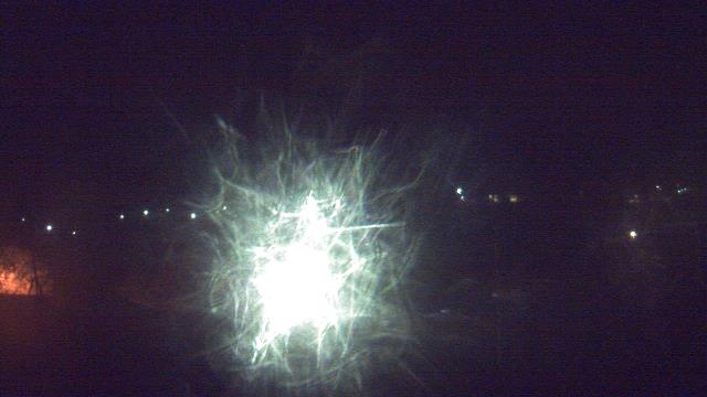
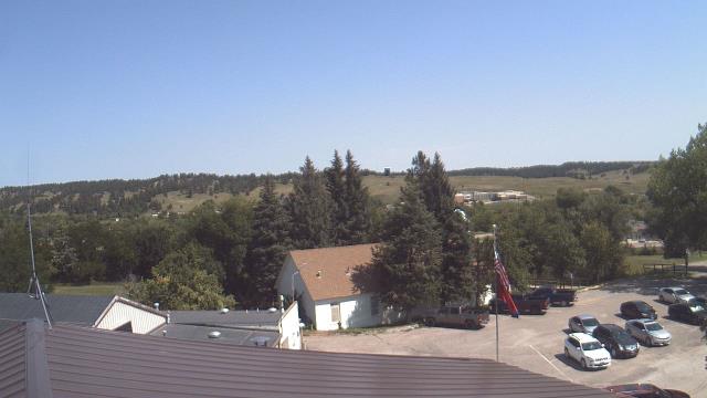
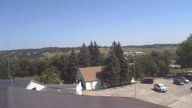
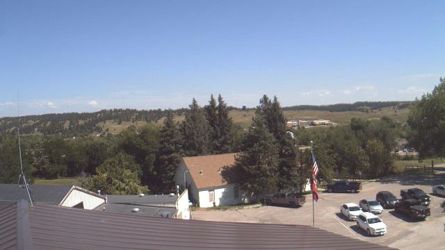
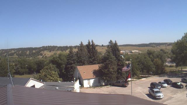
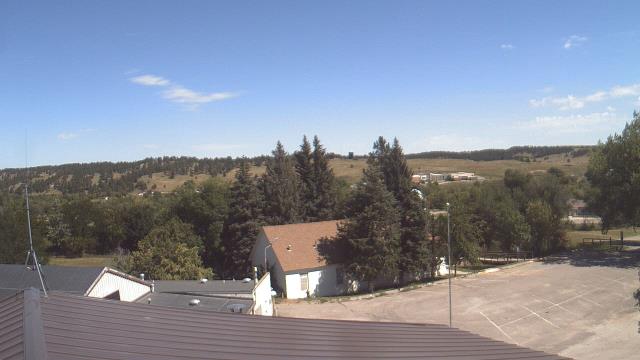
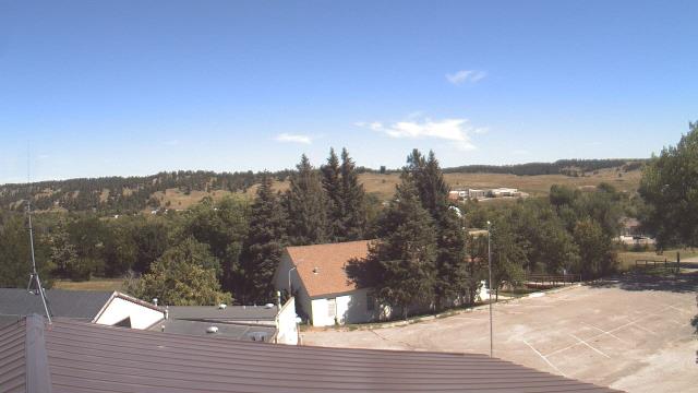
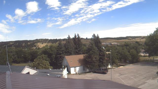
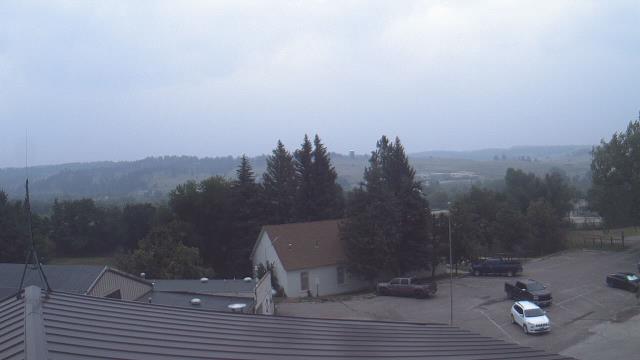
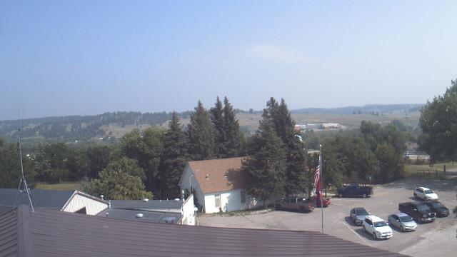
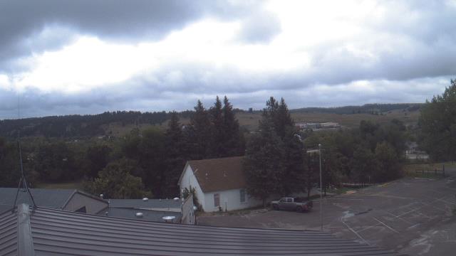
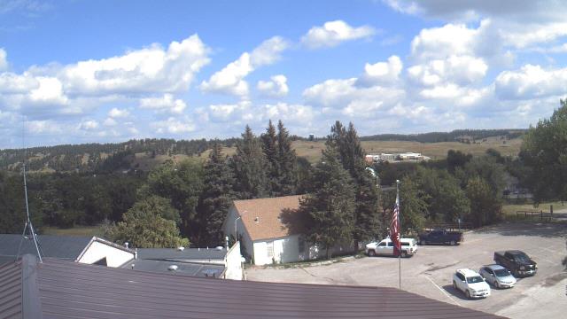
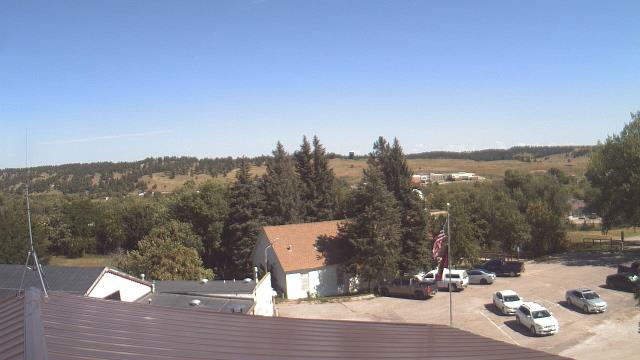
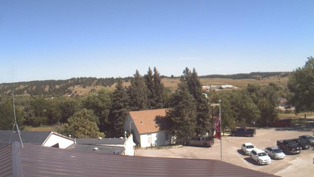
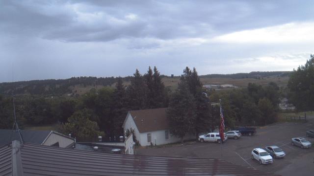
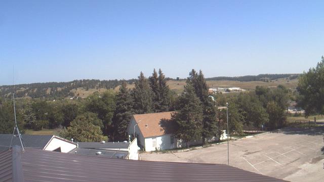
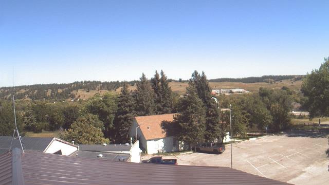
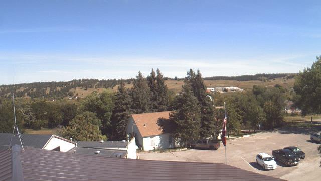
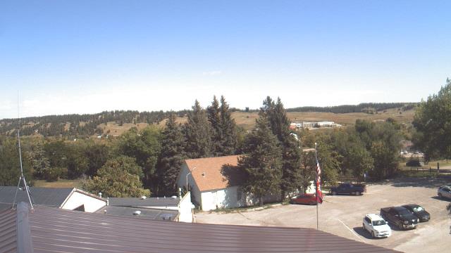
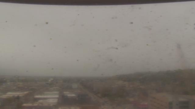
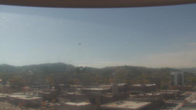
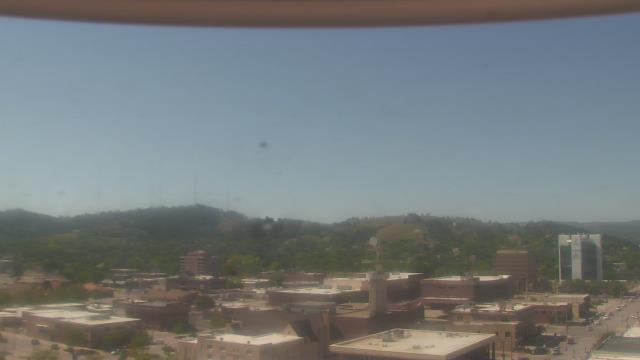
Porcupine, South Dakota, USA - 26.5 miles from Potato Creek: Our Lady of Lourdes Elementary - A webcam in Porcupine, South Dakota - camera location: Our Lady of Lourdes Elementary.
Operator: WeatherBug
Operator: WeatherBug

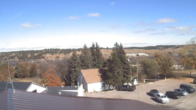
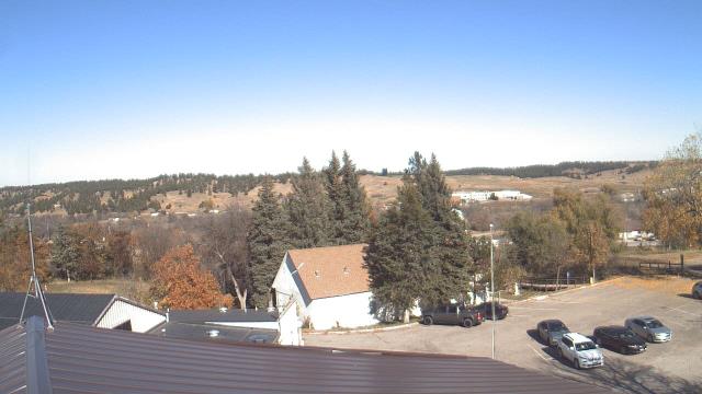
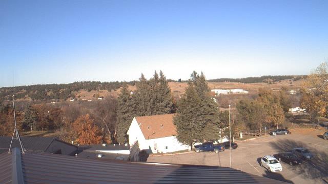

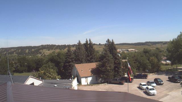
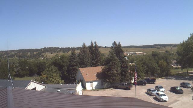
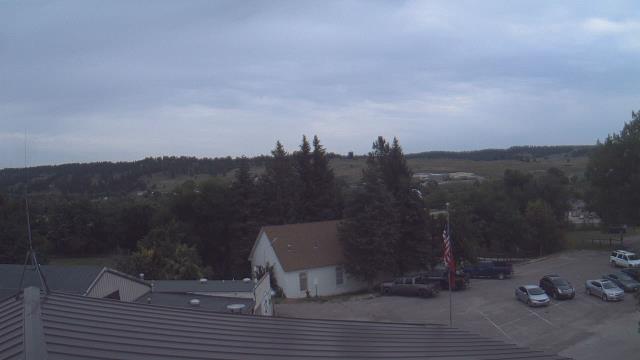

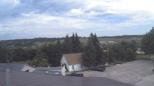
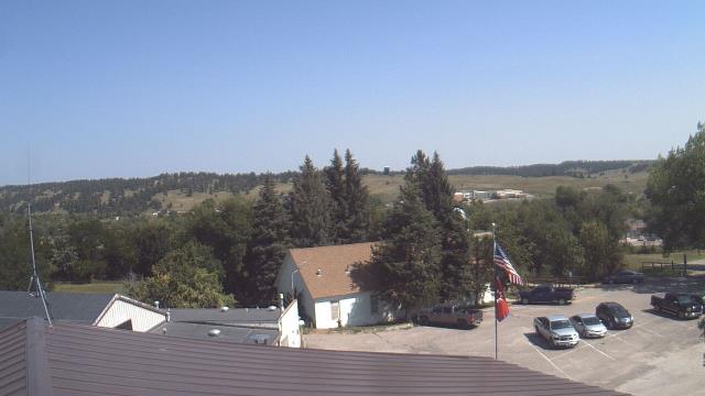

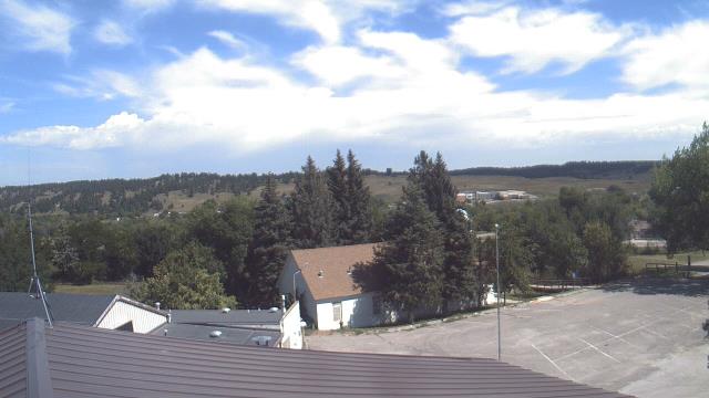
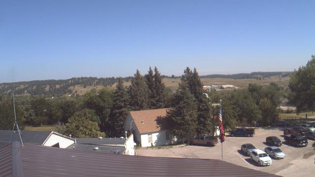


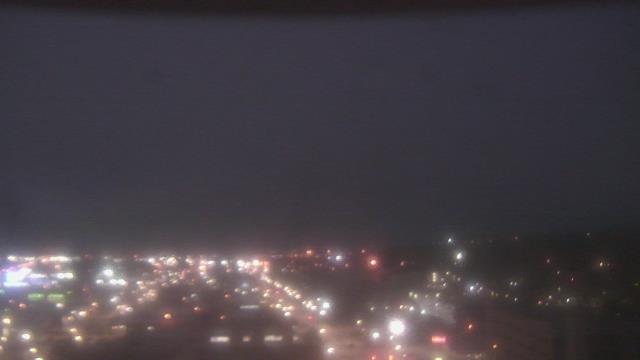
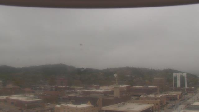
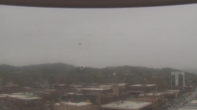
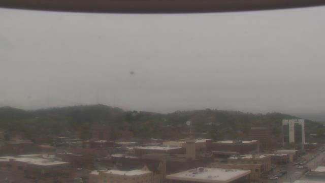
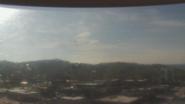
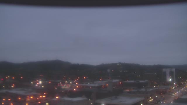
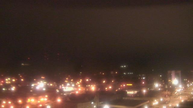
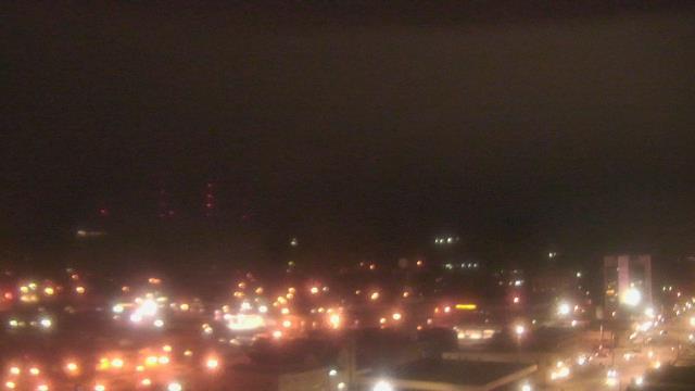
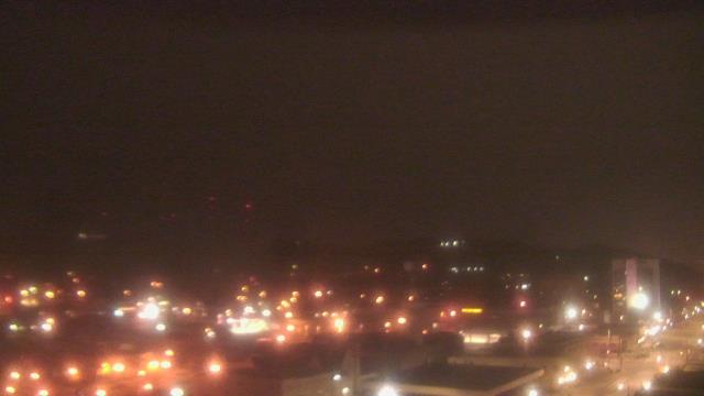
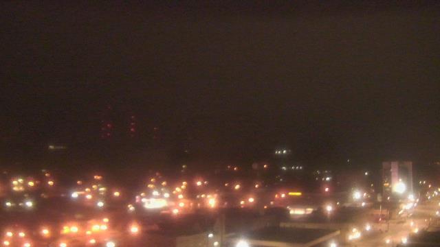
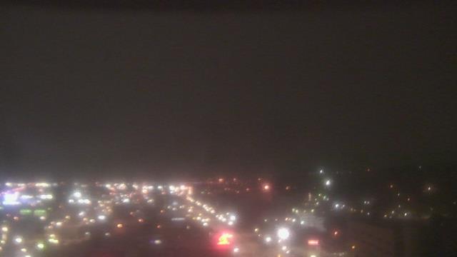
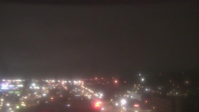
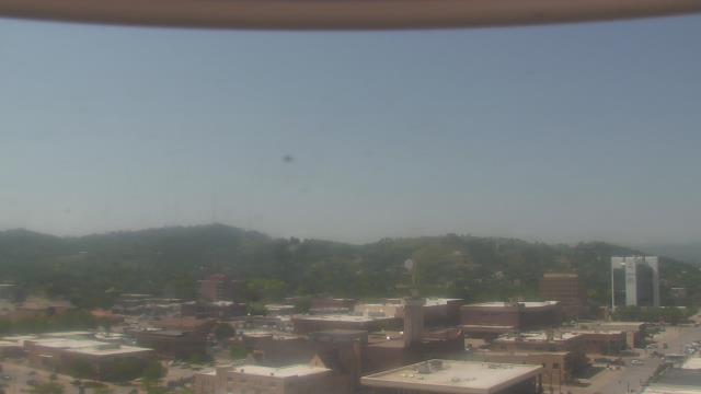
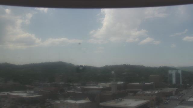
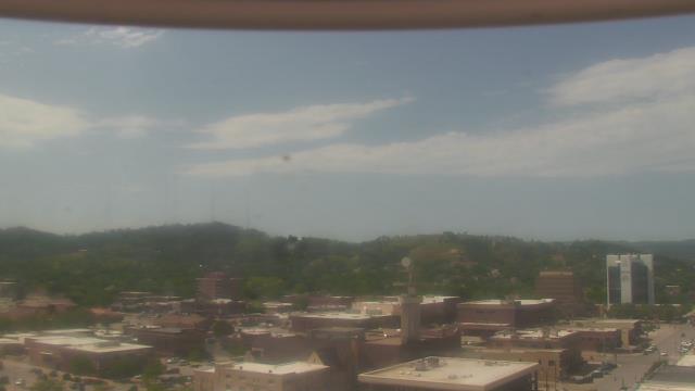
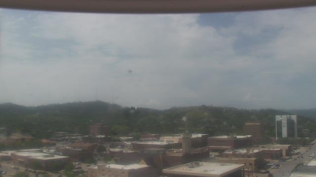
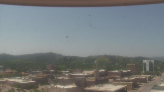
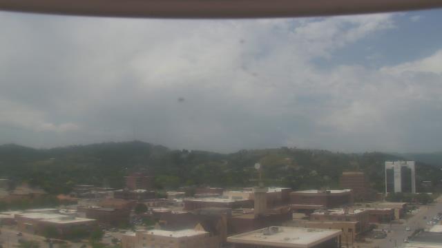
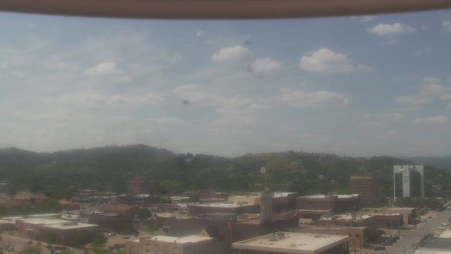
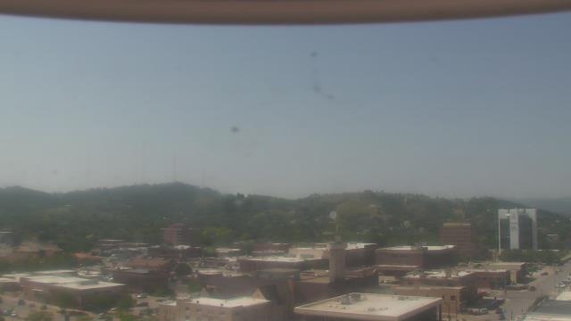
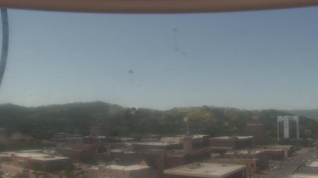
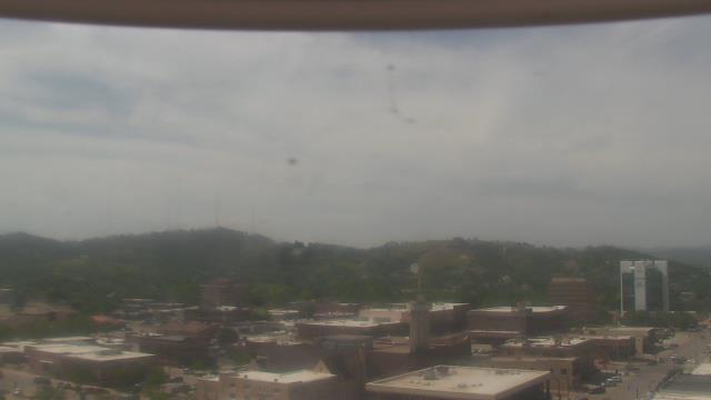
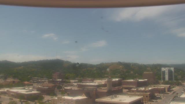
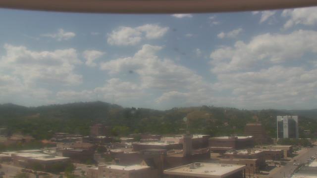
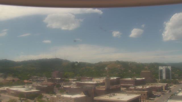
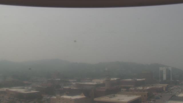
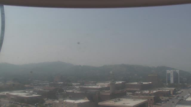
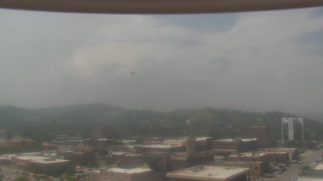
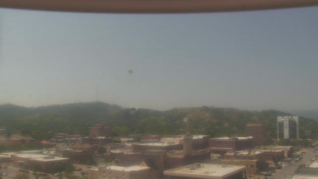
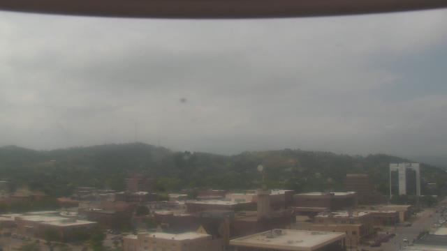
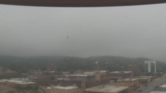
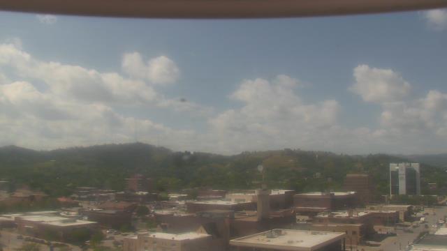
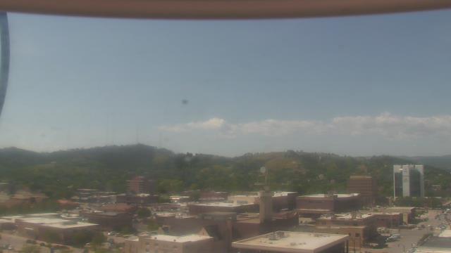
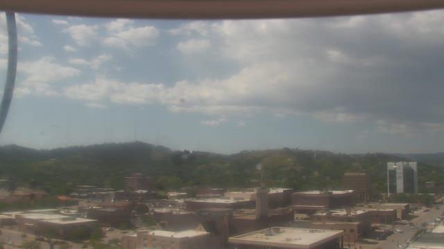
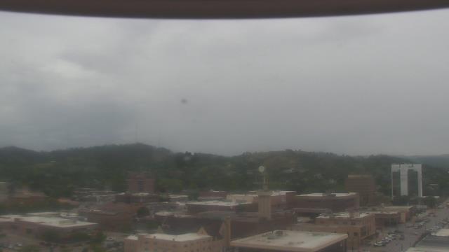
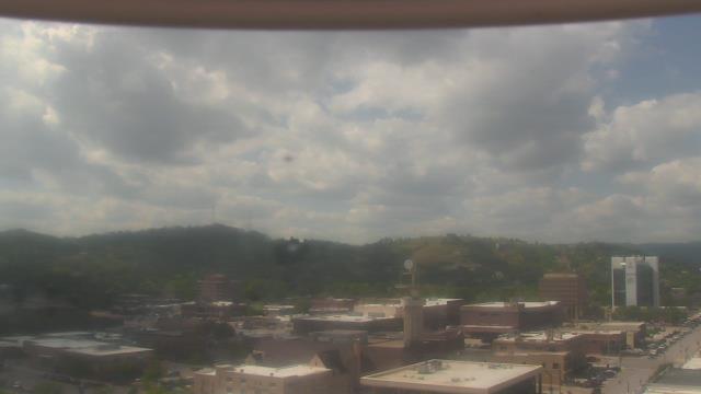
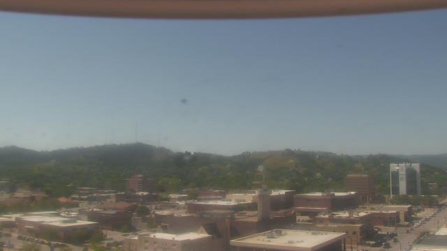
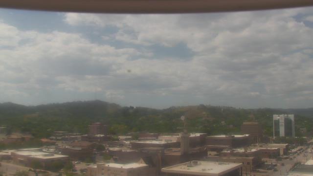
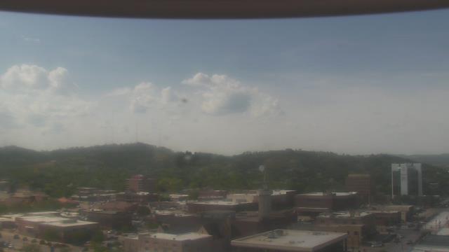
Rapid City, South Dakota, USA - 72.5 miles from Potato Creek: KOTA-TV - A webcam in Rapid City, South Dakota - camera location: KOTA-TV.
Operator: WeatherBug
Operator: WeatherBug

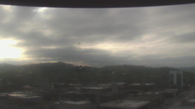
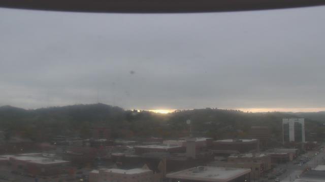


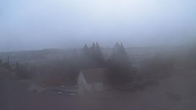
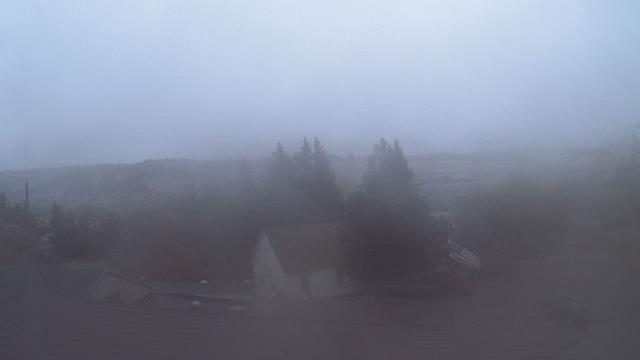
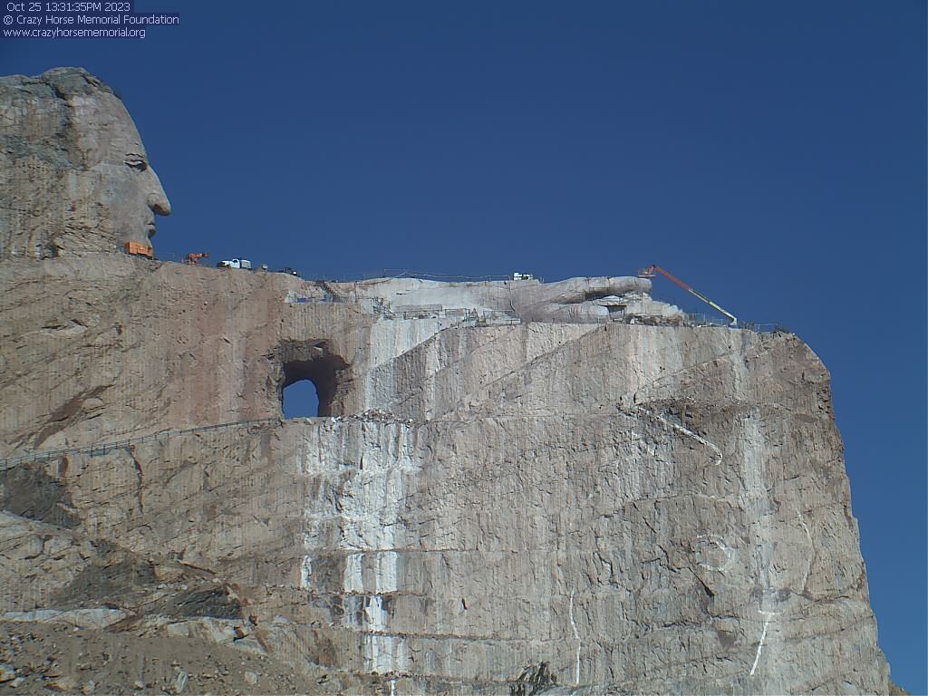
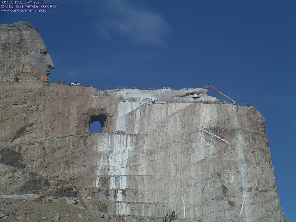
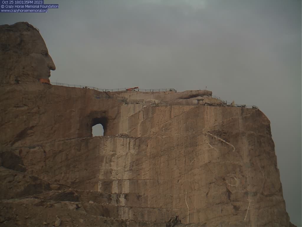
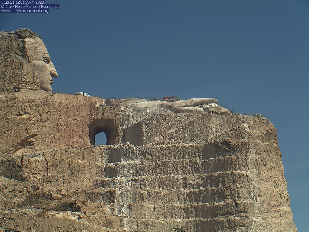
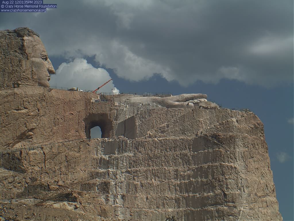
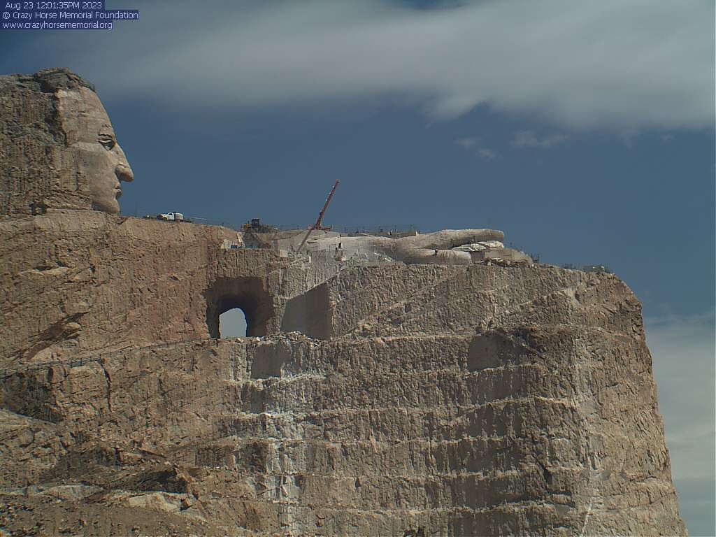
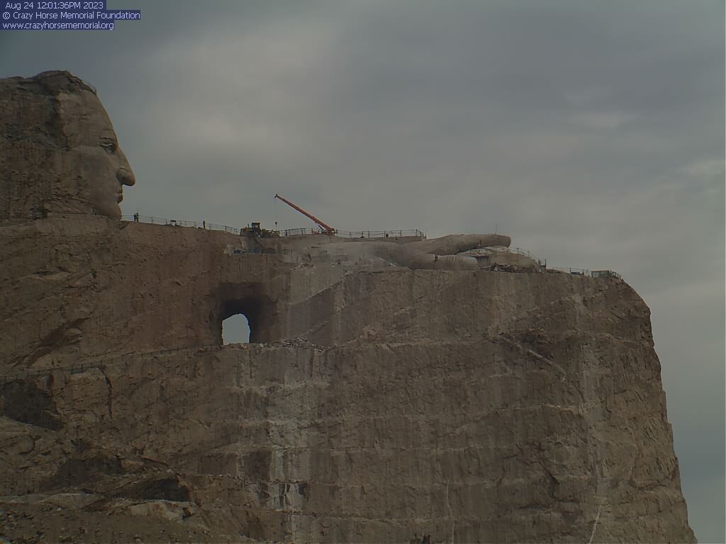
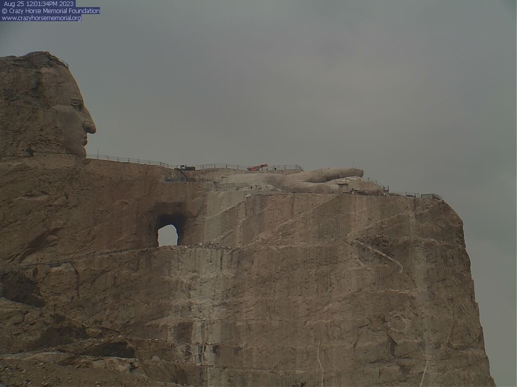
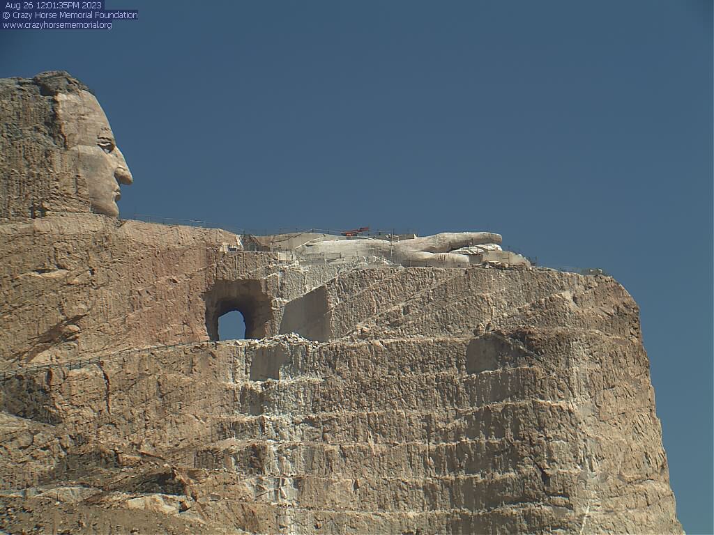
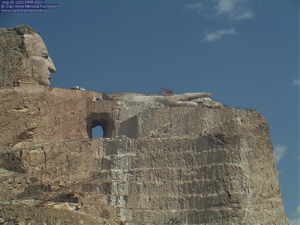
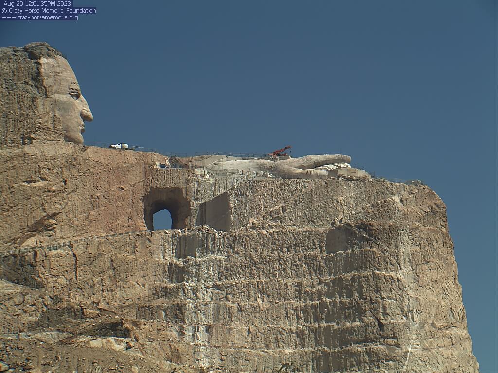
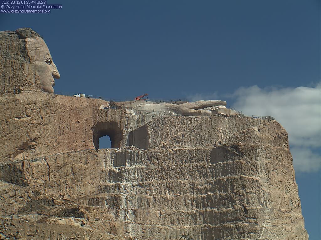
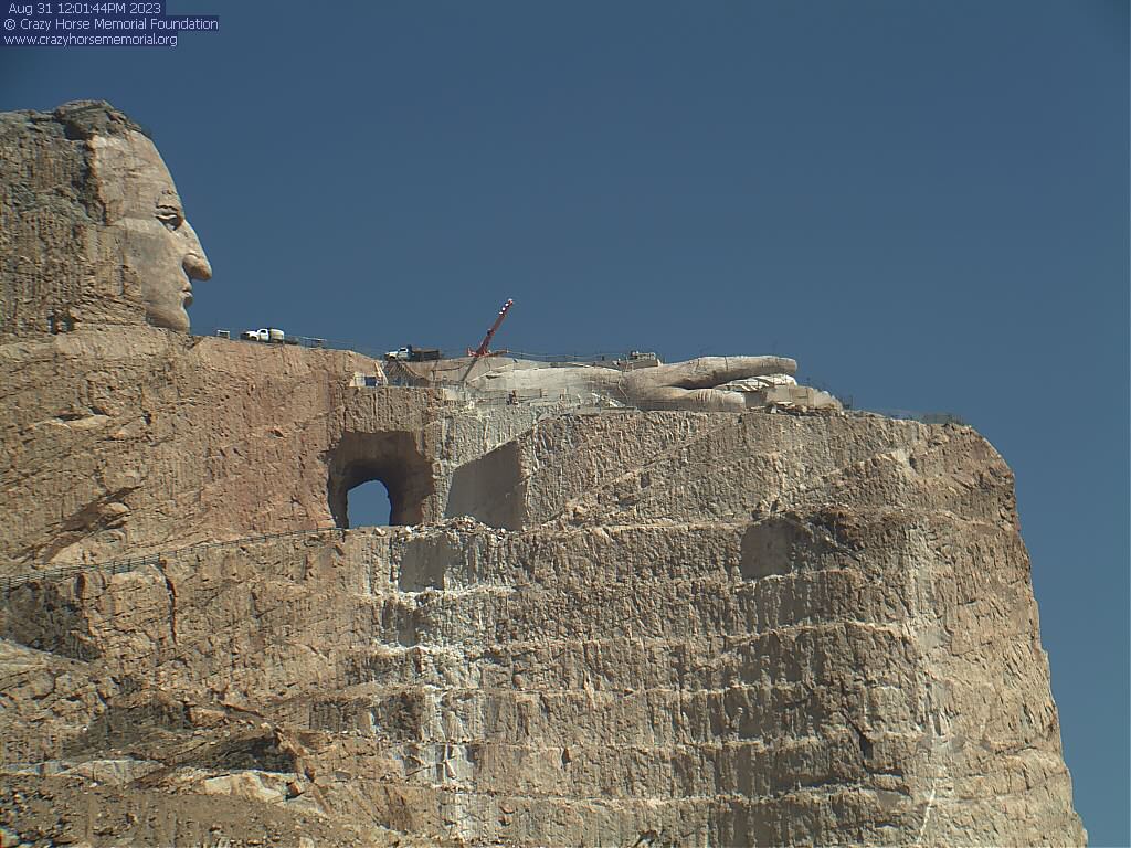
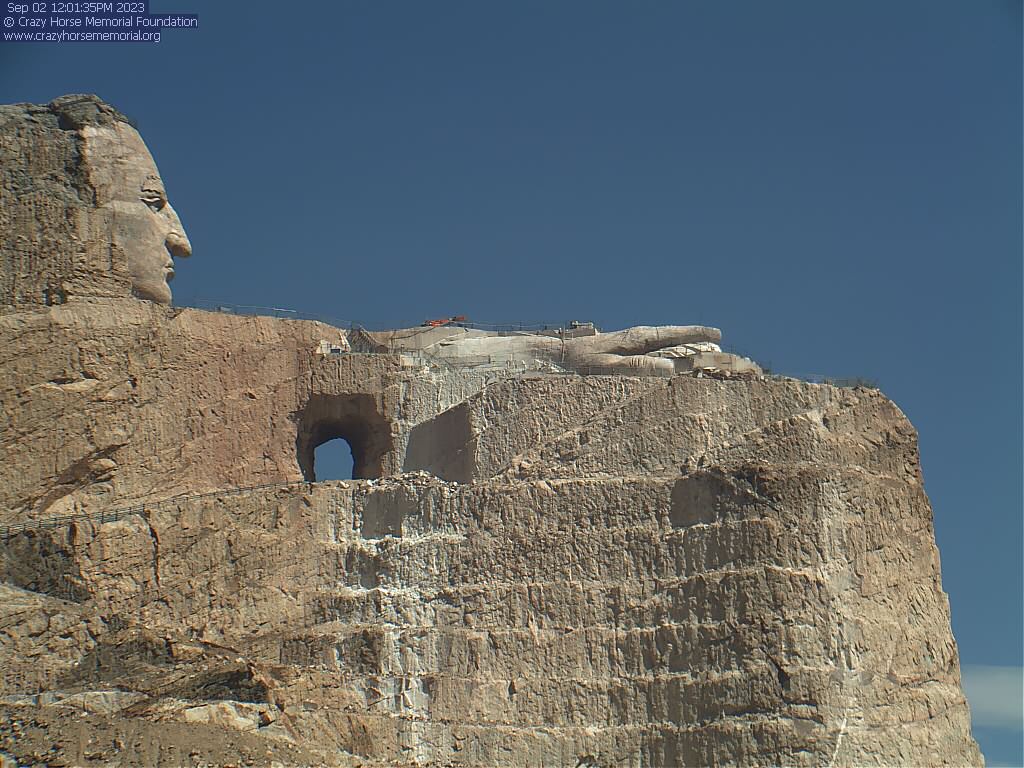
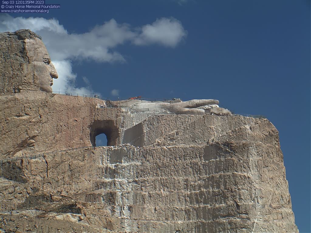
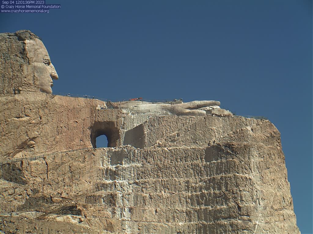
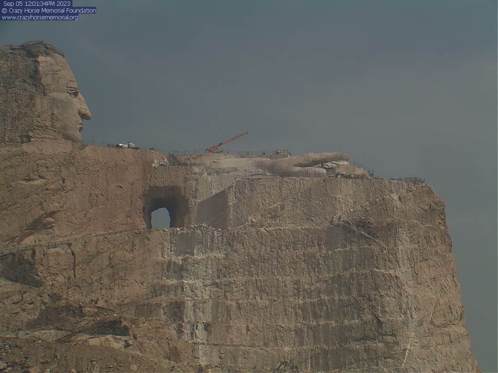
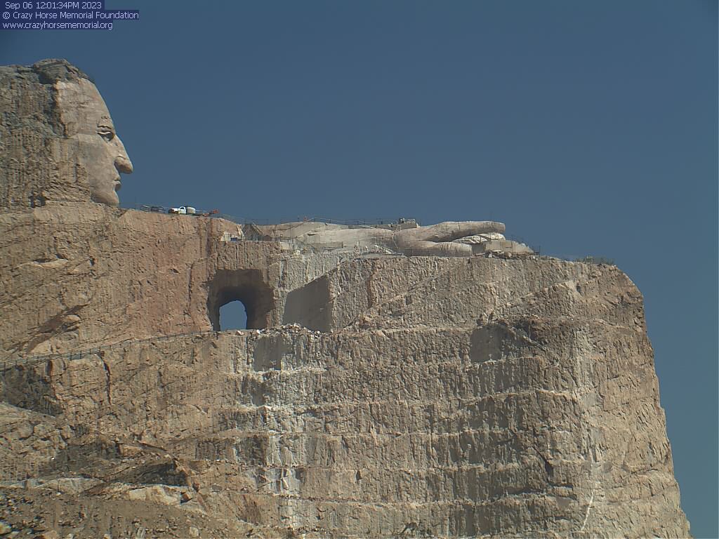
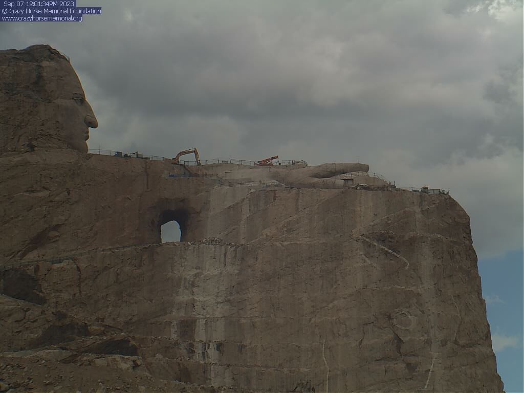
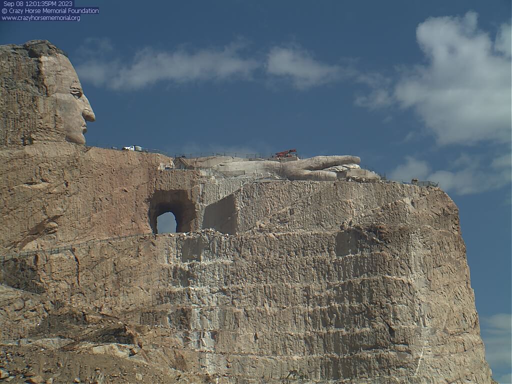
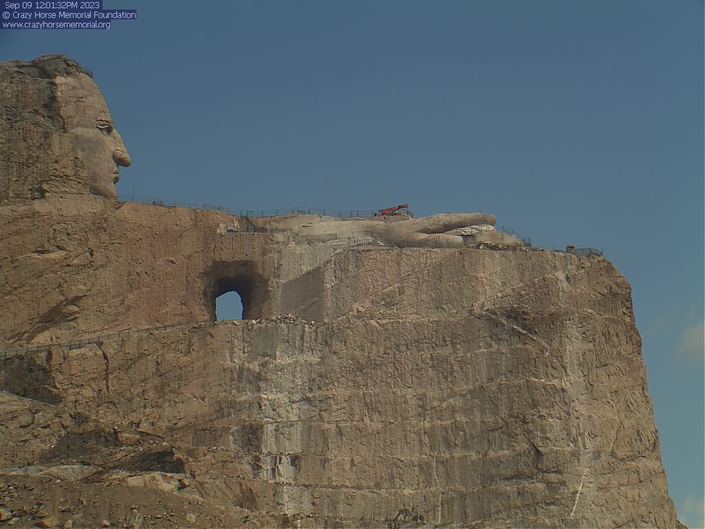
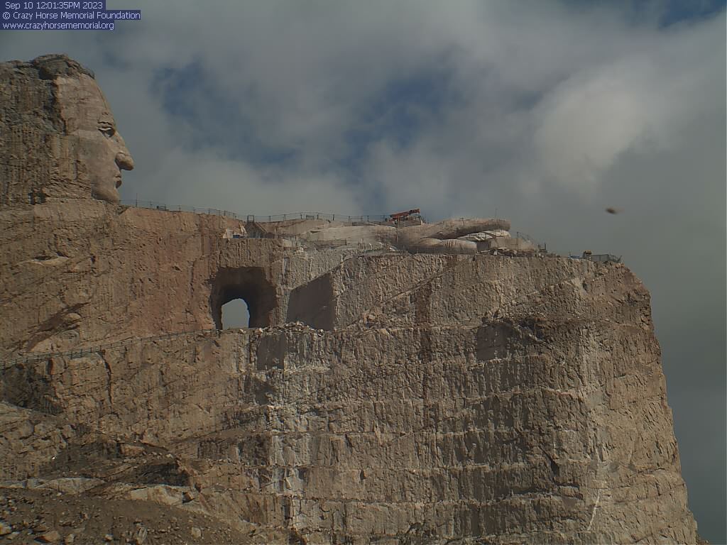
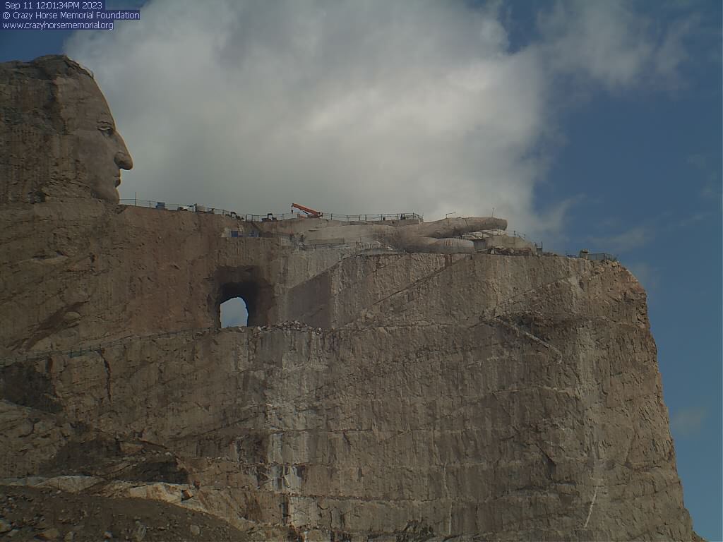
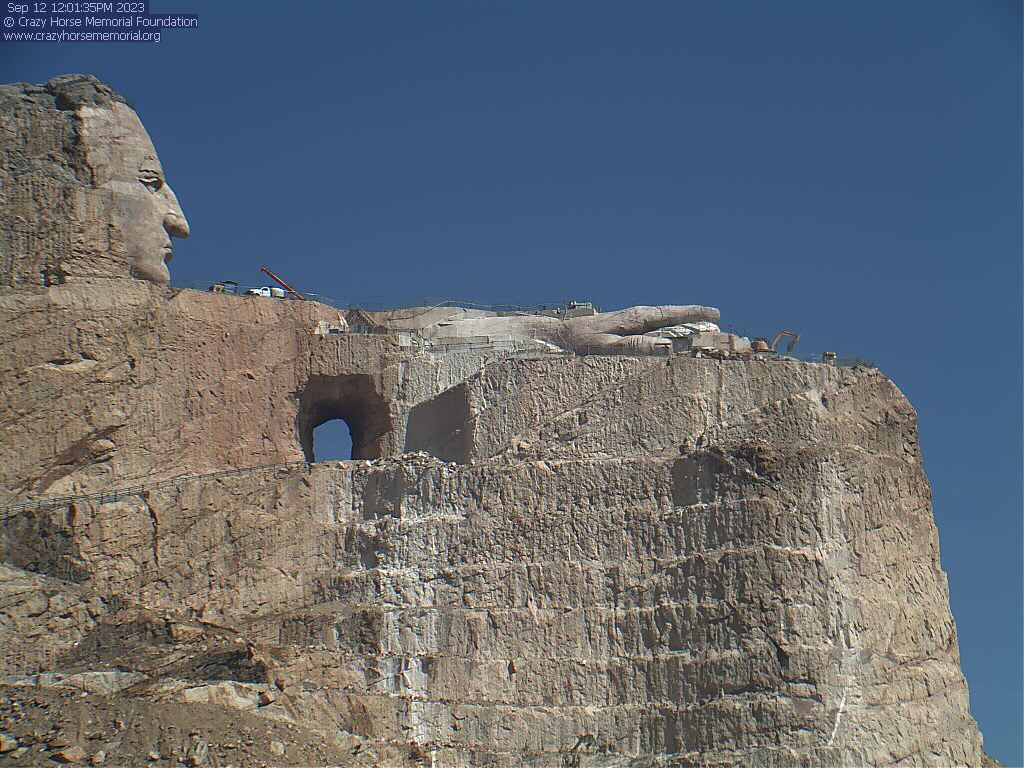
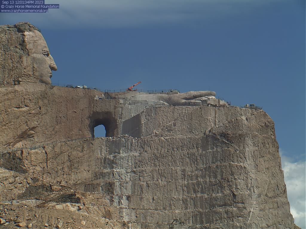
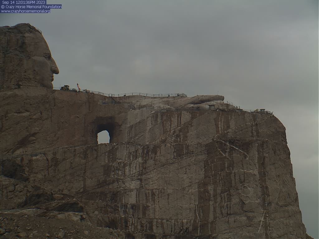
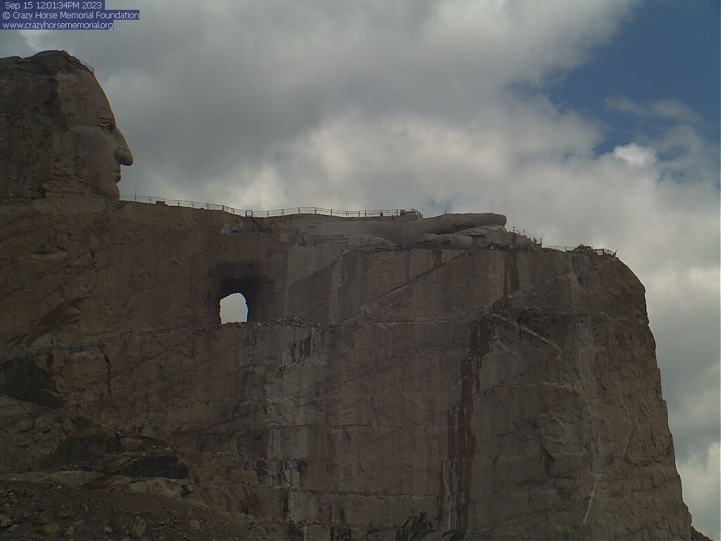
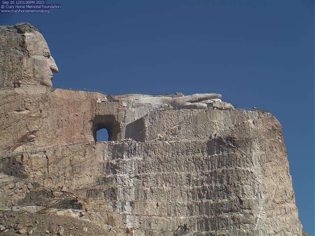
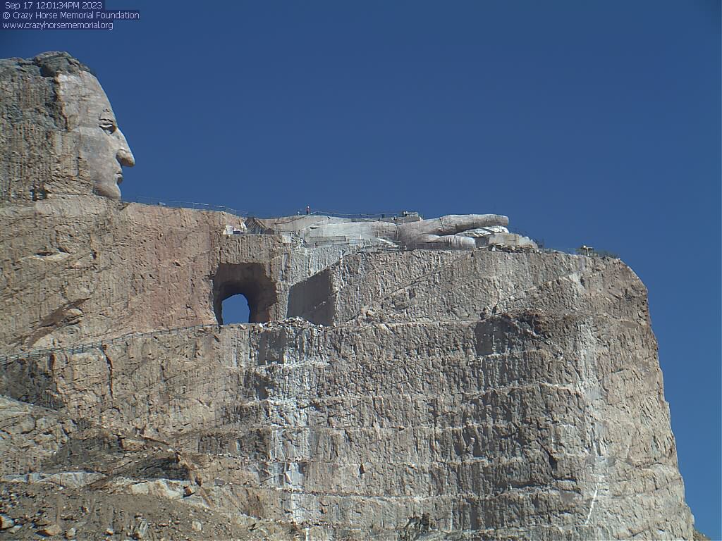
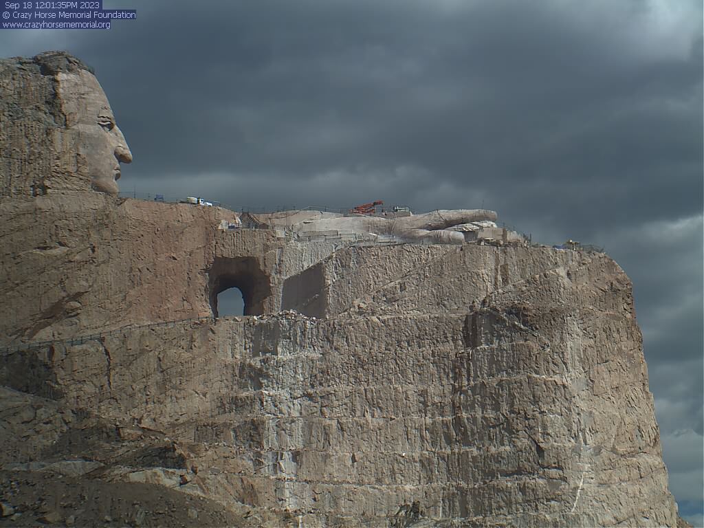
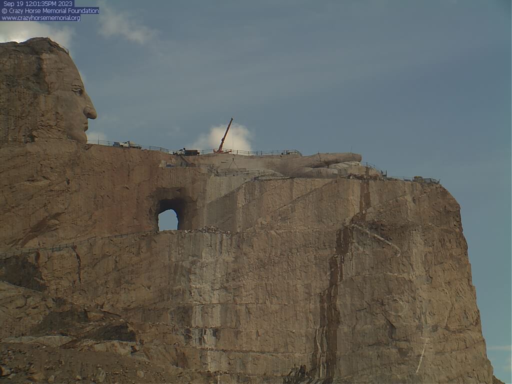
Crazy Horse Memorial, South Dakota, USA - 84.2 miles from Potato Creek: View from the Laser Building - Every 90 minutes a new image from the laser building.
Operator: Crazy Horse Memorial
Operator: Crazy Horse Memorial


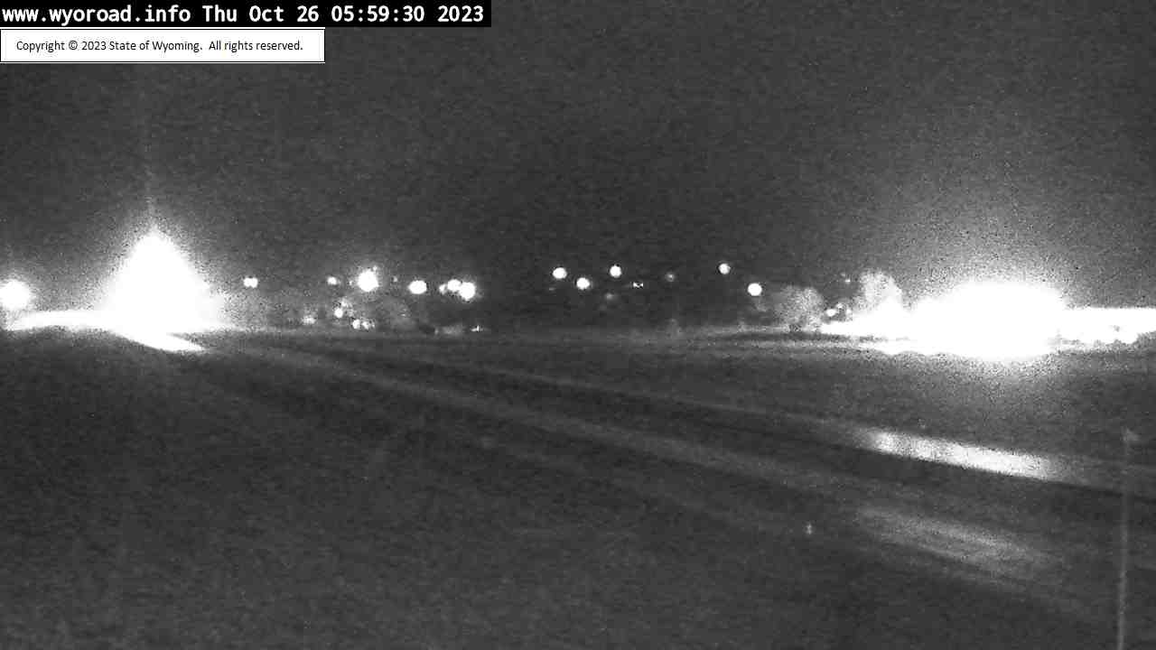
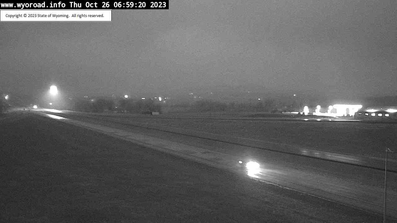
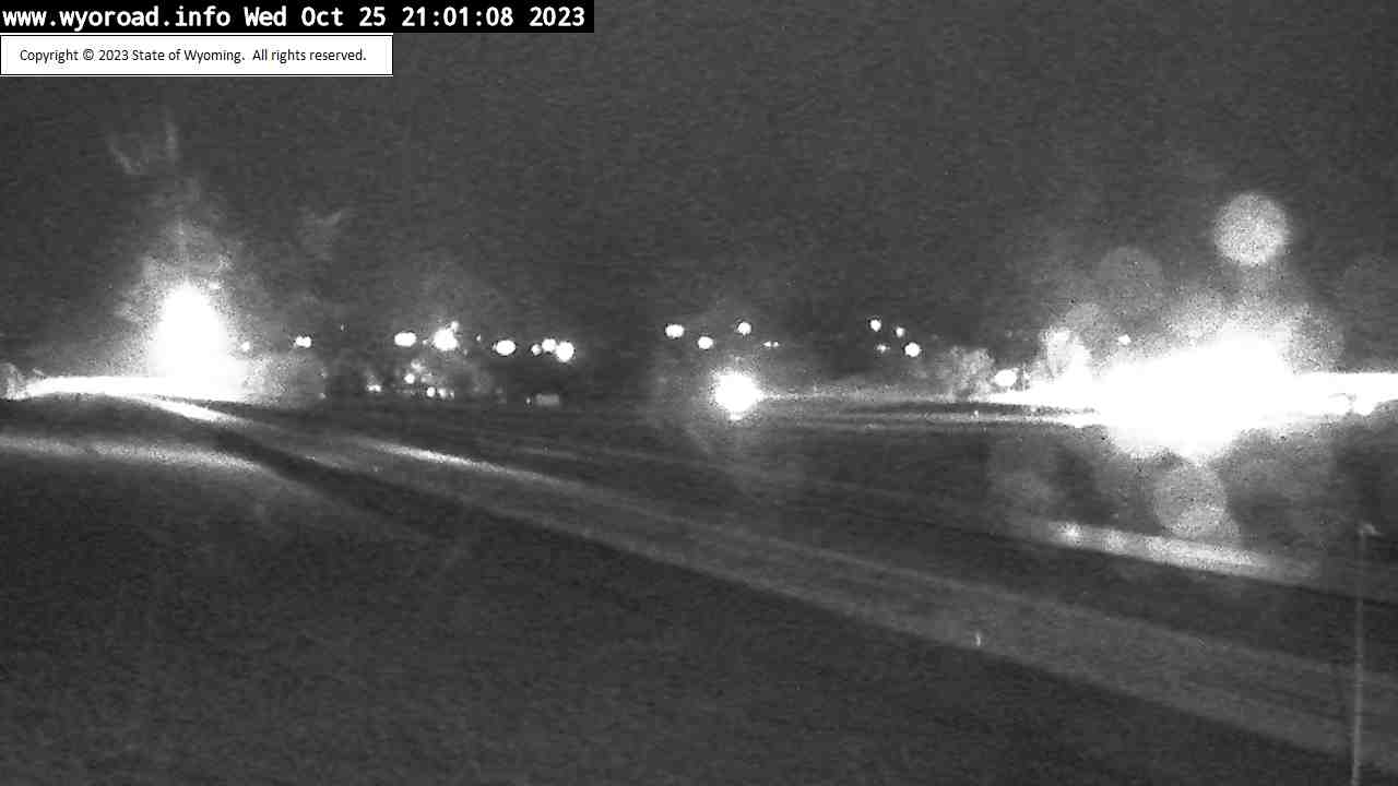
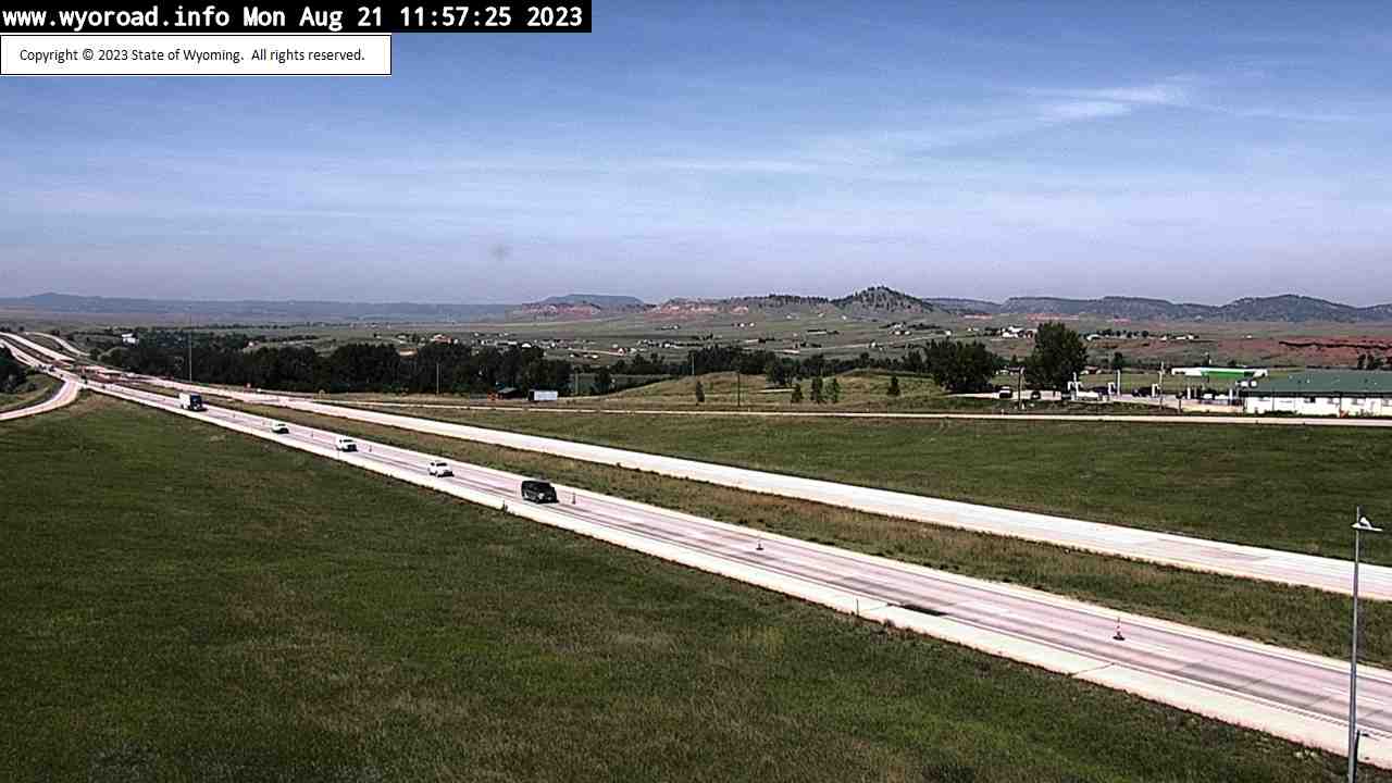
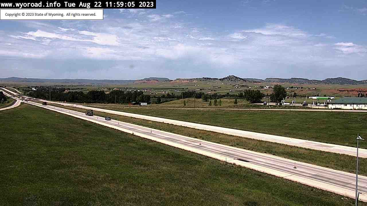
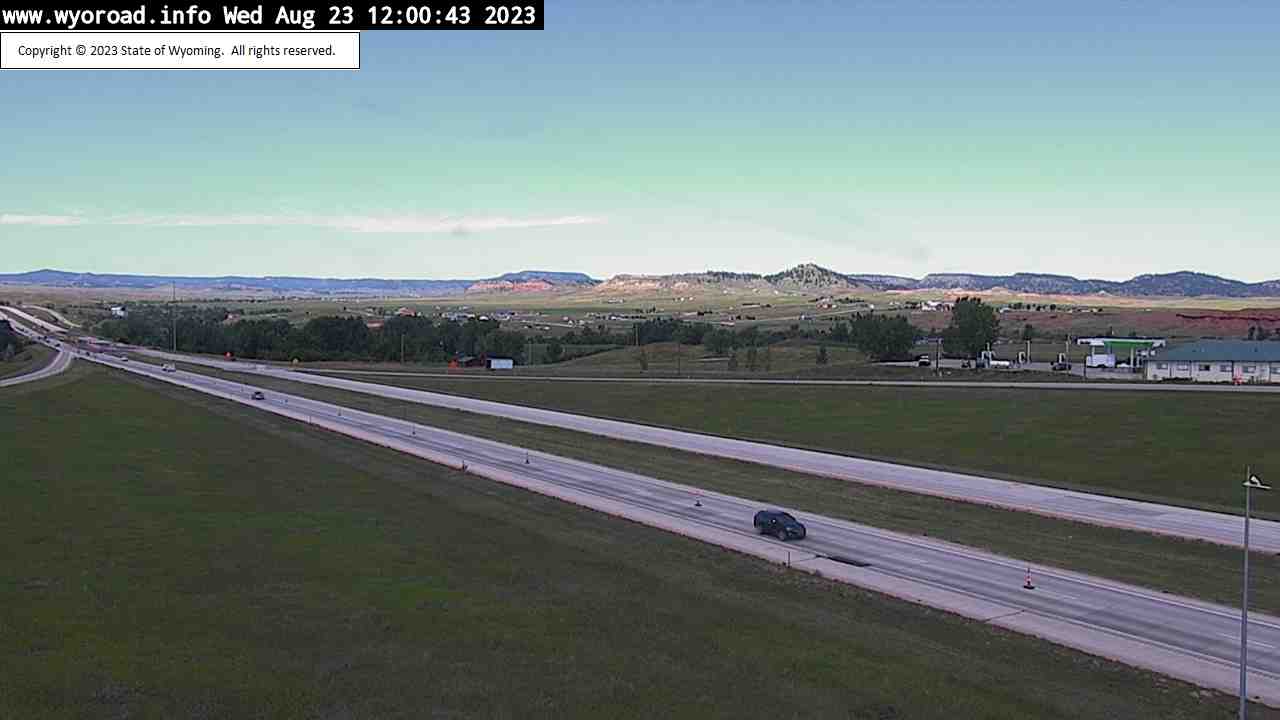
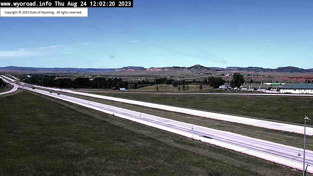
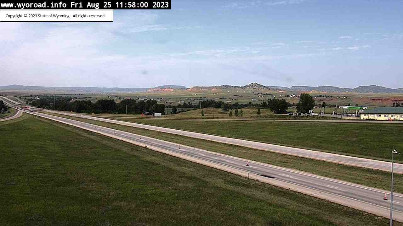
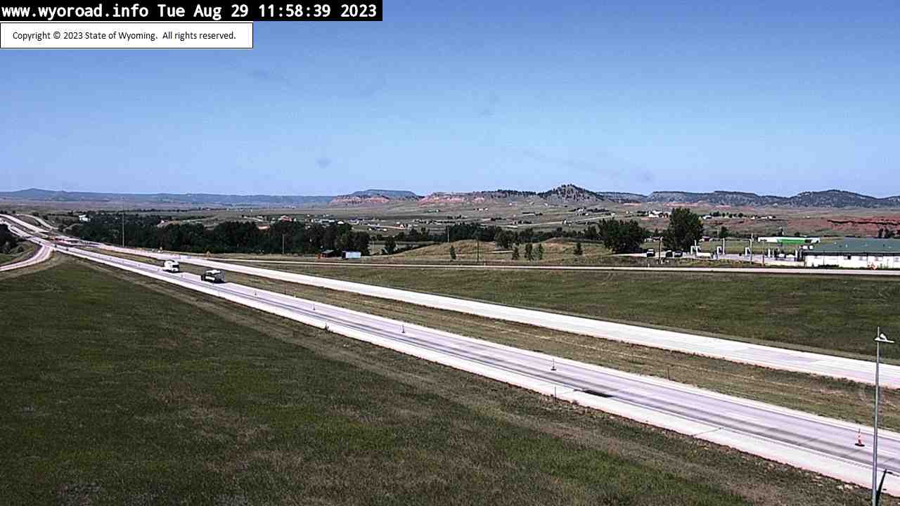
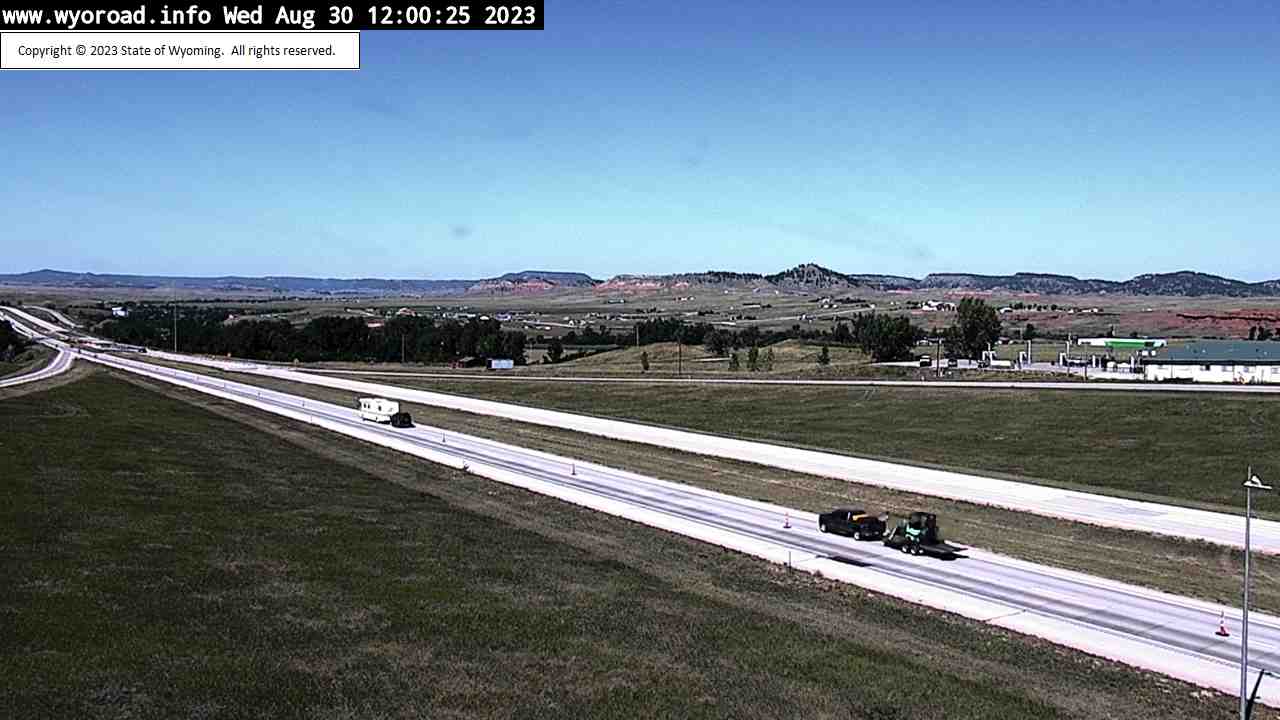
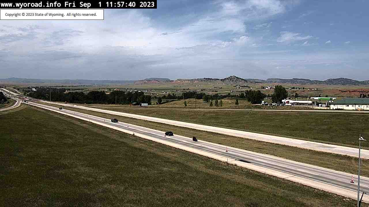
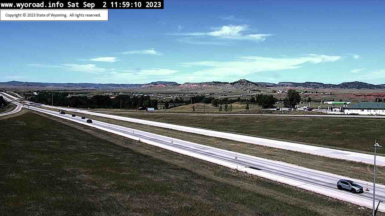
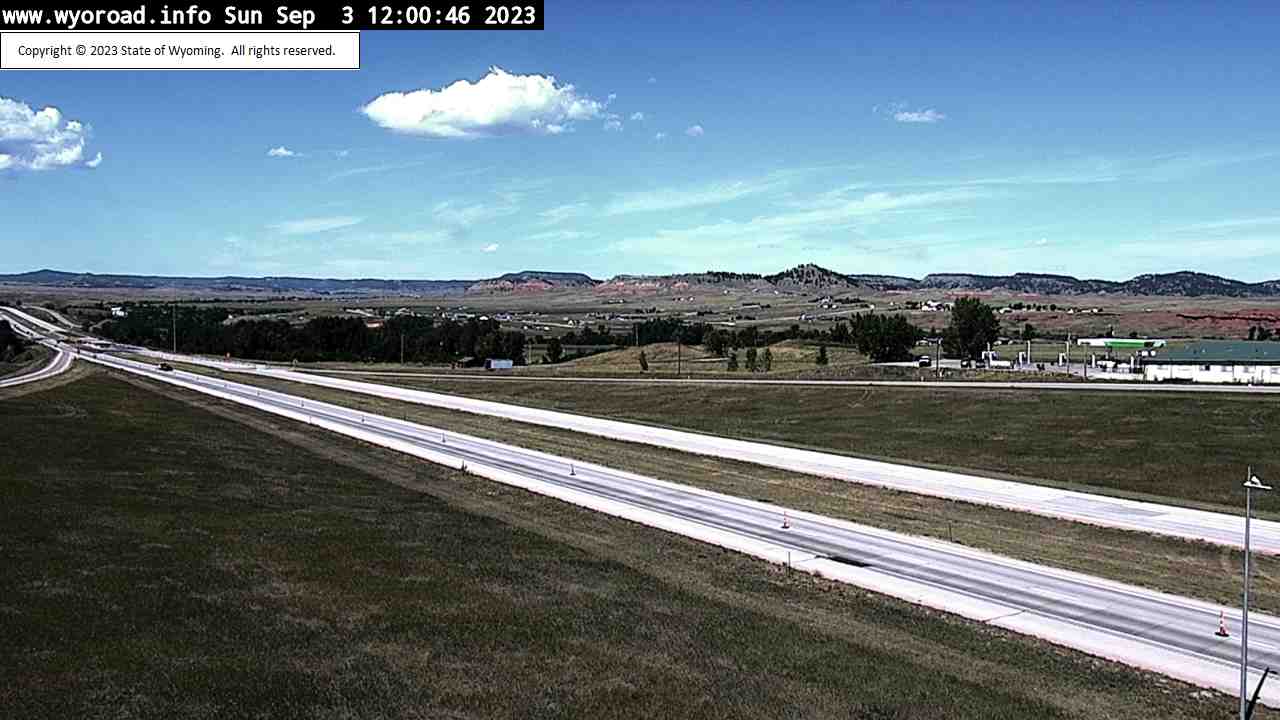
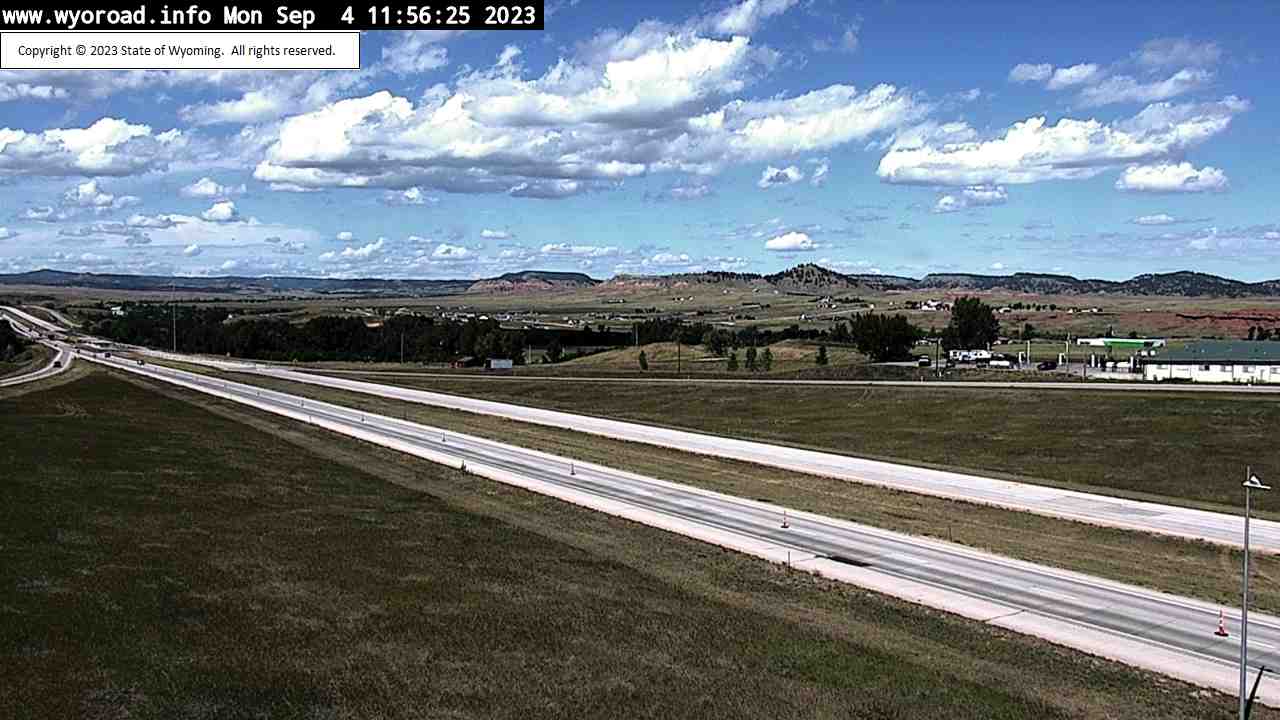
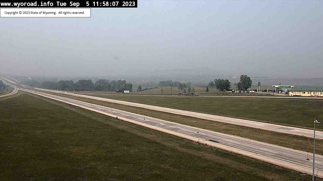
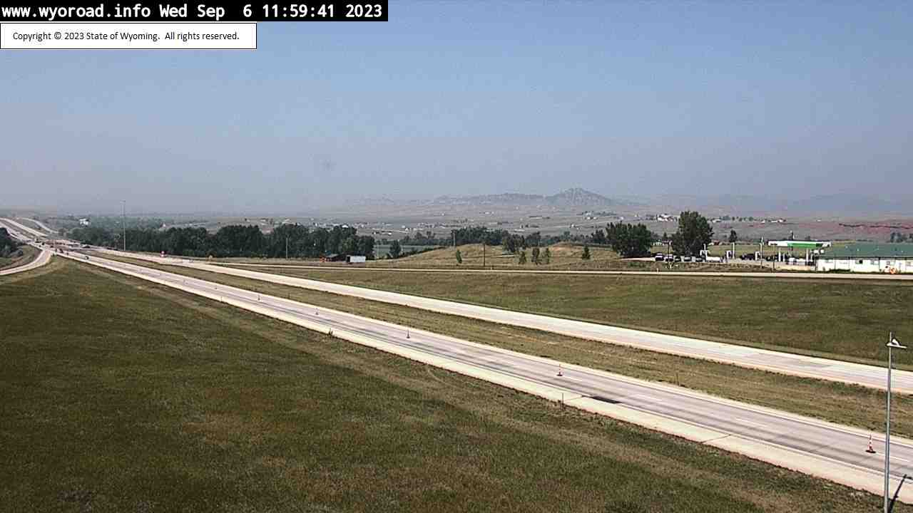
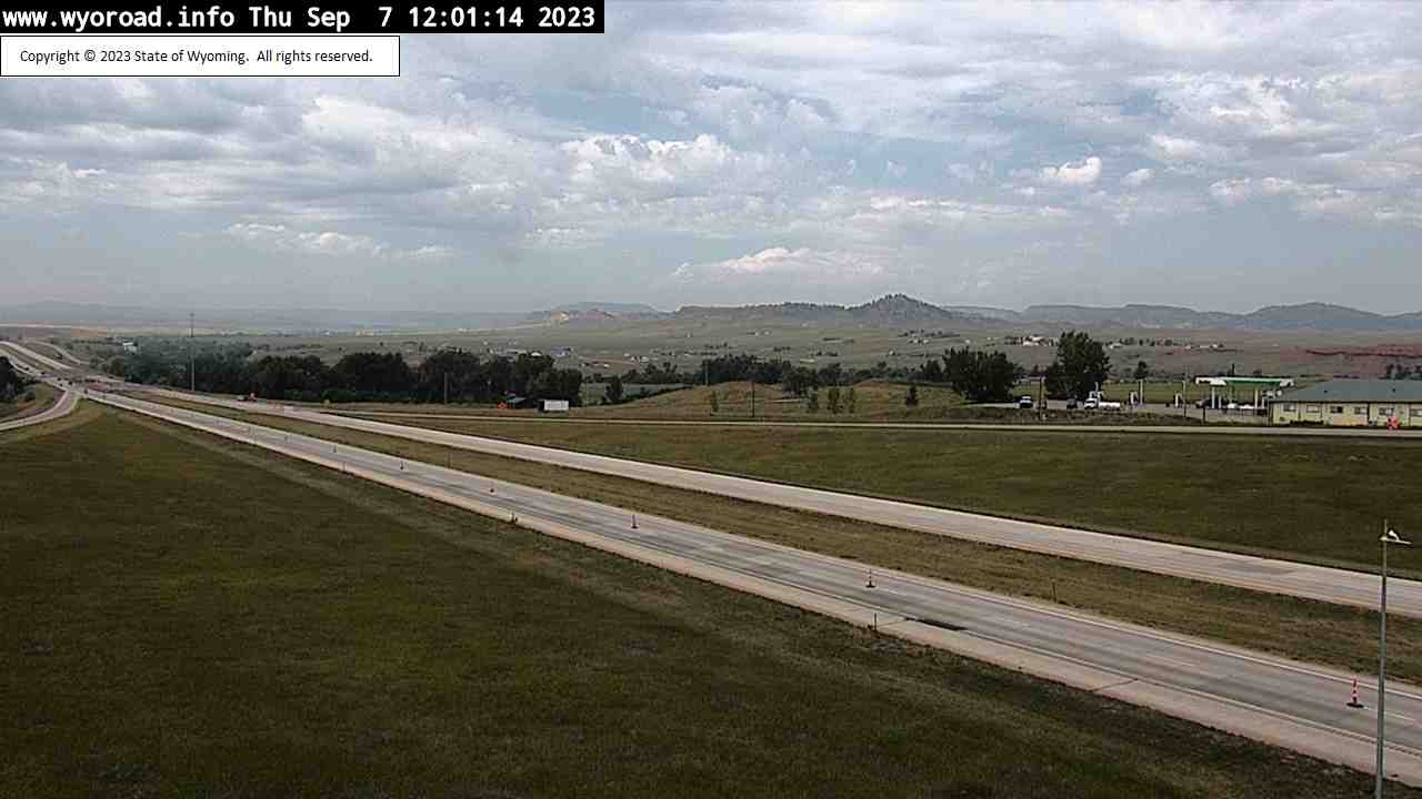
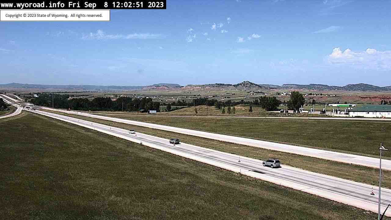
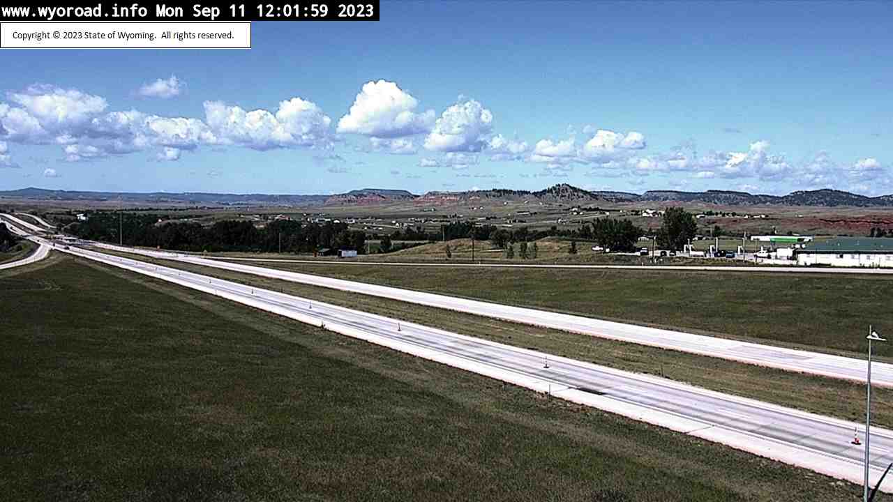
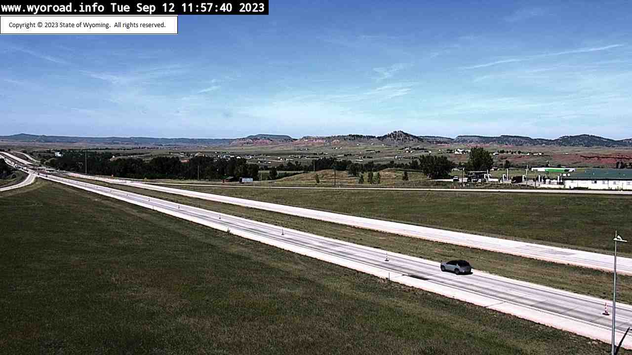
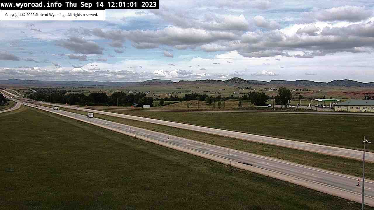
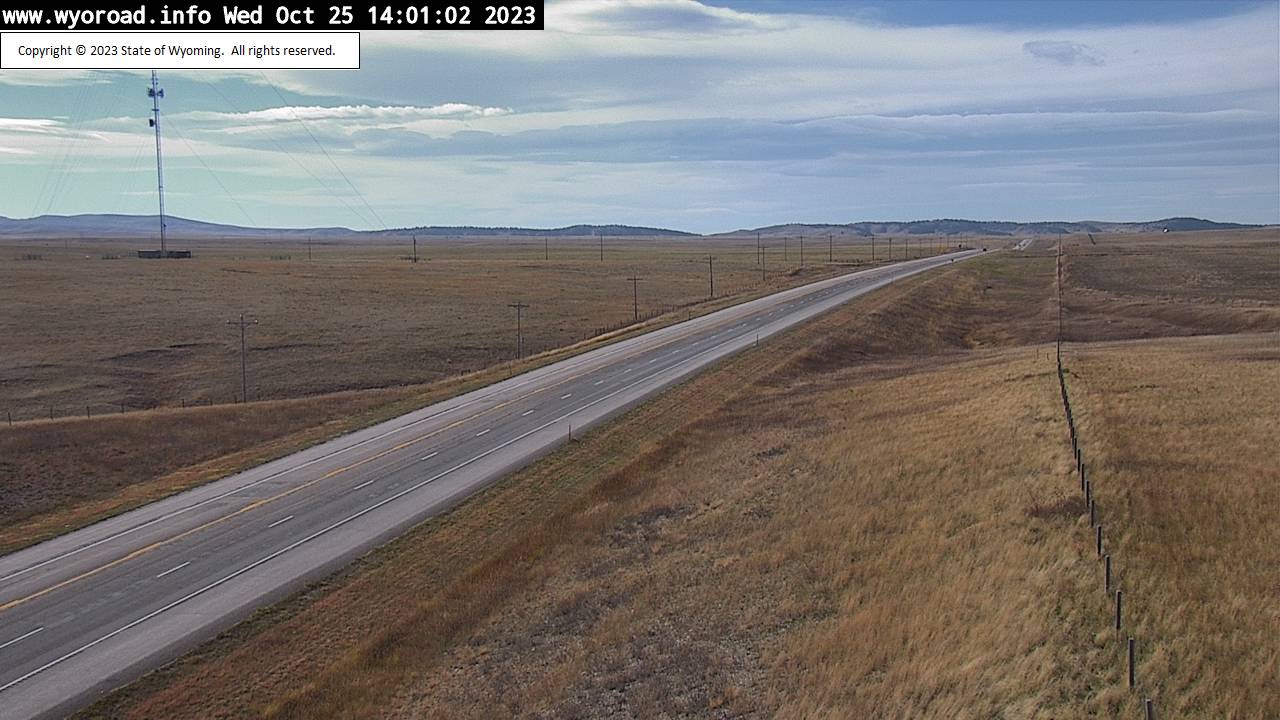
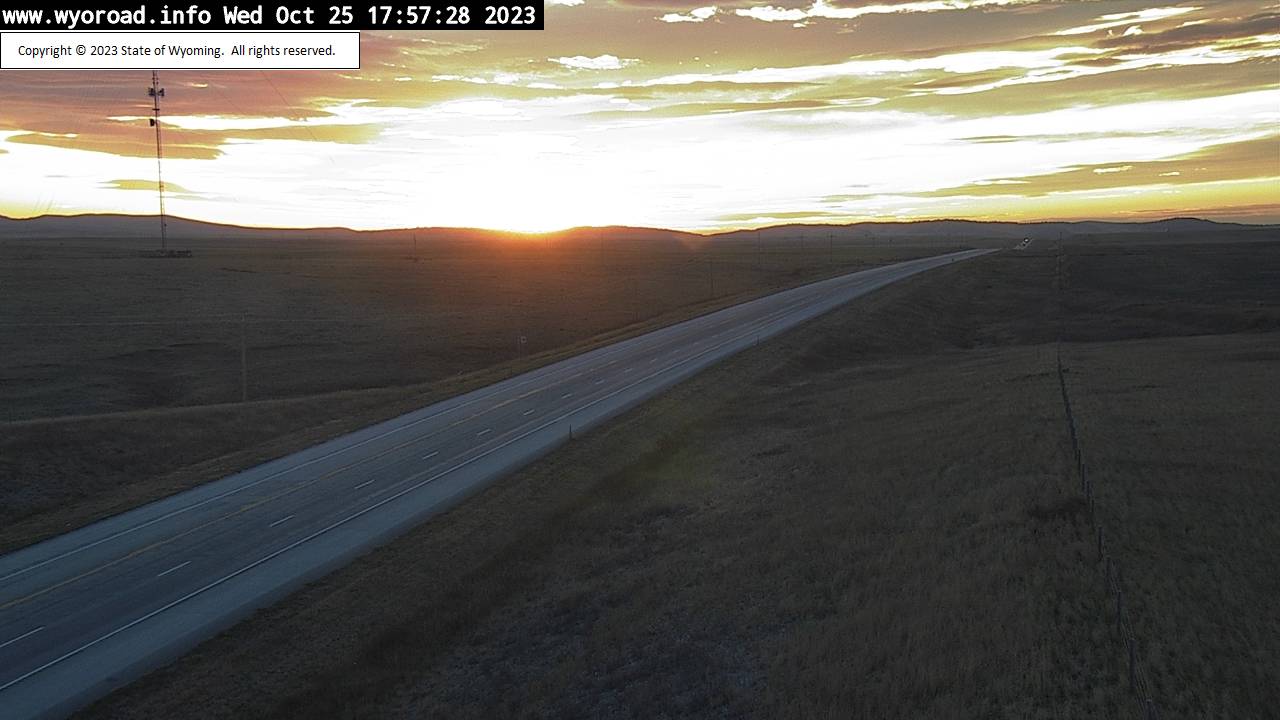
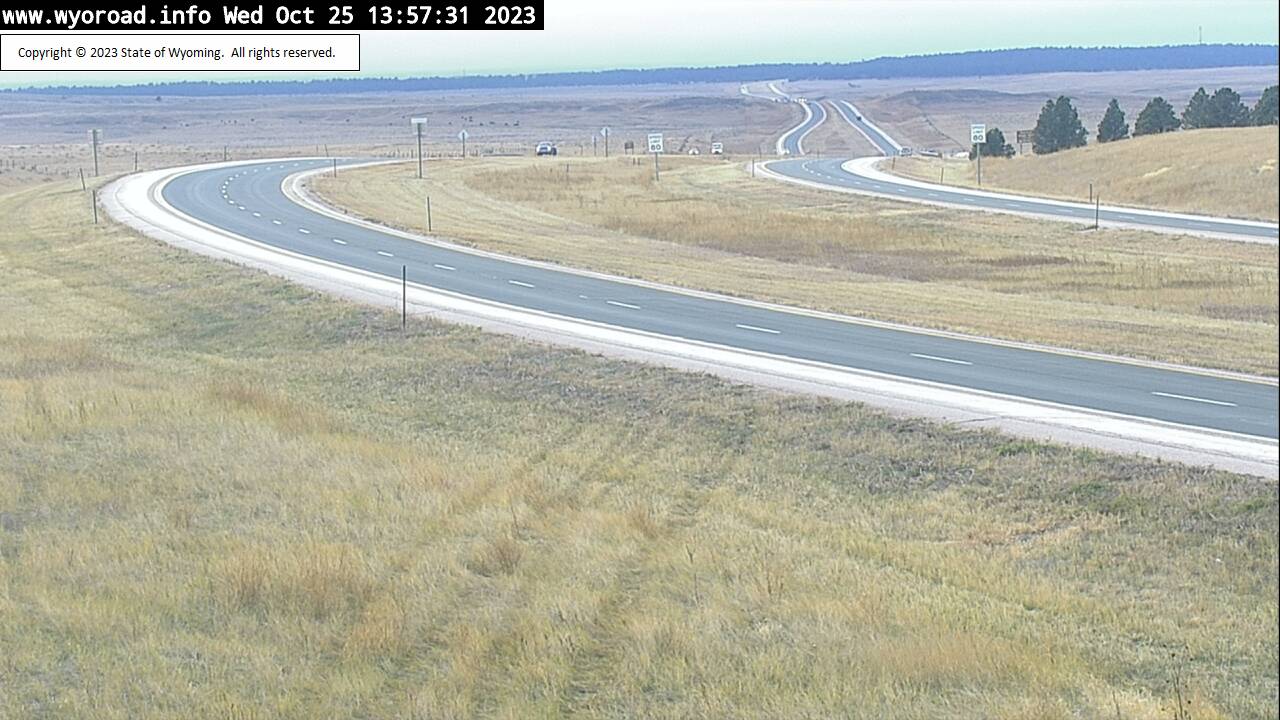
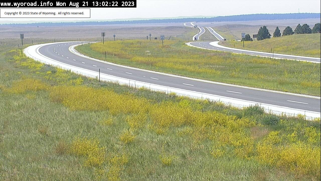
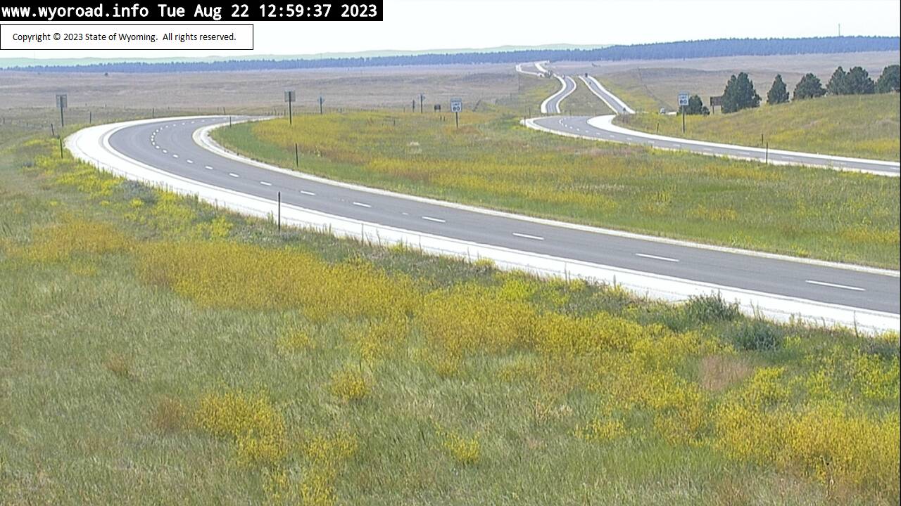
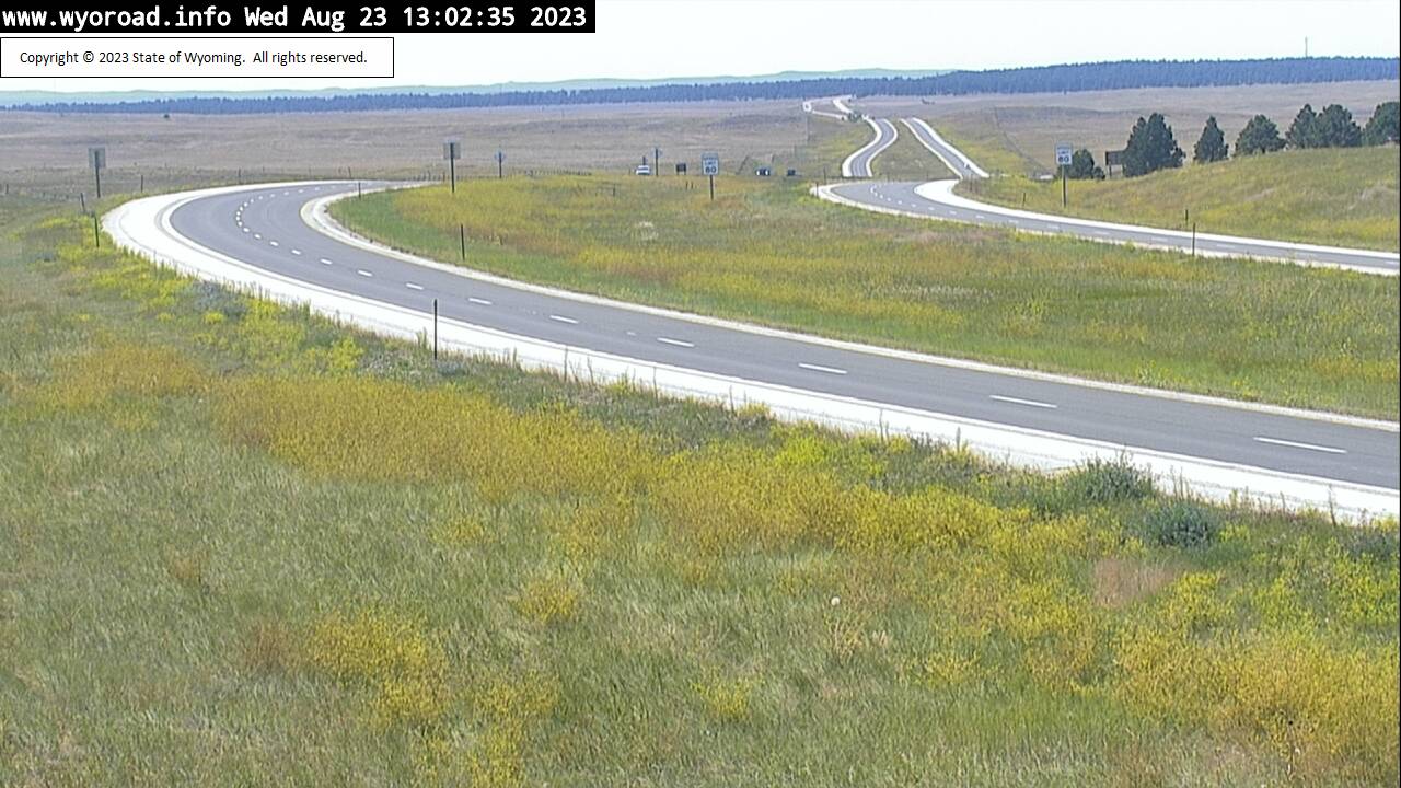
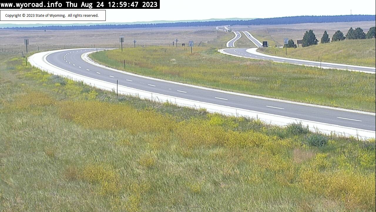
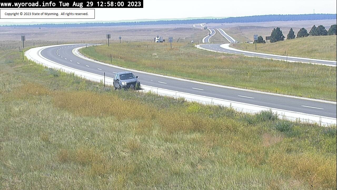
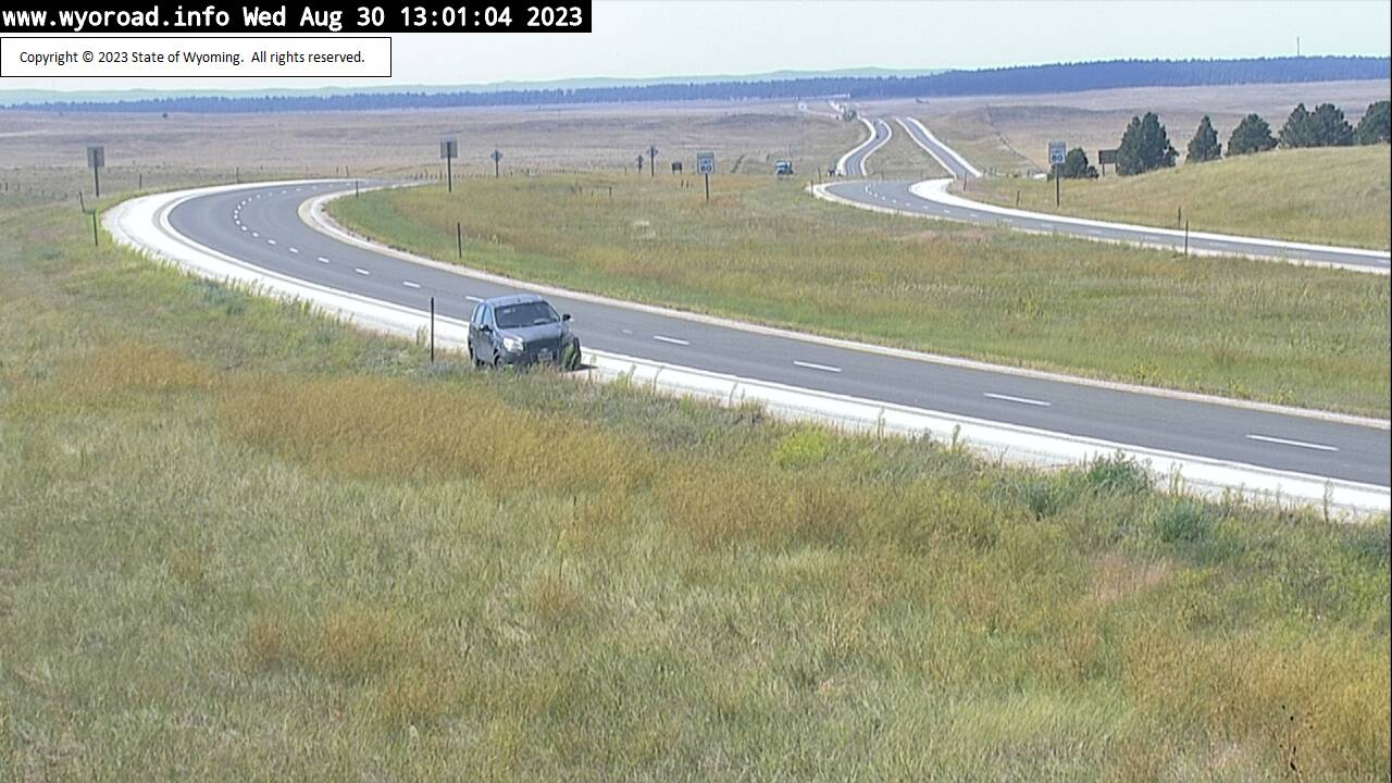
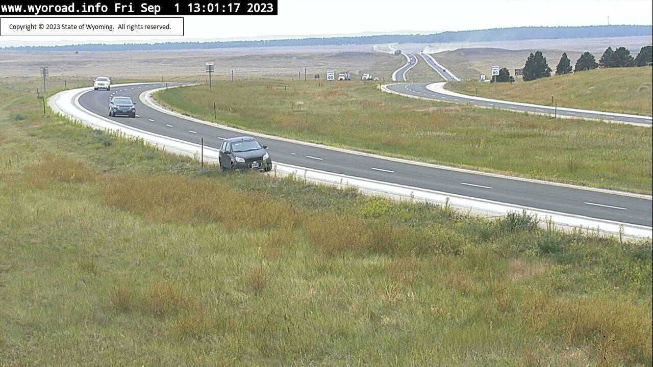
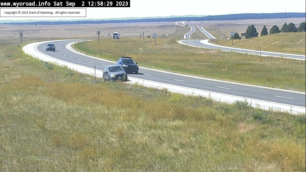
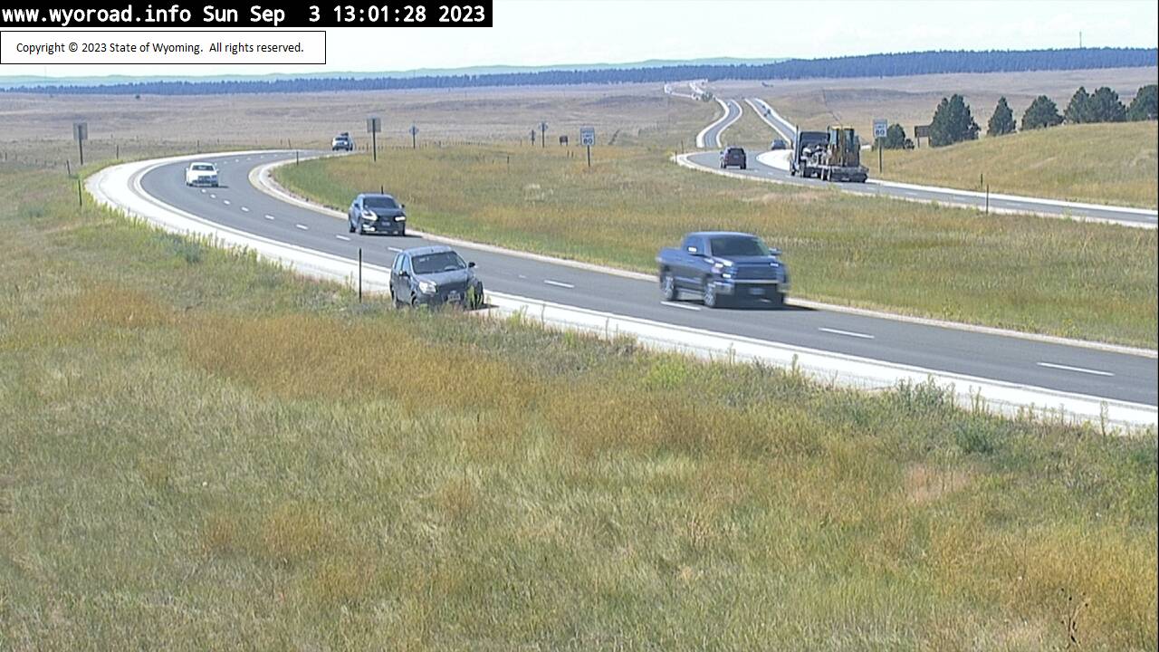
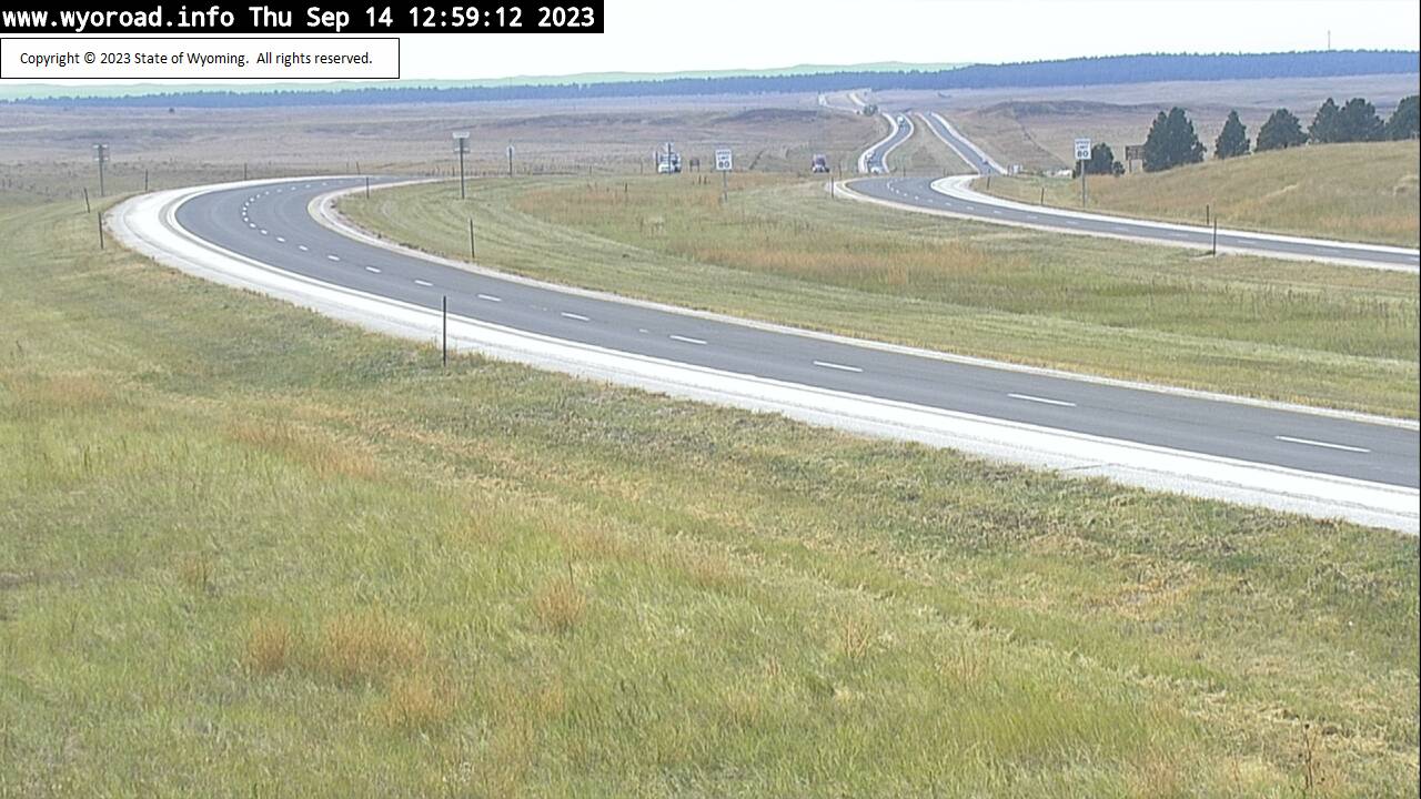
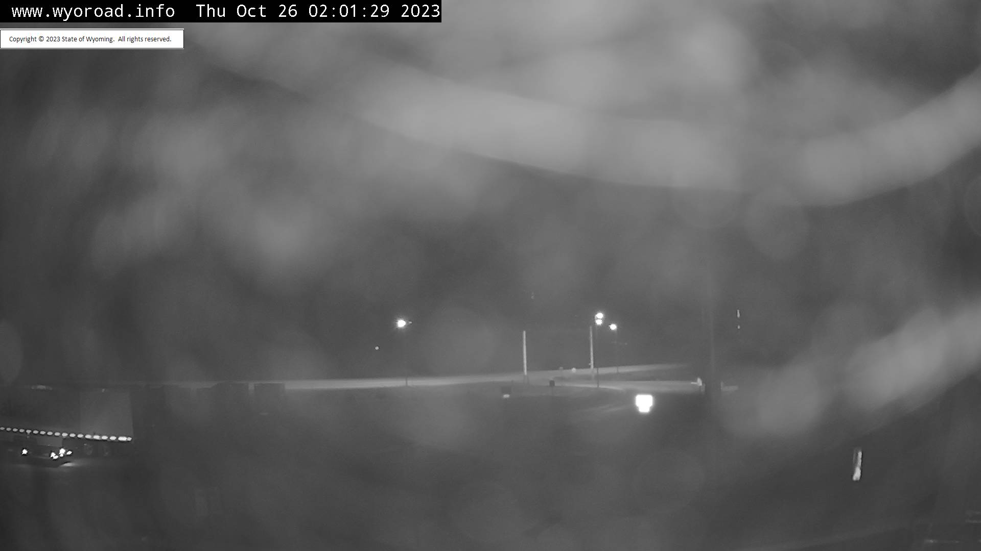
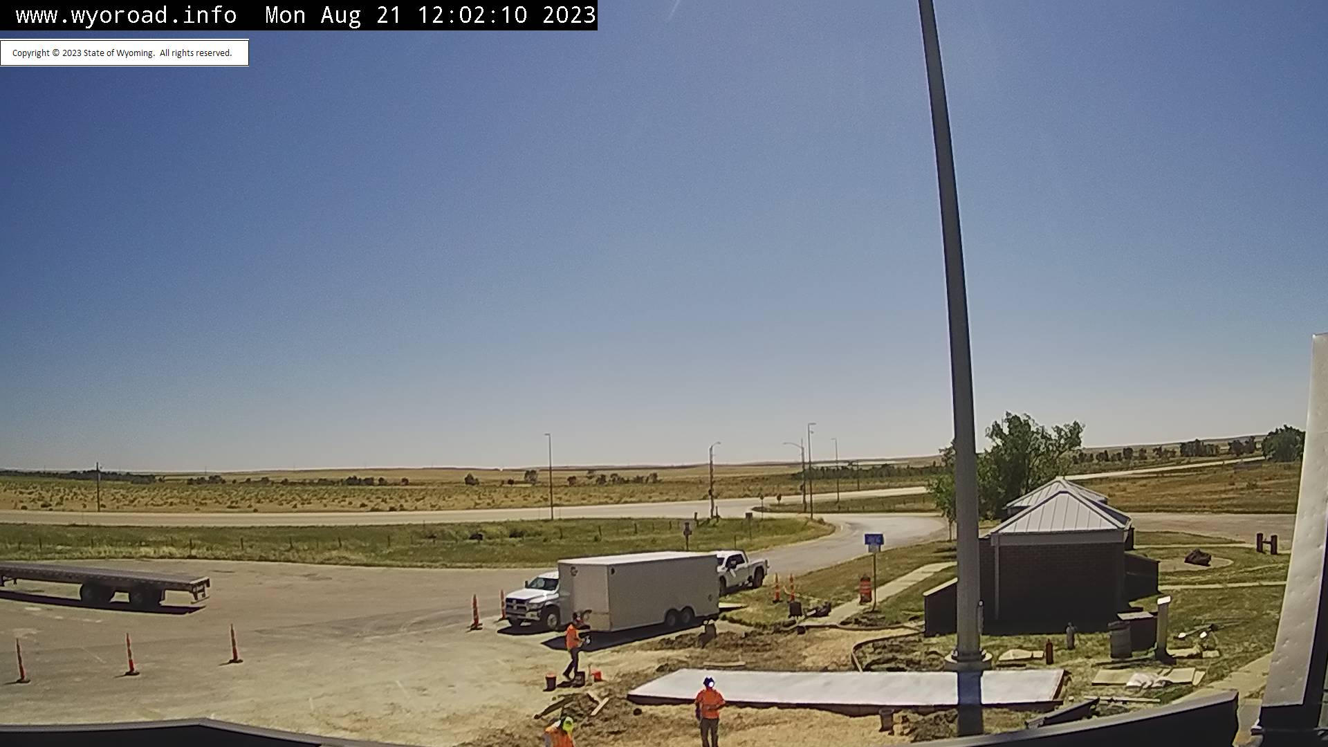
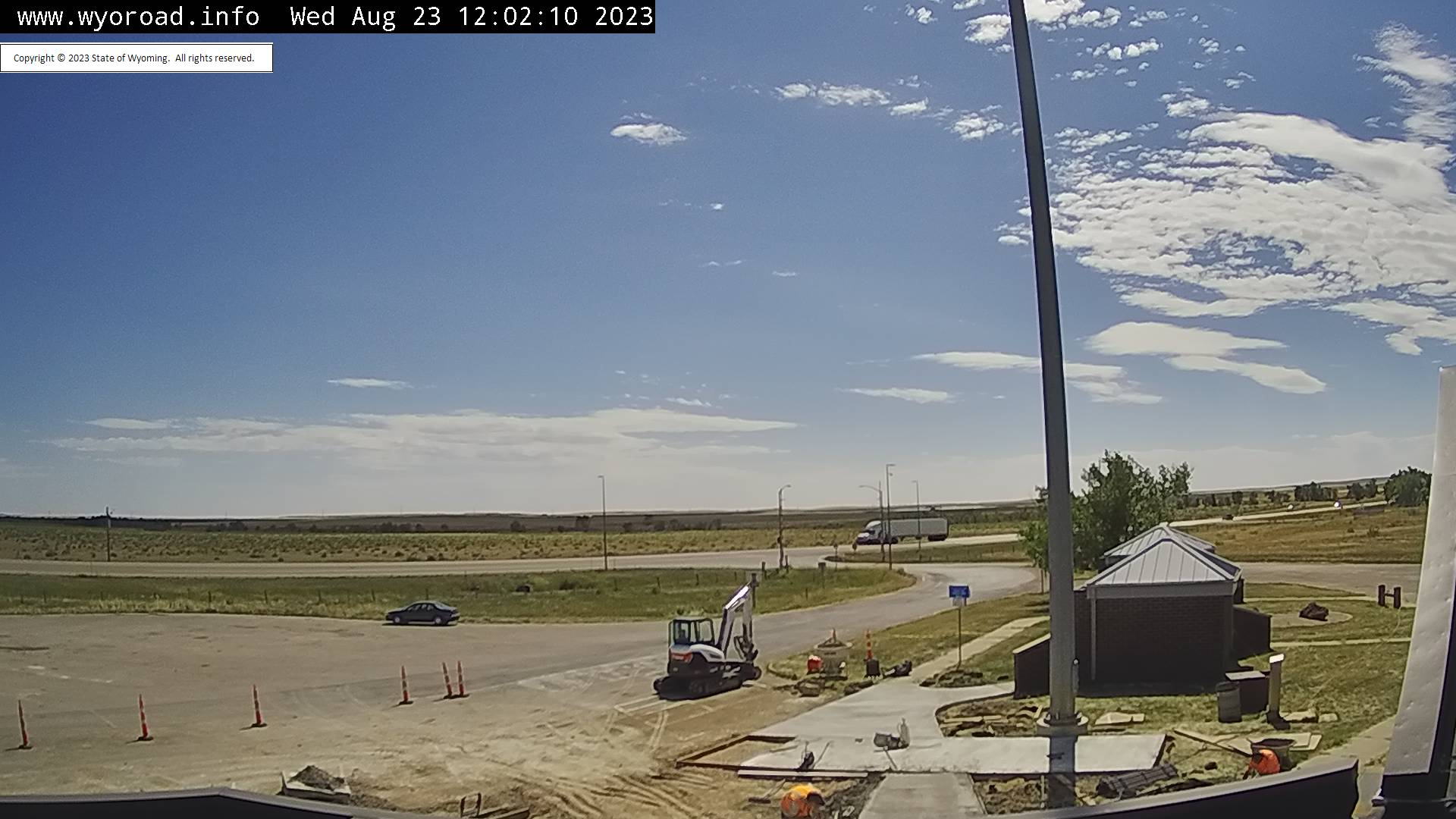
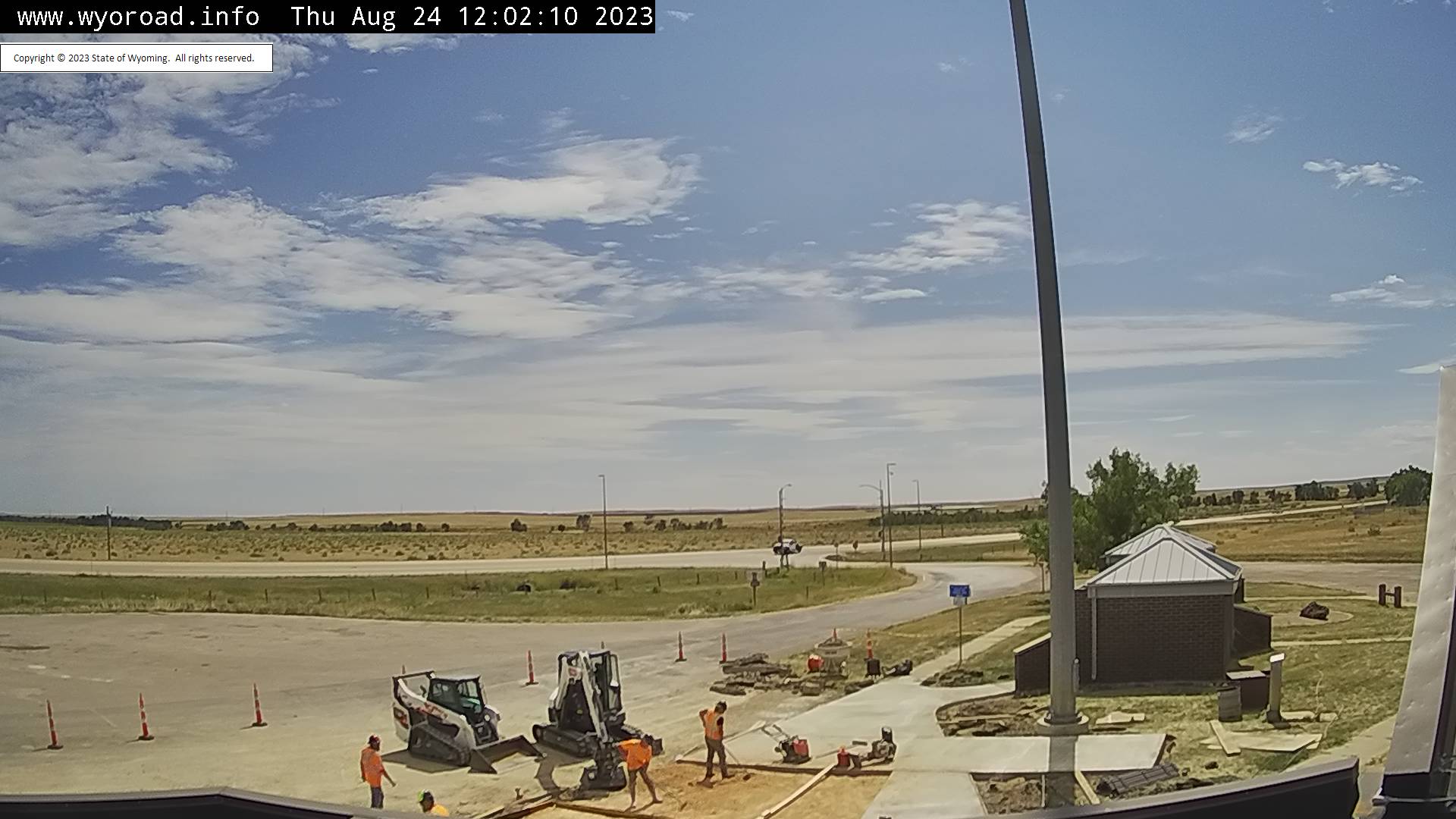
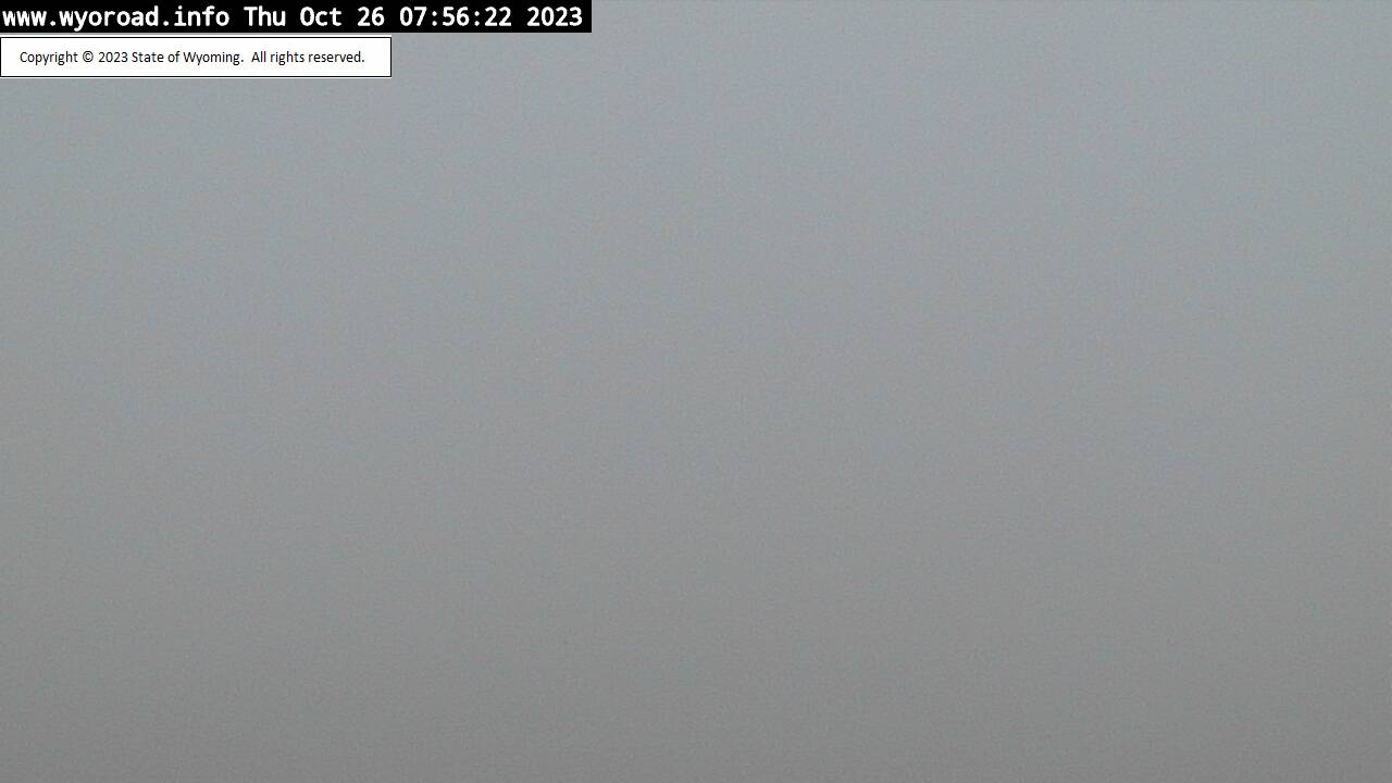
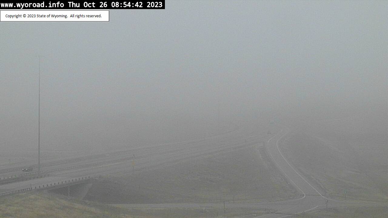
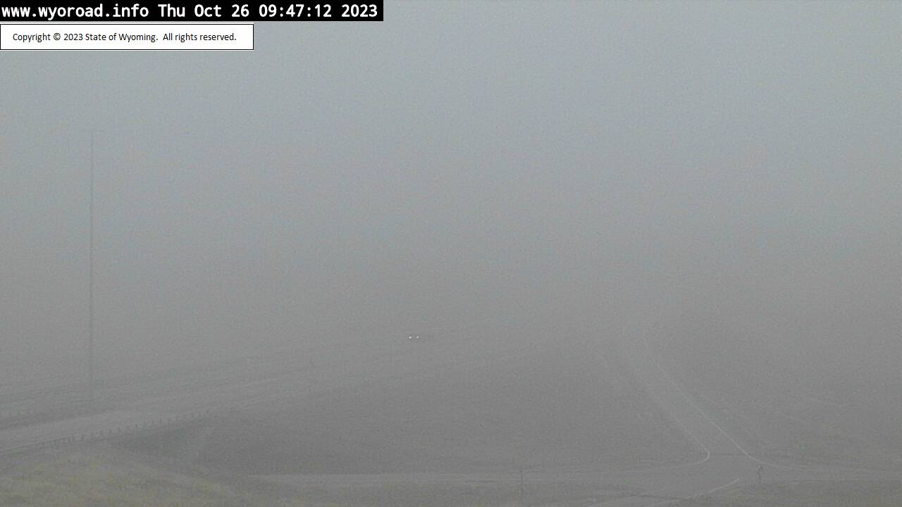
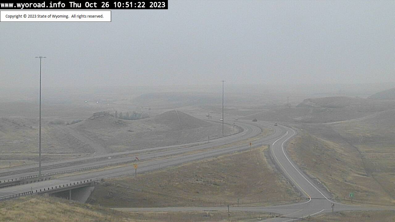
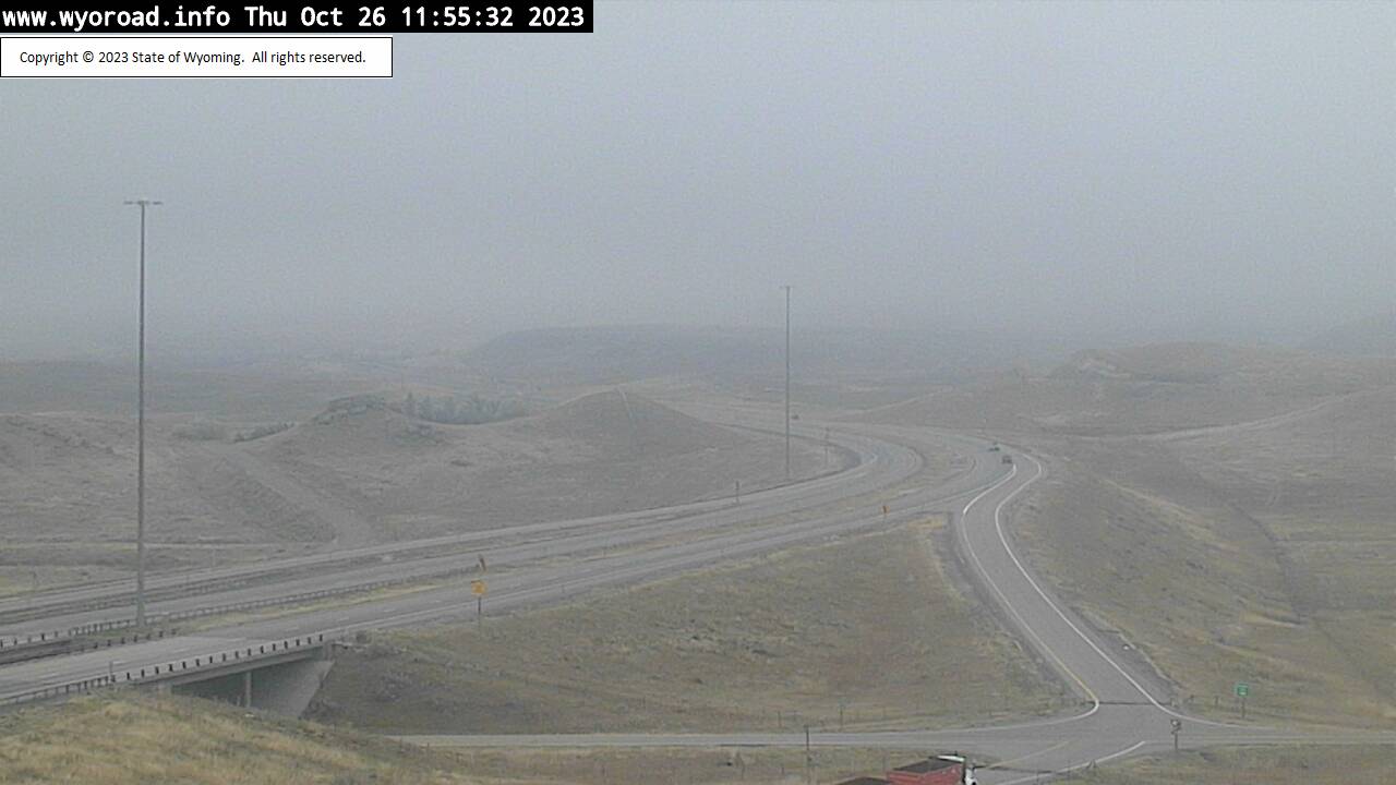
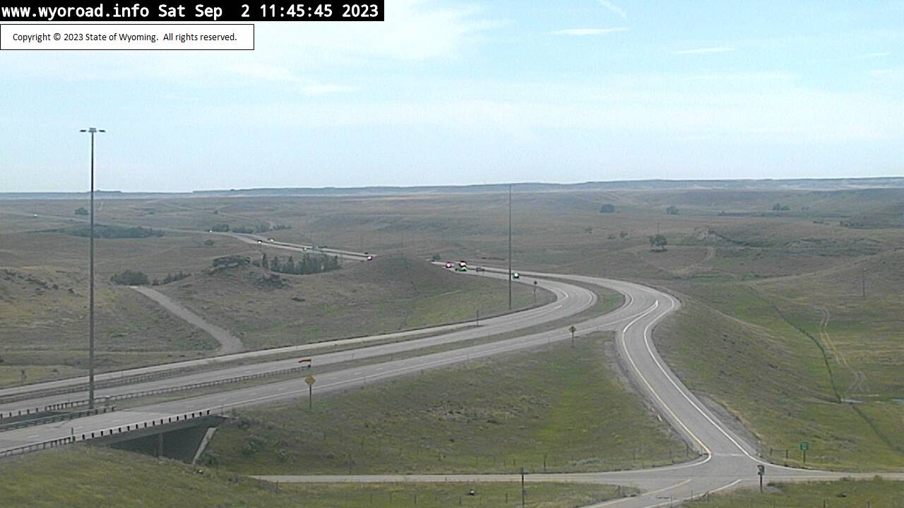
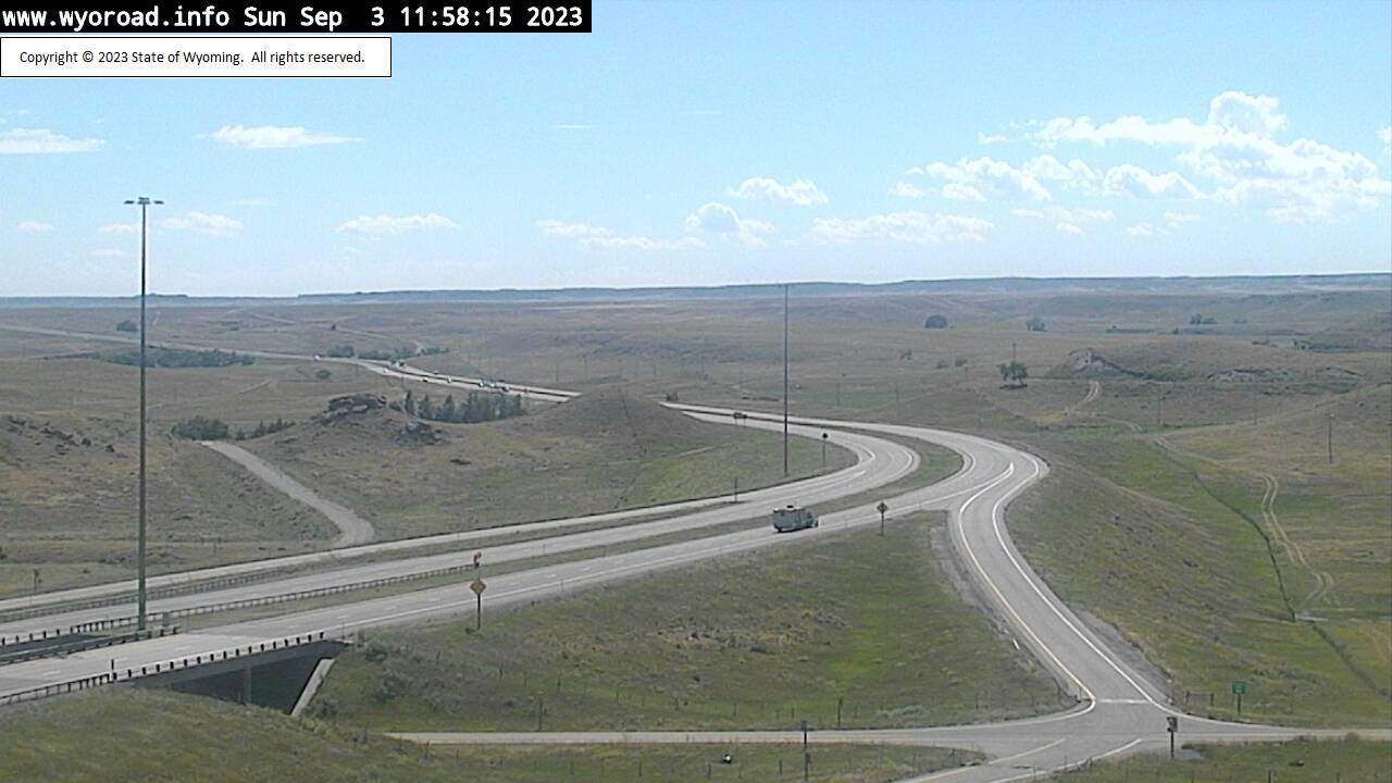
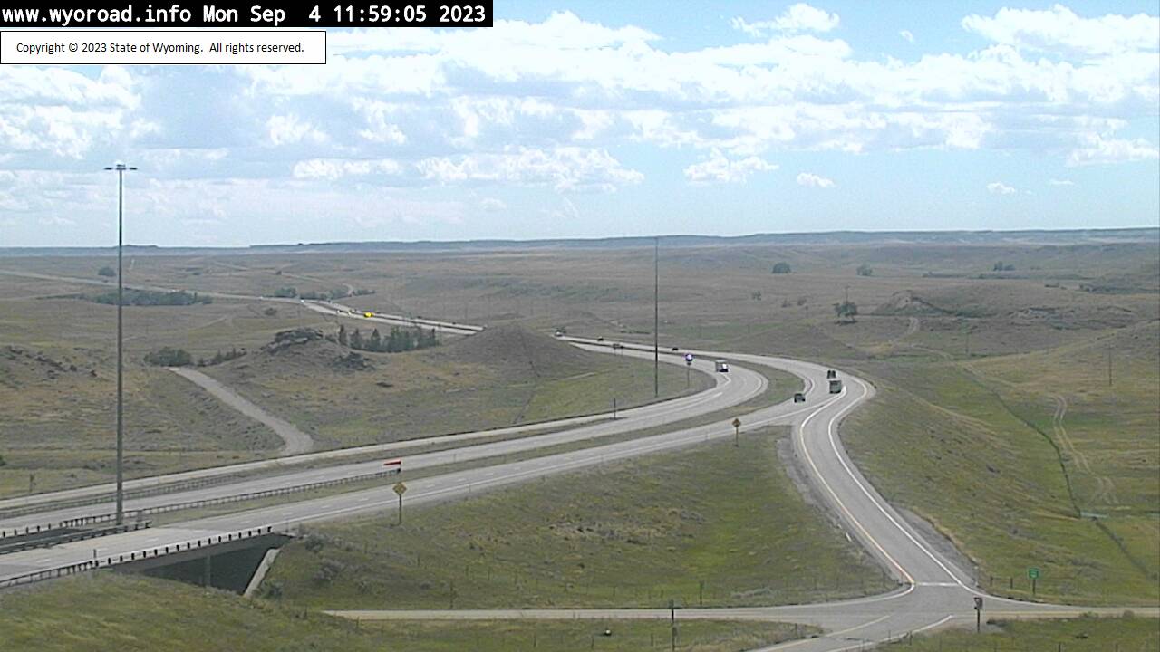
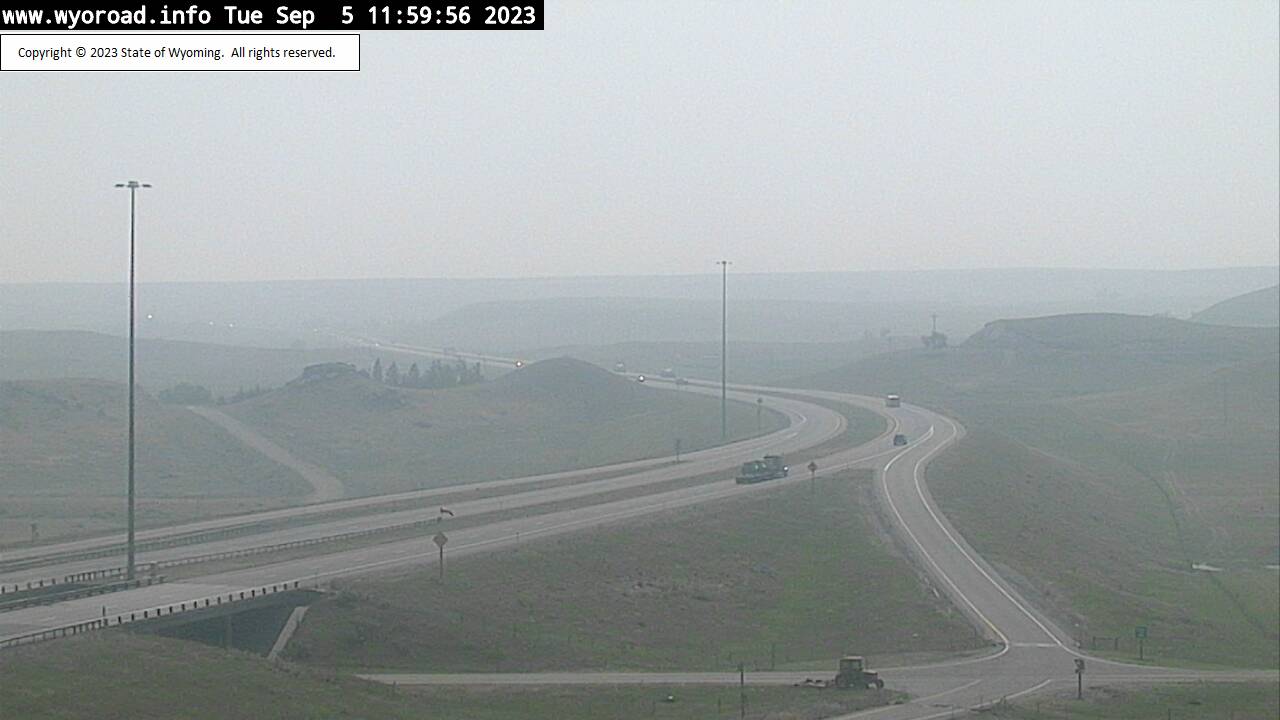
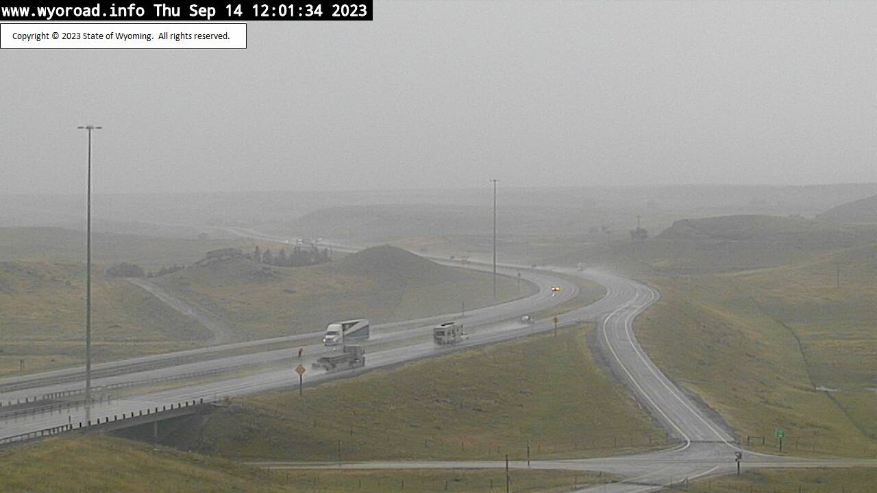
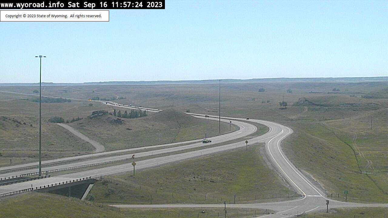
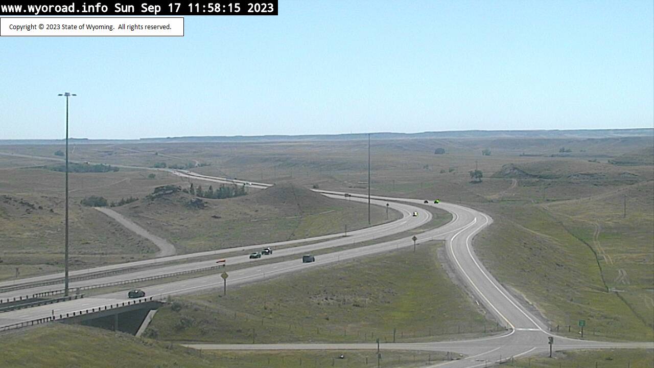
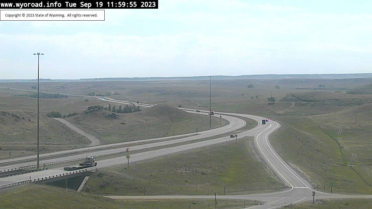
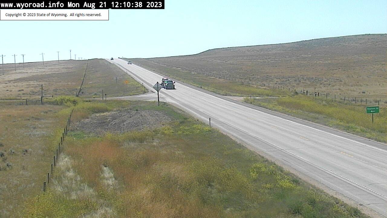
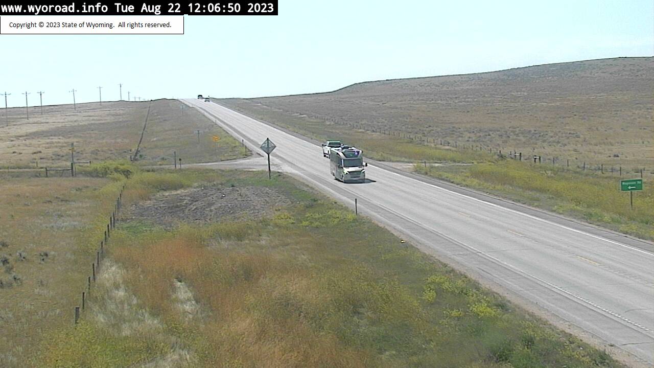
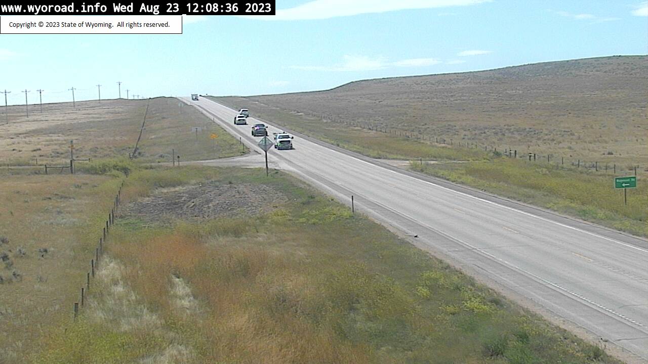
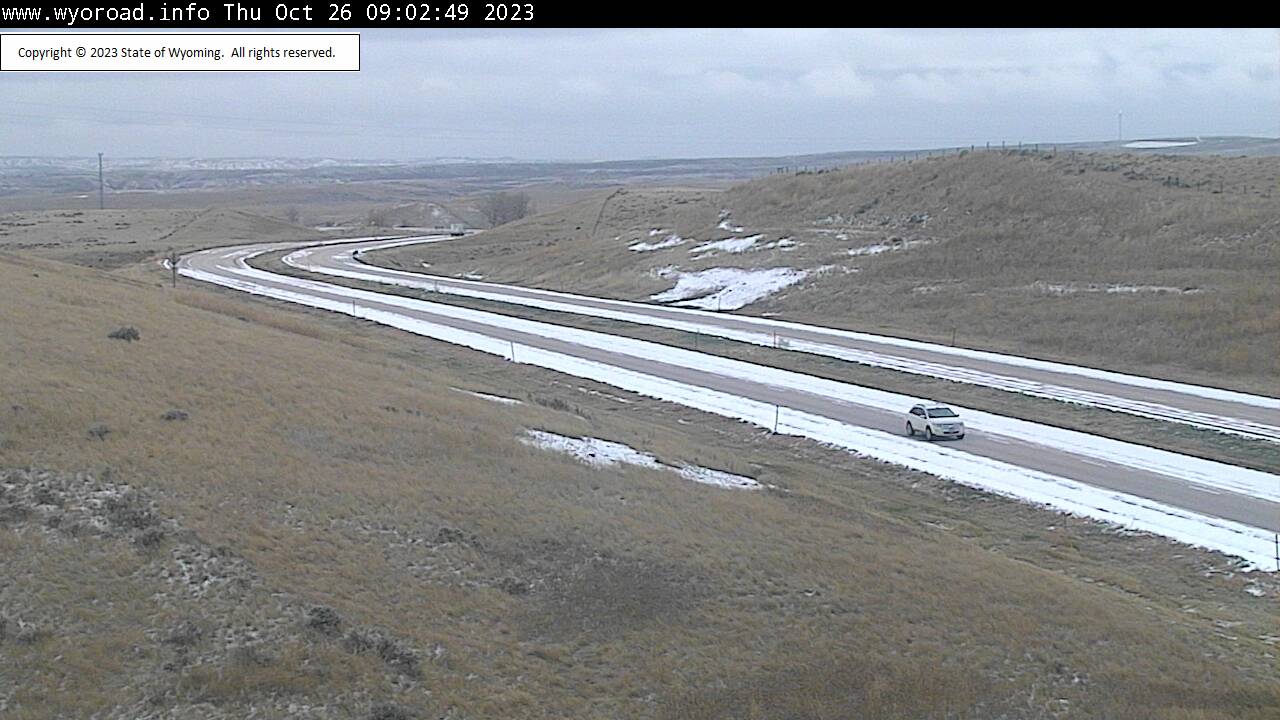
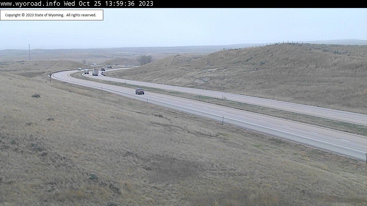
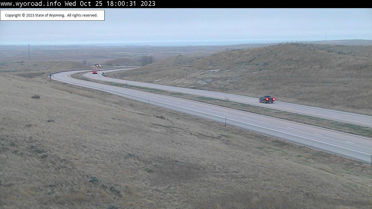
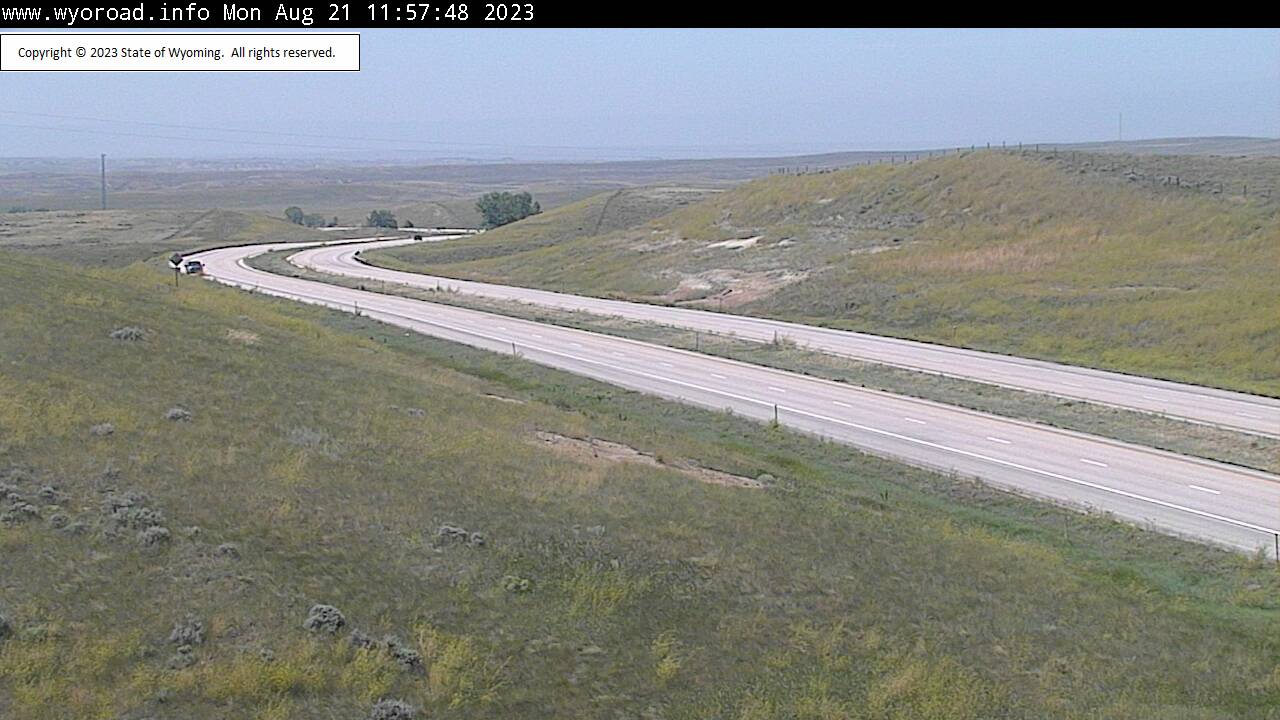
Beulah, Wyoming, USA - 125.1 miles from Potato Creek: Beulah Interchange - Traffic and Weather - A view of the current traffic and weather situation.
Operator: WYDOT Travel Information Service
Operator: WYDOT Travel Information Service
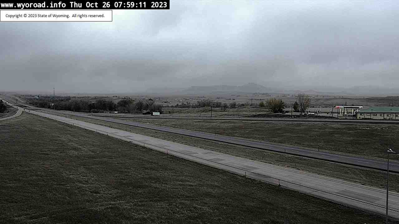
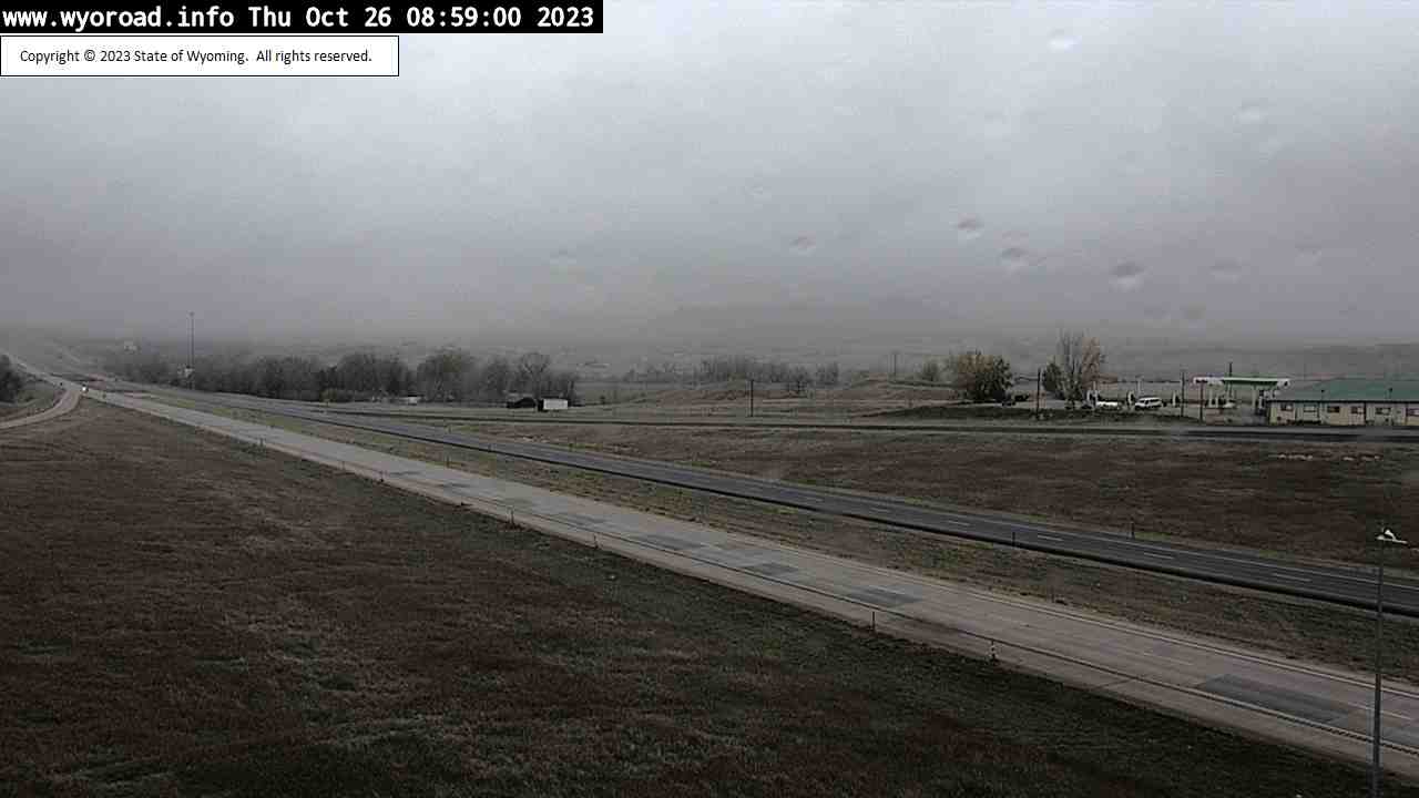
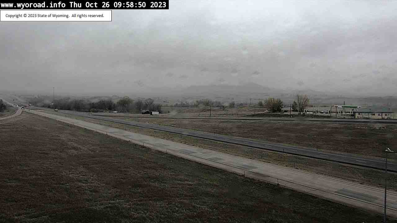
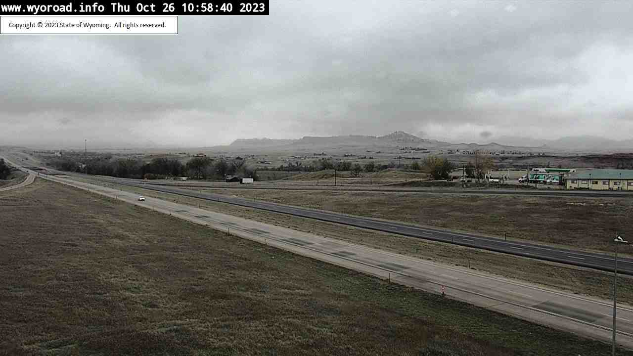

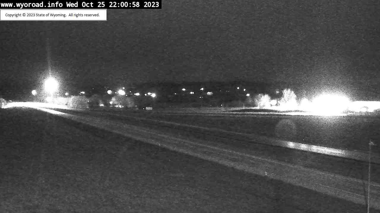
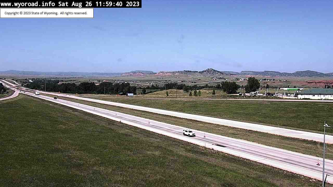


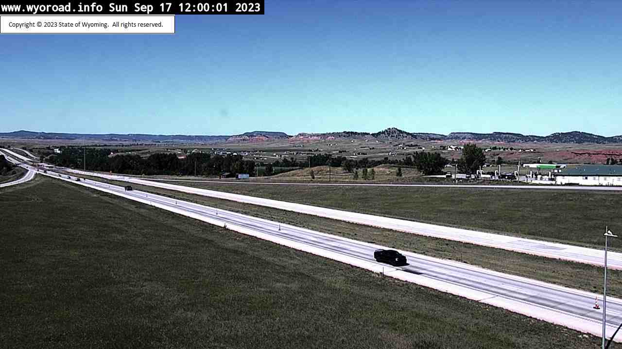


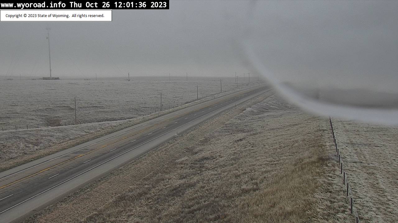
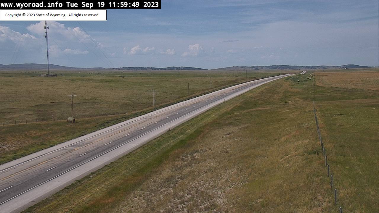
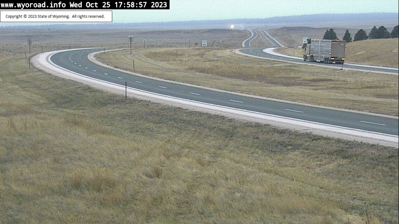
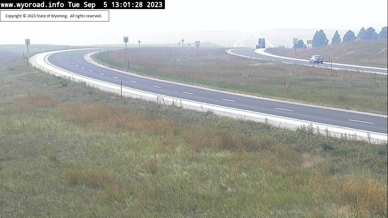
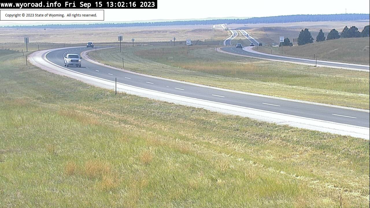
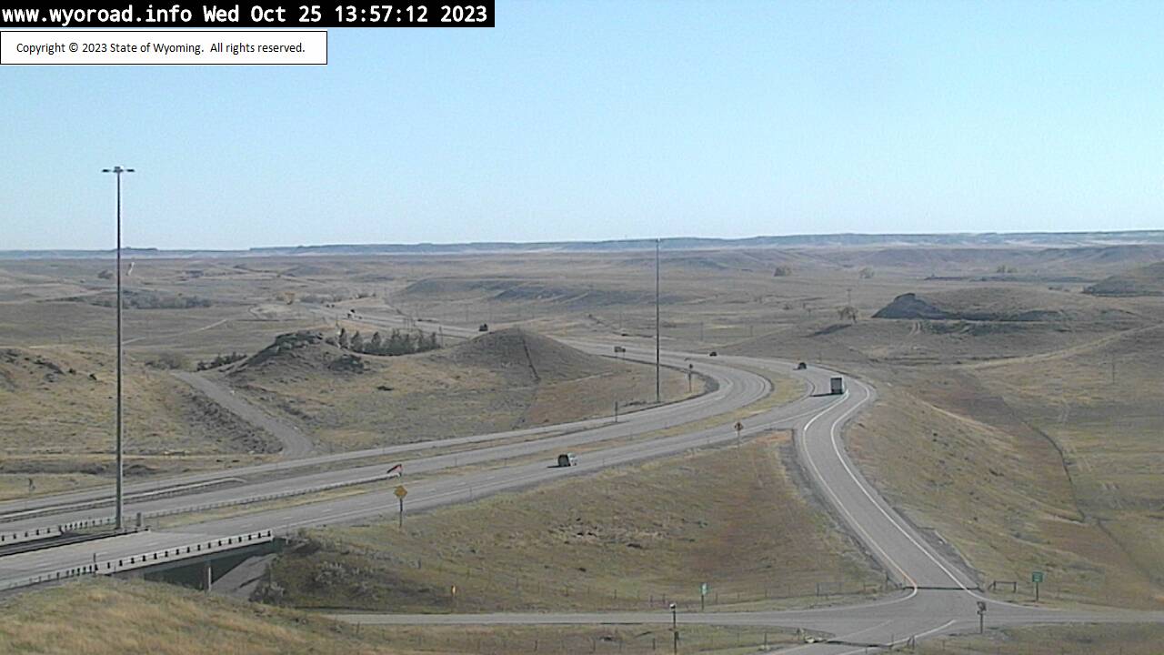
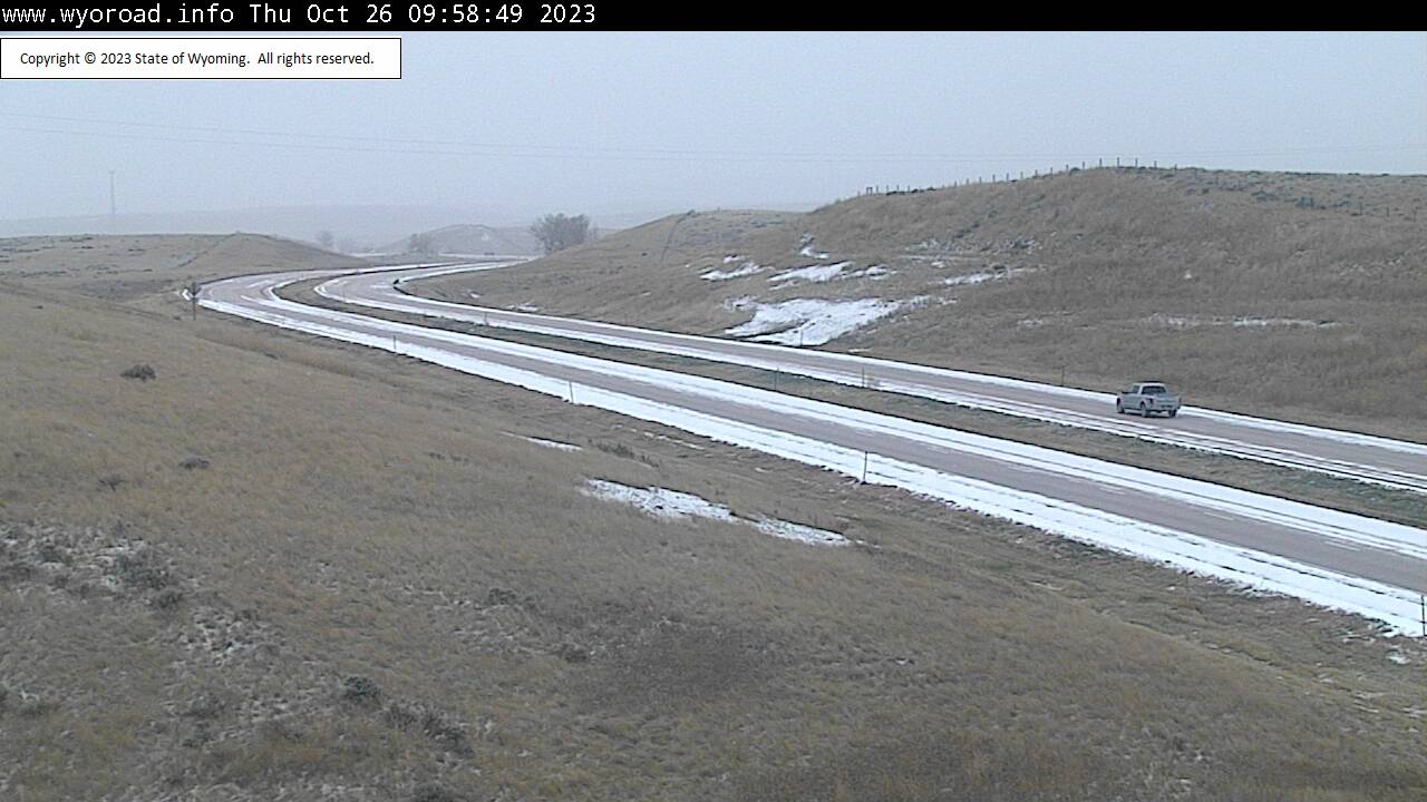
Lusk, Wyoming, USA - 135.1 miles from Potato Creek: Lusk Relay Tower - Traffic and Weather - A view of the current traffic and weather situation.
Operator: WYDOT Travel Information Service
Operator: WYDOT Travel Information Service
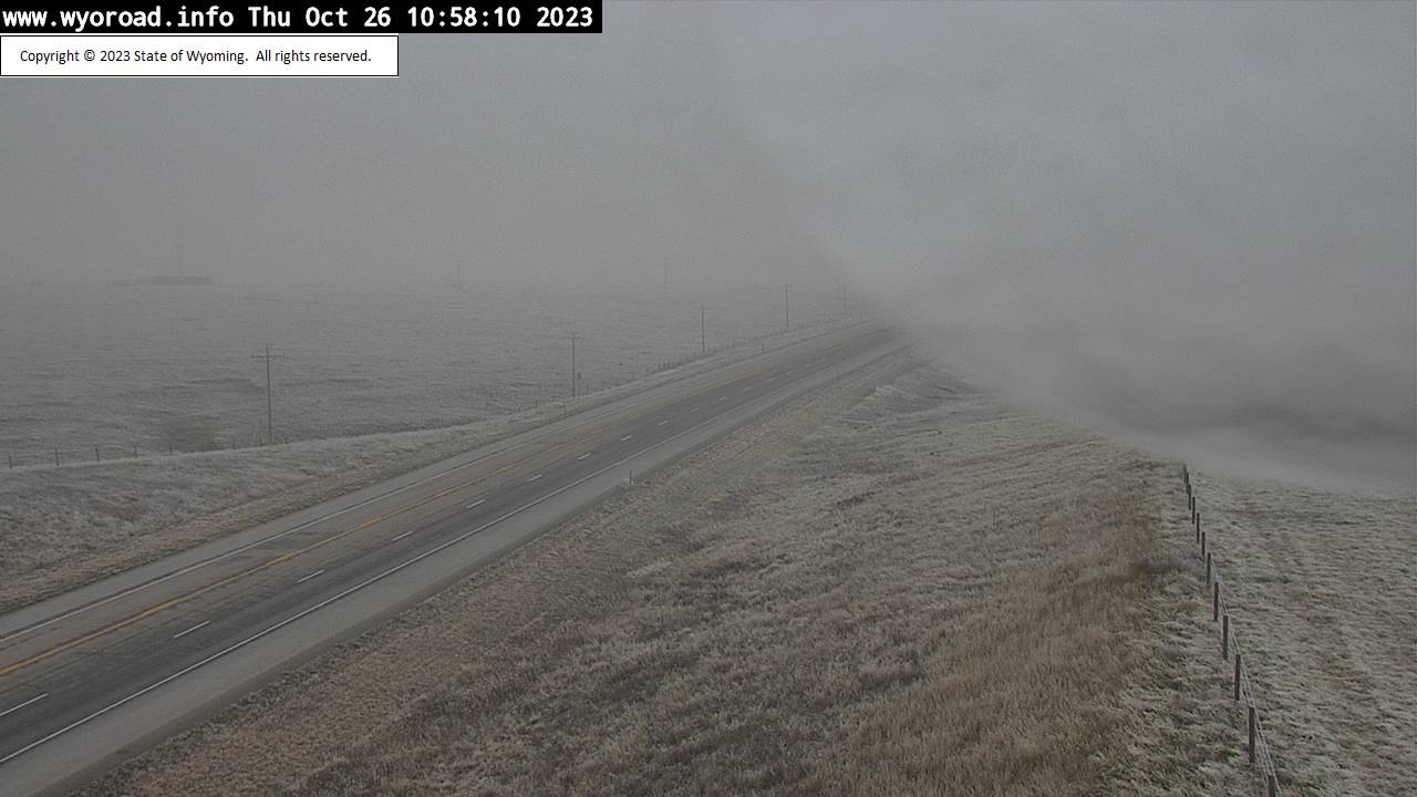
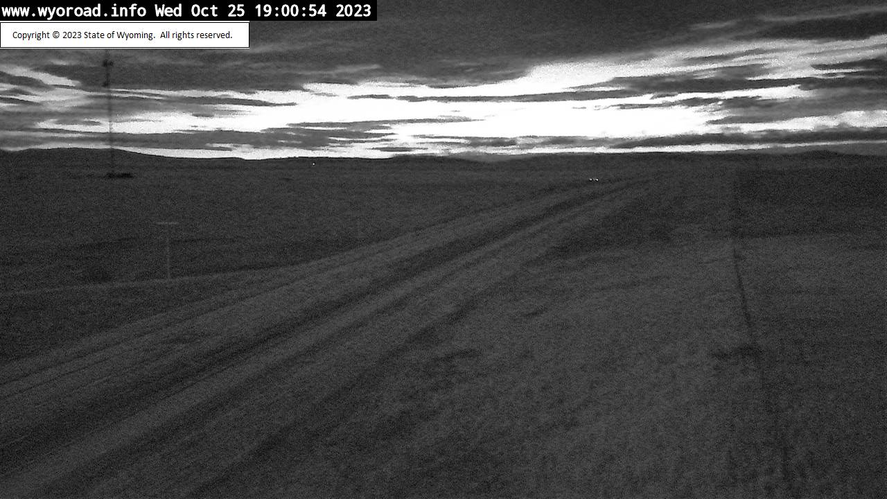


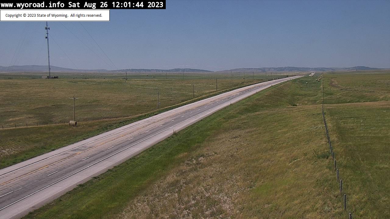
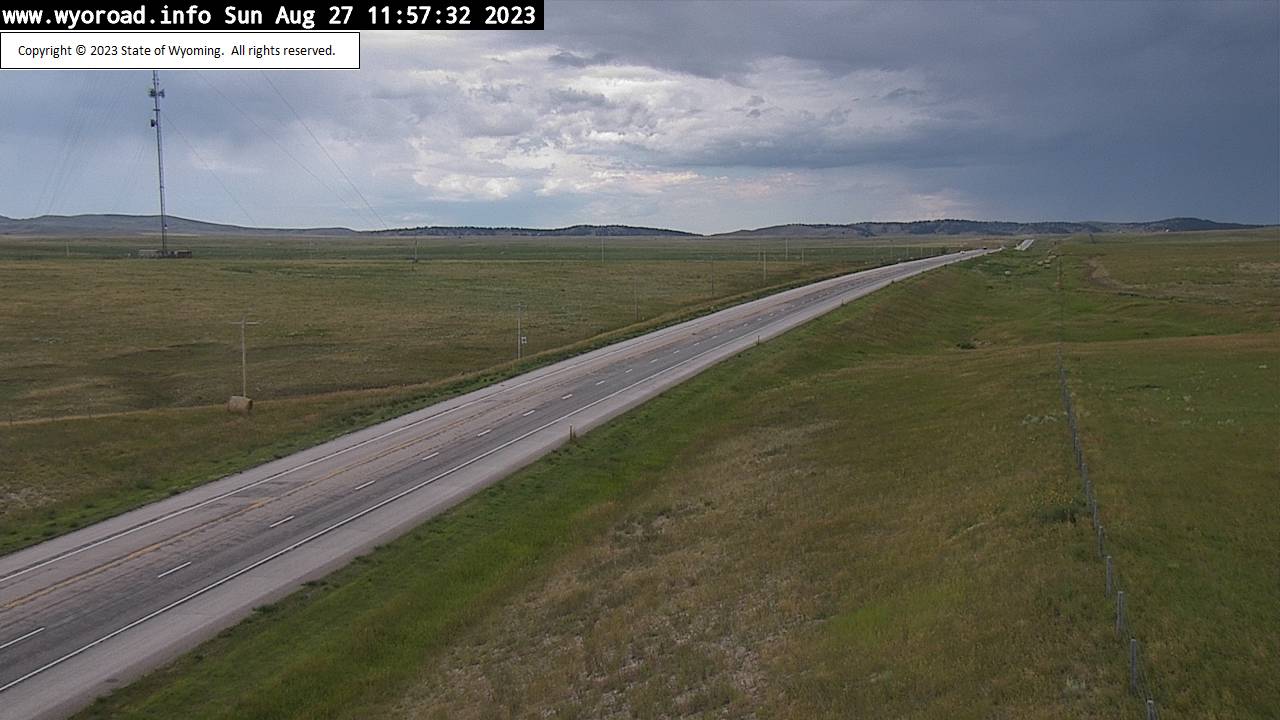
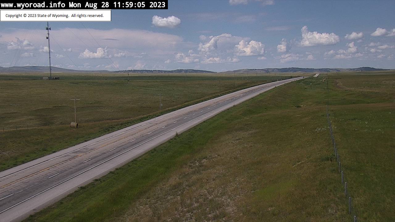
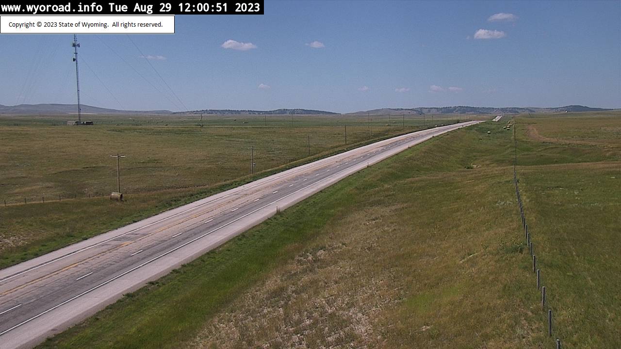
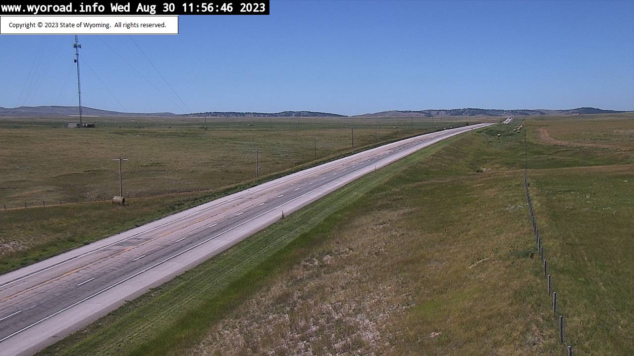
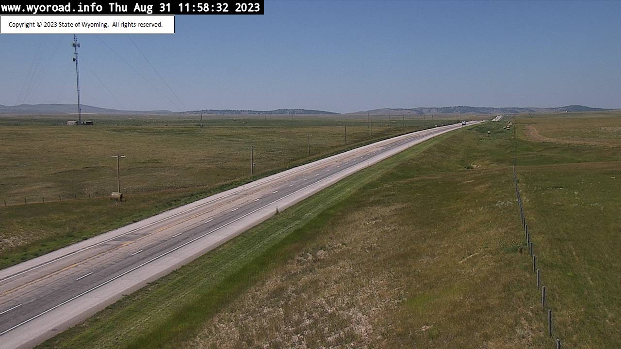
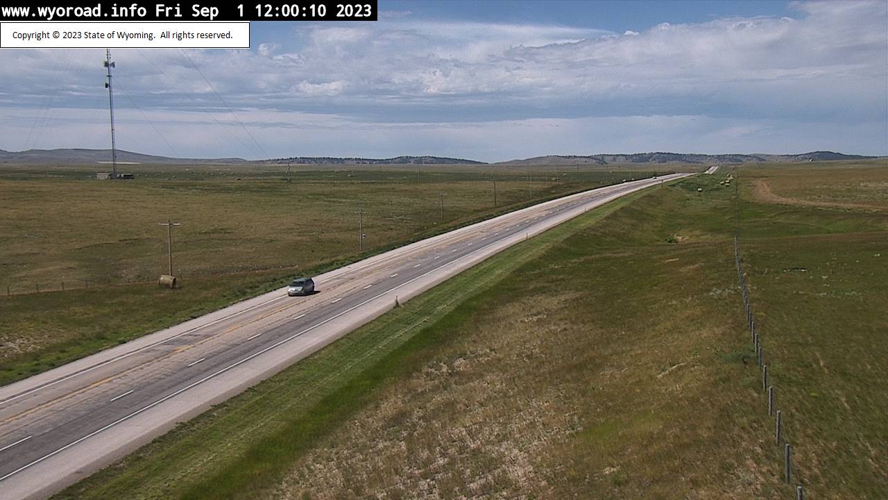
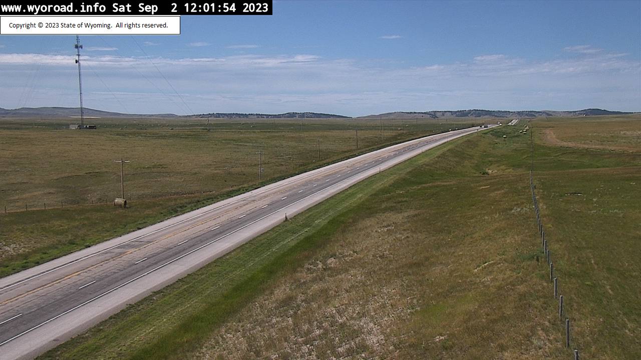
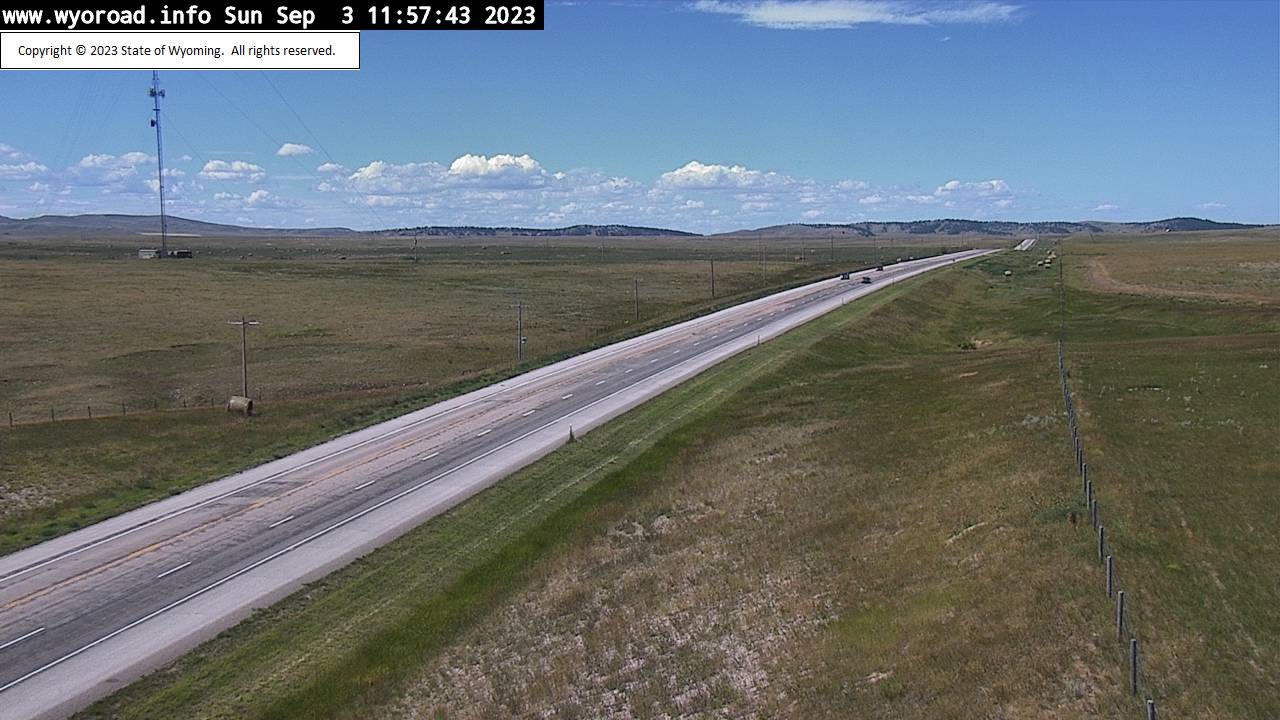
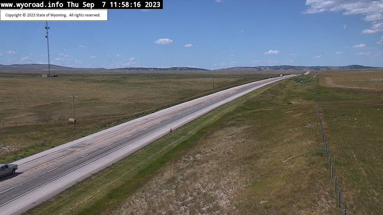
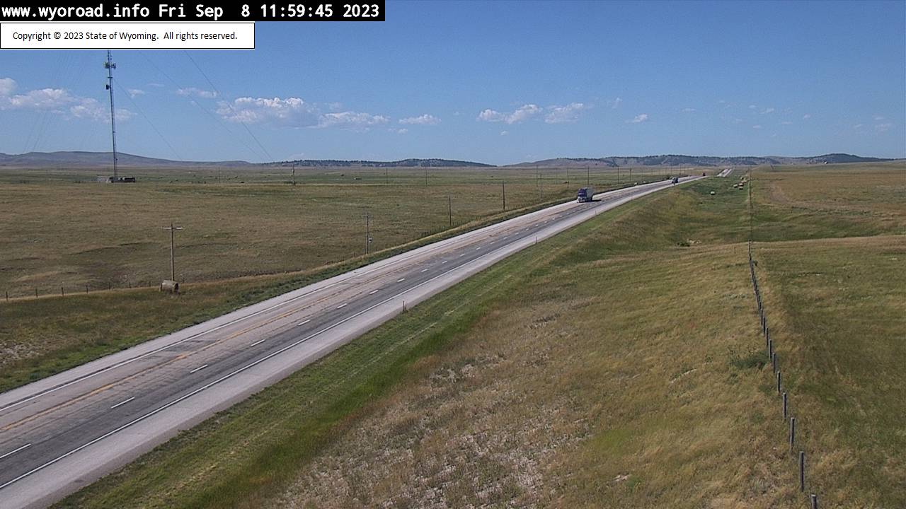


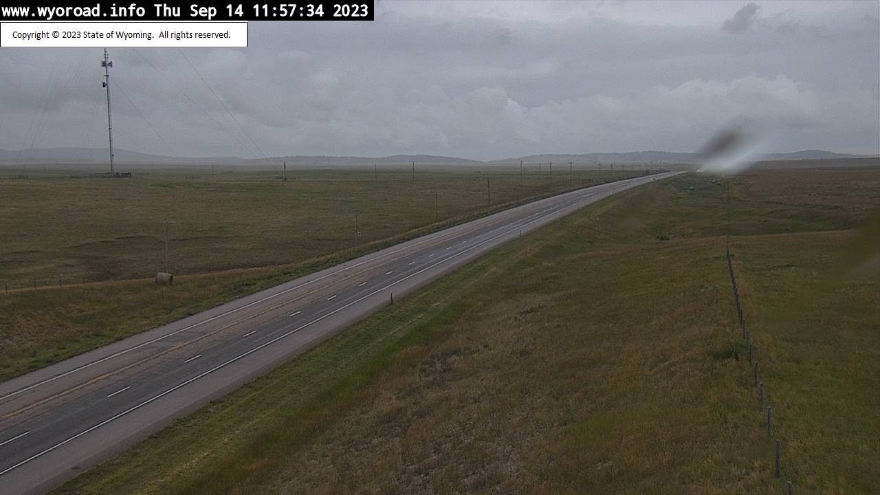


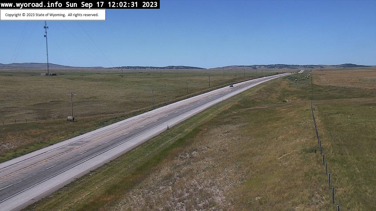


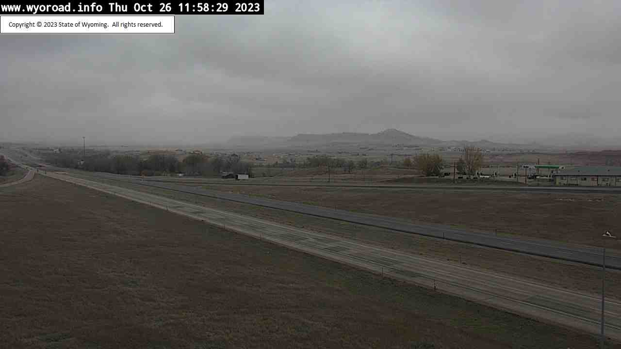
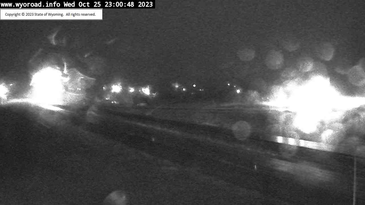
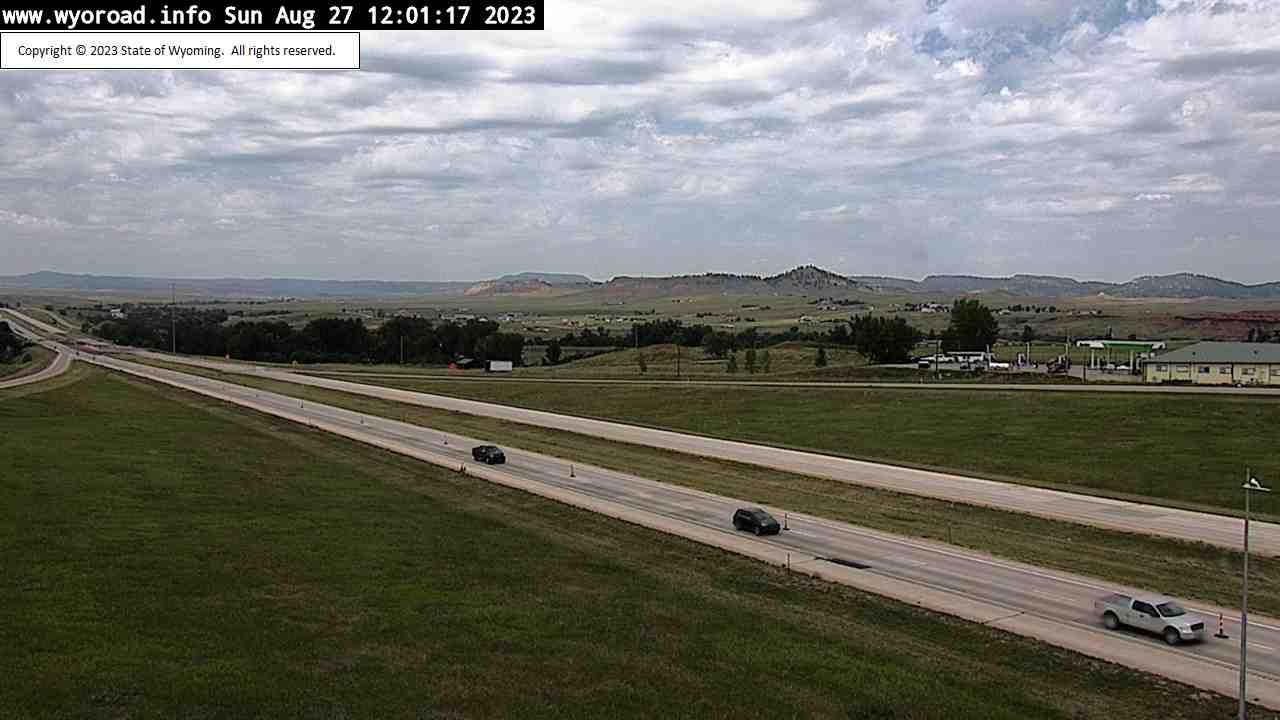
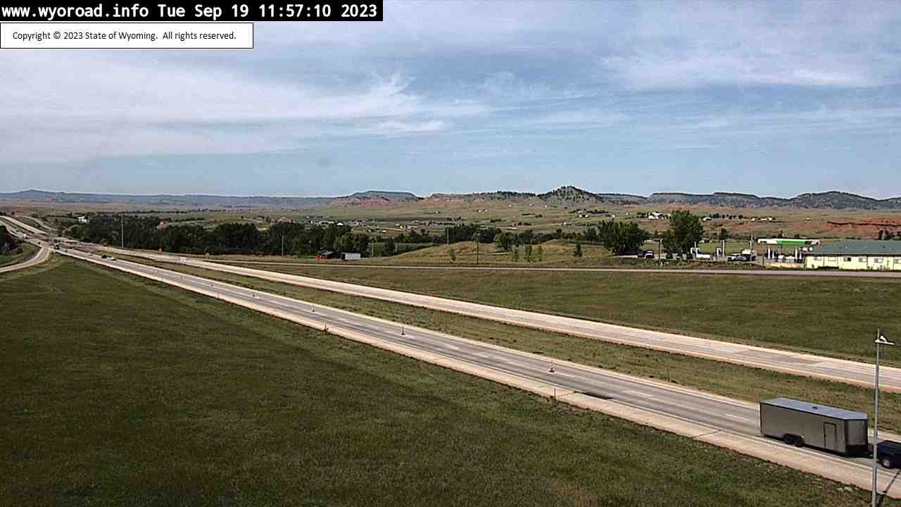
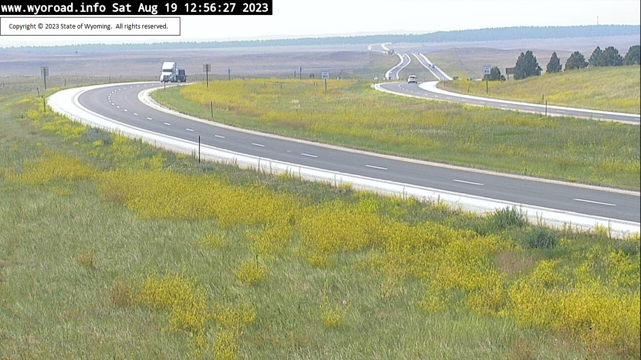
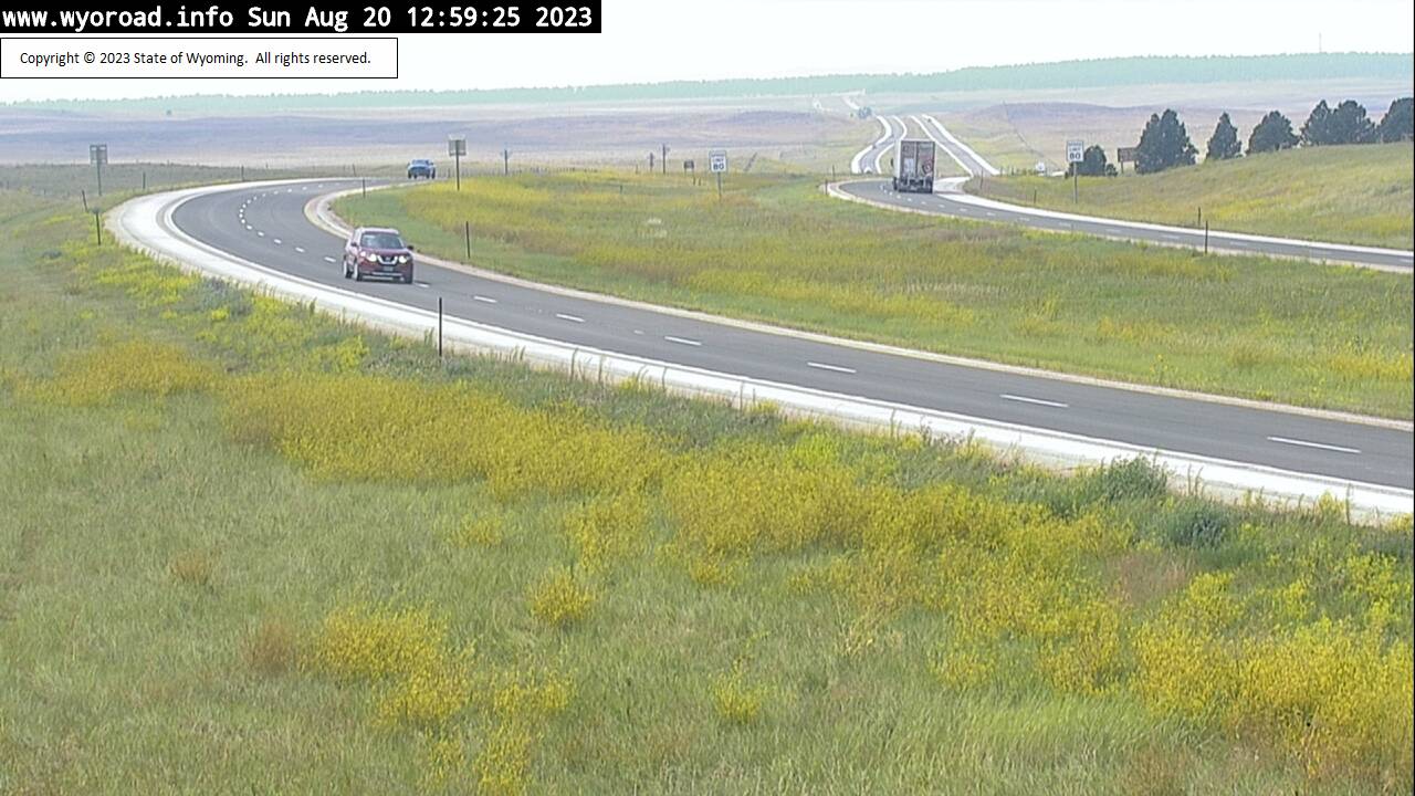
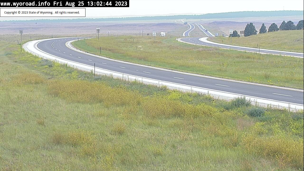
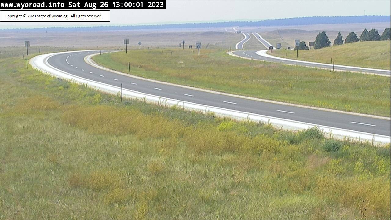
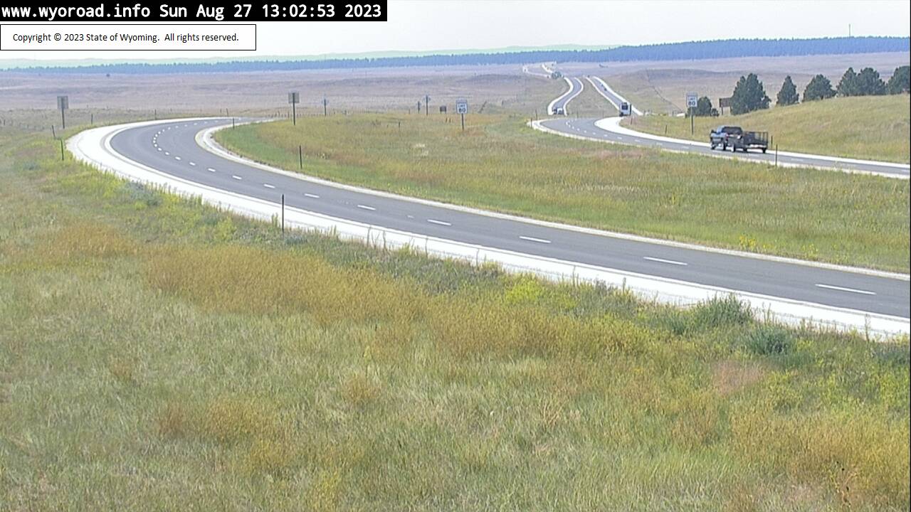
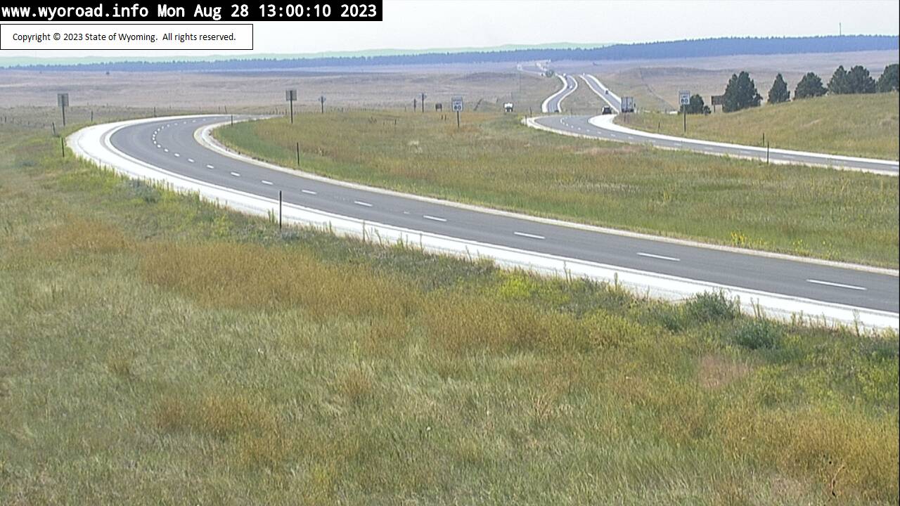
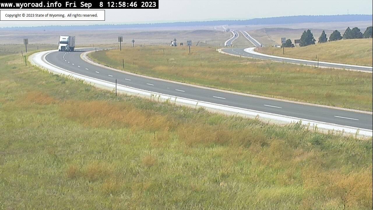
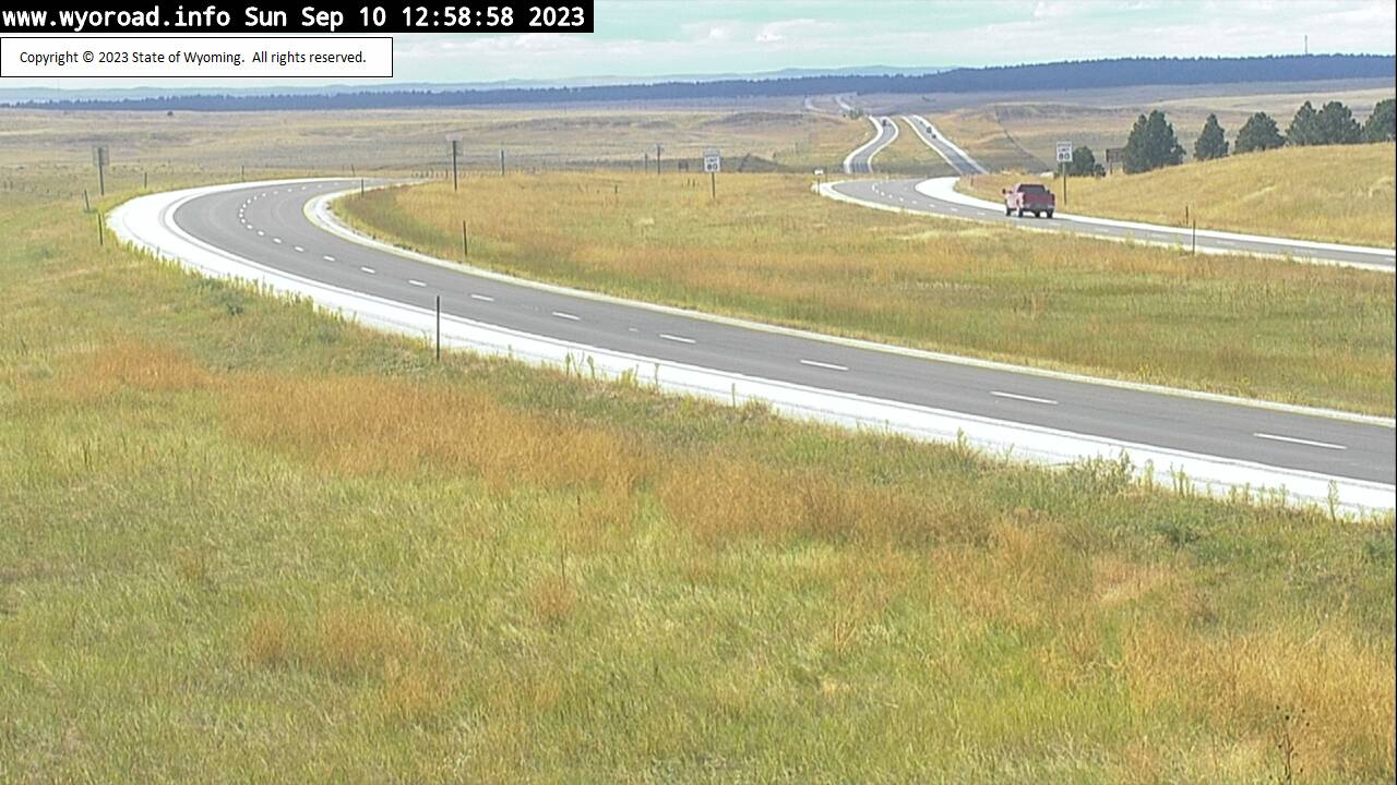
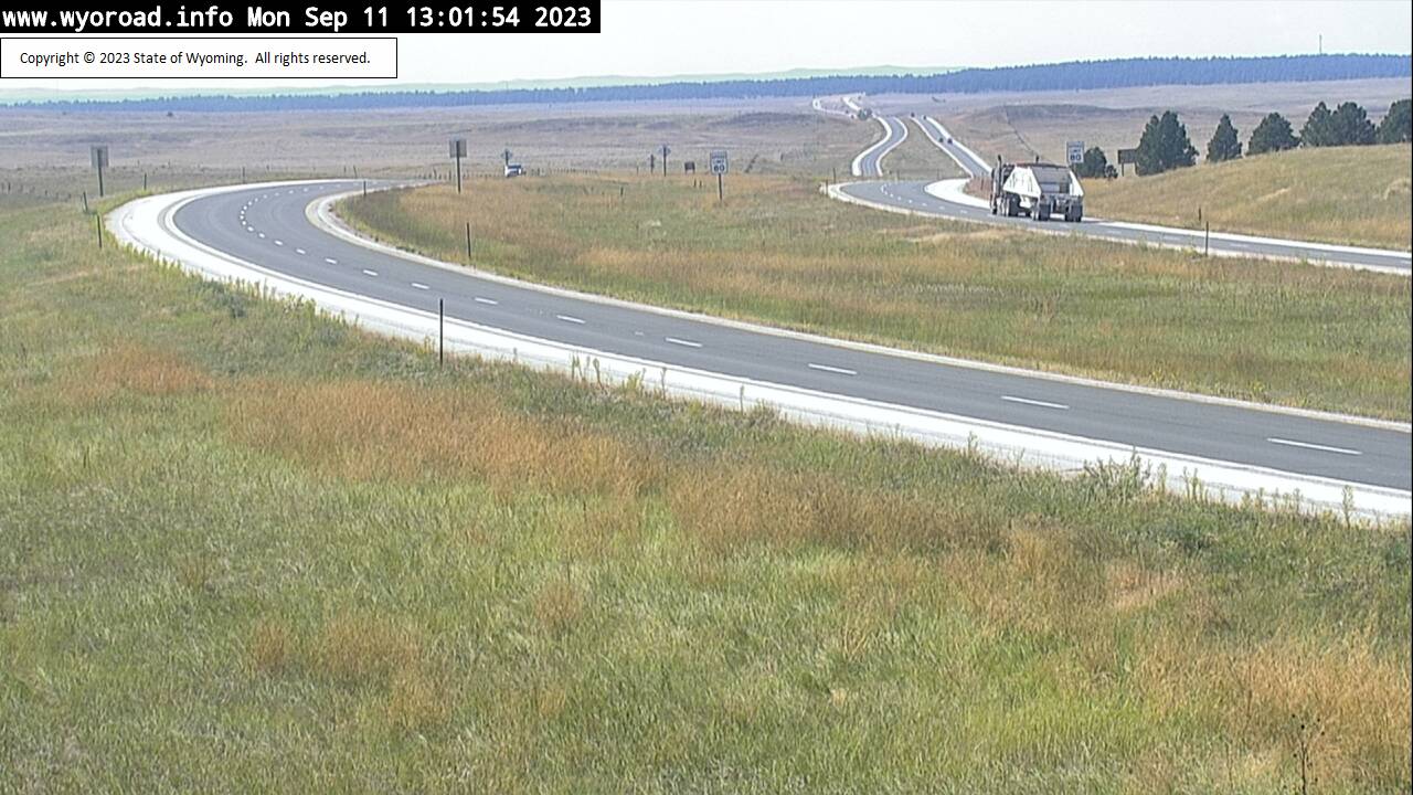
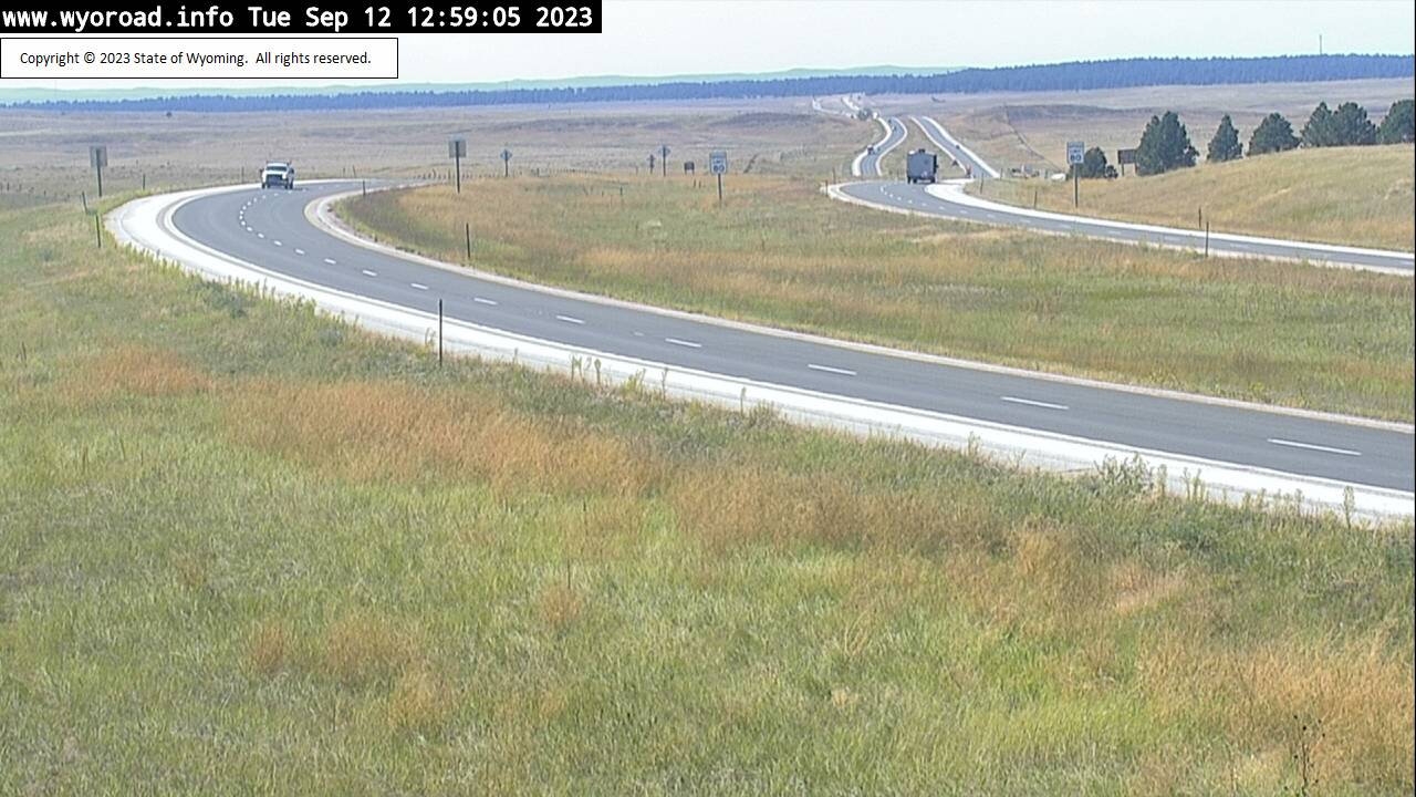
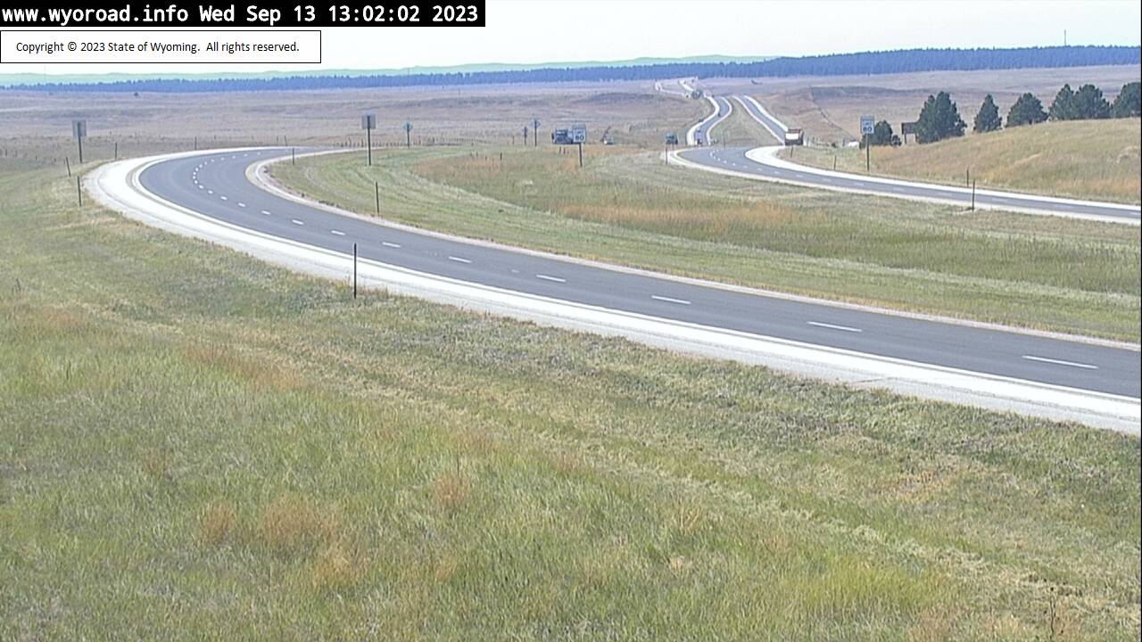
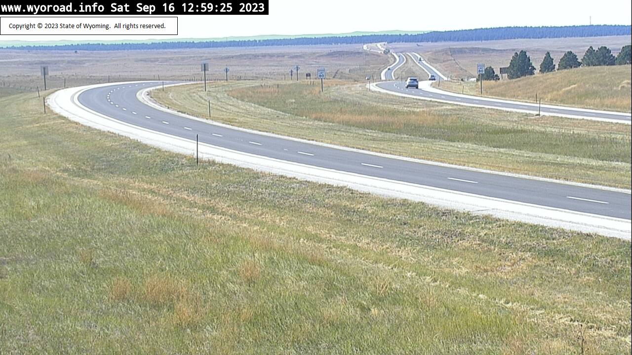
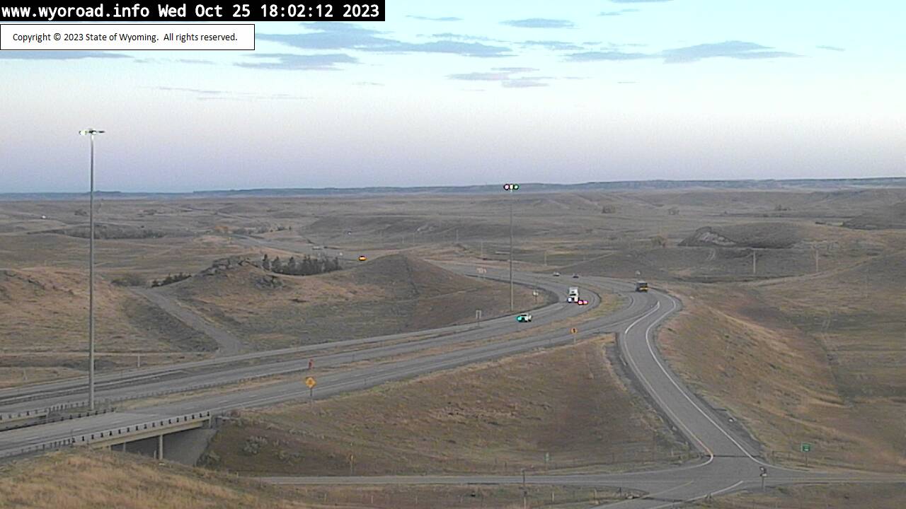
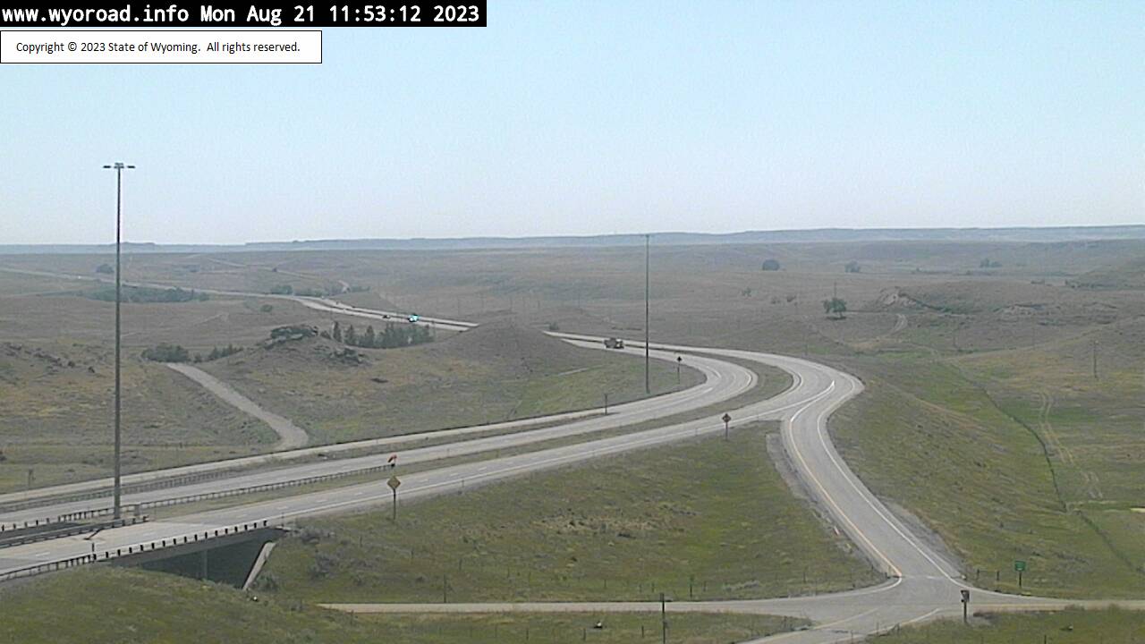
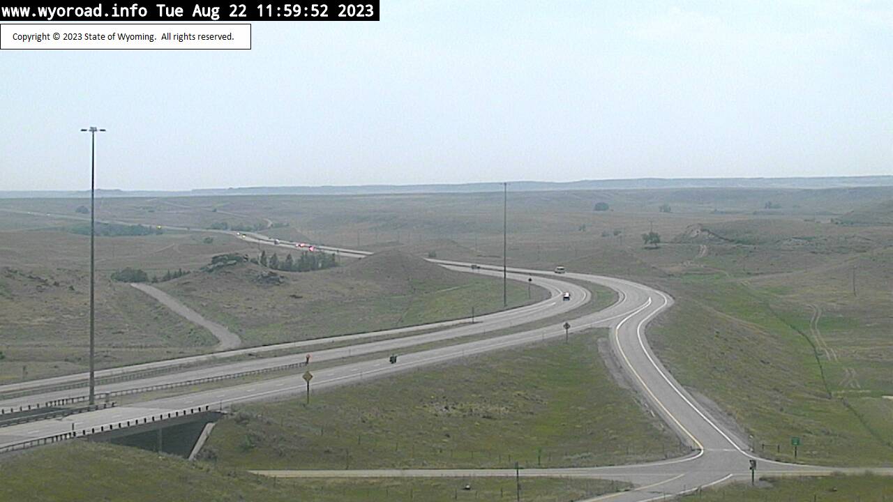
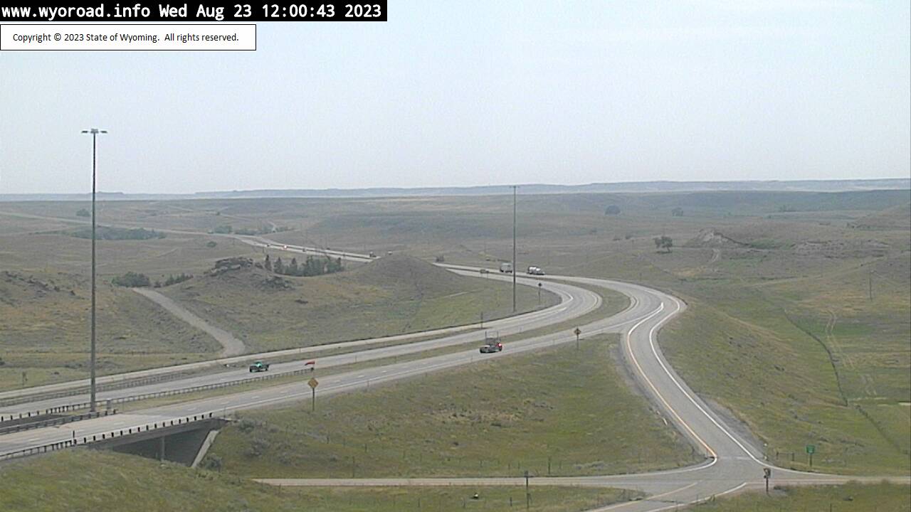
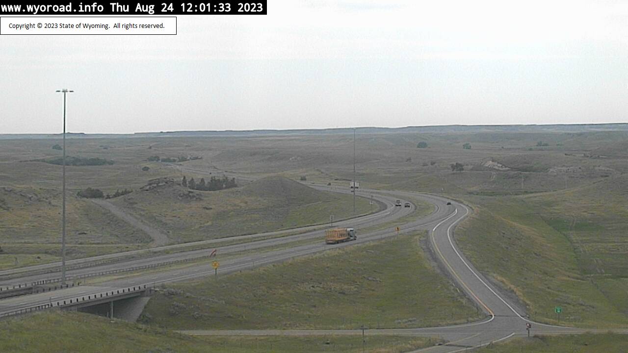
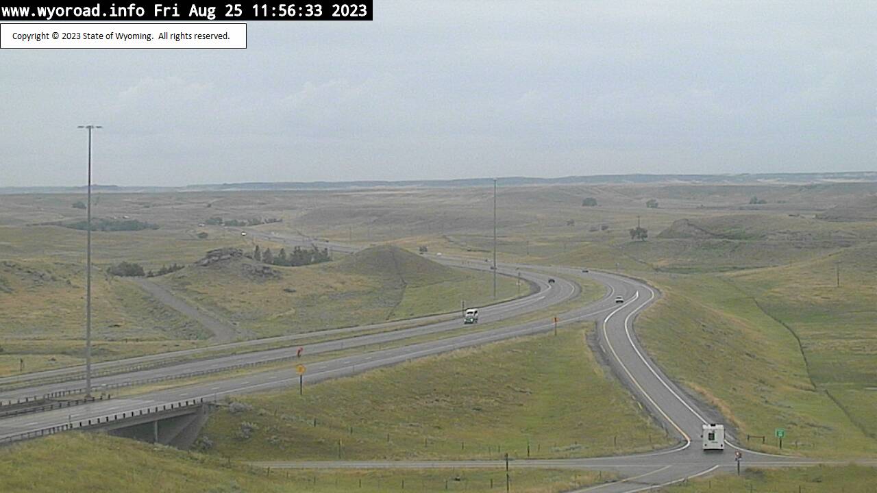
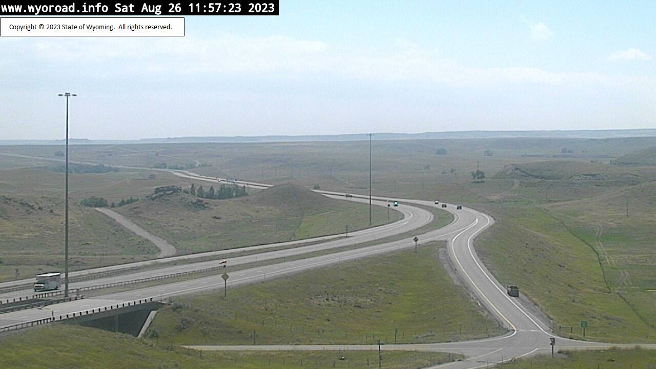
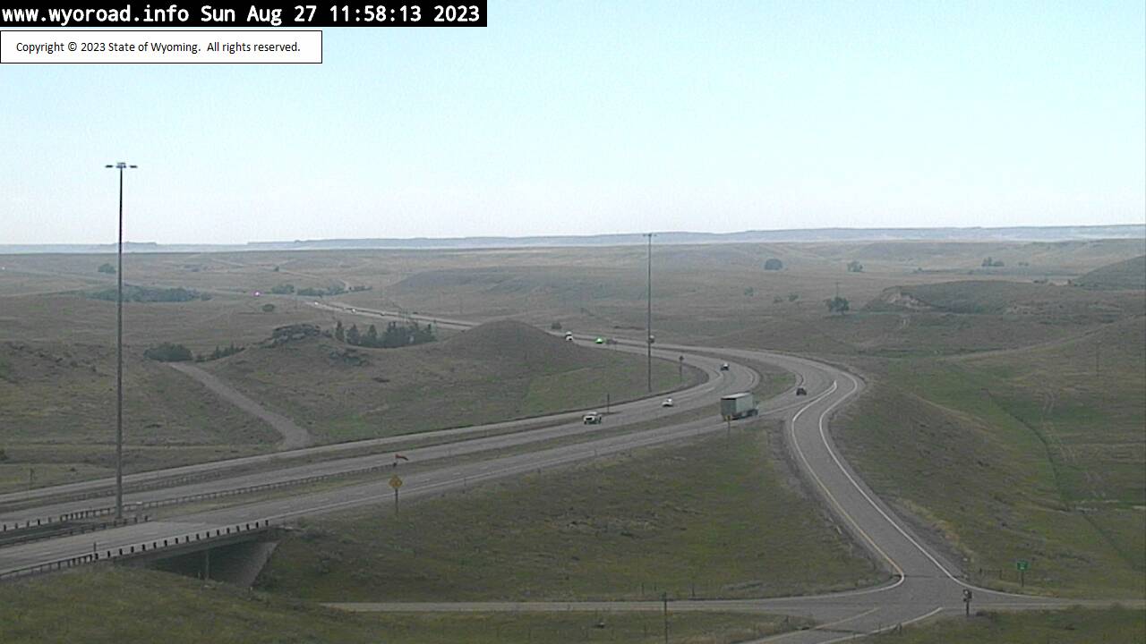
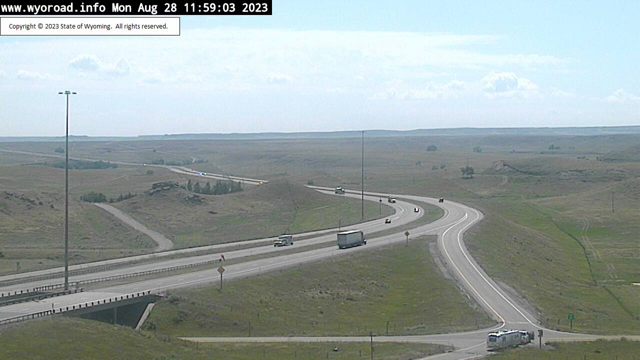
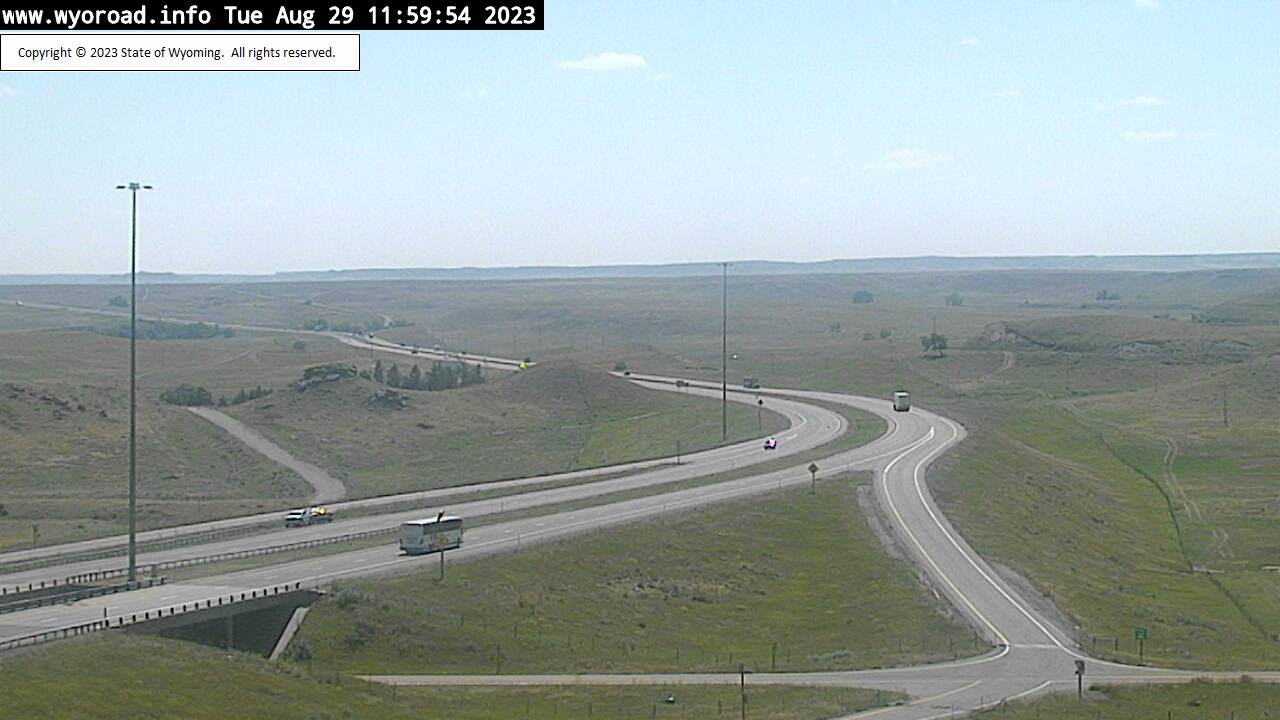
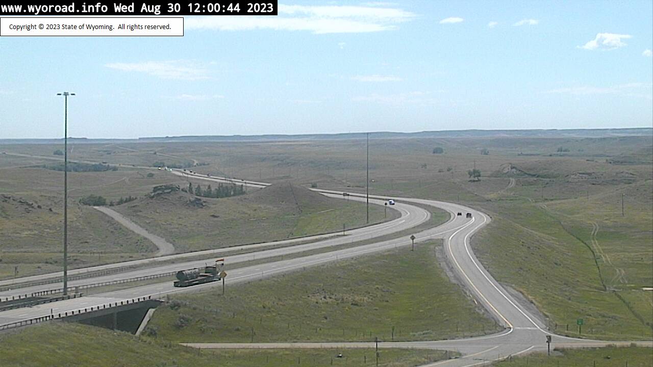
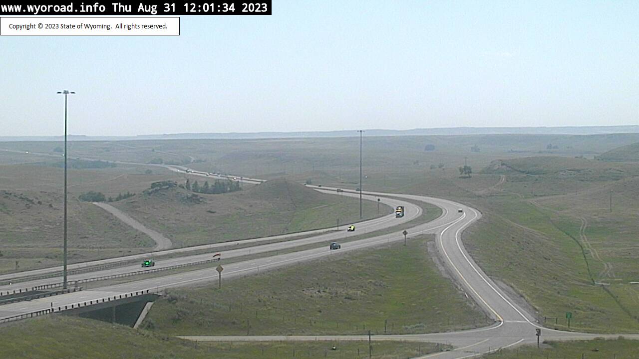
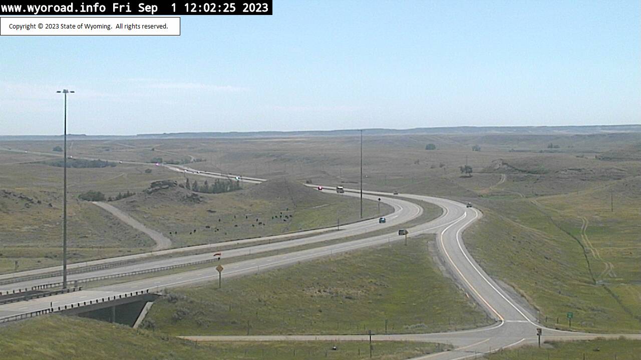
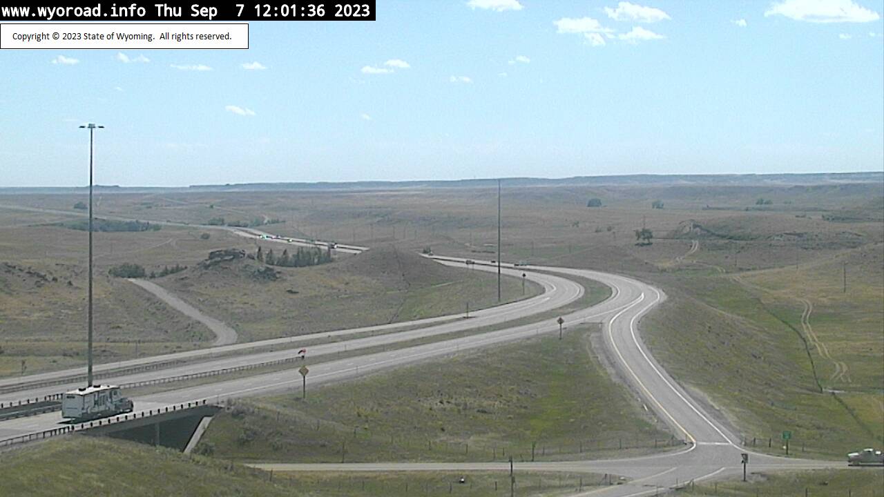
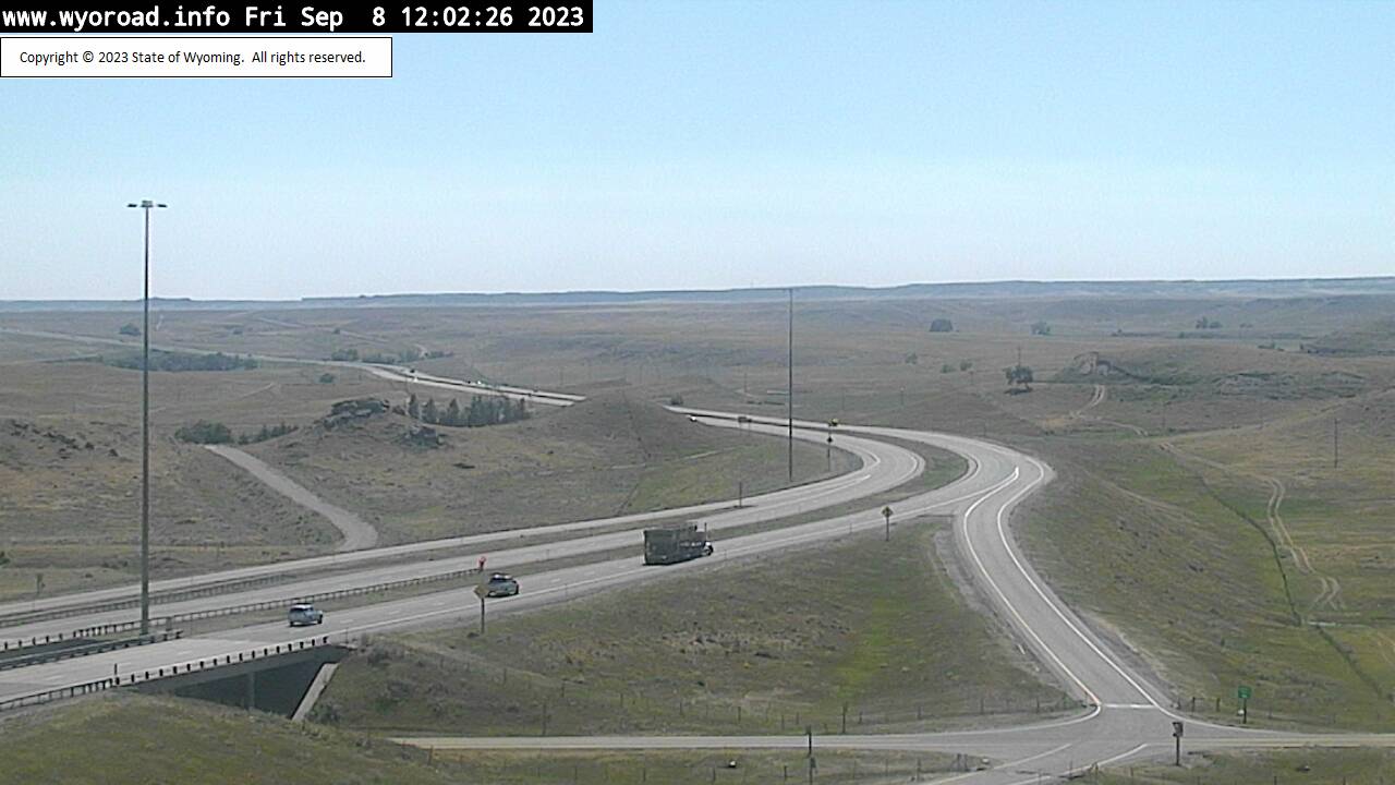
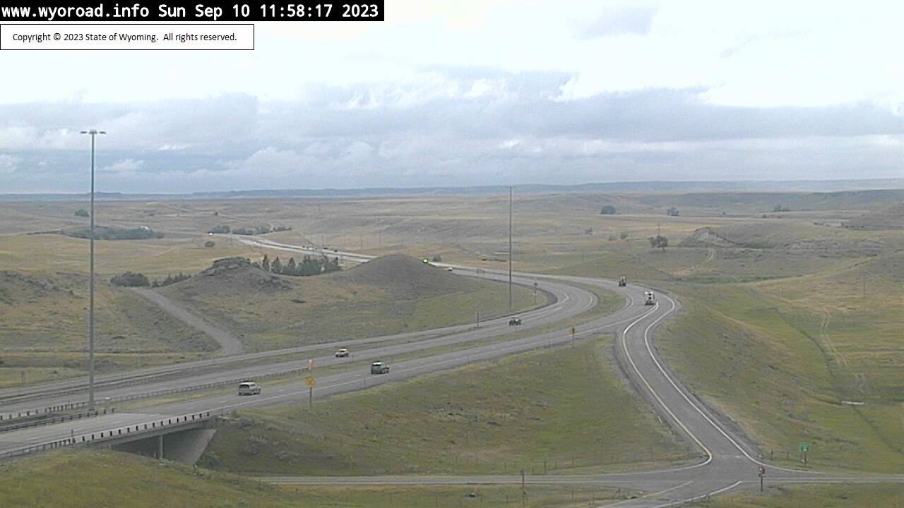
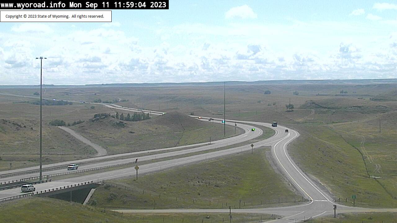
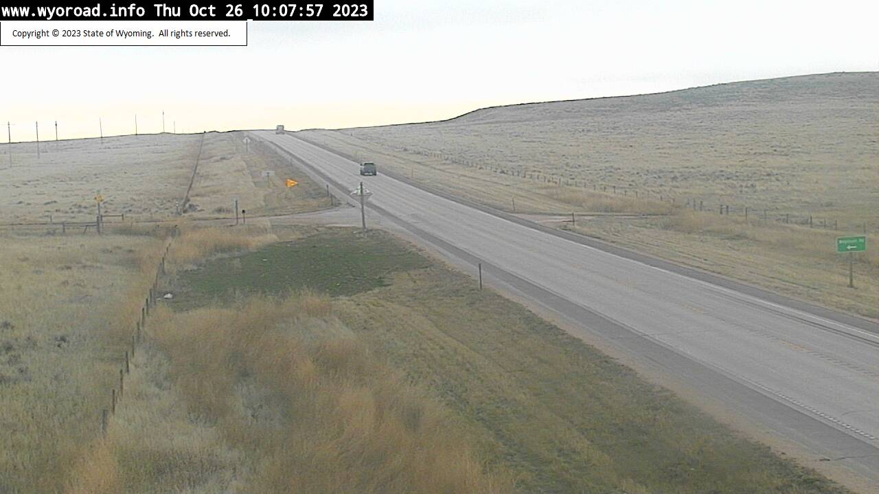
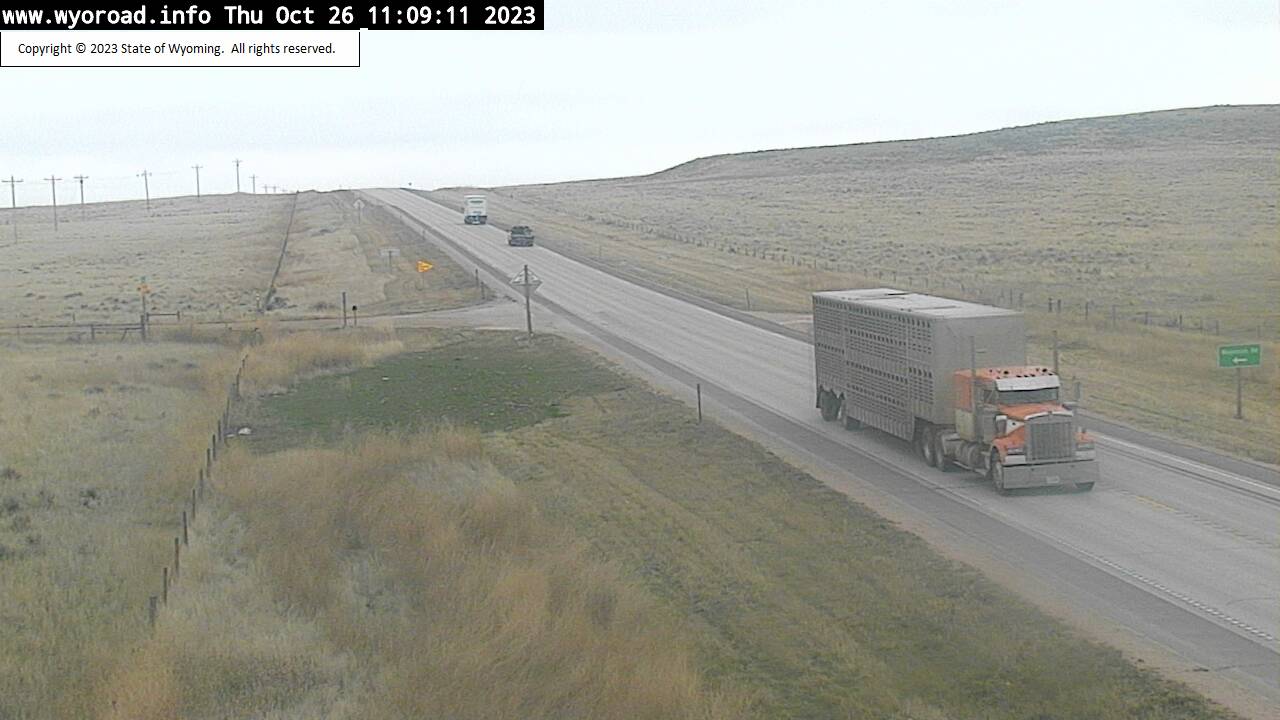
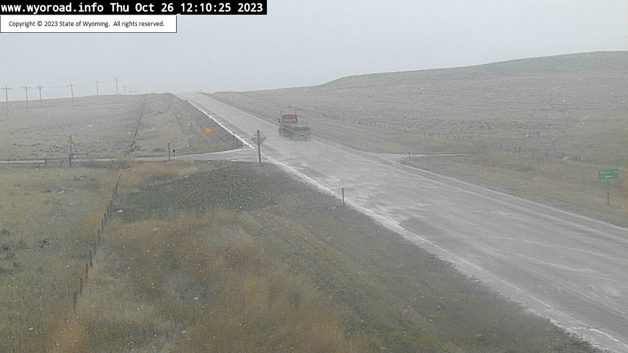
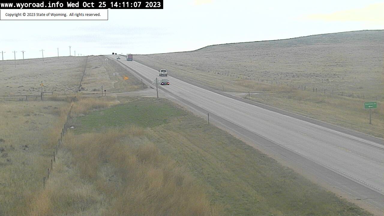
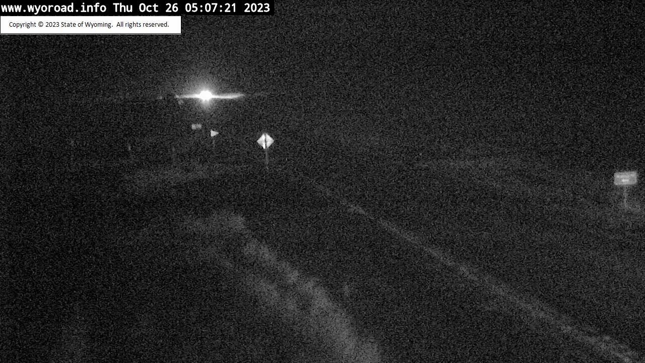
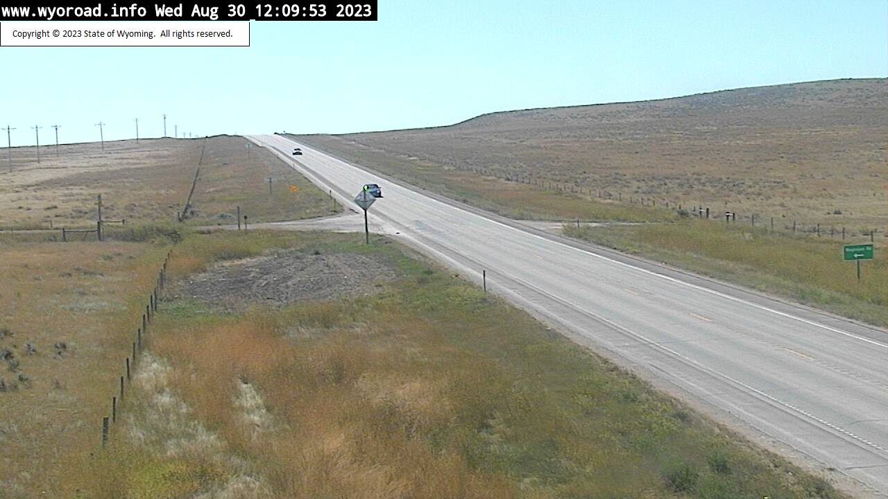
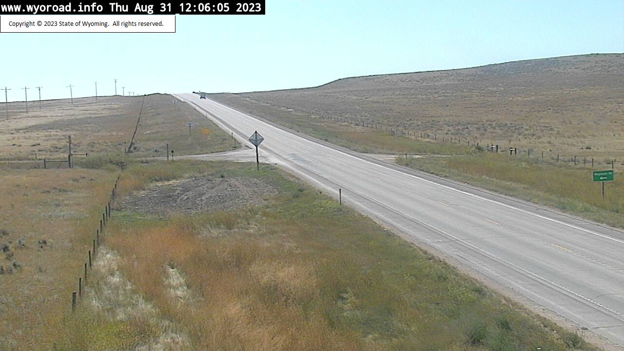
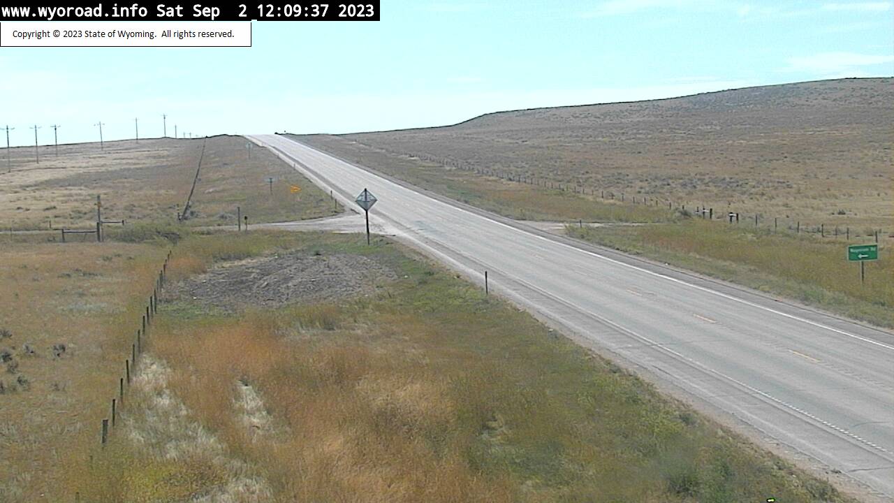
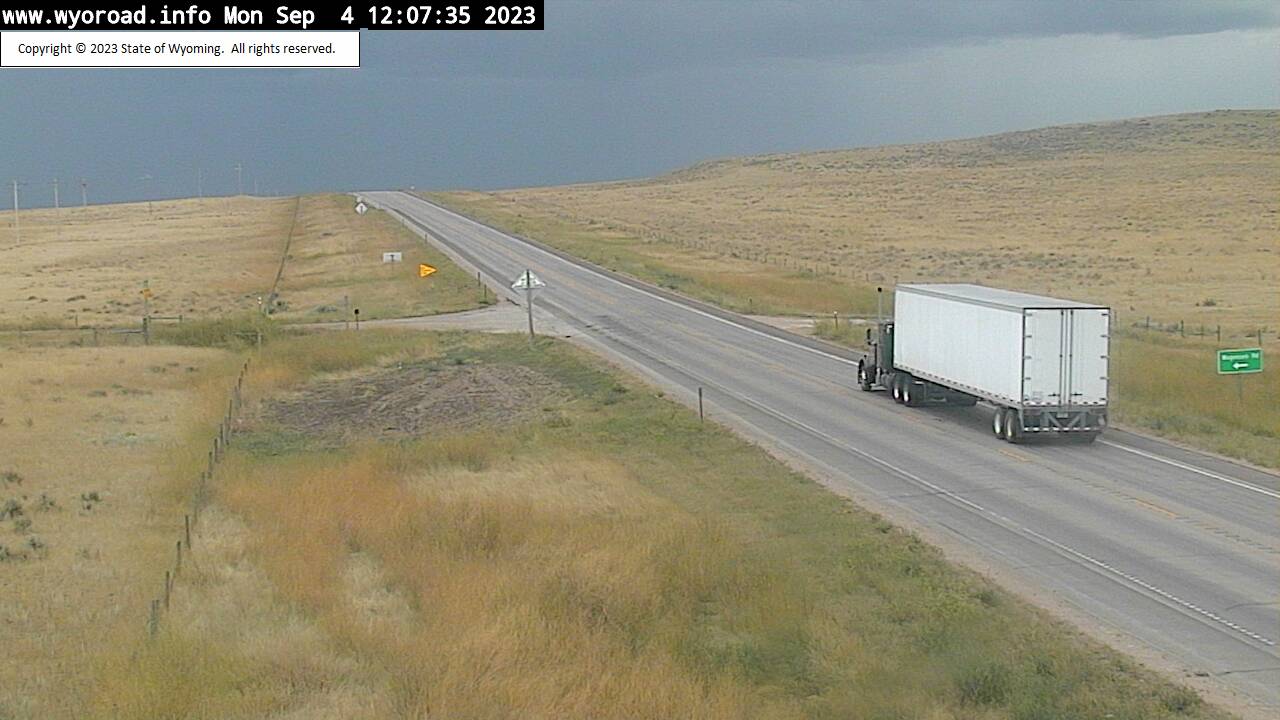
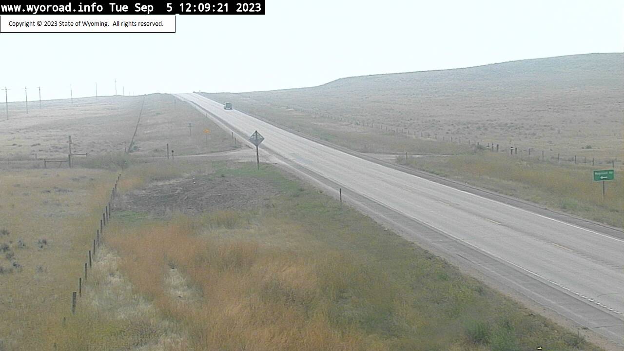
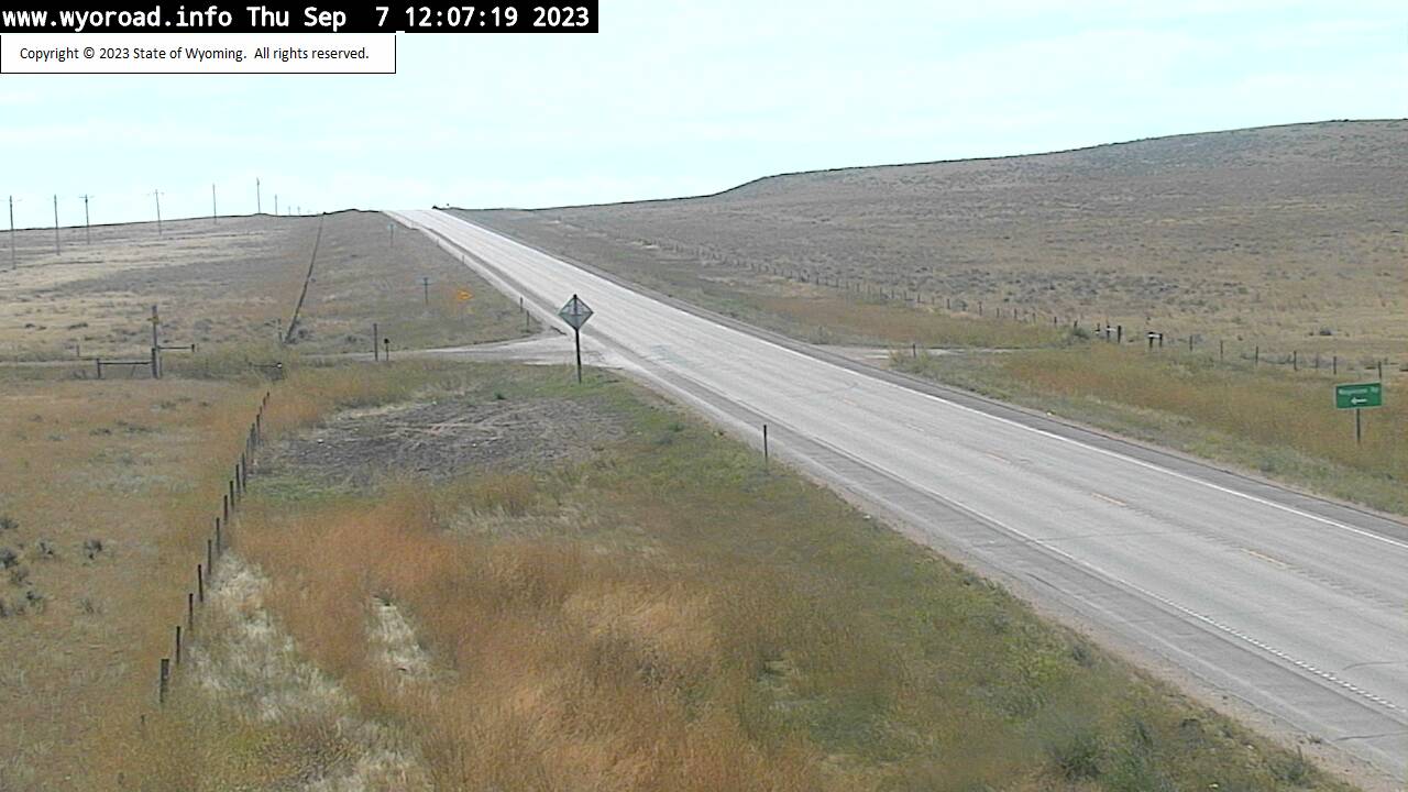
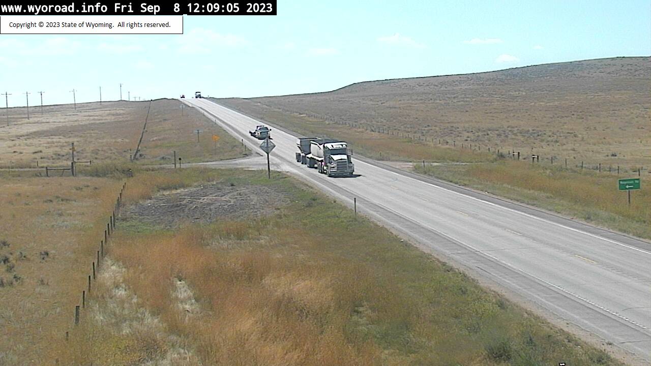
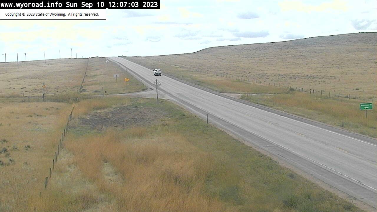
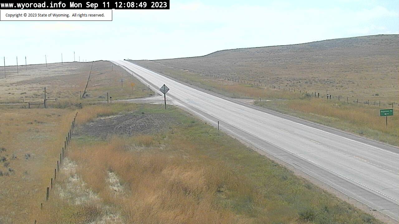
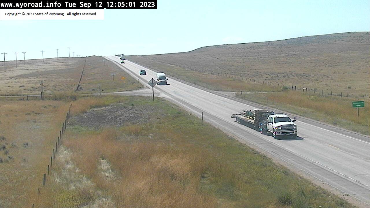
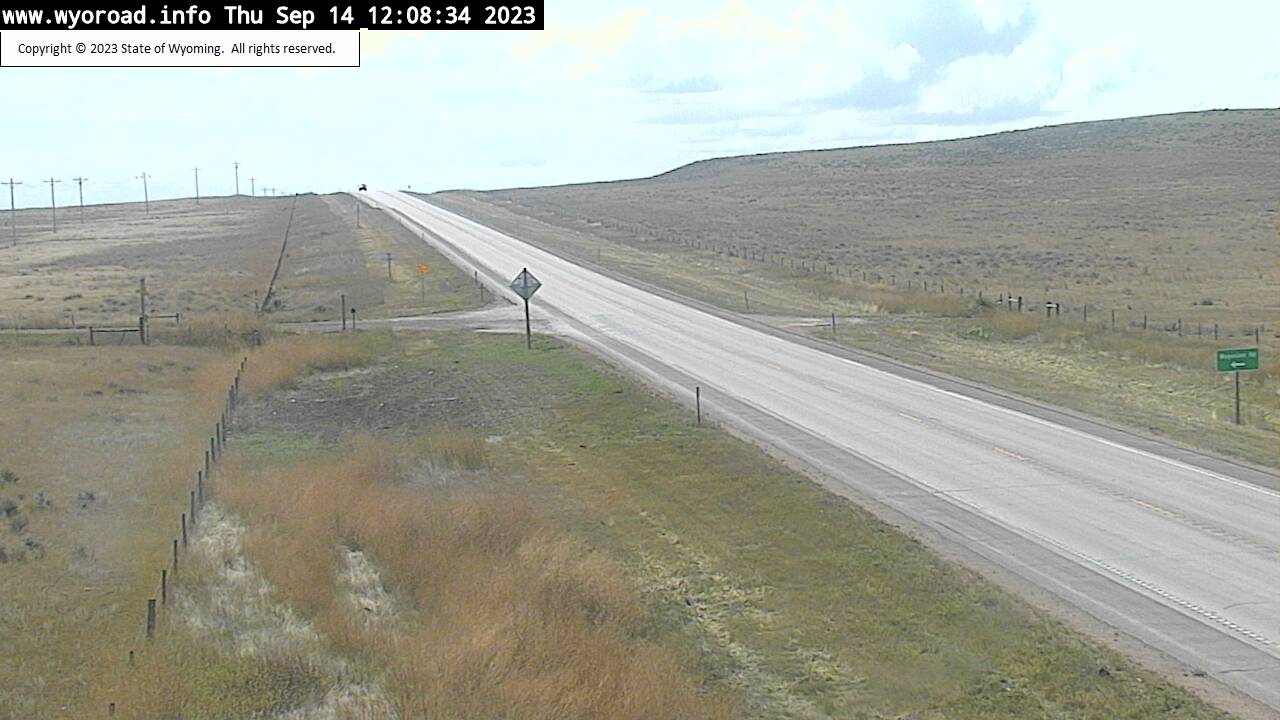
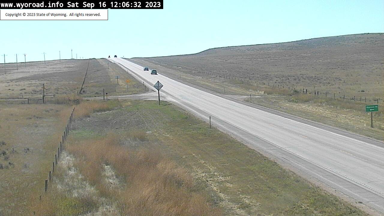
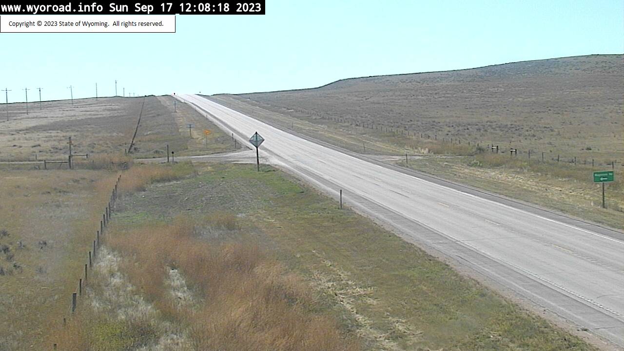
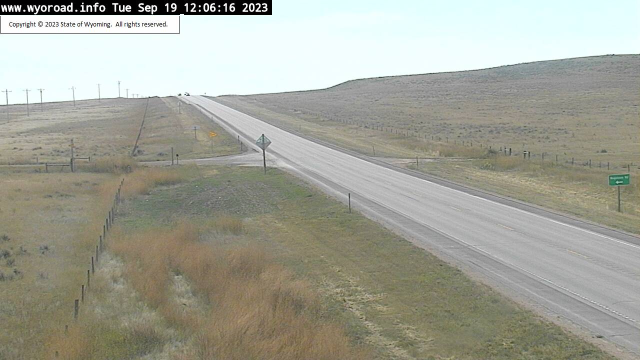
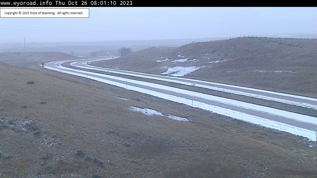
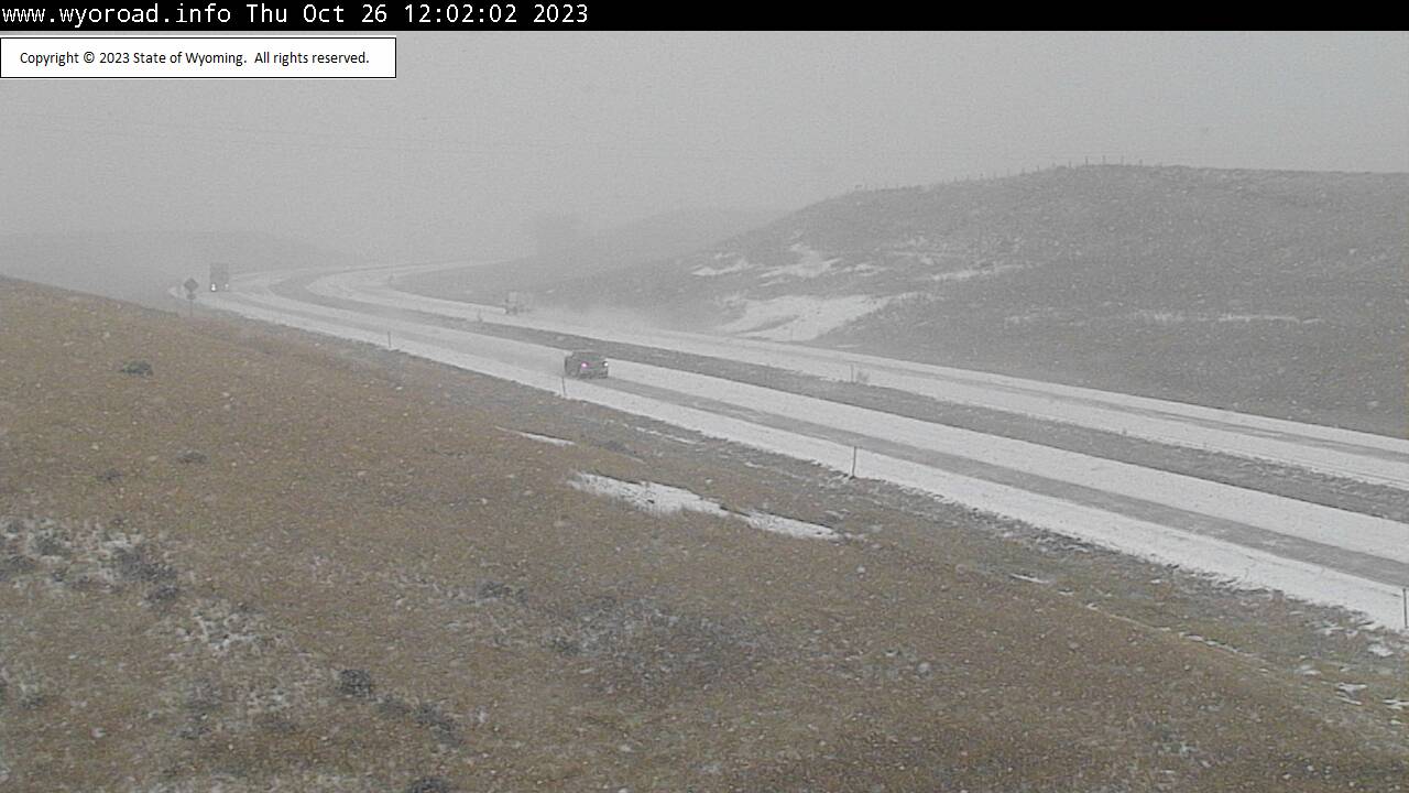
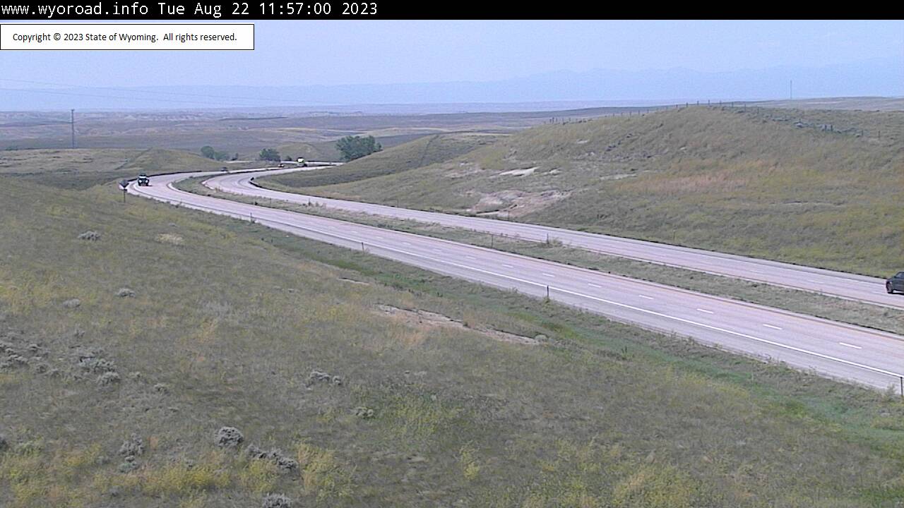
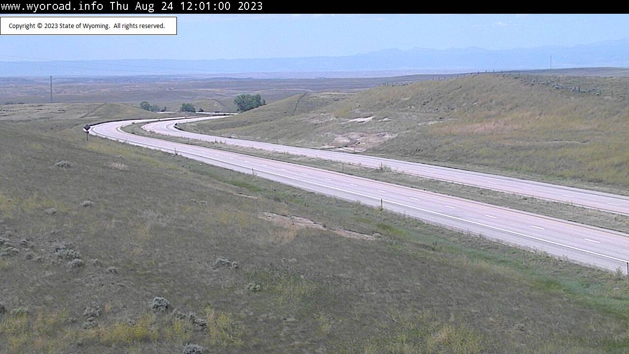
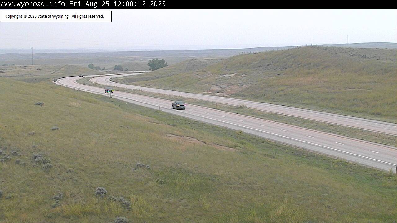
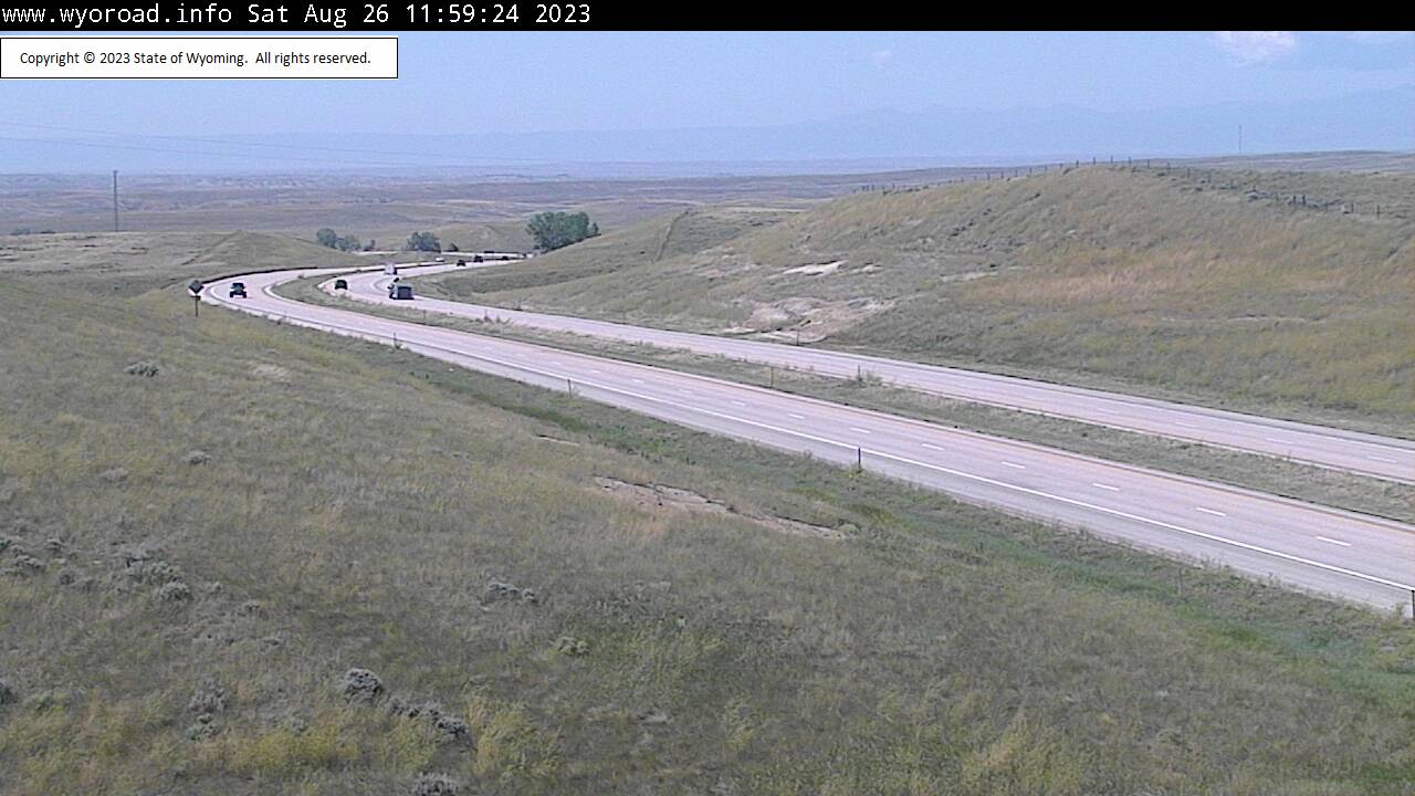
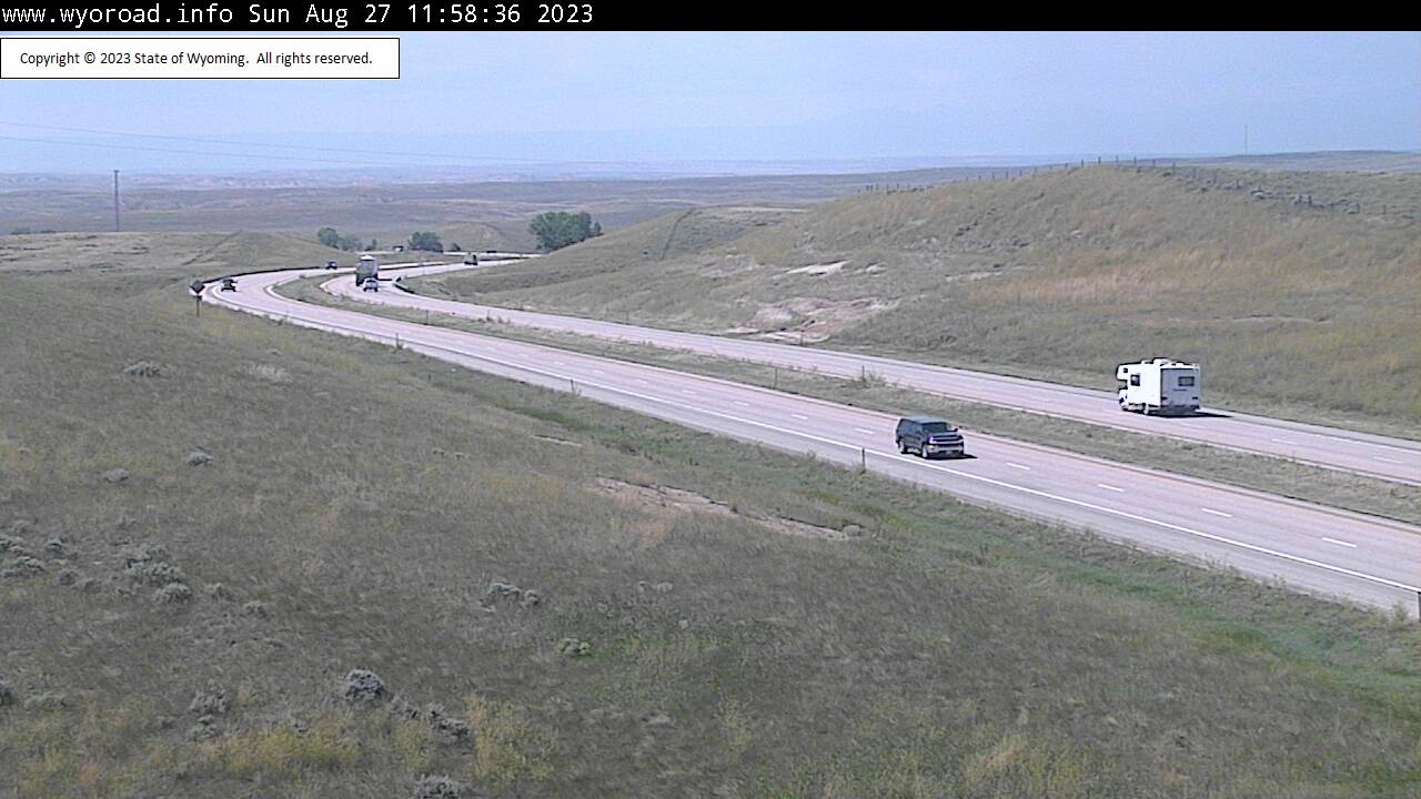
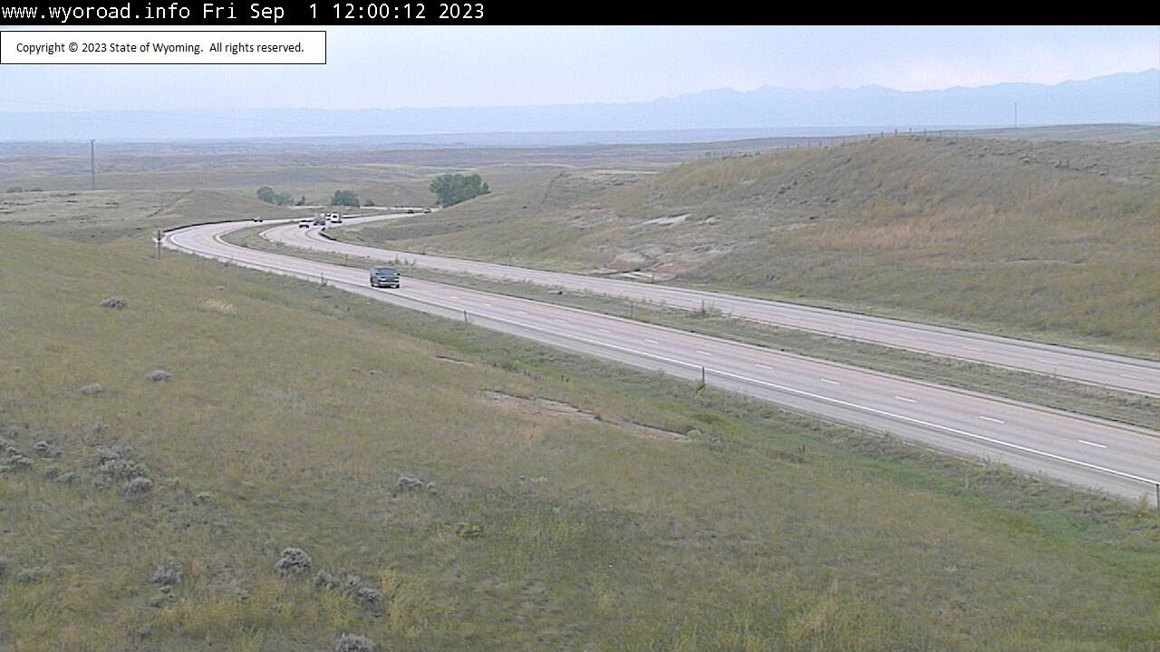
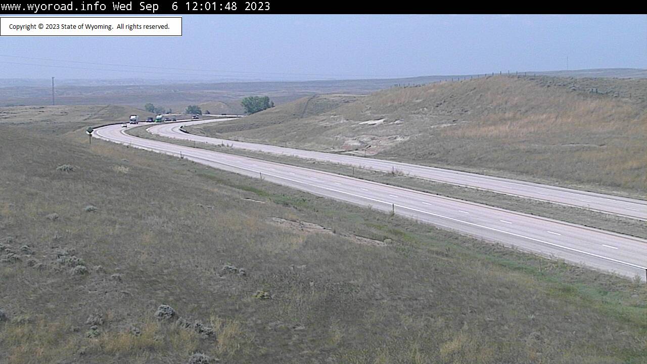
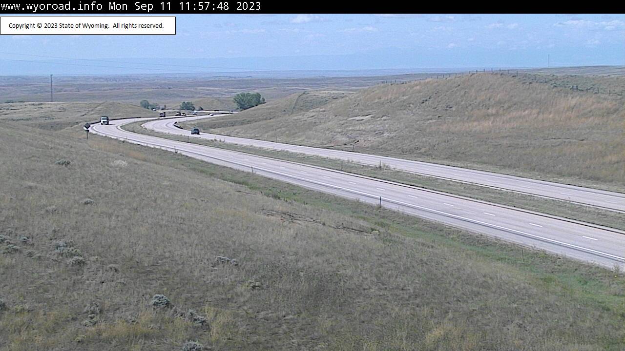
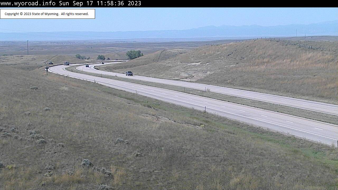
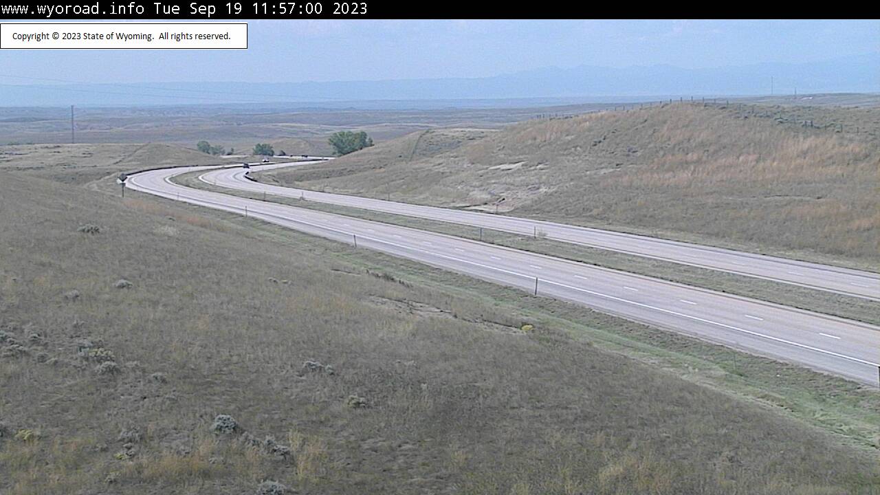
Moorcroft, Wyoming, USA - 155.8 miles from Potato Creek: Inyan Kara - Traffic and Weather - A view of the current traffic and weather situation.
Operator: WYDOT Travel Information Service
Operator: WYDOT Travel Information Service


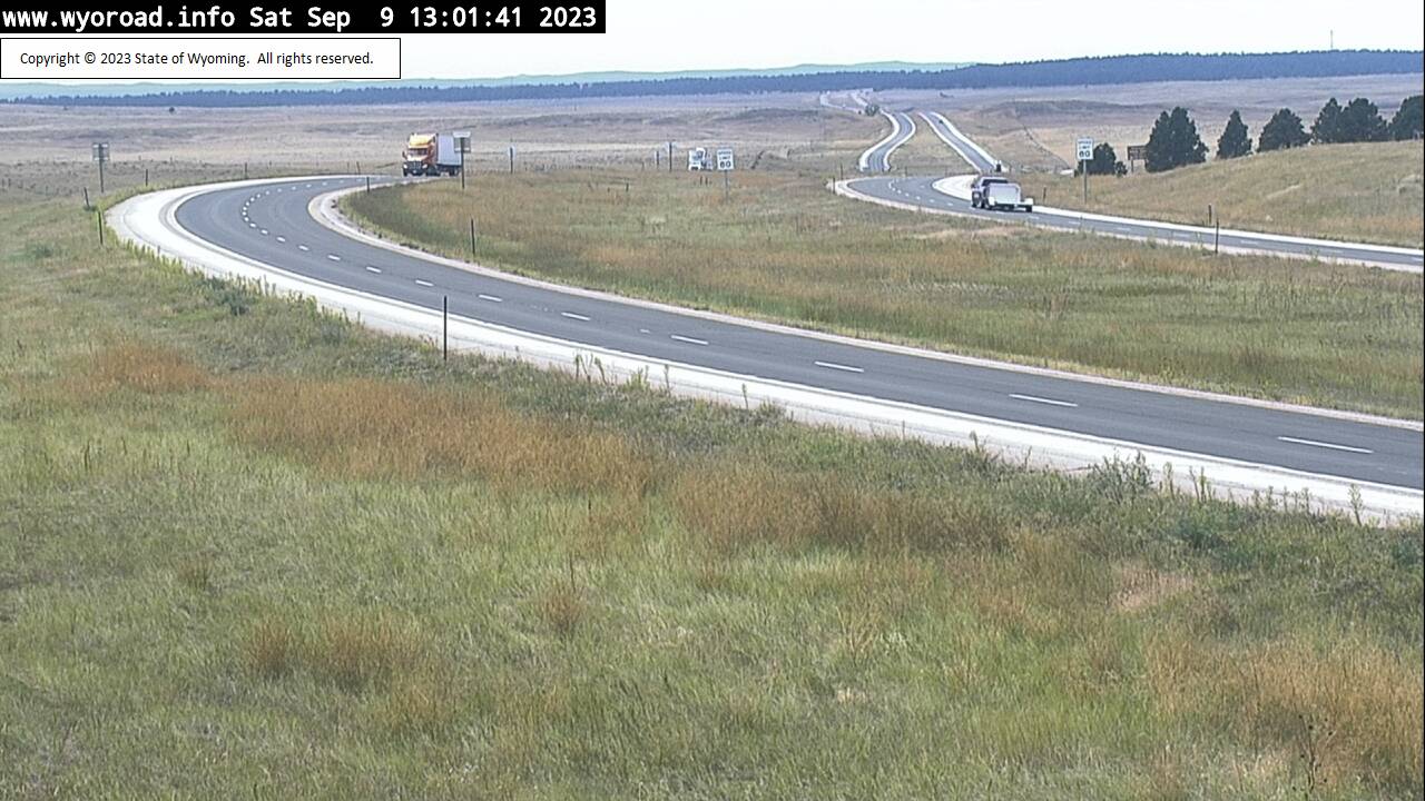
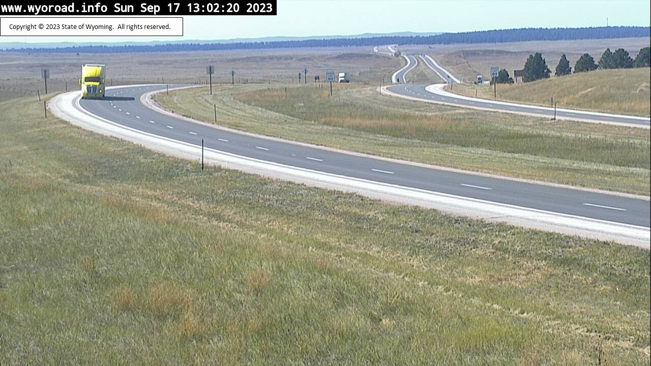

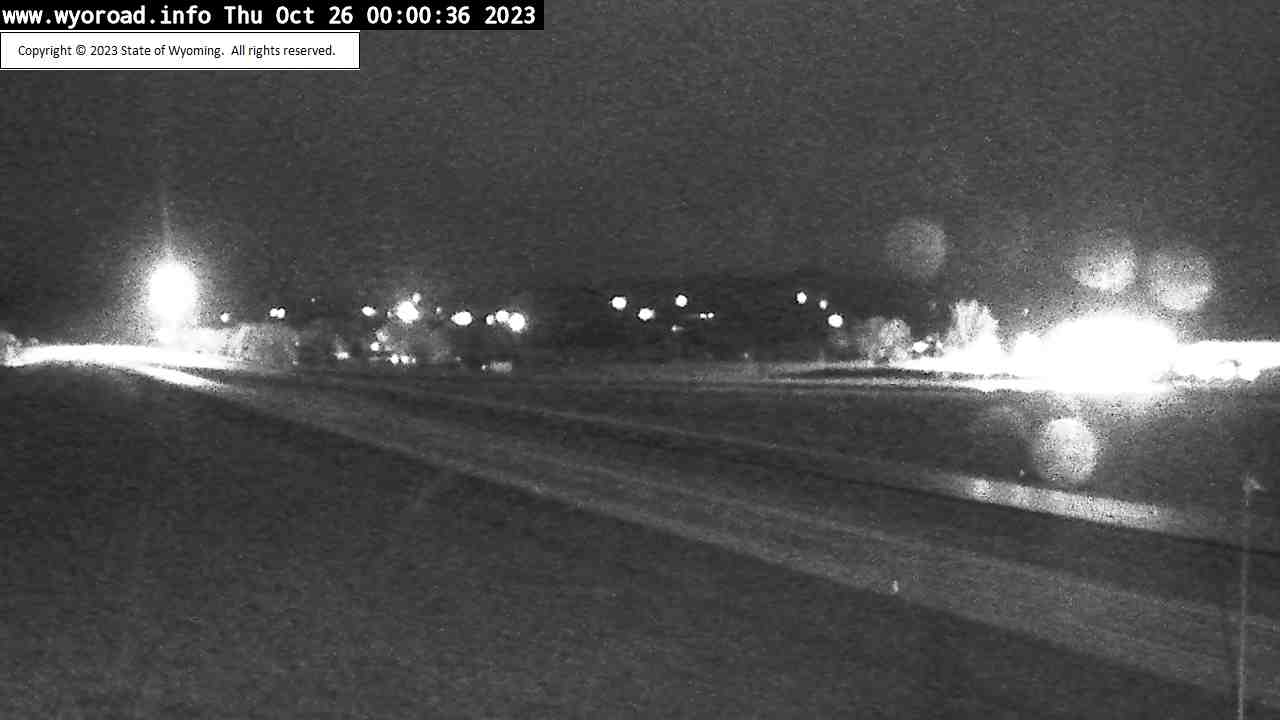
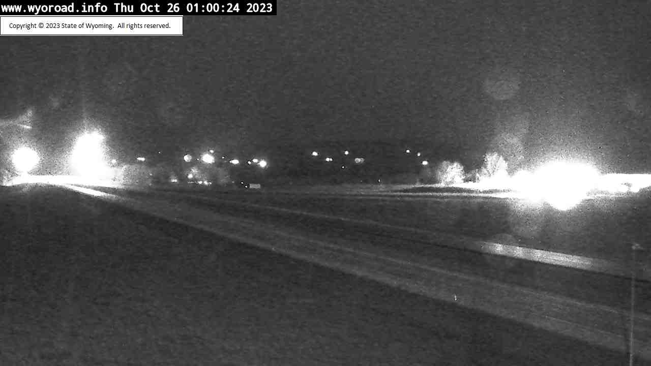
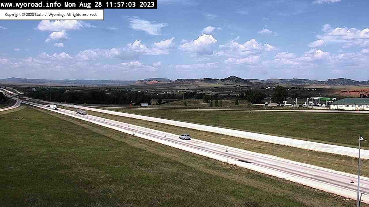
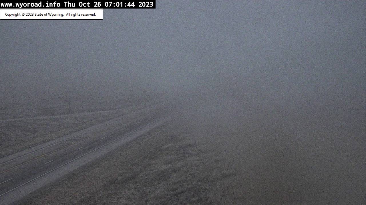
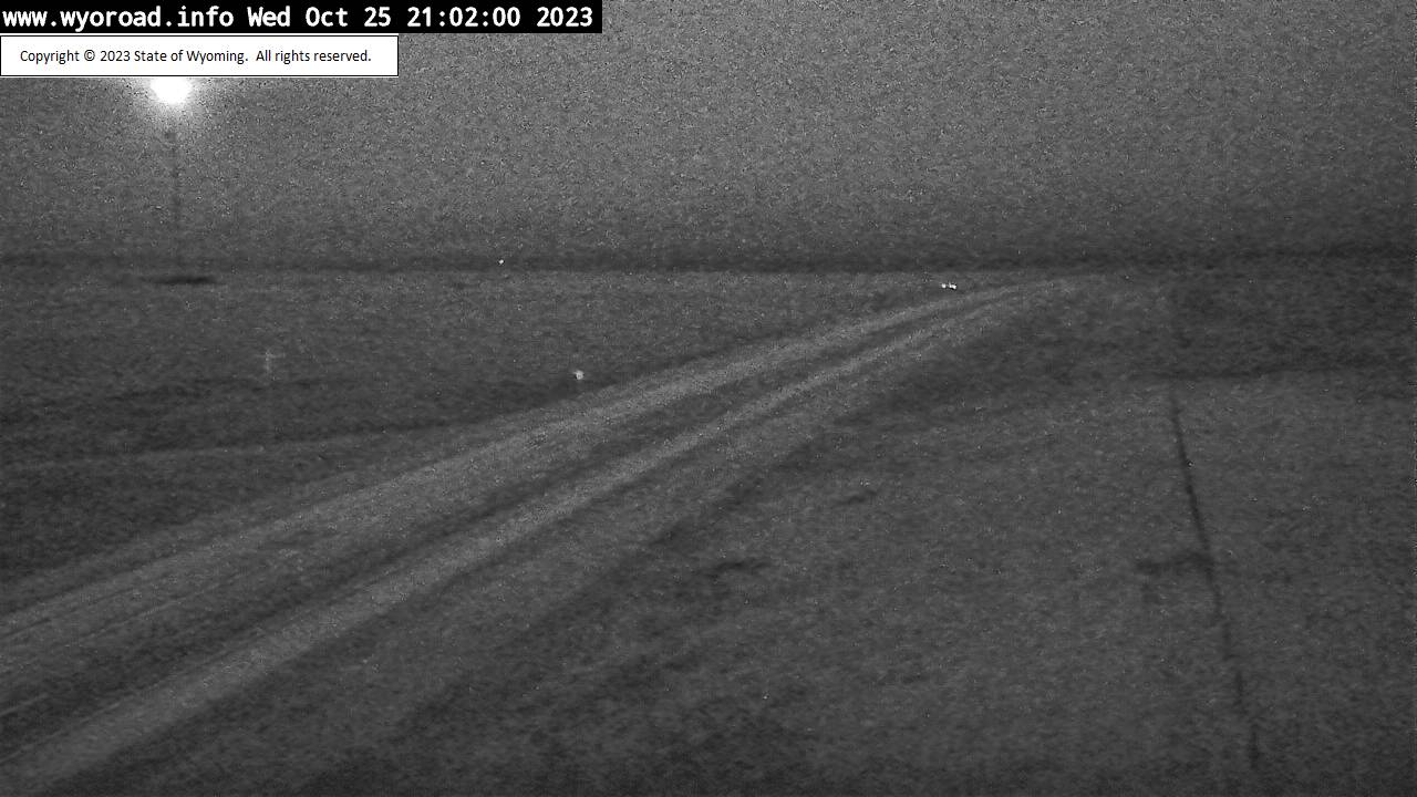
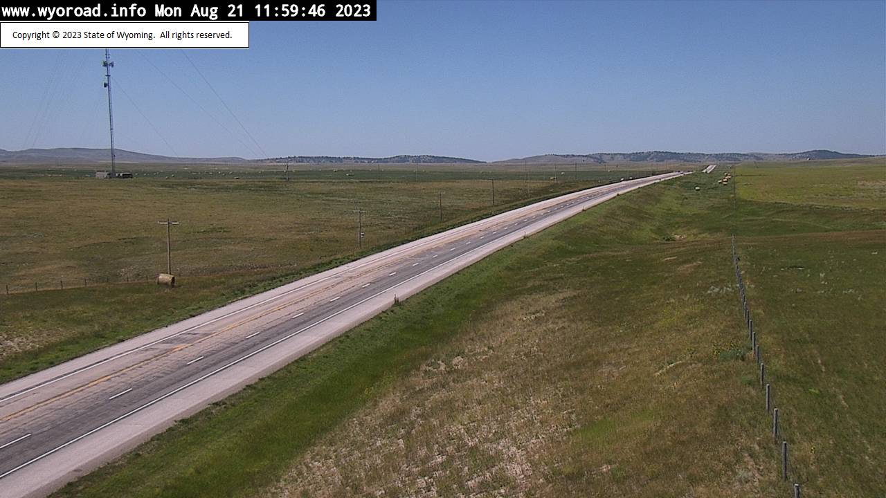
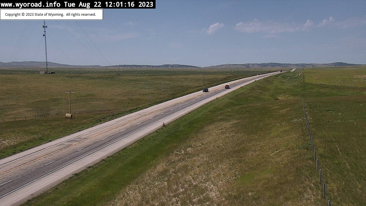
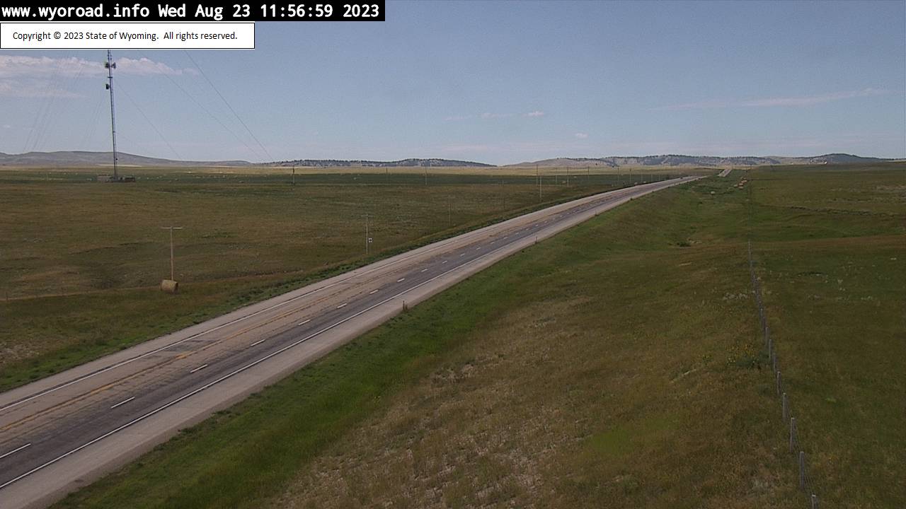
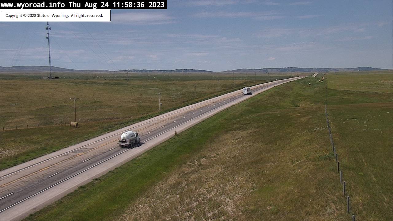
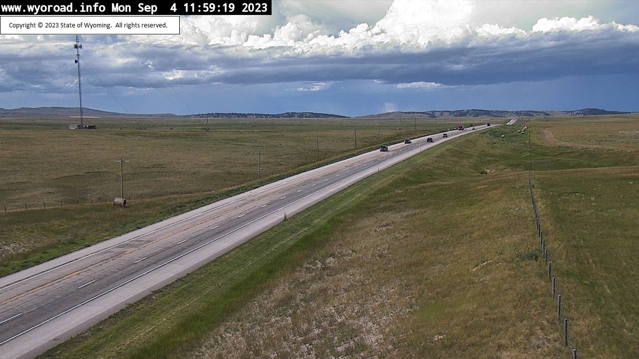
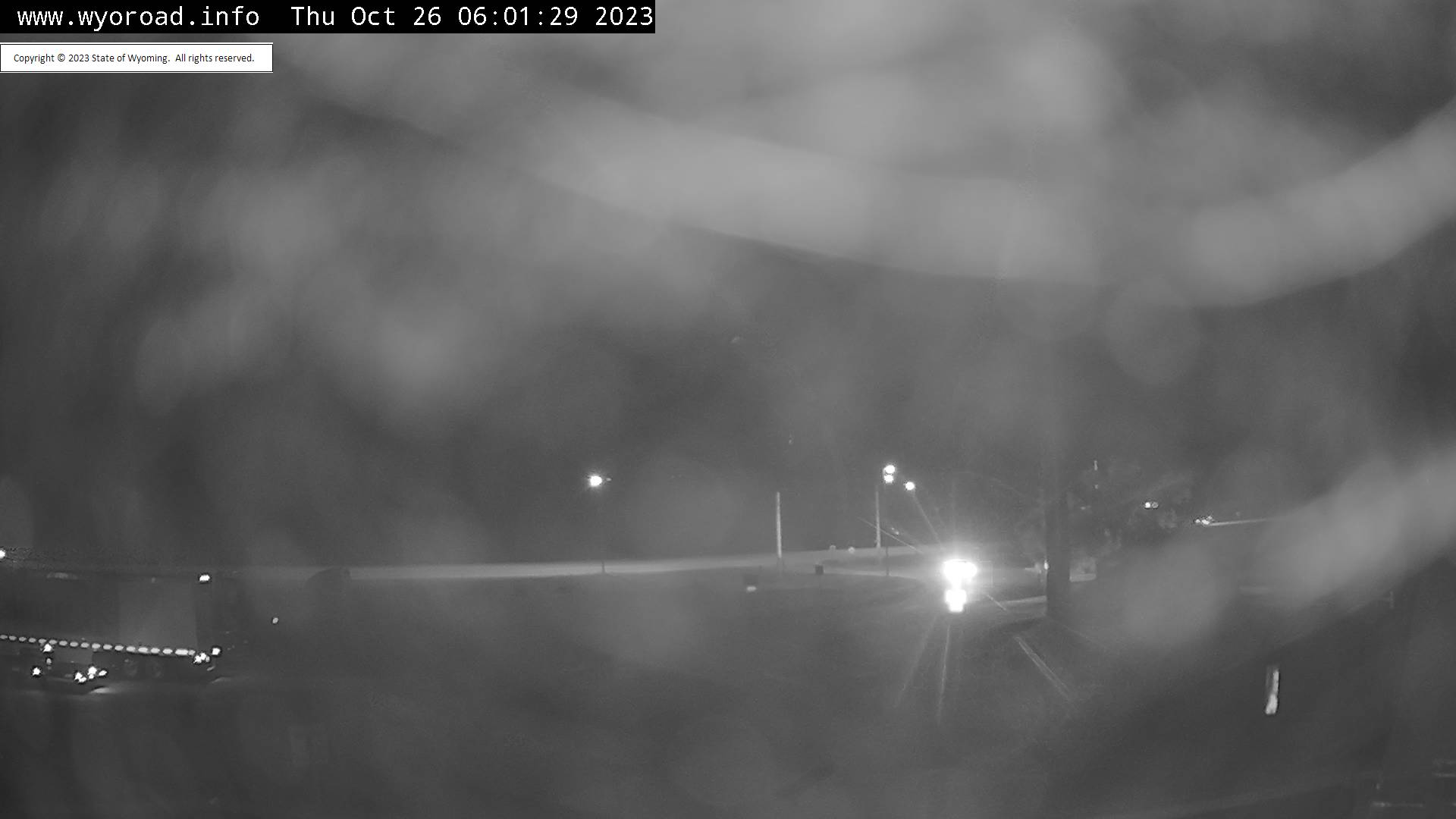
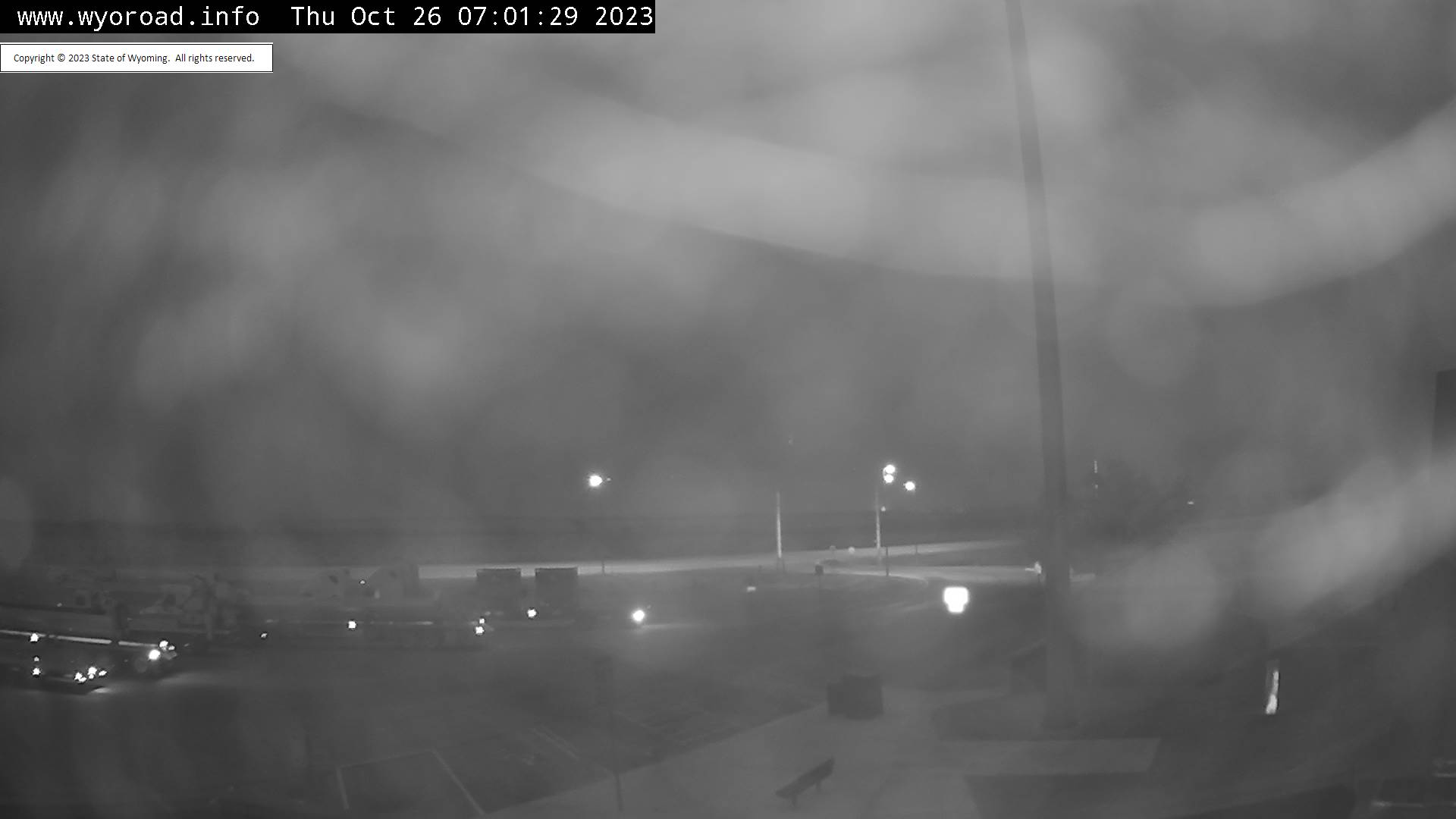
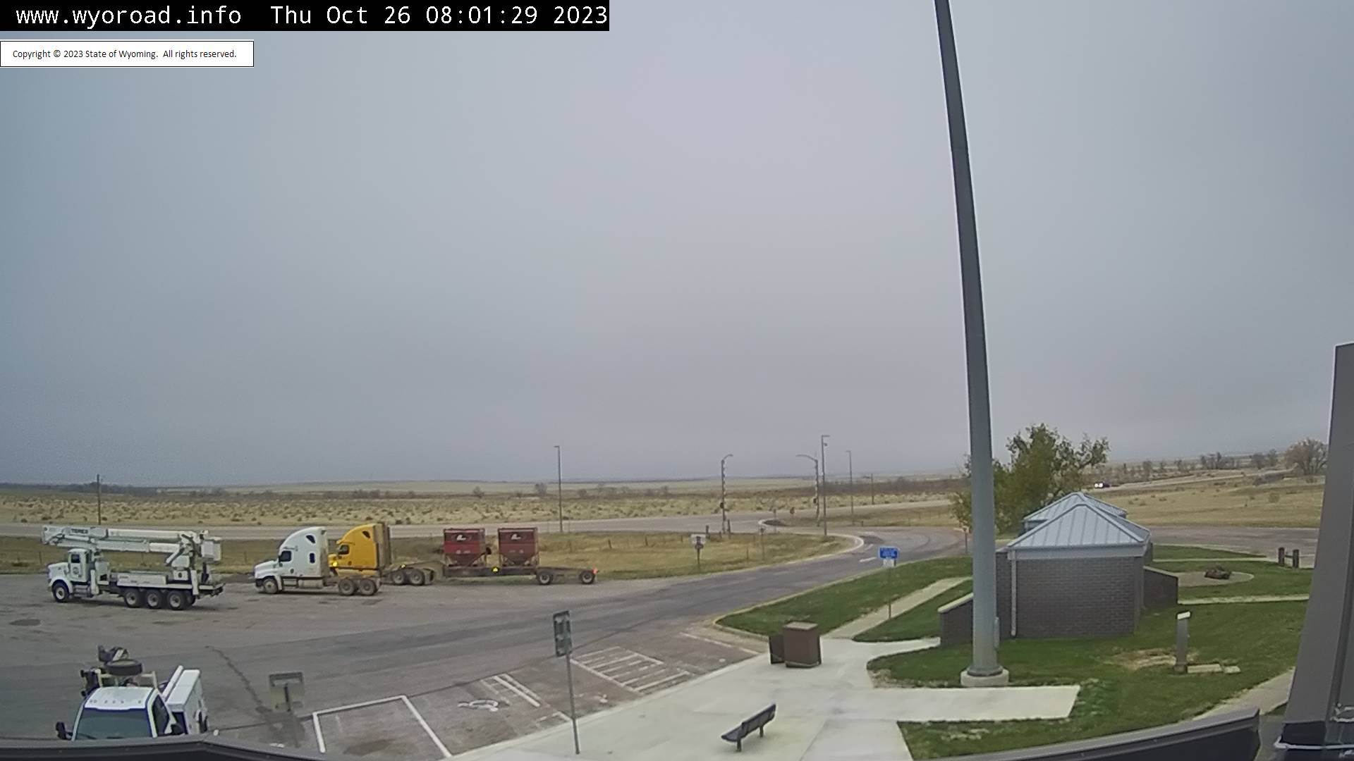
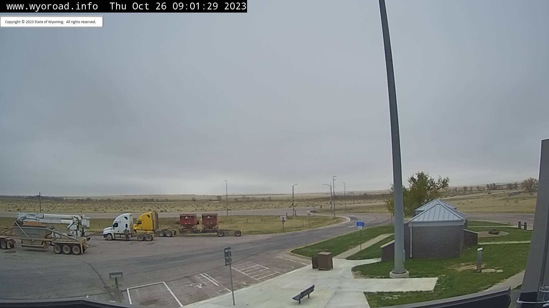
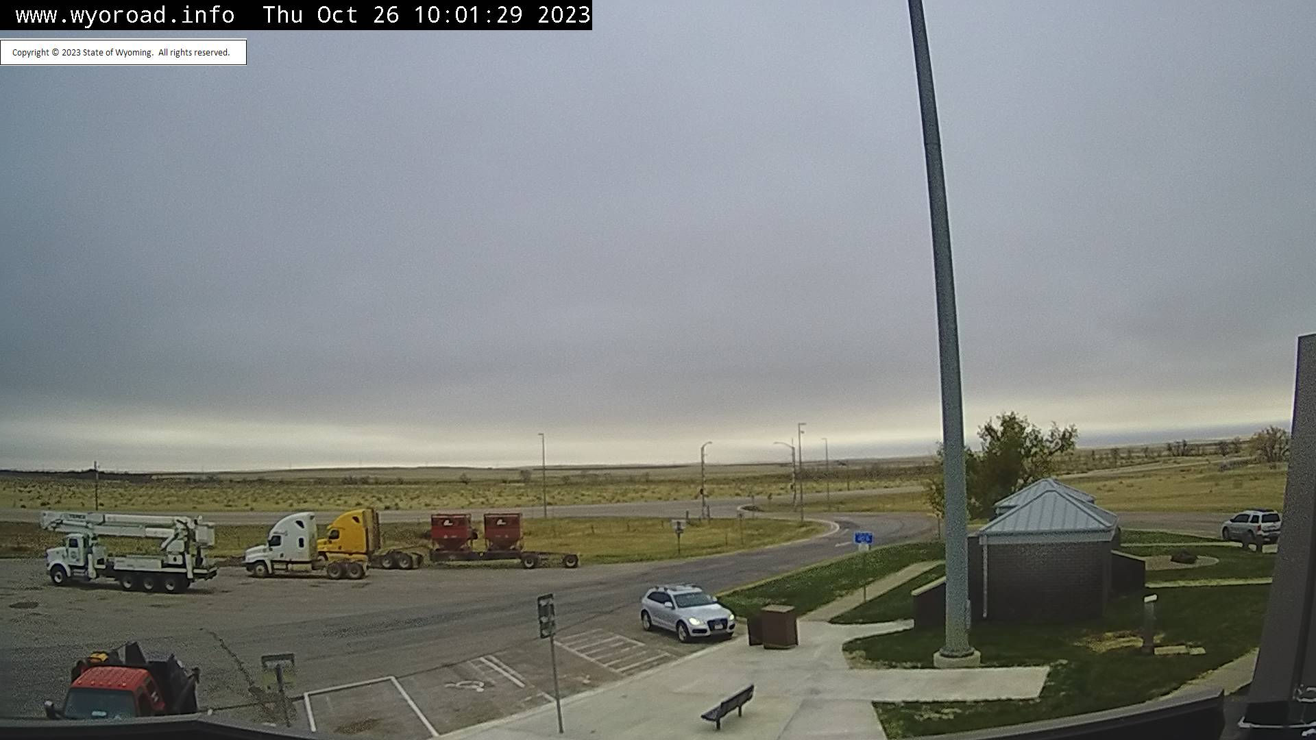
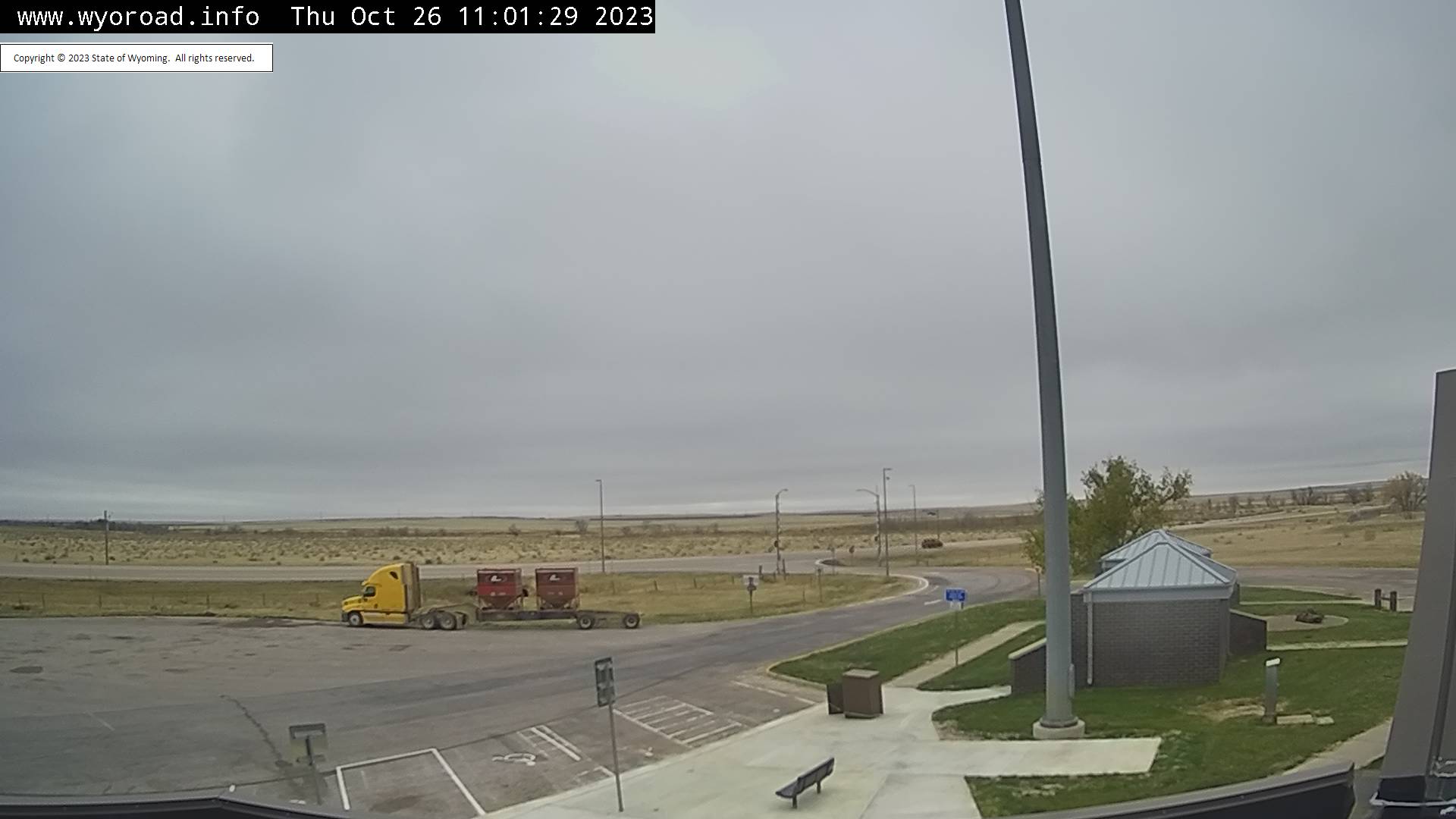
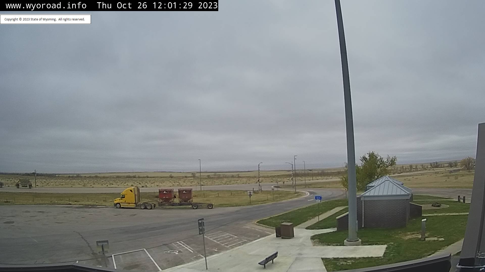
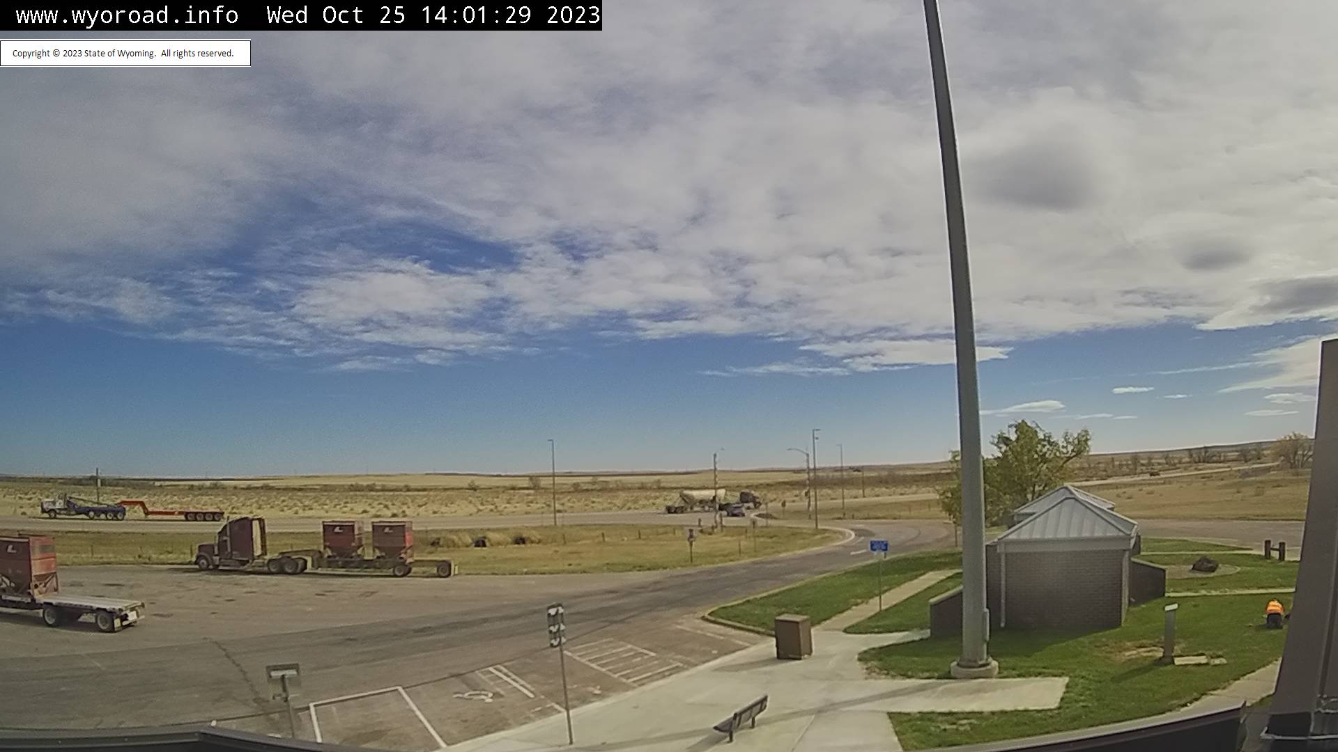
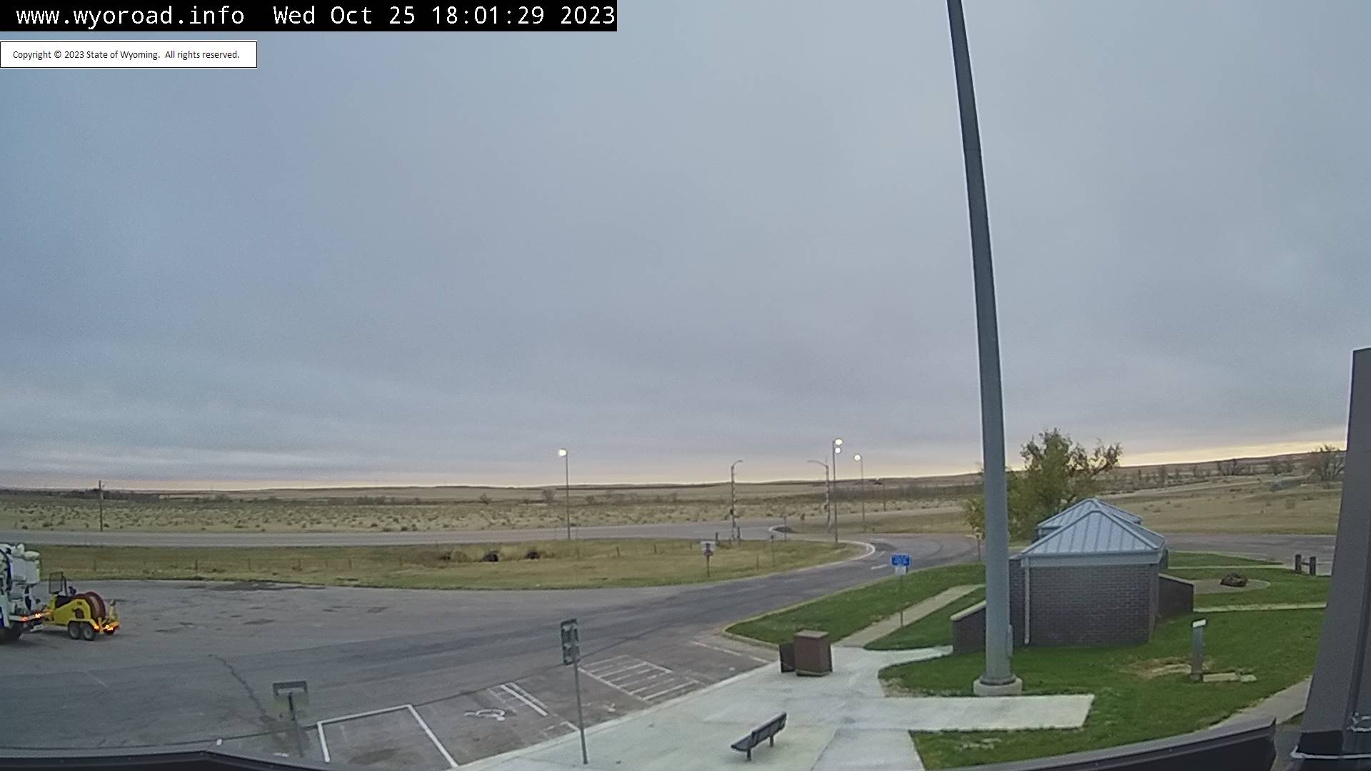
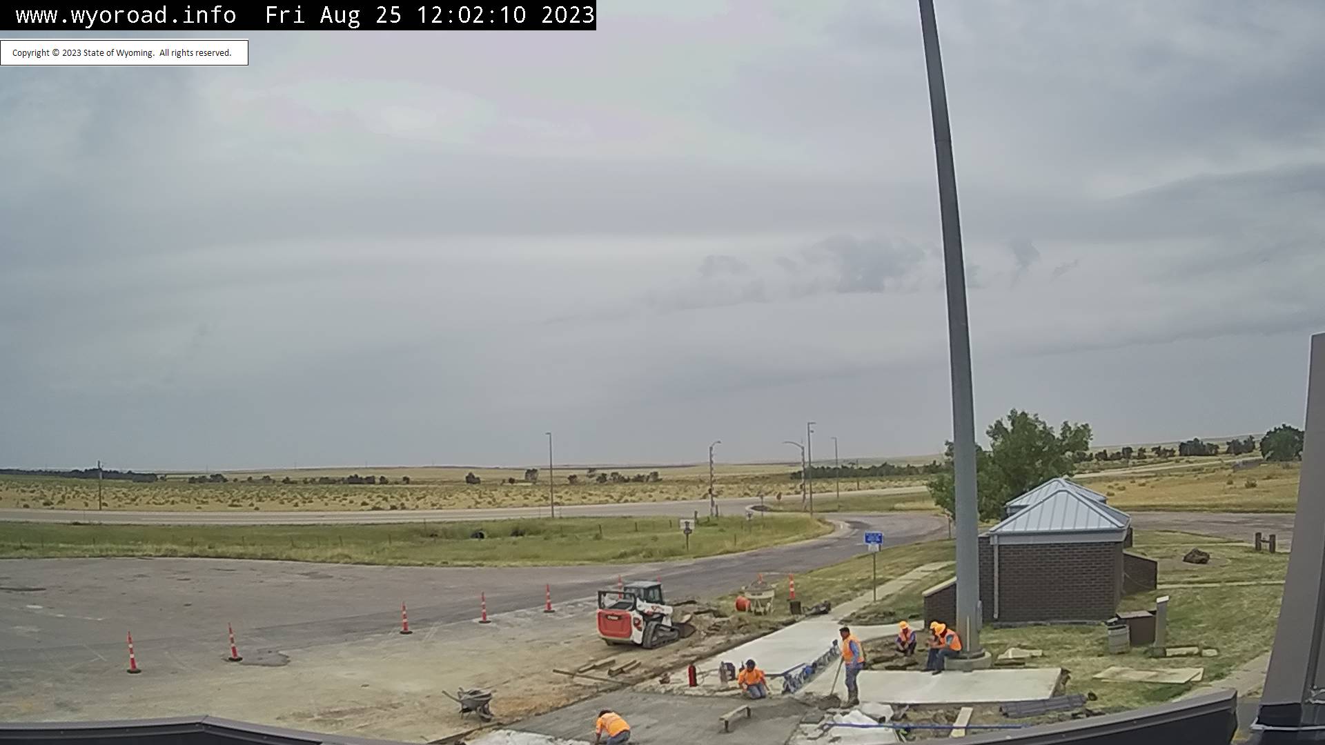
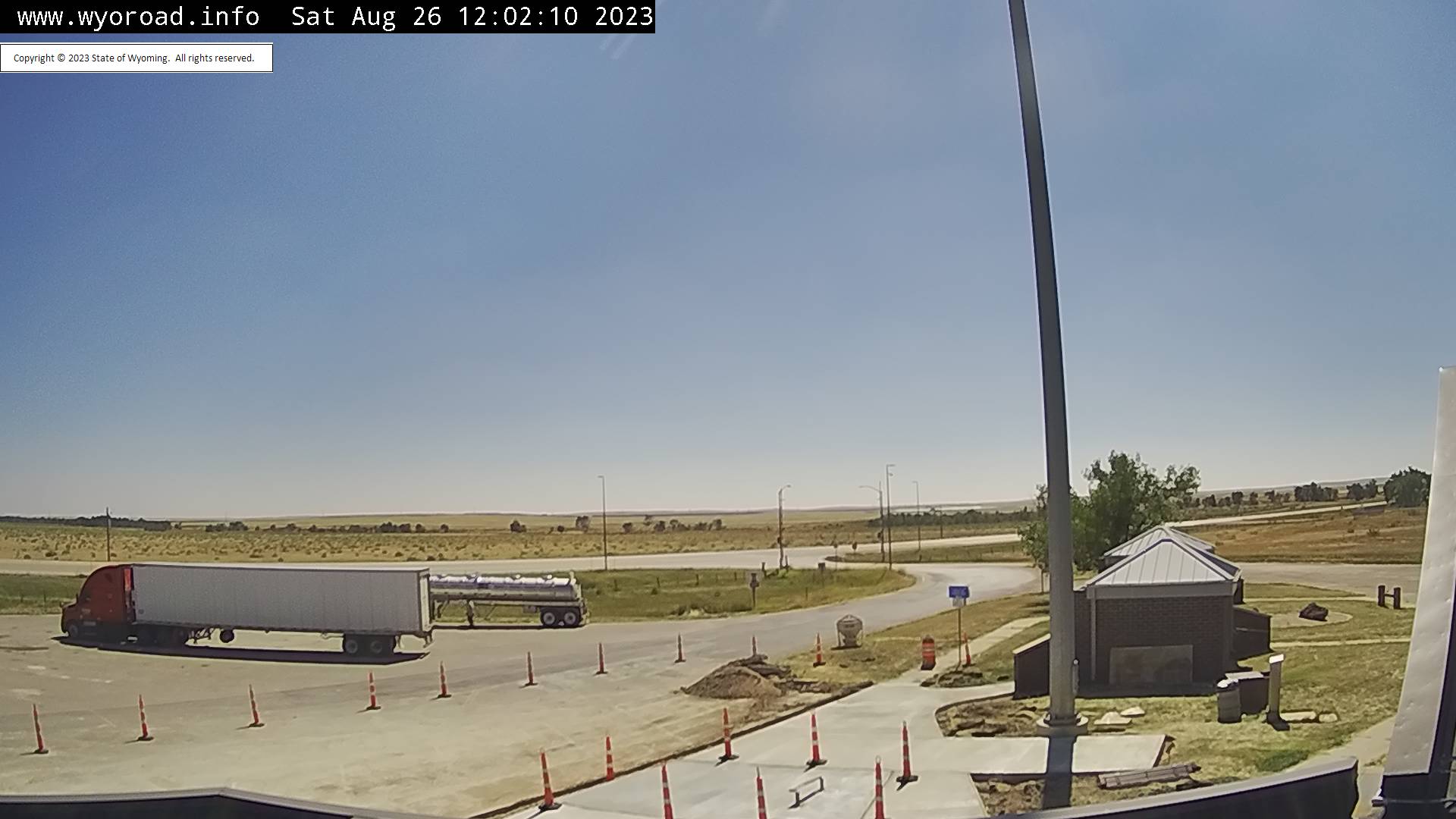
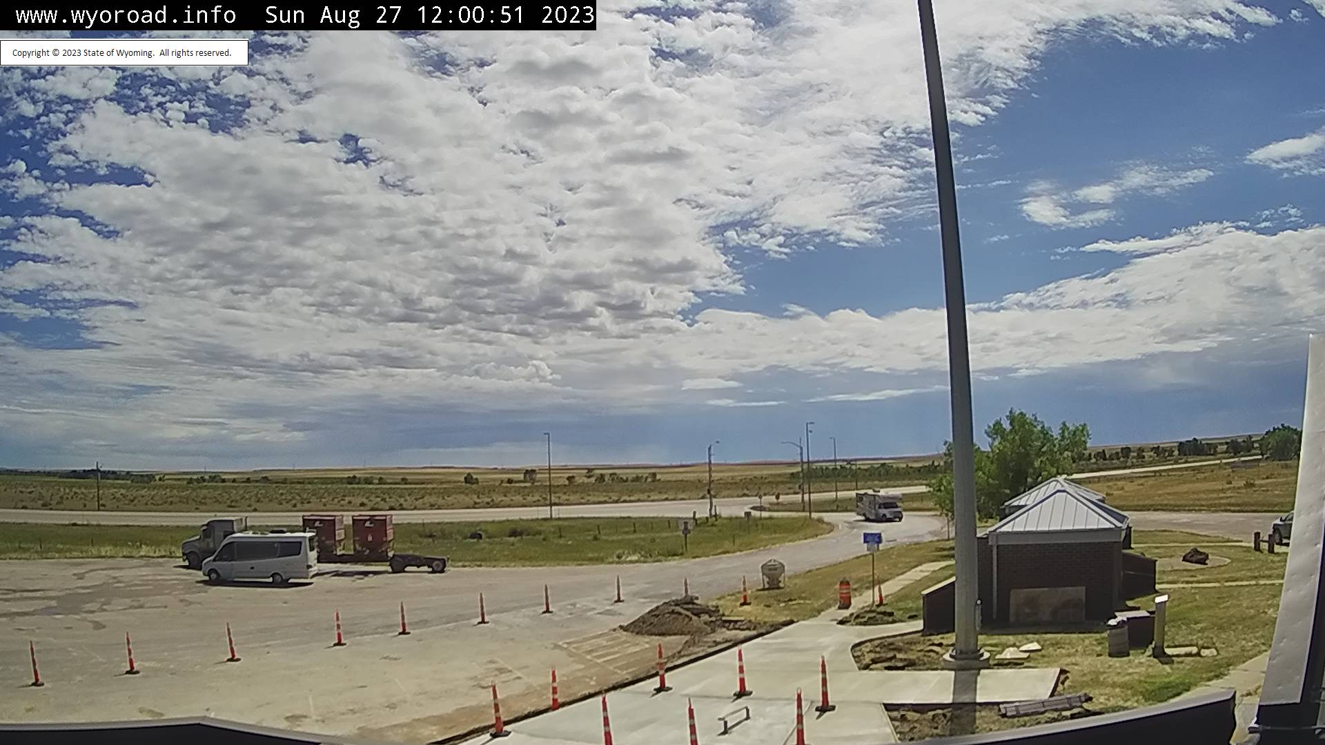
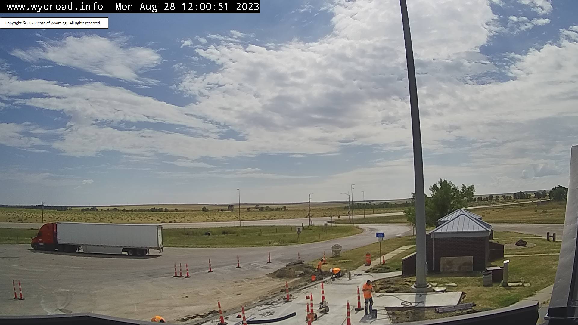
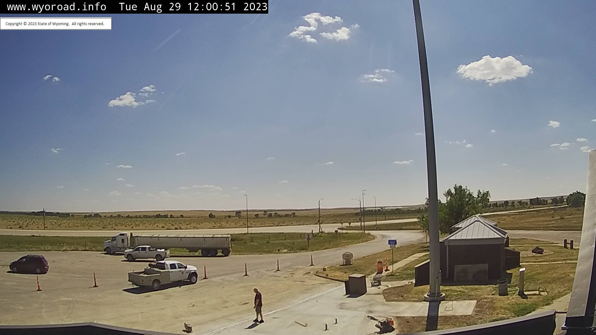
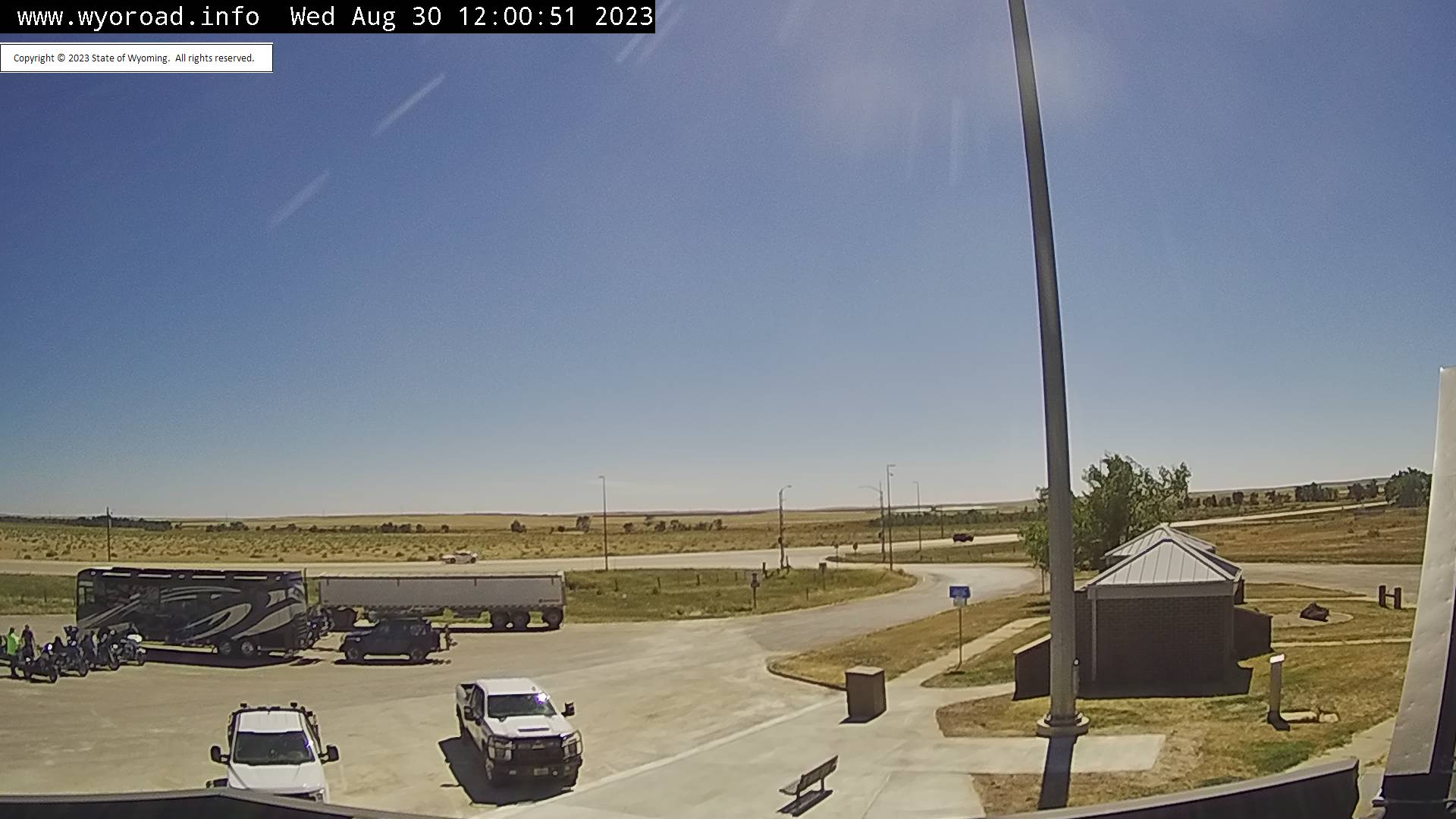
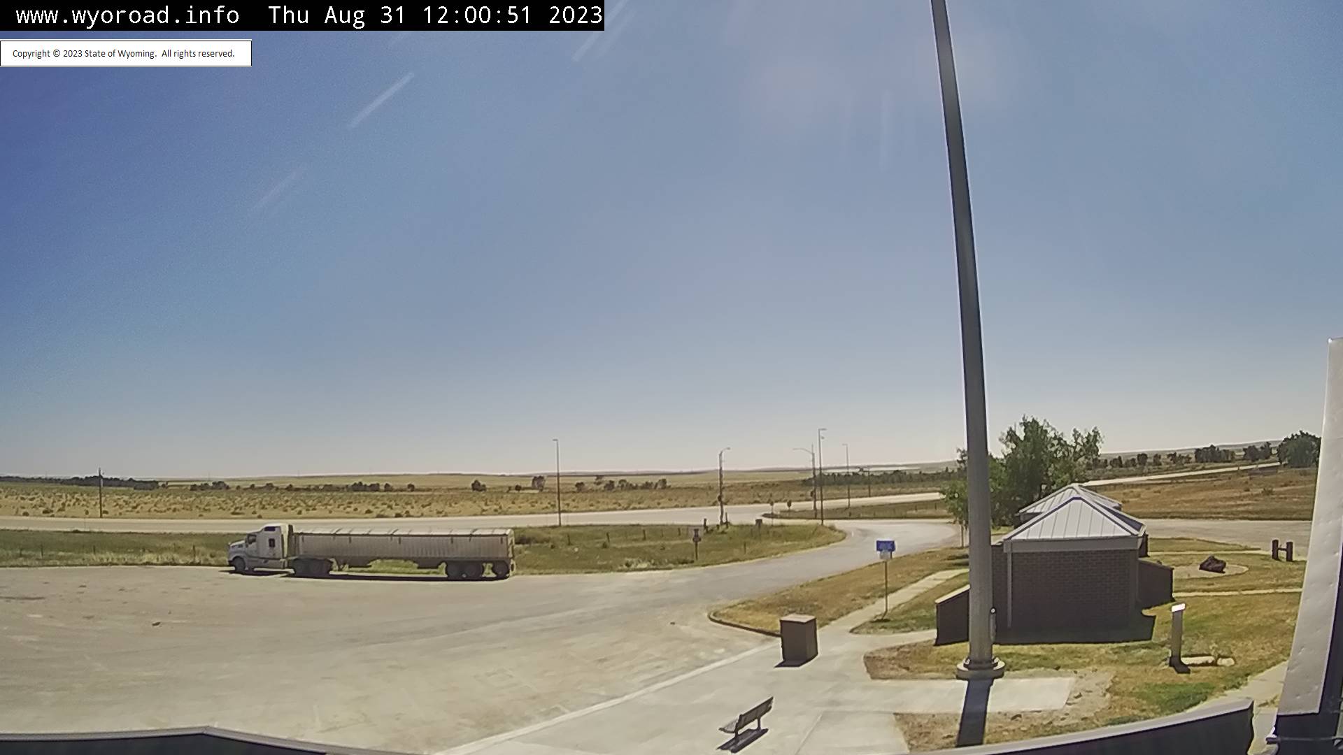
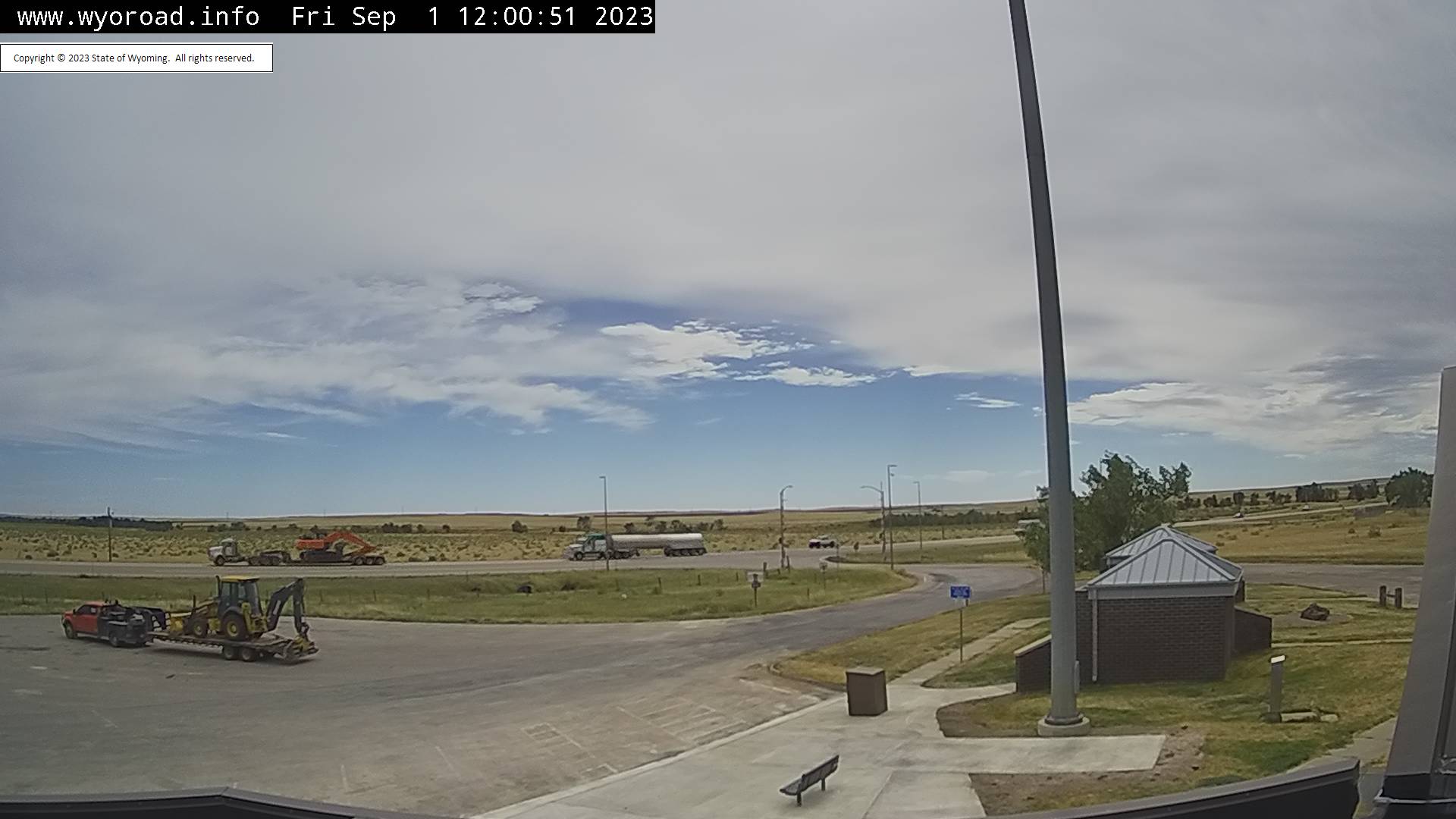
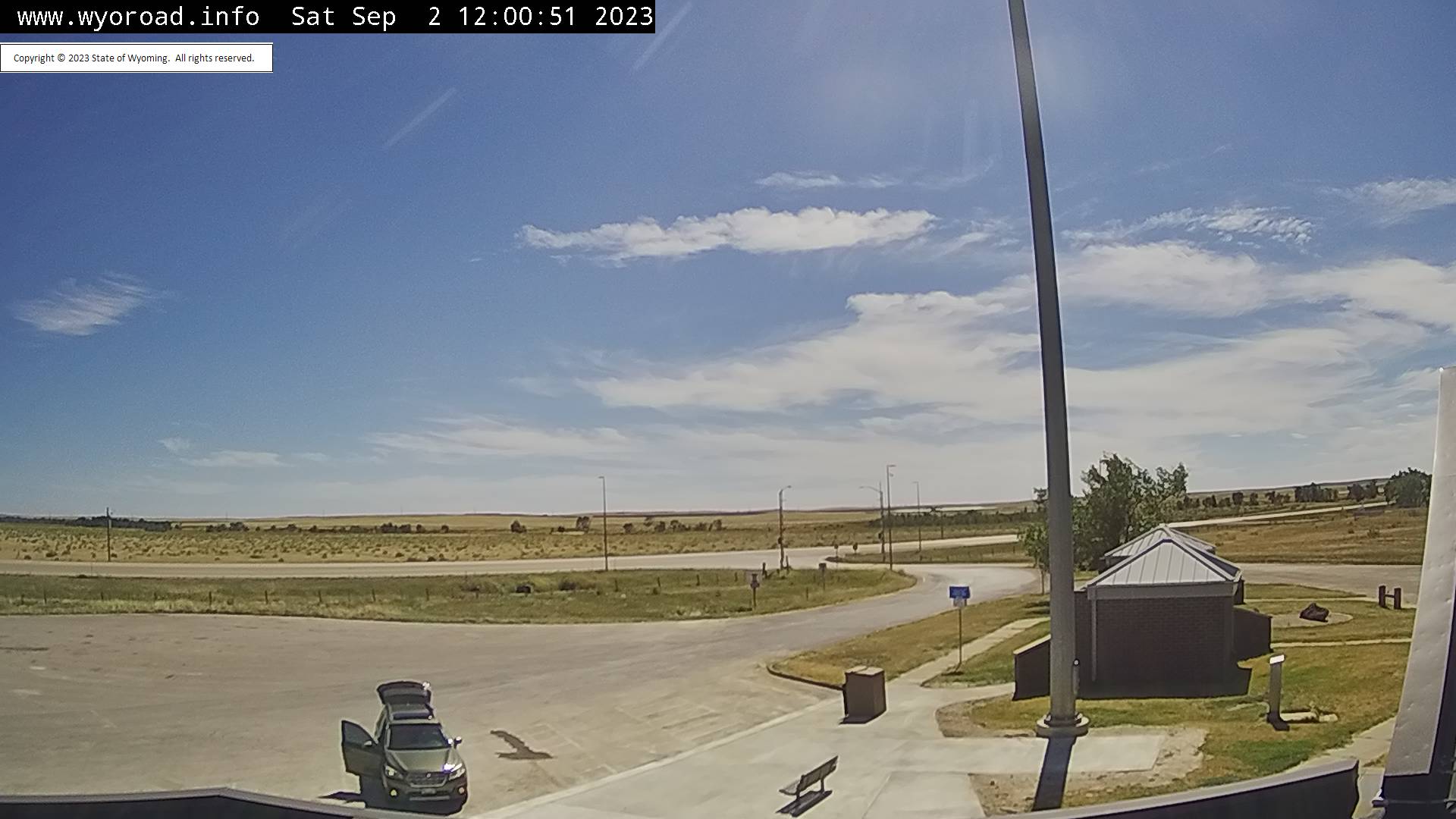
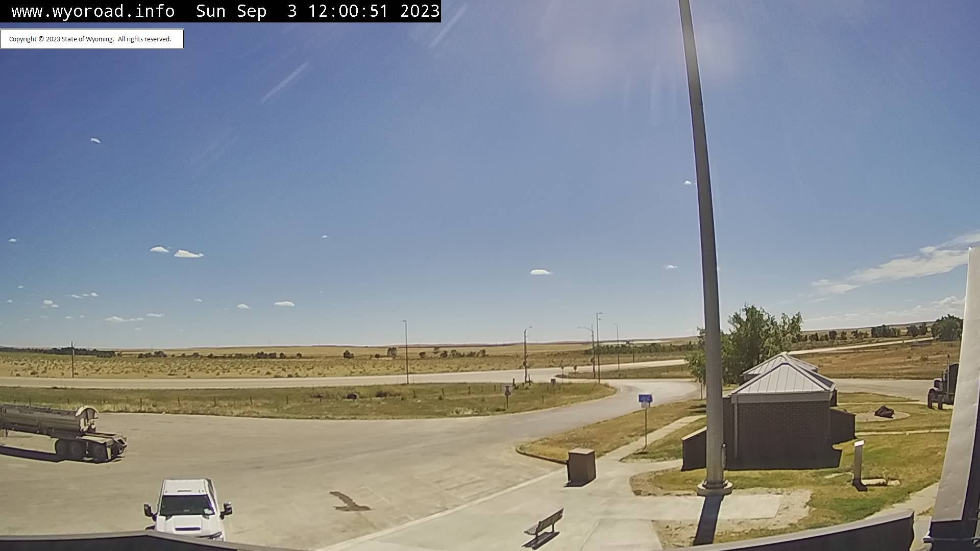
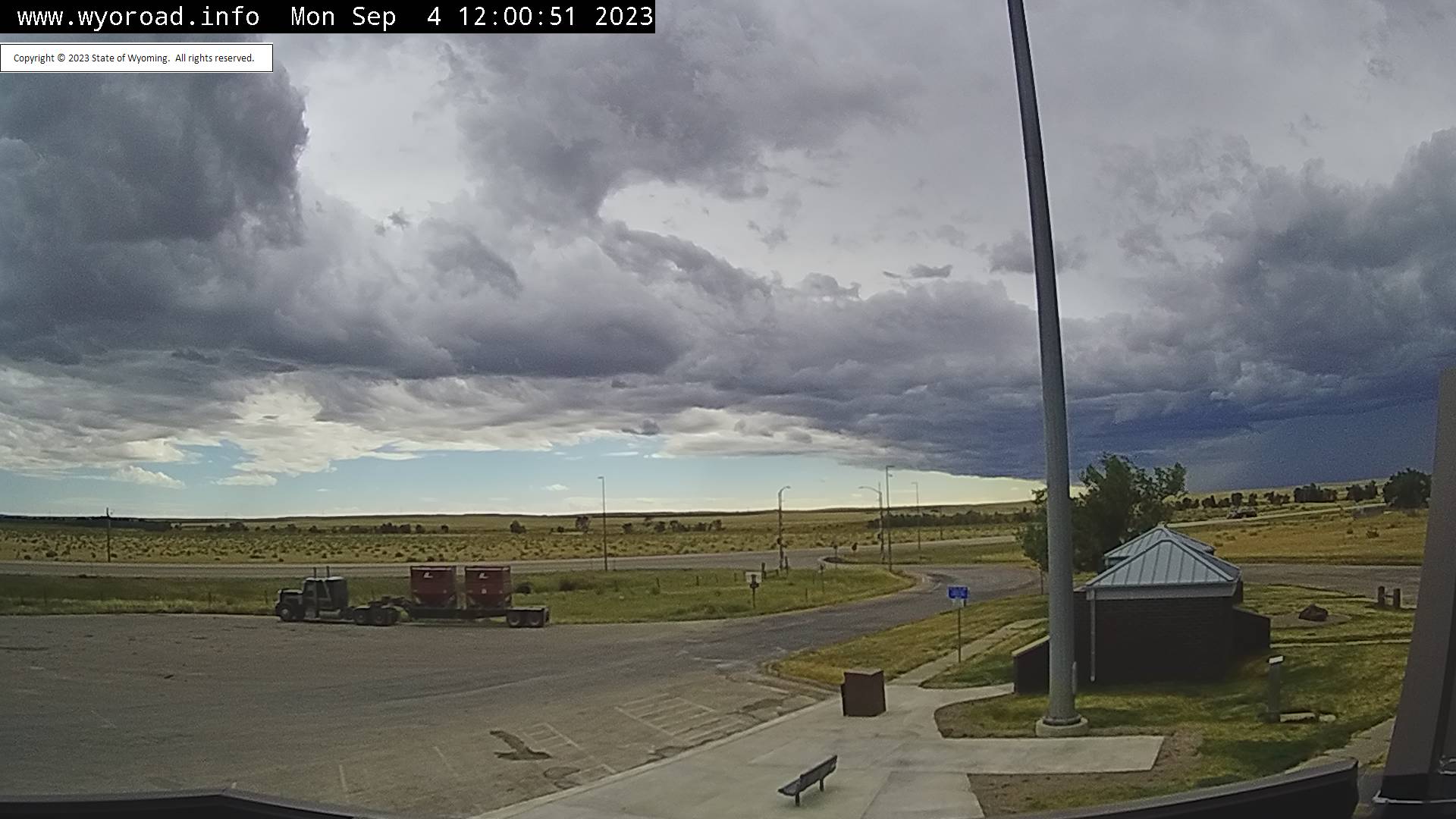
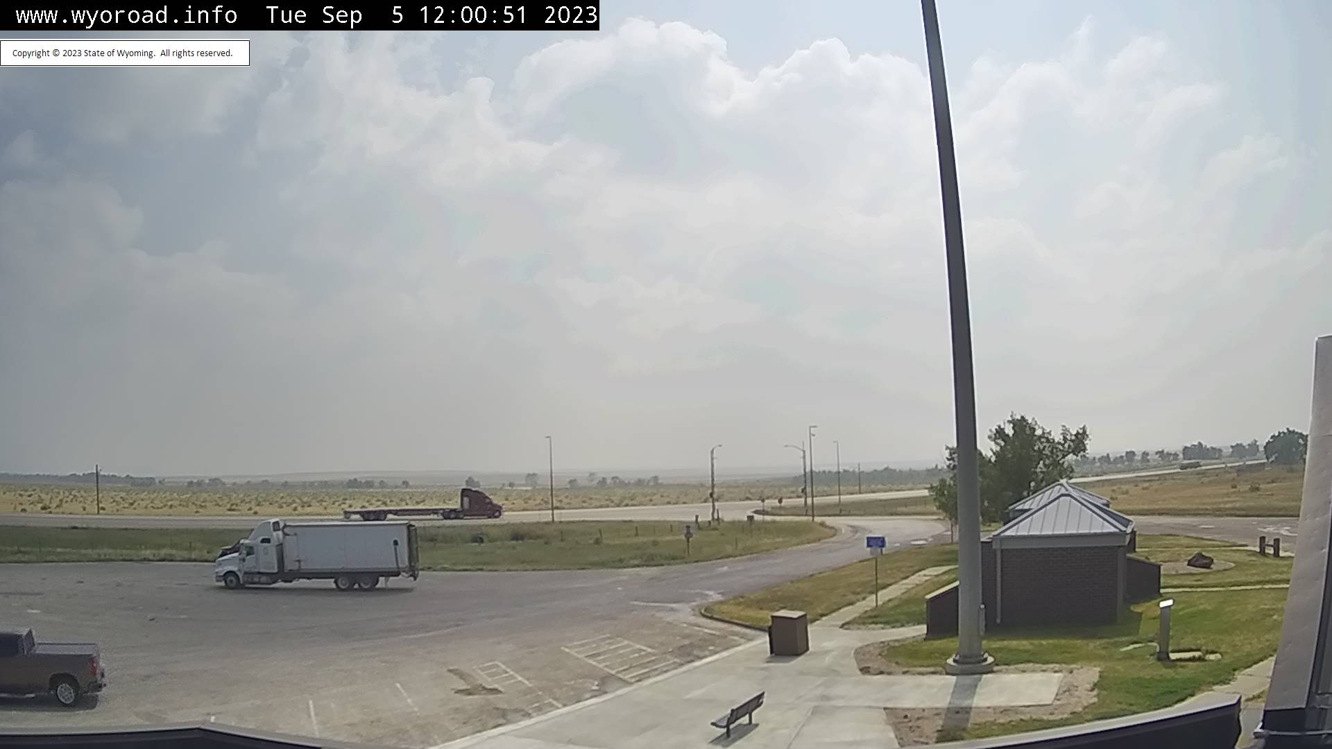
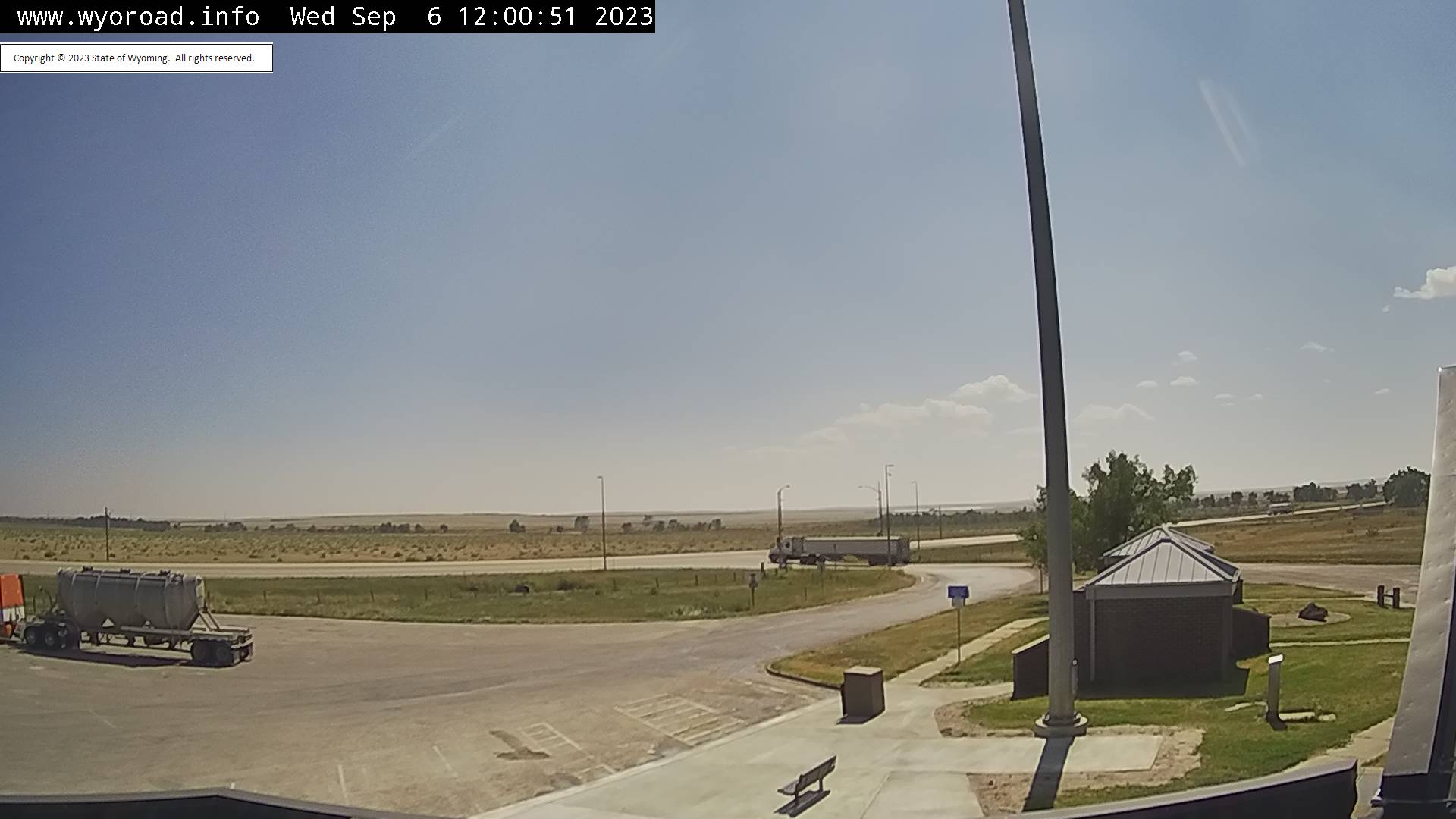
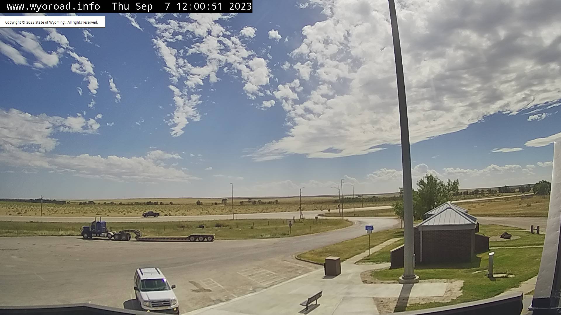
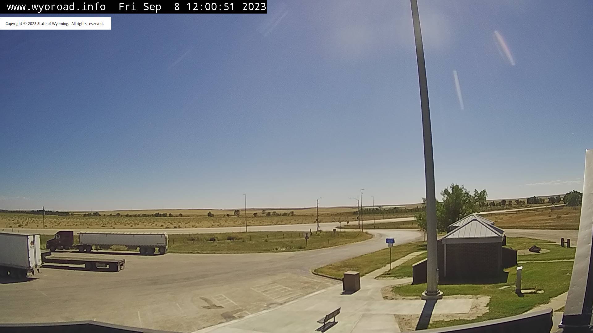
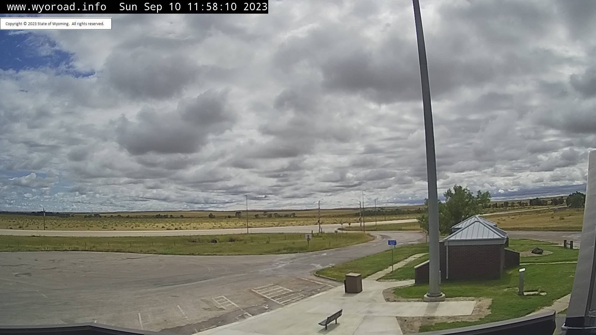
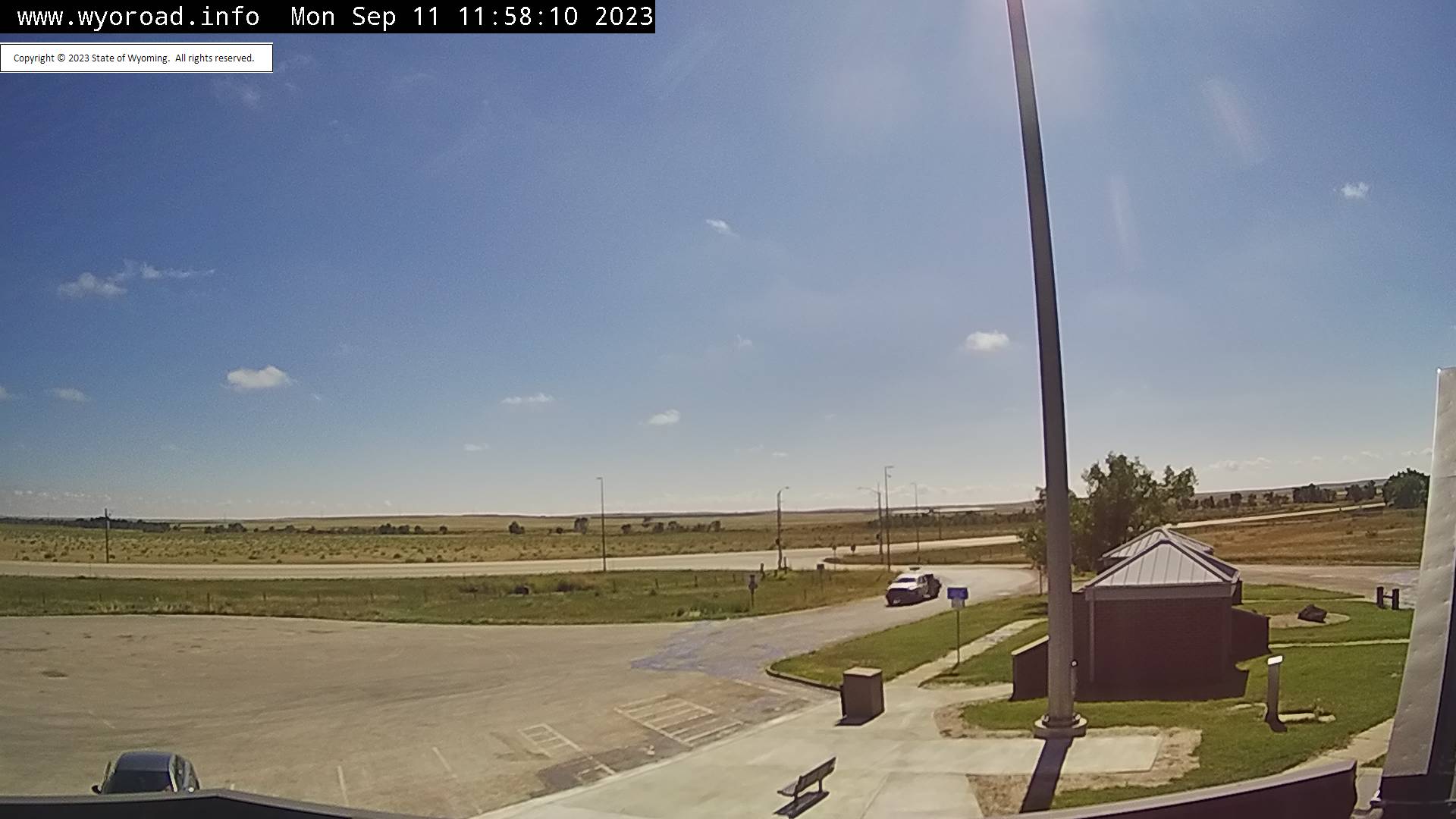
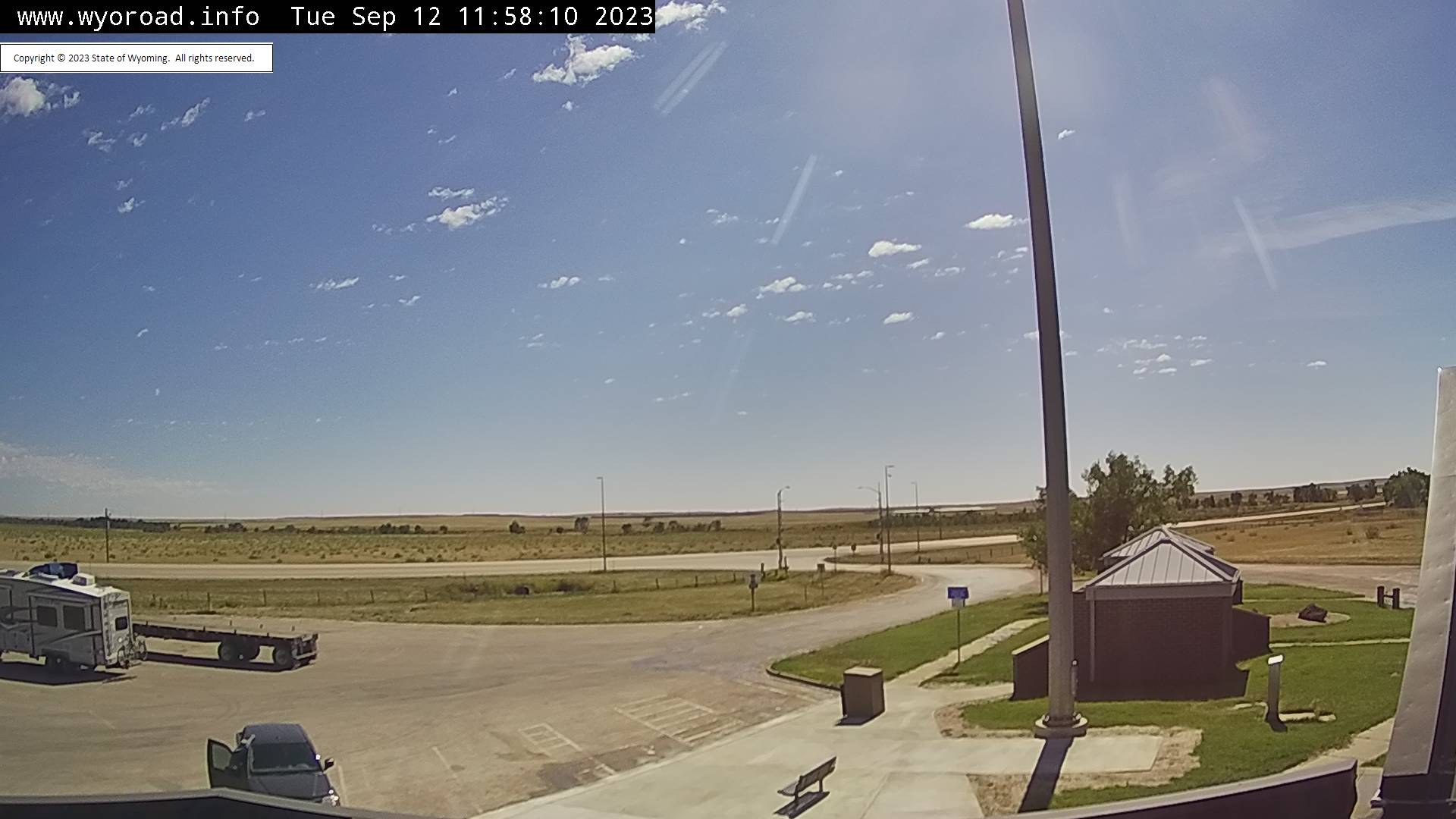
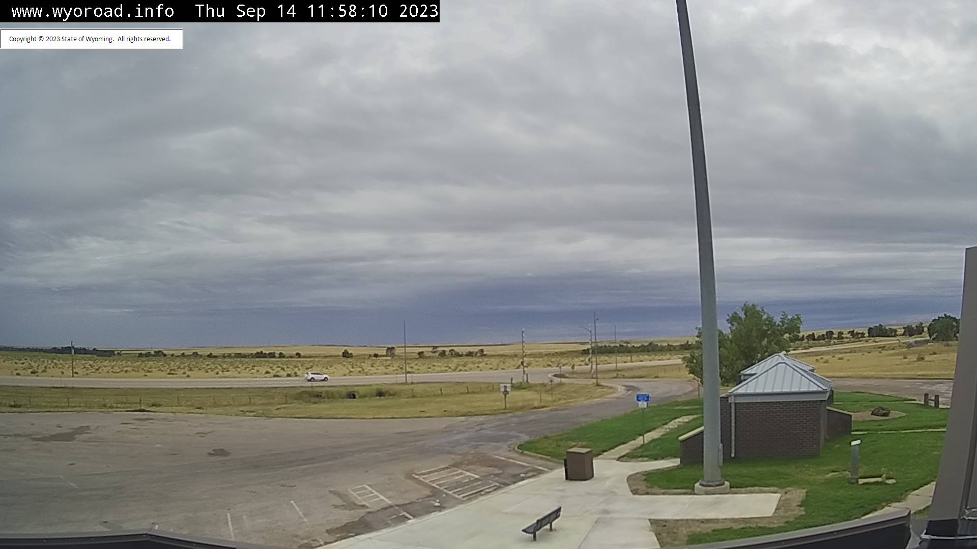
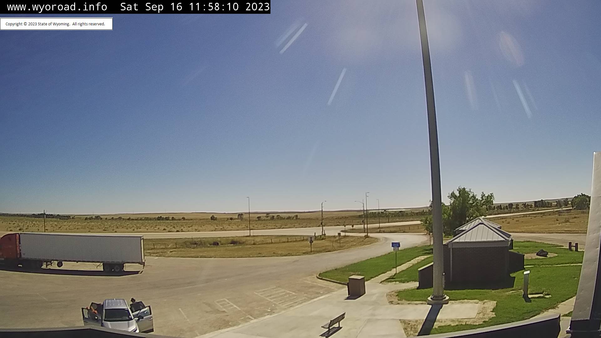
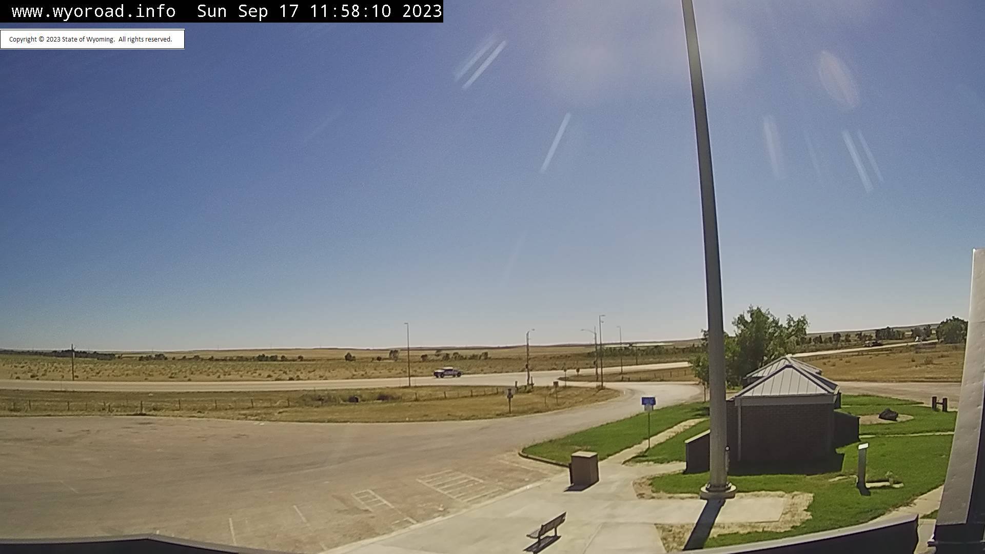
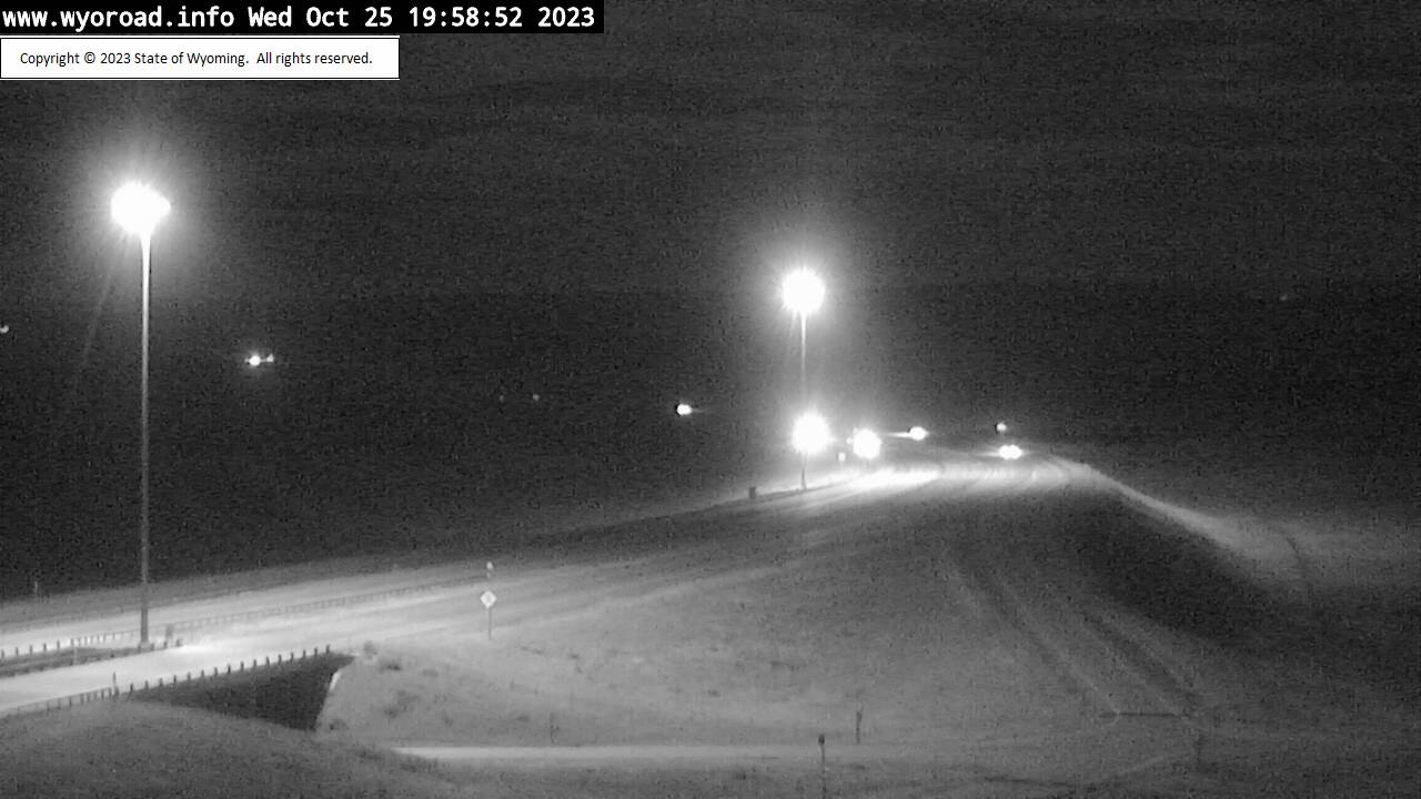
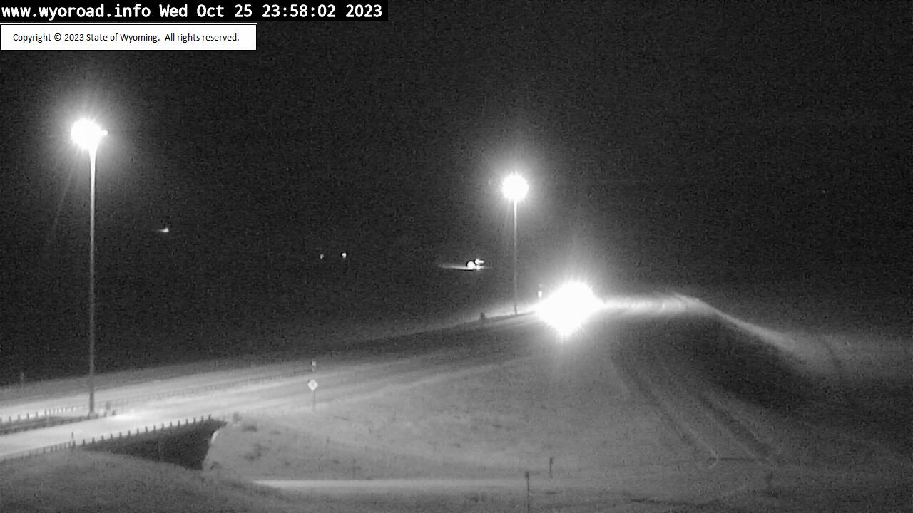
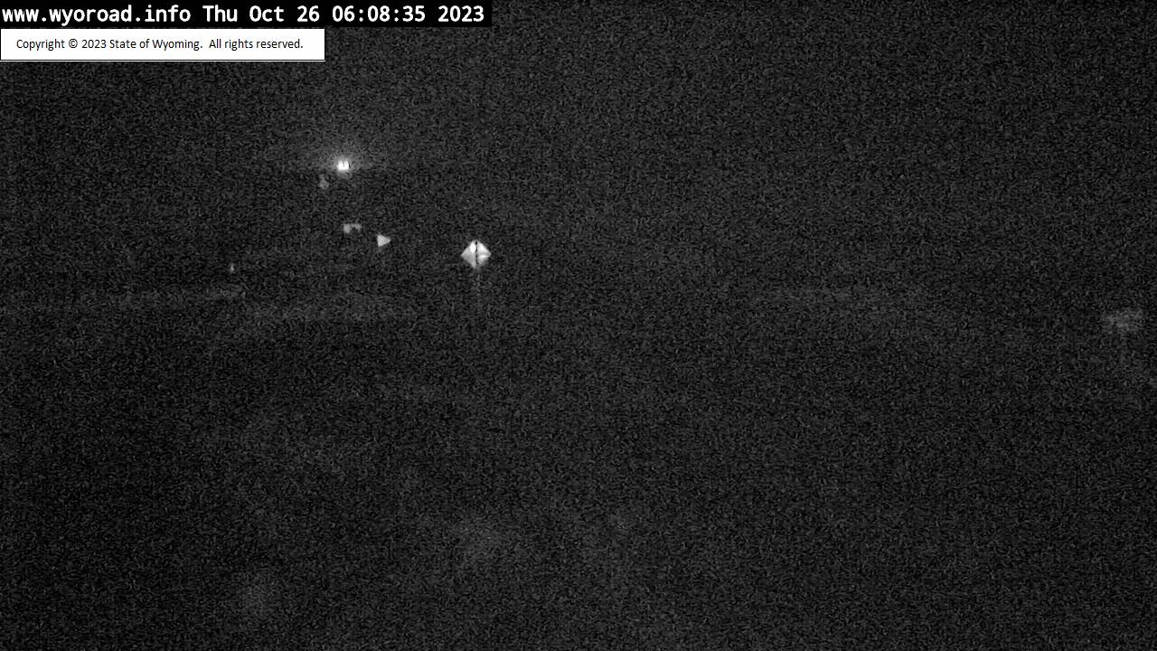
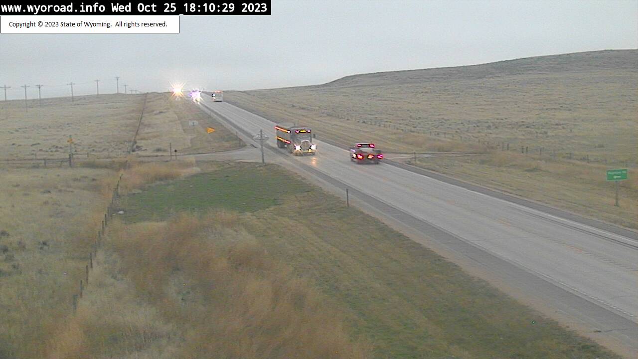
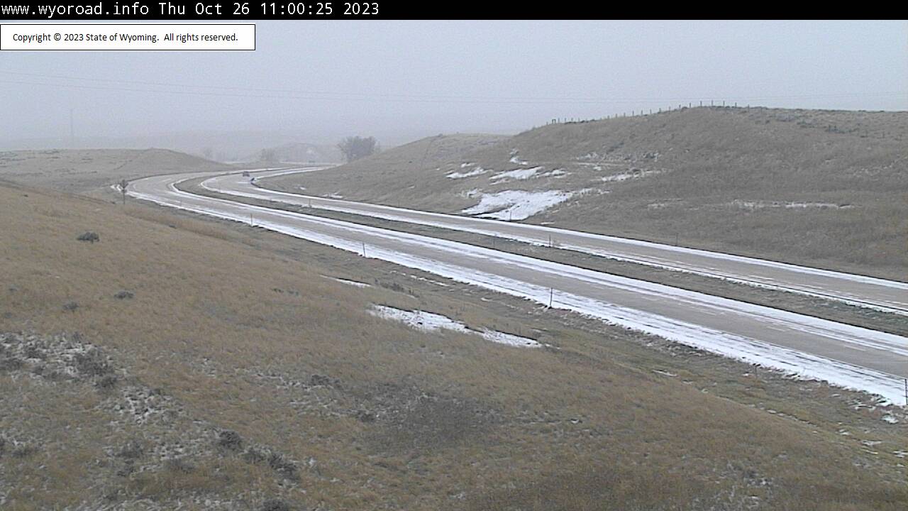
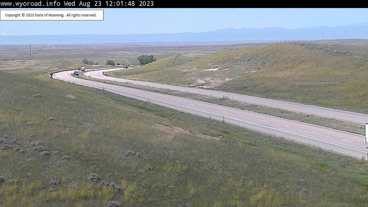
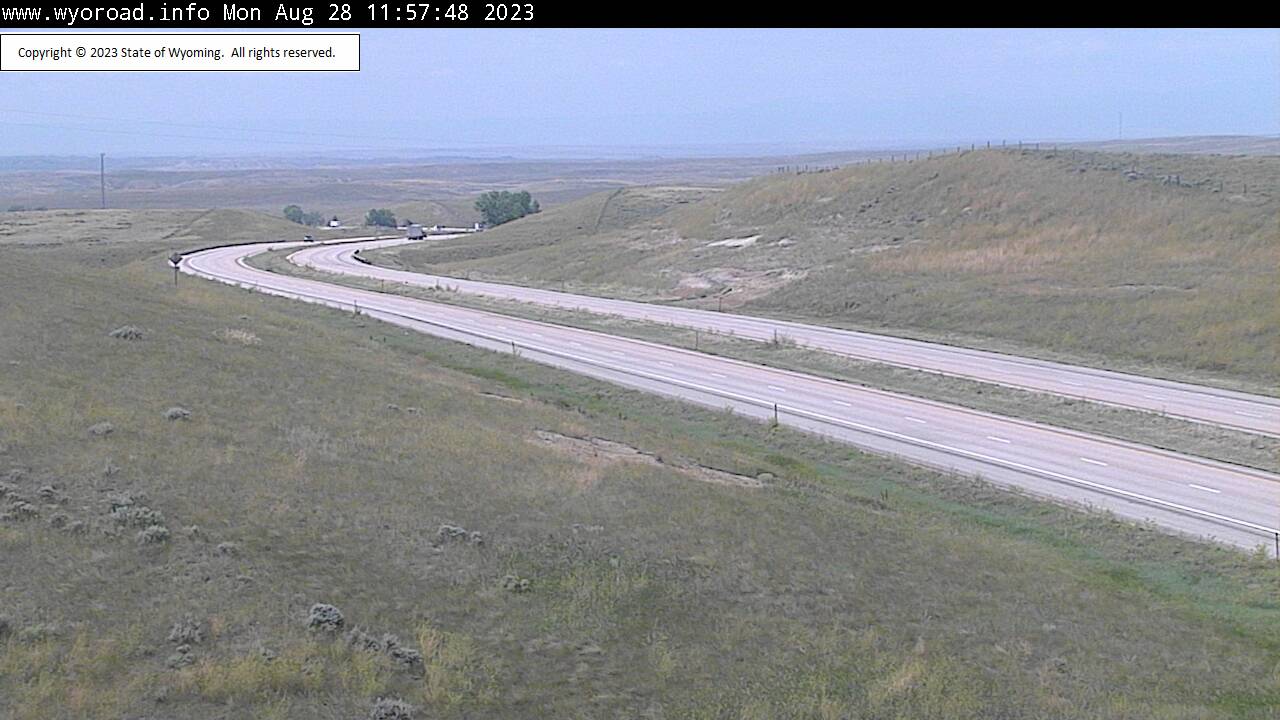
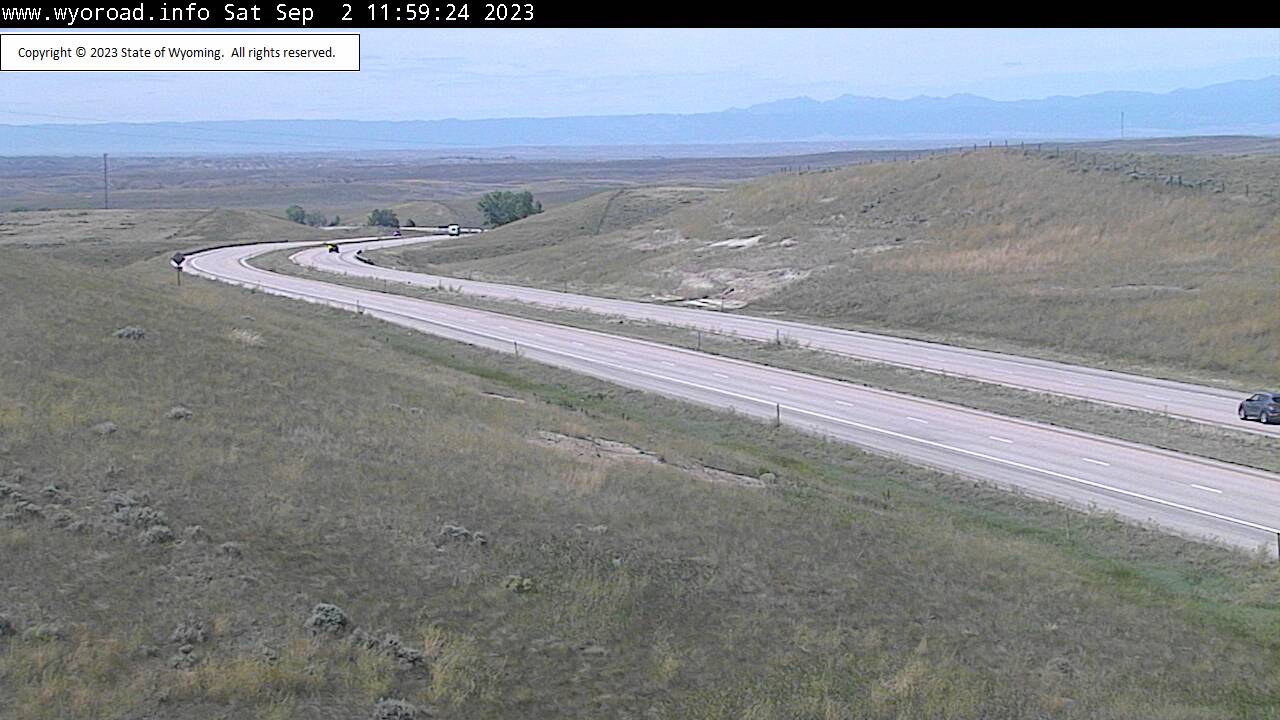
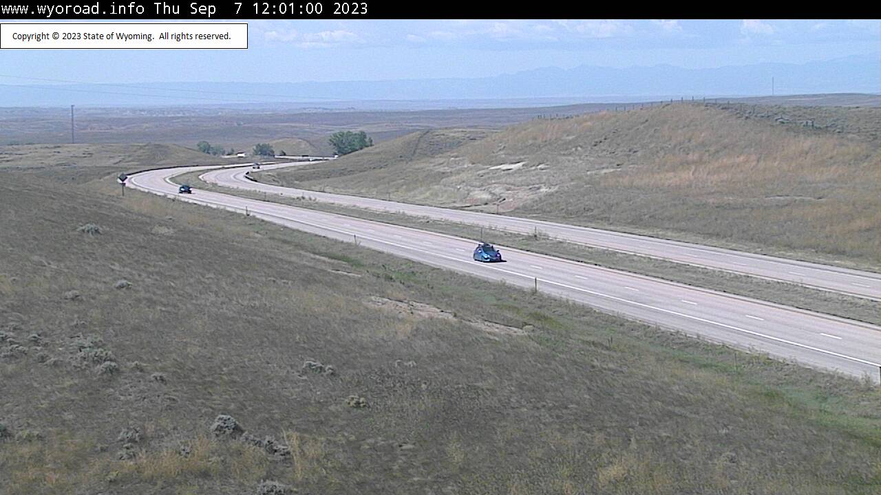
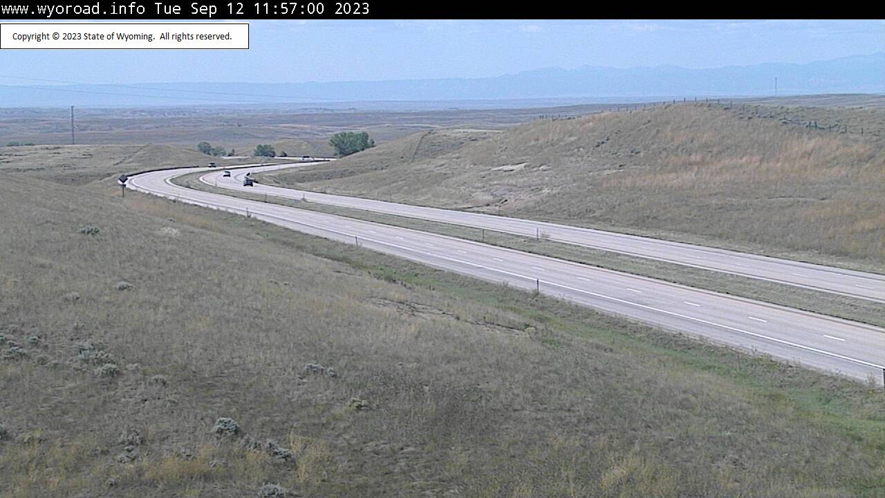
Douglas, Wyoming, USA - 179.1 miles from Potato Creek: Cheyenne River Rest Area - Traffic and Weather - A view of the current traffic and weather situation.
Operator: WYDOT Travel Information Service
Operator: WYDOT Travel Information Service


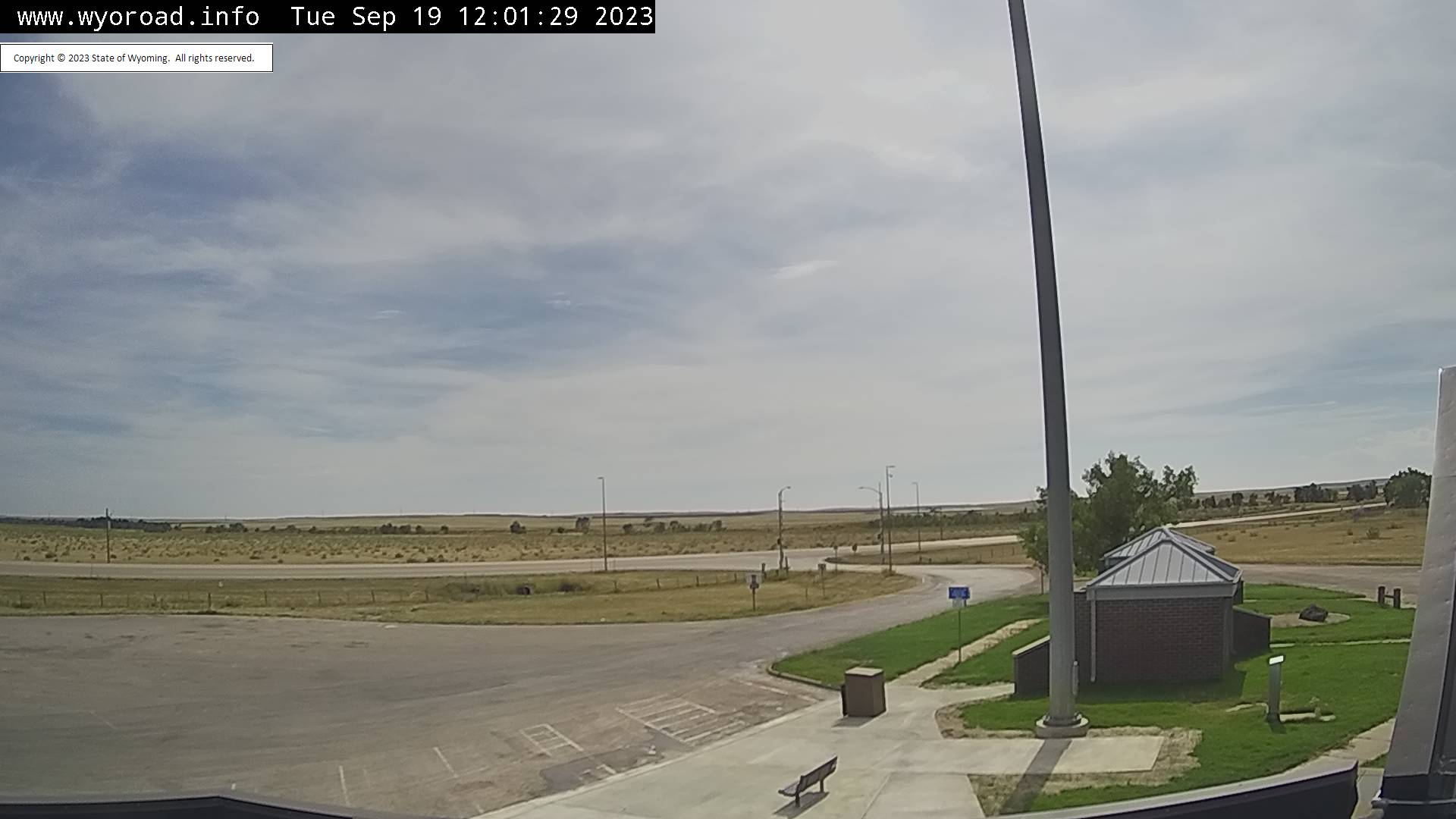

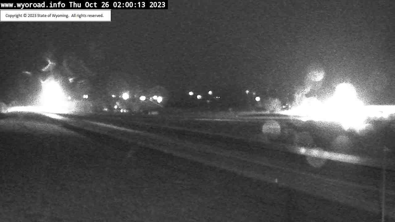
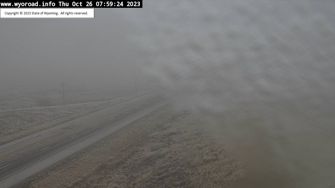
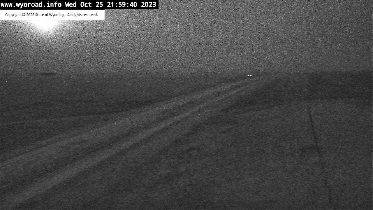
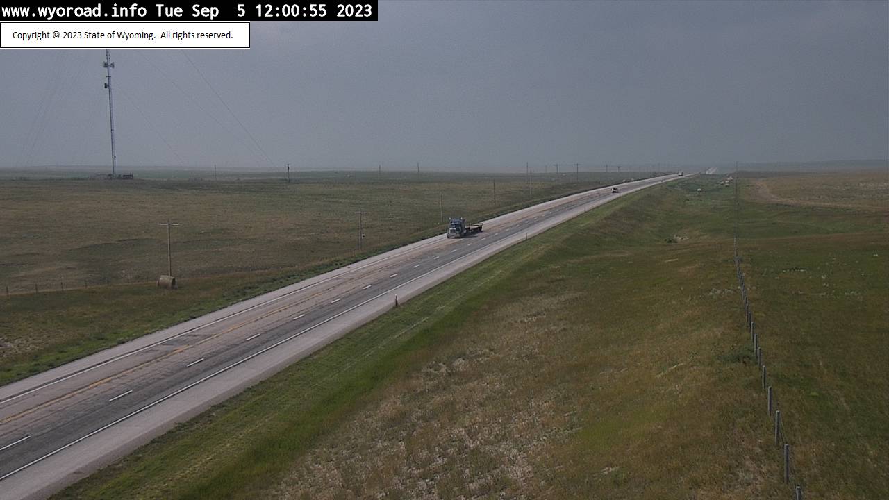
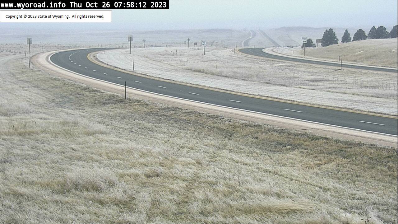
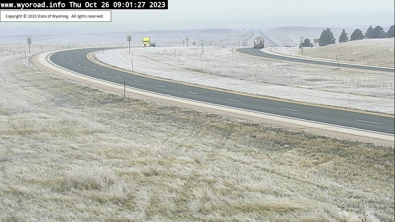
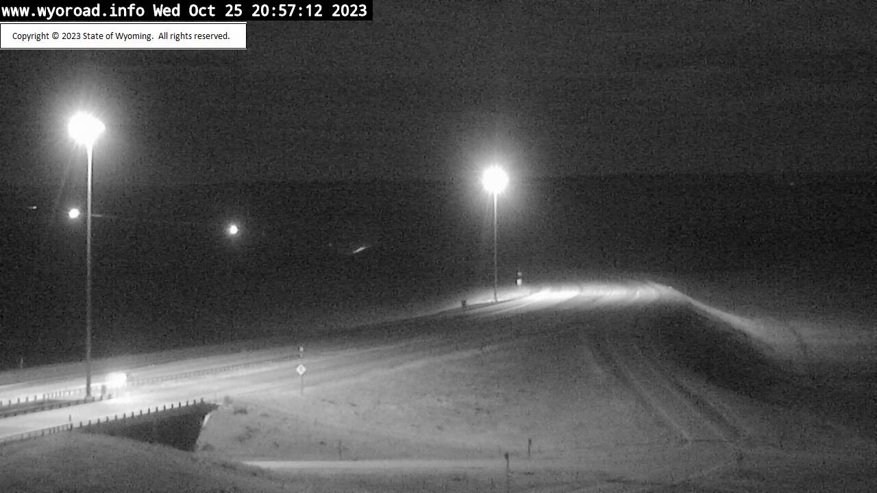
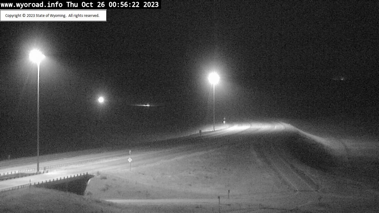
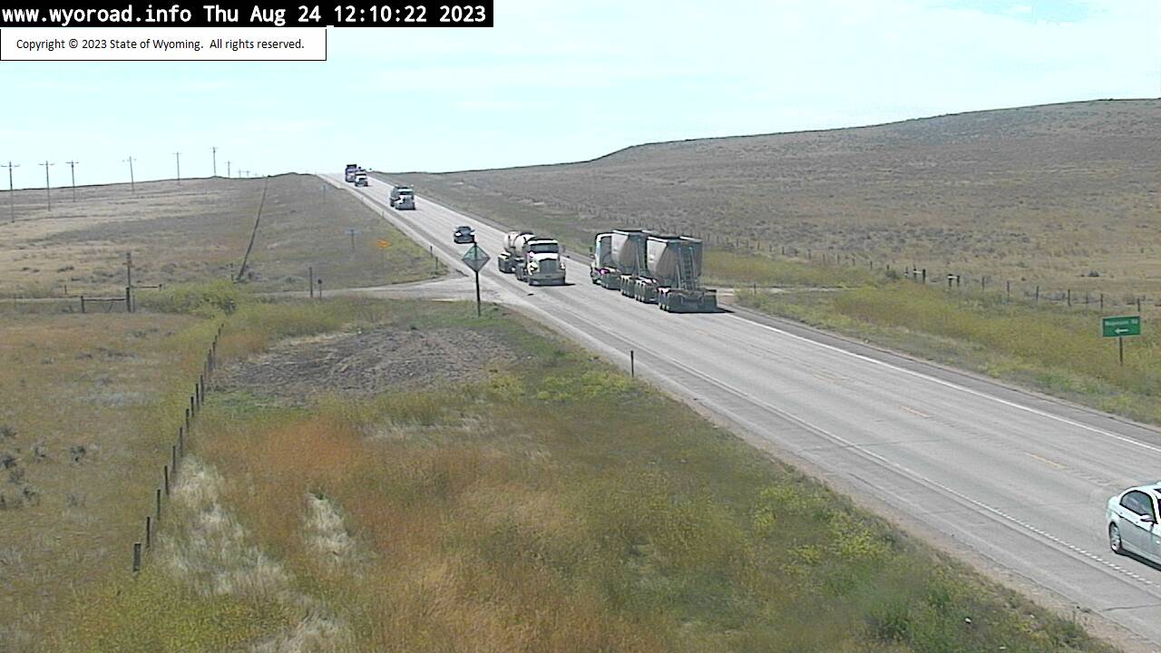
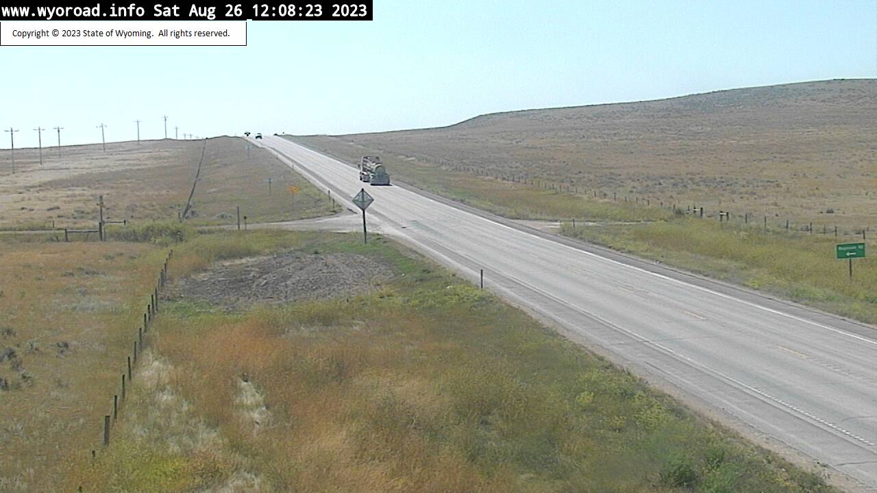
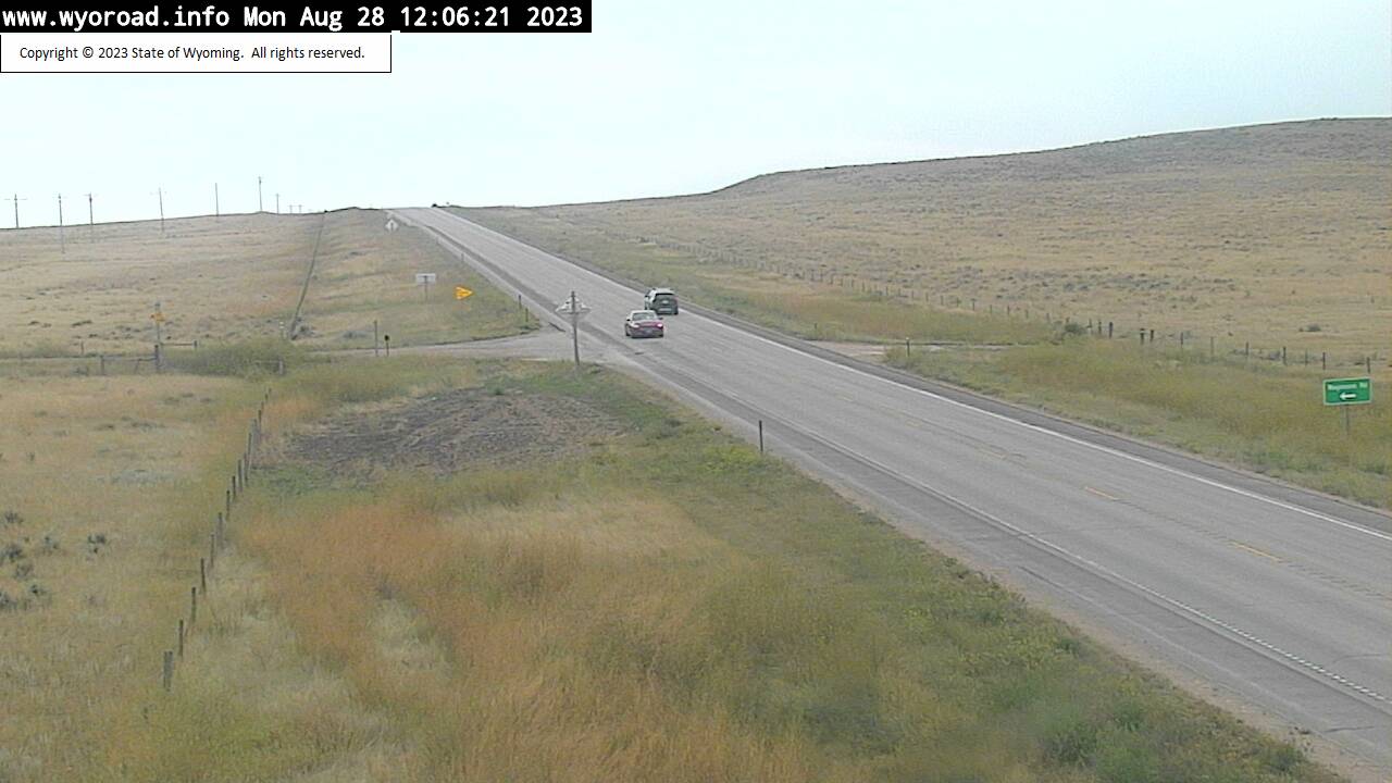
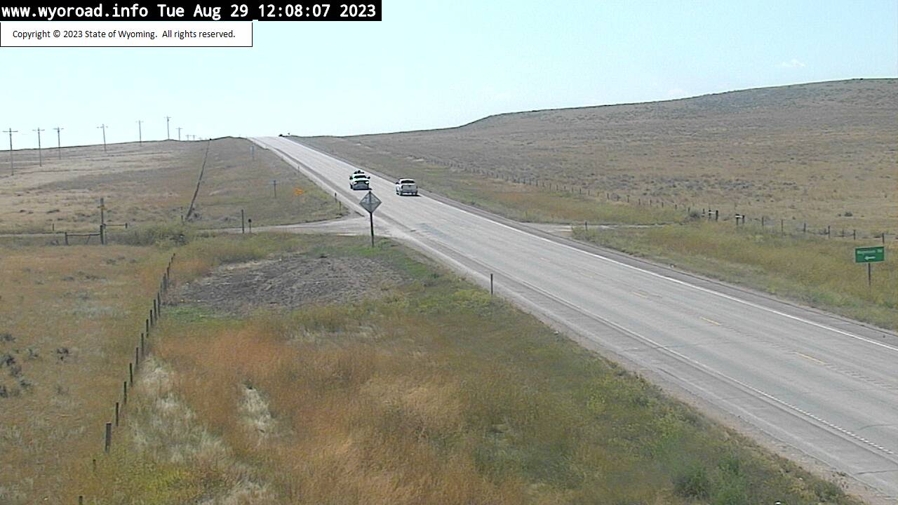
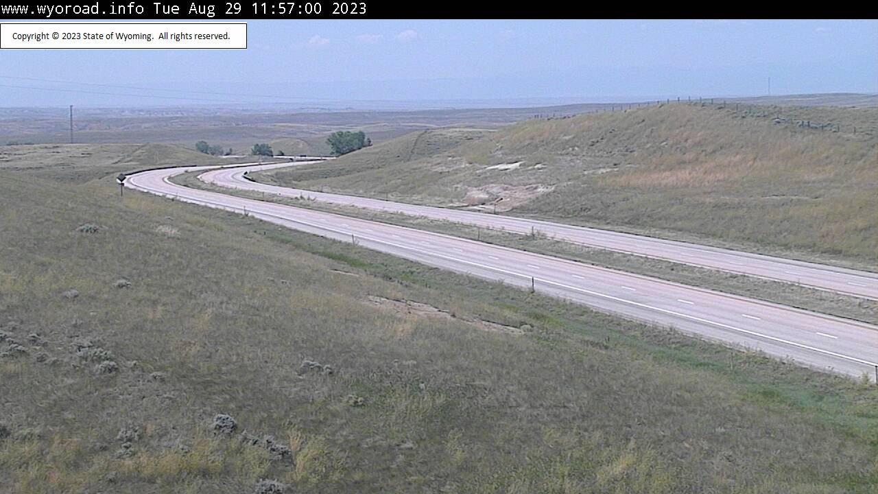
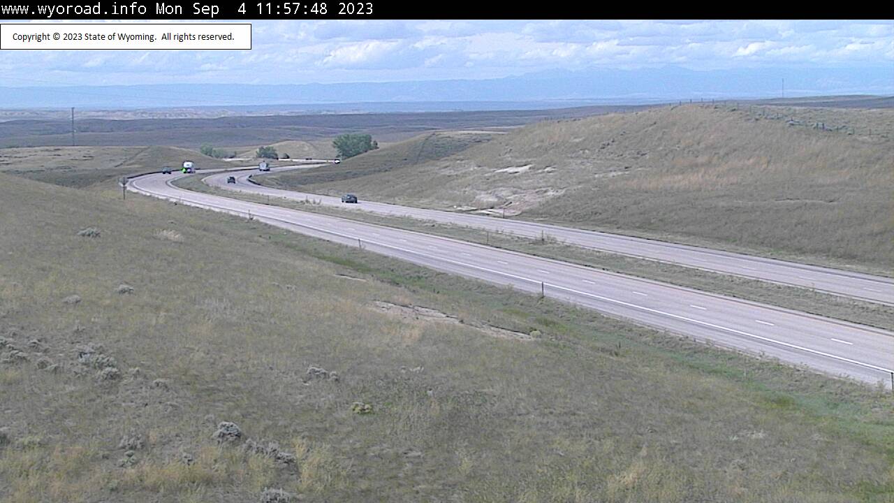
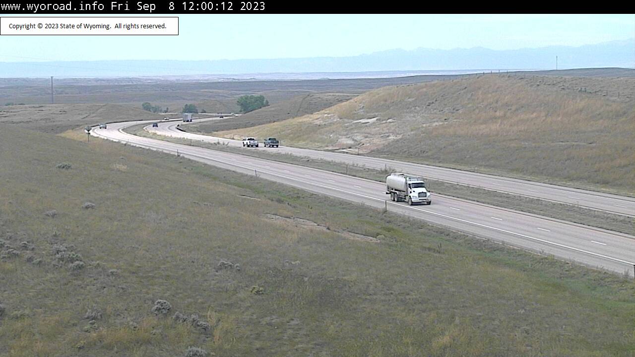
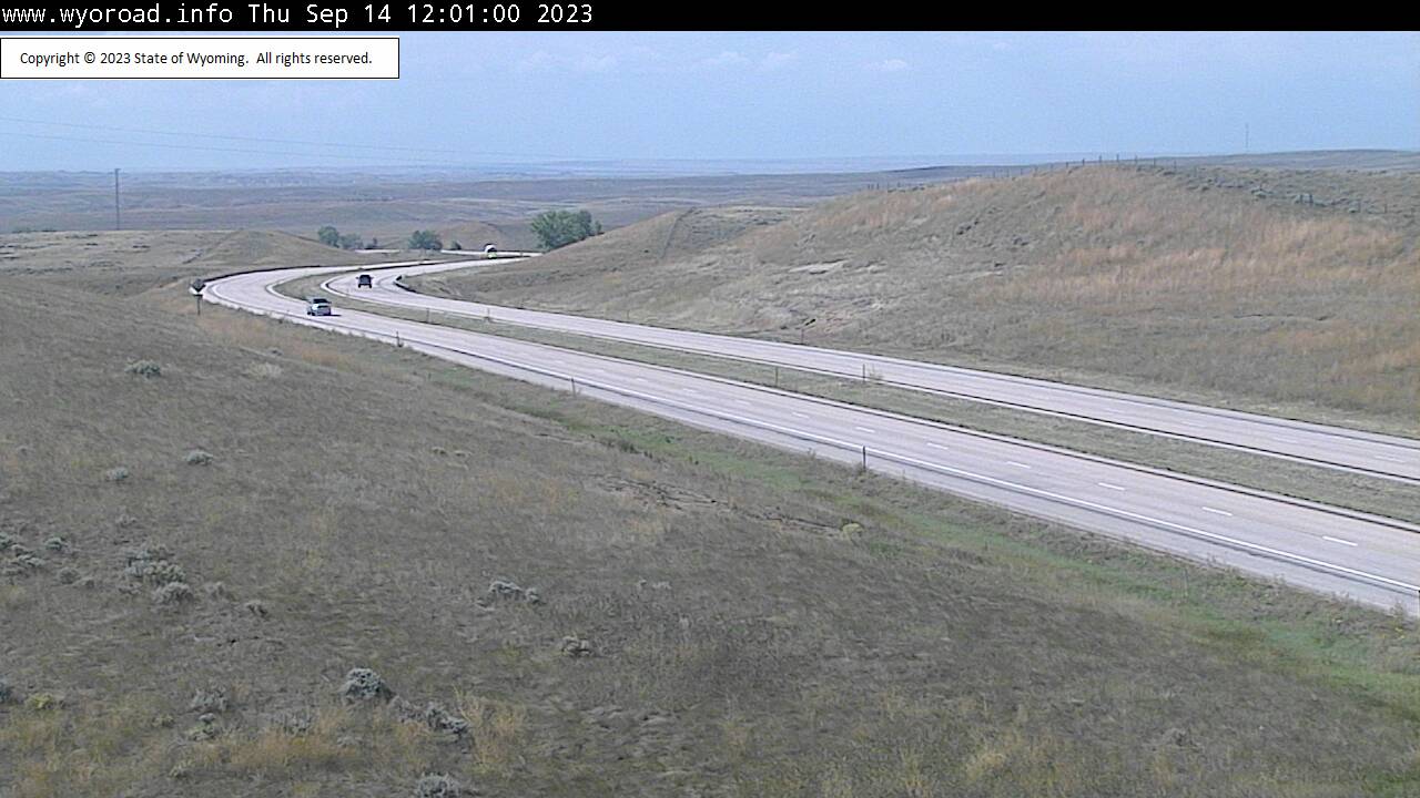
Wheatland, Wyoming, USA - 181.8 miles from Potato Creek: Bordeaux Interchange - Traffic and Weather - A view of the current traffic and weather situation.
Operator: WYDOT Travel Information Service
Operator: WYDOT Travel Information Service
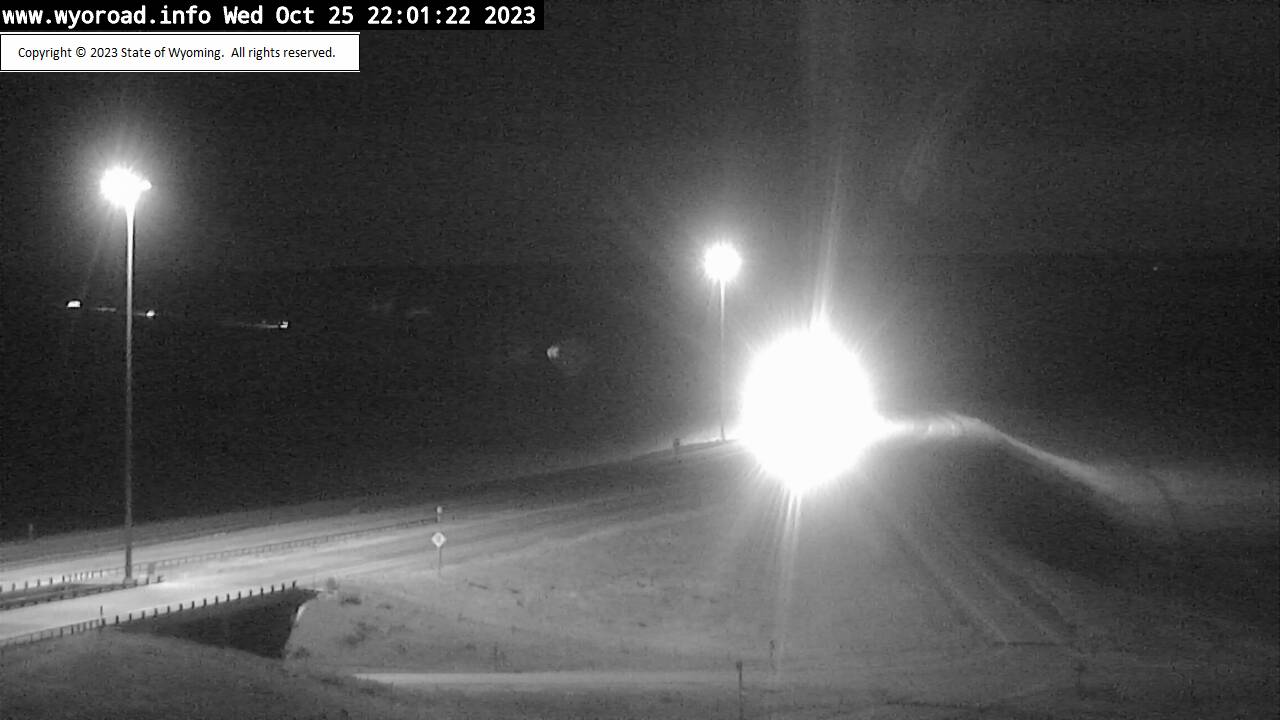


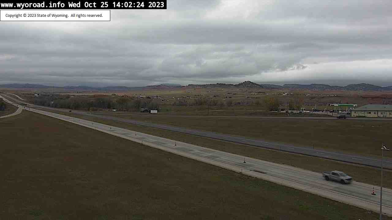
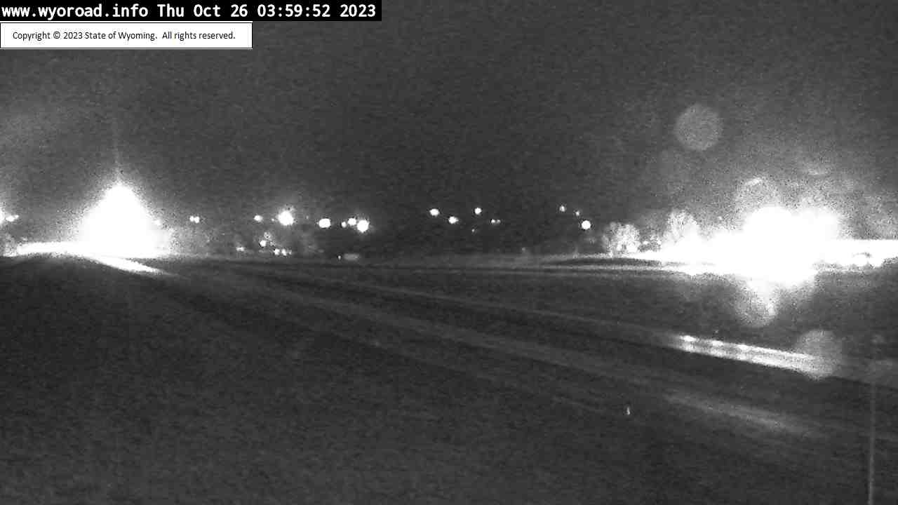
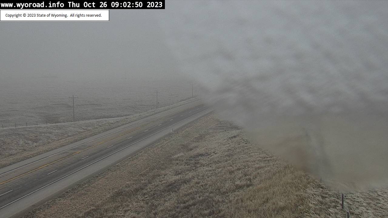
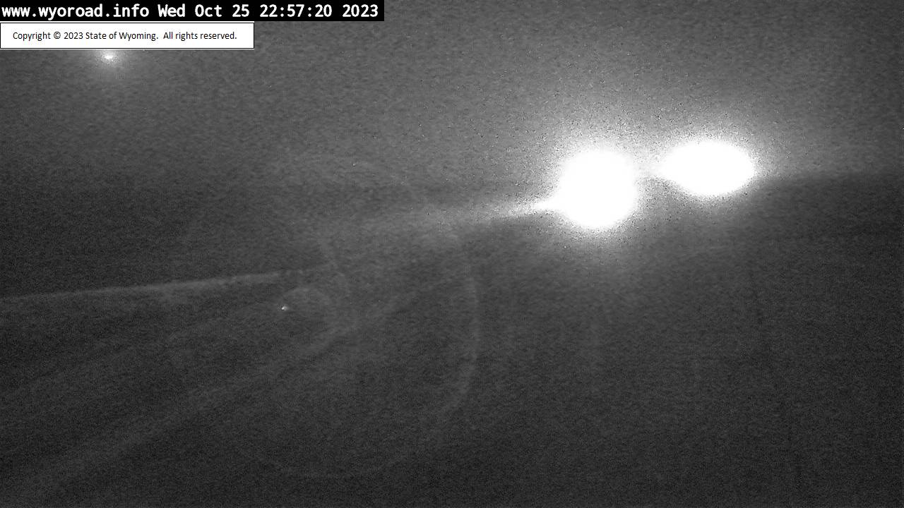
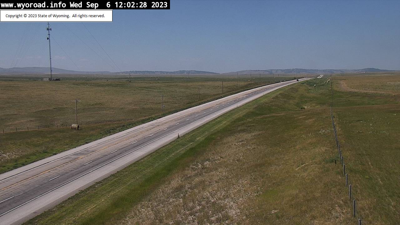
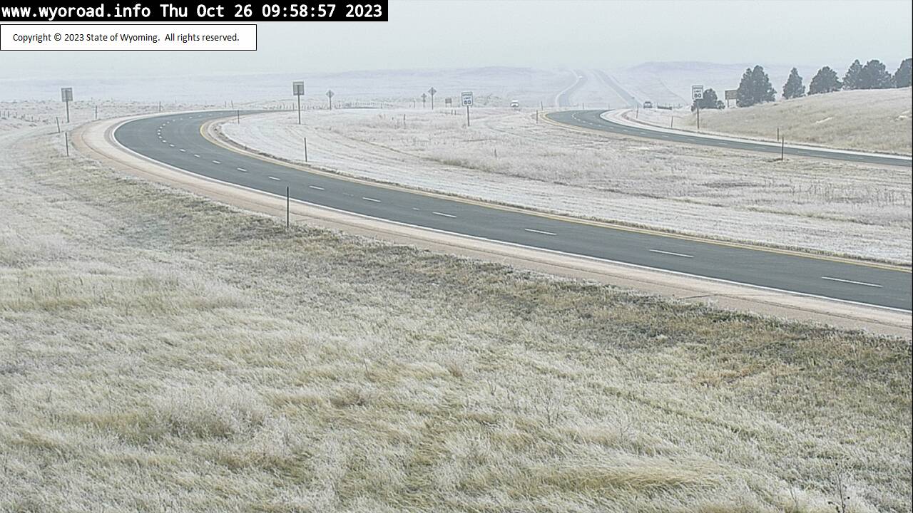
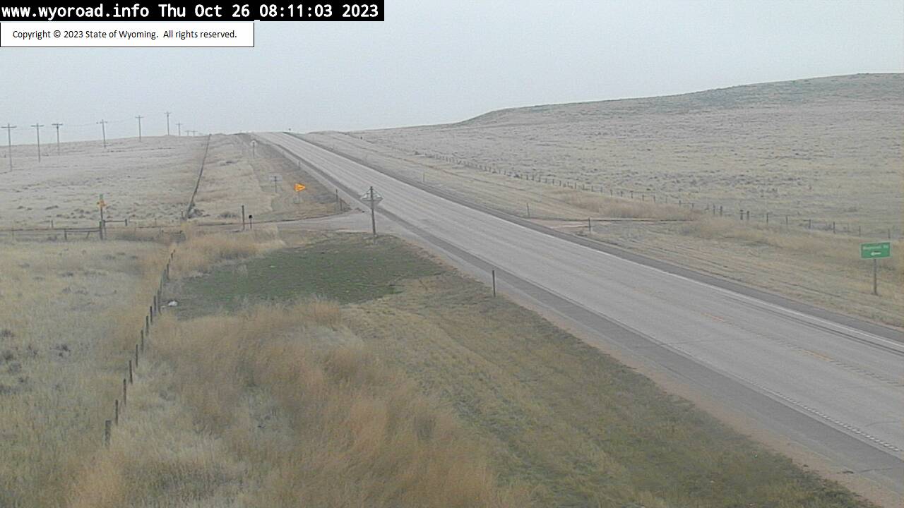
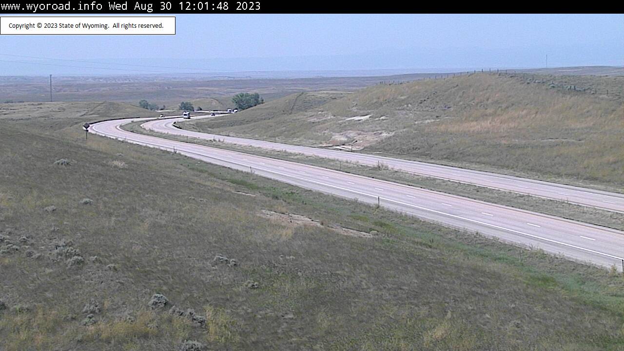
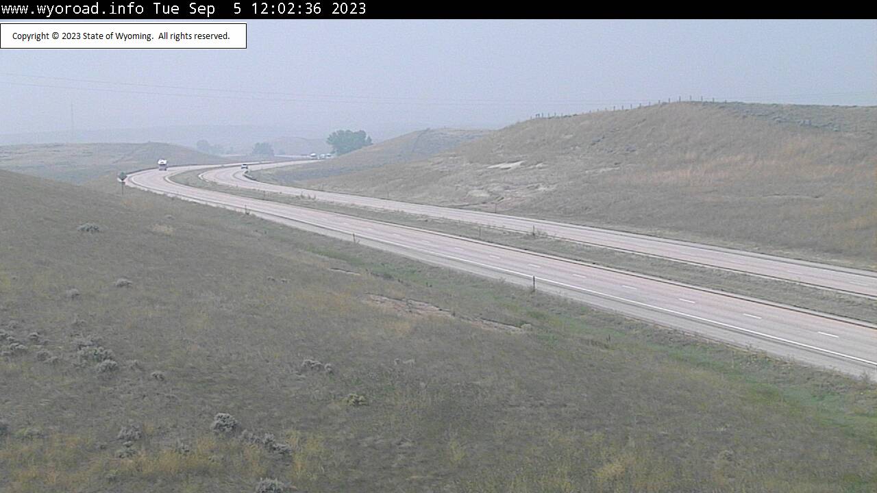
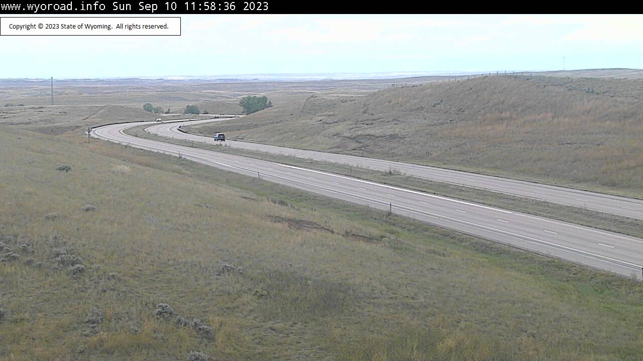
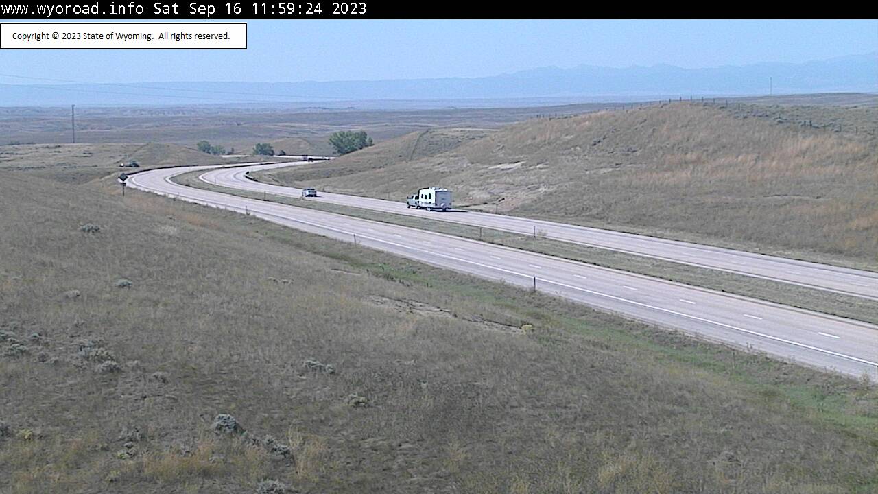
Gillette, Wyoming, USA - 182.5 miles from Potato Creek: Belle Fourche - Traffic and Weather - A view of the current traffic and weather situation.
Operator: WYDOT Travel Information Service
Operator: WYDOT Travel Information Service
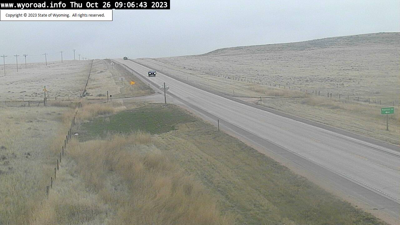


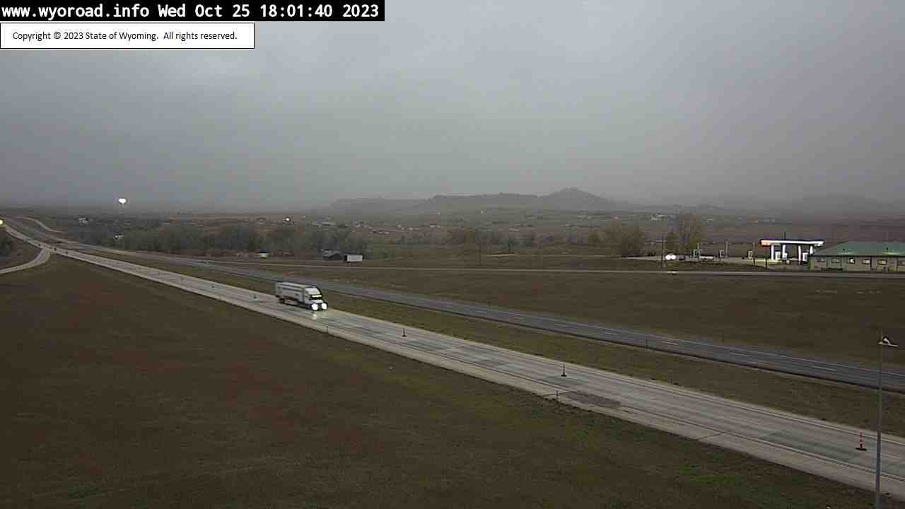
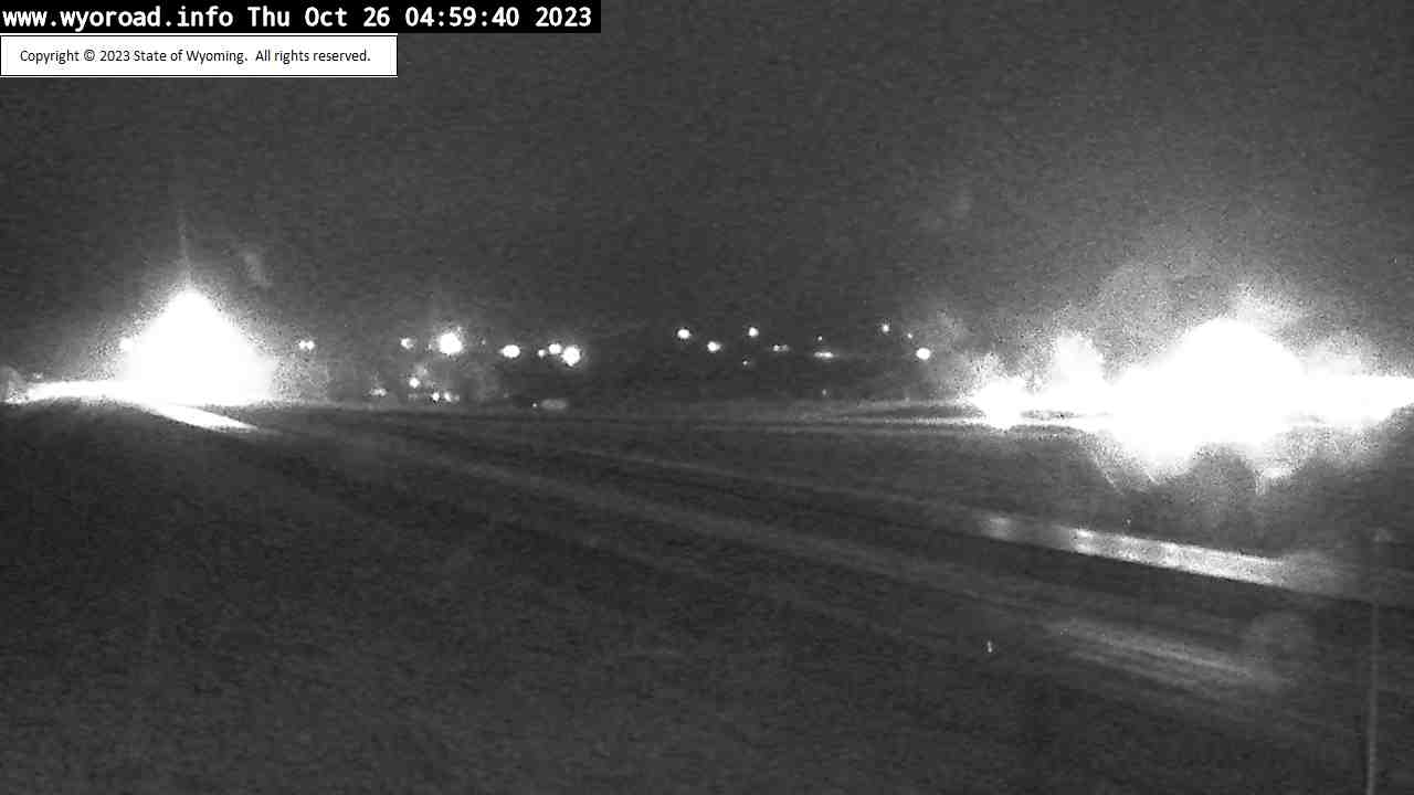
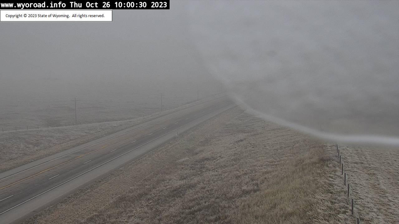
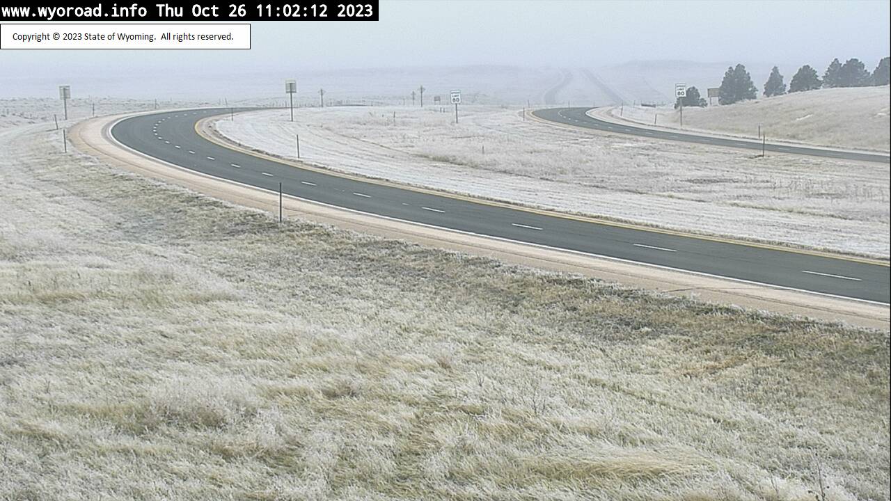
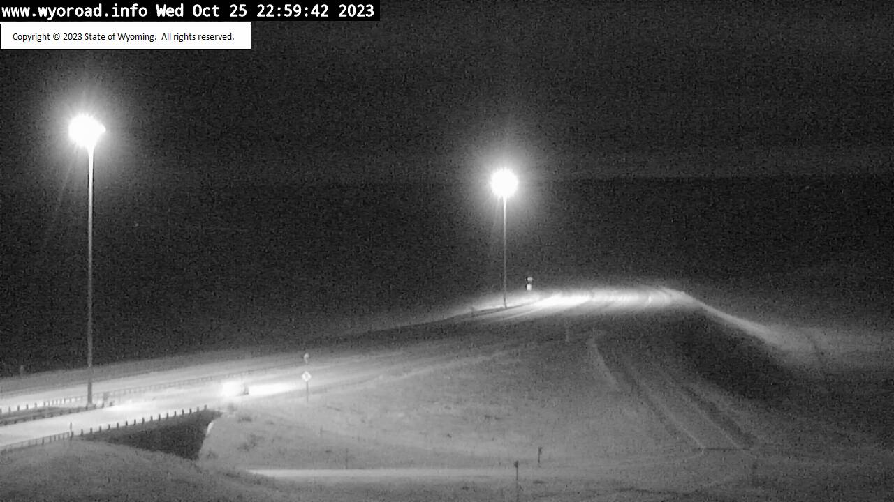
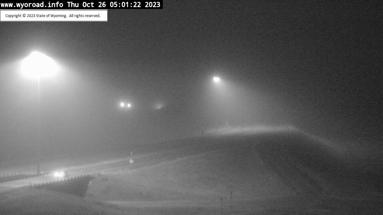
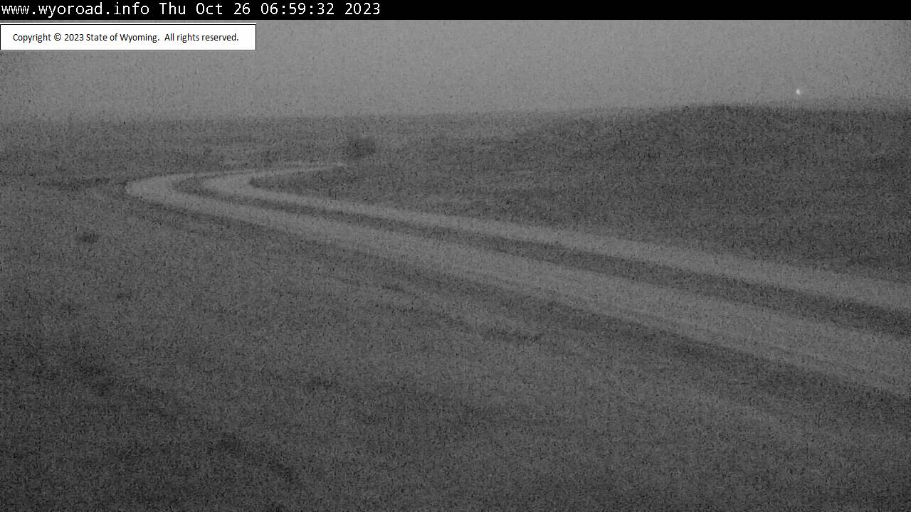
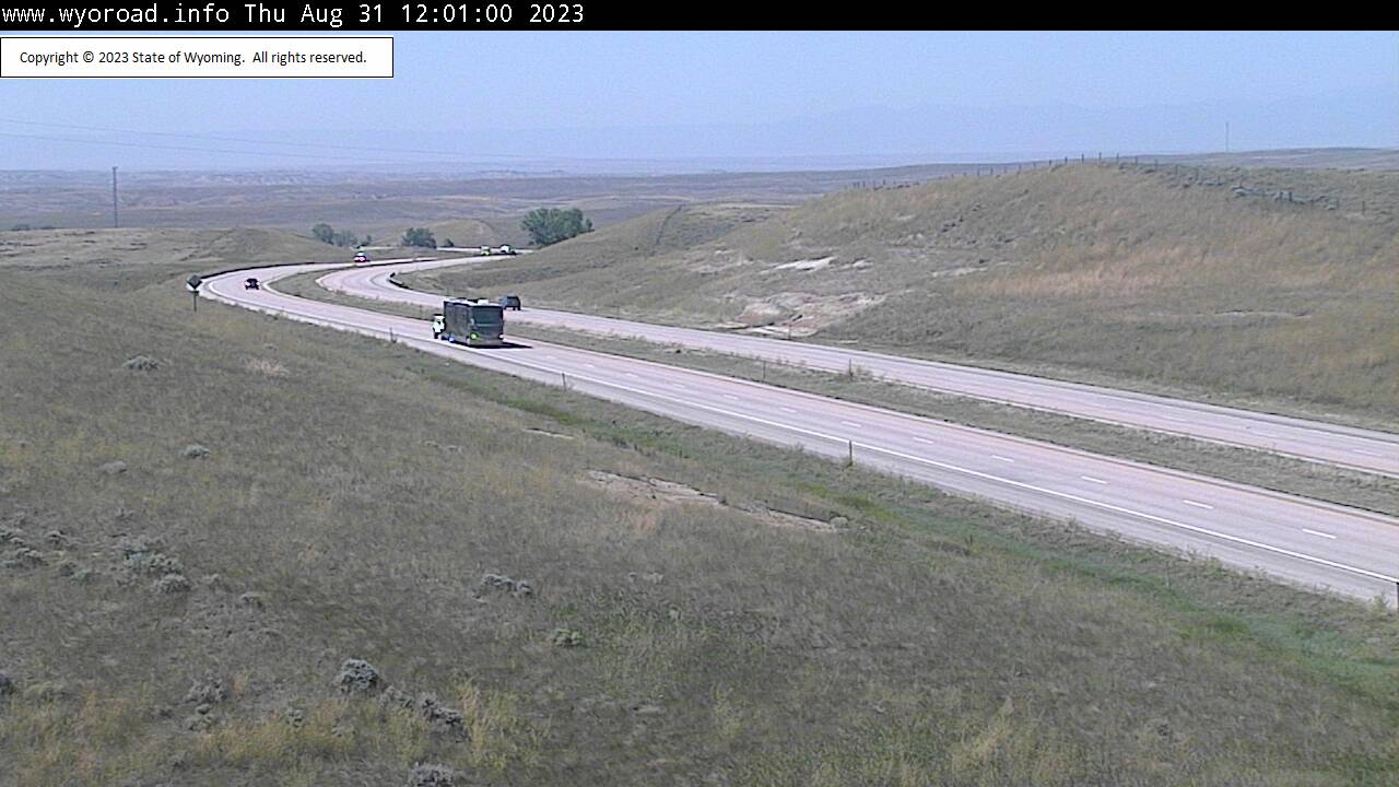
Gillette, Wyoming, USA - 182.5 miles from Potato Creek: Mile Marker 108 - Traffic and Weather - A view of the current traffic and weather situation.
Operator: WYDOT Travel Information Service
Operator: WYDOT Travel Information Service


Some other places in this country: Hisle - Wanblee - Arlington - Eagle Butte - Kennedyville - Snoma (historical) - Ashland Heights - Green Valley - Colonial Pine Hills - North Spearfish