Webcams in the region of The Grove, South Carolina, USA
The List of Webcams near The Grove, South Carolina, USA:

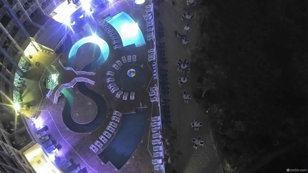
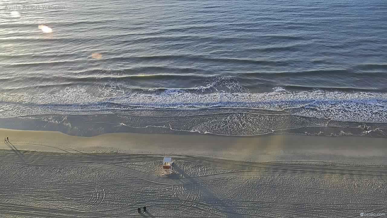
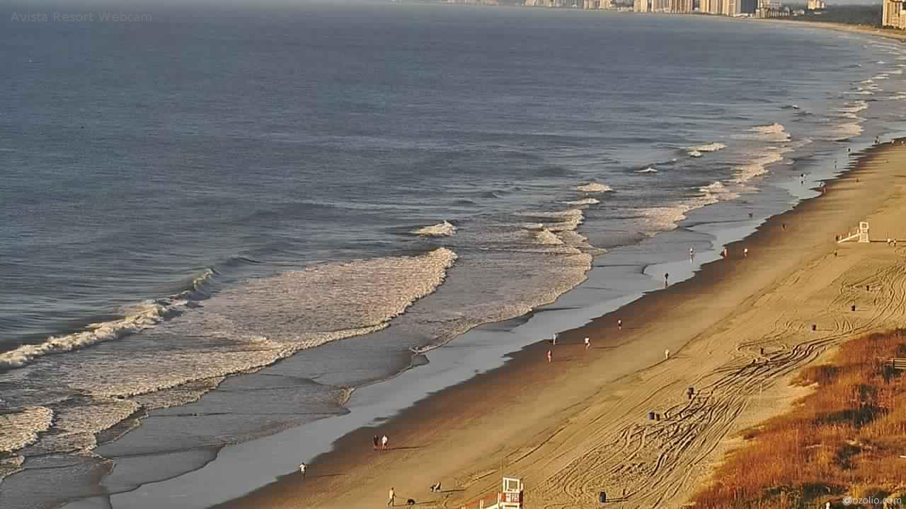
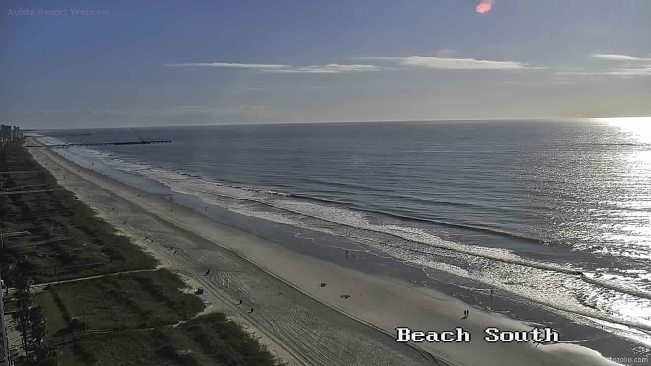
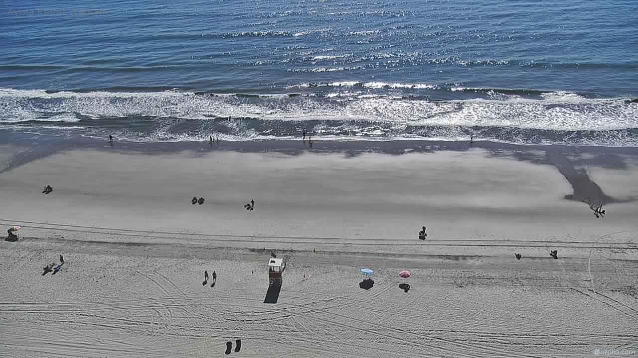
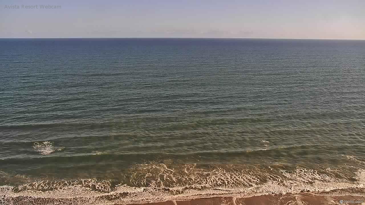
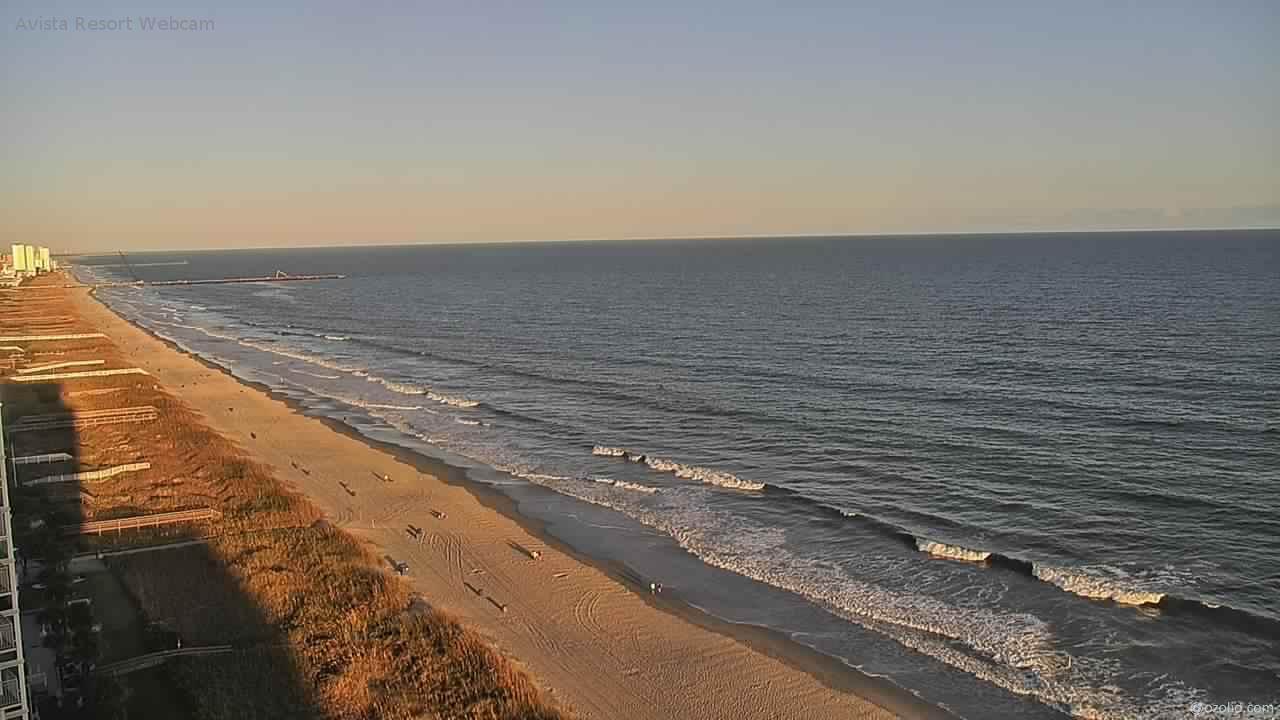
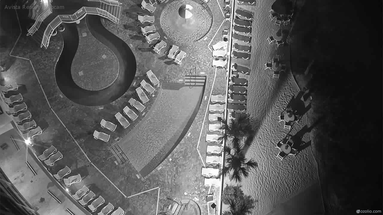
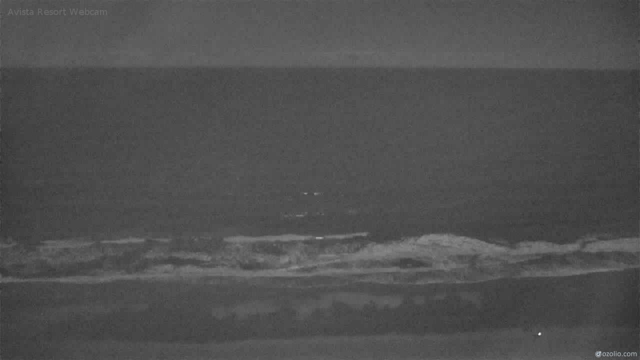
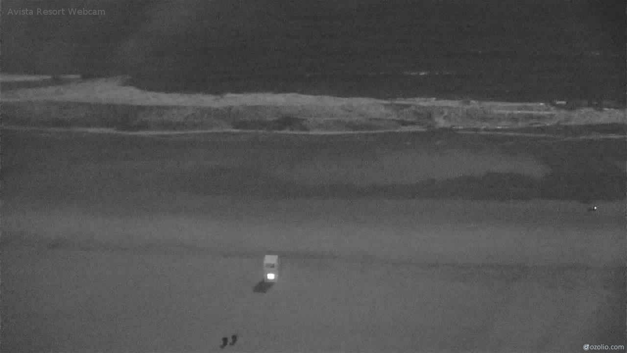
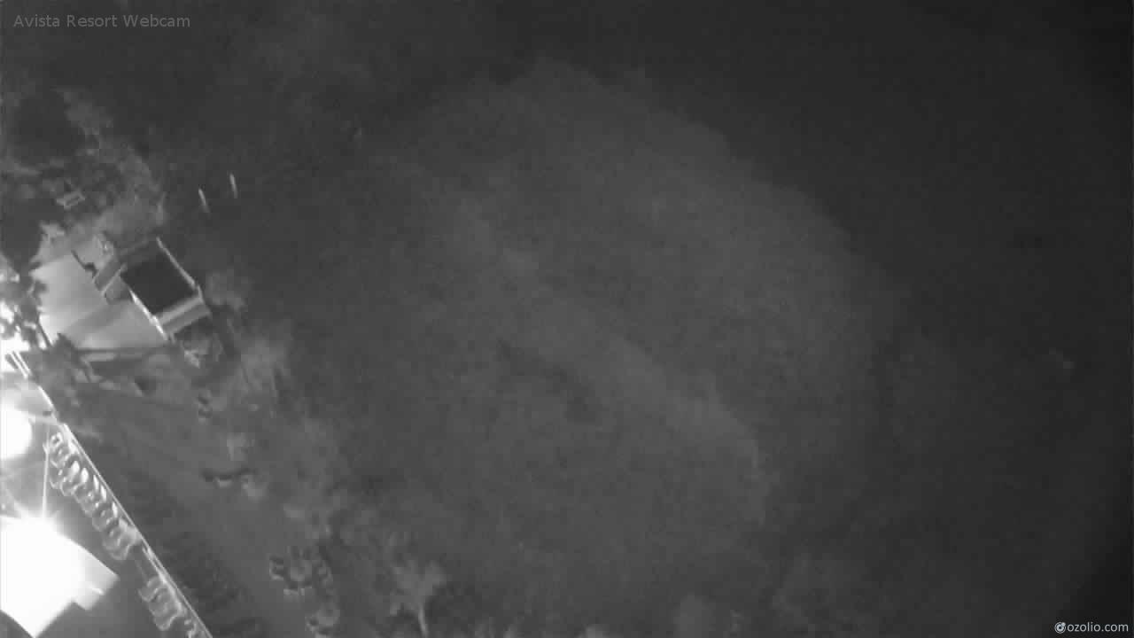
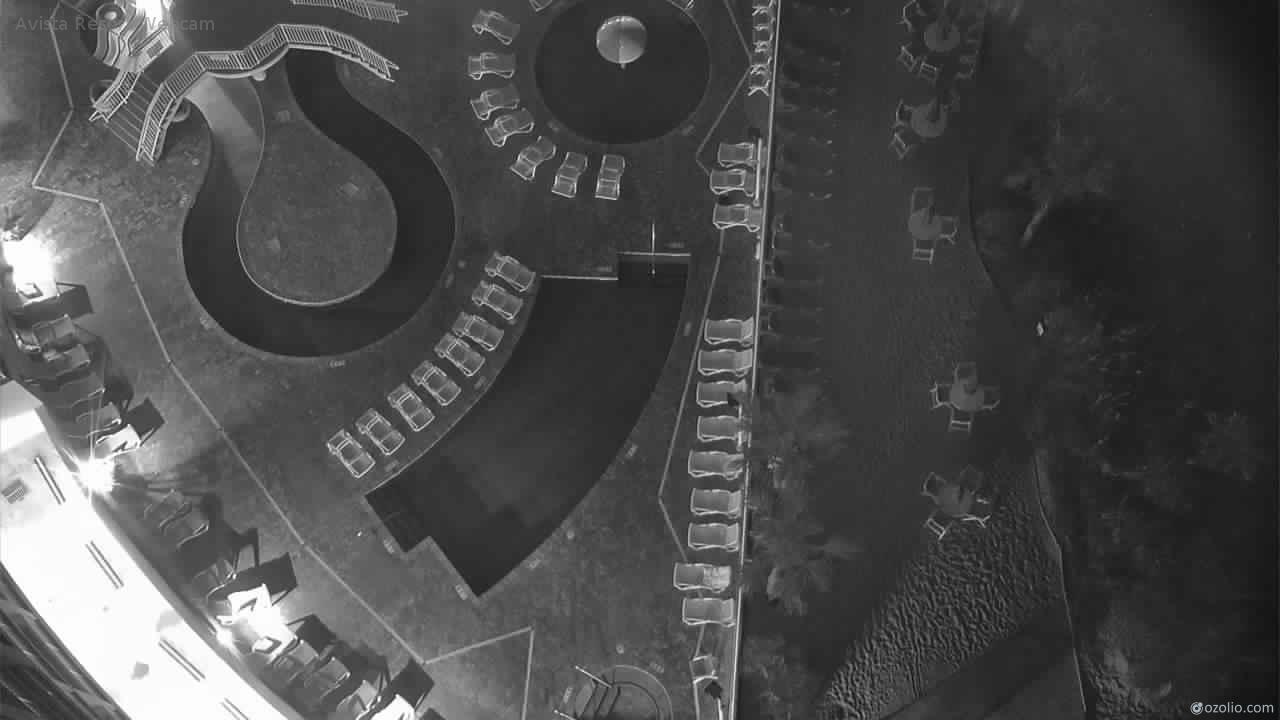
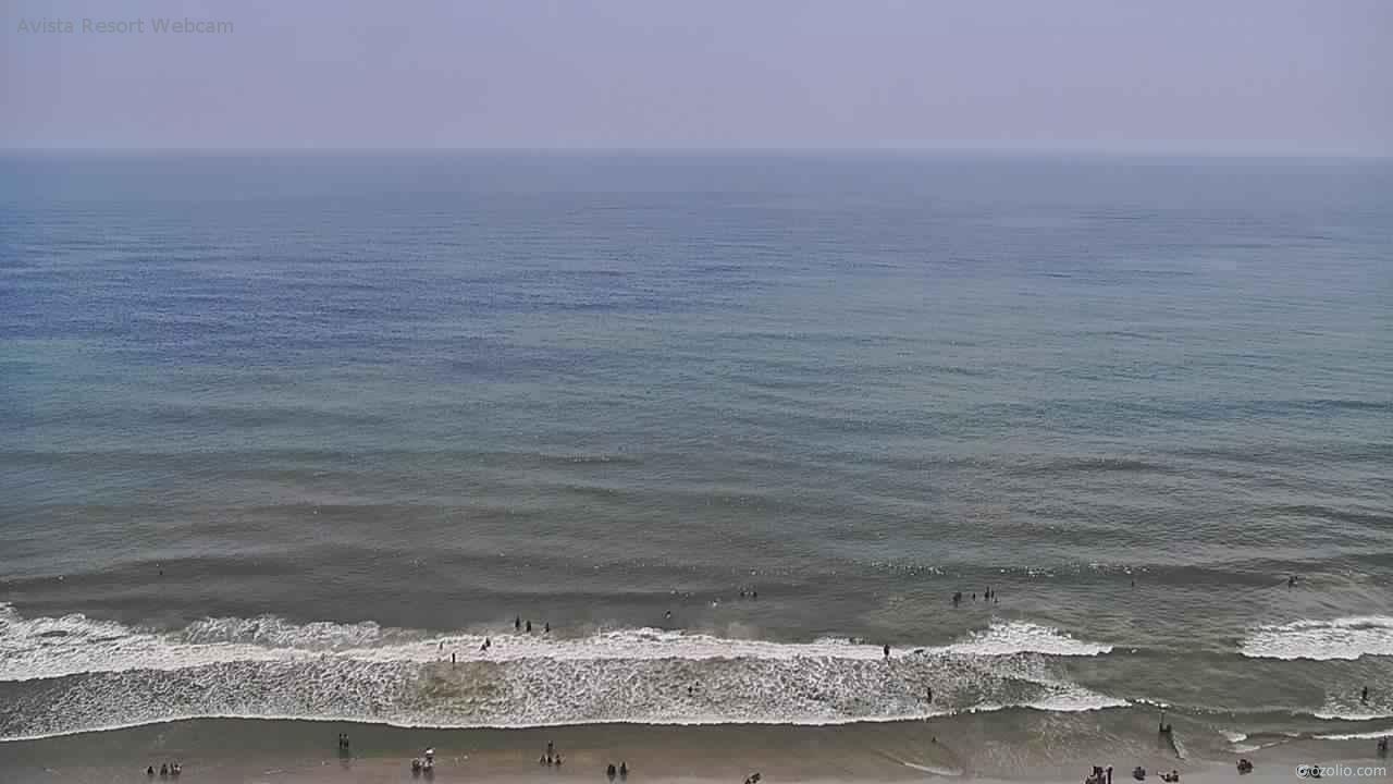
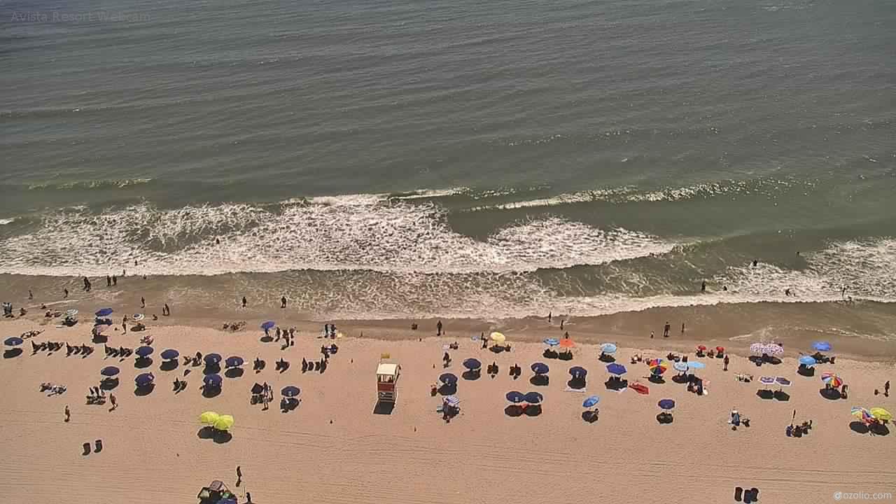
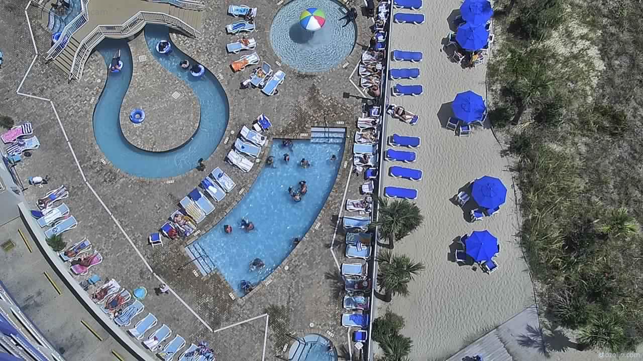
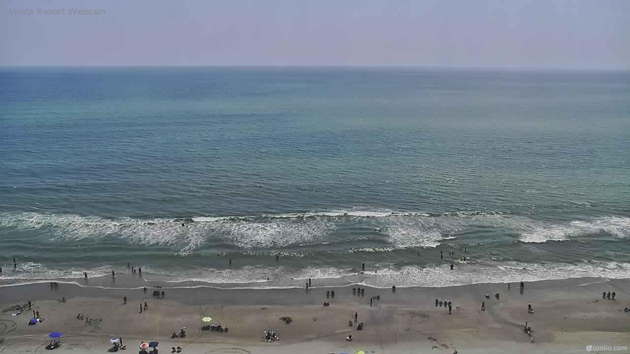
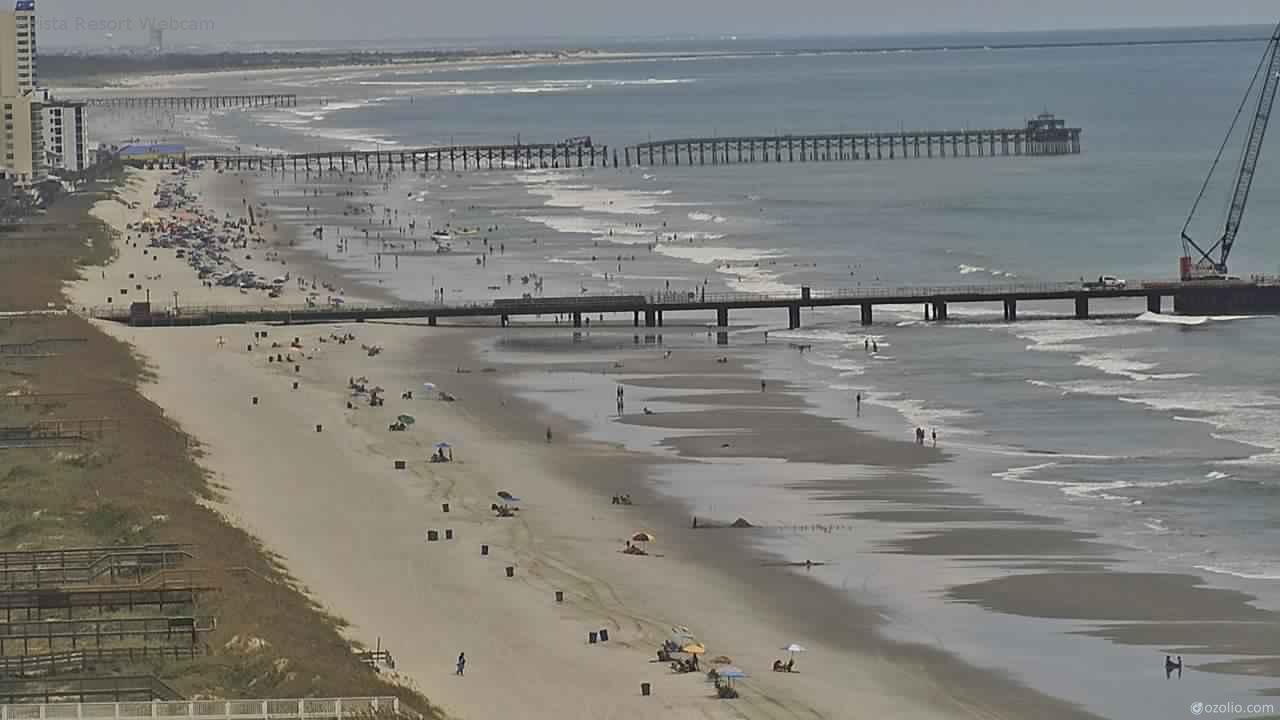
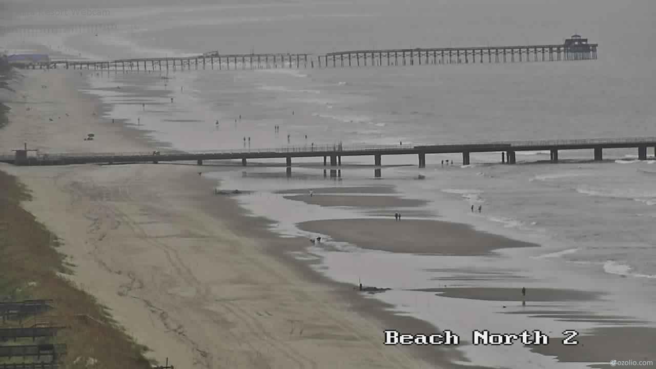
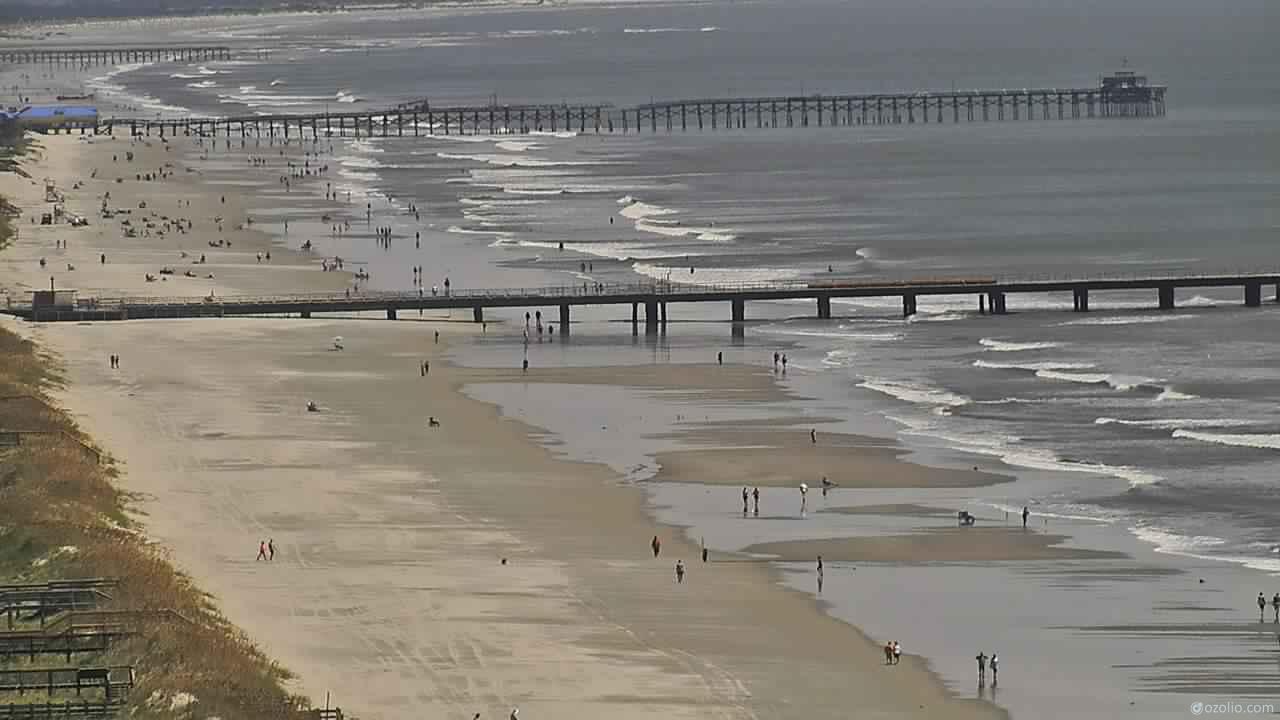
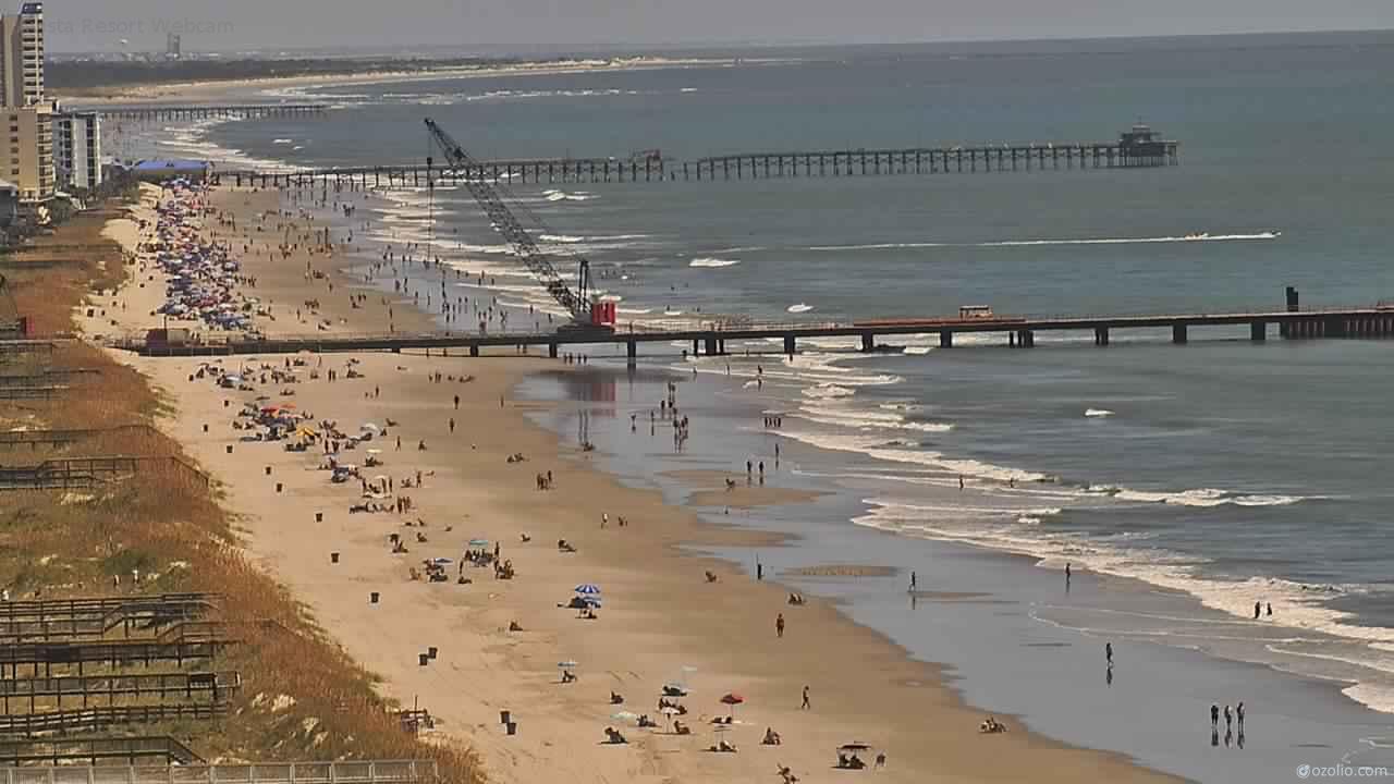
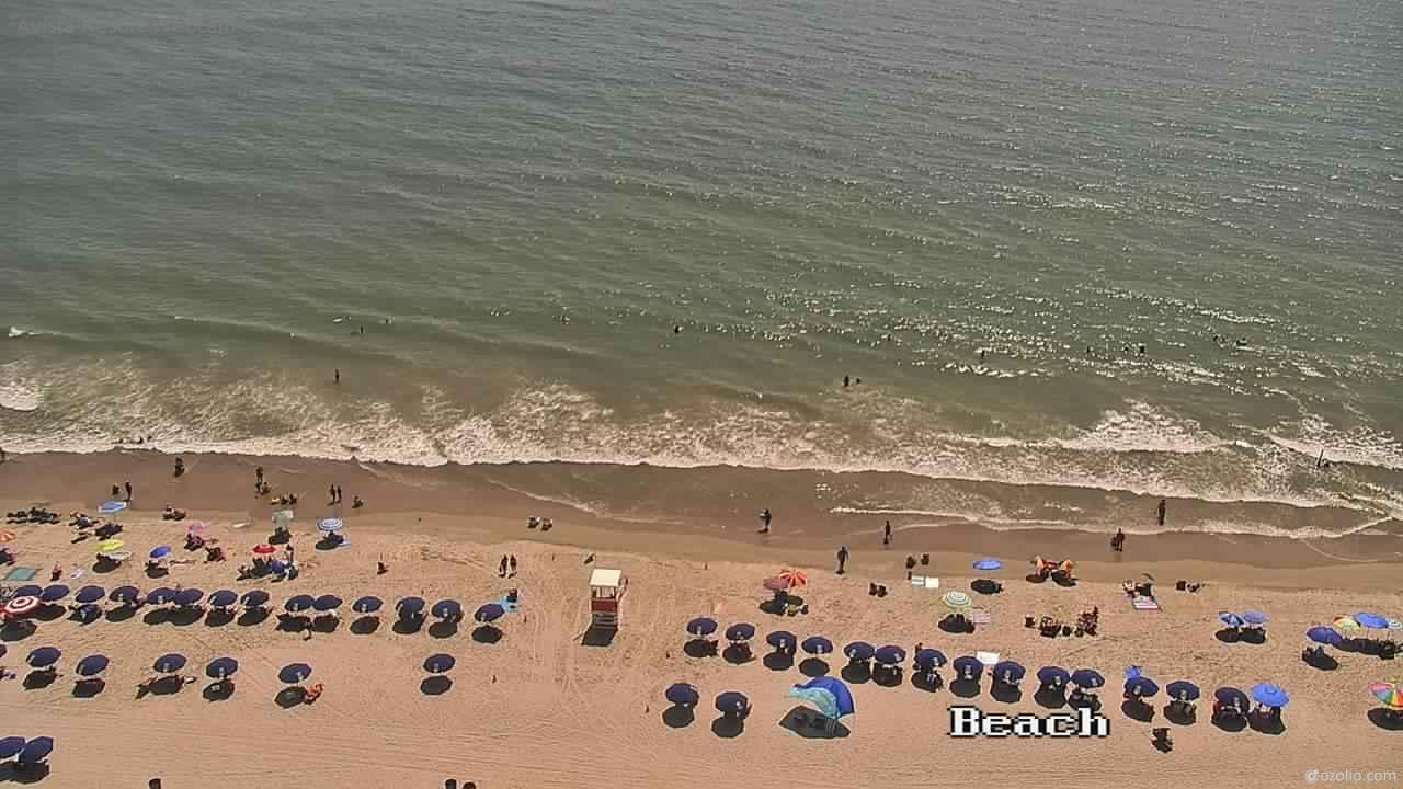
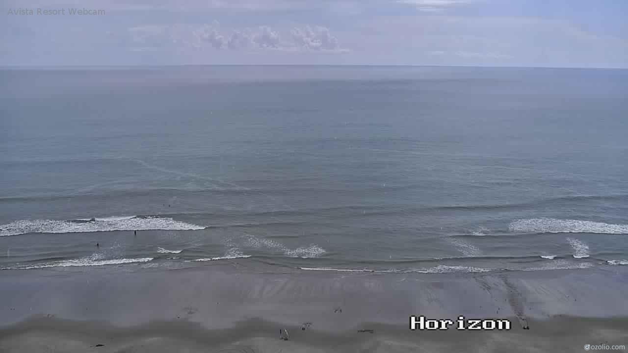
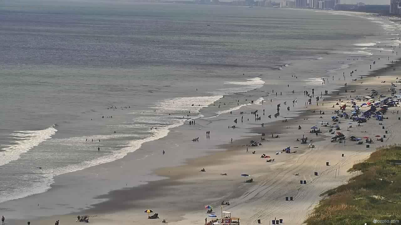
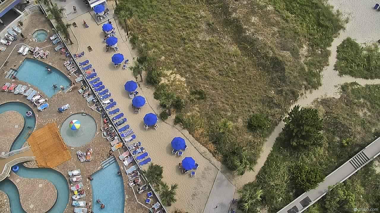
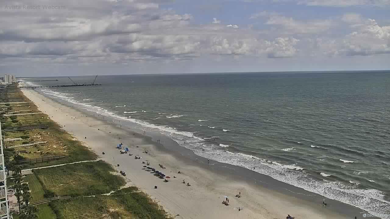
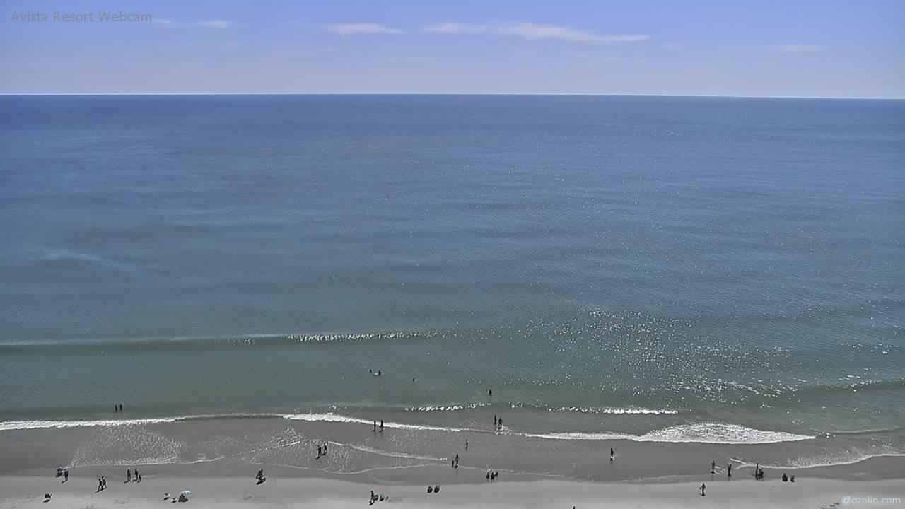
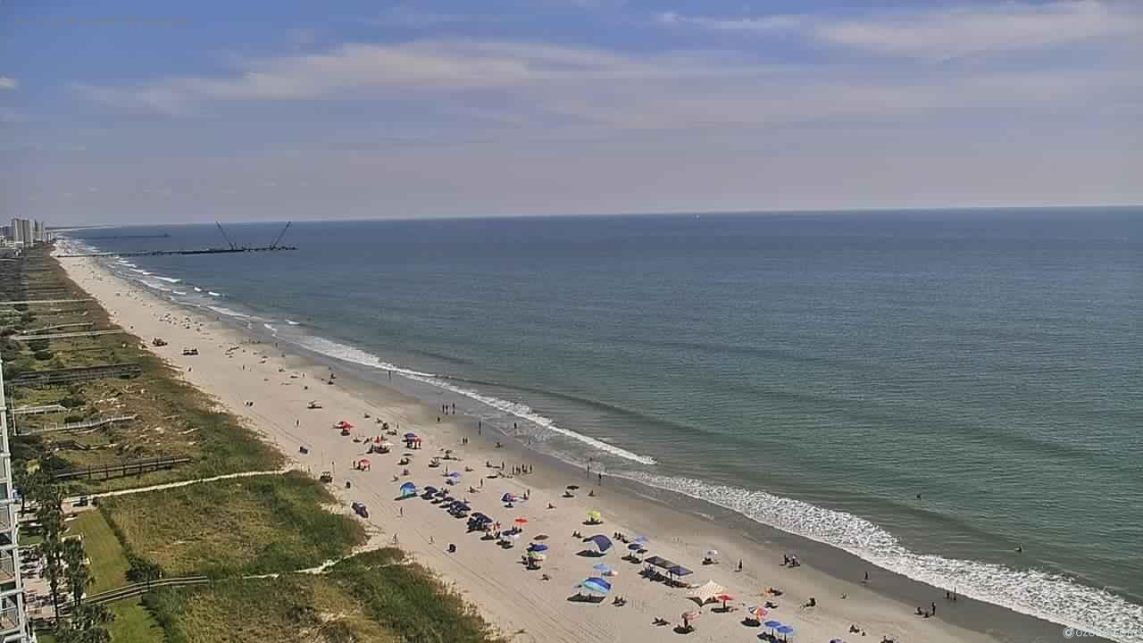
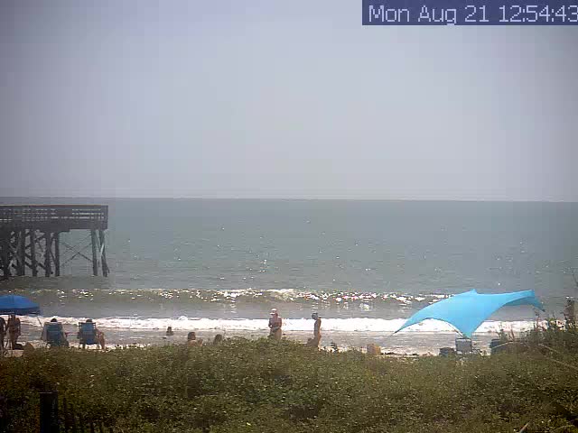
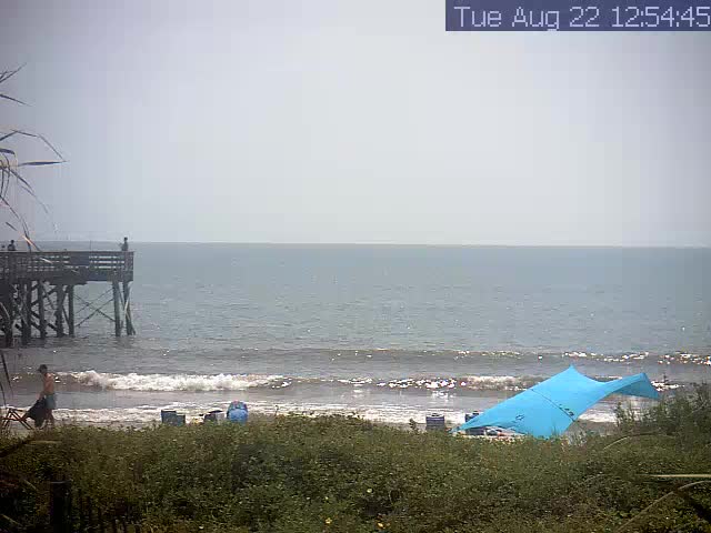
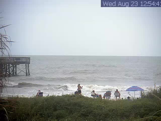
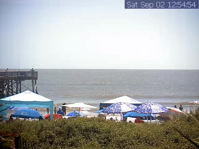
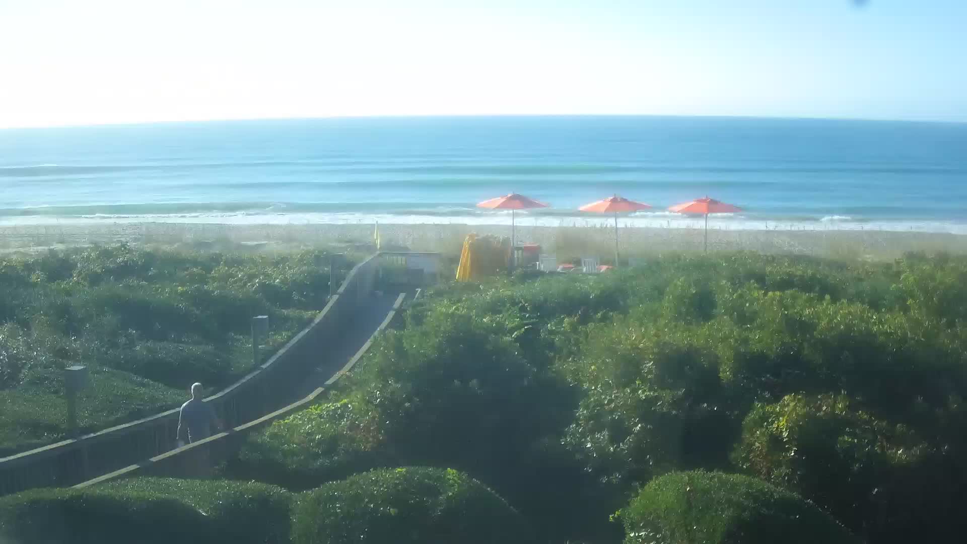
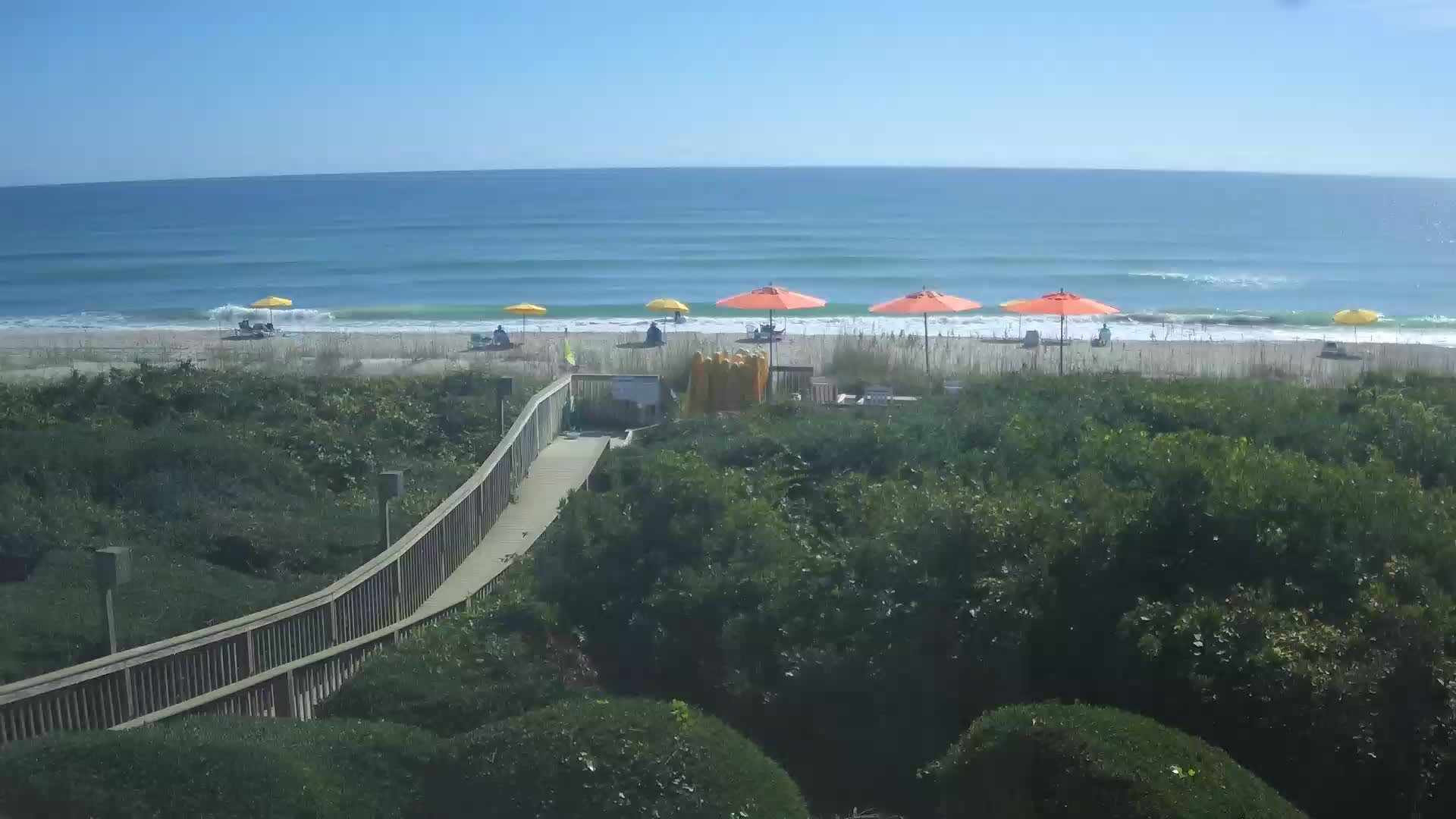
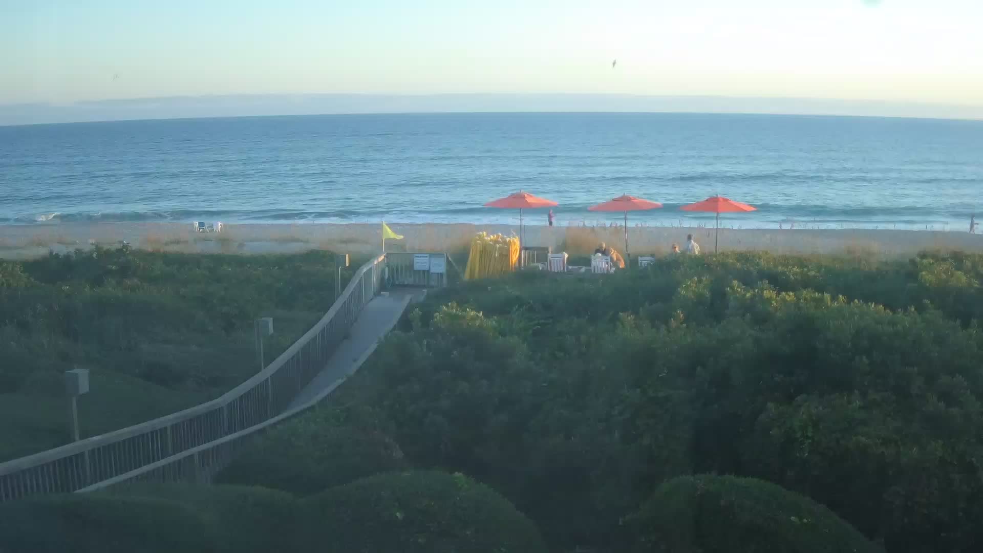
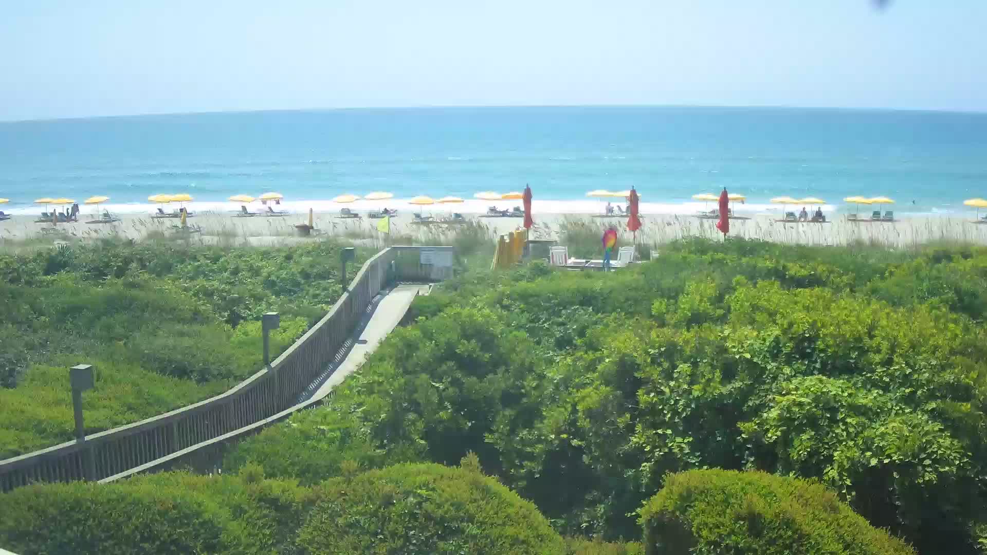
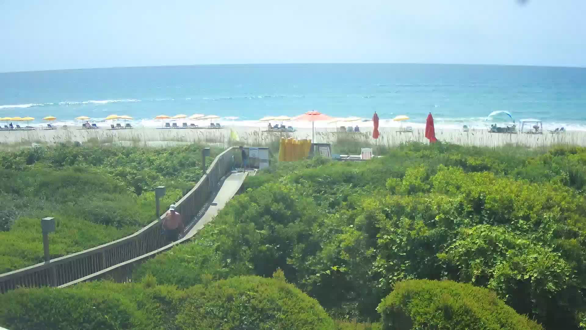
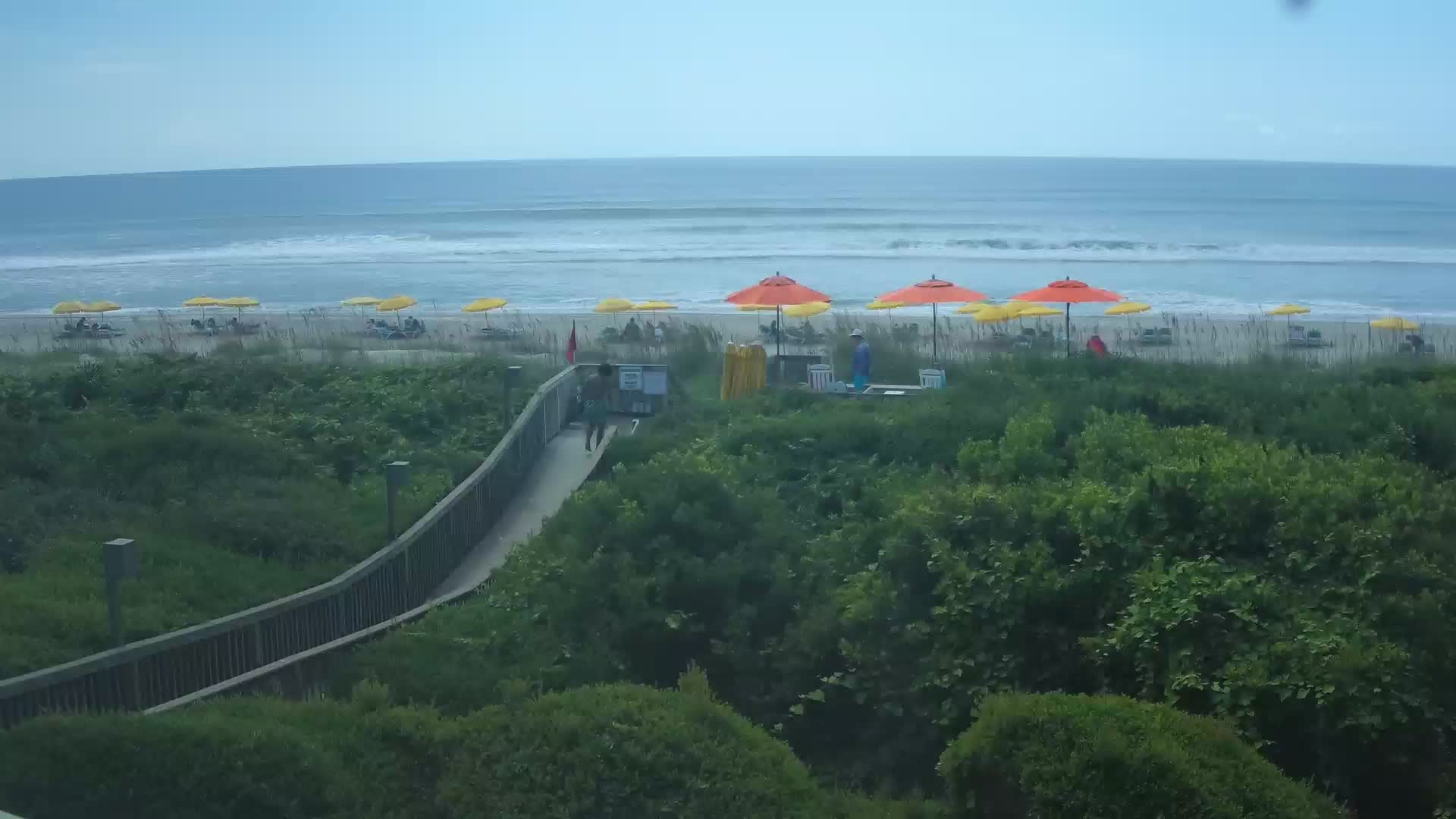
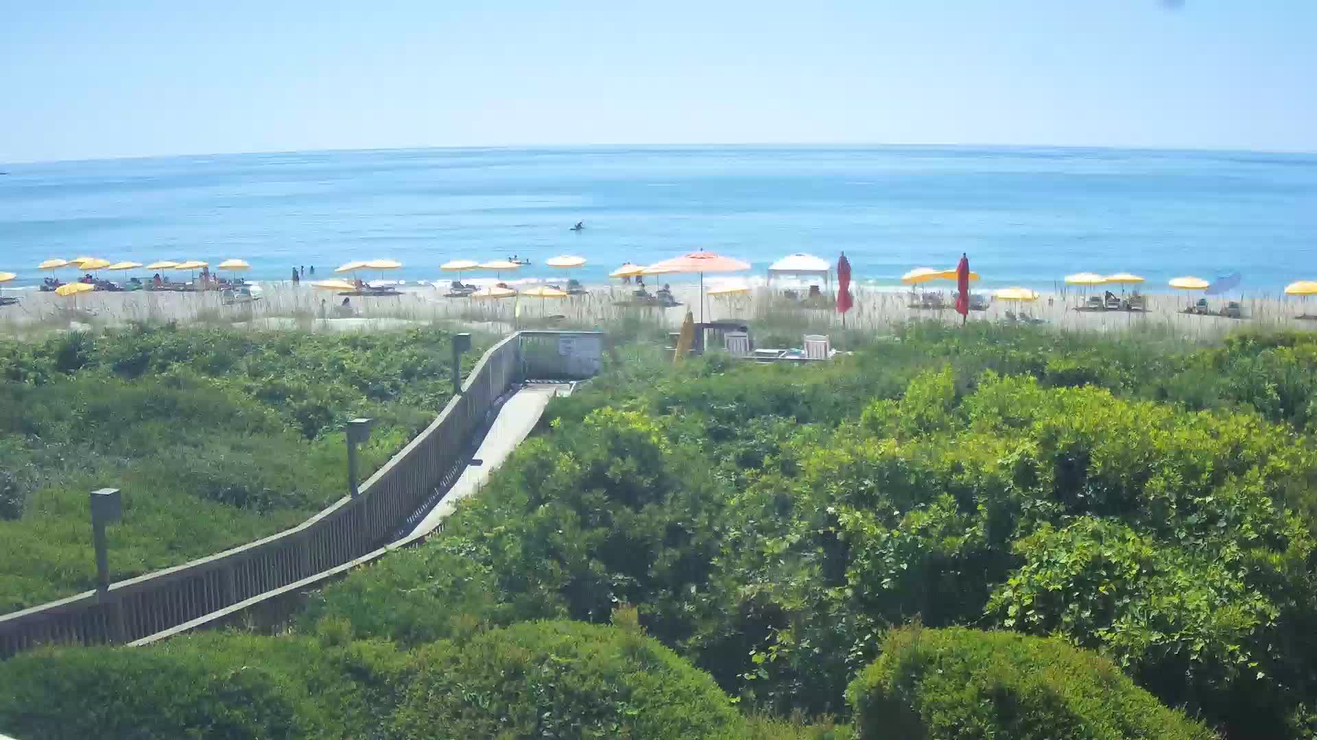
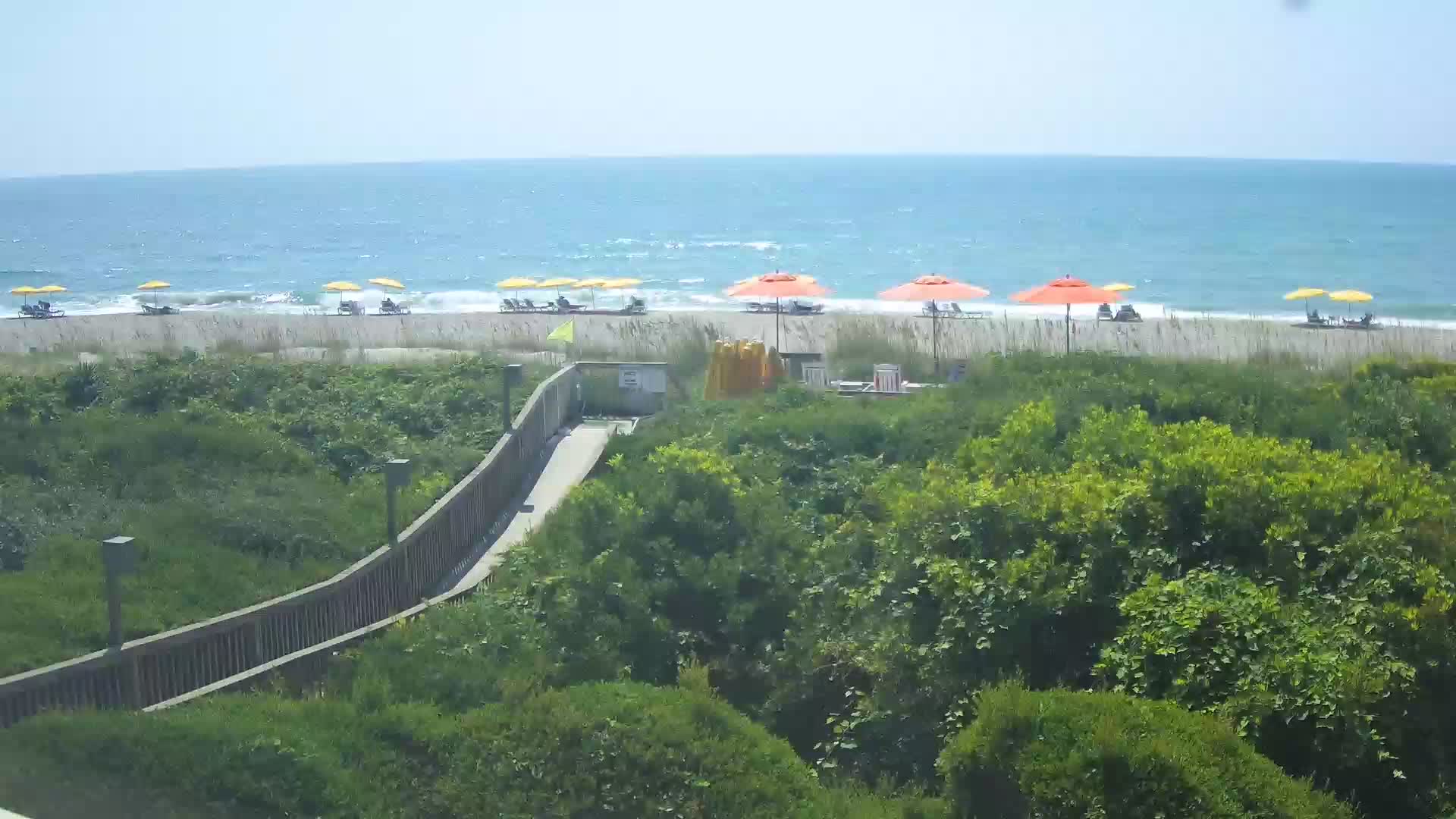
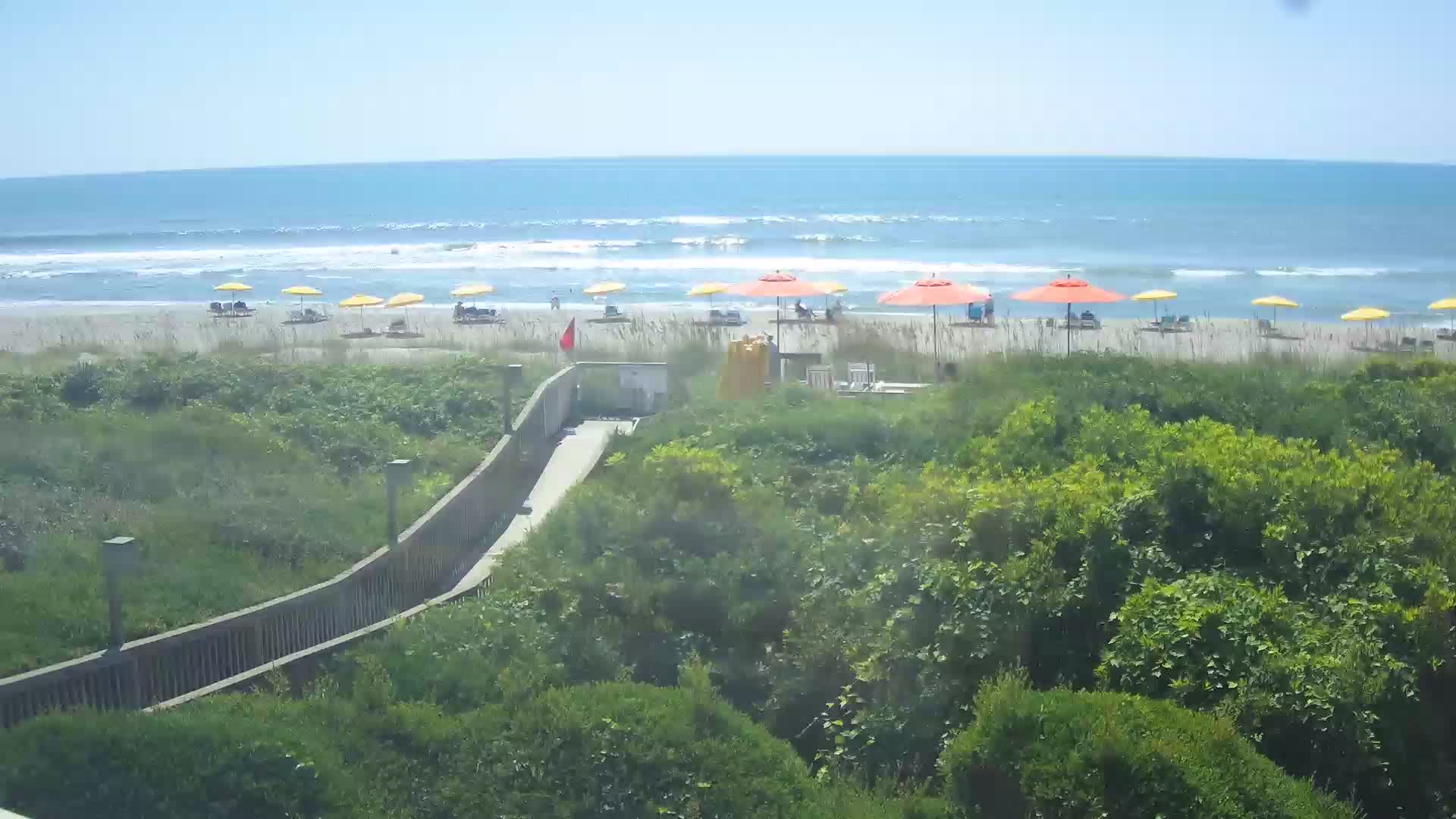
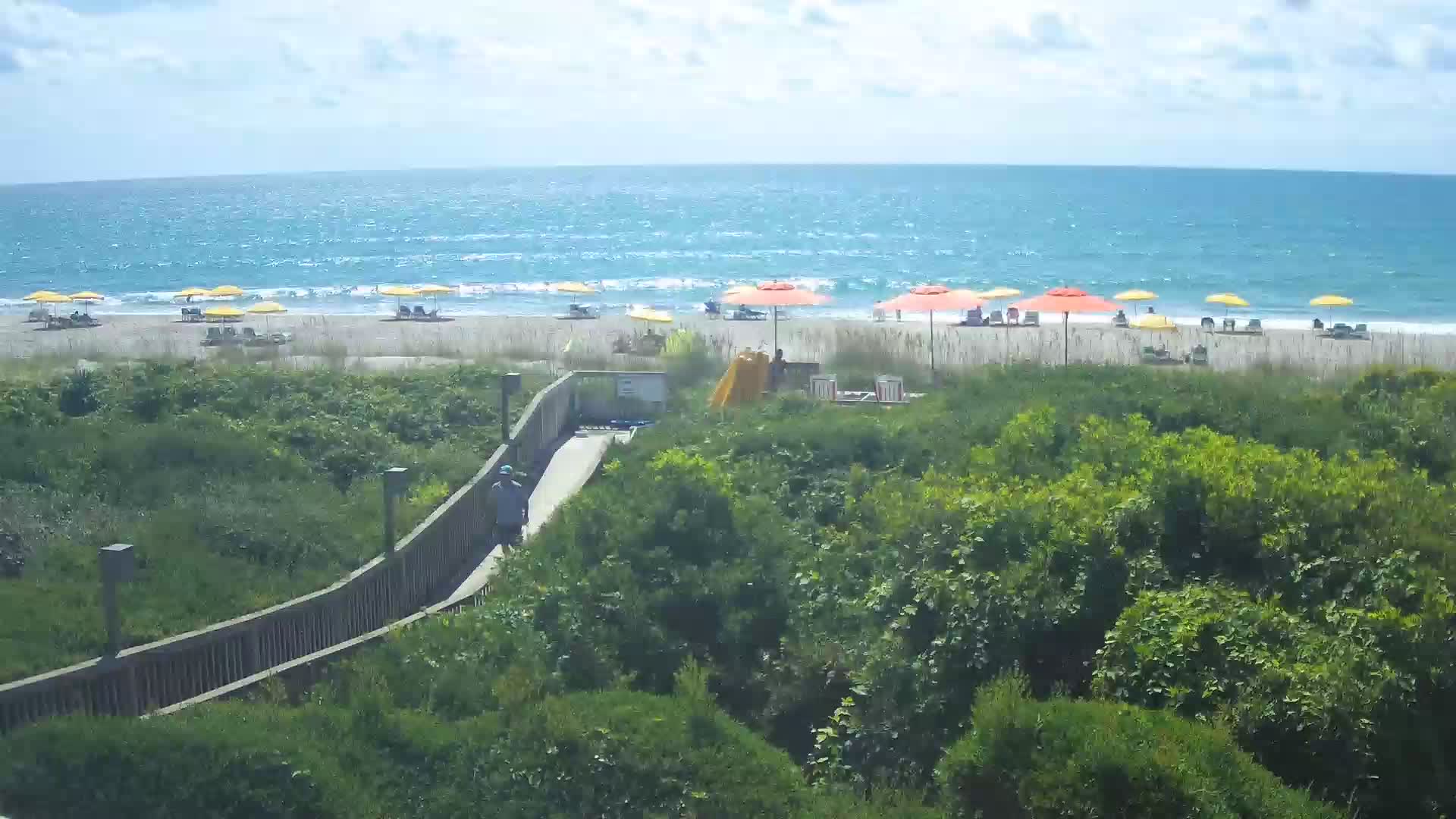
North Myrtle Beach, South Carolina, USA - 3 miles from The Grove: Avista Resort - View over the beach of North Myrtle Beach from the Avista Resort.
Operator: Avista Resort Hotel
Operator: Avista Resort Hotel

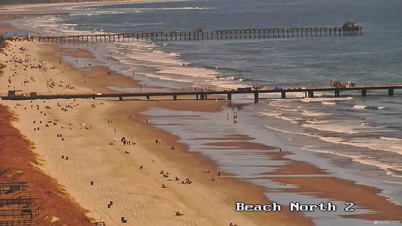


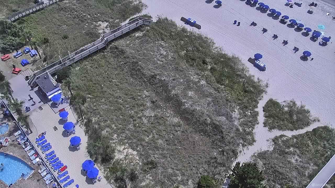
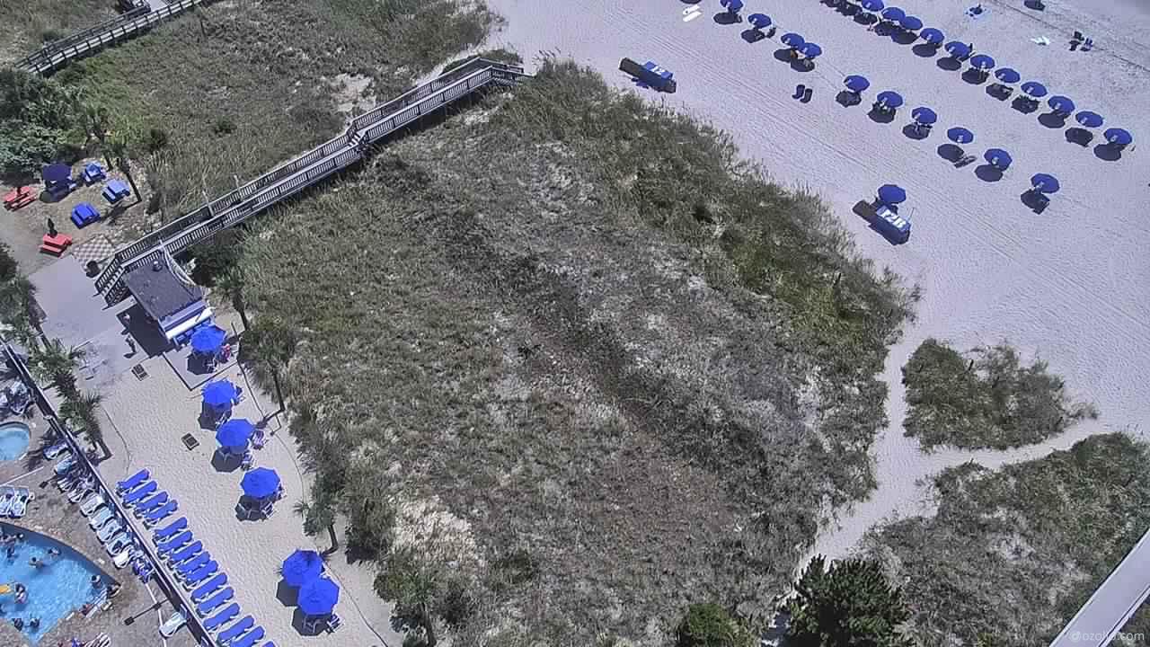
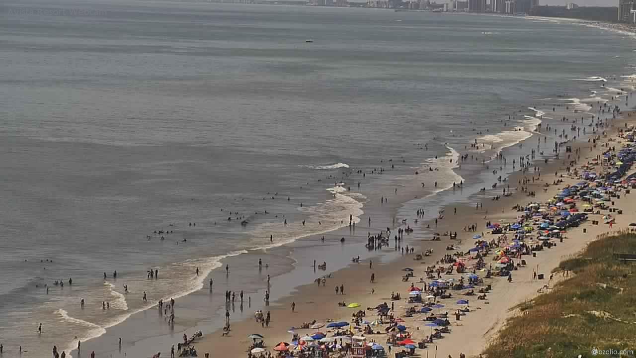

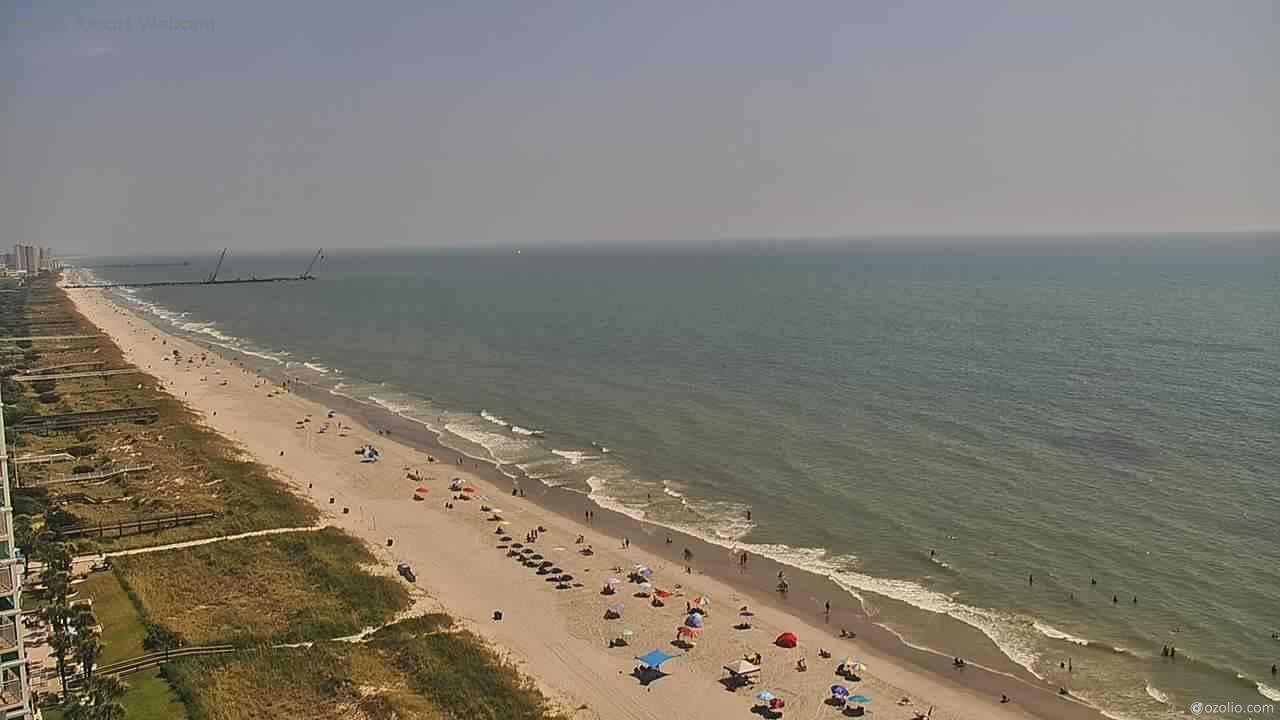


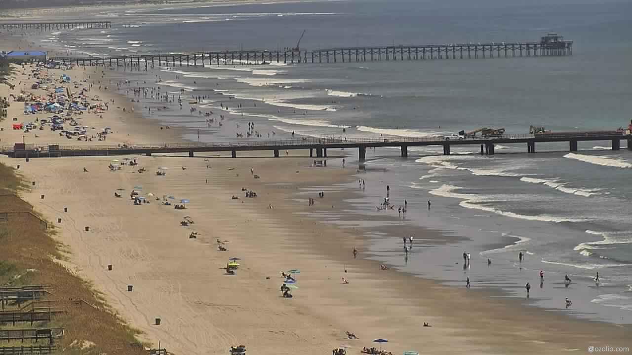

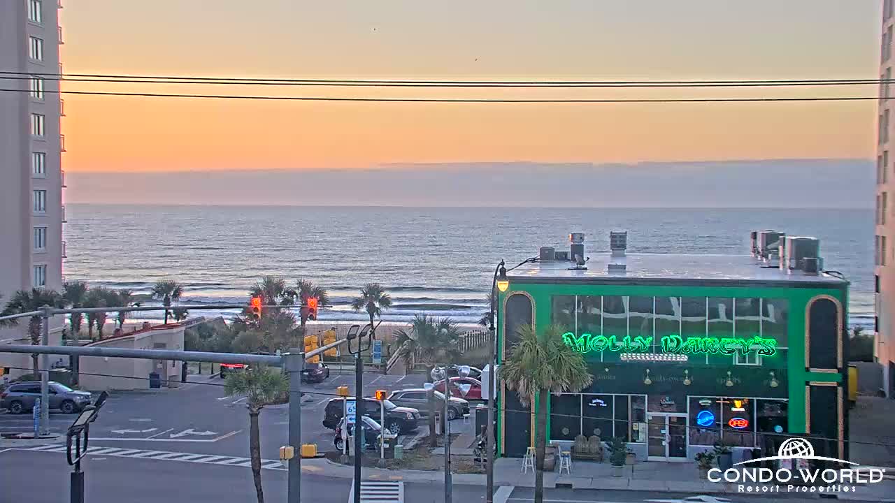
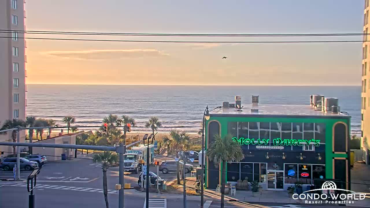
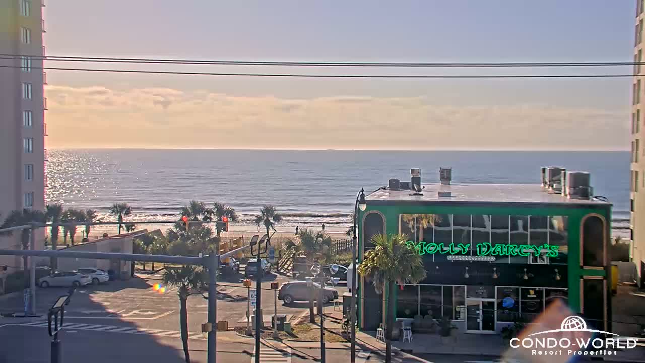
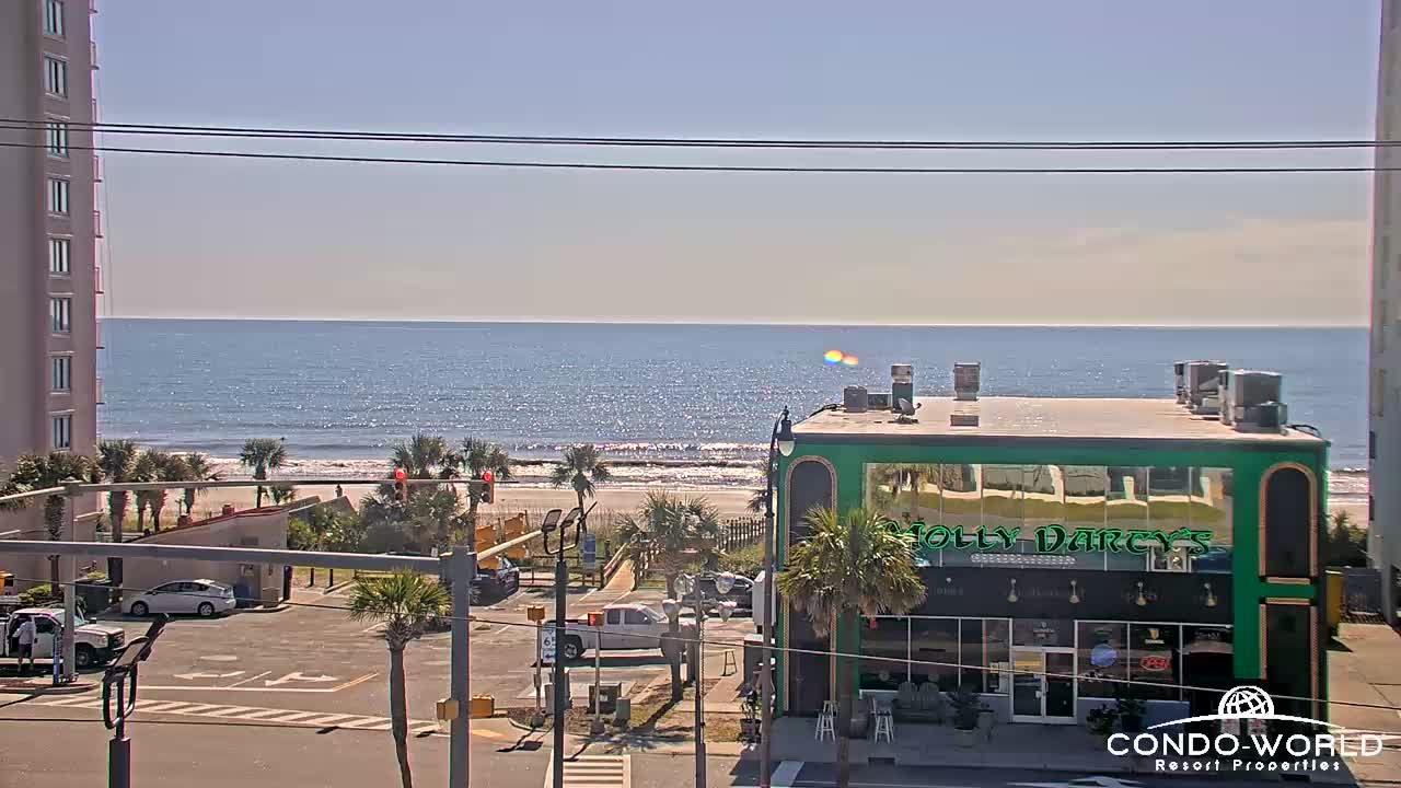
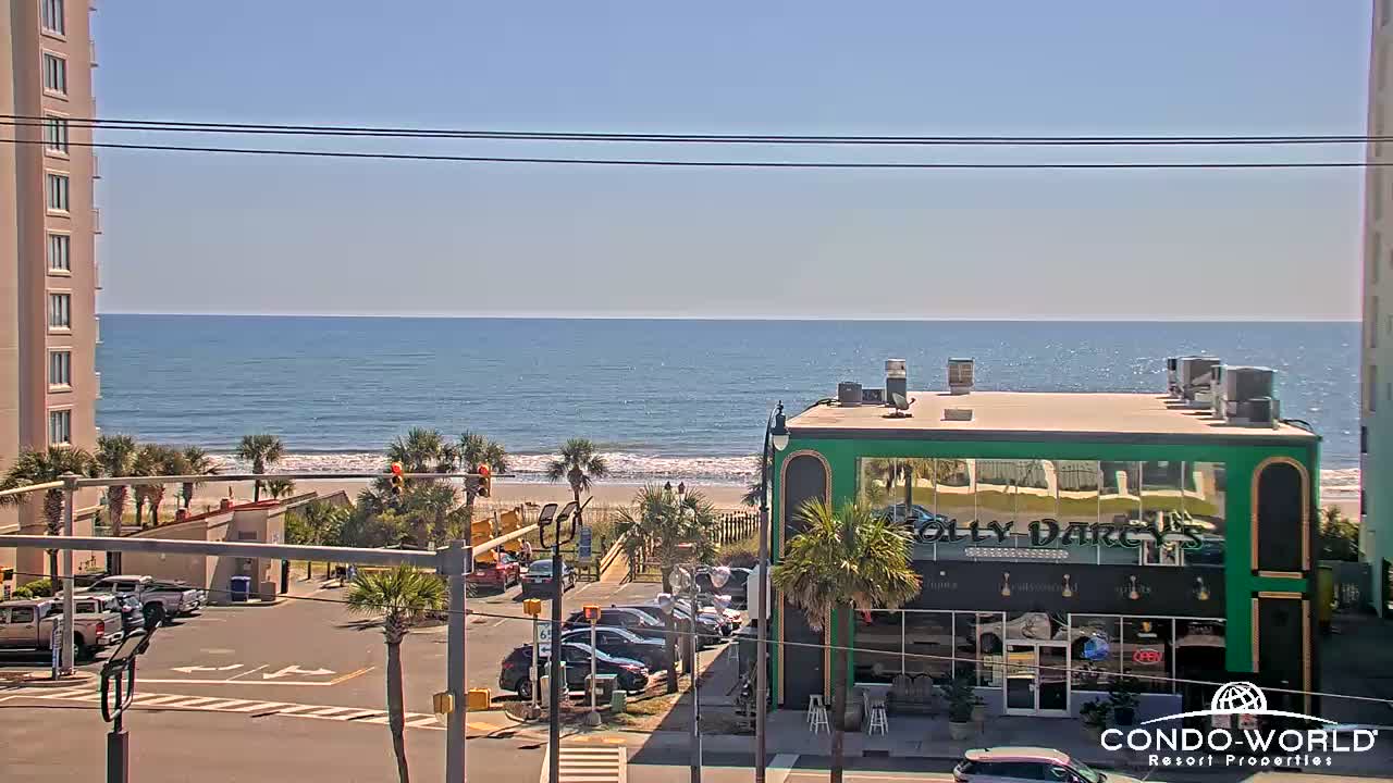
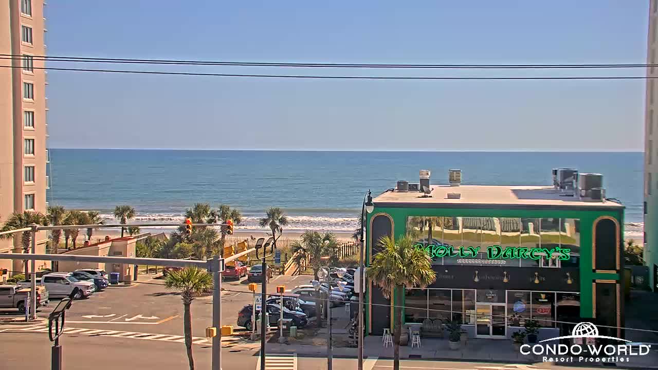
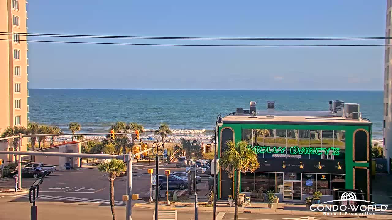
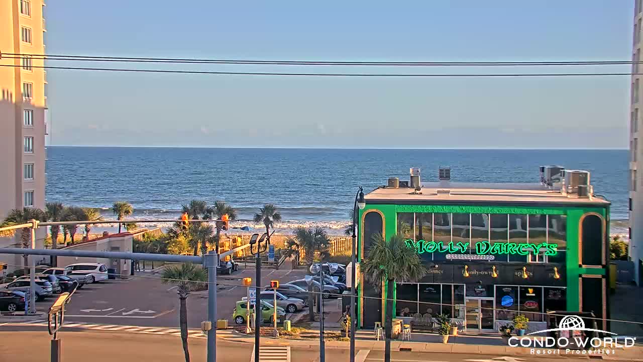
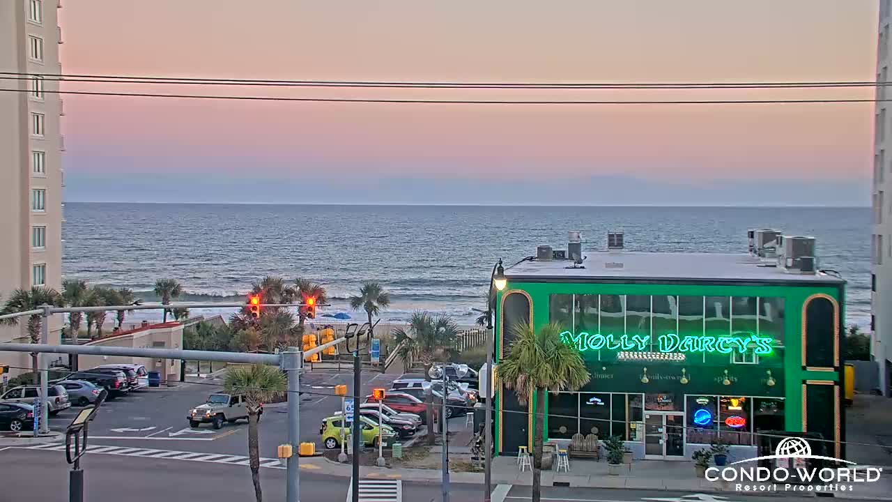
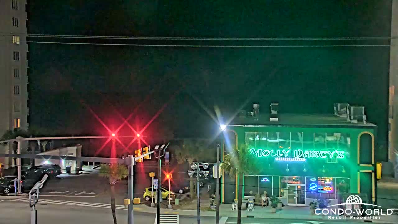
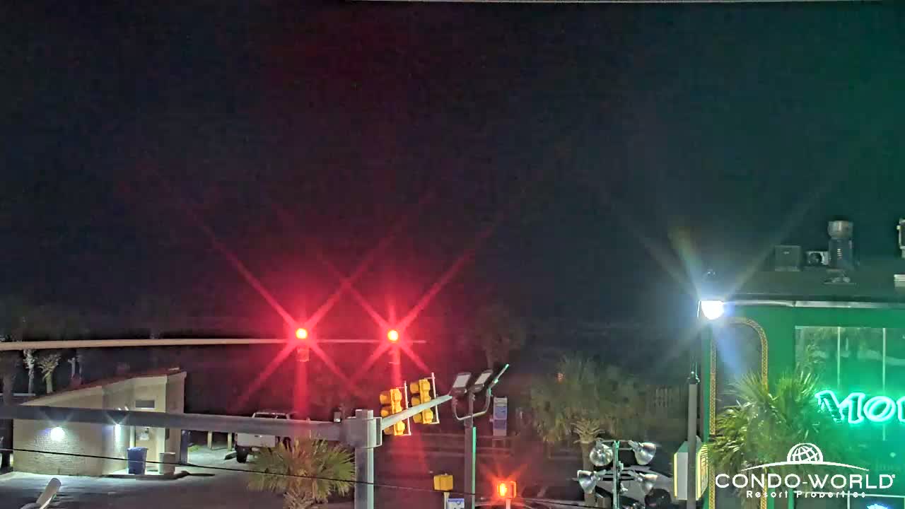
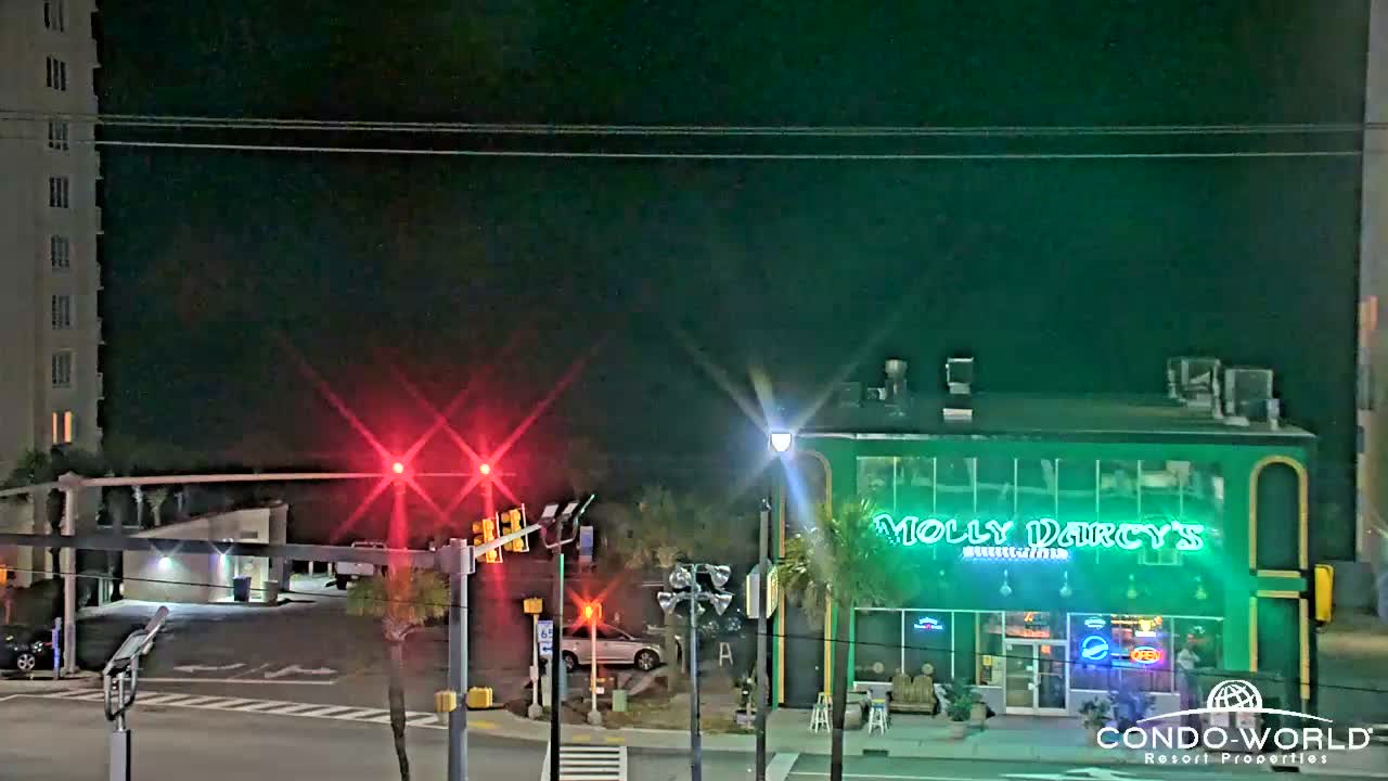
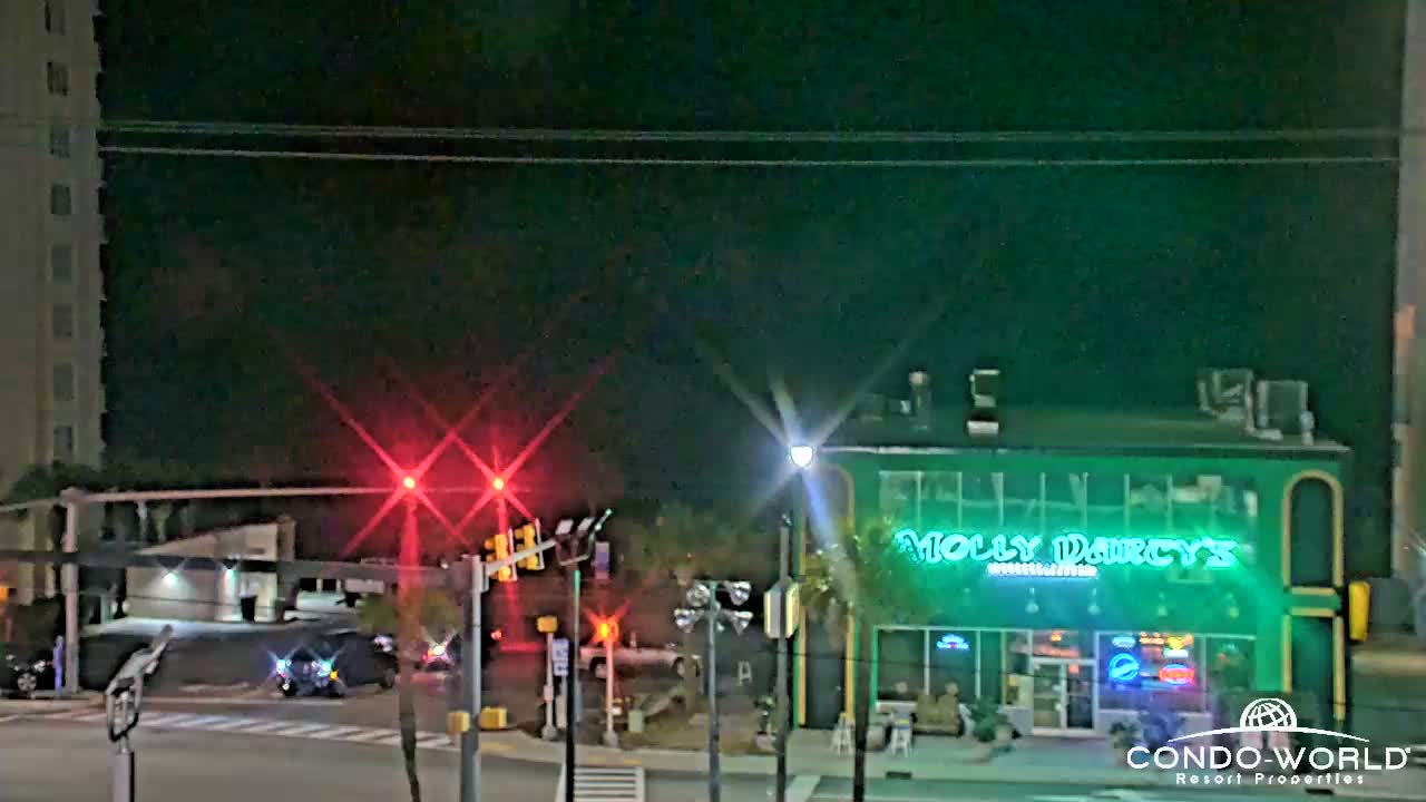
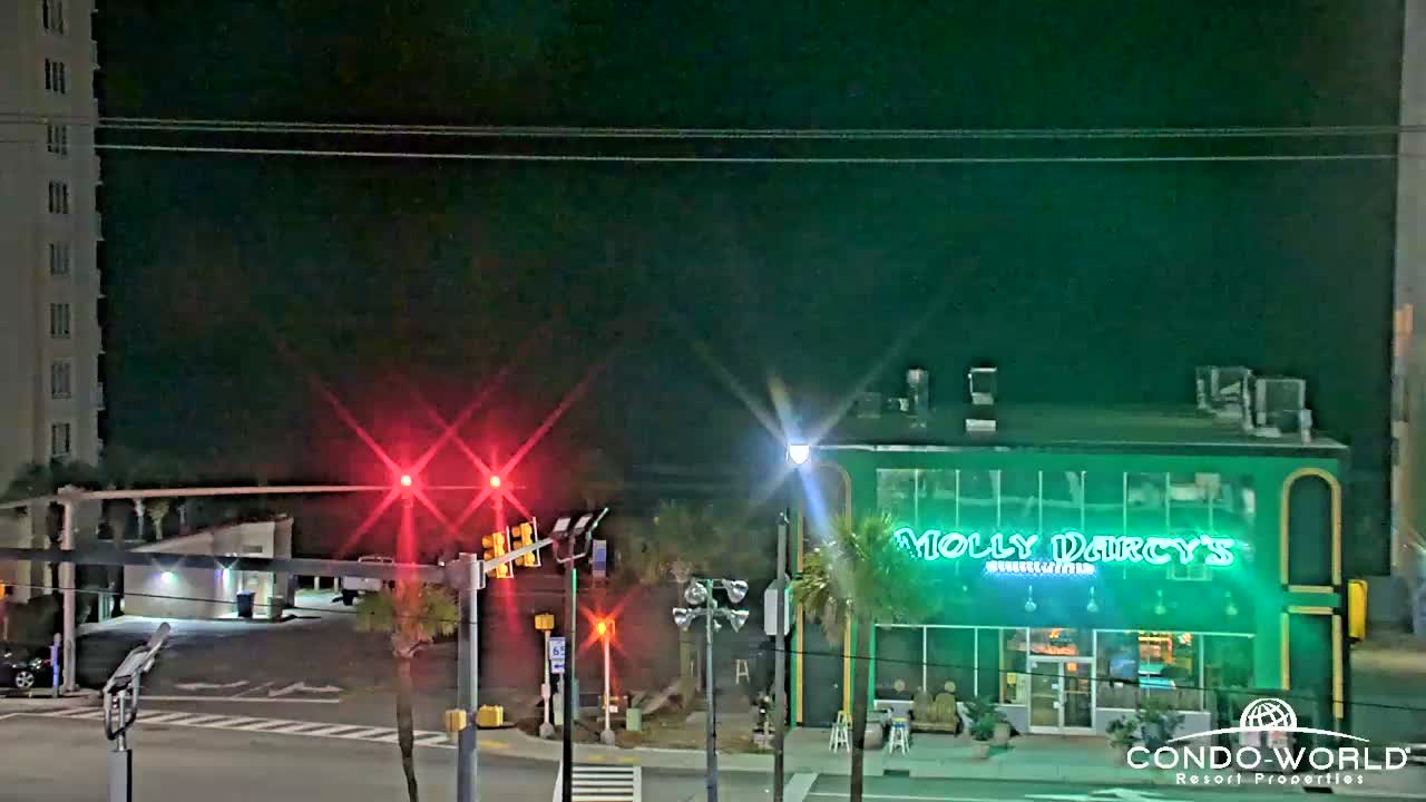
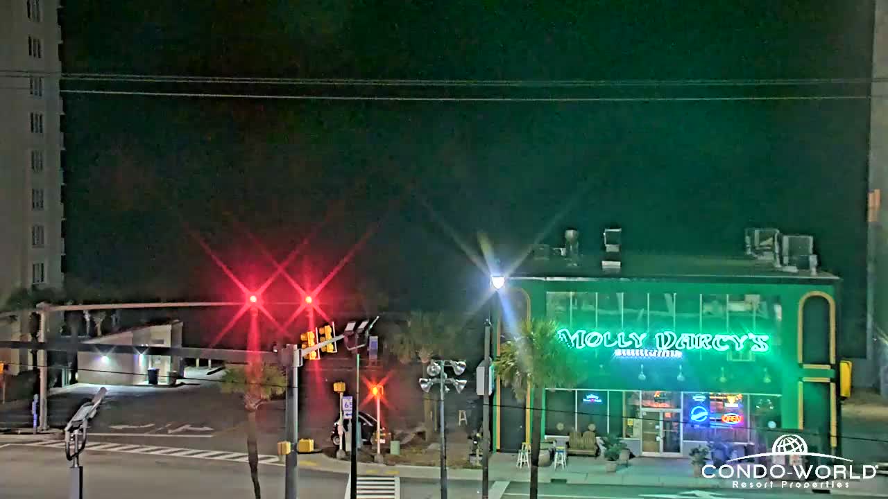
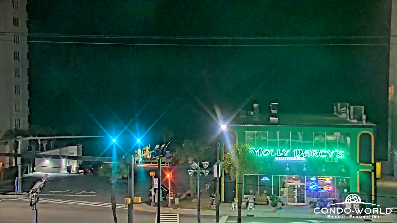
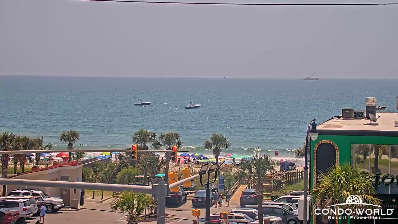
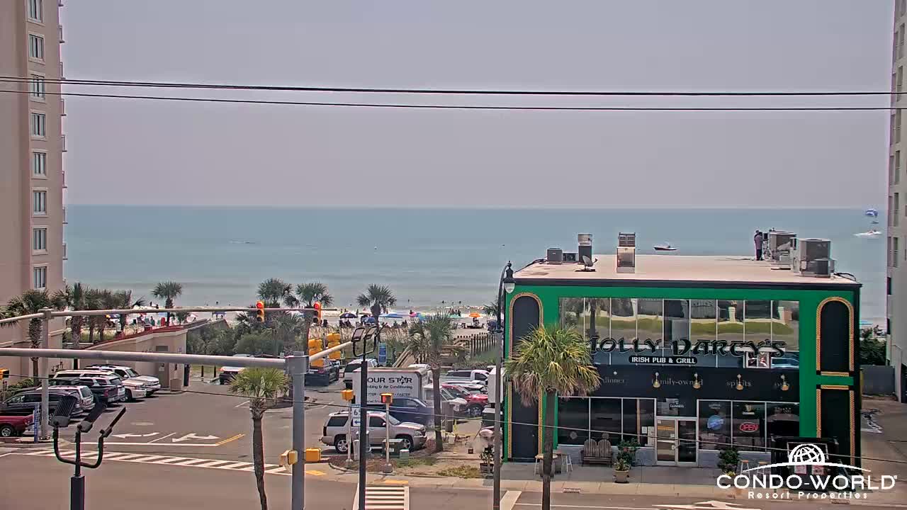
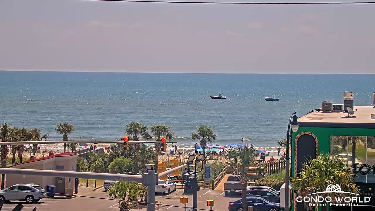
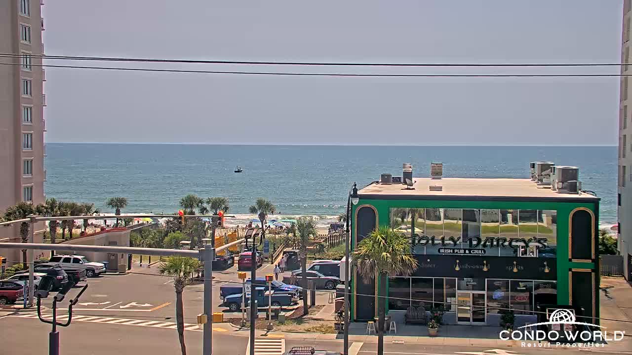
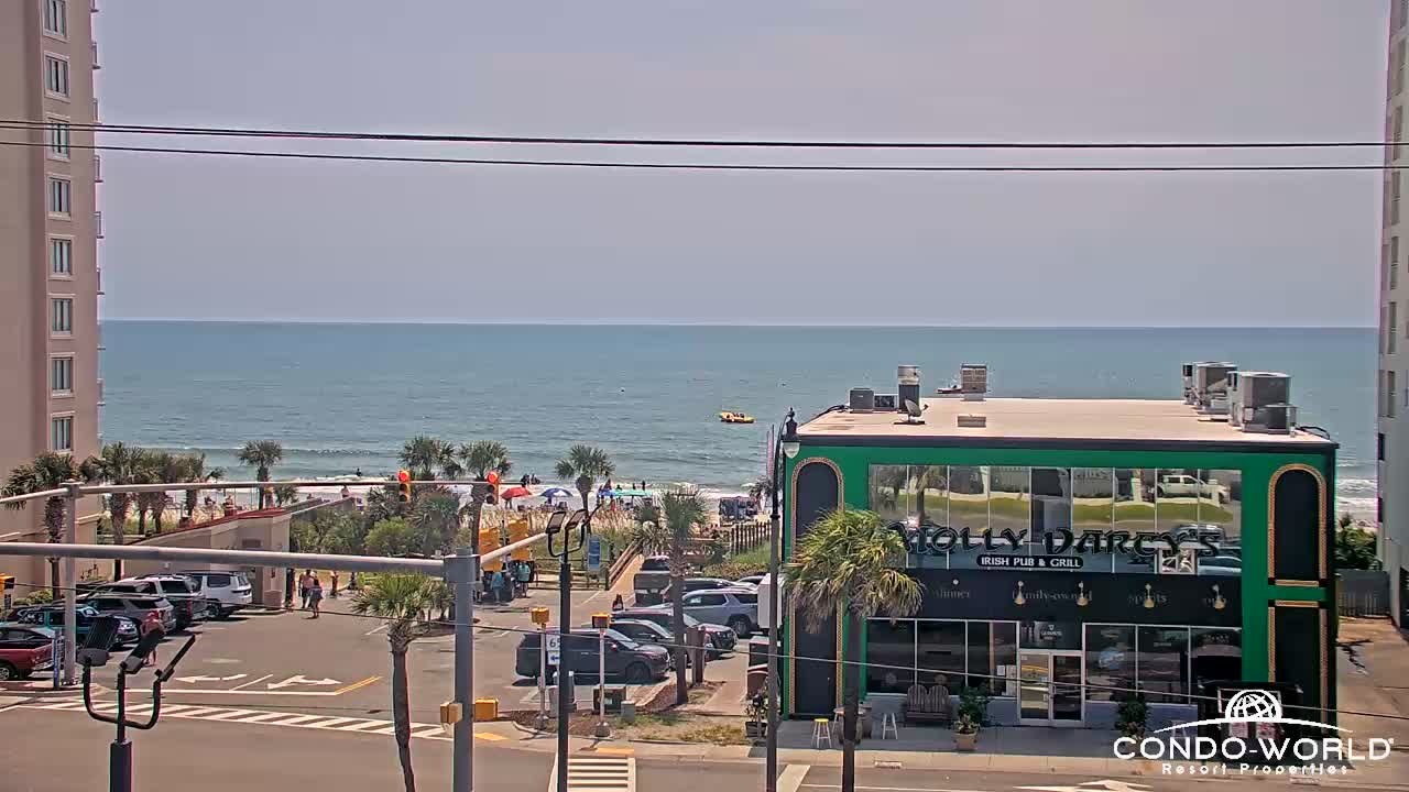
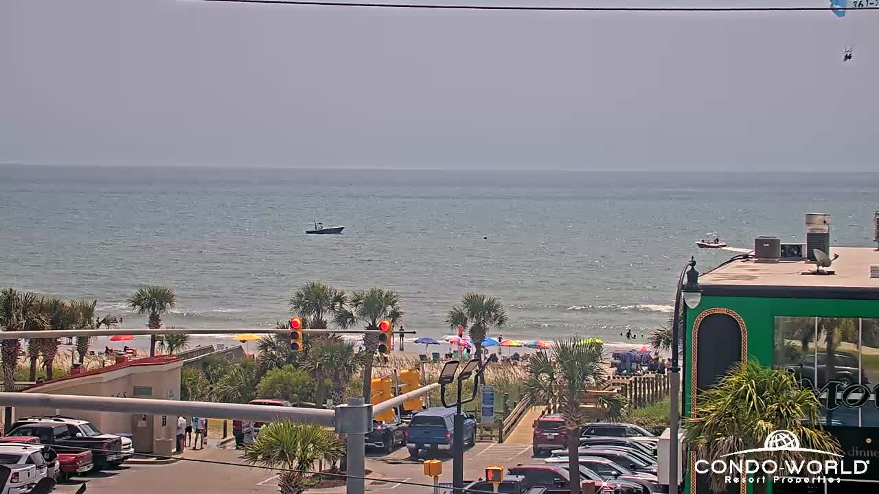
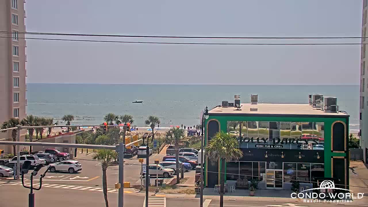
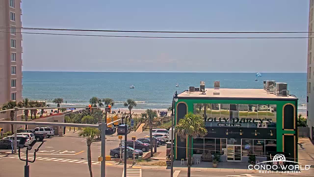
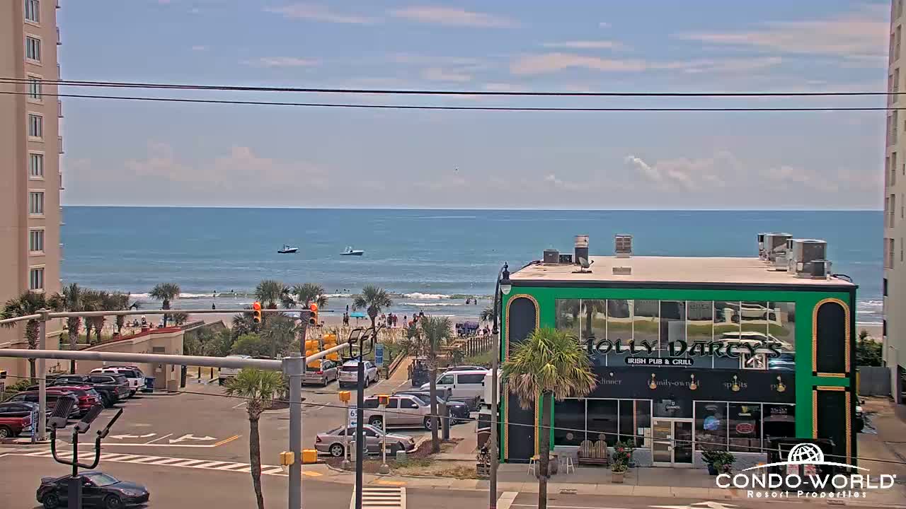
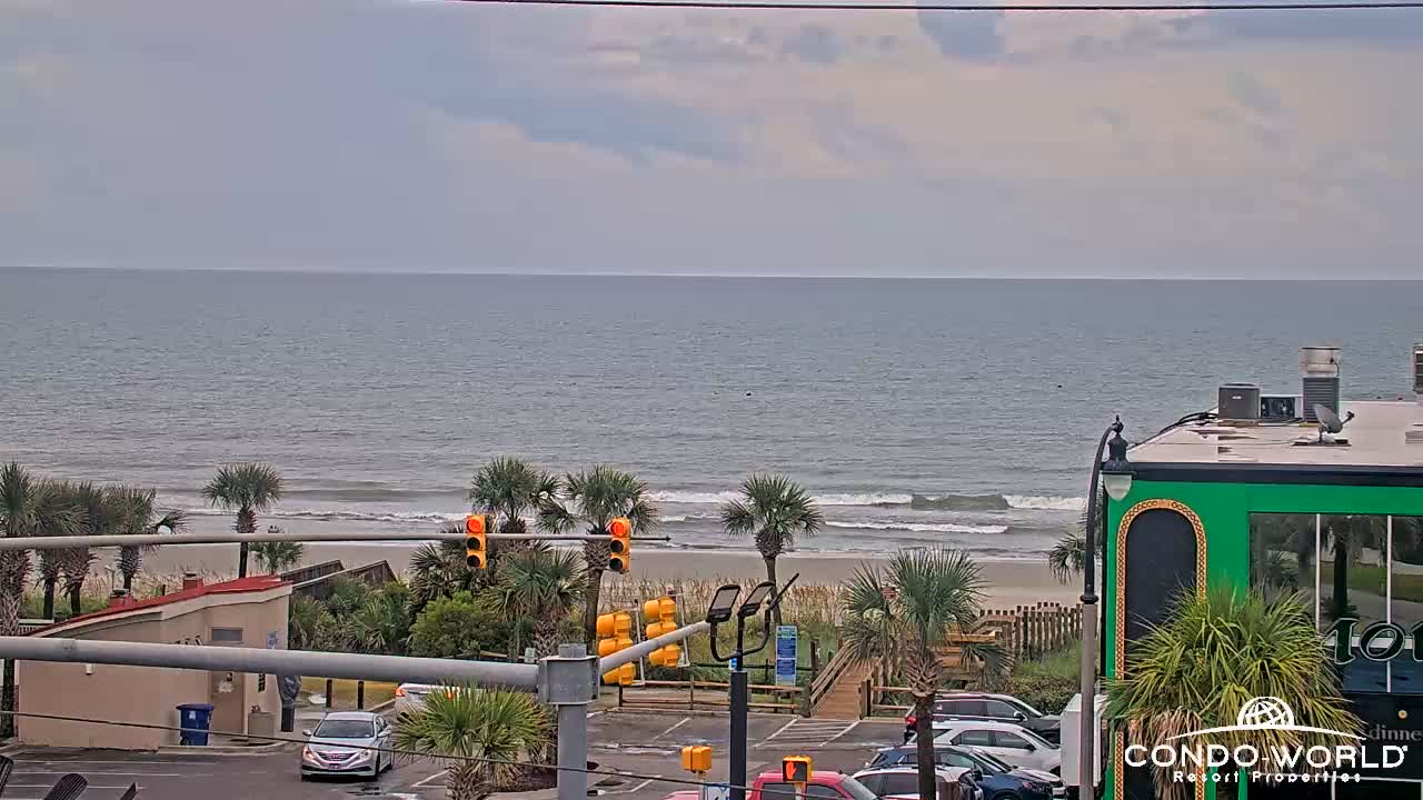
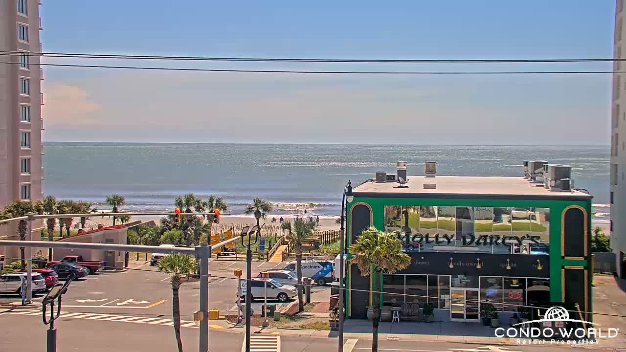
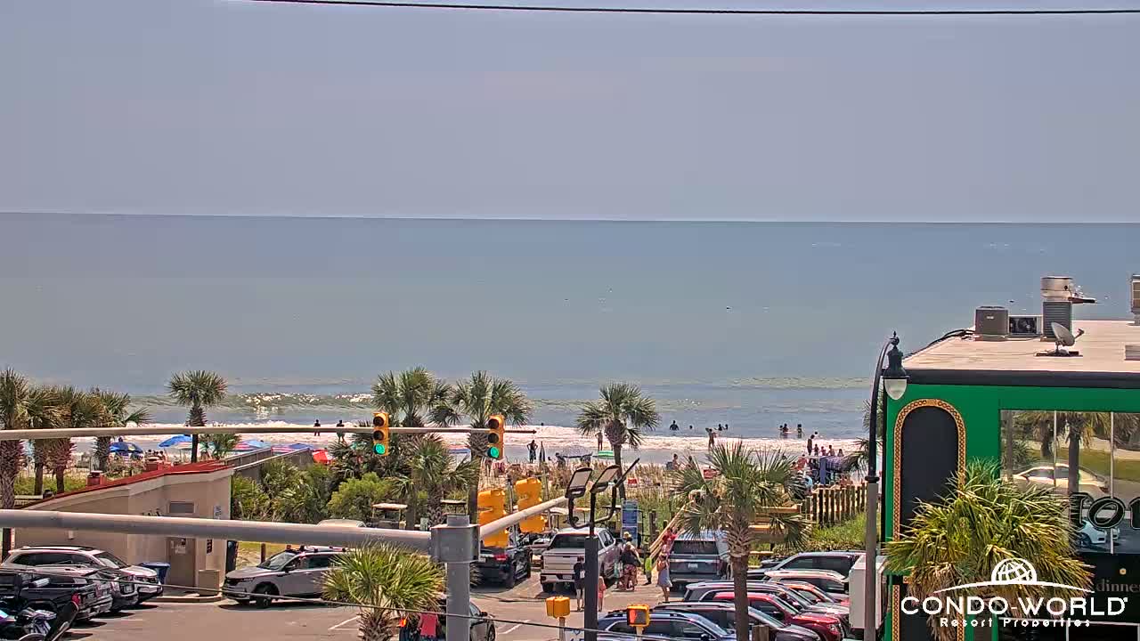
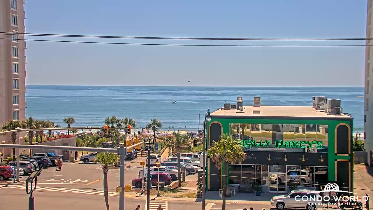
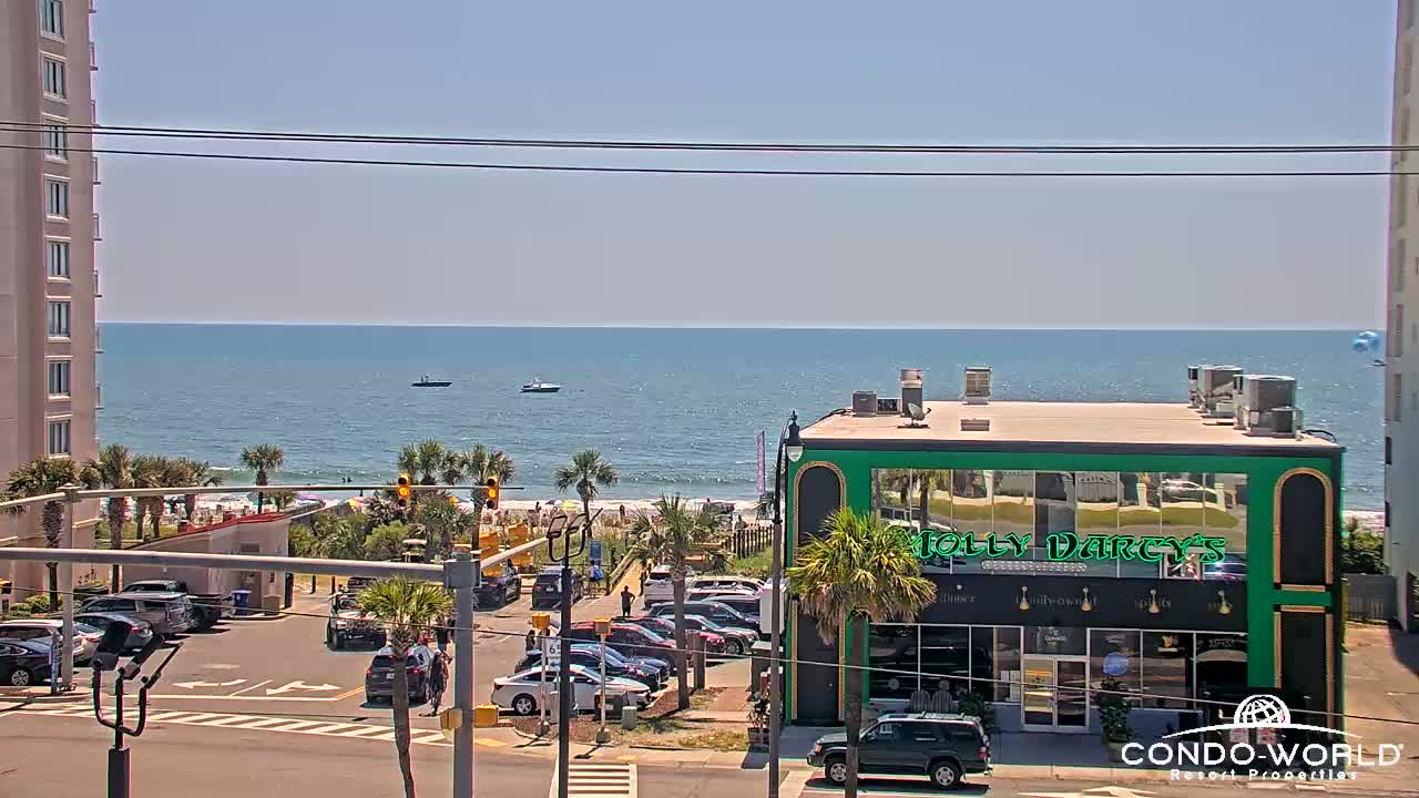
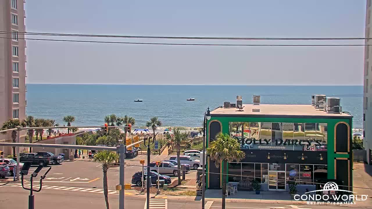
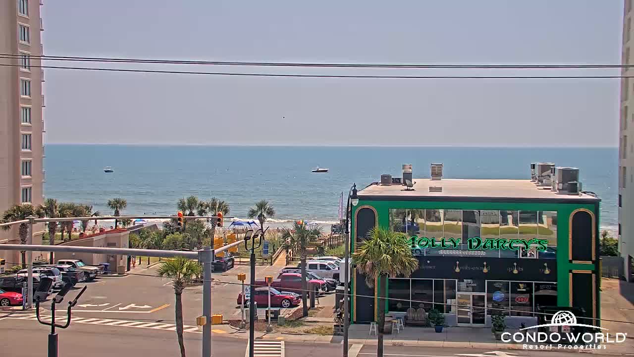
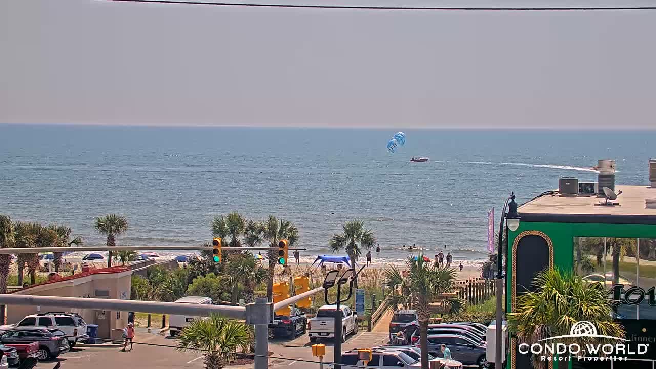
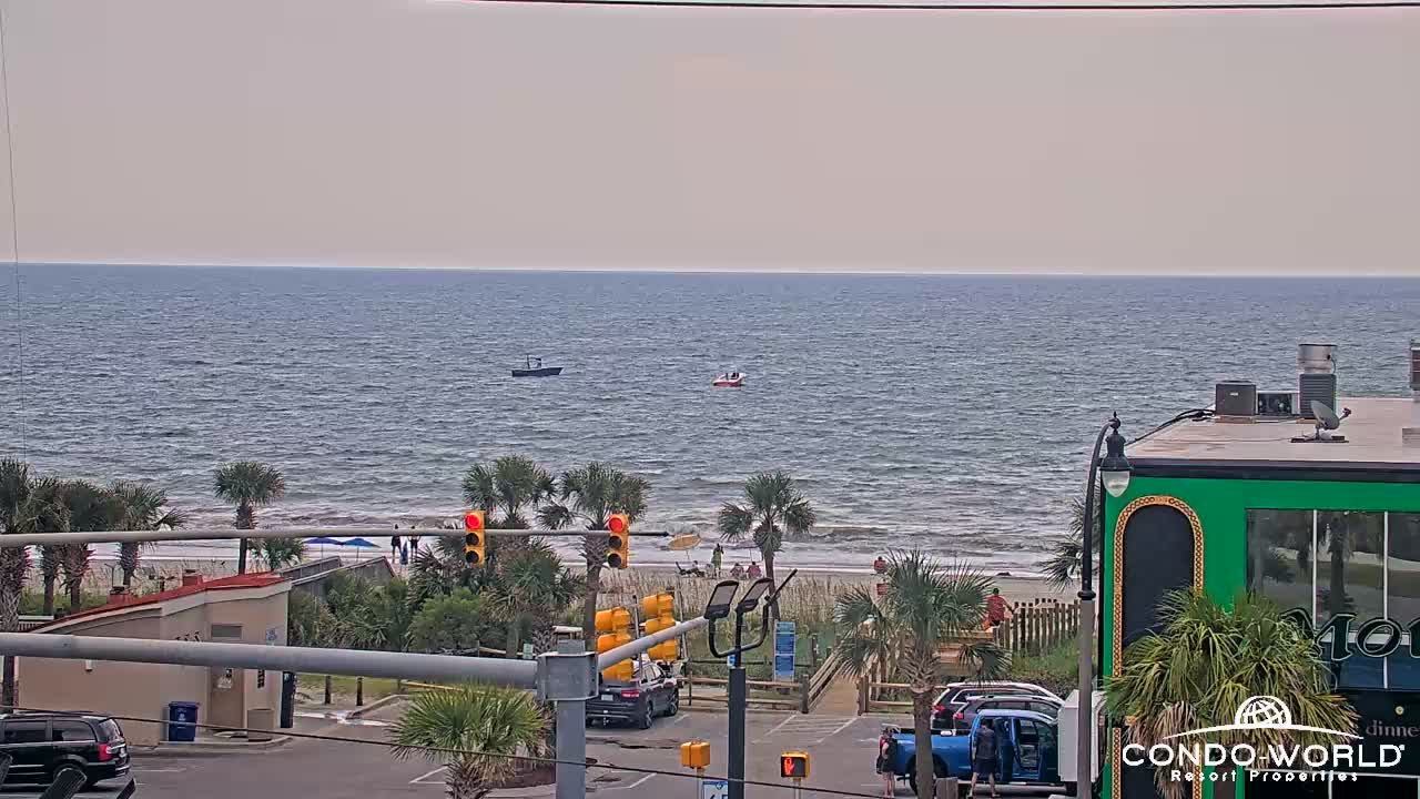
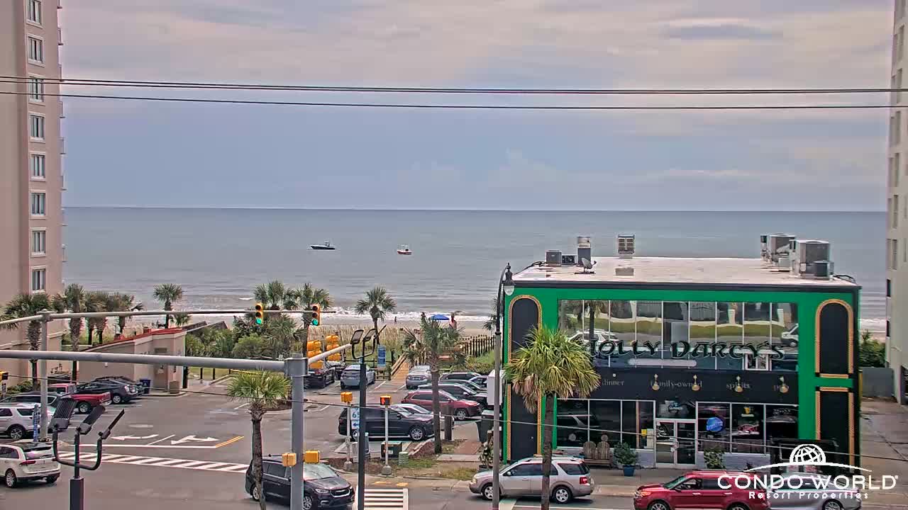
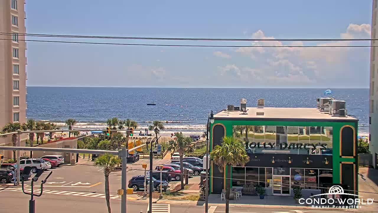
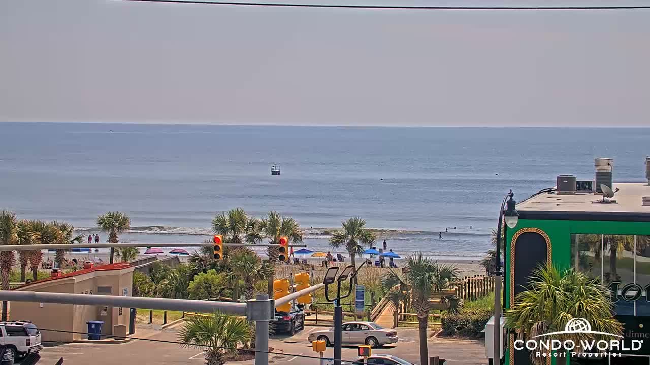
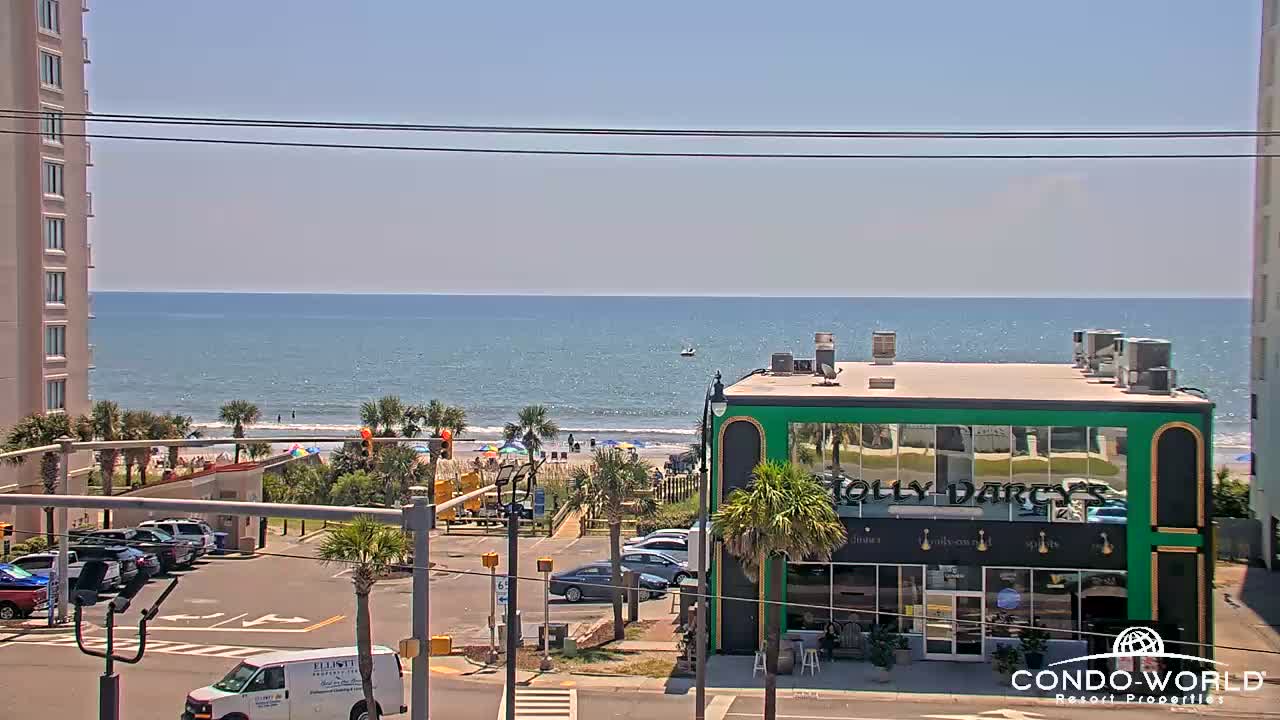
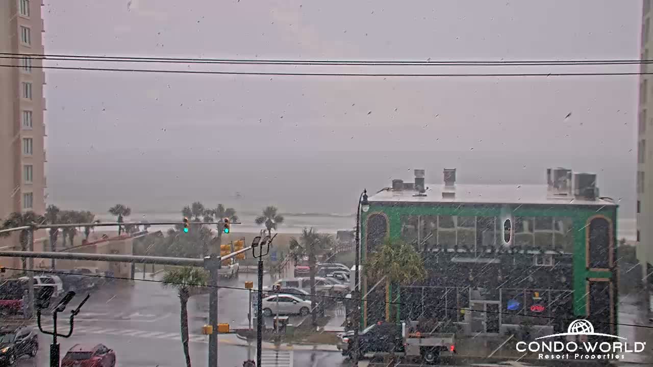
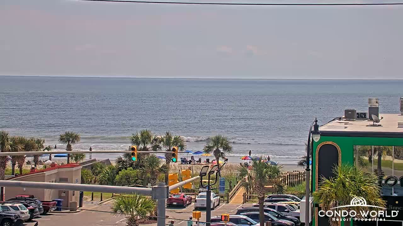
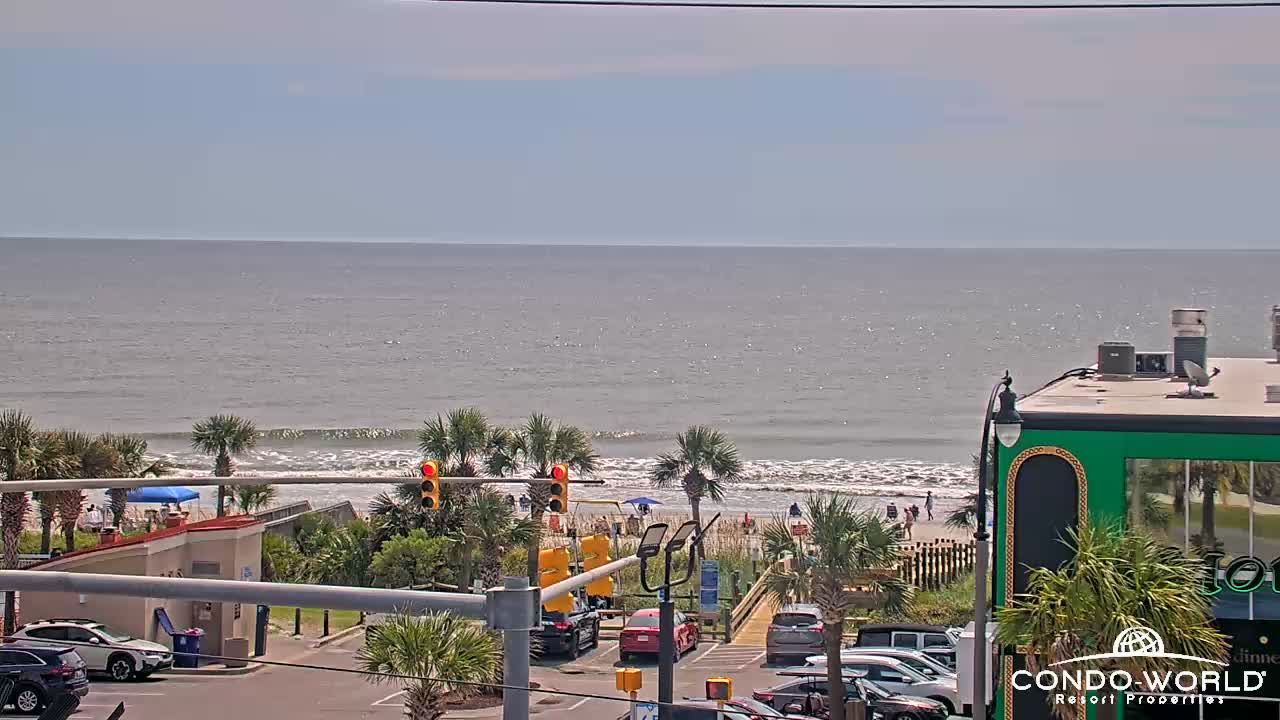
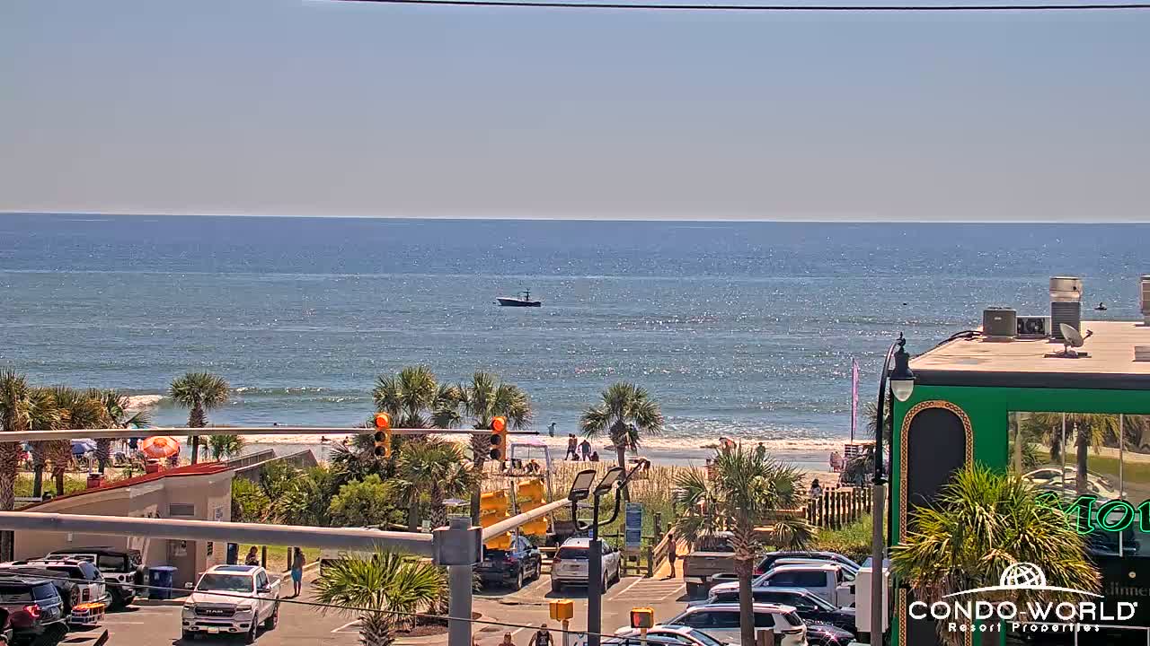
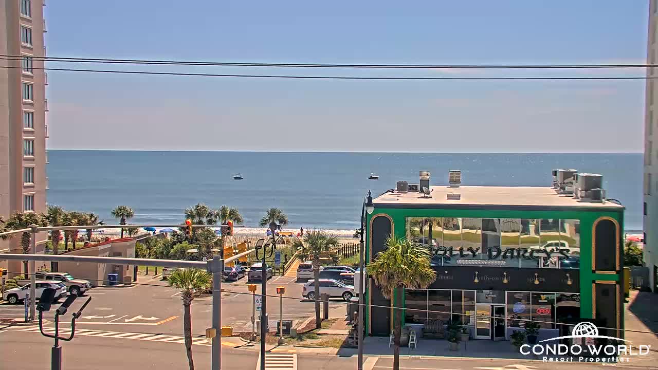
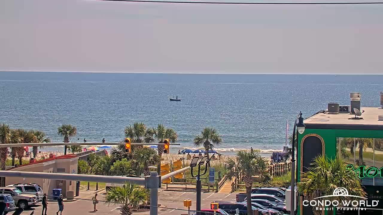
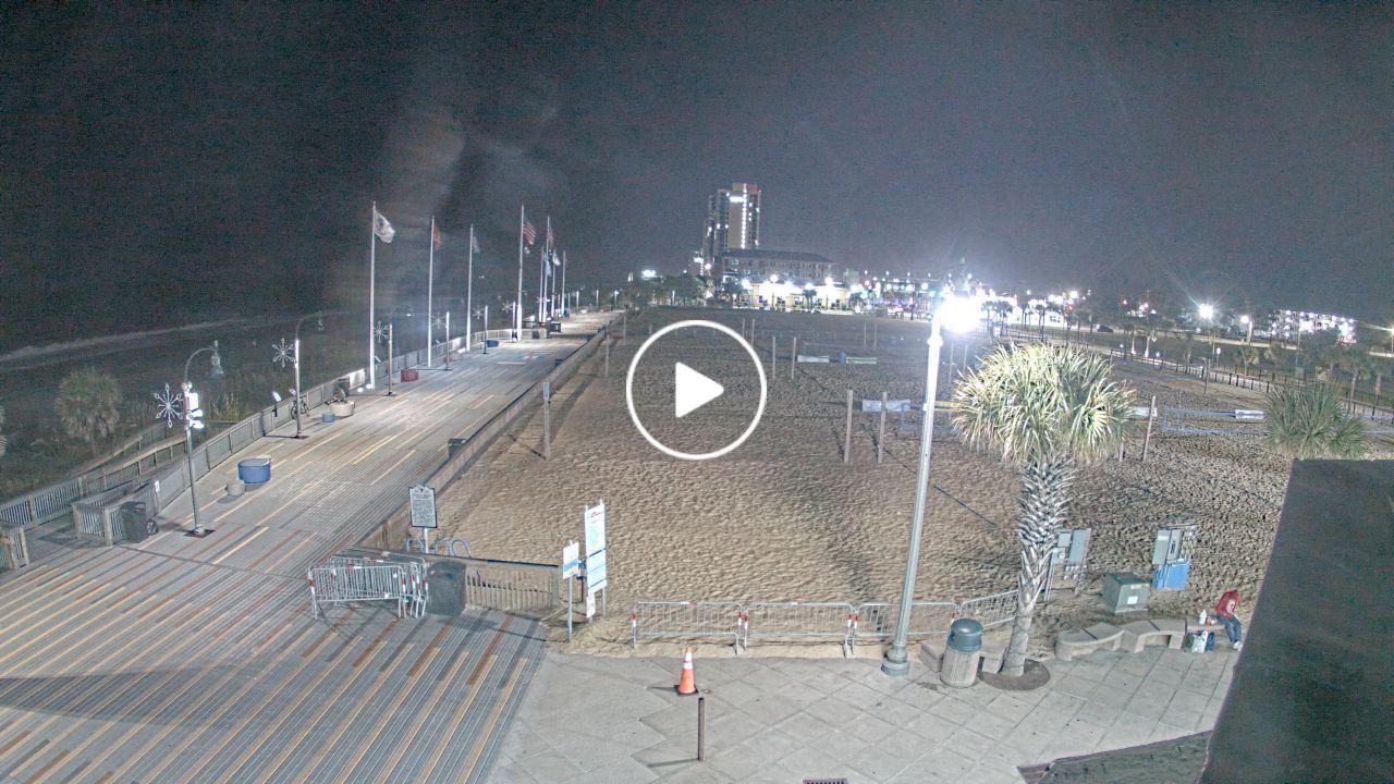
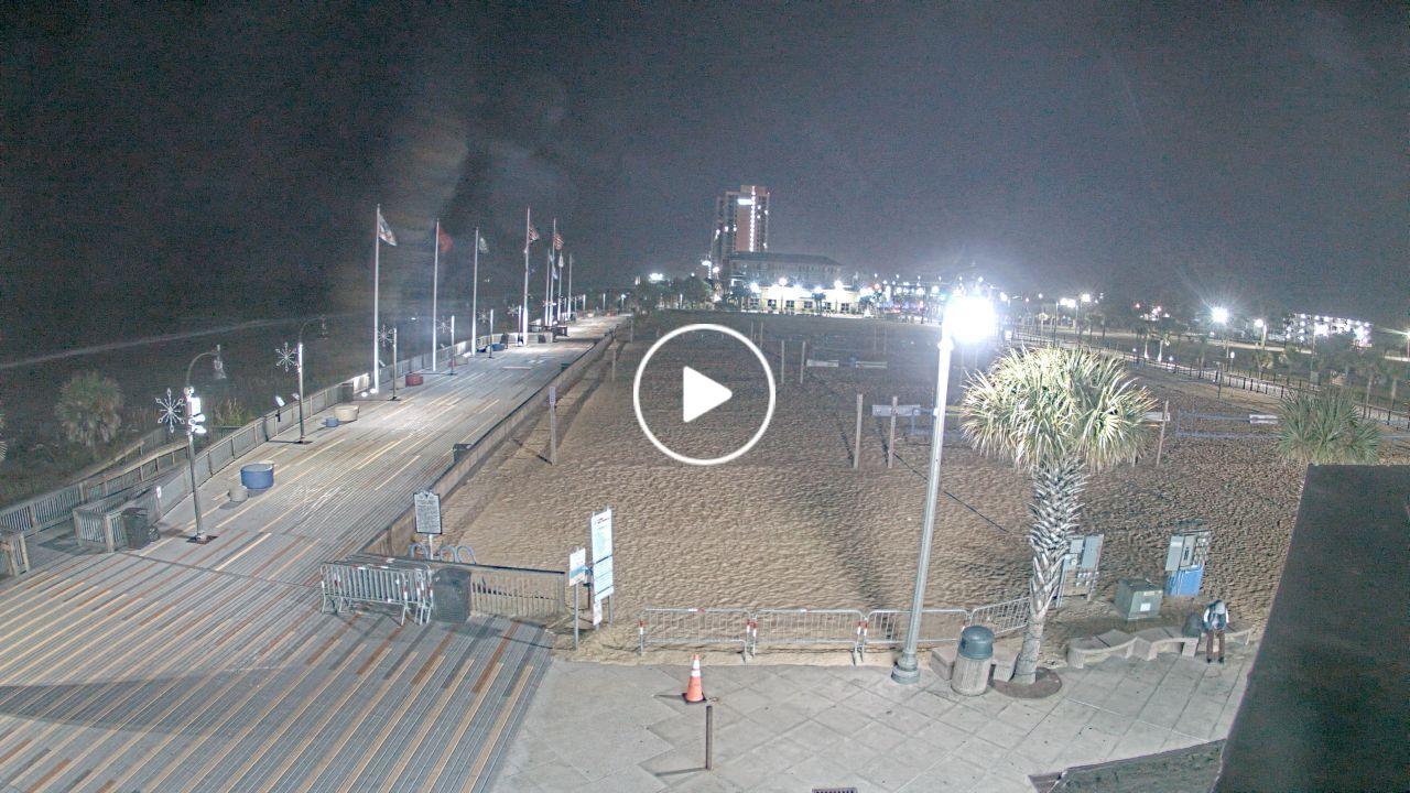
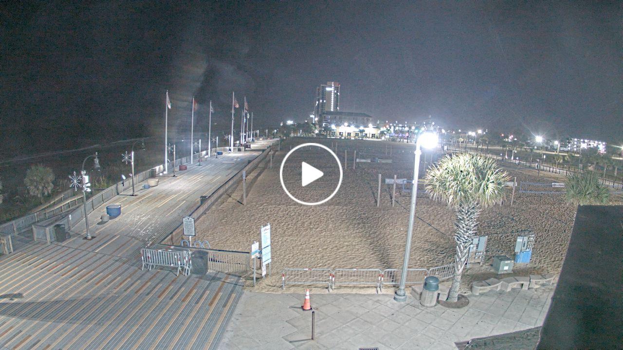
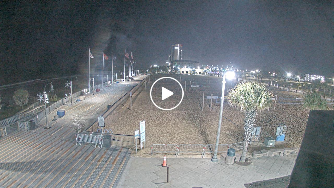
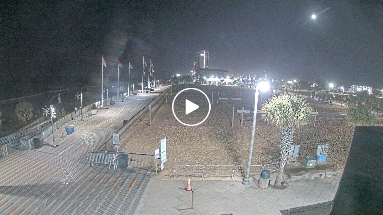
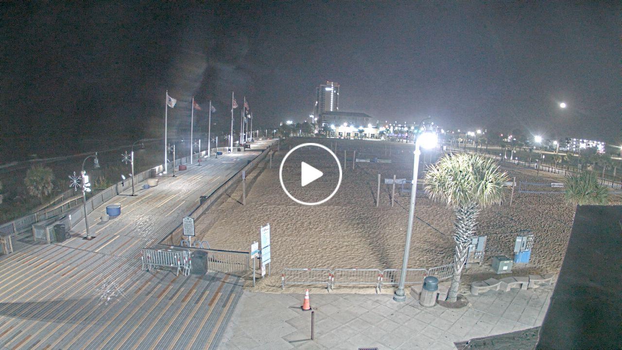
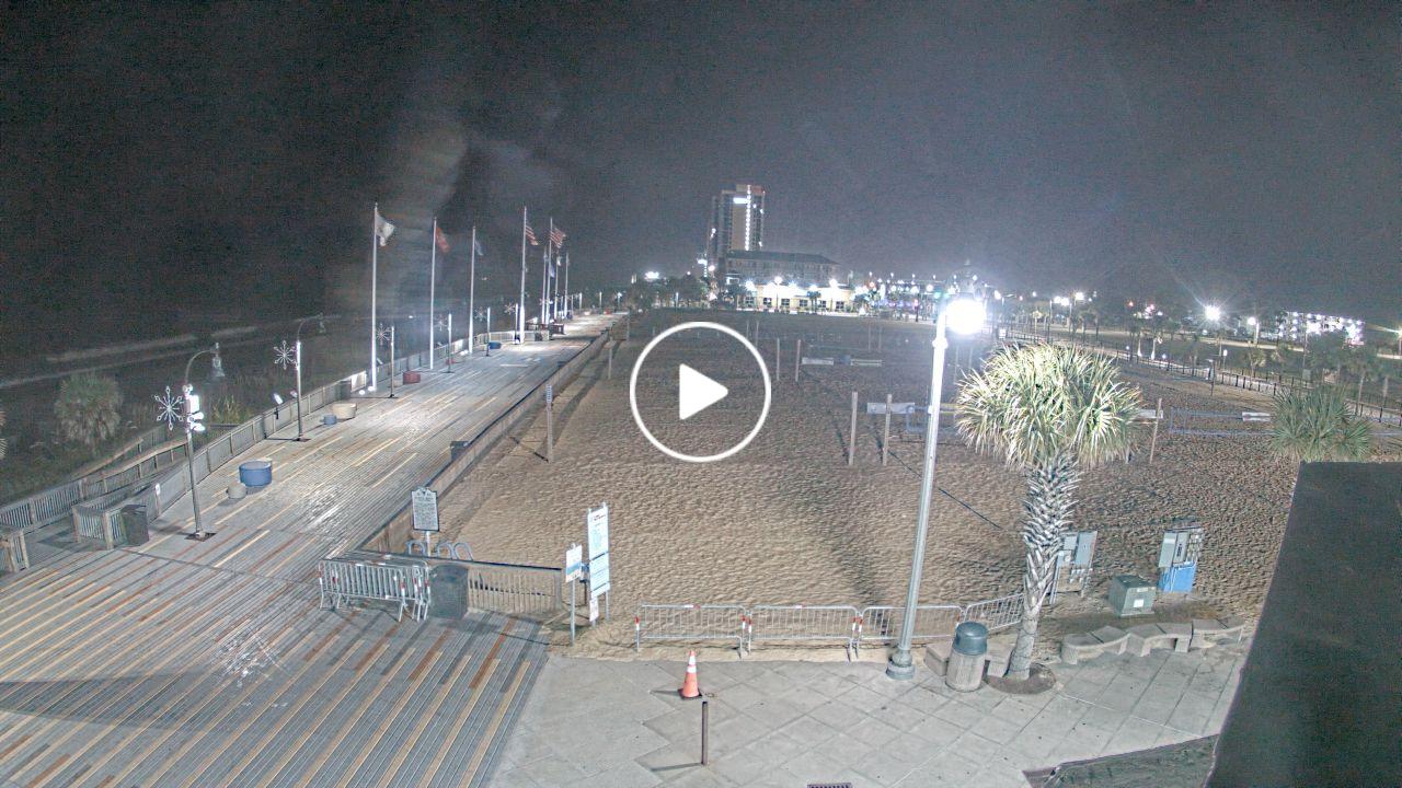
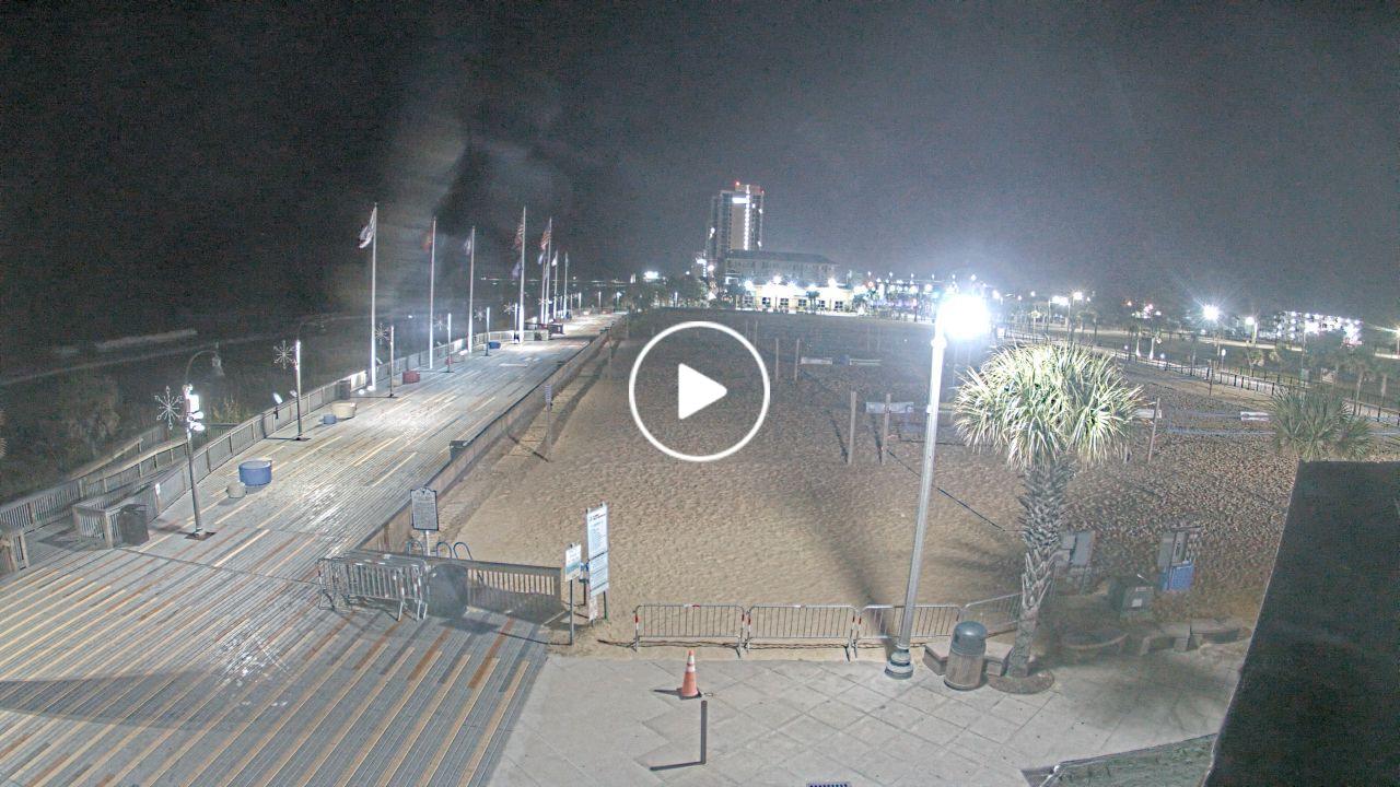
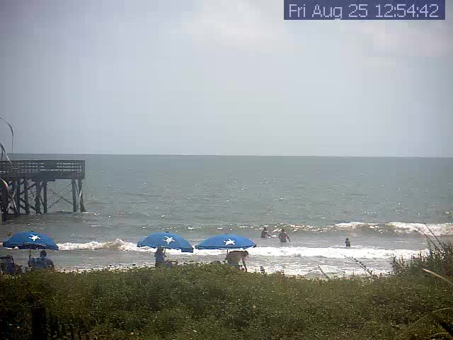
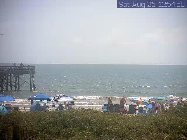
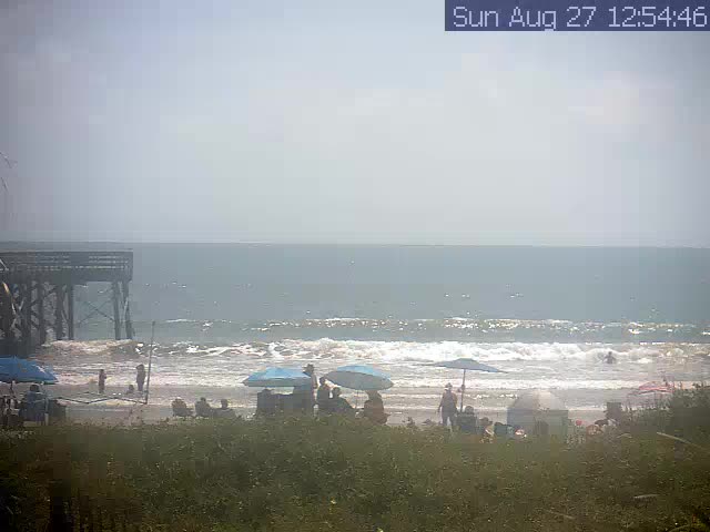
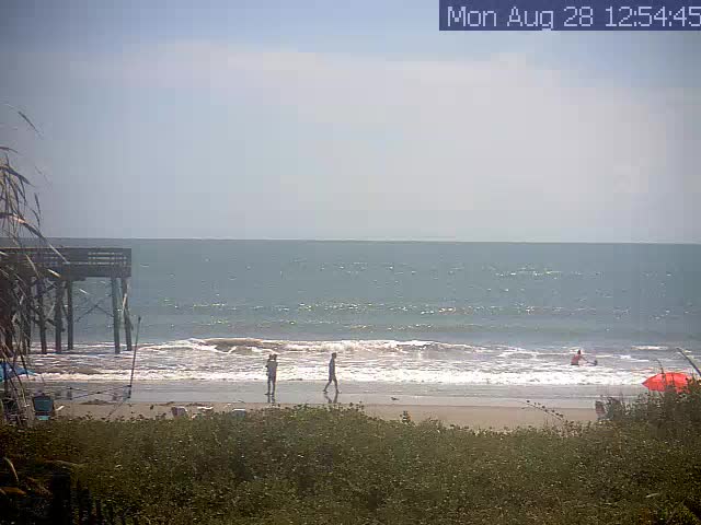
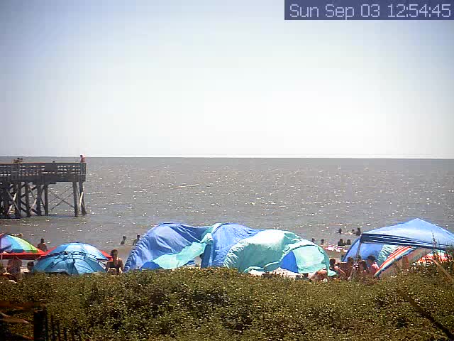
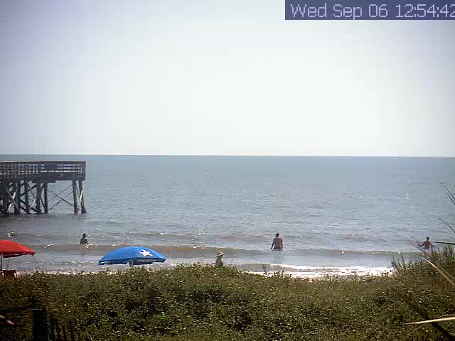
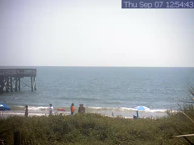
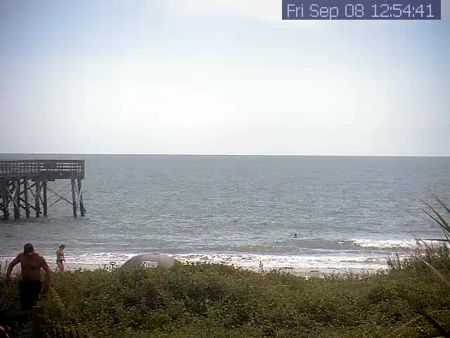
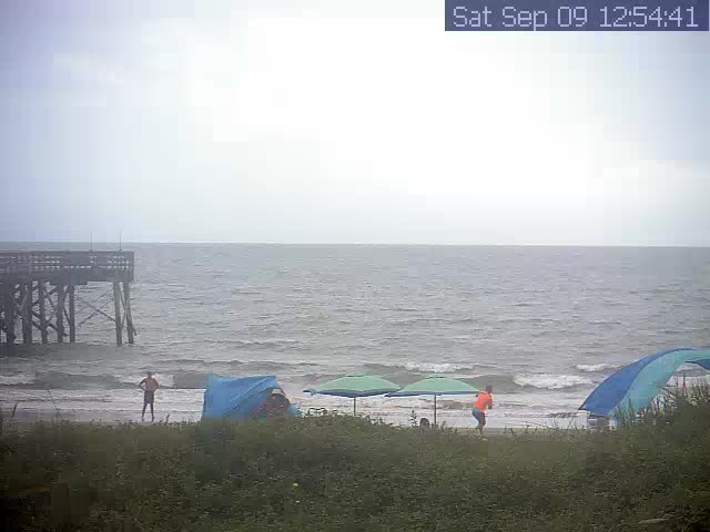
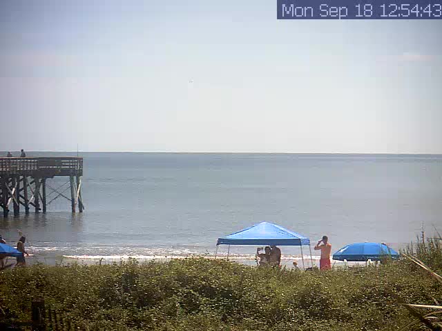
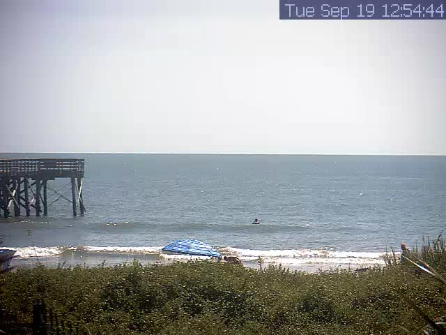
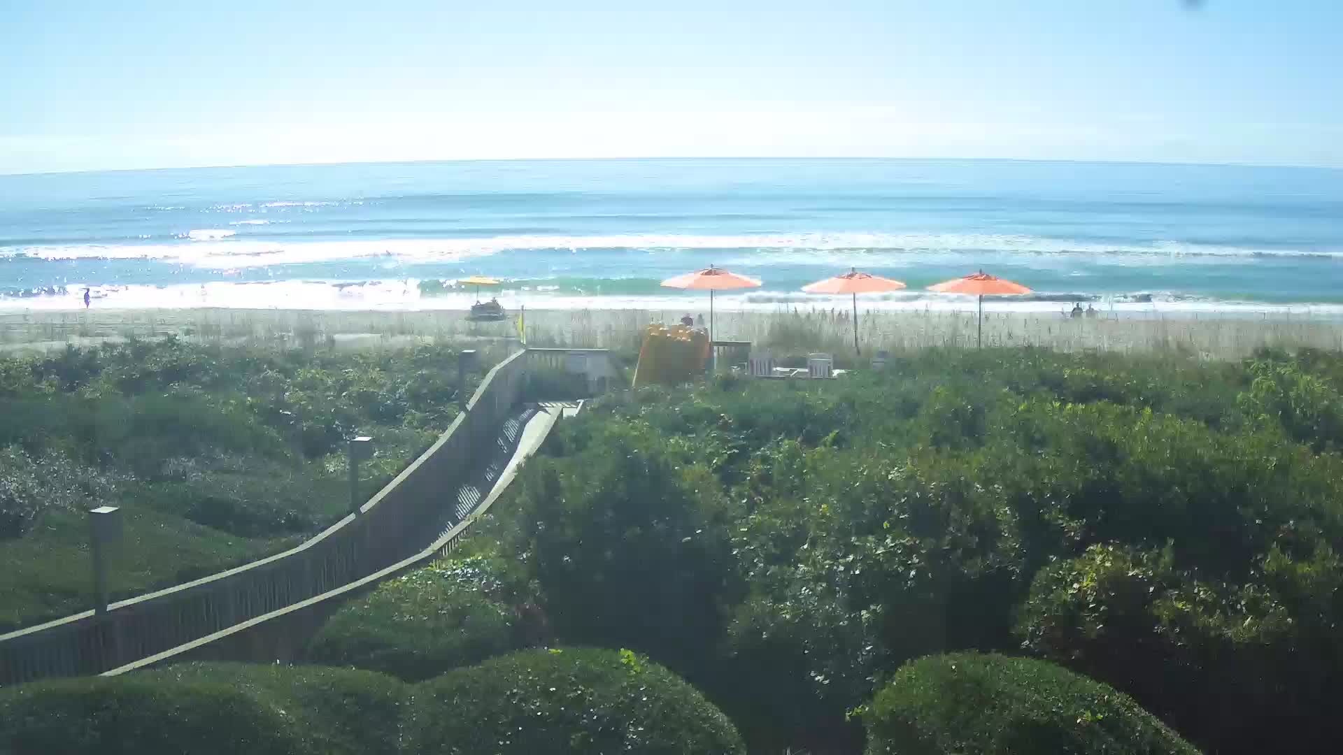
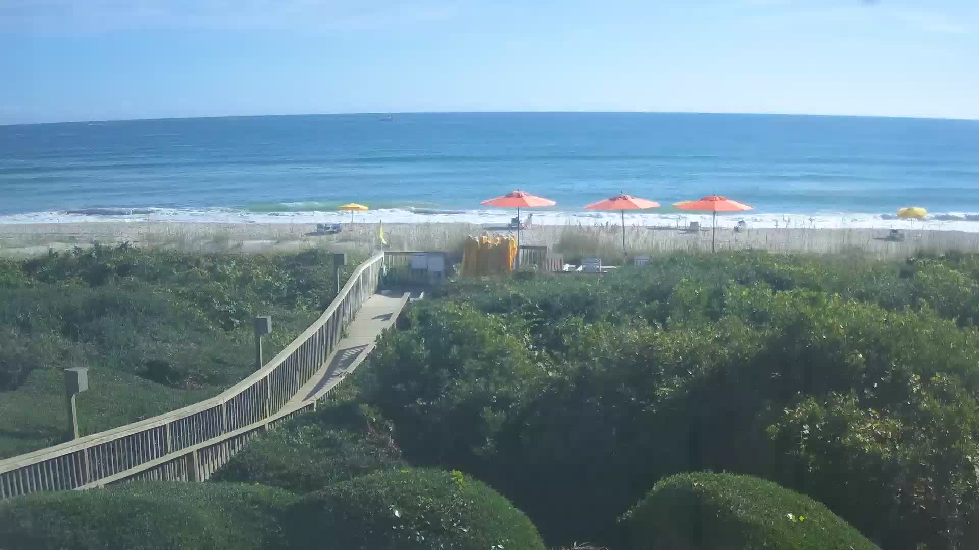
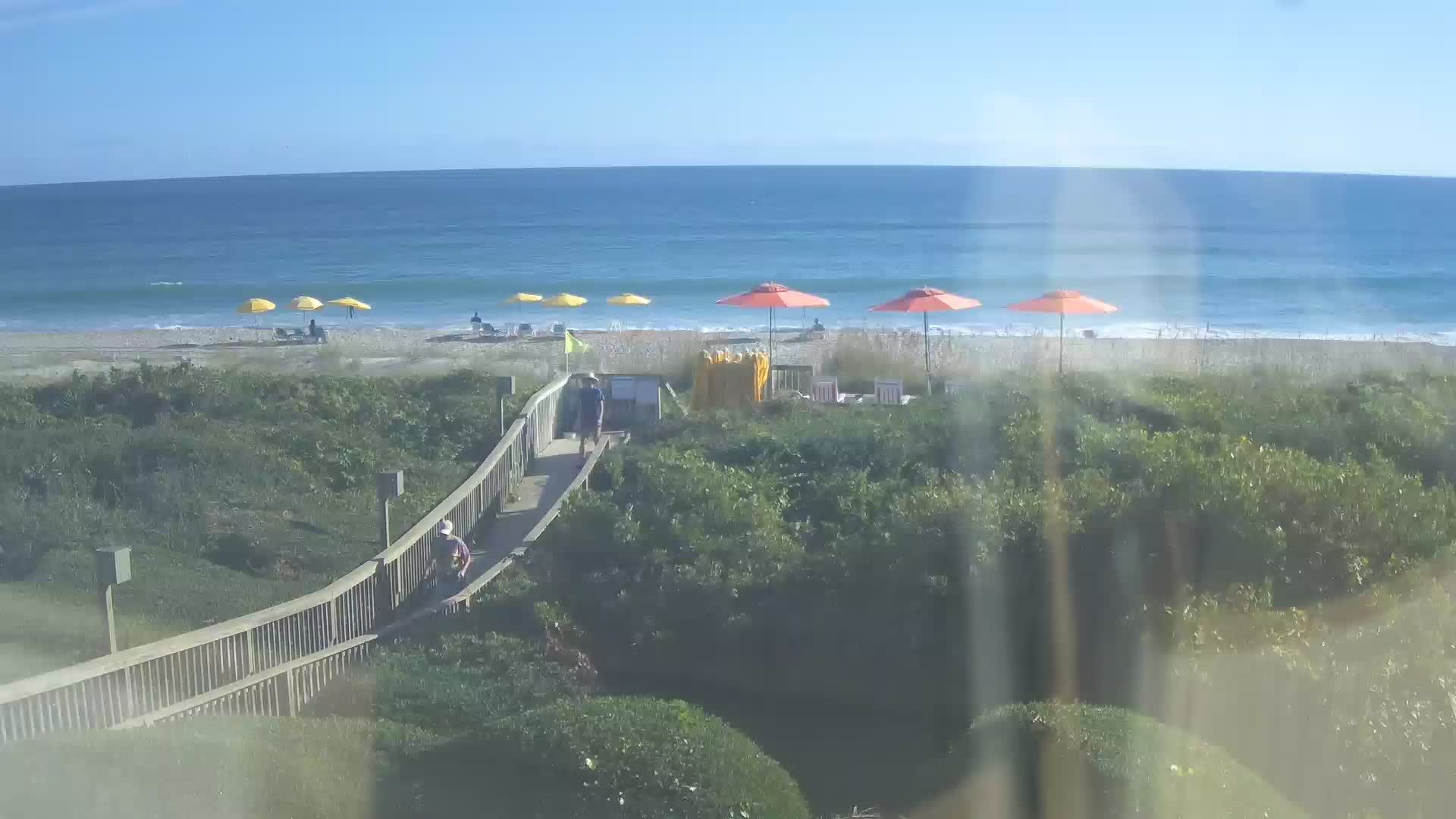
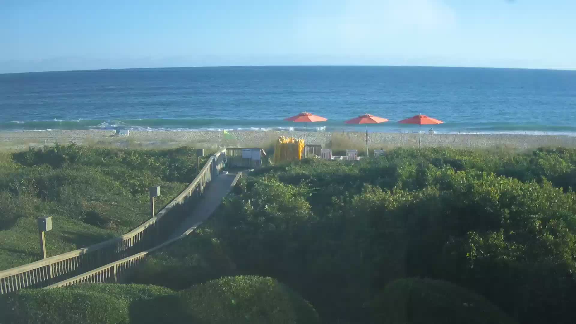
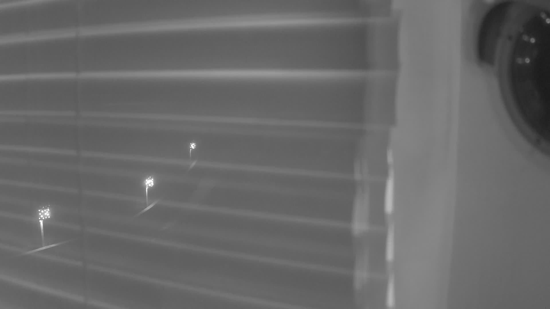
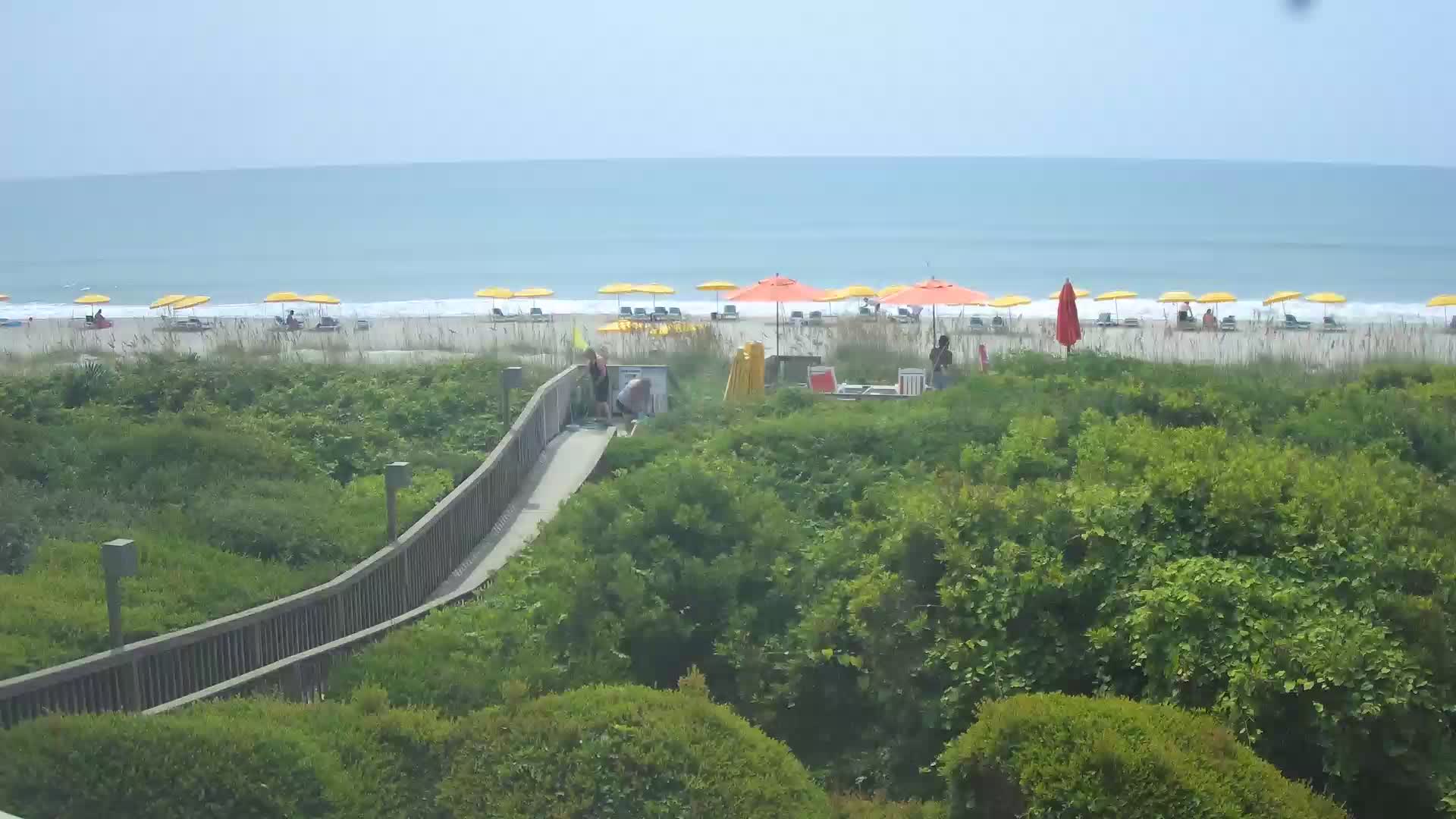
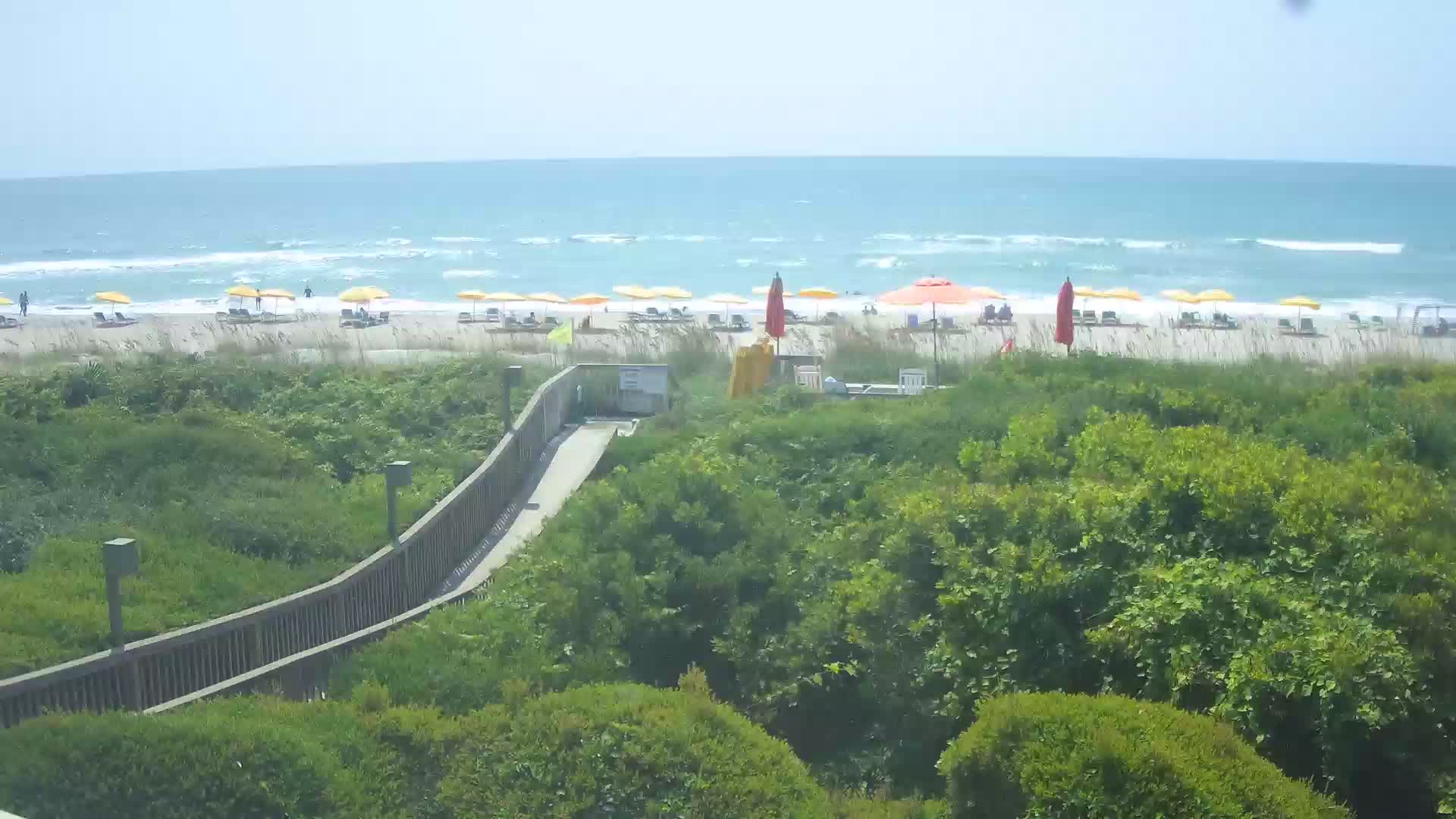
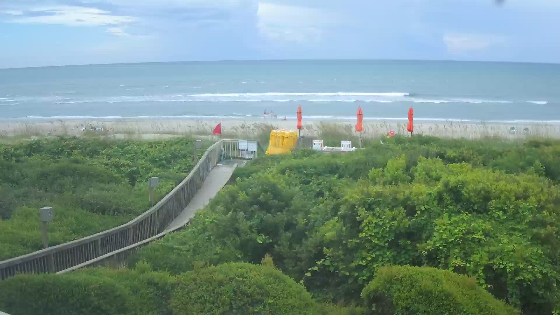
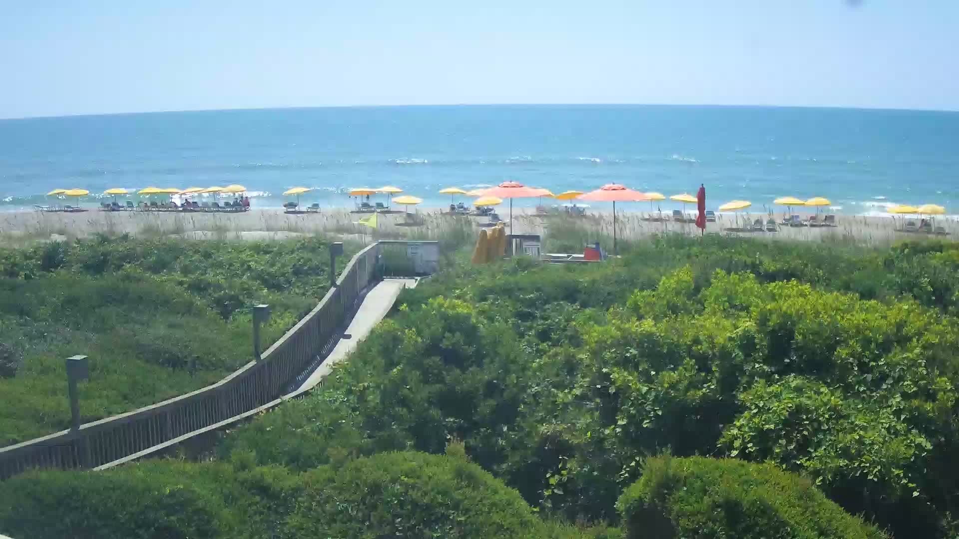
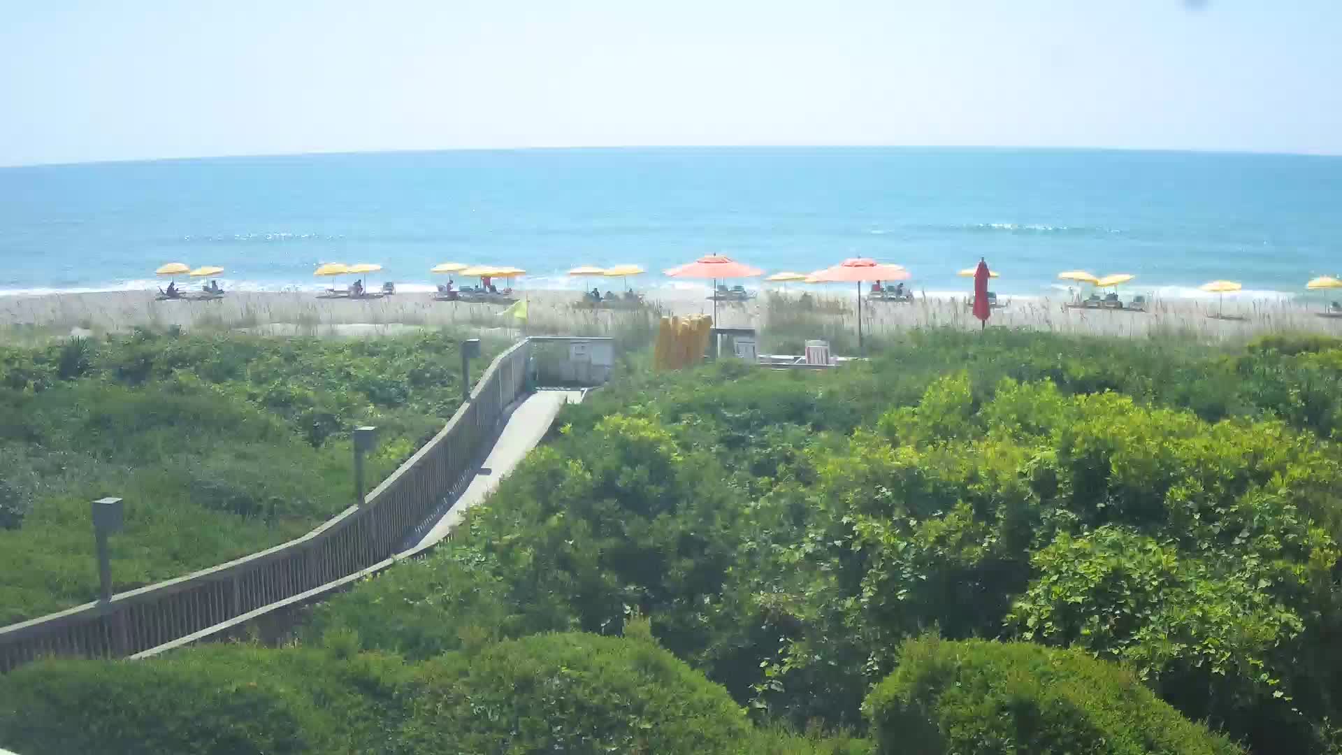
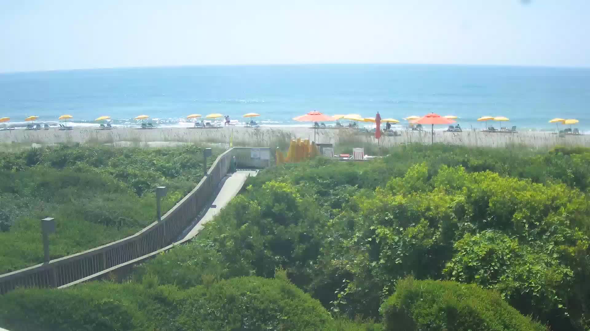
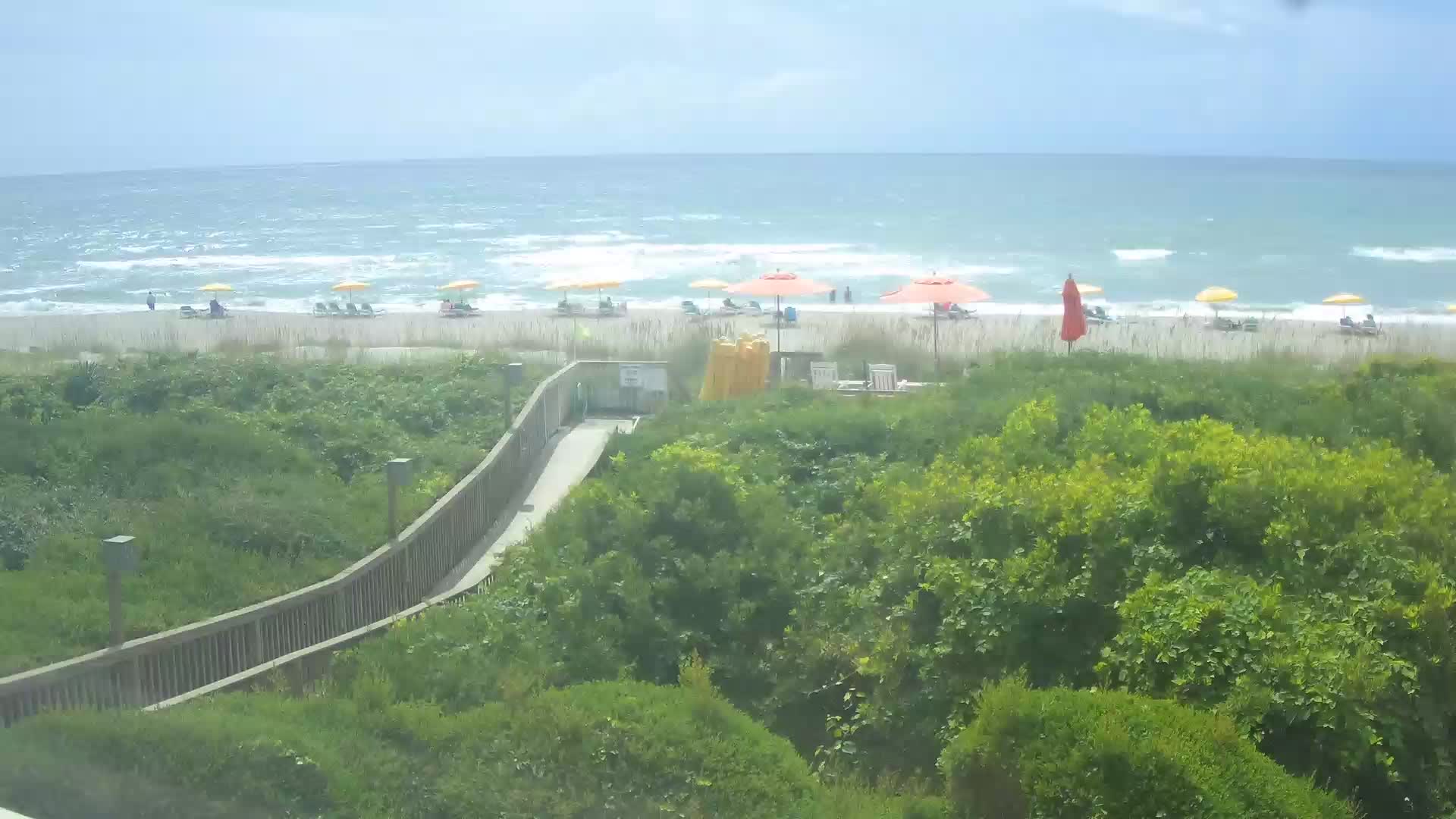
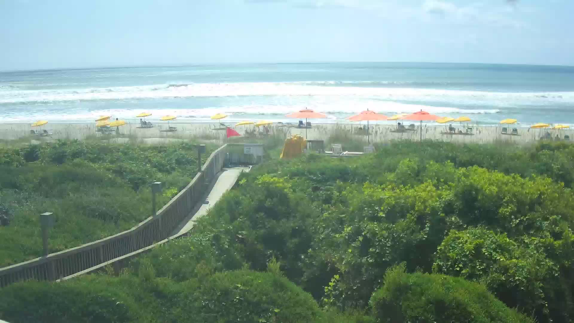
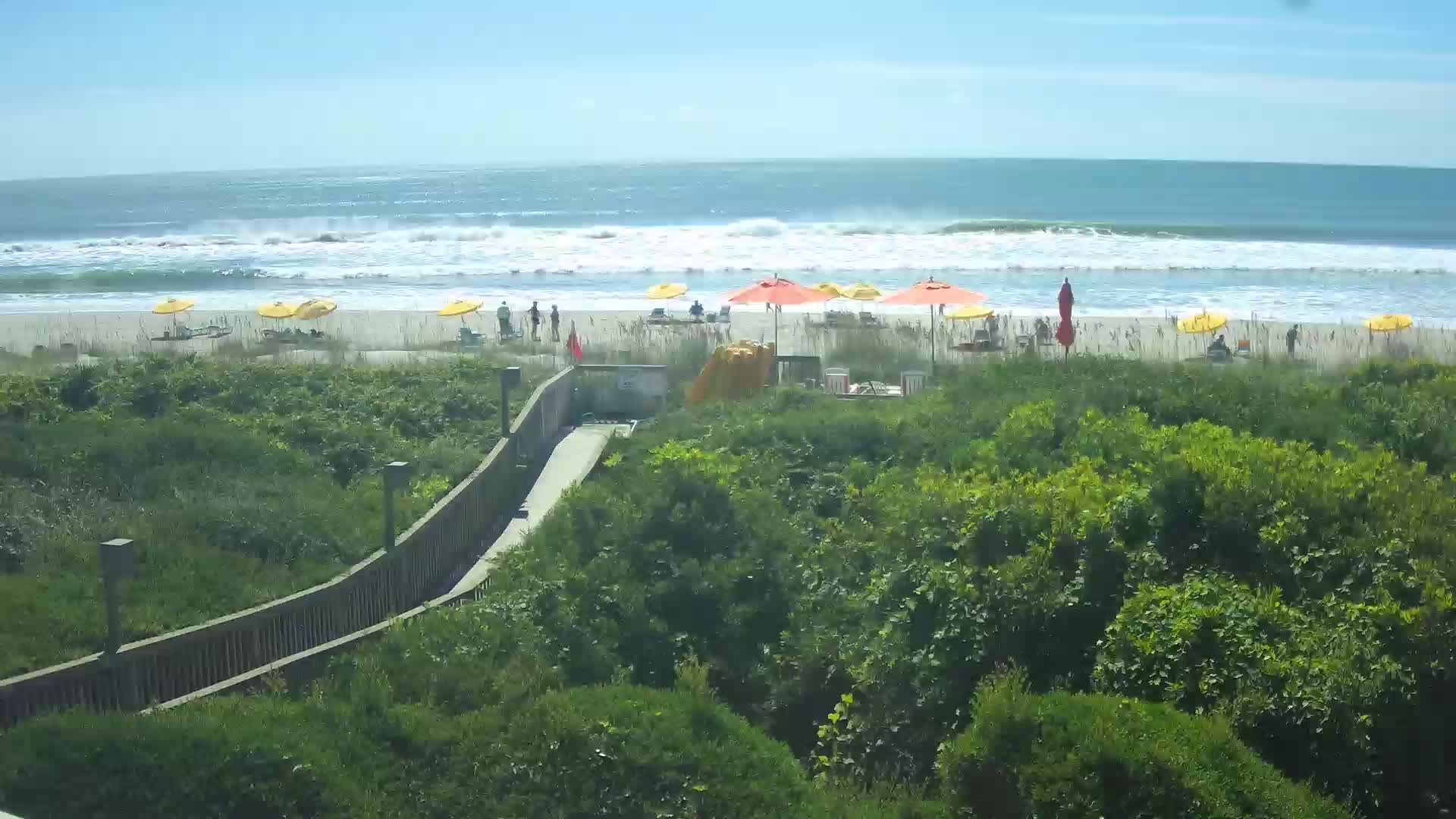
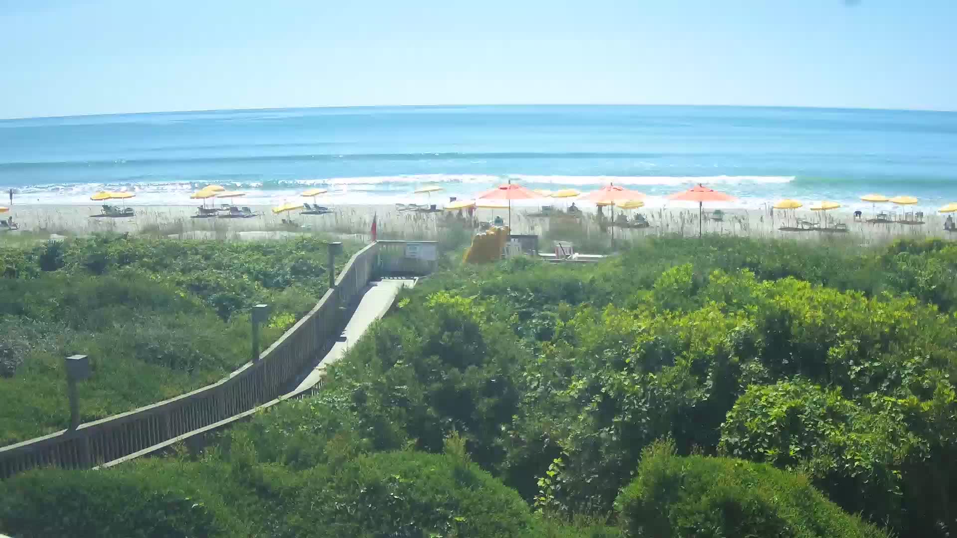
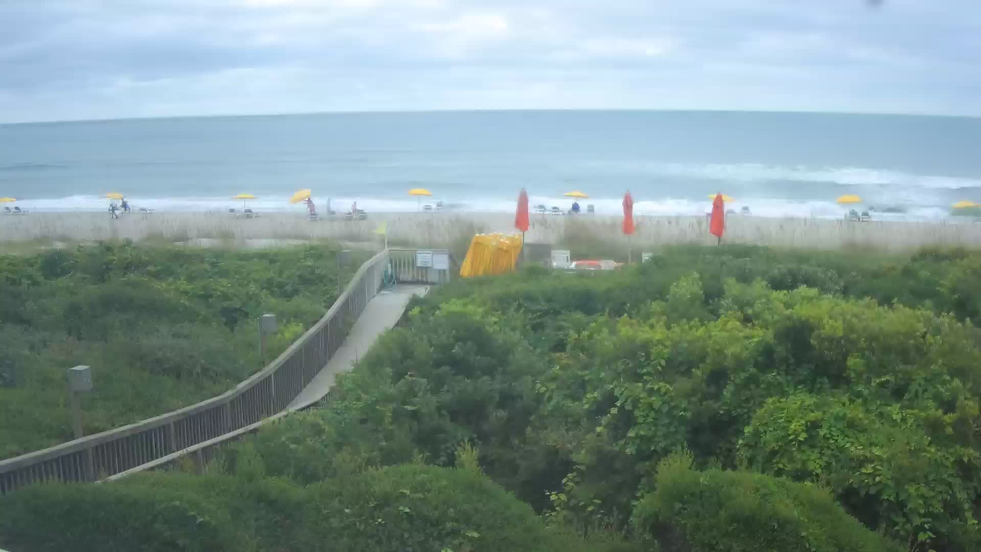
North Myrtle Beach, South Carolina, USA - 3 miles from The Grove: Condo-World Beach Cam - A view of the beach at the end of 17th Ave S in North Myrtle Beach from Condo-World.
Operator: Condo-World
Operator: Condo-World


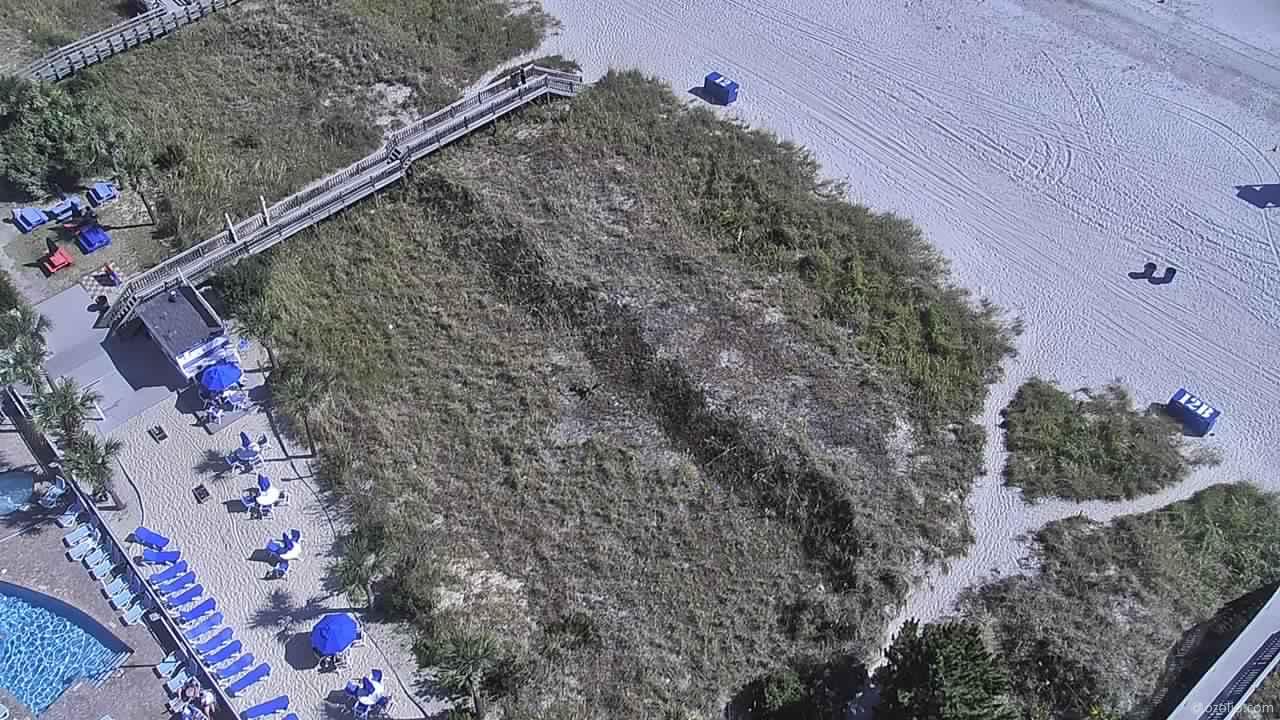
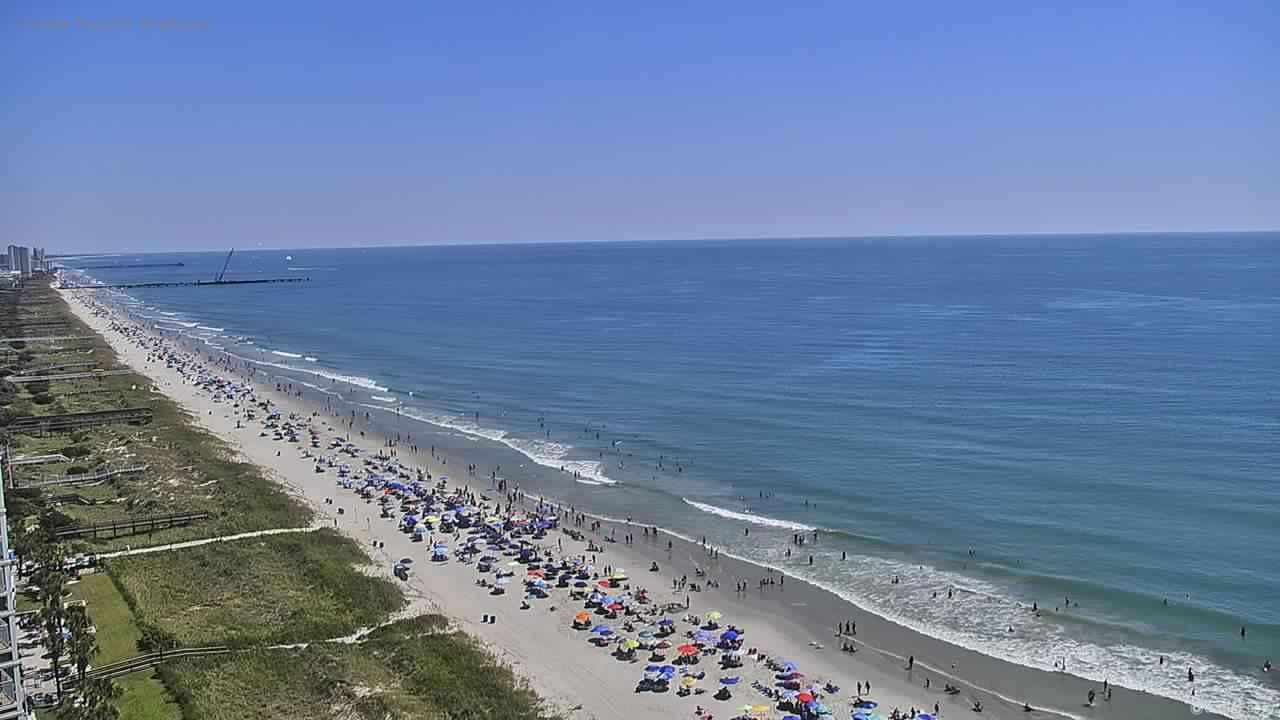
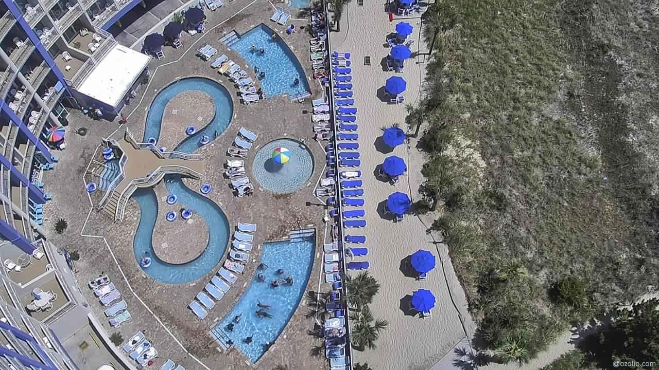
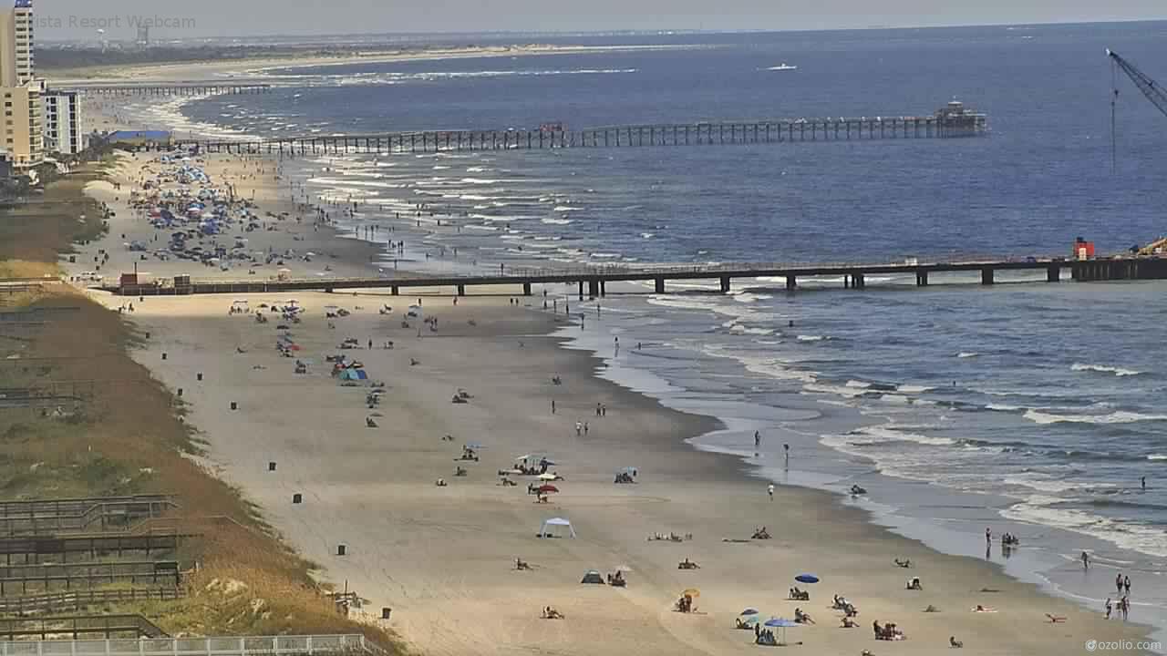
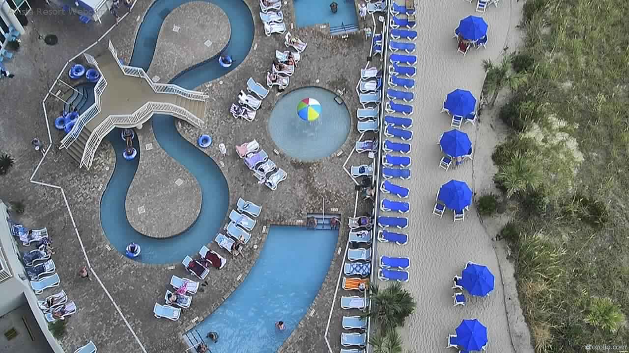
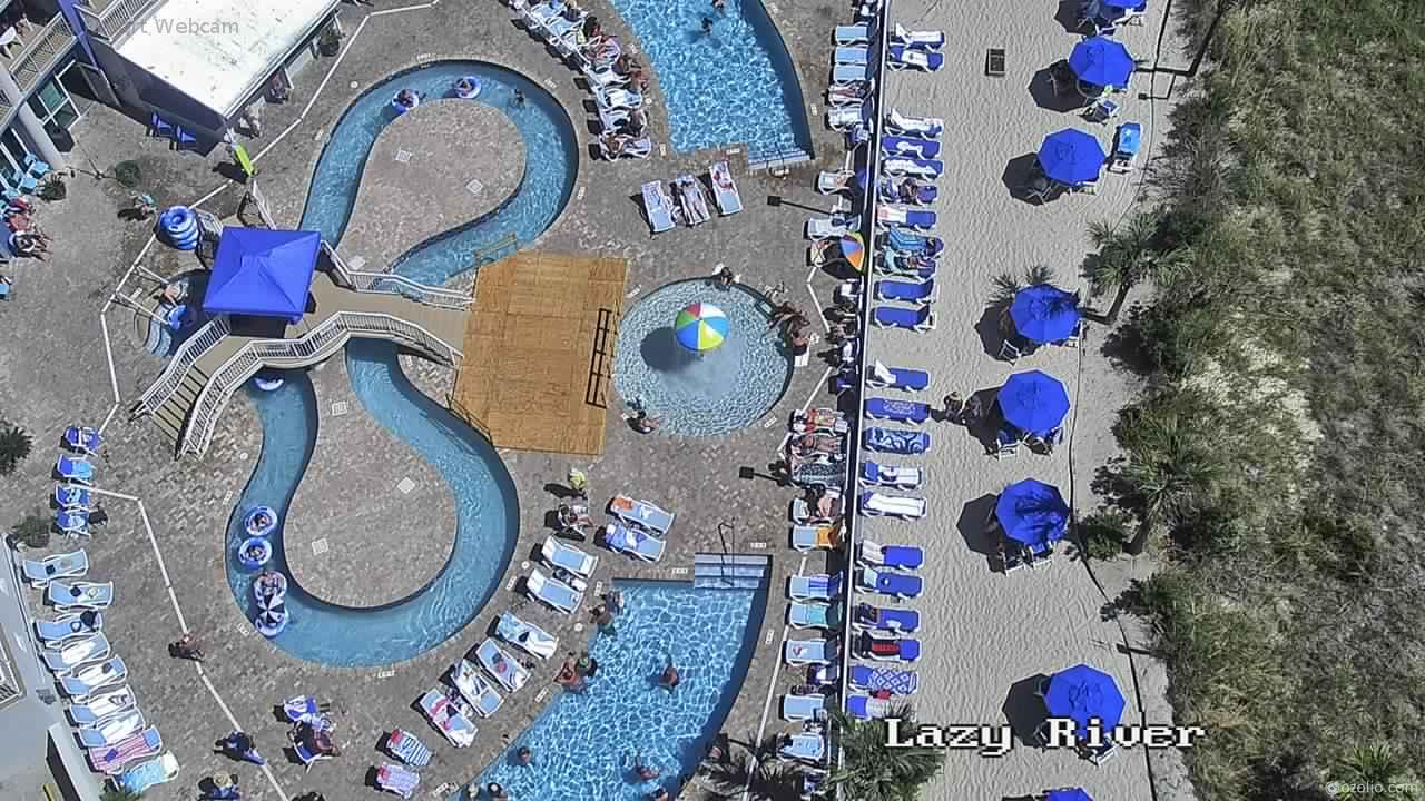
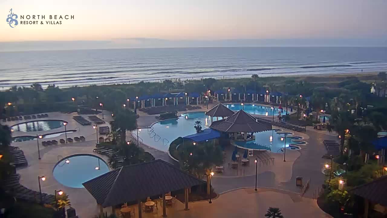
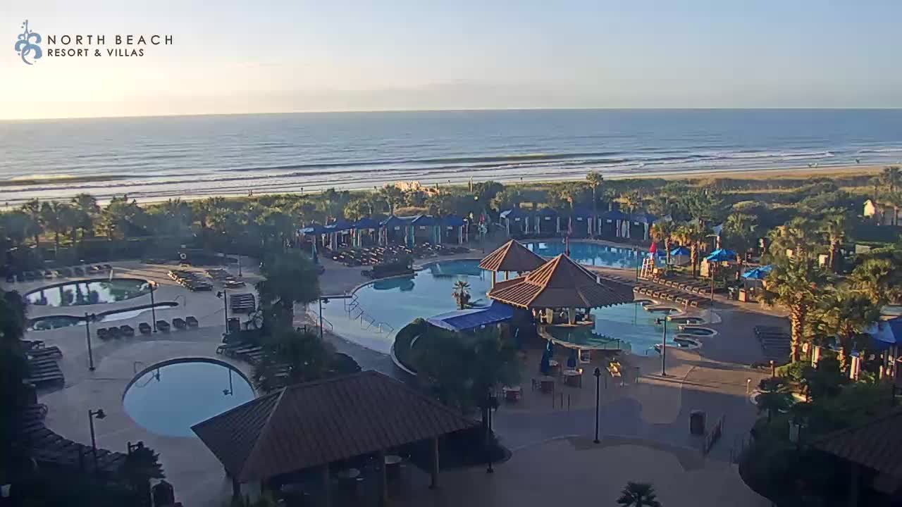
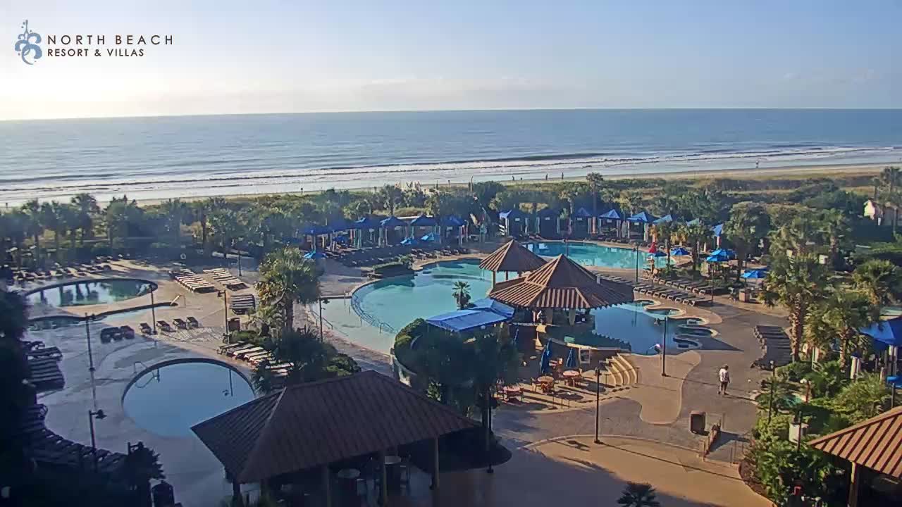
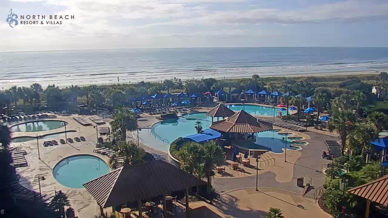
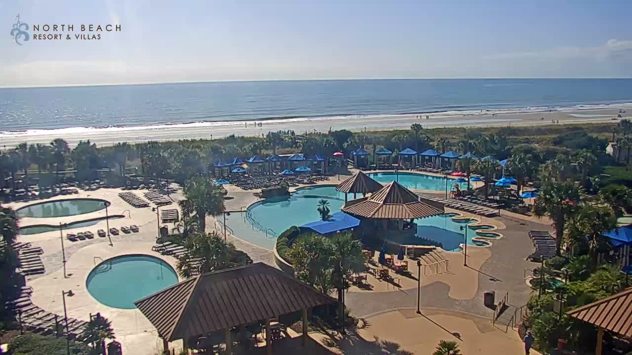
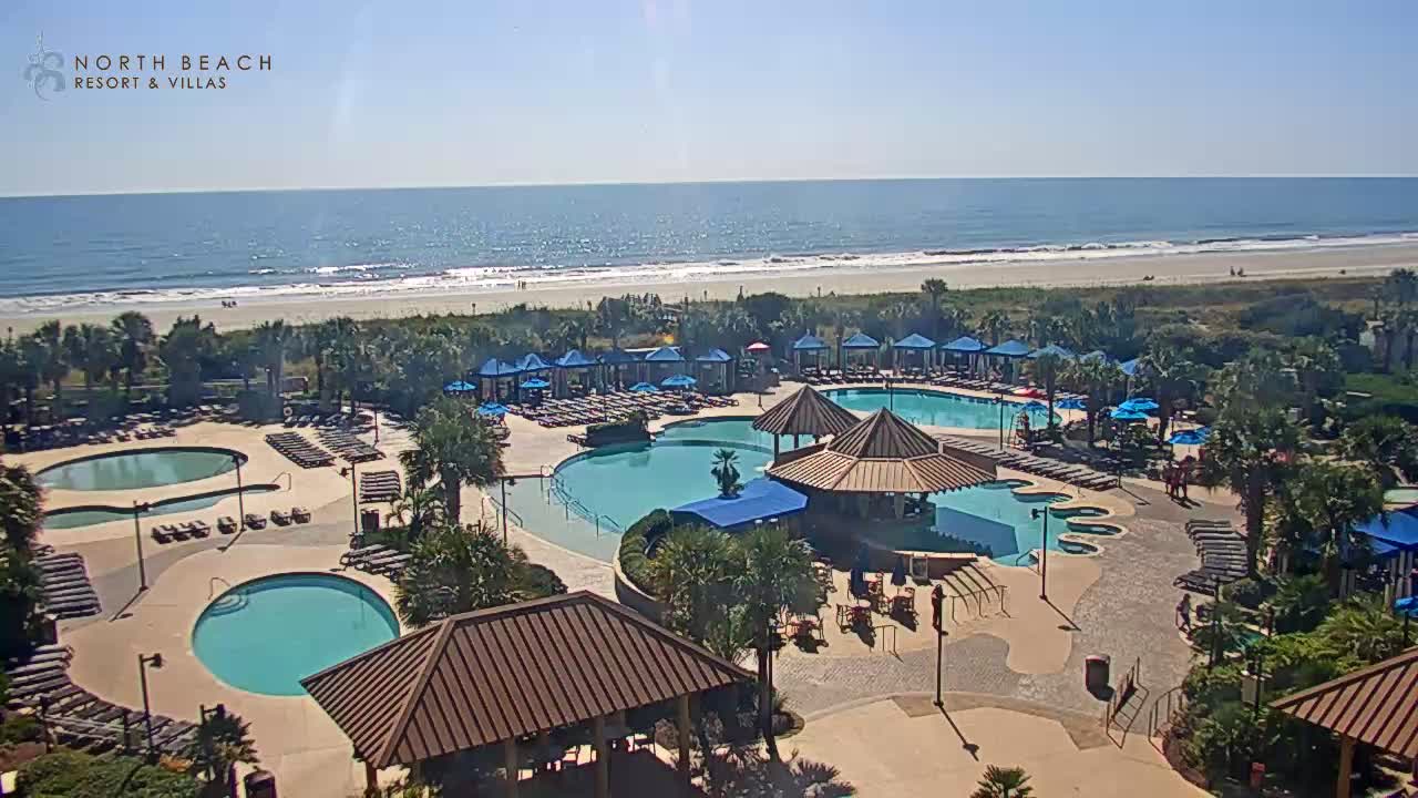
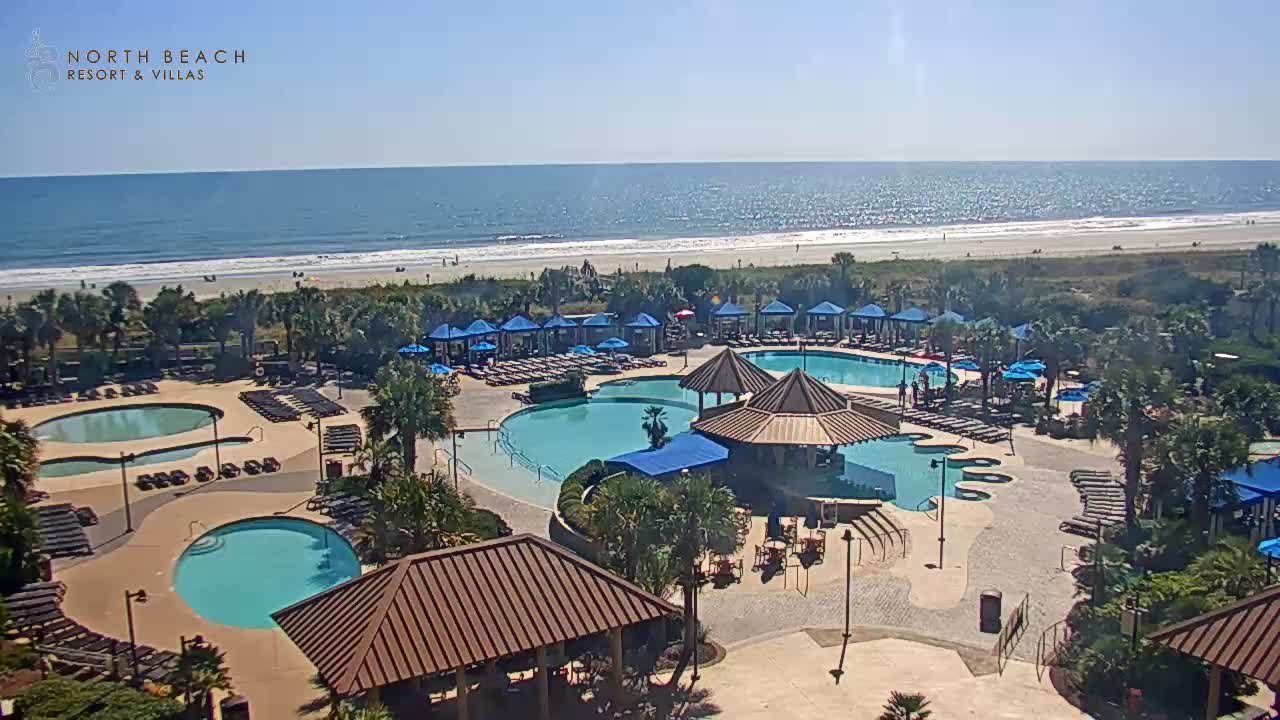
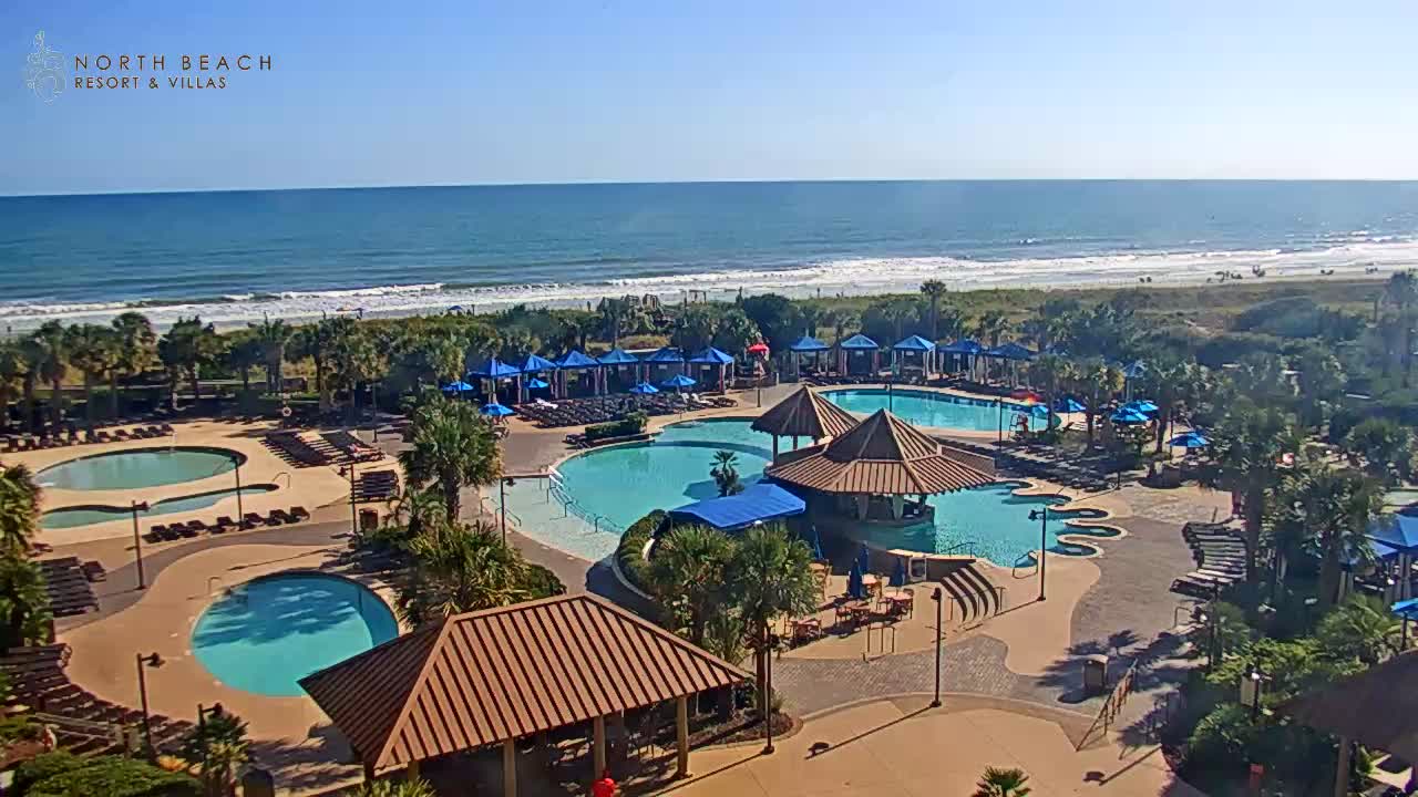
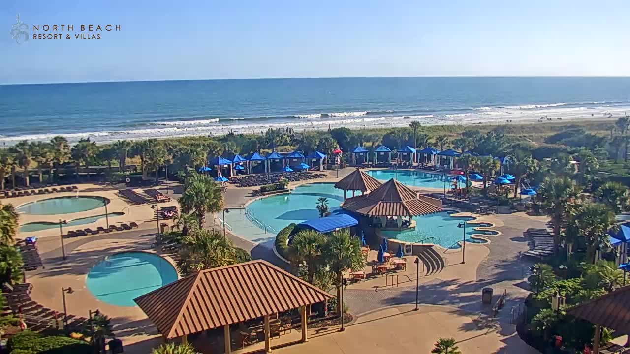
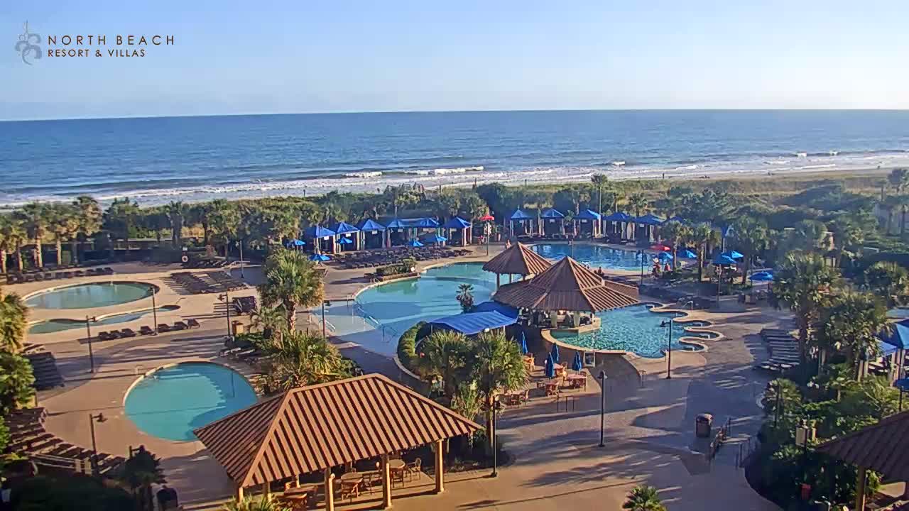
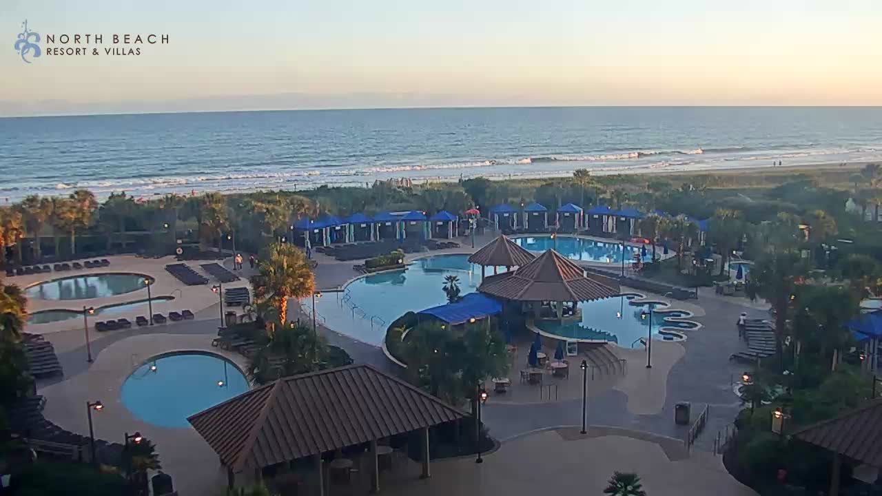
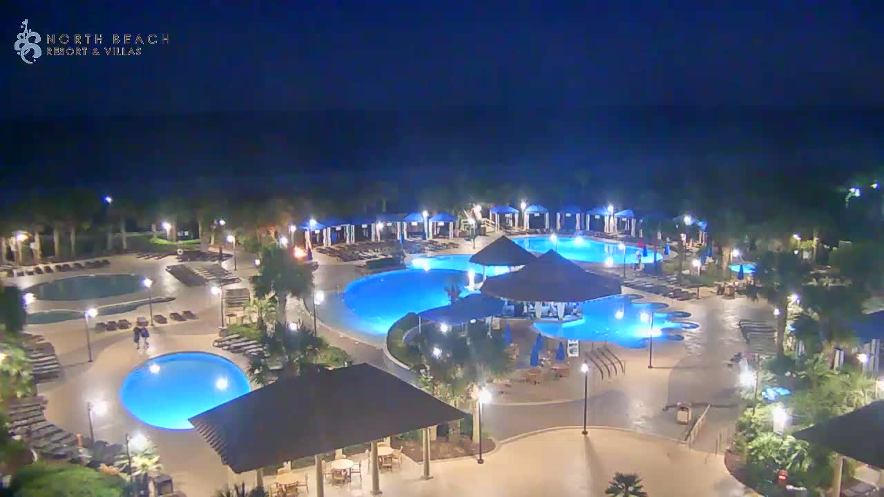
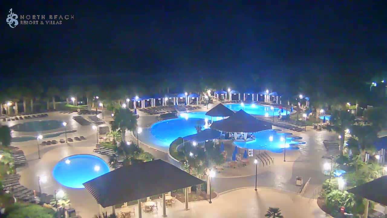
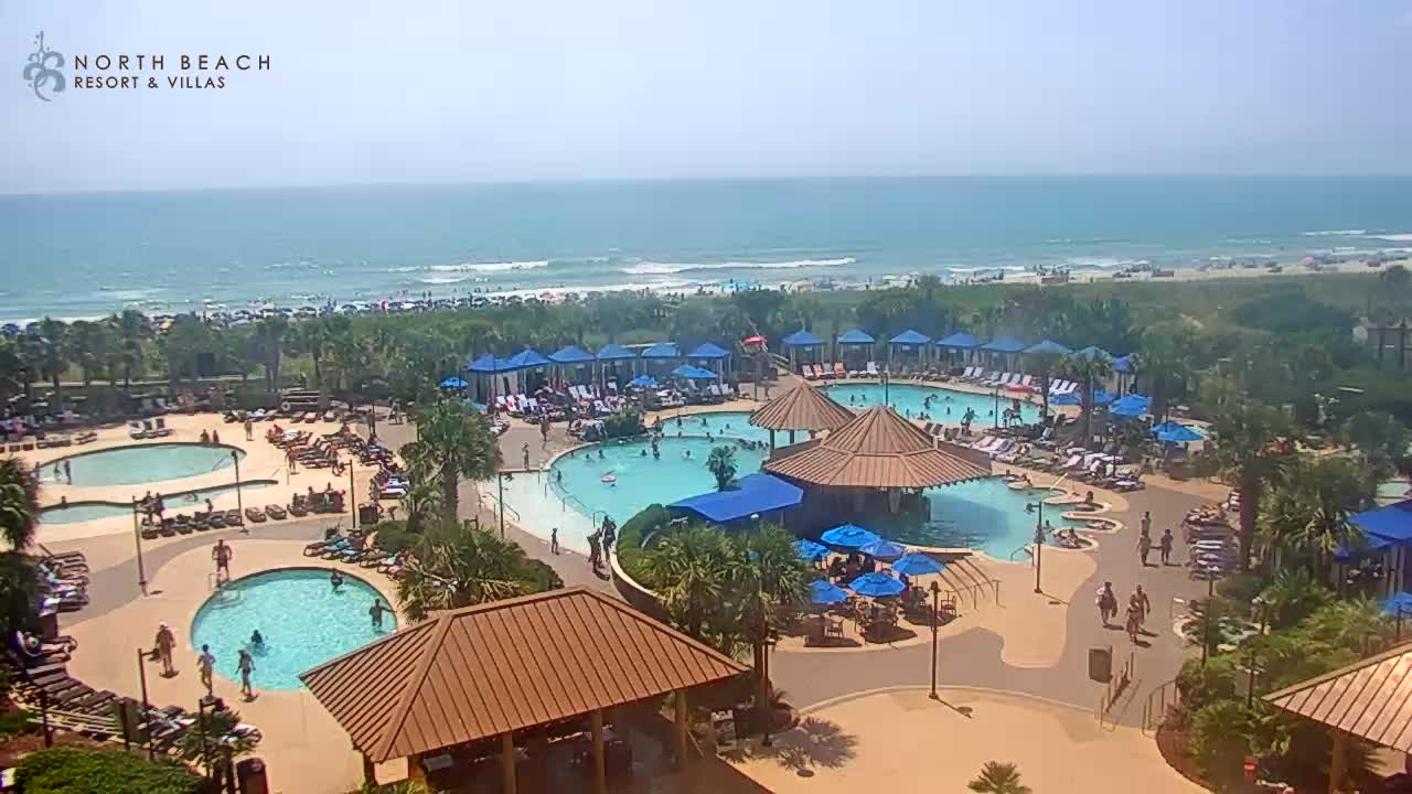
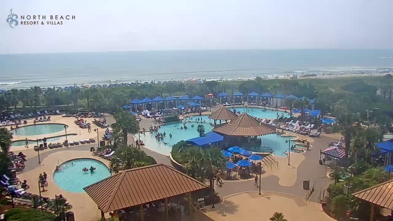
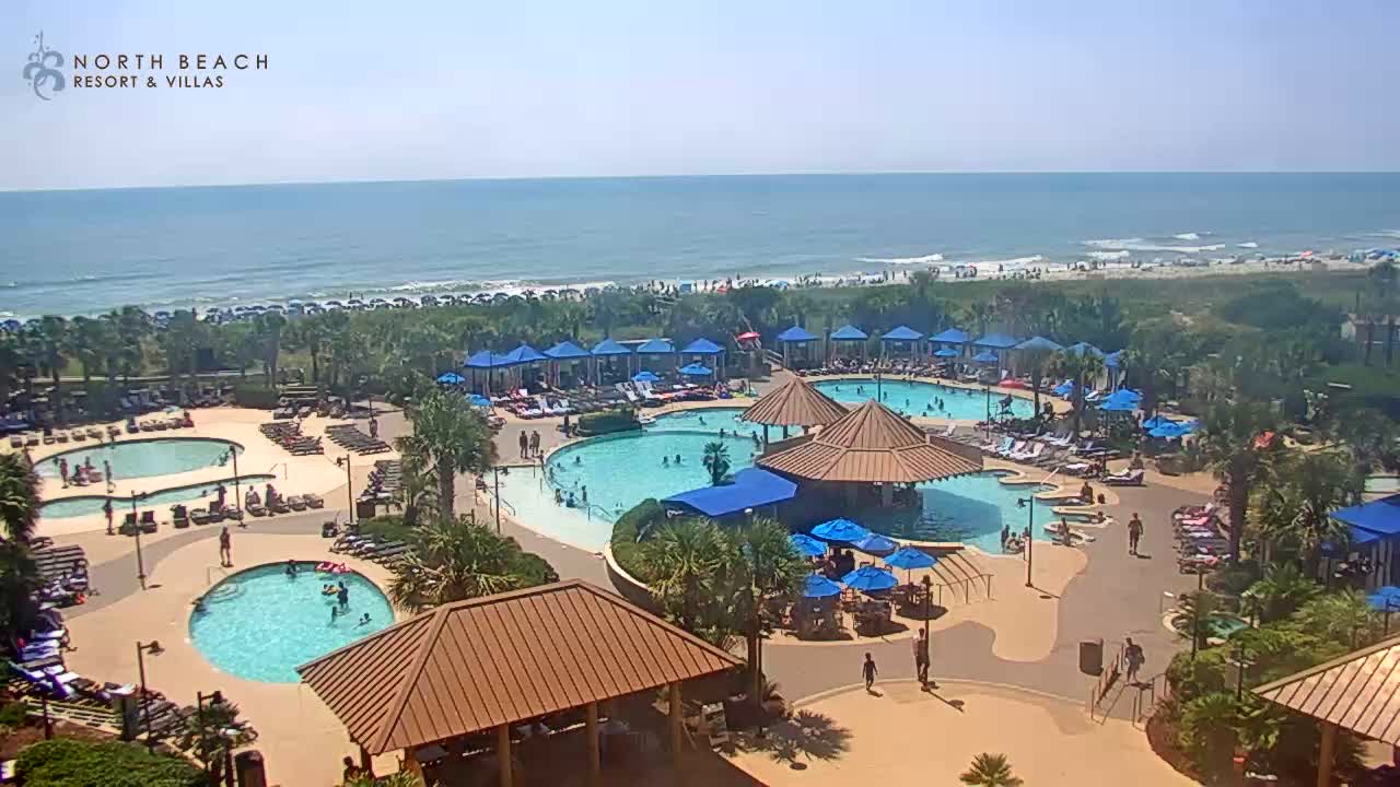
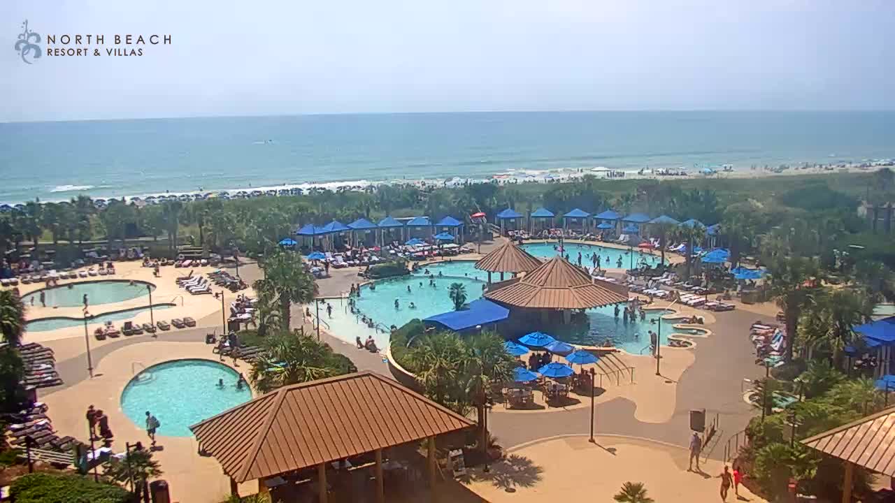
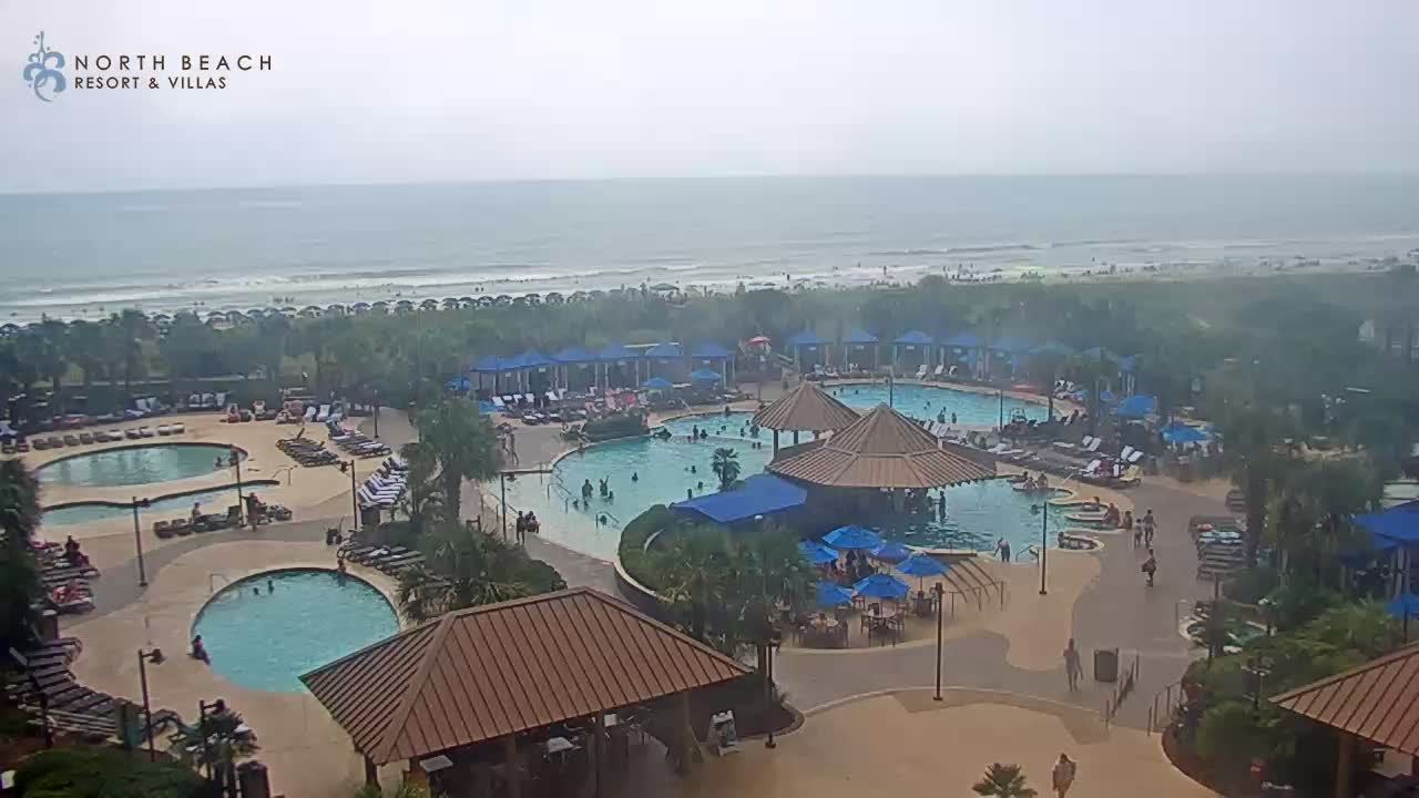
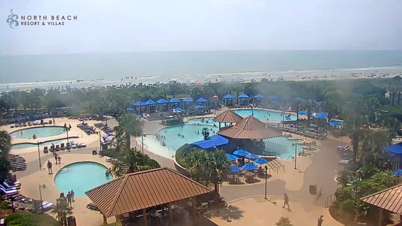
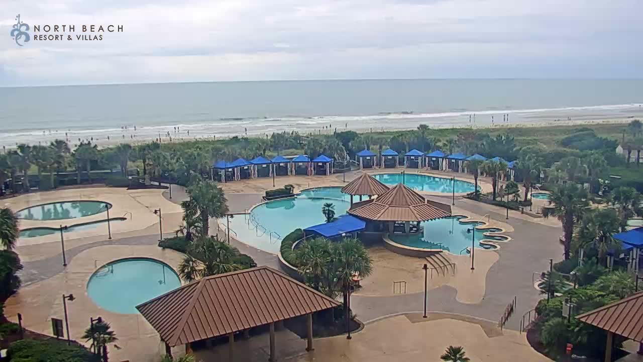
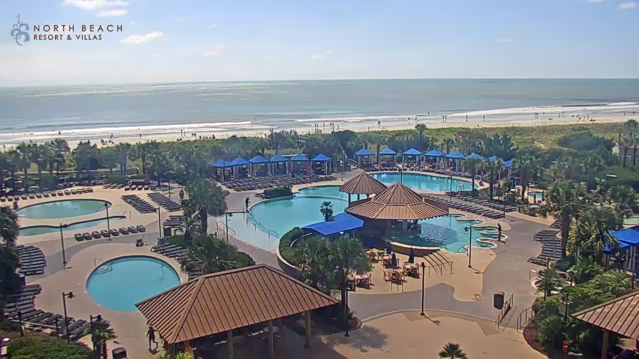
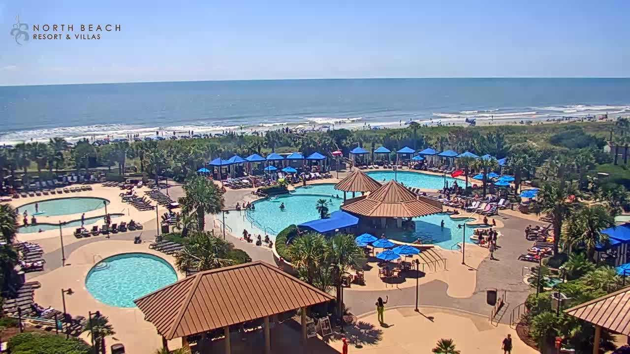
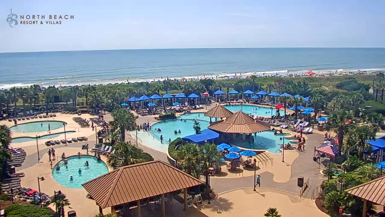
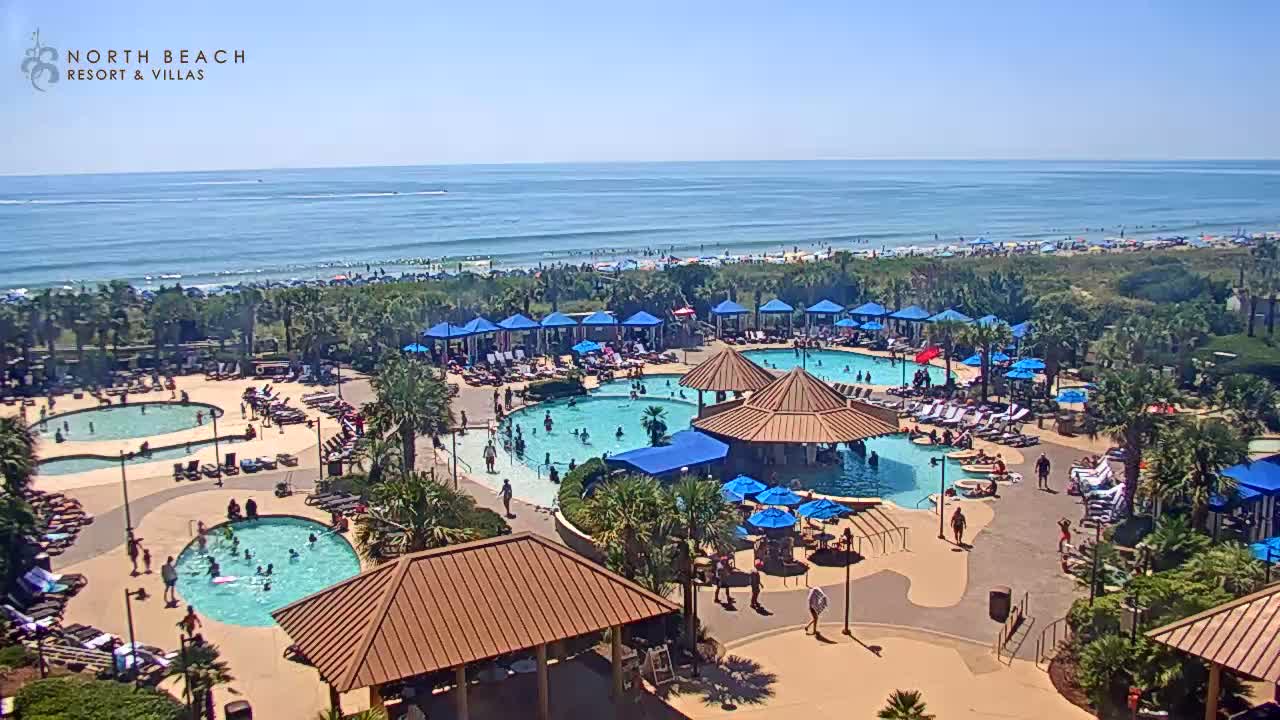
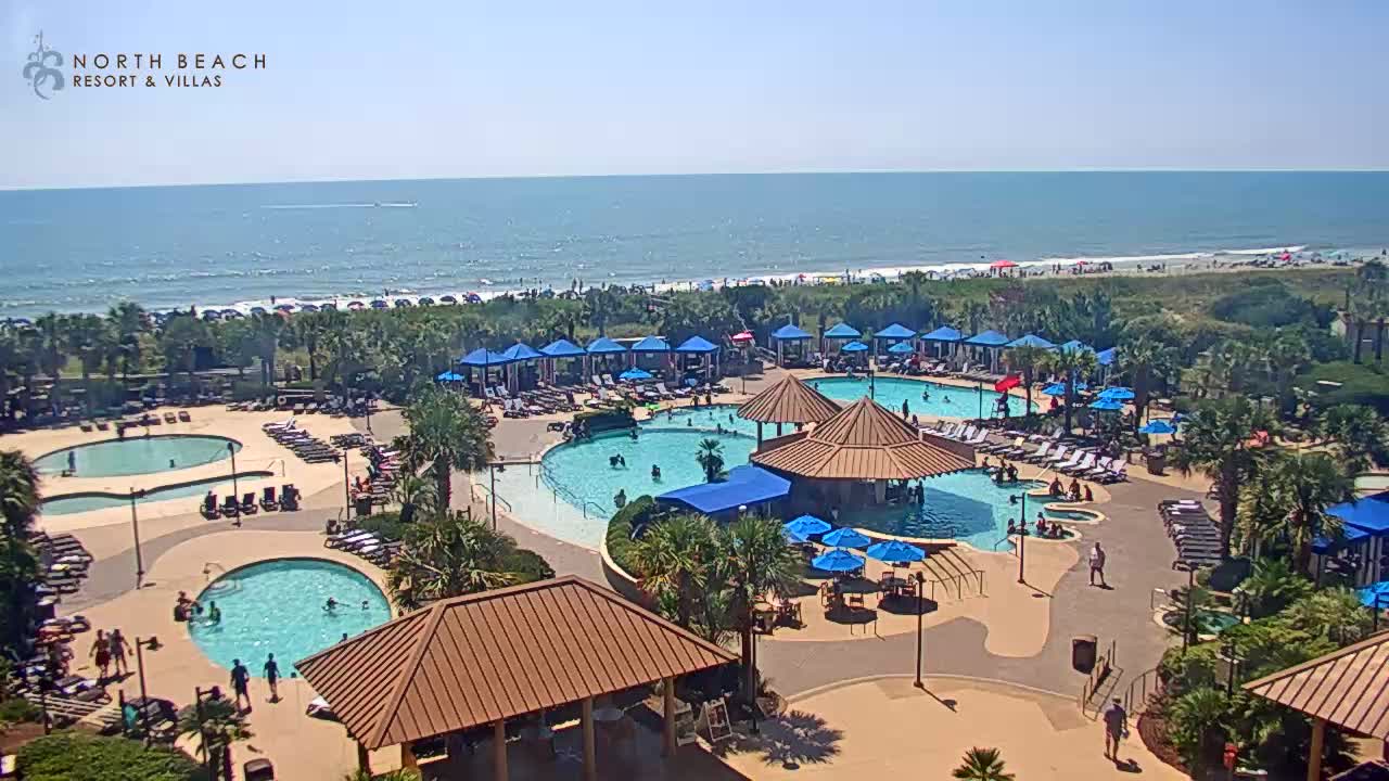
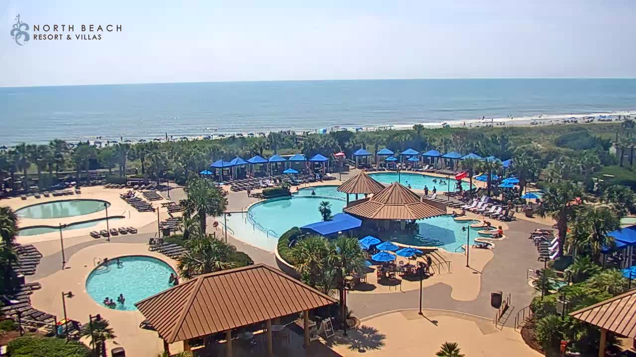
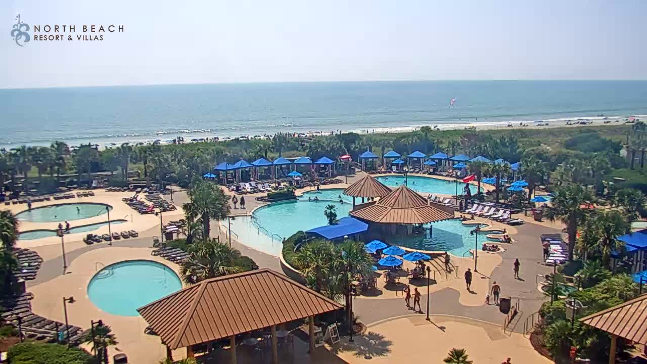
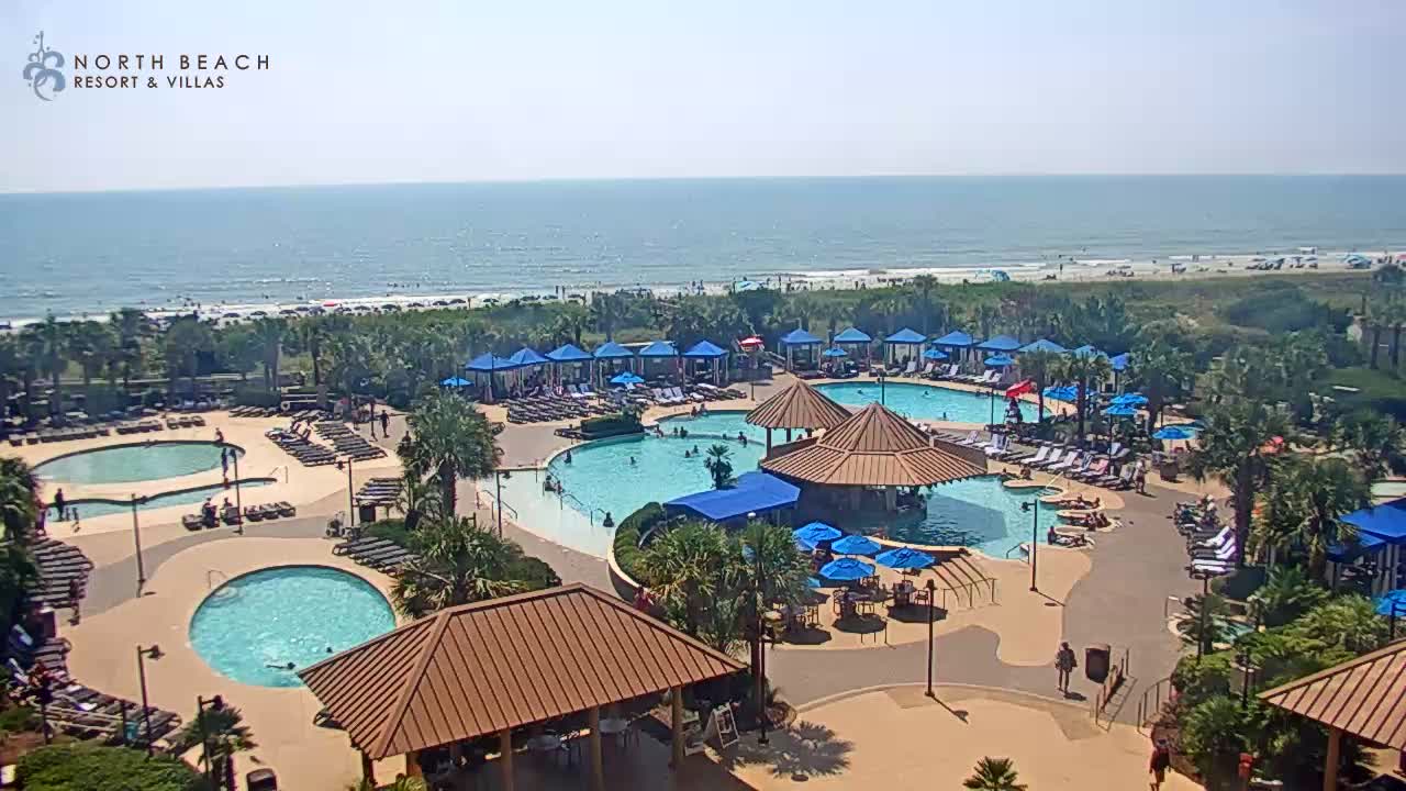
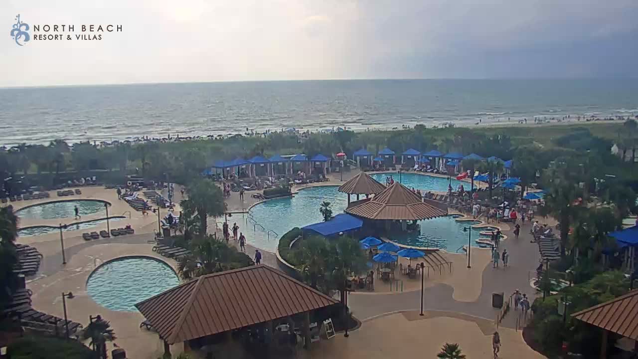
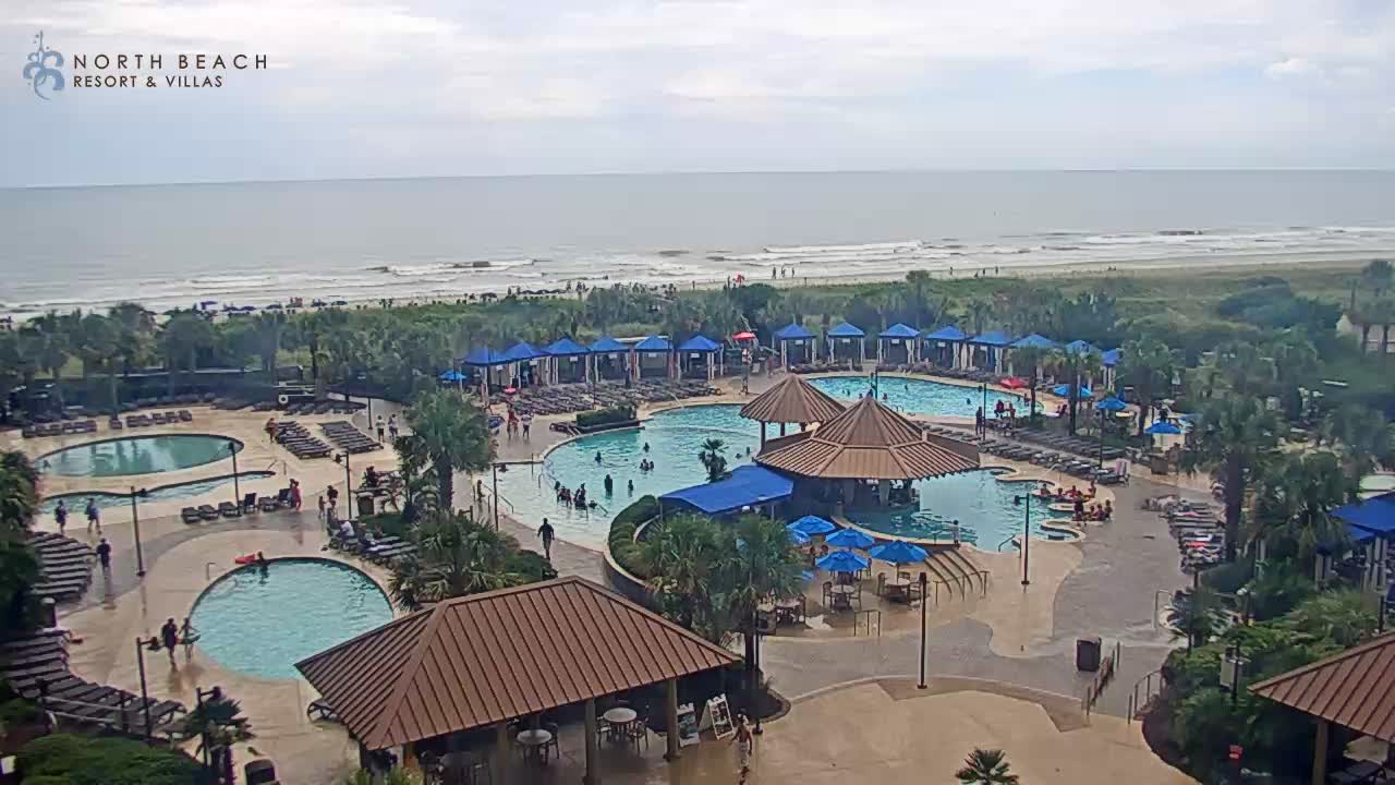
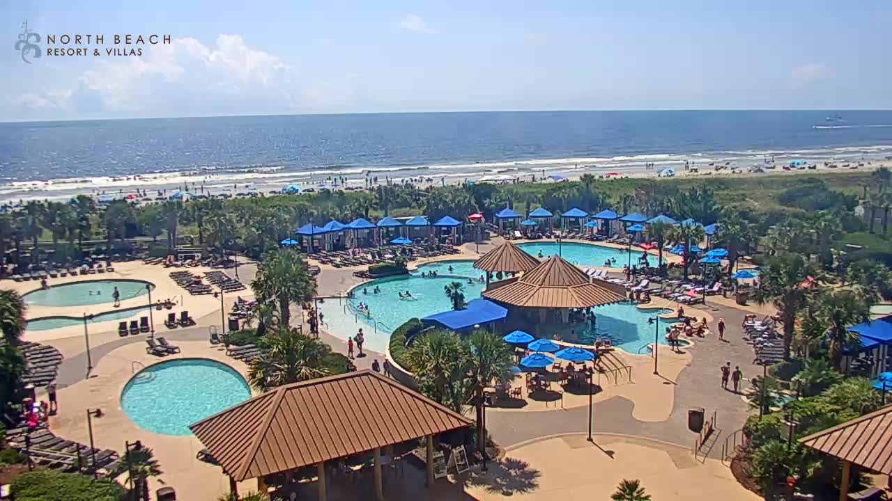
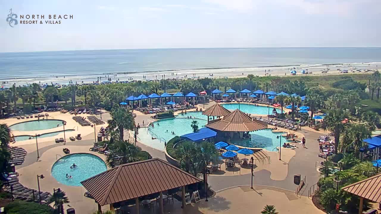
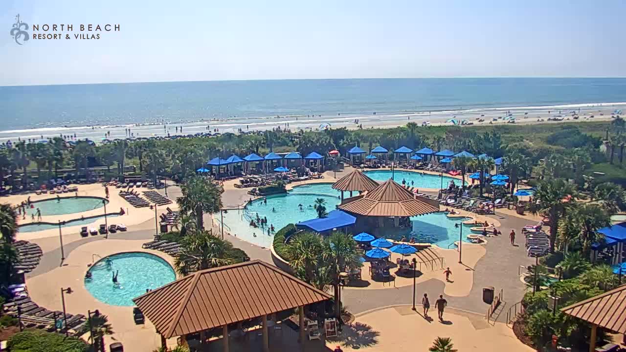
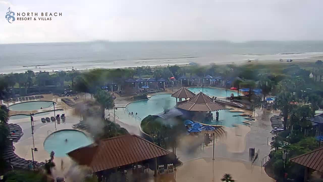
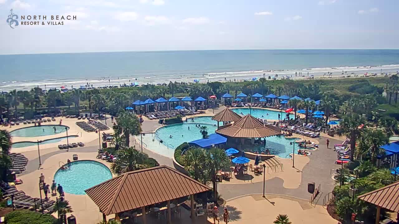
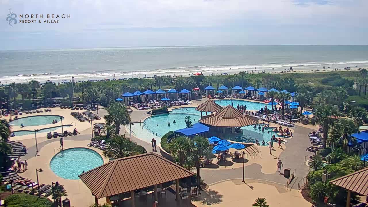
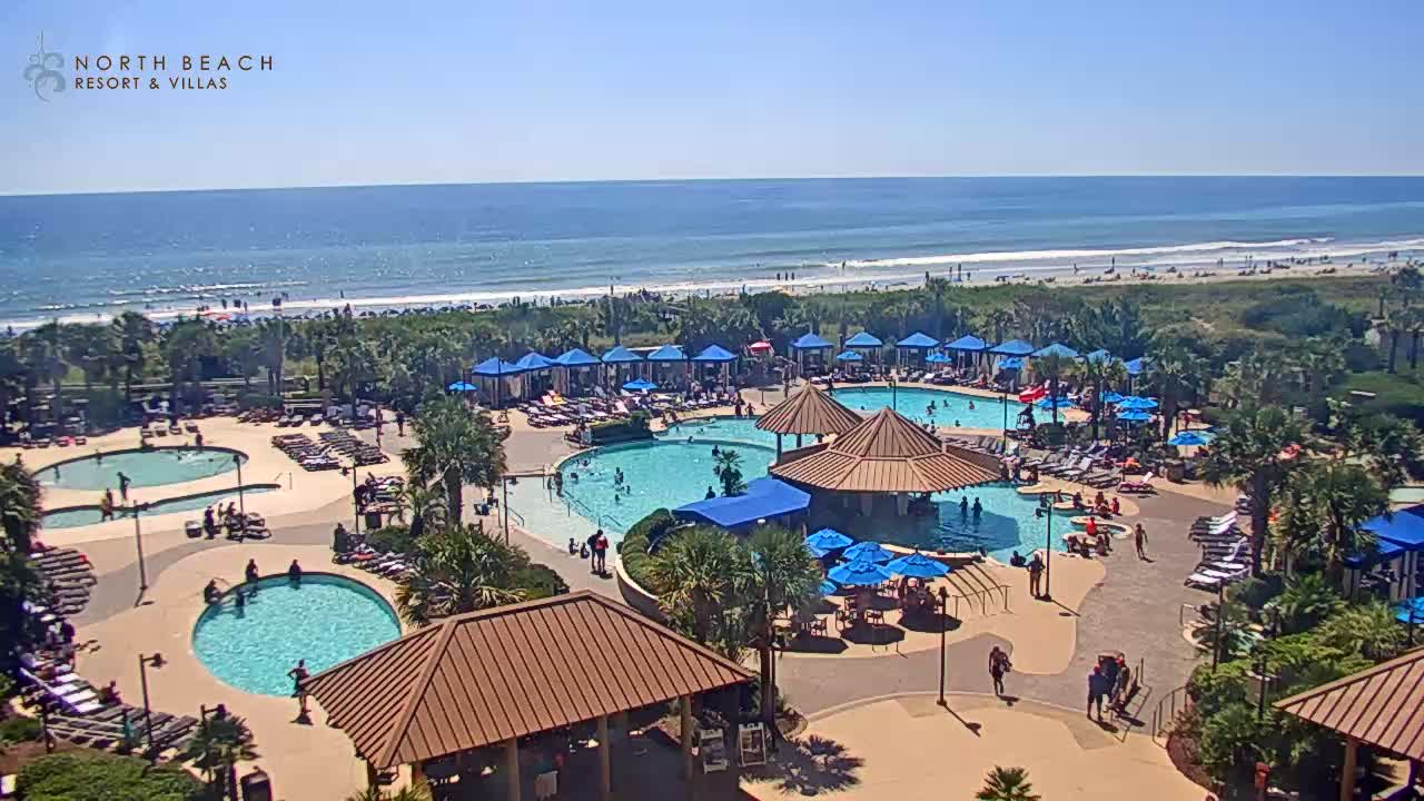
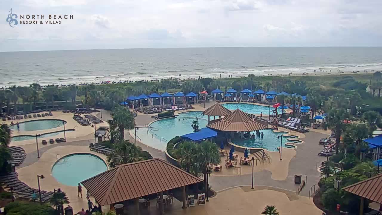
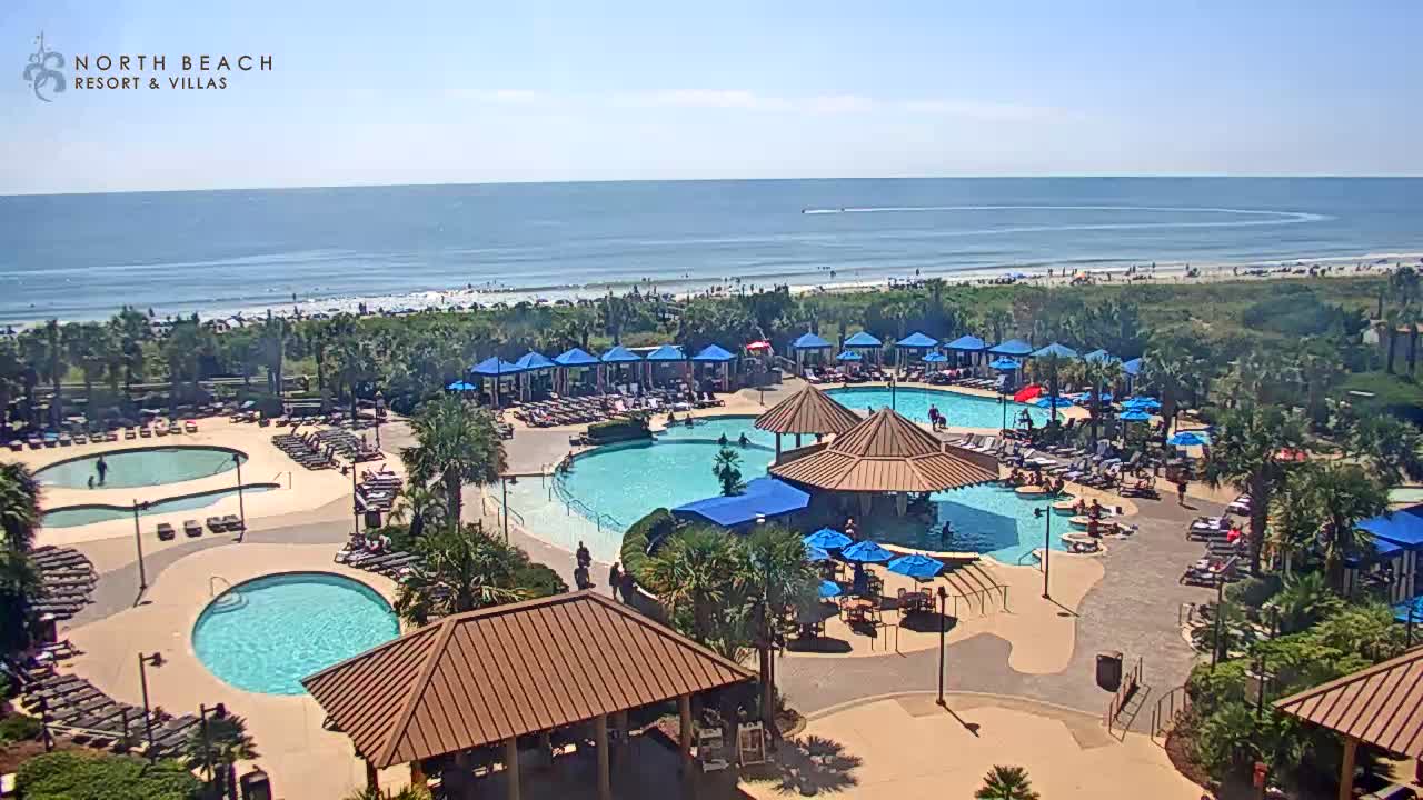
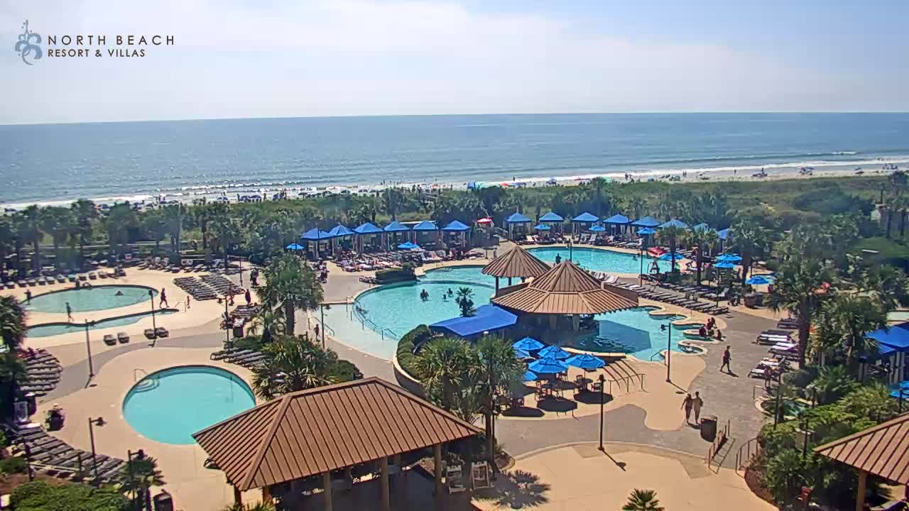
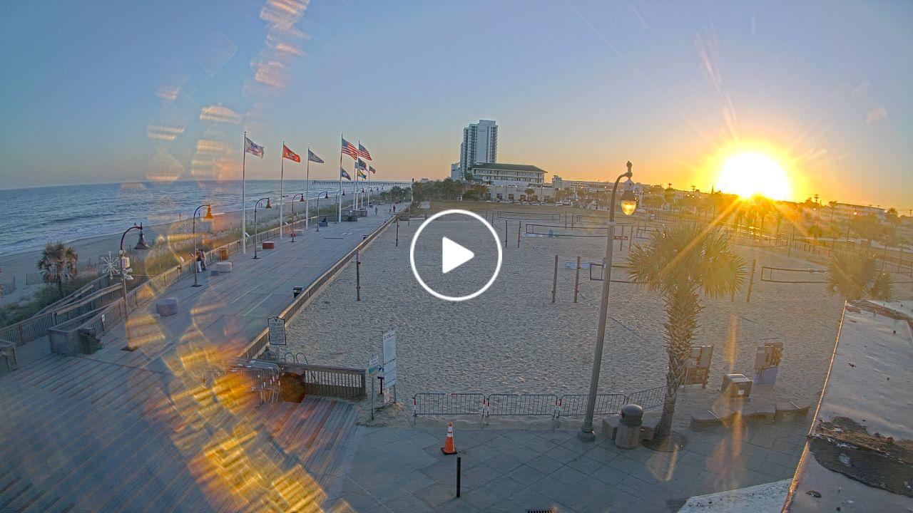
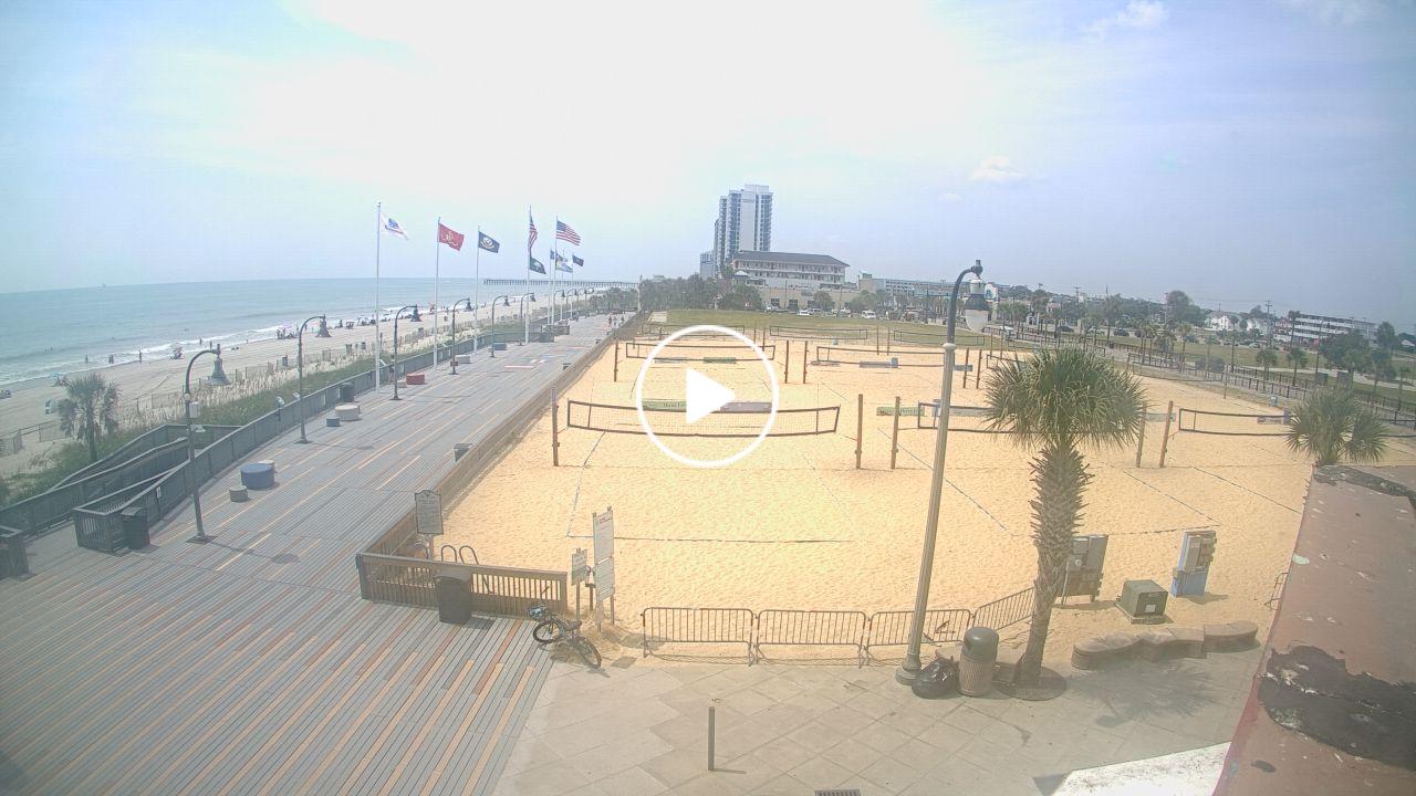
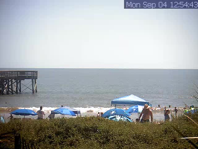
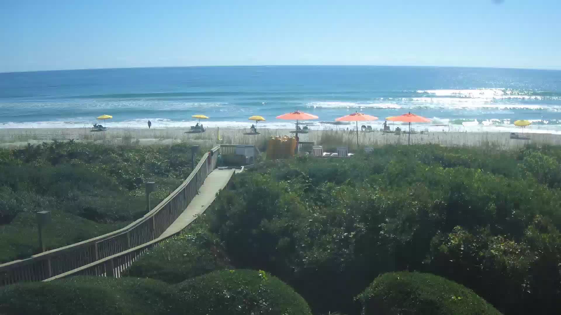
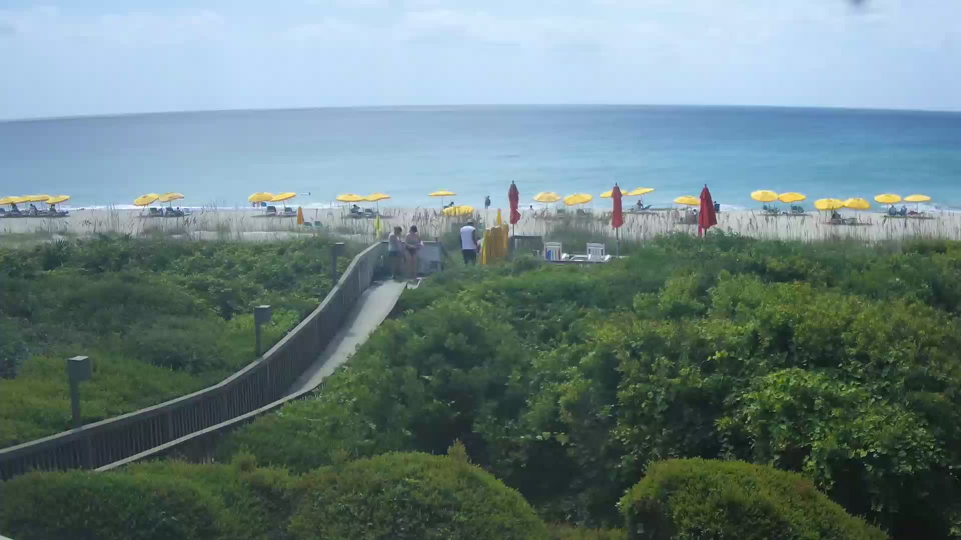
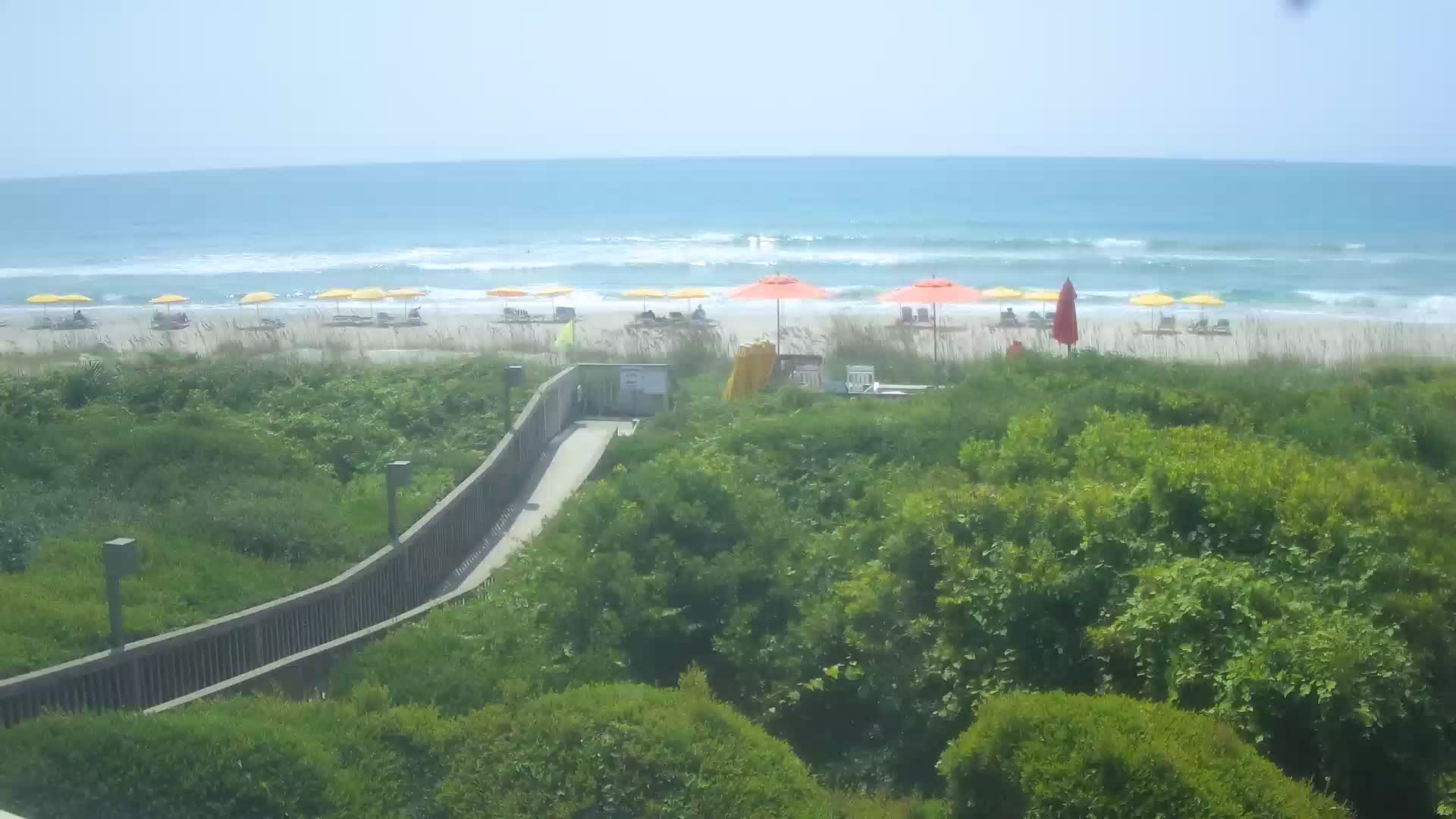
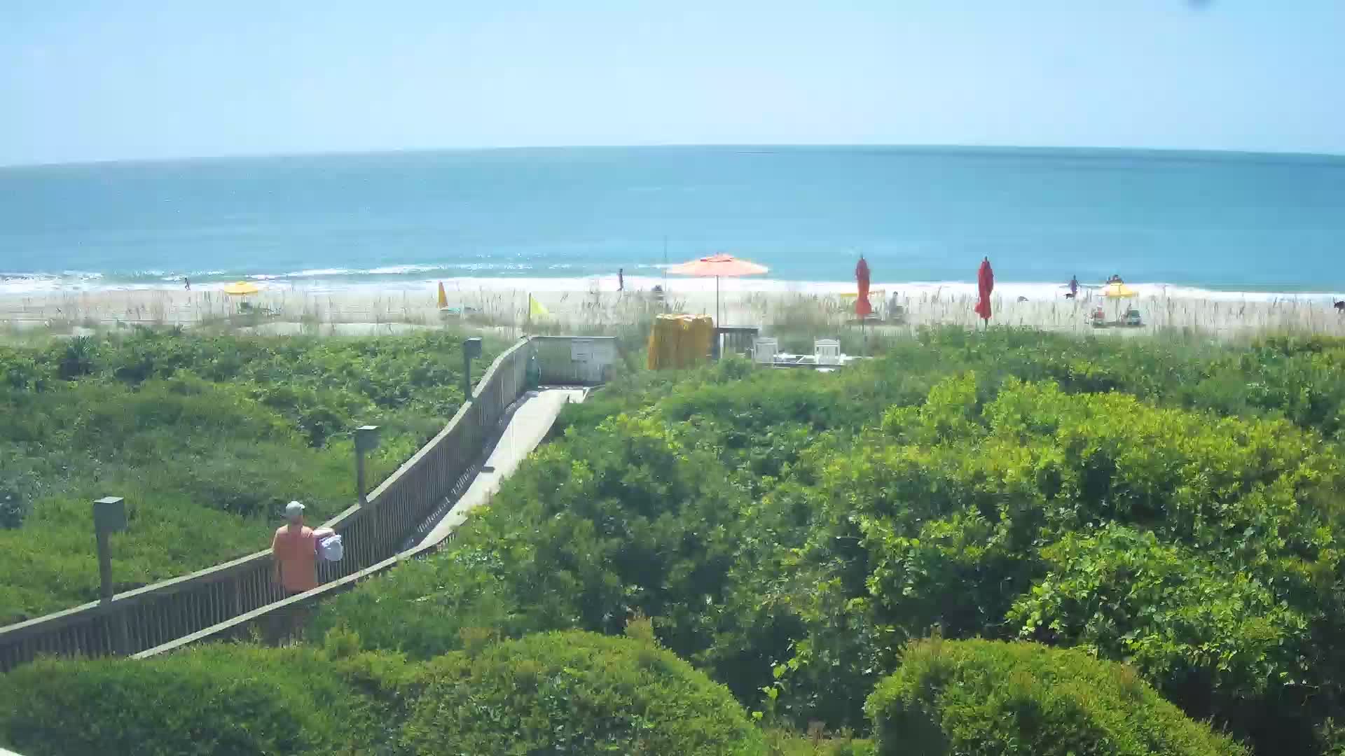
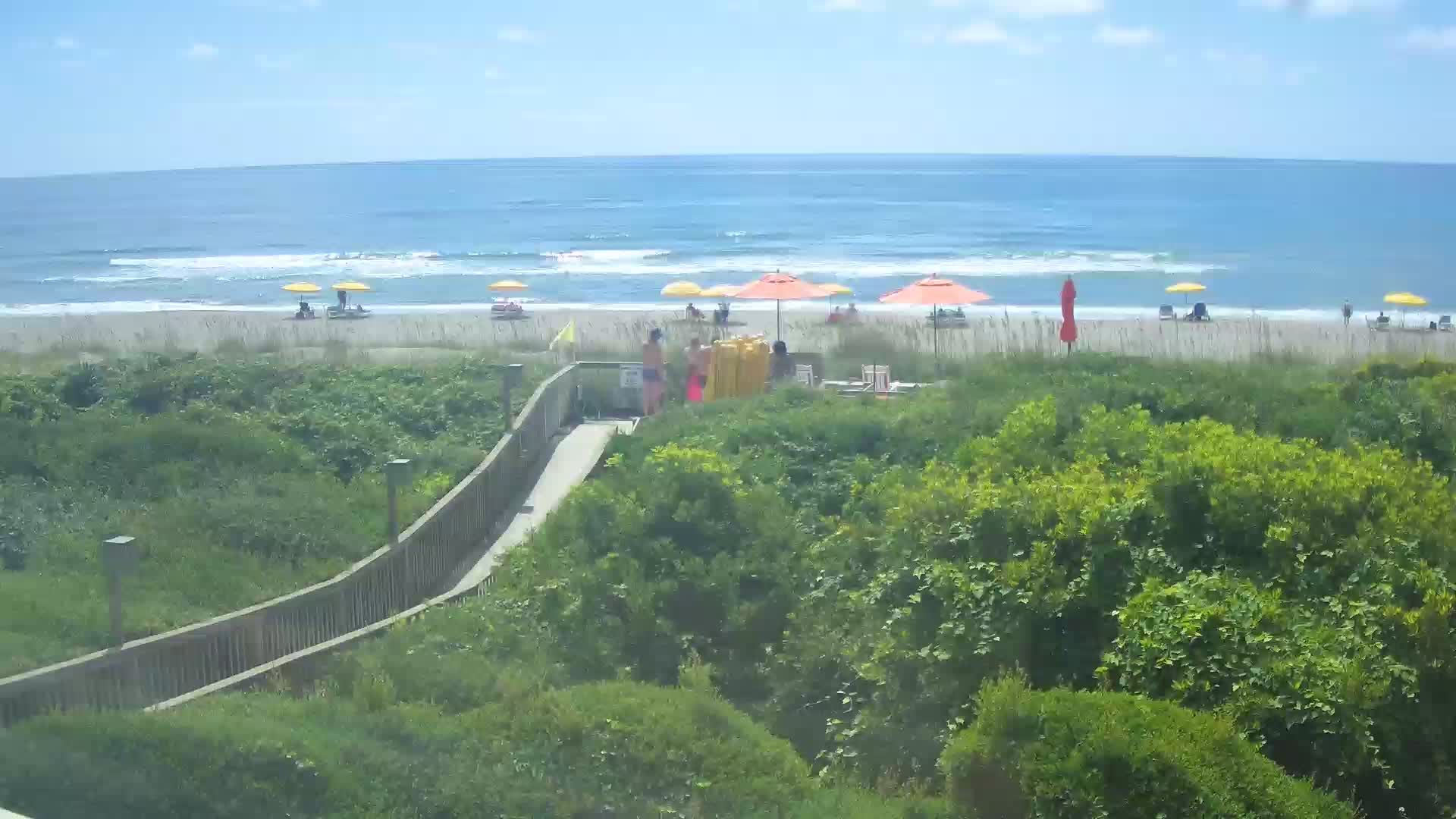
Myrtle Beach, South Carolina, USA - 17.8 miles from The Grove: North Beach Plantation Resort
Operator: TripSmarter.Com
Operator: TripSmarter.Com


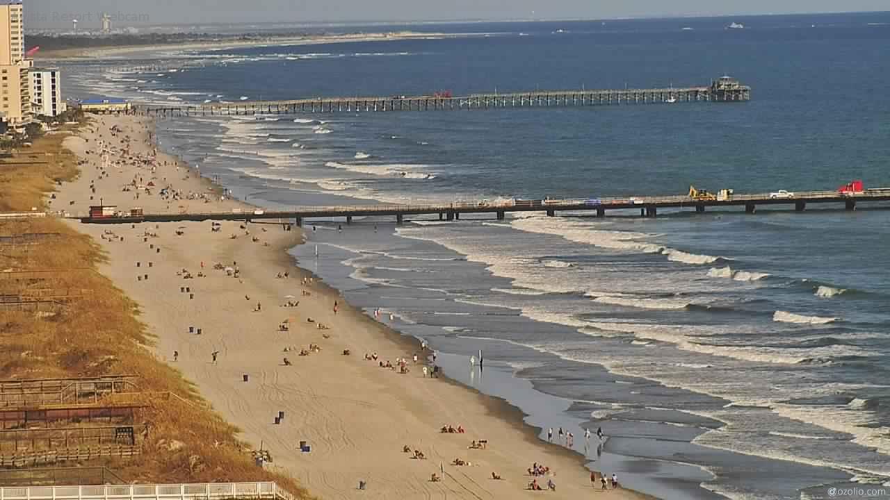
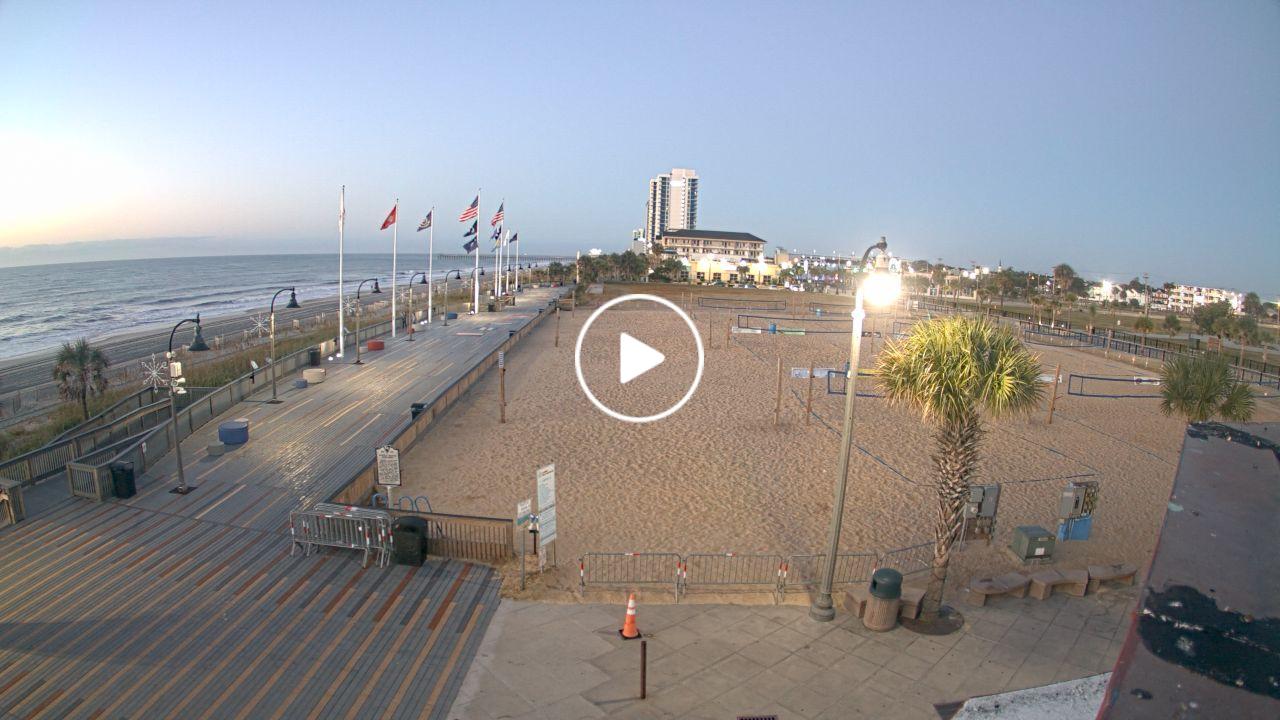
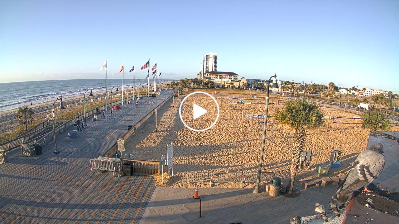
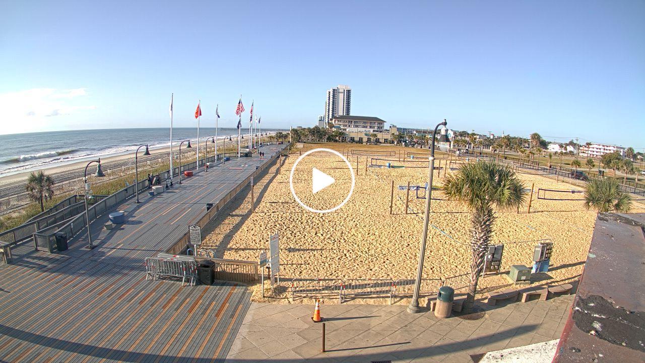
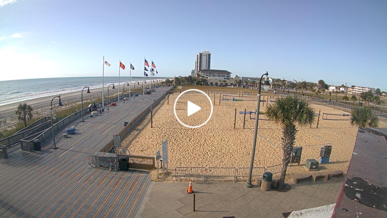
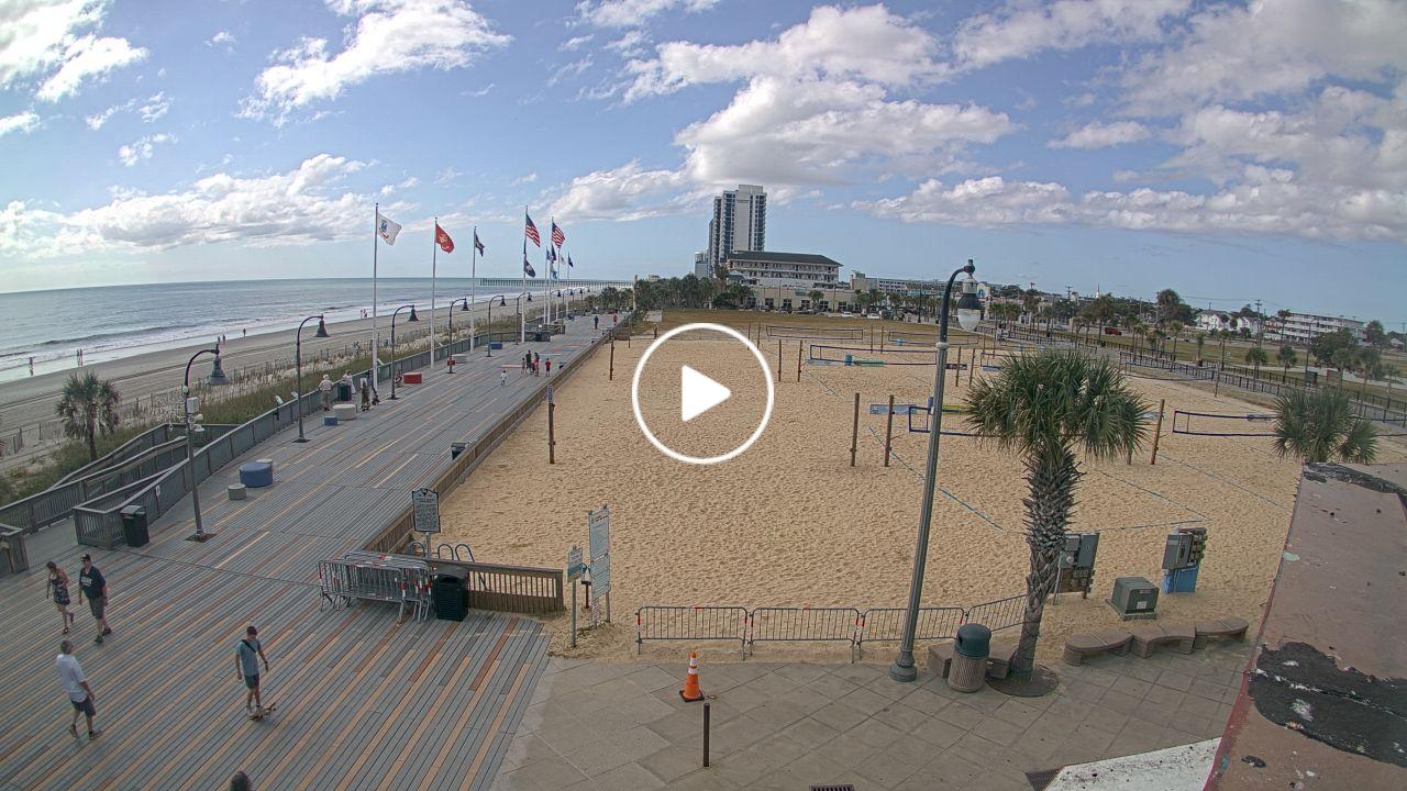
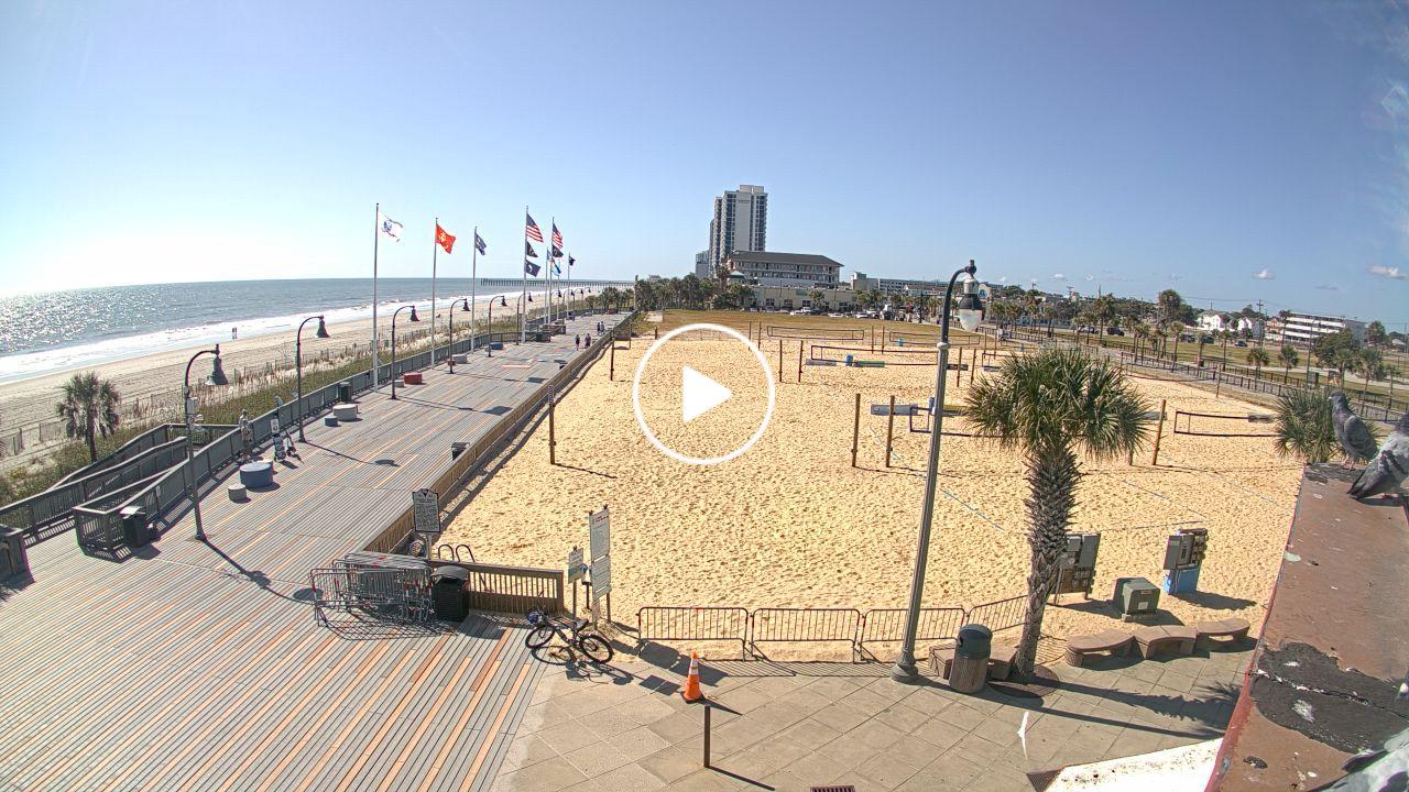
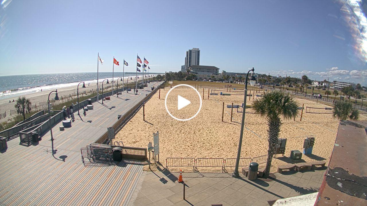
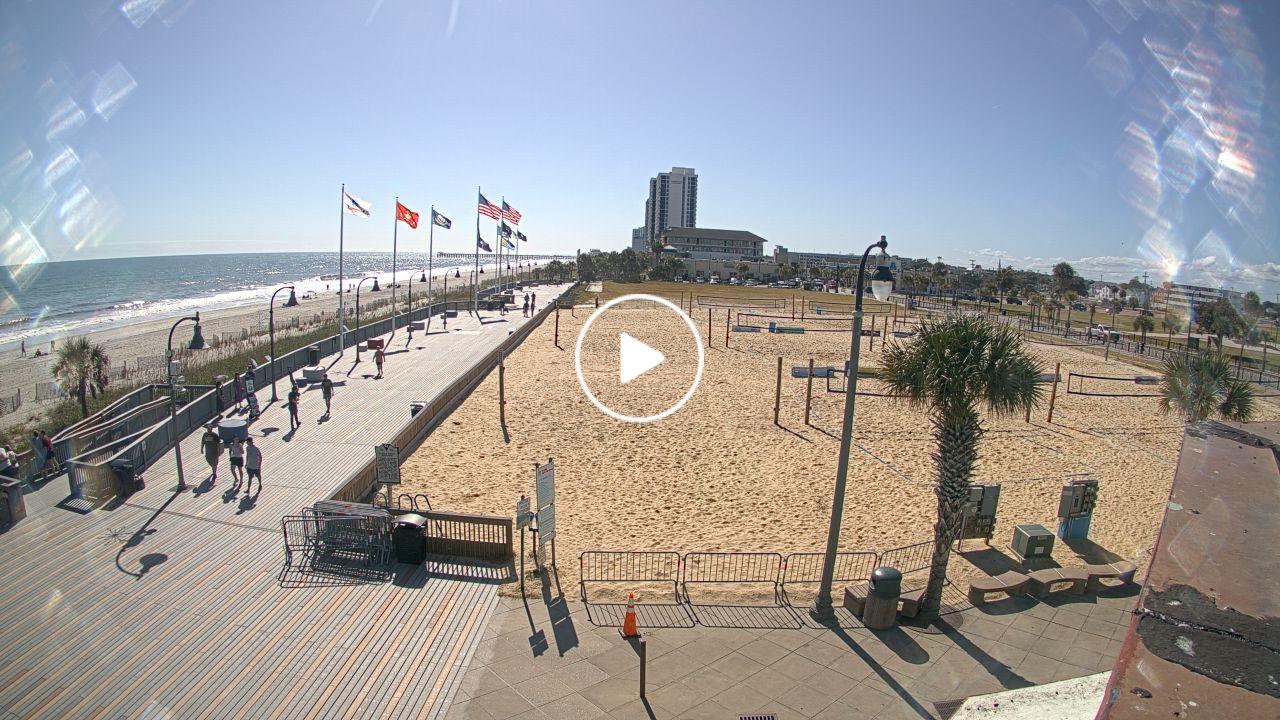
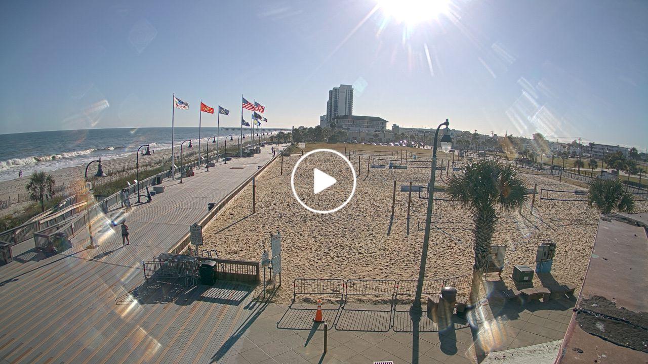
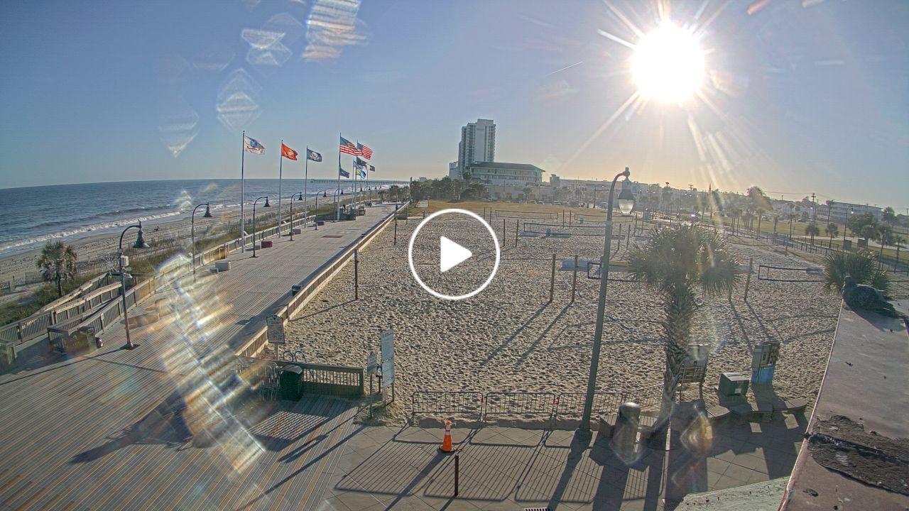
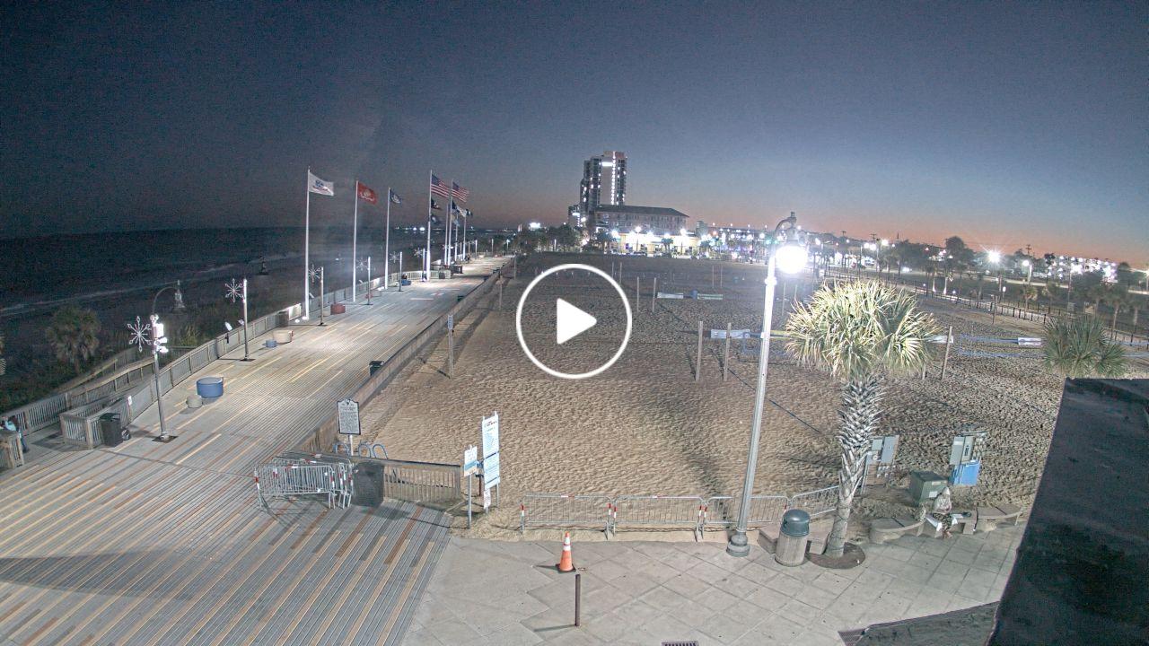
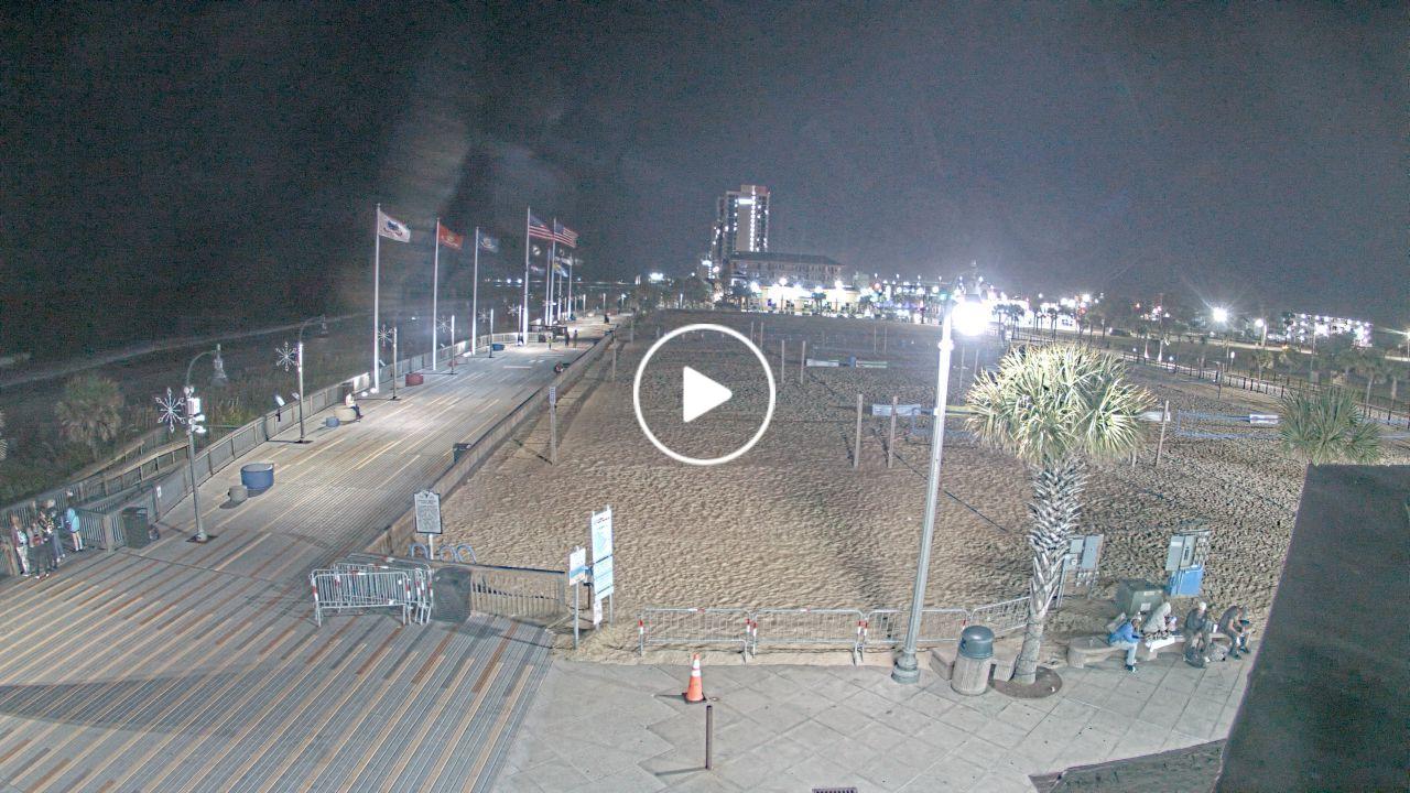
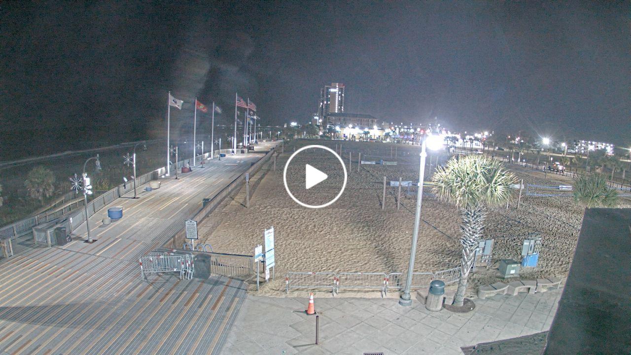
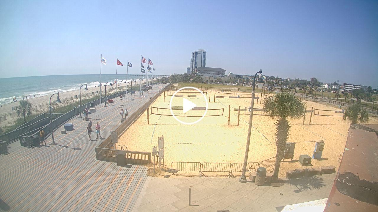
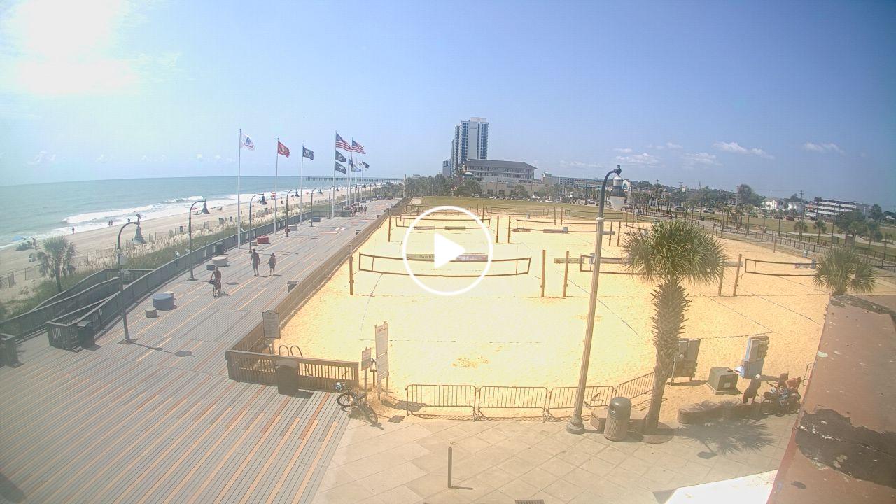
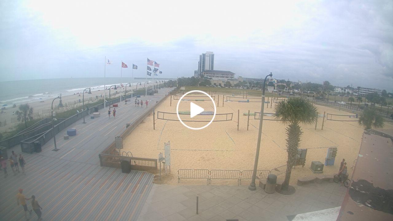
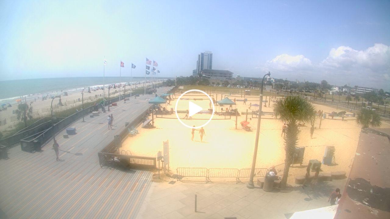
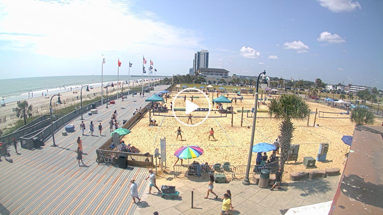
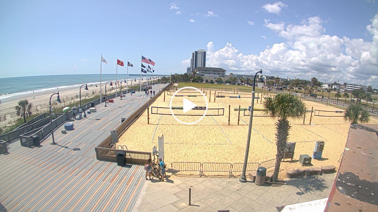
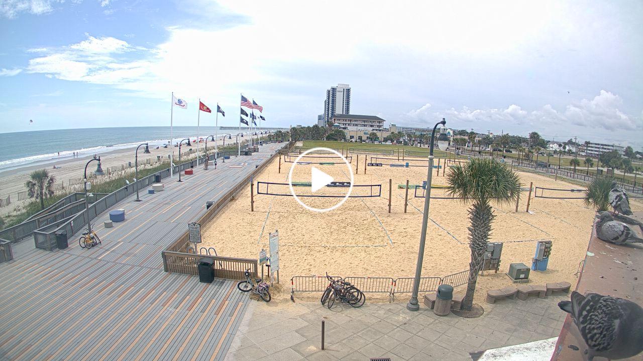
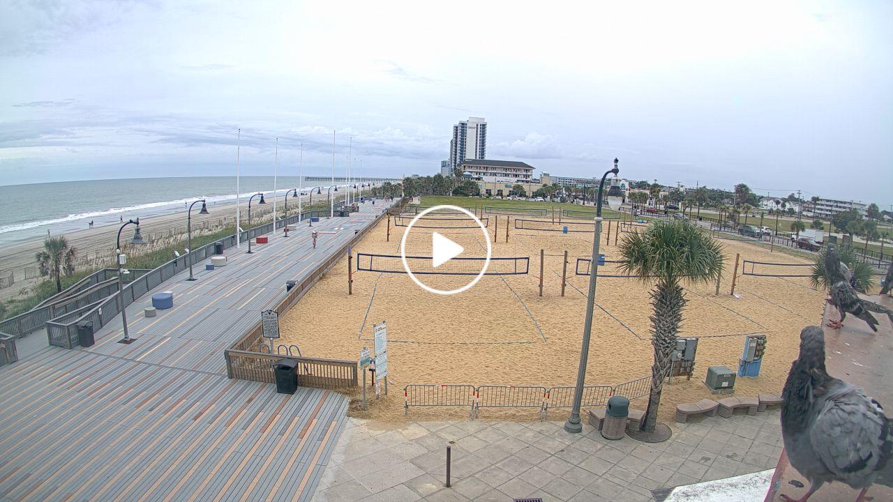
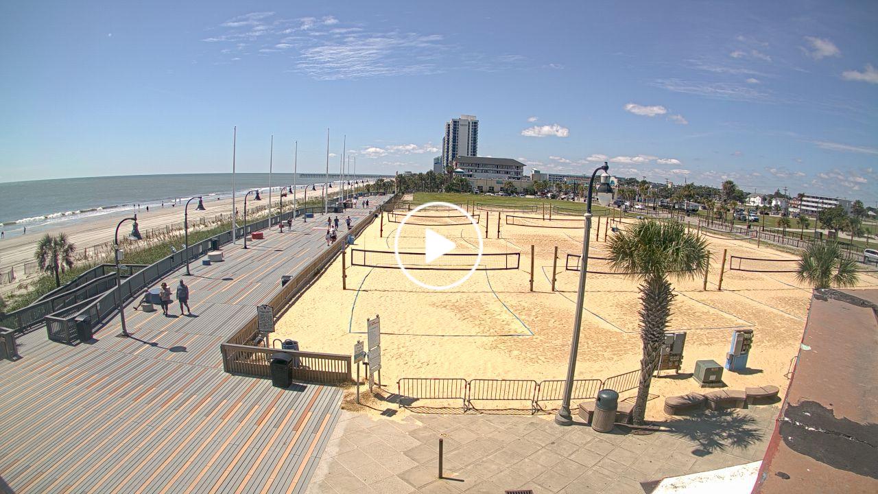
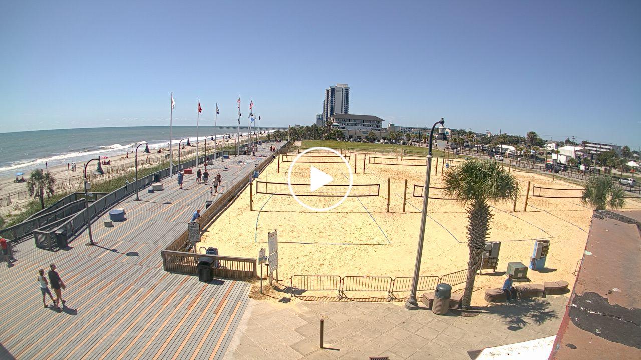
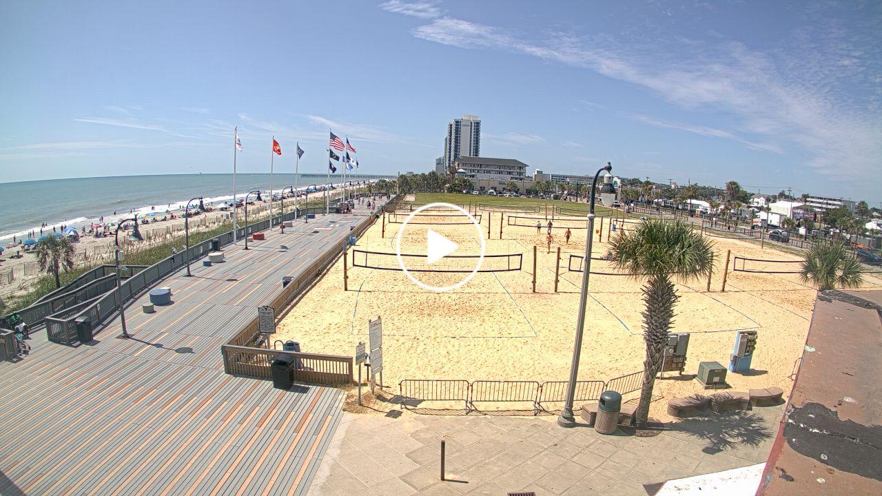
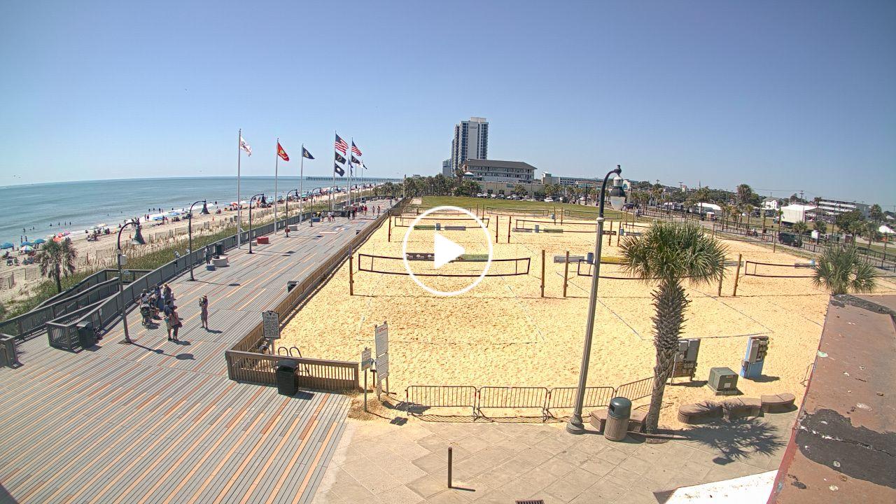
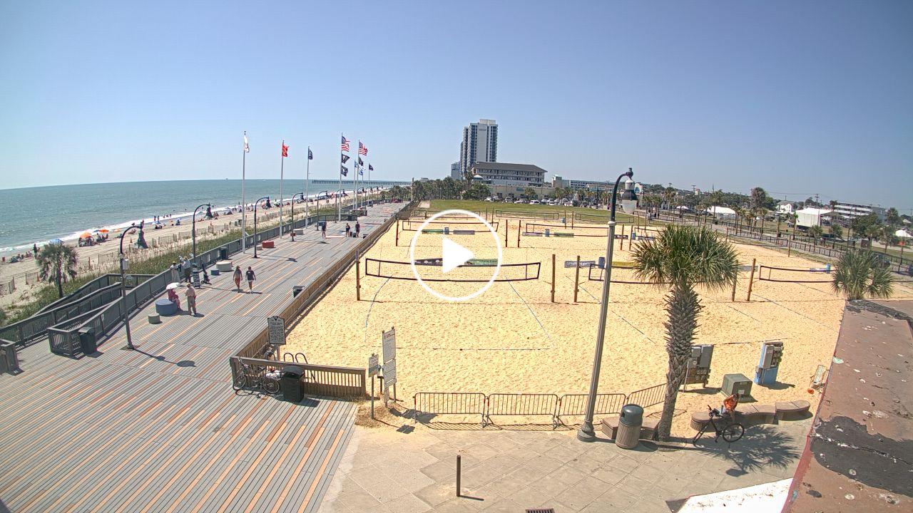
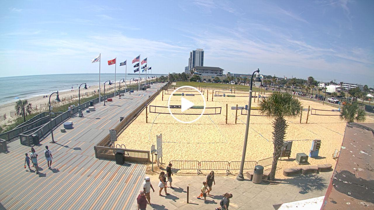
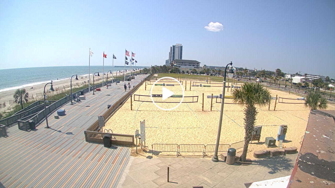
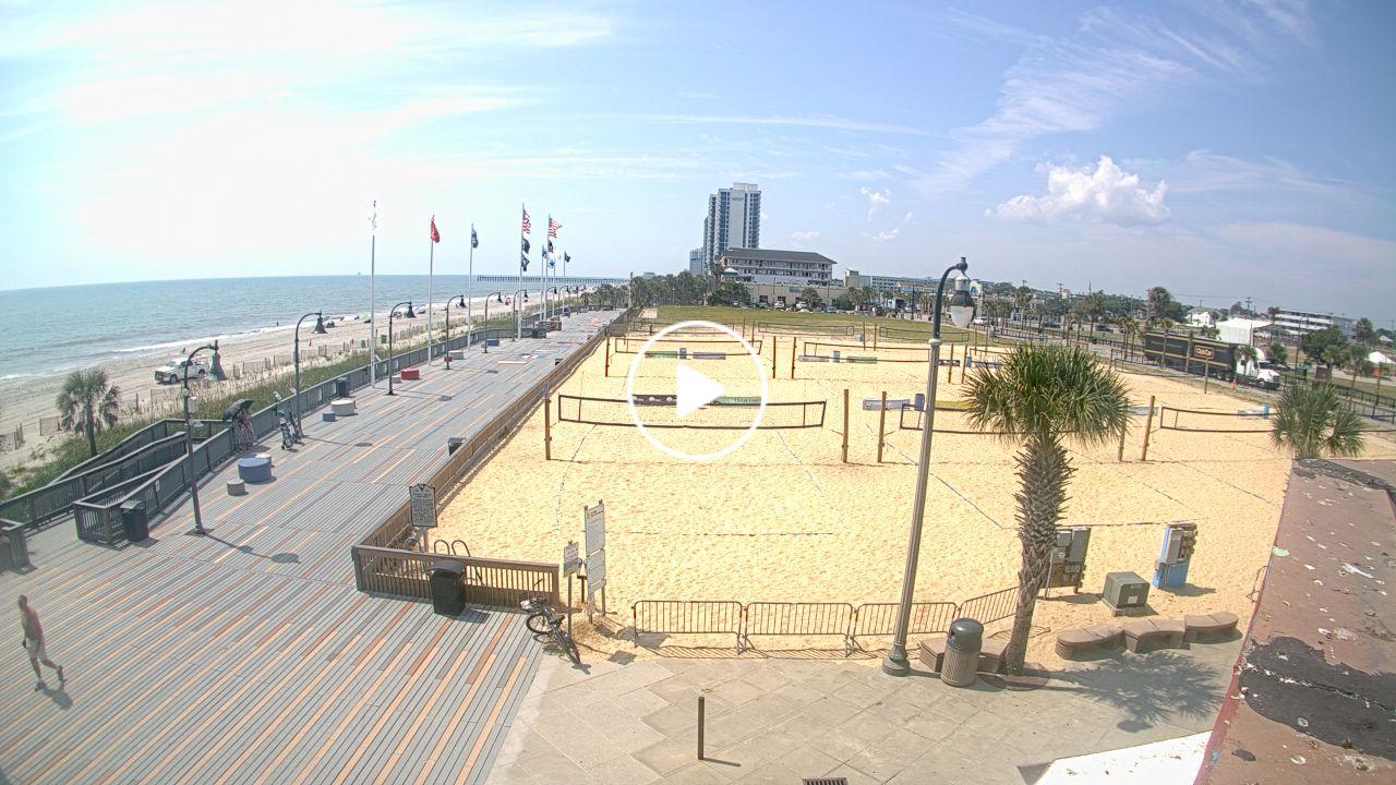
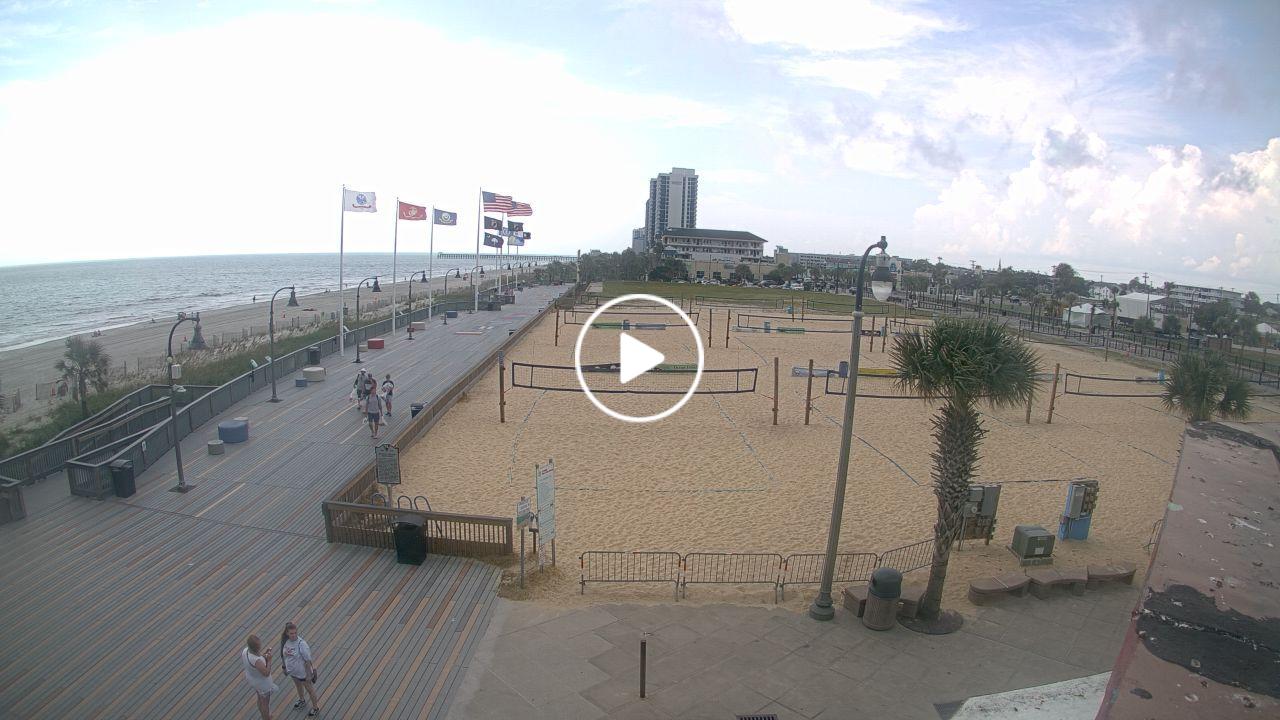
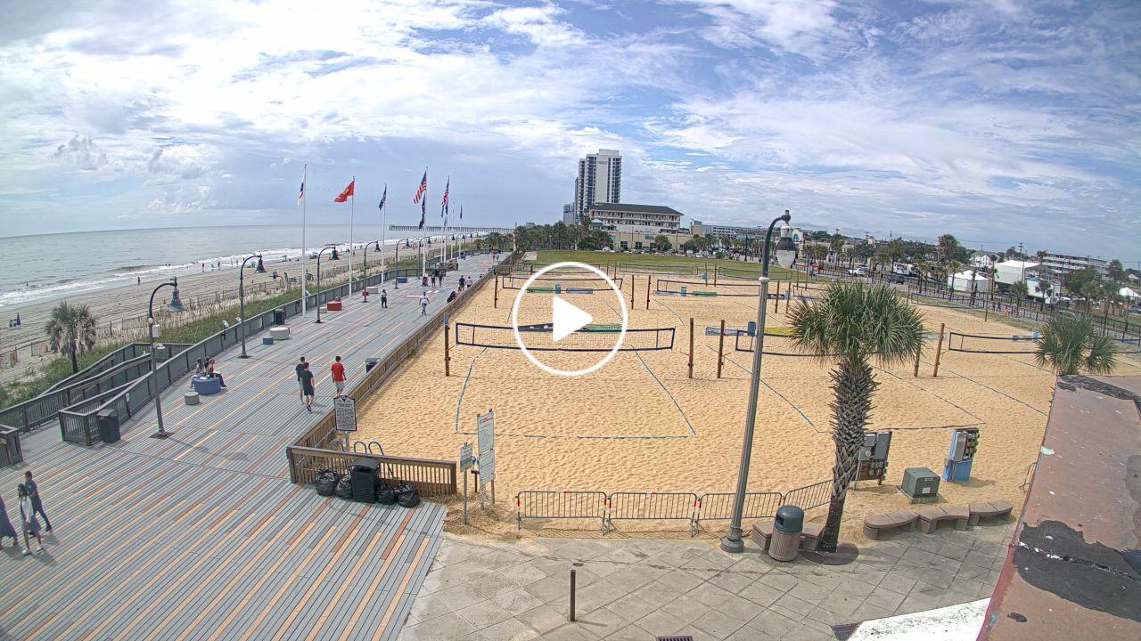
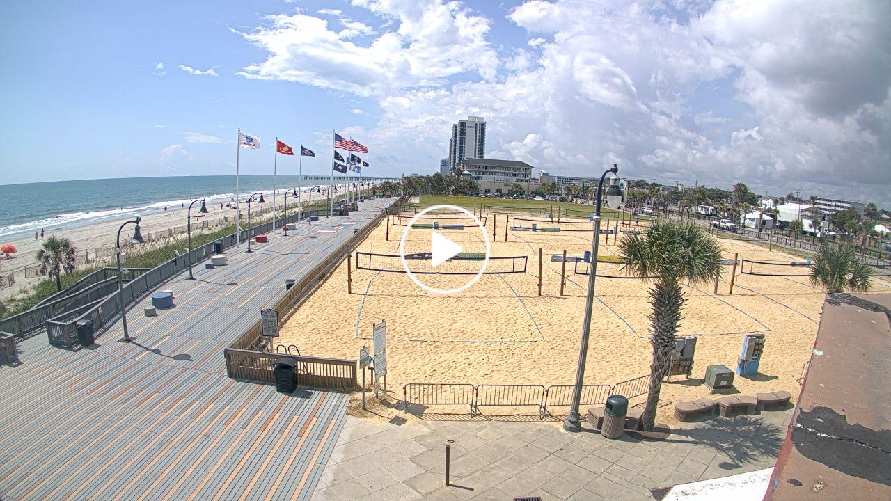
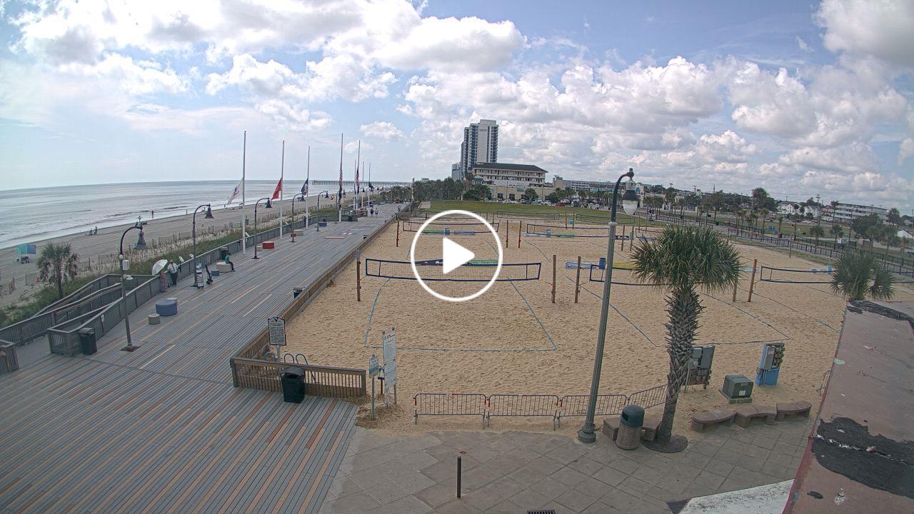
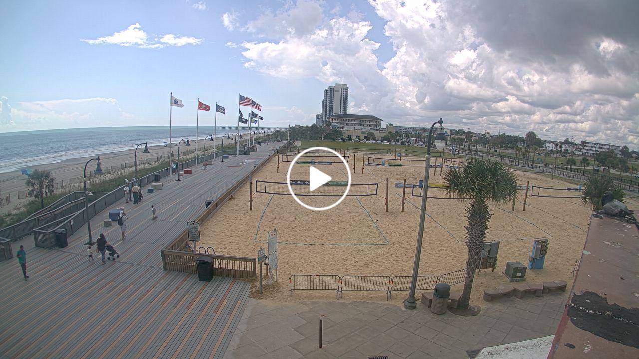
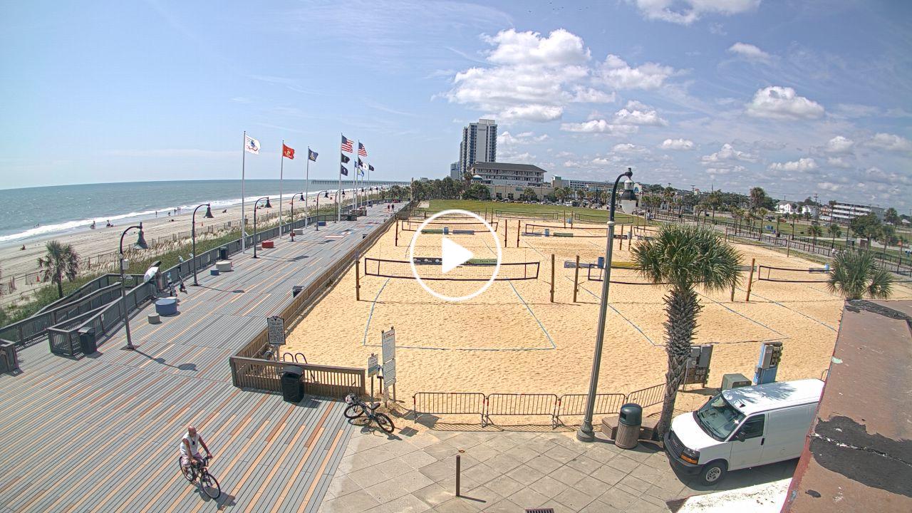
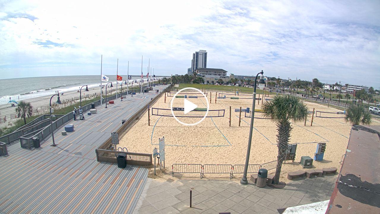
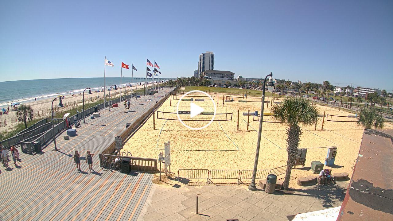
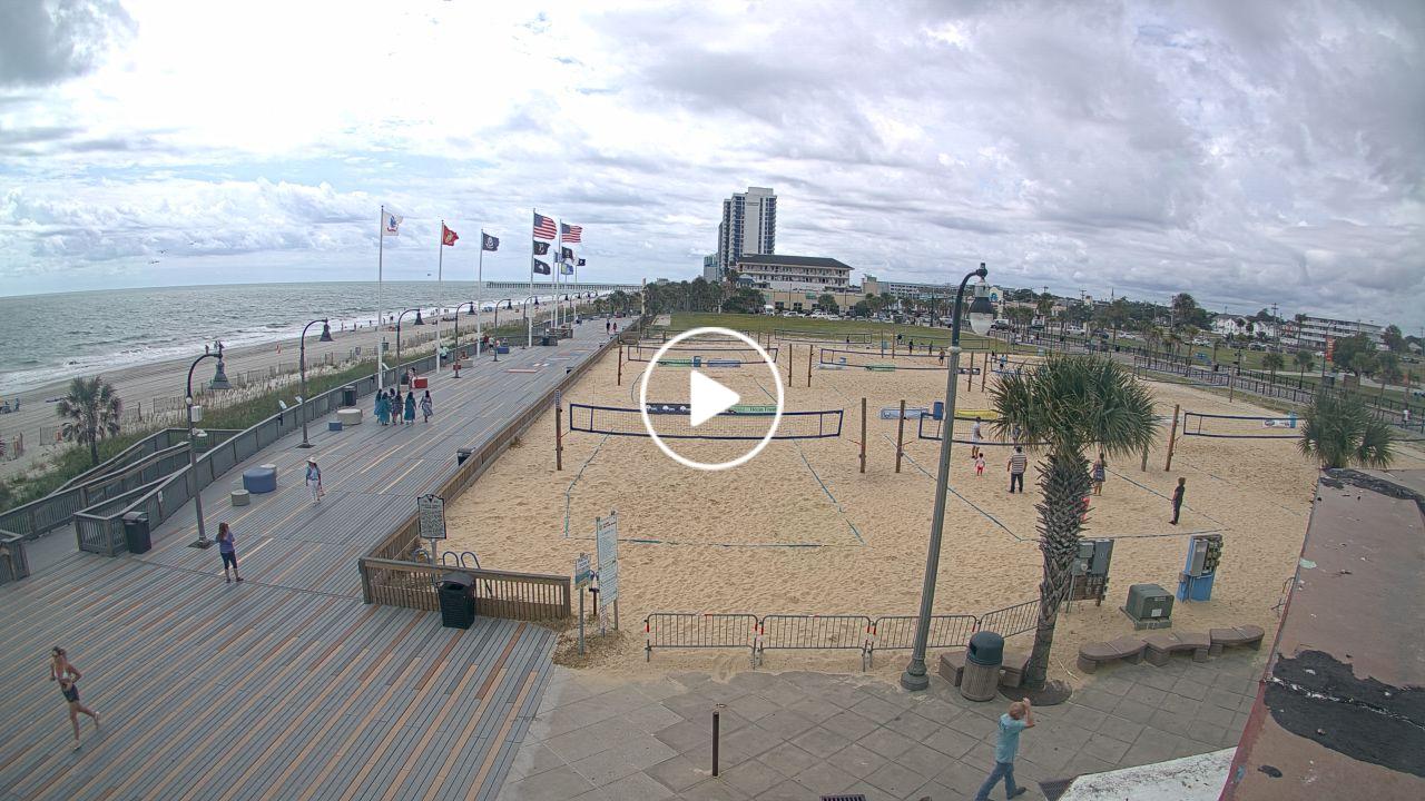
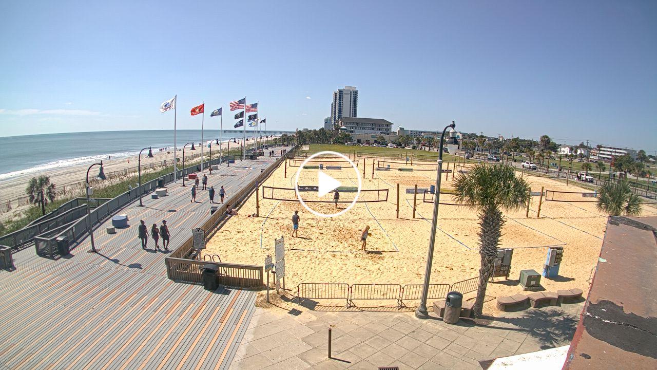
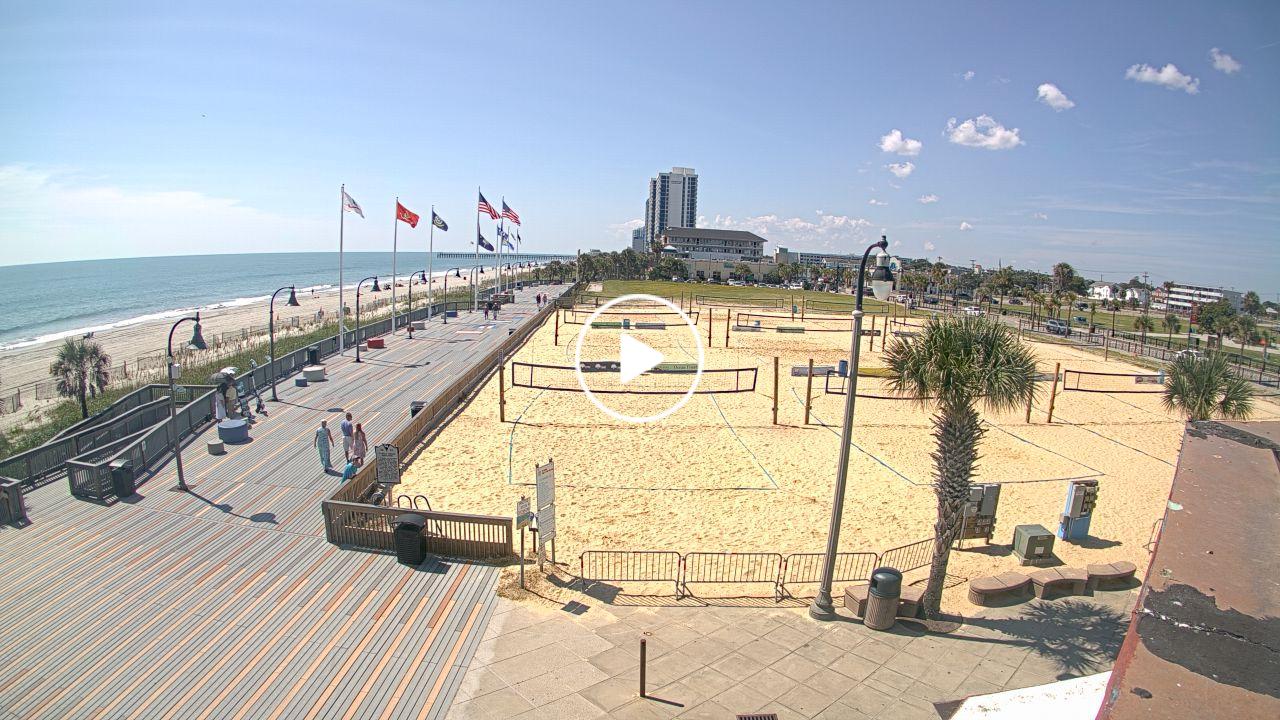
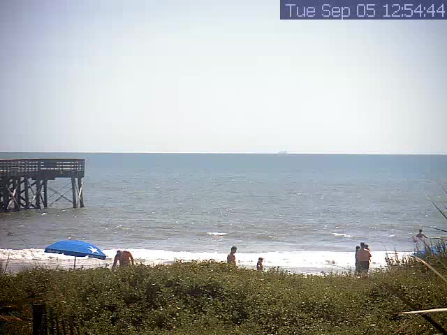
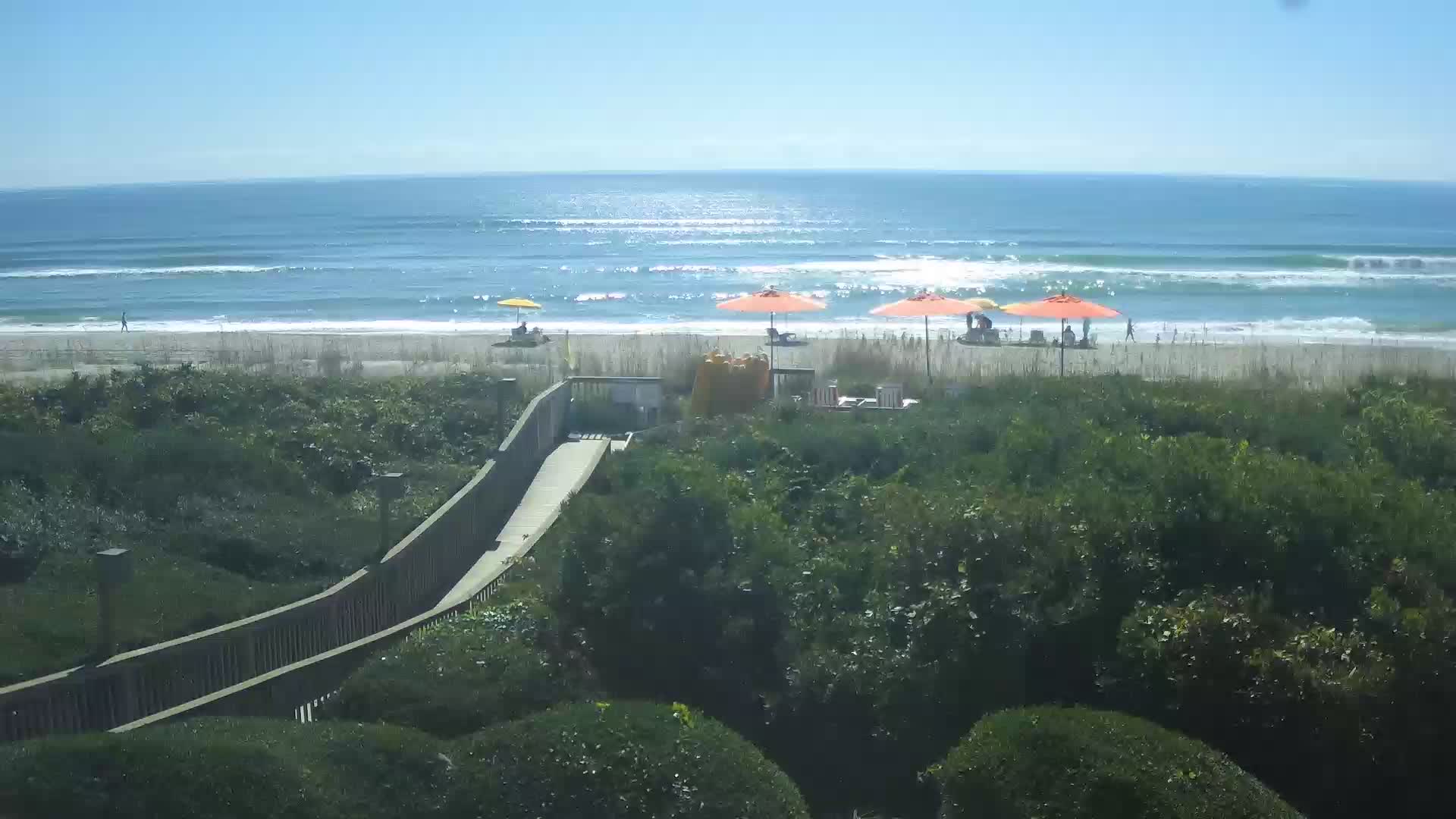
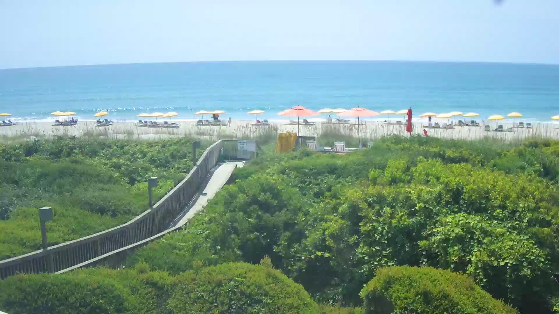
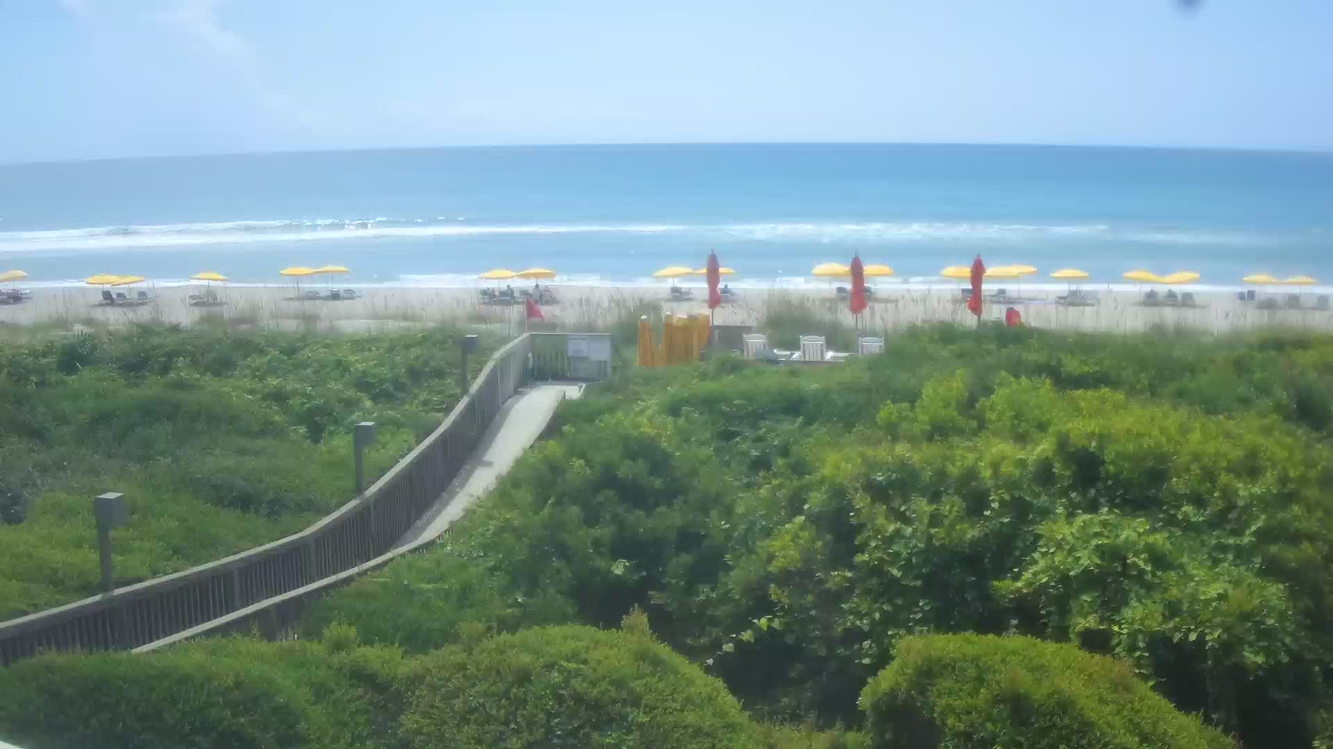
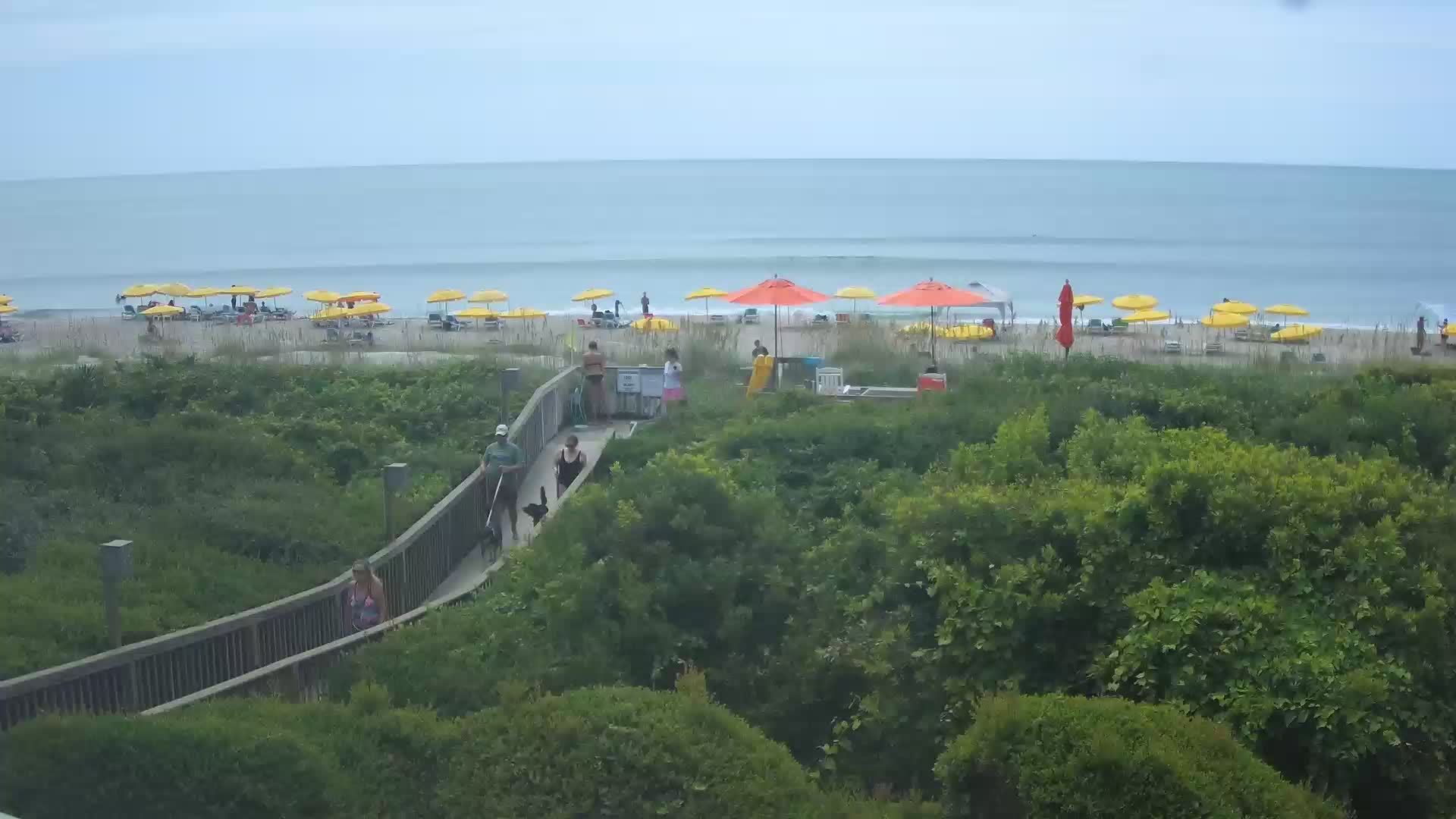
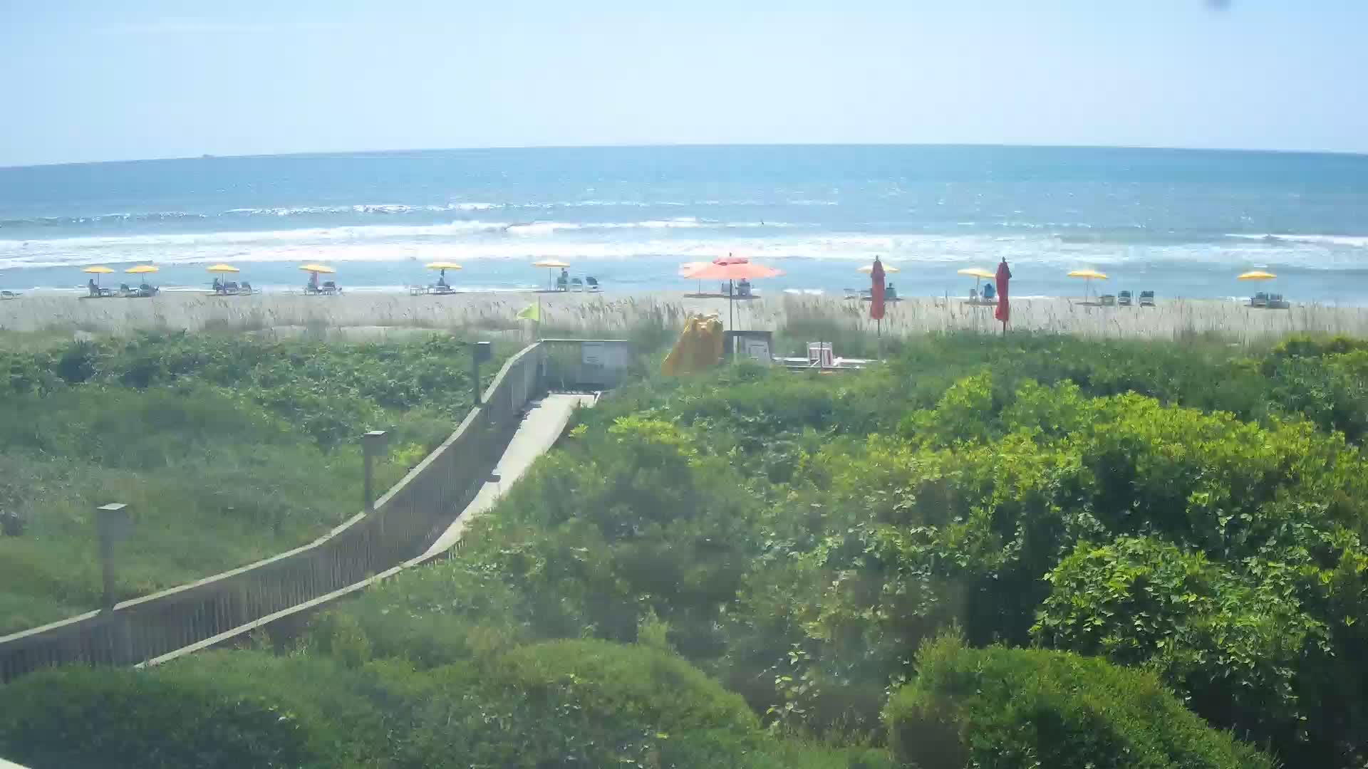
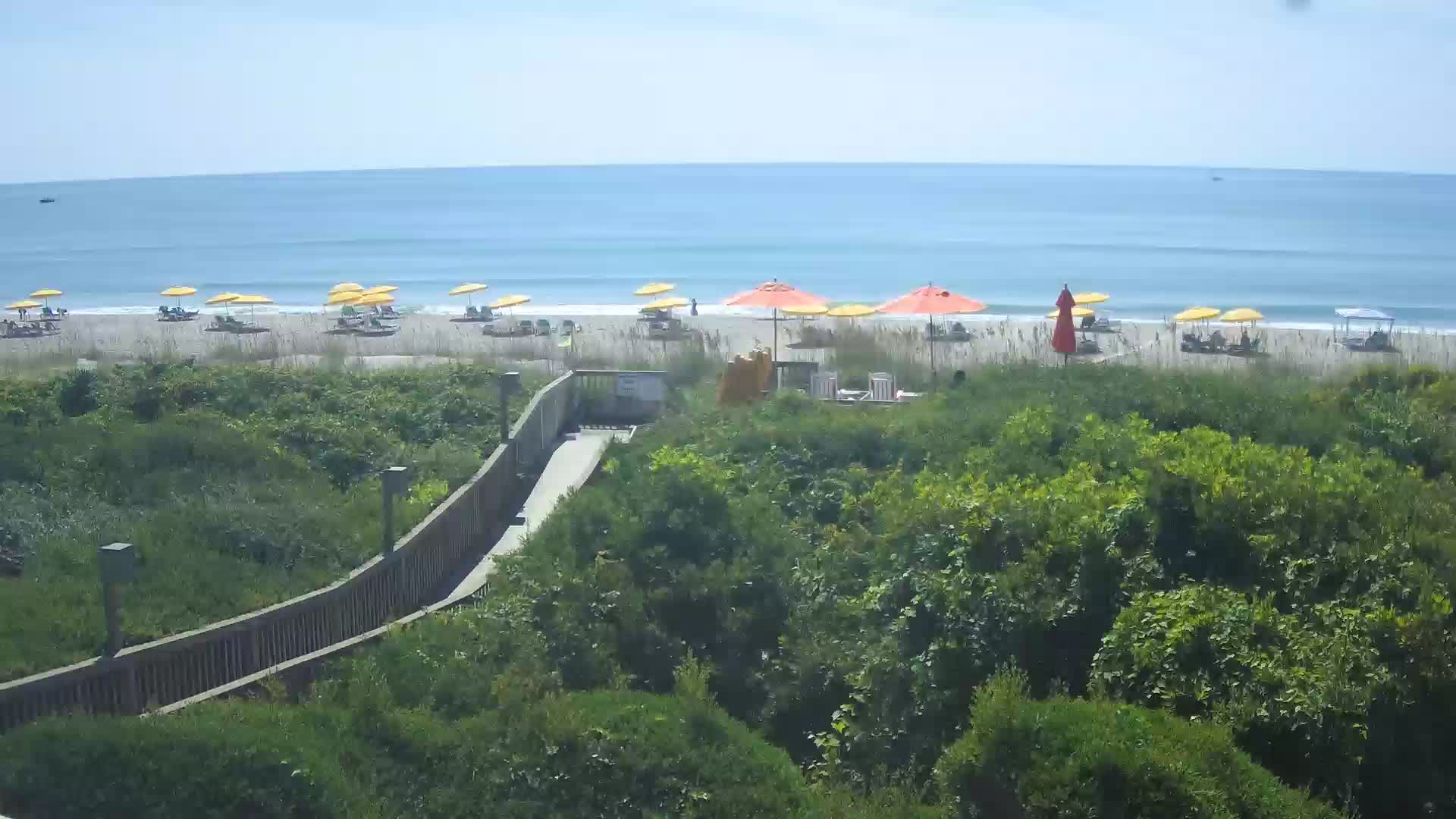
Myrtle Beach, South Carolina, USA - 17.8 miles from The Grove: HD Beach Panorama
Operator: EarthCam
Operator: EarthCam


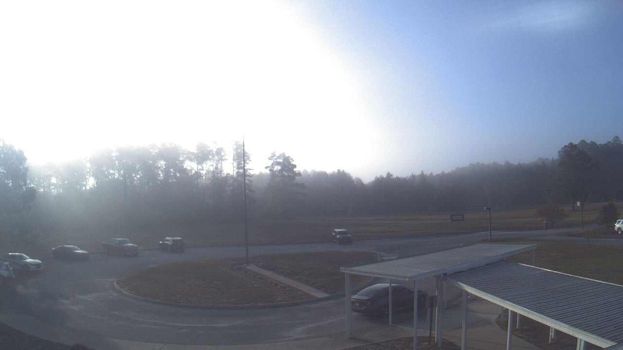
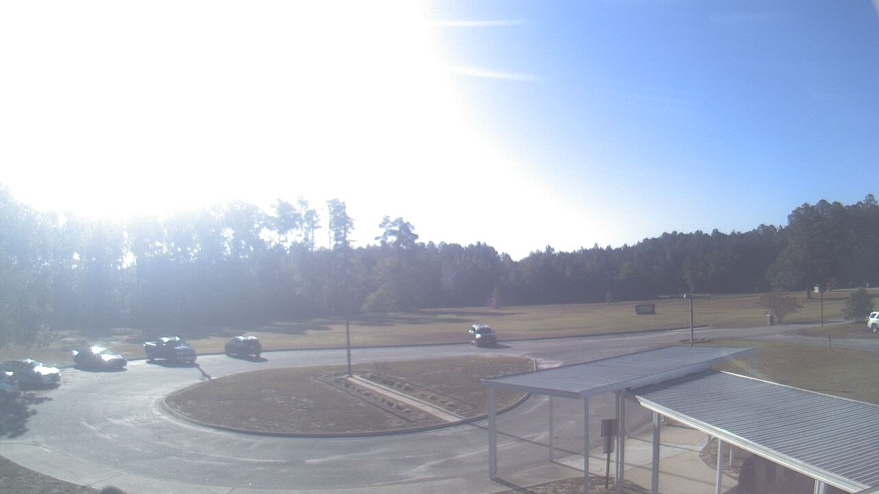
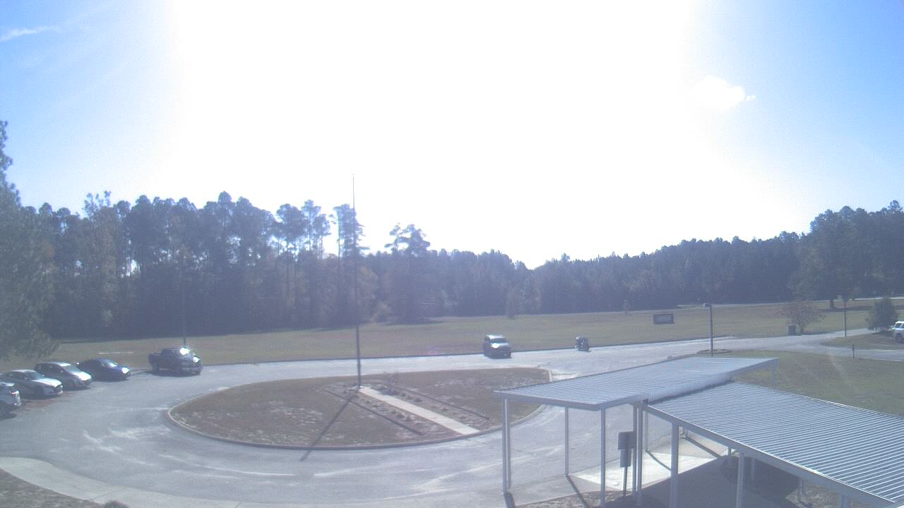
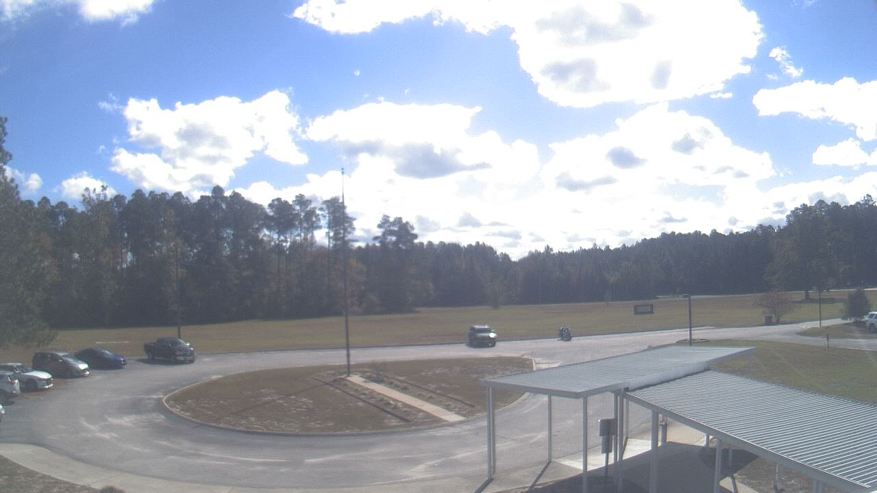
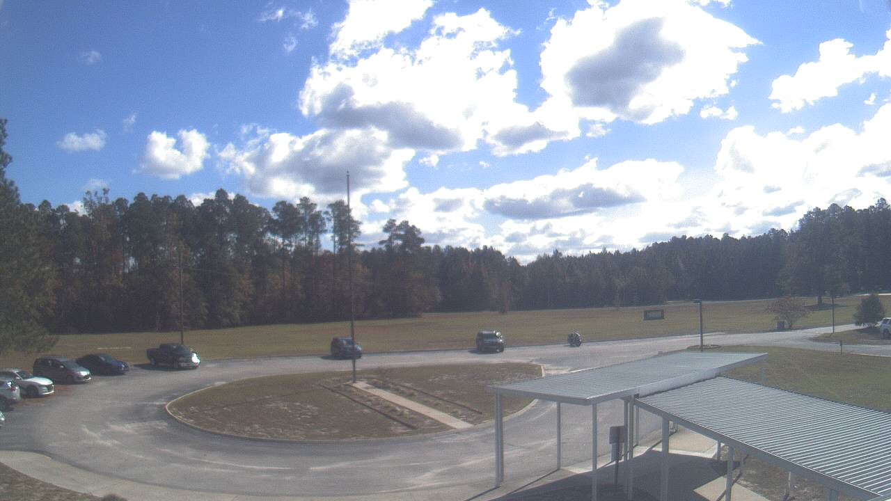
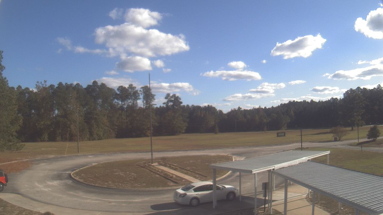
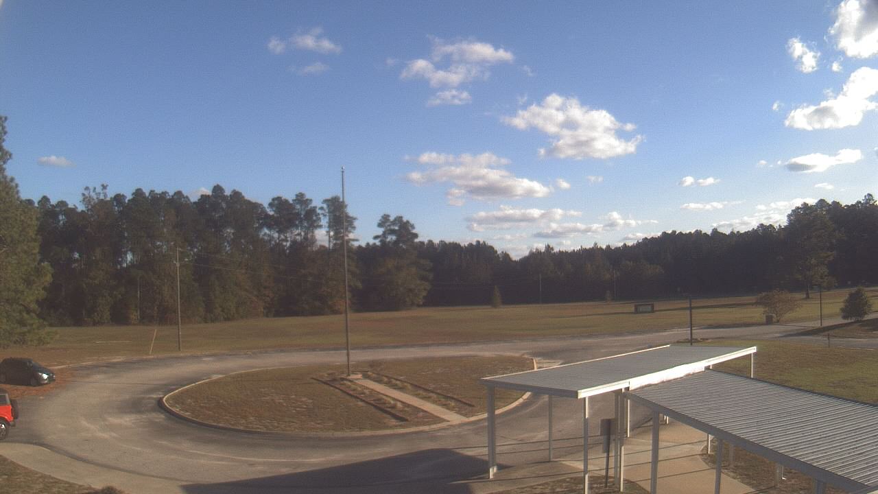
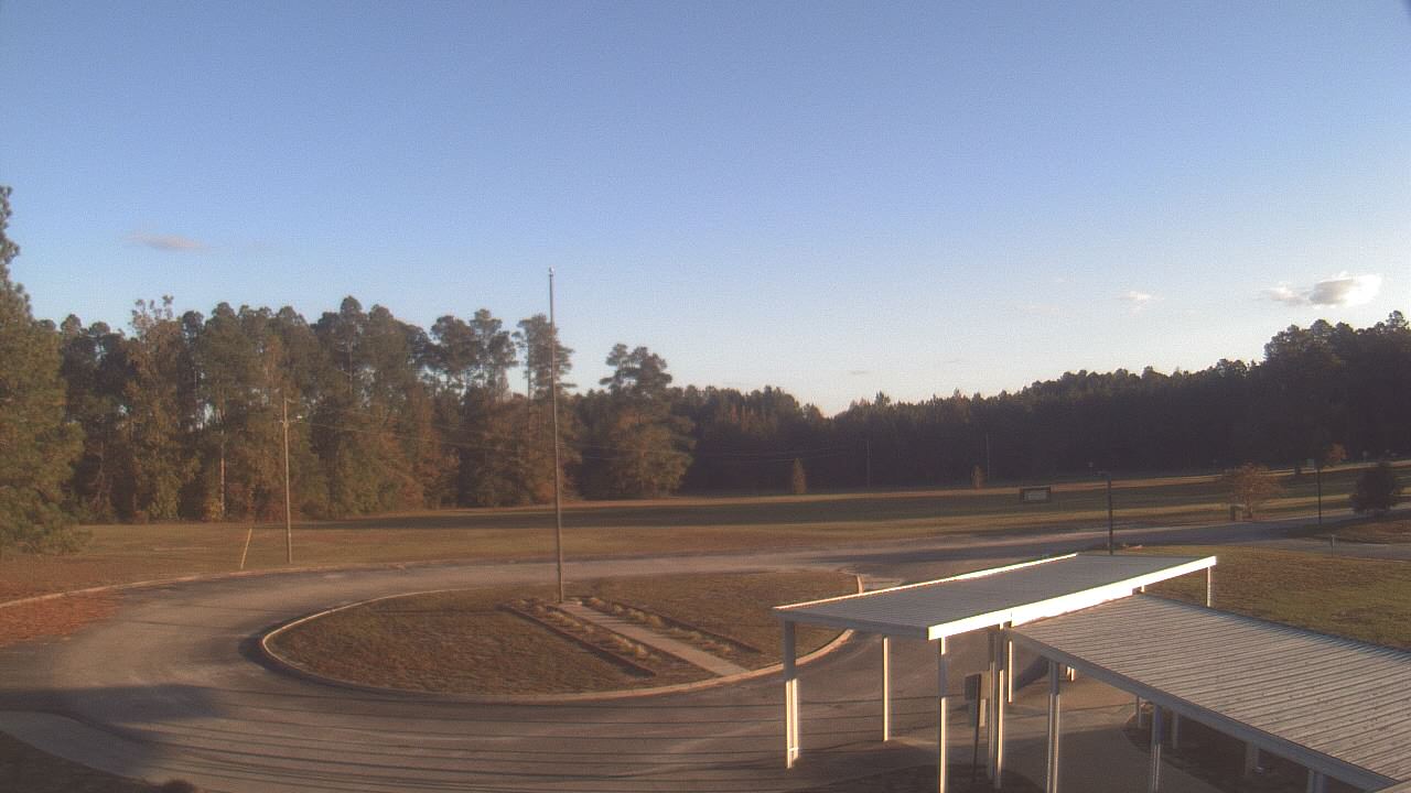
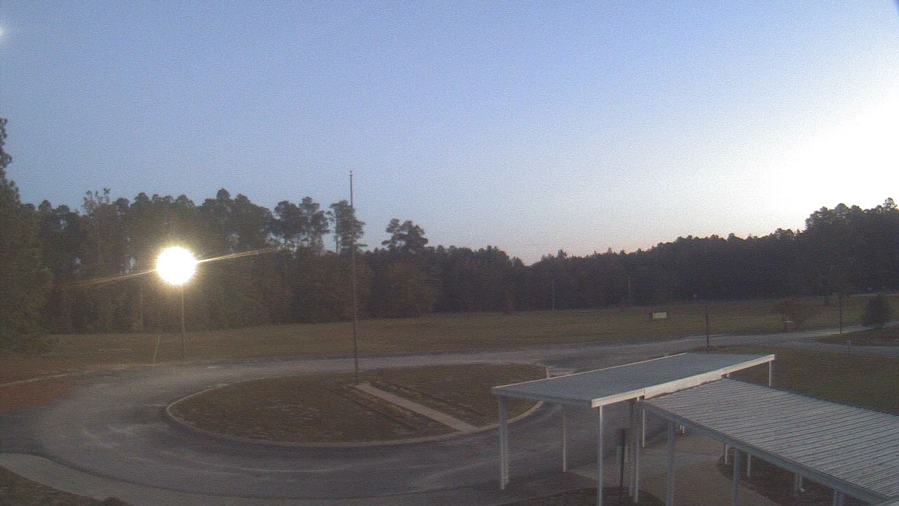
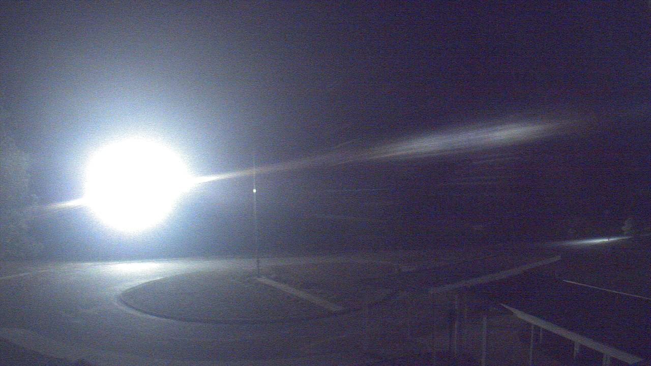
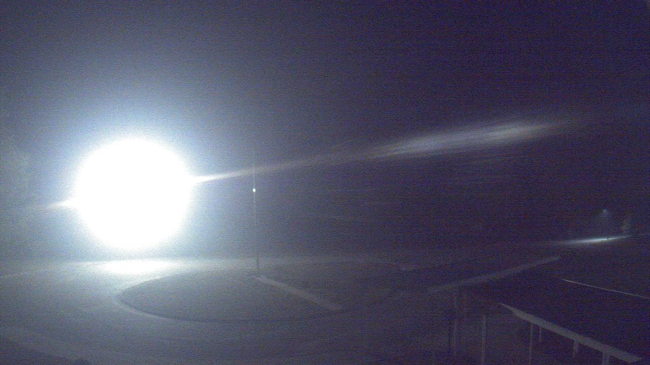
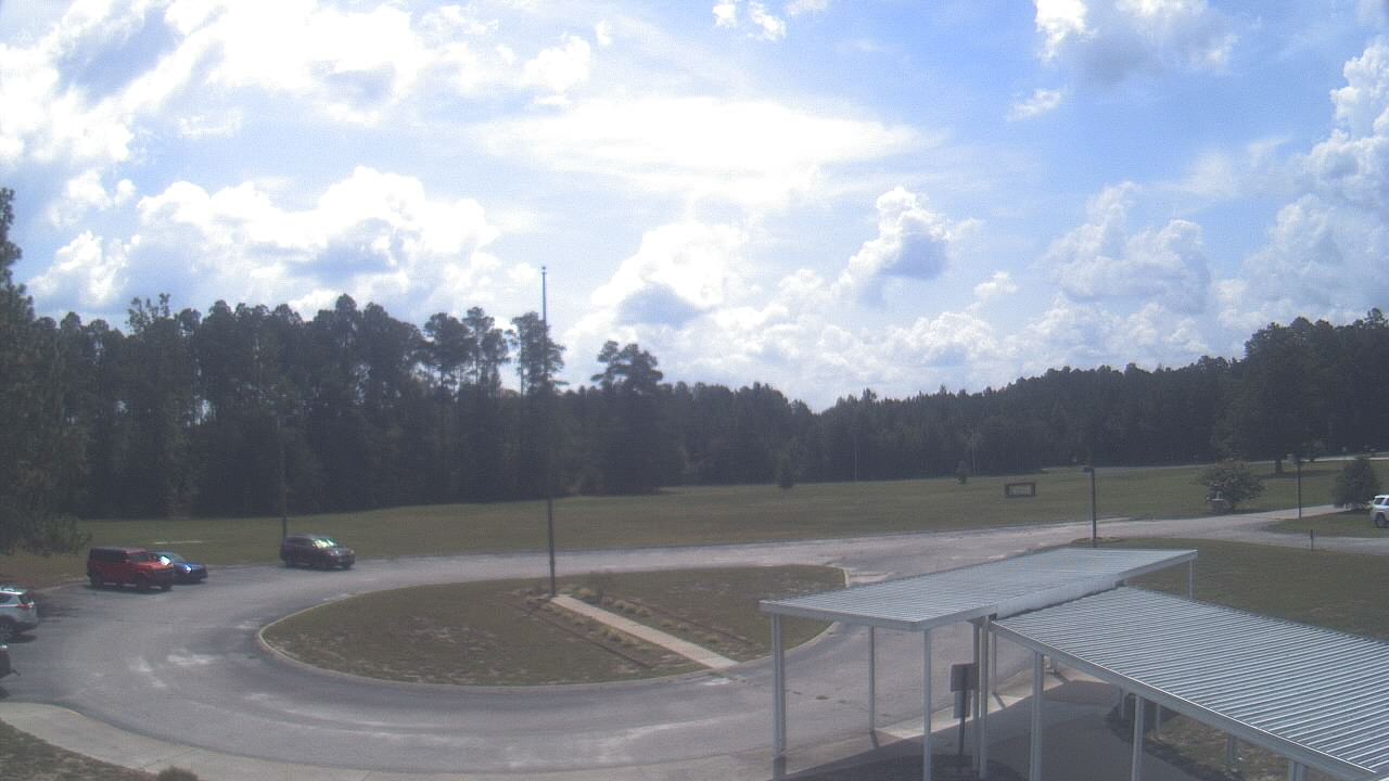
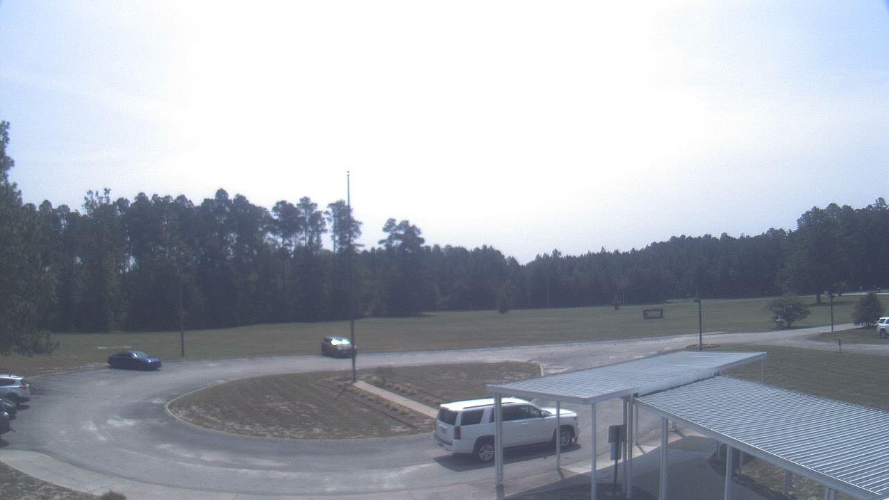
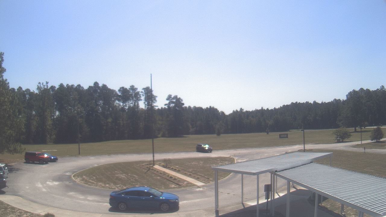
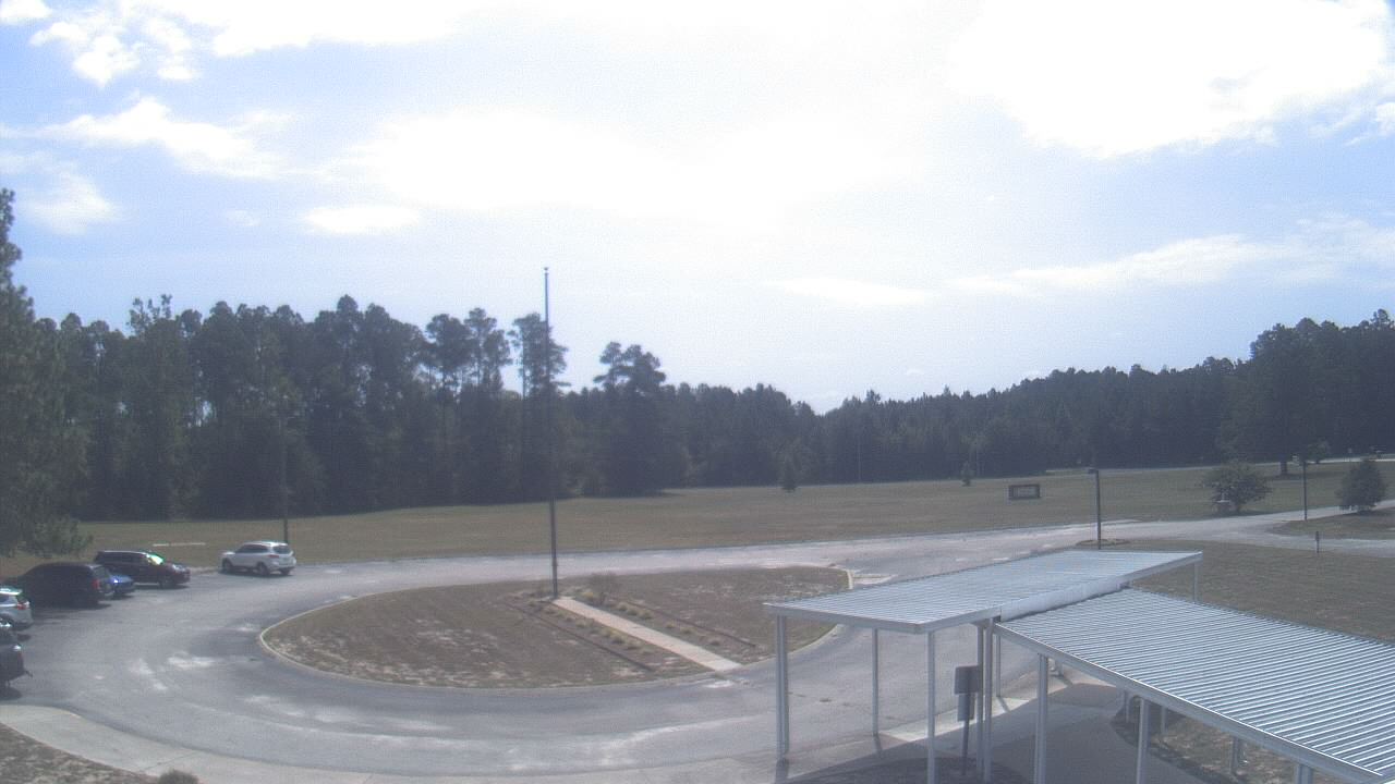
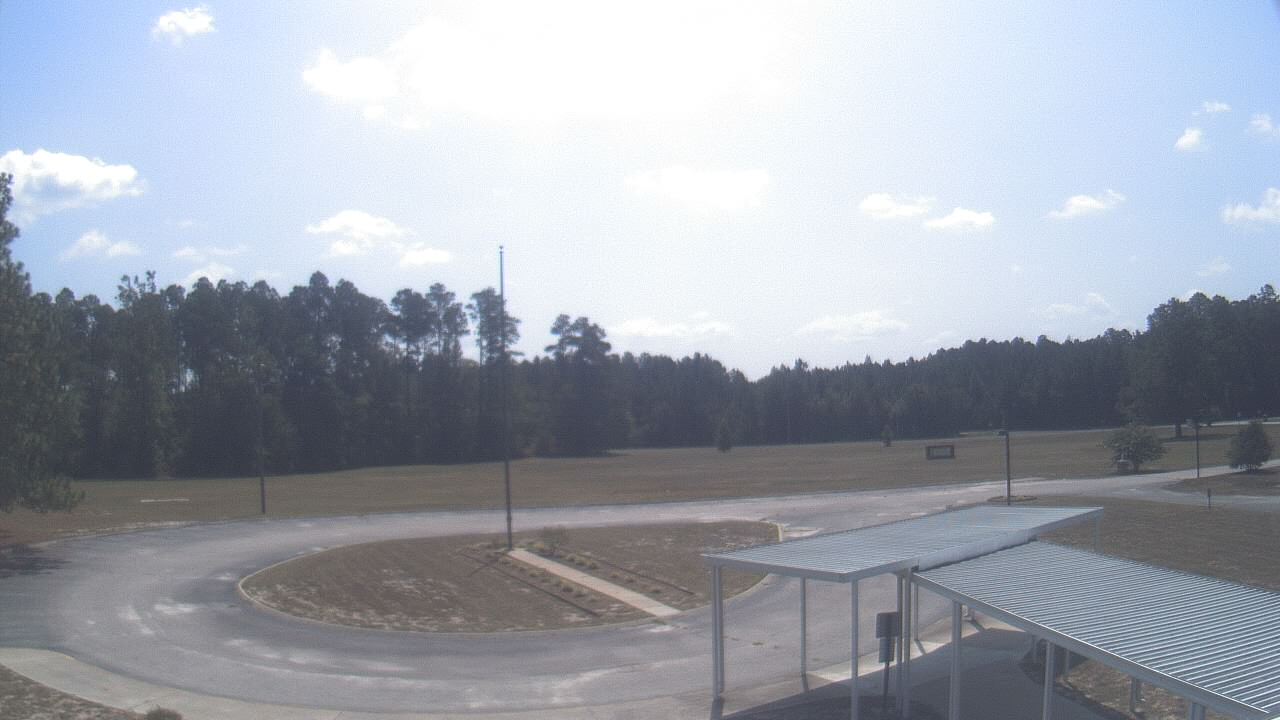
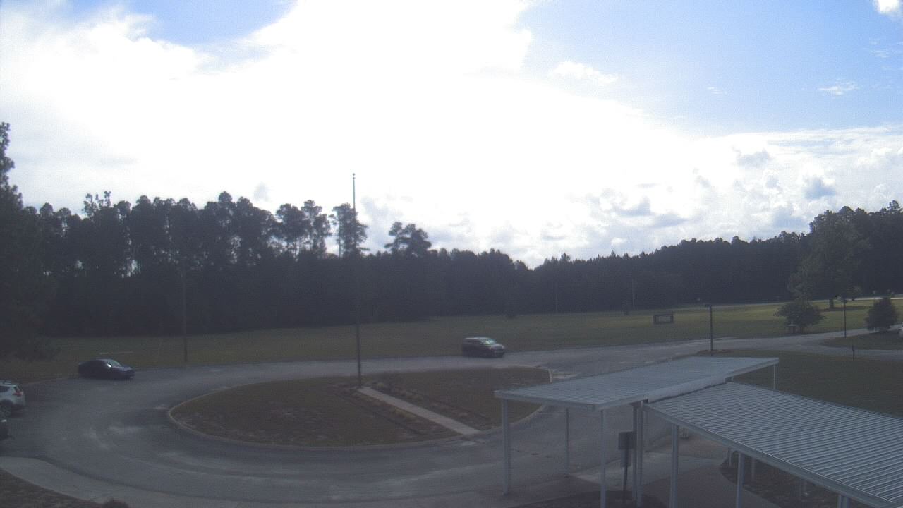
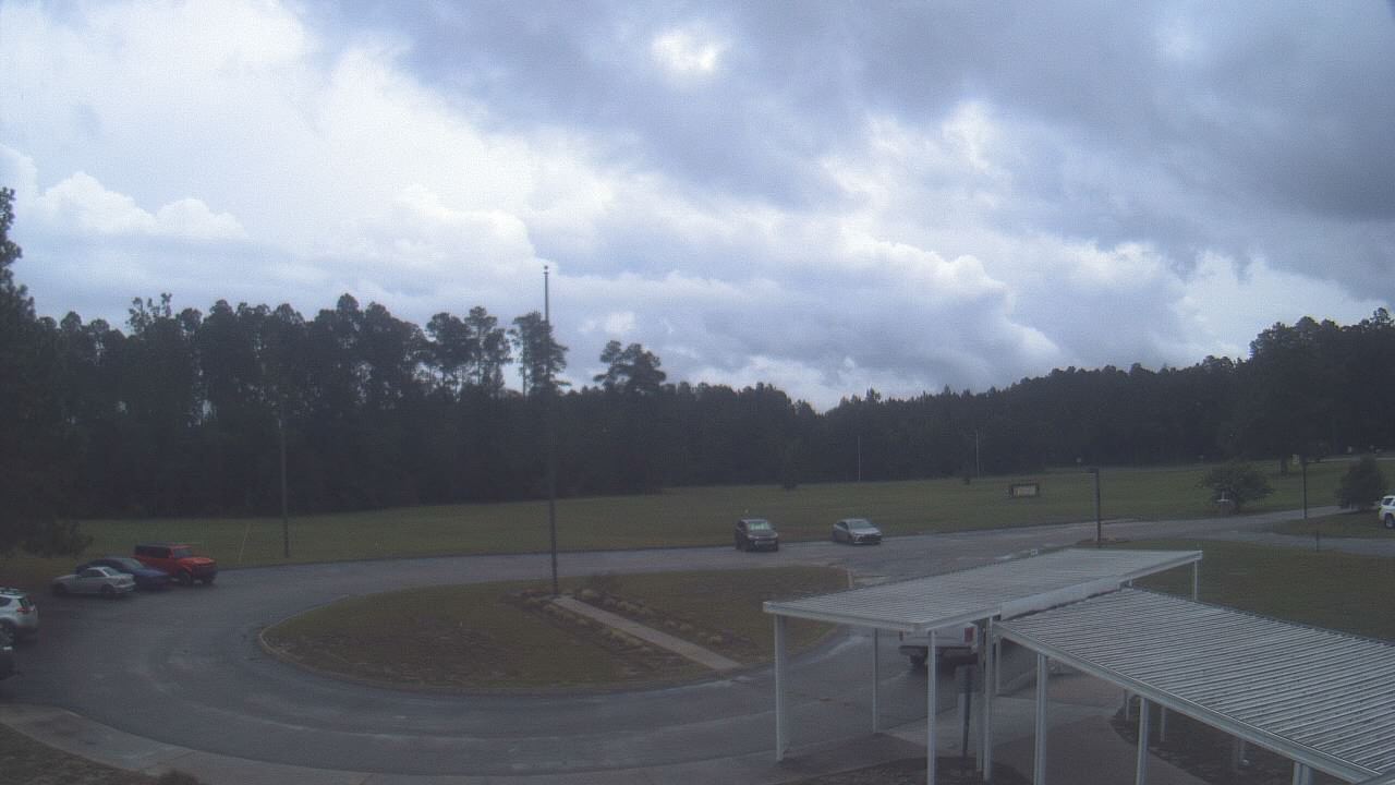
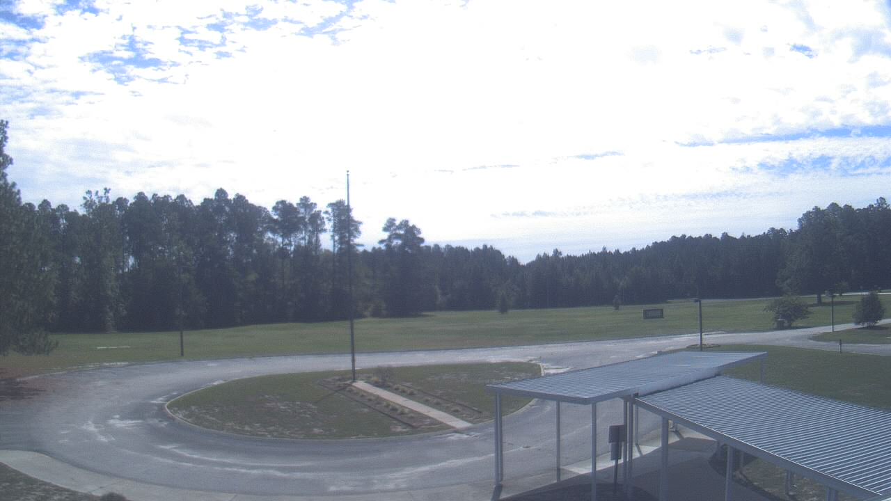
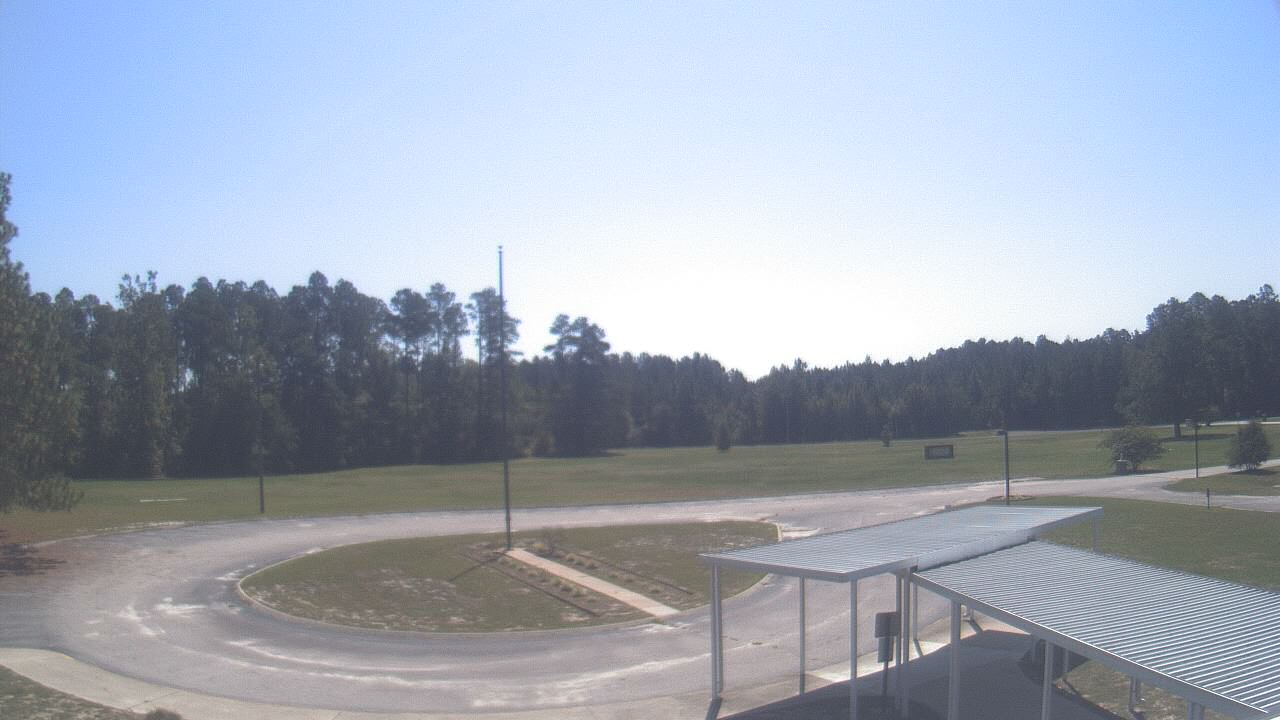
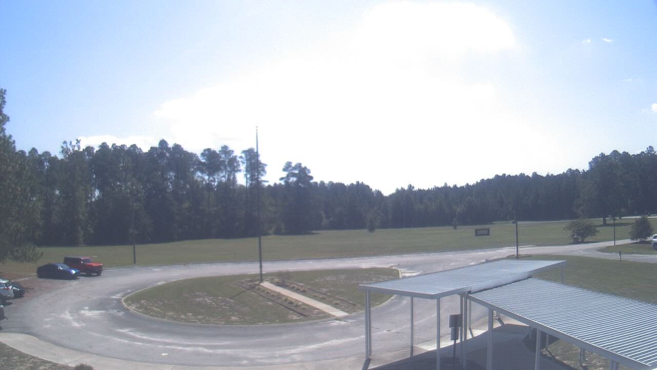
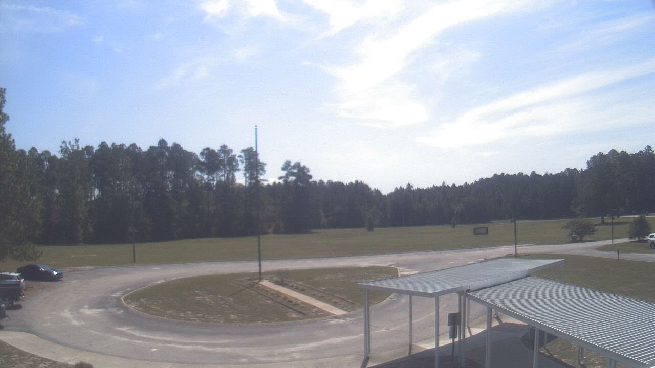
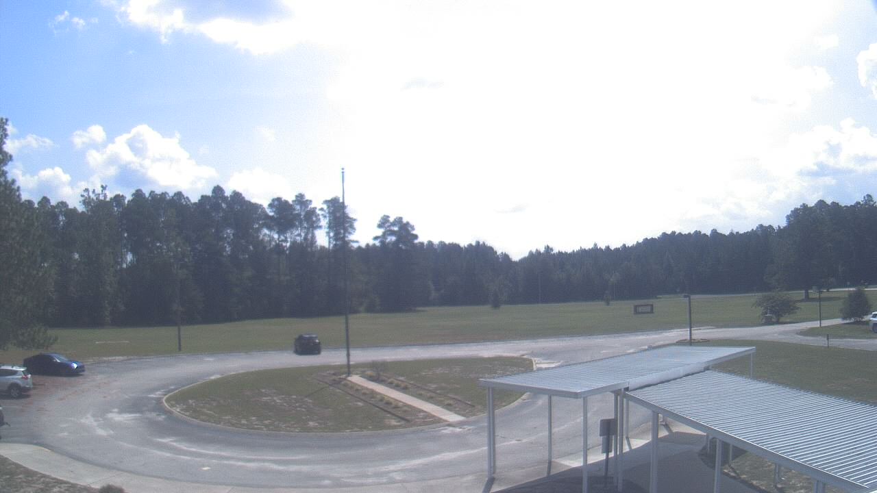
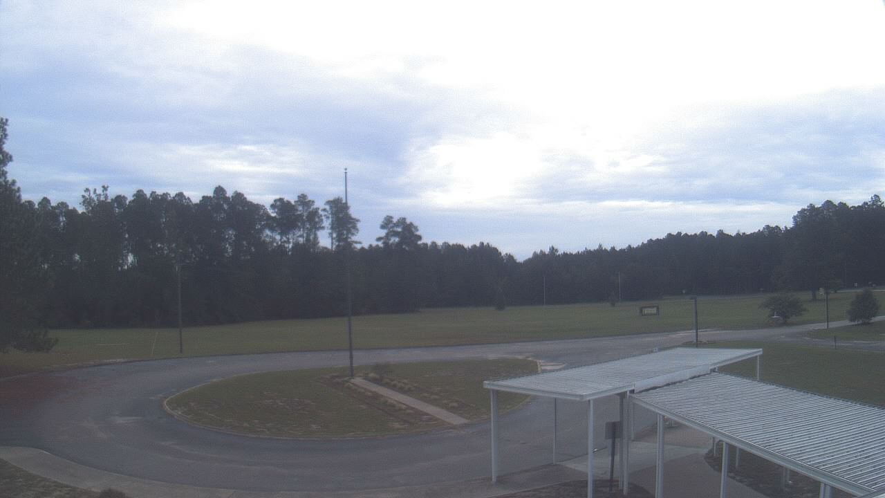
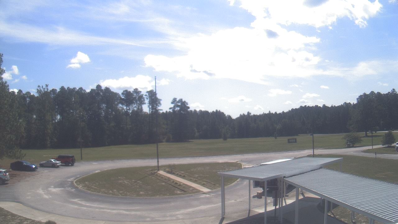
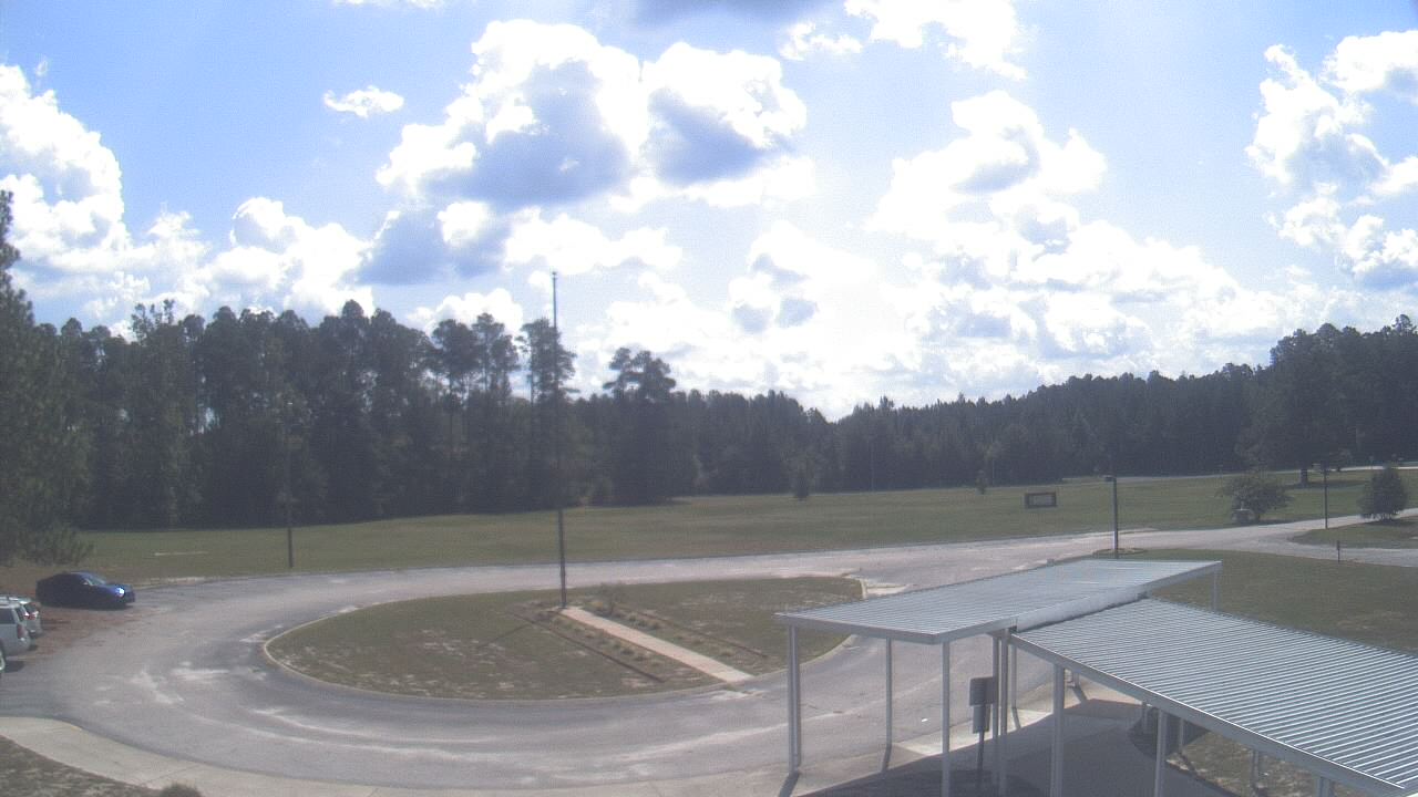
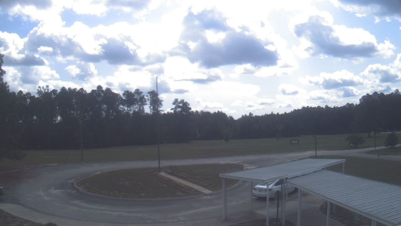
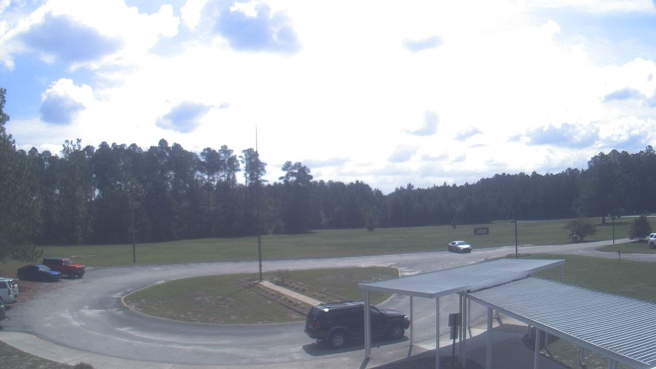
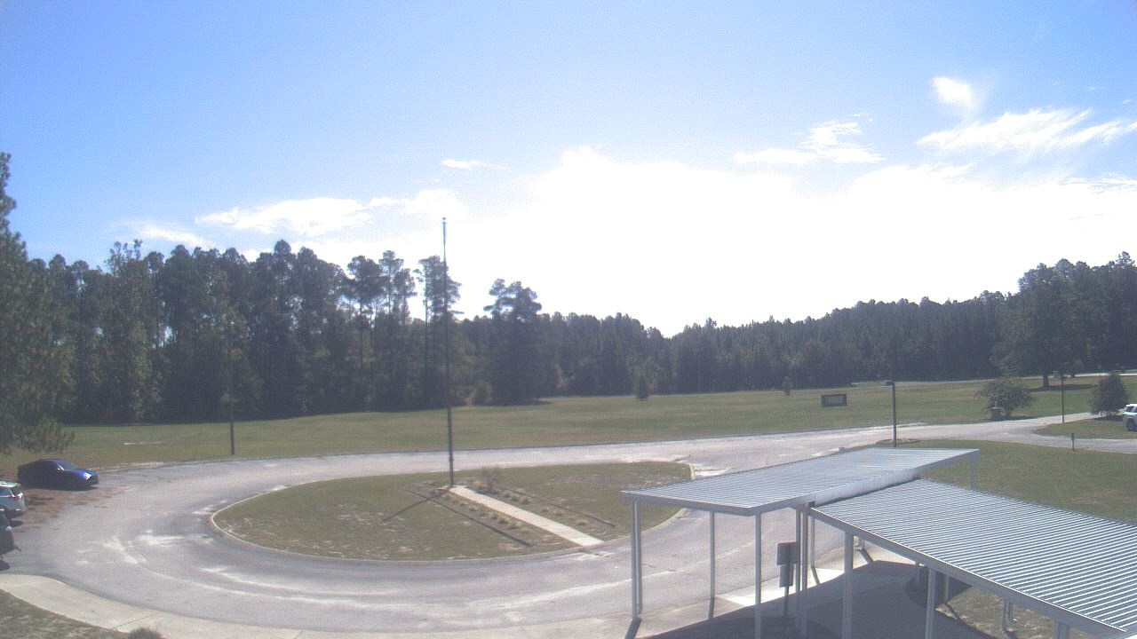
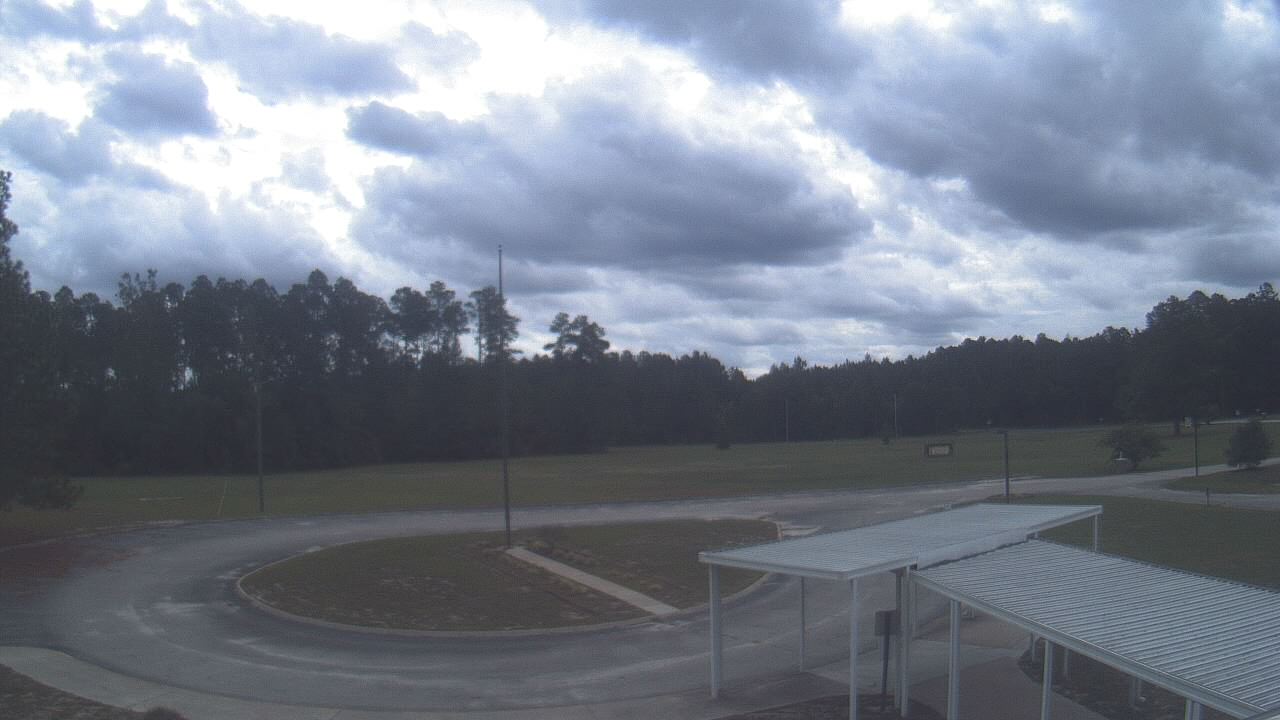
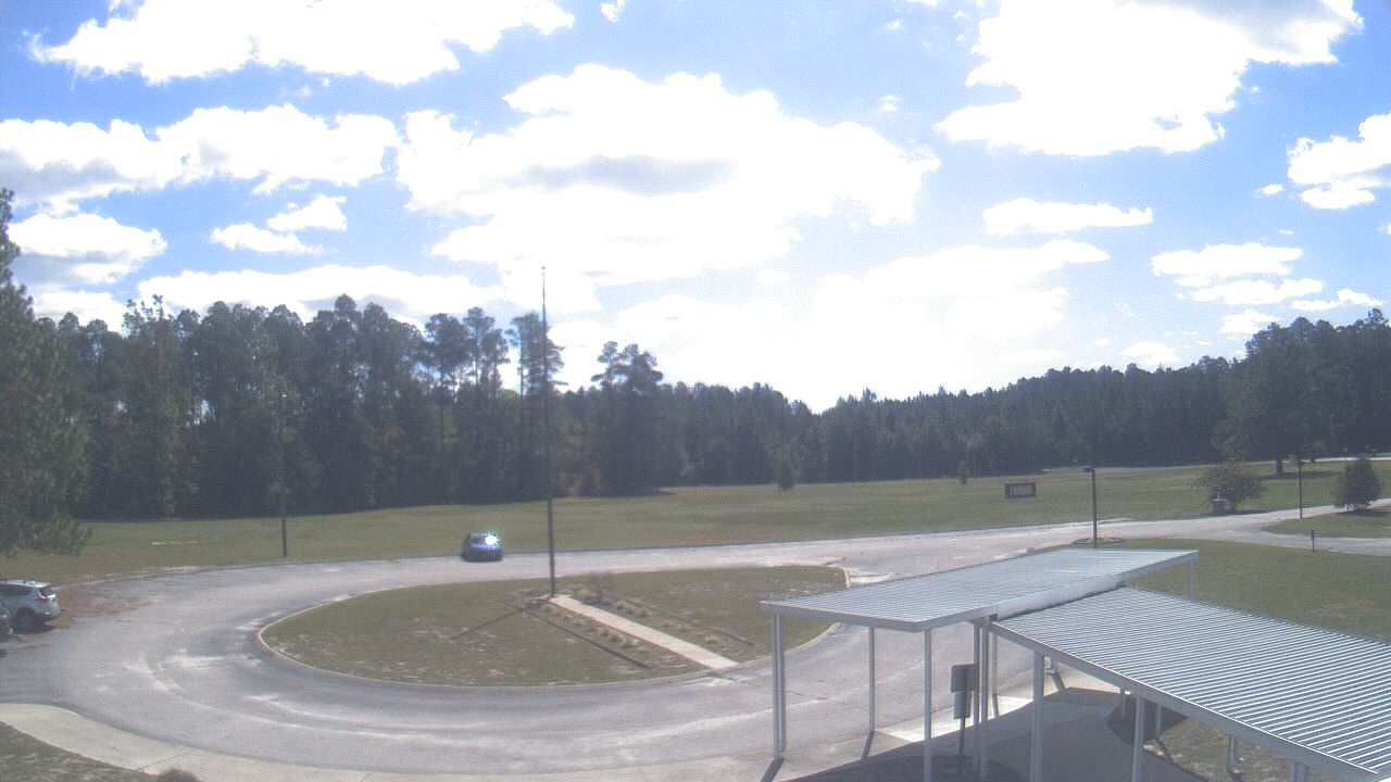
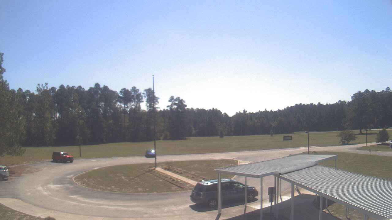
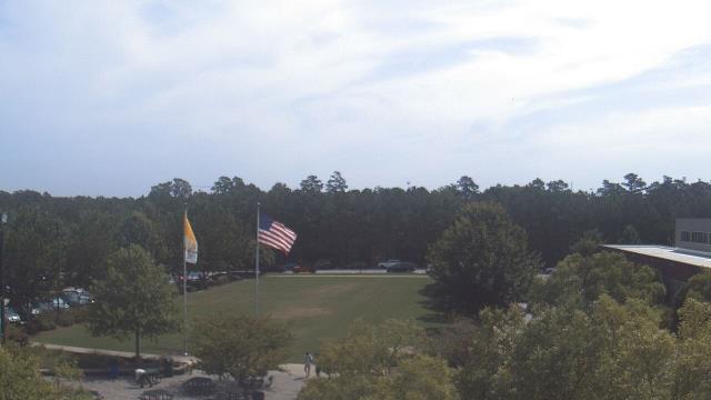
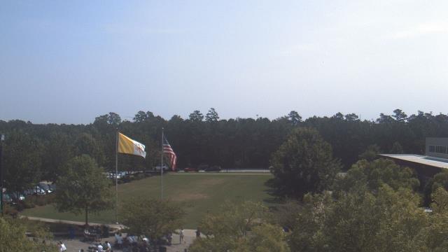
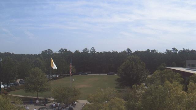
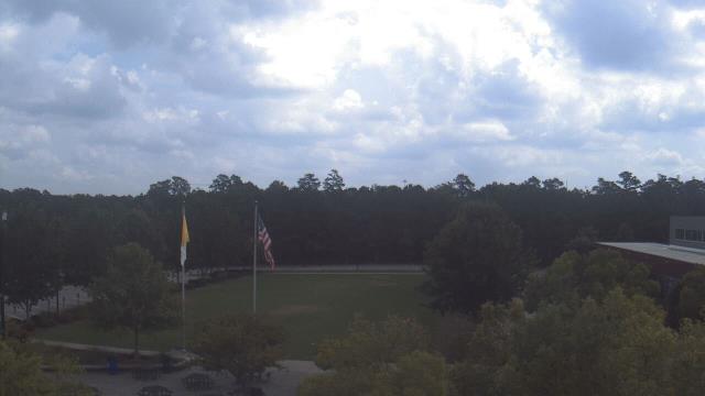
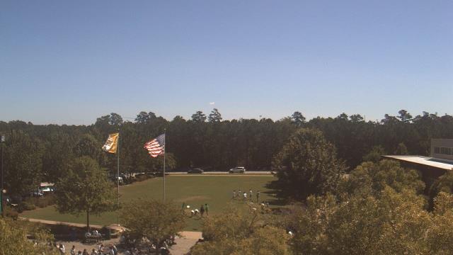
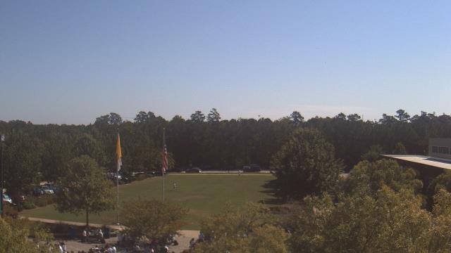
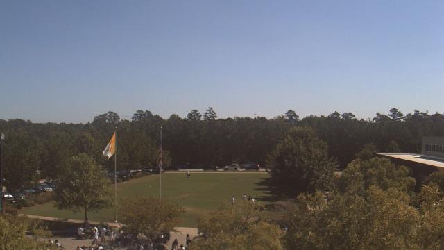
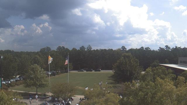
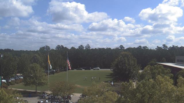
Elizabethtown, North Carolina, USA - 54 miles from The Grove: Bladen Lakes Primary School - A webcam in Elizabethtown, North Carolina - camera location: Bladen Lakes Primary School.
Operator: WeatherBug
Operator: WeatherBug


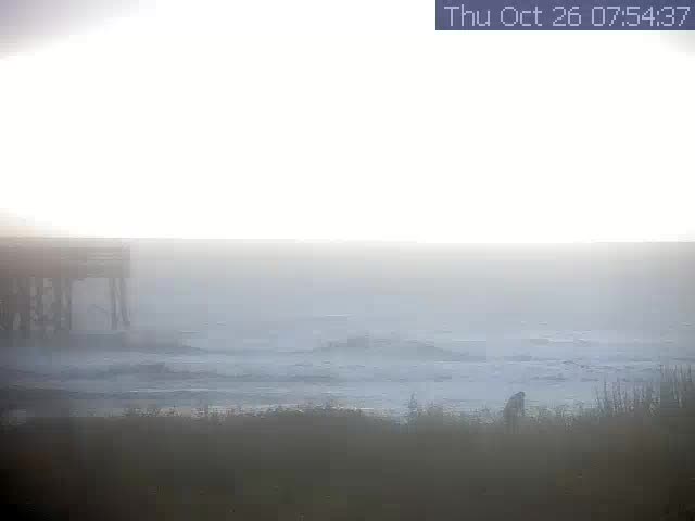
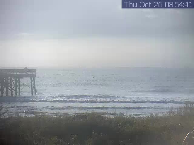
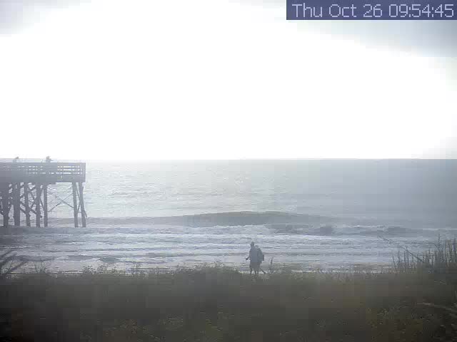
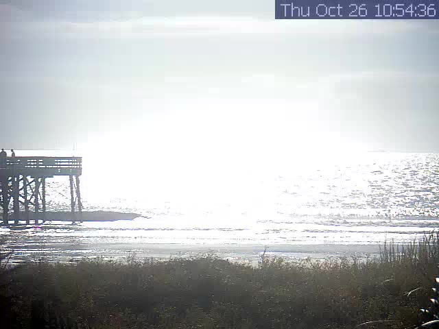
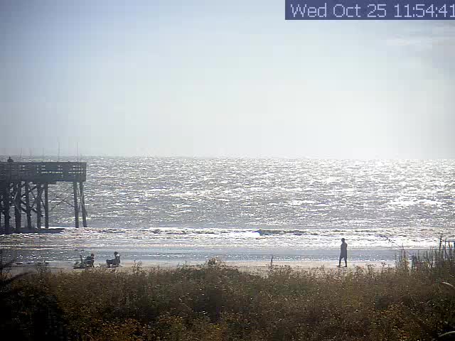
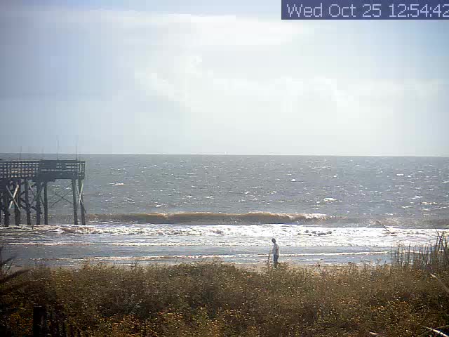
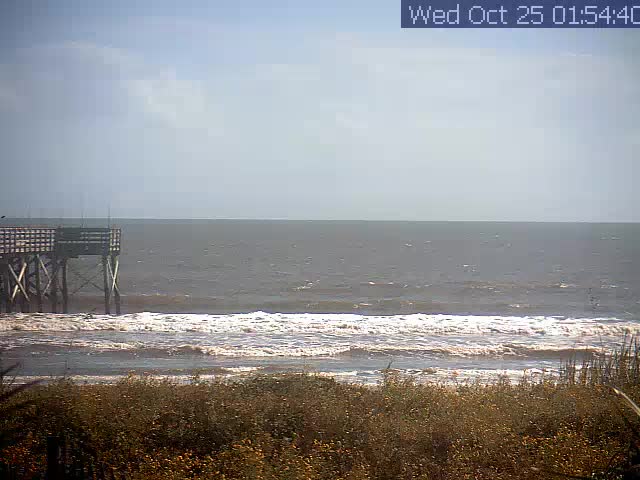
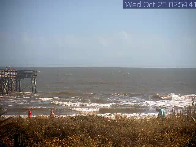
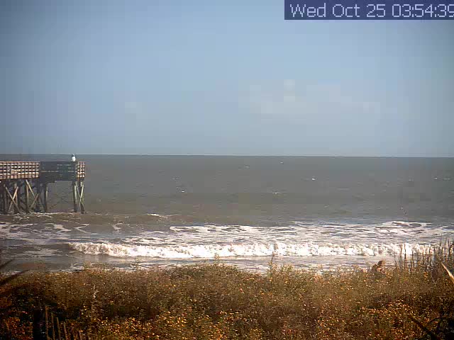
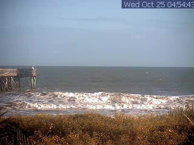
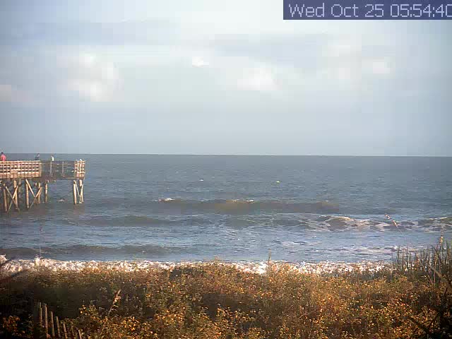
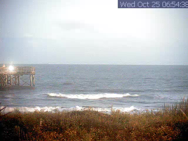
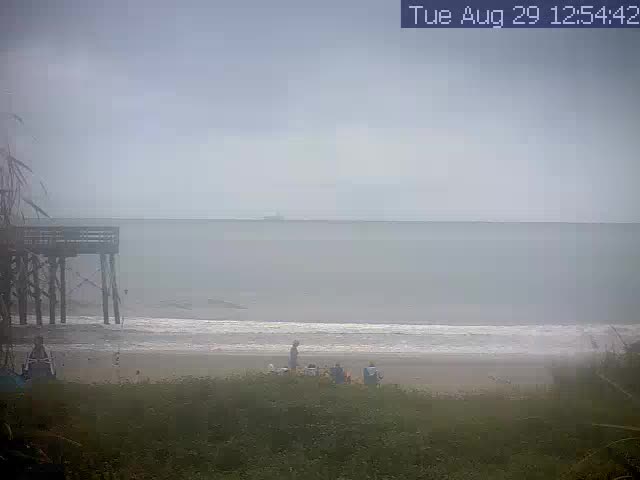
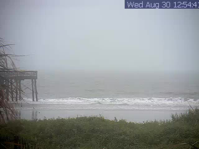
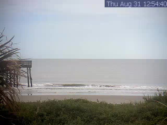
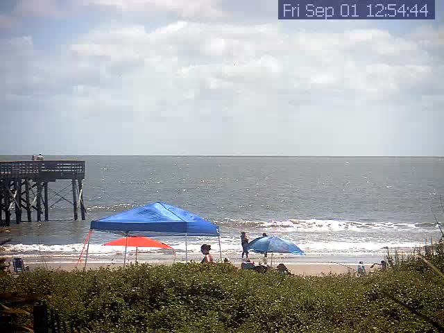
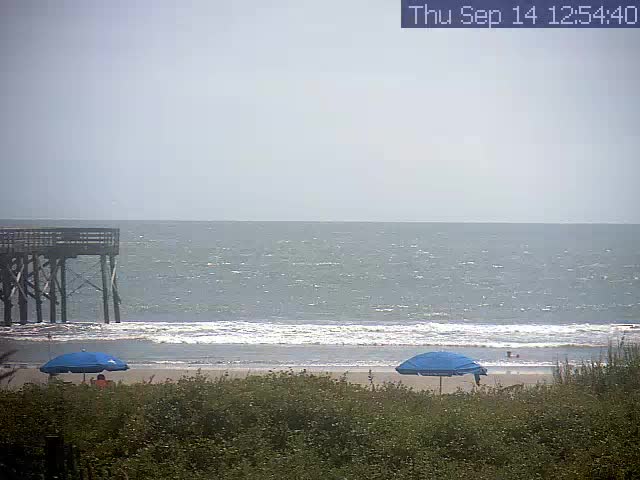
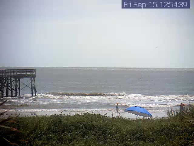
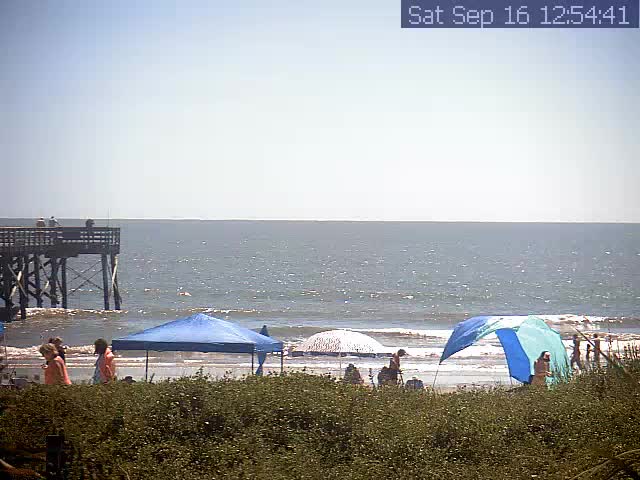
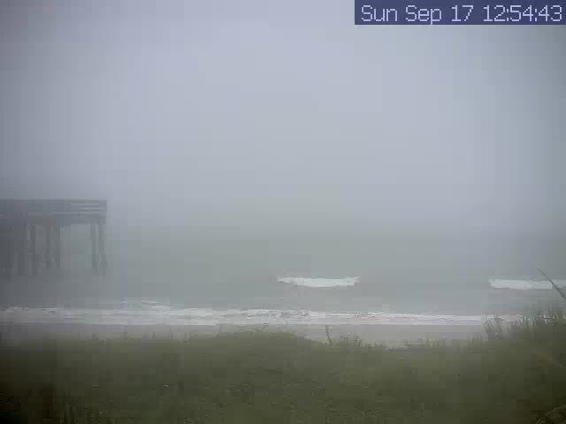
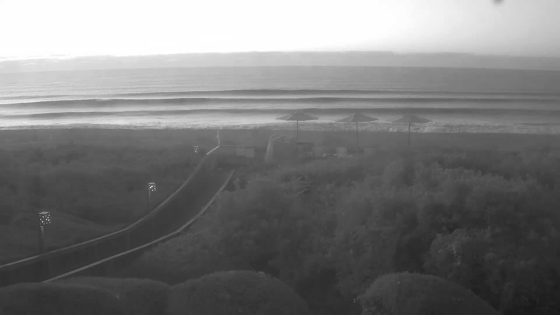
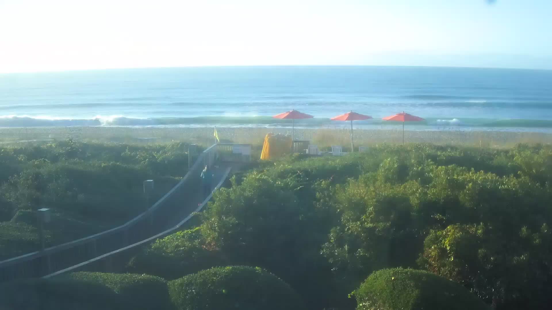
Isle of Palms, South Carolina, USA - 96.8 miles from The Grove: Surfcam - A view of the sea at Isle of Palms, South Carolina.
Operator: Carolina Coast Surf Club
Operator: Carolina Coast Surf Club


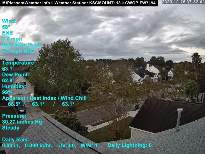
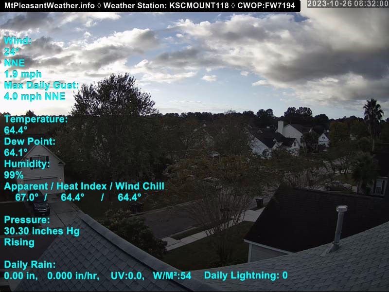
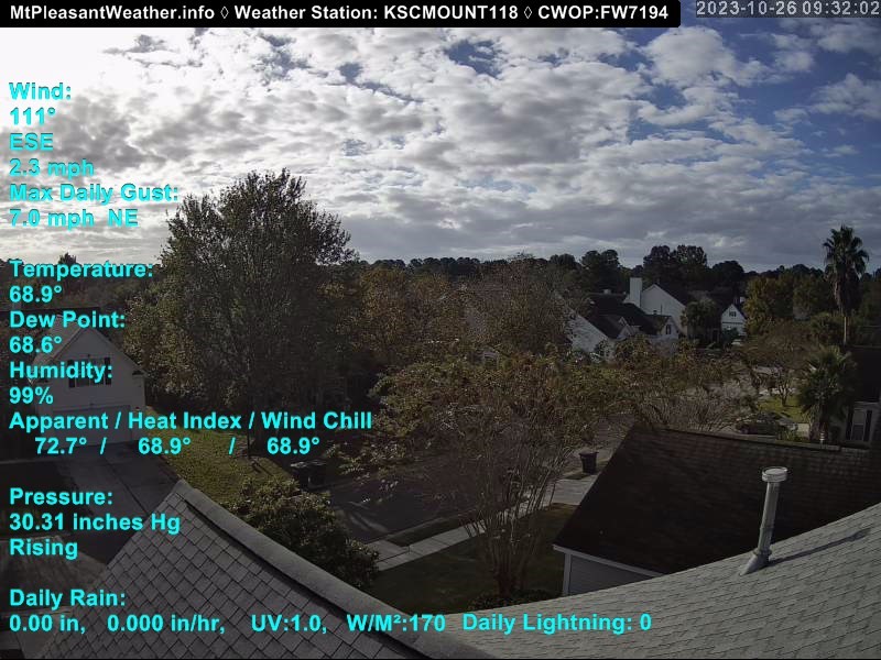
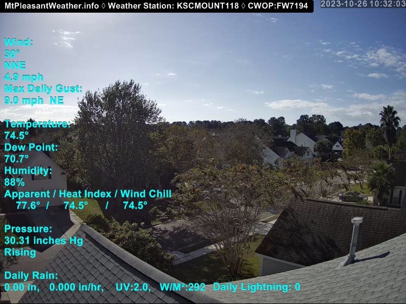
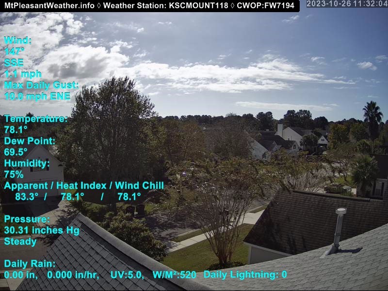
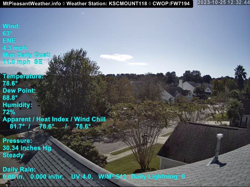
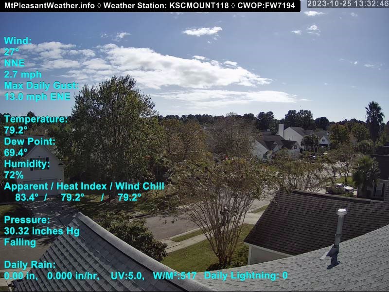
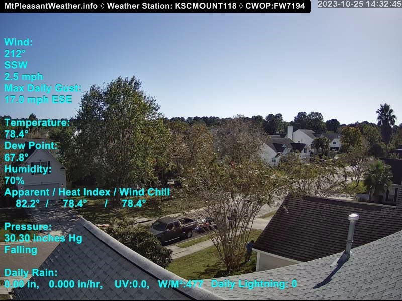
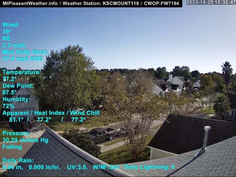
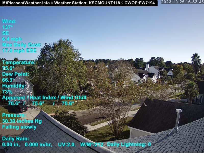
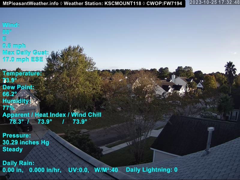
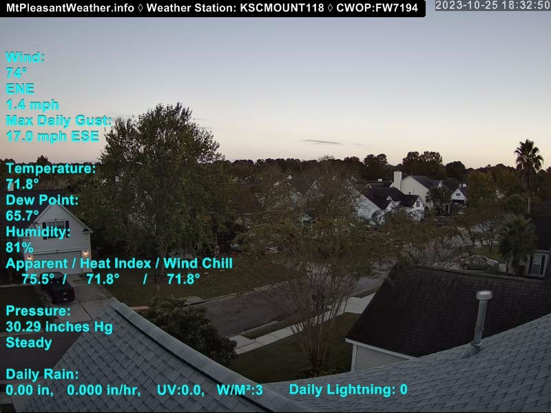
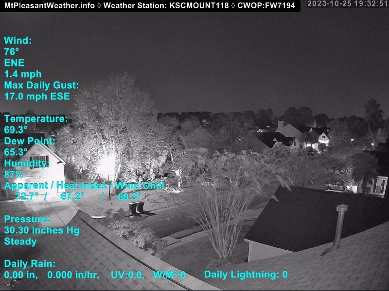
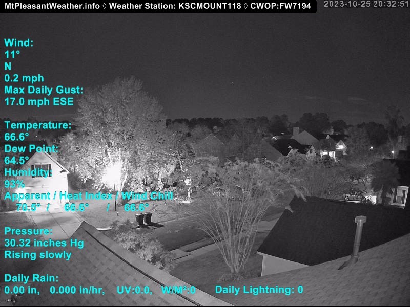
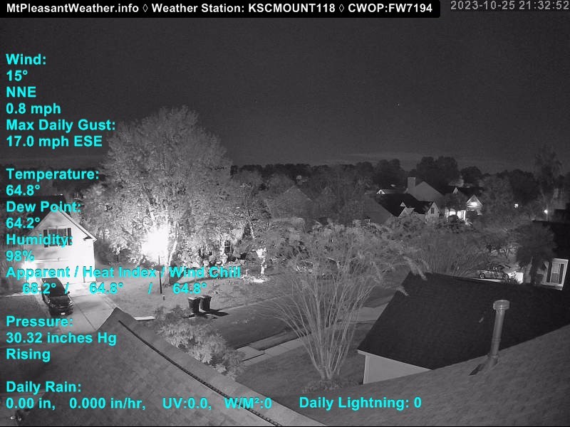
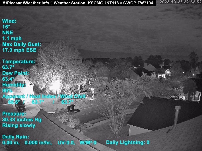
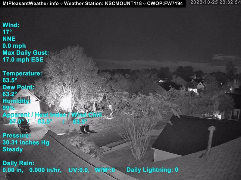
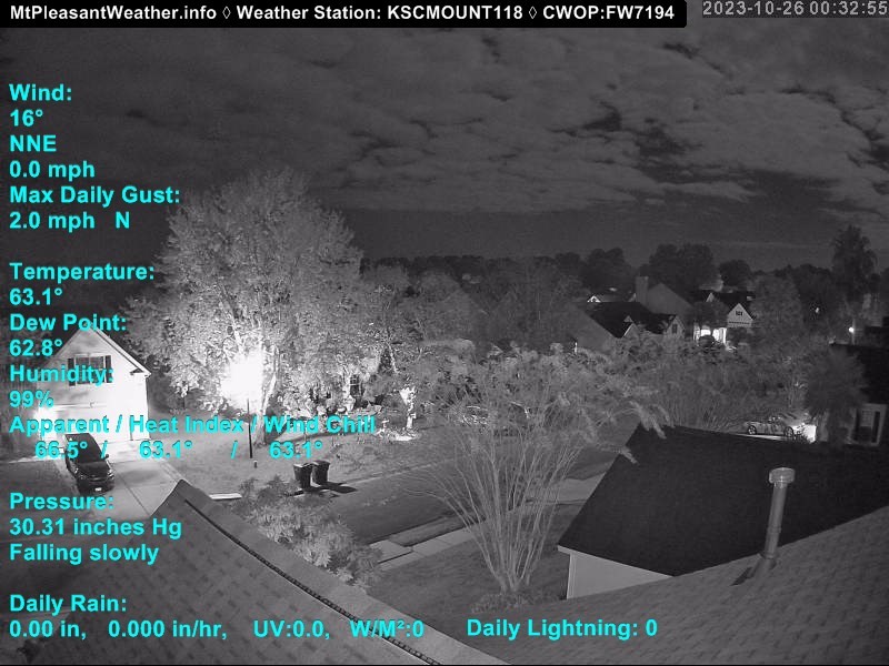
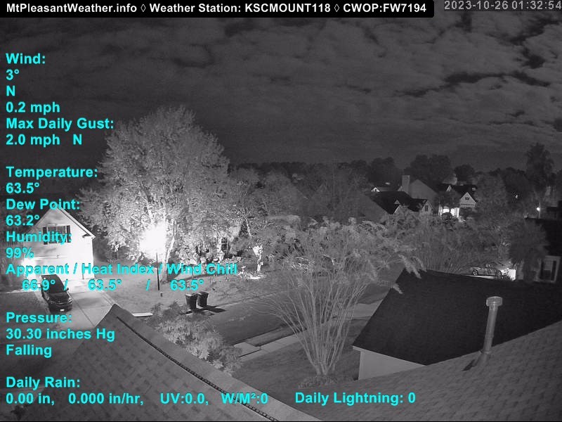
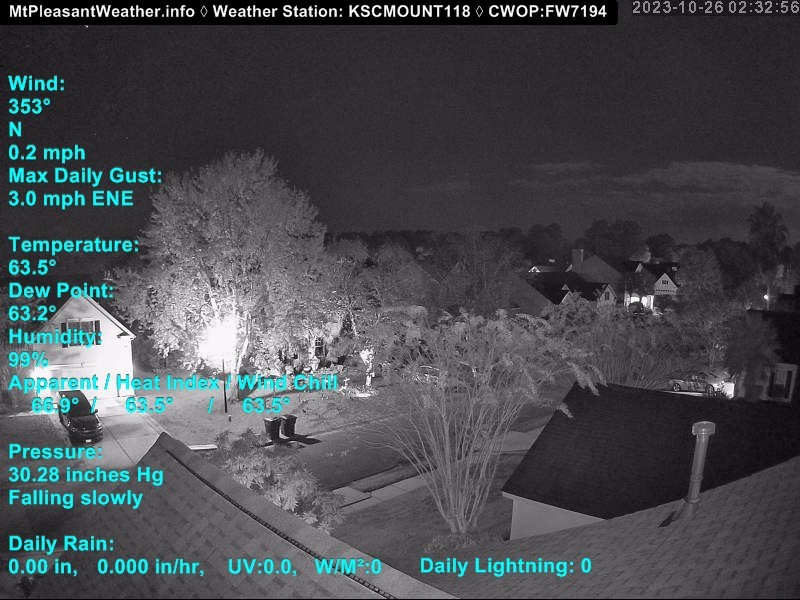
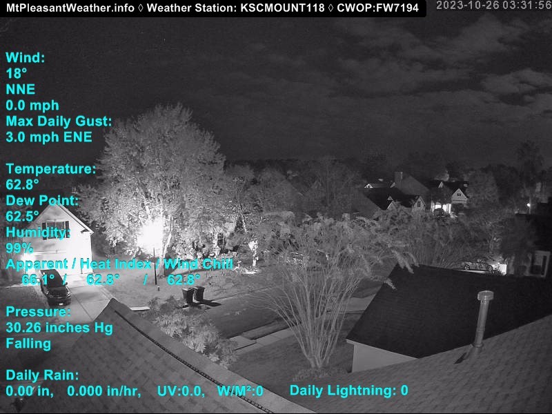
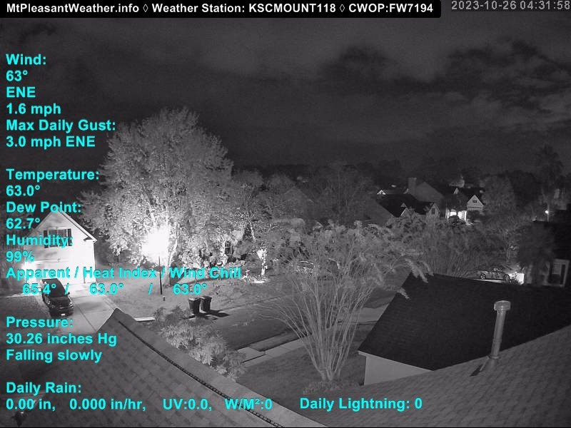
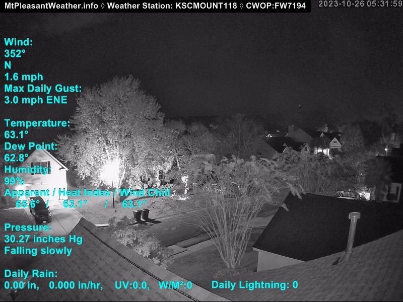
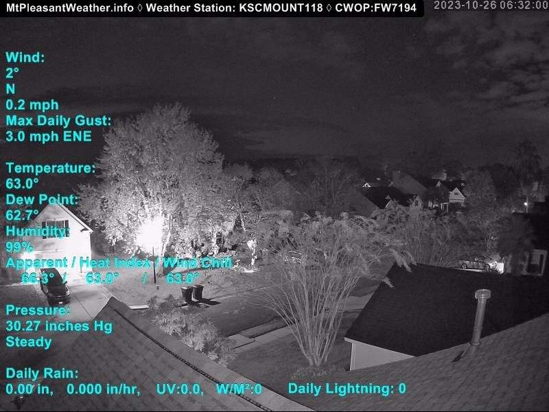
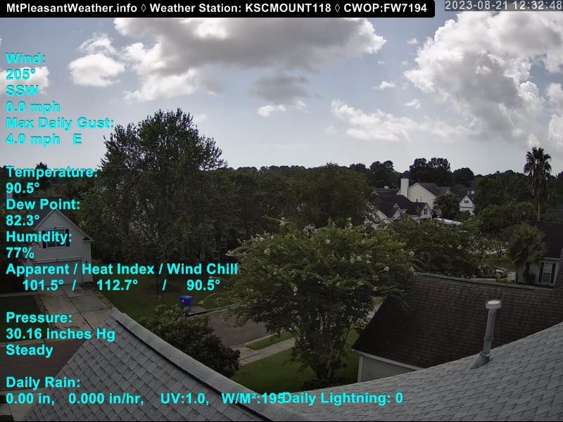
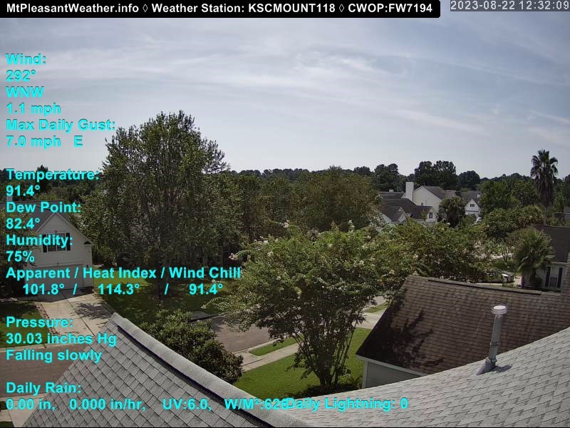
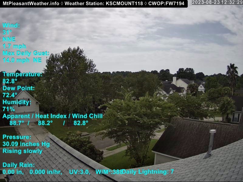
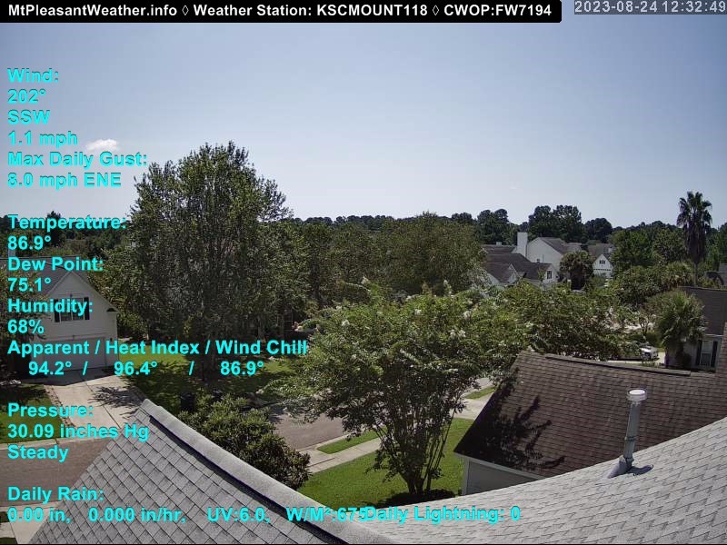
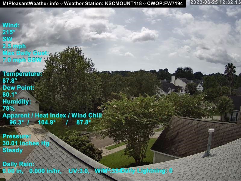
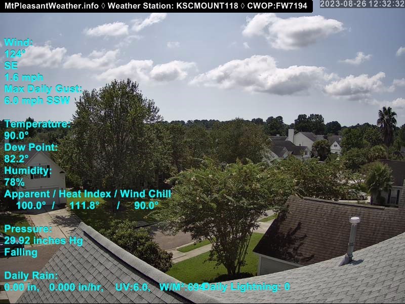
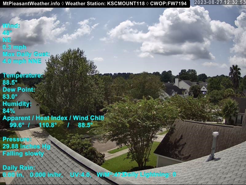
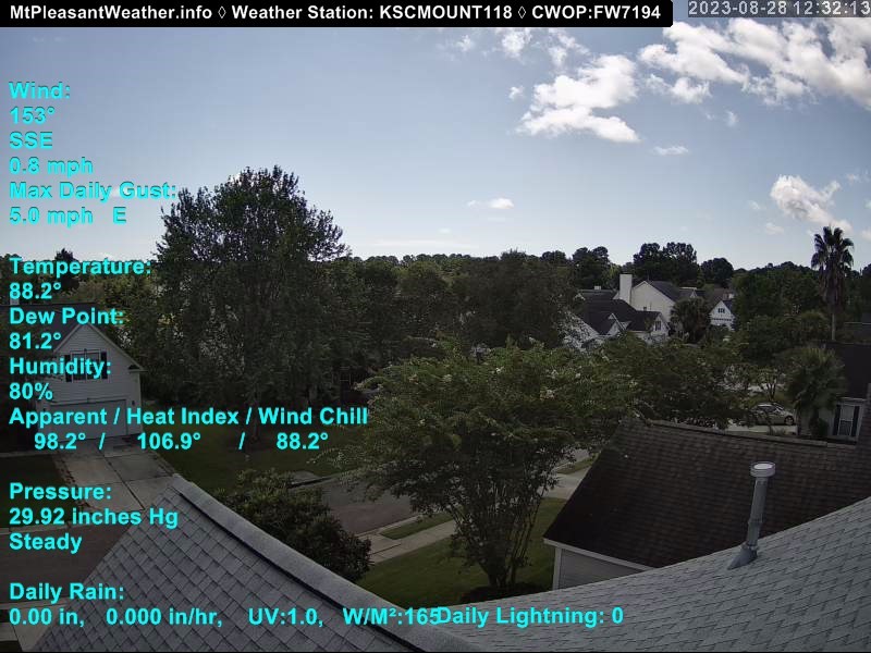
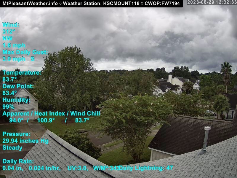
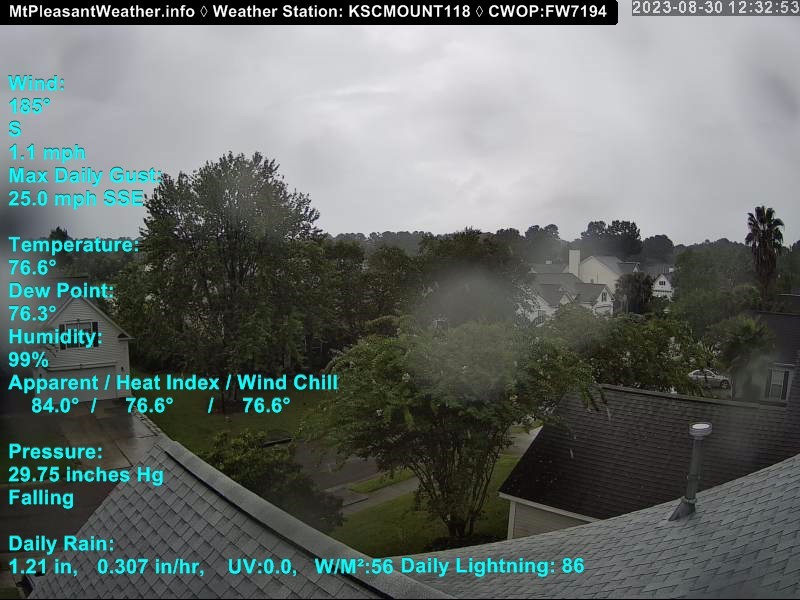
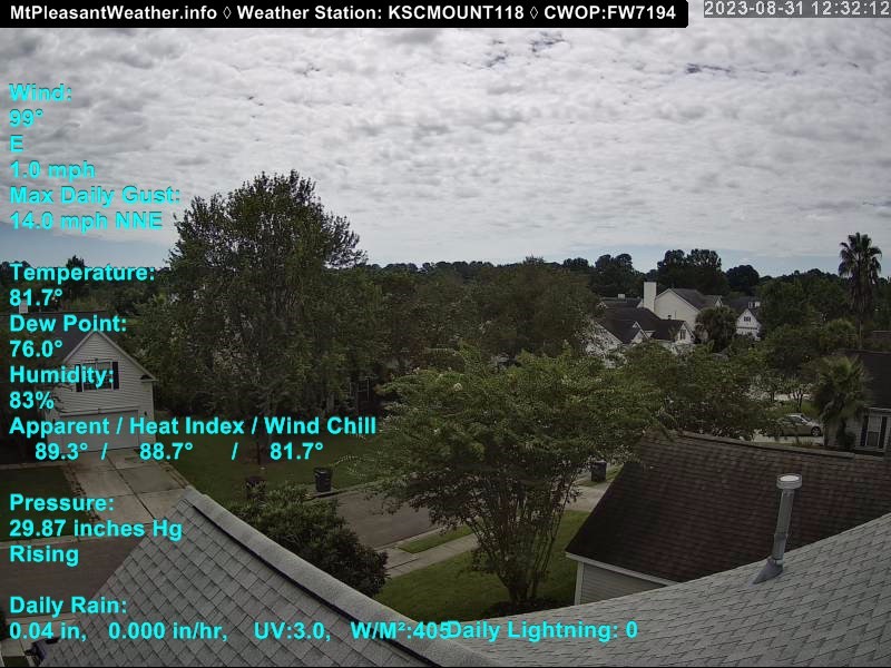
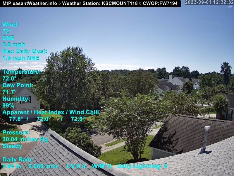
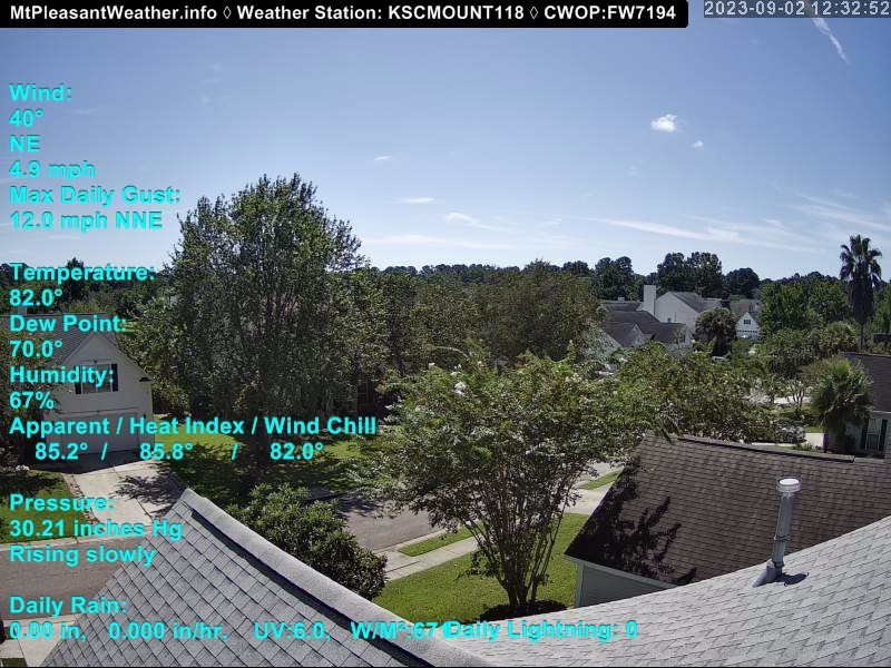
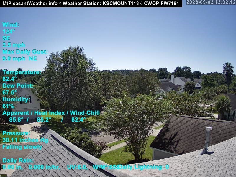
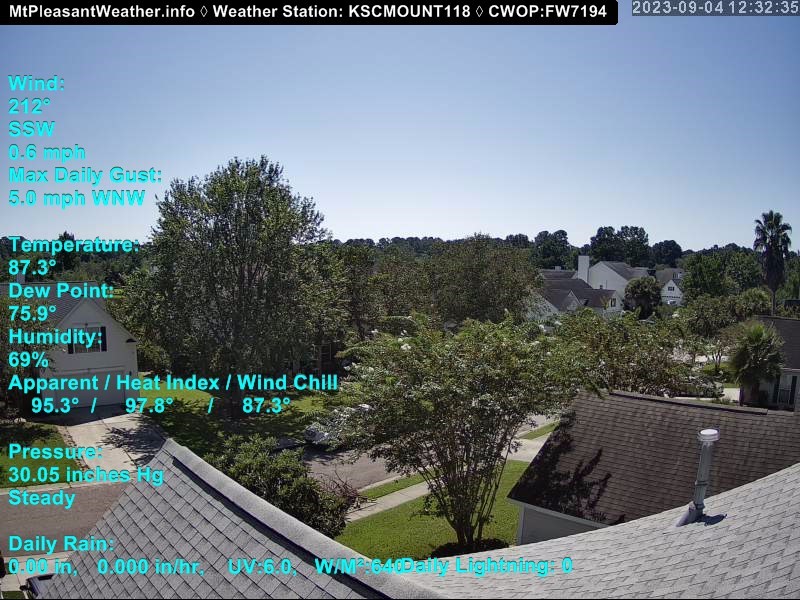
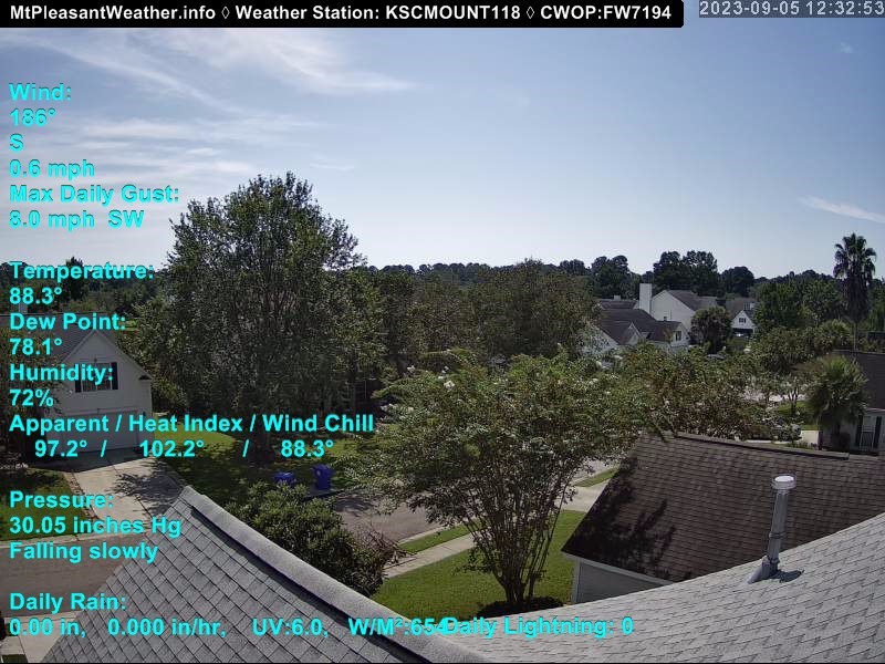
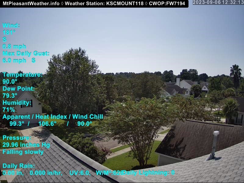
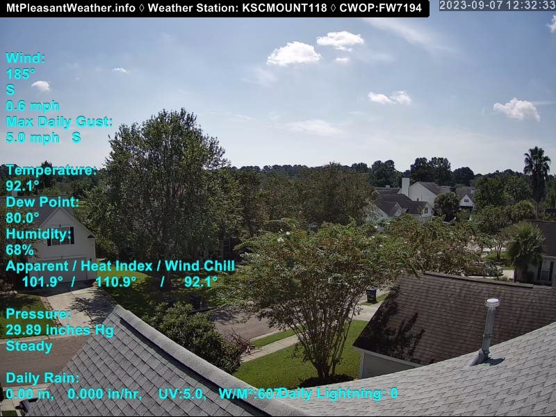
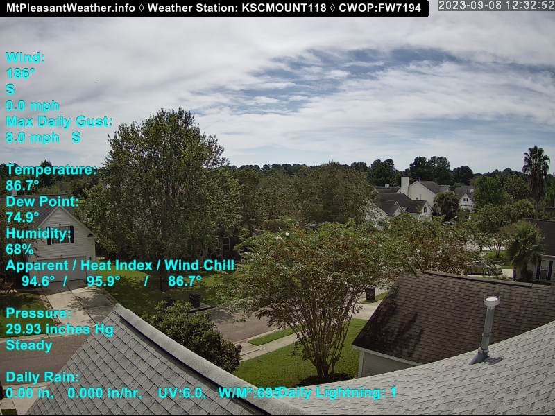
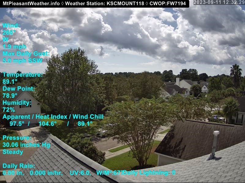
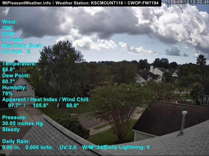
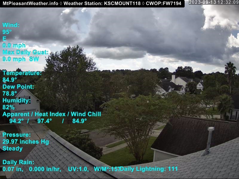
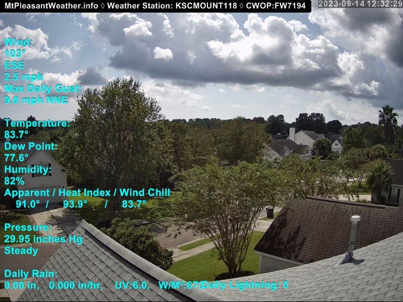
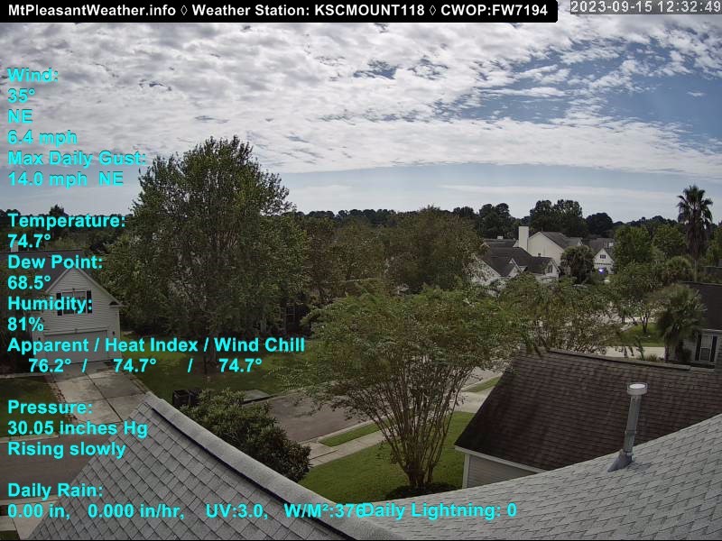
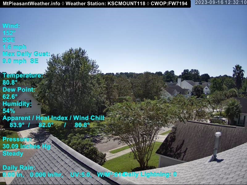
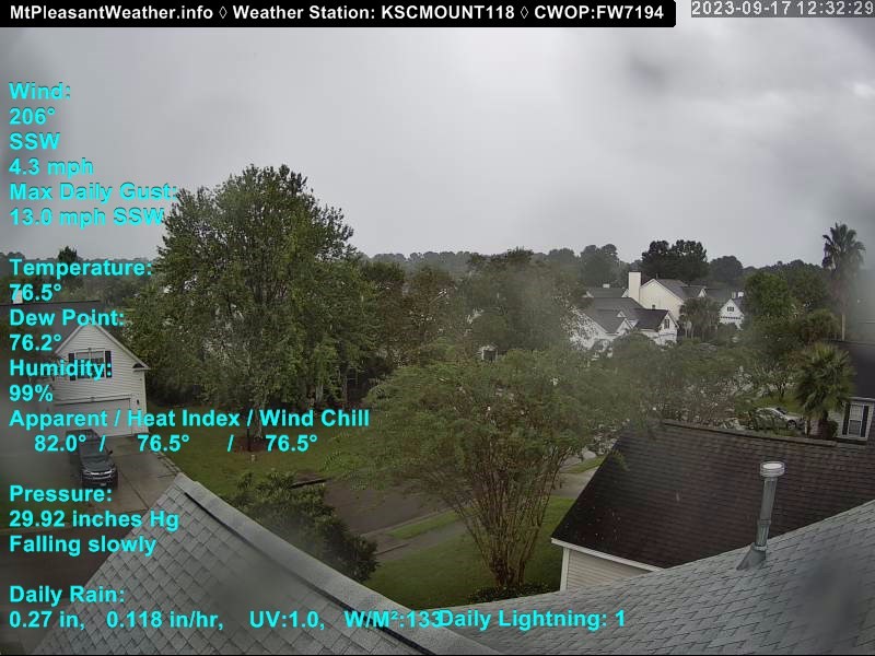
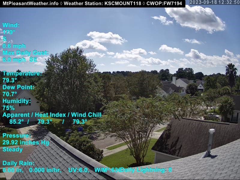
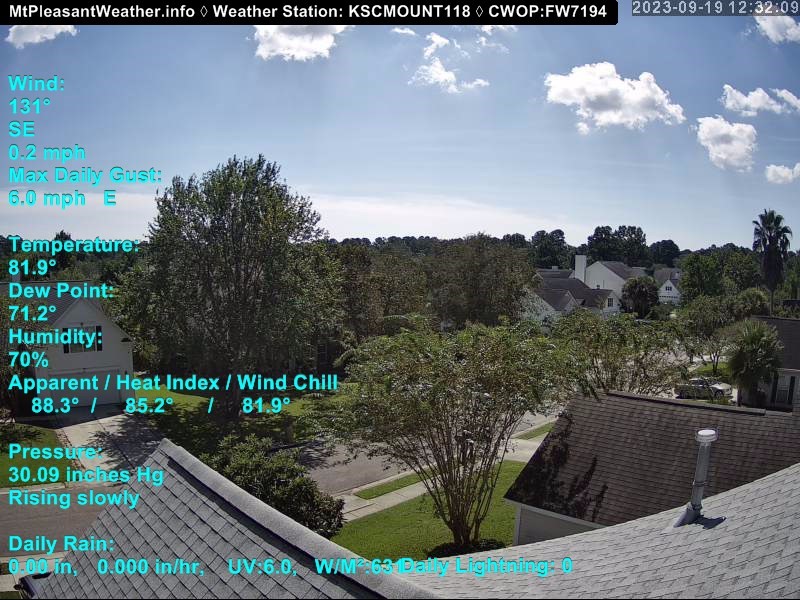
Mount Pleasant, South Carolina, USA - 98 miles from The Grove: Live Weathercam - Mt. Pleasant, SC - A view of weather conditions in Mt. Pleasant, South Carolina.
Operator: mtpleasantweather.info
Operator: mtpleasantweather.info


Pine Knoll Shores, North Carolina, USA - 119.8 miles from The Grove: Beachcam - A view from the Atlantis Lodge over the beack of Pine Knoll Shores near Atlantic Beach, NC.
Operator: Atlantis Lodge
Operator: Atlantis Lodge


Raleigh, North Carolina, USA - 133 miles from The Grove: Skyline - A panorama view of the skyline of Raleigh, North Carolina.
Operator: WRAL.com
Operator: WRAL.com

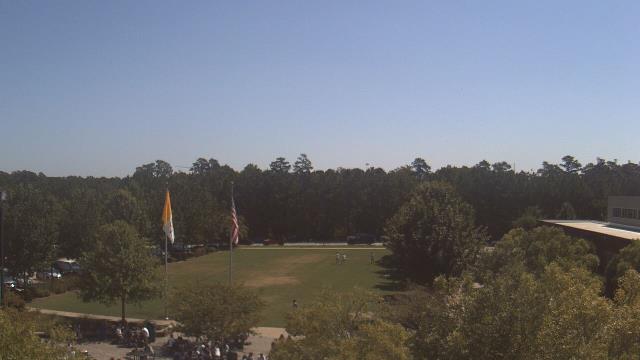
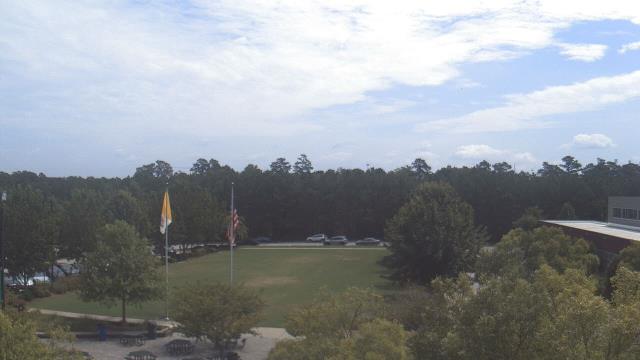
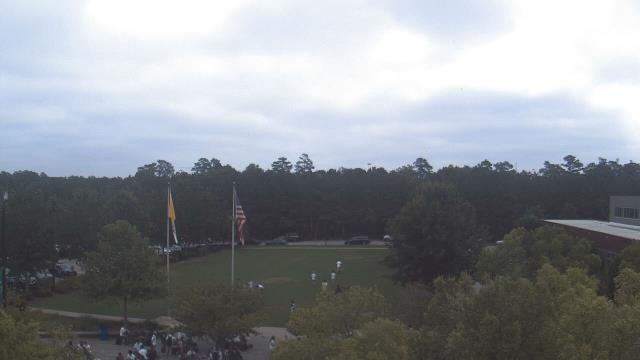
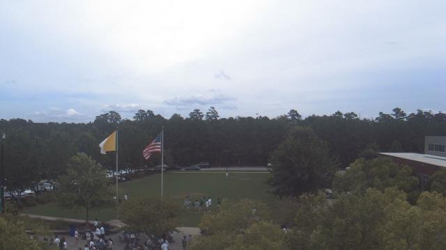
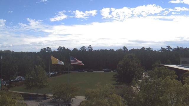
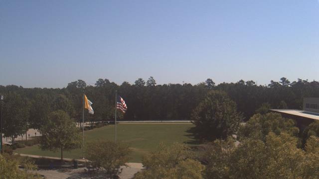
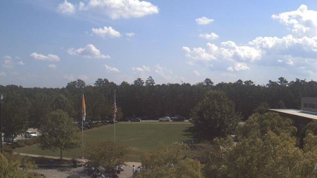
Raleigh, North Carolina, USA - 133 miles from The Grove: Cardinal Gibbons High School - A webcam in Raleigh, North Carolina - camera location: Cardinal Gibbons High School.
Operator: WeatherBug
Operator: WeatherBug


Some other places in this country: Surf Pines - Tarpon Bay - The Dunes - The Forest - The Landing at Plantation Point - The Old Home Place - Thompson (historical) - Tilghman Estates - Timber Ridge - University Forest