Webcams in the region of Tabernacle (historical), South Carolina, USA
The List of Webcams near Tabernacle (historical), South Carolina, USA:

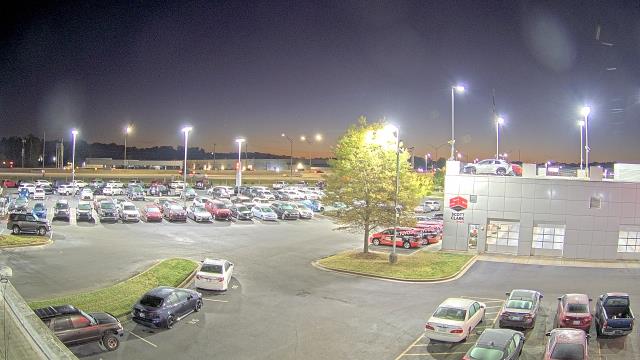
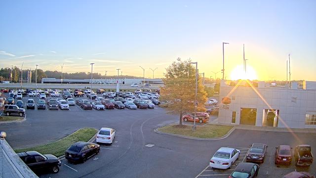
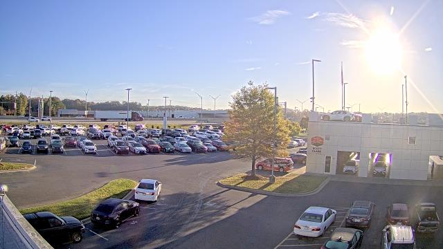
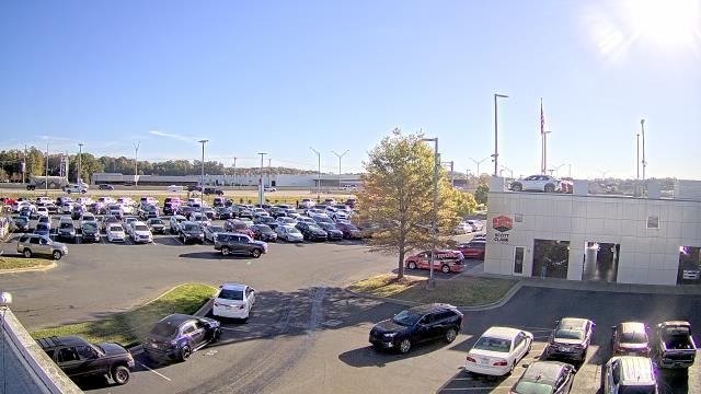
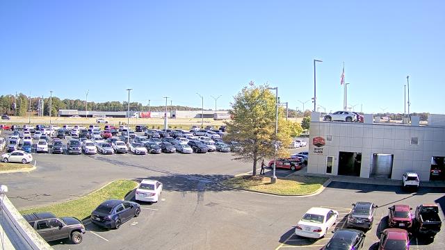
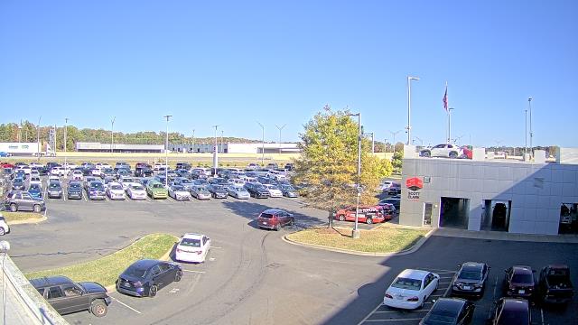
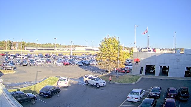
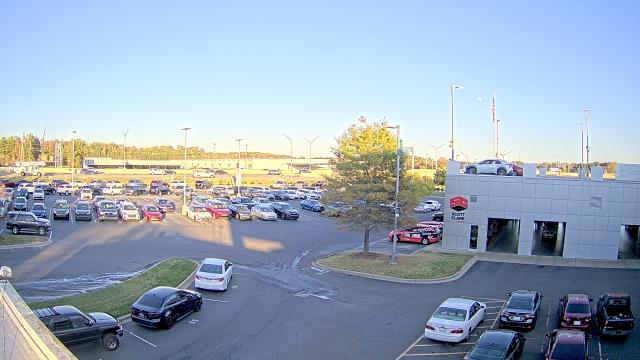
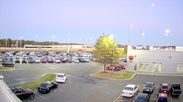
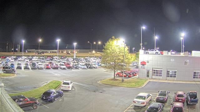
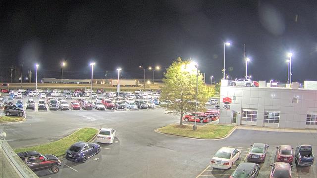
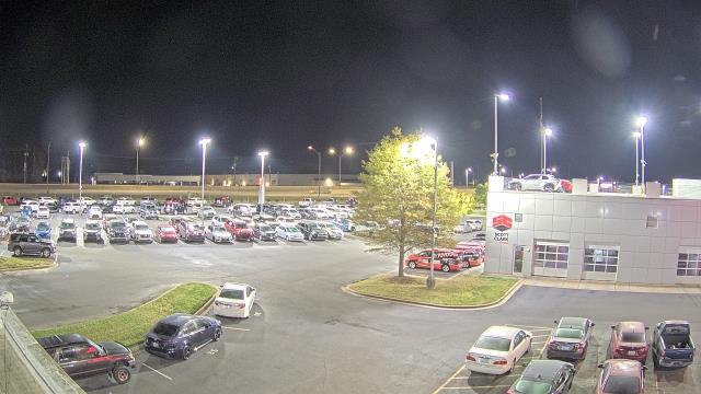
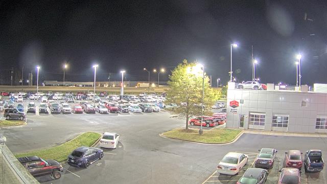
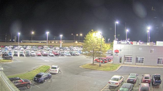
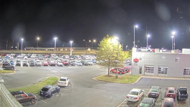
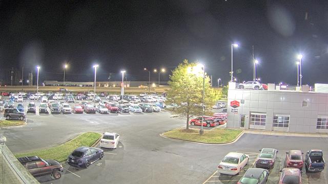
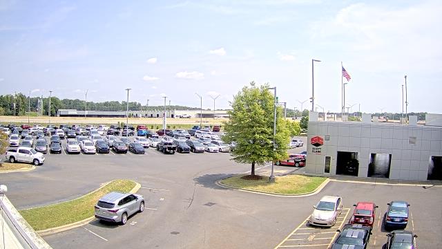
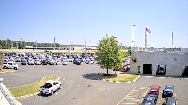
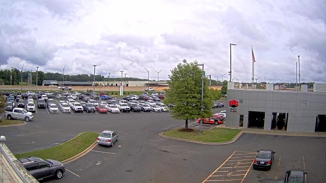
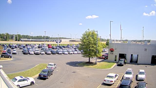
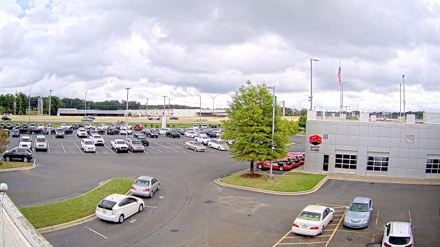
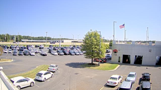
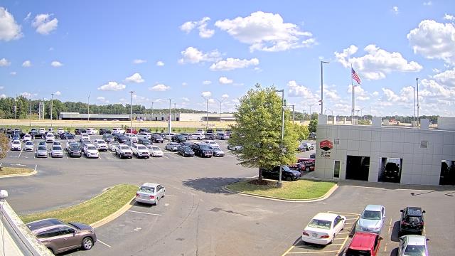
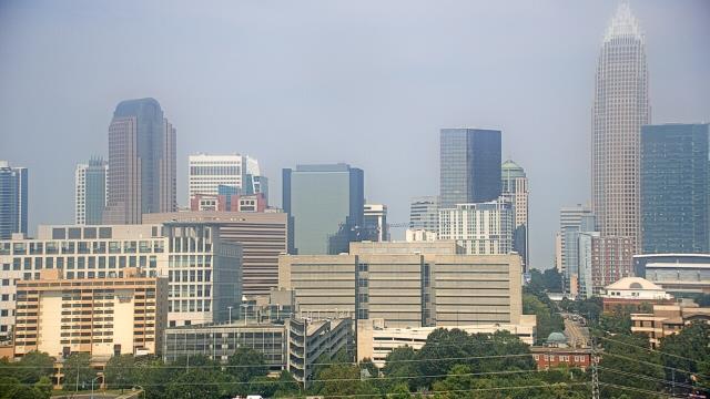
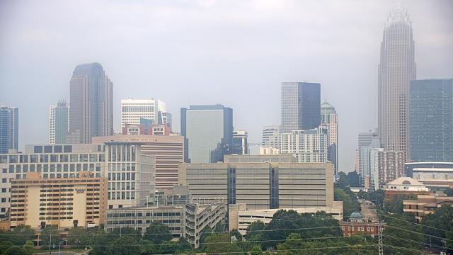
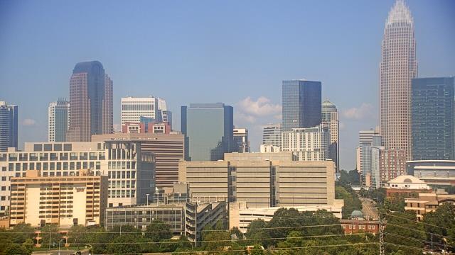
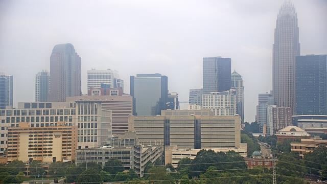
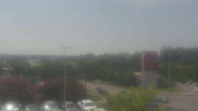
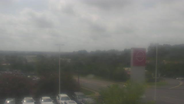
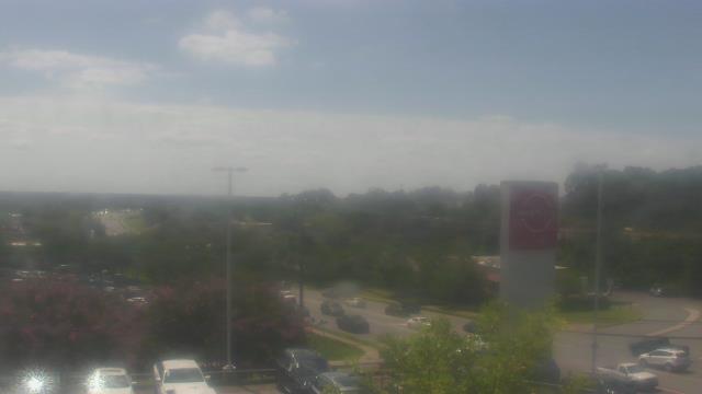
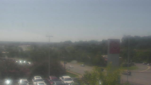
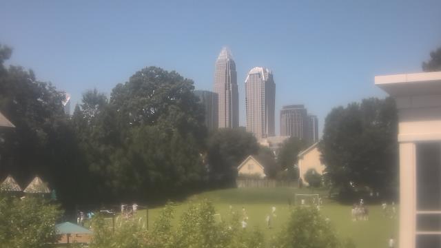
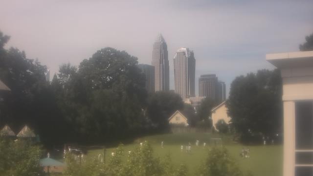
Stallings, North Carolina, USA - 53.4 miles from Tabernacle (historical): Scott Clarks Toyota - A webcam in Stallings, North Carolina - camera location: Scott Clarks Toyota.
Operator: WeatherBug
Operator: WeatherBug


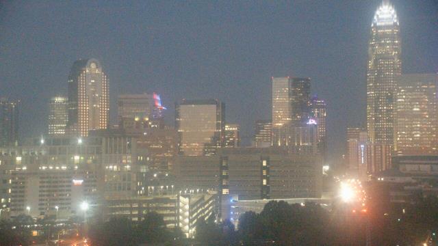
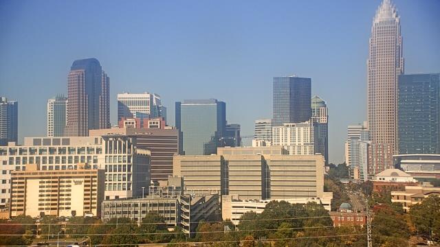
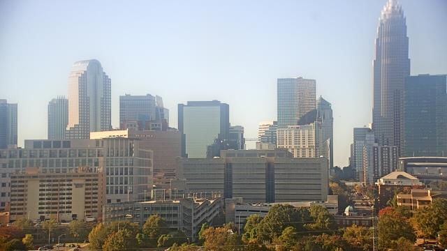
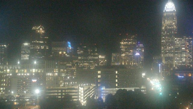
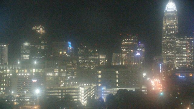
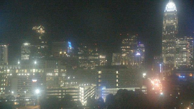
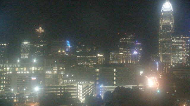
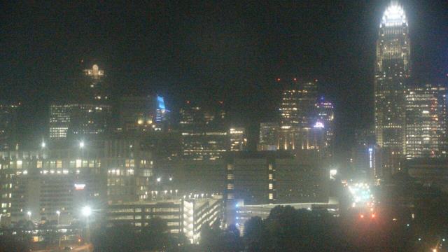
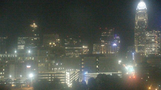
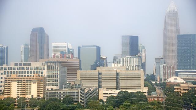
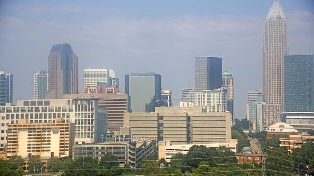
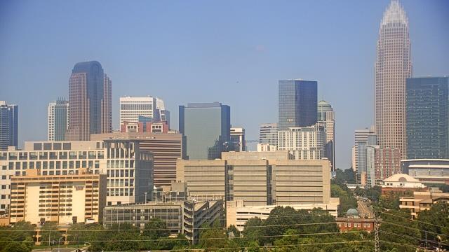
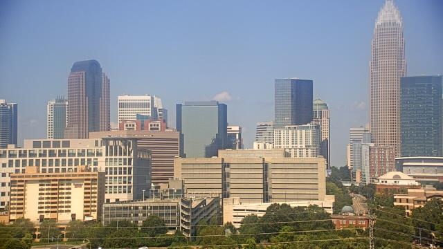
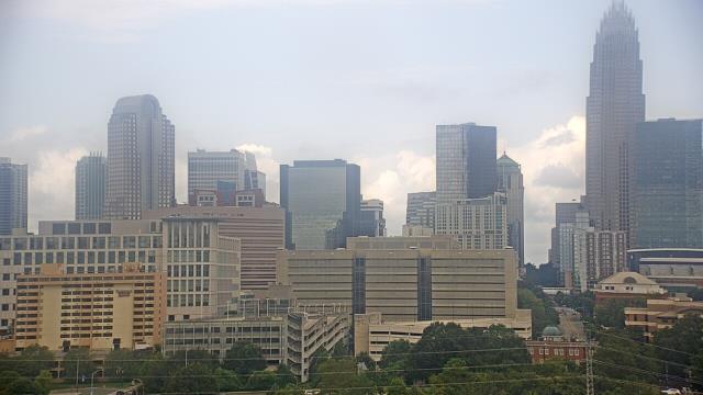
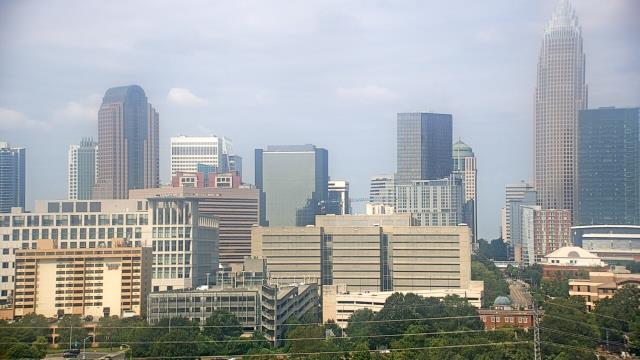
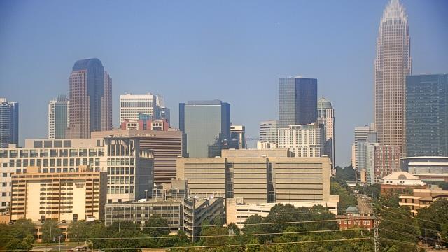
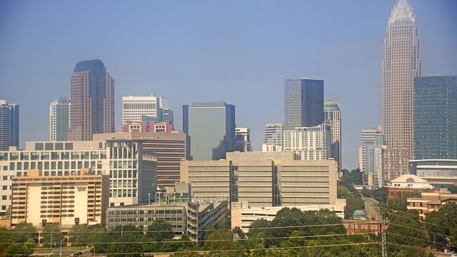
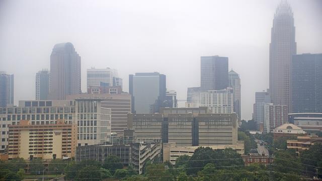
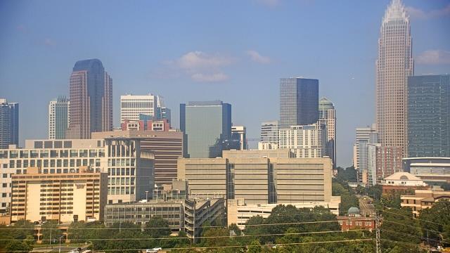
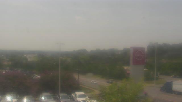
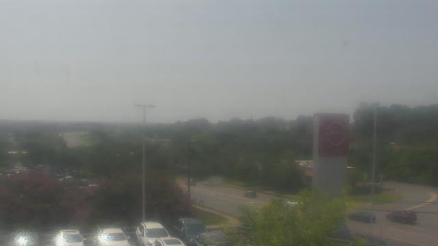
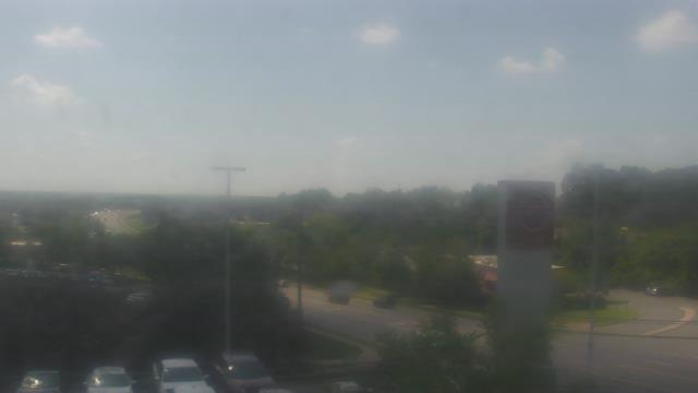
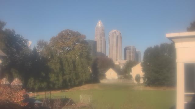
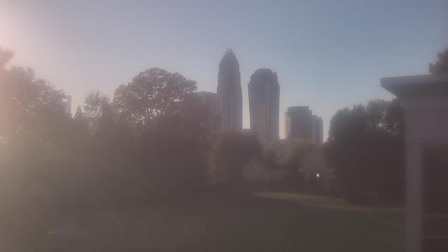
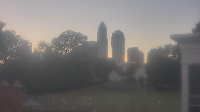
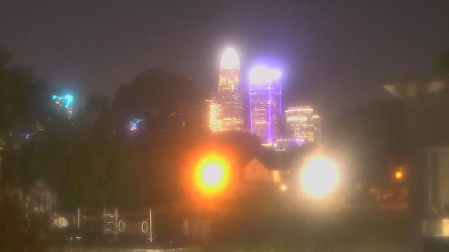
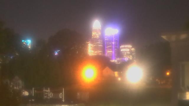
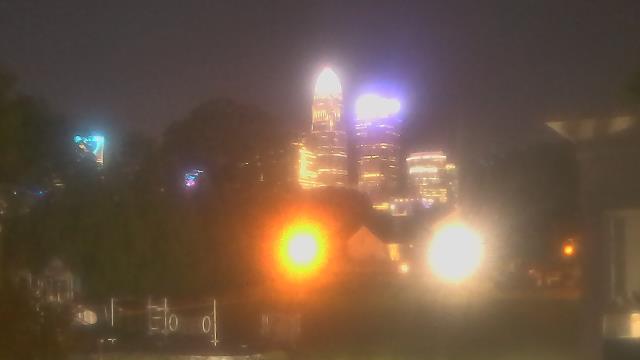
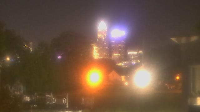
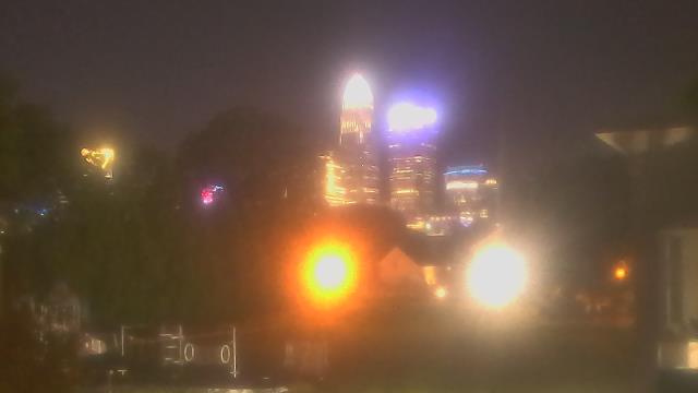
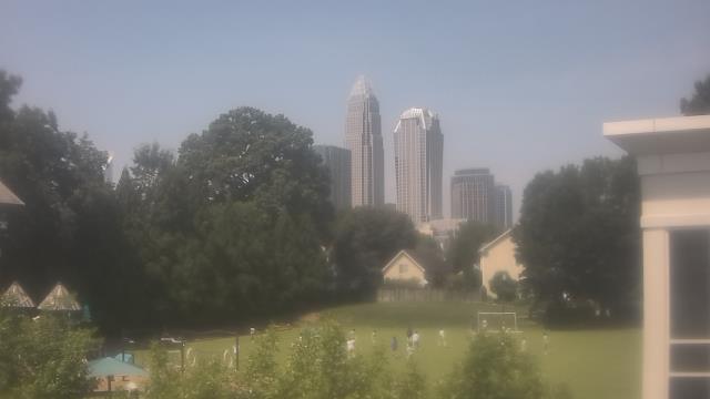
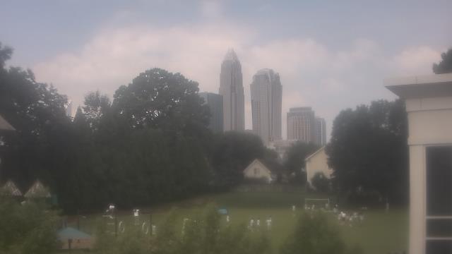
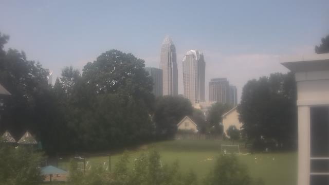
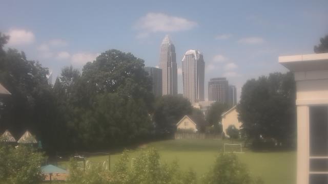
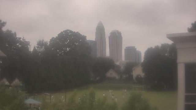
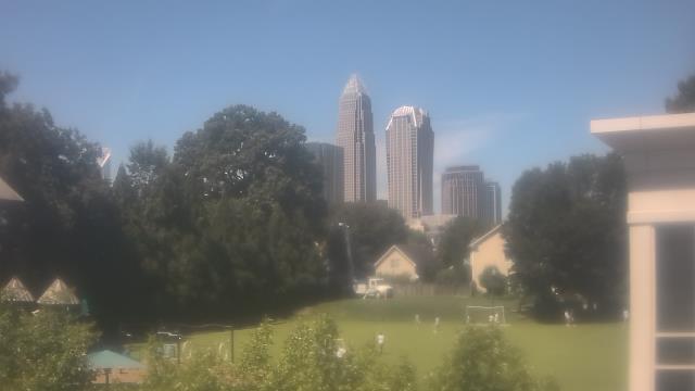
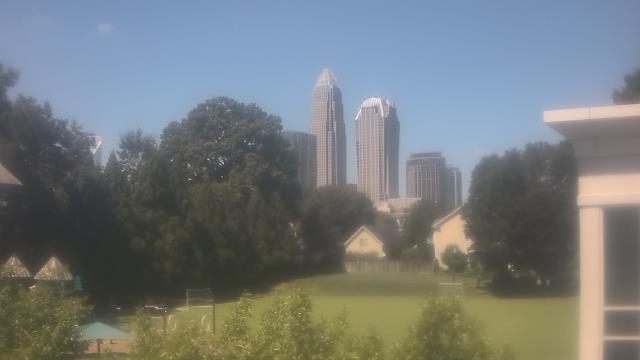
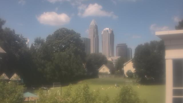
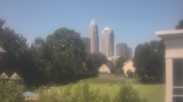
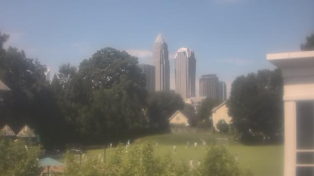
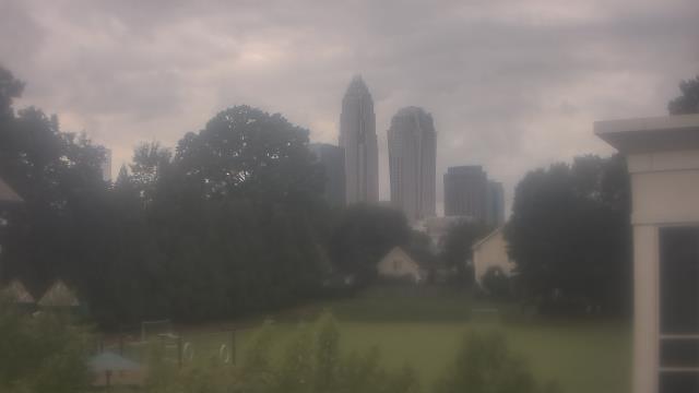
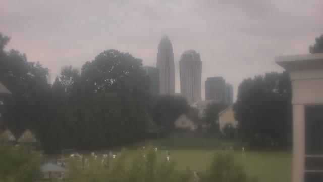
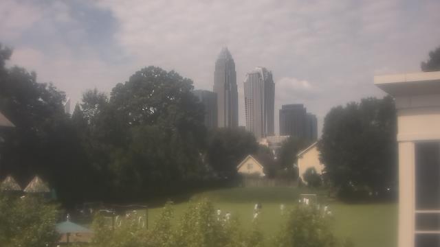
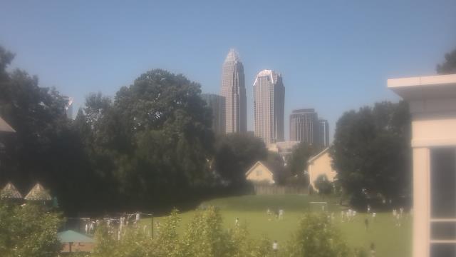
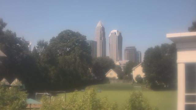
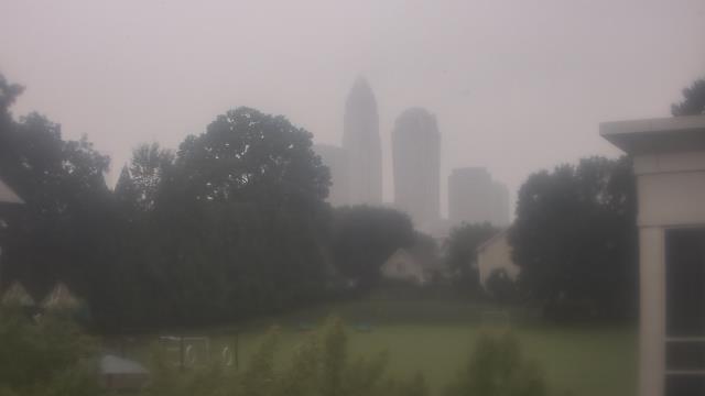
Charlotte, North Carolina, USA - 66.1 miles from Tabernacle (historical): Central Piedmont Community College - A webcam in Charlotte, North Carolina - camera location: Central Piedmont Community College.
Operator: WeatherBug
Operator: WeatherBug
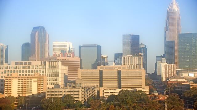

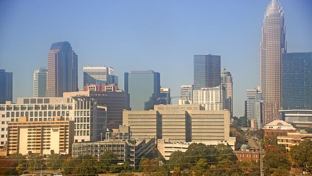
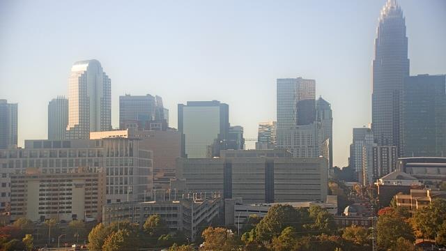
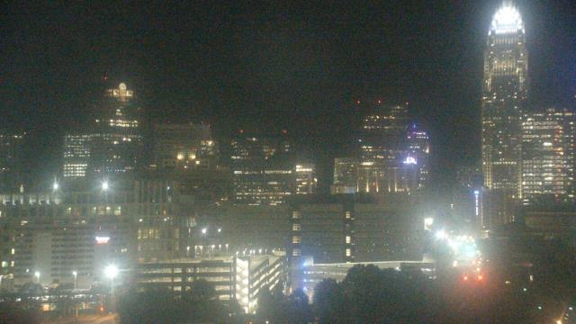
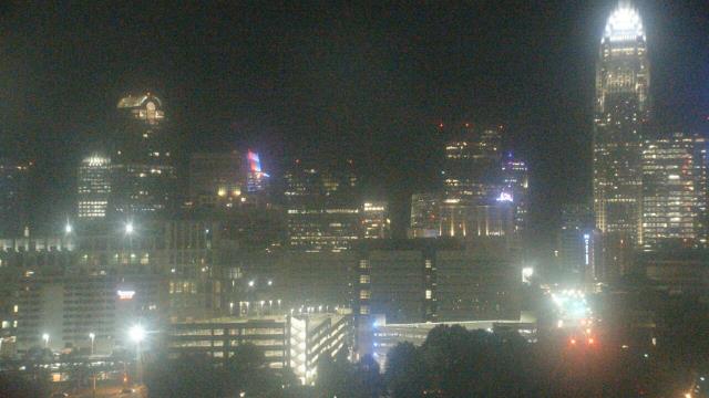
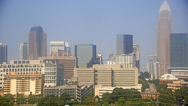

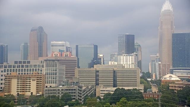
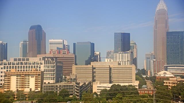

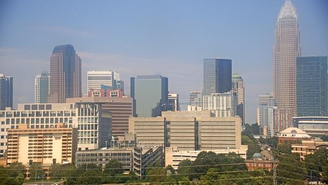

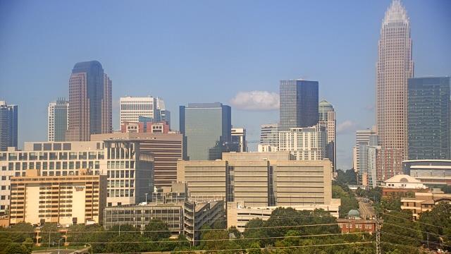


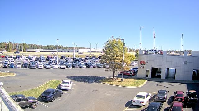
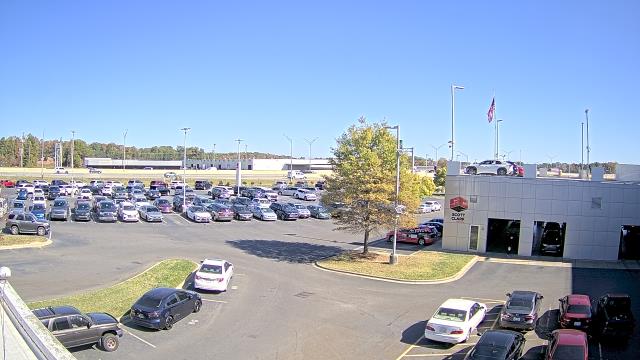
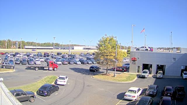
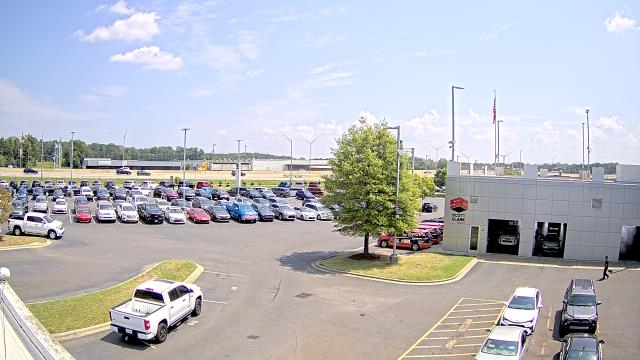
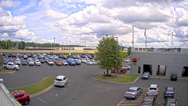
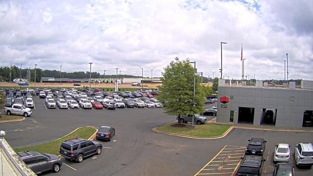
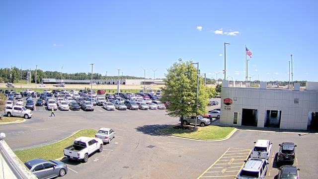
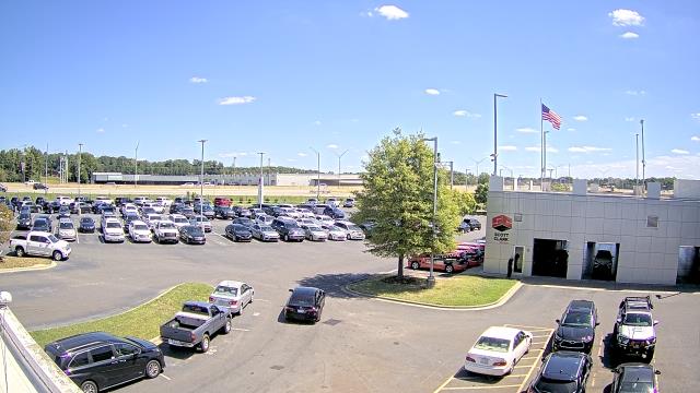
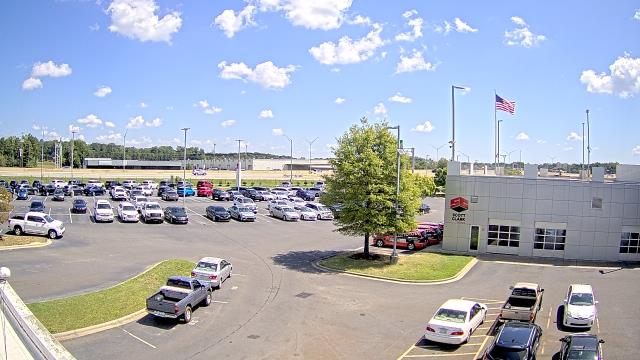
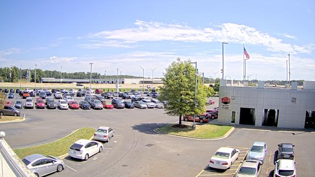
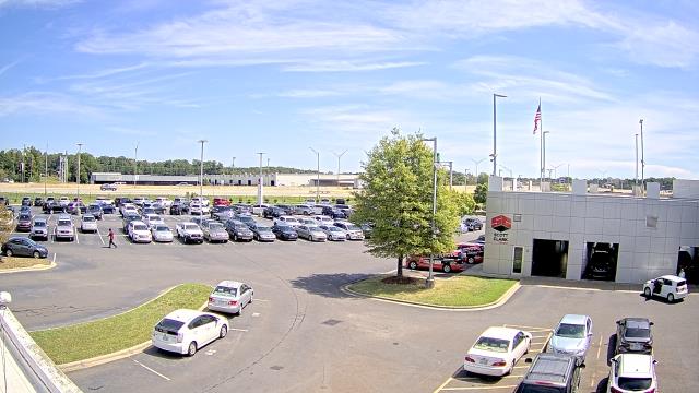
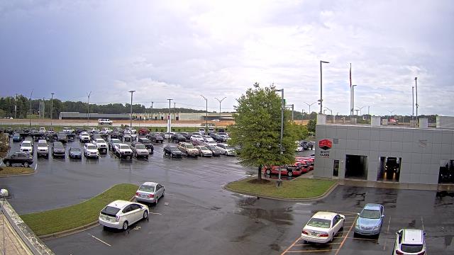
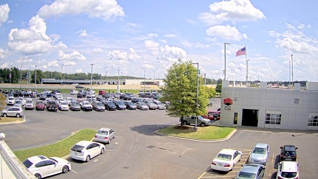
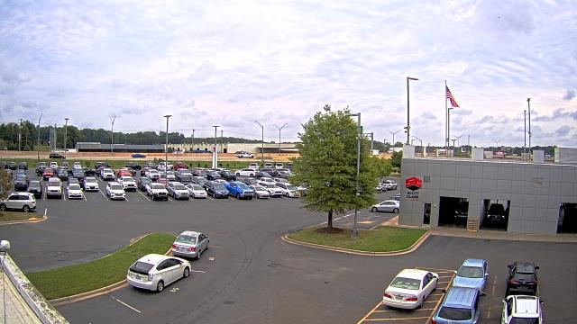
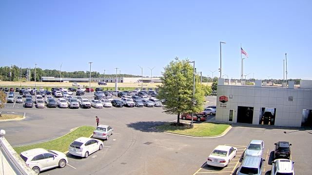
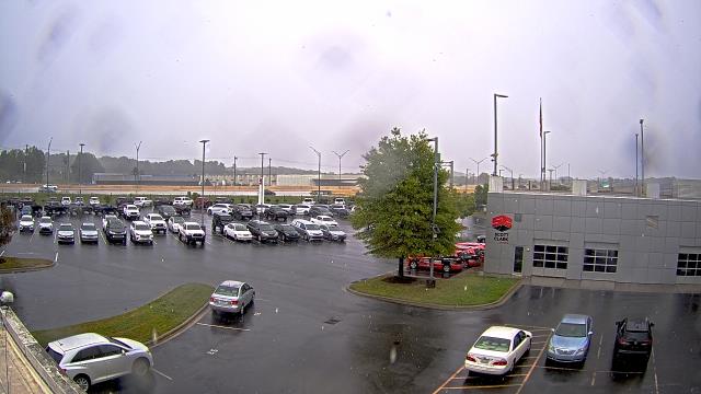
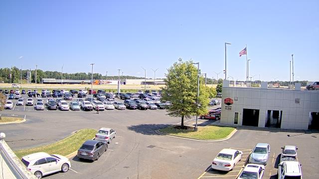
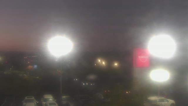
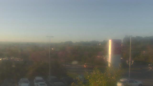
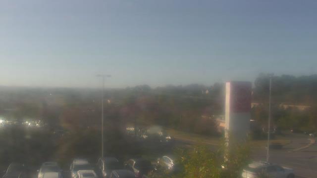
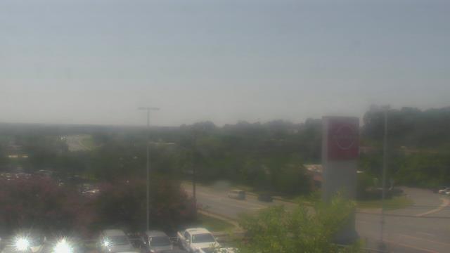
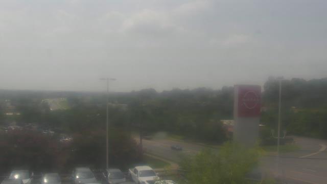
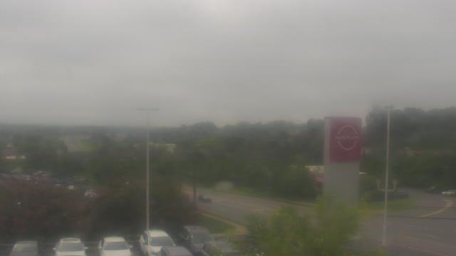
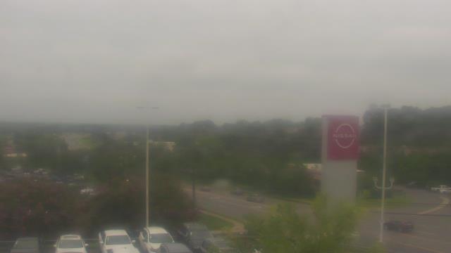
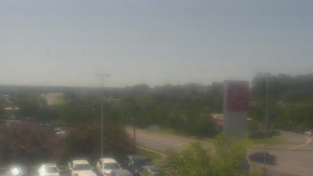
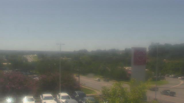
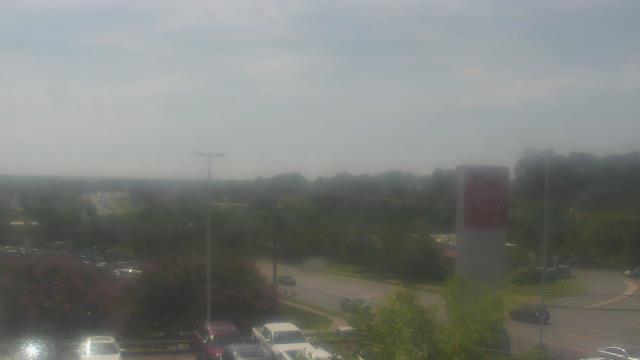
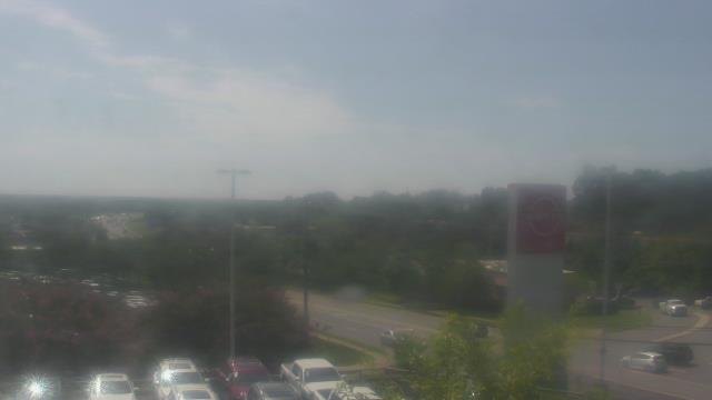
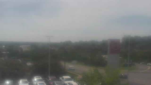
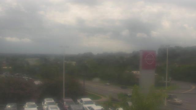
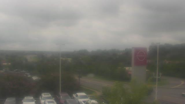
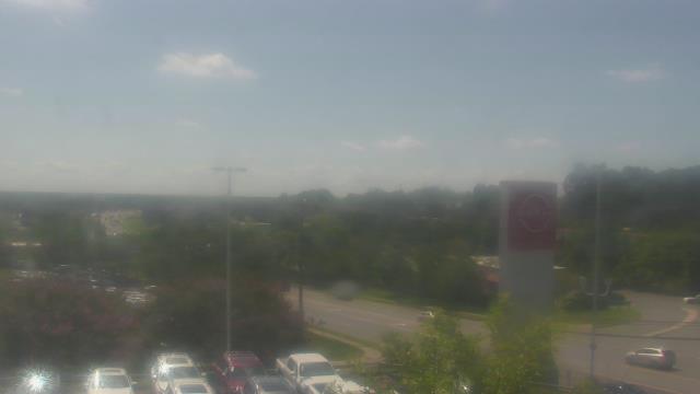
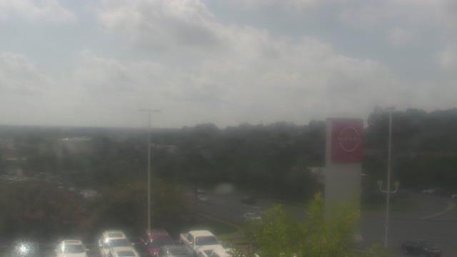
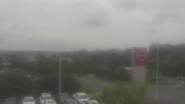
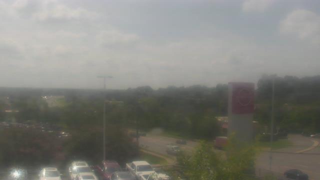
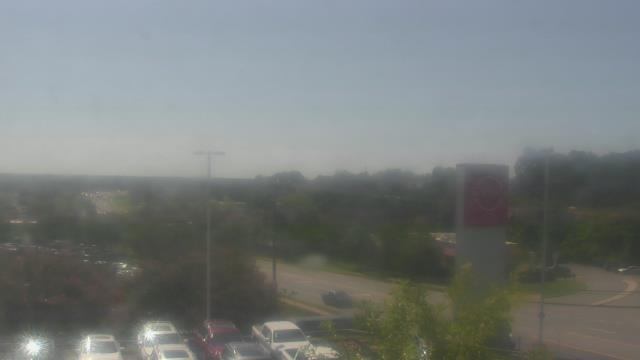
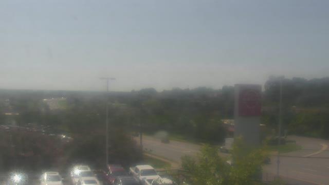
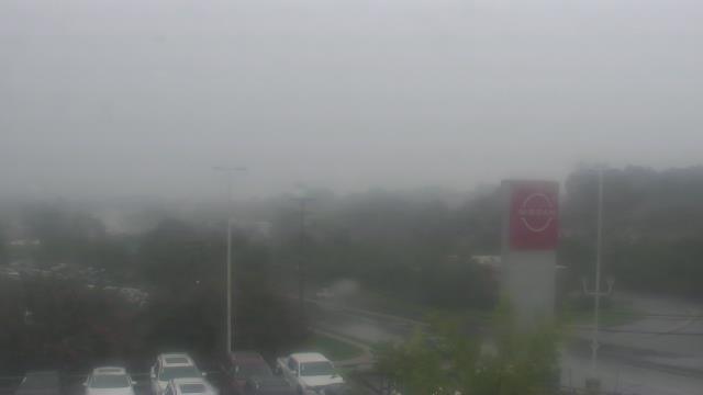
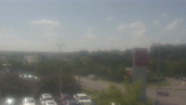
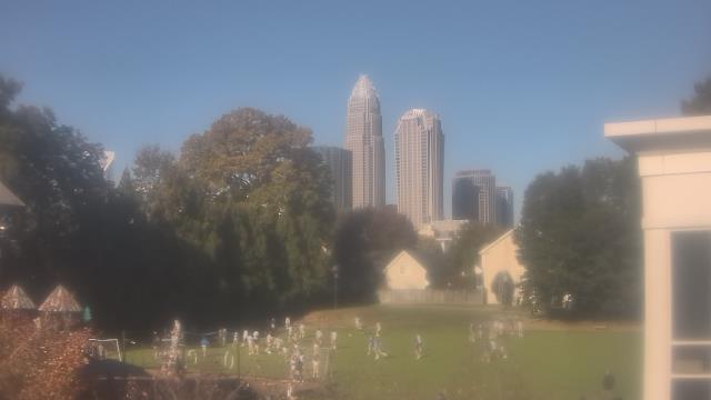
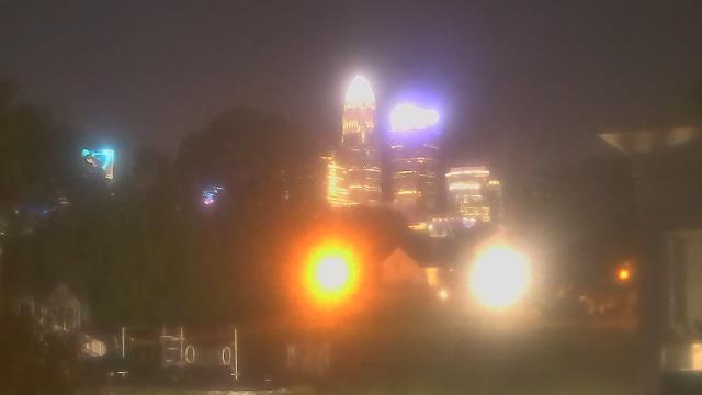
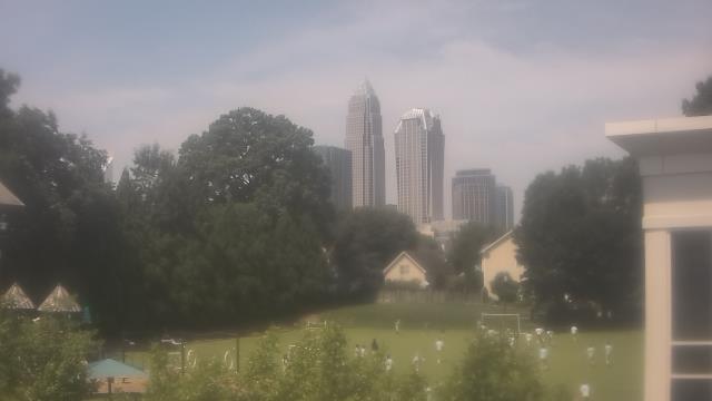
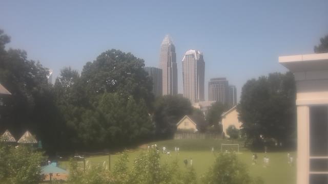
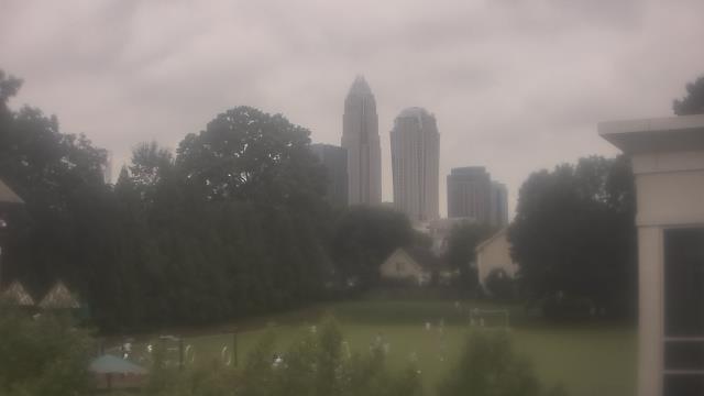
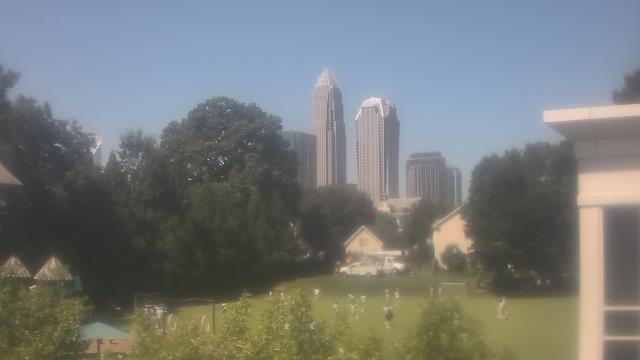
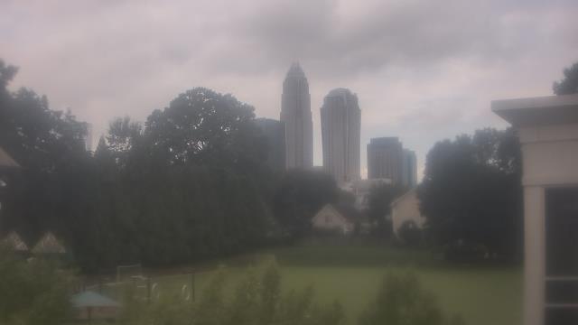
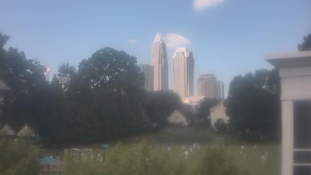
Charlotte, North Carolina, USA - 66.1 miles from Tabernacle (historical): Scott Clarks Nissan - A webcam in Charlotte, North Carolina - camera location: Scott Clarks Nissan.
Operator: WeatherBug
Operator: WeatherBug


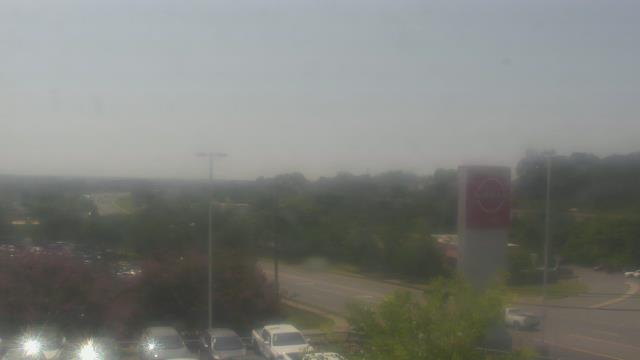
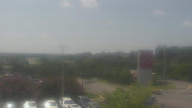

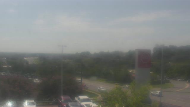

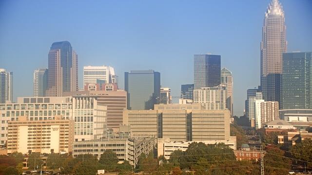
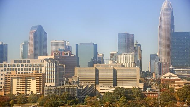
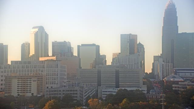
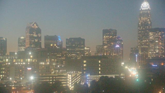
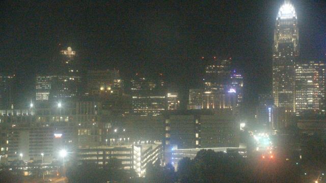
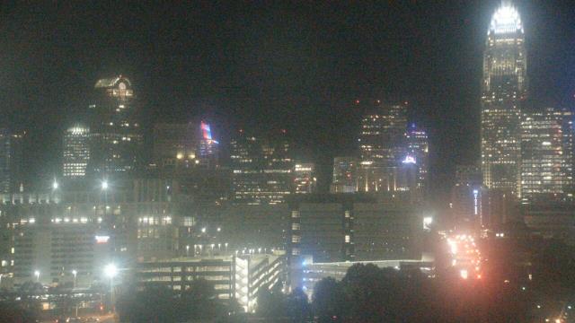
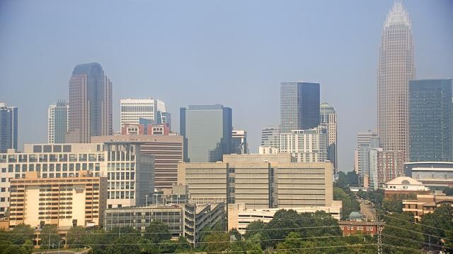
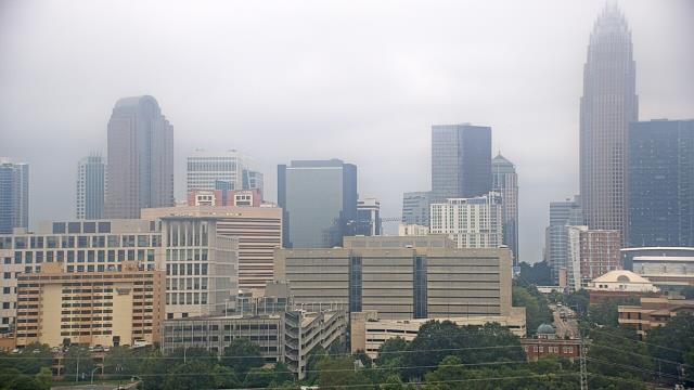
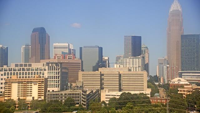
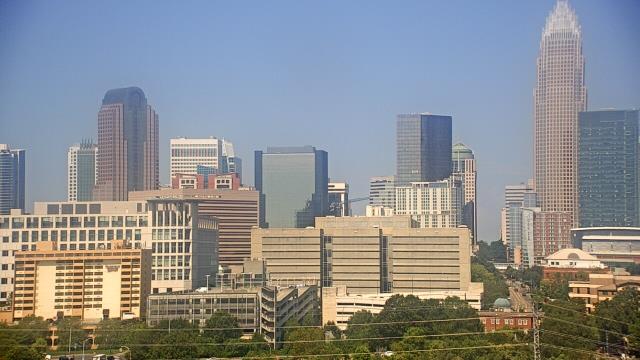
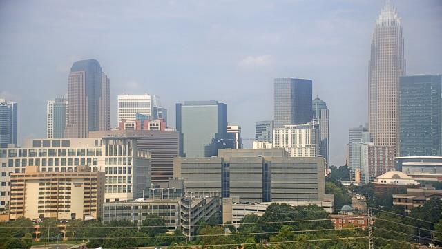
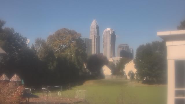
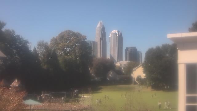
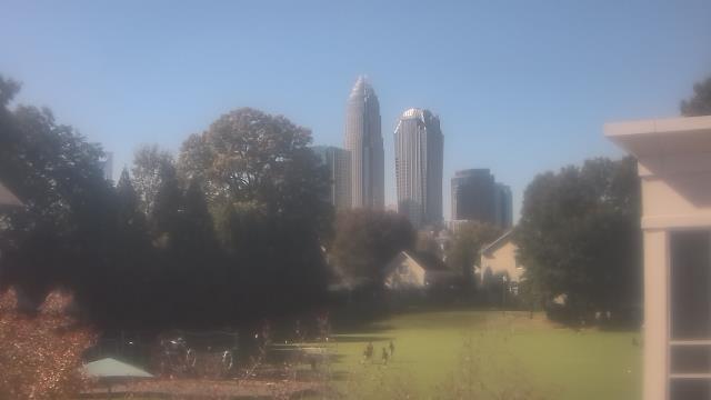
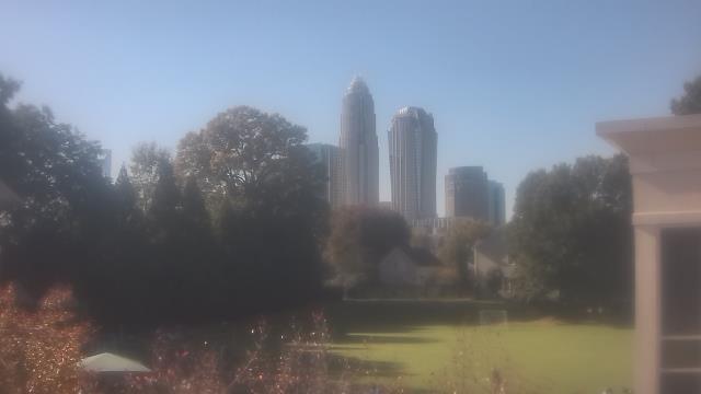
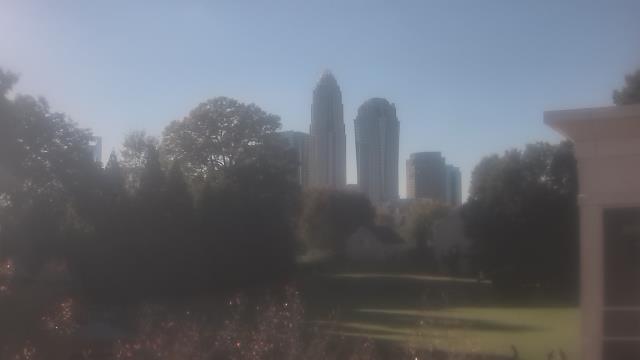
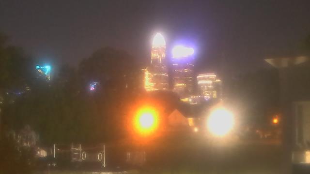
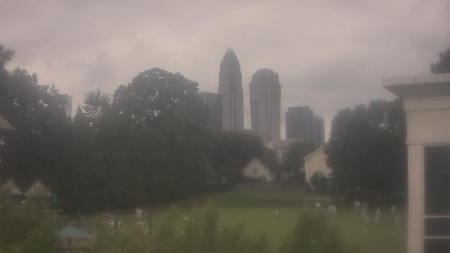
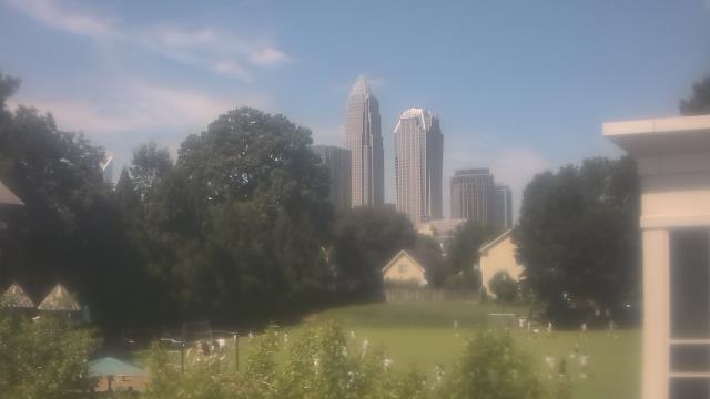
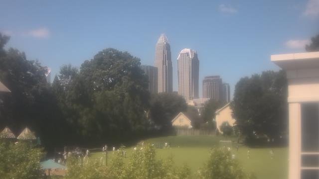
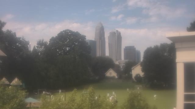
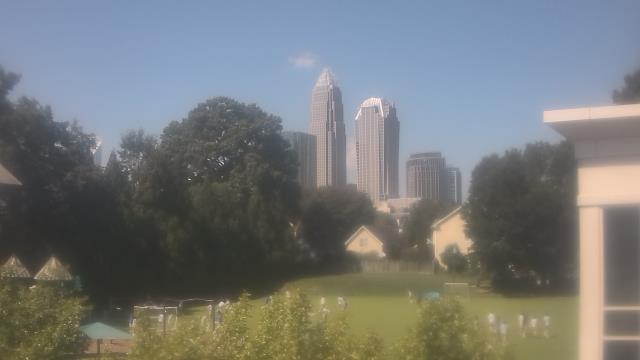
Charlotte, North Carolina, USA - 66.1 miles from Tabernacle (historical): Trinity Episcopal School - Webcam and current weather data - camera location: Trinity Episcopal School.
Operator: WeatherBug
Operator: WeatherBug


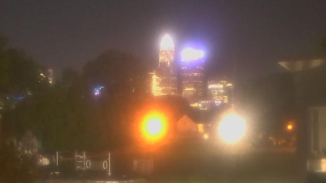


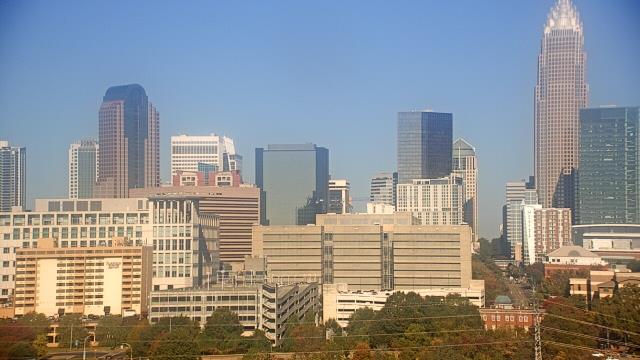
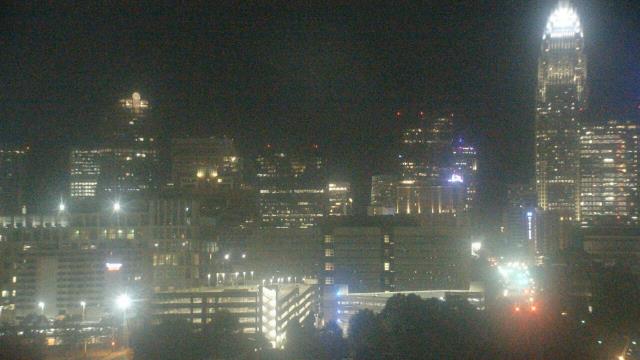
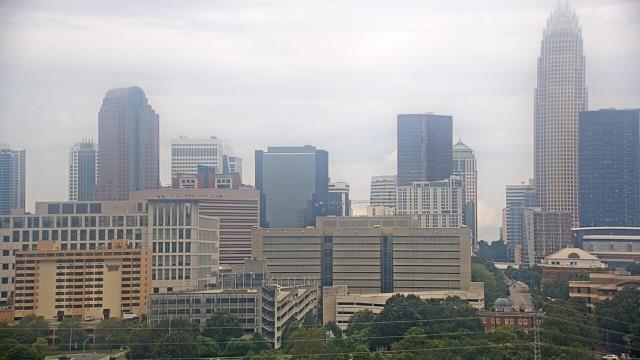
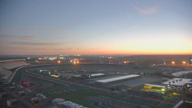
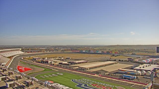
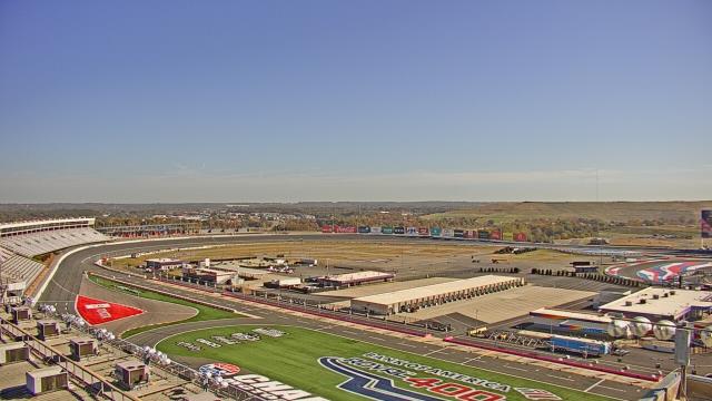
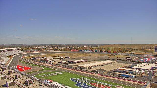
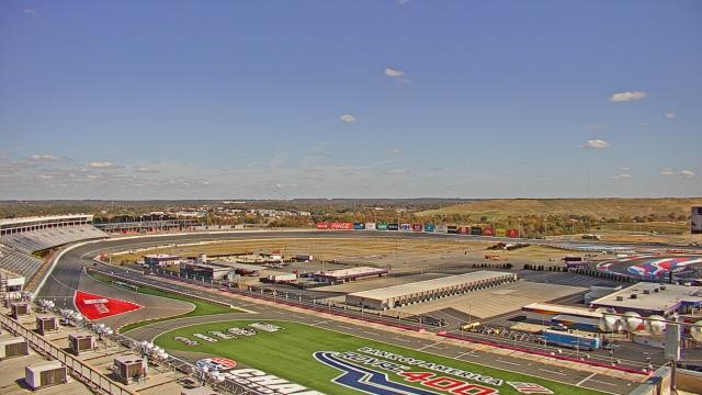
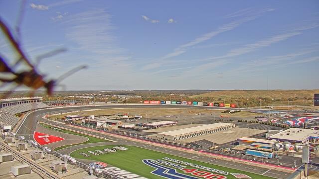
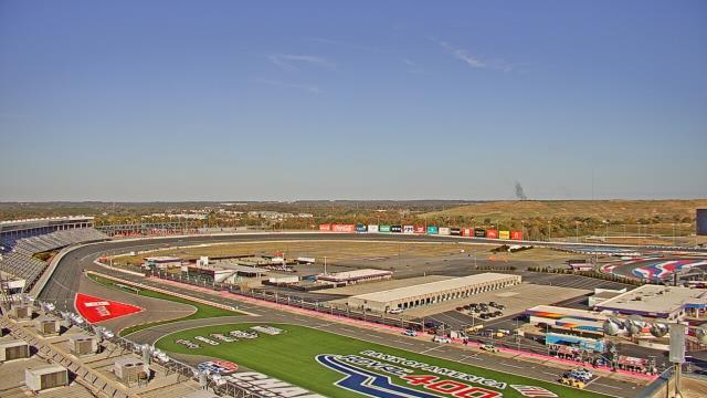
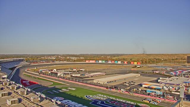
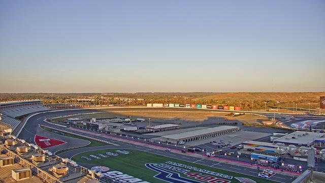
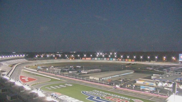
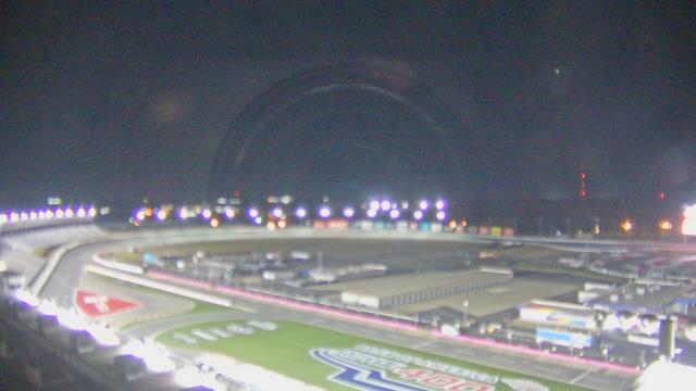
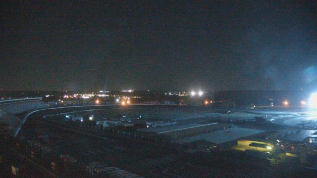
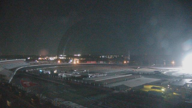
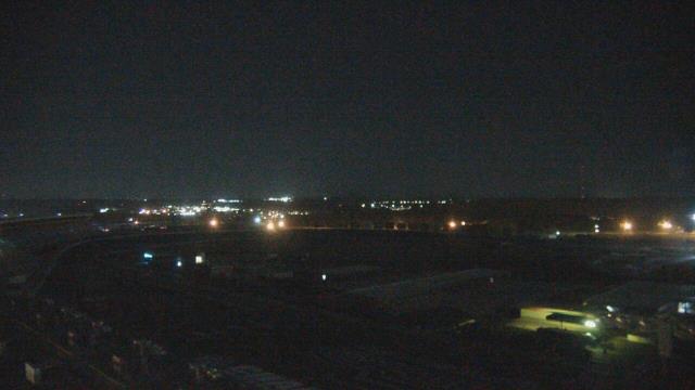
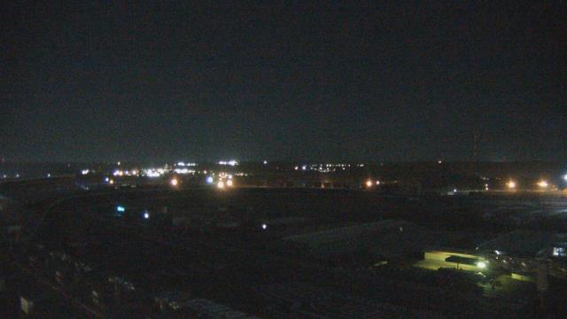
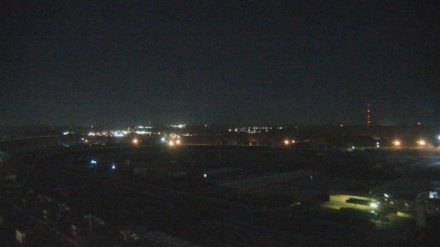
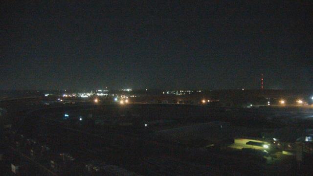
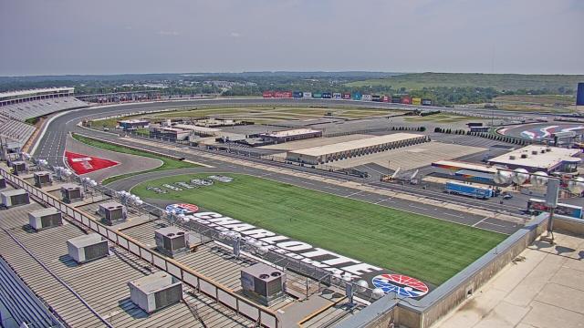
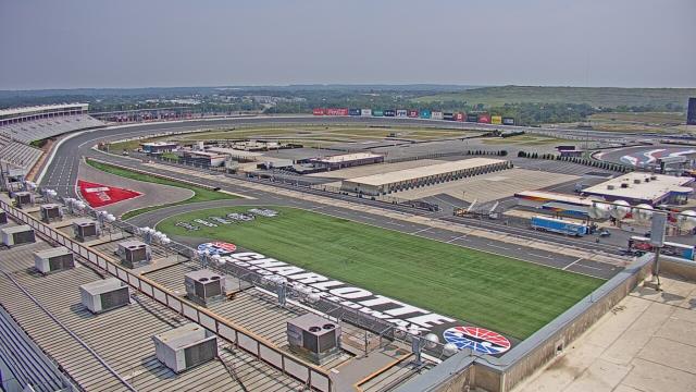
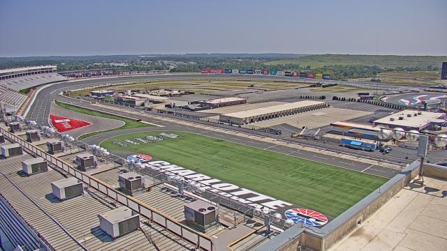
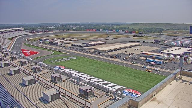
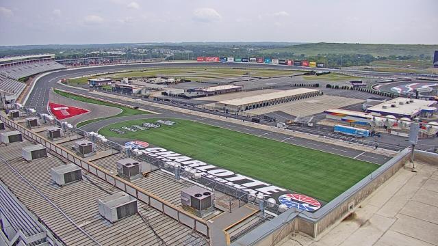
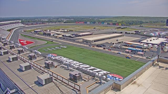
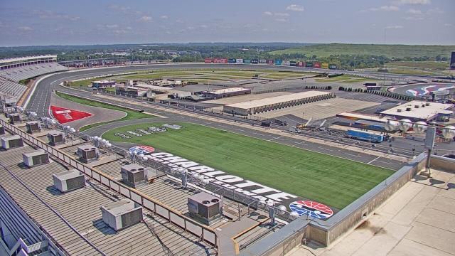
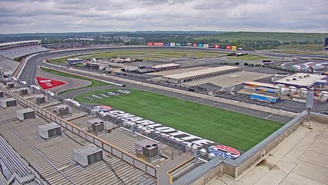
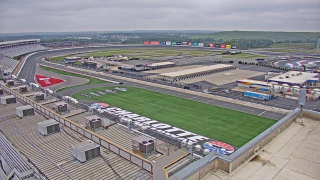
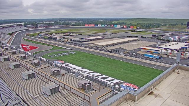
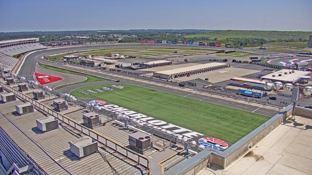
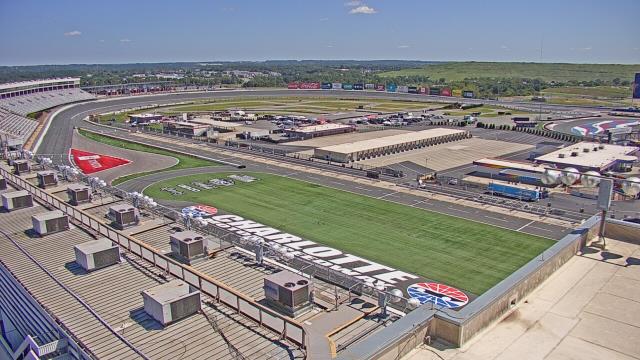
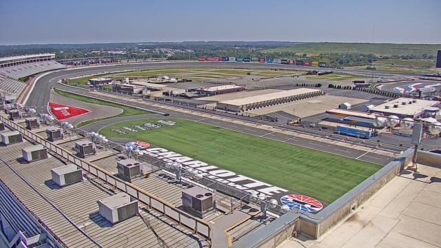
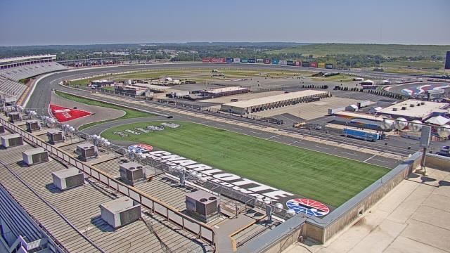
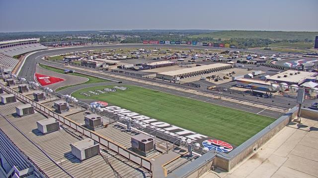
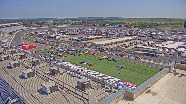
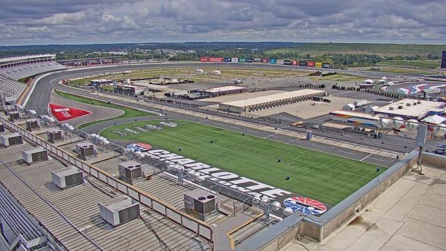
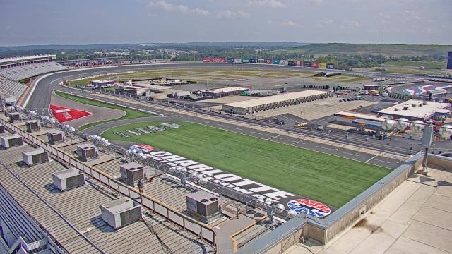
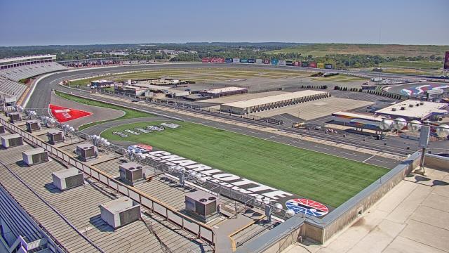
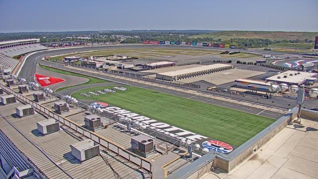
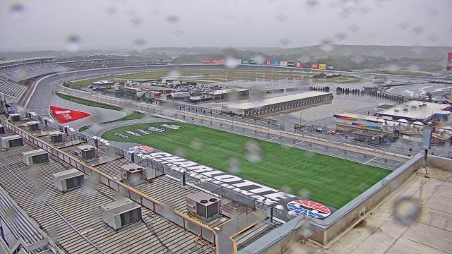
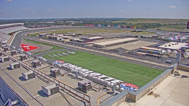
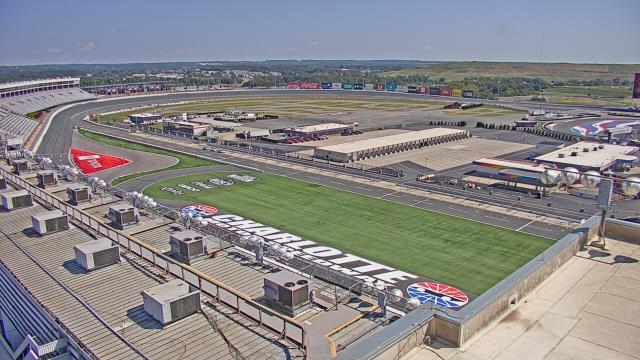
Concord, North Carolina, USA - 70.6 miles from Tabernacle (historical): Charlotte Motor Speedway - A webcam in Concord, North Carolina - camera location: Charlotte Motor Speedway.
Operator: WeatherBug
Operator: WeatherBug


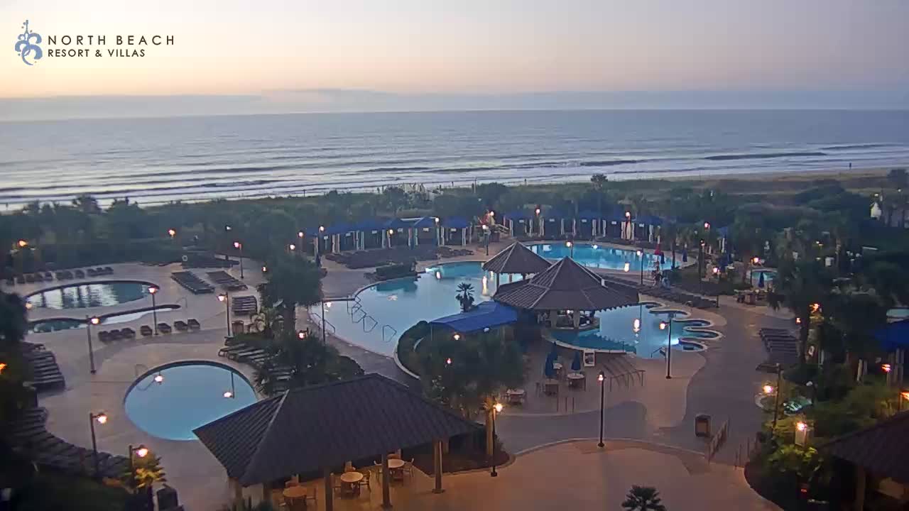
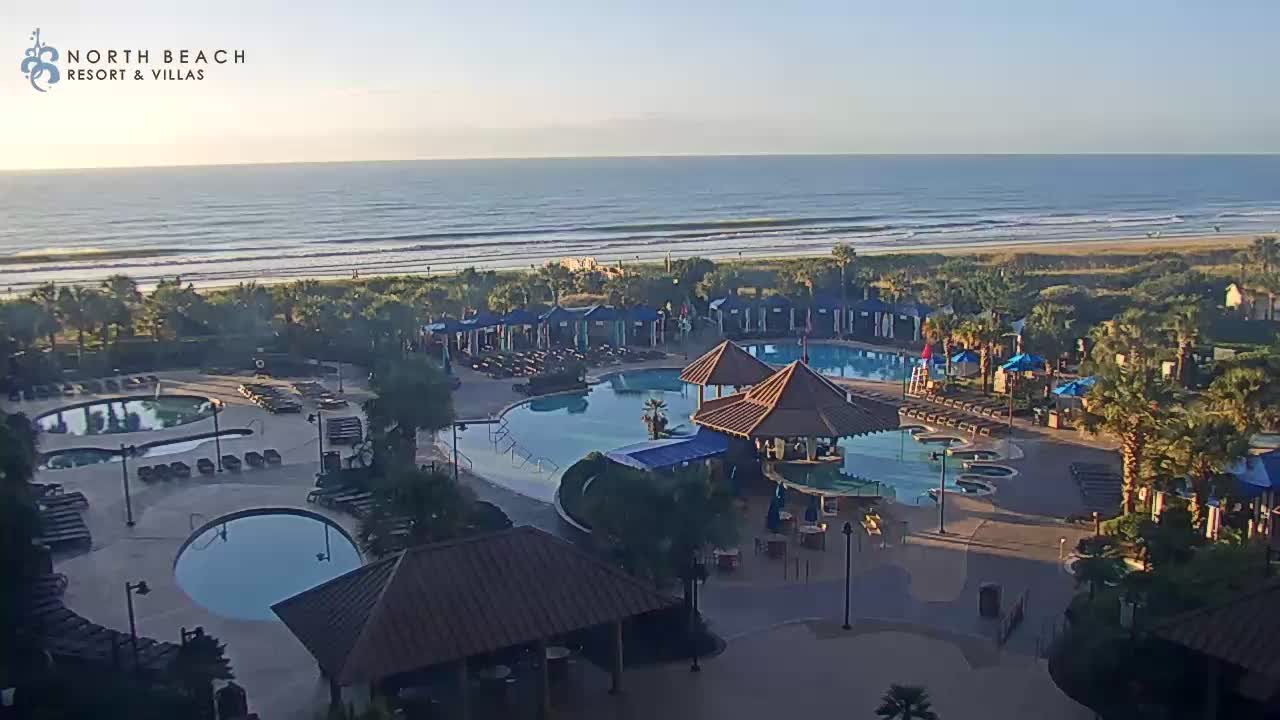
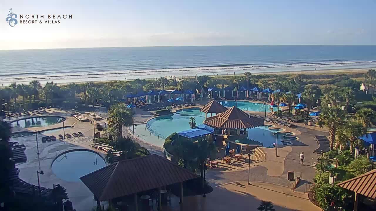
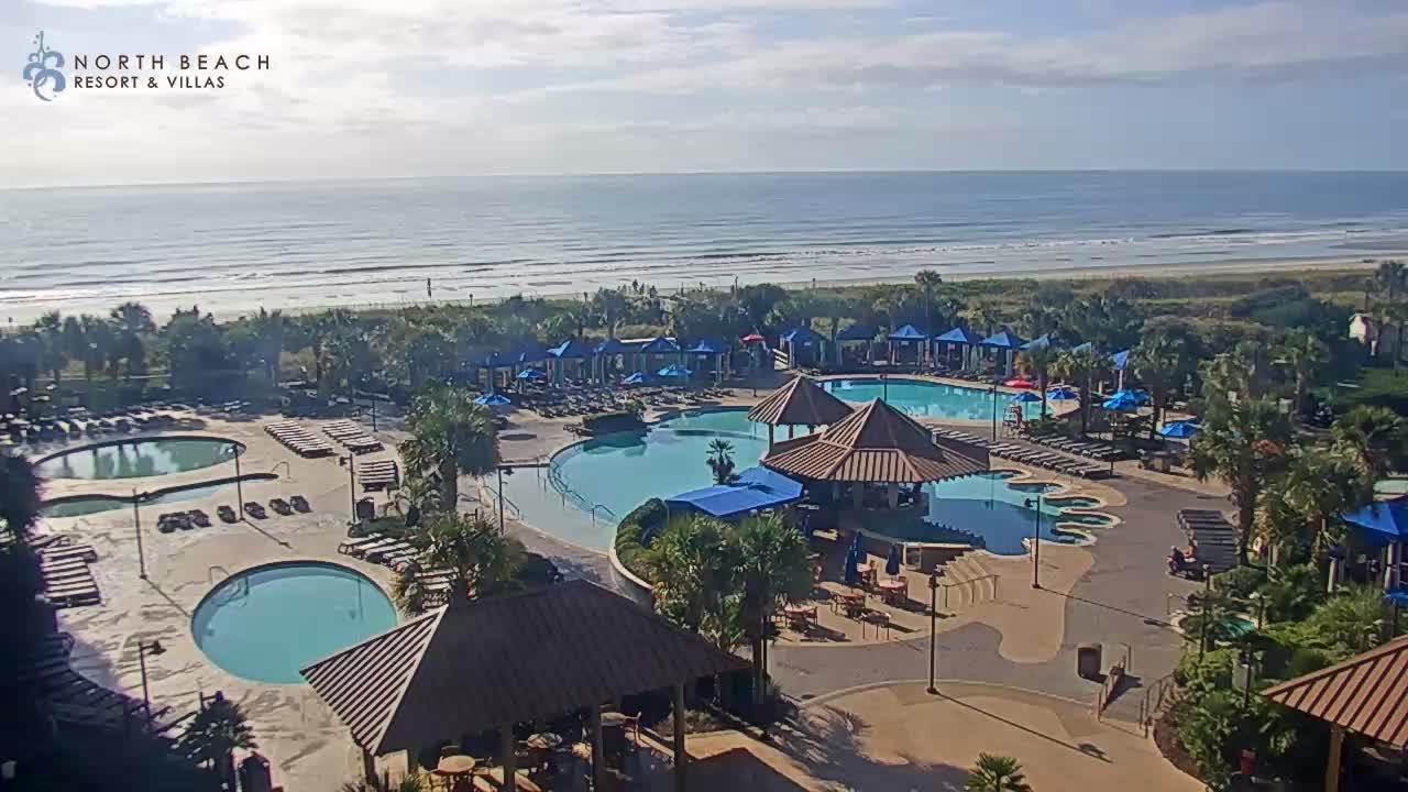
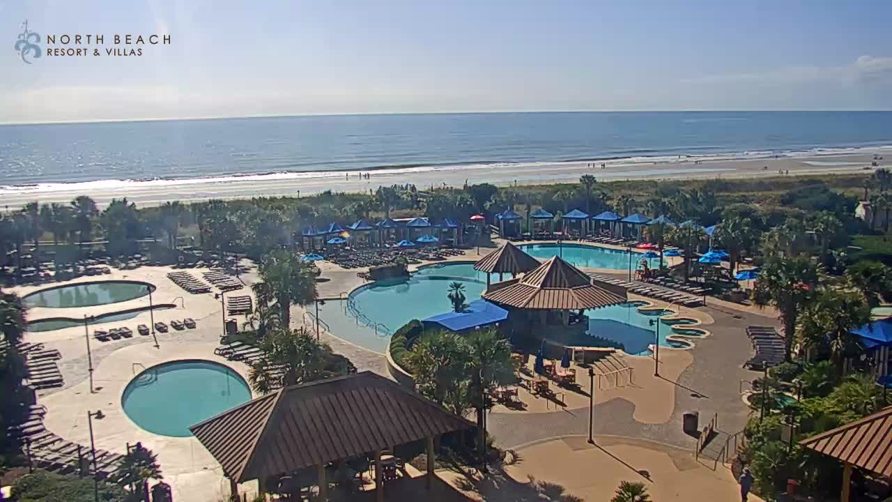
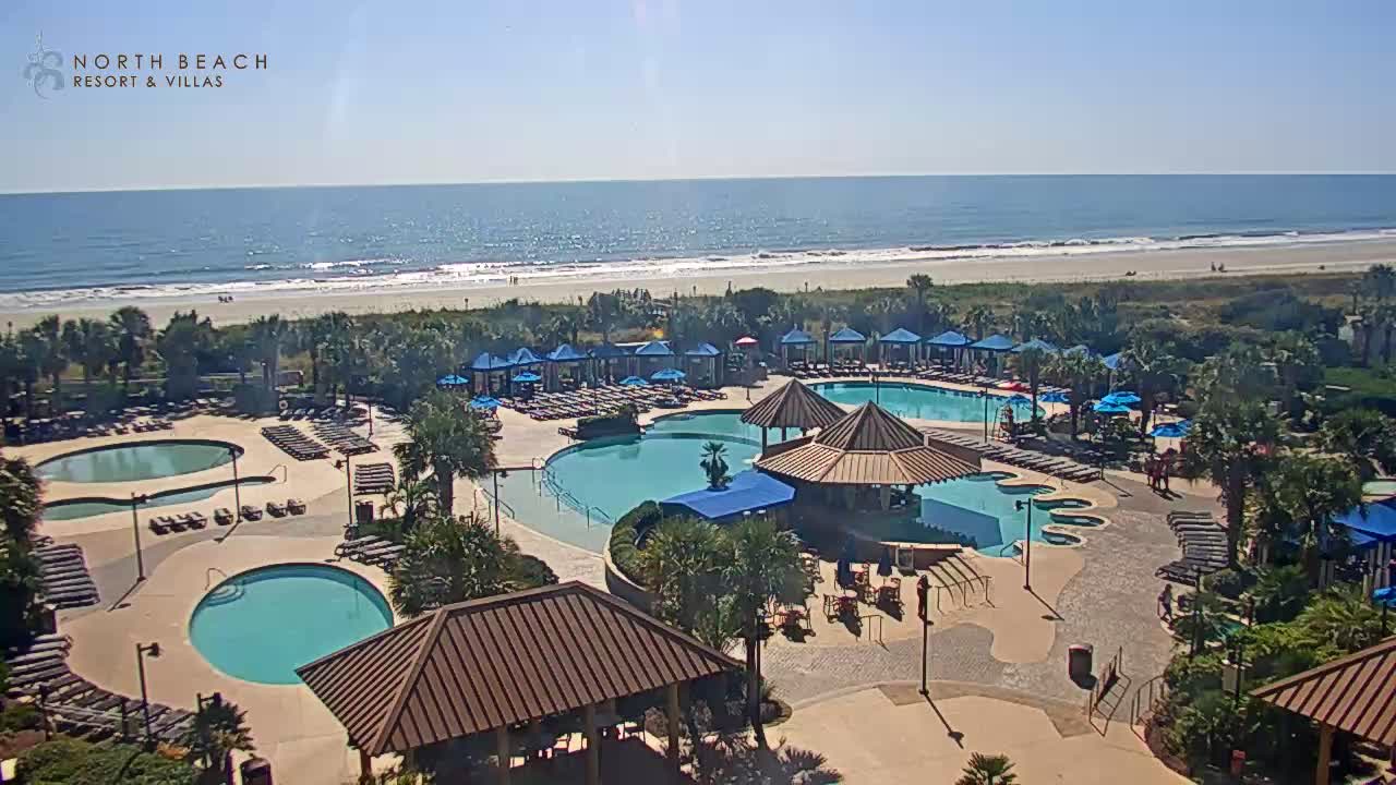
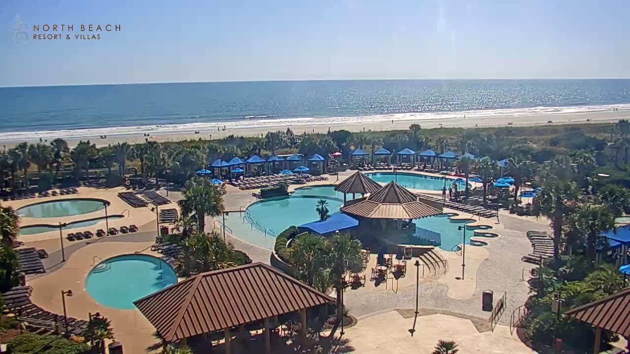
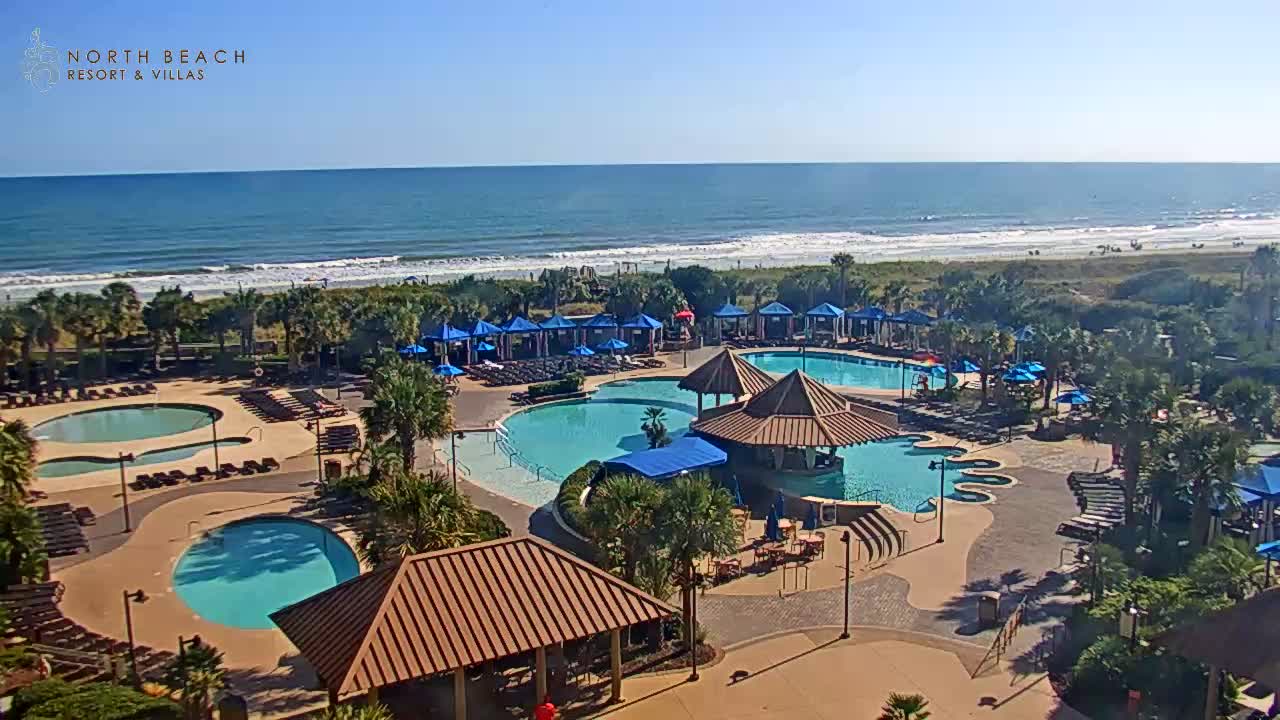
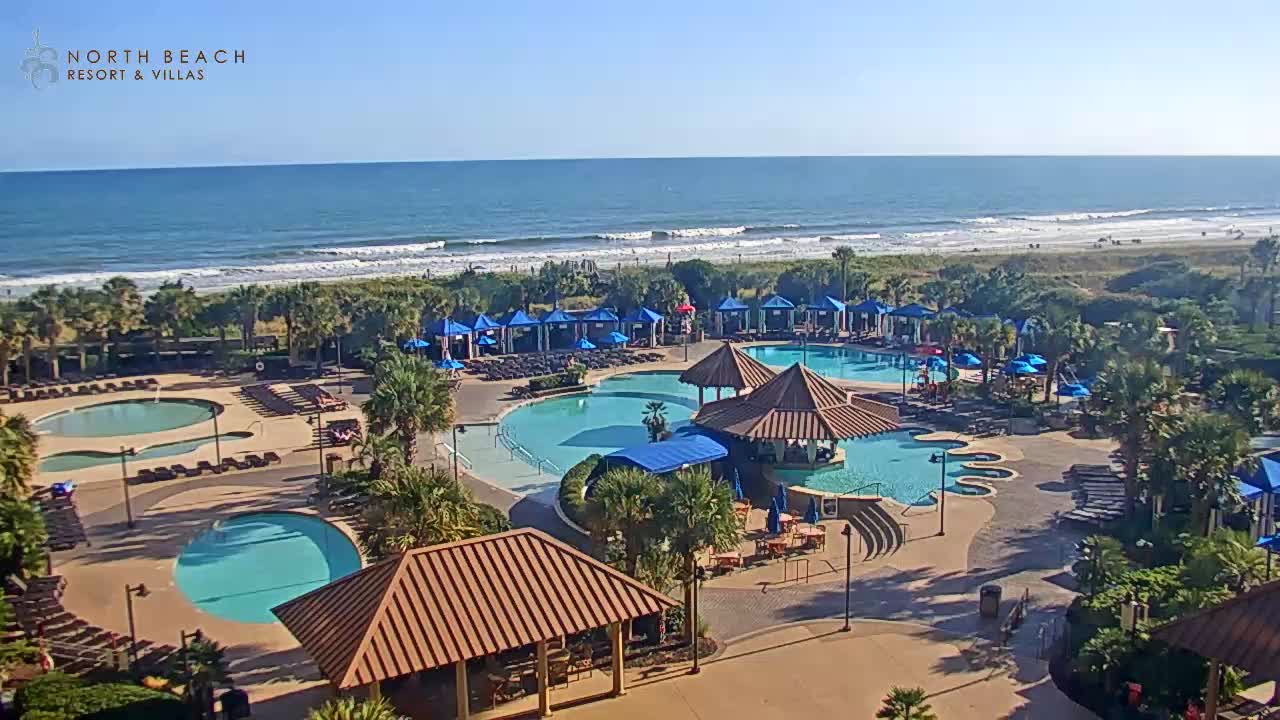
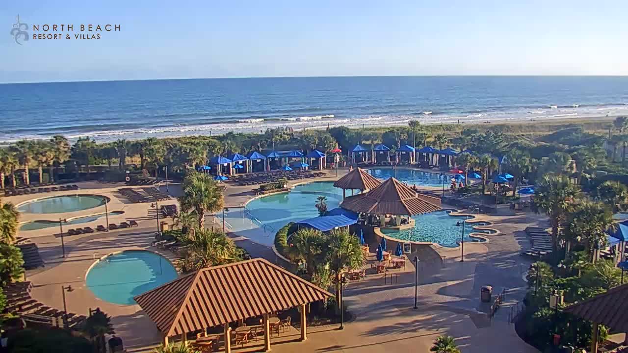
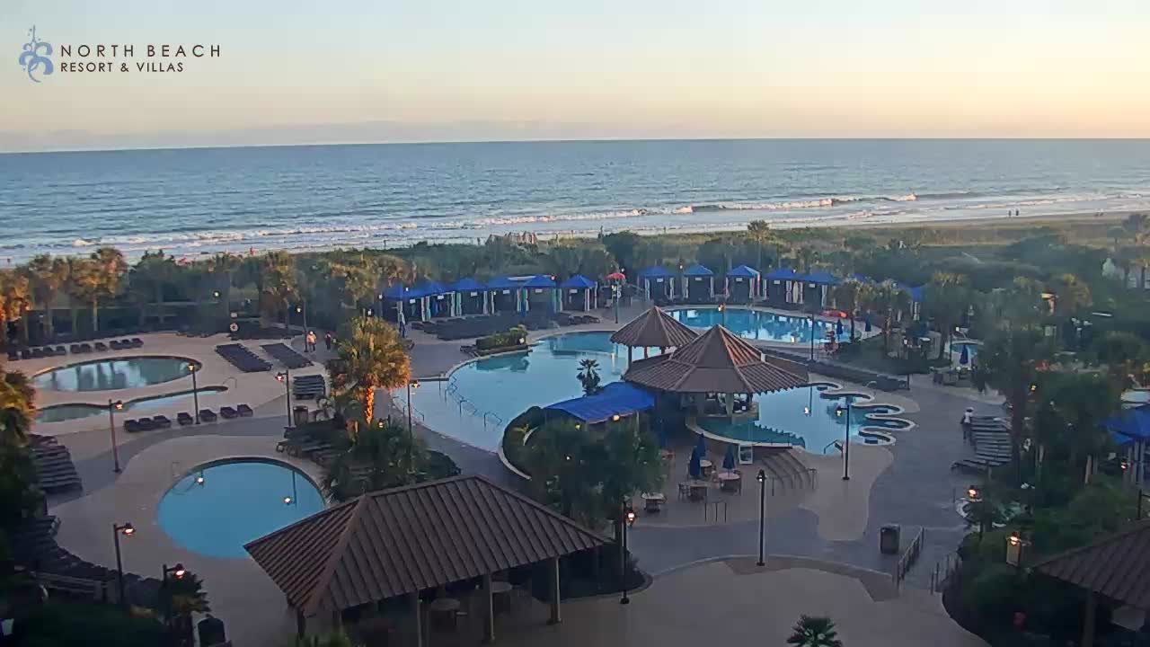
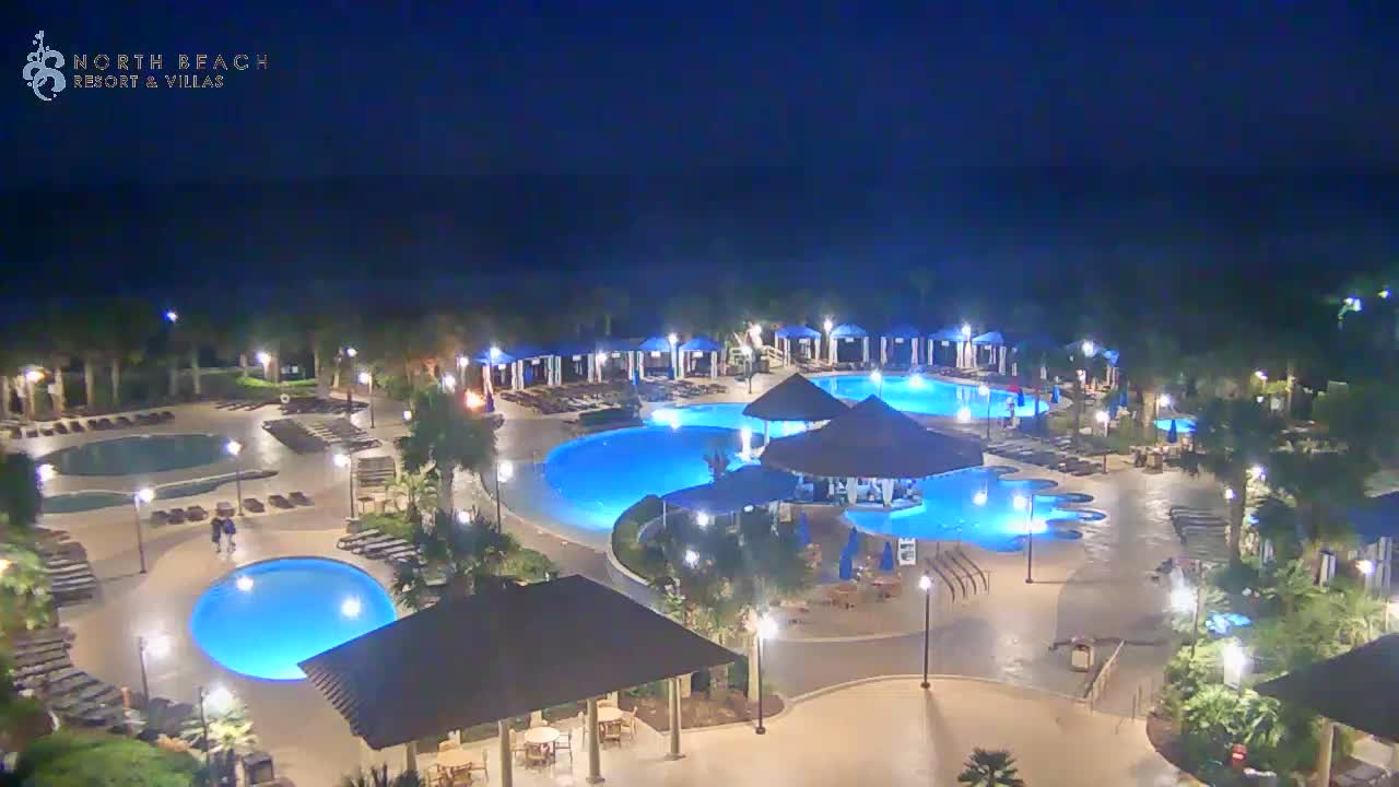
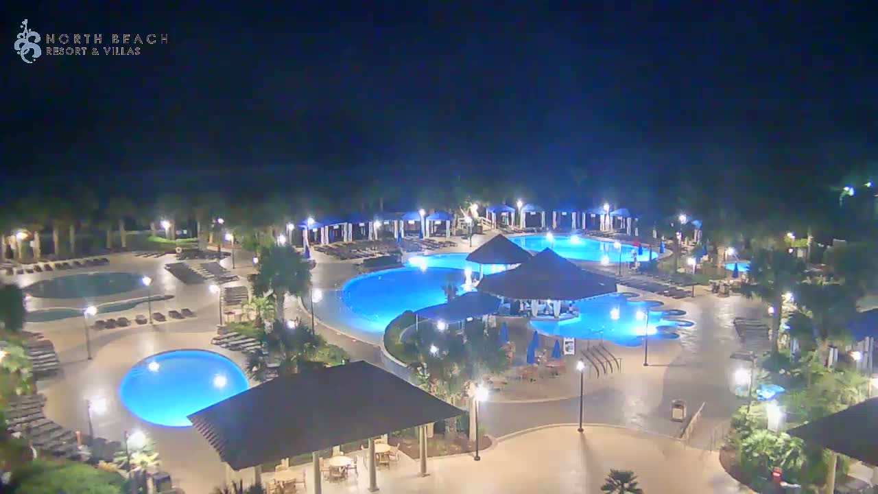
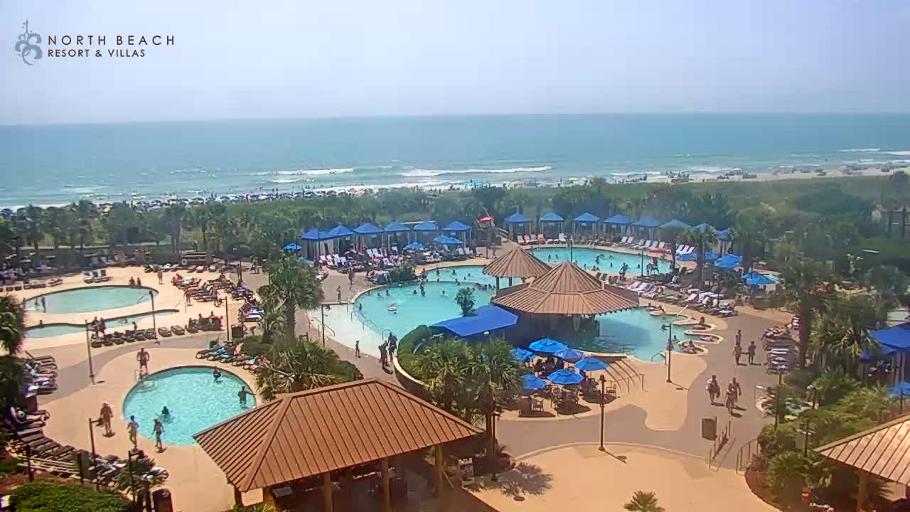
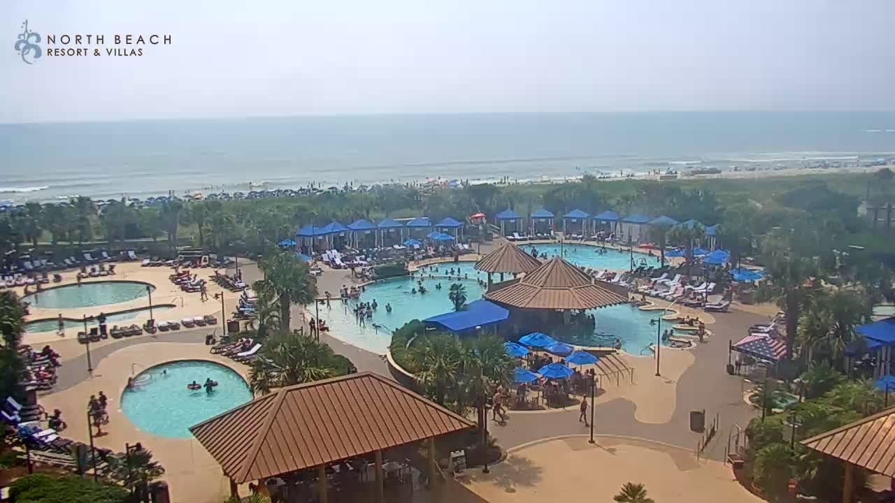
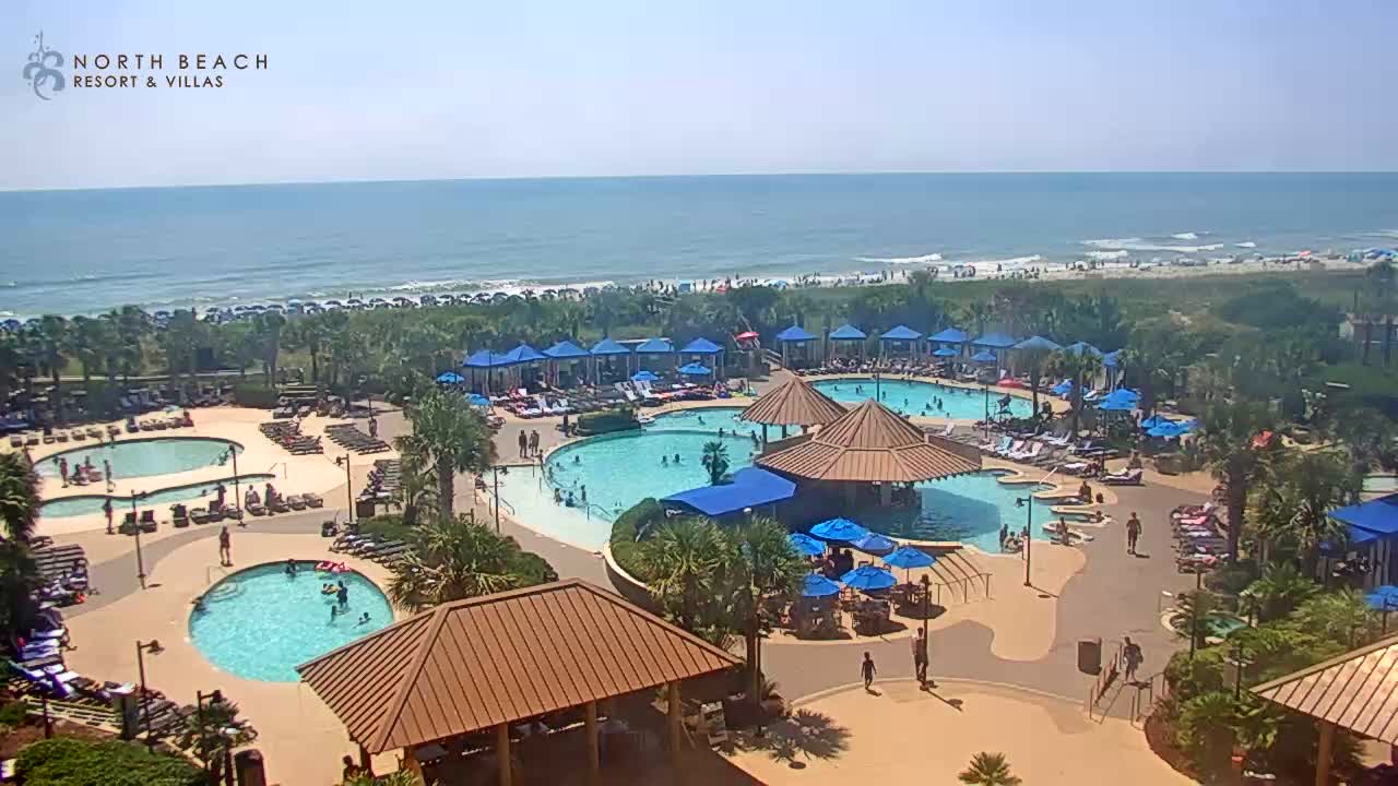
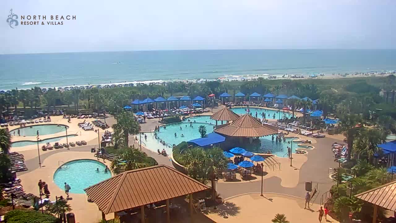
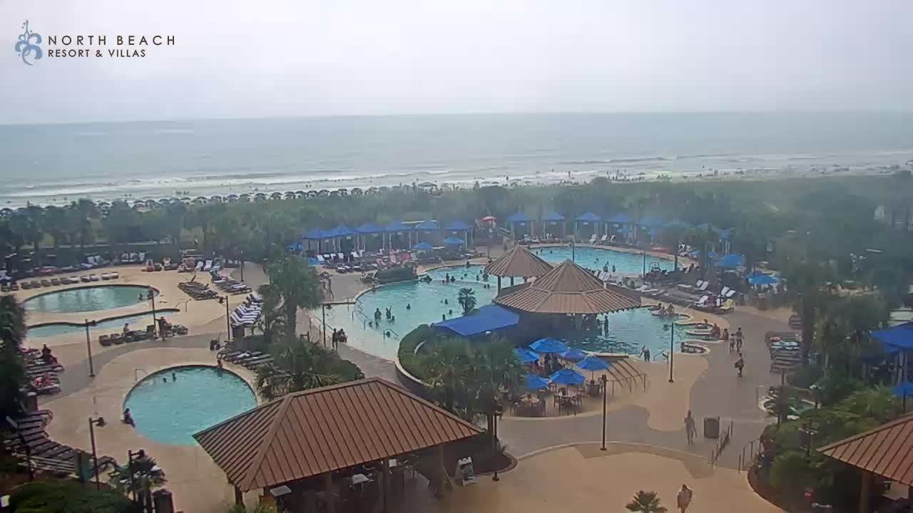
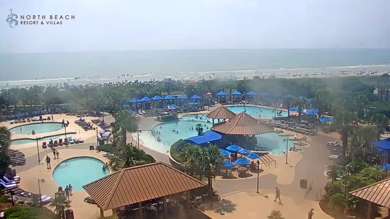
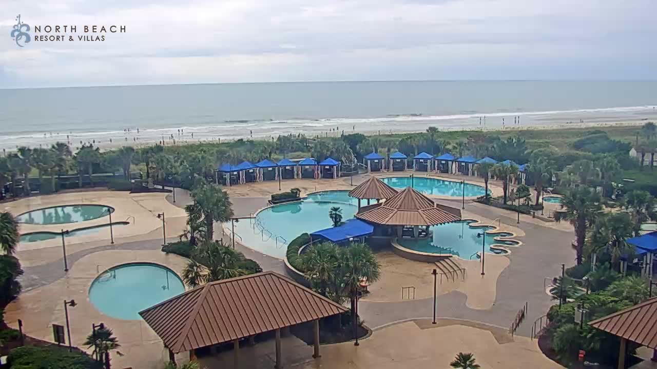
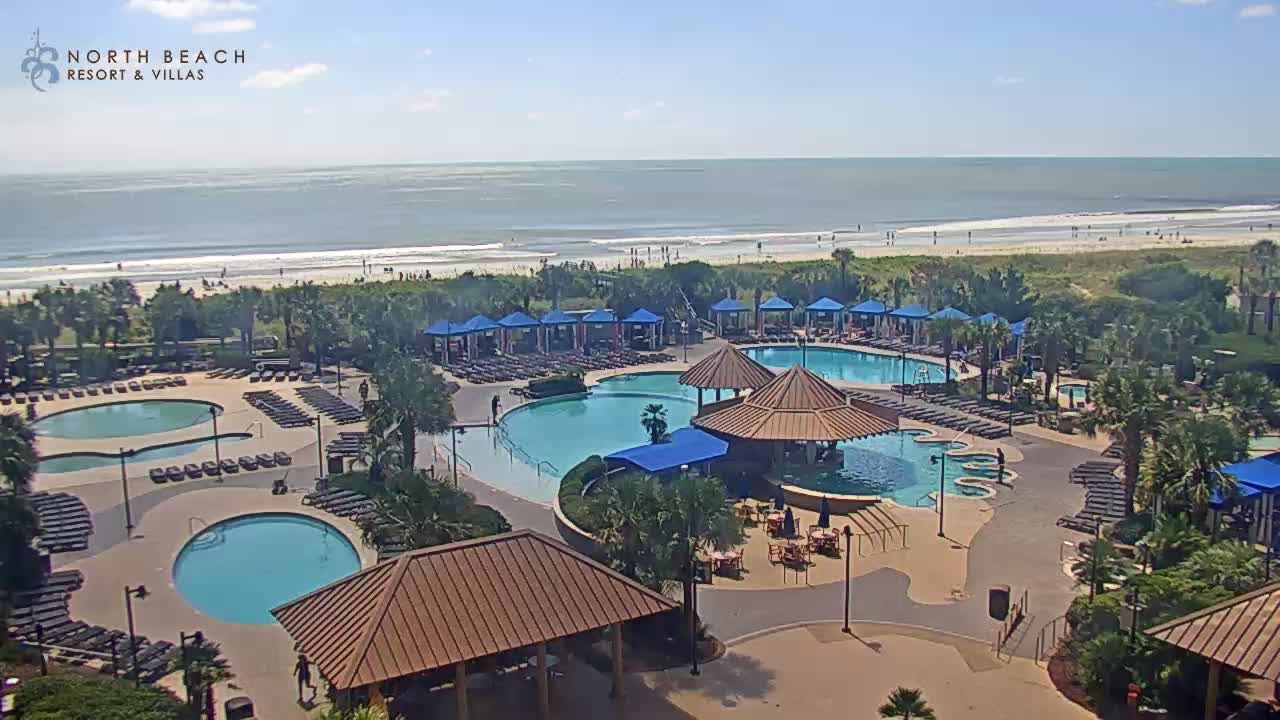
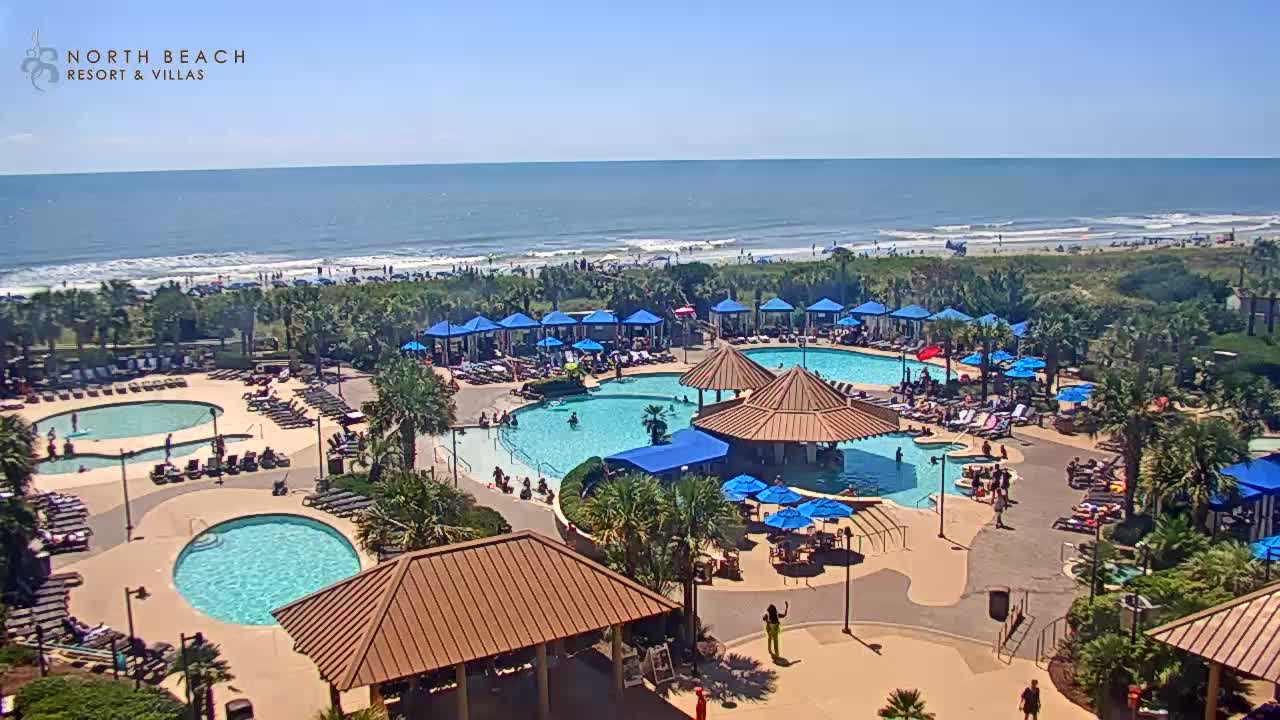
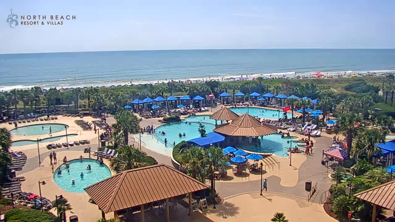
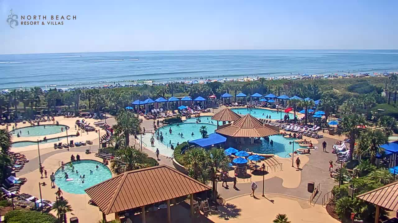
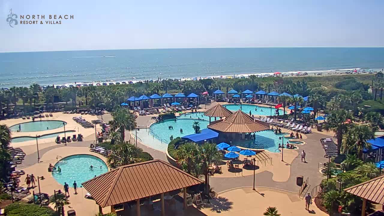
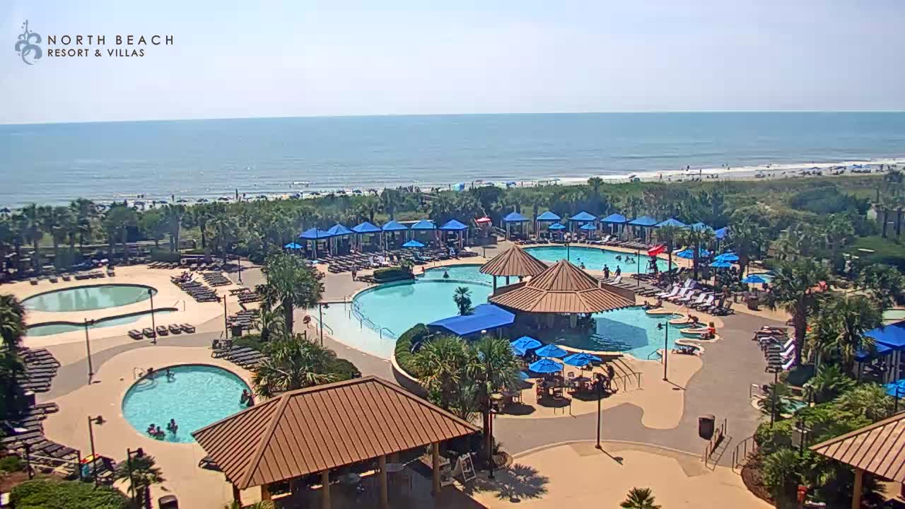
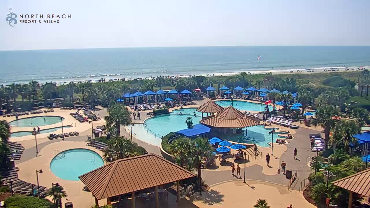
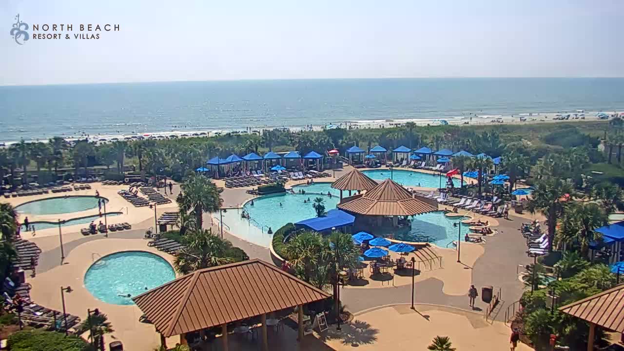
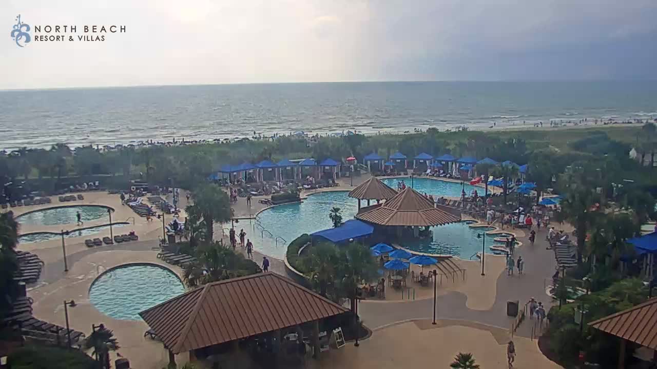
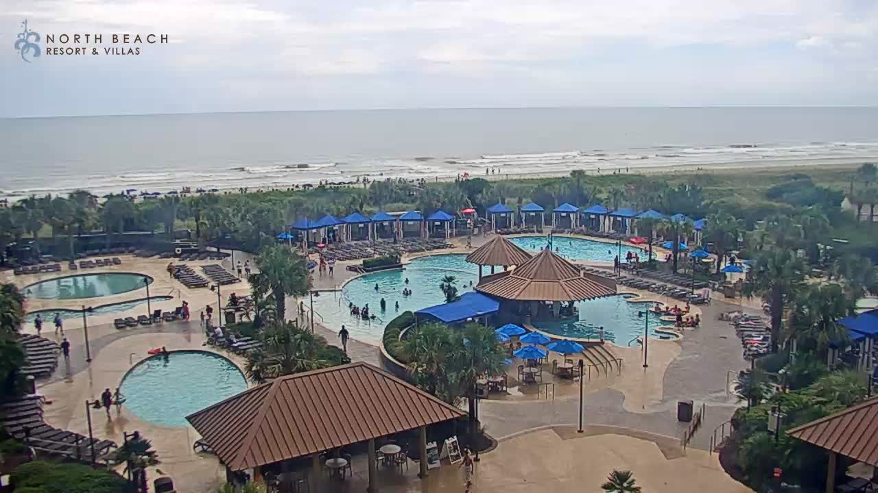
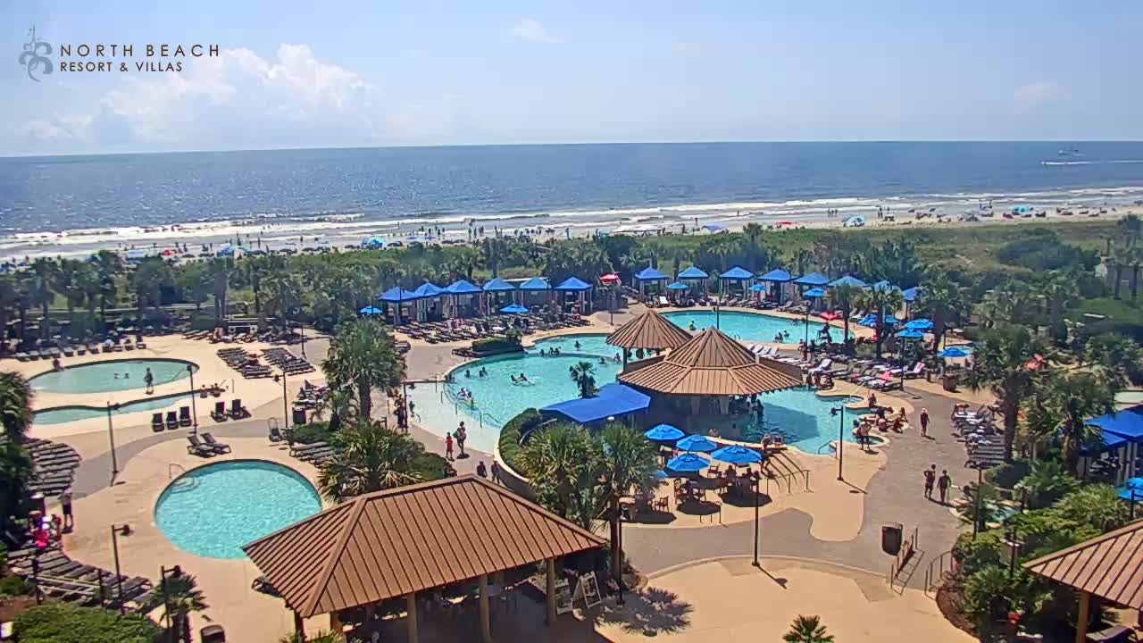
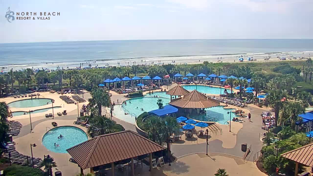
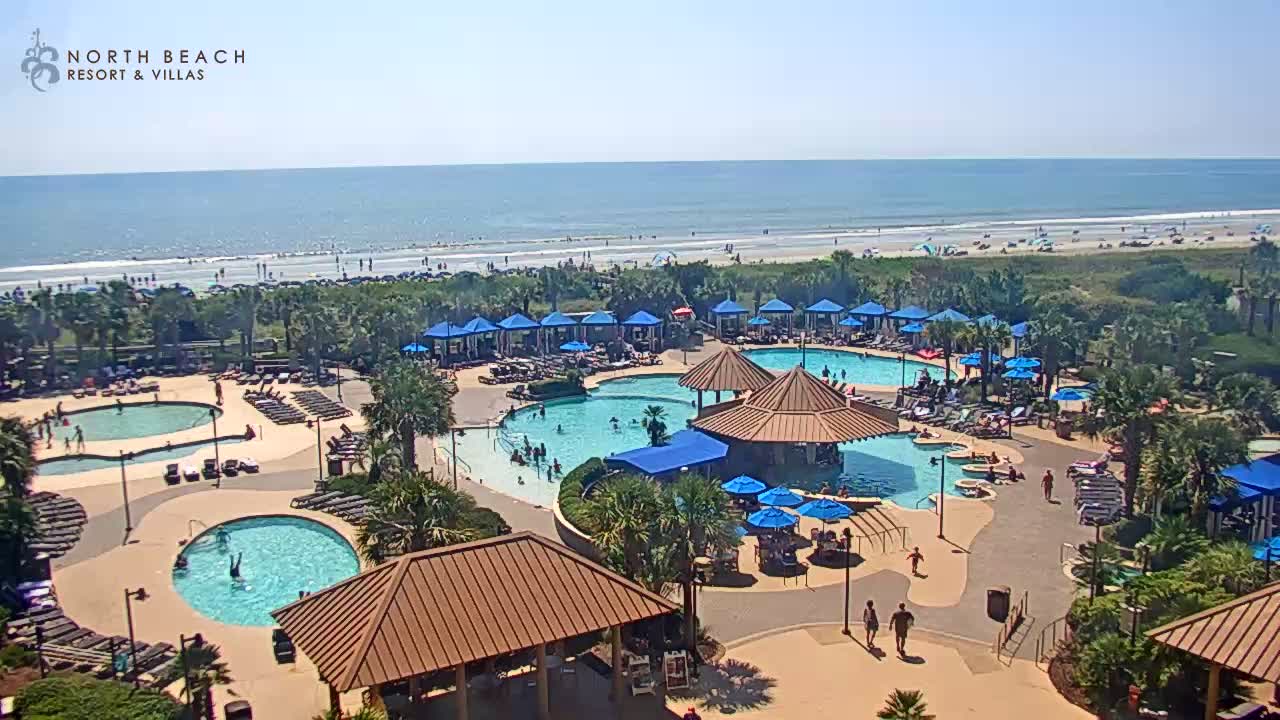
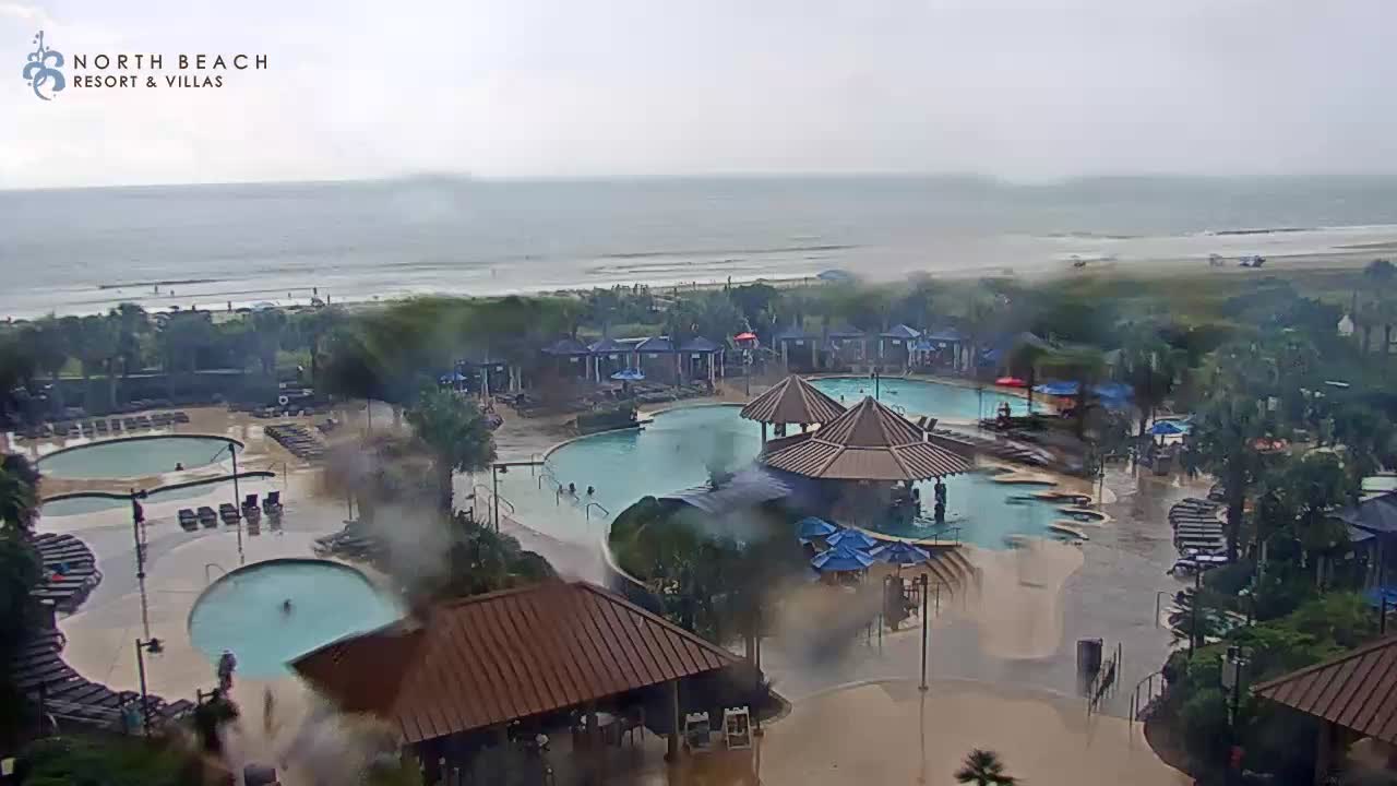
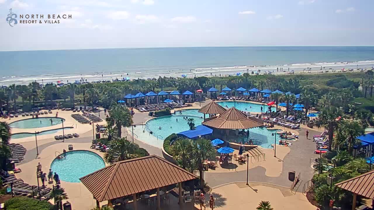
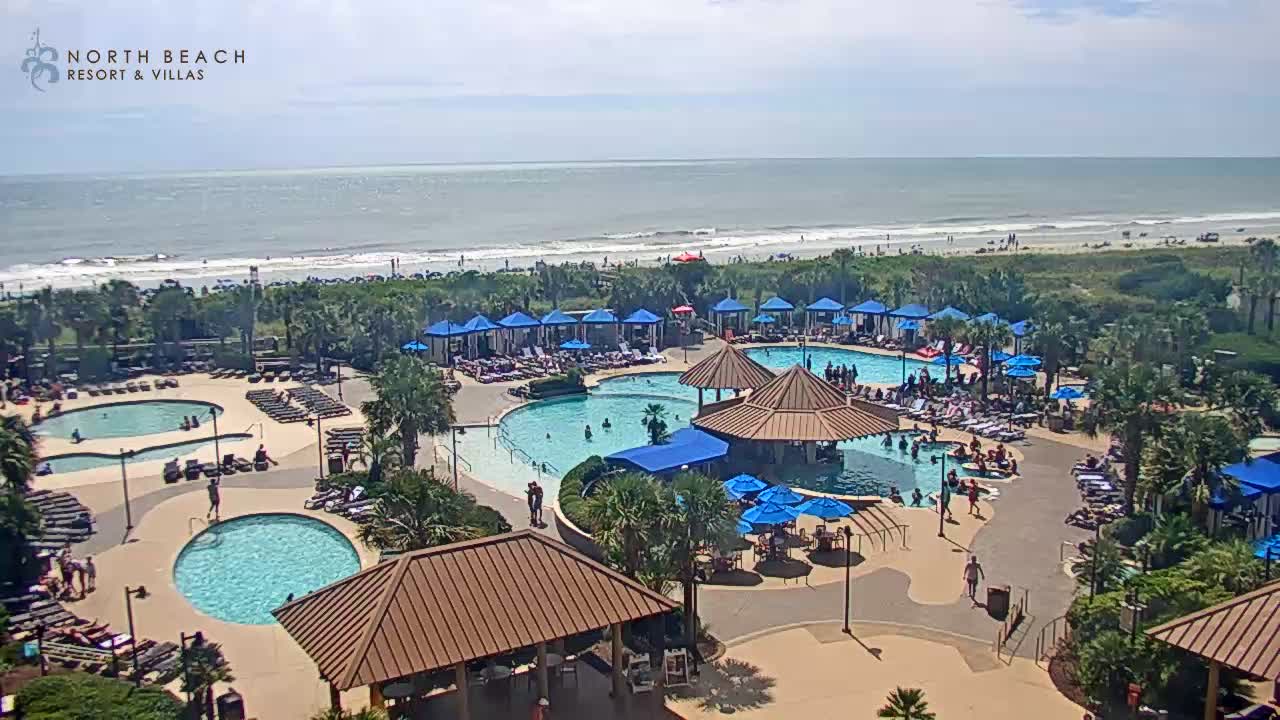
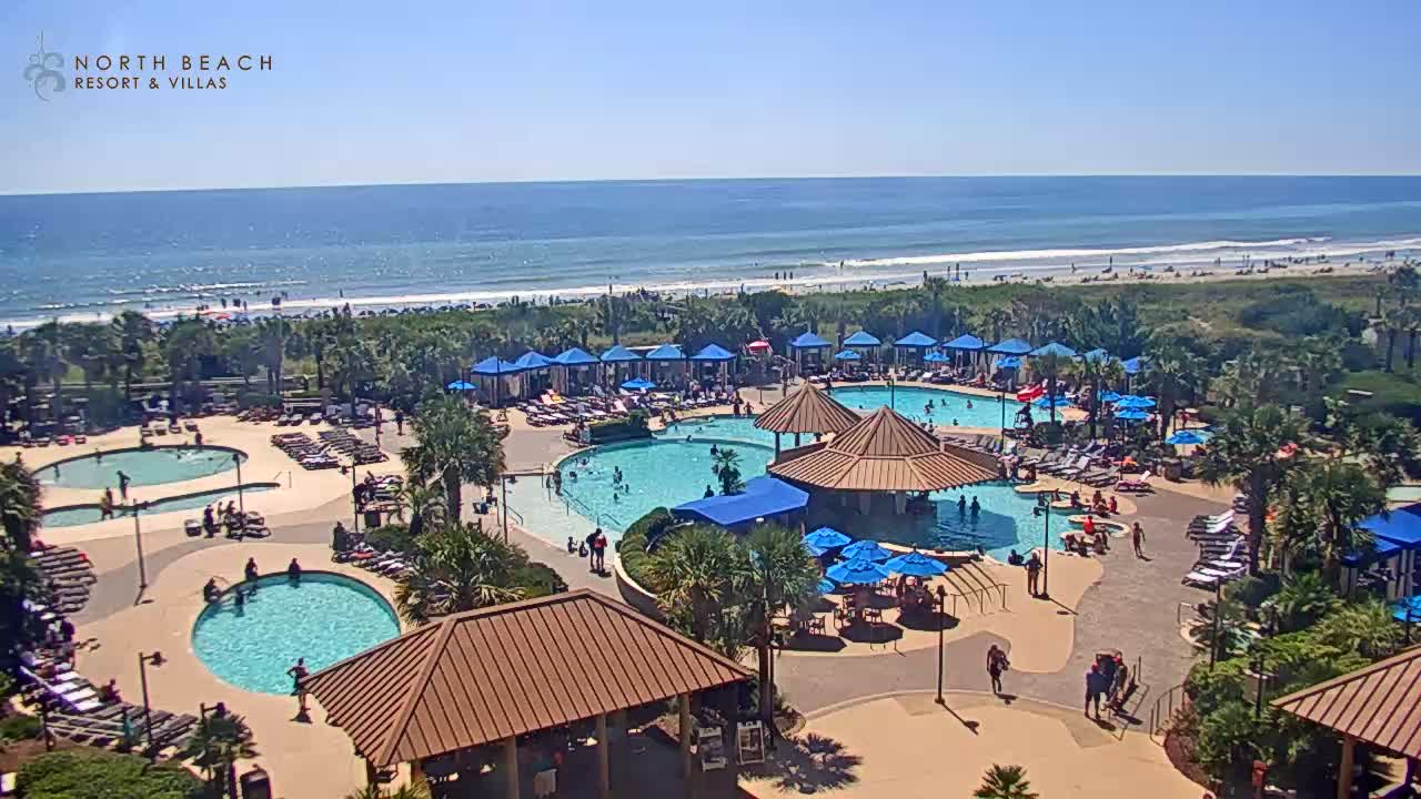
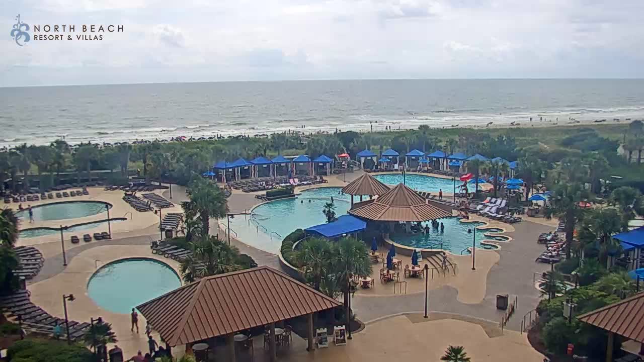
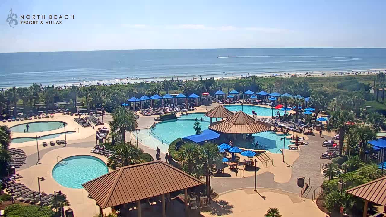
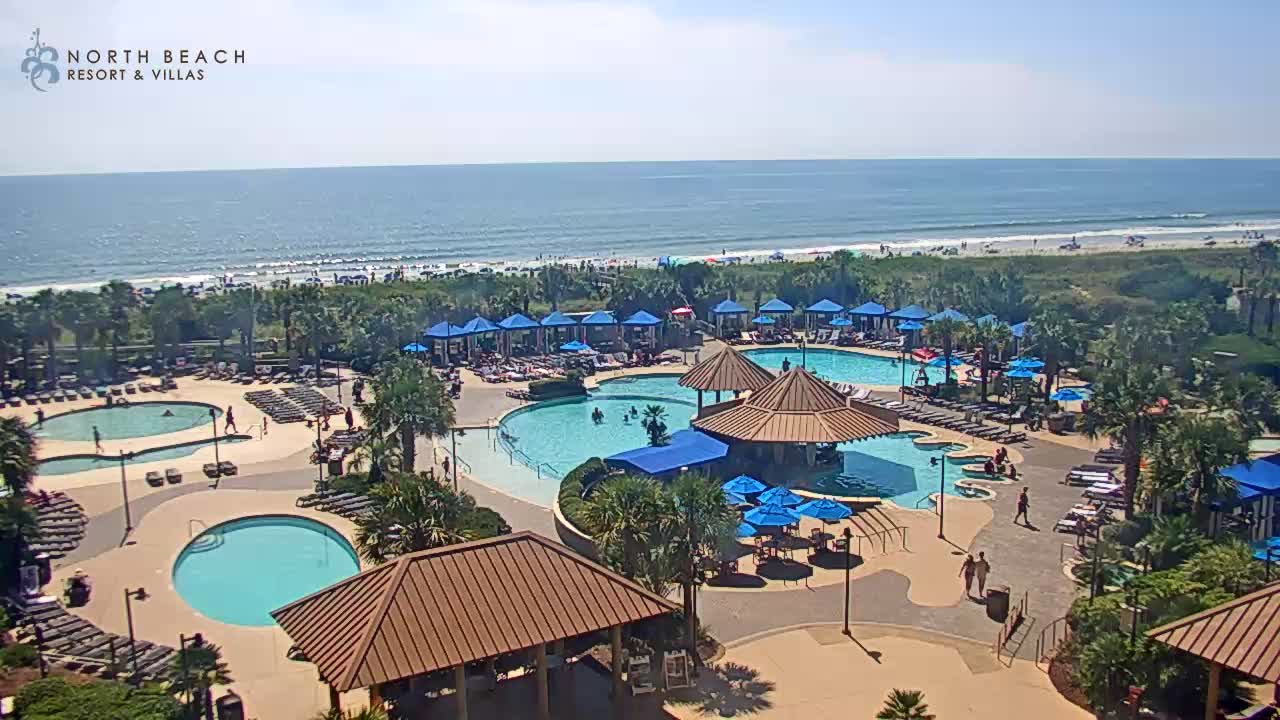
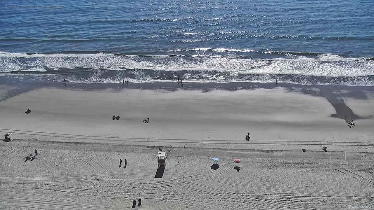
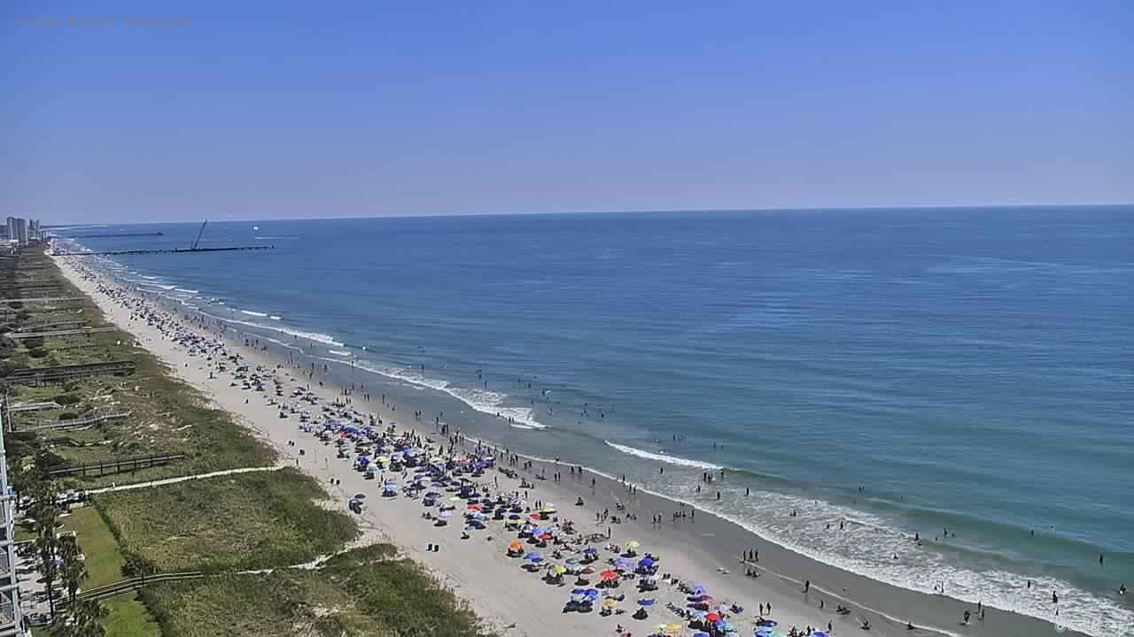
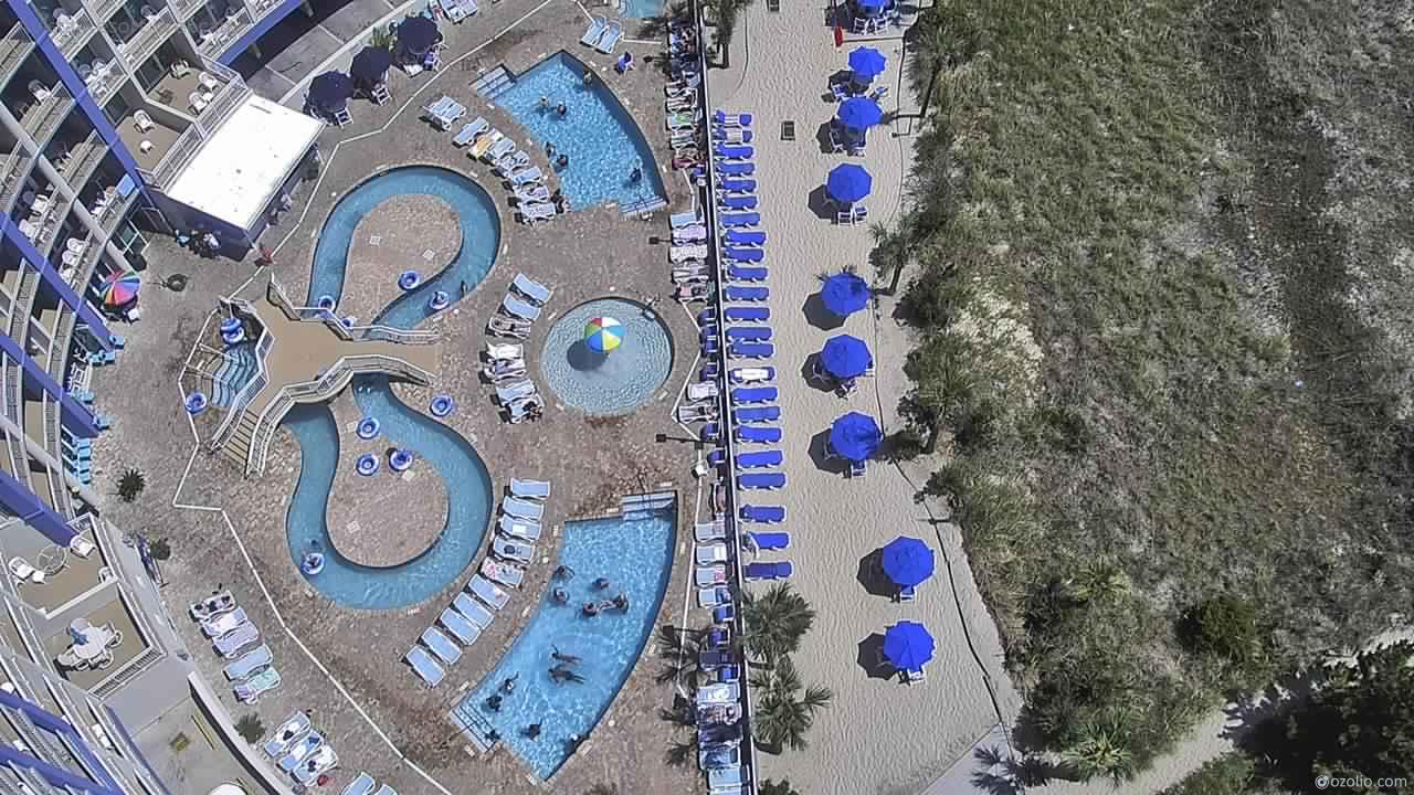
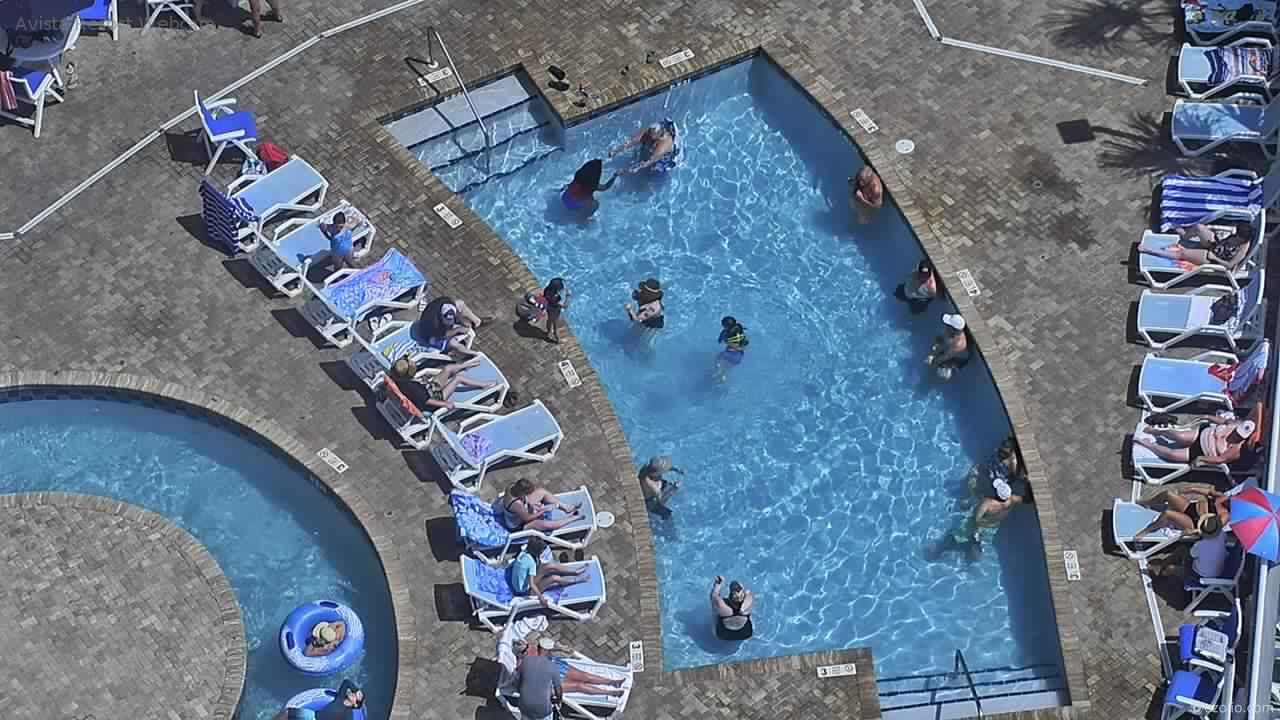
Myrtle Beach, South Carolina, USA - 90.1 miles from Tabernacle (historical): North Beach Plantation Resort
Operator: TripSmarter.Com
Operator: TripSmarter.Com


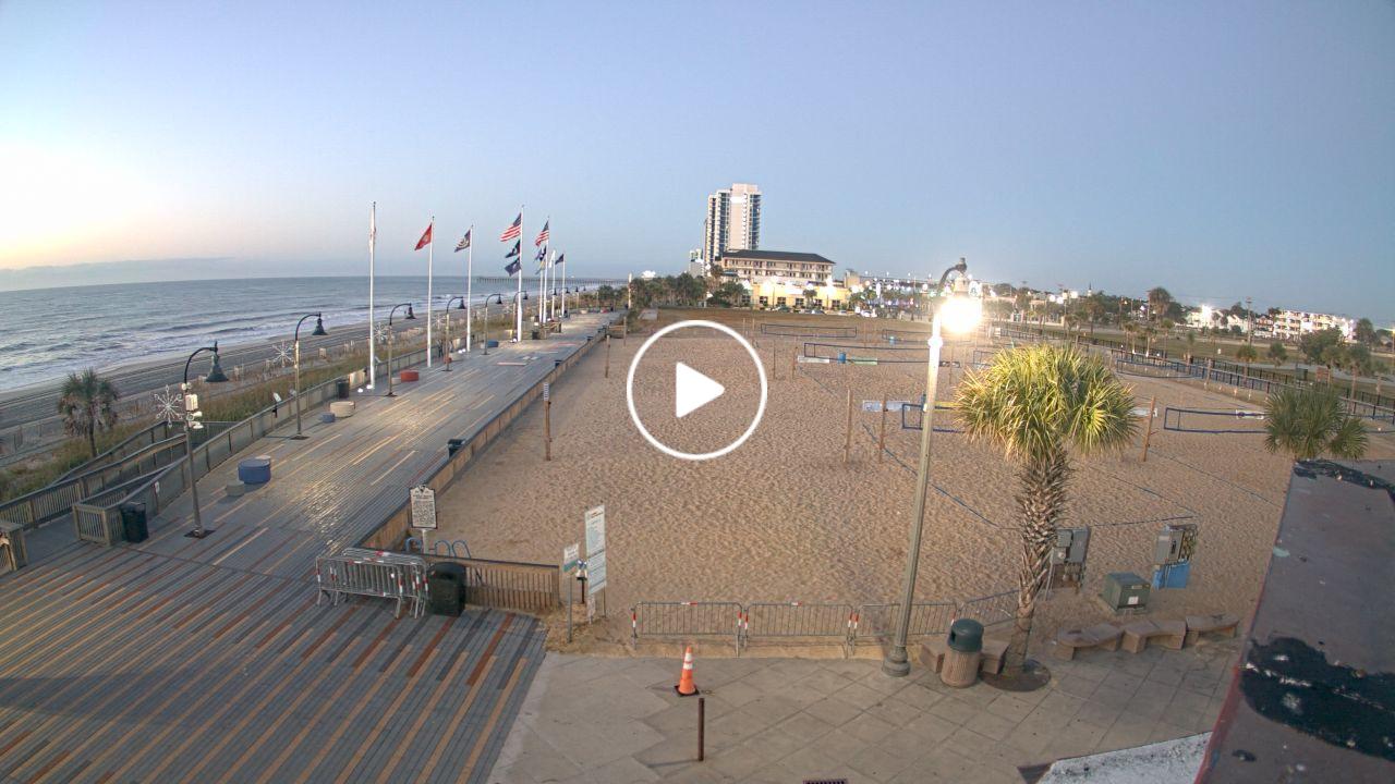
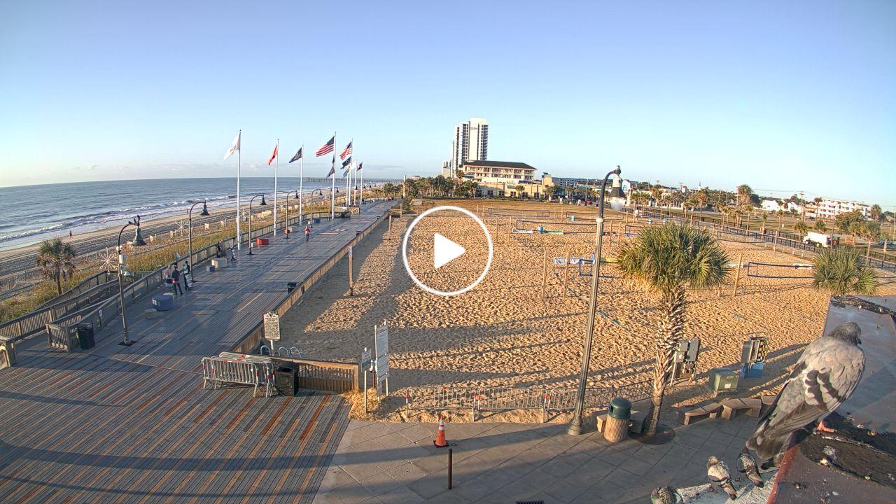
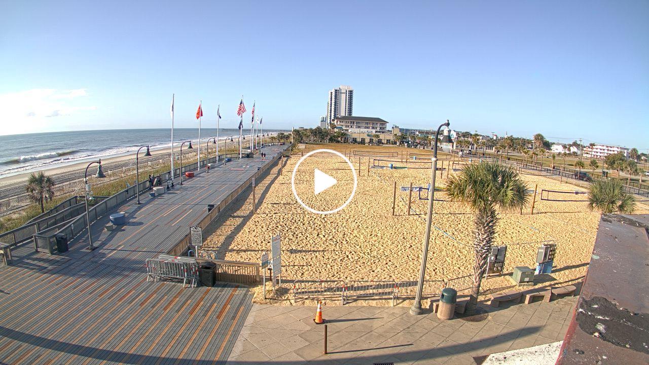
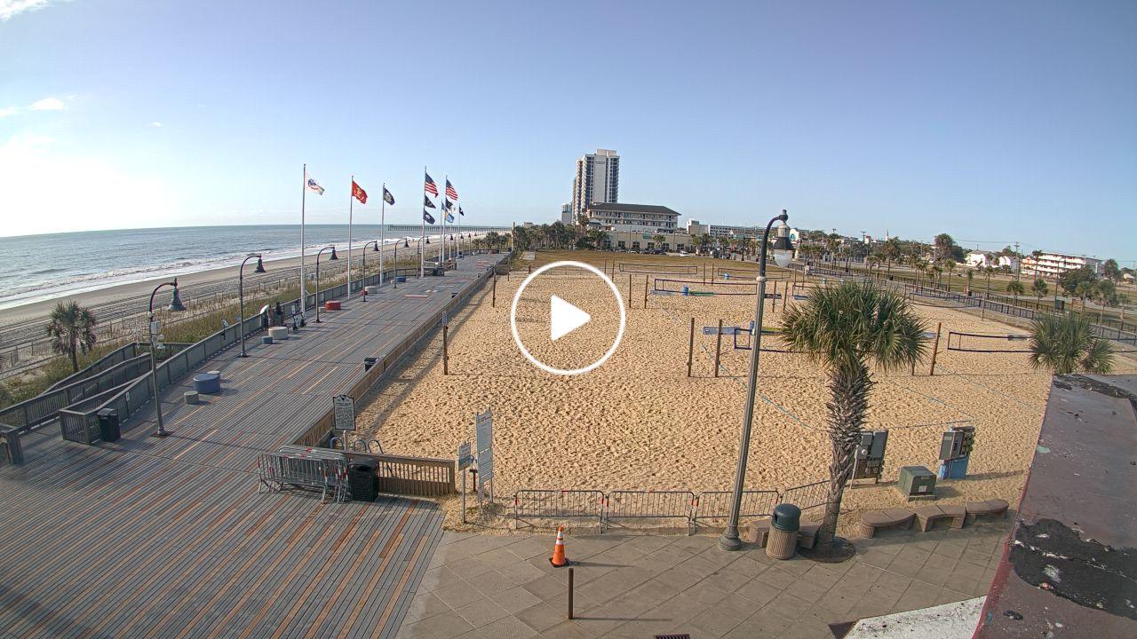
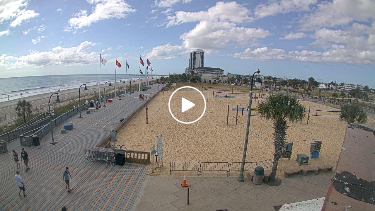
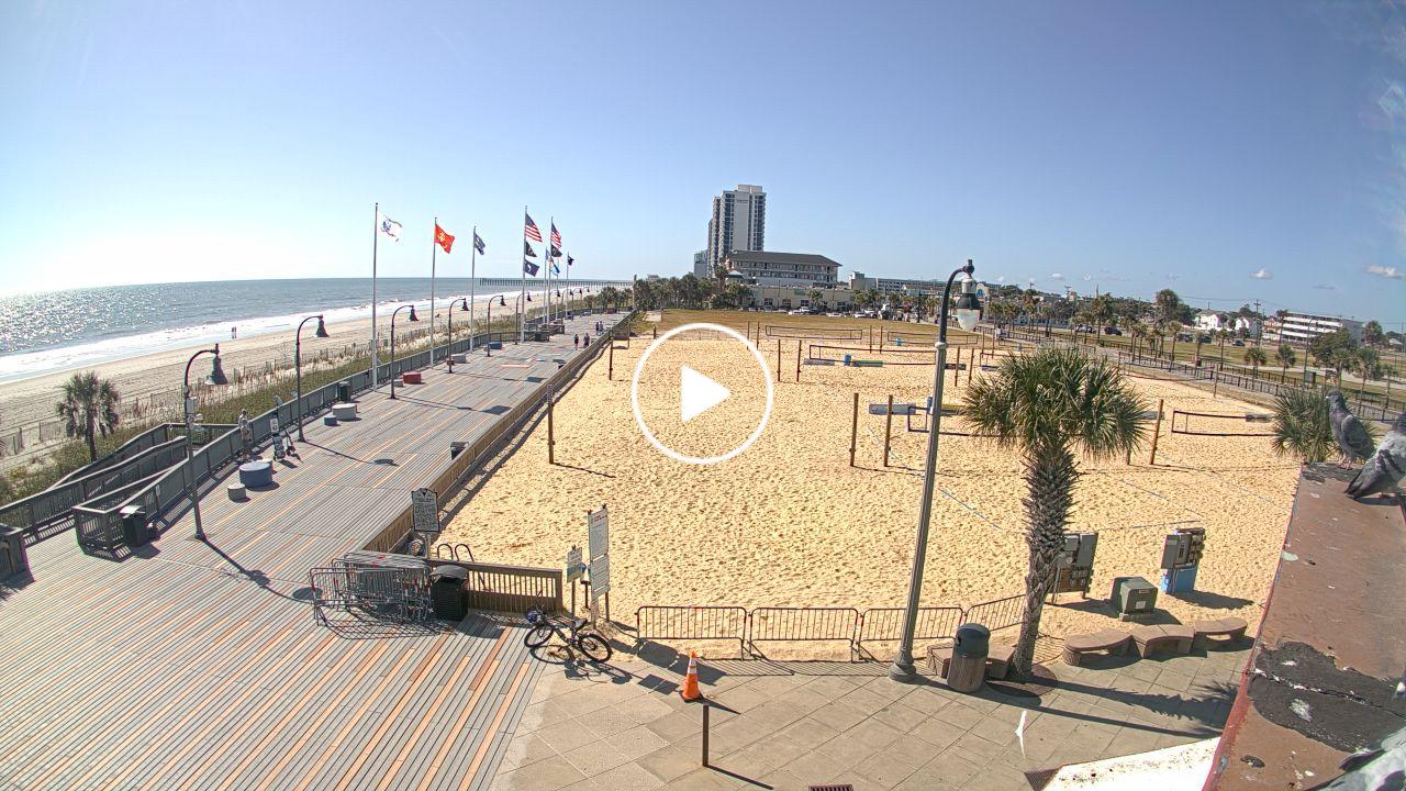
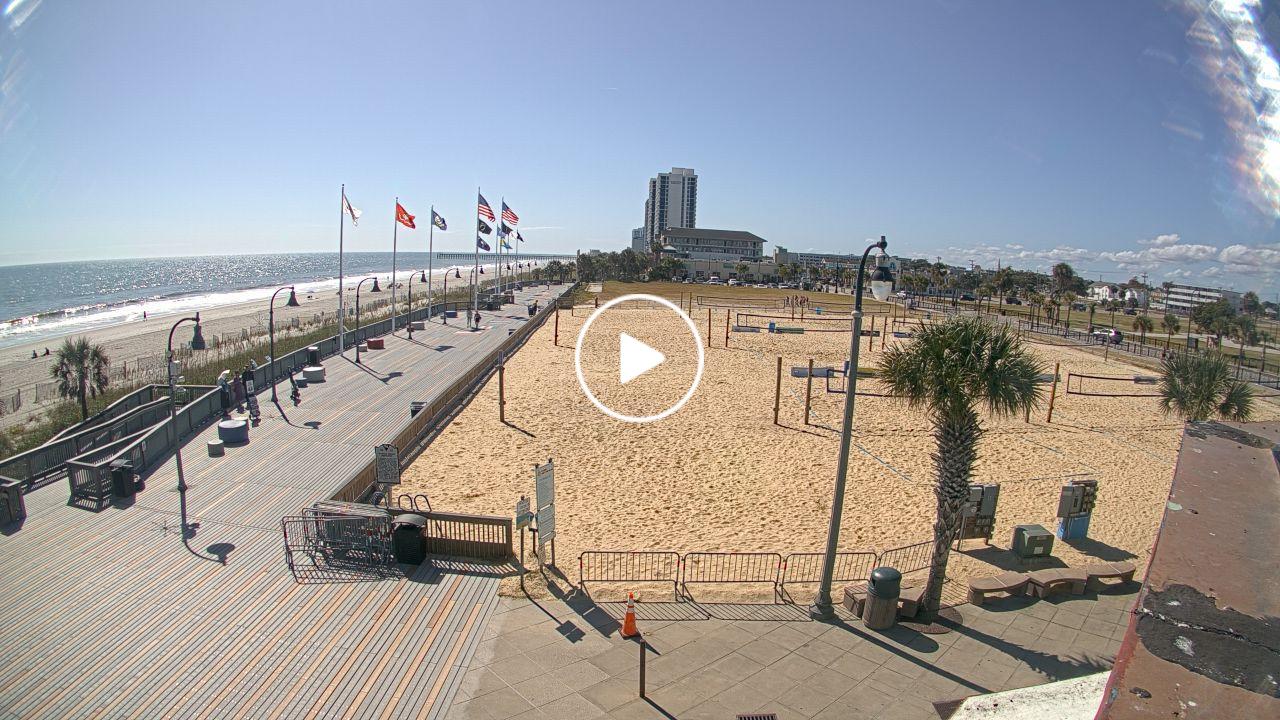
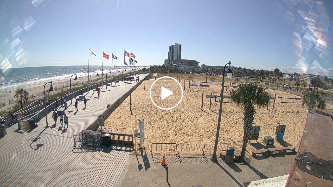
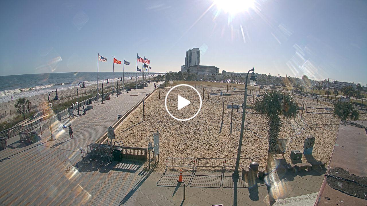
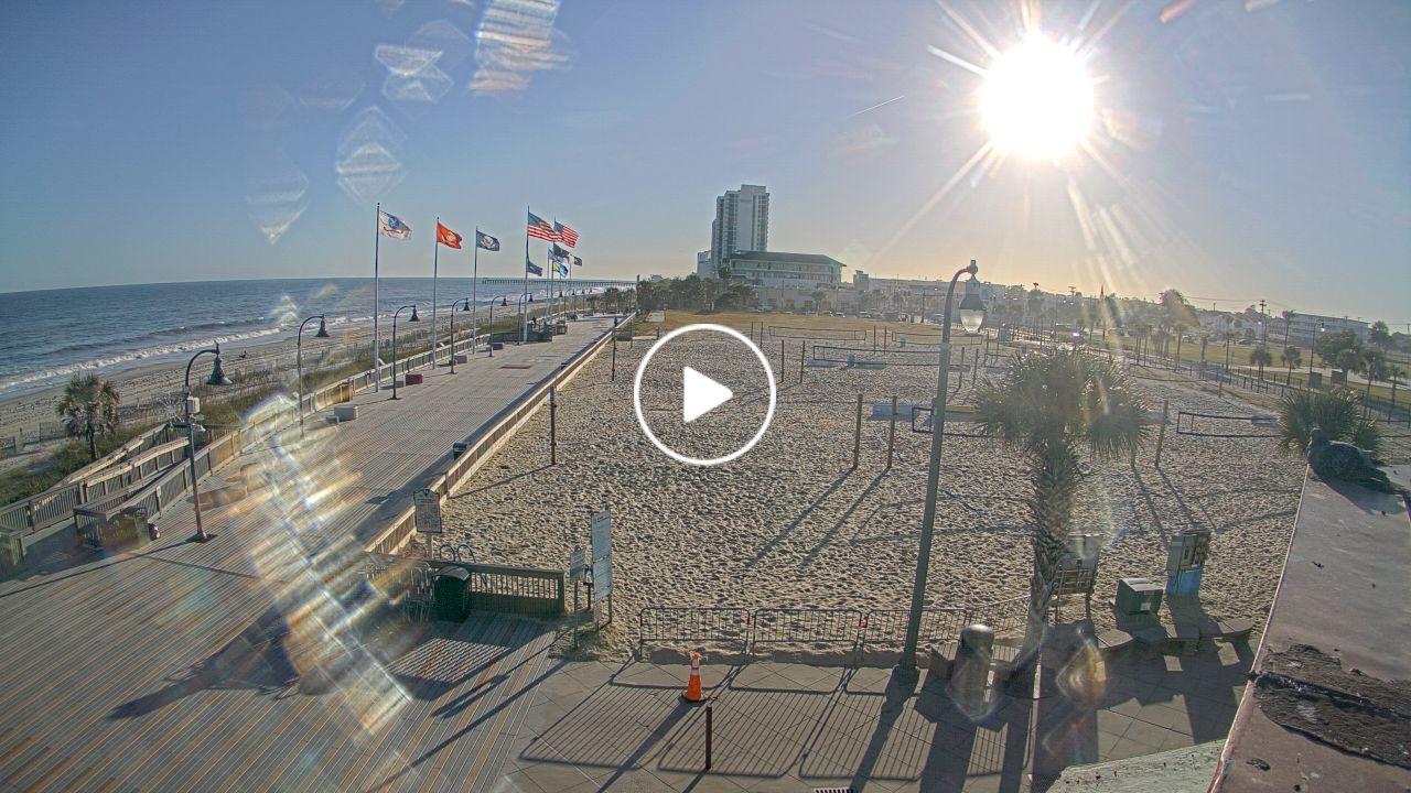
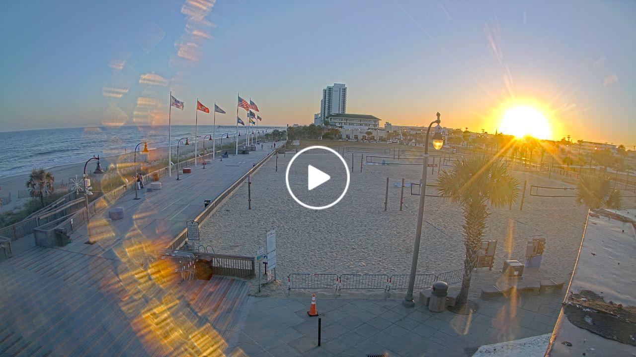
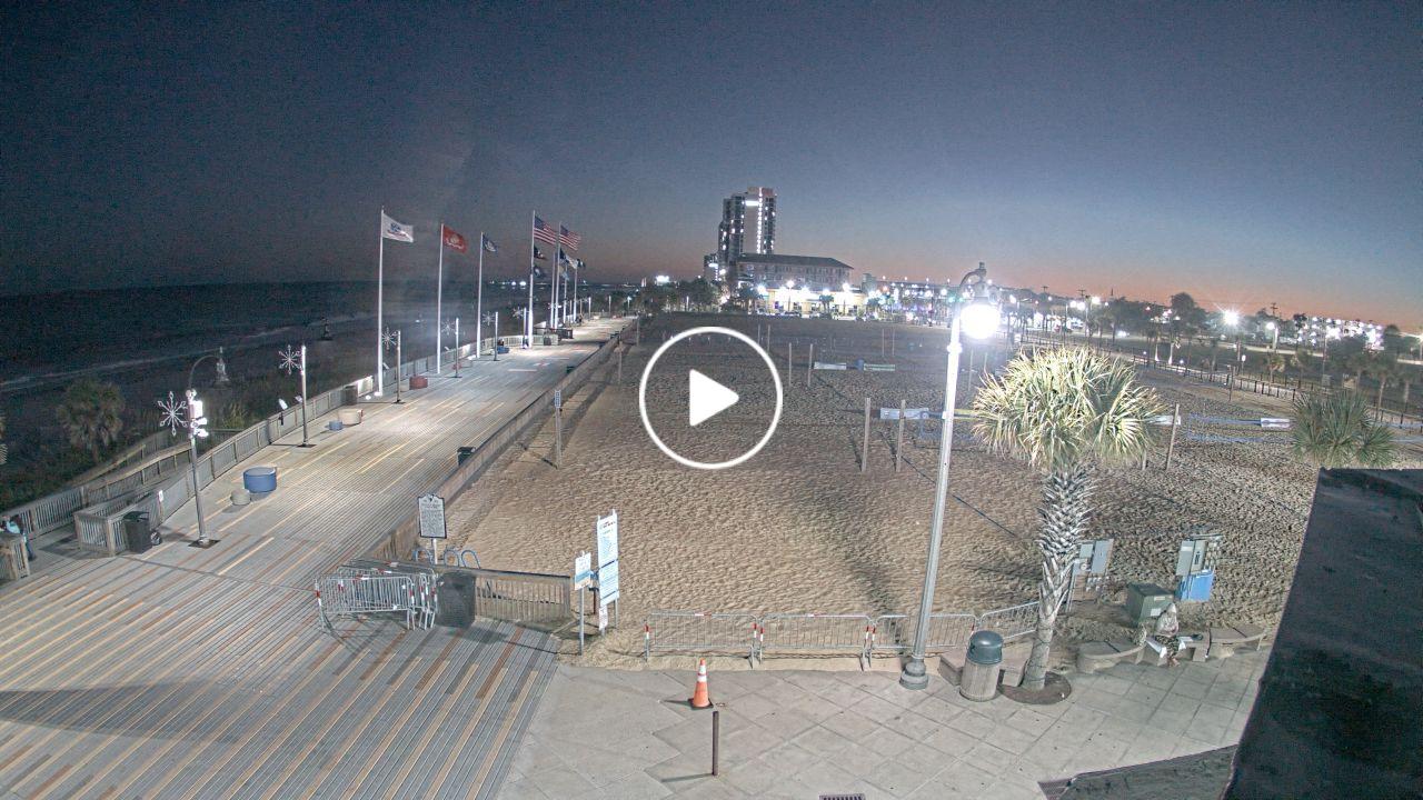
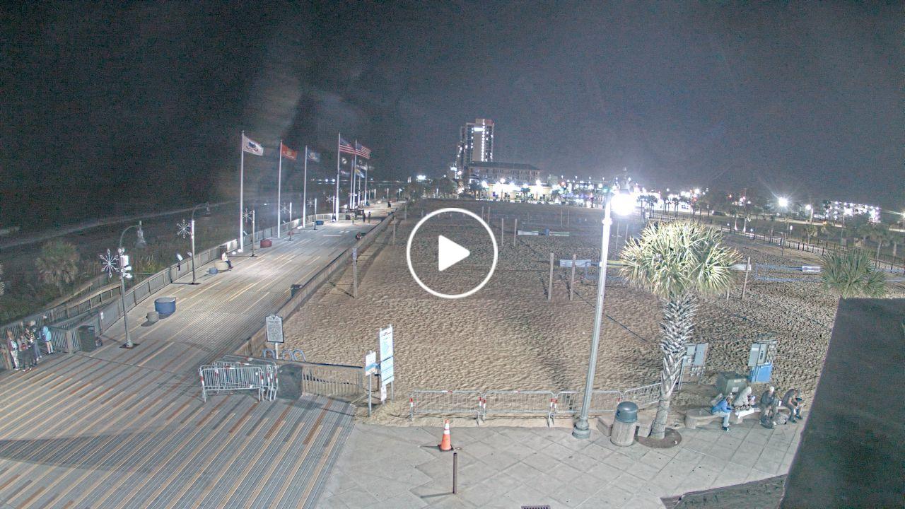
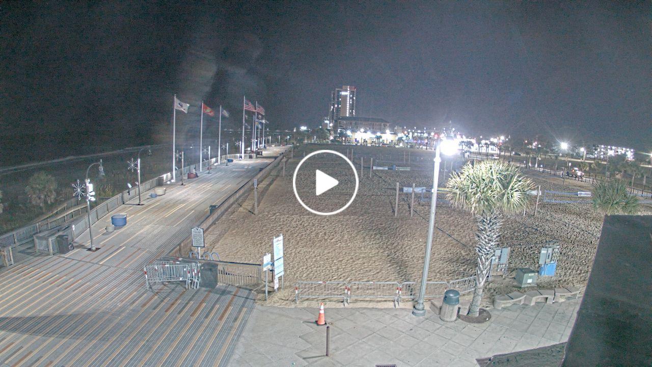
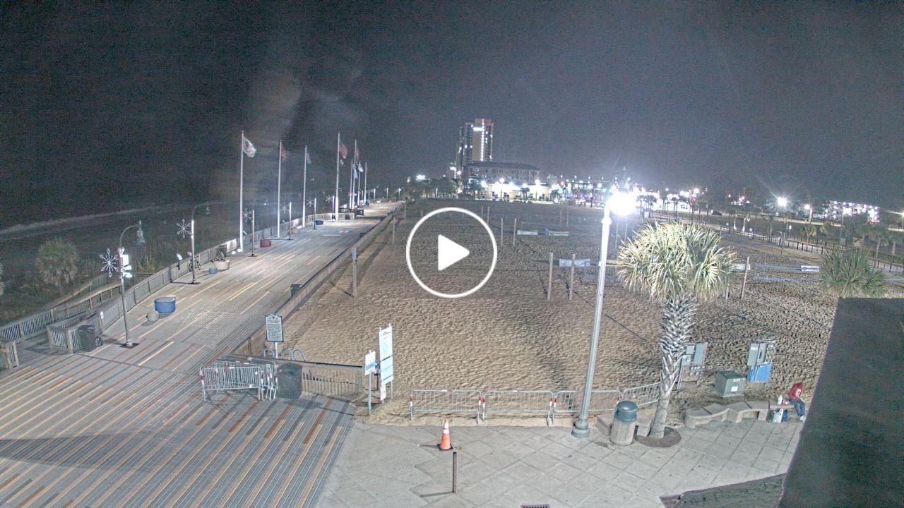
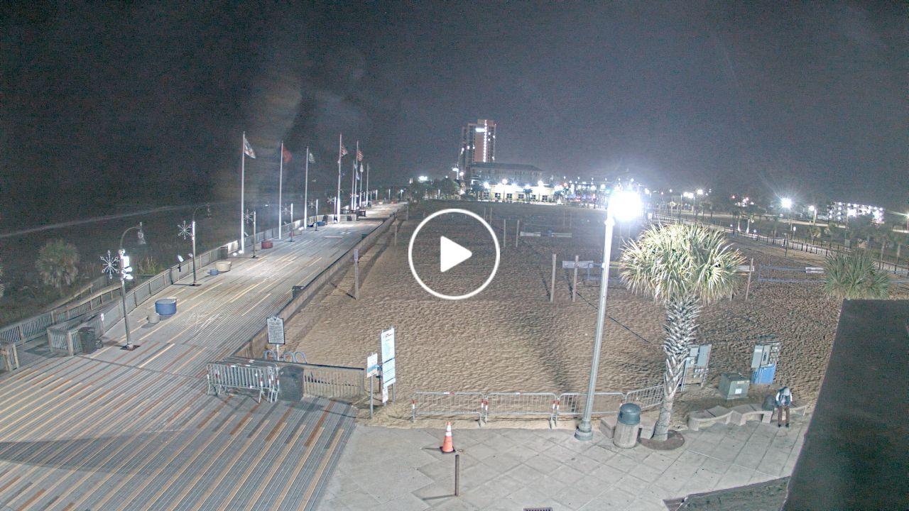
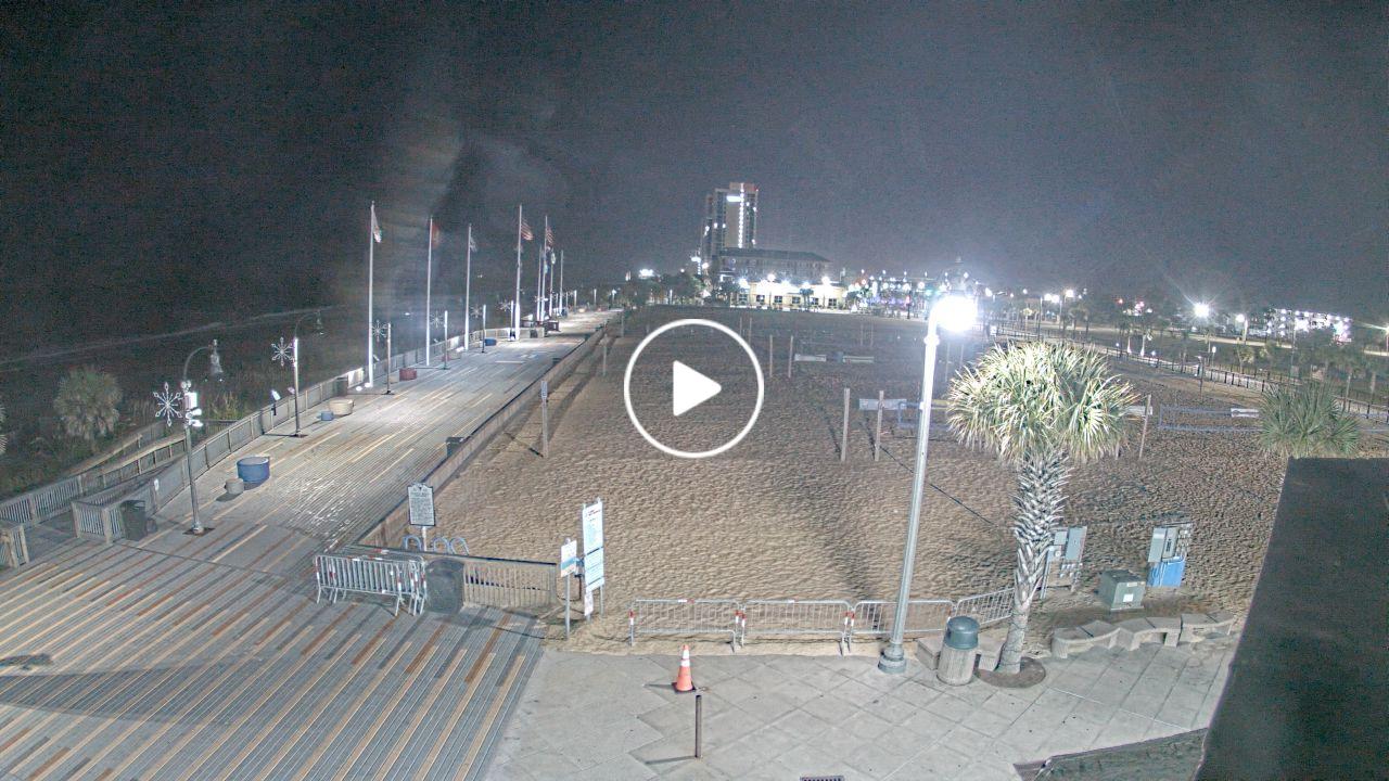
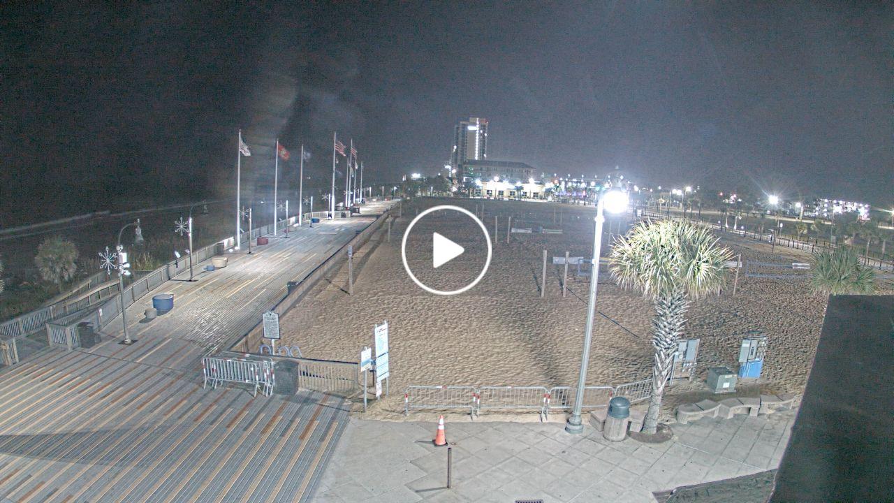
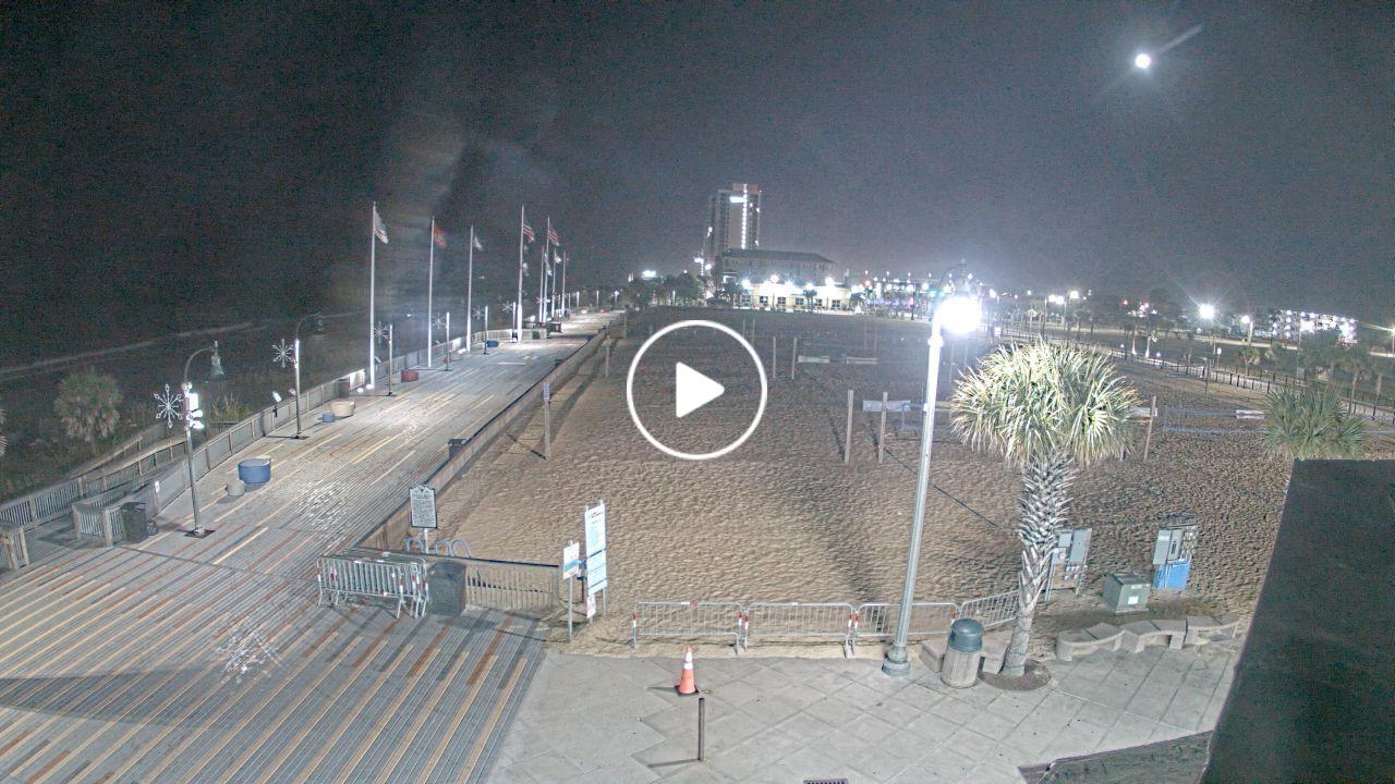
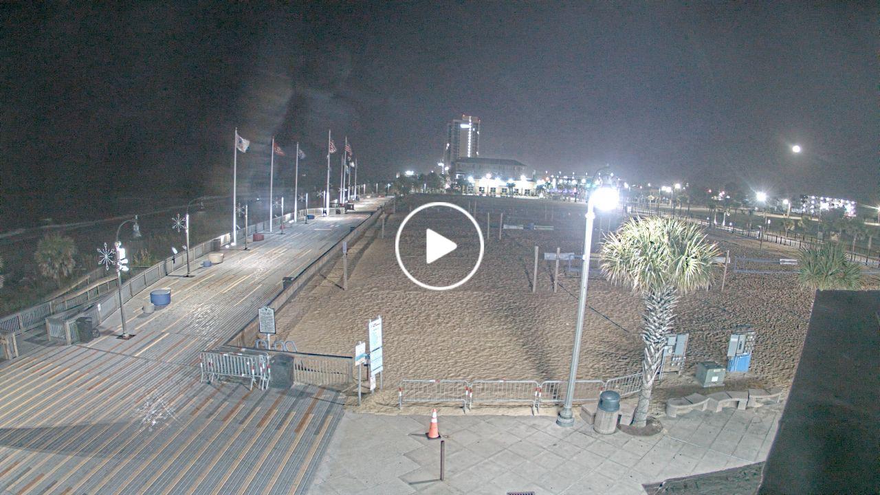
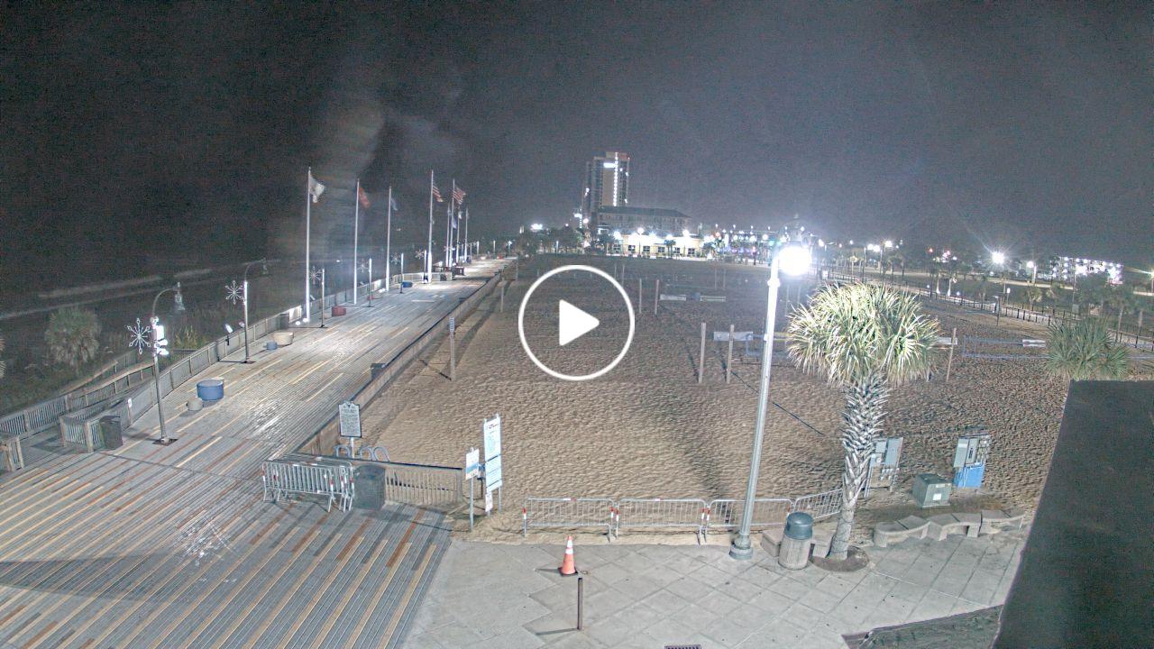
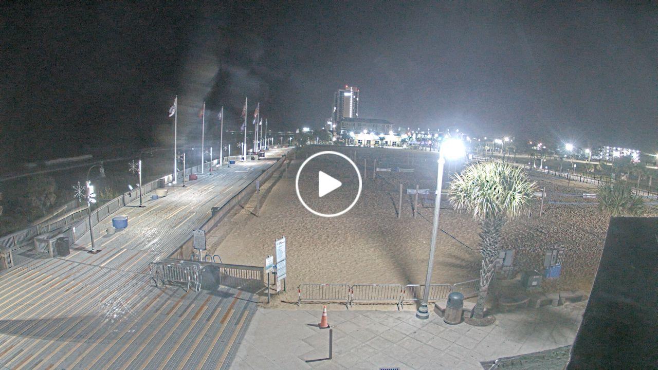
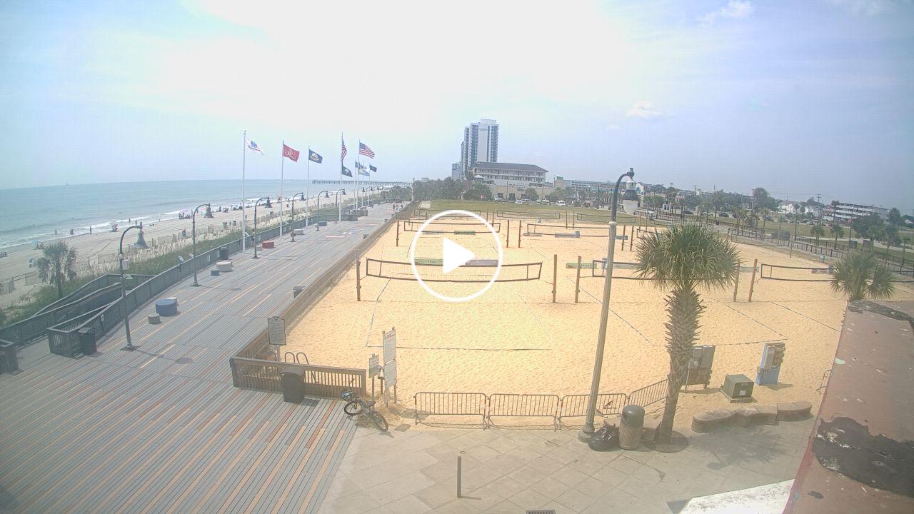
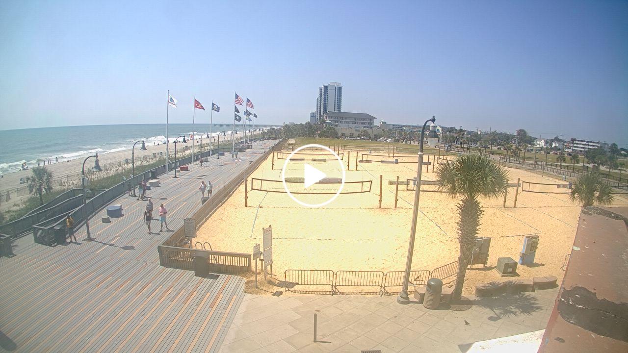
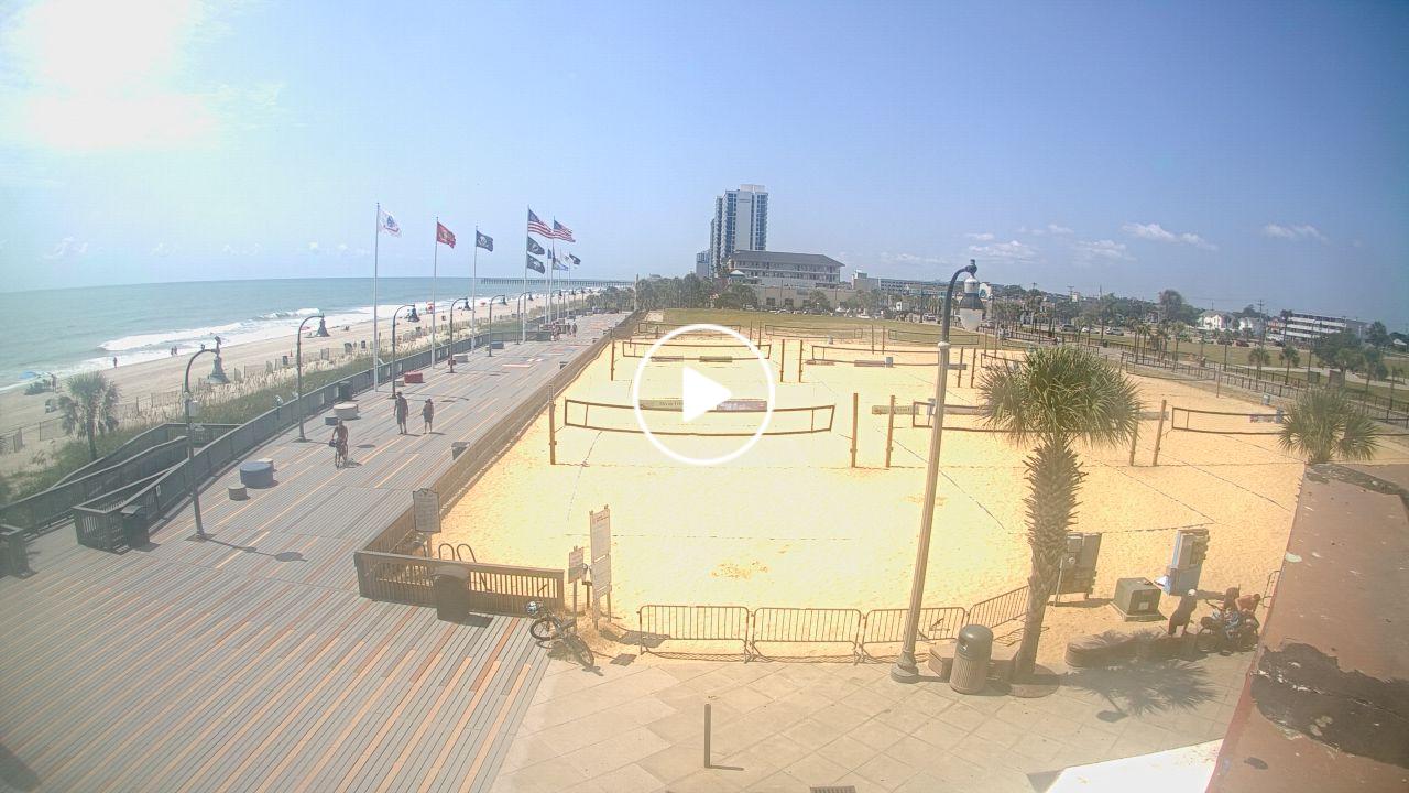
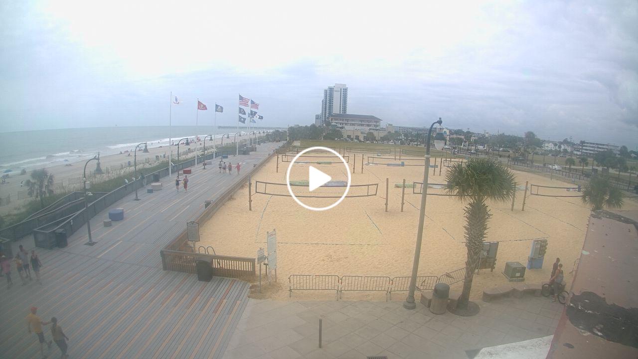
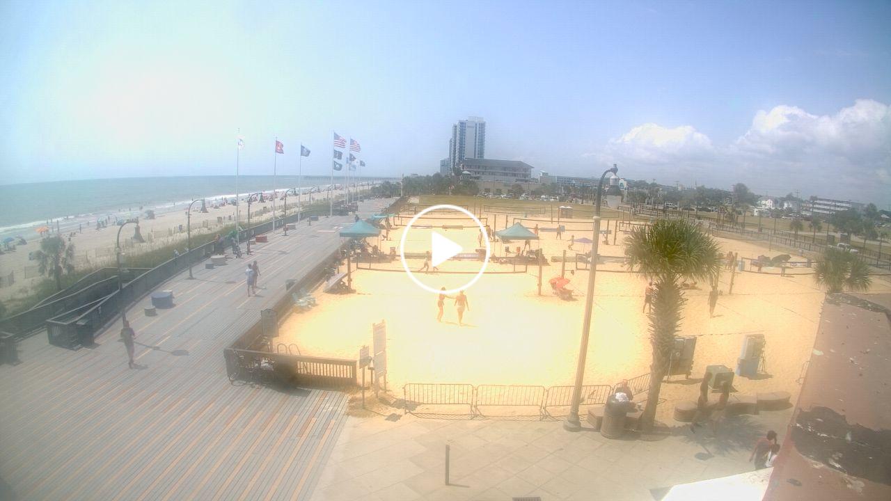
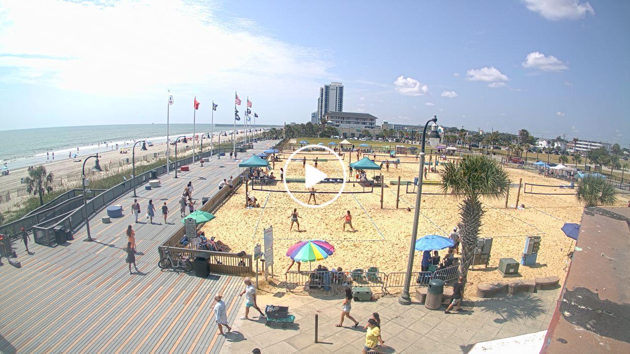
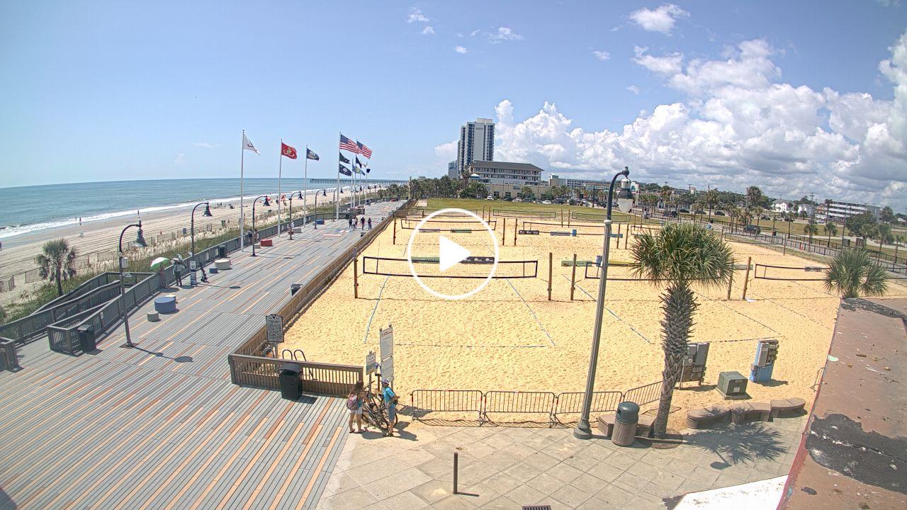
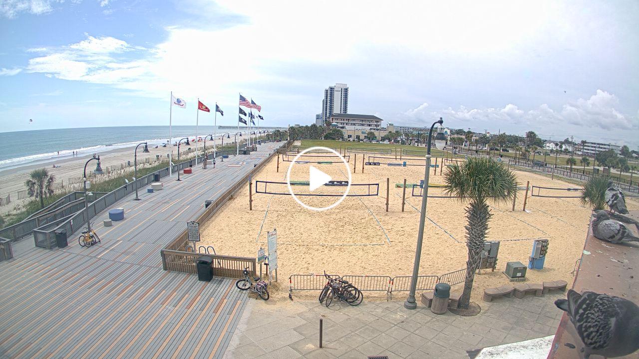
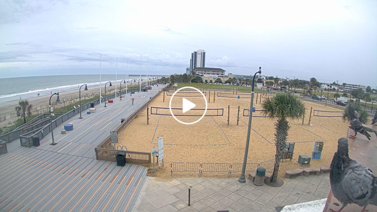
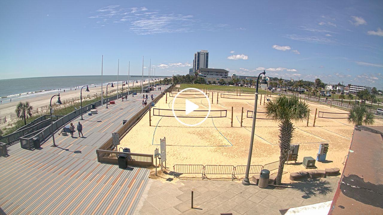
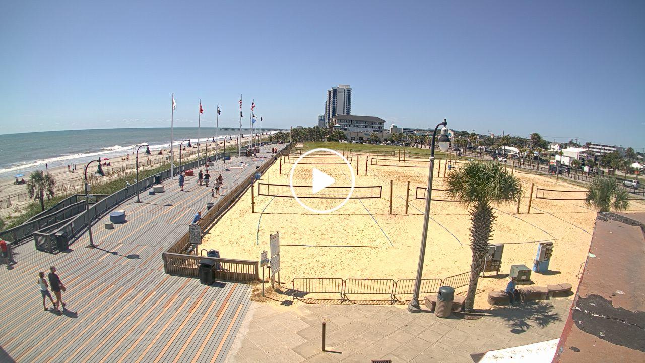
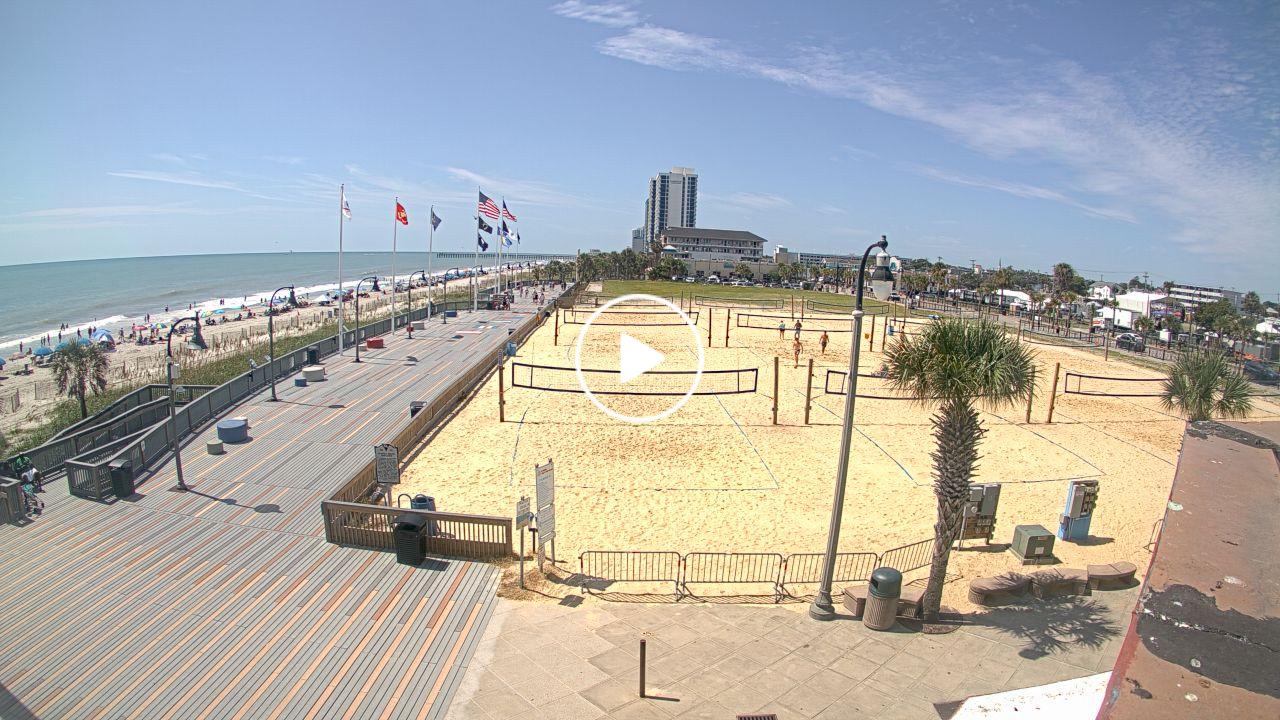
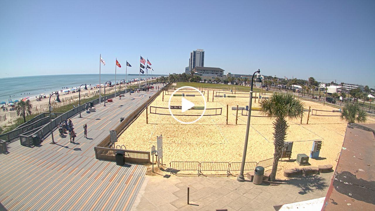
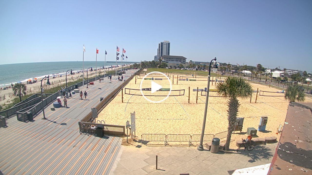
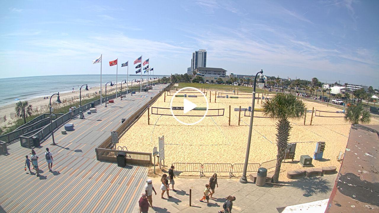
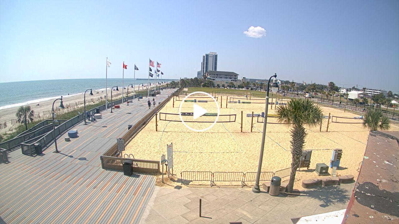
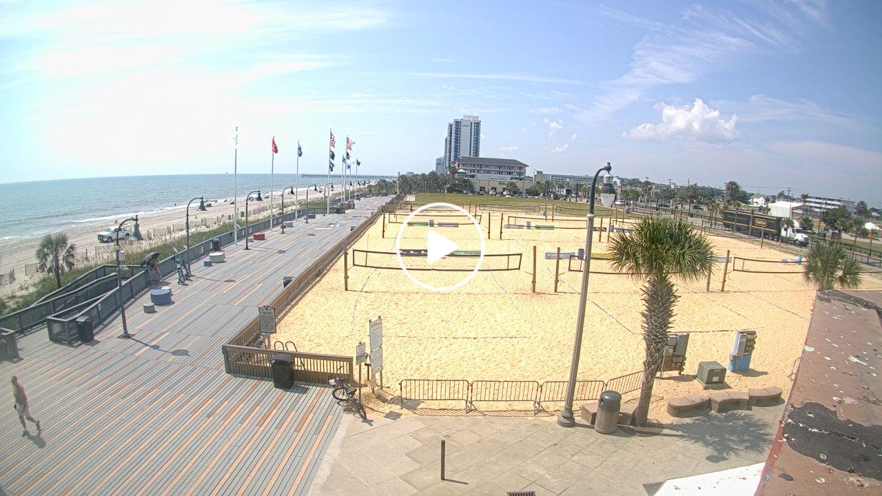
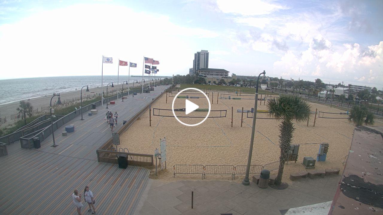
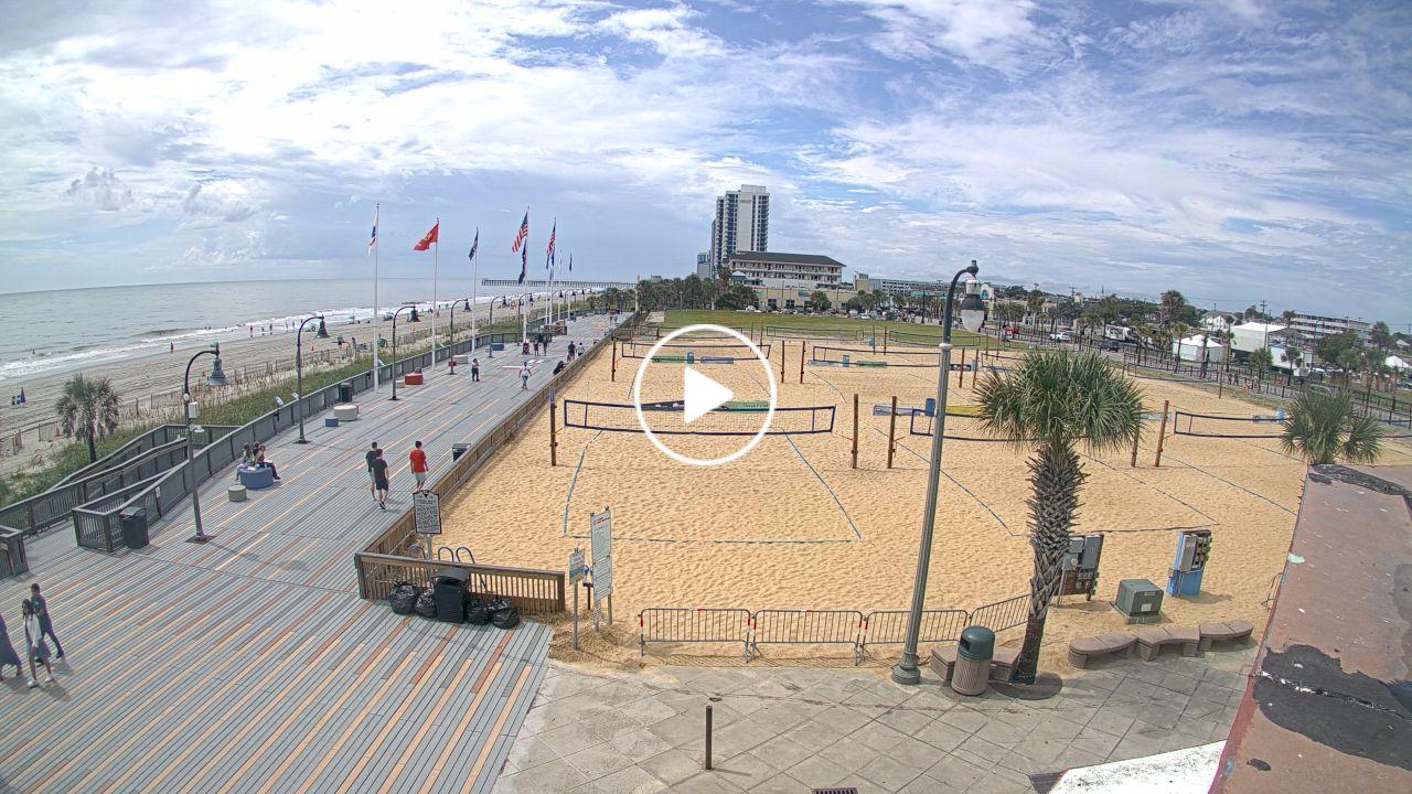
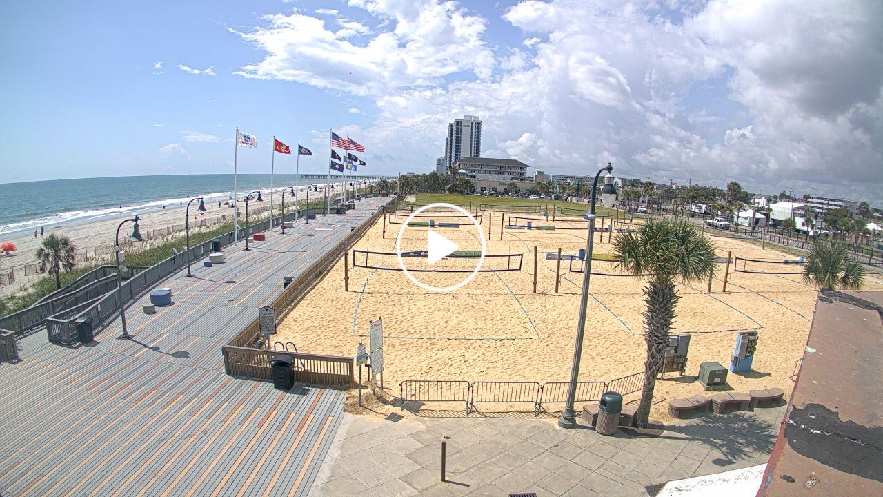
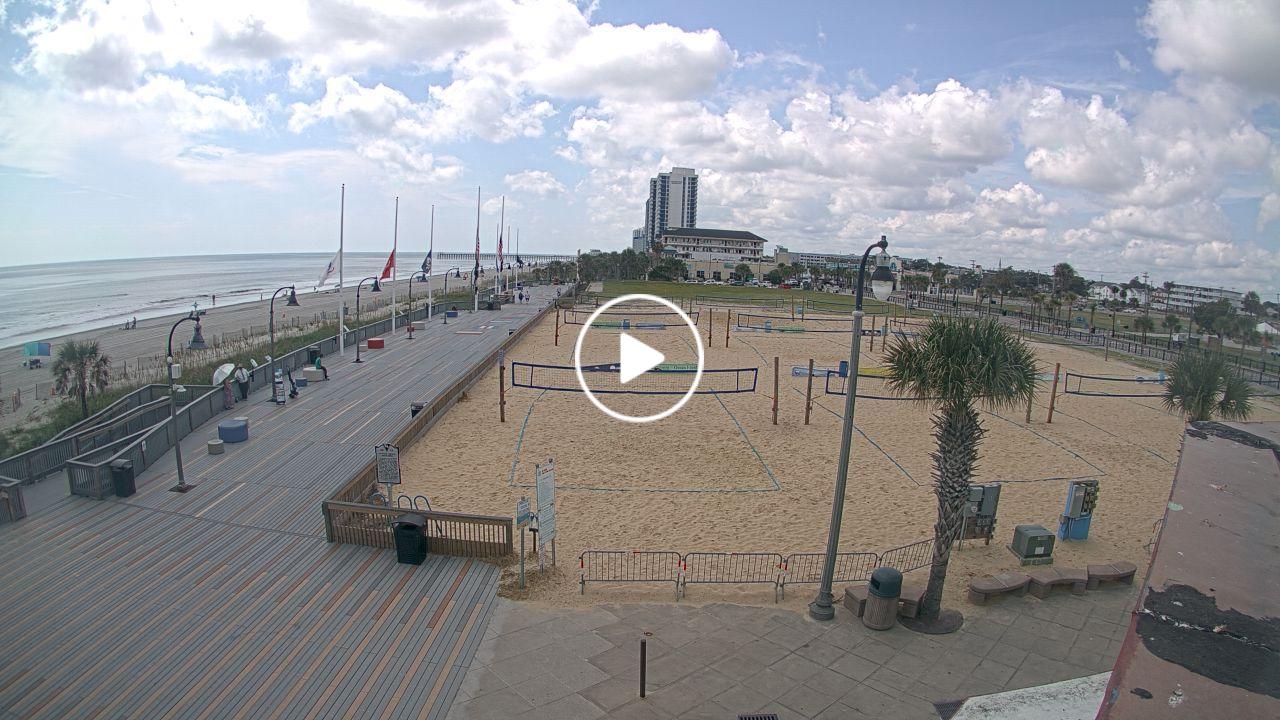
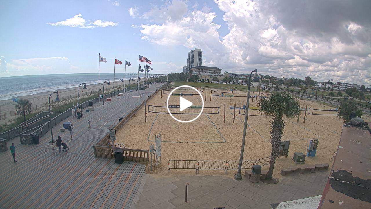
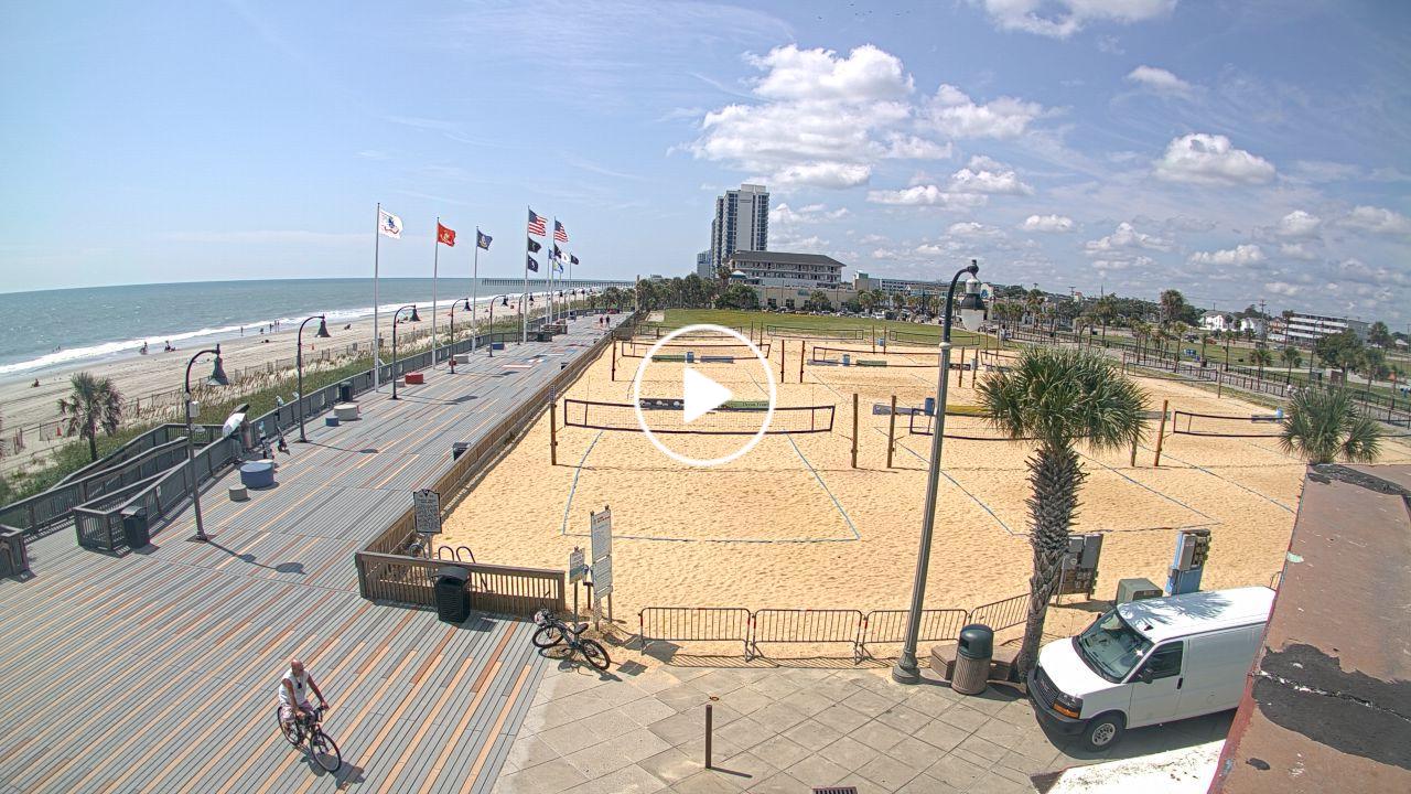
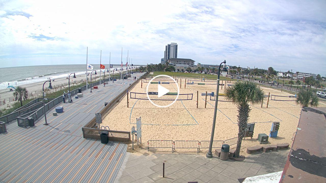
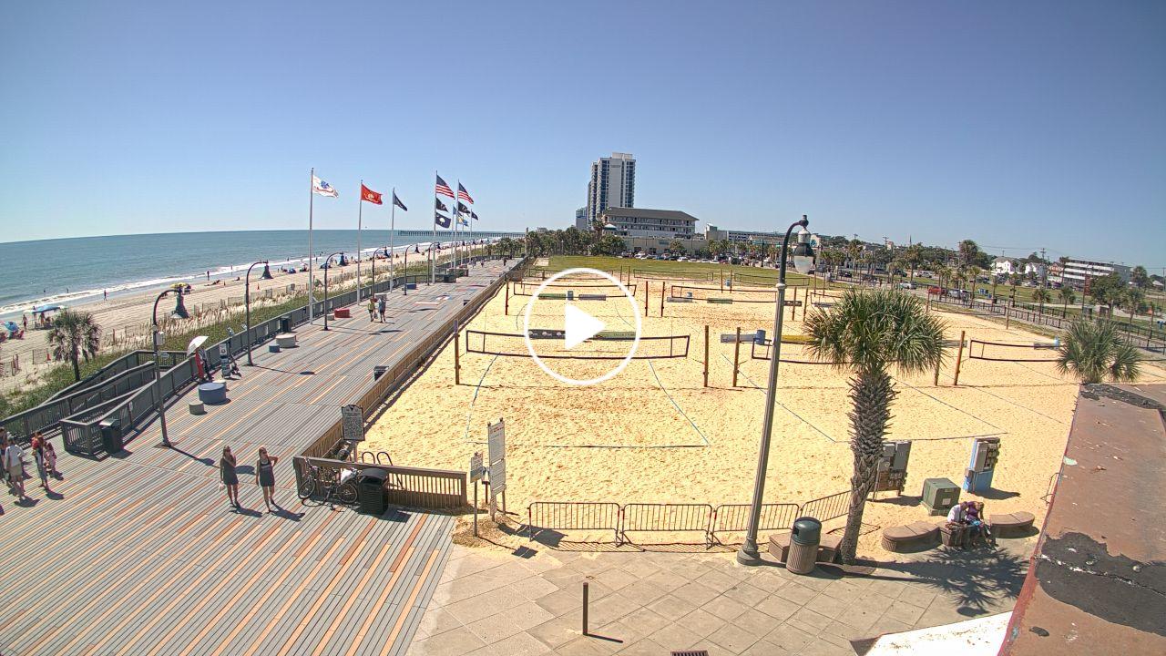
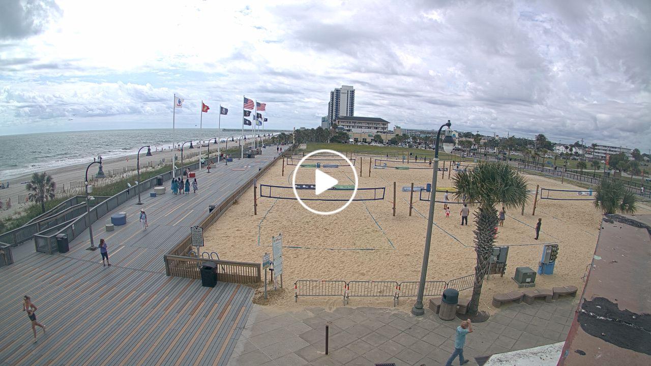
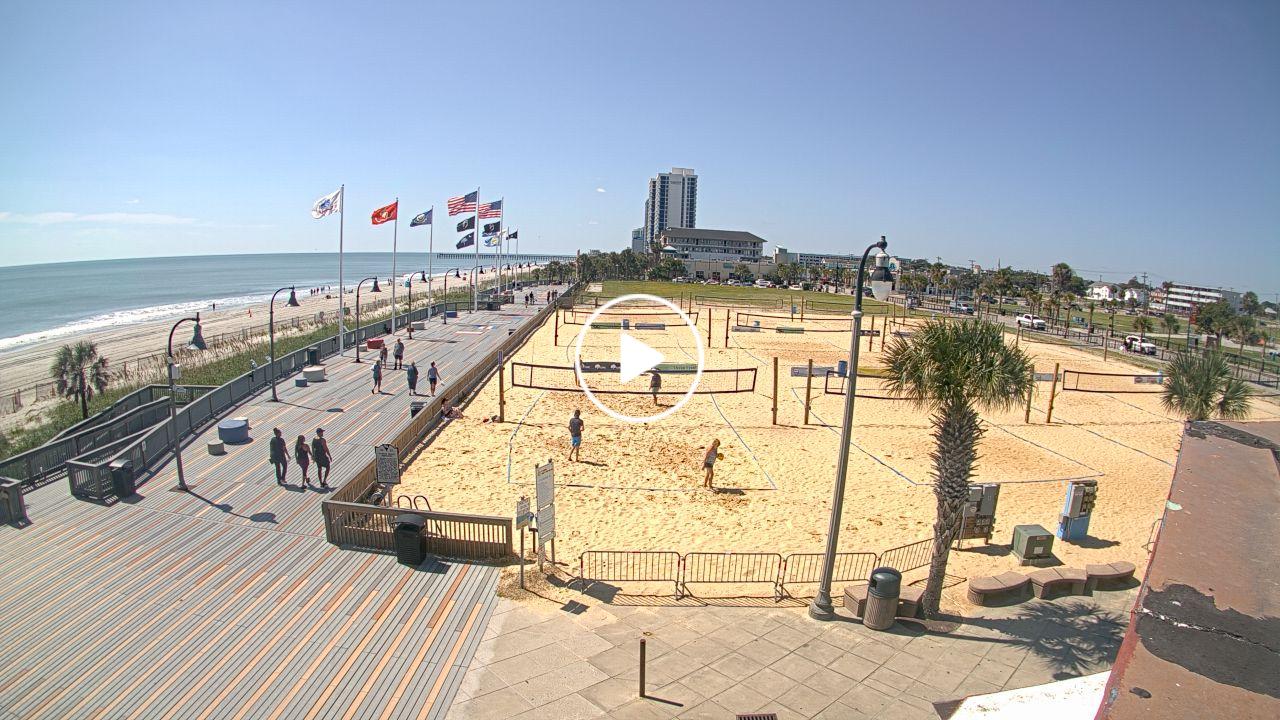
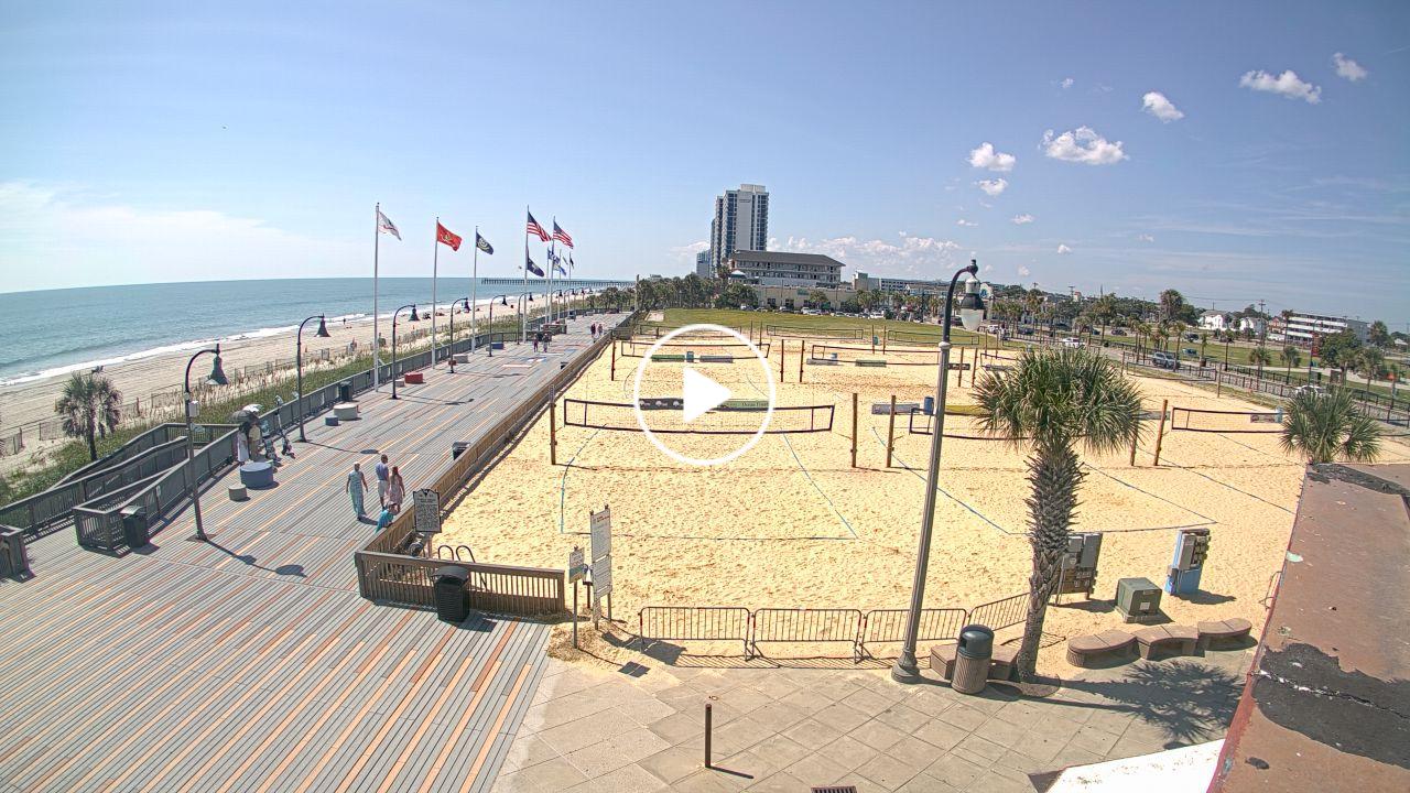
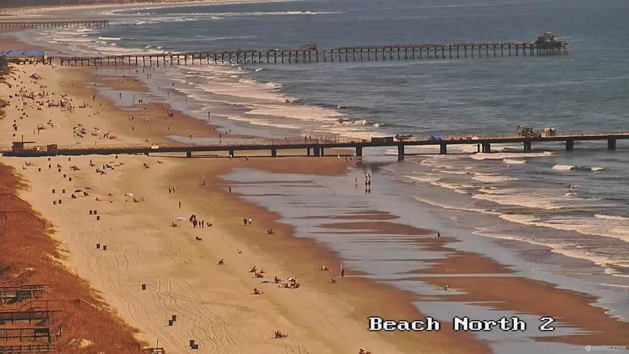
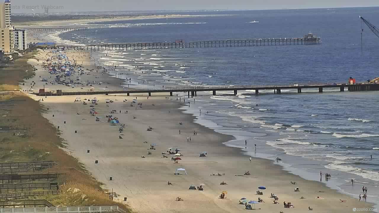
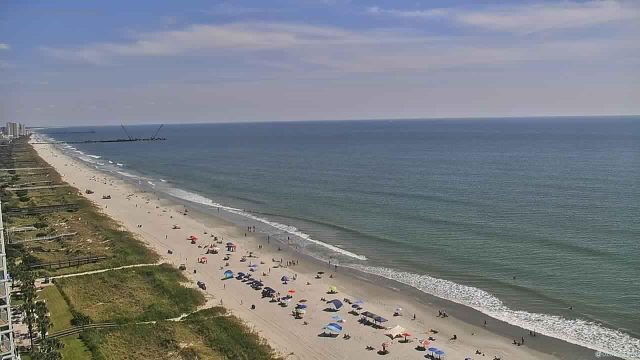
Myrtle Beach, South Carolina, USA - 90.1 miles from Tabernacle (historical): HD Beach Panorama
Operator: EarthCam
Operator: EarthCam


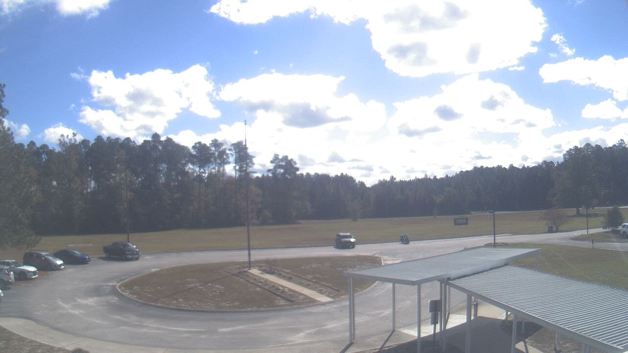
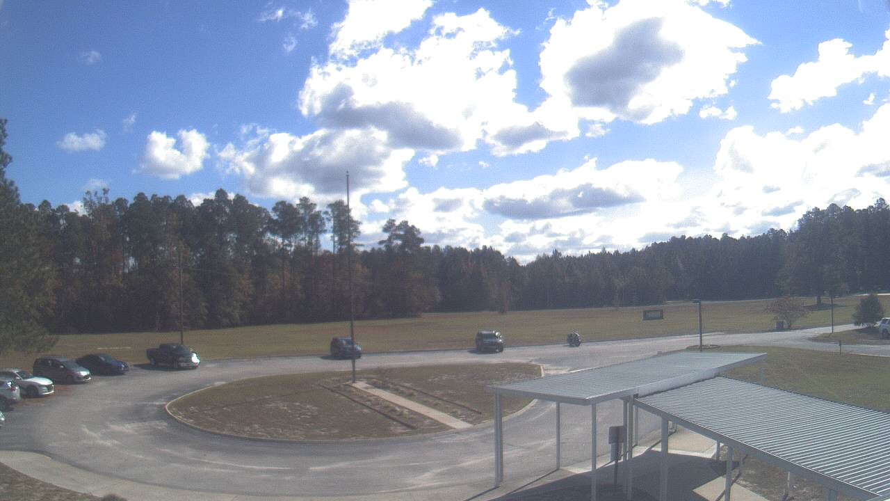
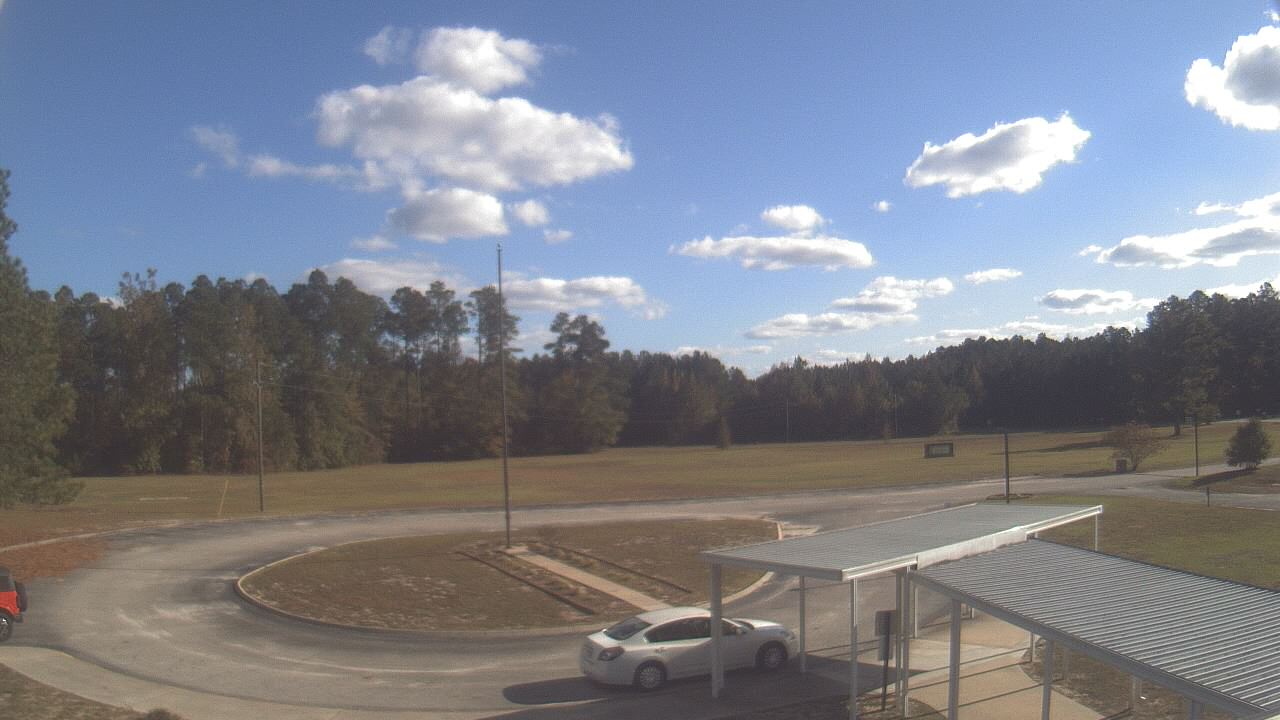
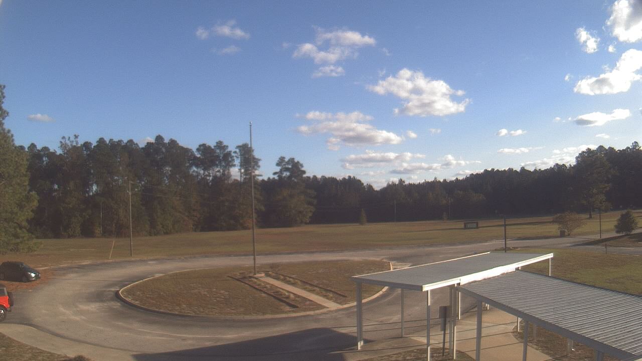
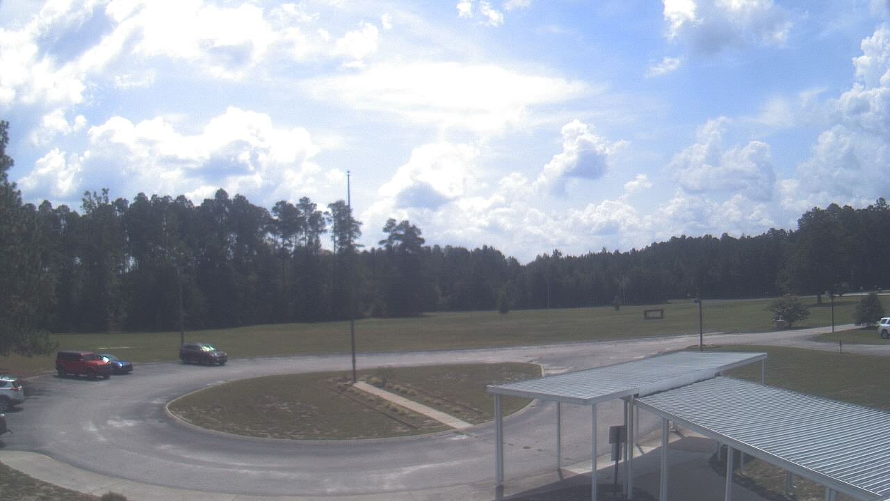
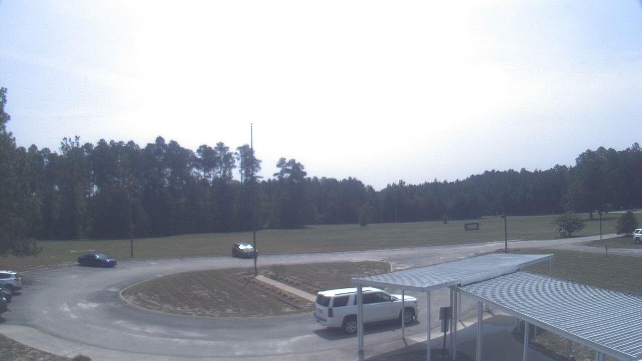
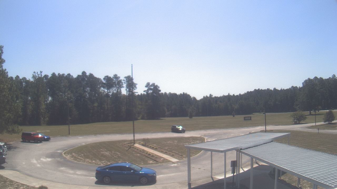
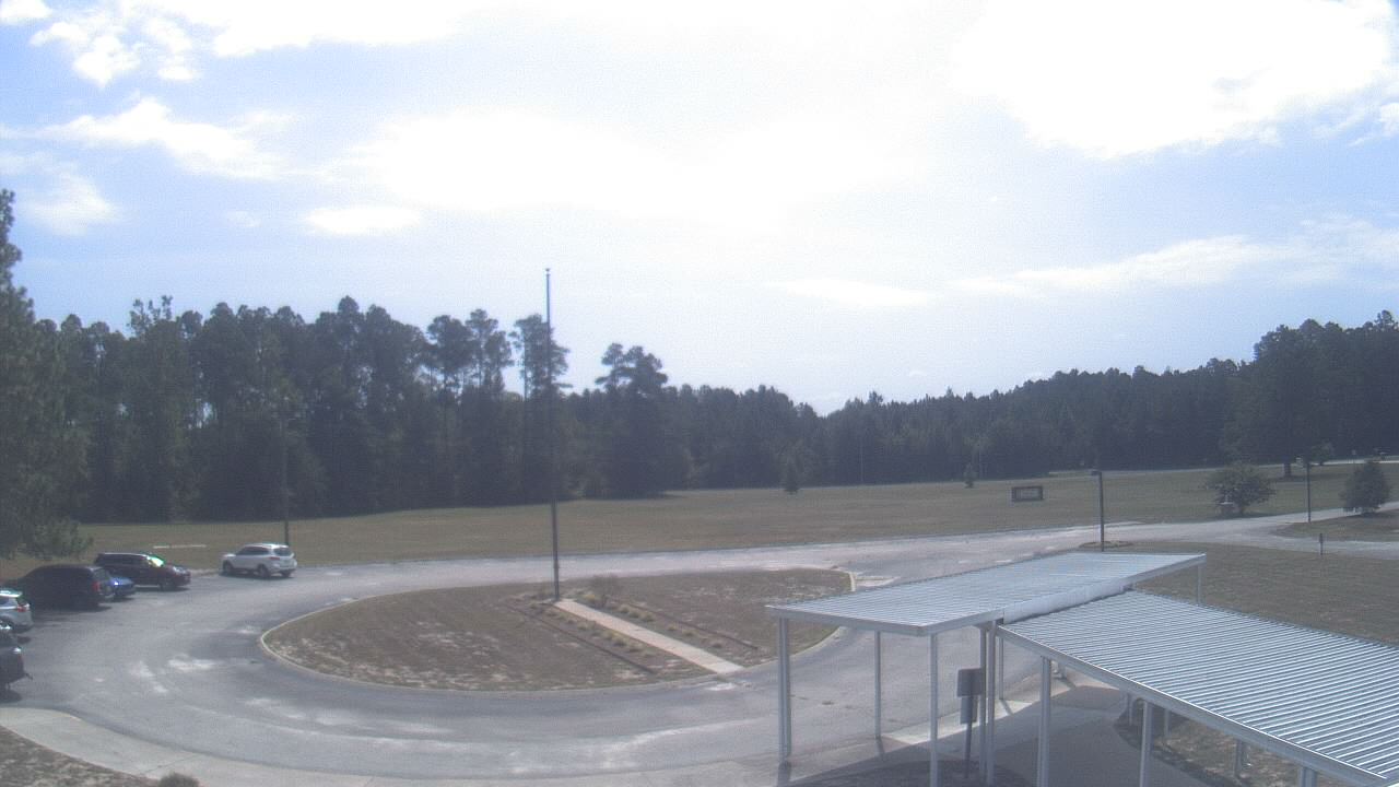
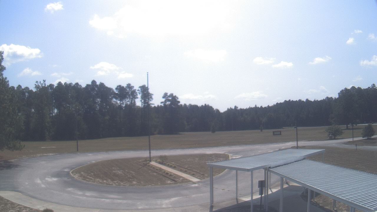
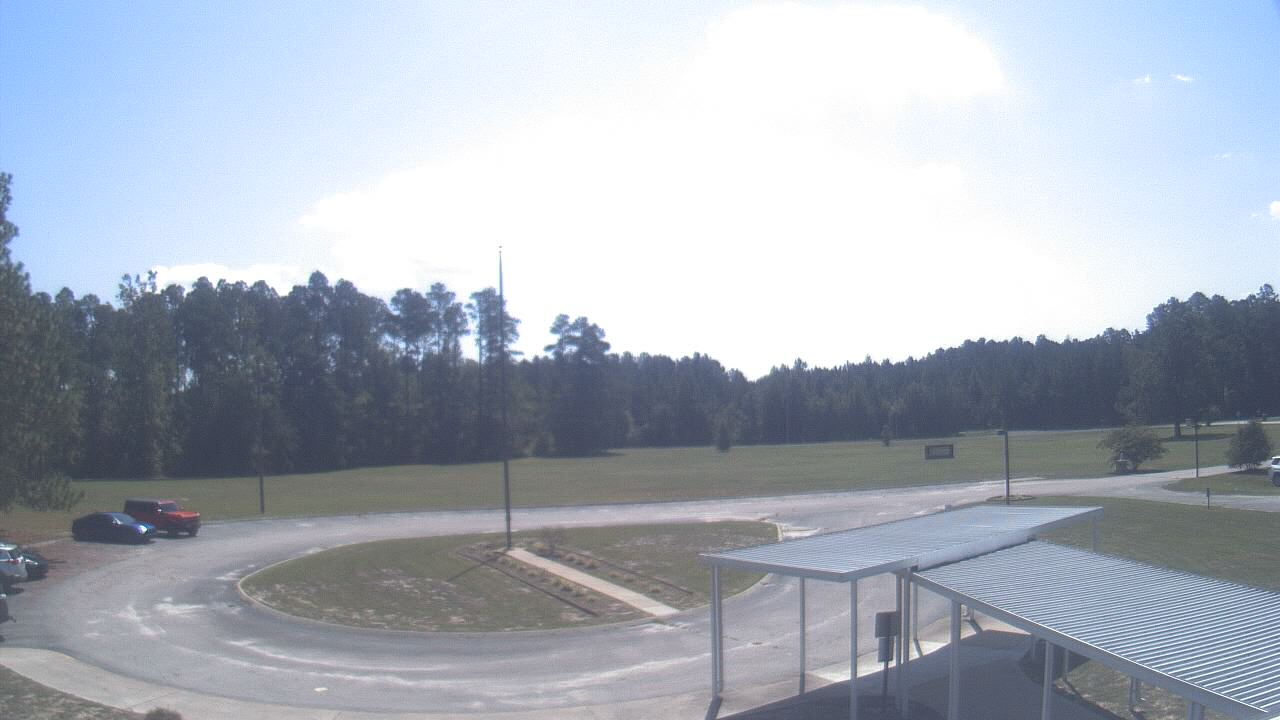
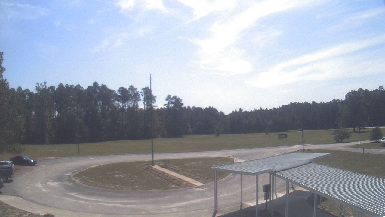
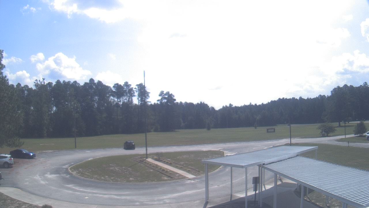
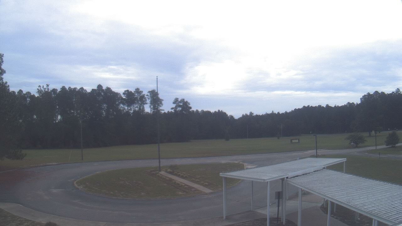
Elizabethtown, North Carolina, USA - 90.1 miles from Tabernacle (historical): Bladen Lakes Primary School - A webcam in Elizabethtown, North Carolina - camera location: Bladen Lakes Primary School.
Operator: WeatherBug
Operator: WeatherBug


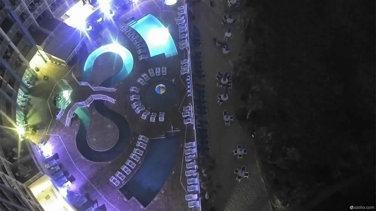
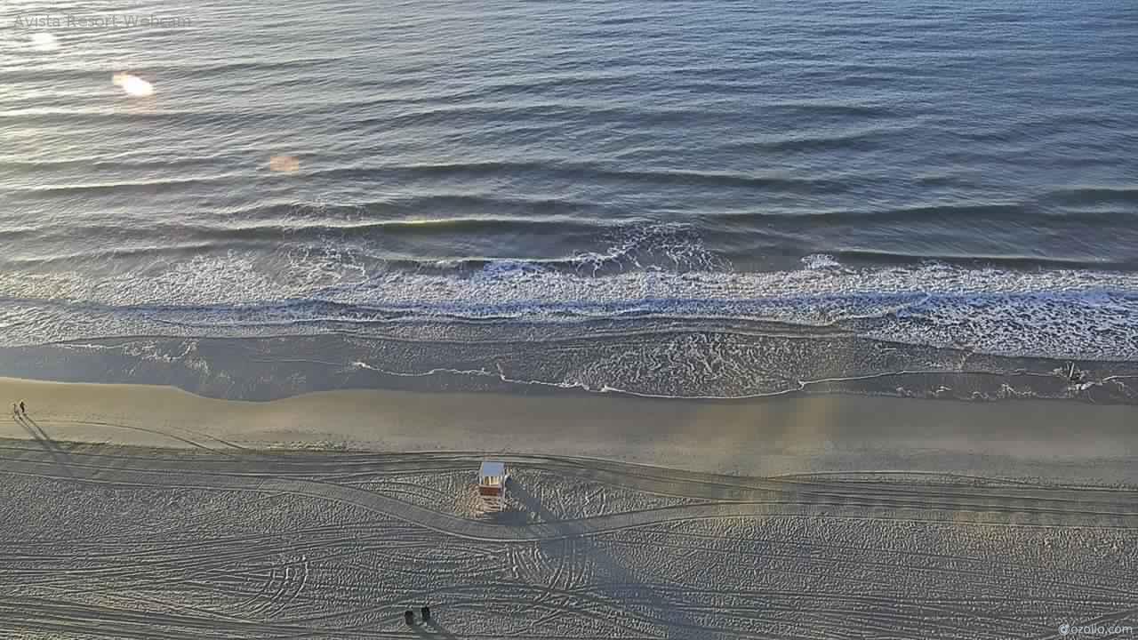
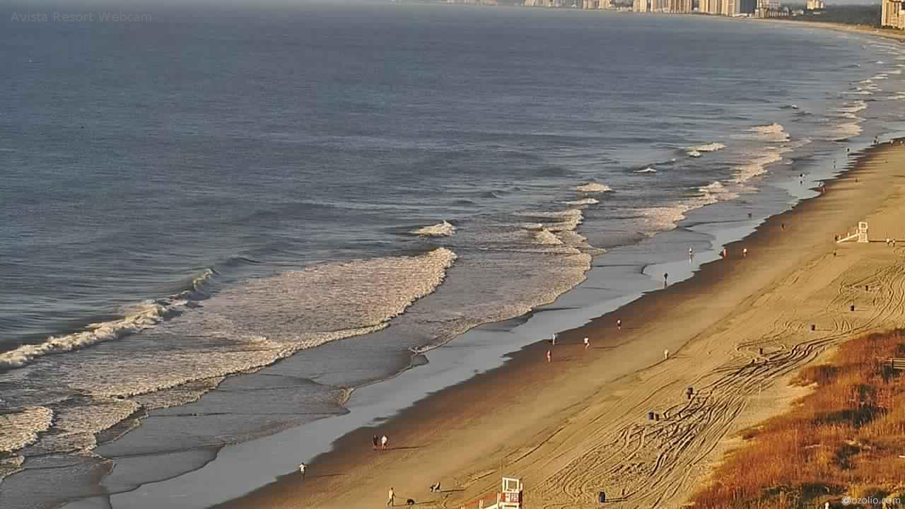
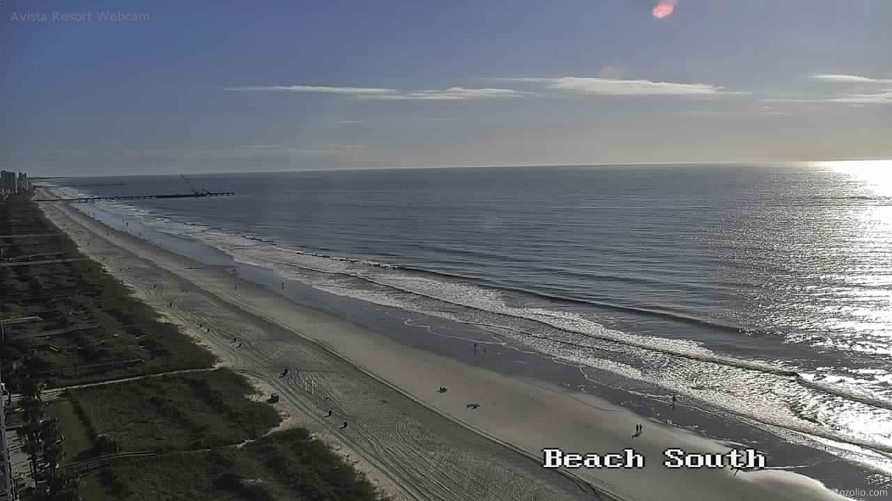
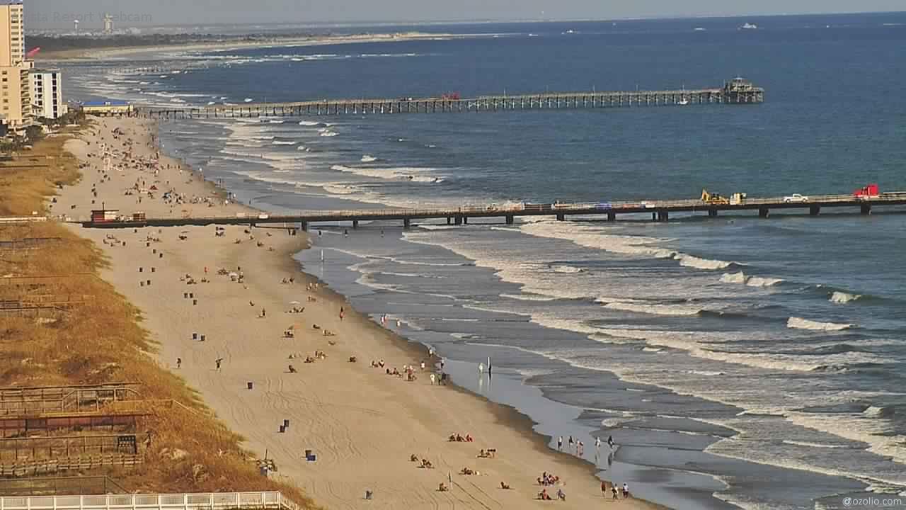
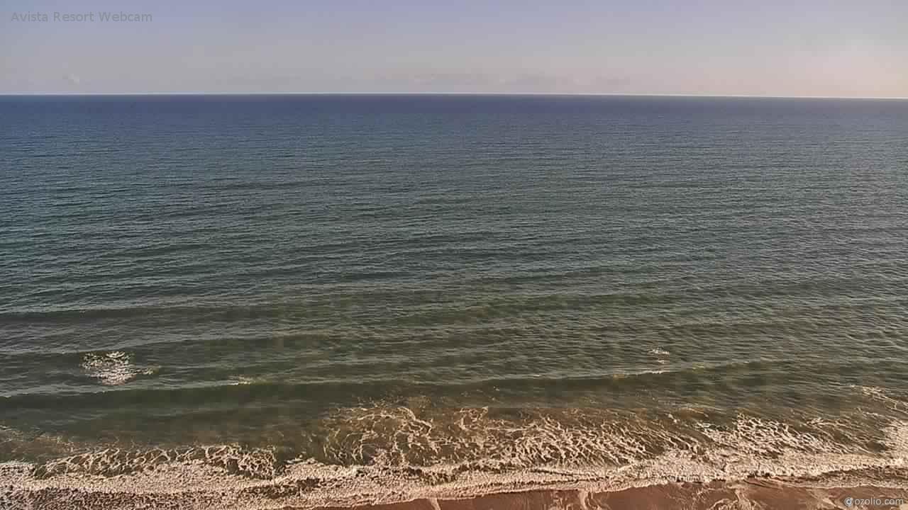
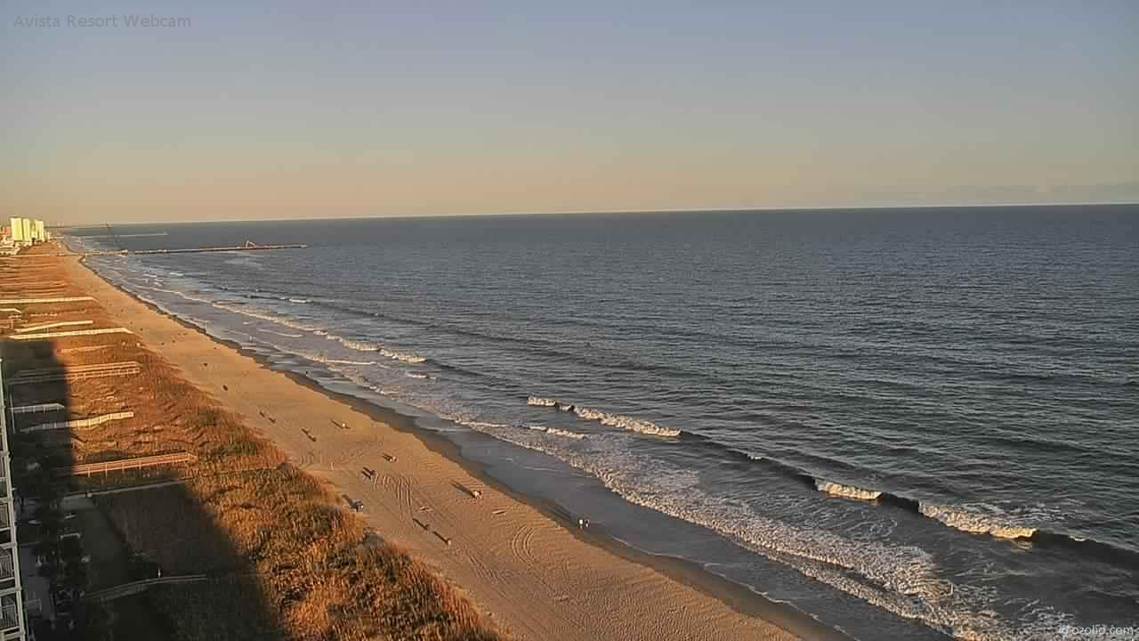
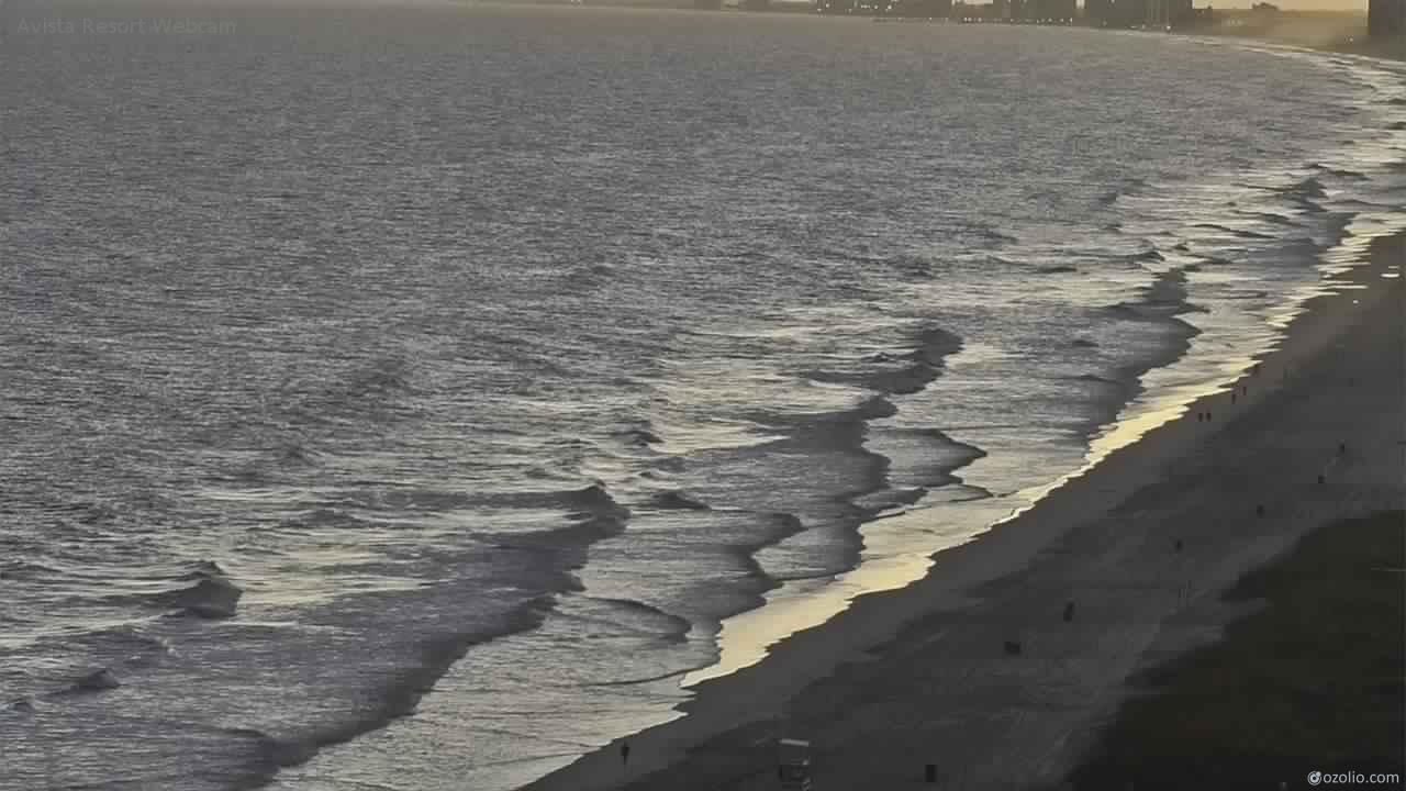
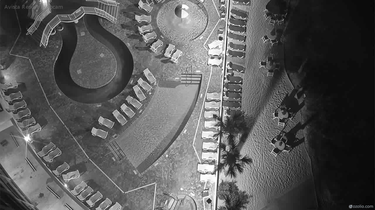
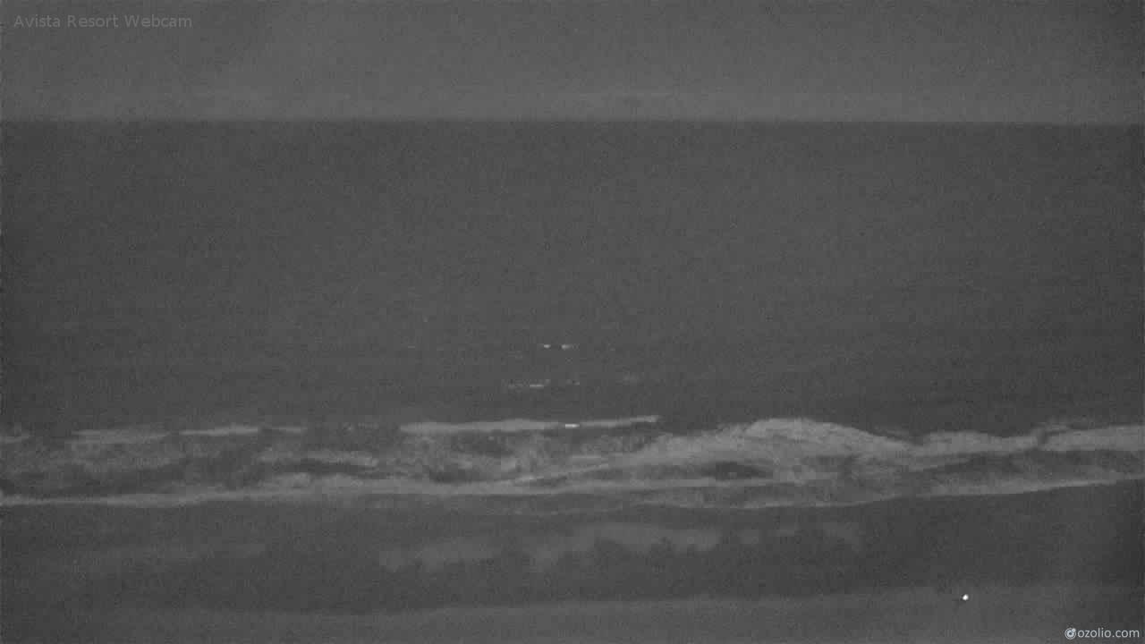
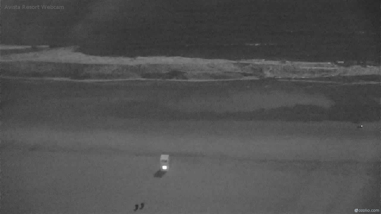
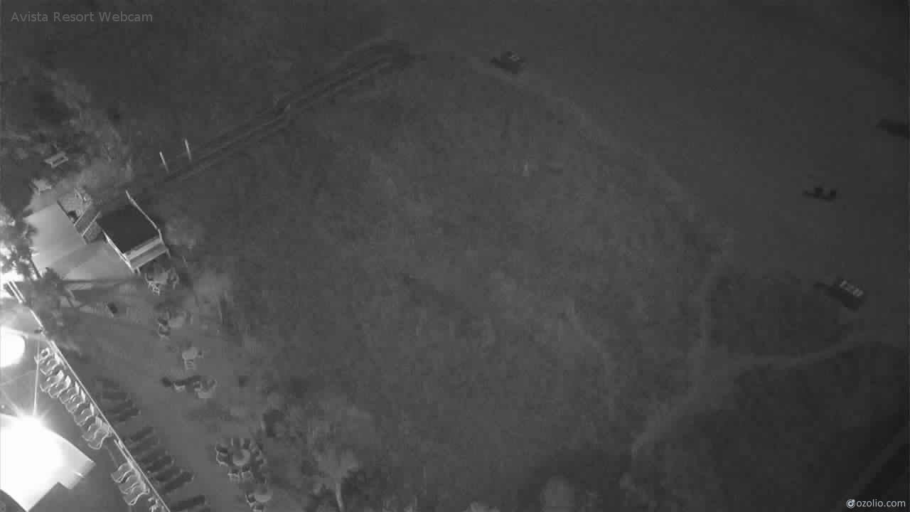
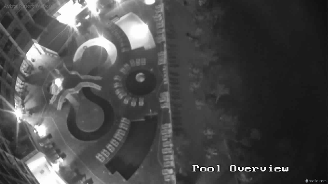
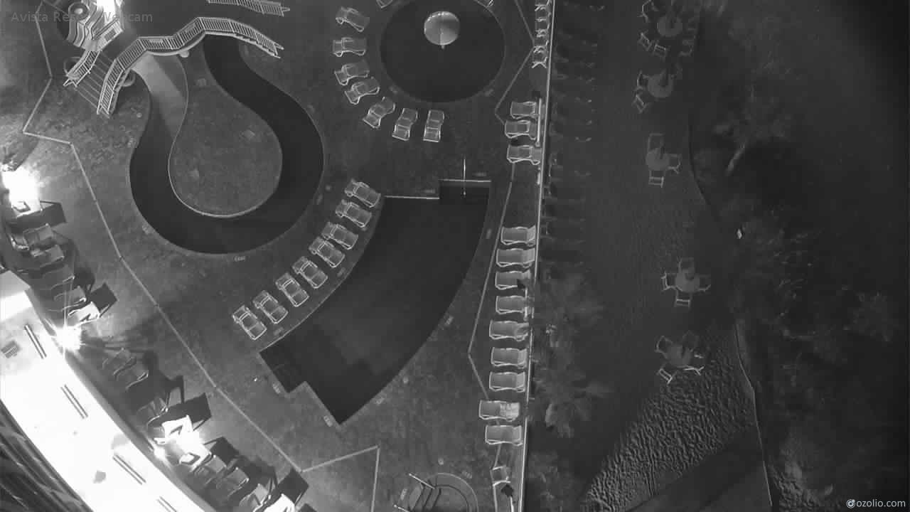
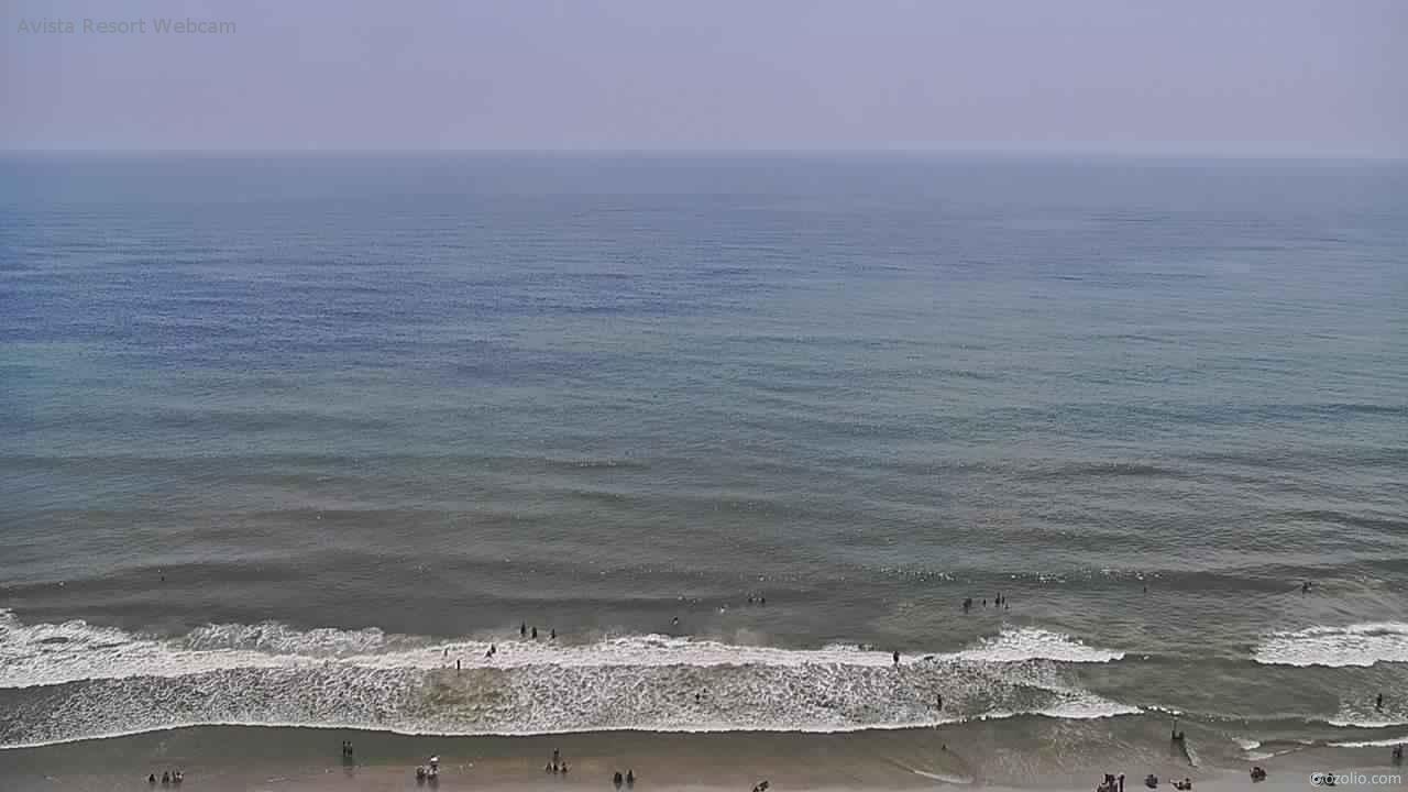
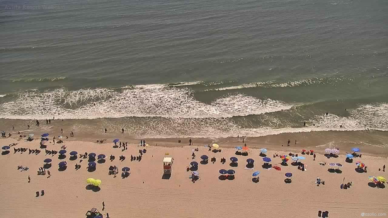
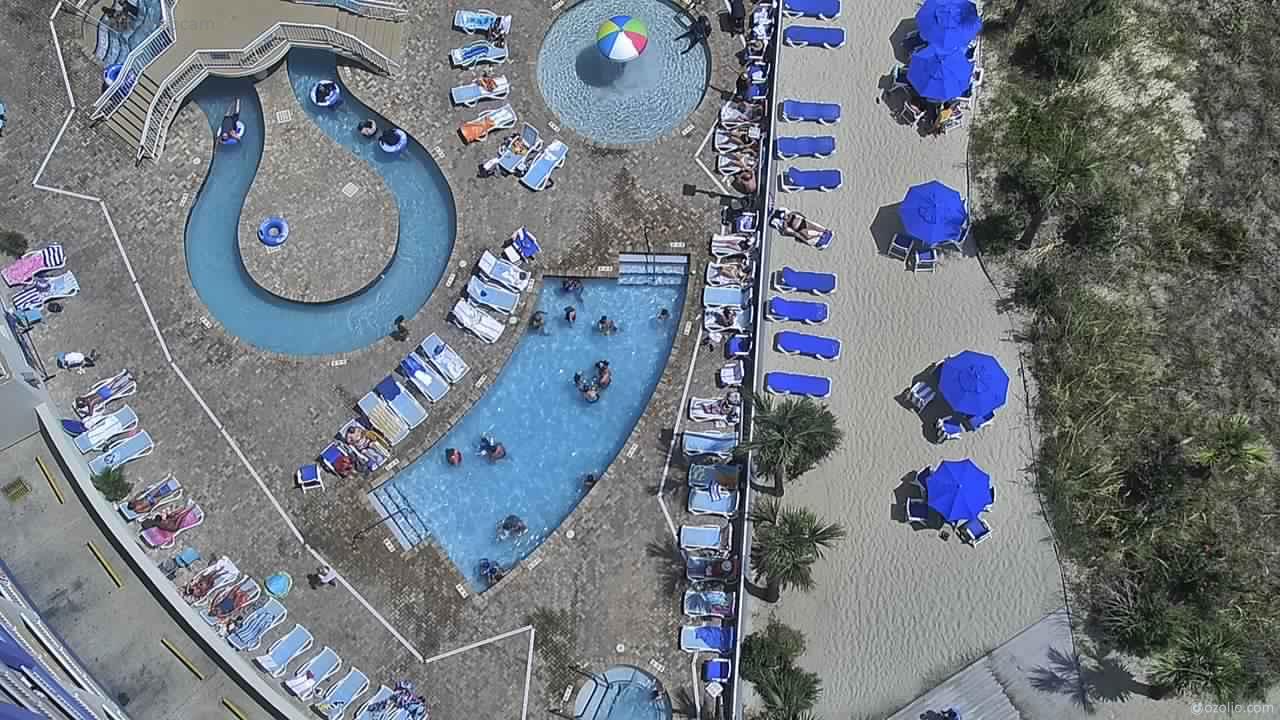
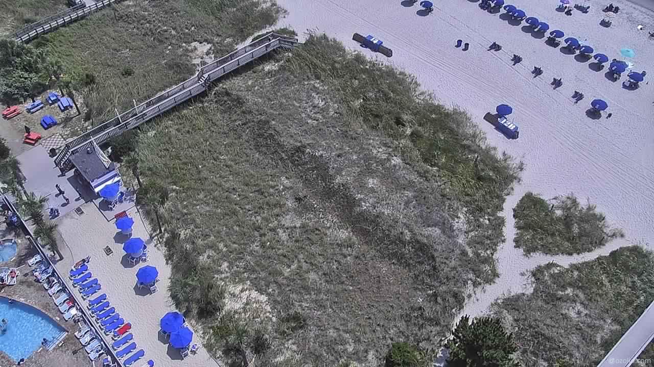
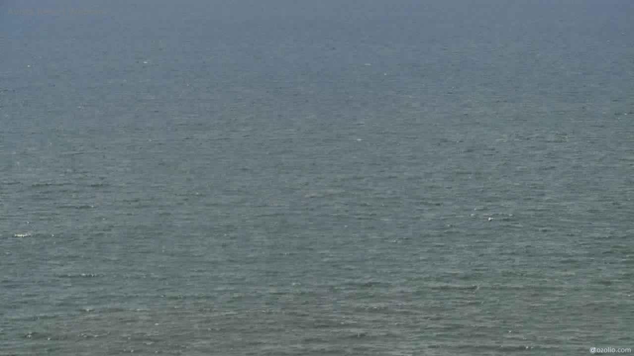
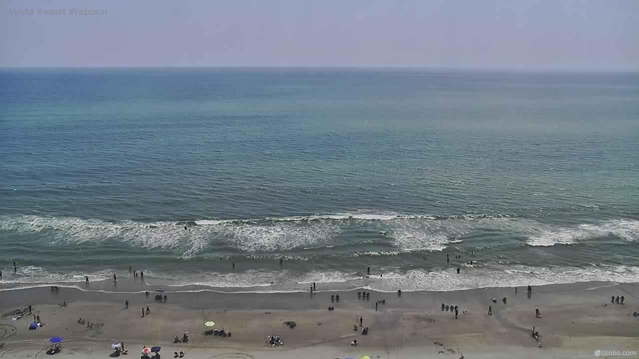
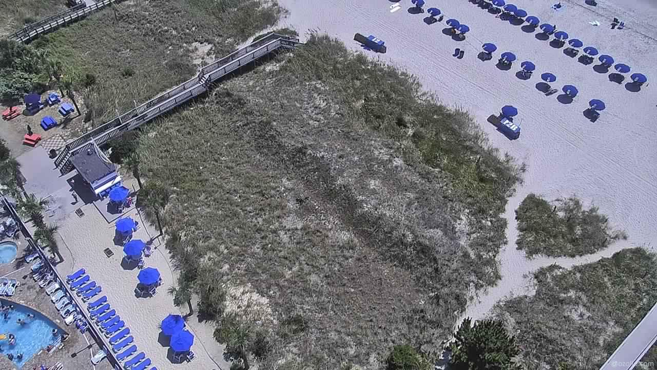
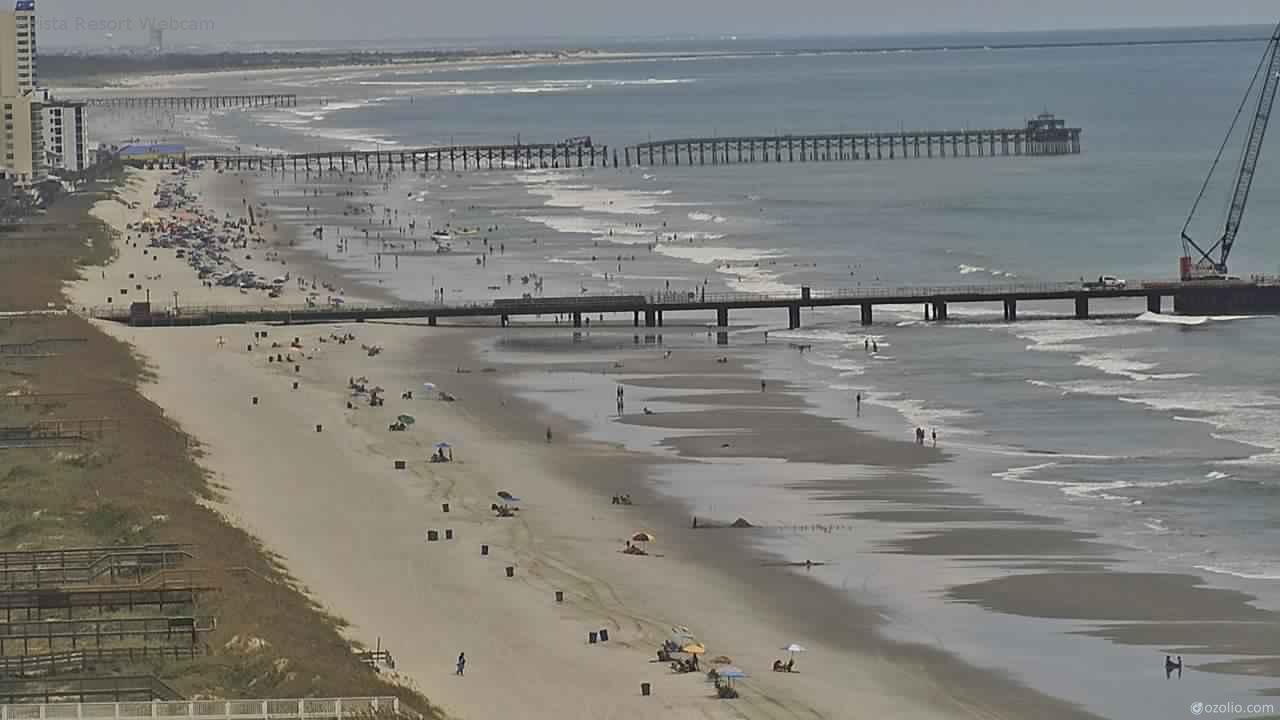
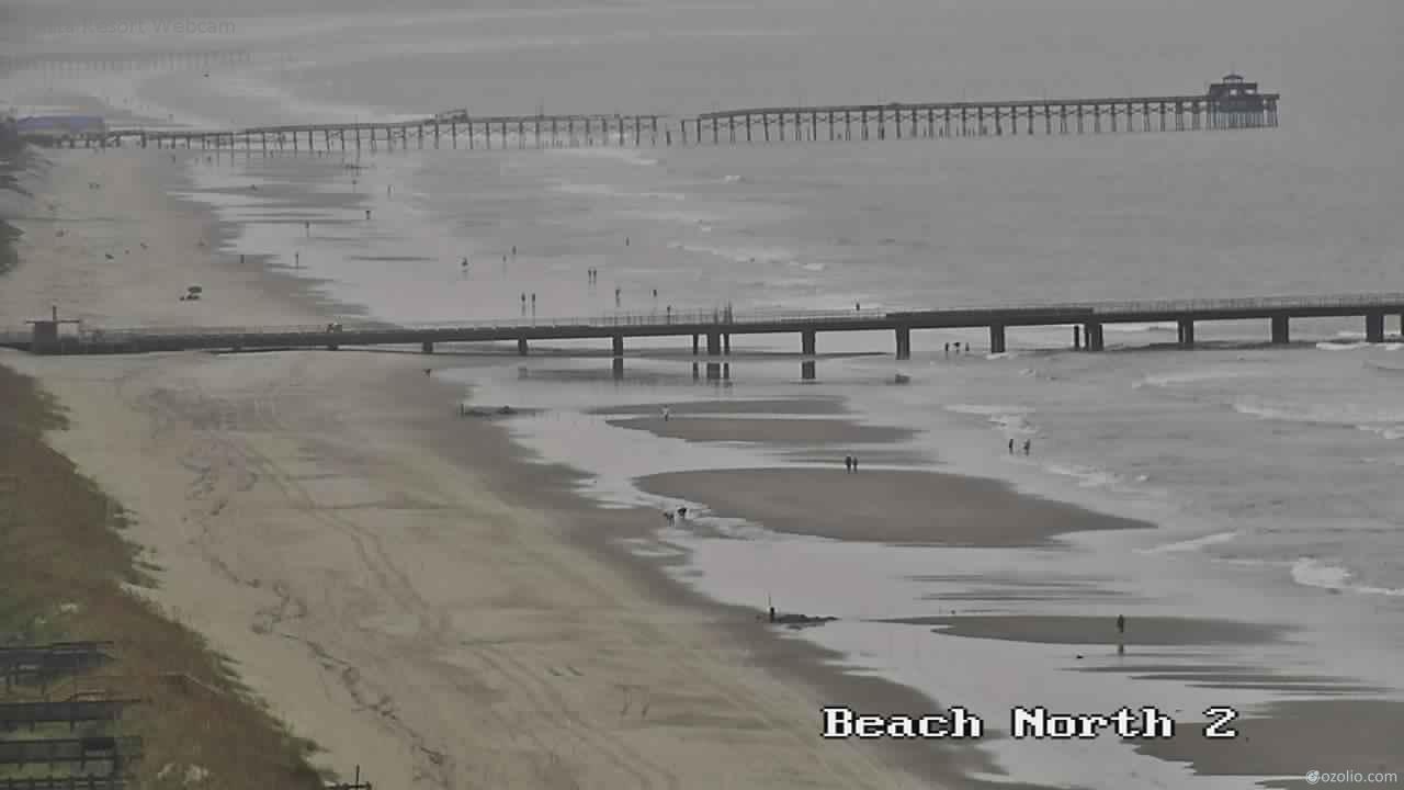
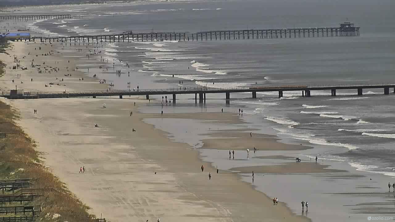
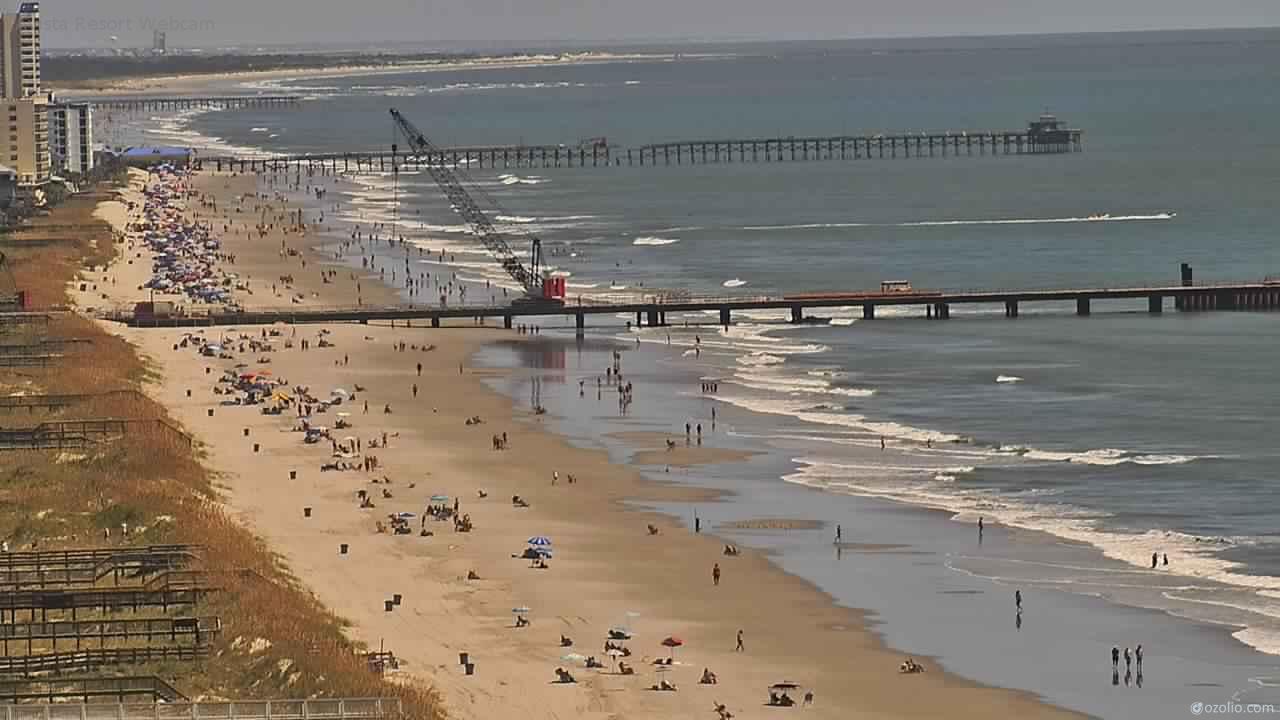
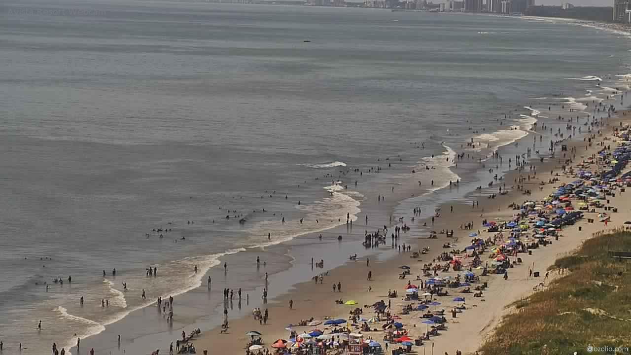
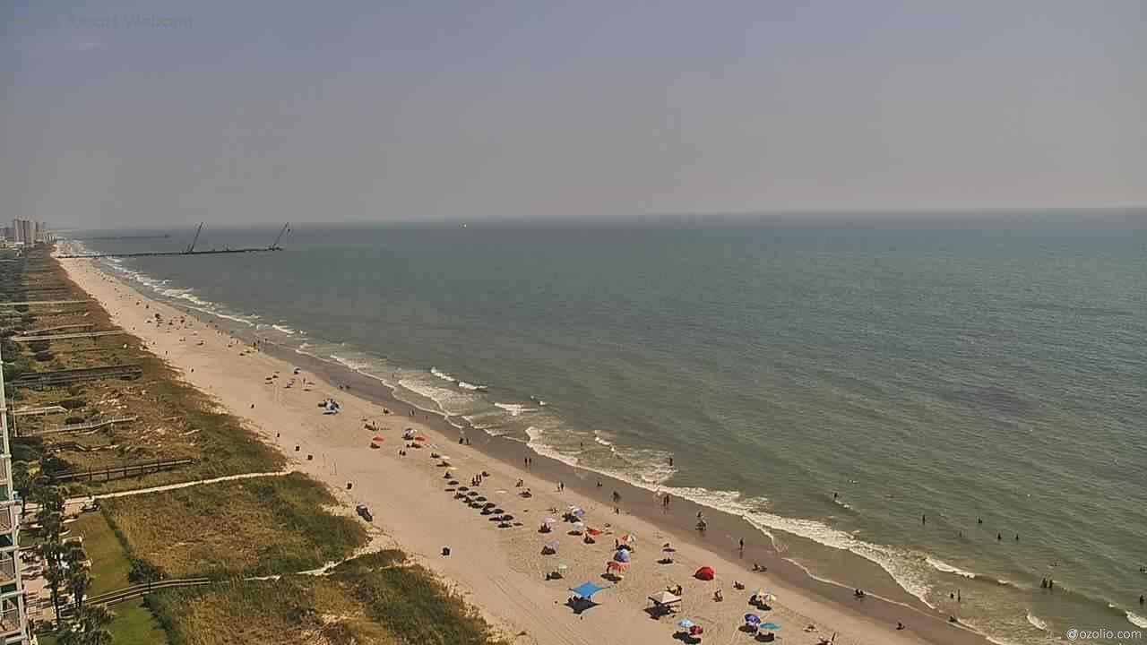
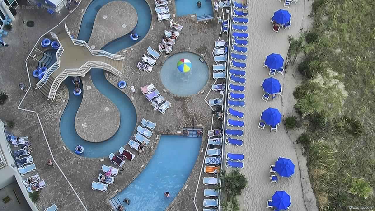
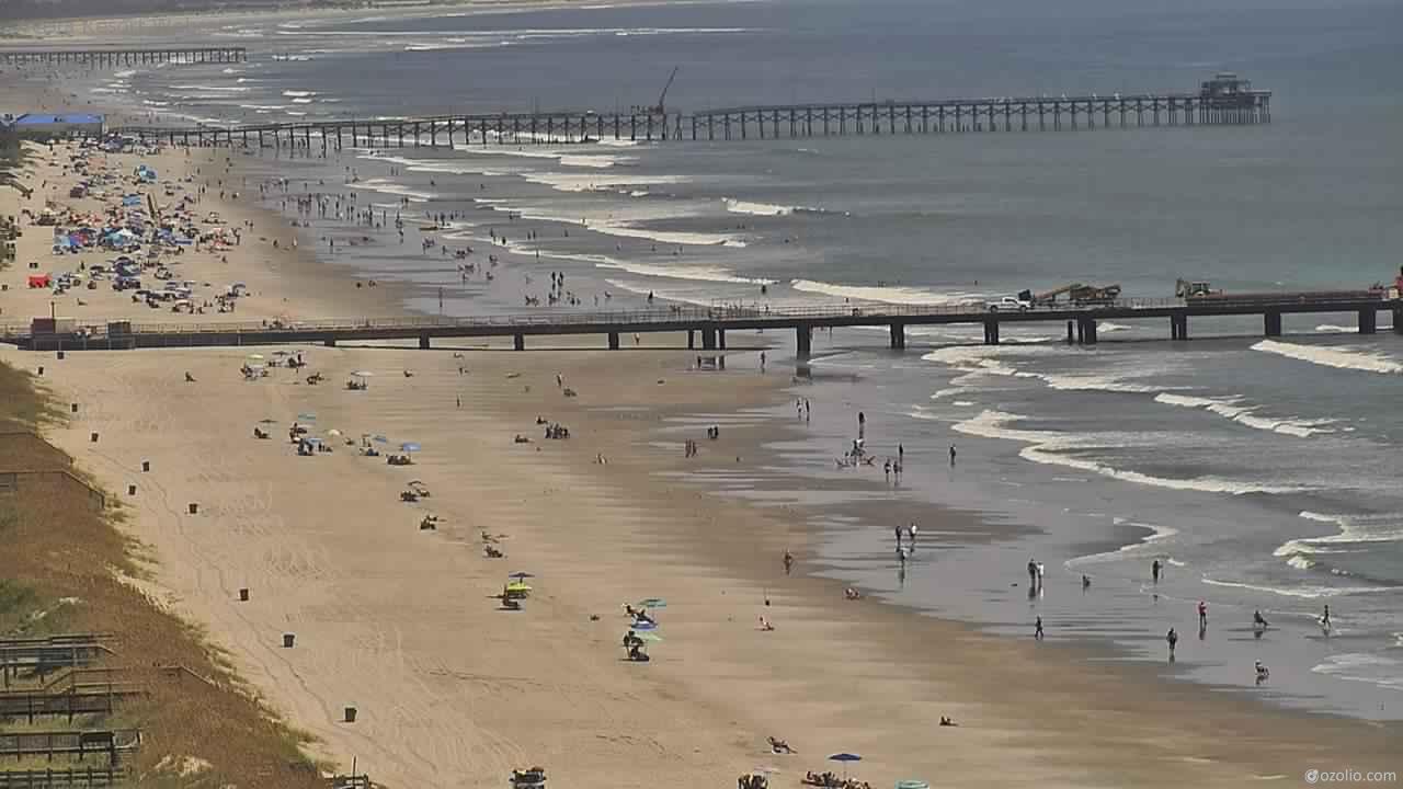
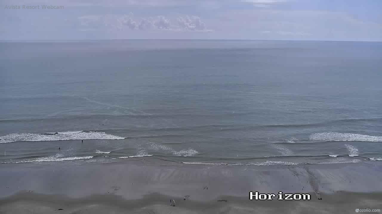
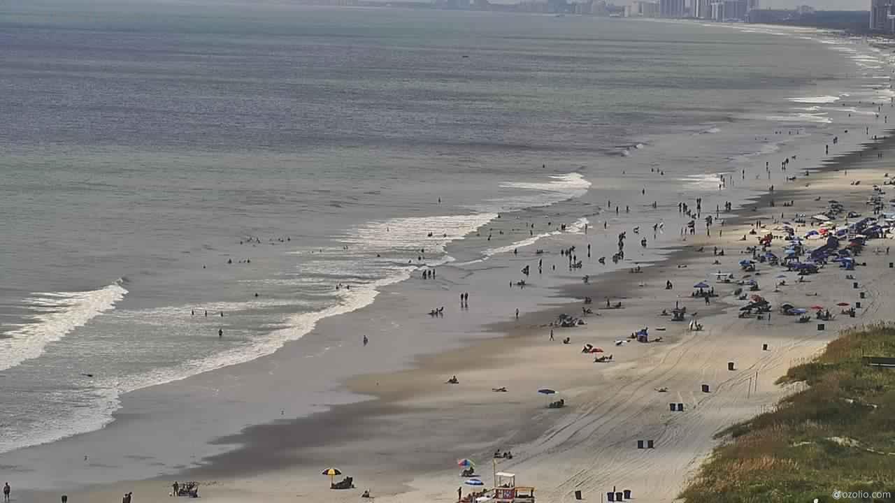
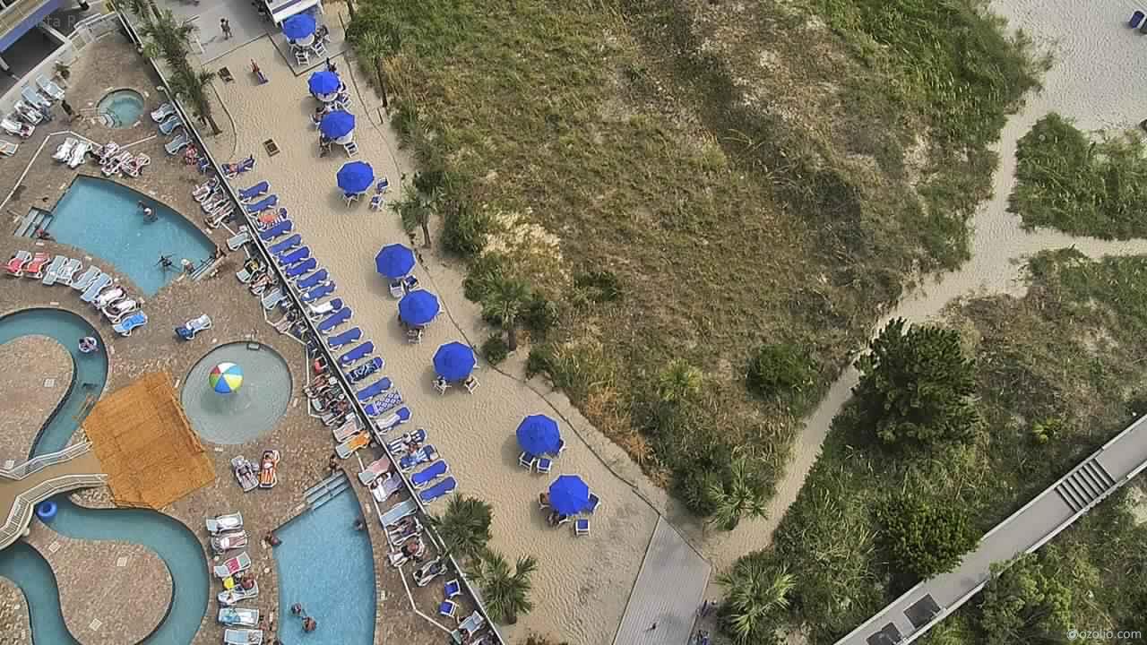
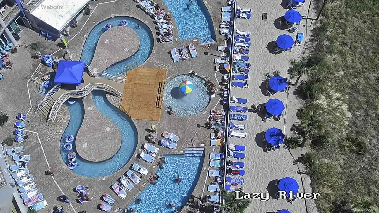
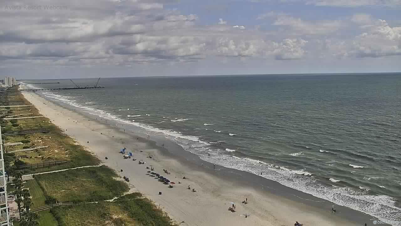
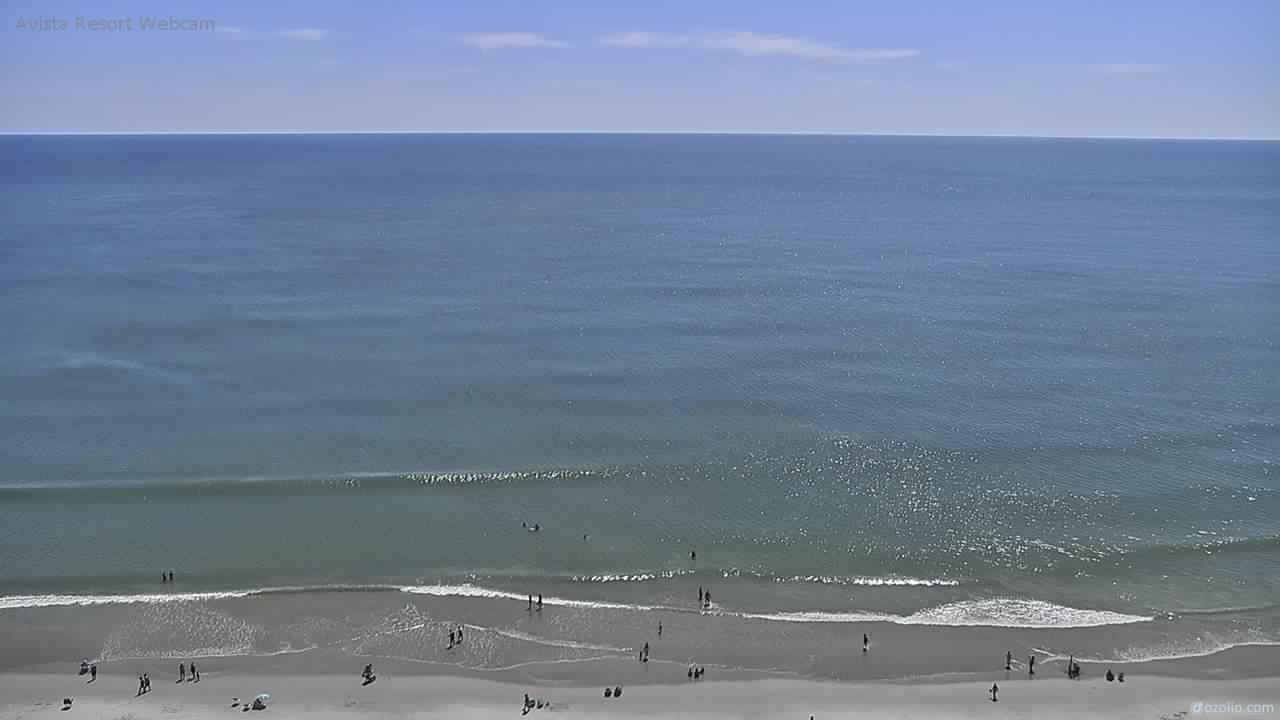
North Myrtle Beach, South Carolina, USA - 95.7 miles from Tabernacle (historical): Avista Resort - View over the beach of North Myrtle Beach from the Avista Resort.
Operator: Avista Resort Hotel
Operator: Avista Resort Hotel

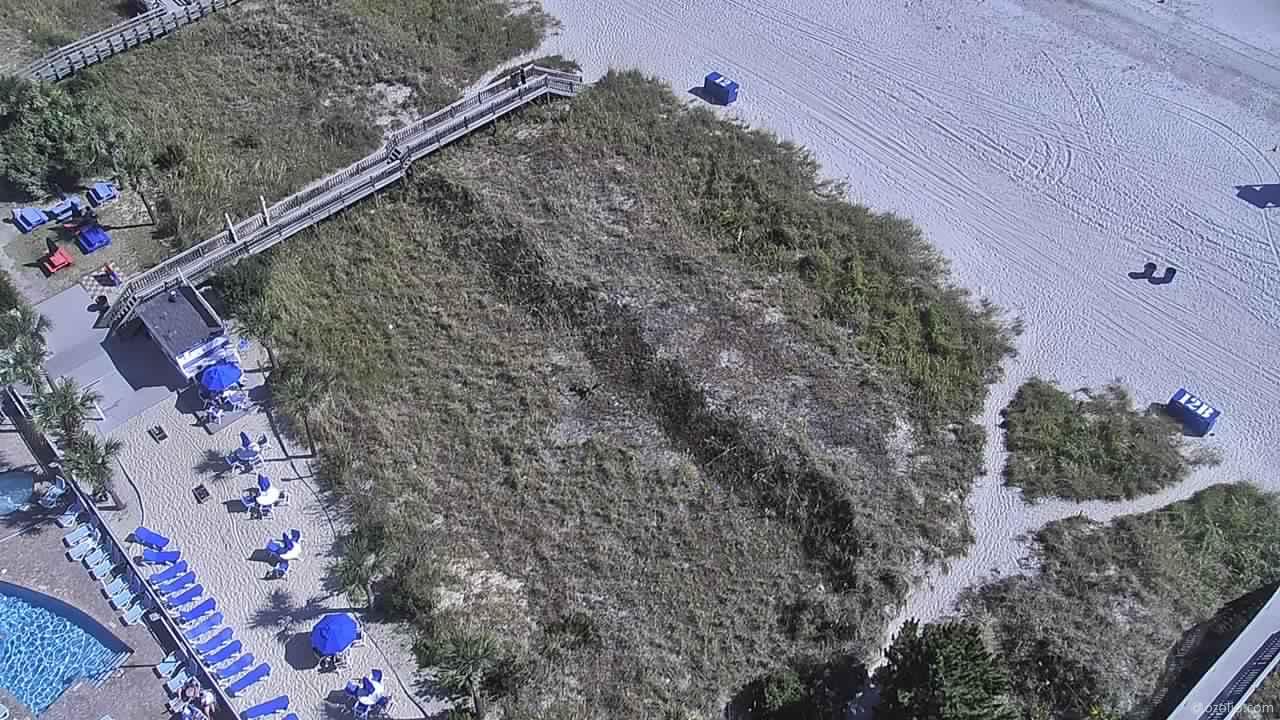


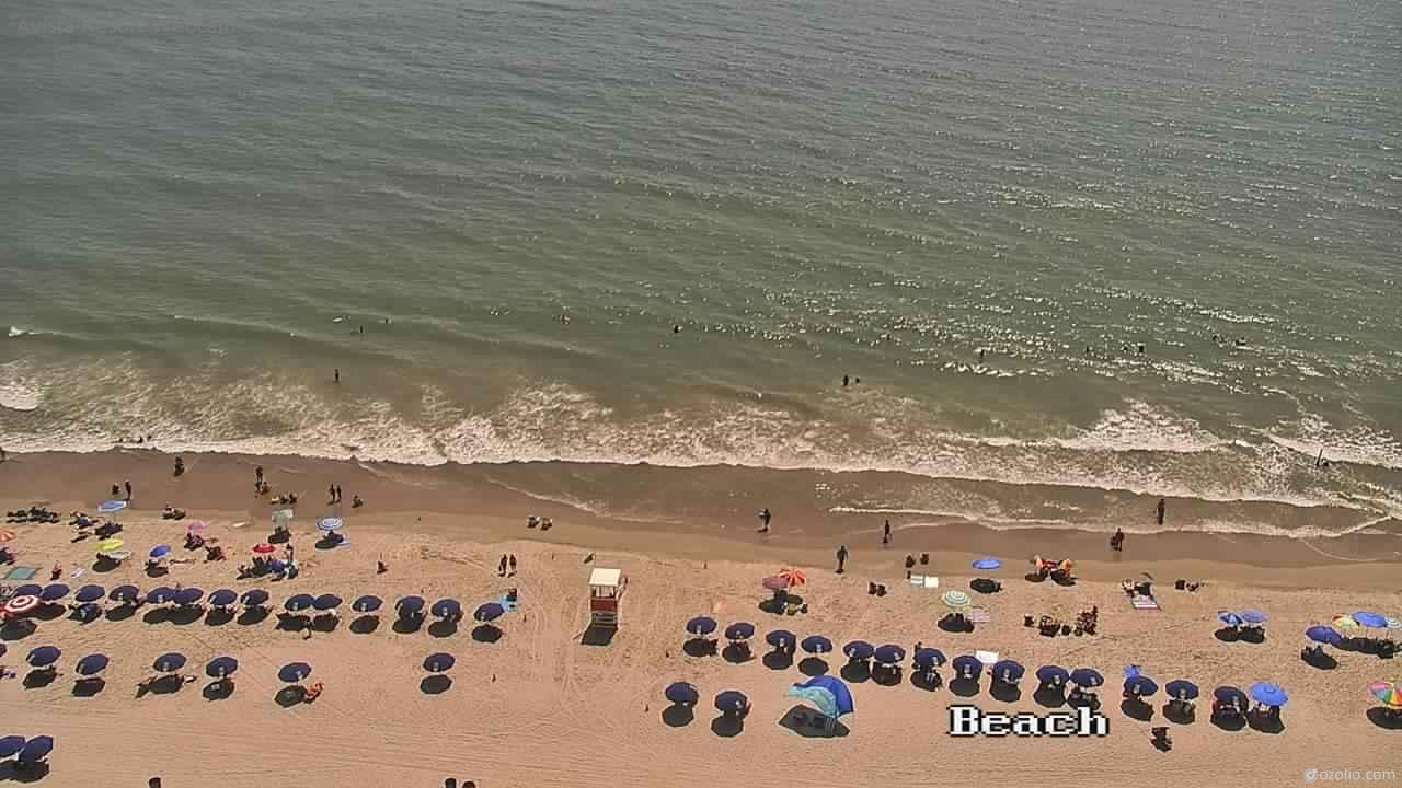
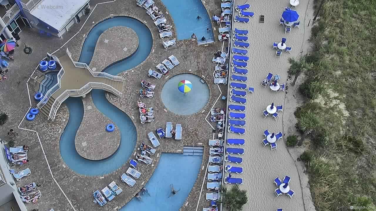


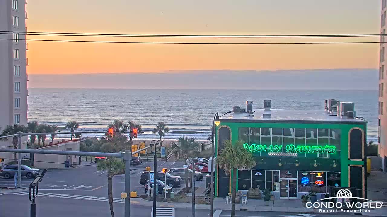
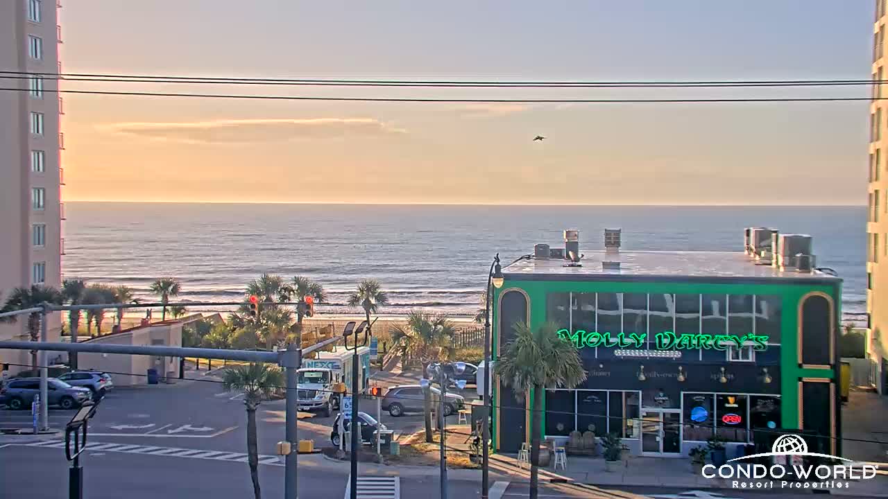
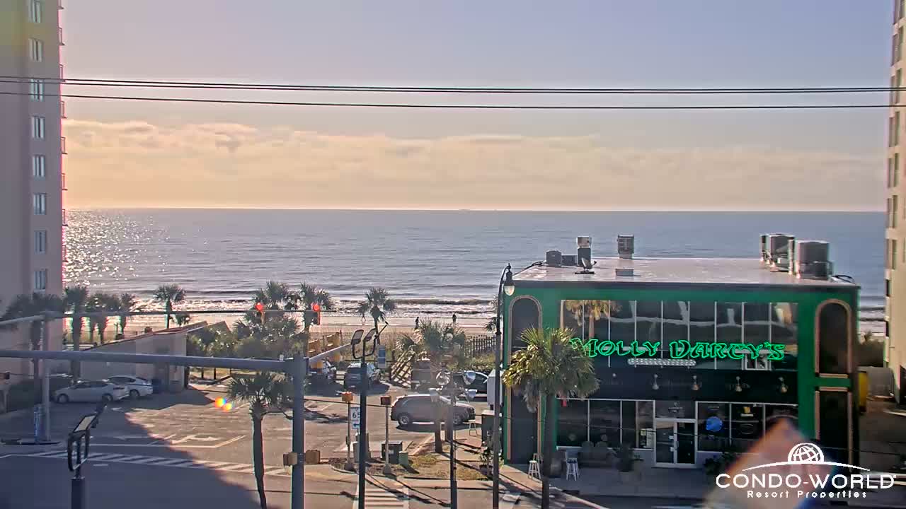
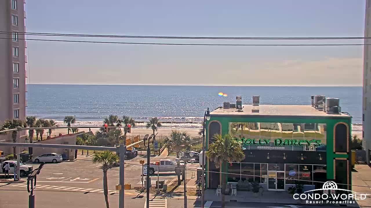
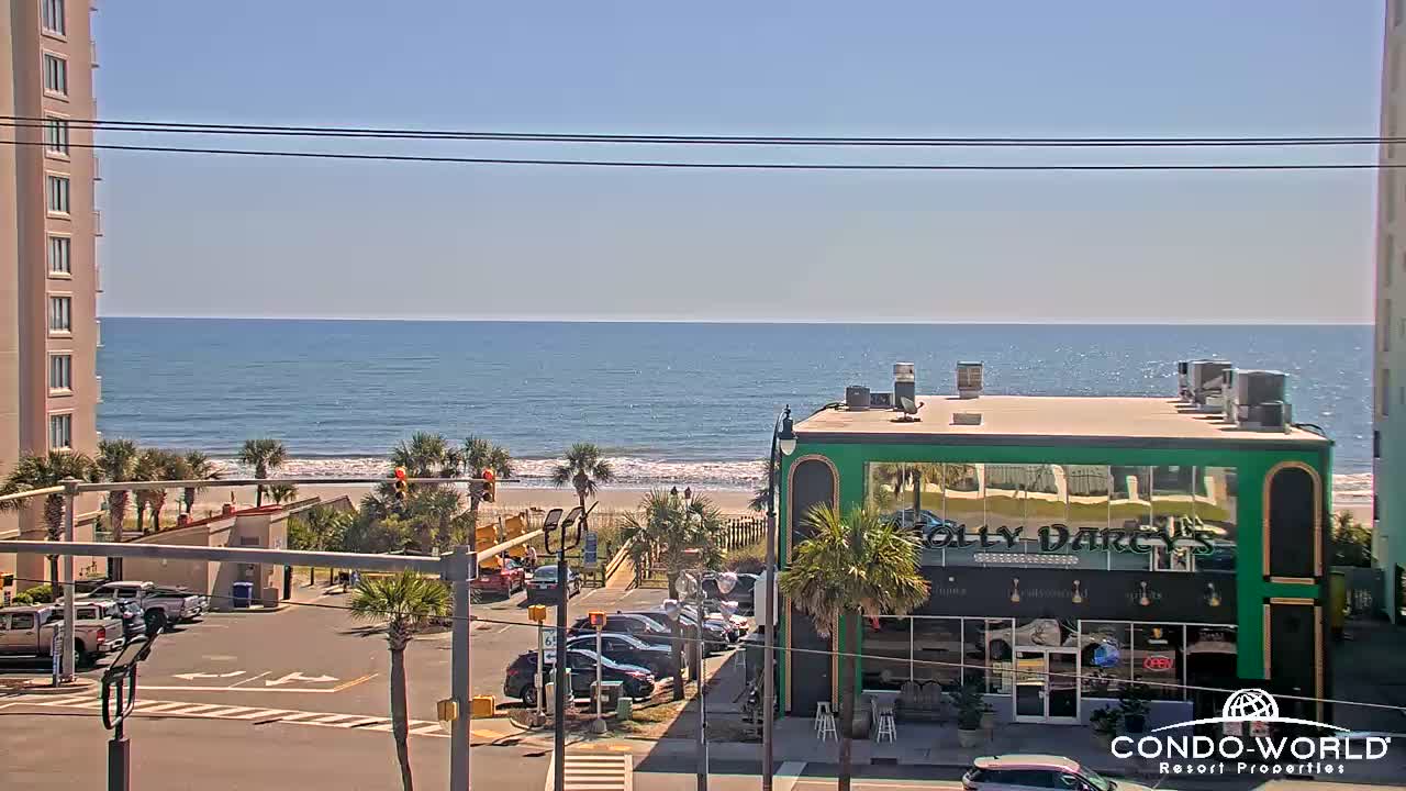
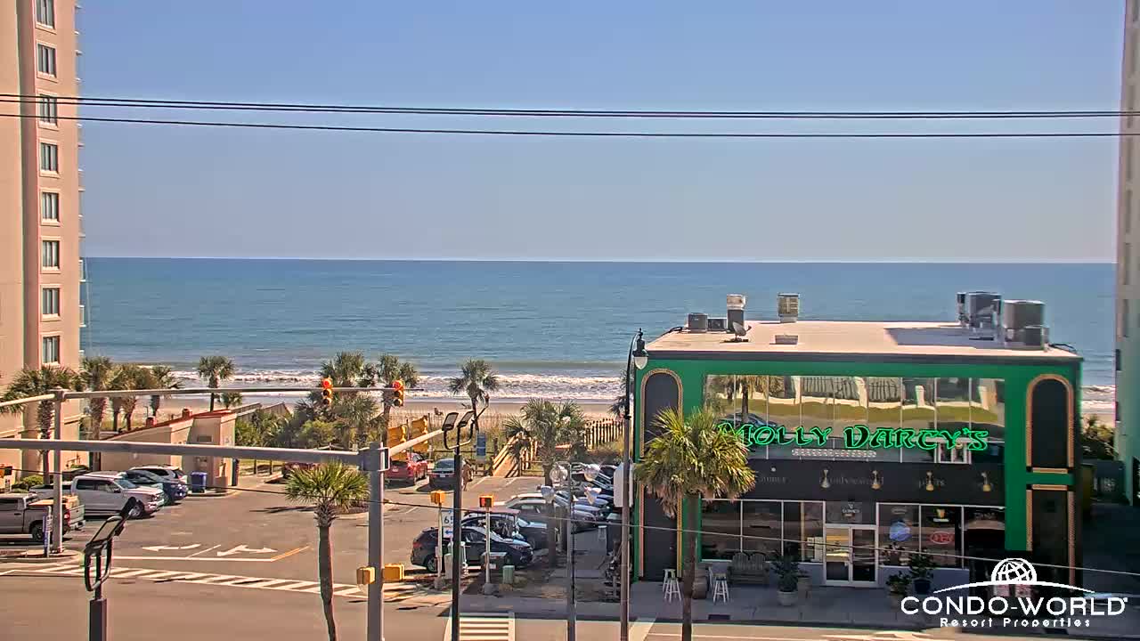
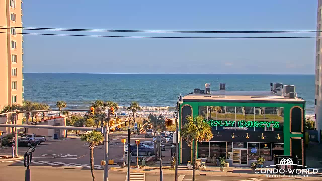
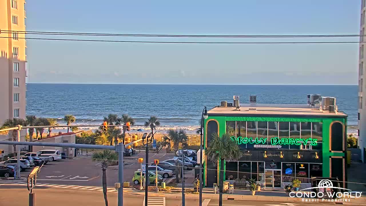
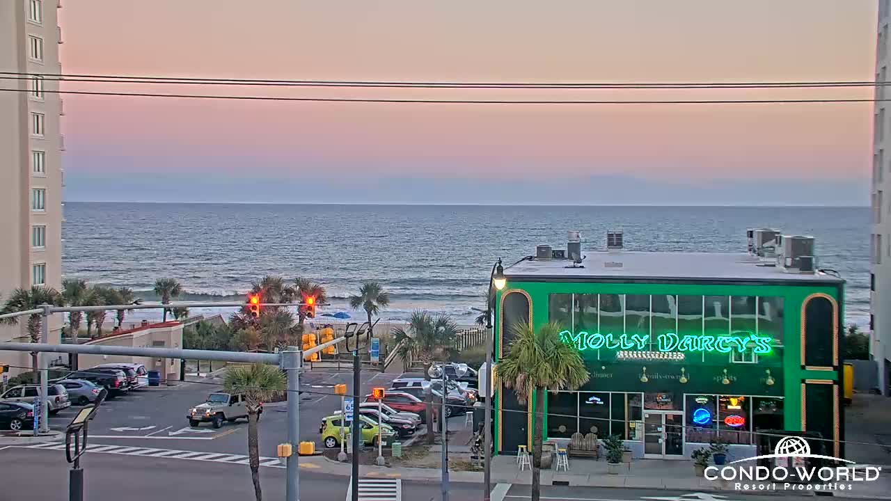
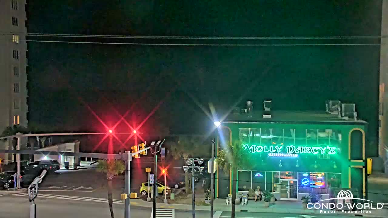
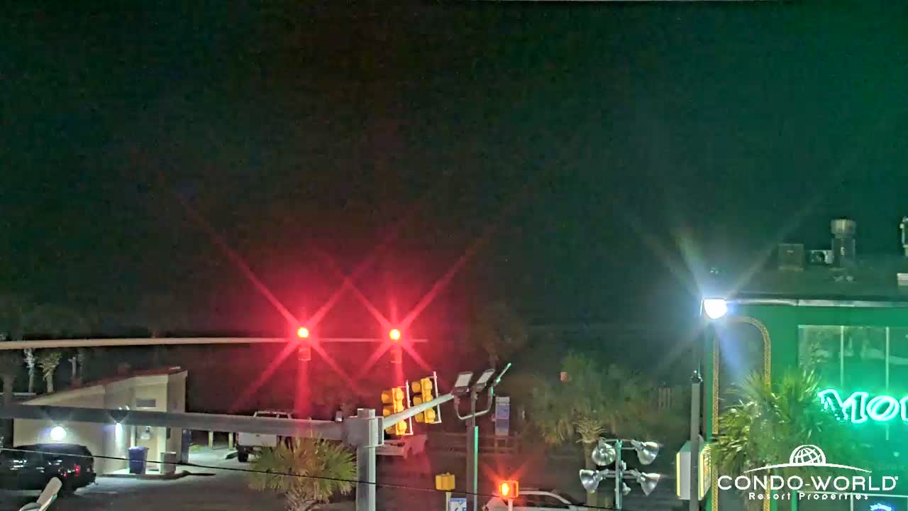
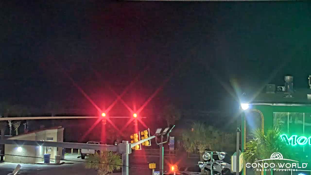
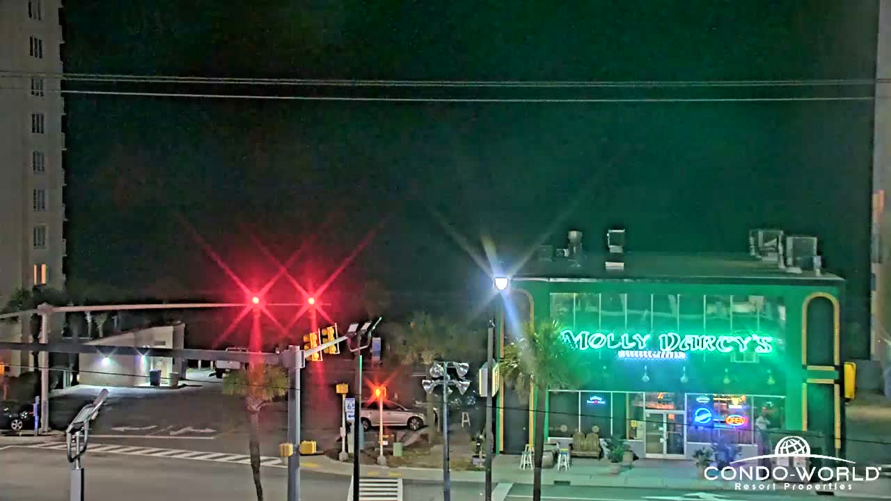
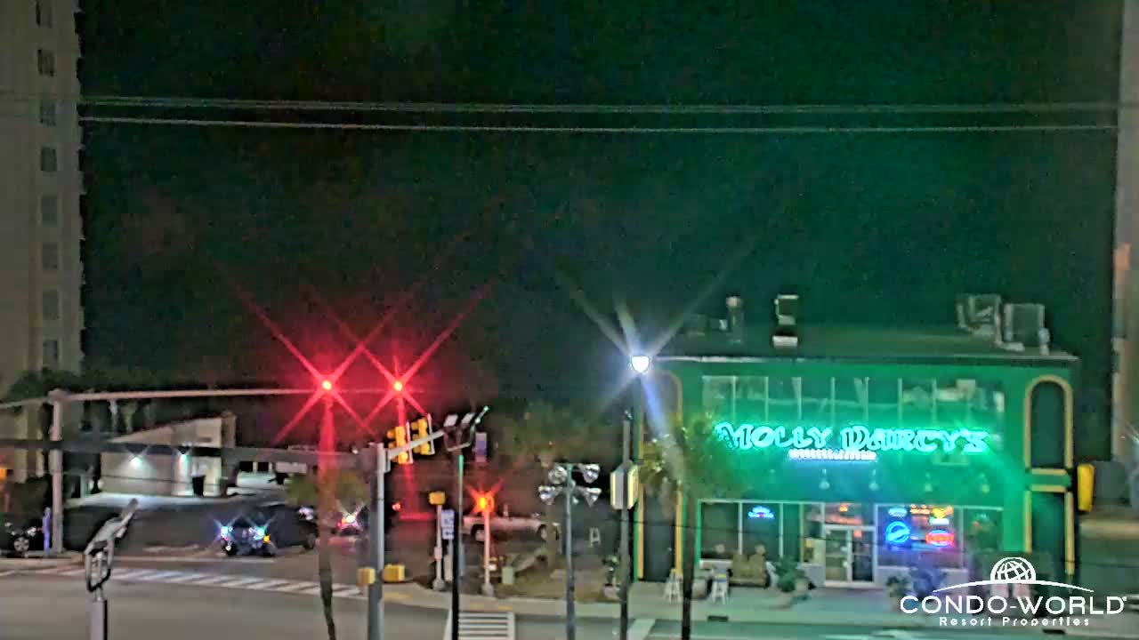
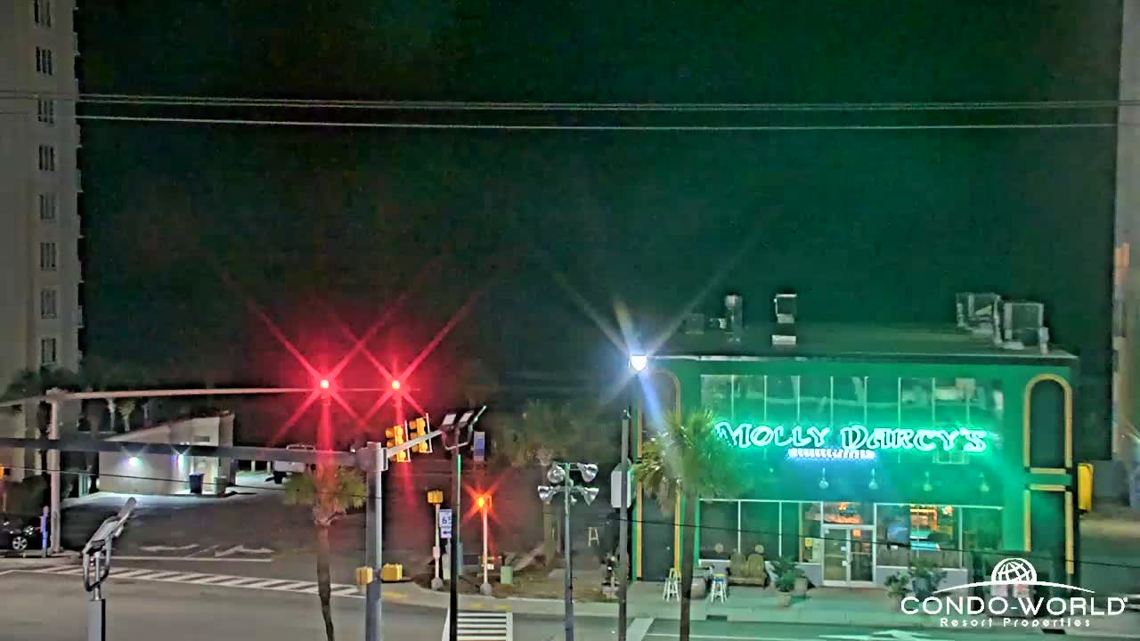
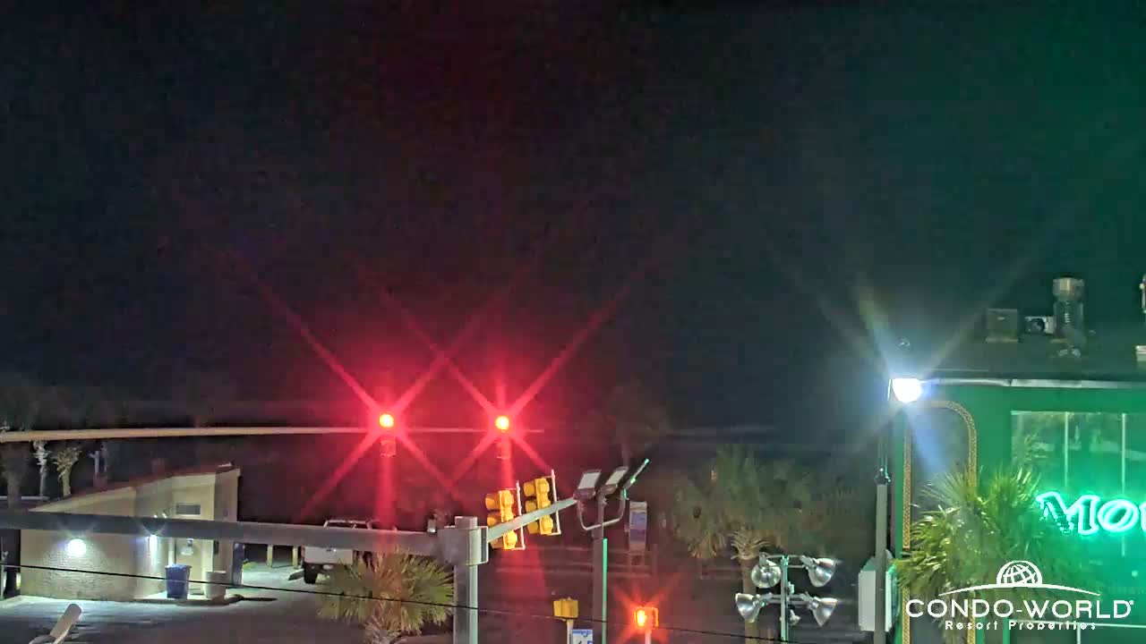
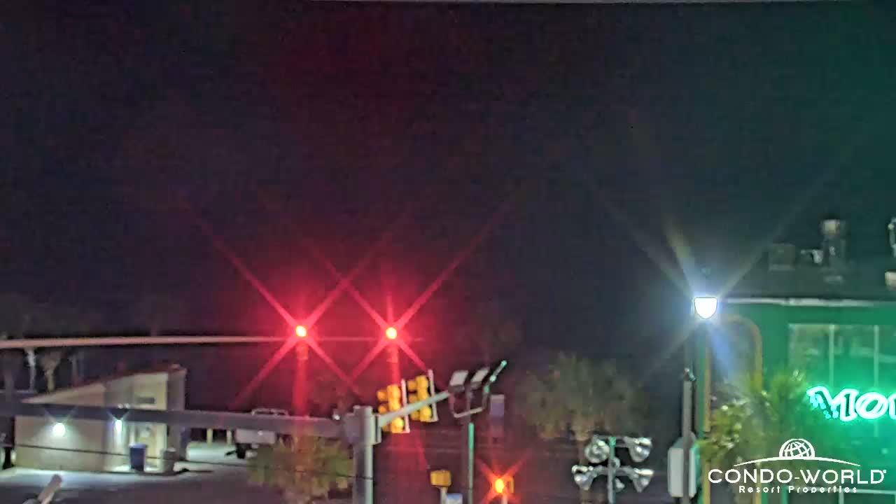
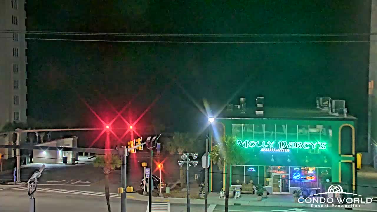
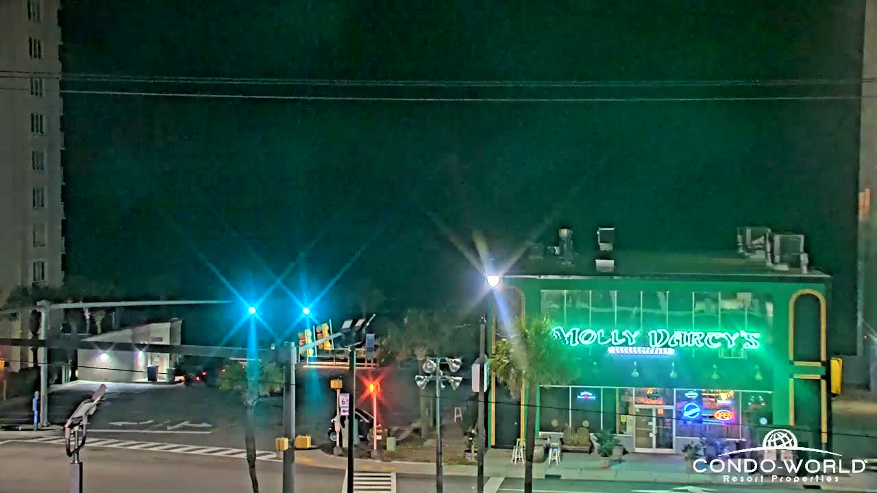
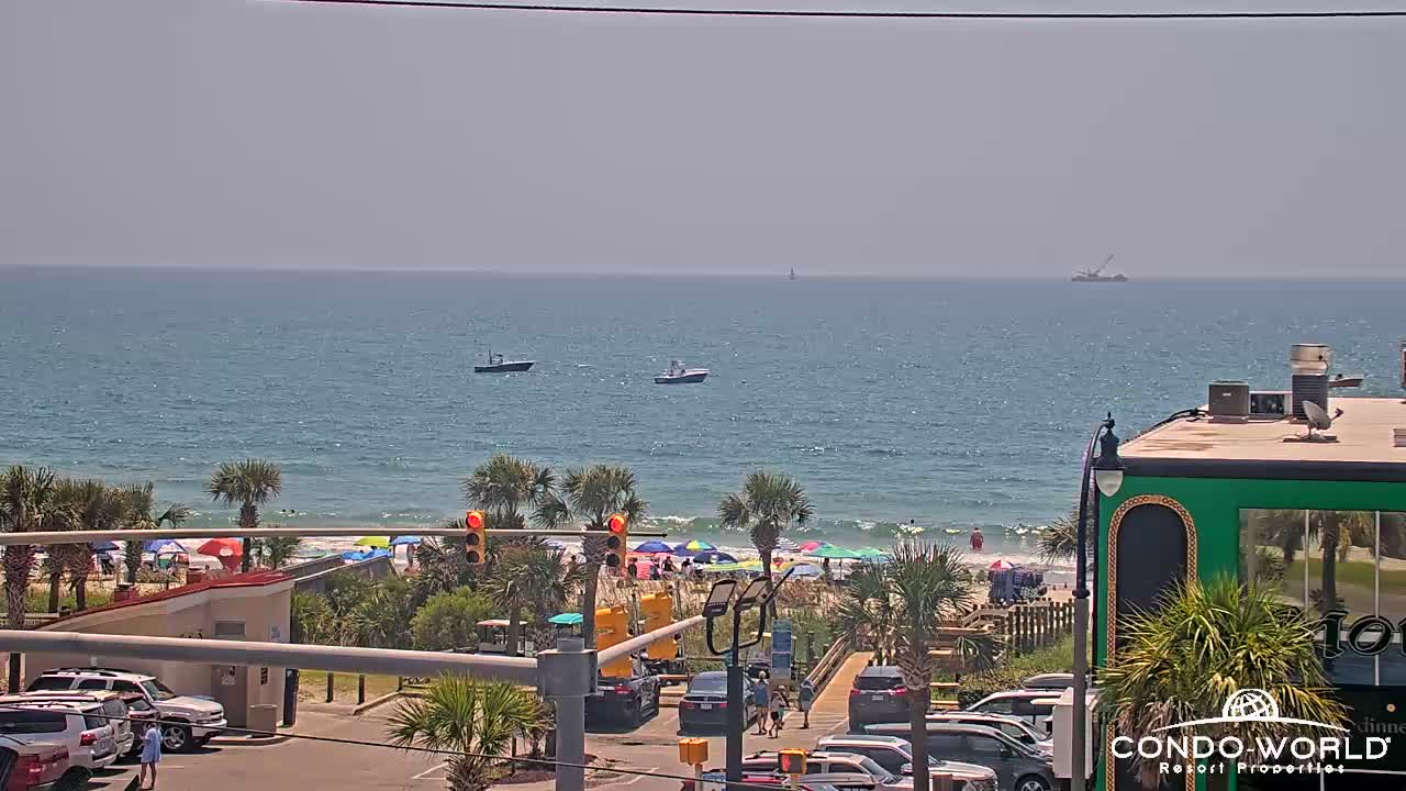
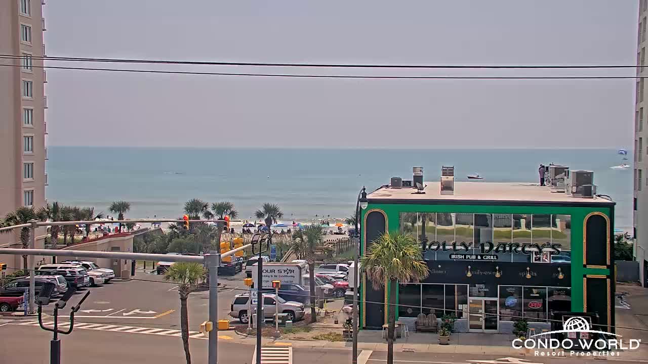
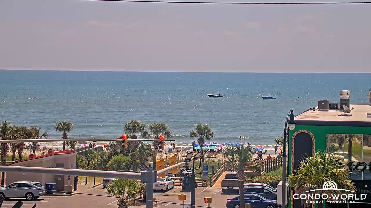
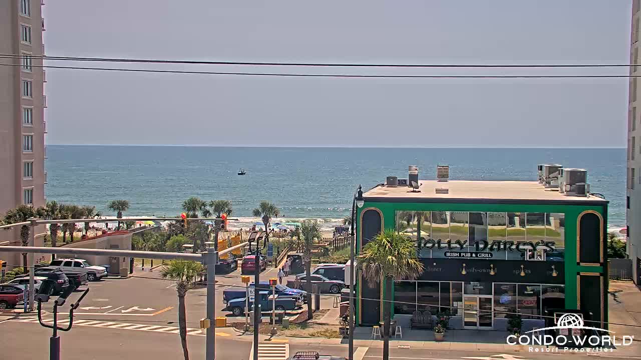
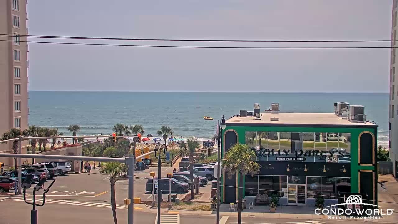
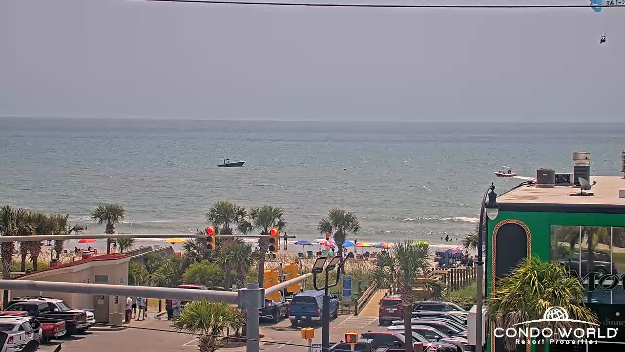
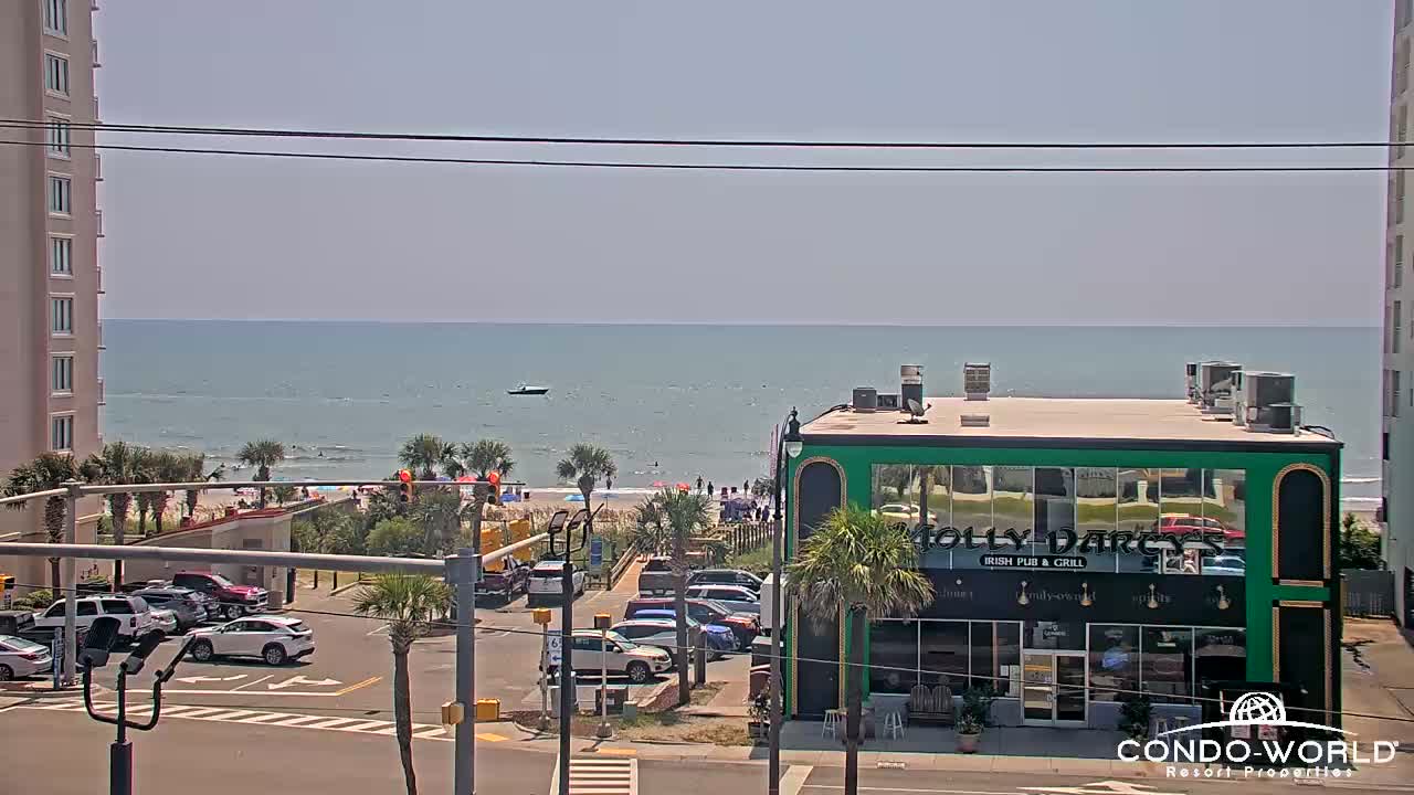
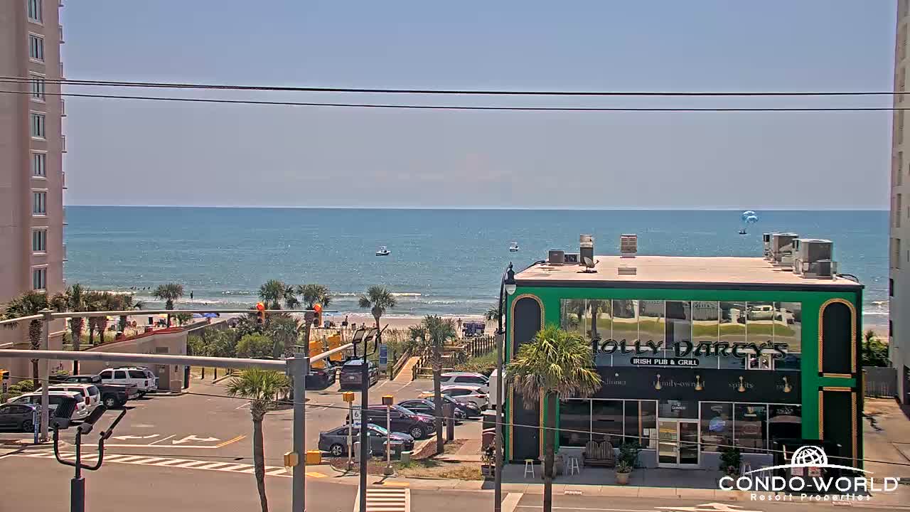
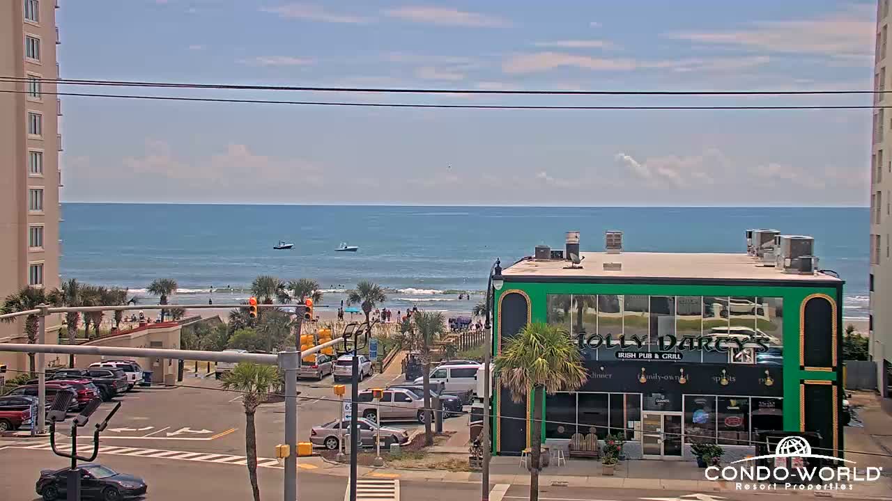
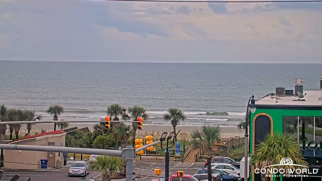
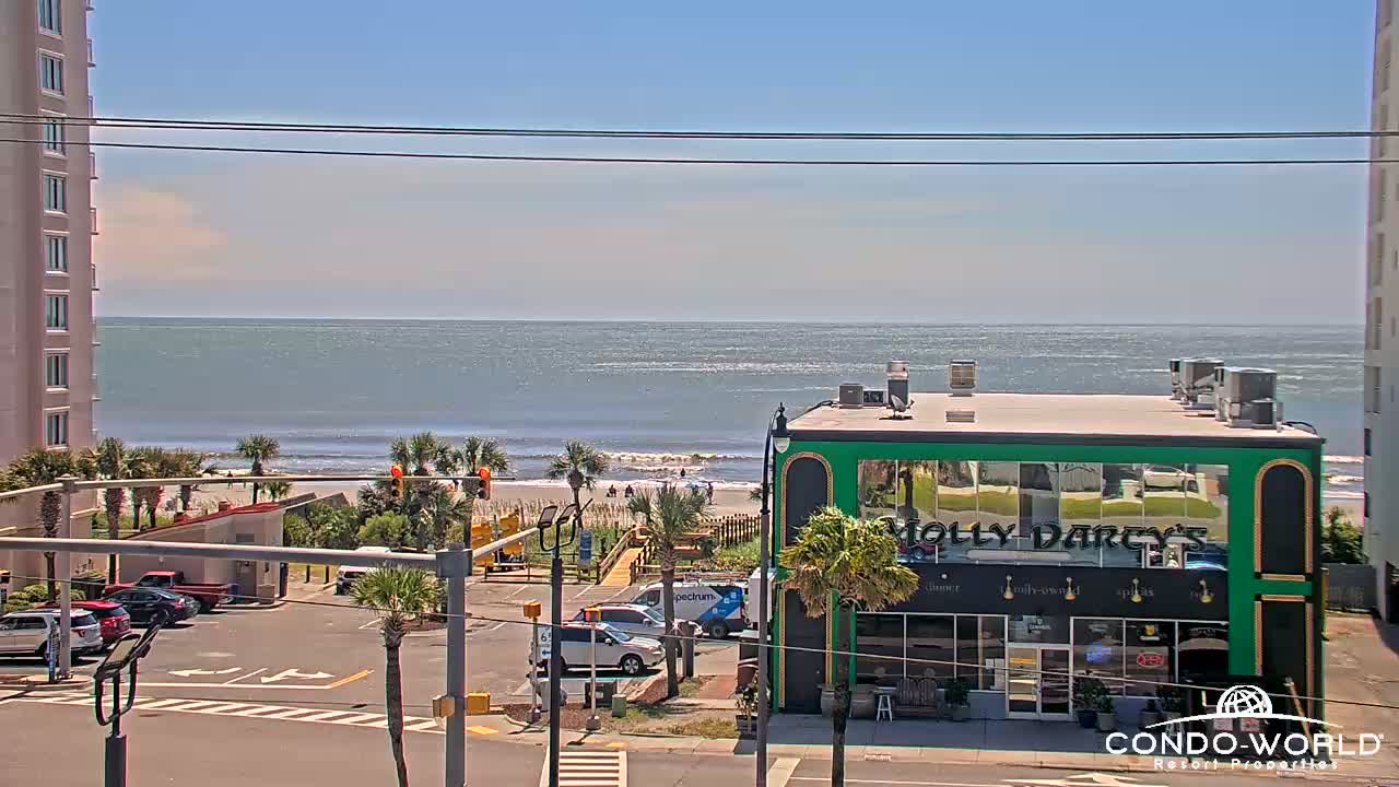
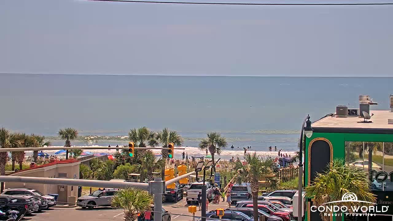
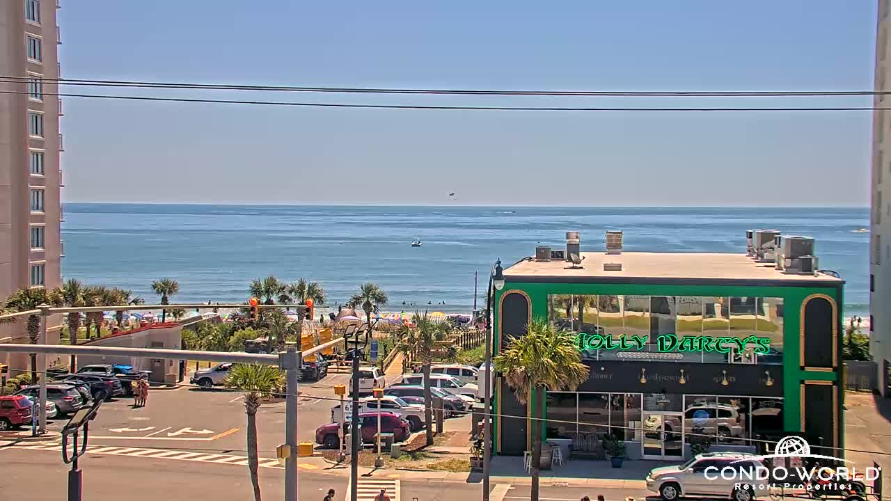
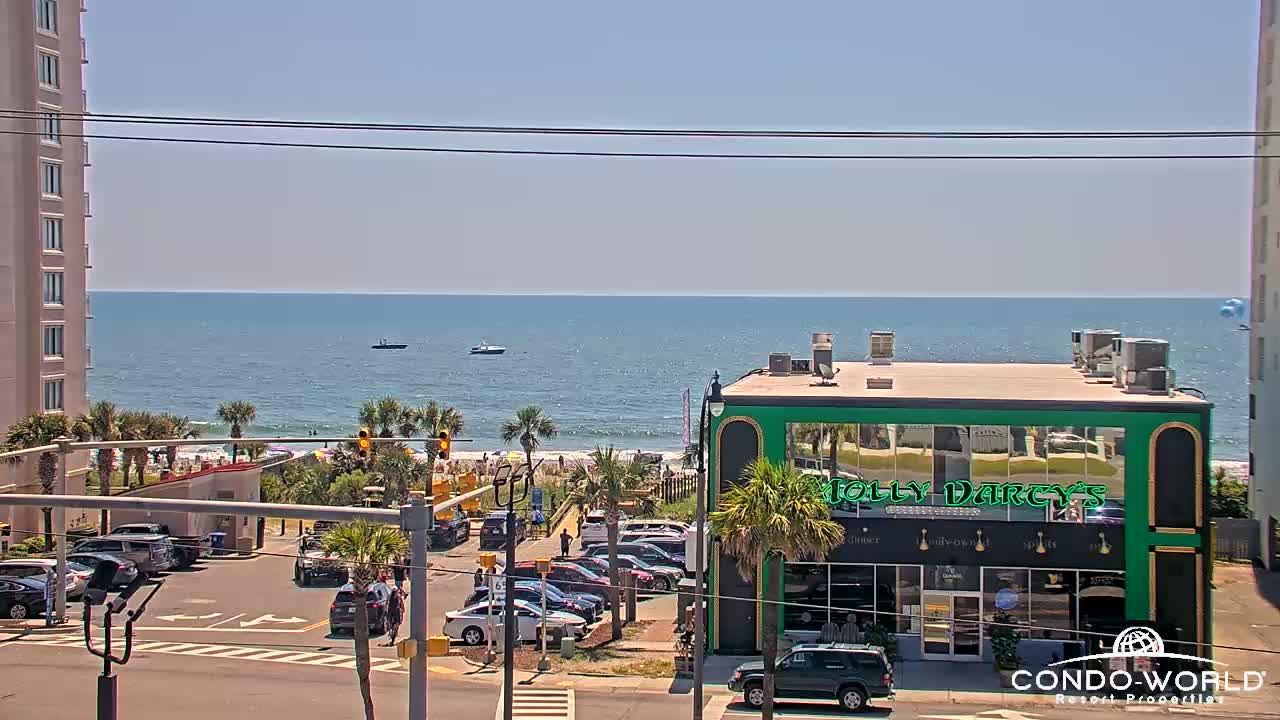
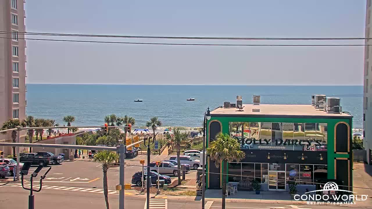
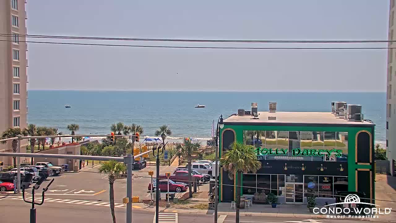
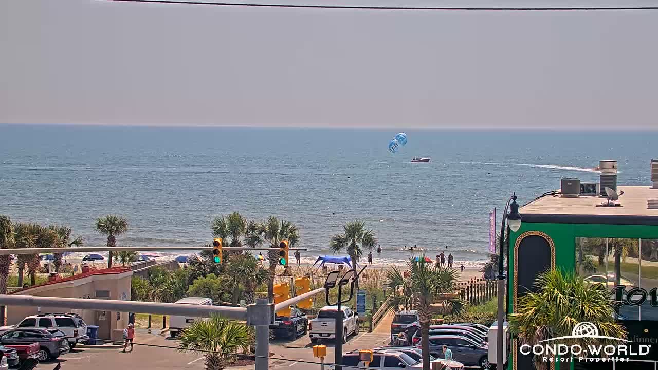
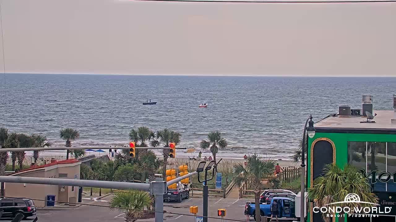
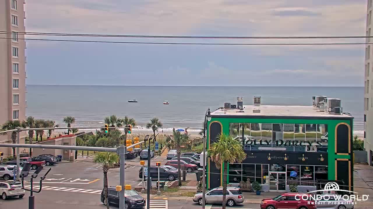
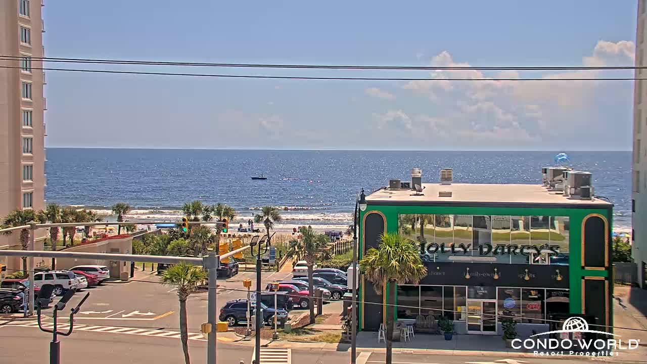
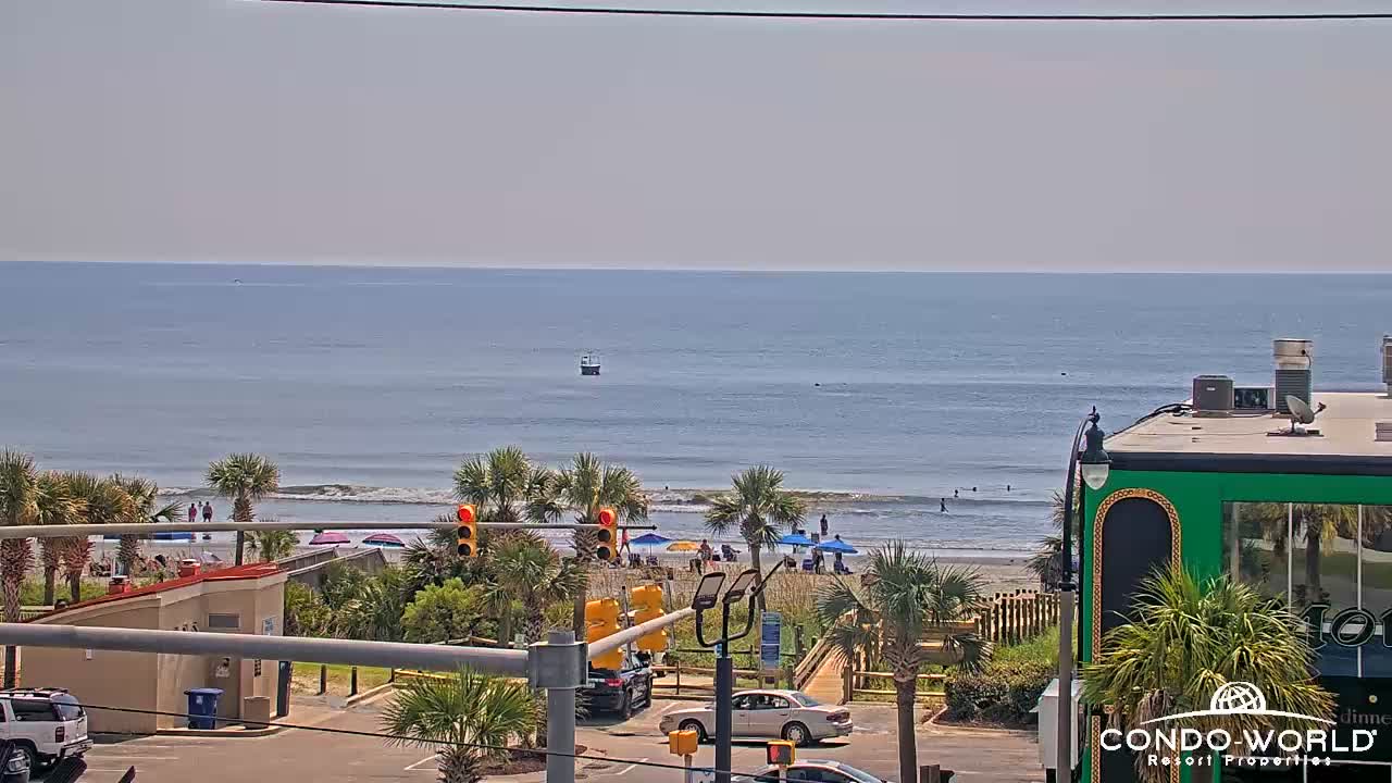
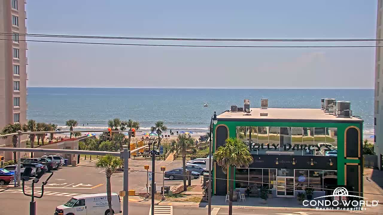
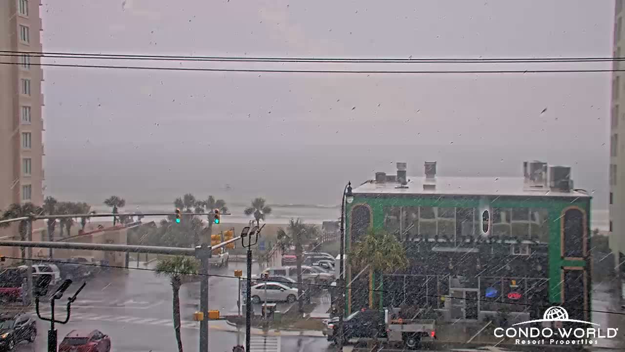
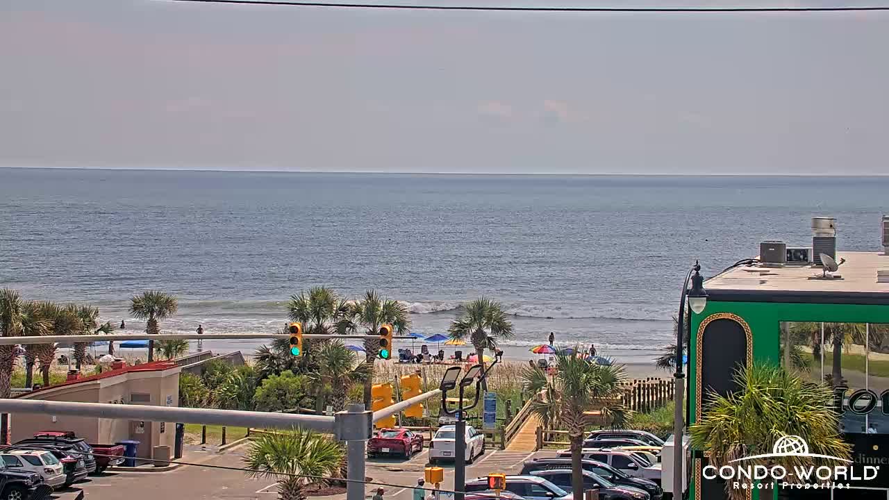
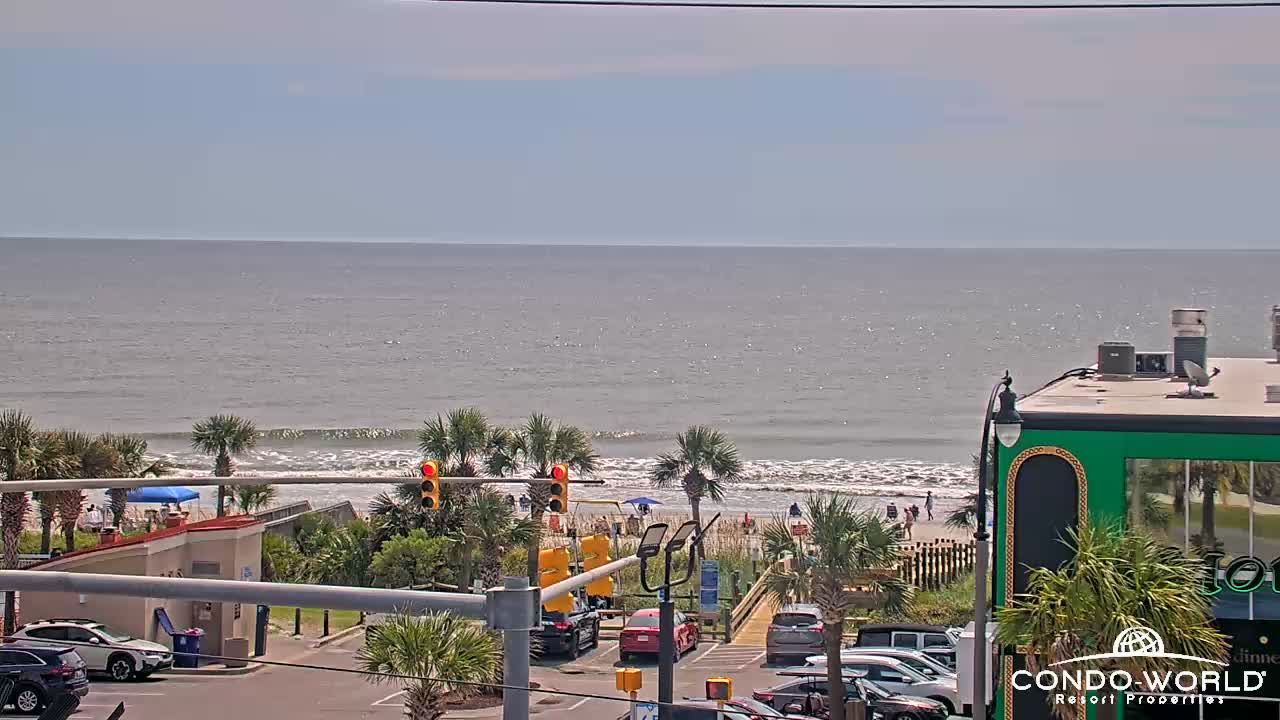
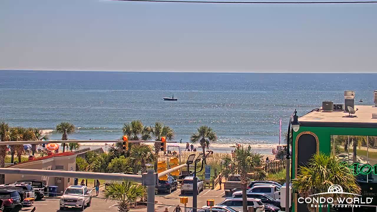
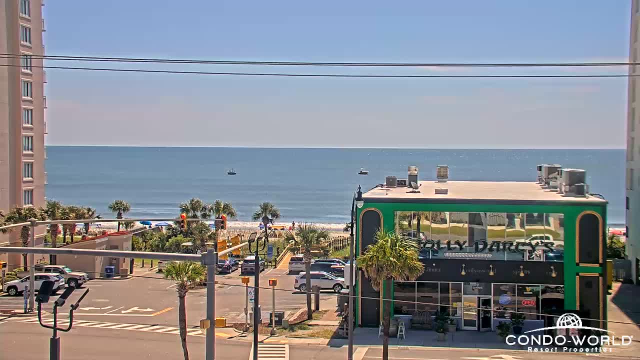
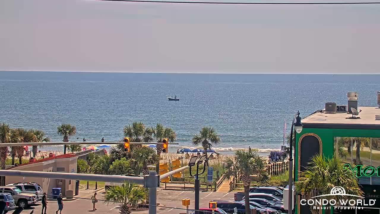
North Myrtle Beach, South Carolina, USA - 95.7 miles from Tabernacle (historical): Condo-World Beach Cam - A view of the beach at the end of 17th Ave S in North Myrtle Beach from Condo-World.
Operator: Condo-World
Operator: Condo-World


Some other places in this country: McNeils (historical) - Rivers (historical) - Robinson - Thompsons (historical) - White Plains - Windsor Park - Wolf Pond Cross Roads - Gravel Hill (historical) - Tuten (historical) - Gaston Shoals (historical)