Webcams in the region of Sunnybrook Heights, South Carolina, USA
The List of Webcams near Sunnybrook Heights, South Carolina, USA:

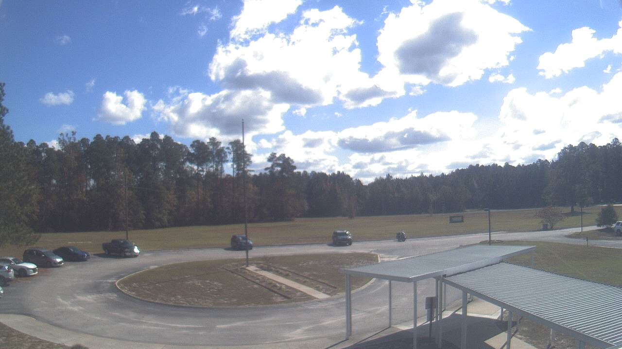
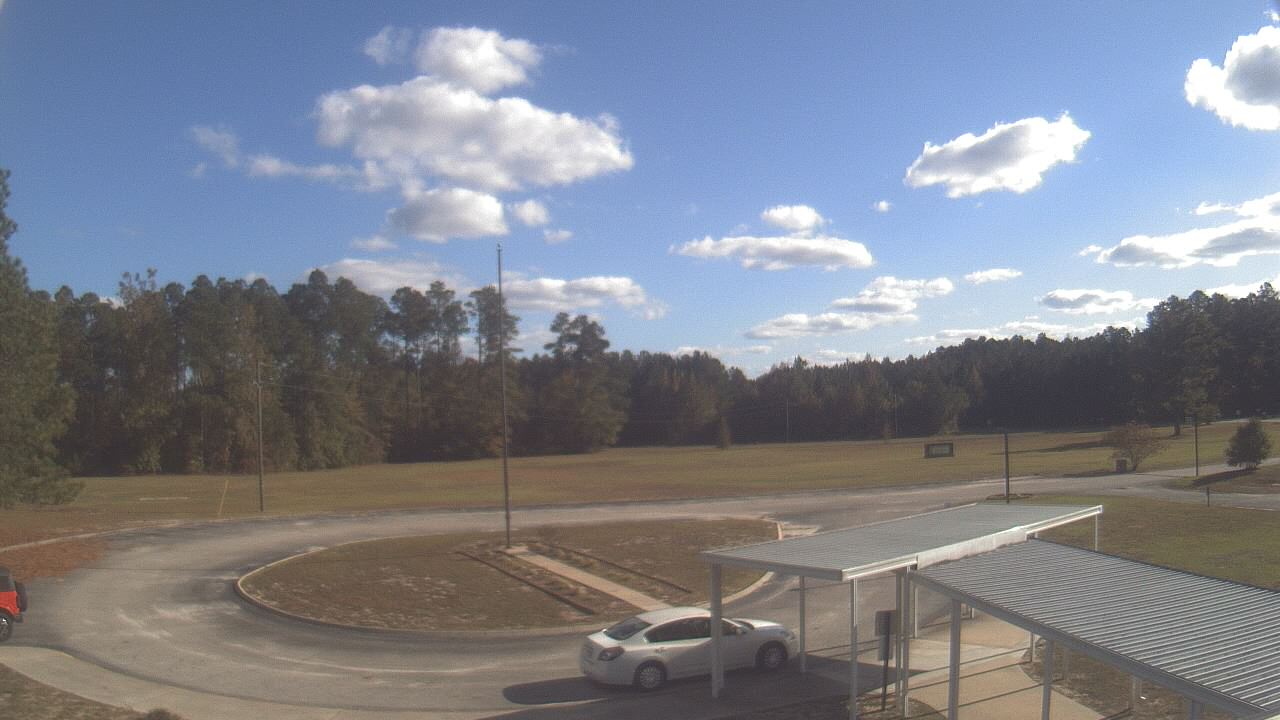
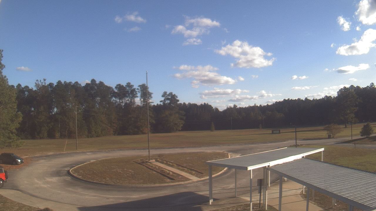
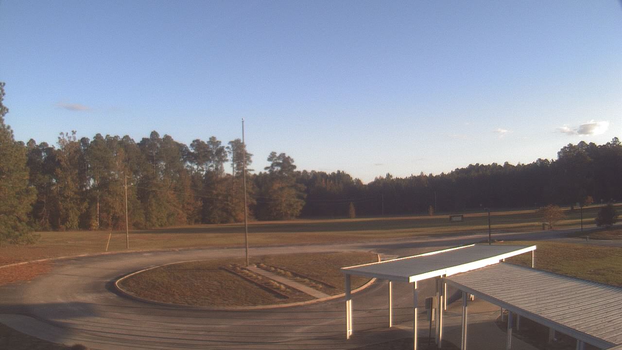
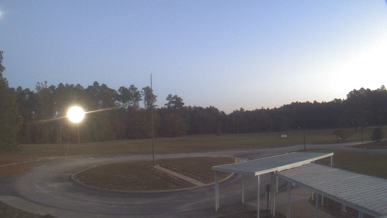
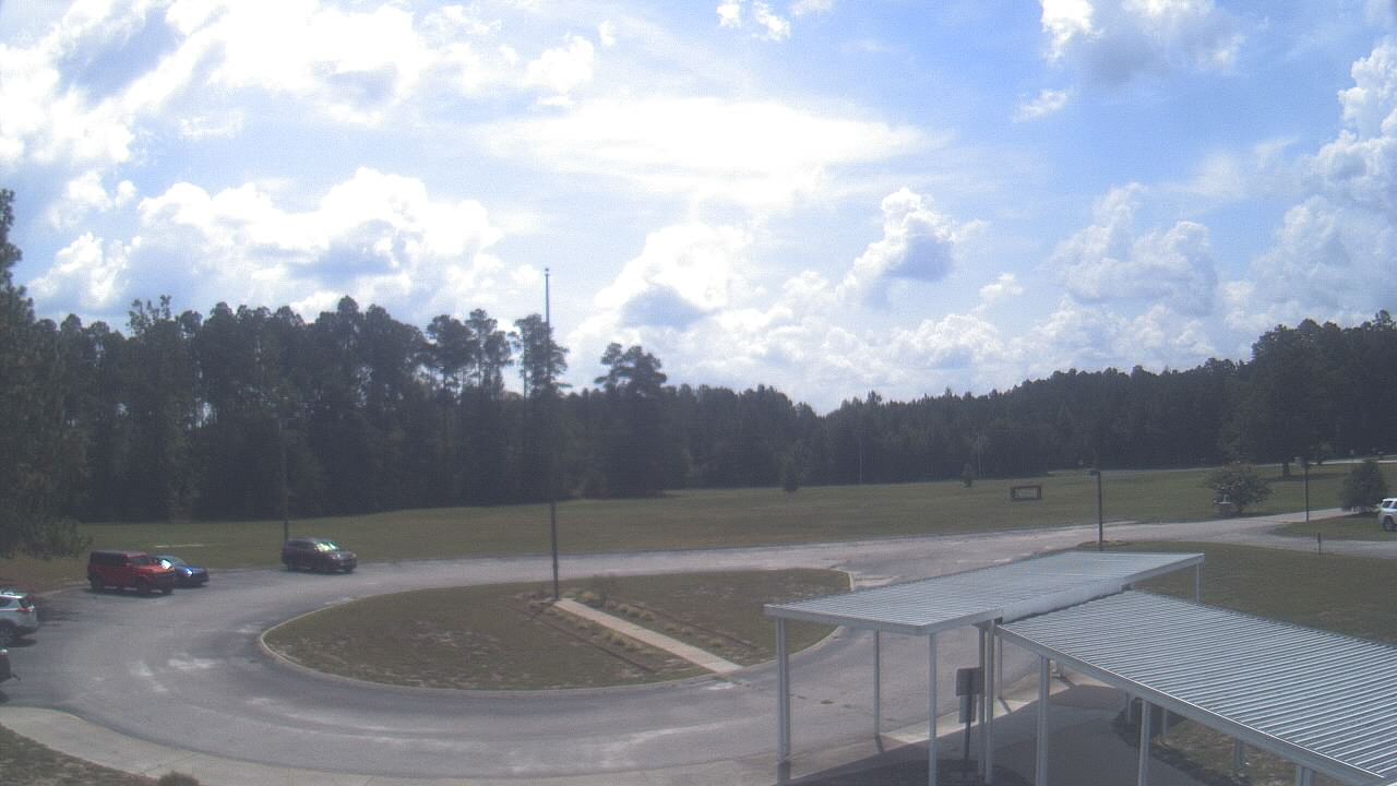
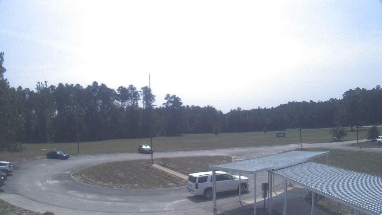
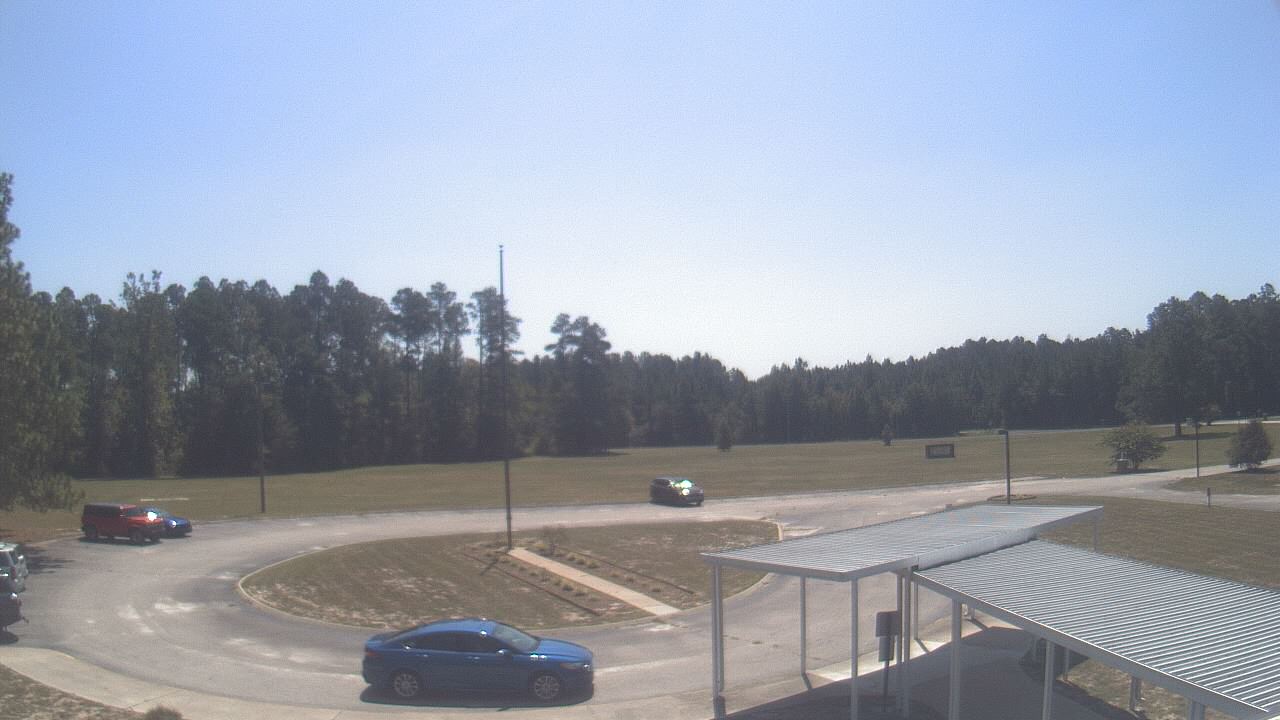
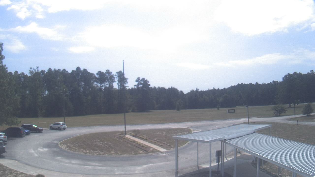
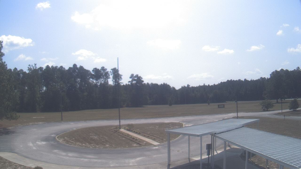
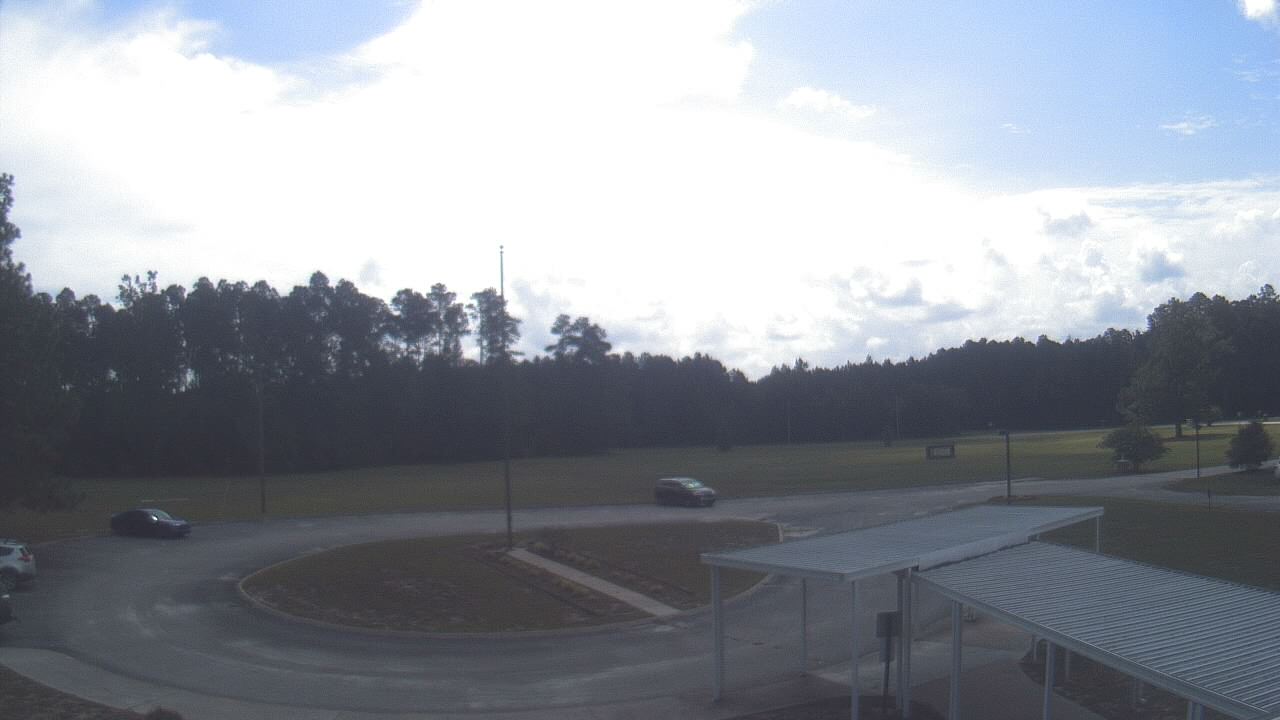
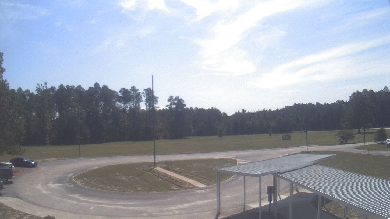
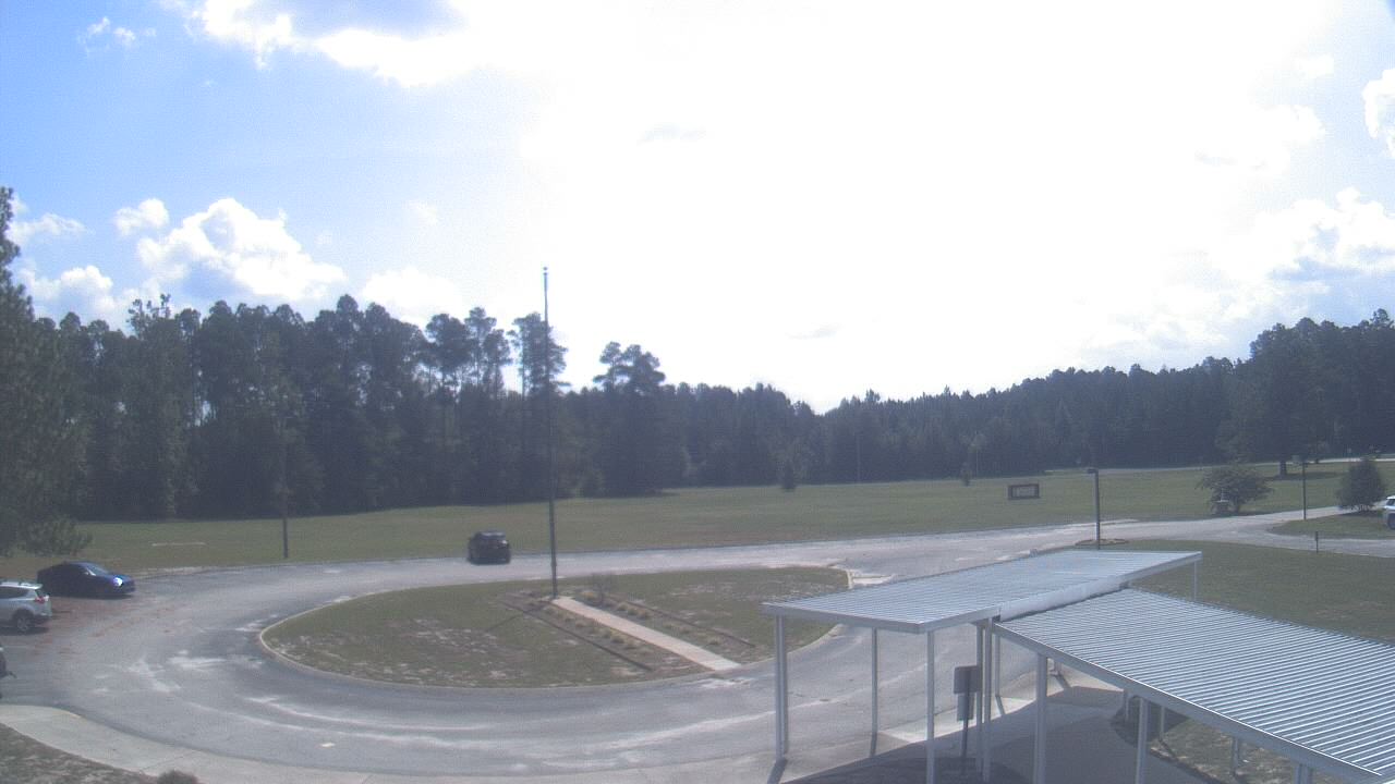
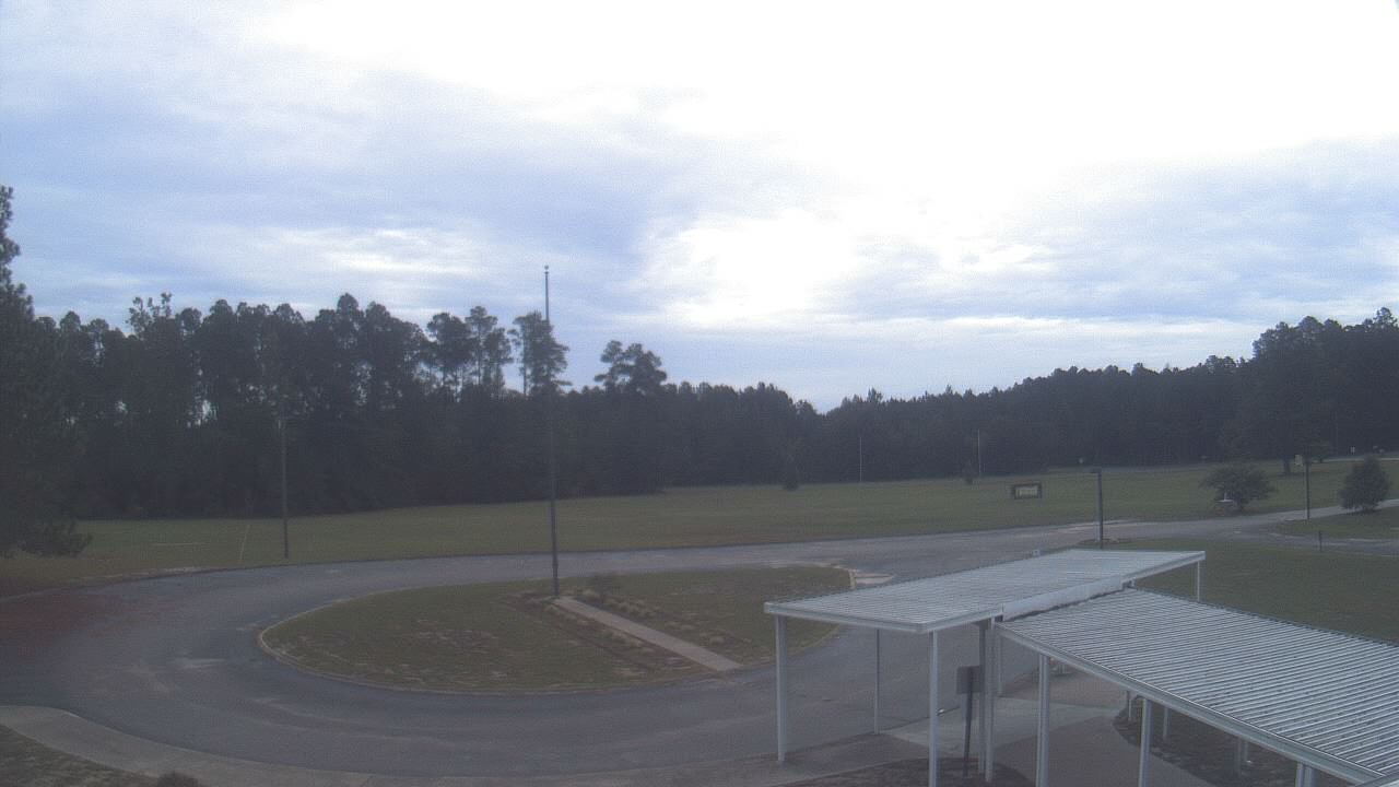
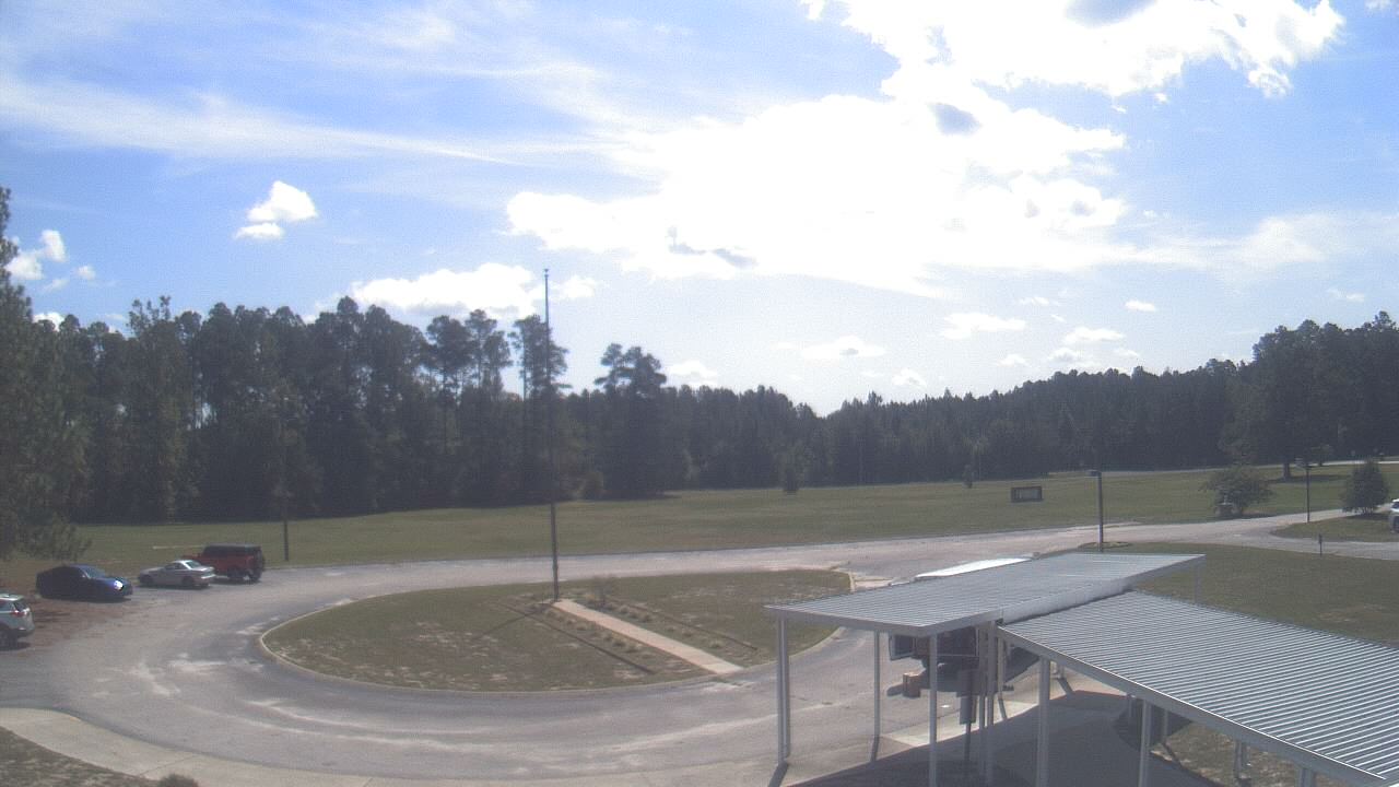
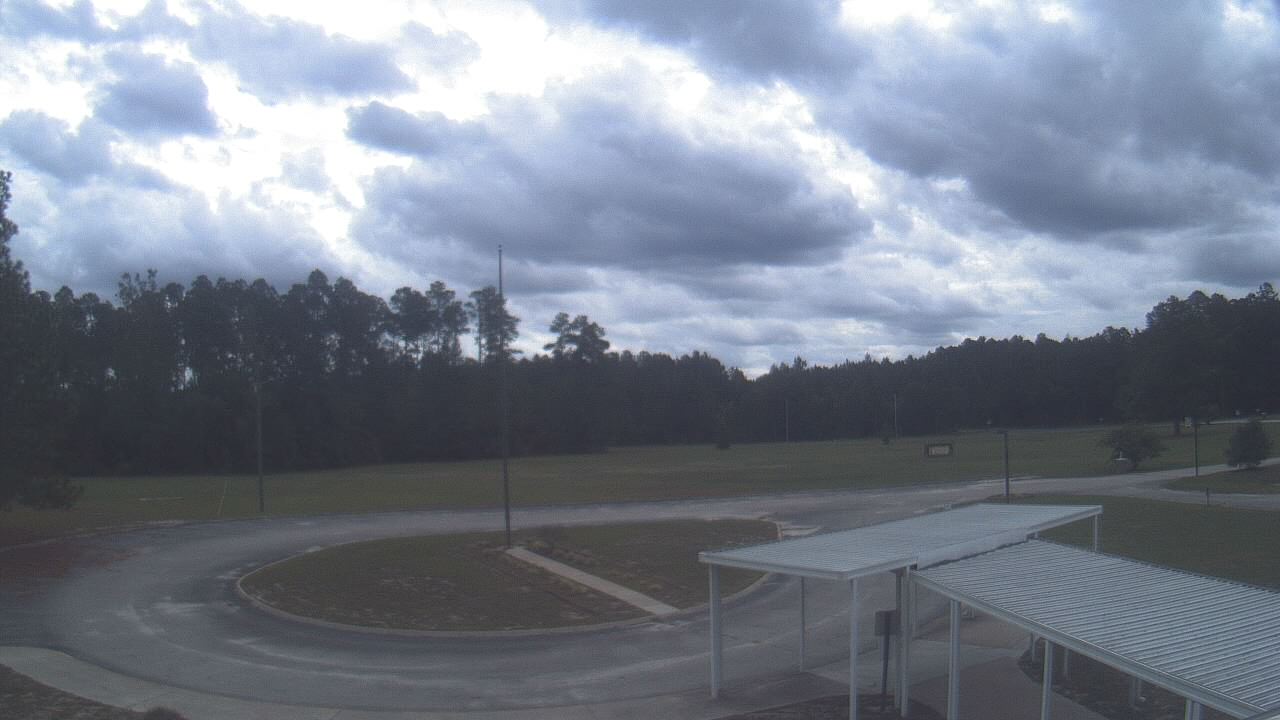
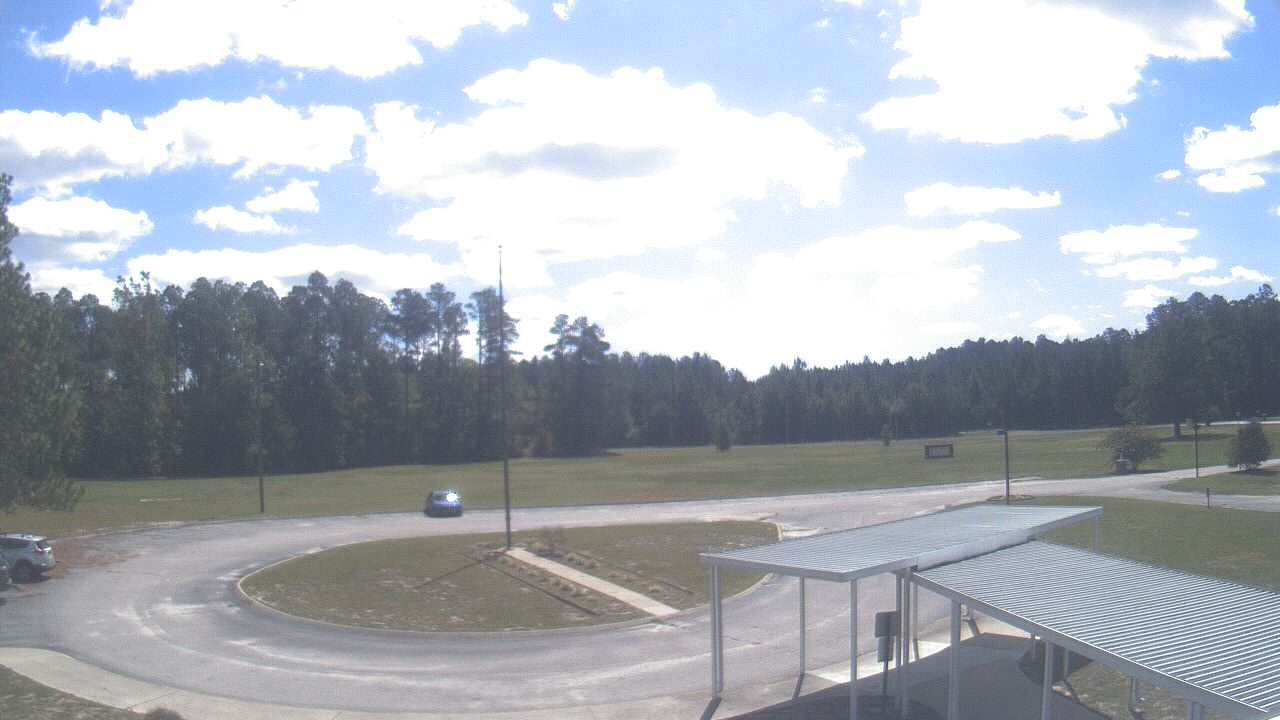
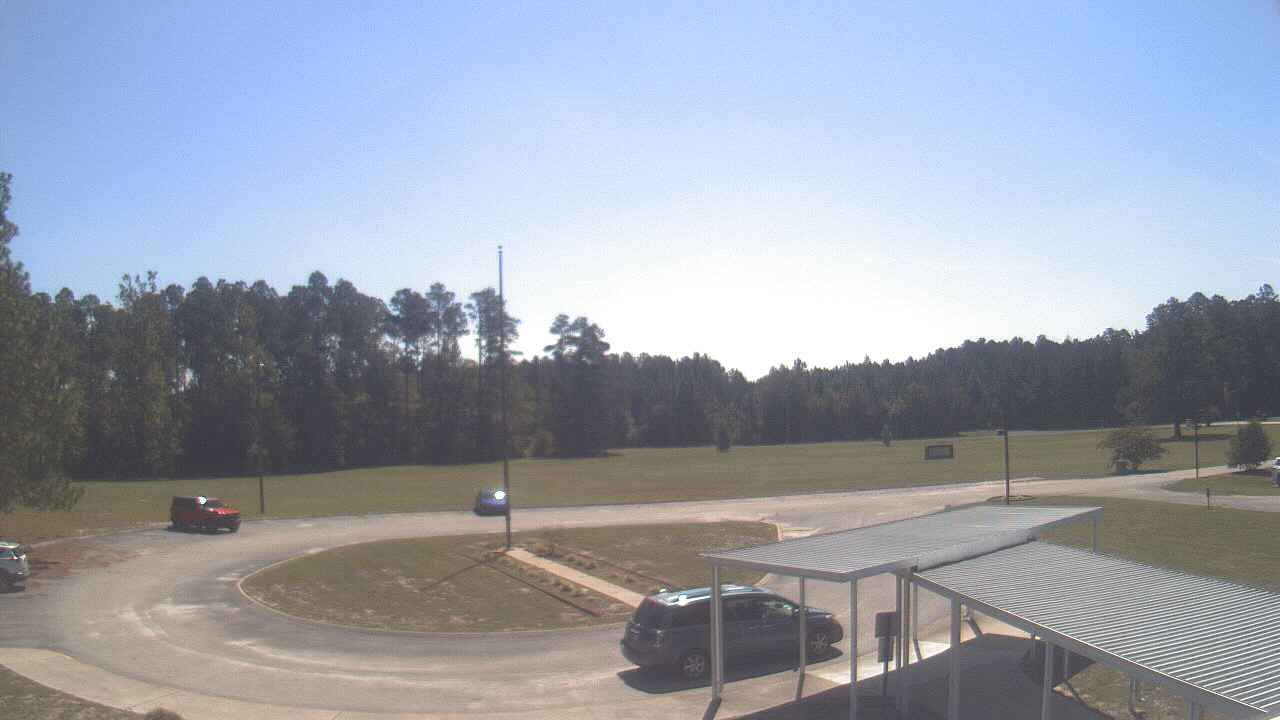
Elizabethtown, North Carolina, USA - 61 miles from Sunnybrook Heights: Bladen Lakes Primary School - A webcam in Elizabethtown, North Carolina - camera location: Bladen Lakes Primary School.
Operator: WeatherBug
Operator: WeatherBug


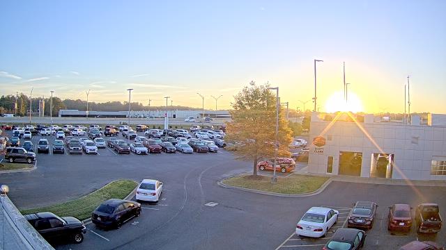
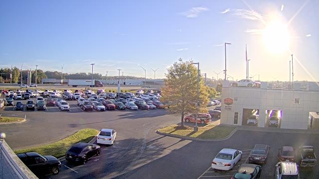
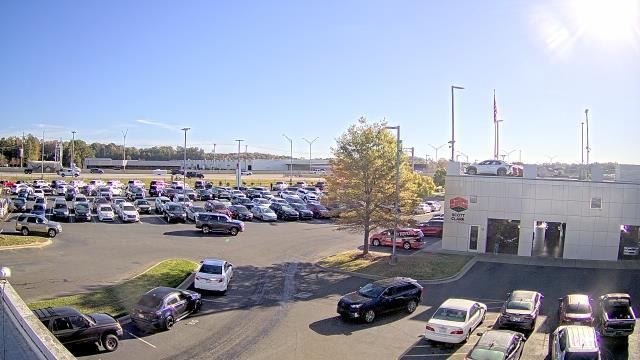
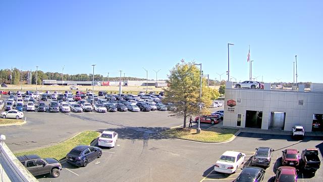
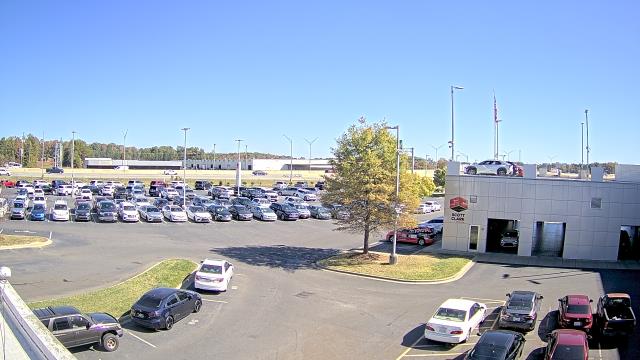
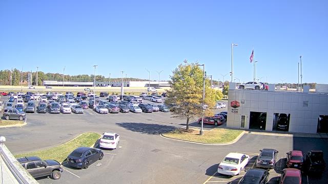
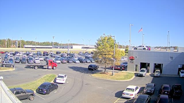
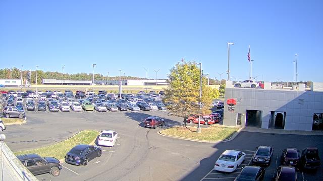
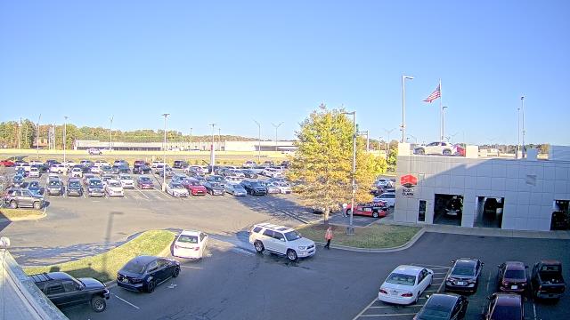
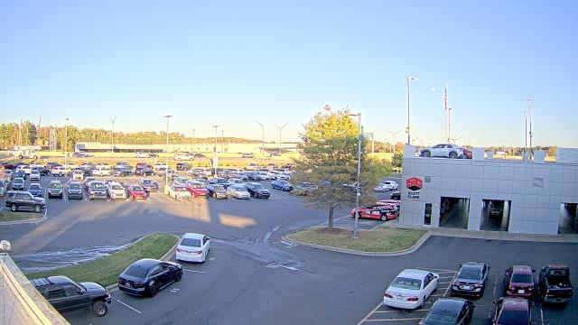
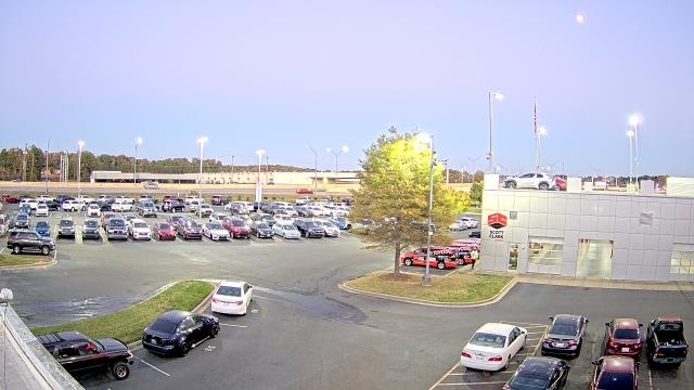
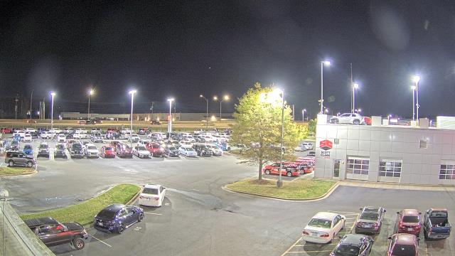
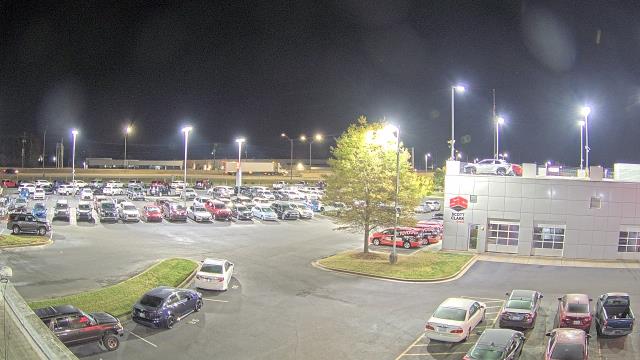
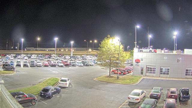
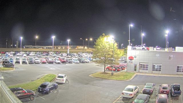
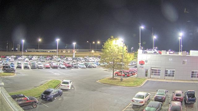
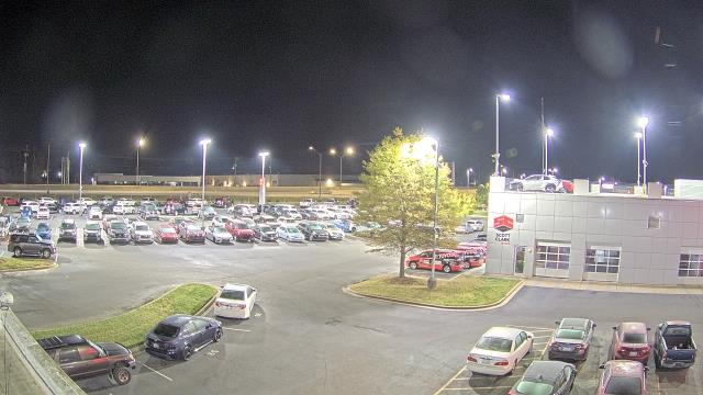
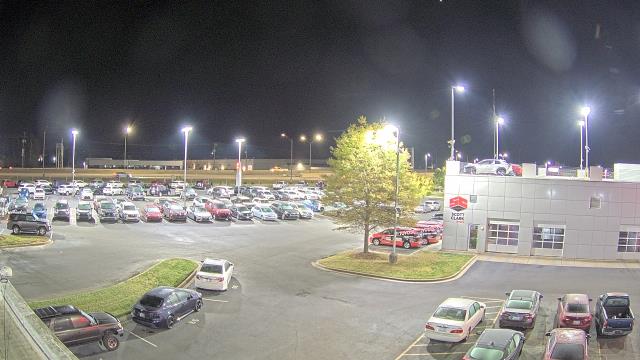
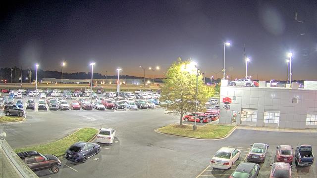
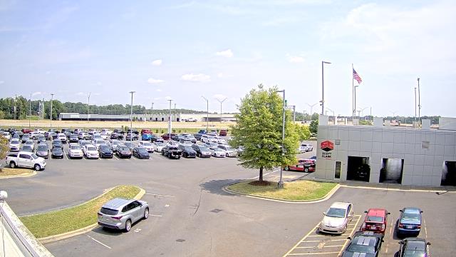
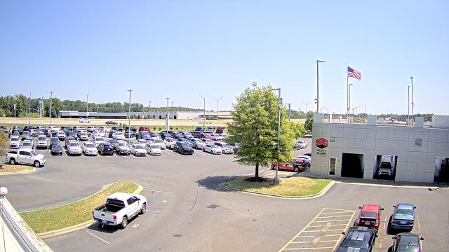
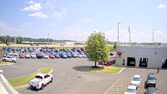
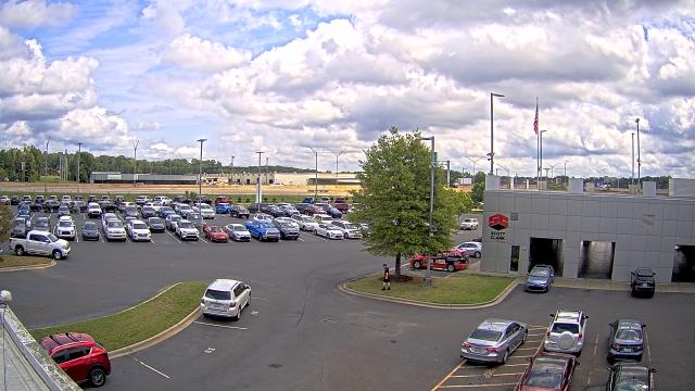
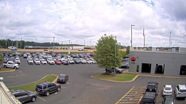
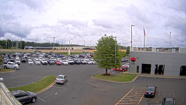
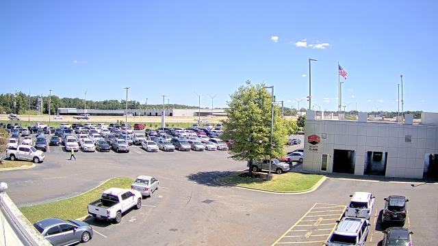
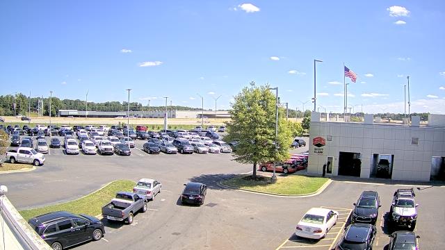
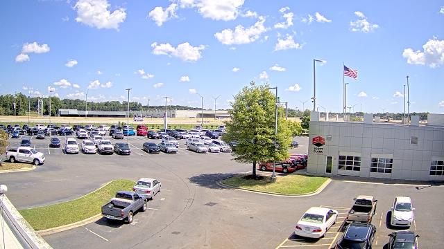
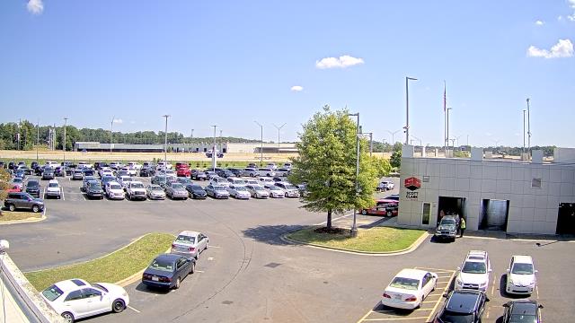
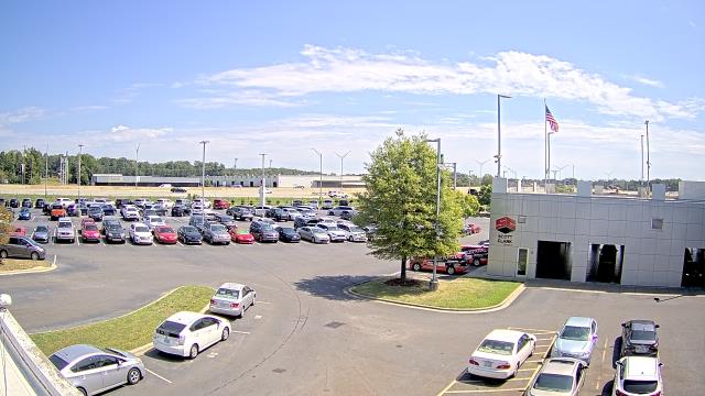
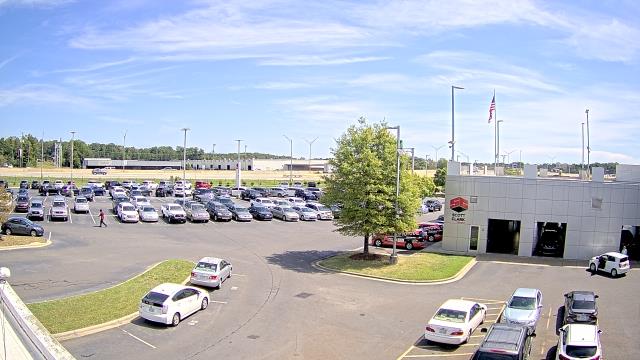
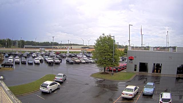
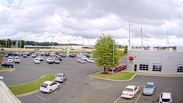
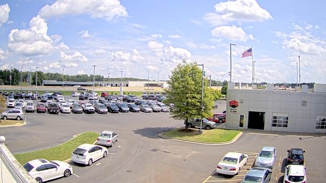
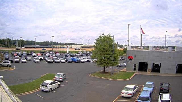
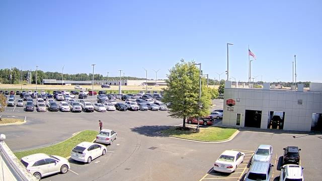
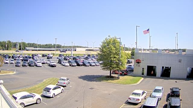
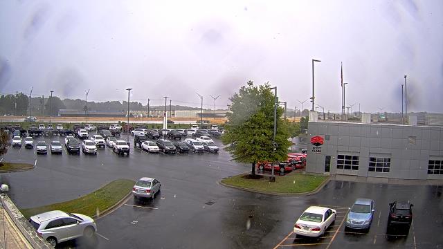
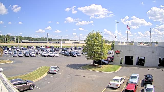
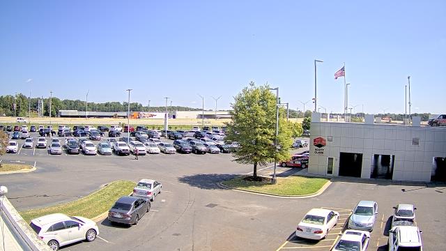
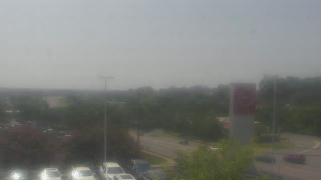
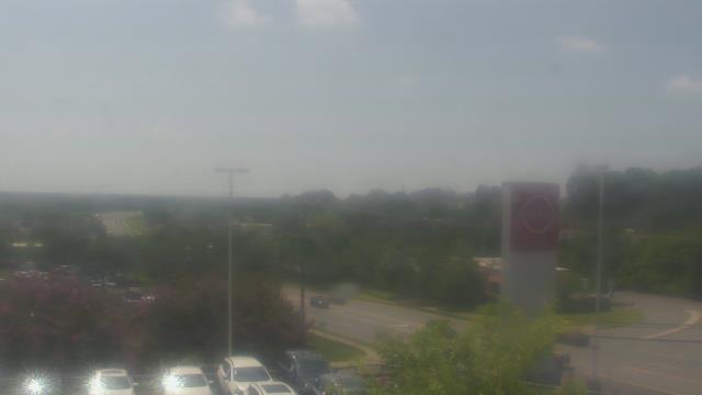
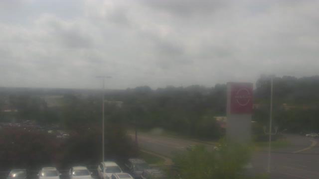
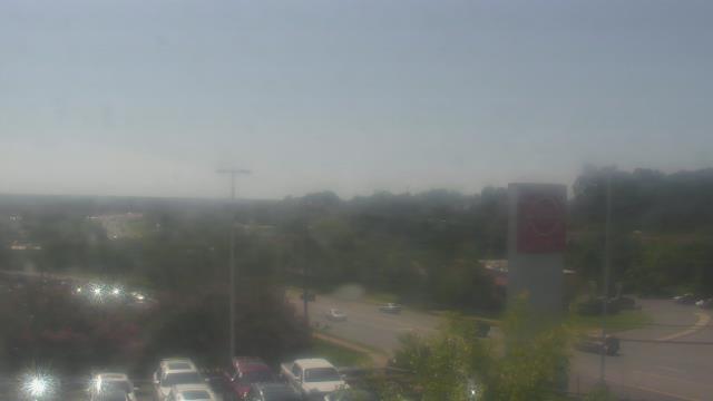
Stallings, North Carolina, USA - 66.4 miles from Sunnybrook Heights: Scott Clarks Toyota - A webcam in Stallings, North Carolina - camera location: Scott Clarks Toyota.
Operator: WeatherBug
Operator: WeatherBug


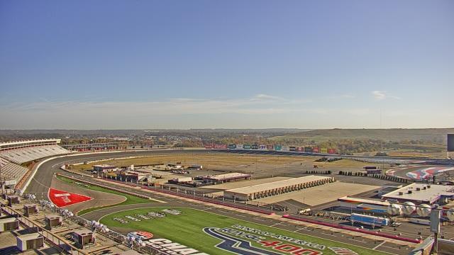
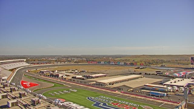
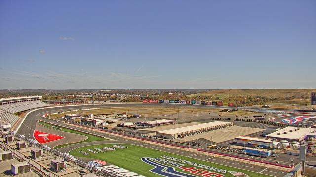
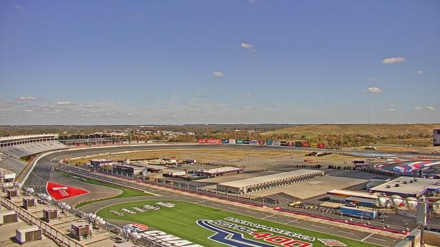
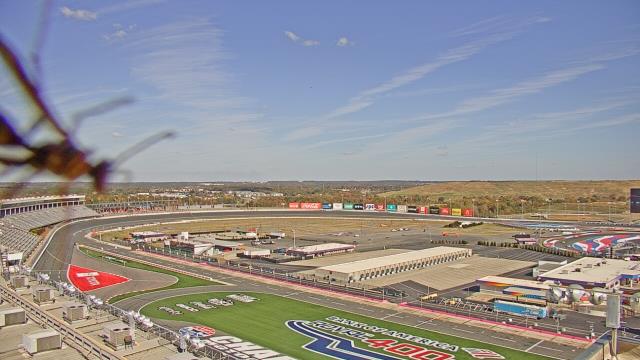
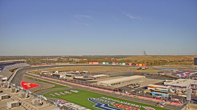
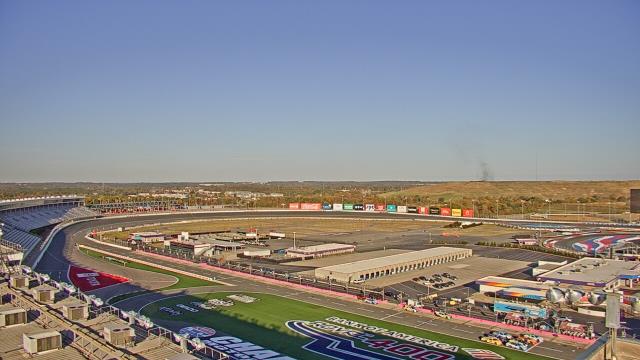
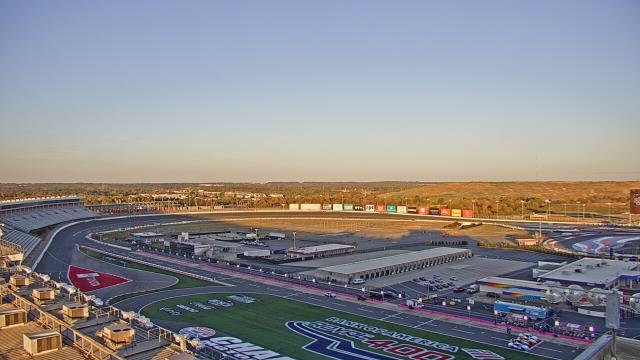
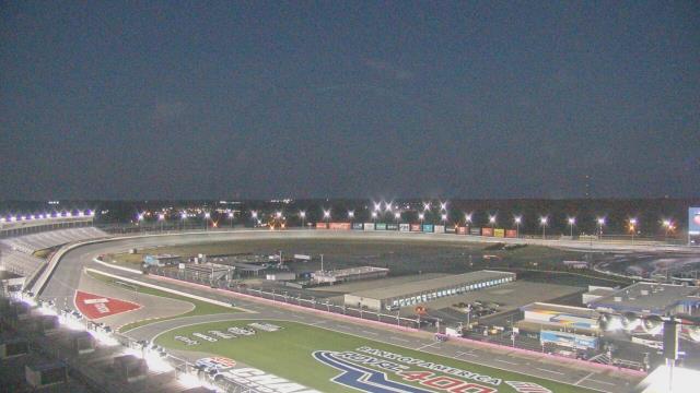
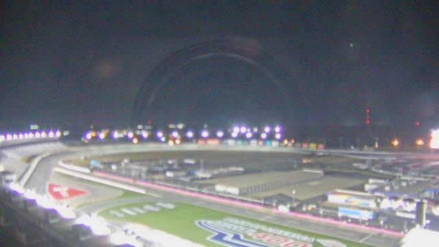
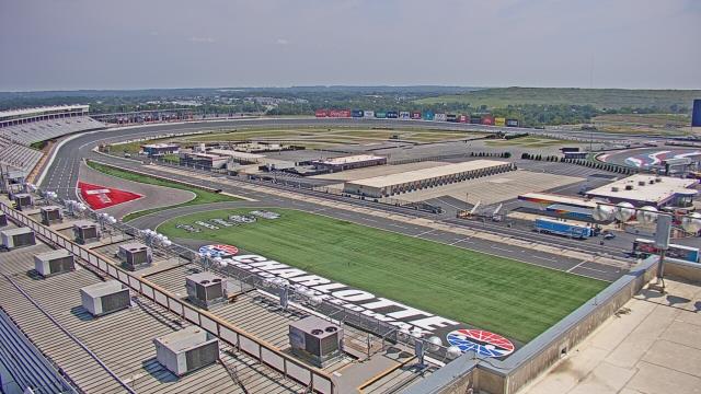
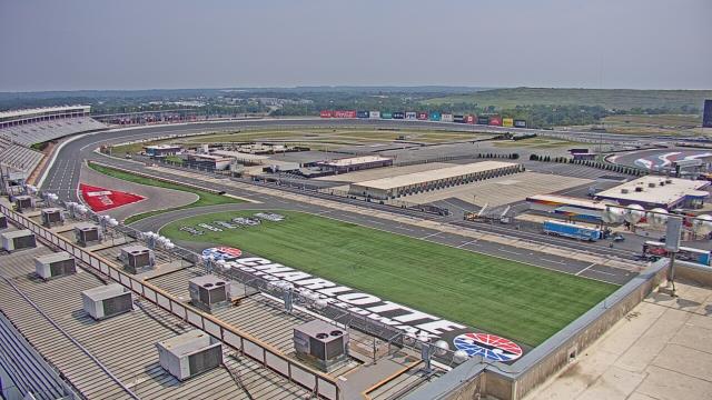
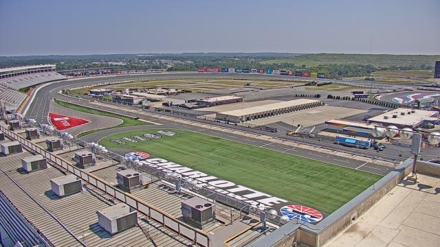
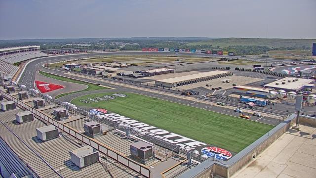
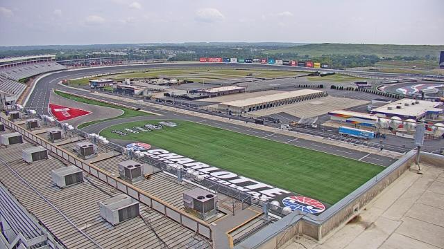
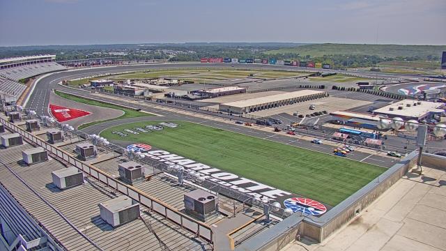
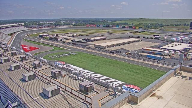
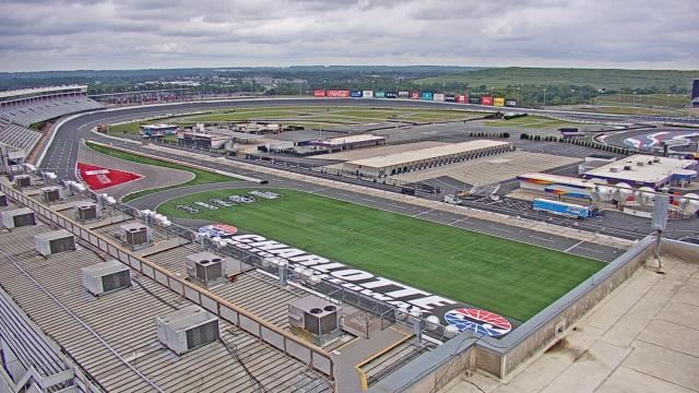
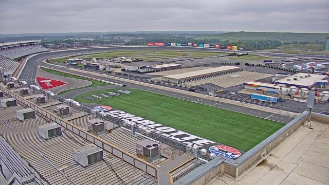
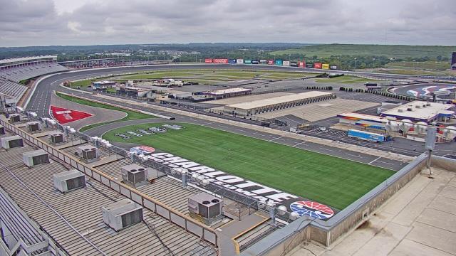
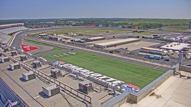
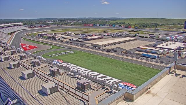
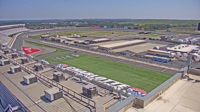
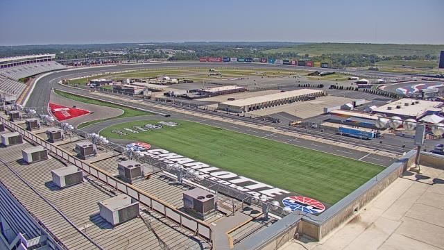
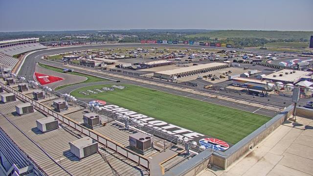
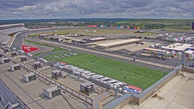
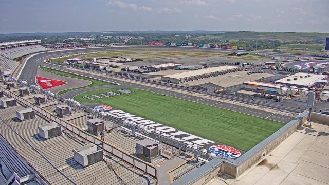
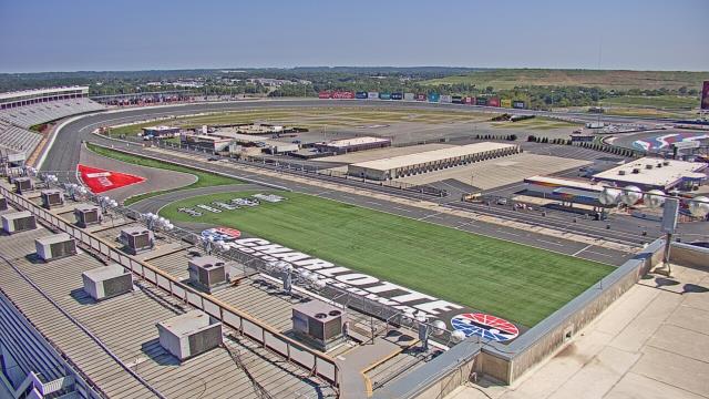
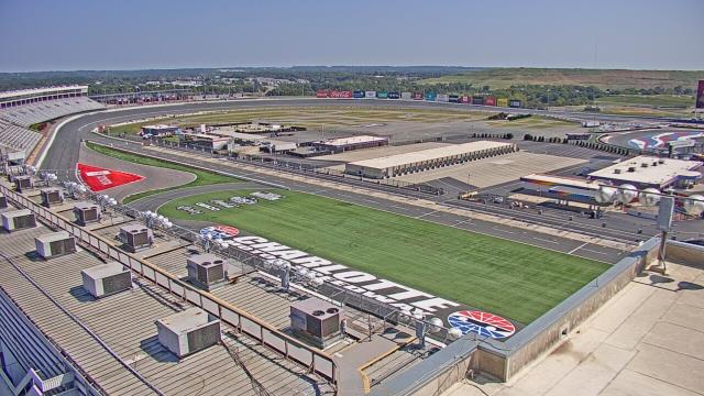
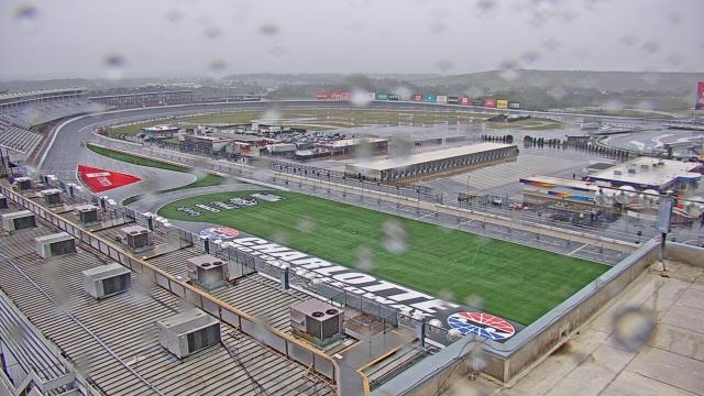
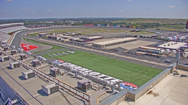
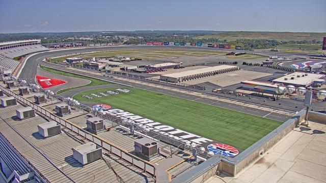
Concord, North Carolina, USA - 75.6 miles from Sunnybrook Heights: Charlotte Motor Speedway - A webcam in Concord, North Carolina - camera location: Charlotte Motor Speedway.
Operator: WeatherBug
Operator: WeatherBug


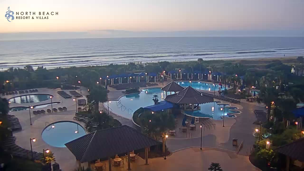
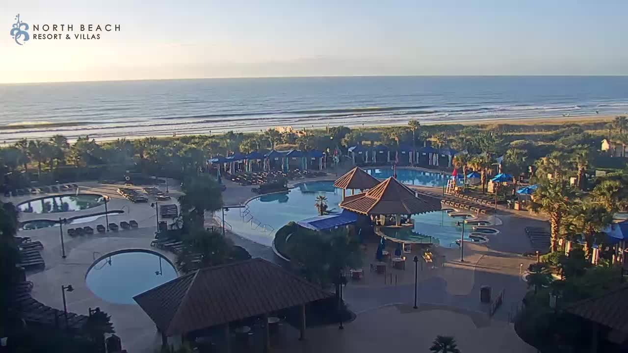
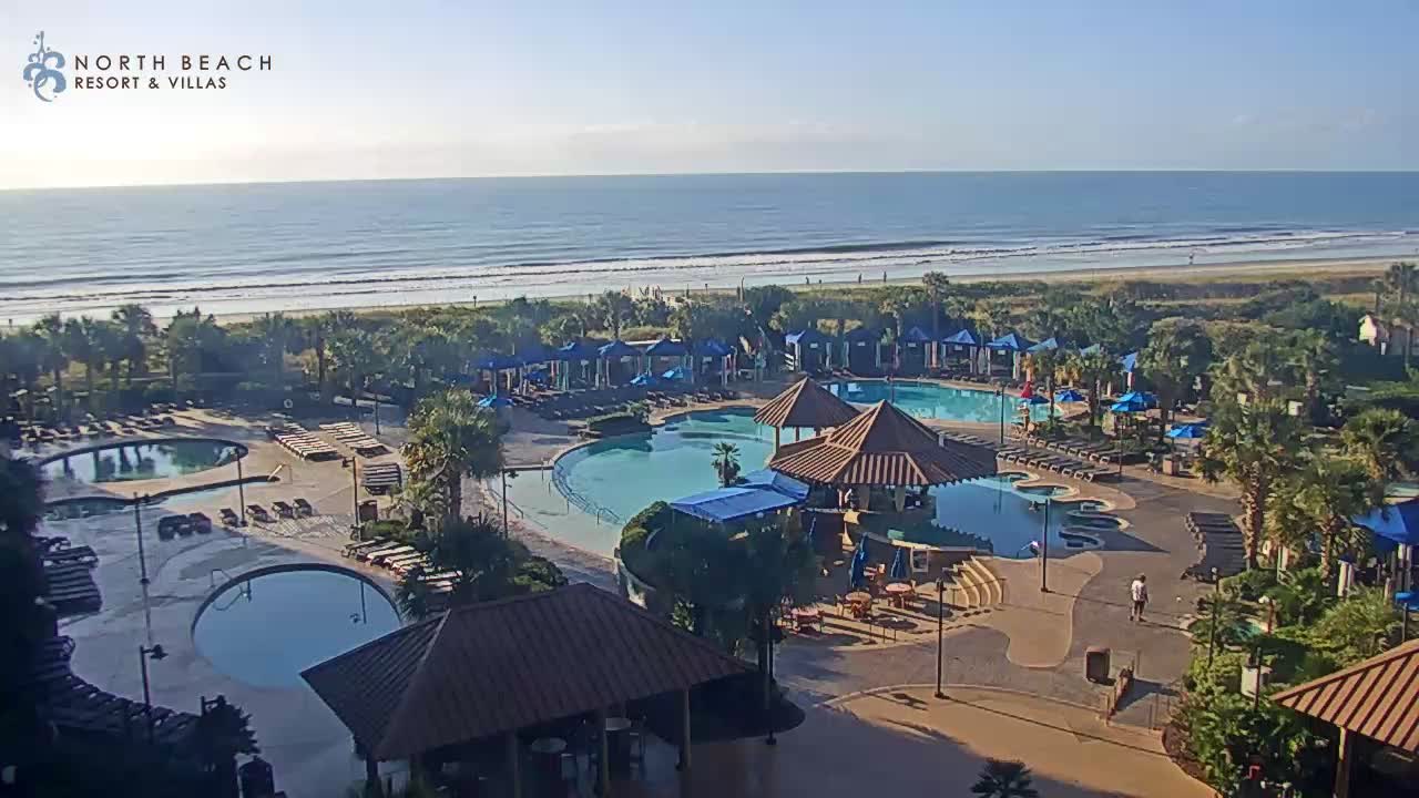
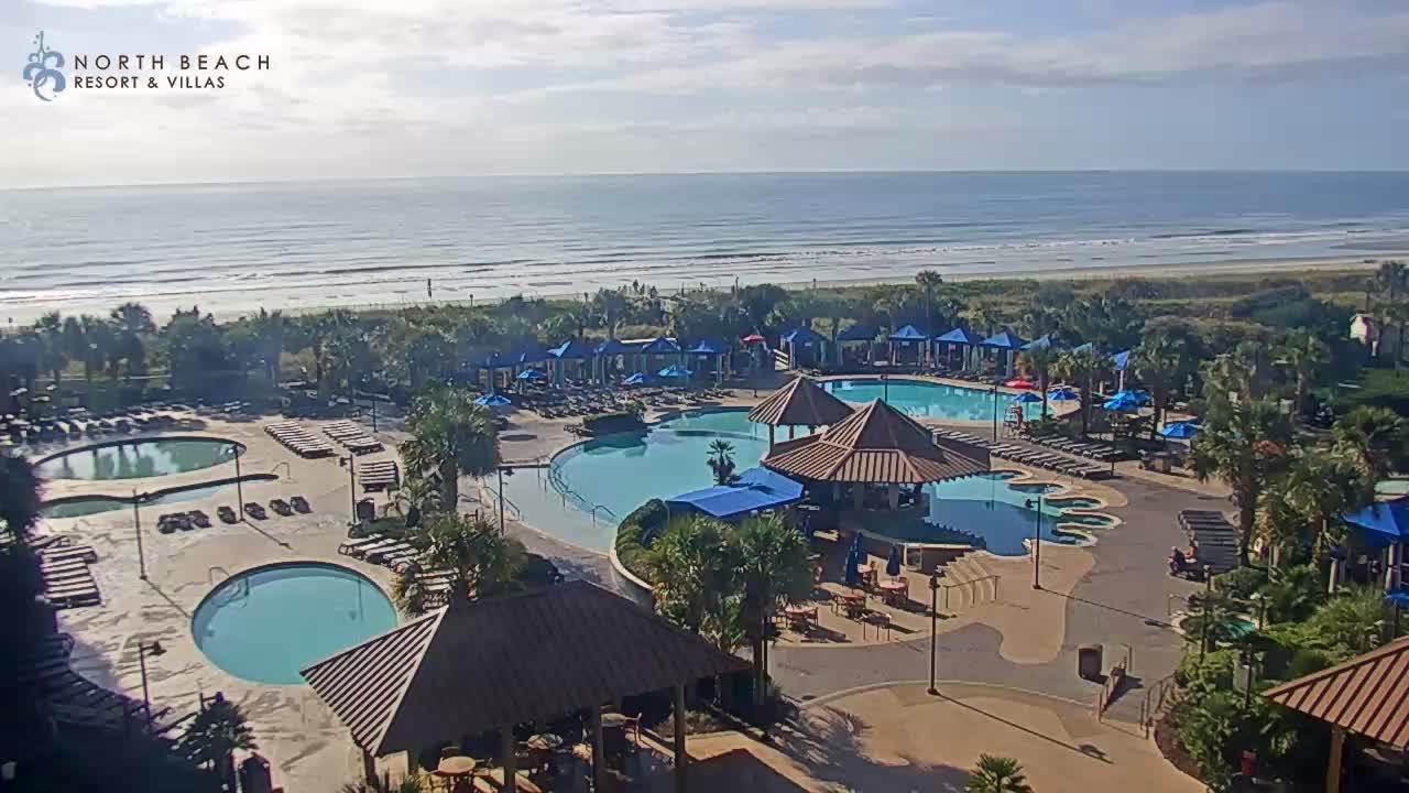
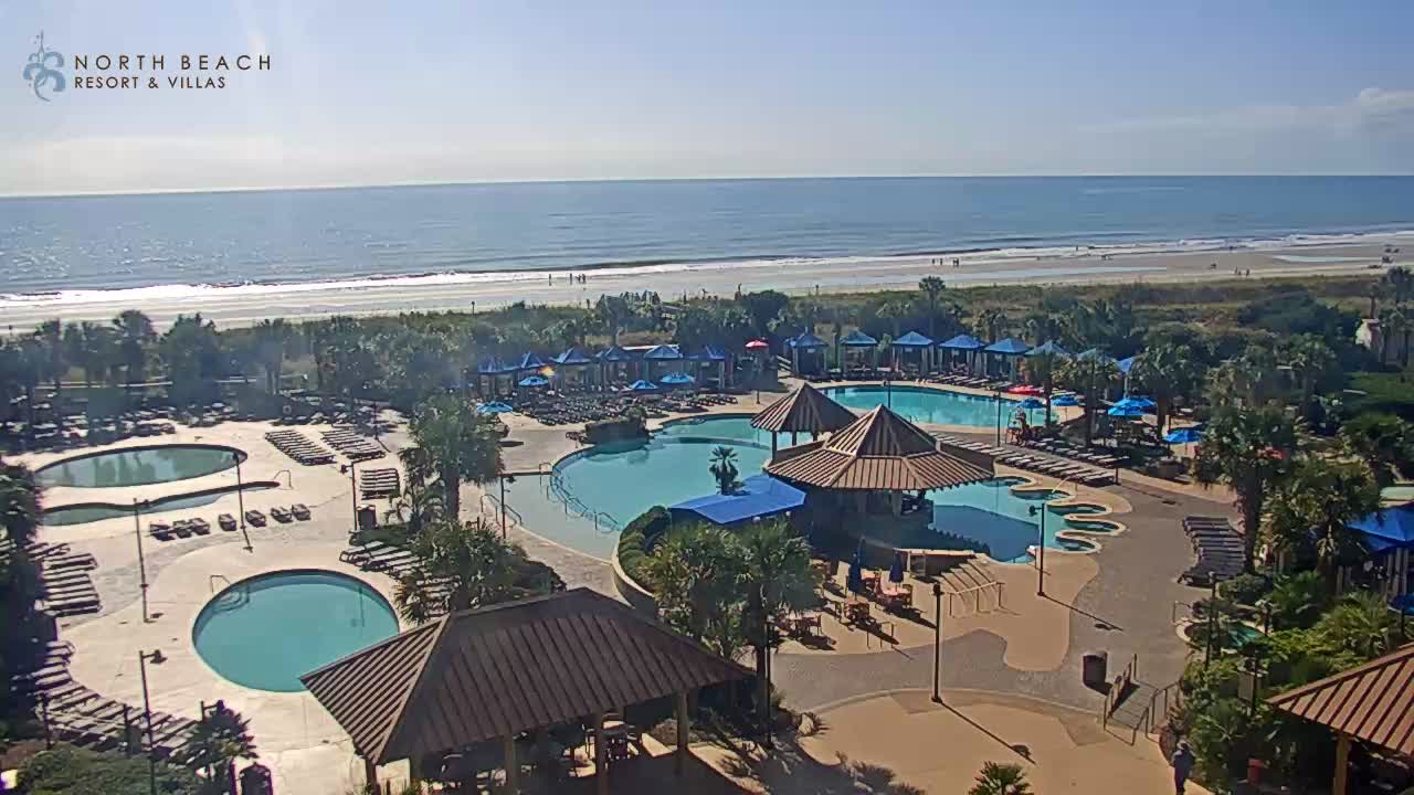
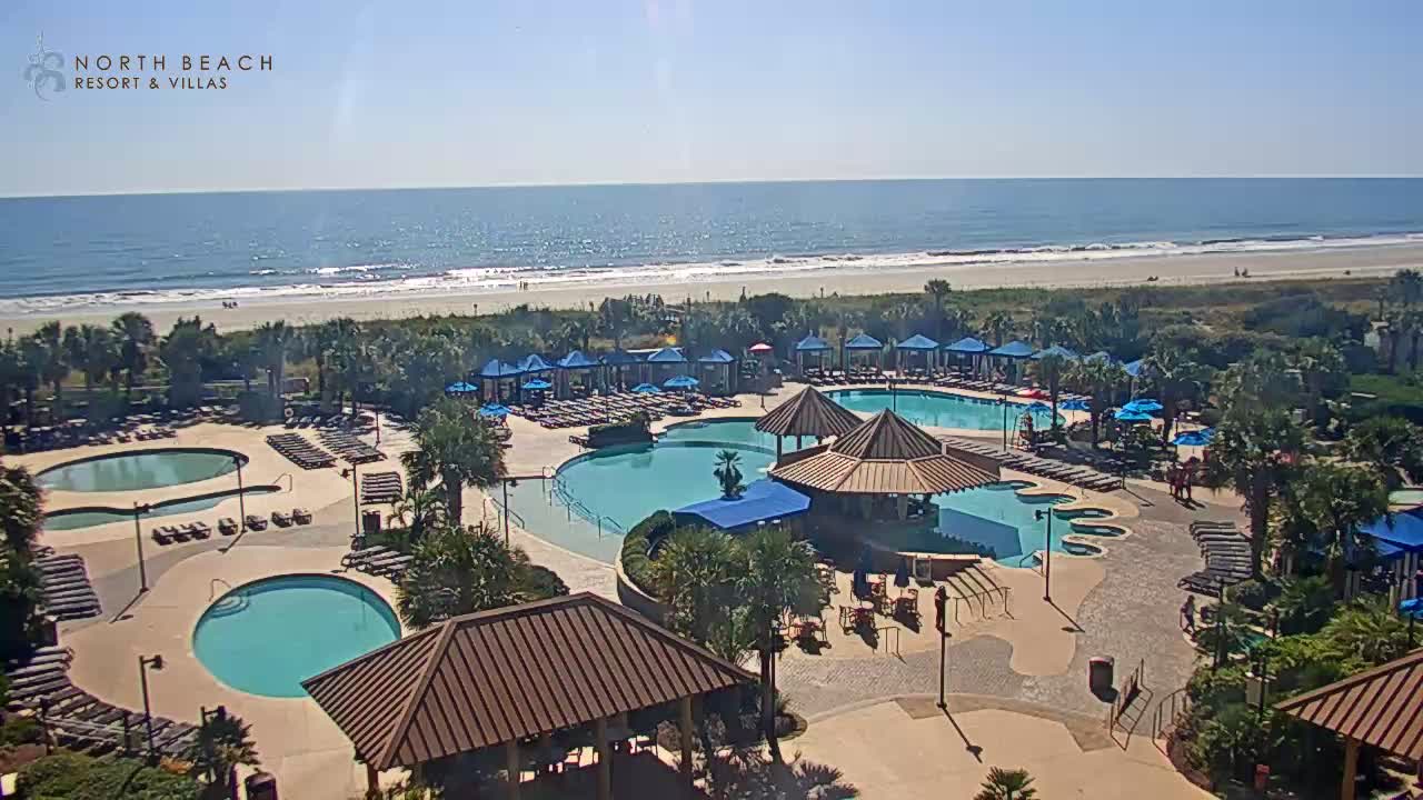
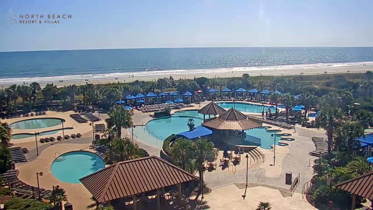
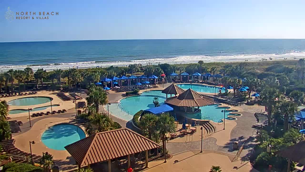
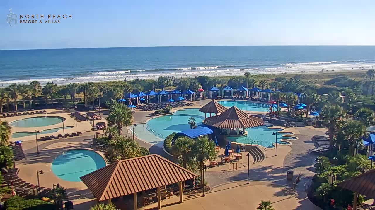
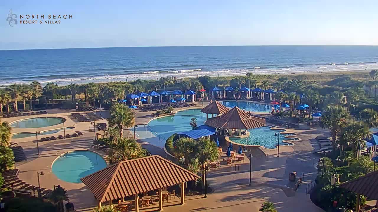
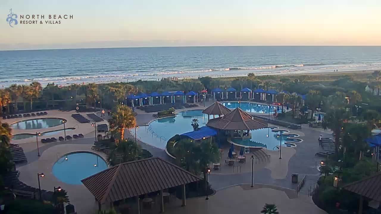
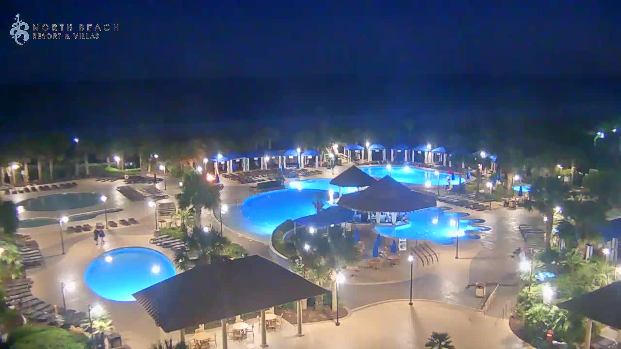
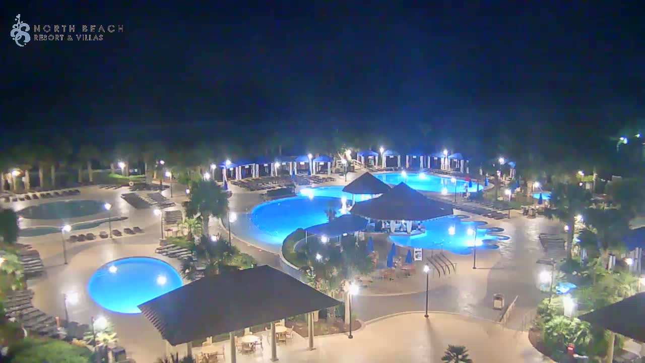
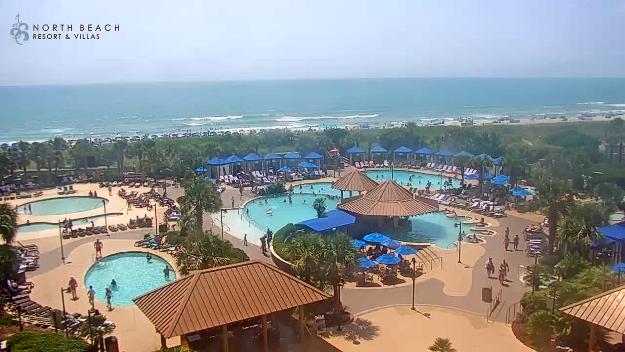
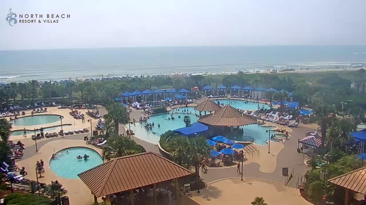
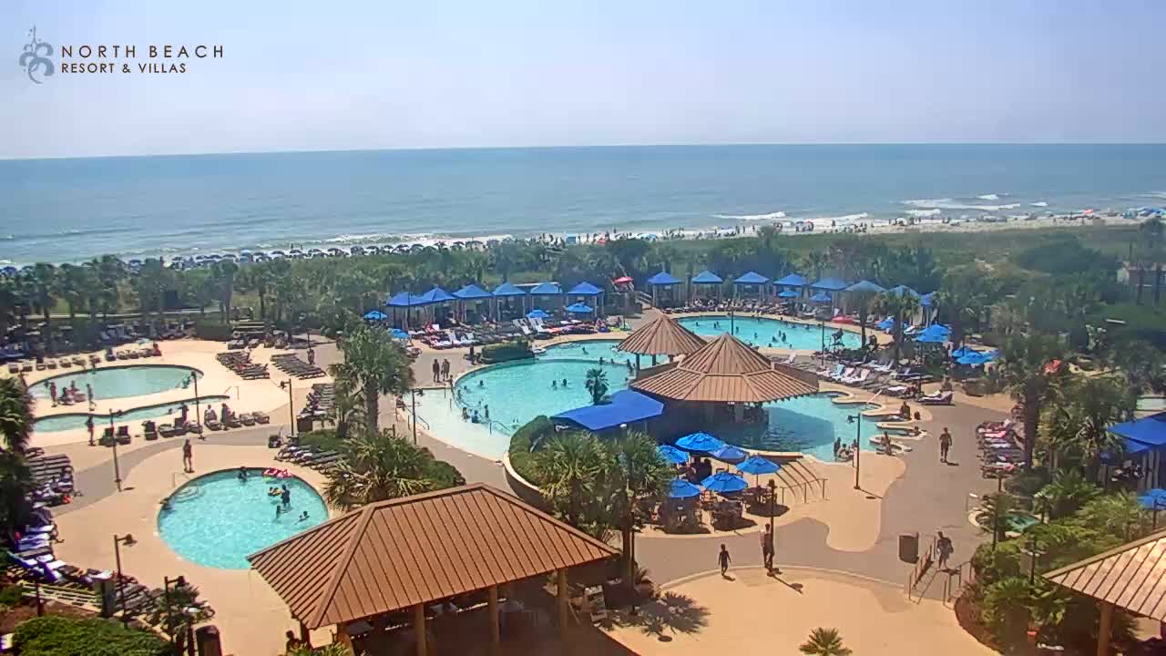
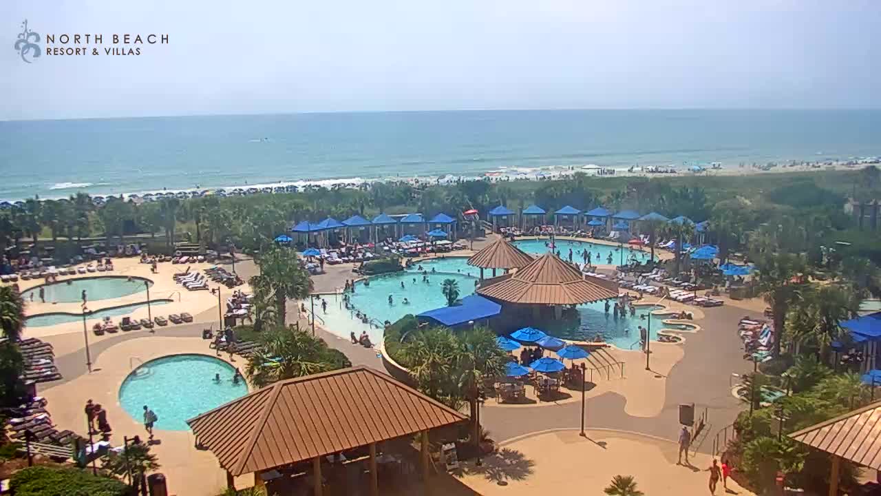
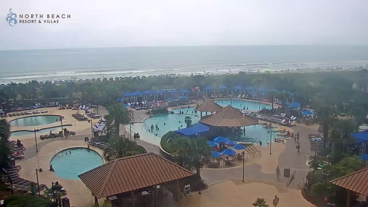
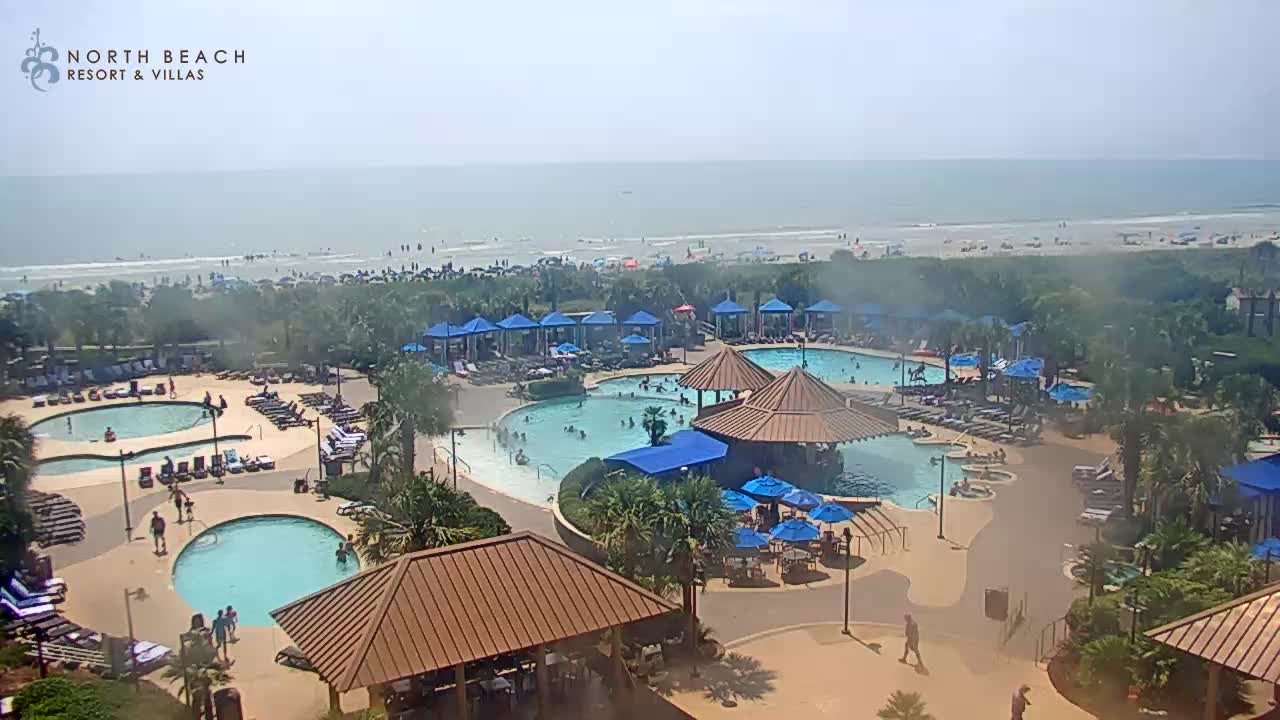
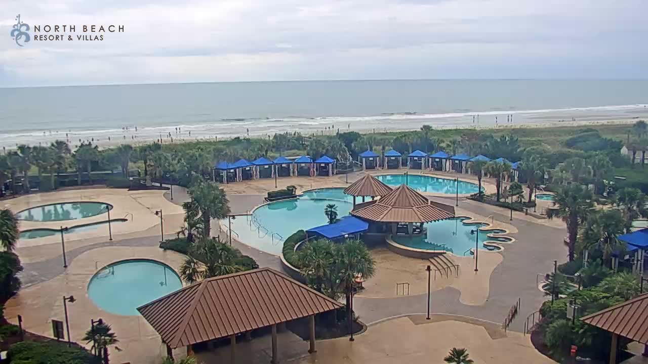
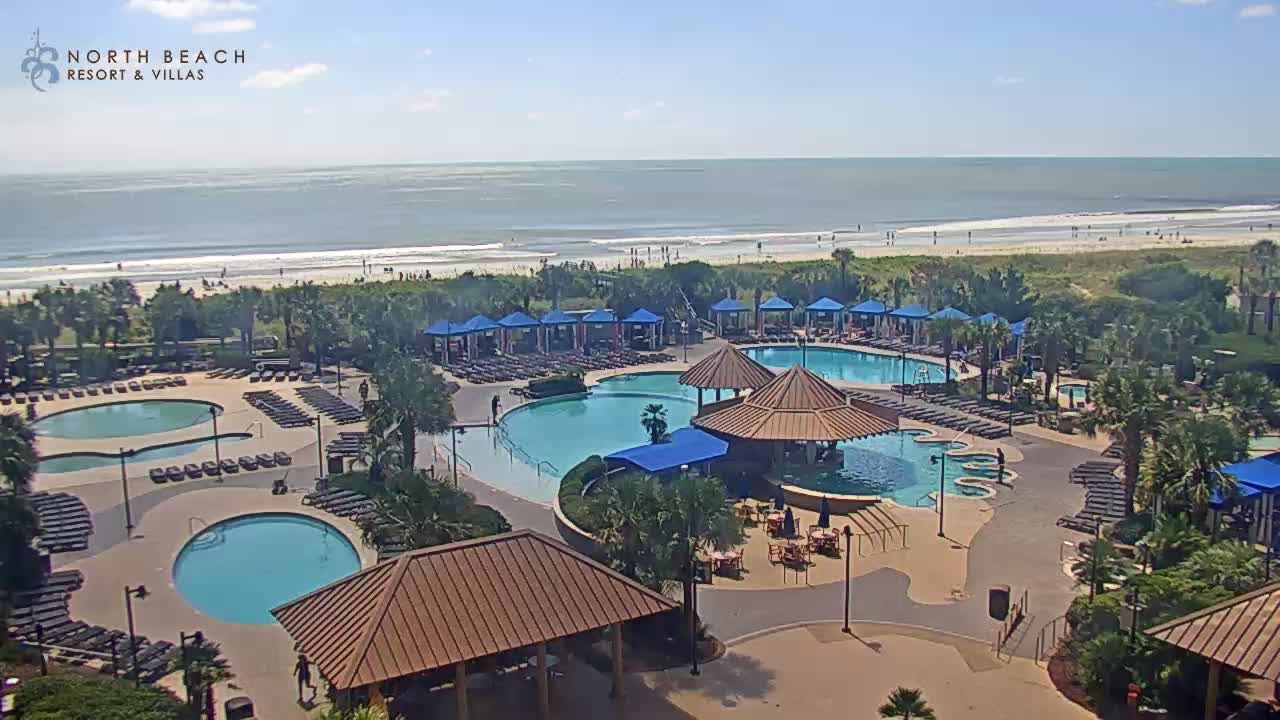
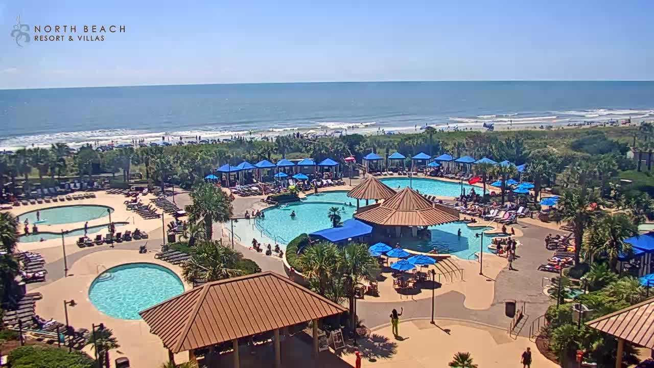
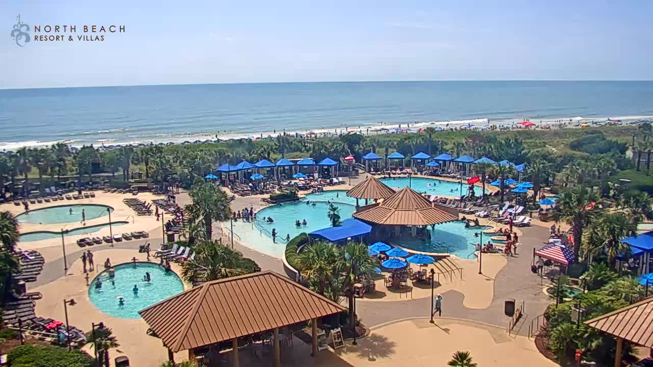
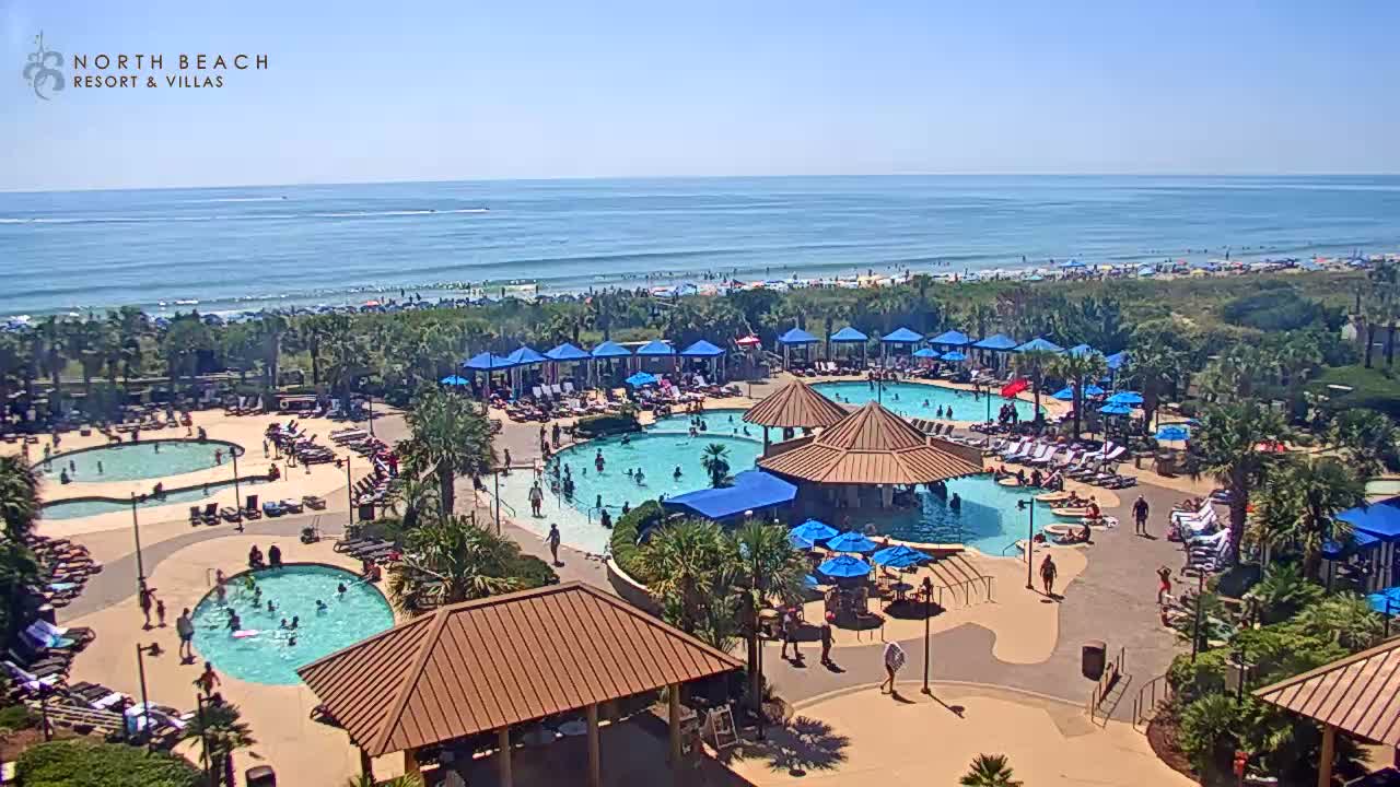
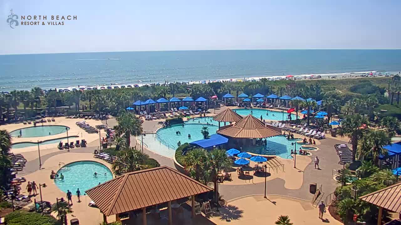
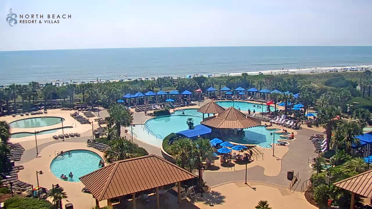
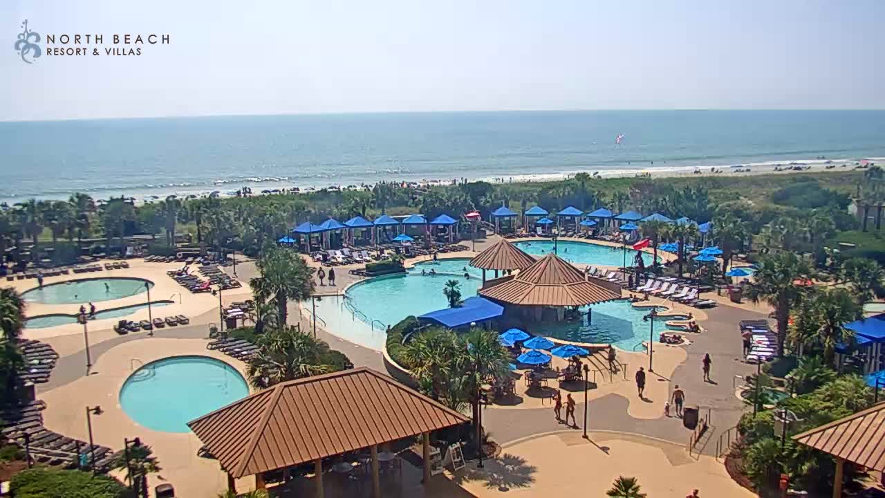
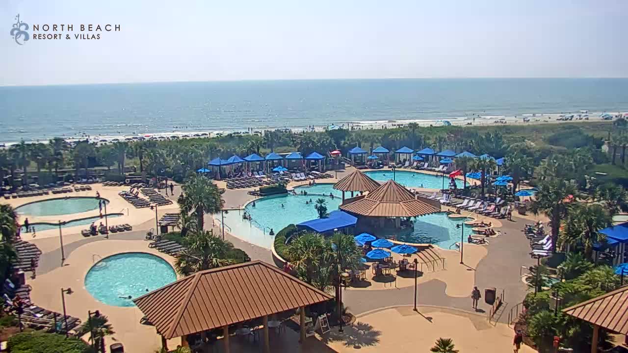
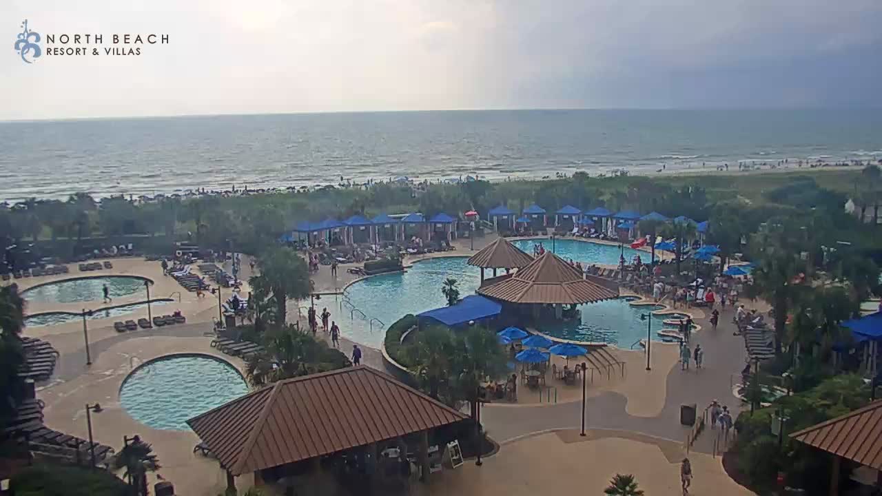
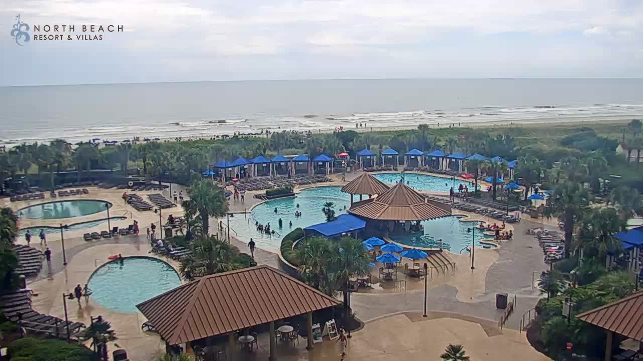
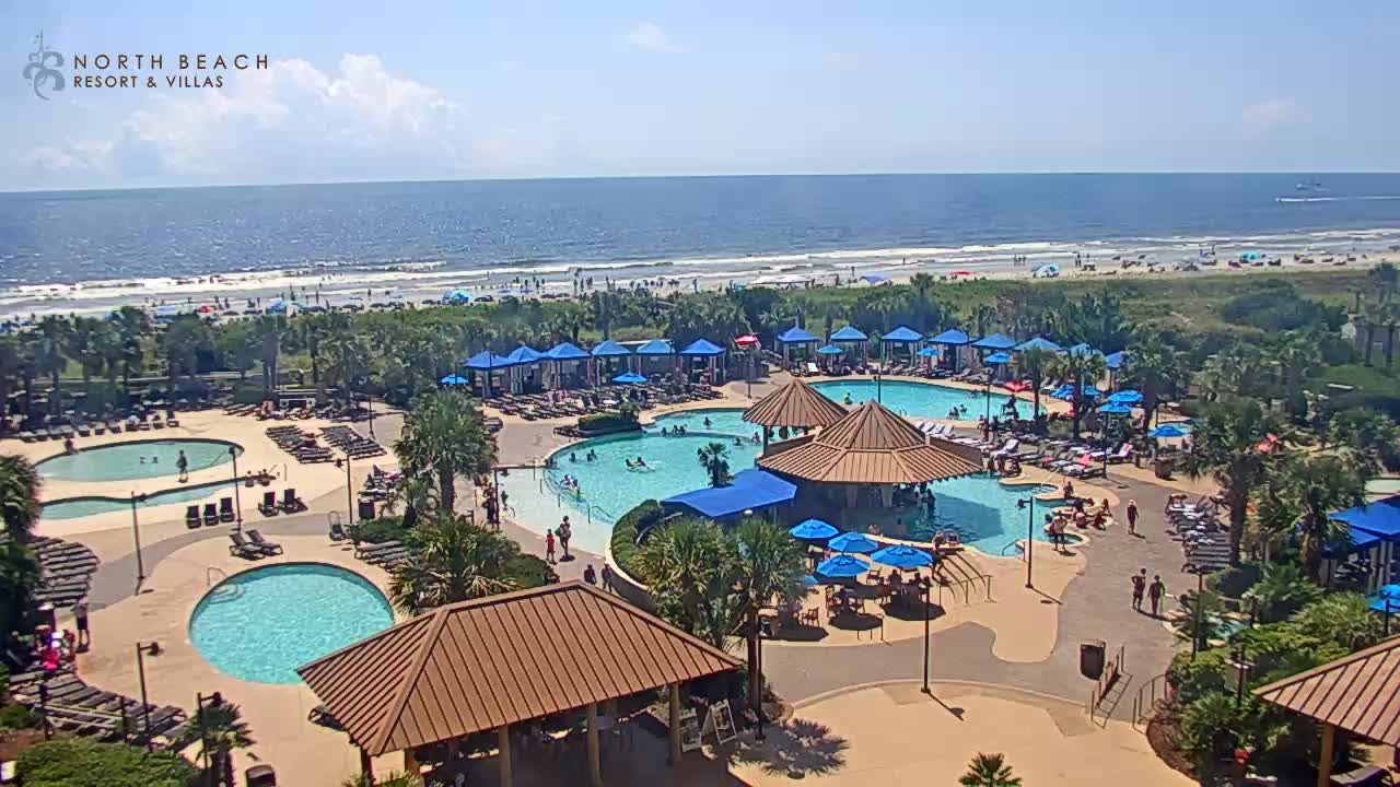
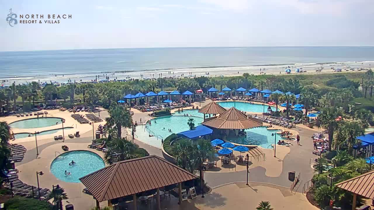
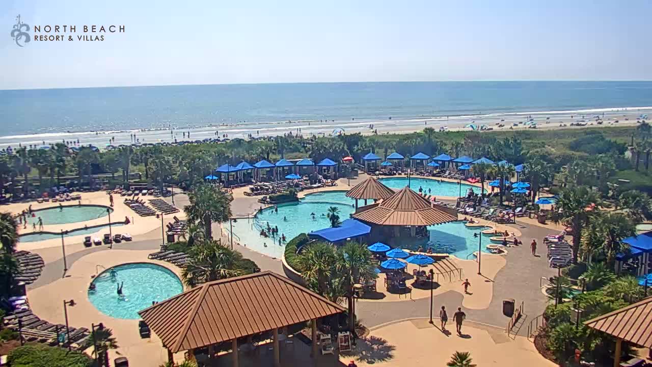
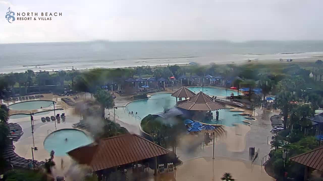
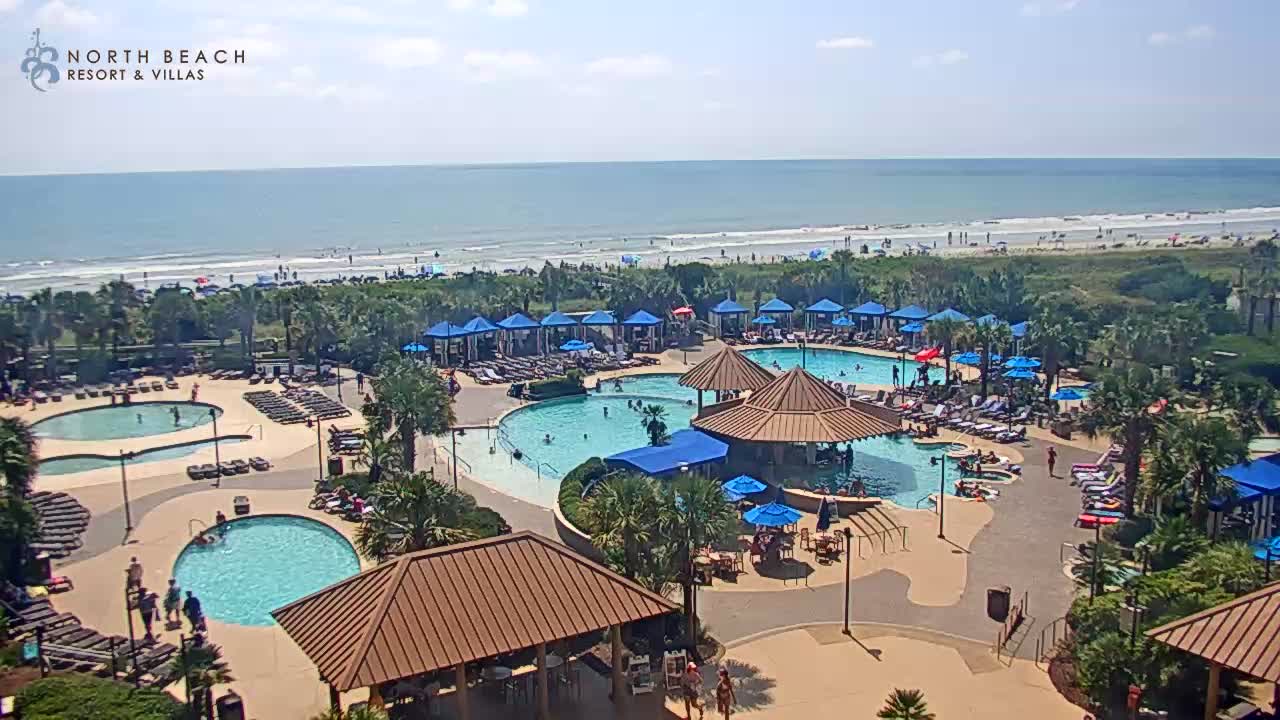
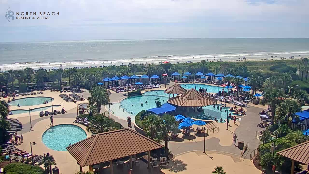
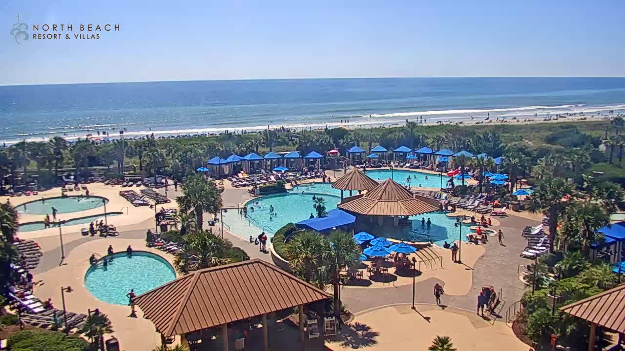
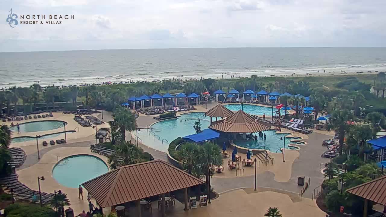
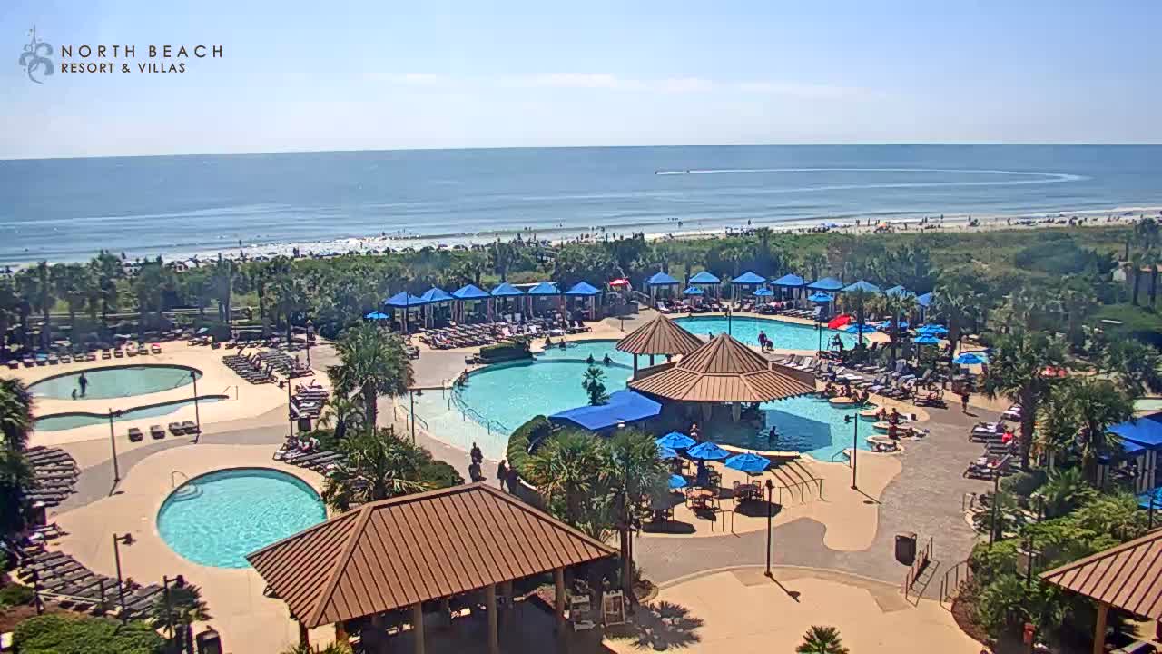
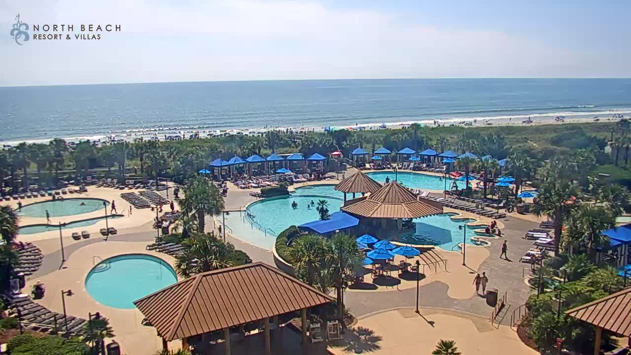
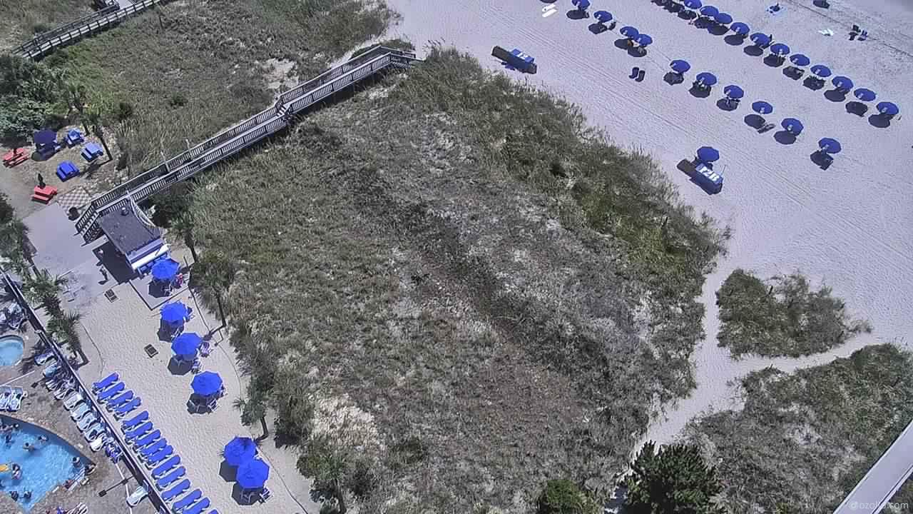
Myrtle Beach, South Carolina, USA - 77.6 miles from Sunnybrook Heights: North Beach Plantation Resort
Operator: TripSmarter.Com
Operator: TripSmarter.Com


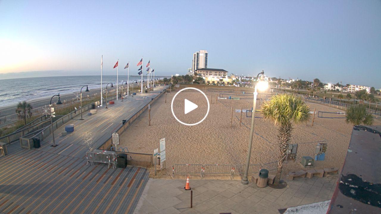
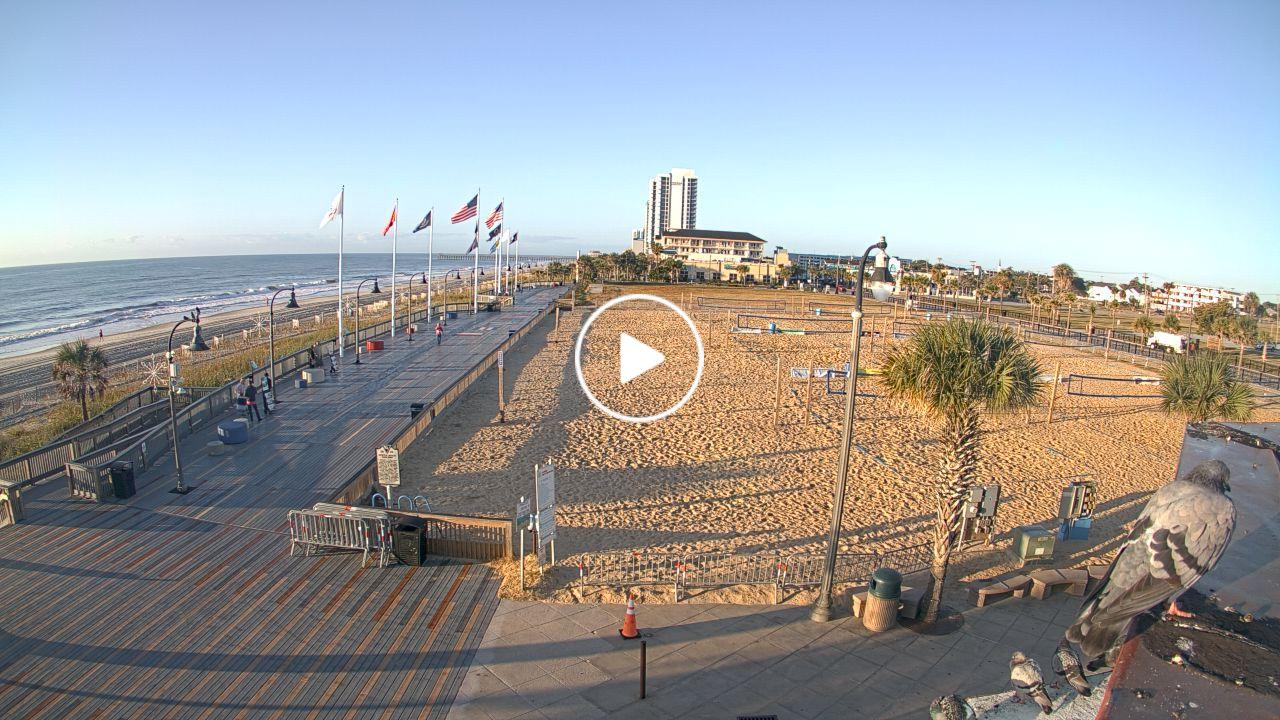
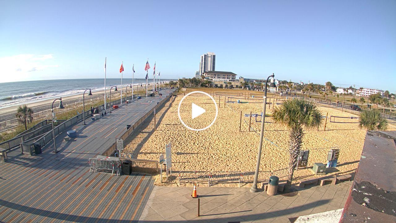
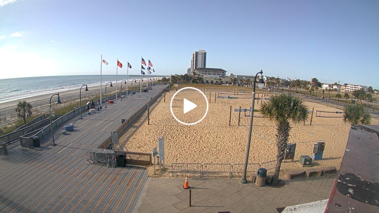
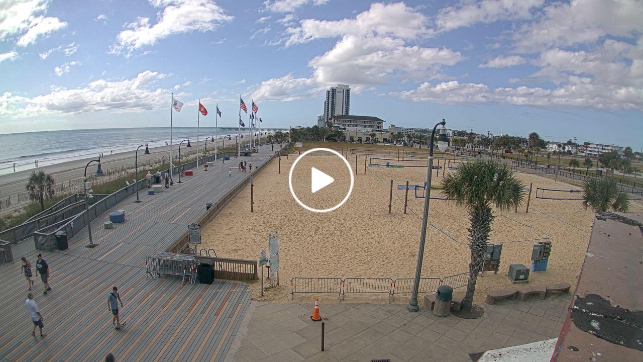
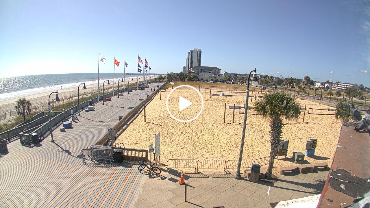
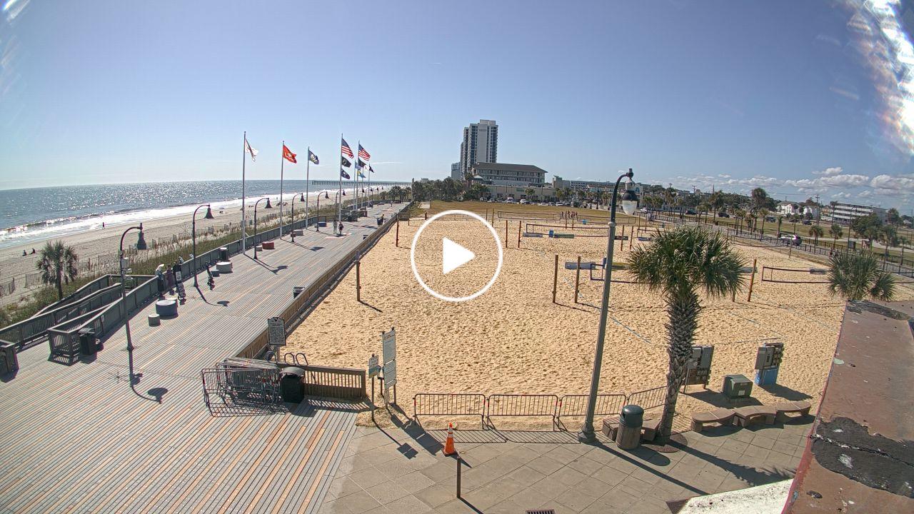
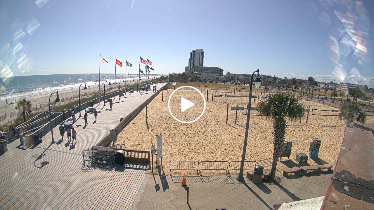
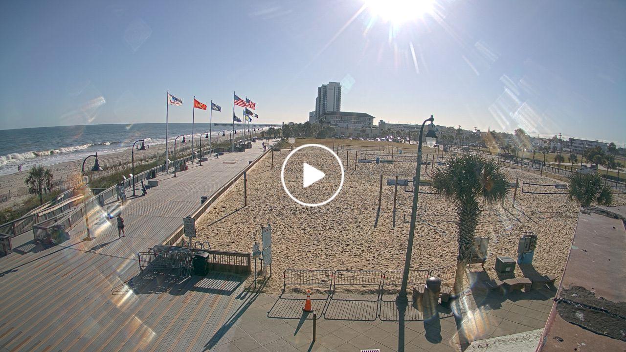
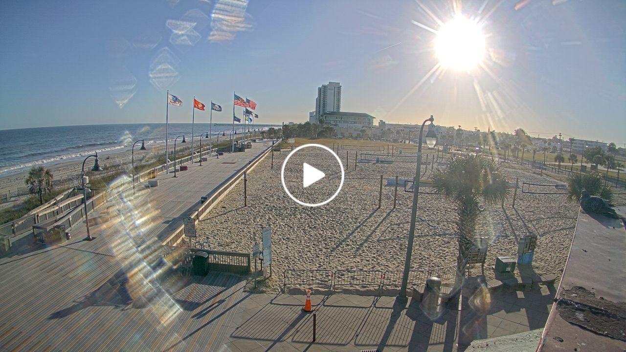
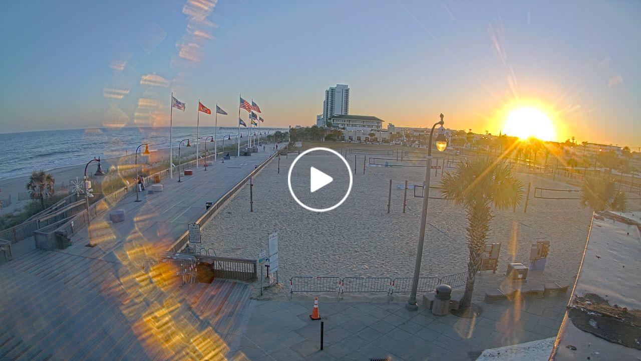
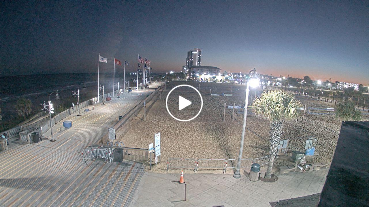
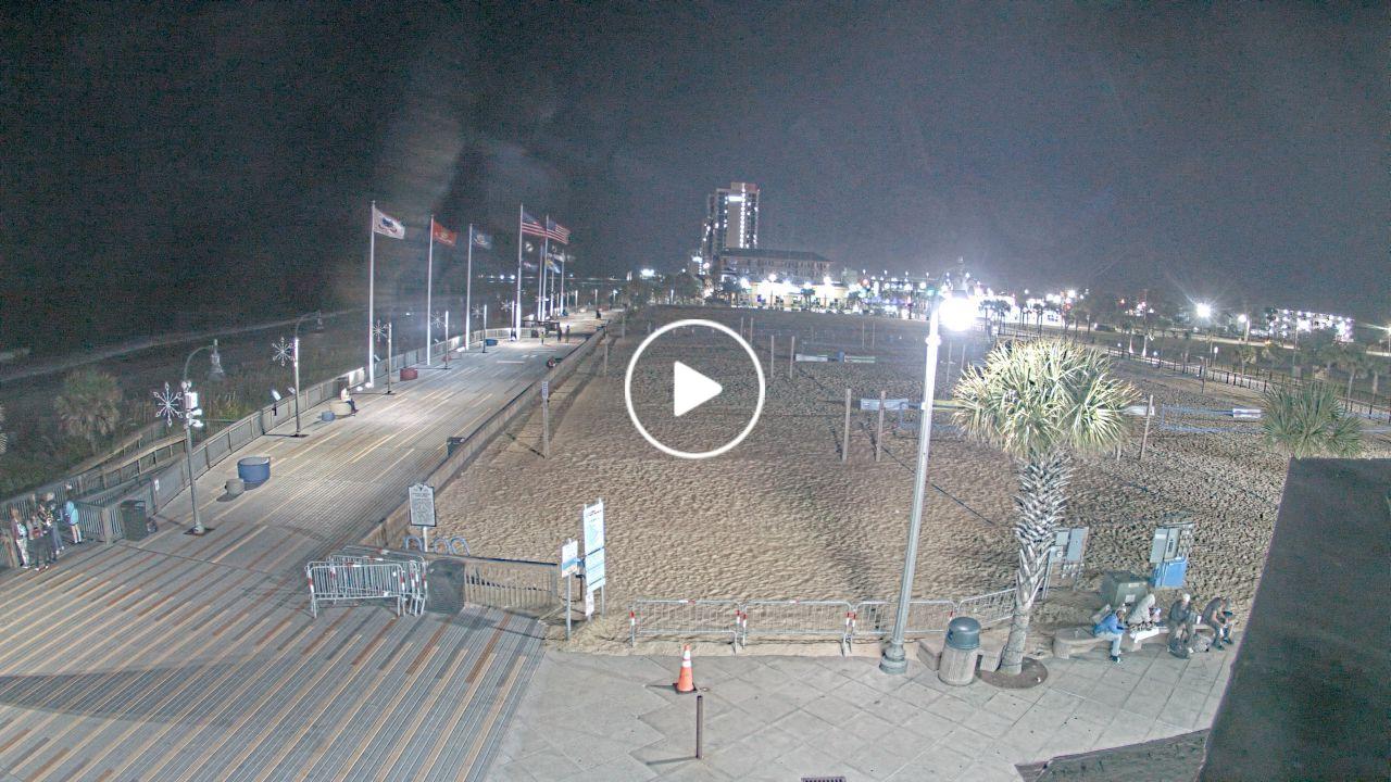
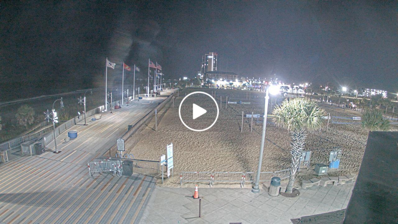
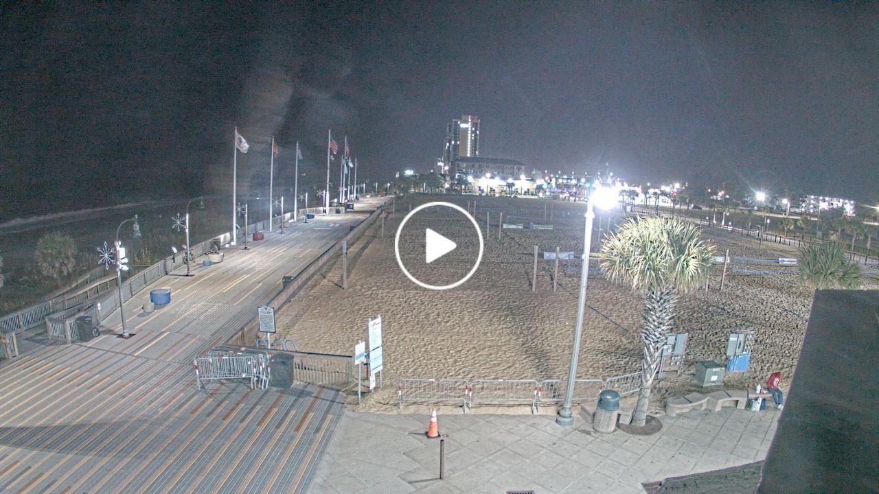
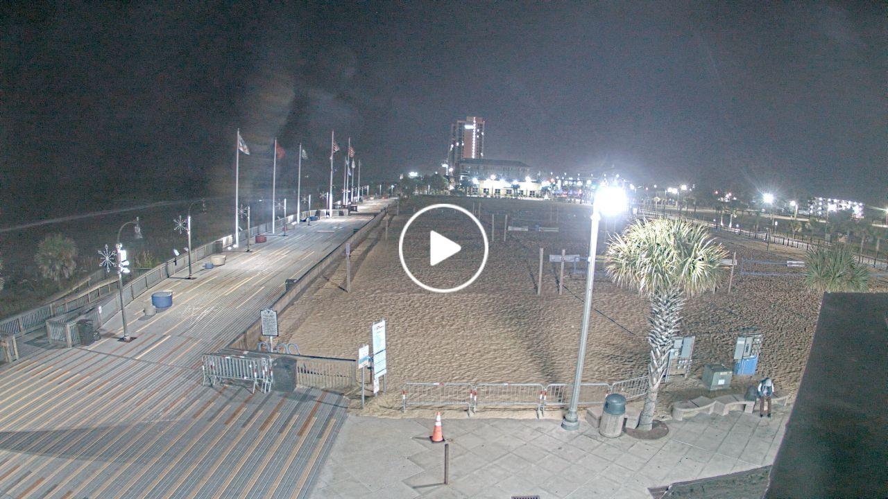
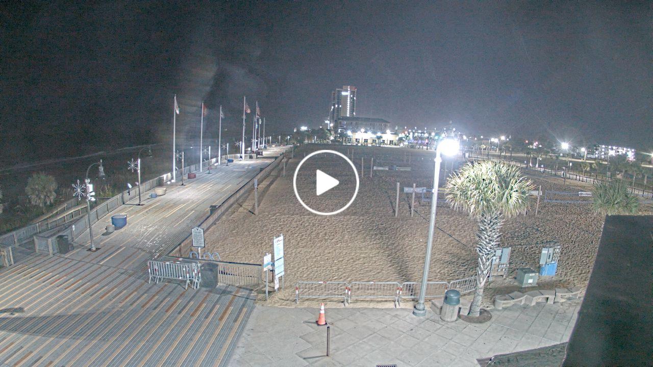
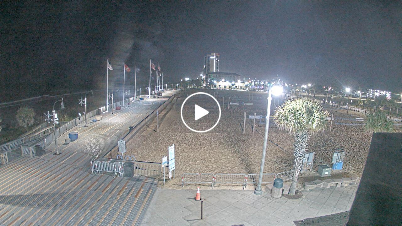
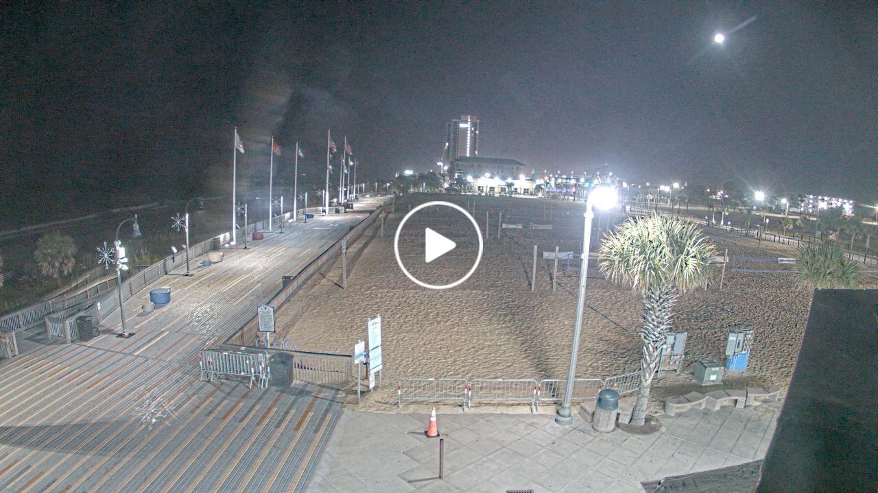
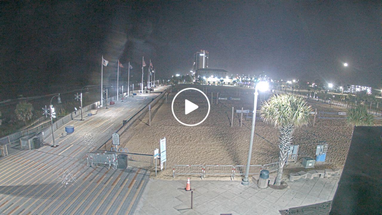
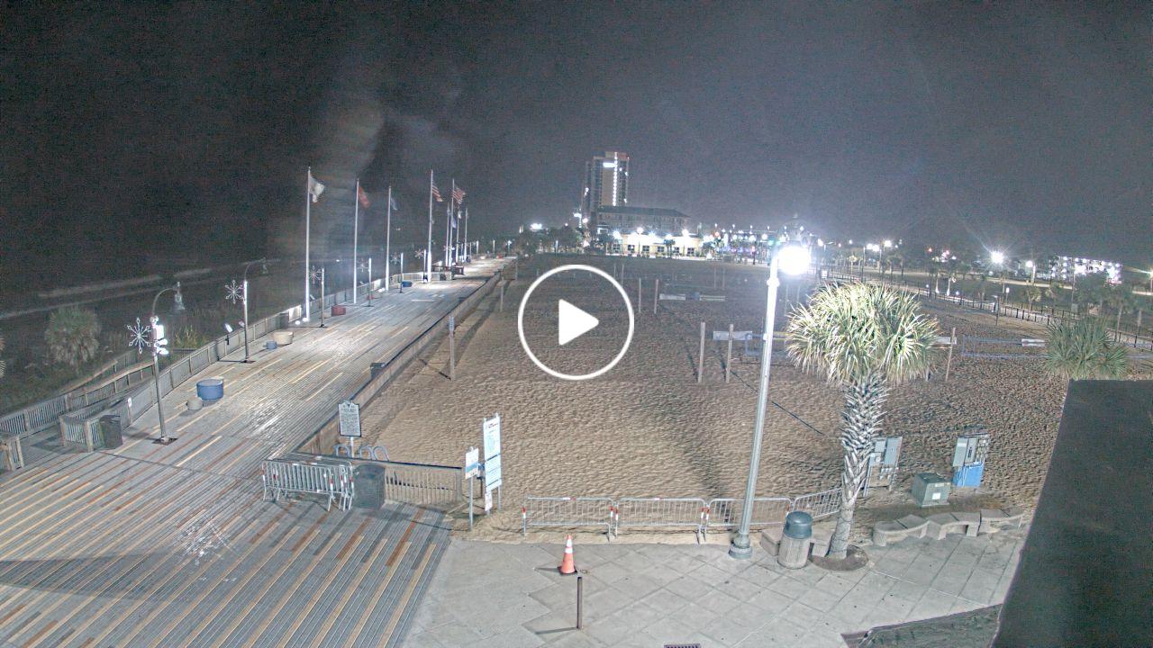
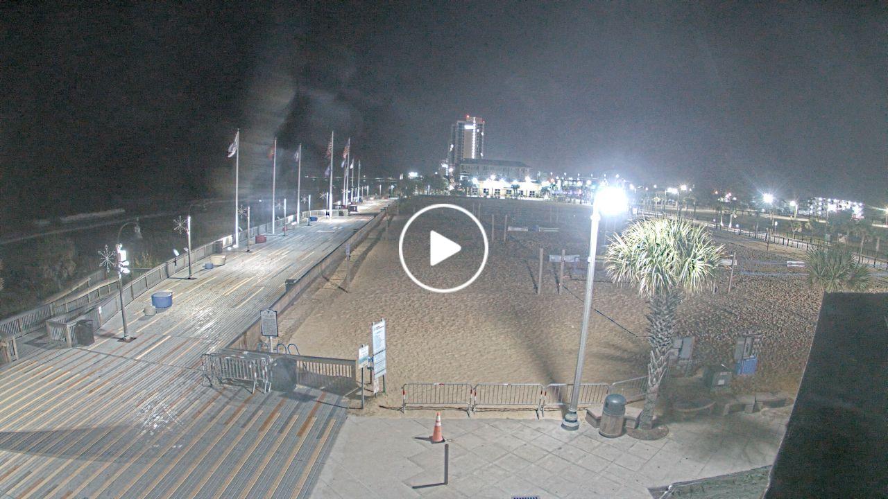
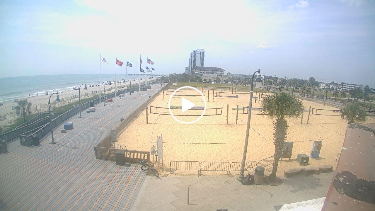
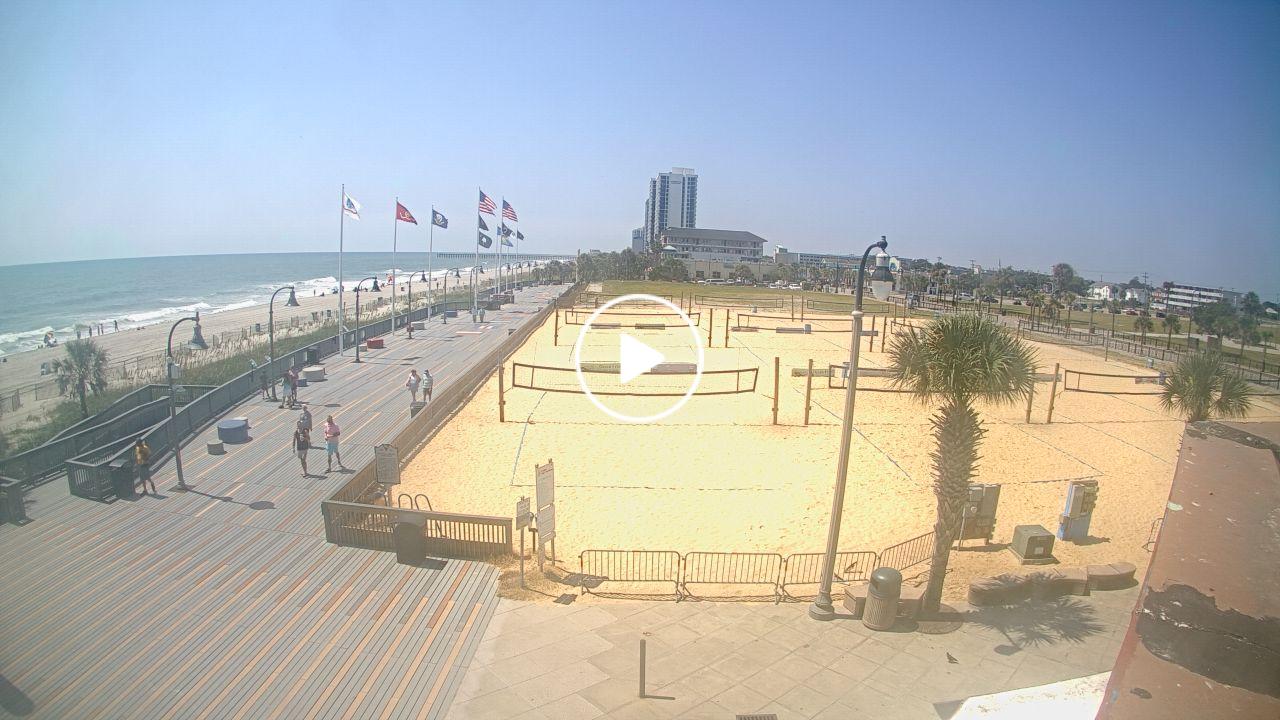
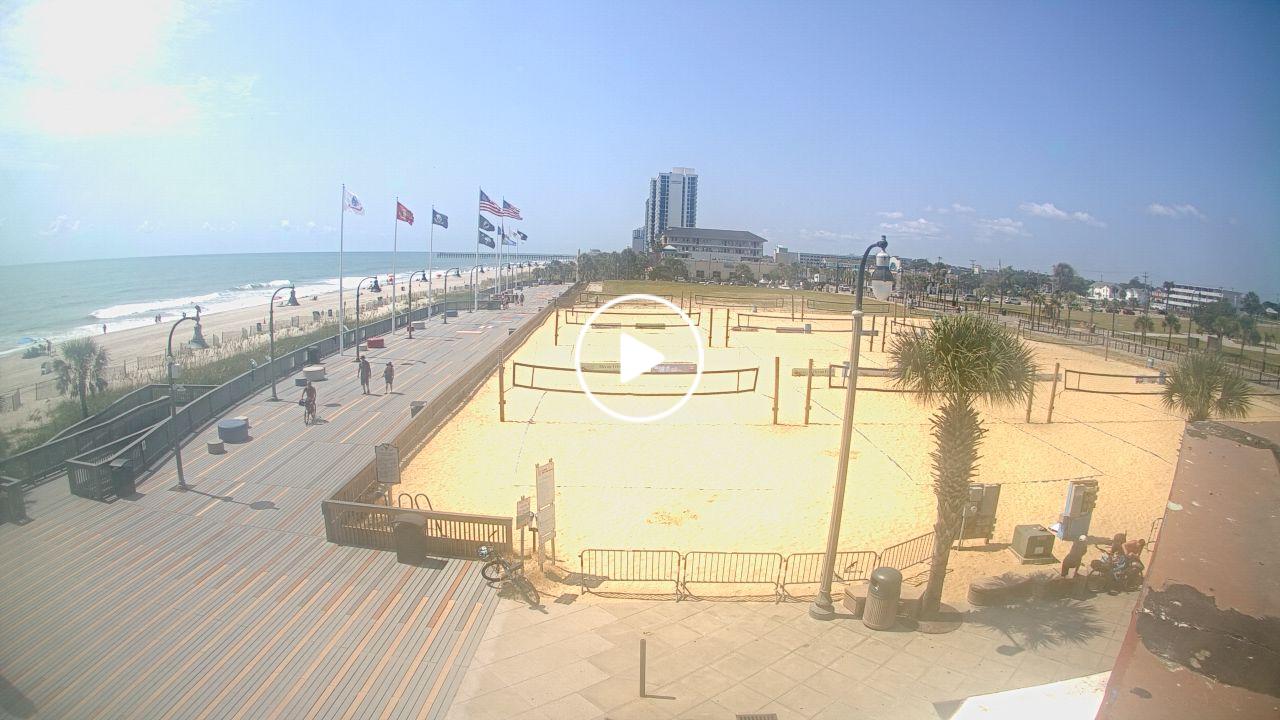
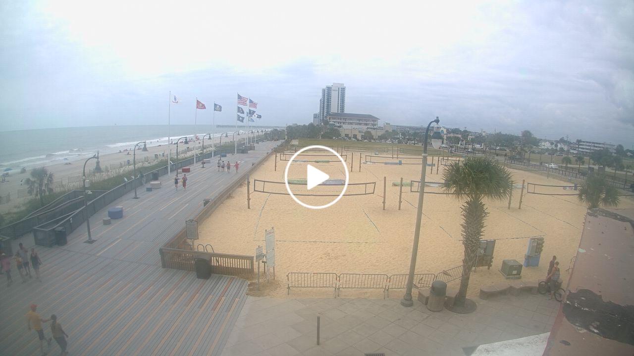
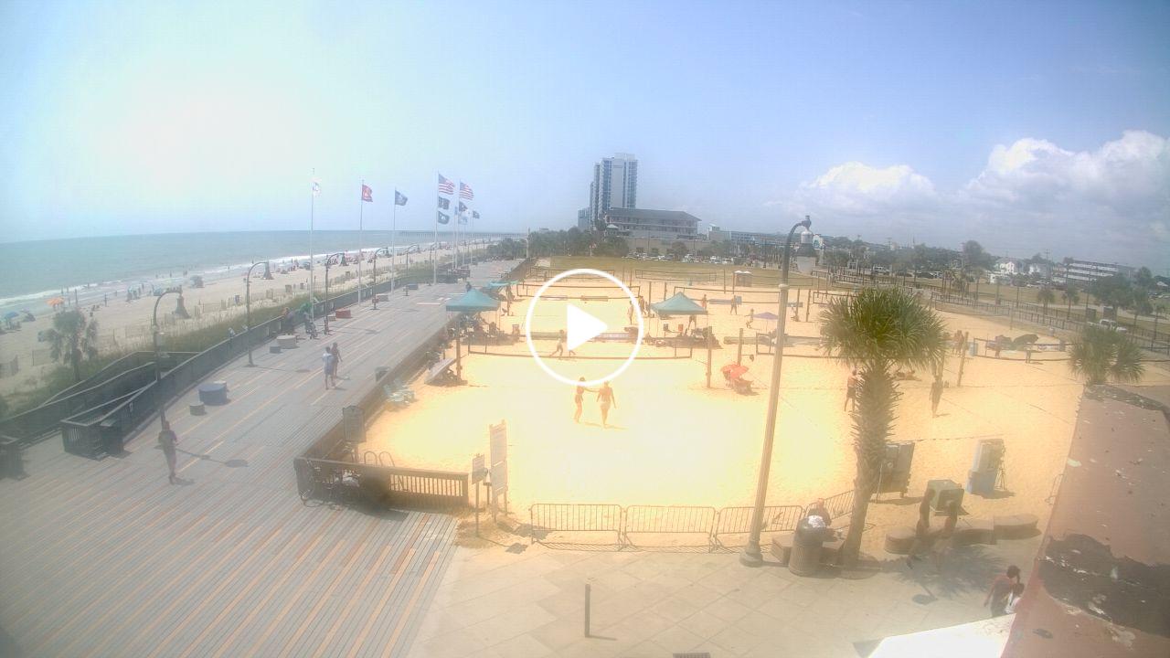
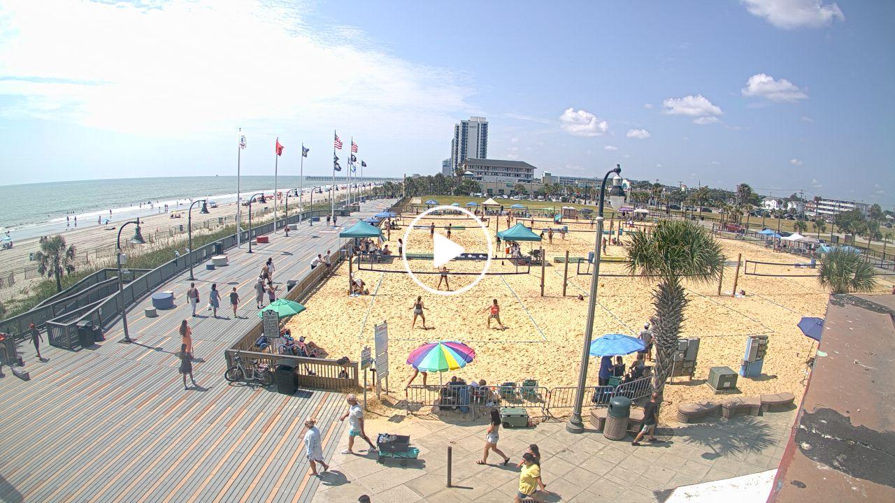
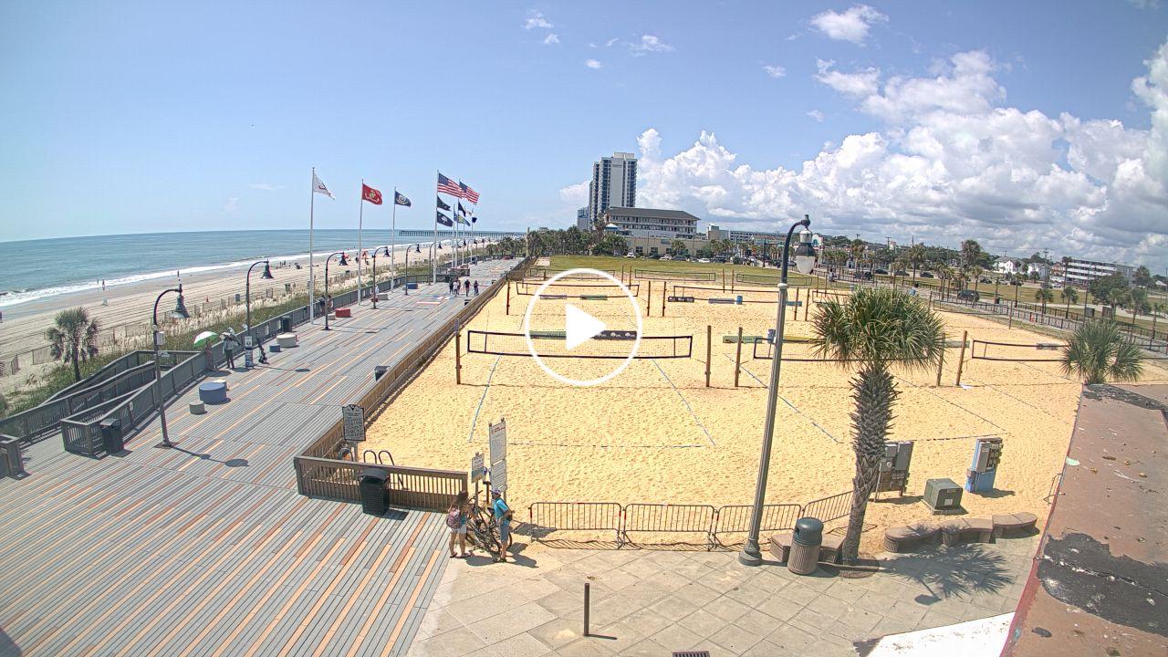
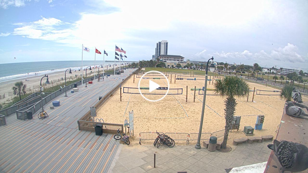
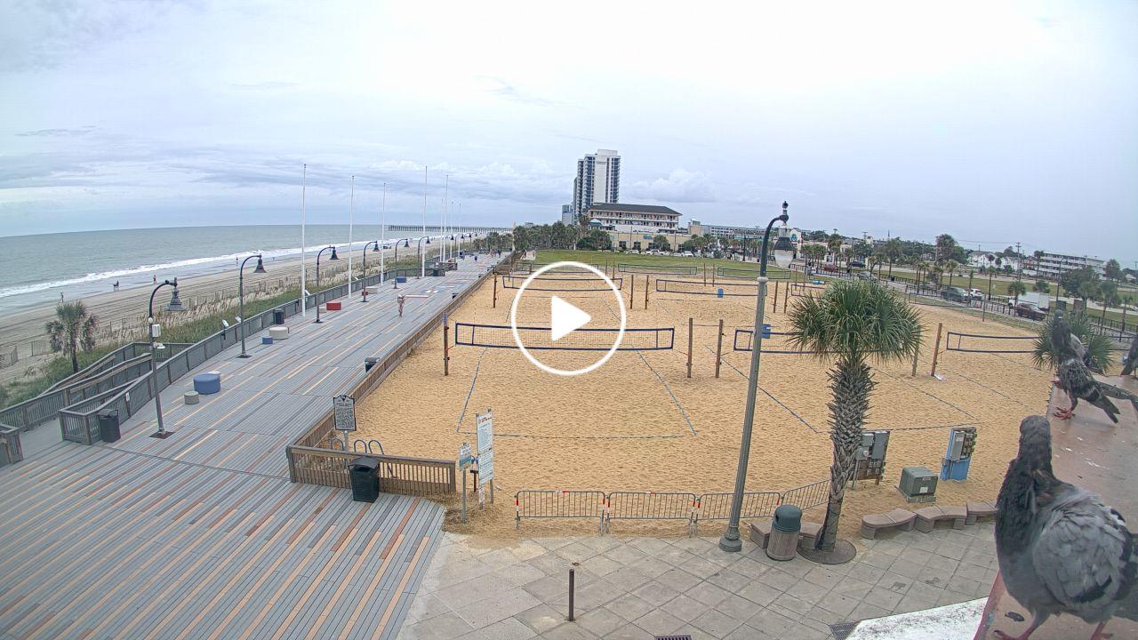
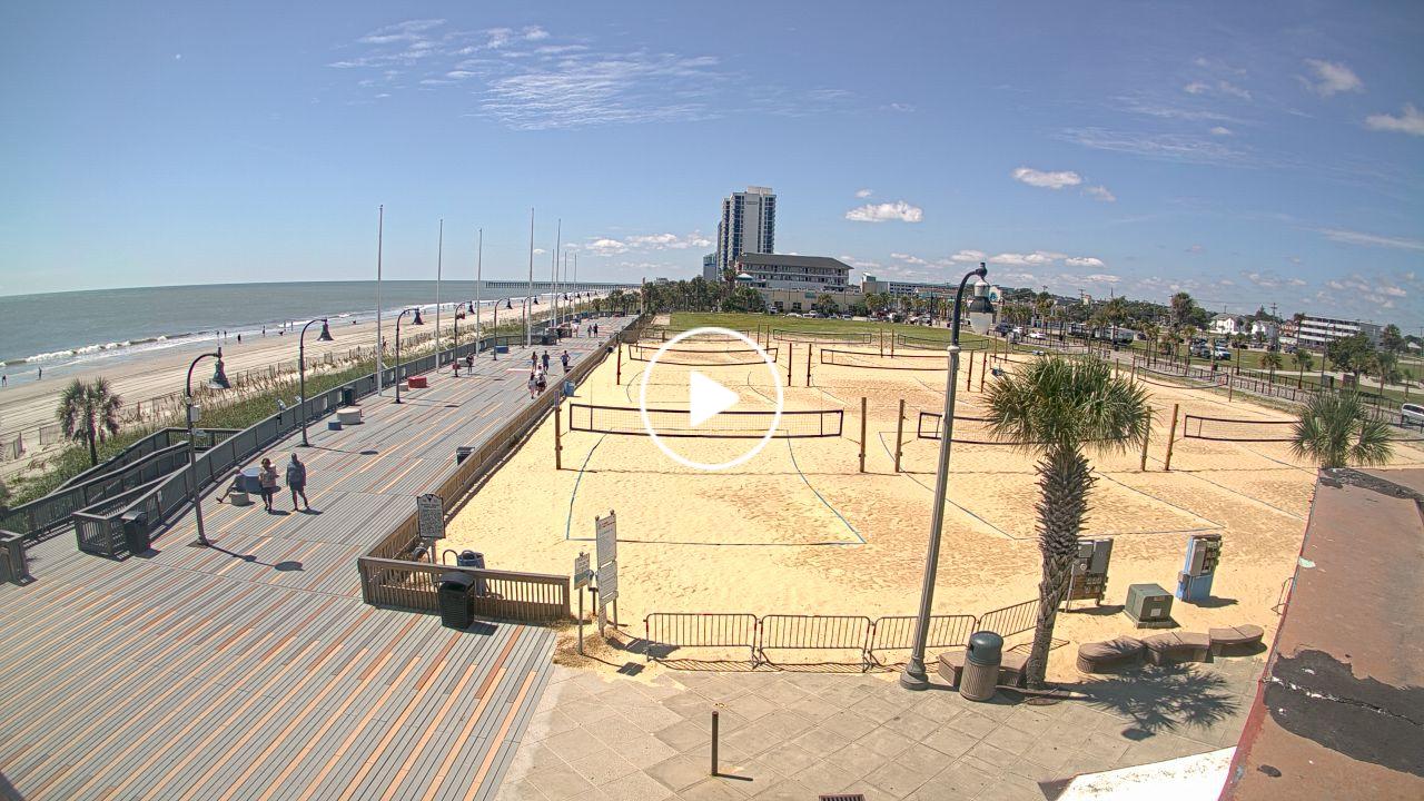
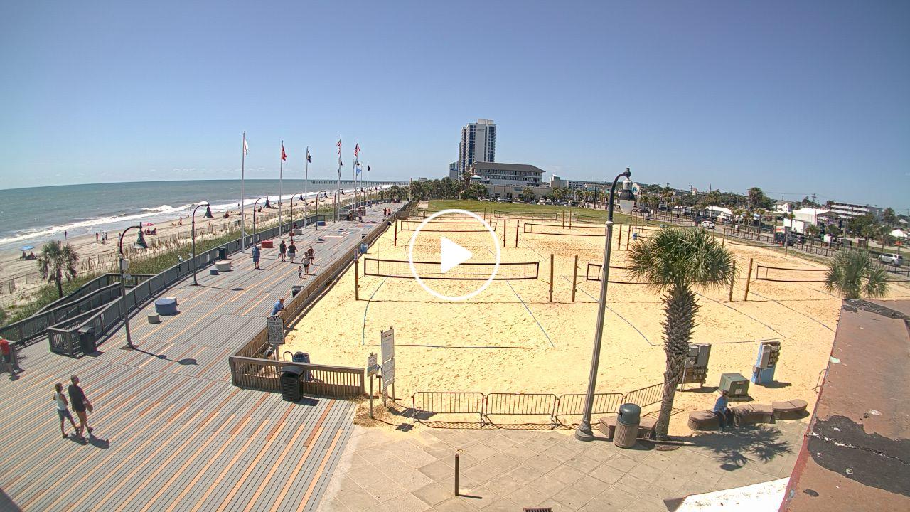
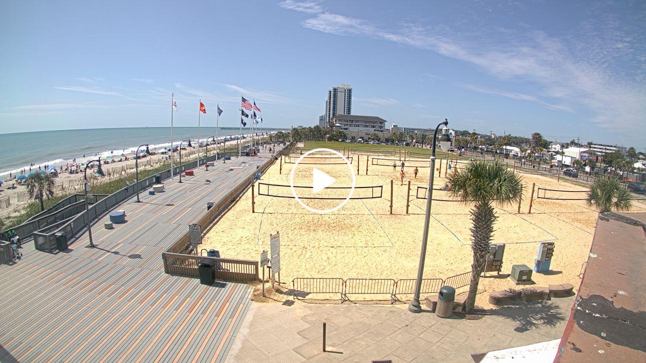
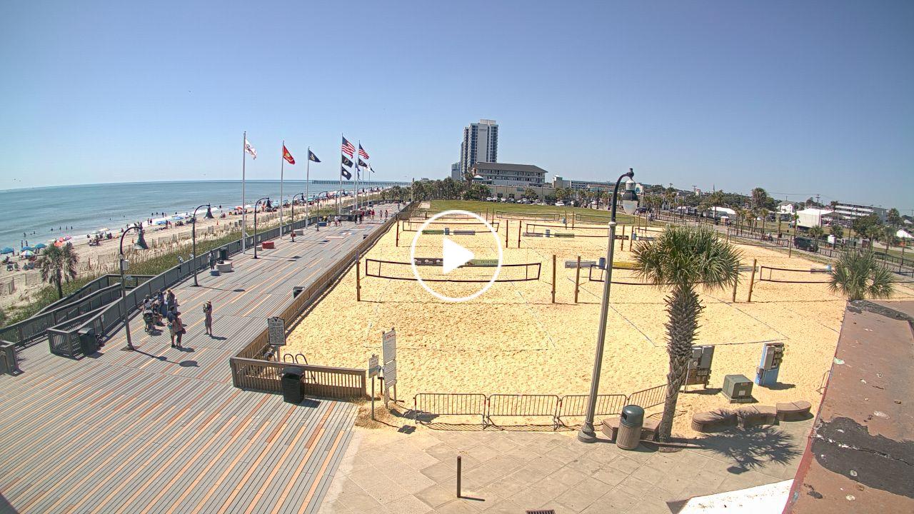
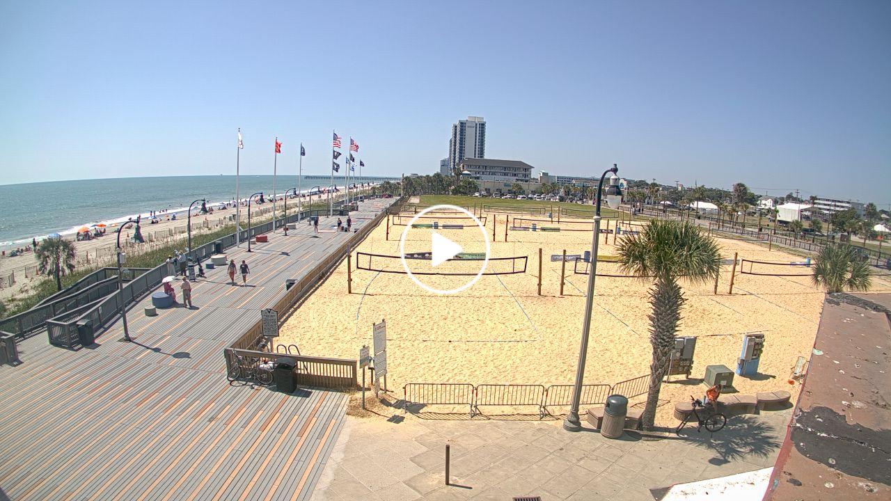
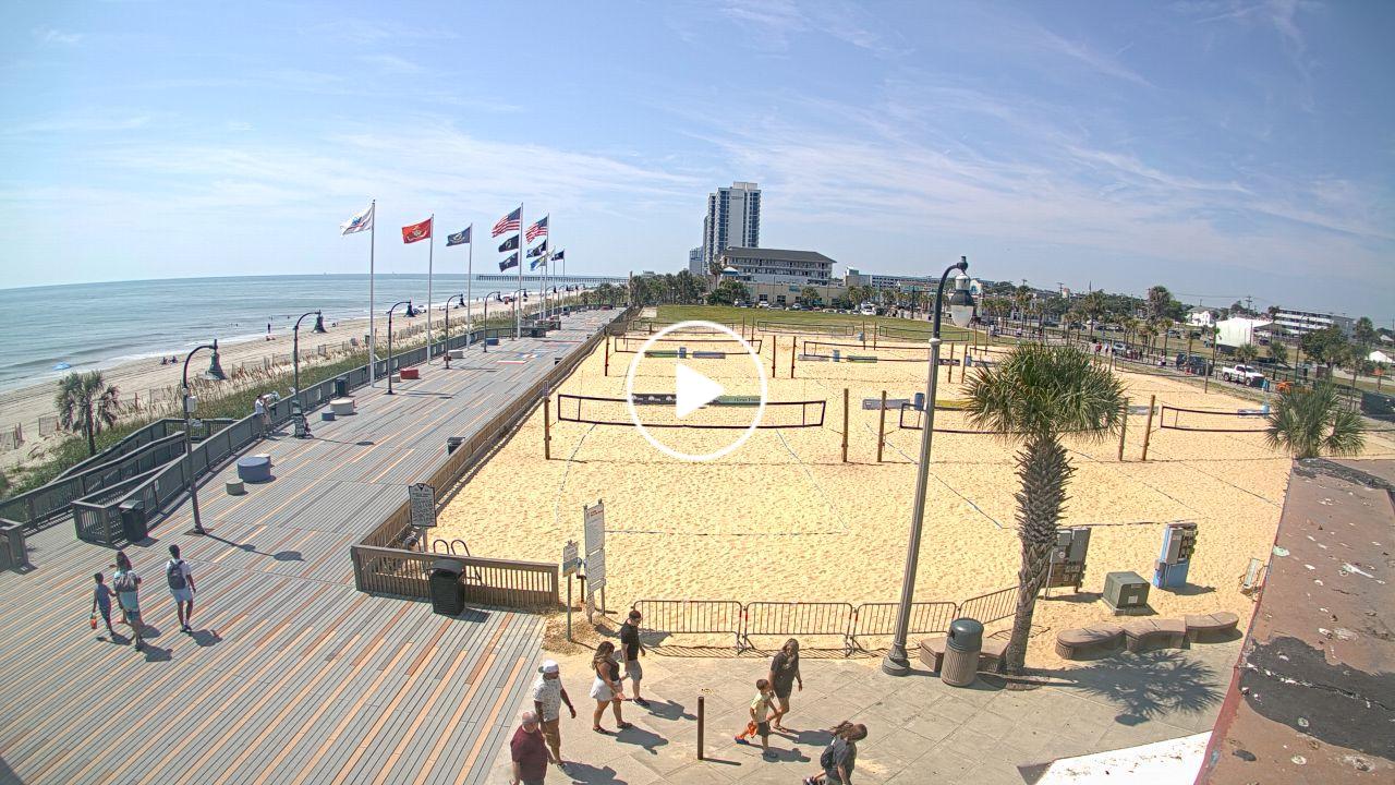
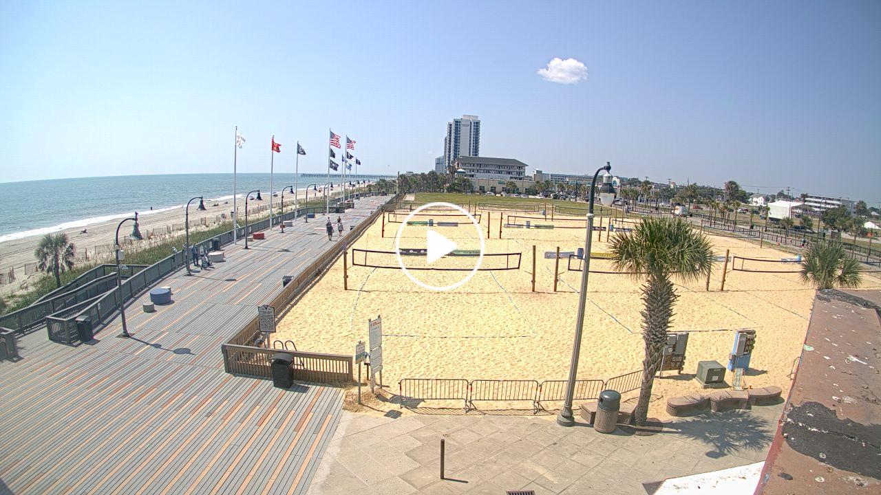
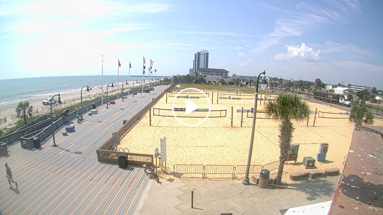
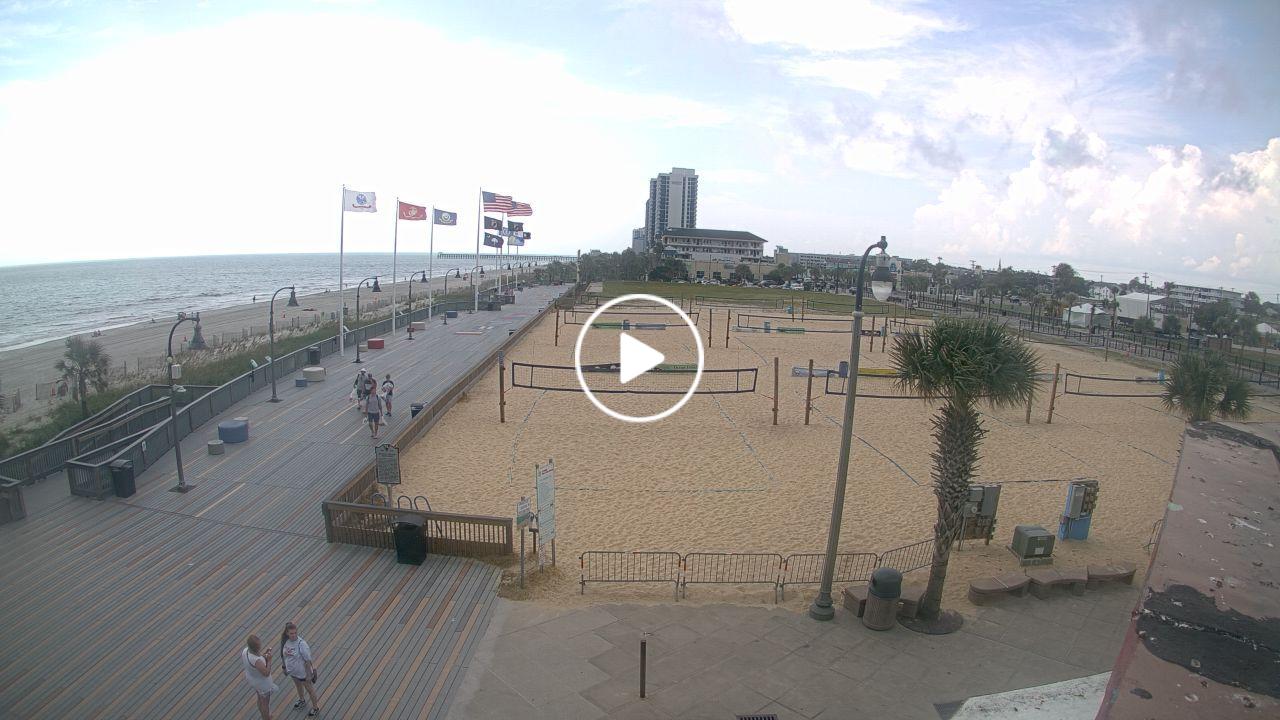
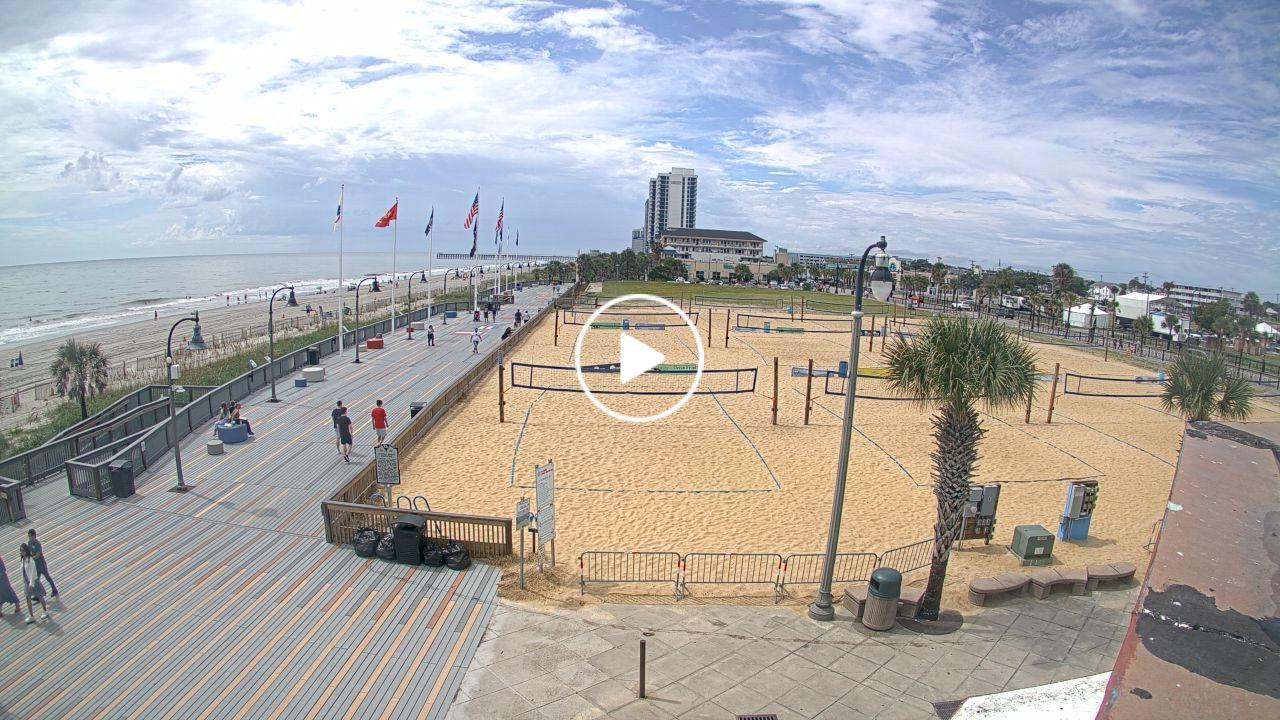
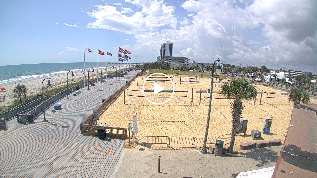
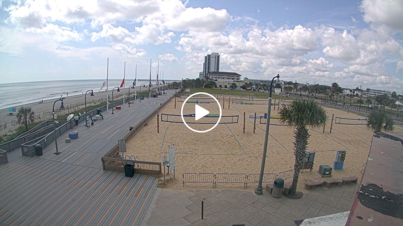
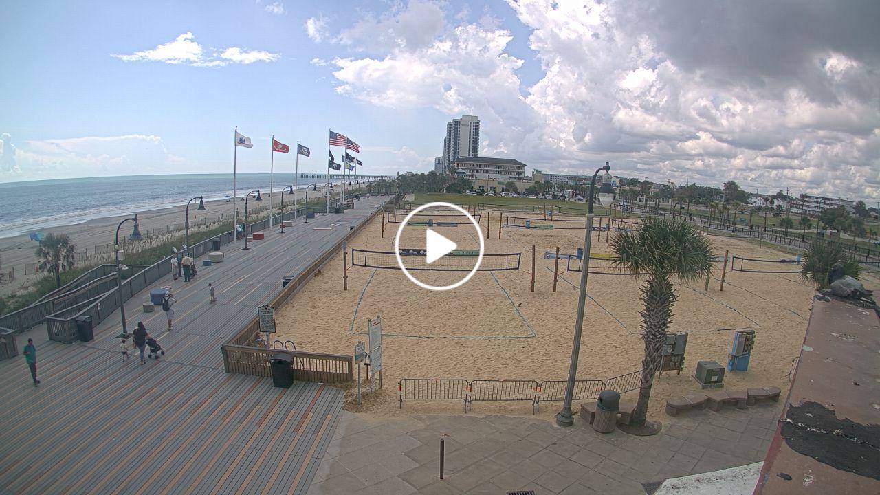
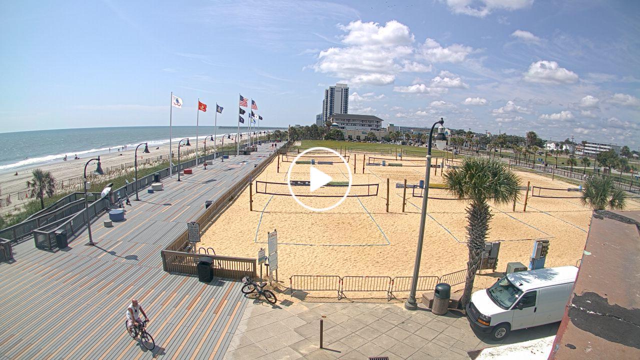
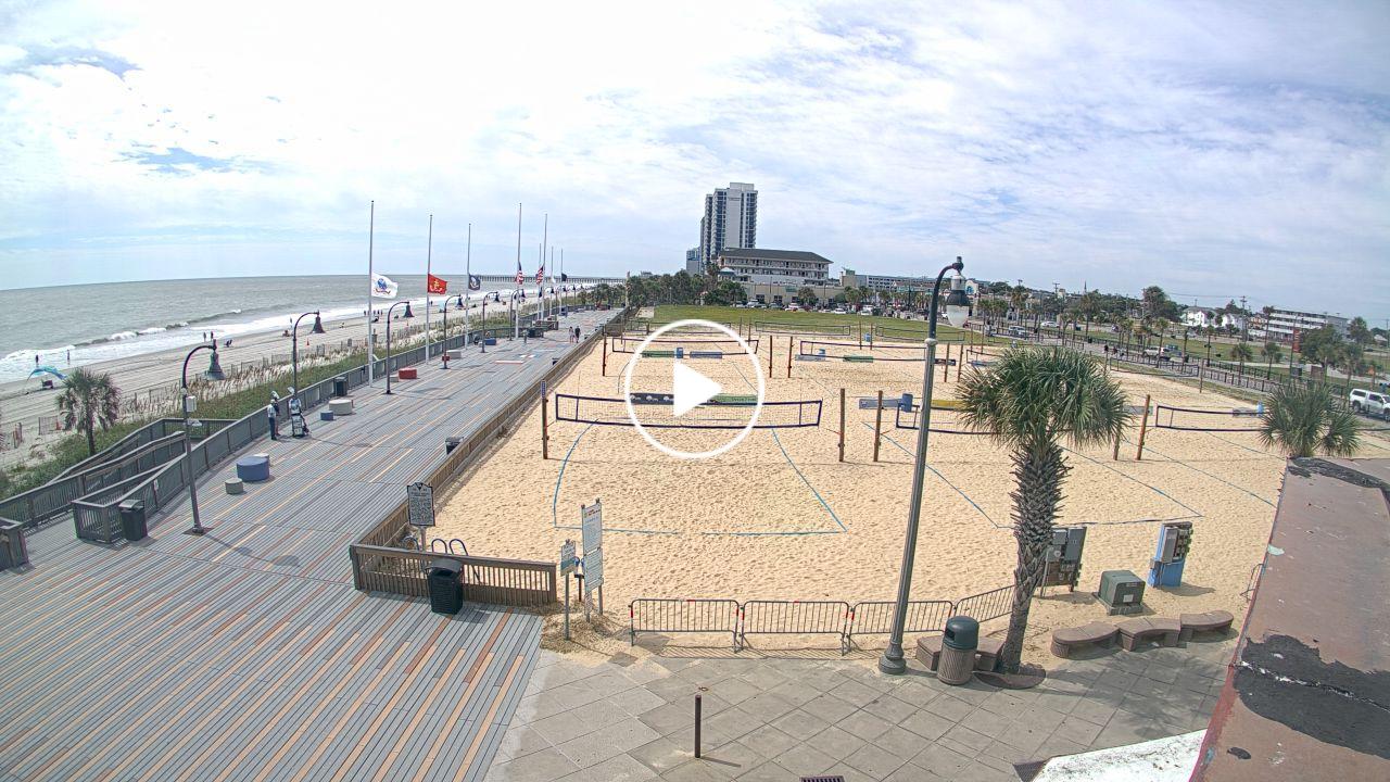
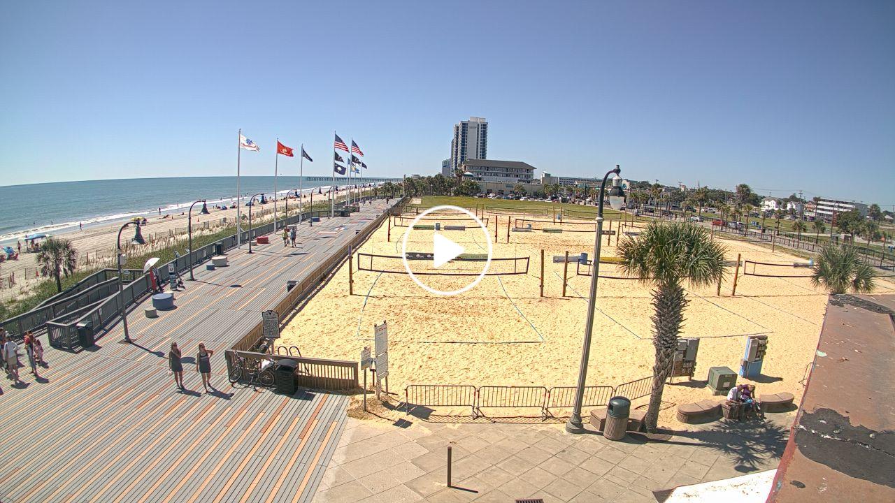
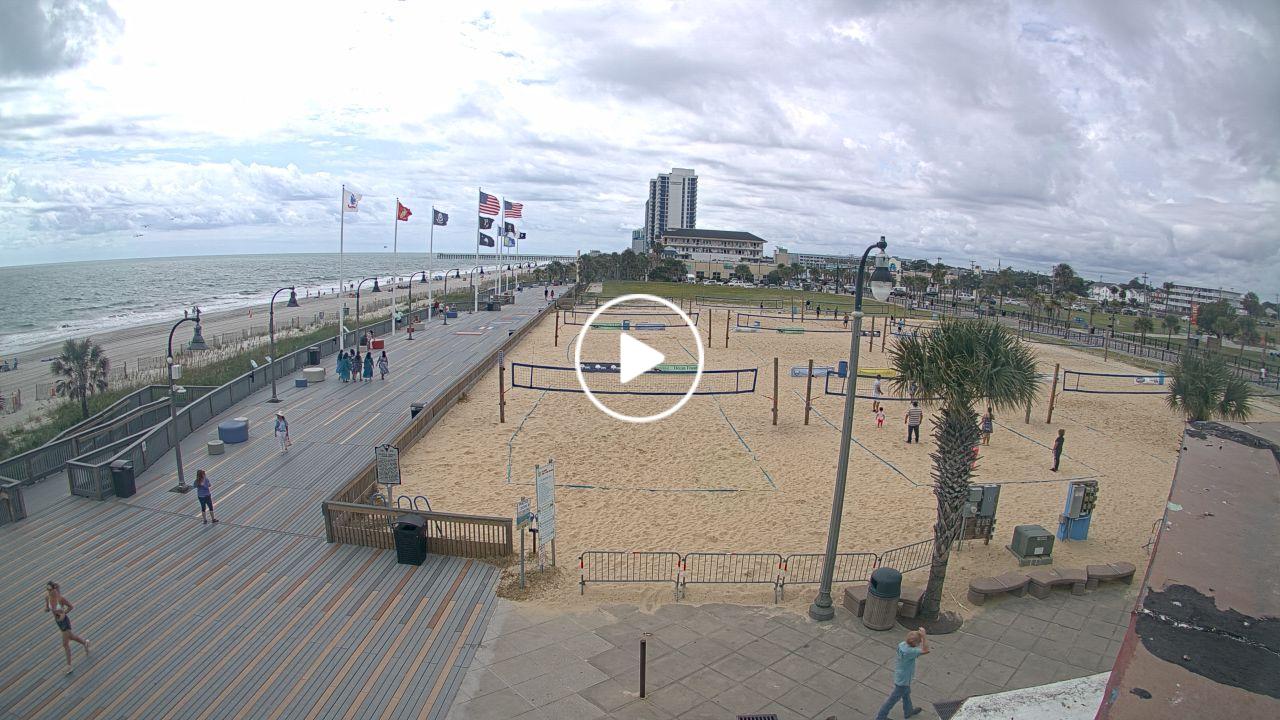
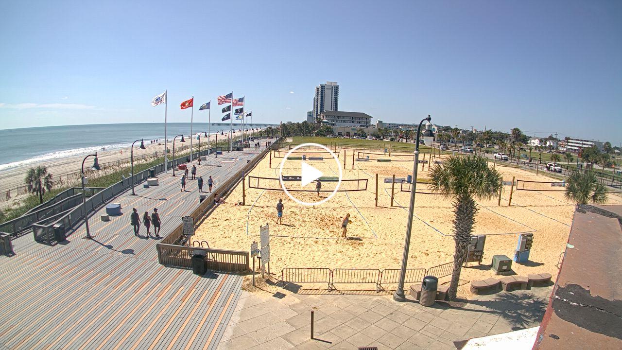
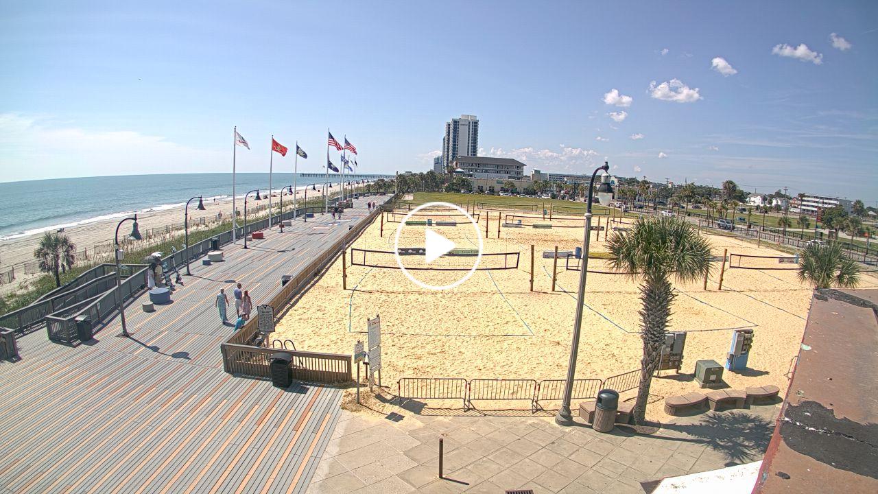
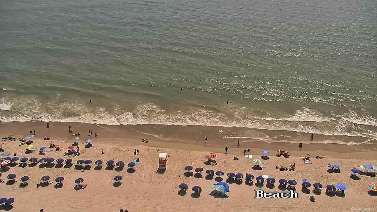
Myrtle Beach, South Carolina, USA - 77.6 miles from Sunnybrook Heights: HD Beach Panorama
Operator: EarthCam
Operator: EarthCam


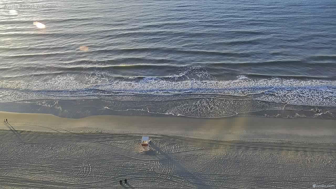
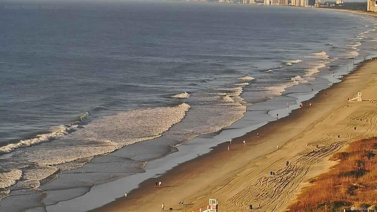
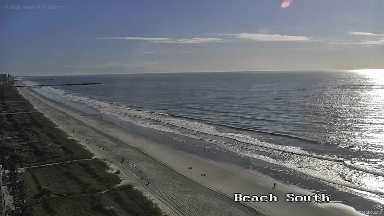
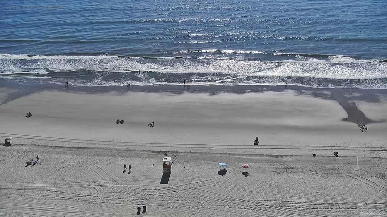
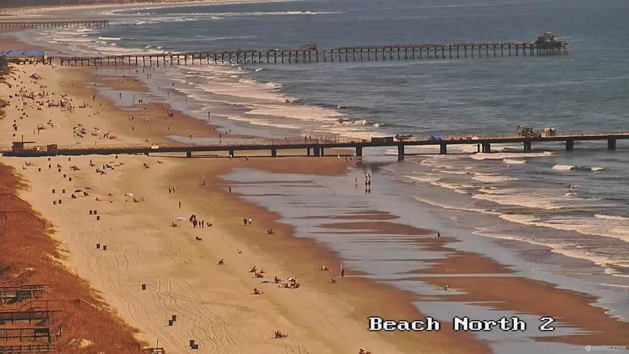
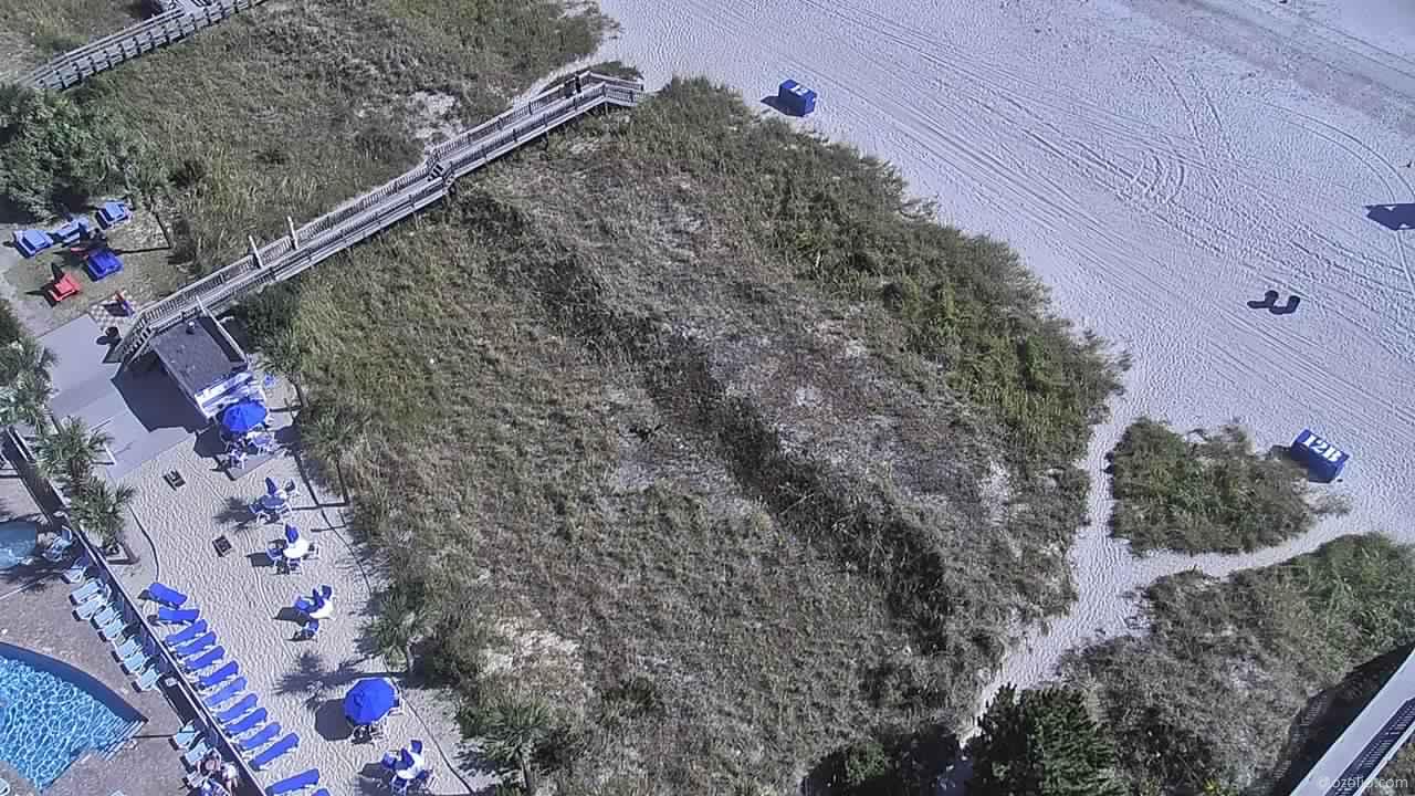
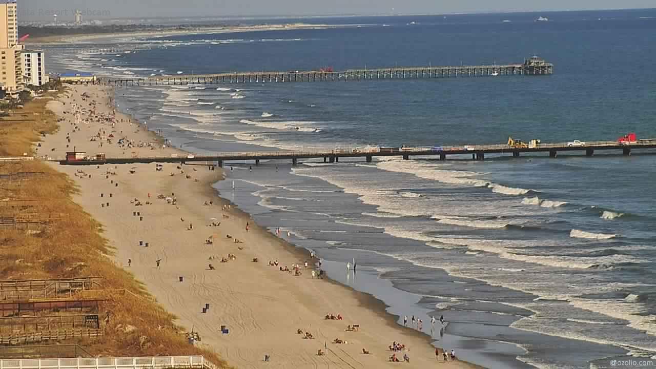
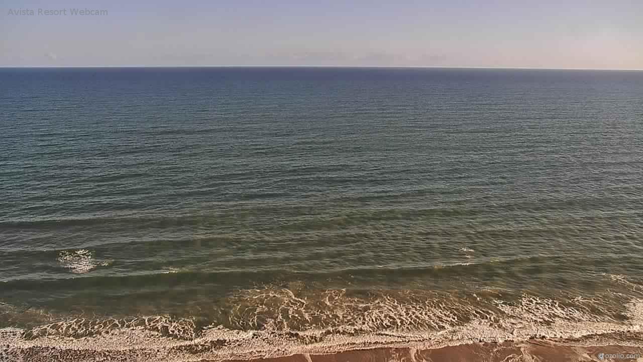
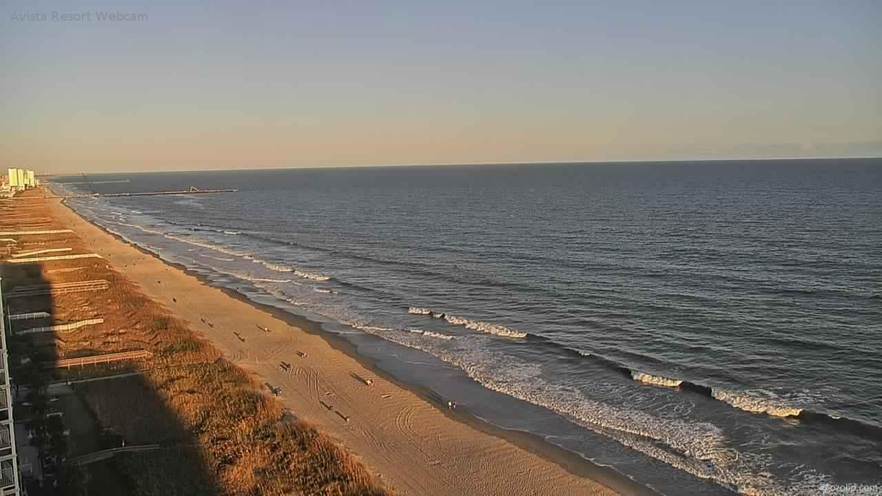
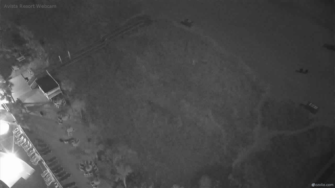
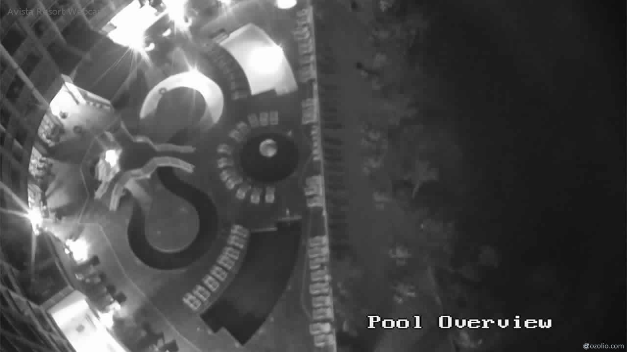
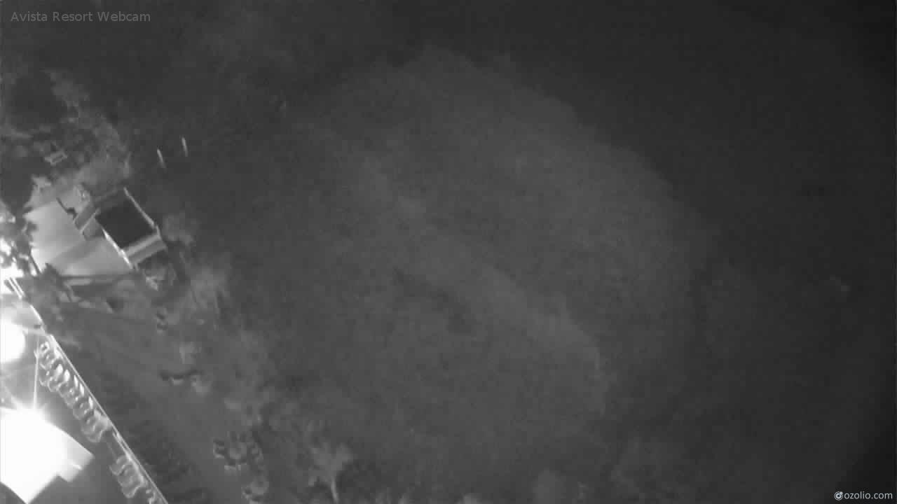
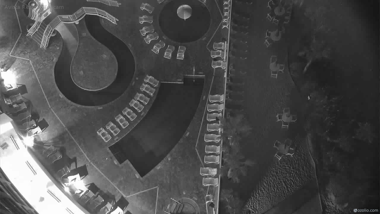
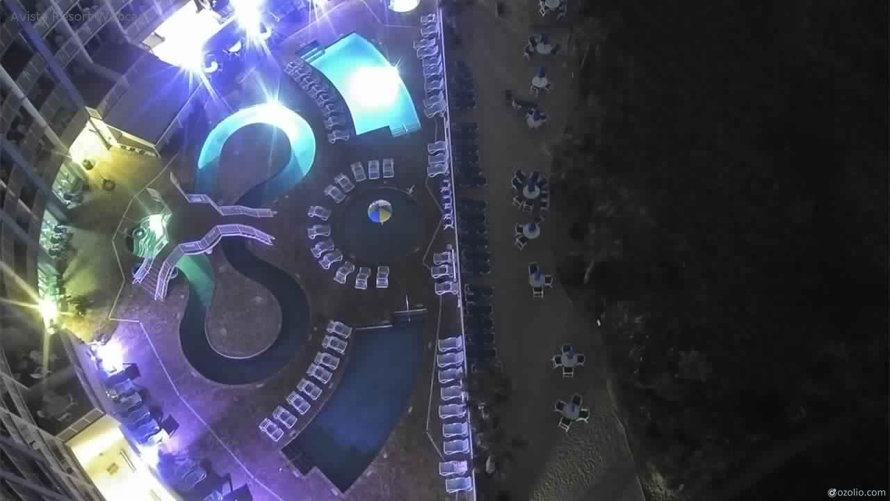
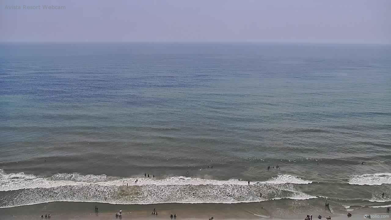
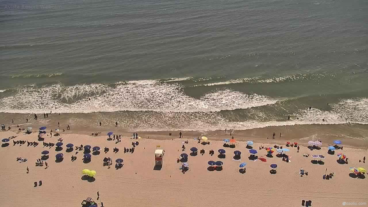
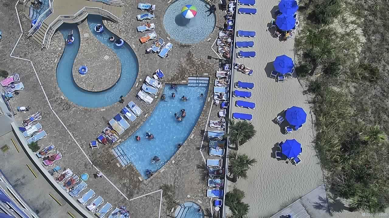
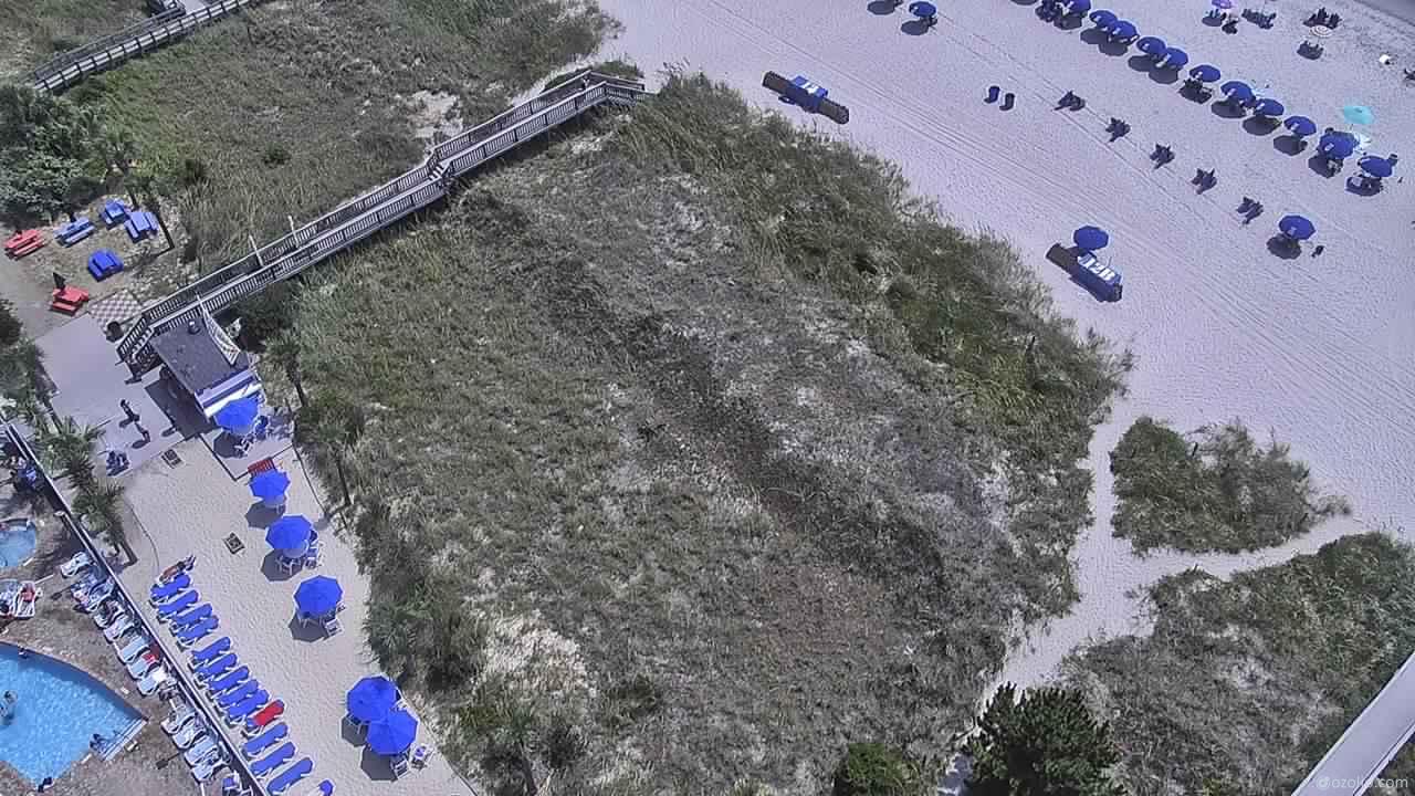
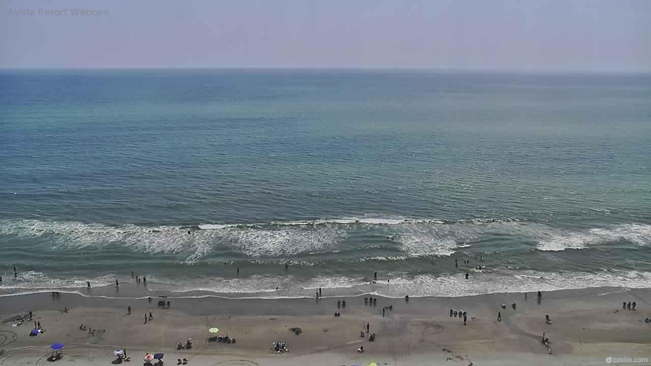
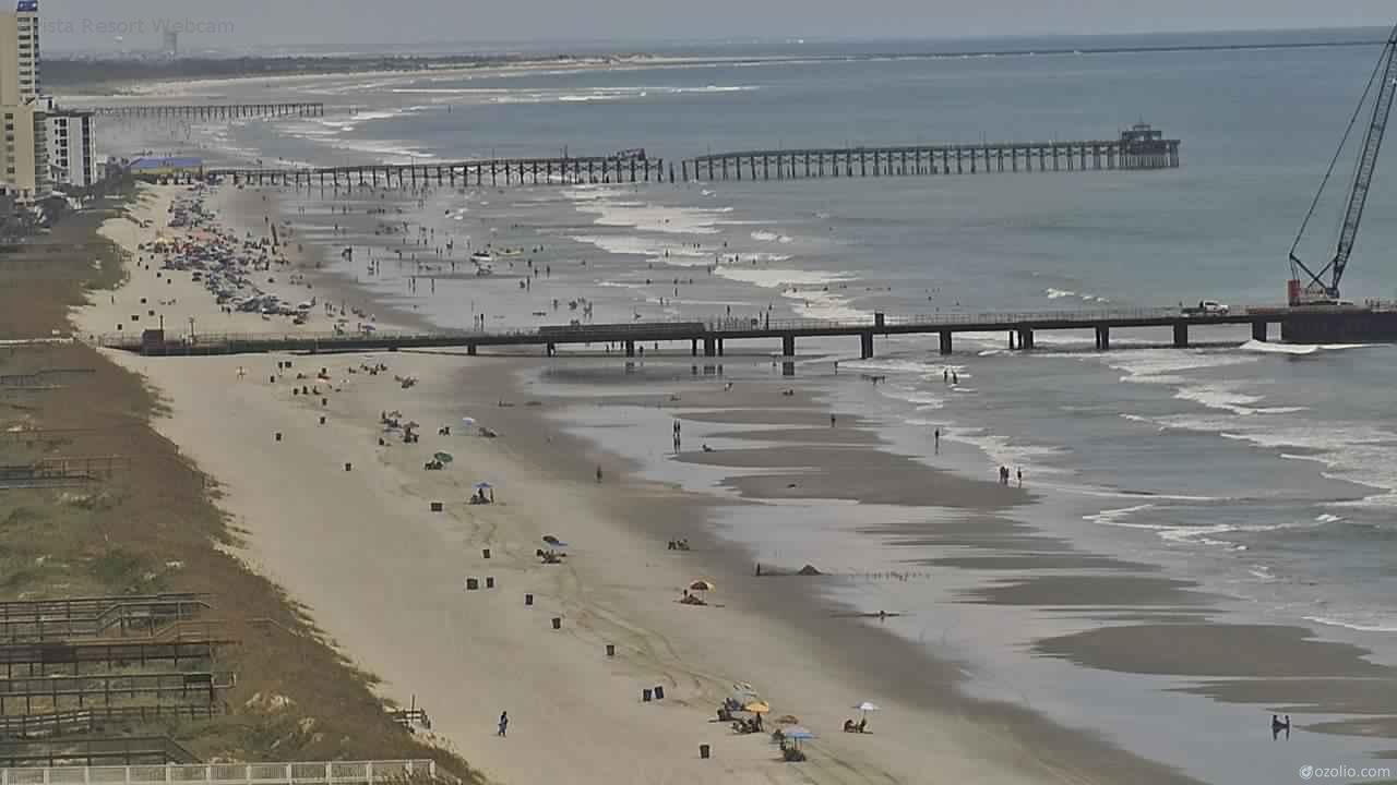
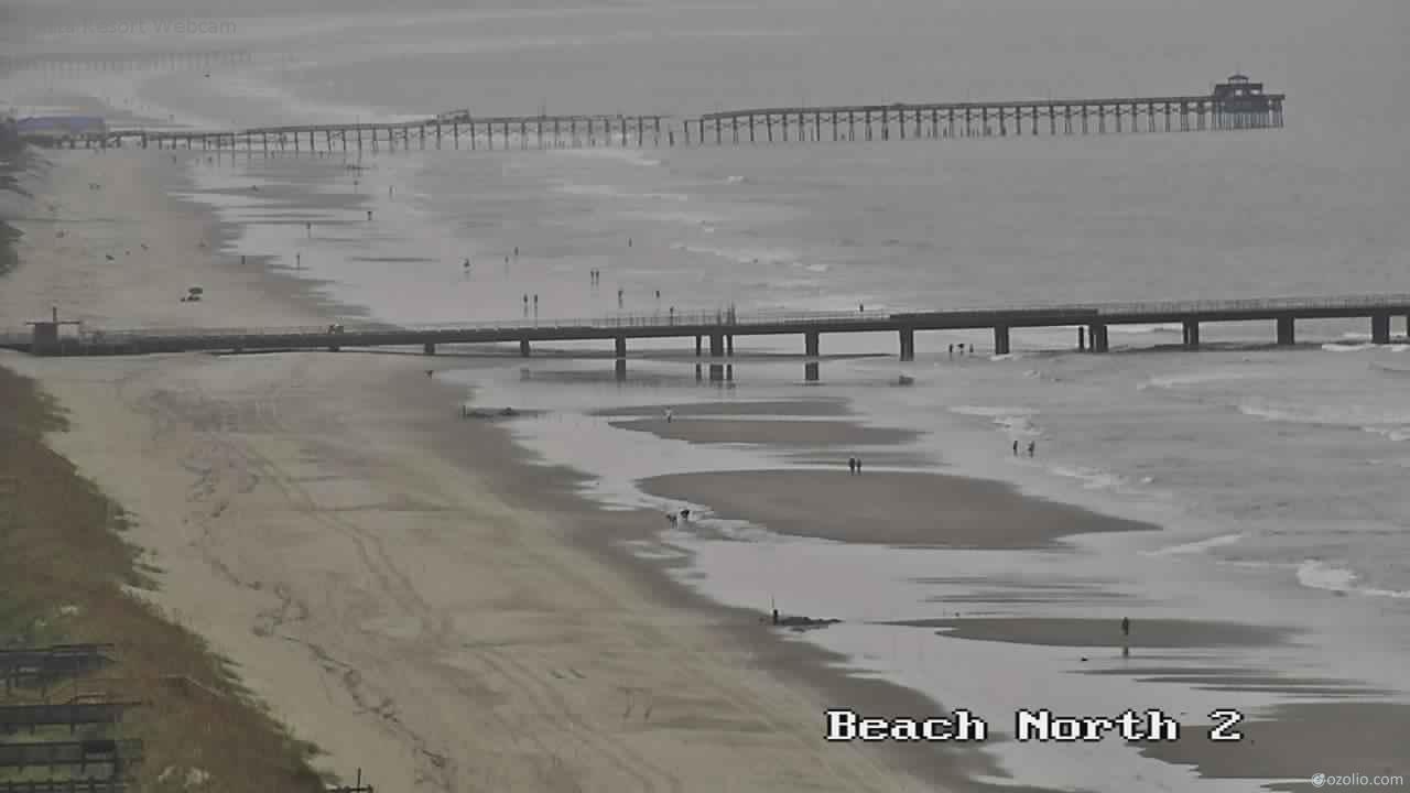
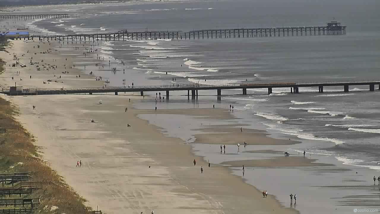
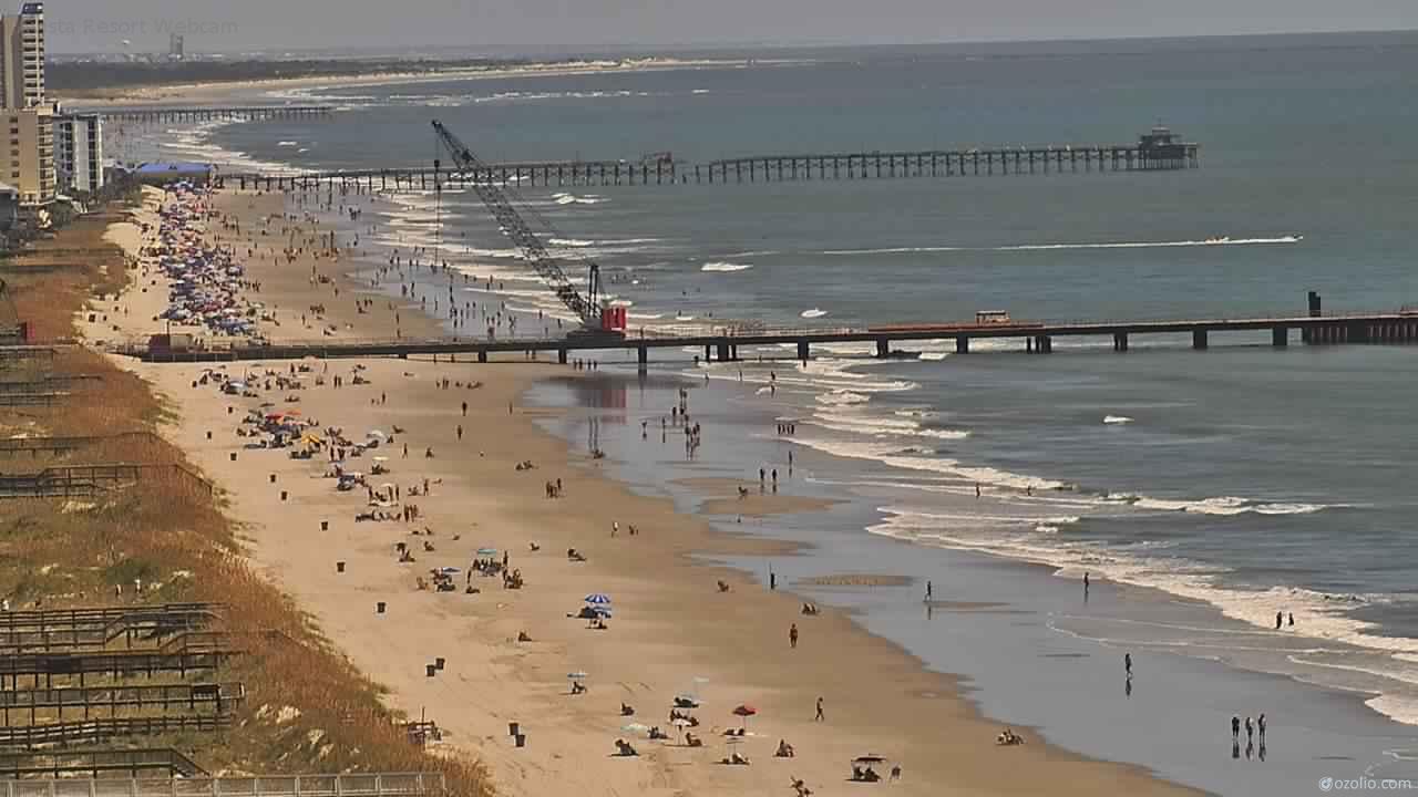
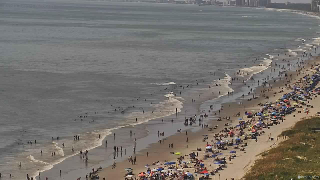
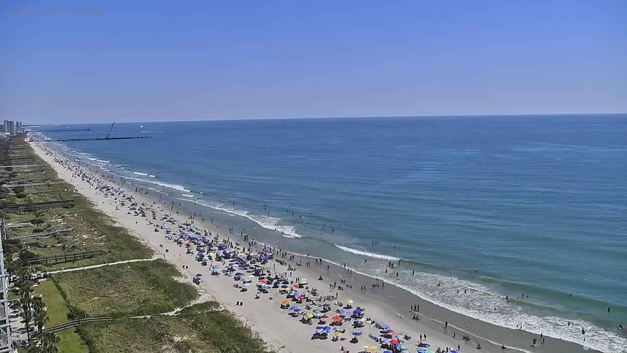
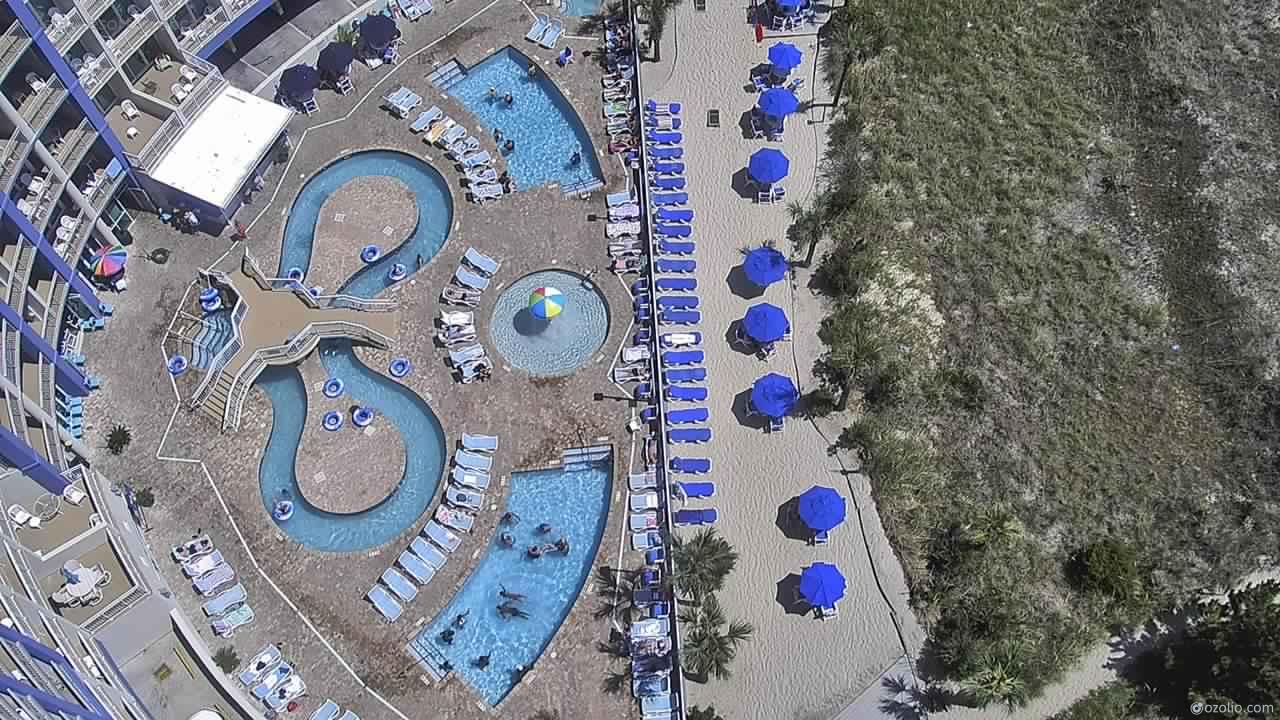
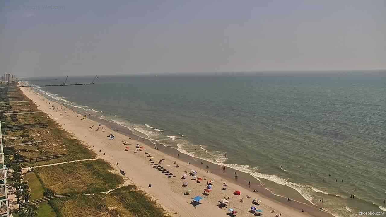
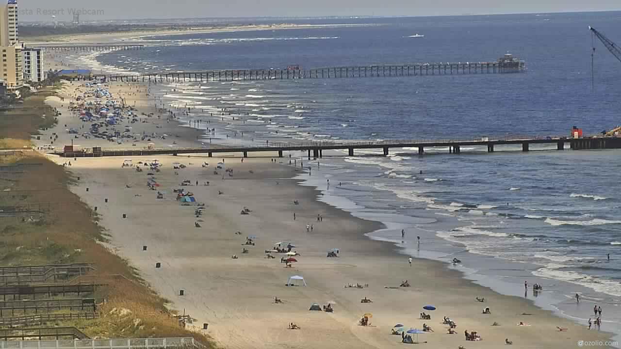
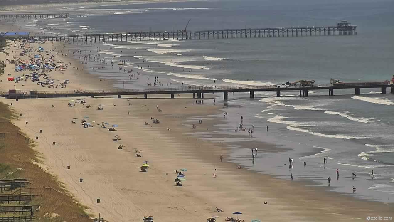
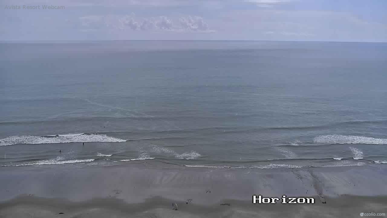
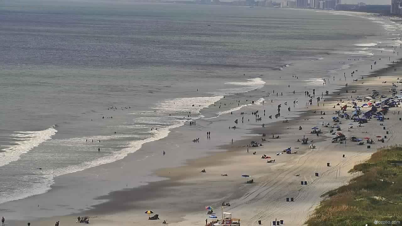
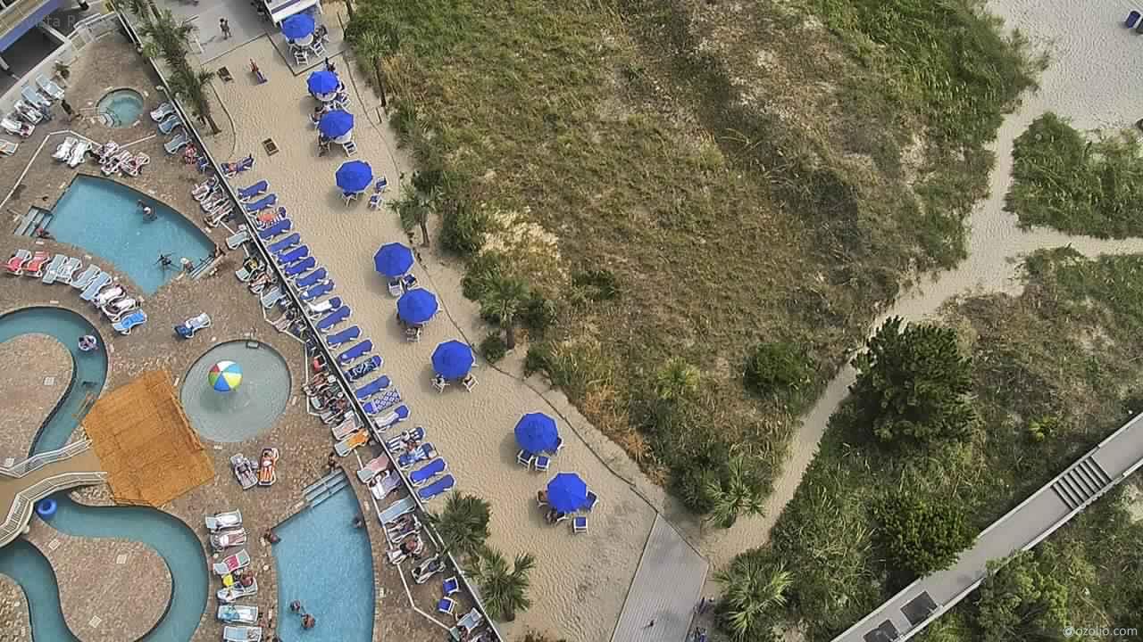
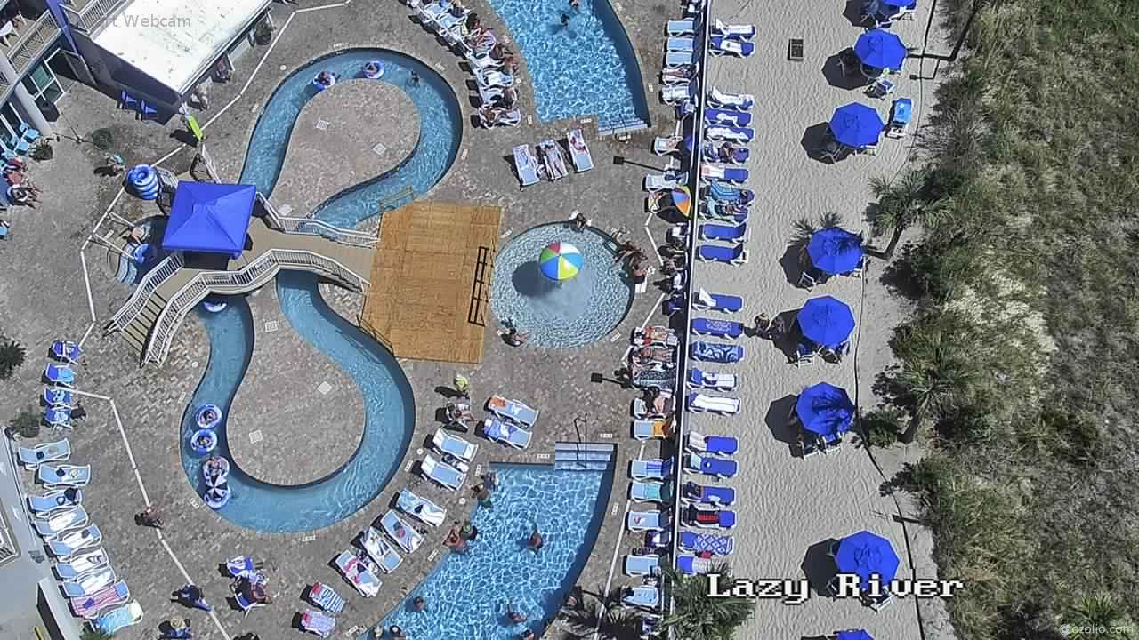
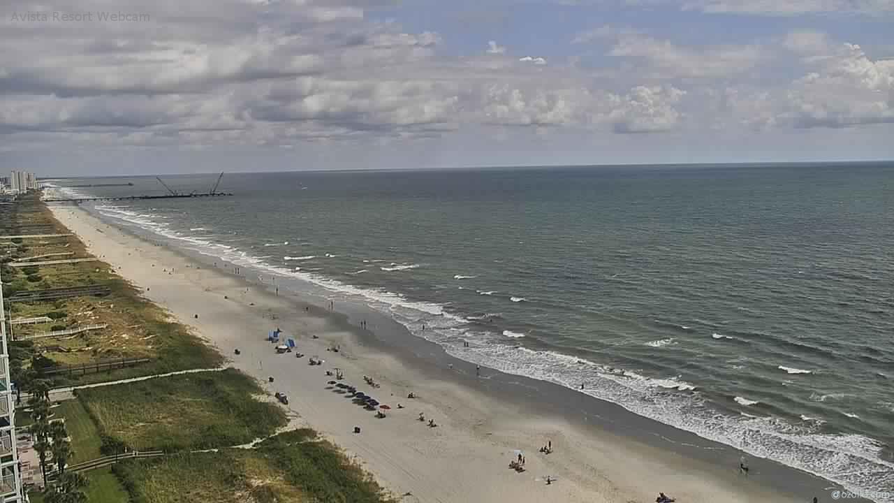
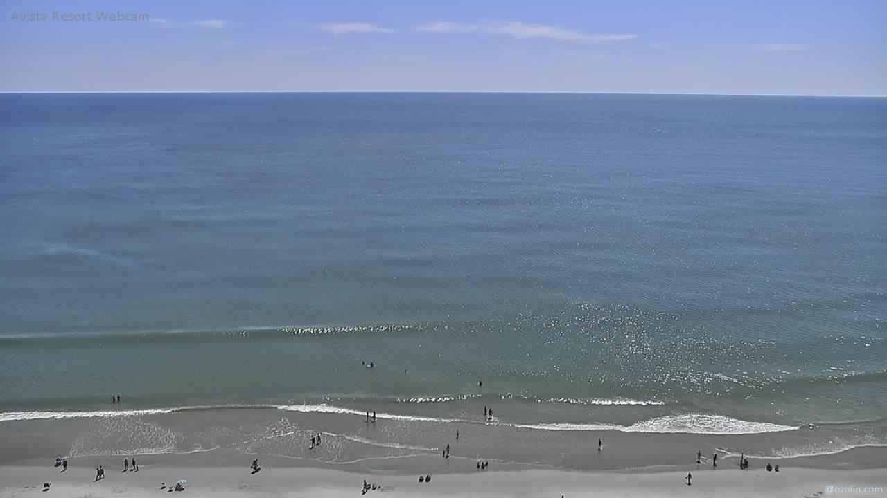
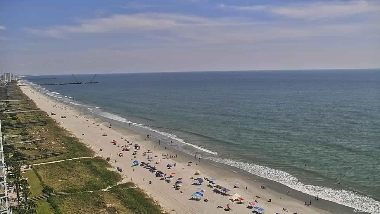
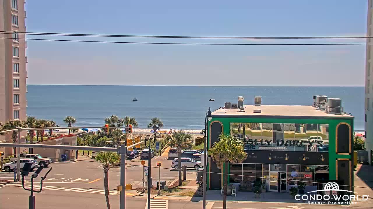
North Myrtle Beach, South Carolina, USA - 78.7 miles from Sunnybrook Heights: Avista Resort - View over the beach of North Myrtle Beach from the Avista Resort.
Operator: Avista Resort Hotel
Operator: Avista Resort Hotel


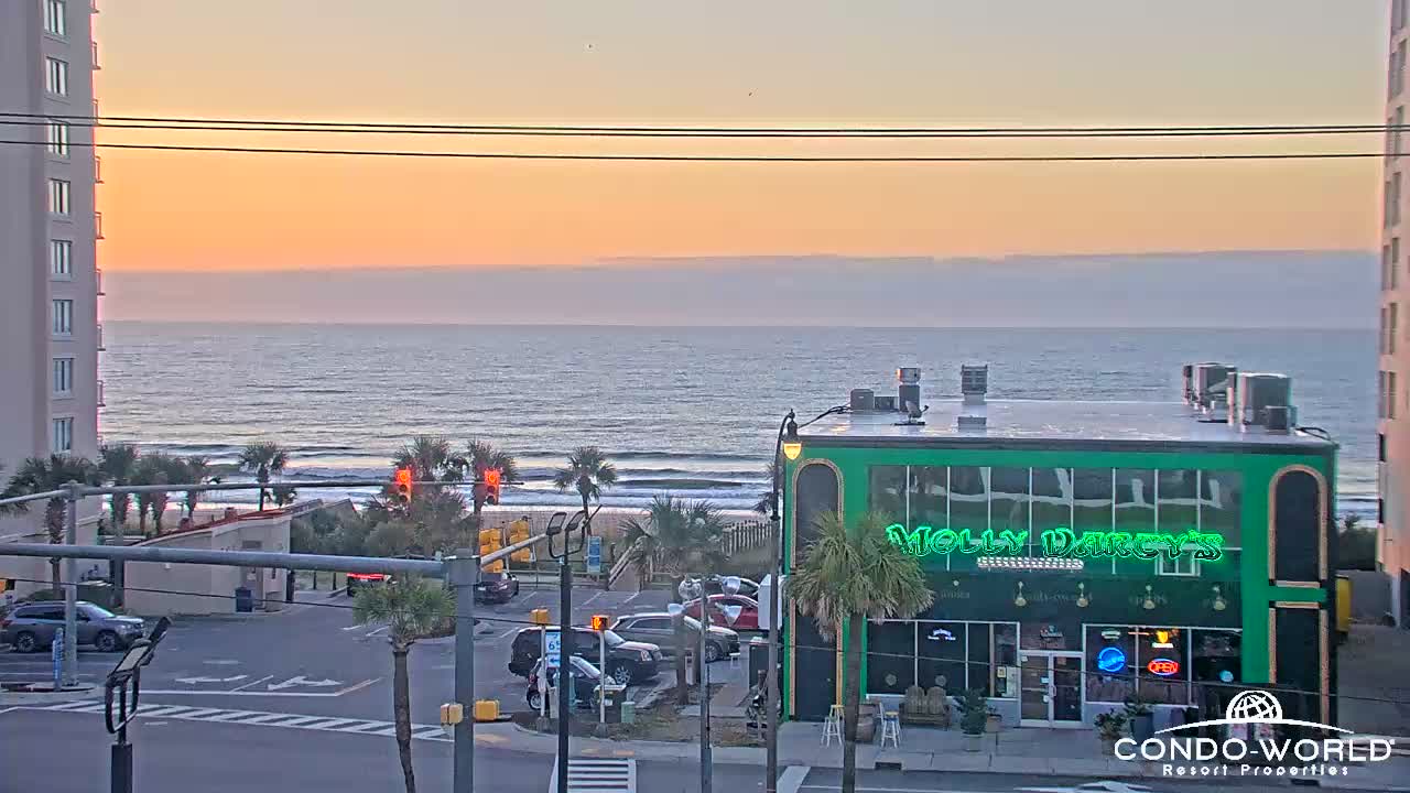
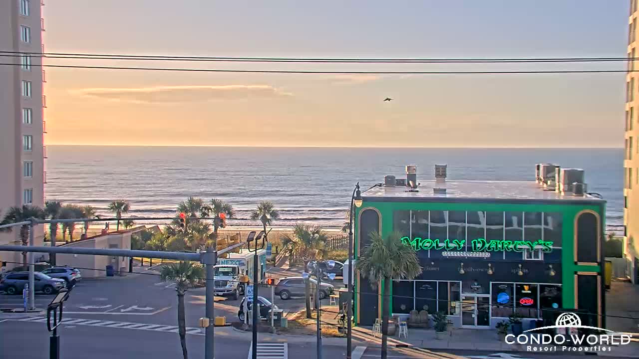
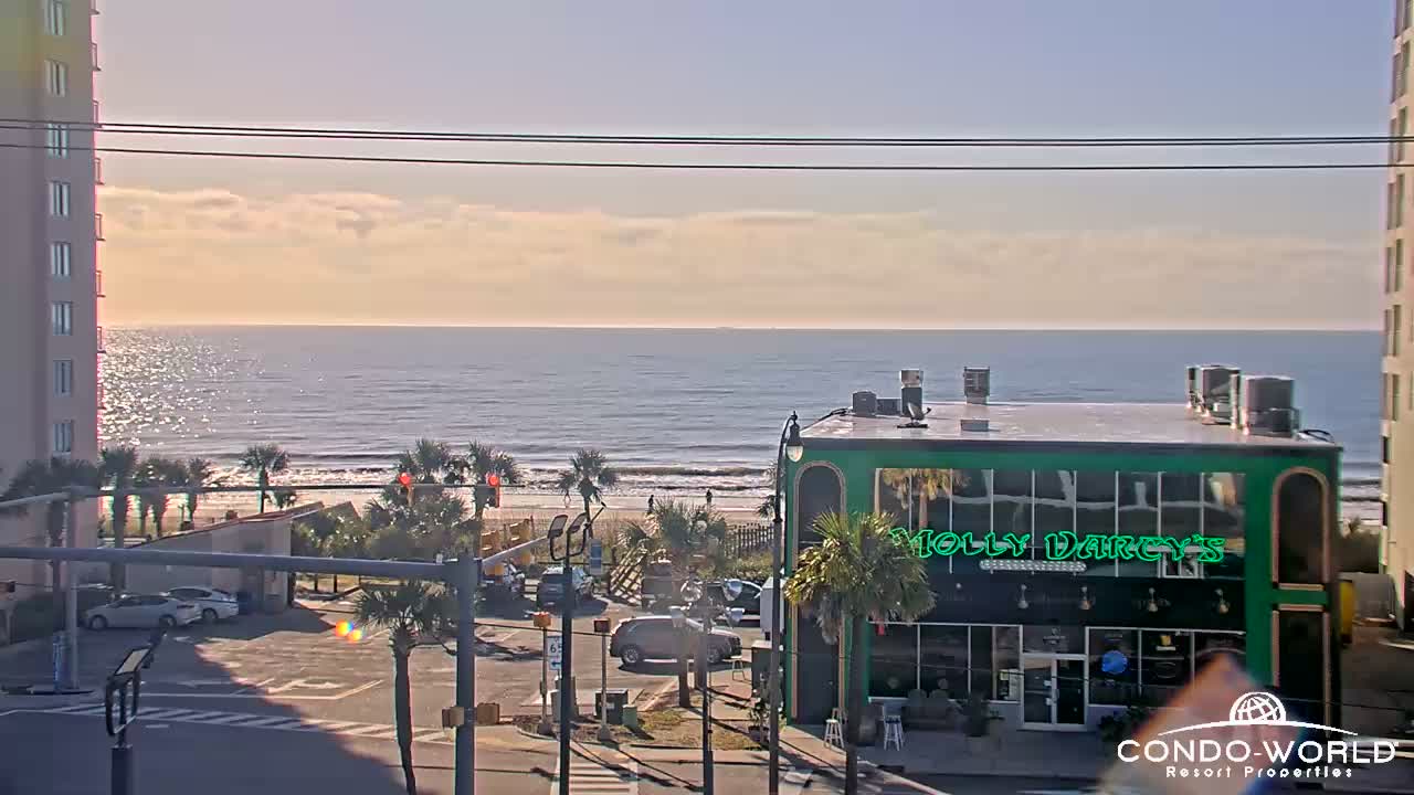
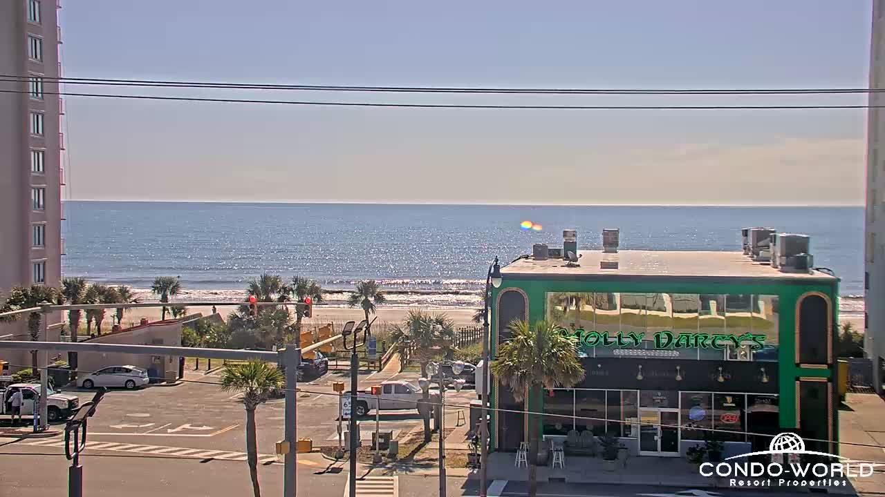
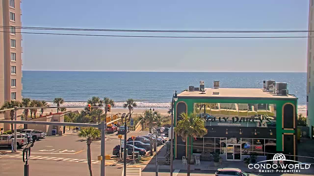
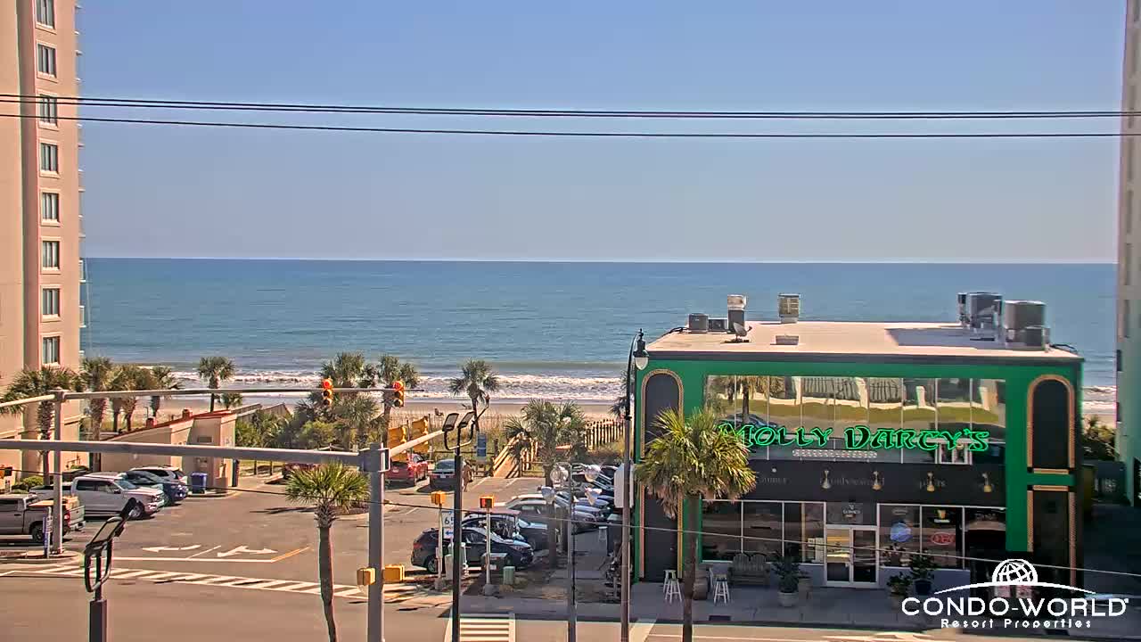
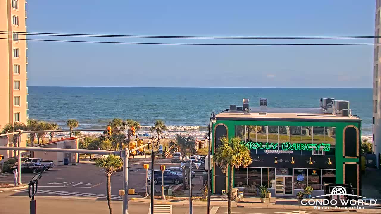
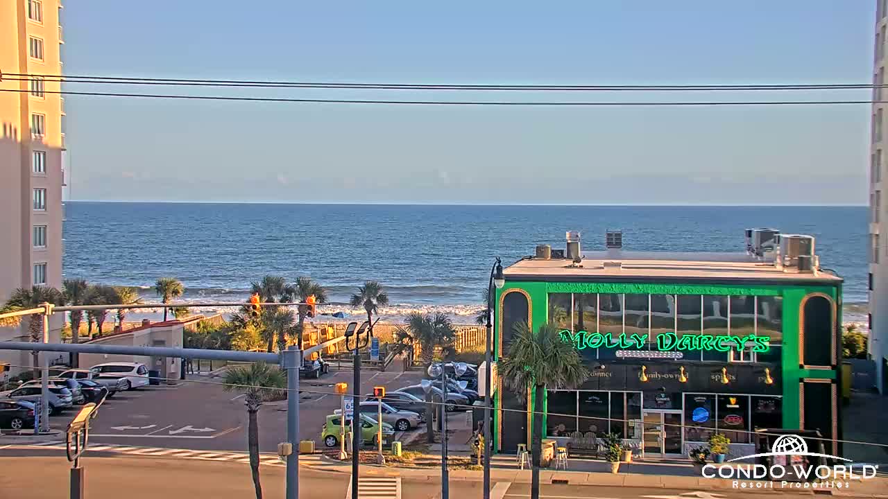
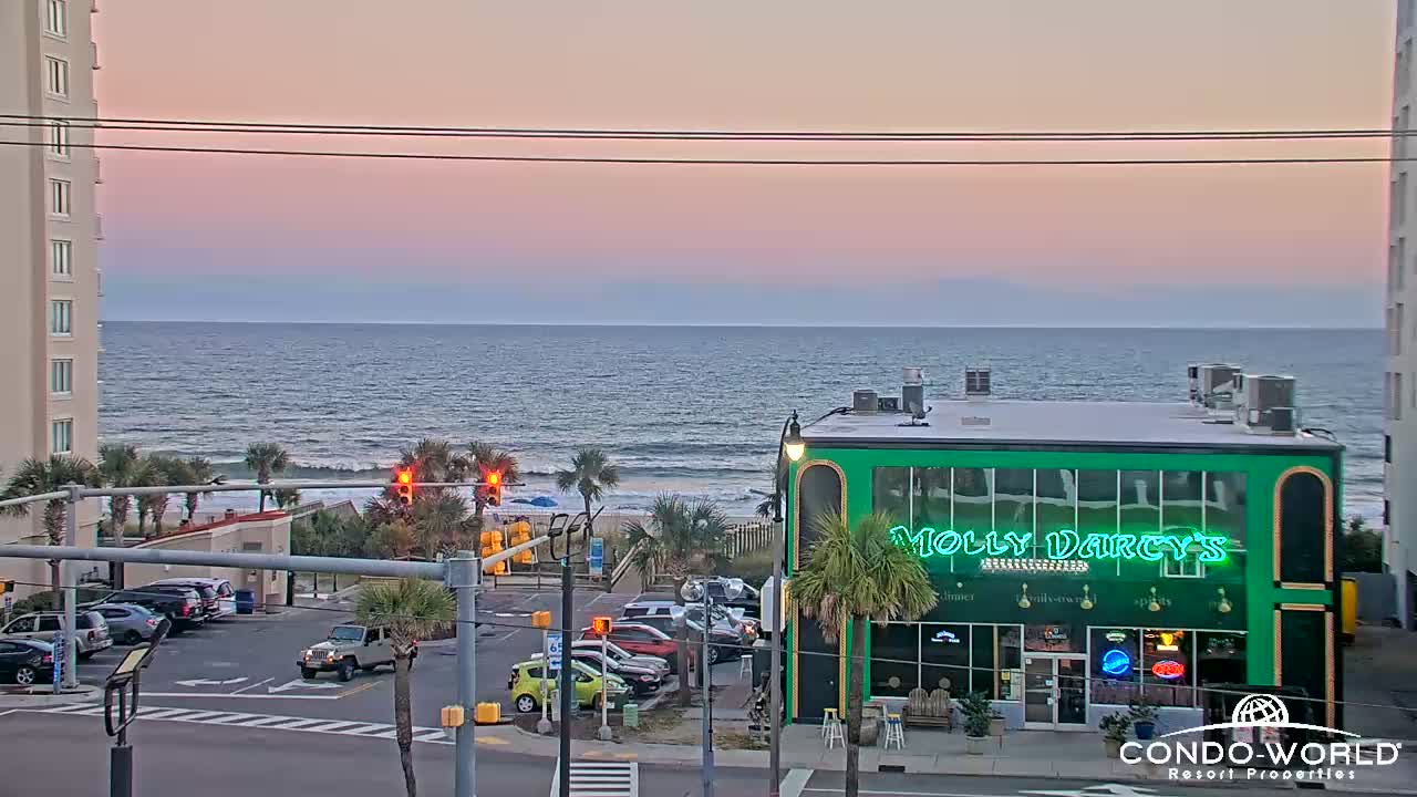
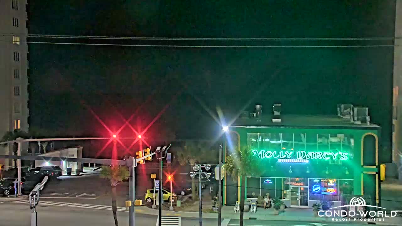
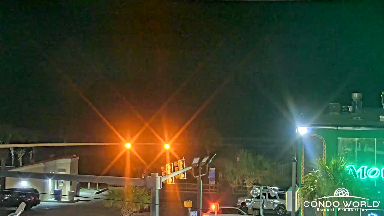
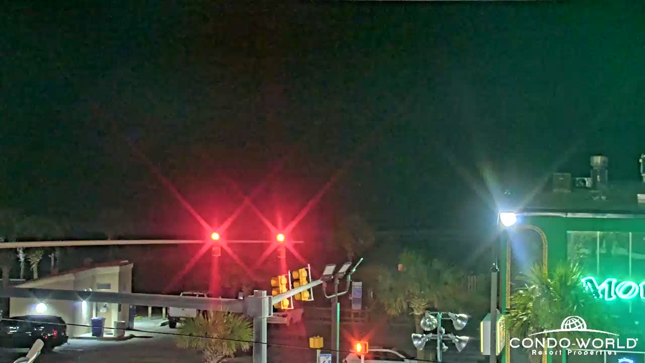
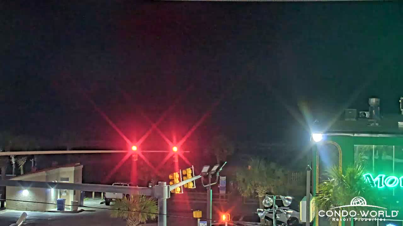
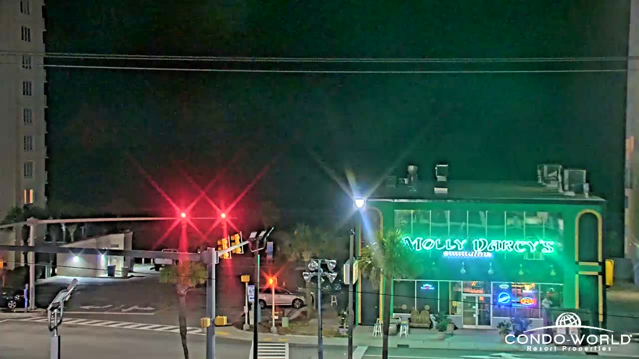
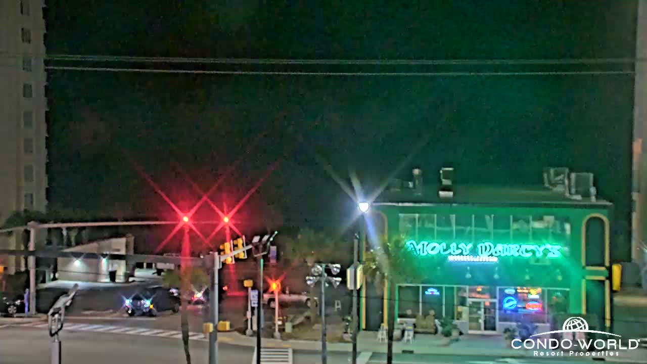
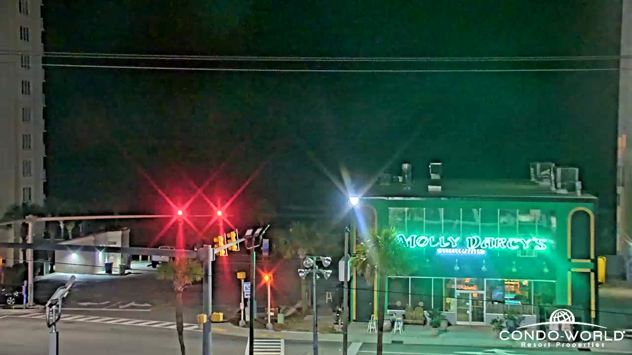
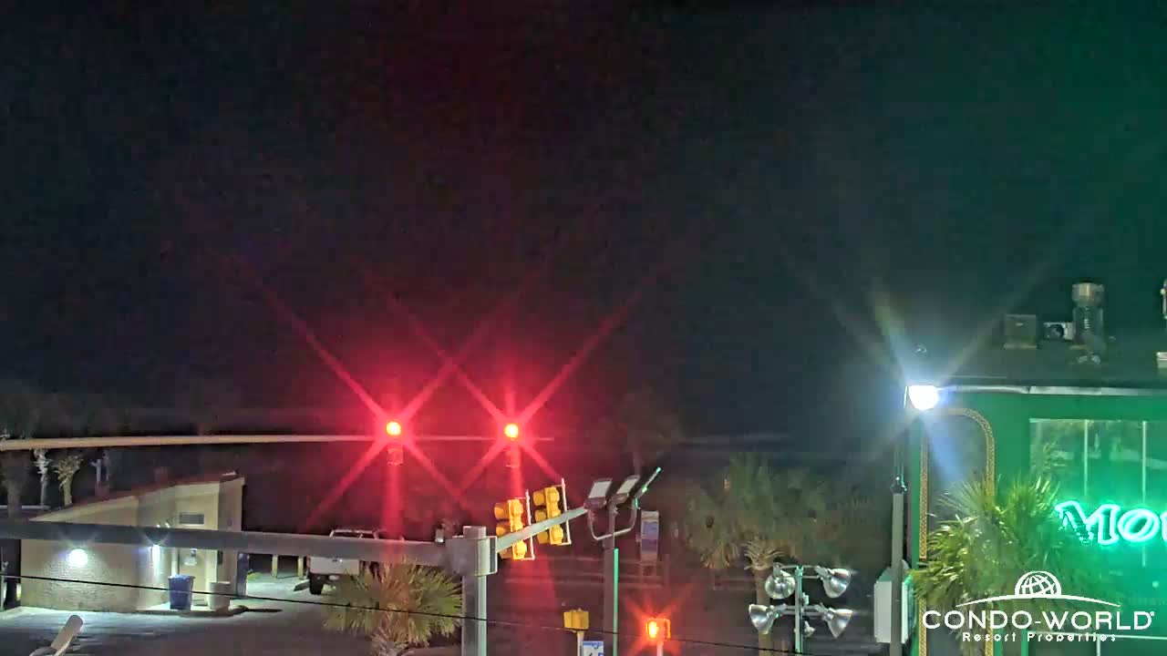
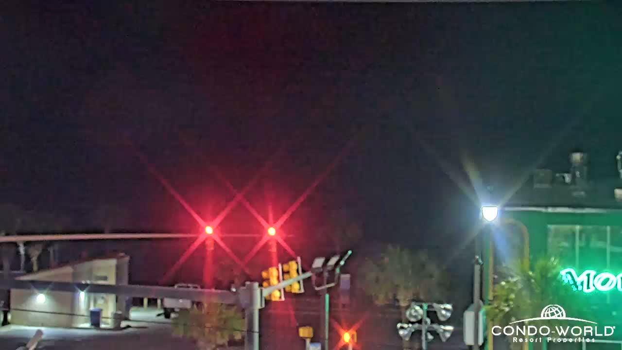
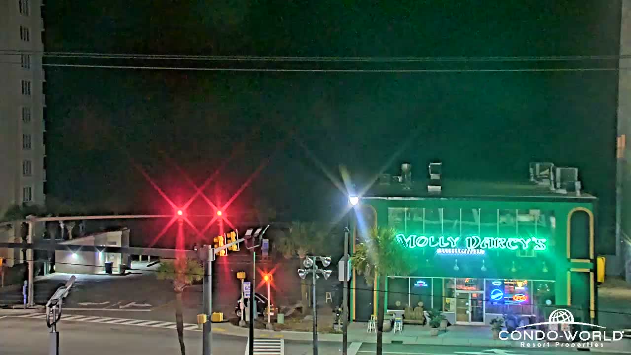
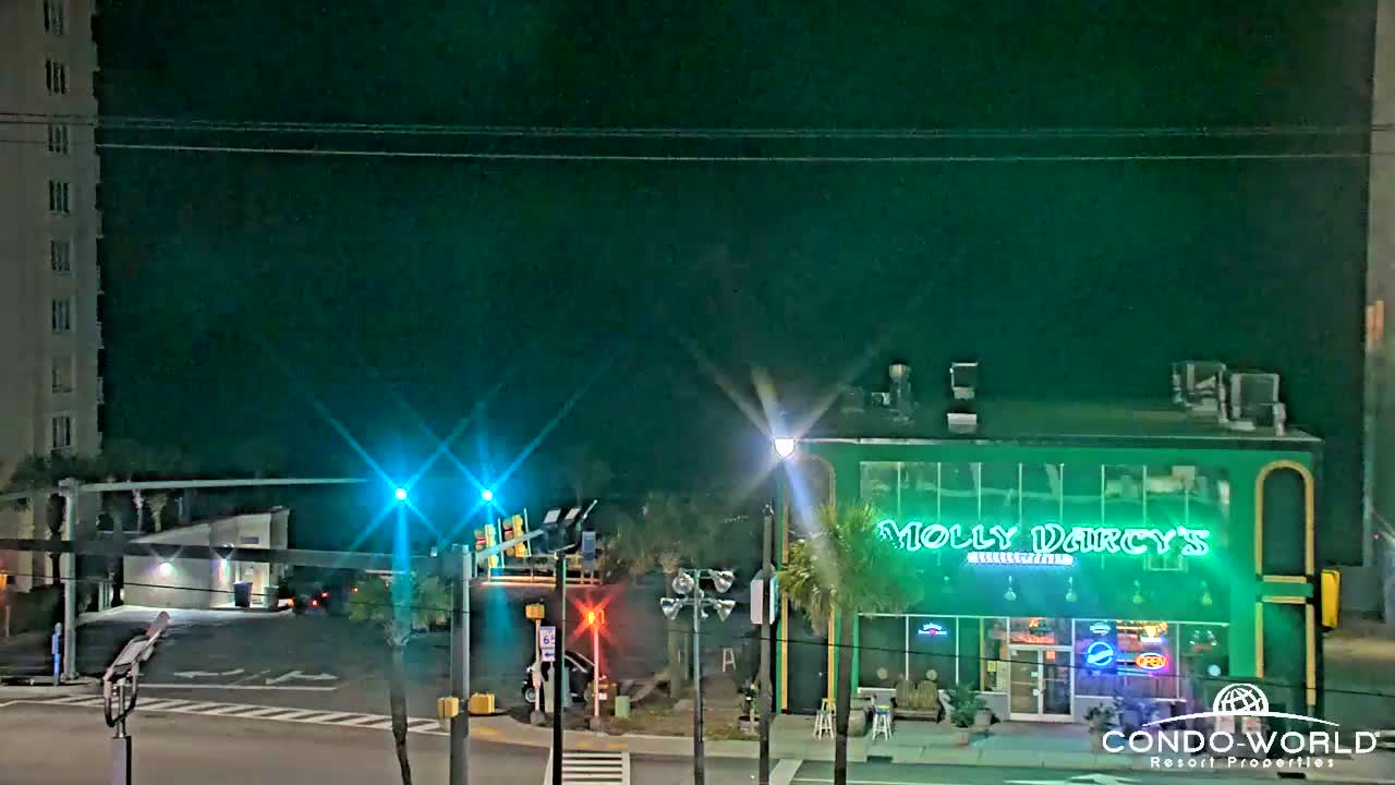
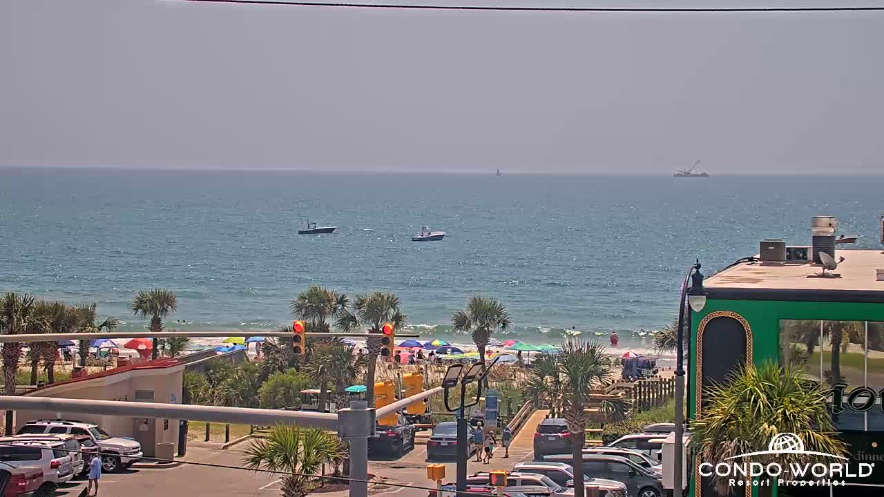
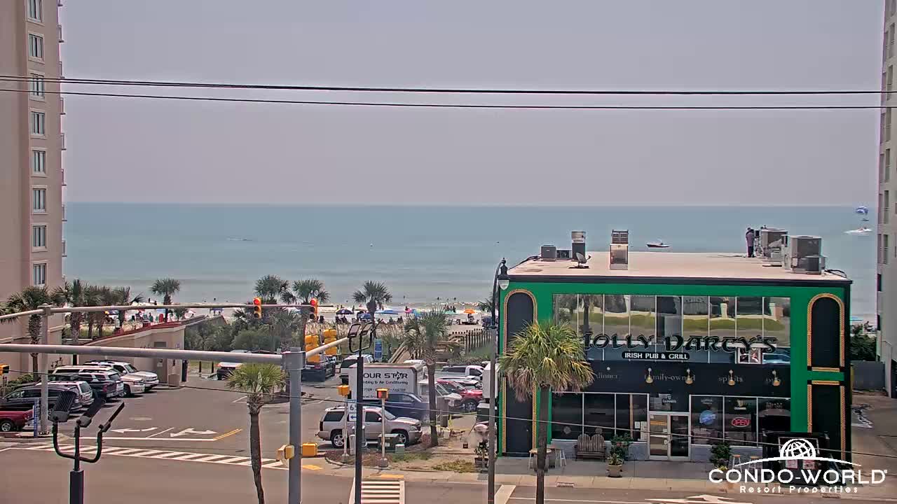
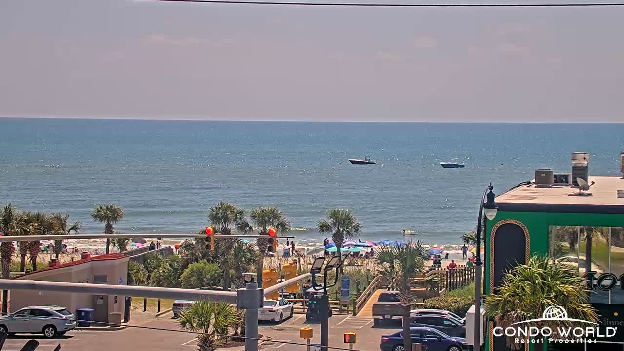
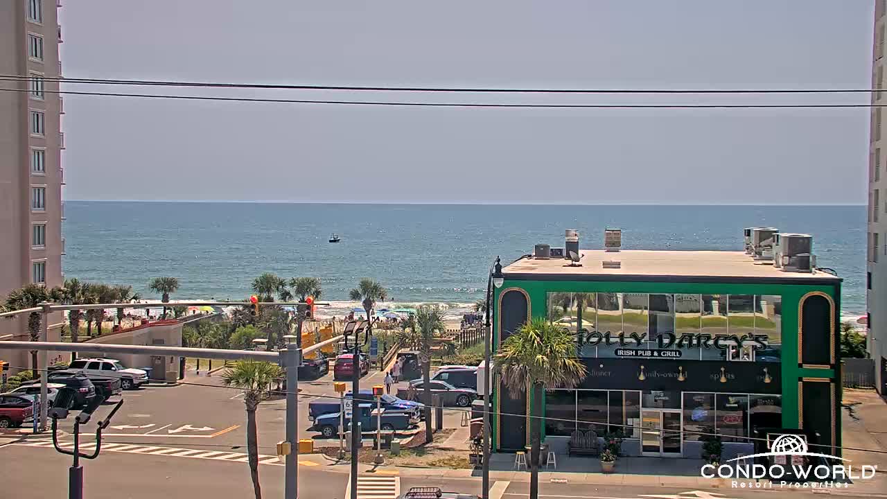
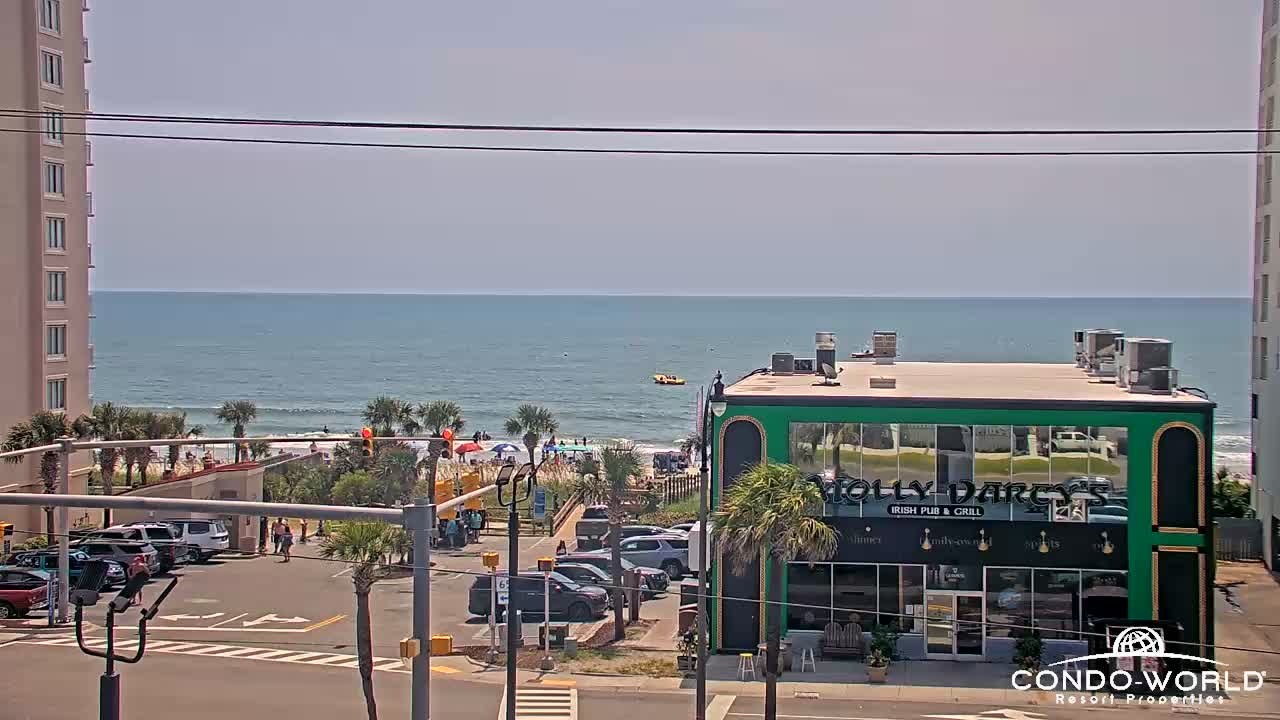
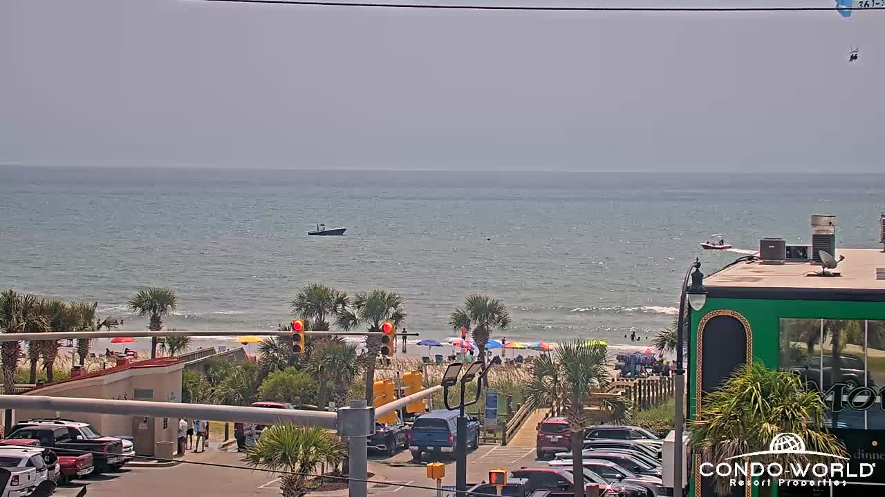
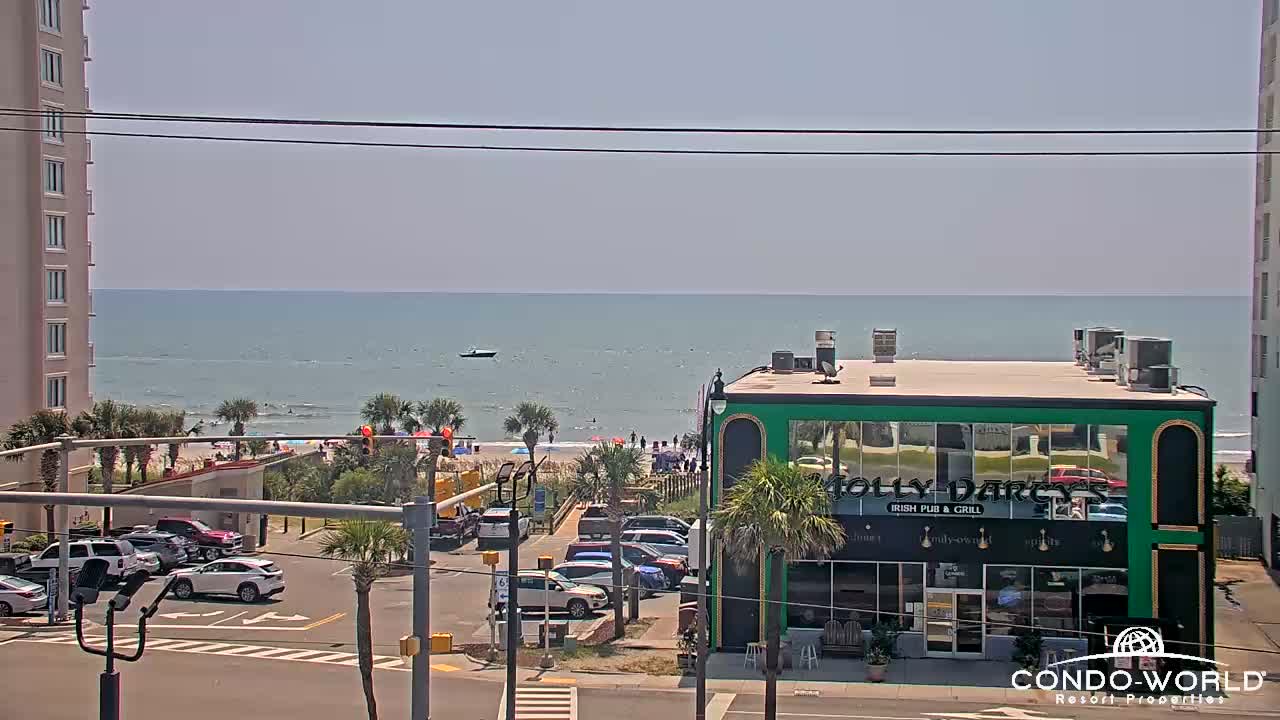
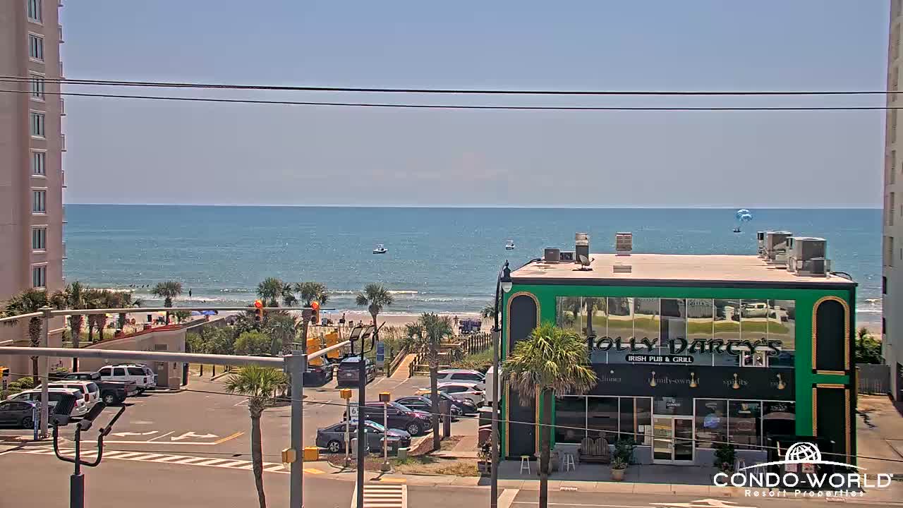
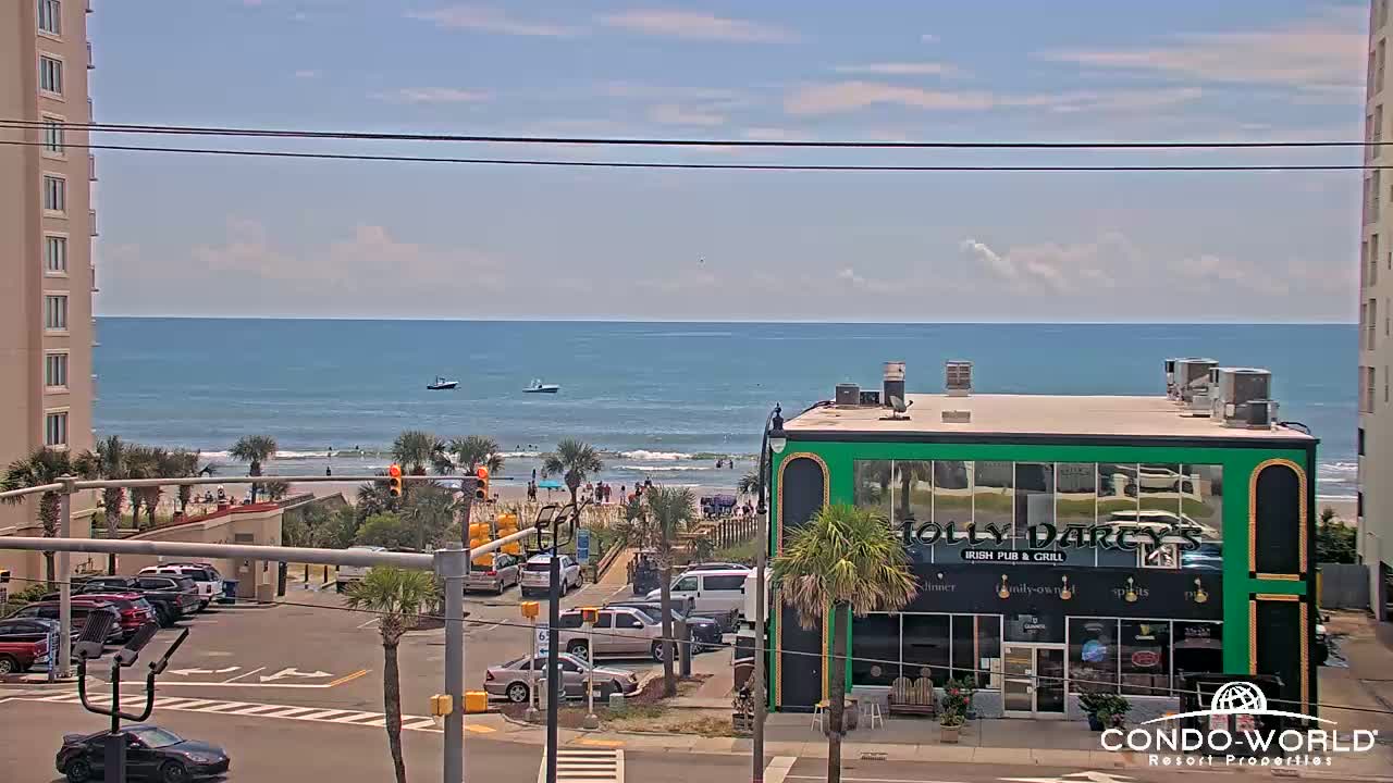
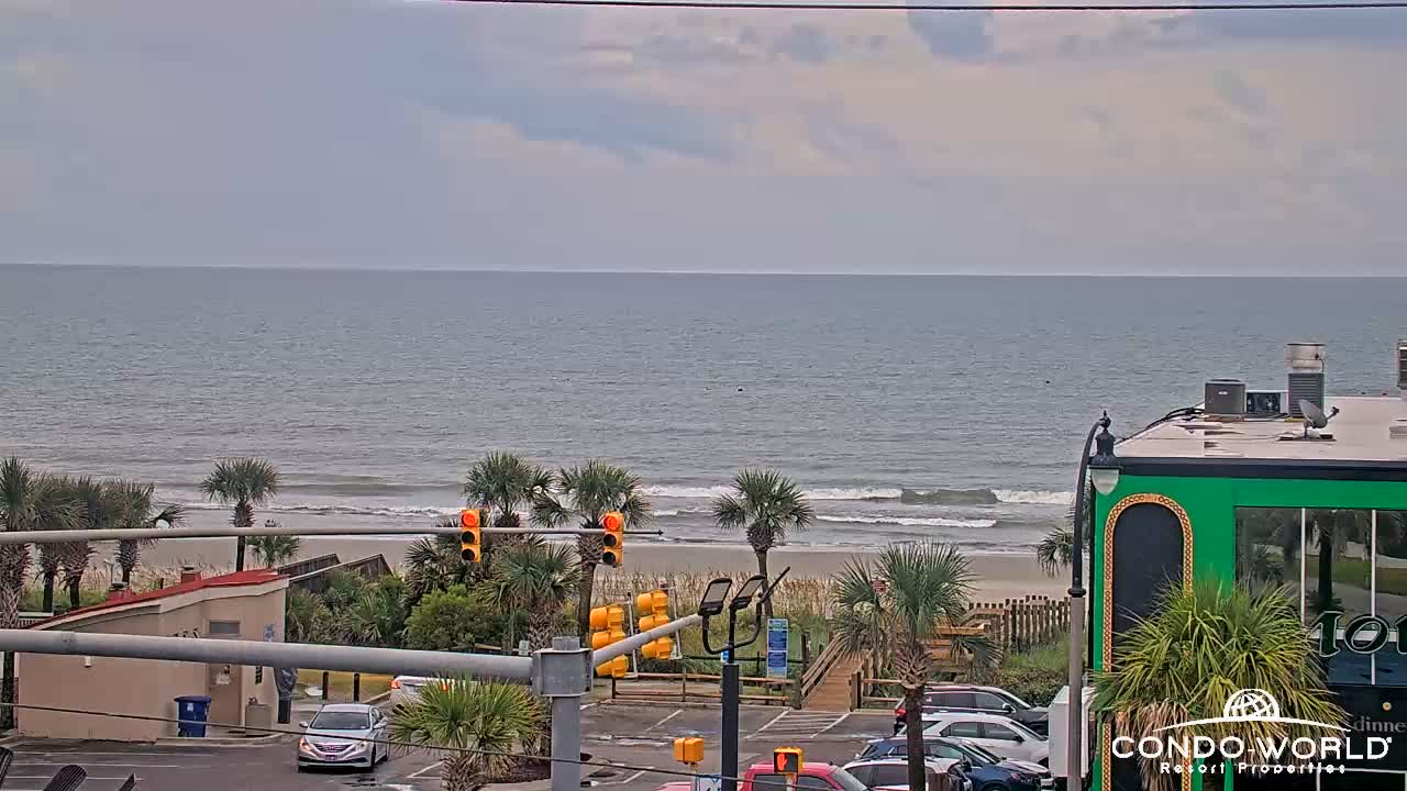
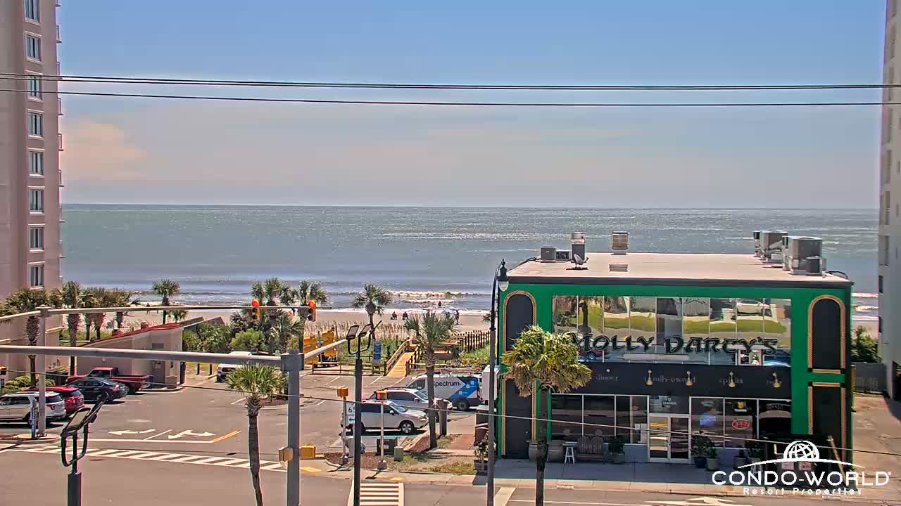
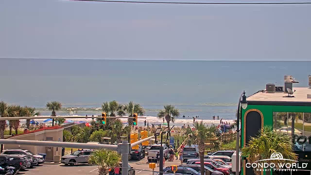
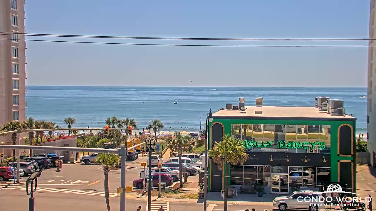
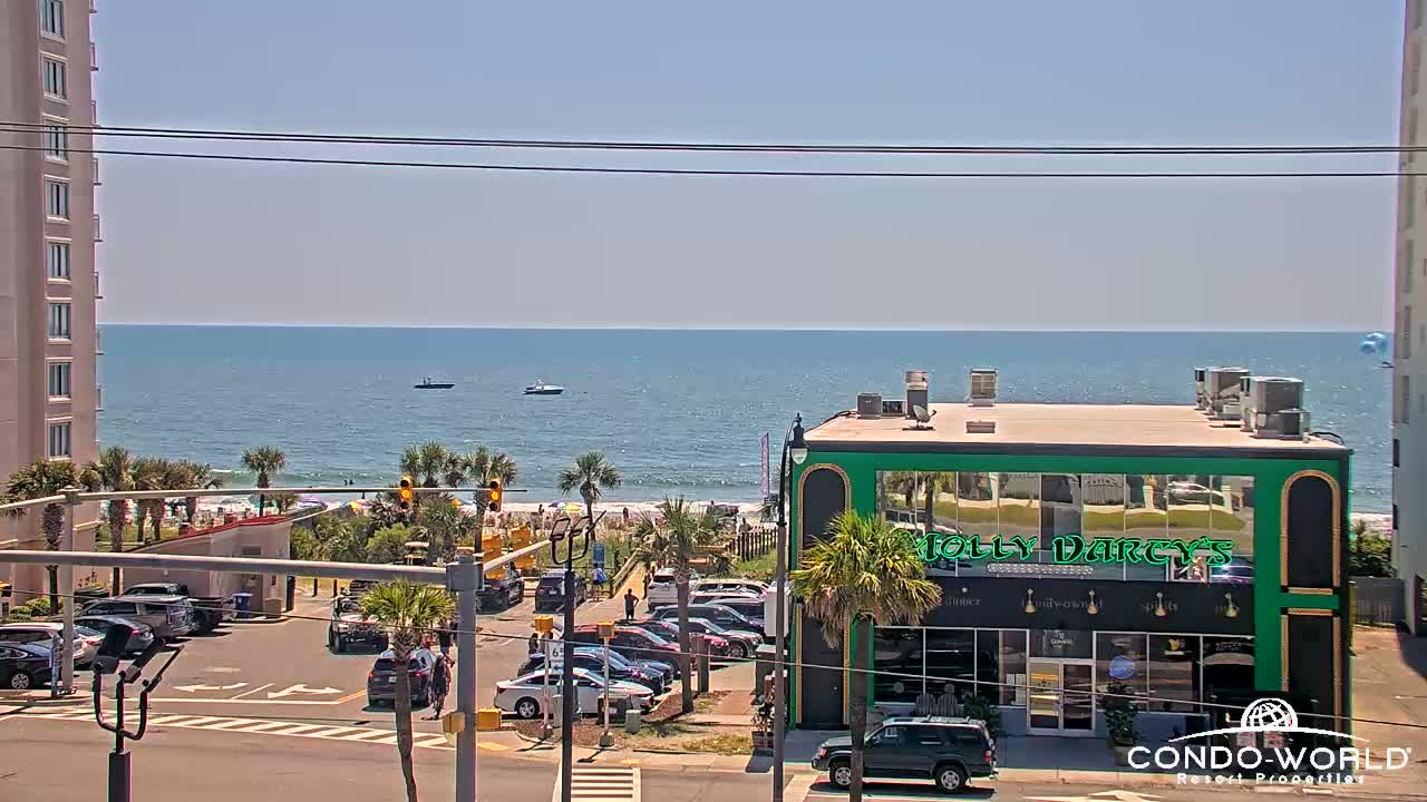
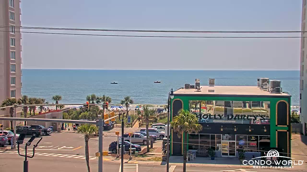
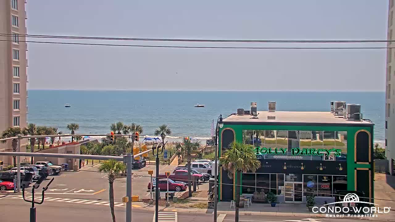
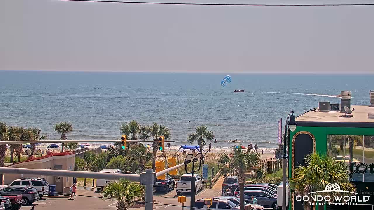
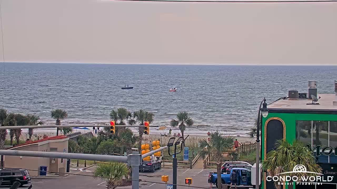
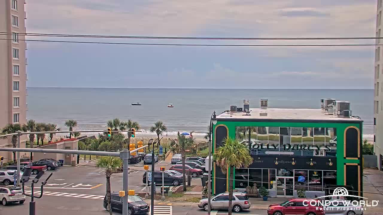
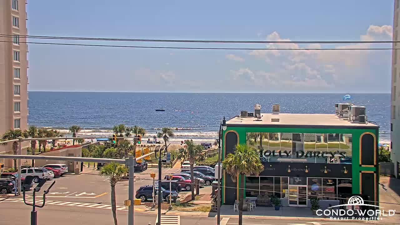
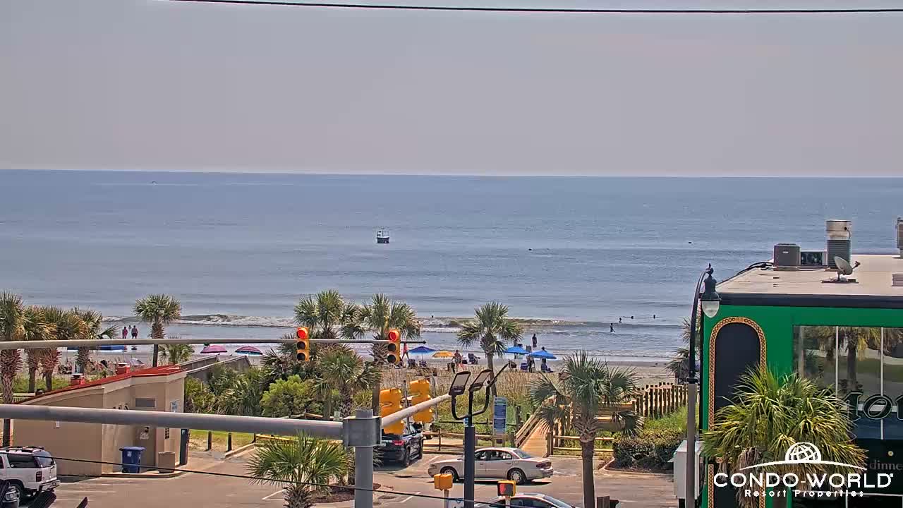
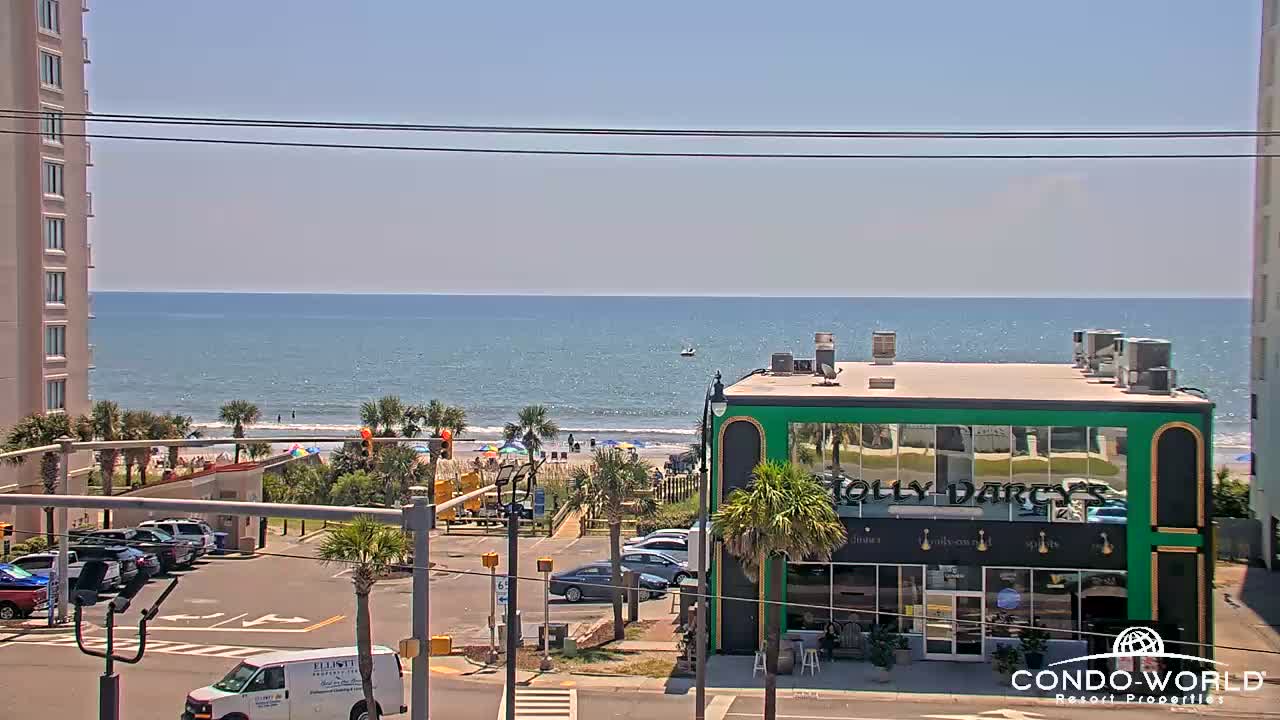
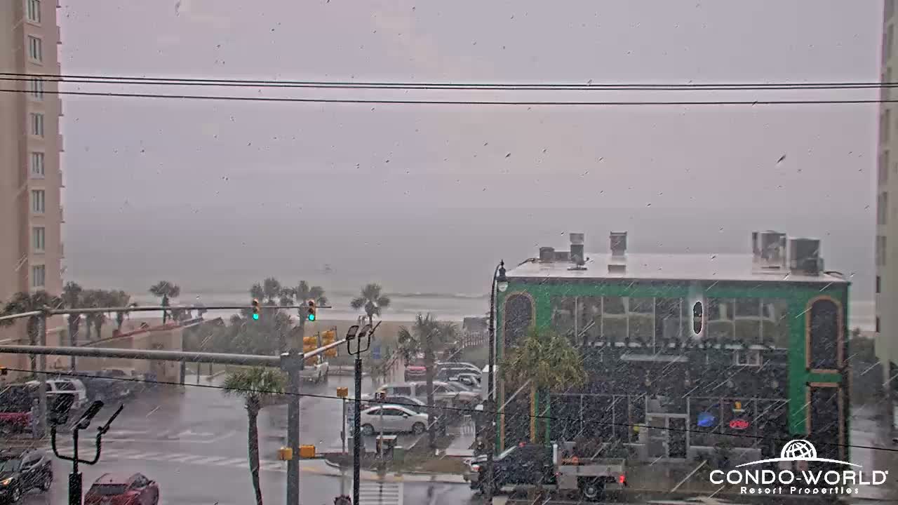
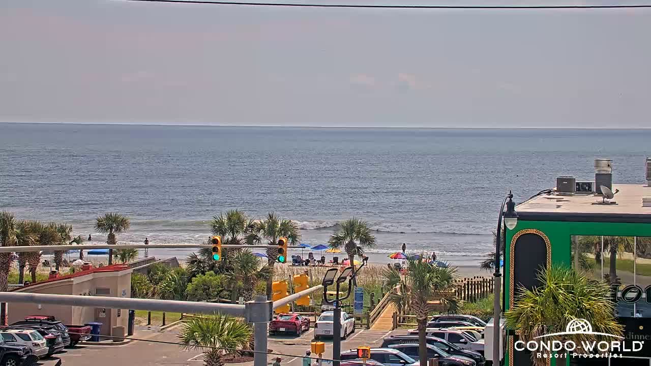
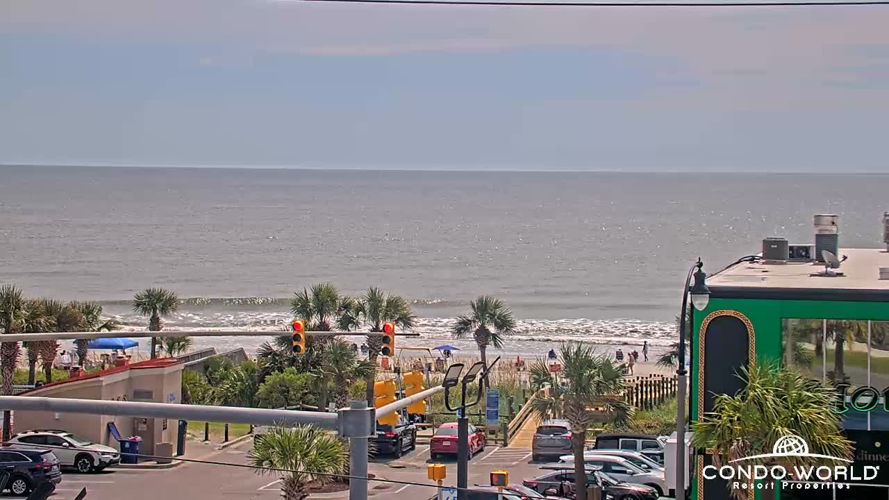
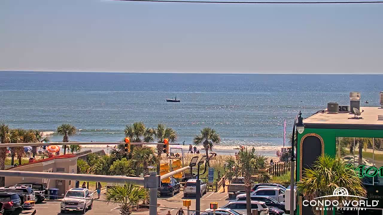
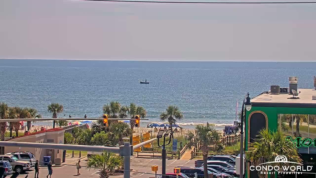
North Myrtle Beach, South Carolina, USA - 78.7 miles from Sunnybrook Heights: Condo-World Beach Cam - A view of the beach at the end of 17th Ave S in North Myrtle Beach from Condo-World.
Operator: Condo-World
Operator: Condo-World


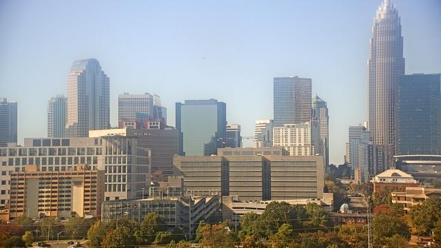
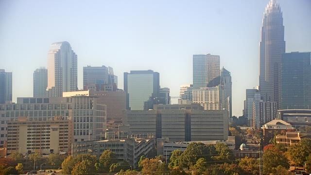
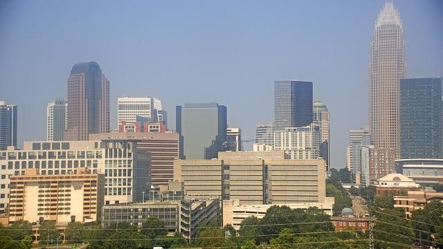
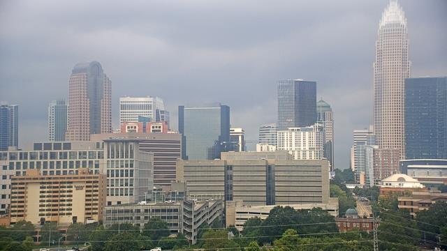
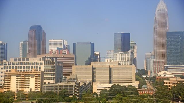
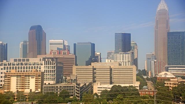
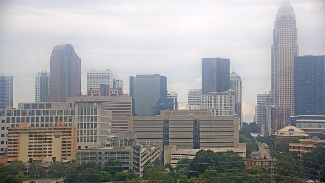
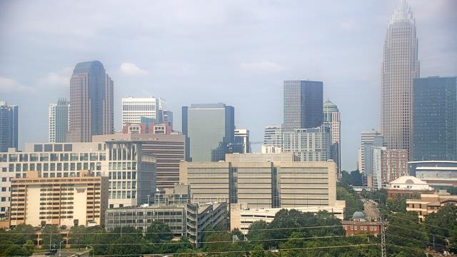
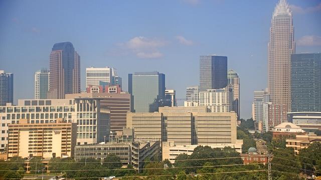
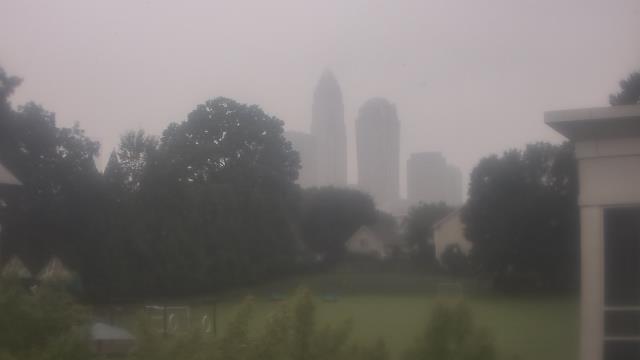
Charlotte, North Carolina, USA - 78.8 miles from Sunnybrook Heights: Central Piedmont Community College - A webcam in Charlotte, North Carolina - camera location: Central Piedmont Community College.
Operator: WeatherBug
Operator: WeatherBug


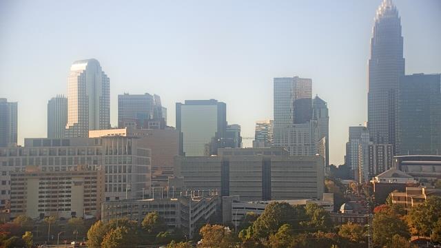


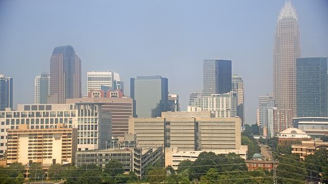

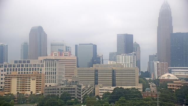


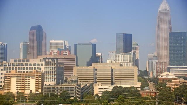


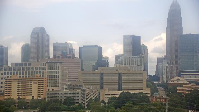

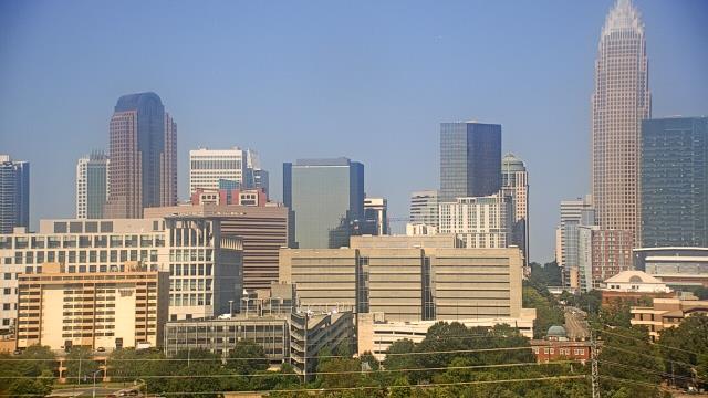


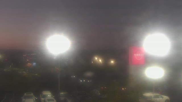
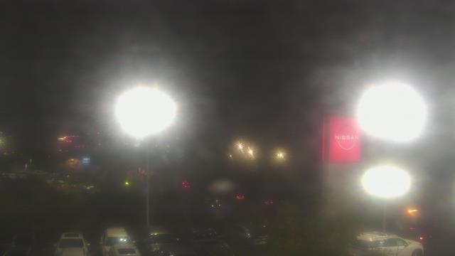
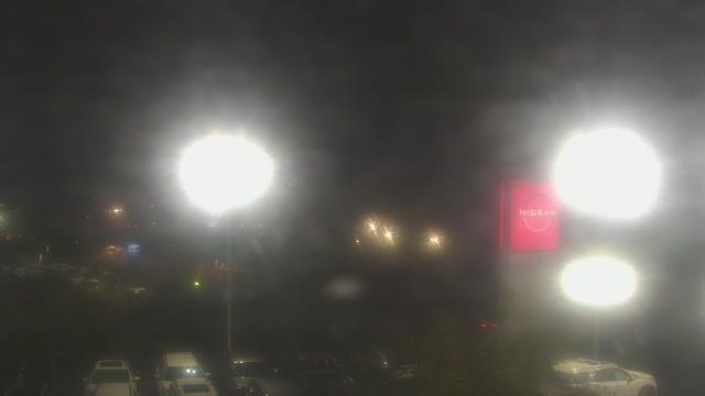
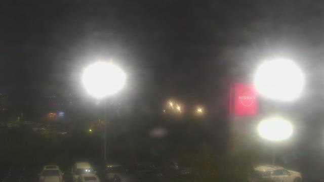
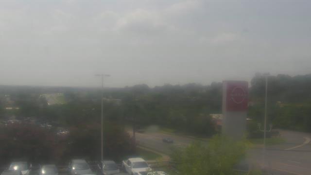
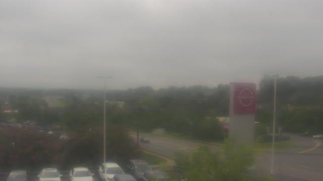
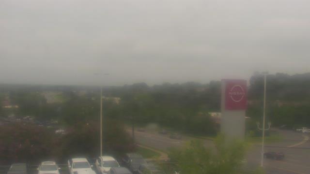
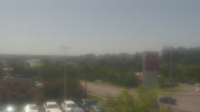
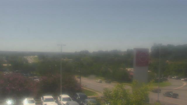
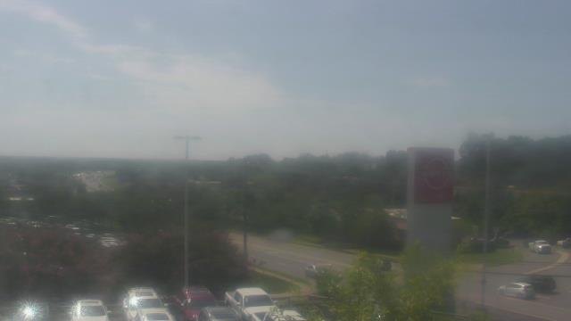
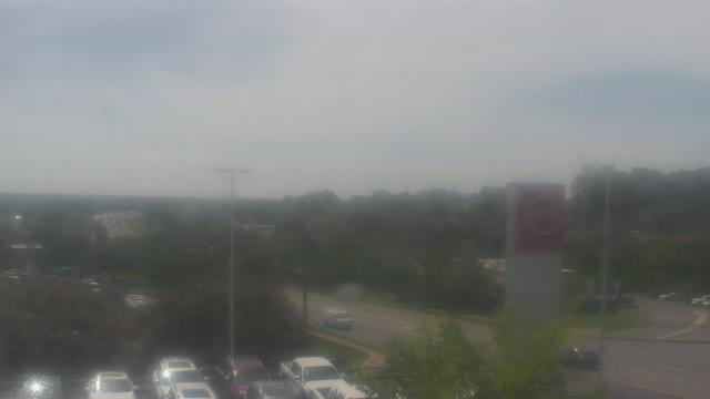
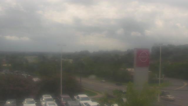
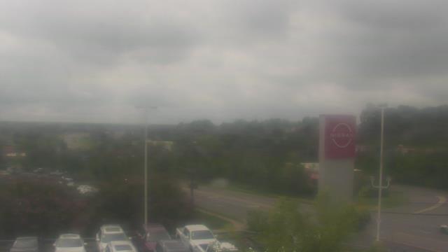
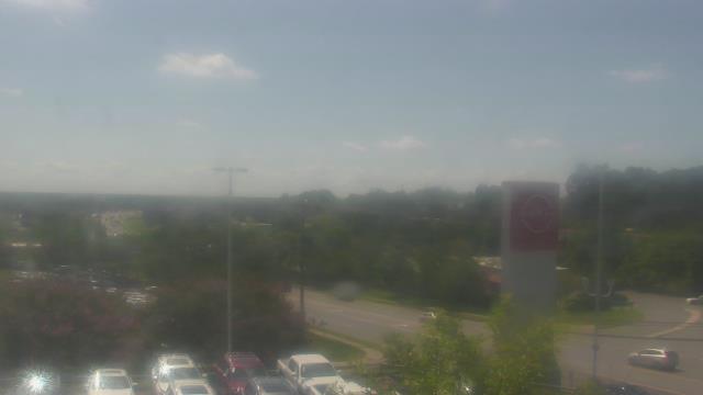
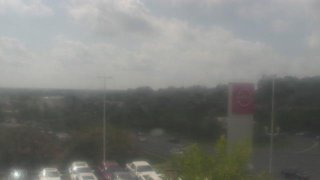
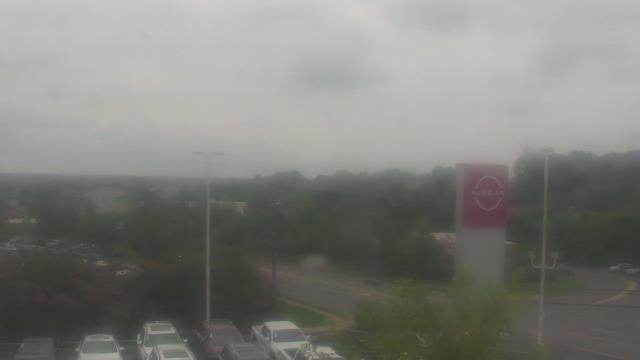
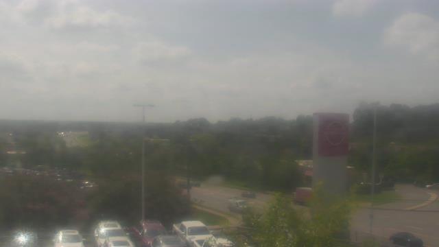
Charlotte, North Carolina, USA - 78.8 miles from Sunnybrook Heights: Scott Clarks Nissan - A webcam in Charlotte, North Carolina - camera location: Scott Clarks Nissan.
Operator: WeatherBug
Operator: WeatherBug


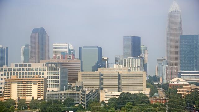
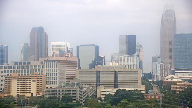
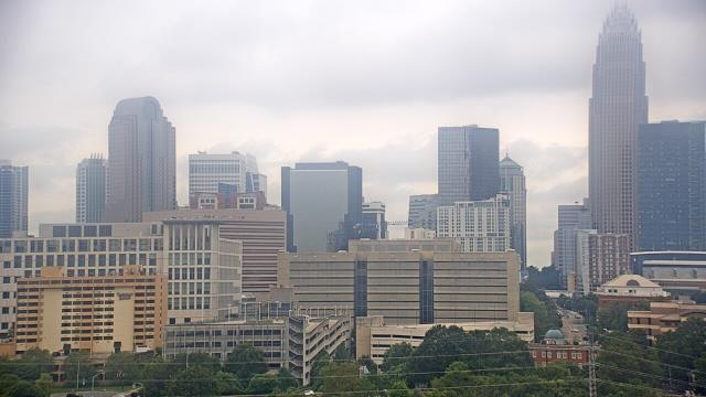
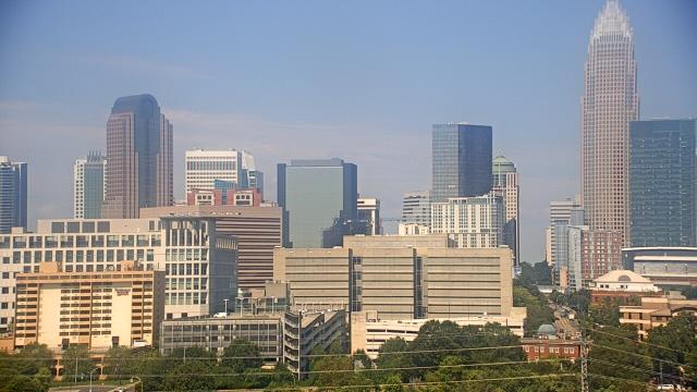
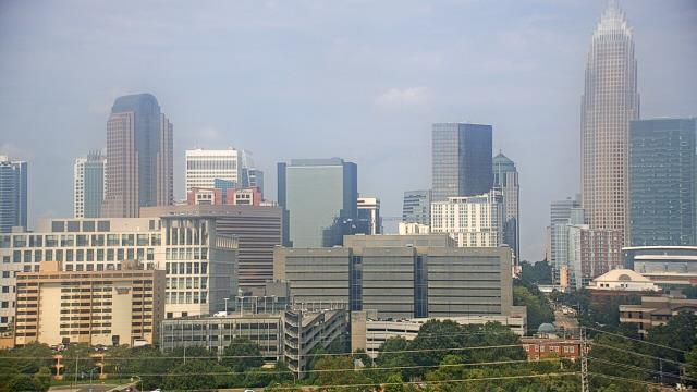
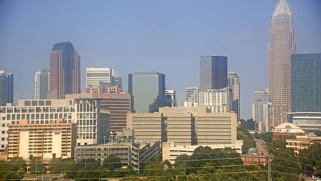
Charlotte, North Carolina, USA - 78.8 miles from Sunnybrook Heights: Trinity Episcopal School - Webcam and current weather data - camera location: Trinity Episcopal School.
Operator: WeatherBug
Operator: WeatherBug


Some other places in this country: Parnassus - Reedy Creek Springs (historical) - Salem - Welsh Neck (historical) - Ada (historical) - Bailey Town (historical) - Beaver Dam - Bishop Town (historical) - Black Jack Valley (historical) - Colerain