Webcams in the region of Summerfields, South Carolina, USA
The List of Webcams near Summerfields, South Carolina, USA:

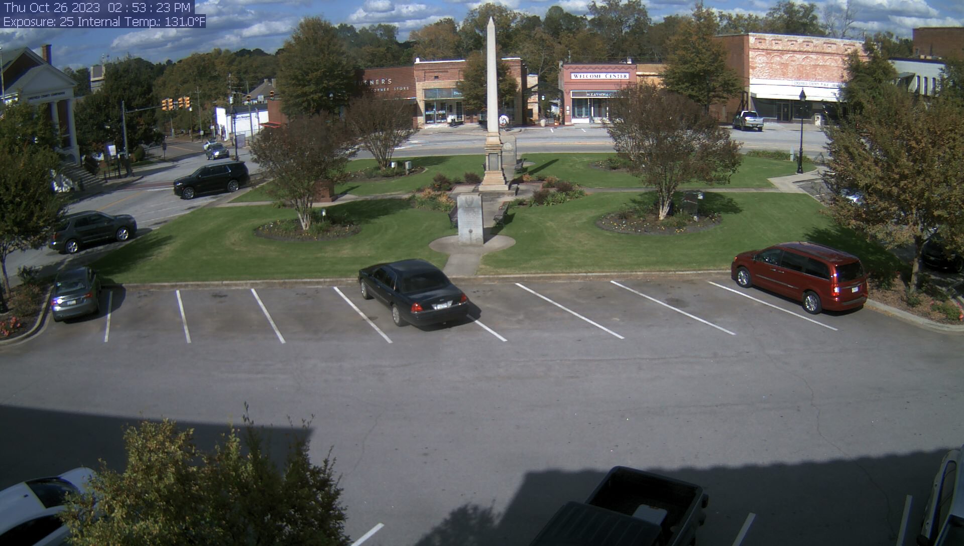
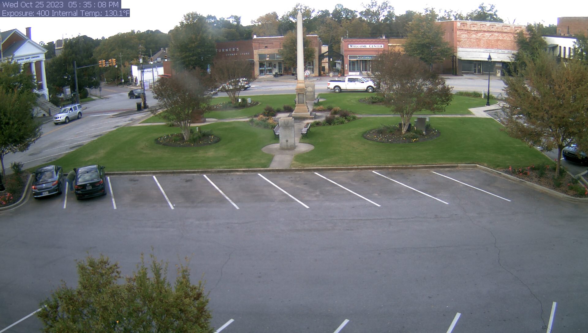
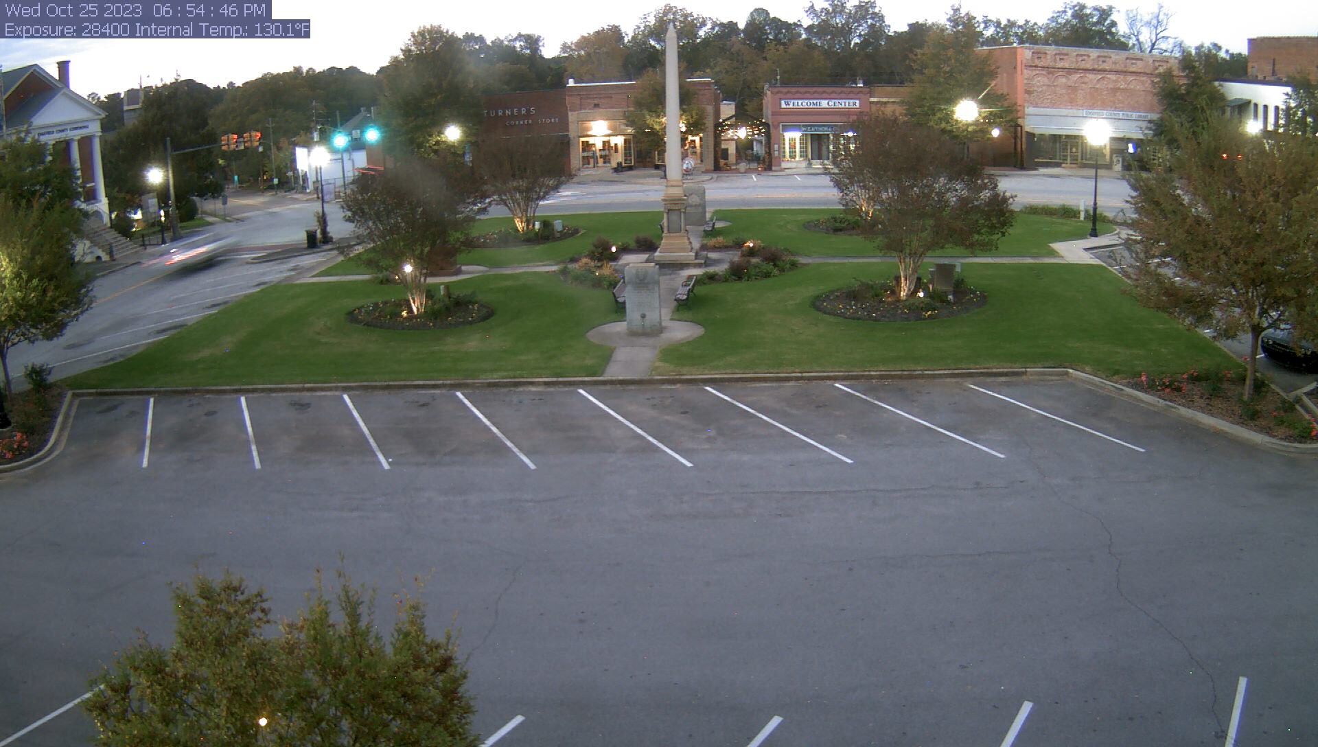
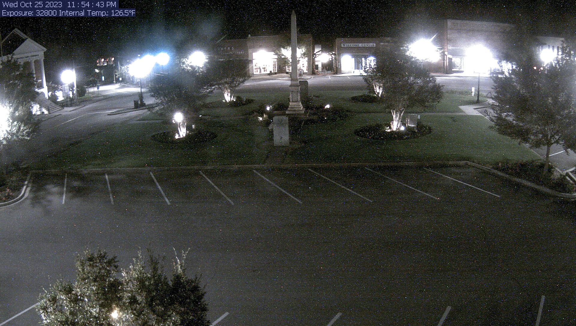
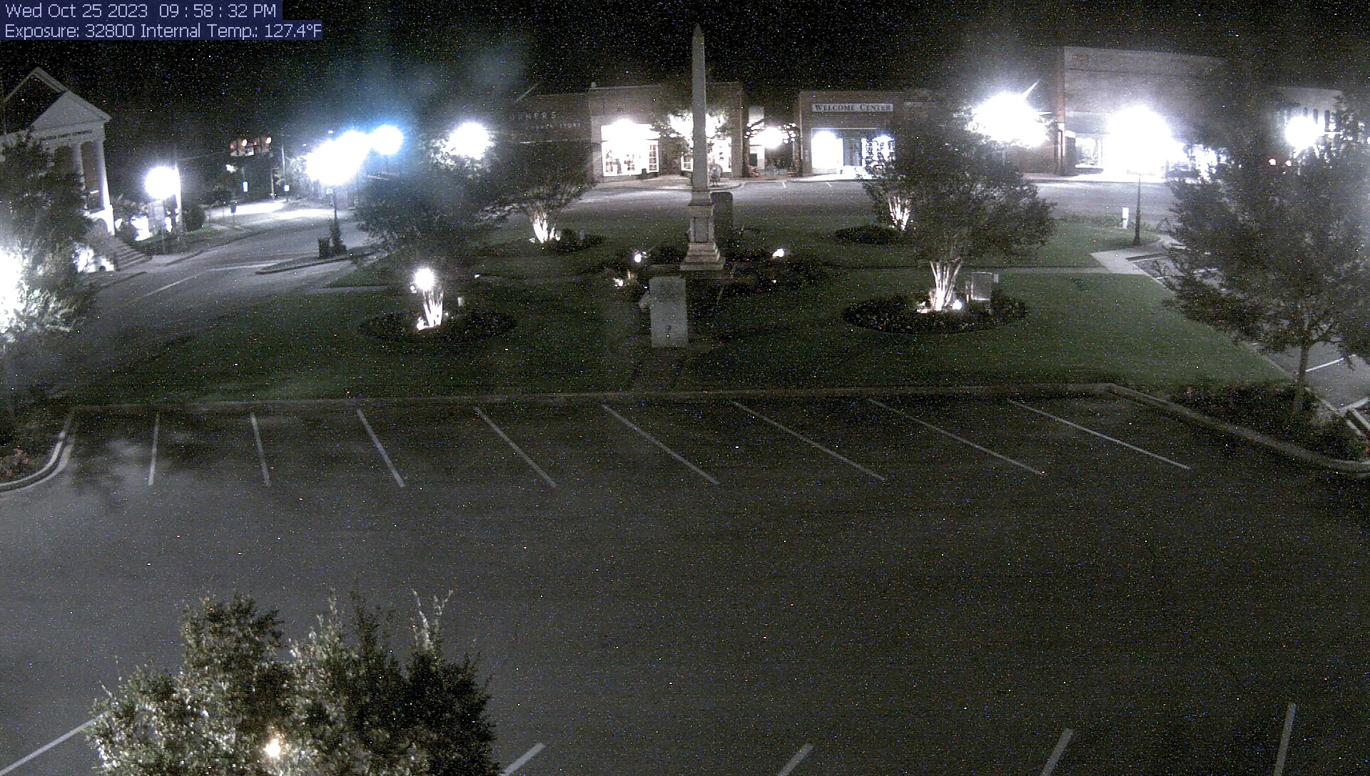
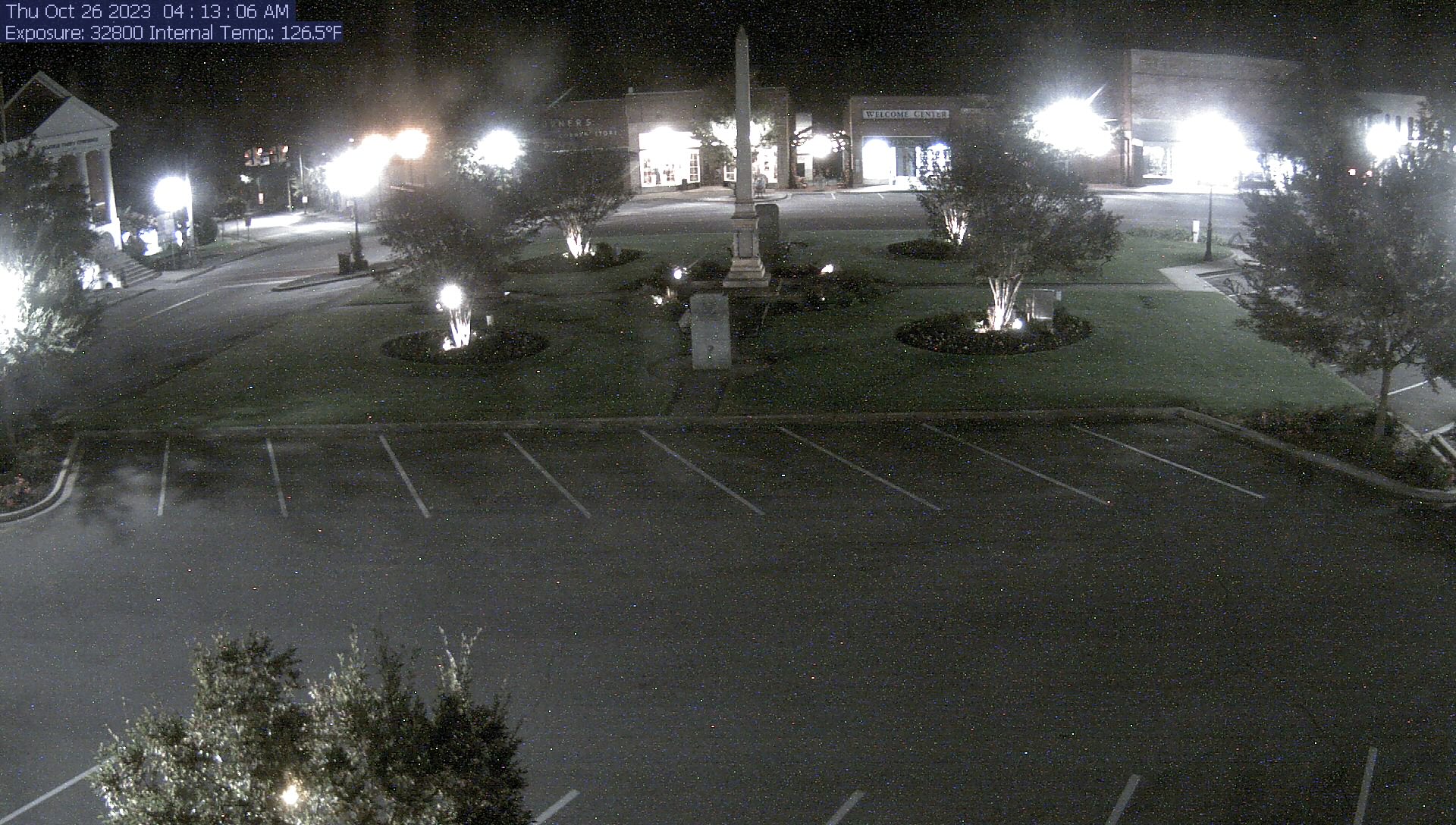
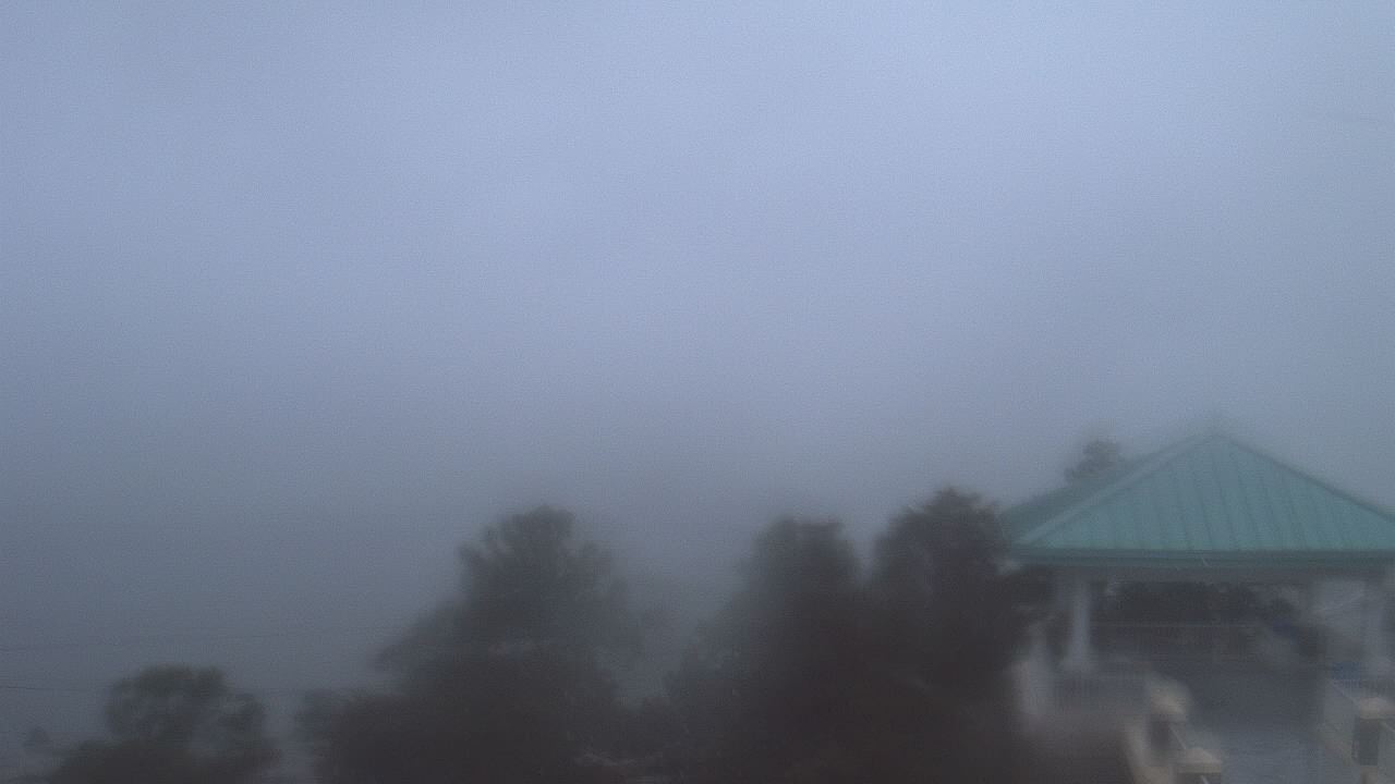
Edgefield, South Carolina, USA - 20.2 miles from Summerfields: Town Square - A live image from the center of Edgefield, South Carolina.
Operator: TeleCAM Systems
Operator: TeleCAM Systems


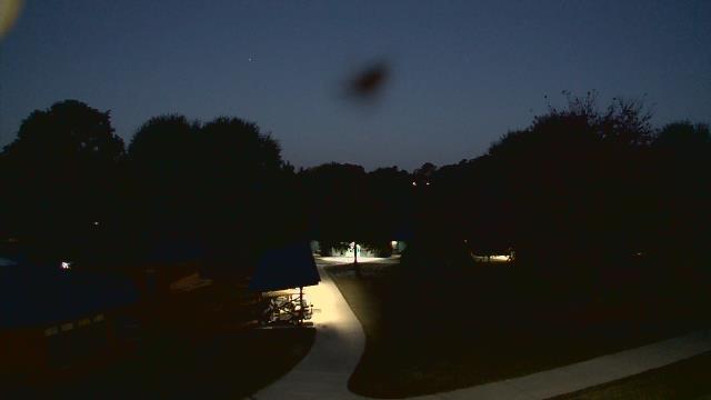
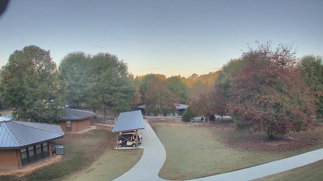
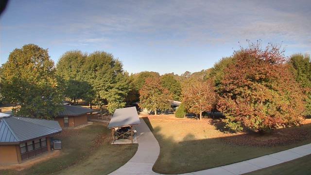
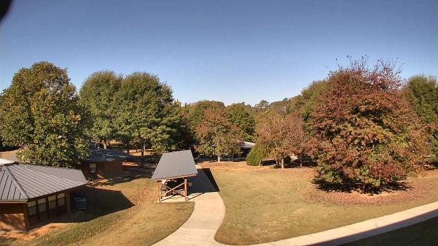
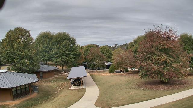
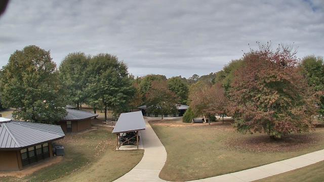
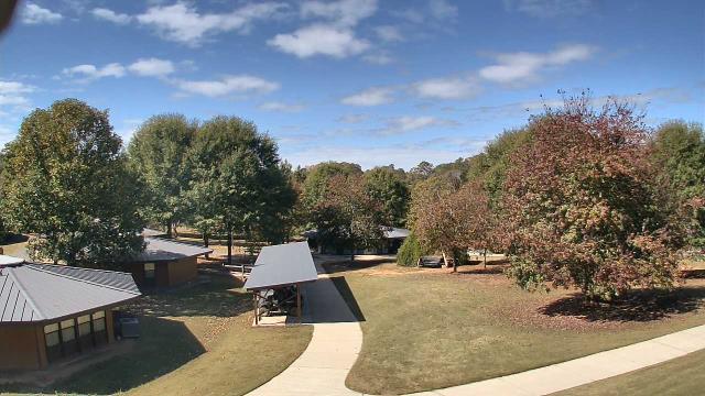
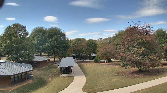
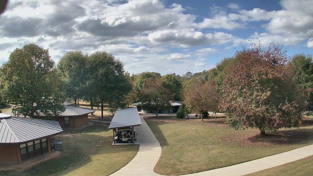
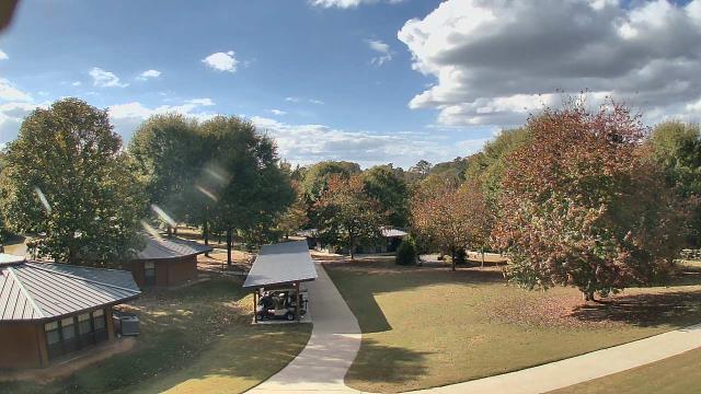
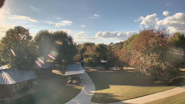
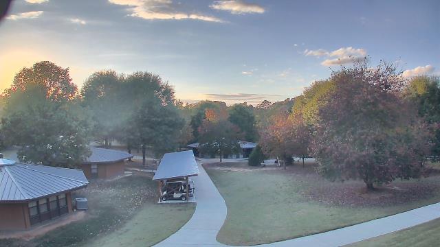
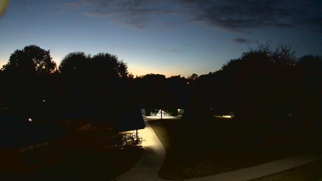
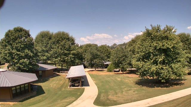
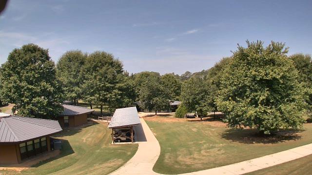
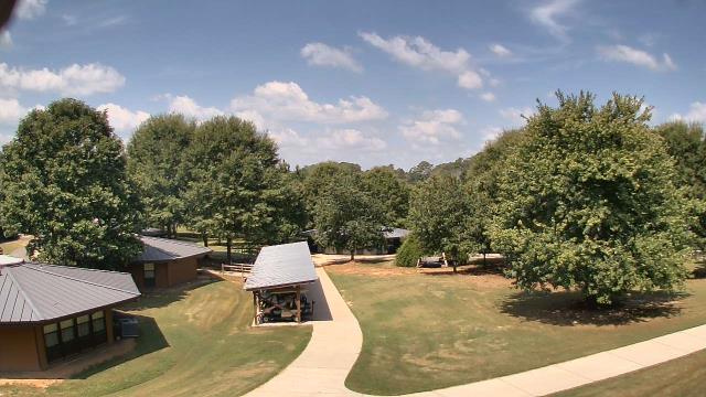
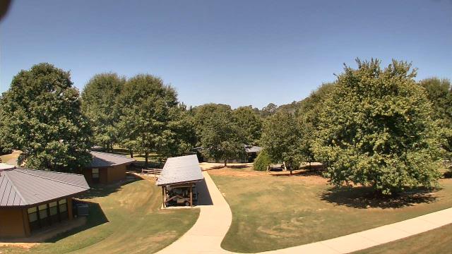
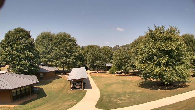
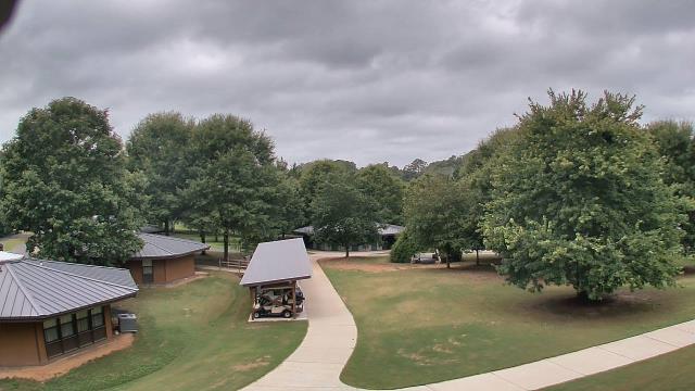
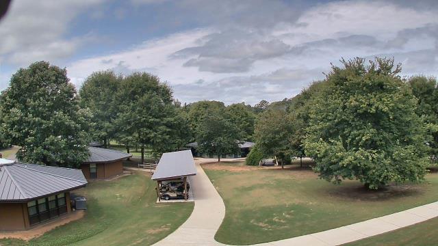
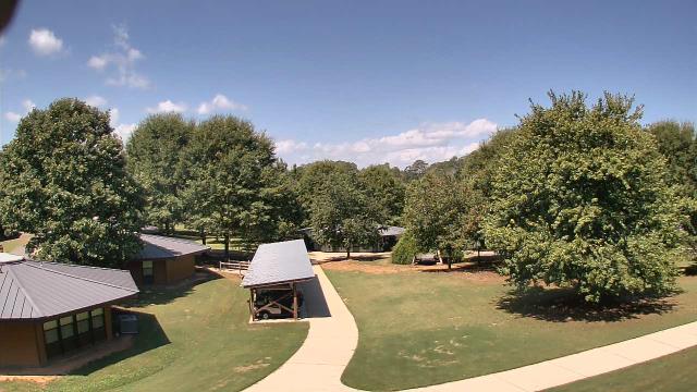
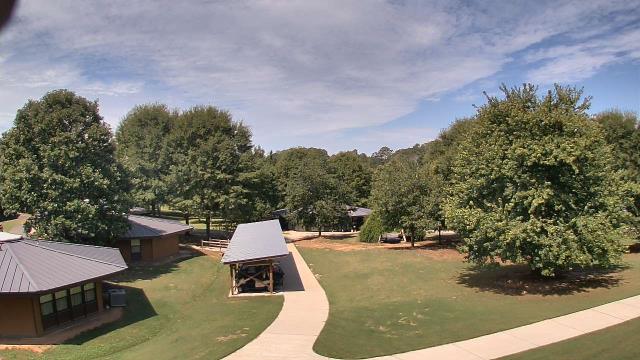
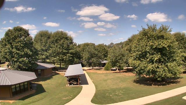
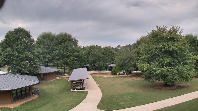
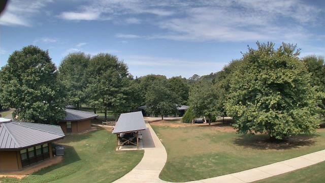
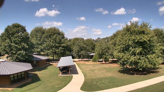
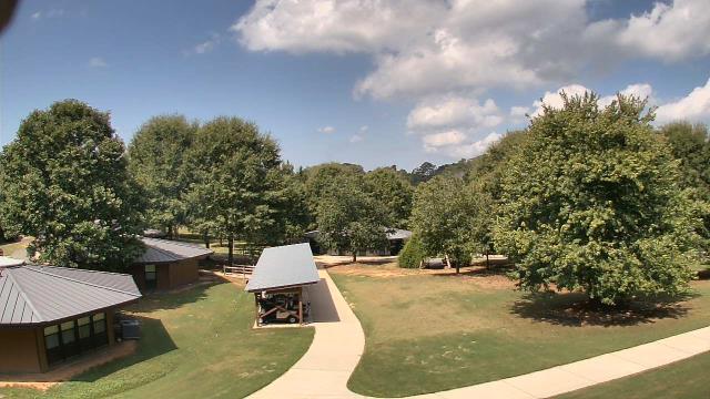
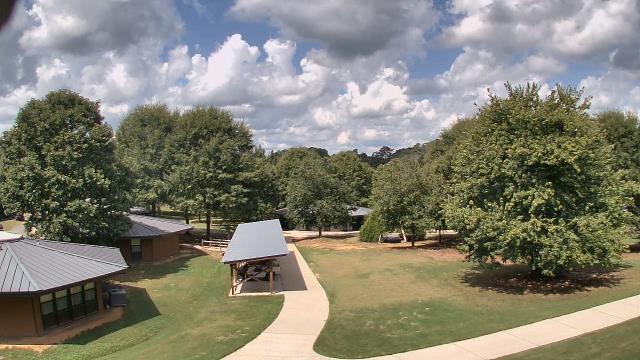
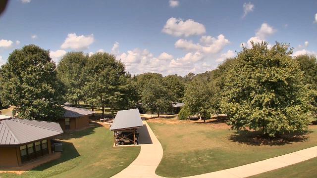
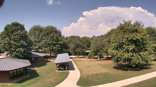
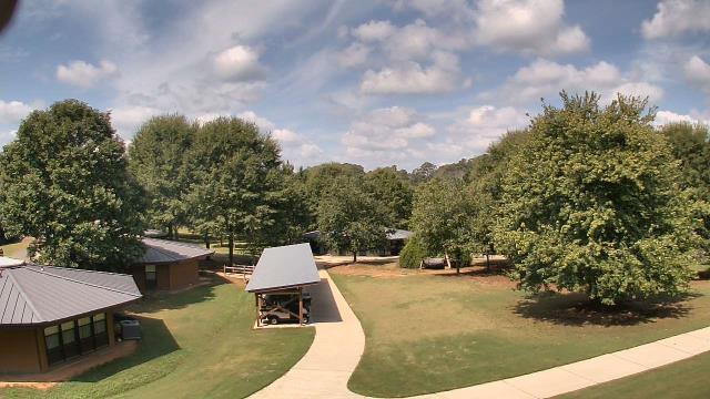
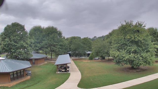
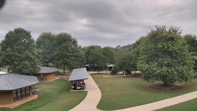
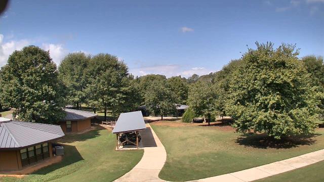
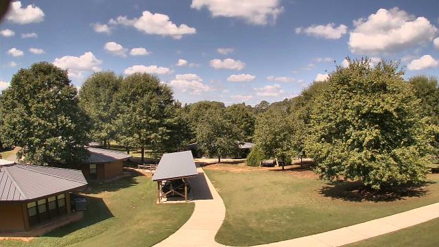
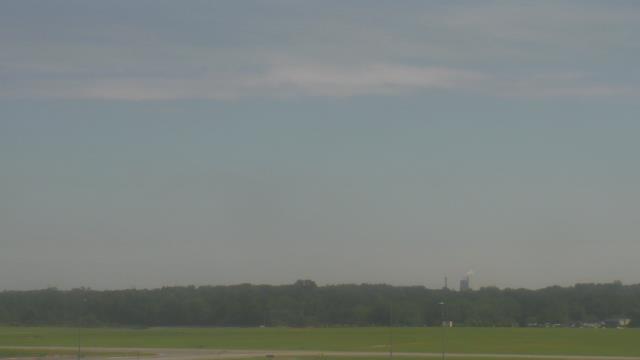
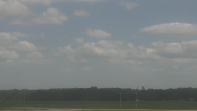
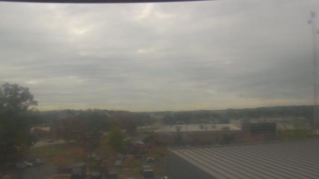
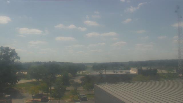
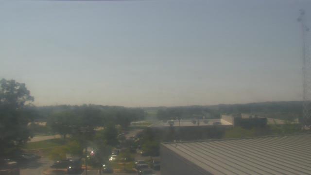
Winder, Georgia, USA - 107.5 miles from Summerfields: Camp Twin Lakes - Will-a-Way - A webcam in Winder, Georgia - camera location: Camp Twin Lakes - Will-a-Way.
Operator: WeatherBug
Operator: WeatherBug


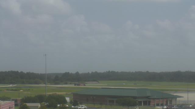
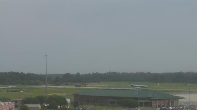
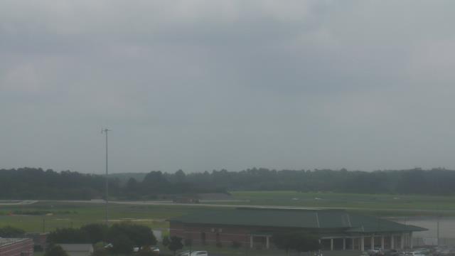
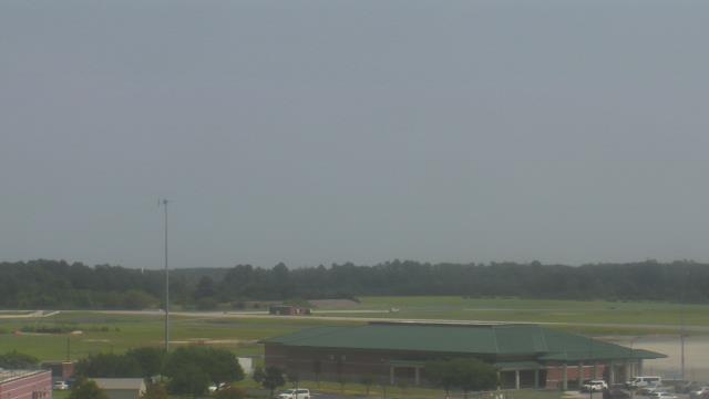
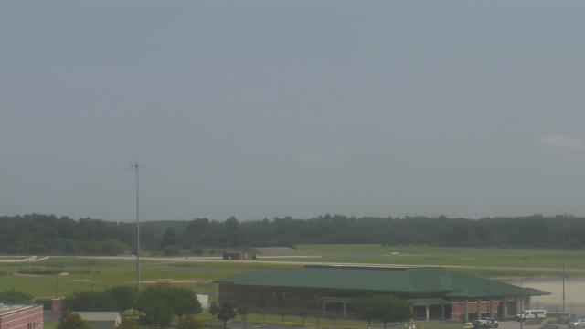
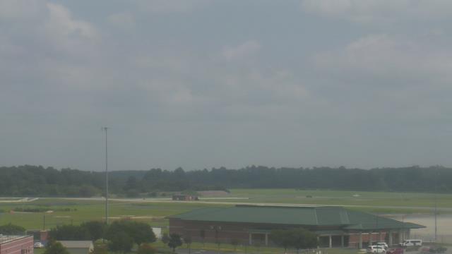
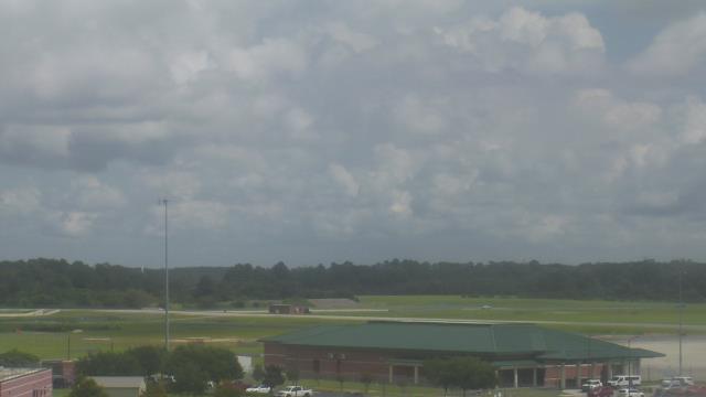
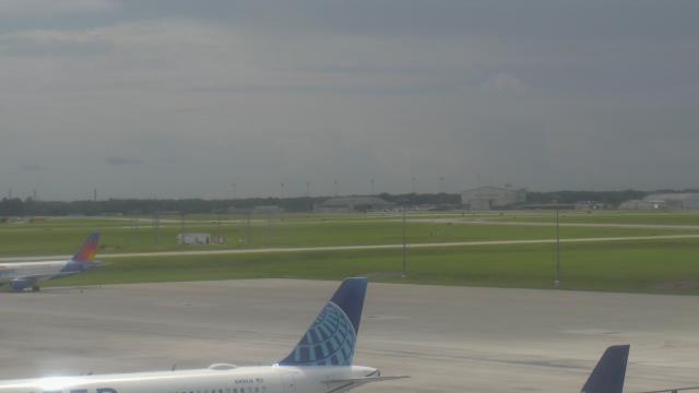
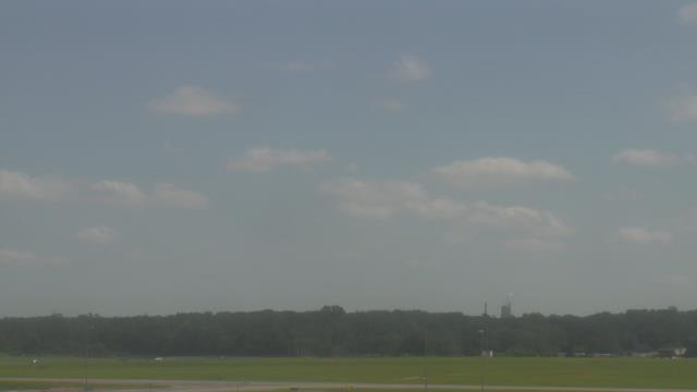
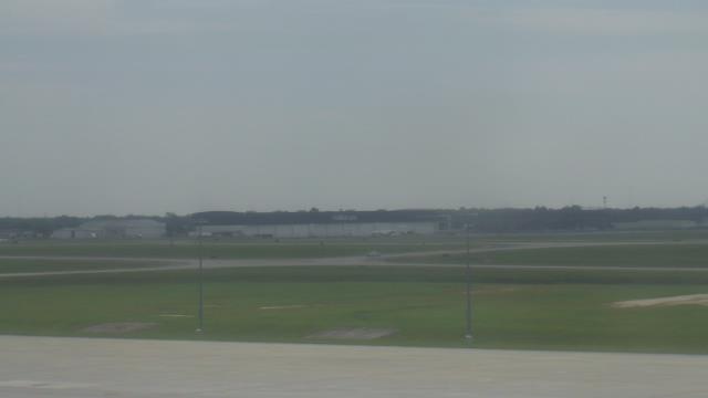
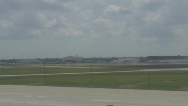
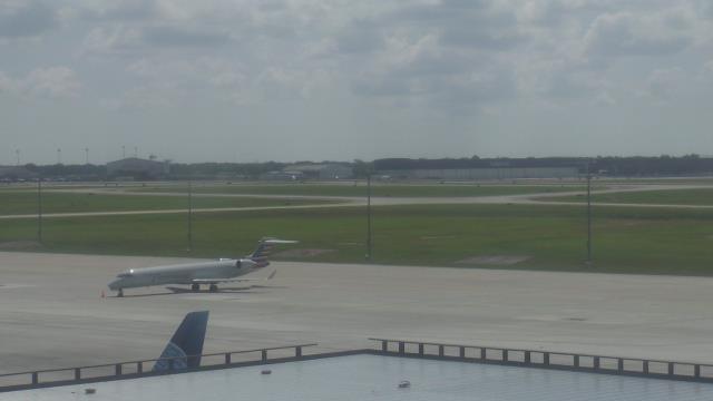
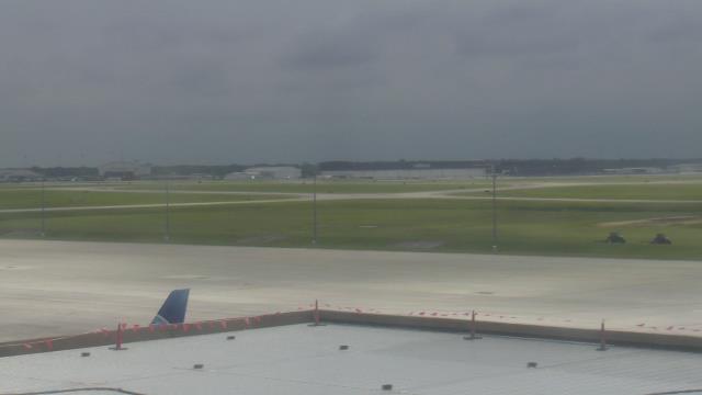
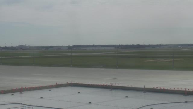
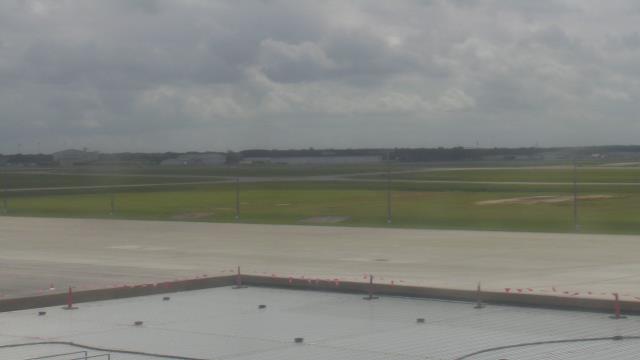
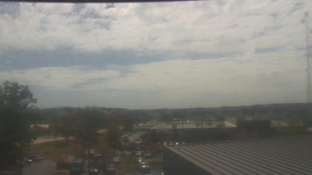
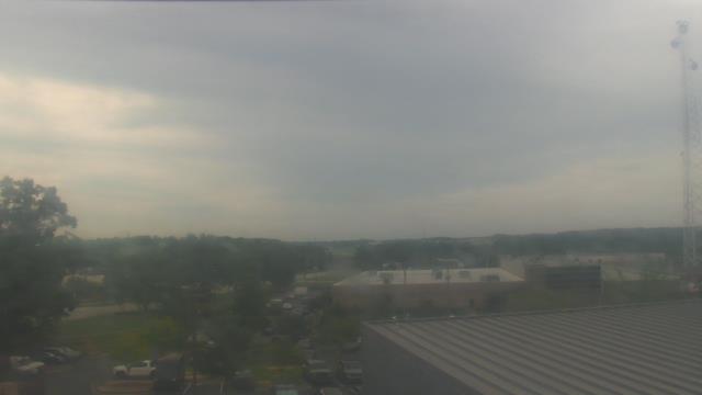
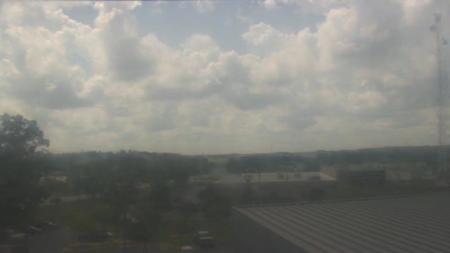
Savannah, Georgia, USA - 109.4 miles from Summerfields: Savannah Hilton Head International Airport - A webcam in Savannah, Georgia - camera location: Savannah Hilton Head International Airport.
Operator: WeatherBug
Operator: WeatherBug


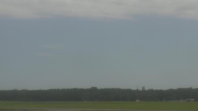
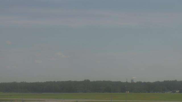


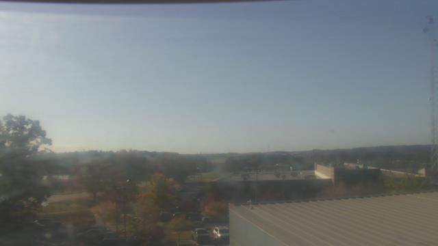
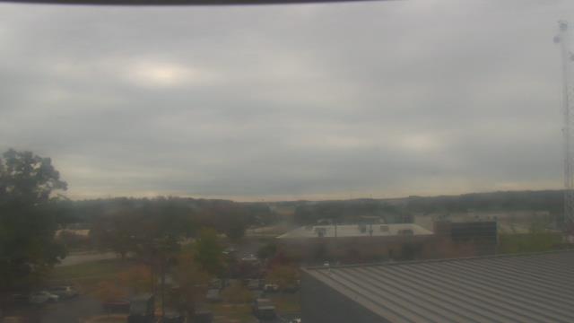
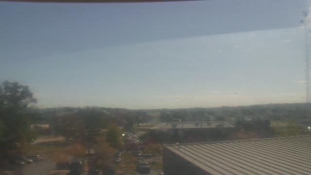
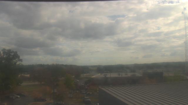
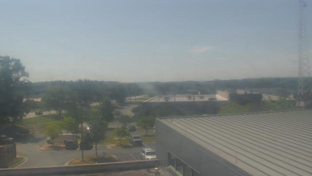
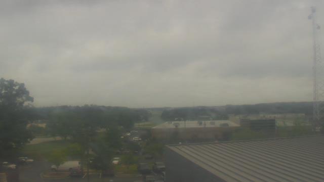
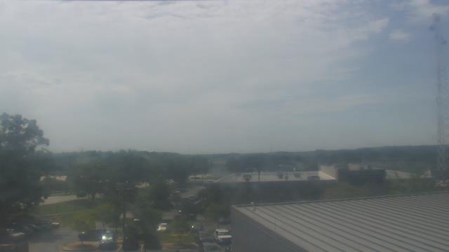
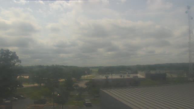
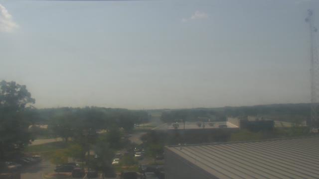
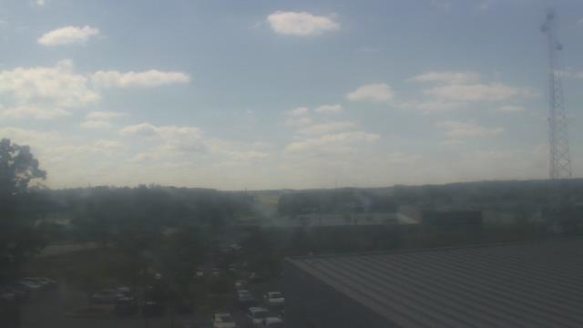
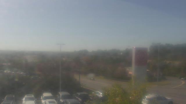
Lawrenceville, Georgia, USA - 127.5 miles from Summerfields: Gwinnett County EMA - A webcam in Lawrenceville, Georgia - camera location: Gwinnett County EMA.
Operator: WeatherBug
Operator: WeatherBug
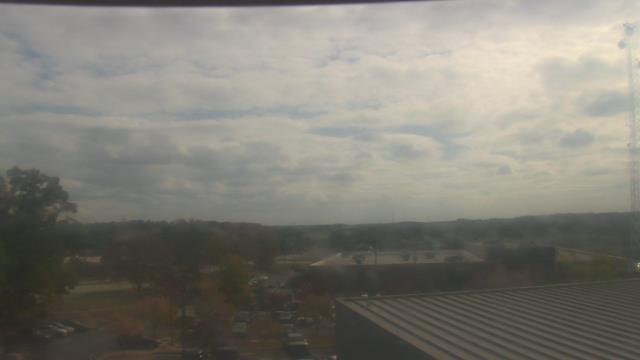
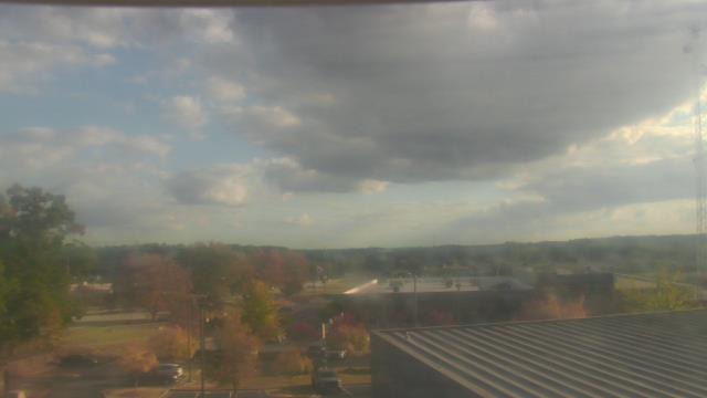


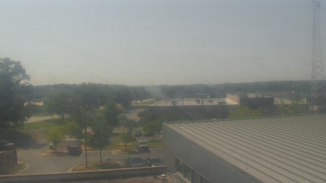
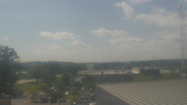

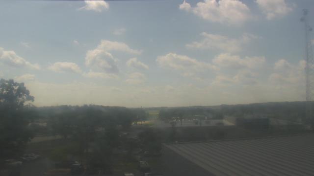
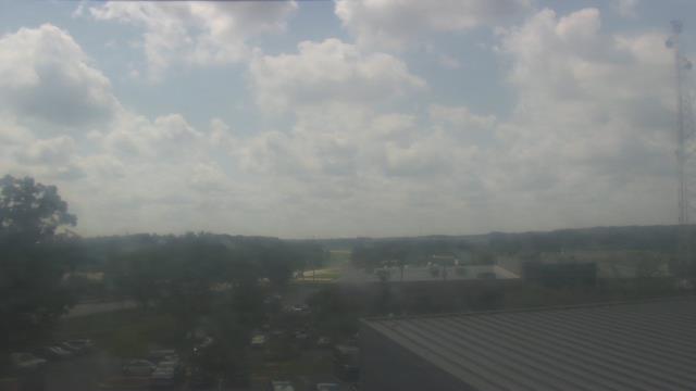


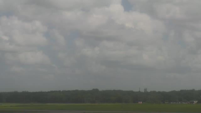
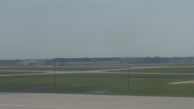
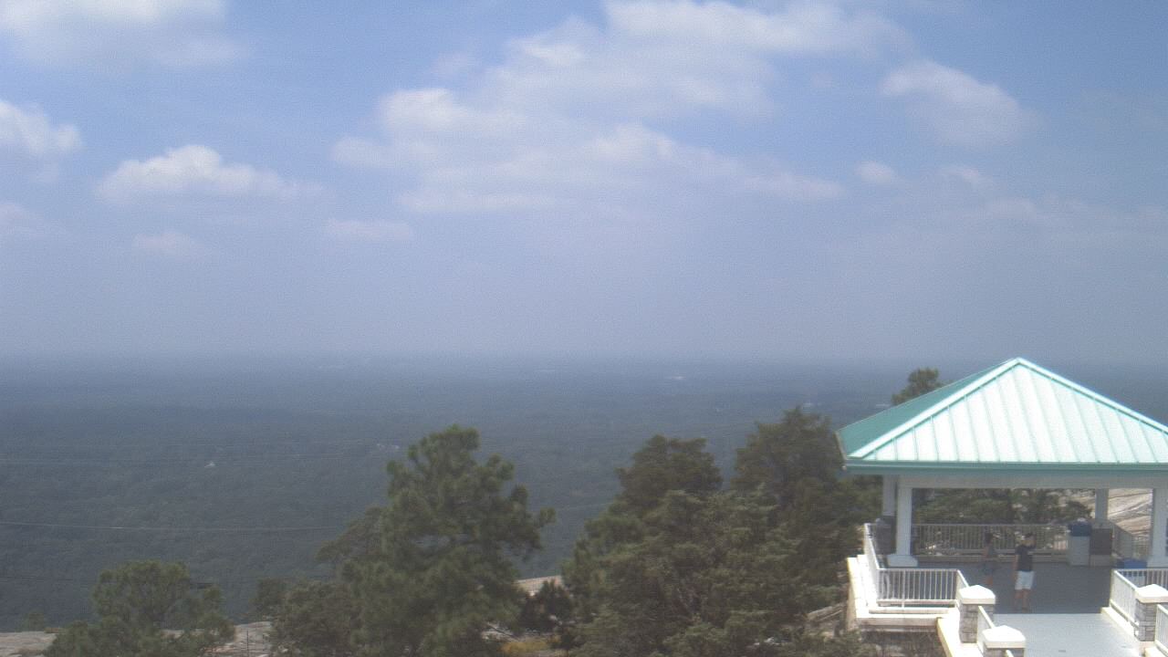
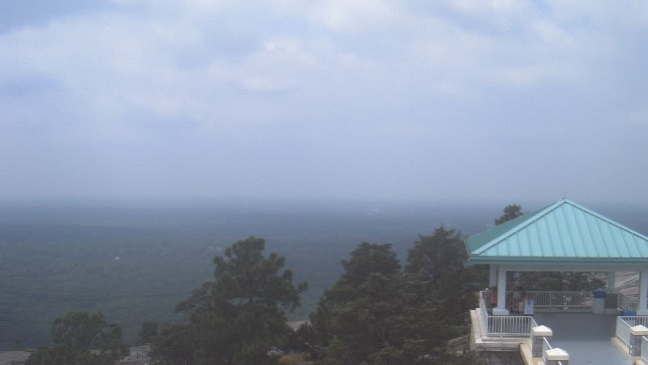
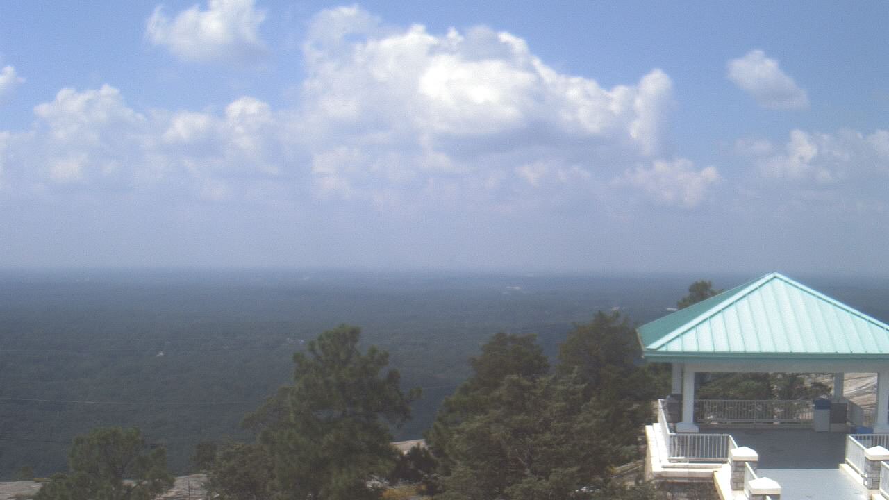
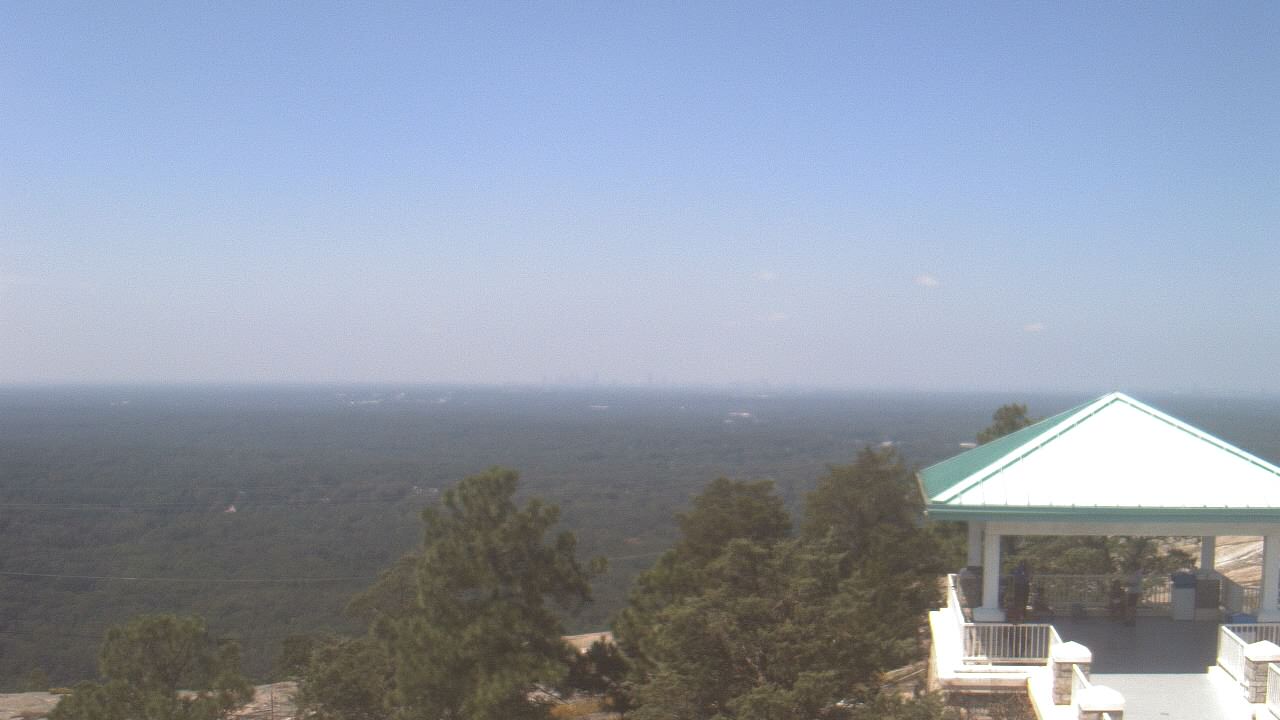
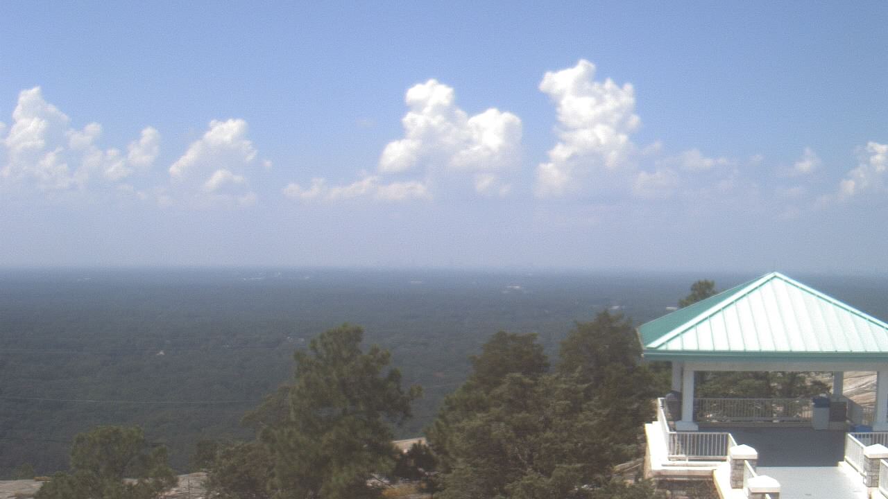
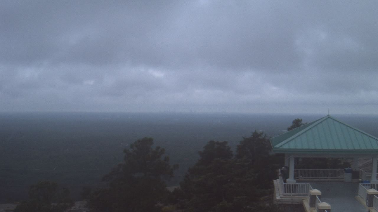
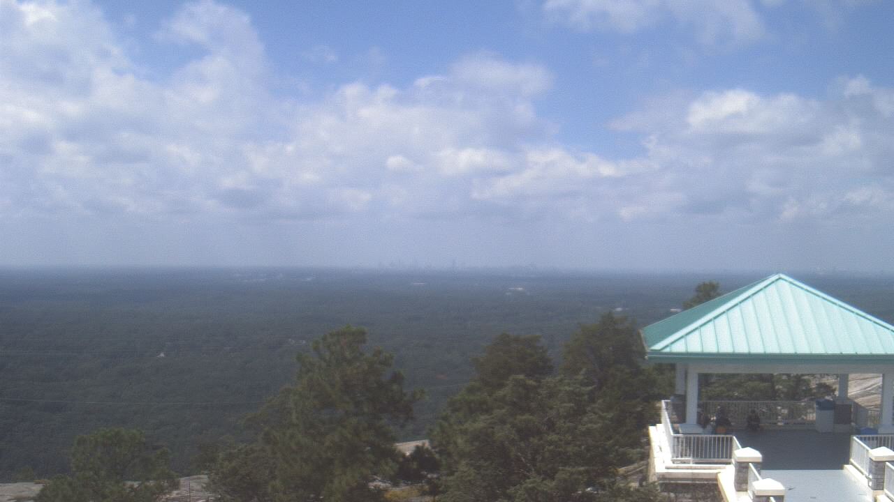
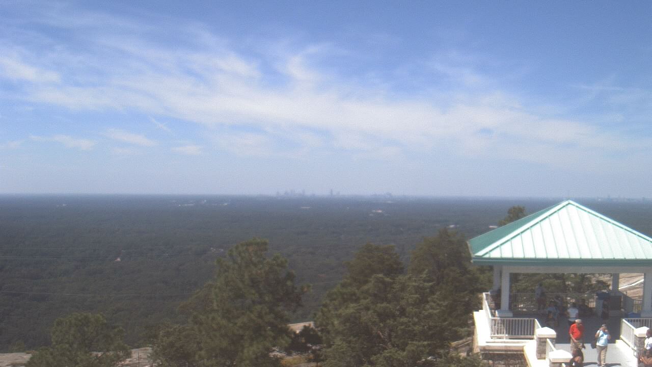
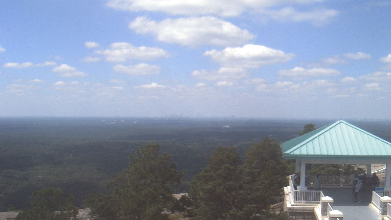
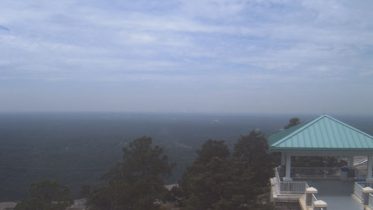
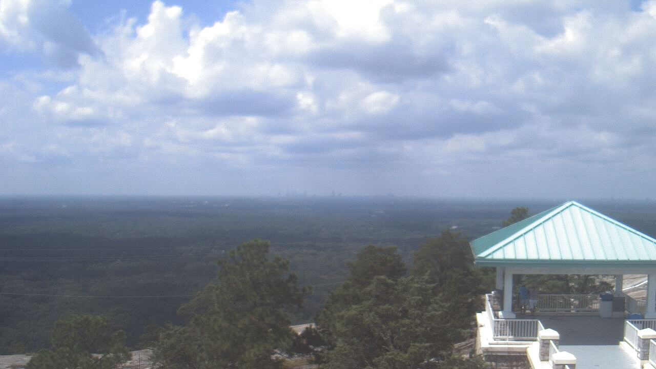
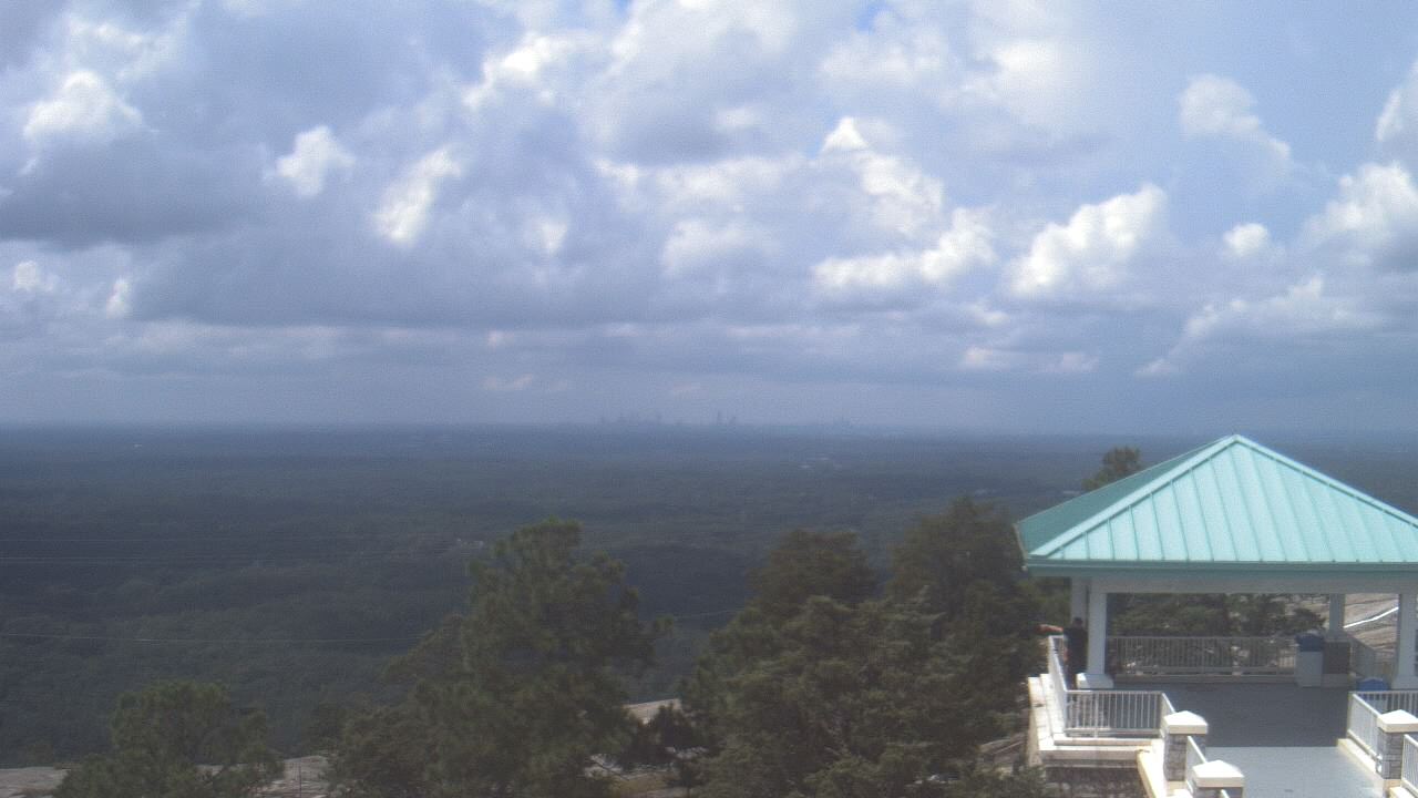
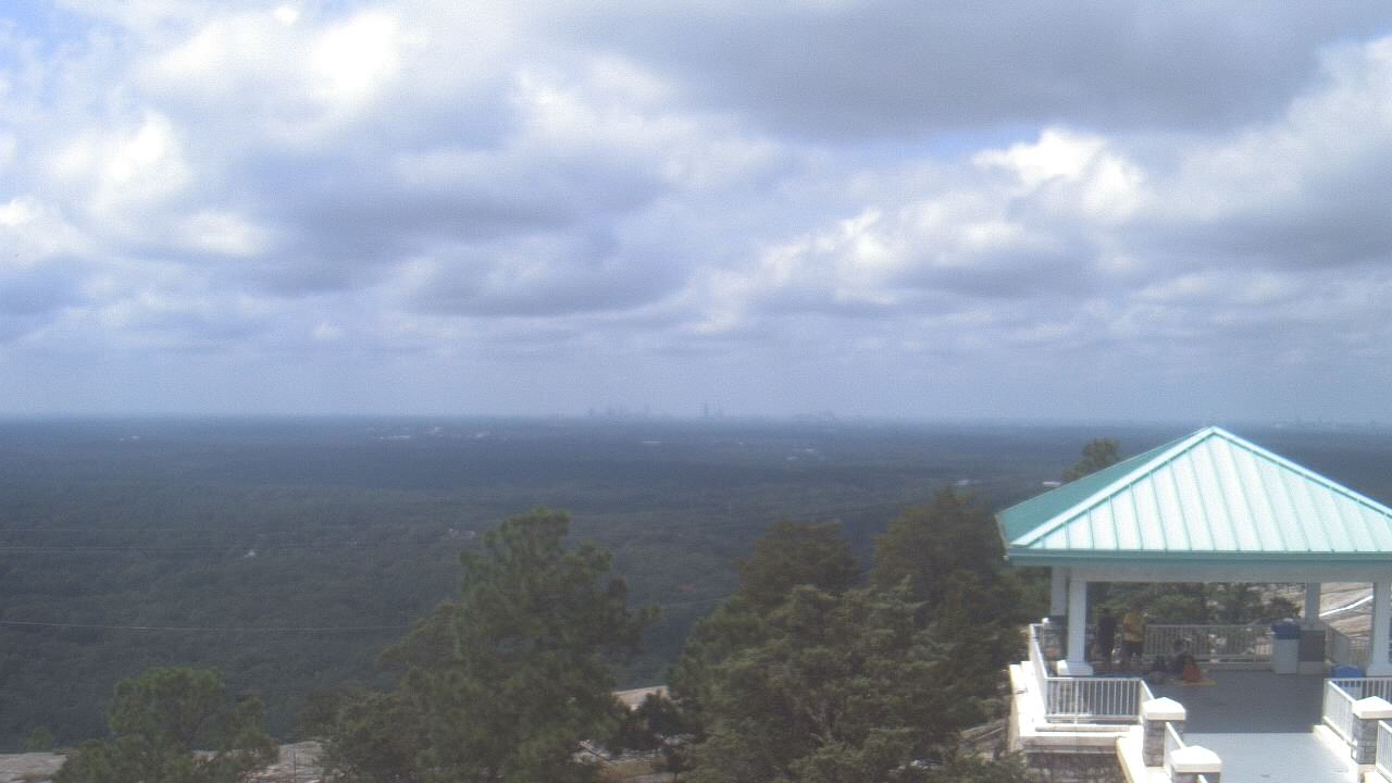
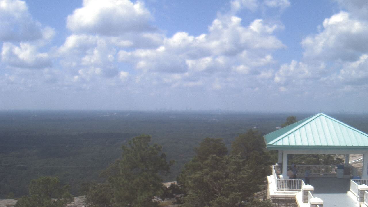
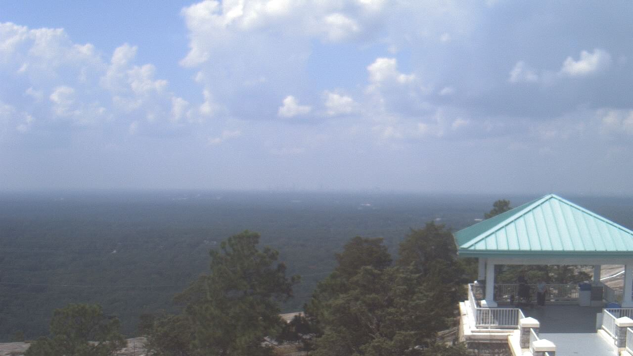
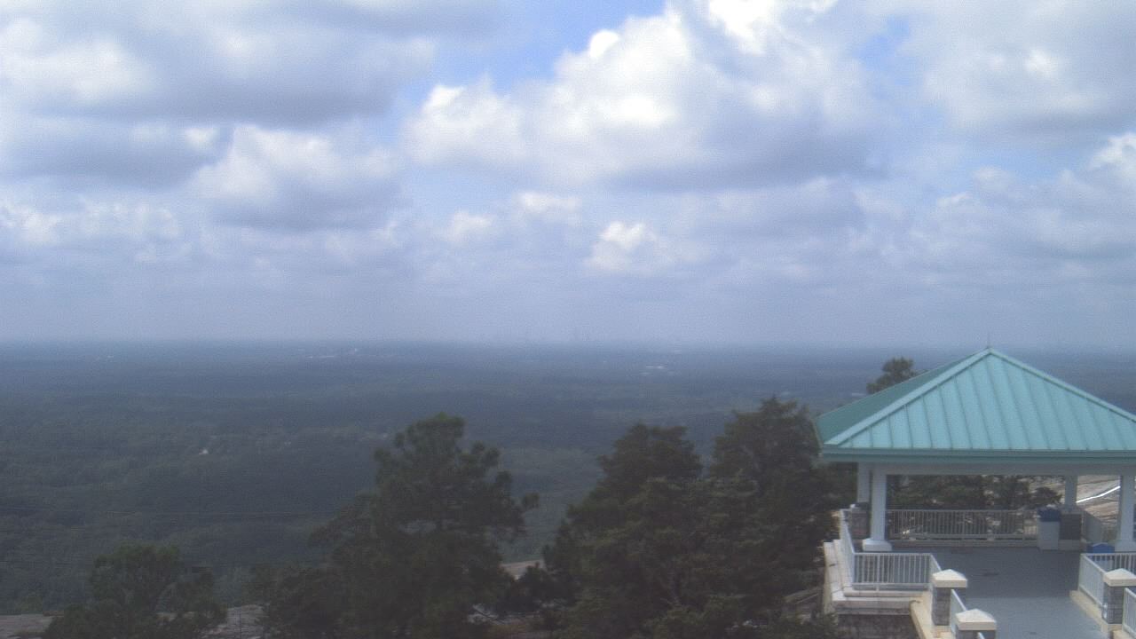
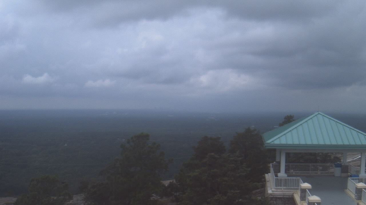
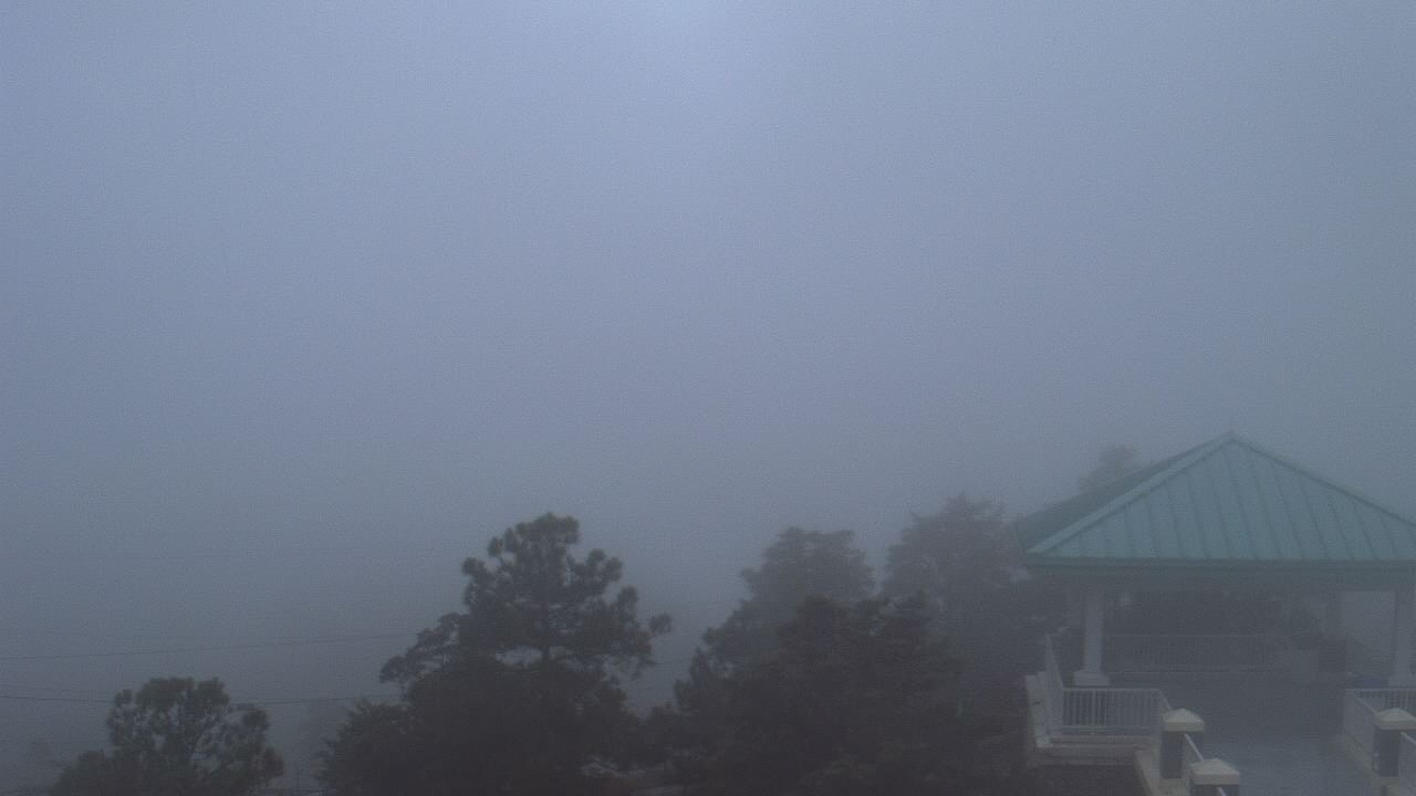
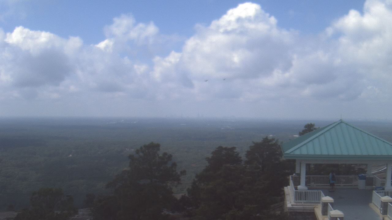
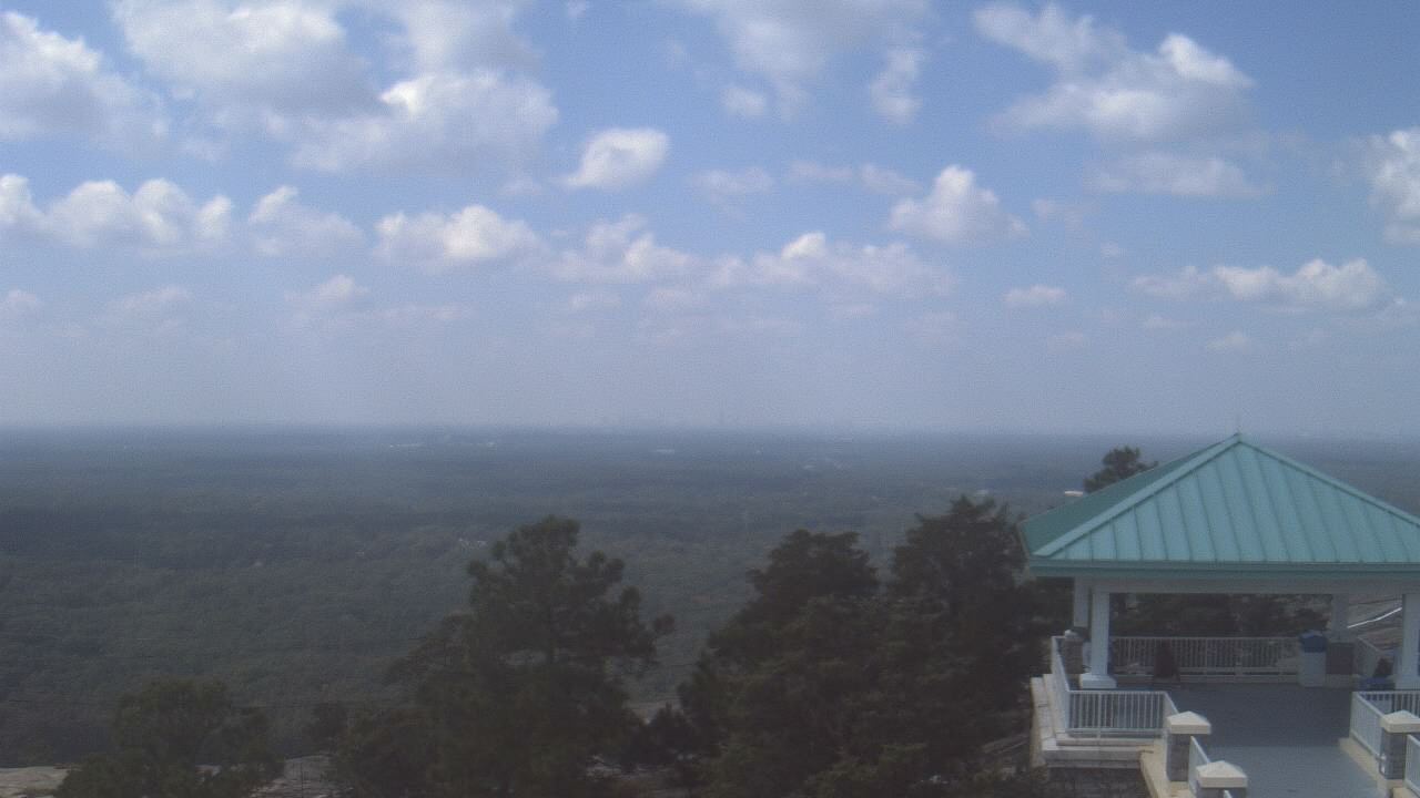
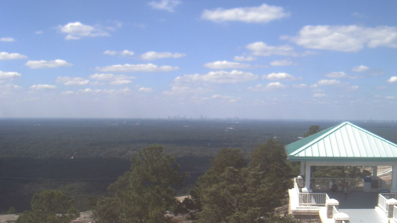
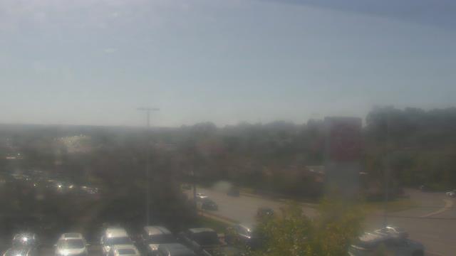
Stone Mountain, Georgia, USA - 129.6 miles from Summerfields: Top of Stone Mountain - A webcam in Stone Mountain, Georgia - camera location: Top of Stone Mountain.
Operator: WeatherBug
Operator: WeatherBug


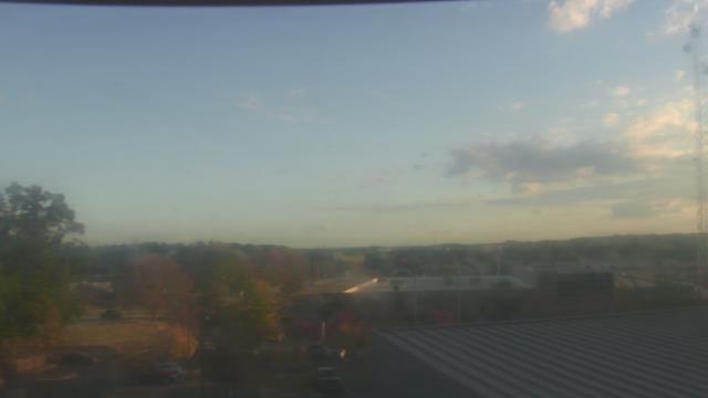
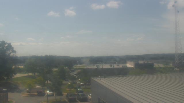
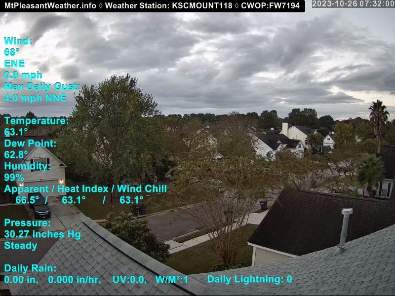
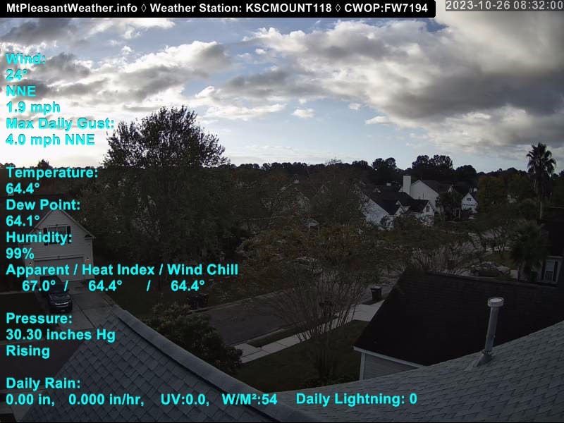
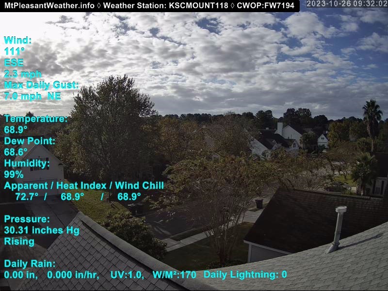
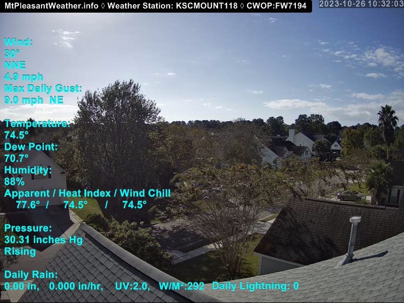
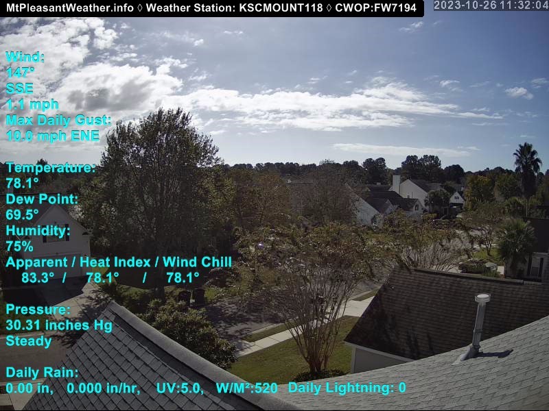
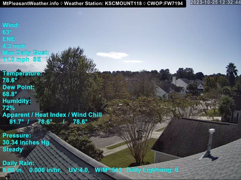
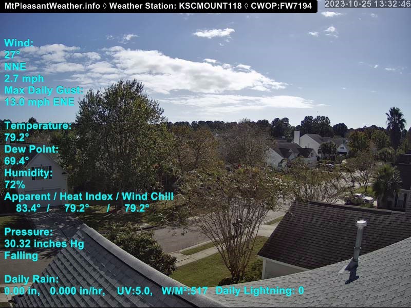
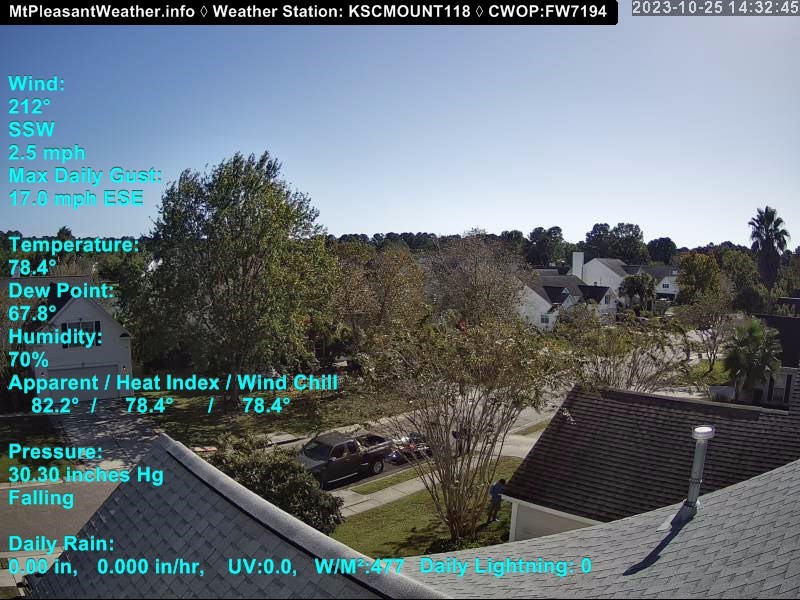
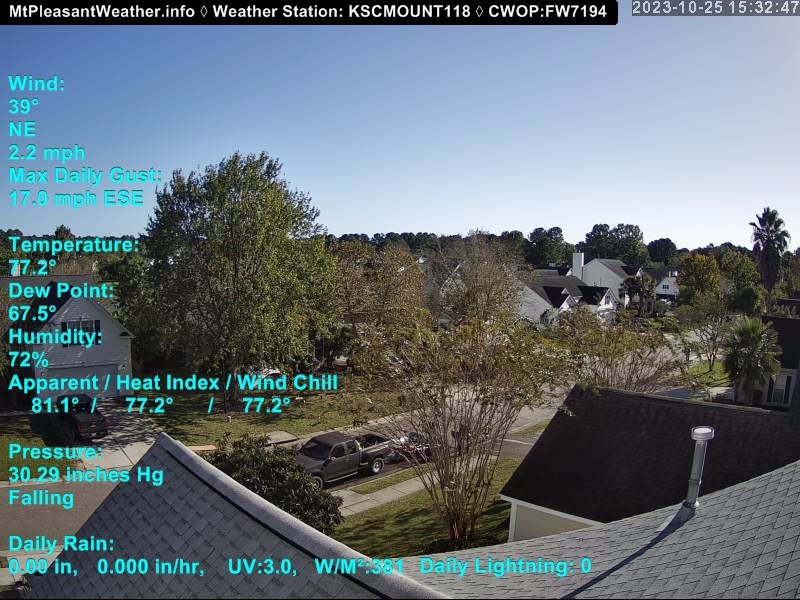
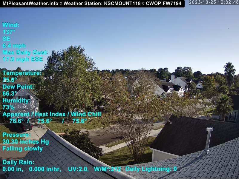
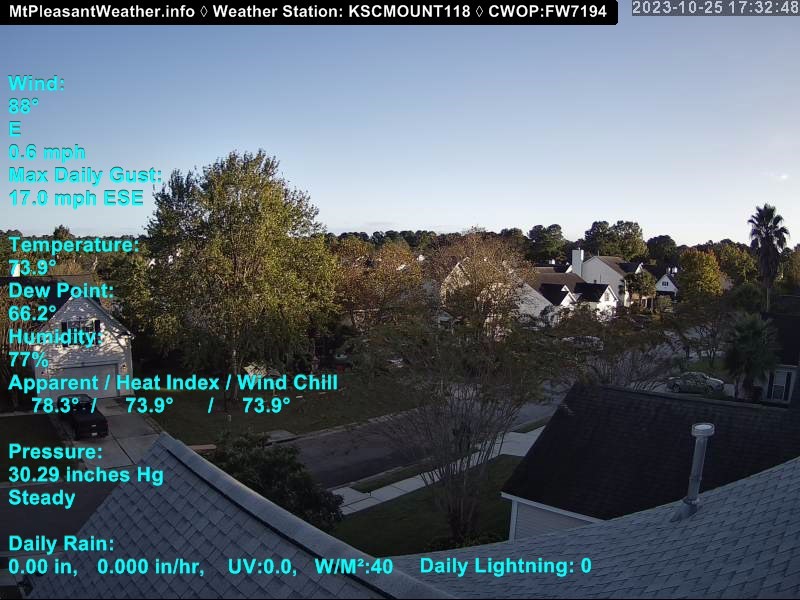
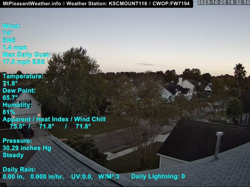
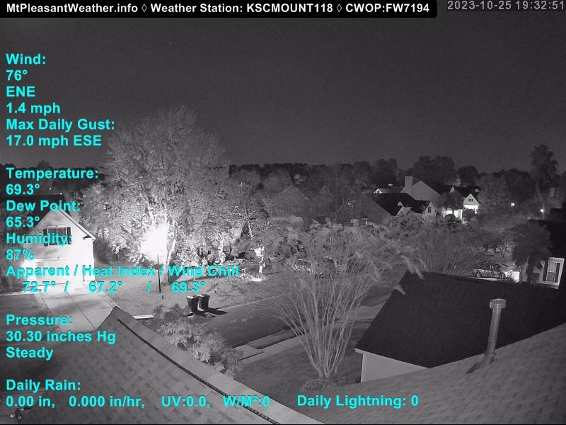
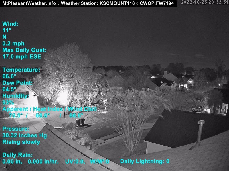
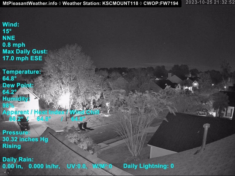
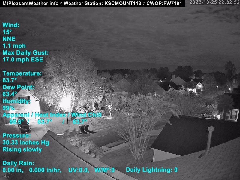
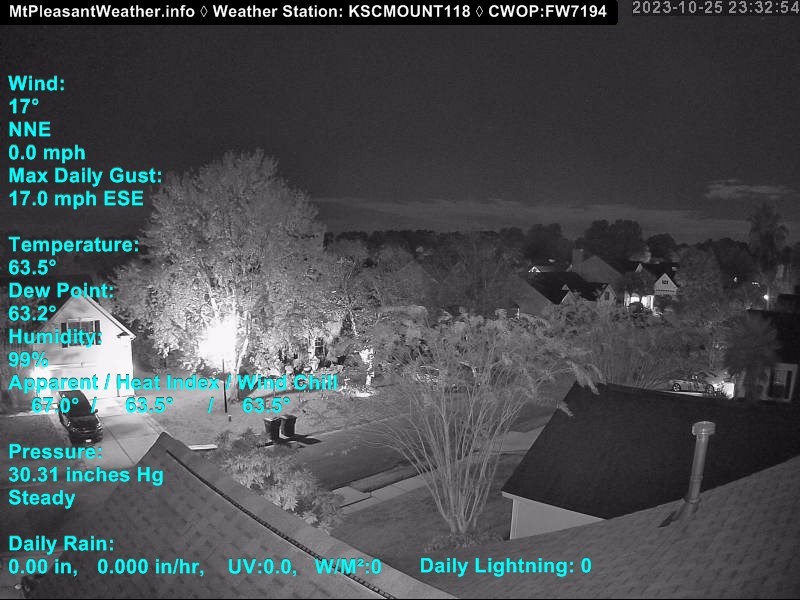
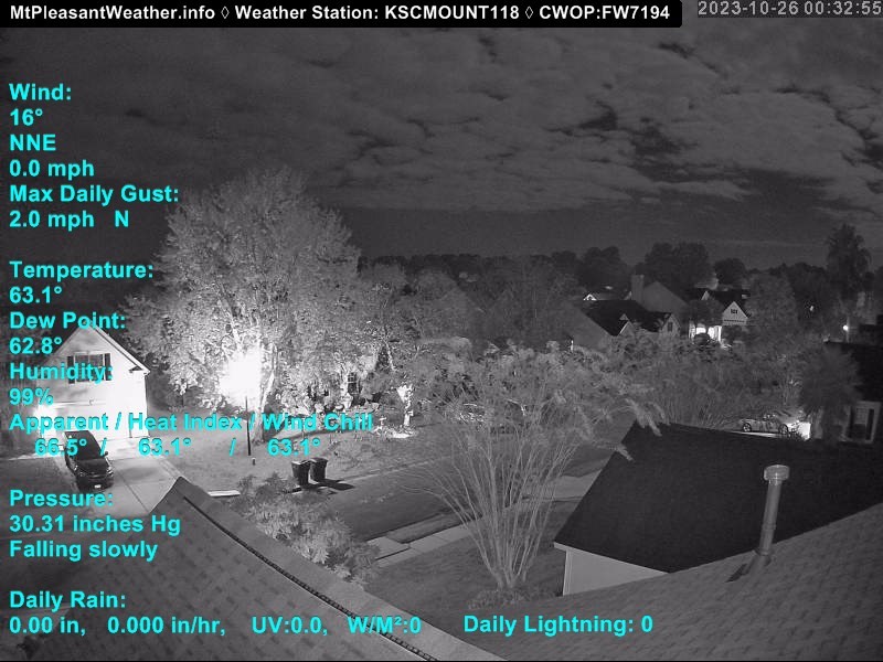
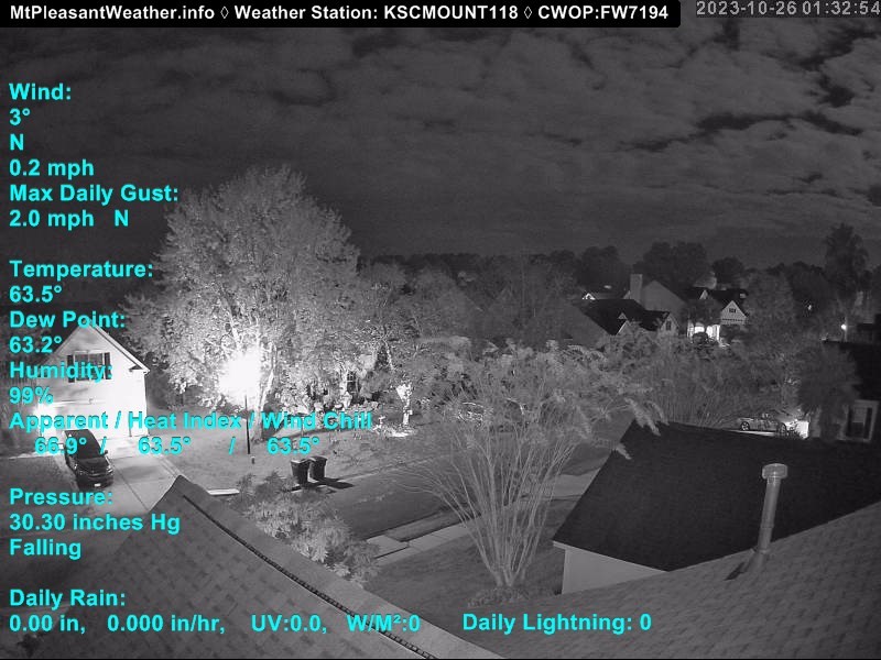
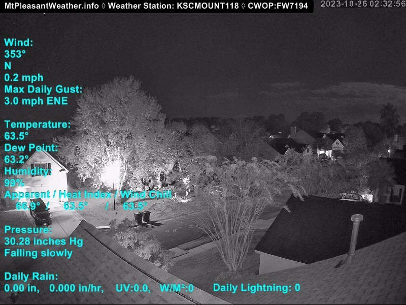
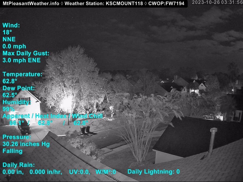
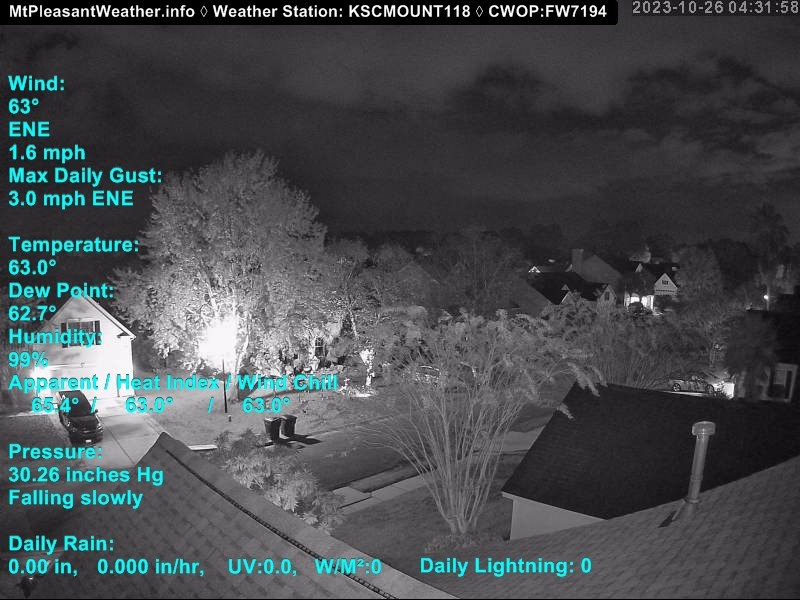
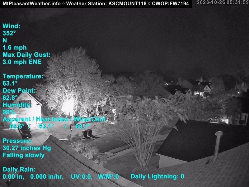
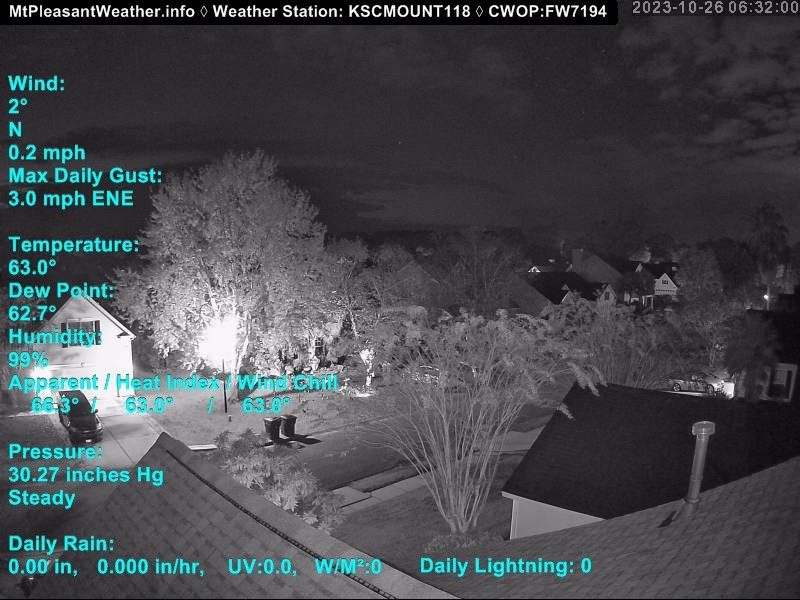
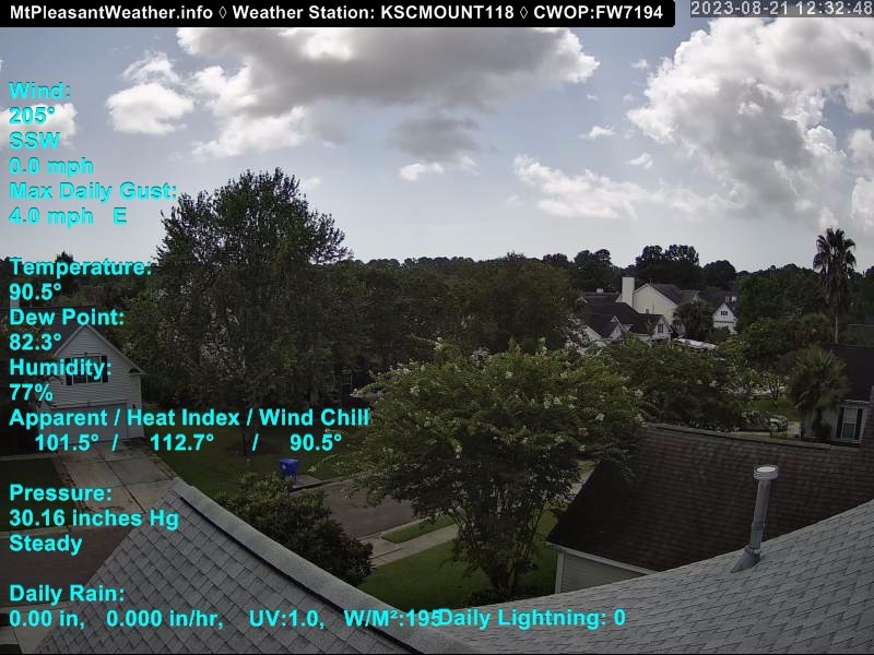
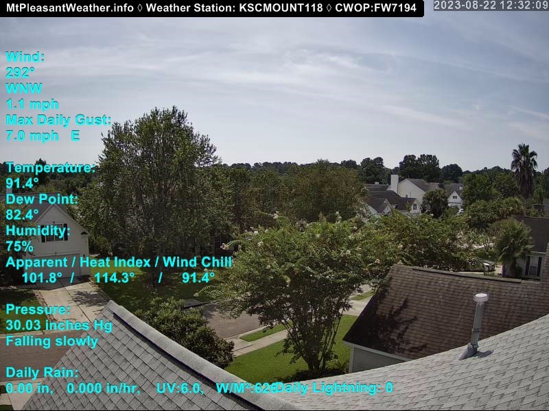
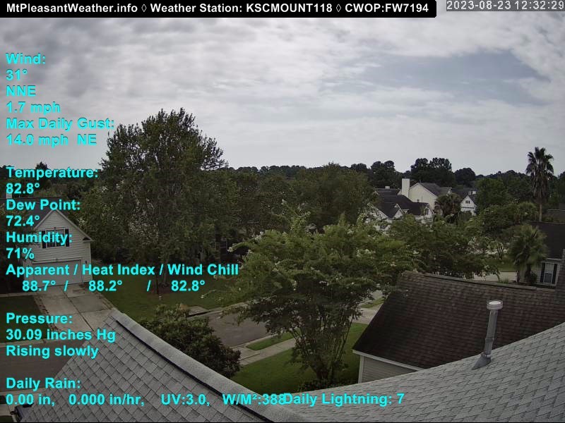
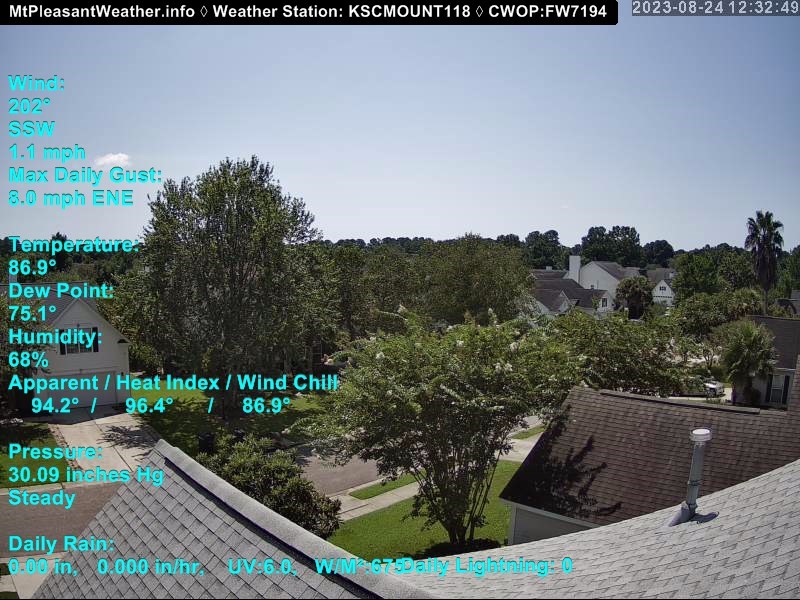
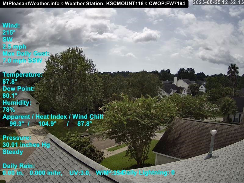
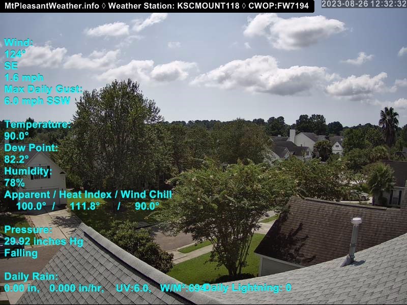
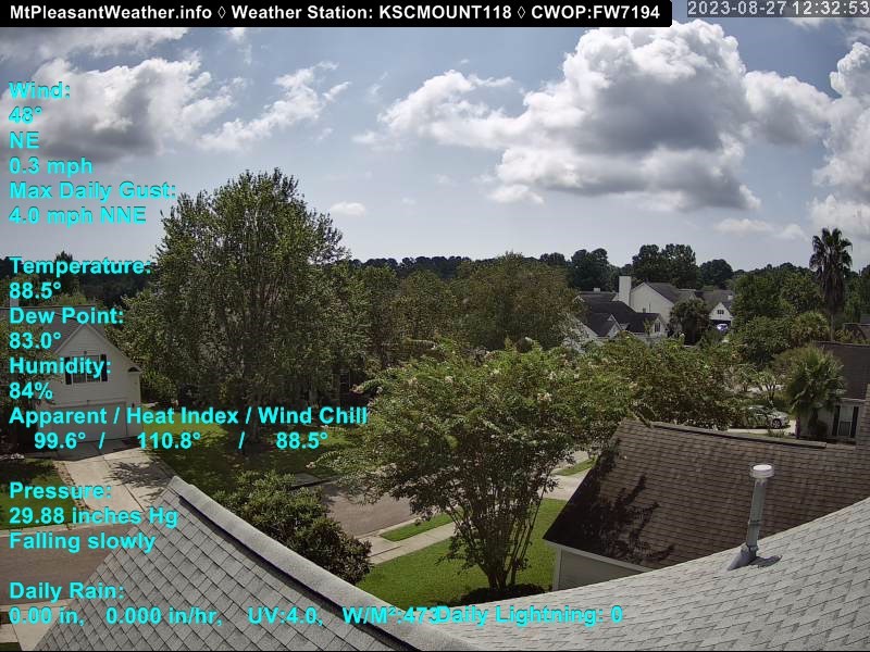
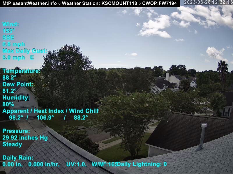
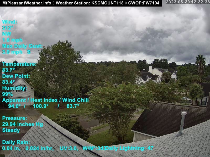
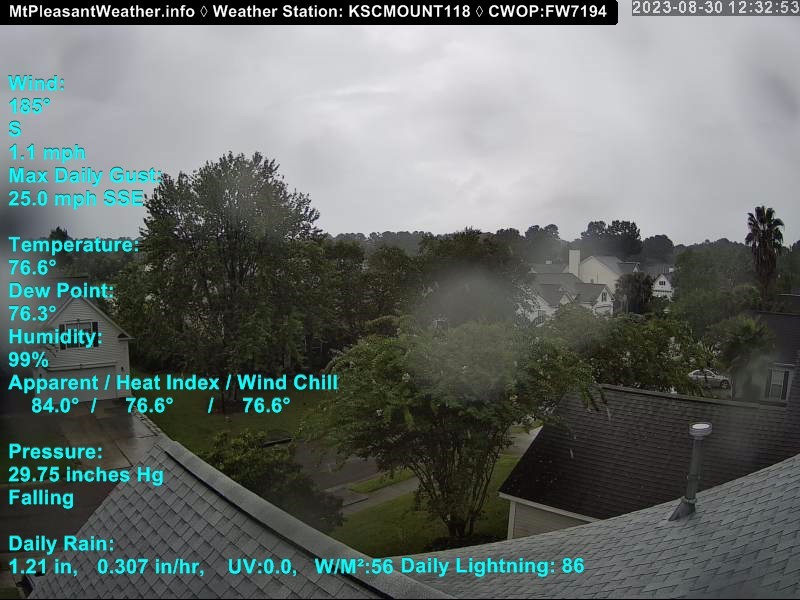
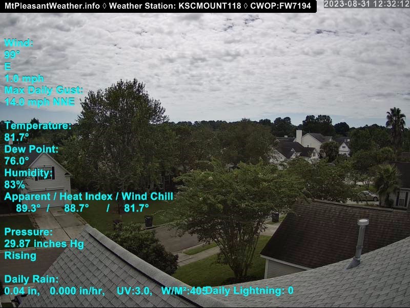
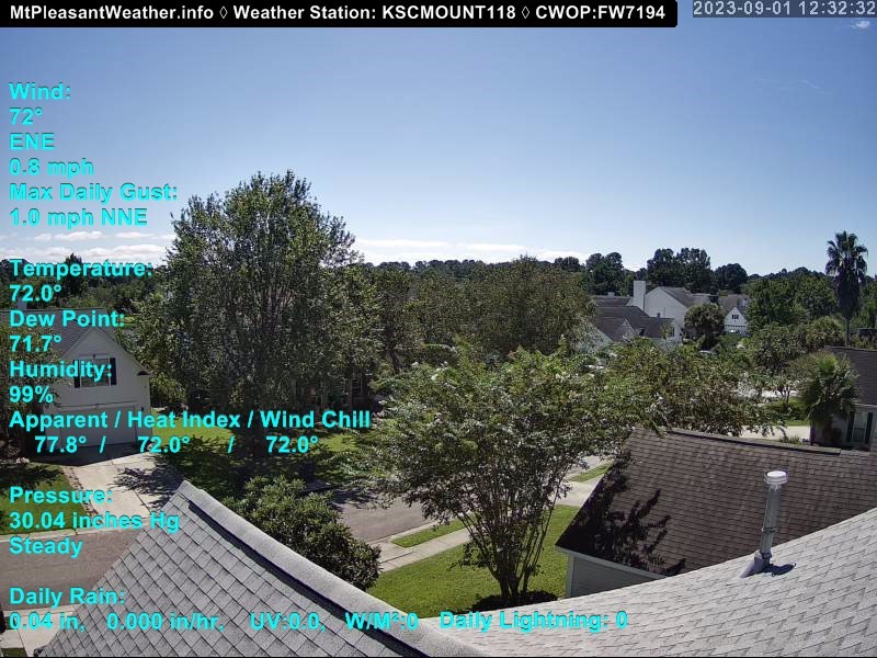
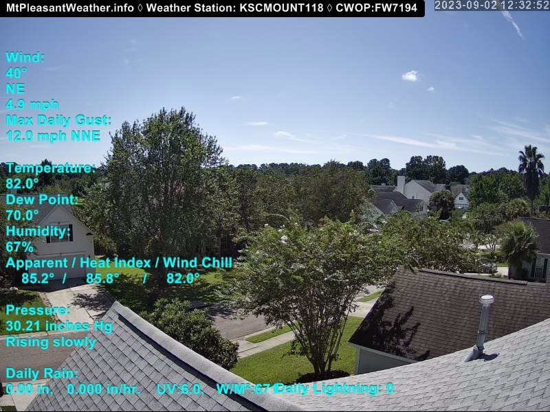
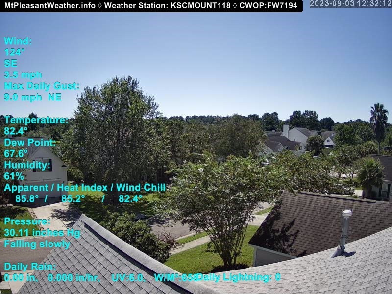
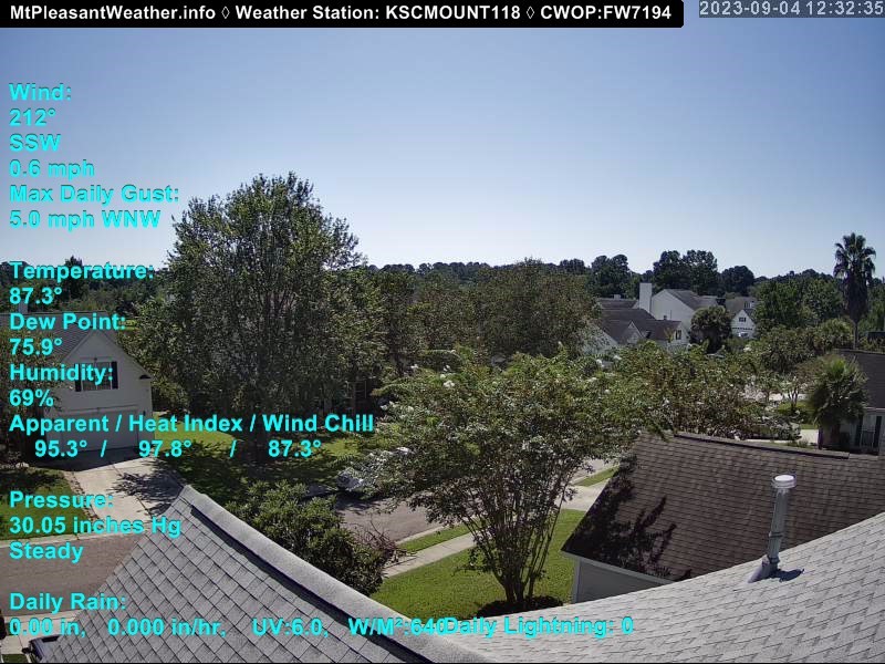
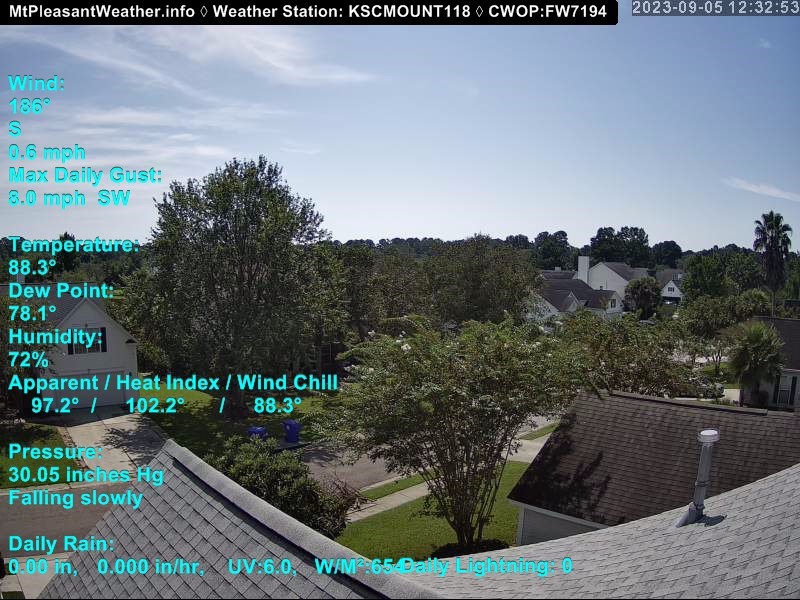
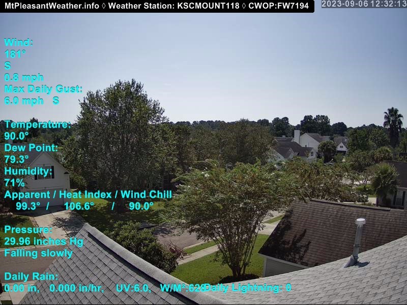
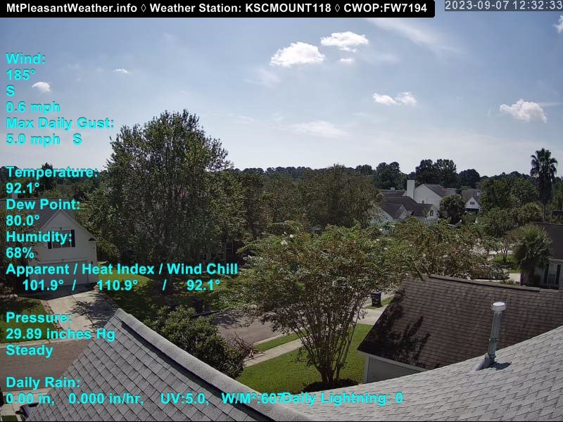
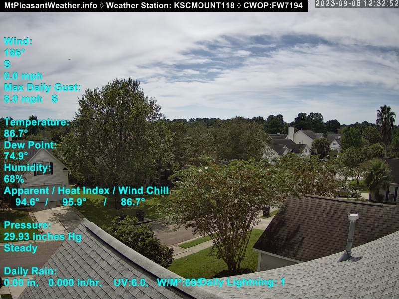
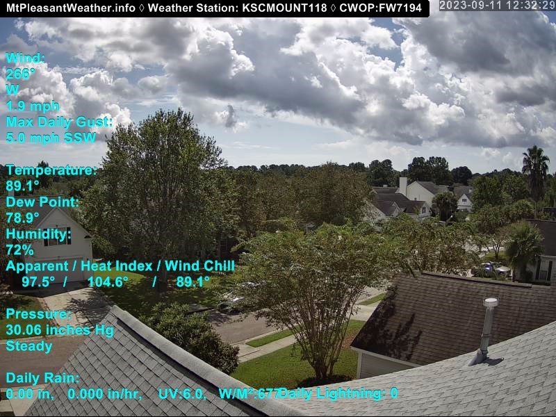
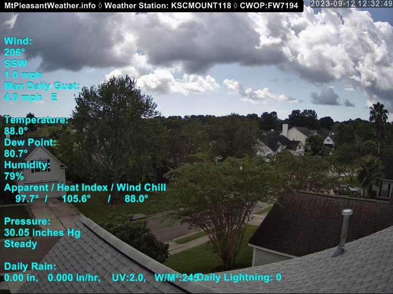
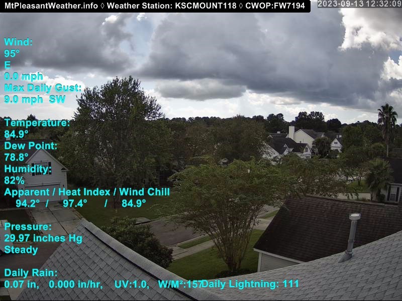
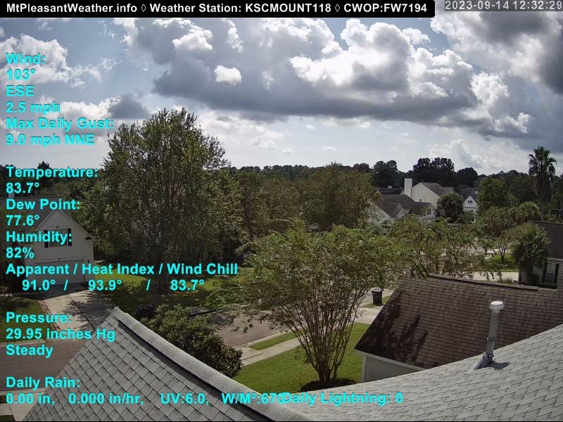
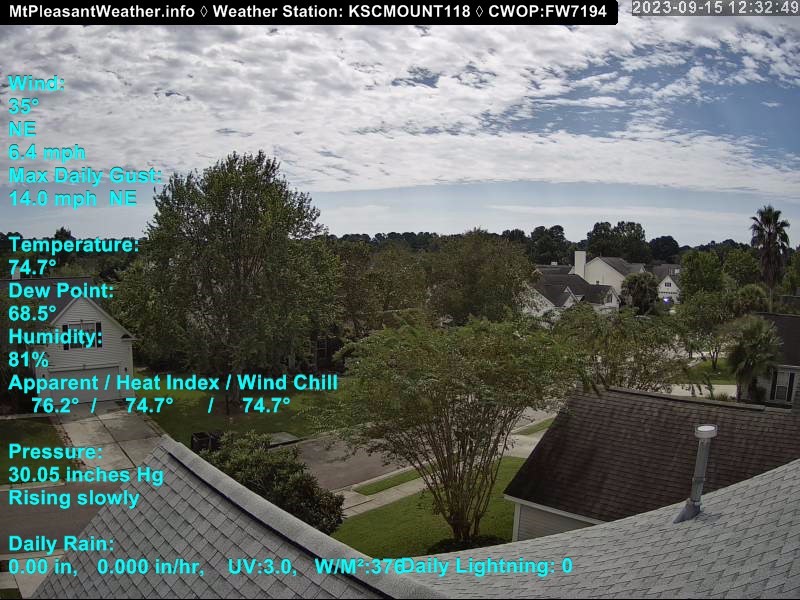
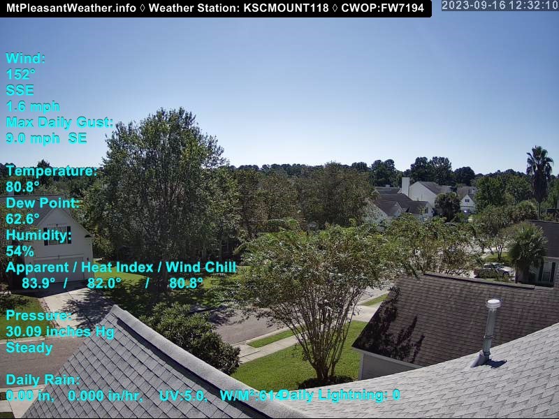
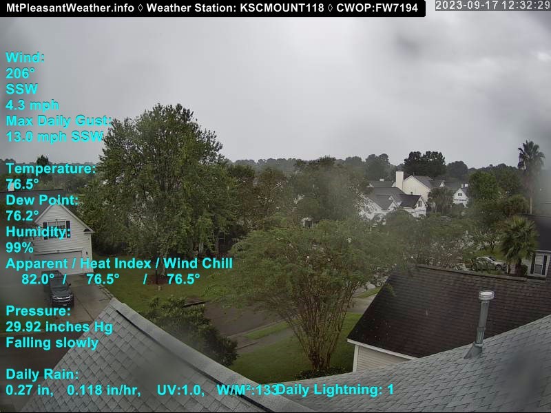
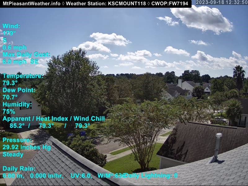
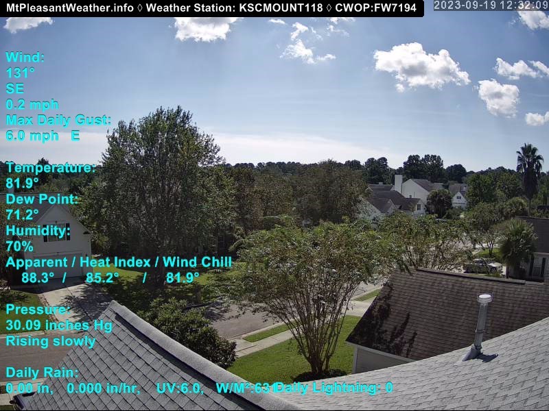
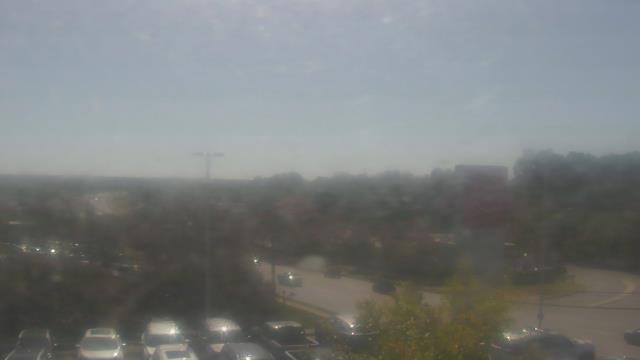
Mount Pleasant, South Carolina, USA - 130.9 miles from Summerfields: Live Weathercam - Mt. Pleasant, SC - A view of weather conditions in Mt. Pleasant, South Carolina.
Operator: mtpleasantweather.info
Operator: mtpleasantweather.info


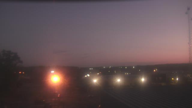
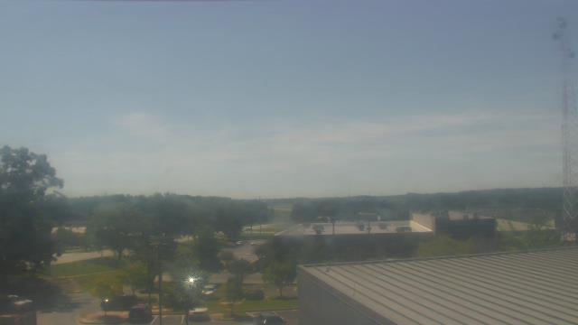
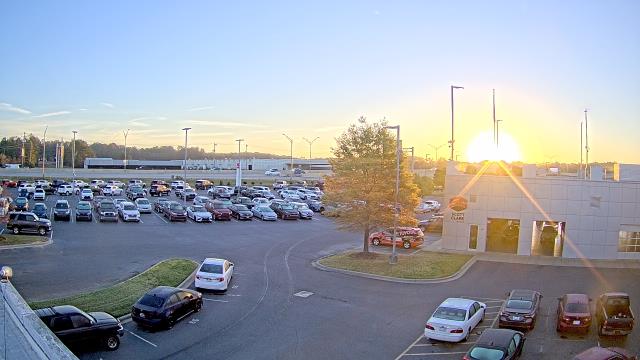
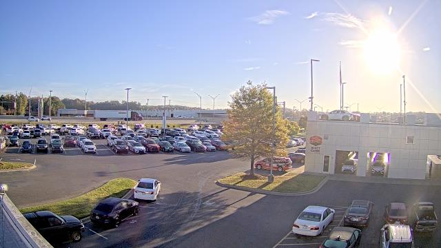
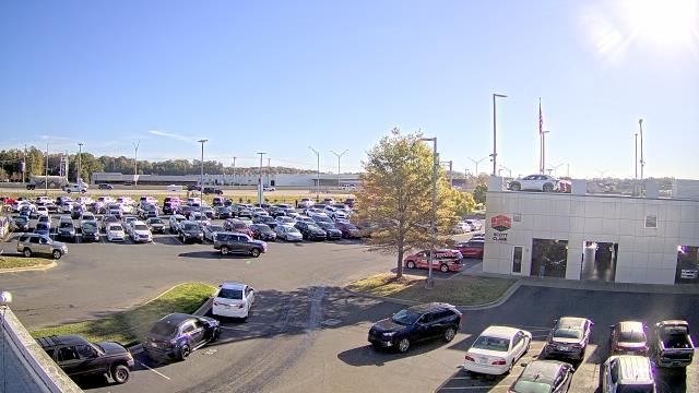
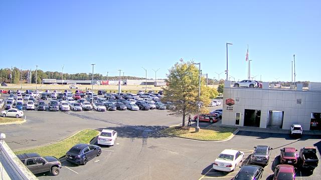
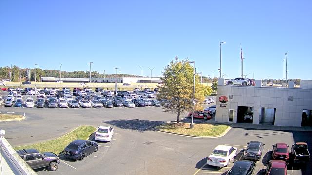
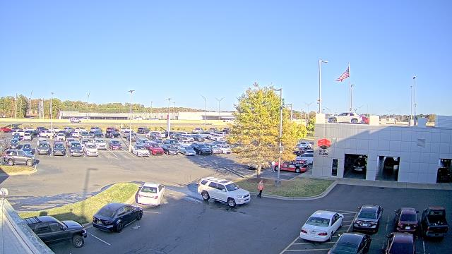
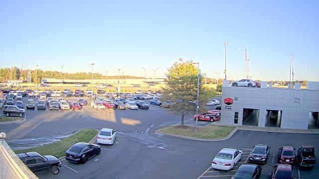
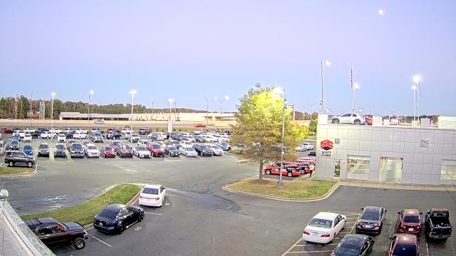
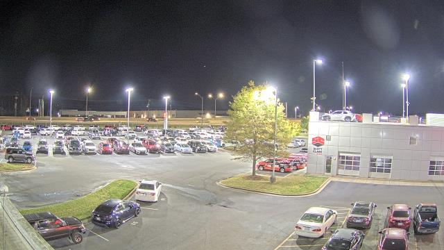
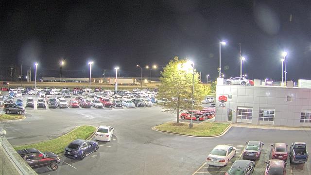
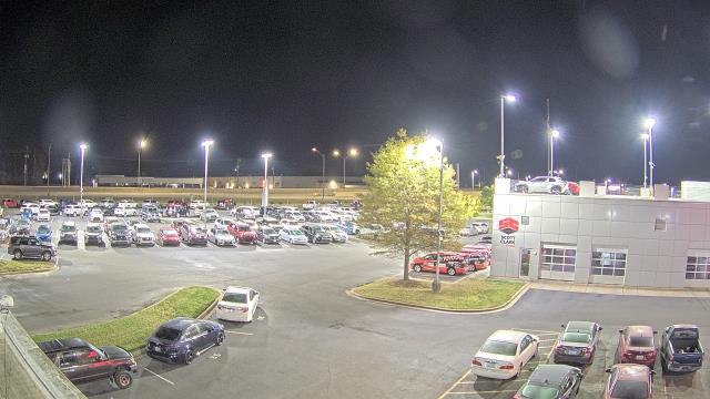
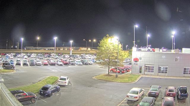
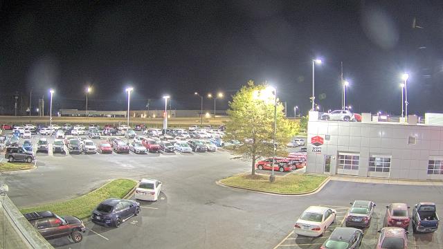
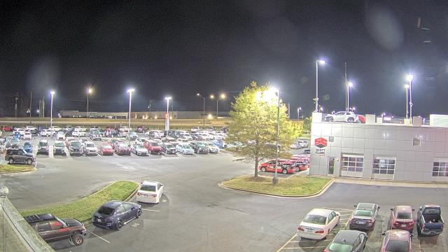
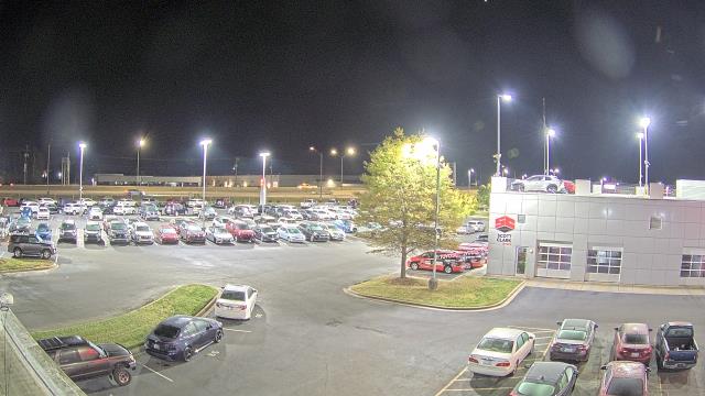
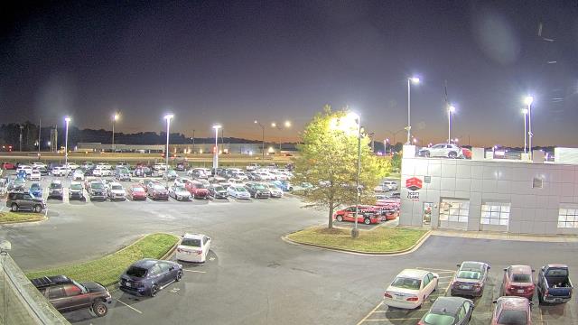
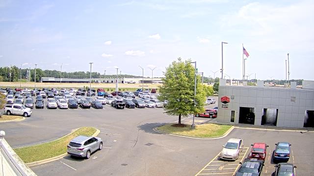
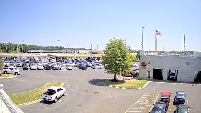
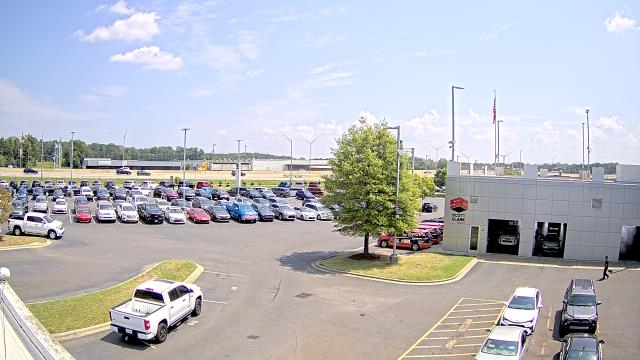
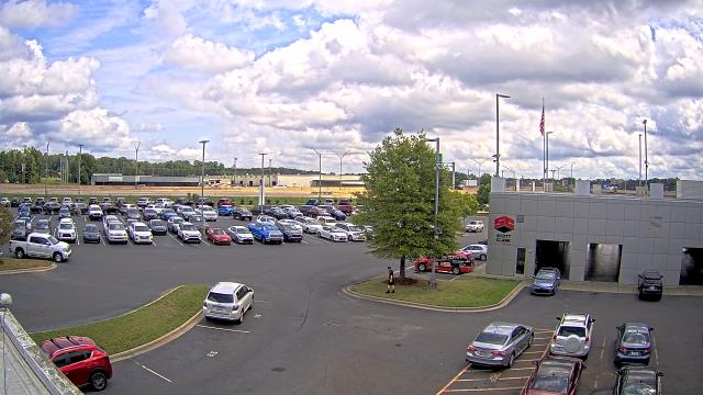
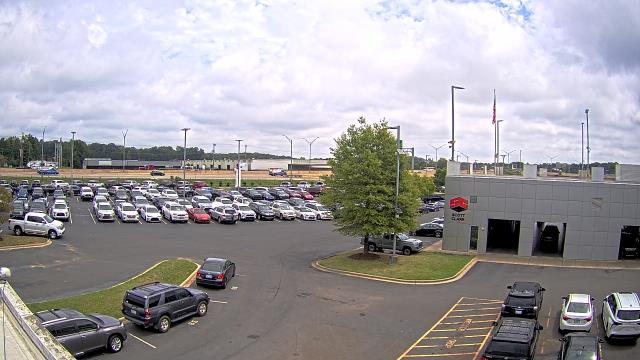
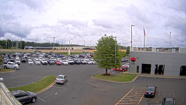
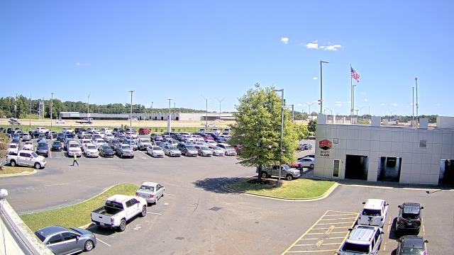
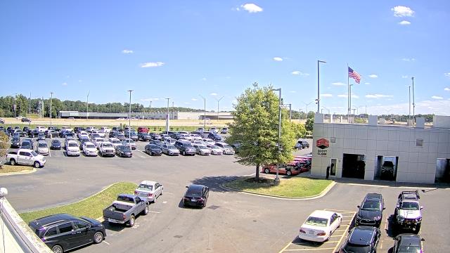
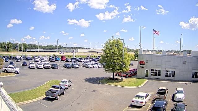
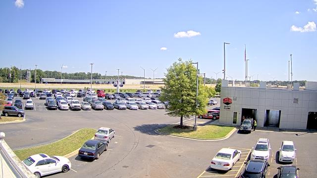
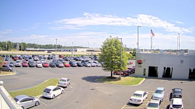
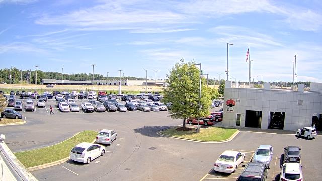
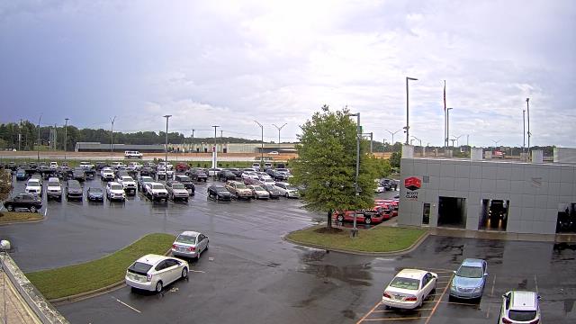
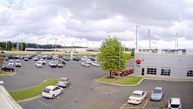
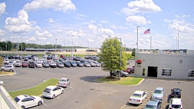
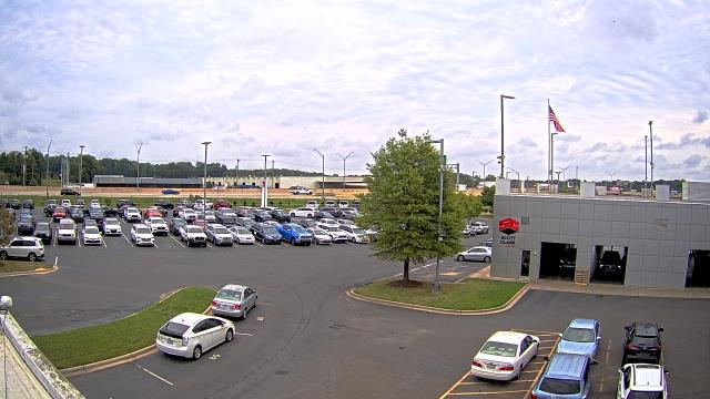
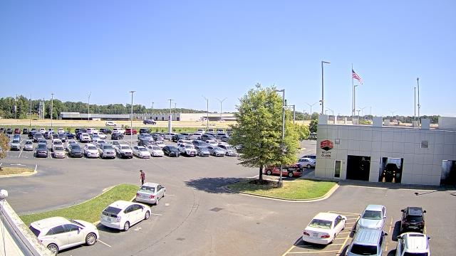
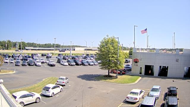
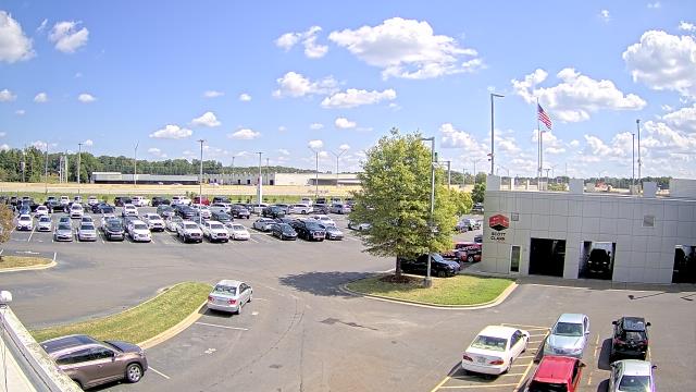
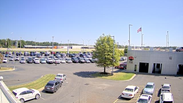
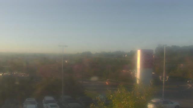
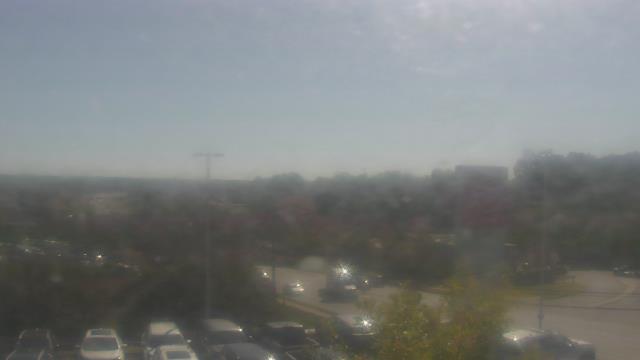
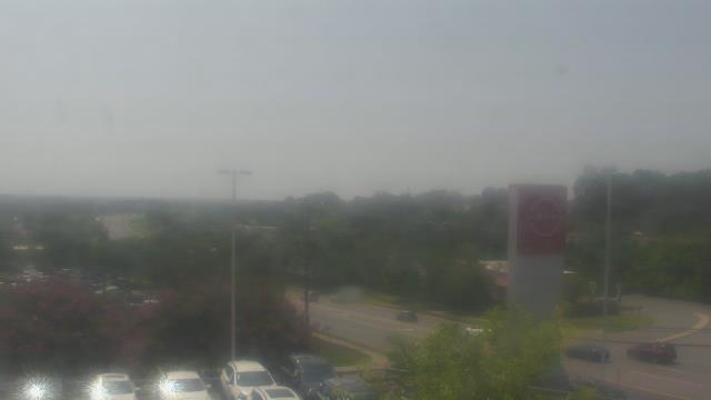
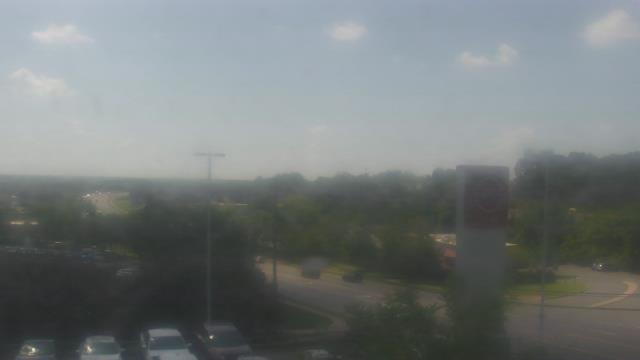
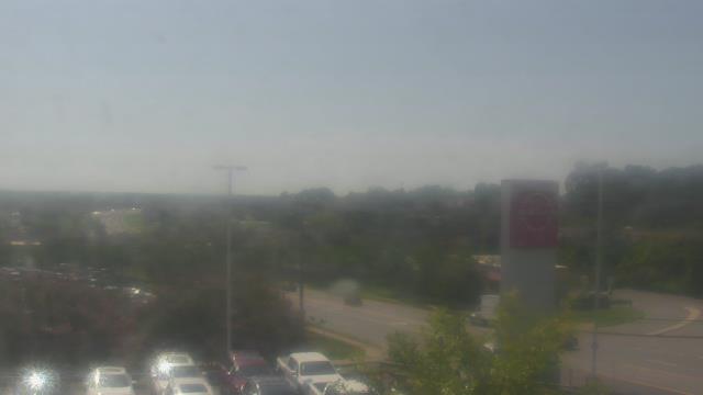
Stallings, North Carolina, USA - 131.5 miles from Summerfields: Scott Clarks Toyota - A webcam in Stallings, North Carolina - camera location: Scott Clarks Toyota.
Operator: WeatherBug
Operator: WeatherBug


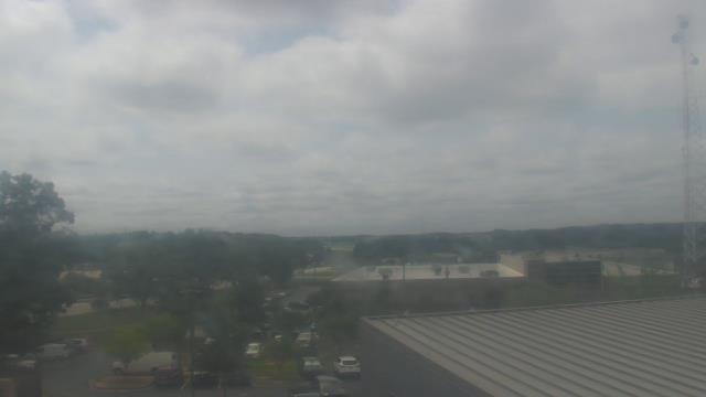
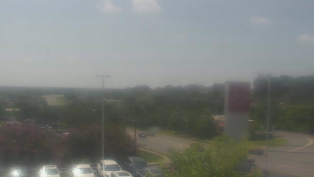
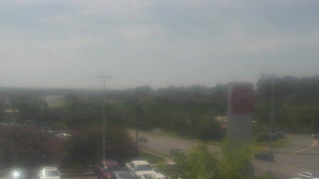
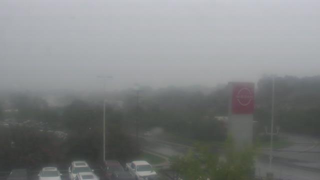
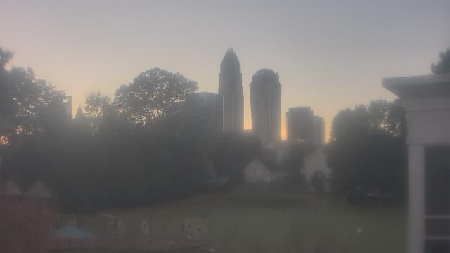
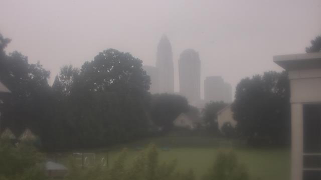
Charlotte, North Carolina, USA - 135.1 miles from Summerfields: Central Piedmont Community College - A webcam in Charlotte, North Carolina - camera location: Central Piedmont Community College.
Operator: WeatherBug
Operator: WeatherBug


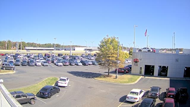
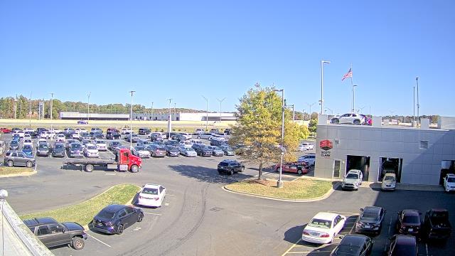
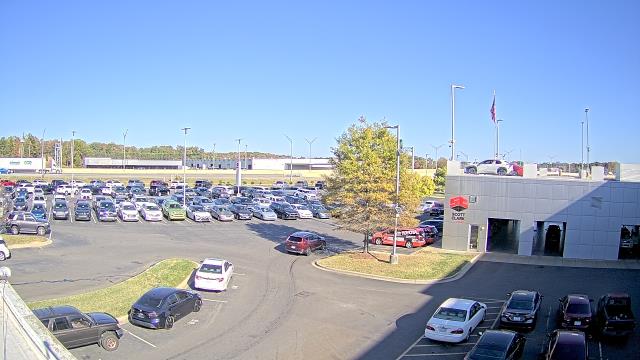
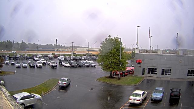
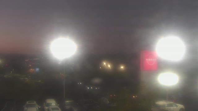
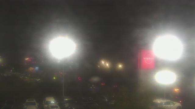
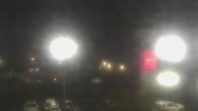
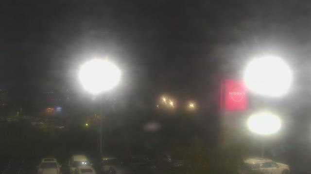
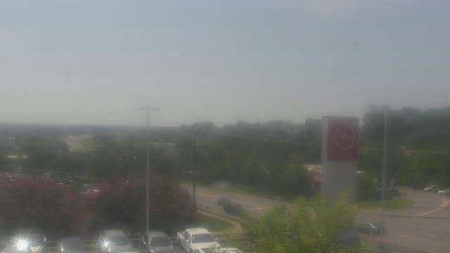
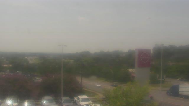
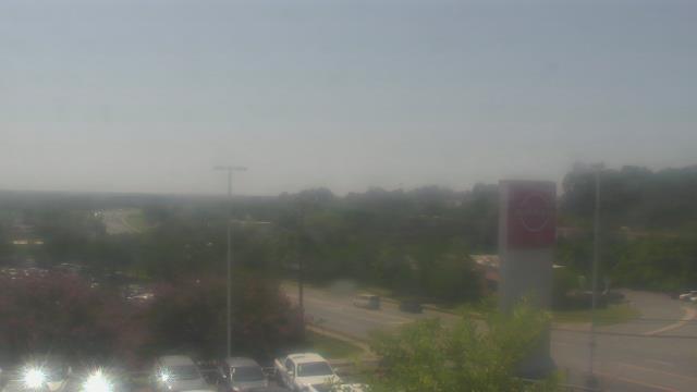
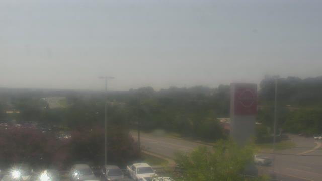
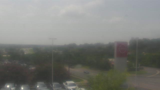
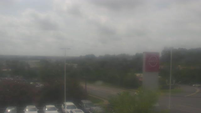
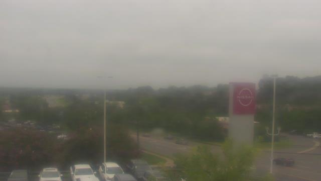
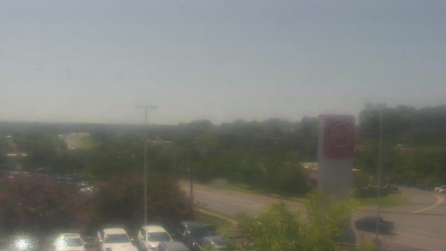
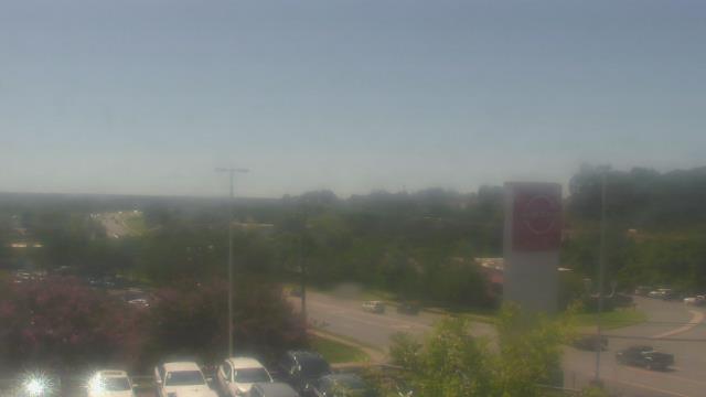
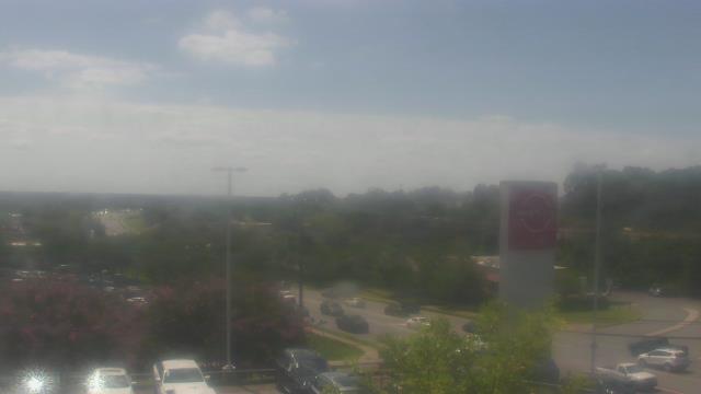
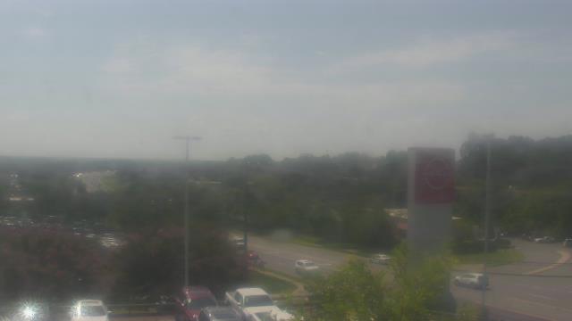
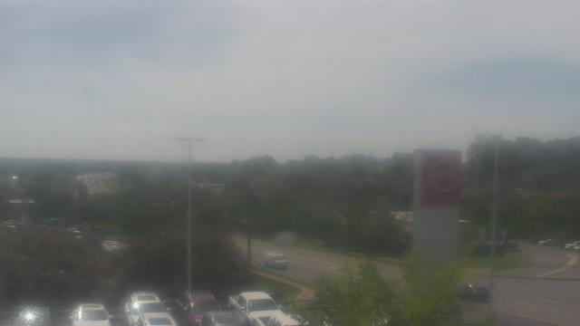
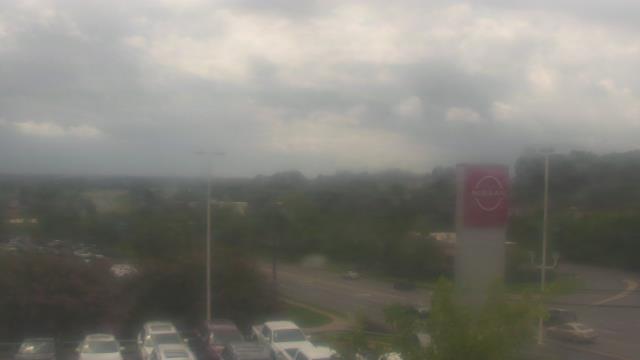
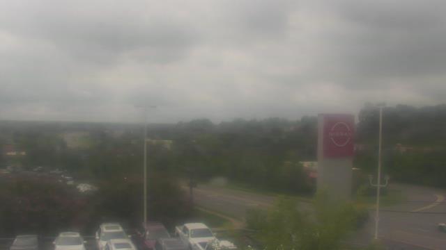
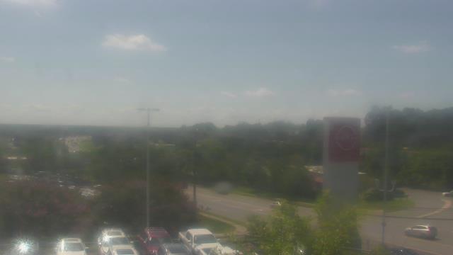
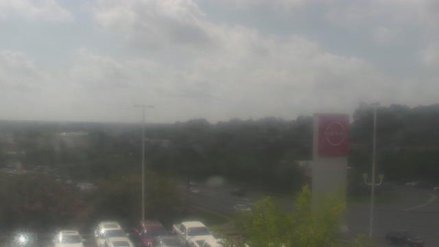
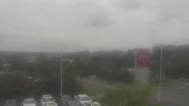
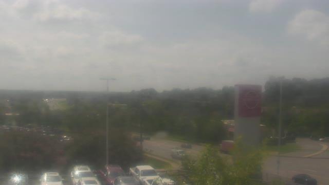
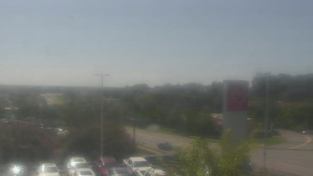
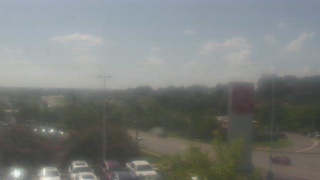
Charlotte, North Carolina, USA - 135.1 miles from Summerfields: Scott Clarks Nissan - A webcam in Charlotte, North Carolina - camera location: Scott Clarks Nissan.
Operator: WeatherBug
Operator: WeatherBug


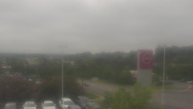

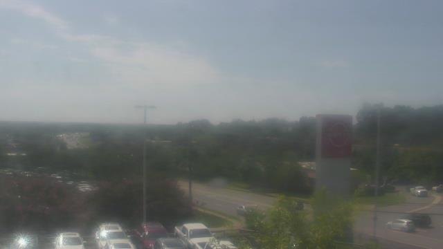
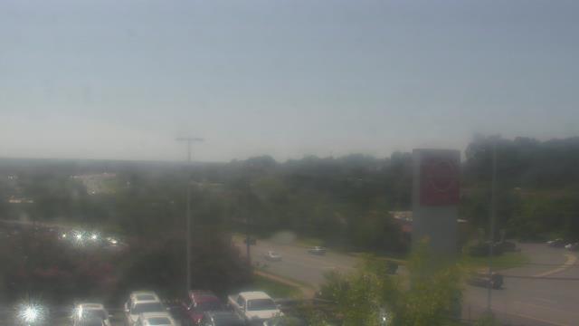

Charlotte, North Carolina, USA - 135.1 miles from Summerfields: Trinity Episcopal School - Webcam and current weather data - camera location: Trinity Episcopal School.
Operator: WeatherBug
Operator: WeatherBug


Some other places in this country: Southwood - Spring Branch (historical) - Stone Gap - Storm Branch Park - Sunset Heights - Talatha Farms - The Colony - Virginia Acres - Ward Hills - Wellington