Webcams in the region of Upper Soda, Oregon, USA
The List of Webcams near Upper Soda, Oregon, USA:

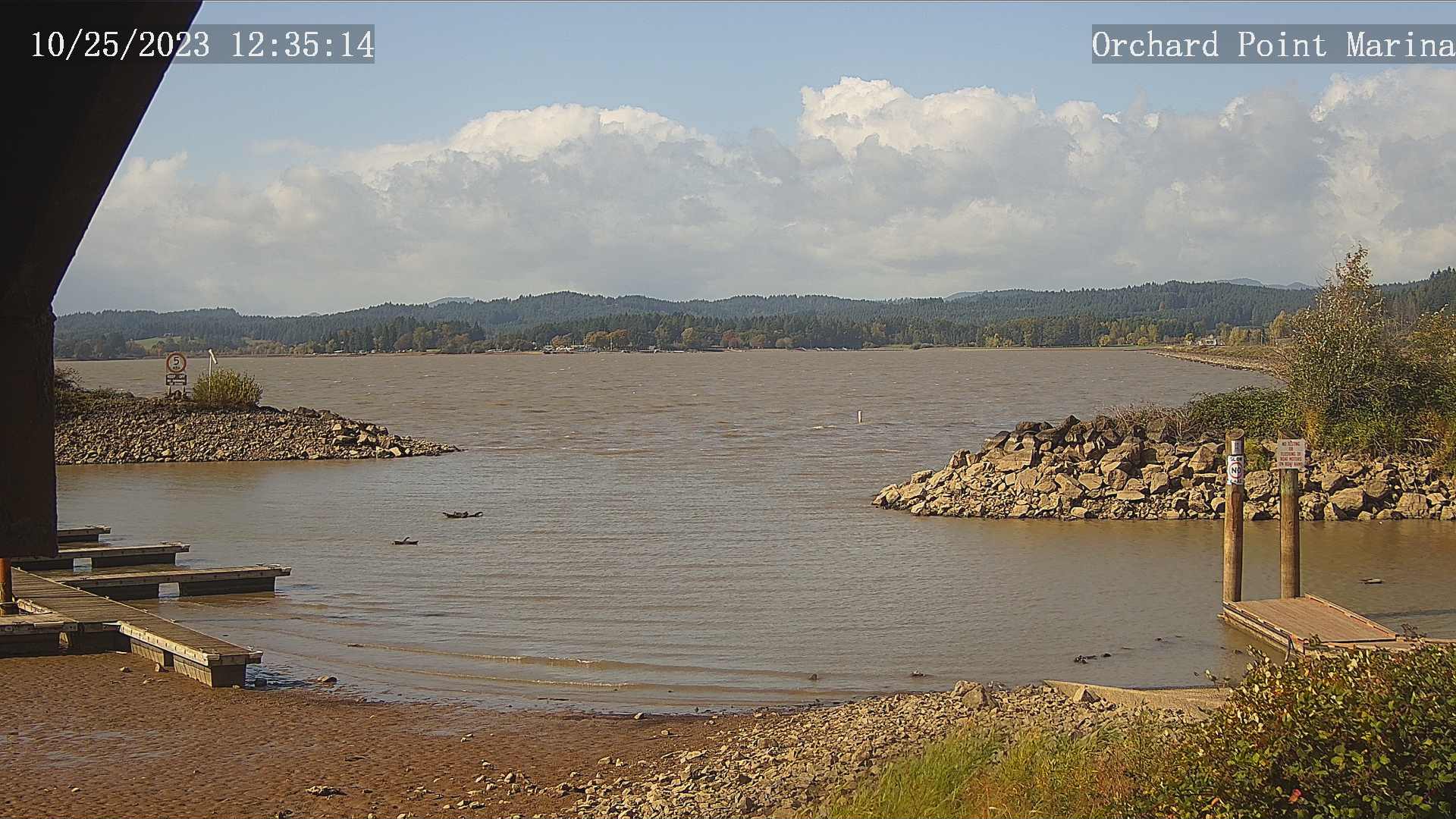
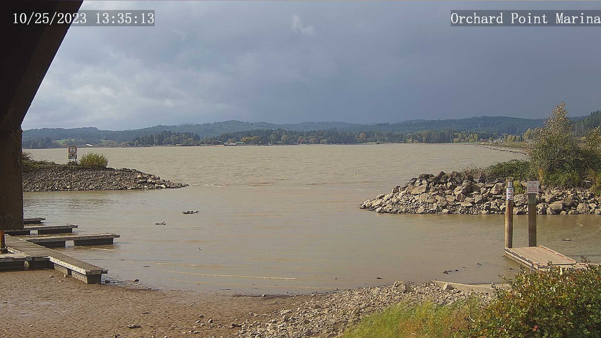
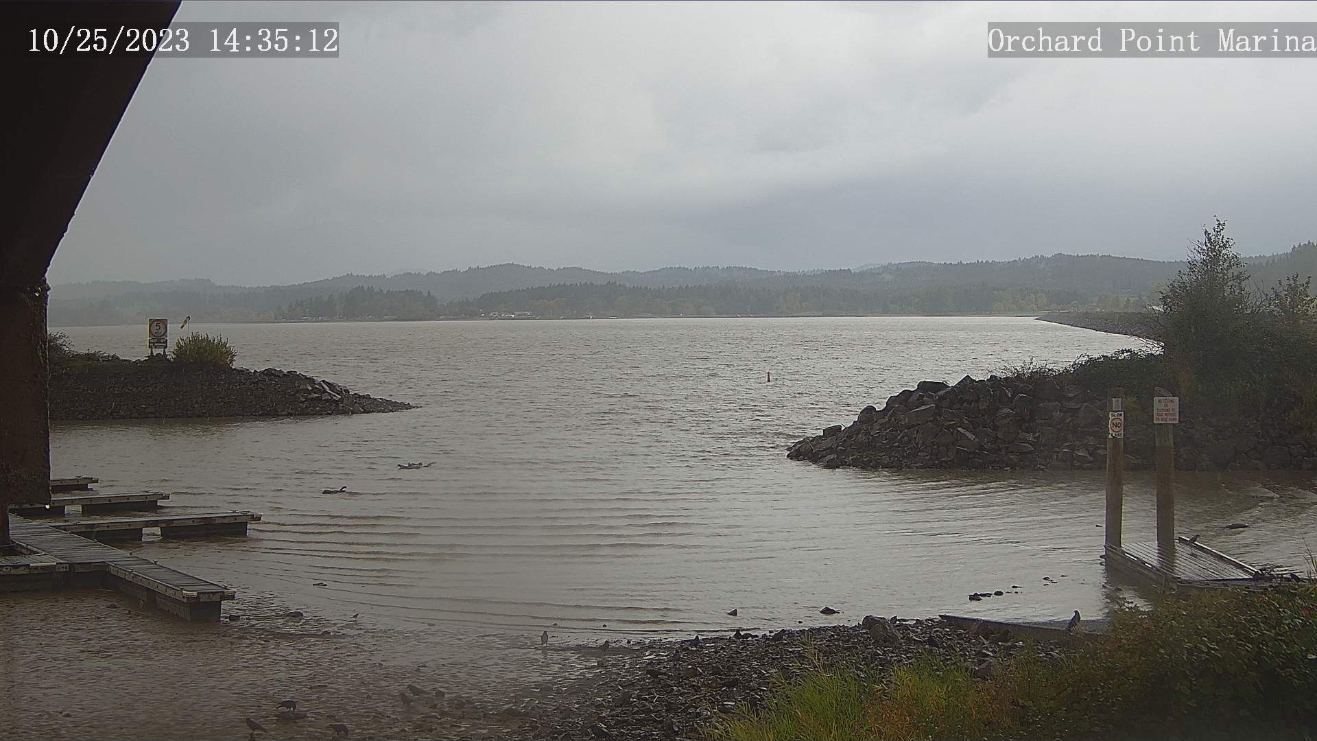
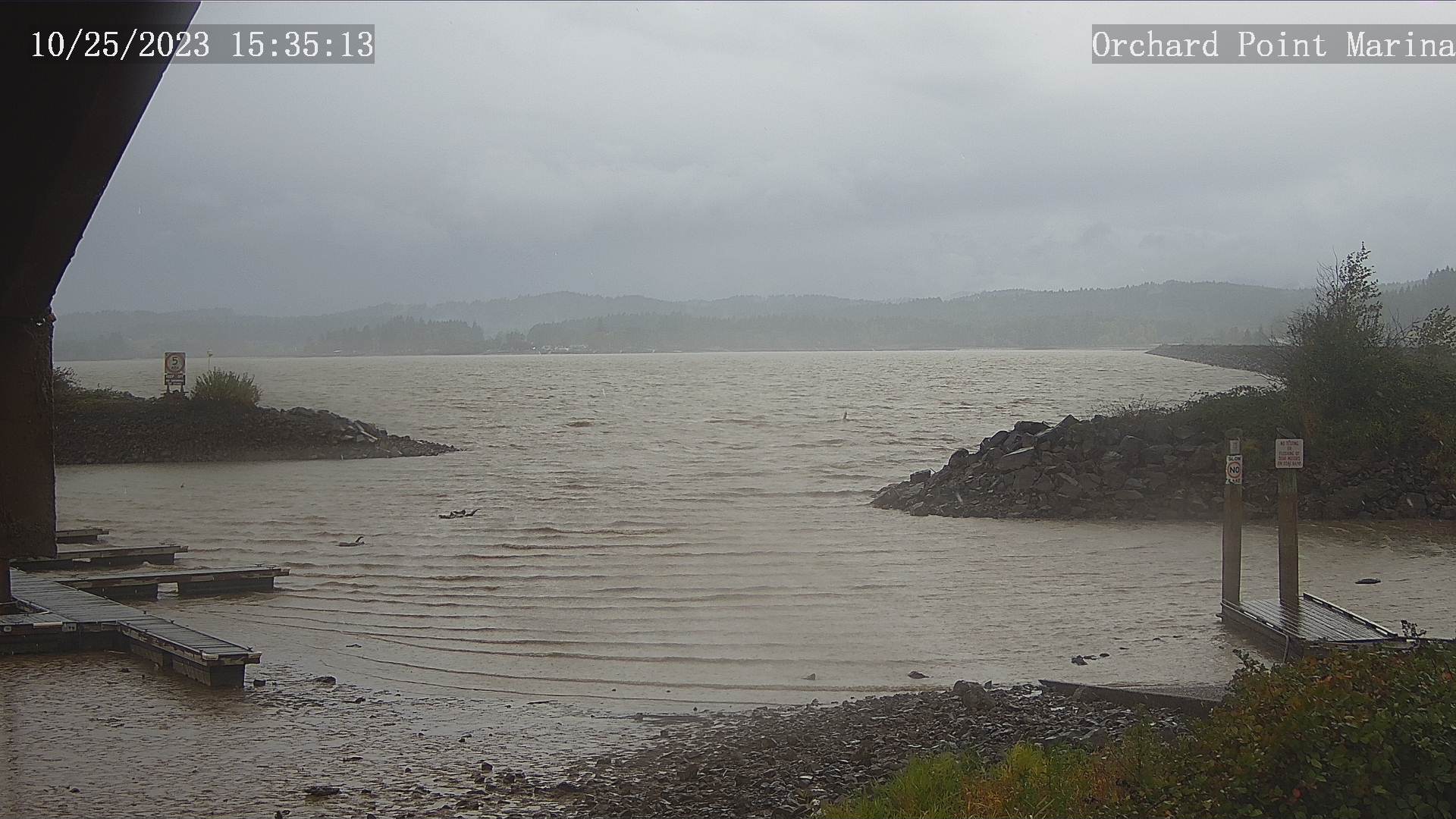
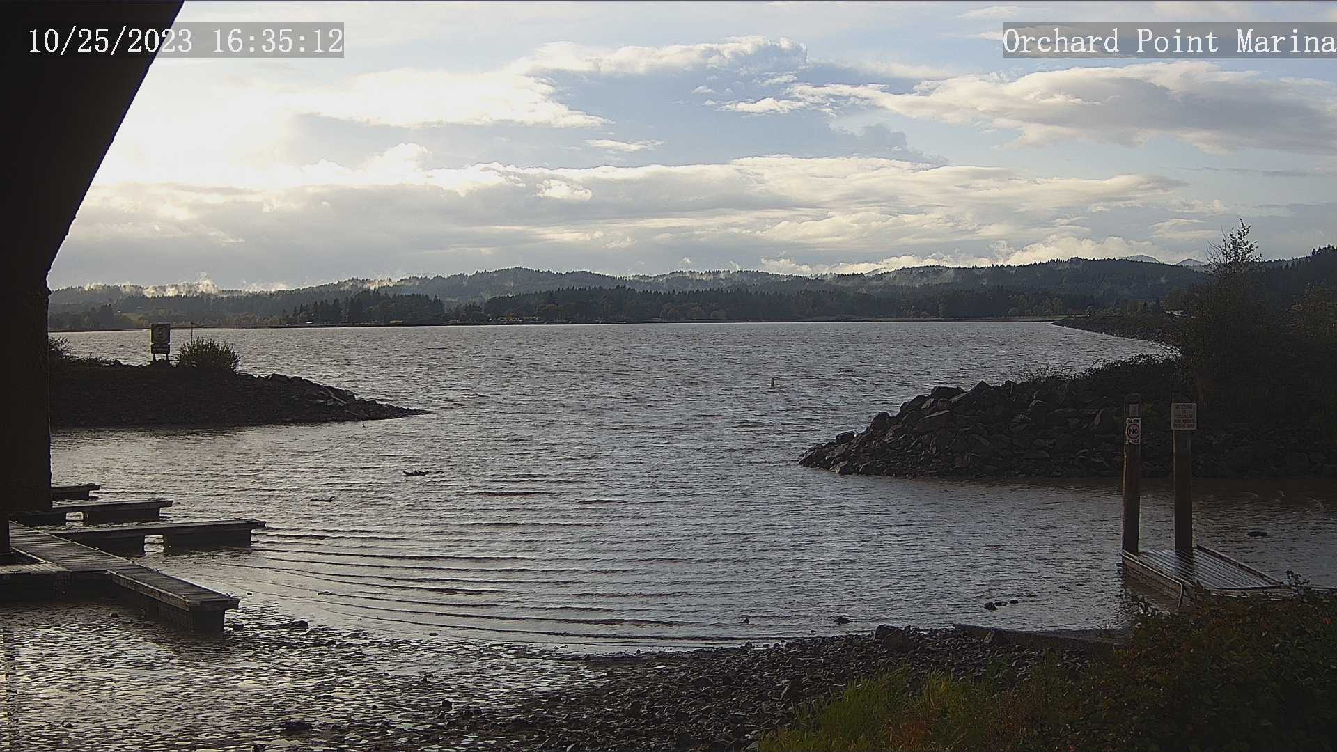
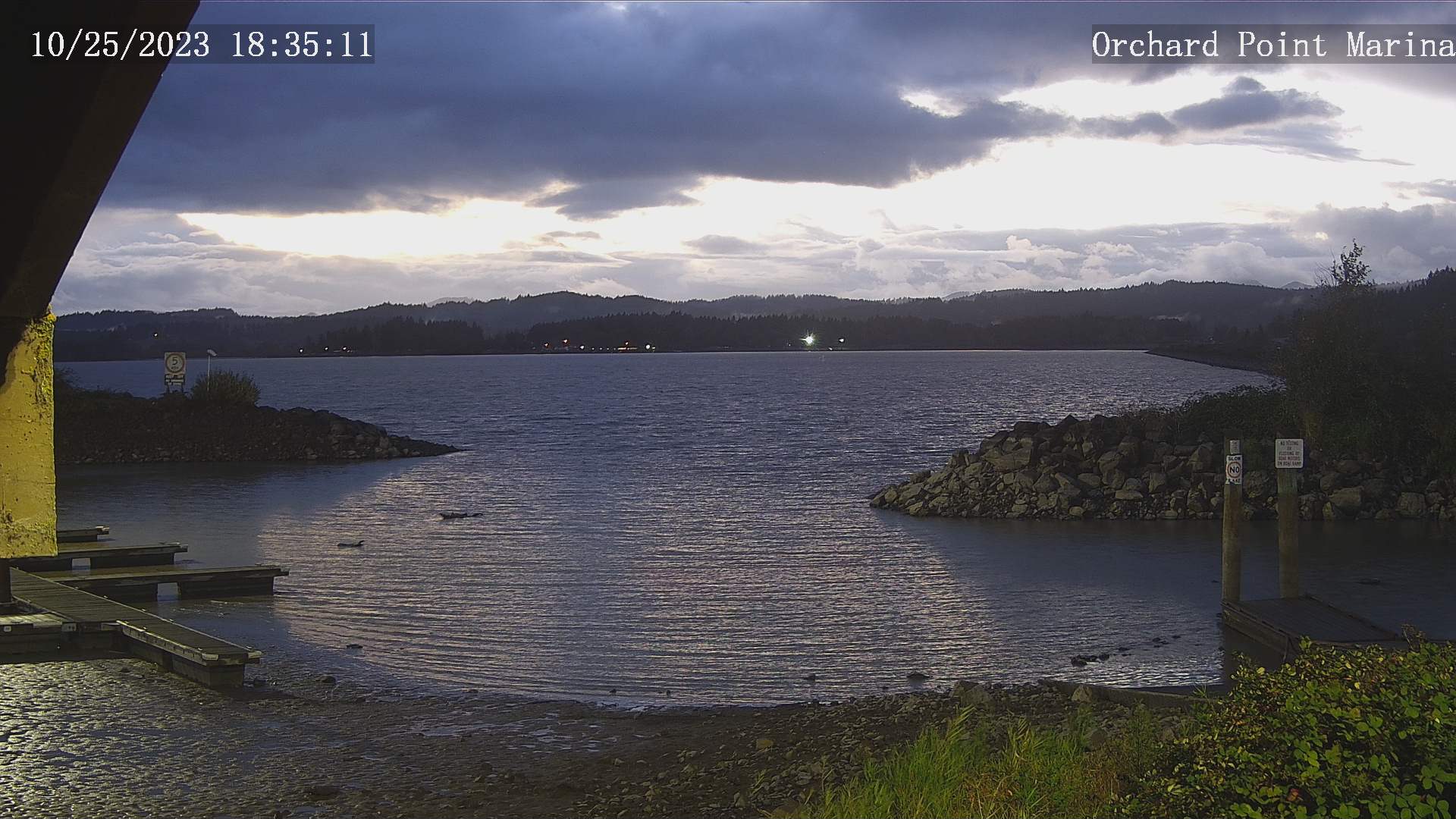
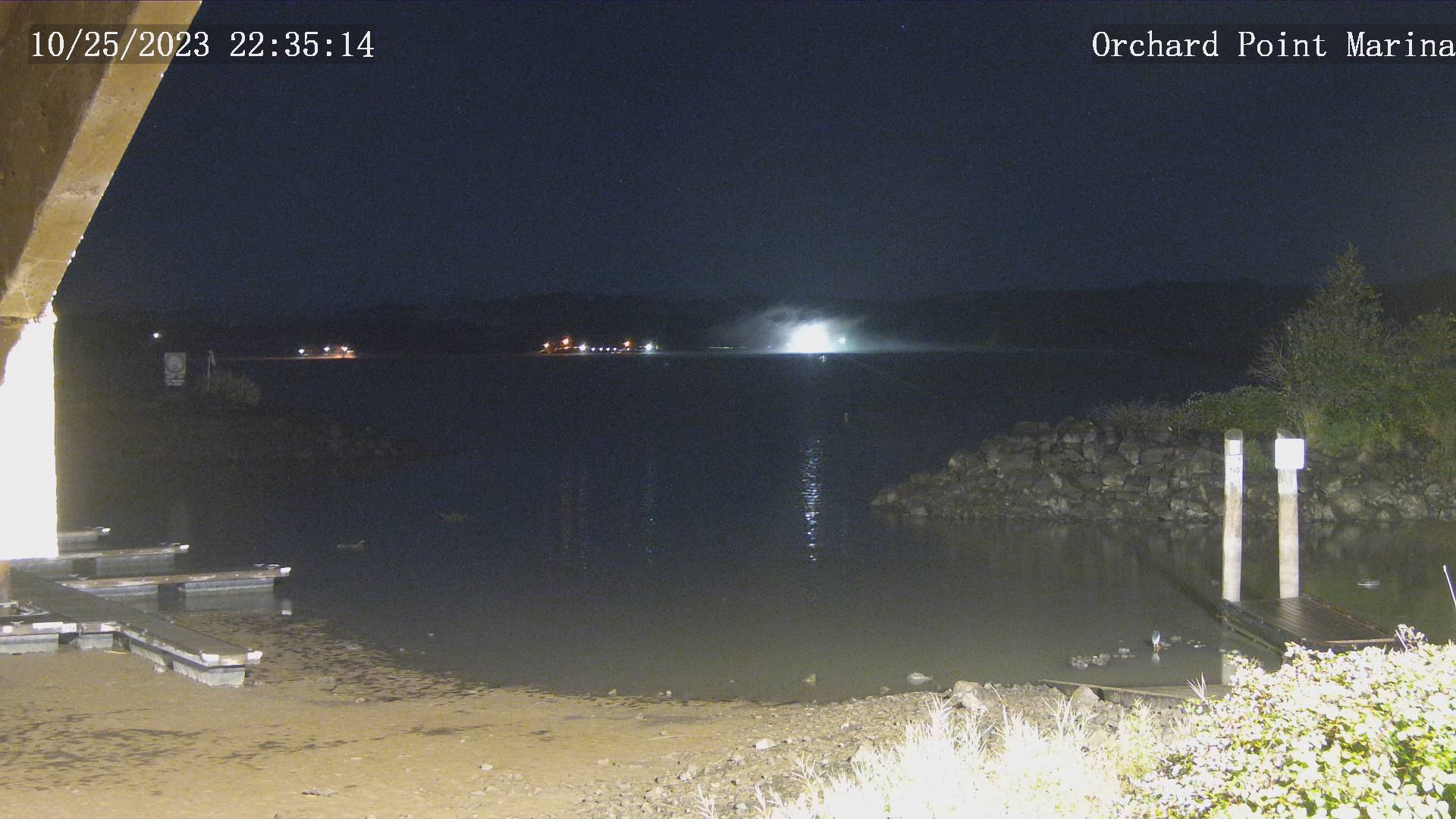
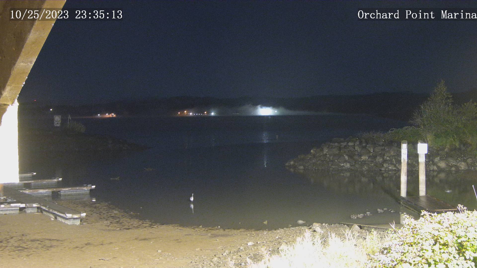
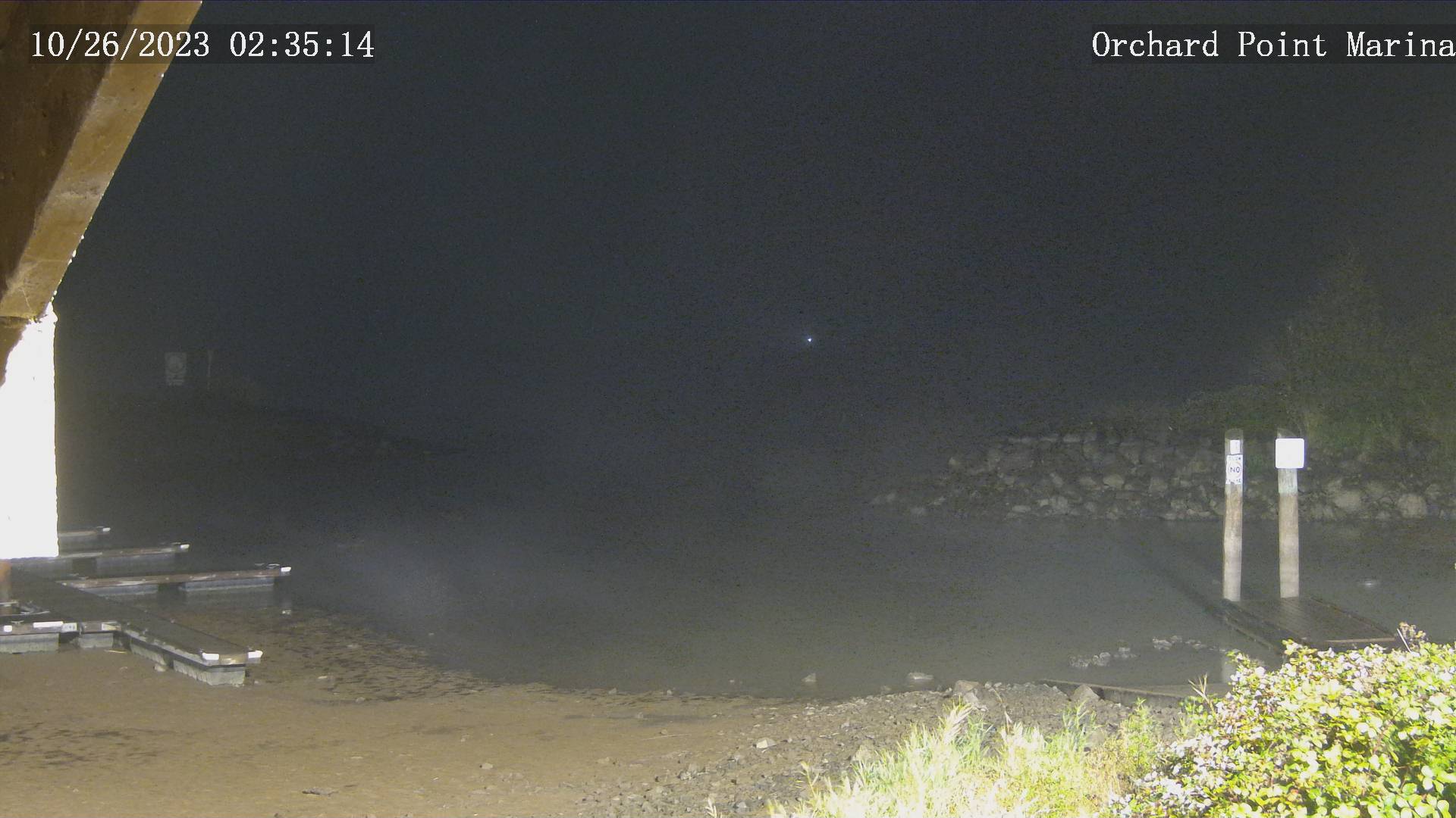
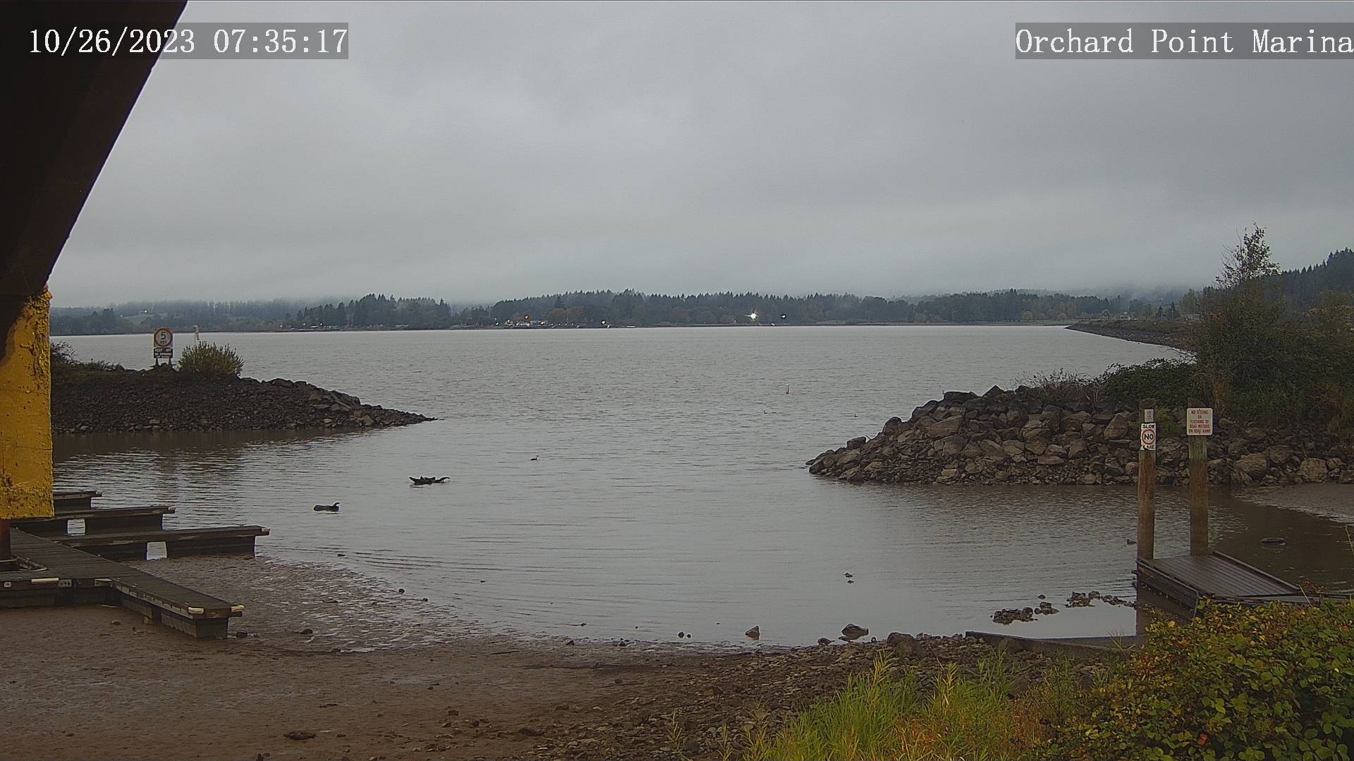
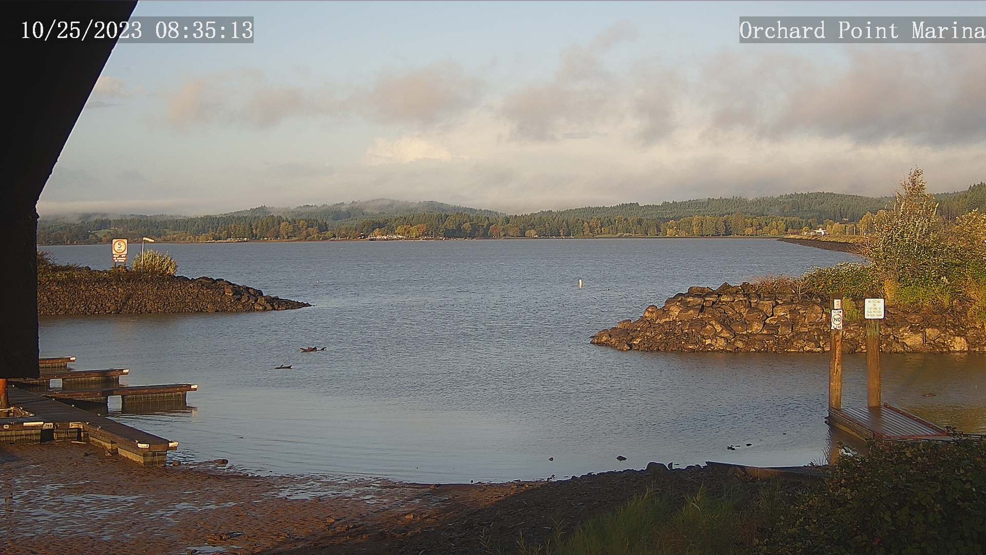
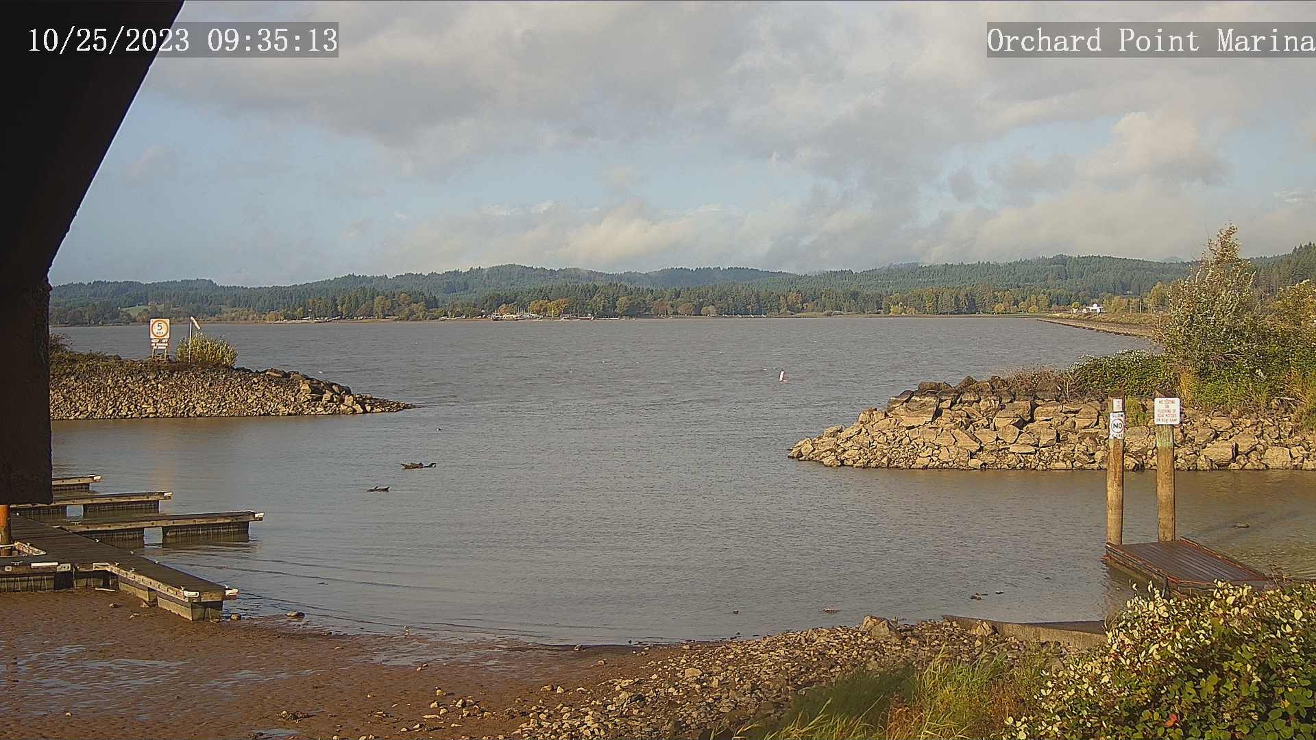
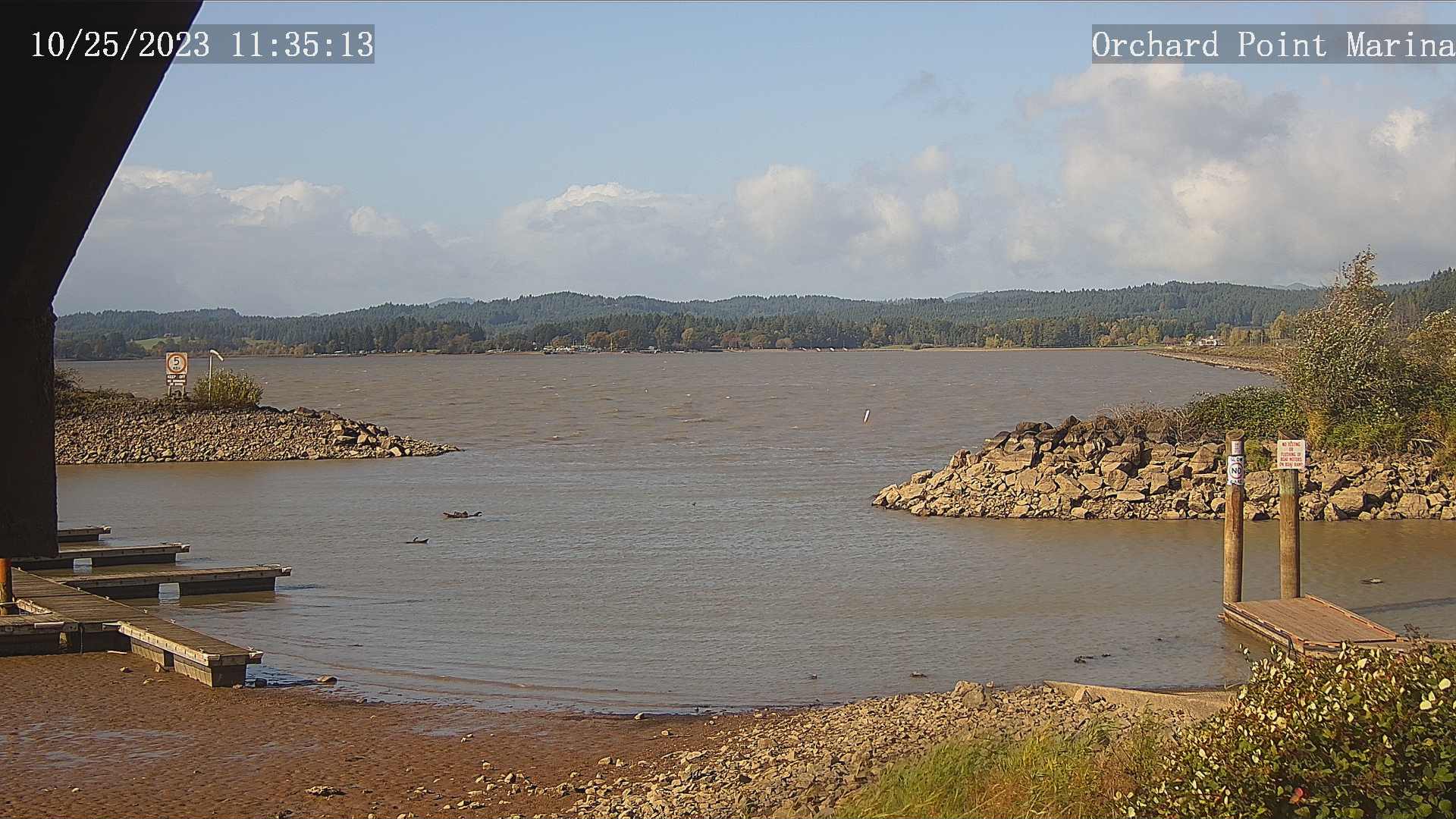
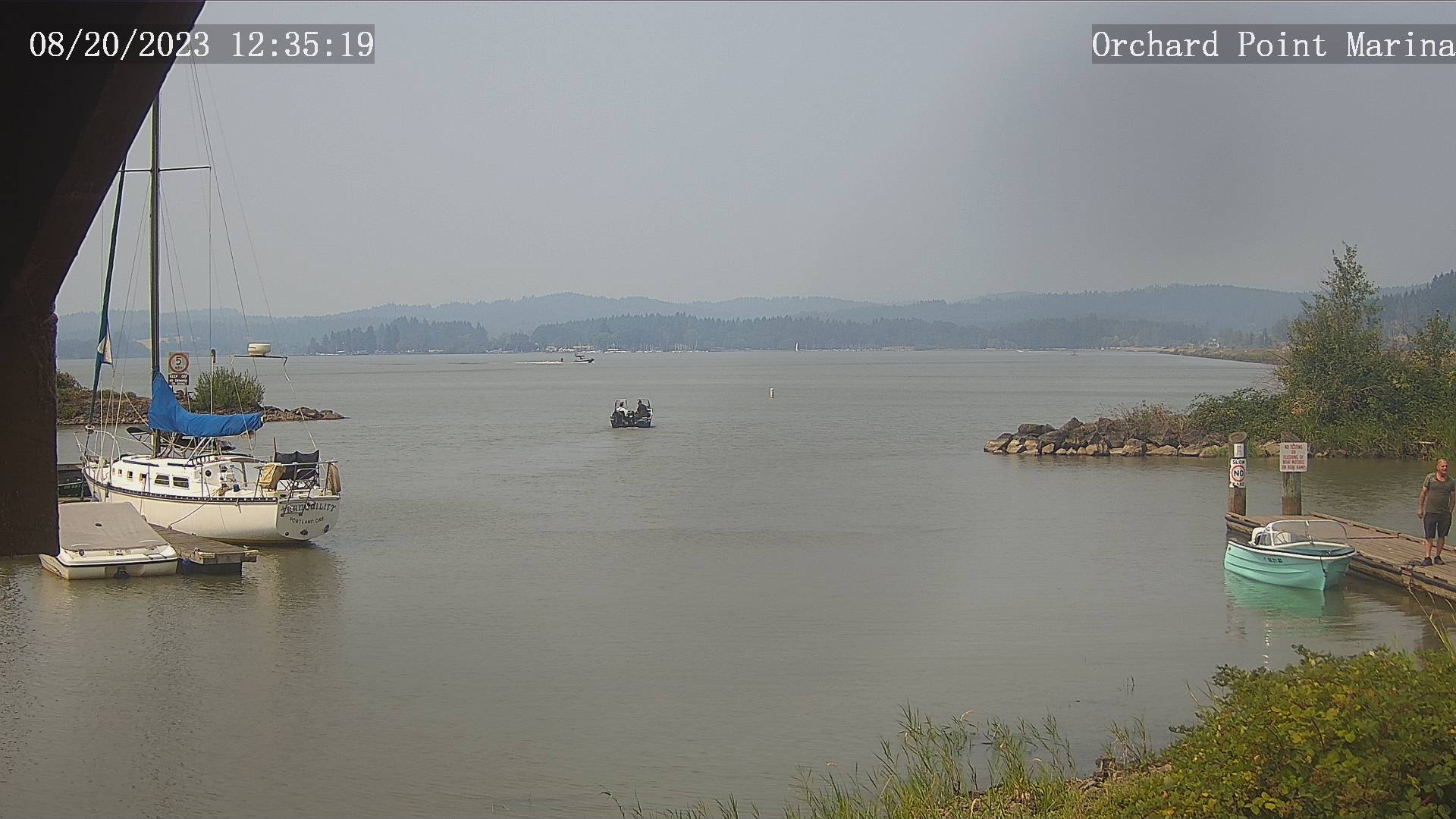
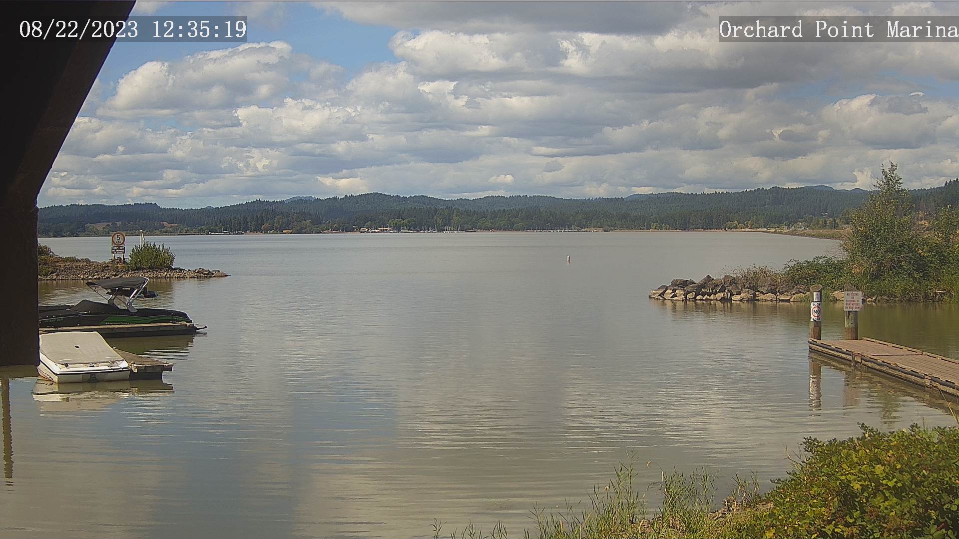
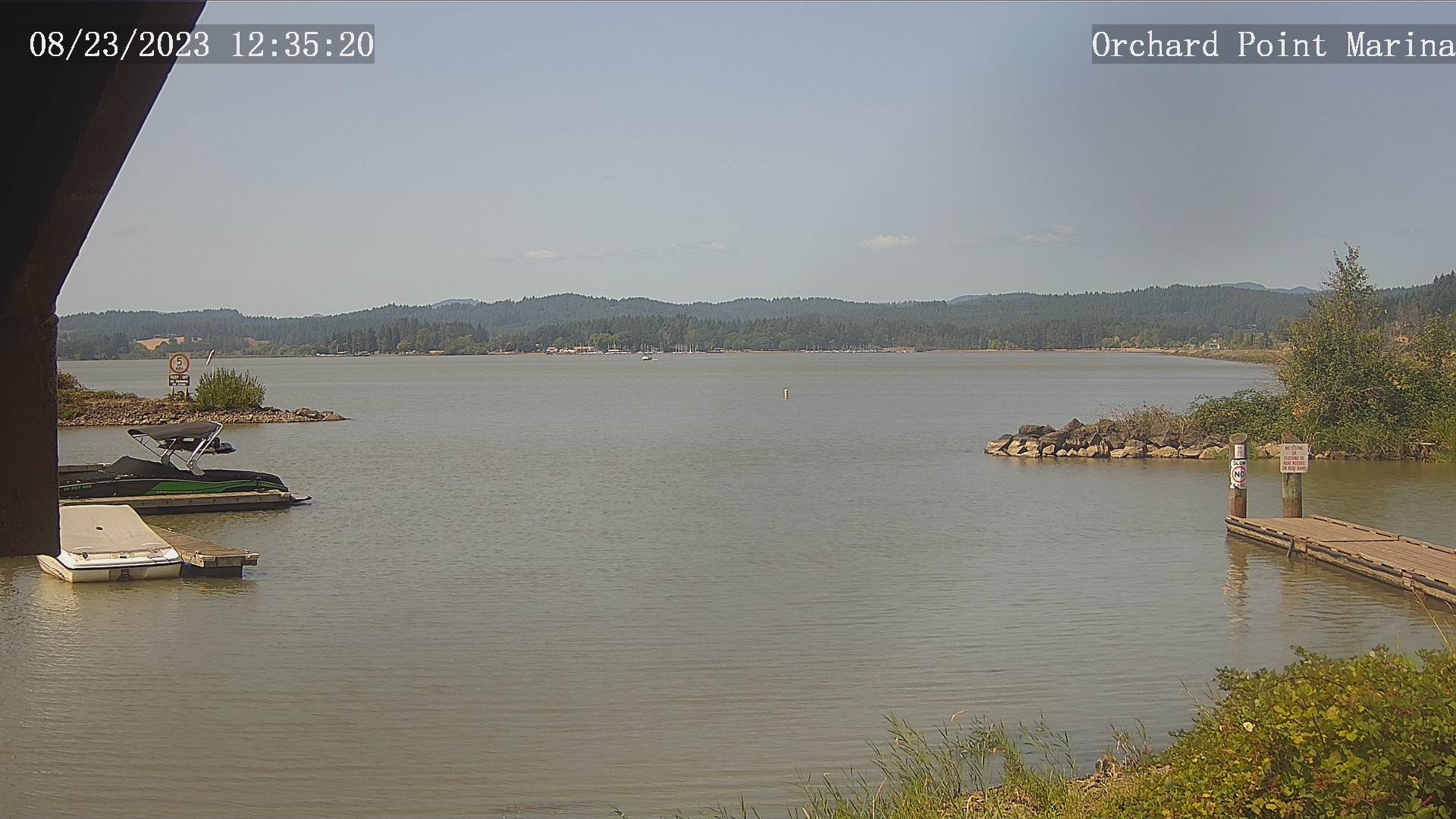
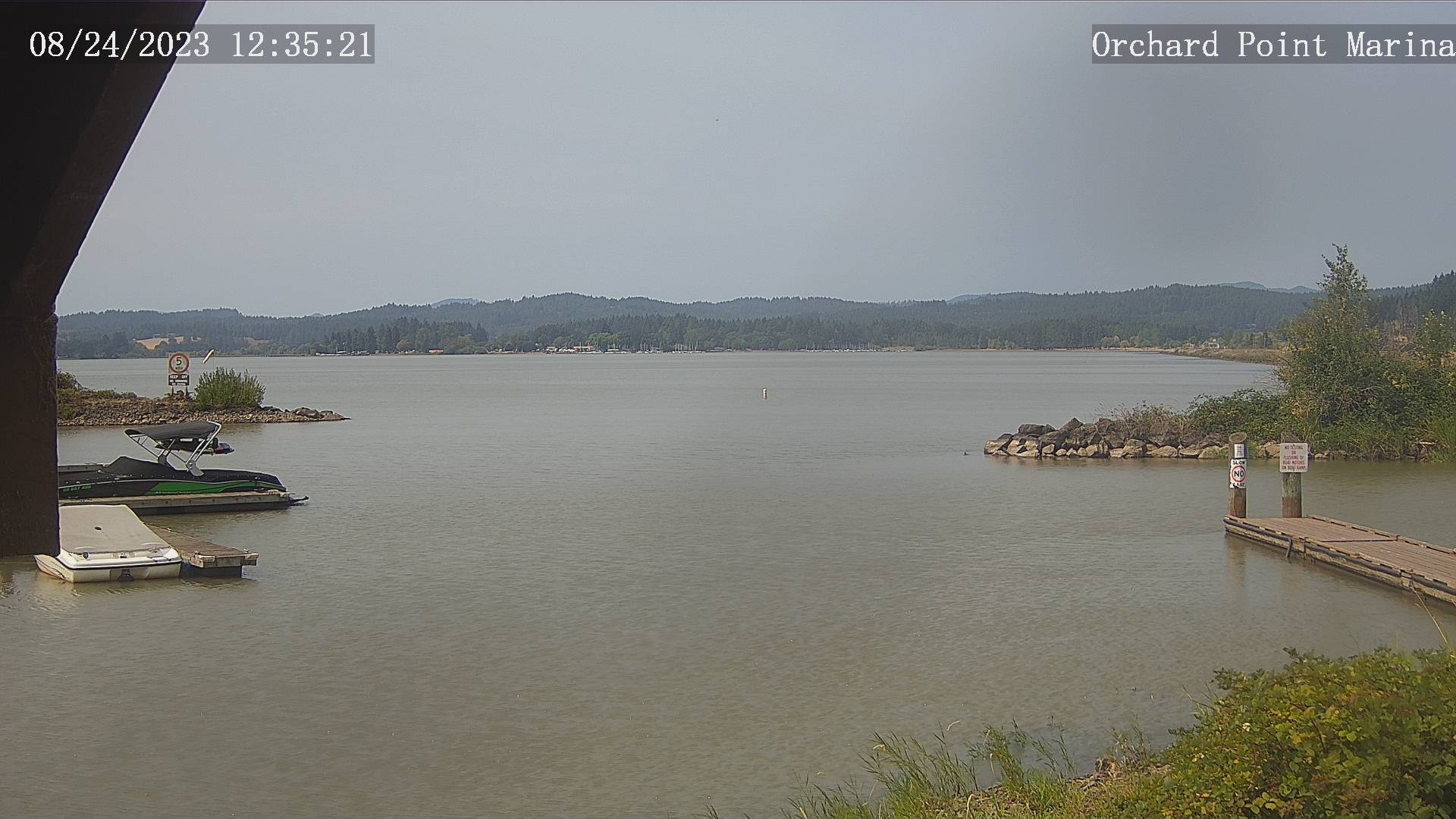
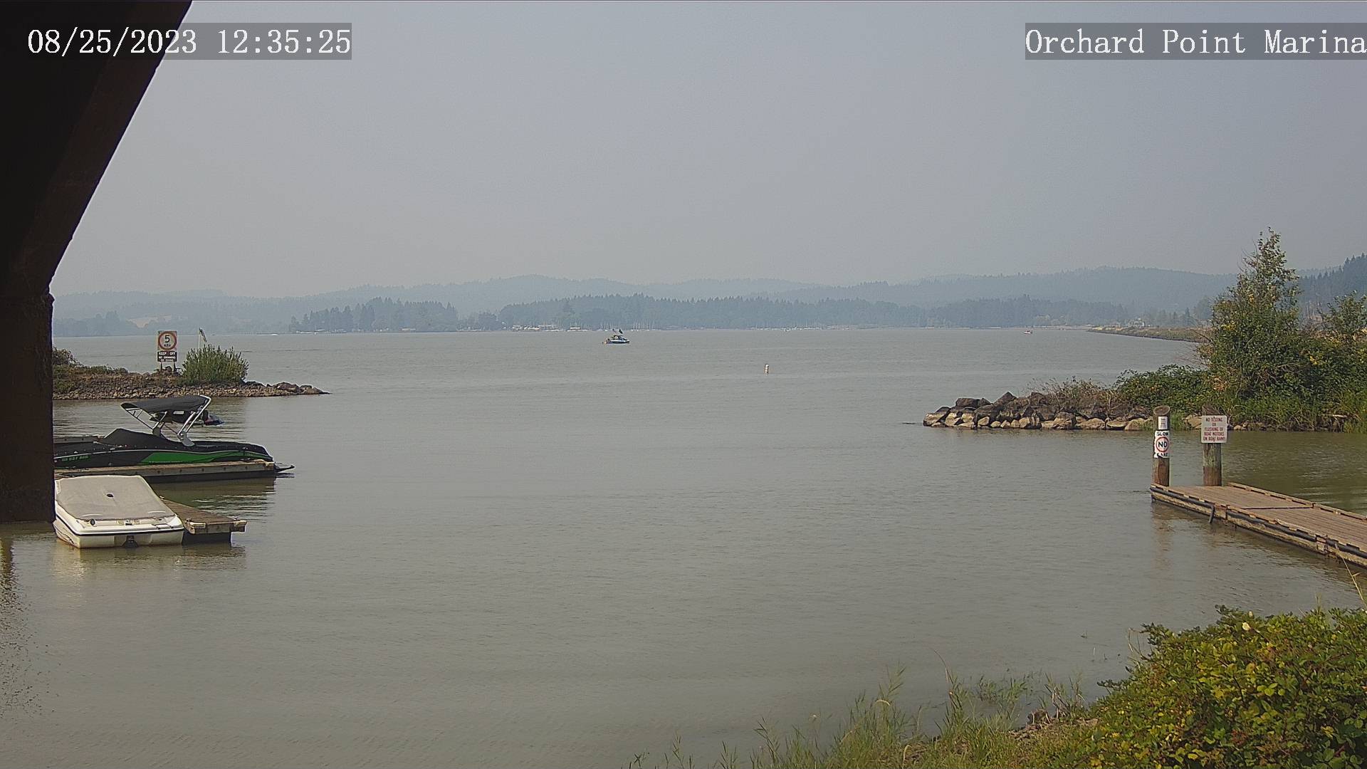
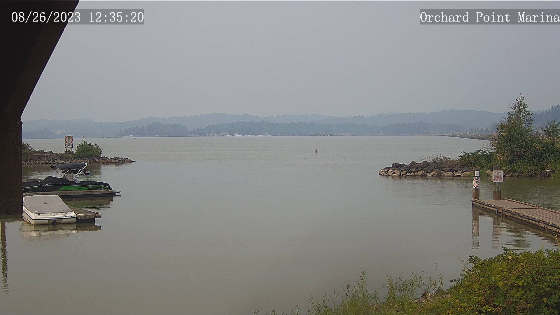
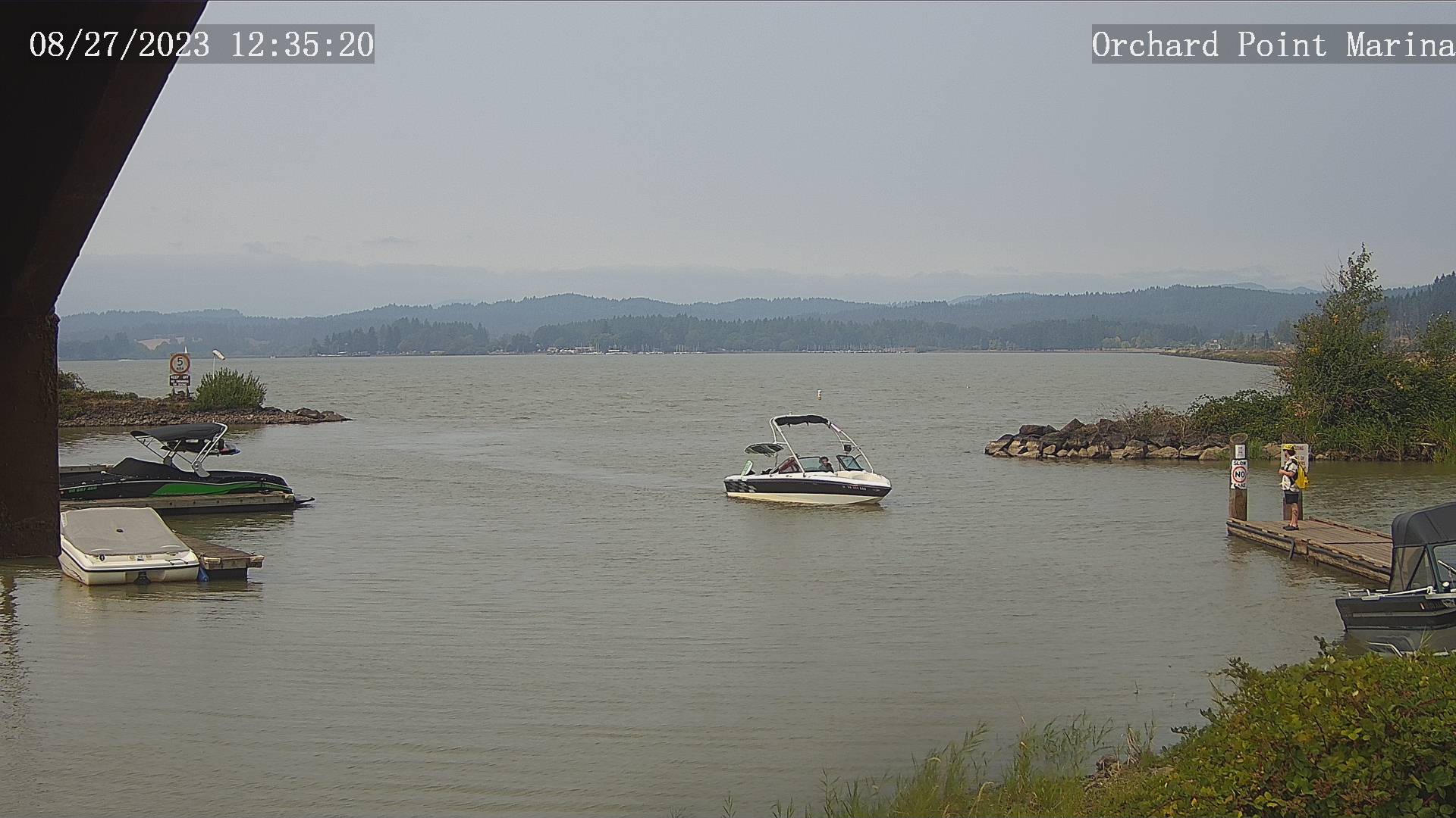
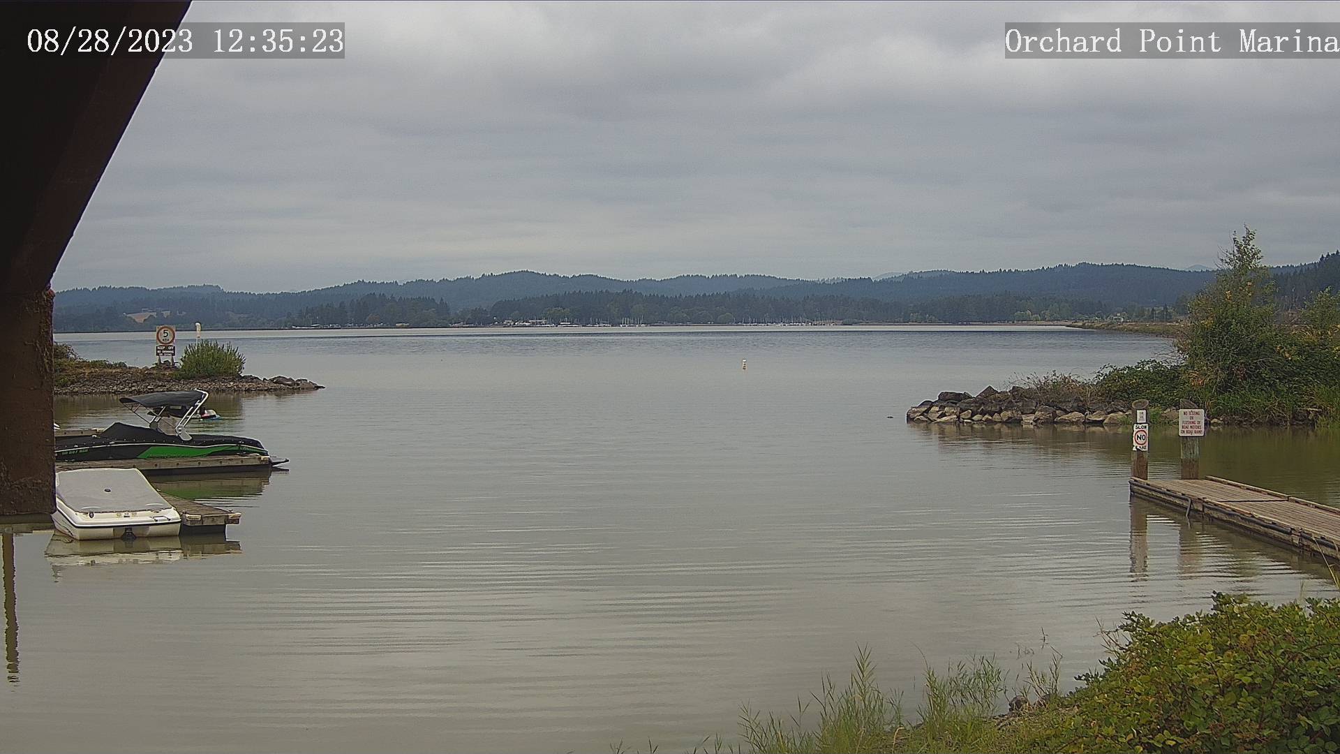
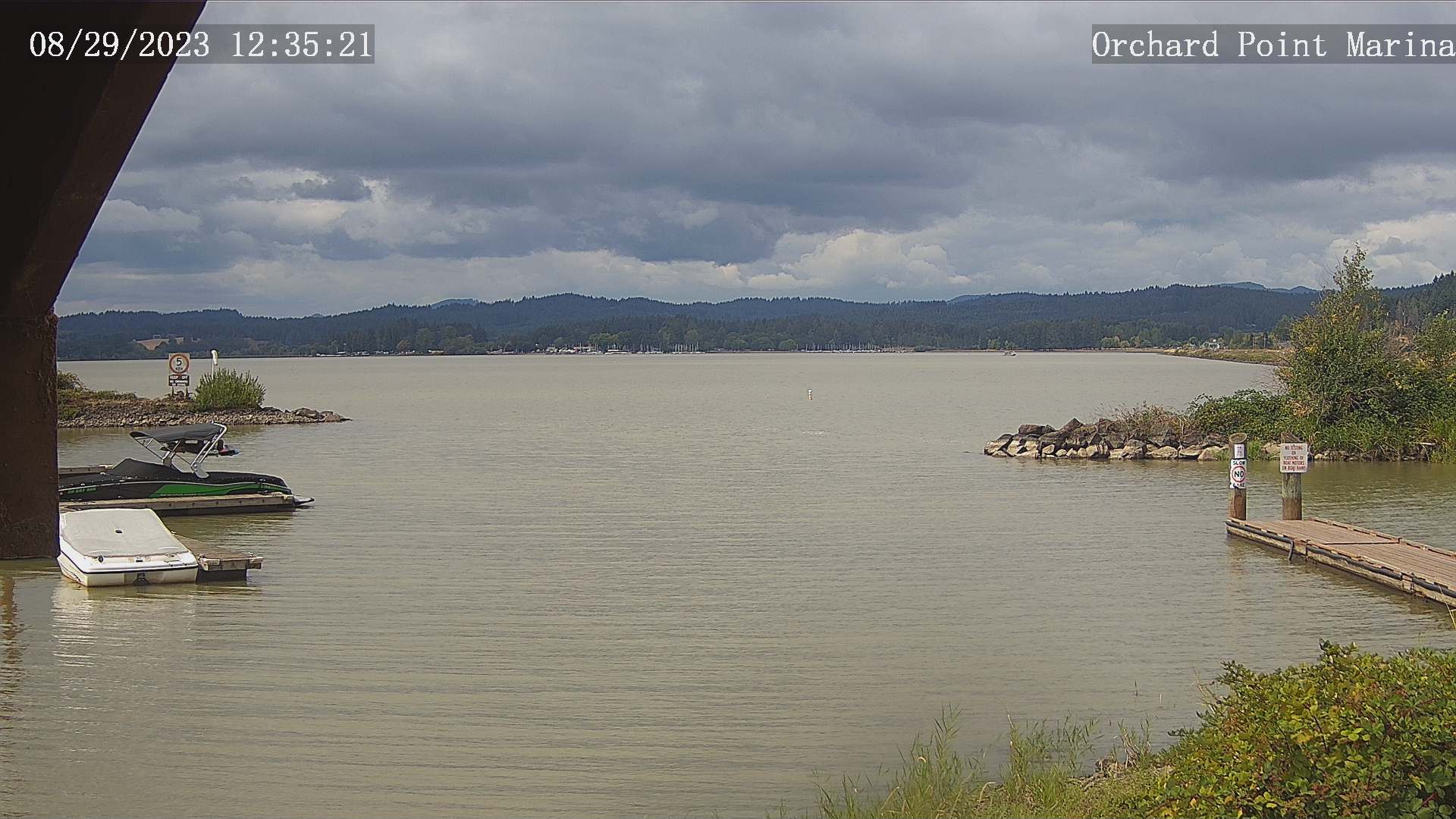
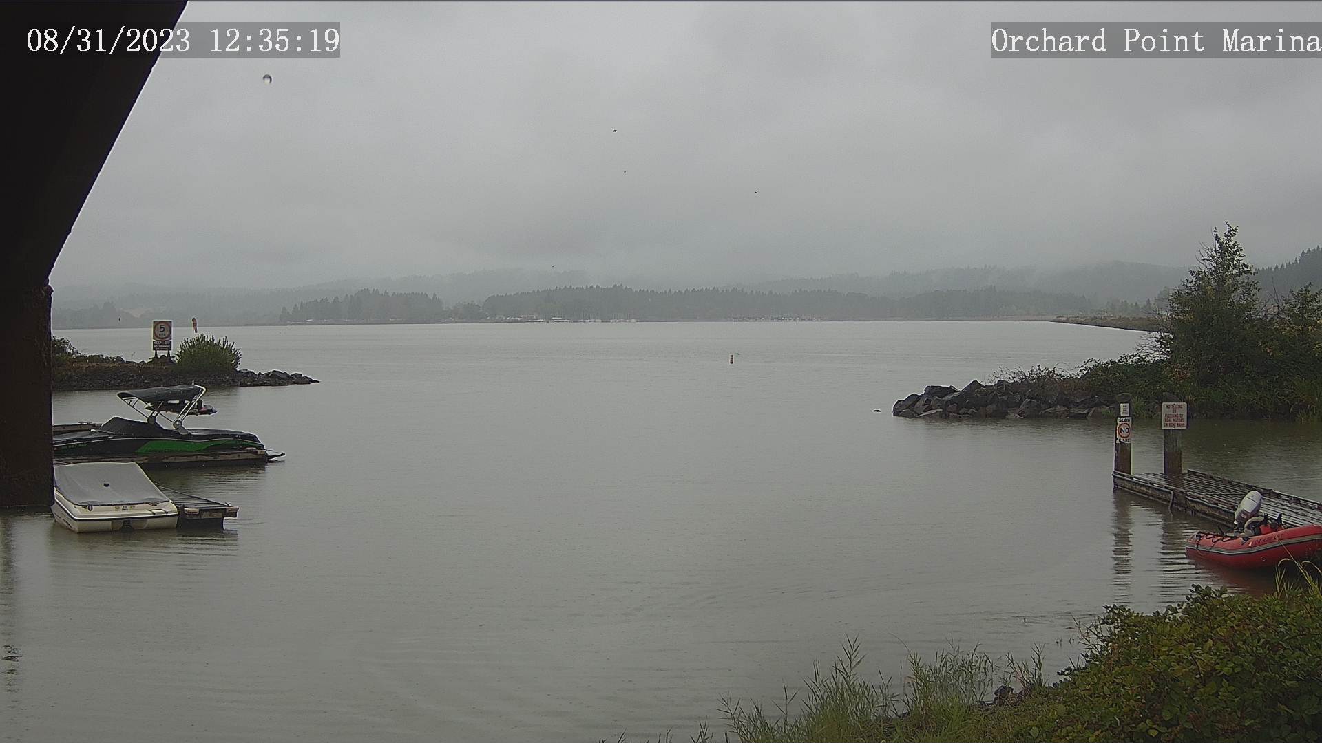
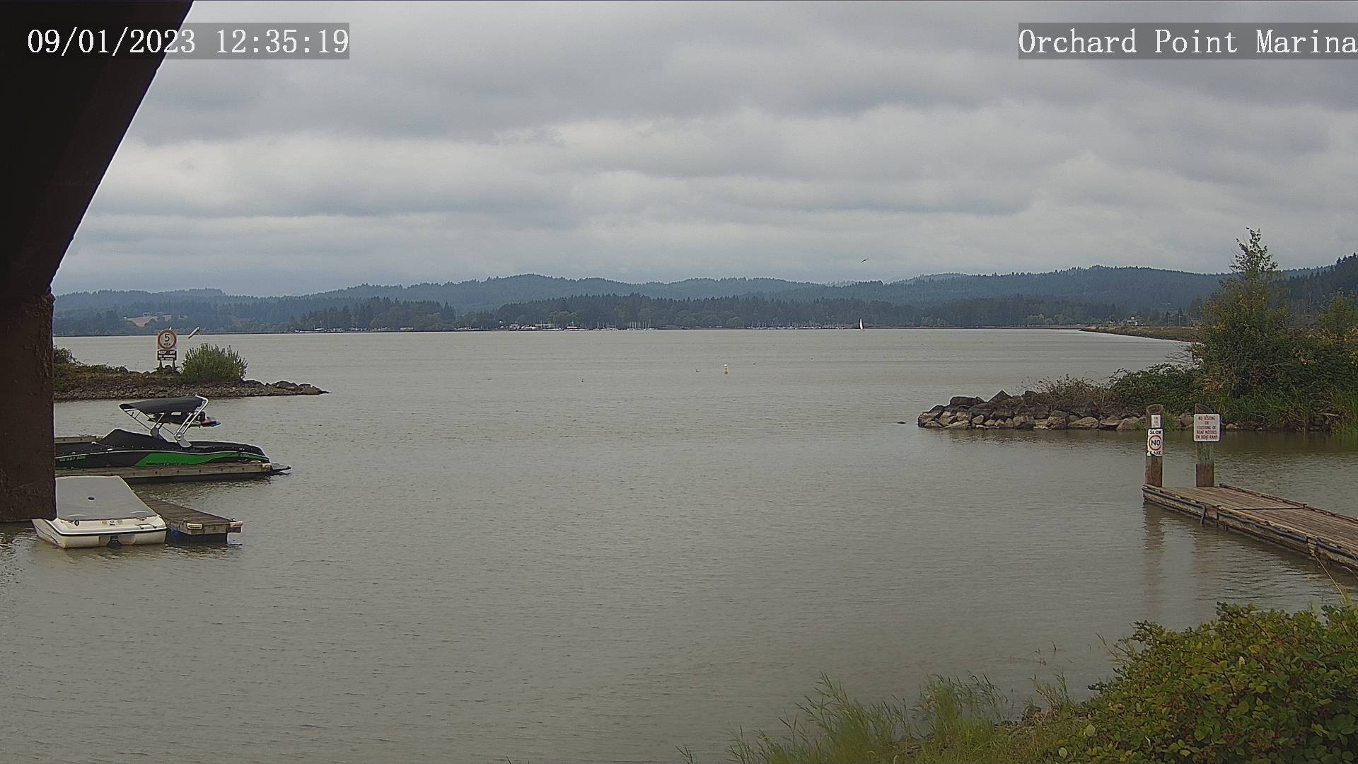
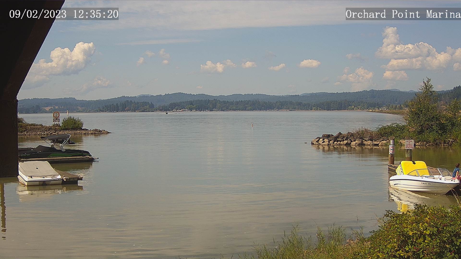
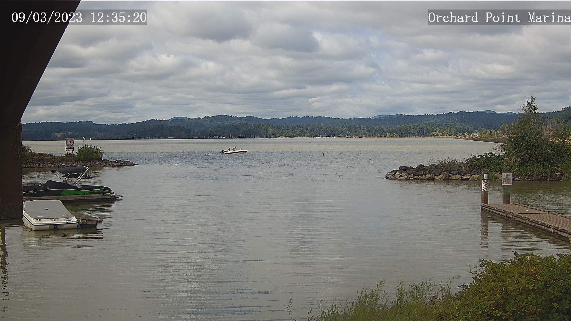
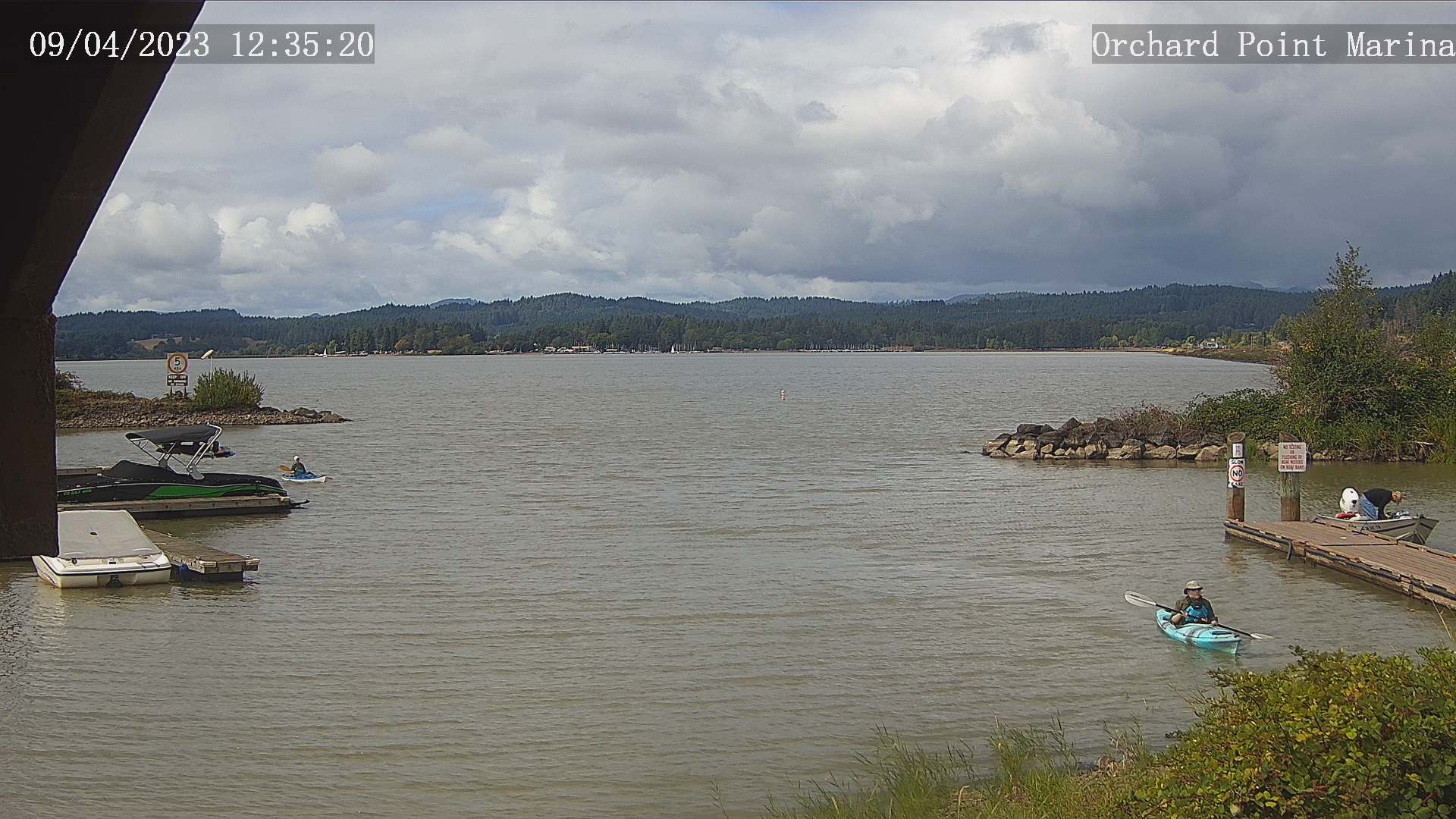
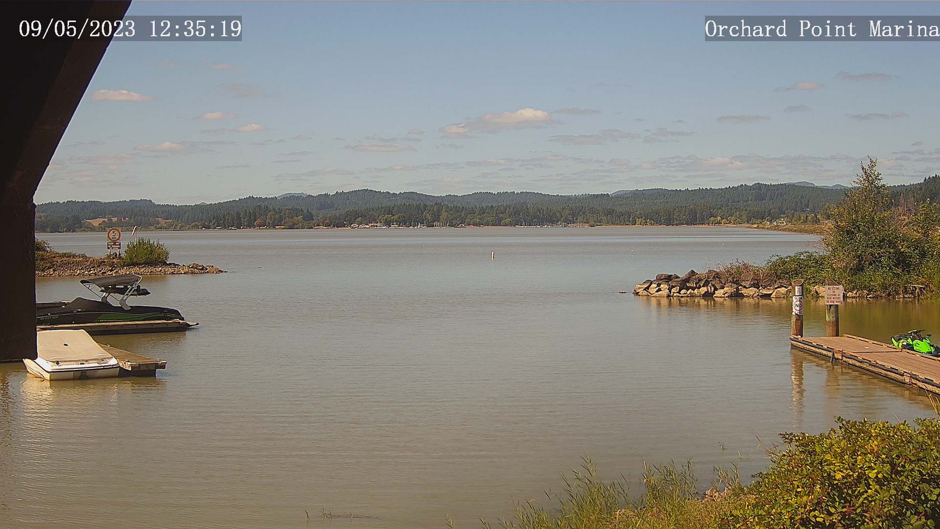
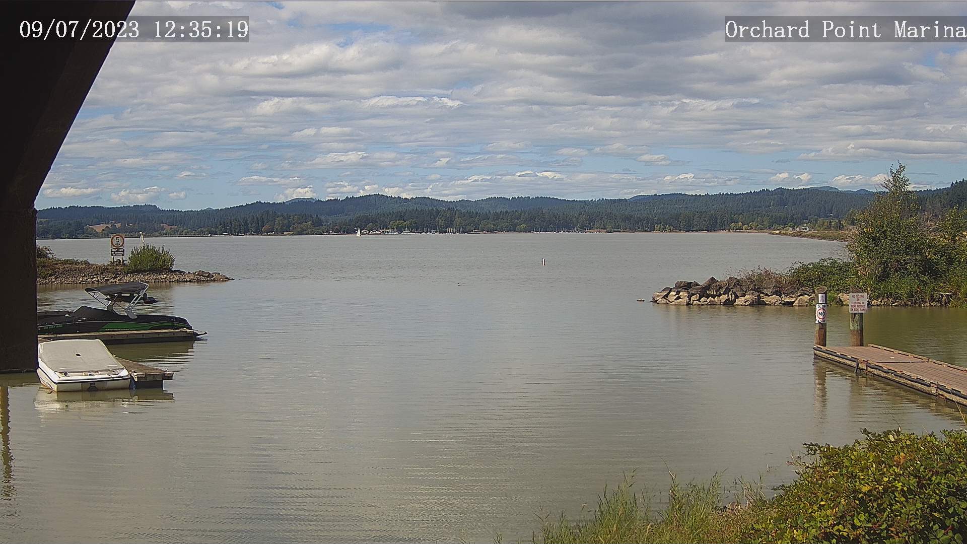
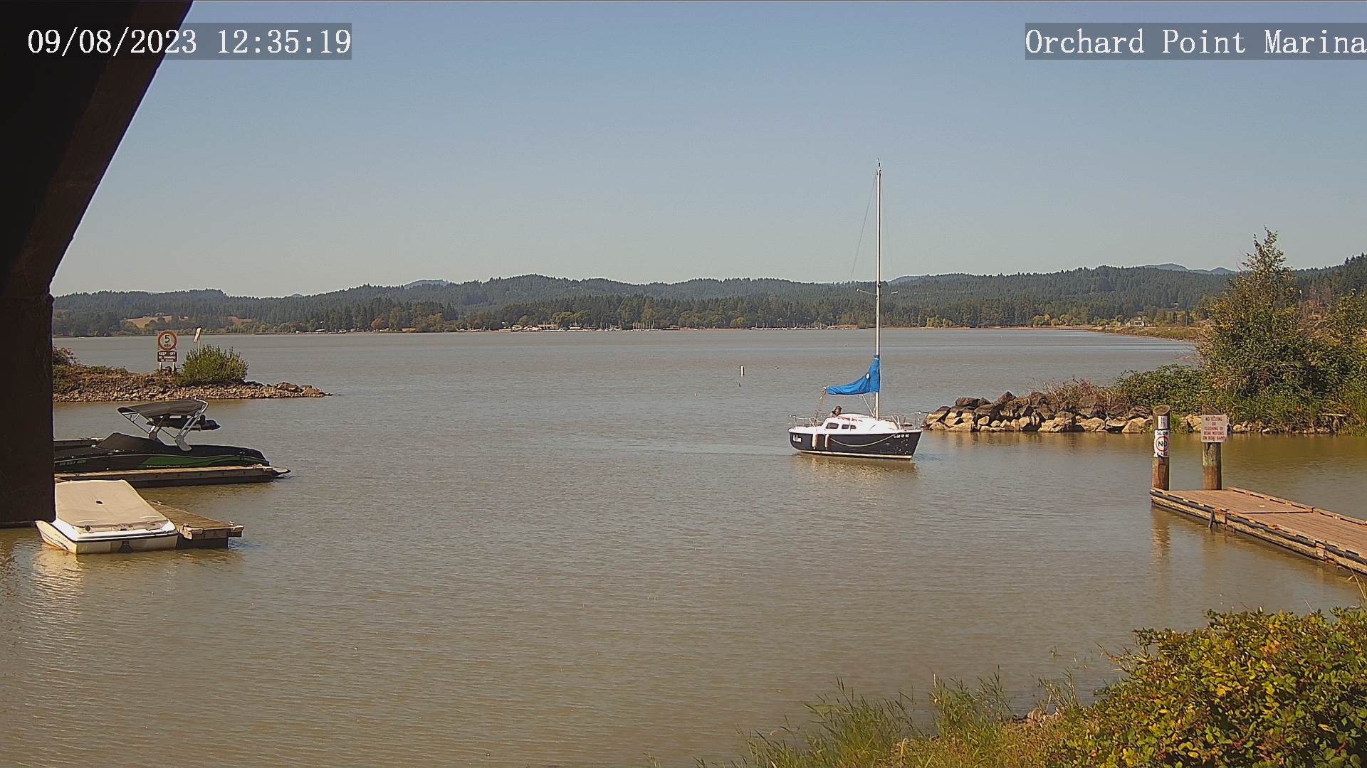
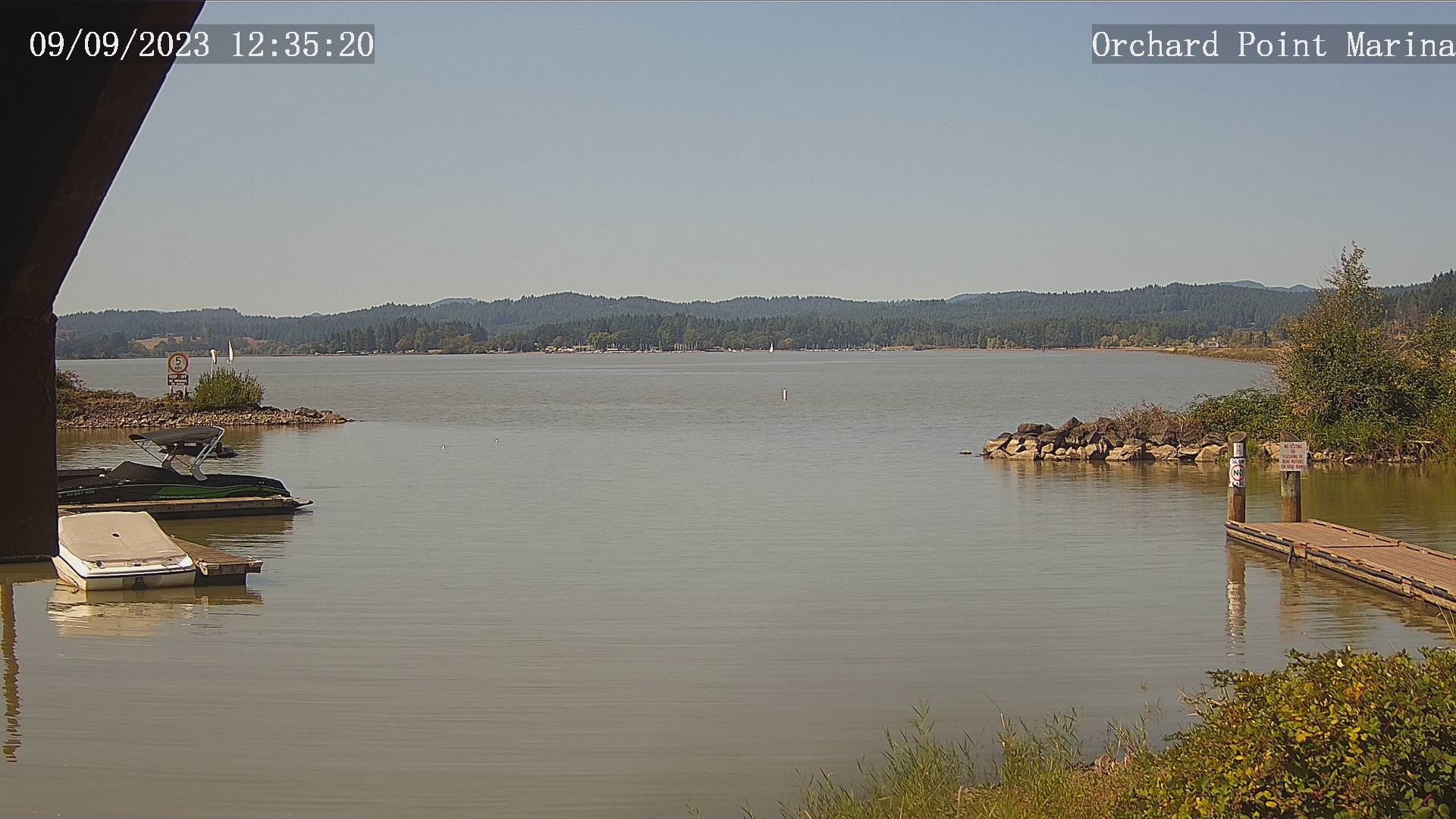
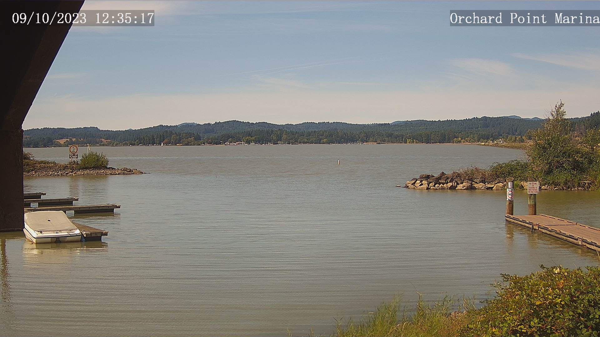
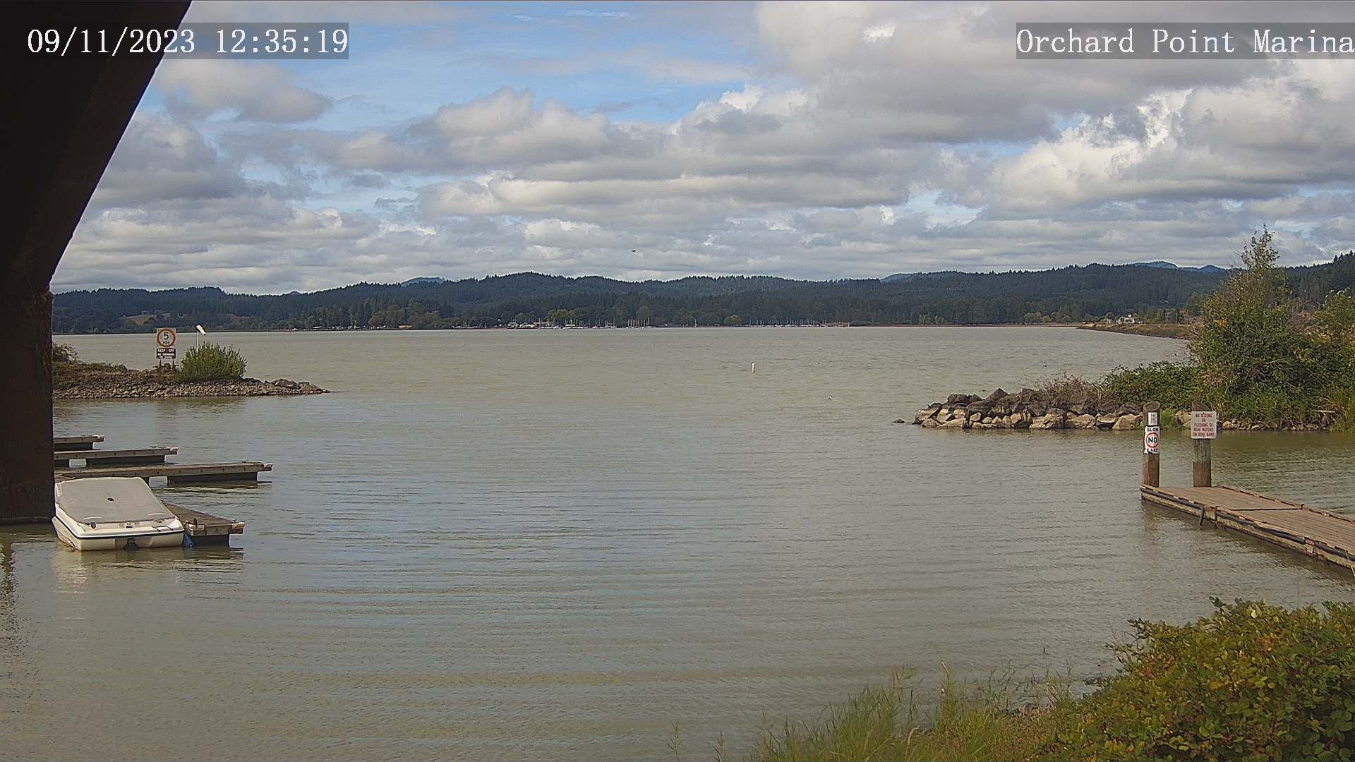
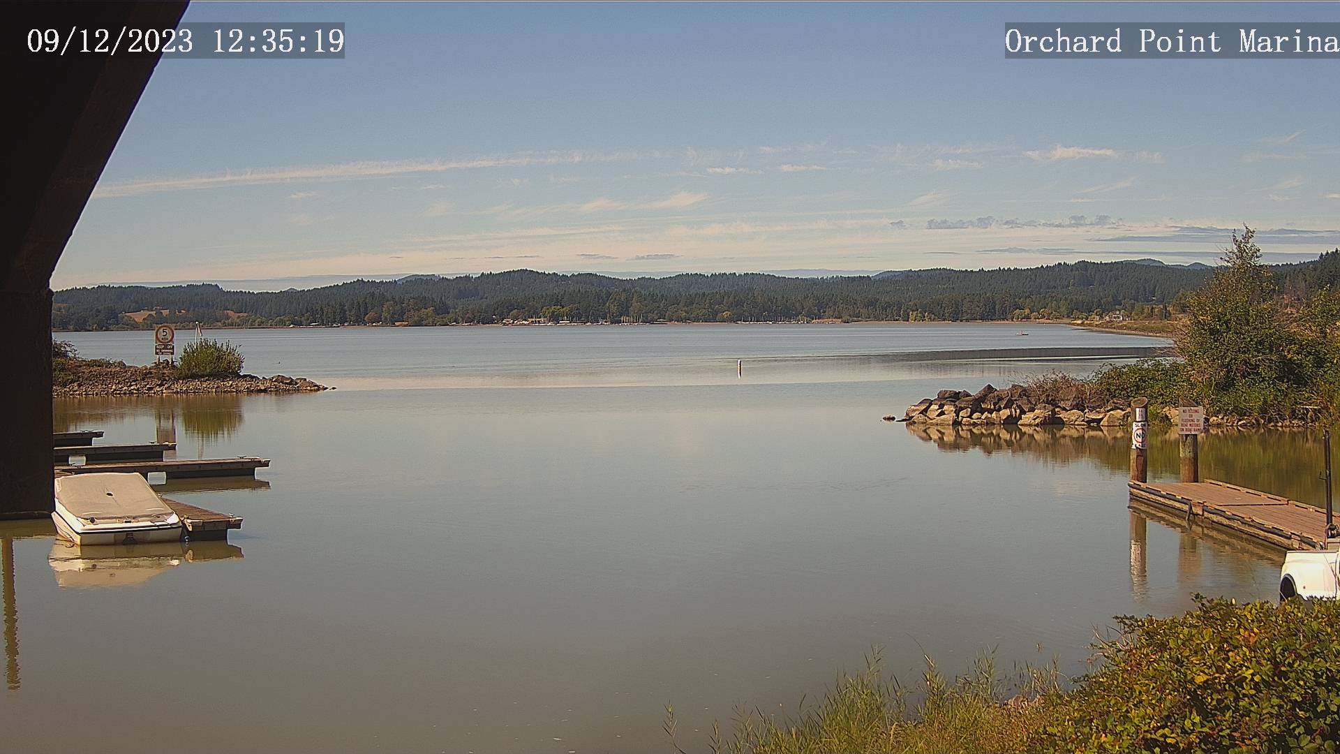
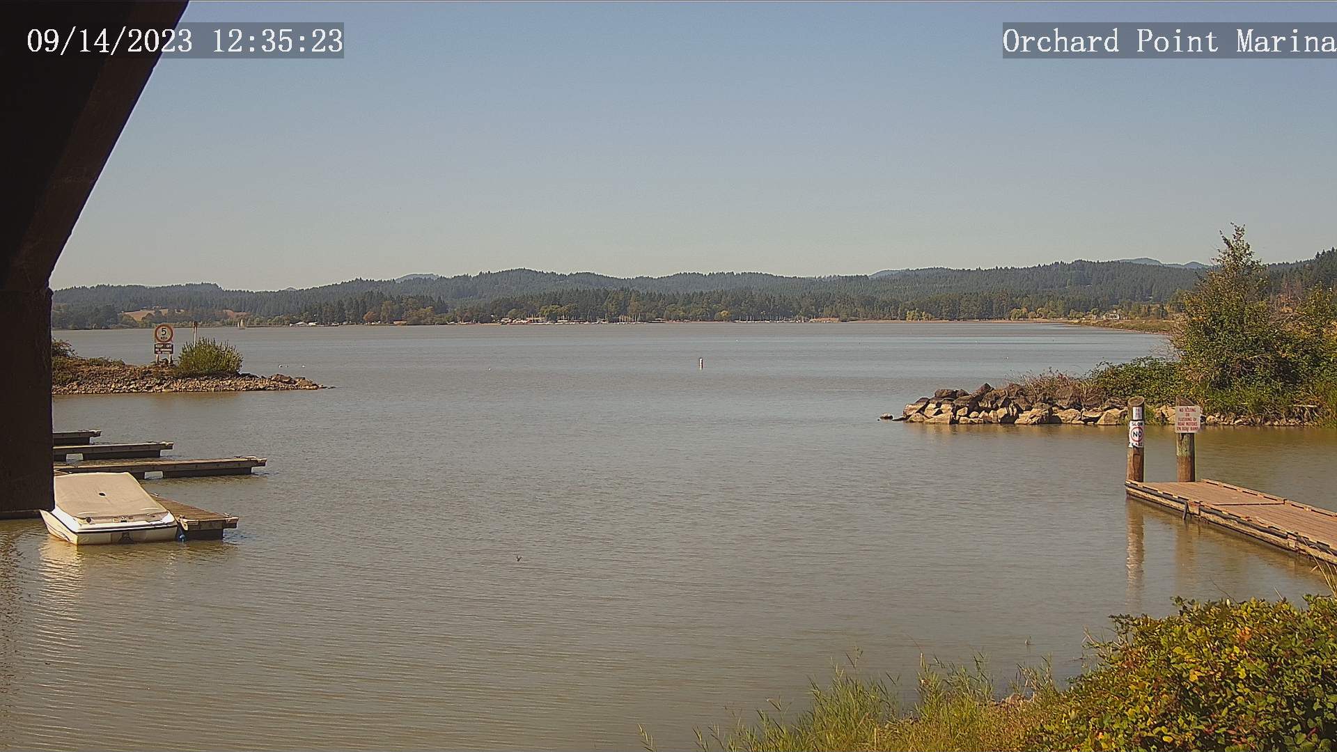
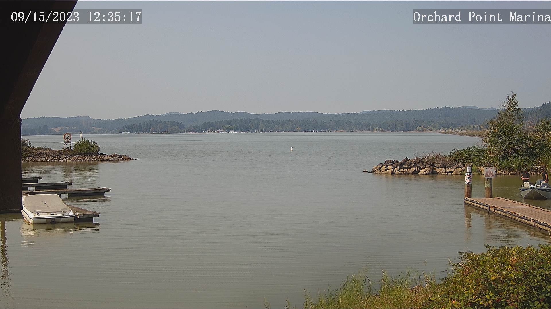
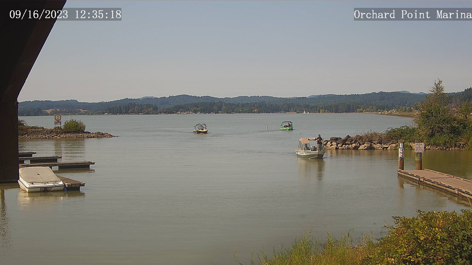
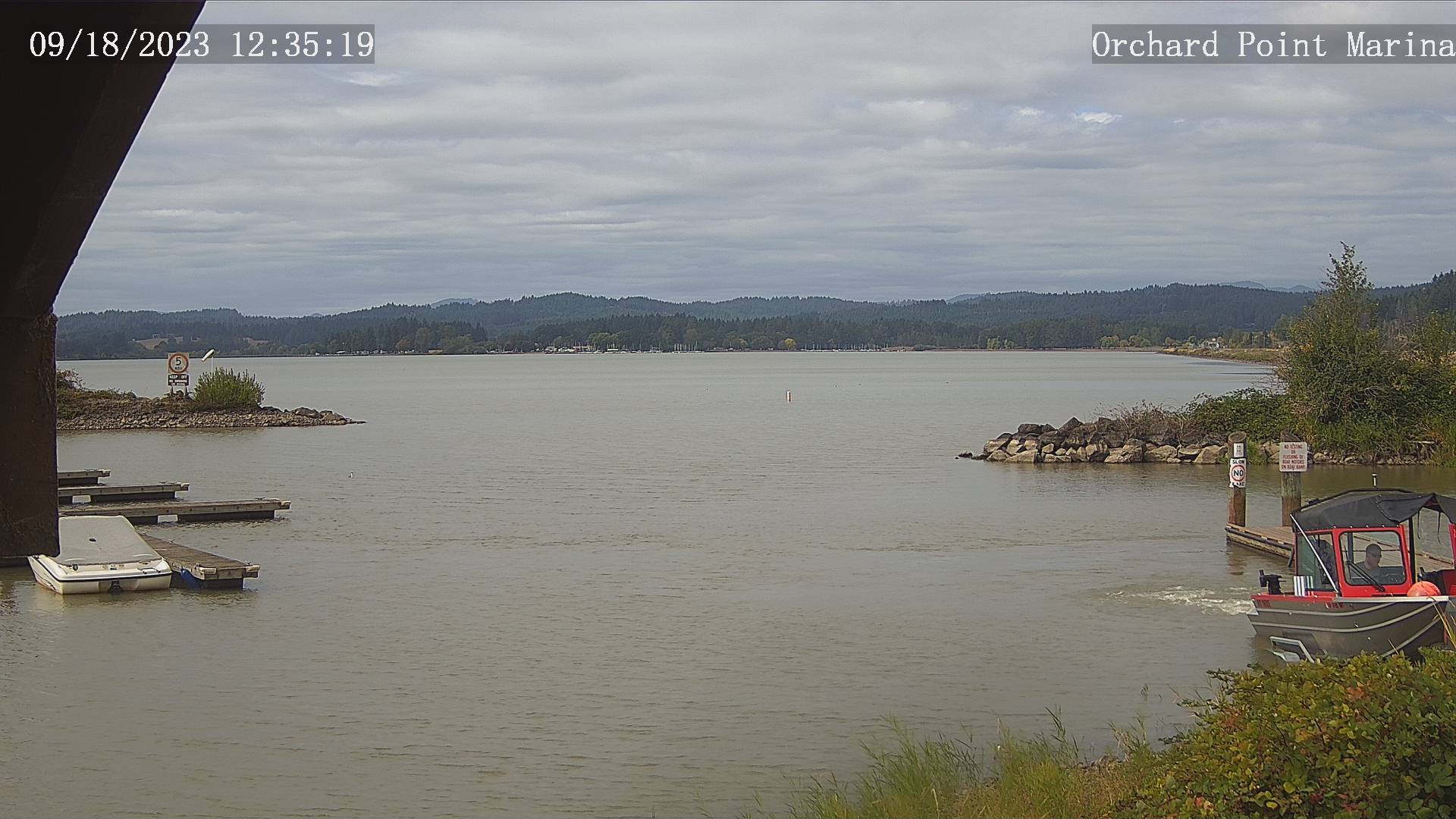
Eugene, Oregon, USA - 46.7 miles from Upper Soda: Lane County Parks - Orchard Point, Harbor Vista, Mount Pisgah - Views of 3 Lane County parks including Orchard Point, Harbor Vista, Mount Pisgah. Orchard Point is the boat ramp at Fern Ridge. You can see the water conditions and wind sock.
Operator: Lane County
Operator: Lane County


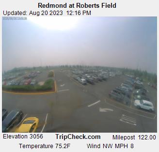
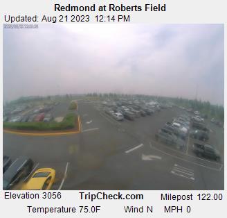
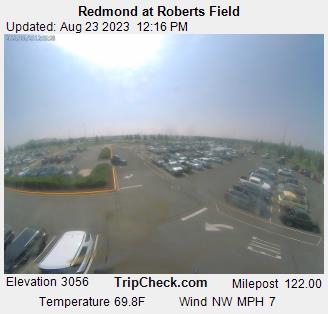
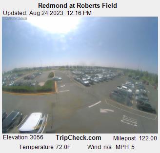
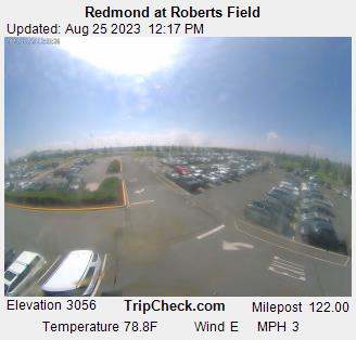
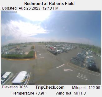
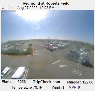
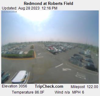
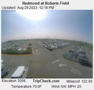
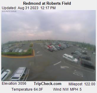
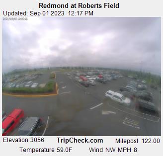
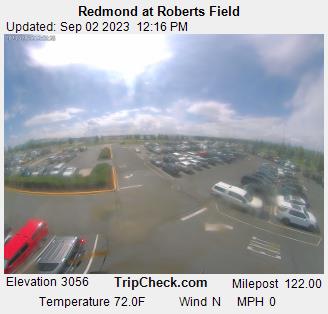
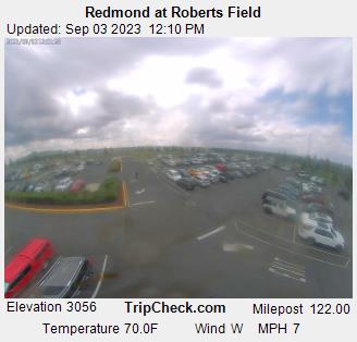
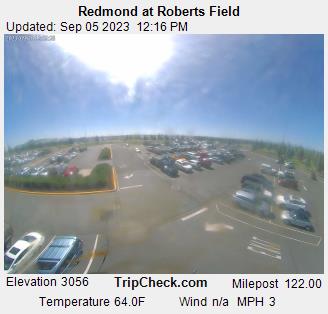
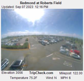
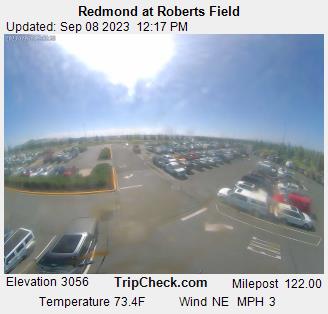
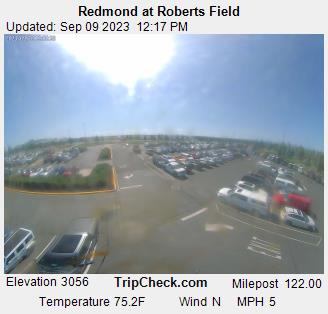
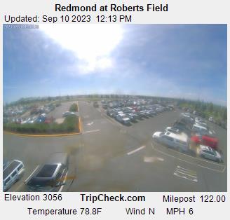
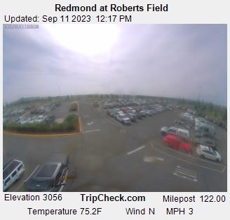
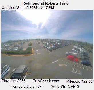
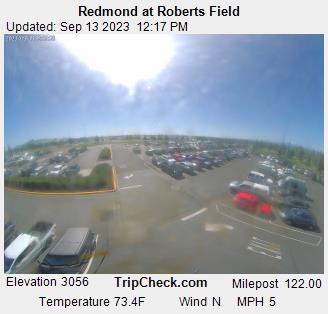
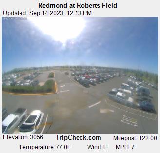
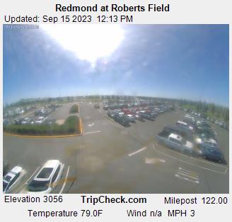
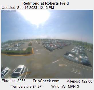
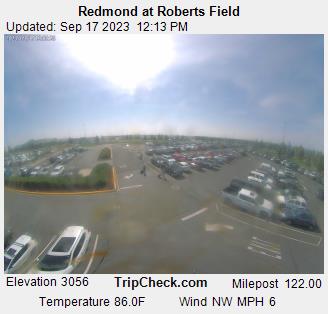
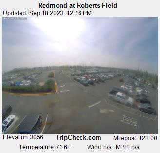
Redmond, Oregon, USA - 55.6 miles from Upper Soda: Redmond at Roberts Field - A view of the current traffic situation on the Redmond.
Operator: Oregon Department of Transportation
Operator: Oregon Department of Transportation


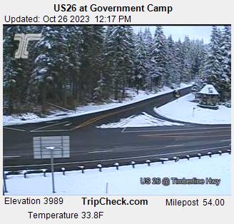
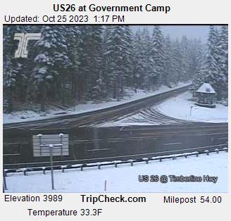
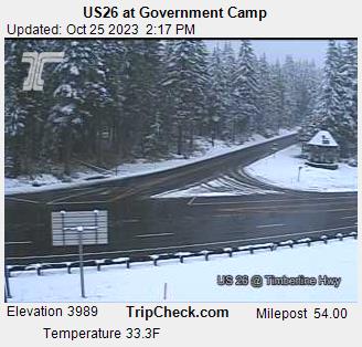
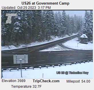
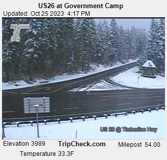
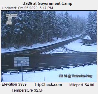
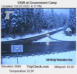
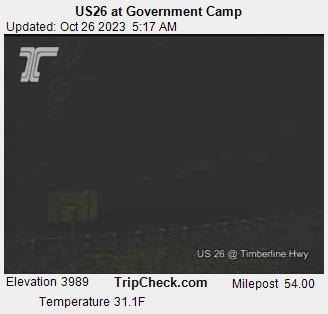
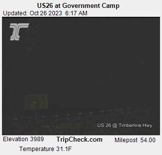
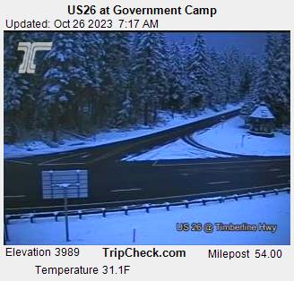
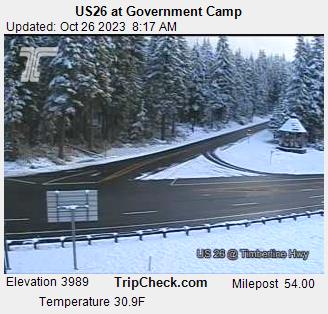
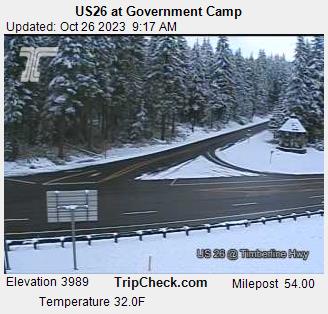
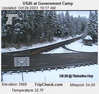
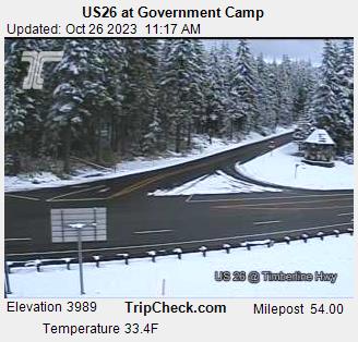
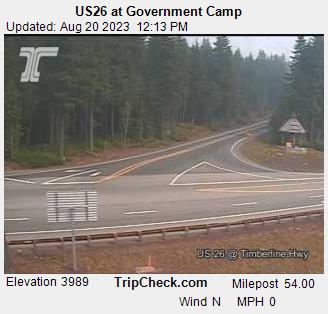
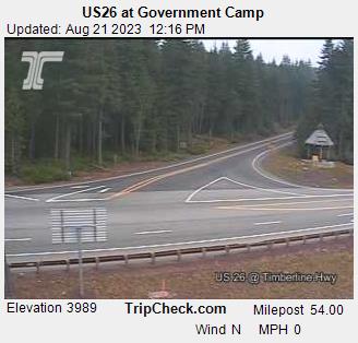
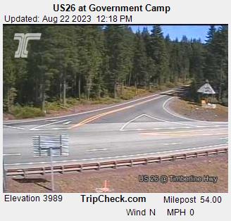
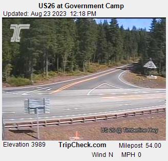
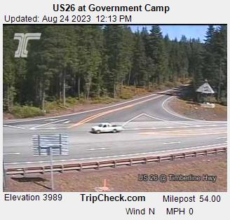
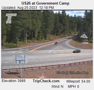
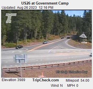
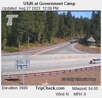
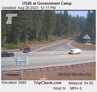
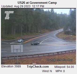
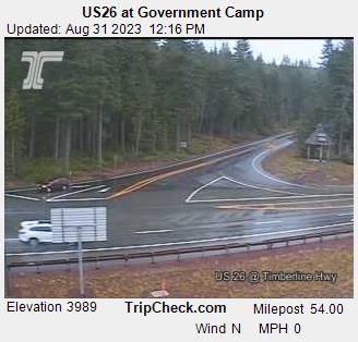
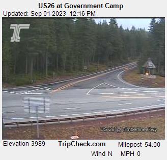
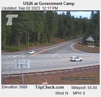
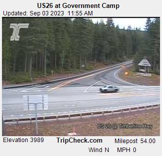
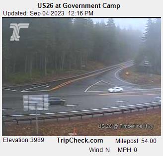
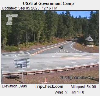
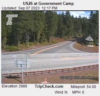
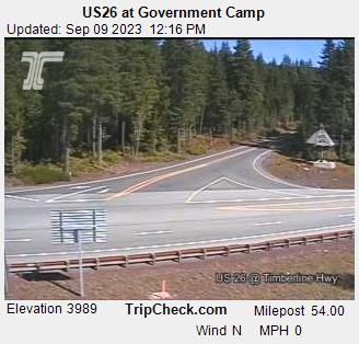
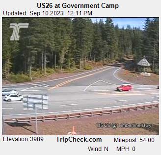
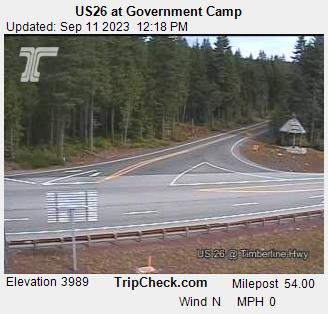
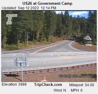
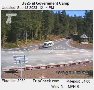
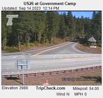
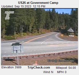
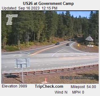
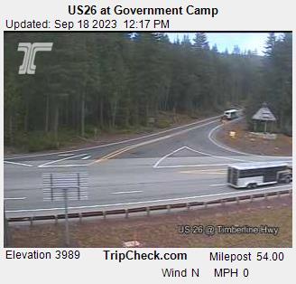
Government Camp, Oregon, USA - 67.2 miles from Upper Soda: US26 at Government Camp - A view of the current traffic situation on the US26.
Operator: Oregon Department of Transportation
Operator: Oregon Department of Transportation


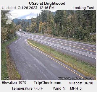
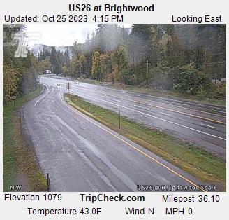
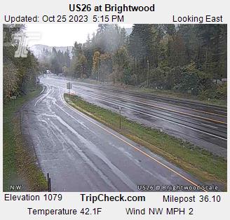
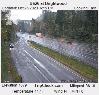
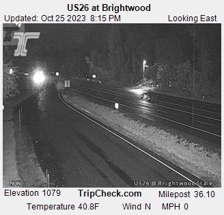
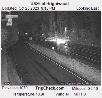
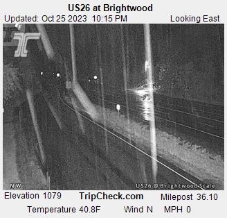
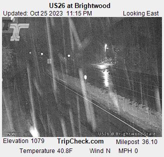
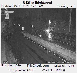
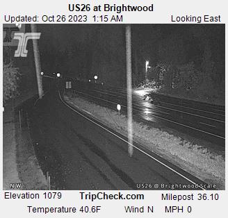
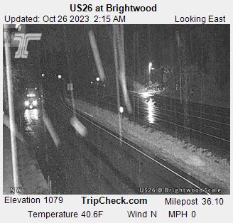
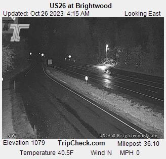
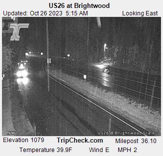
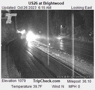
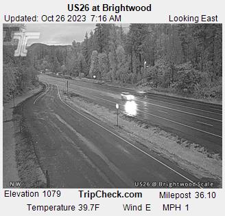
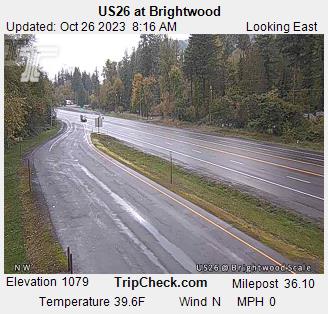
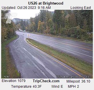
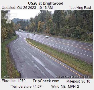
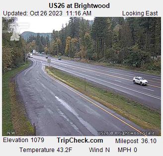
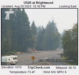
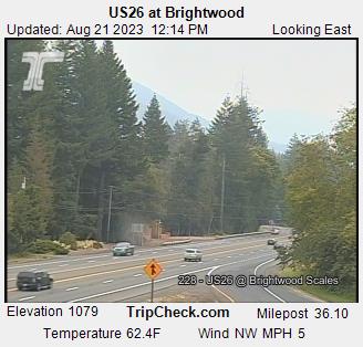
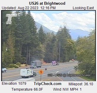
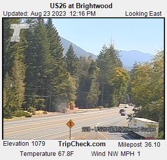
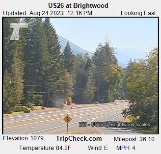
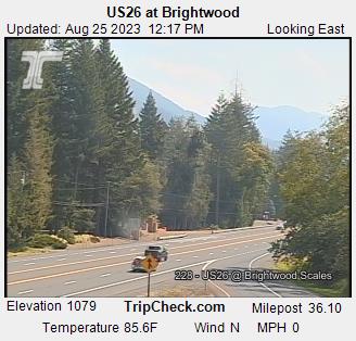
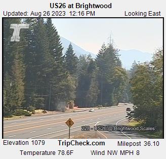
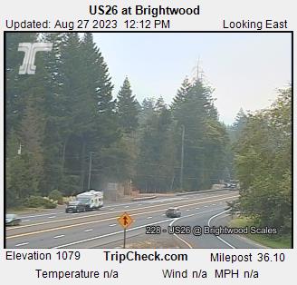
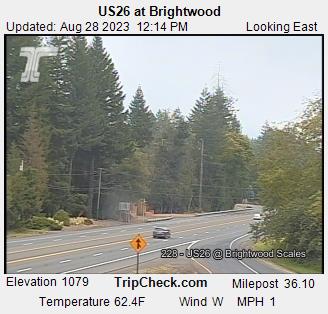
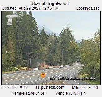
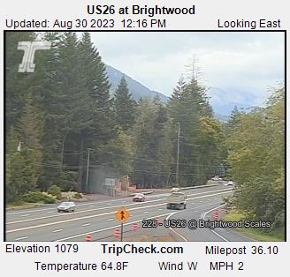
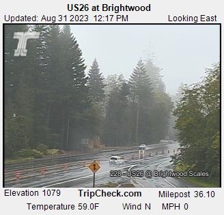
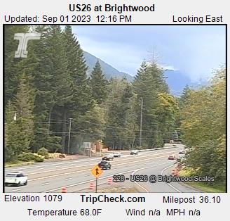
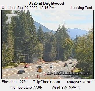
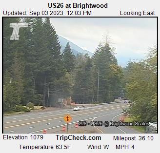
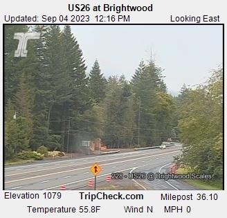
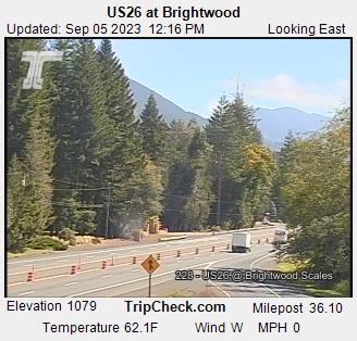
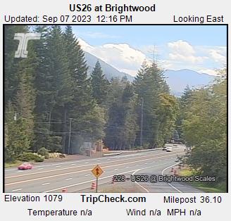
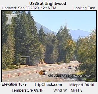
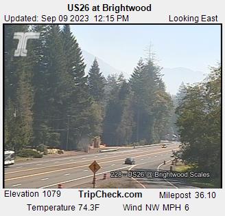
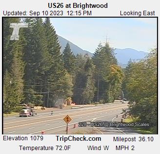
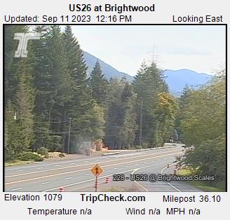
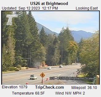
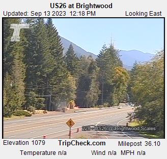
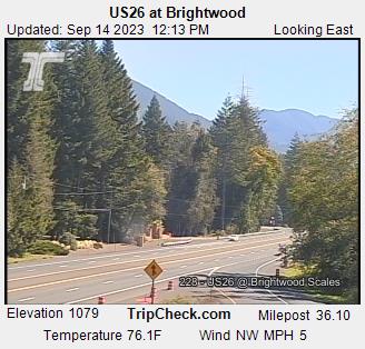
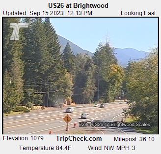
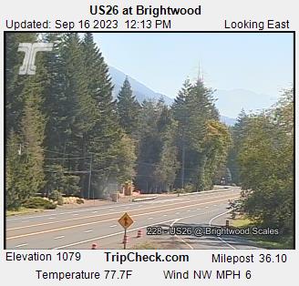
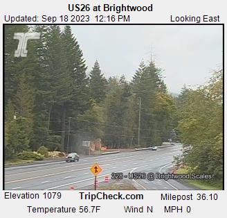
Brightwood, Oregon, USA - 68.3 miles from Upper Soda: US26 at Brightwood - A view of the current traffic situation on the US26.
Operator: Oregon Department of Transportation
Operator: Oregon Department of Transportation


West Linn, Oregon, USA - 68.7 miles from Upper Soda: Lowrie Primary School - A webcam in West Linn, Oregon - camera location: Lowrie Primary School.
Operator: WeatherBug
Operator: WeatherBug


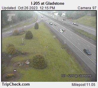
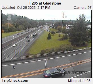
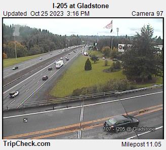
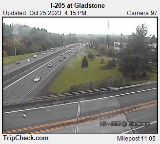
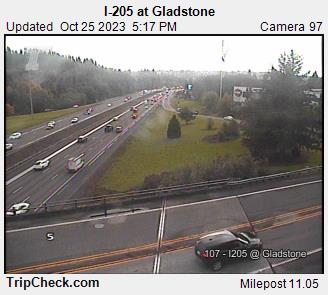
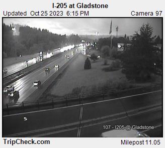
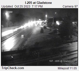
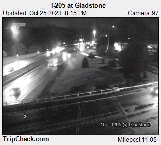
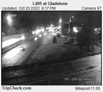
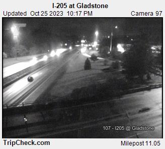
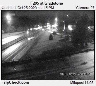
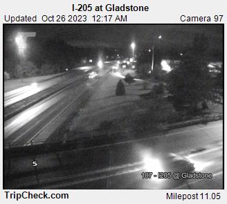
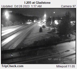
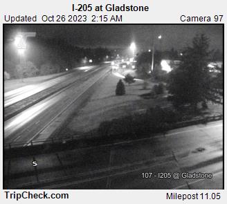
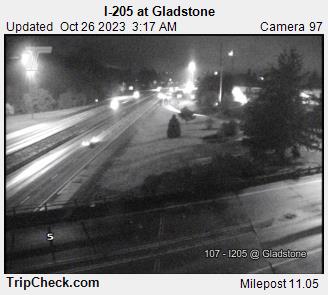
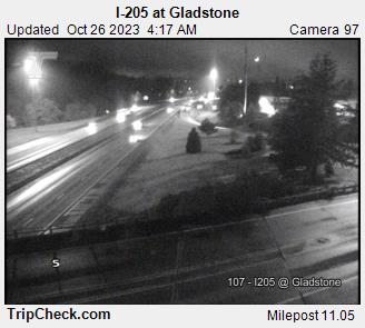
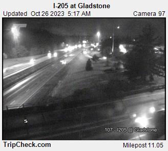
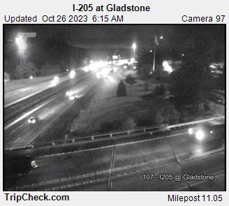
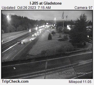
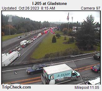
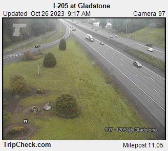
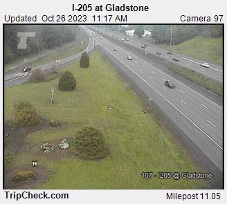
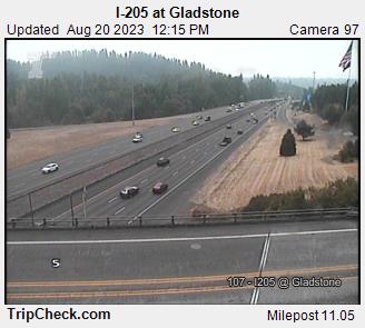
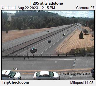
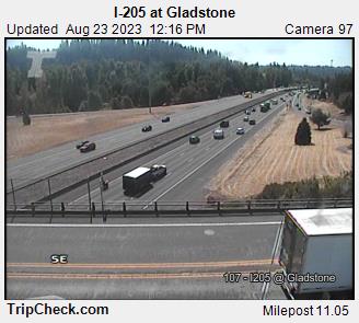
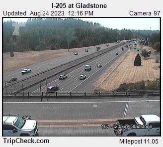
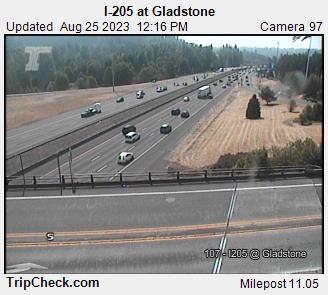
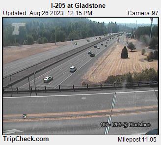
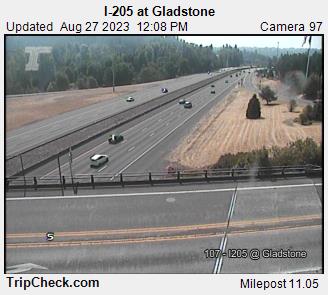
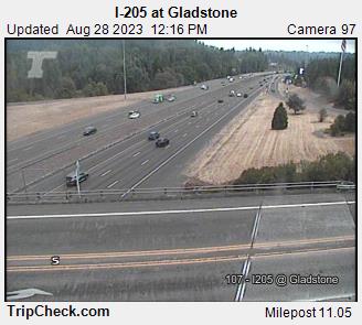
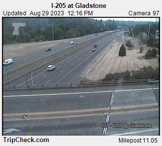
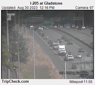
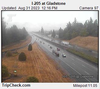
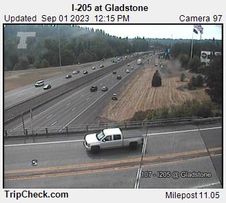
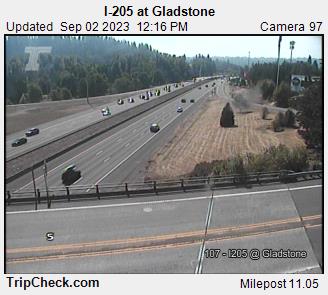
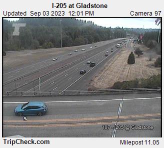
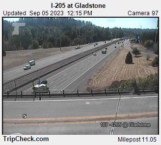
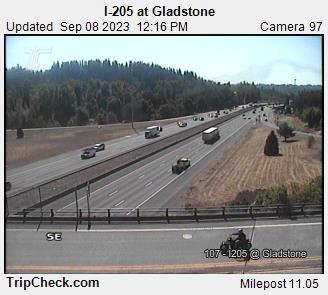
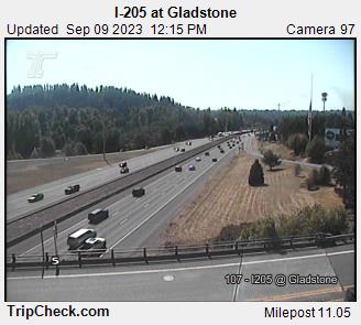
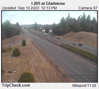
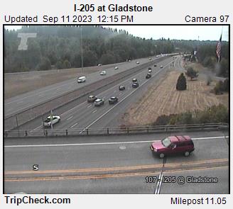
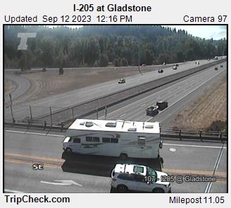
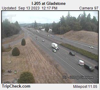
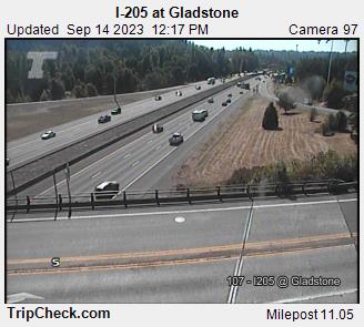
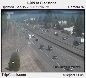
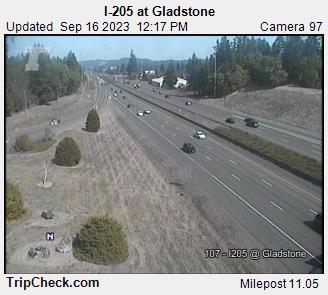
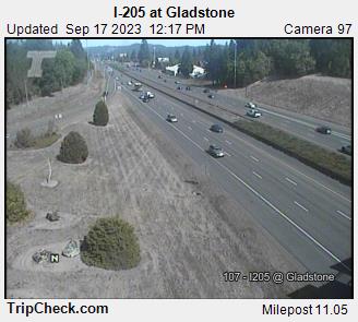
Gladstone, Oregon, USA - 69.6 miles from Upper Soda: I-205 at Gladstone - A view of the current traffic situation on the I-205.
Operator: Oregon Department of Transportation
Operator: Oregon Department of Transportation


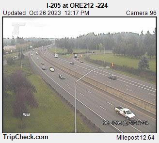
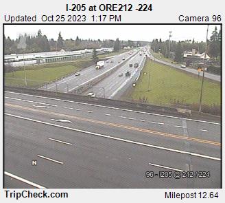
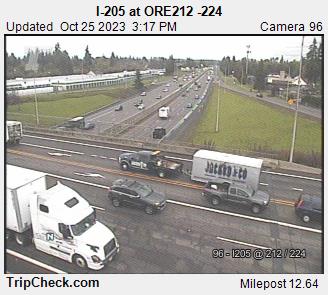
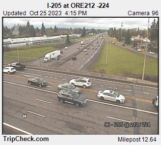
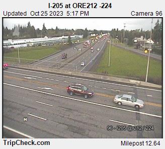
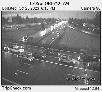
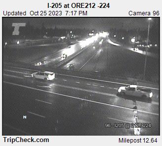
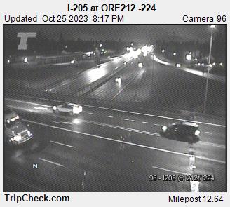
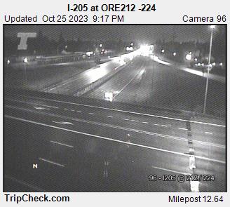
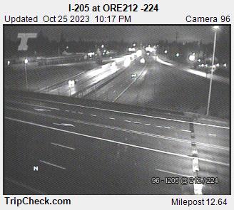
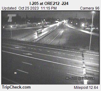
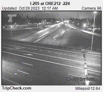
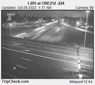
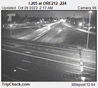
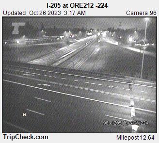
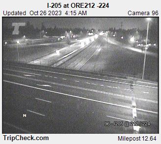
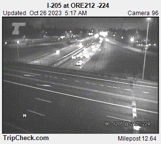
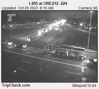
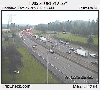
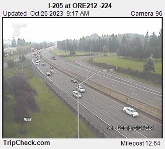
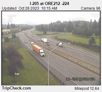
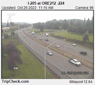
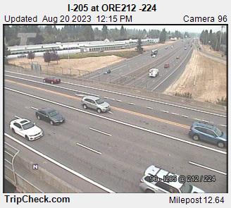
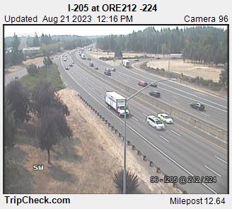
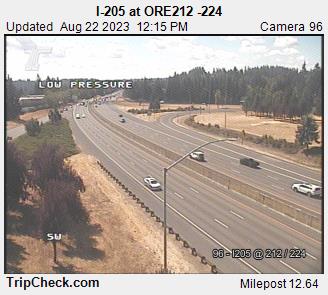
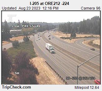
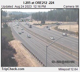
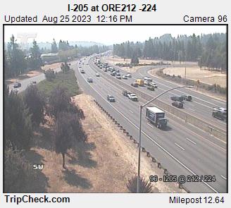
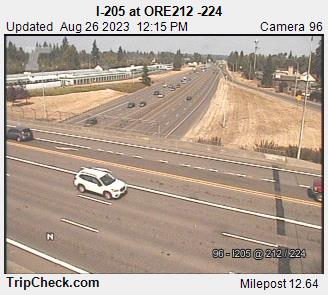
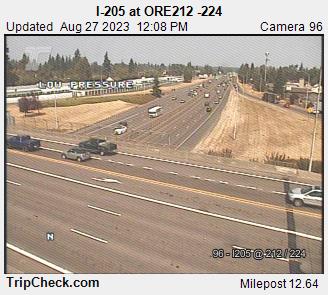
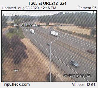
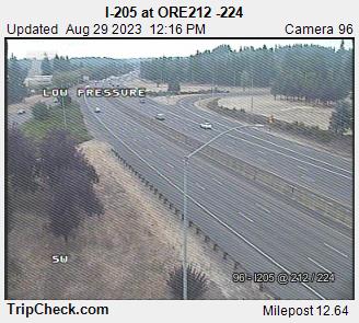
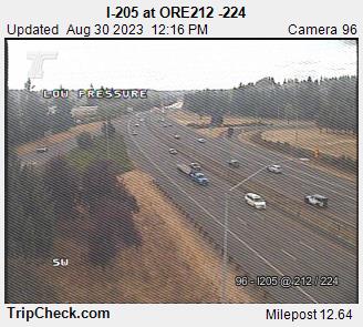
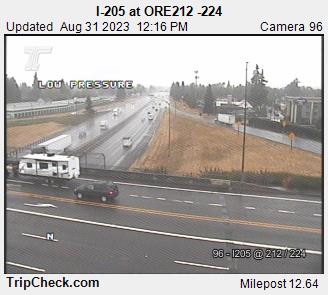
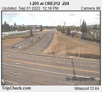
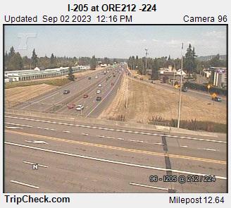
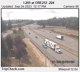
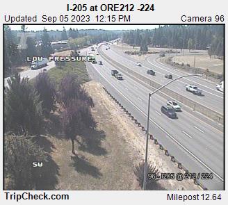
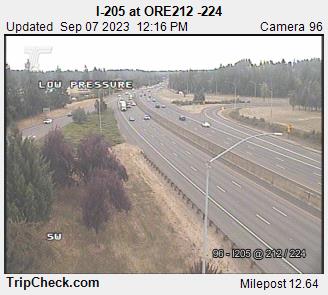
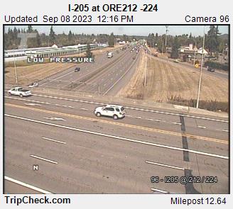
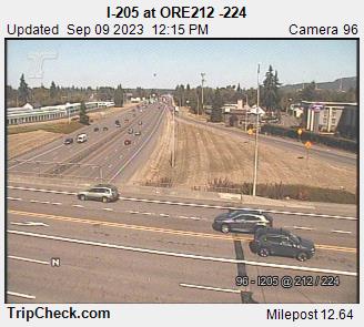
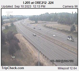
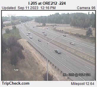
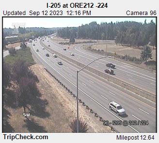
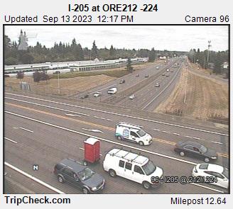
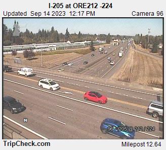
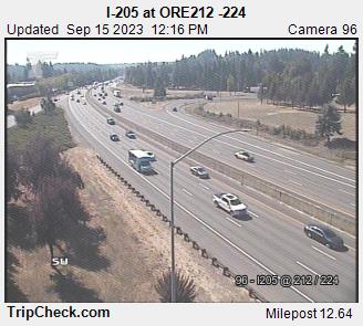
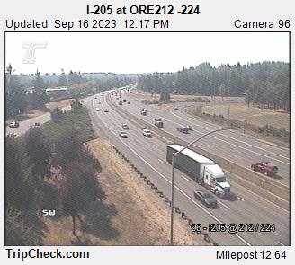
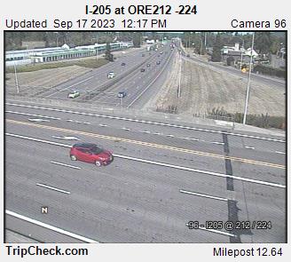
Clackamas, Oregon, USA - 70.7 miles from Upper Soda: I-205 at ORE212 -224 - A view of the current traffic situation on the I-205.
Operator: Oregon Department of Transportation
Operator: Oregon Department of Transportation


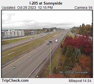
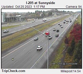
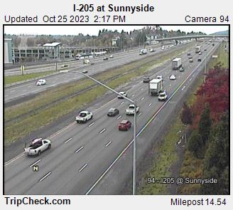
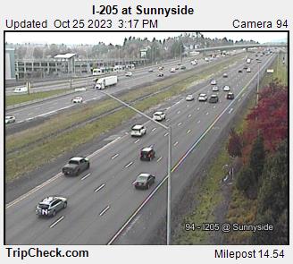
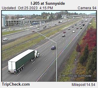
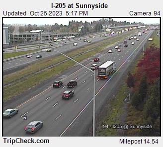
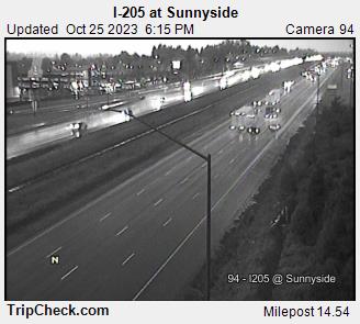
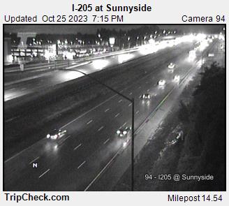
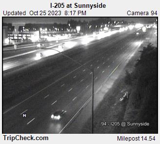
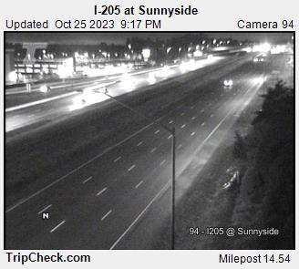
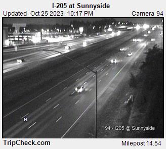
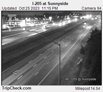
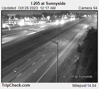
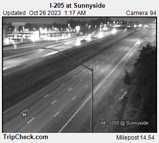
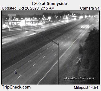
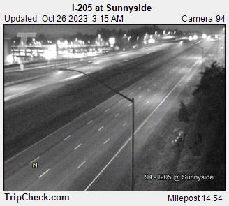
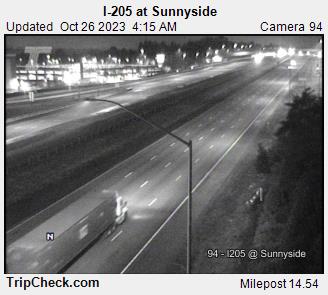
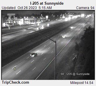
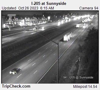
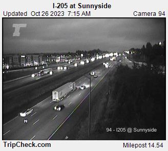
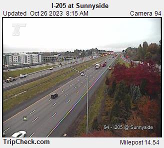
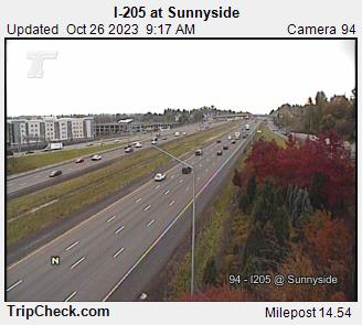
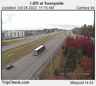
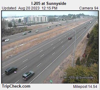
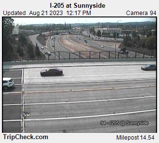
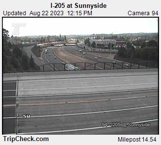
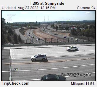
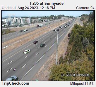
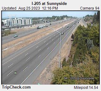
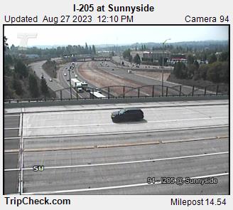
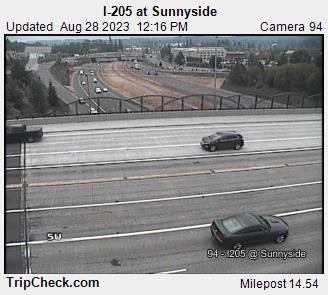
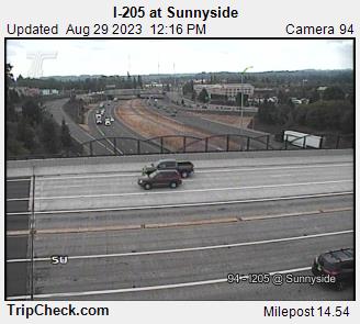
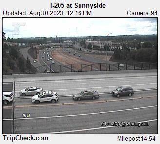
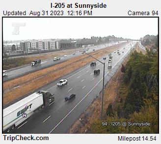
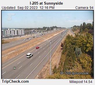
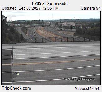
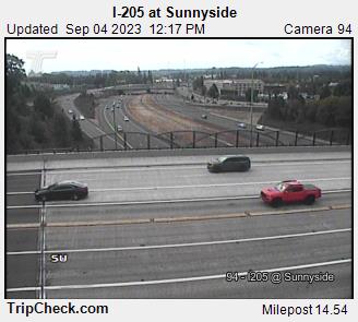
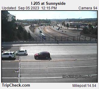
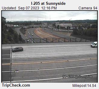
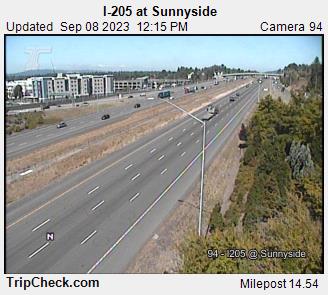
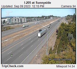
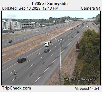
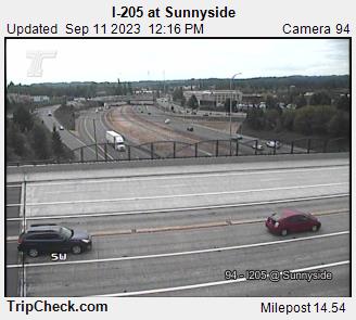
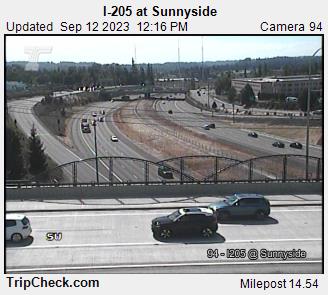
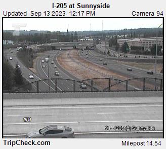
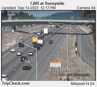
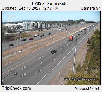
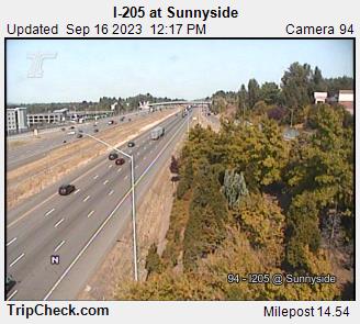
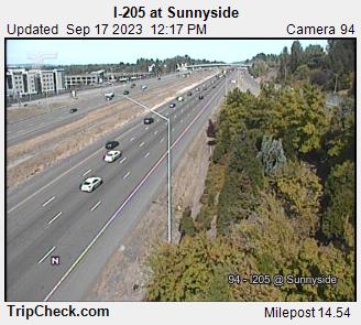
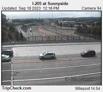
Sunnyside, Oregon, USA - 72.2 miles from Upper Soda: I-205 at Sunnyside - A view of the current traffic situation on the I-205.
Operator: Oregon Department of Transportation
Operator: Oregon Department of Transportation


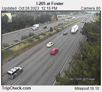
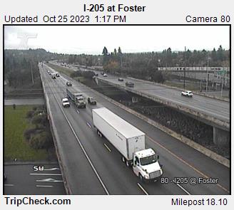
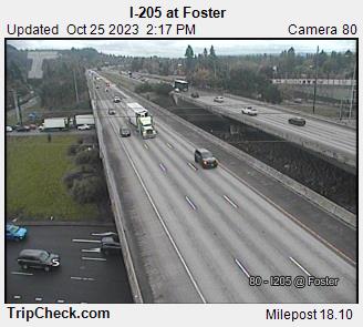
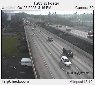
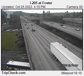
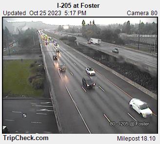
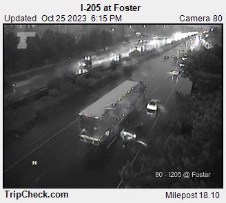
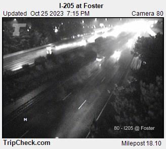
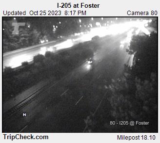
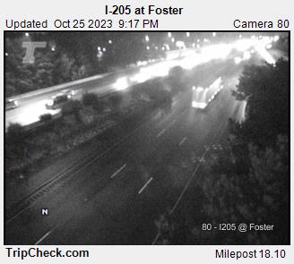
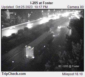
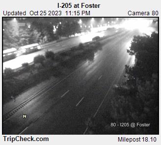
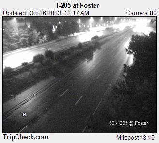
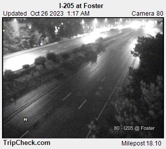
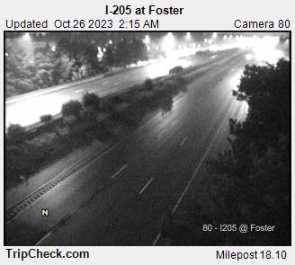
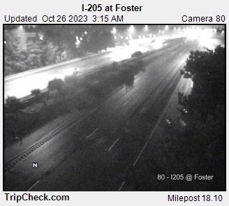
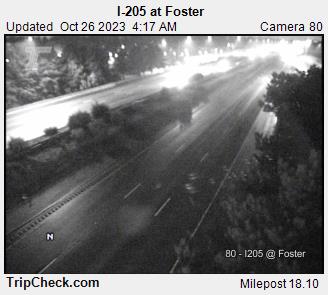
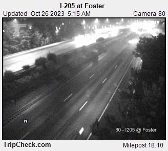
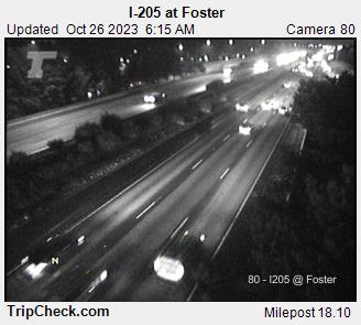
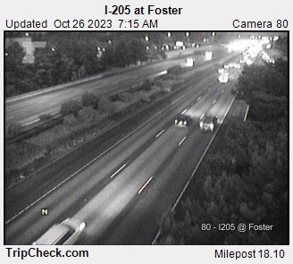
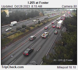
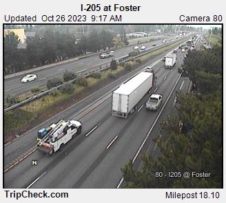
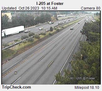
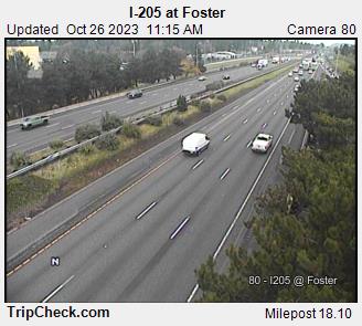
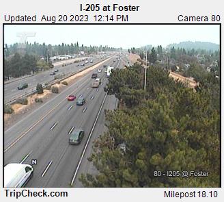
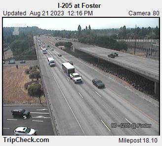
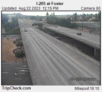
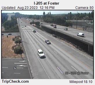
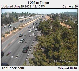
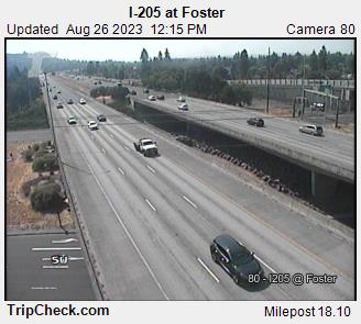
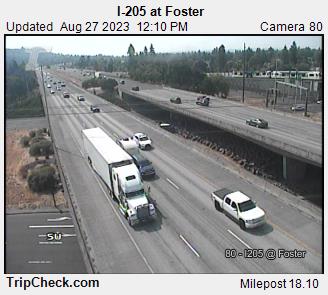
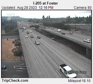
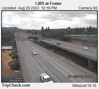
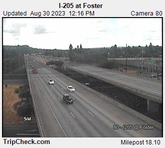
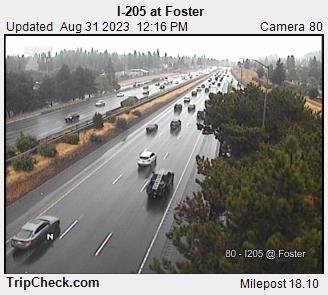
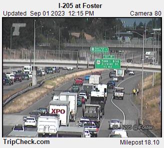
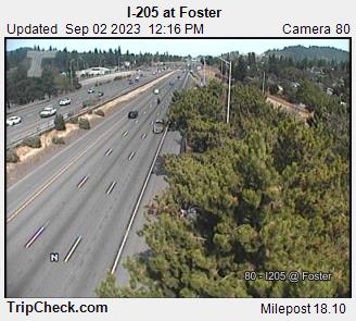
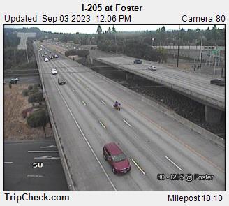
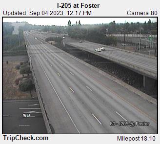
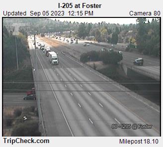
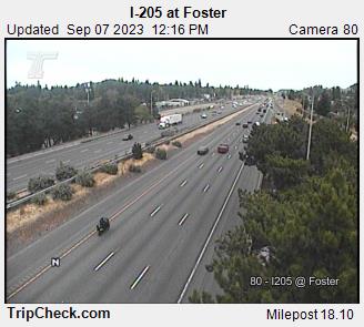
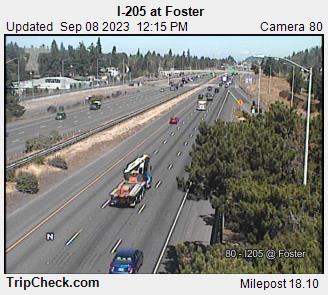
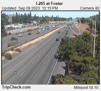
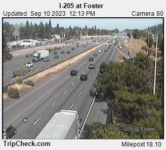
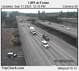
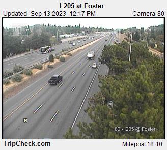
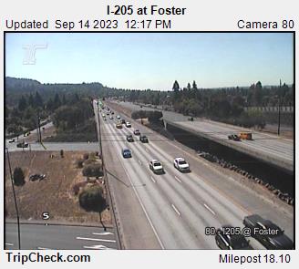
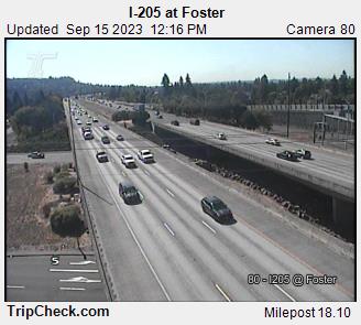
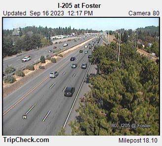
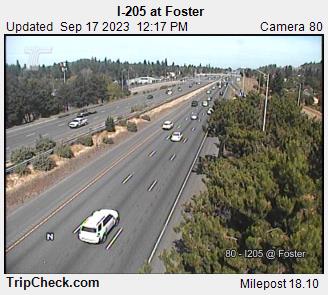
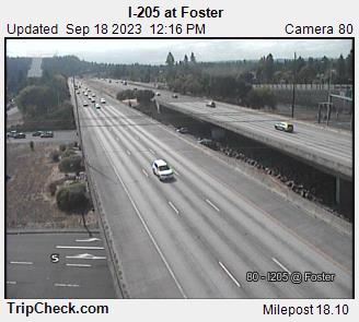
Lents, Oregon, USA - 75.5 miles from Upper Soda: I-205 at Foster - A view of the current traffic situation on the I-205.
Operator: Oregon Department of Transportation
Operator: Oregon Department of Transportation


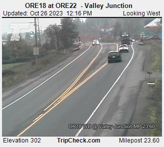
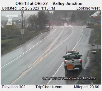
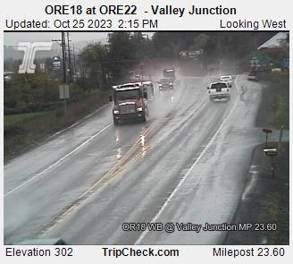
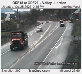
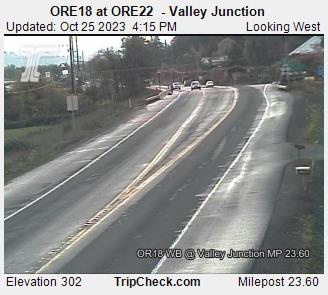
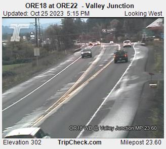
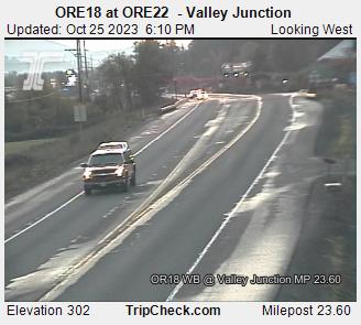
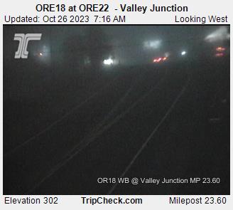
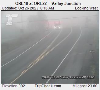
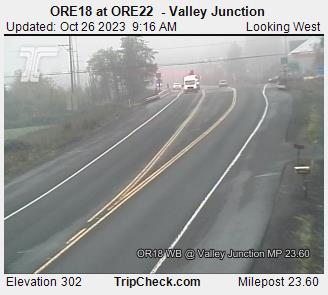
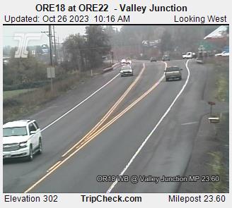
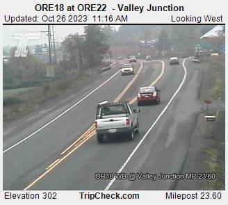
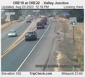
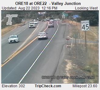
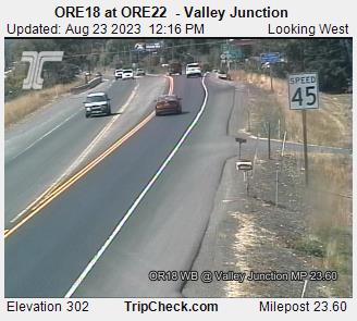
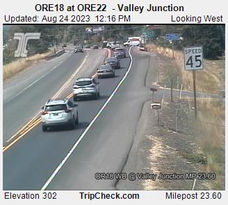
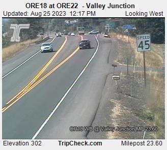
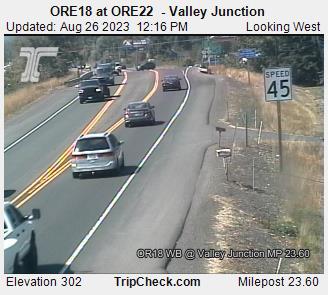
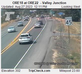
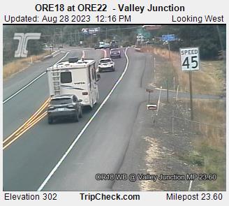
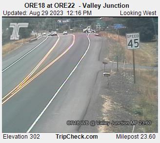
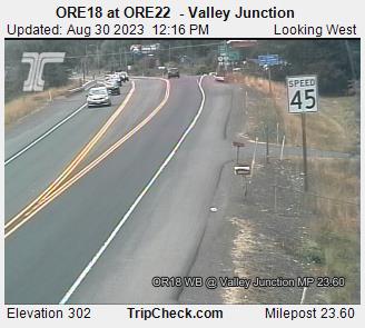
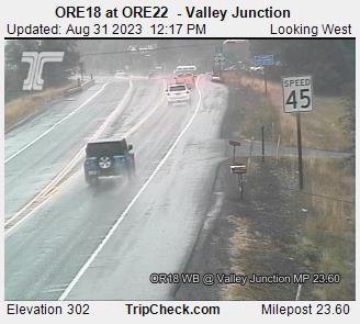
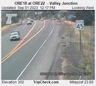
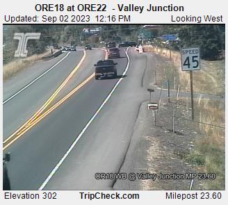
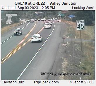
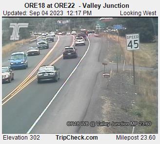
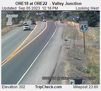
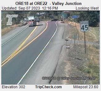
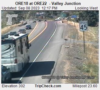
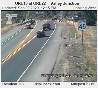
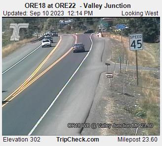
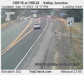
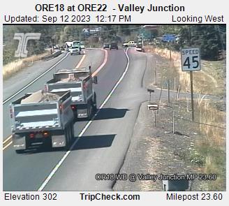
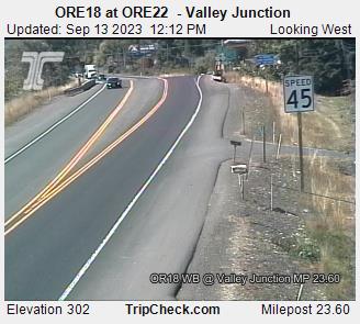
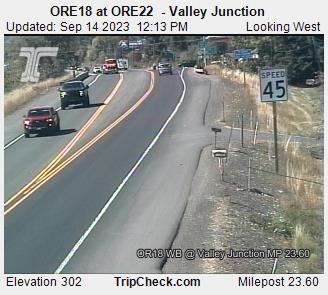
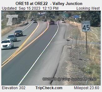
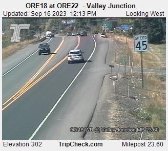
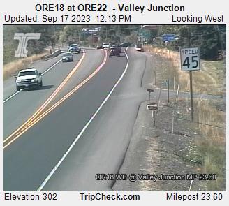
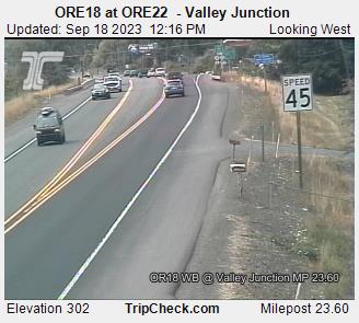
Valley Junction, Oregon, USA - 77.8 miles from Upper Soda: ORE18 at ORE22 - Valley Junction - A view of the current traffic situation on the ORE18.
Operator: Oregon Department of Transportation
Operator: Oregon Department of Transportation


Some other places in this country: Ukiah - Union Creek - Unity - Van - Wakonda Beach - Waldport - Wallowa - Wamic - Wapinitia - Warrendale