Webcams in the region of Phoenix, Oregon, USA
The List of Webcams near Phoenix, Oregon, USA:

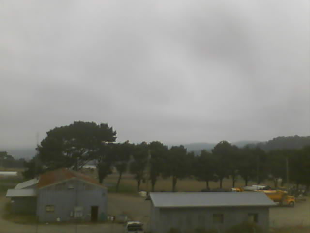
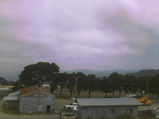
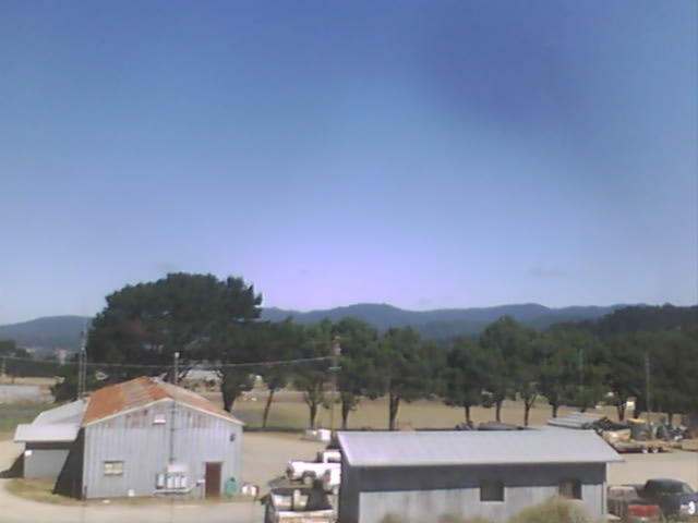
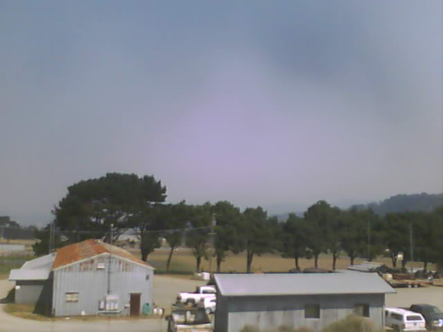
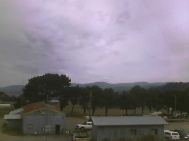
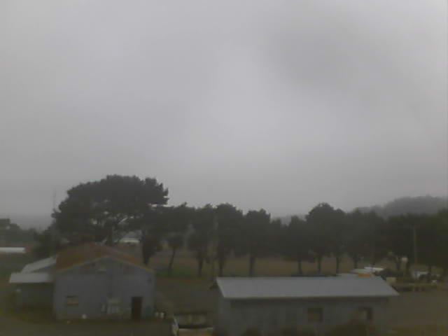
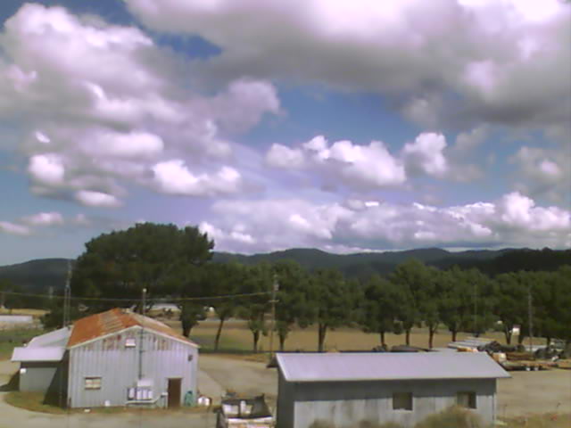
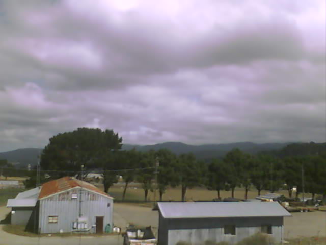
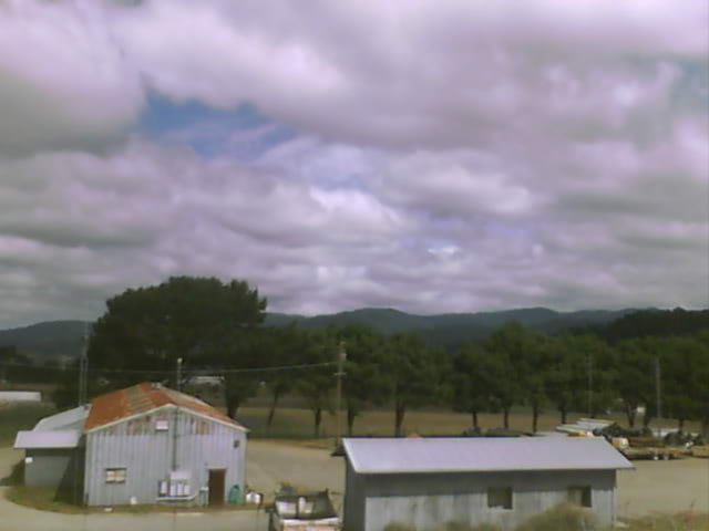
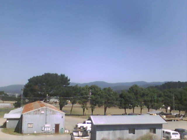
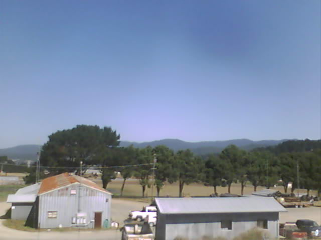
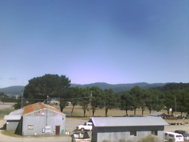
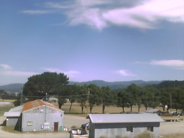
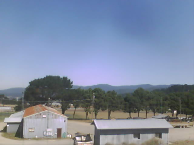
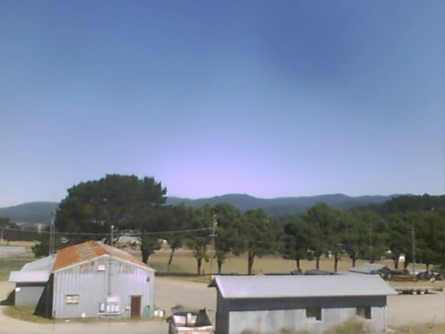
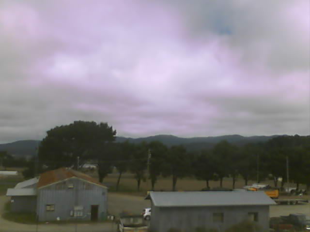
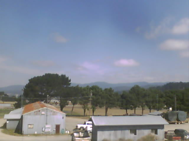
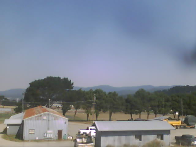
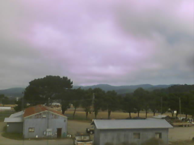
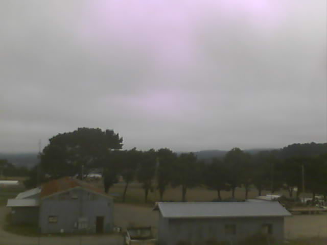
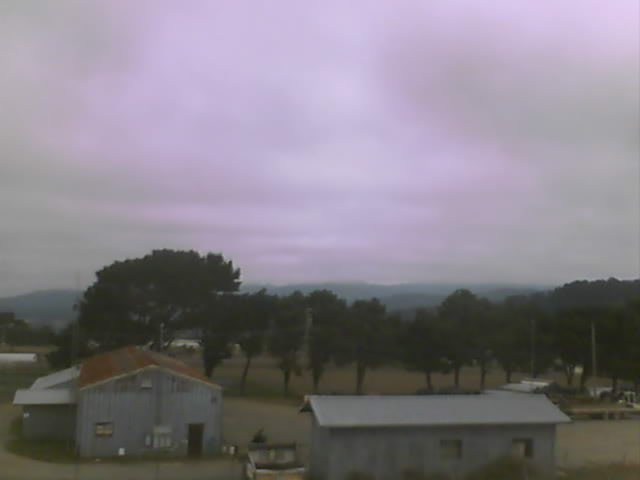
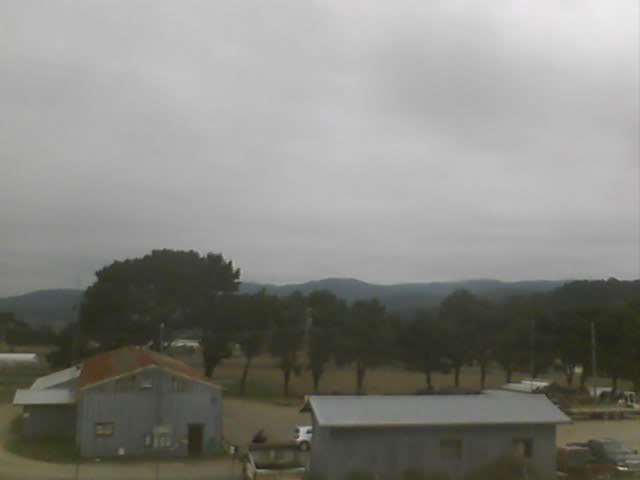
Medford, Oregon, USA - 4.6 miles from Phoenix: Medford Weathercam - A live view from Medford, Oregon, with current weather data.
Operator: Ryan's Weather Website - Medford, Oregon
Operator: Ryan's Weather Website - Medford, Oregon


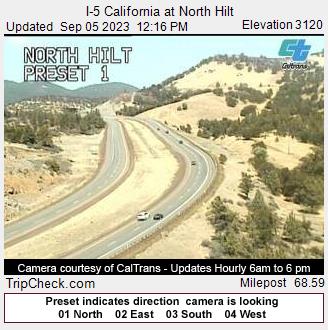
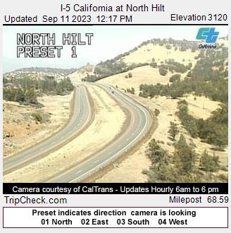
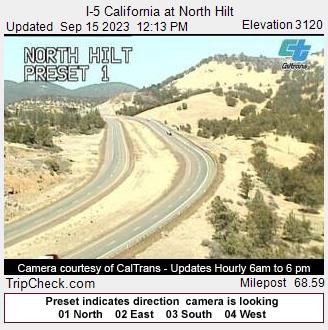
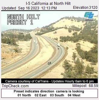
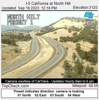
Hilt, California, USA - 21.8 miles from Phoenix: I-5 California at North Hilt - A view of the current traffic situation on the I-5.
Operator: Oregon Department of Transportation
Operator: Oregon Department of Transportation


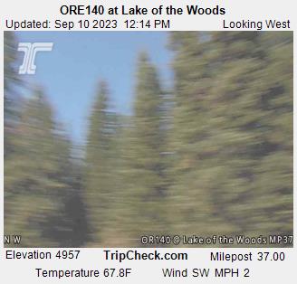
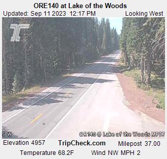
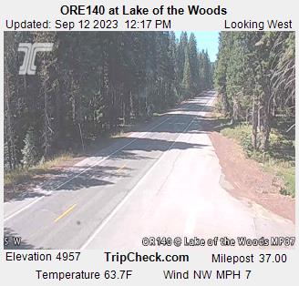
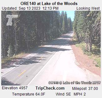
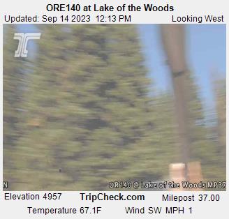
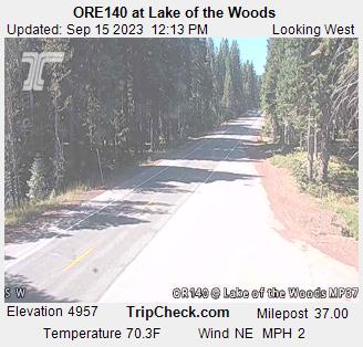
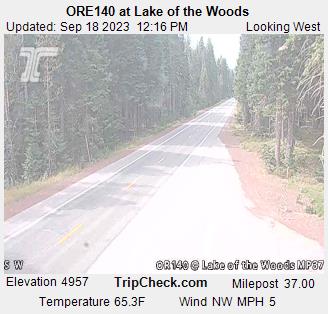
Lake of the Woods, Oregon, USA - 31.8 miles from Phoenix: ORE140 at Lake of the Woods - A view of the current traffic situation on the ORE140.
Operator: Oregon Department of Transportation
Operator: Oregon Department of Transportation


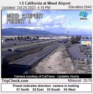
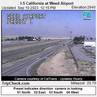
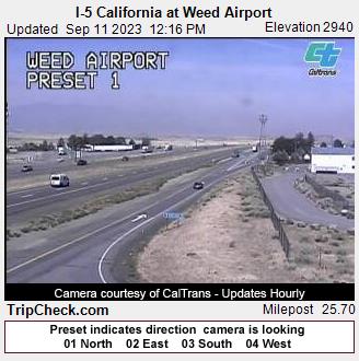
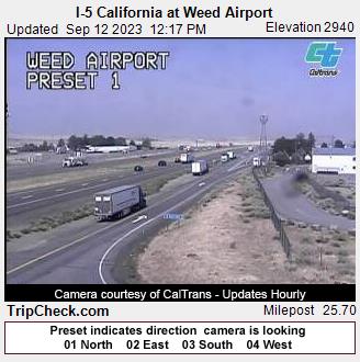
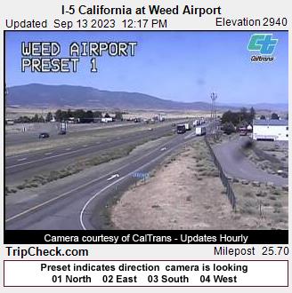
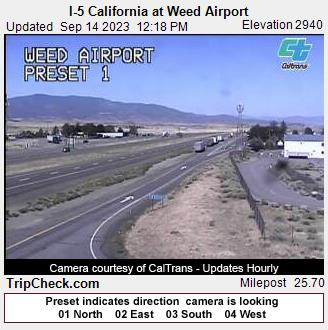
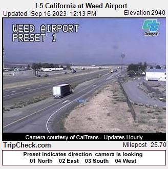
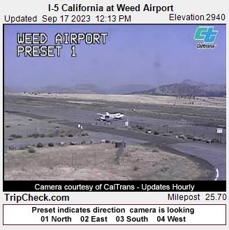
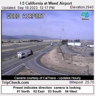
Weed, California, USA - 63 miles from Phoenix: I-5 California at Weed Airport - A view of the current traffic situation on the I-5.
Operator: Oregon Department of Transportation
Operator: Oregon Department of Transportation


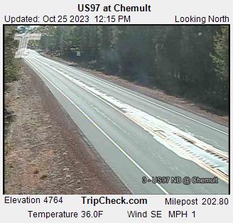
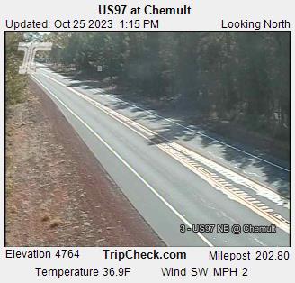
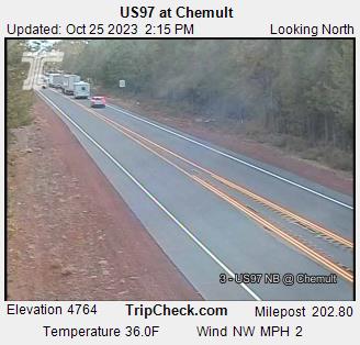
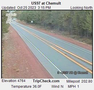
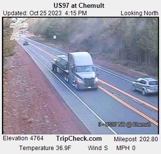
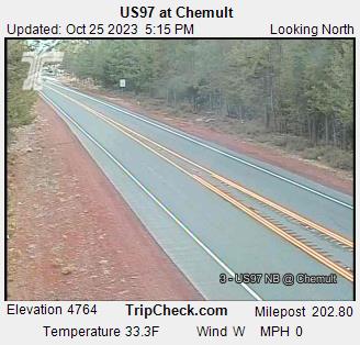
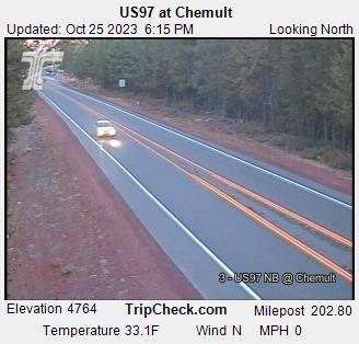
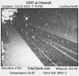
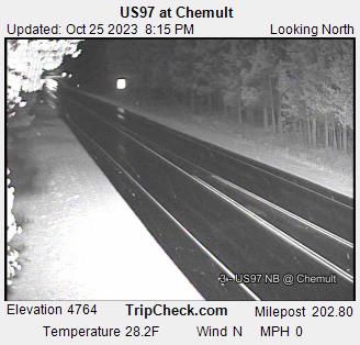
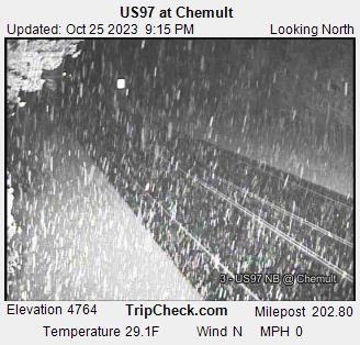
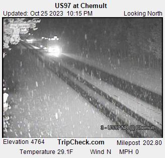
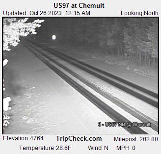
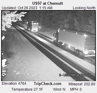
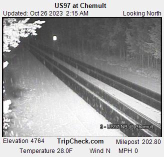
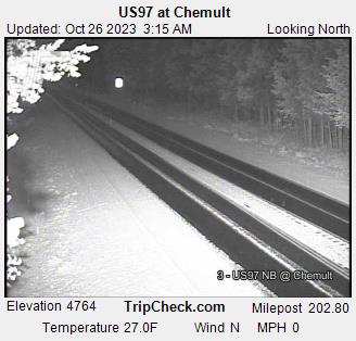
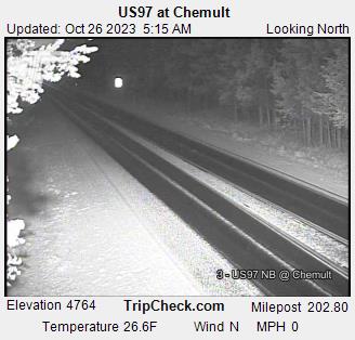
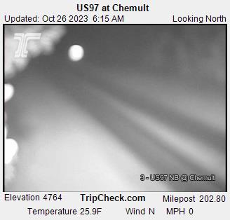
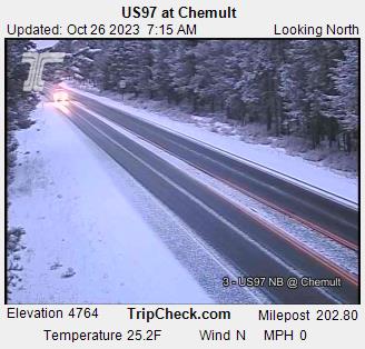
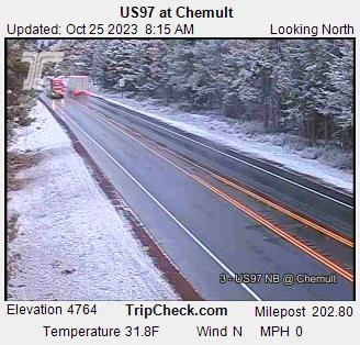
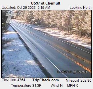
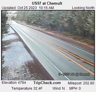
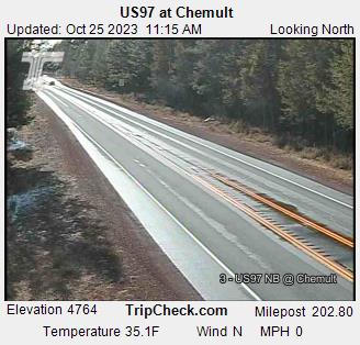
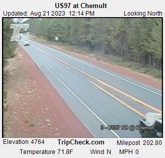
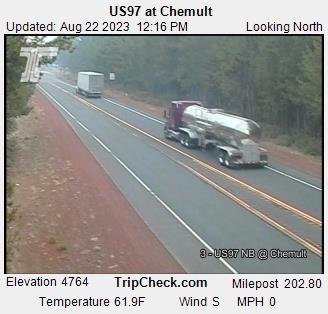
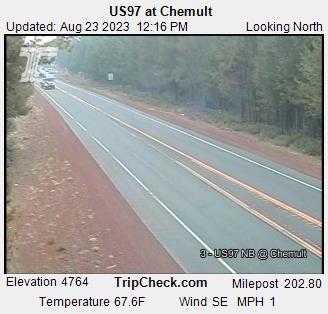
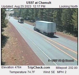
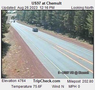
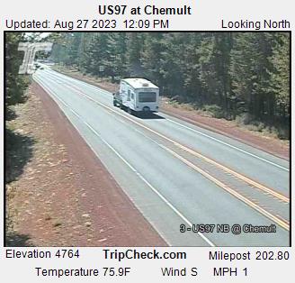
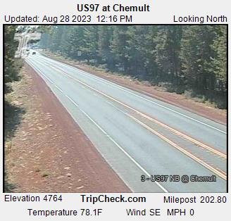
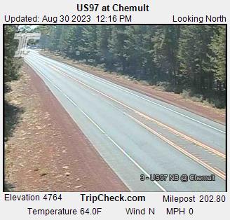
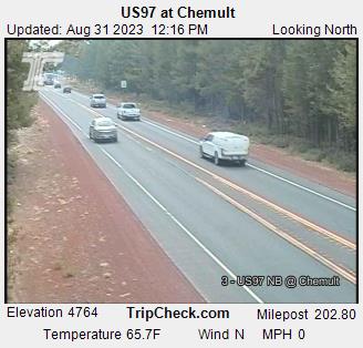
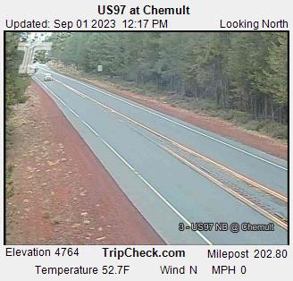
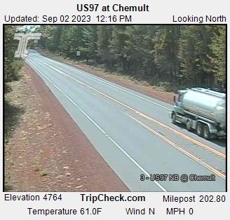
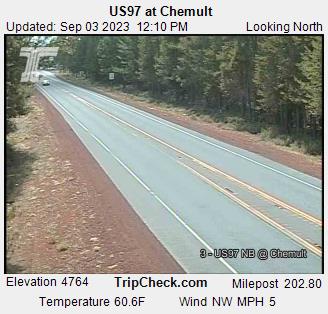
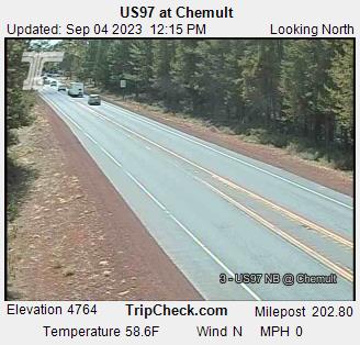
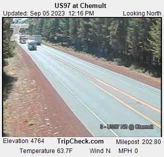
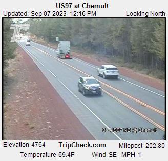
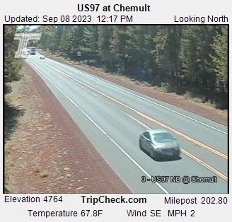
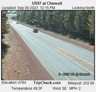
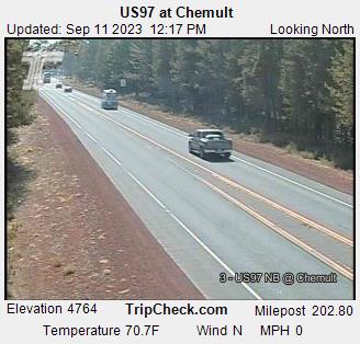
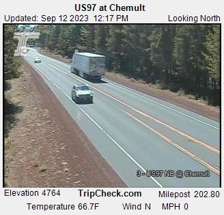
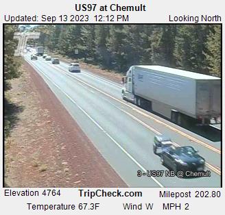
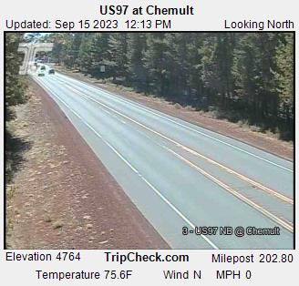
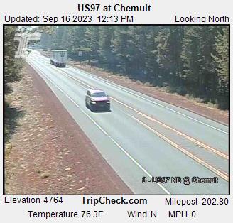
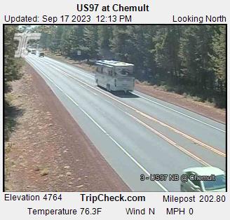
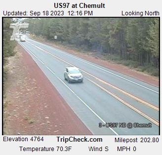
Chemult, Oregon, USA - 83.6 miles from Phoenix: US97 at Chemult - A view of the current traffic situation on the US97.
Operator: Oregon Department of Transportation
Operator: Oregon Department of Transportation


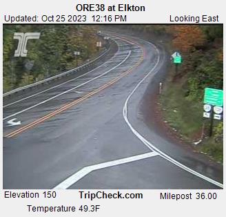
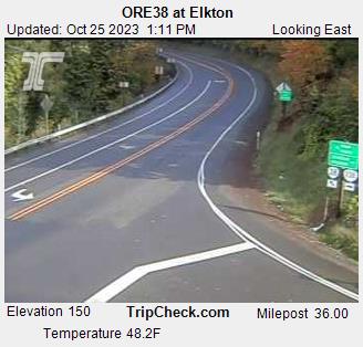
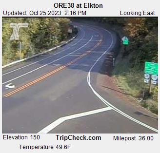
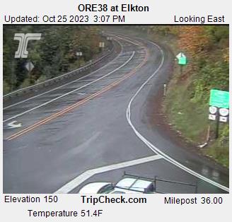
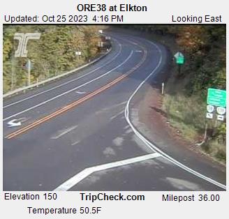
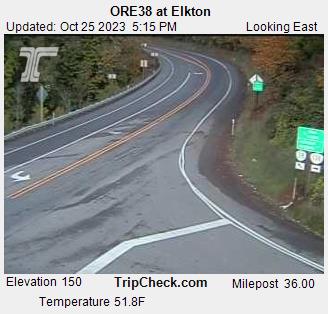
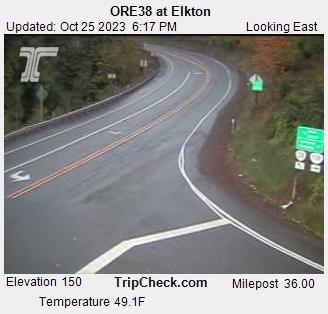
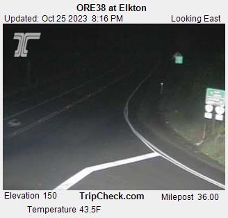
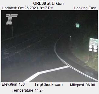
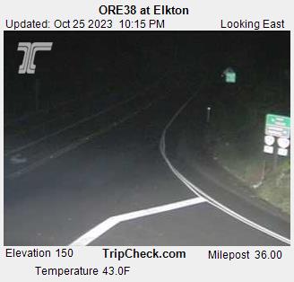
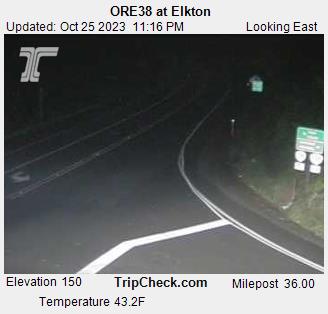
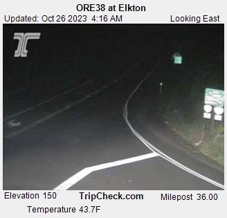
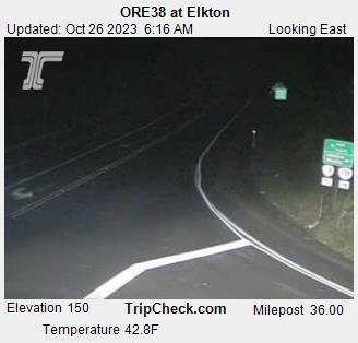
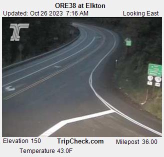
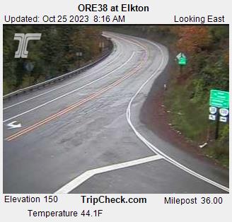
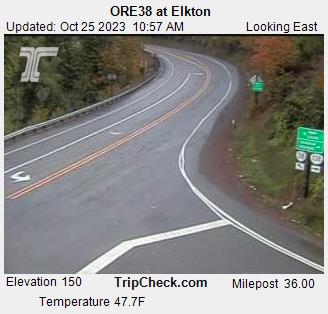
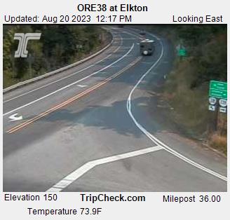
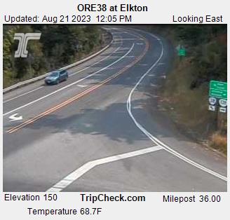
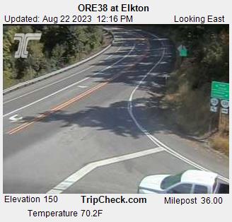
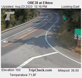
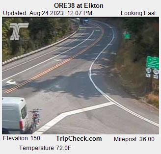
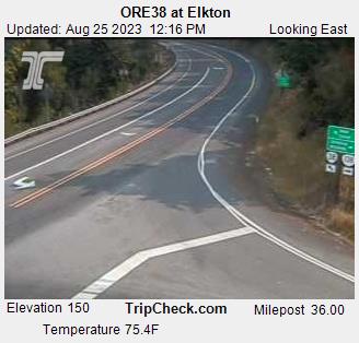
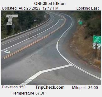
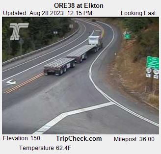
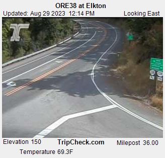
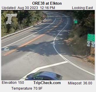
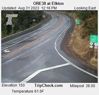
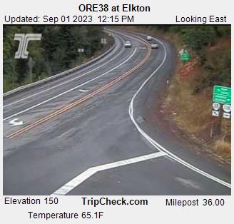
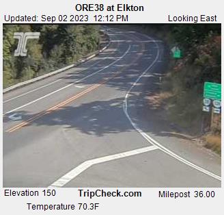
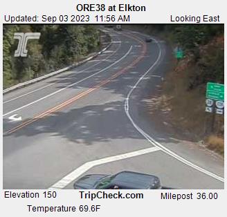
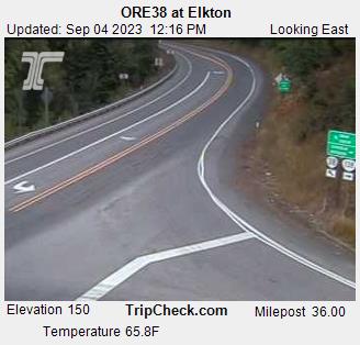
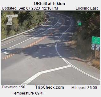
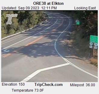
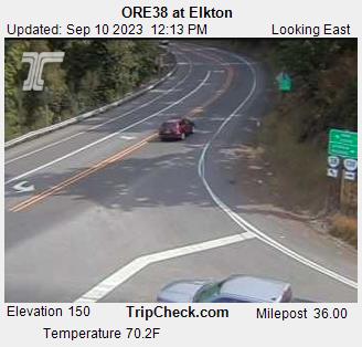
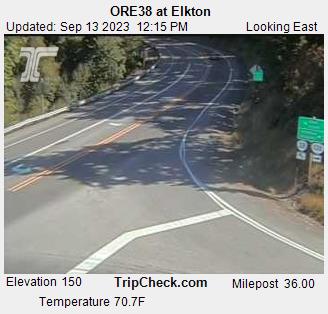
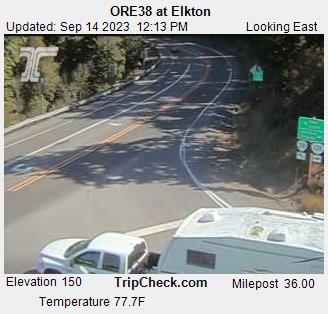
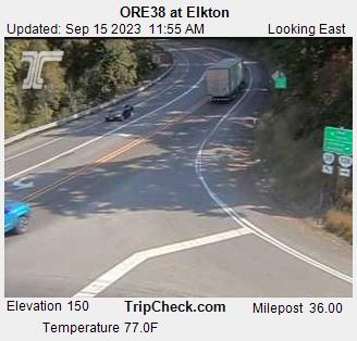
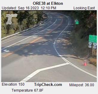
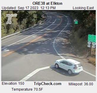
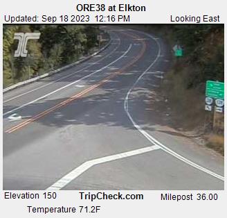
Elkton, Oregon, USA - 101.5 miles from Phoenix: ORE38 at Elkton - A view of the current traffic situation on the ORE38.
Operator: Oregon Department of Transportation
Operator: Oregon Department of Transportation


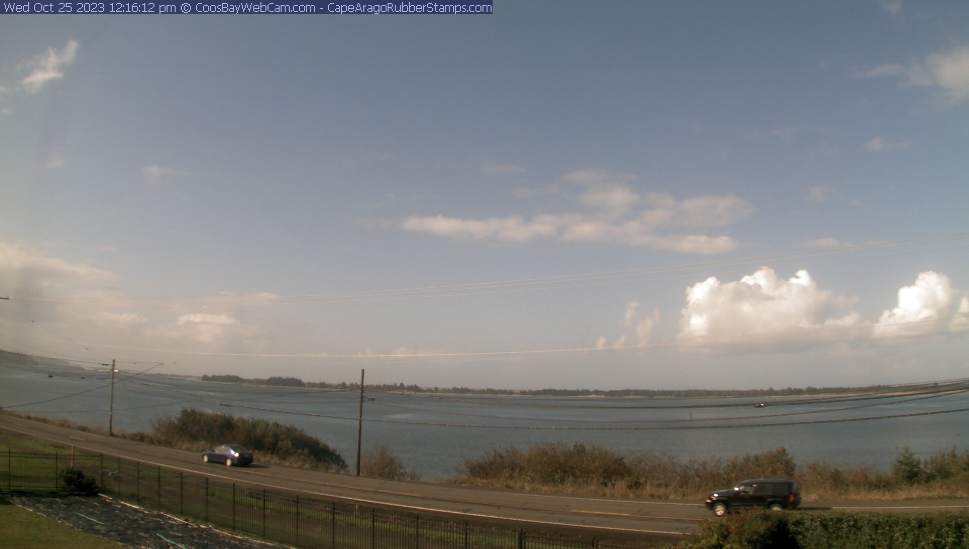
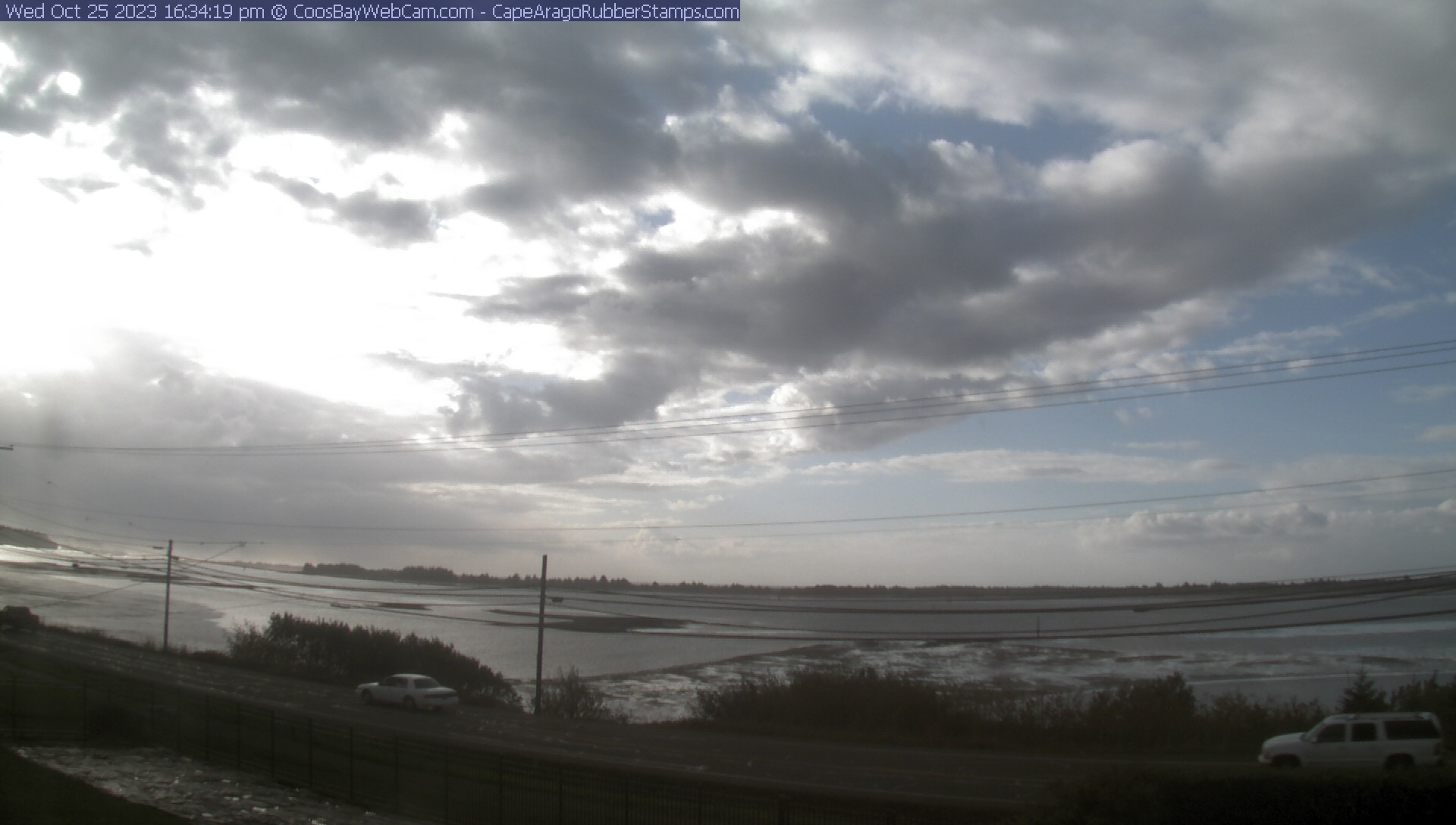
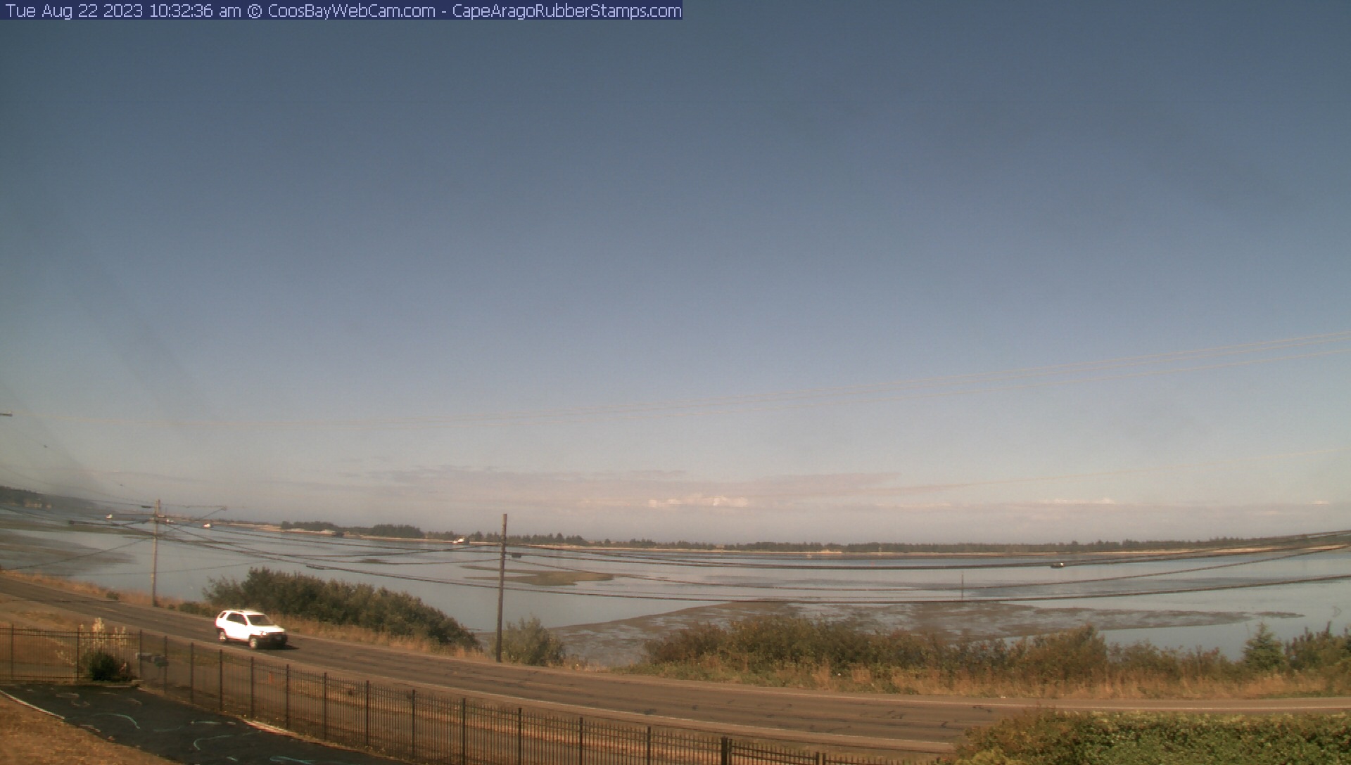
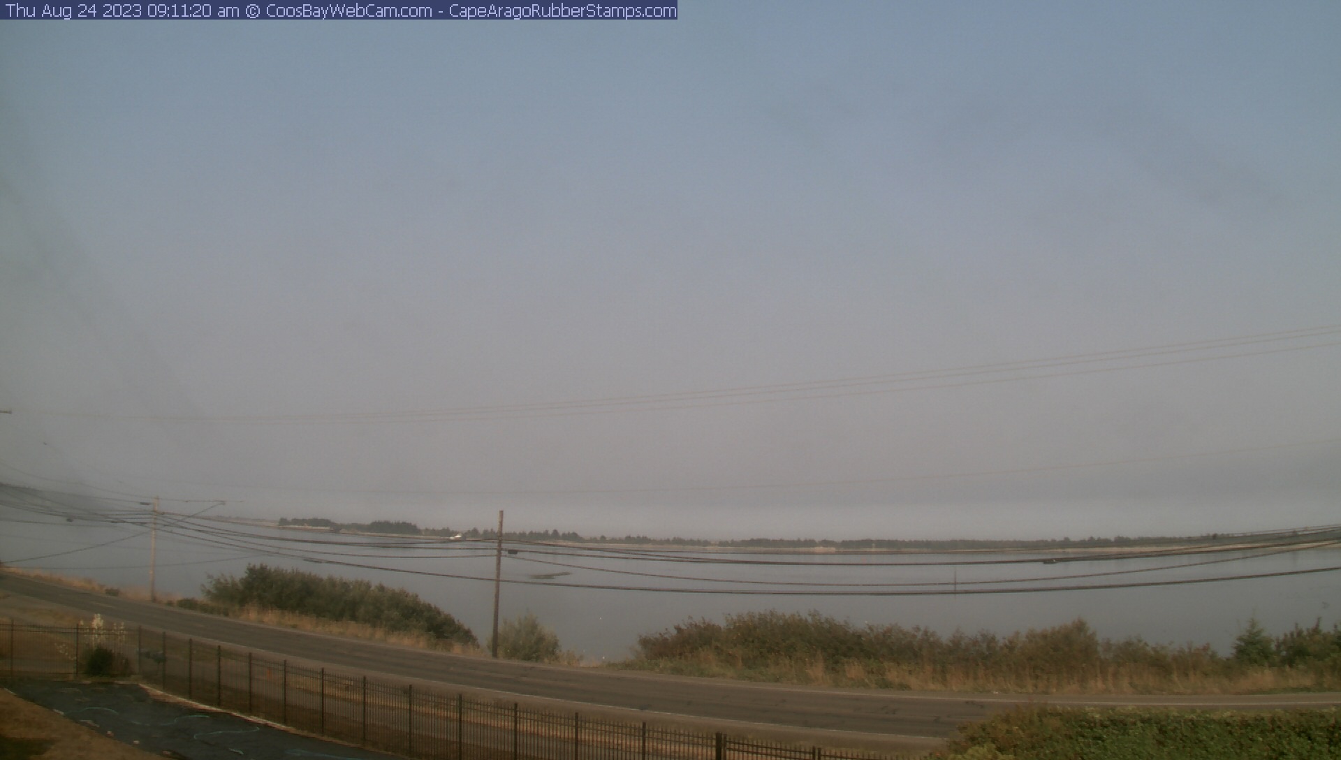
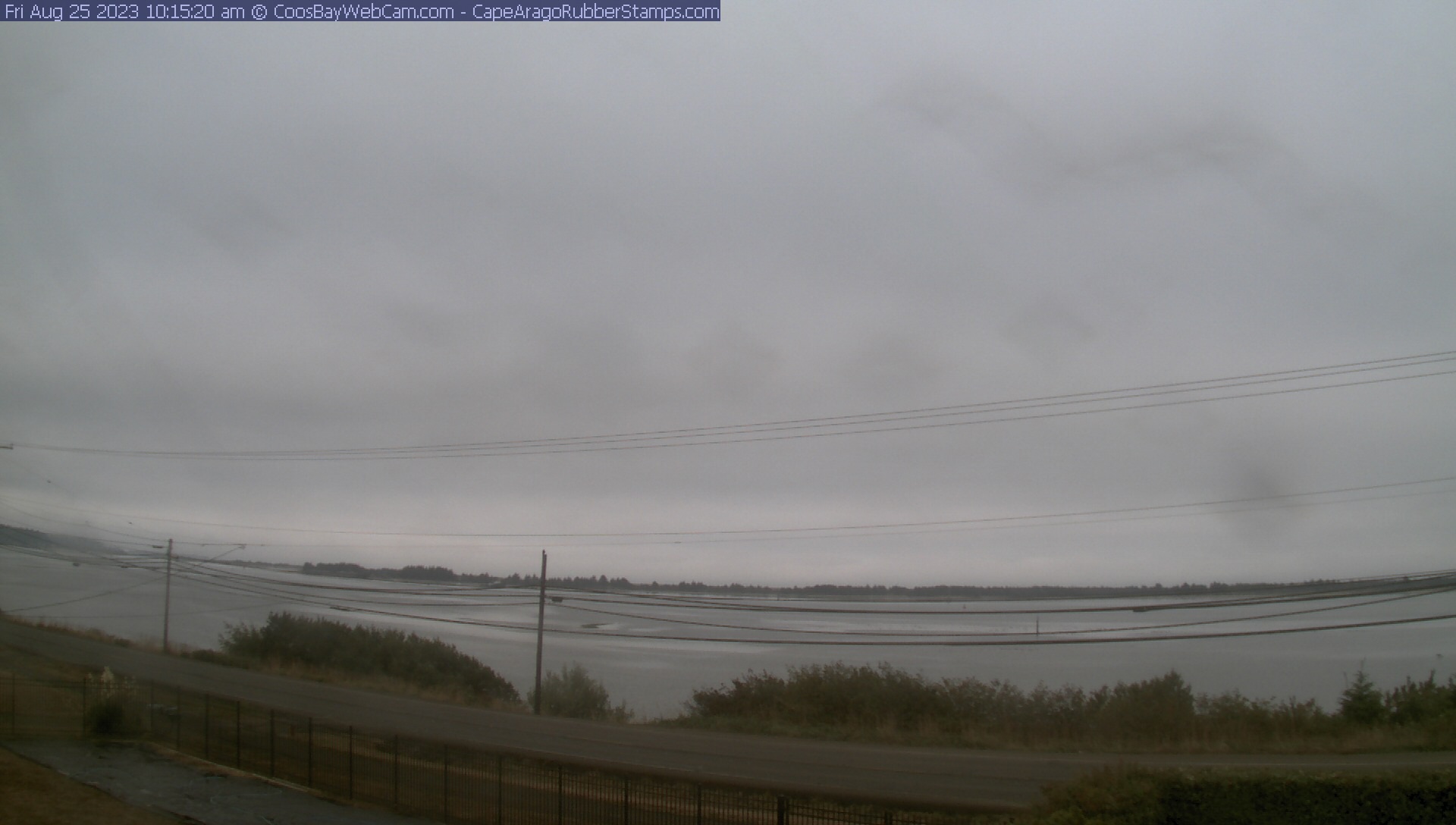
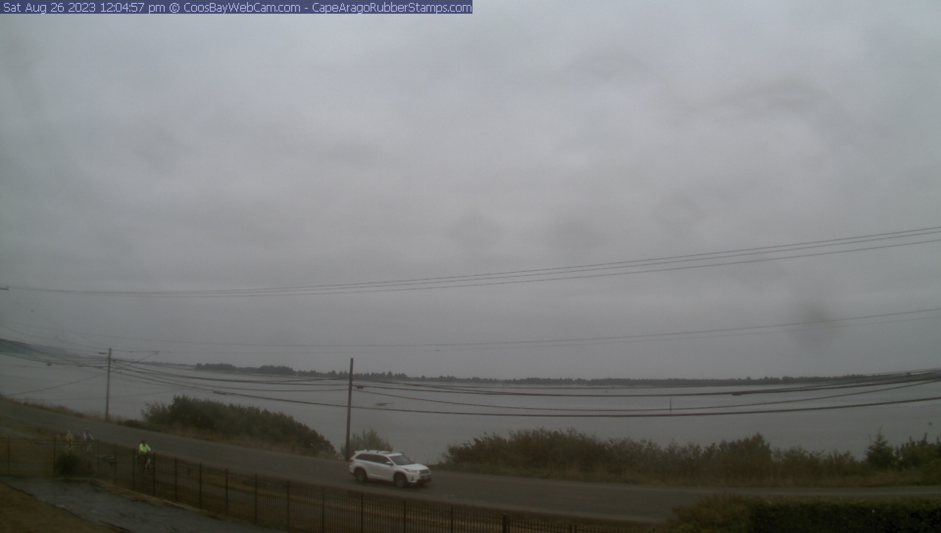
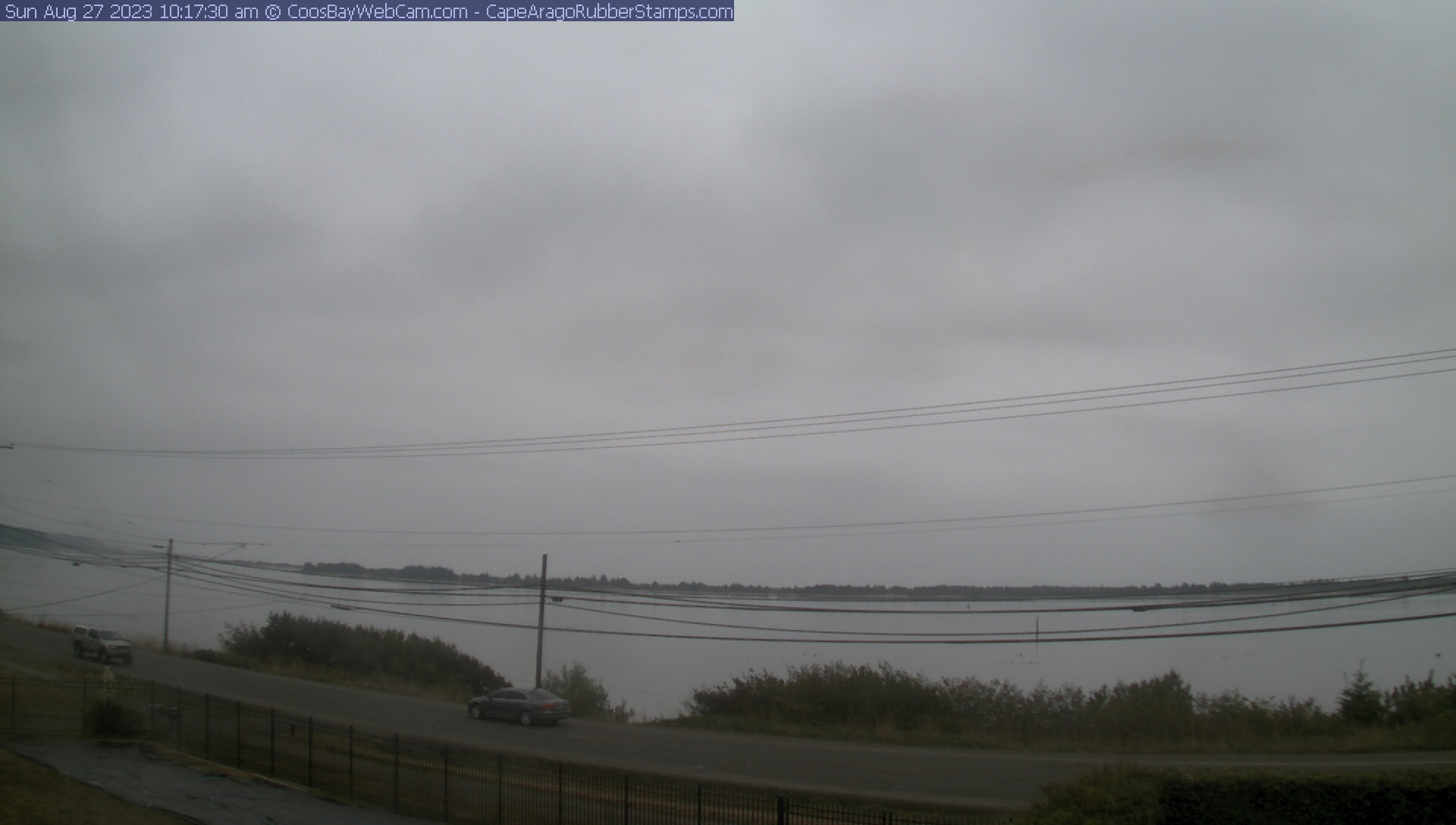
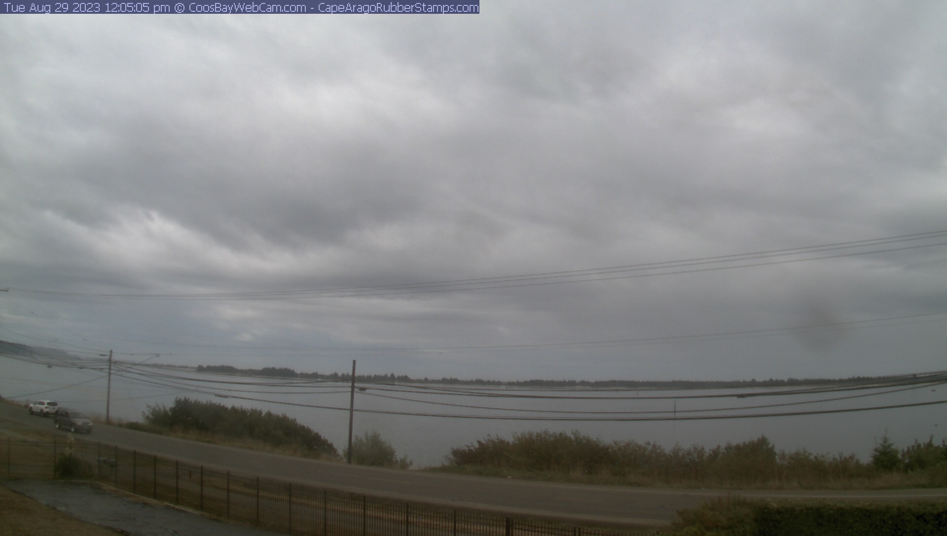
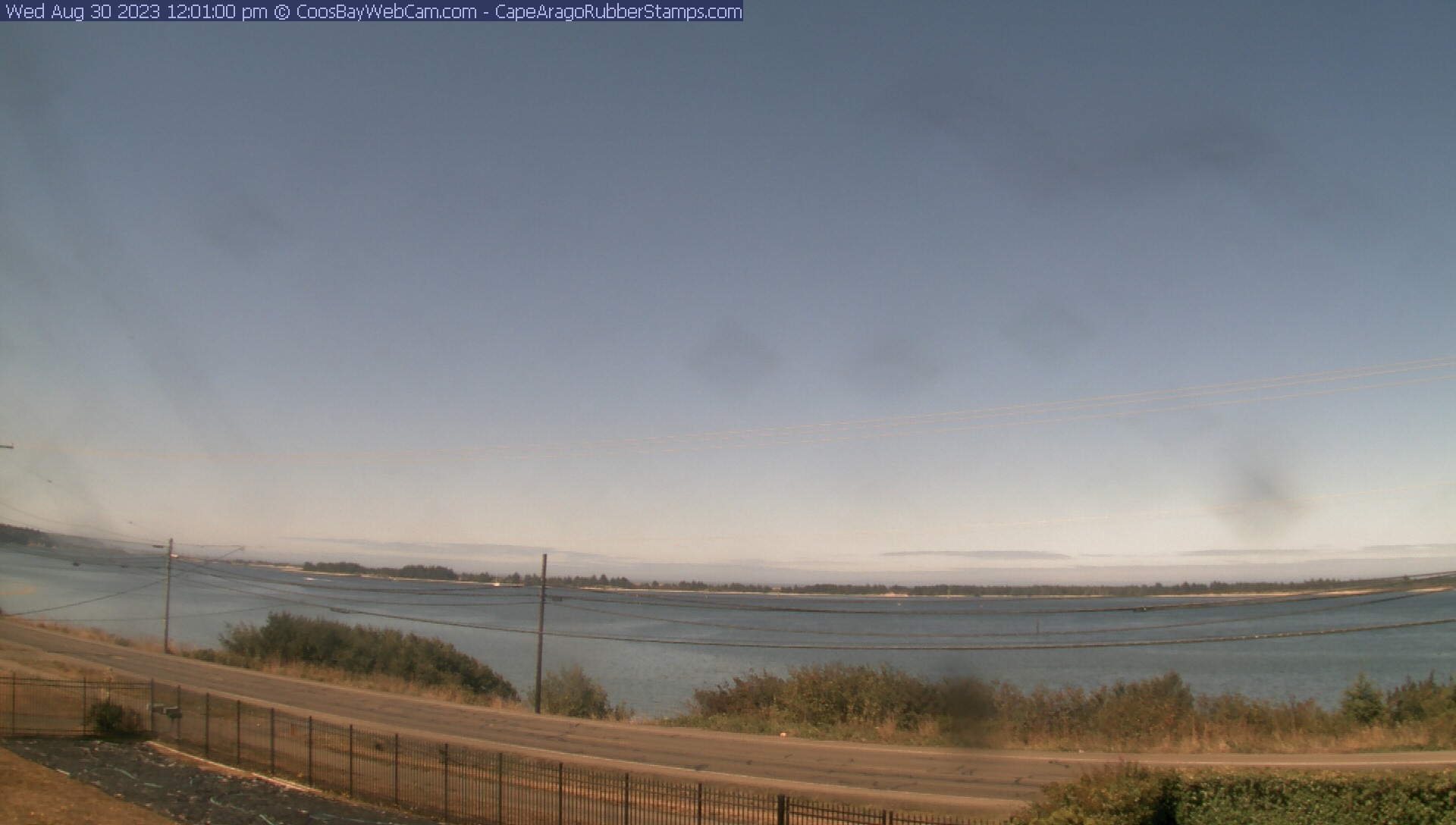
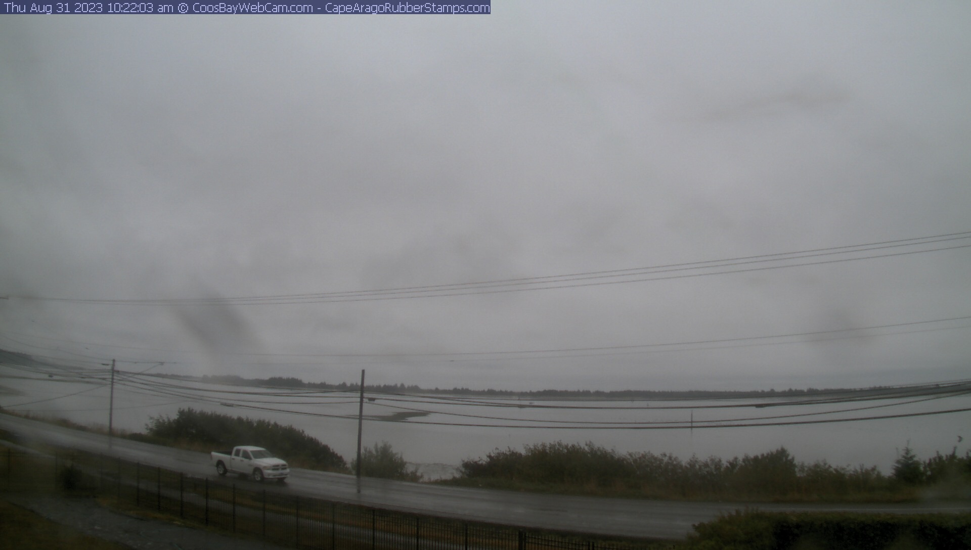
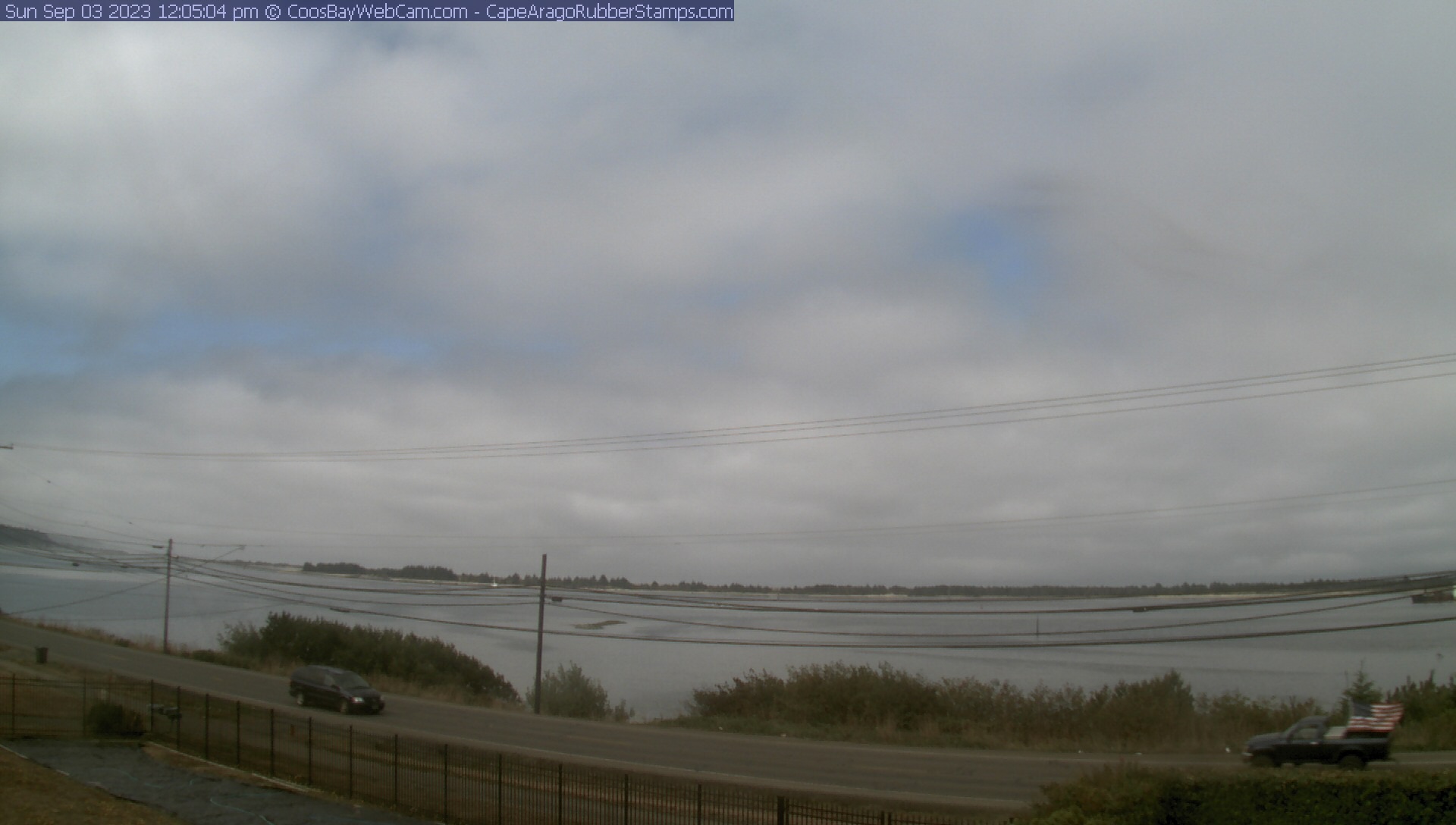
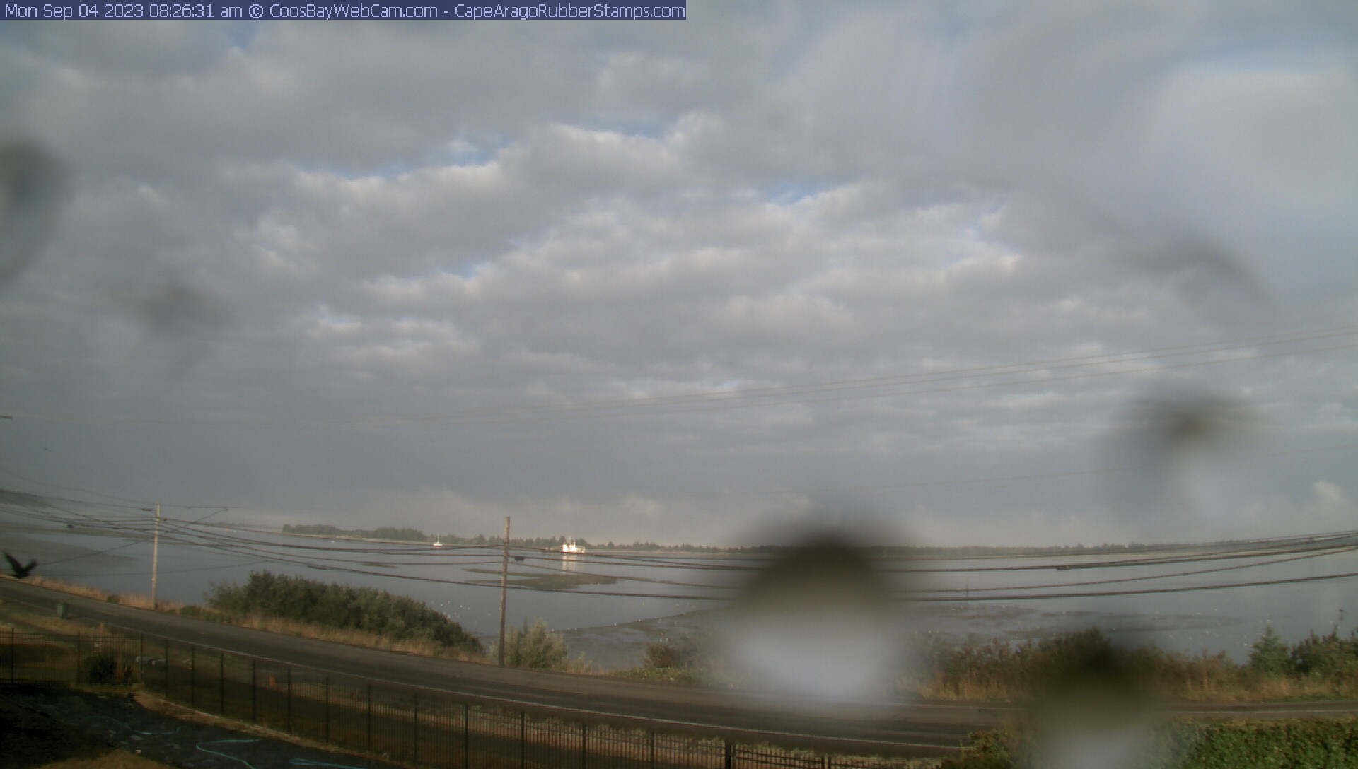
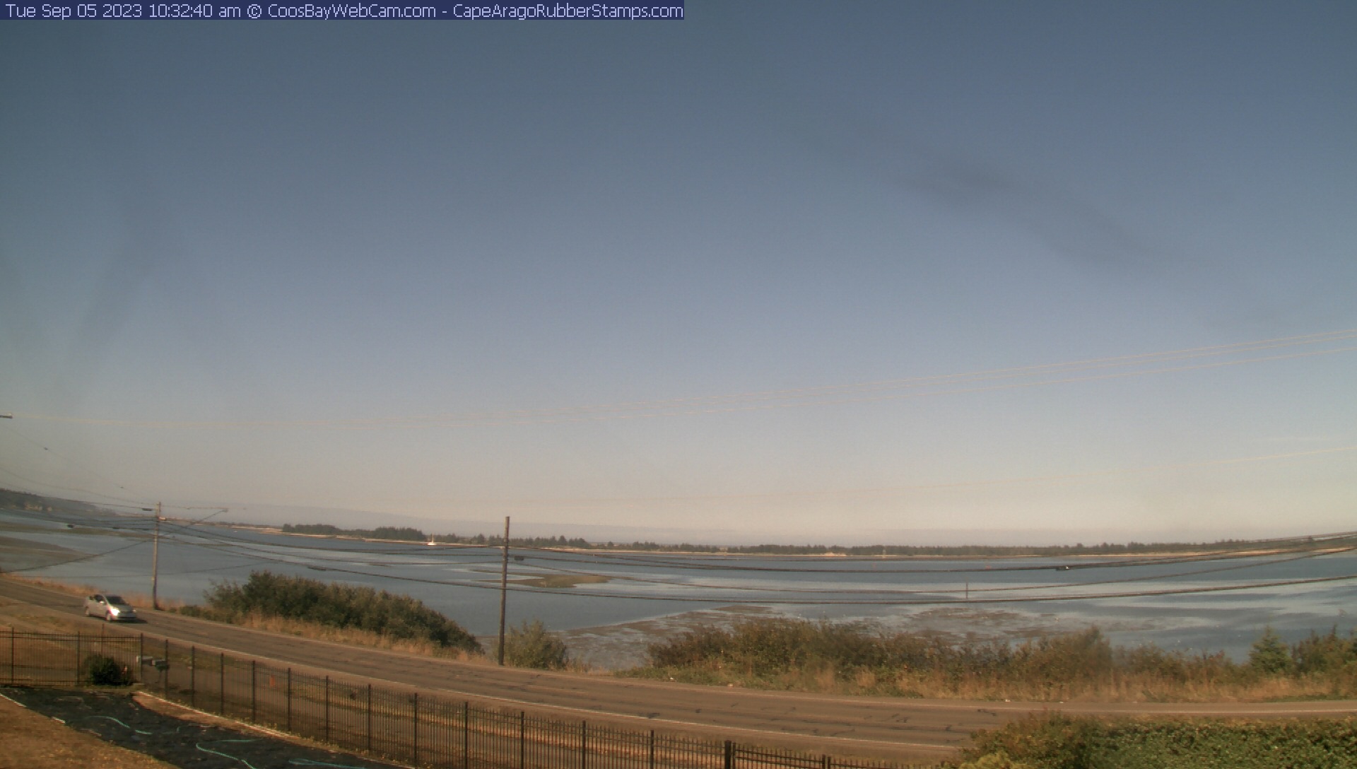
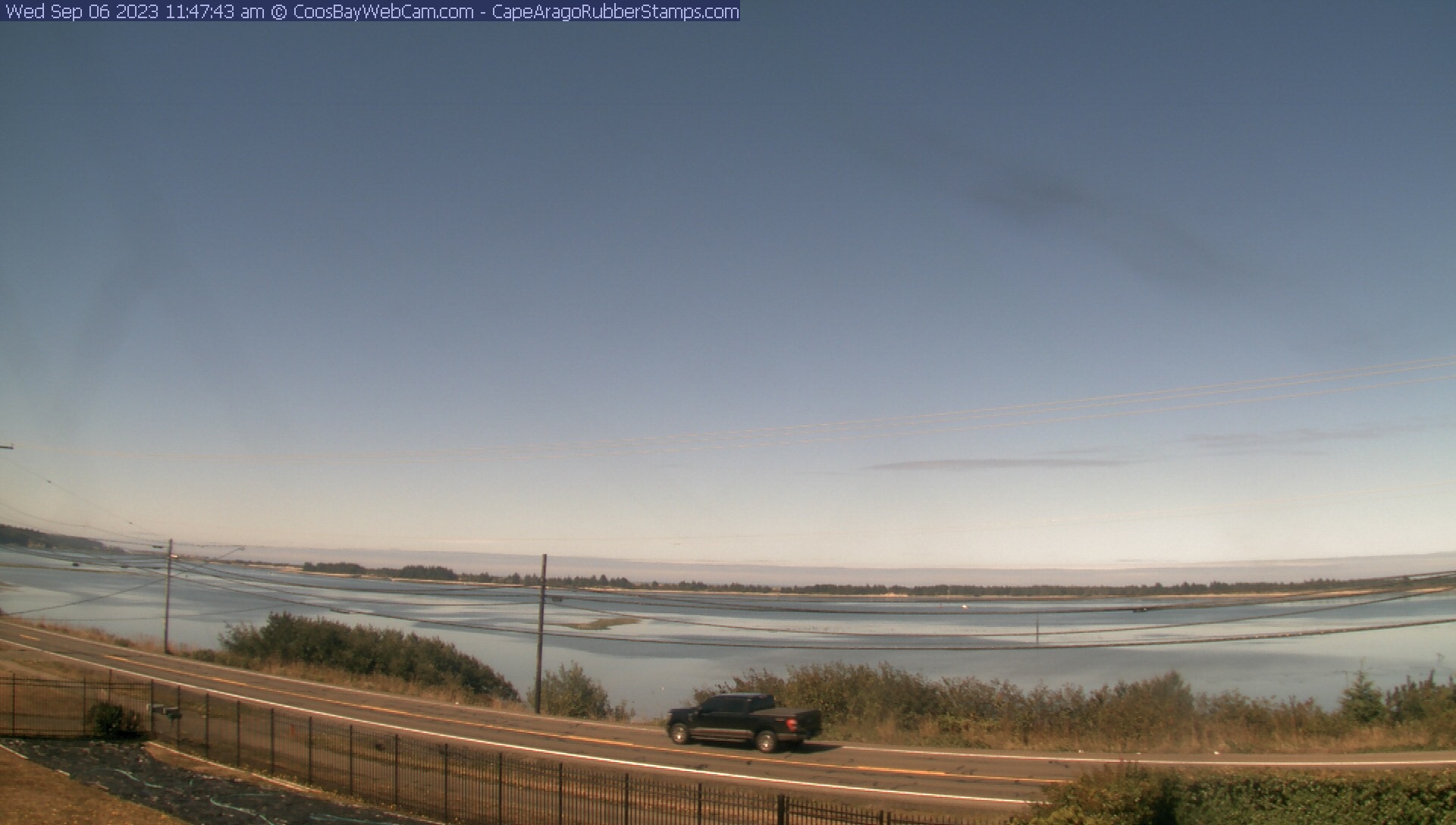
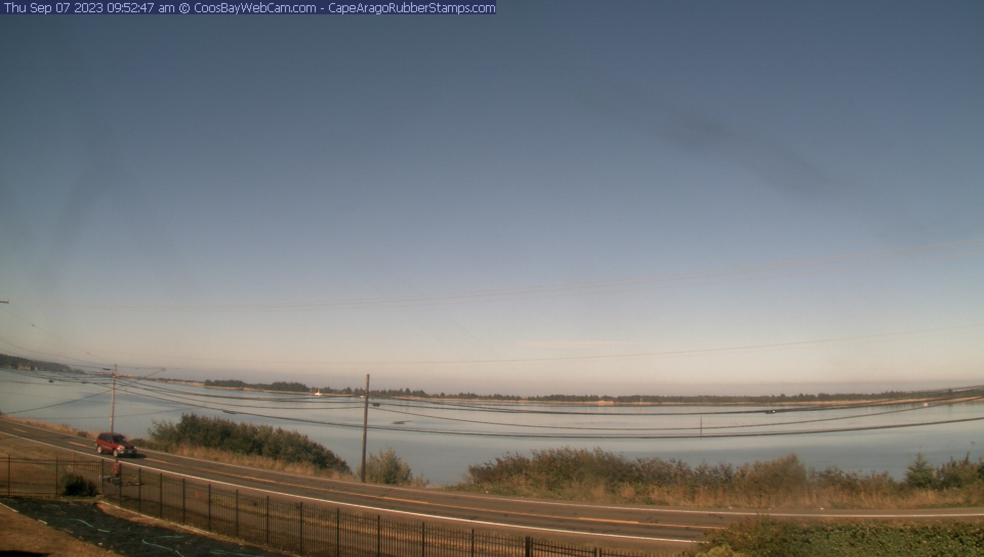
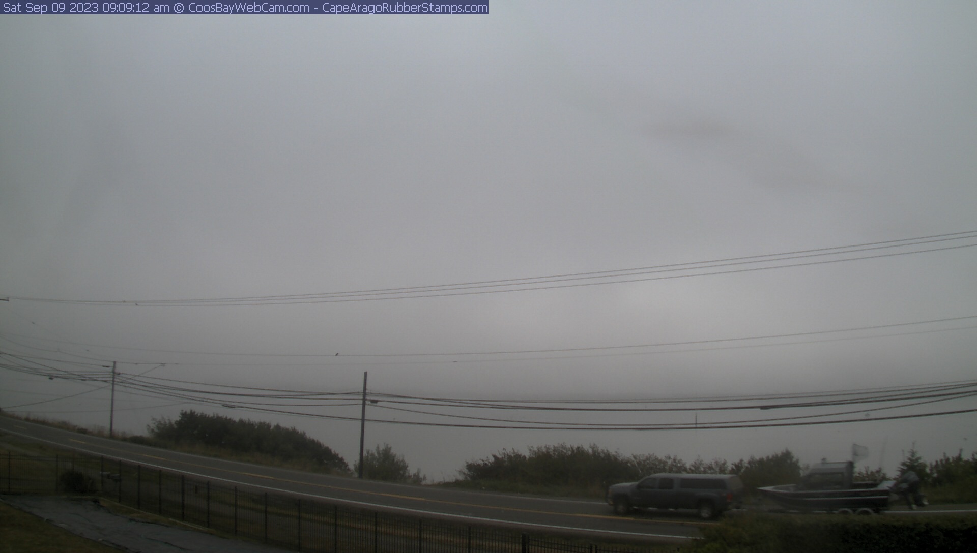
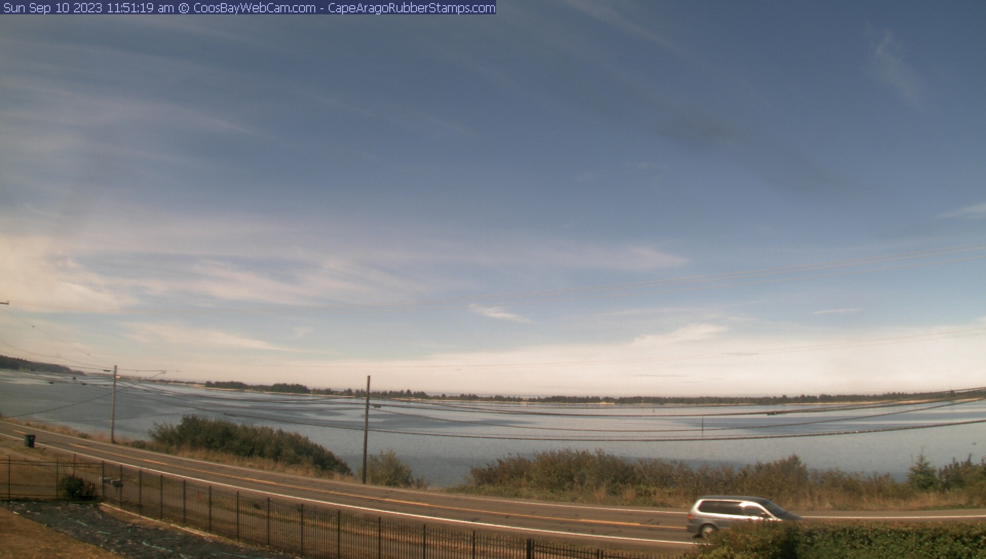
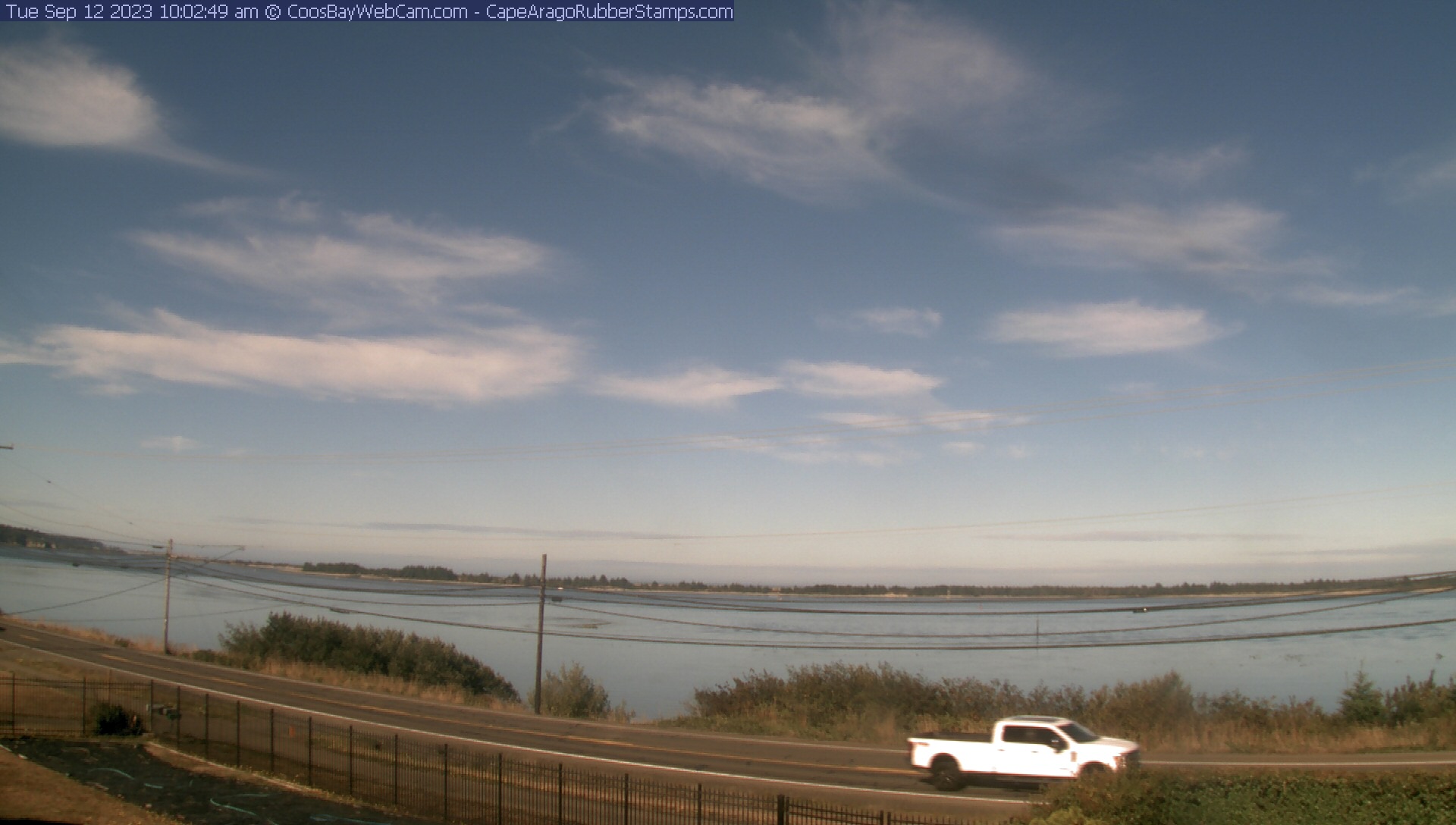
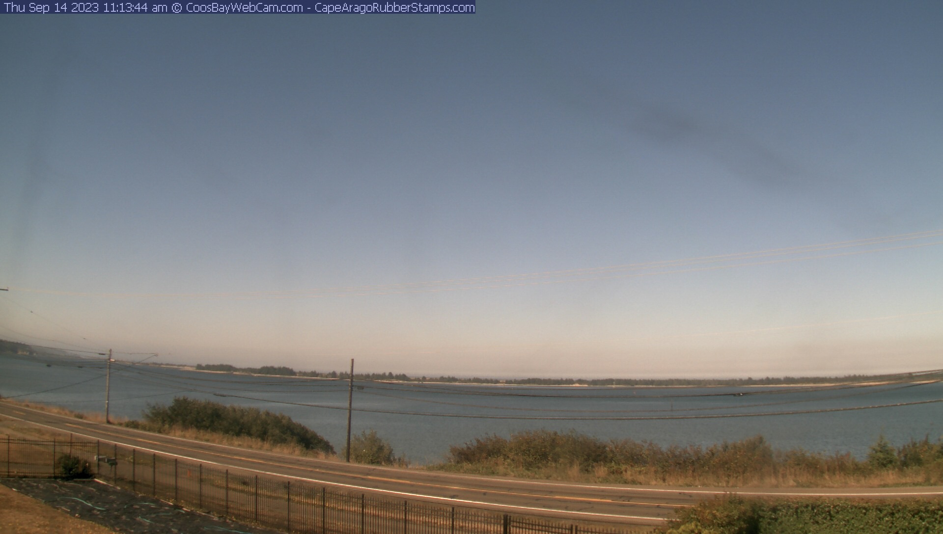
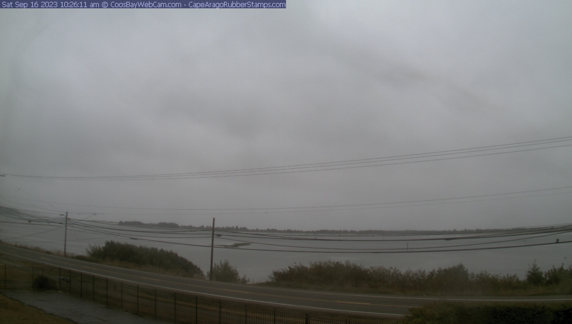
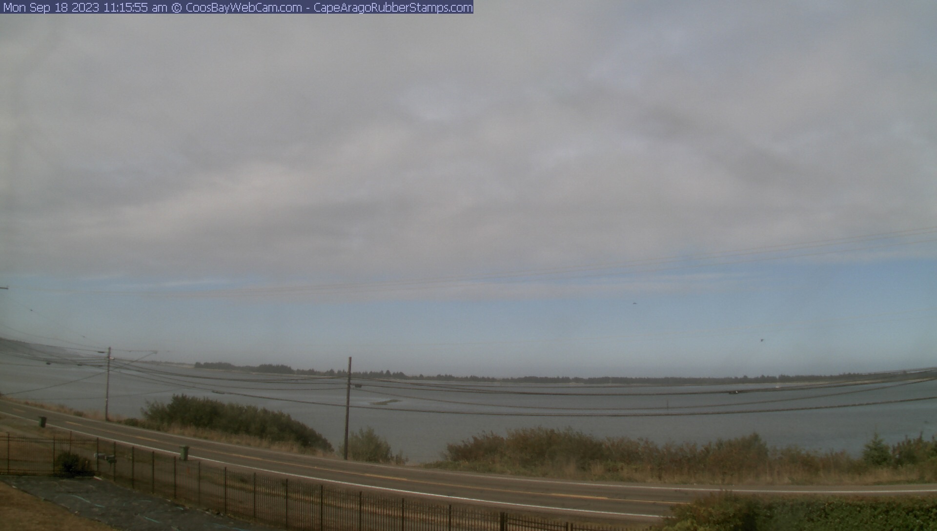
Coos Bay, Oregon, USA - 103.5 miles from Phoenix: View of the Coos Bay - A nice panorama view over the Coos Bay.
Operator: CoosBayWebcam.com
Operator: CoosBayWebcam.com


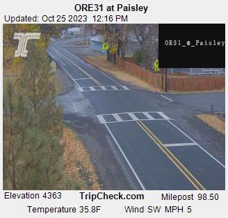
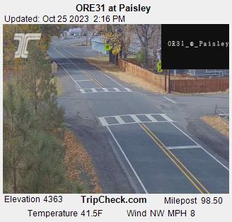
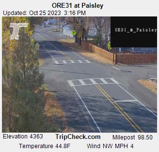
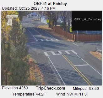
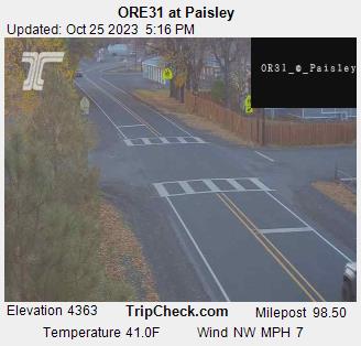
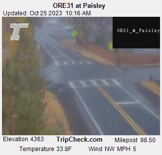
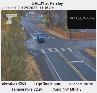
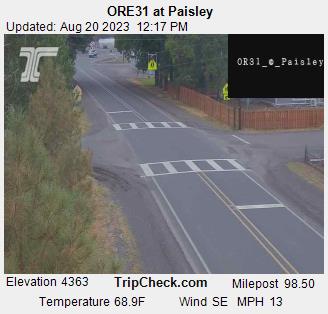
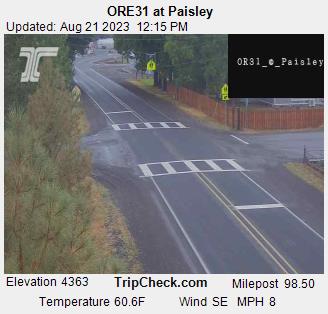
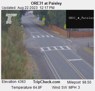
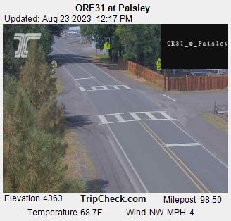
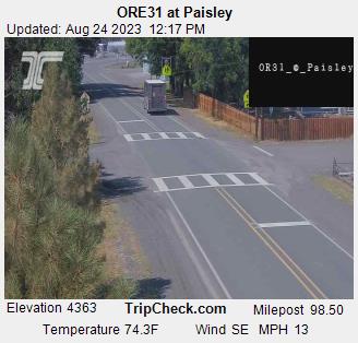
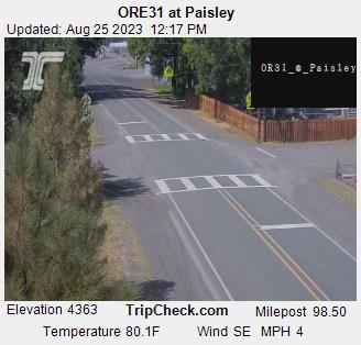
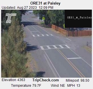
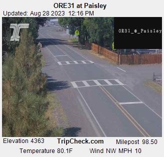
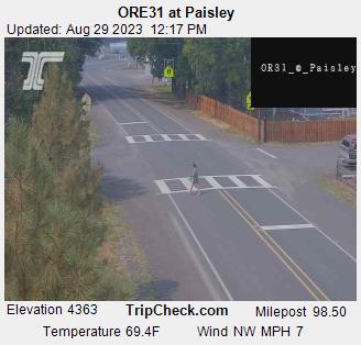
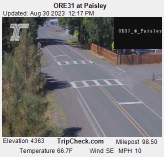
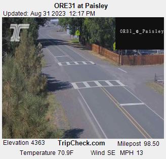
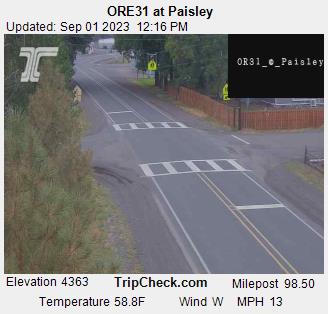
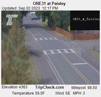
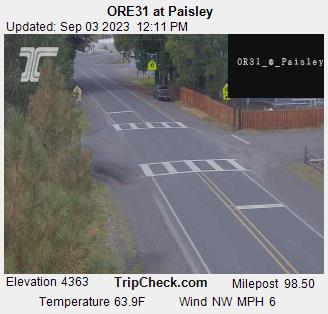
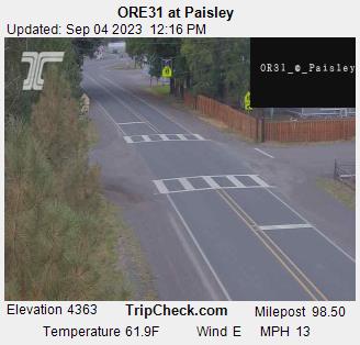
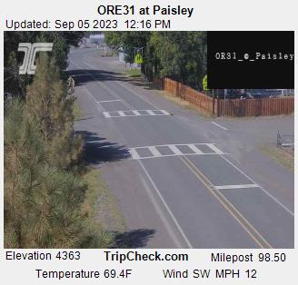
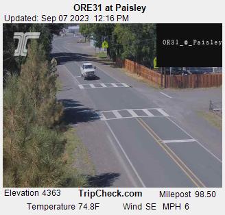
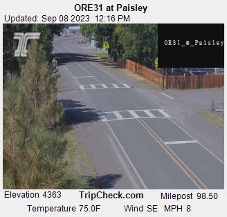
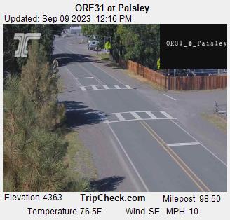
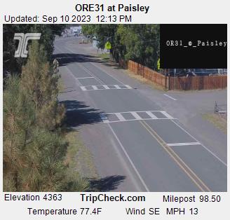
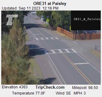
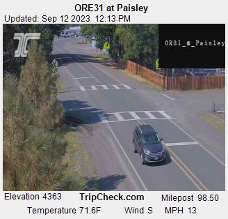
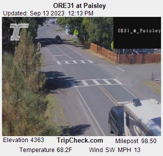
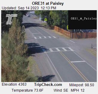
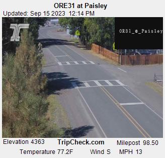
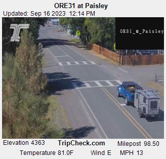
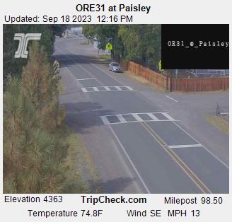
Paisley, Oregon, USA - 119.3 miles from Phoenix: ORE31 at Paisley - A view of the current traffic situation on the ORE31.
Operator: Oregon Department of Transportation
Operator: Oregon Department of Transportation


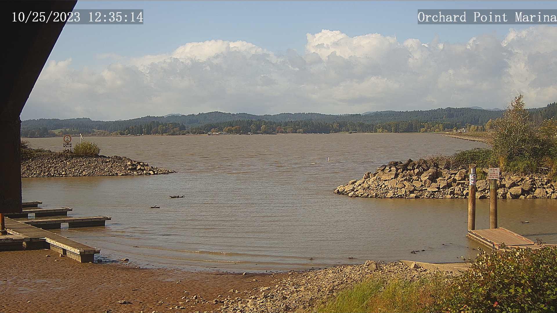
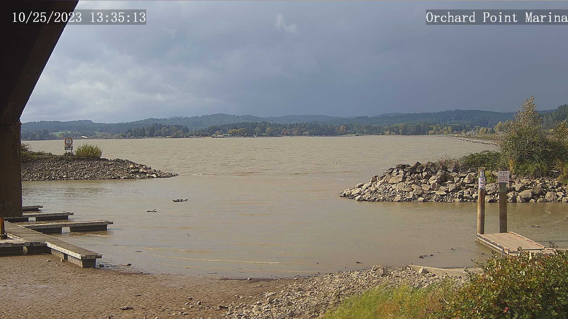
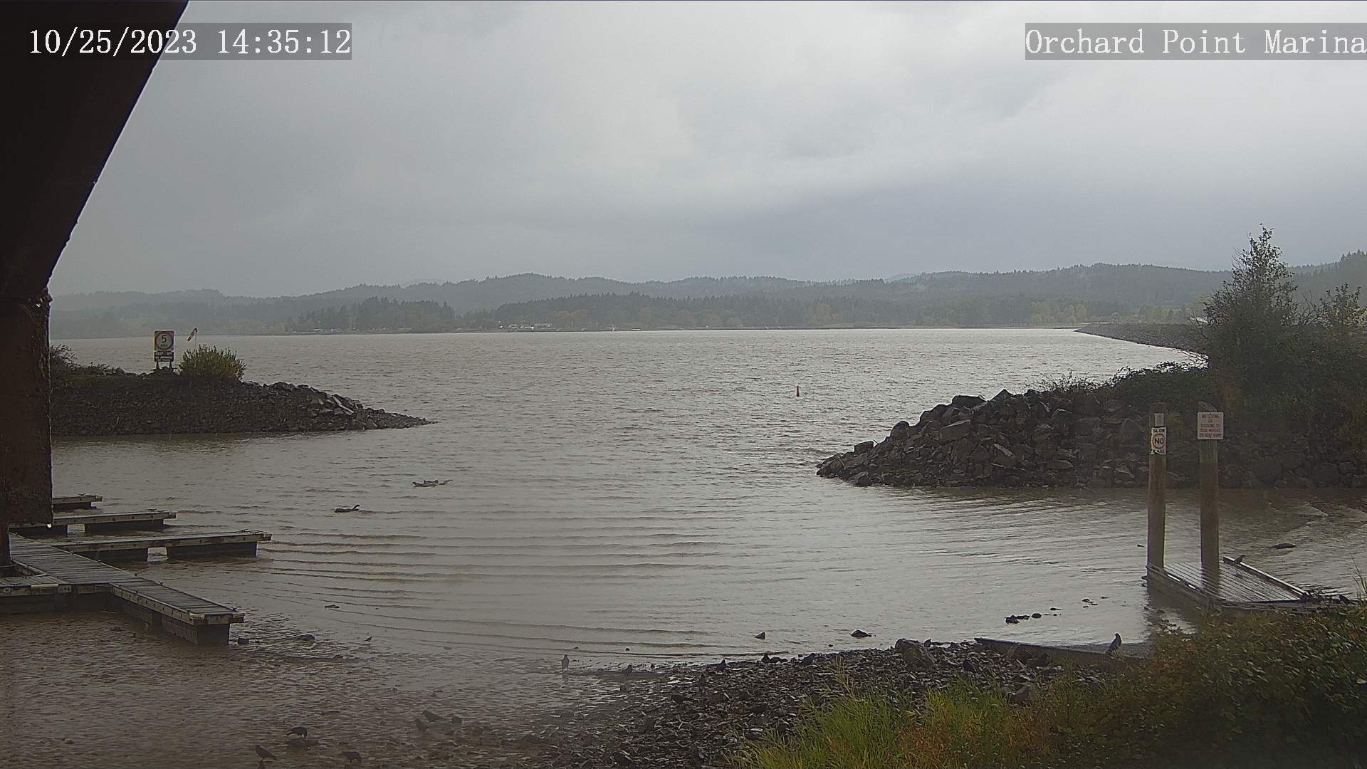
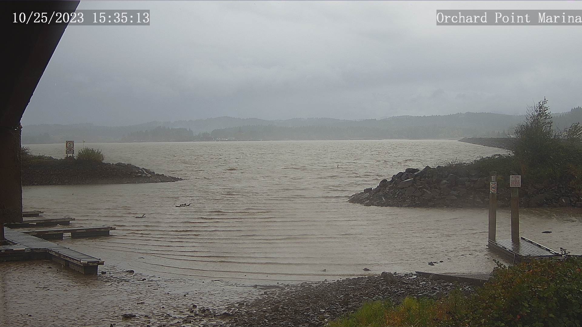
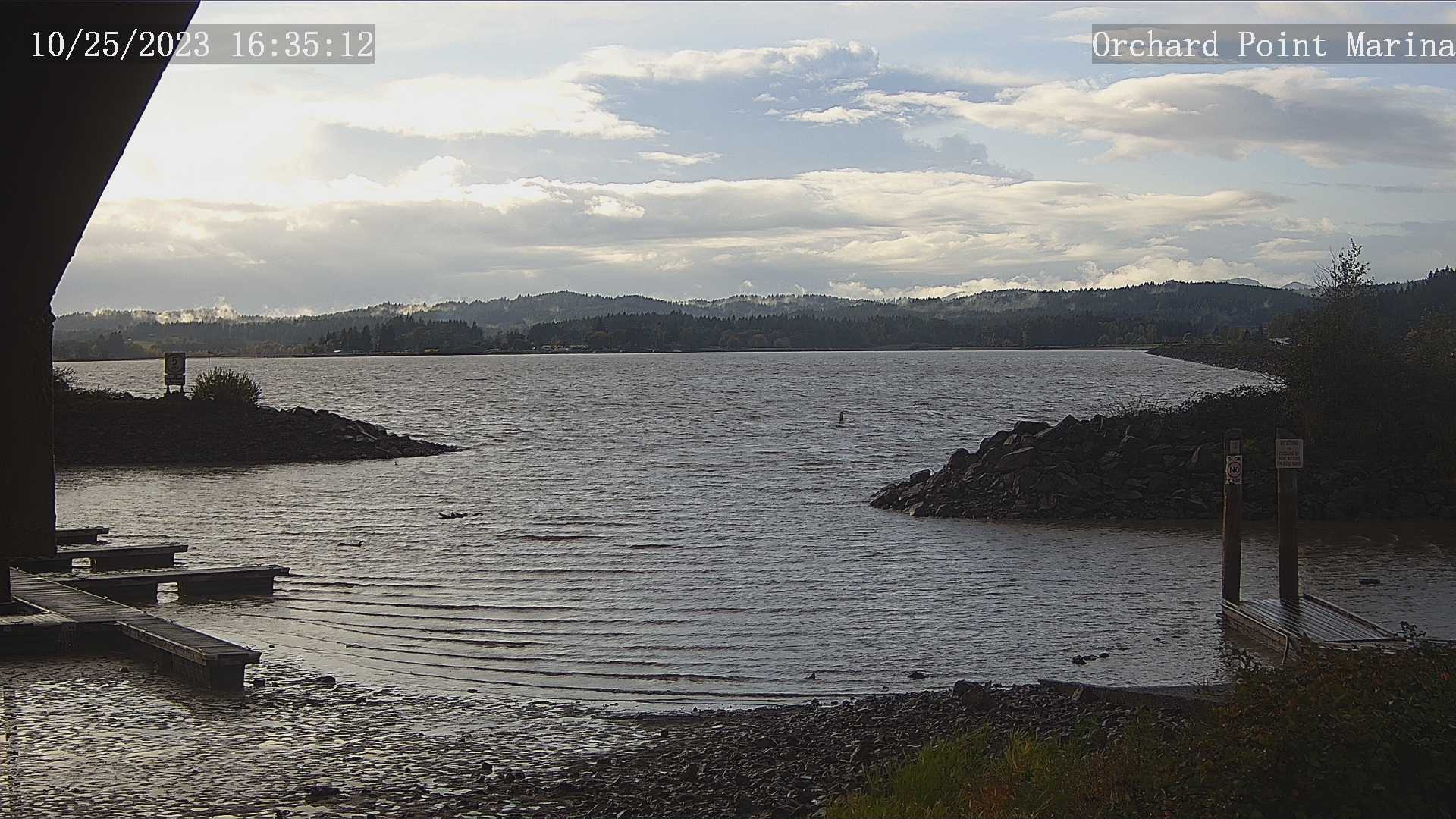
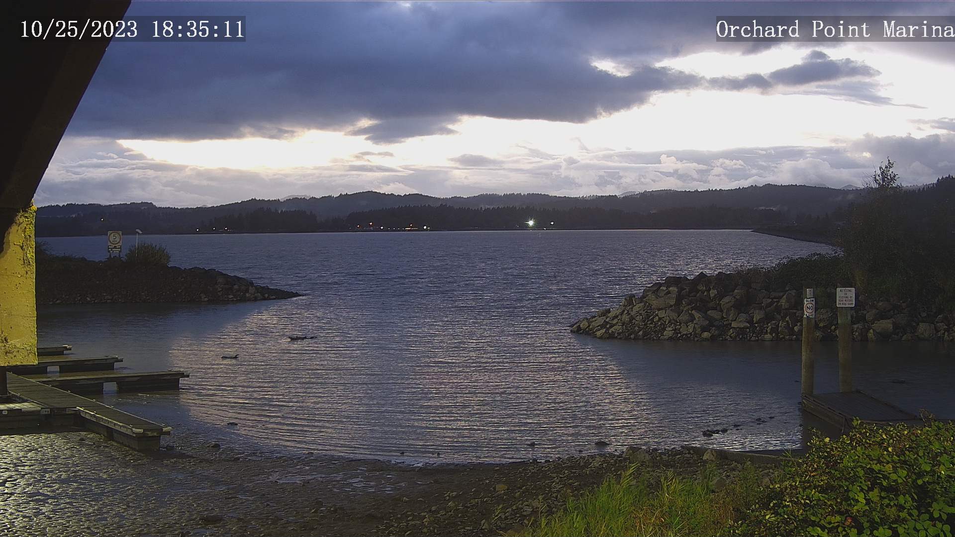
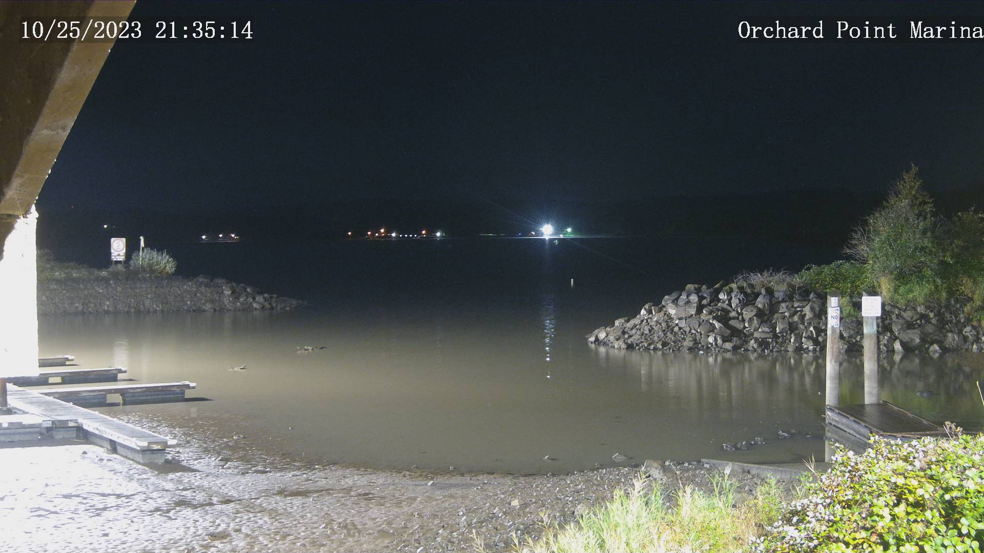
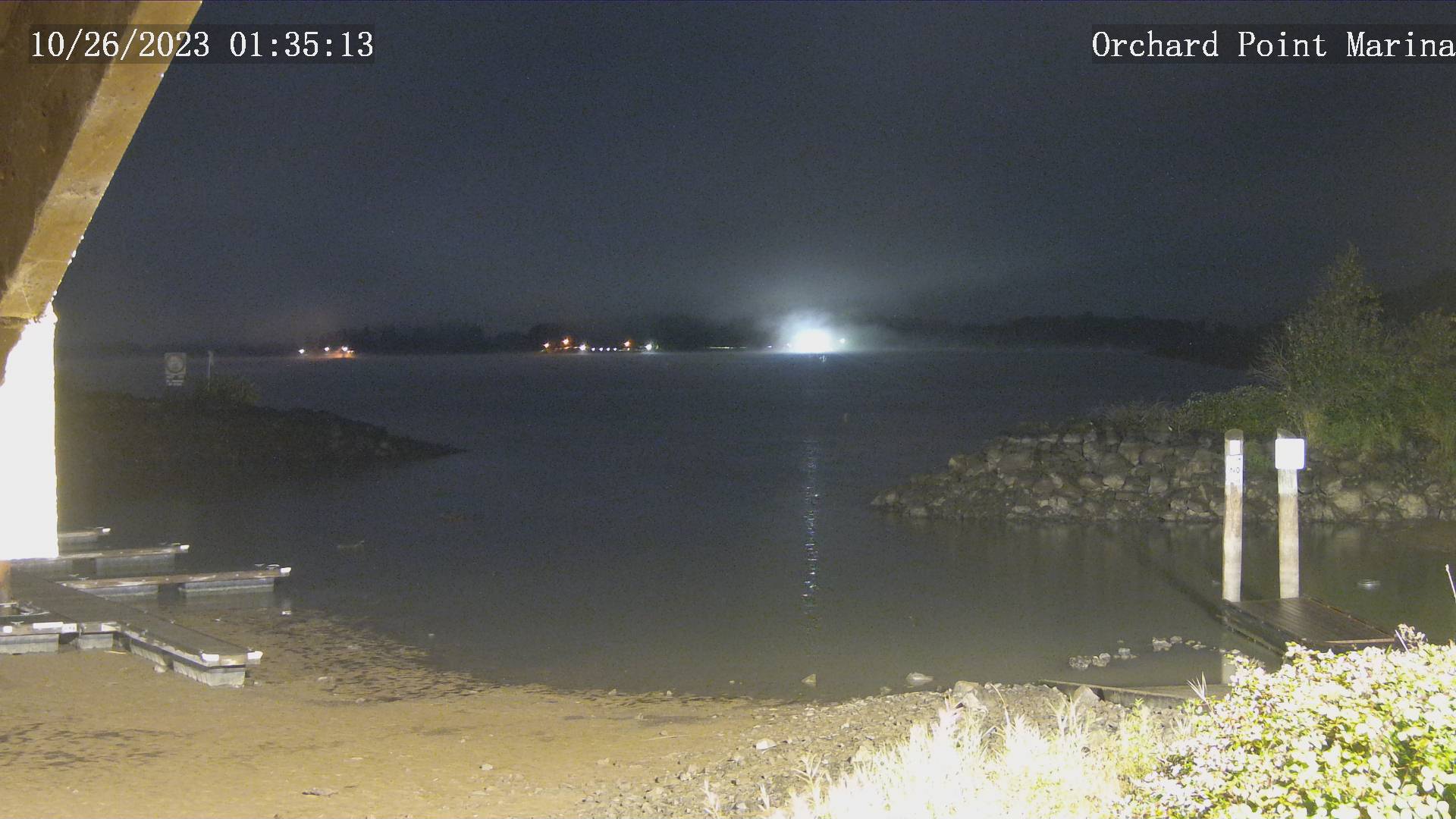
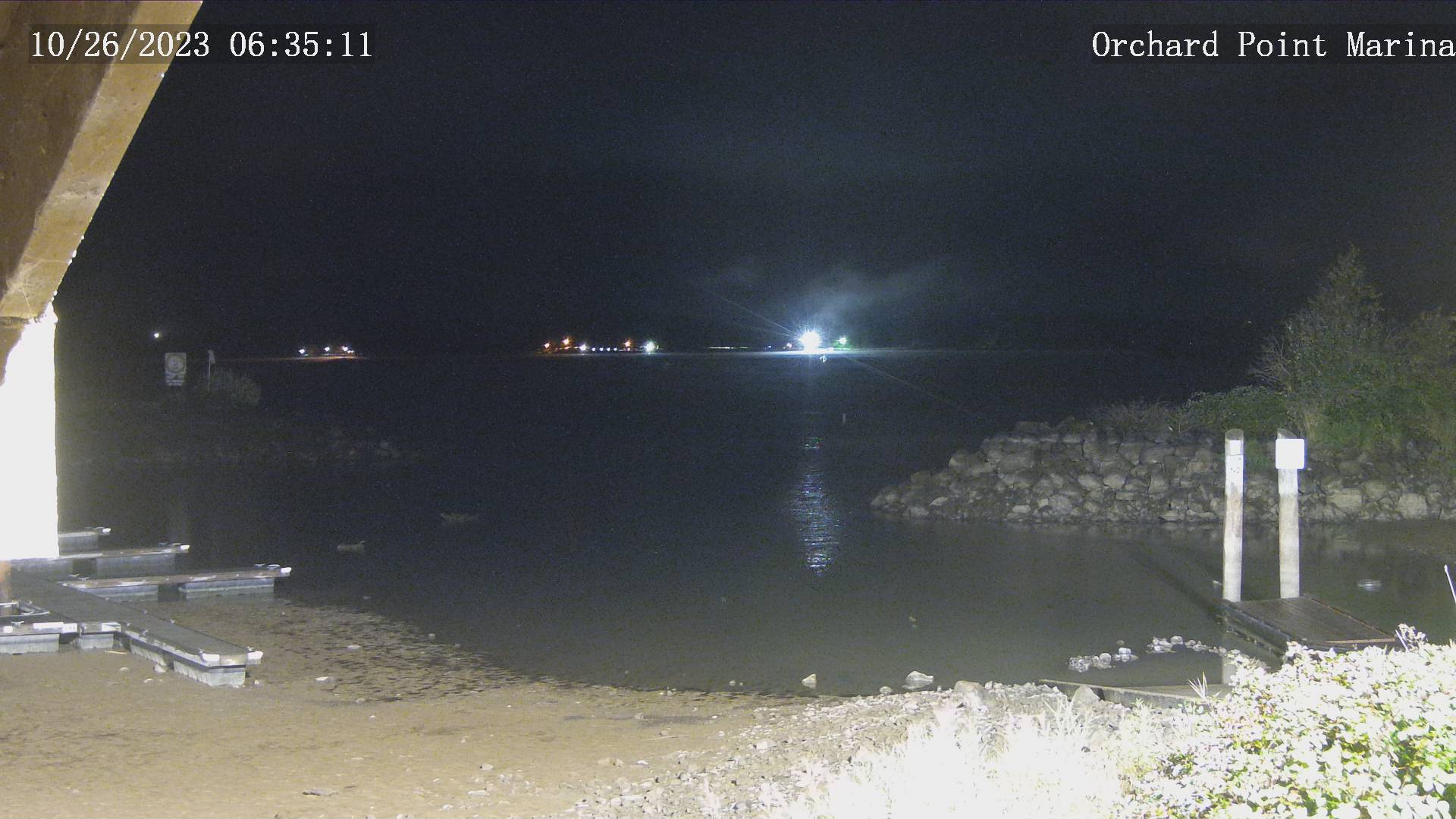
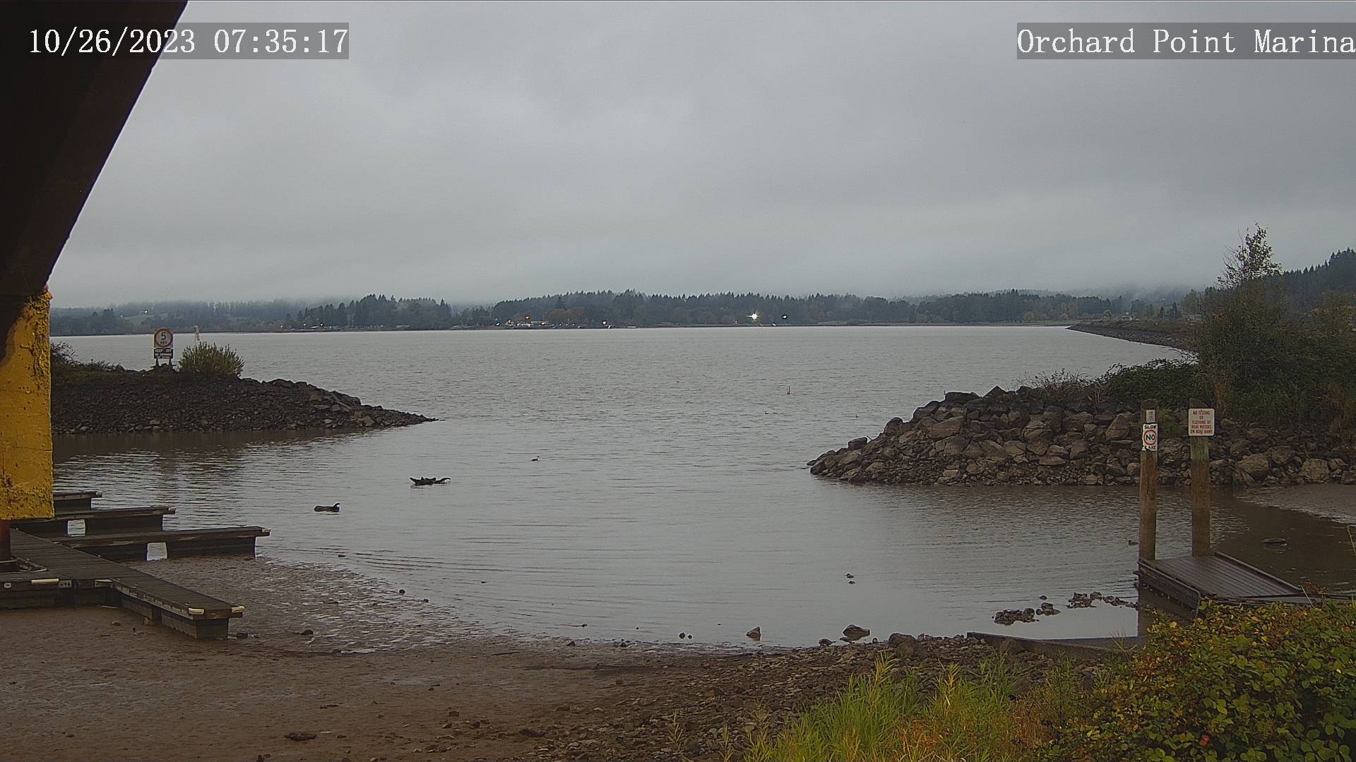
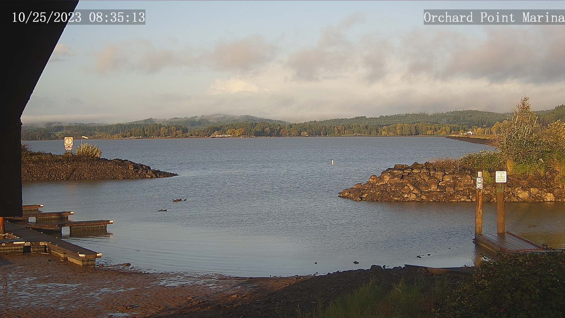
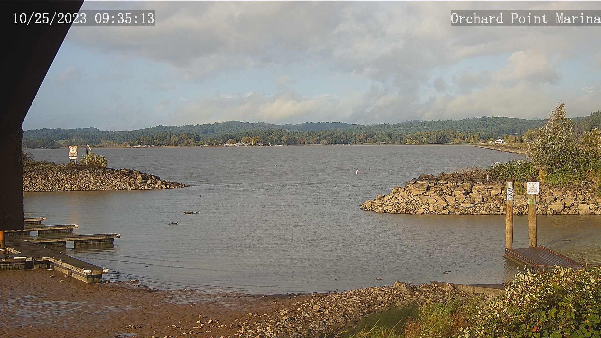
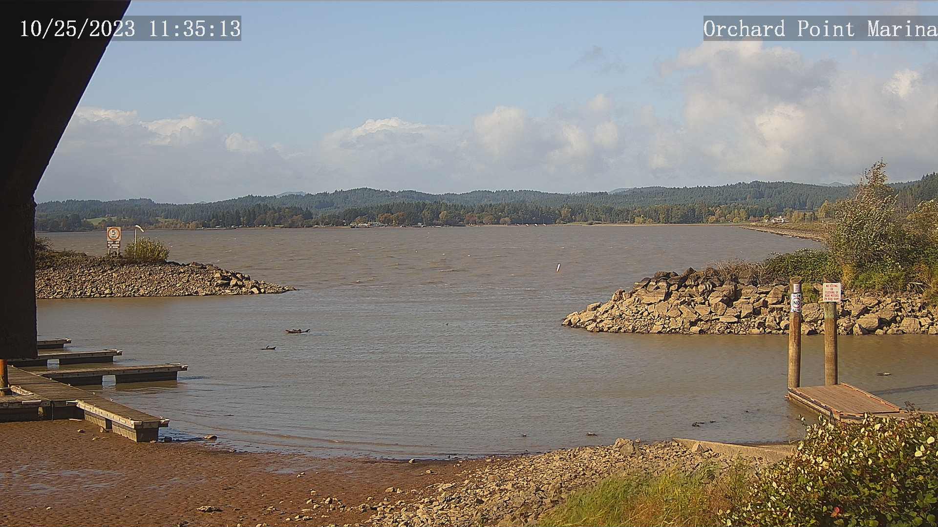
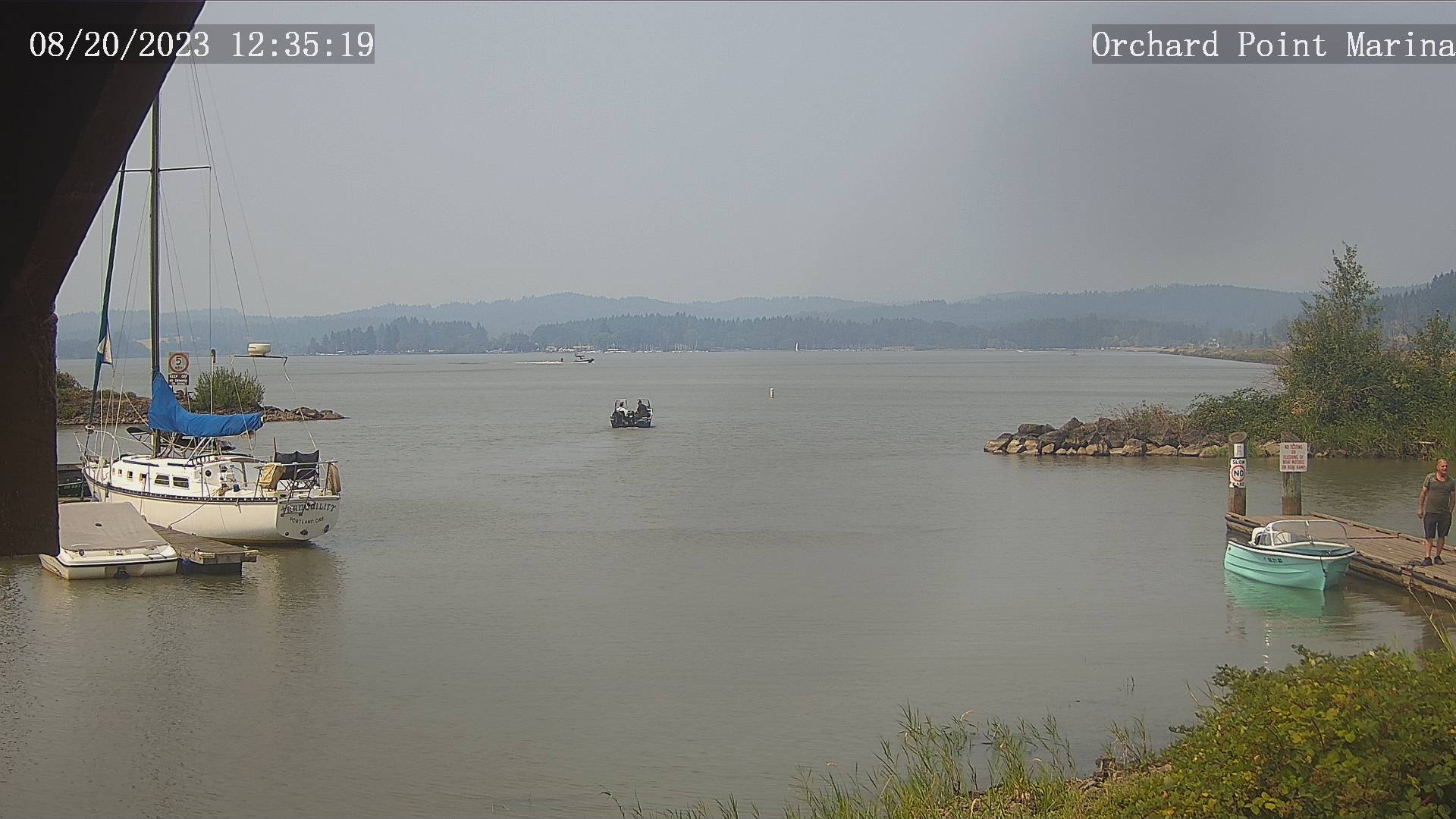
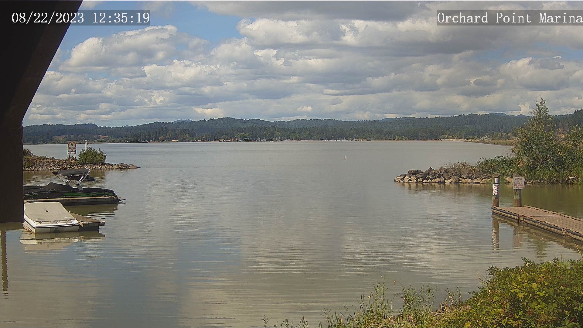
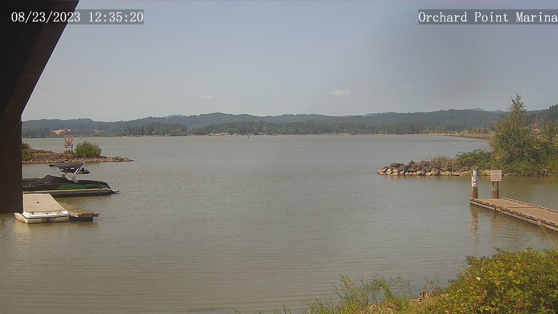
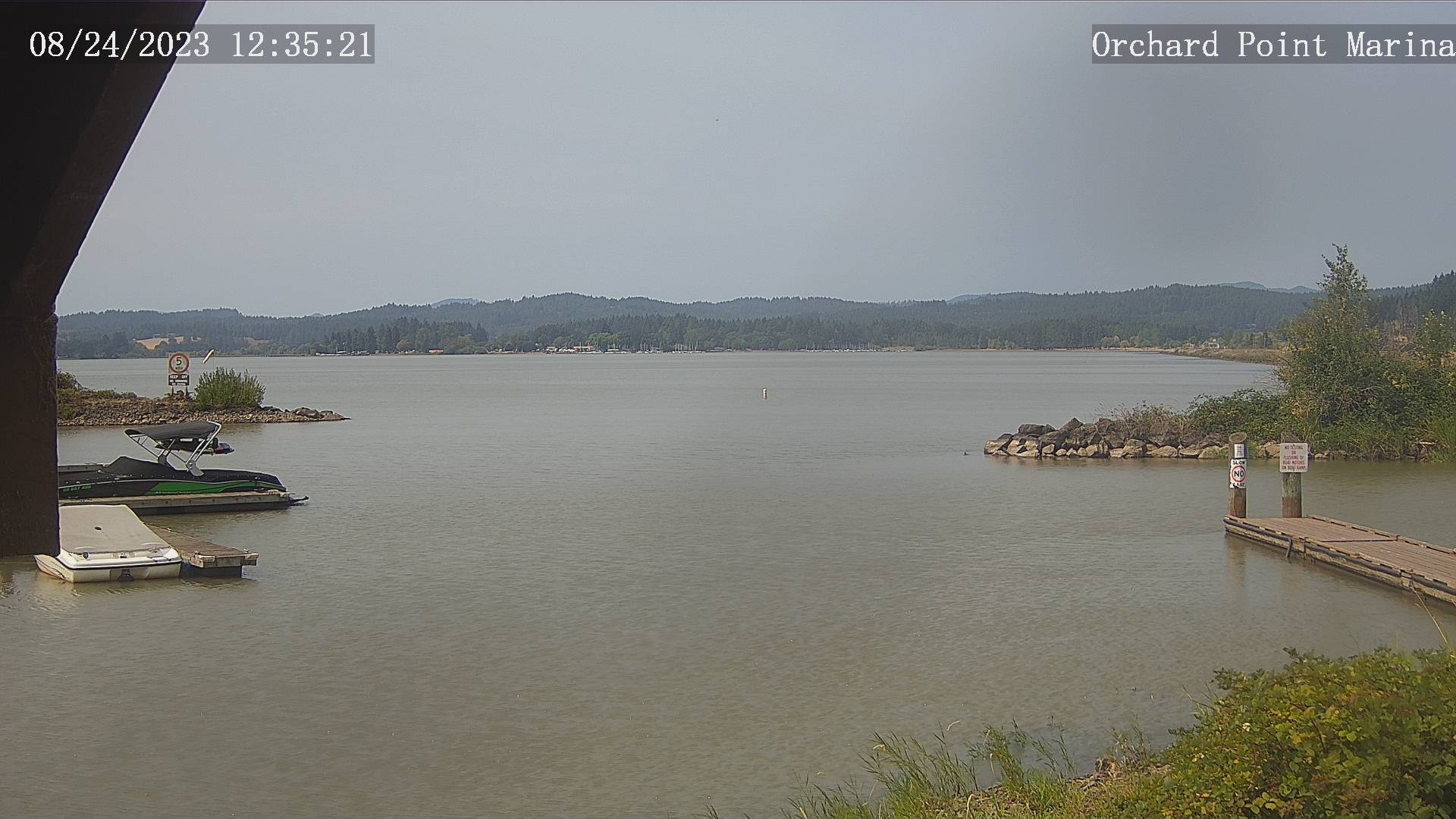
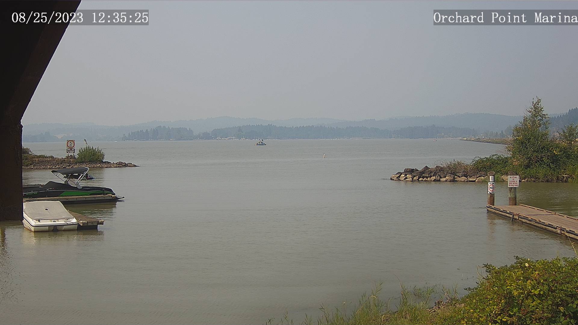
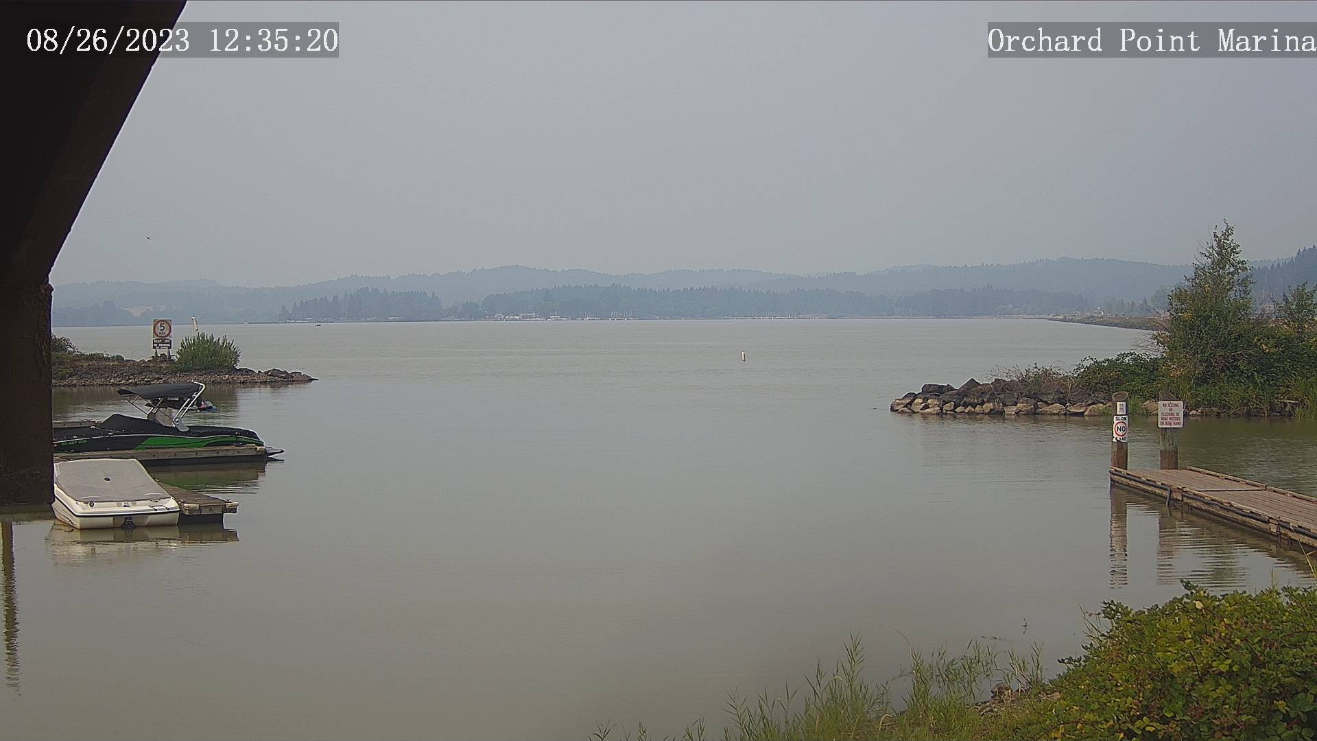
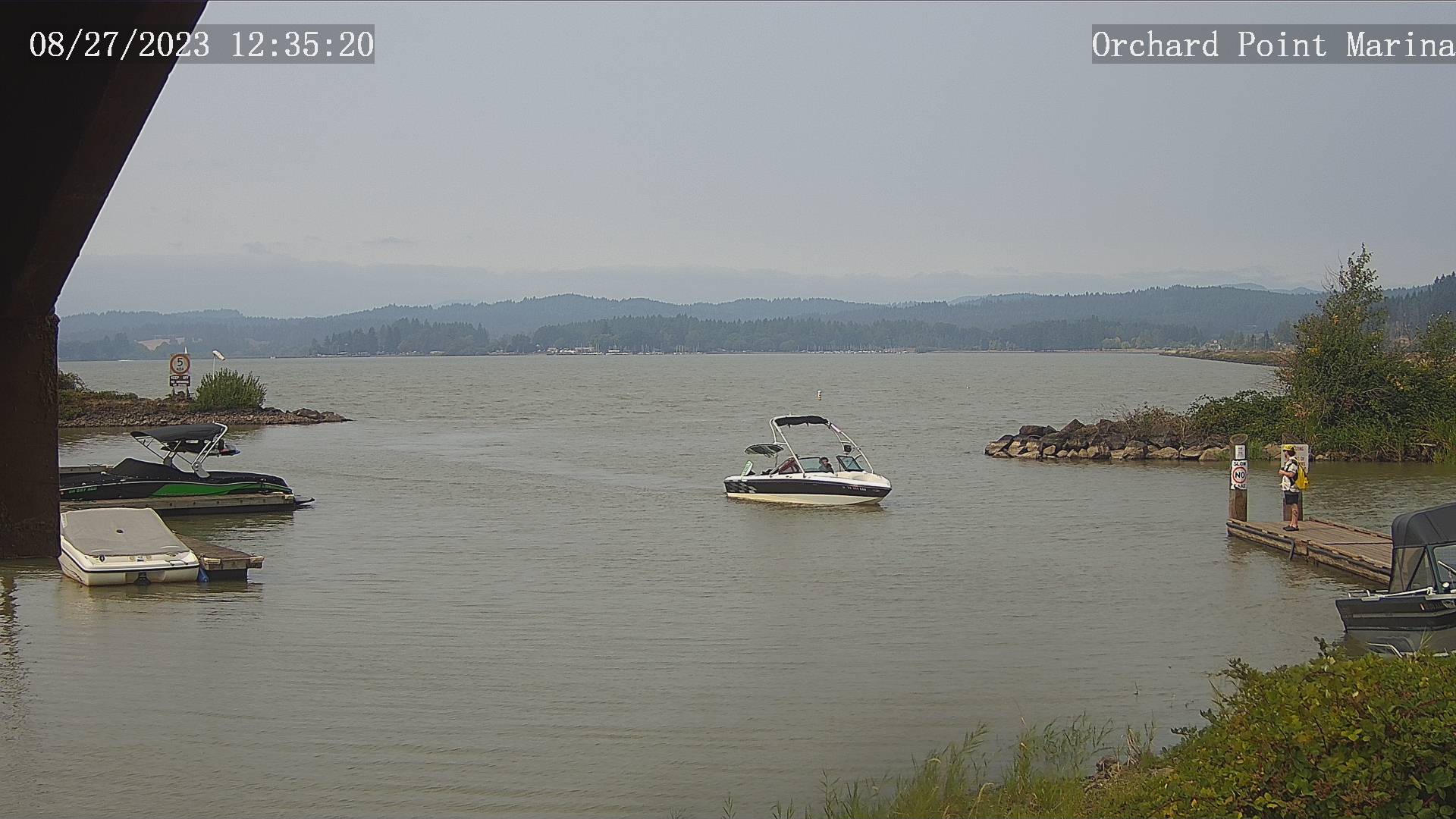
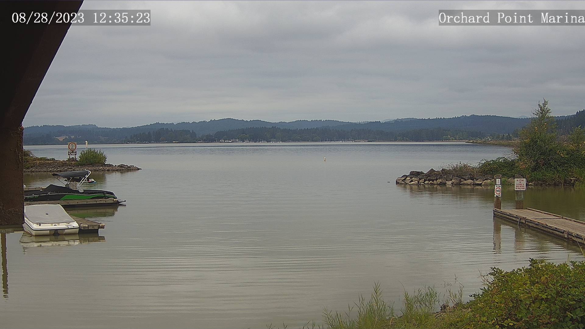
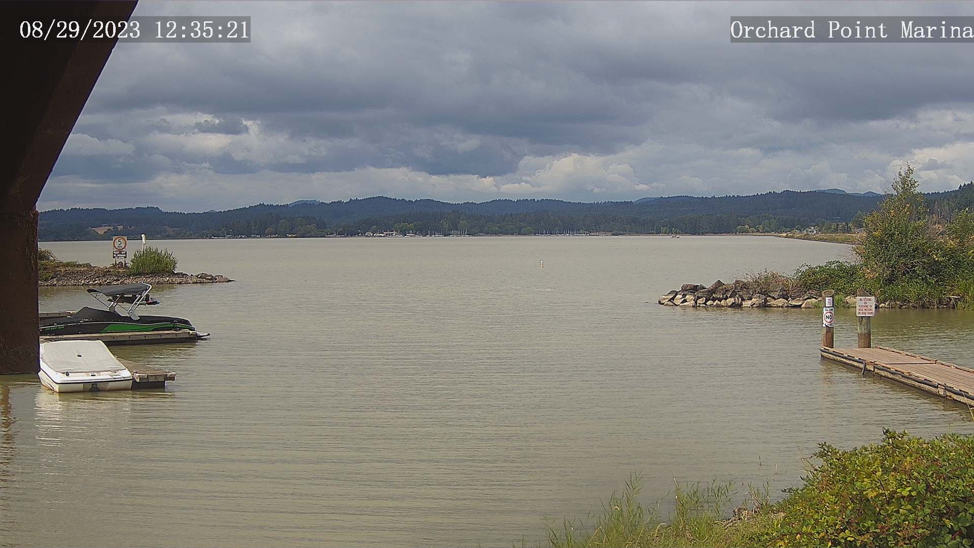
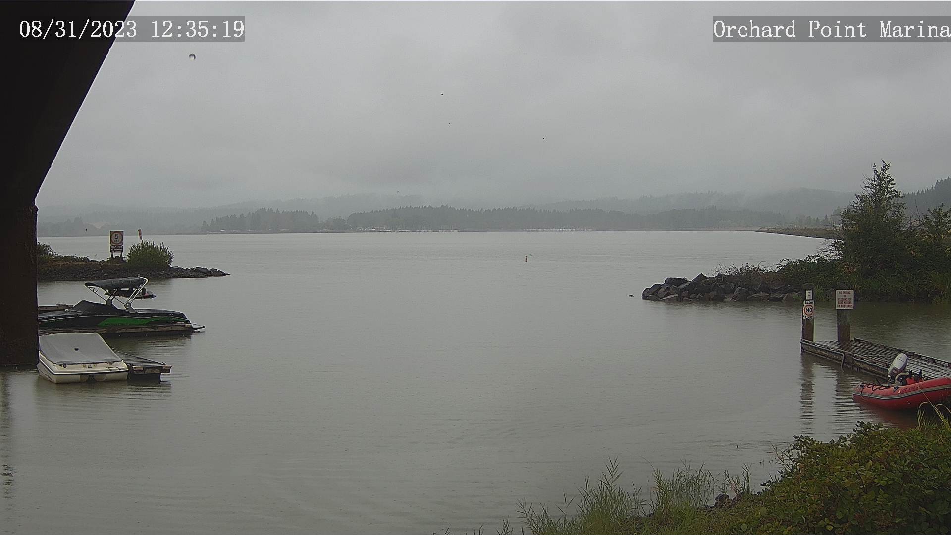
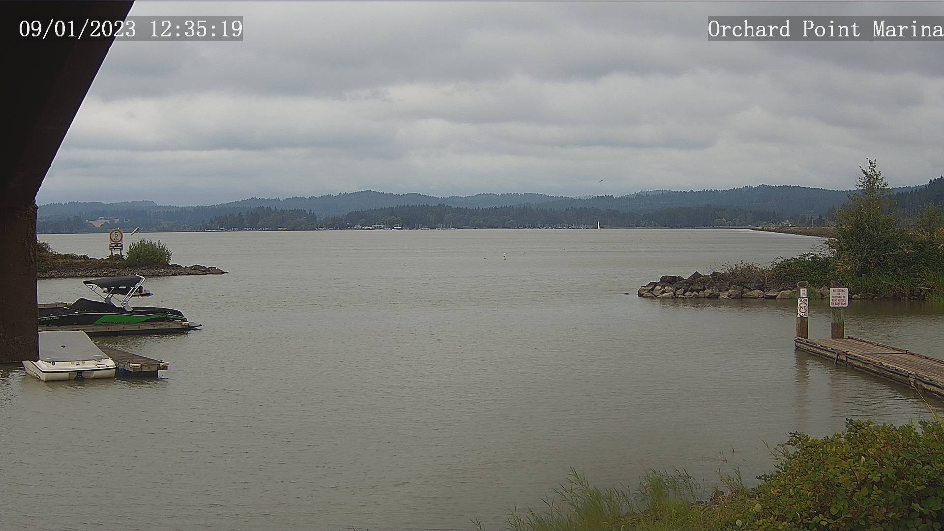
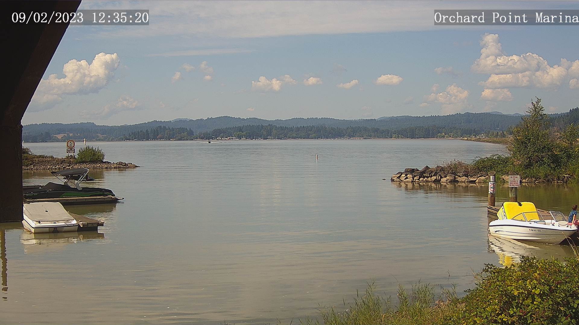
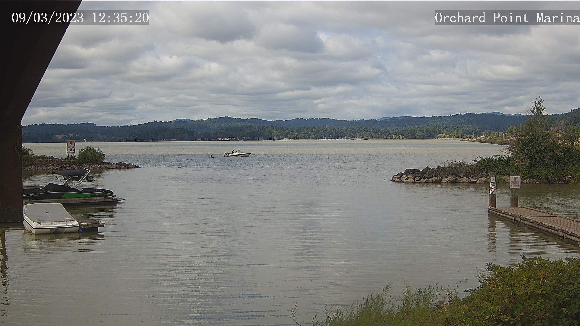
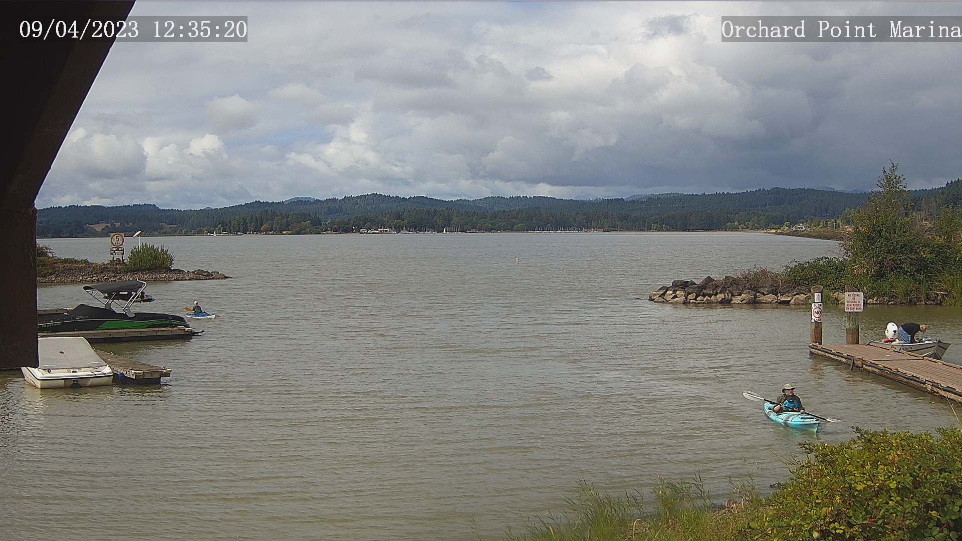
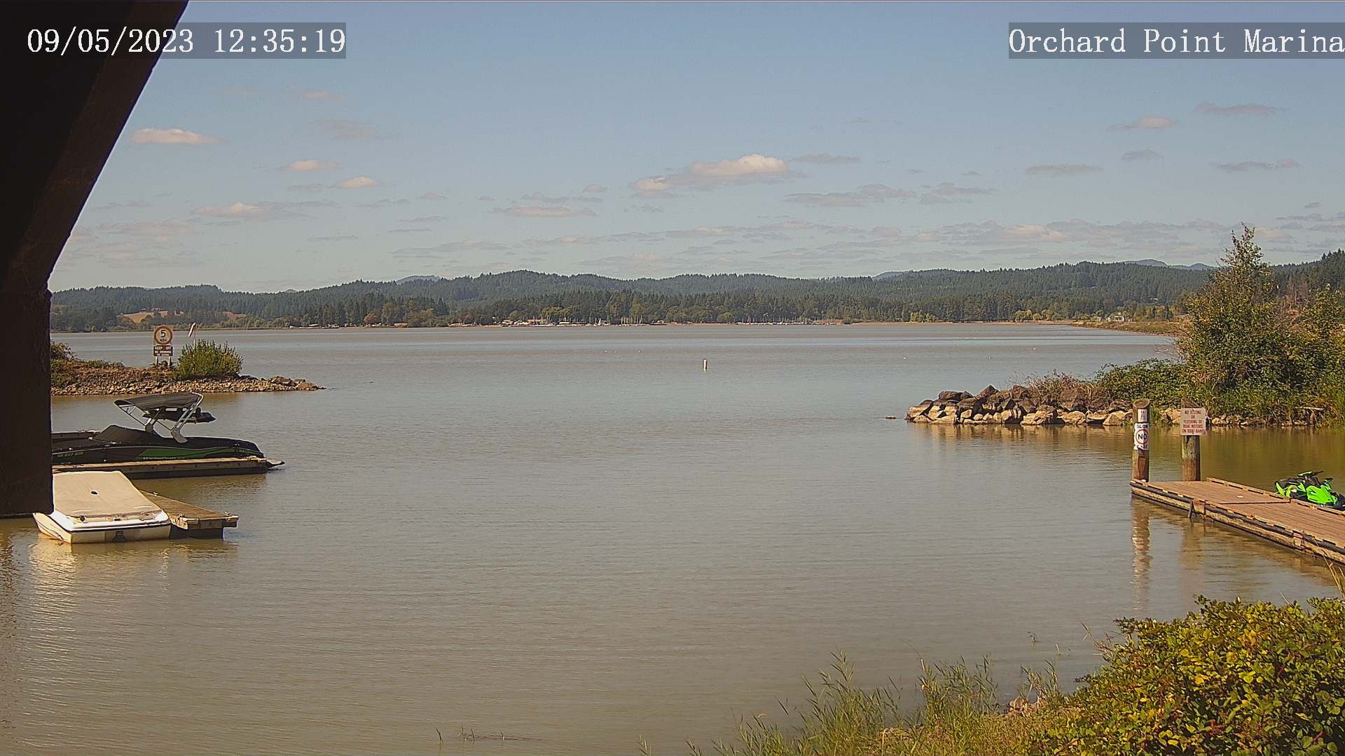
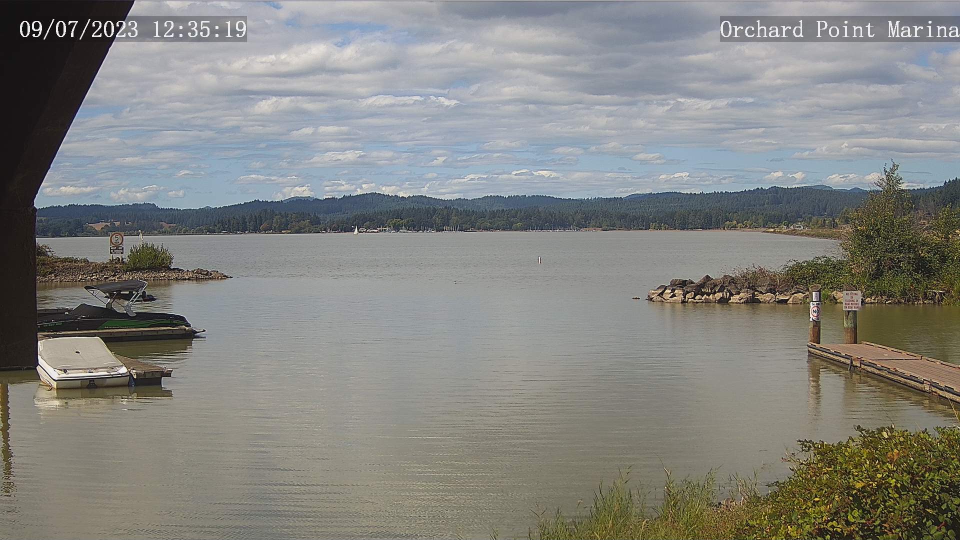
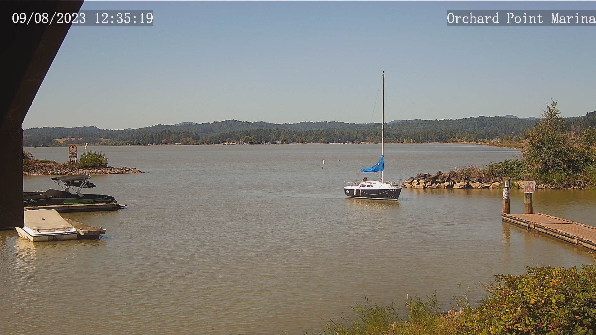
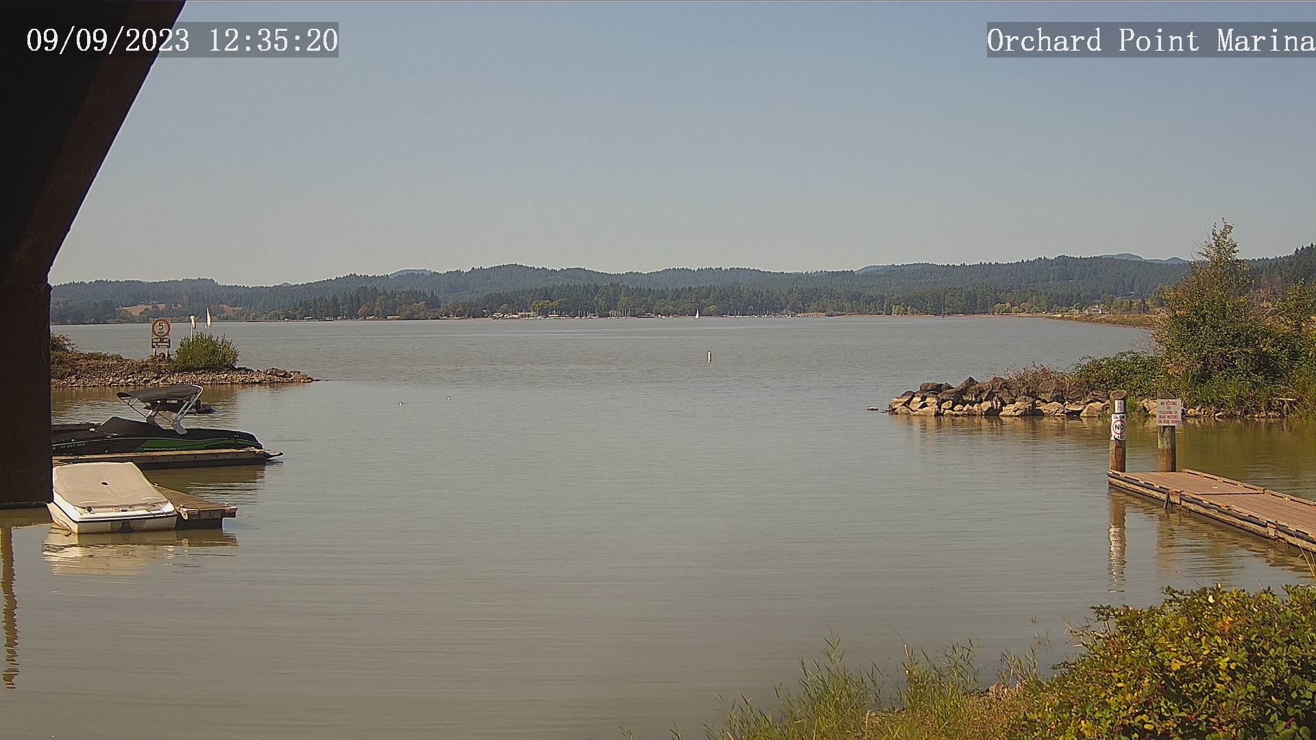
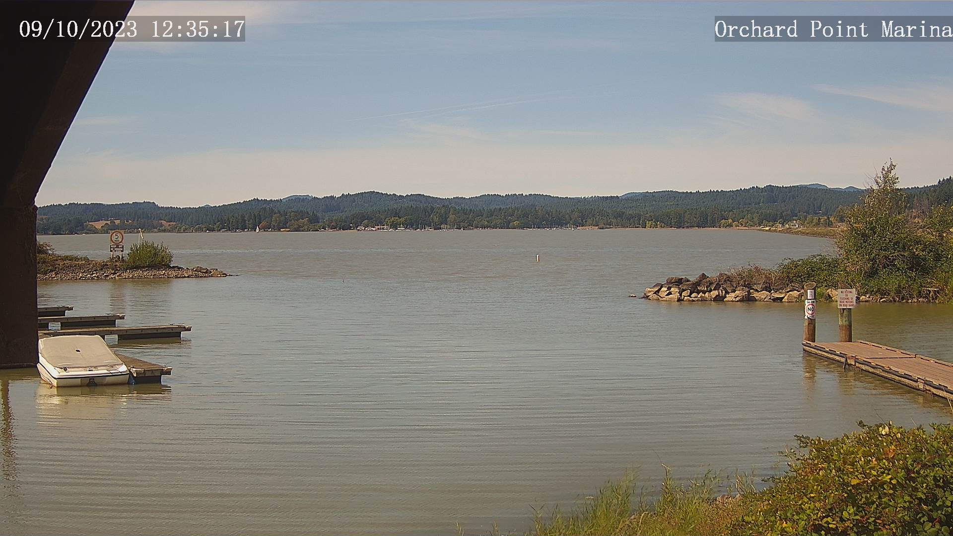
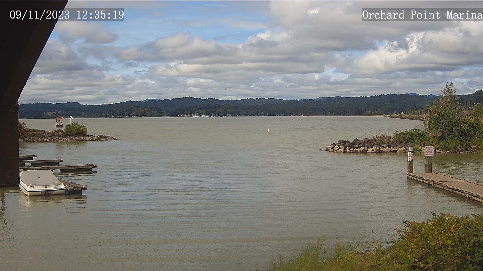
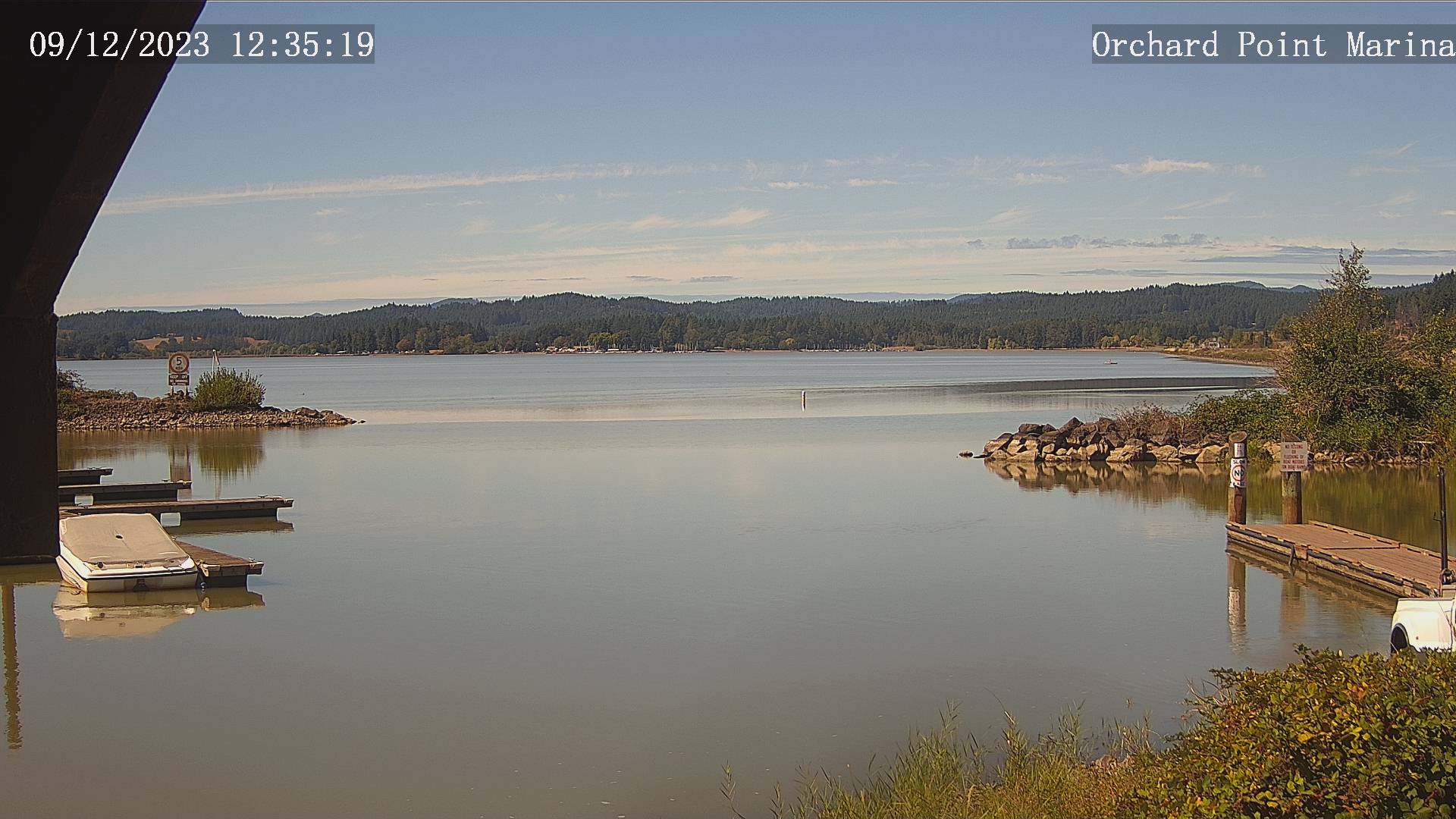
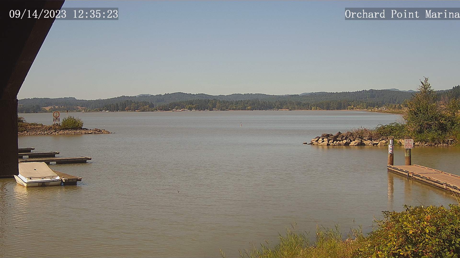
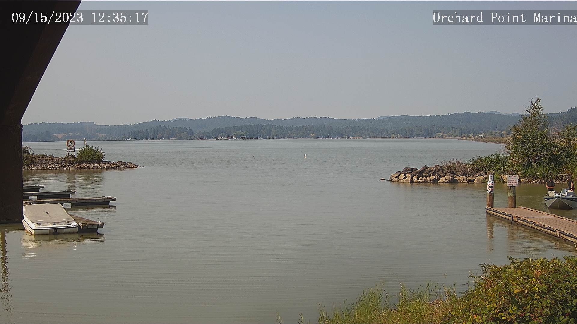
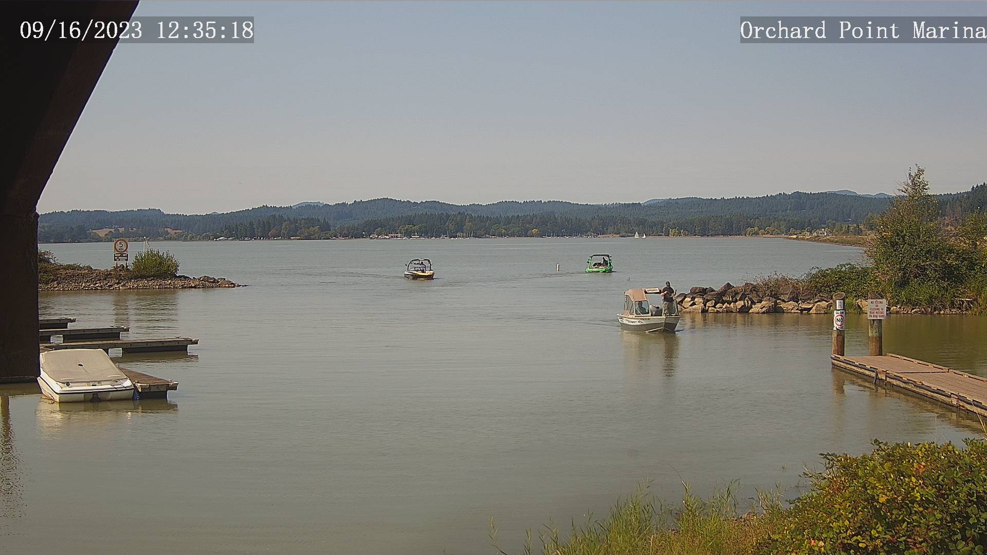
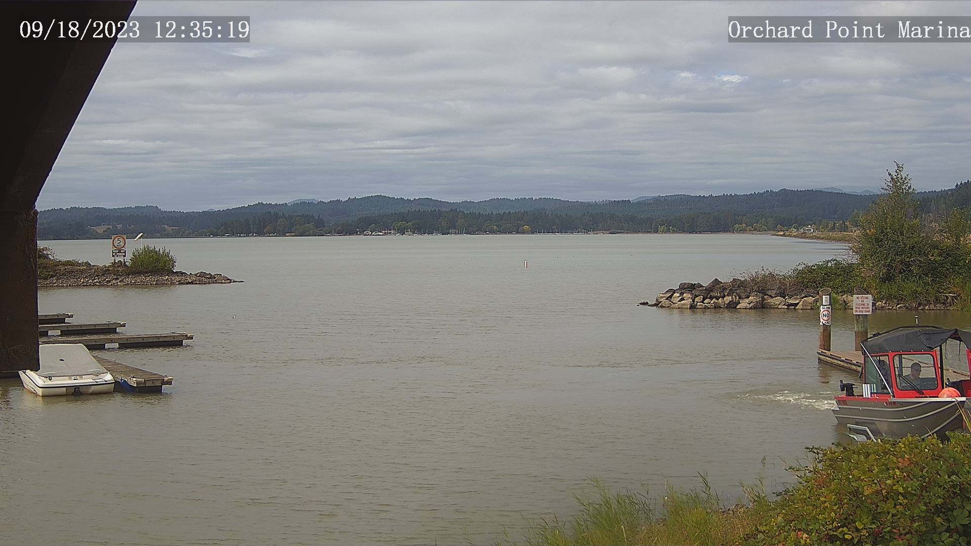
Eugene, Oregon, USA - 123.5 miles from Phoenix: Lane County Parks - Orchard Point, Harbor Vista, Mount Pisgah - Views of 3 Lane County parks including Orchard Point, Harbor Vista, Mount Pisgah. Orchard Point is the boat ramp at Fern Ridge. You can see the water conditions and wind sock.
Operator: Lane County
Operator: Lane County


Fortuna, California, USA - 135.1 miles from Phoenix: Rohnerville Airport - Different views of the Rohnerville Airport, Fortuna, CA.
Operator: North Coast Aviation
Operator: North Coast Aviation


Some other places in this country: Lake of the Woods - Lower Bridge (historical) - Malheur City (historical) - Persist (historical) - Rocky Point - Spoos Mill - Waterman (historical) - Yonna - Falcon Heights - Edsalla (historical)