Webcams in the region of Long Creek, Oregon, USA
The List of Webcams near Long Creek, Oregon, USA:

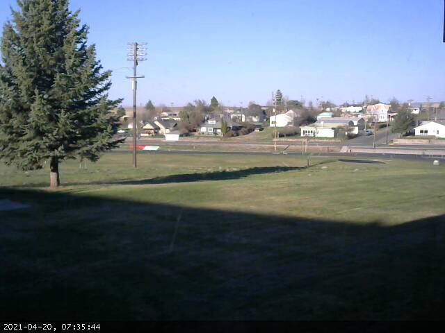
Condon, Oregon, USA - 63.9 miles from Long Creek: Condon High School - A view in southern direction.
Operator: Condon Schools
Operator: Condon Schools


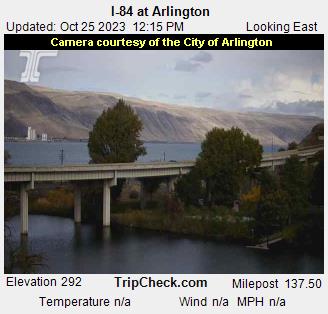
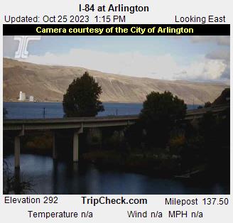
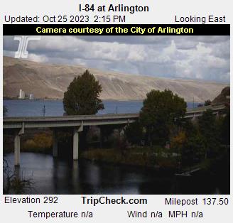
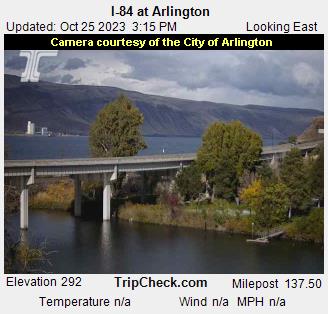
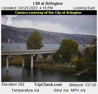
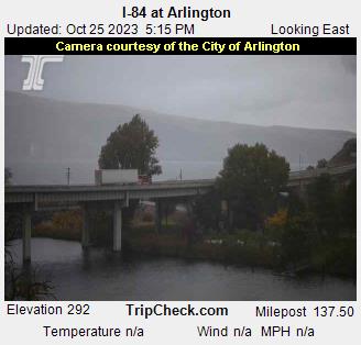
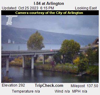
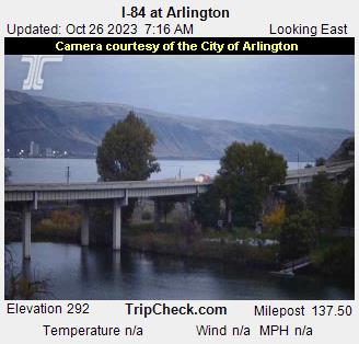
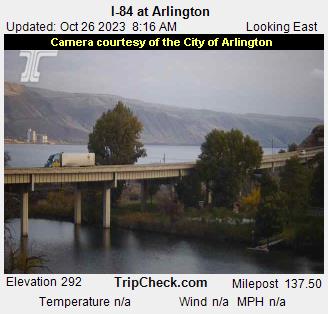
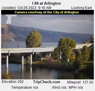
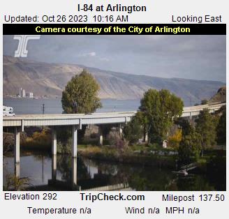
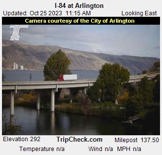
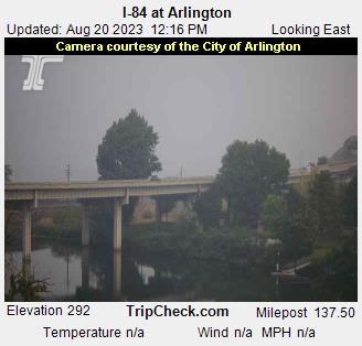
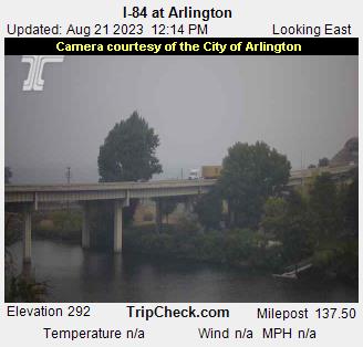
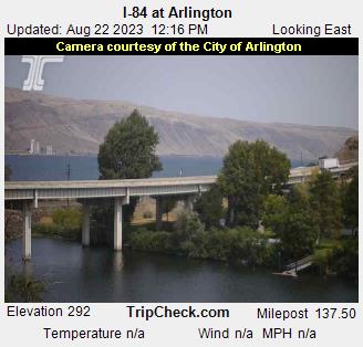
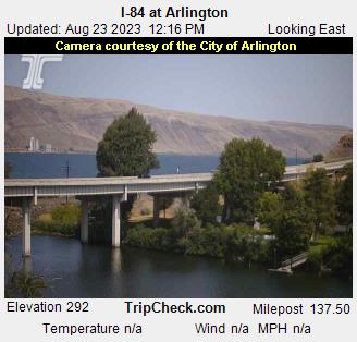
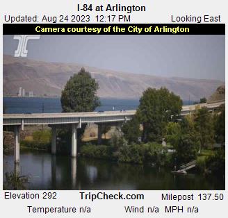
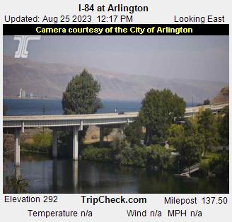
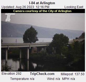
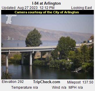
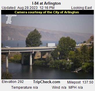
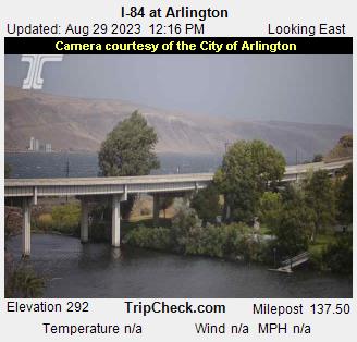
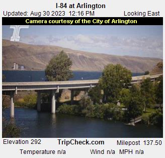
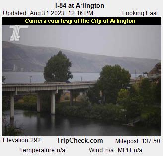
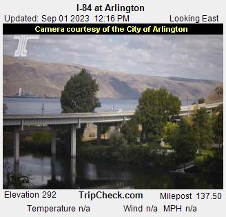
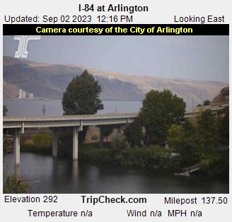
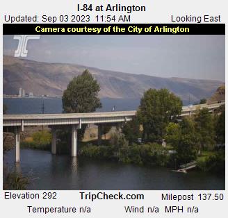
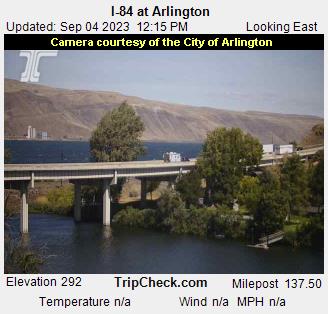
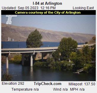
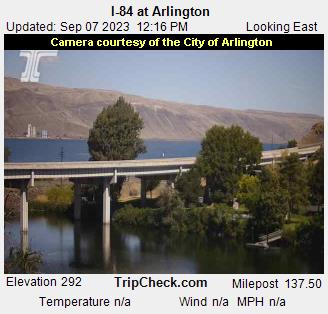
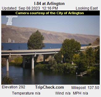
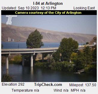
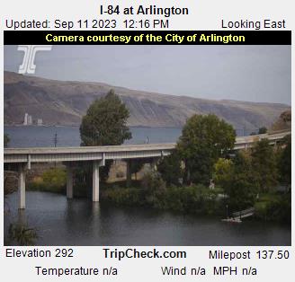
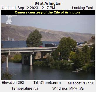
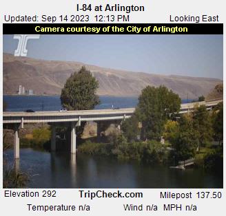
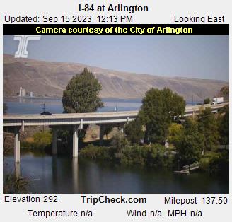
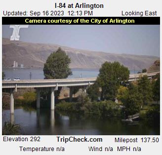
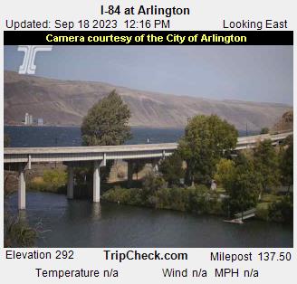
Arlington, Oregon, USA - 87.5 miles from Long Creek: I-84 at Arlington - A view of the current traffic situation on the I-84.
Operator: Oregon Department of Transportation
Operator: Oregon Department of Transportation


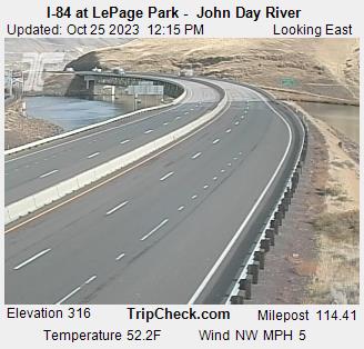
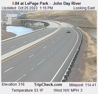
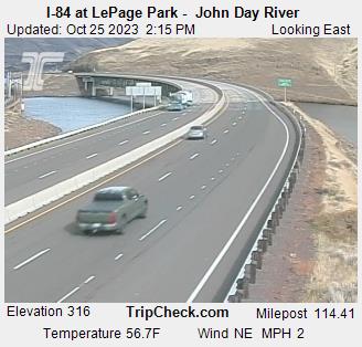
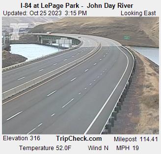
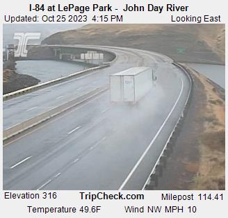
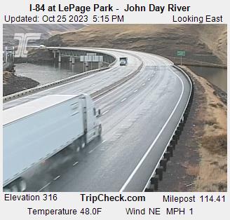
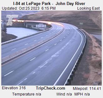
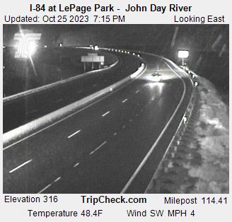
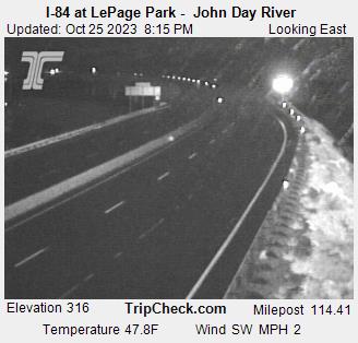
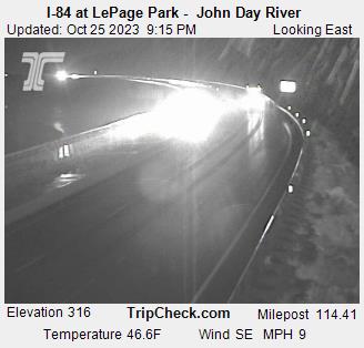
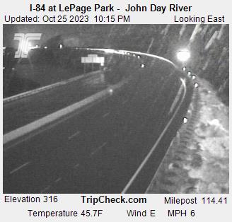
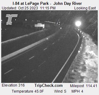
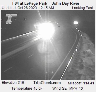
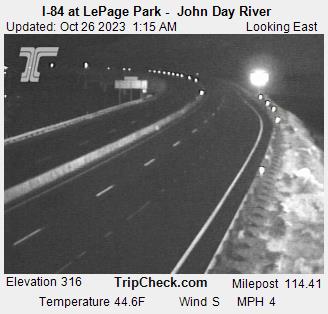
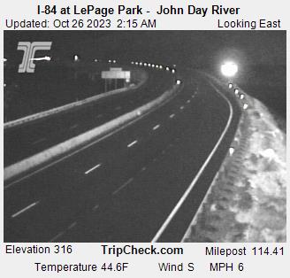
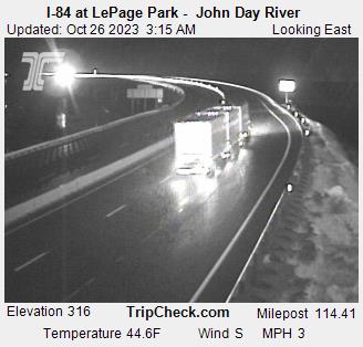
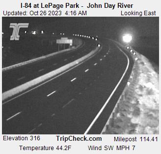
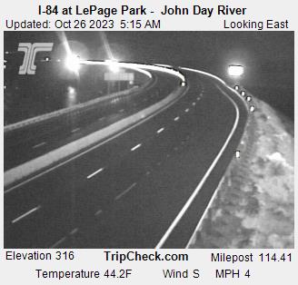
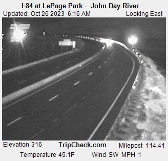
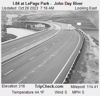
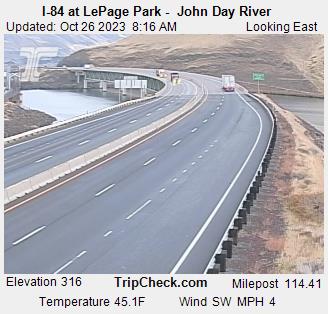
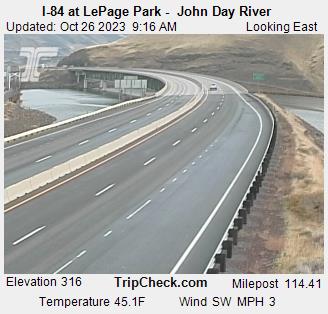
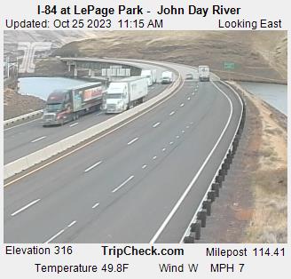
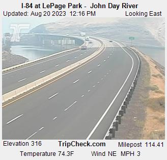
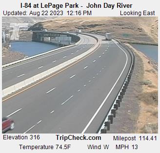
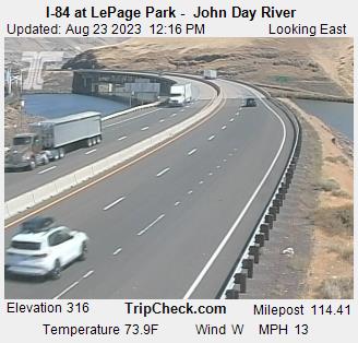
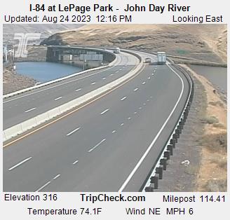
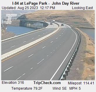
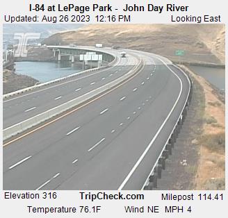
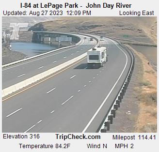
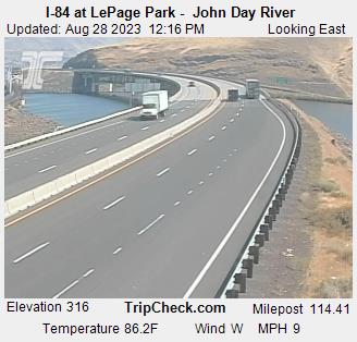
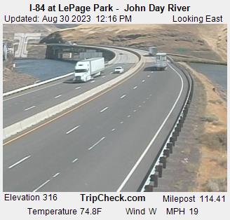
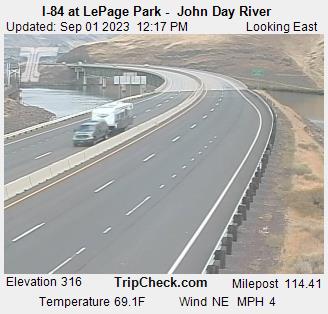
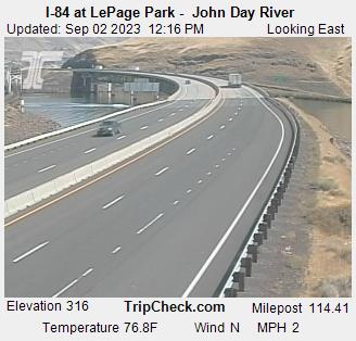
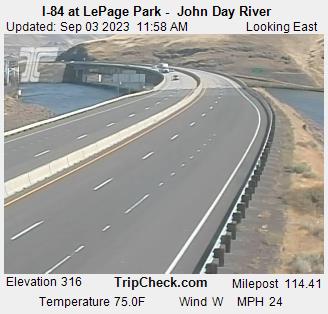
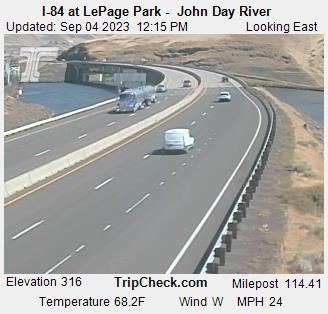
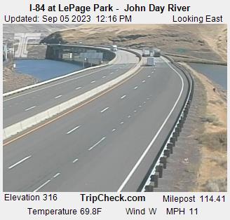
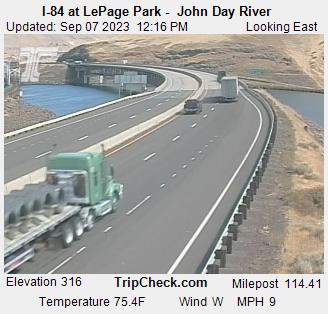
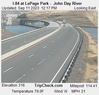
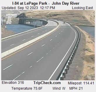
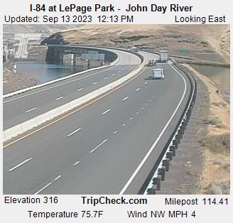
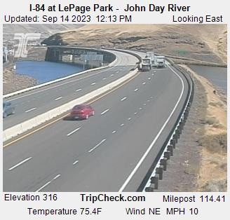
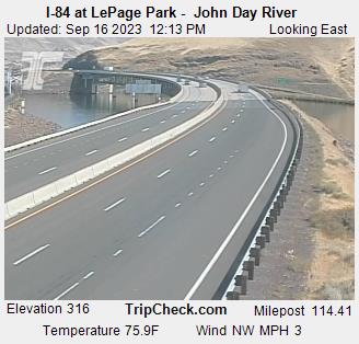
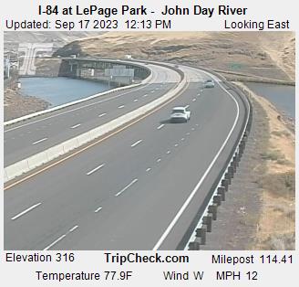
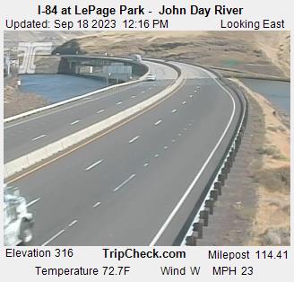
Wasco, Oregon, USA - 98.5 miles from Long Creek: I-84 at LePage Park - John Day River - A view of the current traffic situation on the I-84.
Operator: Oregon Department of Transportation
Operator: Oregon Department of Transportation


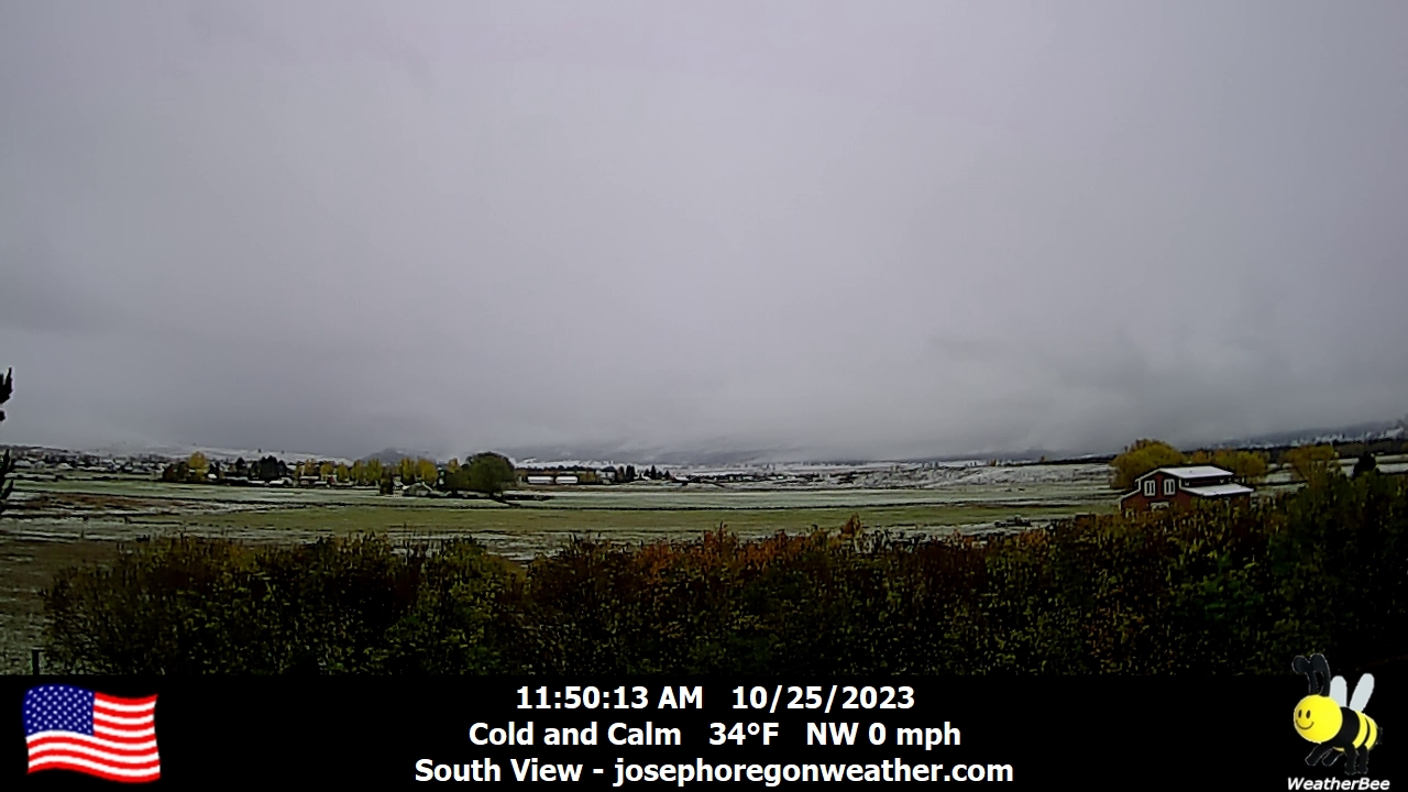
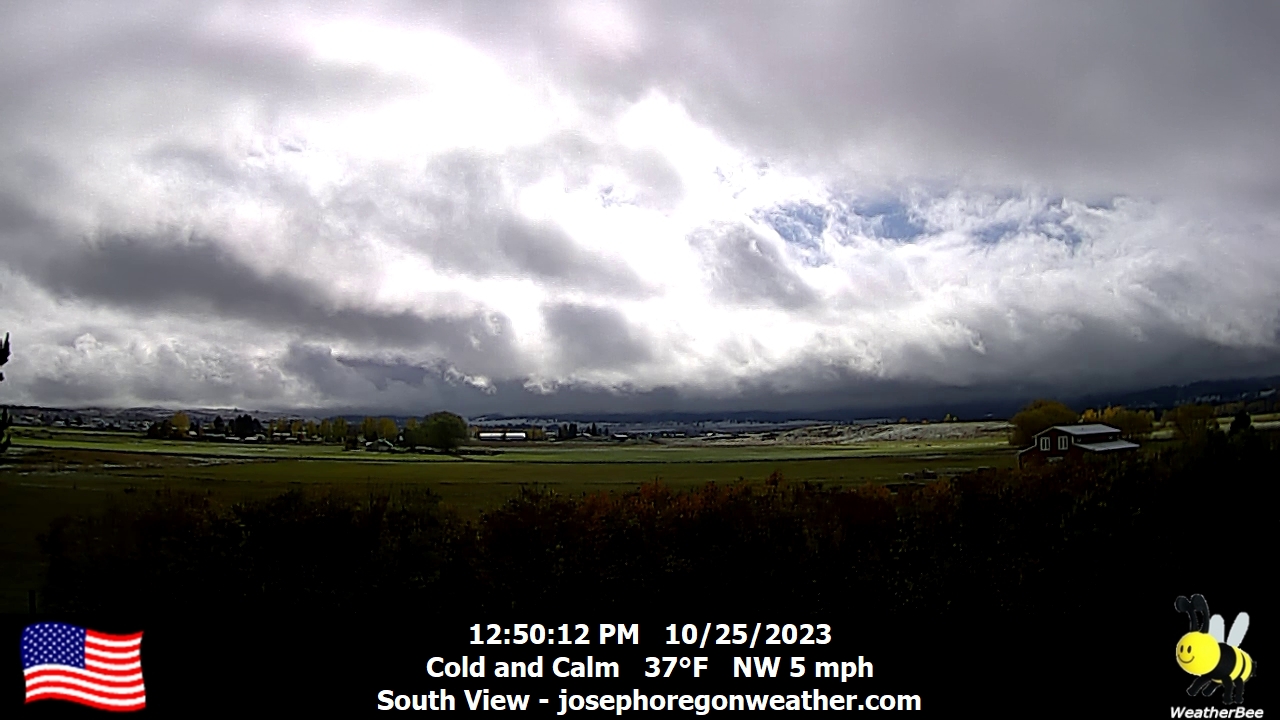
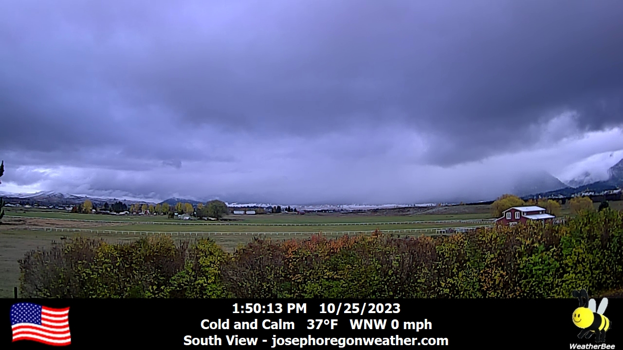
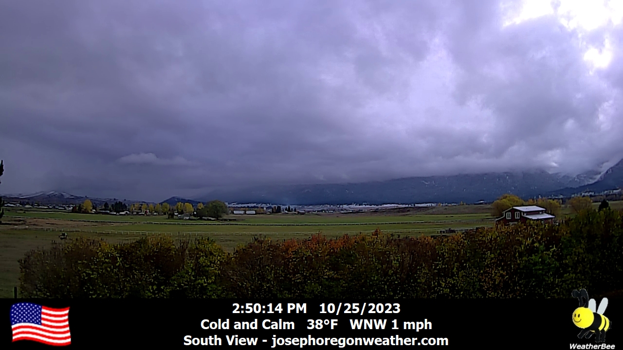
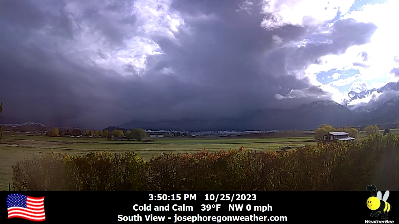
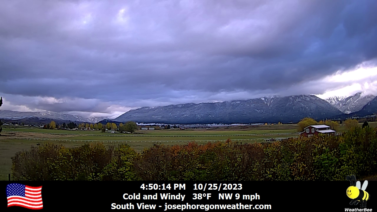
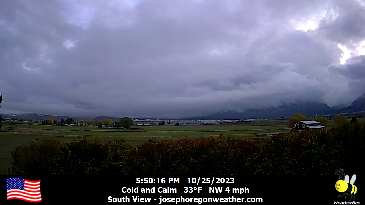
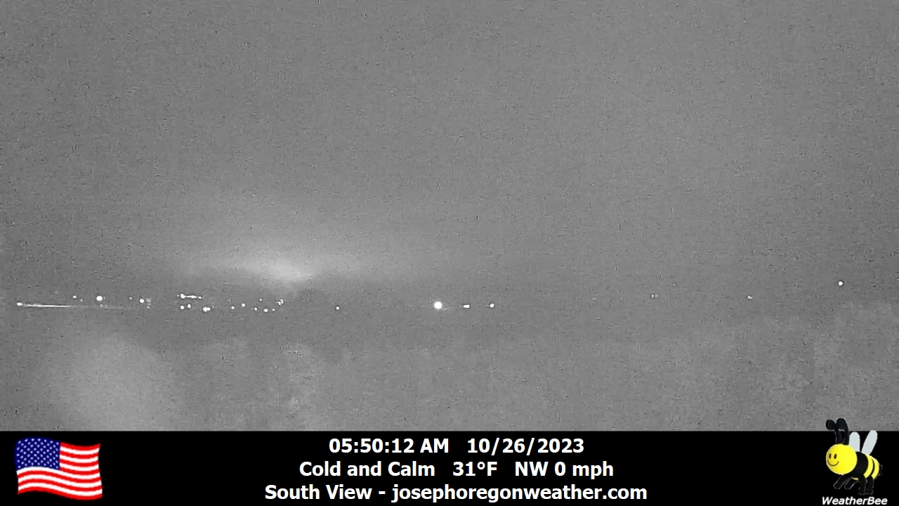
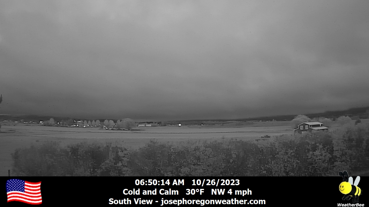
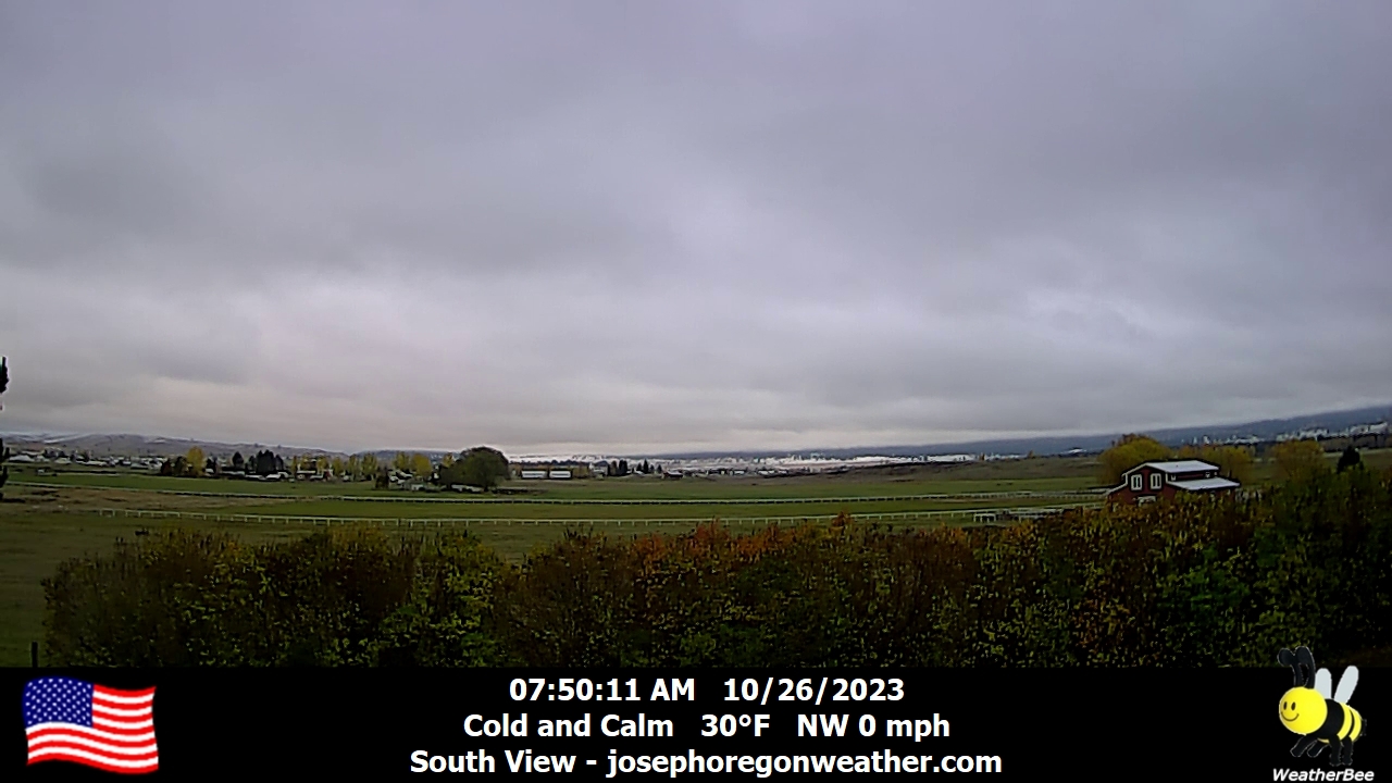
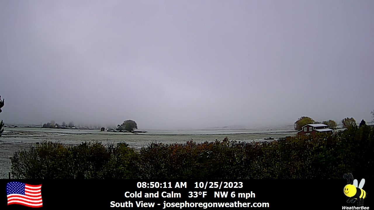
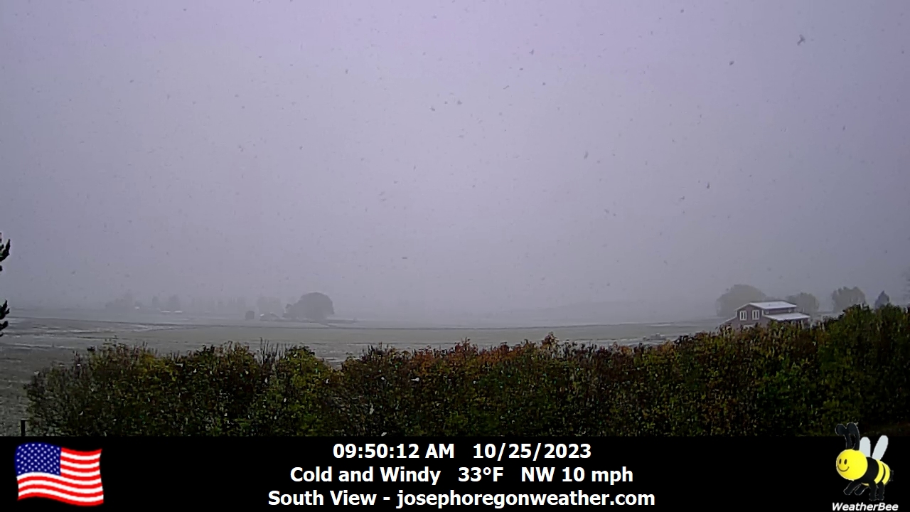
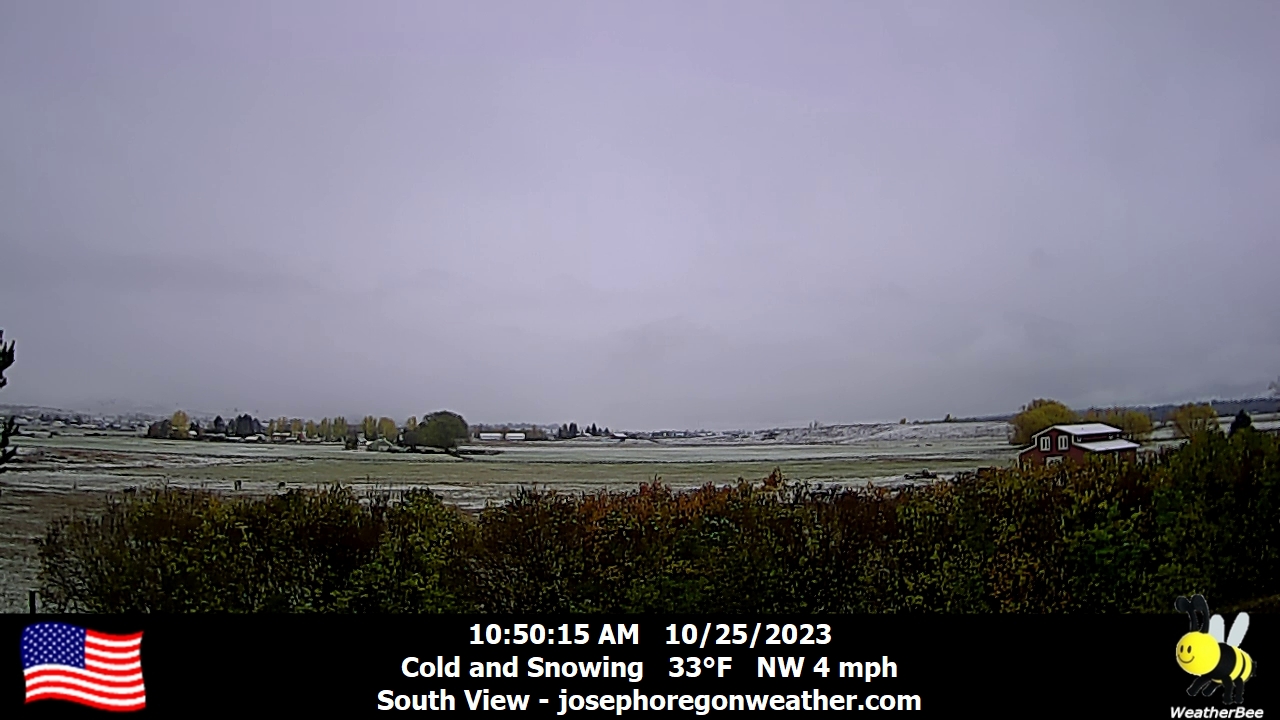
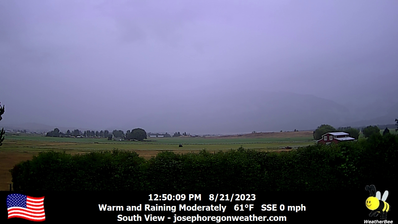
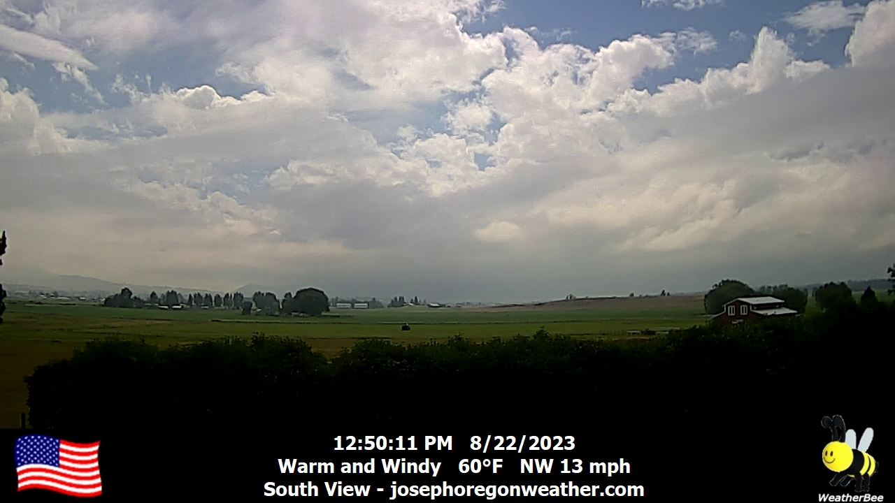
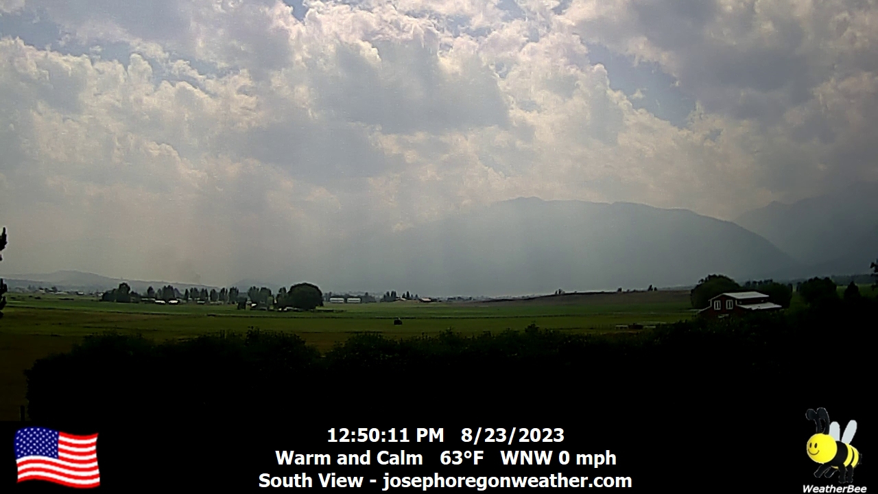
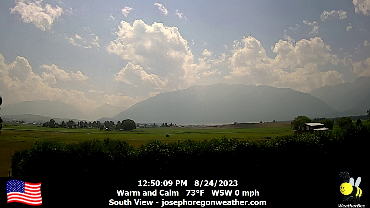
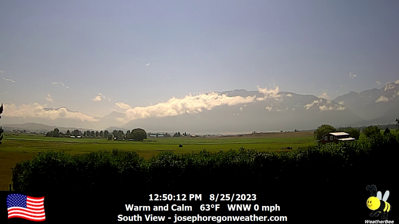
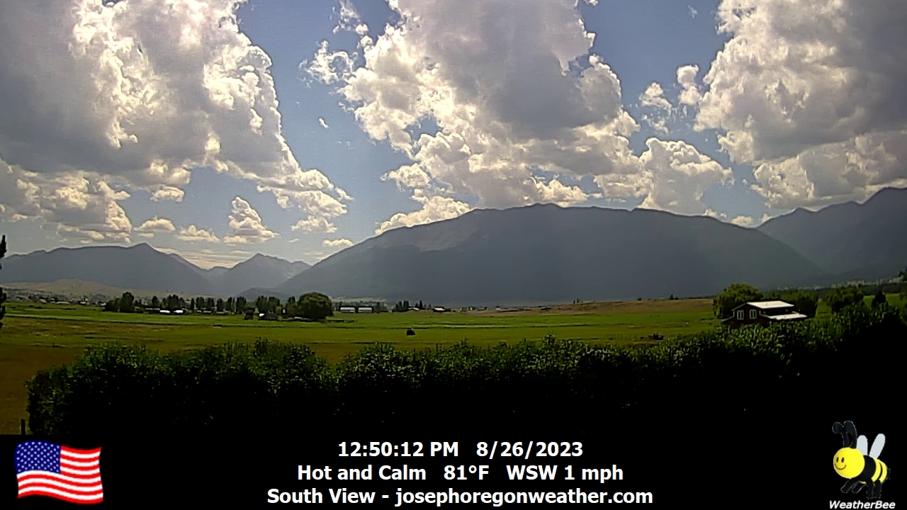
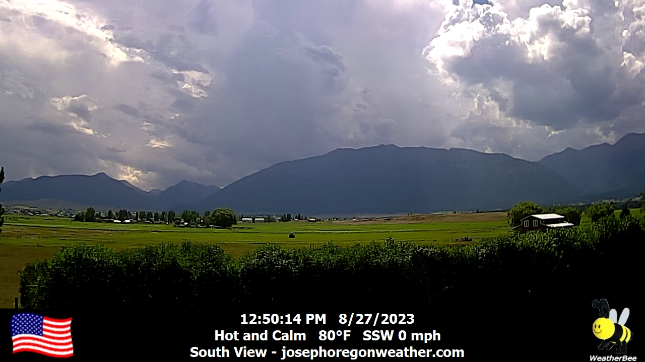
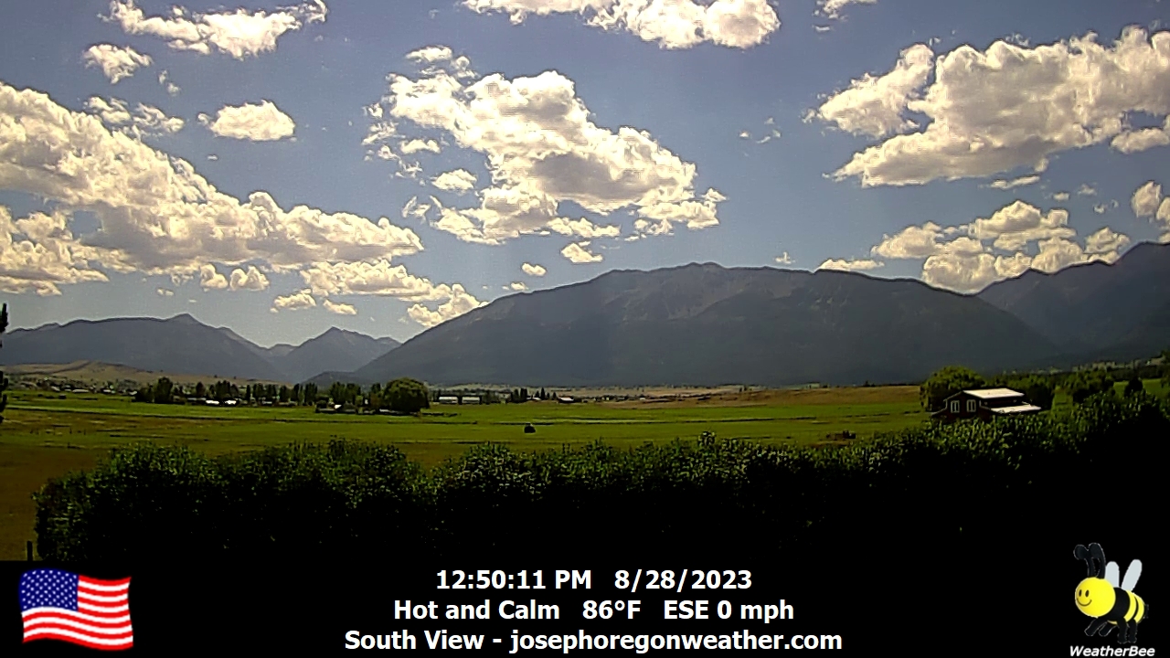
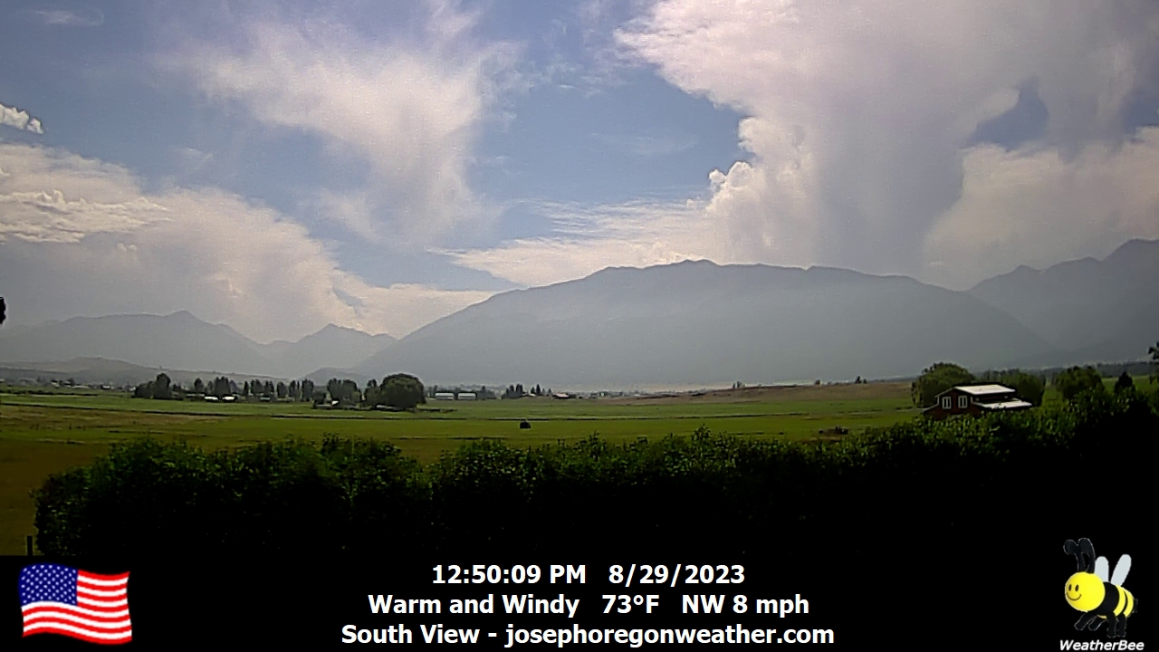
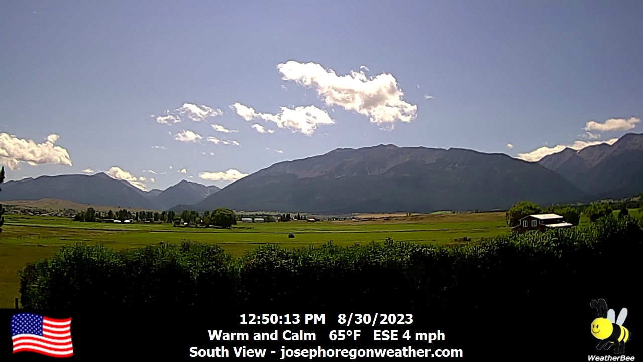
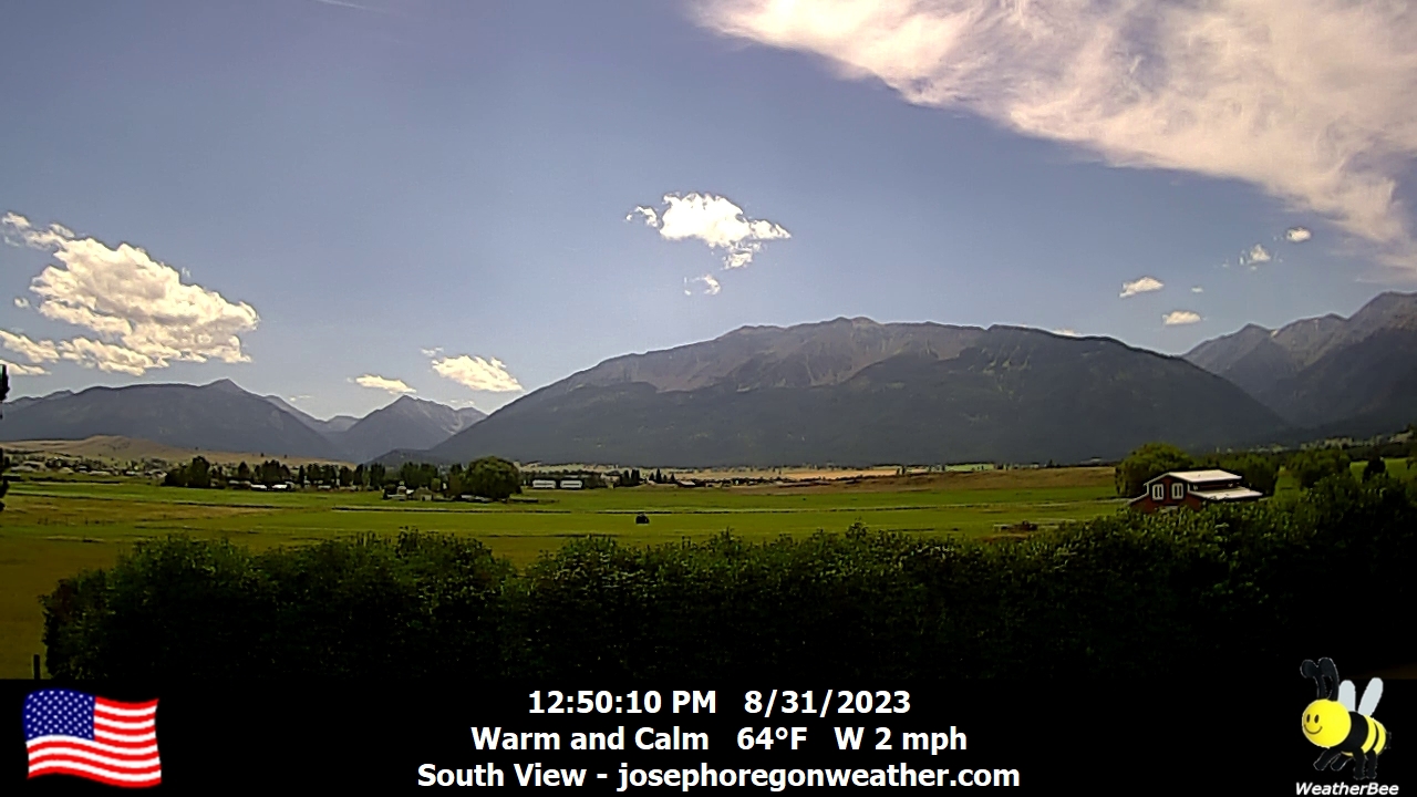
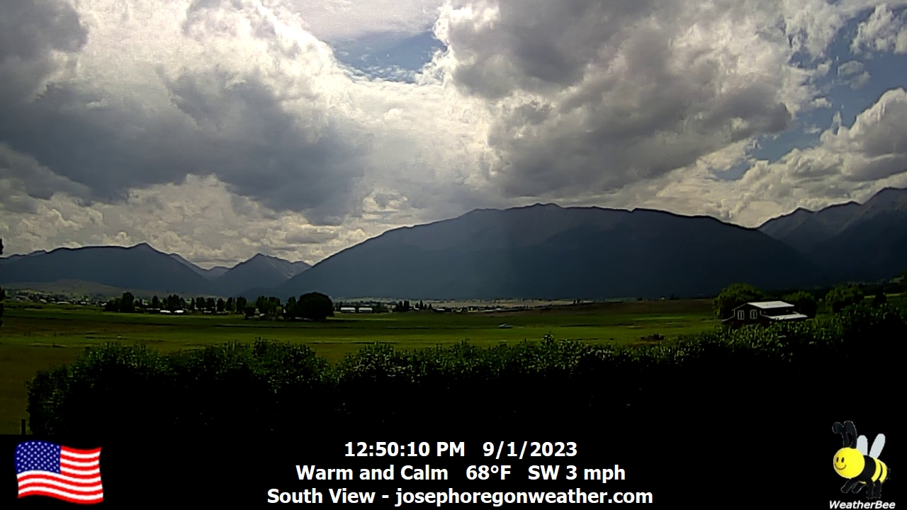
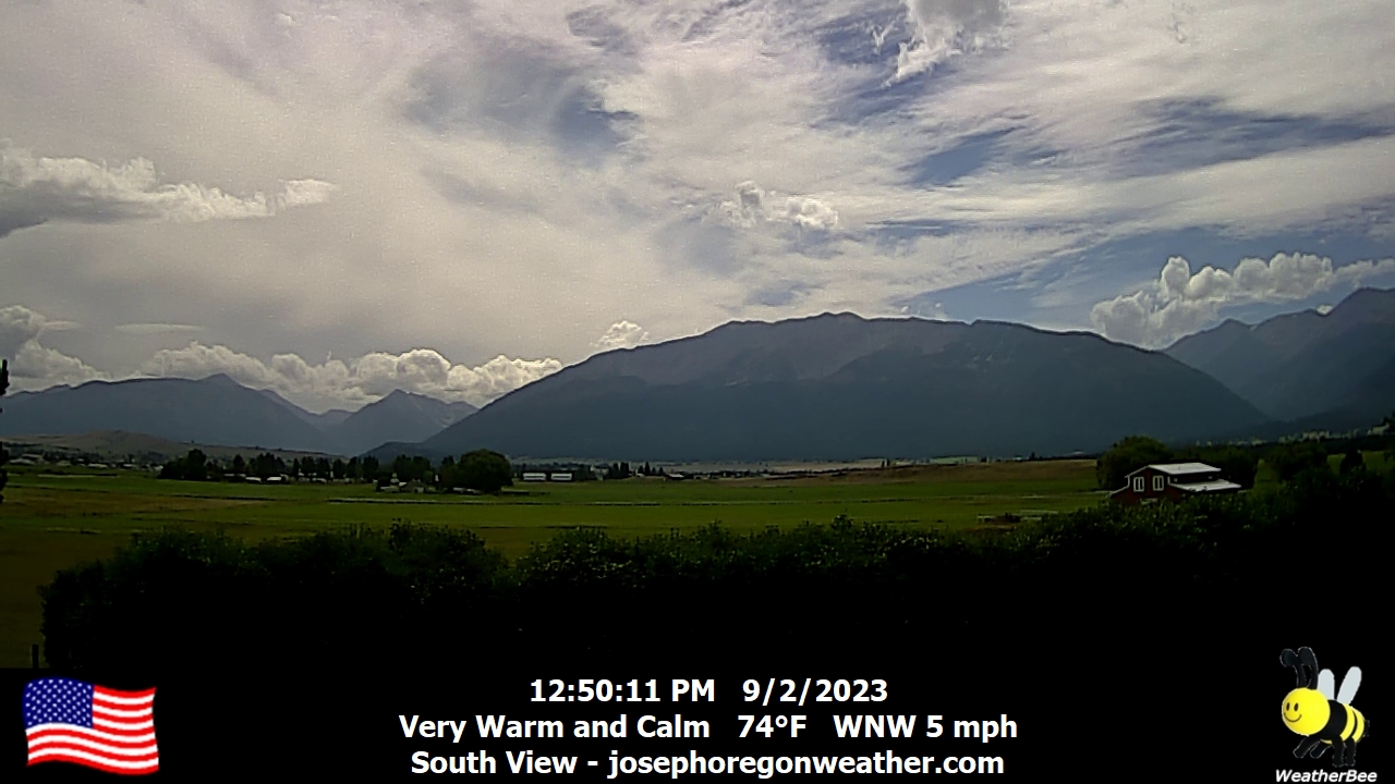
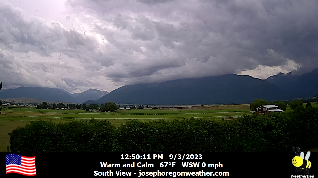
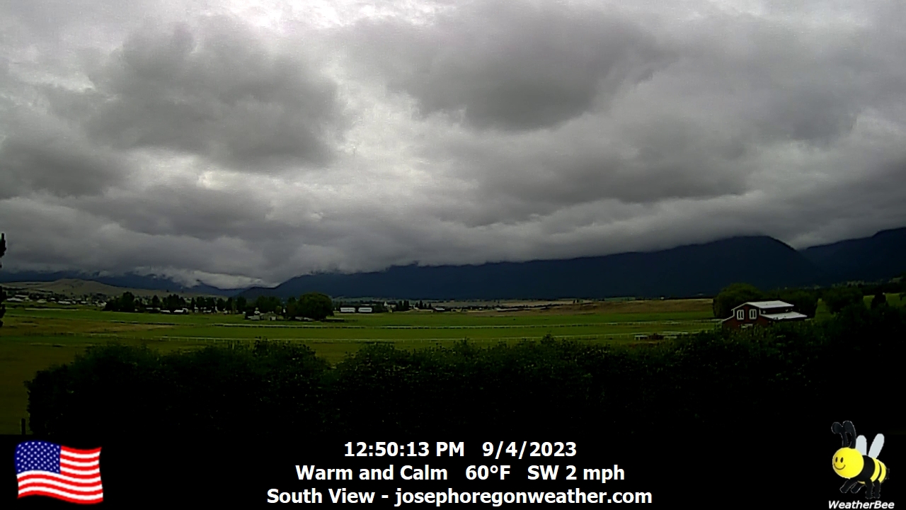
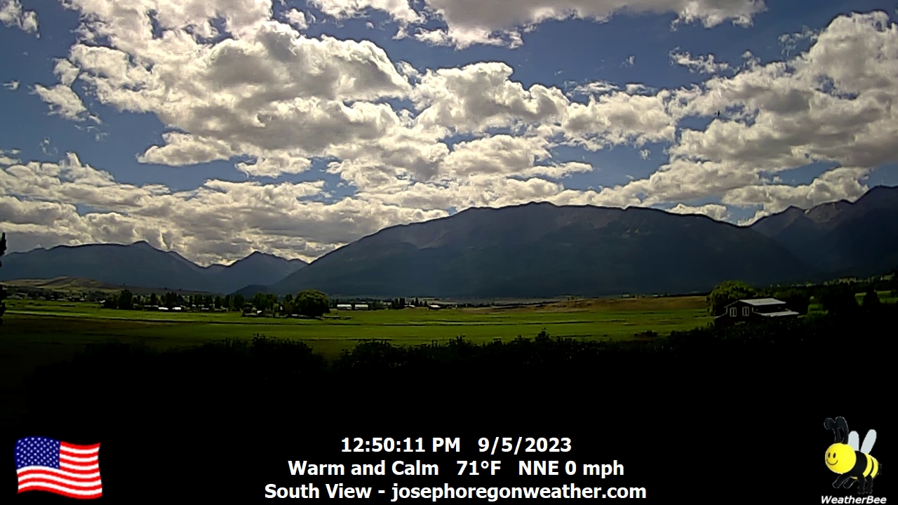
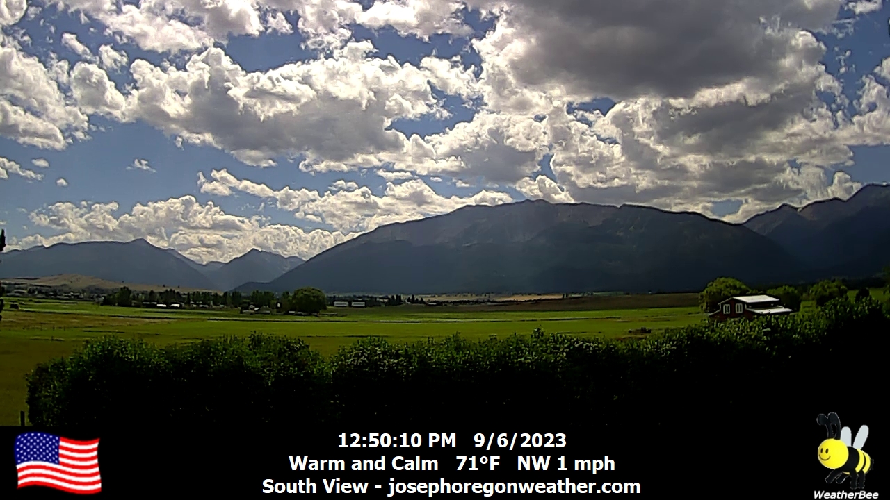
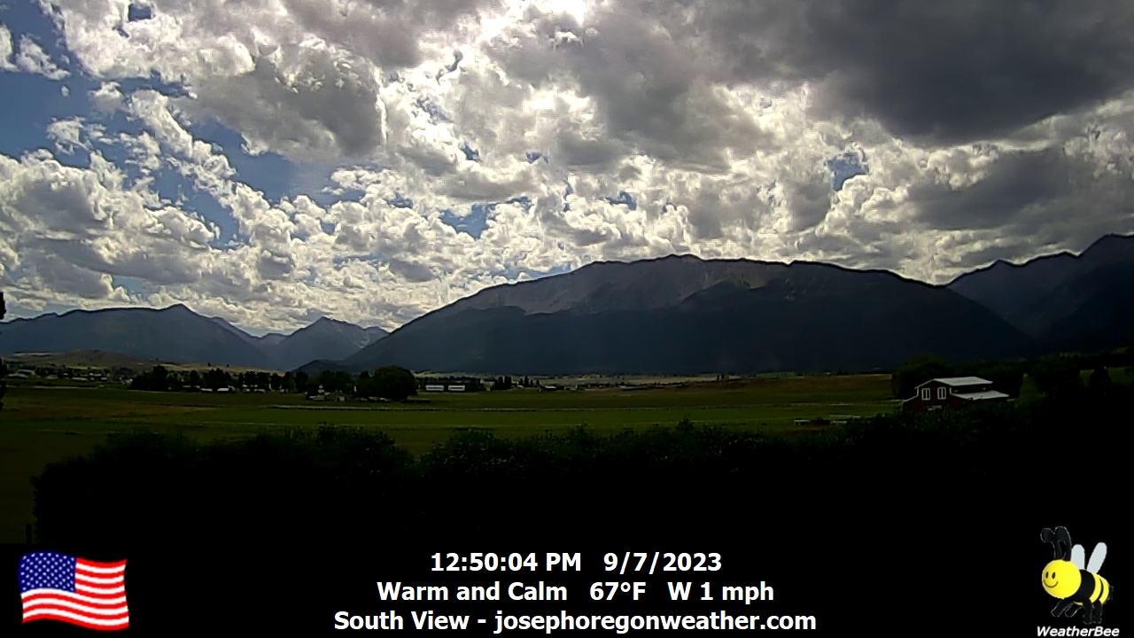
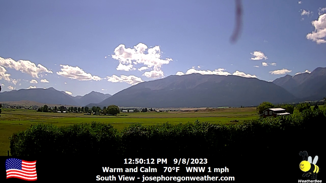
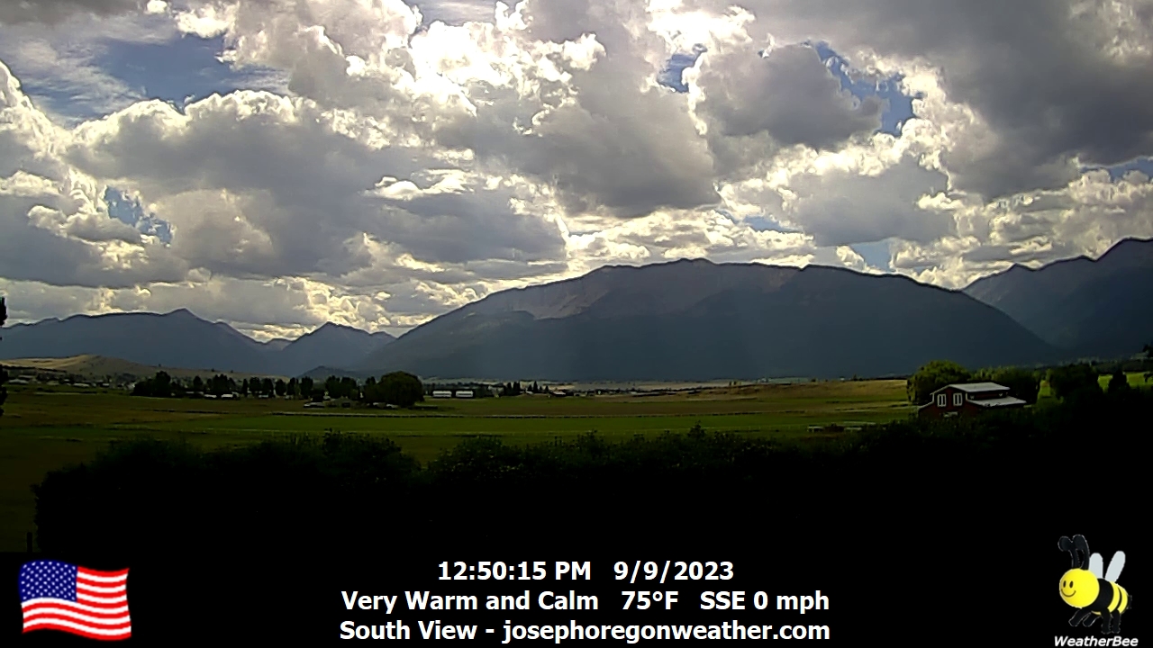
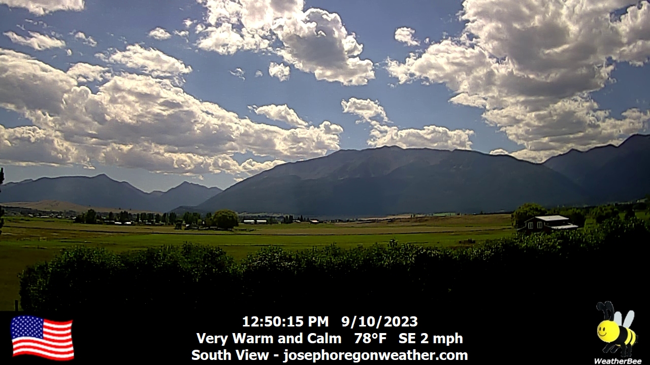
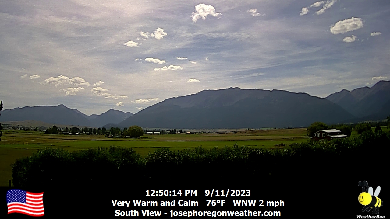
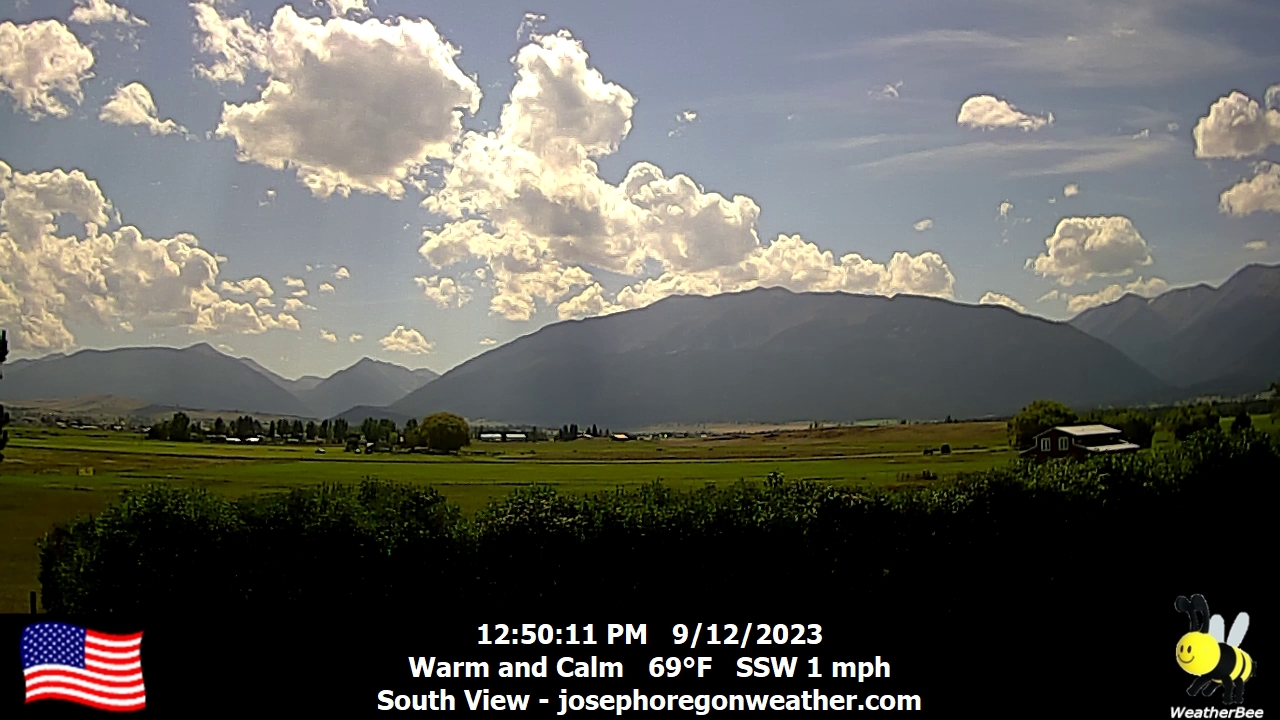
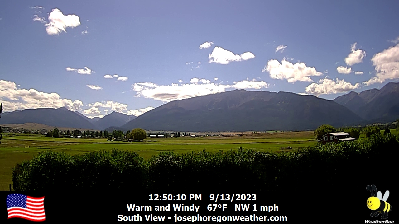
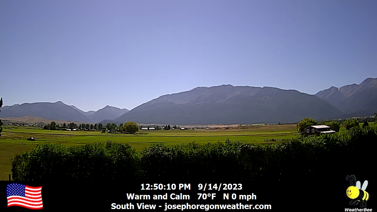
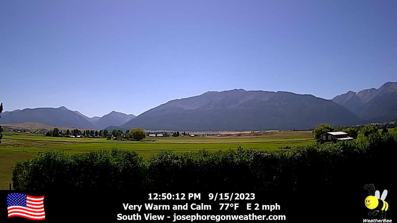
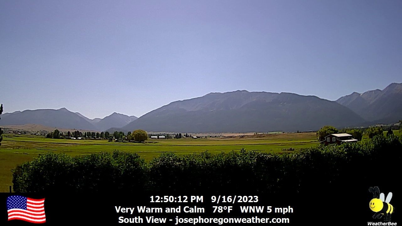
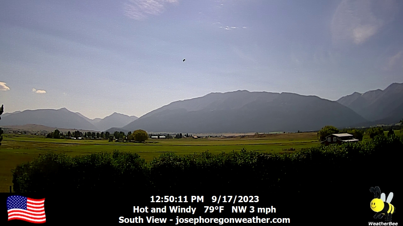
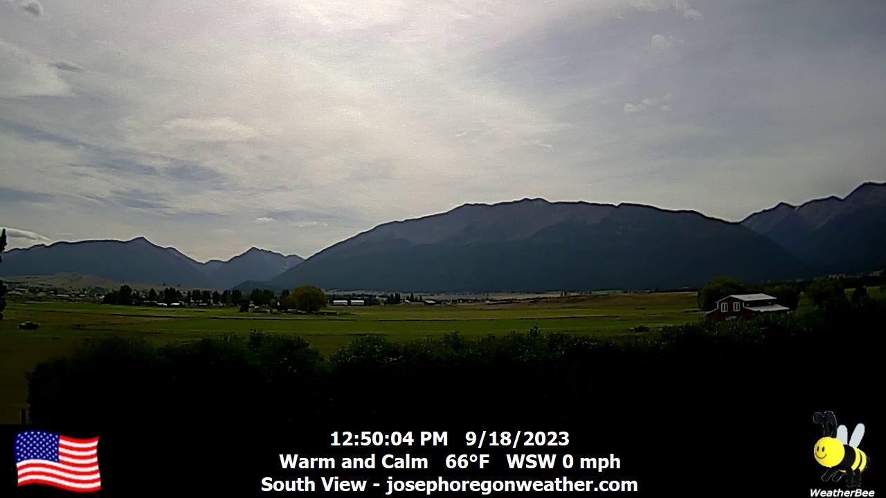
Joseph, Oregon, USA - 101.7 miles from Long Creek: Joseph Oregon Weather - A view of the Wallowa Mountains from Joseph, Oregon - with current weather data.
Operator: Joseph Oregon Weather
Operator: Joseph Oregon Weather


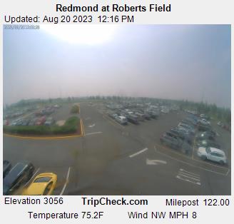
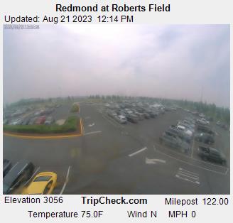
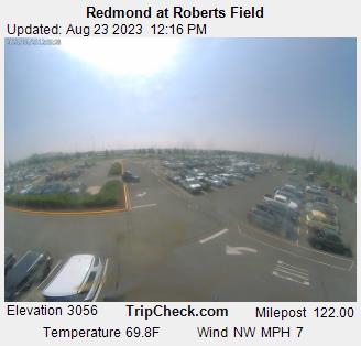
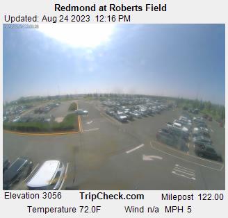
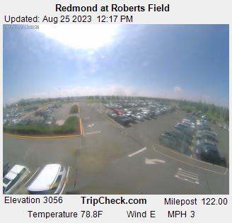
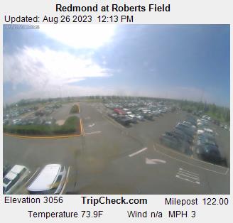
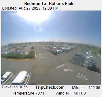
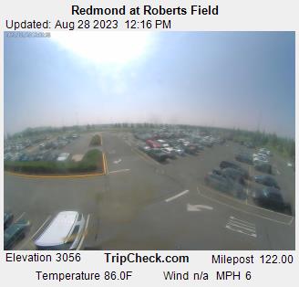
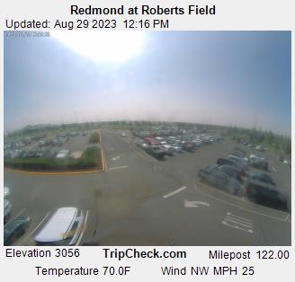
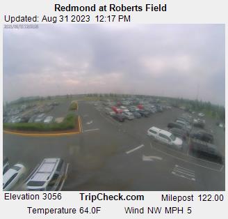
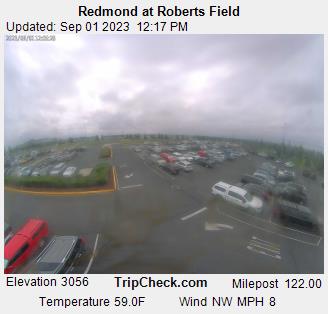
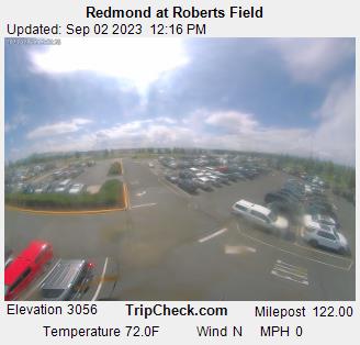
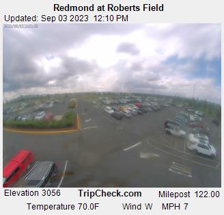
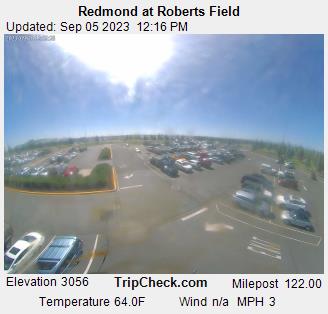
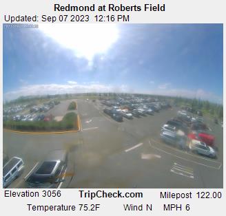
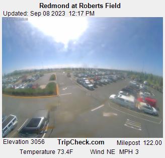
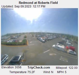
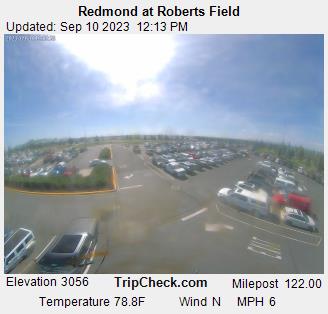
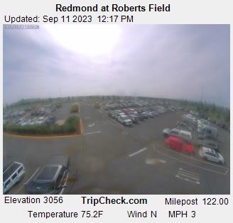
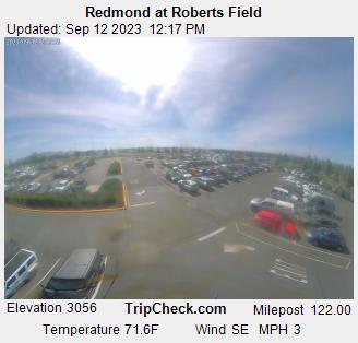
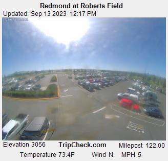
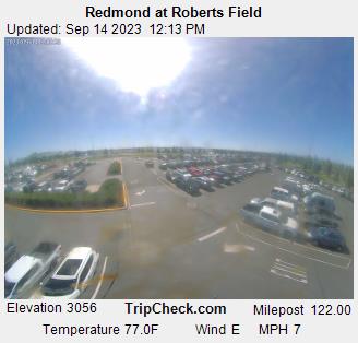
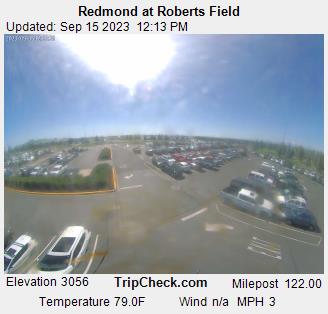
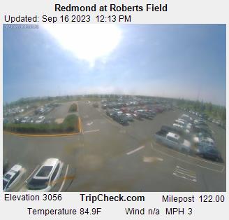
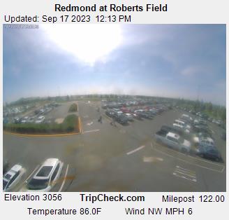
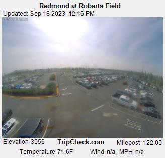
Redmond, Oregon, USA - 106.5 miles from Long Creek: Redmond at Roberts Field - A view of the current traffic situation on the Redmond.
Operator: Oregon Department of Transportation
Operator: Oregon Department of Transportation


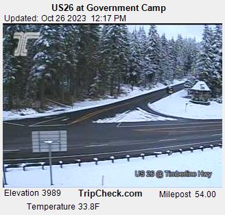
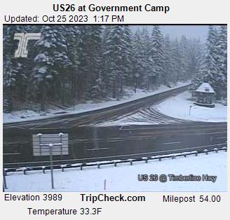
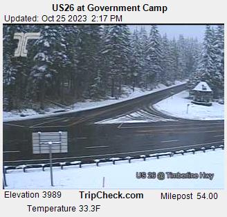
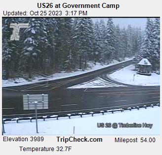
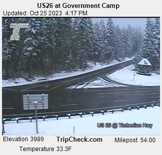
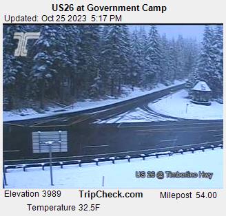
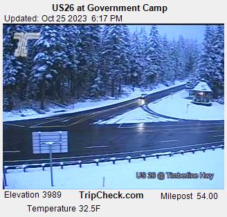
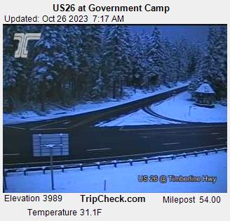
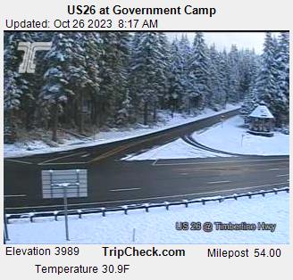
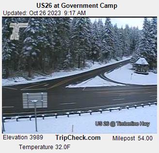
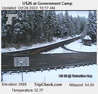
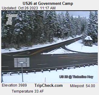
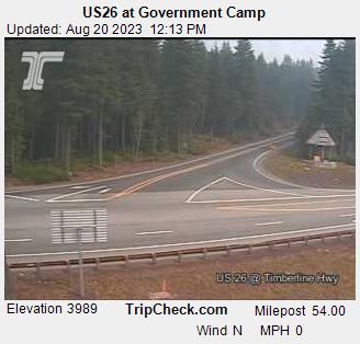
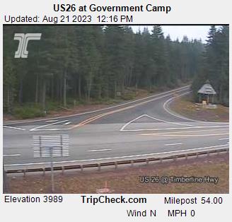
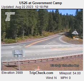
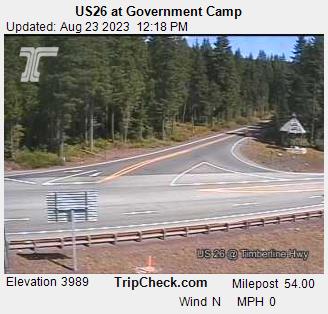
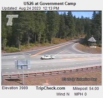
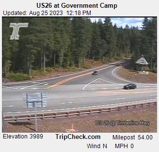
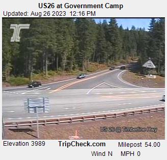
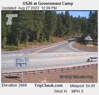
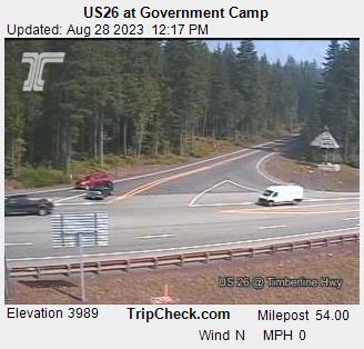
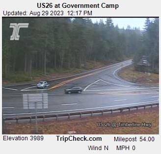
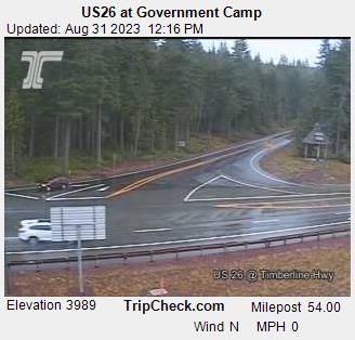
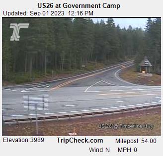
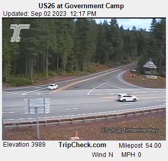
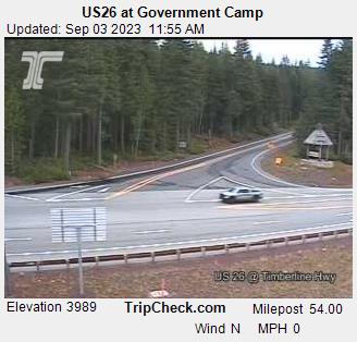
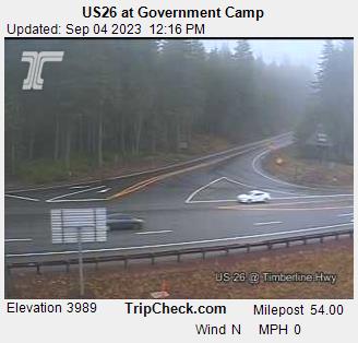
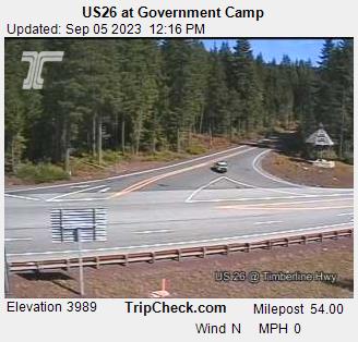
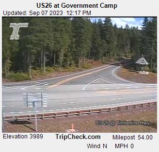
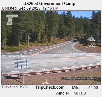
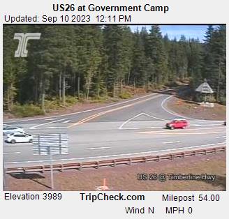
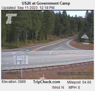
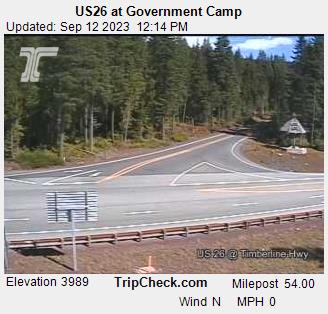
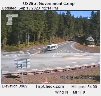
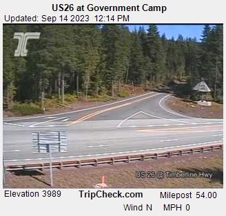
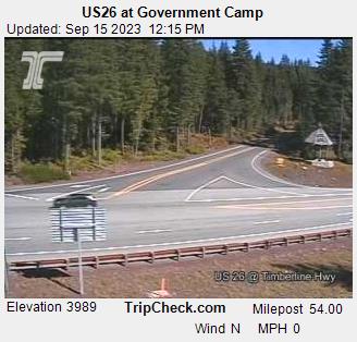
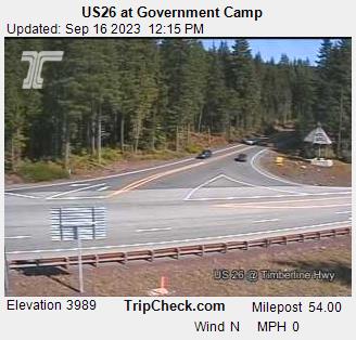
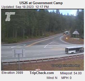
Government Camp, Oregon, USA - 135.7 miles from Long Creek: US26 at Government Camp - A view of the current traffic situation on the US26.
Operator: Oregon Department of Transportation
Operator: Oregon Department of Transportation


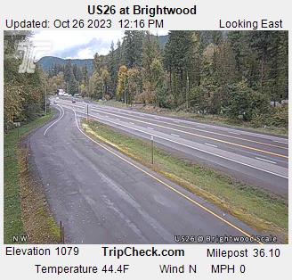
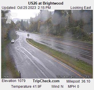
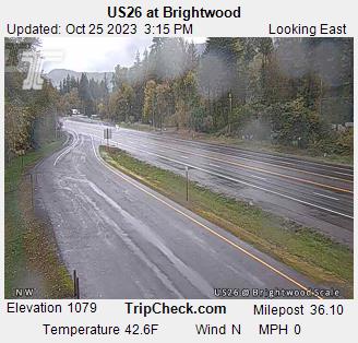
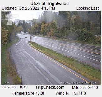
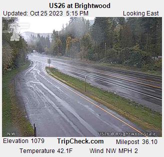
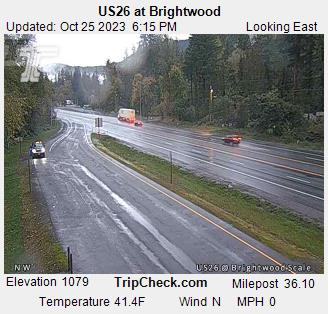
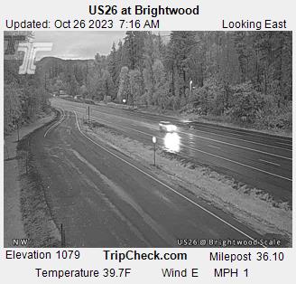
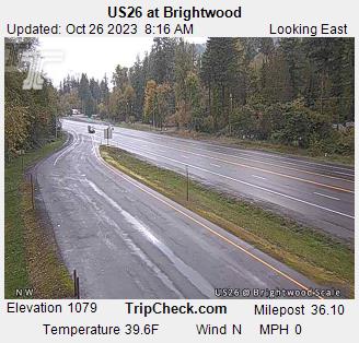
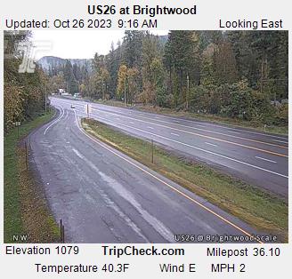
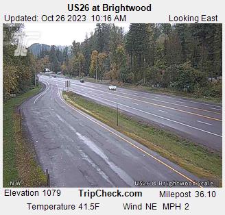
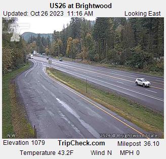
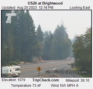
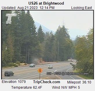
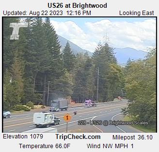
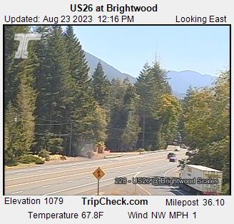
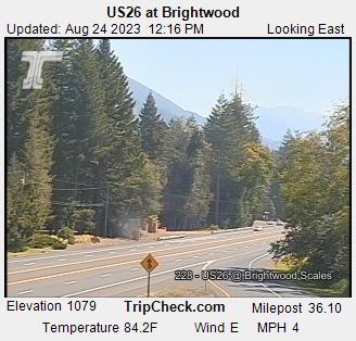
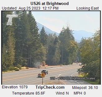
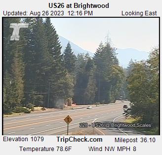
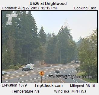
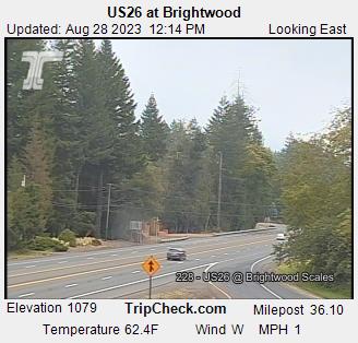
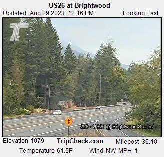
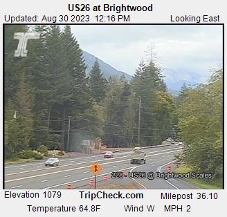
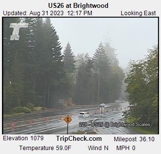
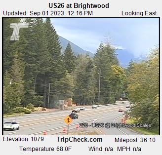
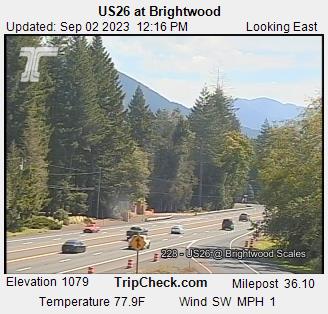
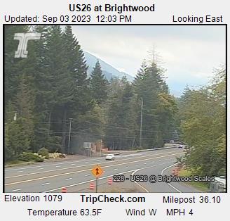
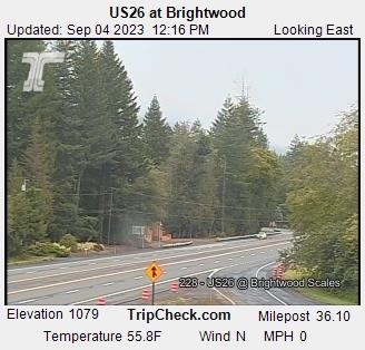
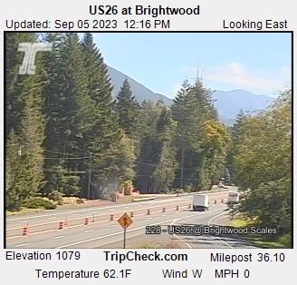
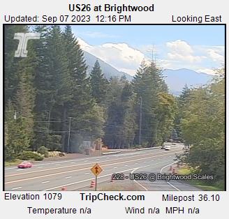
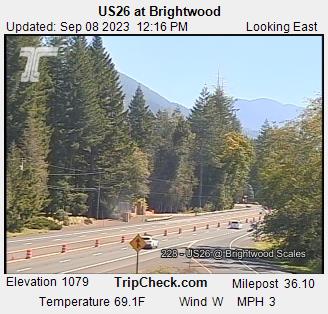
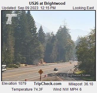
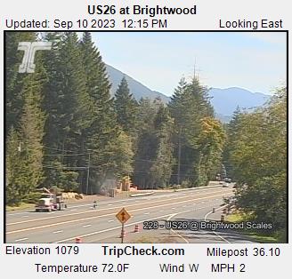
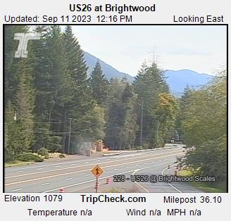
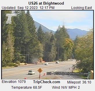
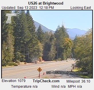
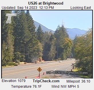
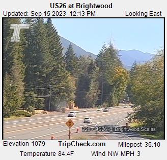
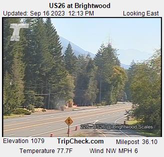
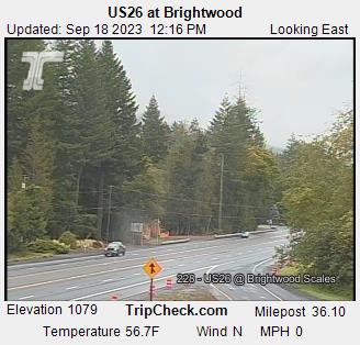
Brightwood, Oregon, USA - 149.4 miles from Long Creek: US26 at Brightwood - A view of the current traffic situation on the US26.
Operator: Oregon Department of Transportation
Operator: Oregon Department of Transportation


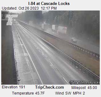
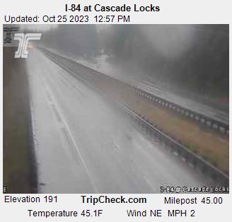
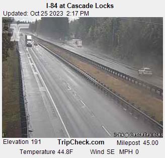
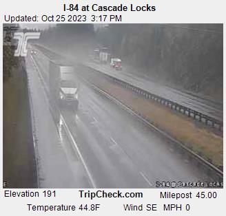
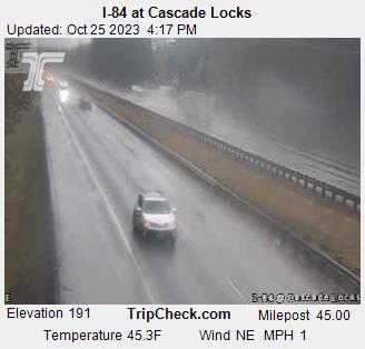
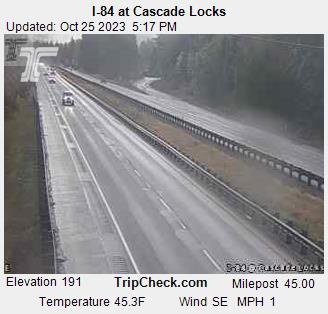
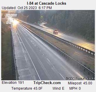
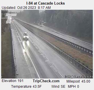
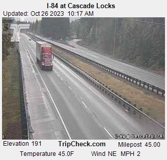
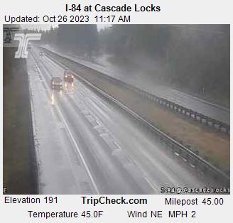
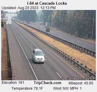
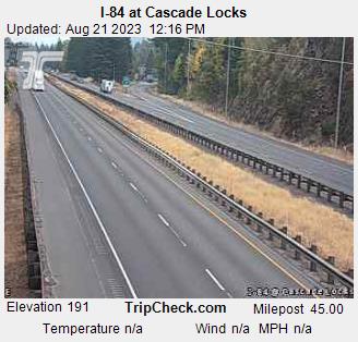
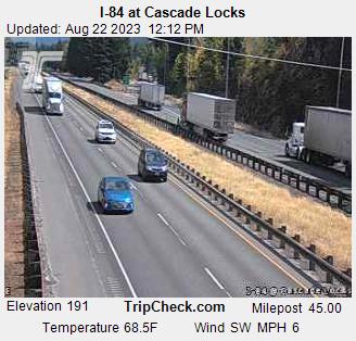
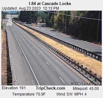
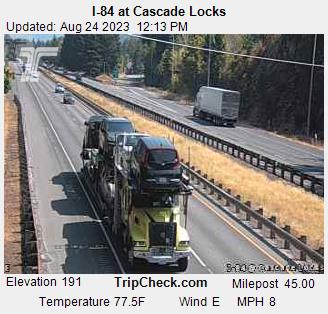
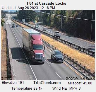
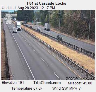
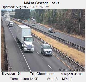
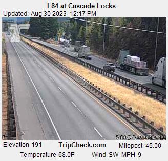
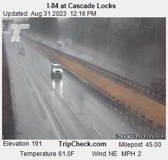
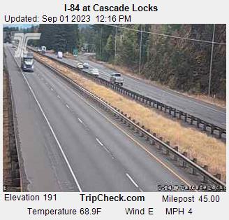
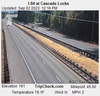
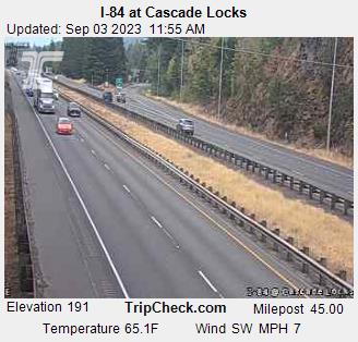
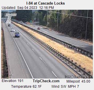
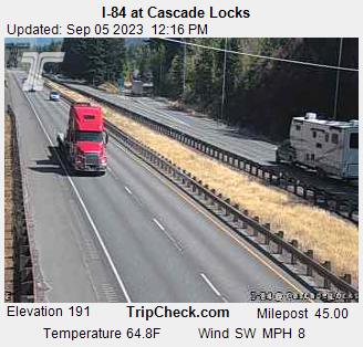
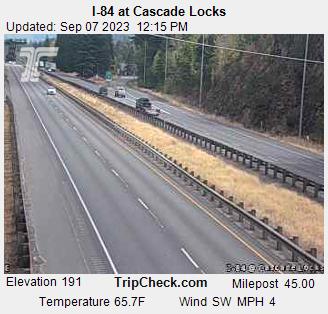
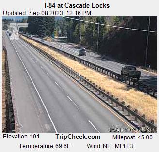
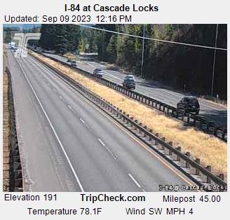
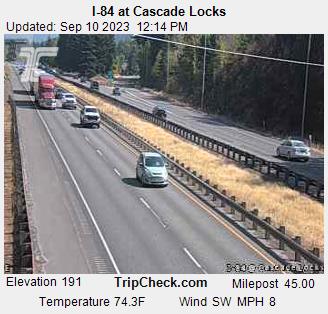
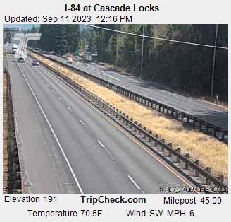
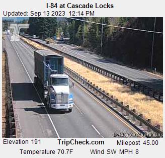
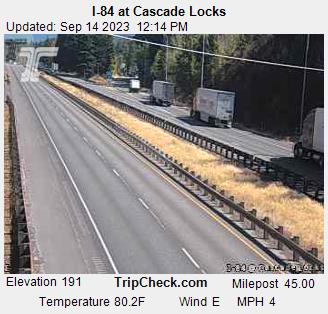
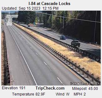
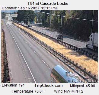
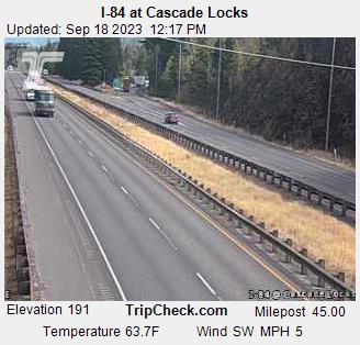
Cascade Locks, Oregon, USA - 150.9 miles from Long Creek: I-84 at Cascade Locks - A view of the current traffic situation on the I-84.
Operator: Oregon Department of Transportation
Operator: Oregon Department of Transportation


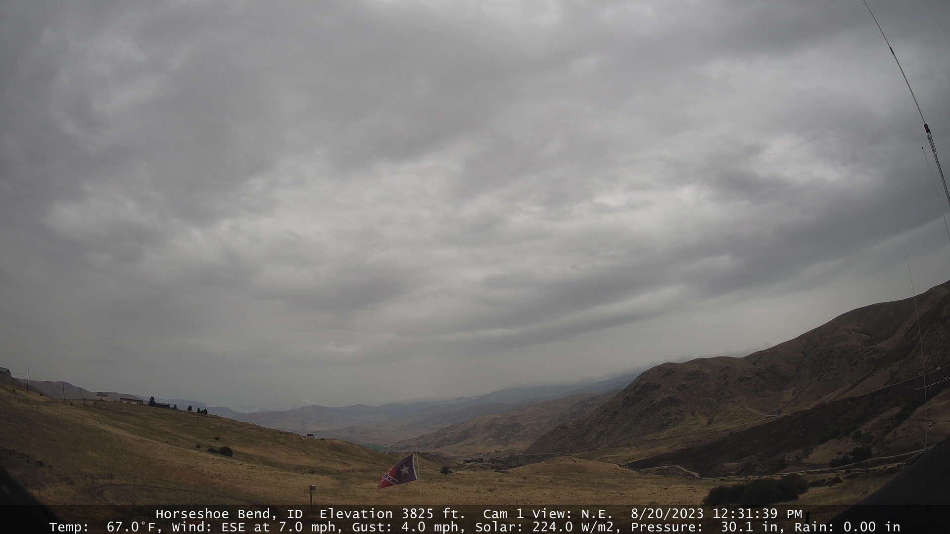
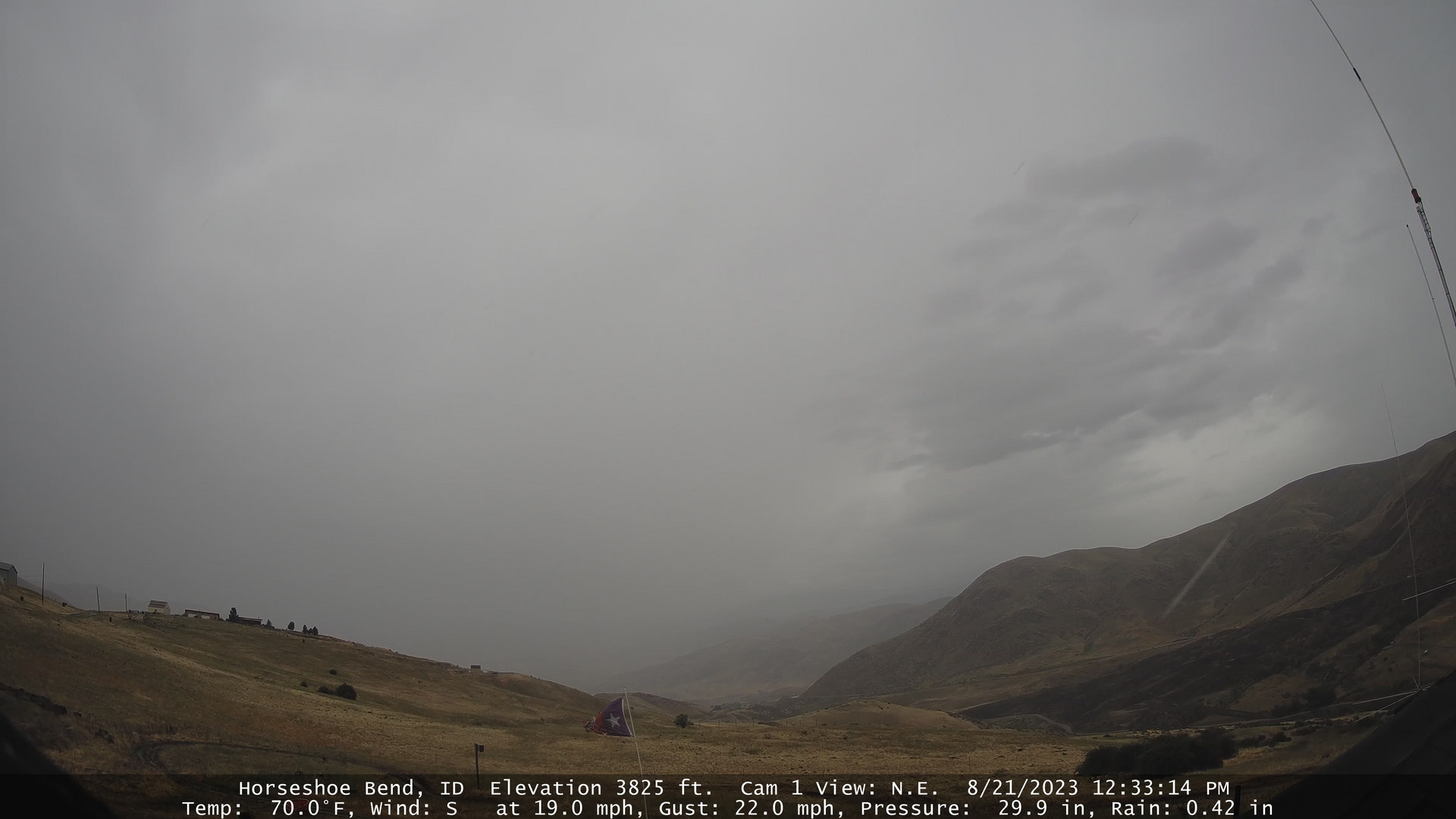
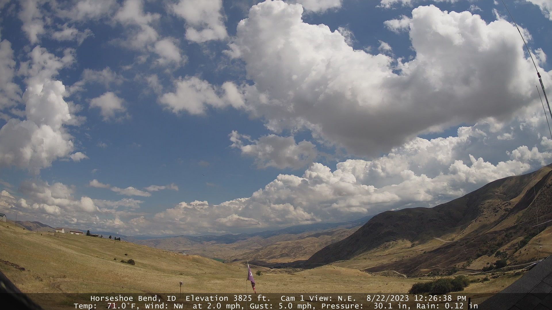
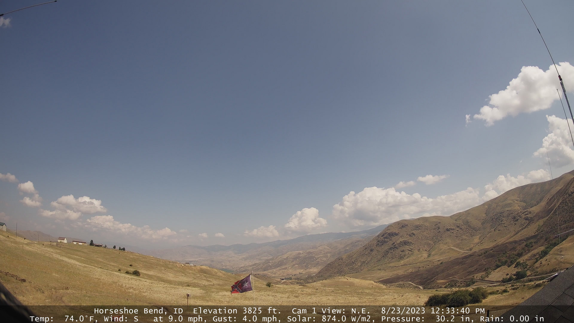
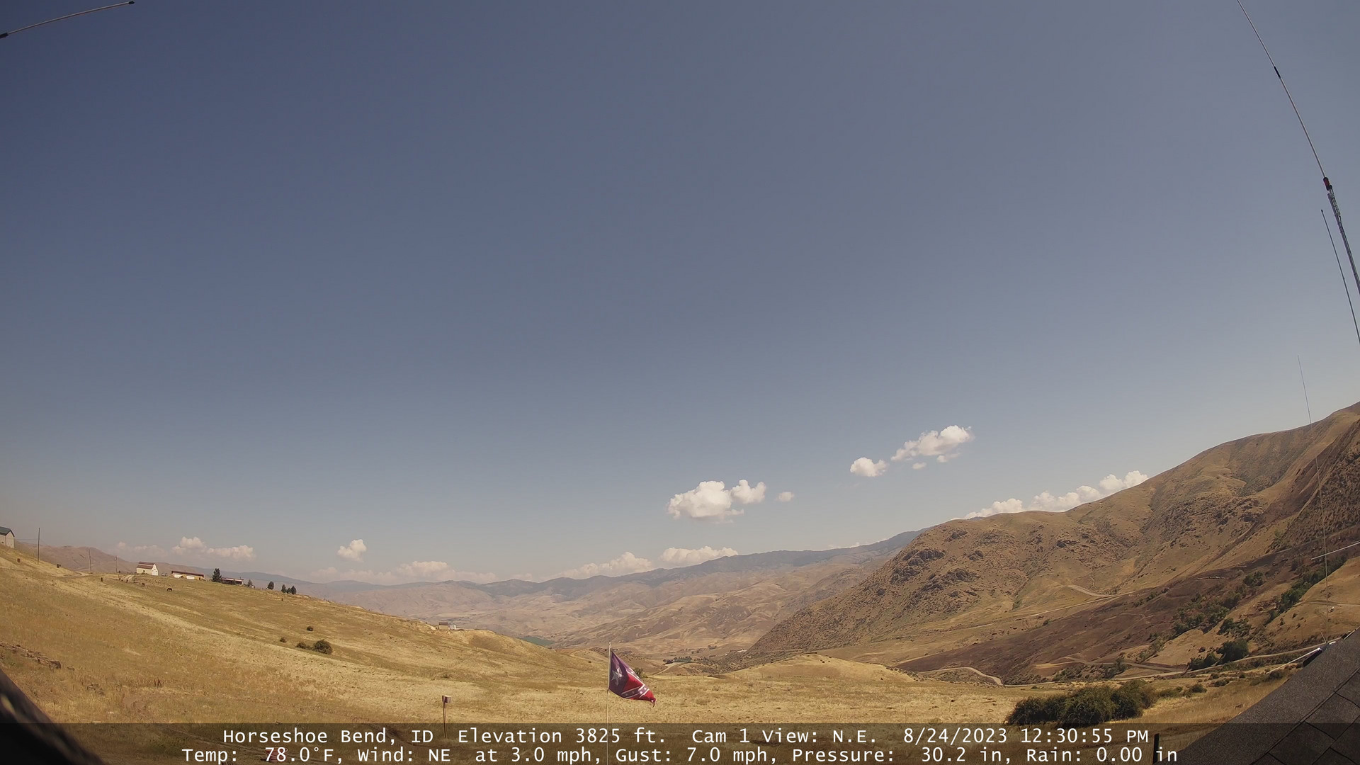
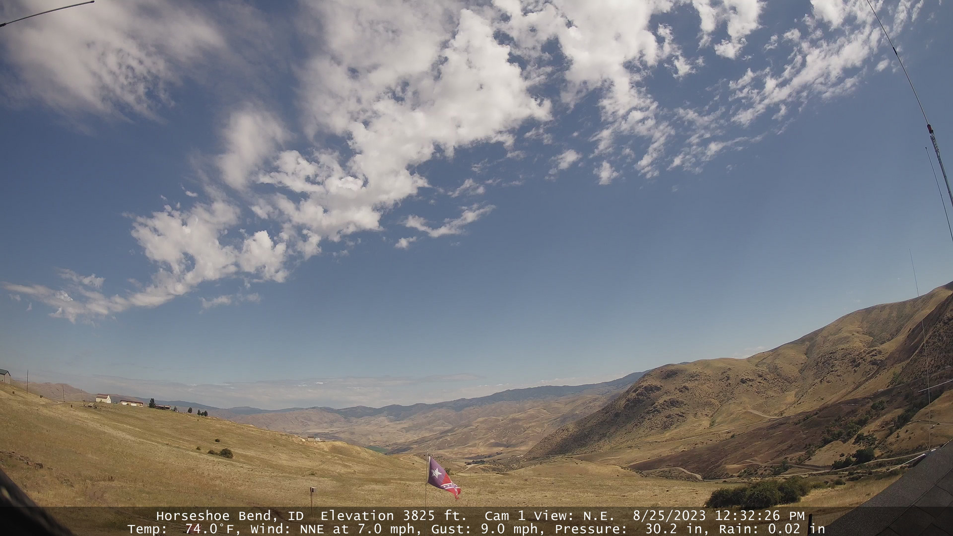
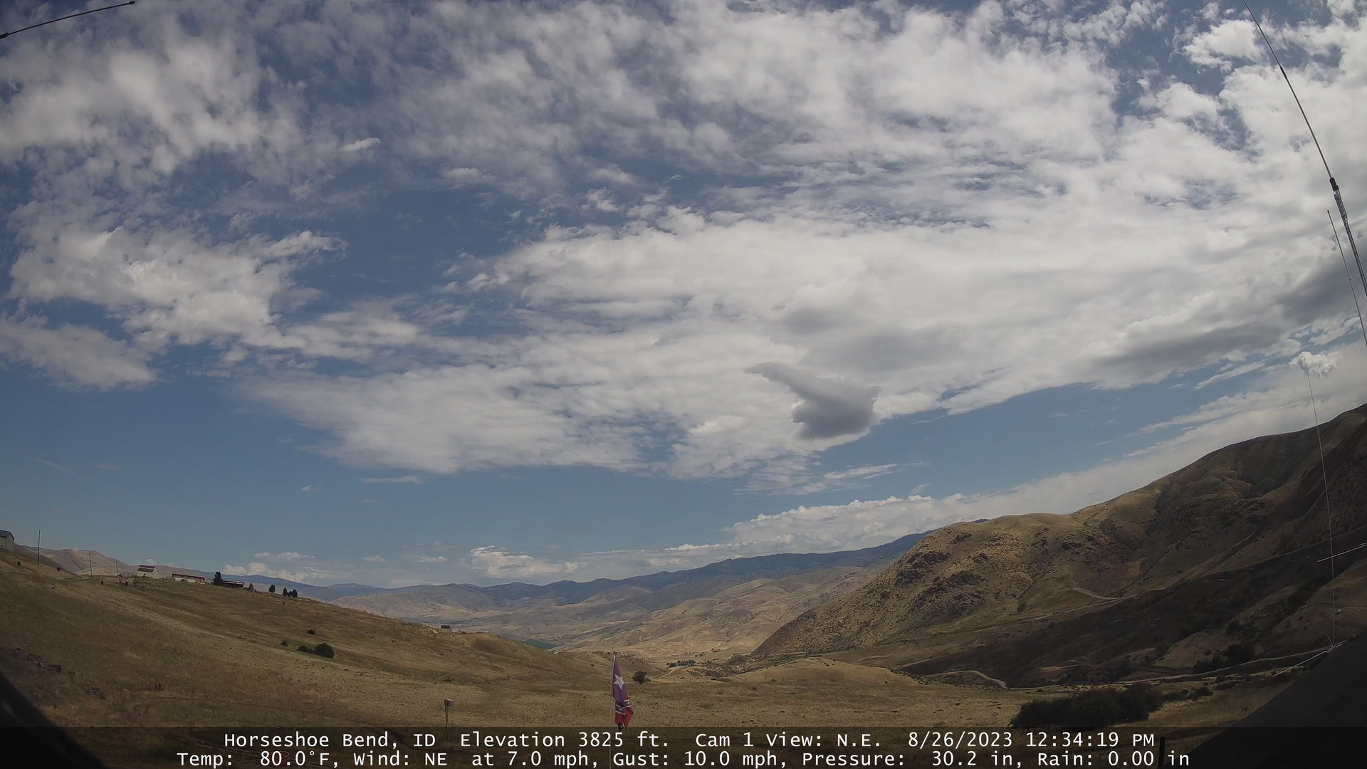
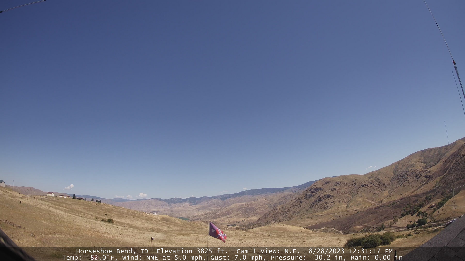
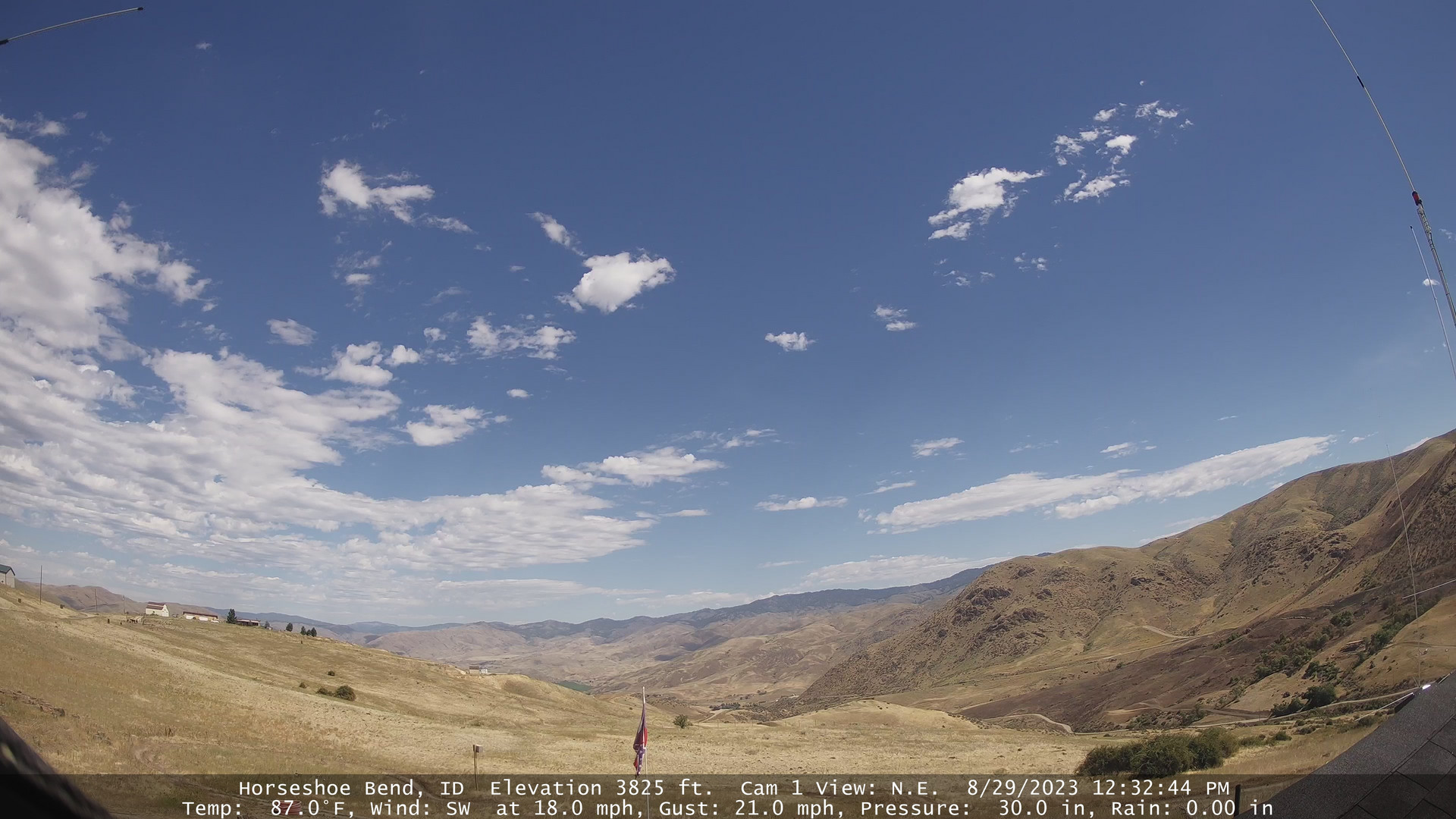
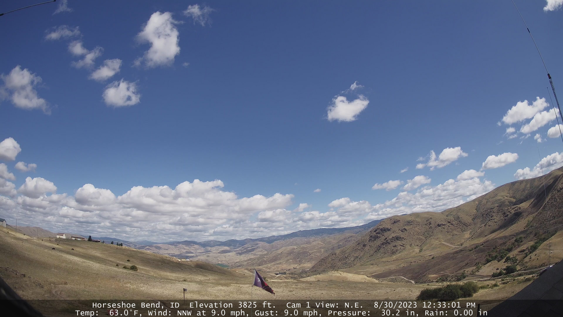
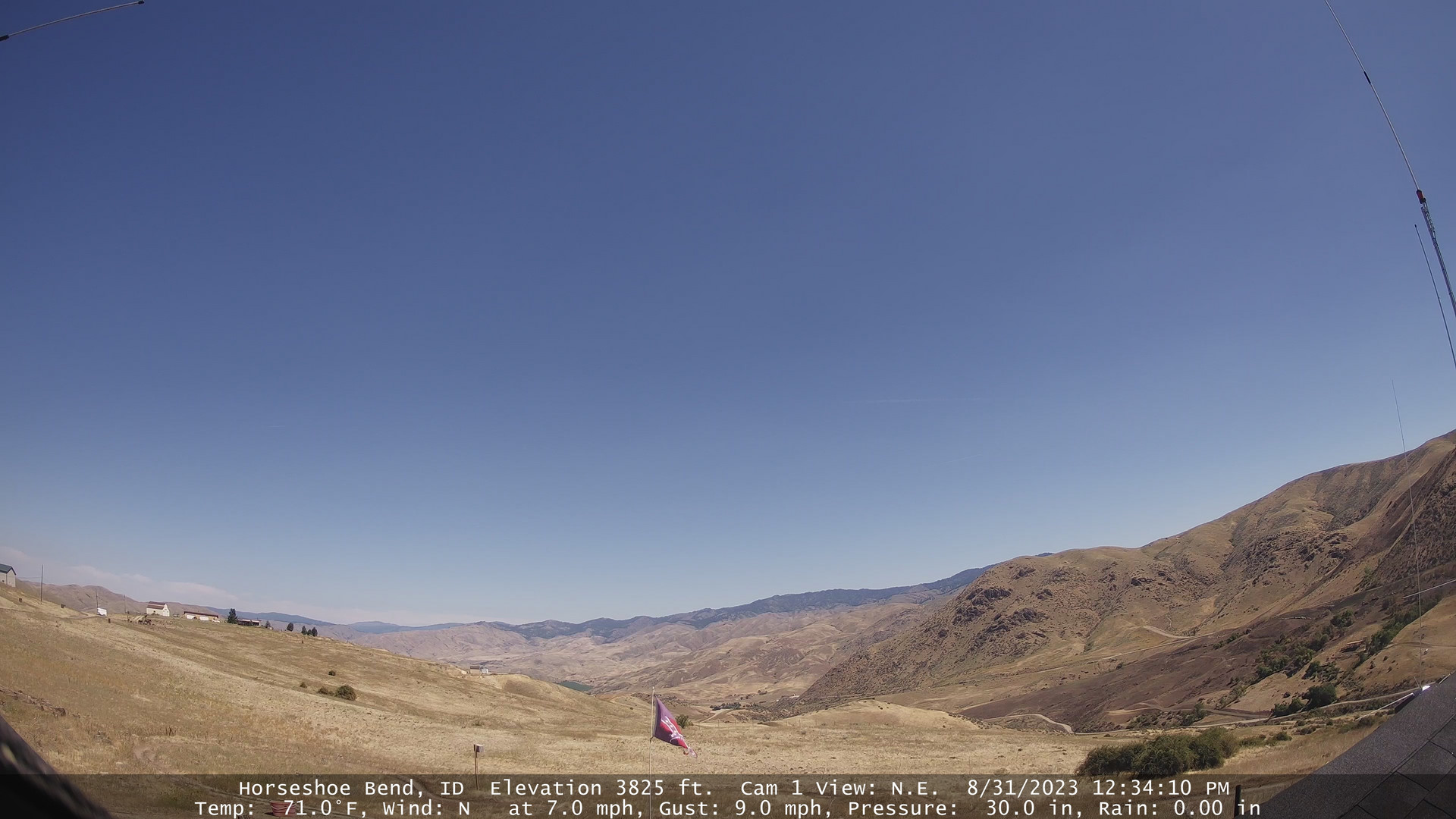
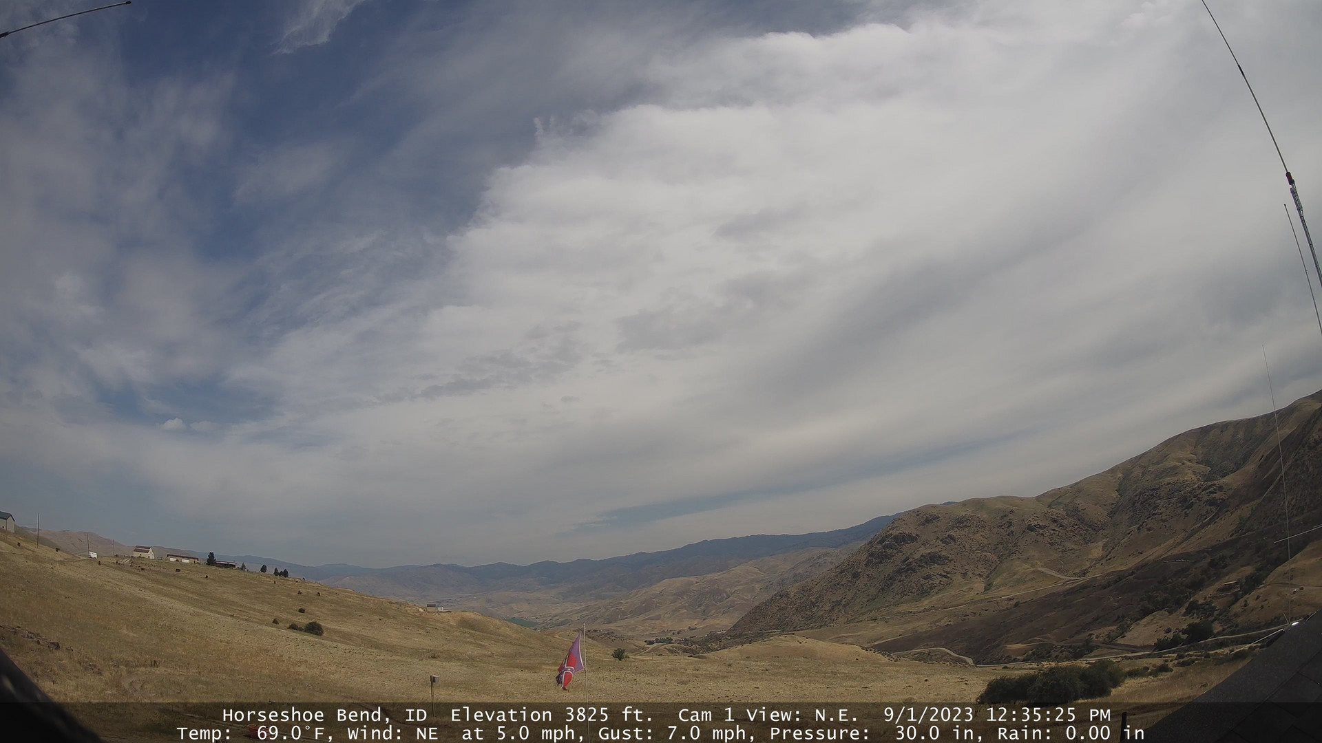
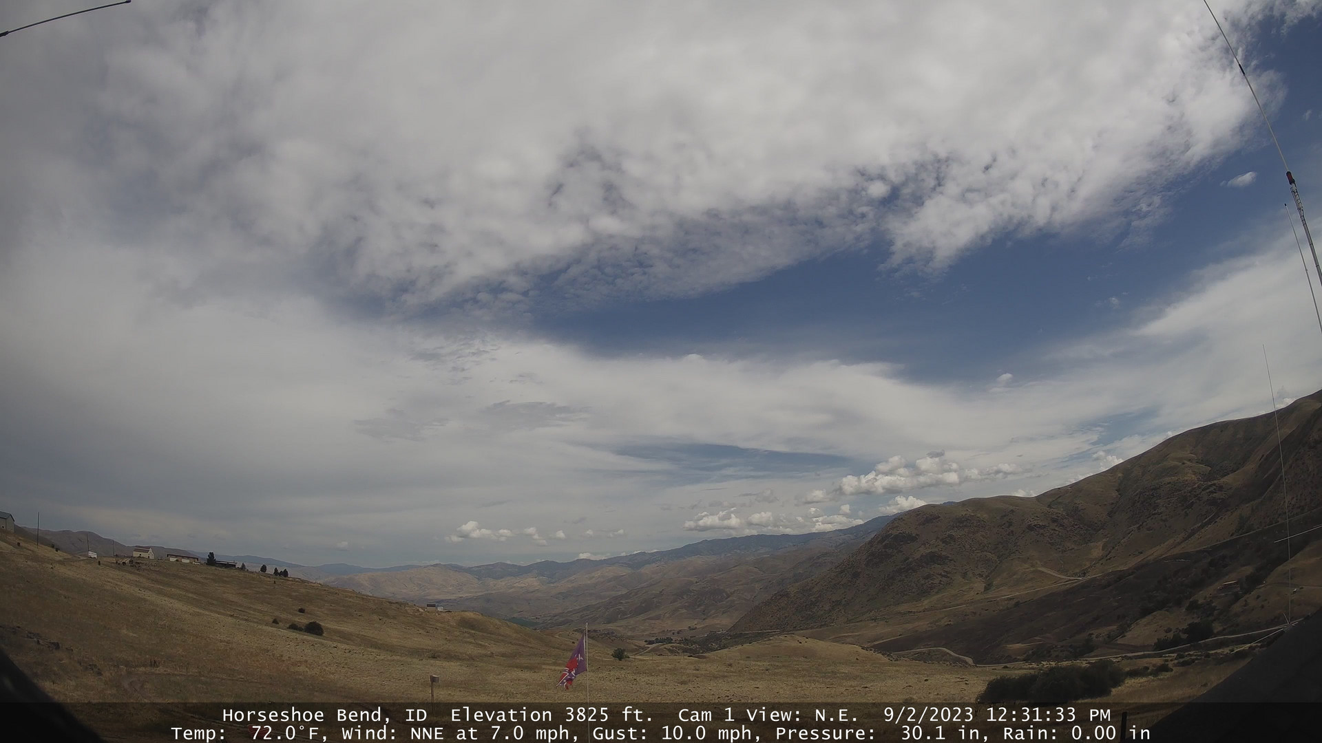
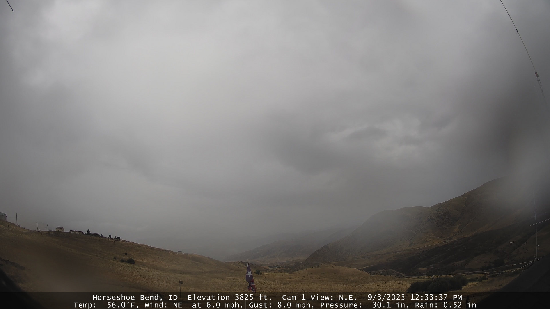
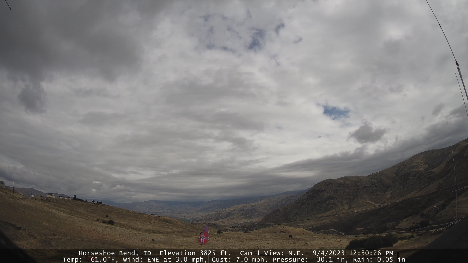
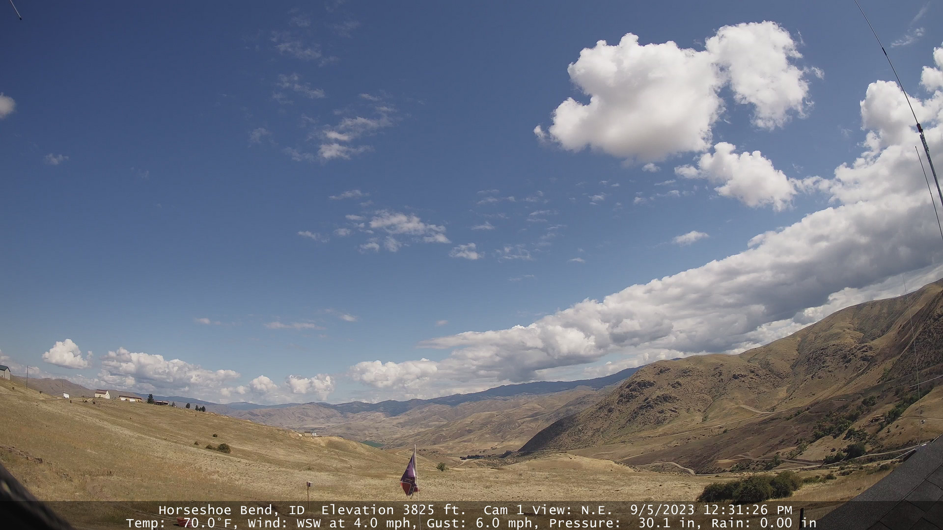
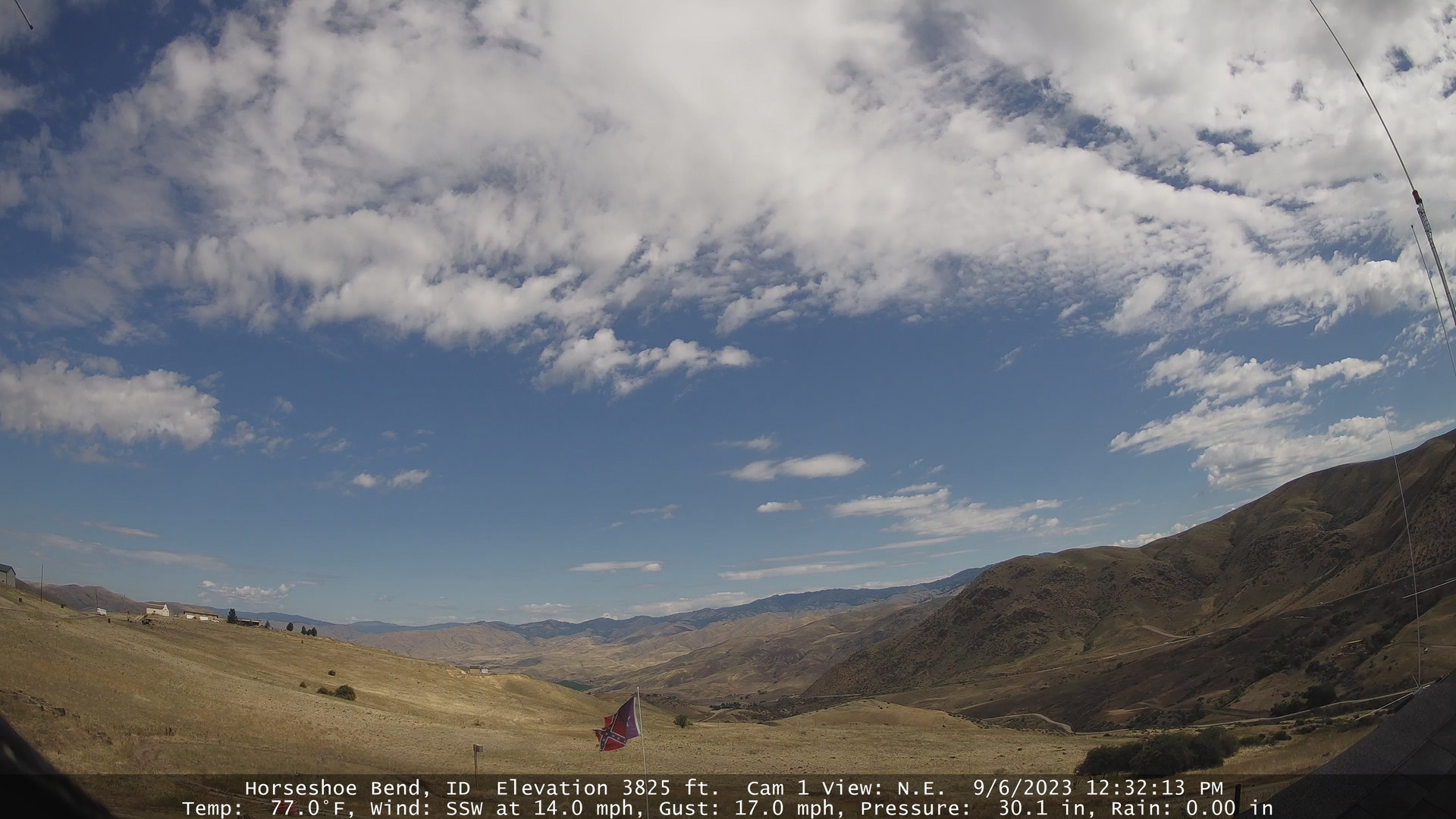
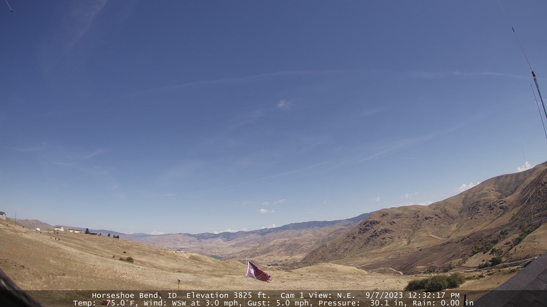
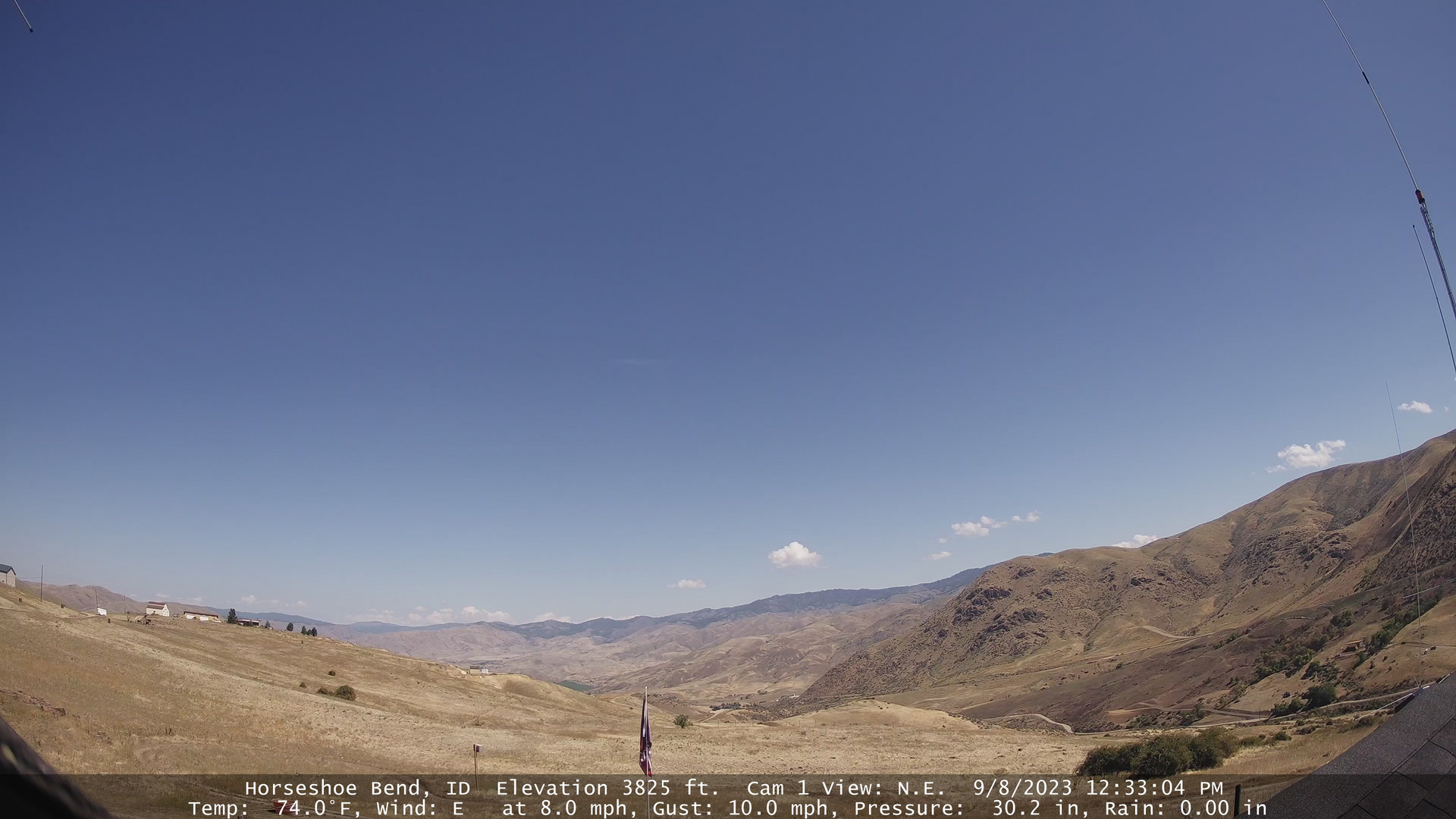
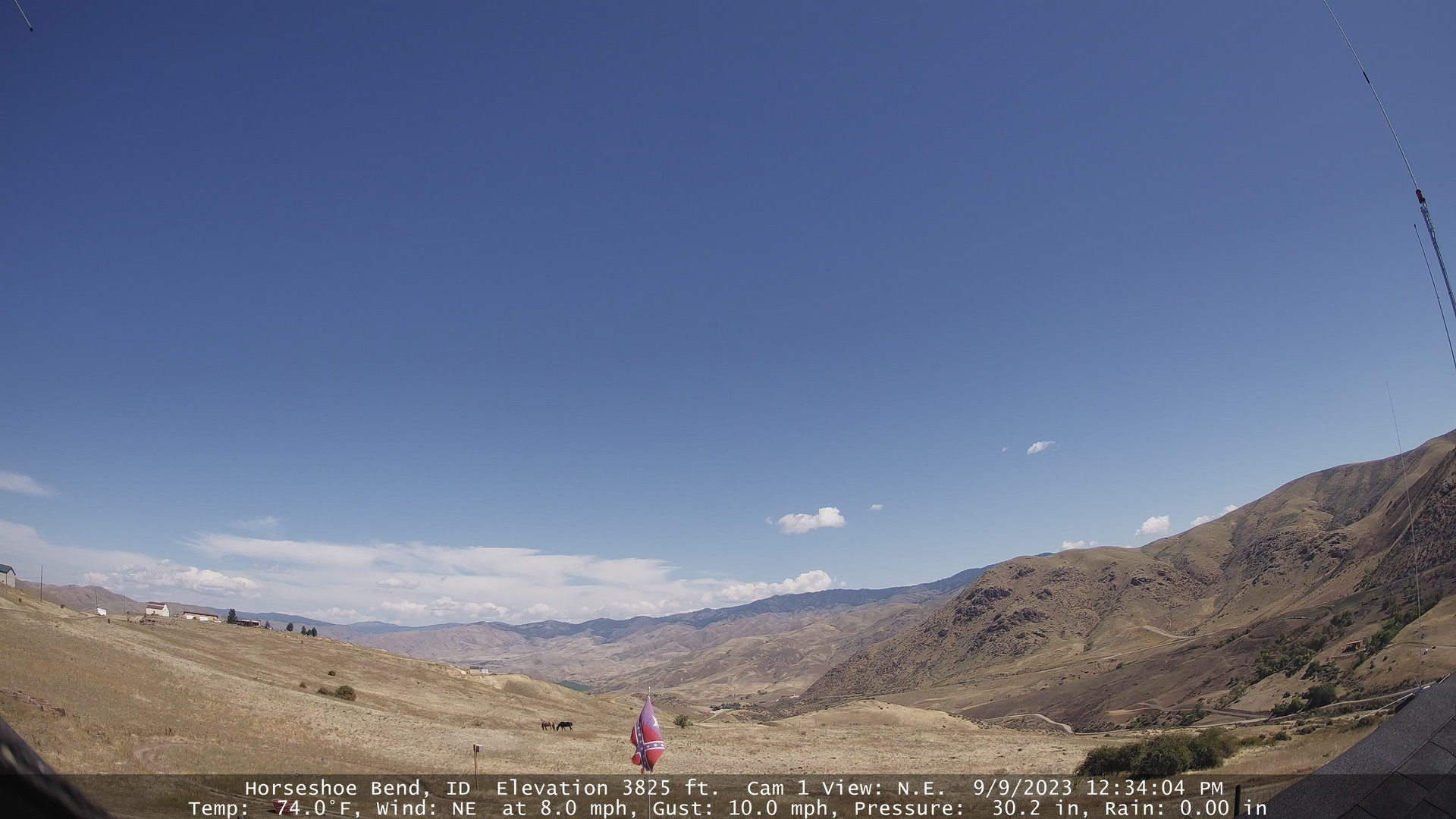
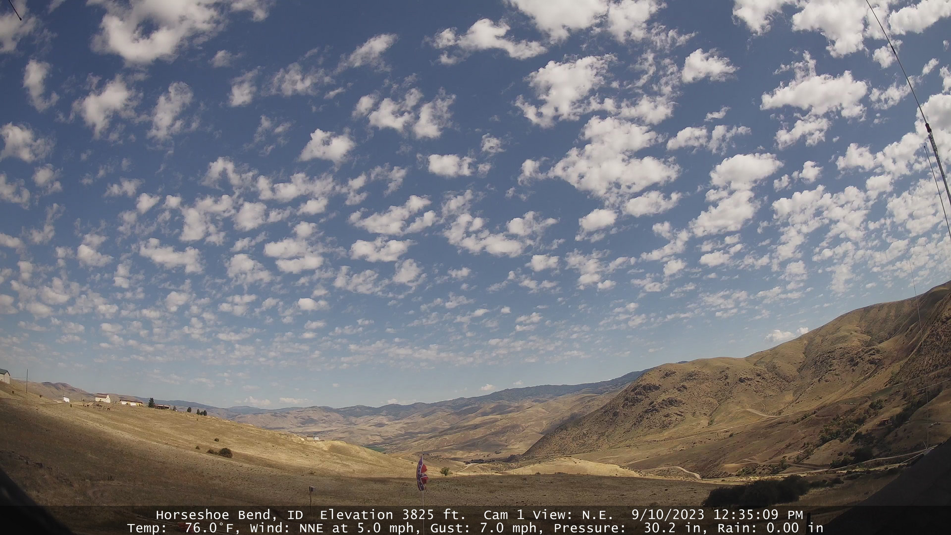
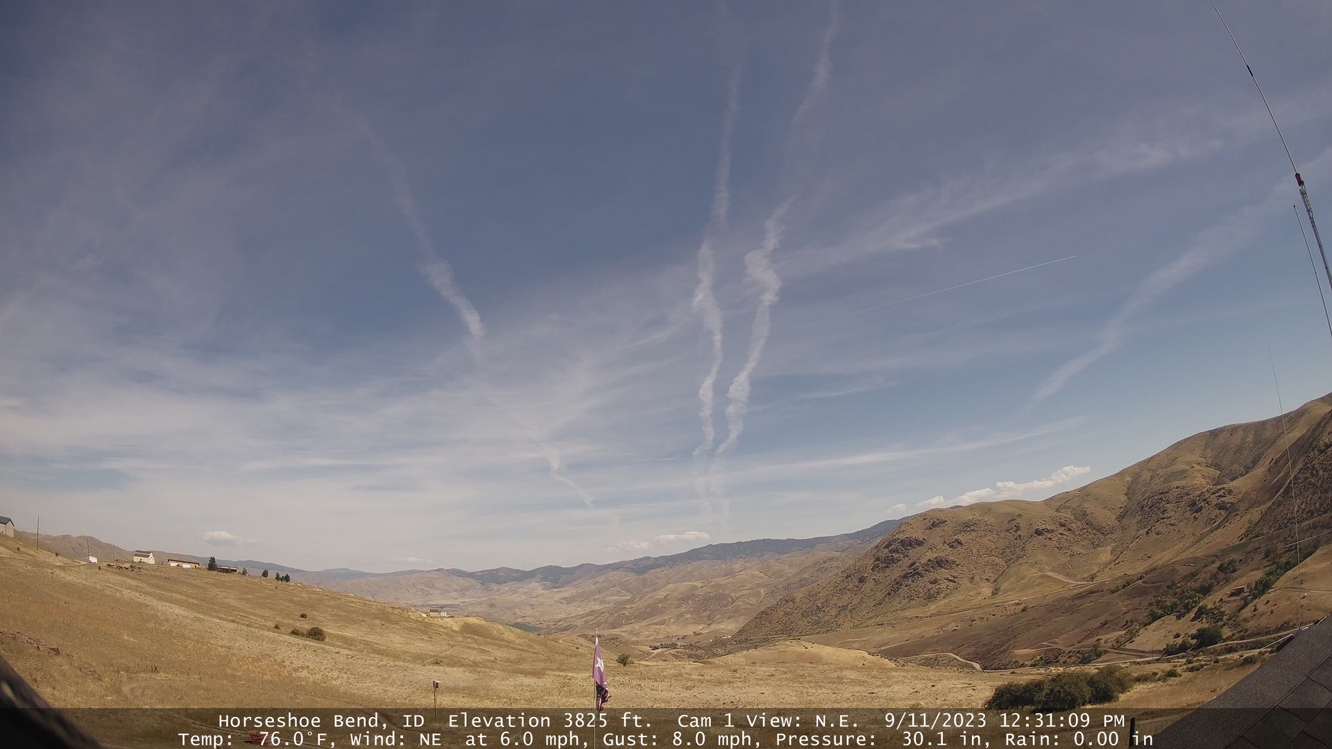
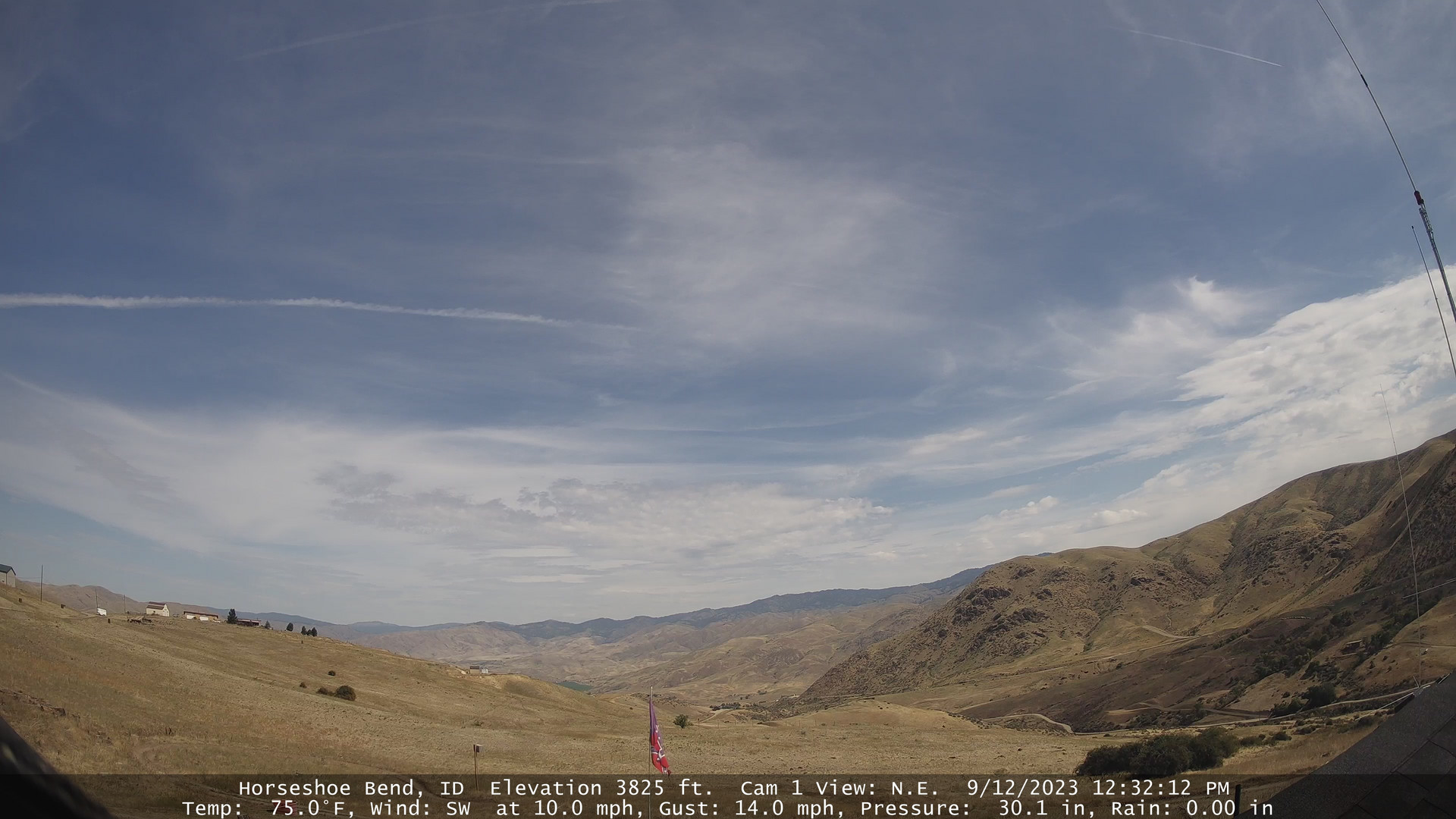
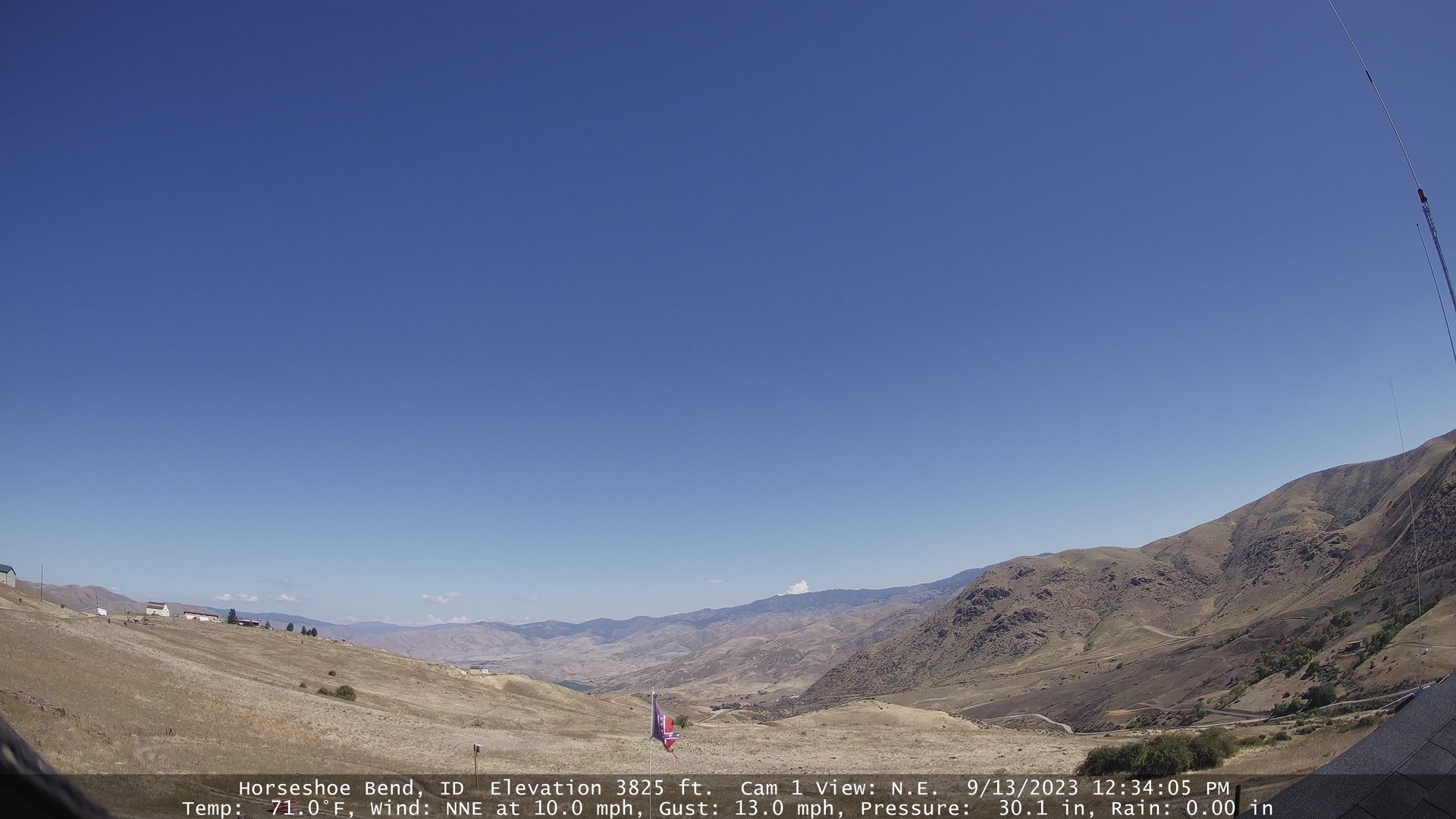
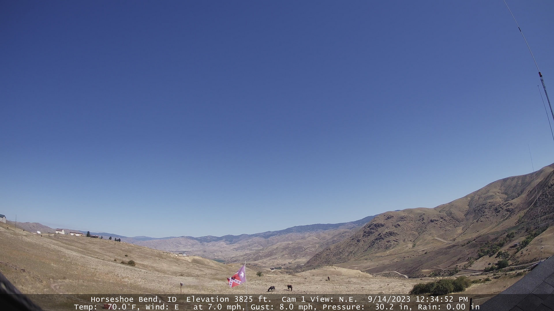
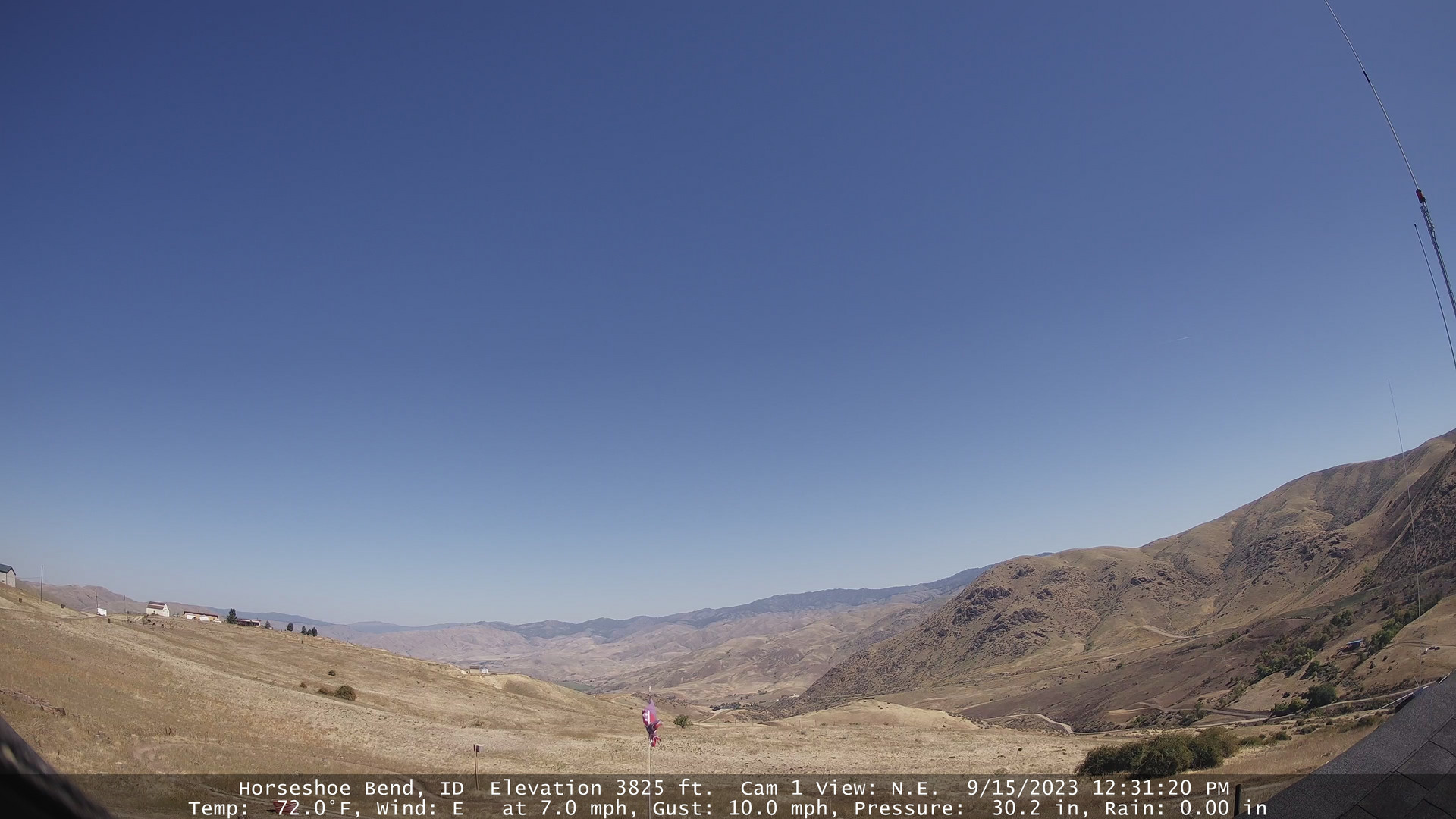
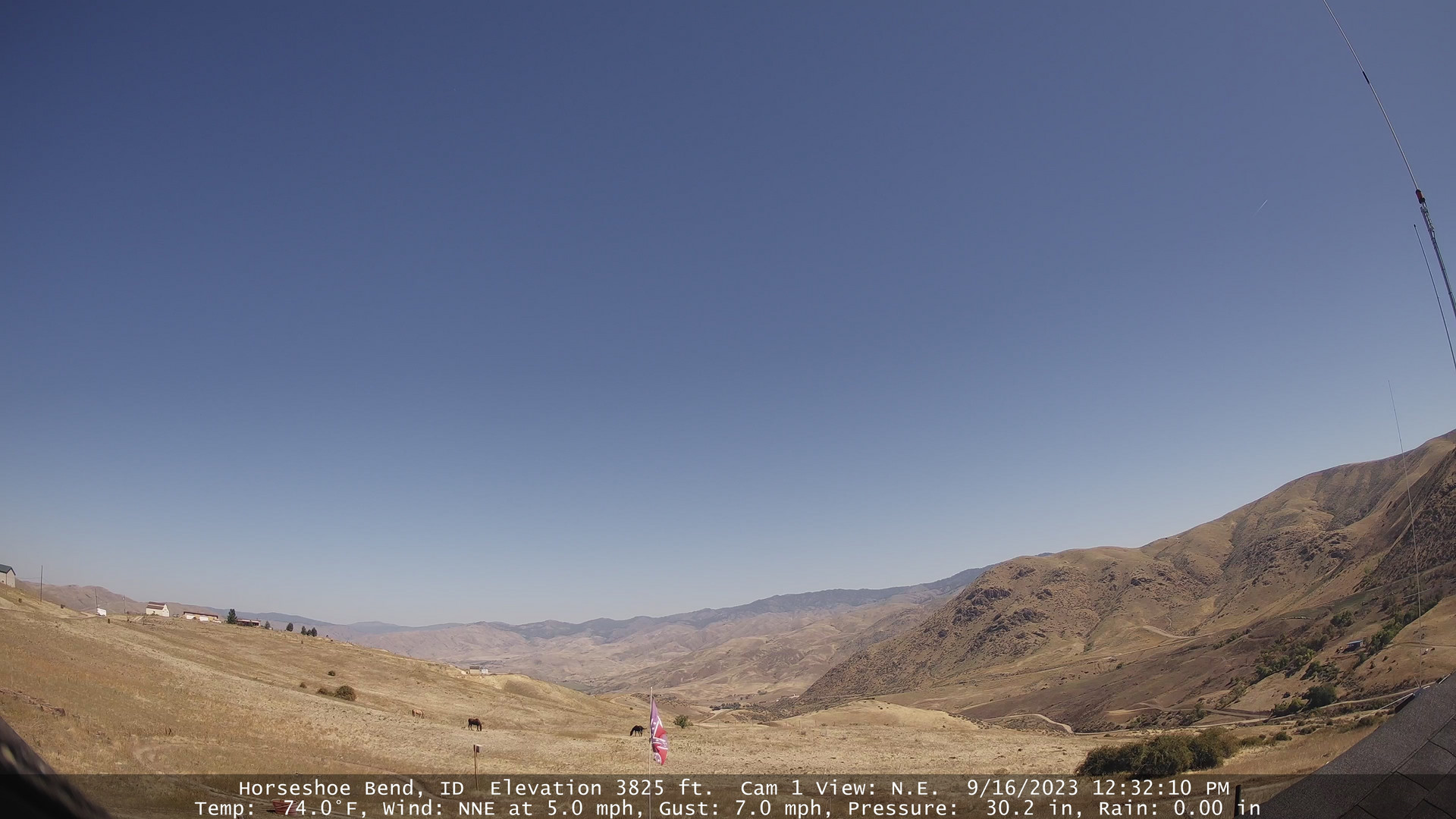
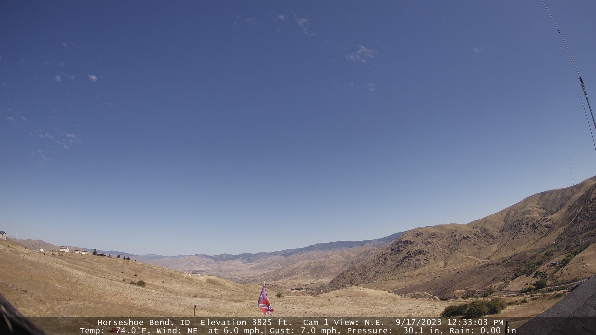
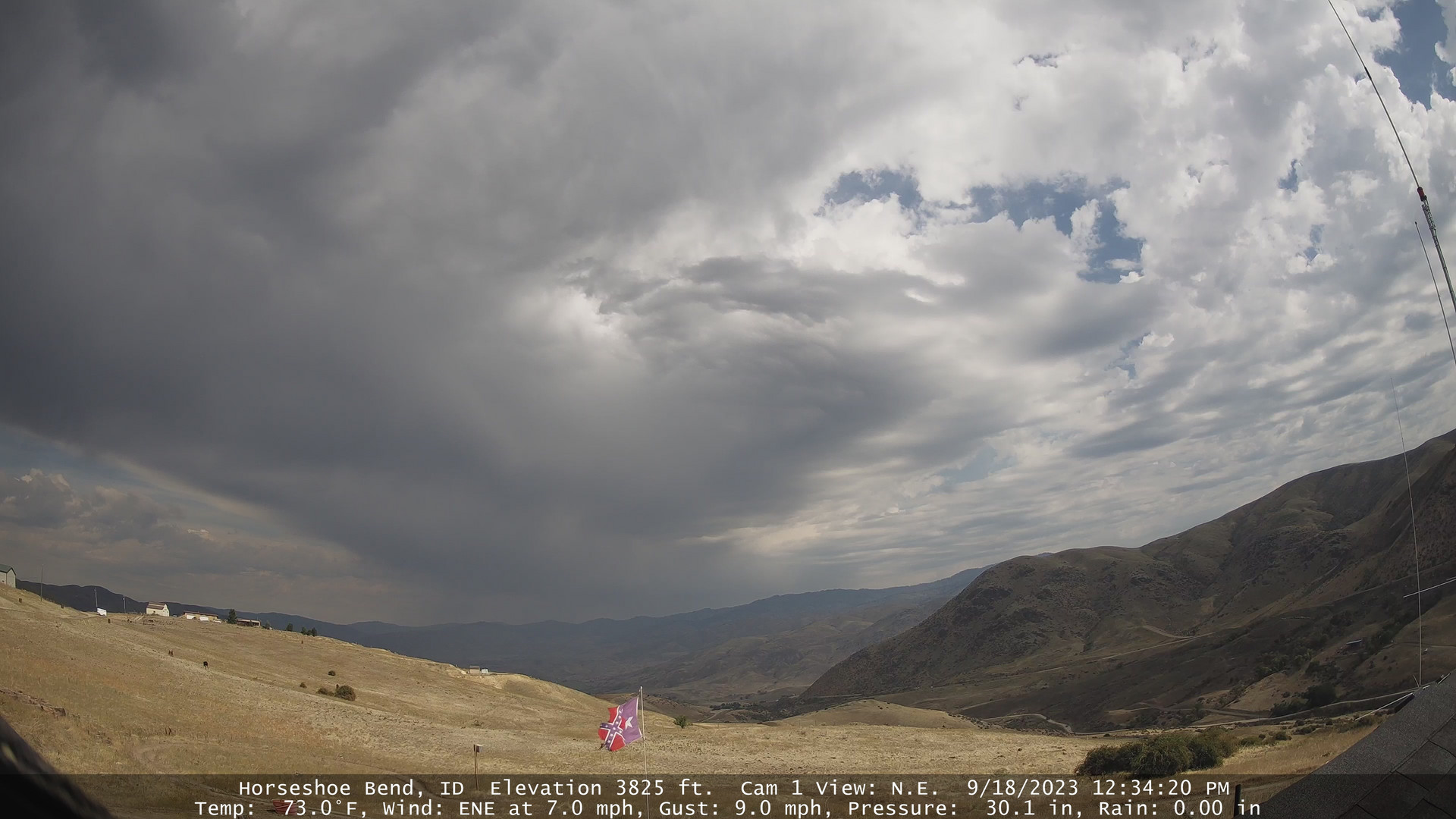
Horseshoe Bend, Idaho, USA - 153.9 miles from Long Creek: Horseshoe Bend Weathercam - A view of the mountains above Horseshoe Bend, Idaho.
Operator: Horseshoe Bend Idaho Weather
Operator: Horseshoe Bend Idaho Weather


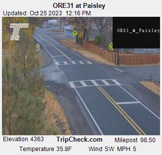
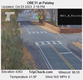
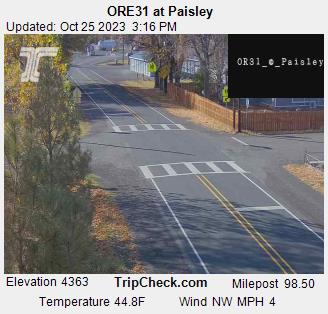
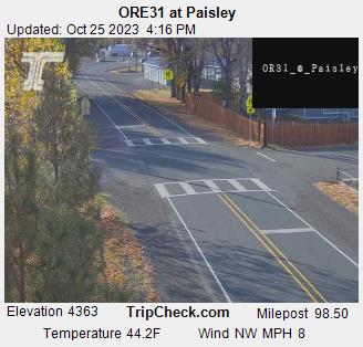
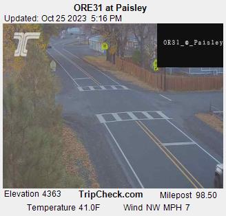
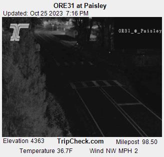
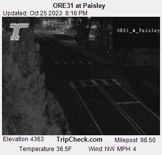
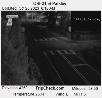
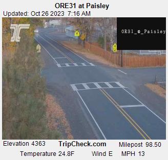
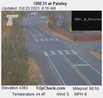
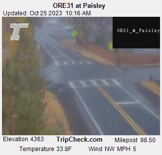
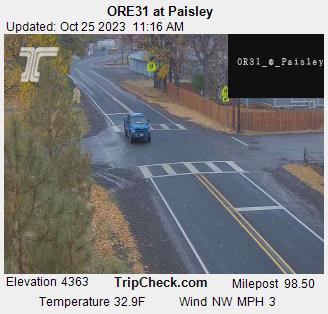
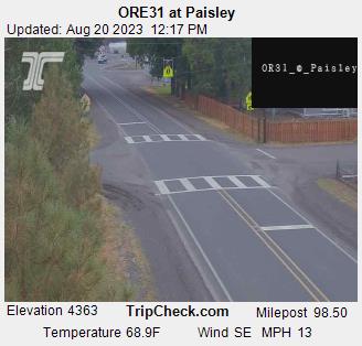
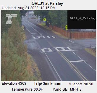
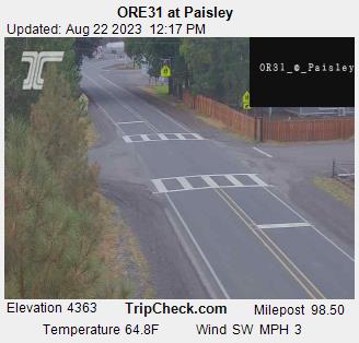
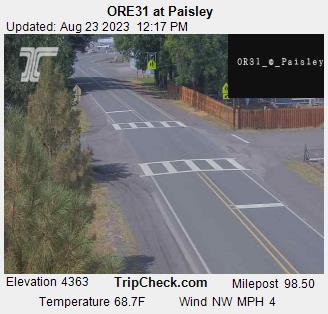
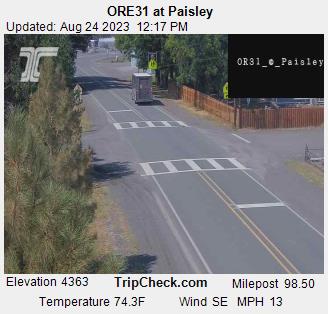
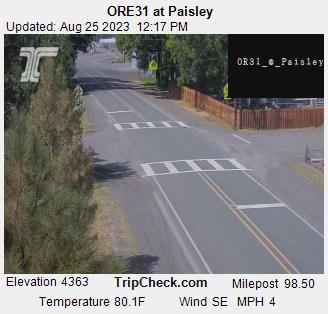
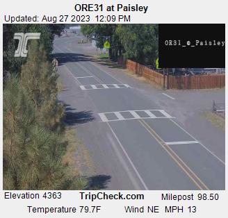
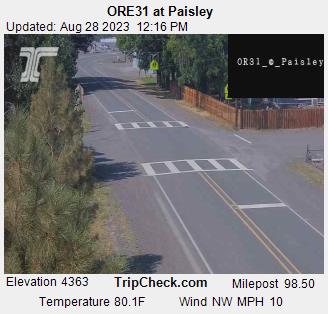
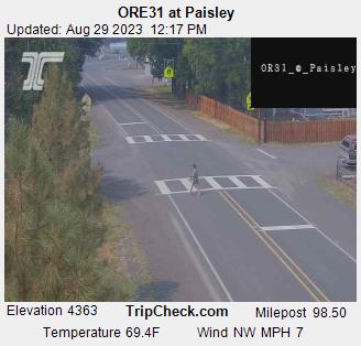
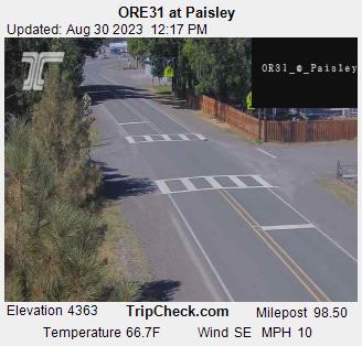
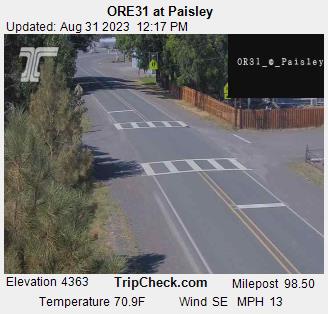
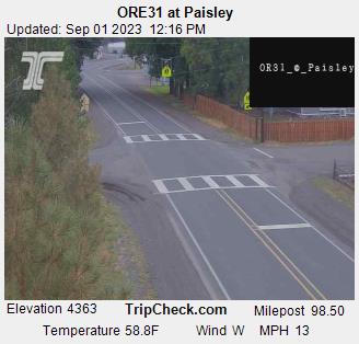
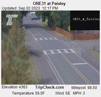
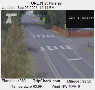
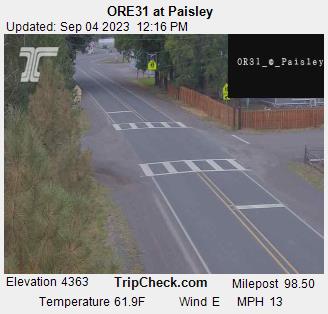
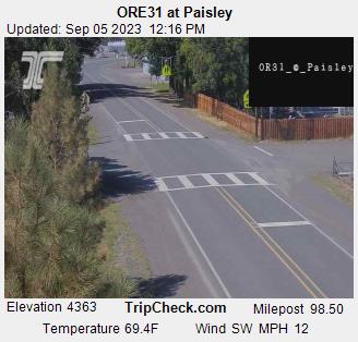
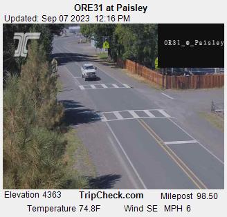
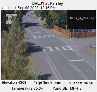
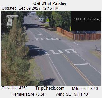
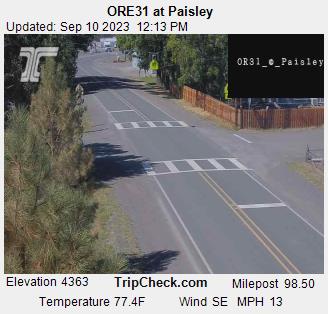
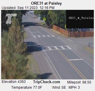
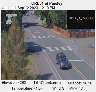
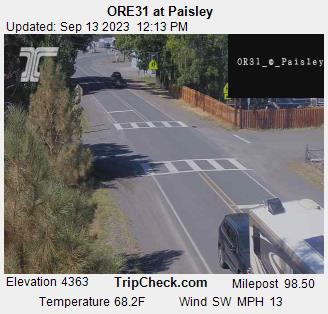
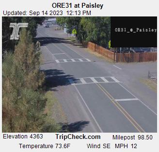
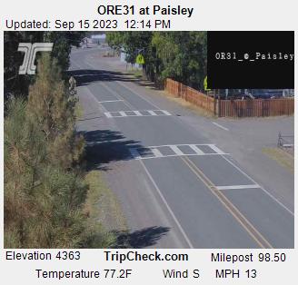
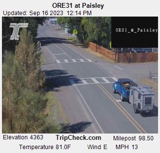
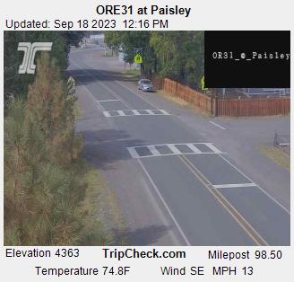
Paisley, Oregon, USA - 157.1 miles from Long Creek: ORE31 at Paisley - A view of the current traffic situation on the ORE31.
Operator: Oregon Department of Transportation
Operator: Oregon Department of Transportation


Some other places in this country: Lonerock - Madras - Mapleton - Marial - Marmot - Maxville - McCredie Springs - McLeod - Meacham - Meda