Webcams in the region of Burnside (historical), Oregon, USA
The List of Webcams near Burnside (historical), Oregon, USA:

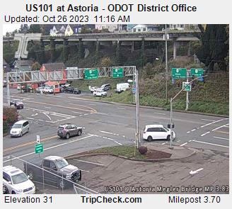
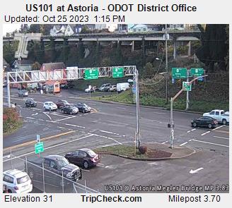
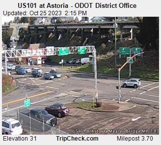
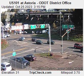
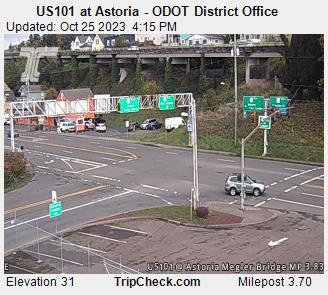
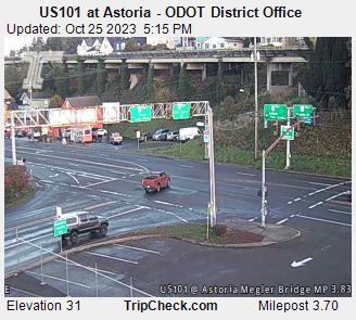
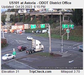
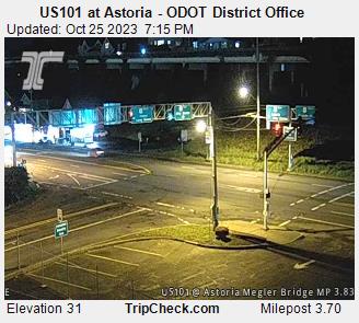
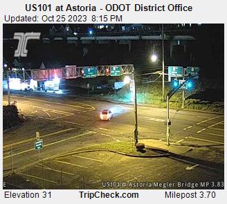
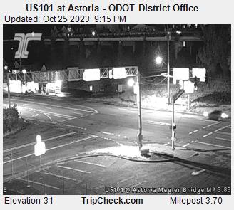
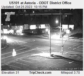
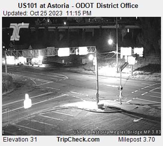
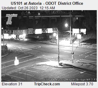
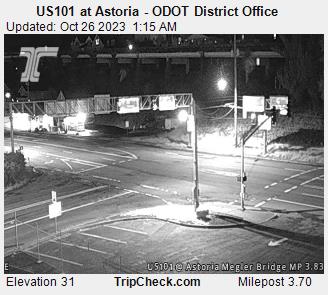
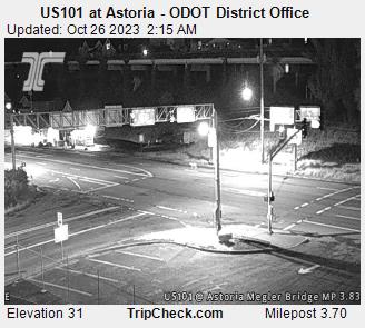
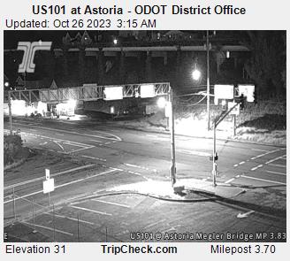
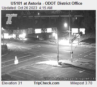
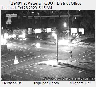
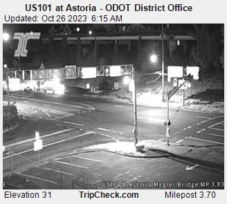
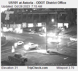
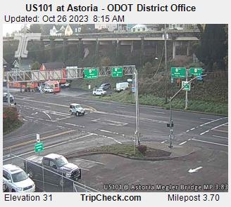
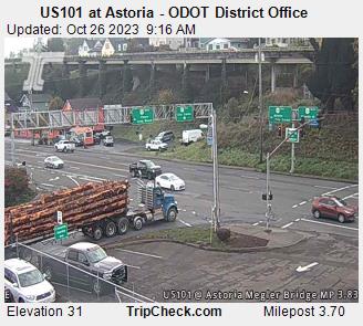
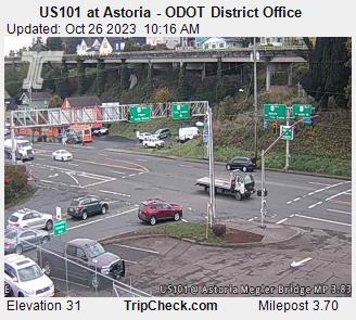
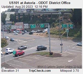
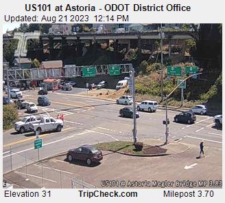
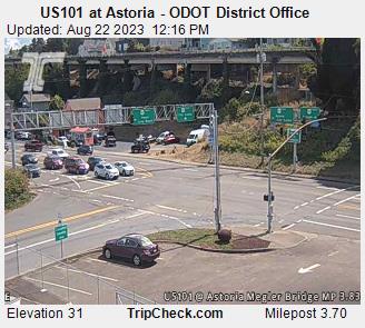
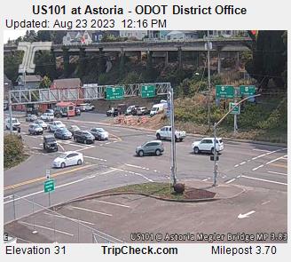
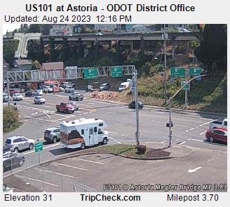
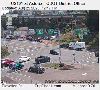
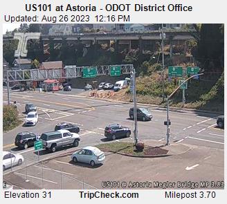
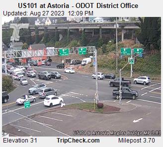
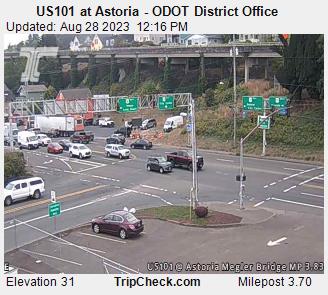
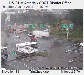
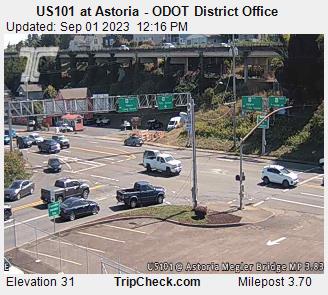
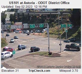
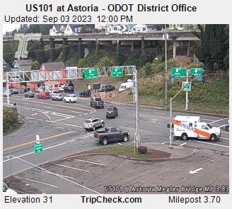
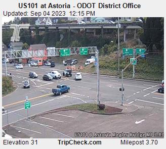
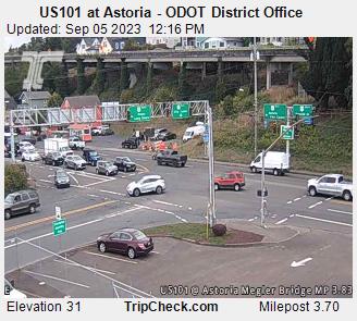
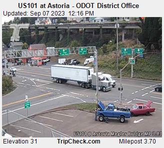
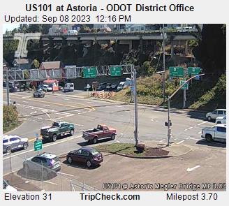
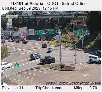
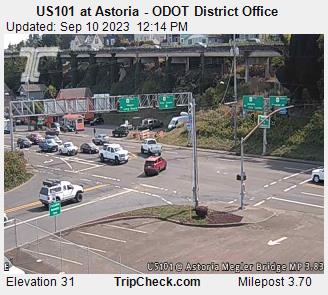
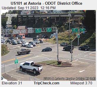
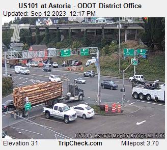
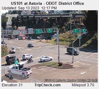
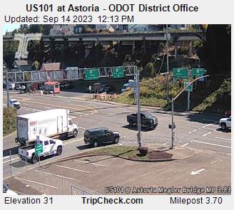
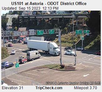
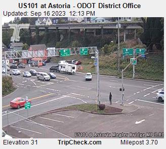
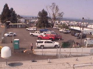
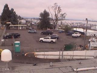
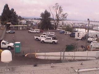
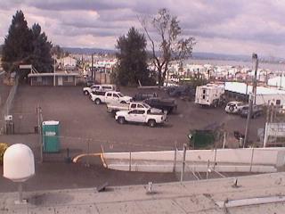
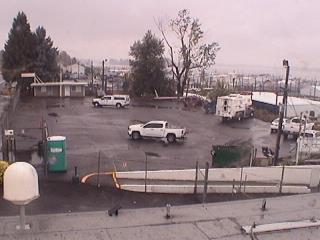
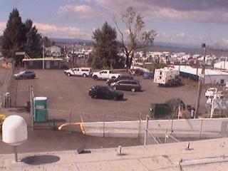
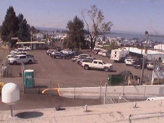
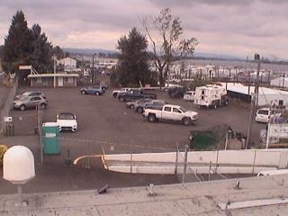
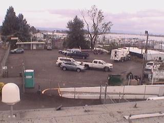
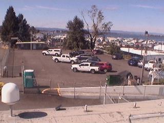
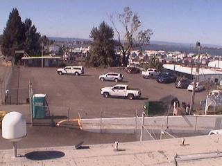
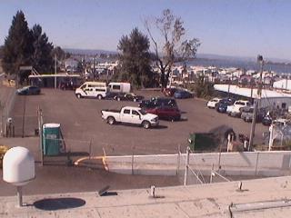
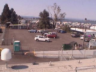
Astoria, Oregon, USA - 7.4 miles from Burnside (historical): US101 at Astoria - ODOT District Office - A view of the current traffic situation on the US101.
Operator: Oregon Department of Transportation
Operator: Oregon Department of Transportation


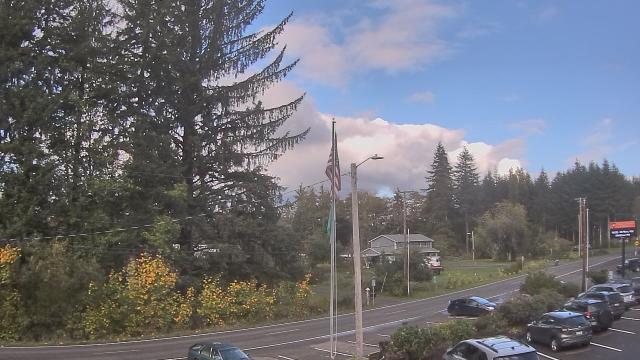
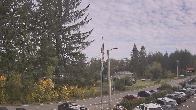
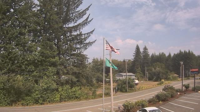
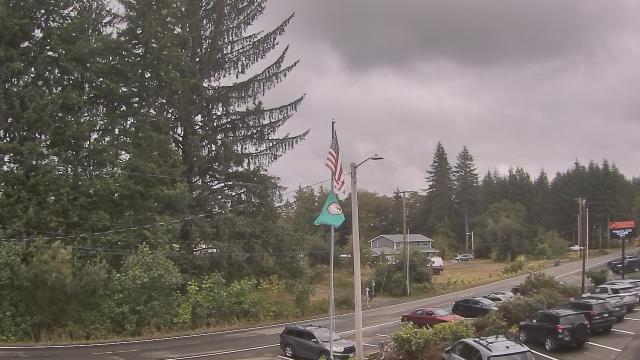
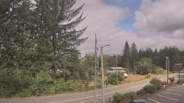
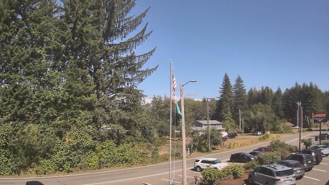
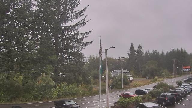
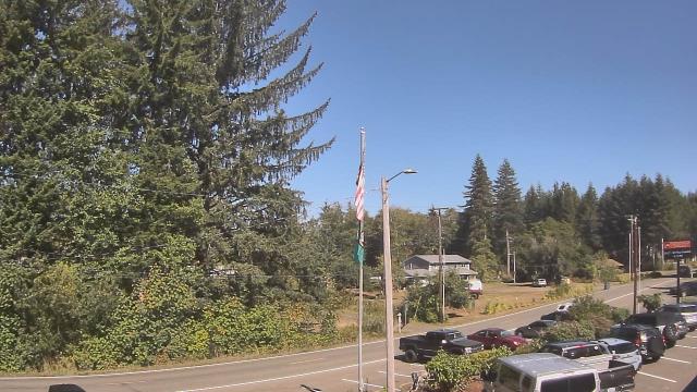
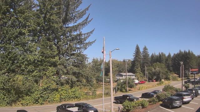
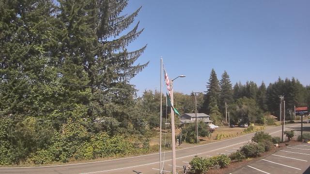
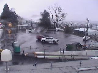
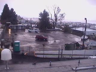
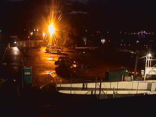
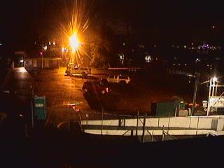
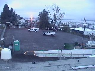
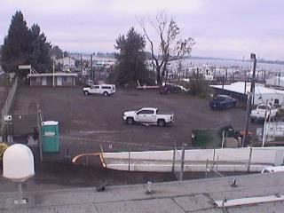
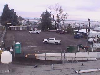
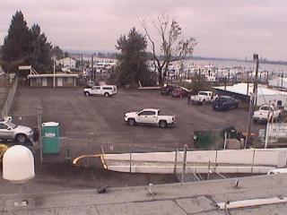
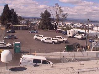
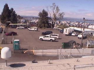
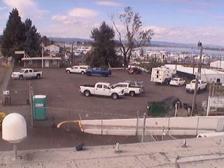
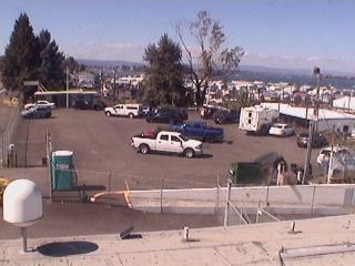
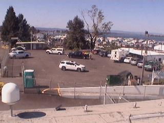
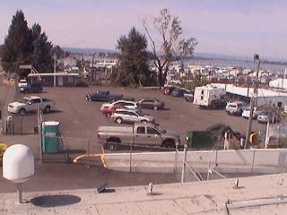
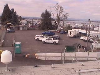
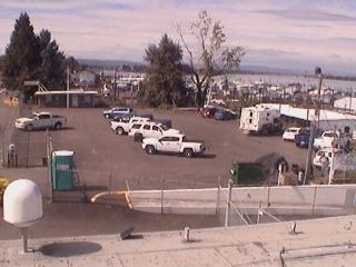
Westport, Washington, USA - 53.4 miles from Burnside (historical): WestportCAM - City of Westport - A webcam in Westport, Washington - camera location: WestportCAM - City of Westport.
Operator: WeatherBug
Operator: WeatherBug


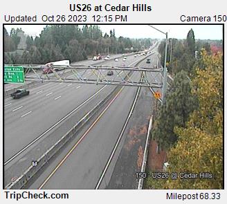
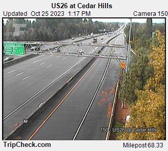
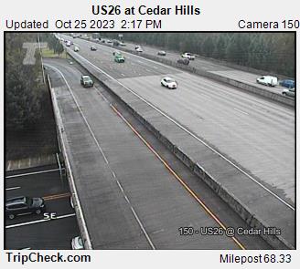
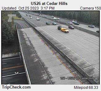
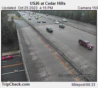
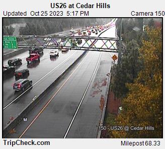
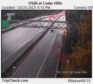
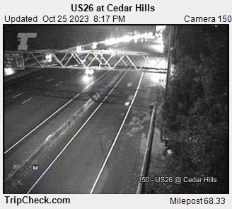
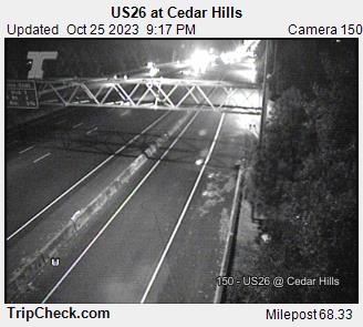
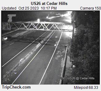
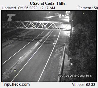
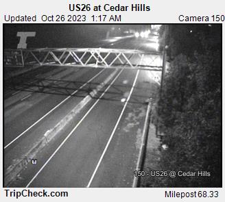
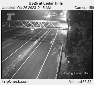
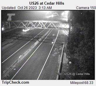
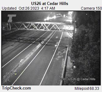
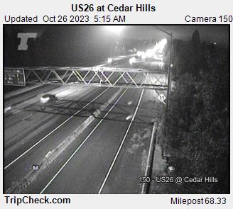
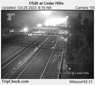
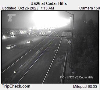
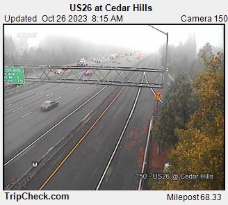
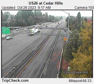
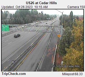
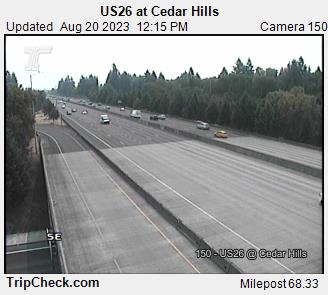
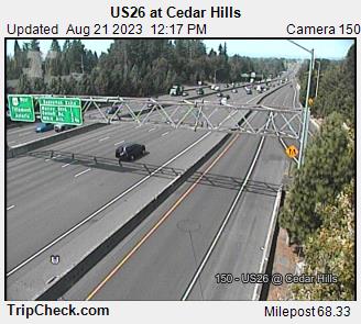
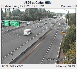
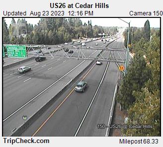
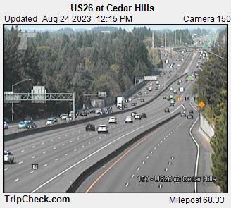
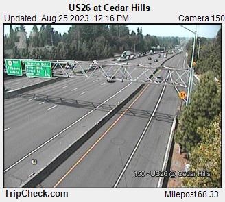
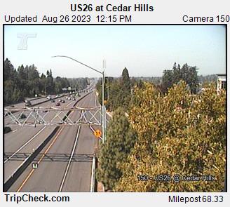
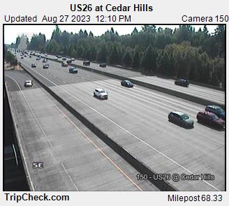
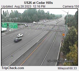
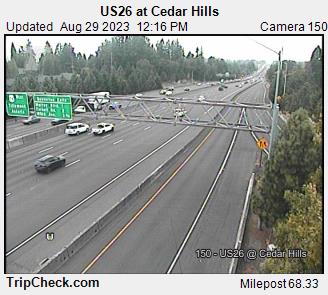
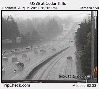
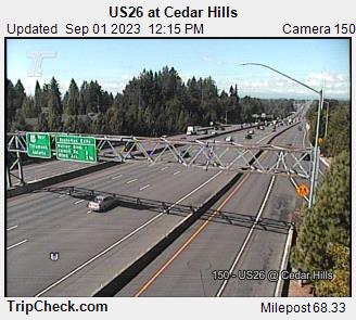
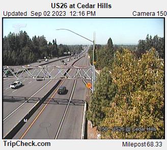
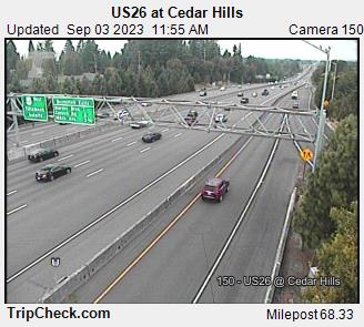
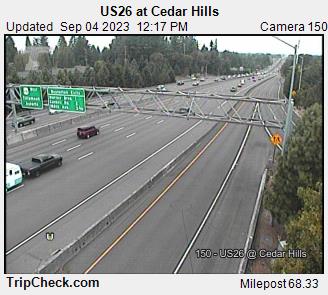
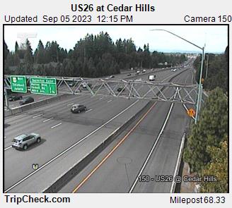
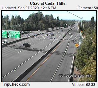
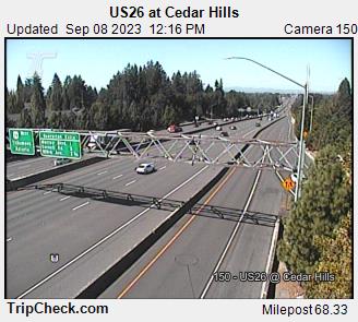
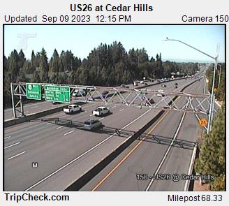
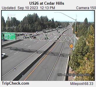
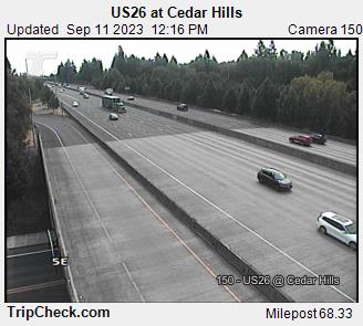
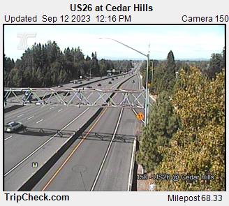
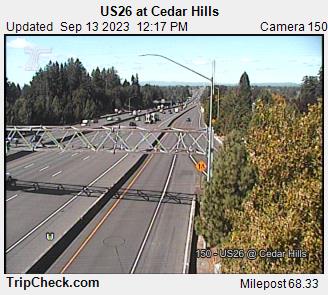
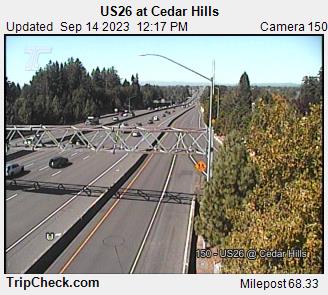
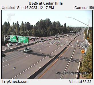
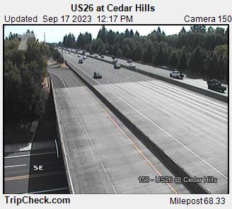
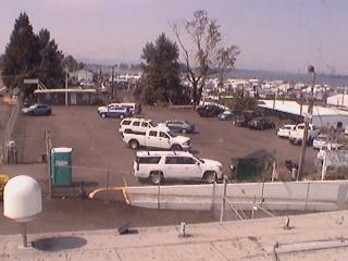
Cedar Hills, Oregon, USA - 62.2 miles from Burnside (historical): US26 at Cedar Hills - A view of the current traffic situation on the US26.
Operator: Oregon Department of Transportation
Operator: Oregon Department of Transportation


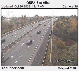
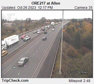
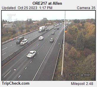
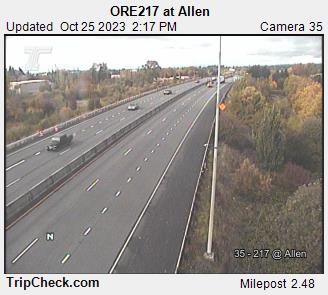
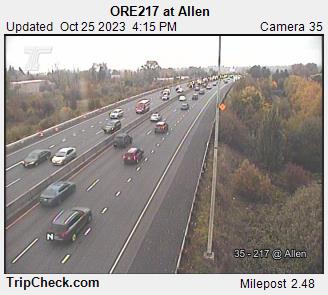
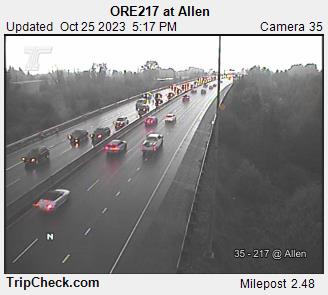
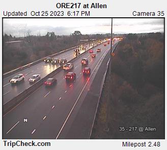
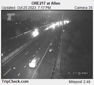
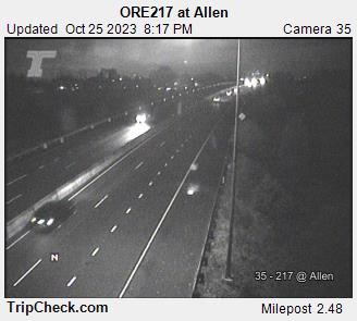
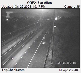
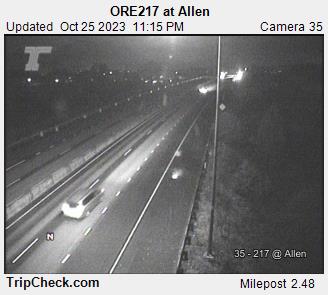
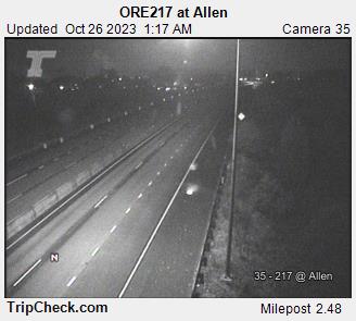
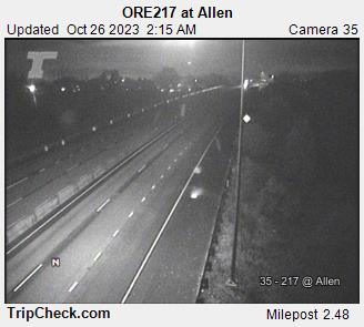
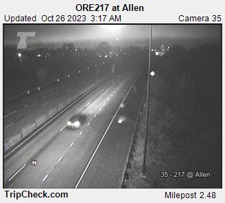
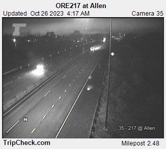
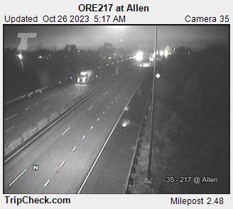
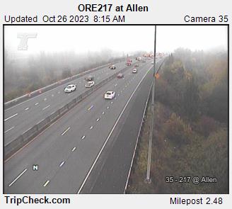
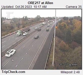
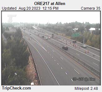
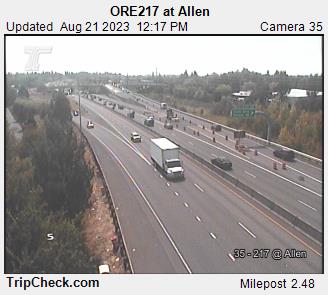
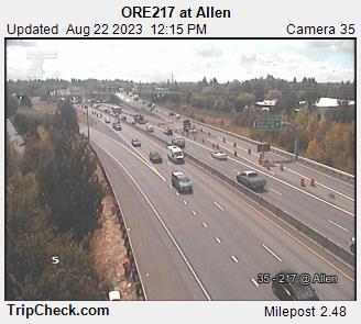
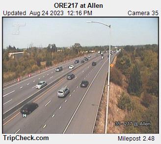
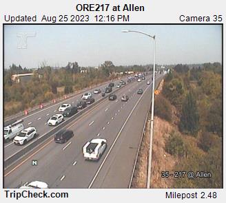
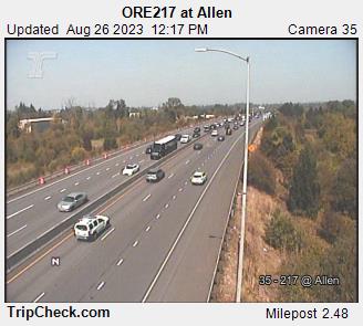
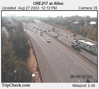
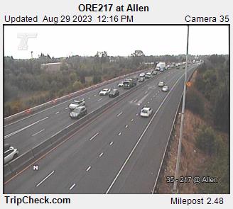
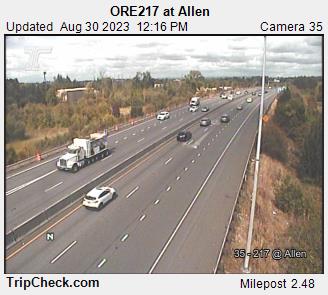
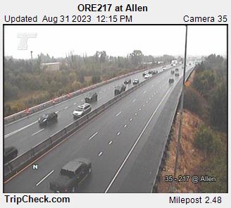
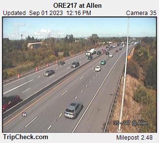
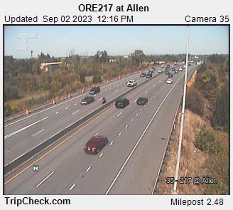
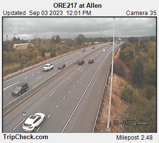
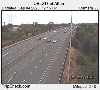
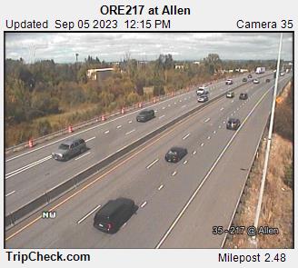
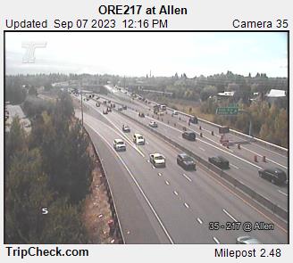
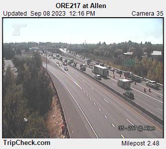
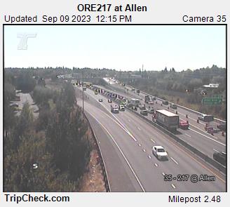
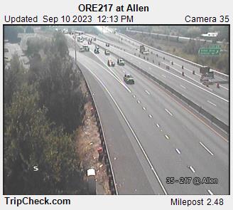
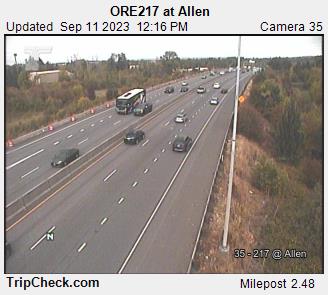
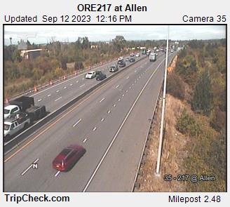
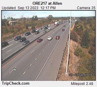
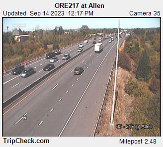
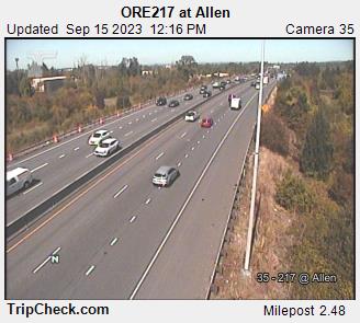
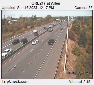
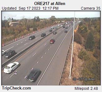
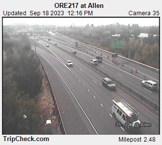
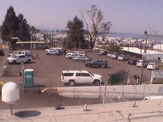
Beaverton, Oregon, USA - 63.1 miles from Burnside (historical): ORE217 at Allen - A view of the current traffic situation on the ORE217.
Operator: Oregon Department of Transportation
Operator: Oregon Department of Transportation


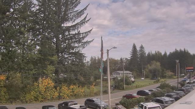
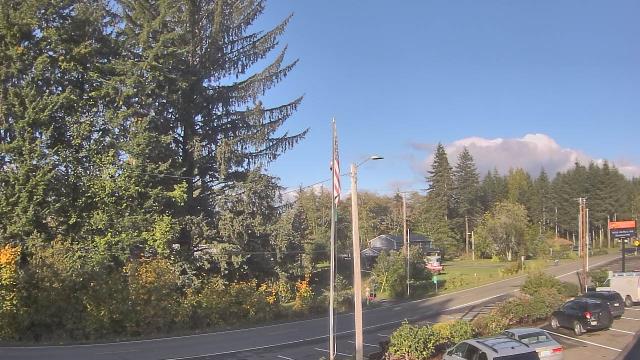
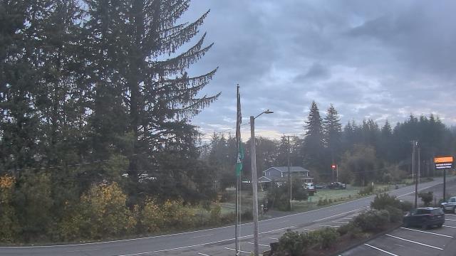
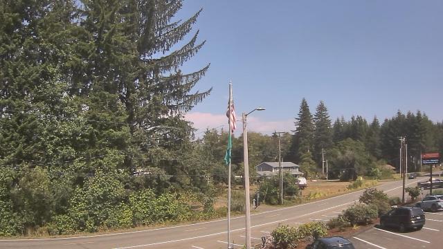
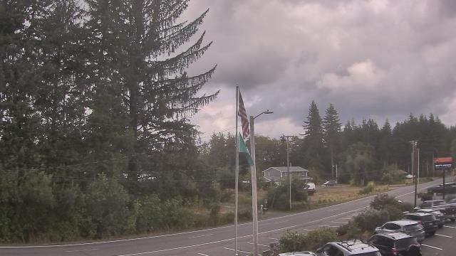
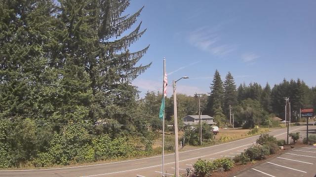
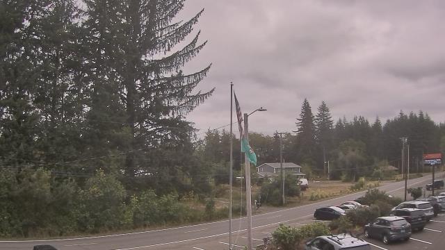
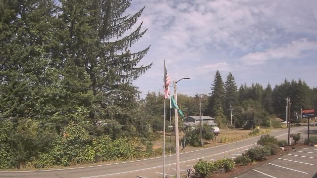
Wishkah, Washington, USA - 65.3 miles from Burnside (historical): Wishkah Valley School - A webcam in Wishkah, Washington - camera location: Wishkah Valley School.
Operator: WeatherBug
Operator: WeatherBug
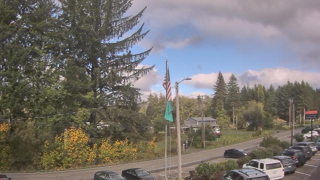
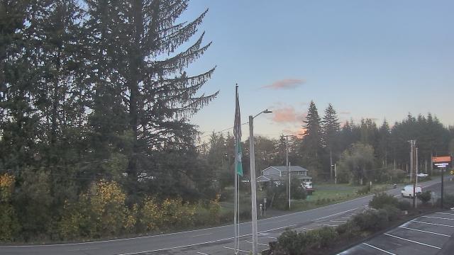


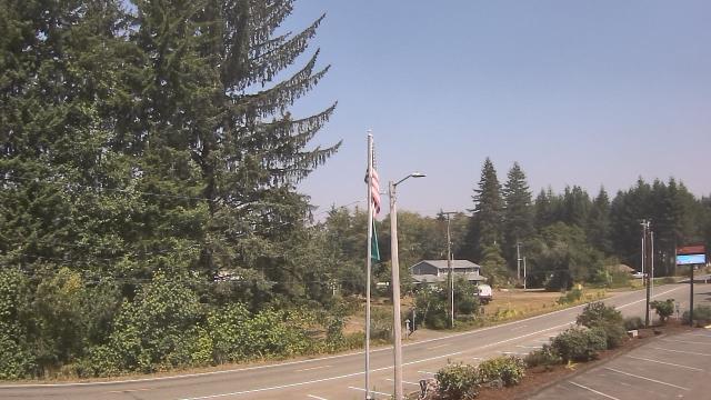
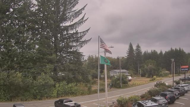
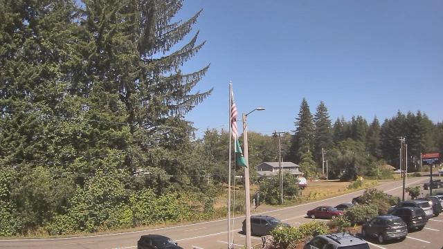
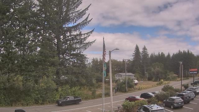
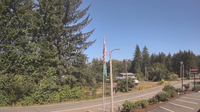
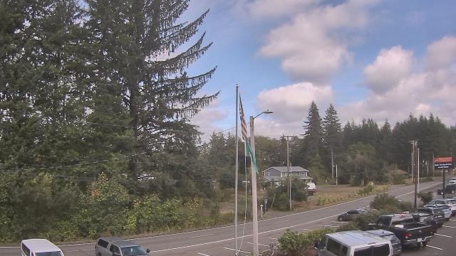


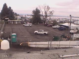
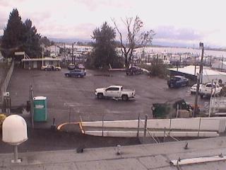
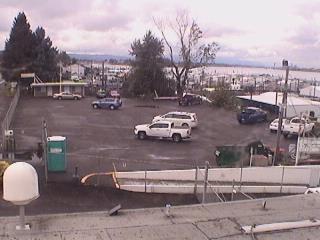
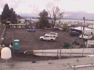
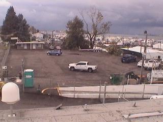
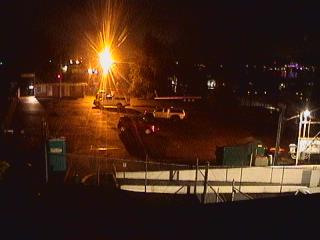
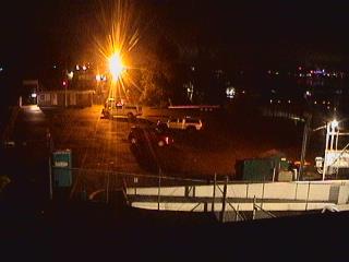
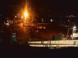
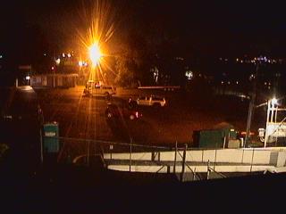
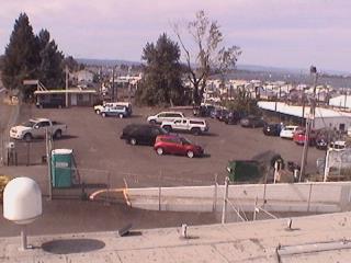
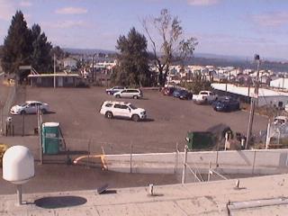
Portland, Oregon, USA - 66.1 miles from Burnside (historical): Rodgers Marine LLC - A webcam in Portland, Oregon - camera location: Rodgers Marine LLC.
Operator: WeatherBug
Operator: WeatherBug


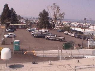

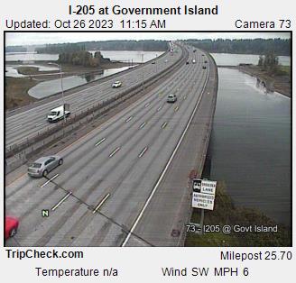
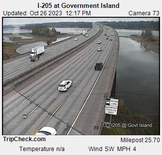
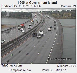
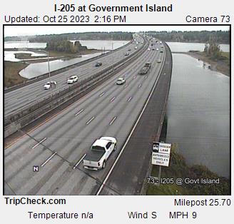
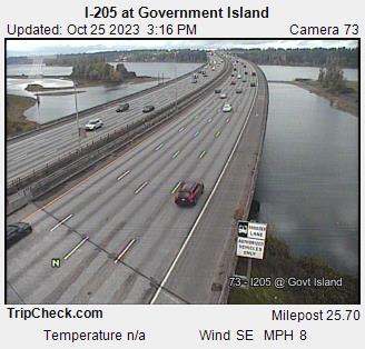
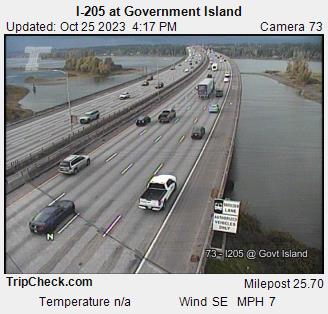
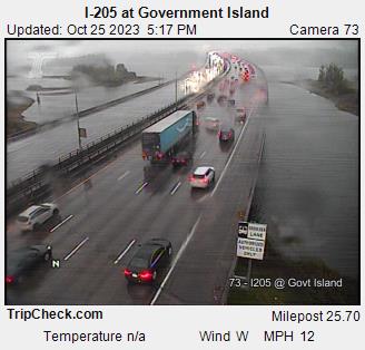
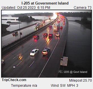
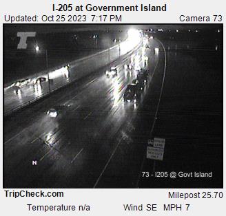
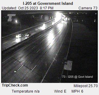
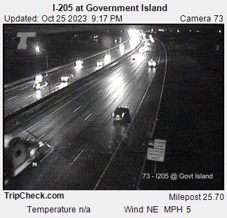
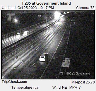
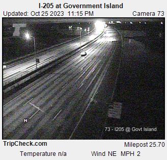
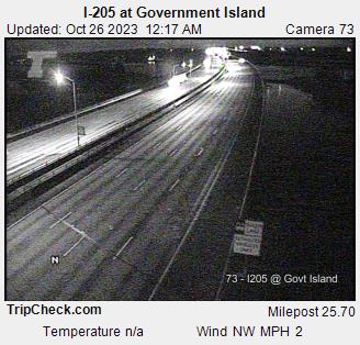
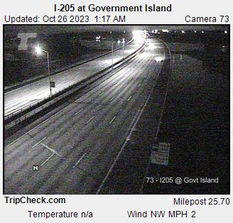
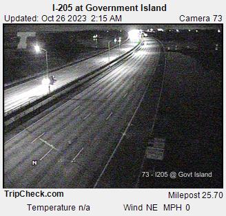
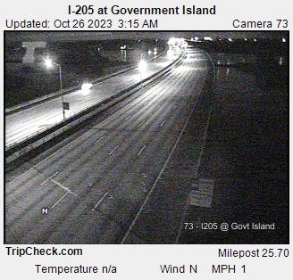
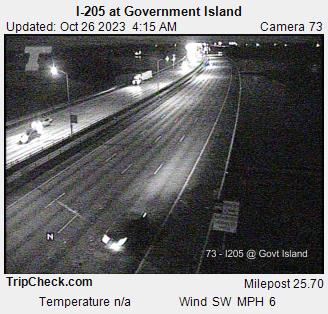
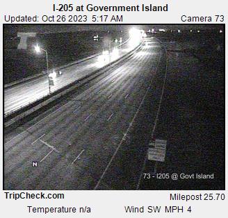
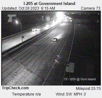
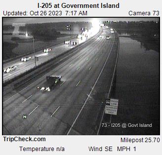
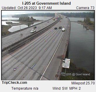
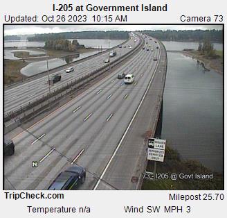
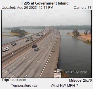
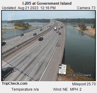
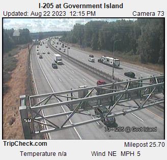
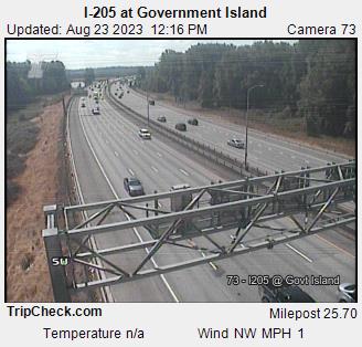
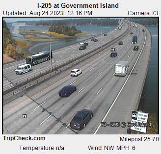
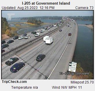
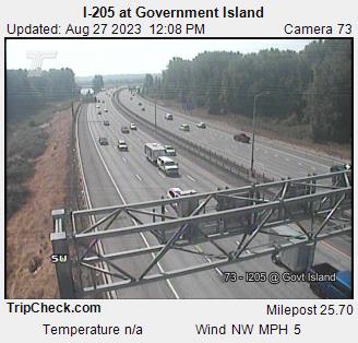
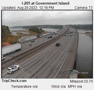
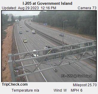
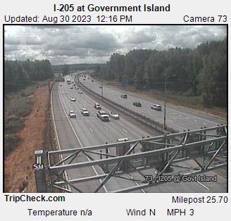
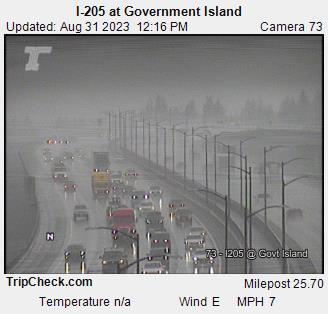
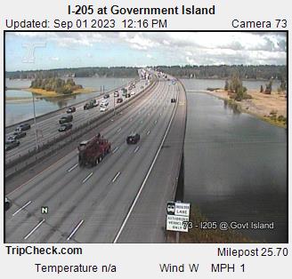
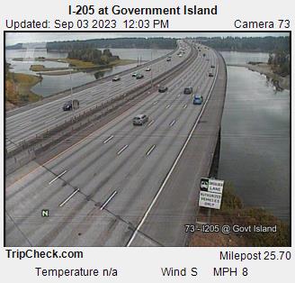
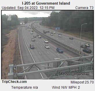
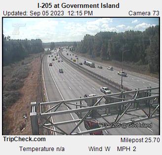
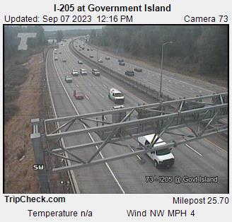
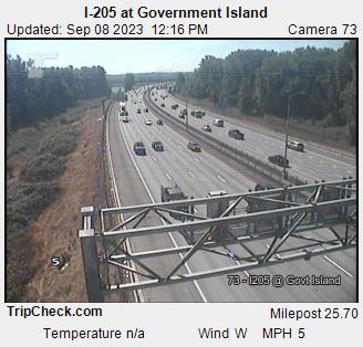
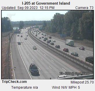
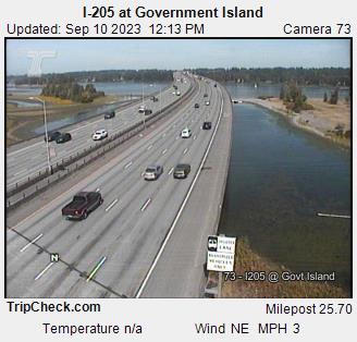
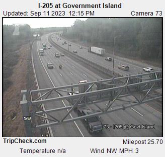
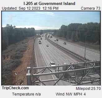
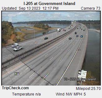
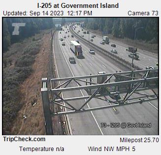
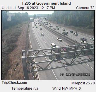
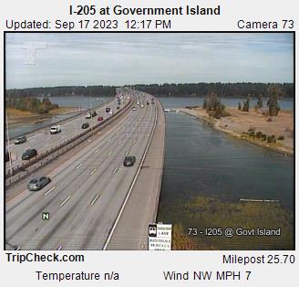
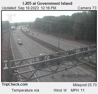
Portland, Oregon, USA - 66.1 miles from Burnside (historical): I-205 at Government Island - A view of the current traffic situation on the I-205.
Operator: Oregon Department of Transportation
Operator: Oregon Department of Transportation


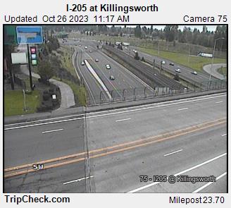
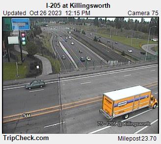
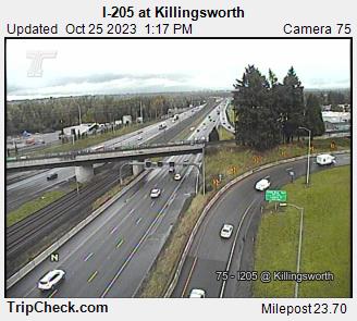
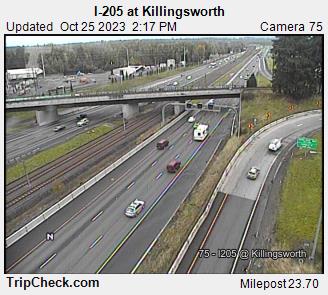
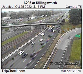
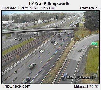
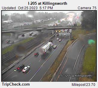
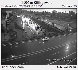
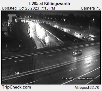
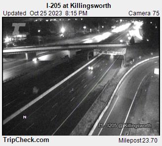
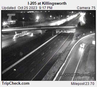
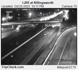
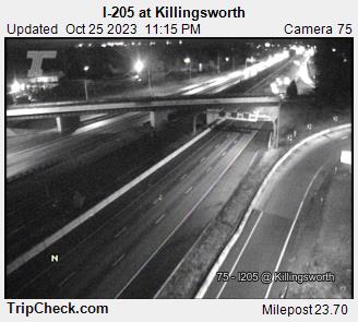
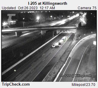
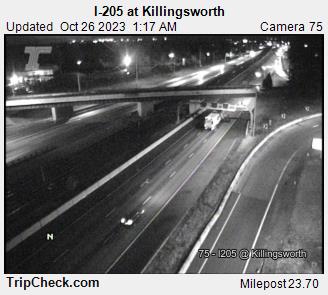
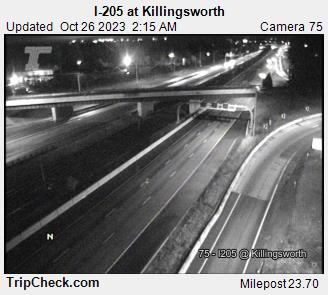
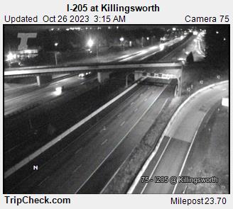
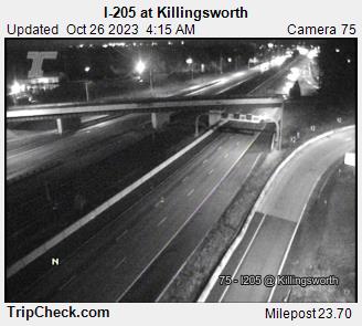
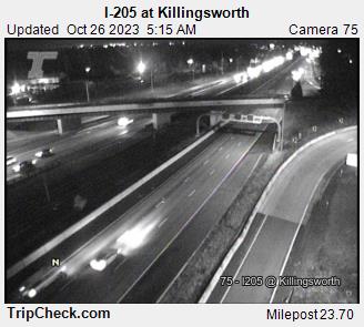
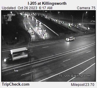
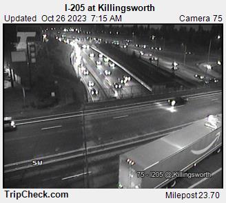
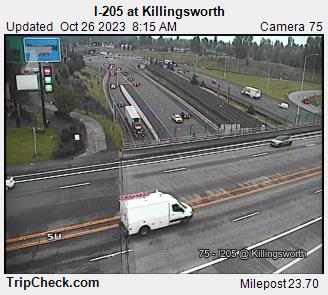
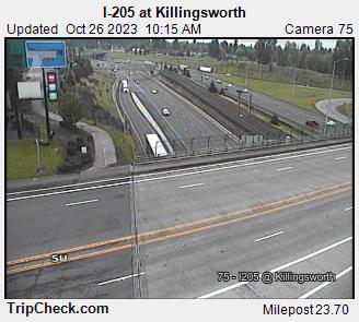
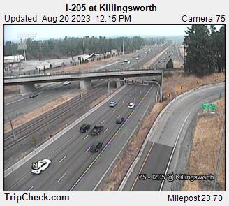
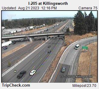
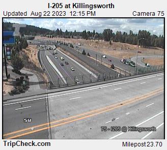
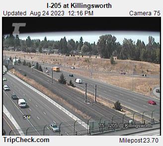
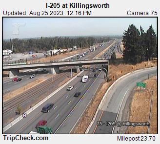
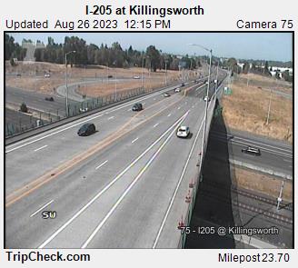
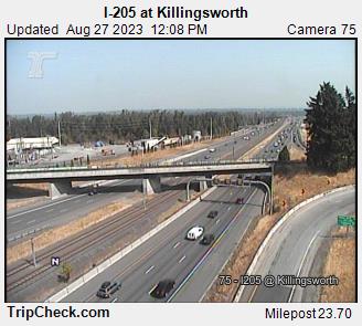
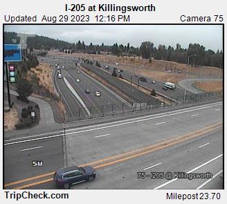
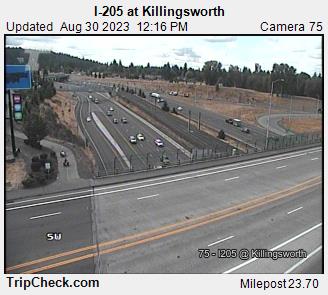
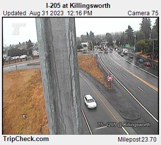
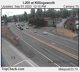
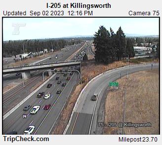
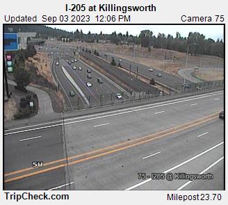
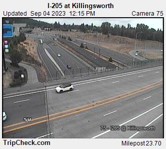
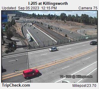
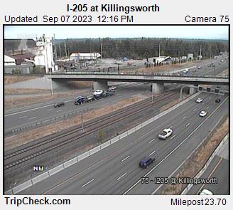
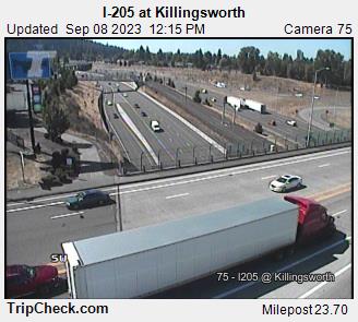
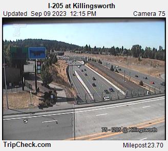
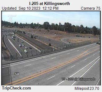
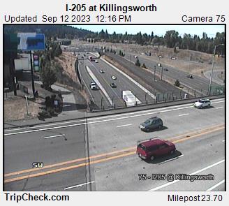
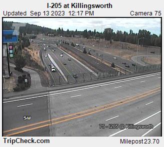
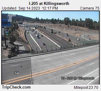
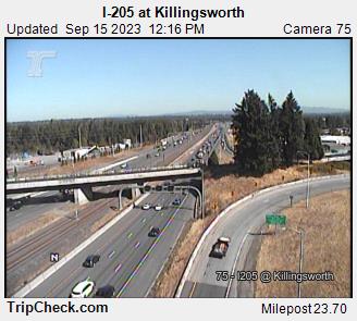
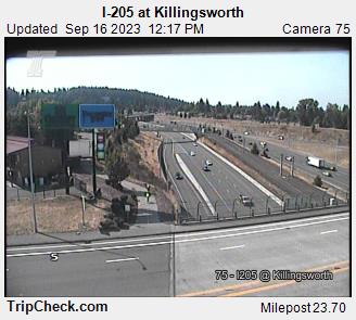
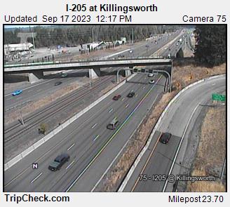
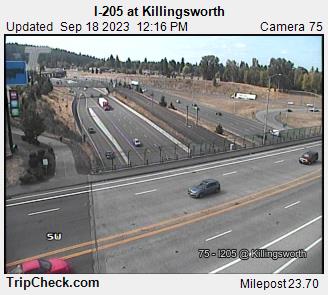
Parkrose, Oregon, USA - 68.6 miles from Burnside (historical): I-205 at Killingsworth - A view of the current traffic situation on the I-205.
Operator: Oregon Department of Transportation
Operator: Oregon Department of Transportation


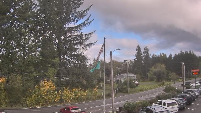
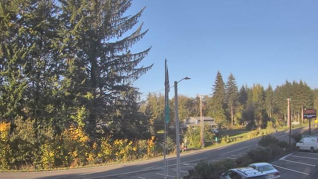
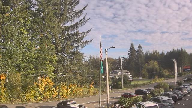
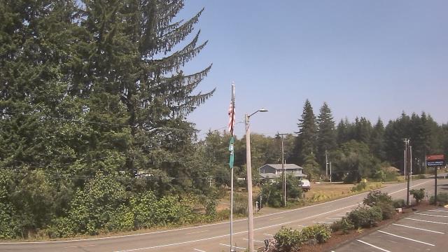
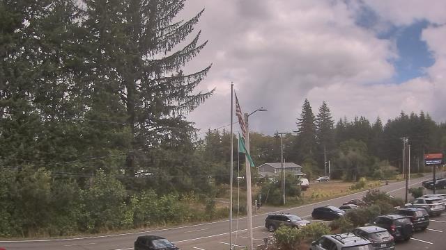
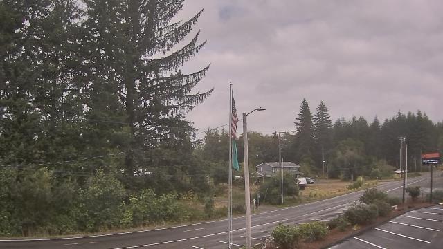
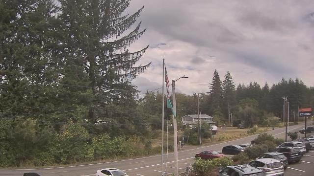
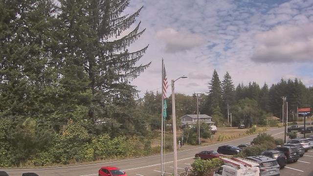
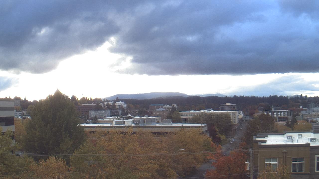
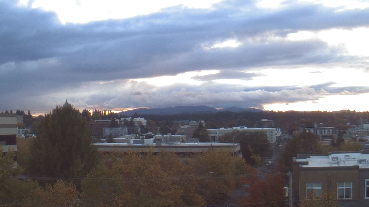
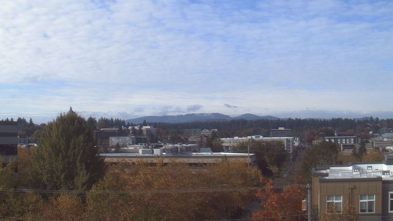
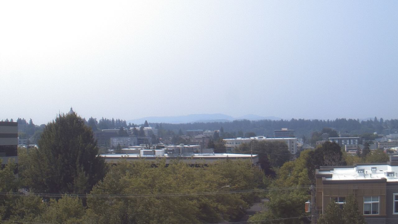
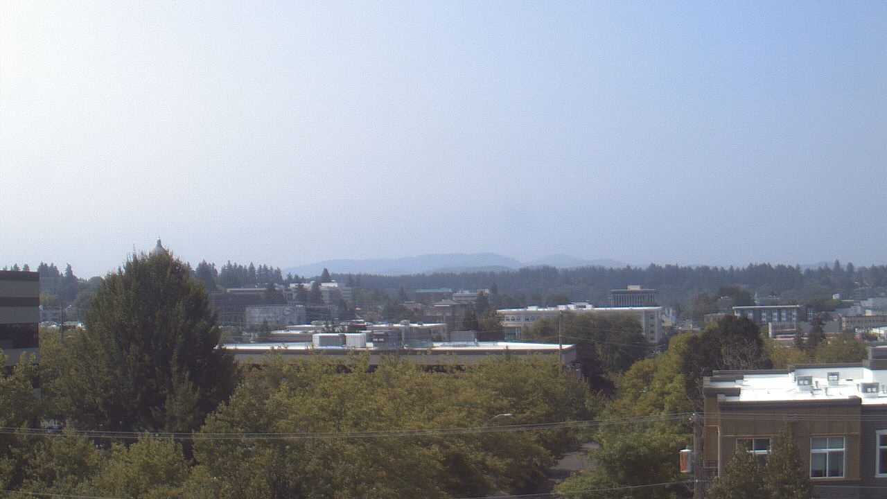
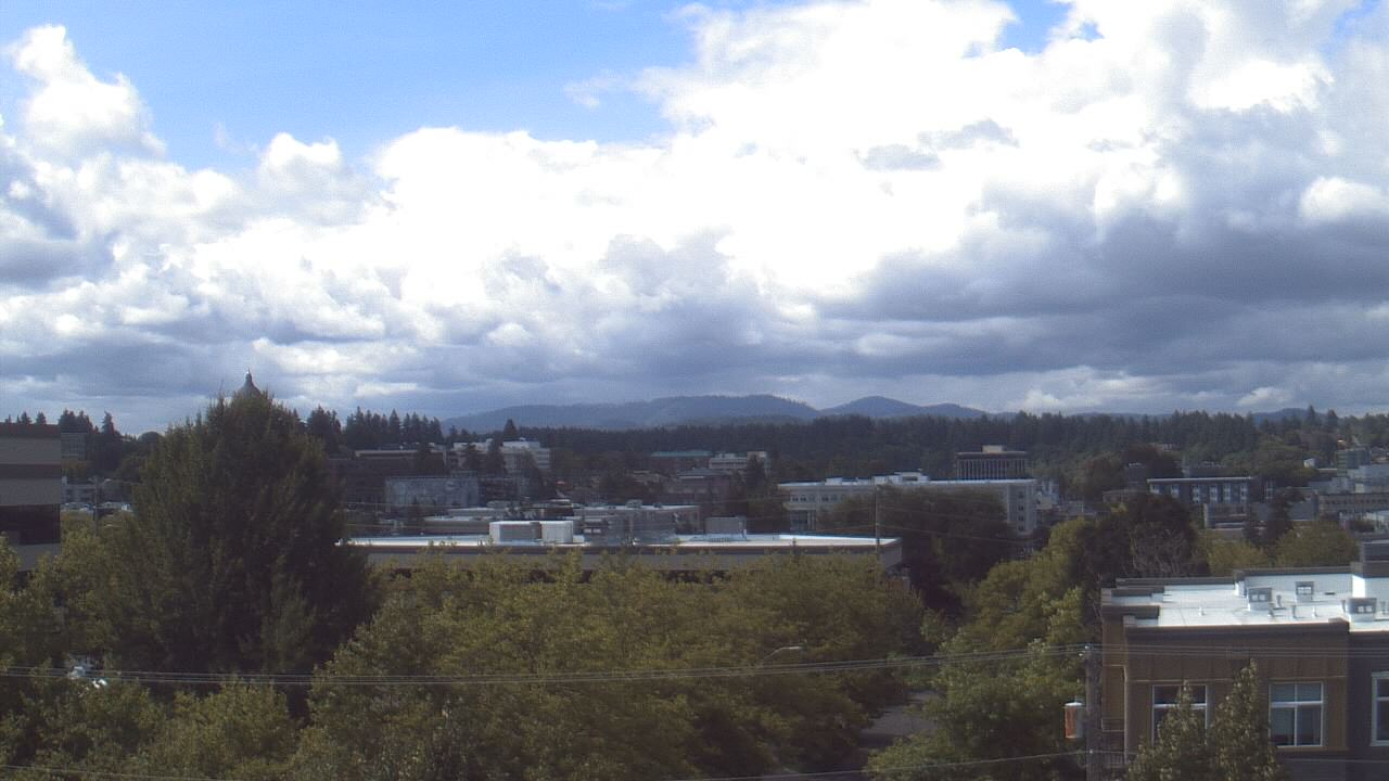
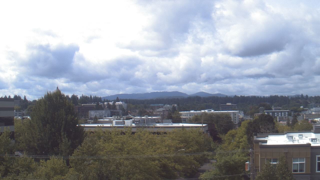
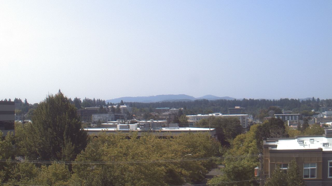
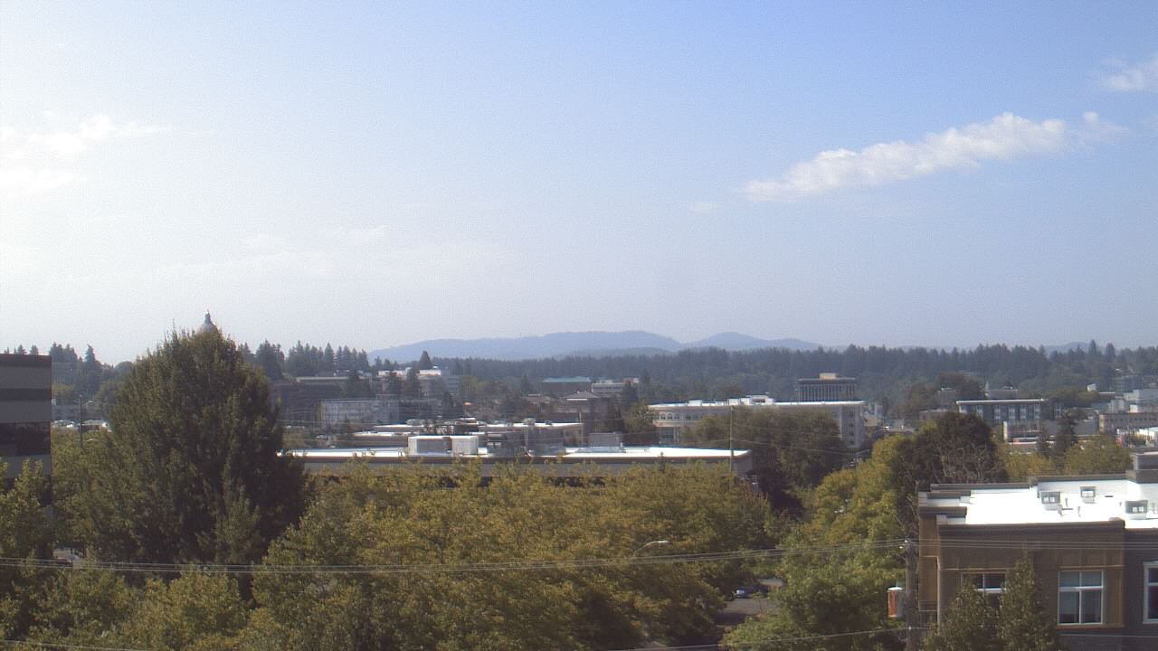
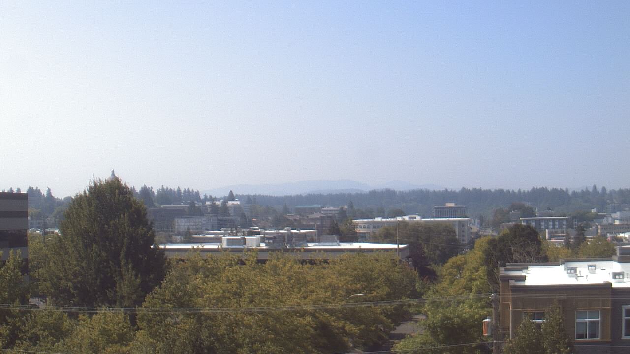
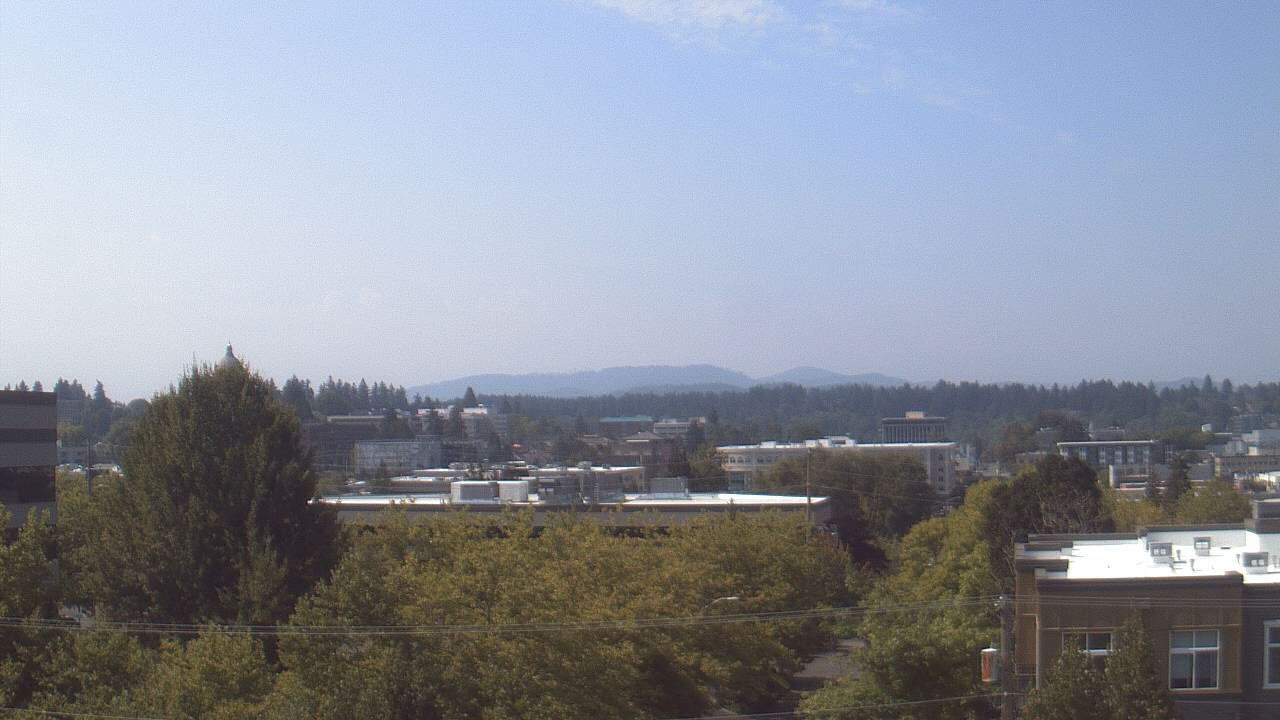
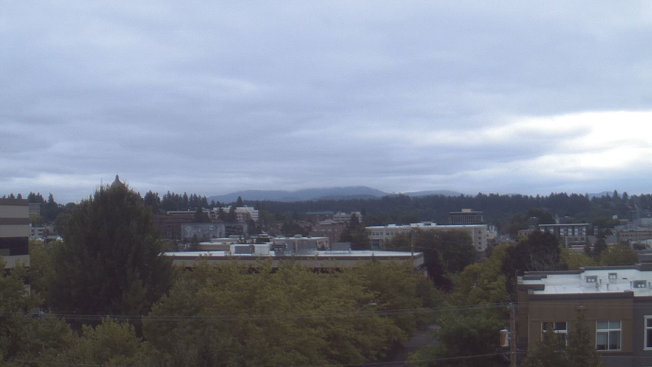
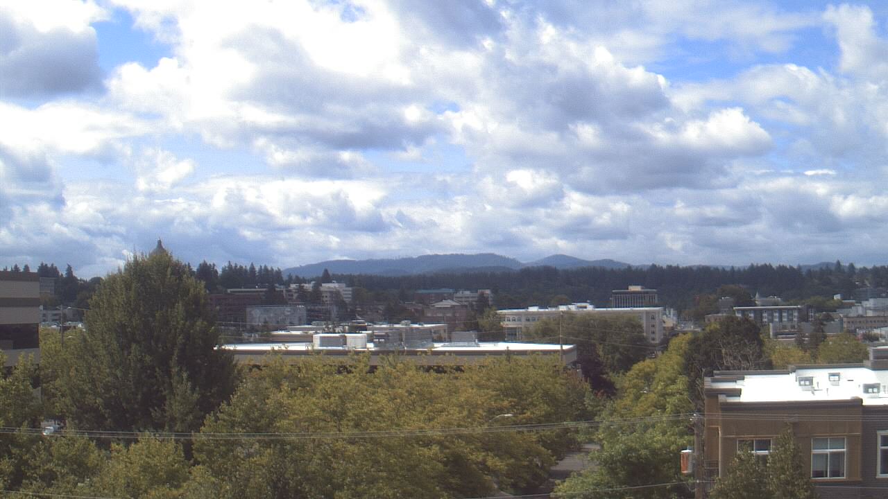
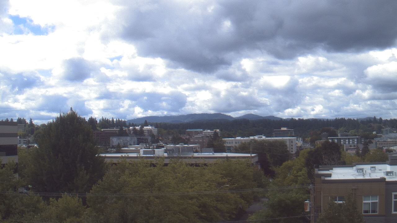
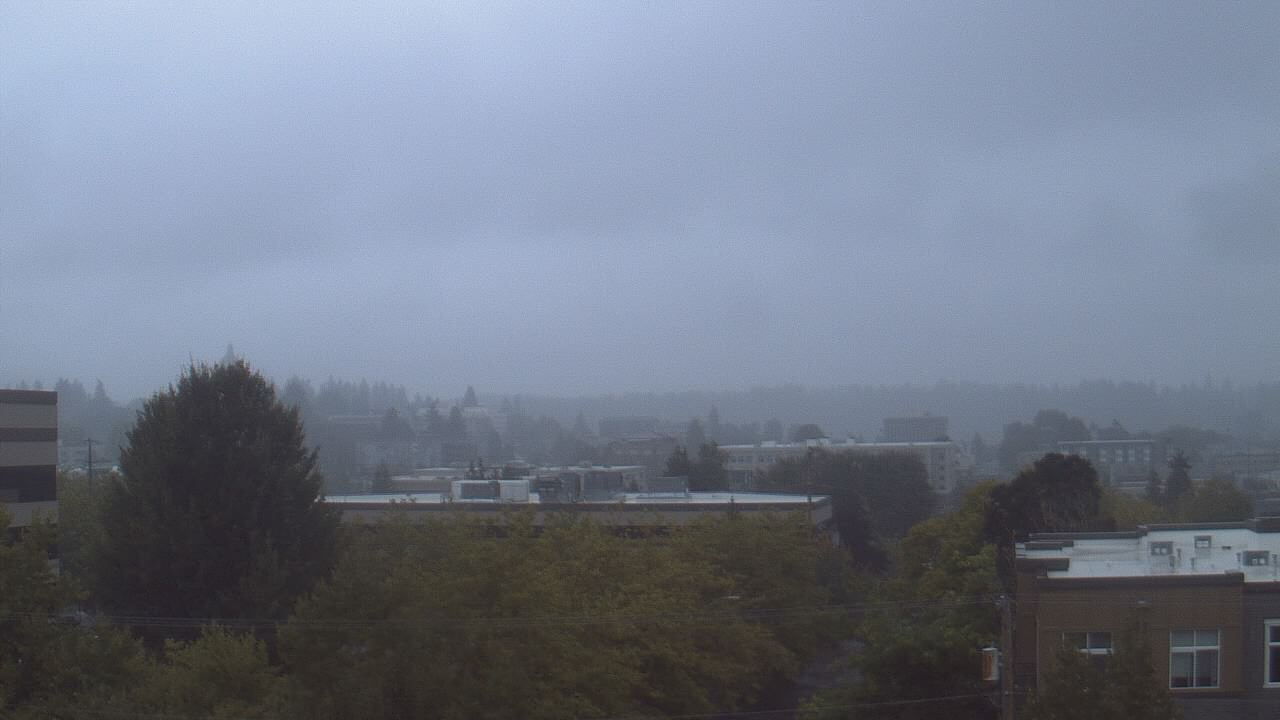
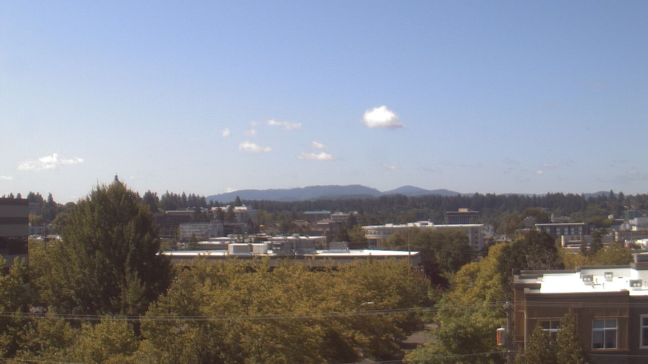
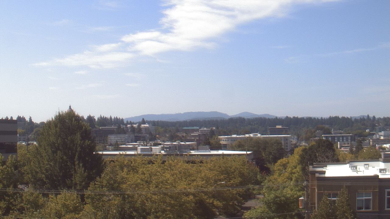
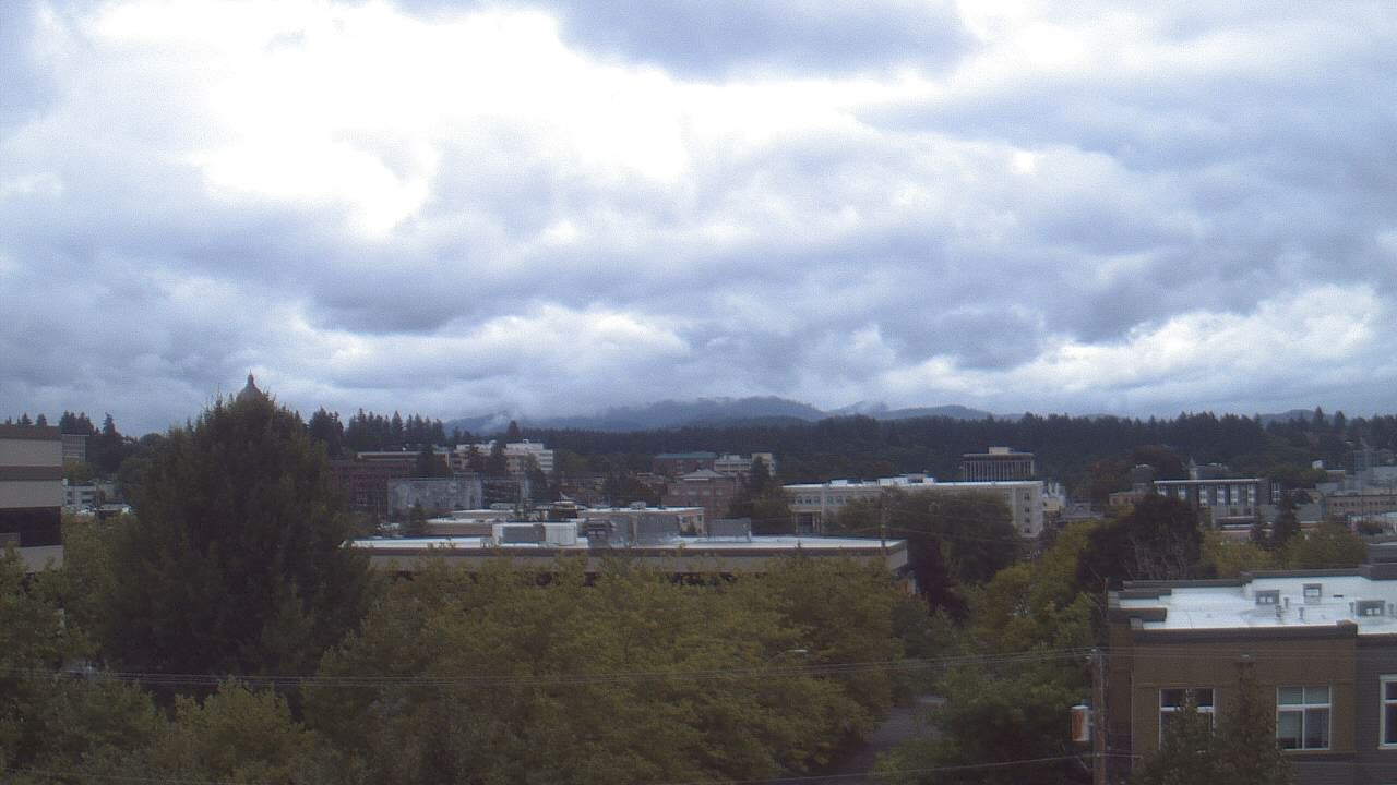
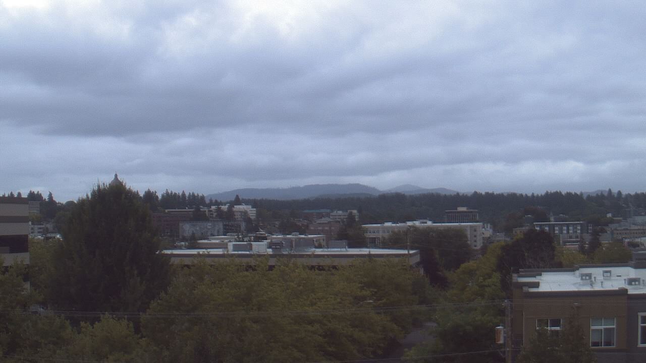
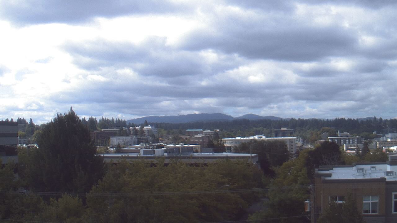
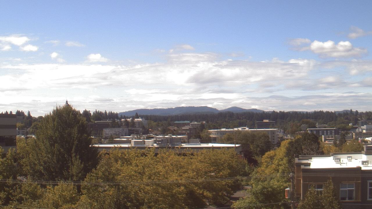
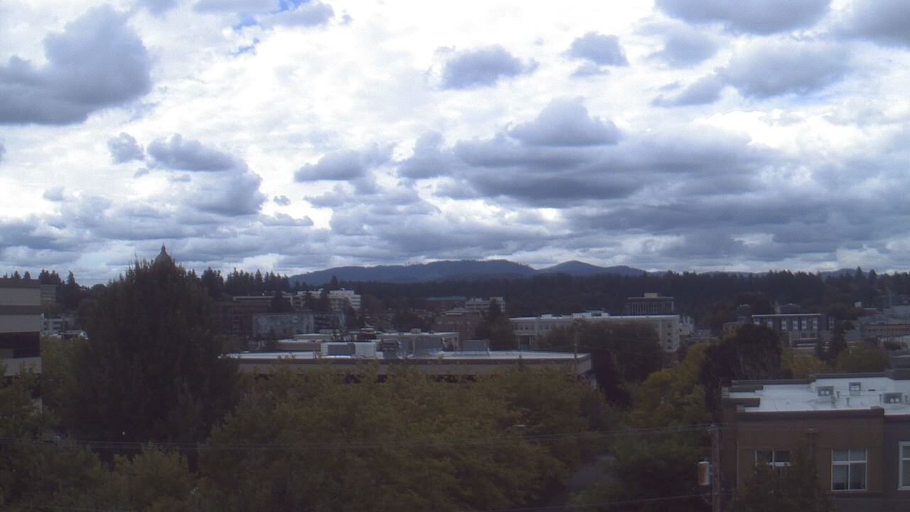
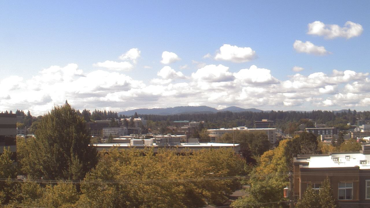
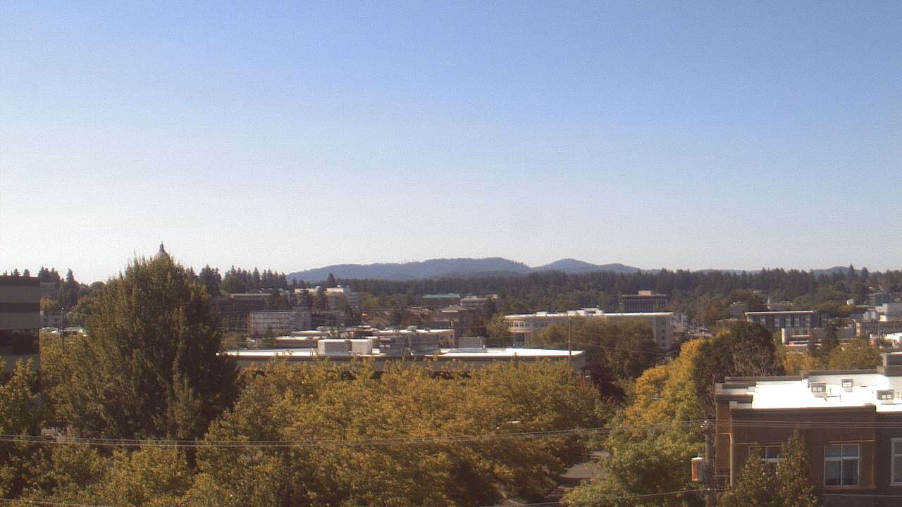
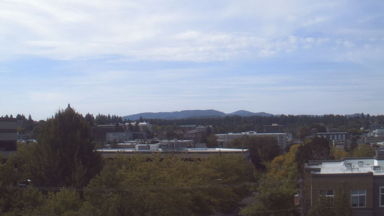
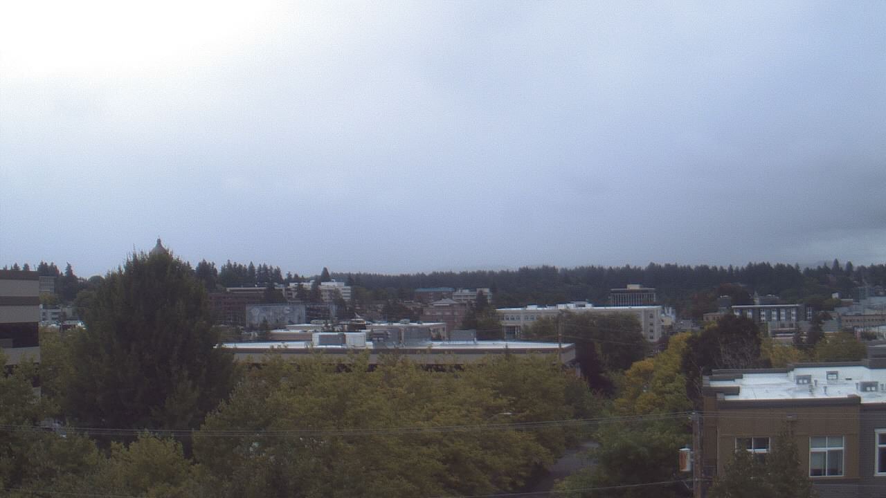
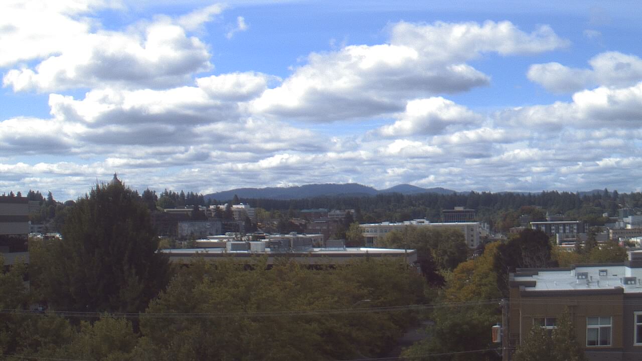
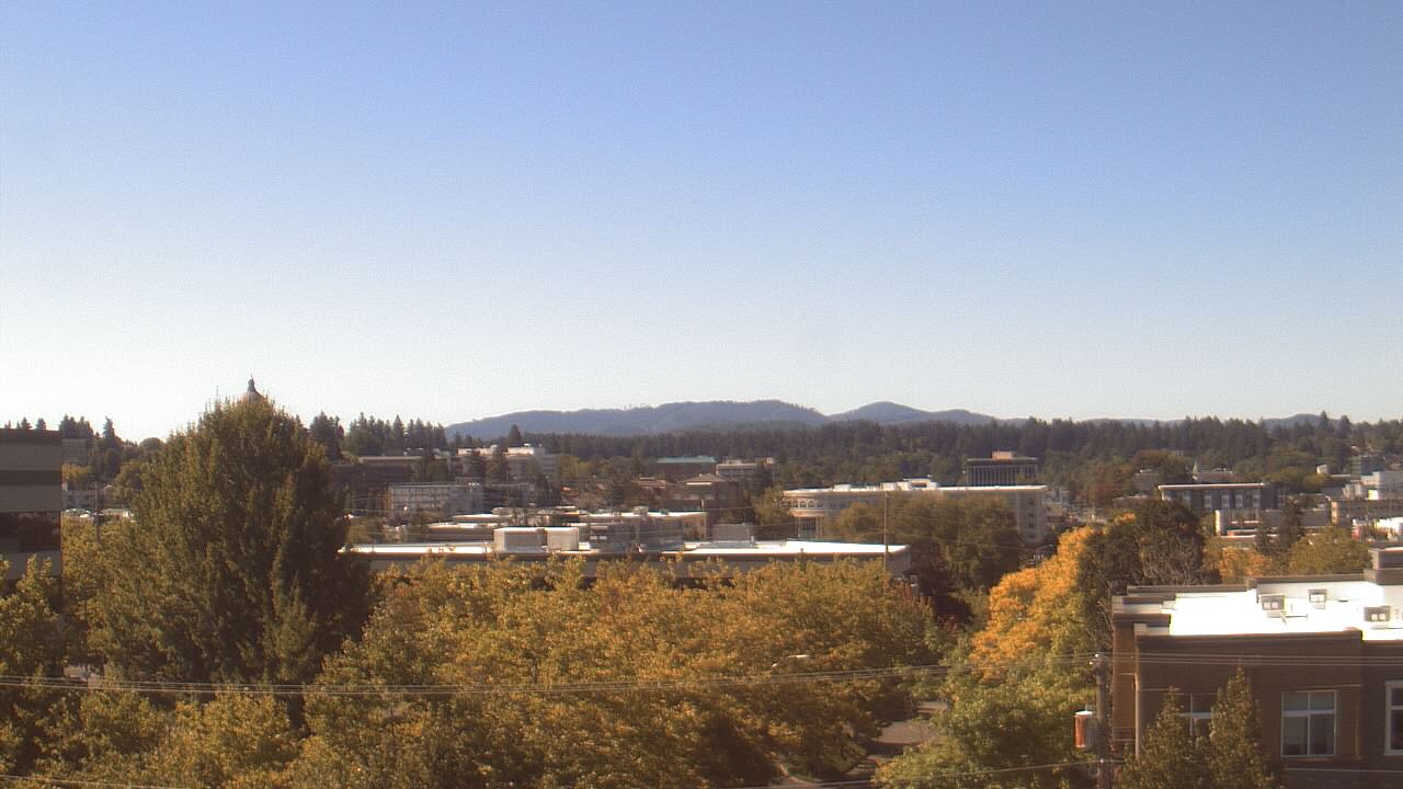
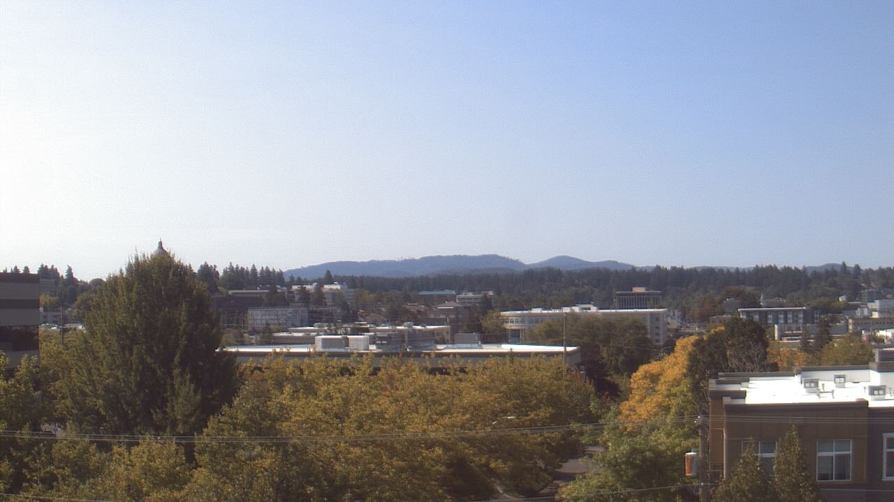
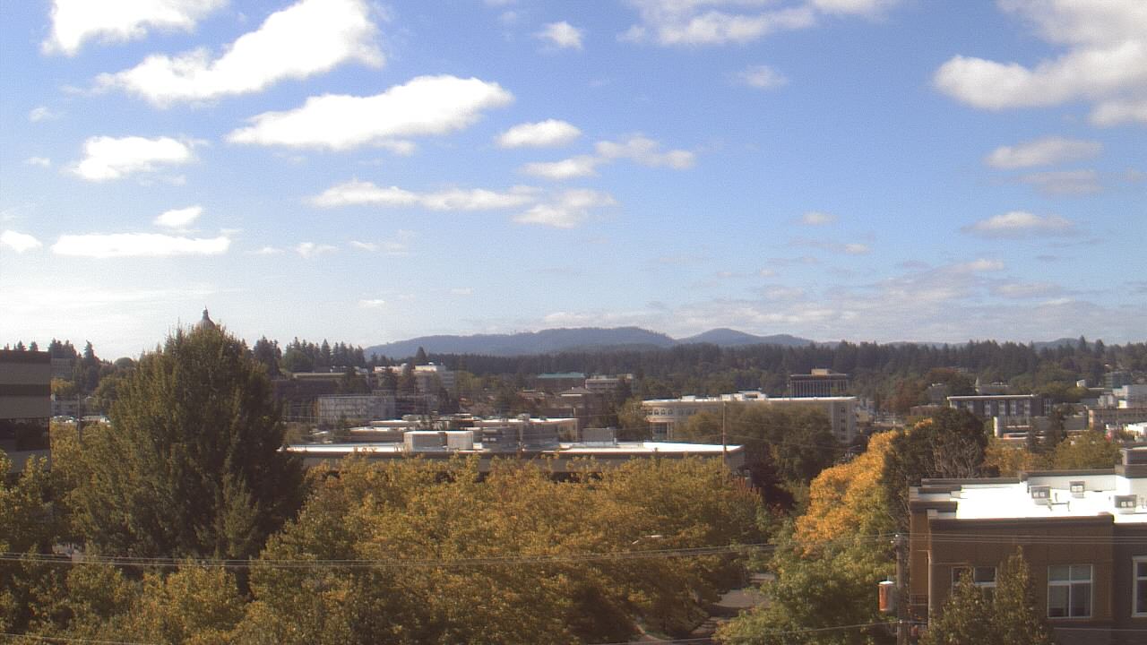
Olympia, Washington, USA - 70.1 miles from Burnside (historical): Avanti High School - A webcam in Olympia, Washington - camera location: Avanti High School.
Operator: WeatherBug
Operator: WeatherBug


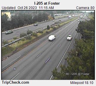
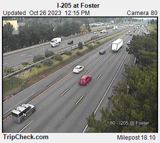
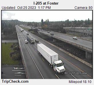
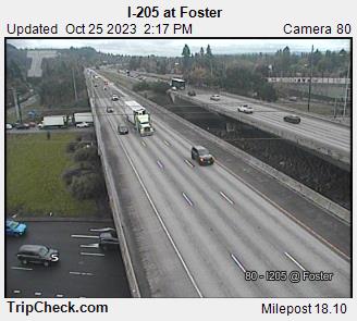
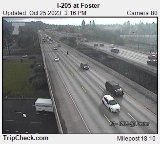
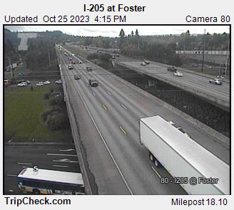
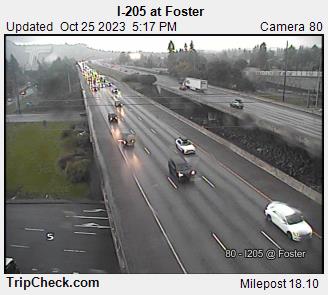
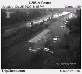
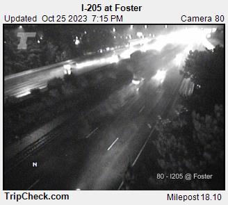
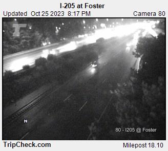
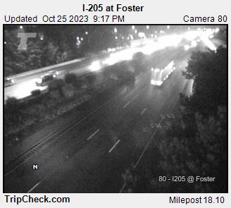
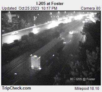
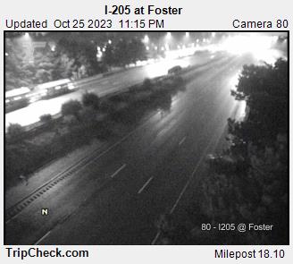
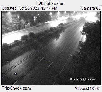
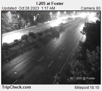
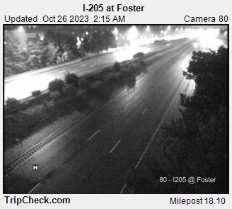
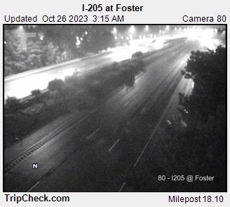
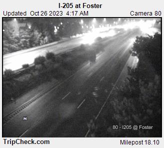
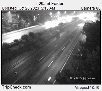
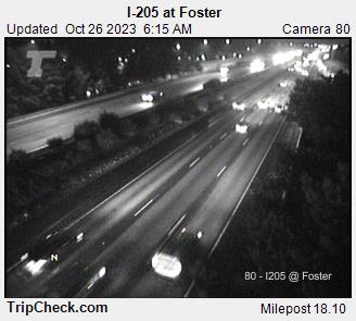
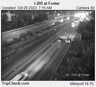
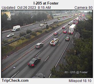
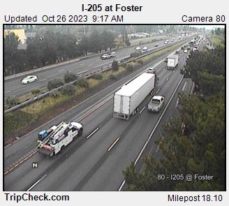
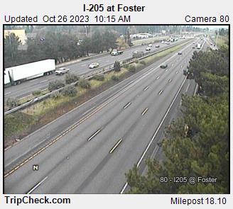
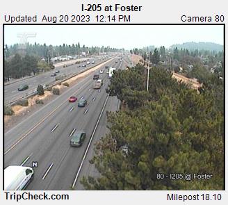
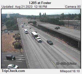
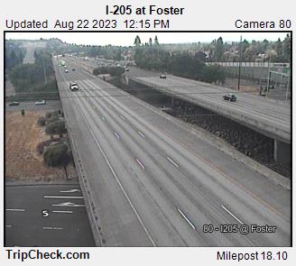
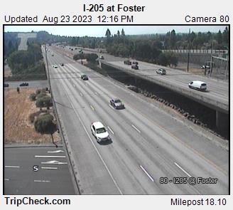
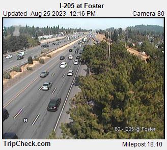
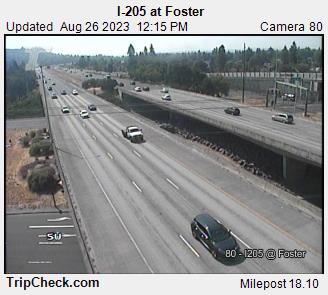
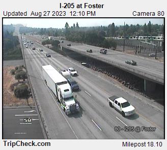
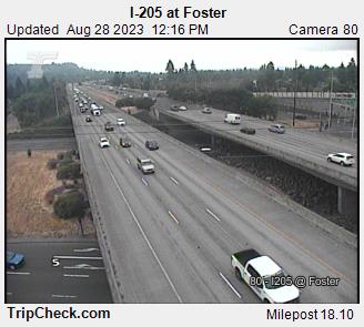
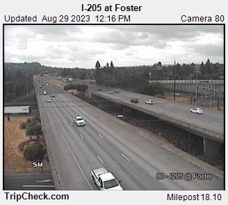
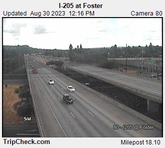
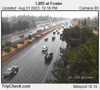
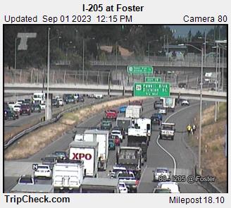
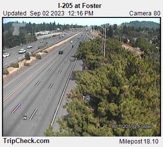
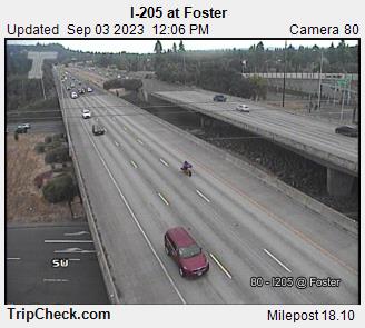
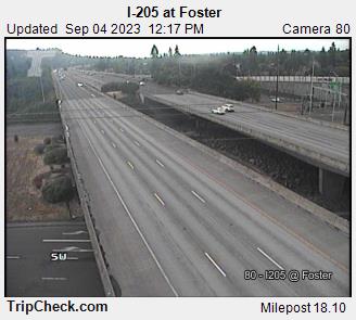
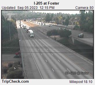
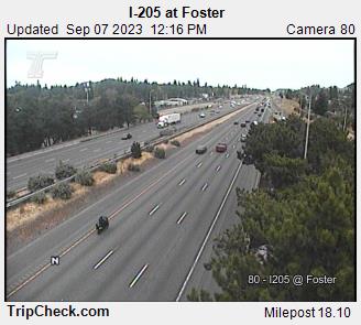
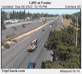
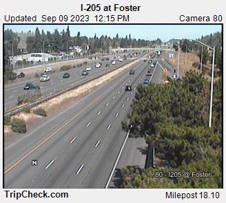
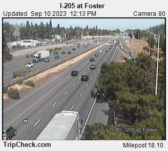
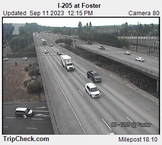
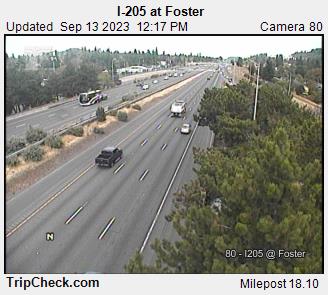
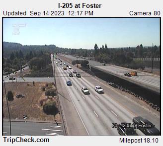
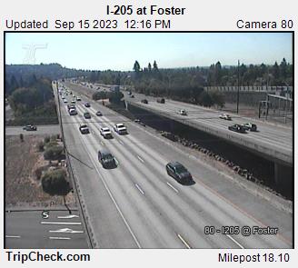
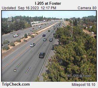
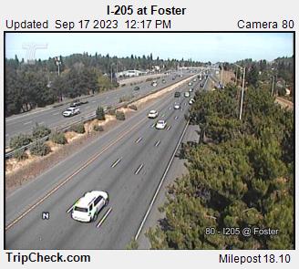
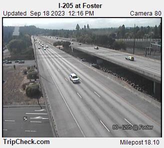
Lents, Oregon, USA - 71.9 miles from Burnside (historical): I-205 at Foster - A view of the current traffic situation on the I-205.
Operator: Oregon Department of Transportation
Operator: Oregon Department of Transportation


Some other places in this country: Brightwood - Salem - Blind Slough (historical) - Highland Station (historical) - Salem Station (historical) - Evansville (historical) - Beaverton - Brownsmead - Burlingame - Calapooia