Webcams in the region of Wittys Crossroads, North Carolina, USA
The List of Webcams near Wittys Crossroads, North Carolina, USA:

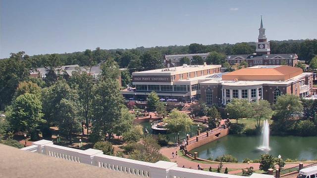
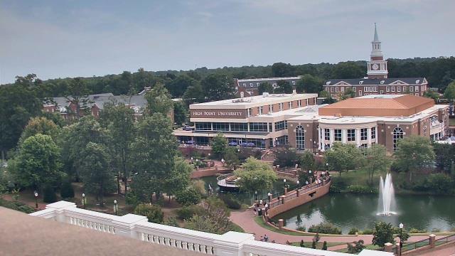
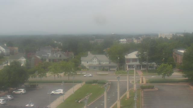
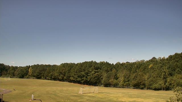
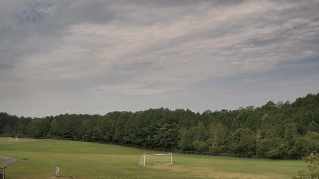
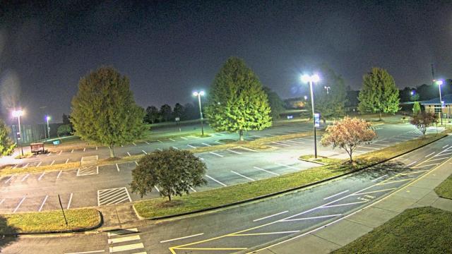
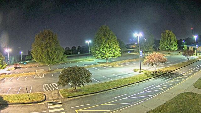
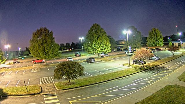
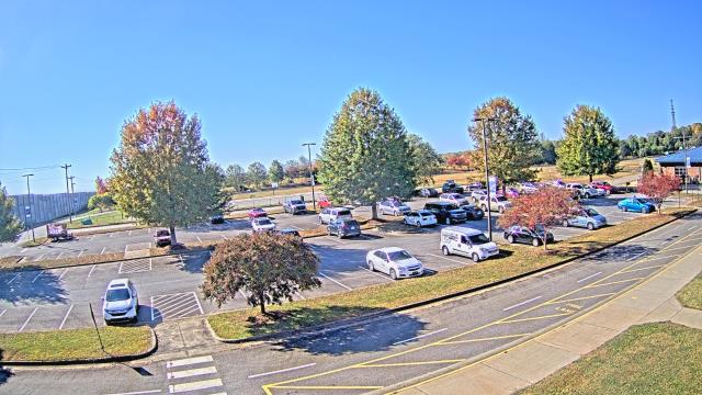
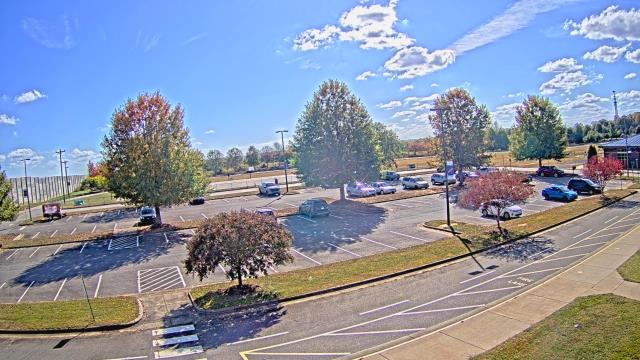
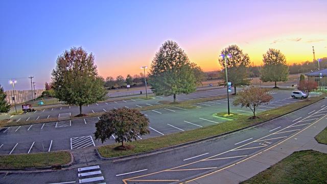
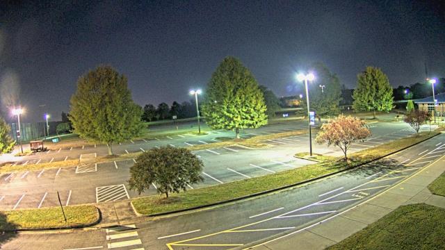
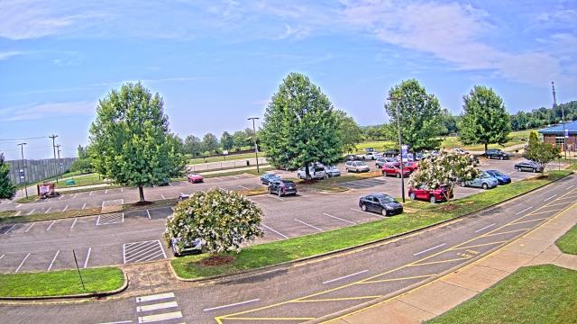
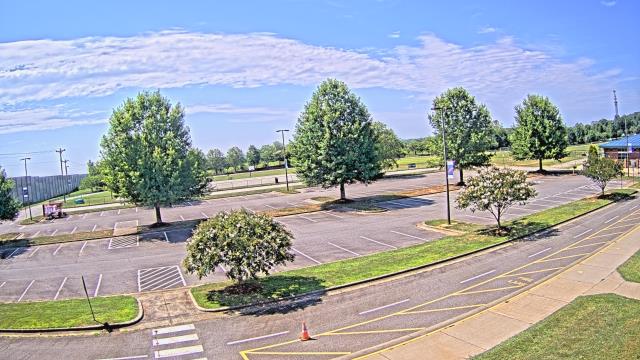
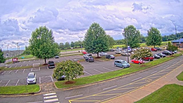
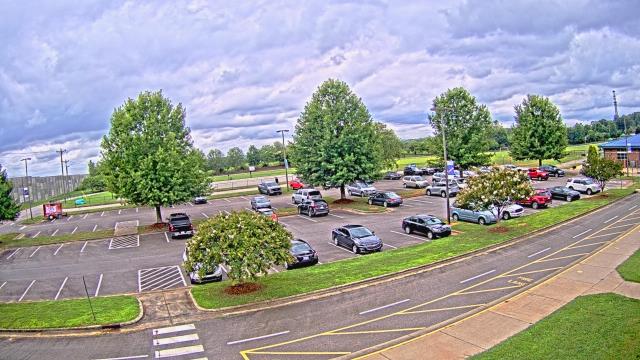
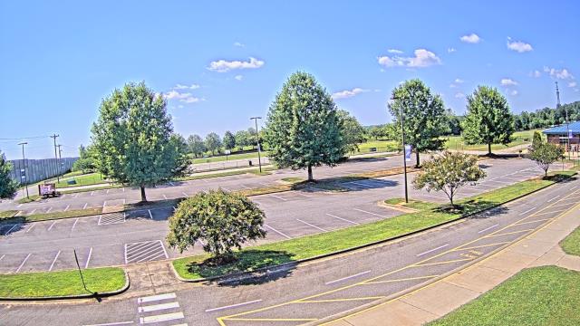
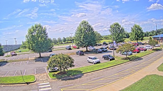
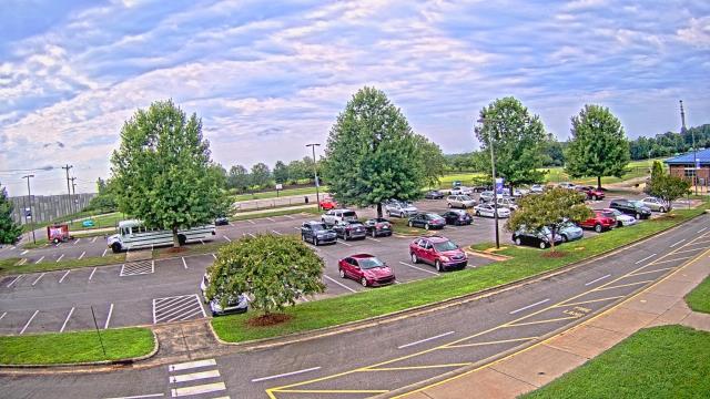
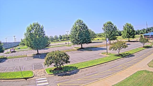
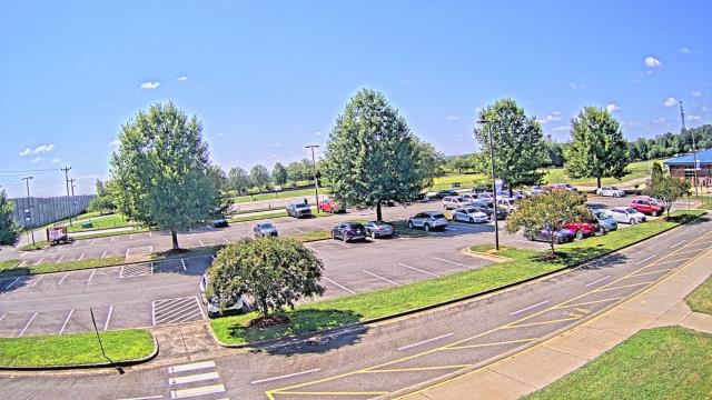
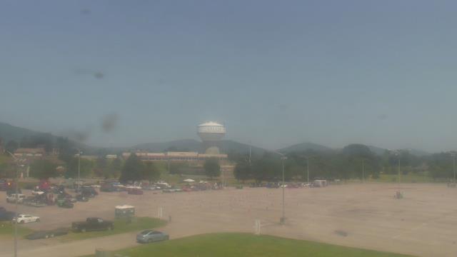
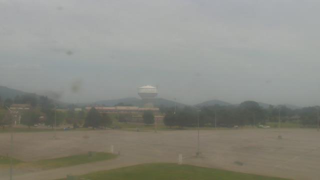
High Point, North Carolina, USA - 23.5 miles from Wittys Crossroads: High Point University - A webcam in High Point, North Carolina - camera location: High Point University.
Operator: WeatherBug
Operator: WeatherBug


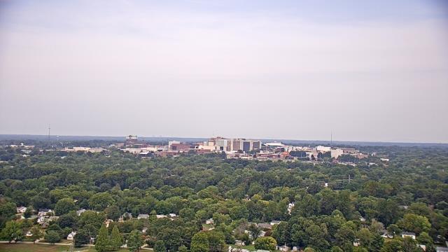
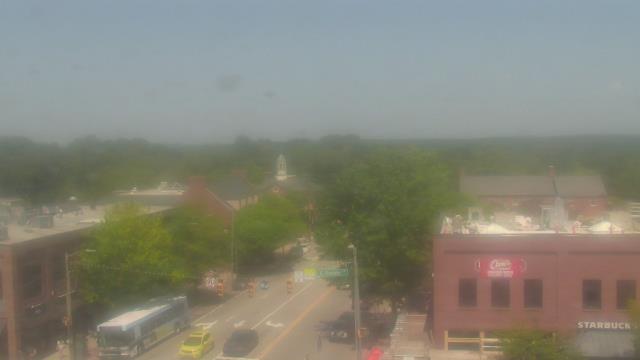
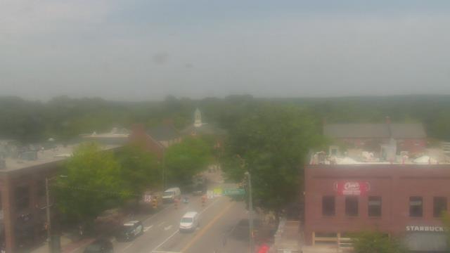
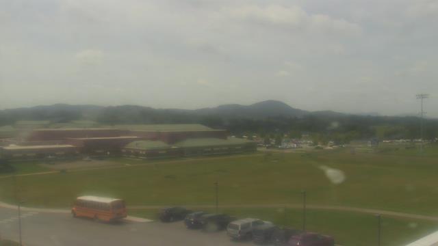
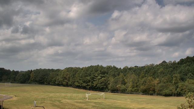
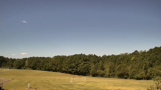
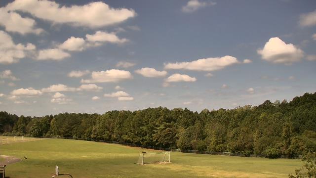
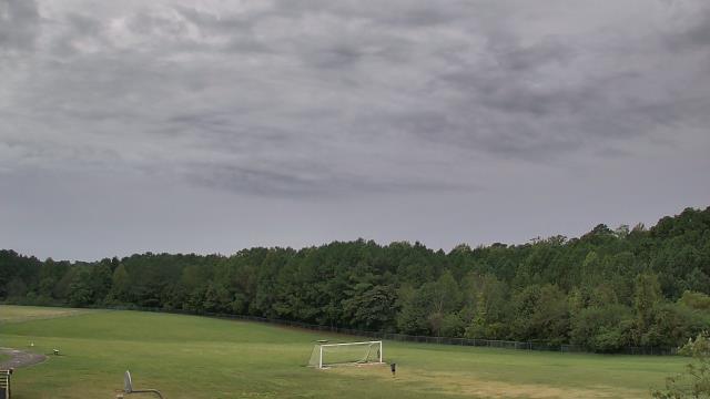
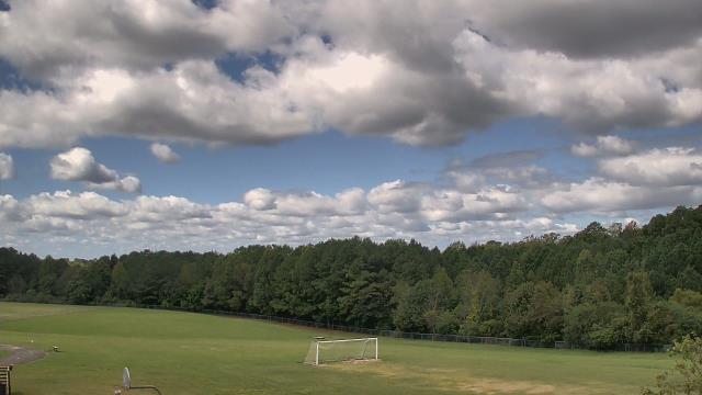
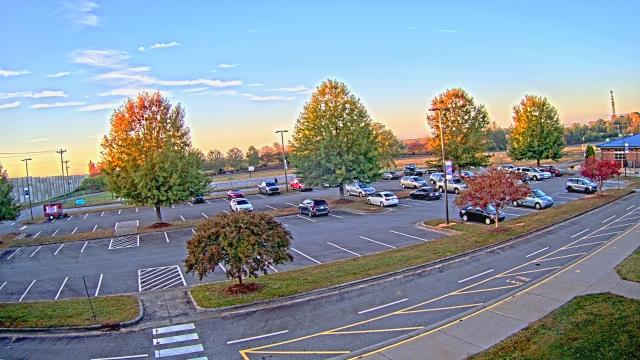
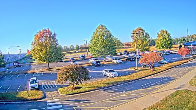
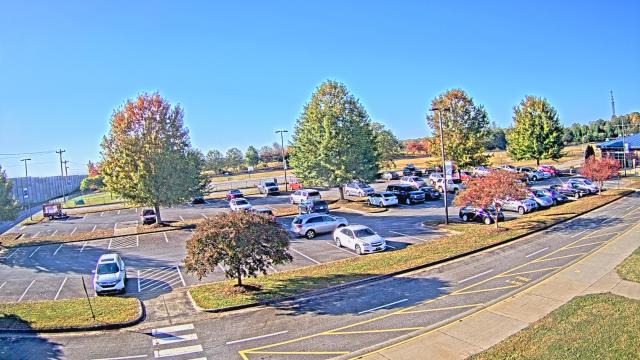
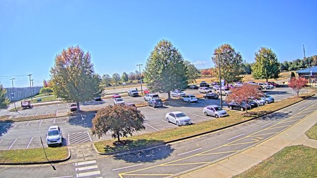
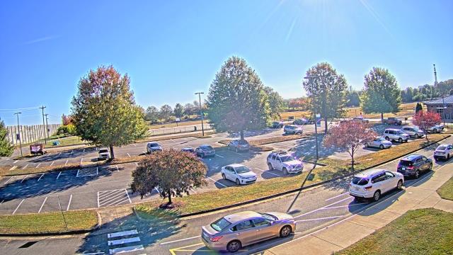
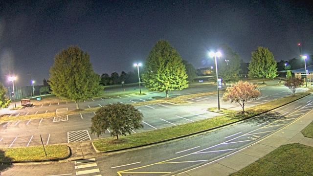
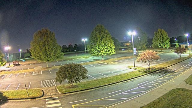
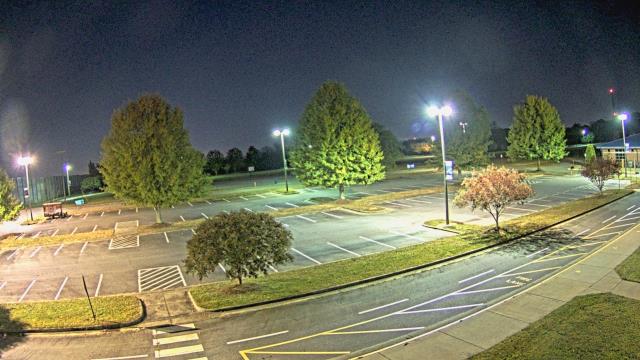
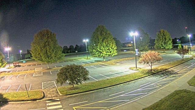
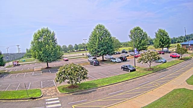
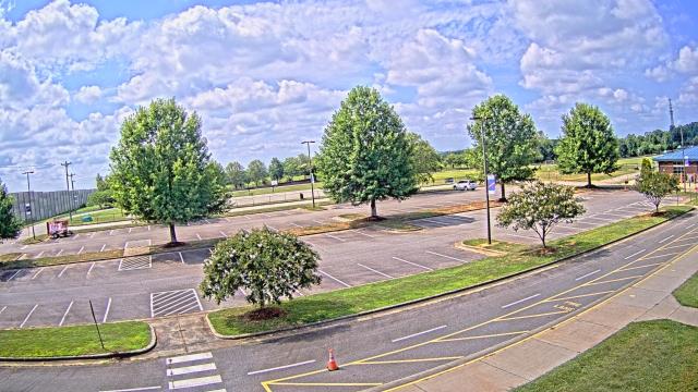
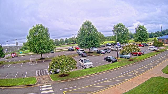
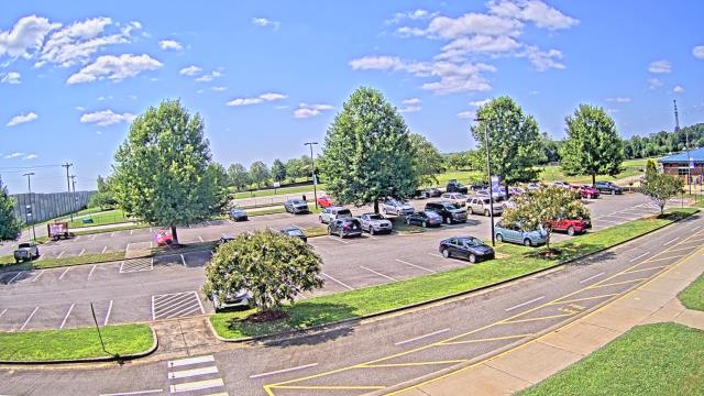
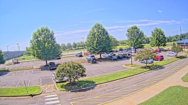
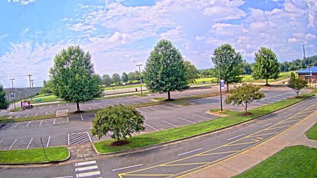
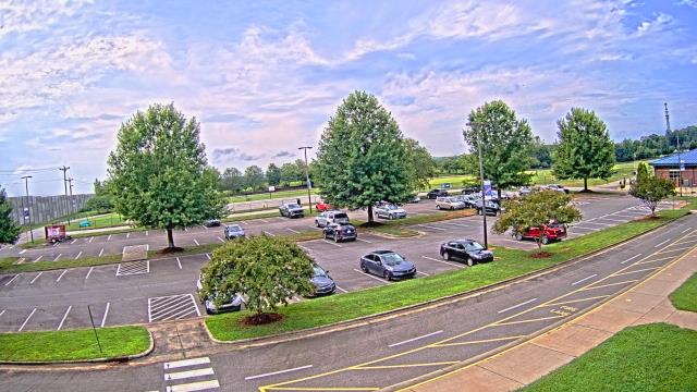
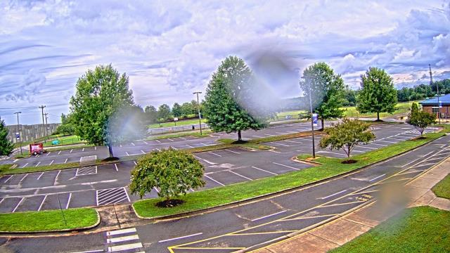
High Point, North Carolina, USA - 23.5 miles from Wittys Crossroads: WGHP-TV - A webcam in High Point, North Carolina - camera location: WGHP-TV.
Operator: WeatherBug
Operator: WeatherBug


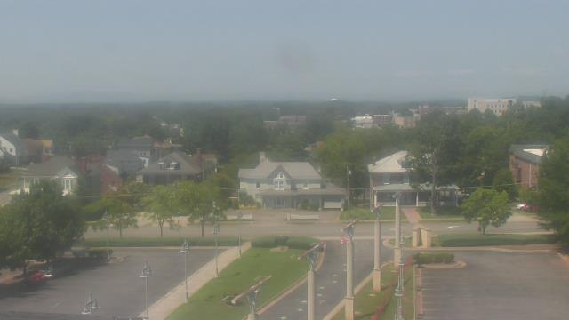
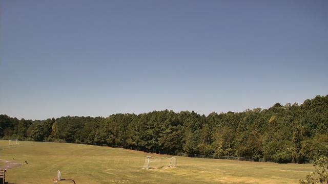
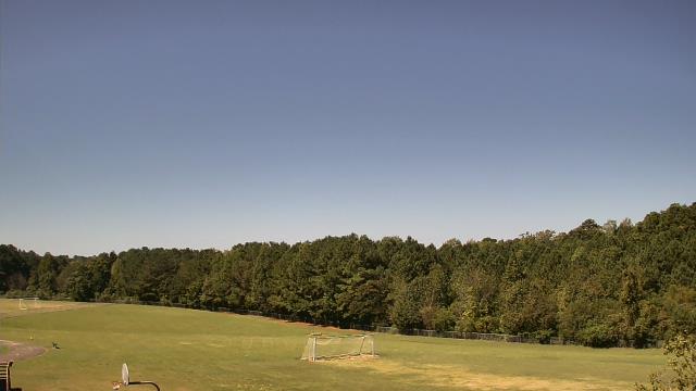
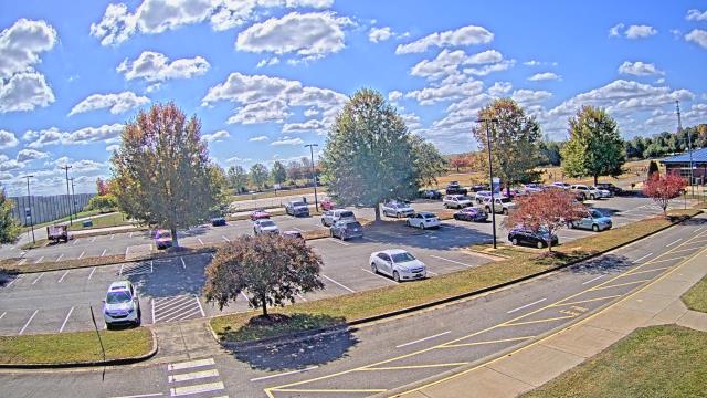
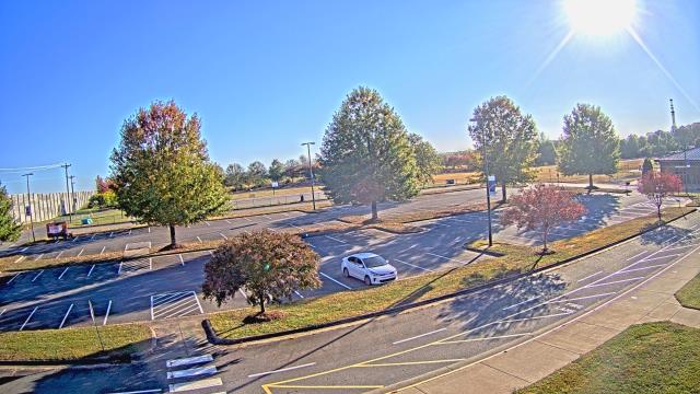
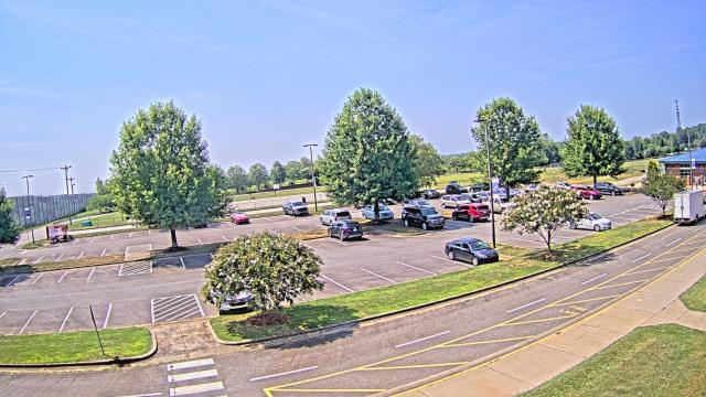
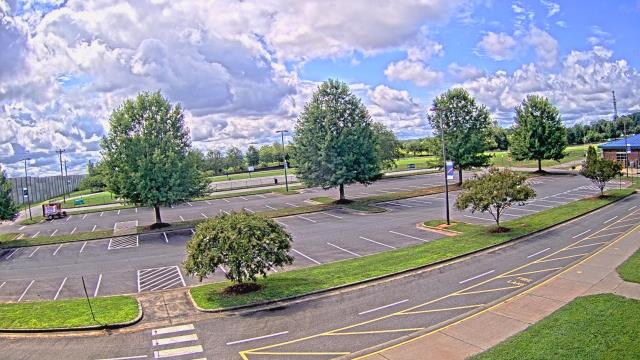
Martinsville, Virginia, USA - 29.3 miles from Wittys Crossroads: Virginia Museum of Natural History - A webcam in Martinsville, Virginia - camera location: Virginia Museum of Natural History.
Operator: WeatherBug
Operator: WeatherBug


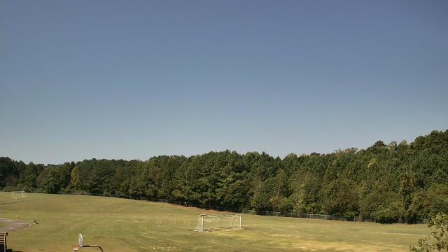
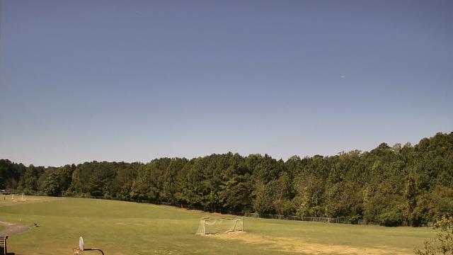
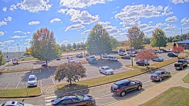
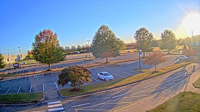
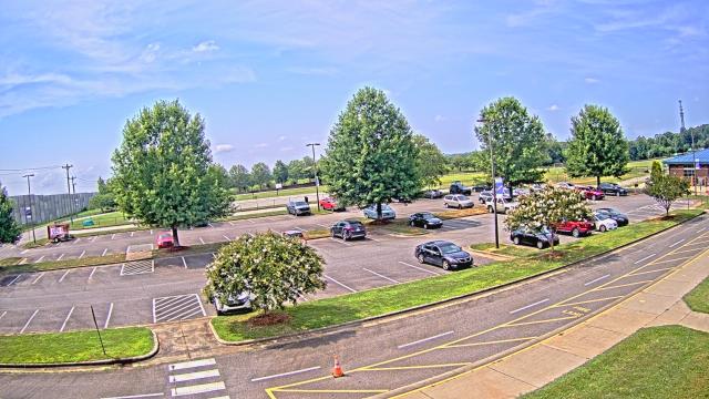
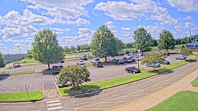
Chapel Hill, North Carolina, USA - 52.8 miles from Wittys Crossroads: Top of the Hill Restaurant - A webcam in Chapel Hill, North Carolina - camera location: Top of the Hill Restaurant.
Operator: WeatherBug
Operator: WeatherBug


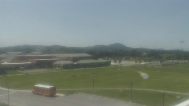
Riner, Virginia, USA - 64.3 miles from Wittys Crossroads: Auburn Middle School - A webcam in Riner, Virginia - camera location: Auburn Middle School.
Operator: WeatherBug
Operator: WeatherBug


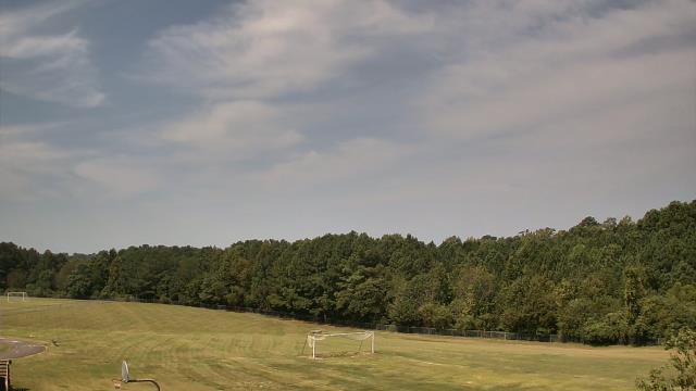
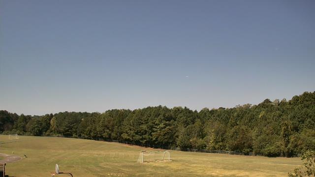
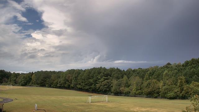
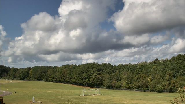
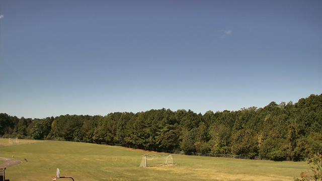
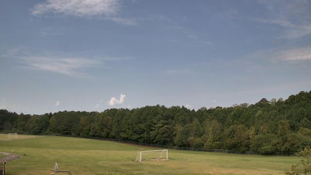
Cary, North Carolina, USA - 67.1 miles from Wittys Crossroads: Davis Drive Elementary School - A webcam in Cary, North Carolina - camera location: Davis Drive Elementary School.
Operator: WeatherBug
Operator: WeatherBug


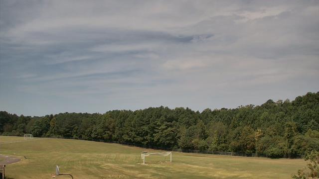

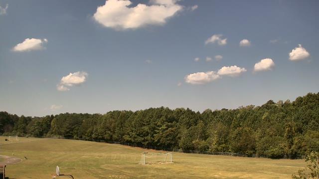

Statesville, North Carolina, USA - 67.3 miles from Wittys Crossroads: Cloverleaf Elementary School - A webcam in Statesville, North Carolina - camera location: Cloverleaf Elementary School.
Operator: WeatherBug
Operator: WeatherBug


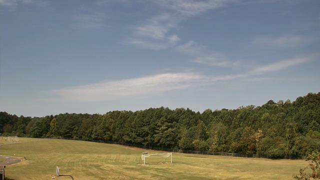
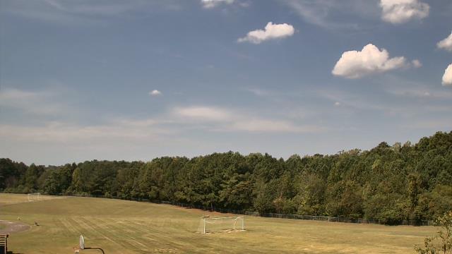
Roanoke, Virginia, USA - 69.5 miles from Wittys Crossroads: Roanoke Catholic School - A webcam in Roanoke, Virginia - camera location: Roanoke Catholic School.
Operator: WeatherBug
Operator: WeatherBug


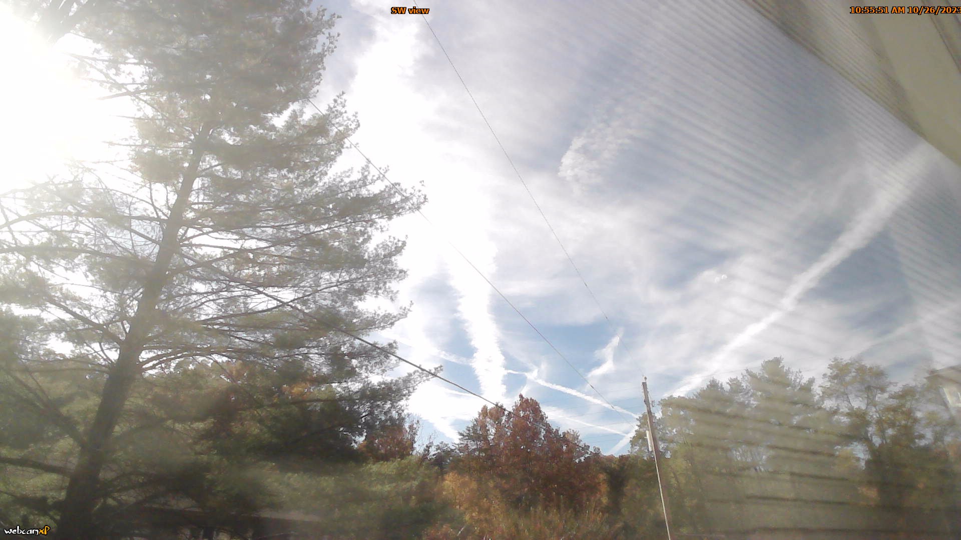
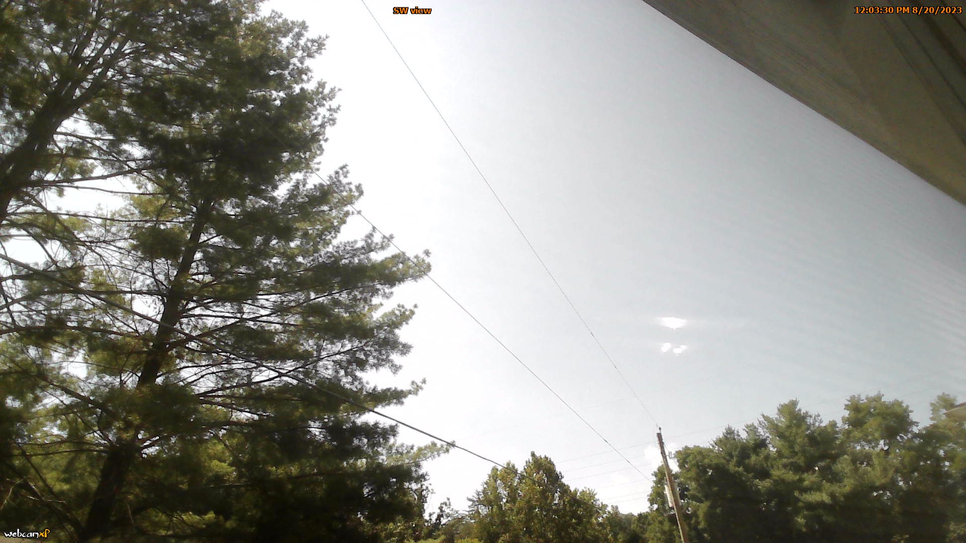
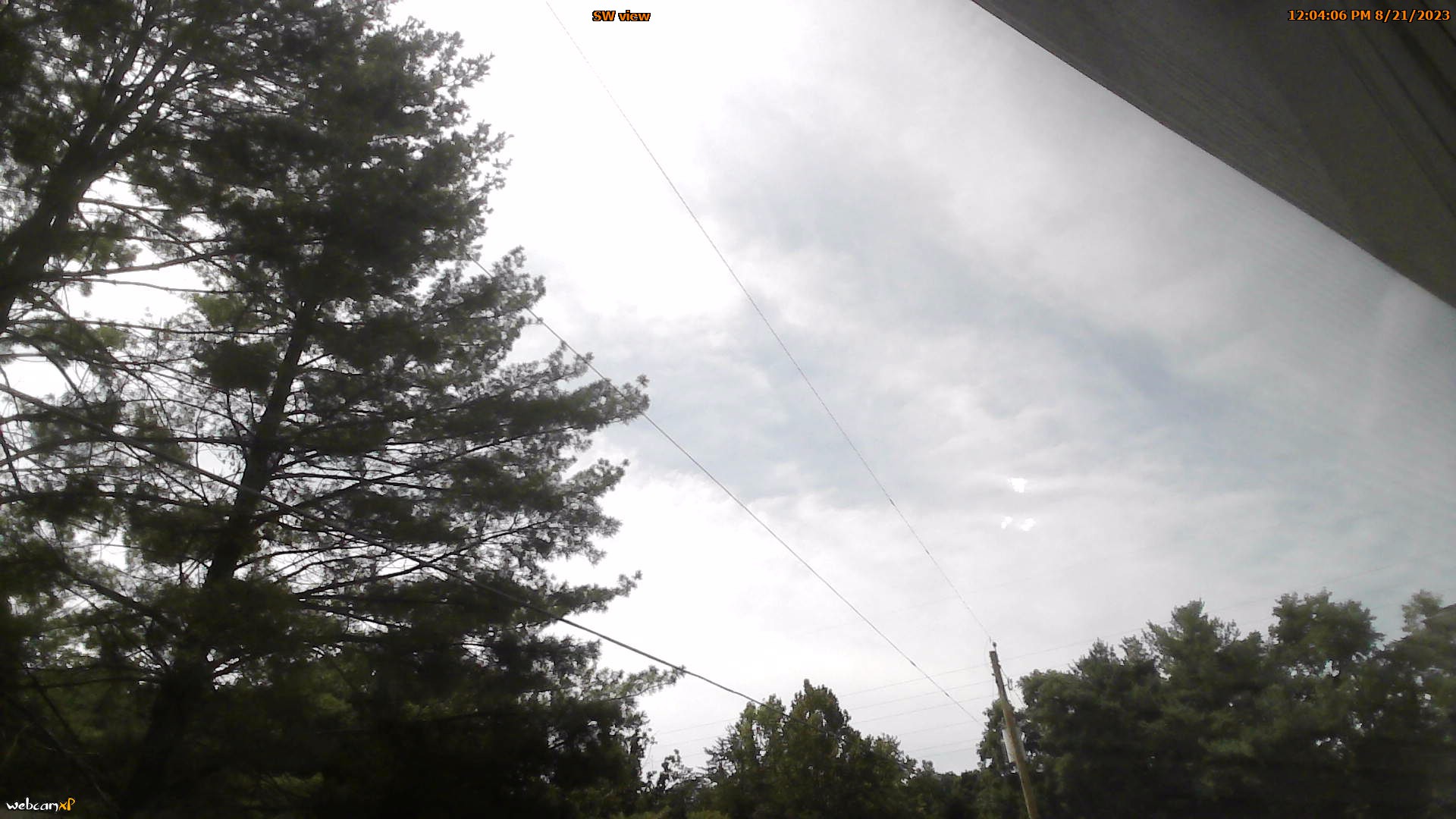
Roanoke, Virginia, USA - 69.5 miles from Wittys Crossroads: Mountain View - Looking SW over Appalachians near Blue Ridge Pkwy.
Operator: Roanoke Weather Page
Operator: Roanoke Weather Page


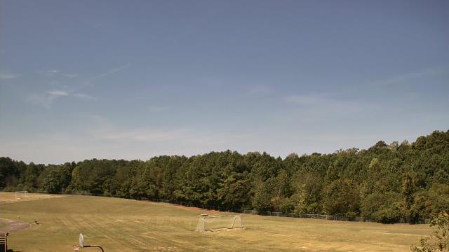
Salem, Virginia, USA - 71.8 miles from Wittys Crossroads: City of Salem Civic Center - A webcam in Salem, Virginia - camera location: City of Salem Civic Center.
Operator: WeatherBug
Operator: WeatherBug


Some other places in this country: Williams Cross Roads (historical) - Willow Creek - Windsors Crossroads - Winstead Crossroads - Woodside - Wrendale - Belville - Muttenz (historical) - Resaca - Four Corners