Webcams in the region of Teer, North Carolina, USA
The List of Webcams near Teer, North Carolina, USA:

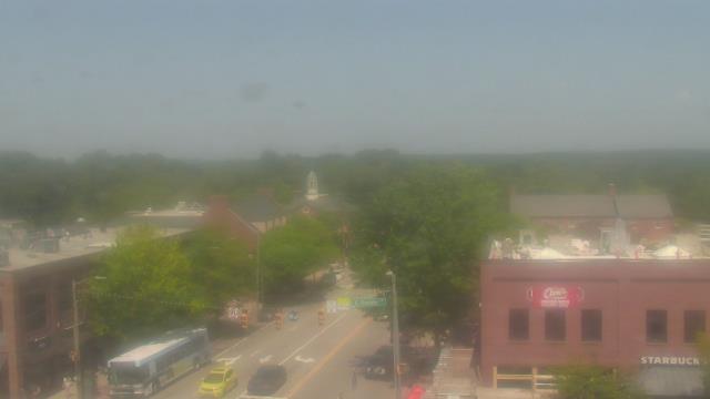
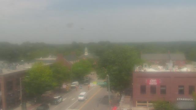
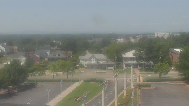
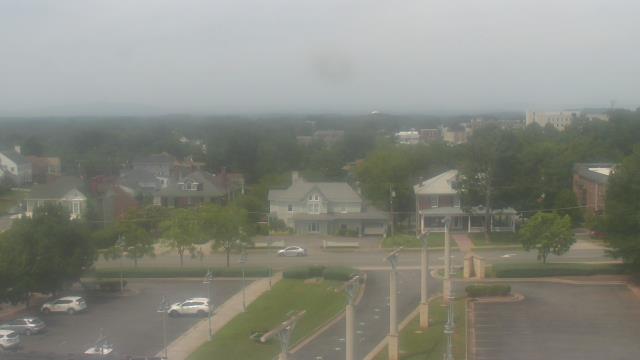
Chapel Hill, North Carolina, USA - 13 miles from Teer: Top of the Hill Restaurant - A webcam in Chapel Hill, North Carolina - camera location: Top of the Hill Restaurant.
Operator: WeatherBug
Operator: WeatherBug


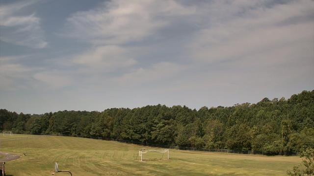
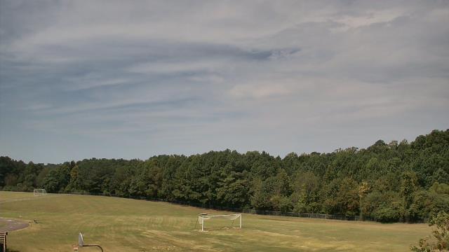
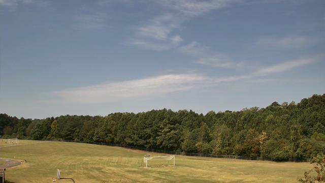
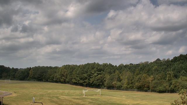
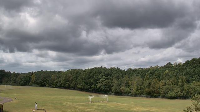
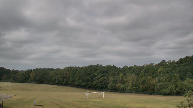
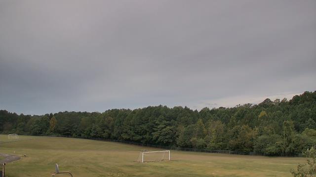
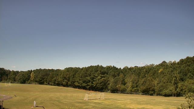
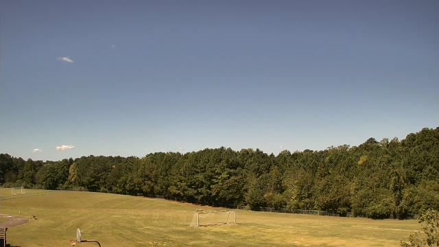
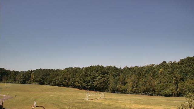
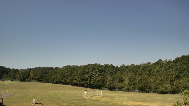
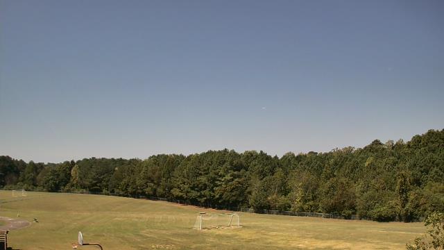
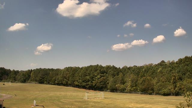
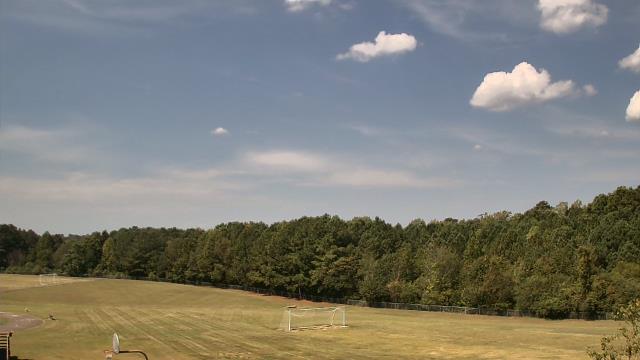
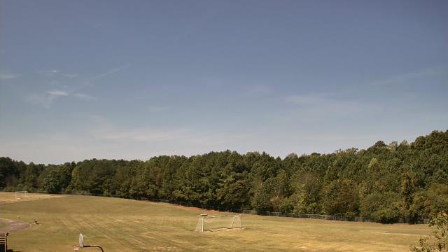
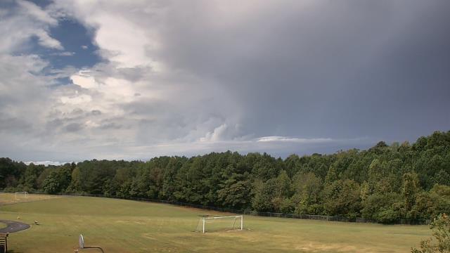
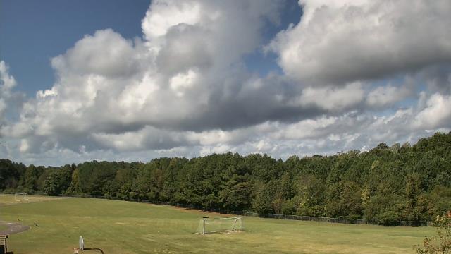
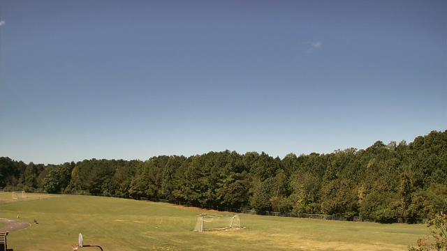
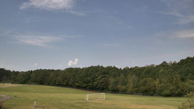
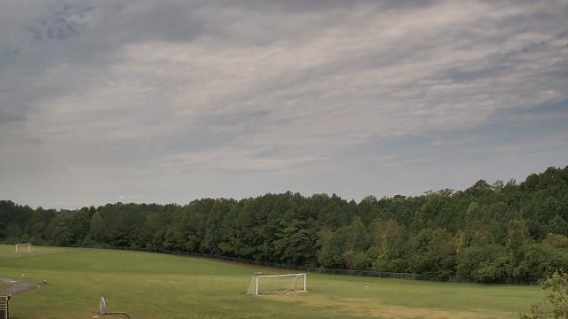
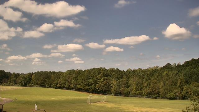
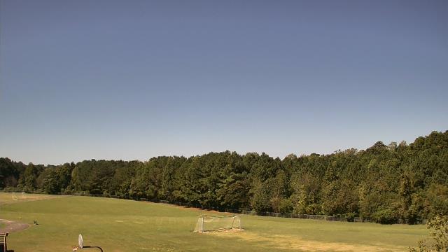
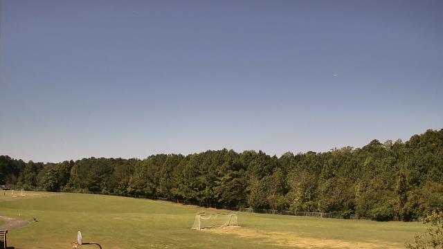
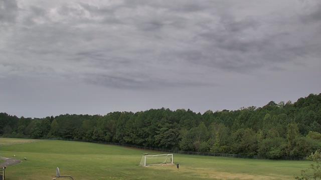
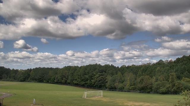
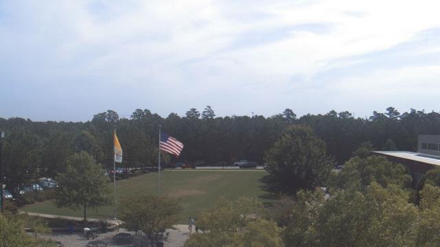
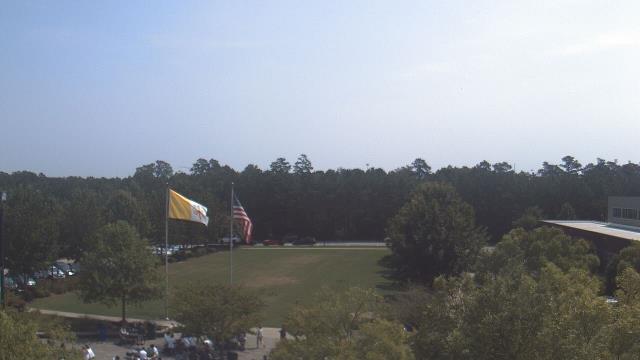
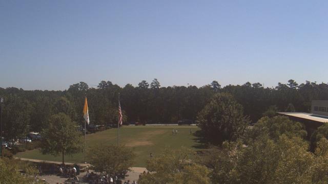
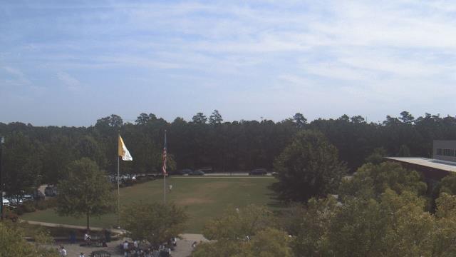
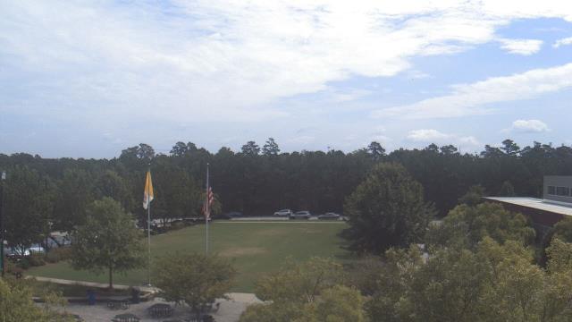
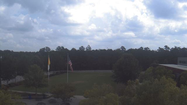
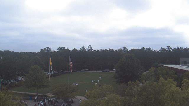
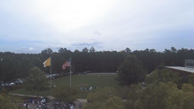
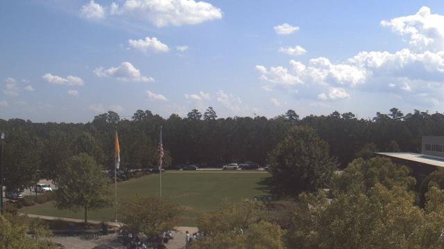
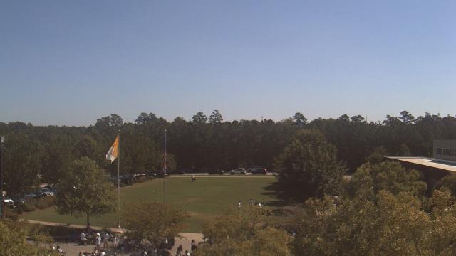
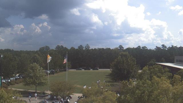
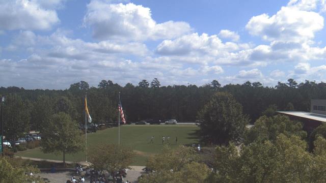
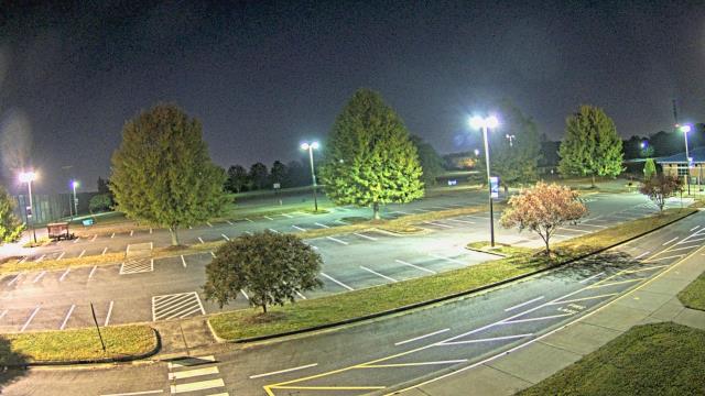
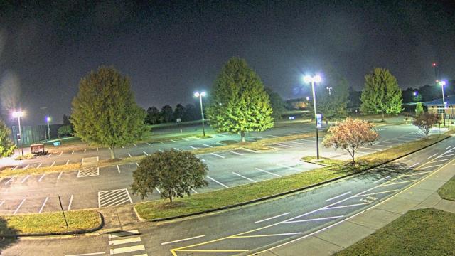
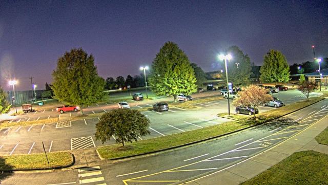
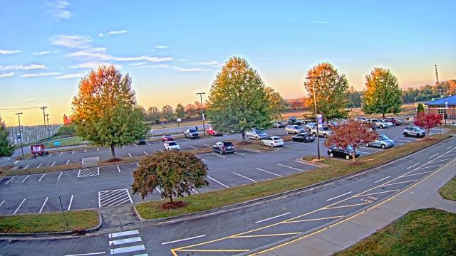
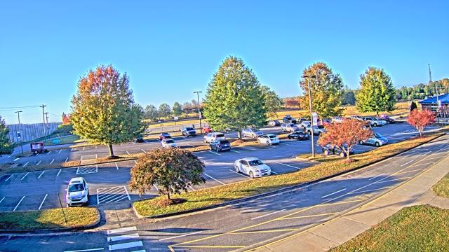
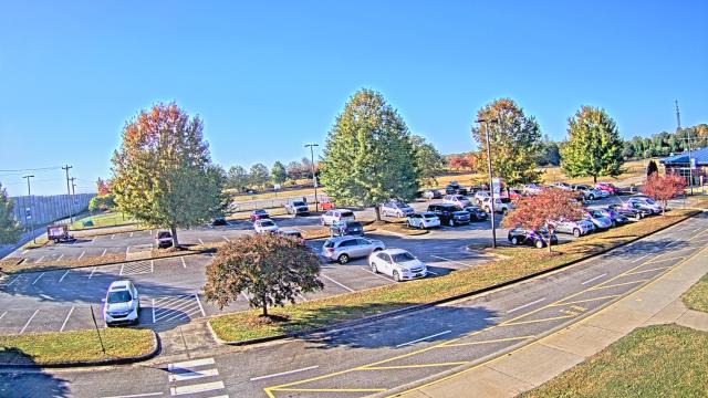
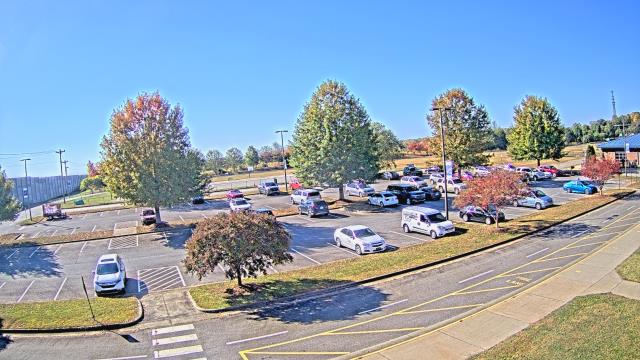
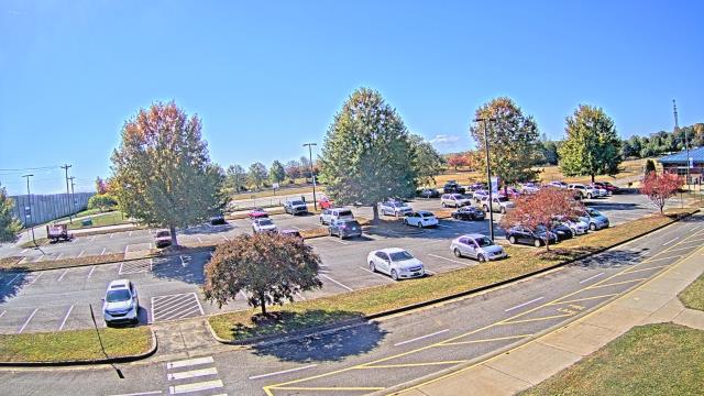
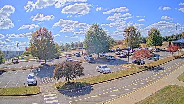
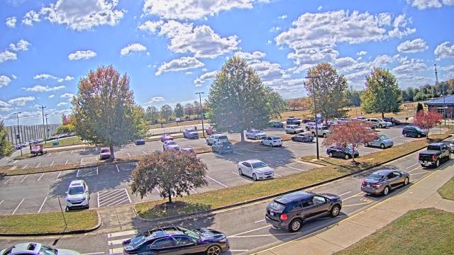
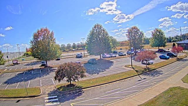
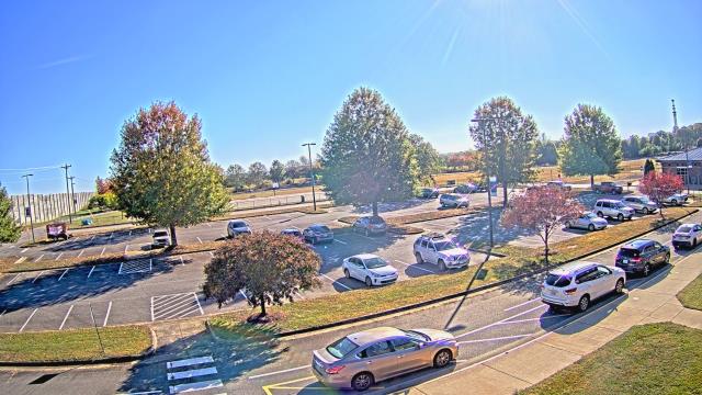
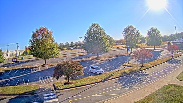
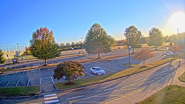
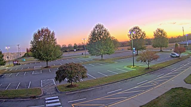
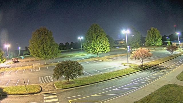
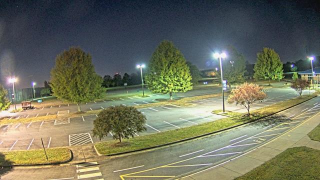
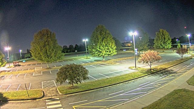
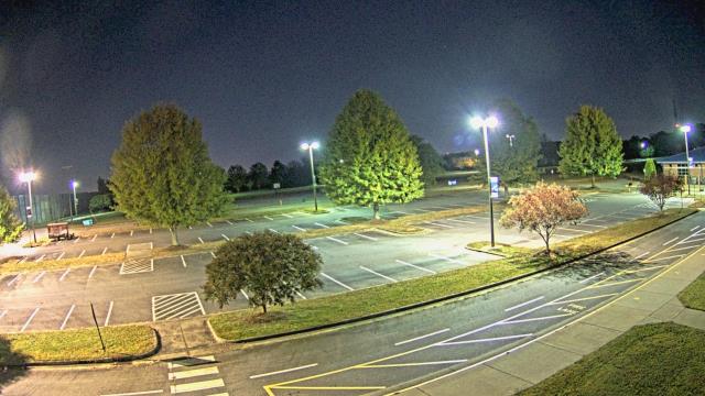
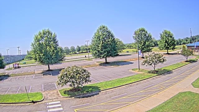
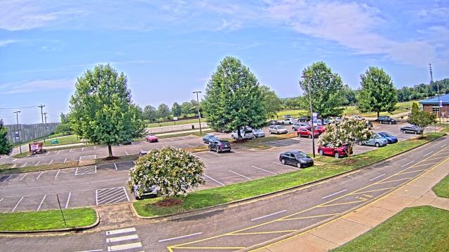
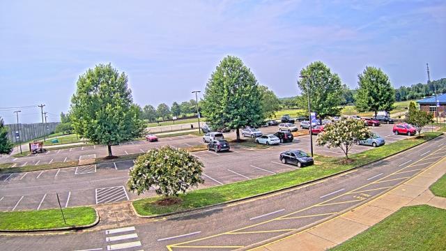
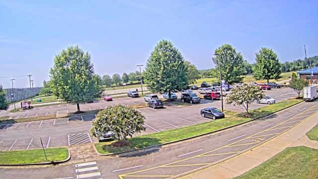
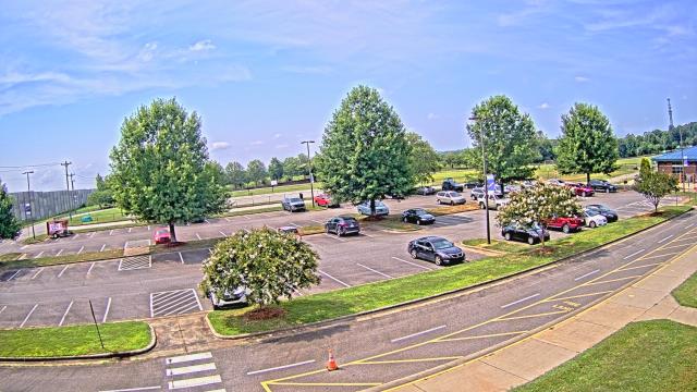
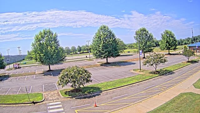
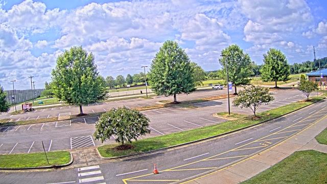
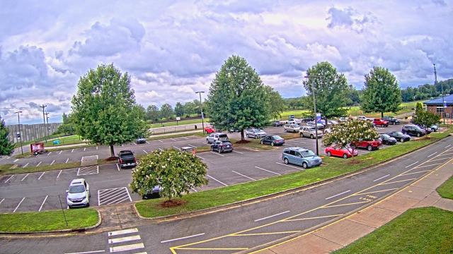
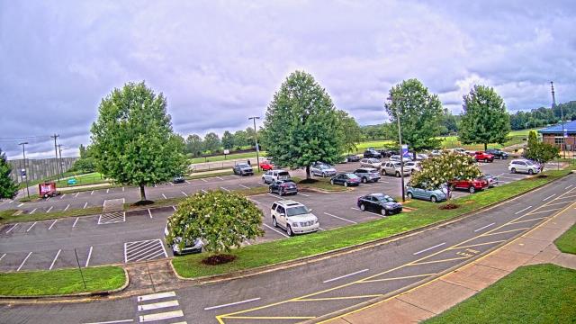
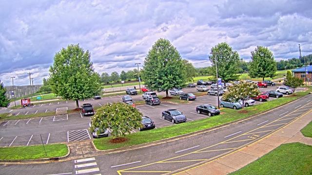
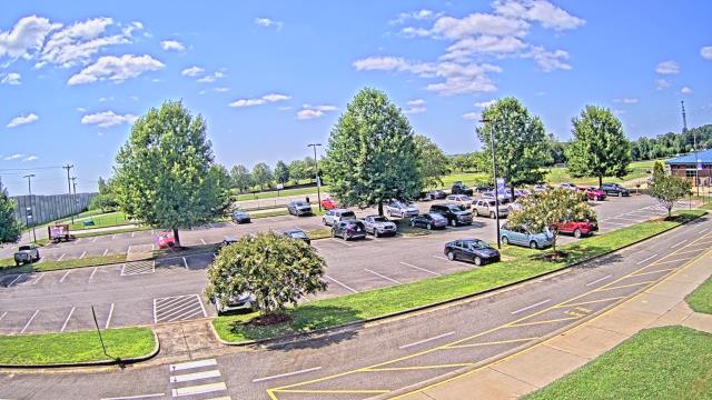
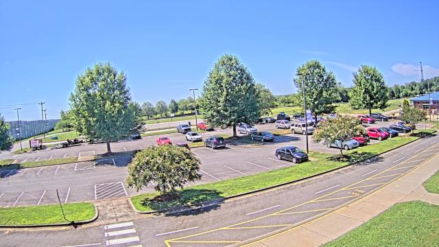
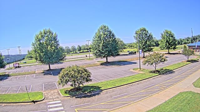
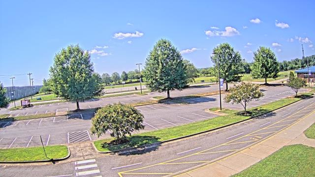
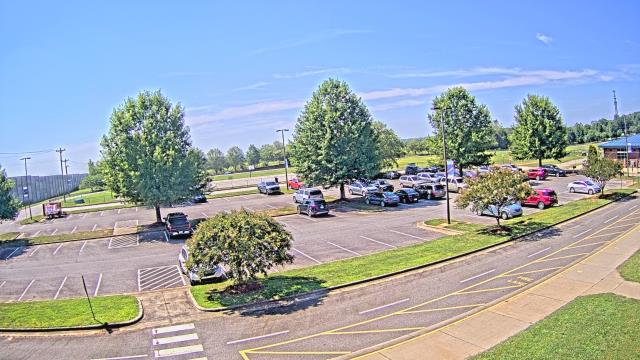
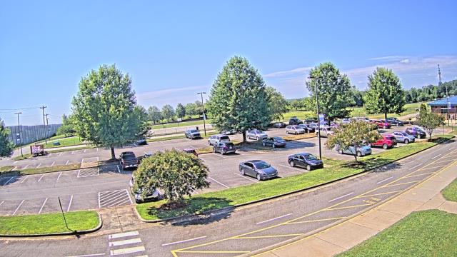
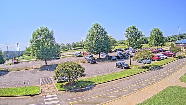
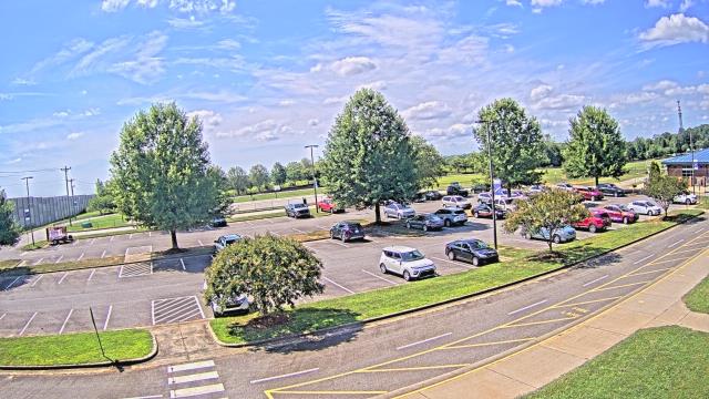
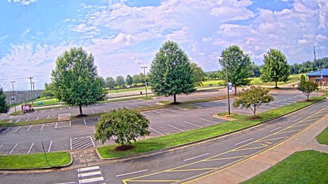
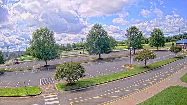
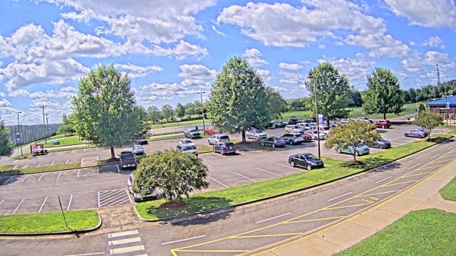
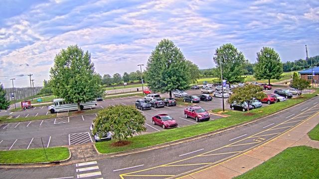
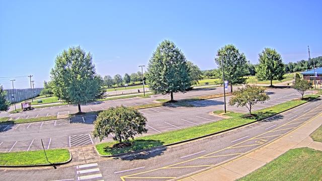
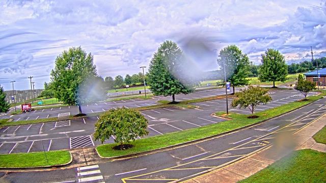
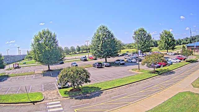
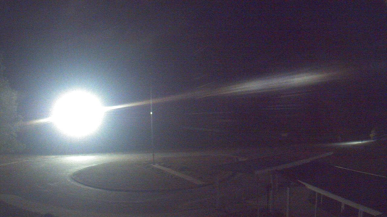
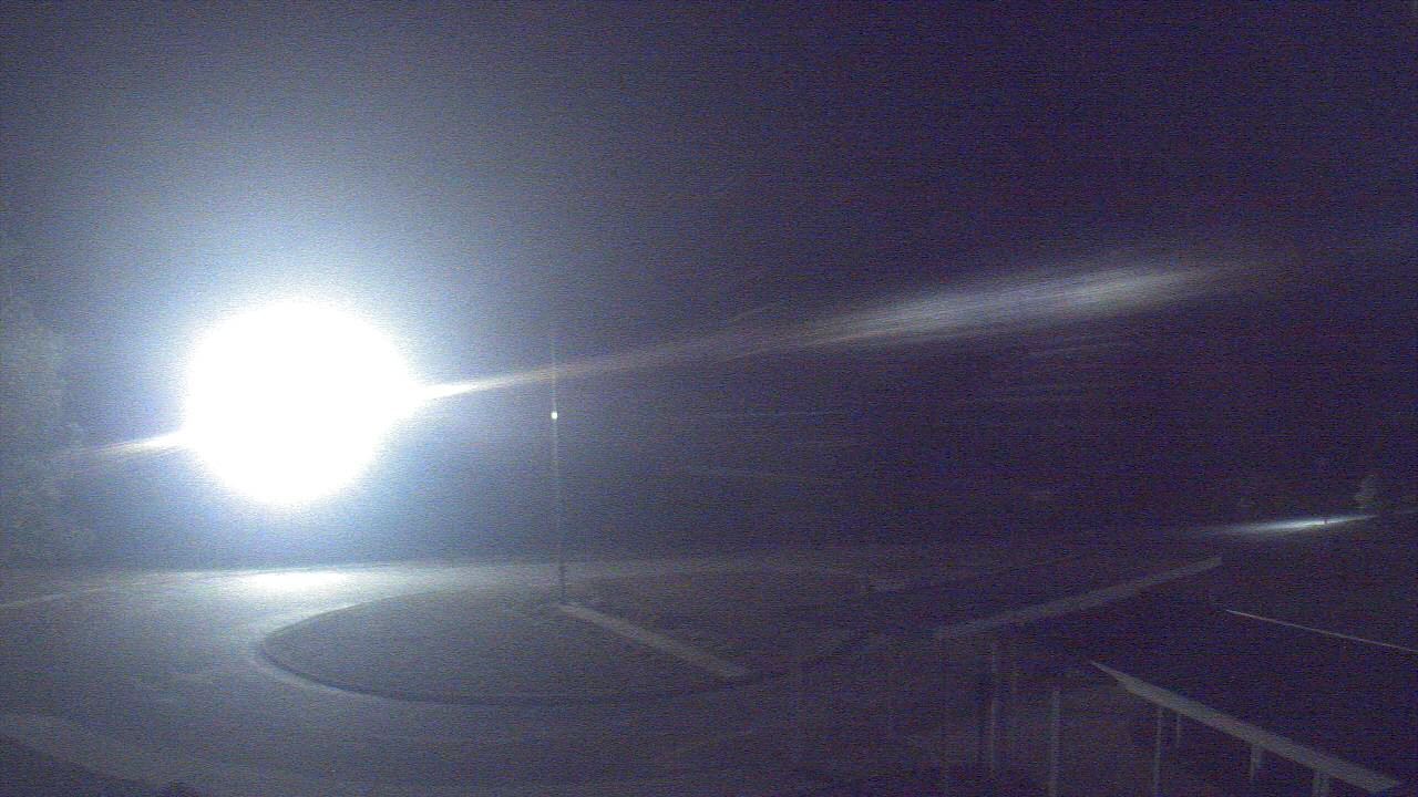
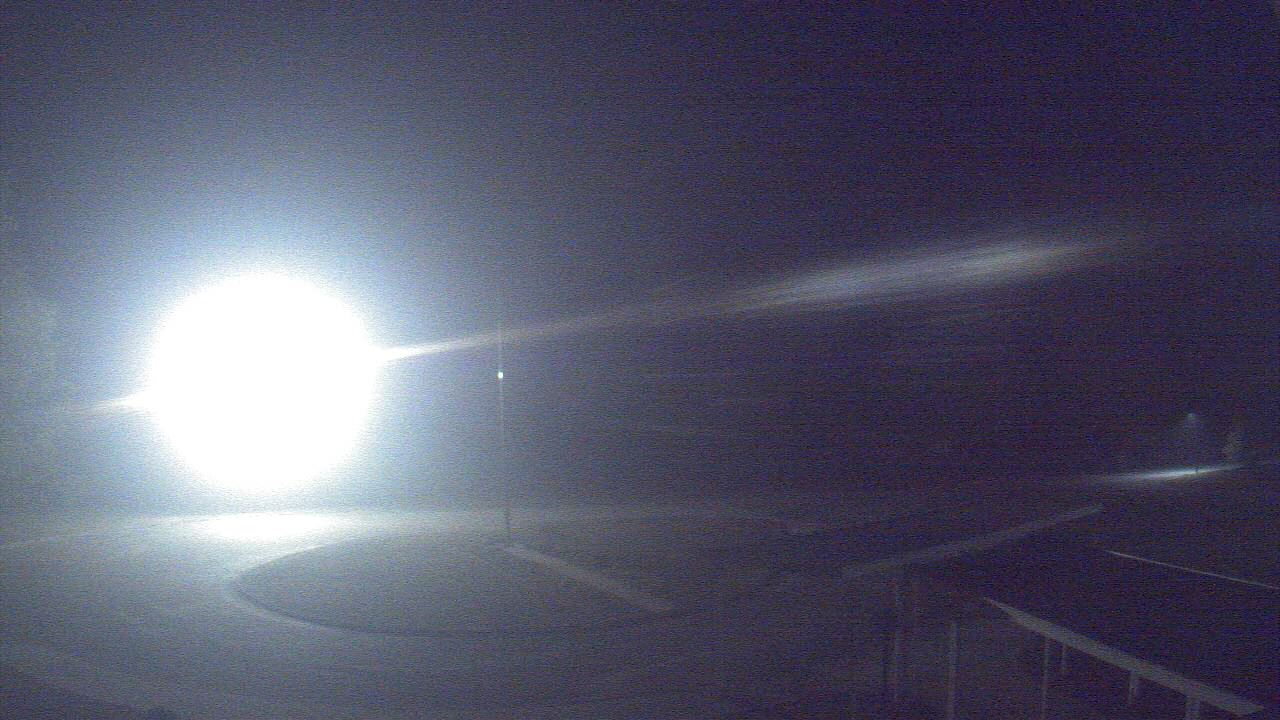
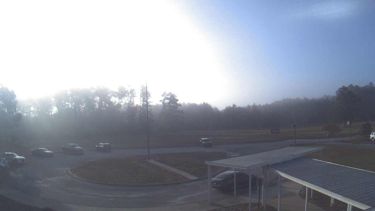
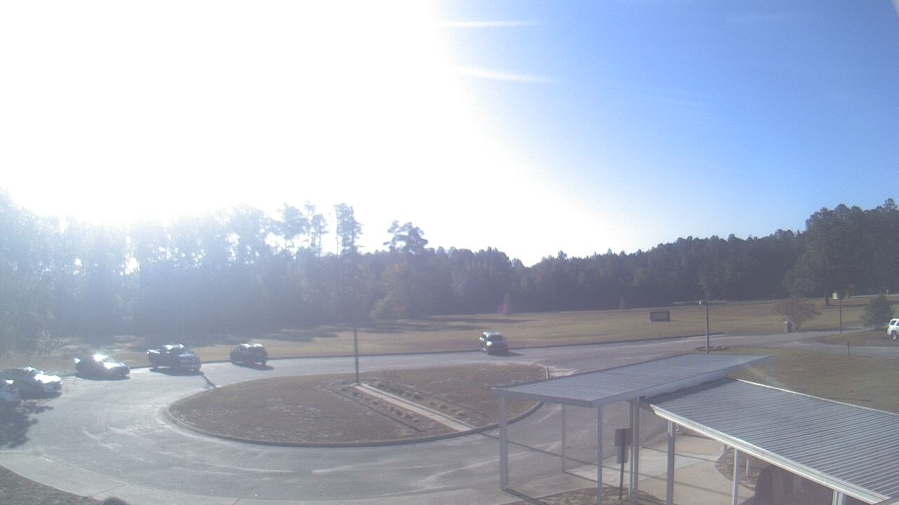
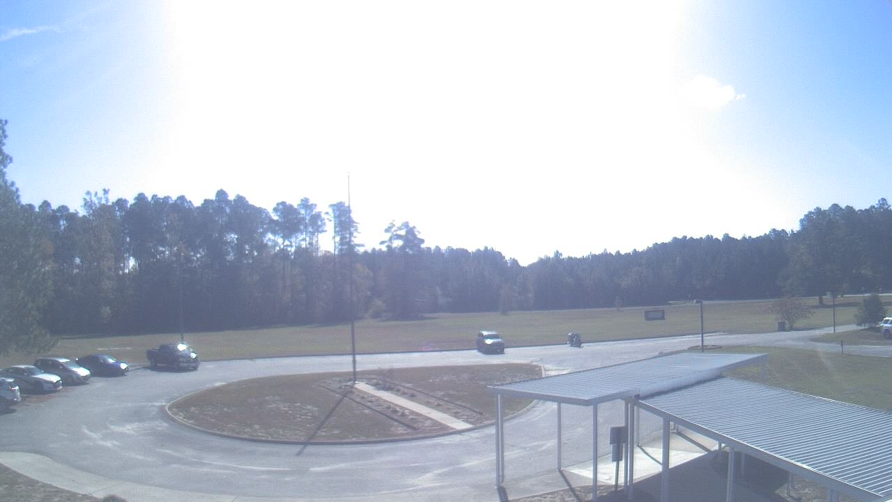
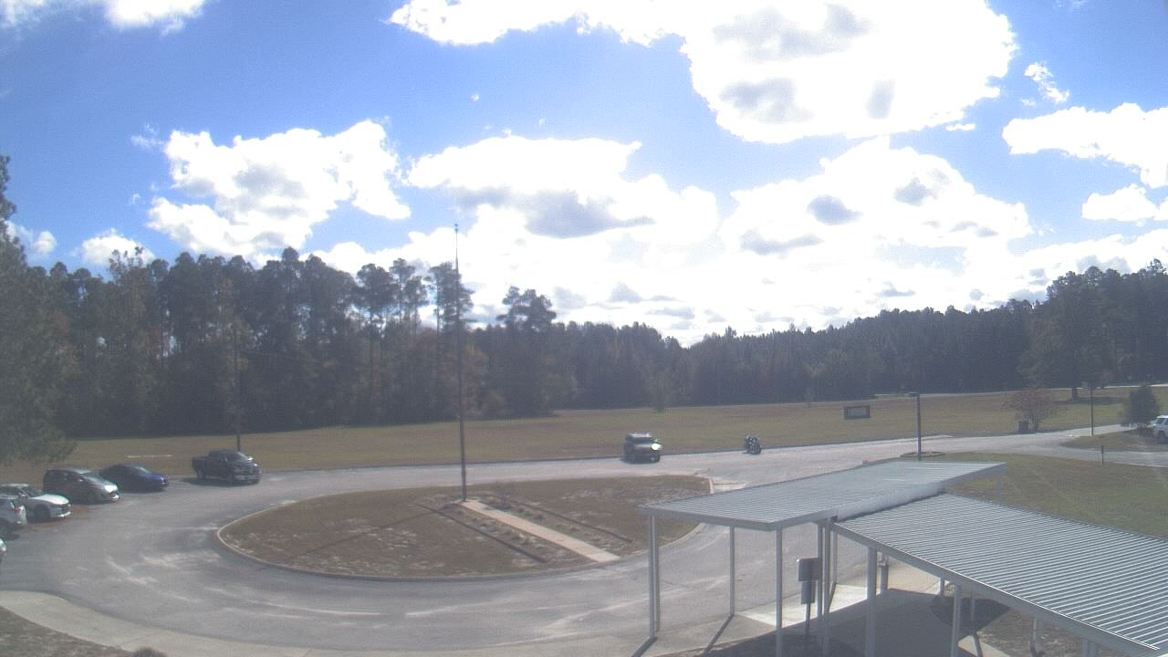
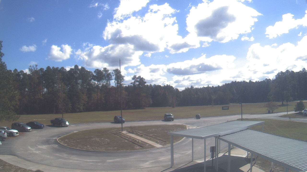
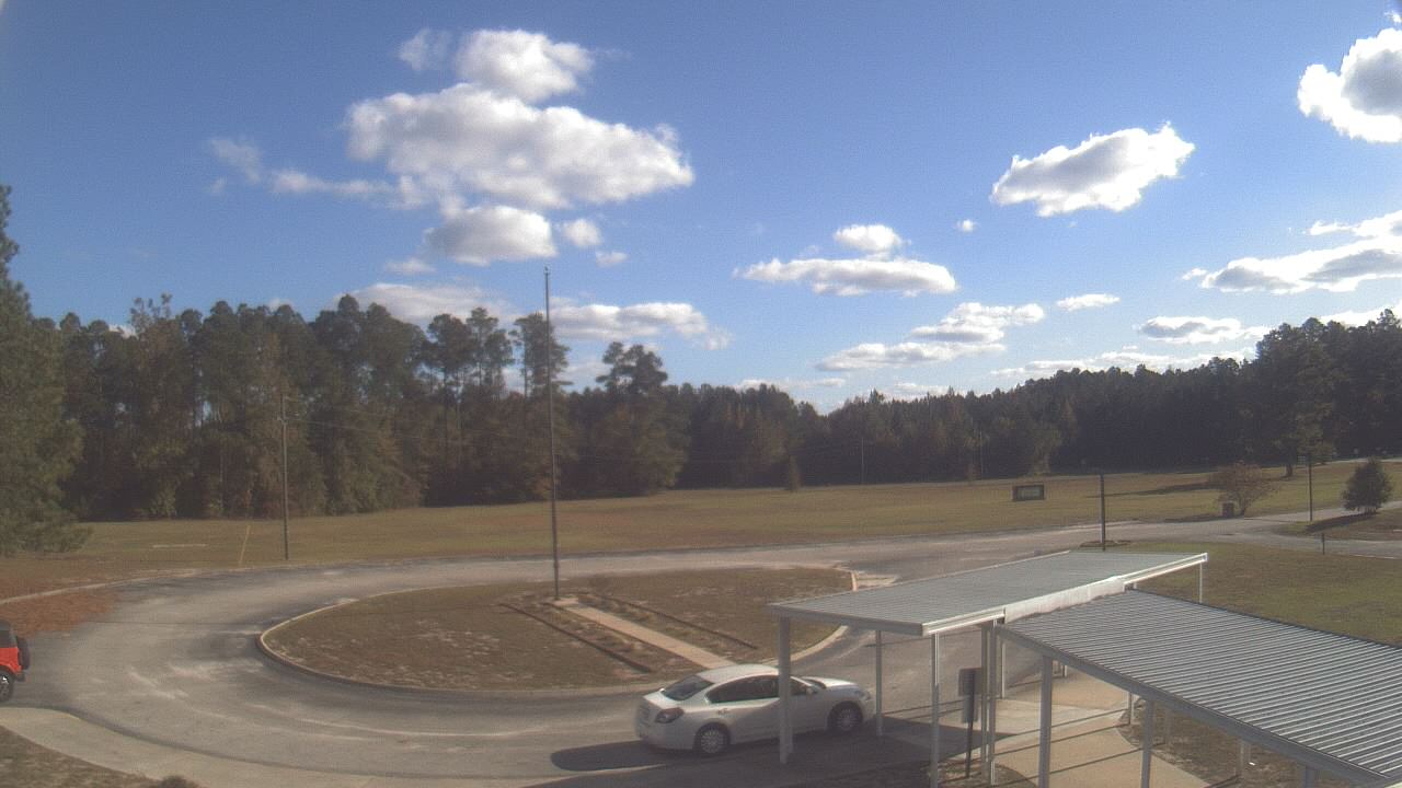
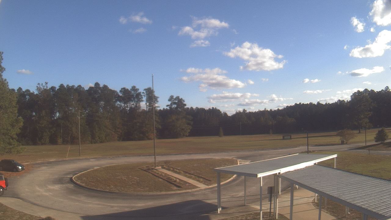
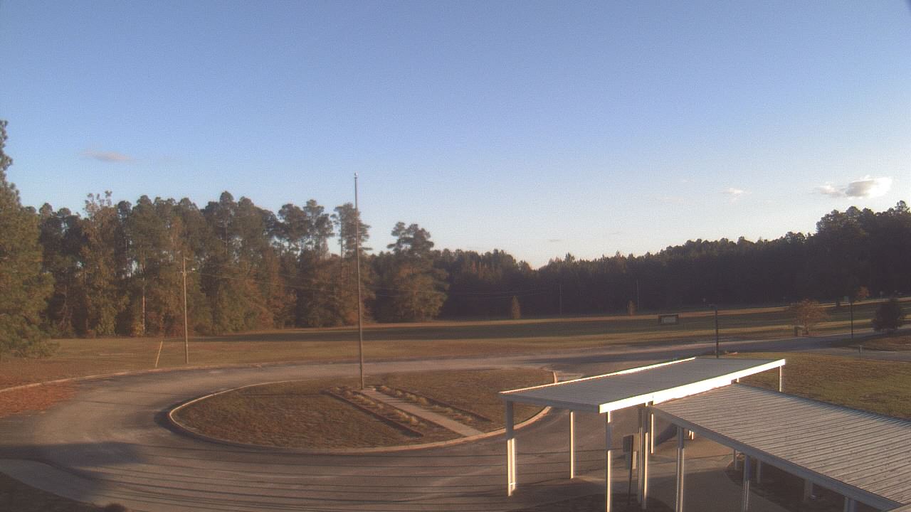
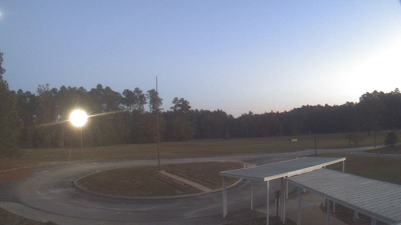
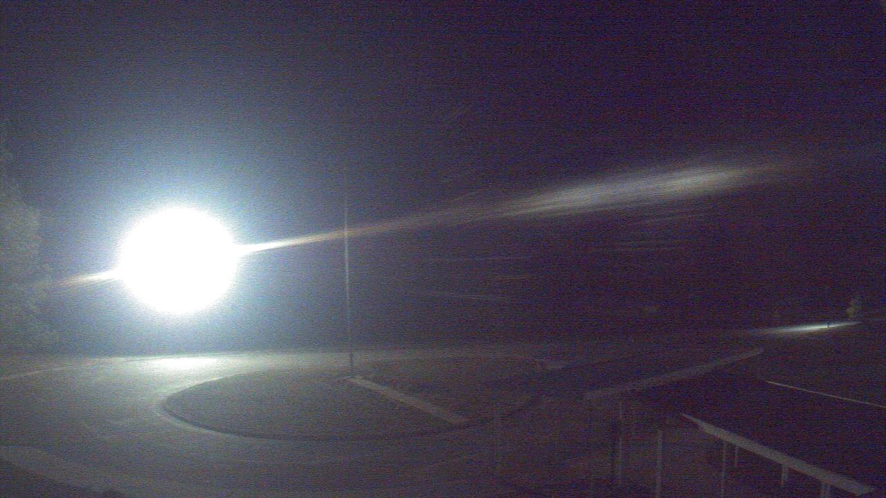
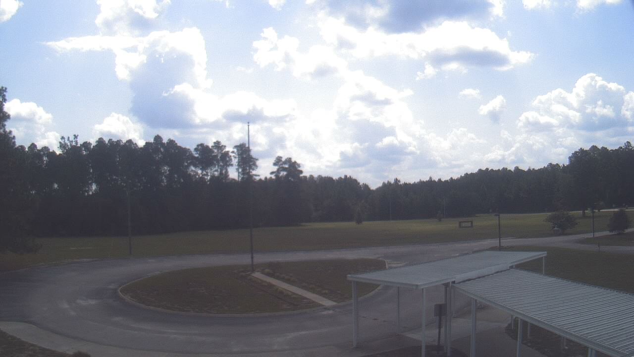
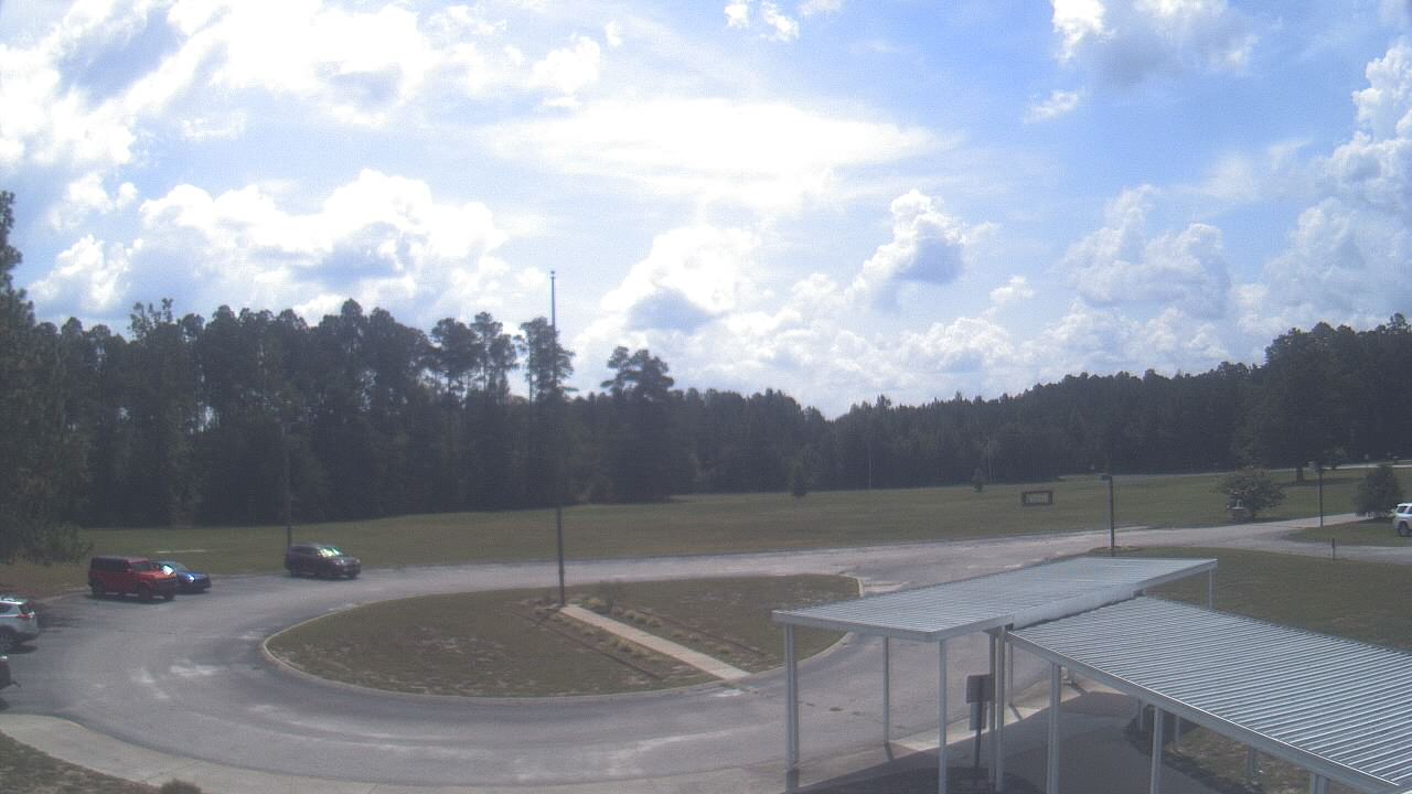
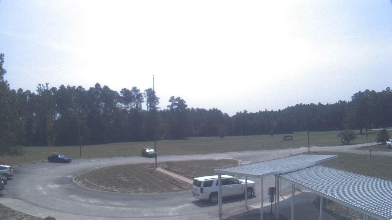
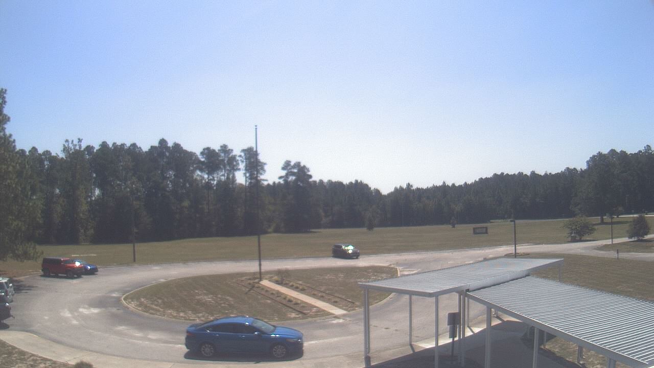
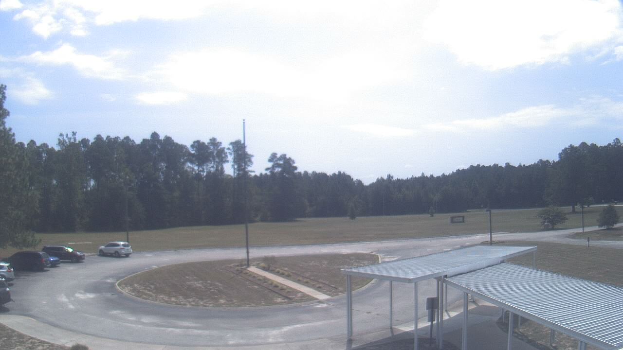
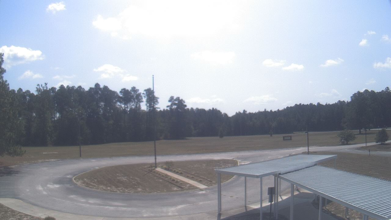
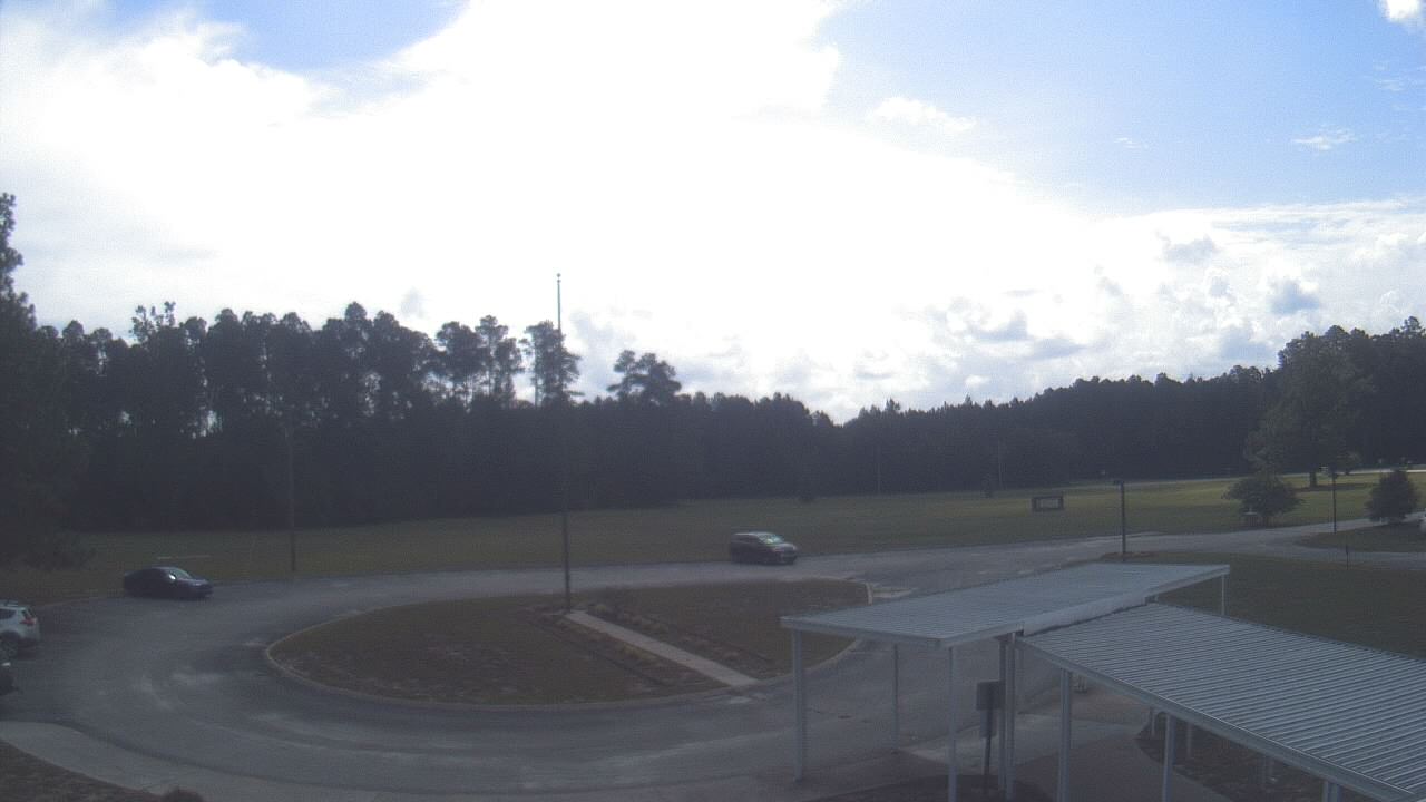
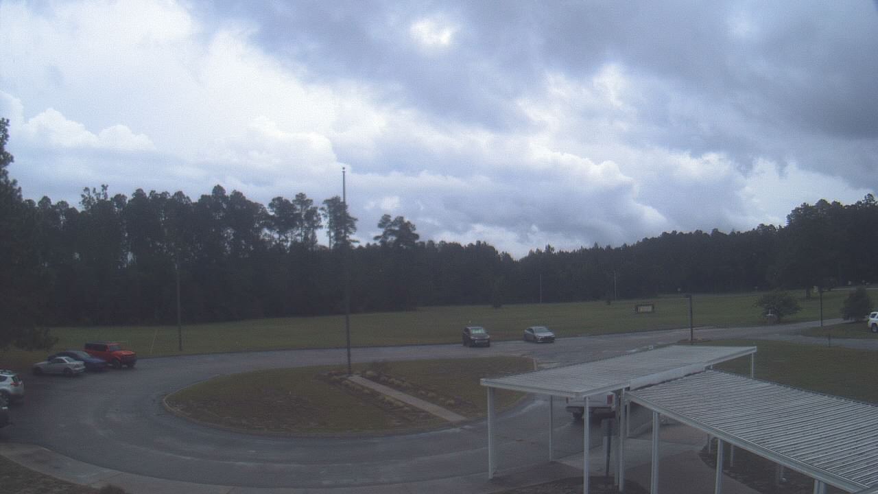
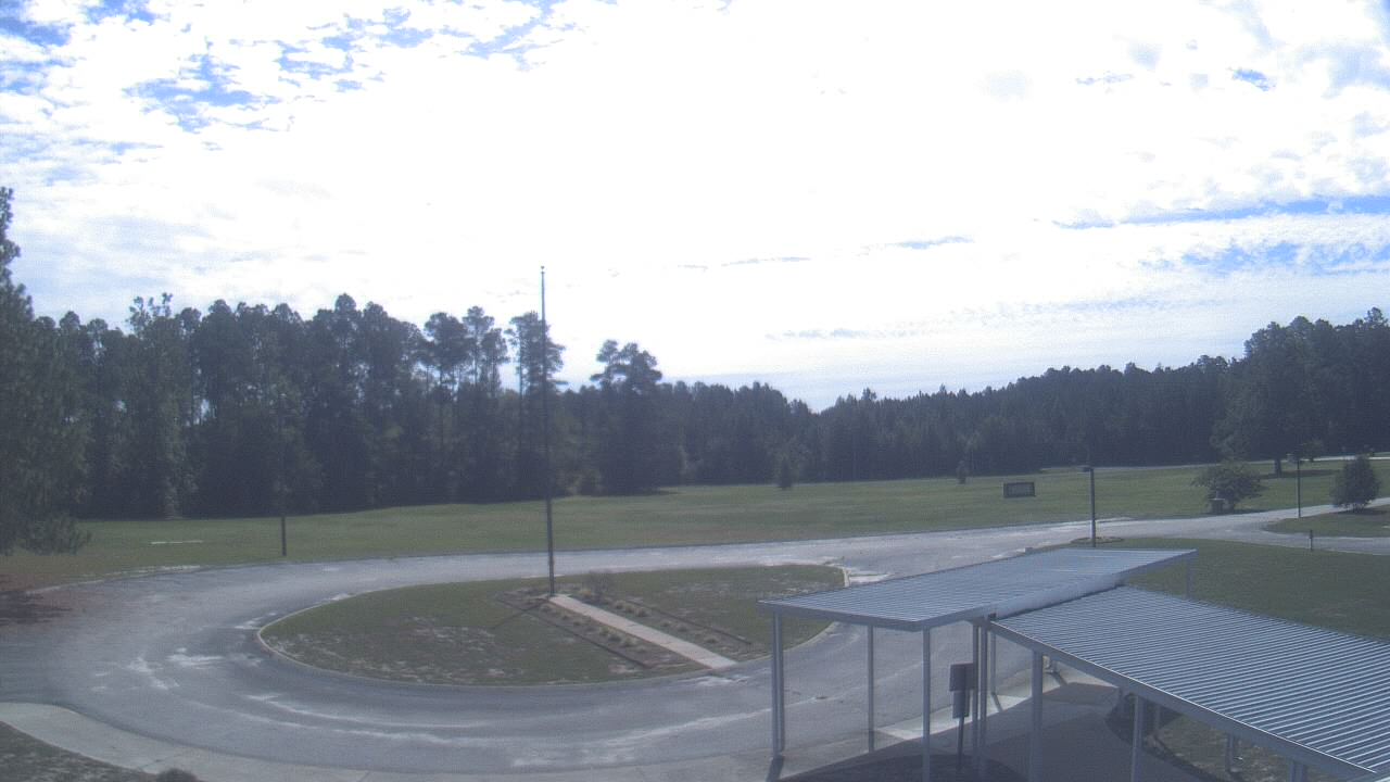
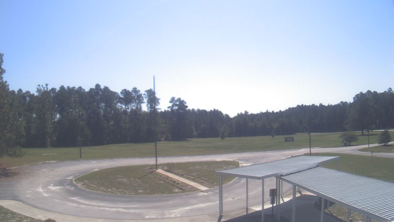
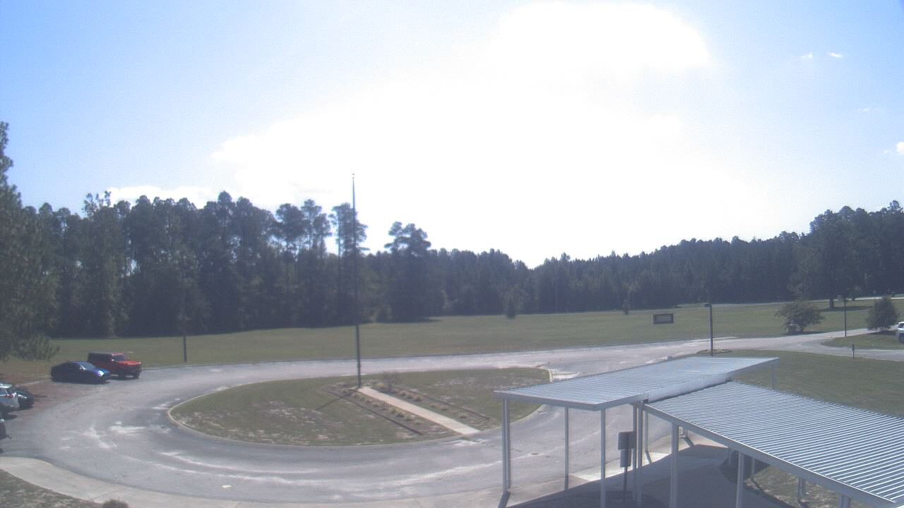
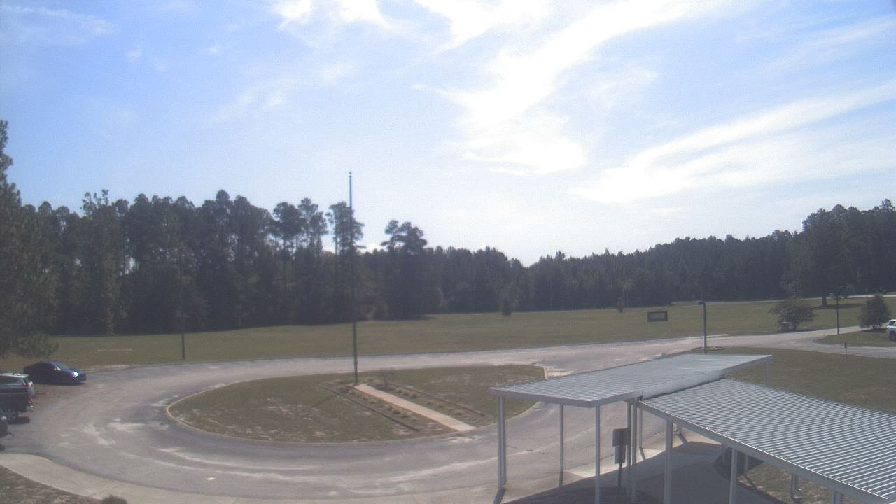
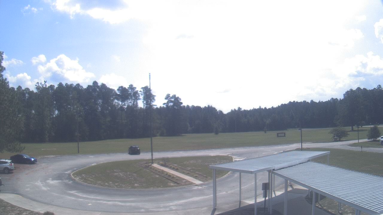
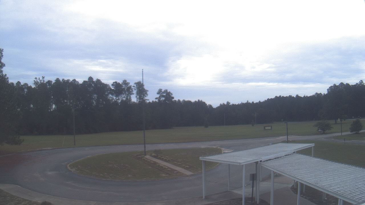
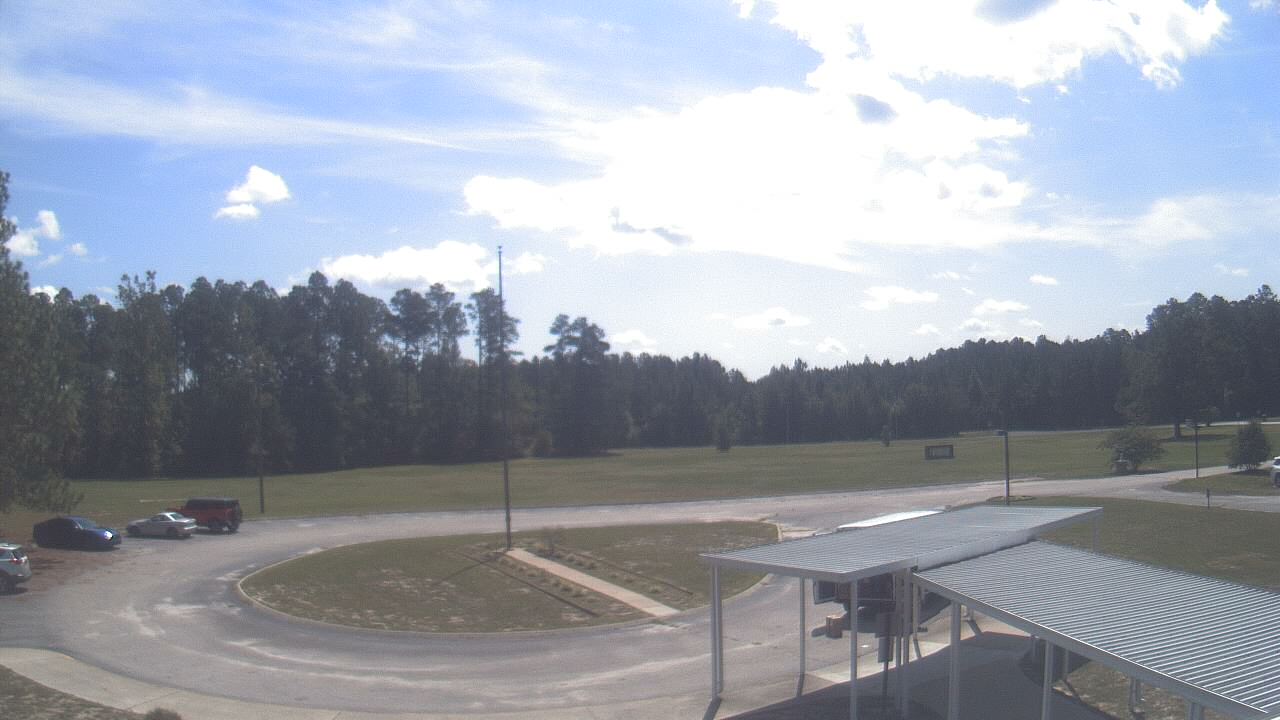
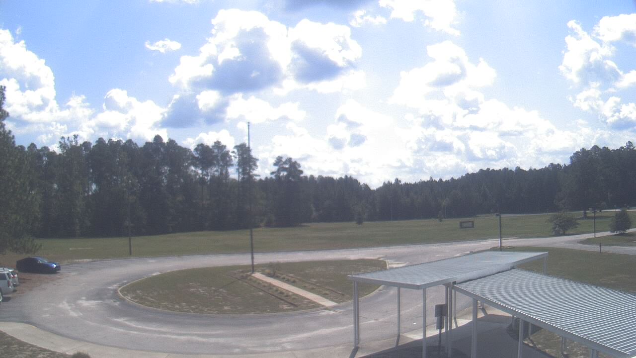
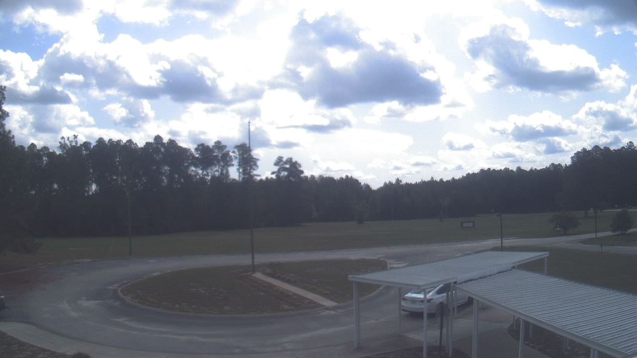
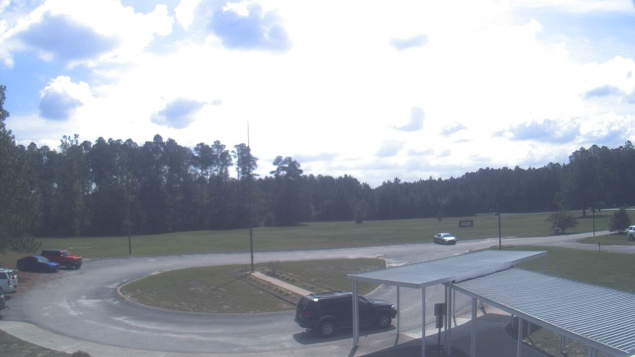
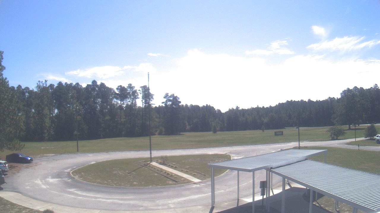
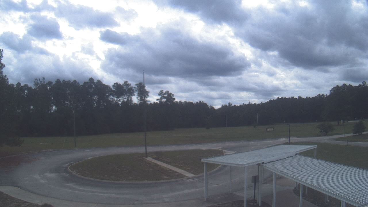
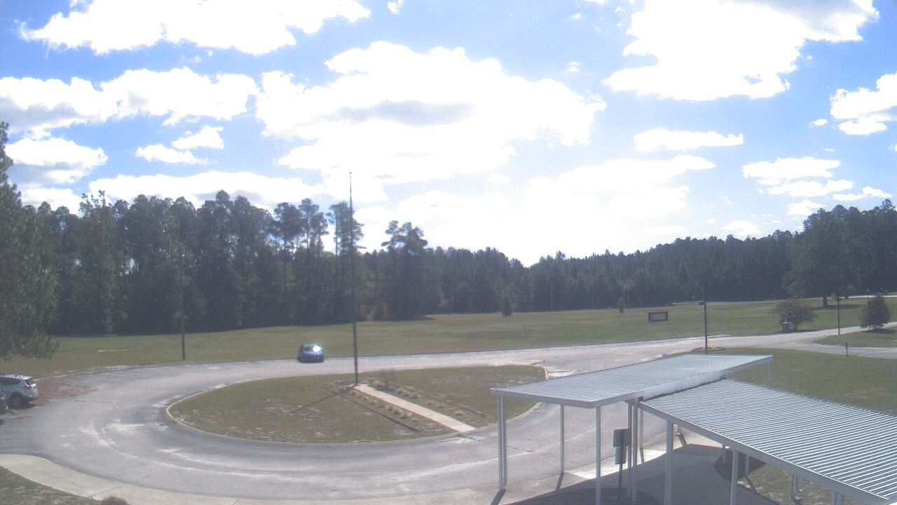
Cary, North Carolina, USA - 26.9 miles from Teer: Davis Drive Elementary School - A webcam in Cary, North Carolina - camera location: Davis Drive Elementary School.
Operator: WeatherBug
Operator: WeatherBug


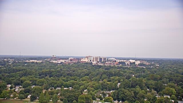
Raleigh, North Carolina, USA - 35.6 miles from Teer: Skyline - A panorama view of the skyline of Raleigh, North Carolina.
Operator: WRAL.com
Operator: WRAL.com

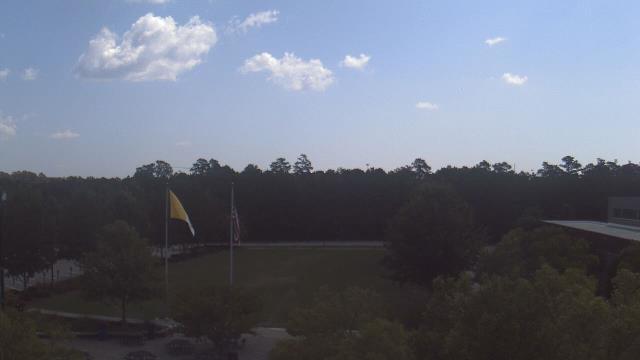
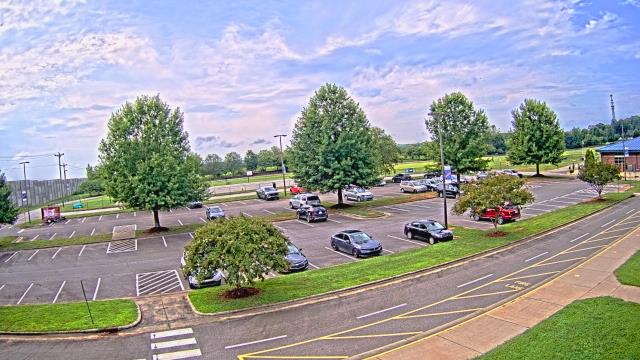
Raleigh, North Carolina, USA - 35.6 miles from Teer: Cardinal Gibbons High School - A webcam in Raleigh, North Carolina - camera location: Cardinal Gibbons High School.
Operator: WeatherBug
Operator: WeatherBug


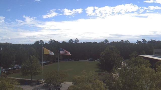
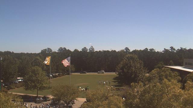


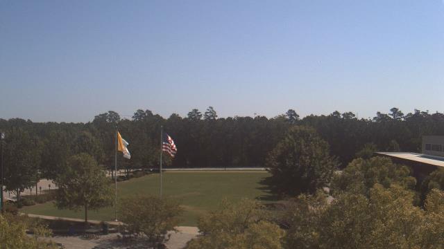
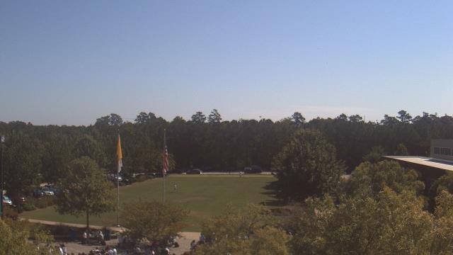


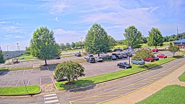
High Point, North Carolina, USA - 43.4 miles from Teer: High Point University - A webcam in High Point, North Carolina - camera location: High Point University.
Operator: WeatherBug
Operator: WeatherBug


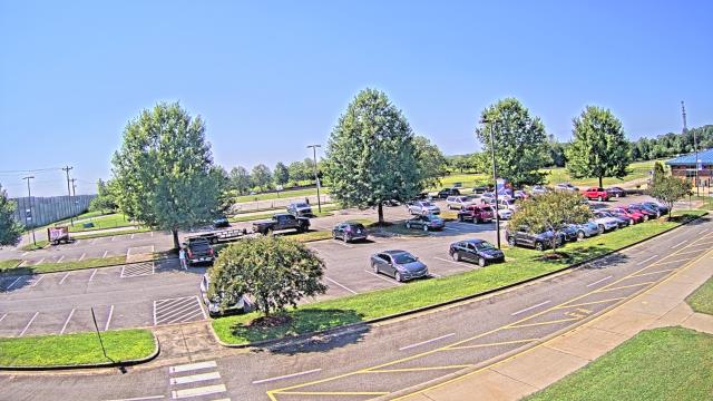
High Point, North Carolina, USA - 43.4 miles from Teer: WGHP-TV - A webcam in High Point, North Carolina - camera location: WGHP-TV.
Operator: WeatherBug
Operator: WeatherBug


Martinsville, Virginia, USA - 61.9 miles from Teer: Virginia Museum of Natural History - A webcam in Martinsville, Virginia - camera location: Virginia Museum of Natural History.
Operator: WeatherBug
Operator: WeatherBug


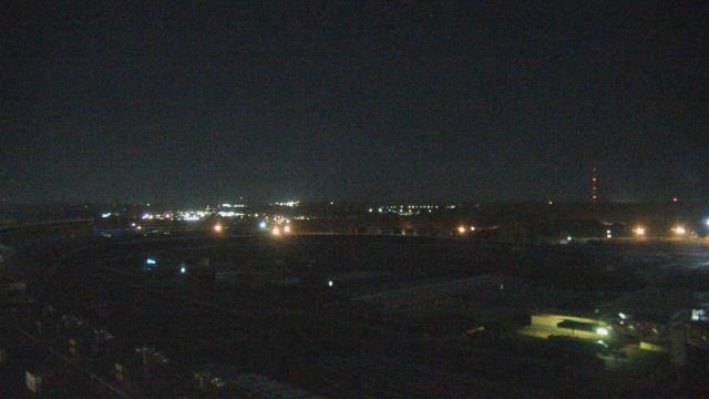
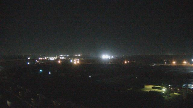
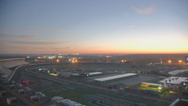
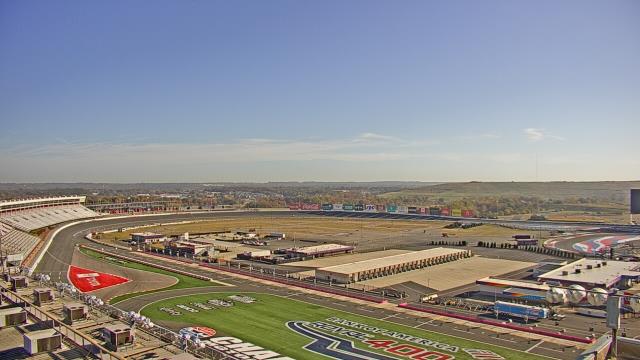
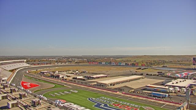
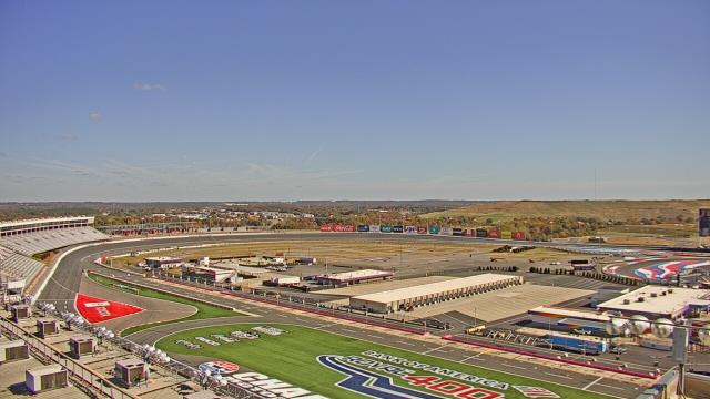
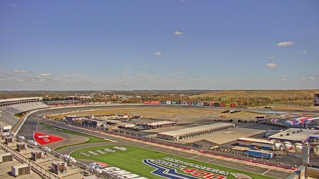
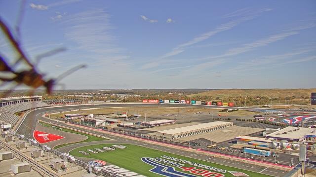
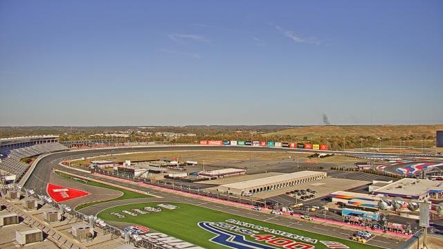
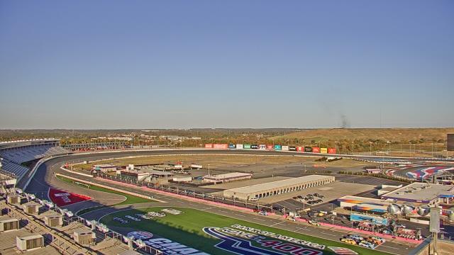
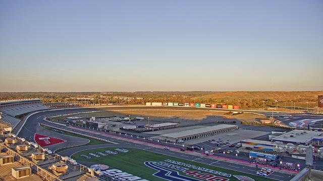
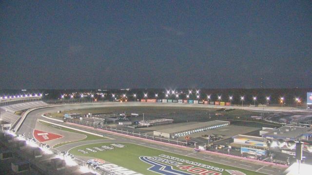
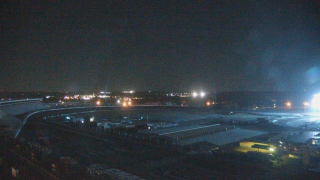
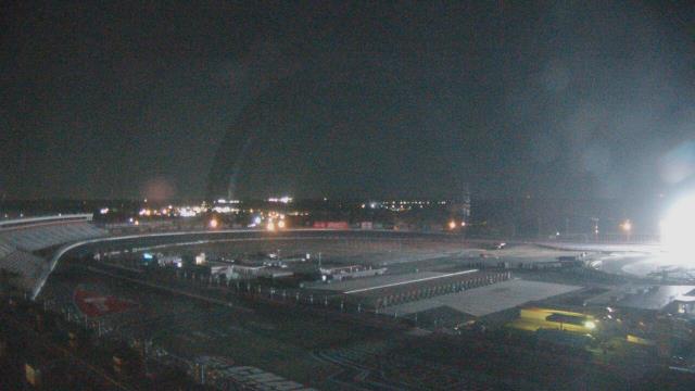
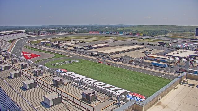
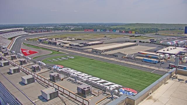
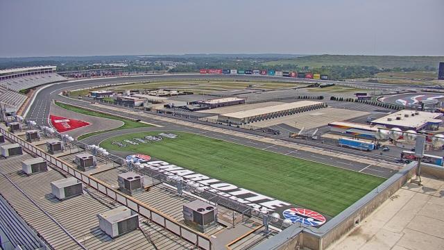
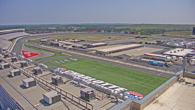
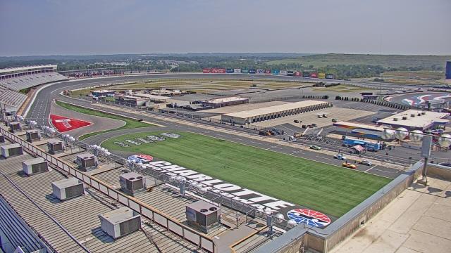
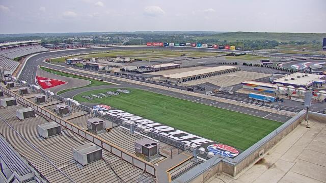
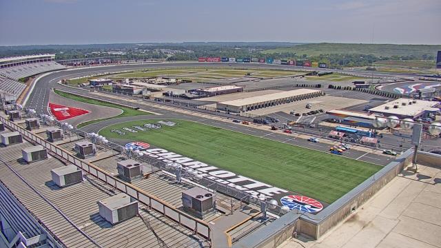
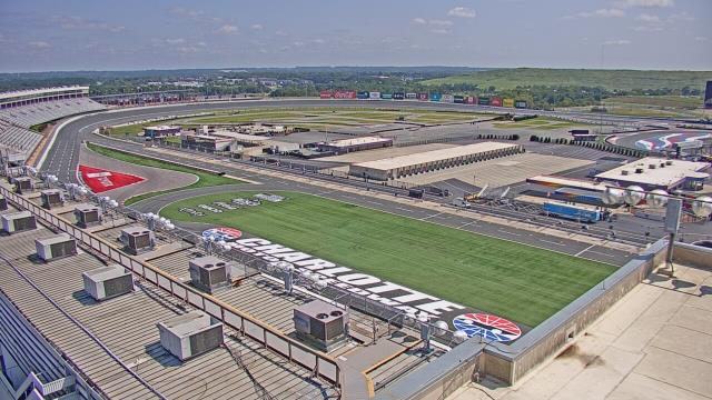
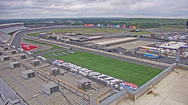
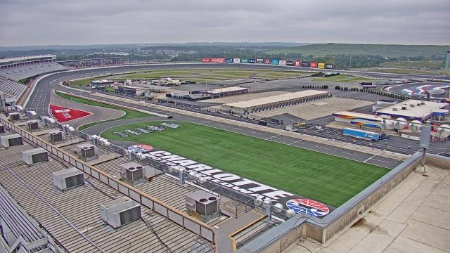
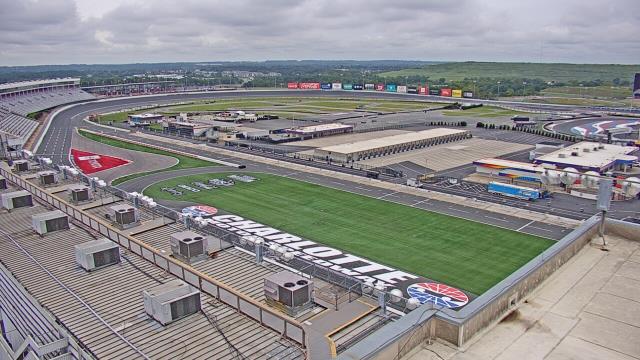
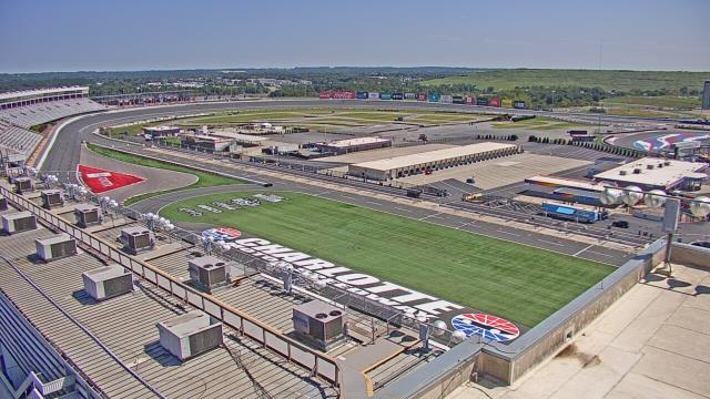
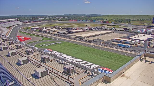
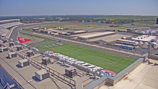
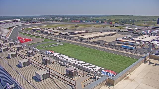
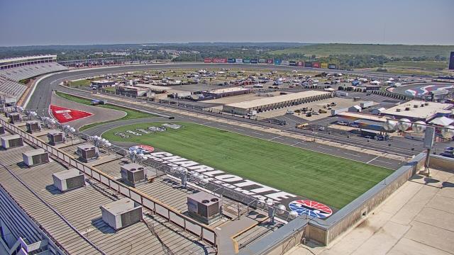
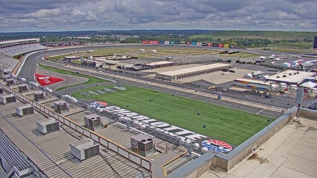
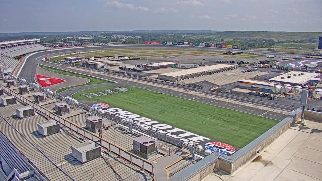
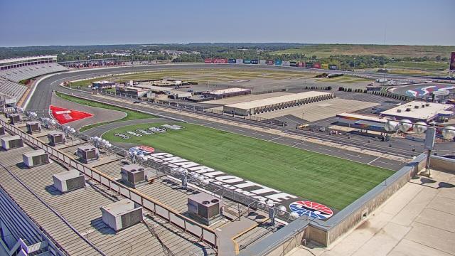
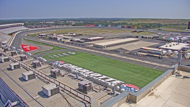
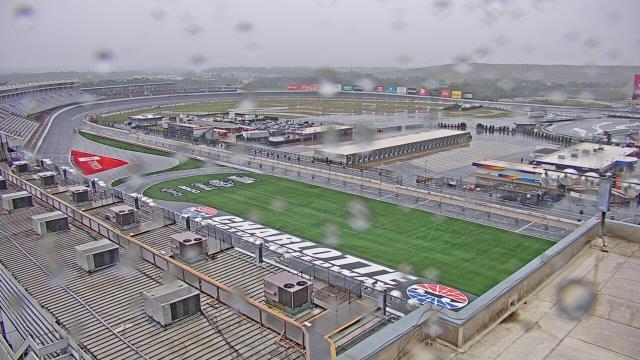
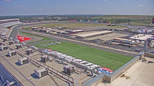
Concord, North Carolina, USA - 84.8 miles from Teer: Charlotte Motor Speedway - A webcam in Concord, North Carolina - camera location: Charlotte Motor Speedway.
Operator: WeatherBug
Operator: WeatherBug


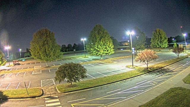
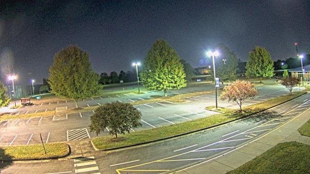
Statesville, North Carolina, USA - 93.6 miles from Teer: Cloverleaf Elementary School - A webcam in Statesville, North Carolina - camera location: Cloverleaf Elementary School.
Operator: WeatherBug
Operator: WeatherBug


Elizabethtown, North Carolina, USA - 98.6 miles from Teer: Bladen Lakes Primary School - A webcam in Elizabethtown, North Carolina - camera location: Bladen Lakes Primary School.
Operator: WeatherBug
Operator: WeatherBug


Some other places in this country: Taylors Store - Taylorsville Beach - Taylortown - Teaguetown - Tellico - Tenmile Fork - Tenney Circle - Teresita - Terra Ceia - Terrace Gardens