Webcams in the region of Riverbend, North Carolina, USA
The List of Webcams near Riverbend, North Carolina, USA:

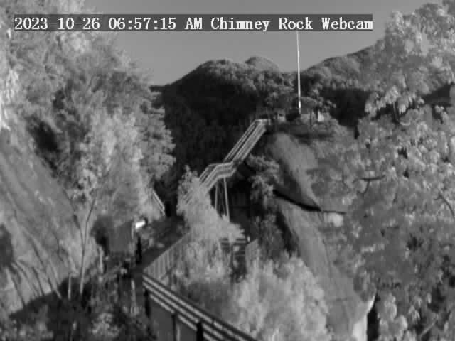
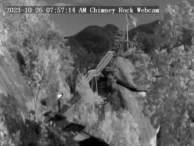
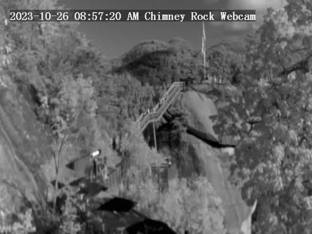
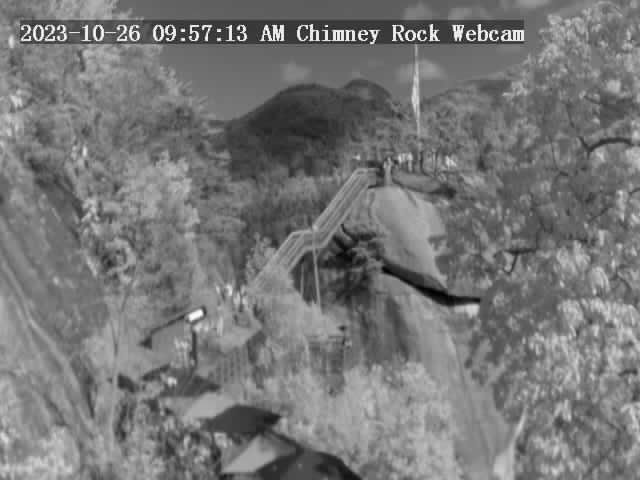
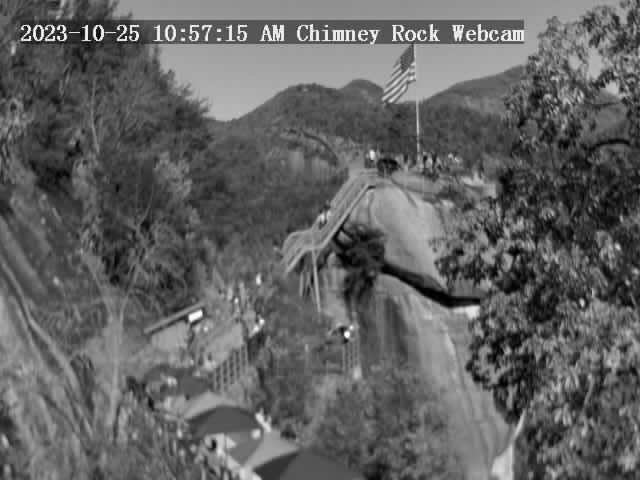
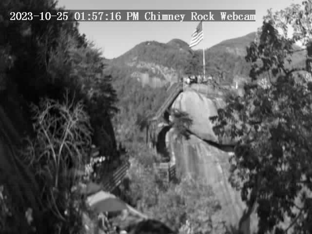
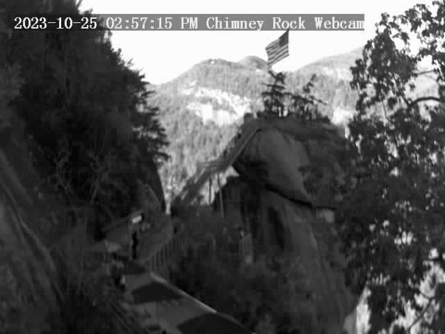
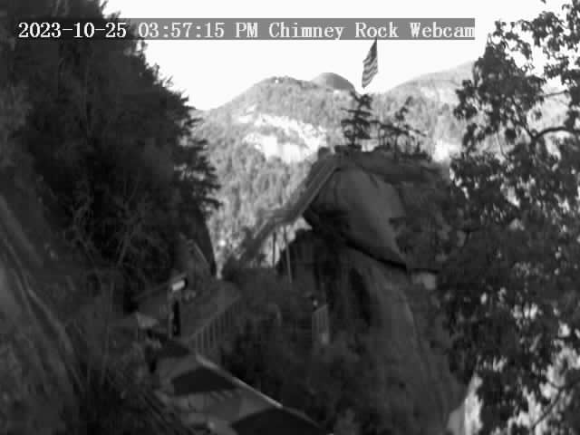
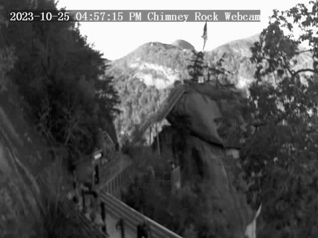
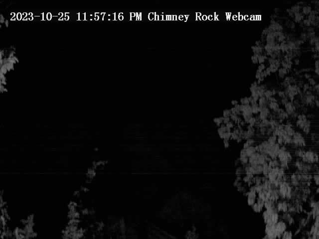
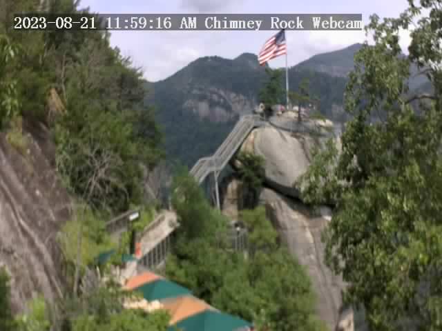
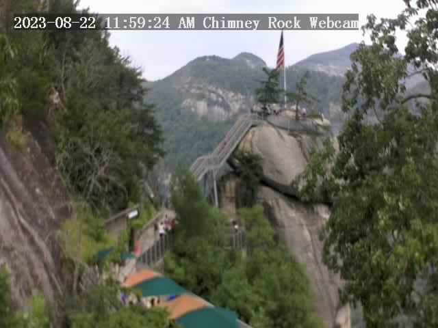
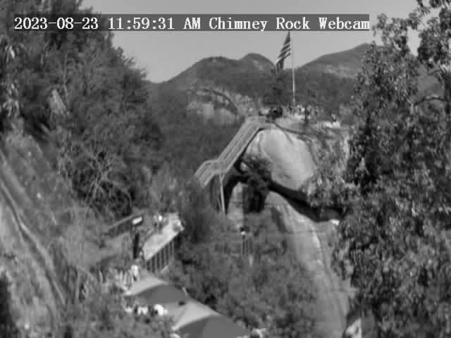
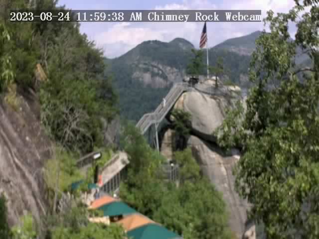
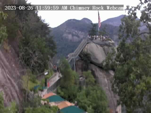
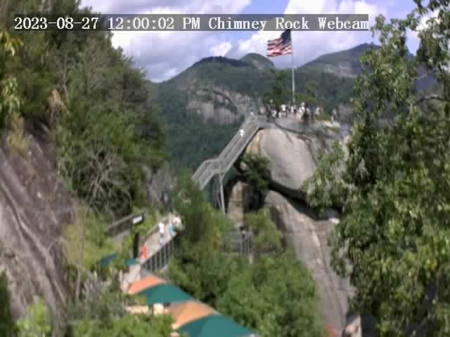
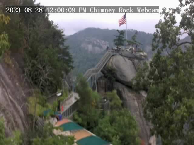
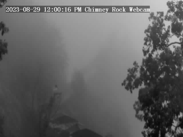
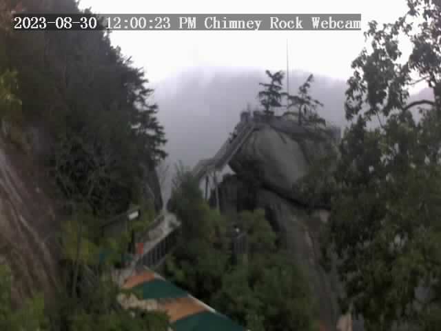
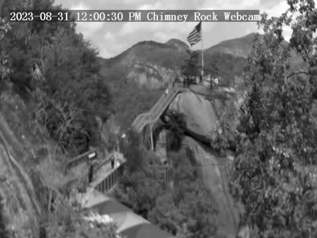
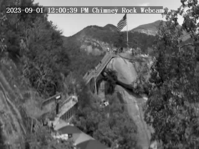
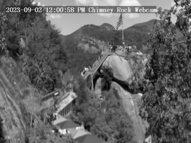
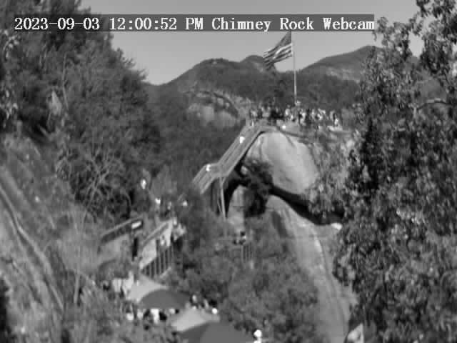
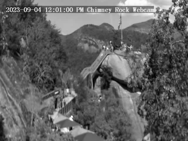
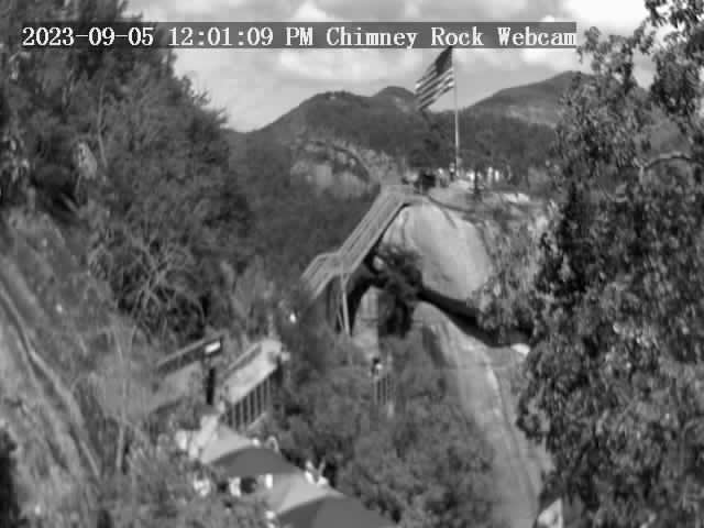
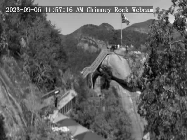
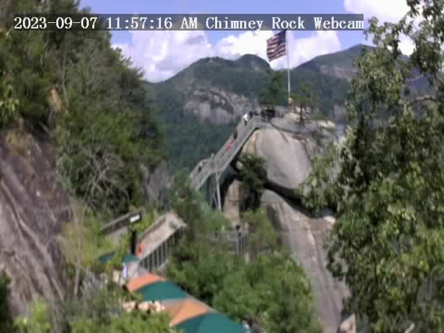
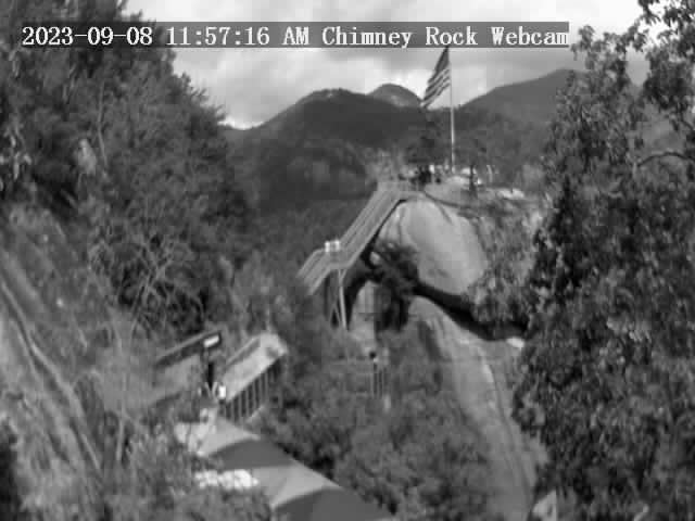
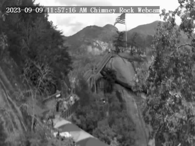
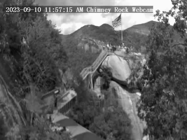
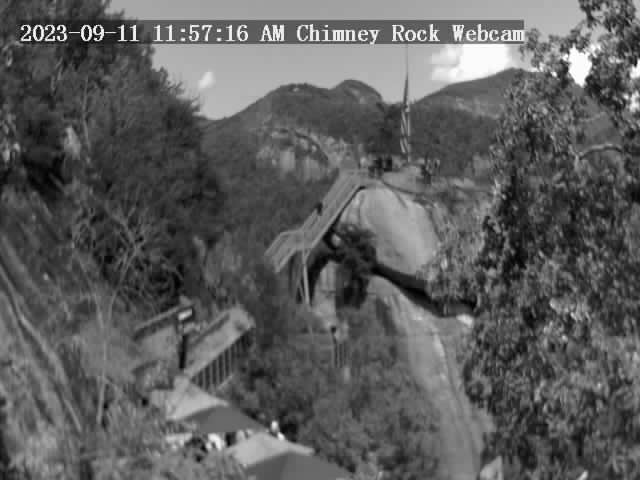
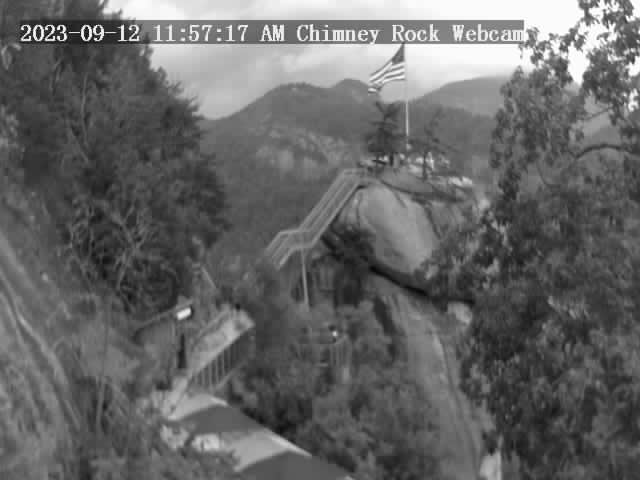
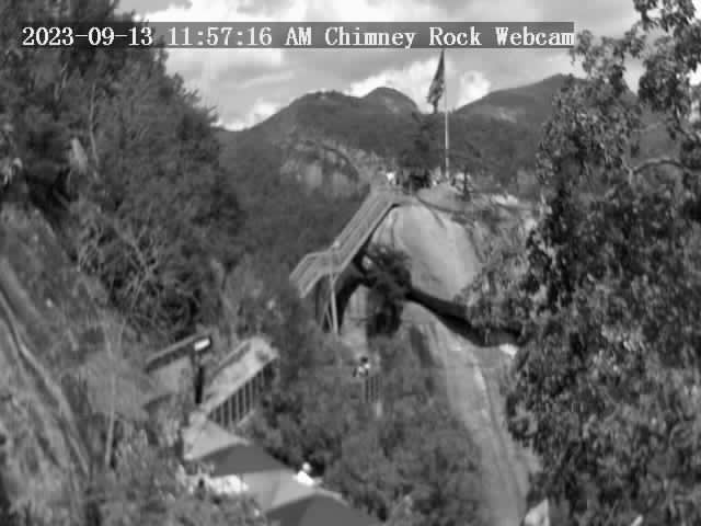
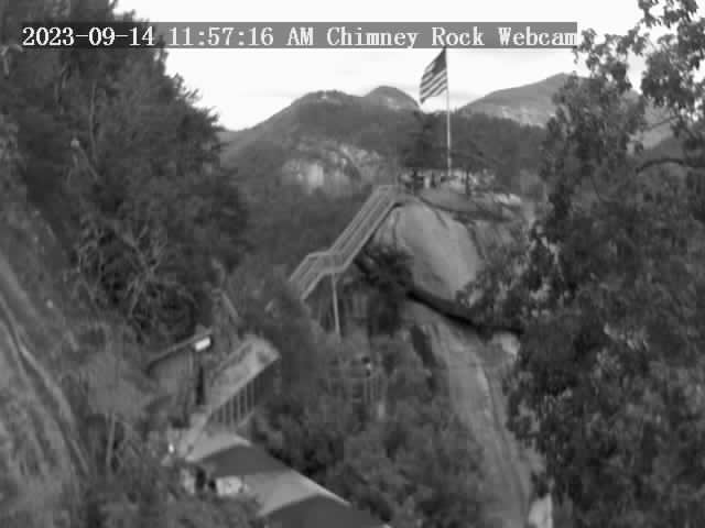
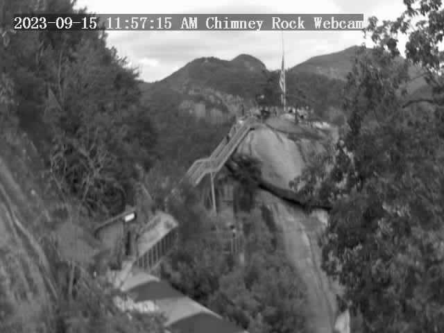
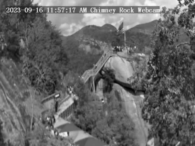
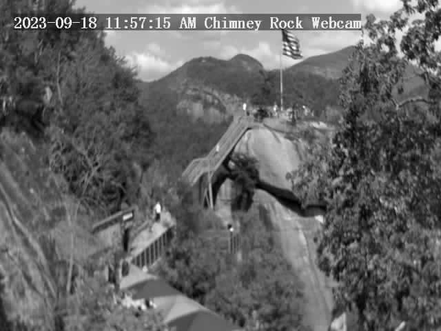
Chimney Rock, North Carolina, USA - 4.4 miles from Riverbend: Chimney Rock State Park - A view of the Chimney Rock.
Operator: Chimney Rock State Park
Operator: Chimney Rock State Park


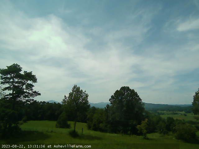
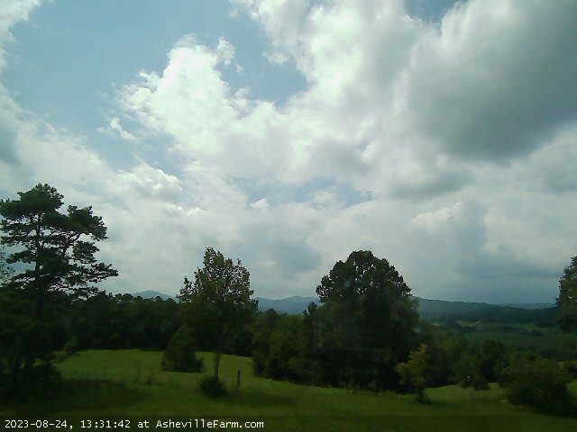
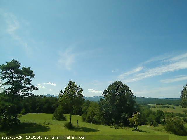
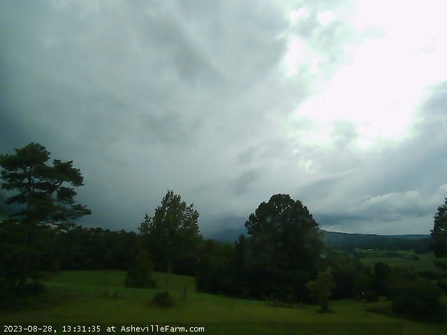
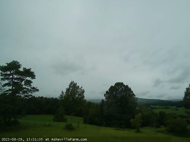
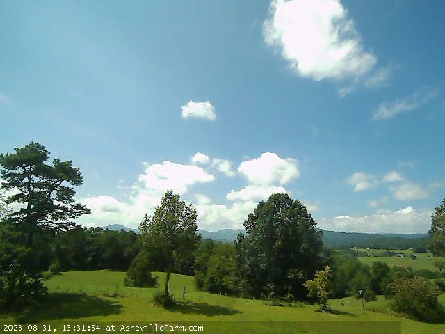
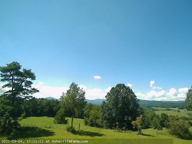
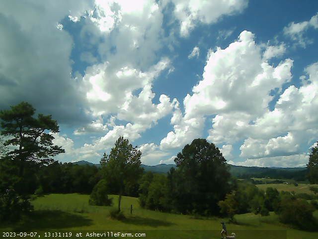
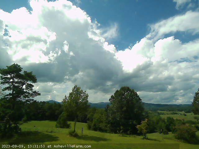
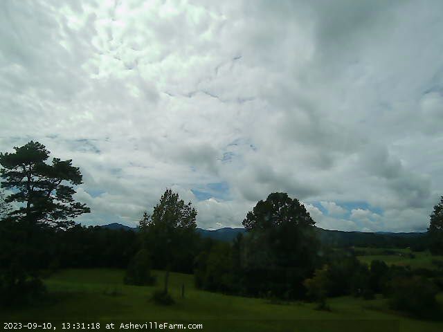
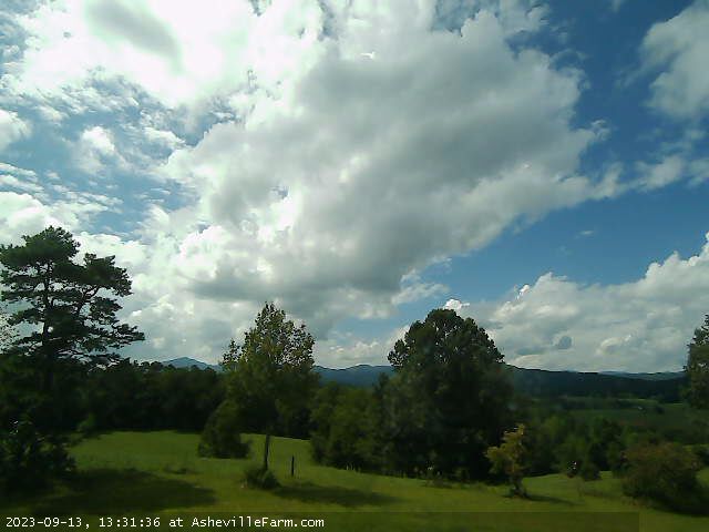
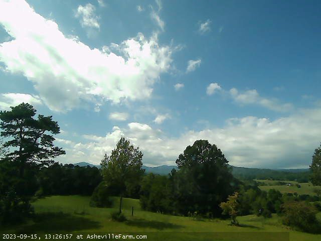
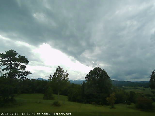
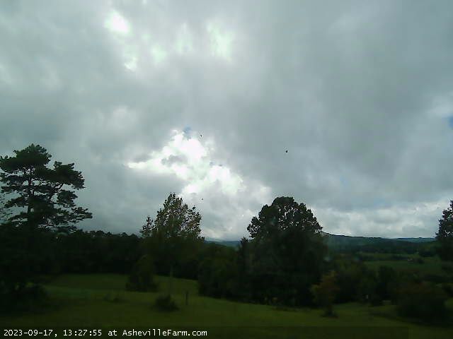
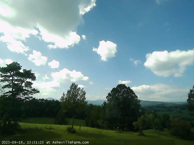
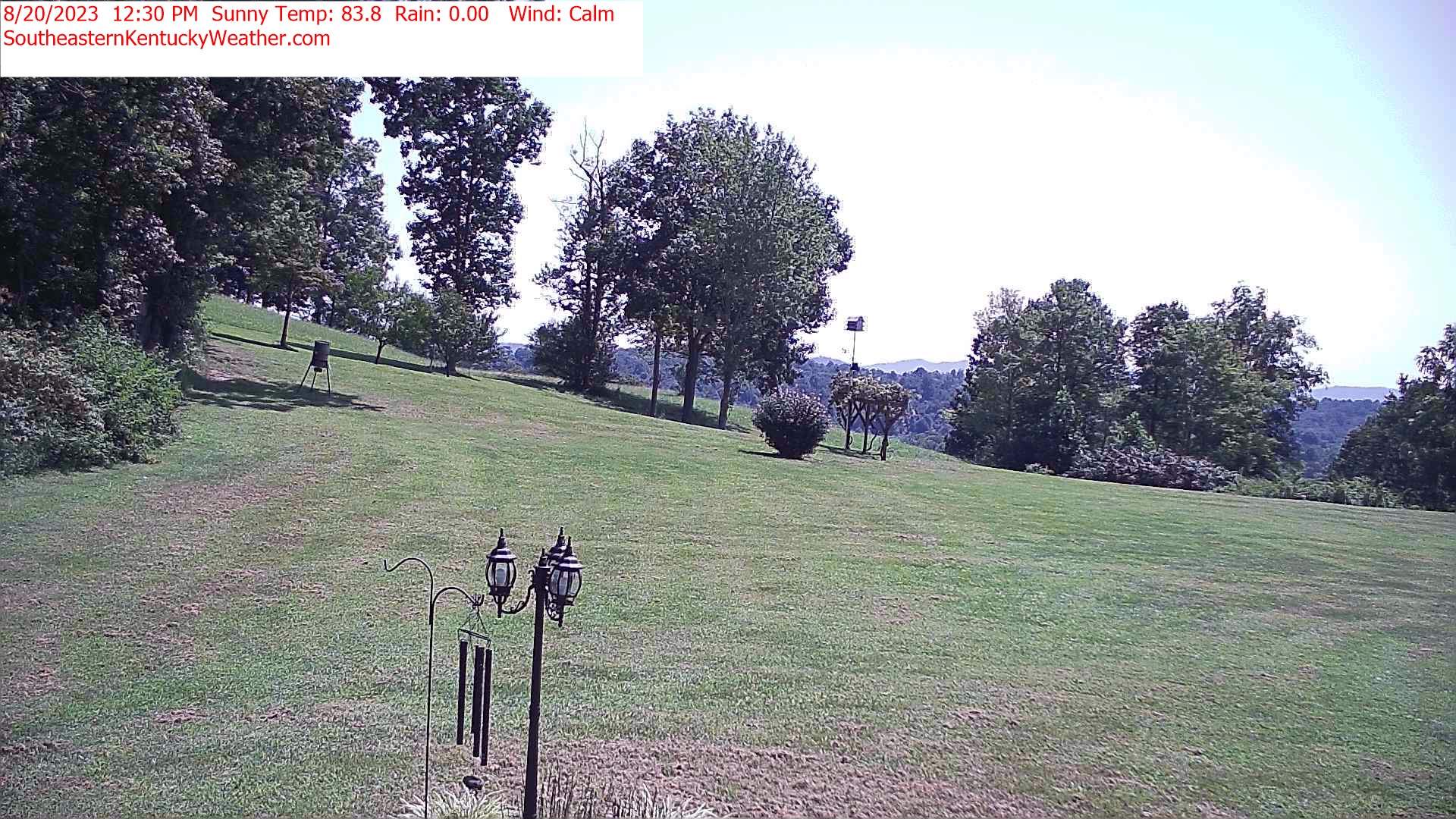
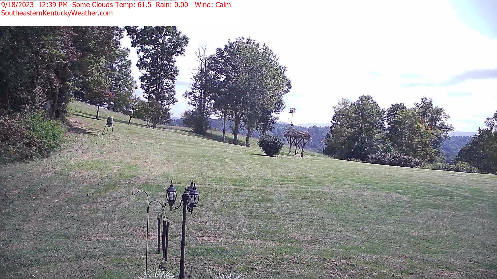
Asheville, North Carolina, USA - 24.6 miles from Riverbend: View of NC Great Smokey Mountains from Asheville Farm - View of the Great Smokey Mountains just west of Asheville Farm in Asheville, NC.
Operator: Asheville Farm
Operator: Asheville Farm


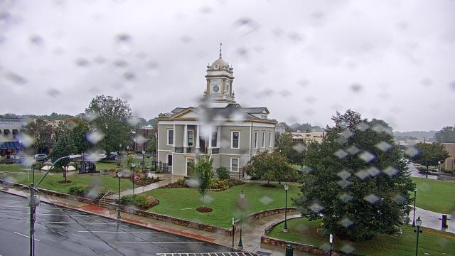
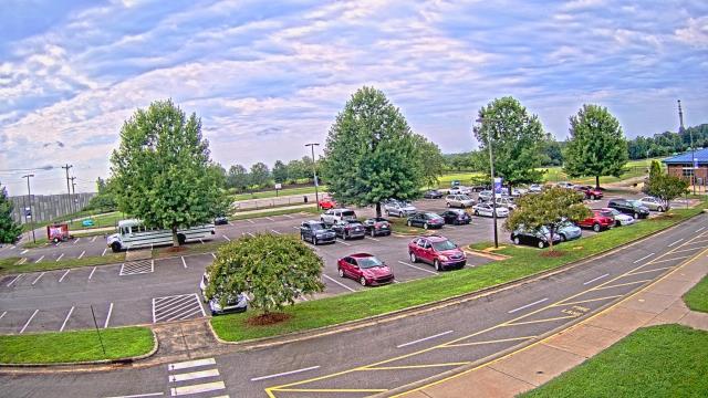
Morganton, North Carolina, USA - 34.9 miles from Riverbend: WBTV Morganton Bureau - A webcam in Morganton, North Carolina - camera location: WBTV Morganton Bureau.
Operator: WeatherBug
Operator: WeatherBug


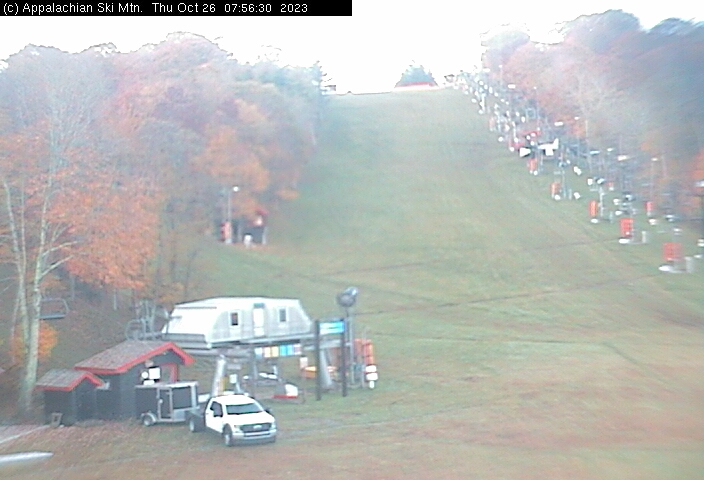
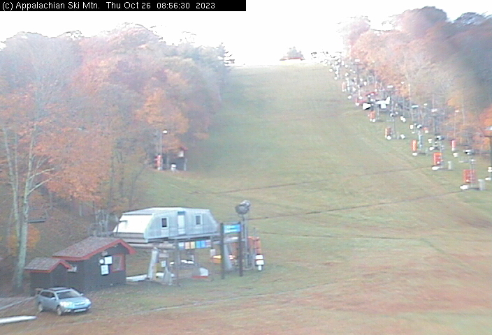
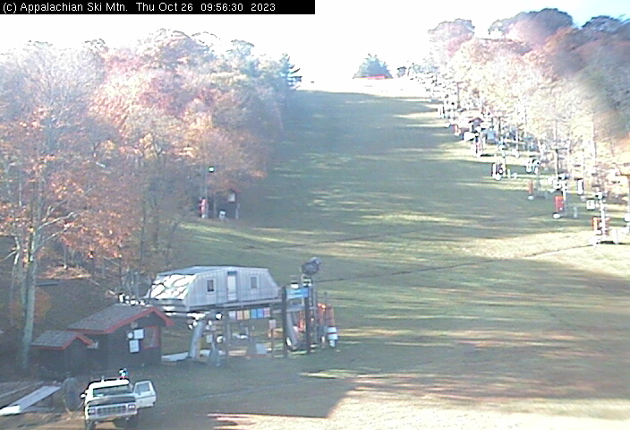
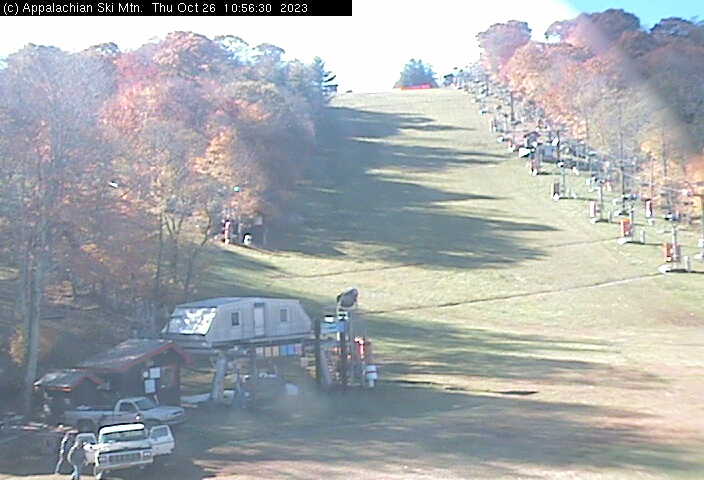
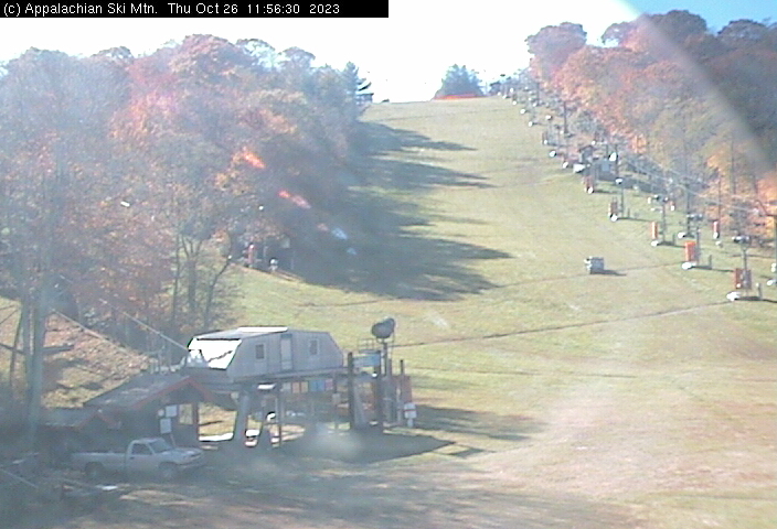
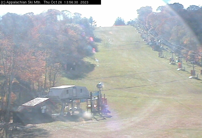
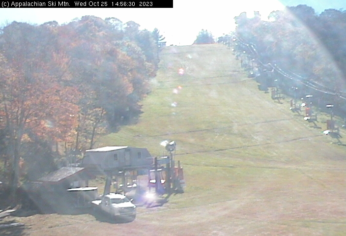
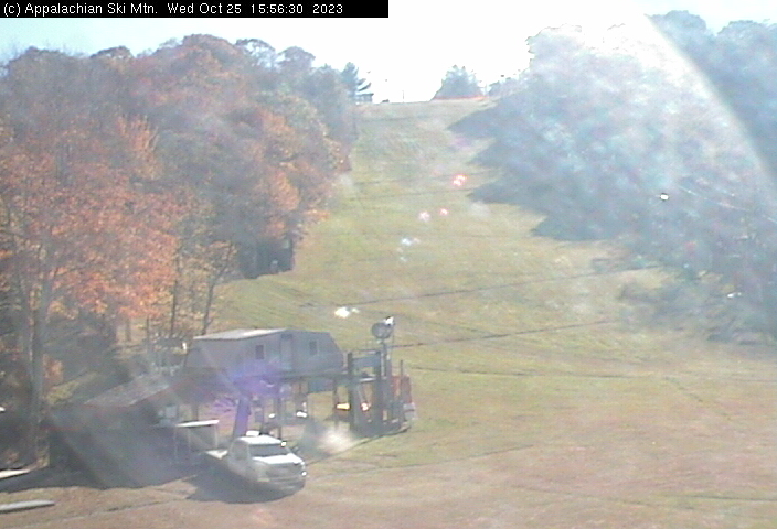
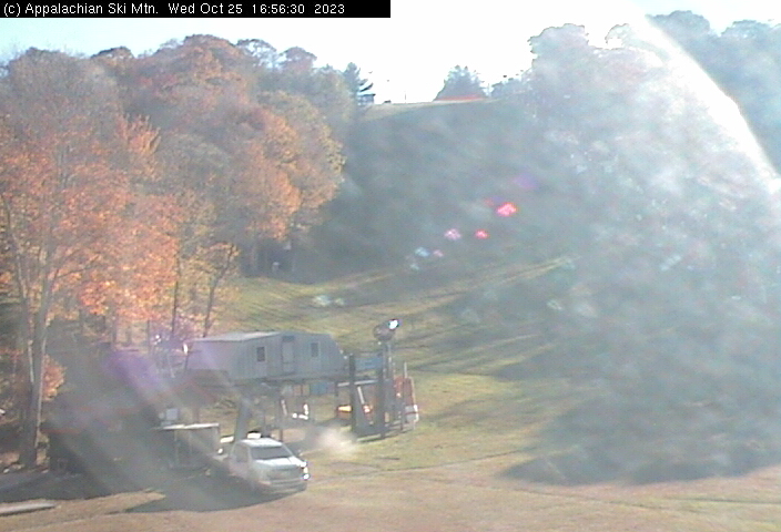
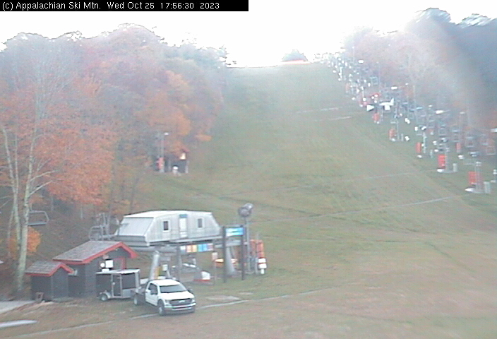
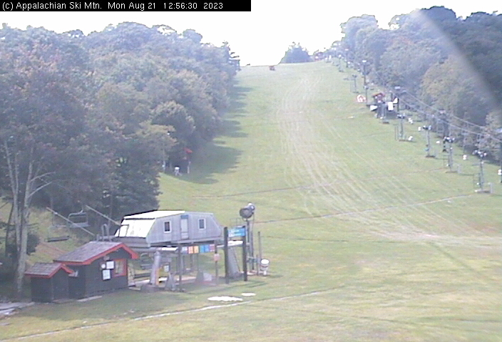
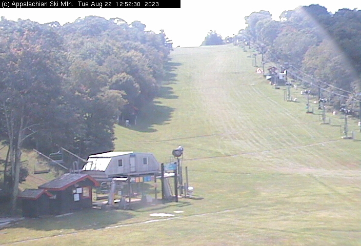
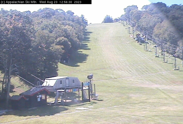
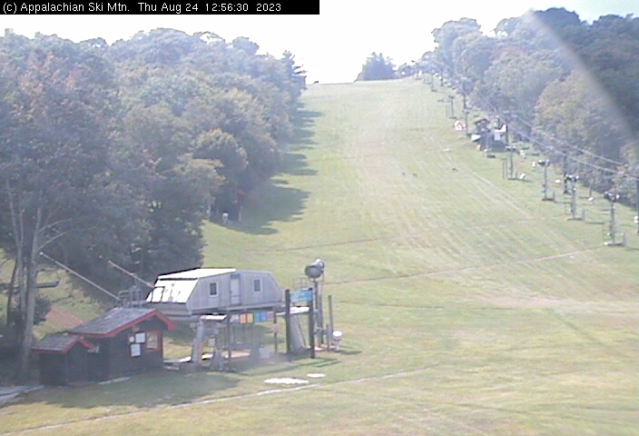
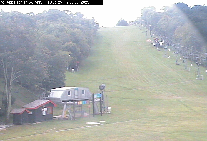
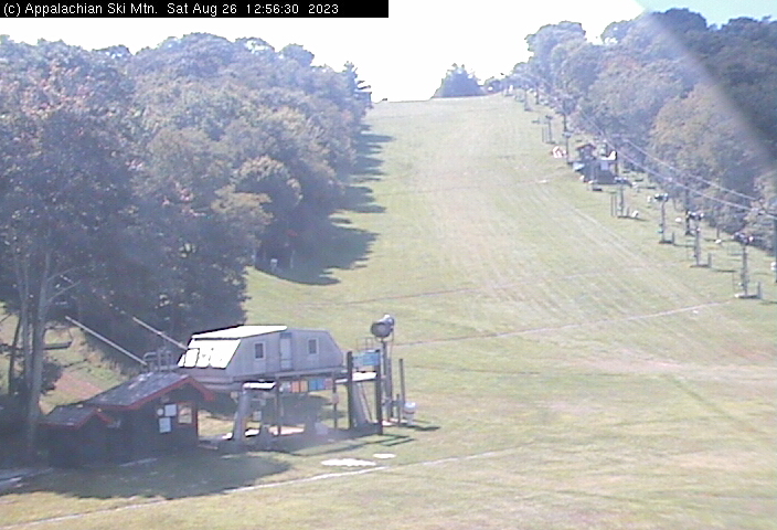
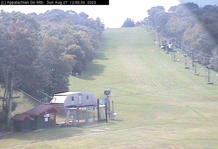
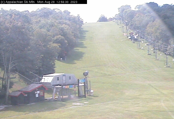
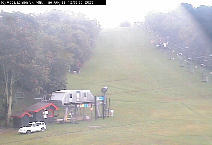
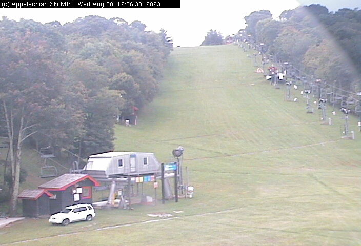
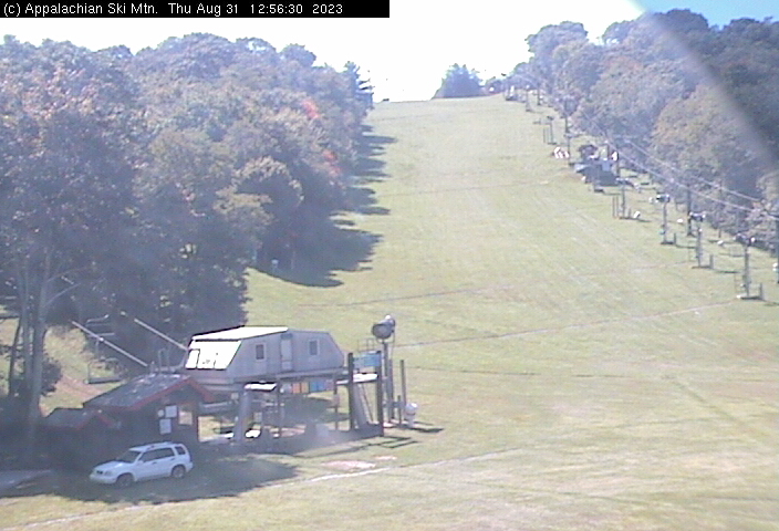
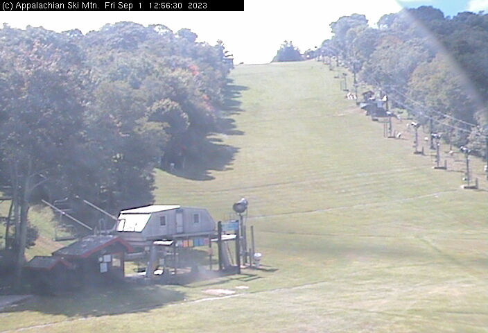
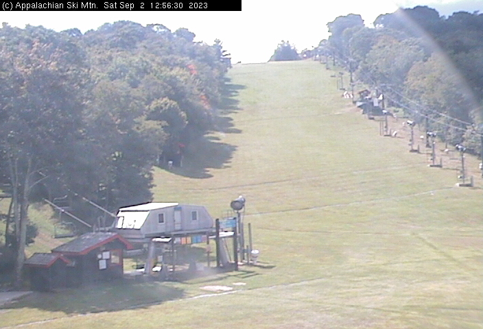
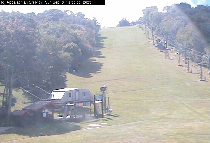
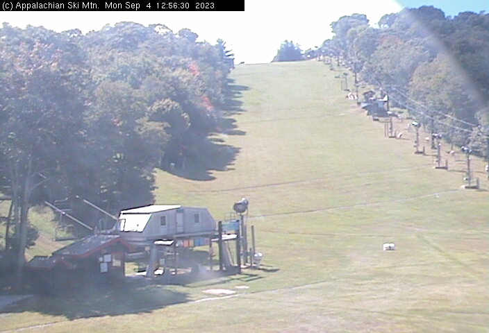
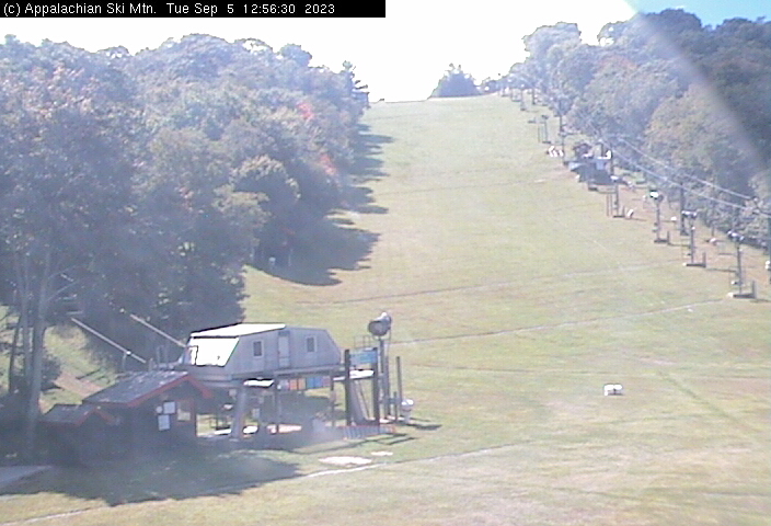
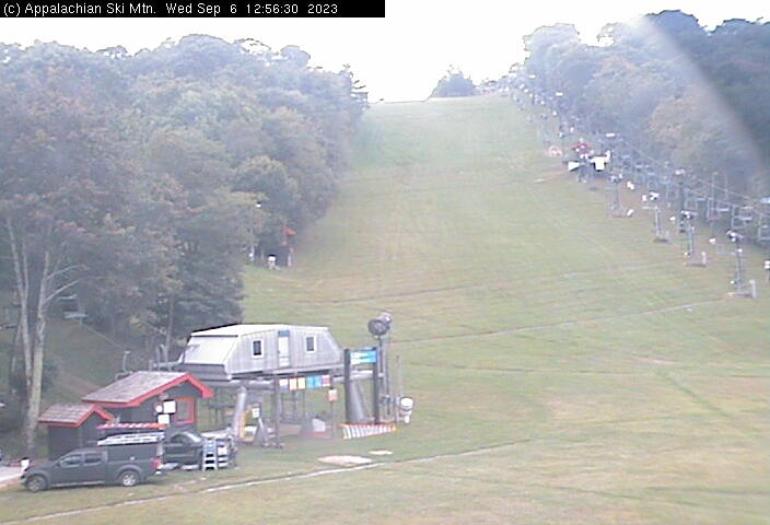
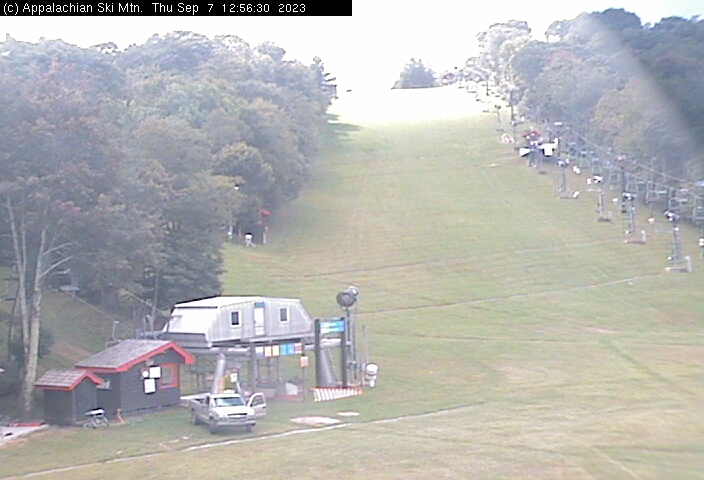
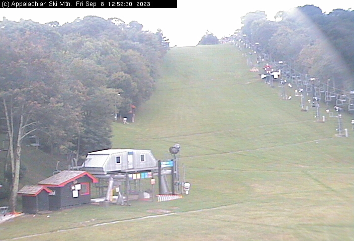
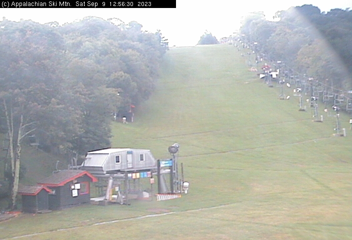
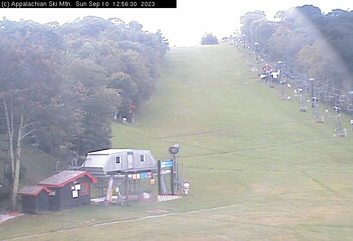
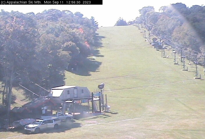
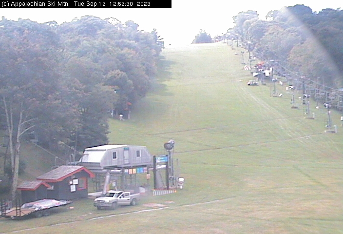
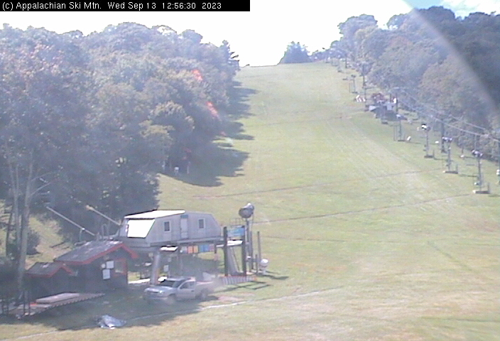
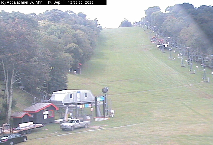
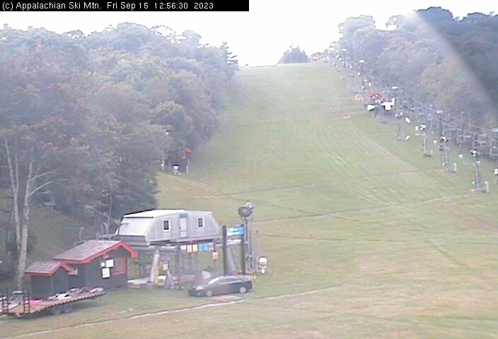
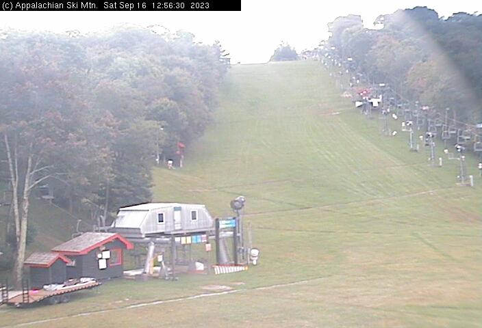
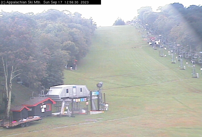
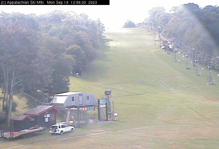
Blowing Rock, North Carolina, USA - 56 miles from Riverbend: Appalachian Ski Mtn., Inc. - A webcam in Blowing Rock, North Carolina - camera location: Appalachian Ski Mtn., Inc..
Operator: Appalachian Ski Mtn.
Operator: Appalachian Ski Mtn.


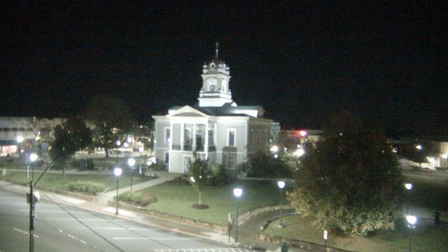
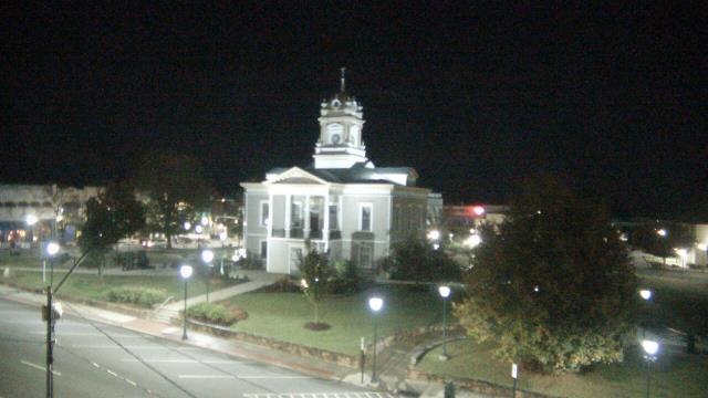
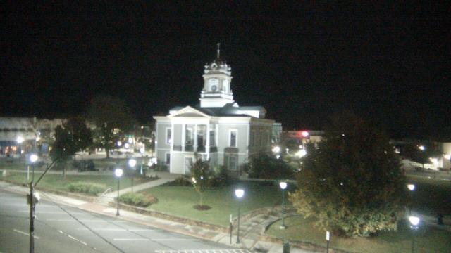
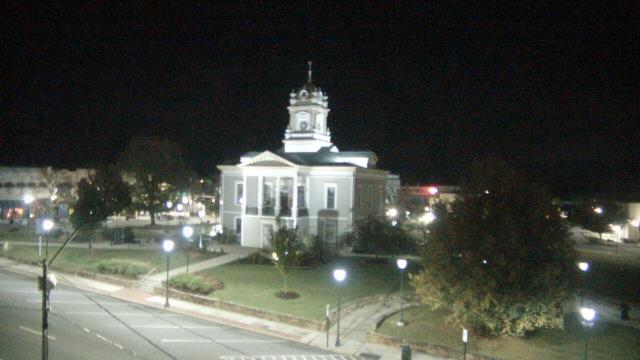
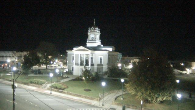
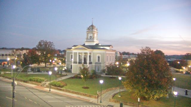
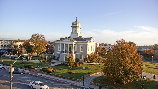
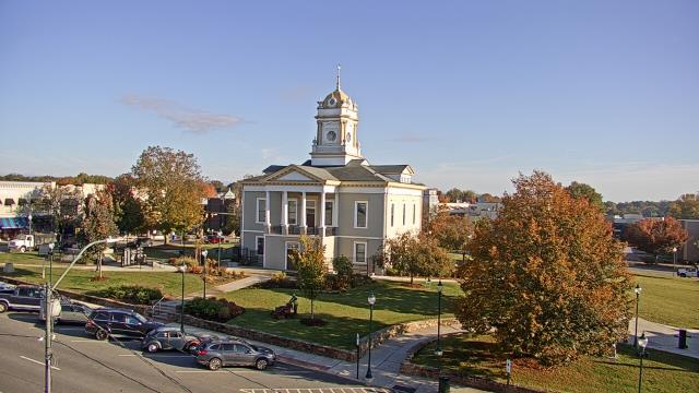
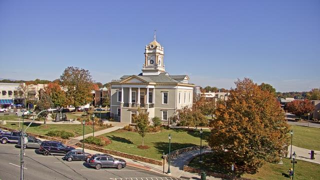
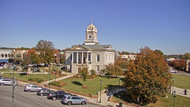
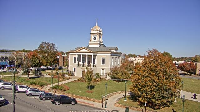
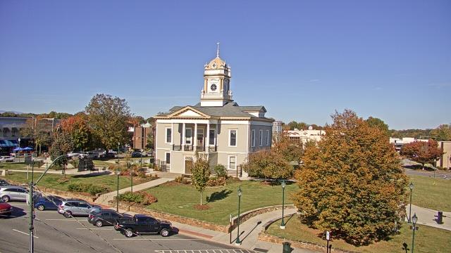
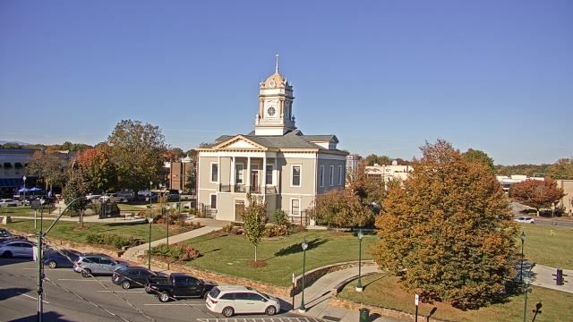
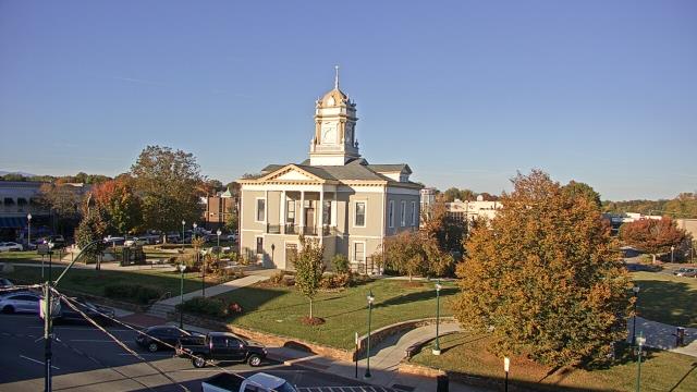
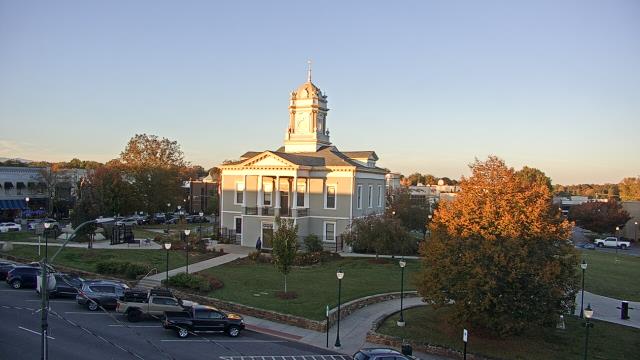
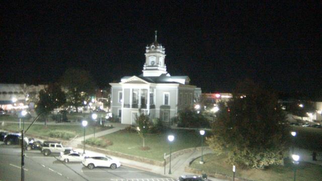
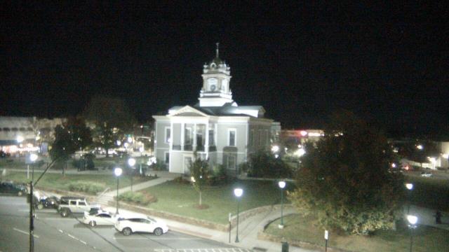
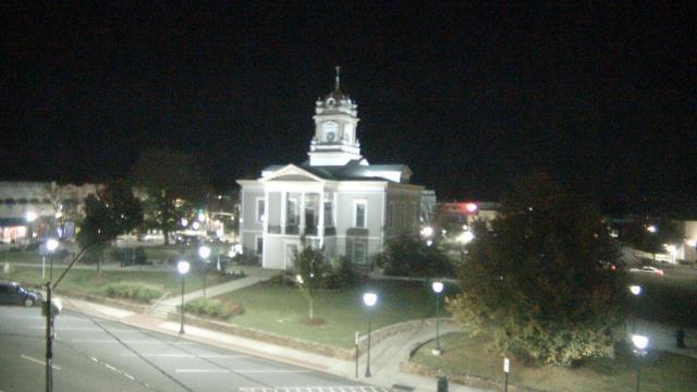
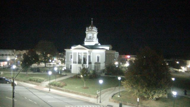
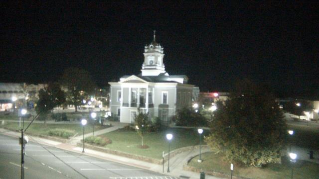
Sylva, North Carolina, USA - 59.6 miles from Riverbend: Town View - A nice view of Sylva, North Carolina.
Operator: The Sylva Herald
Operator: The Sylva Herald

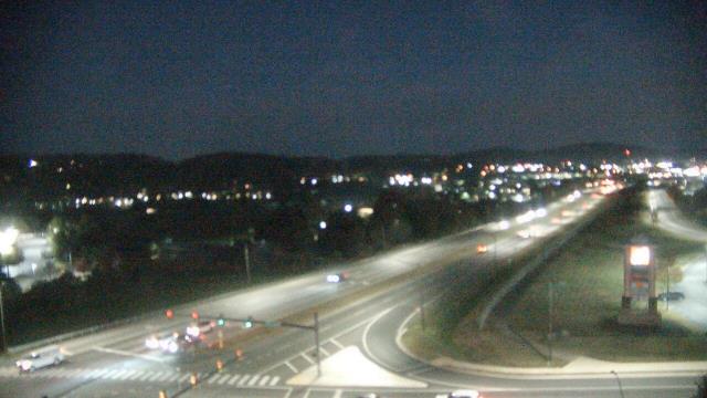
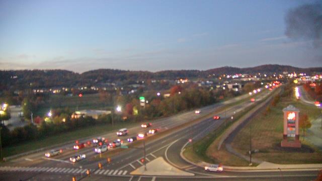
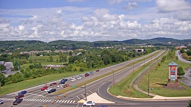
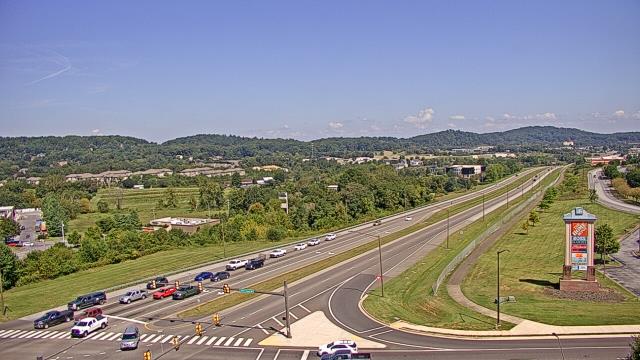
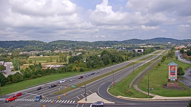
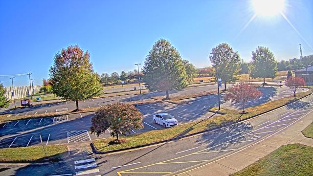
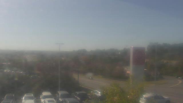
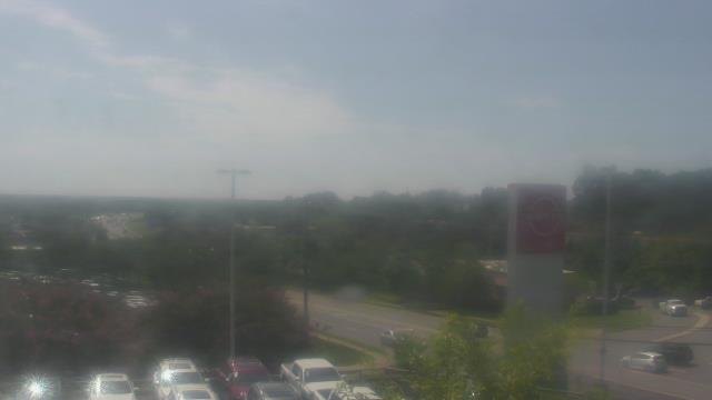
Johnson City, Tennessee, USA - 62 miles from Riverbend: Bank of Tennessee - A webcam in Johnson City, Tennessee - camera location: Bank of Tennessee.
Operator: WeatherBug
Operator: WeatherBug


Whittier, North Carolina, USA - 67 miles from Riverbend: Conleys Creek - A live view from Whittier, Smokey Mountains, North Carolina.
Operator: crews.cc
Operator: crews.cc


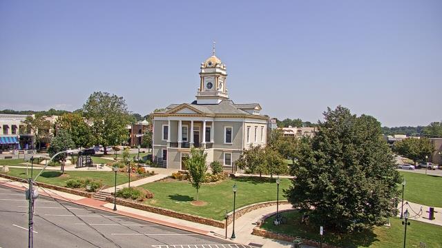
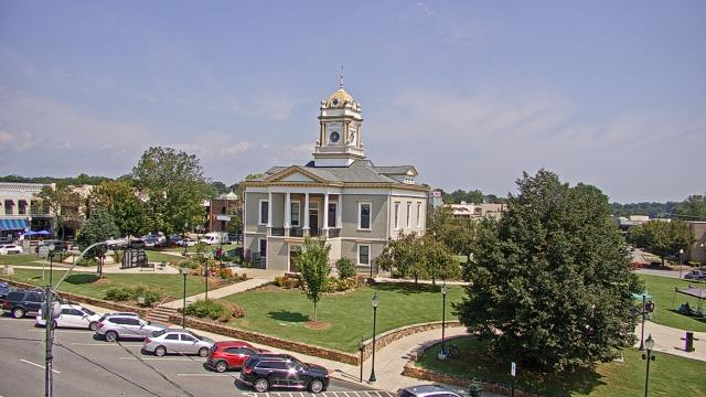
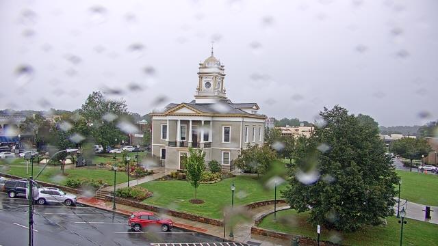
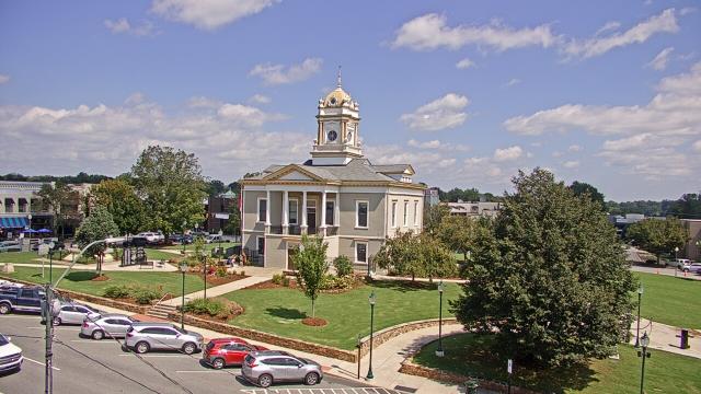
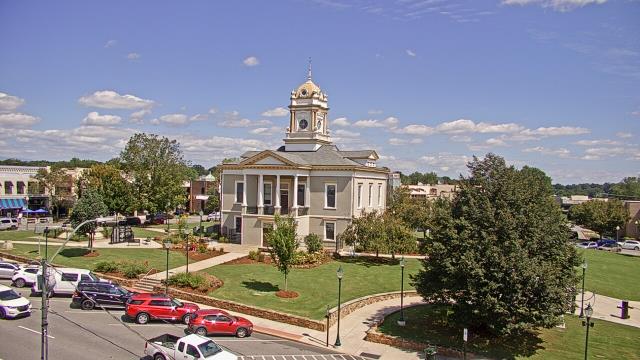
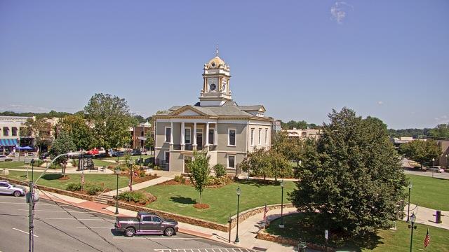
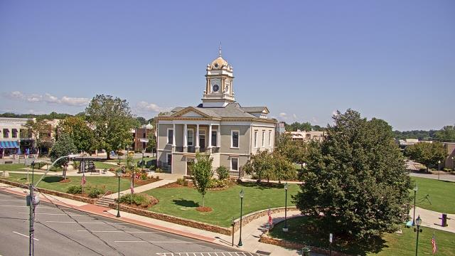
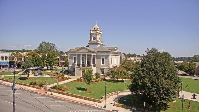
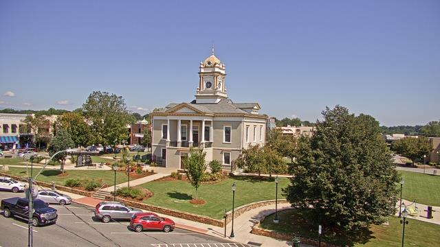
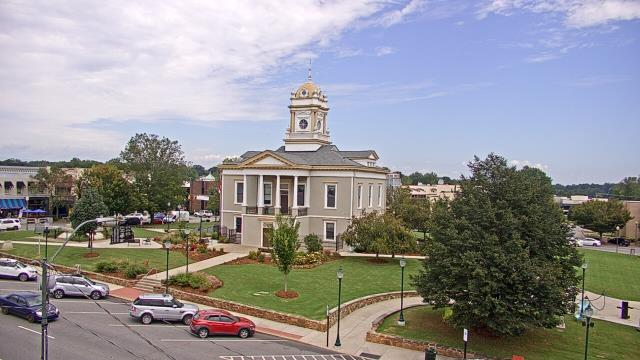
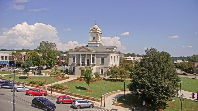
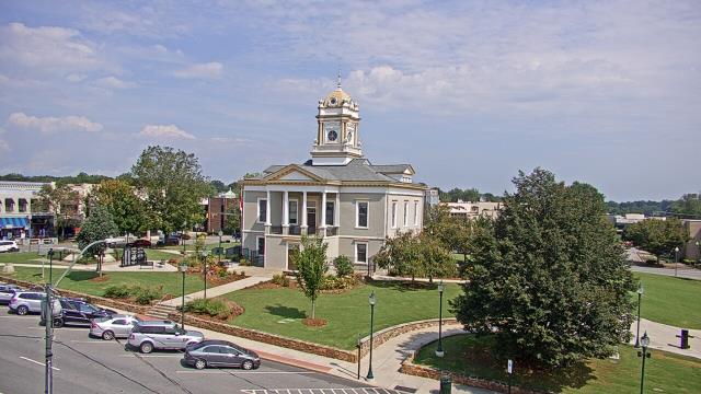
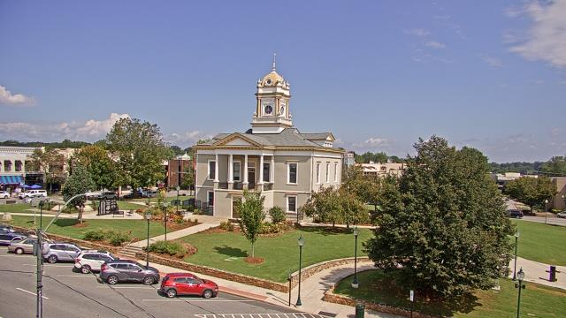
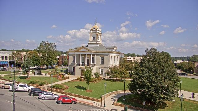
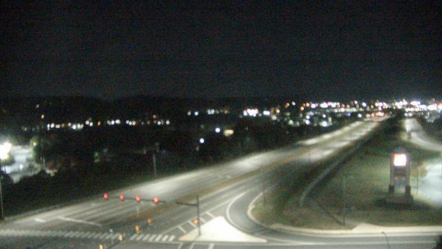
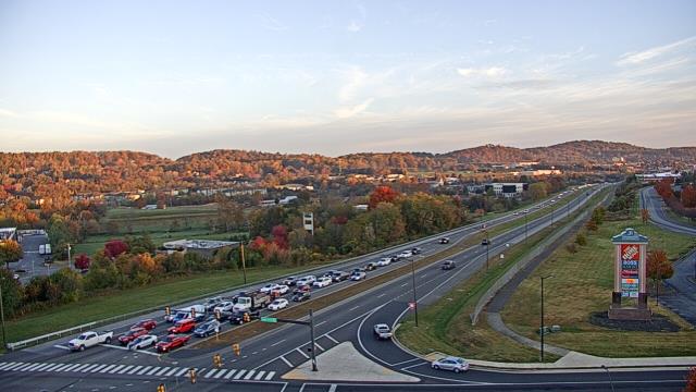
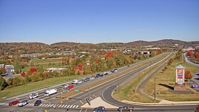
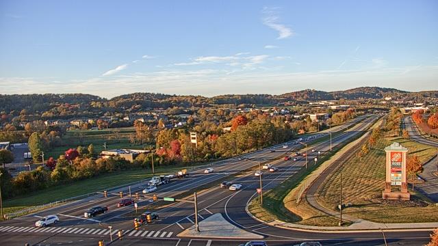
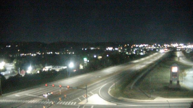
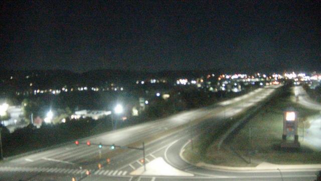
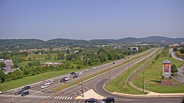
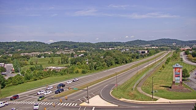
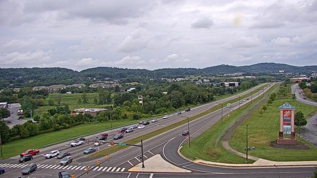
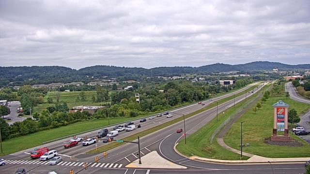
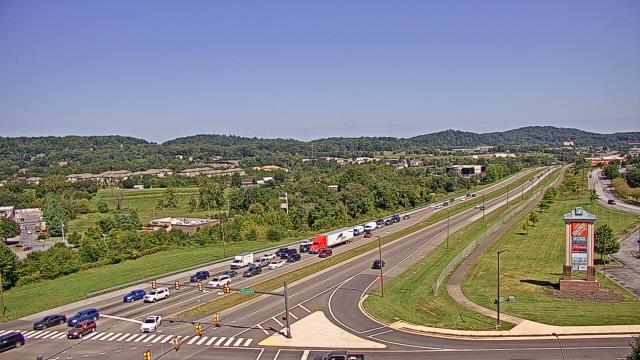
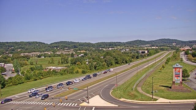
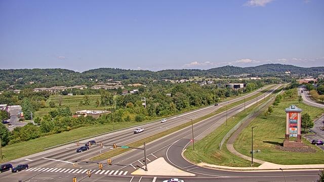
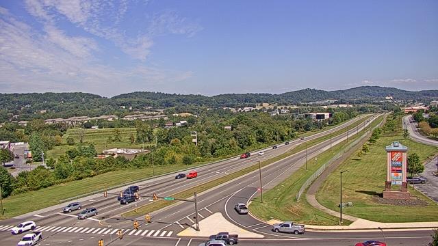
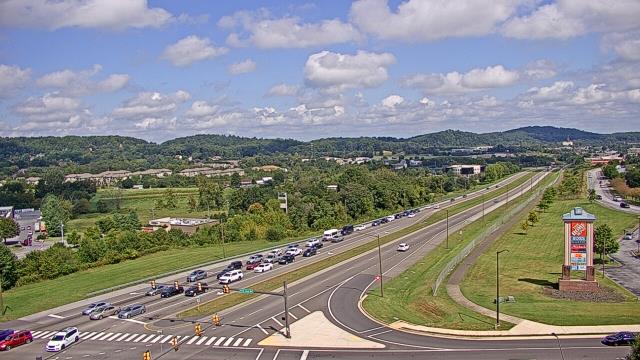
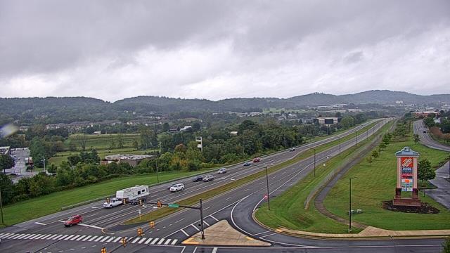
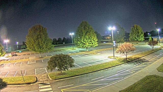
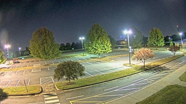
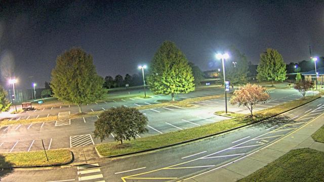
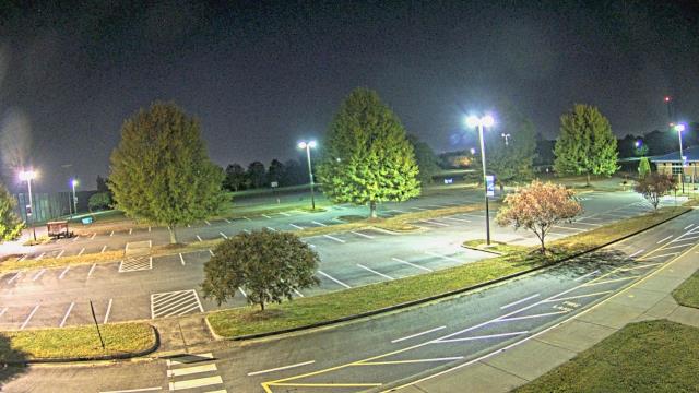
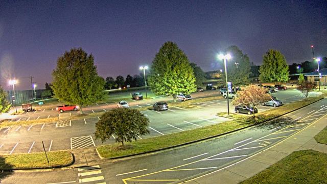
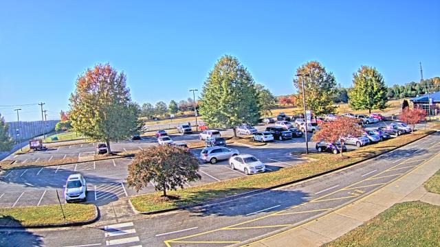
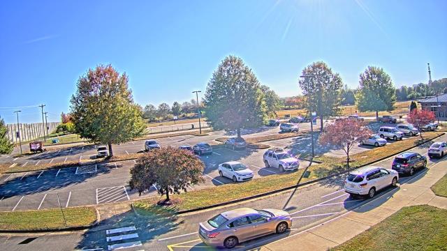
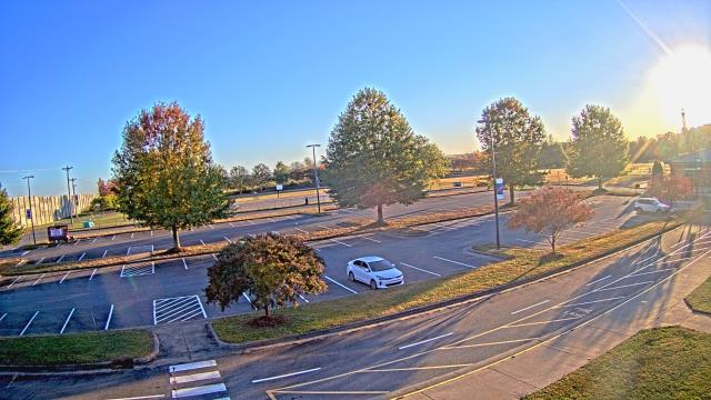
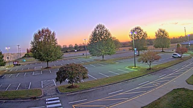
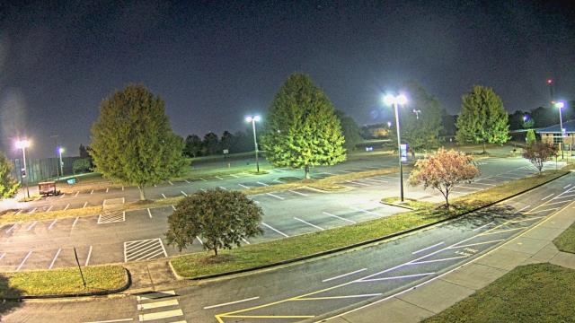
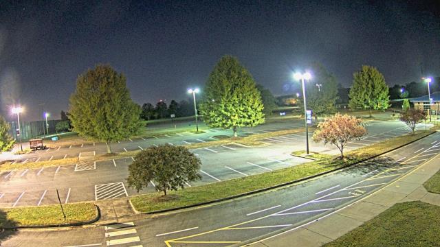
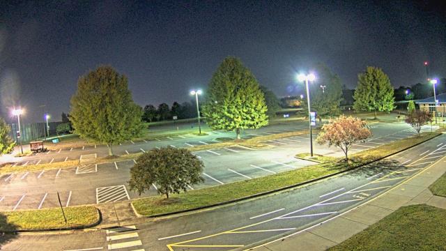
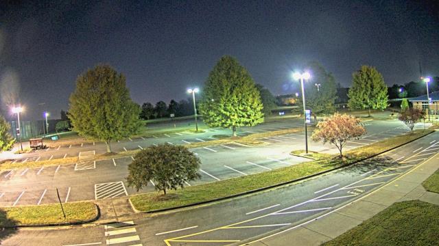
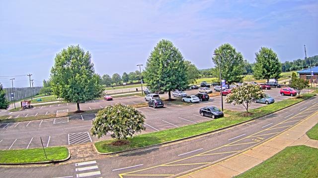
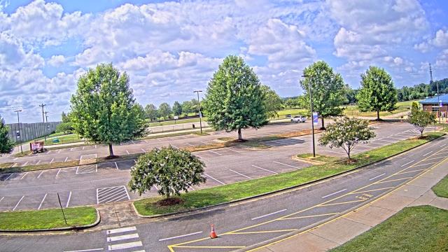
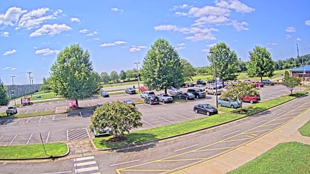
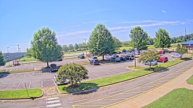
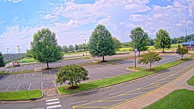
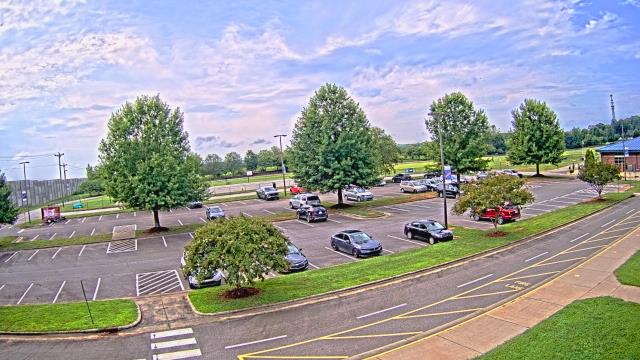
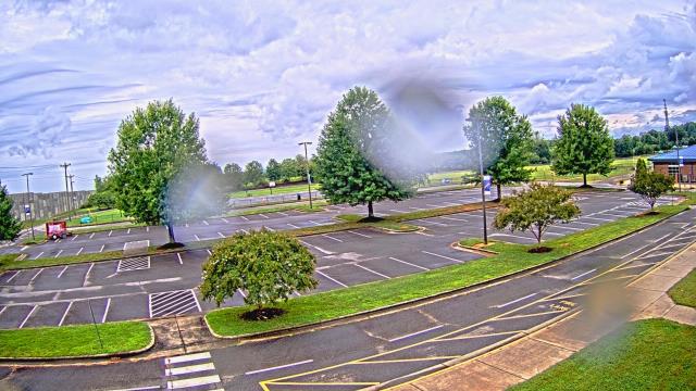
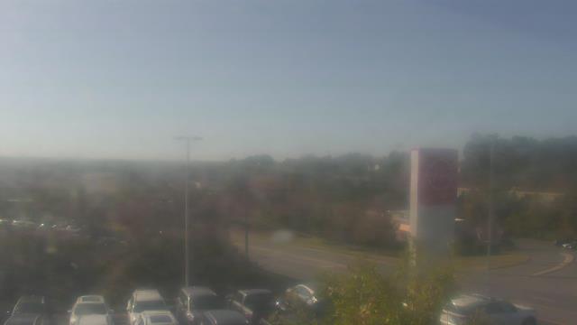
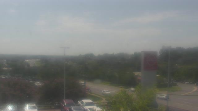
Statesville, North Carolina, USA - 76.1 miles from Riverbend: Cloverleaf Elementary School - A webcam in Statesville, North Carolina - camera location: Cloverleaf Elementary School.
Operator: WeatherBug
Operator: WeatherBug

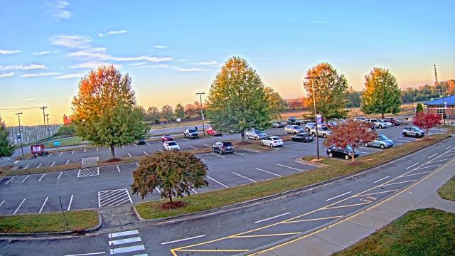
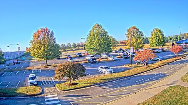
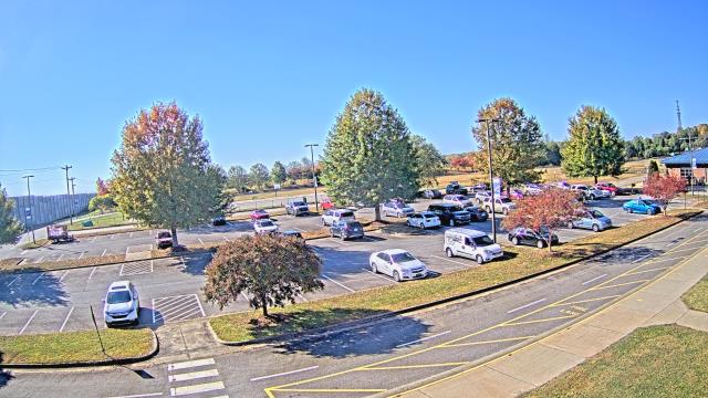
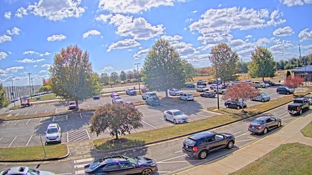


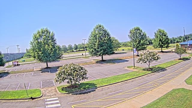

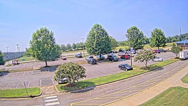
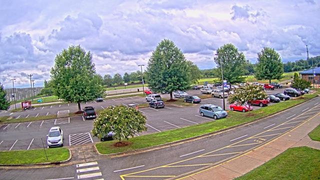
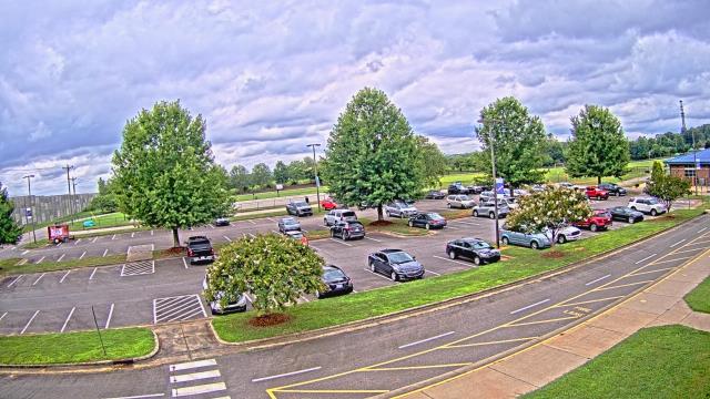
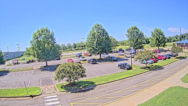

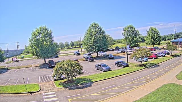
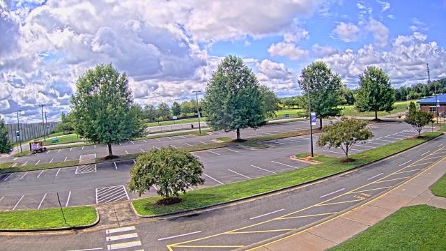
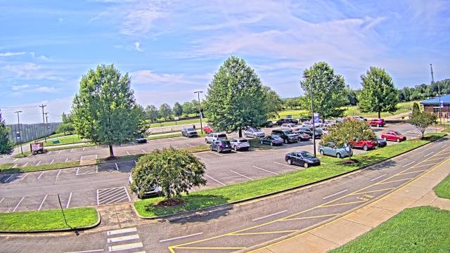
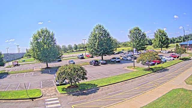

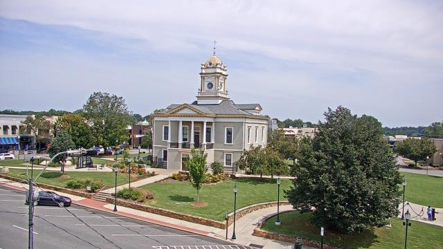
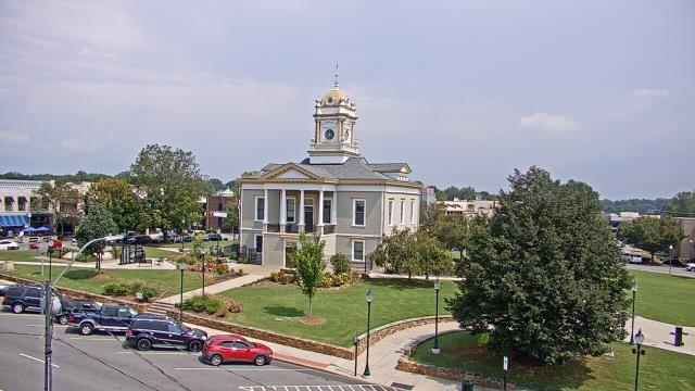
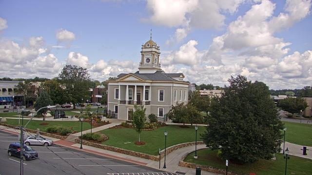
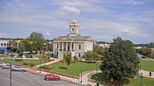
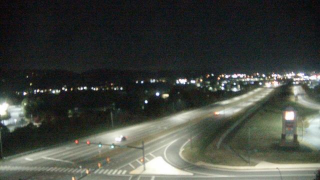
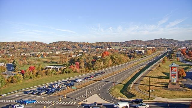
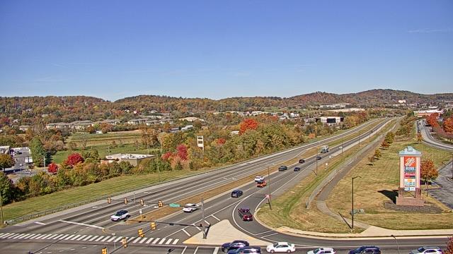
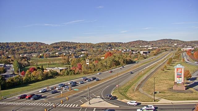
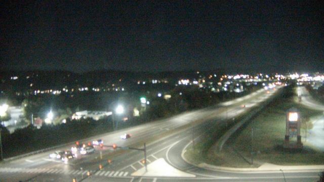
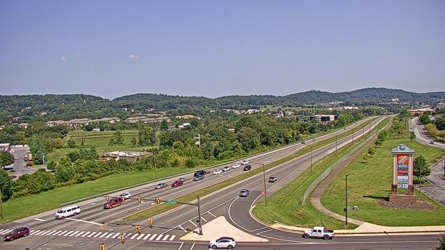
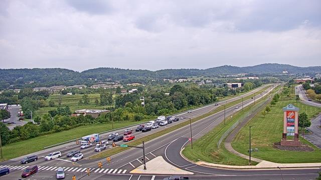
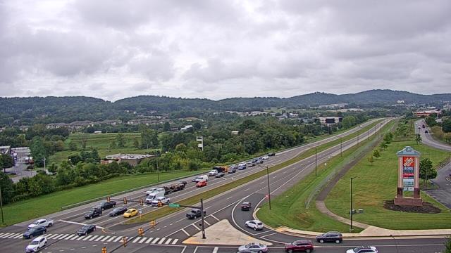
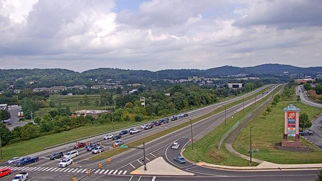
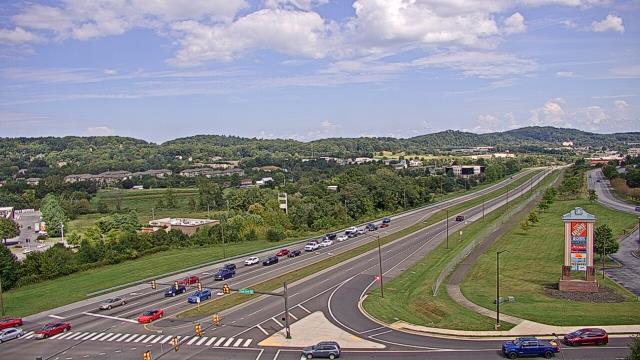
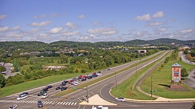
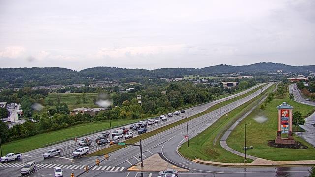
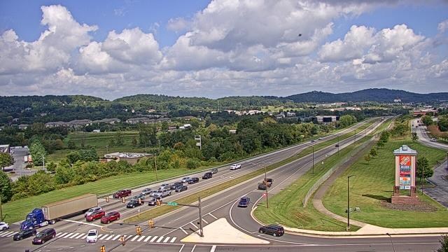
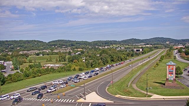
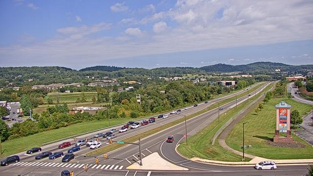
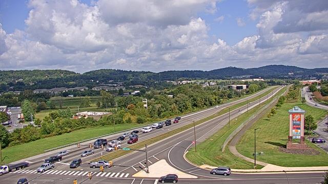
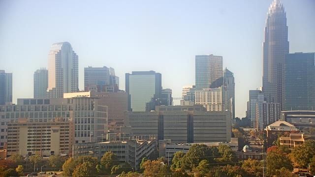
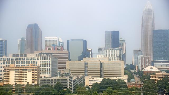
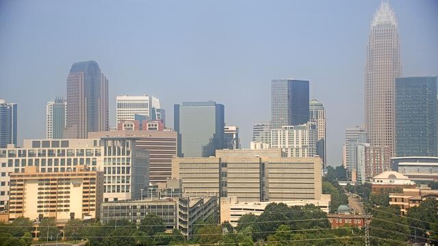
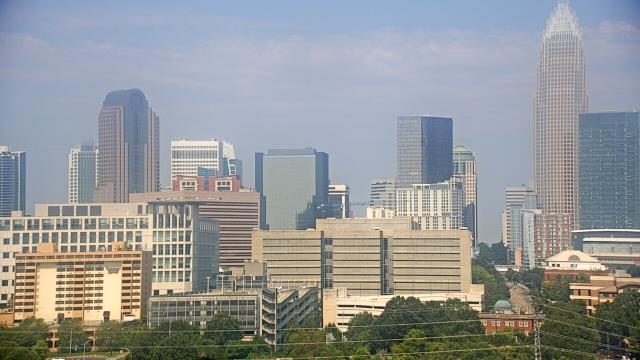
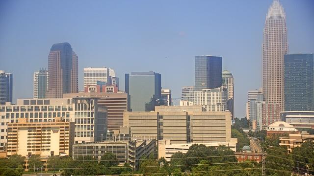
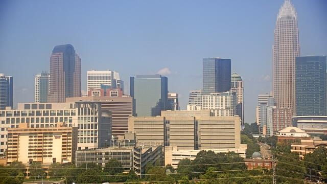
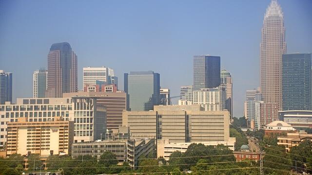
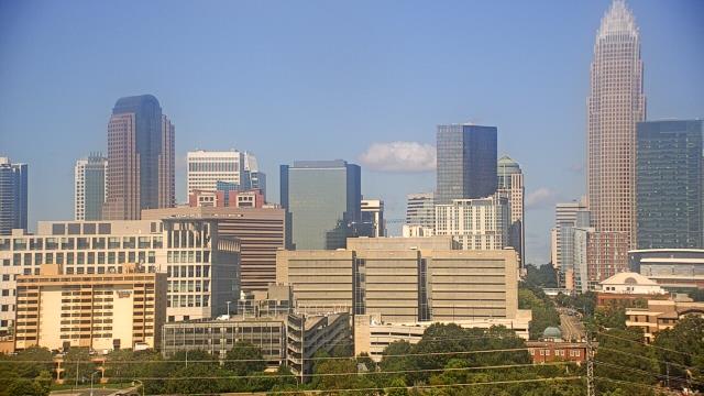
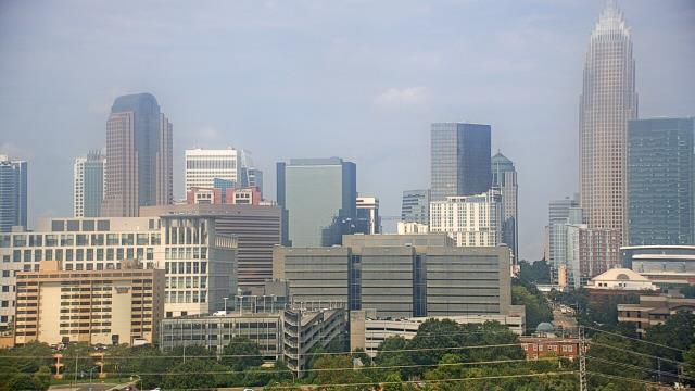
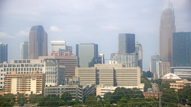
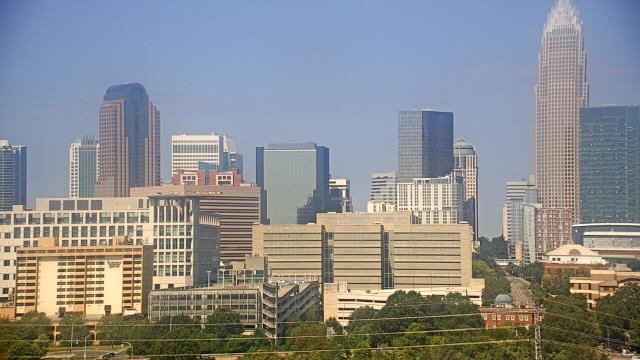
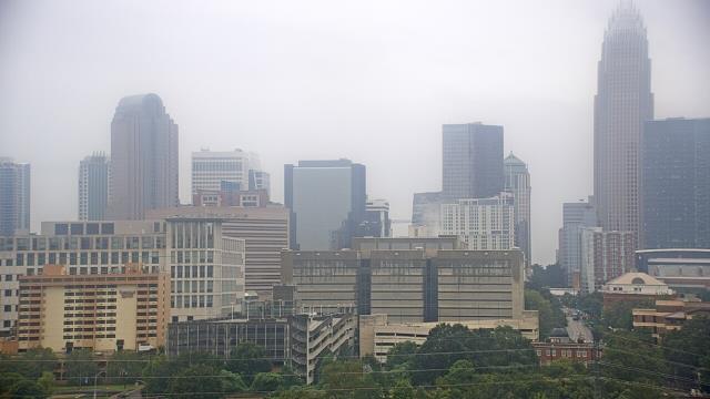
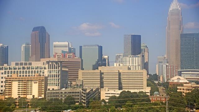
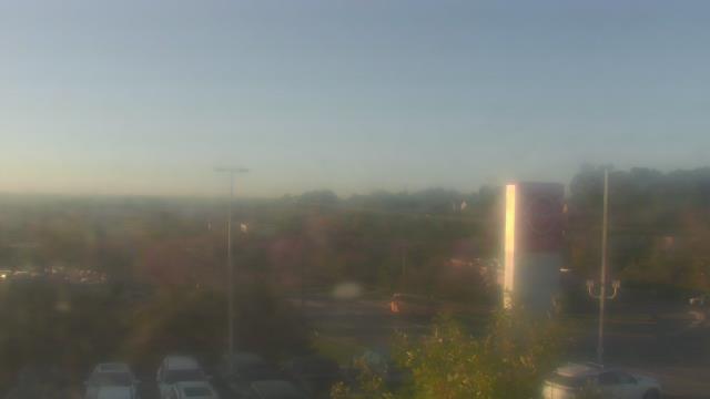
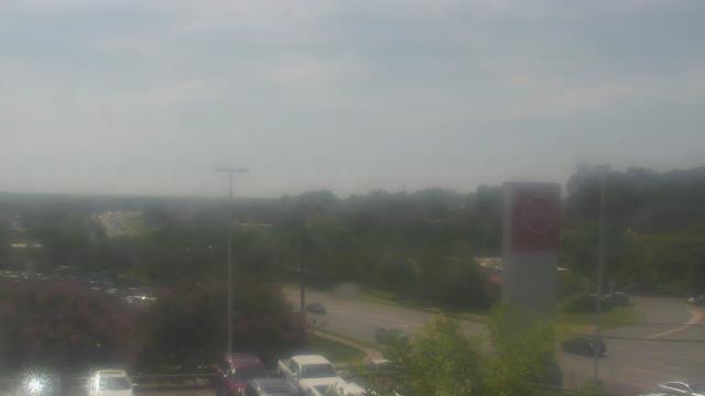
Charlotte, North Carolina, USA - 76.2 miles from Riverbend: Central Piedmont Community College - A webcam in Charlotte, North Carolina - camera location: Central Piedmont Community College.
Operator: WeatherBug
Operator: WeatherBug


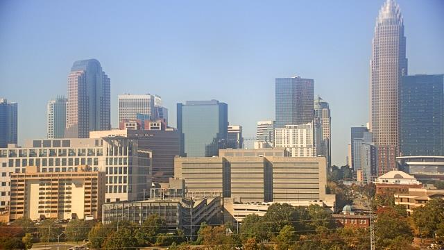
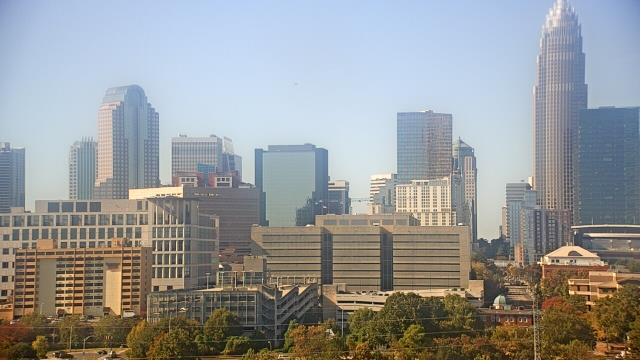
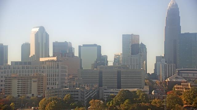


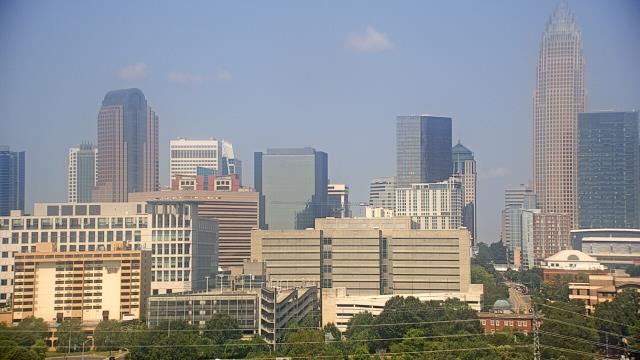
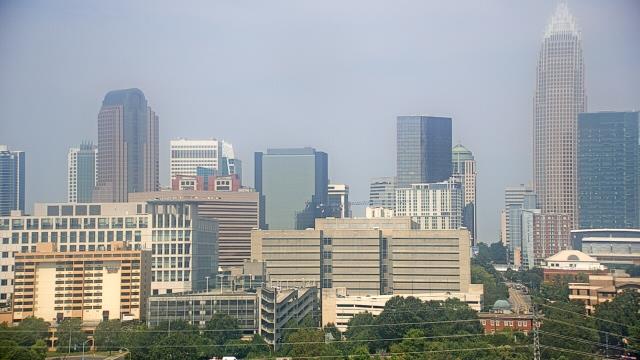
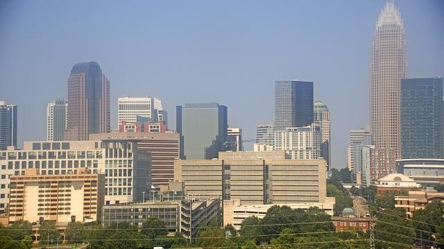
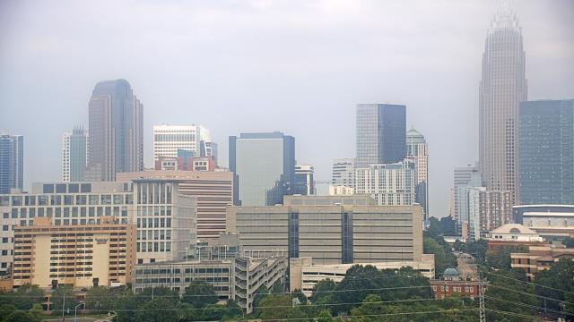

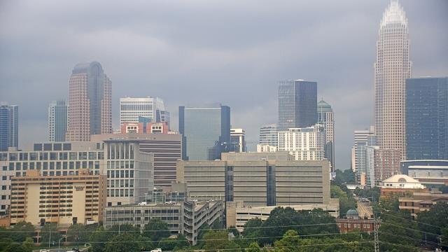
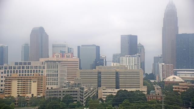
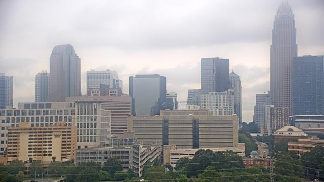
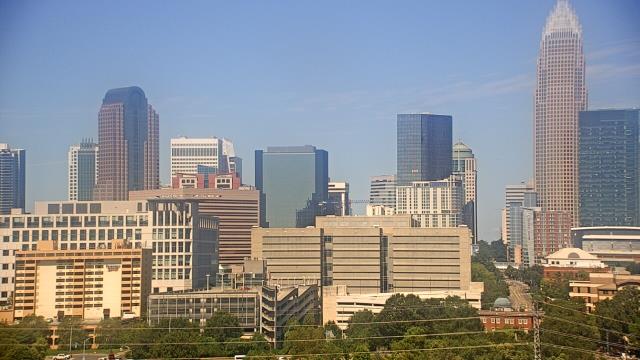


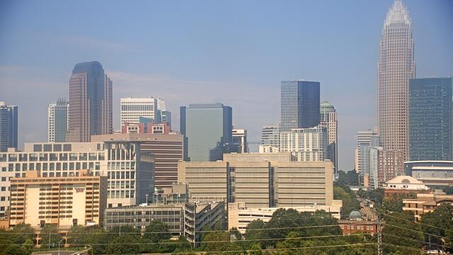

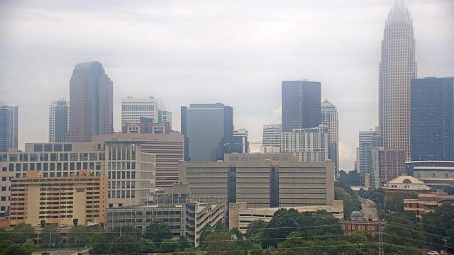
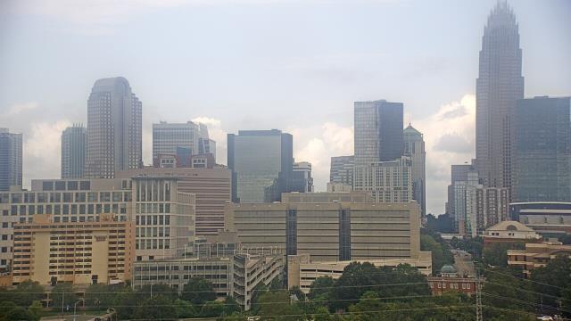
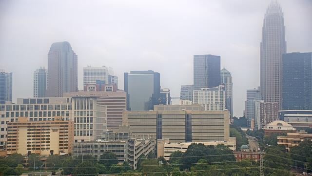
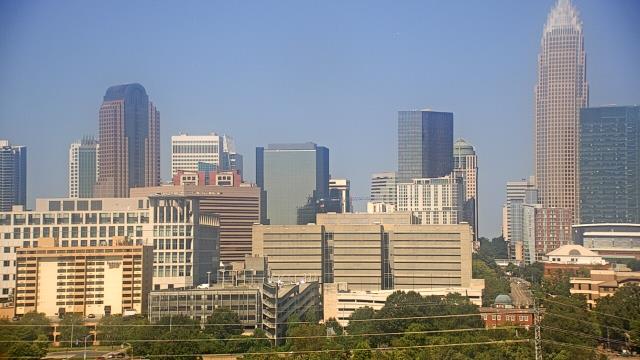

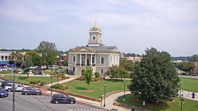
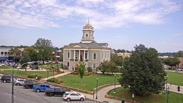
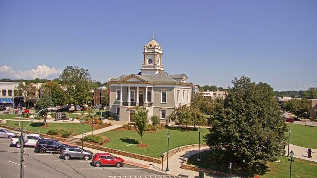
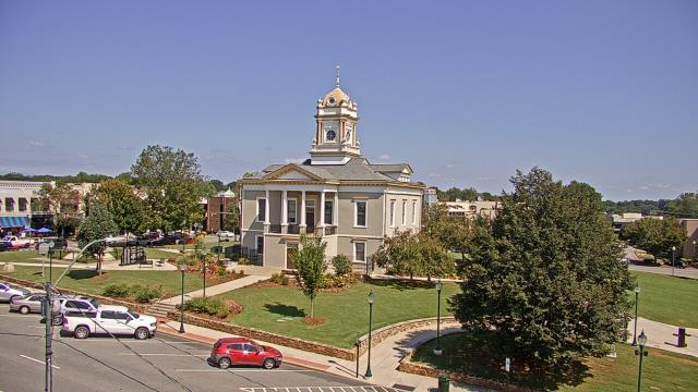
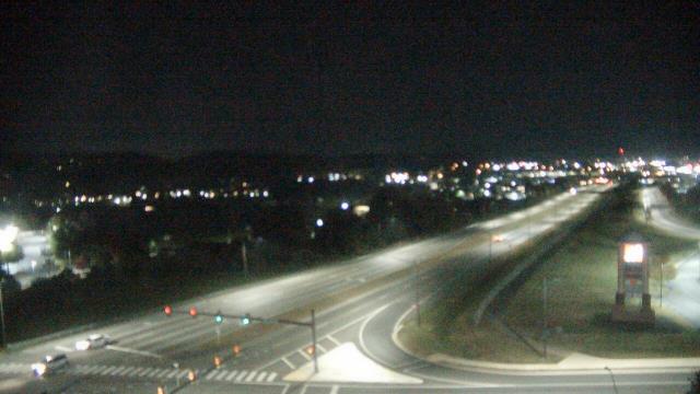
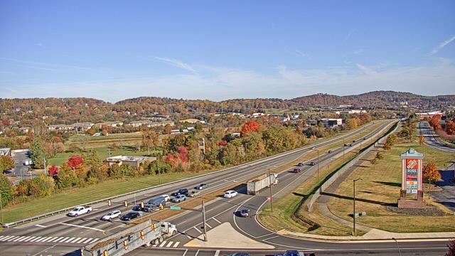
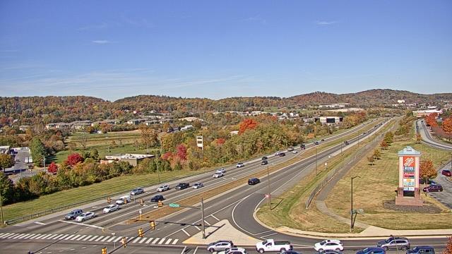
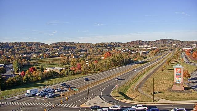
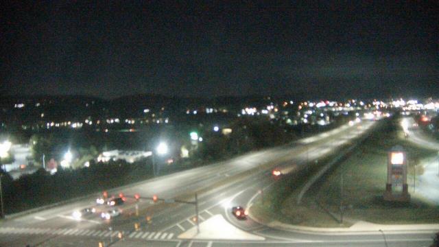
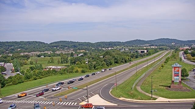
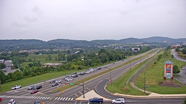
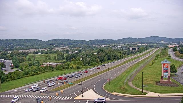
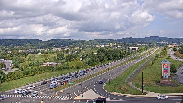
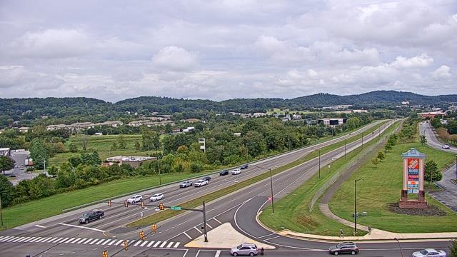
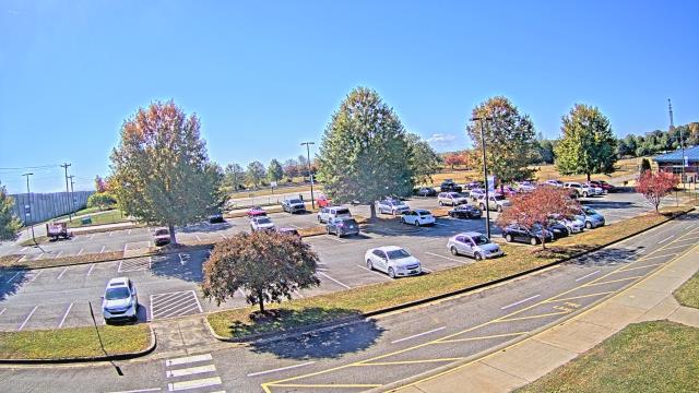
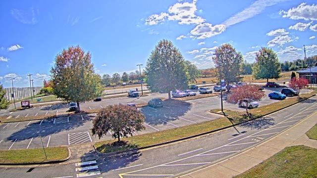
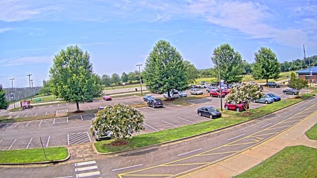
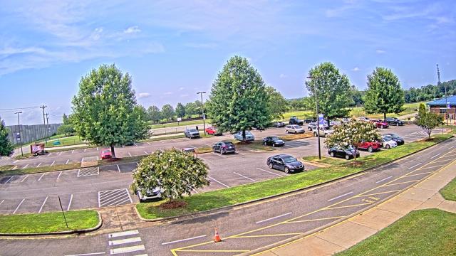
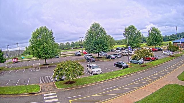
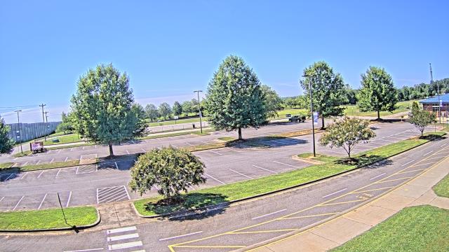
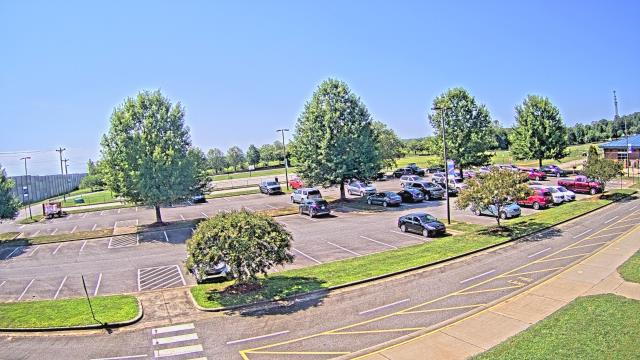
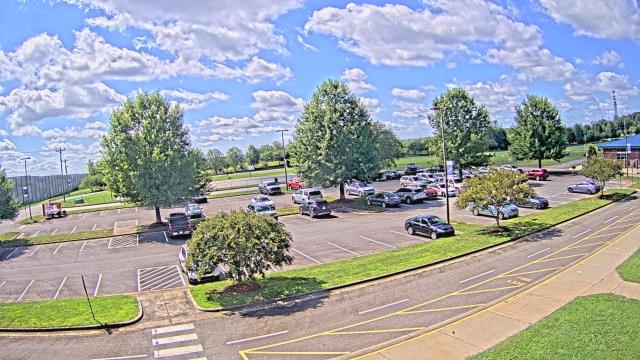
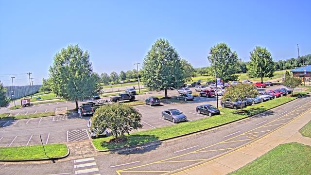
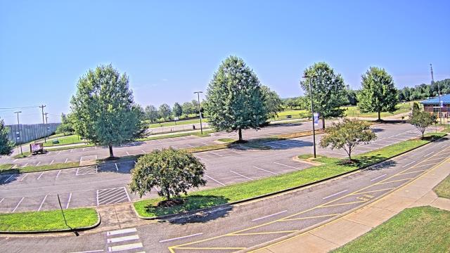
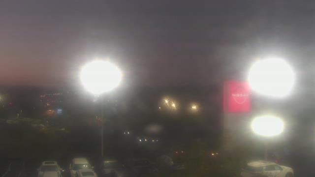
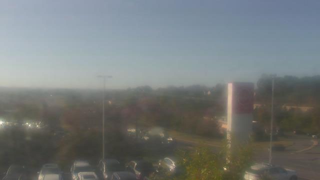
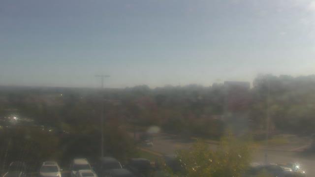
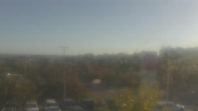
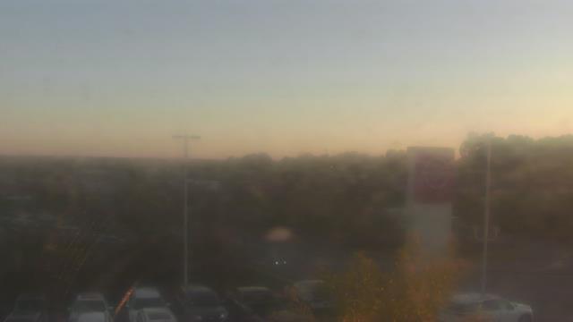
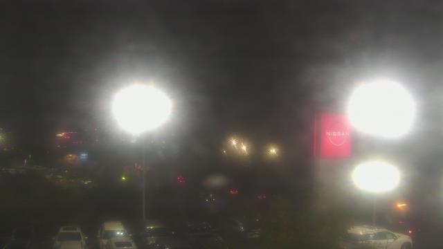
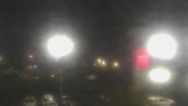
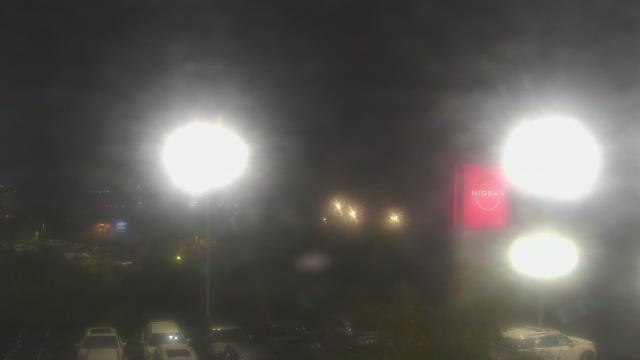
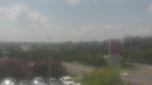
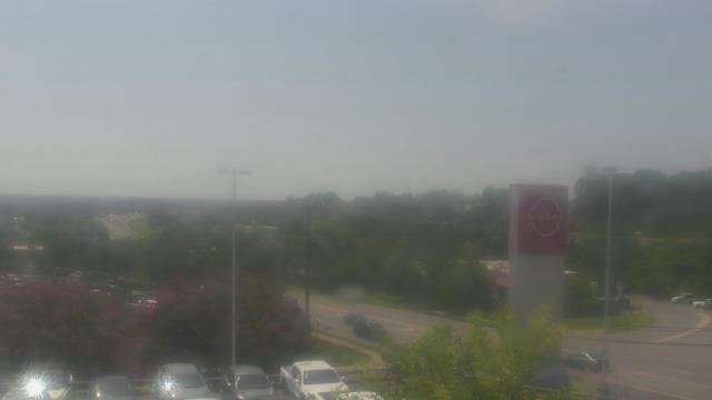
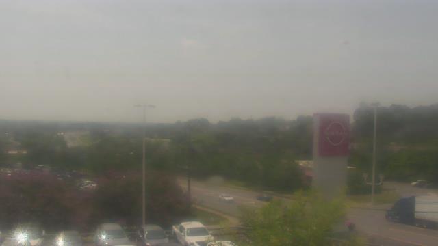
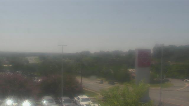
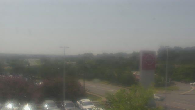
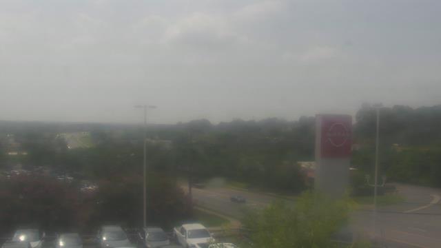
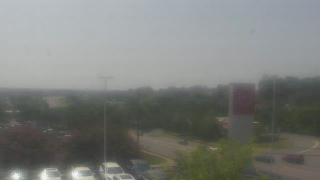
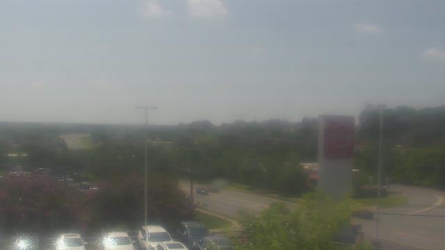
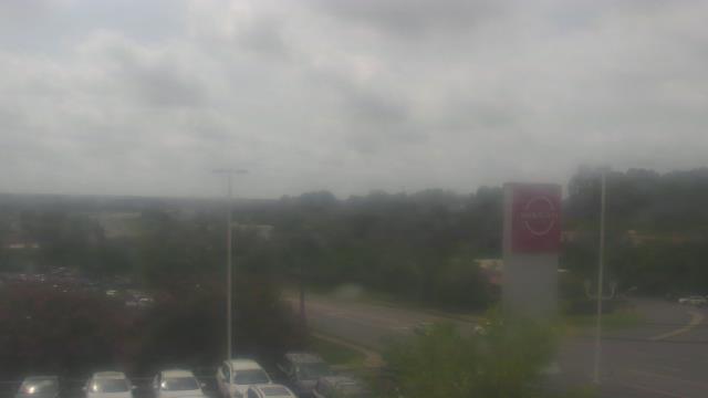
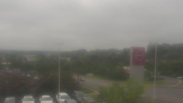
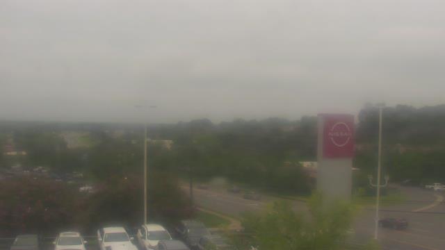
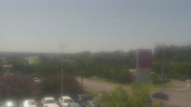
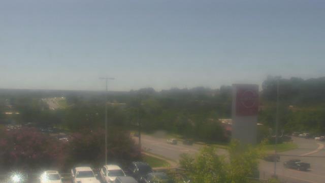
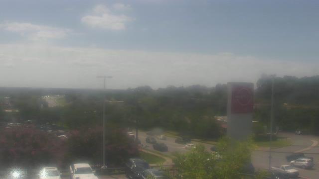
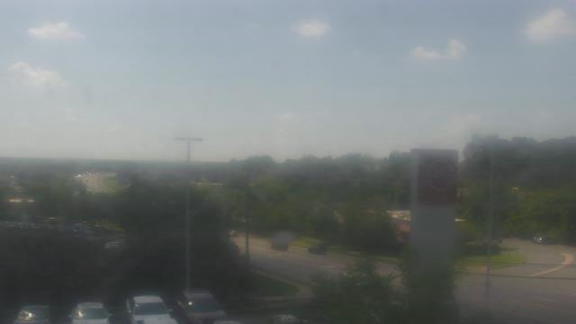
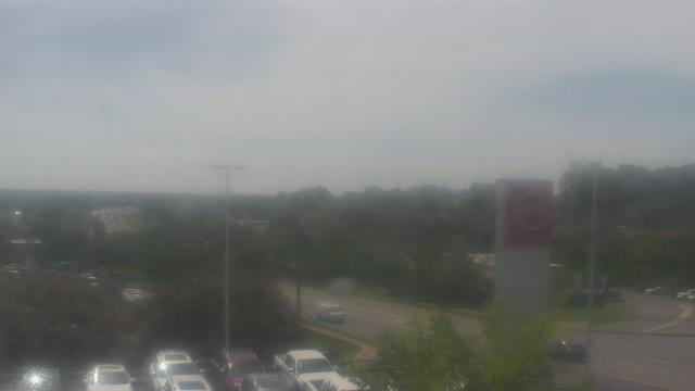
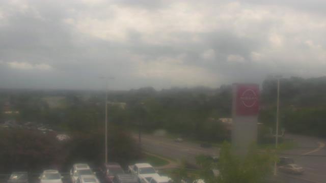
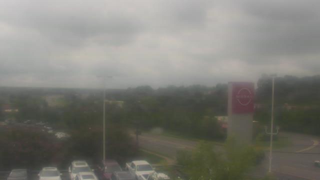
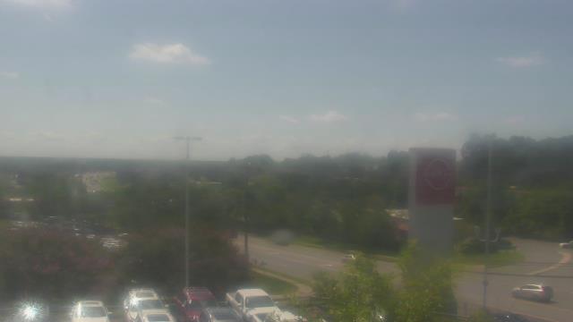
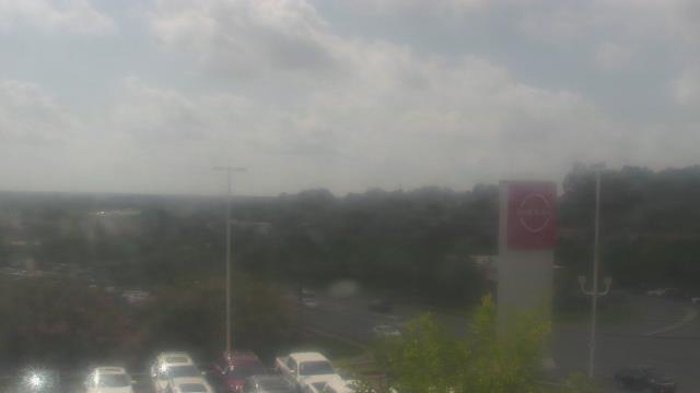
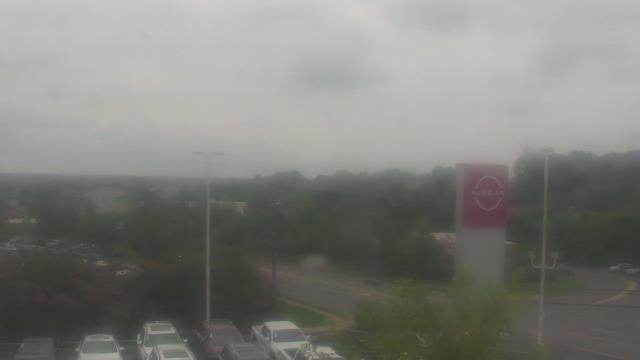
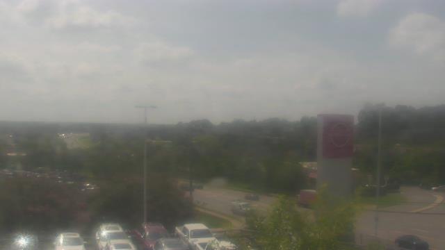
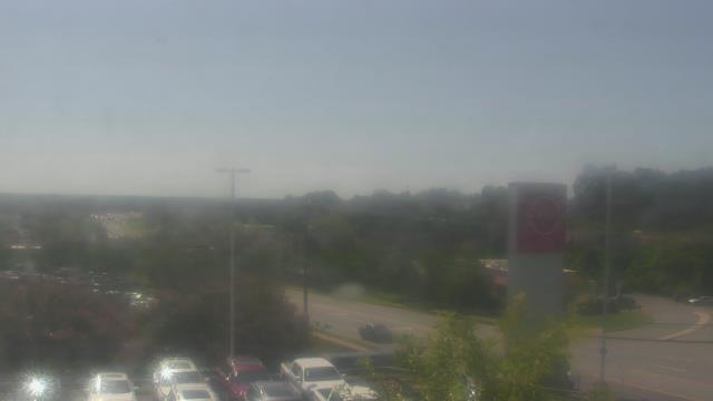
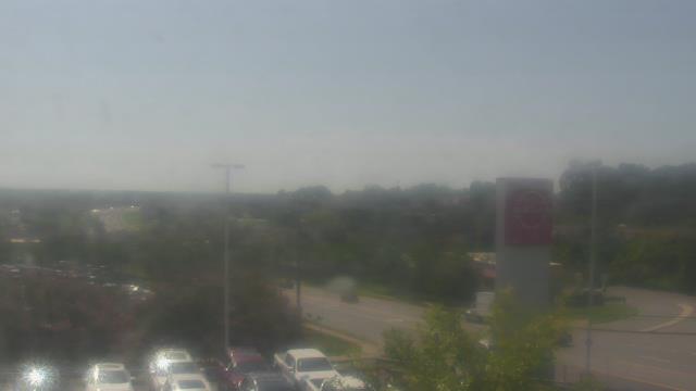
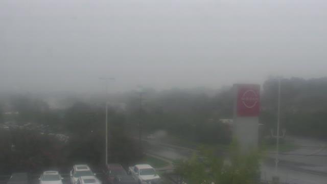
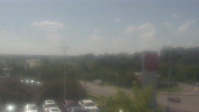
Charlotte, North Carolina, USA - 76.2 miles from Riverbend: Scott Clarks Nissan - A webcam in Charlotte, North Carolina - camera location: Scott Clarks Nissan.
Operator: WeatherBug
Operator: WeatherBug


Some other places in this country: Nanito (historical) - Nanney (historical) - Otter Creek (historical) - Quail Ridge - Tate (historical) - Trio (historical) - Youngs Mountain - Frog Level - Holly Springs - Mack (historical)