Webcams in the region of Mount Pleasant, North Carolina, USA
The List of Webcams near Mount Pleasant, North Carolina, USA:

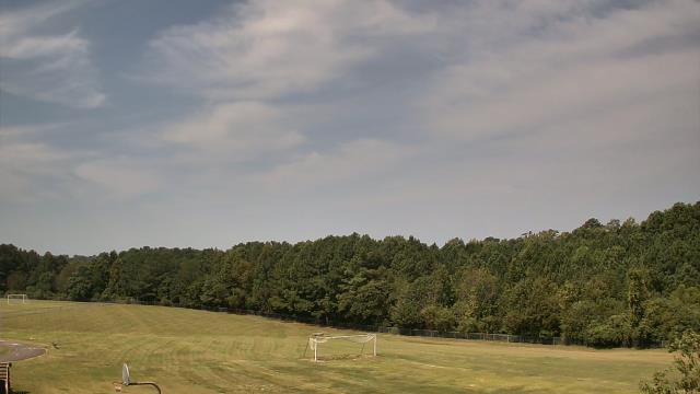
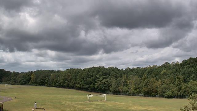
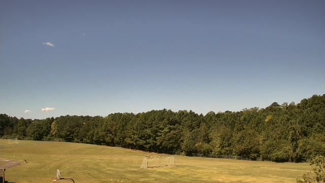
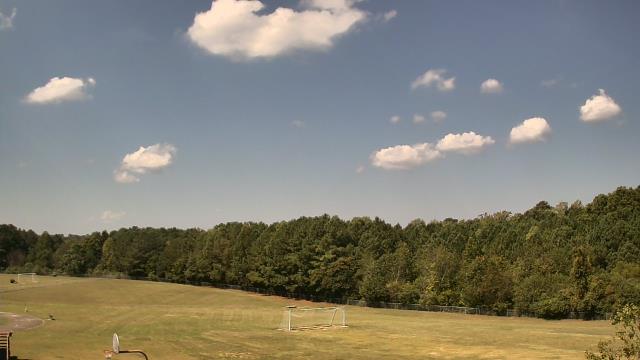
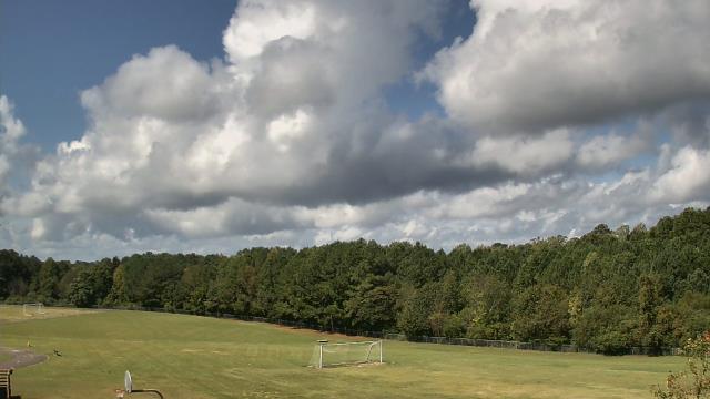
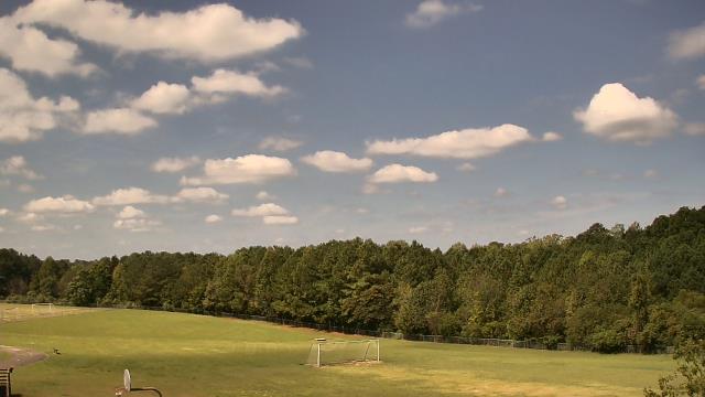
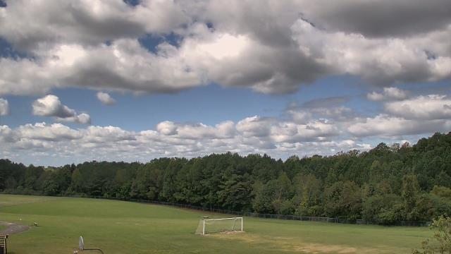
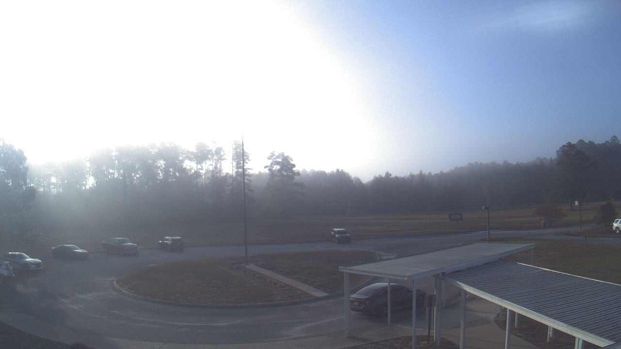
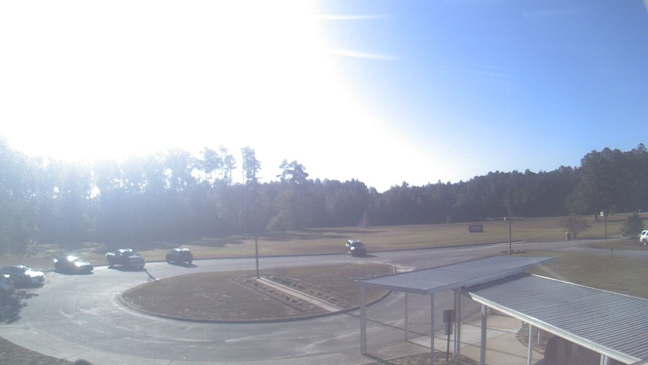
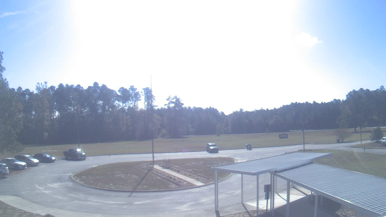
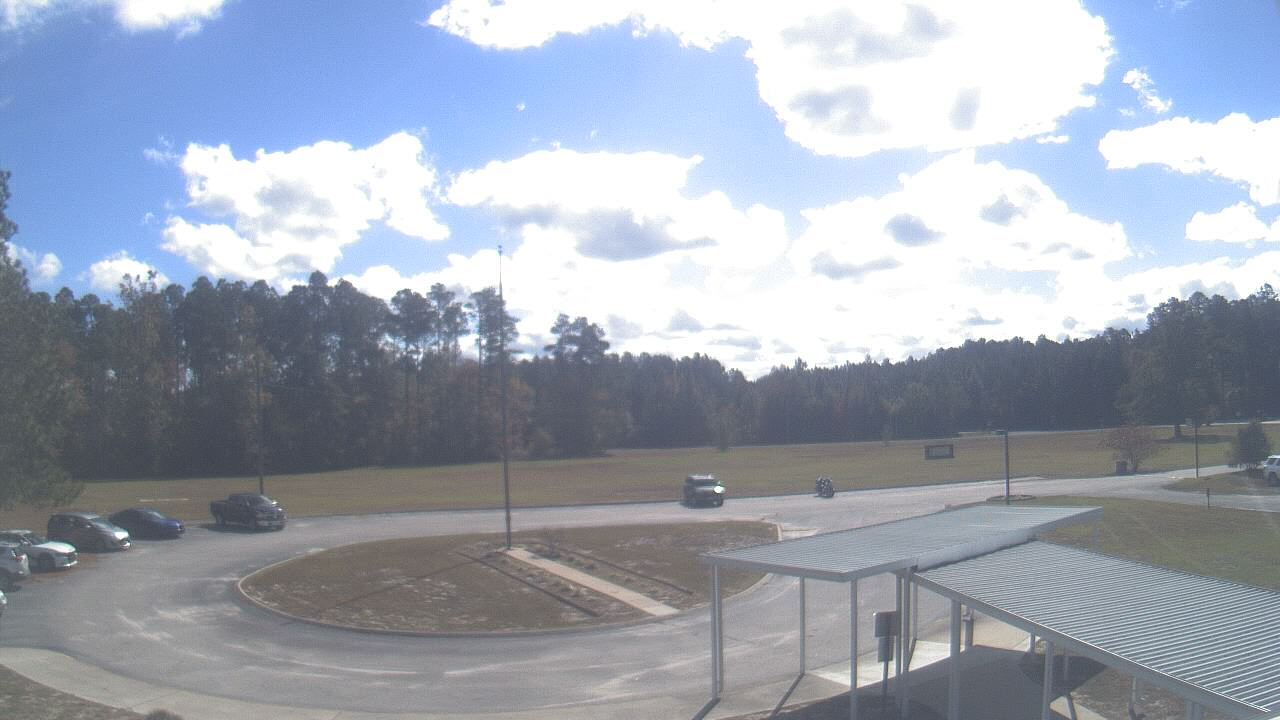
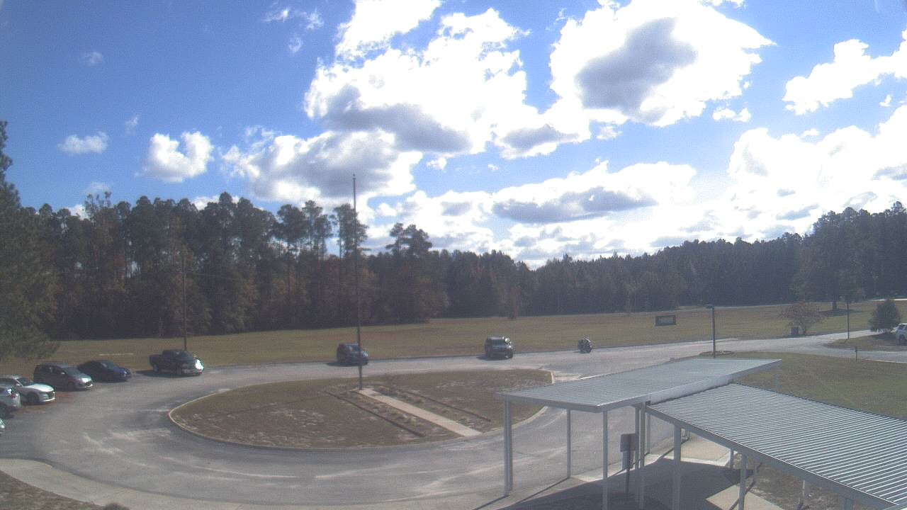
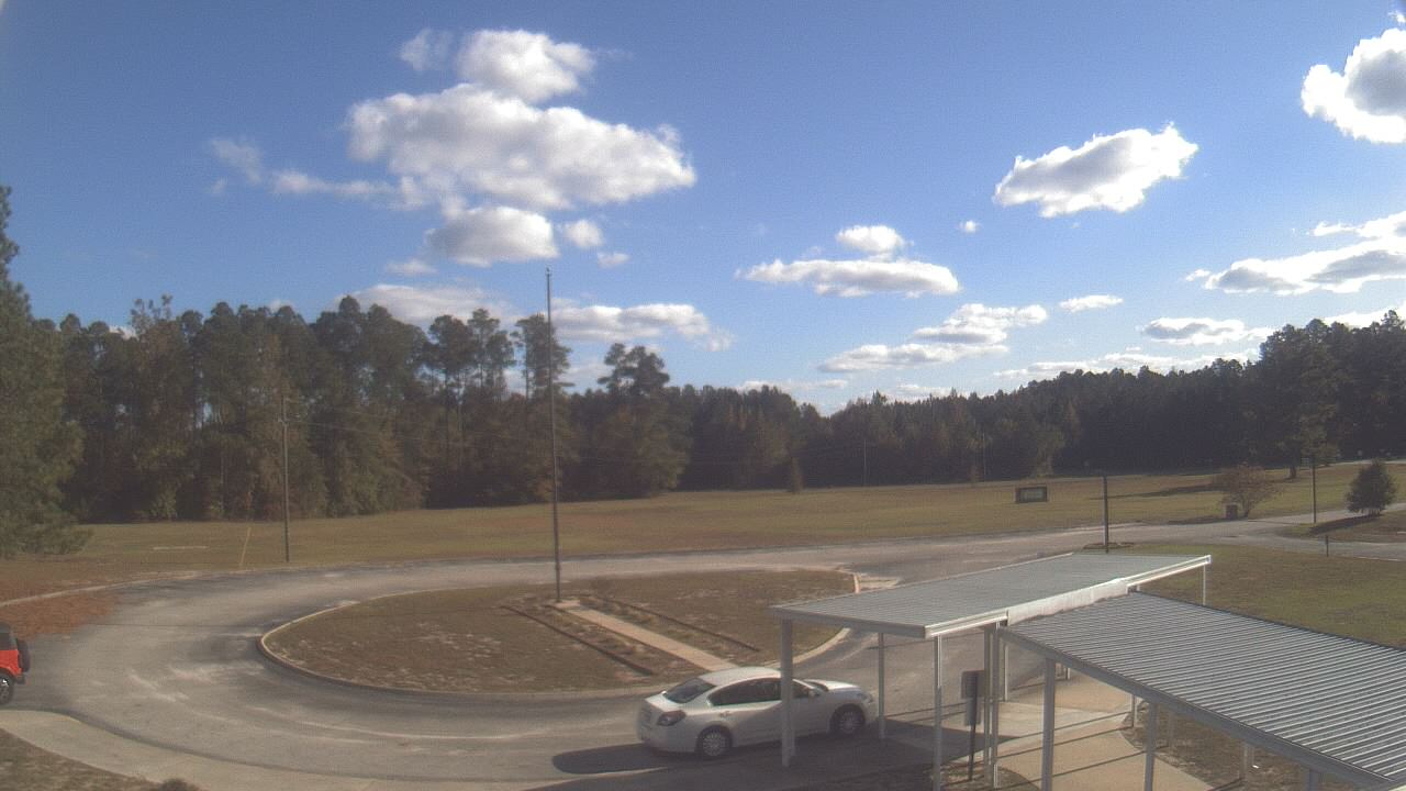
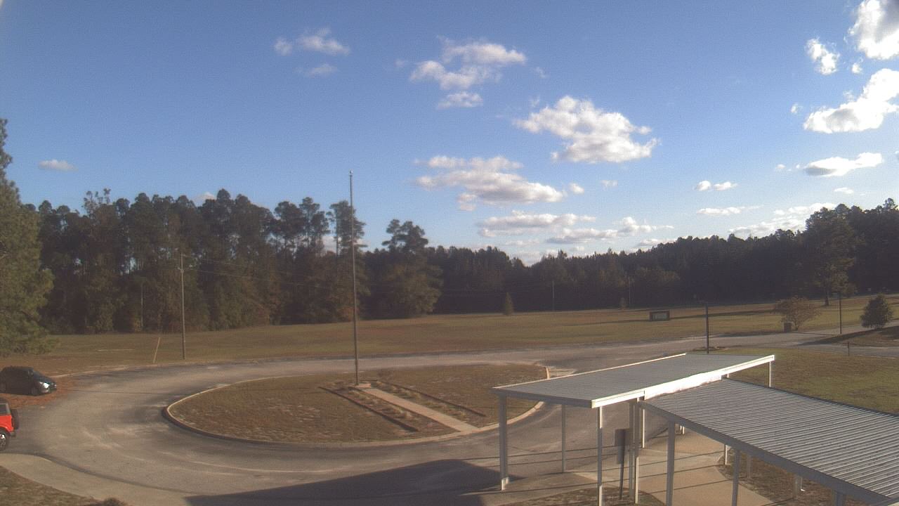
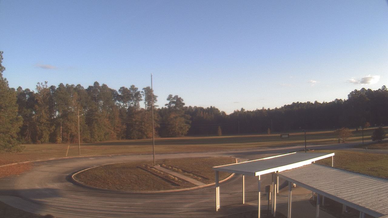
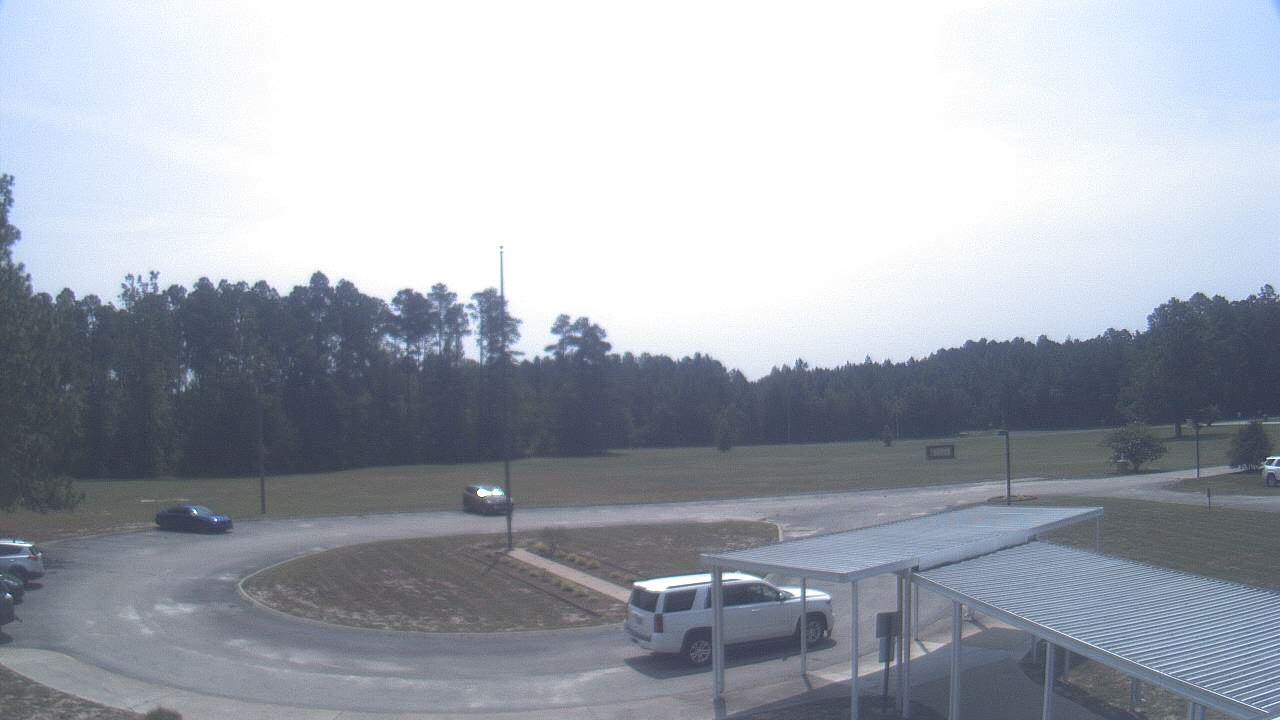
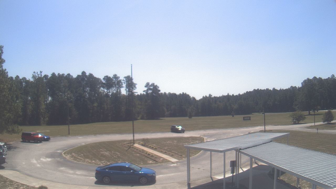
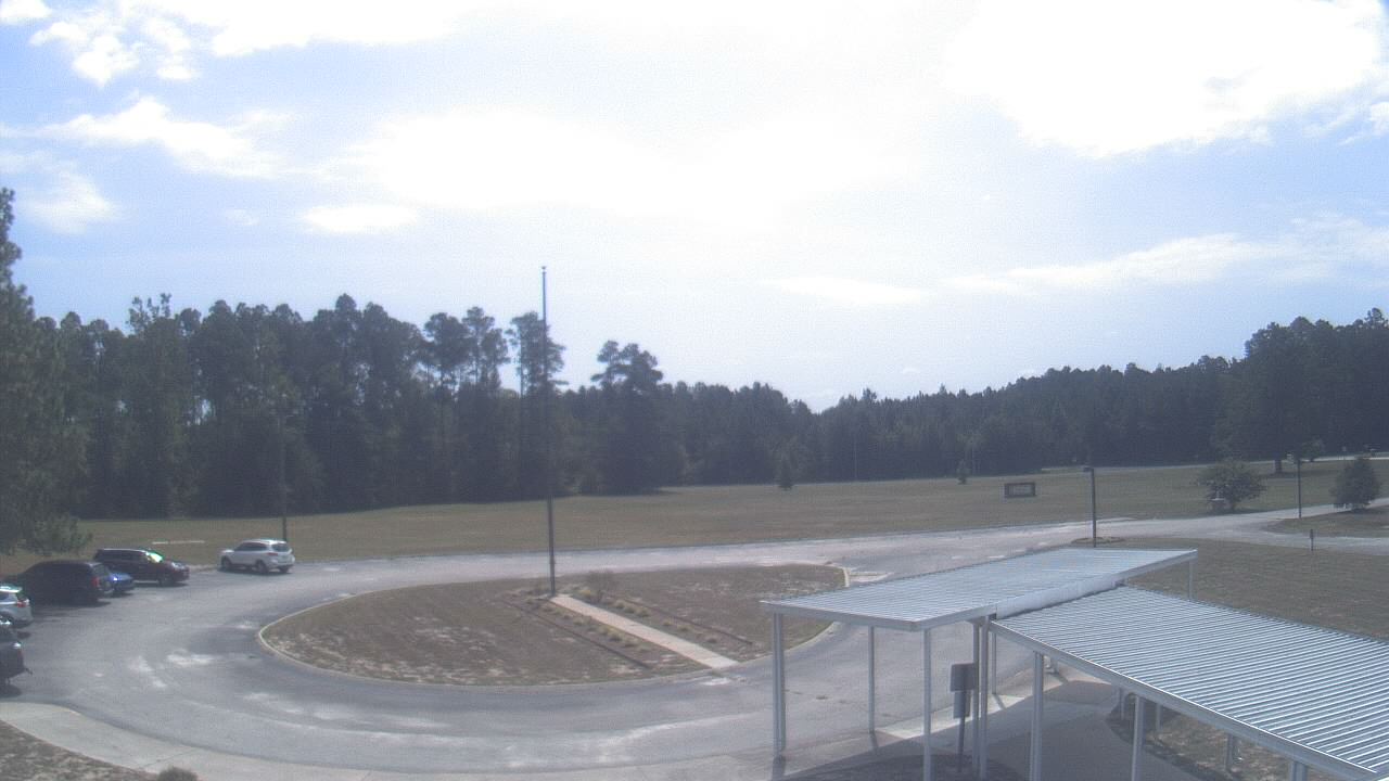
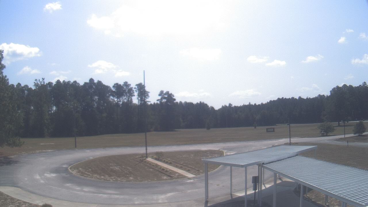
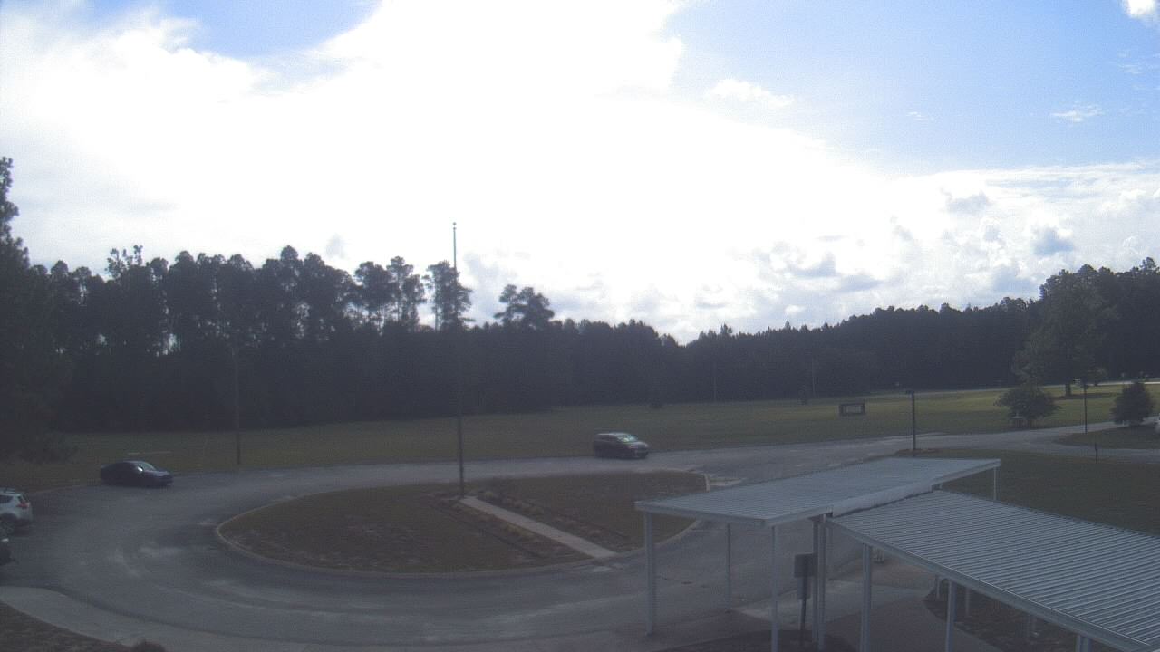
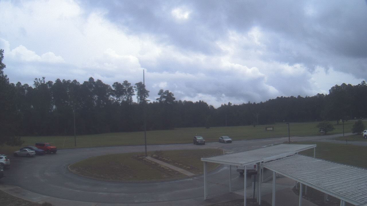
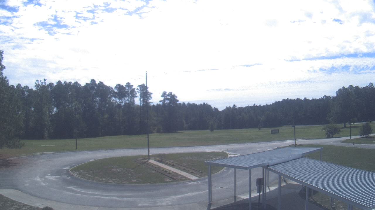
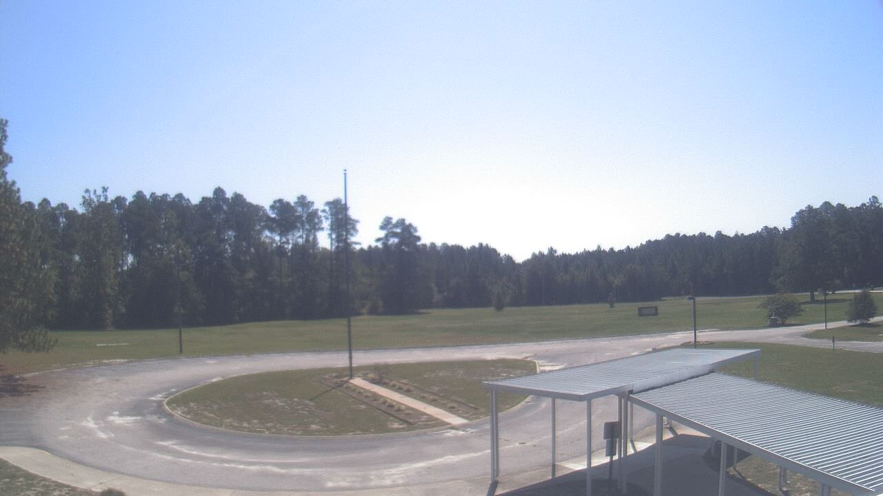
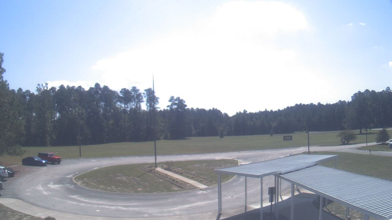
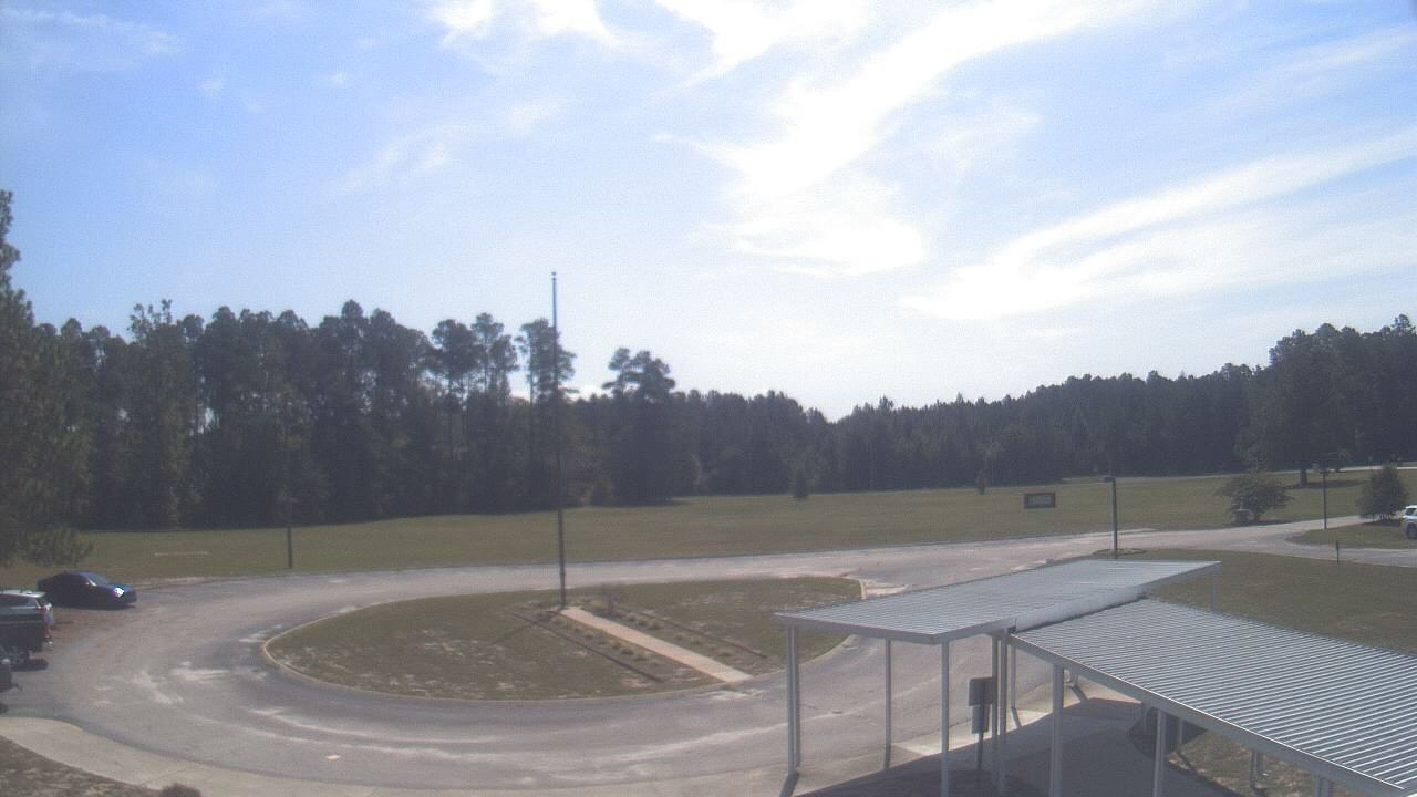
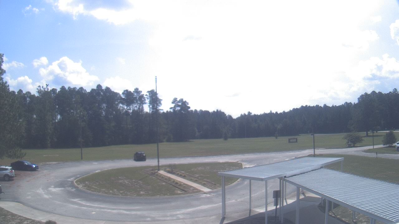
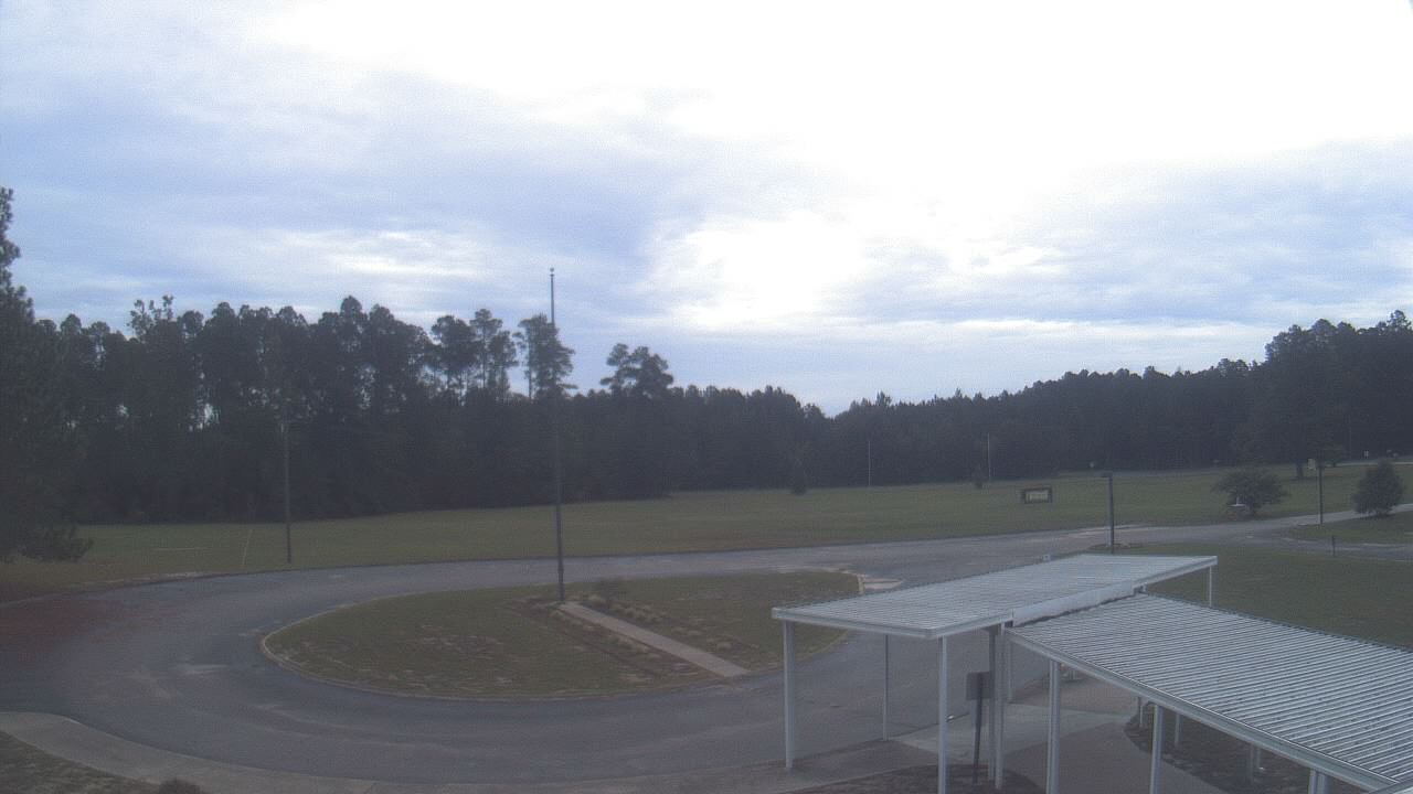
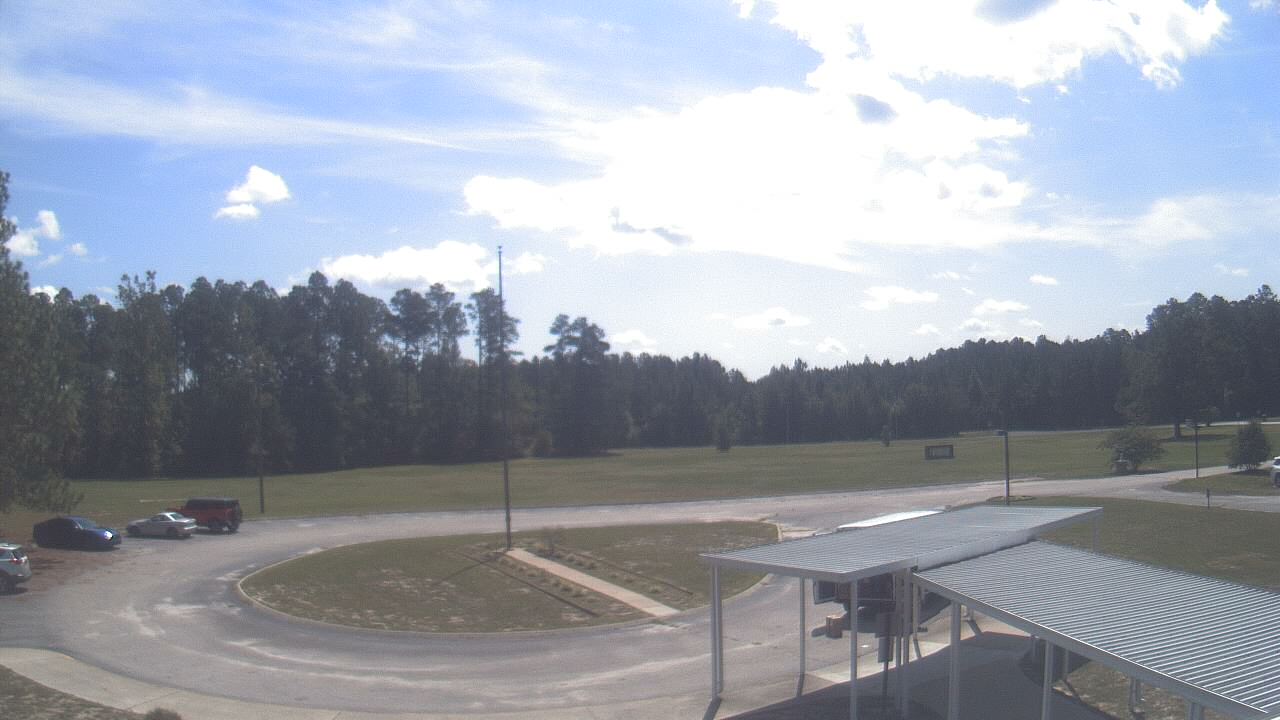
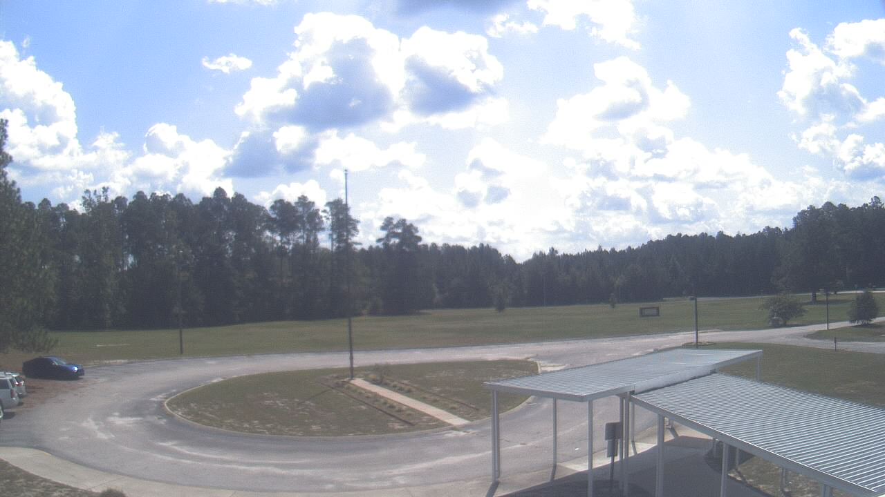
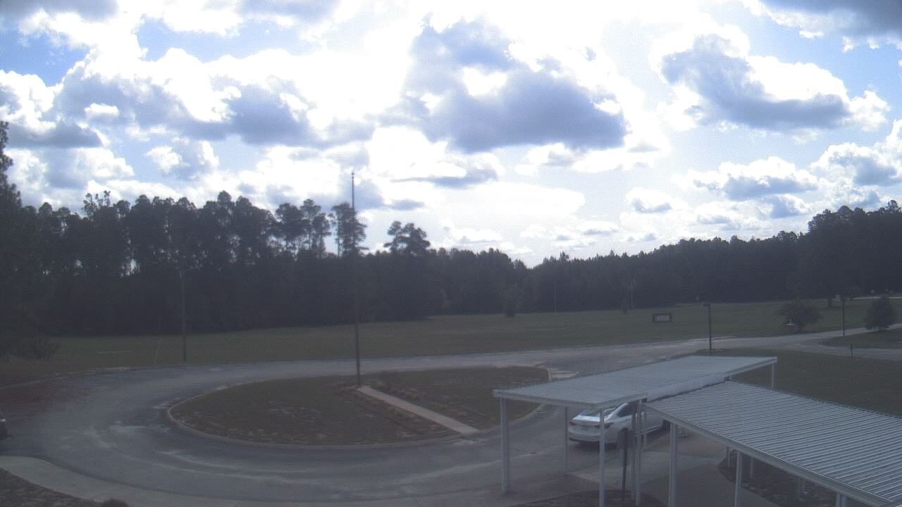
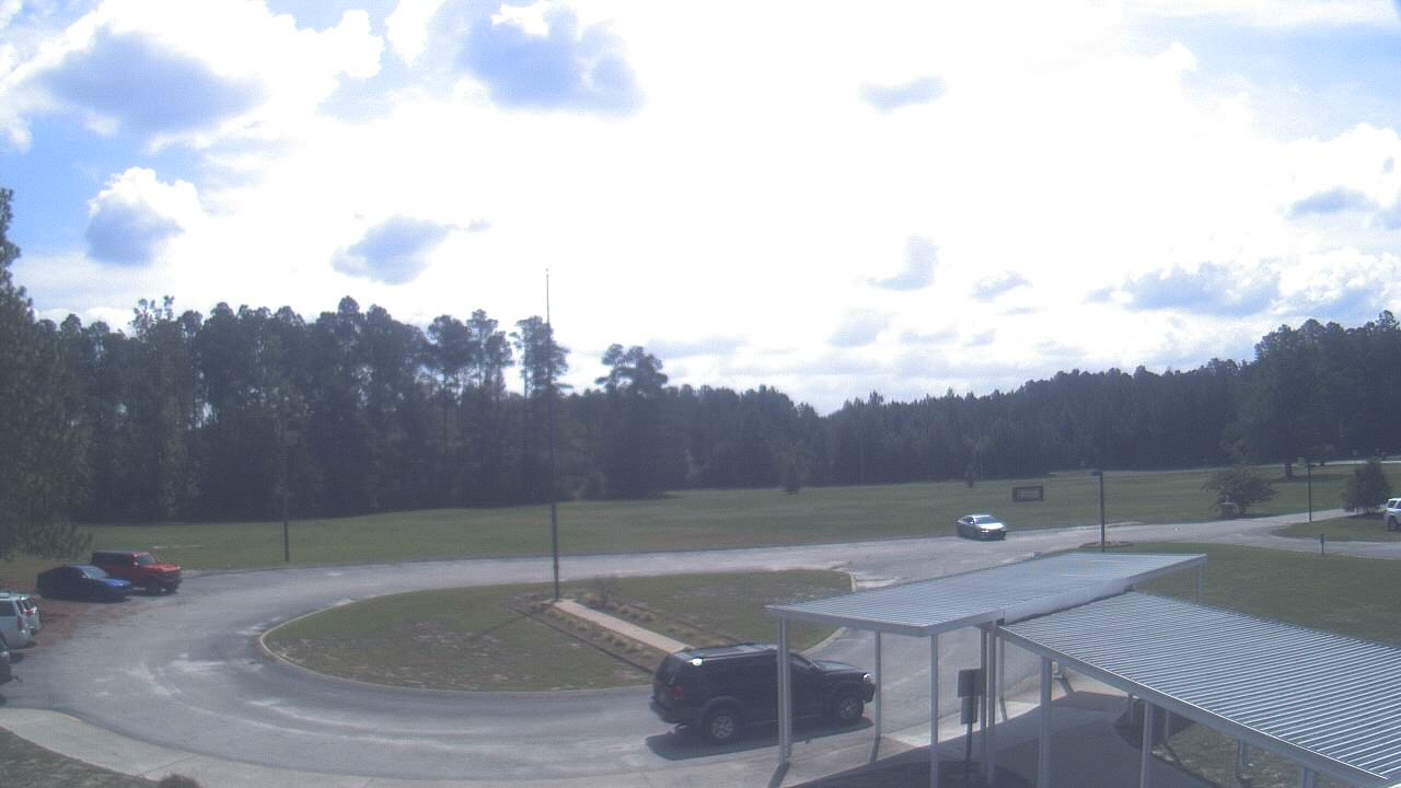
Cary, North Carolina, USA - 46 miles from Mount Pleasant: Davis Drive Elementary School - A webcam in Cary, North Carolina - camera location: Davis Drive Elementary School.
Operator: WeatherBug
Operator: WeatherBug


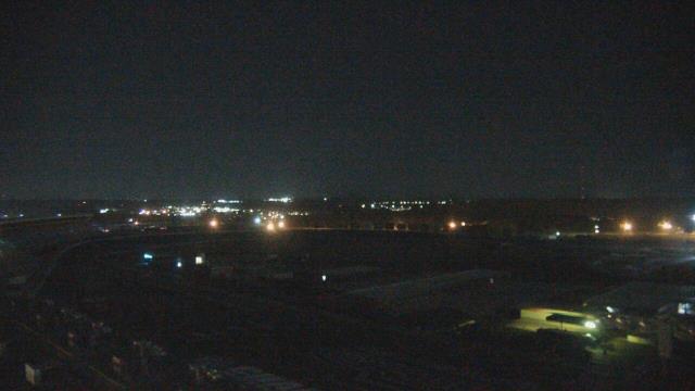
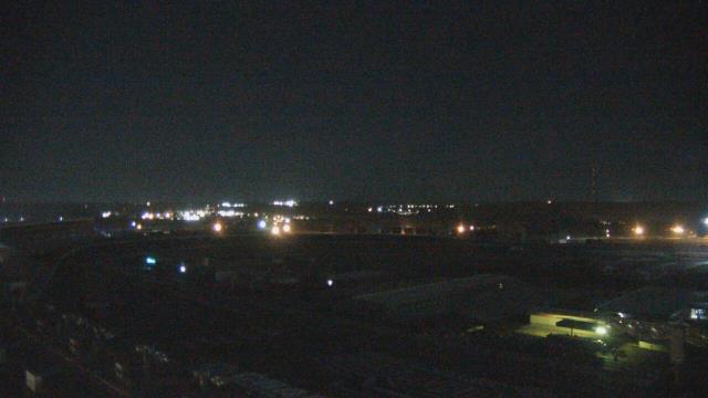
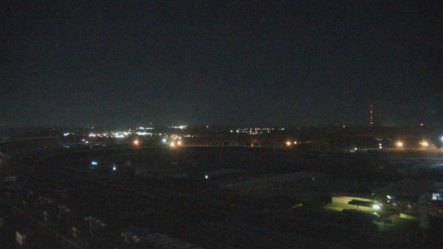
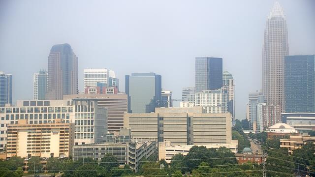
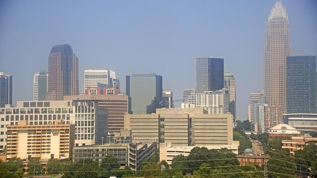
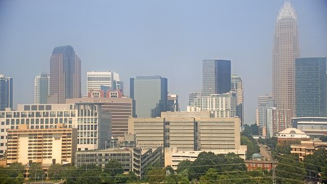
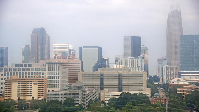
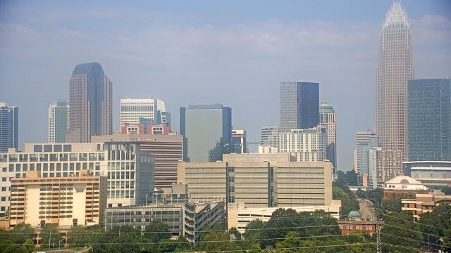
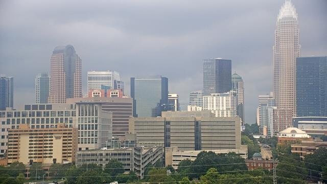
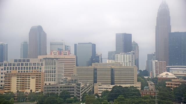
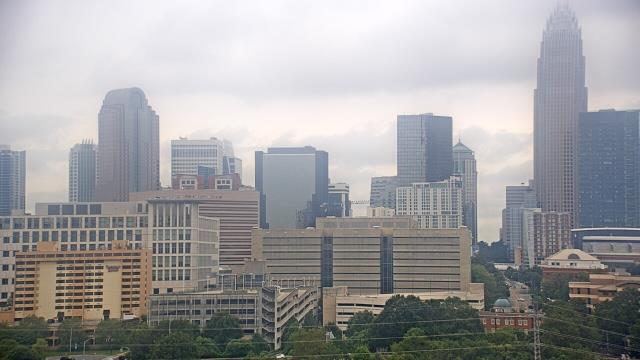
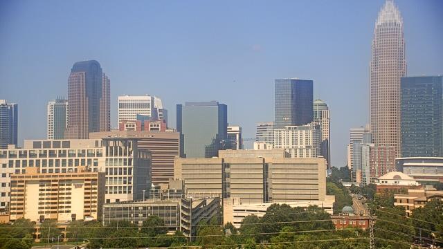
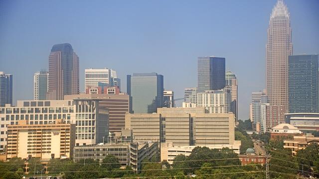
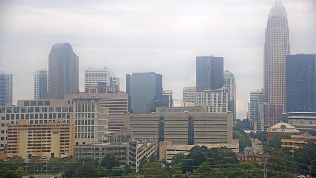
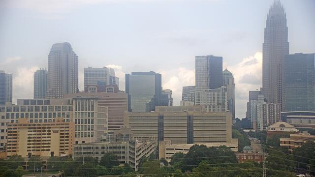
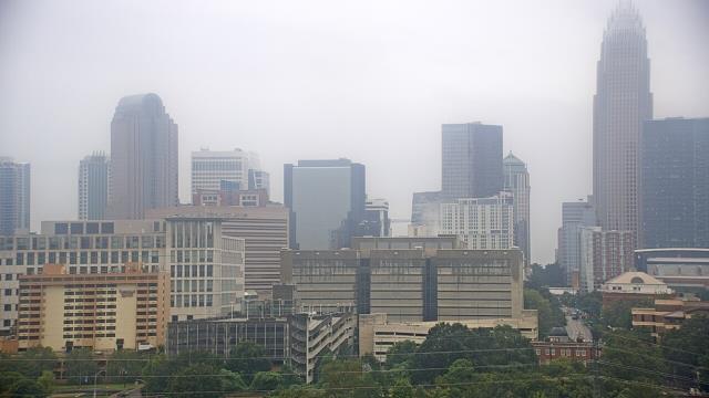
Raleigh, North Carolina, USA - 49.3 miles from Mount Pleasant: Skyline - A panorama view of the skyline of Raleigh, North Carolina.
Operator: WRAL.com
Operator: WRAL.com

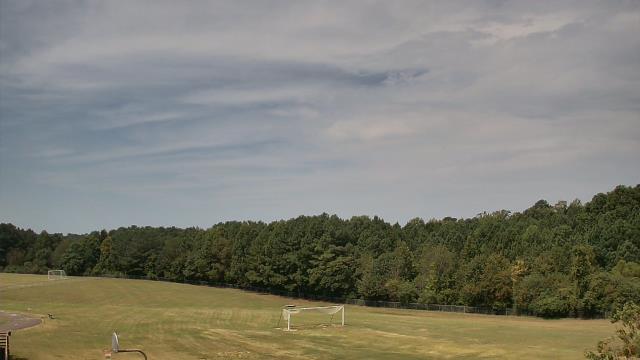
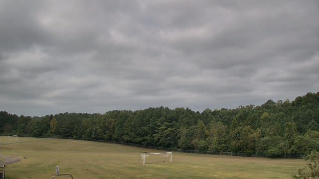
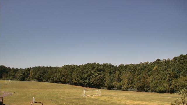
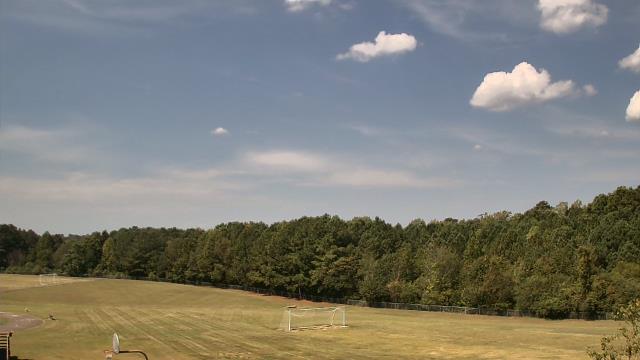
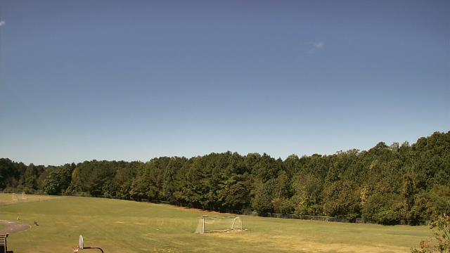
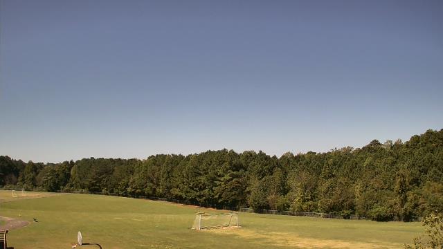
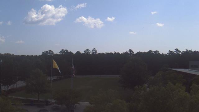
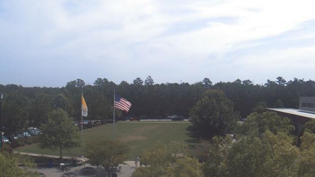
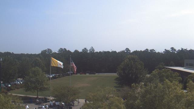
Raleigh, North Carolina, USA - 49.3 miles from Mount Pleasant: Cardinal Gibbons High School - A webcam in Raleigh, North Carolina - camera location: Cardinal Gibbons High School.
Operator: WeatherBug
Operator: WeatherBug


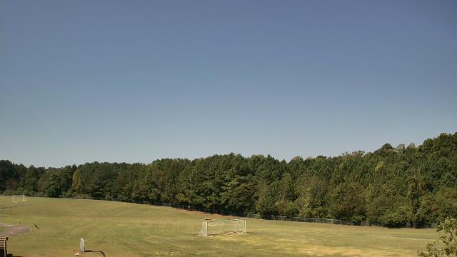
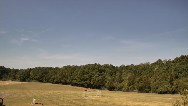
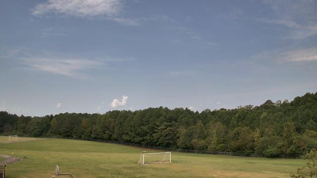
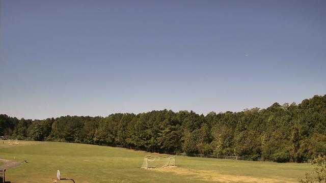
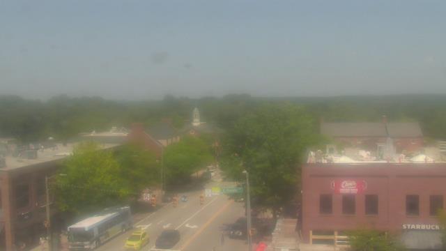
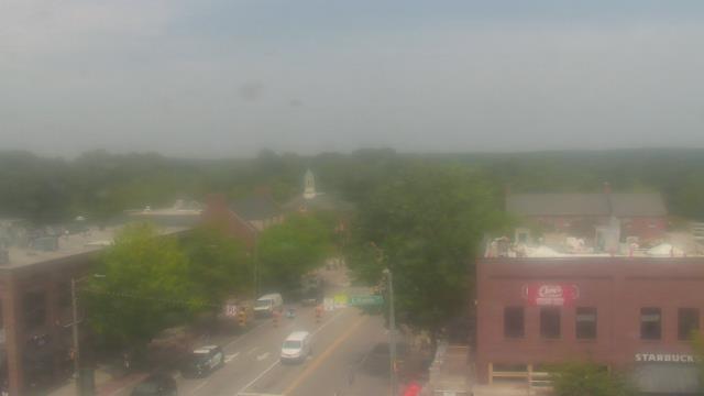
Chapel Hill, North Carolina, USA - 50.1 miles from Mount Pleasant: Top of the Hill Restaurant - A webcam in Chapel Hill, North Carolina - camera location: Top of the Hill Restaurant.
Operator: WeatherBug
Operator: WeatherBug


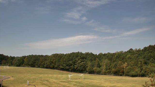
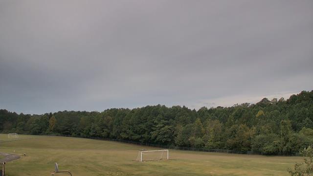
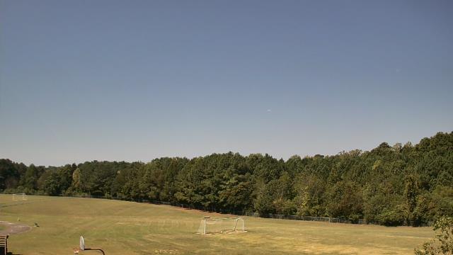
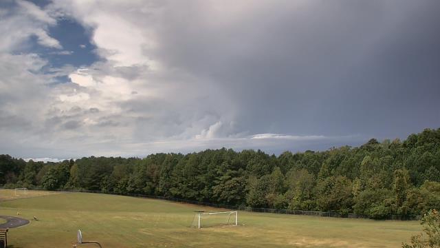
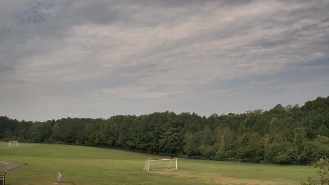
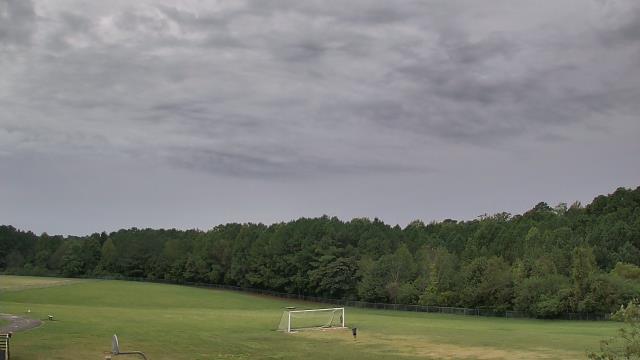
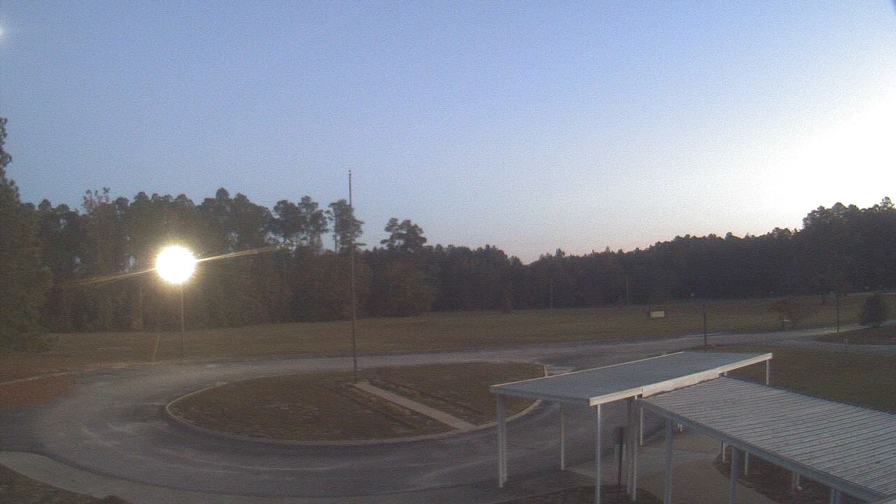
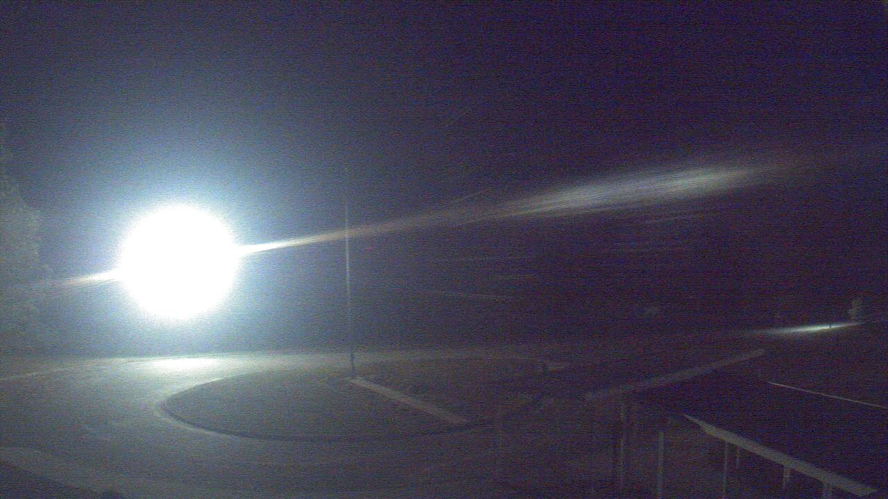
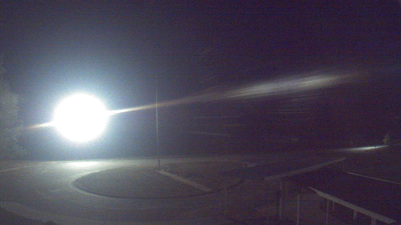
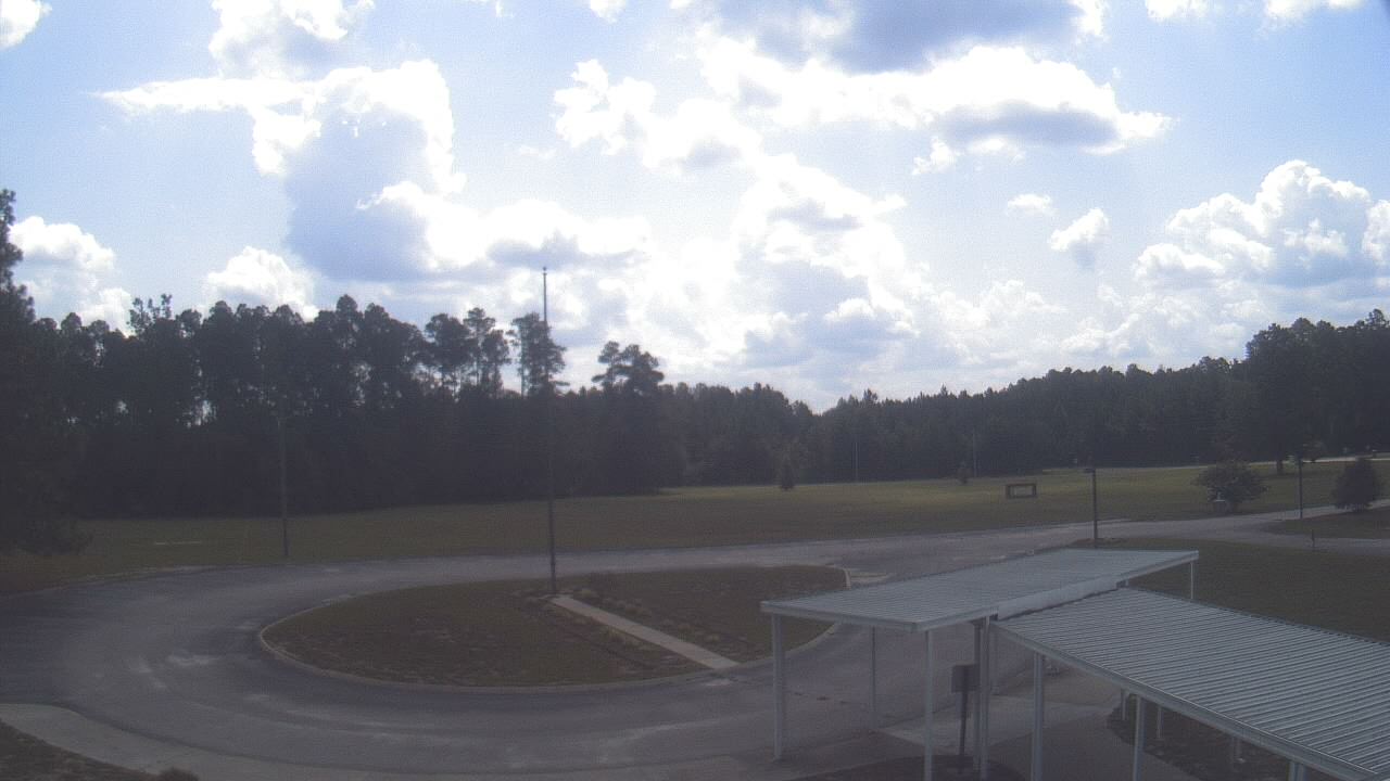
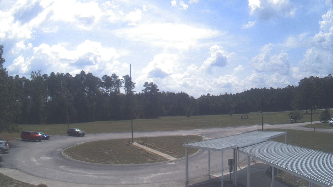
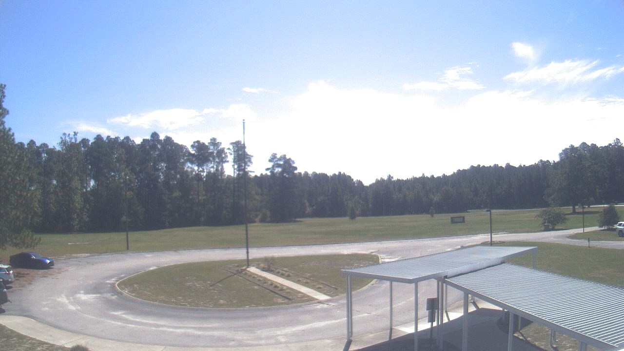
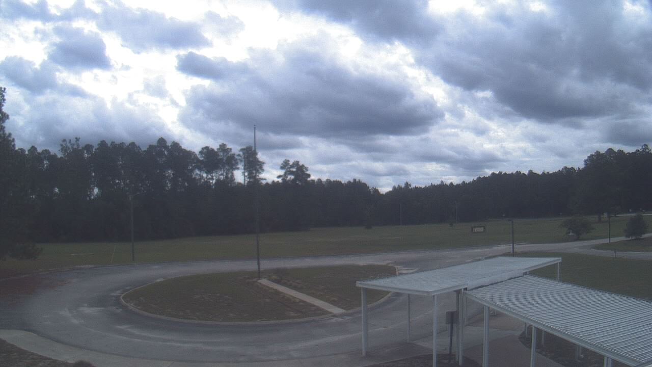
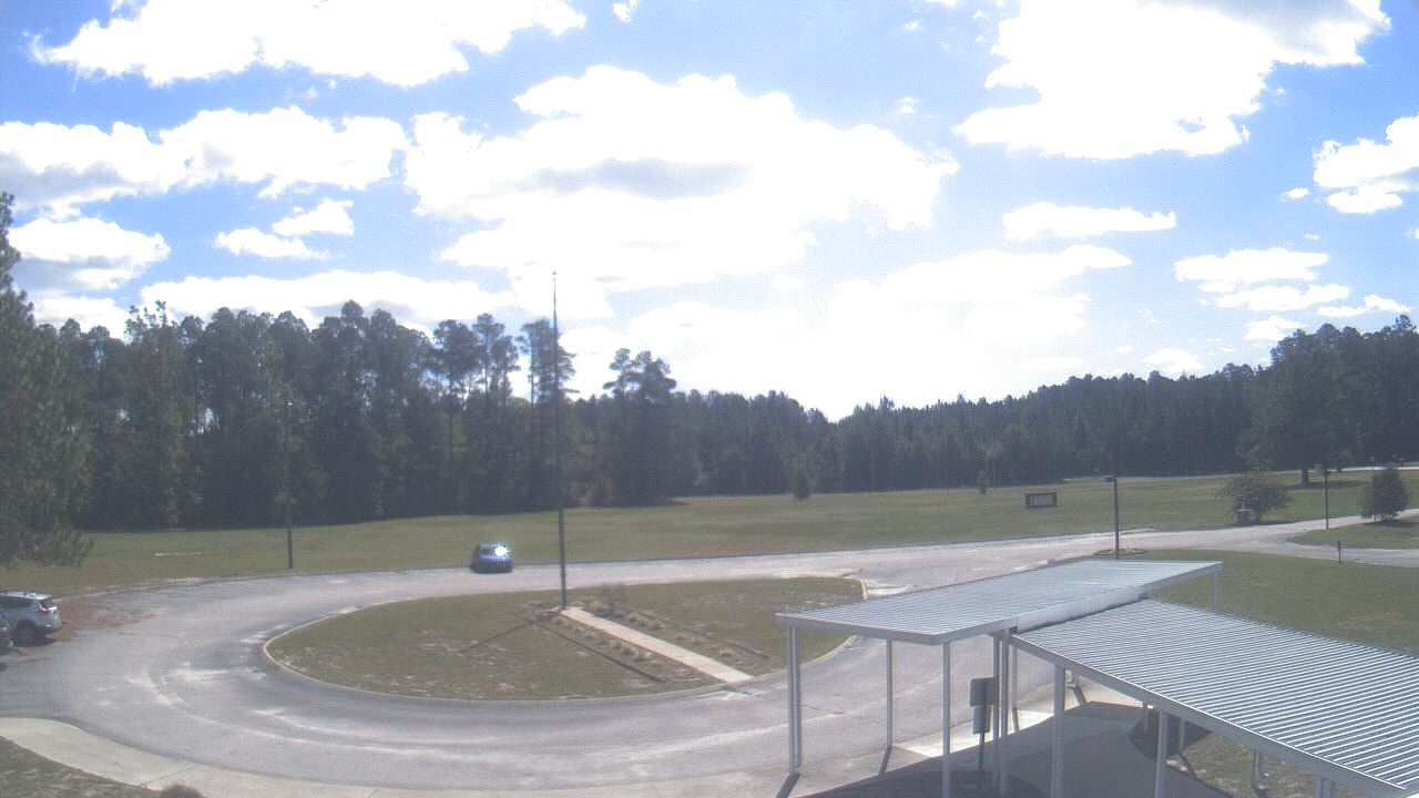
Elizabethtown, North Carolina, USA - 51.2 miles from Mount Pleasant: Bladen Lakes Primary School - A webcam in Elizabethtown, North Carolina - camera location: Bladen Lakes Primary School.
Operator: WeatherBug
Operator: WeatherBug


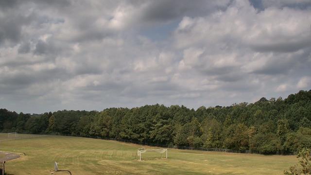
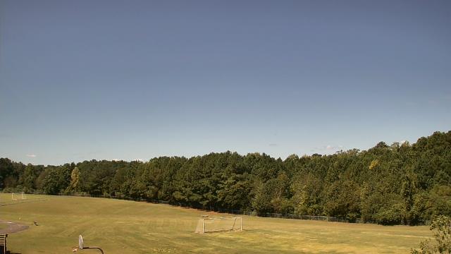
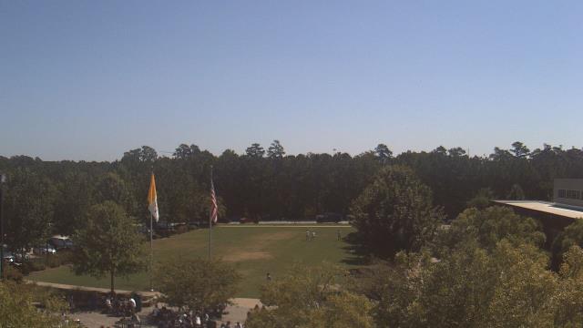
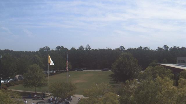
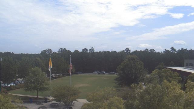
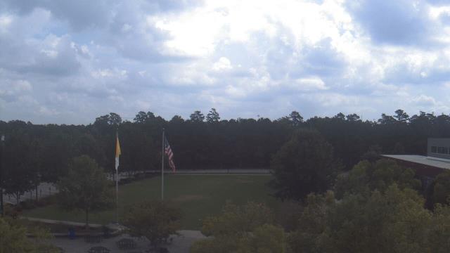
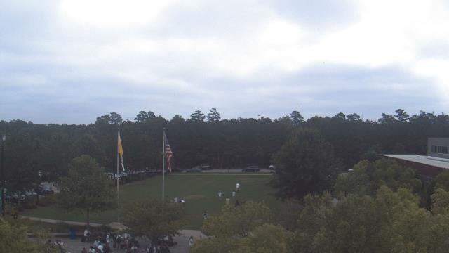
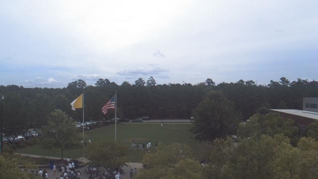
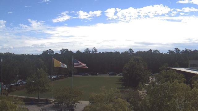
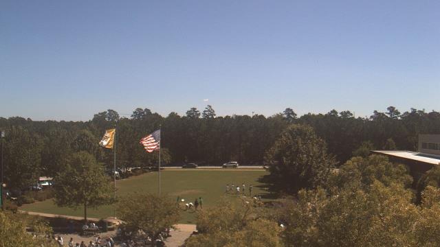
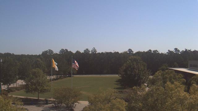
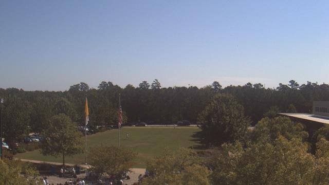
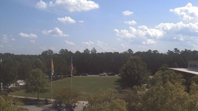
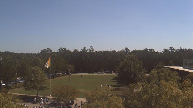
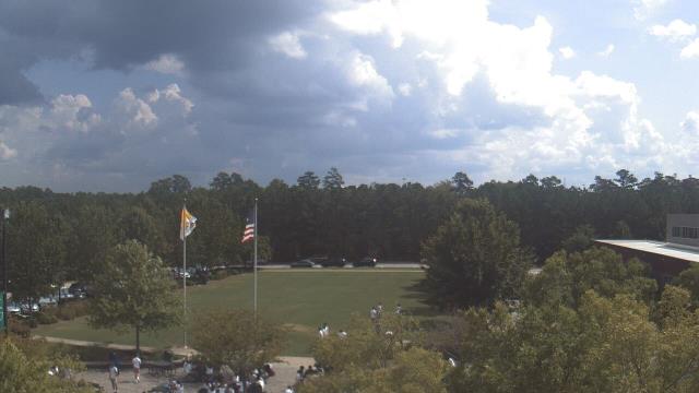
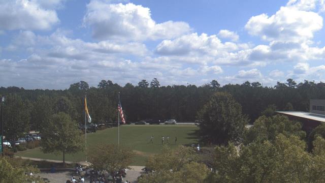
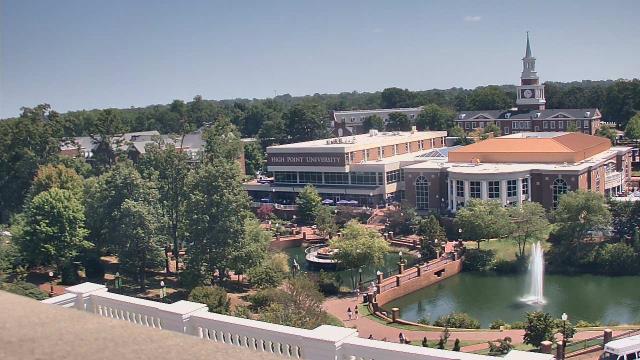
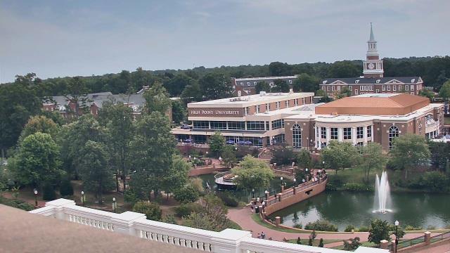
High Point, North Carolina, USA - 69.9 miles from Mount Pleasant: High Point University - A webcam in High Point, North Carolina - camera location: High Point University.
Operator: WeatherBug
Operator: WeatherBug


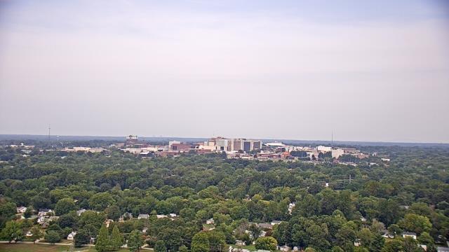
High Point, North Carolina, USA - 69.9 miles from Mount Pleasant: WGHP-TV - A webcam in High Point, North Carolina - camera location: WGHP-TV.
Operator: WeatherBug
Operator: WeatherBug


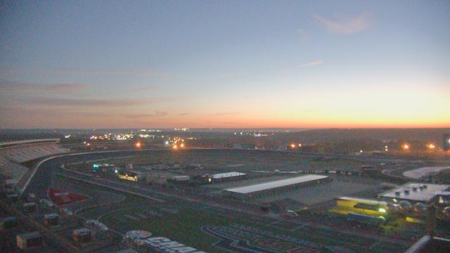
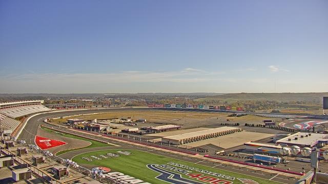
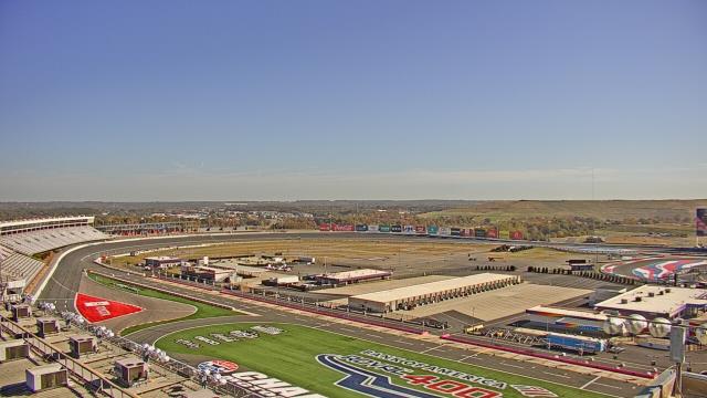
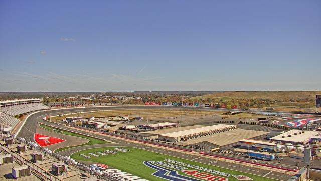
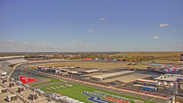
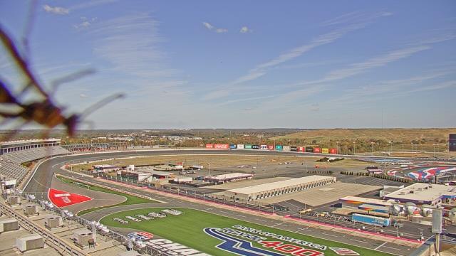
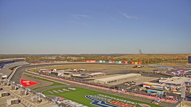
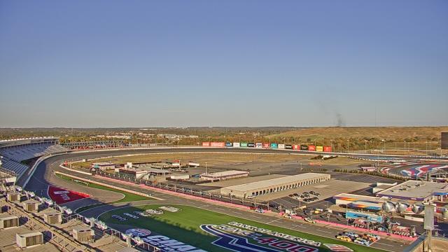
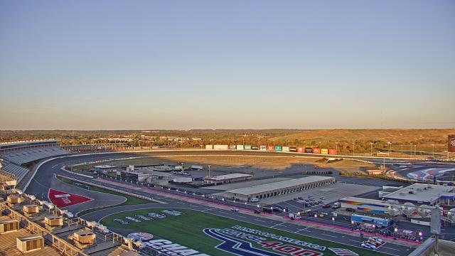
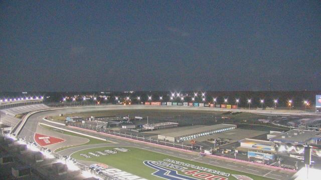
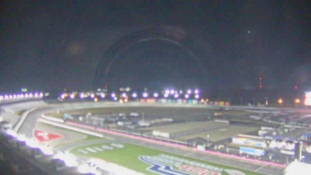
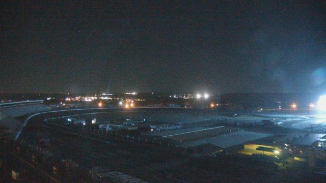
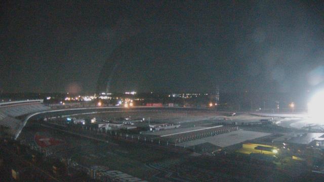
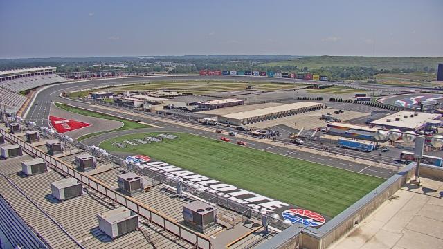
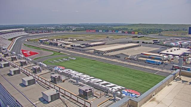
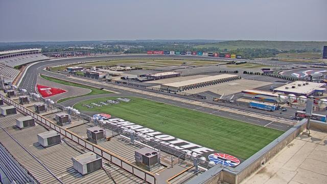
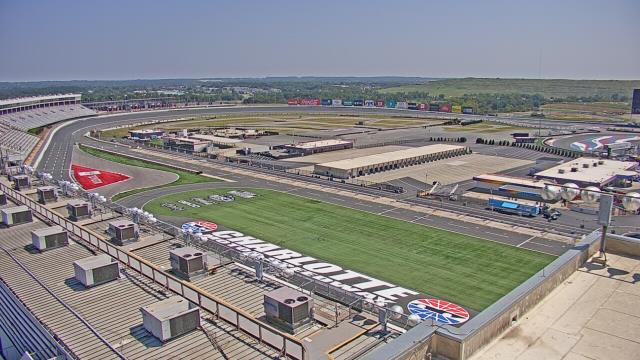
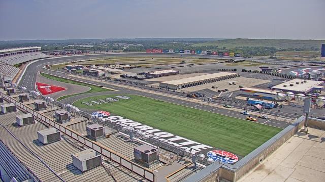
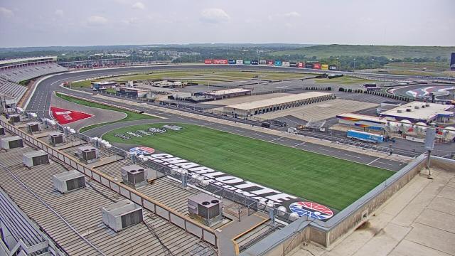
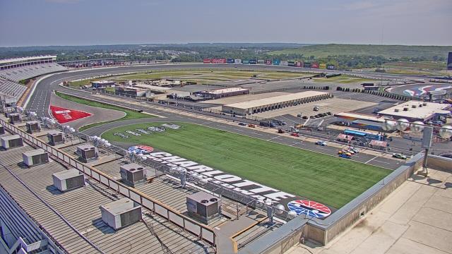
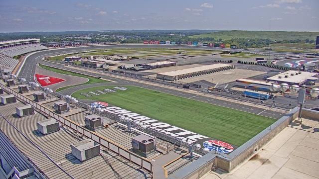
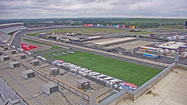
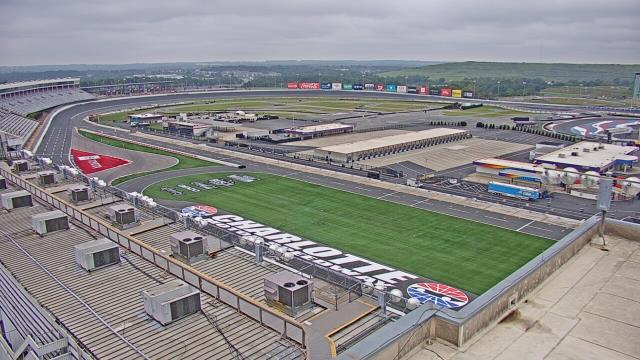
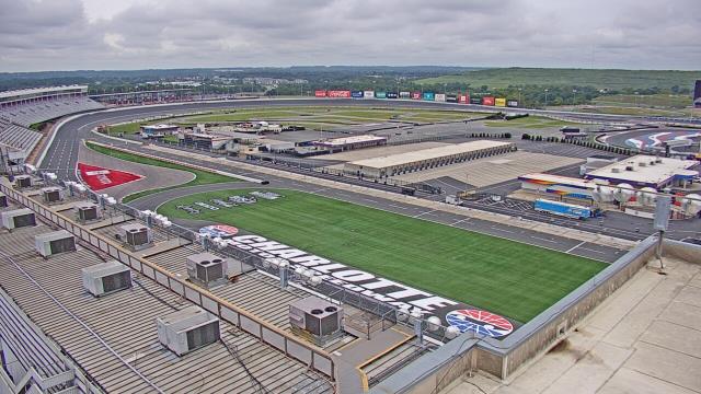
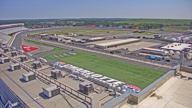
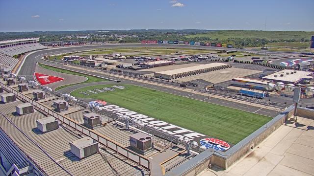
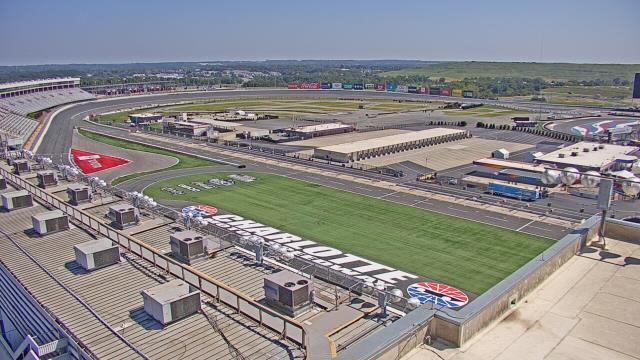
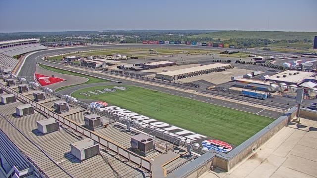
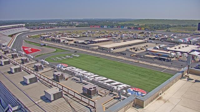
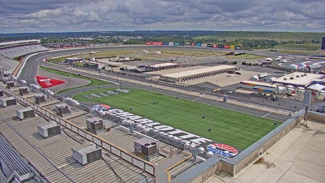
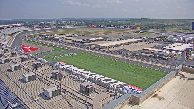
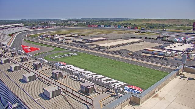
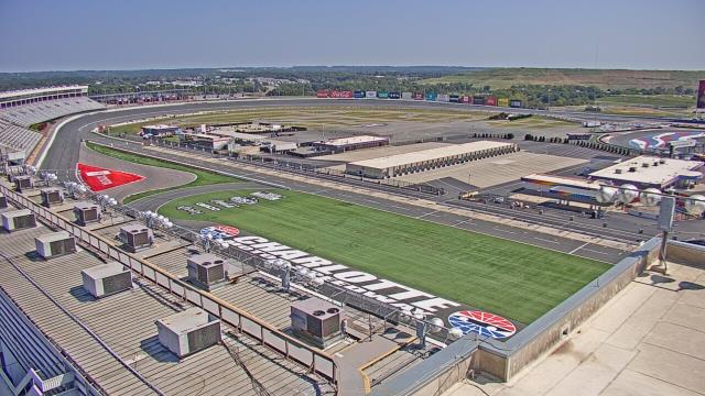
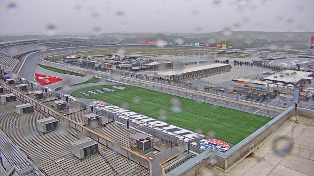
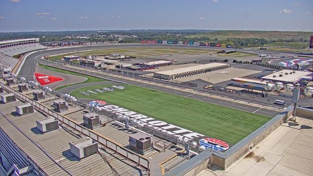
Concord, North Carolina, USA - 80.6 miles from Mount Pleasant: Charlotte Motor Speedway - A webcam in Concord, North Carolina - camera location: Charlotte Motor Speedway.
Operator: WeatherBug
Operator: WeatherBug


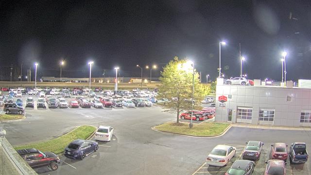
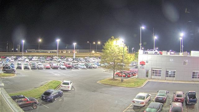
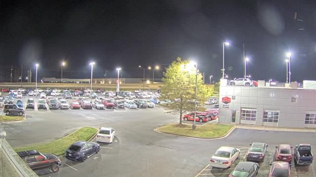
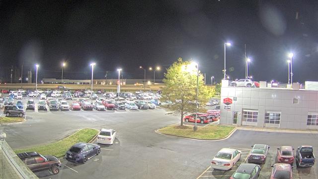
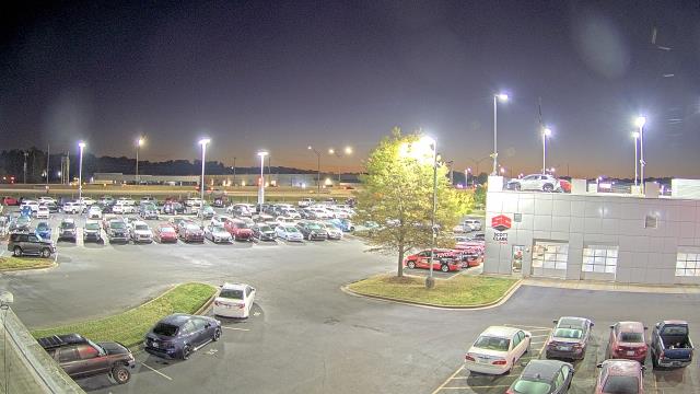
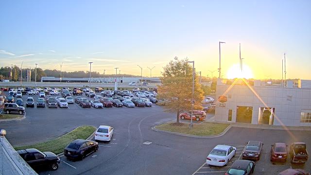
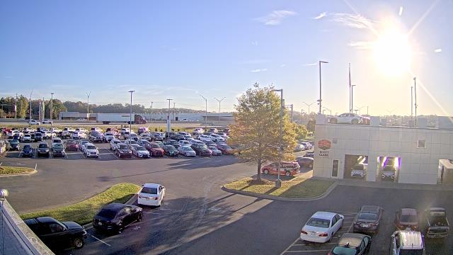
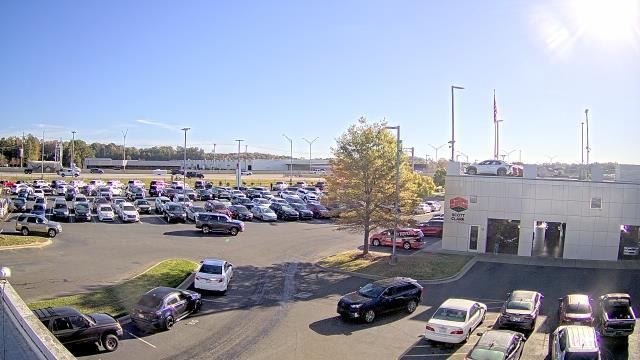
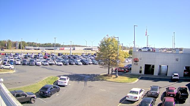
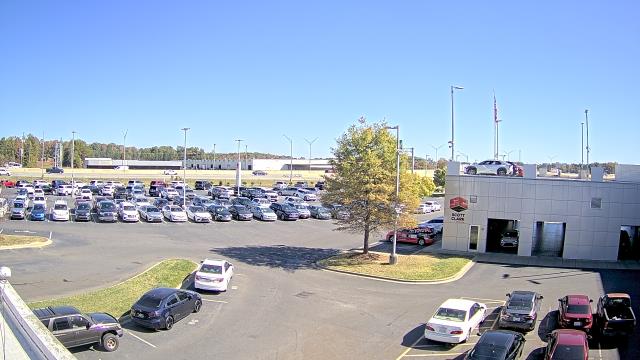
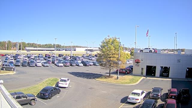
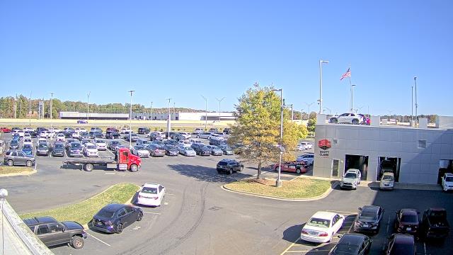
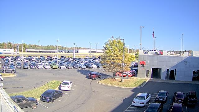
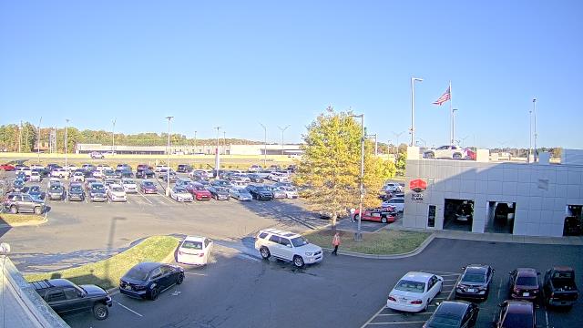
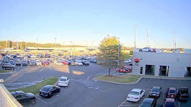
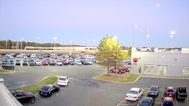
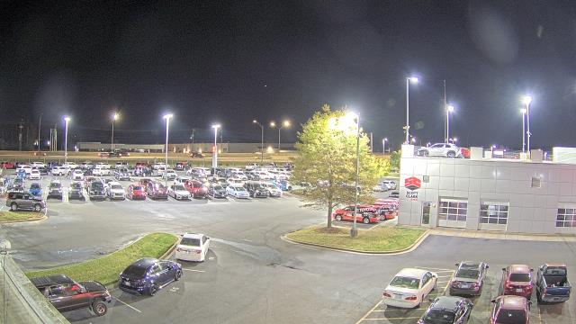
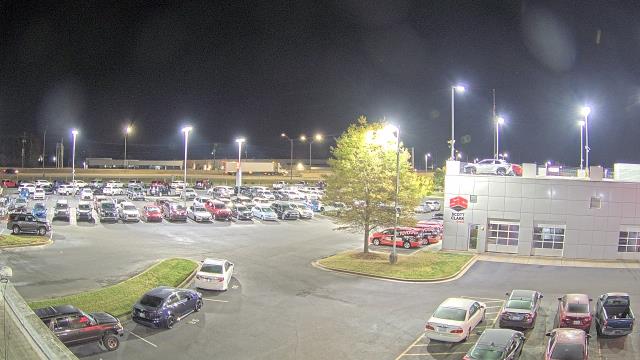
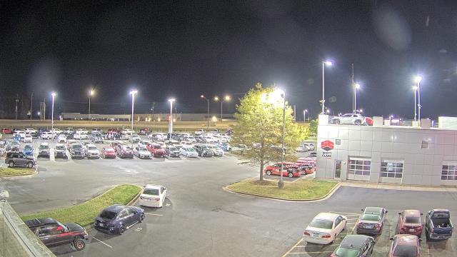
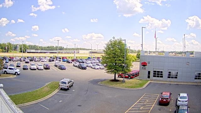
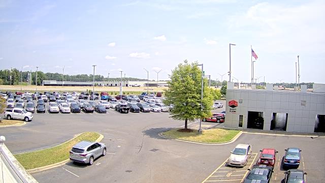
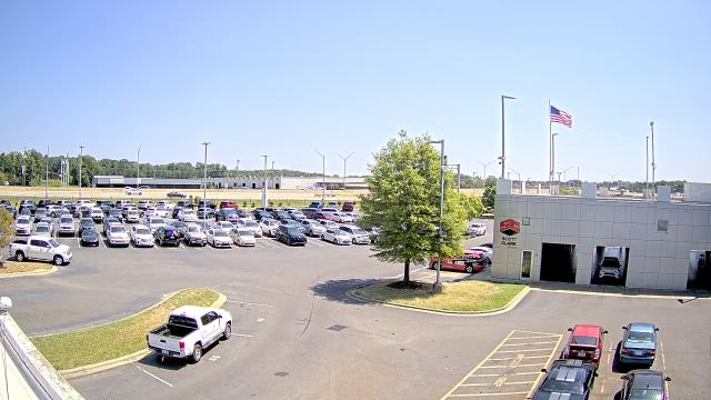
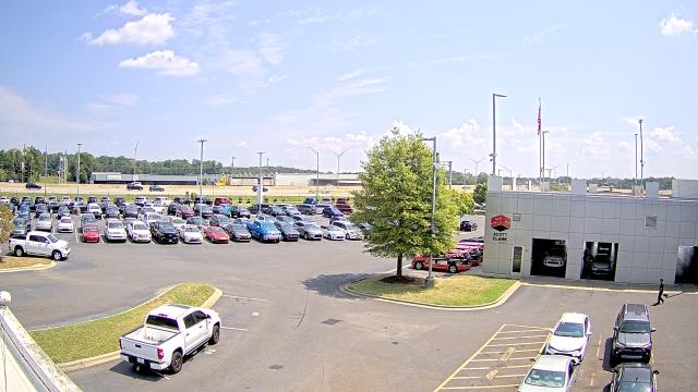
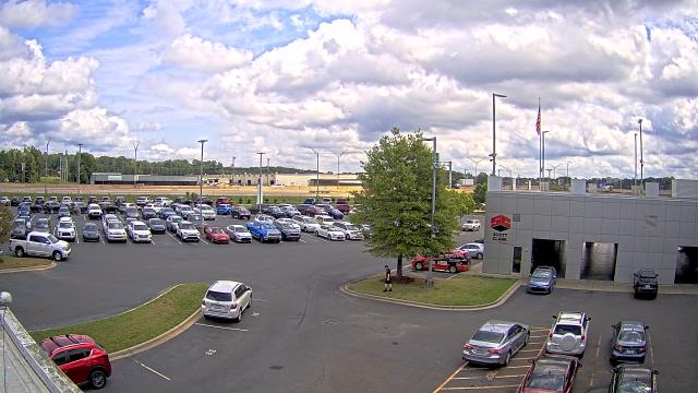
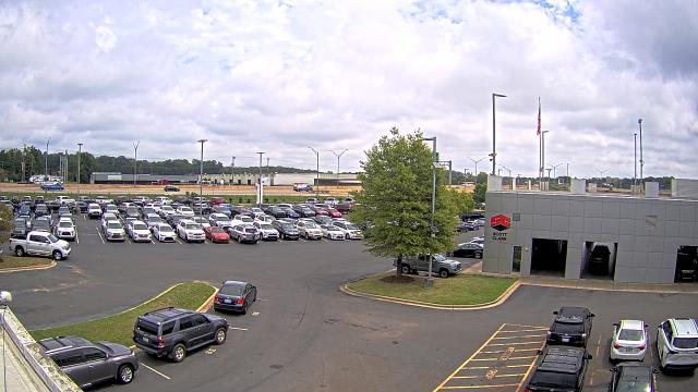
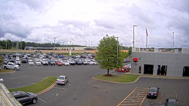
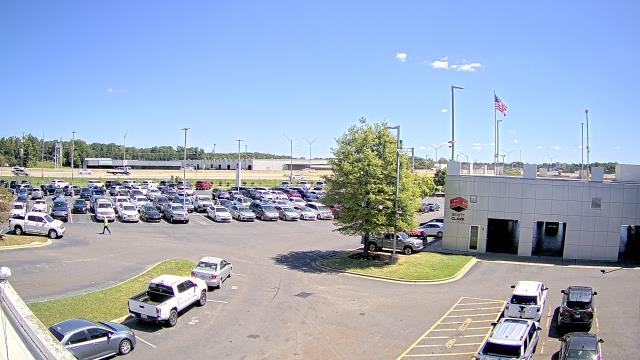
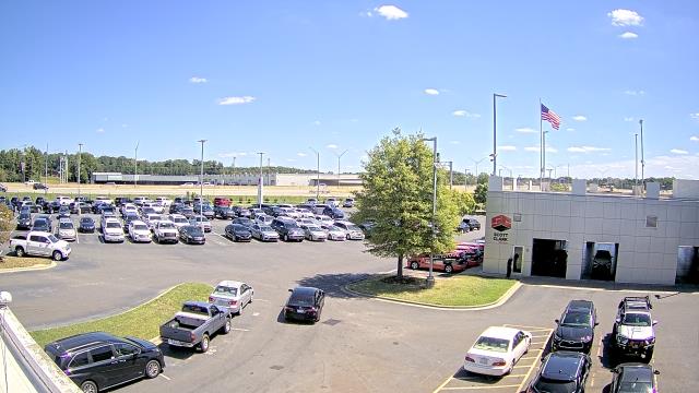
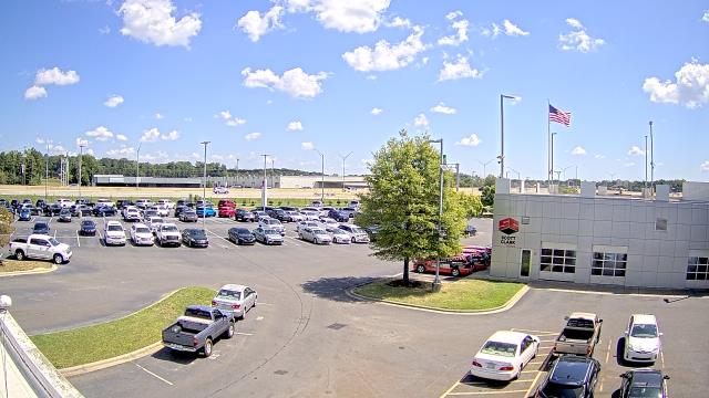
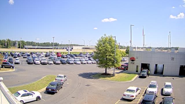
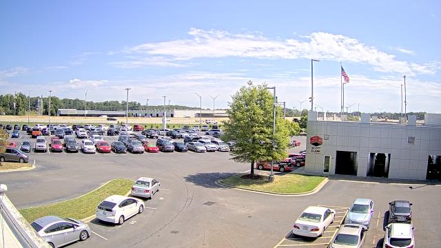
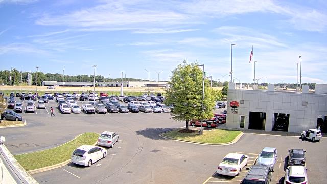
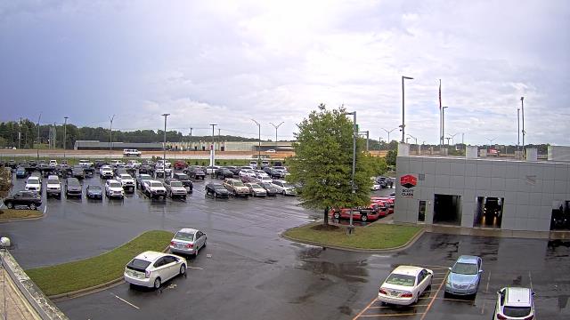
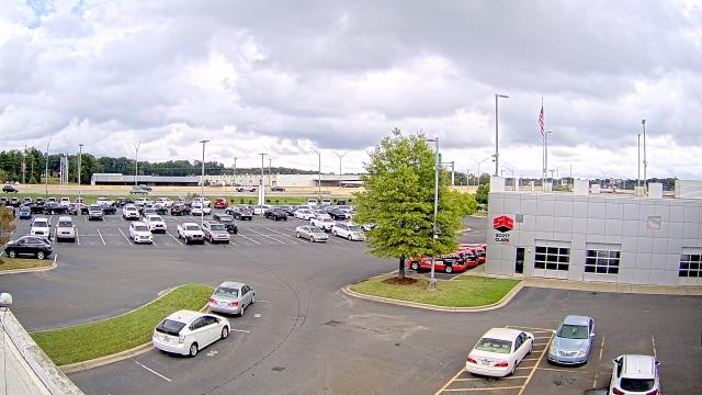
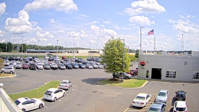
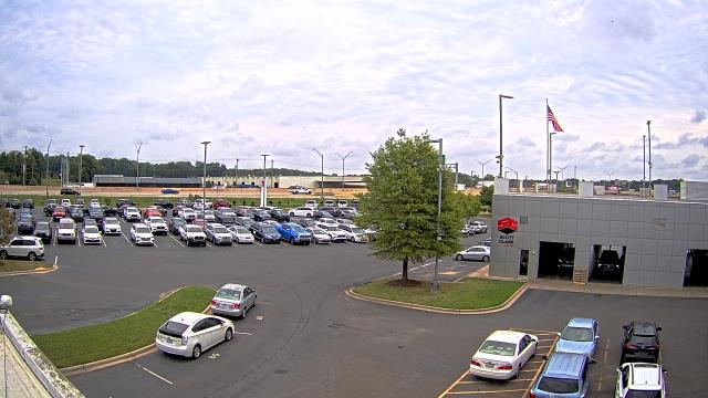
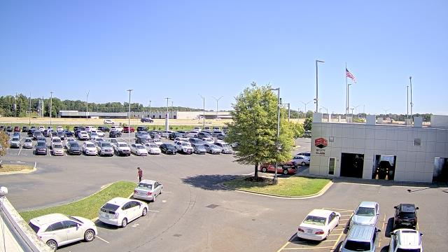
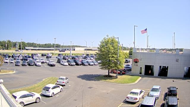
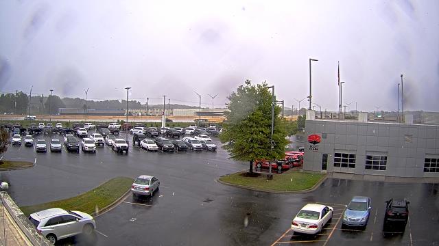
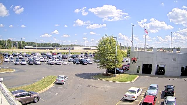
Stallings, North Carolina, USA - 86 miles from Mount Pleasant: Scott Clarks Toyota - A webcam in Stallings, North Carolina - camera location: Scott Clarks Toyota.
Operator: WeatherBug
Operator: WeatherBug


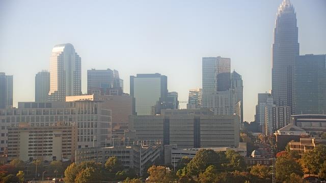
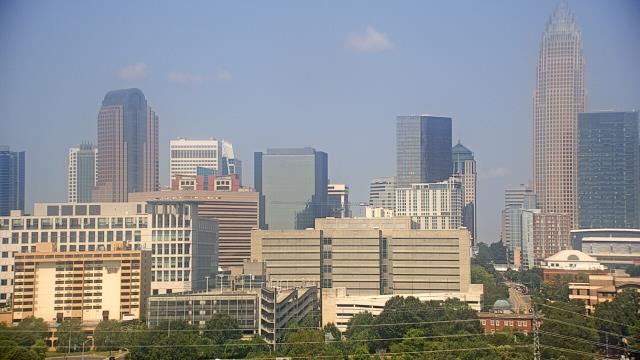
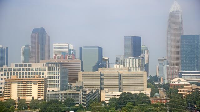
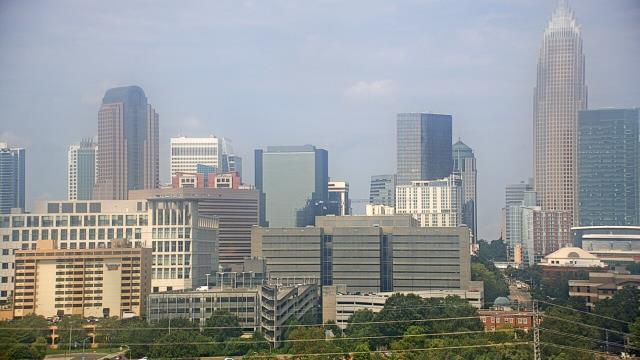
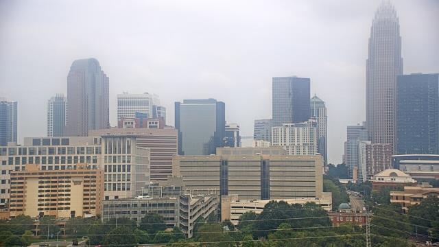
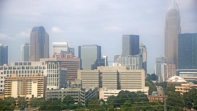
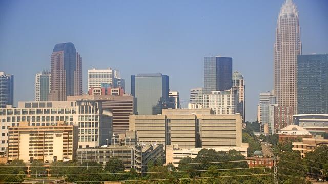
Charlotte, North Carolina, USA - 94.3 miles from Mount Pleasant: Central Piedmont Community College - A webcam in Charlotte, North Carolina - camera location: Central Piedmont Community College.
Operator: WeatherBug
Operator: WeatherBug


Some other places in this country: Mount Olive - Mount Olive - Mount Olive - Mount Olive - Mount Pleasant - Mount Pleasant - Mount Pleasant - Mount Pleasant - Mount Pleasant - Mount Ulla