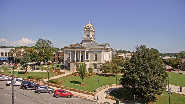
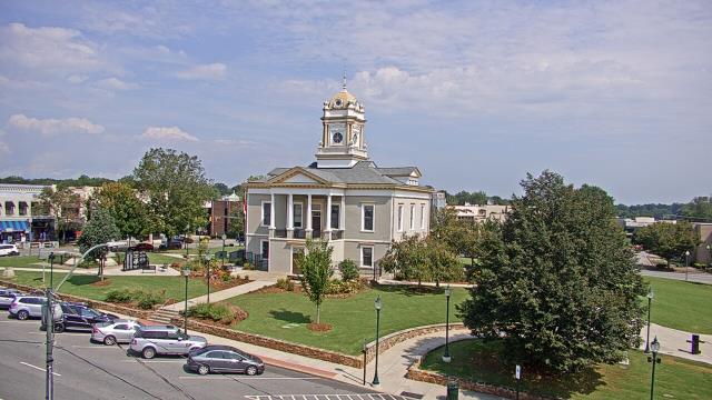
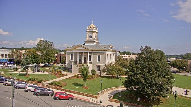
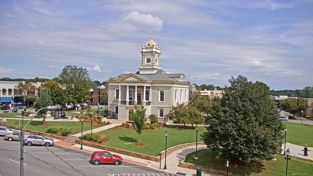
Webcams in the region of Millerton (historical), North Carolina, USA
The List of Webcams near Millerton (historical), North Carolina, USA:

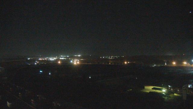
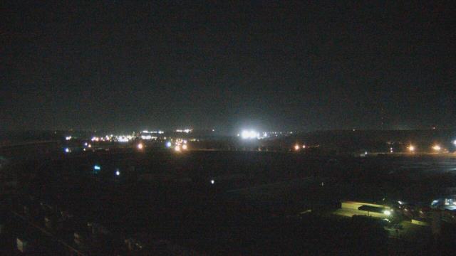
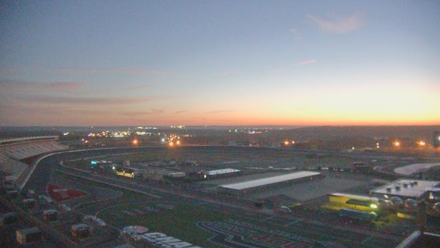
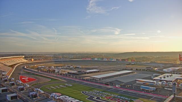
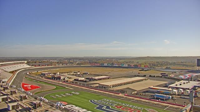
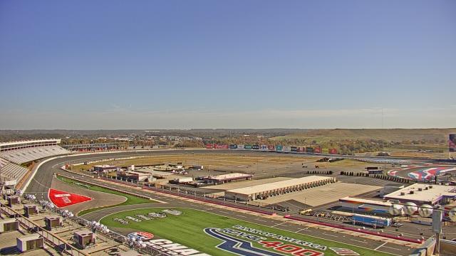
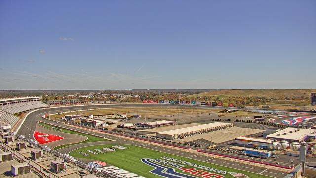
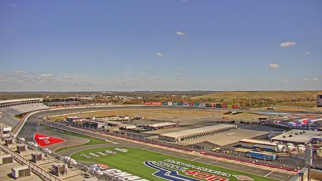
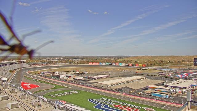
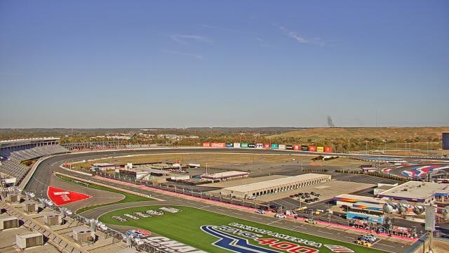
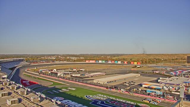
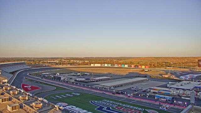
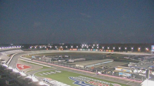
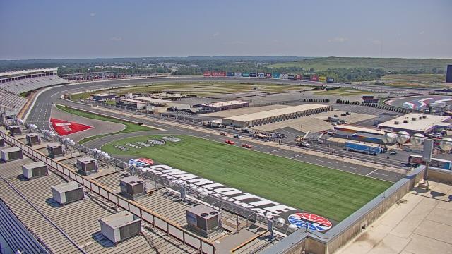
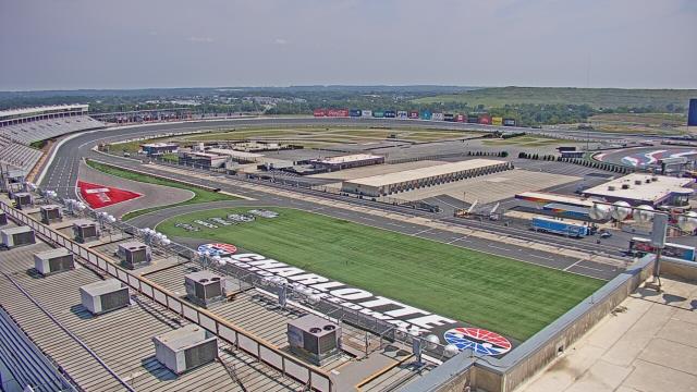
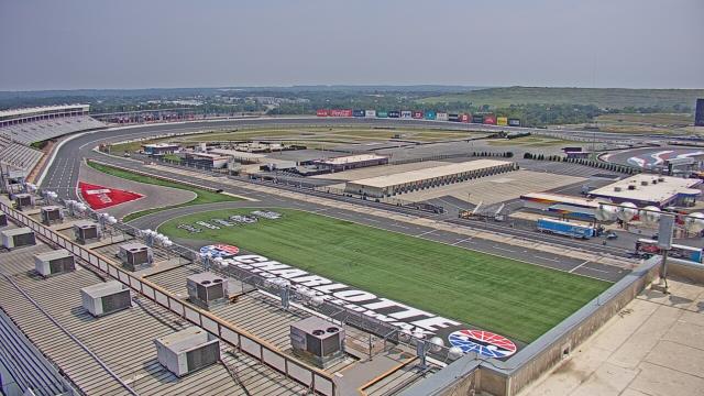
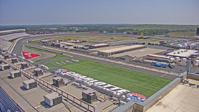
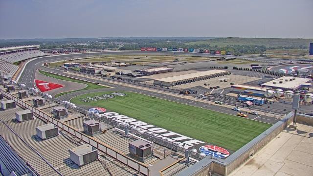
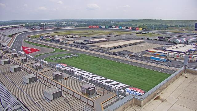
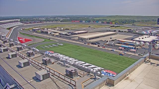
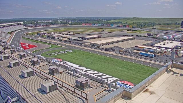
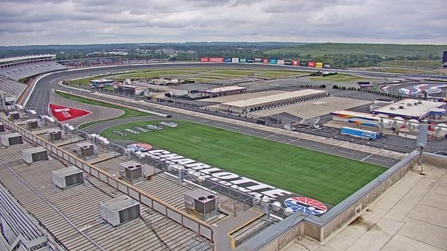
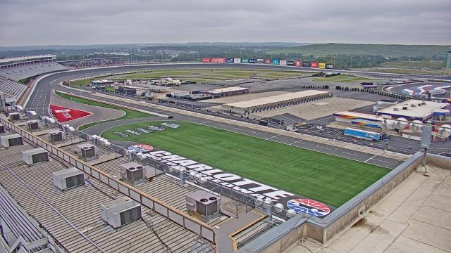
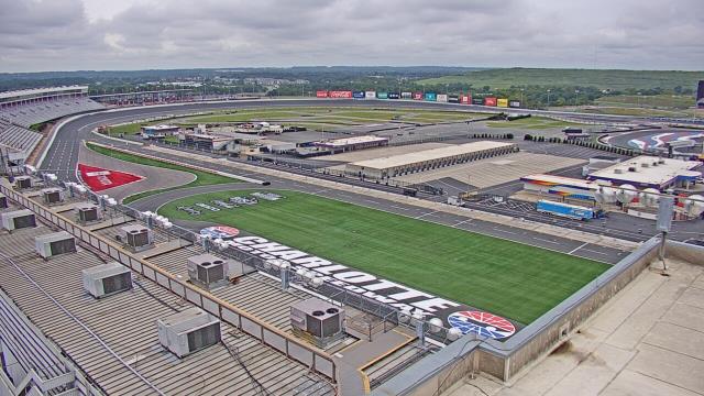
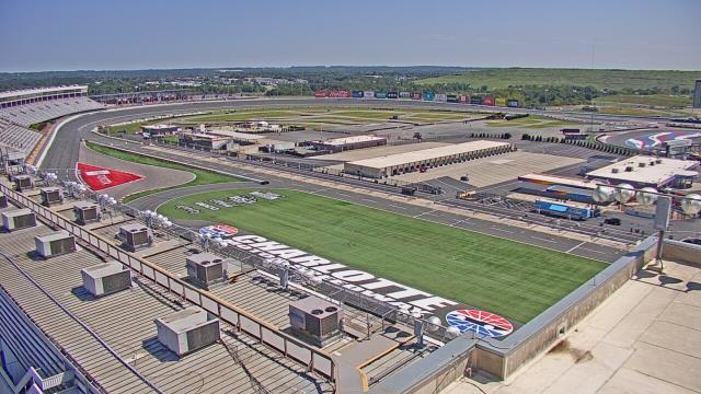
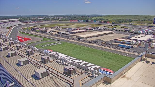
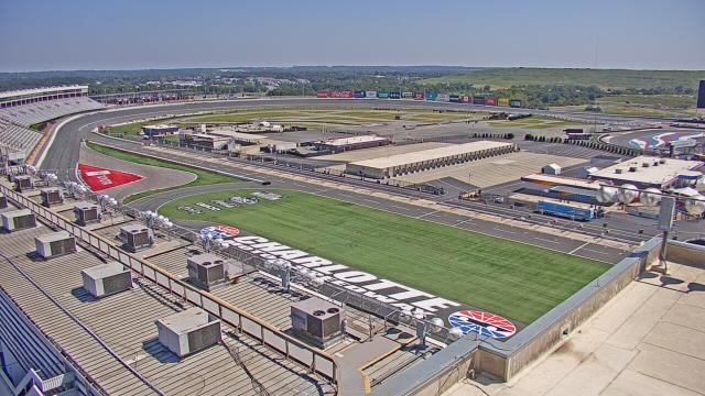
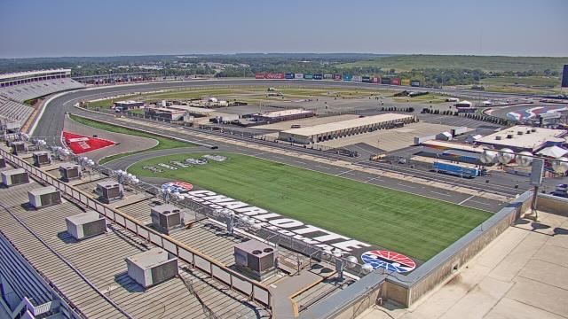
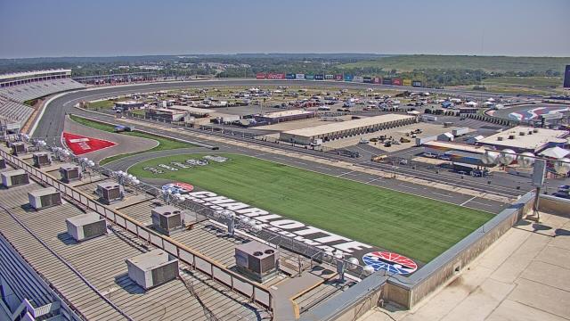
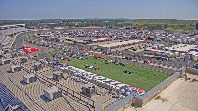
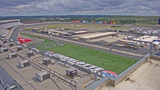
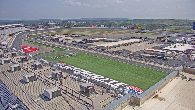
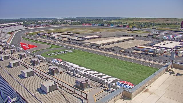
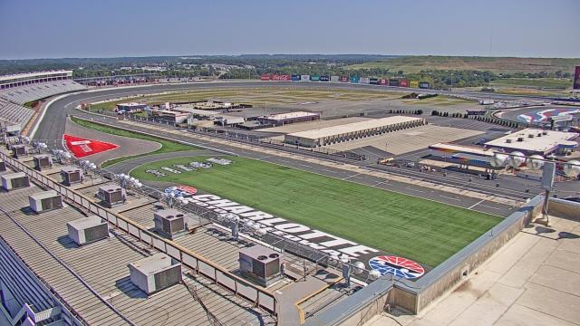
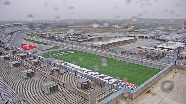
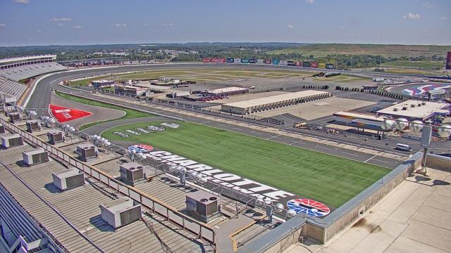
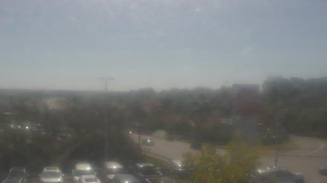
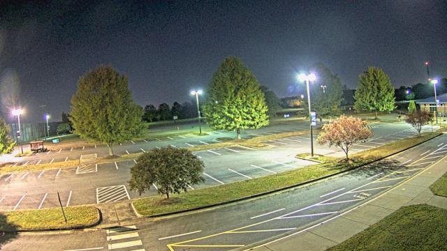
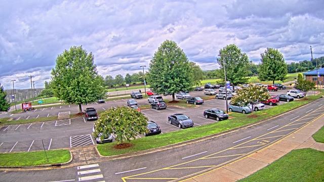
Concord, North Carolina, USA - 20.4 miles from Millerton (historical): Charlotte Motor Speedway - A webcam in Concord, North Carolina - camera location: Charlotte Motor Speedway.
Operator: WeatherBug
Operator: WeatherBug


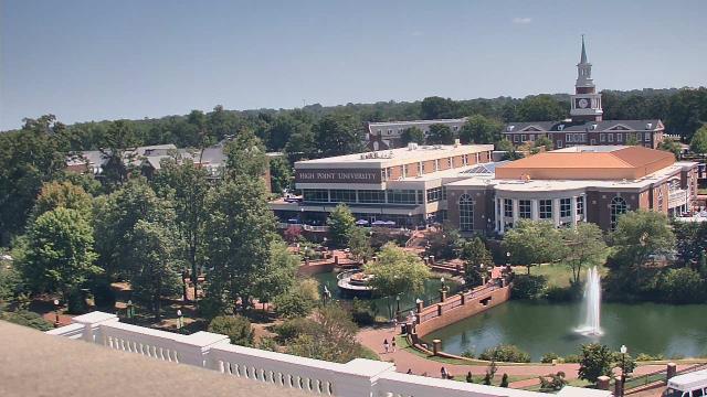
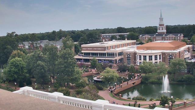
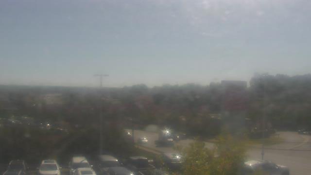
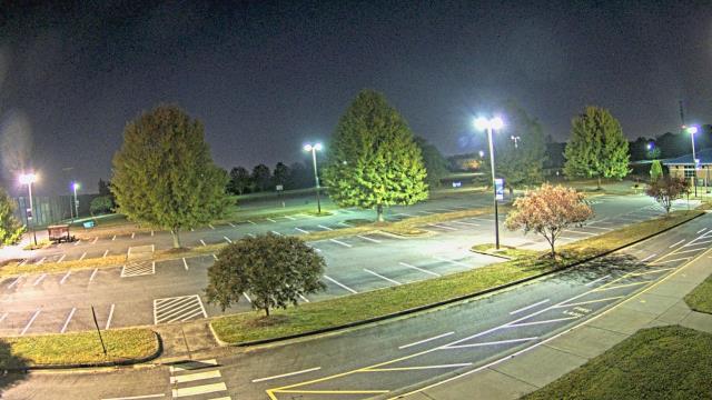
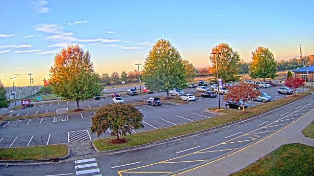
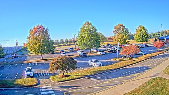
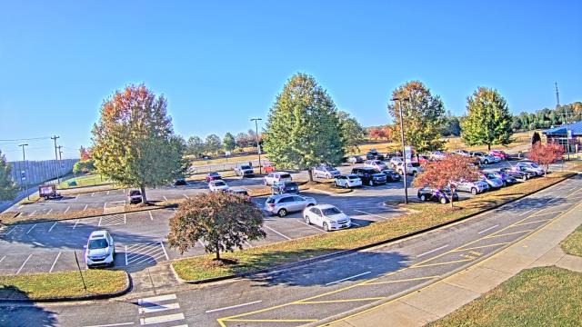
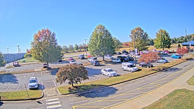
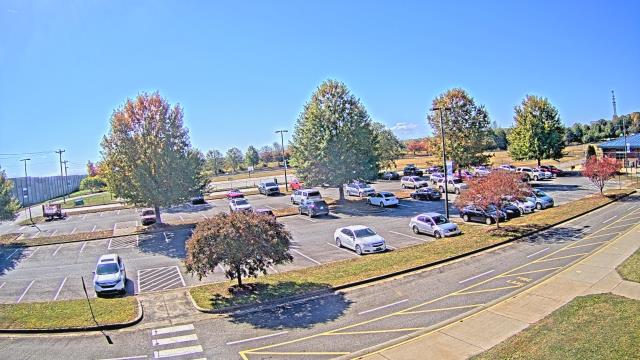
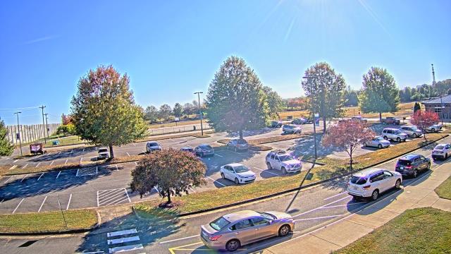
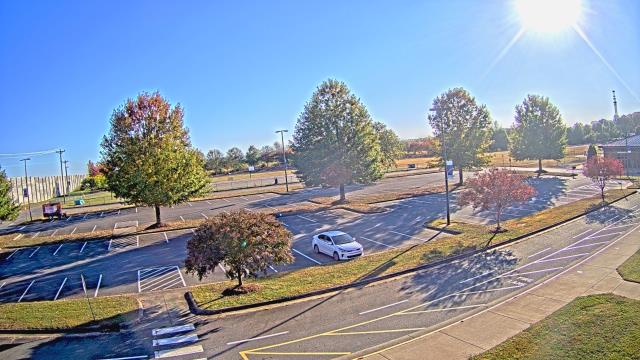
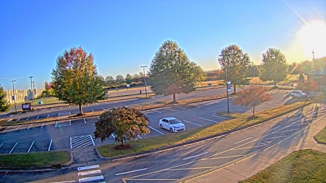
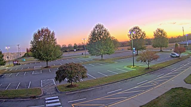
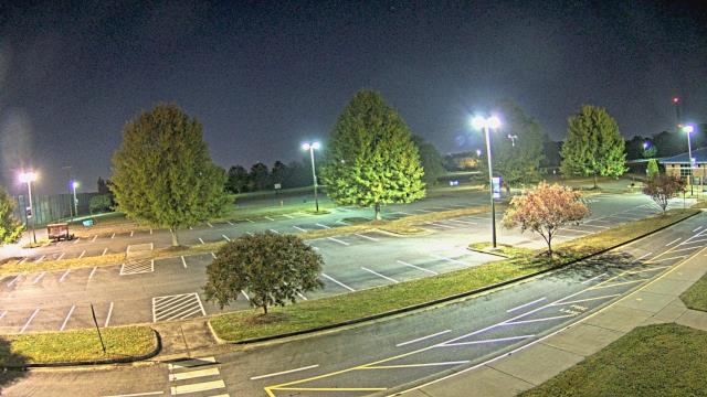
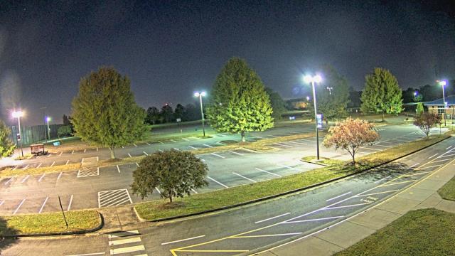
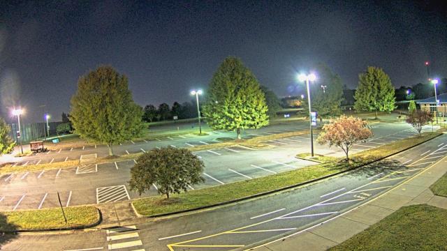
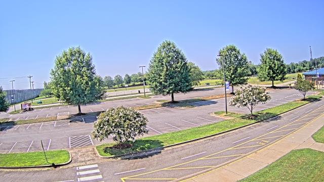
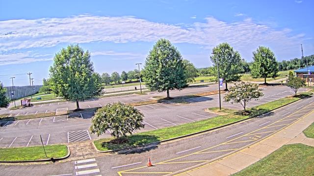
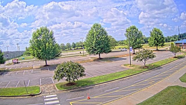
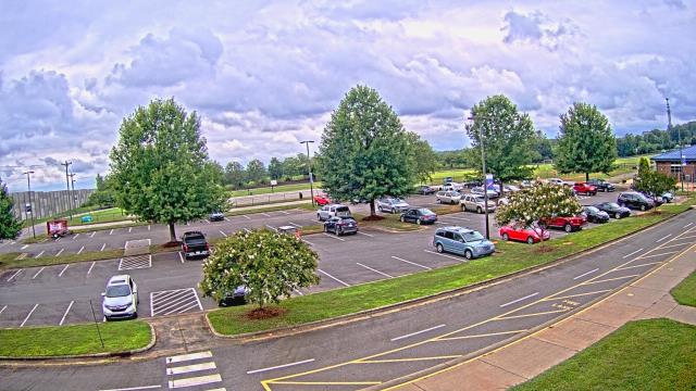
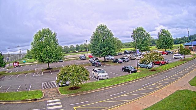
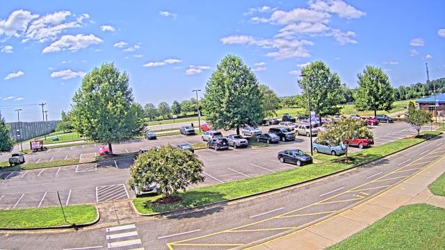
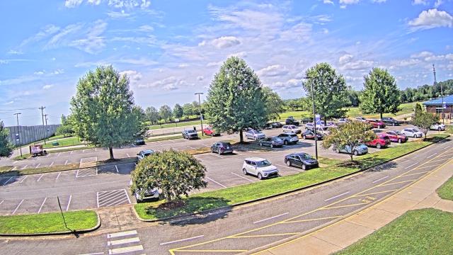
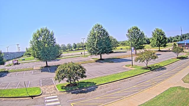
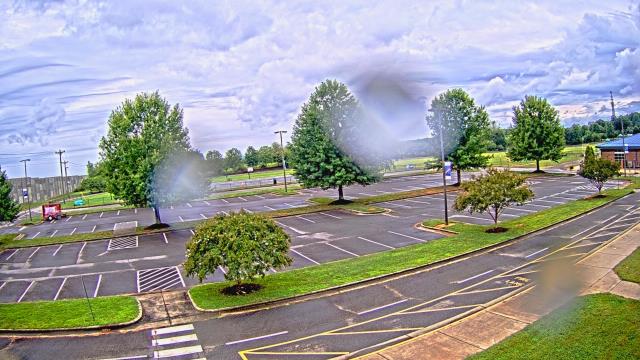
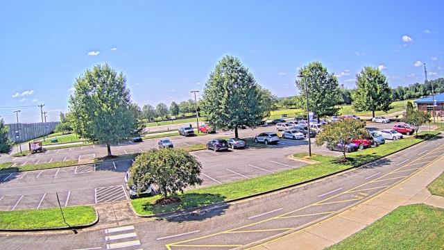
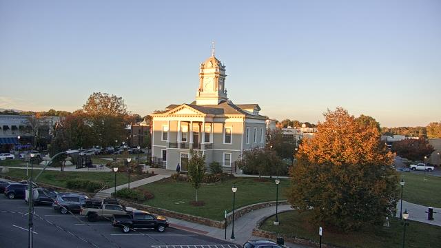
High Point, North Carolina, USA - 32.6 miles from Millerton (historical): High Point University - A webcam in High Point, North Carolina - camera location: High Point University.
Operator: WeatherBug
Operator: WeatherBug


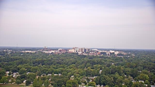
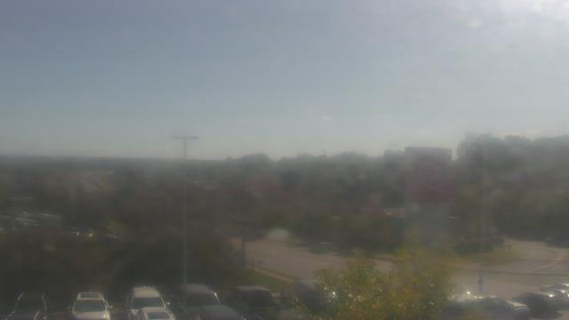
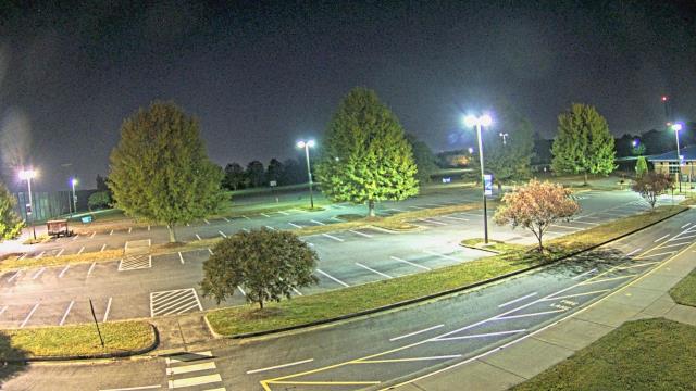
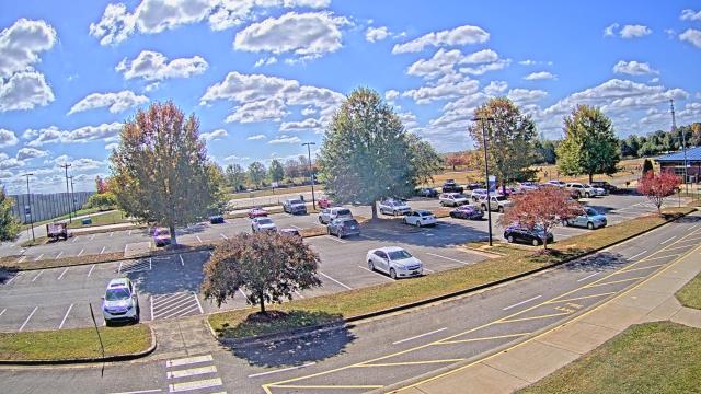
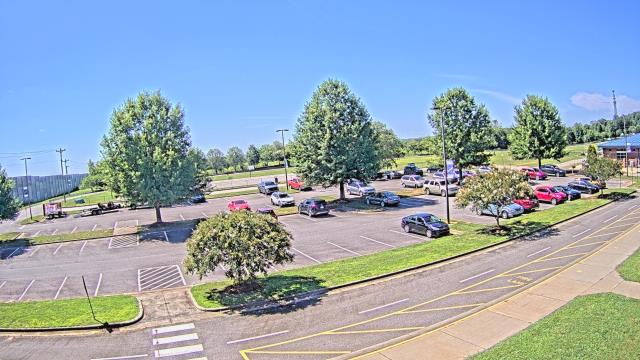
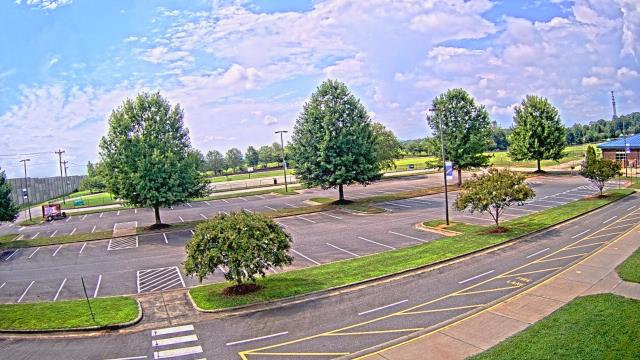
High Point, North Carolina, USA - 32.6 miles from Millerton (historical): WGHP-TV - A webcam in High Point, North Carolina - camera location: WGHP-TV.
Operator: WeatherBug
Operator: WeatherBug


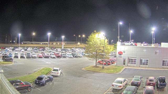
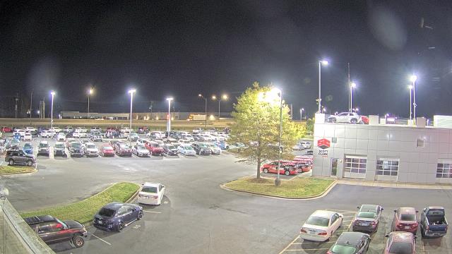
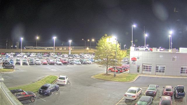
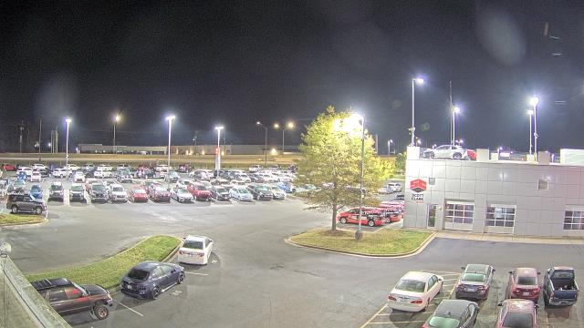
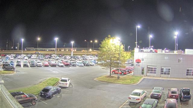
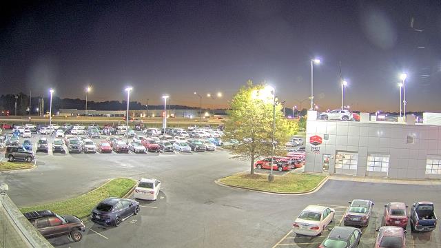
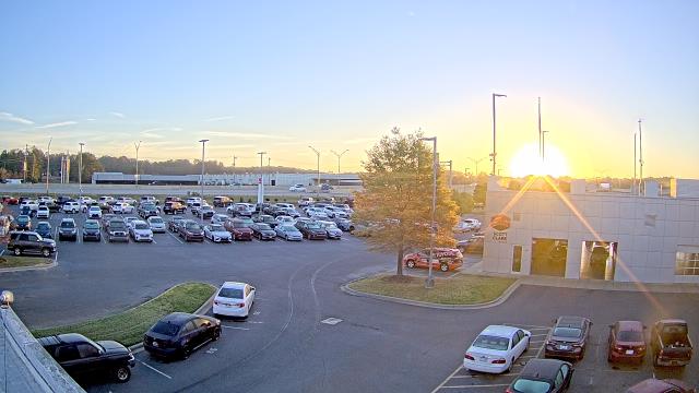
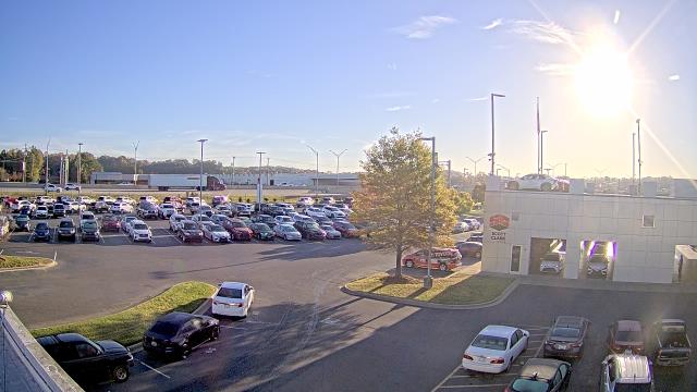
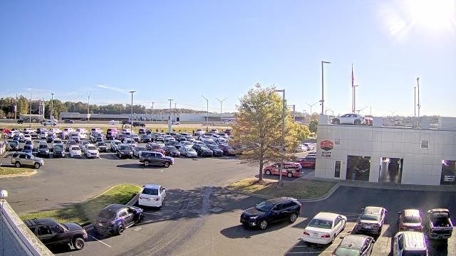
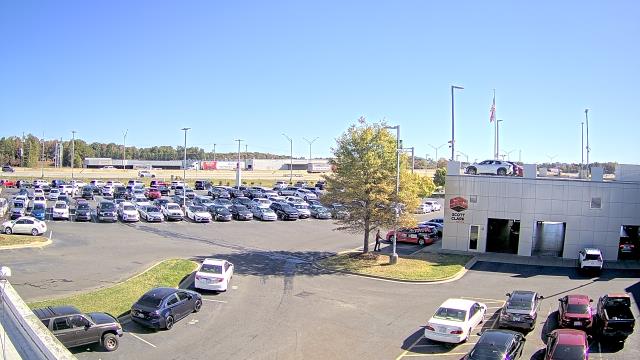
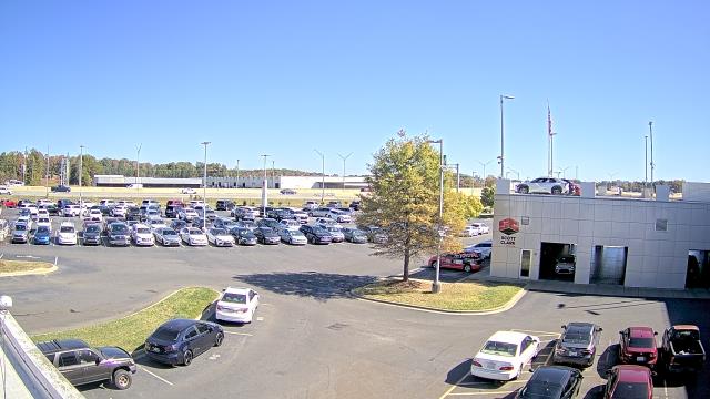
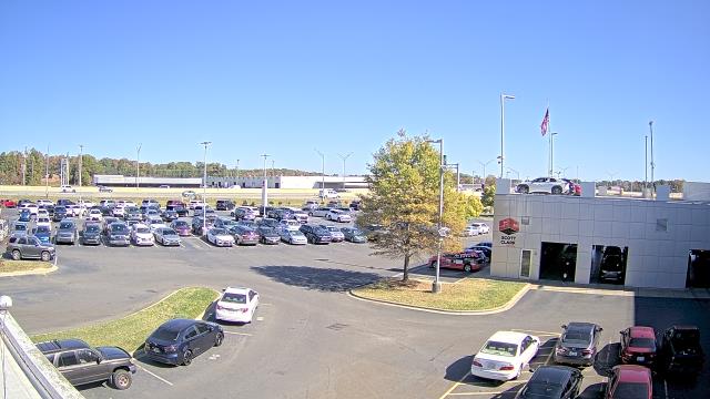
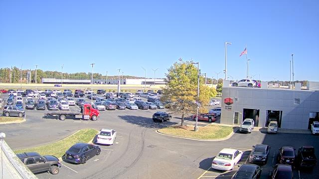
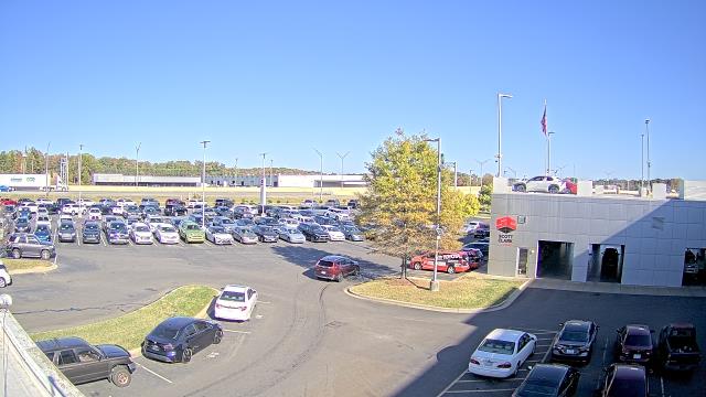
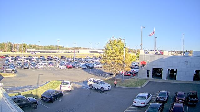
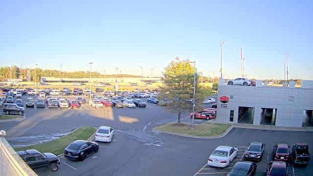
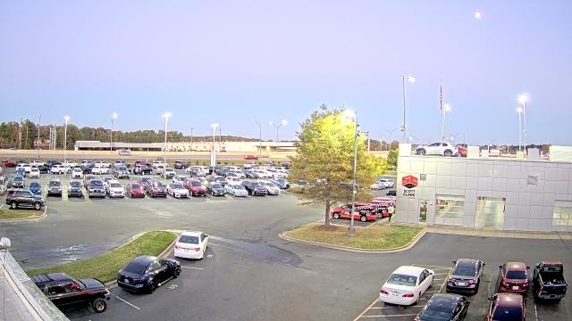
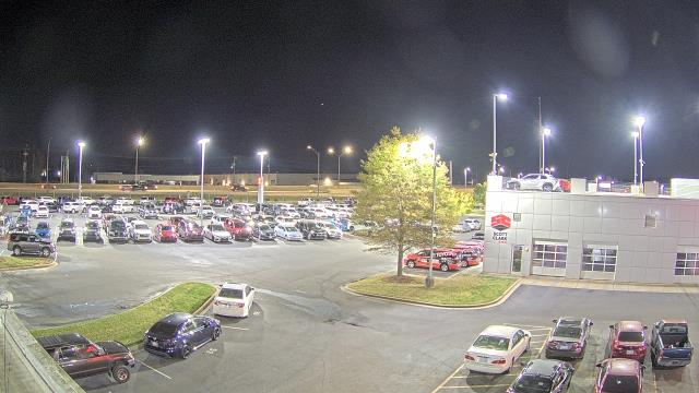
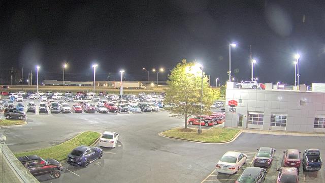
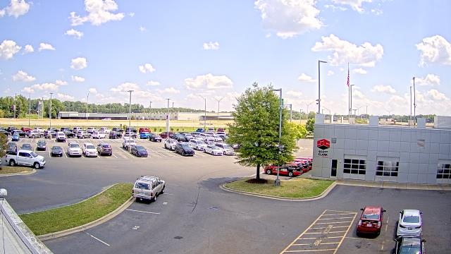
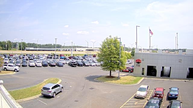
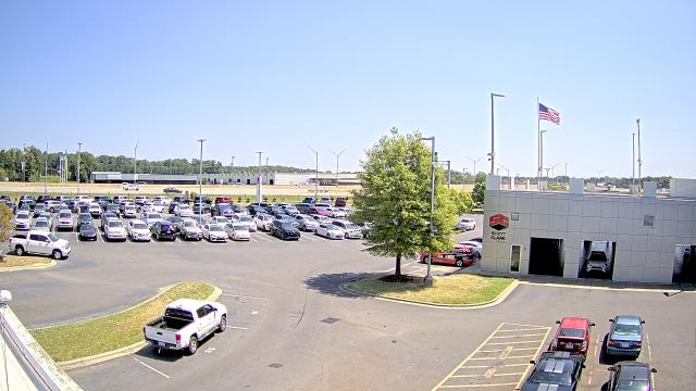
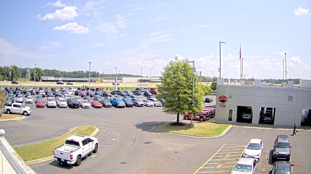
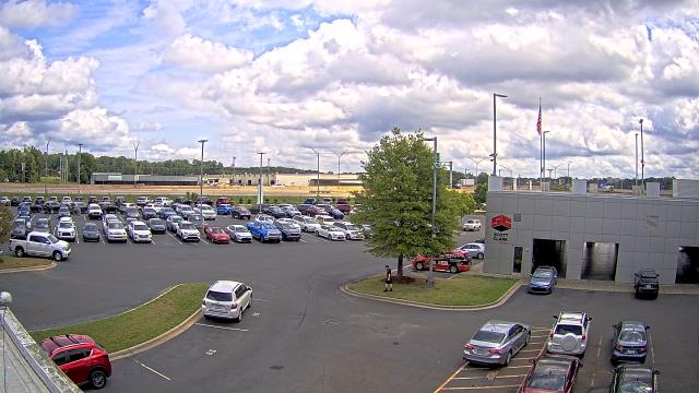
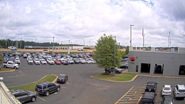
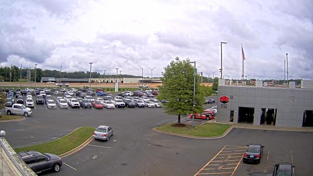
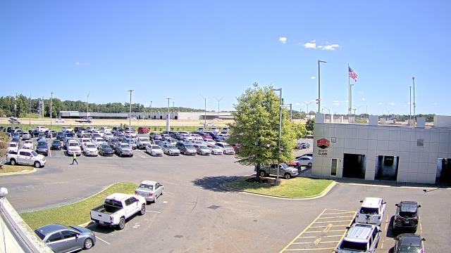
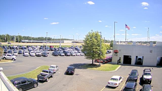
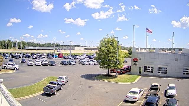
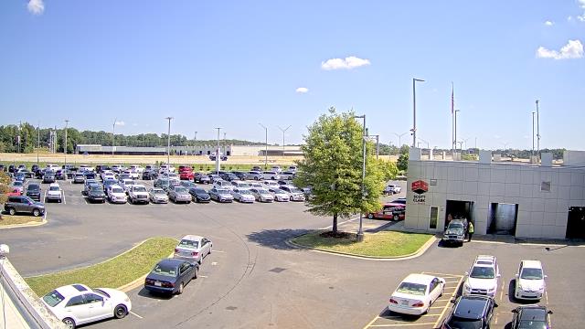
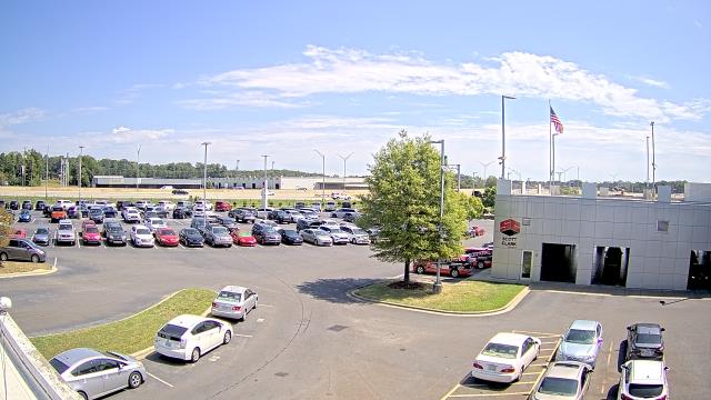
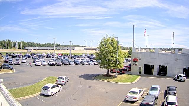
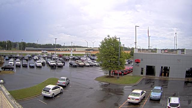
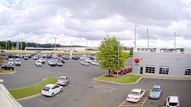
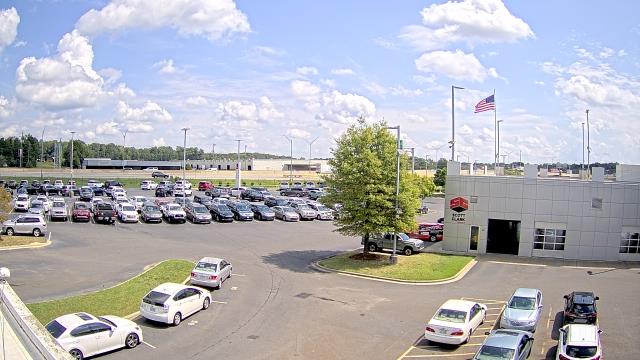
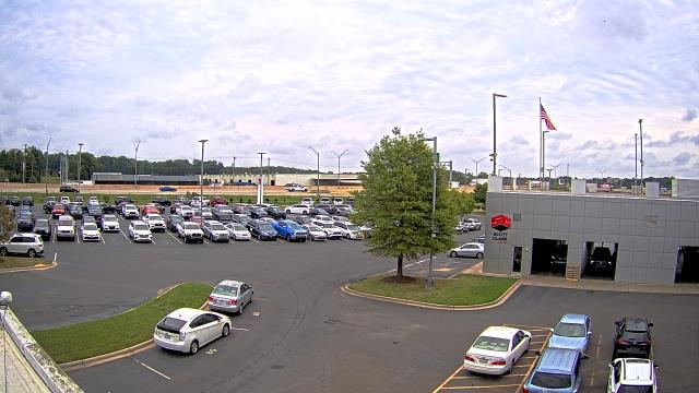
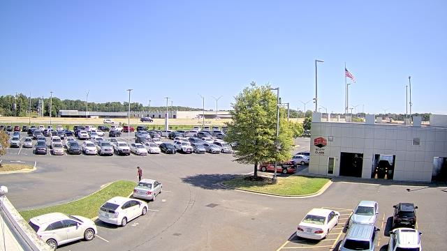
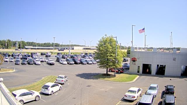
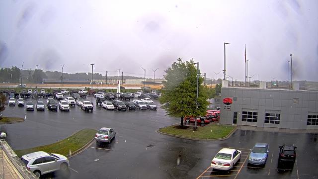
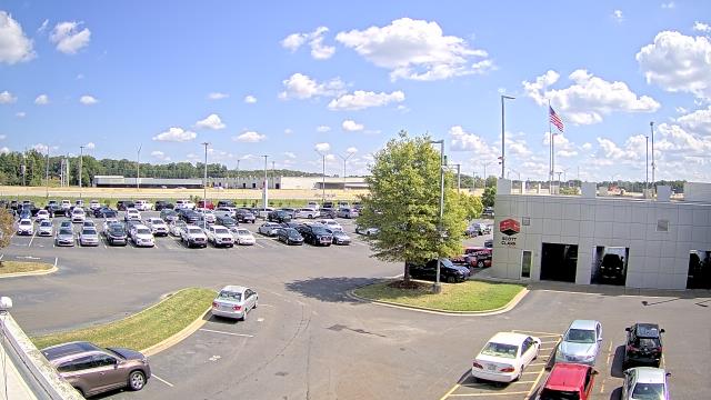
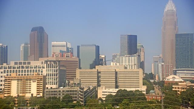
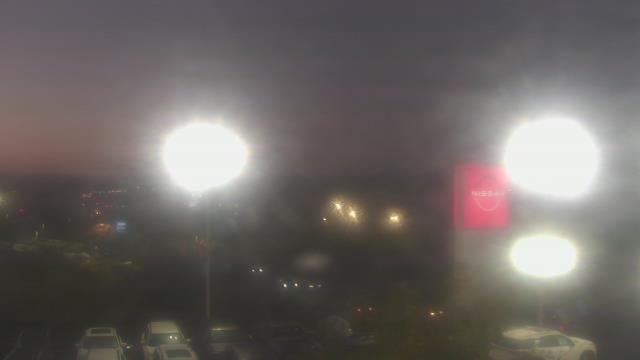
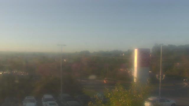
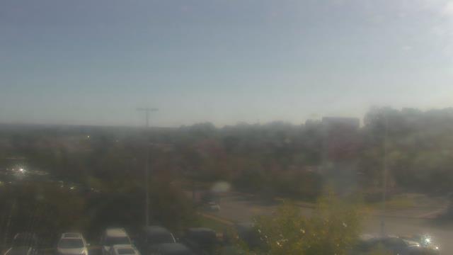
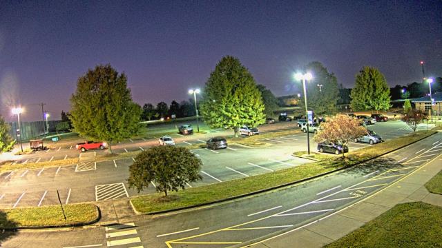
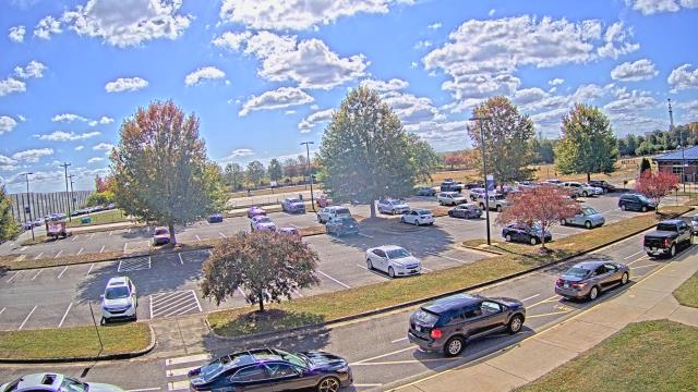
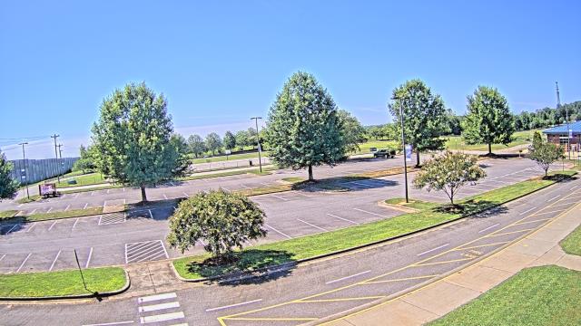
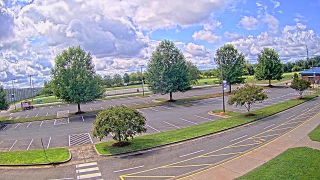
Stallings, North Carolina, USA - 39 miles from Millerton (historical): Scott Clarks Toyota - A webcam in Stallings, North Carolina - camera location: Scott Clarks Toyota.
Operator: WeatherBug
Operator: WeatherBug


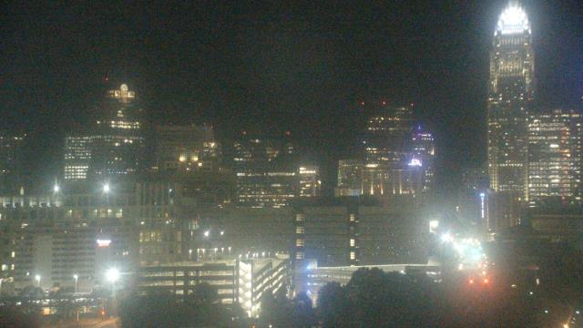
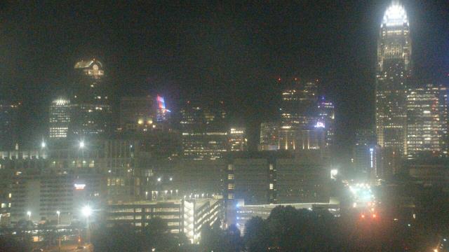
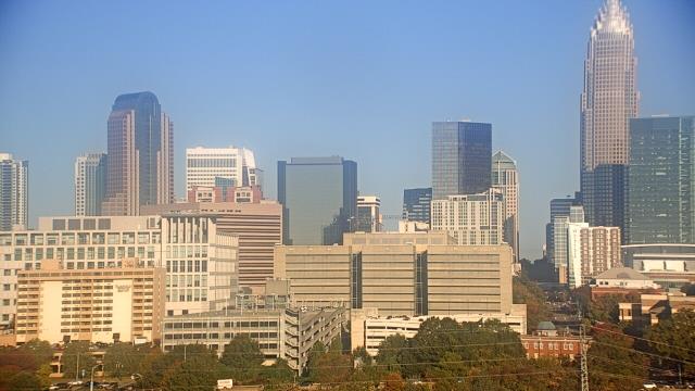
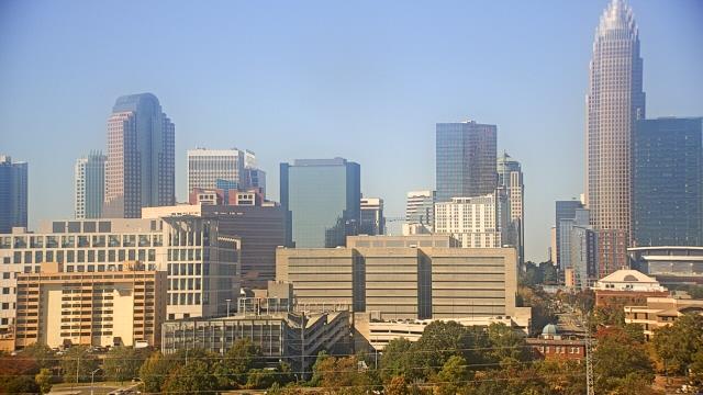
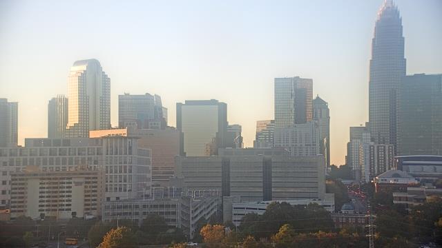
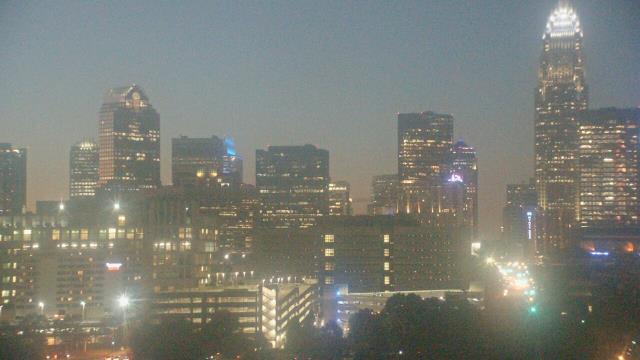
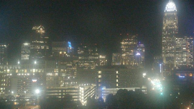
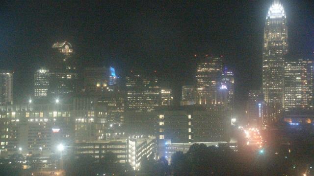
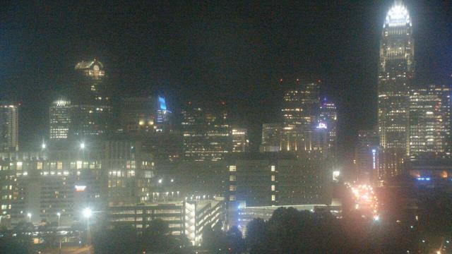
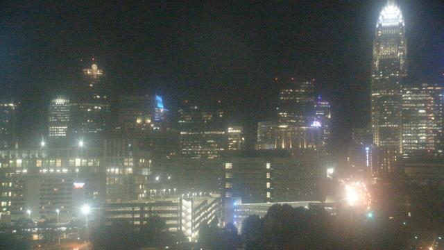
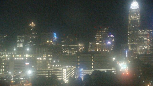
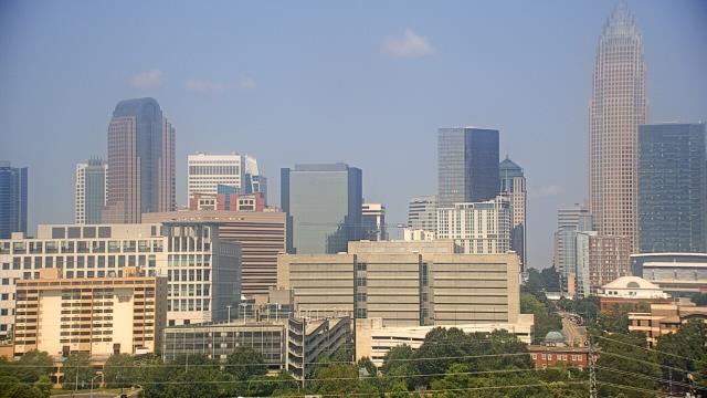
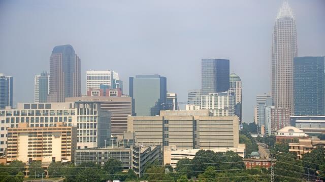
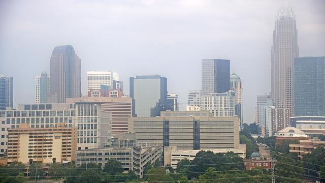
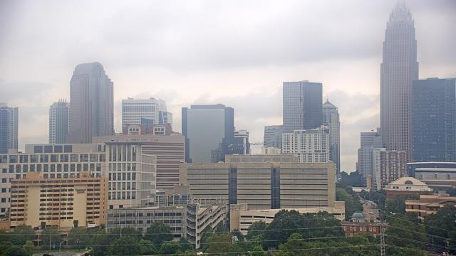
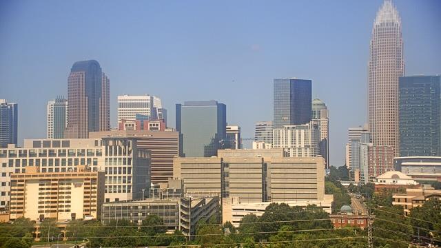
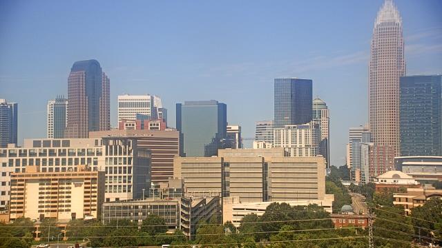
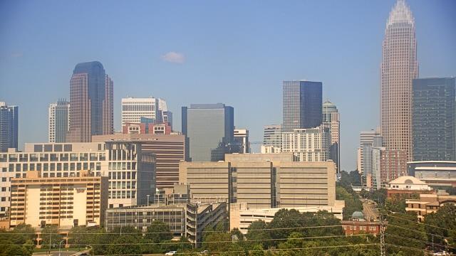
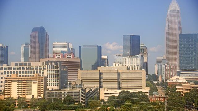
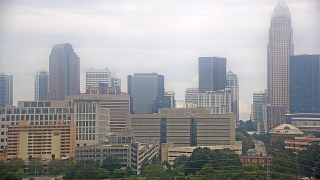
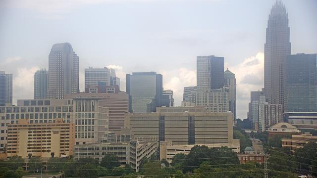
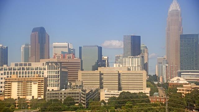
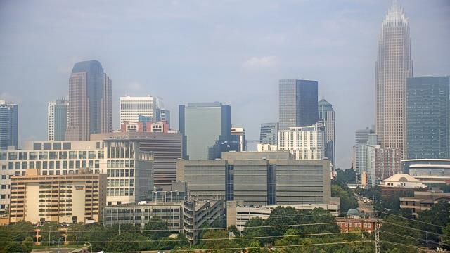
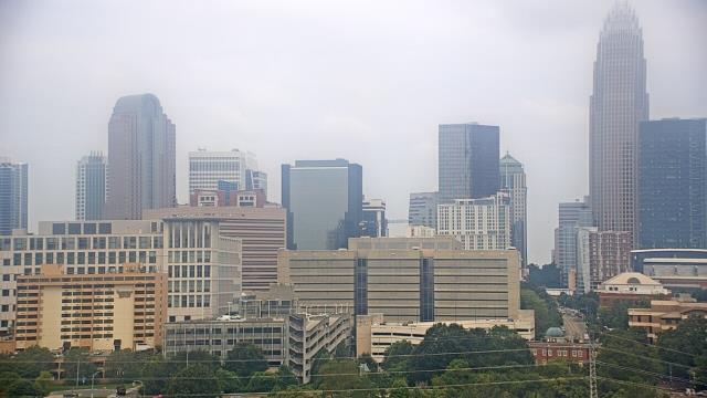
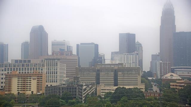
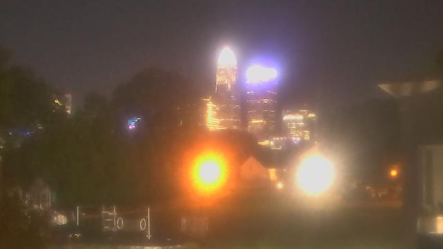
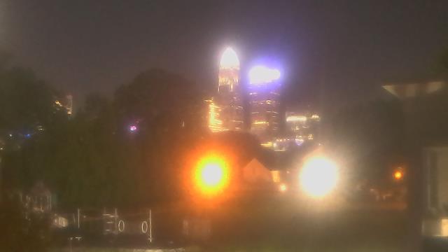
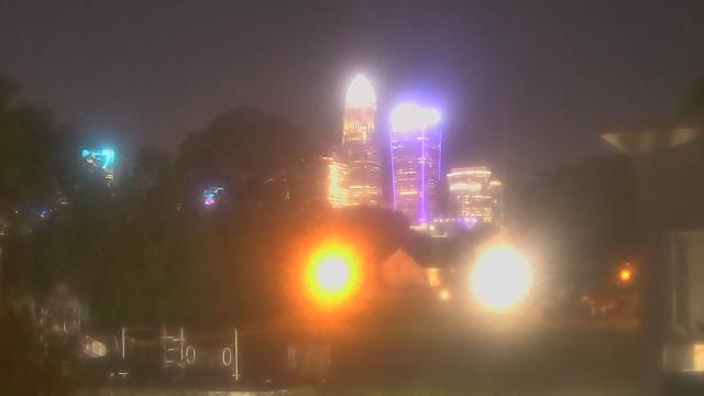
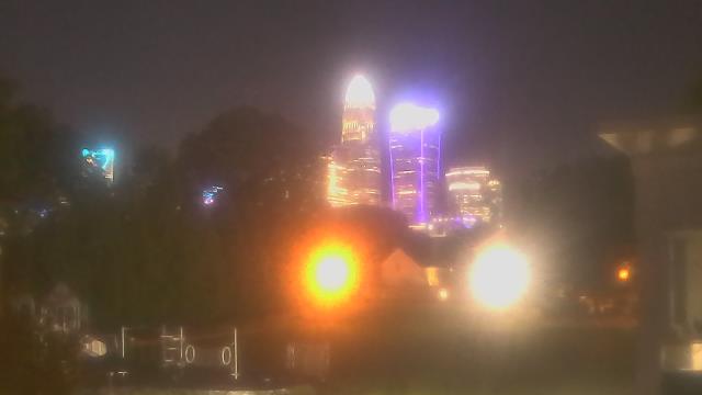
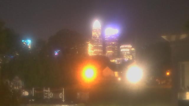
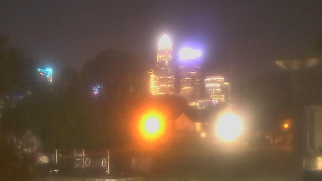
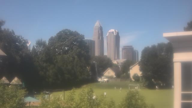
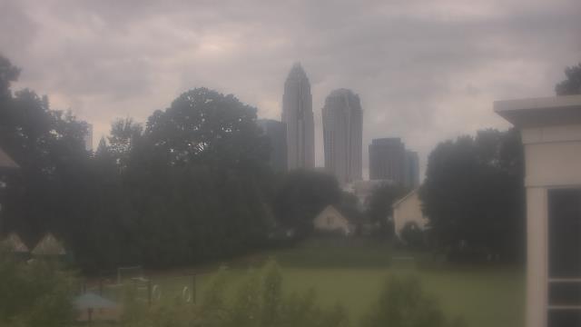
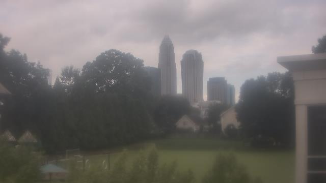
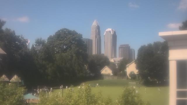
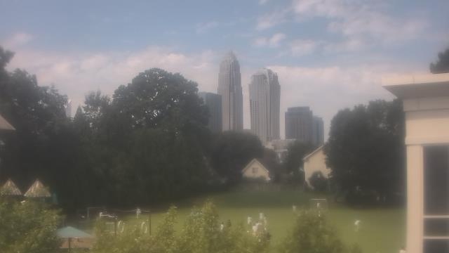
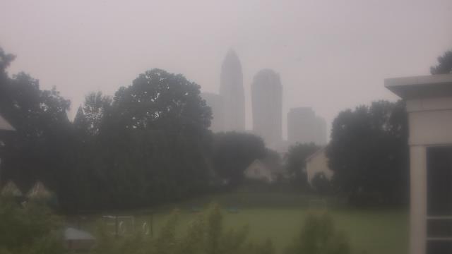
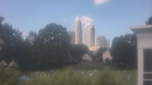
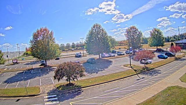
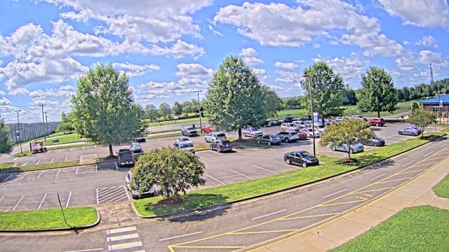
Charlotte, North Carolina, USA - 39.4 miles from Millerton (historical): Central Piedmont Community College - A webcam in Charlotte, North Carolina - camera location: Central Piedmont Community College.
Operator: WeatherBug
Operator: WeatherBug
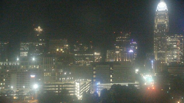
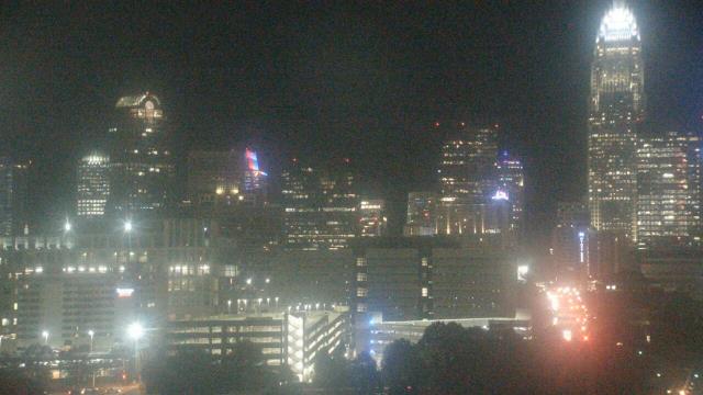
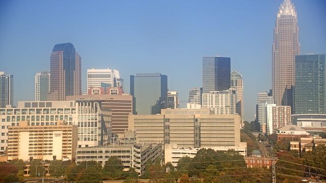

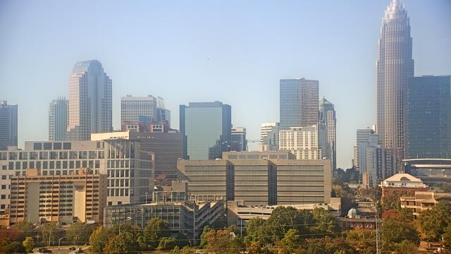
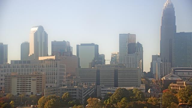
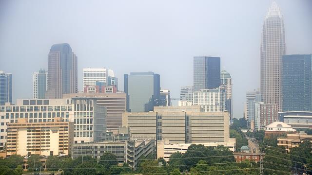
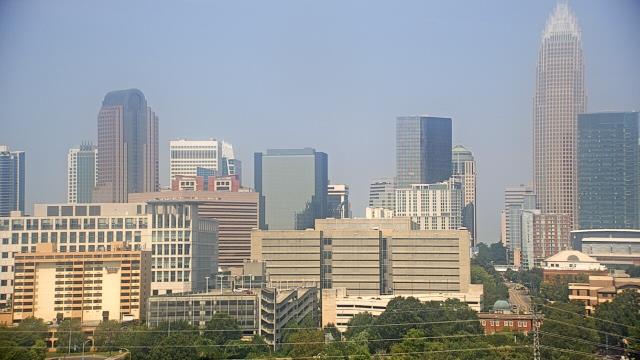
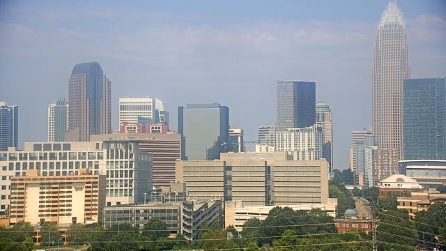

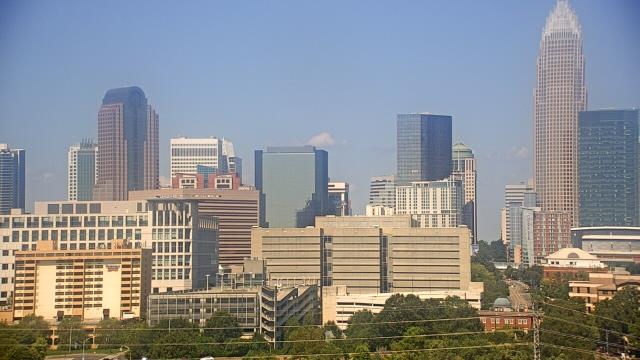


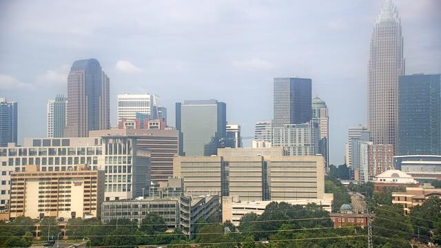
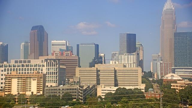

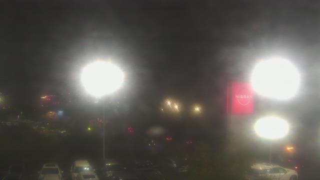
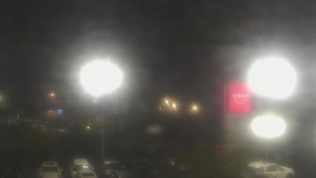
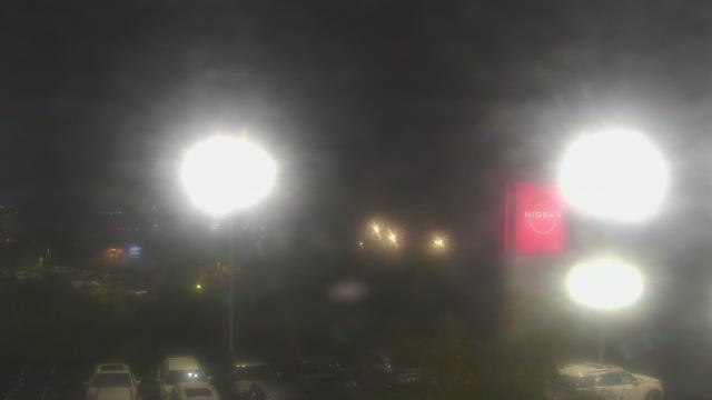
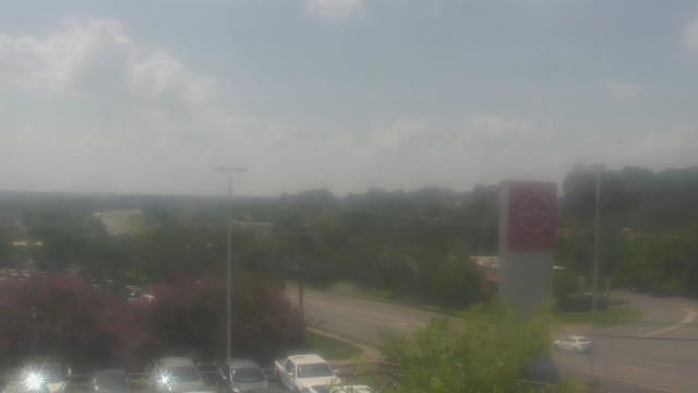
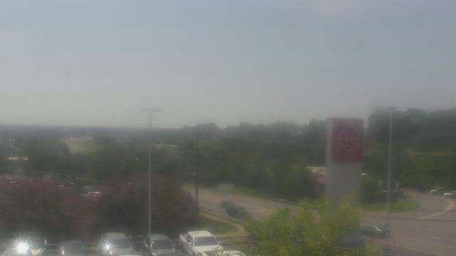
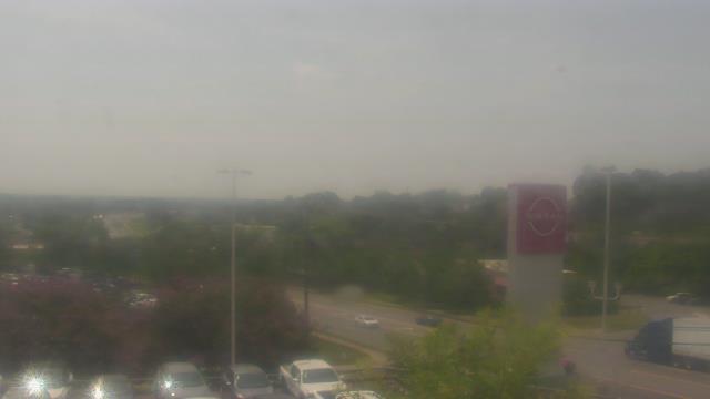
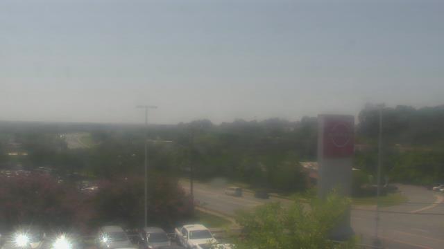
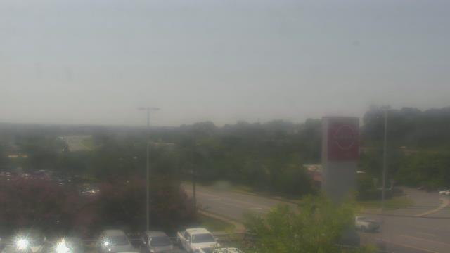
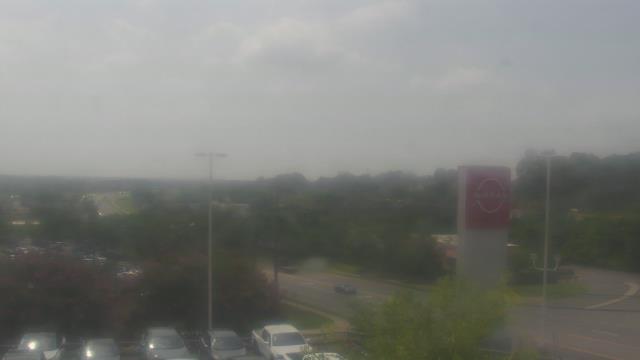
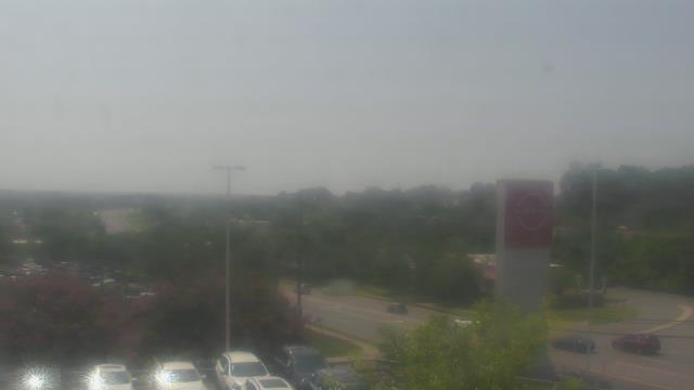
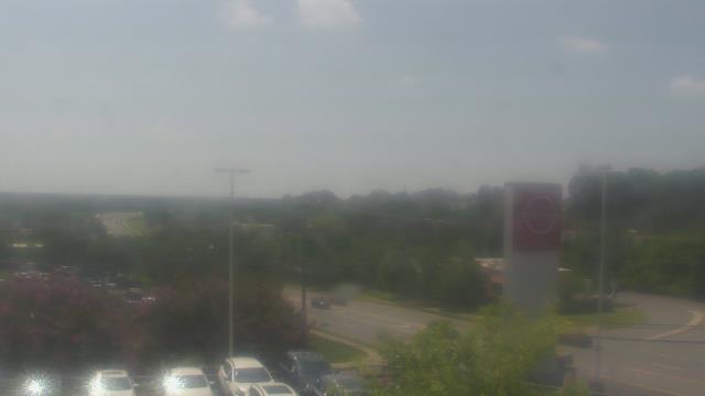
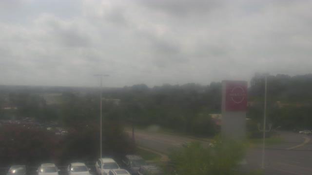
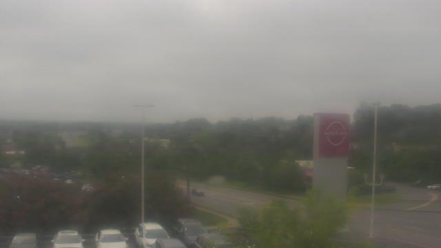
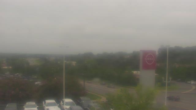
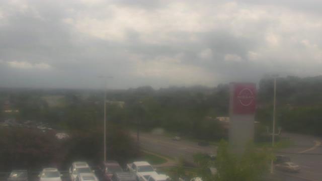
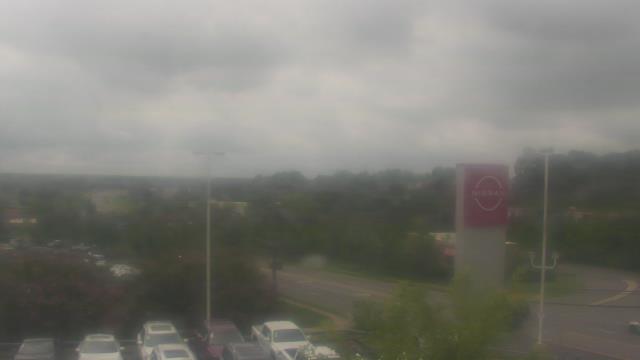
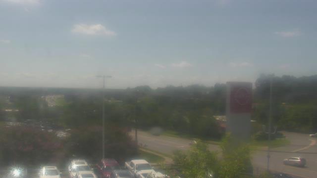
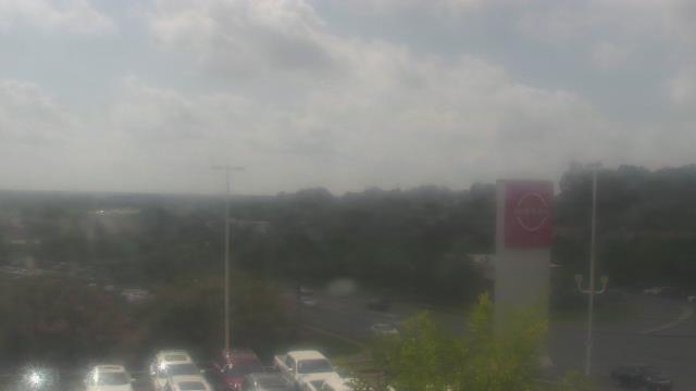
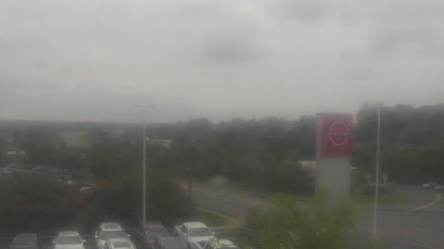
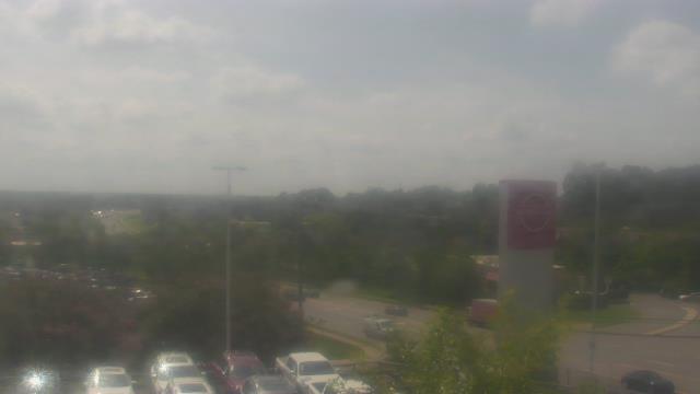
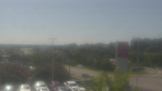
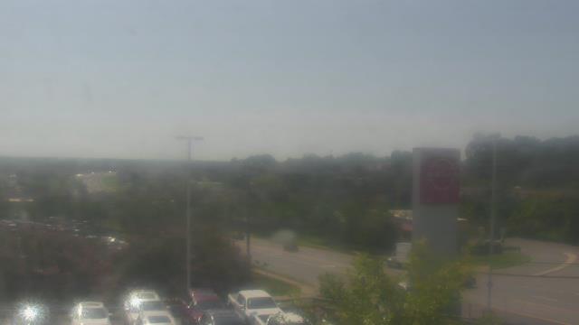
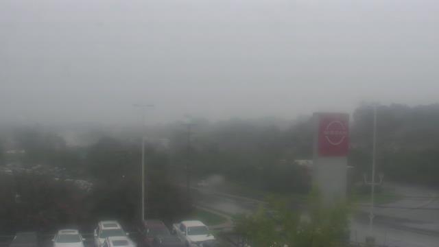
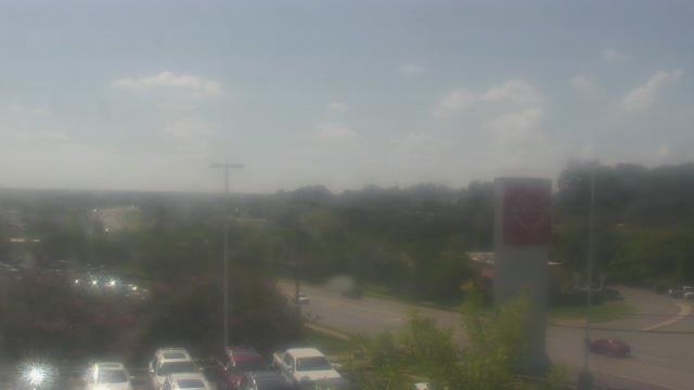
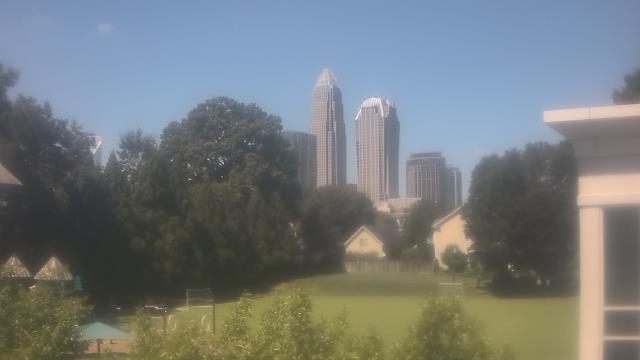
Charlotte, North Carolina, USA - 39.4 miles from Millerton (historical): Scott Clarks Nissan - A webcam in Charlotte, North Carolina - camera location: Scott Clarks Nissan.
Operator: WeatherBug
Operator: WeatherBug


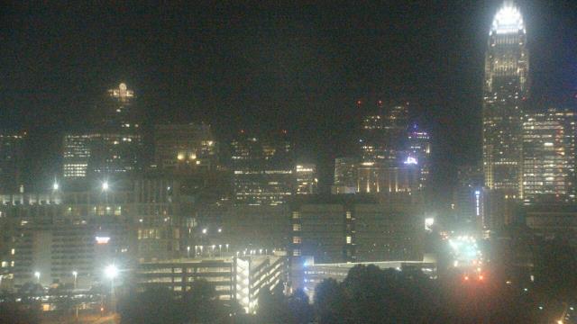
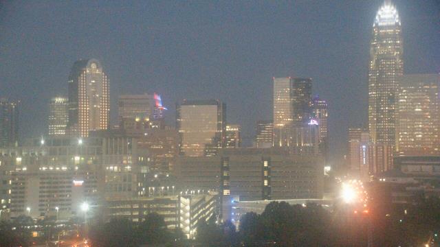
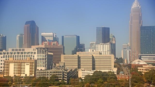
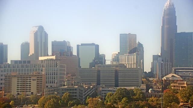
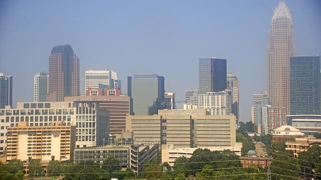
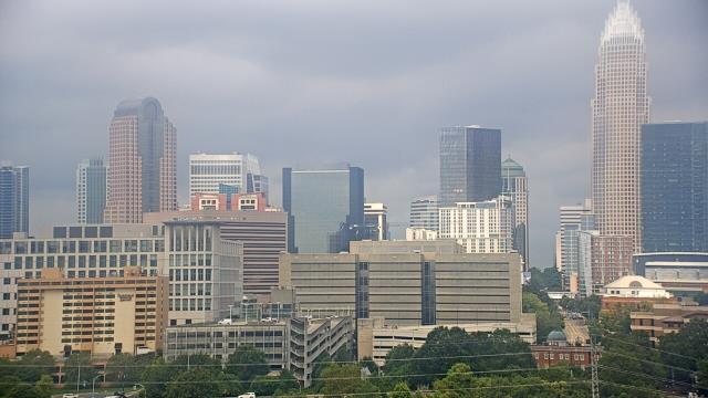
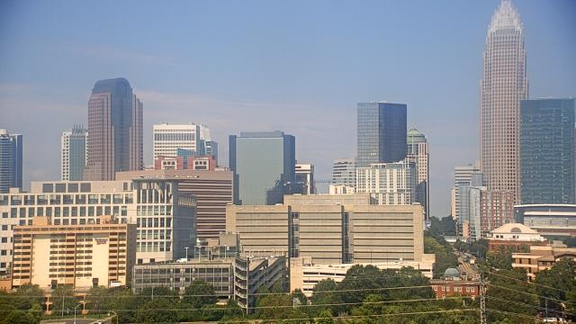
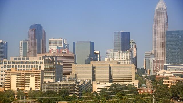
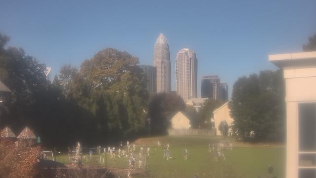
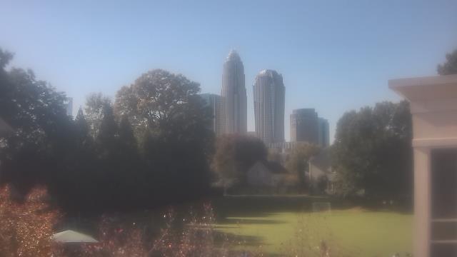
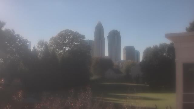
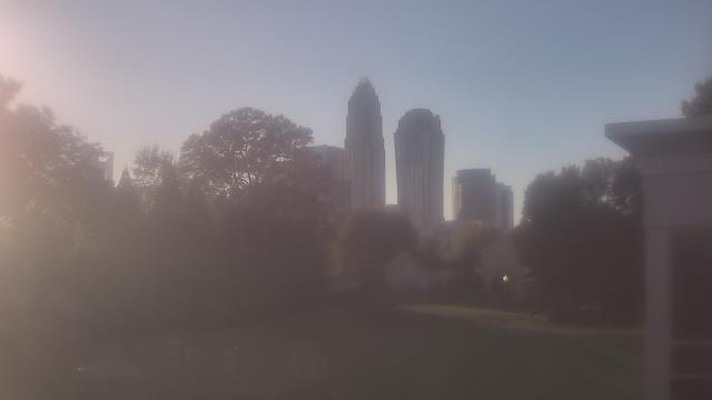
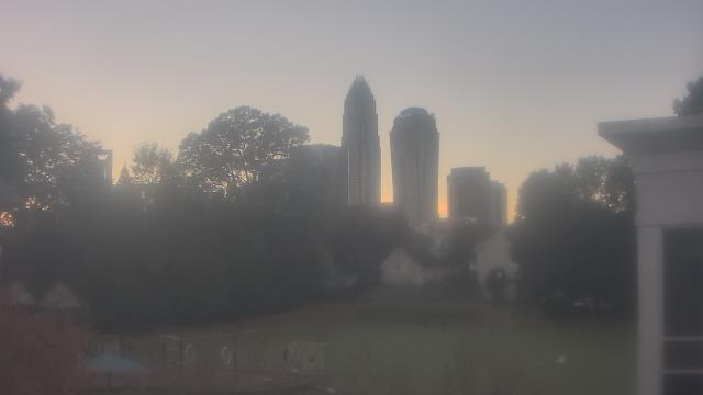
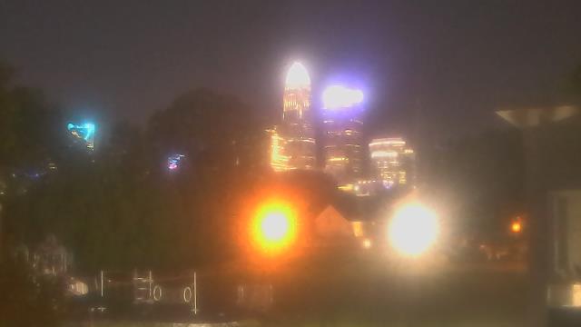
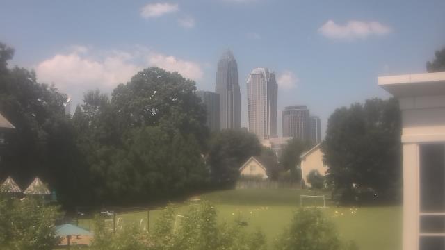
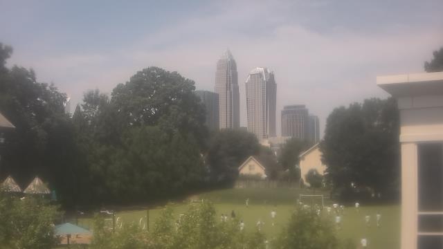
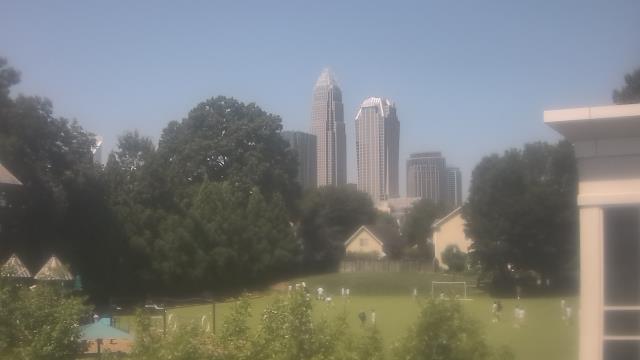
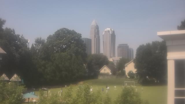
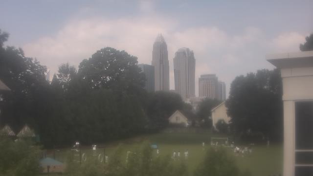
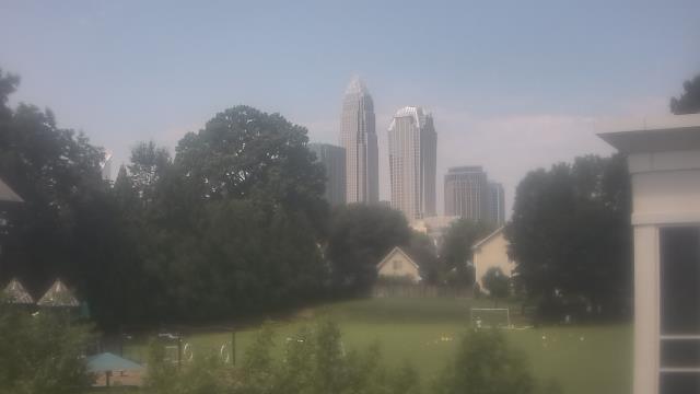
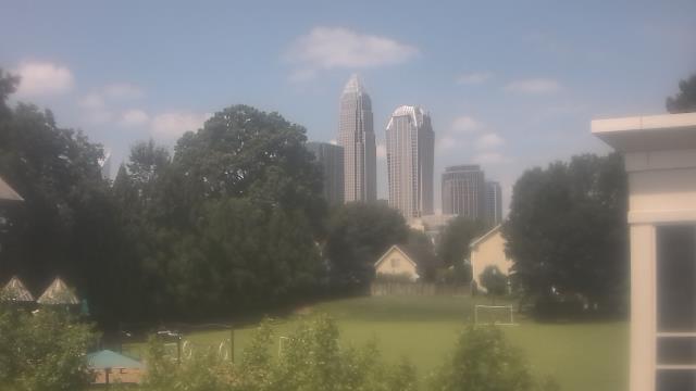
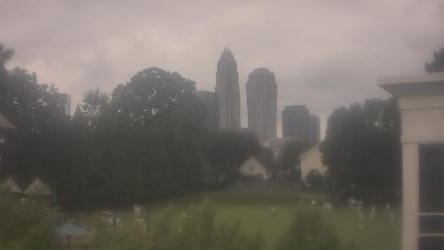
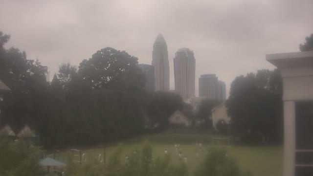
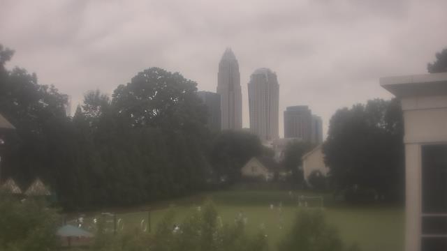
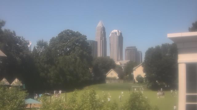
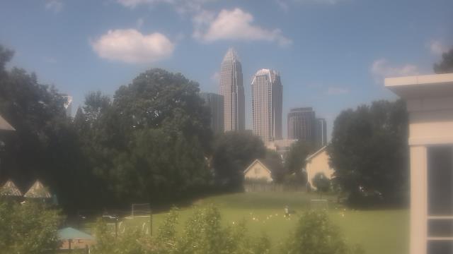
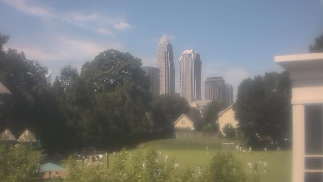
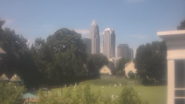
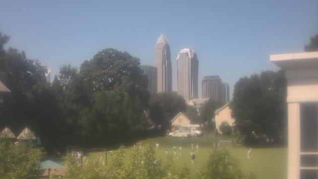
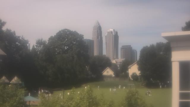
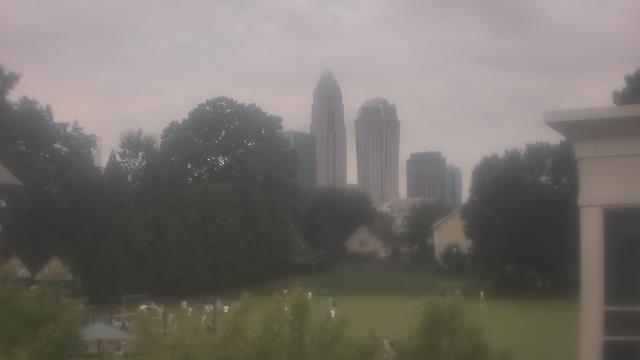
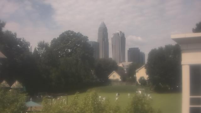
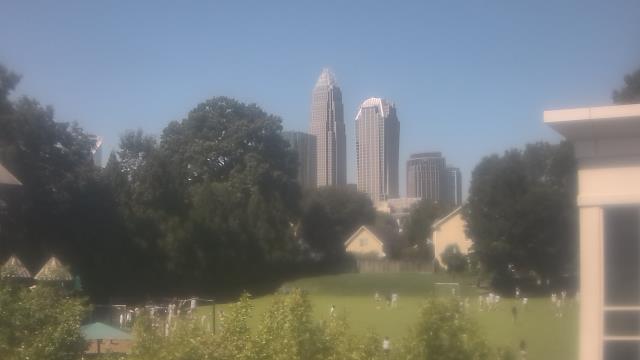
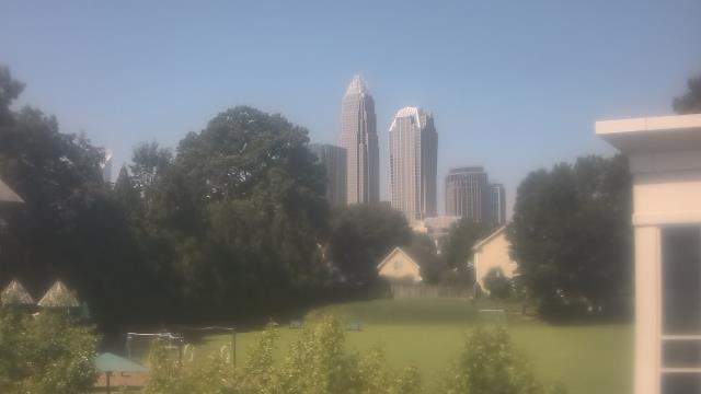
Charlotte, North Carolina, USA - 39.4 miles from Millerton (historical): Trinity Episcopal School - Webcam and current weather data - camera location: Trinity Episcopal School.
Operator: WeatherBug
Operator: WeatherBug


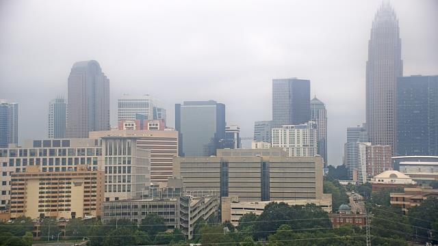
Statesville, North Carolina, USA - 40.2 miles from Millerton (historical): Cloverleaf Elementary School - A webcam in Statesville, North Carolina - camera location: Cloverleaf Elementary School.
Operator: WeatherBug
Operator: WeatherBug


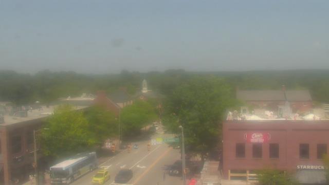
Chapel Hill, North Carolina, USA - 74.8 miles from Millerton (historical): Top of the Hill Restaurant - A webcam in Chapel Hill, North Carolina - camera location: Top of the Hill Restaurant.
Operator: WeatherBug
Operator: WeatherBug


Morganton, North Carolina, USA - 82.2 miles from Millerton (historical): WBTV Morganton Bureau - A webcam in Morganton, North Carolina - camera location: WBTV Morganton Bureau.
Operator: WeatherBug
Operator: WeatherBug


Some other places in this country: Davenport (historical) - Glenburine (historical) - Globe Set (historical) - Jones (historical) - Hounds Ear - Sorrento Skies - Stokes Ferry (historical) - Wind Hill (historical) - Greenwood - Lilliput Landing