Webcams in the region of Immer, North Carolina, USA
The List of Webcams near Immer, North Carolina, USA:

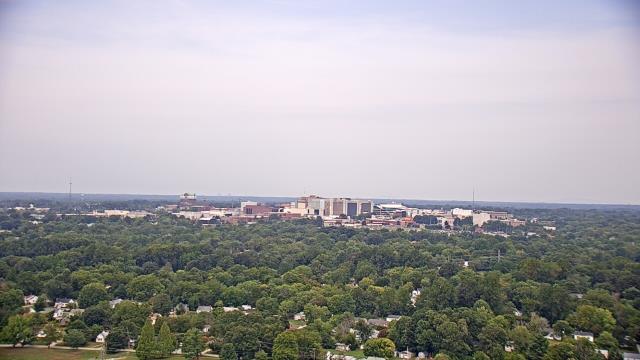
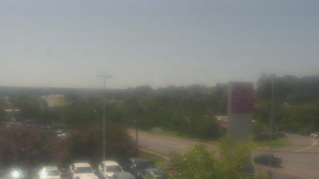
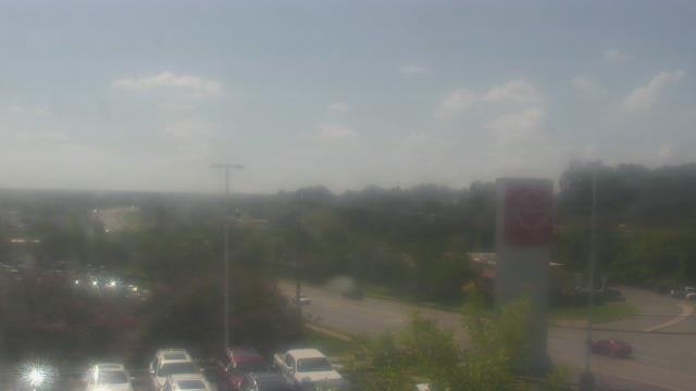
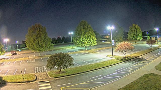
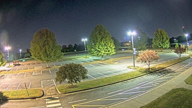
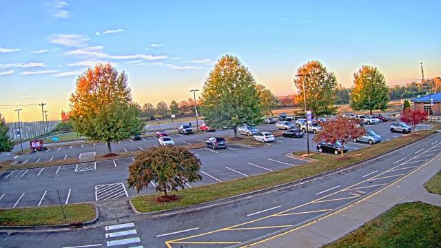
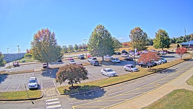
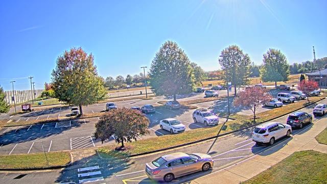
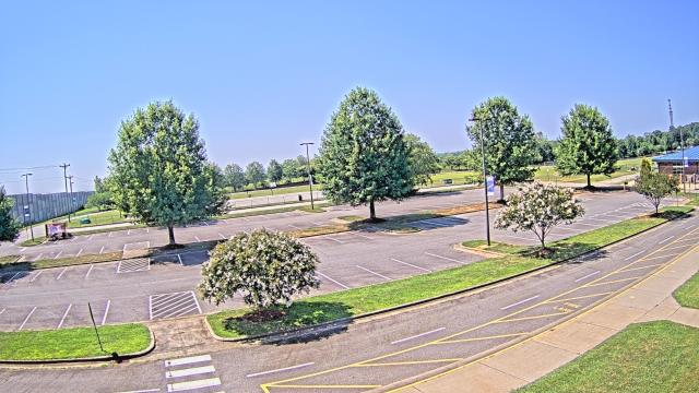
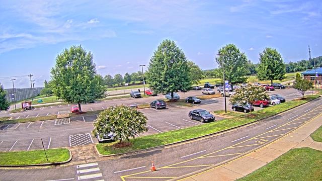
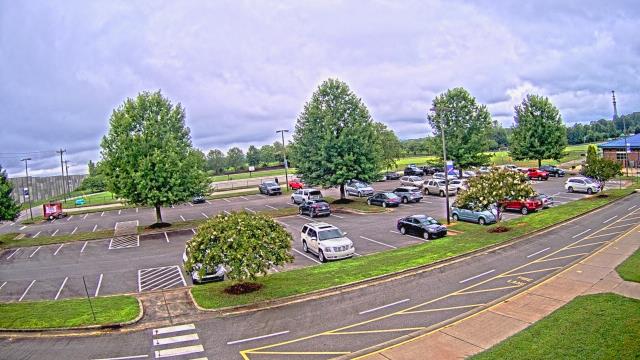
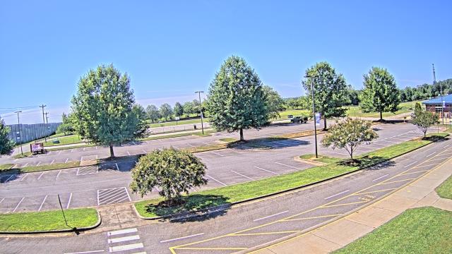
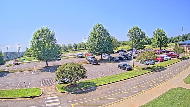
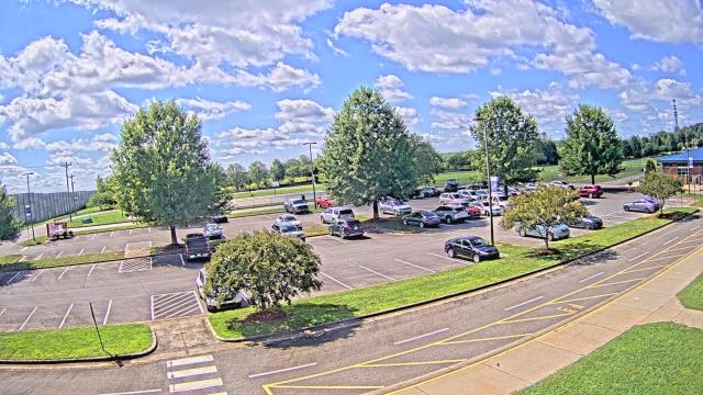
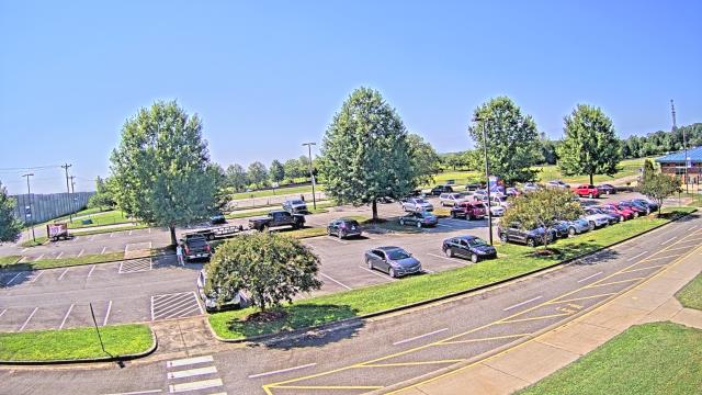
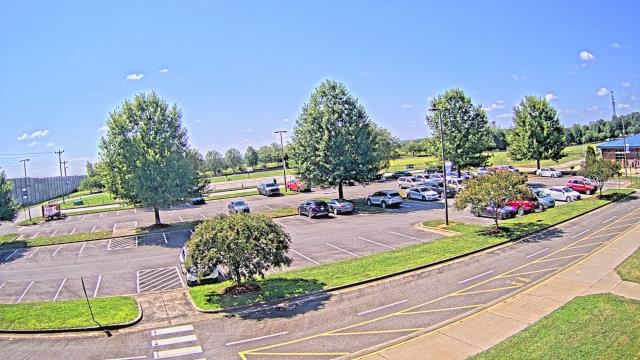
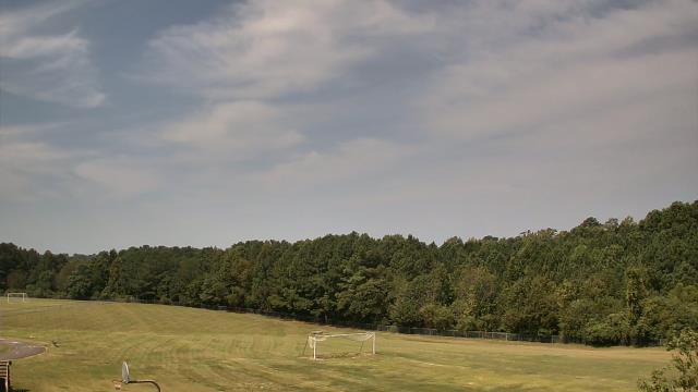
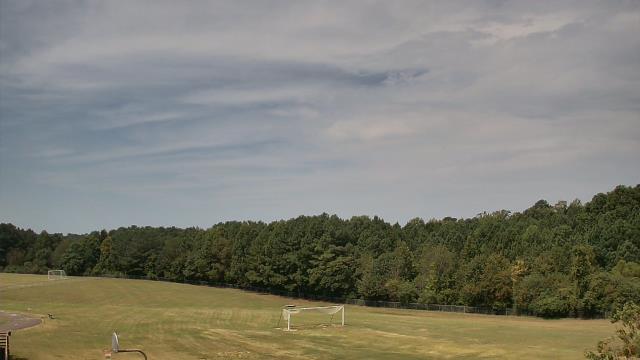
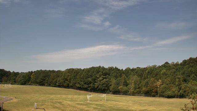
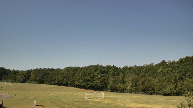
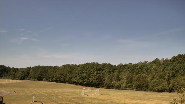
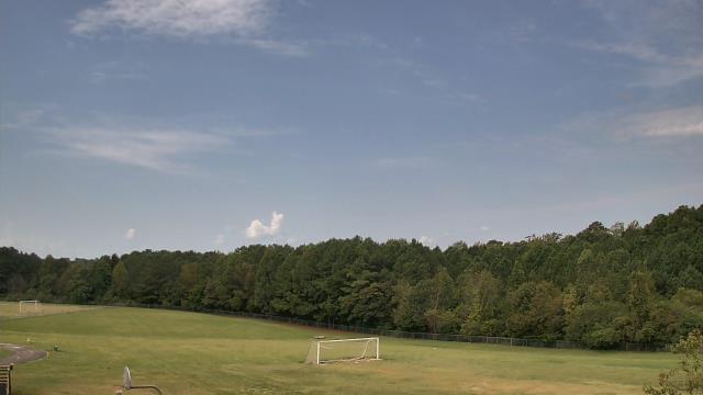
High Point, North Carolina, USA - 32.9 miles from Immer: High Point University - A webcam in High Point, North Carolina - camera location: High Point University.
Operator: WeatherBug
Operator: WeatherBug


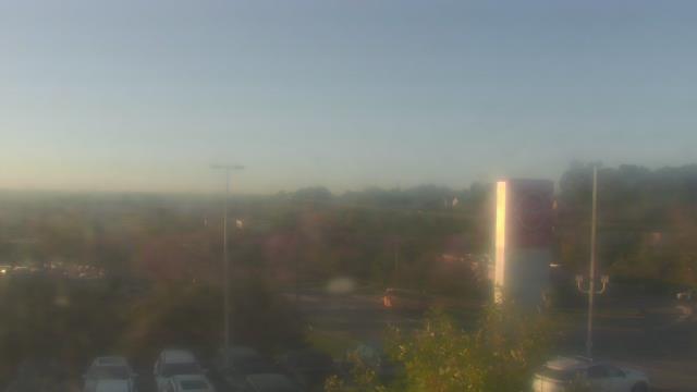
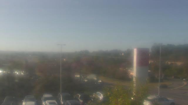
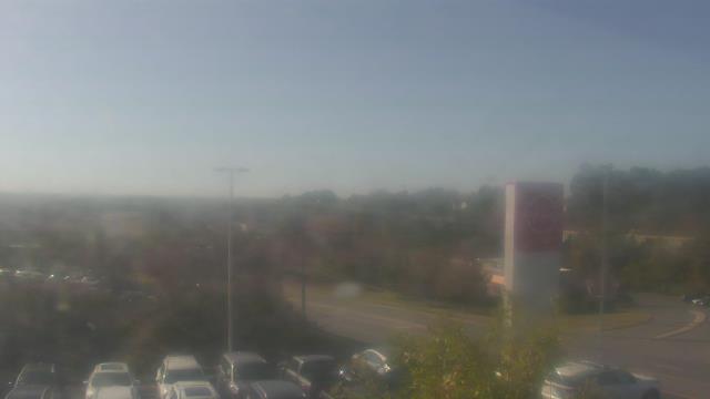
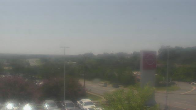
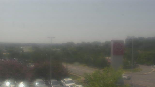
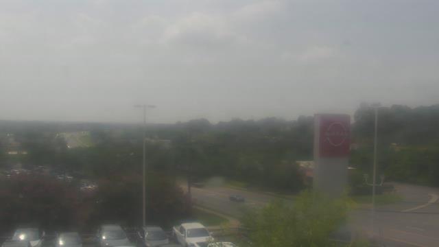
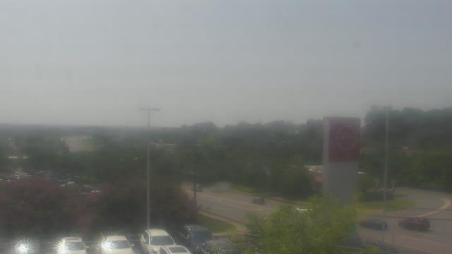
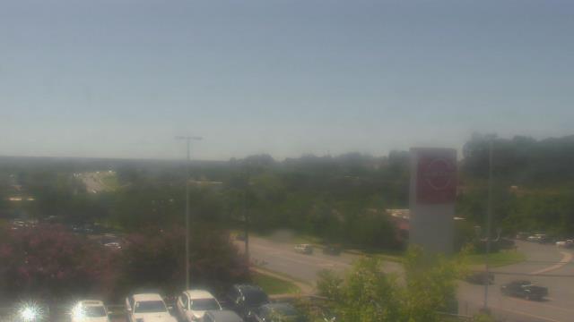
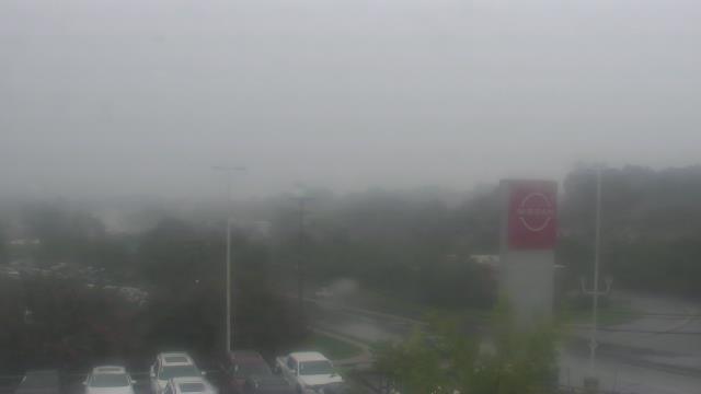
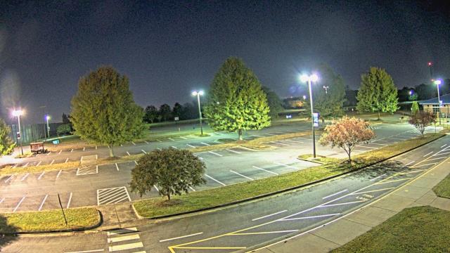
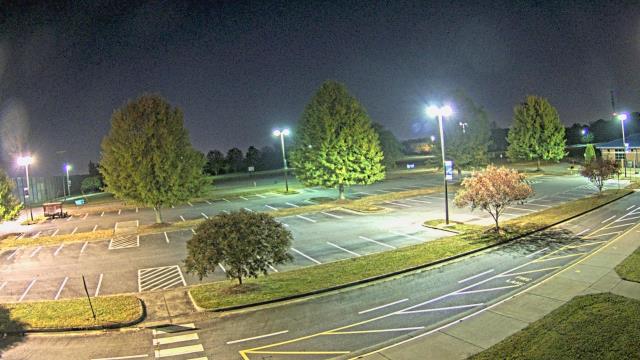
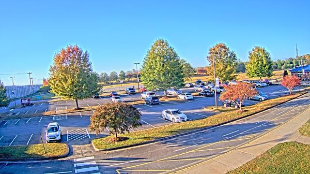
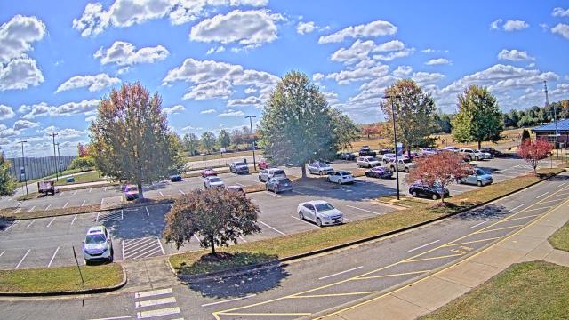
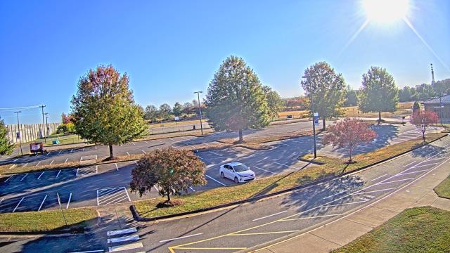
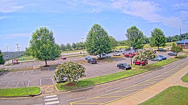
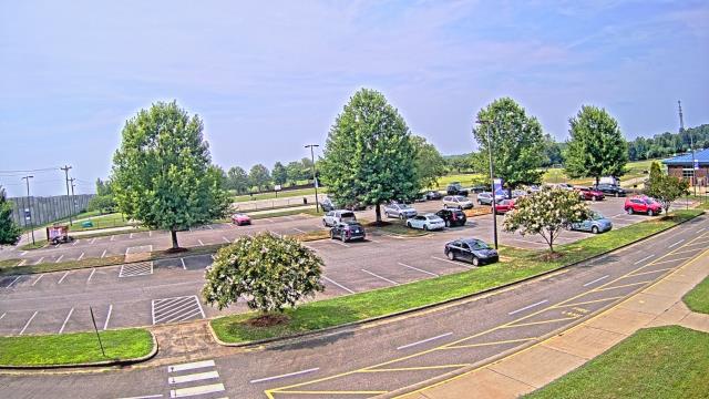
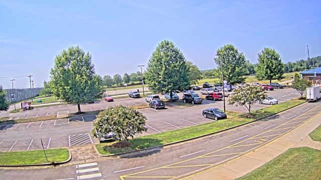
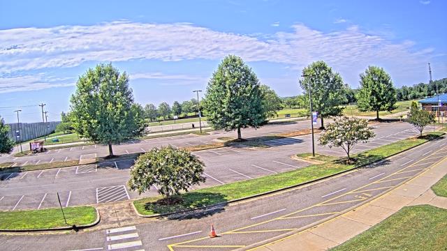
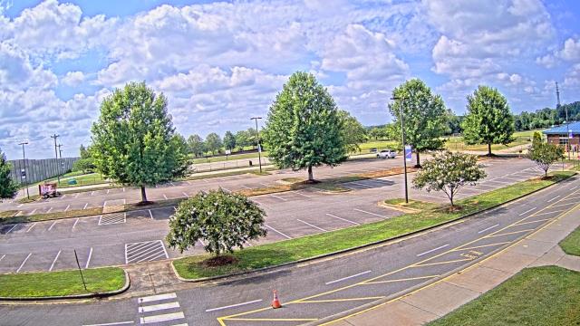
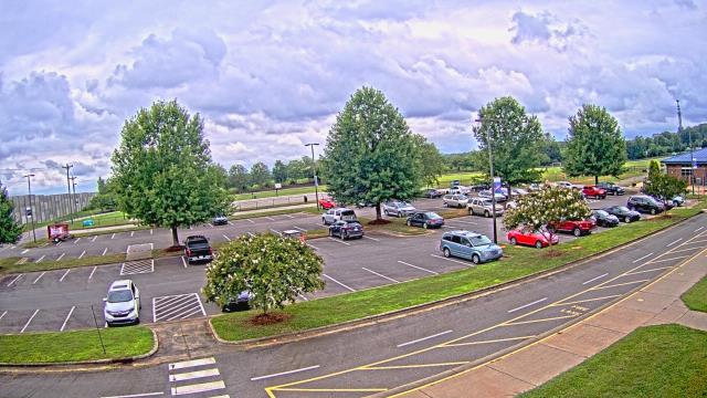
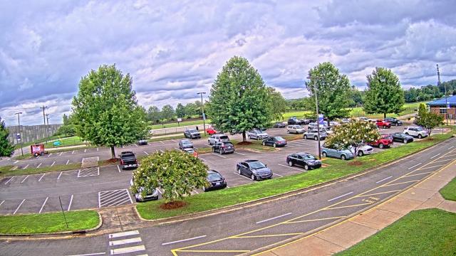
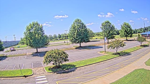
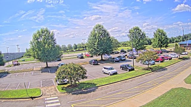
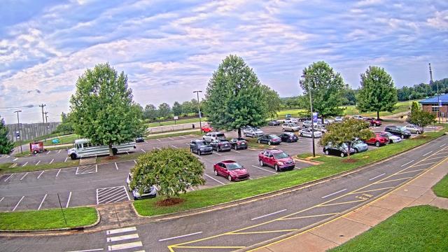
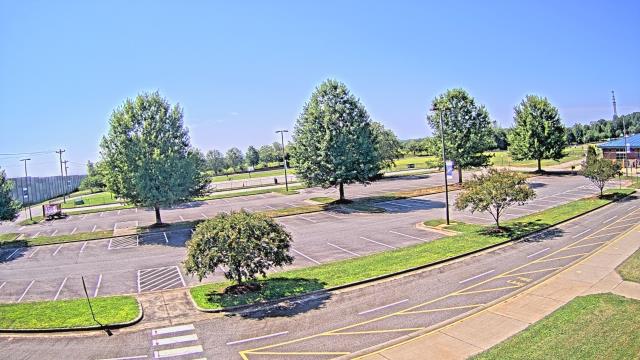
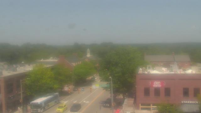
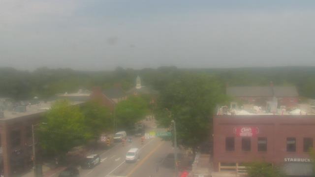
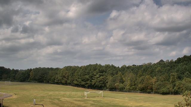
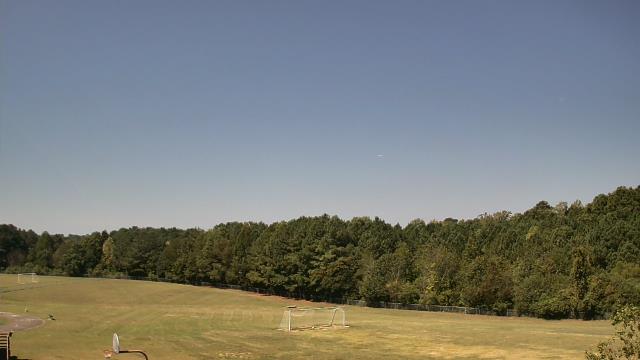
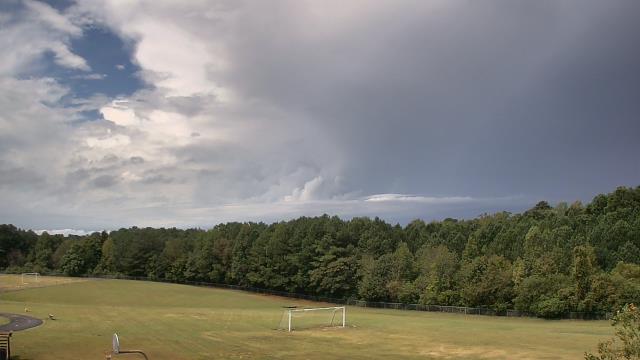
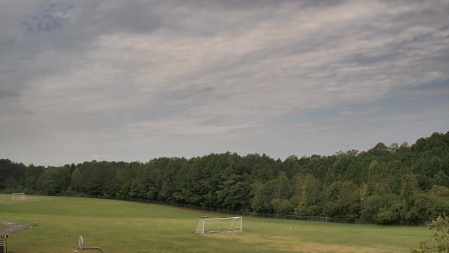
High Point, North Carolina, USA - 32.9 miles from Immer: WGHP-TV - A webcam in High Point, North Carolina - camera location: WGHP-TV.
Operator: WeatherBug
Operator: WeatherBug


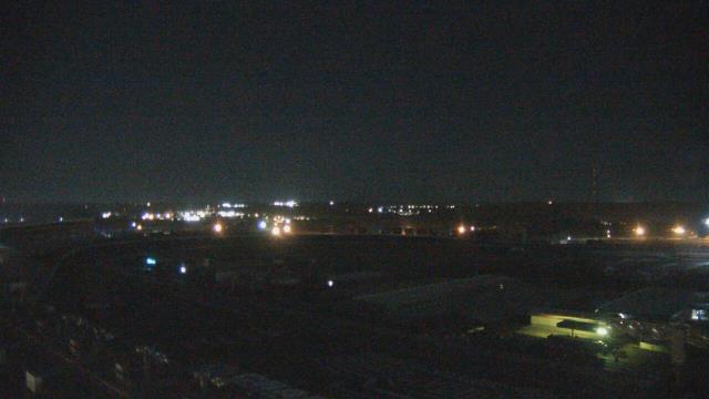
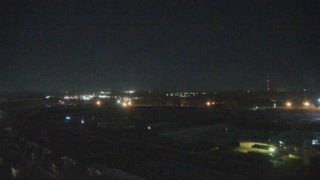
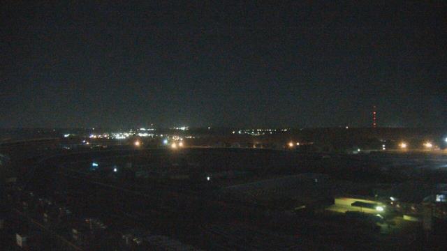
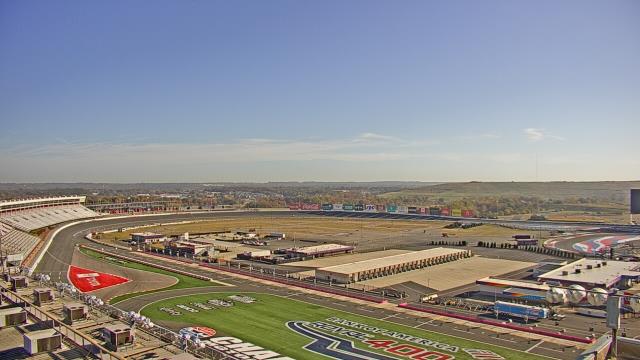
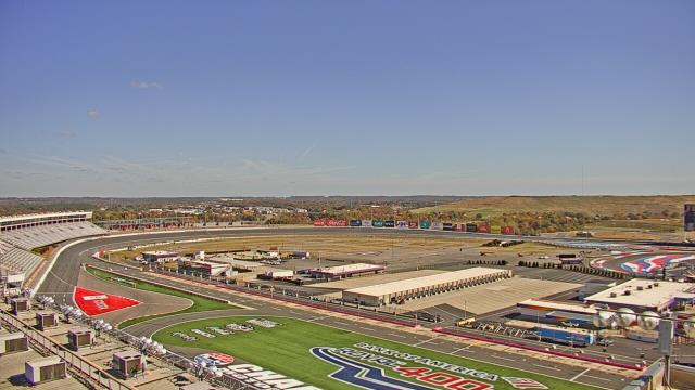
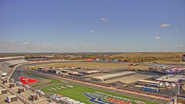
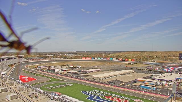
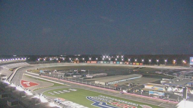
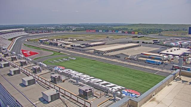
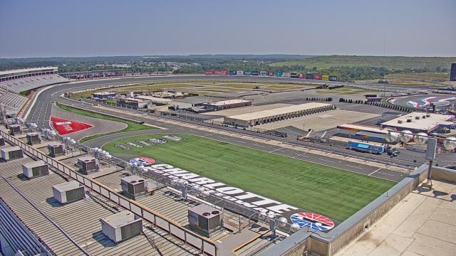
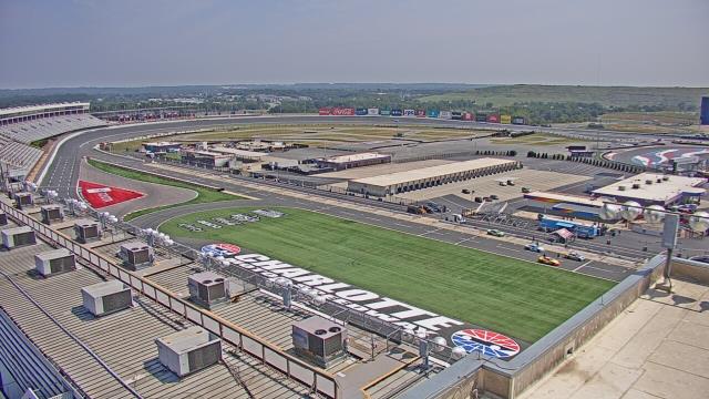
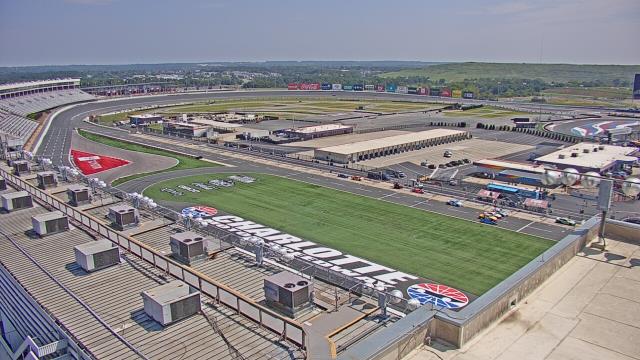
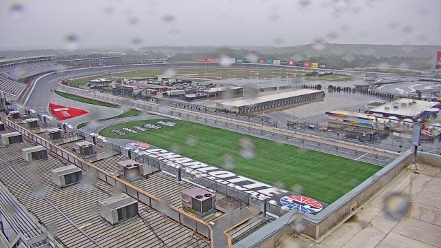
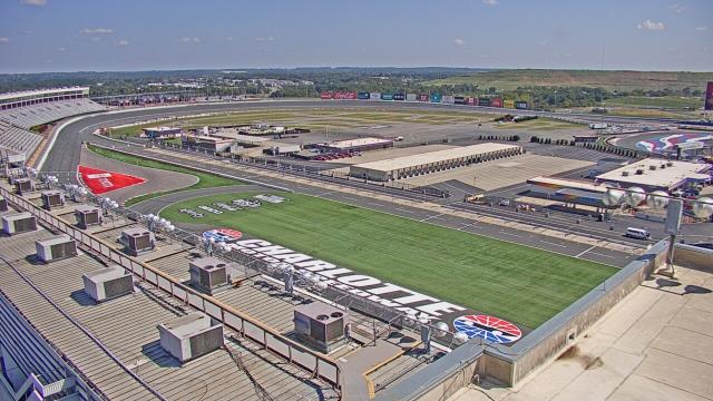
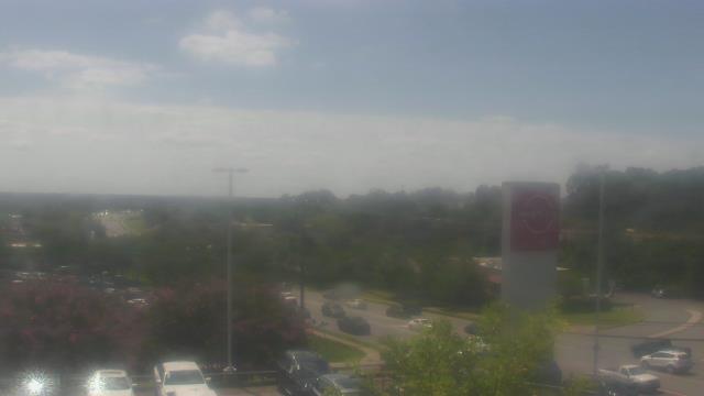
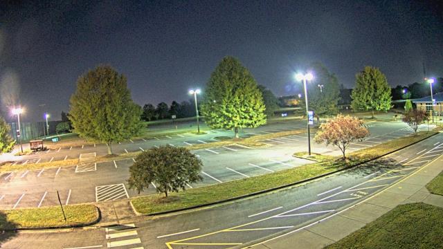
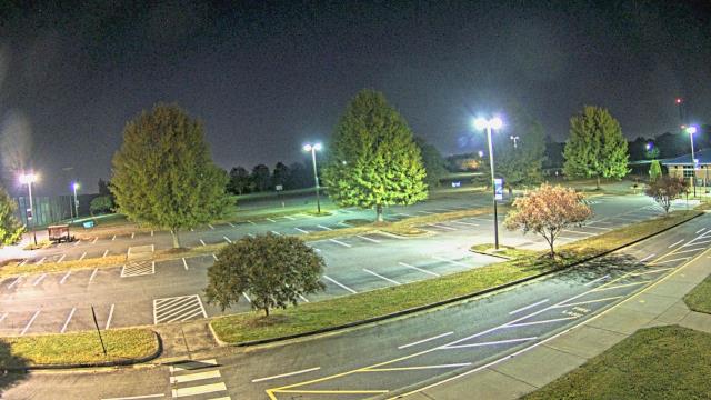
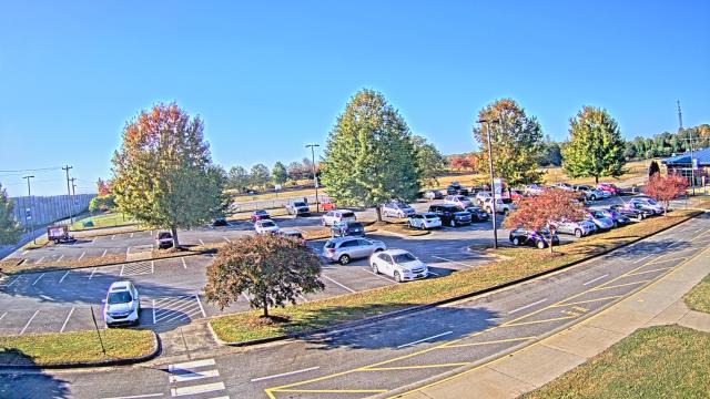
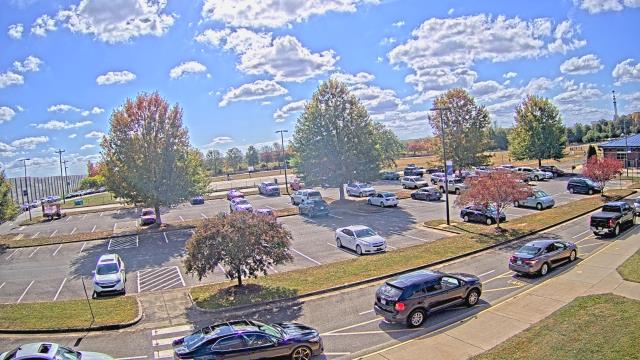
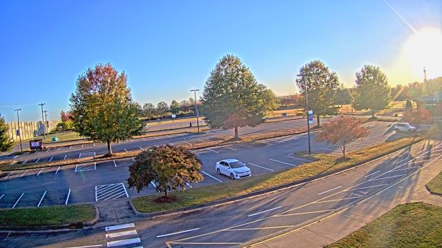
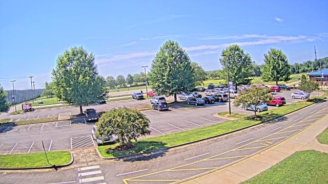
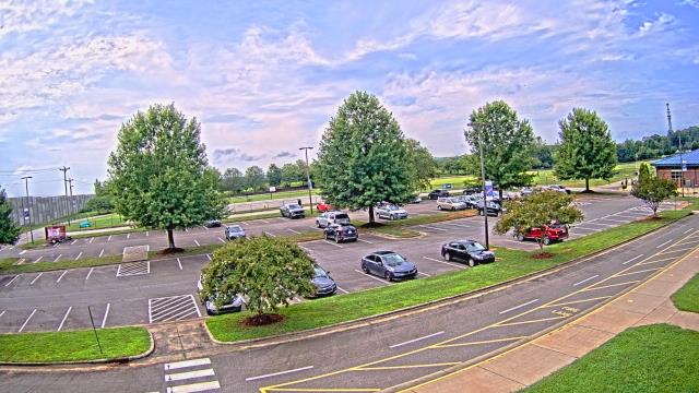
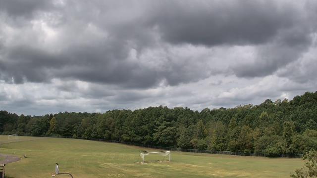
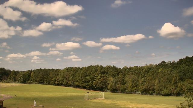
Concord, North Carolina, USA - 37 miles from Immer: Charlotte Motor Speedway - A webcam in Concord, North Carolina - camera location: Charlotte Motor Speedway.
Operator: WeatherBug
Operator: WeatherBug


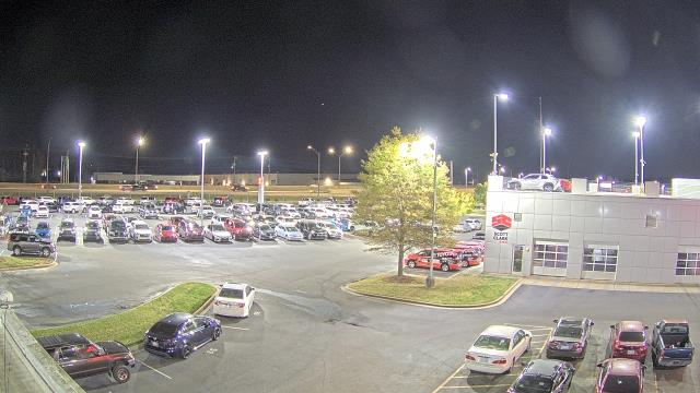
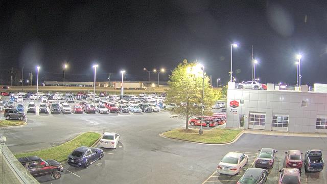
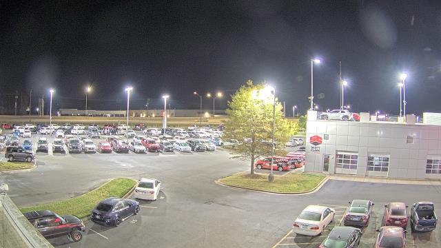
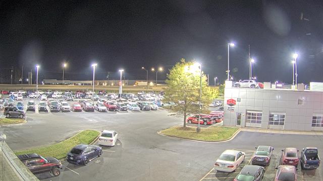
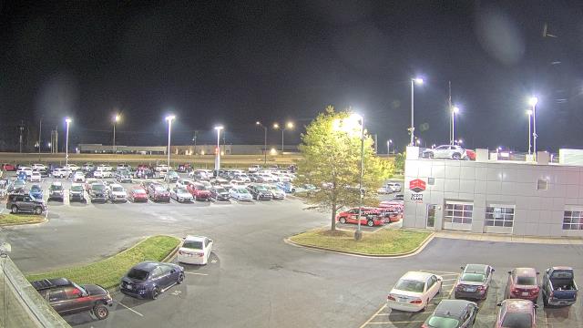
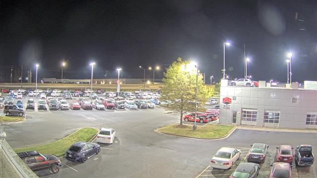
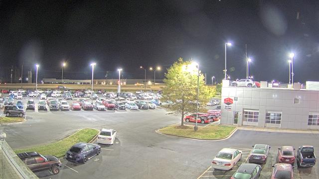
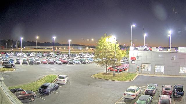
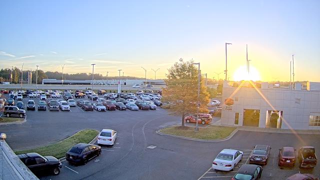
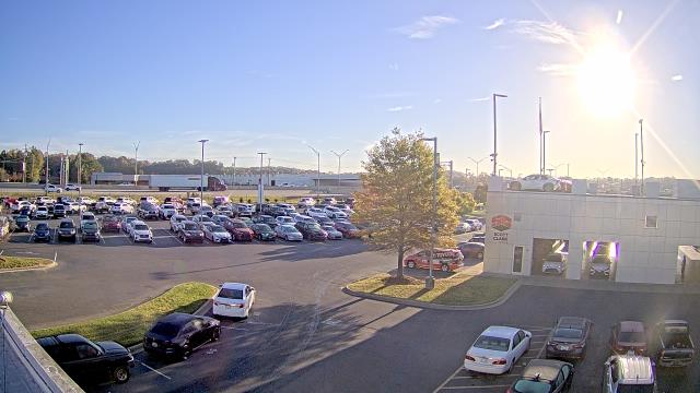
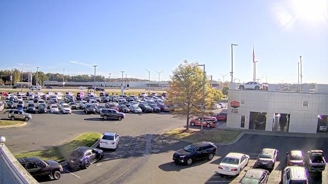
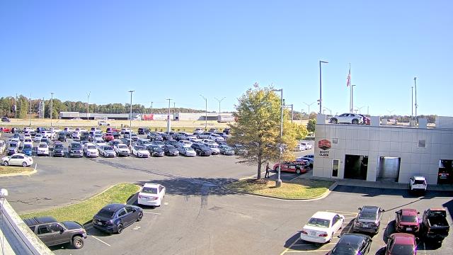
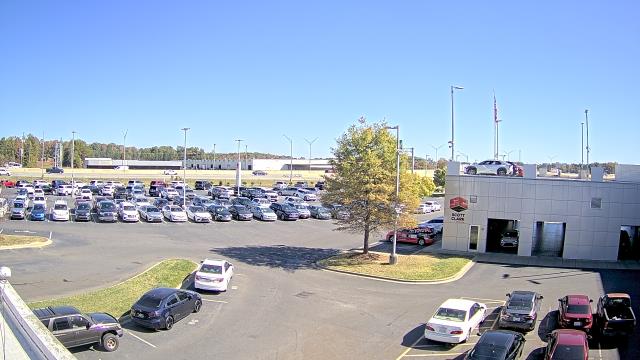
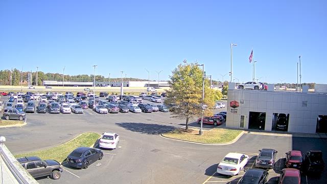
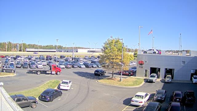
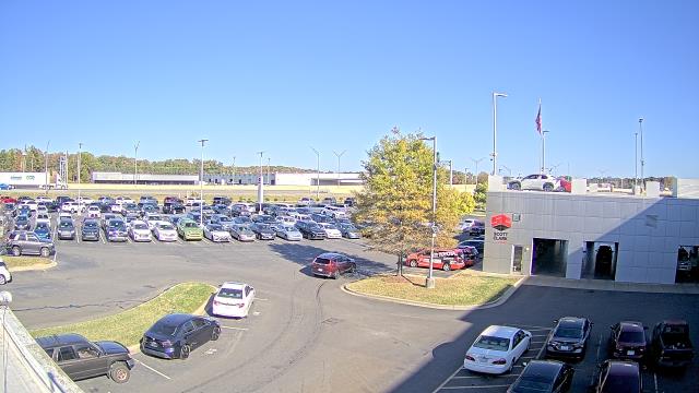
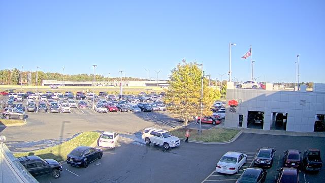
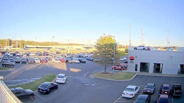
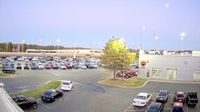
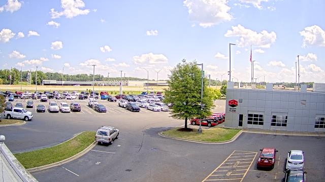
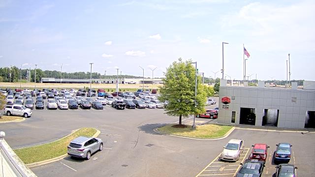
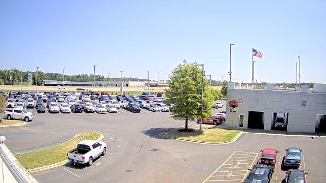
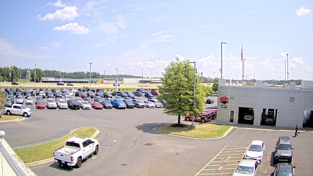
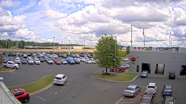
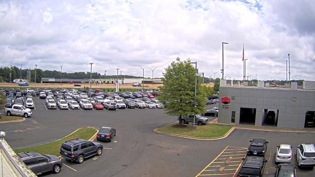
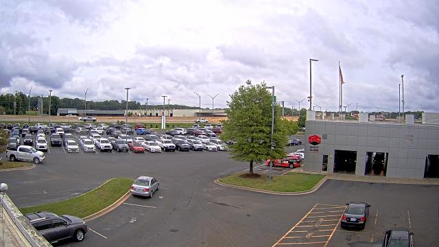
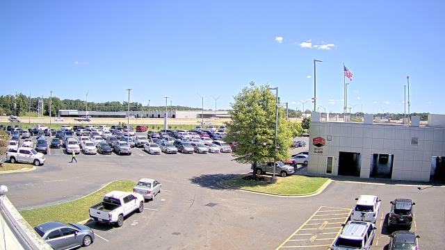
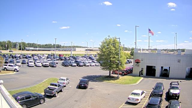
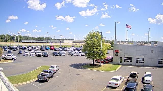
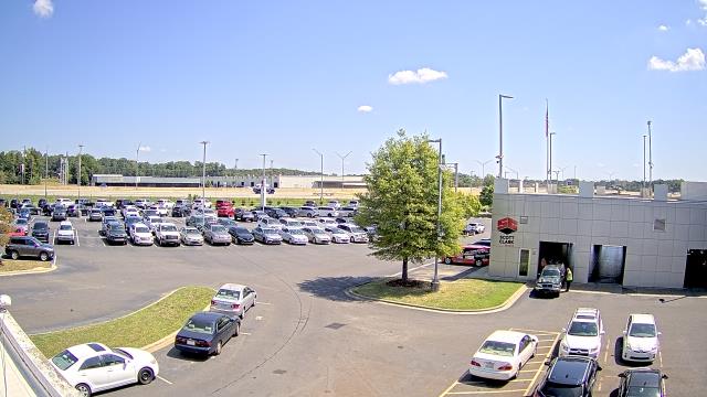
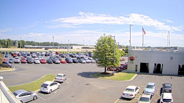
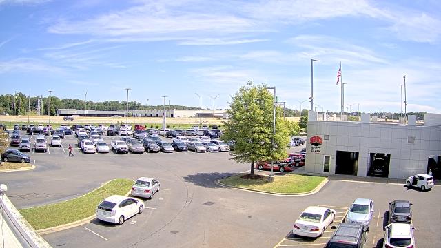
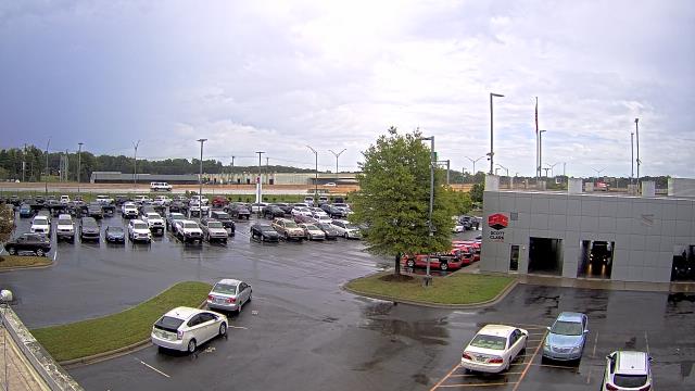
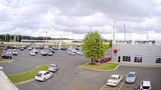
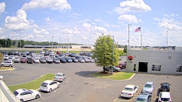
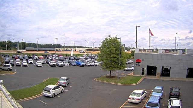
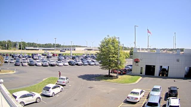
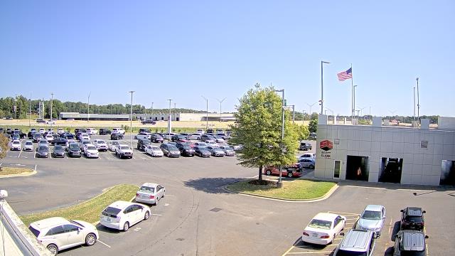
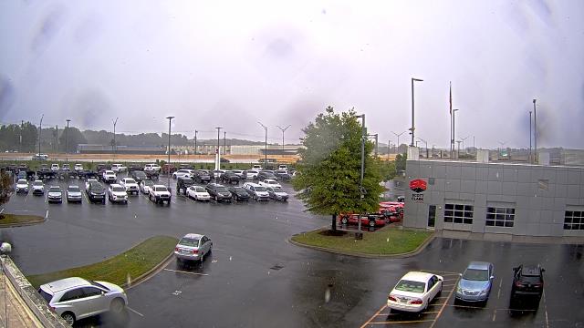
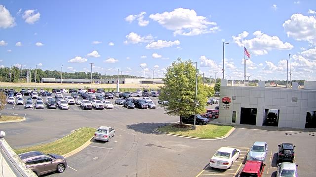
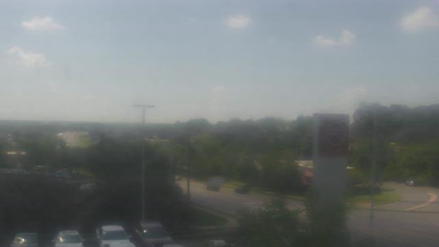
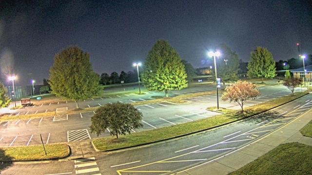
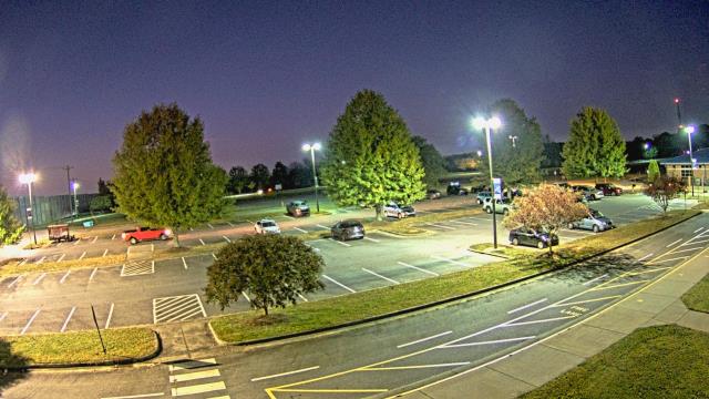
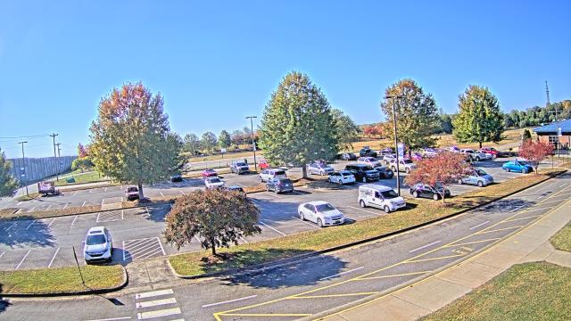
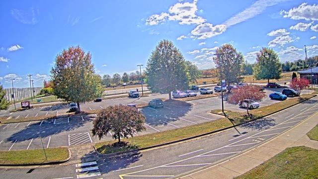
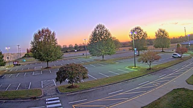
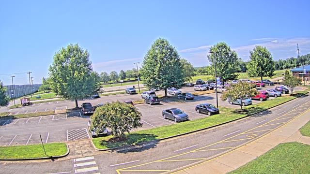
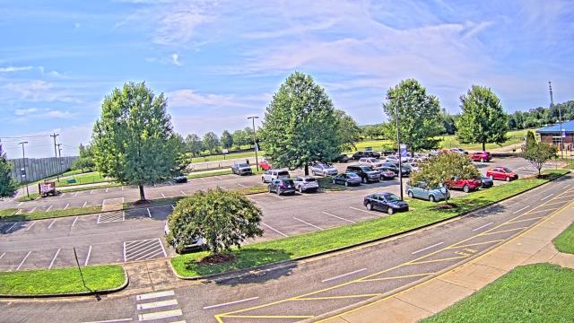
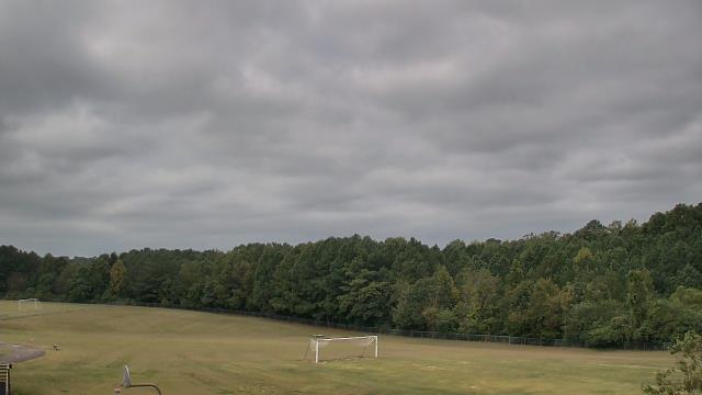
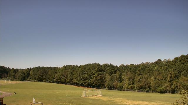
Stallings, North Carolina, USA - 50.5 miles from Immer: Scott Clarks Toyota - A webcam in Stallings, North Carolina - camera location: Scott Clarks Toyota.
Operator: WeatherBug
Operator: WeatherBug


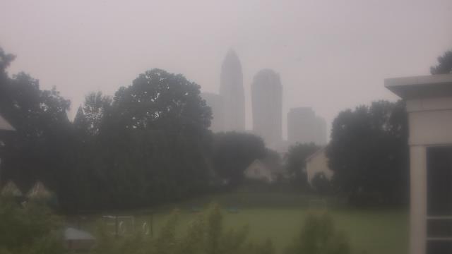
Charlotte, North Carolina, USA - 54.4 miles from Immer: Central Piedmont Community College - A webcam in Charlotte, North Carolina - camera location: Central Piedmont Community College.
Operator: WeatherBug
Operator: WeatherBug


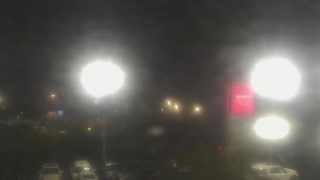
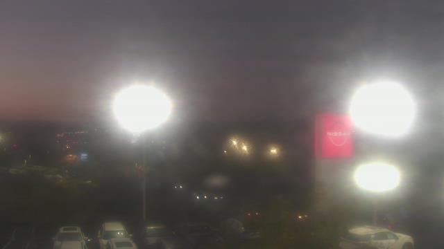
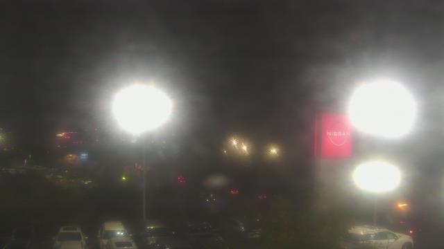
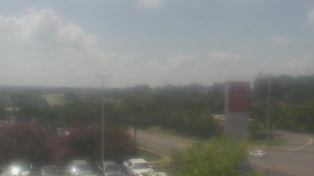
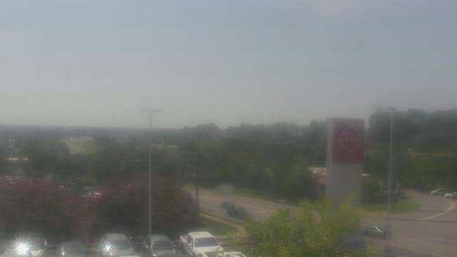
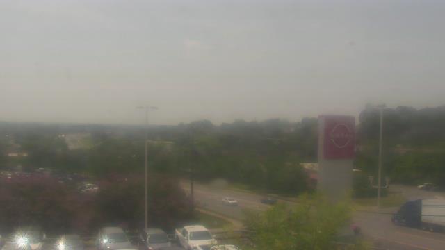
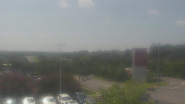
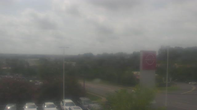
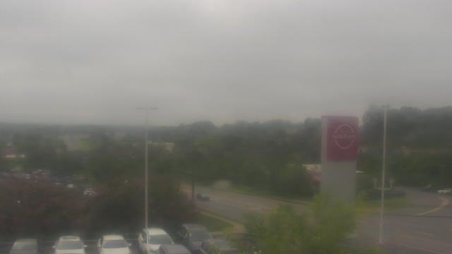
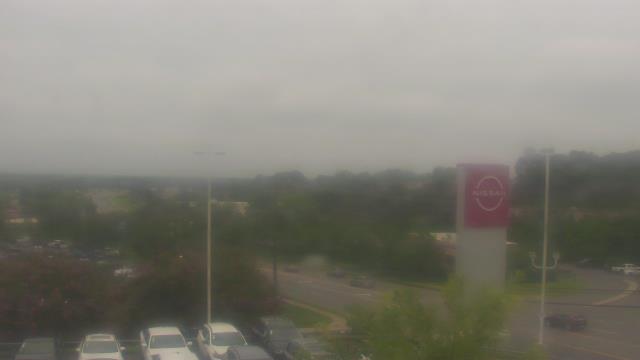
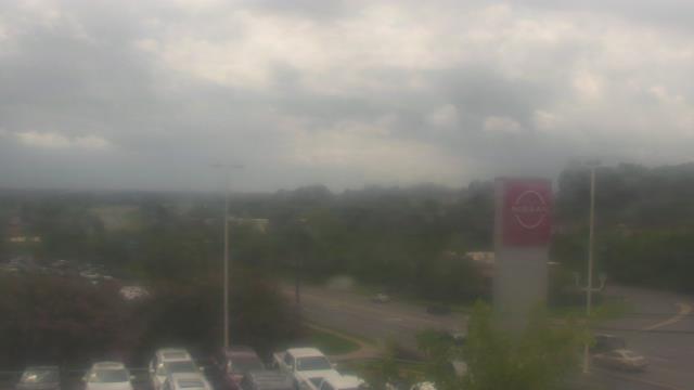
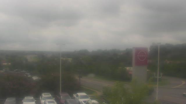
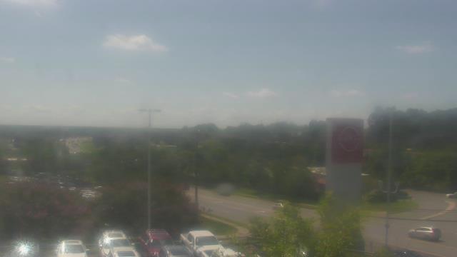
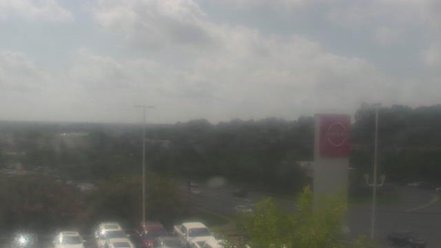
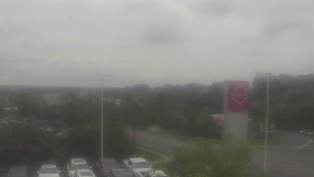
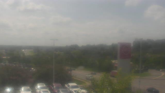
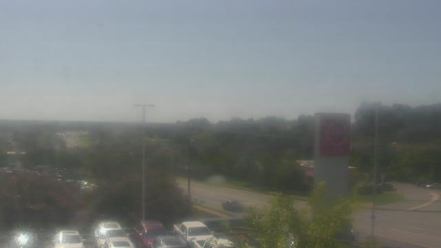
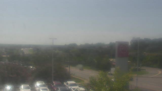
Charlotte, North Carolina, USA - 54.4 miles from Immer: Scott Clarks Nissan - A webcam in Charlotte, North Carolina - camera location: Scott Clarks Nissan.
Operator: WeatherBug
Operator: WeatherBug


Charlotte, North Carolina, USA - 54.4 miles from Immer: Trinity Episcopal School - Webcam and current weather data - camera location: Trinity Episcopal School.
Operator: WeatherBug
Operator: WeatherBug


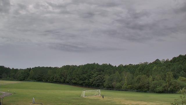
Statesville, North Carolina, USA - 57.7 miles from Immer: Cloverleaf Elementary School - A webcam in Statesville, North Carolina - camera location: Cloverleaf Elementary School.
Operator: WeatherBug
Operator: WeatherBug


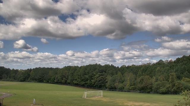
Chapel Hill, North Carolina, USA - 60 miles from Immer: Top of the Hill Restaurant - A webcam in Chapel Hill, North Carolina - camera location: Top of the Hill Restaurant.
Operator: WeatherBug
Operator: WeatherBug


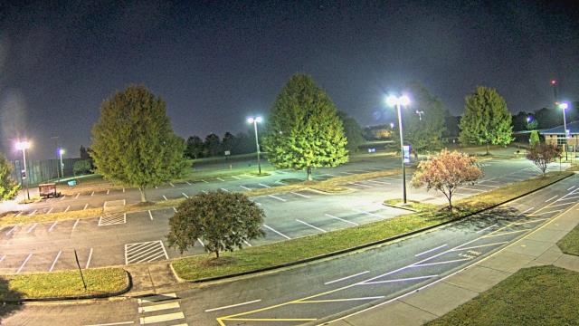
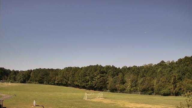
Cary, North Carolina, USA - 67.3 miles from Immer: Davis Drive Elementary School - A webcam in Cary, North Carolina - camera location: Davis Drive Elementary School.
Operator: WeatherBug
Operator: WeatherBug


Some other places in this country: Bear Grass - Pine Haven - Allreds - Stokestown - Holiday Shores - Sugarloaf Shores - Carolina Forest - Lake in the Pine - Haddocks Crossroads - Shoeheel