Webcams in the region of Holly Spring, North Carolina, USA
The List of Webcams near Holly Spring, North Carolina, USA:

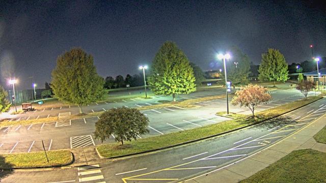
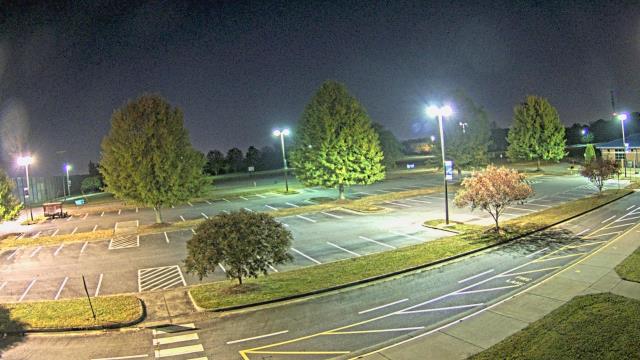
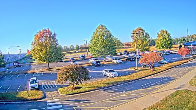
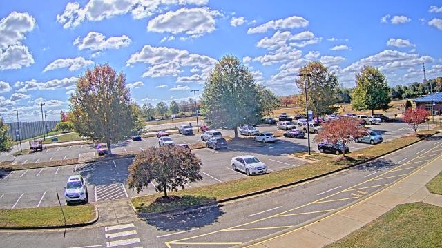
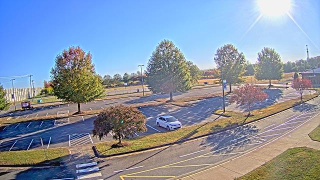
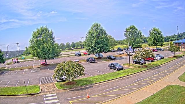
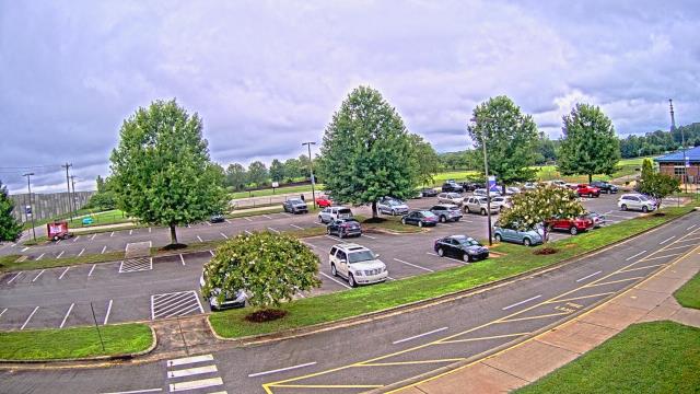
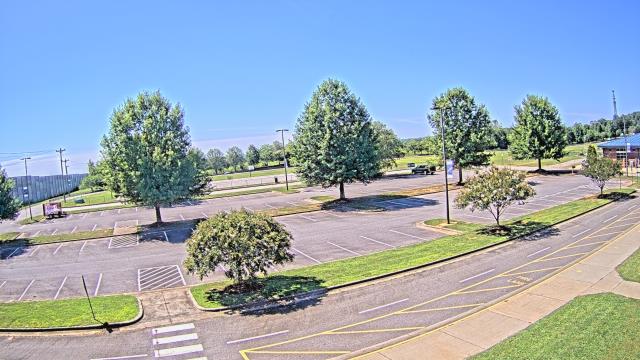
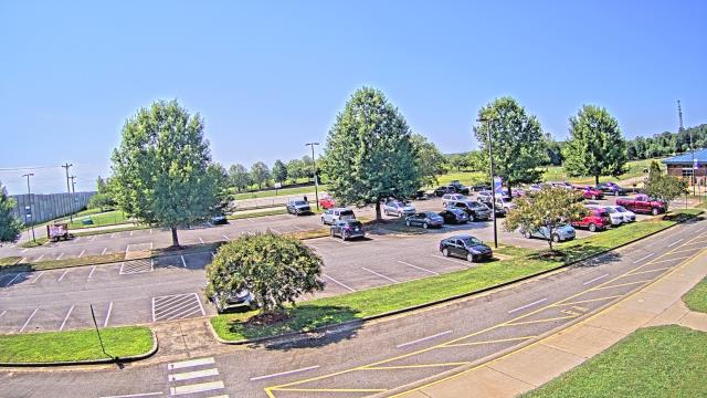
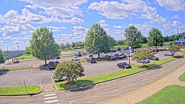
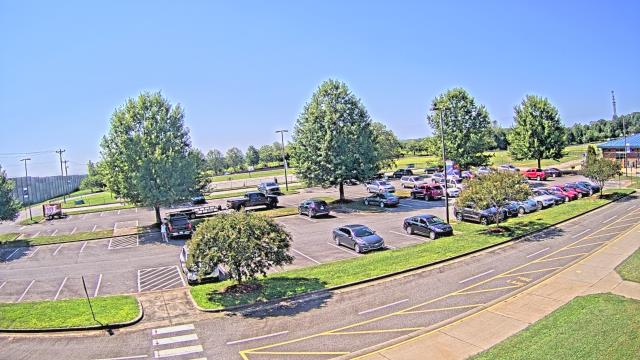
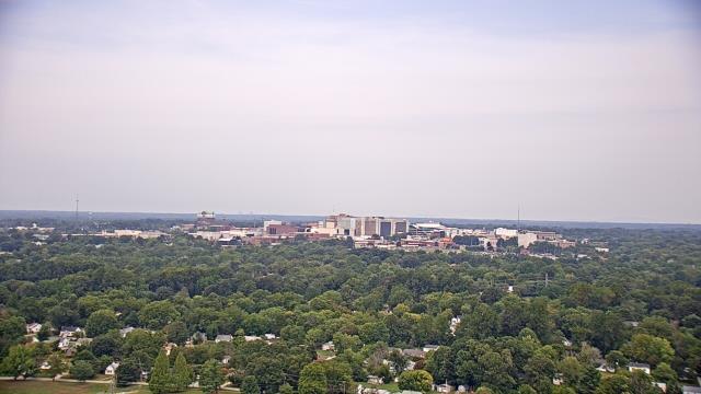
Statesville, North Carolina, USA - 36.6 miles from Holly Spring: Cloverleaf Elementary School - A webcam in Statesville, North Carolina - camera location: Cloverleaf Elementary School.
Operator: WeatherBug
Operator: WeatherBug


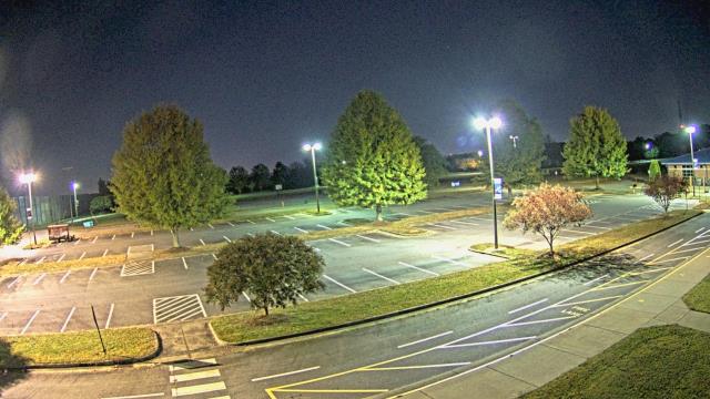
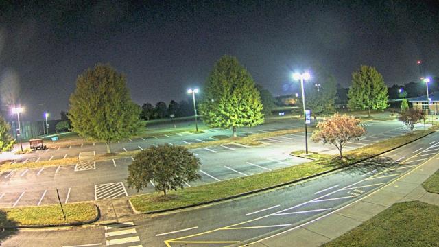

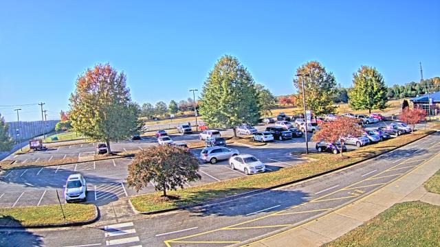
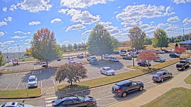

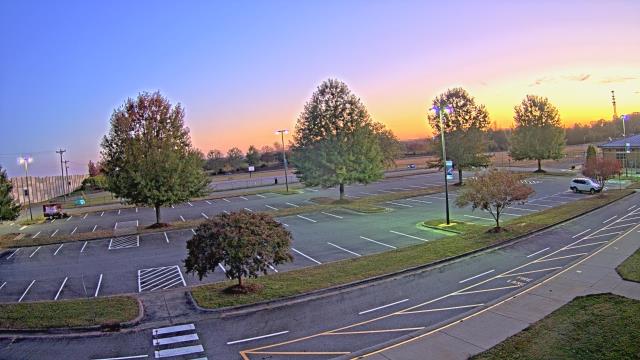

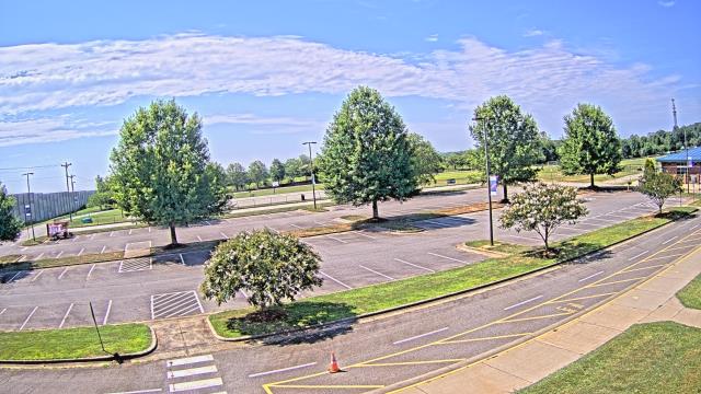
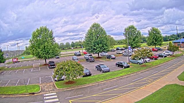

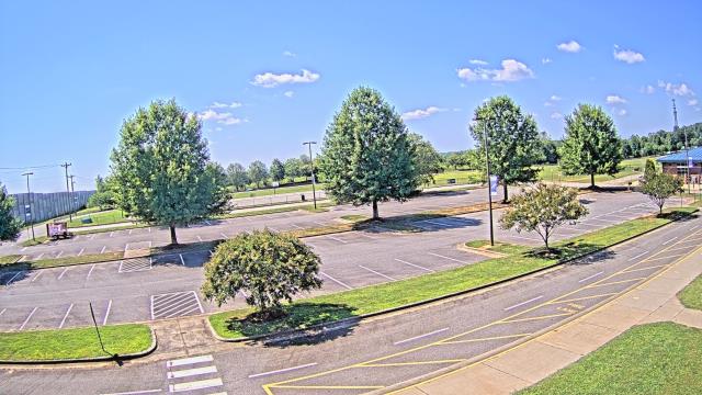
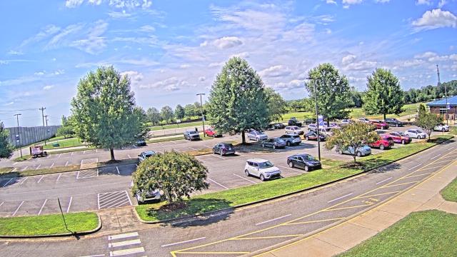
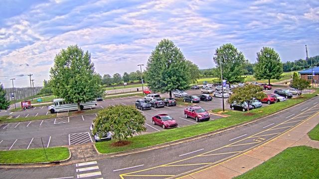
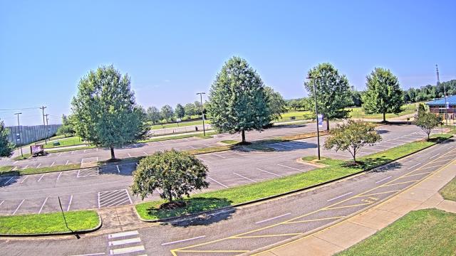

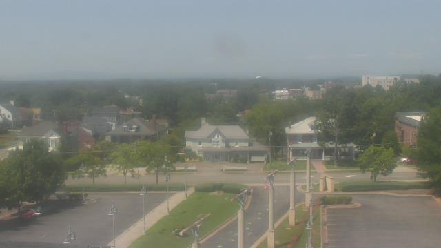
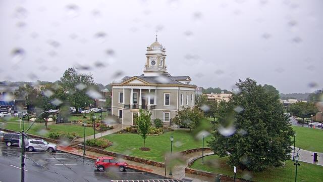
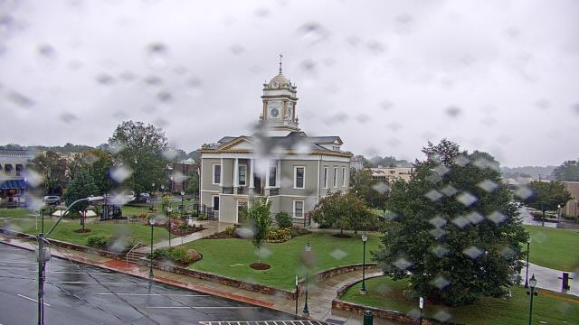
High Point, North Carolina, USA - 38.1 miles from Holly Spring: High Point University - A webcam in High Point, North Carolina - camera location: High Point University.
Operator: WeatherBug
Operator: WeatherBug


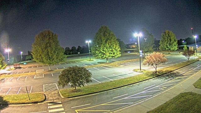
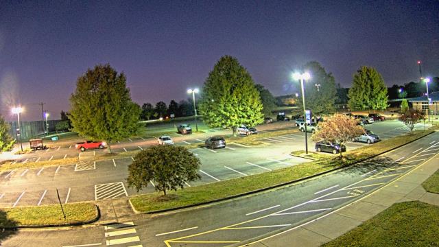
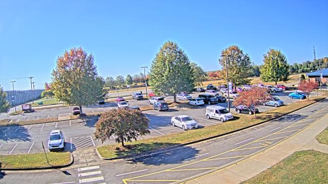
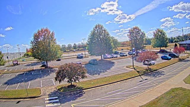
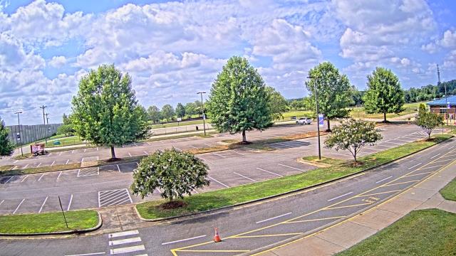
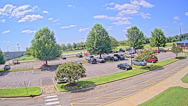
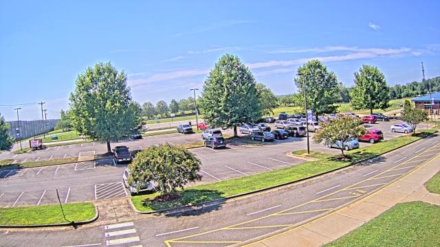
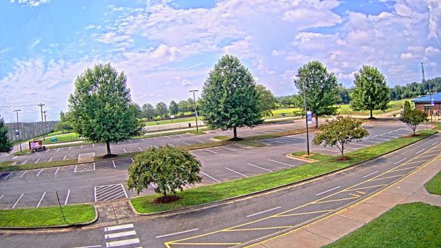
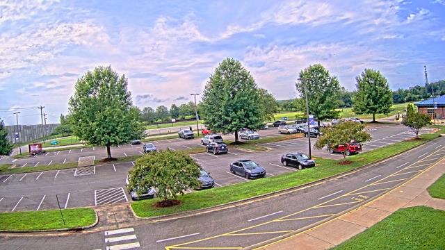
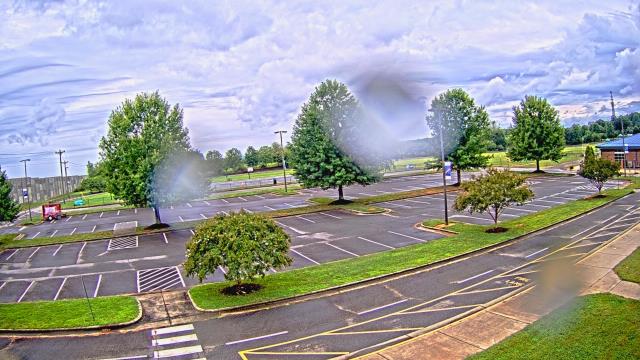
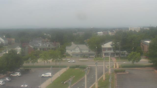
High Point, North Carolina, USA - 38.1 miles from Holly Spring: WGHP-TV - A webcam in High Point, North Carolina - camera location: WGHP-TV.
Operator: WeatherBug
Operator: WeatherBug


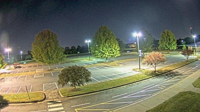
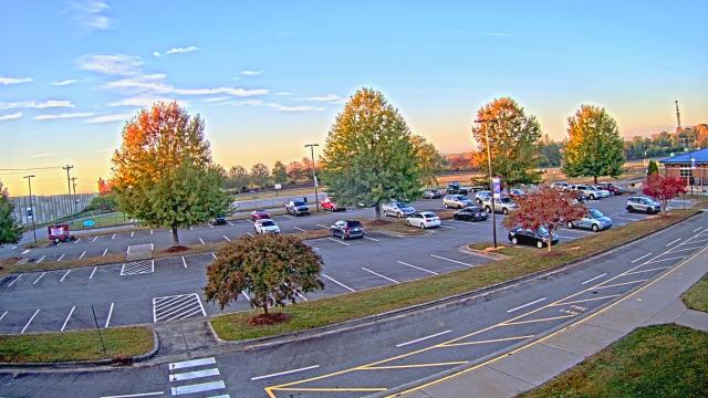
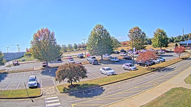
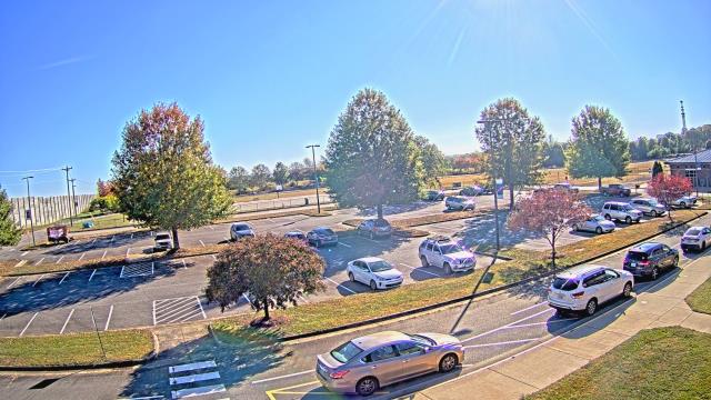
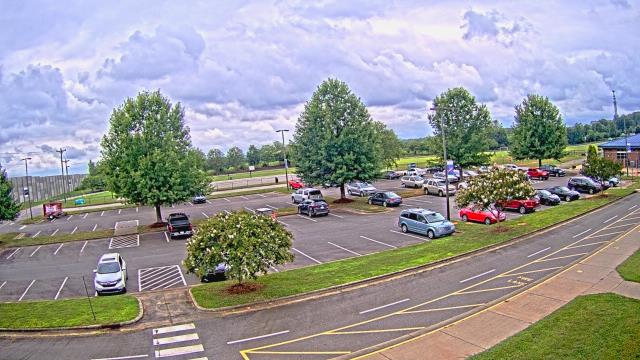
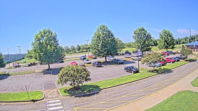
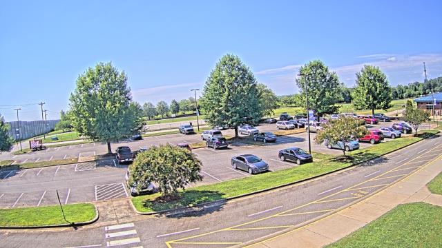
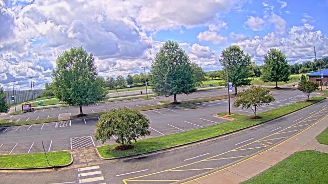
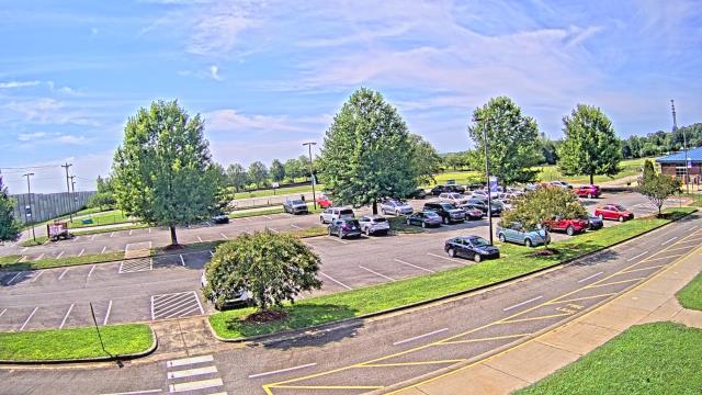
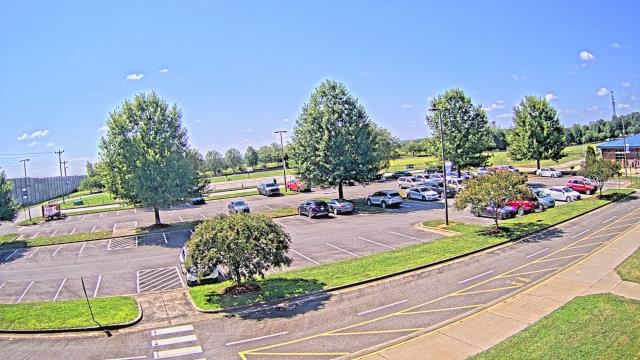
Martinsville, Virginia, USA - 49.7 miles from Holly Spring: Virginia Museum of Natural History - A webcam in Martinsville, Virginia - camera location: Virginia Museum of Natural History.
Operator: WeatherBug
Operator: WeatherBug


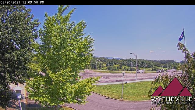
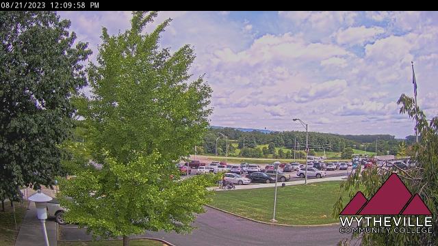
Wytheville, Virginia, USA - 55.5 miles from Holly Spring: Wytheville Community College - A webcam in Wytheville, Virginia - camera location: Wytheville Community College.
Operator: WeatherBug
Operator: WeatherBug


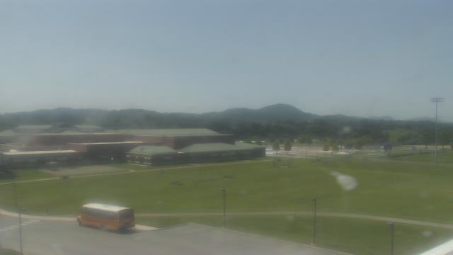
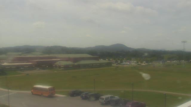
Riner, Virginia, USA - 56.9 miles from Holly Spring: Auburn Middle School - A webcam in Riner, Virginia - camera location: Auburn Middle School.
Operator: WeatherBug
Operator: WeatherBug


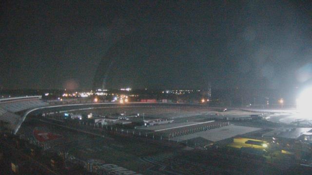
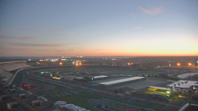
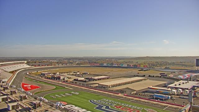
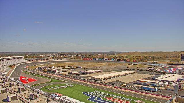
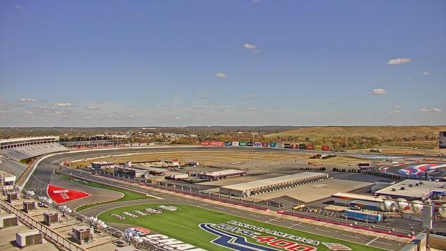
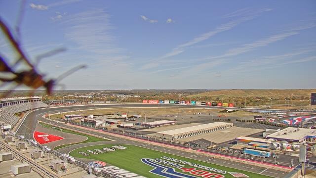
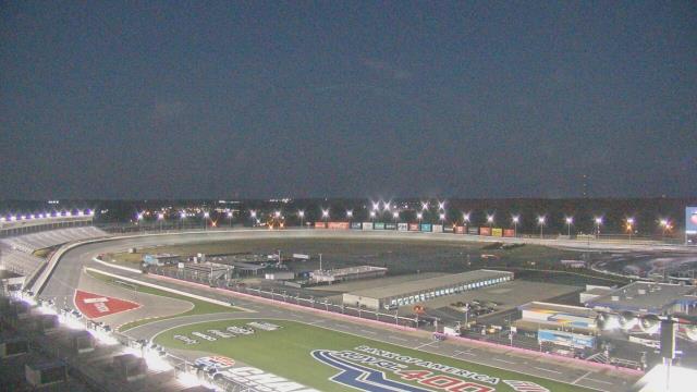
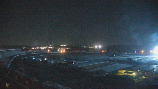
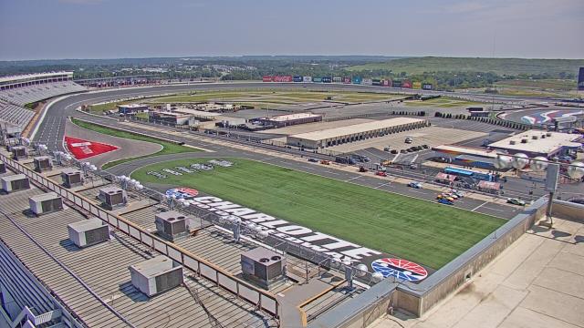
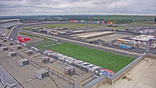
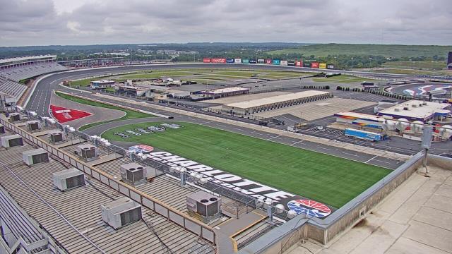
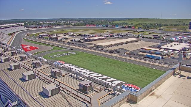
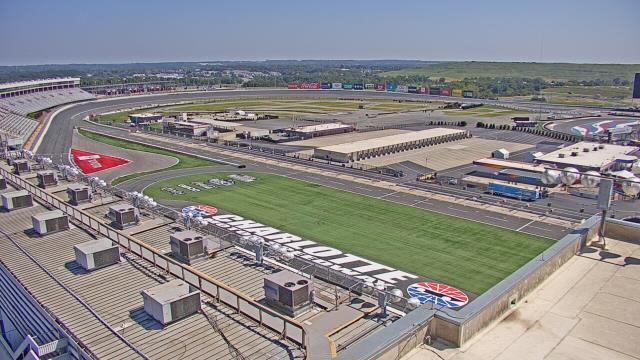
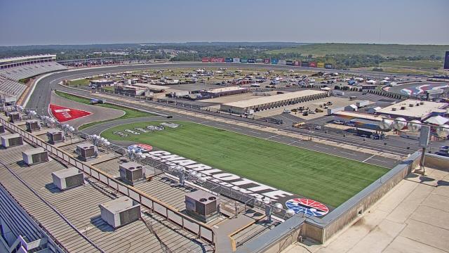
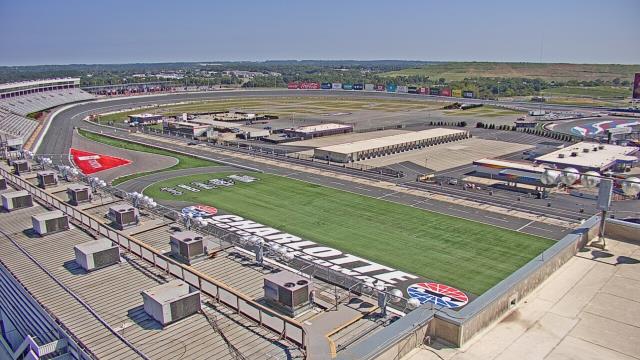
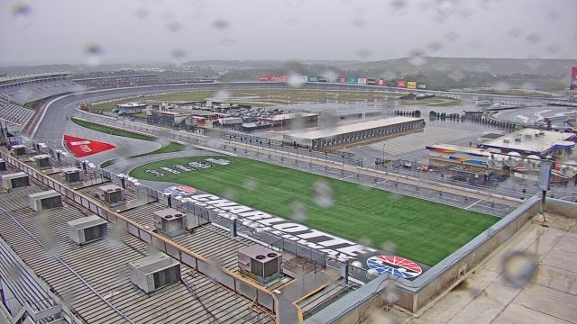
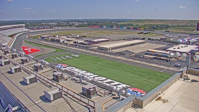
Concord, North Carolina, USA - 58.2 miles from Holly Spring: Charlotte Motor Speedway - A webcam in Concord, North Carolina - camera location: Charlotte Motor Speedway.
Operator: WeatherBug
Operator: WeatherBug


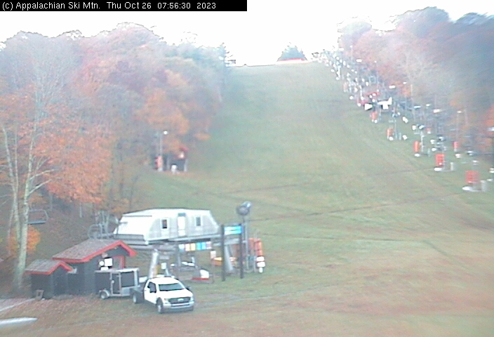
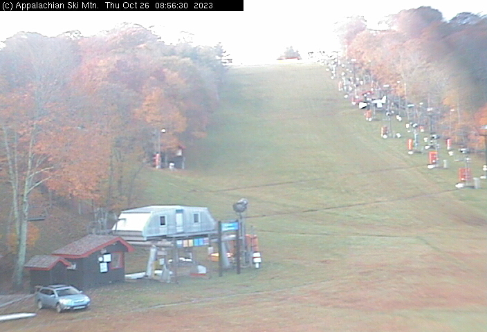
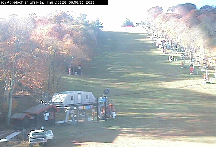
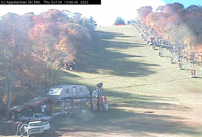
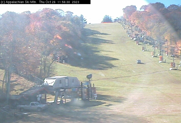
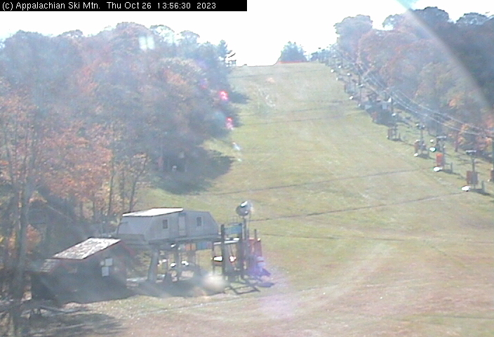
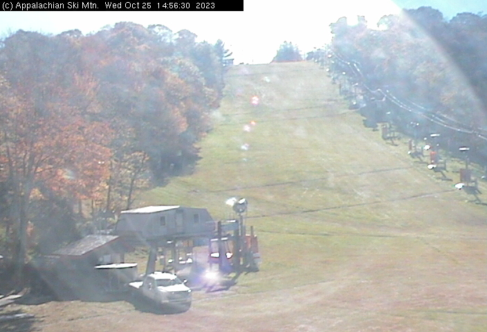
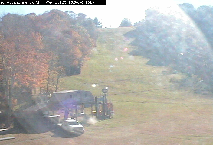
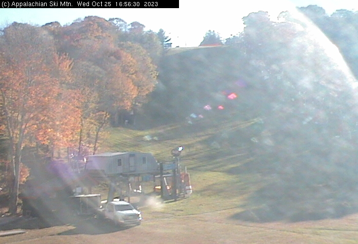
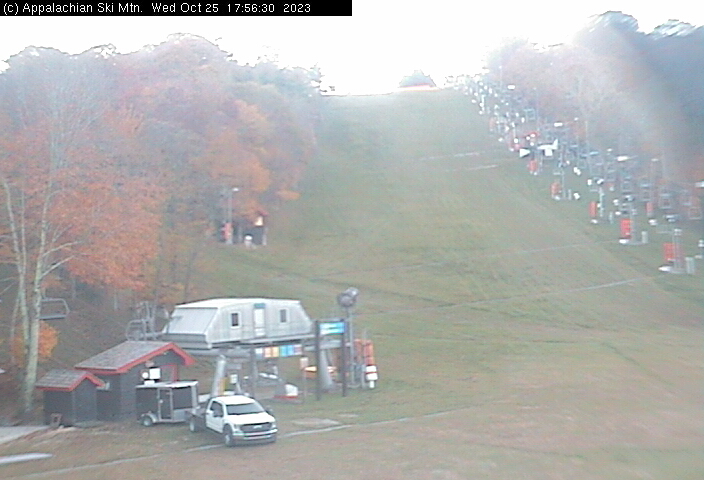
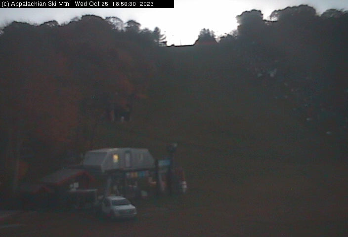
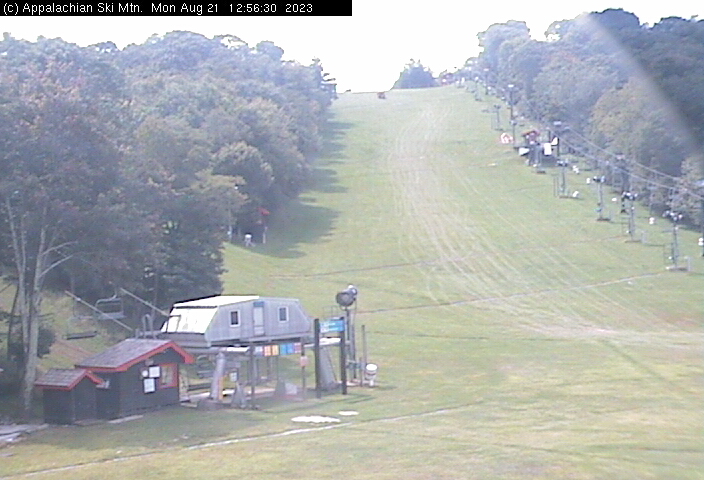
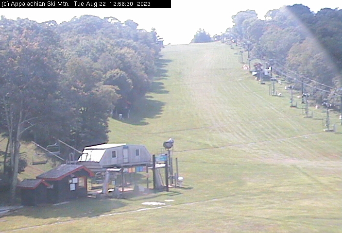
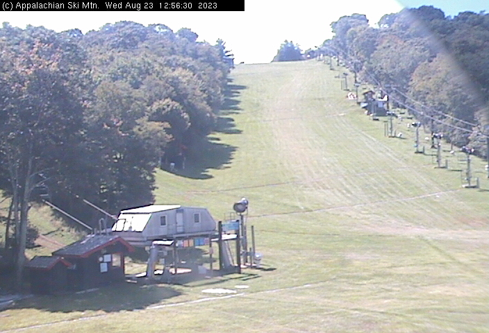
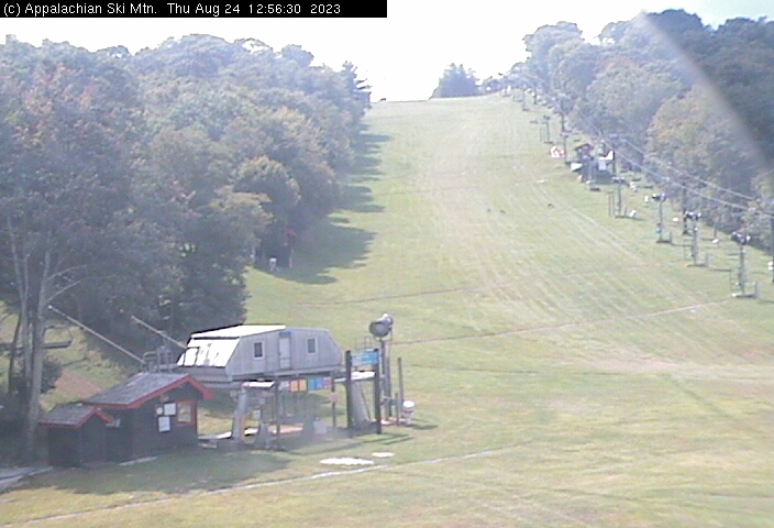
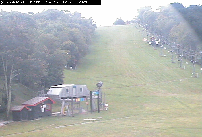
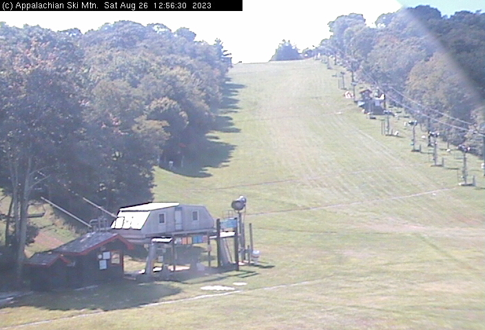
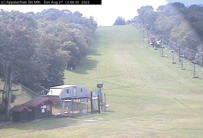
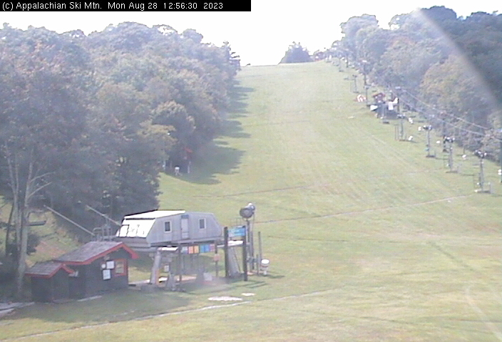
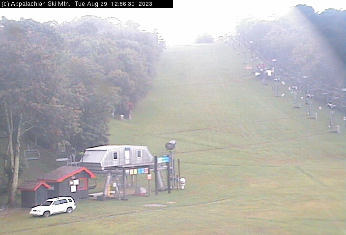
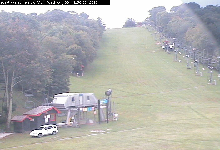
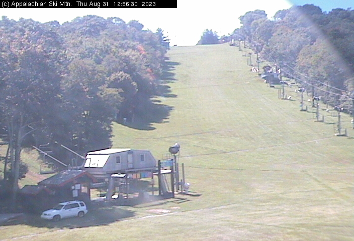
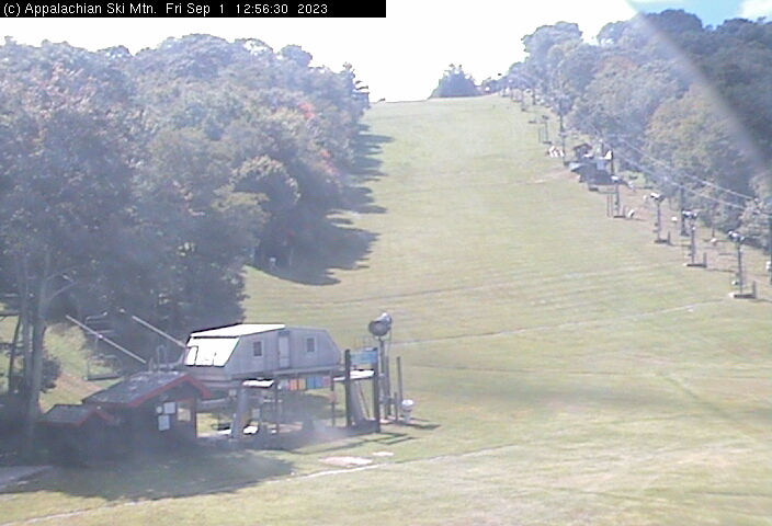
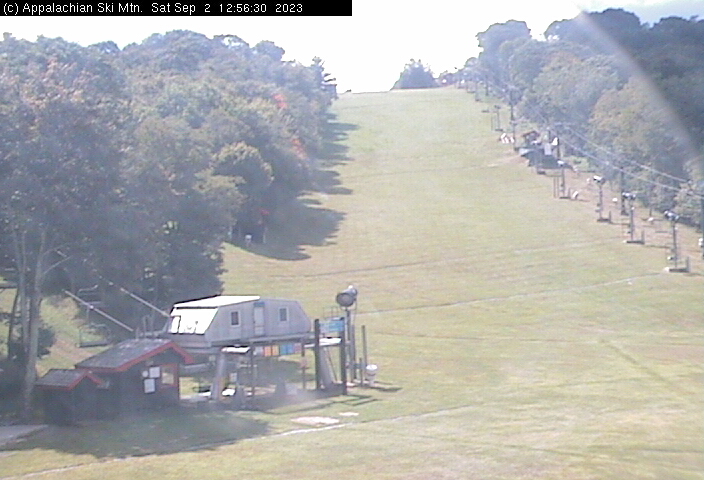
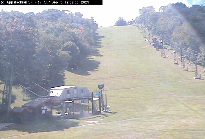
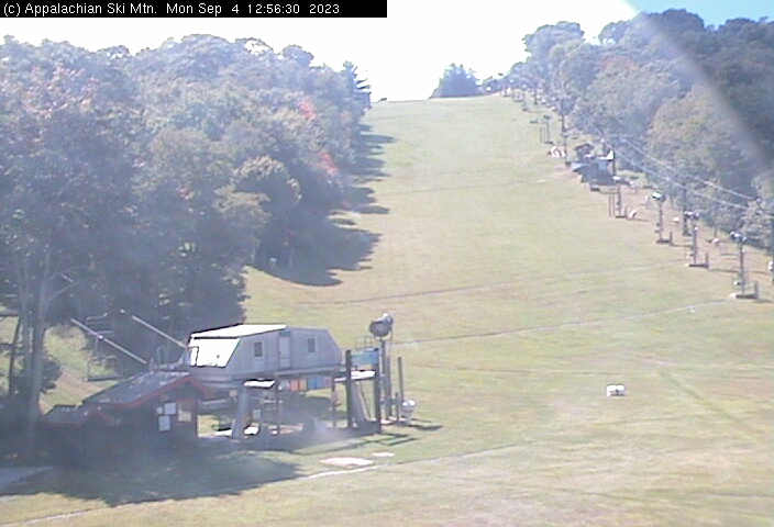
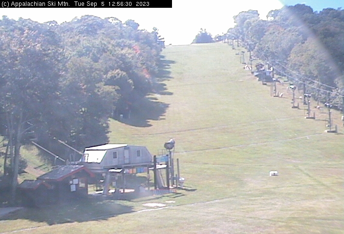
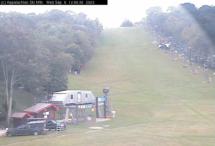
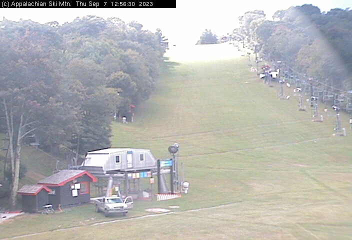
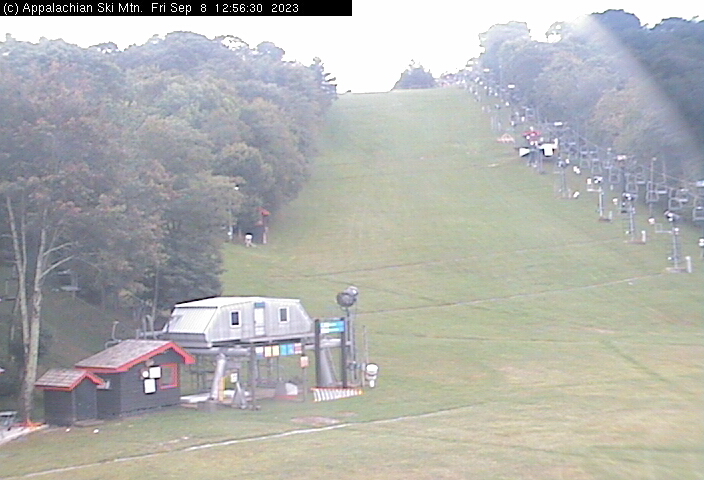
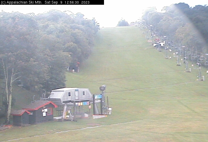
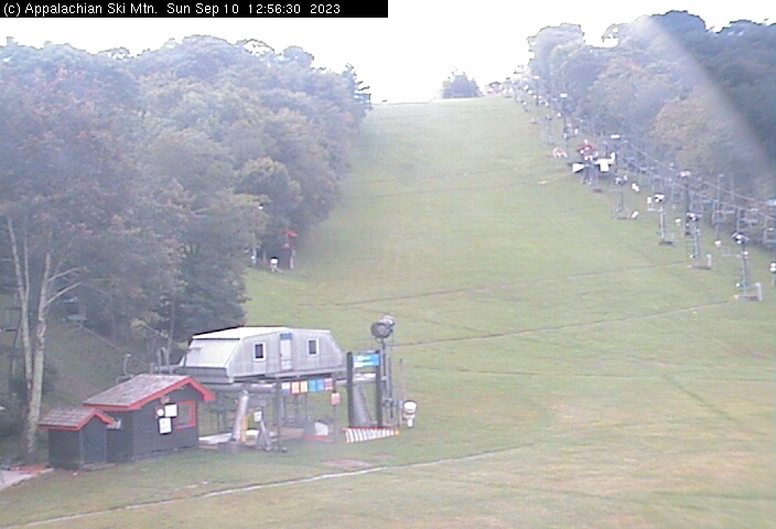
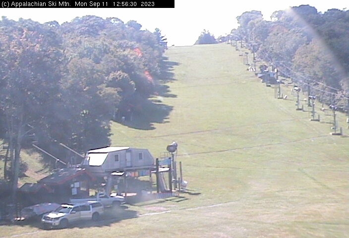
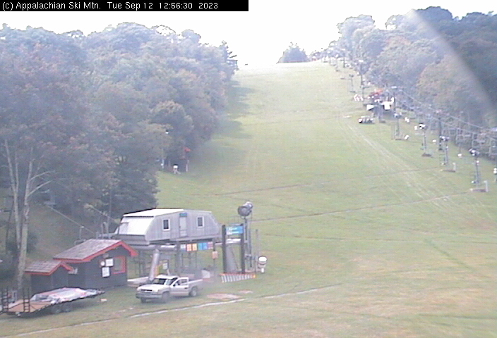
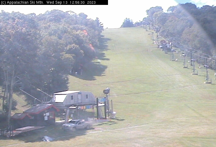
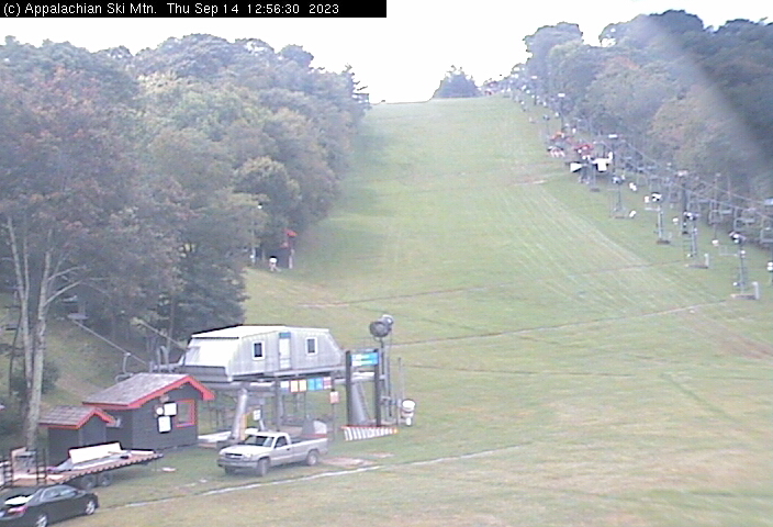
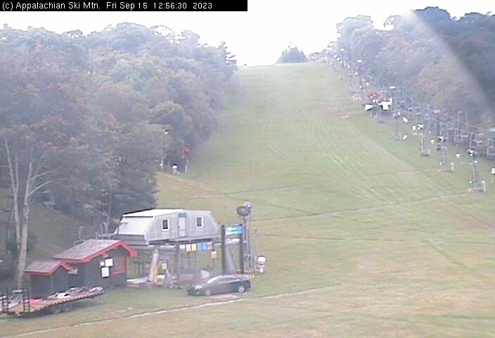
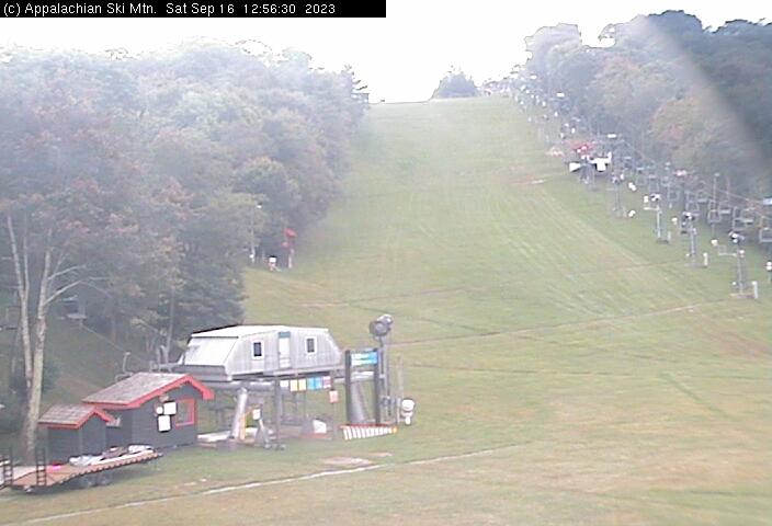
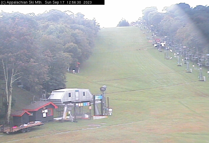
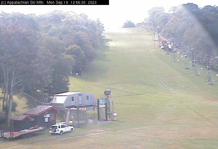
Blowing Rock, North Carolina, USA - 61.7 miles from Holly Spring: Appalachian Ski Mtn., Inc. - A webcam in Blowing Rock, North Carolina - camera location: Appalachian Ski Mtn., Inc..
Operator: Appalachian Ski Mtn.
Operator: Appalachian Ski Mtn.


Morganton, North Carolina, USA - 70.9 miles from Holly Spring: WBTV Morganton Bureau - A webcam in Morganton, North Carolina - camera location: WBTV Morganton Bureau.
Operator: WeatherBug
Operator: WeatherBug


Charlotte, North Carolina, USA - 72.4 miles from Holly Spring: Central Piedmont Community College - A webcam in Charlotte, North Carolina - camera location: Central Piedmont Community College.
Operator: WeatherBug
Operator: WeatherBug


Some other places in this country: Slate Mountain - Union Cross - Union Hill - Friendship - Baltimore - Five Forks - Macedonia - Poindexter - Shady Grove - Sugartown