Webcams in the region of Golden (historical), North Carolina, USA
The List of Webcams near Golden (historical), North Carolina, USA:

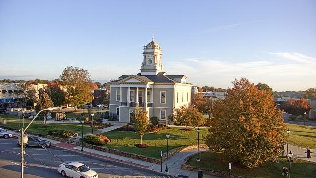
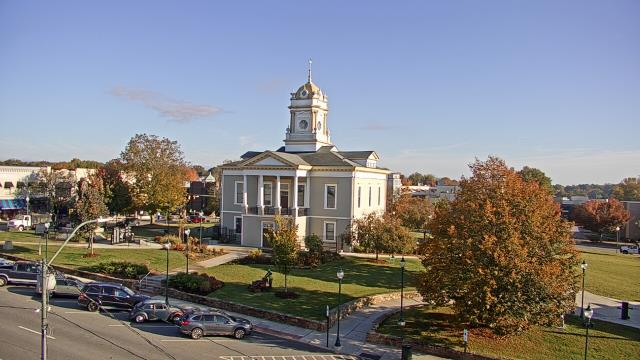
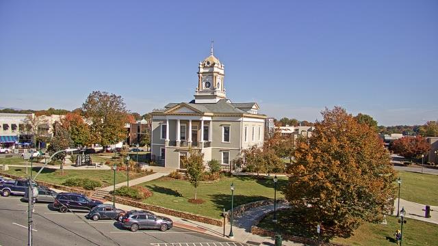
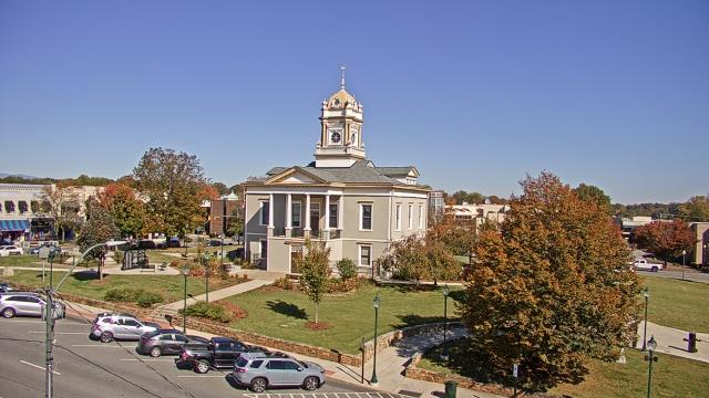
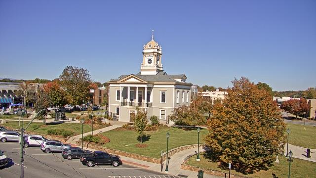
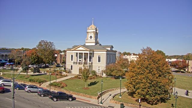
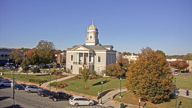
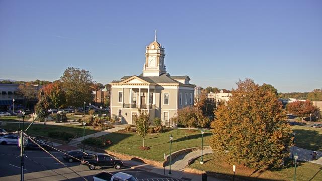
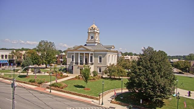
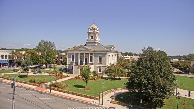
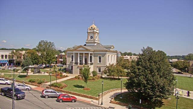
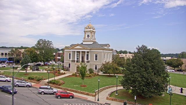
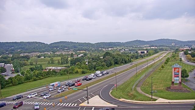
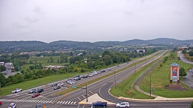
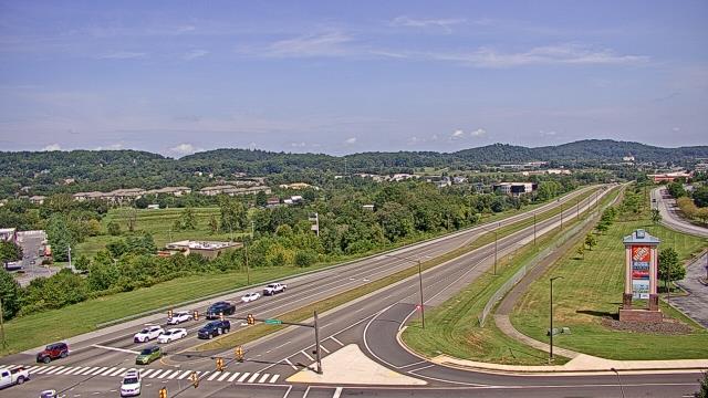
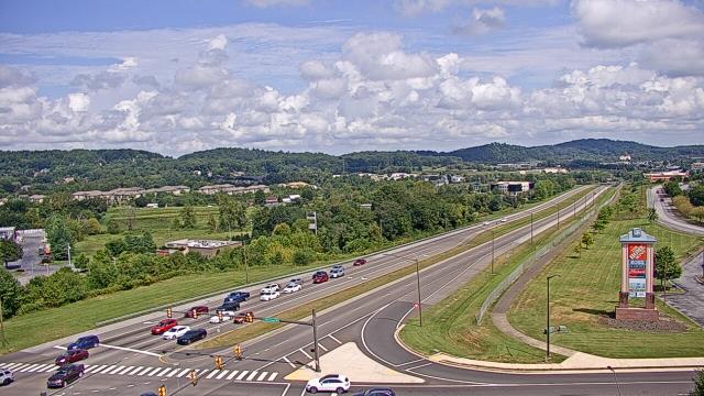
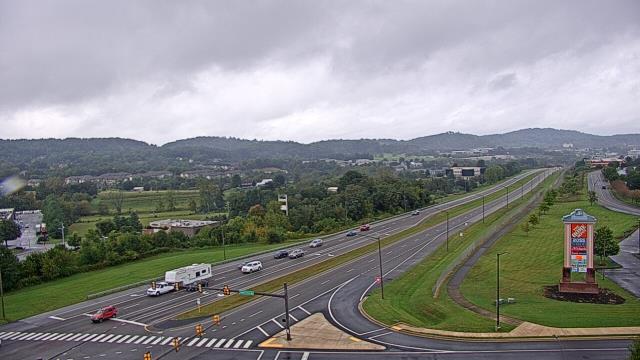
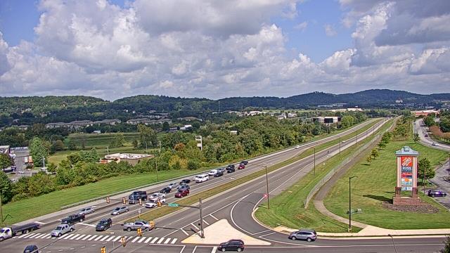
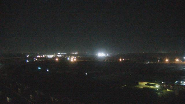
Morganton, North Carolina, USA - 15.6 miles from Golden (historical): WBTV Morganton Bureau - A webcam in Morganton, North Carolina - camera location: WBTV Morganton Bureau.
Operator: WeatherBug
Operator: WeatherBug


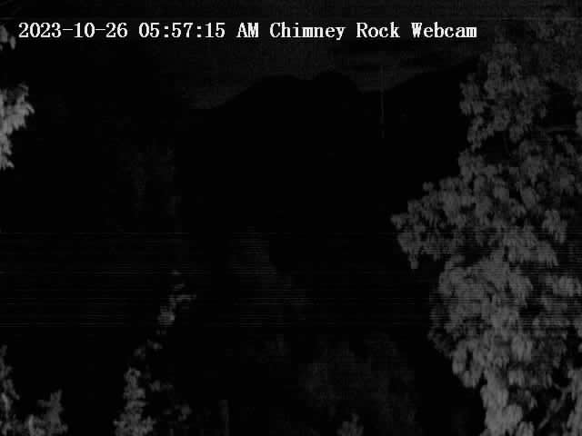
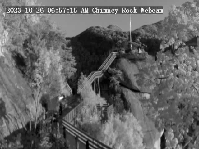
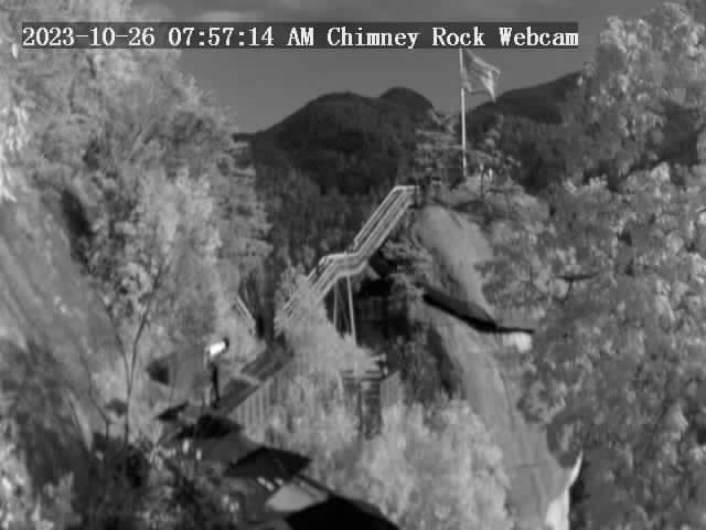
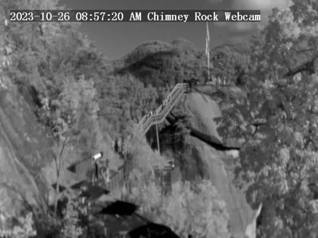
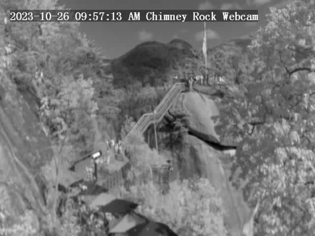
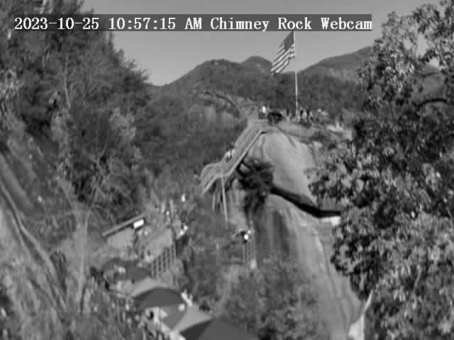
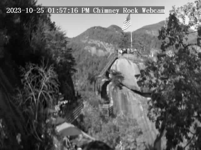
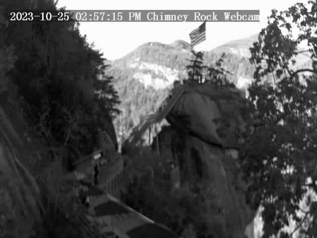
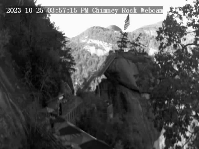
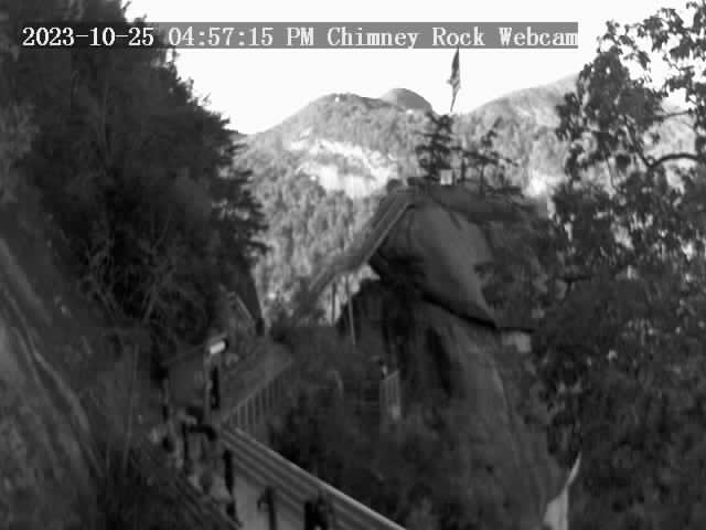
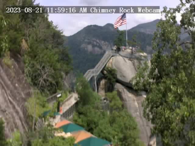
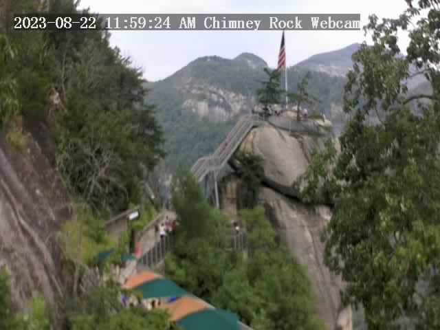
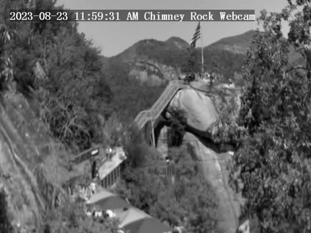
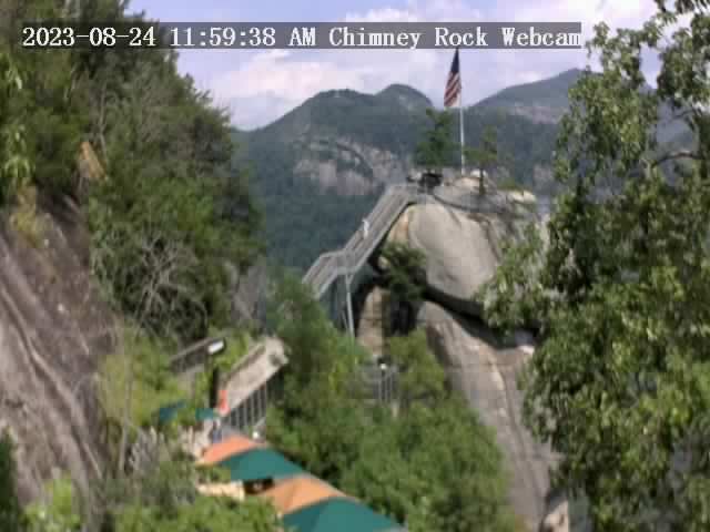
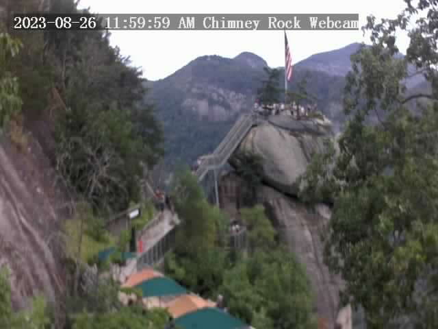
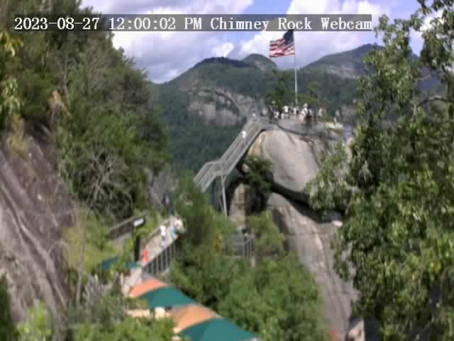
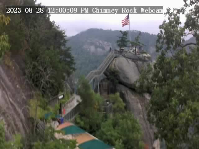
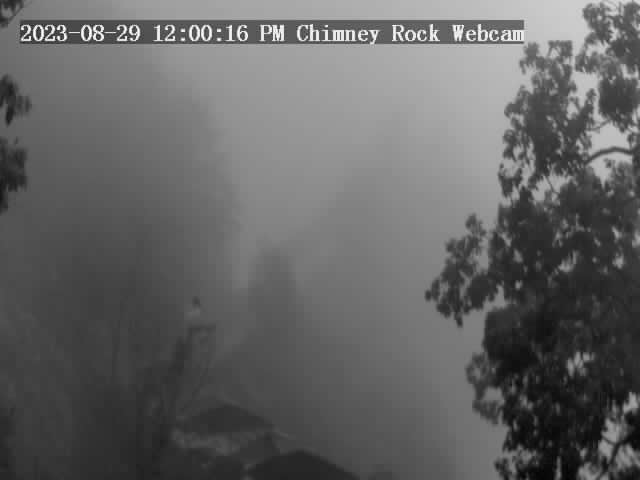
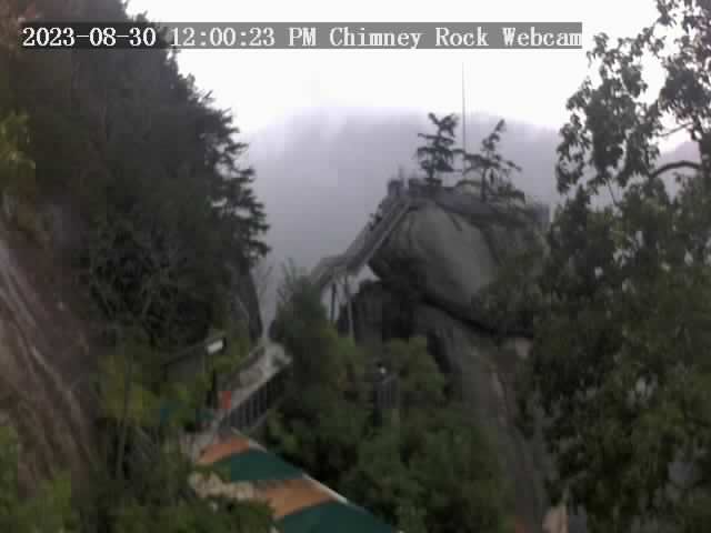
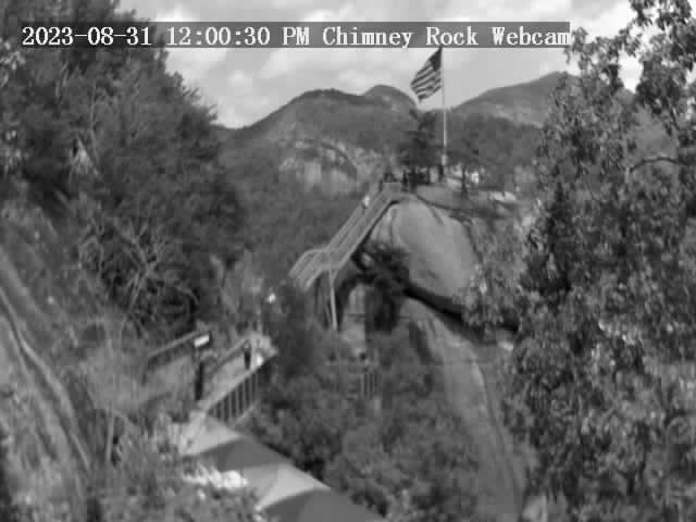
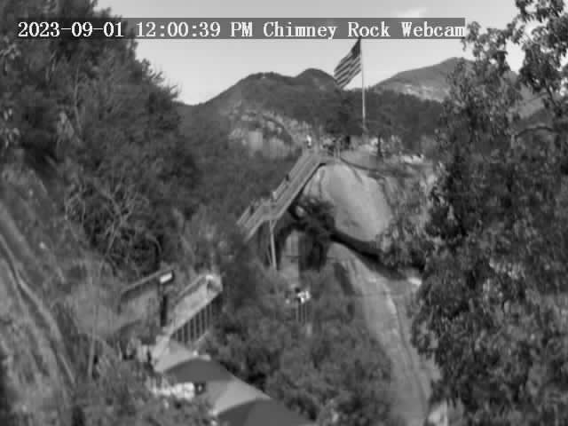
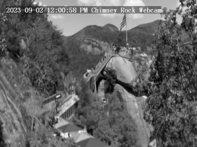
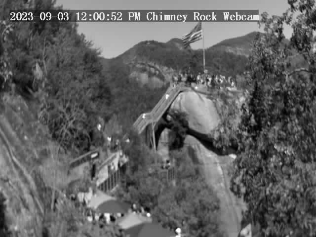
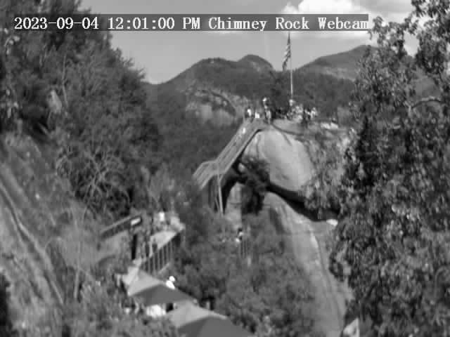
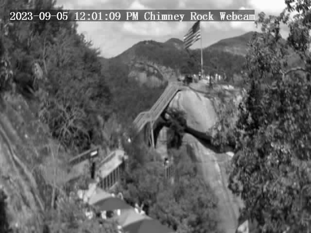
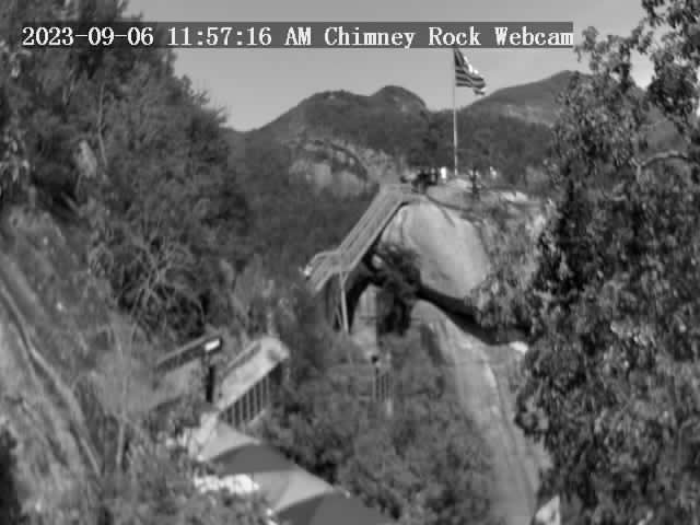
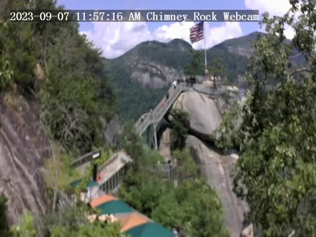
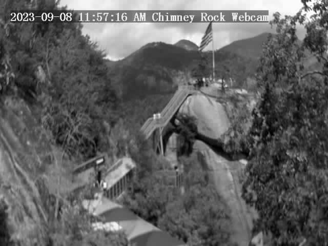
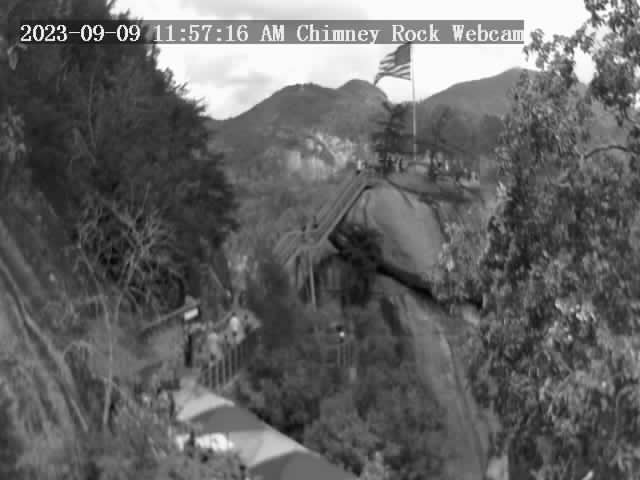
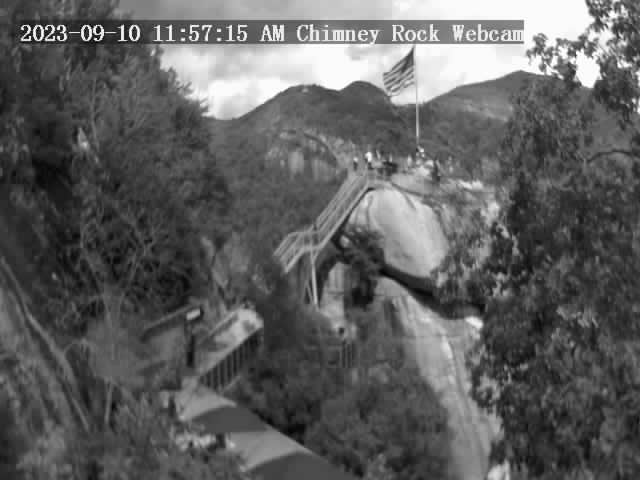
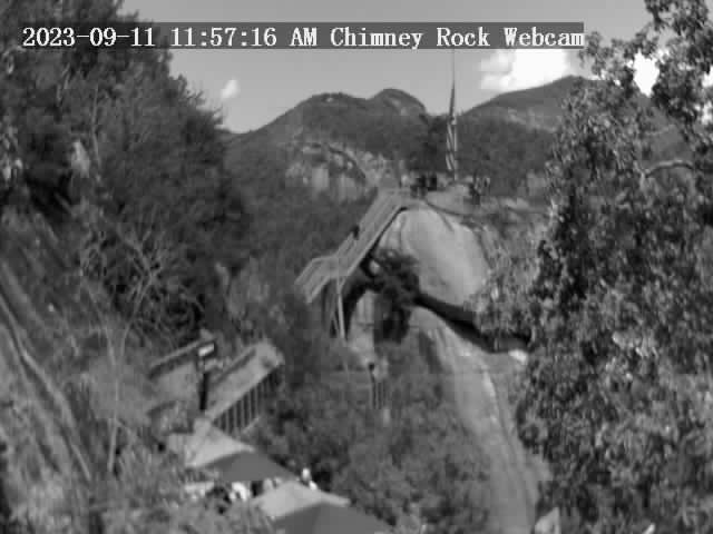
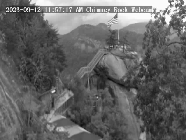
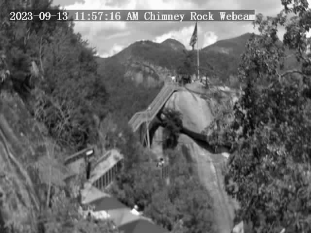
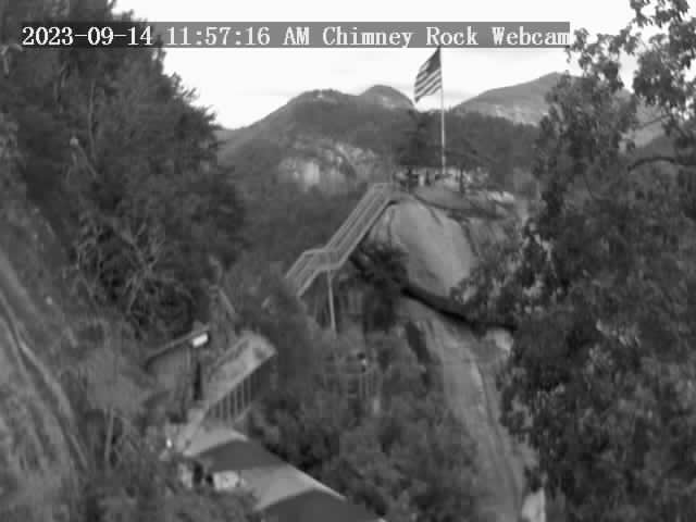
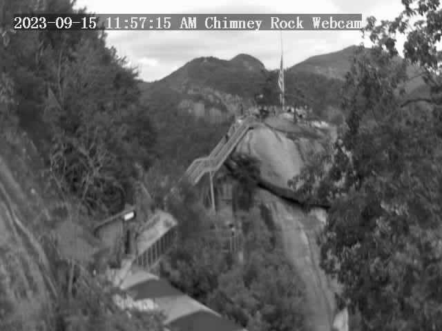
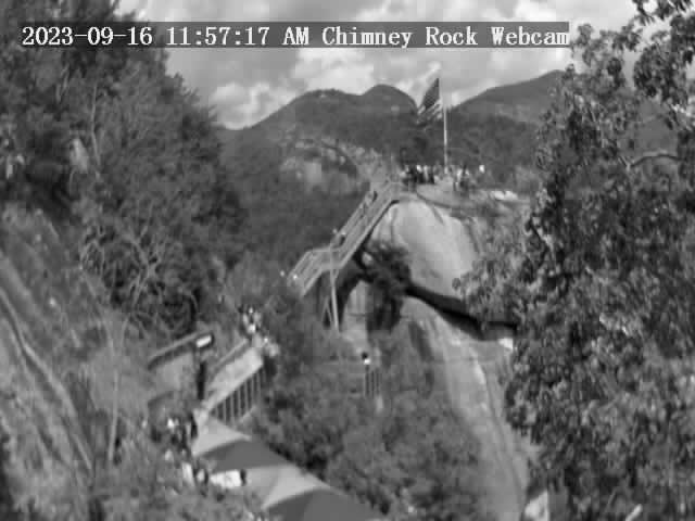
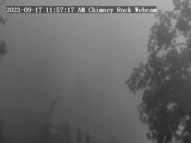
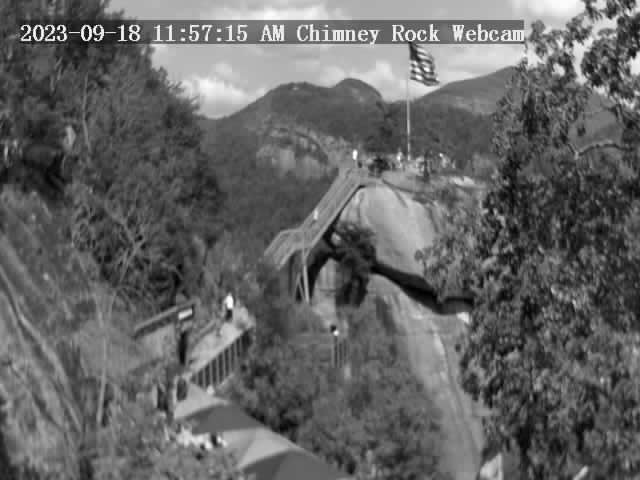
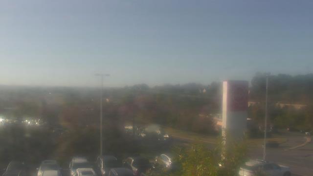
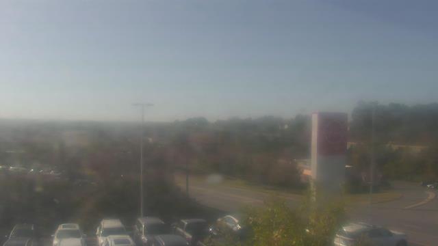
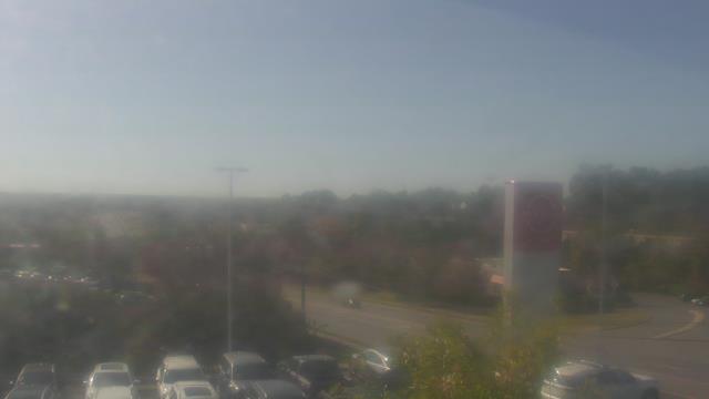
Chimney Rock, North Carolina, USA - 26 miles from Golden (historical): Chimney Rock State Park - A view of the Chimney Rock.
Operator: Chimney Rock State Park
Operator: Chimney Rock State Park


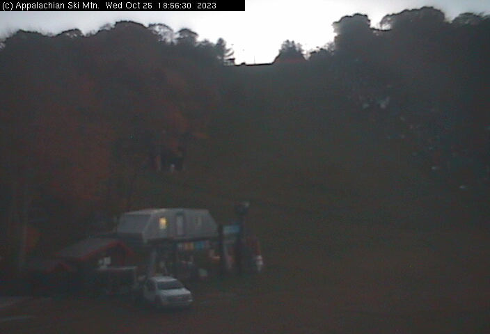
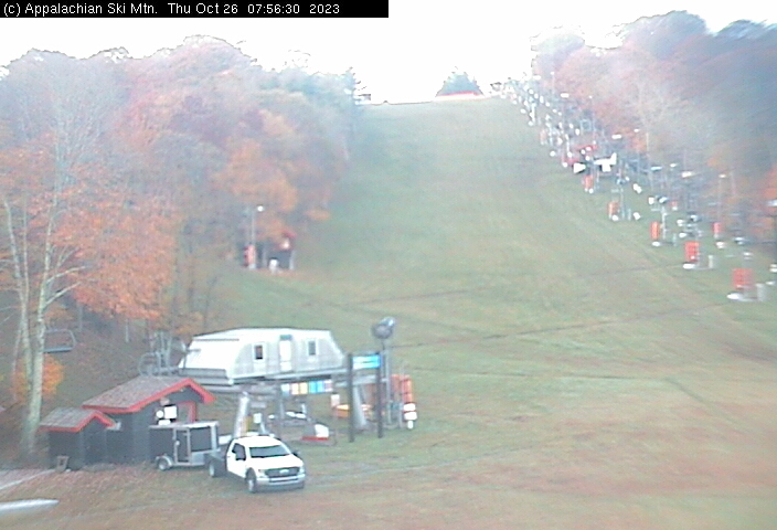
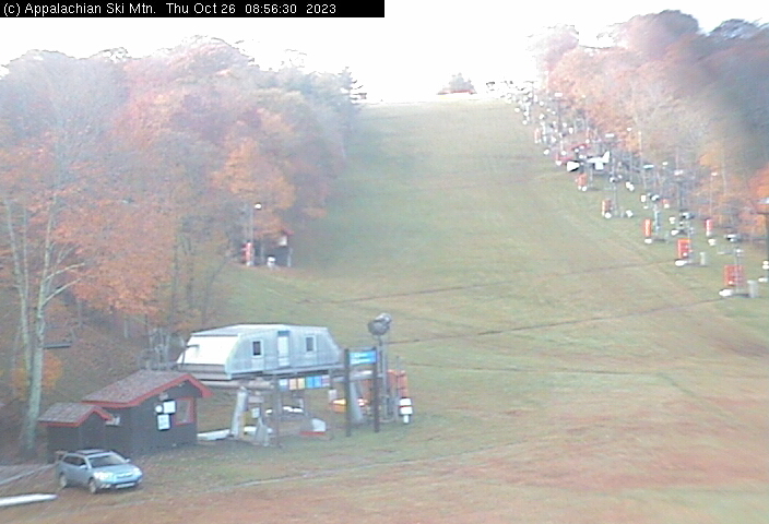
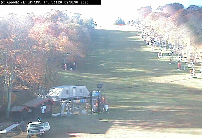
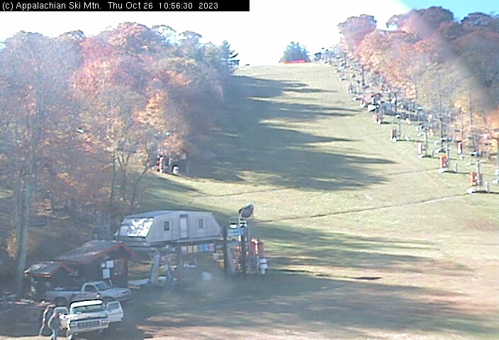
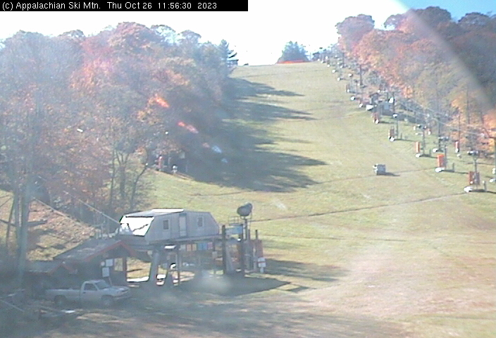
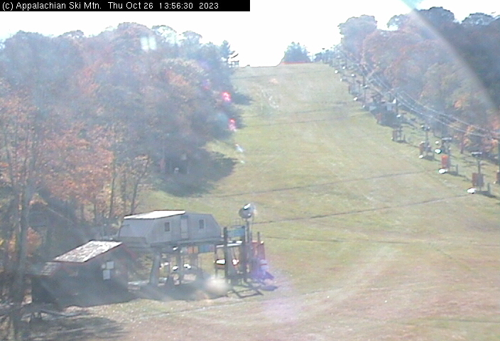
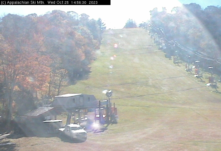
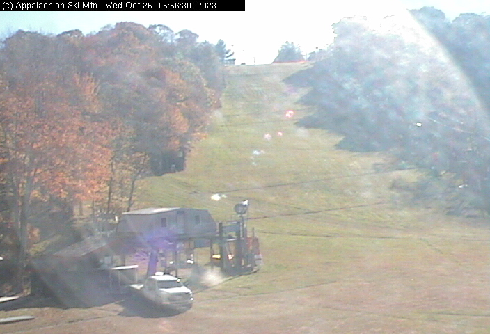
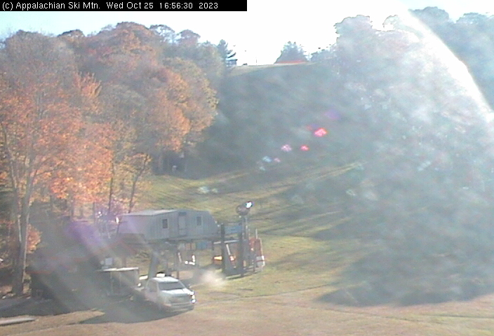
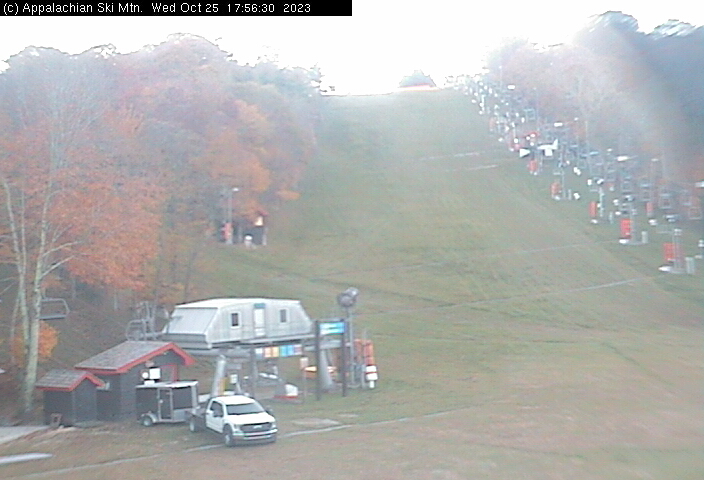
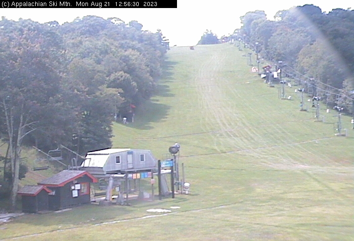
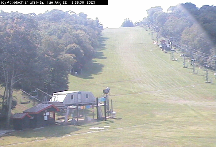
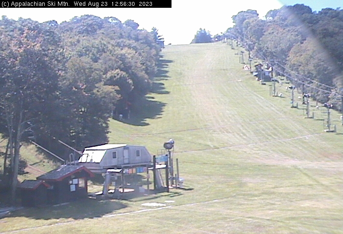
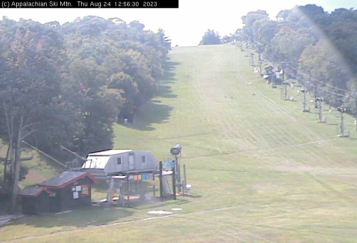
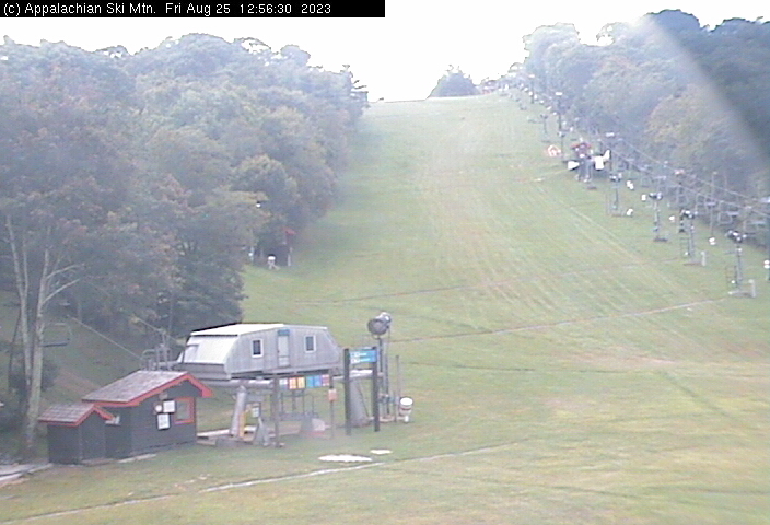
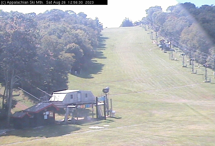
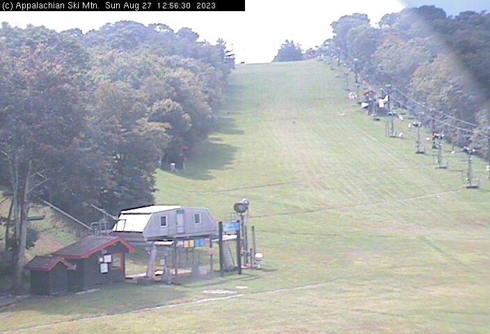
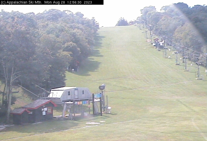
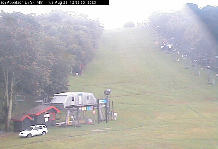
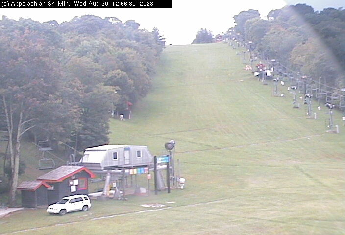
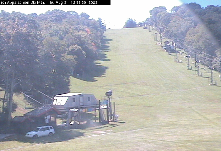
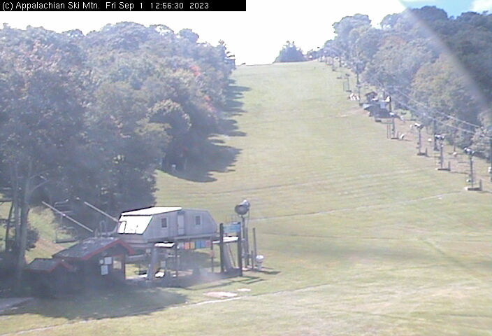
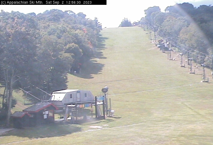
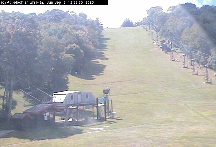
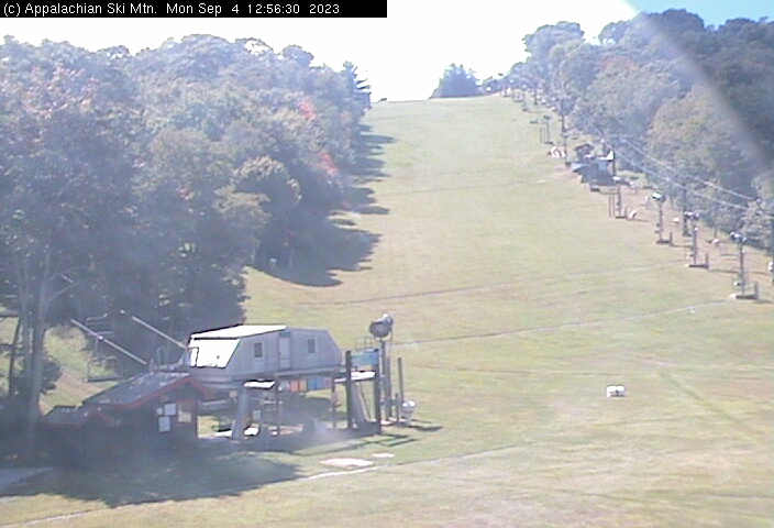
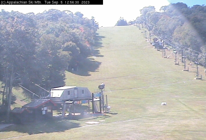
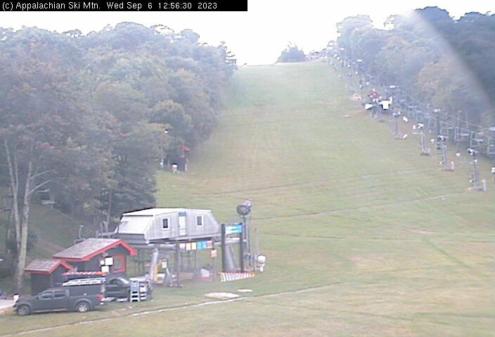
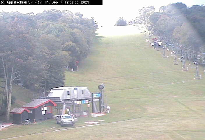
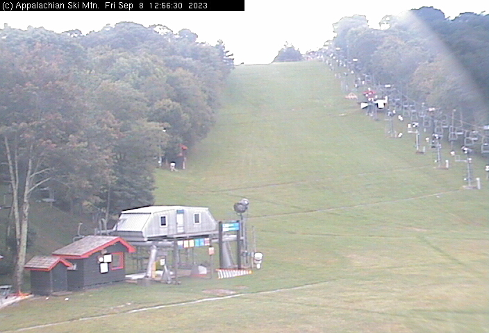
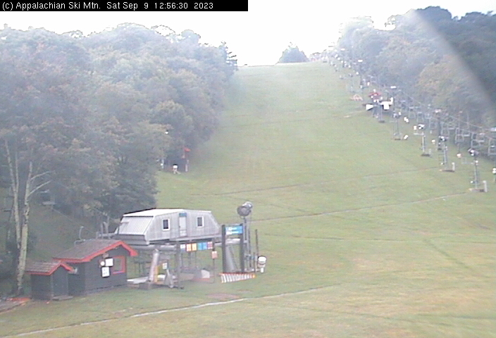
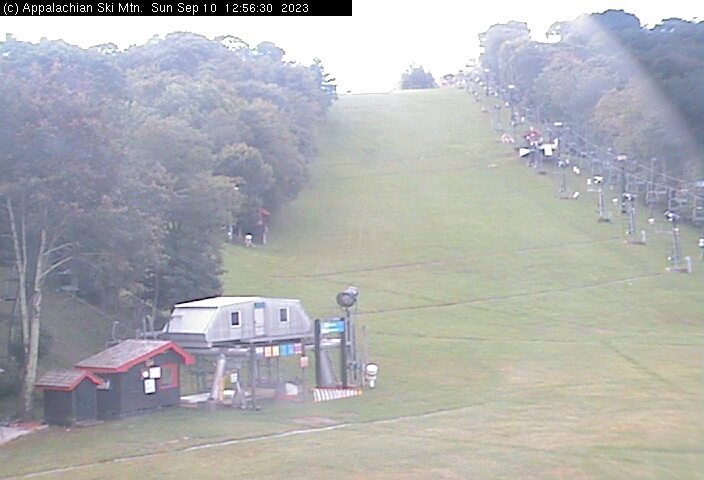
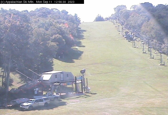
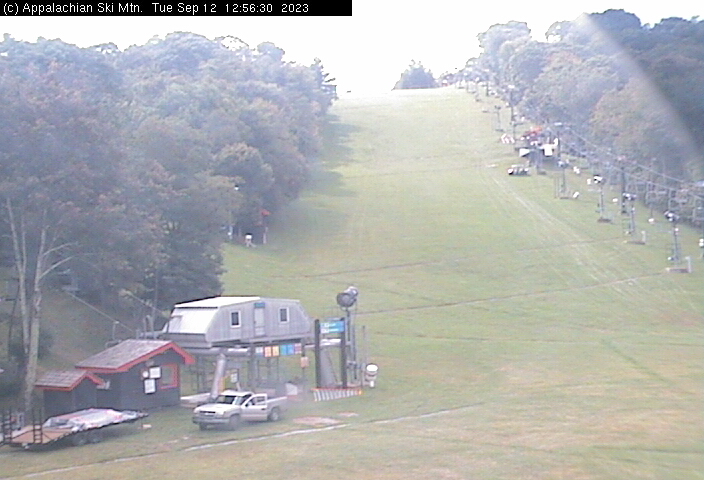
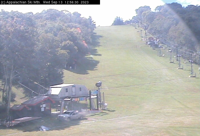
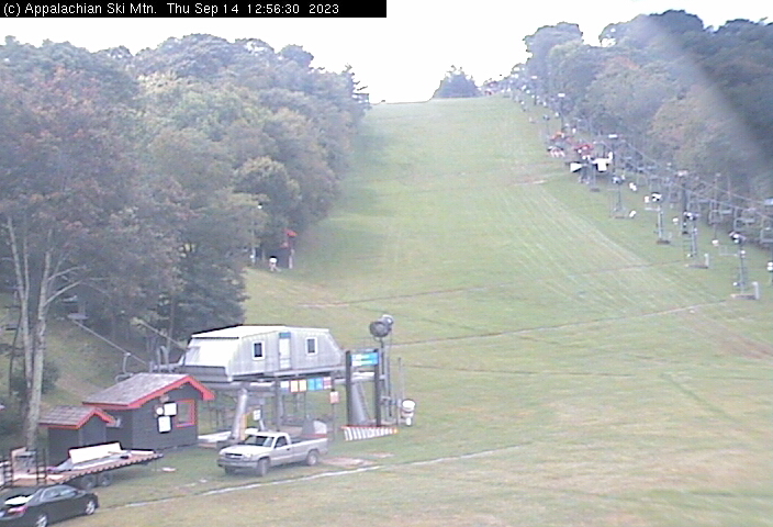
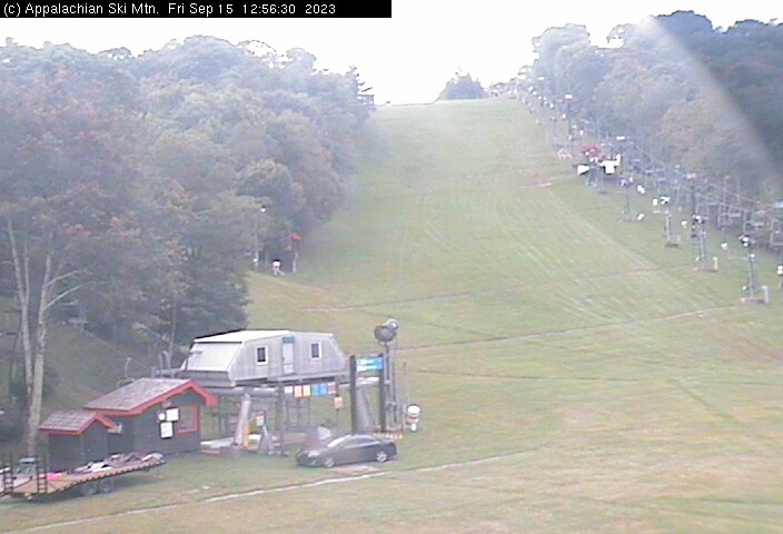
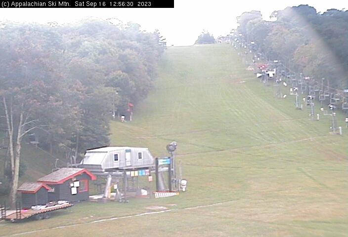
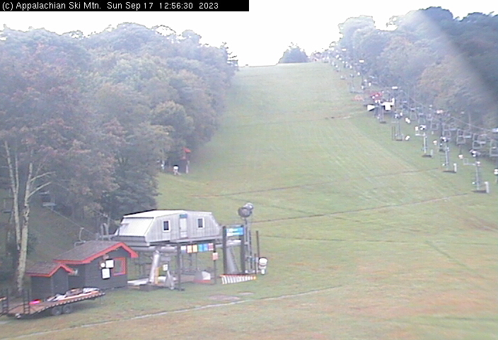
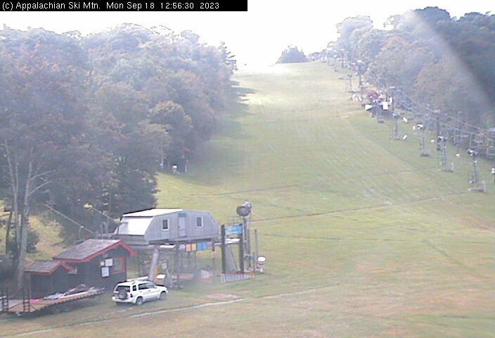
Blowing Rock, North Carolina, USA - 41.7 miles from Golden (historical): Appalachian Ski Mtn., Inc. - A webcam in Blowing Rock, North Carolina - camera location: Appalachian Ski Mtn., Inc..
Operator: Appalachian Ski Mtn.
Operator: Appalachian Ski Mtn.


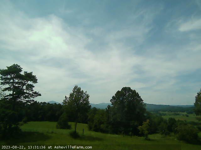
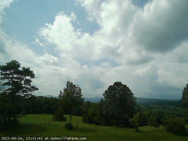
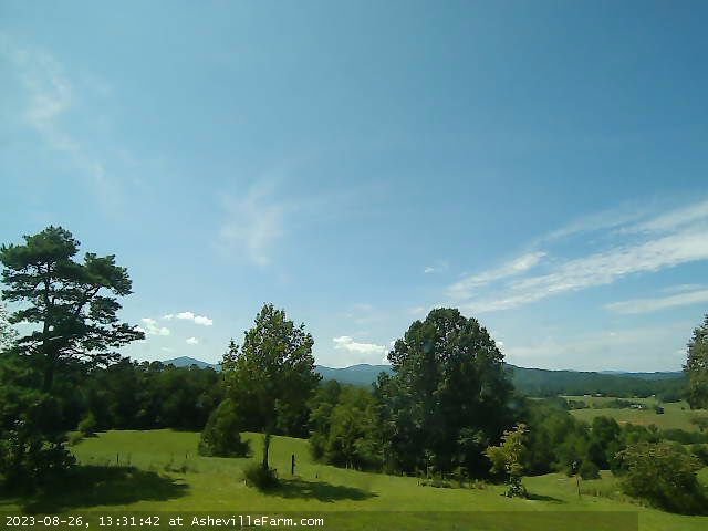
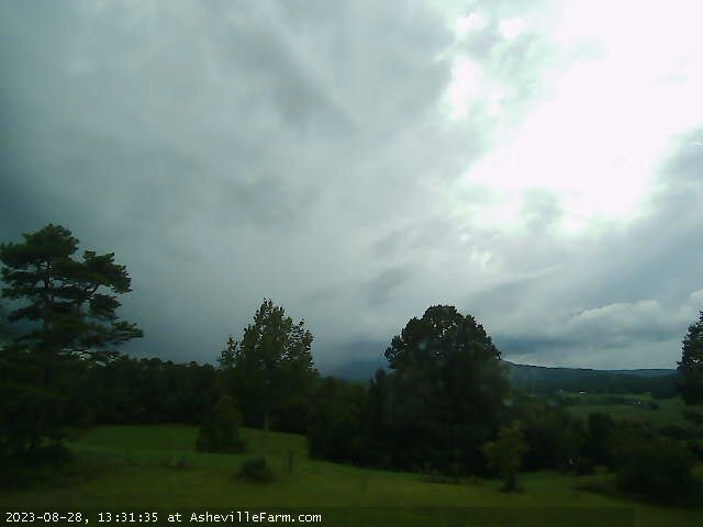
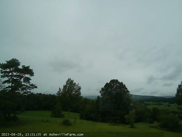
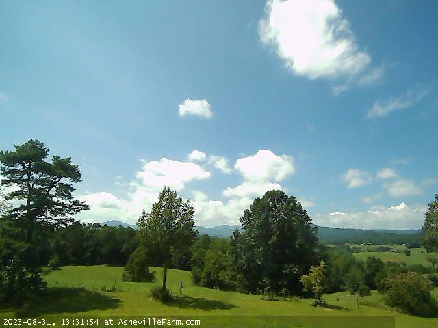
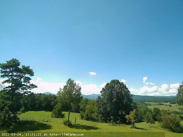
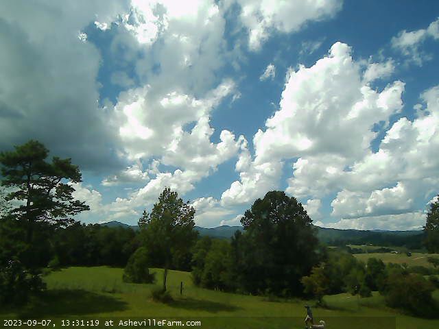
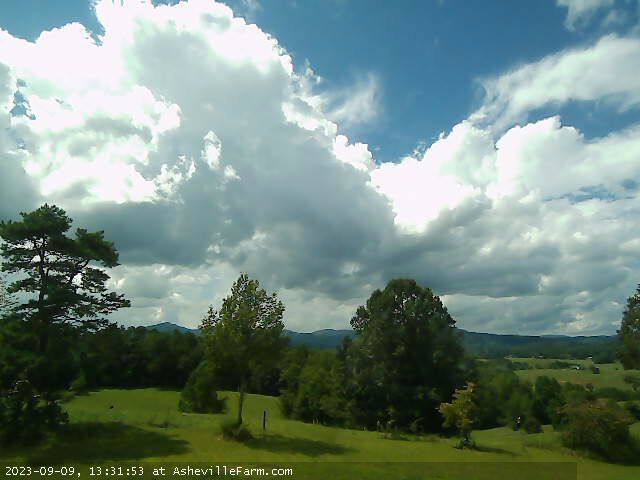
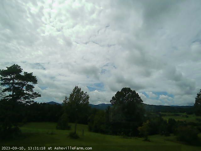
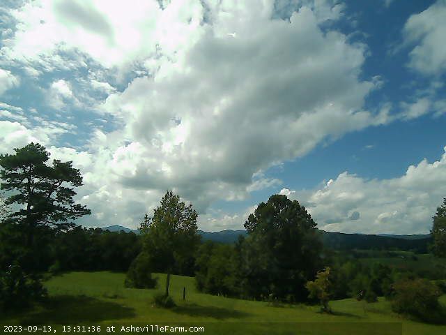
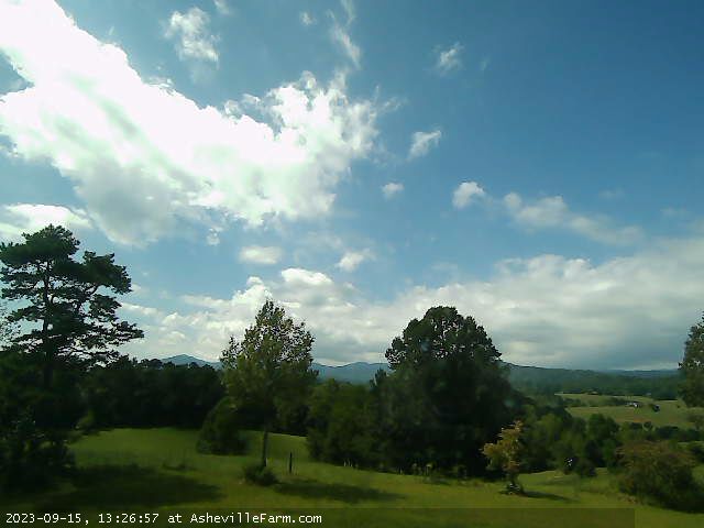
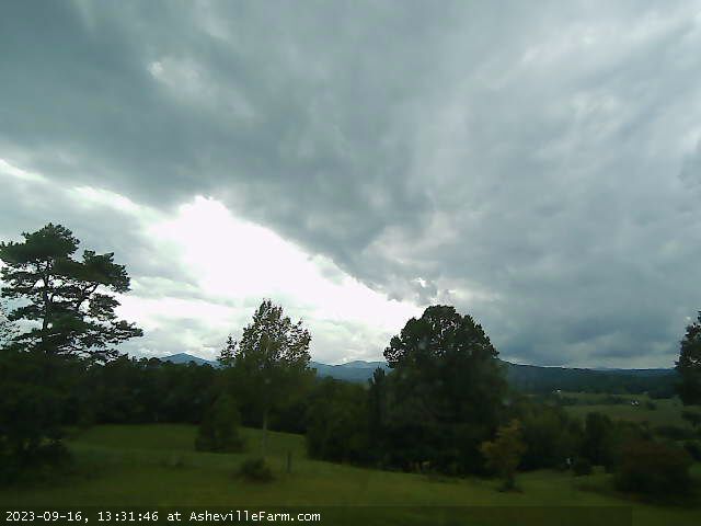
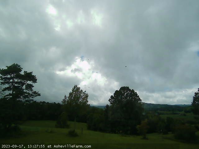
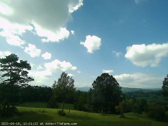
Asheville, North Carolina, USA - 42.5 miles from Golden (historical): View of NC Great Smokey Mountains from Asheville Farm - View of the Great Smokey Mountains just west of Asheville Farm in Asheville, NC.
Operator: Asheville Farm
Operator: Asheville Farm


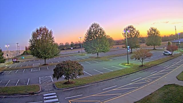
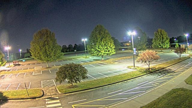
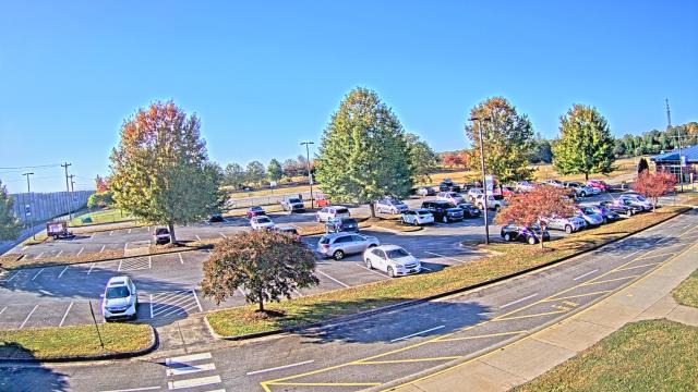
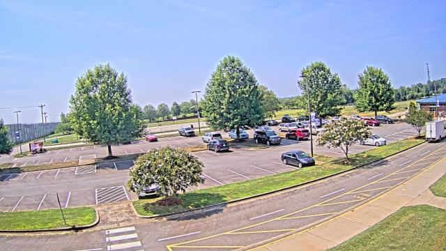
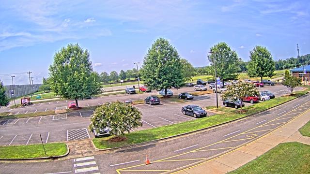
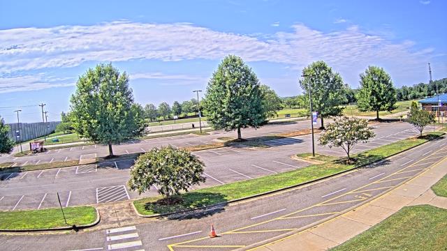
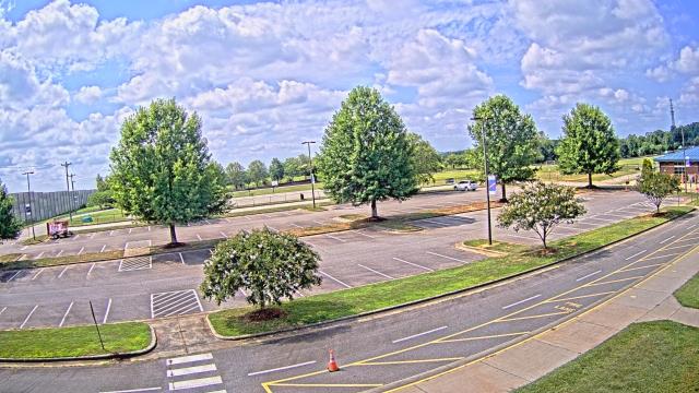
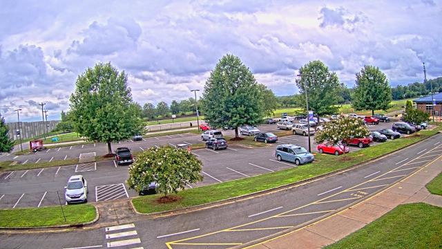
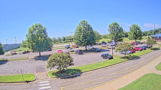
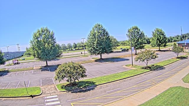
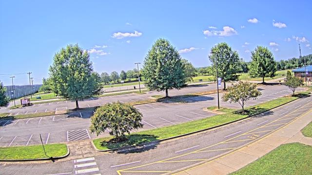
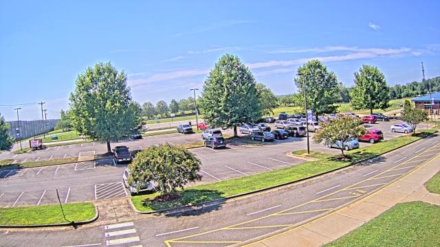
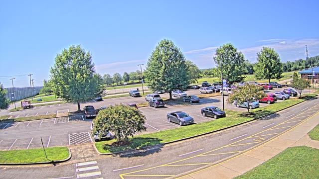
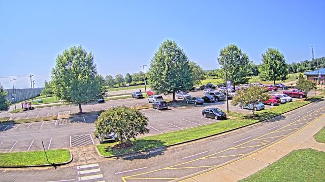
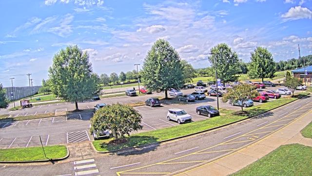
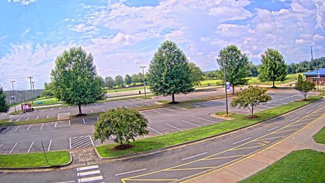
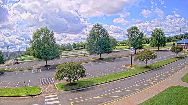
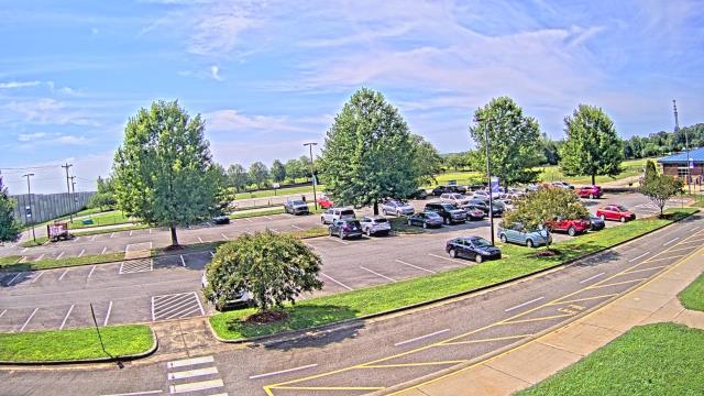
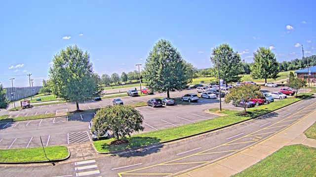
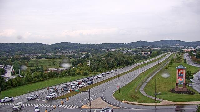
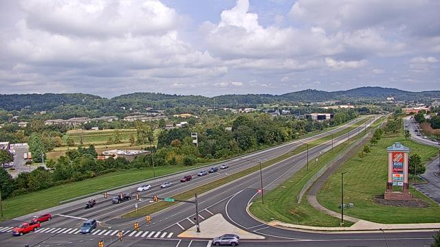
Statesville, North Carolina, USA - 54 miles from Golden (historical): Cloverleaf Elementary School - A webcam in Statesville, North Carolina - camera location: Cloverleaf Elementary School.
Operator: WeatherBug
Operator: WeatherBug


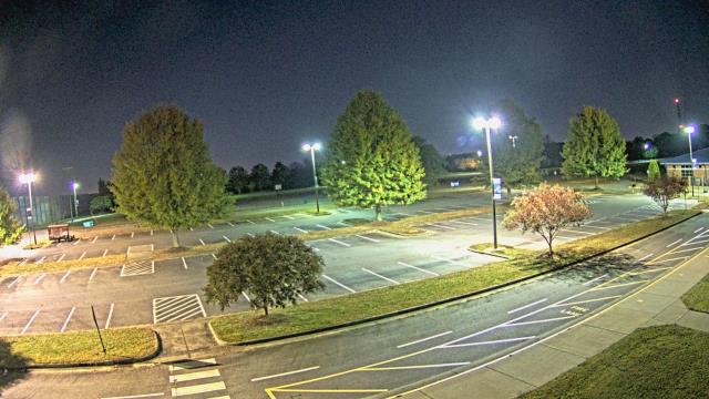

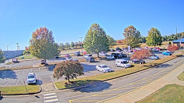

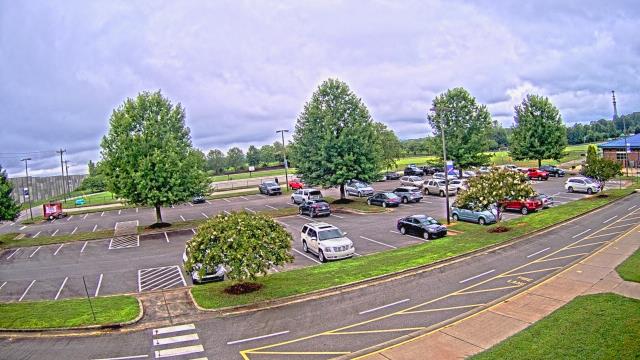

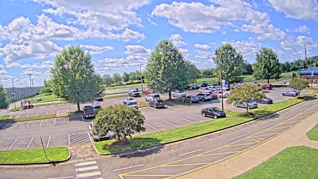
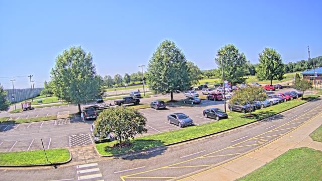

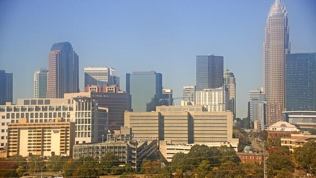
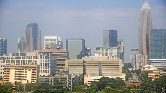
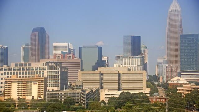
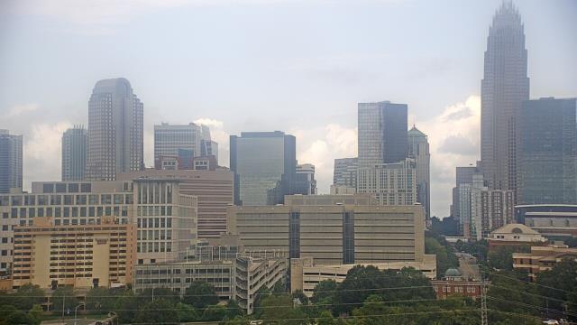
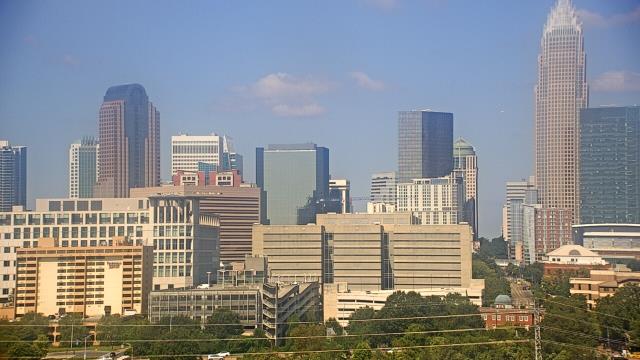
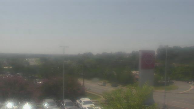
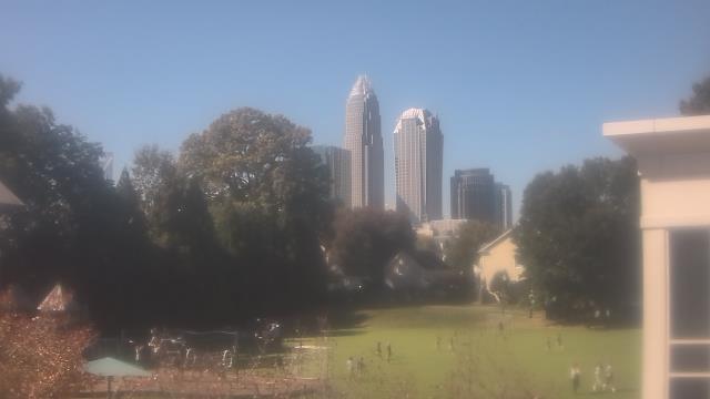
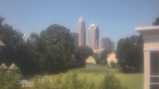
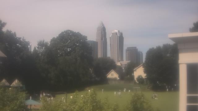
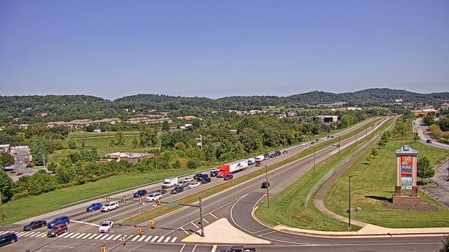
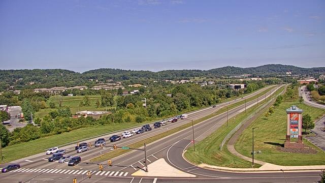
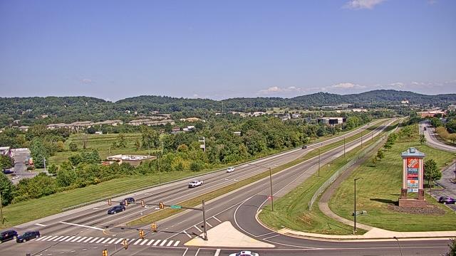
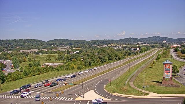
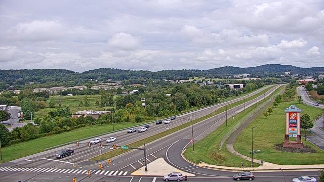
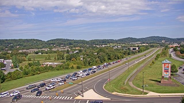
Charlotte, North Carolina, USA - 58.3 miles from Golden (historical): Central Piedmont Community College - A webcam in Charlotte, North Carolina - camera location: Central Piedmont Community College.
Operator: WeatherBug
Operator: WeatherBug


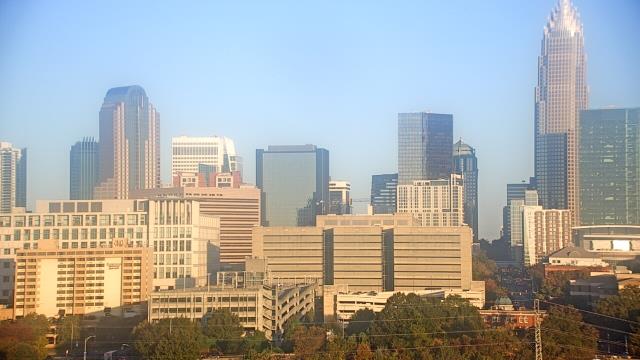
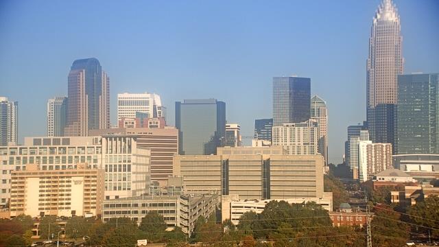
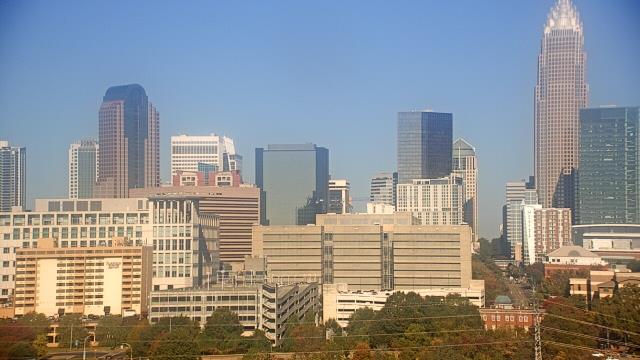

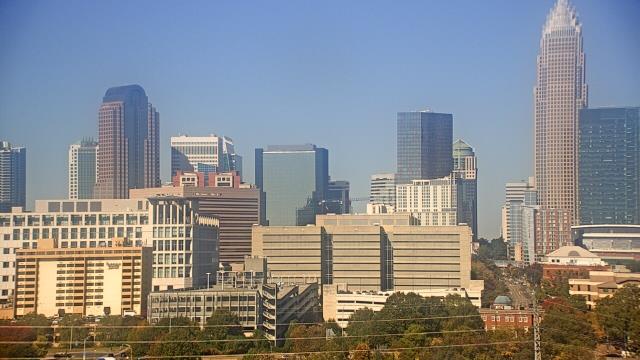
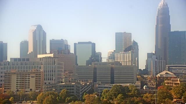
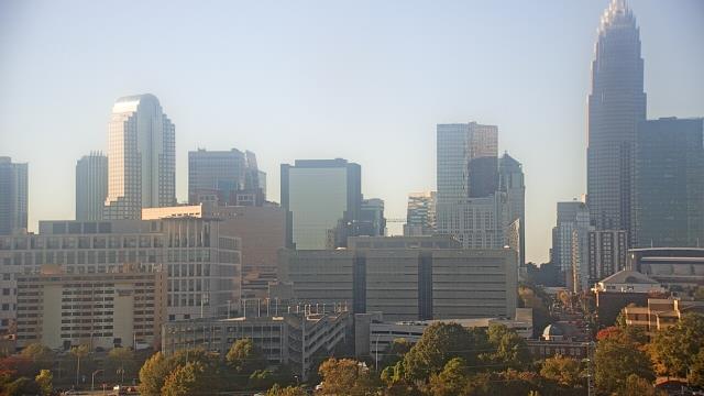

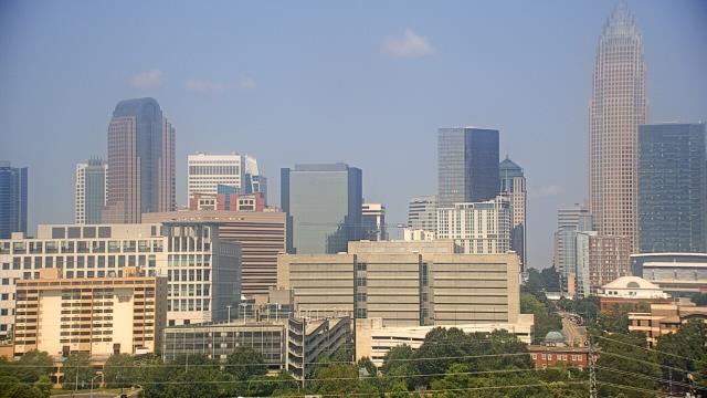
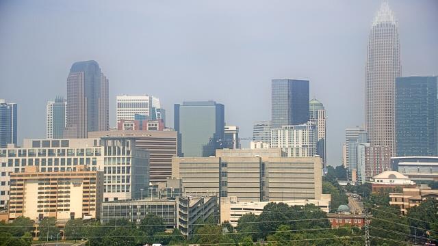
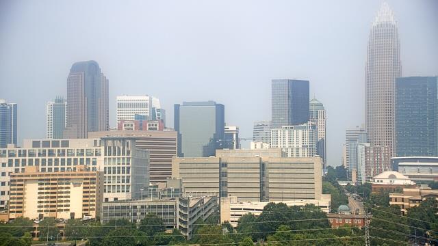
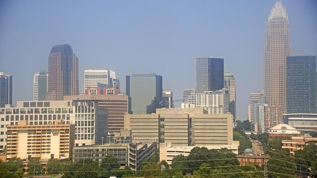
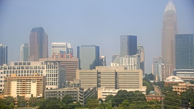
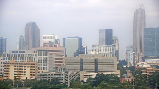

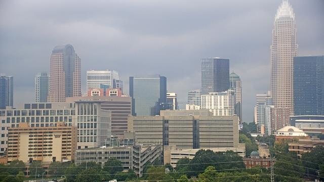
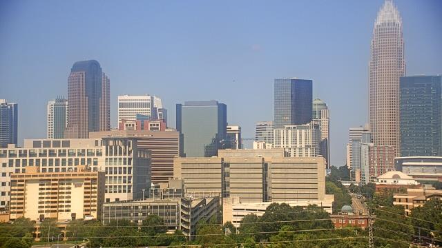
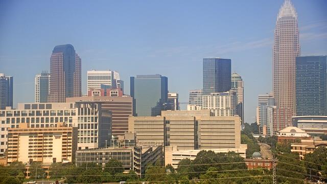
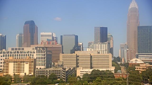
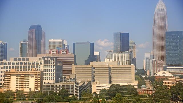

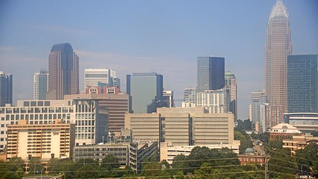

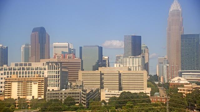
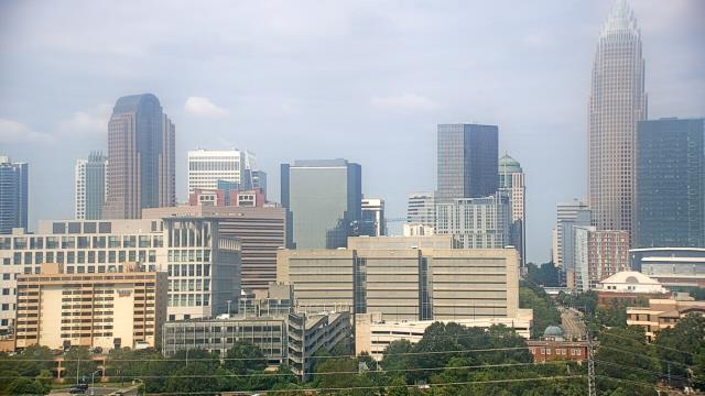
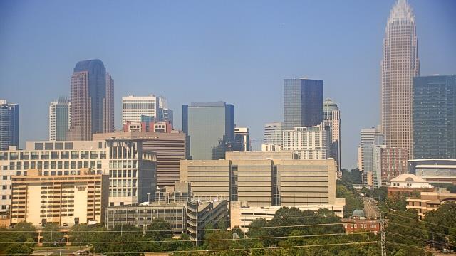
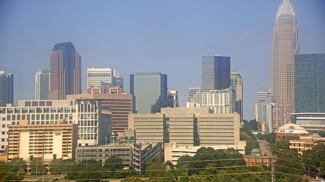
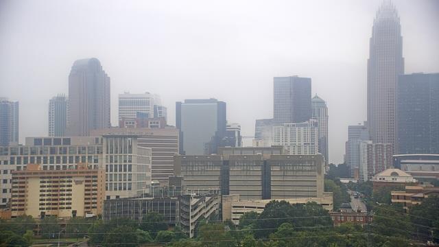

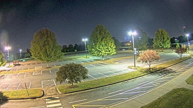
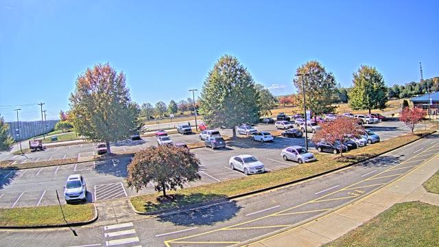
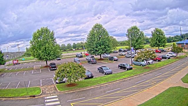
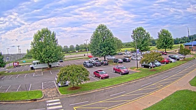
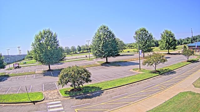
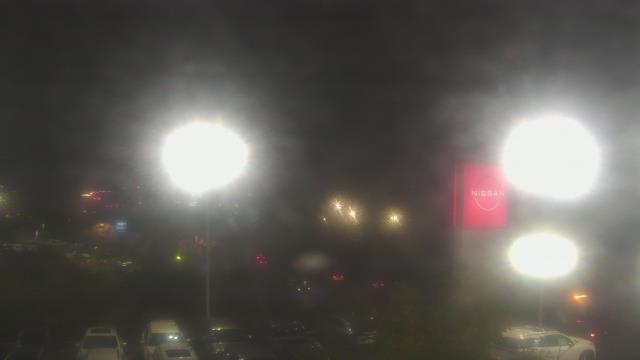
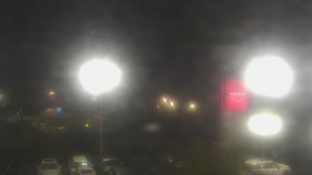
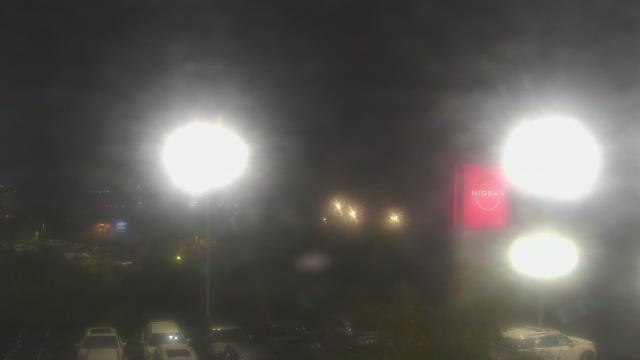
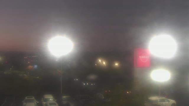
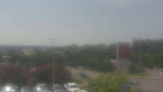
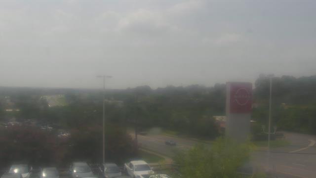
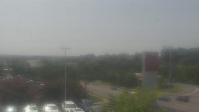
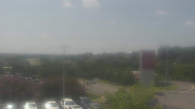
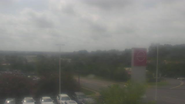
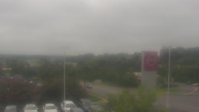
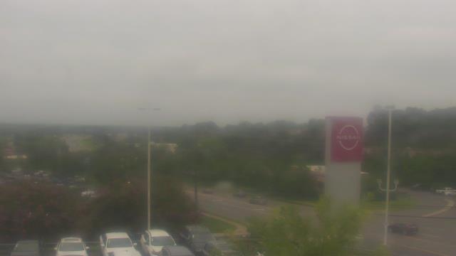
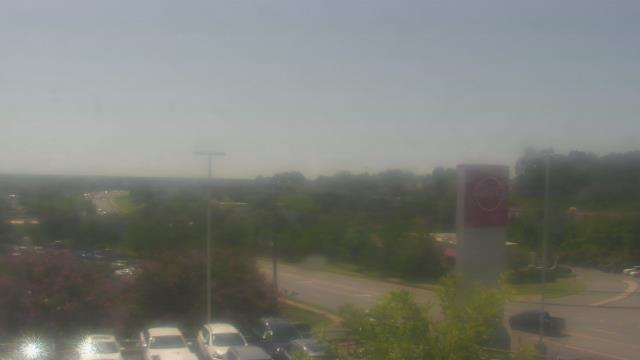
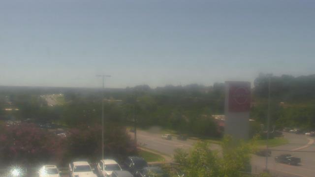
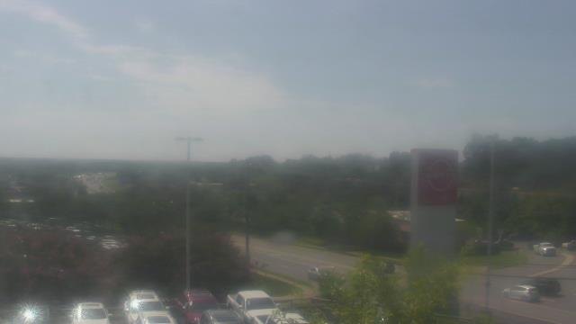
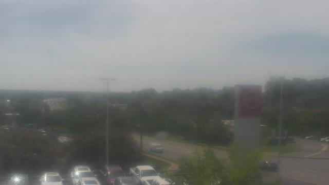
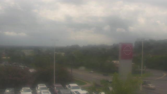
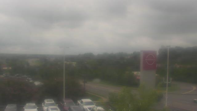
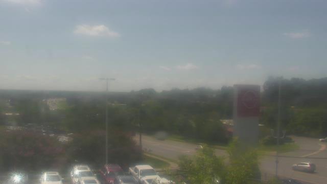
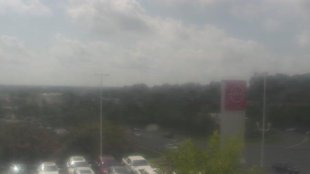
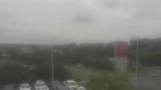
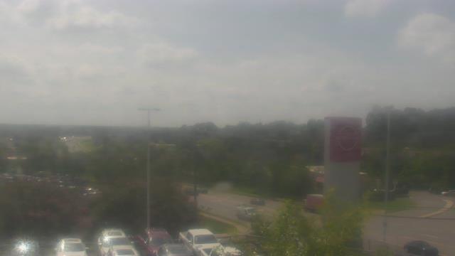
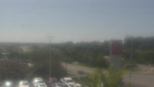
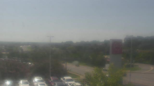
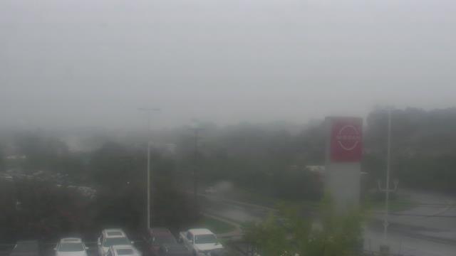
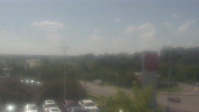
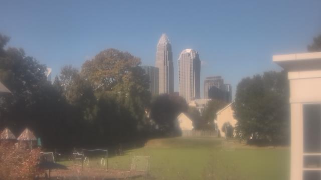
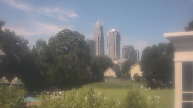
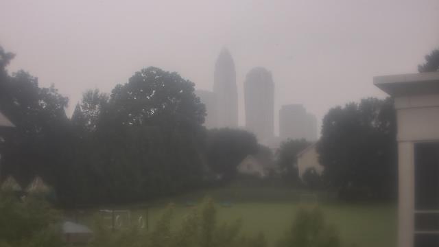
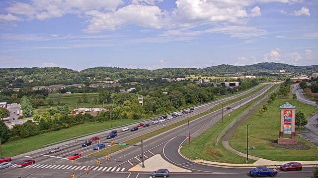
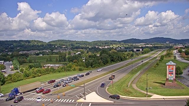
Charlotte, North Carolina, USA - 58.3 miles from Golden (historical): Scott Clarks Nissan - A webcam in Charlotte, North Carolina - camera location: Scott Clarks Nissan.
Operator: WeatherBug
Operator: WeatherBug


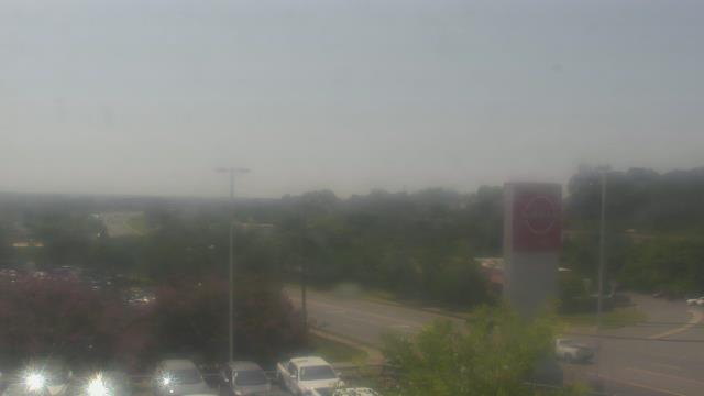


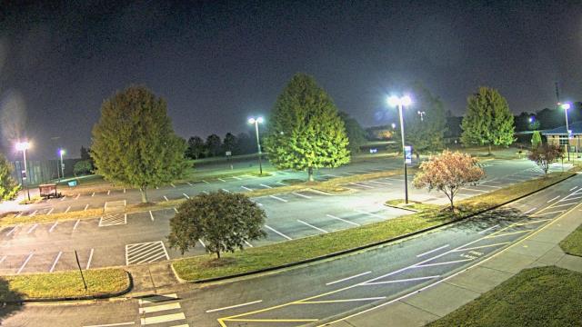
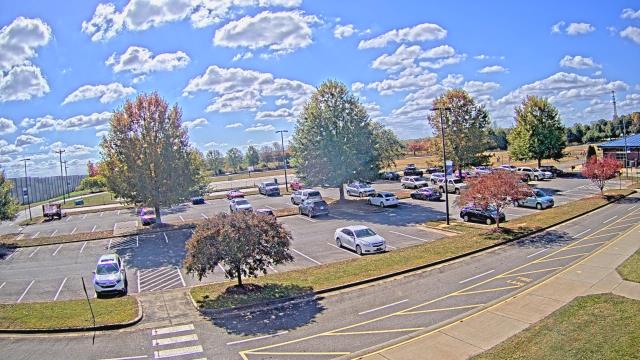
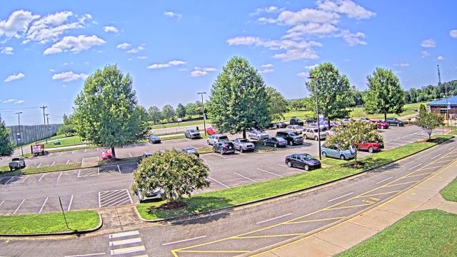
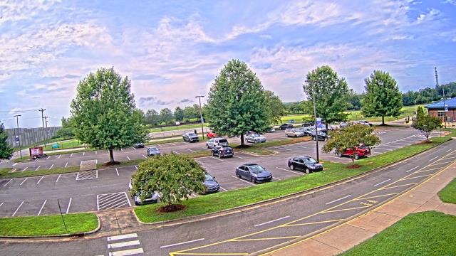
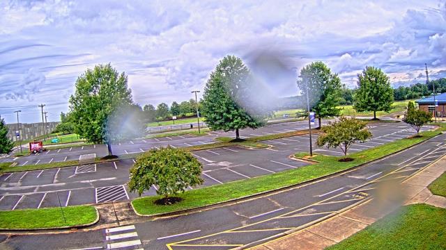
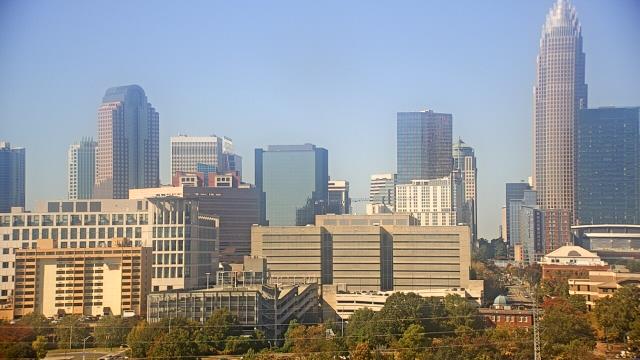
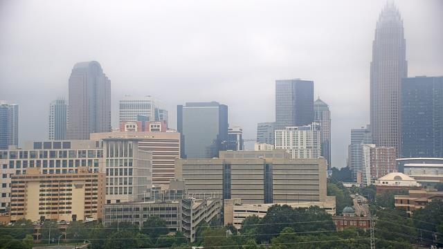
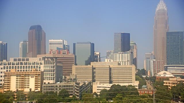
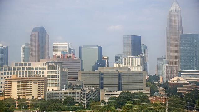
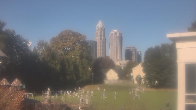
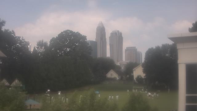
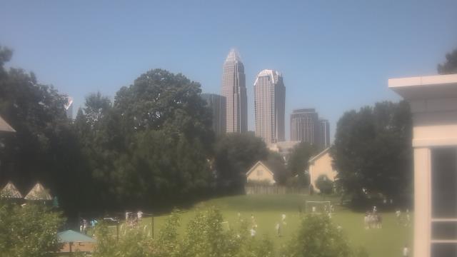
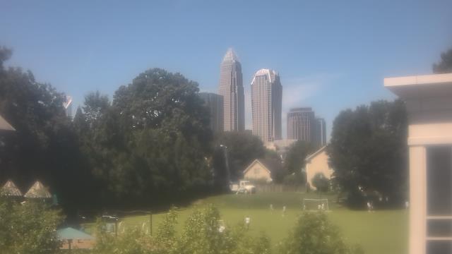
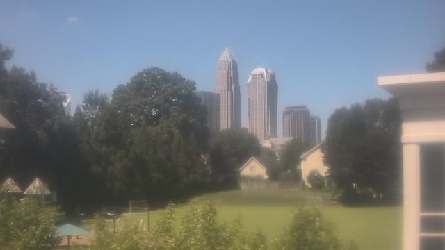
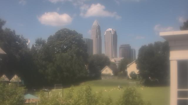
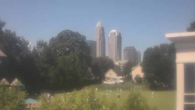
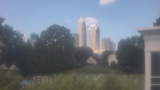
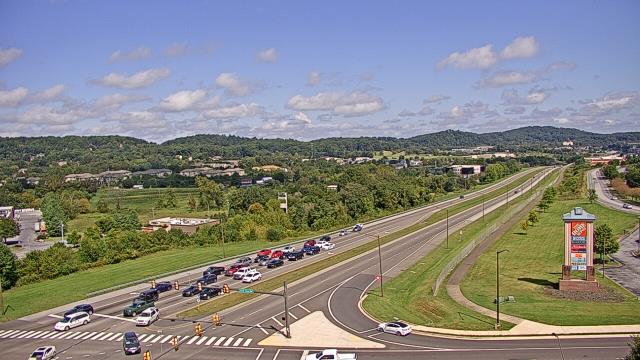
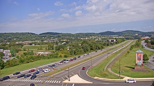
Charlotte, North Carolina, USA - 58.3 miles from Golden (historical): Trinity Episcopal School - Webcam and current weather data - camera location: Trinity Episcopal School.
Operator: WeatherBug
Operator: WeatherBug


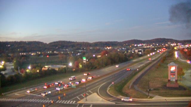
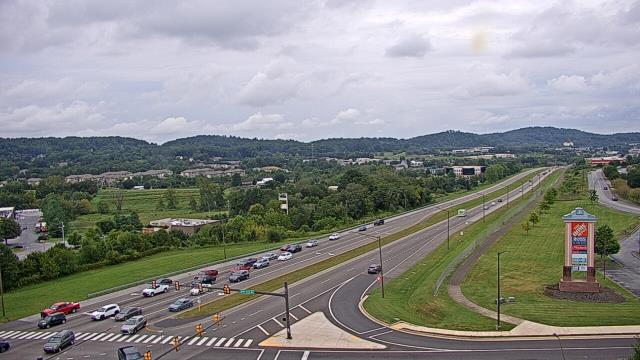
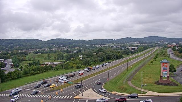
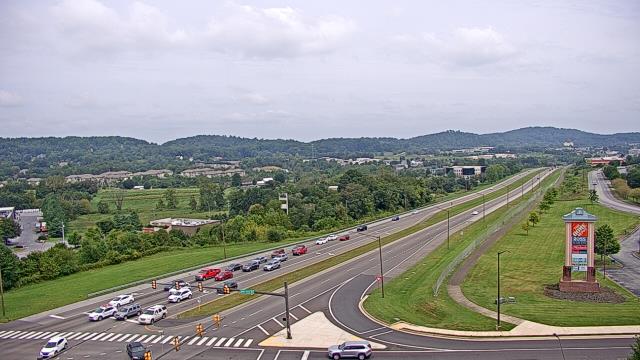
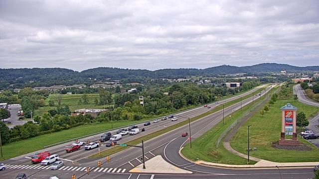
Johnson City, Tennessee, USA - 61.7 miles from Golden (historical): Bank of Tennessee - A webcam in Johnson City, Tennessee - camera location: Bank of Tennessee.
Operator: WeatherBug
Operator: WeatherBug


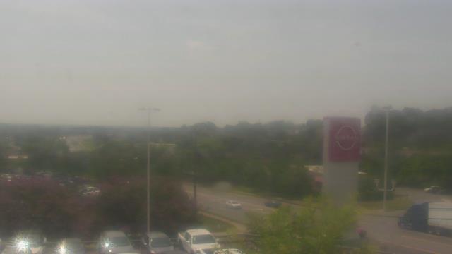
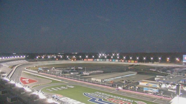
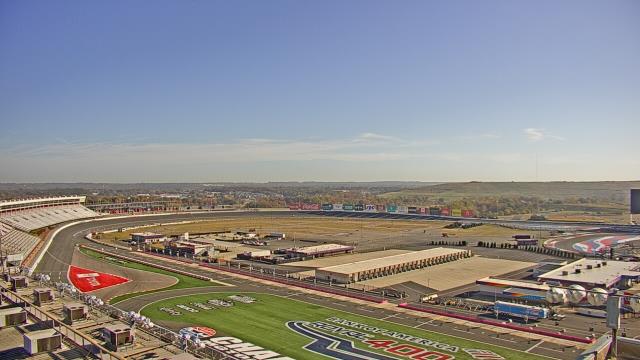
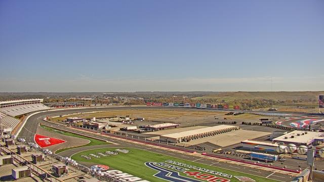
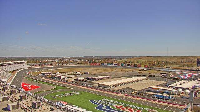
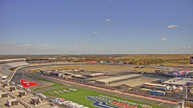
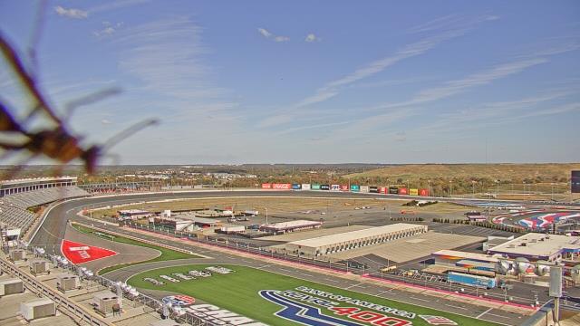
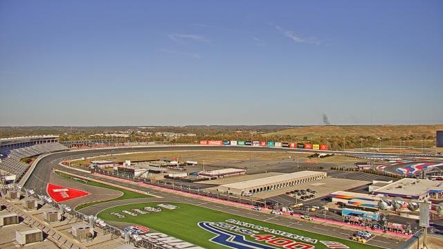
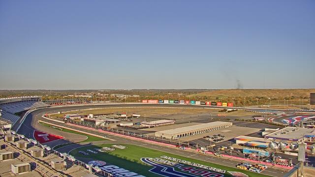
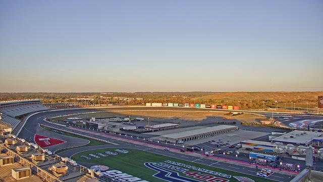
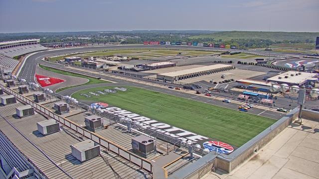
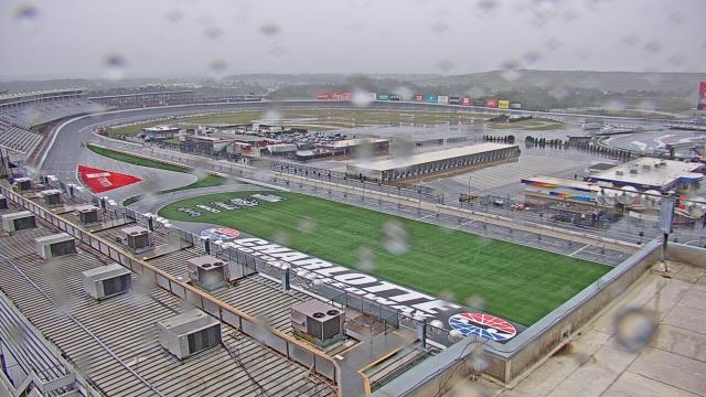
Concord, North Carolina, USA - 69.3 miles from Golden (historical): Charlotte Motor Speedway - A webcam in Concord, North Carolina - camera location: Charlotte Motor Speedway.
Operator: WeatherBug
Operator: WeatherBug


Some other places in this country: Deerfield - Esmeralda (historical) - Fairfield Mountains - Gage (historical) - Golf Estates - Harmon (historical) - Jeter (historical) - Lake Lure Mountain Estates - Mount Pisgah (historical) - Nanito (historical)