Webcams in the region of Bowling Heights, North Carolina, USA
The List of Webcams near Bowling Heights, North Carolina, USA:

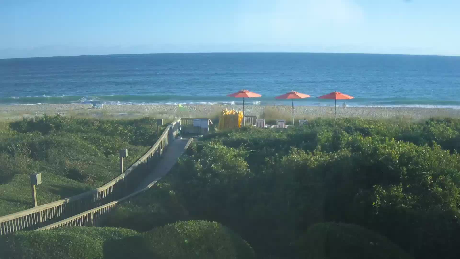
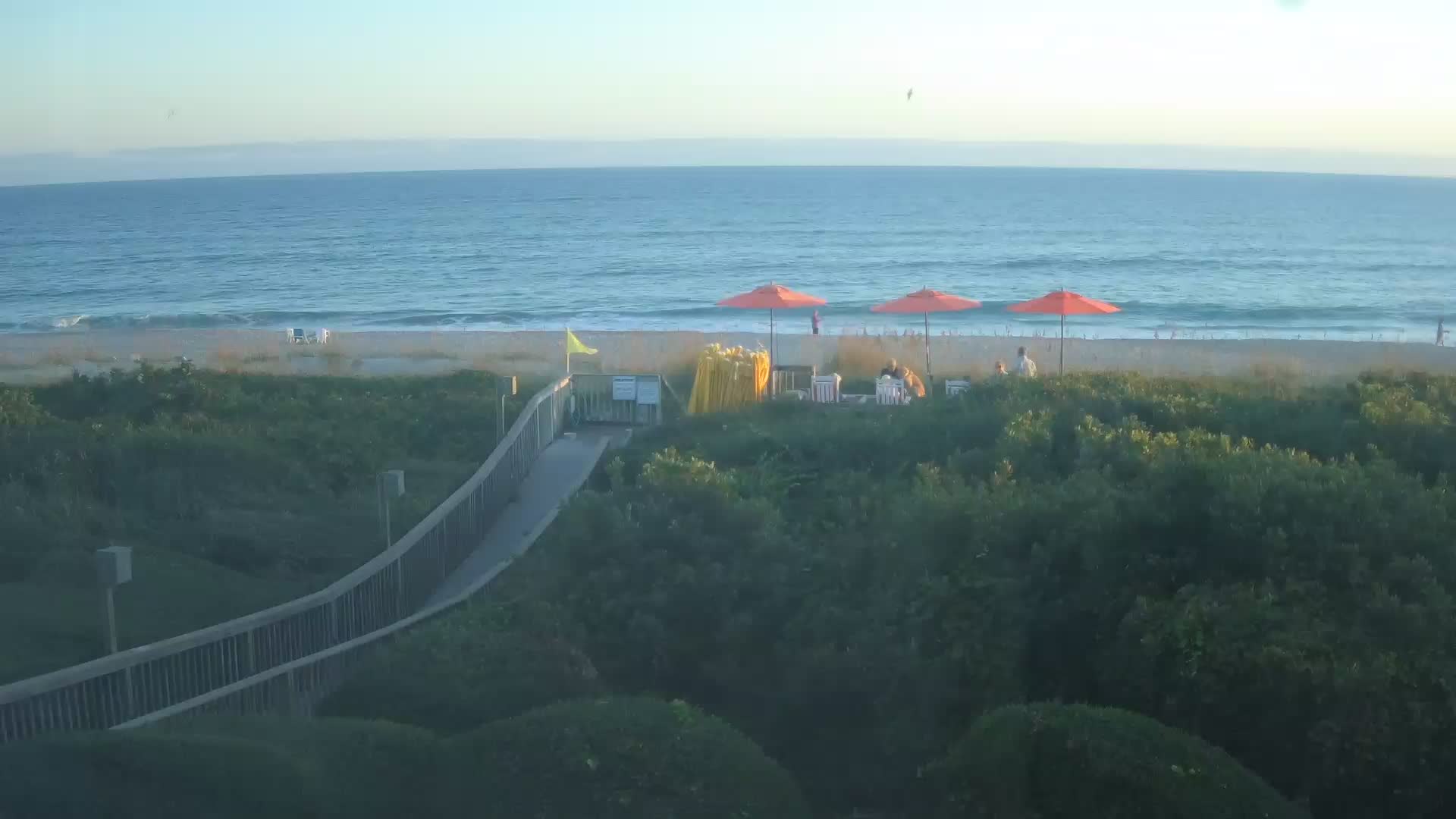
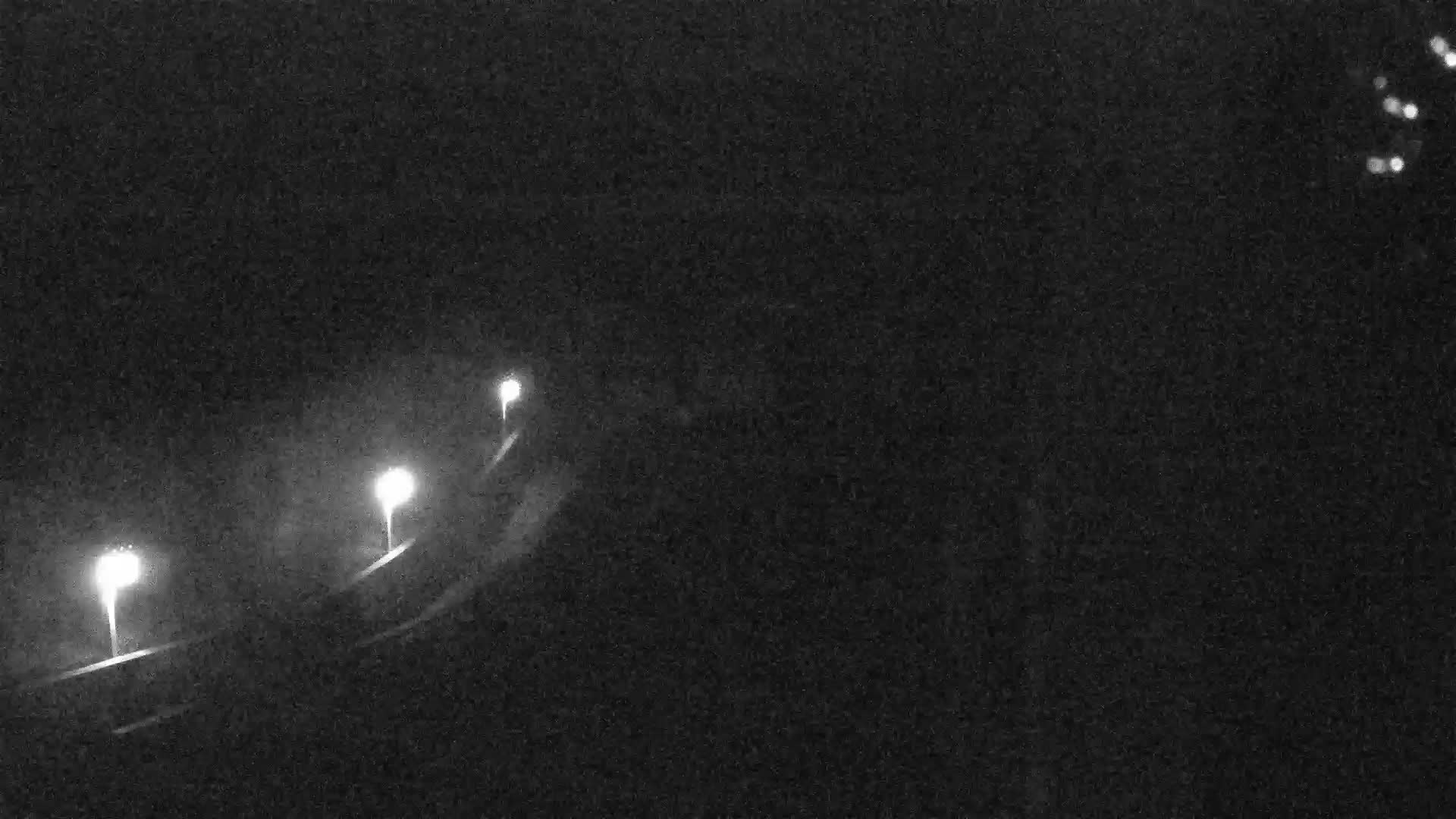
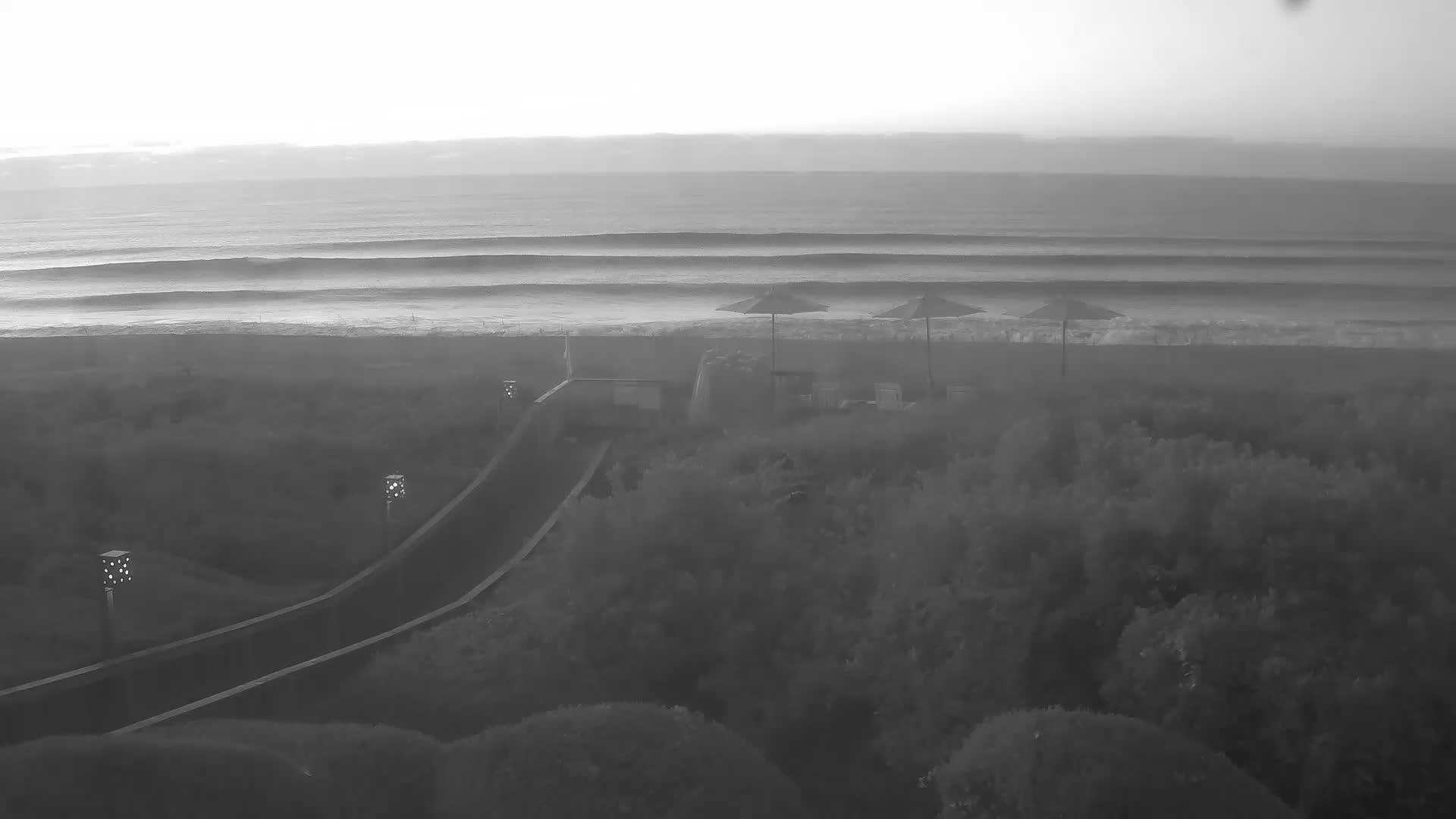
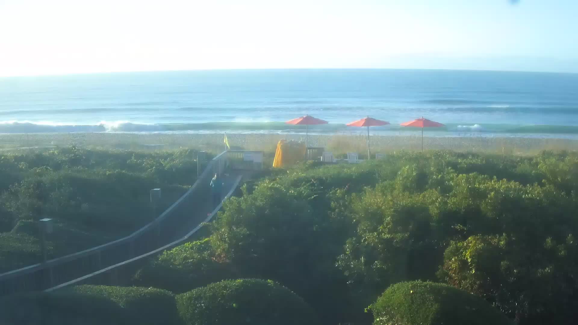
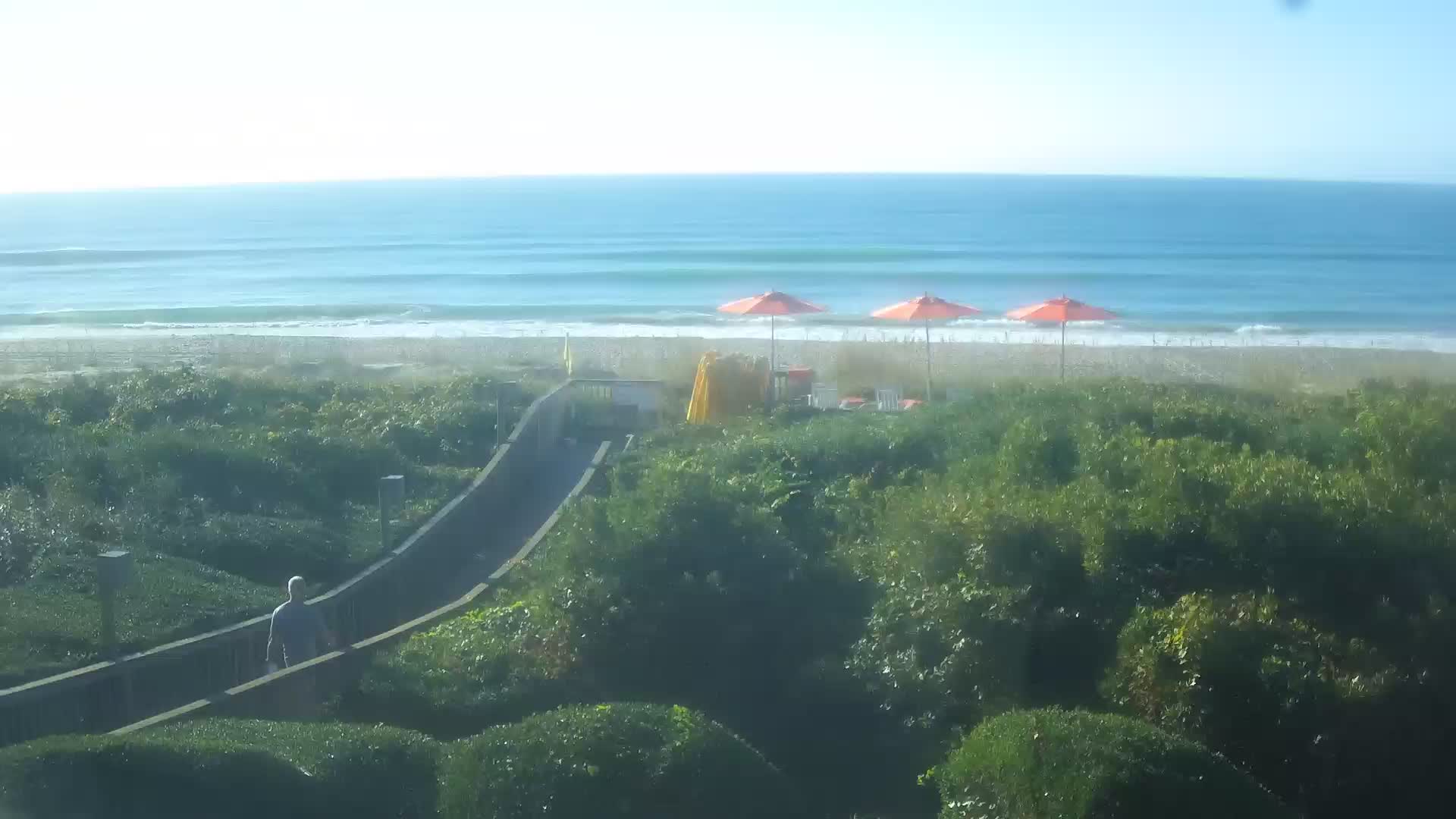
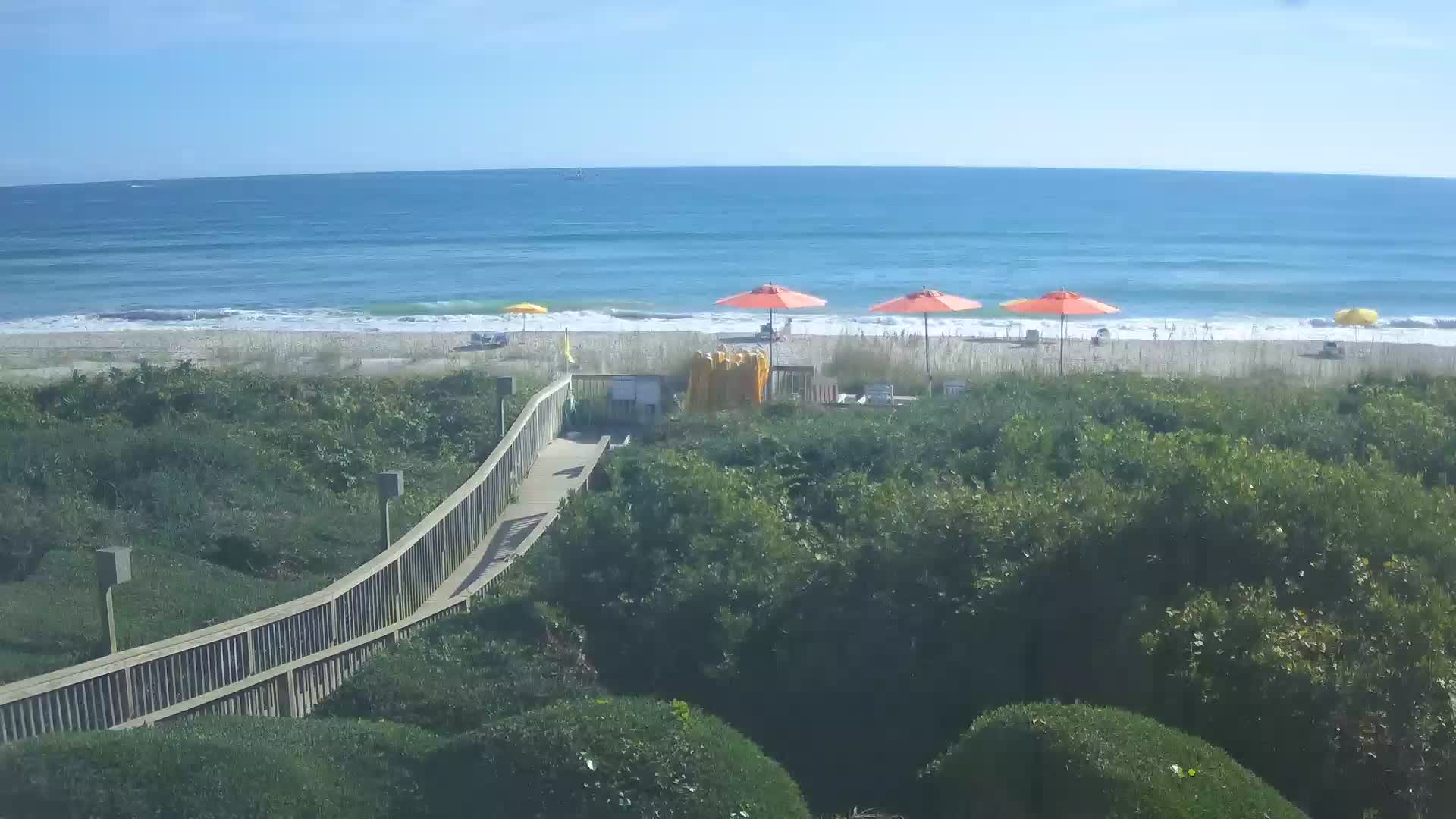
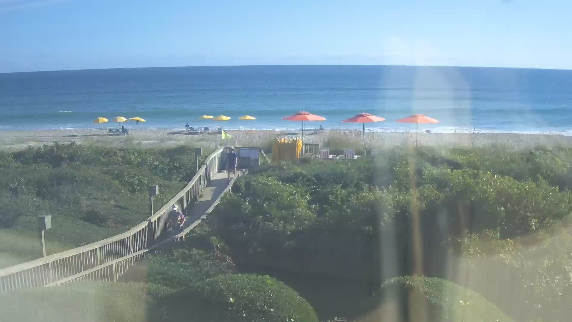
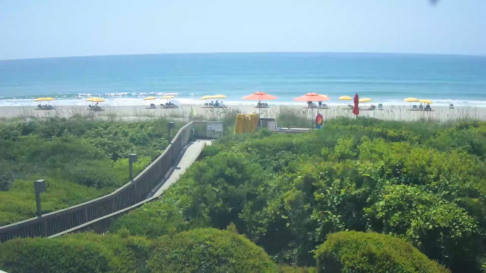
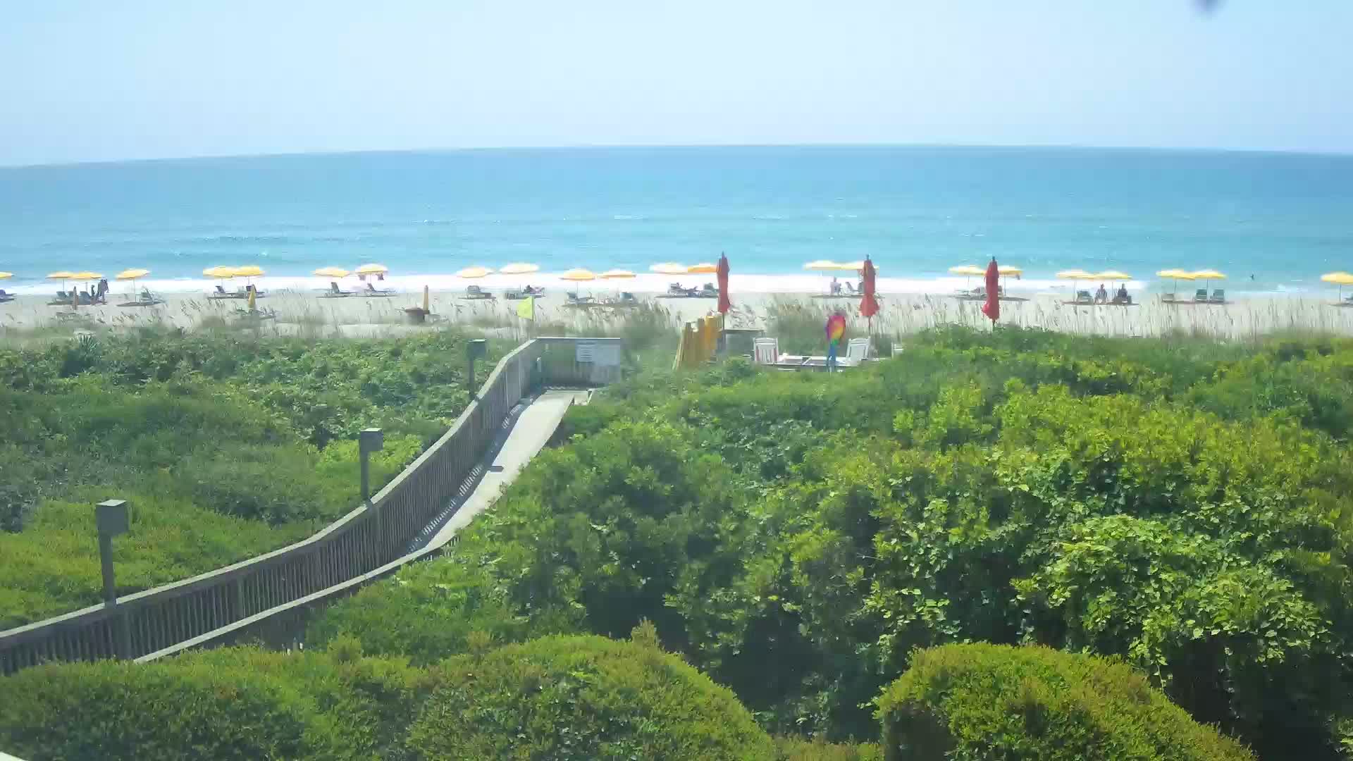
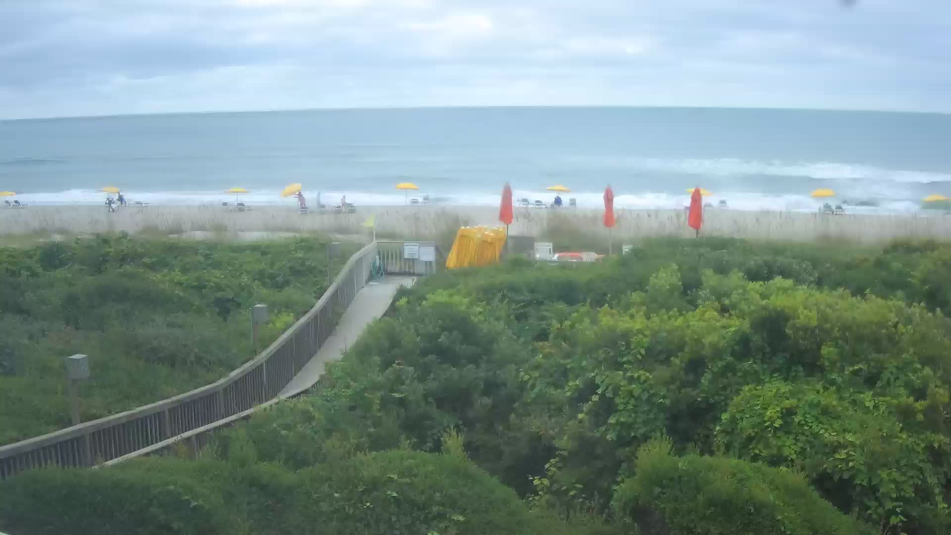
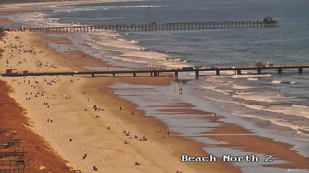
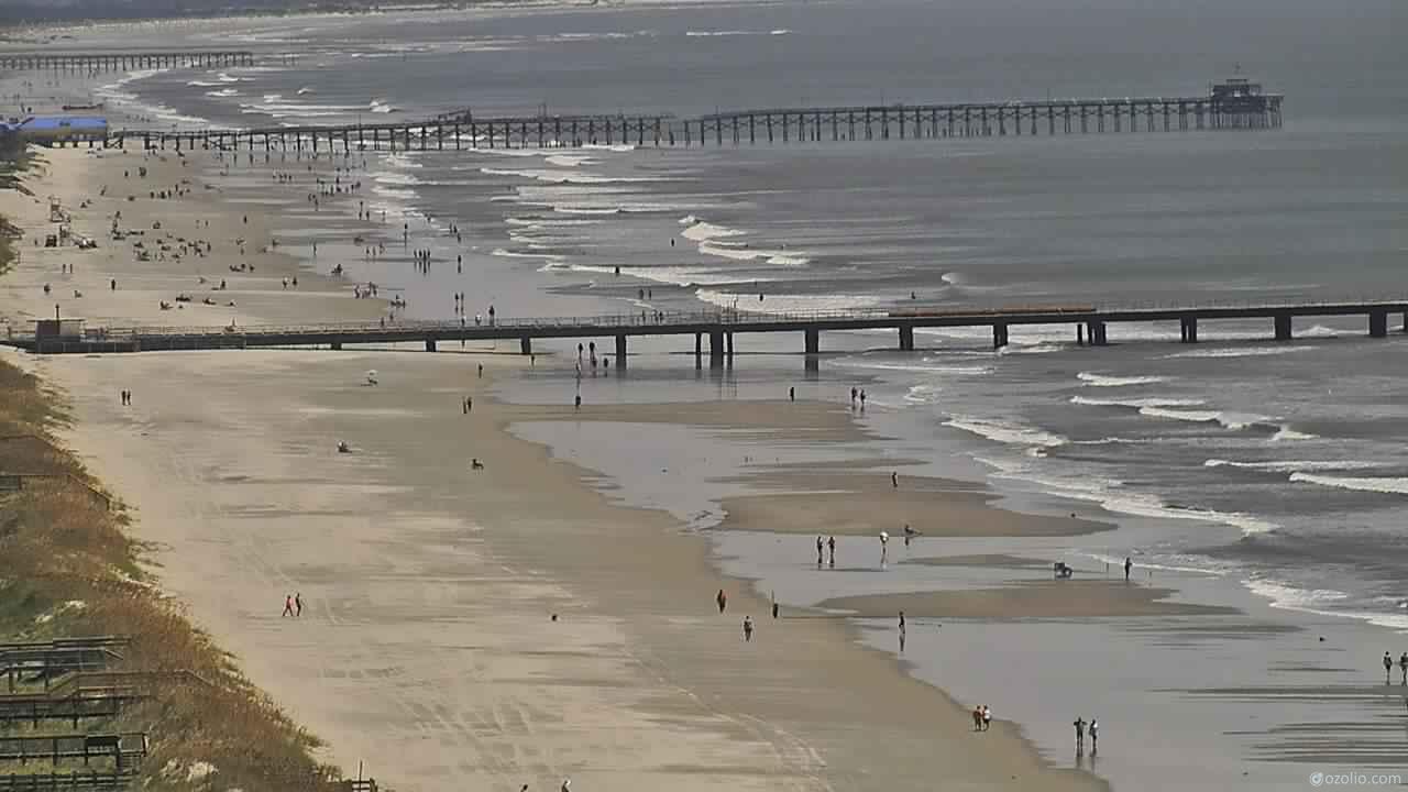
Pine Knoll Shores, North Carolina, USA - 28.1 miles from Bowling Heights: Beachcam - A view from the Atlantis Lodge over the beack of Pine Knoll Shores near Atlantic Beach, NC.
Operator: Atlantis Lodge
Operator: Atlantis Lodge


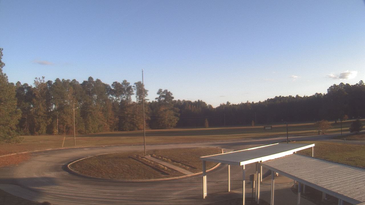
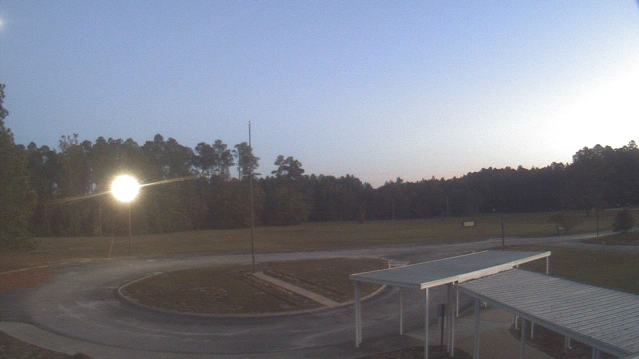
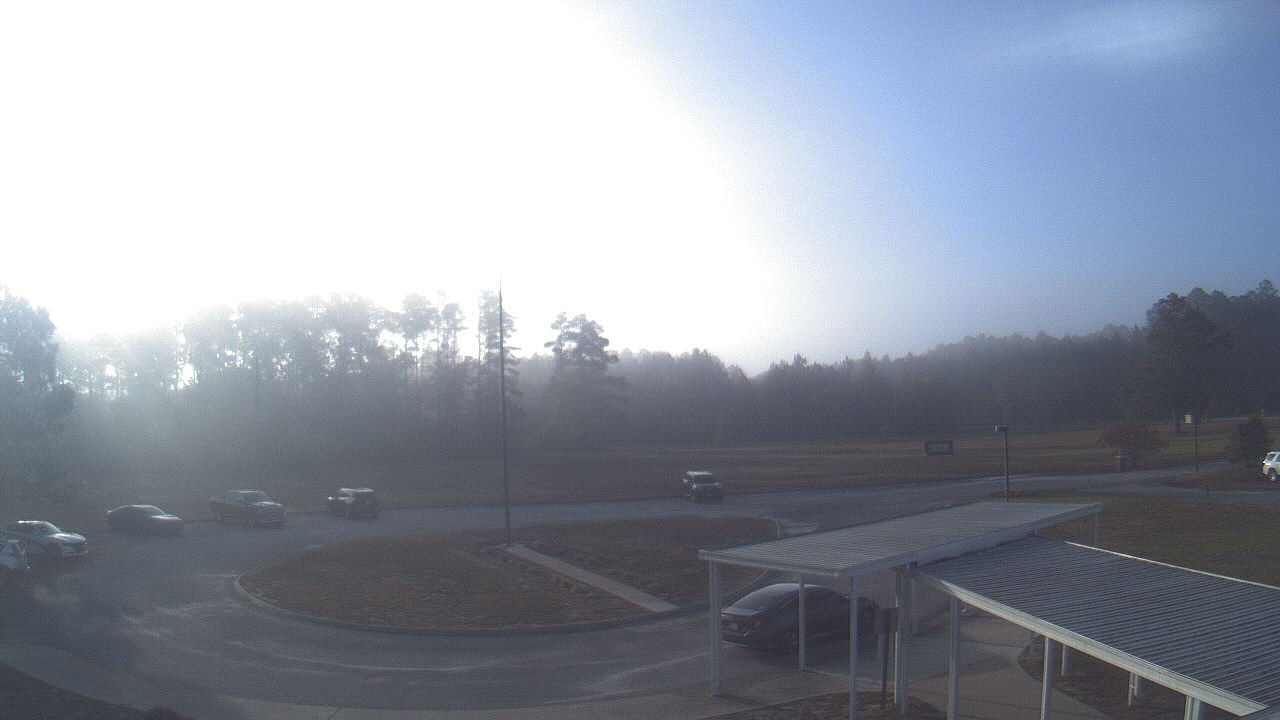
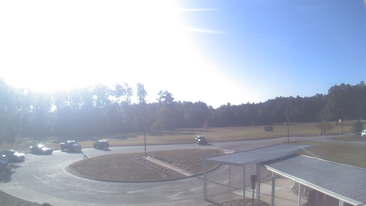
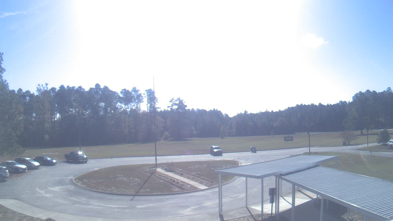
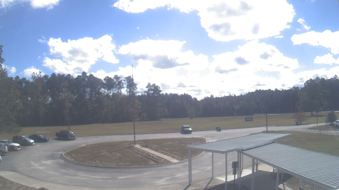
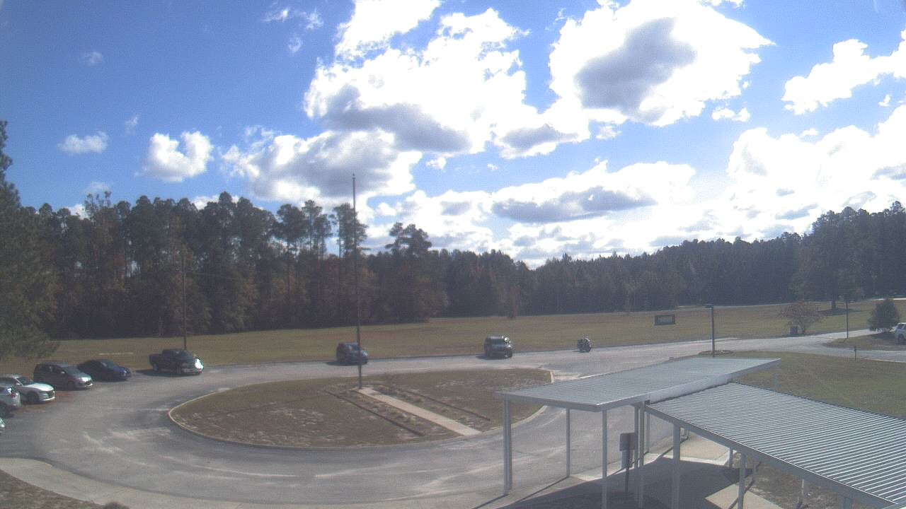
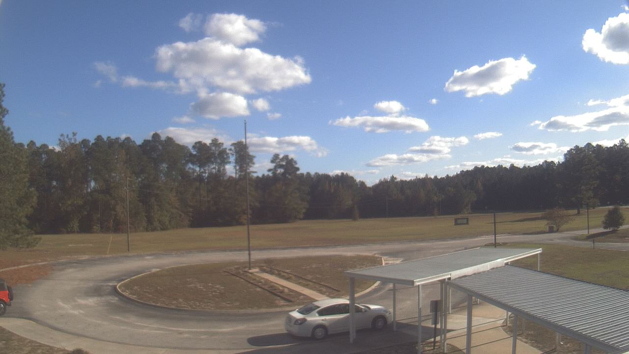
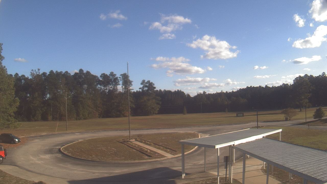
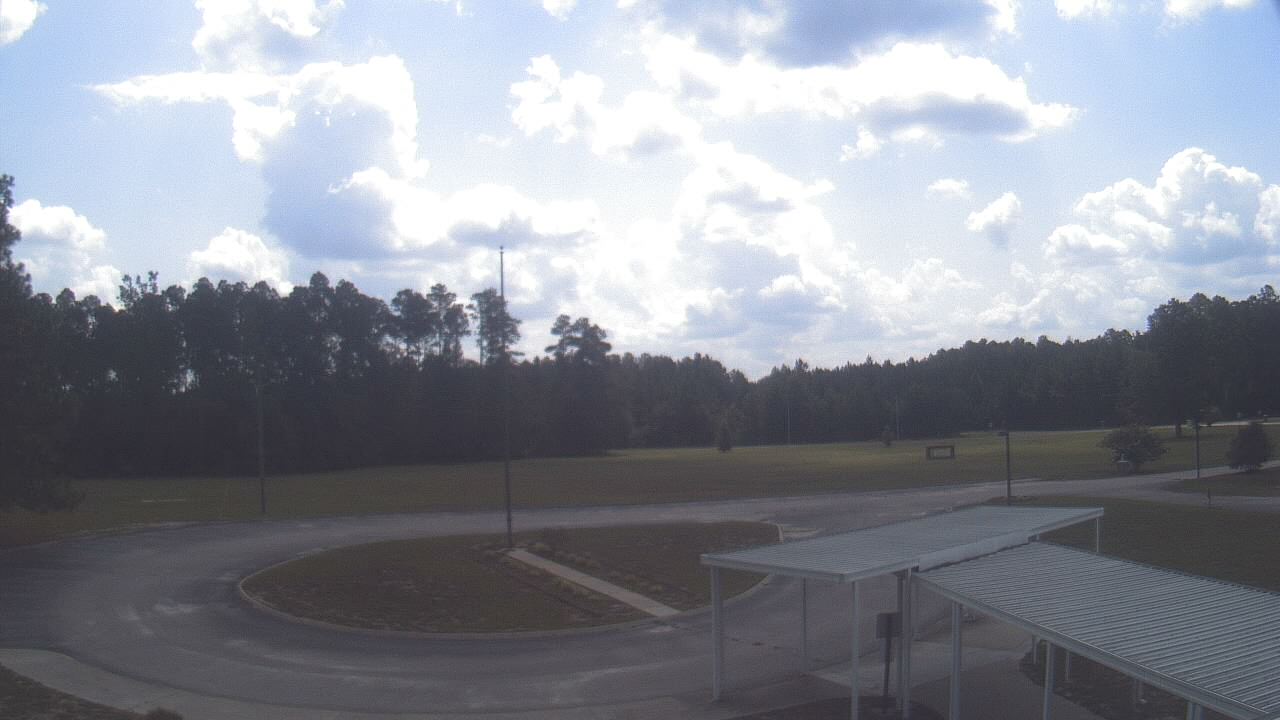
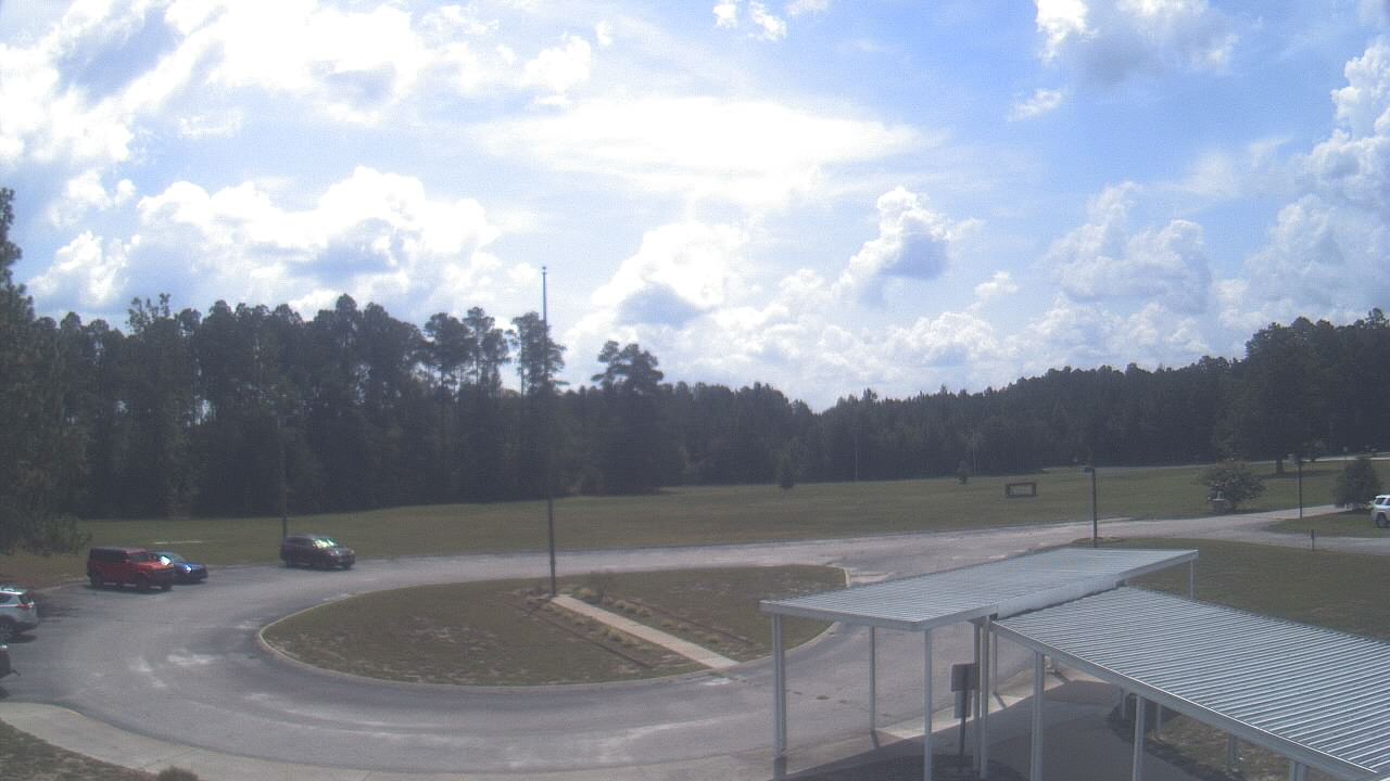
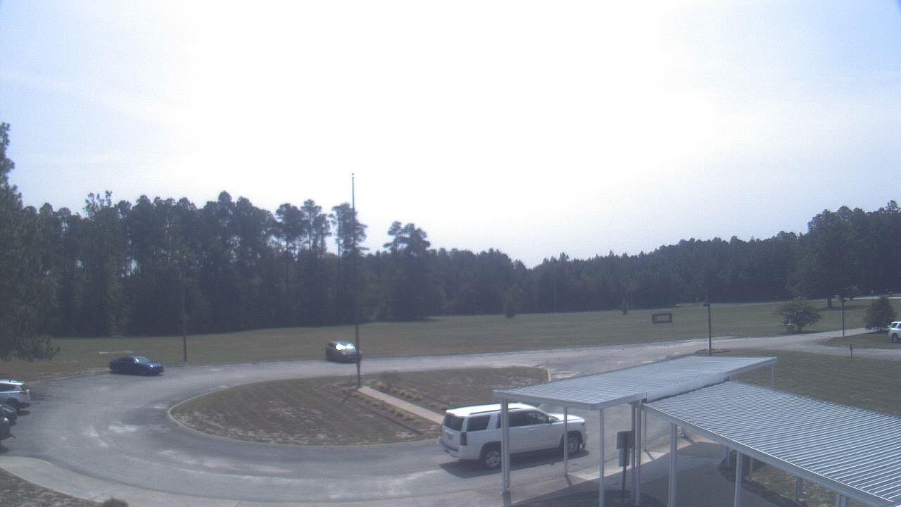
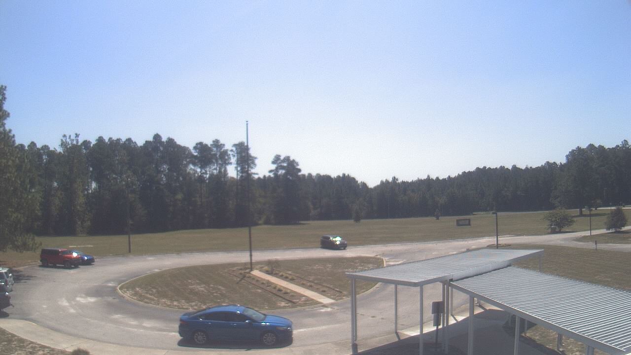
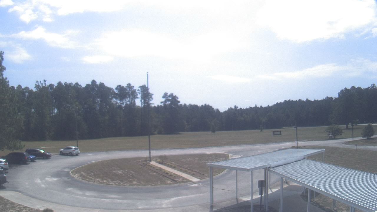
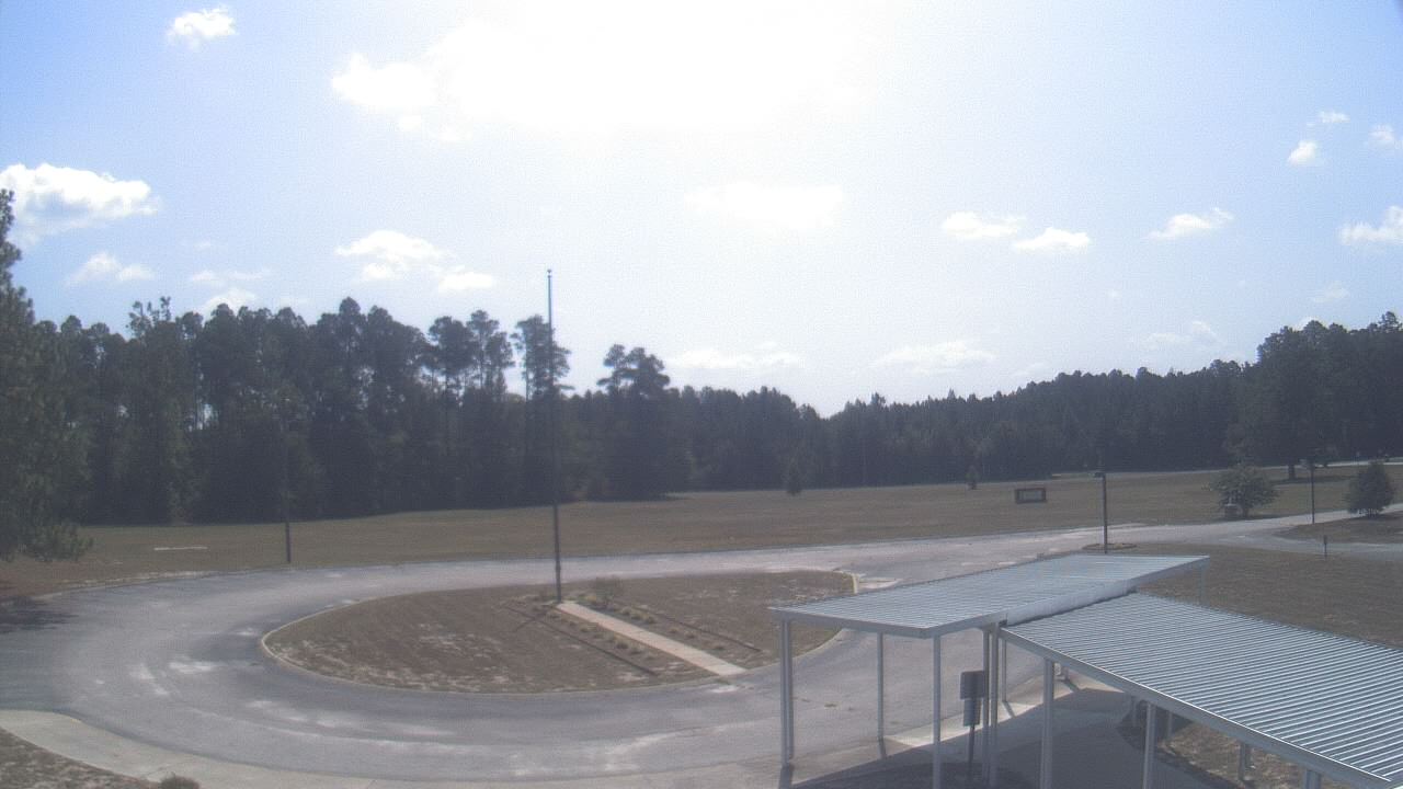
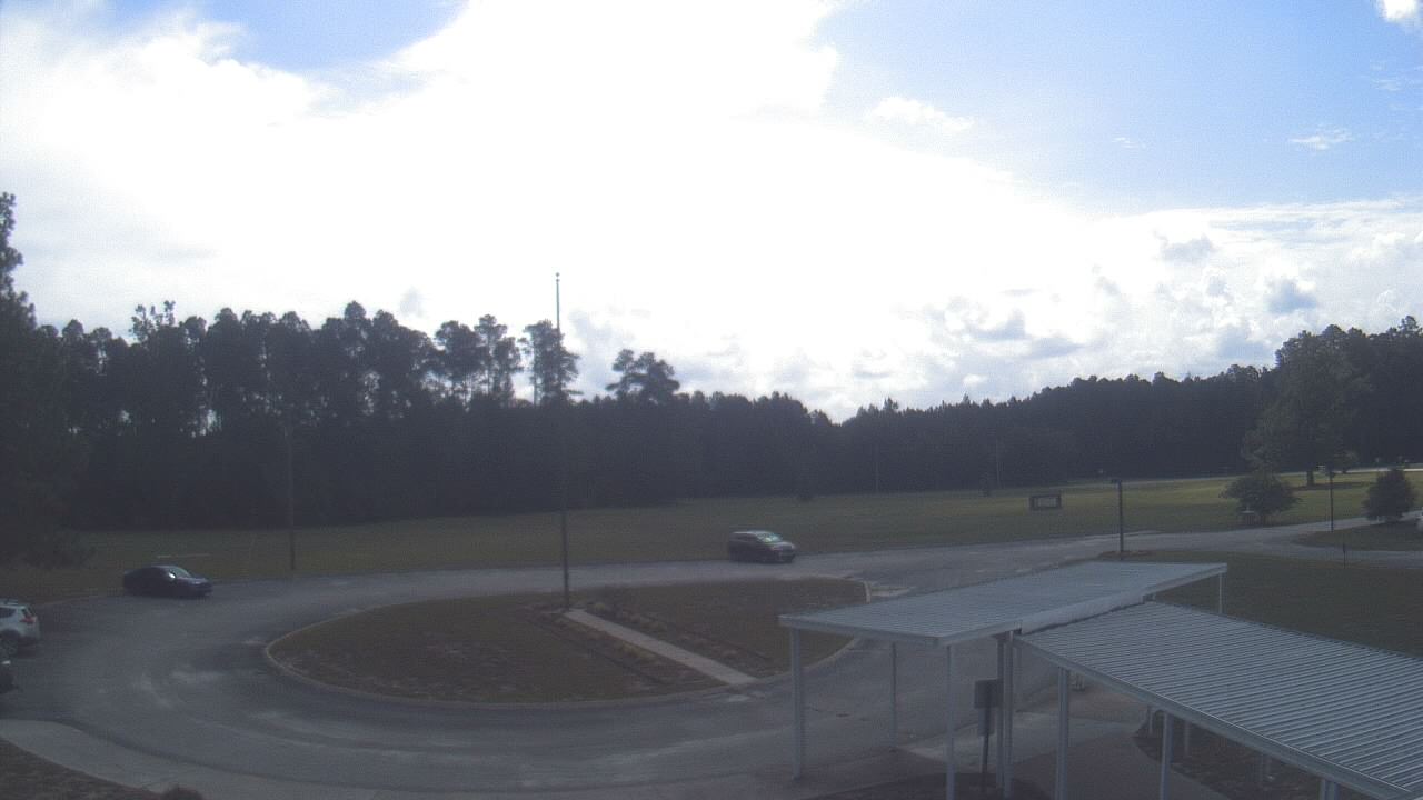
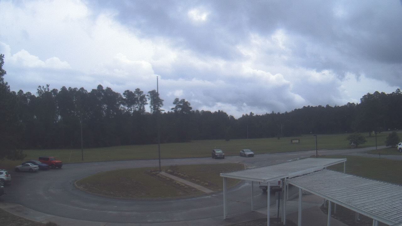
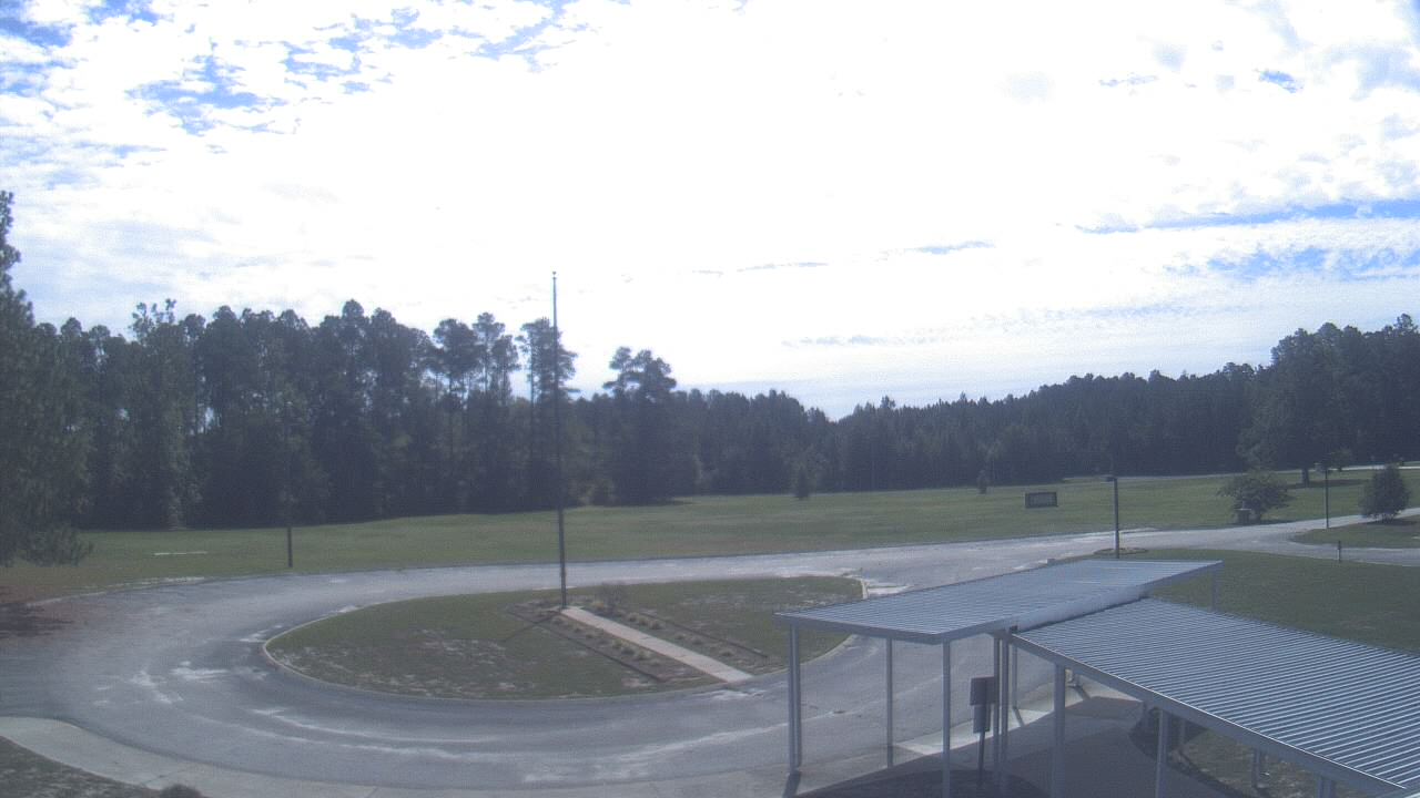
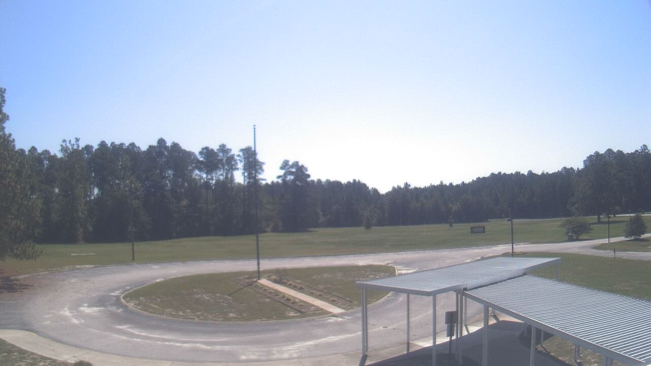
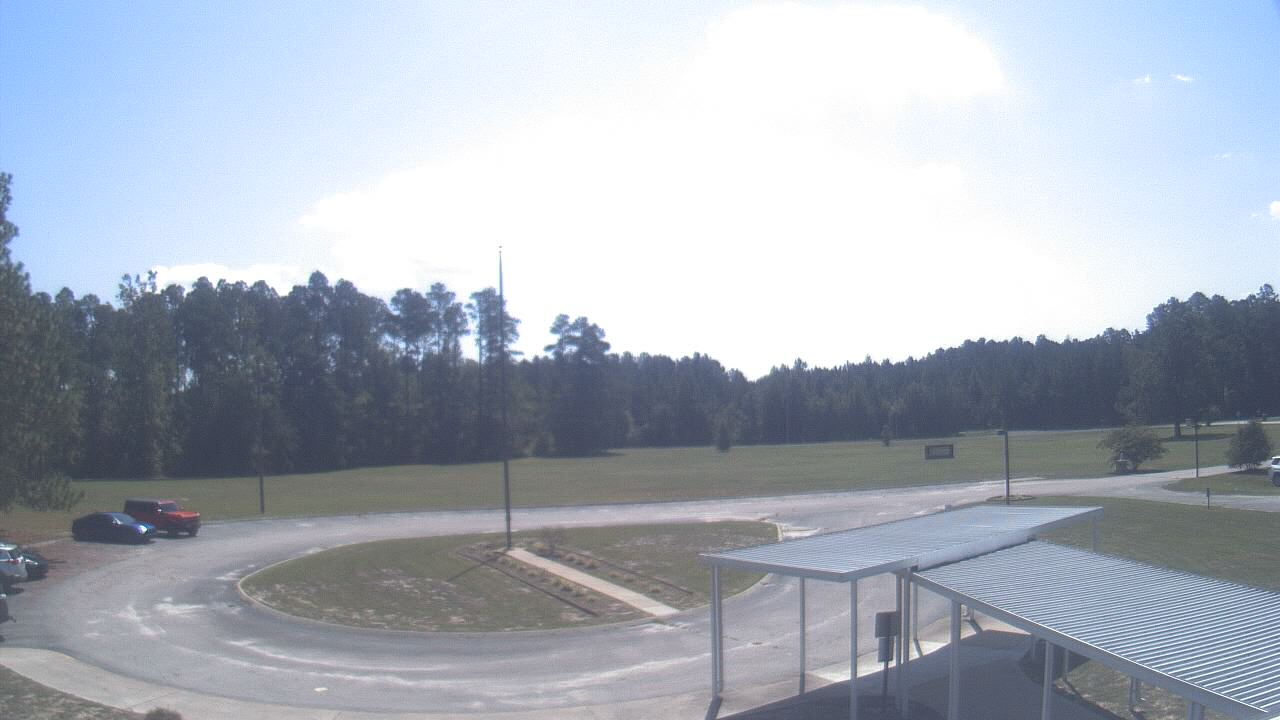
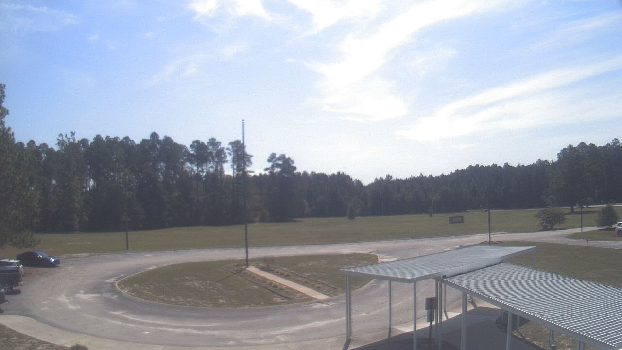
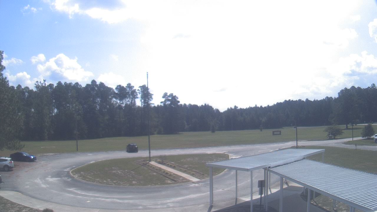
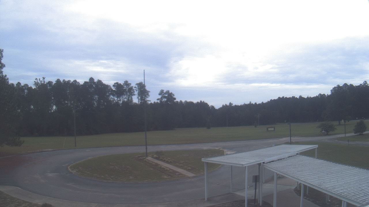
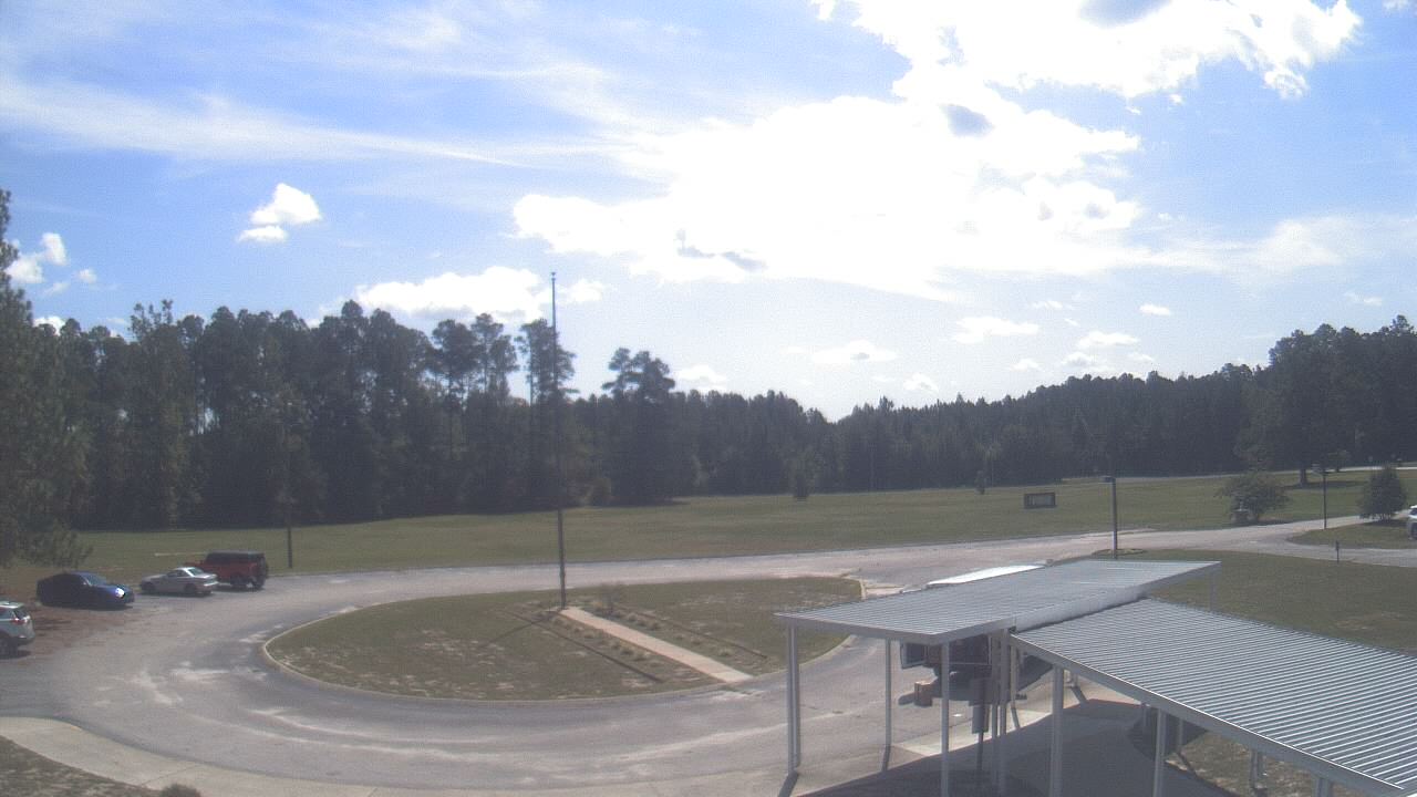
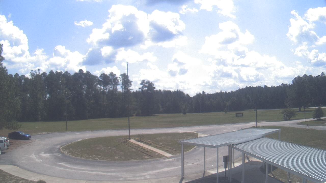
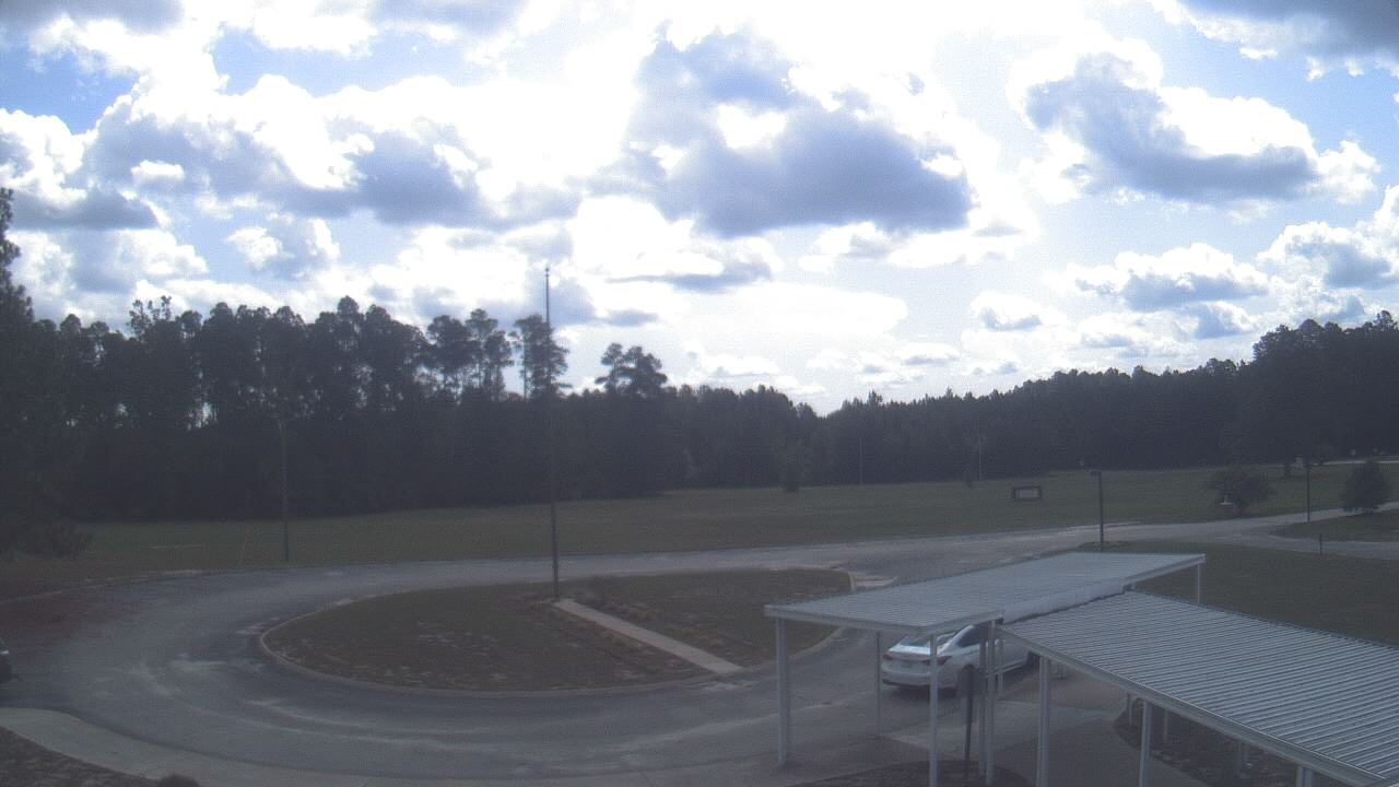
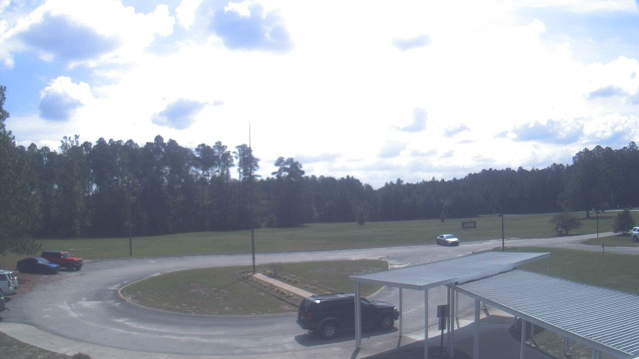
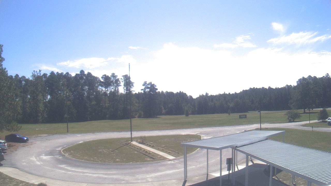
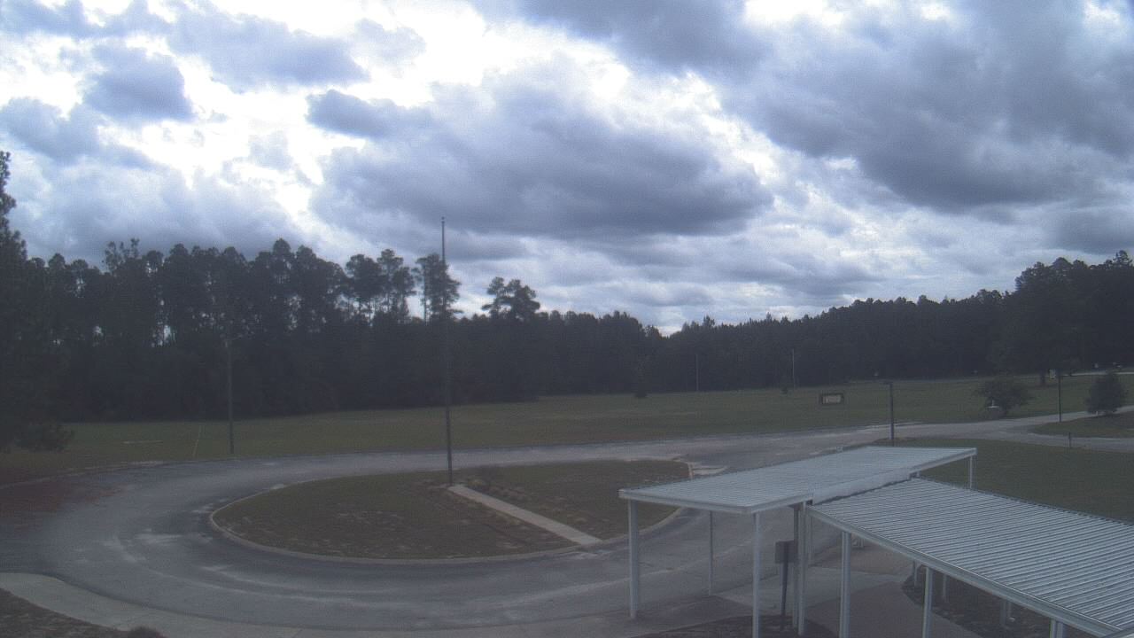
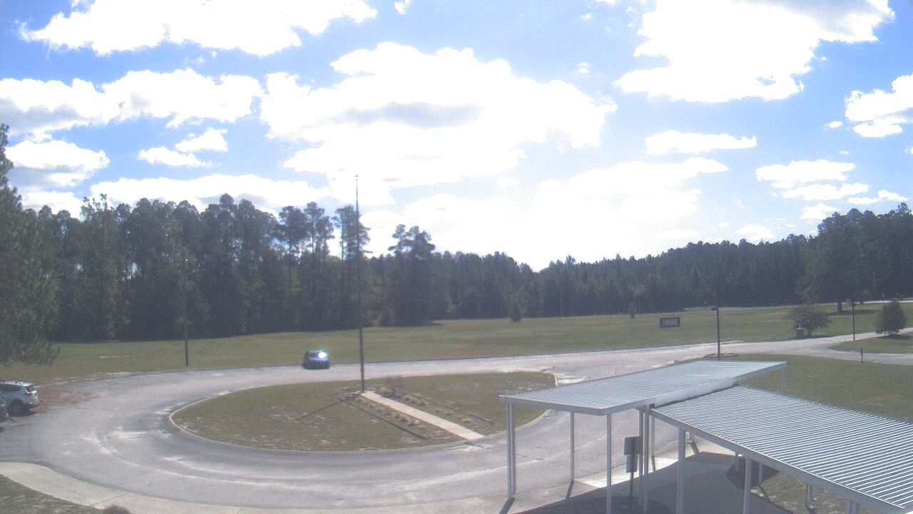
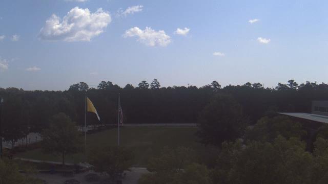
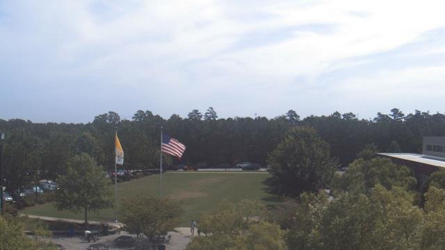
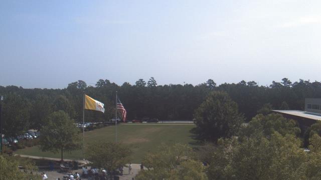
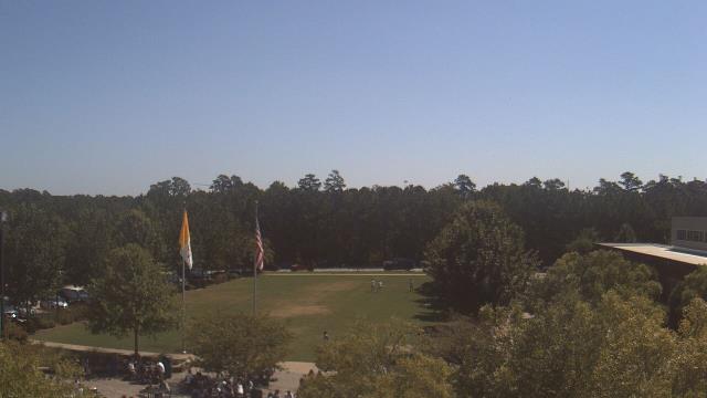
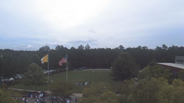
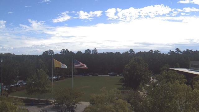
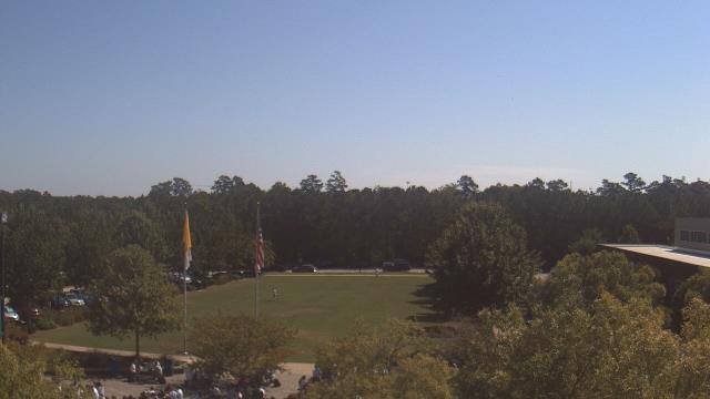
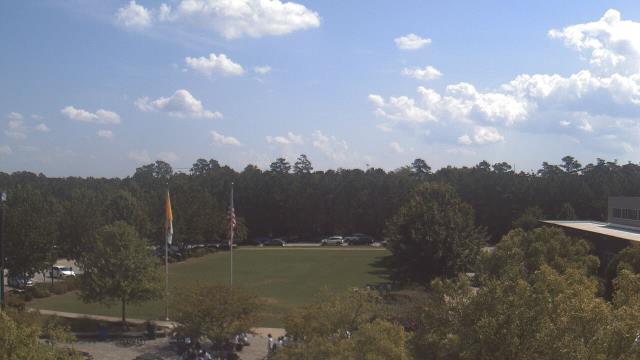
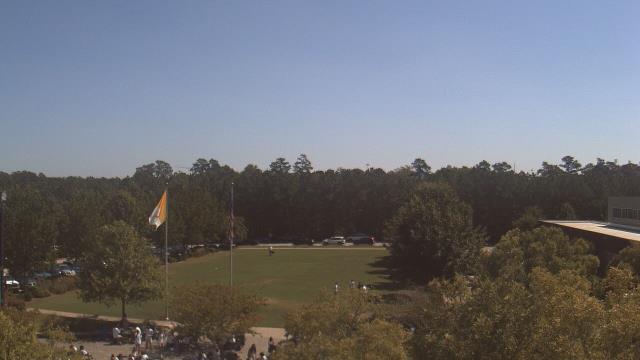
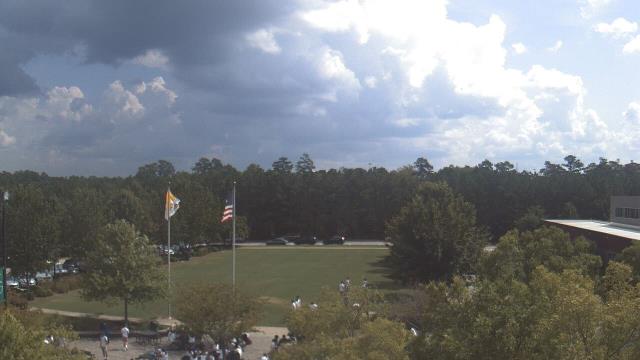
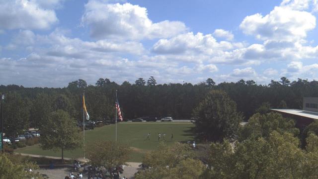
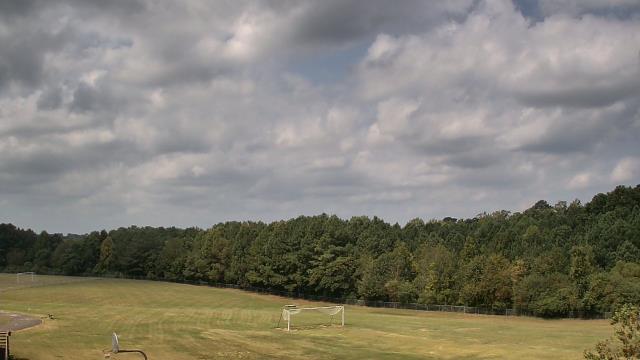
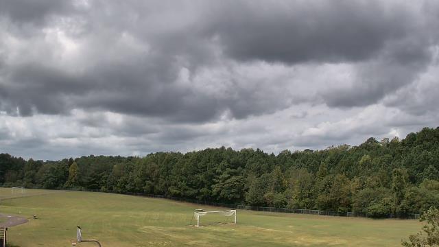
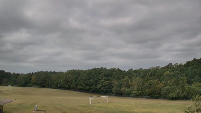
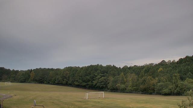
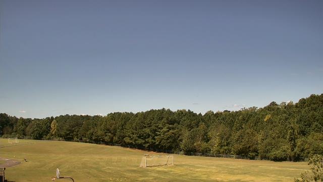
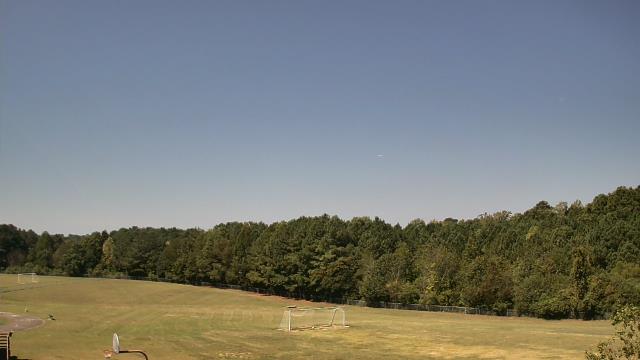
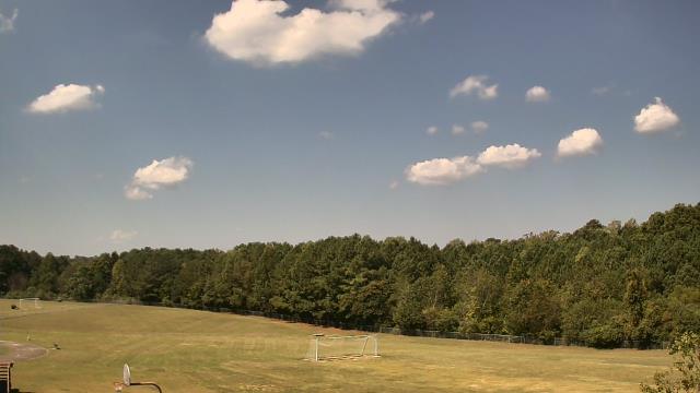
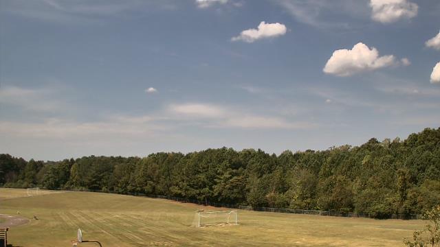
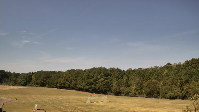
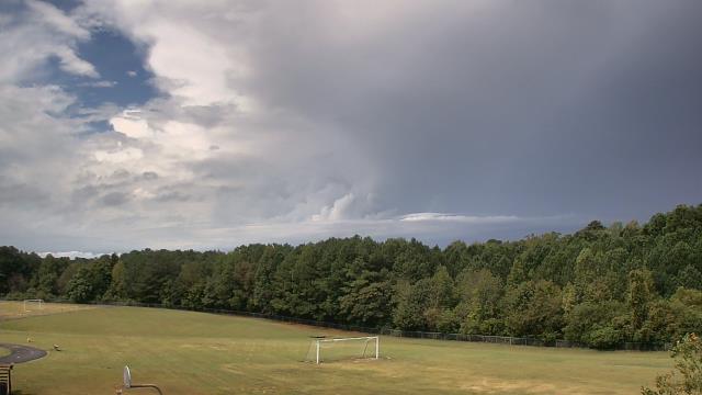
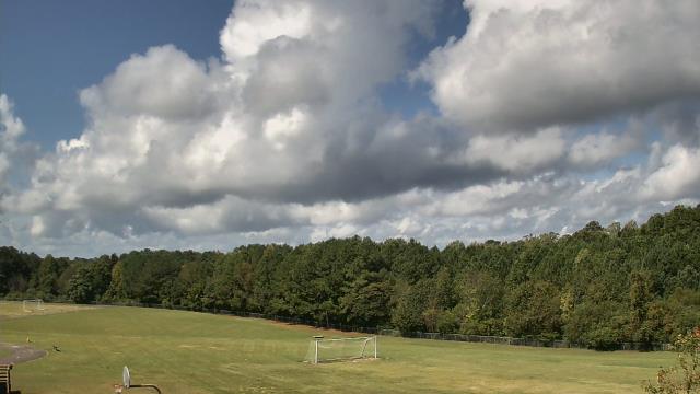
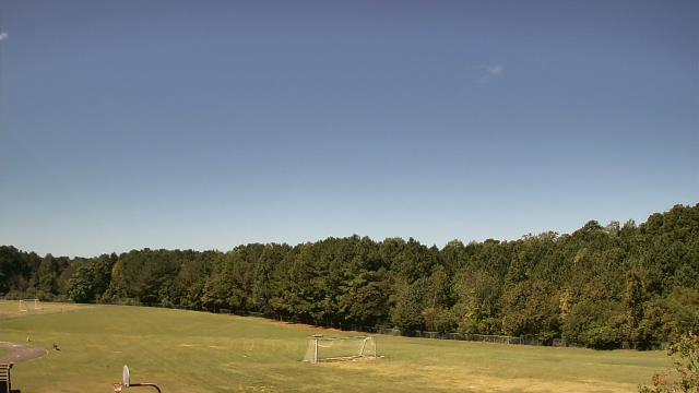
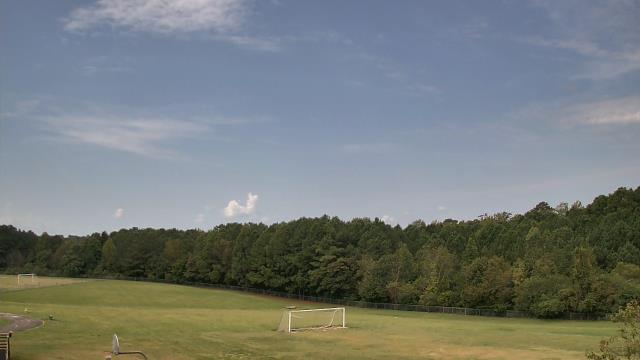
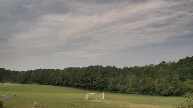
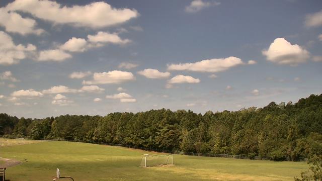
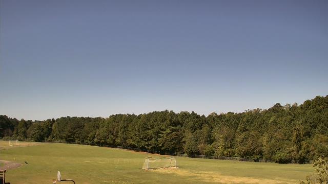
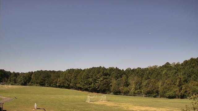
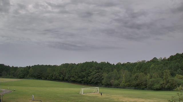
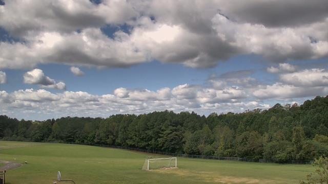
Elizabethtown, North Carolina, USA - 94.3 miles from Bowling Heights: Bladen Lakes Primary School - A webcam in Elizabethtown, North Carolina - camera location: Bladen Lakes Primary School.
Operator: WeatherBug
Operator: WeatherBug


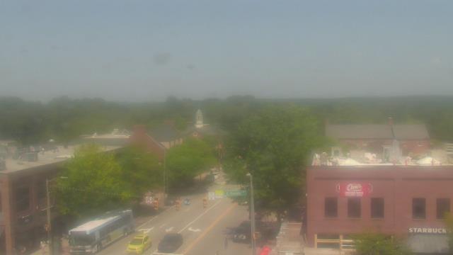
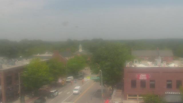
Raleigh, North Carolina, USA - 103 miles from Bowling Heights: Skyline - A panorama view of the skyline of Raleigh, North Carolina.
Operator: WRAL.com
Operator: WRAL.com

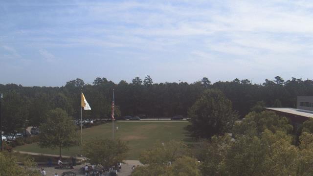
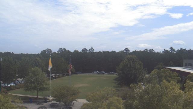
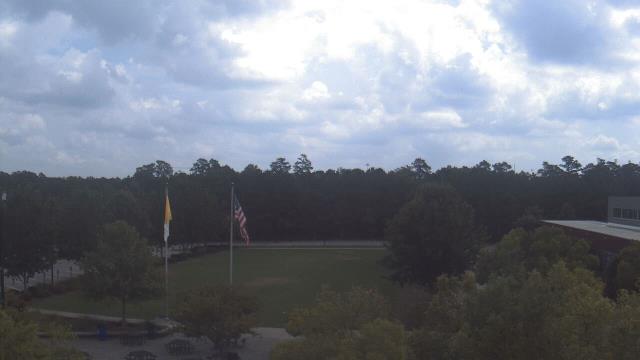
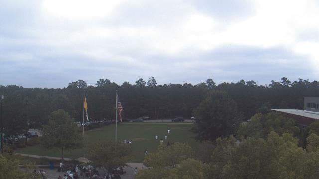
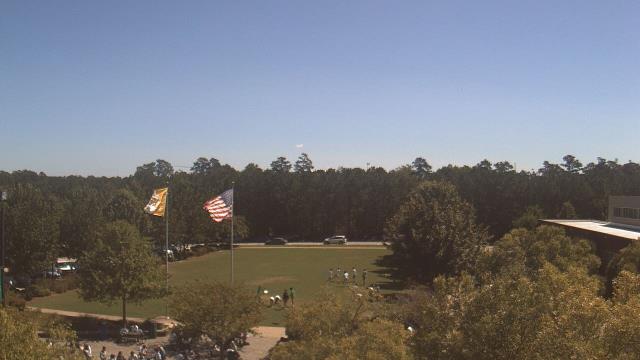
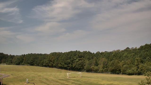
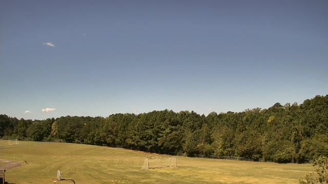
Raleigh, North Carolina, USA - 103 miles from Bowling Heights: Cardinal Gibbons High School - A webcam in Raleigh, North Carolina - camera location: Cardinal Gibbons High School.
Operator: WeatherBug
Operator: WeatherBug


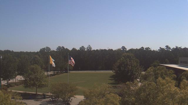


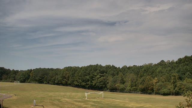
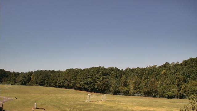
Cary, North Carolina, USA - 111.5 miles from Bowling Heights: Davis Drive Elementary School - A webcam in Cary, North Carolina - camera location: Davis Drive Elementary School.
Operator: WeatherBug
Operator: WeatherBug


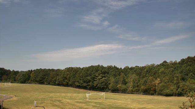

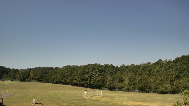

Chapel Hill, North Carolina, USA - 125.8 miles from Bowling Heights: Top of the Hill Restaurant - A webcam in Chapel Hill, North Carolina - camera location: Top of the Hill Restaurant.
Operator: WeatherBug
Operator: WeatherBug


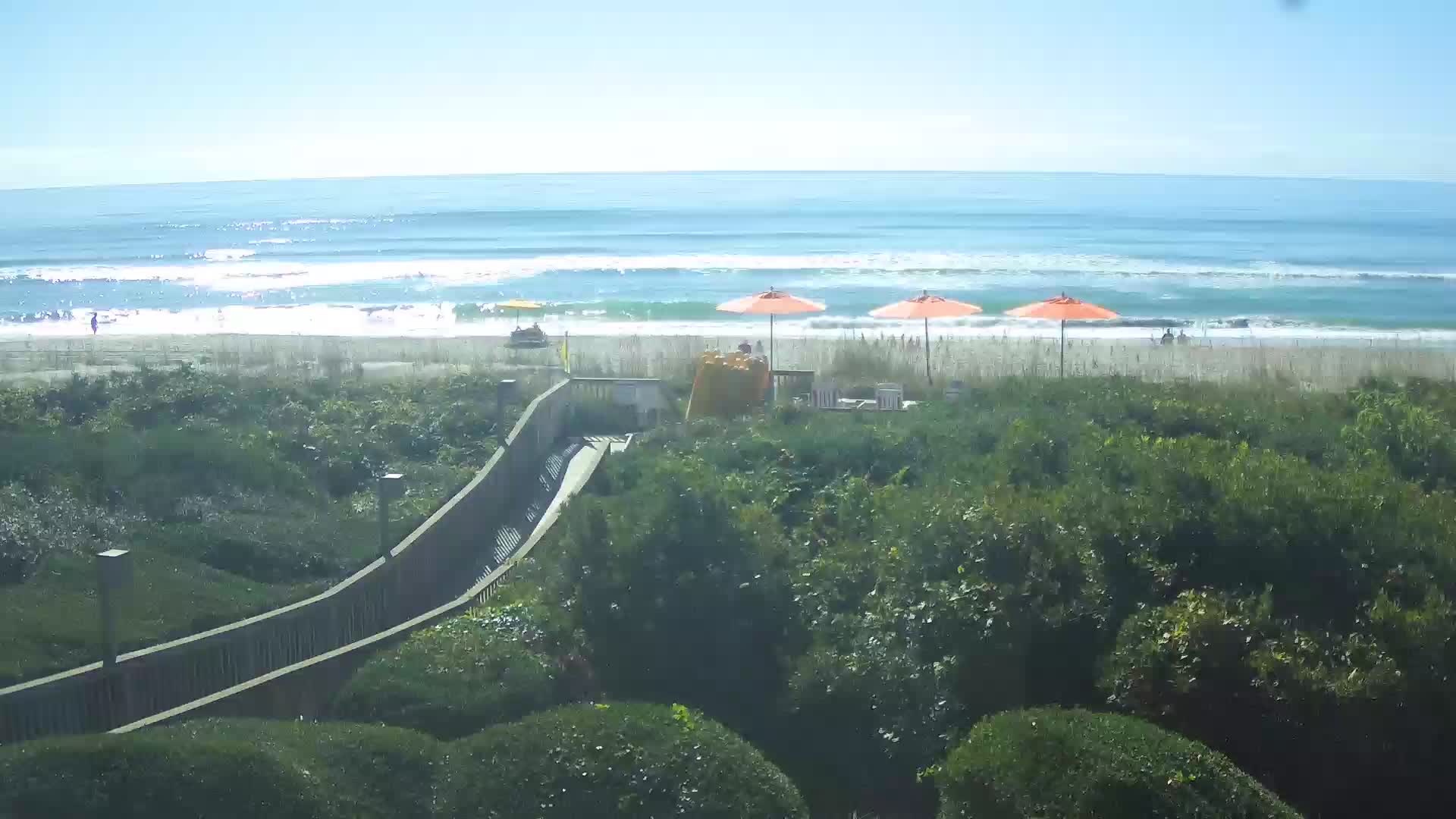
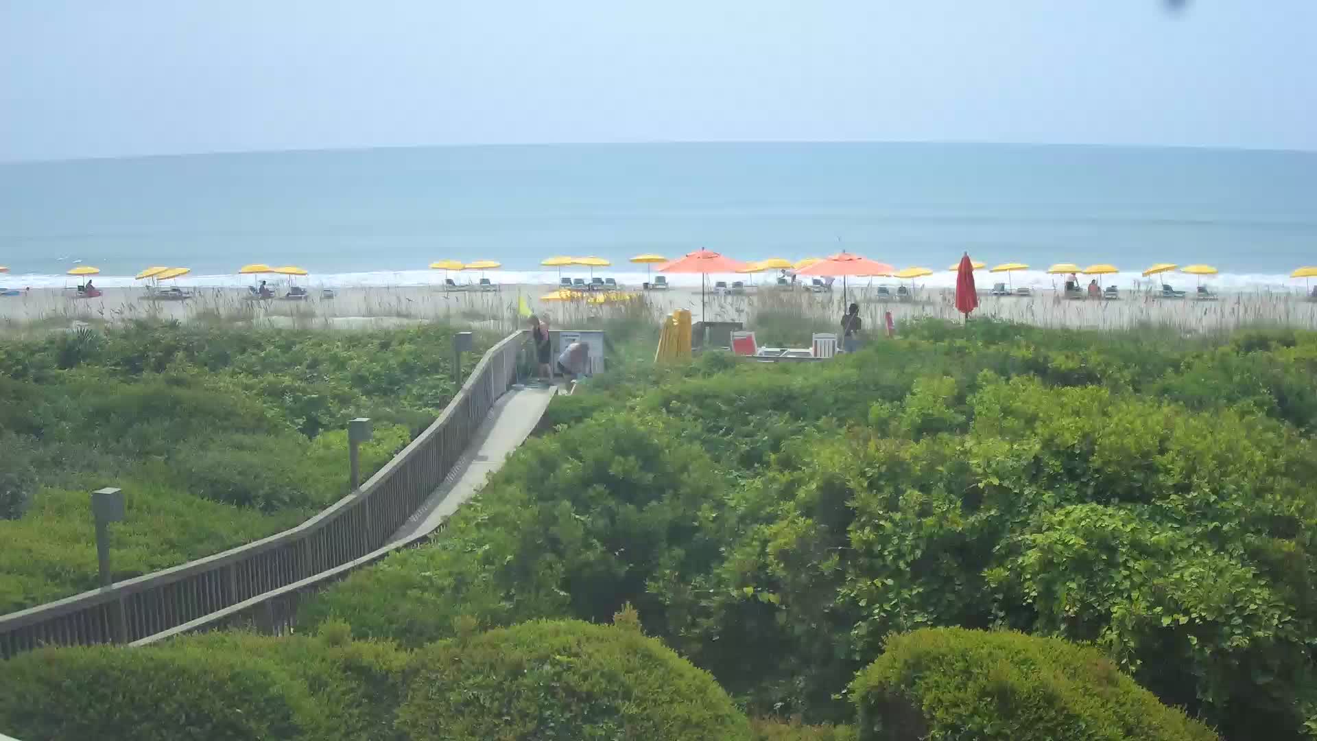
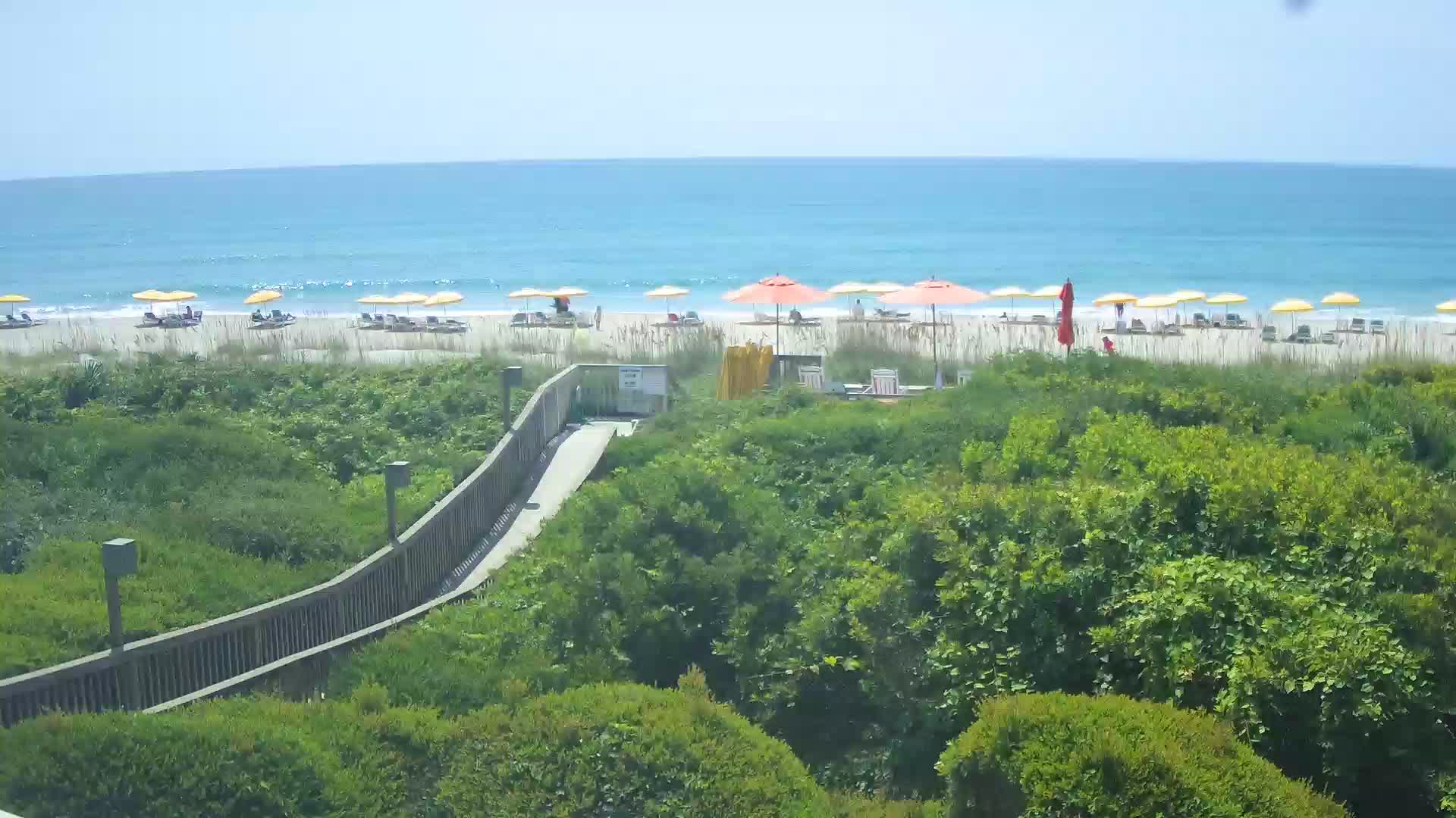
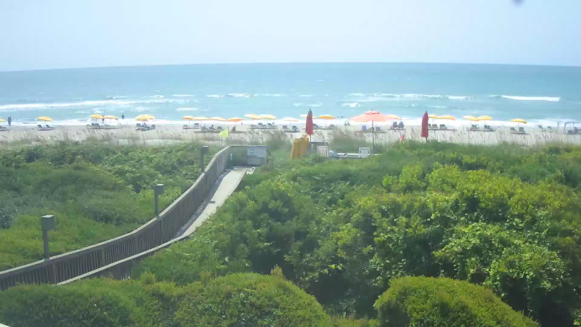
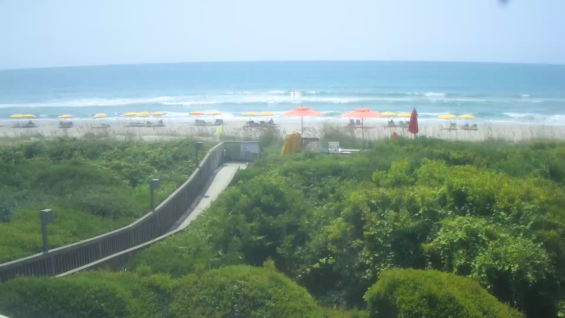
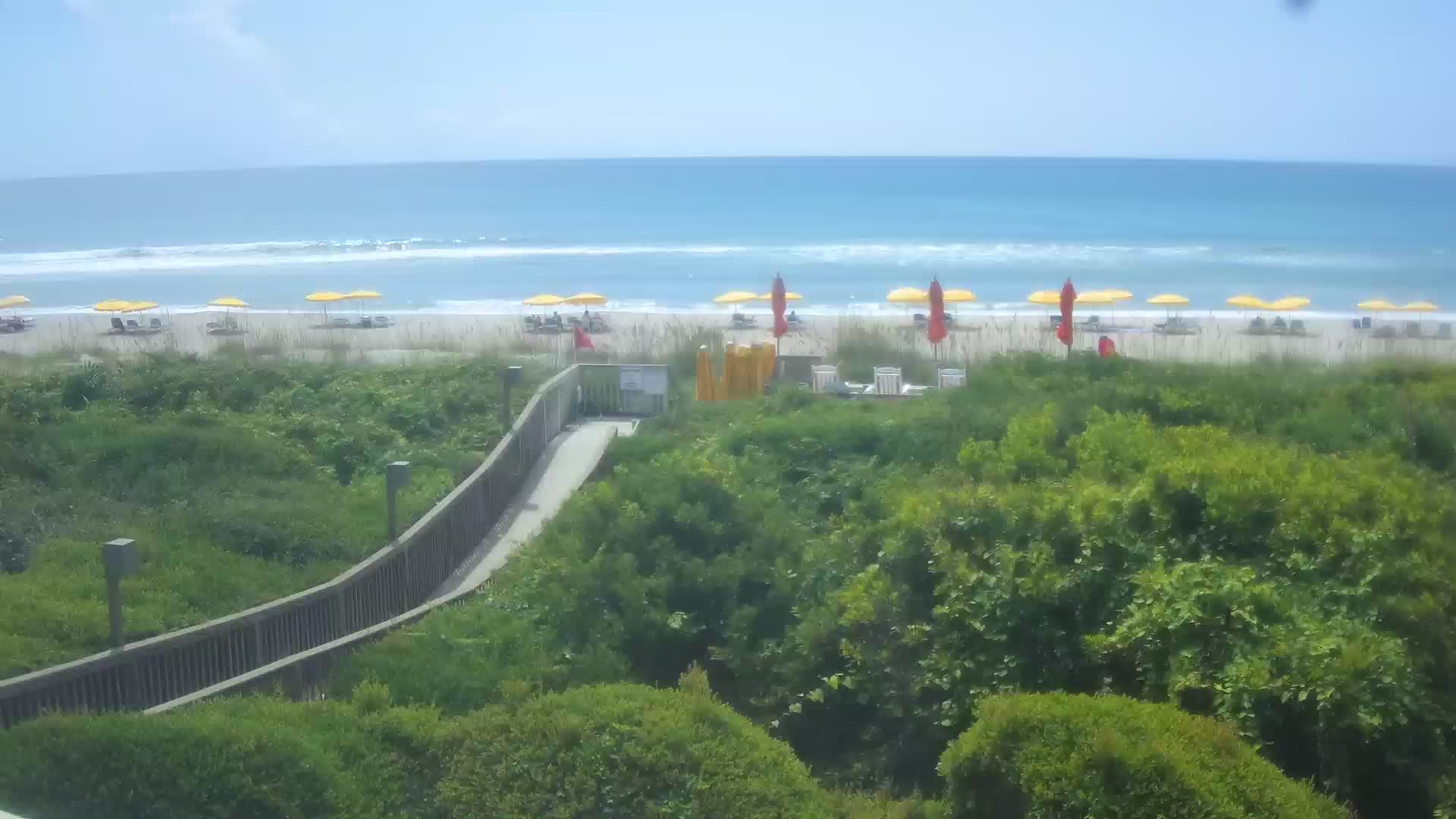
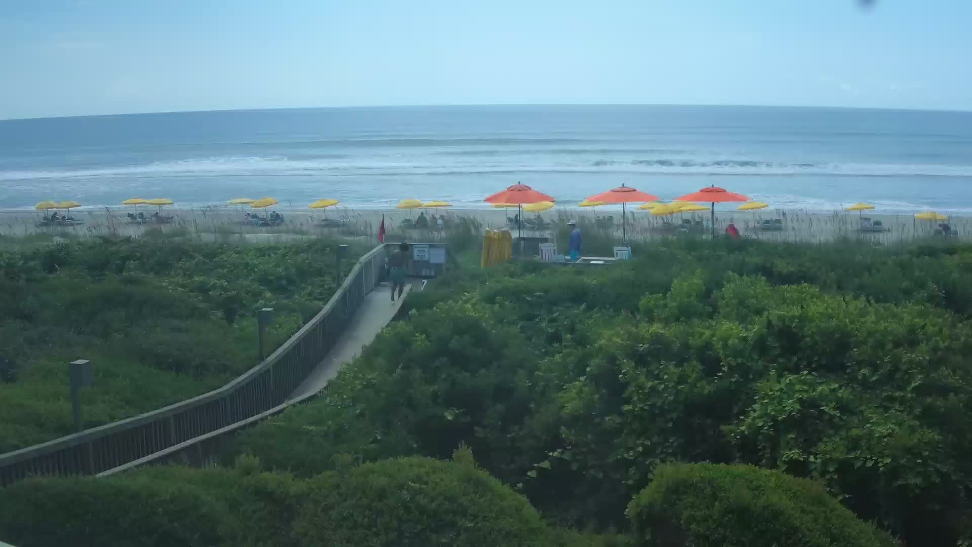
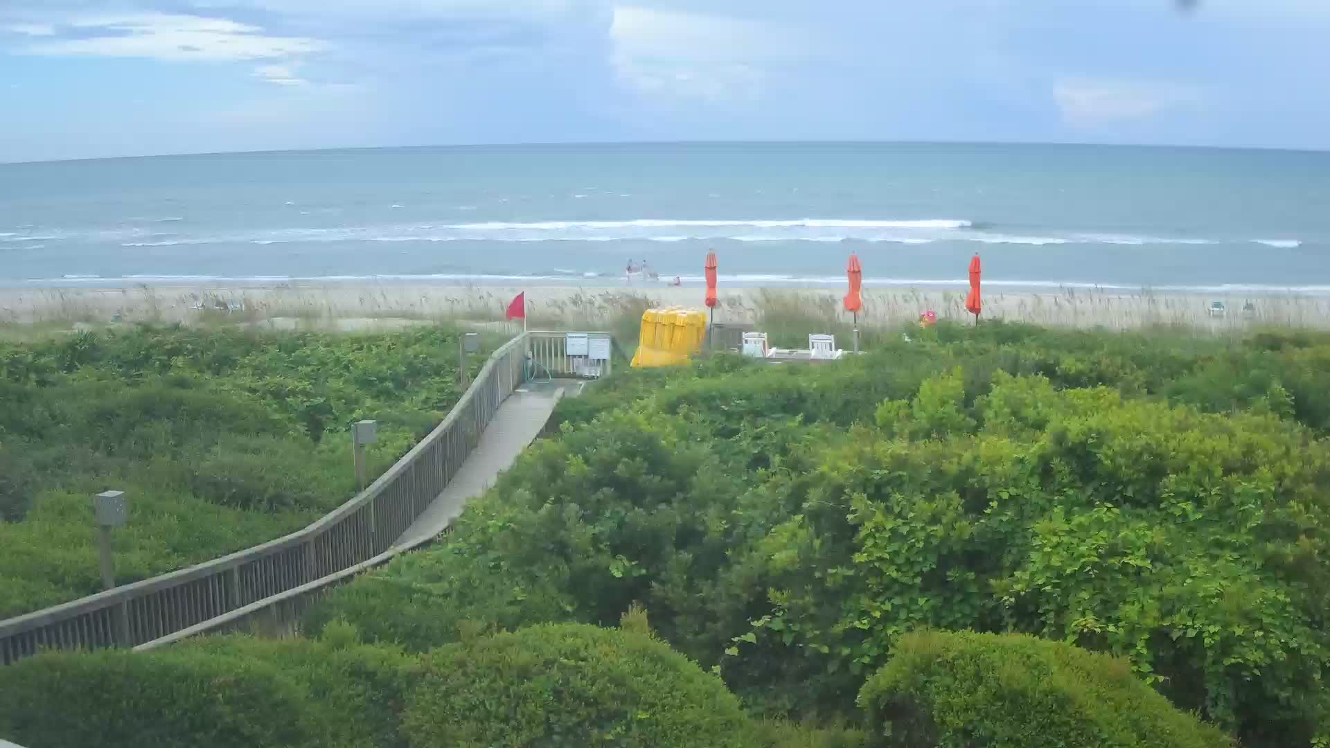
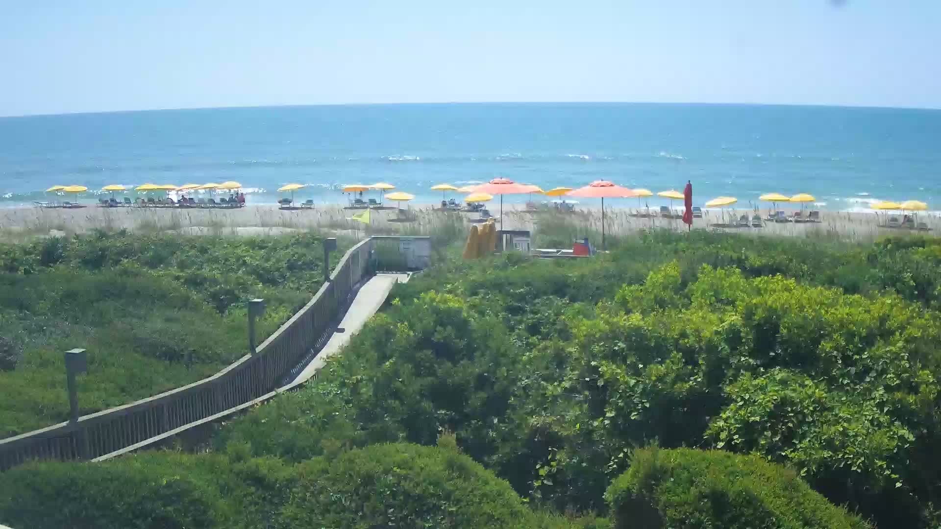
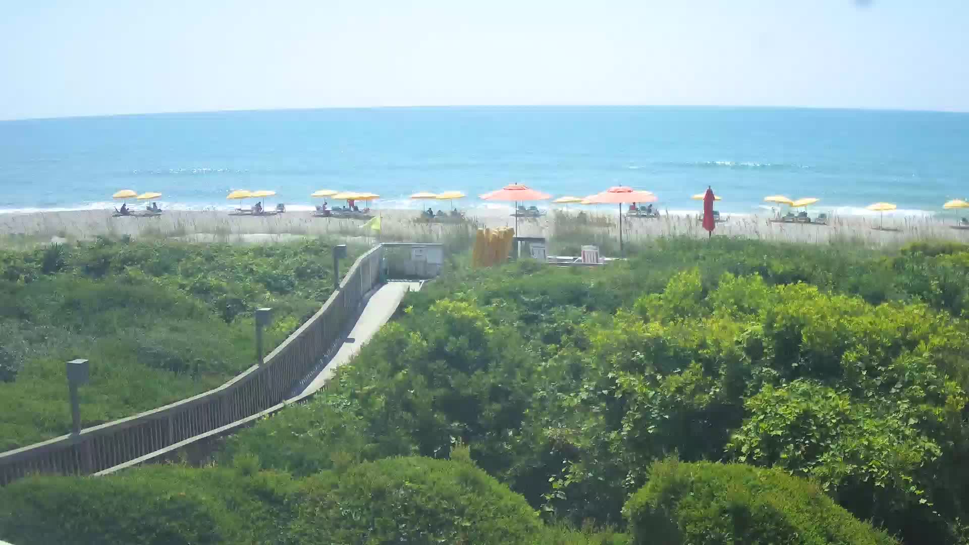
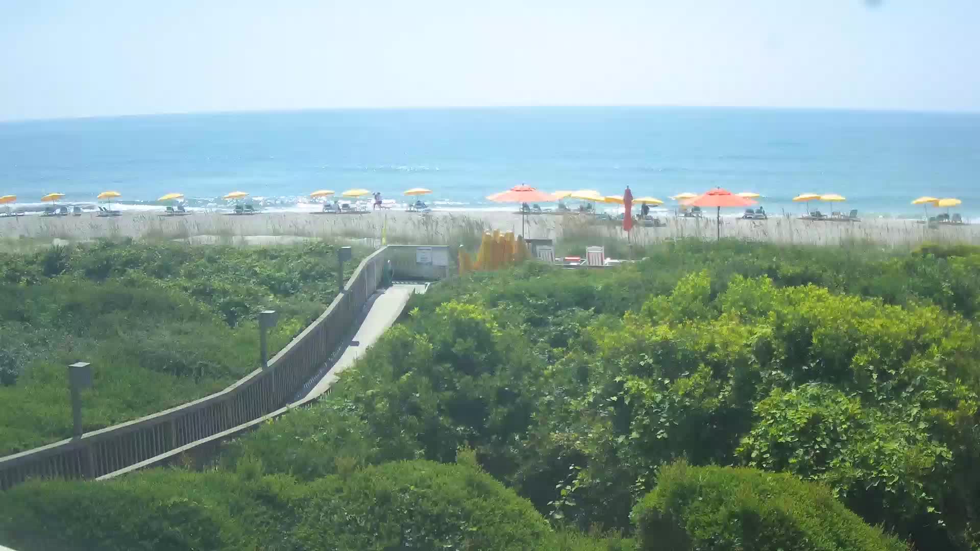
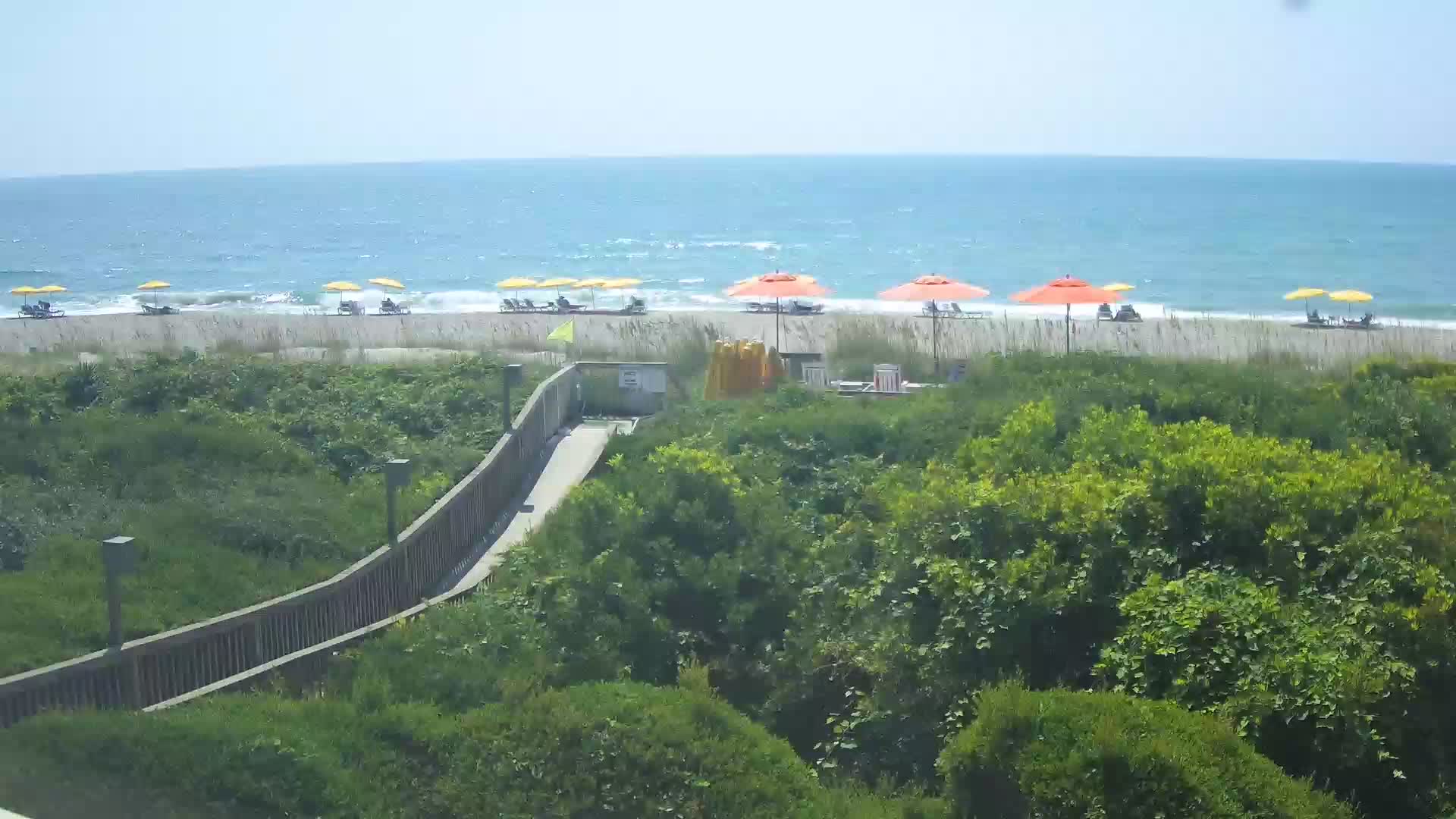
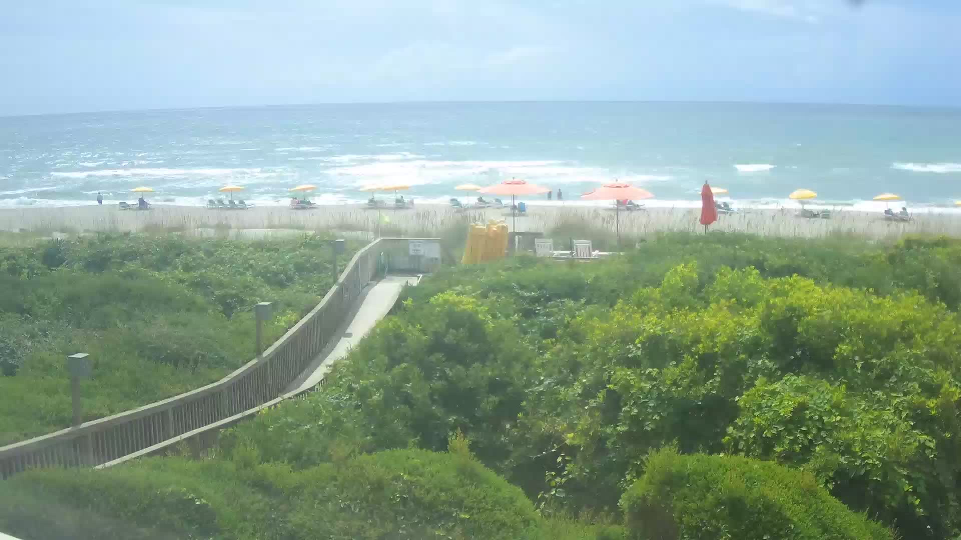
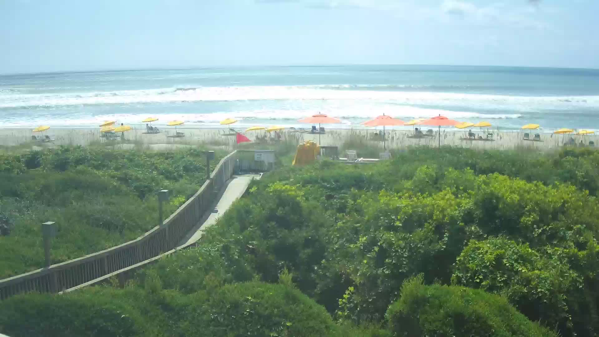
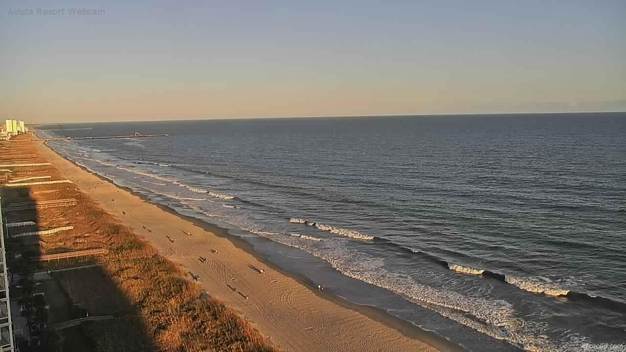
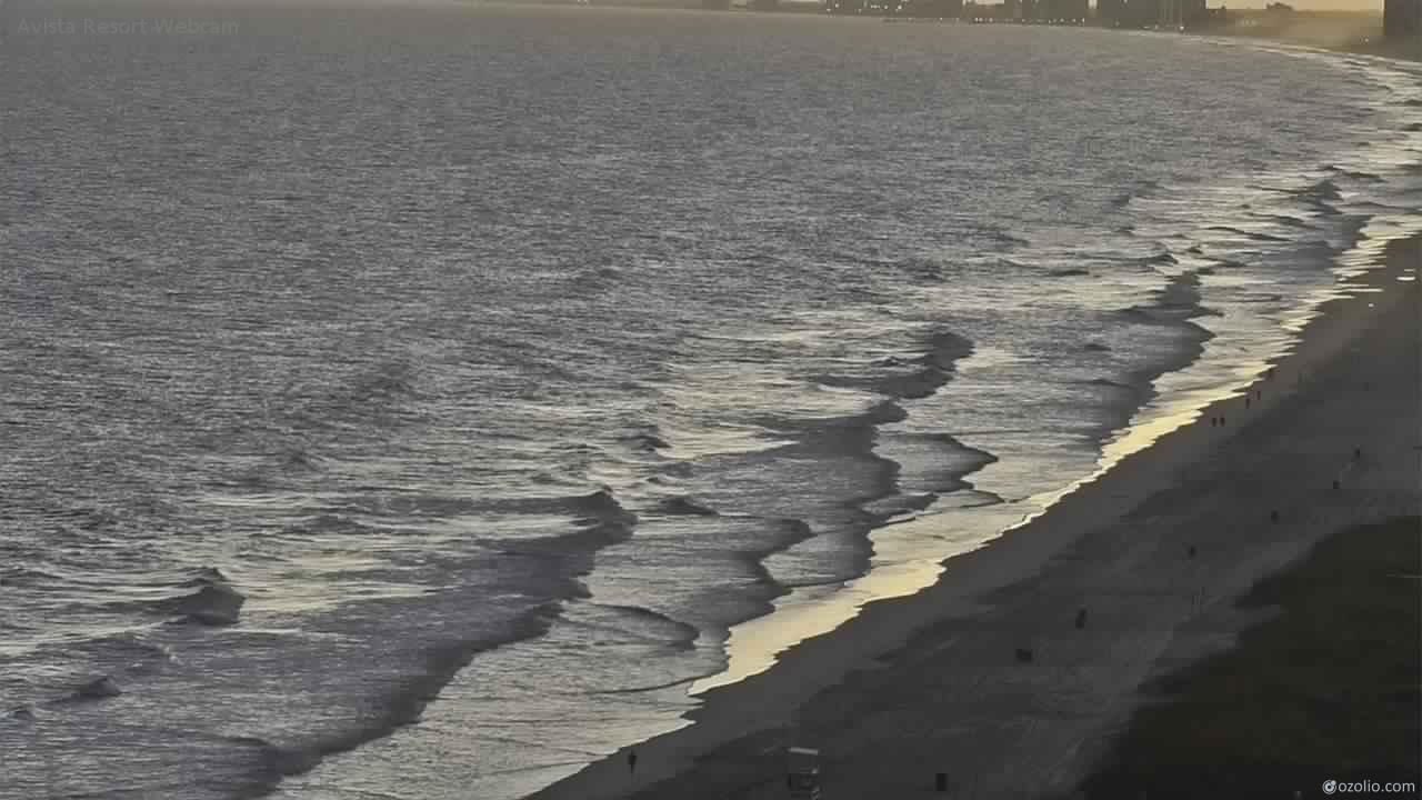
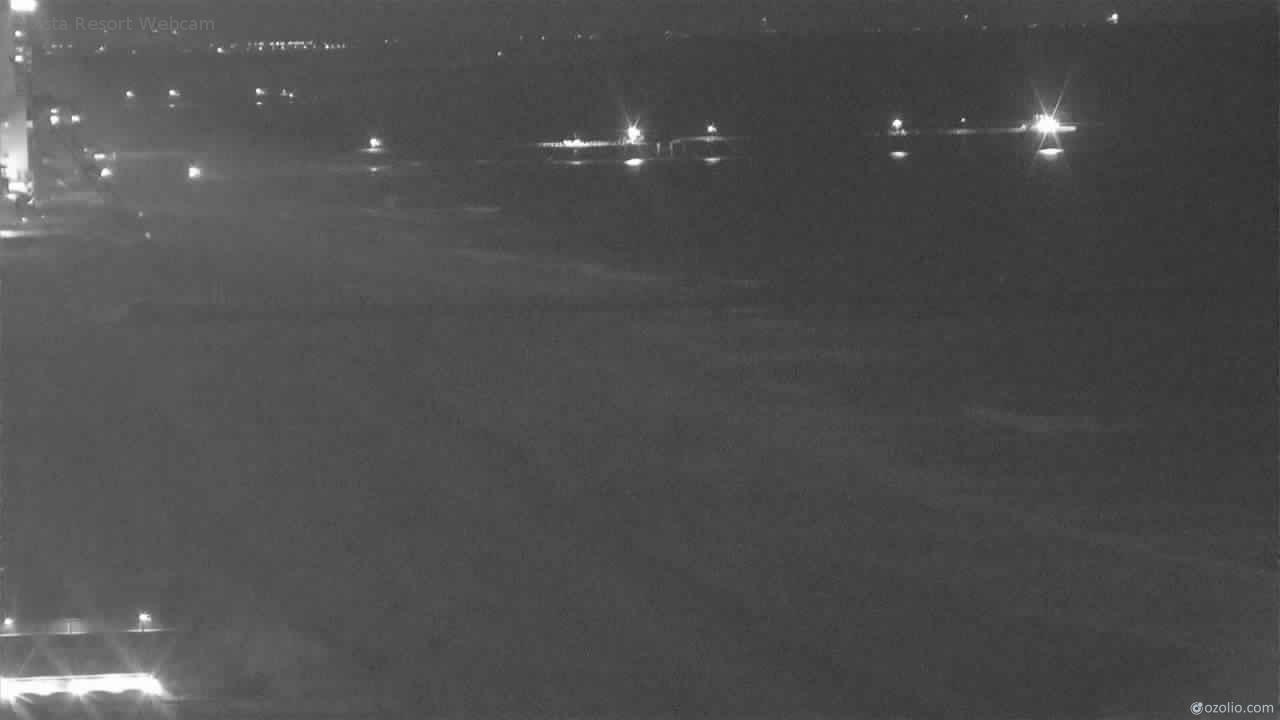
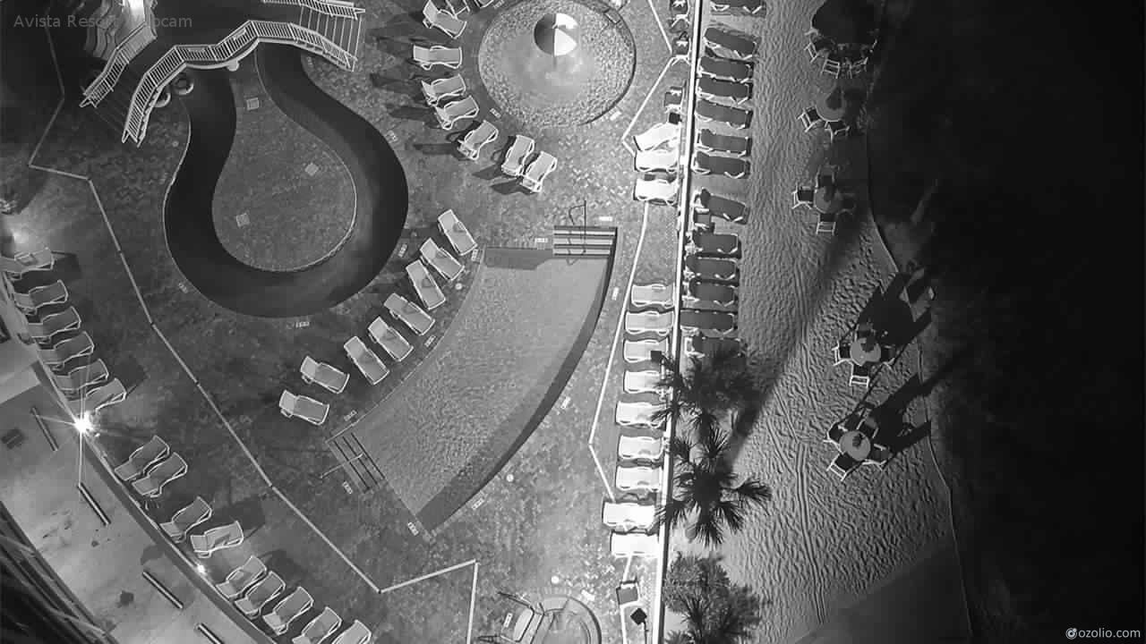
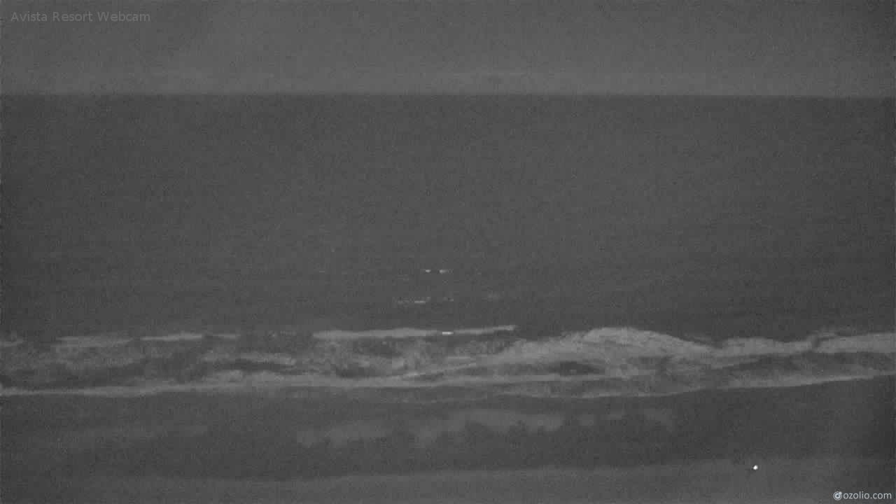
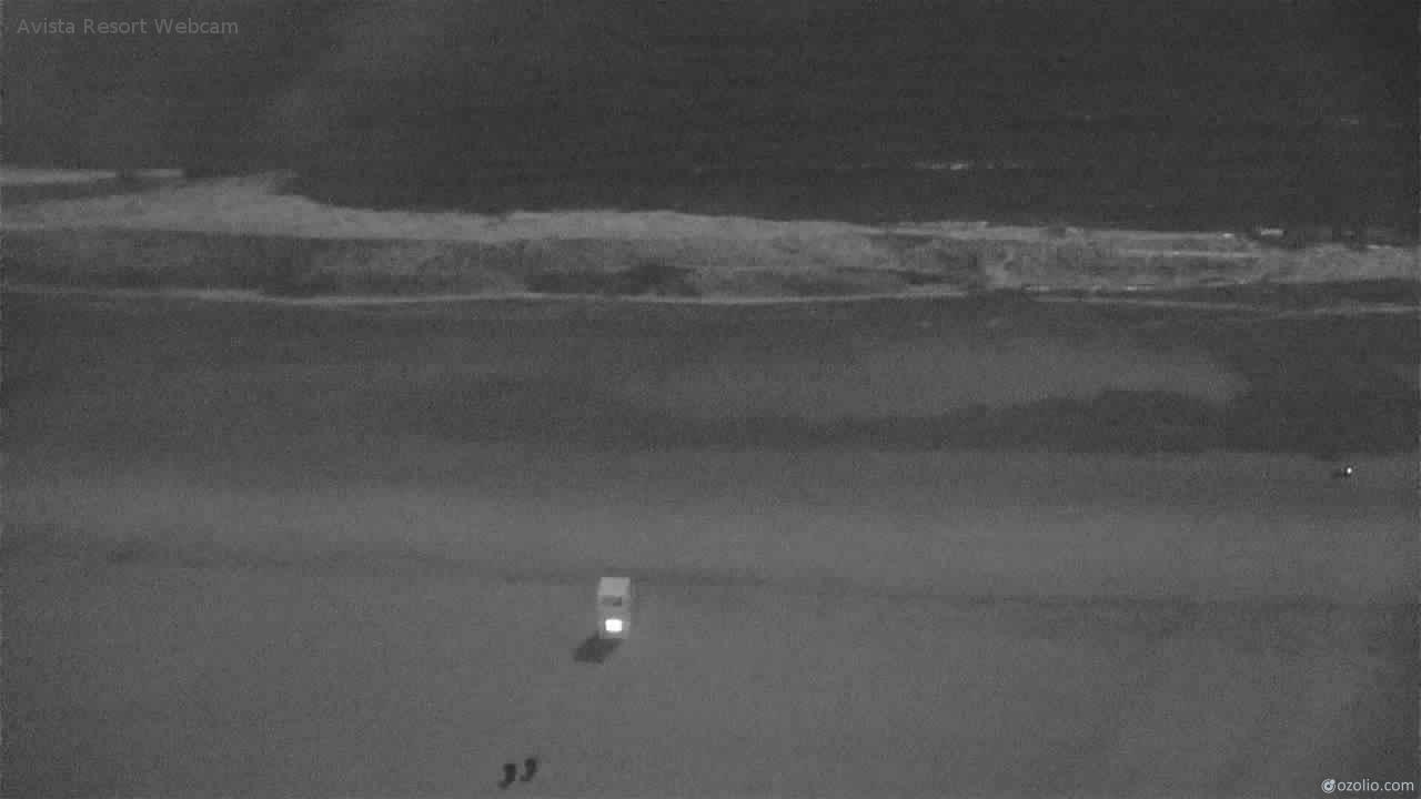
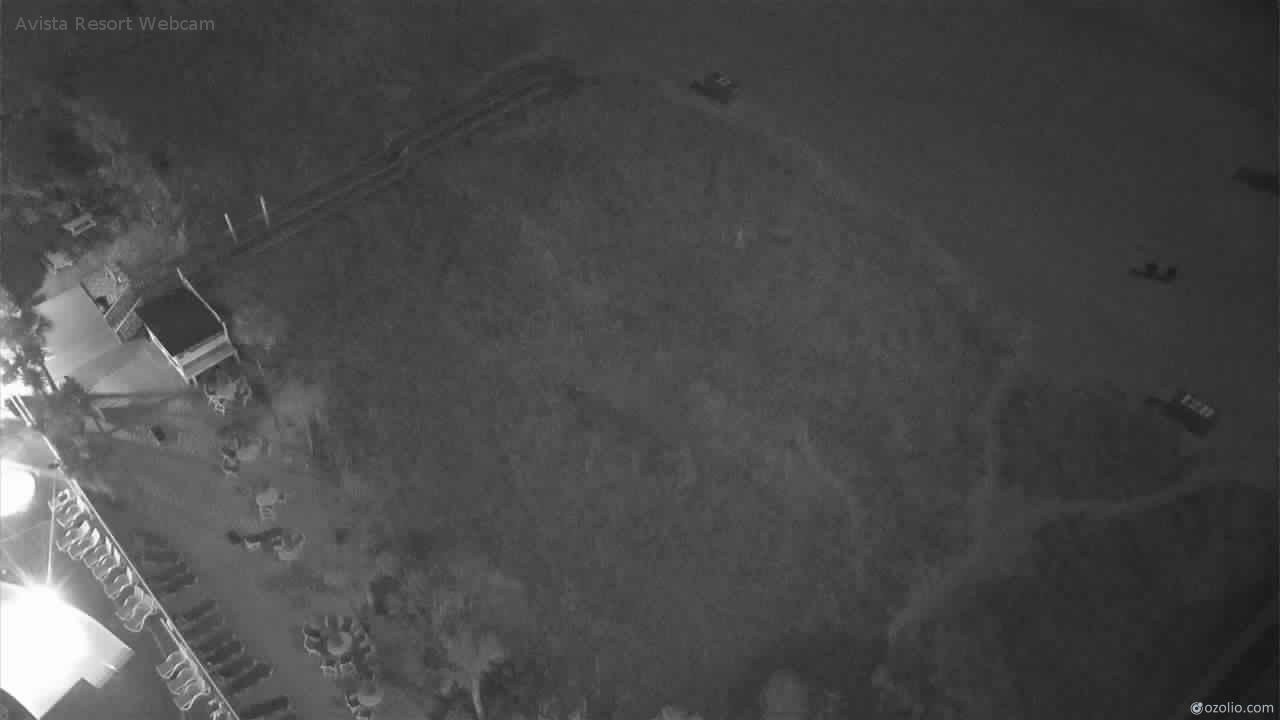
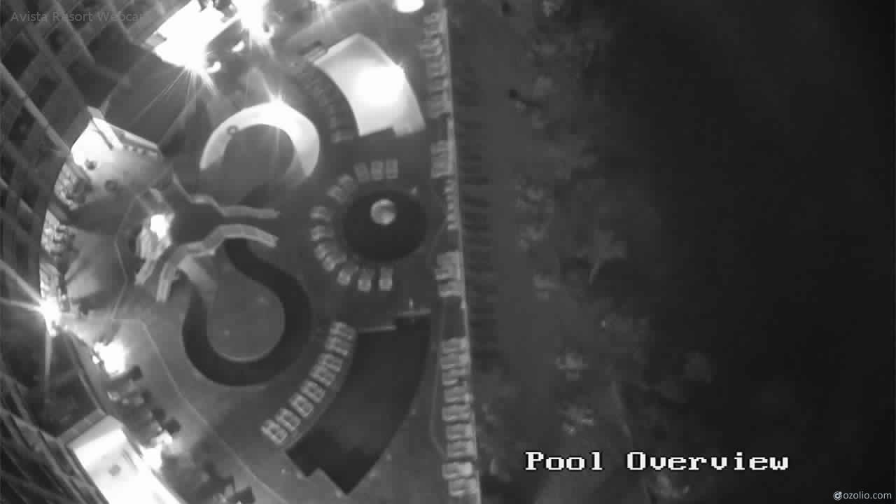
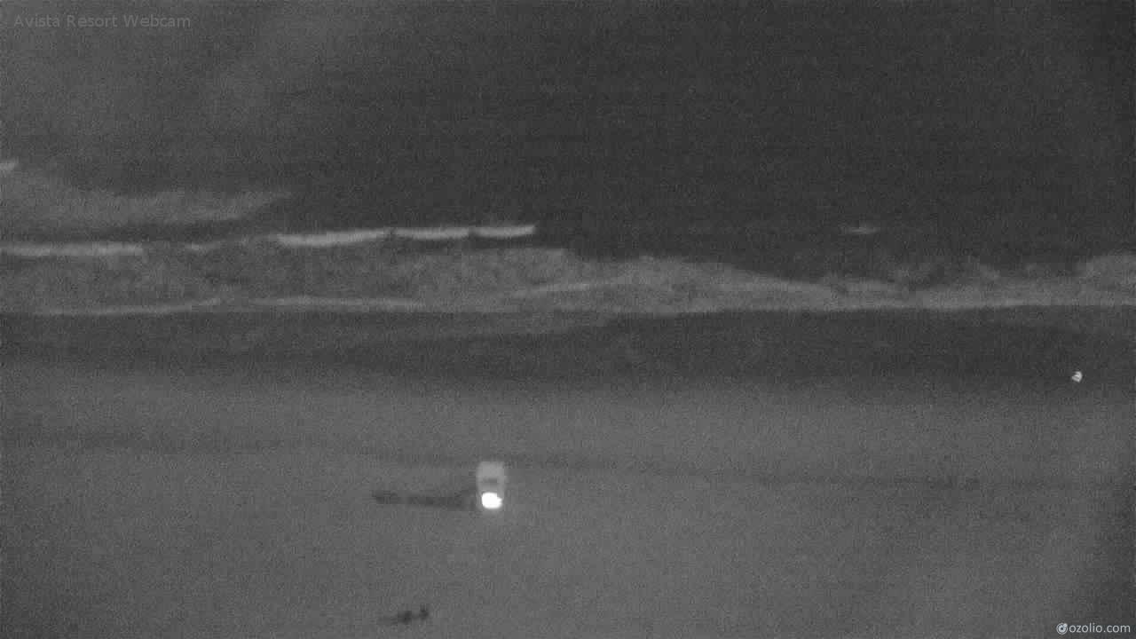
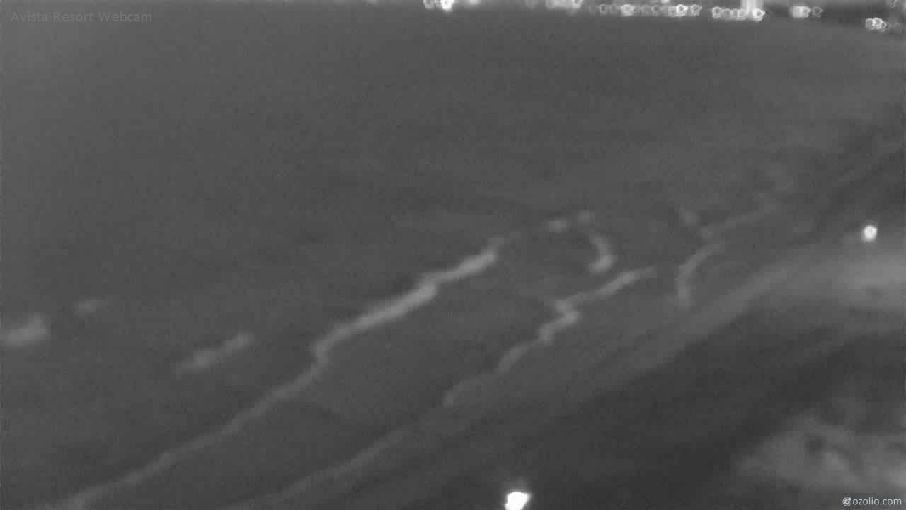
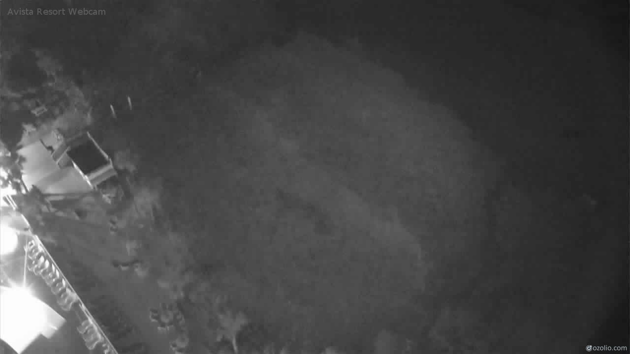
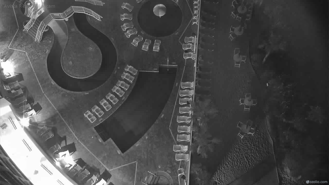
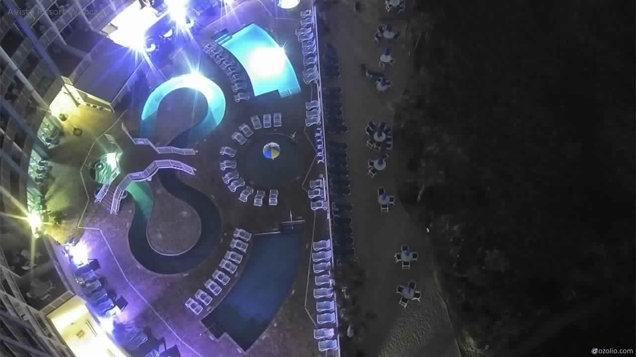
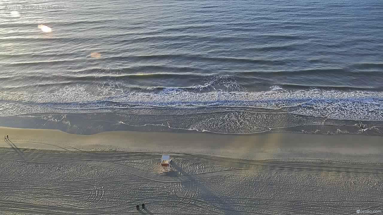
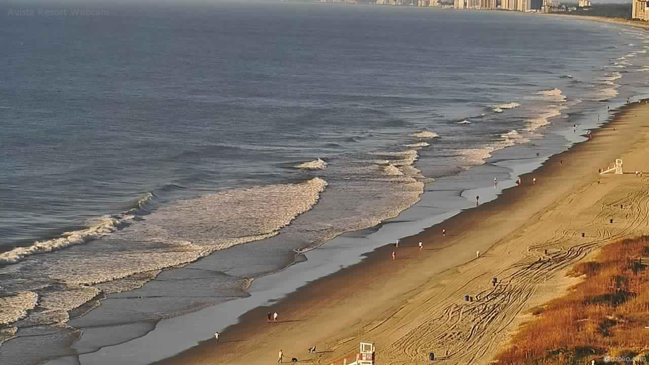
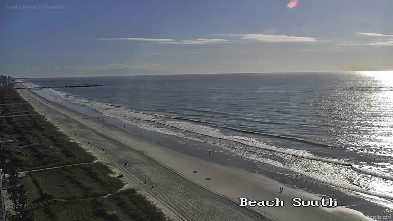
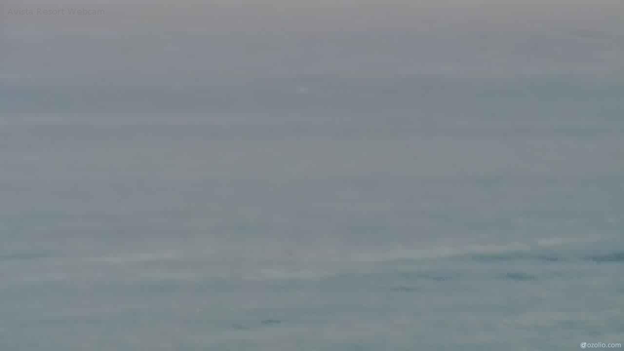
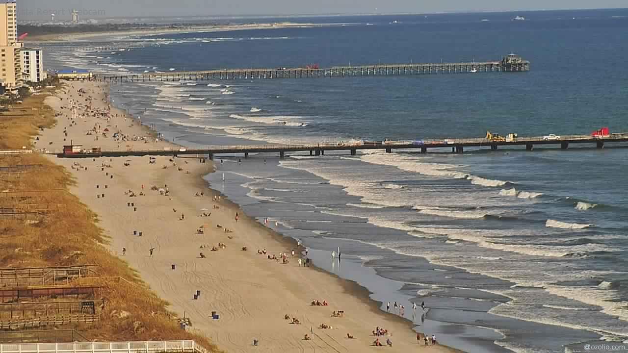
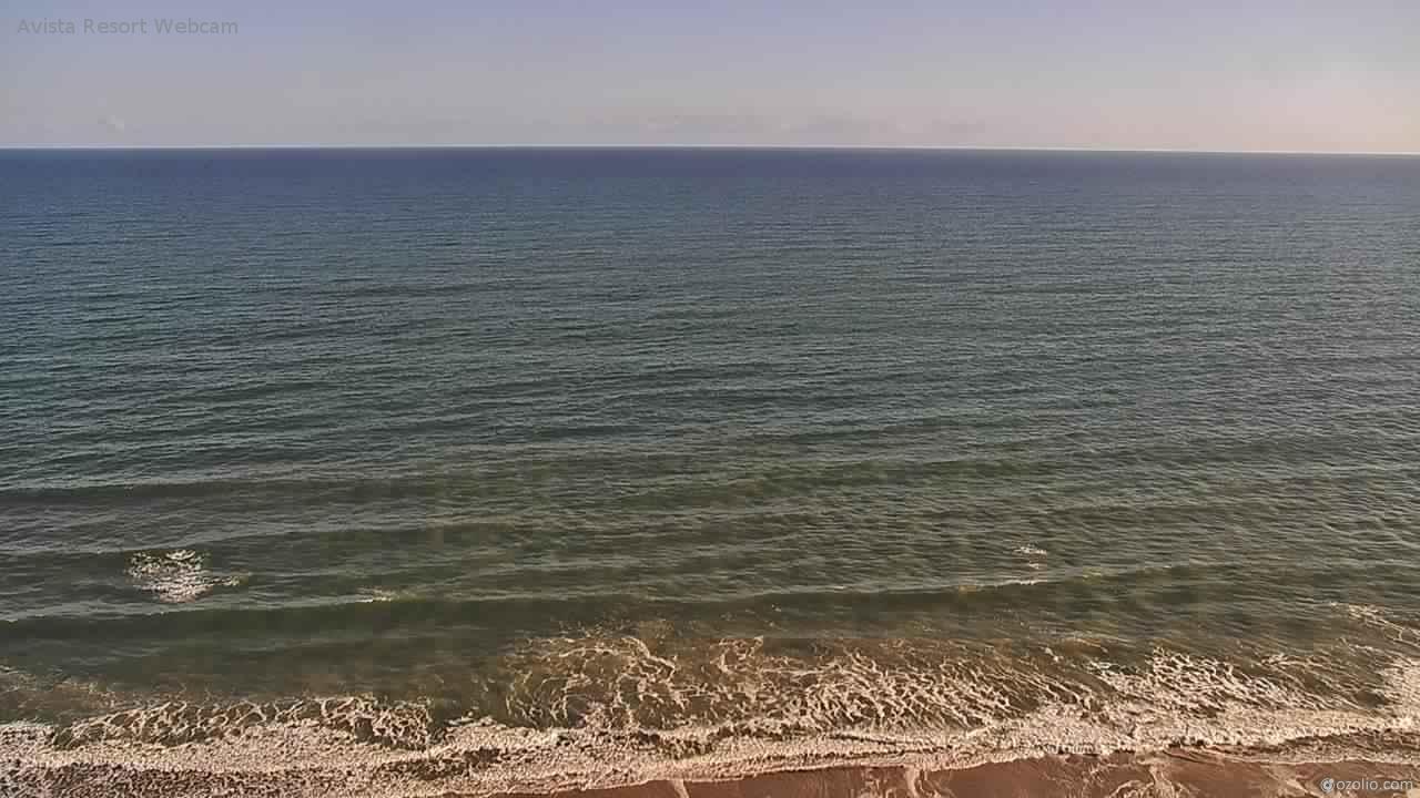
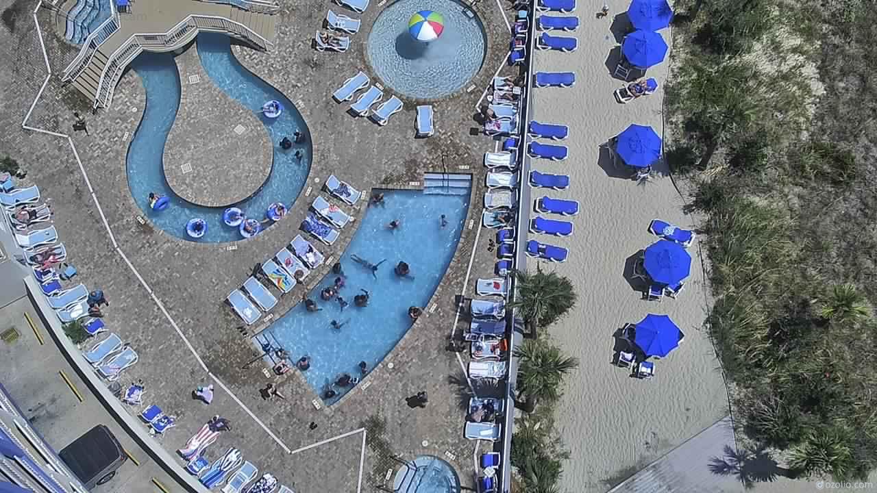
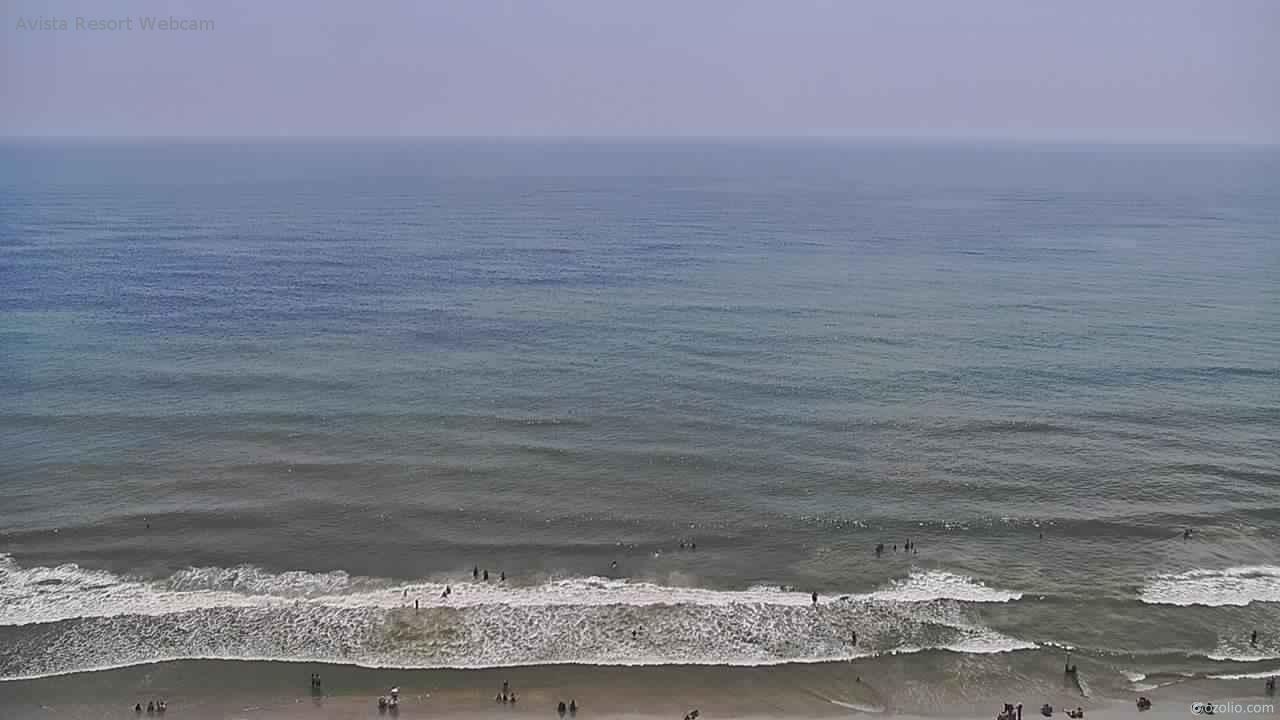
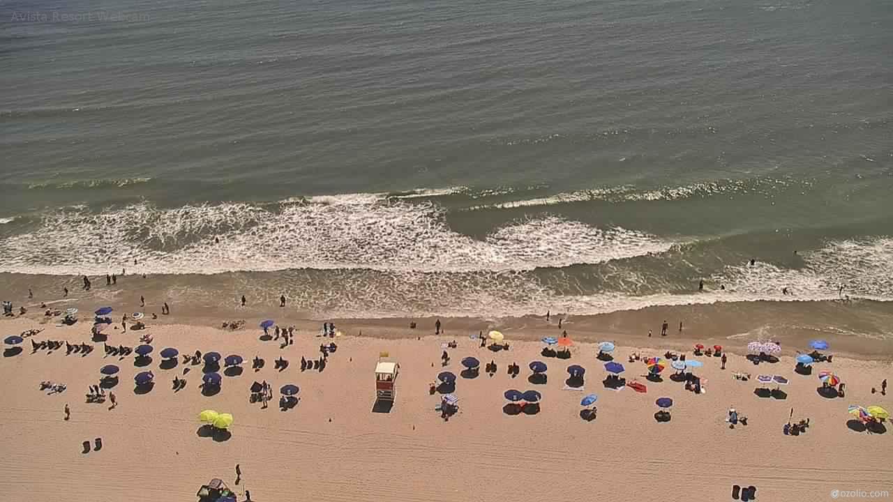
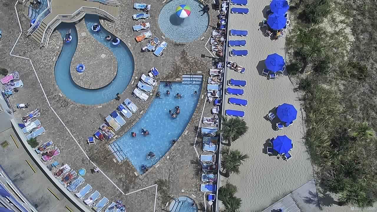
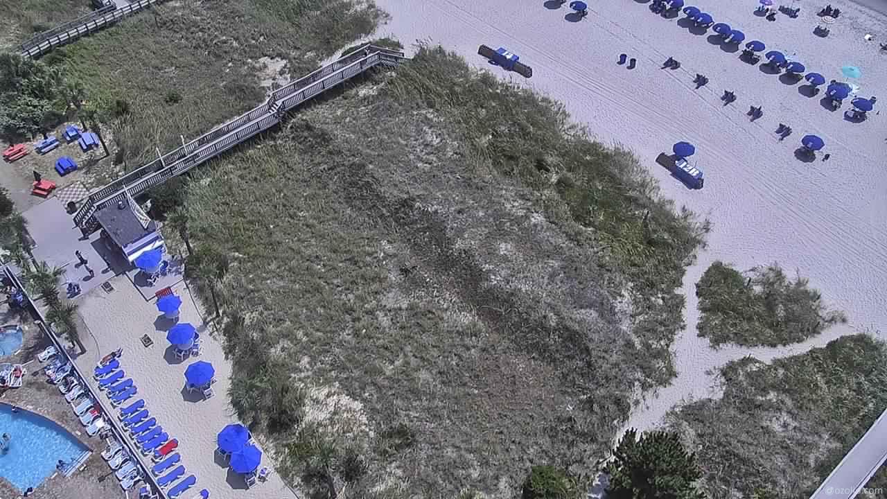
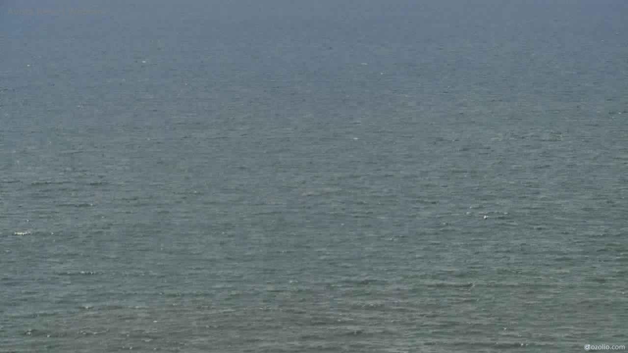
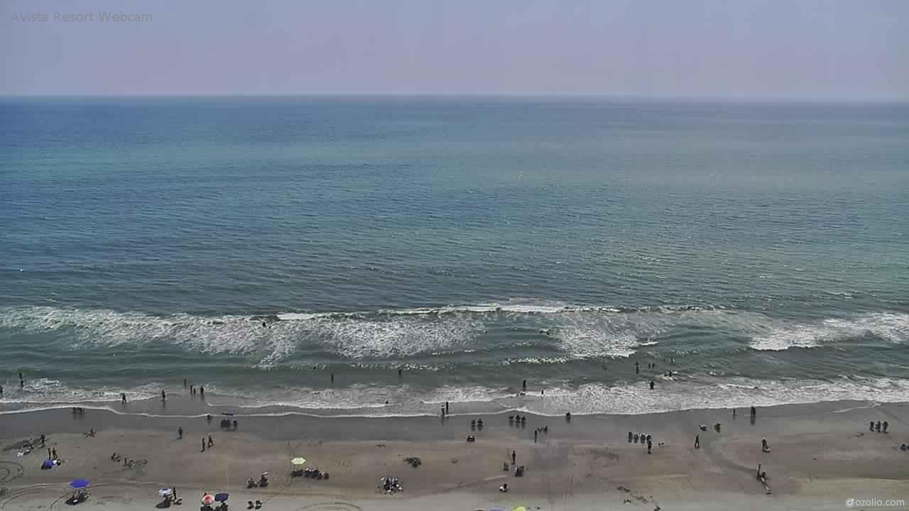
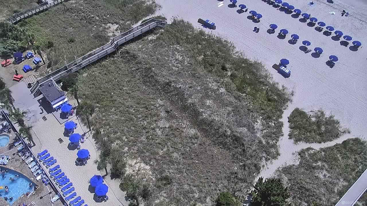
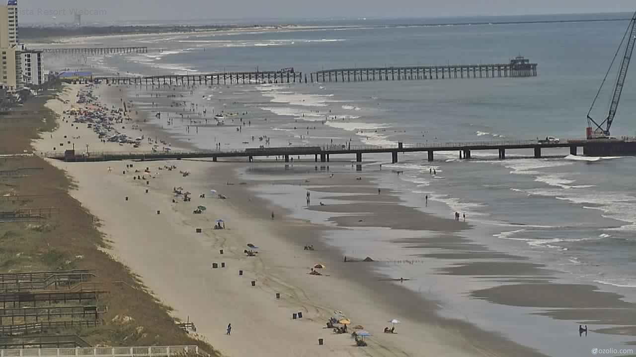
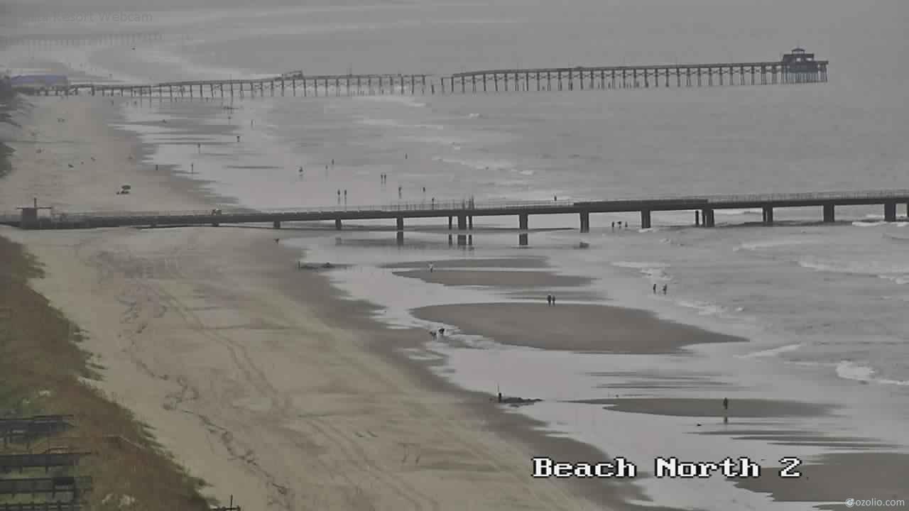
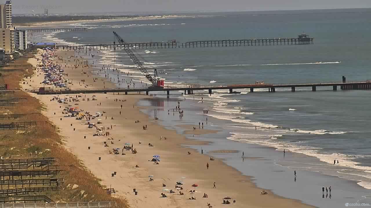
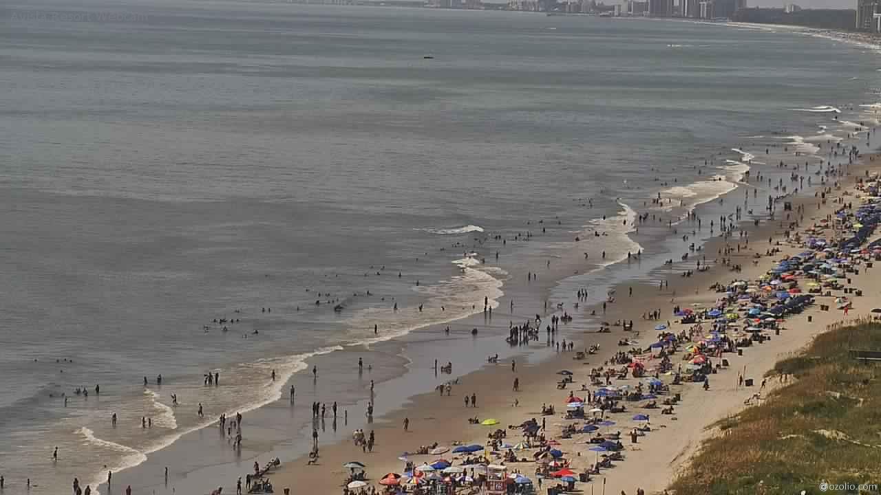
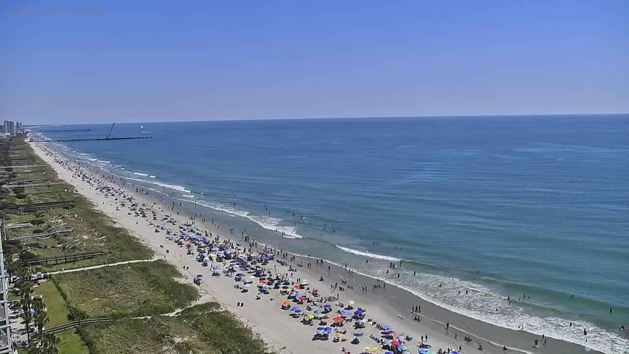
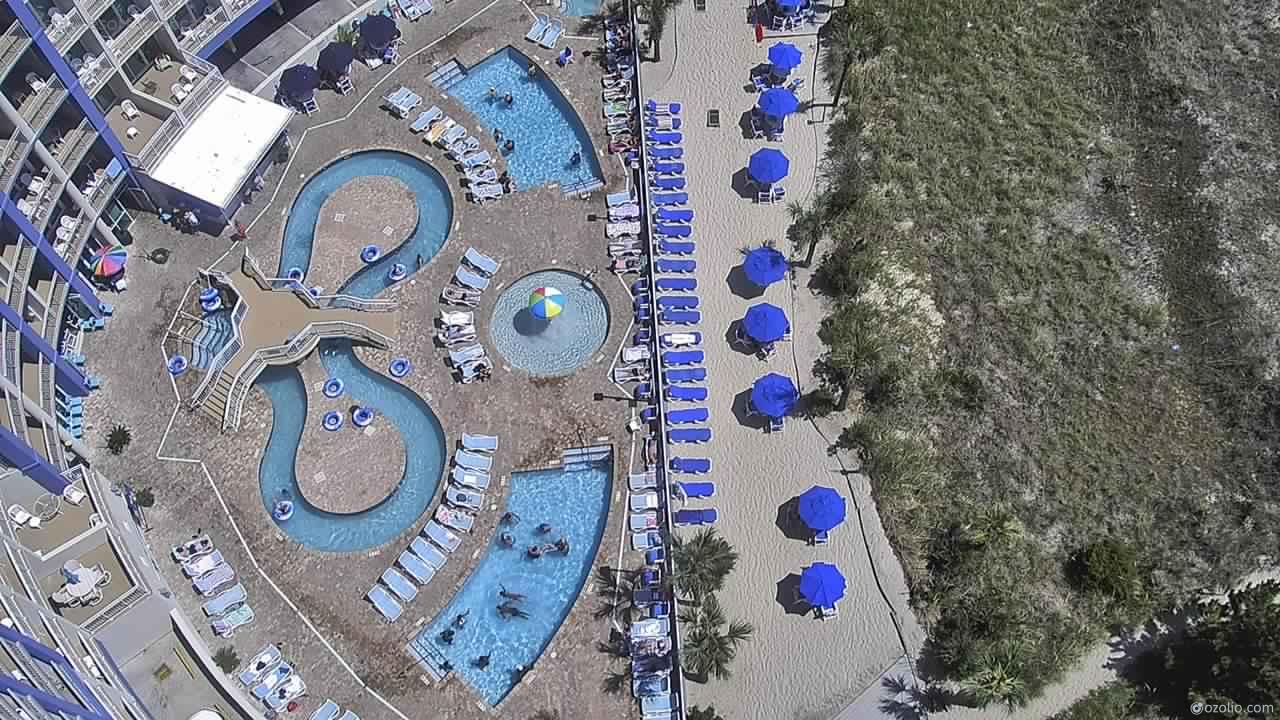
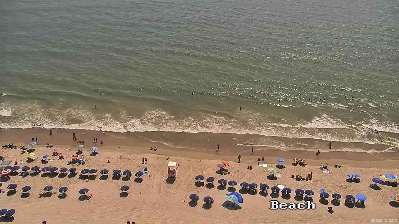
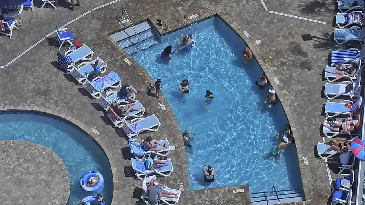
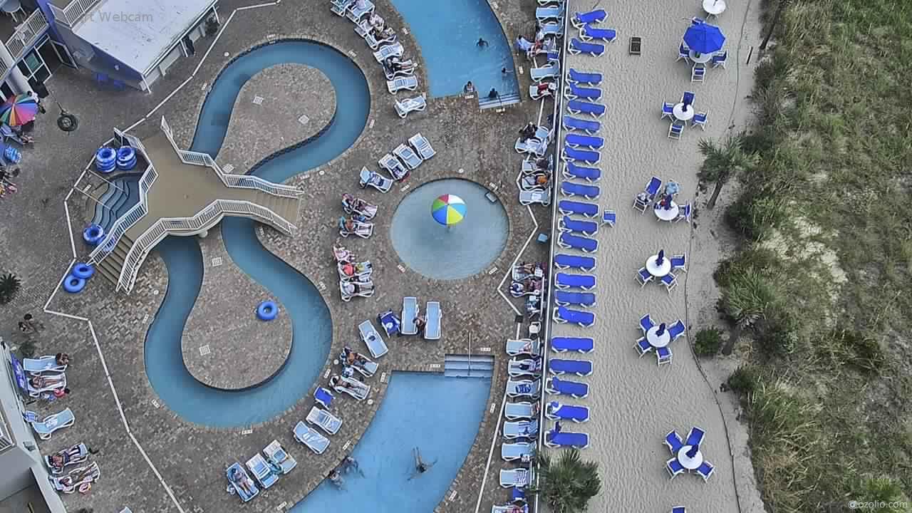
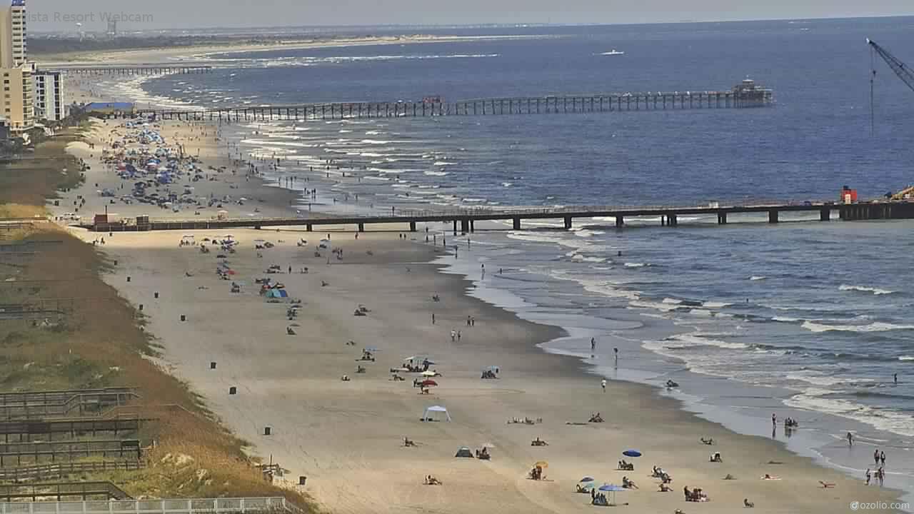
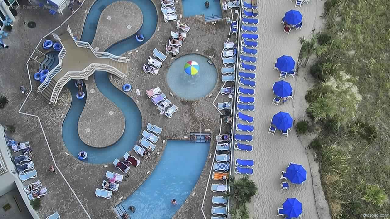
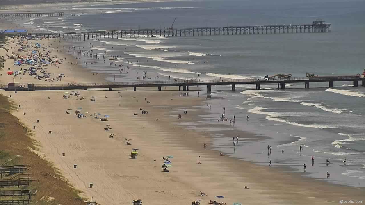
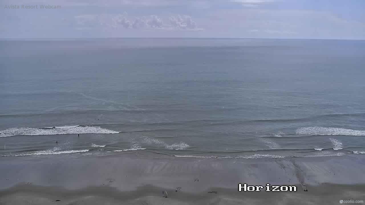
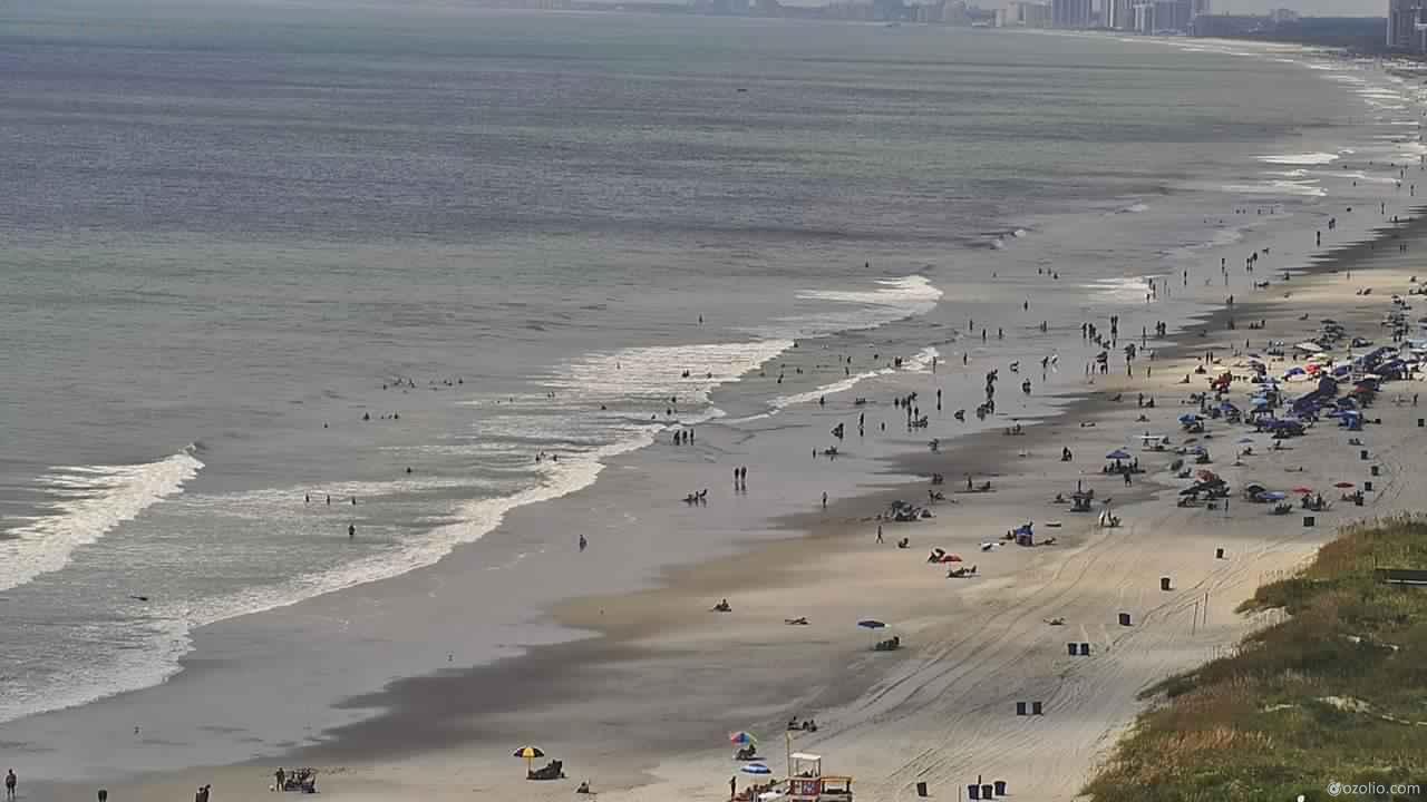
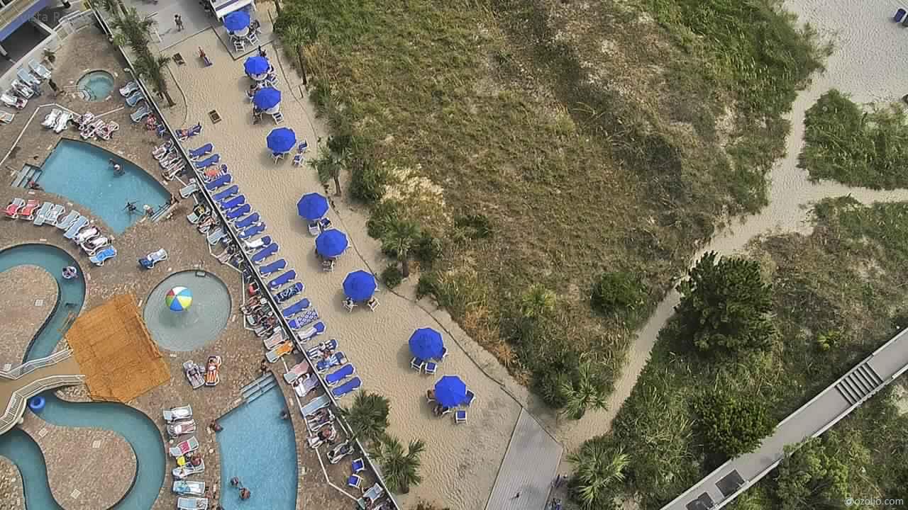
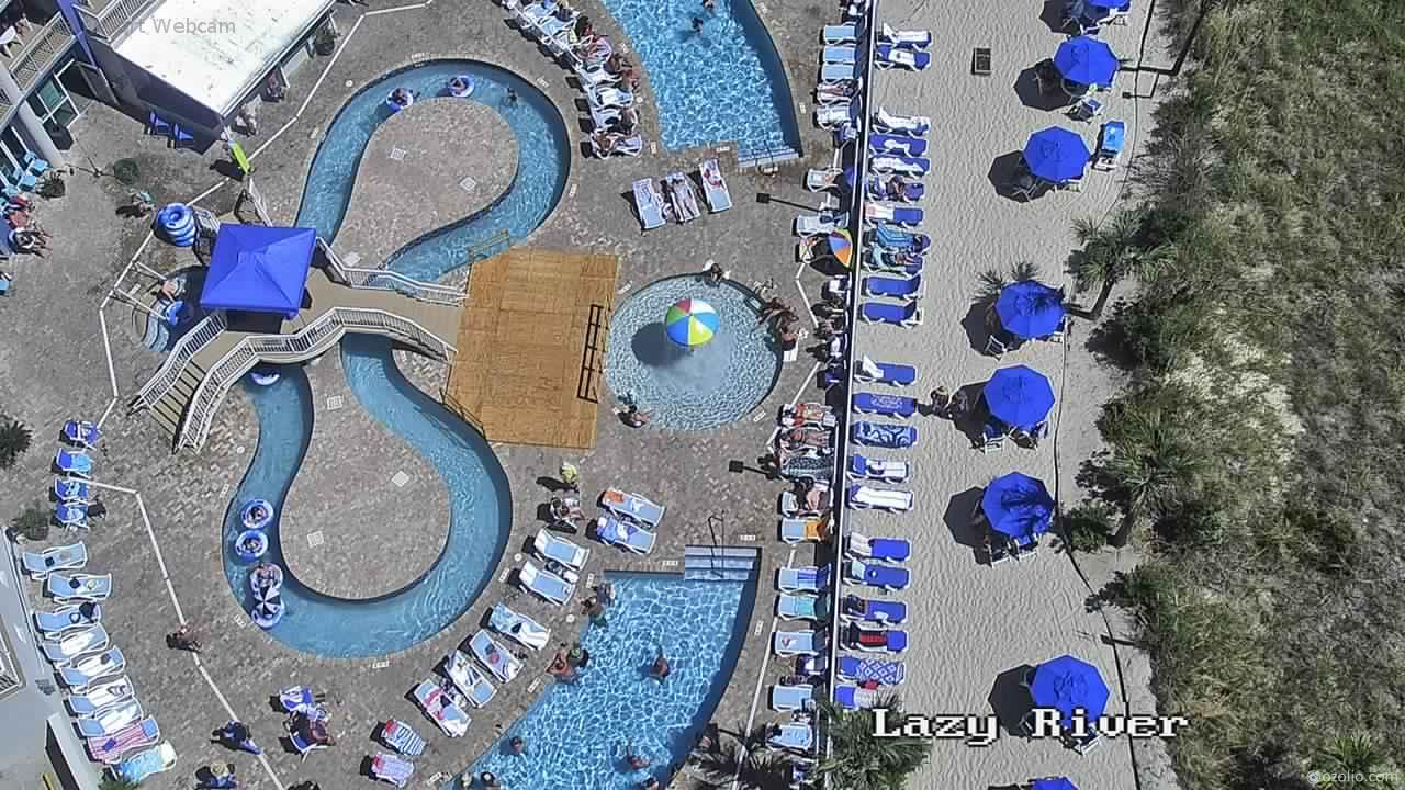
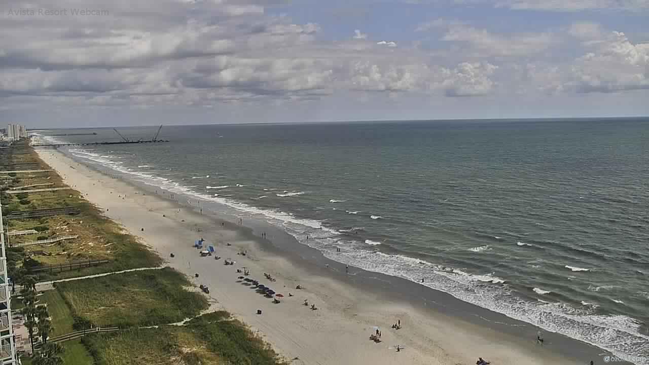
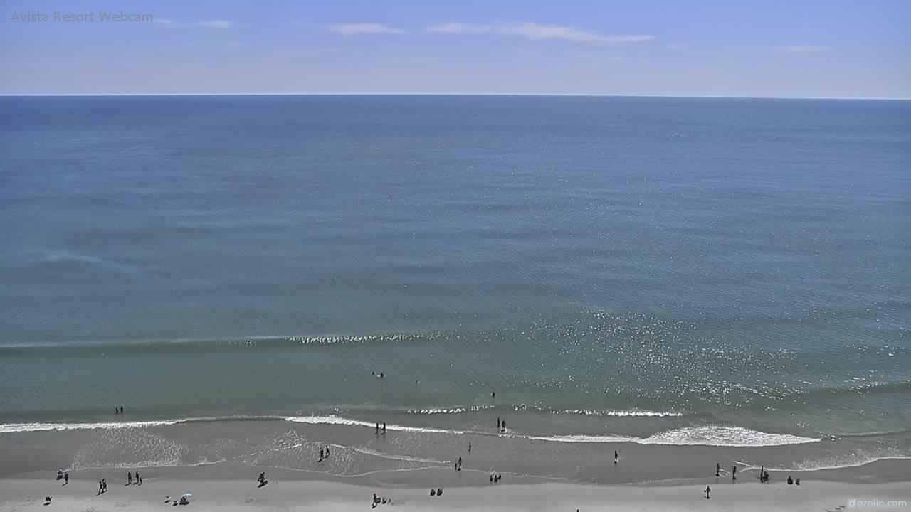
North Myrtle Beach, South Carolina, USA - 127.5 miles from Bowling Heights: Avista Resort - View over the beach of North Myrtle Beach from the Avista Resort.
Operator: Avista Resort Hotel
Operator: Avista Resort Hotel

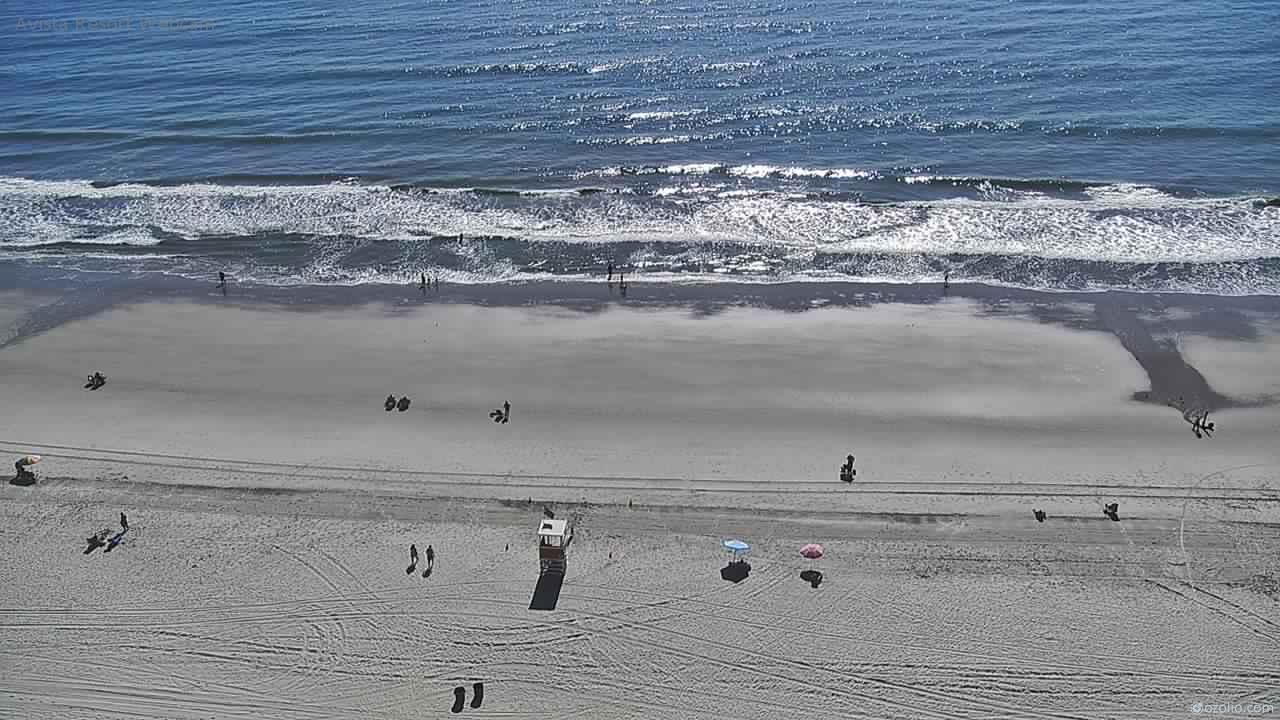


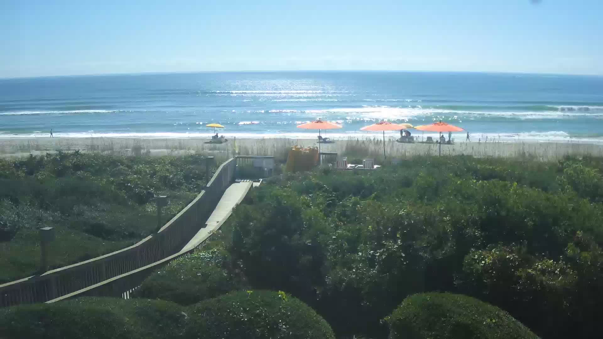
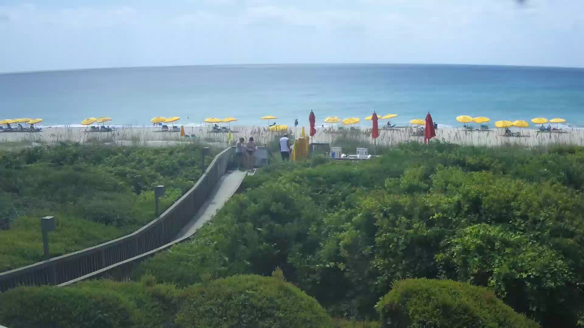
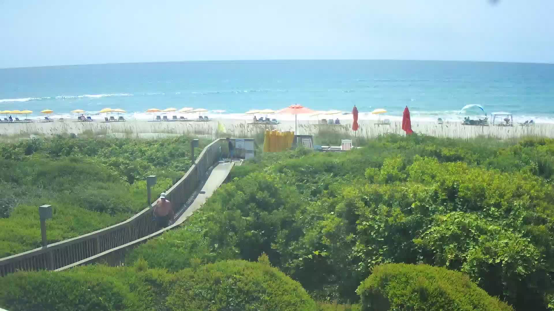
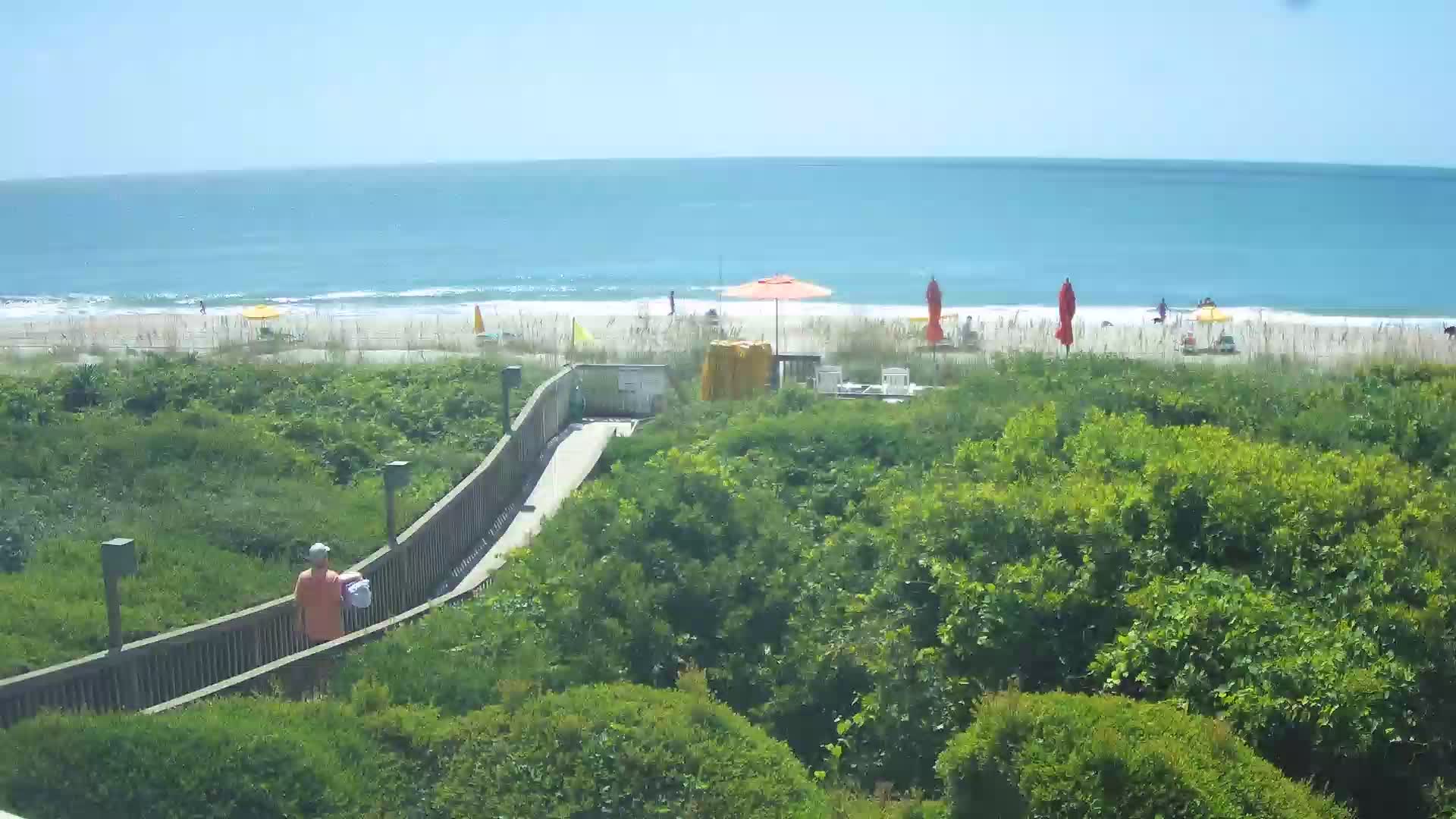
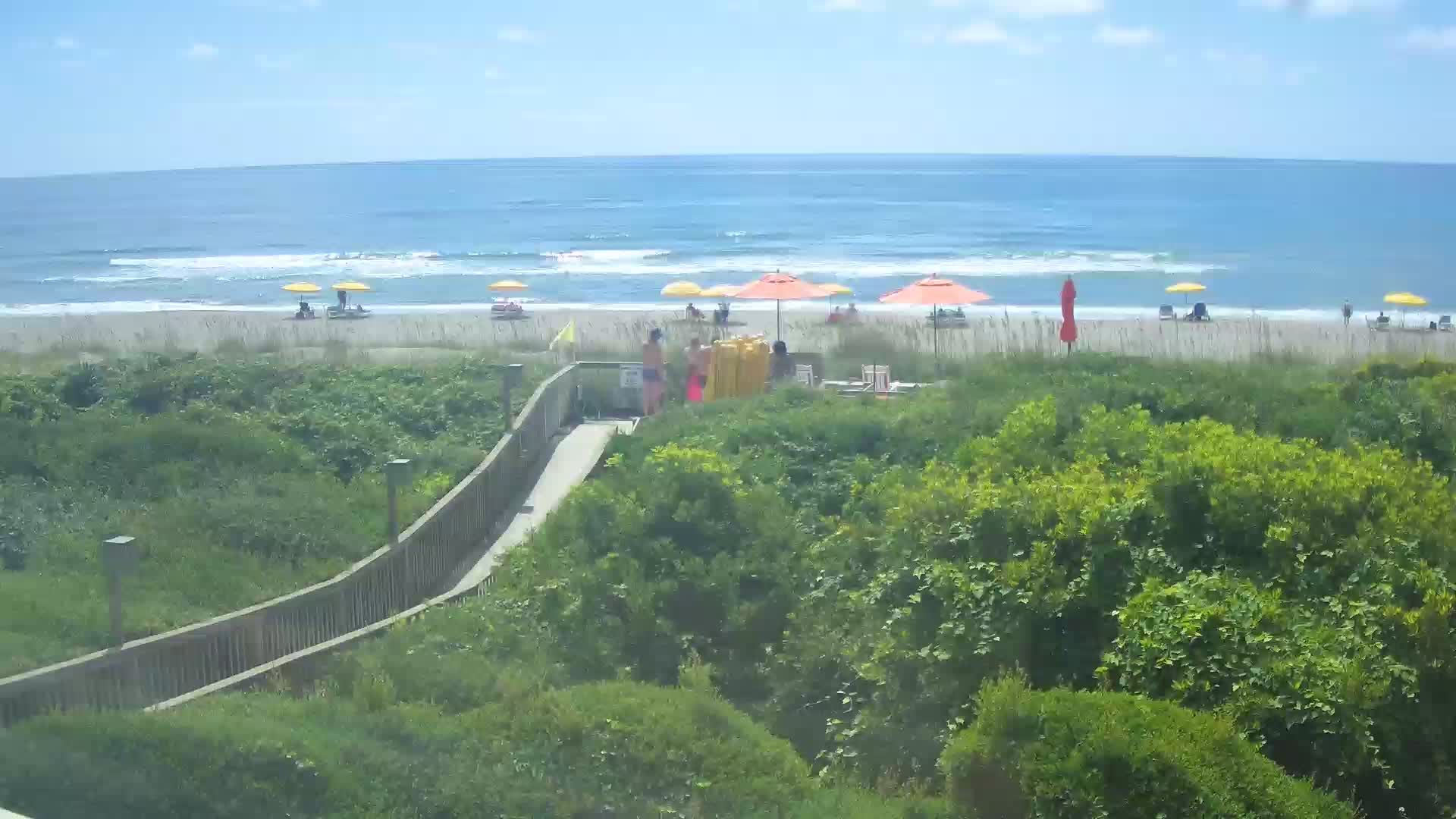
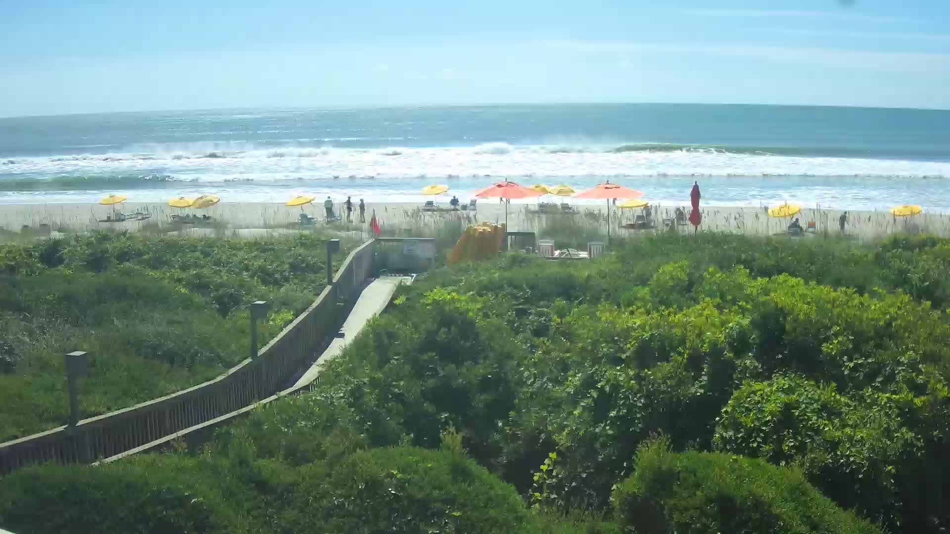
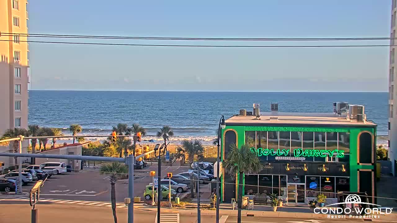
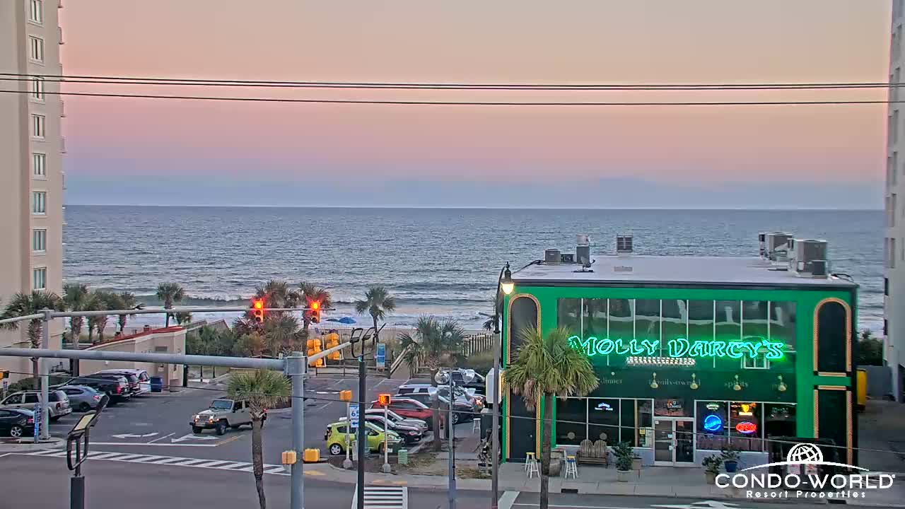
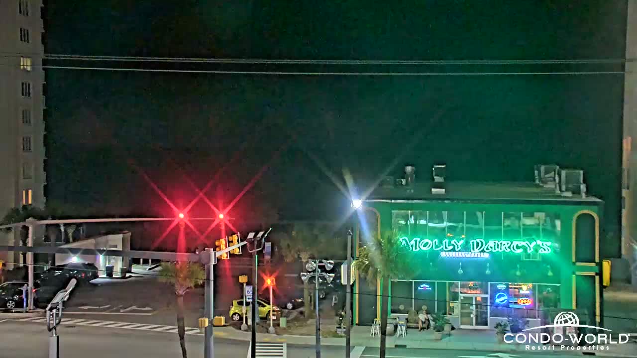
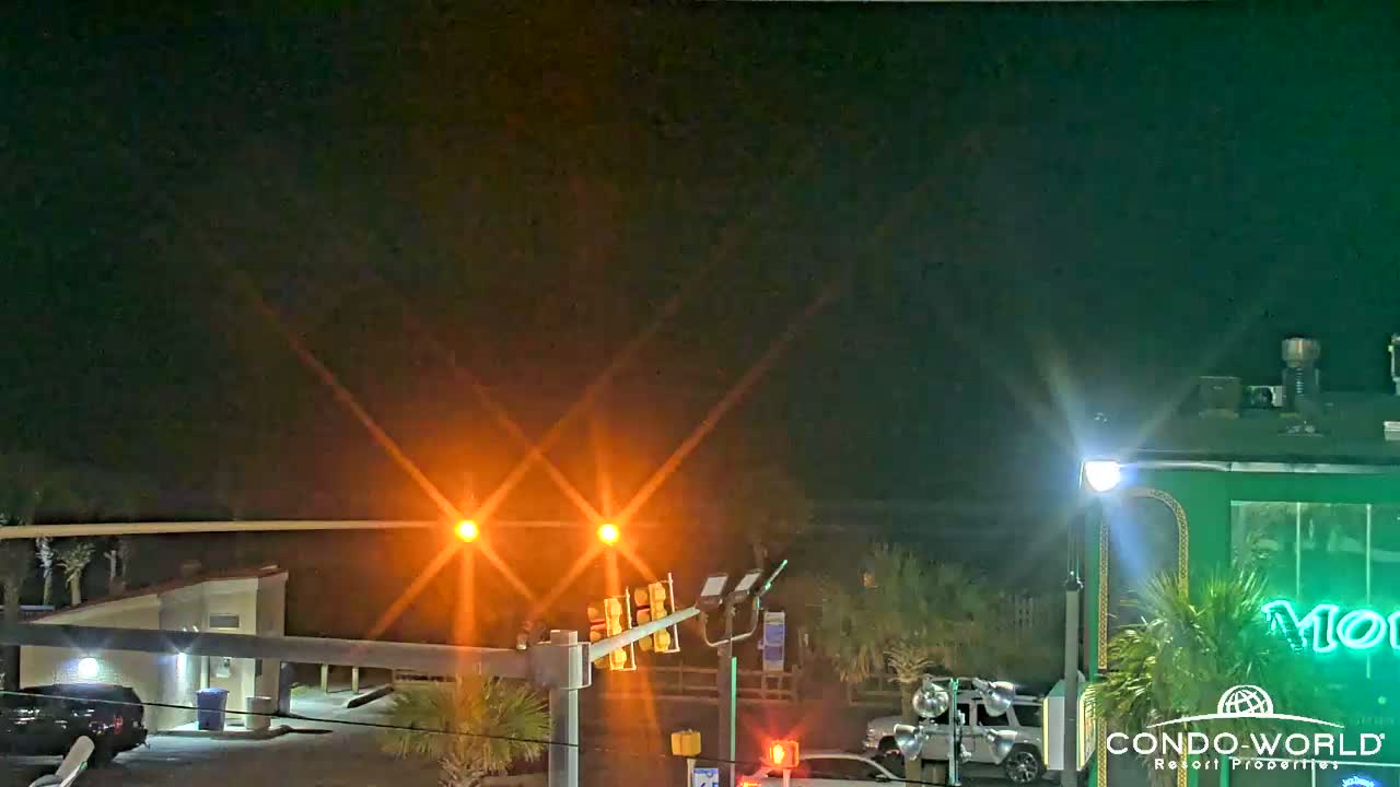
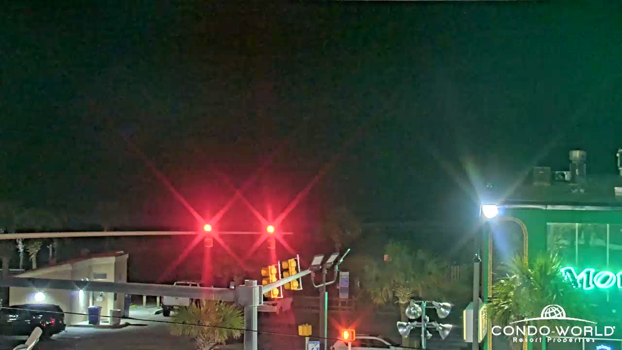
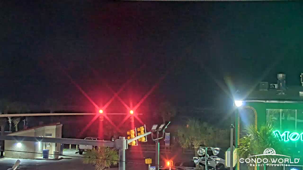
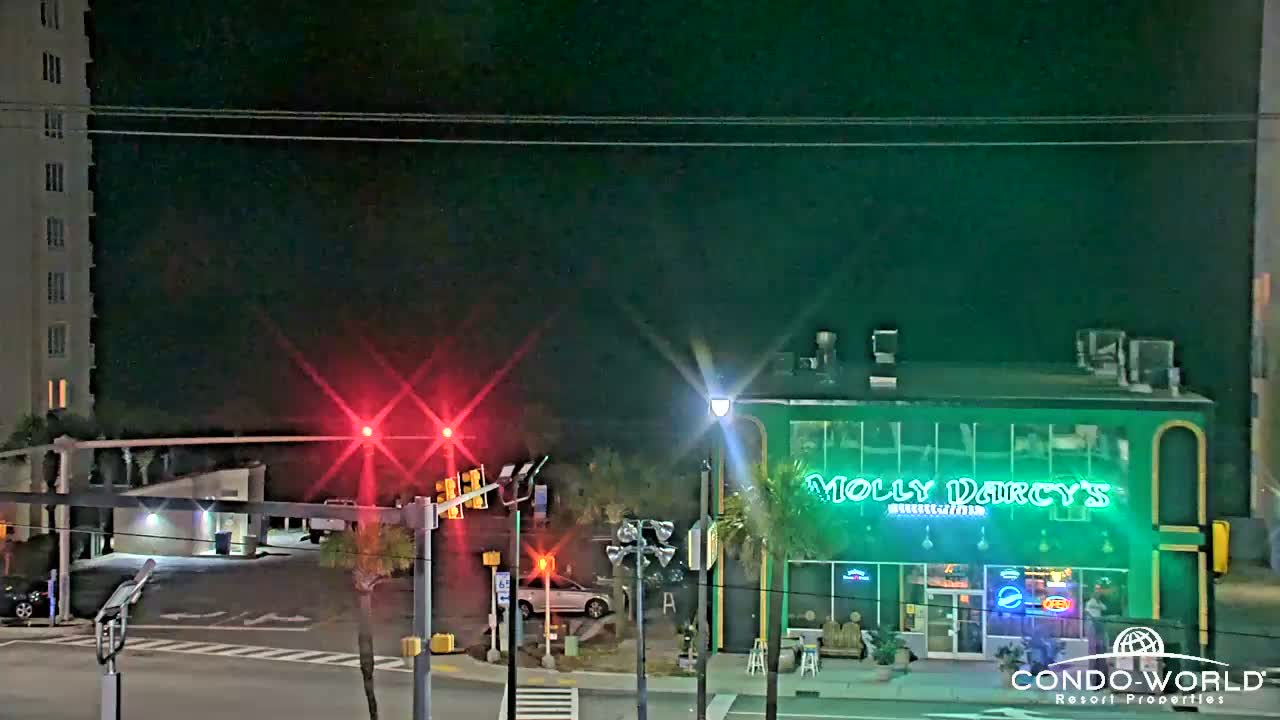
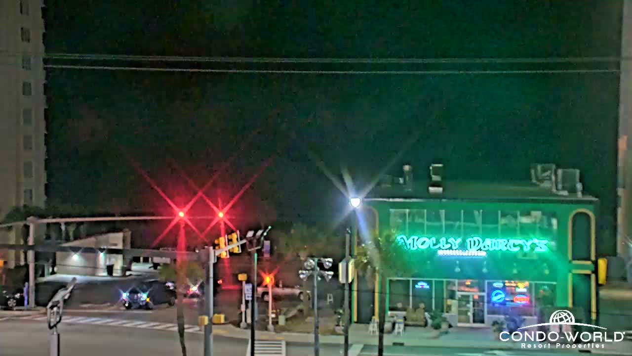
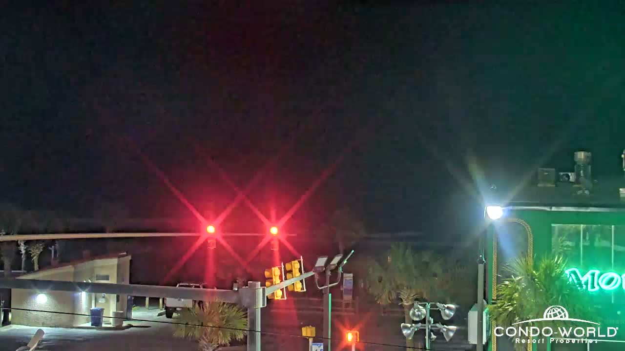
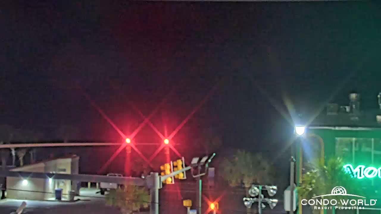
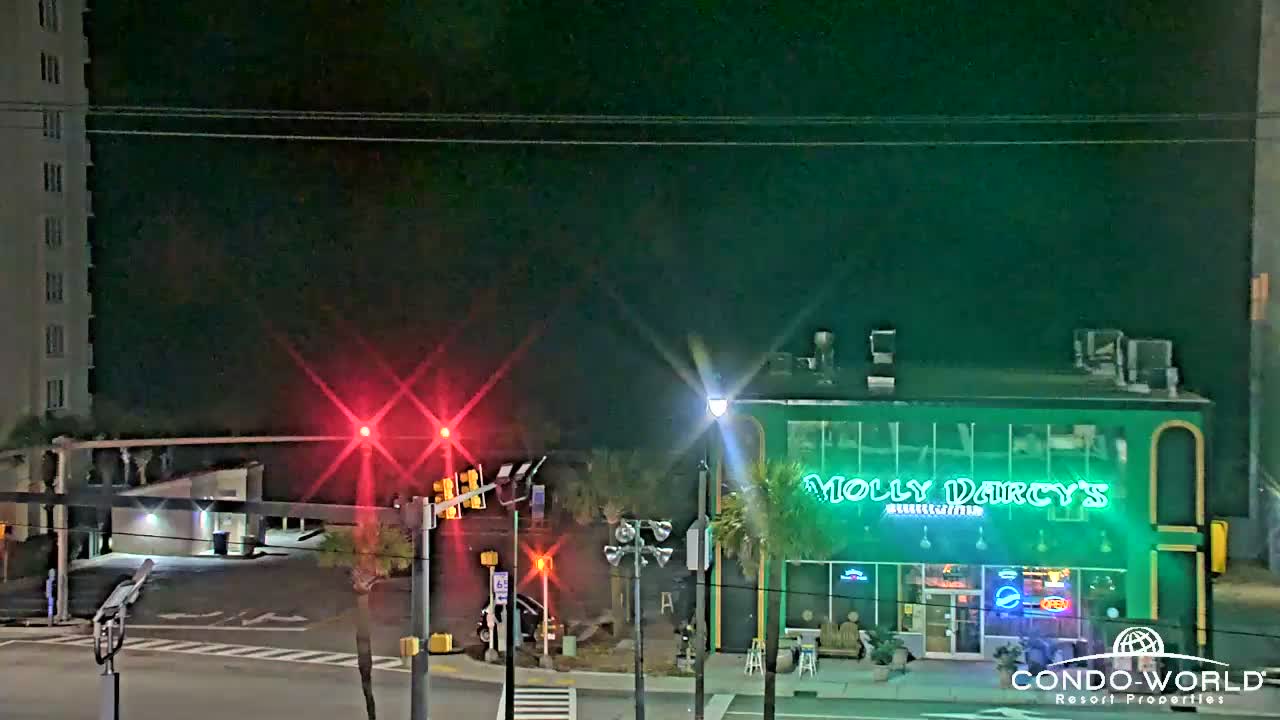
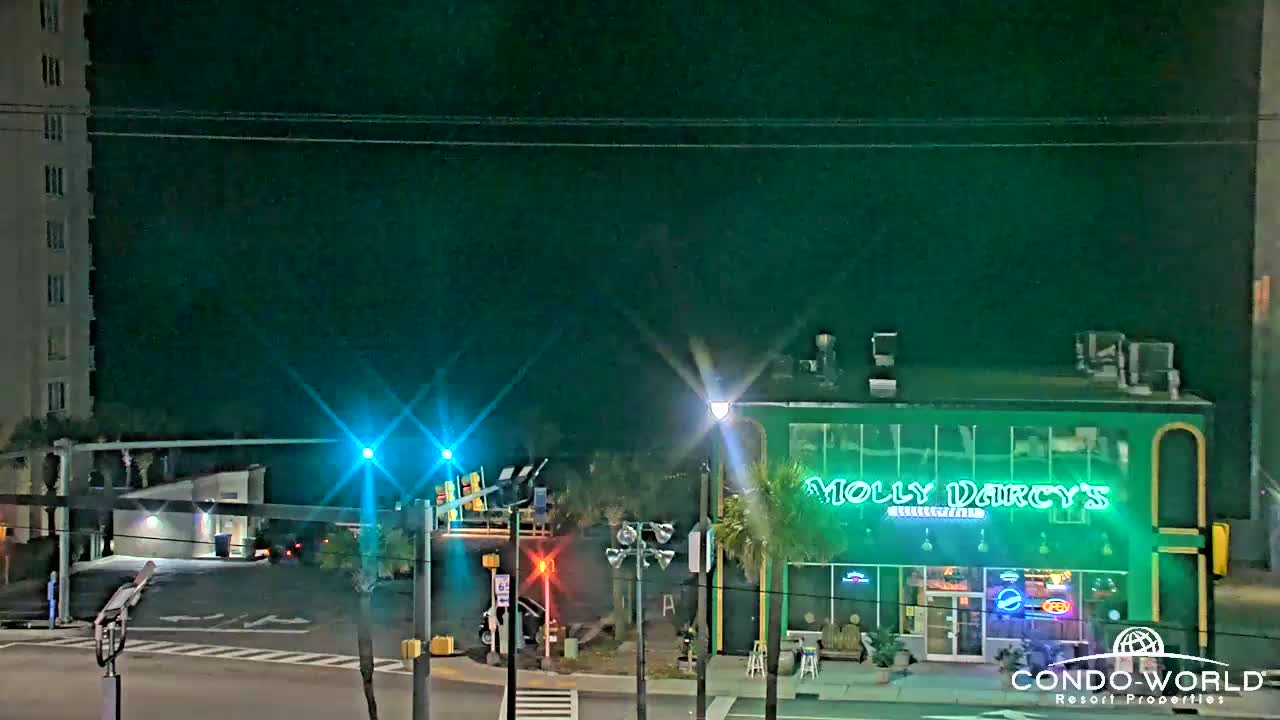
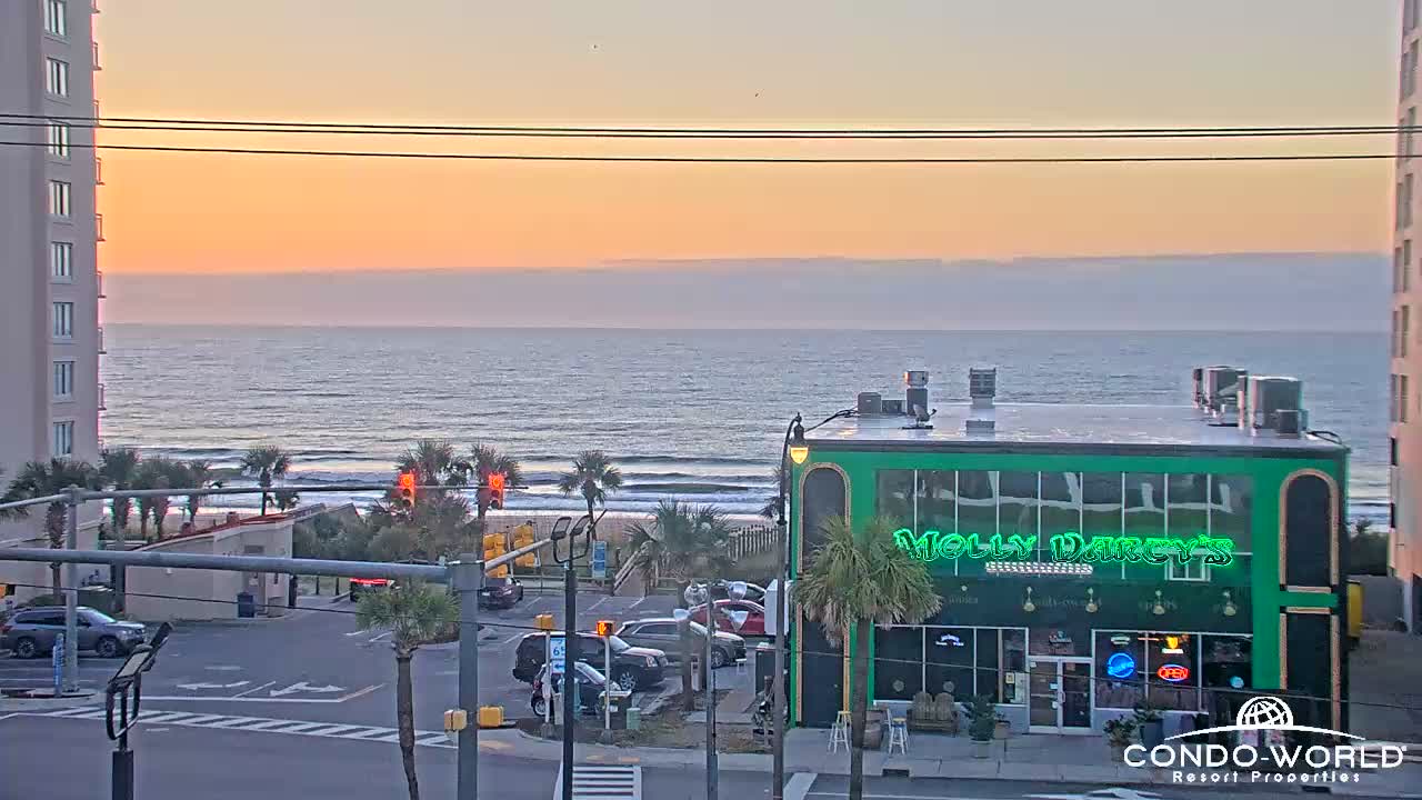
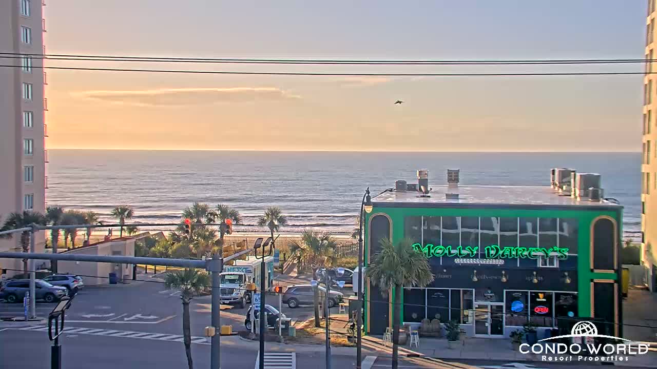
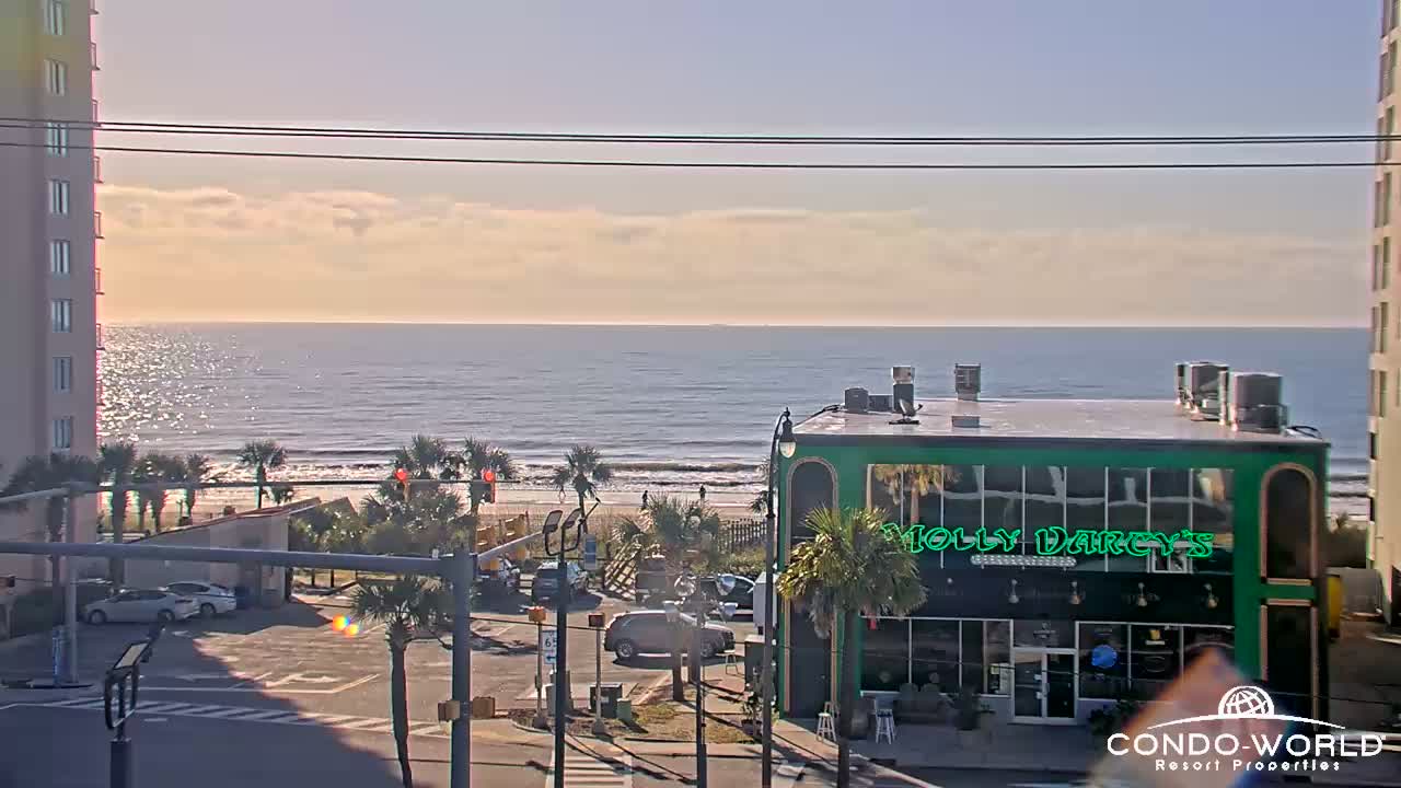
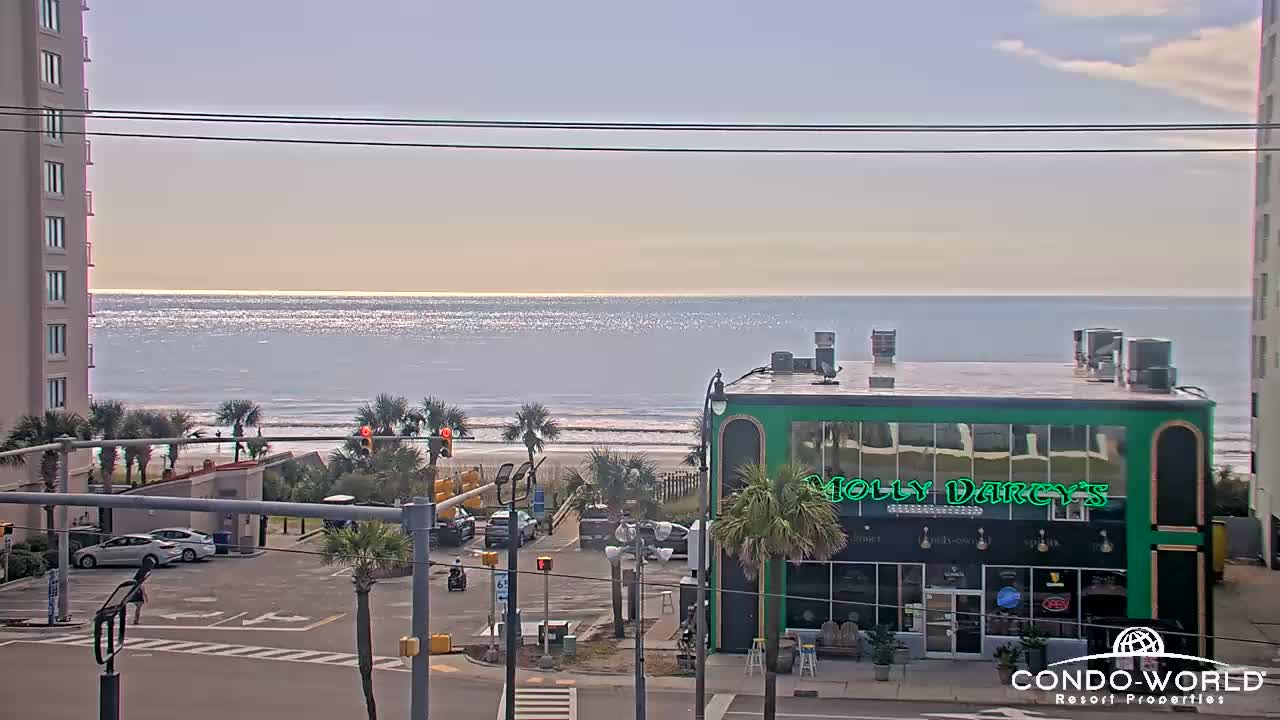
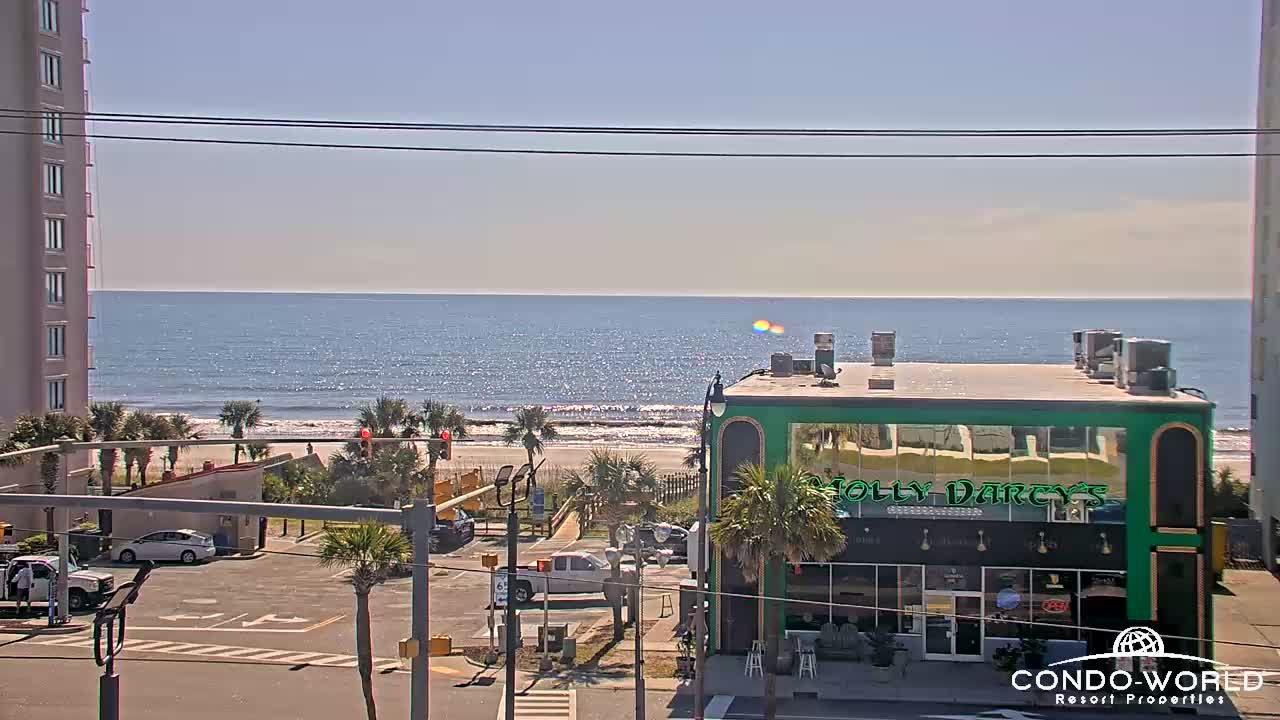
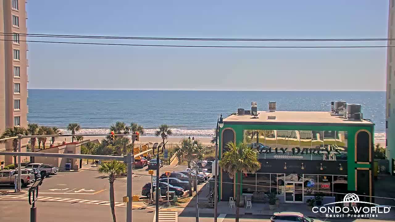
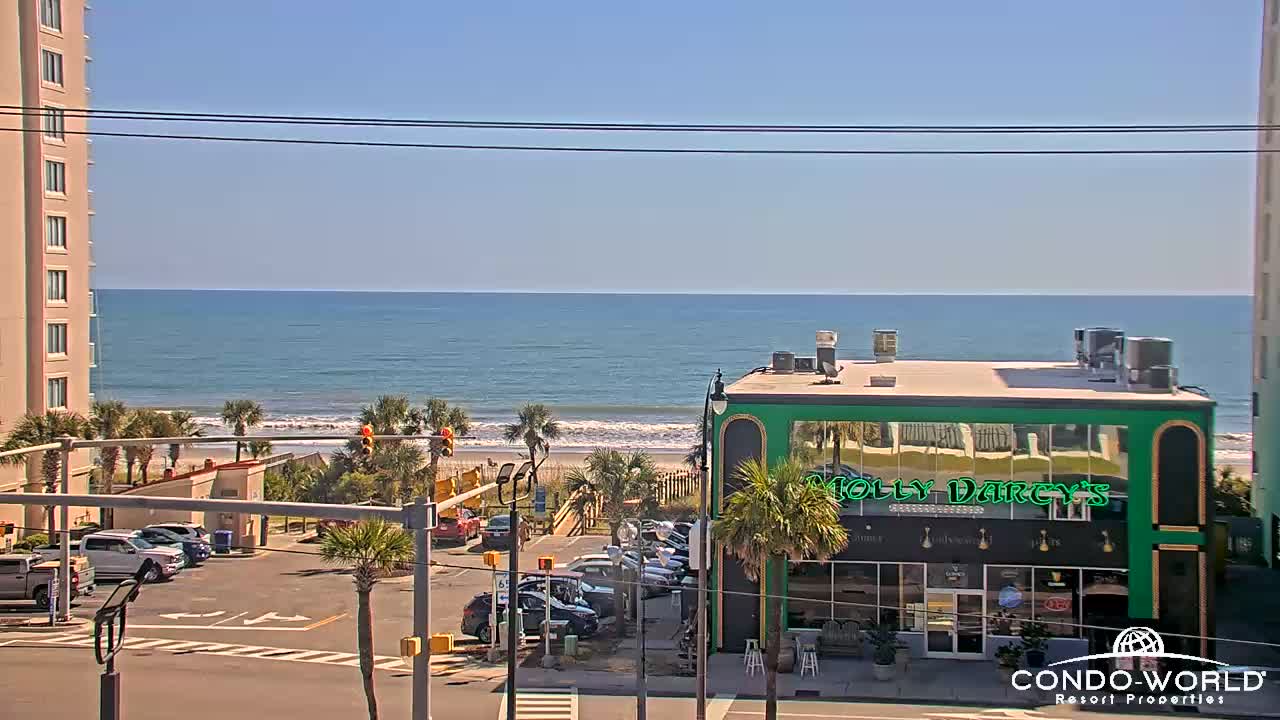
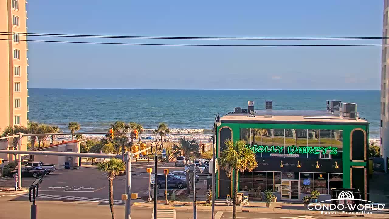
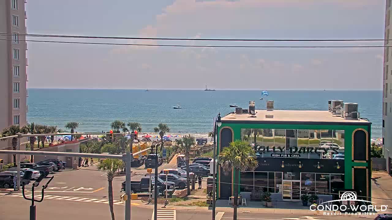
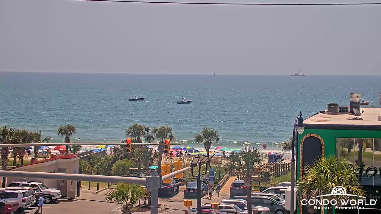
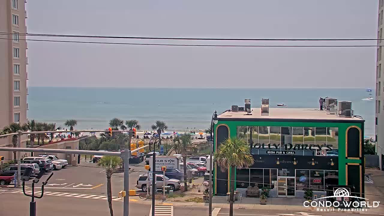
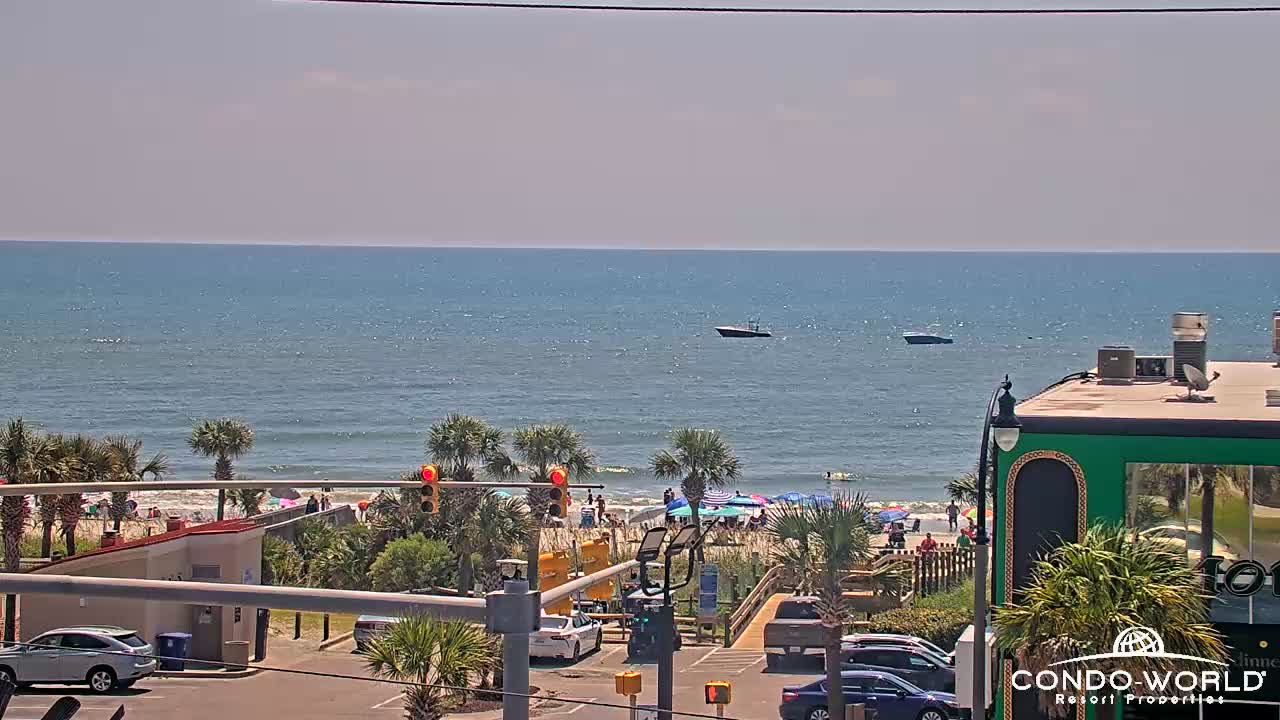
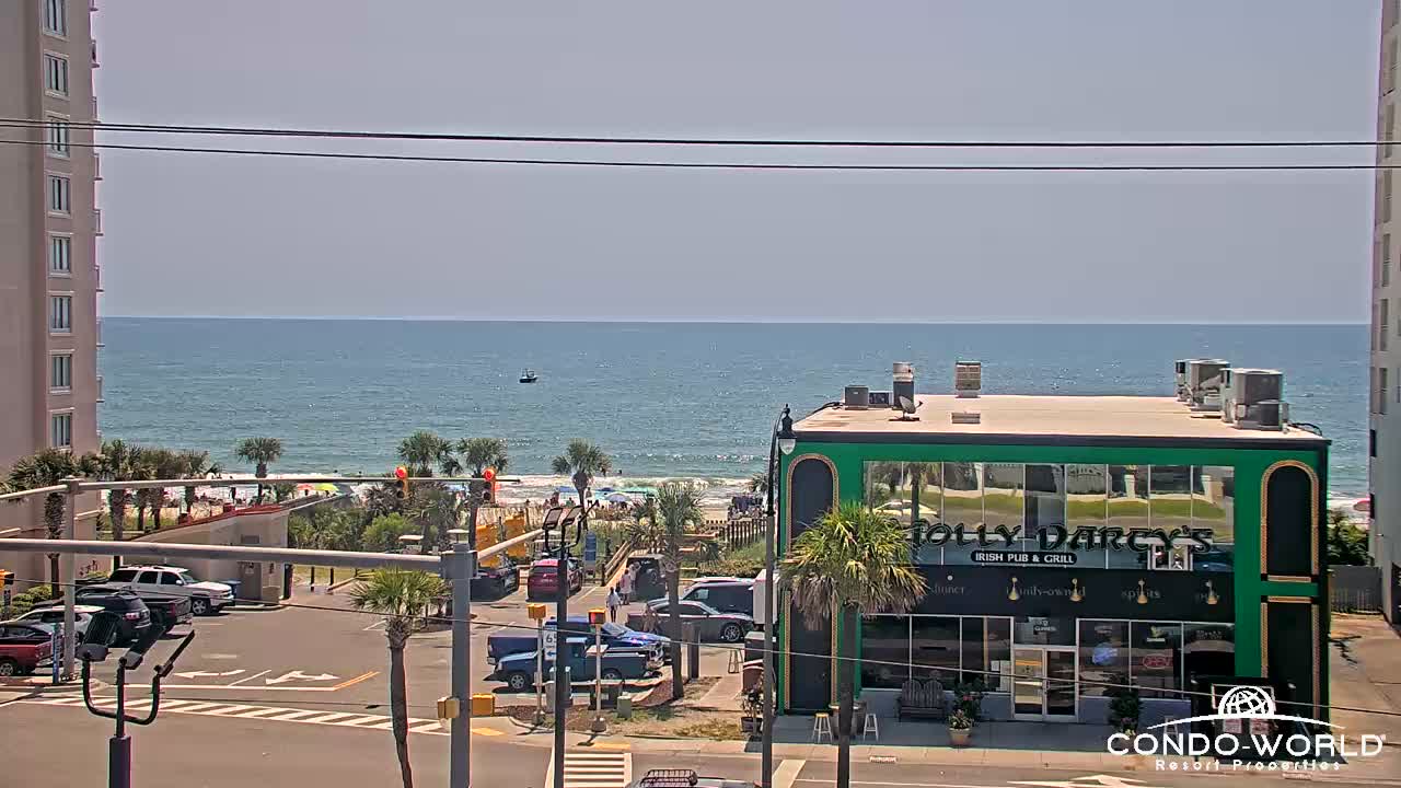
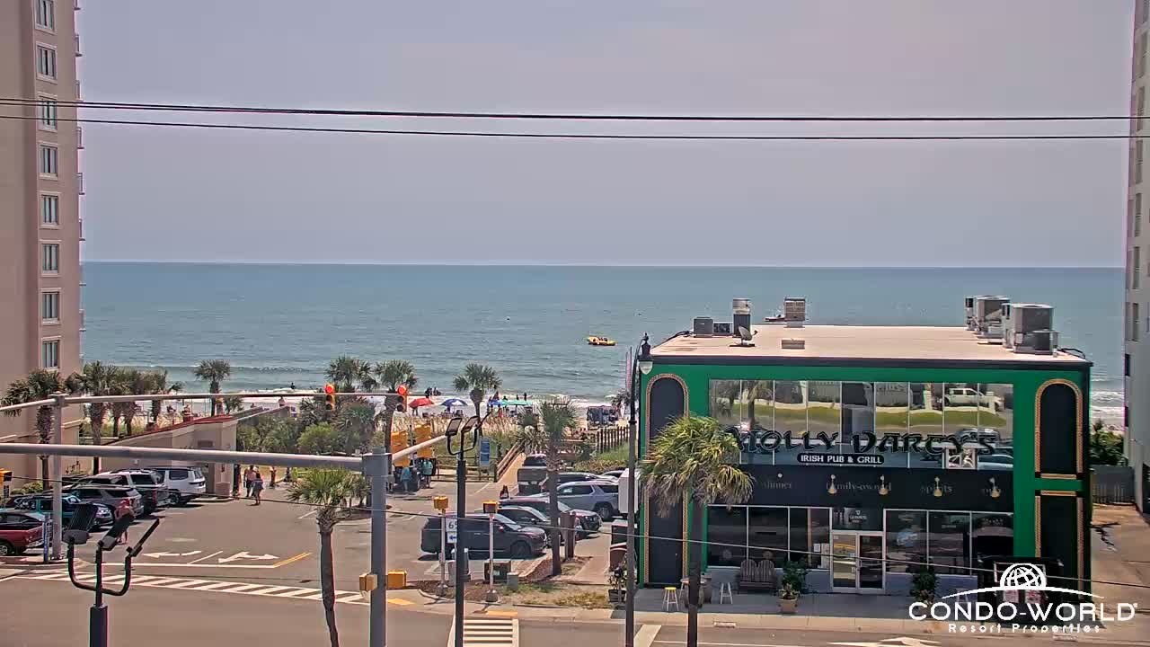
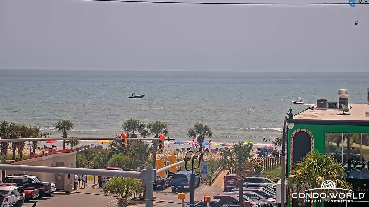
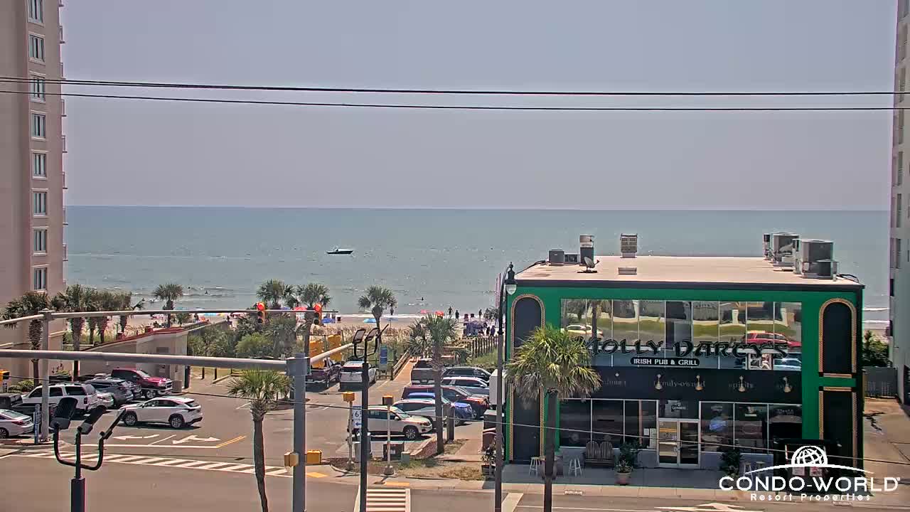
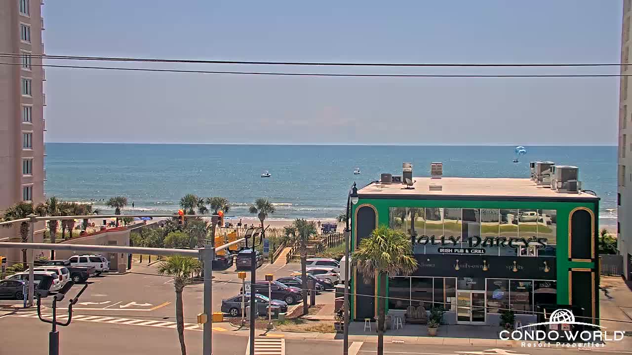
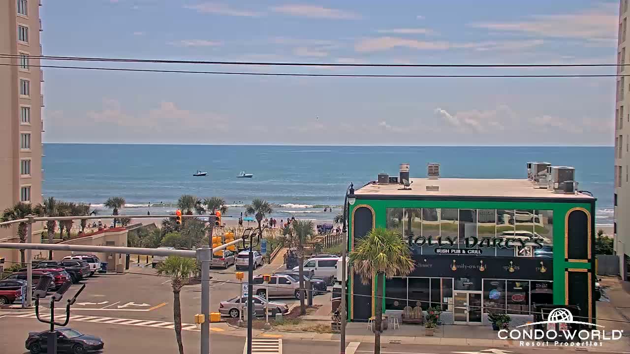
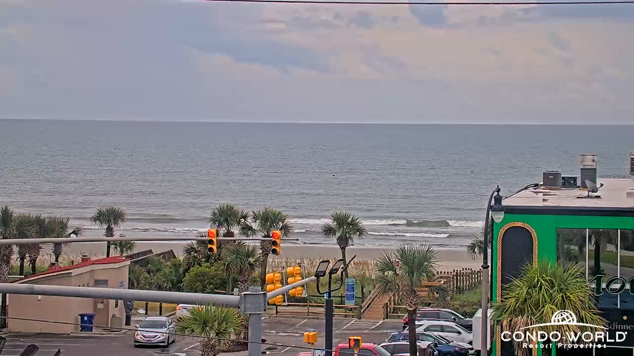
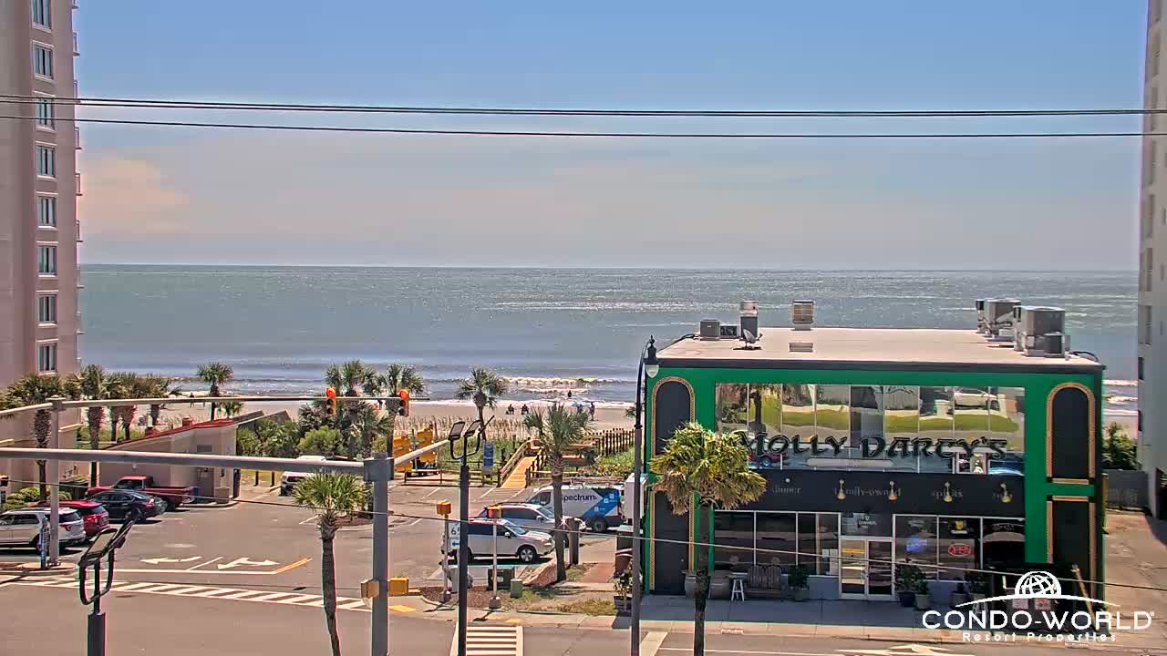
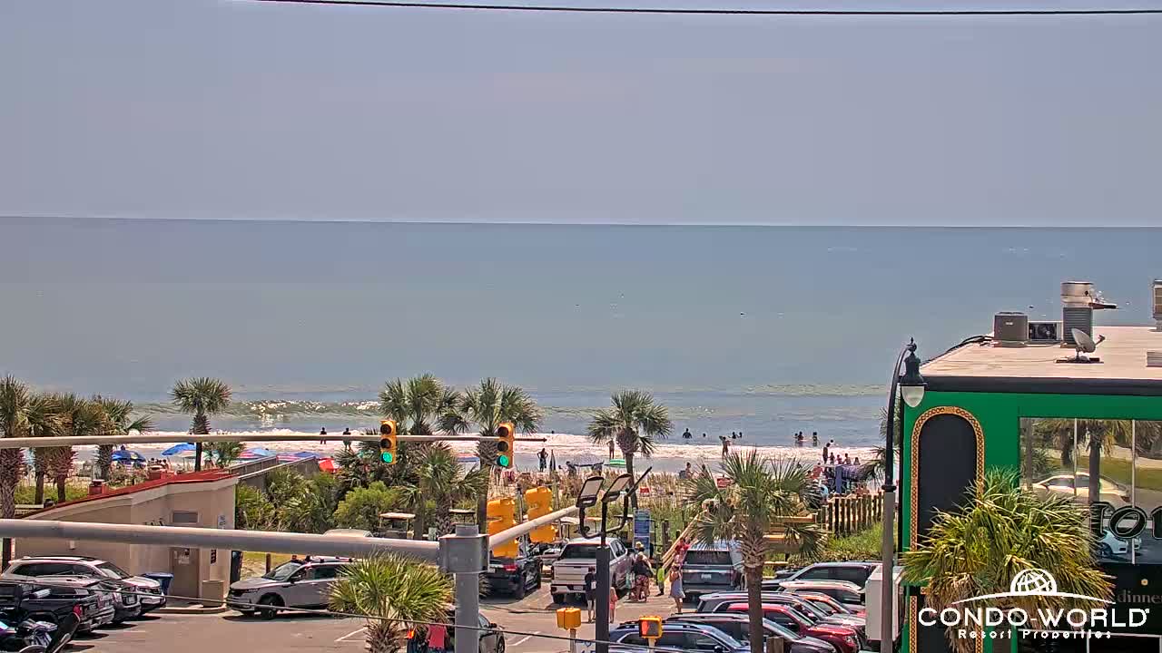
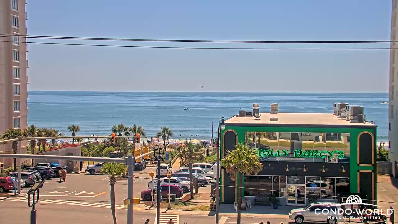
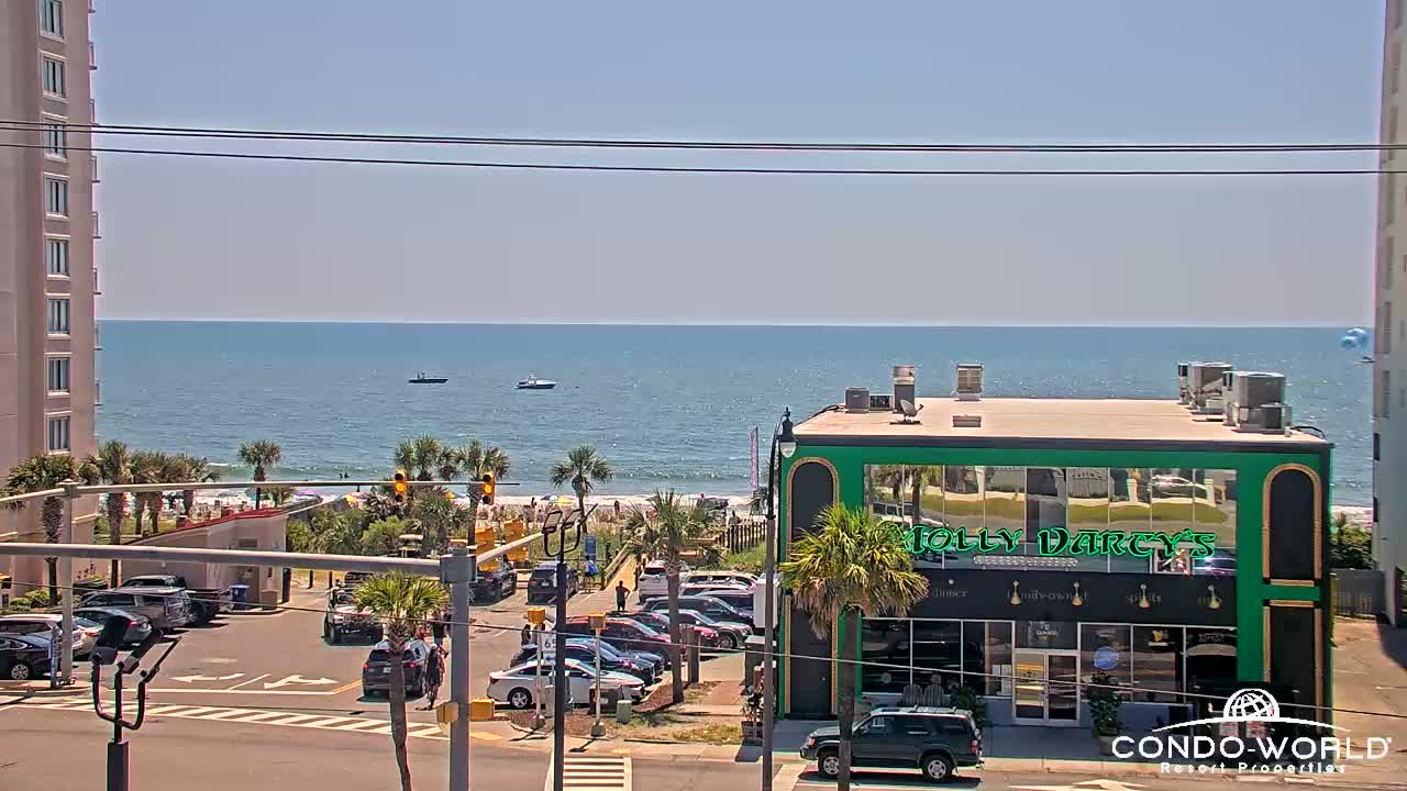
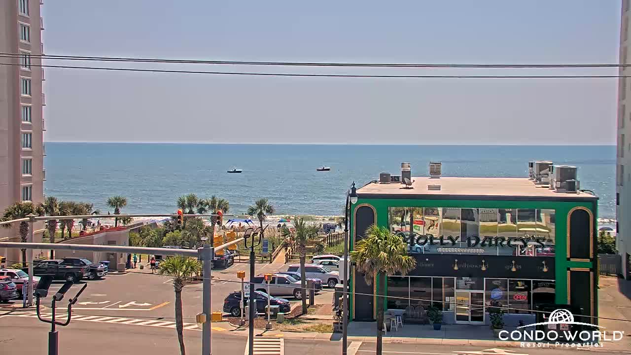
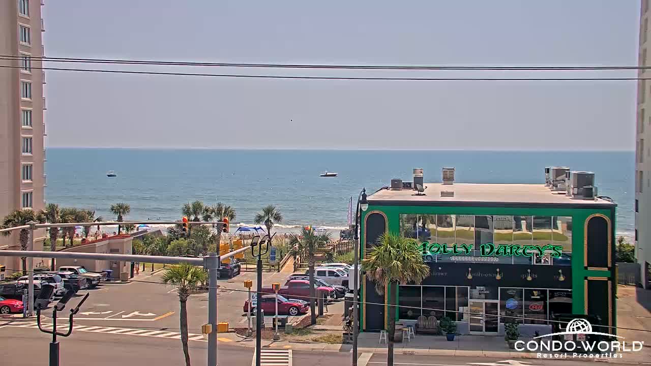
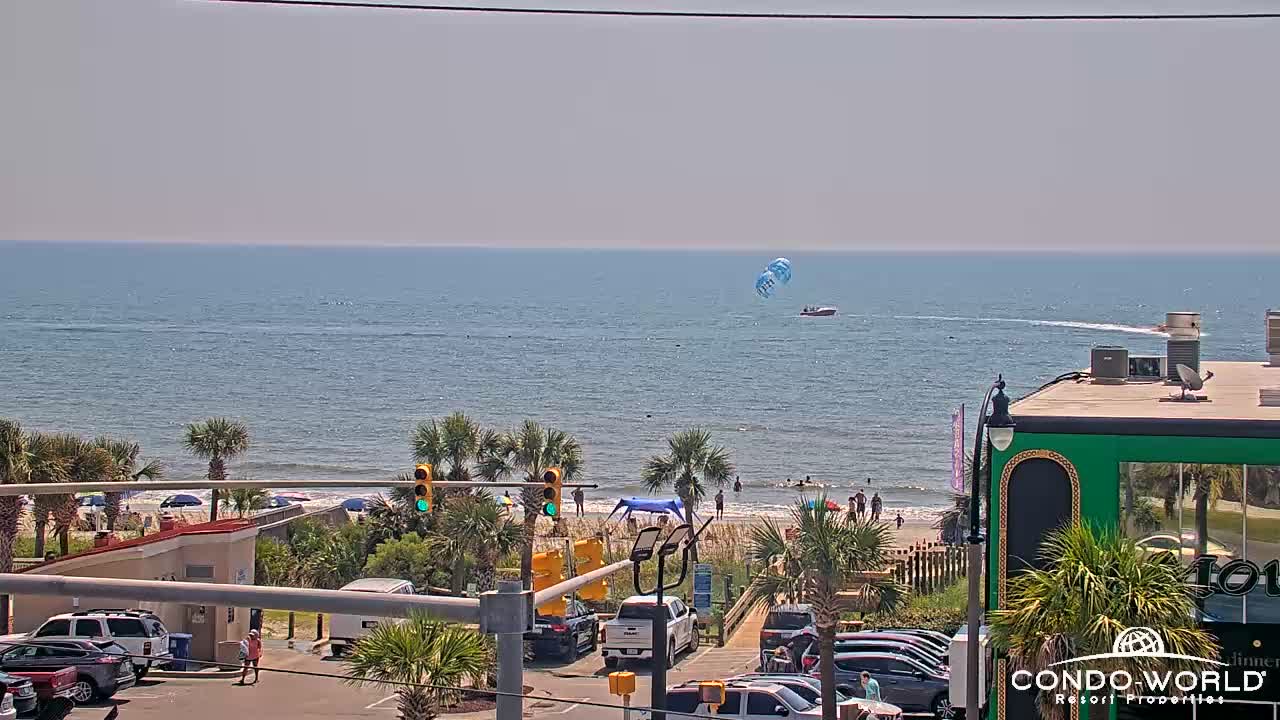
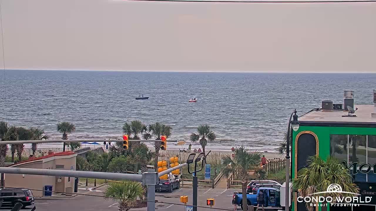
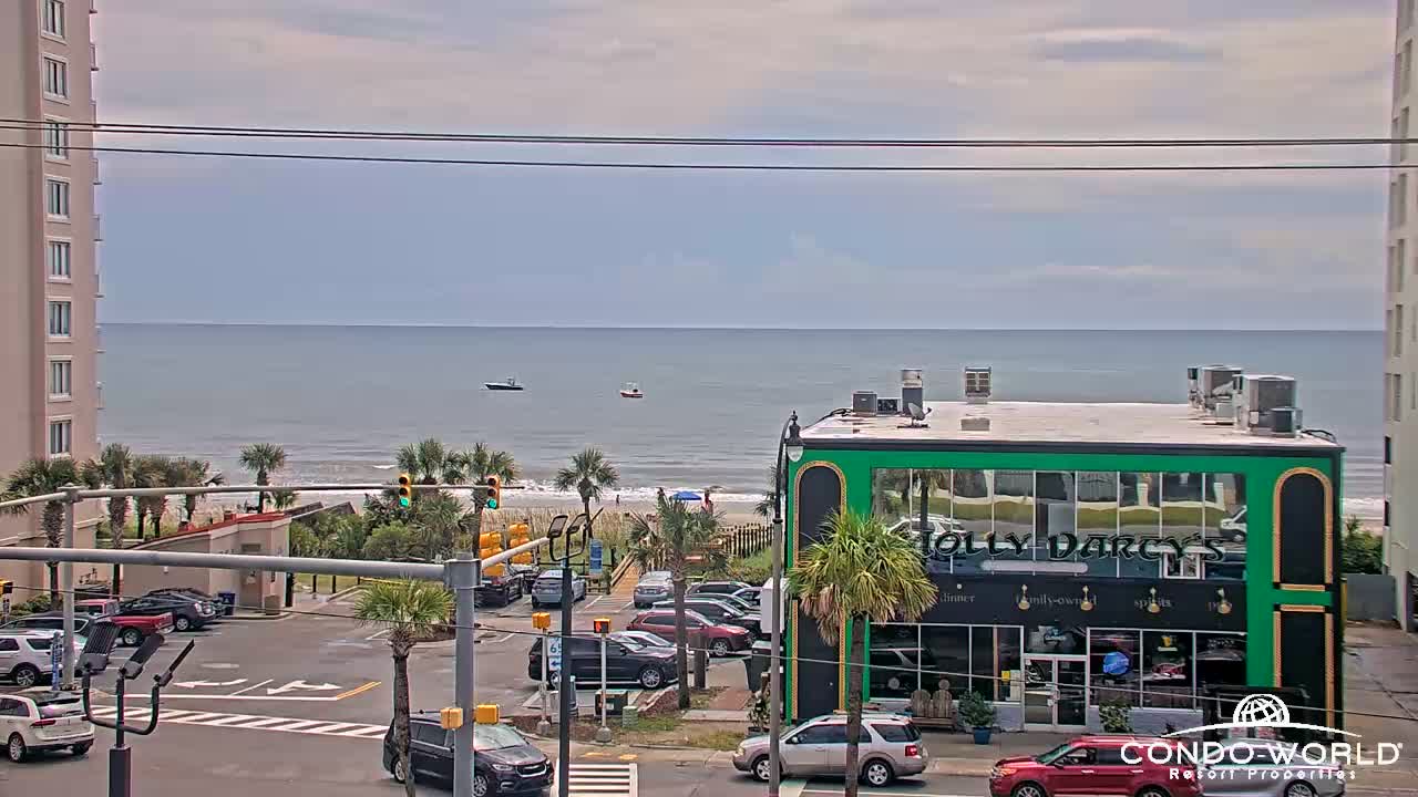
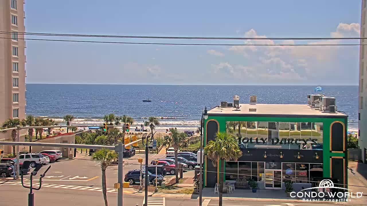
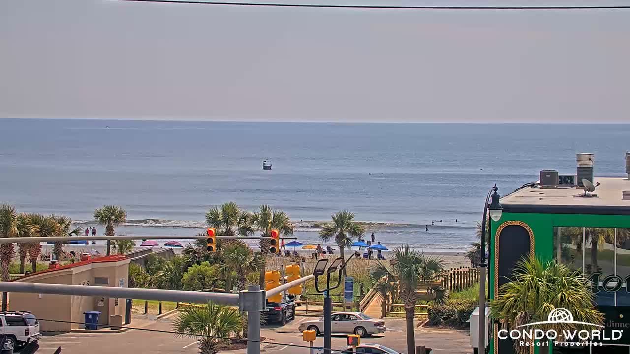
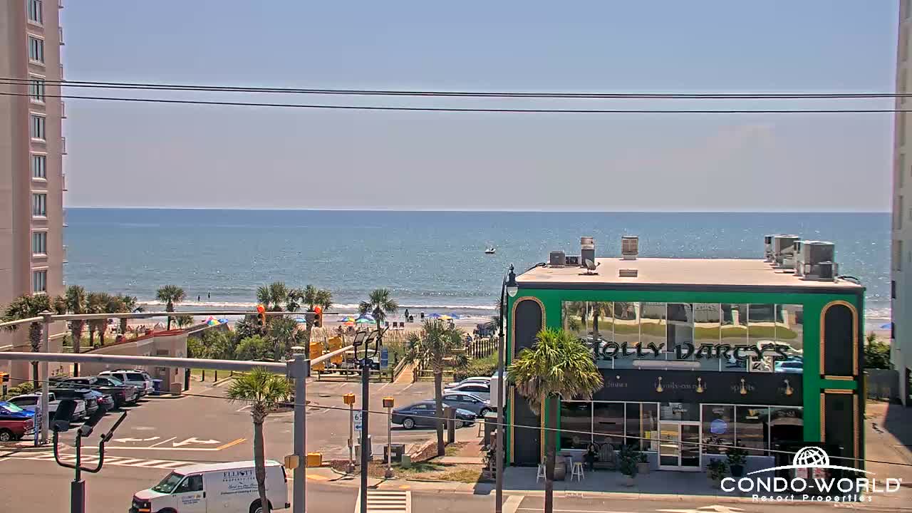
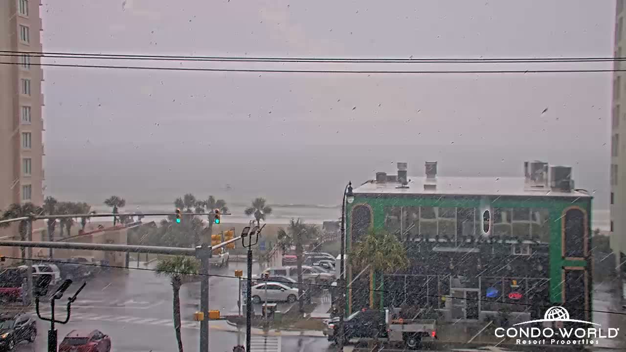
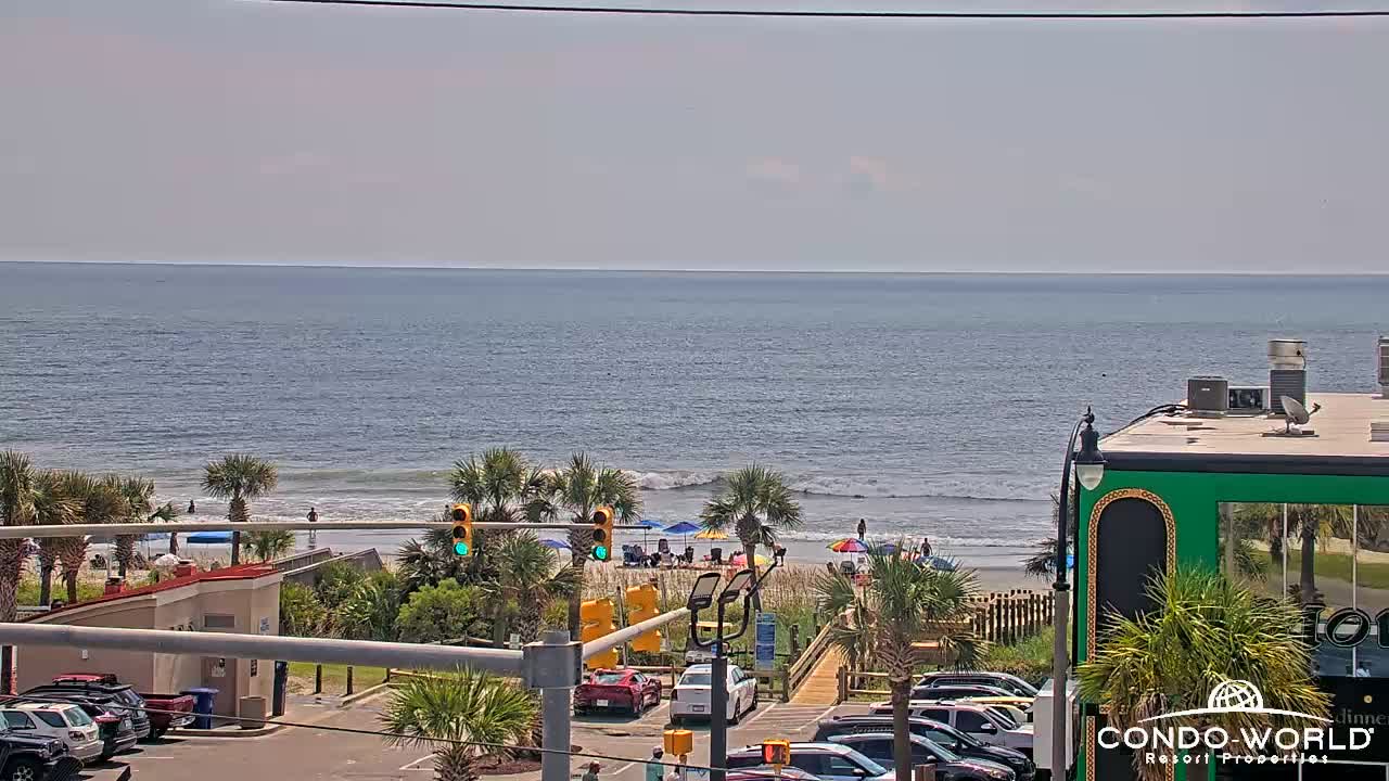
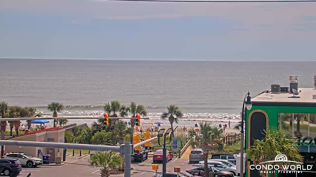
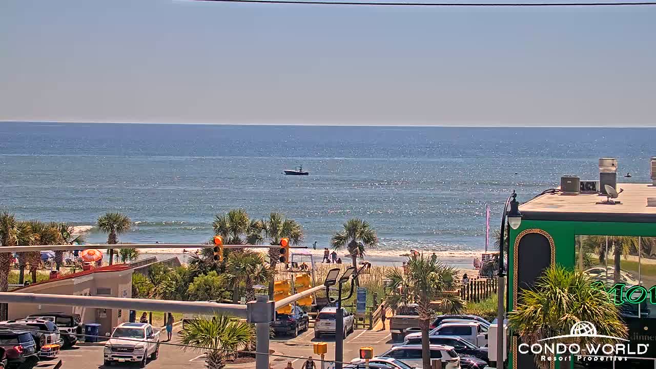
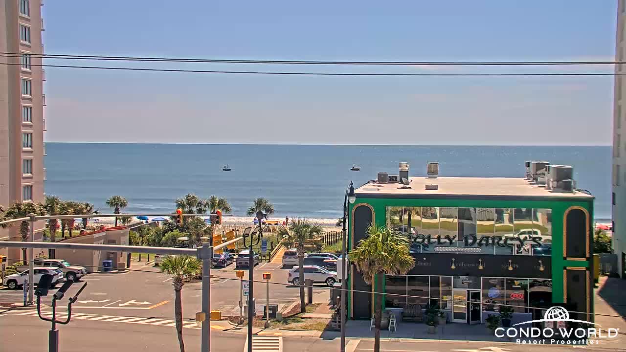
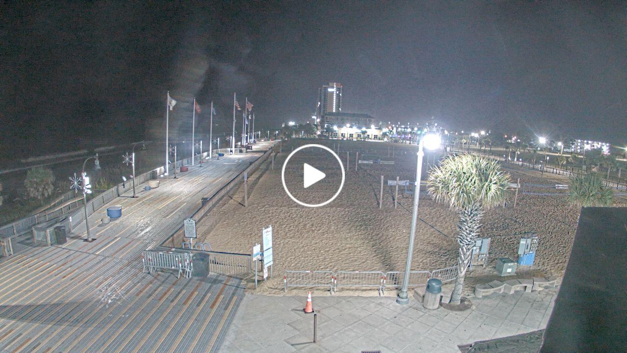
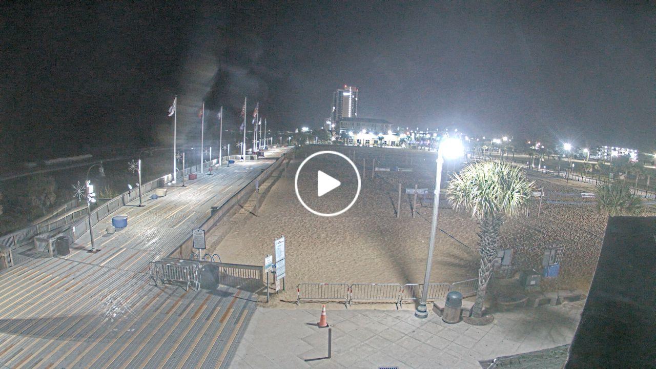
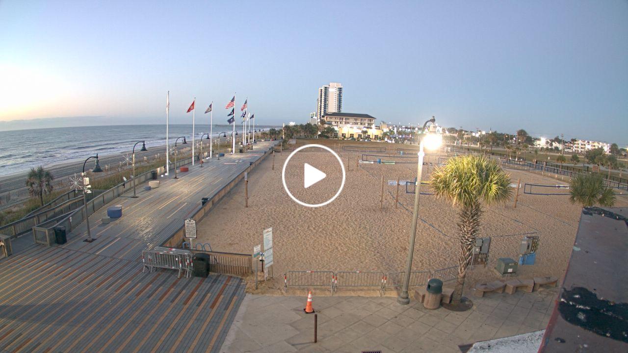
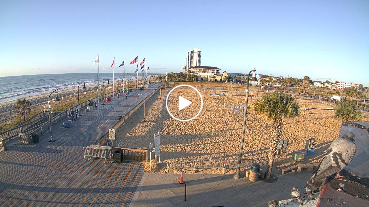
North Myrtle Beach, South Carolina, USA - 127.5 miles from Bowling Heights: Condo-World Beach Cam - A view of the beach at the end of 17th Ave S in North Myrtle Beach from Condo-World.
Operator: Condo-World
Operator: Condo-World


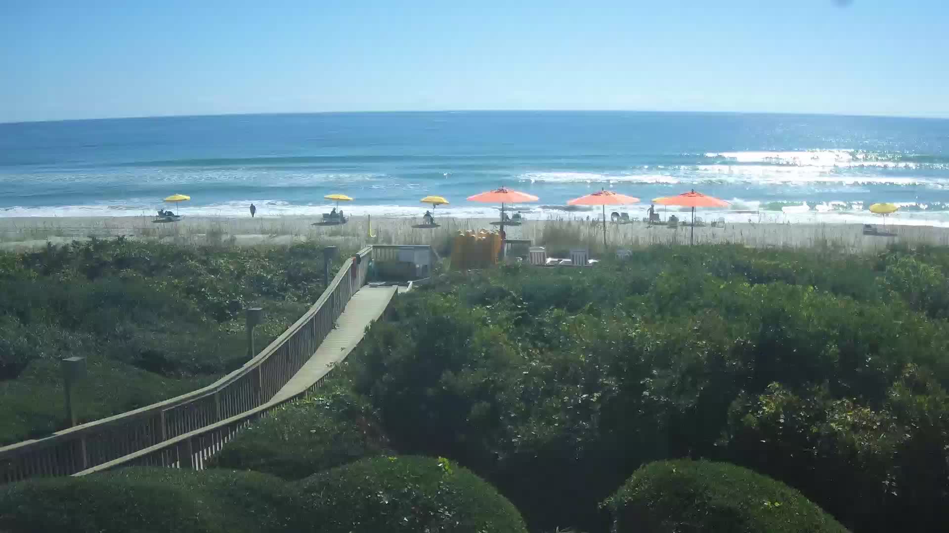
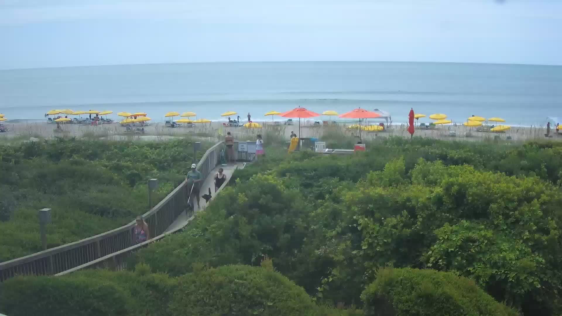
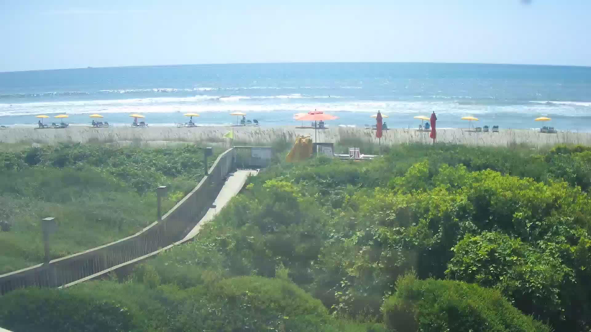
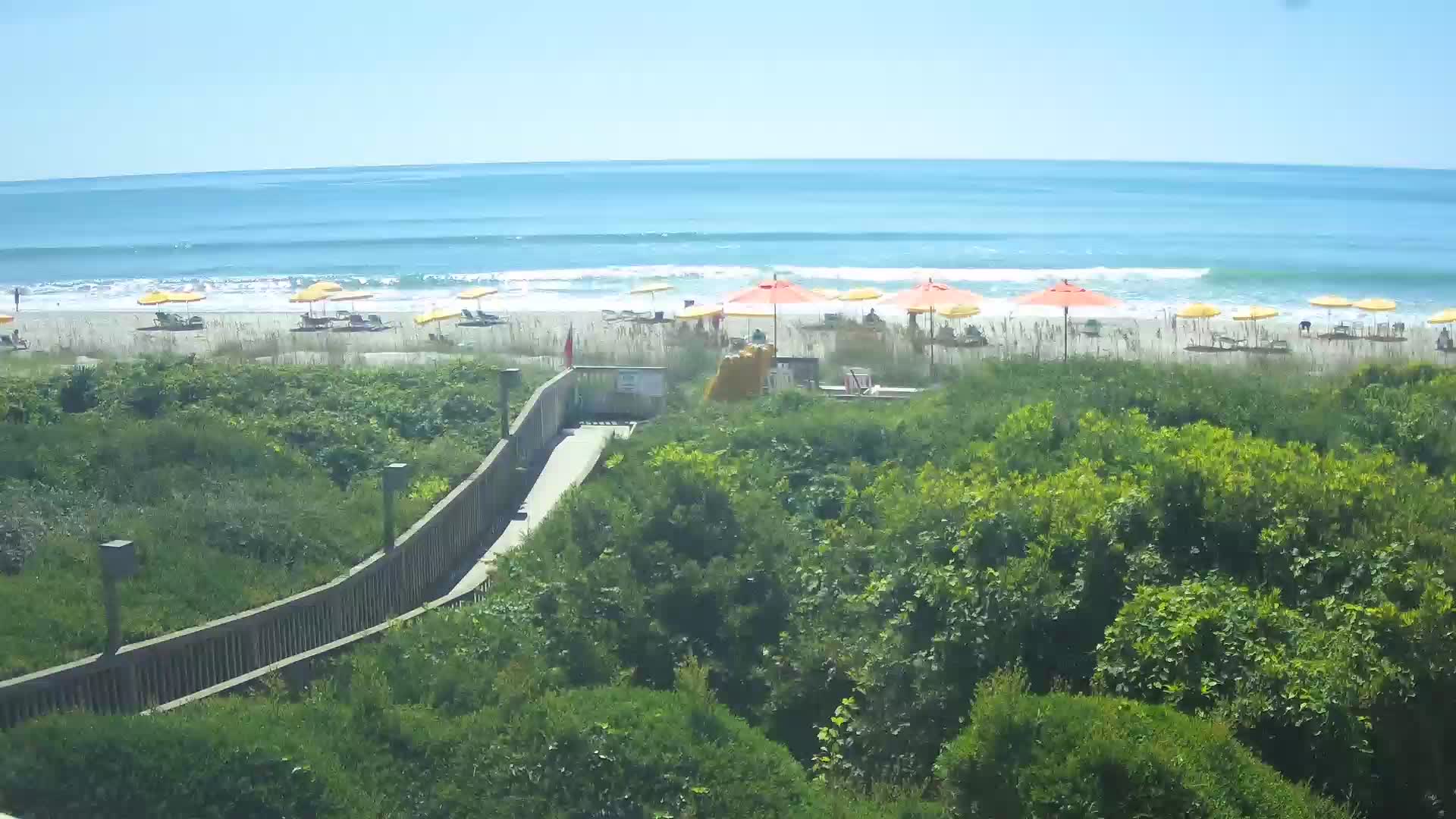
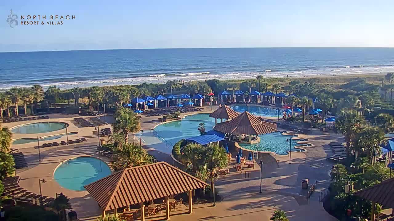
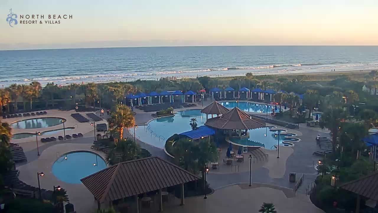
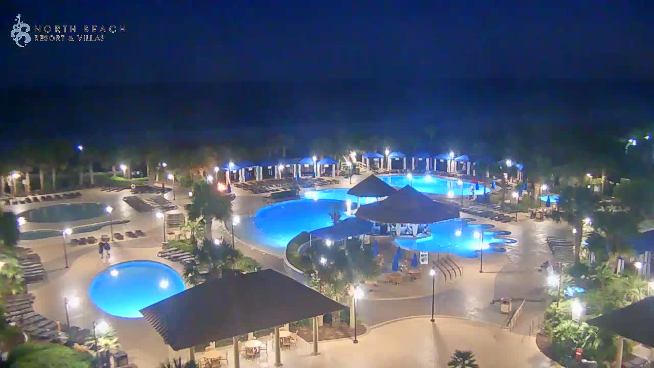
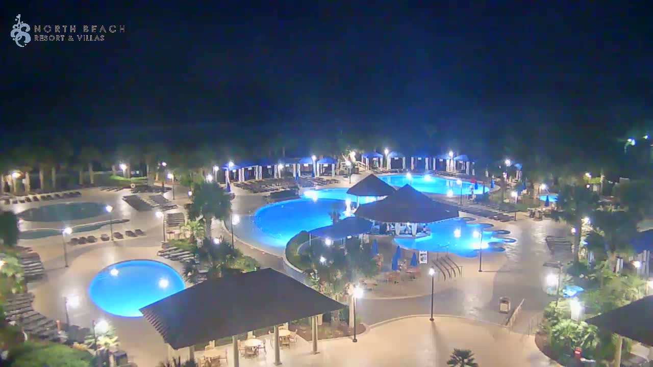
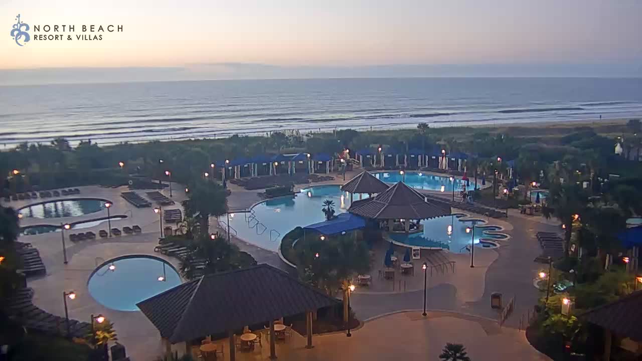
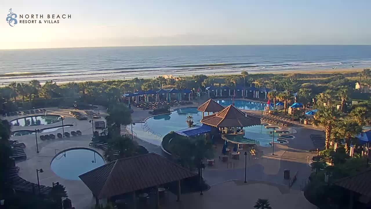
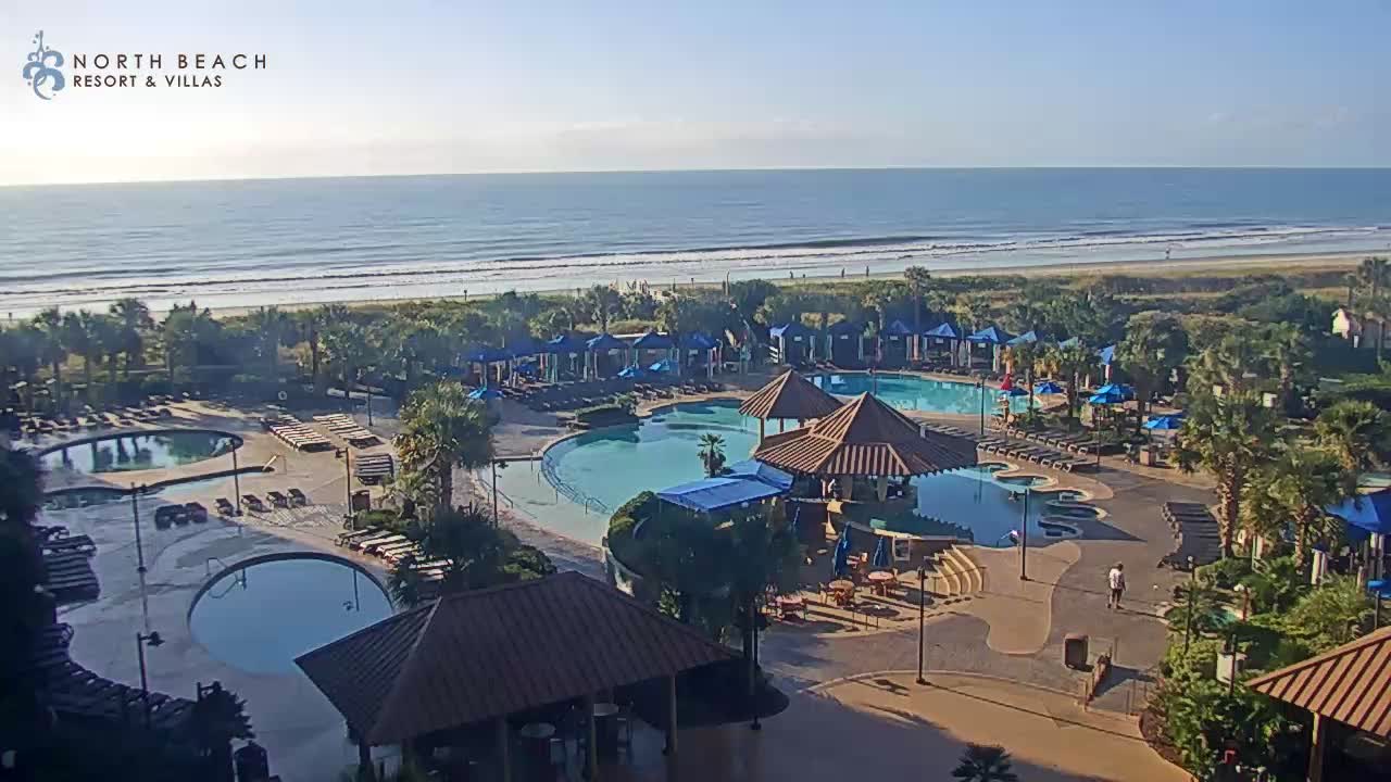
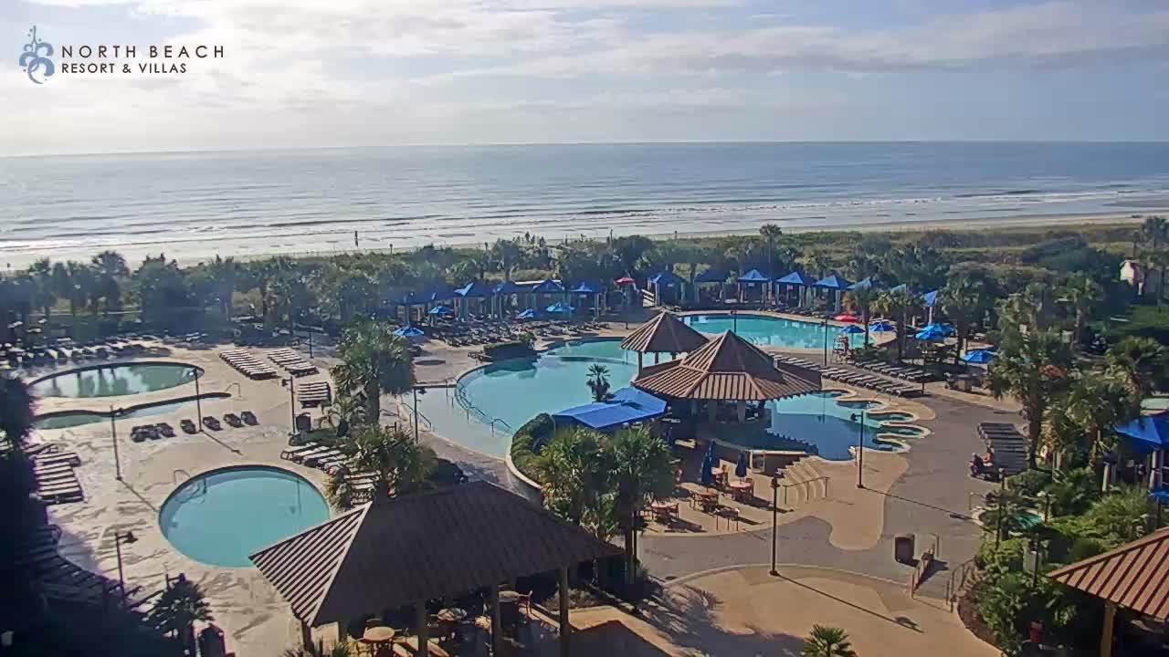
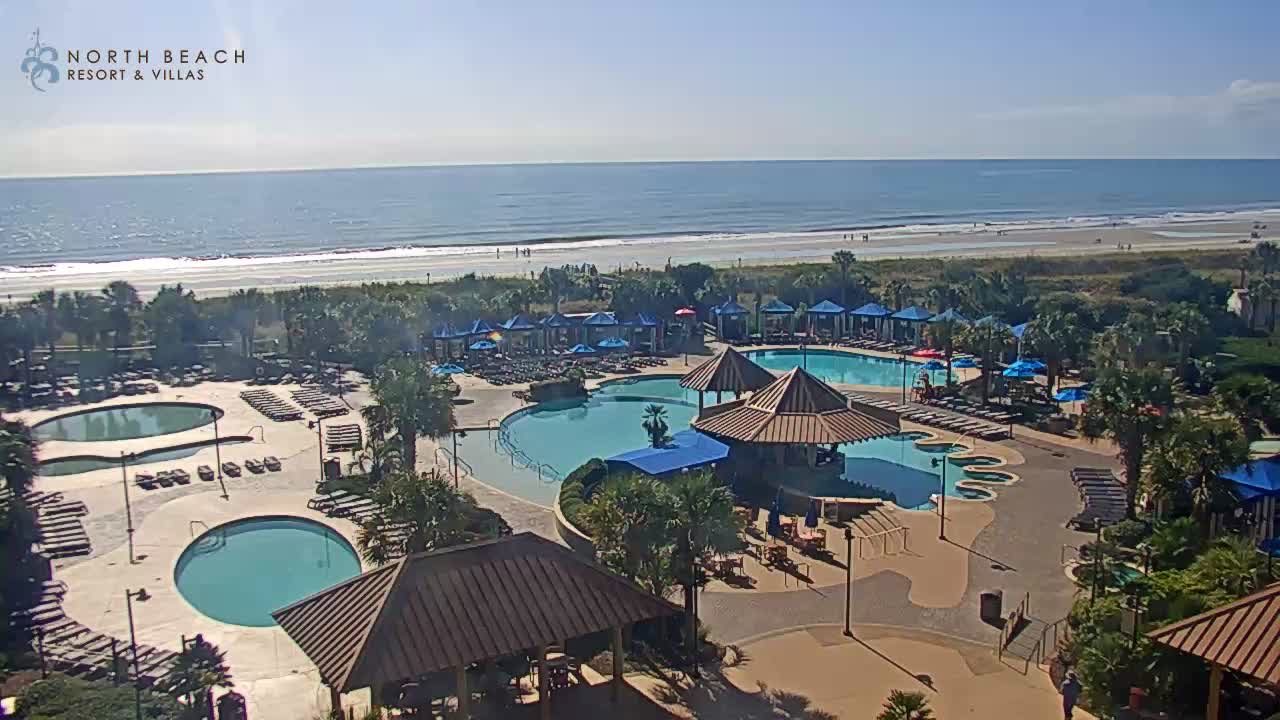
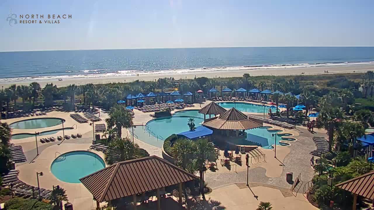
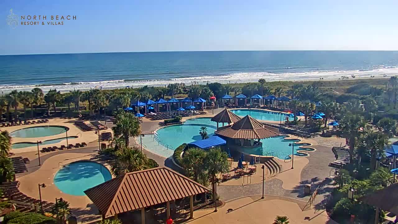
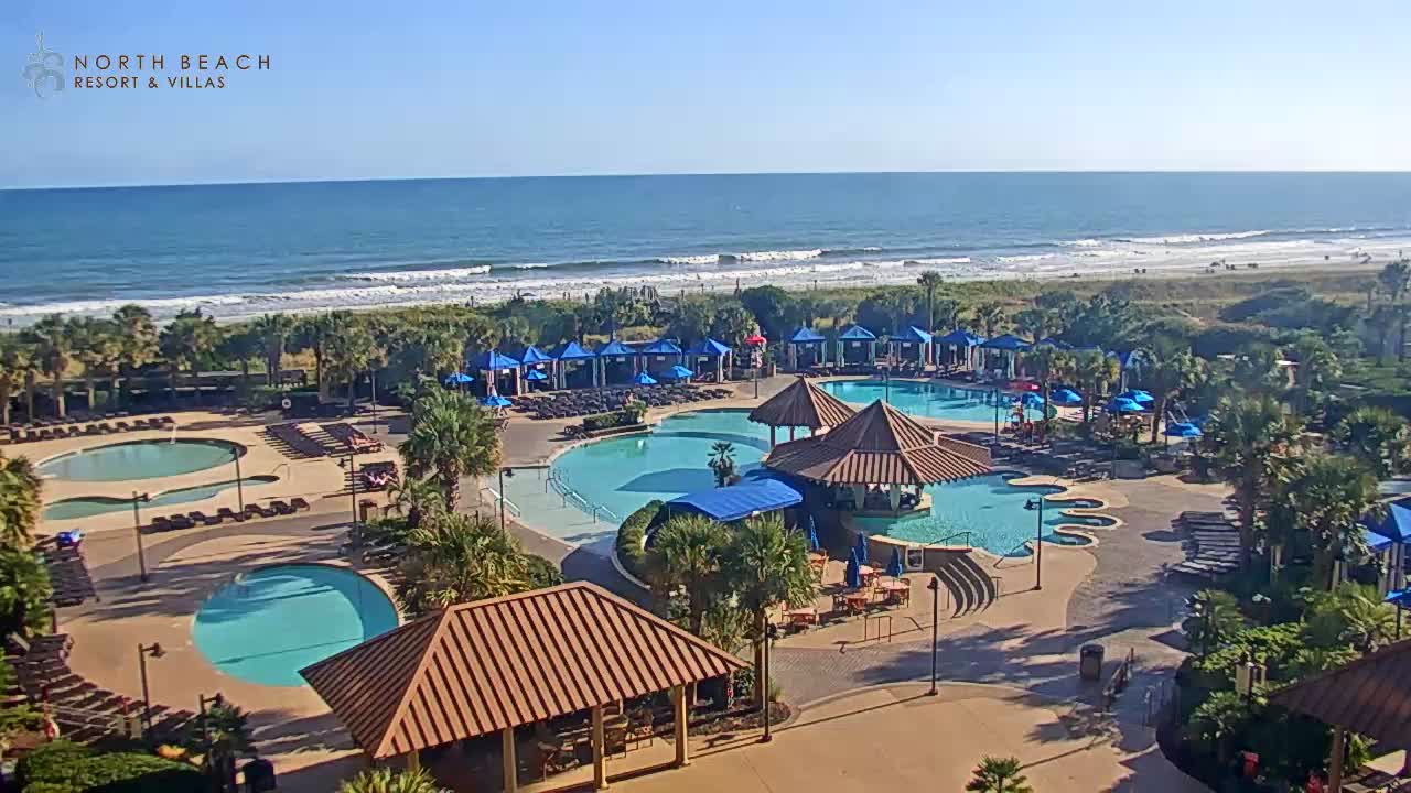
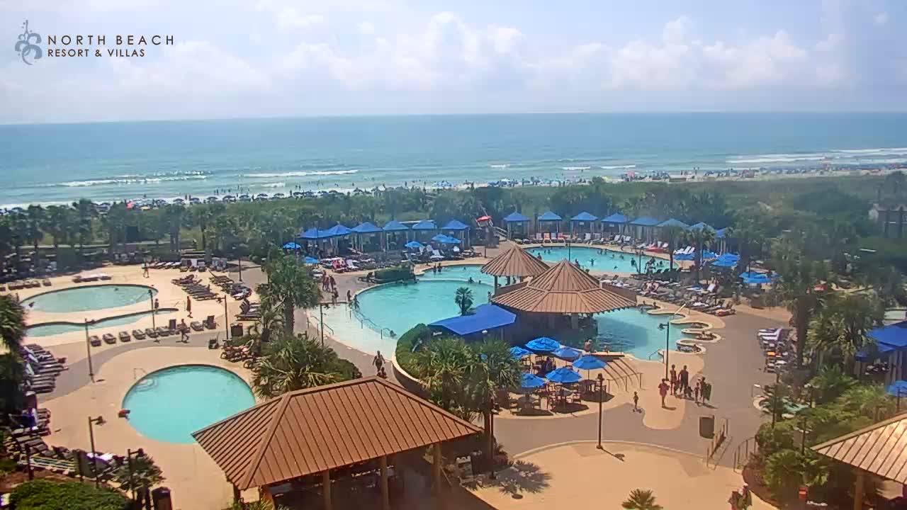
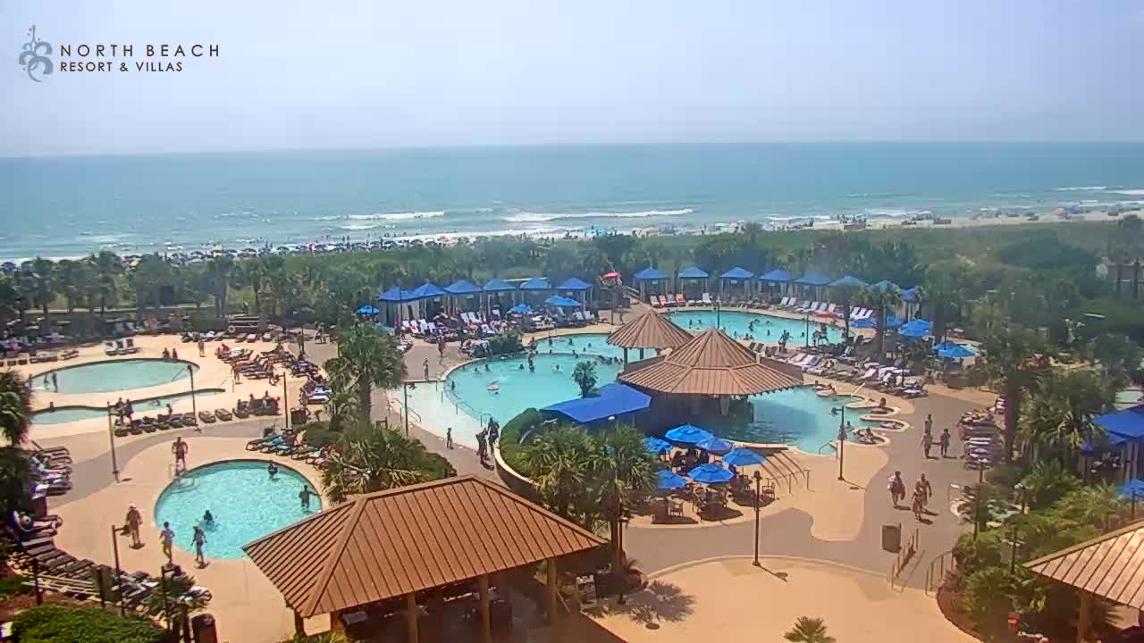
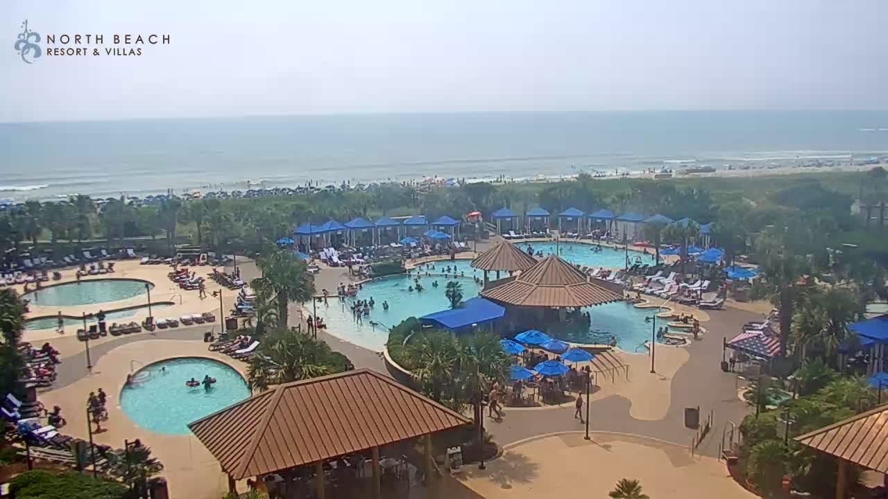
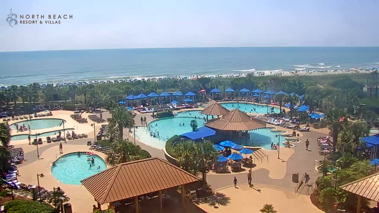
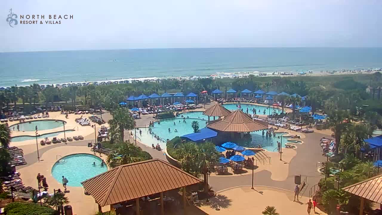
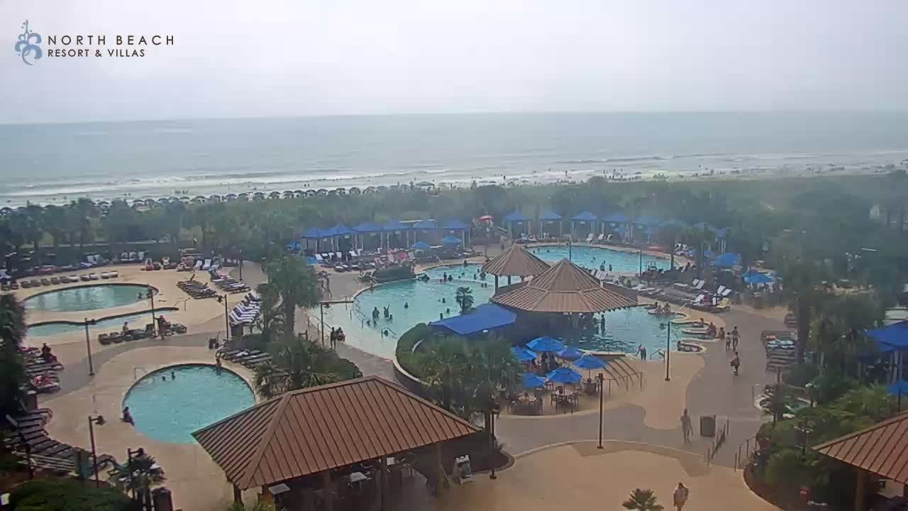
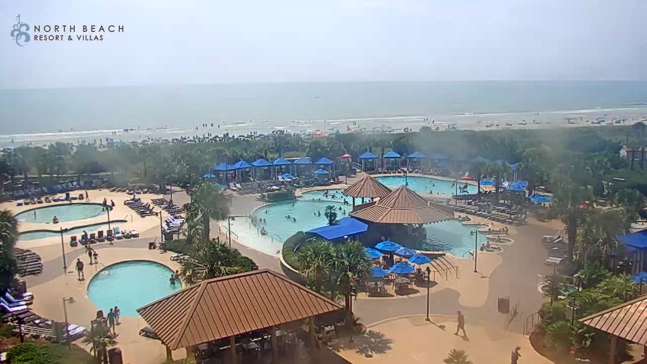
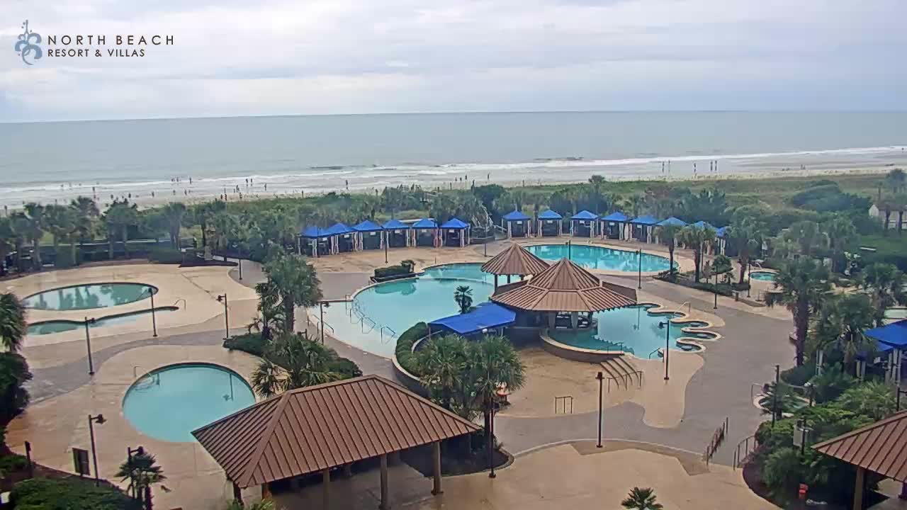
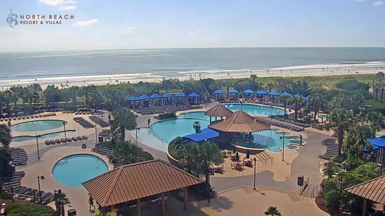
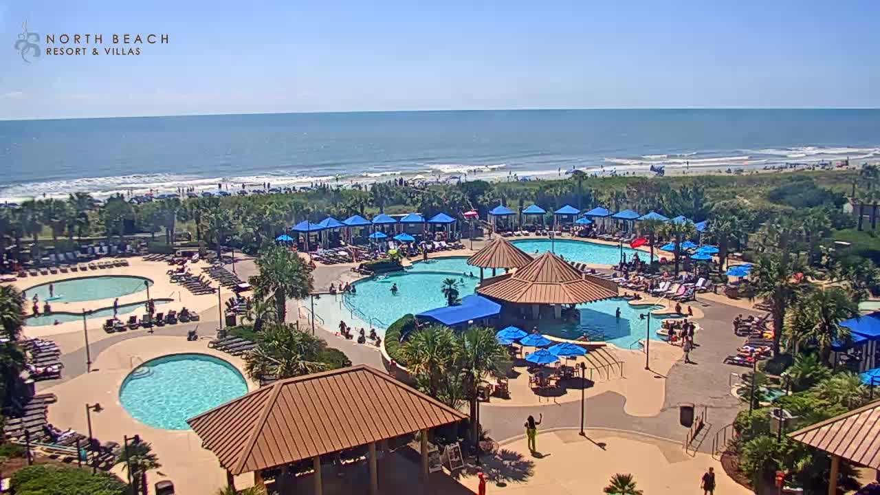
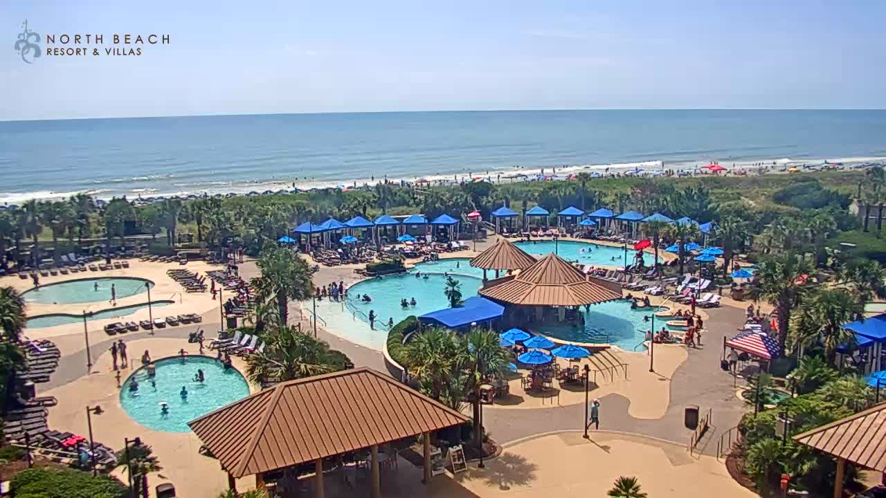
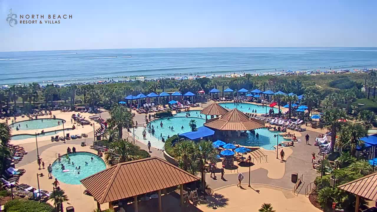
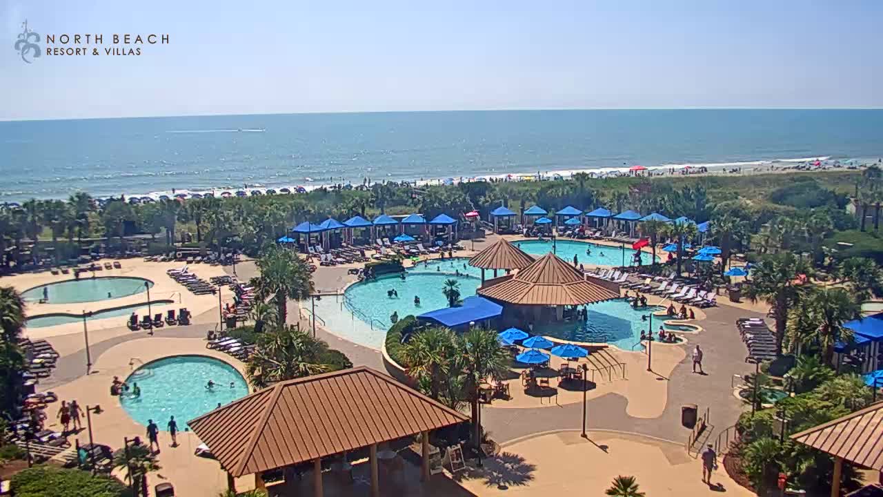
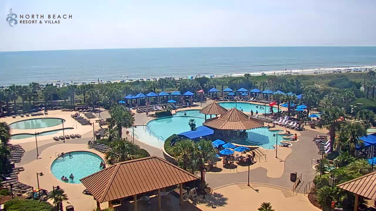
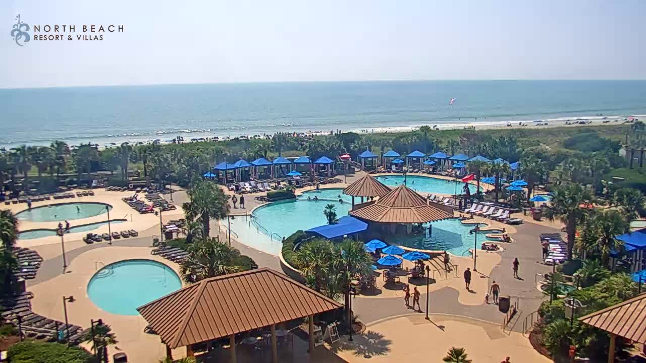
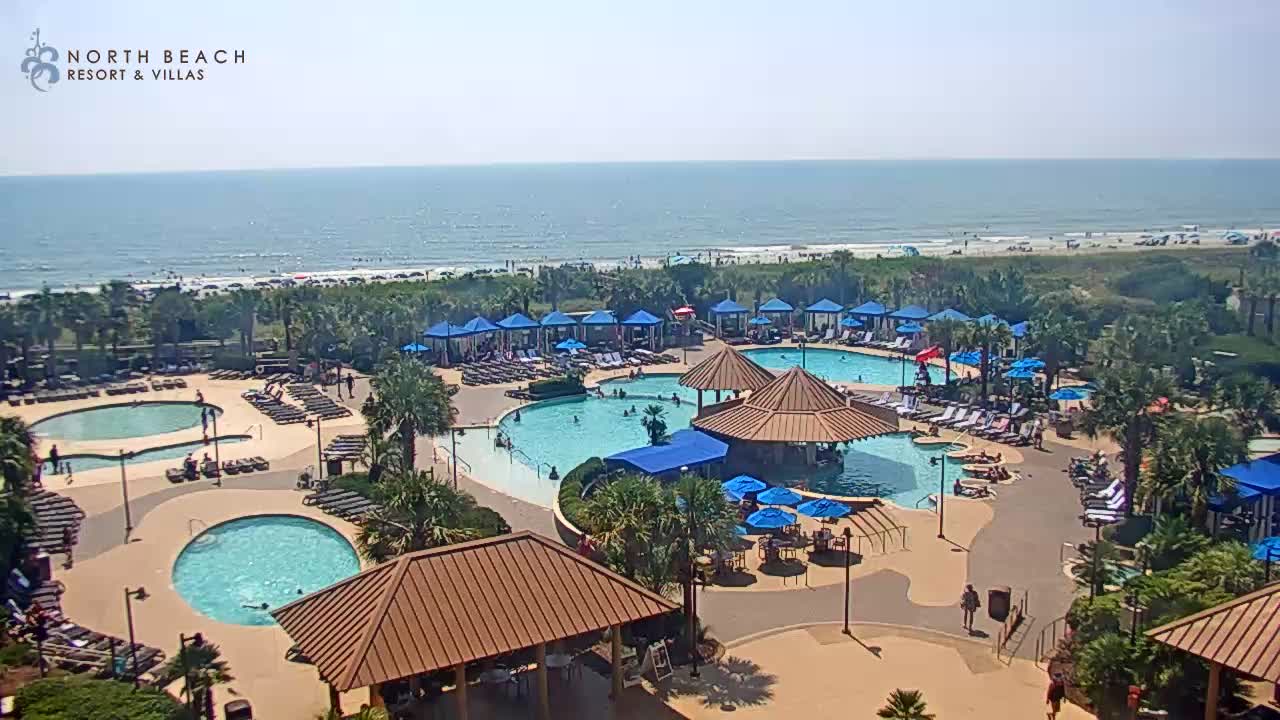
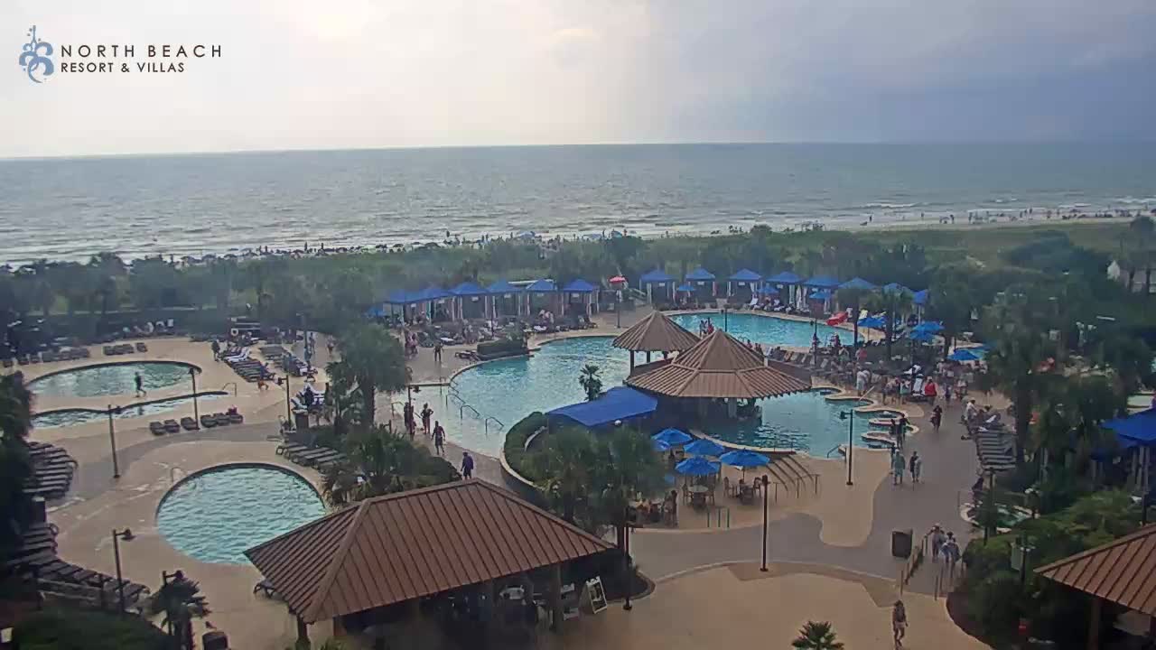
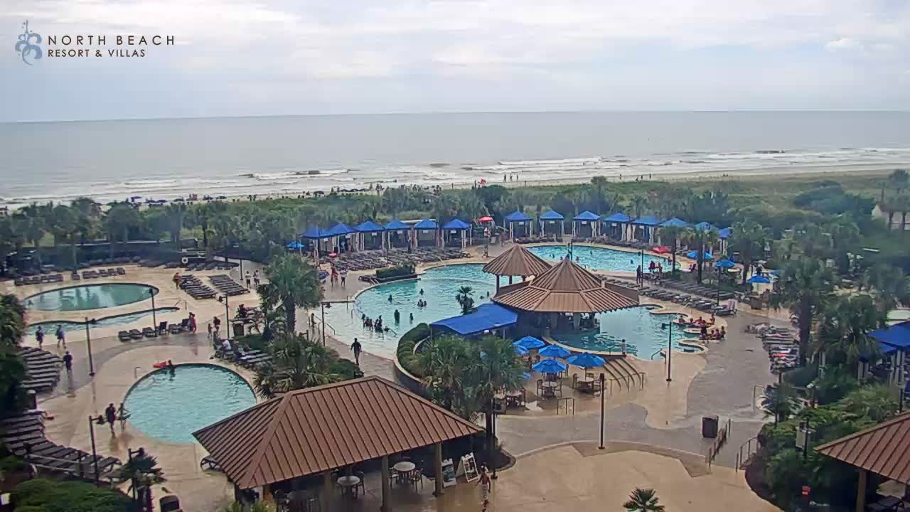
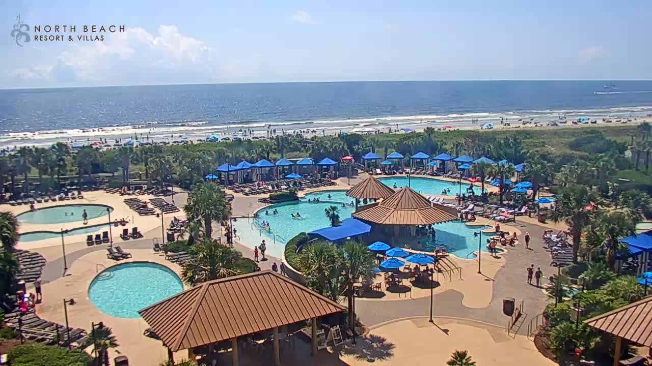
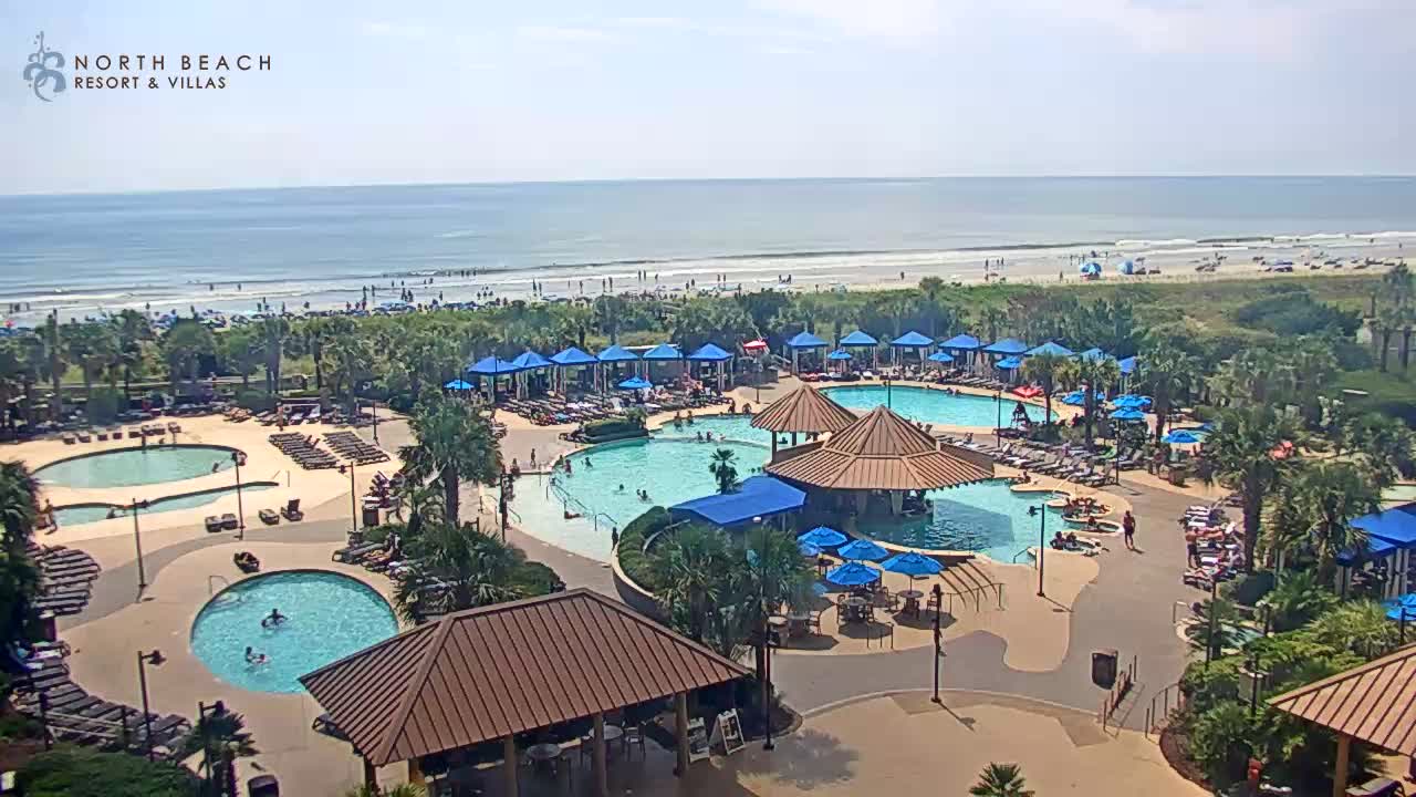
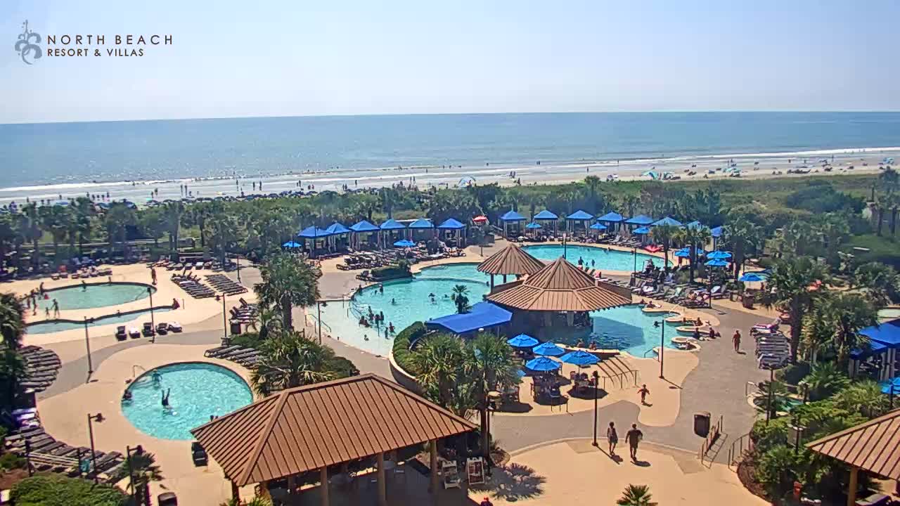
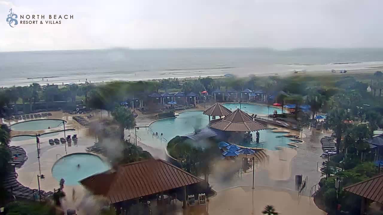
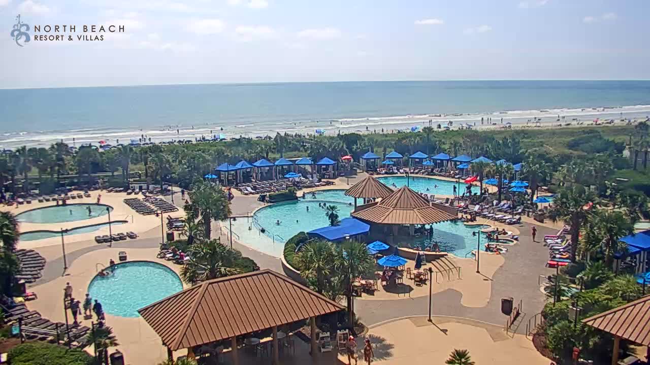
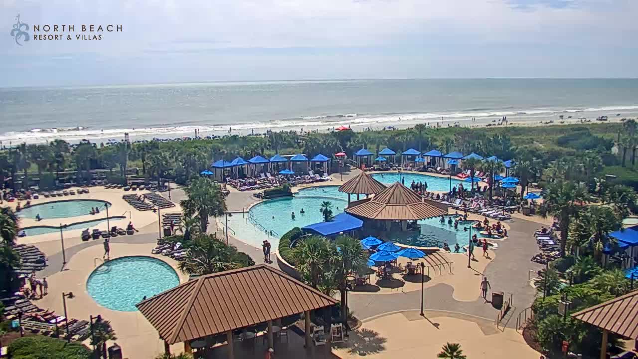
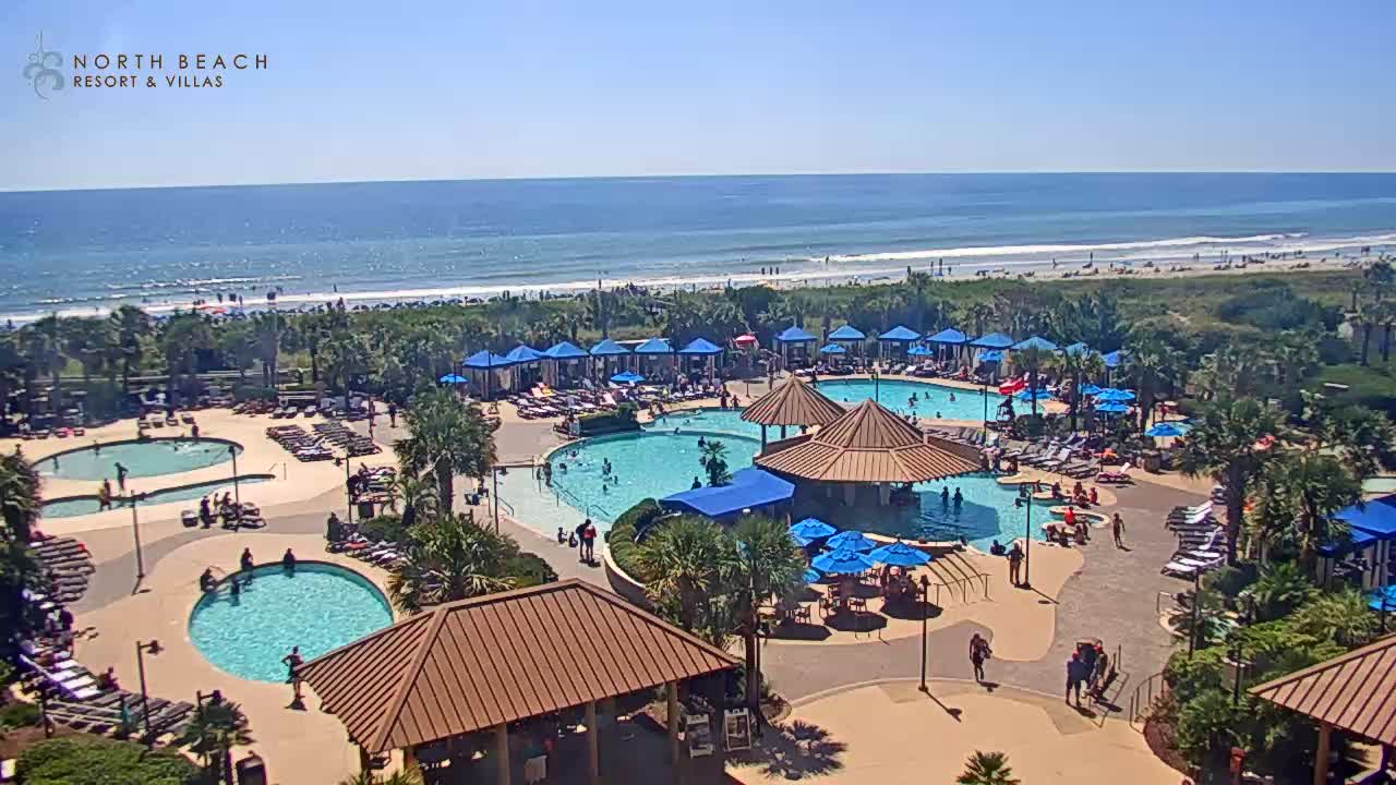
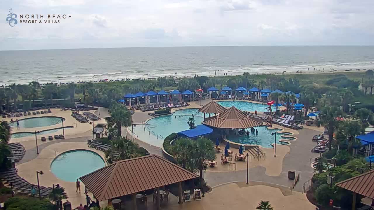
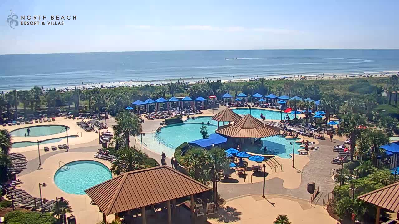
Myrtle Beach, South Carolina, USA - 142.2 miles from Bowling Heights: North Beach Plantation Resort
Operator: TripSmarter.Com
Operator: TripSmarter.Com


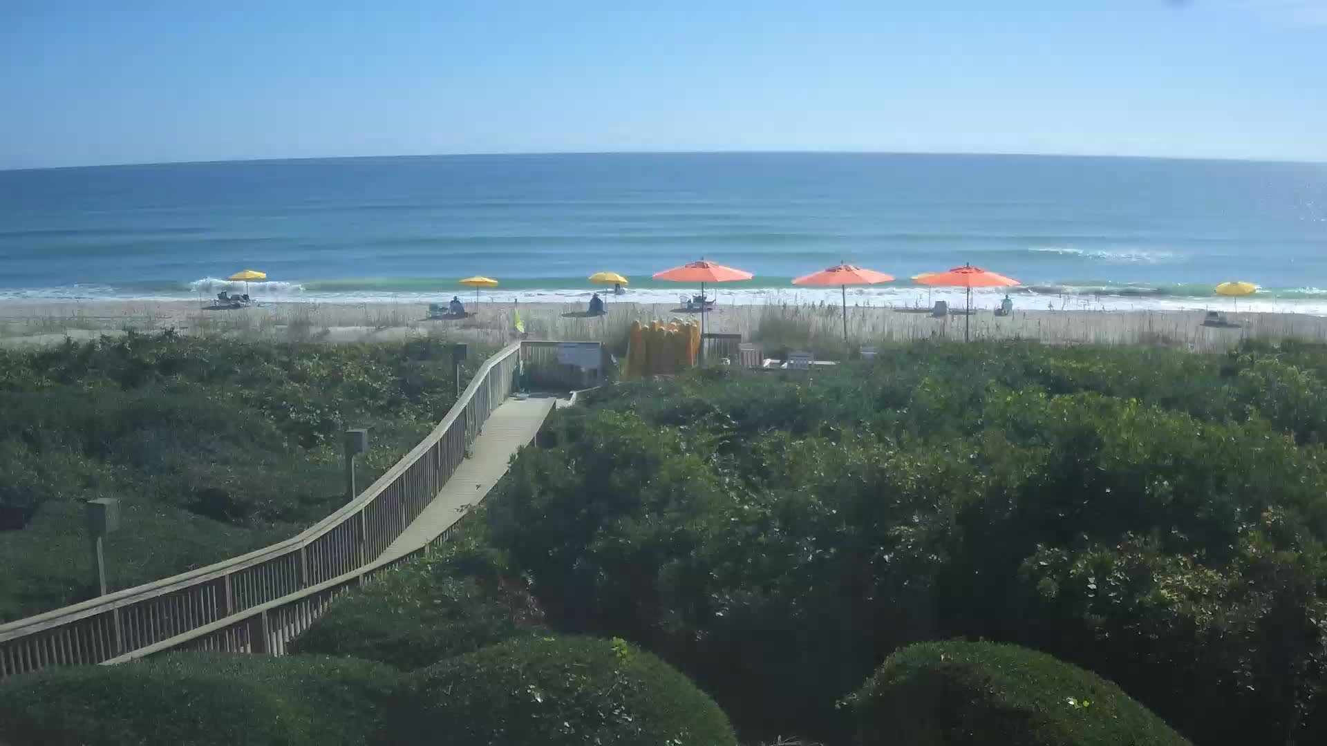
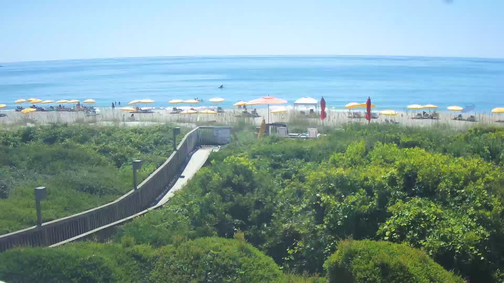
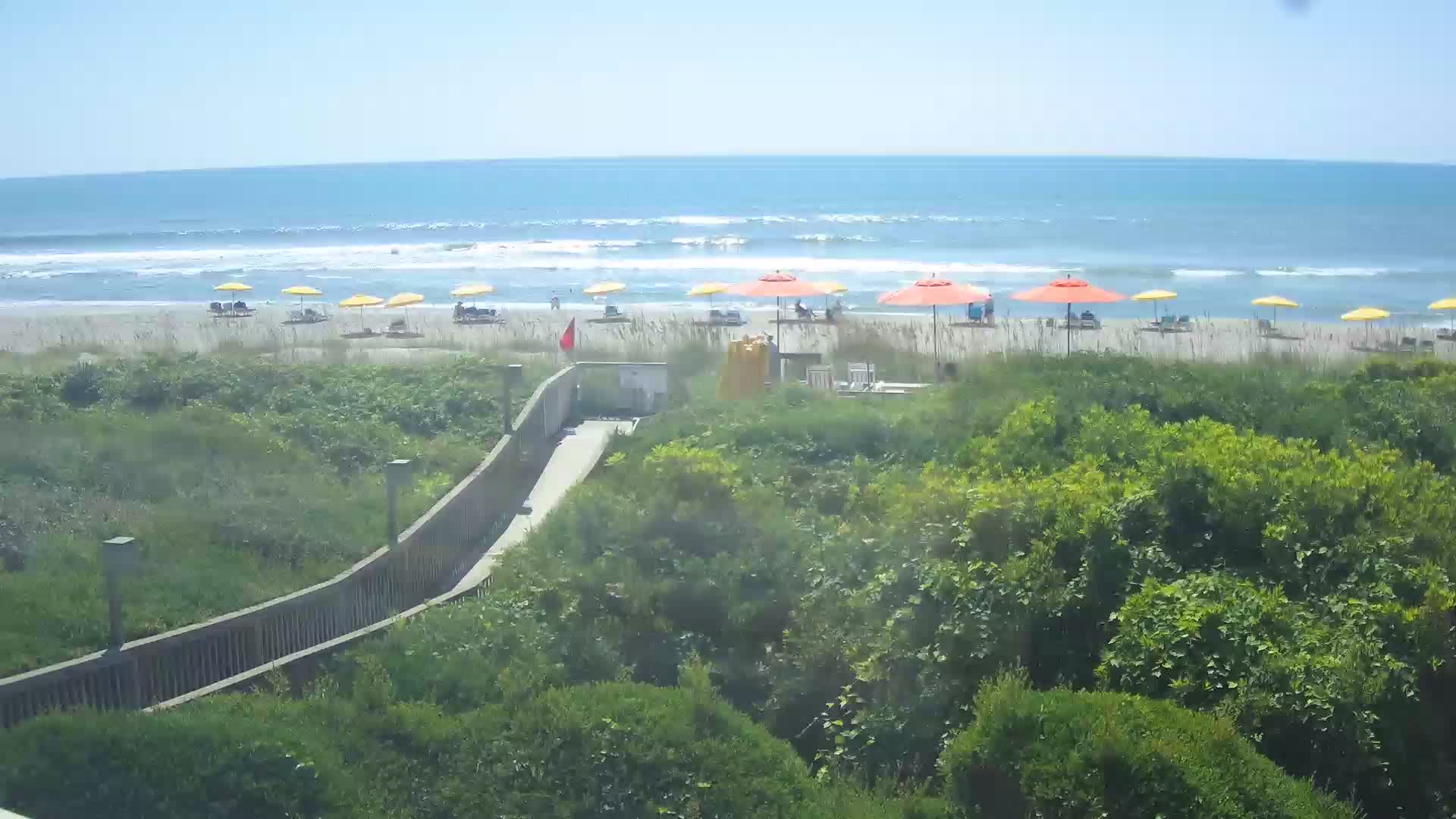
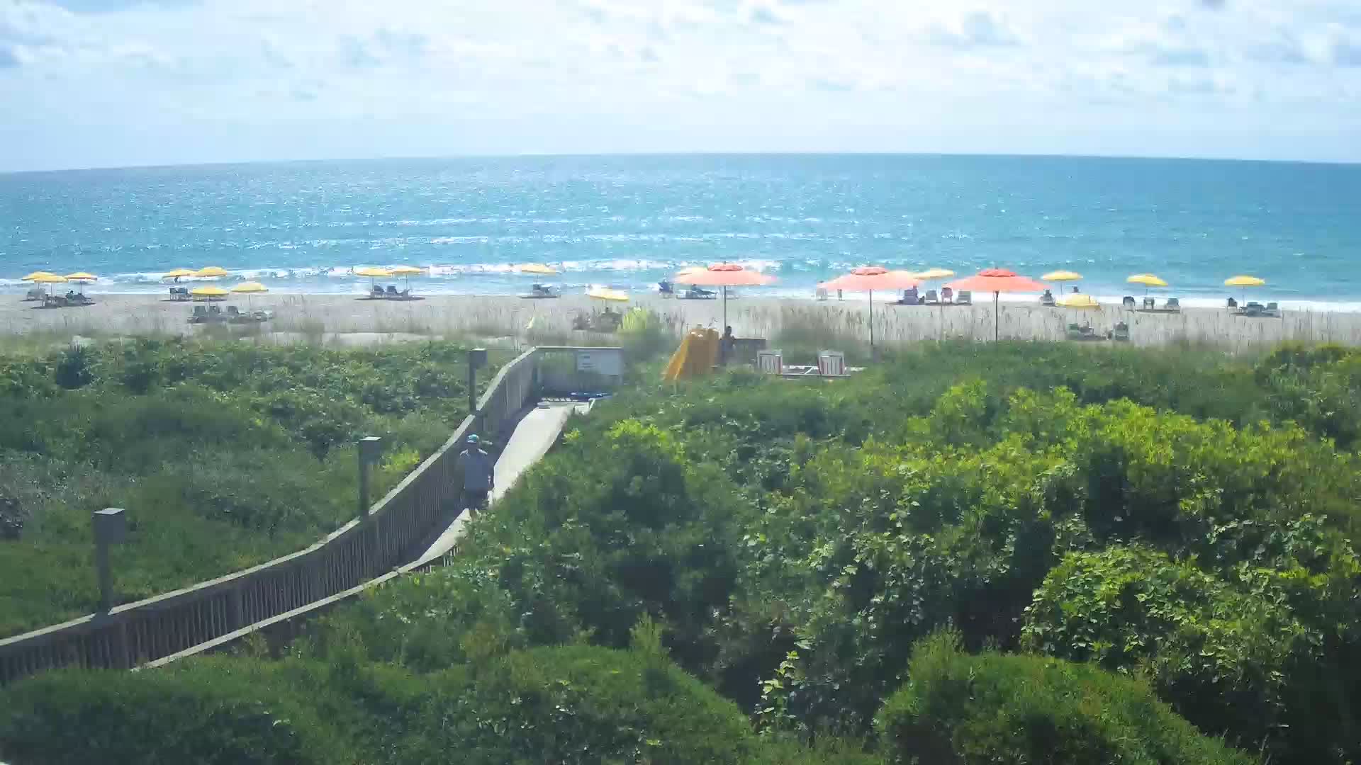
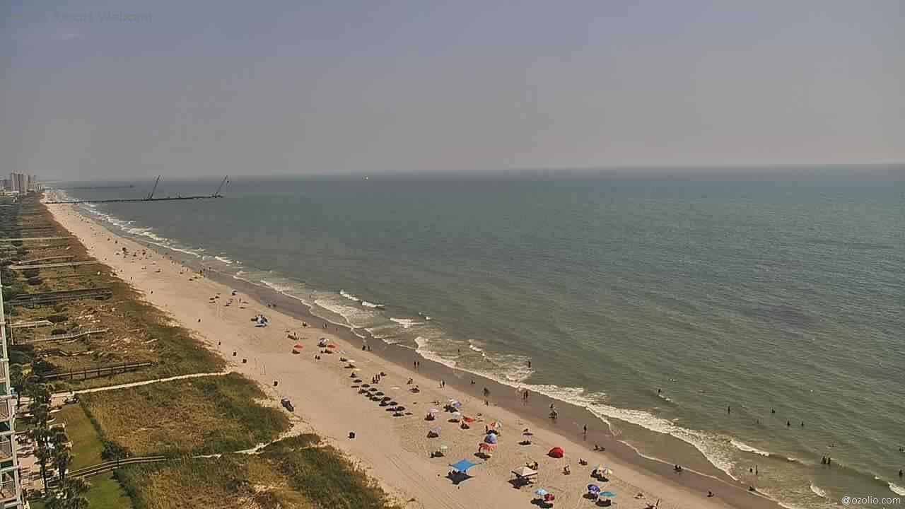
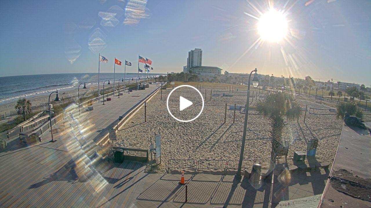
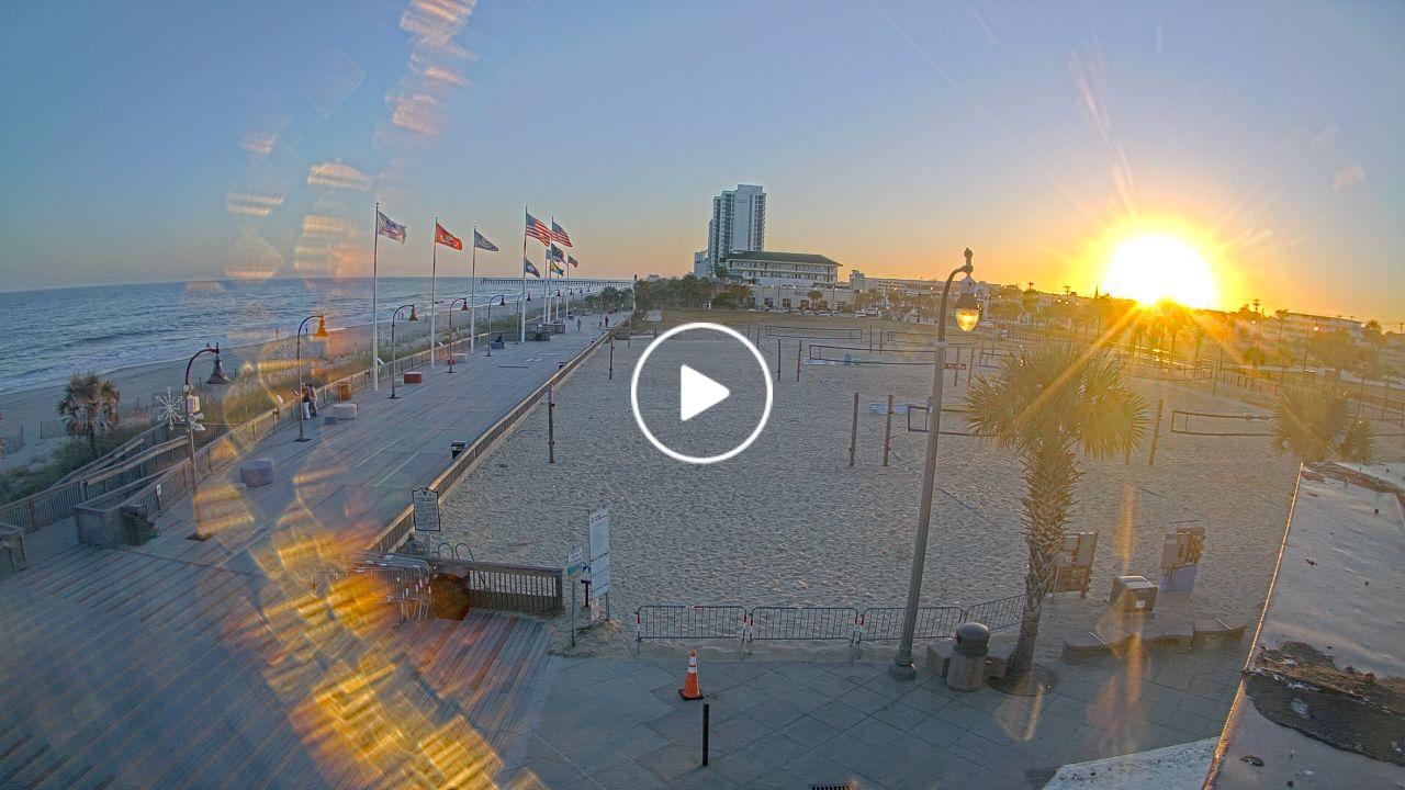
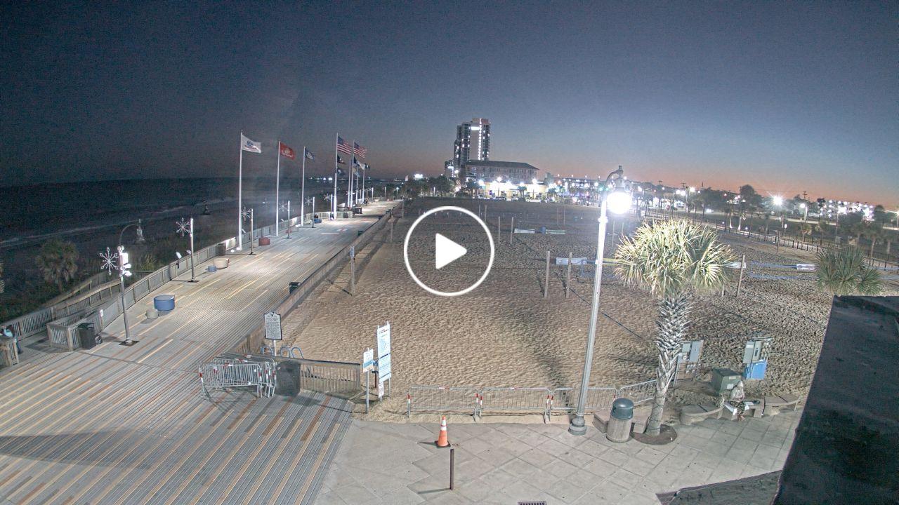
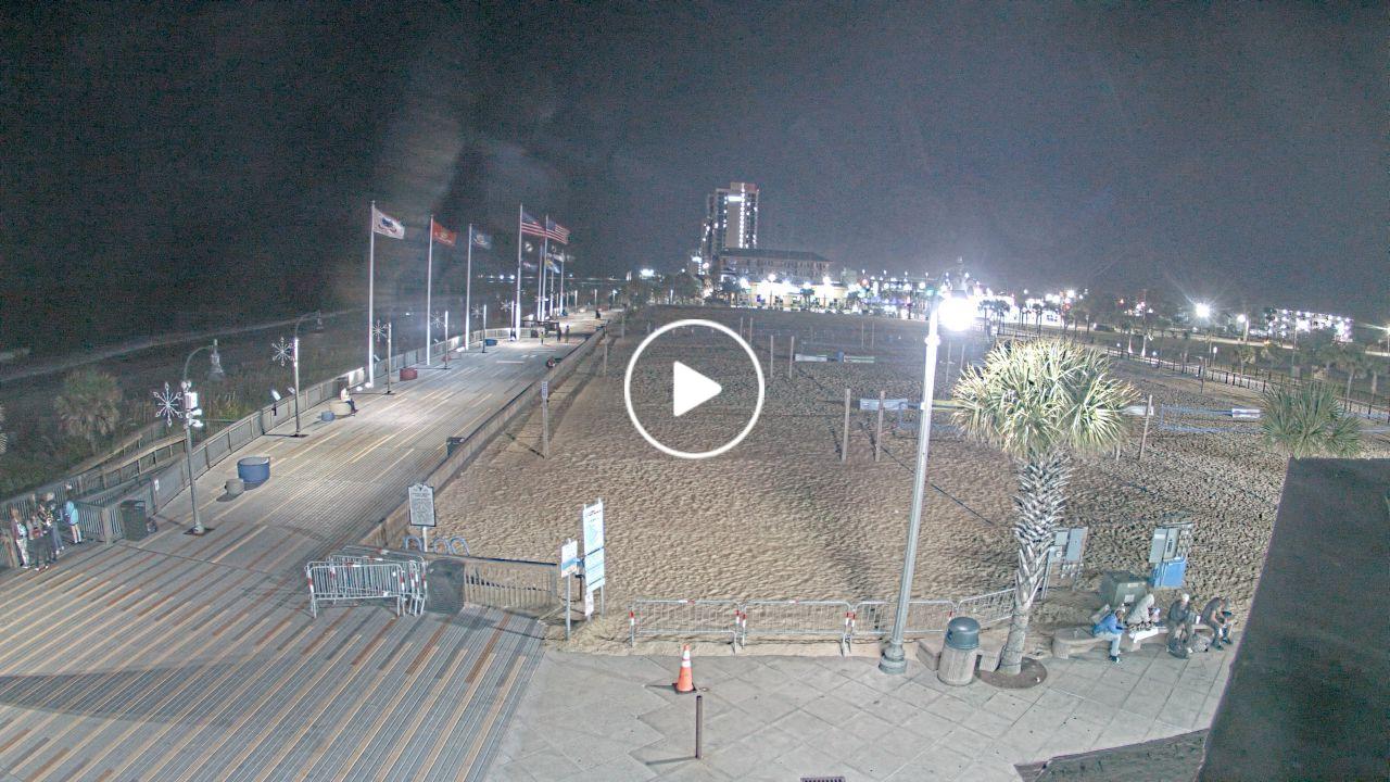
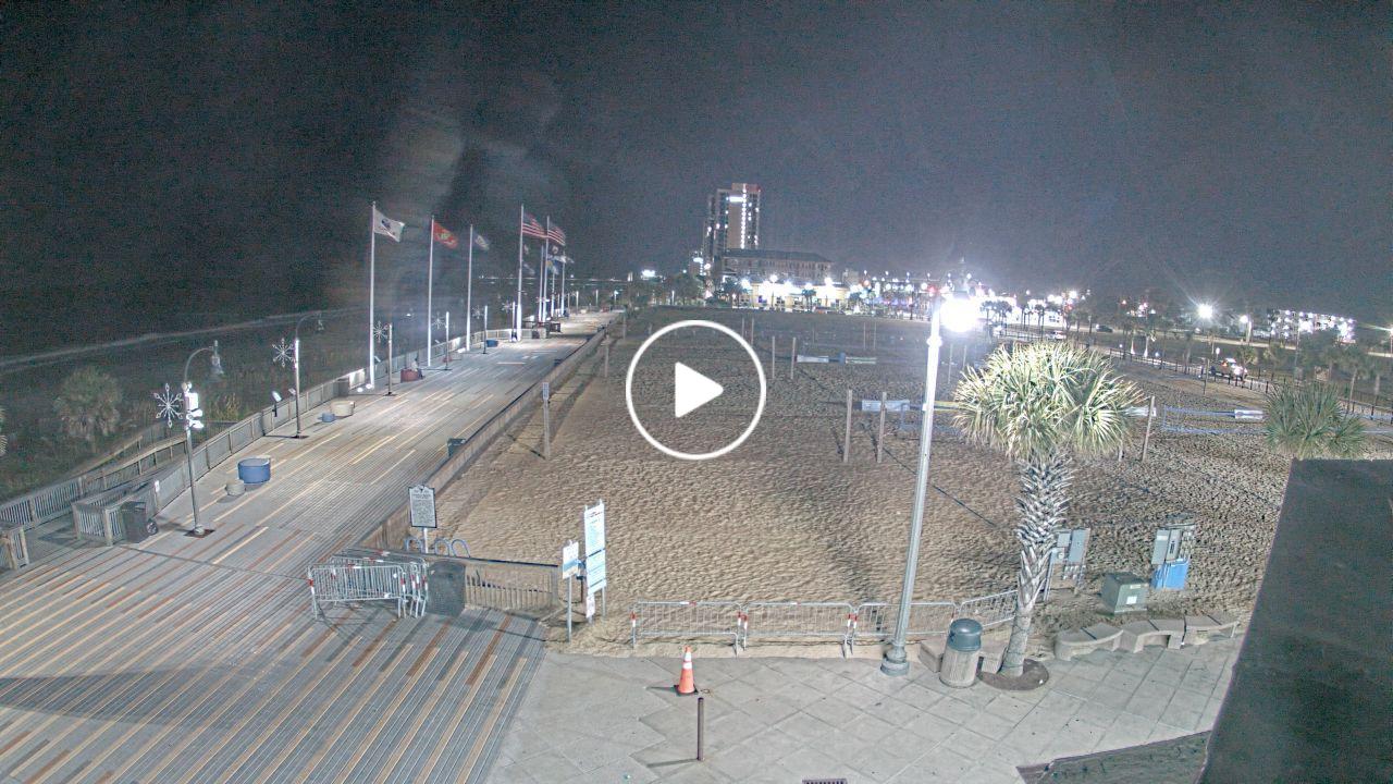
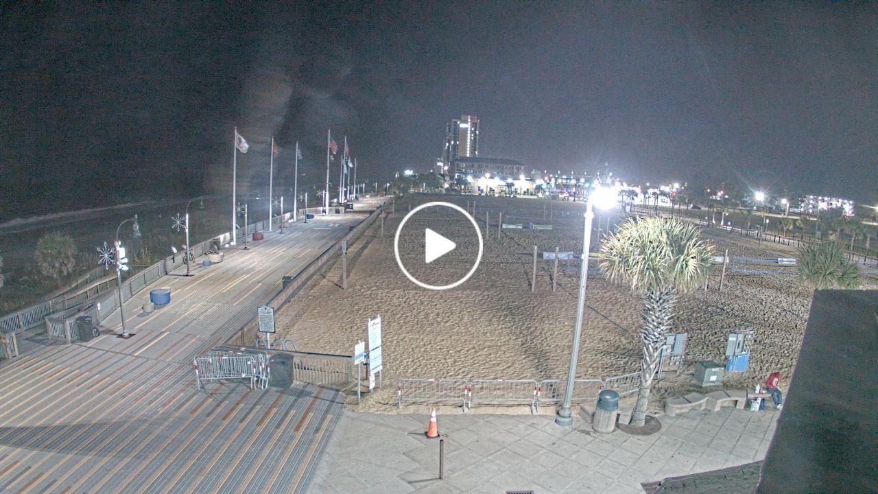
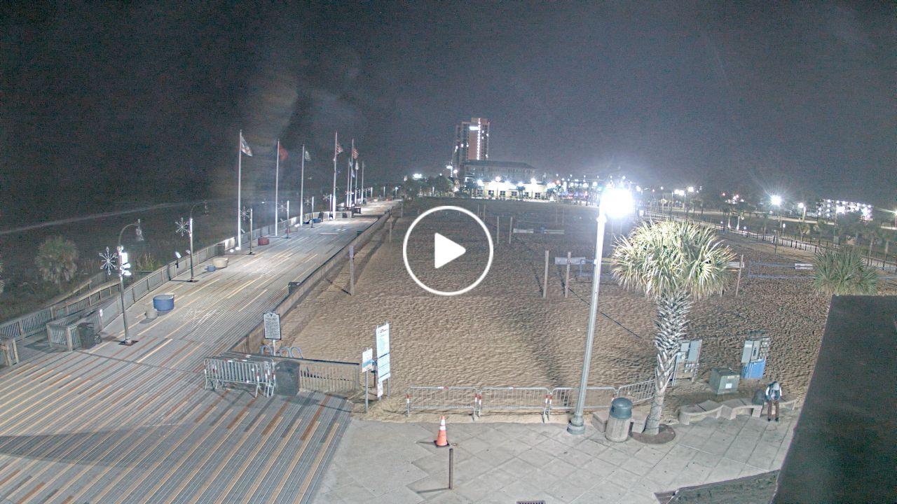
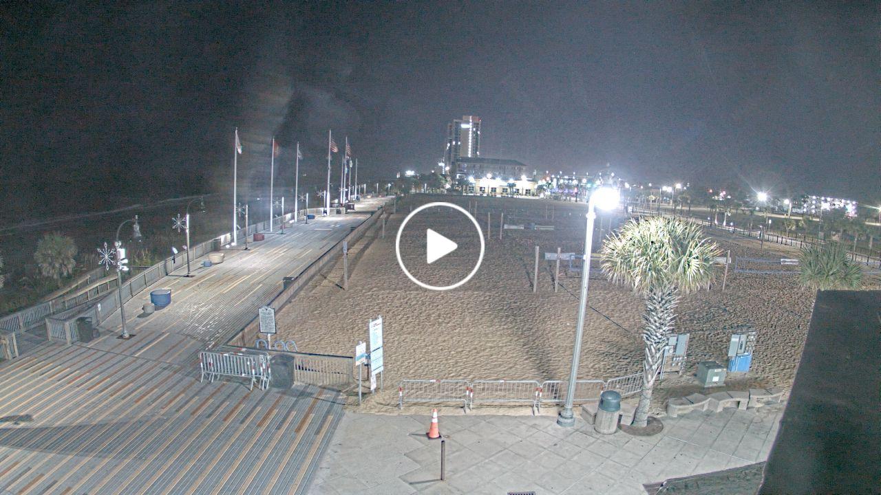
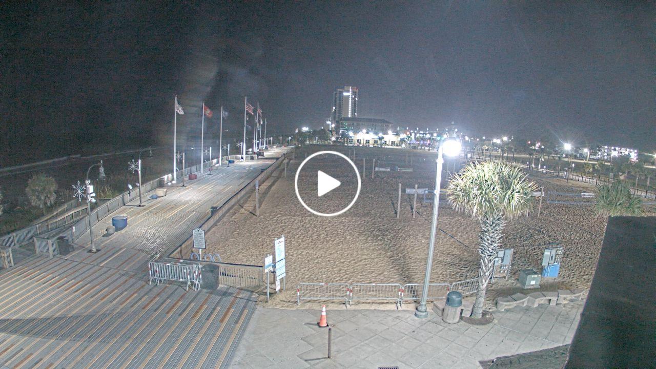
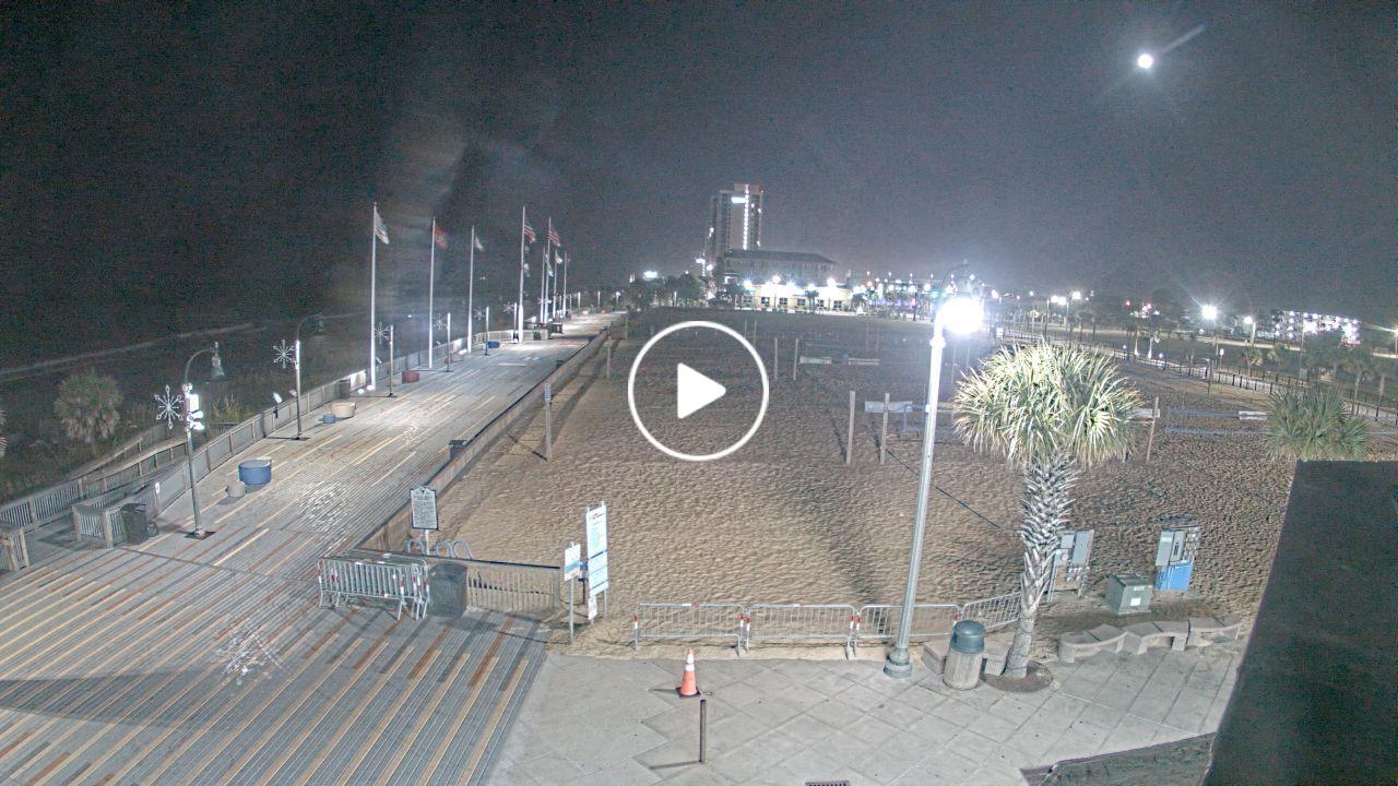
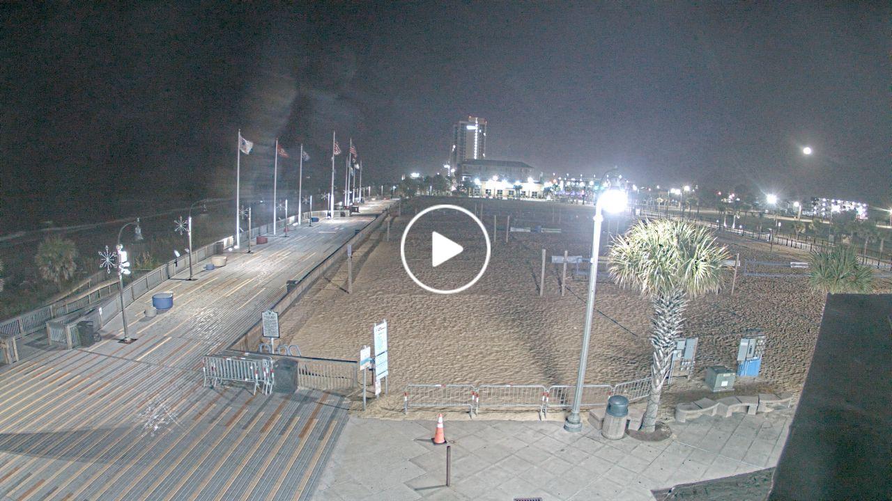
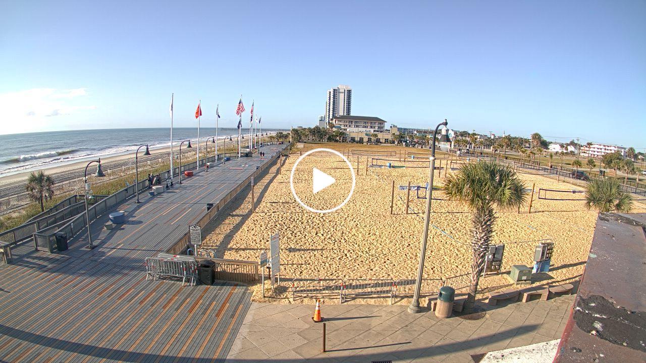
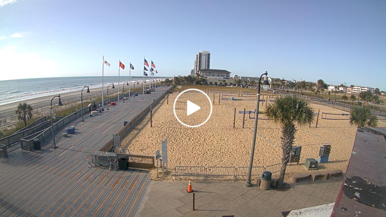
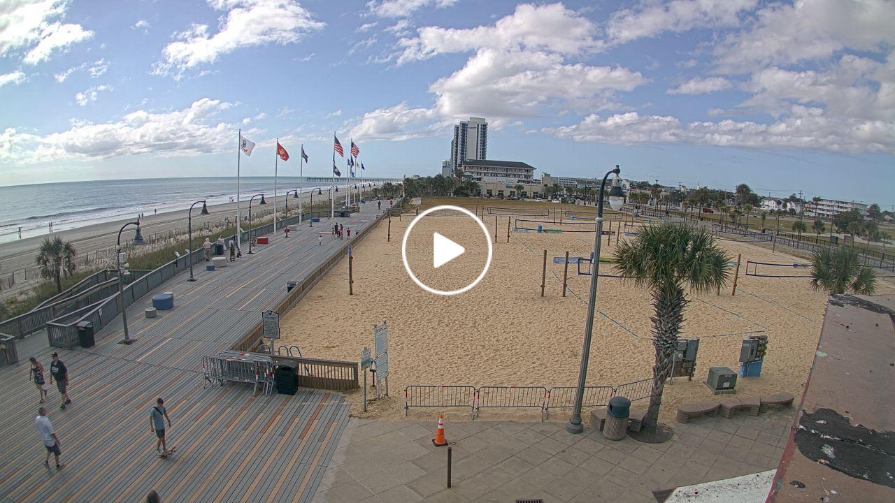
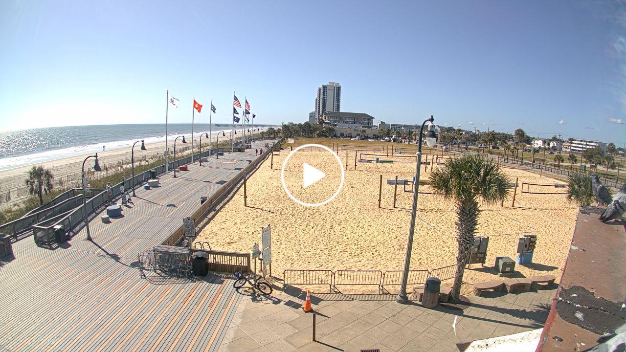
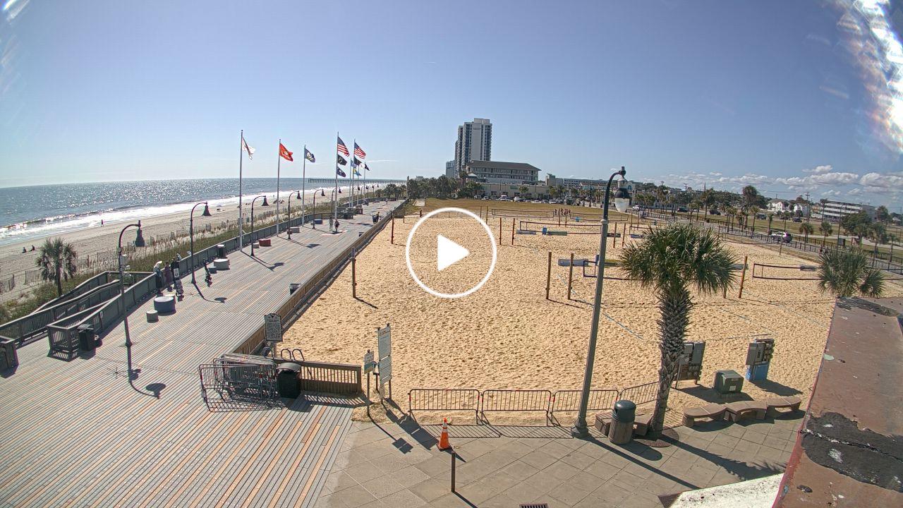
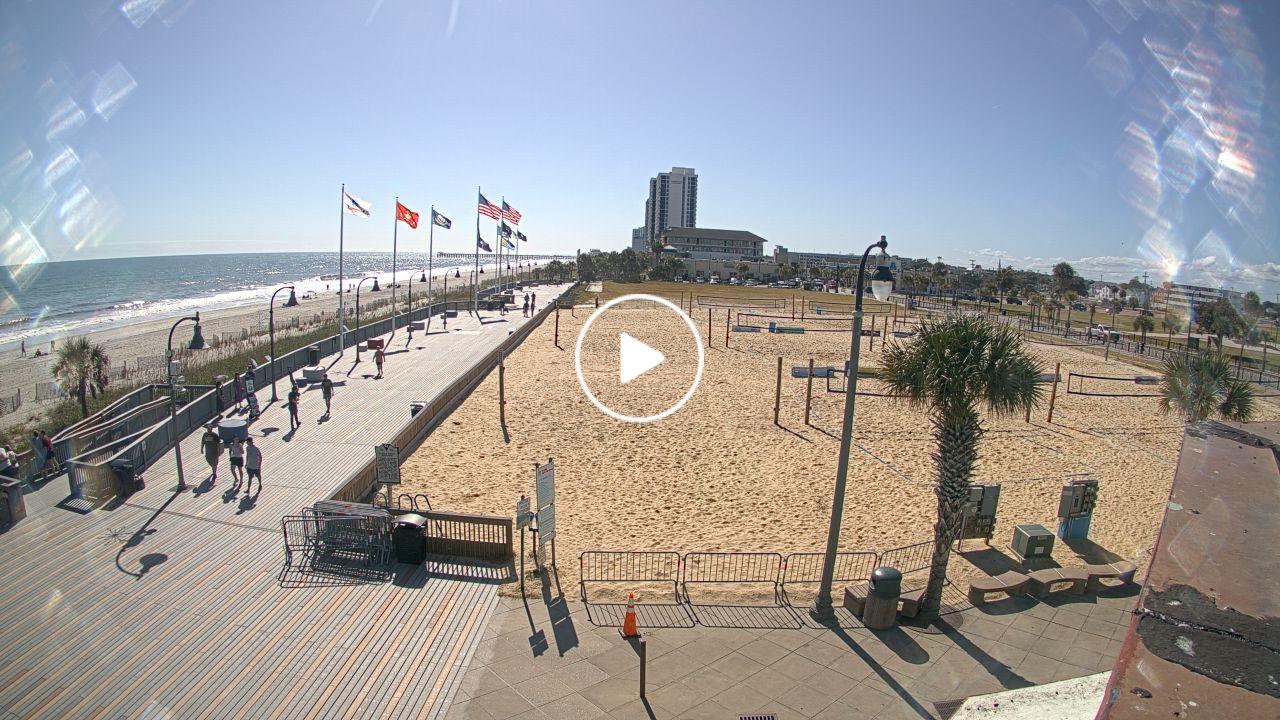
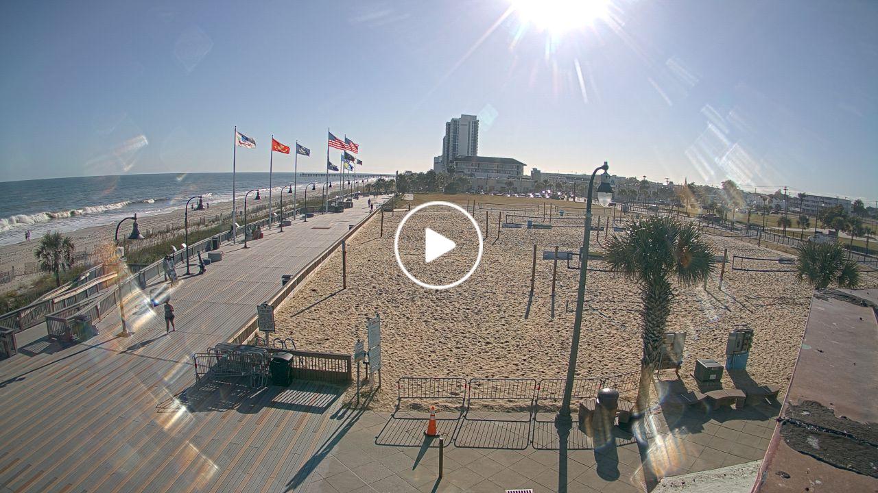
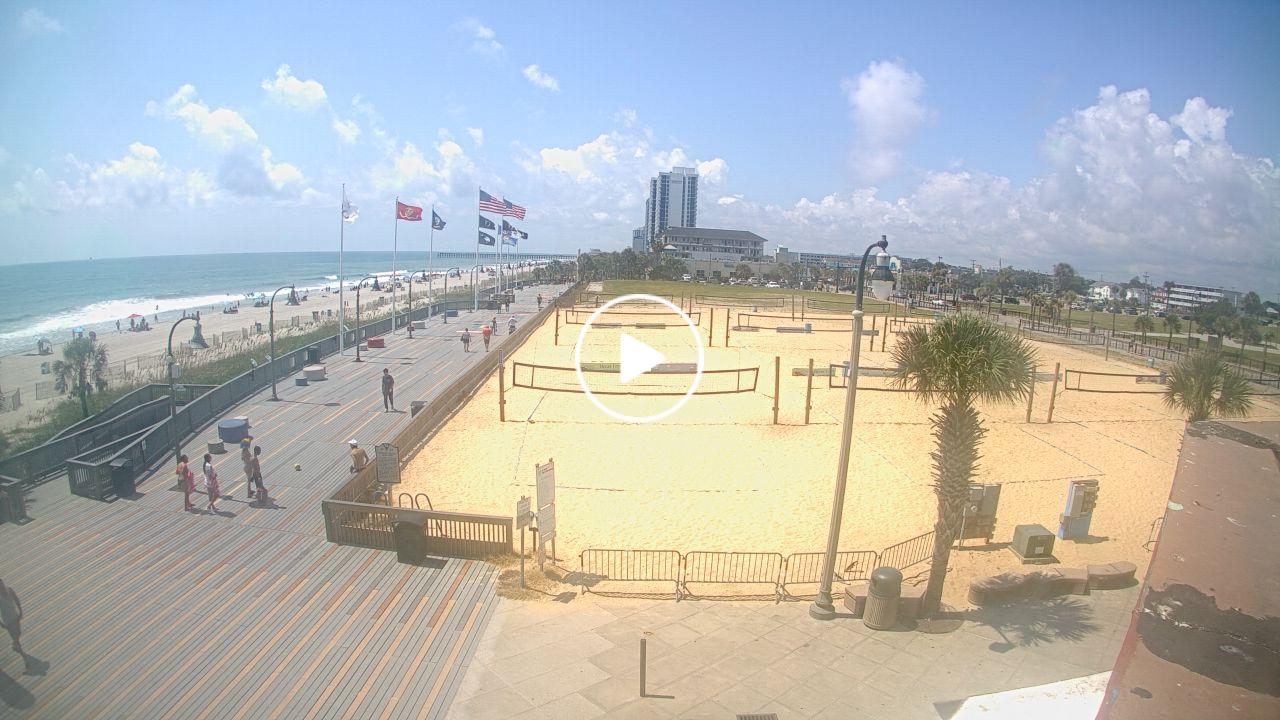
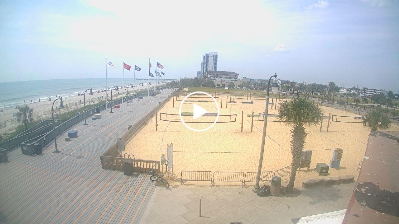
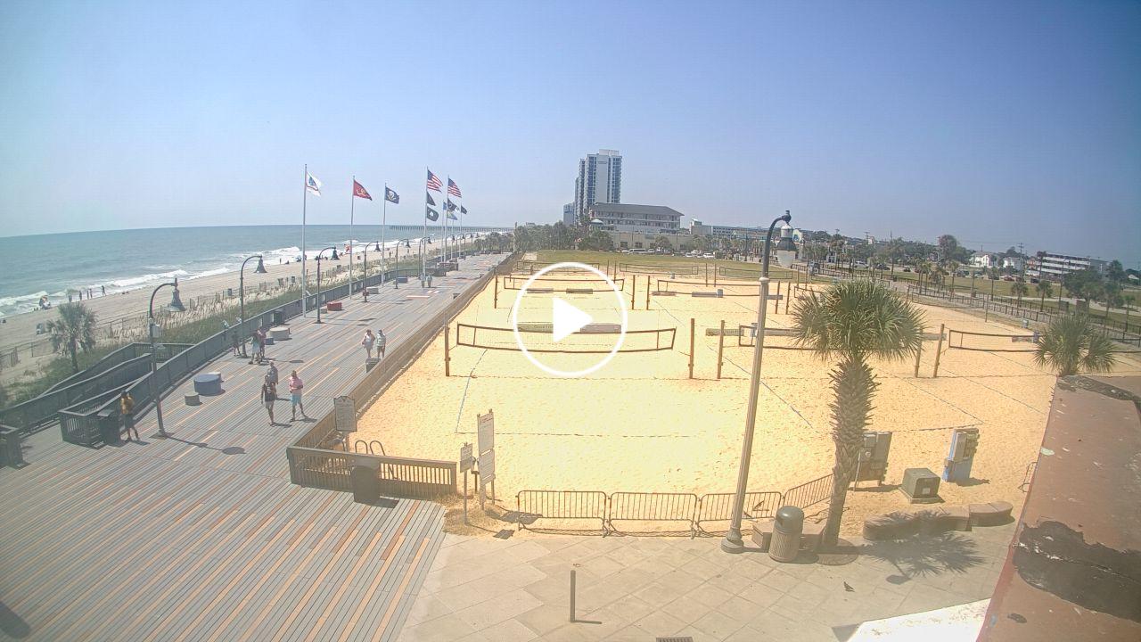
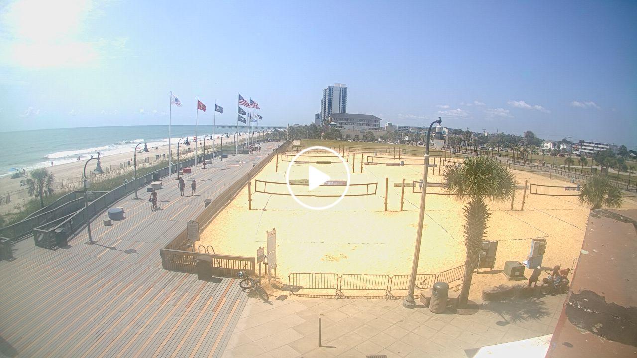
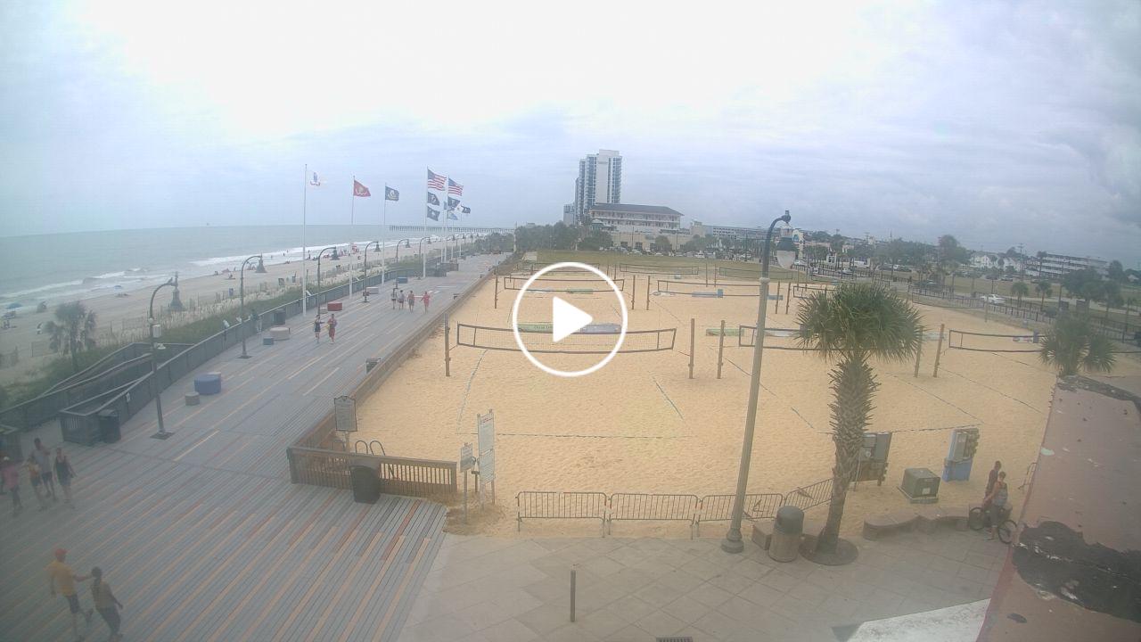
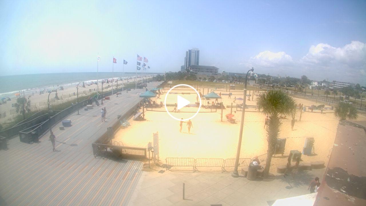
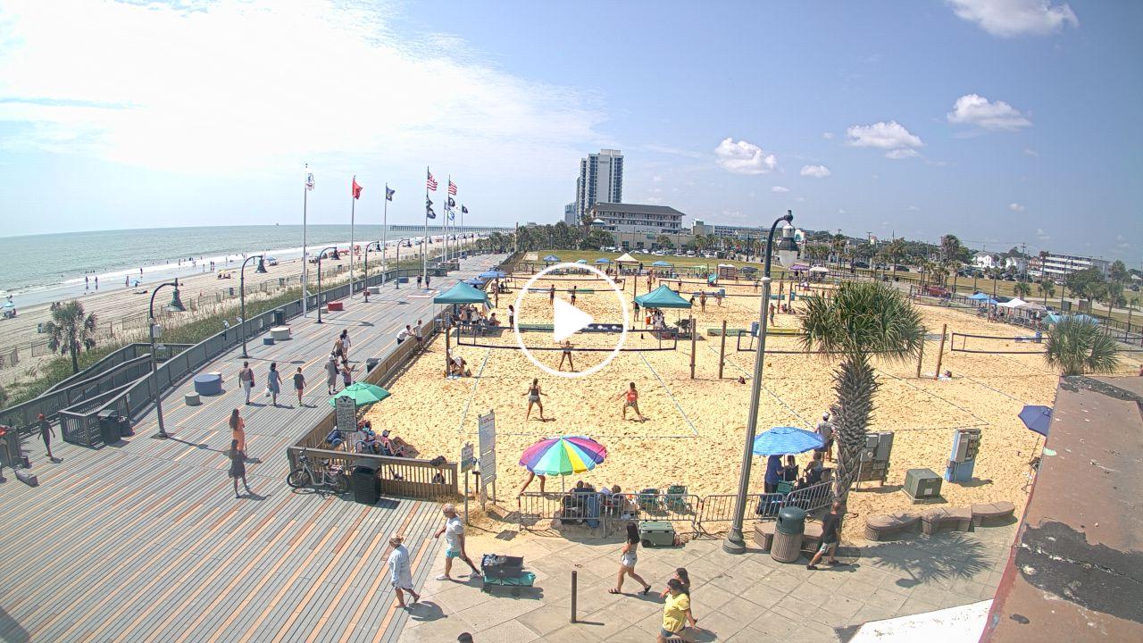
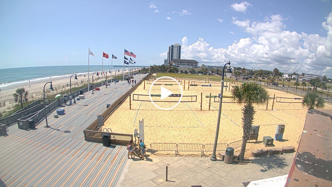
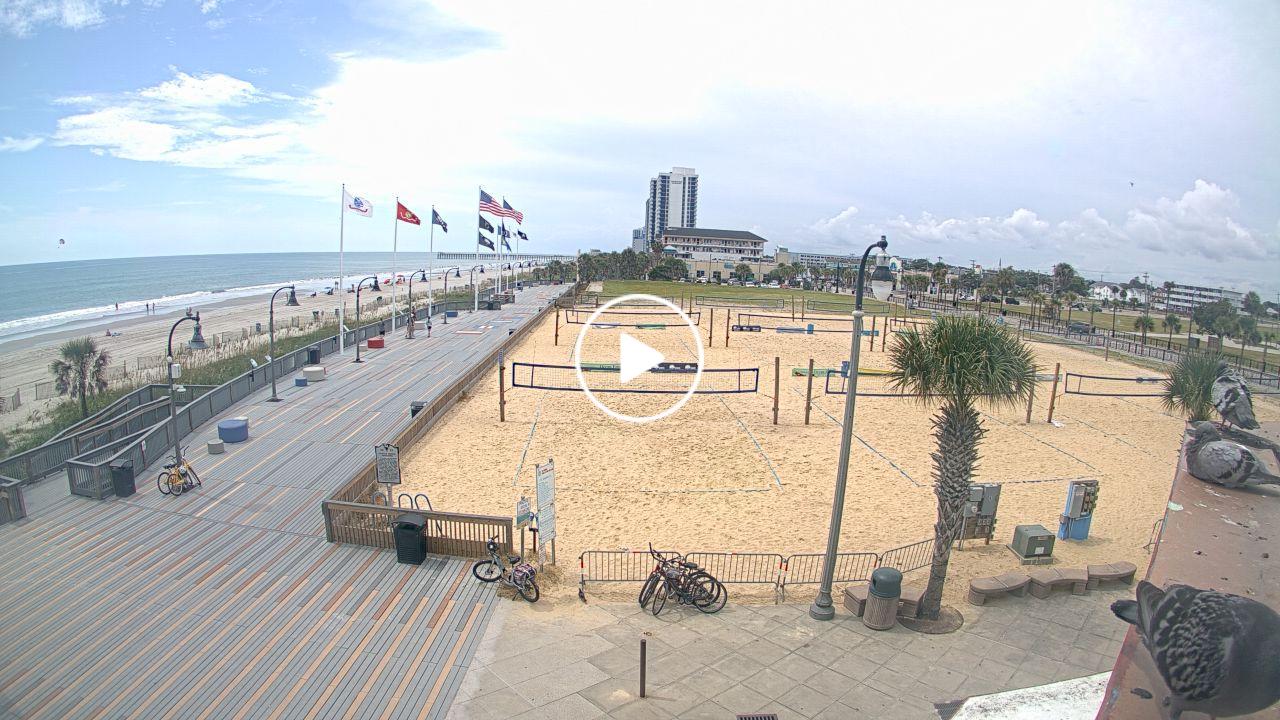
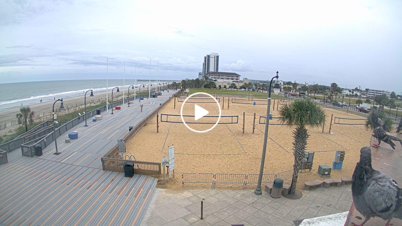
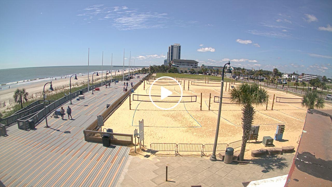
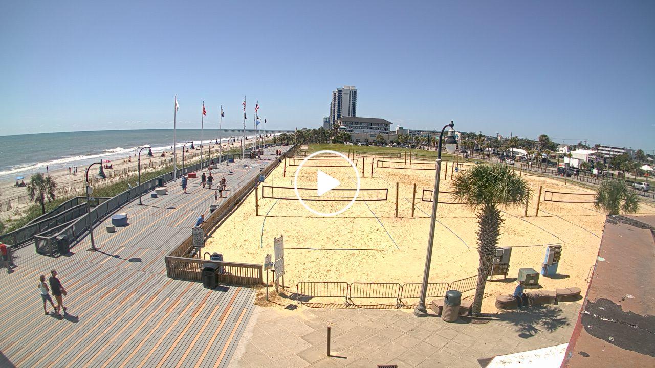
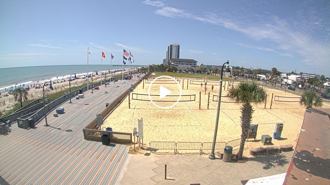
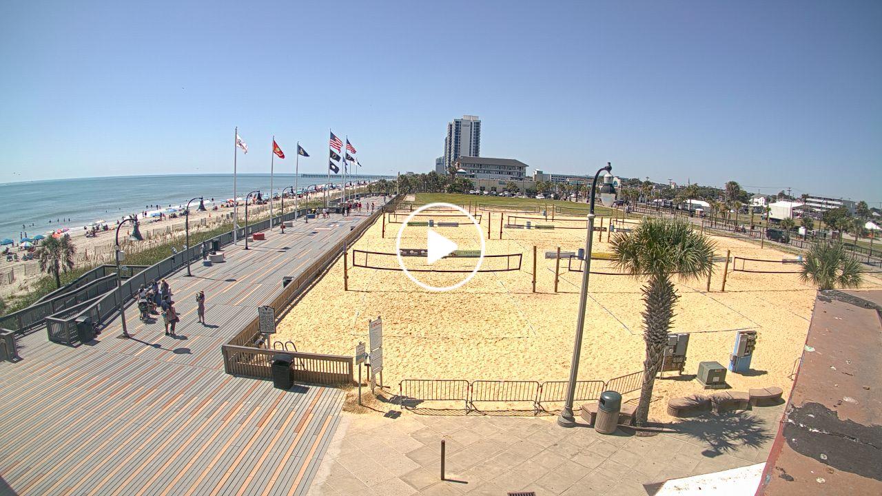
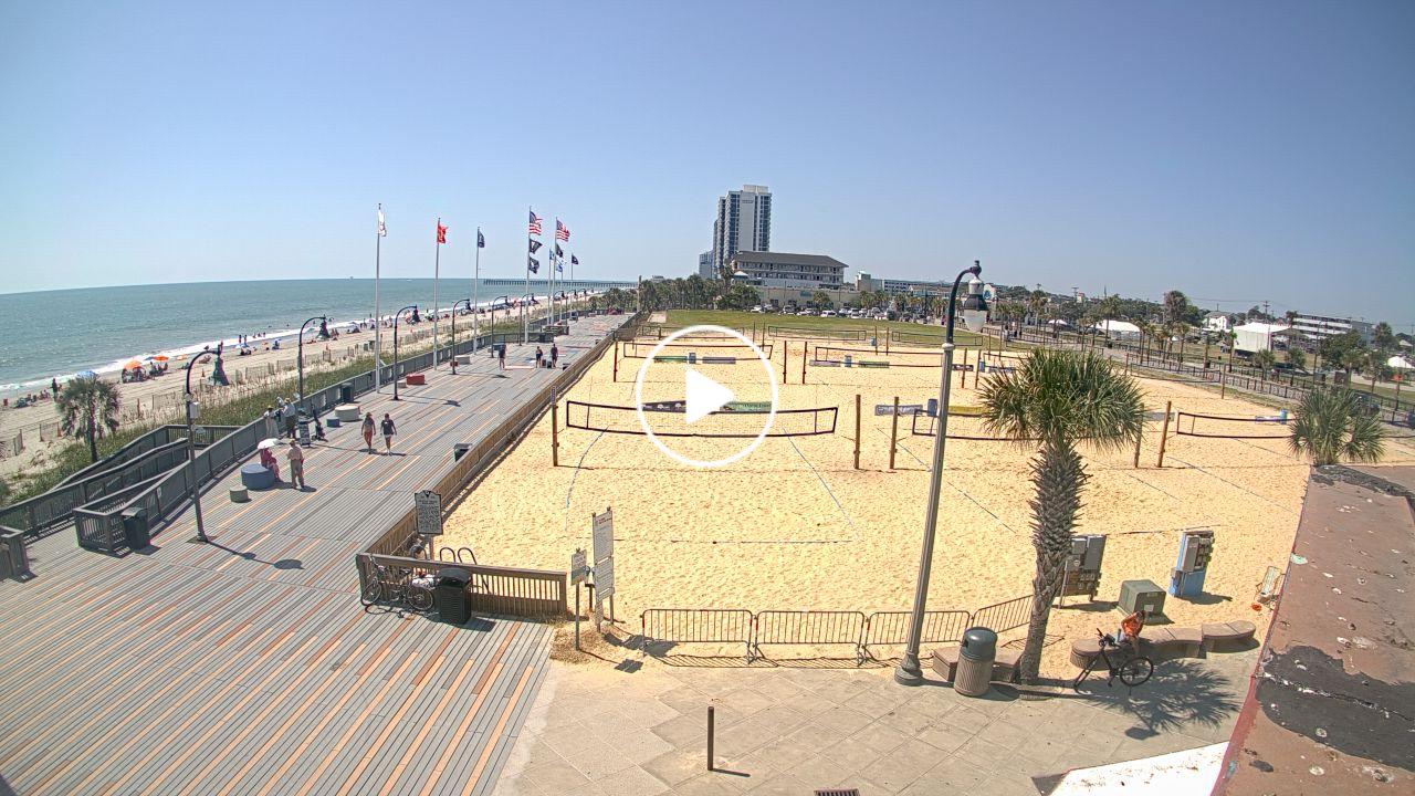
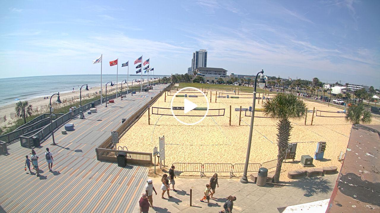
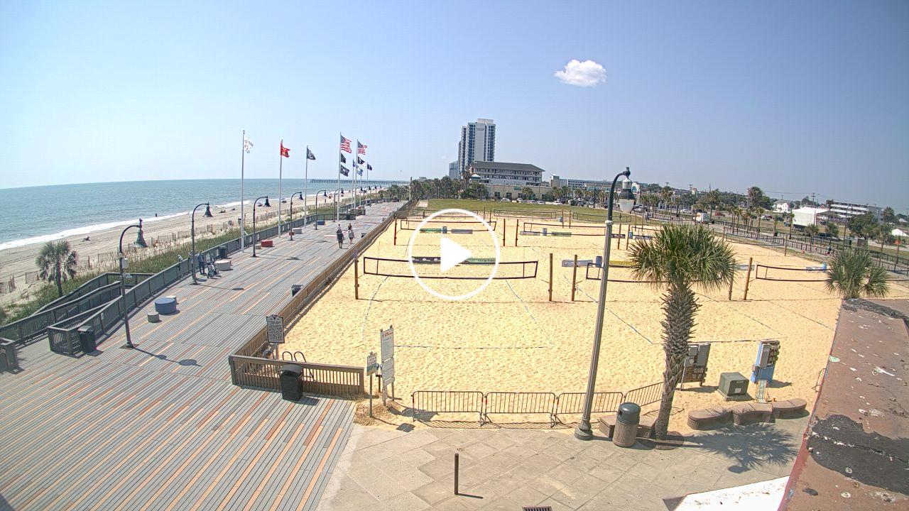
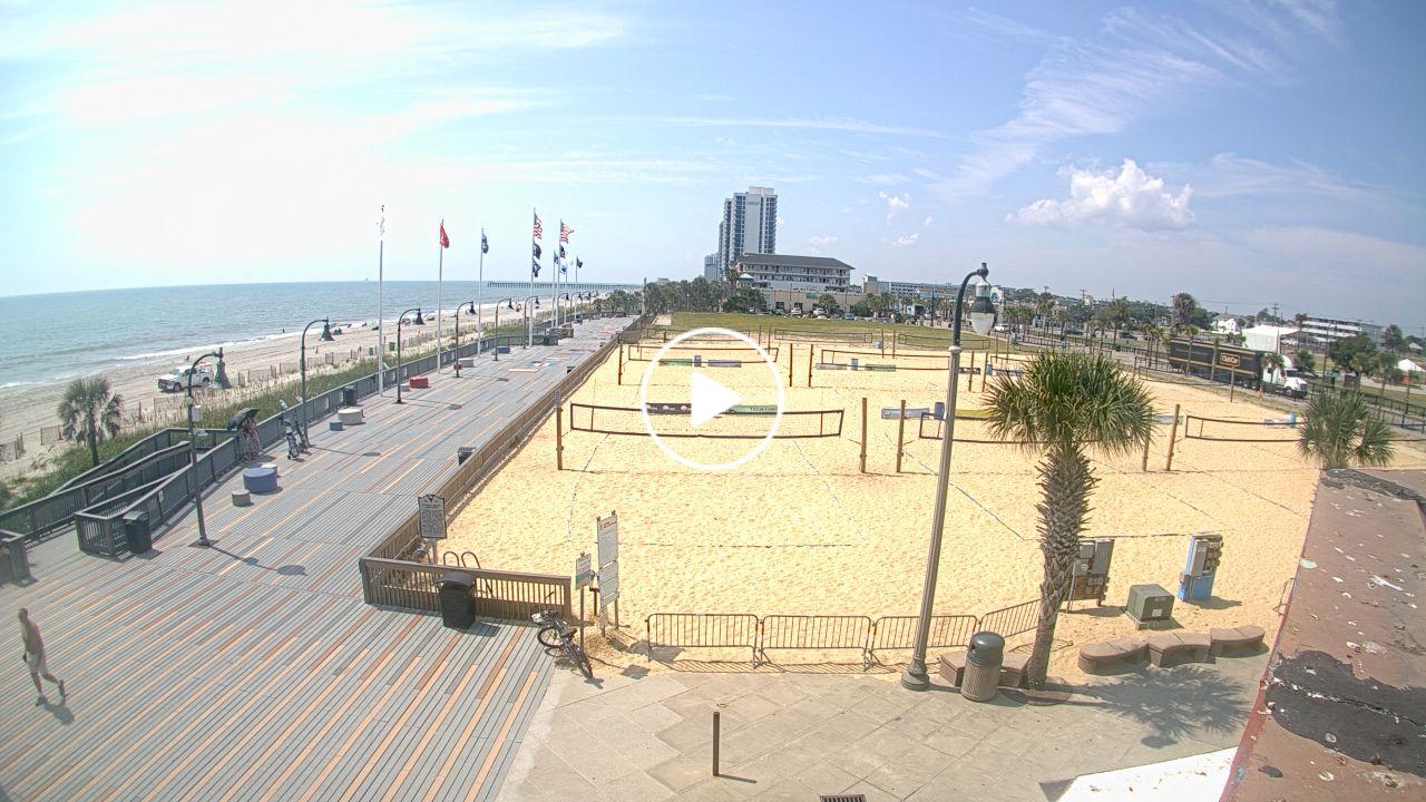
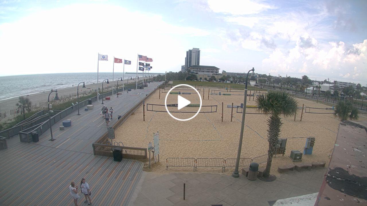
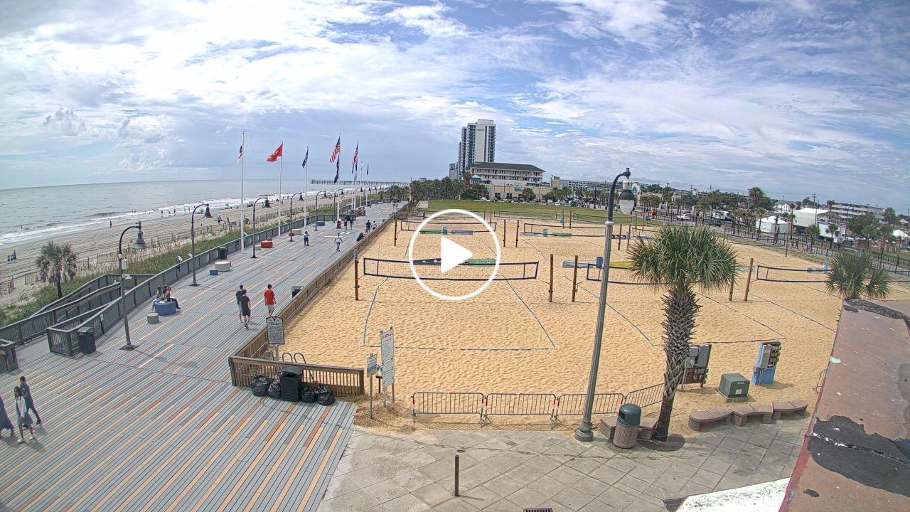
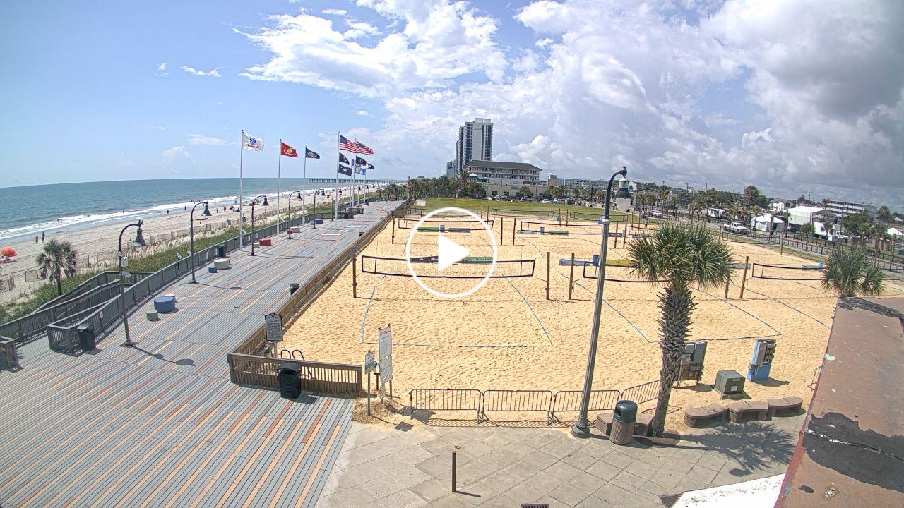
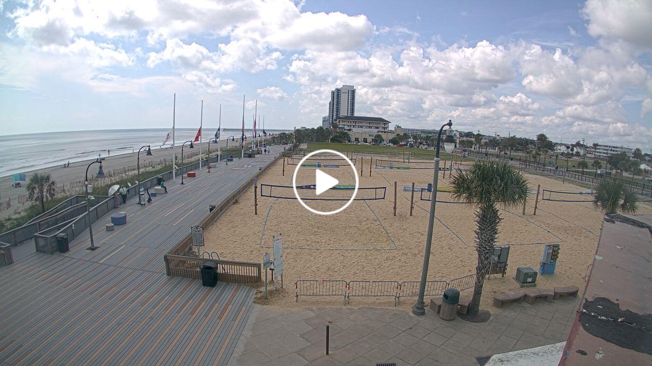
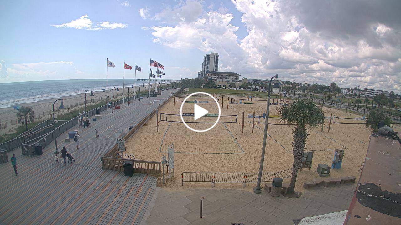
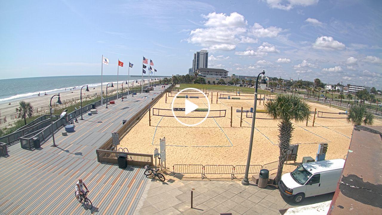
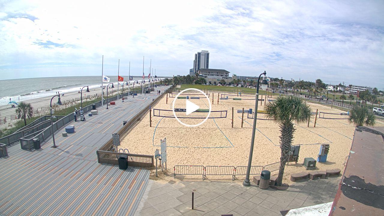
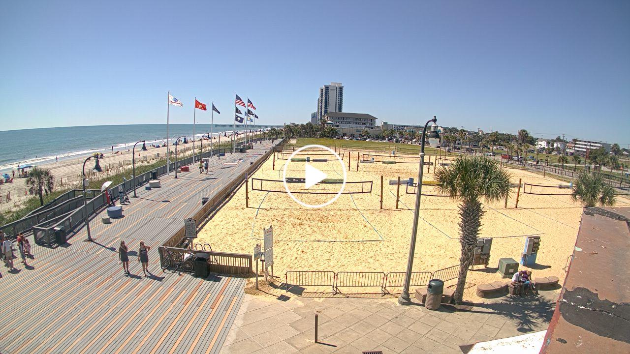
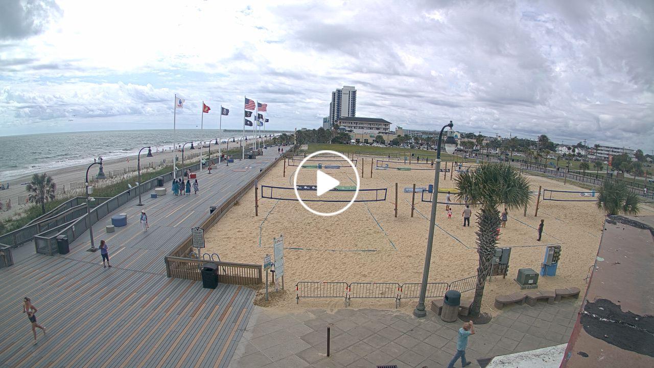
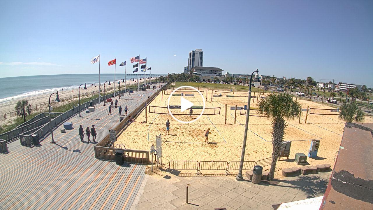
Myrtle Beach, South Carolina, USA - 142.2 miles from Bowling Heights: HD Beach Panorama
Operator: EarthCam
Operator: EarthCam


Some other places in this country: Holly Hills - Wilson Creek Heights - Edgewood - Creekwood - River Bend - Carolina Pines - Lands End - Point Emerald Villas - Pebble Beach - Queens Court