Webcams in the region of Black Ankle, North Carolina, USA
The List of Webcams near Black Ankle, North Carolina, USA:

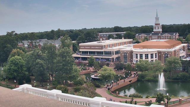
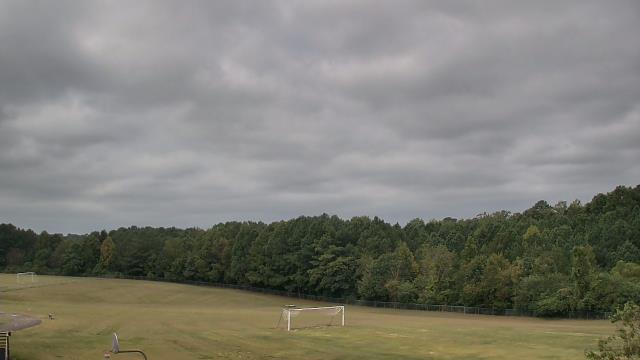
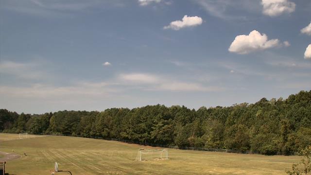
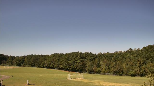
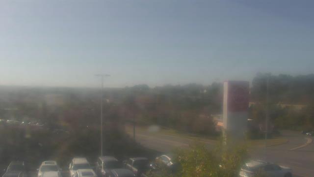
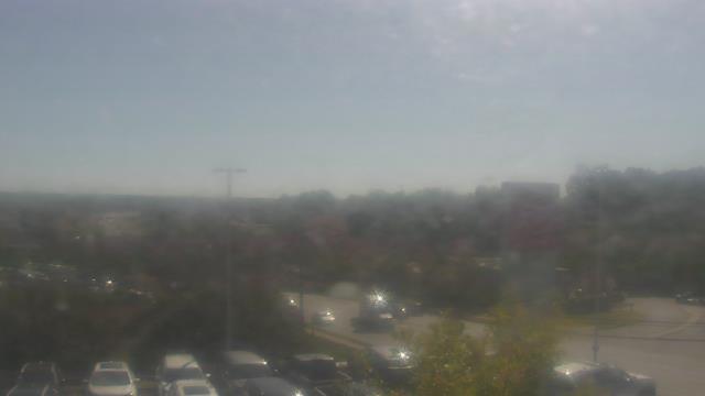
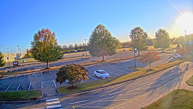
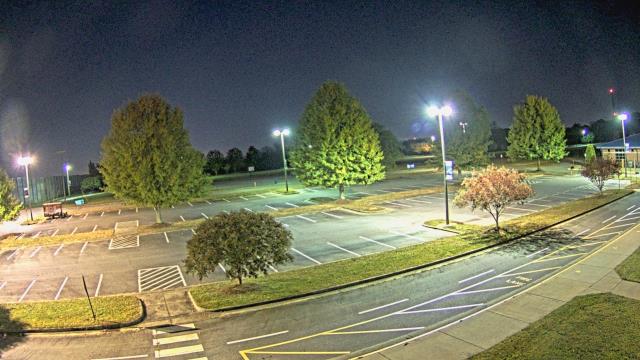
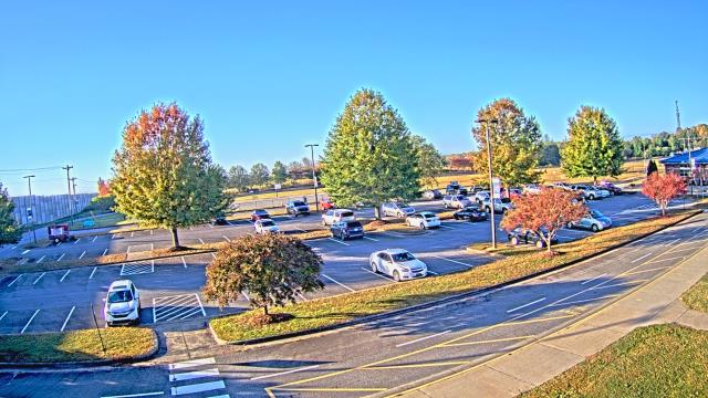
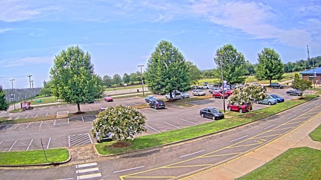
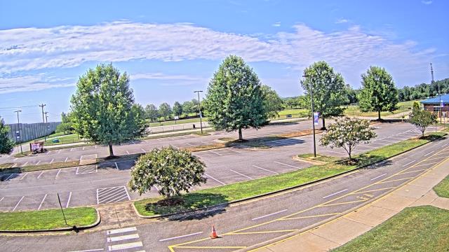
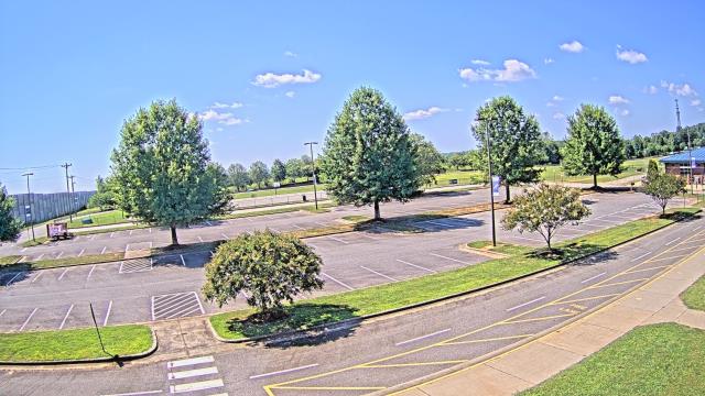
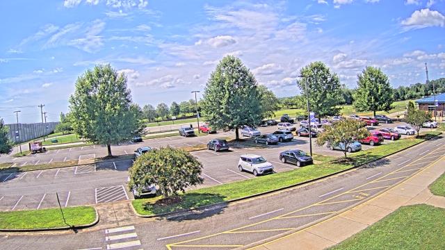
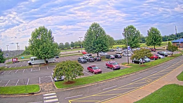
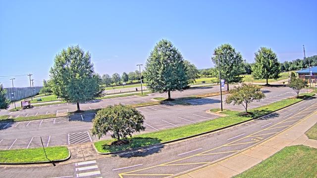
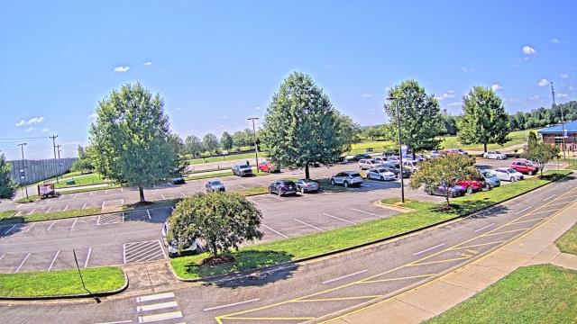
High Point, North Carolina, USA - 33.2 miles from Black Ankle: High Point University - A webcam in High Point, North Carolina - camera location: High Point University.
Operator: WeatherBug
Operator: WeatherBug


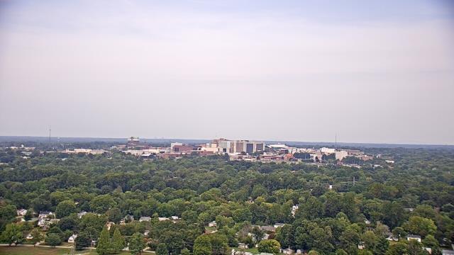
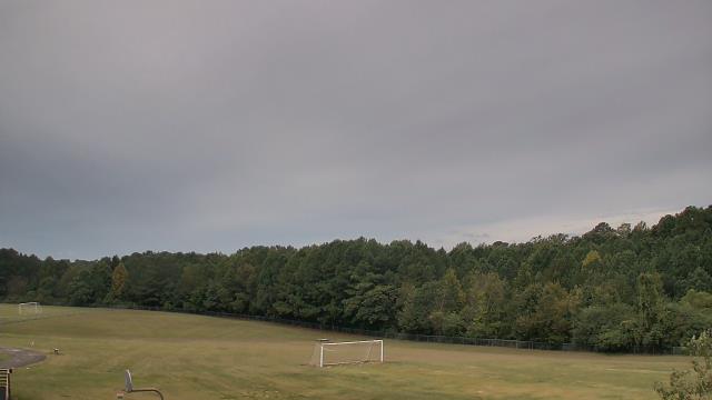
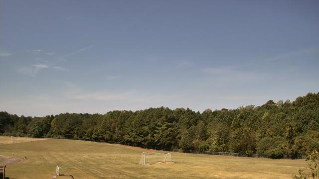
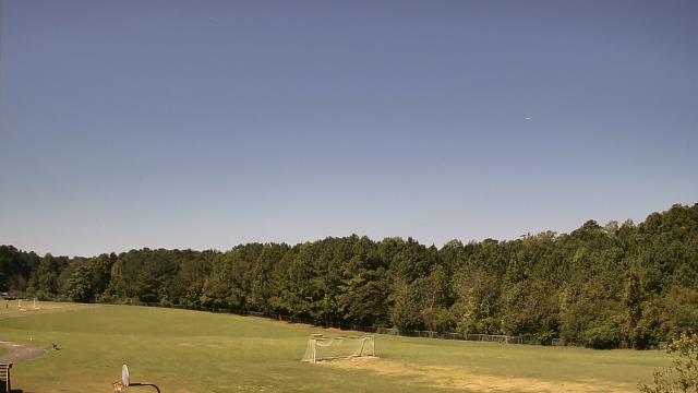
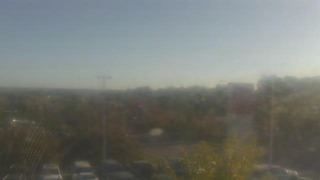
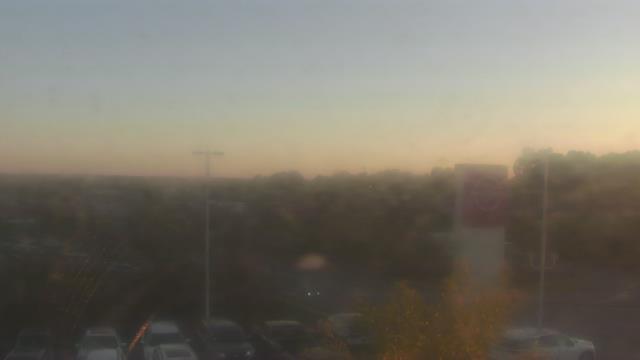
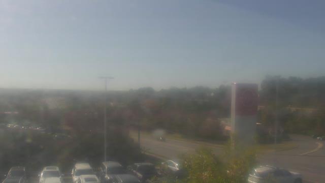
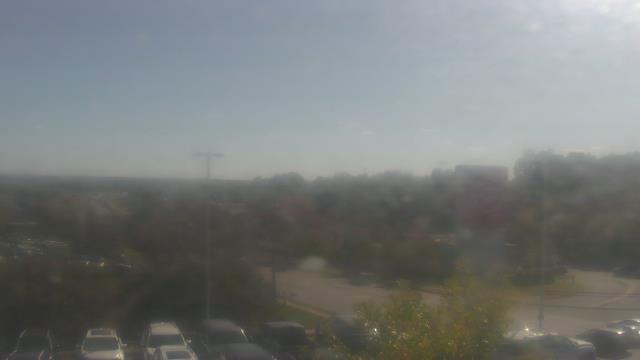
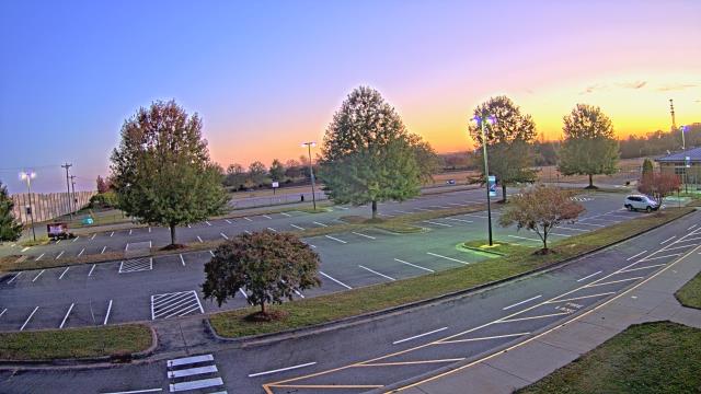
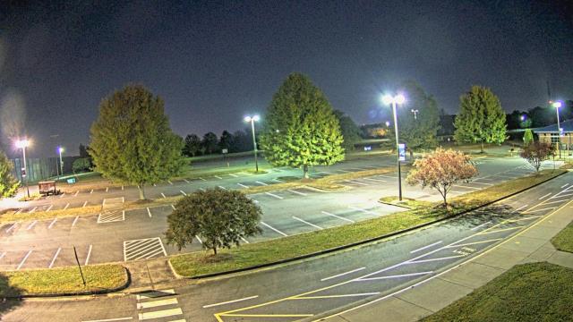
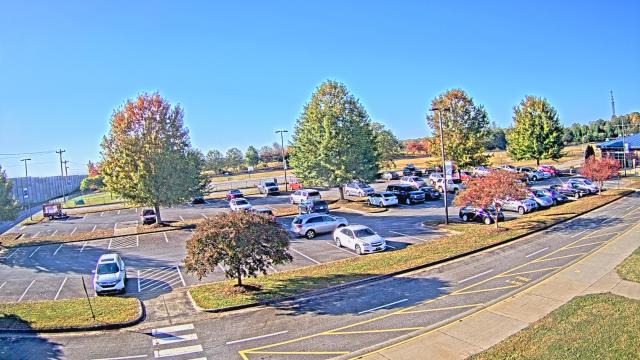
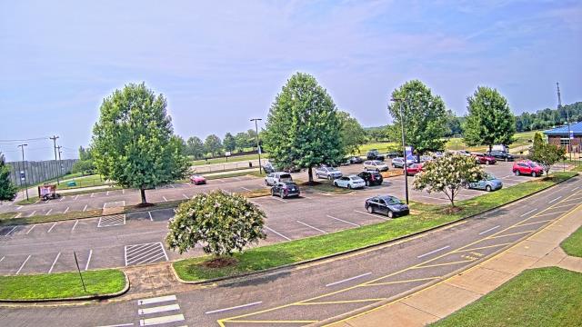
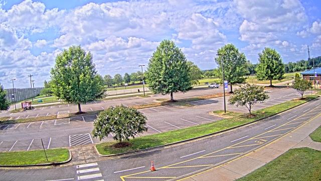
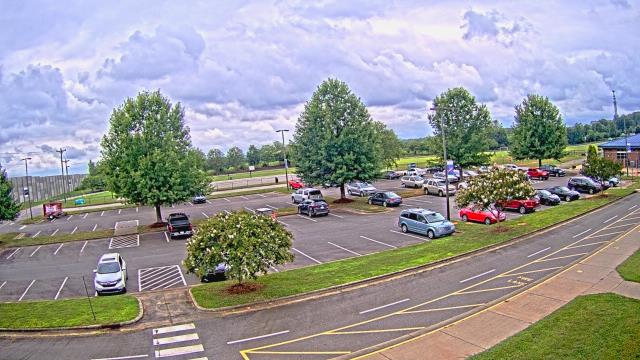
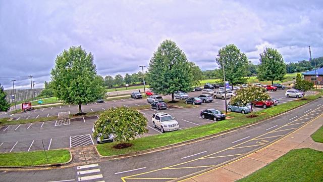
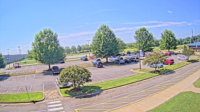
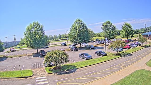
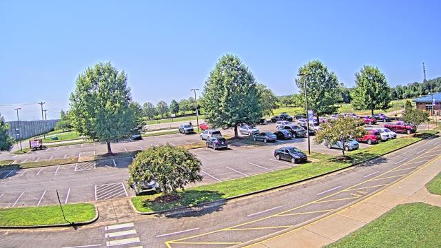
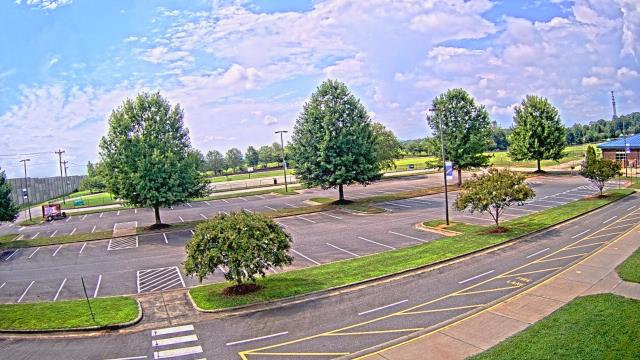
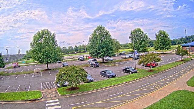
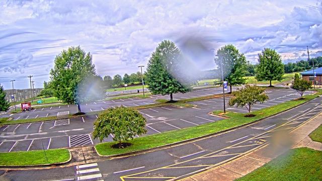
High Point, North Carolina, USA - 33.2 miles from Black Ankle: WGHP-TV - A webcam in High Point, North Carolina - camera location: WGHP-TV.
Operator: WeatherBug
Operator: WeatherBug


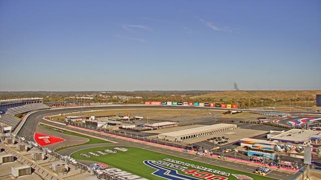
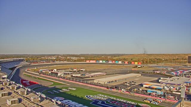
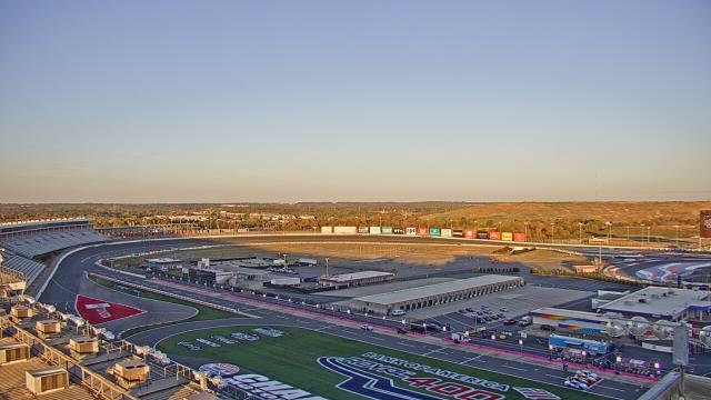
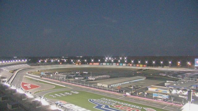
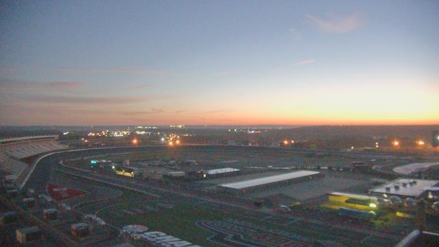
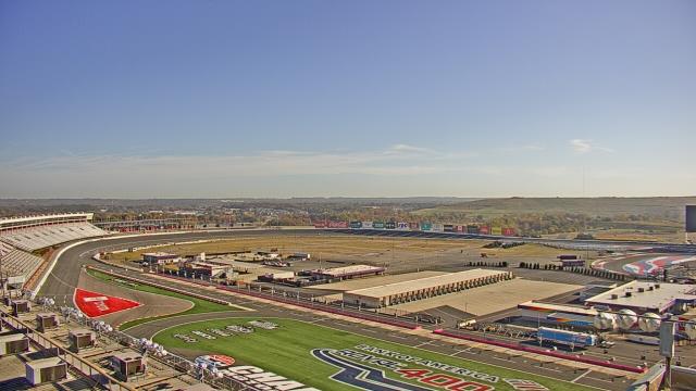
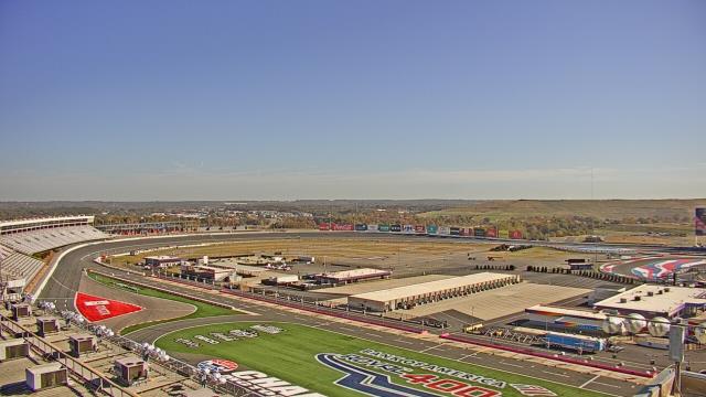
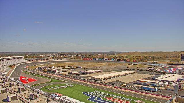
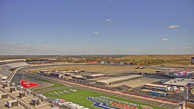
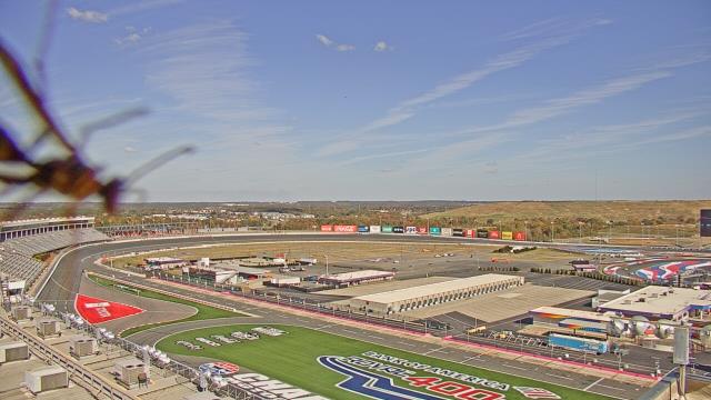
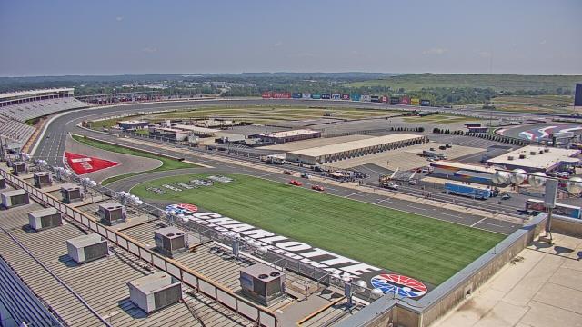
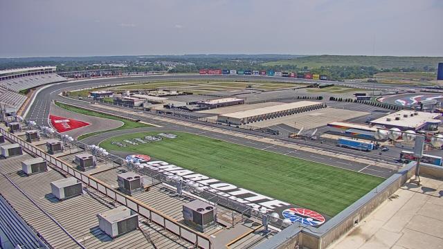
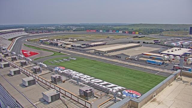
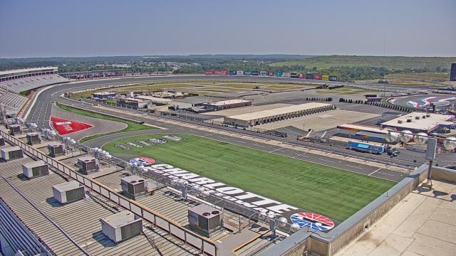
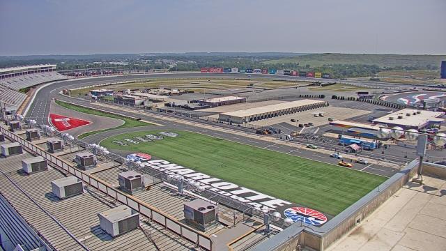
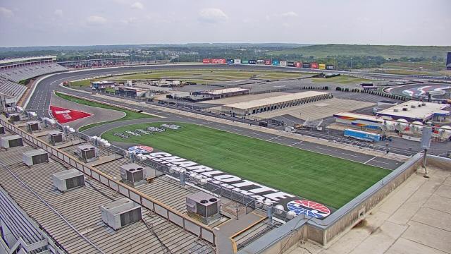
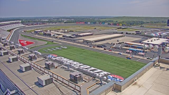
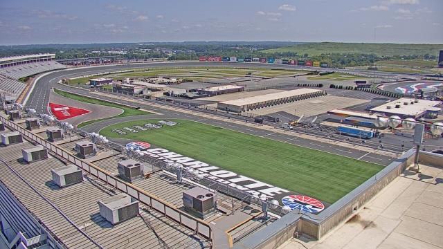
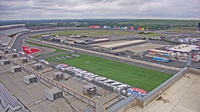
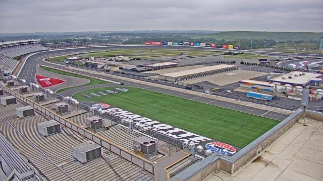
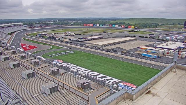
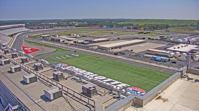
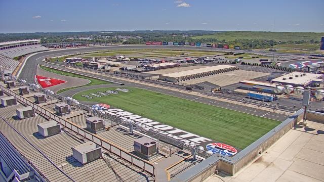
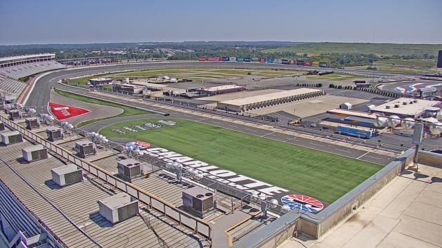
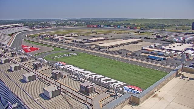
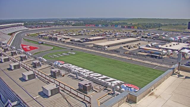
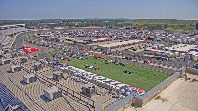
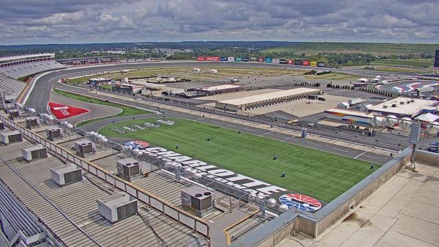
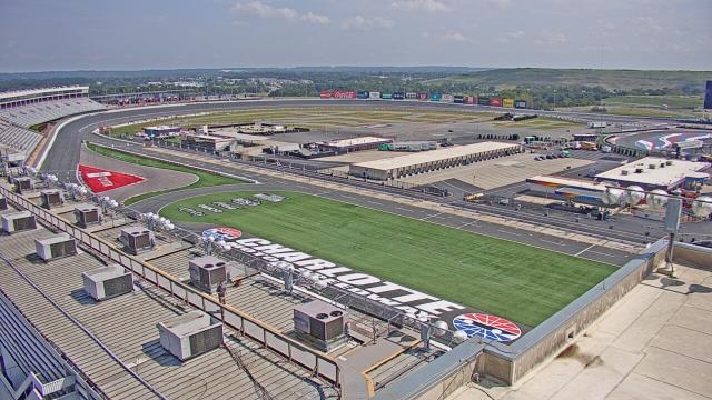
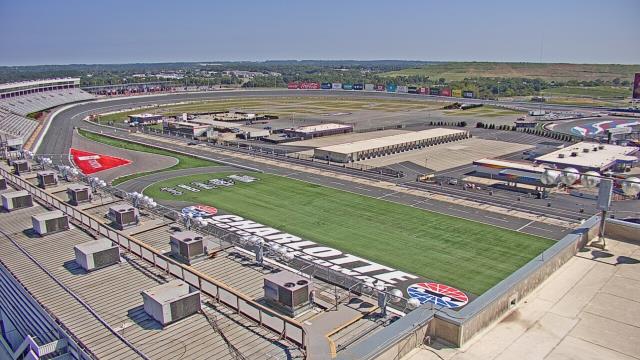
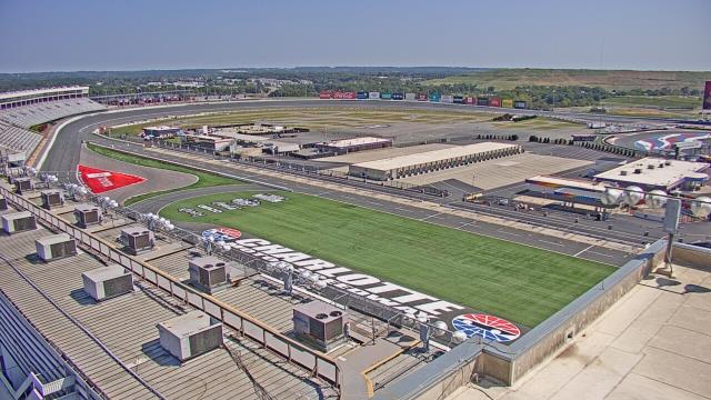
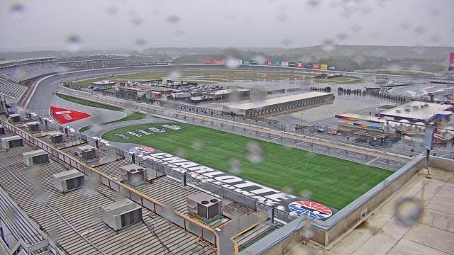
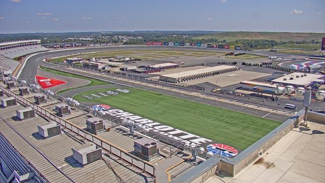
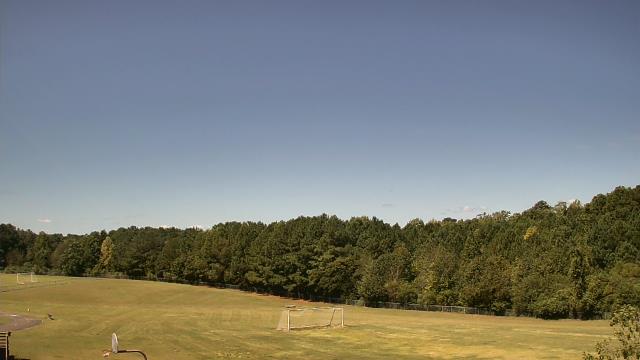
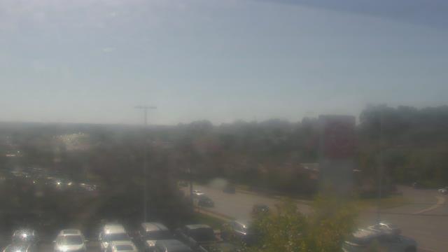
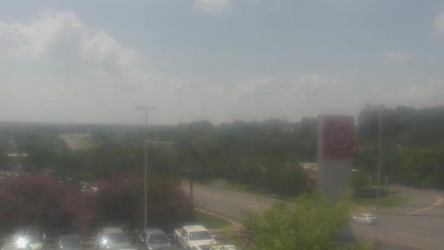
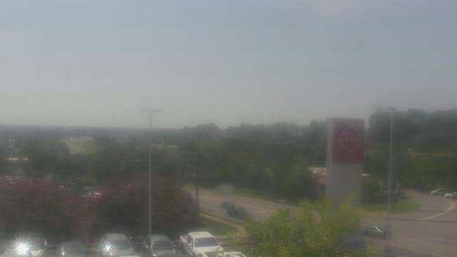
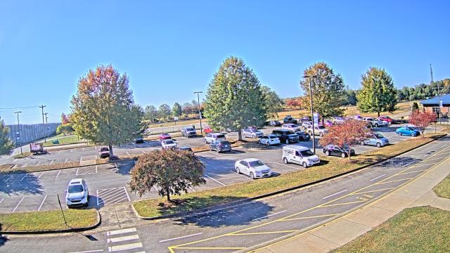
Concord, North Carolina, USA - 43.9 miles from Black Ankle: Charlotte Motor Speedway - A webcam in Concord, North Carolina - camera location: Charlotte Motor Speedway.
Operator: WeatherBug
Operator: WeatherBug


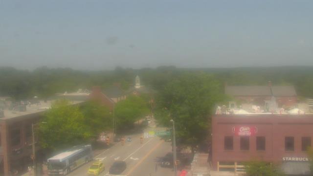
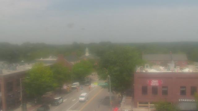
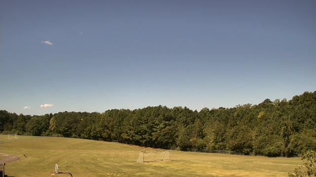
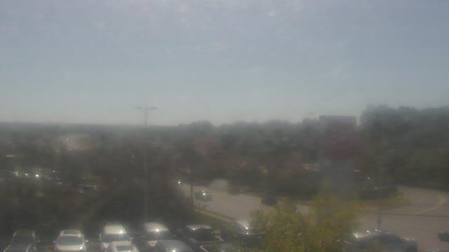
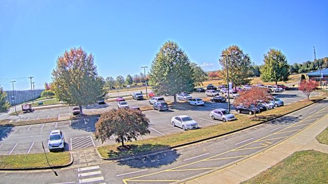
Chapel Hill, North Carolina, USA - 53.5 miles from Black Ankle: Top of the Hill Restaurant - A webcam in Chapel Hill, North Carolina - camera location: Top of the Hill Restaurant.
Operator: WeatherBug
Operator: WeatherBug


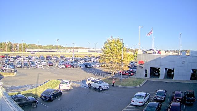
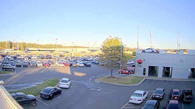
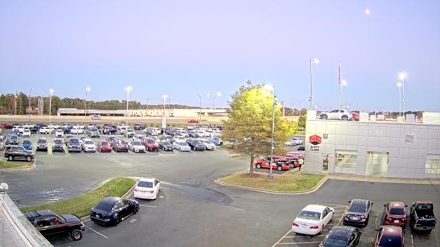
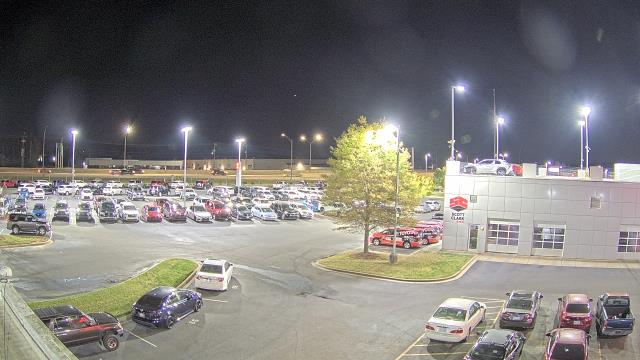
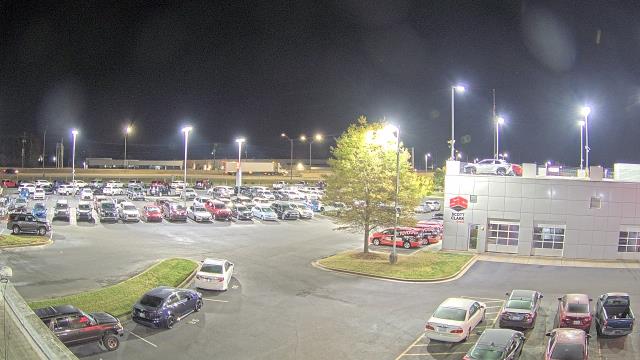
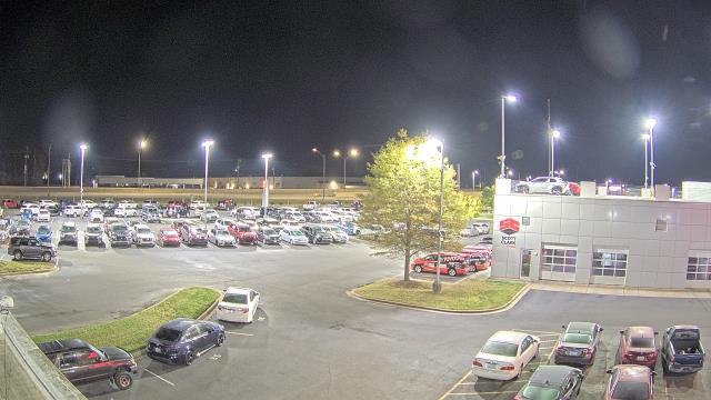
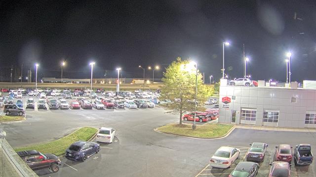
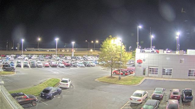
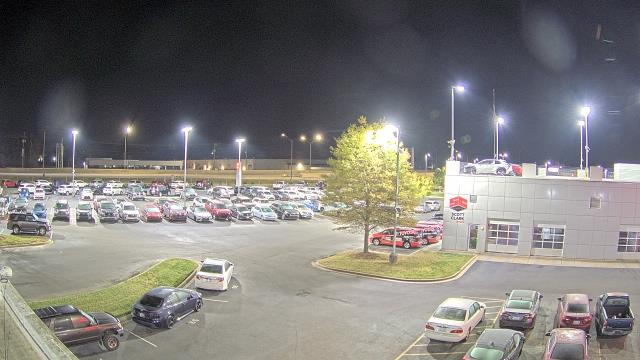
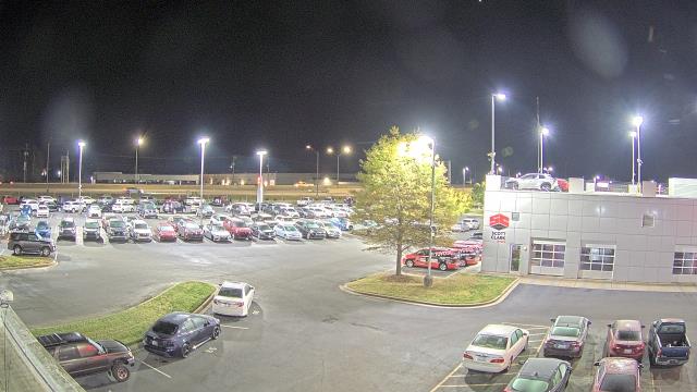
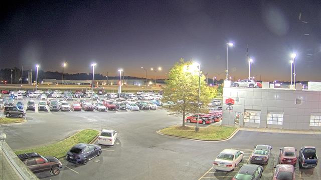
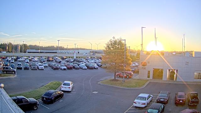
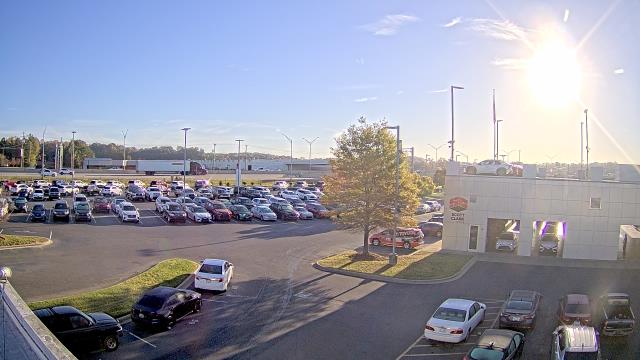
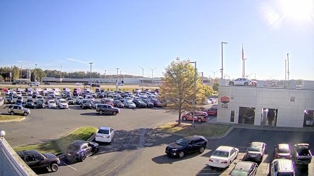
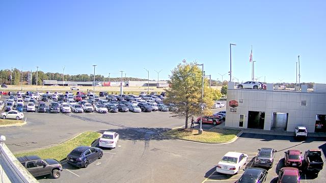
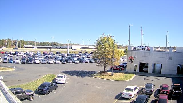
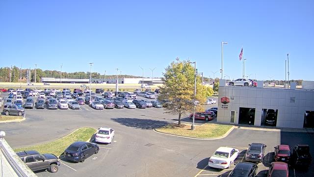
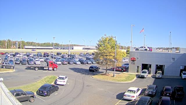
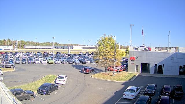
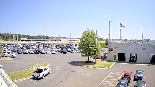
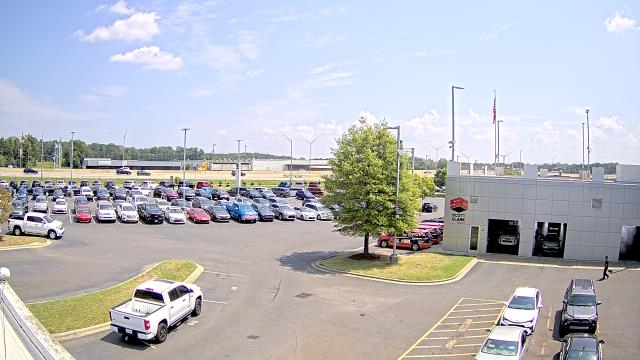
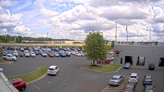
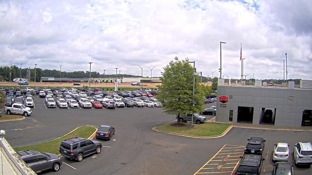
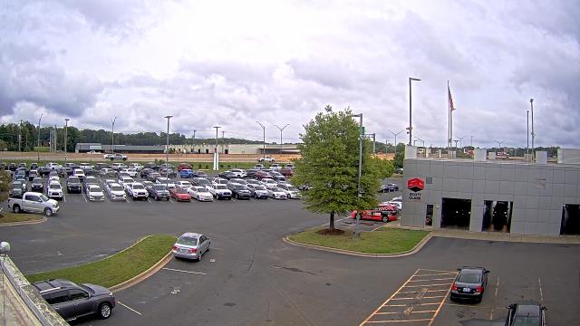
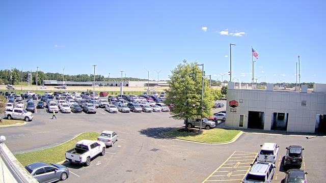
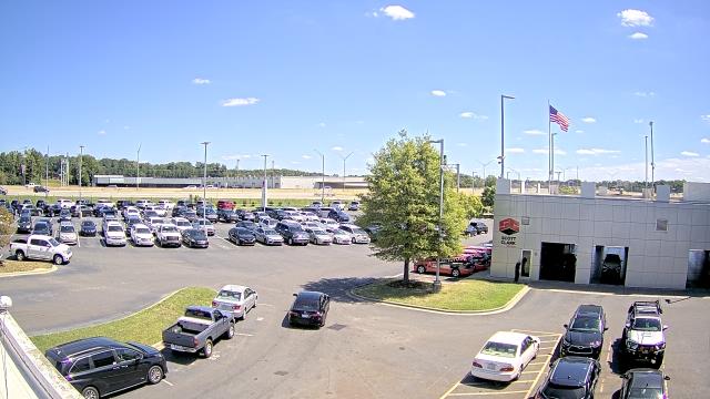
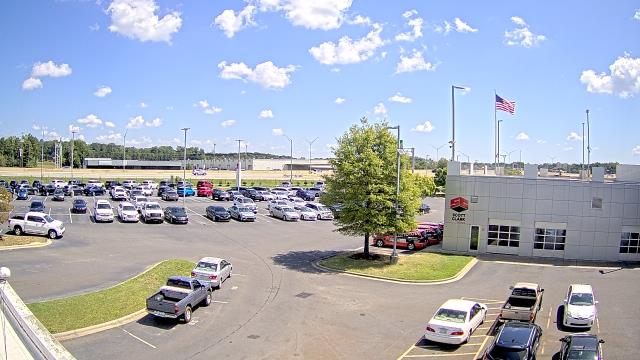
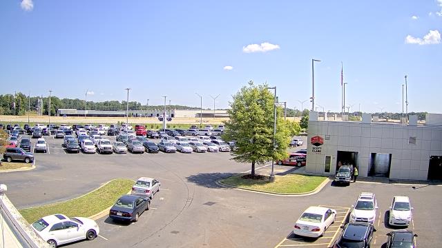
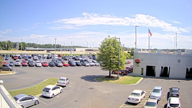
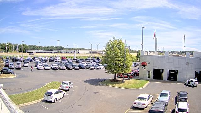
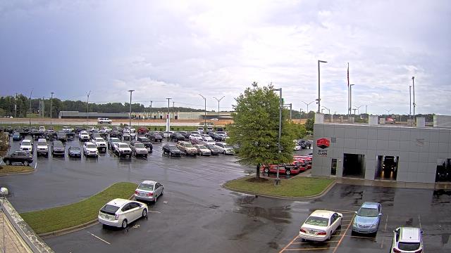
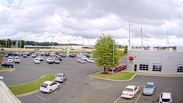
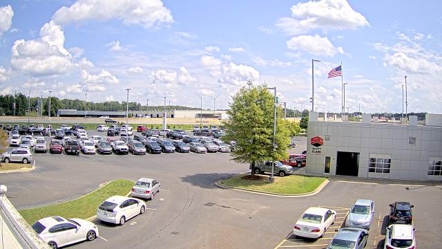
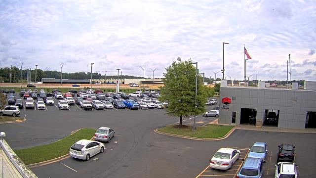
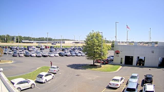
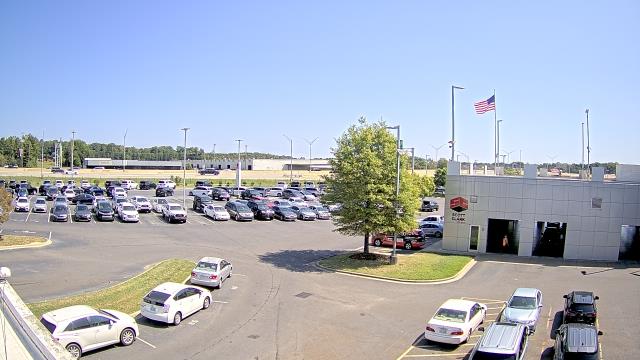
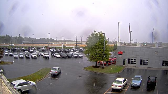
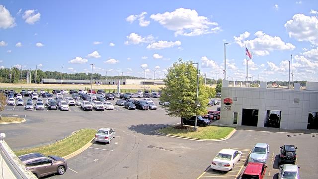
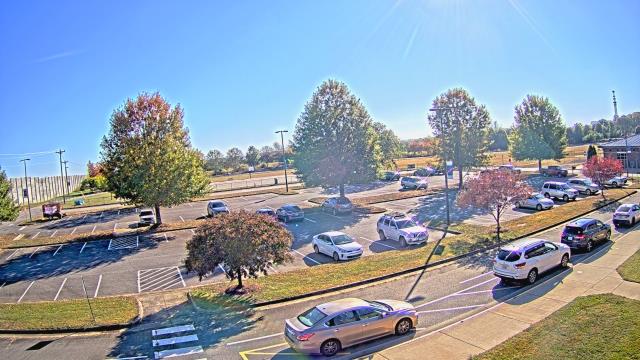
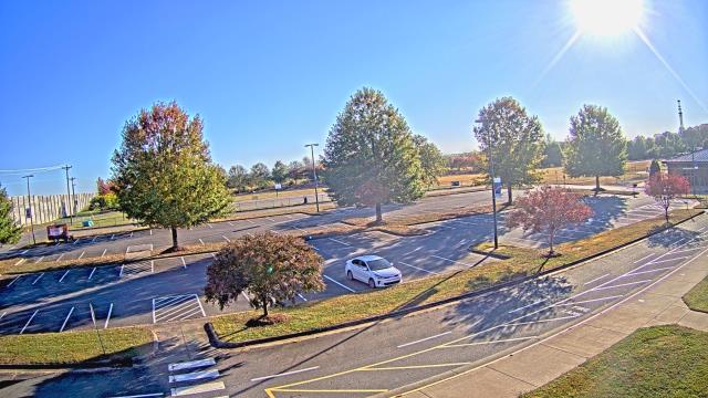
Stallings, North Carolina, USA - 57.1 miles from Black Ankle: Scott Clarks Toyota - A webcam in Stallings, North Carolina - camera location: Scott Clarks Toyota.
Operator: WeatherBug
Operator: WeatherBug


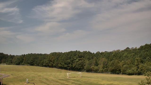
Cary, North Carolina, USA - 60.4 miles from Black Ankle: Davis Drive Elementary School - A webcam in Cary, North Carolina - camera location: Davis Drive Elementary School.
Operator: WeatherBug
Operator: WeatherBug


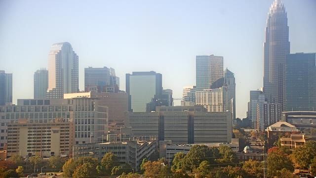
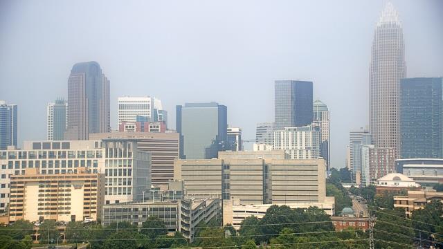
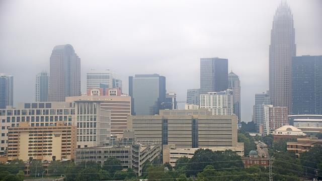
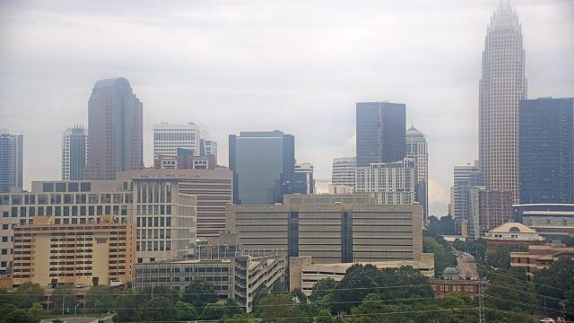
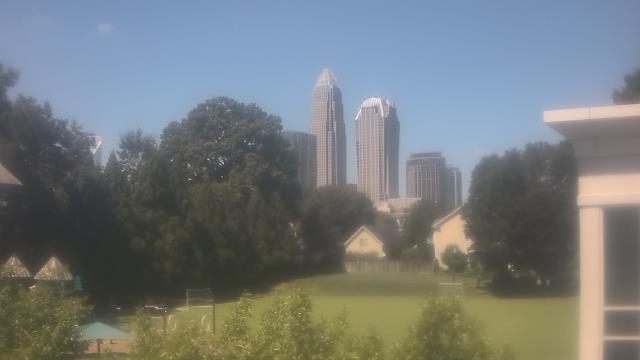
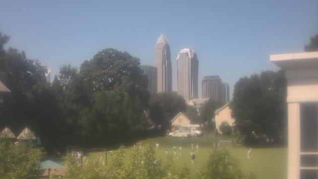
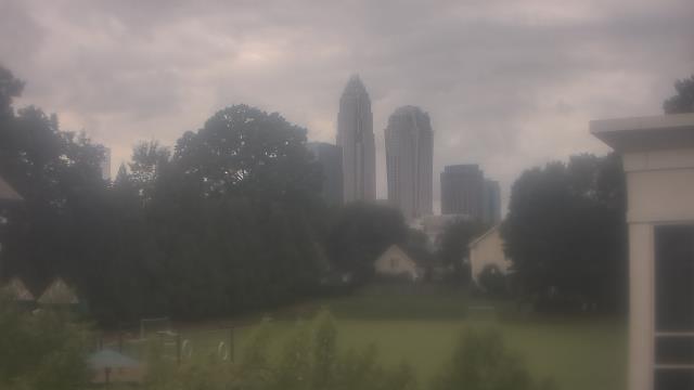
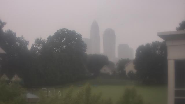
Charlotte, North Carolina, USA - 61.3 miles from Black Ankle: Central Piedmont Community College - A webcam in Charlotte, North Carolina - camera location: Central Piedmont Community College.
Operator: WeatherBug
Operator: WeatherBug


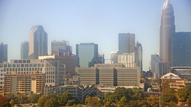


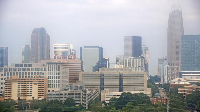

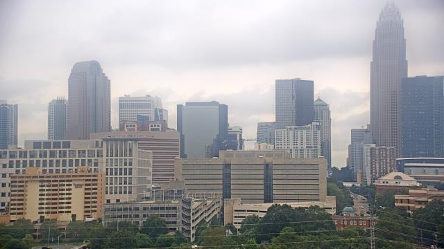


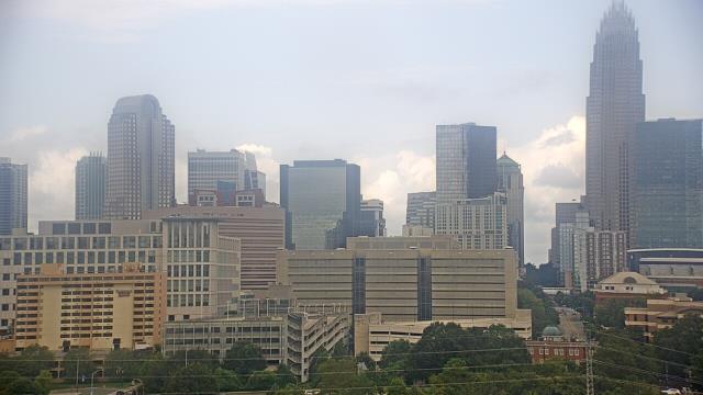

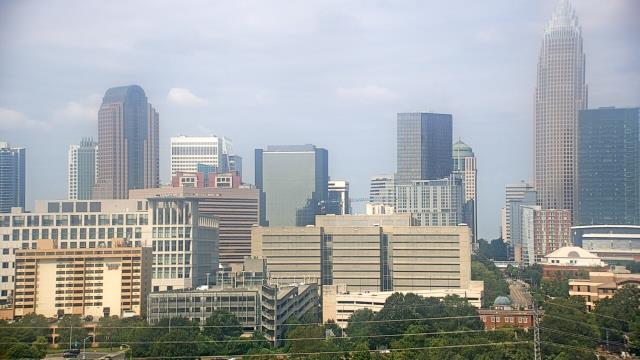


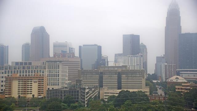
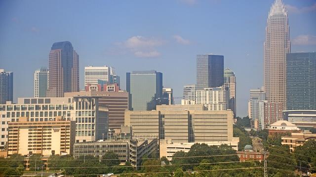

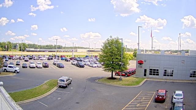
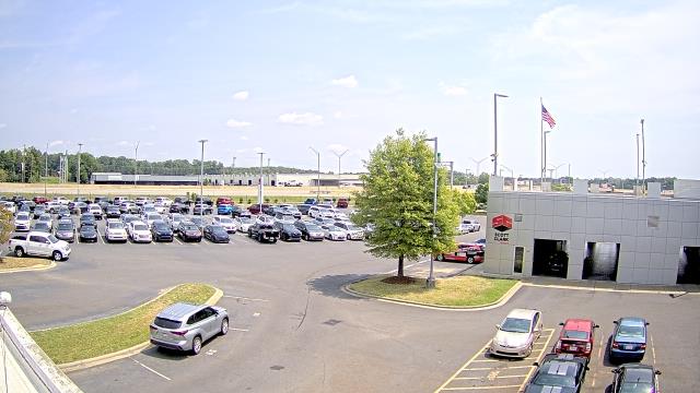
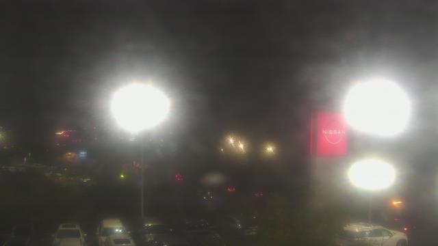
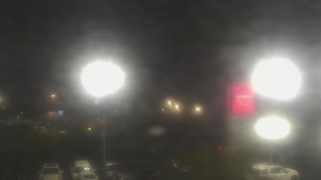
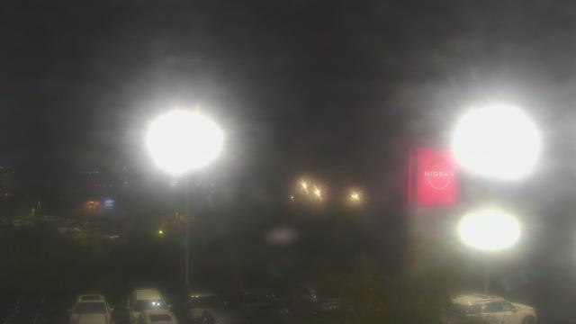
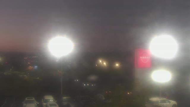
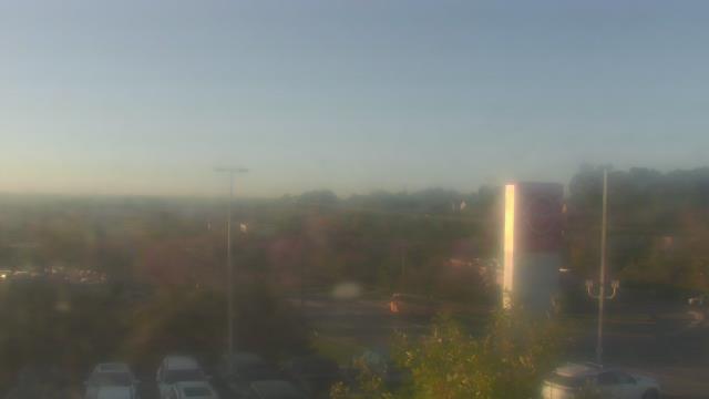
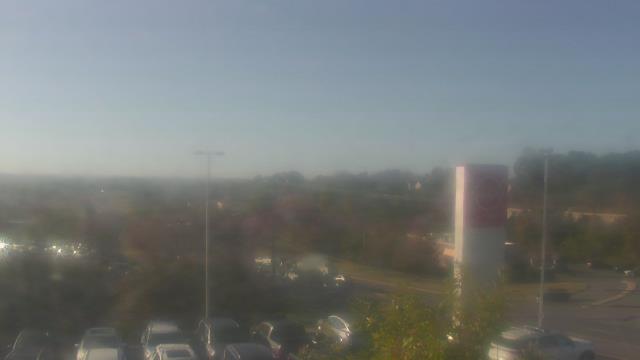
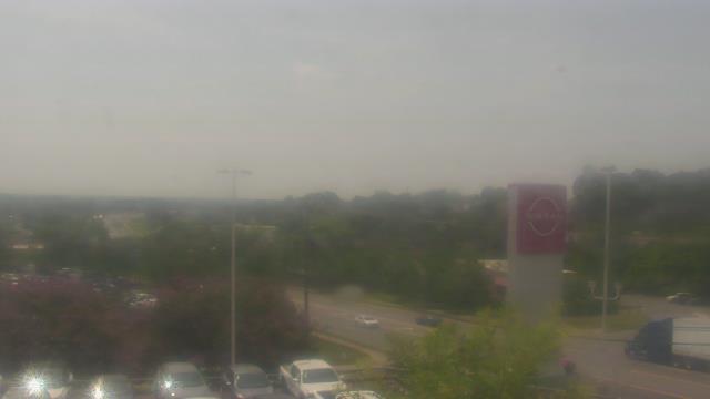
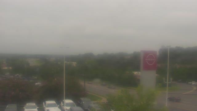
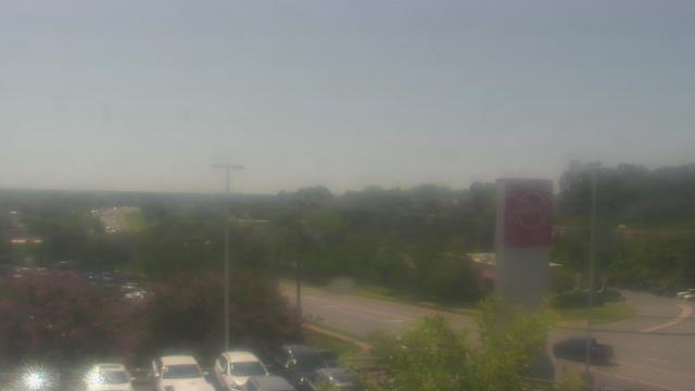
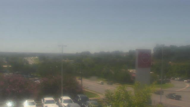
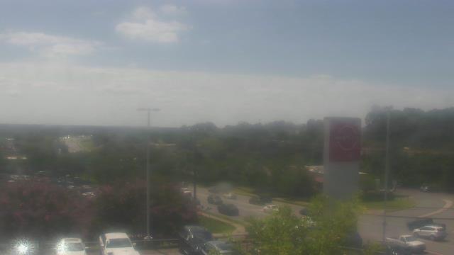
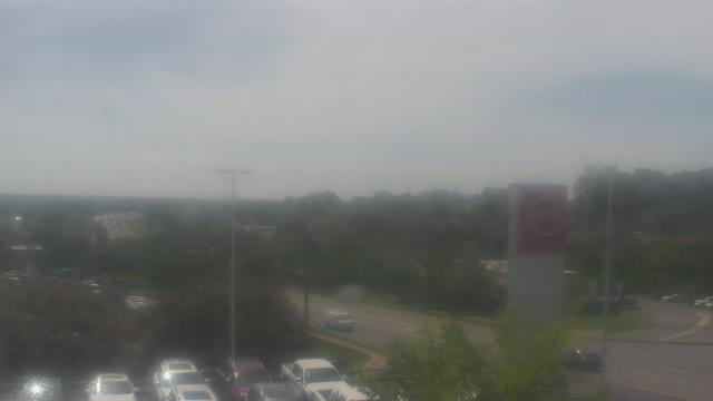
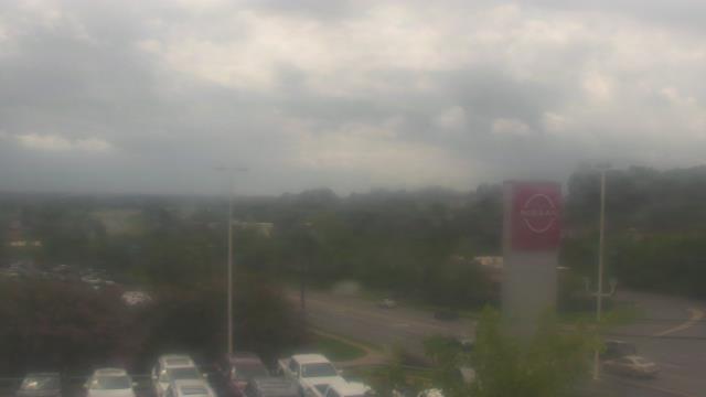
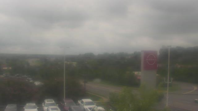
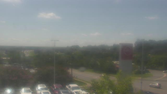
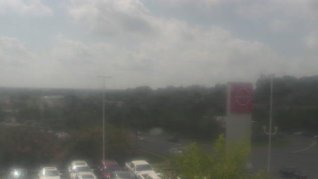
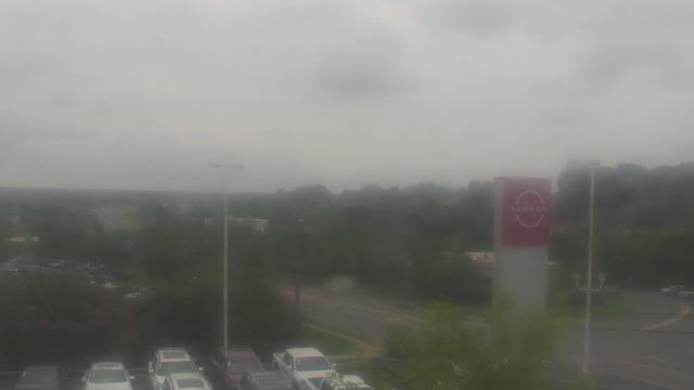
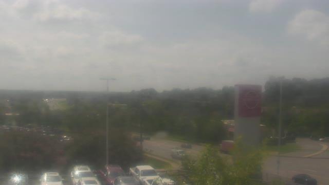
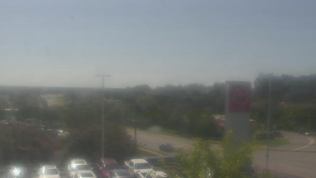
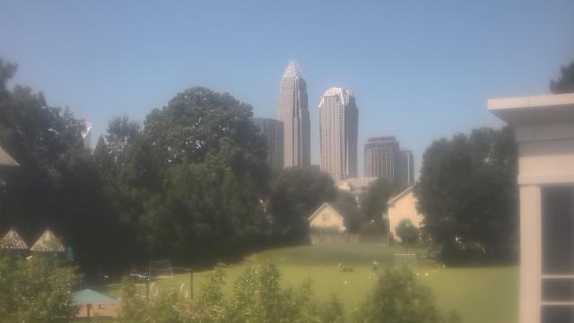
Charlotte, North Carolina, USA - 61.3 miles from Black Ankle: Scott Clarks Nissan - A webcam in Charlotte, North Carolina - camera location: Scott Clarks Nissan.
Operator: WeatherBug
Operator: WeatherBug


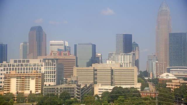
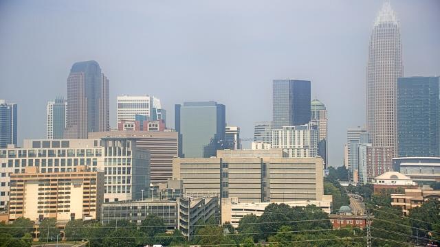
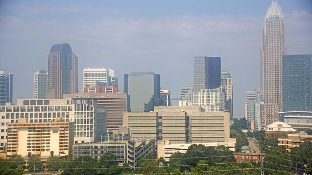
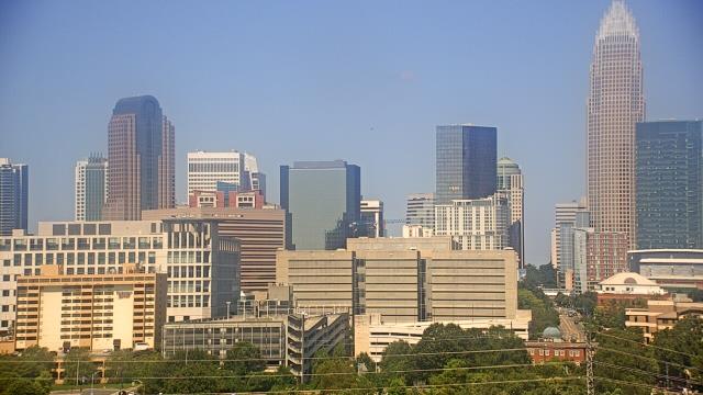
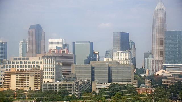
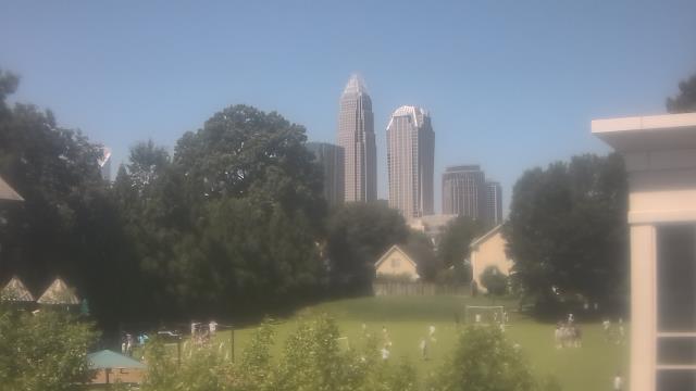
Charlotte, North Carolina, USA - 61.3 miles from Black Ankle: Trinity Episcopal School - Webcam and current weather data - camera location: Trinity Episcopal School.
Operator: WeatherBug
Operator: WeatherBug


Statesville, North Carolina, USA - 63.7 miles from Black Ankle: Cloverleaf Elementary School - A webcam in Statesville, North Carolina - camera location: Cloverleaf Elementary School.
Operator: WeatherBug
Operator: WeatherBug


Some other places in this country: Shiloh (historical) - Iotla (historical) - Penley (historical) - Adley - Edgewood - Fishing Creek - Hays Arbor - Hendrix (historical) - Knottville - Ready Branch