Webcams in the region of Altamahaw, North Carolina, USA
The List of Webcams near Altamahaw, North Carolina, USA:

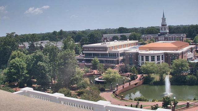
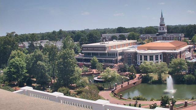
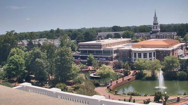
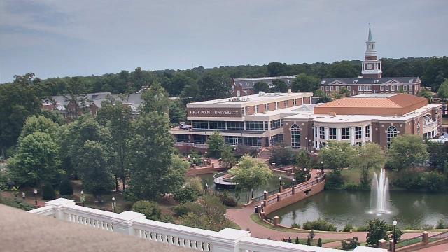
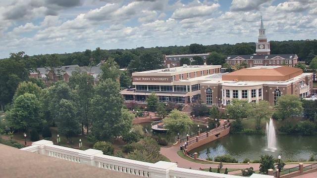
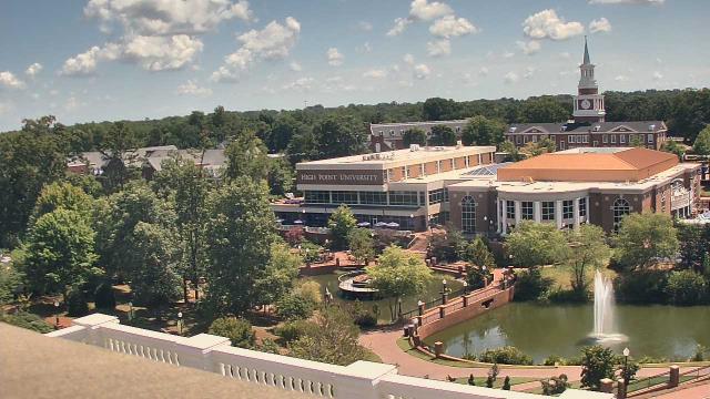
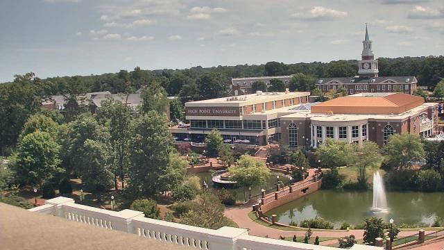
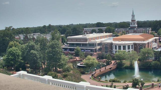
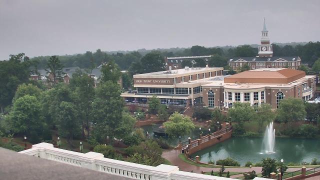
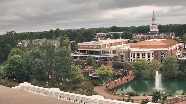
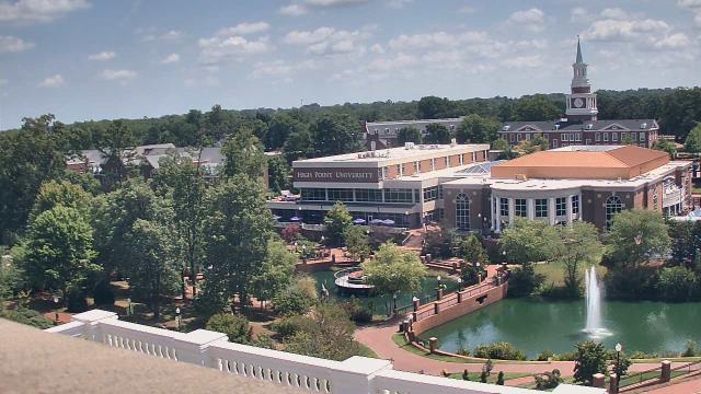
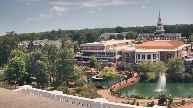
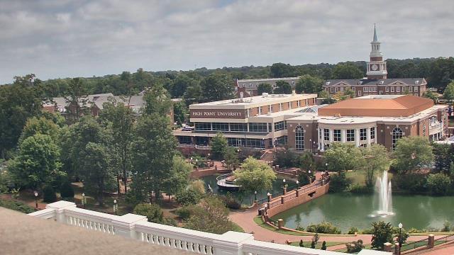
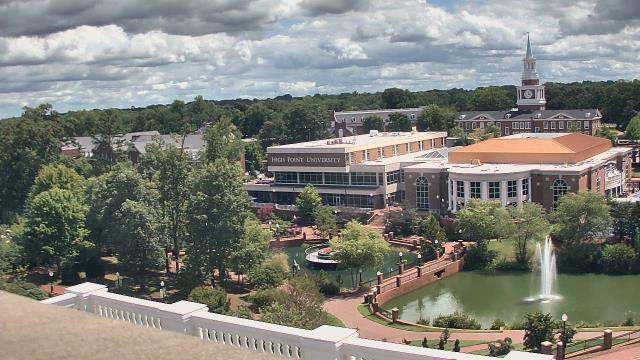
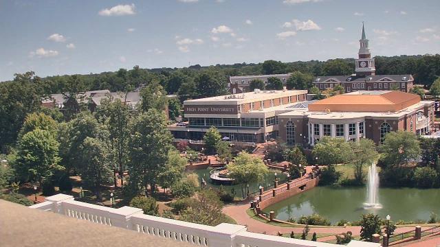
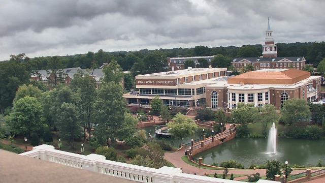
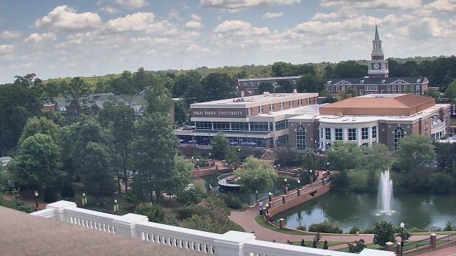
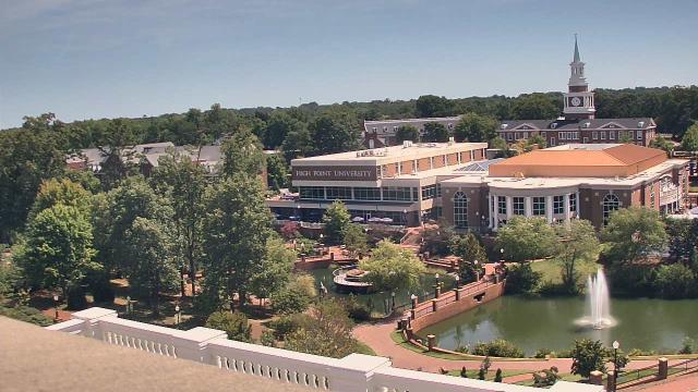
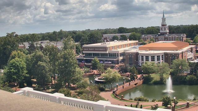
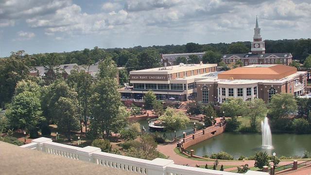
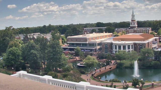
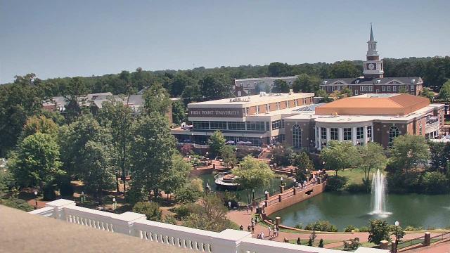
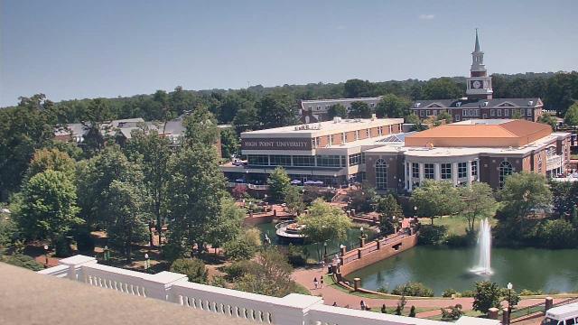
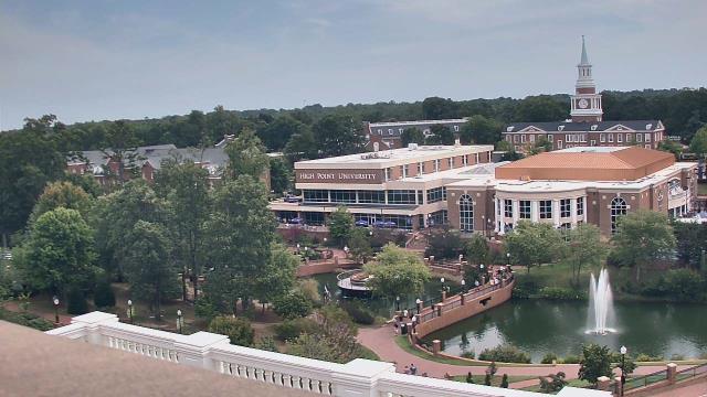
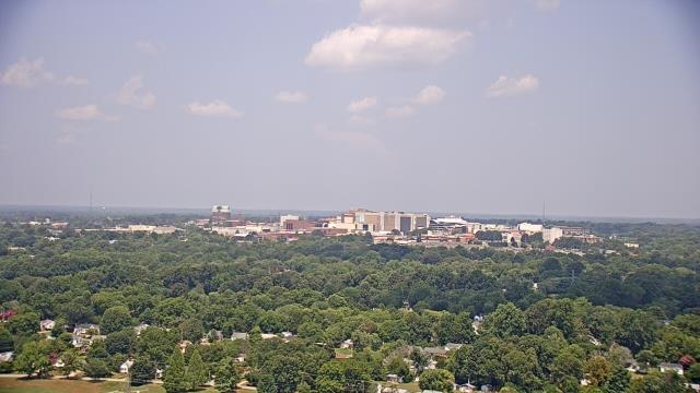
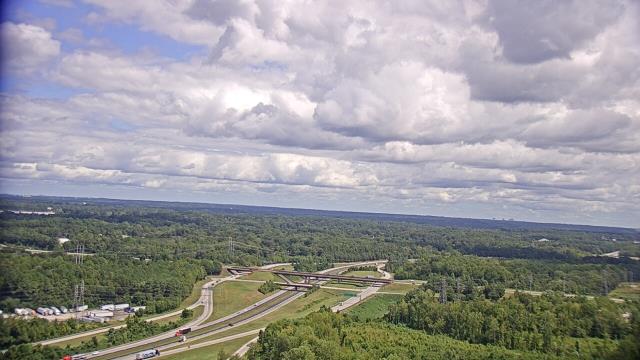
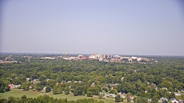
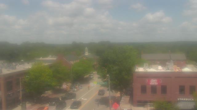
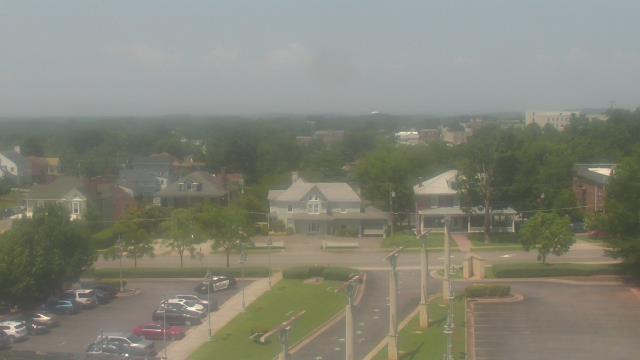
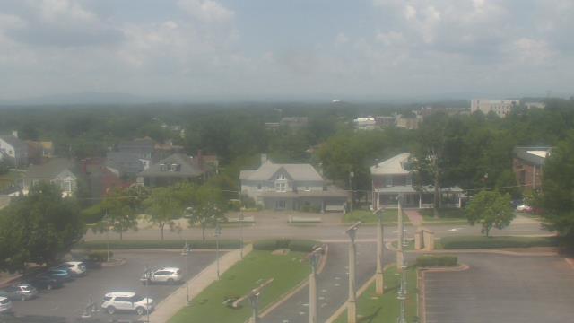
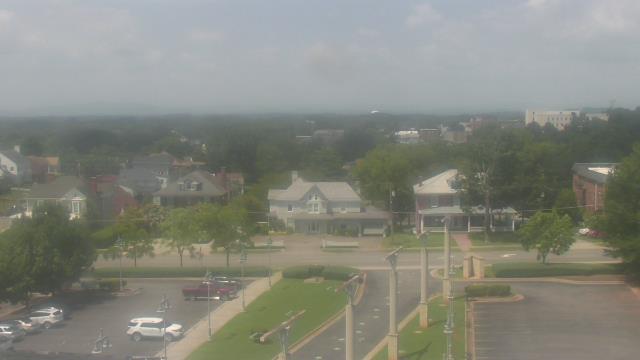
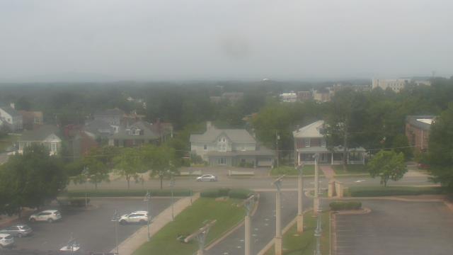
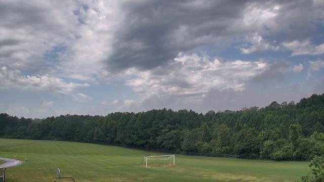
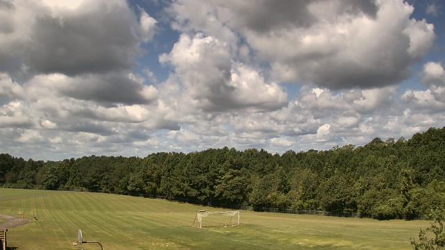
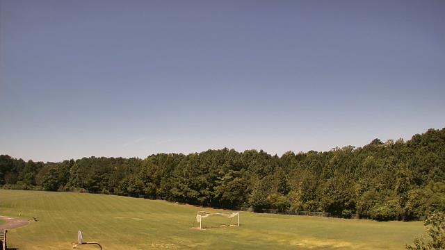
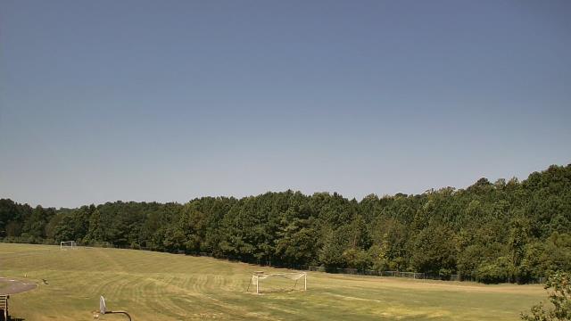
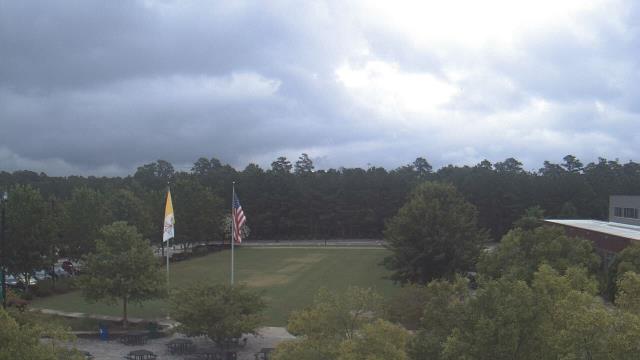
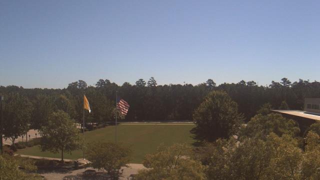
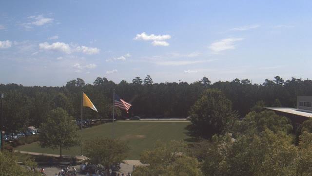
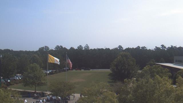
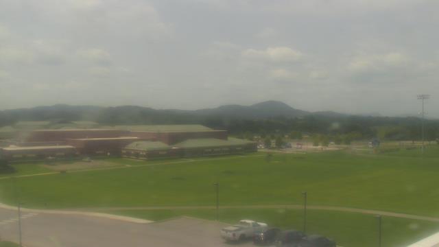
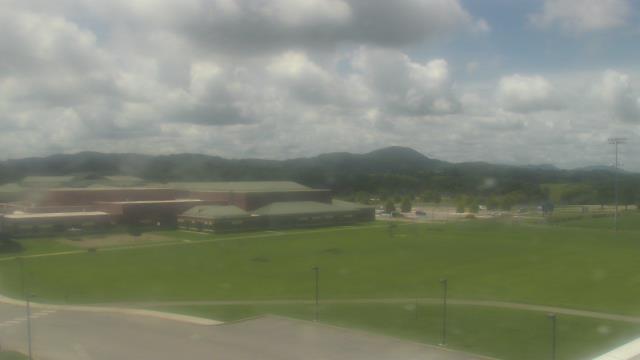
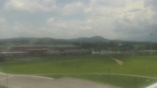
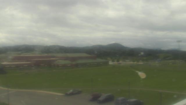
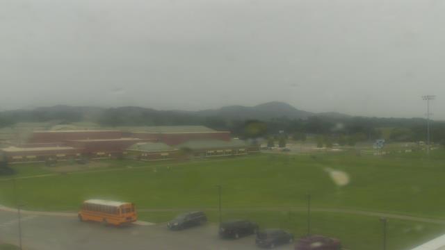
High Point, North Carolina, USA - 32 miles from Altamahaw: High Point University - A webcam in High Point, North Carolina - camera location: High Point University.
Operator: WeatherBug
Operator: WeatherBug


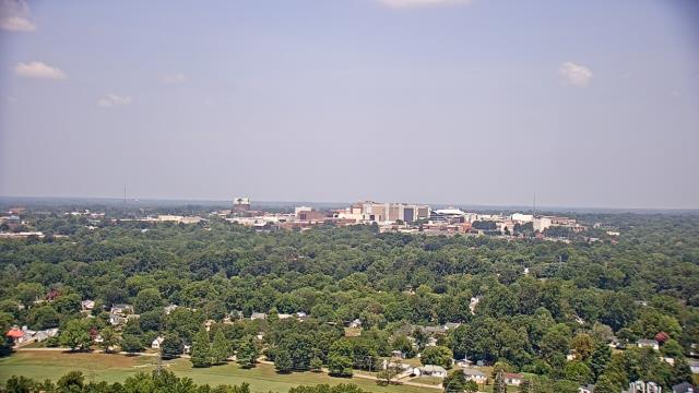
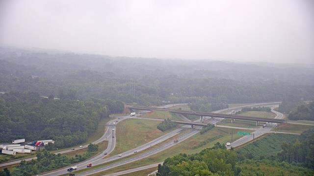
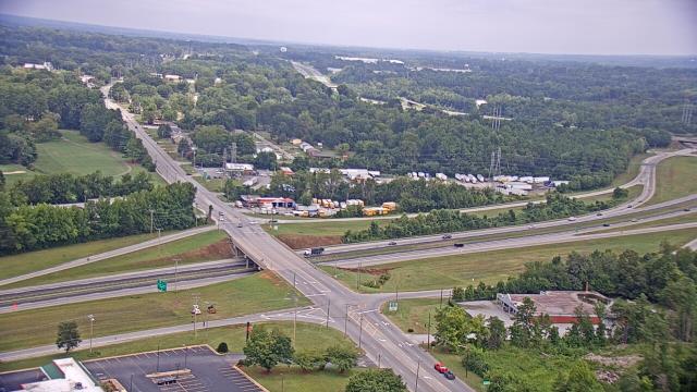
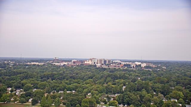
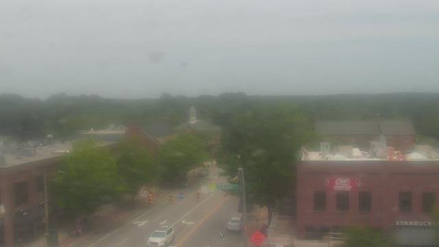
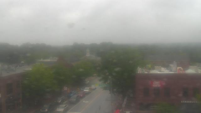
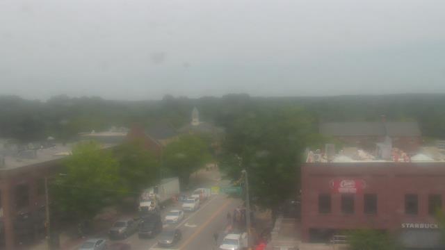
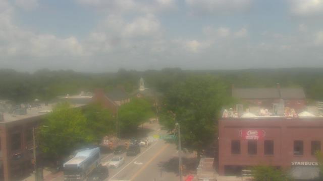
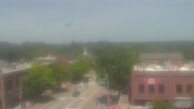
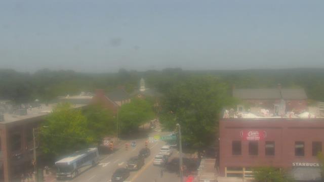
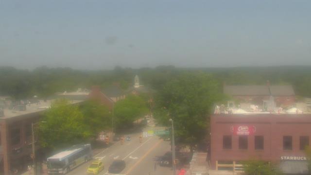
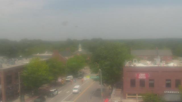
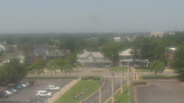
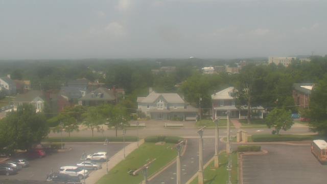
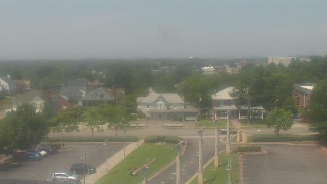
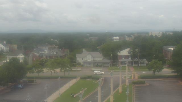
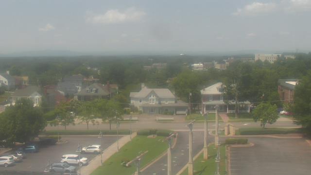
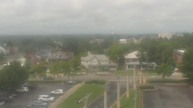
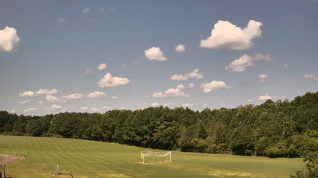
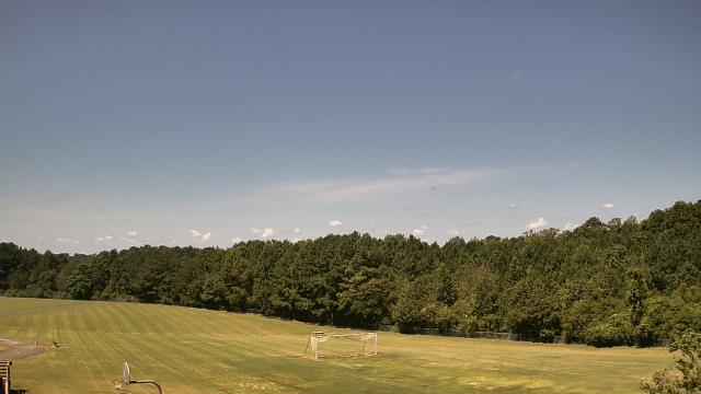
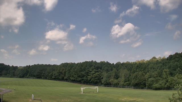
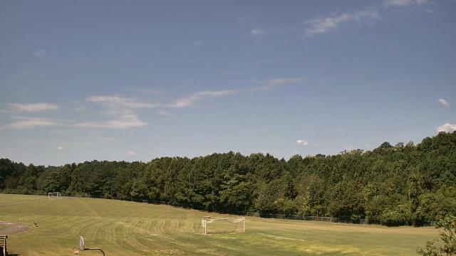
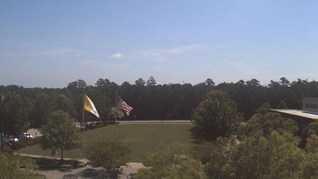
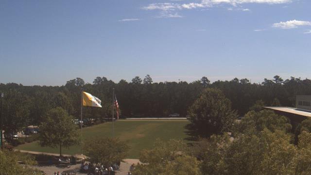
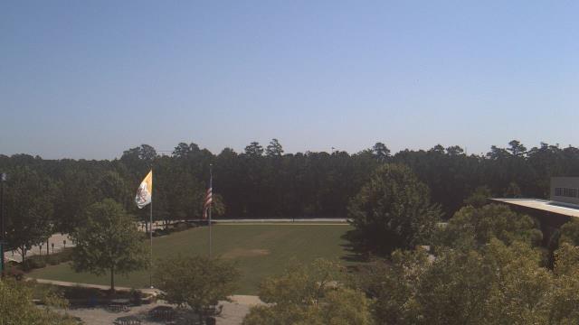
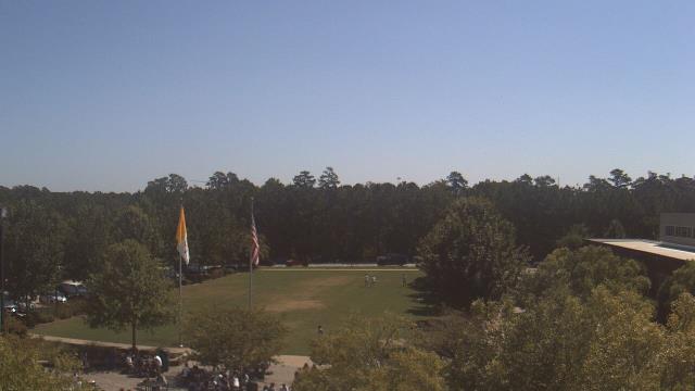
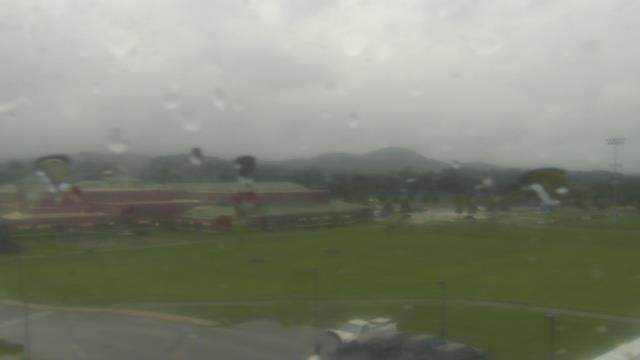
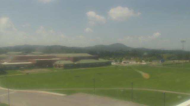
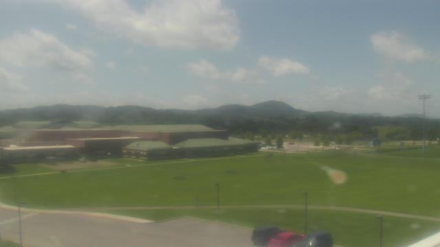
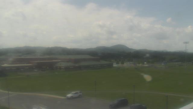
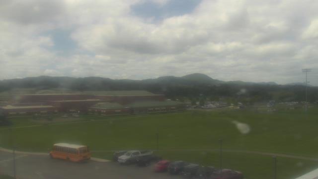
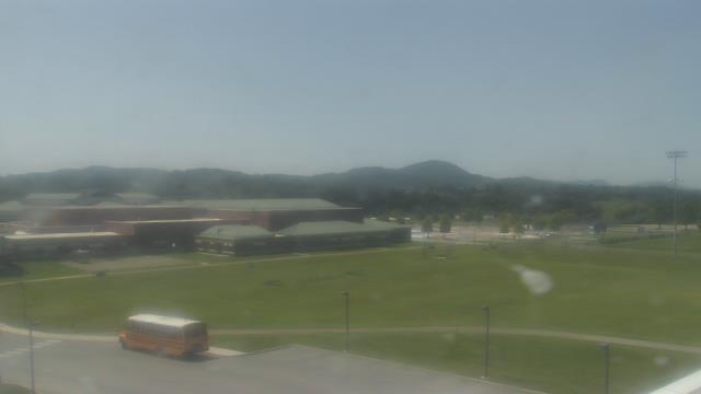
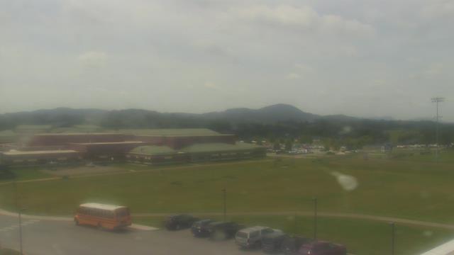
High Point, North Carolina, USA - 32 miles from Altamahaw: WGHP-TV - A webcam in High Point, North Carolina - camera location: WGHP-TV.
Operator: WeatherBug
Operator: WeatherBug


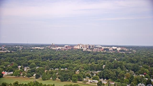


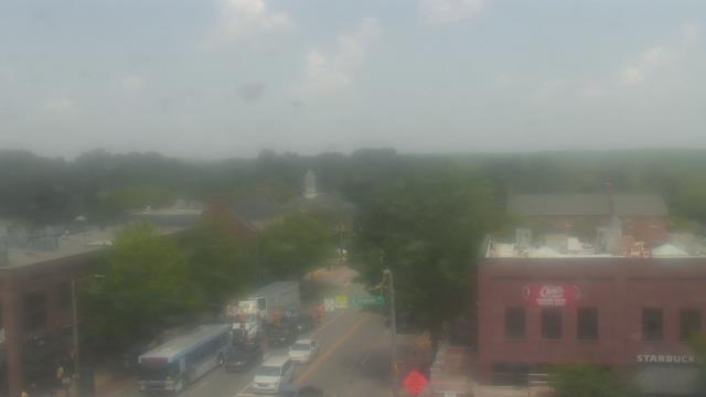
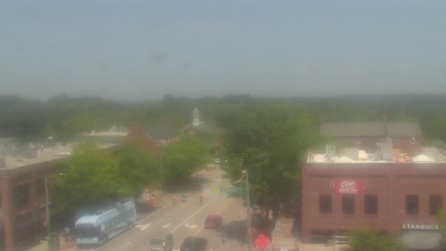
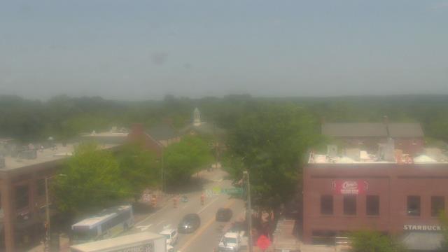
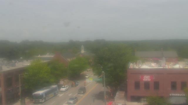
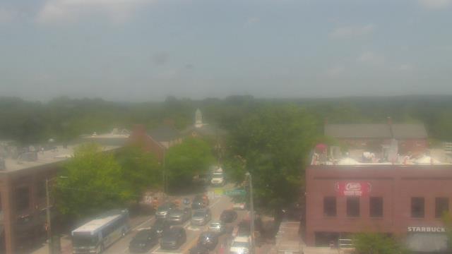
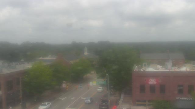
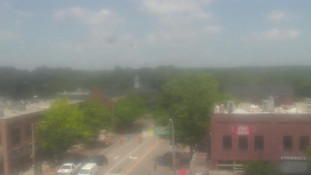
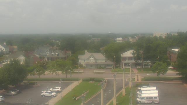
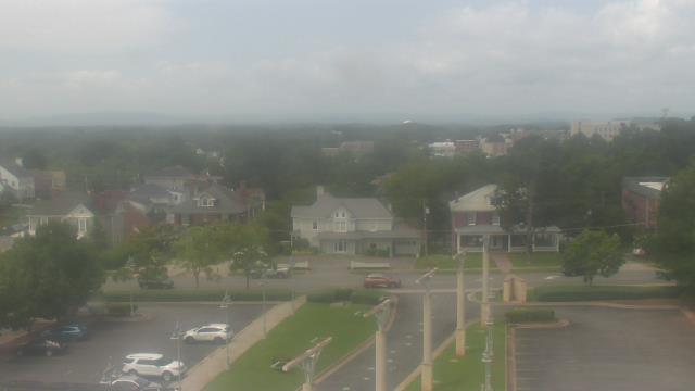
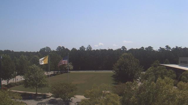
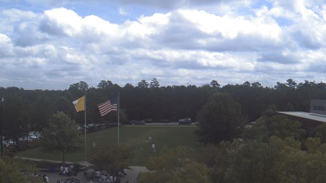
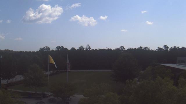
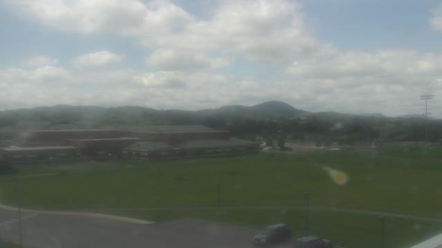
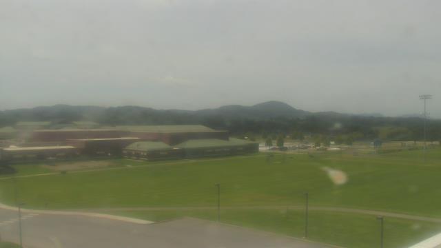
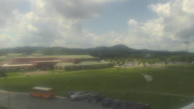
Chapel Hill, North Carolina, USA - 33.6 miles from Altamahaw: Top of the Hill Restaurant - A webcam in Chapel Hill, North Carolina - camera location: Top of the Hill Restaurant.
Operator: WeatherBug
Operator: WeatherBug


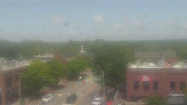


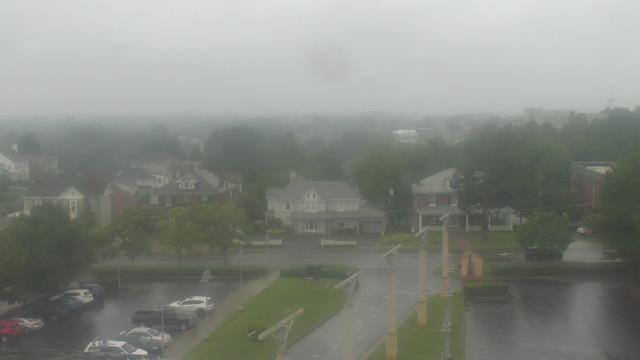
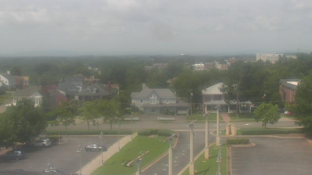
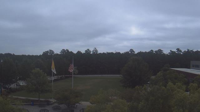
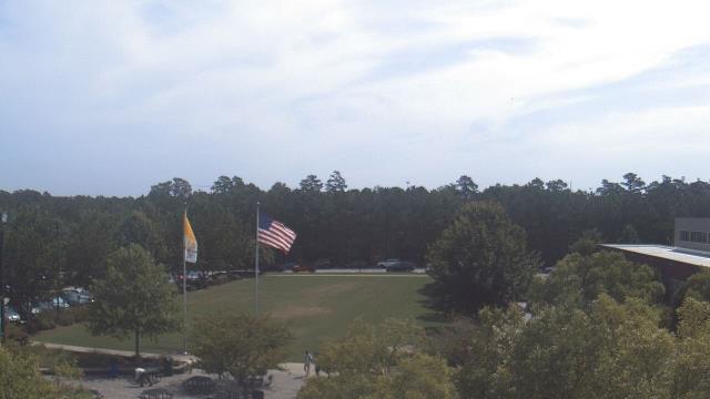
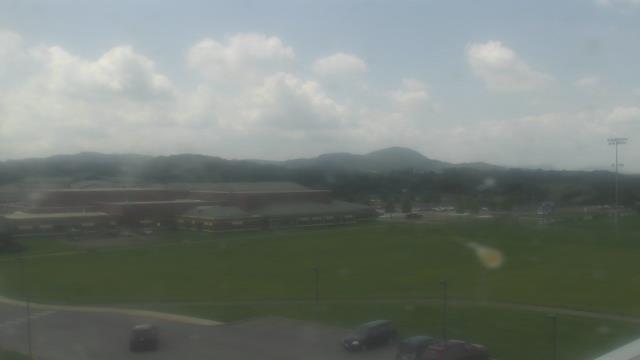
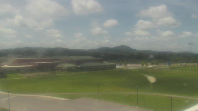
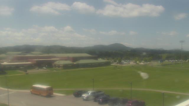
Martinsville, Virginia, USA - 40.5 miles from Altamahaw: Virginia Museum of Natural History - A webcam in Martinsville, Virginia - camera location: Virginia Museum of Natural History.
Operator: WeatherBug
Operator: WeatherBug


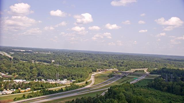
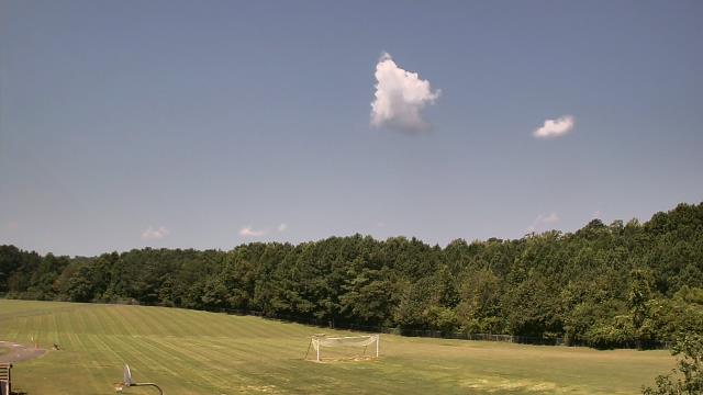
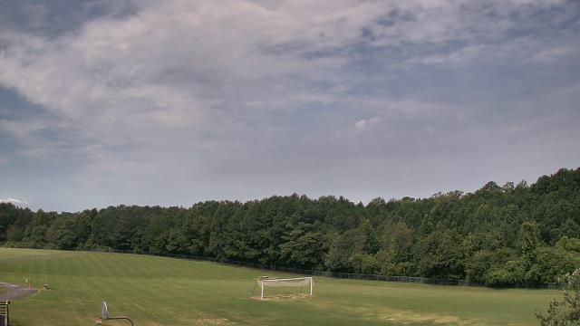
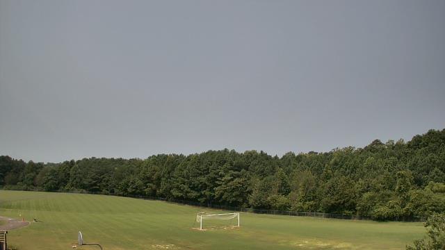
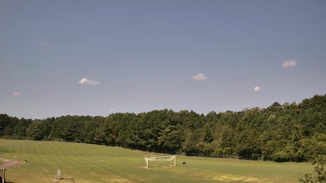
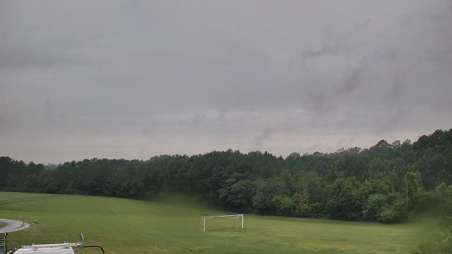
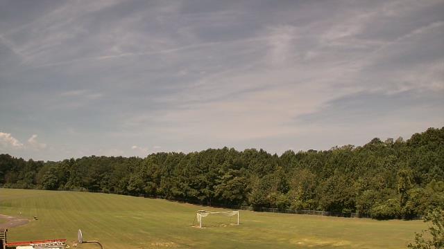
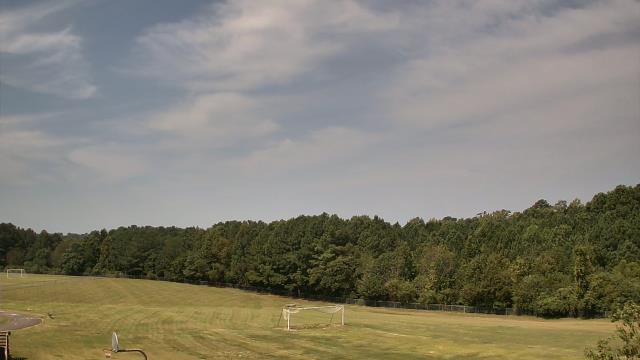
Cary, North Carolina, USA - 48.1 miles from Altamahaw: Davis Drive Elementary School - A webcam in Cary, North Carolina - camera location: Davis Drive Elementary School.
Operator: WeatherBug
Operator: WeatherBug


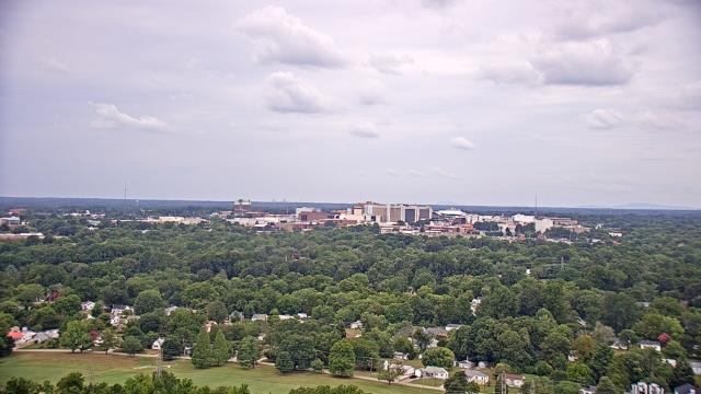
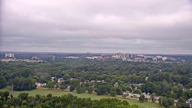
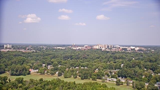
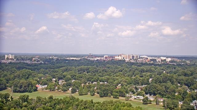
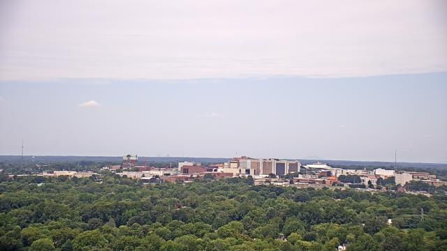
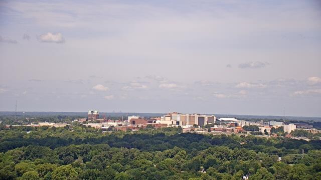
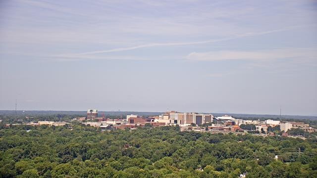
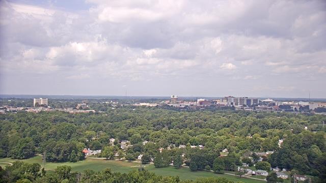
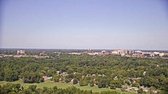
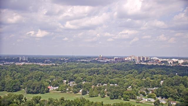
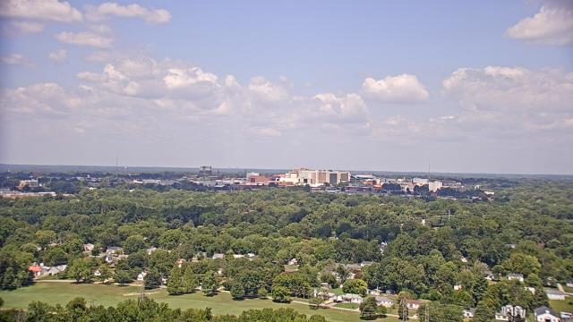
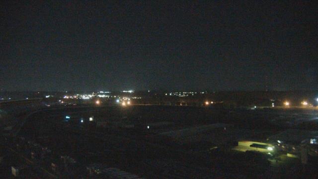
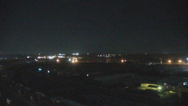
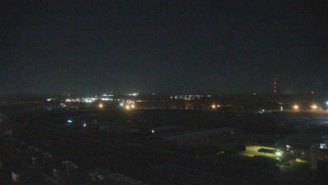
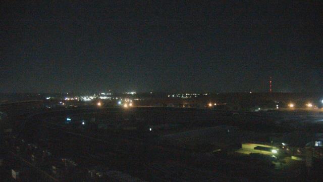
Raleigh, North Carolina, USA - 56.3 miles from Altamahaw: Skyline - A panorama view of the skyline of Raleigh, North Carolina.
Operator: WRAL.com
Operator: WRAL.com

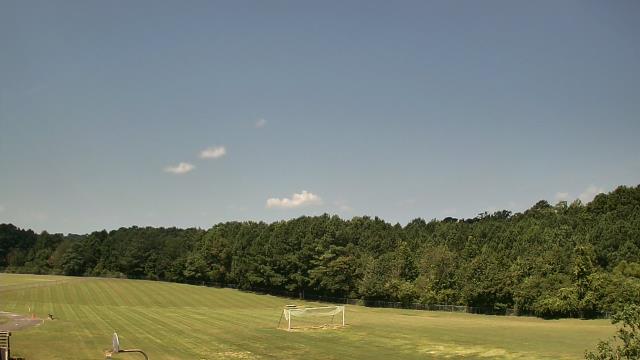
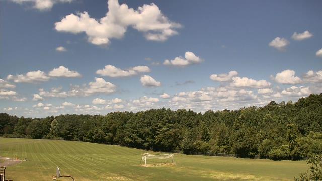
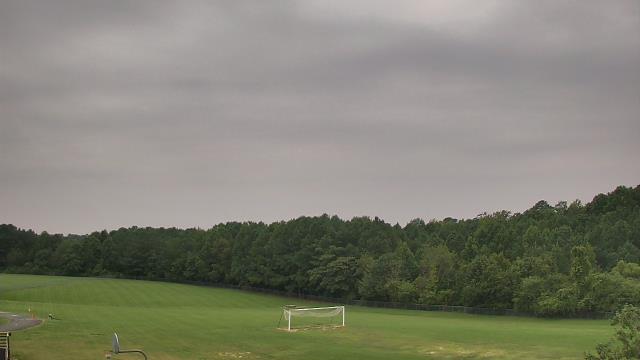
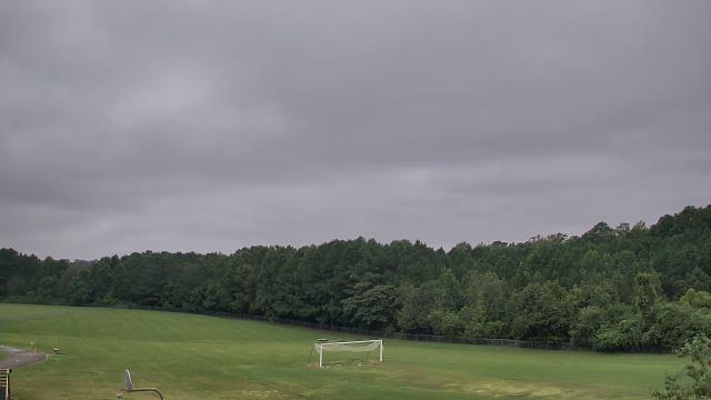
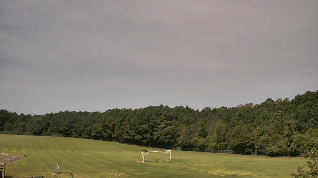
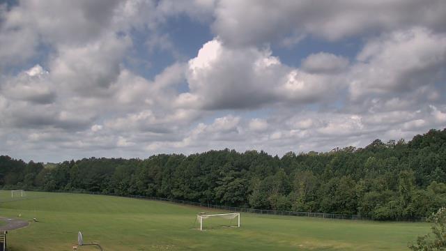
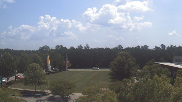
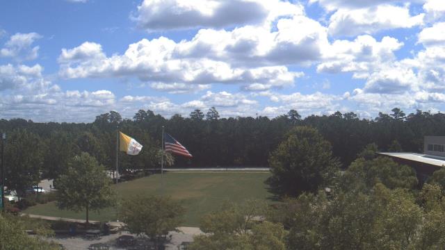
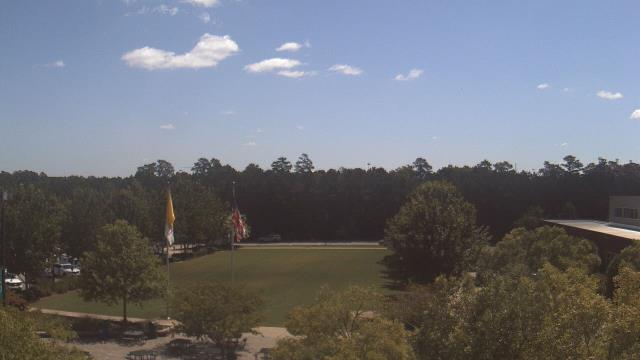
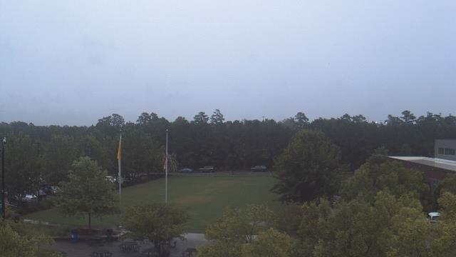
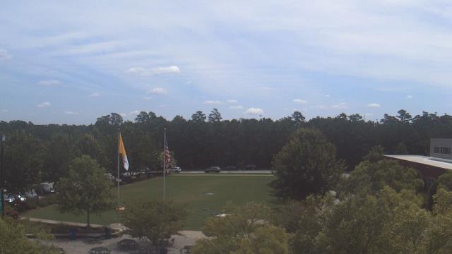
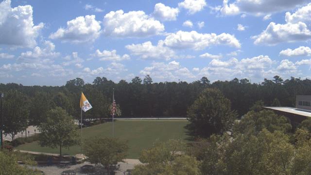
Raleigh, North Carolina, USA - 56.3 miles from Altamahaw: Cardinal Gibbons High School - A webcam in Raleigh, North Carolina - camera location: Cardinal Gibbons High School.
Operator: WeatherBug
Operator: WeatherBug


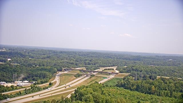
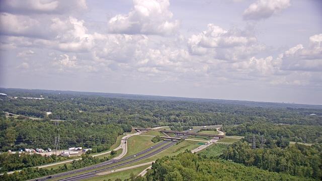
Roanoke, Virginia, USA - 78.8 miles from Altamahaw: Mountain View - Looking SW over Appalachians near Blue Ridge Pkwy.
Operator: Roanoke Weather Page
Operator: Roanoke Weather Page


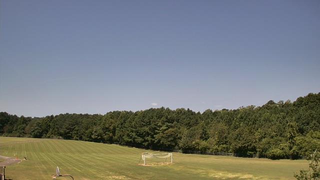
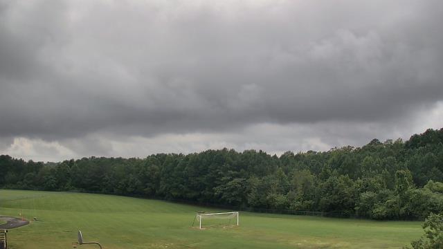
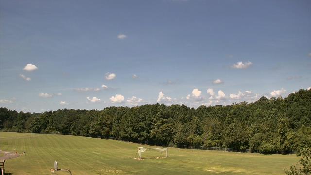
Riner, Virginia, USA - 80 miles from Altamahaw: Auburn Middle School - A webcam in Riner, Virginia - camera location: Auburn Middle School.
Operator: WeatherBug
Operator: WeatherBug


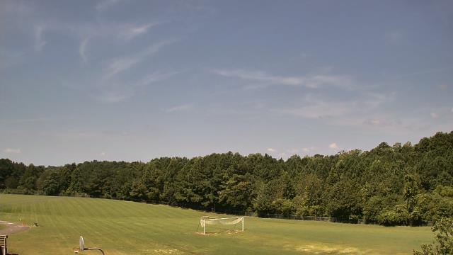
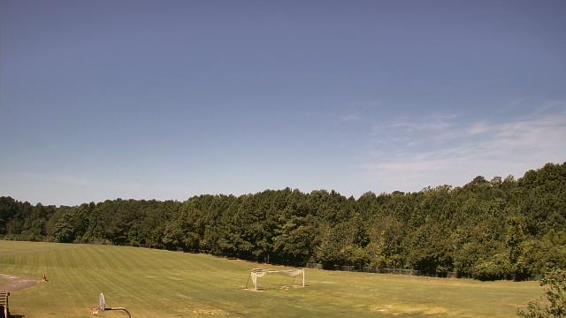
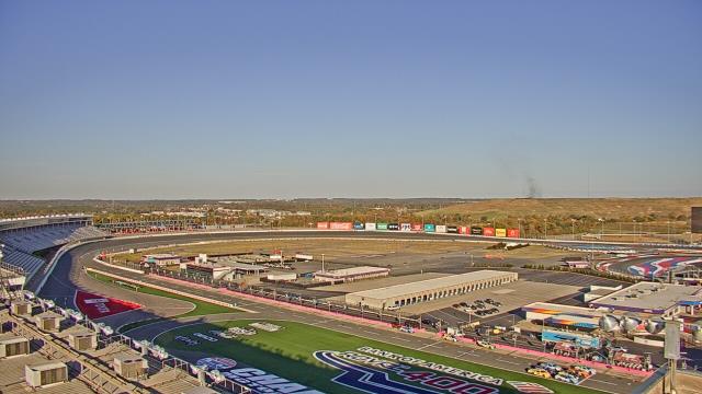
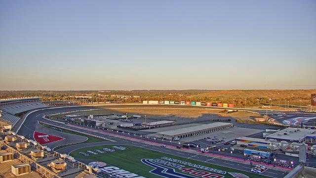
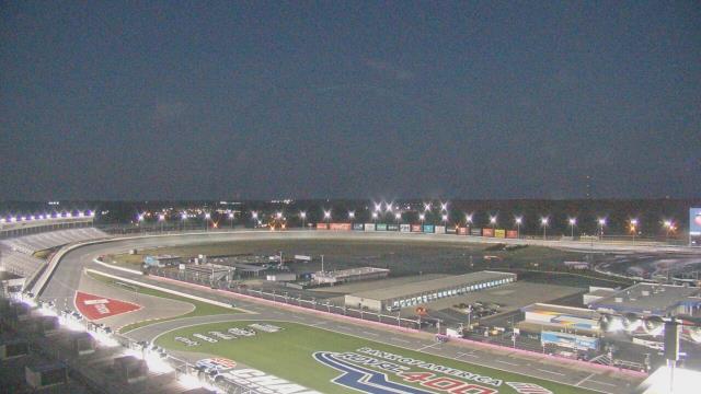
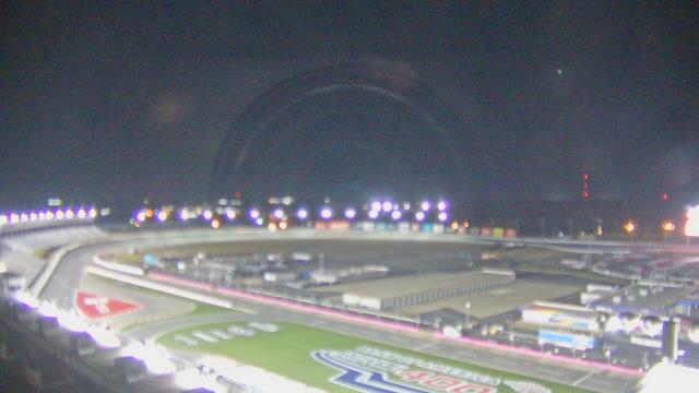
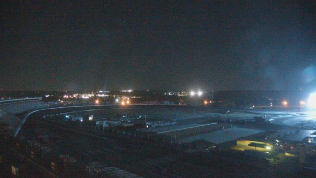
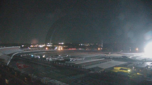
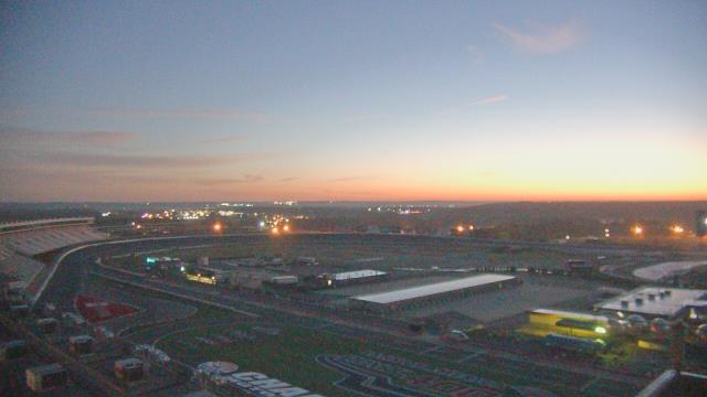
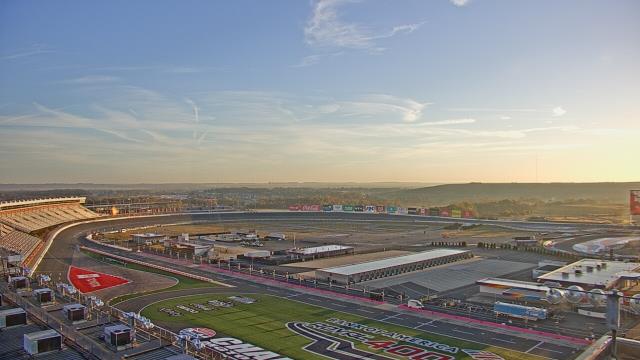
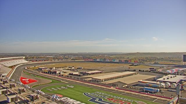
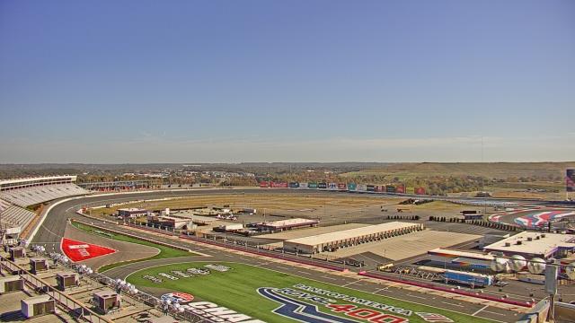
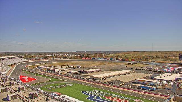
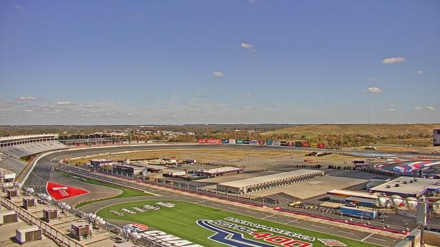
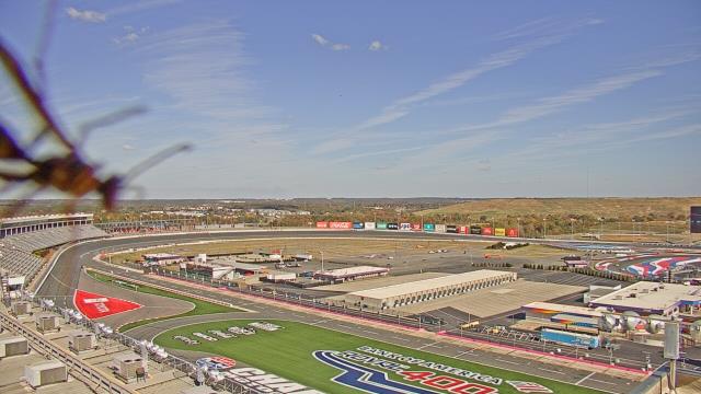
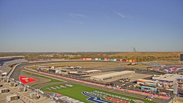
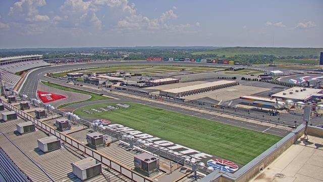
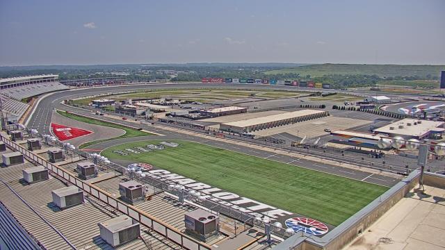
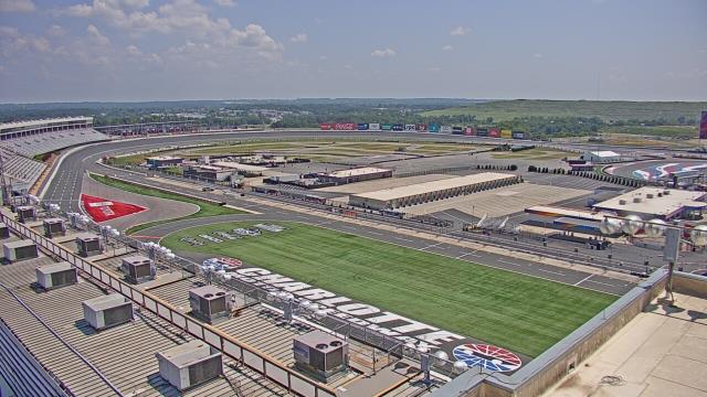
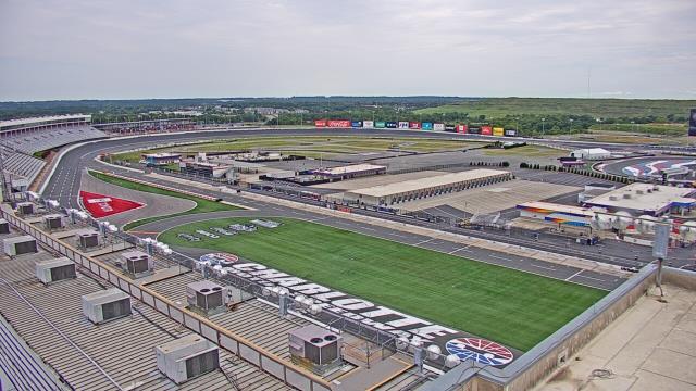
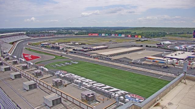
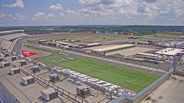
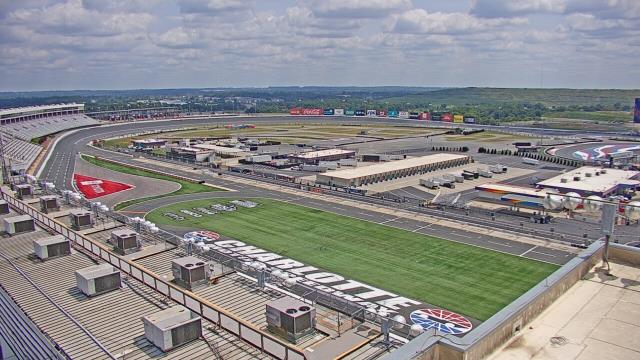
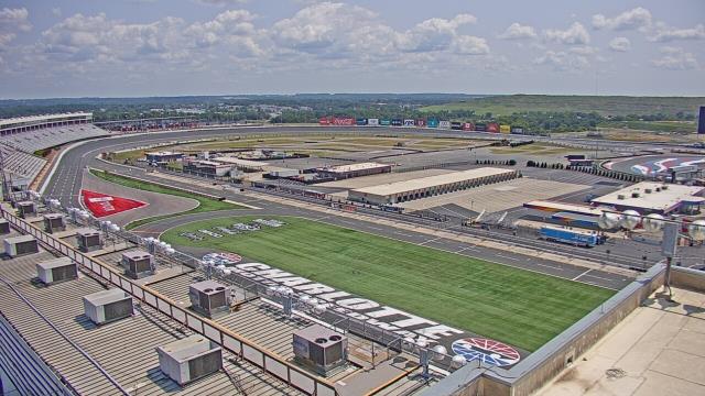
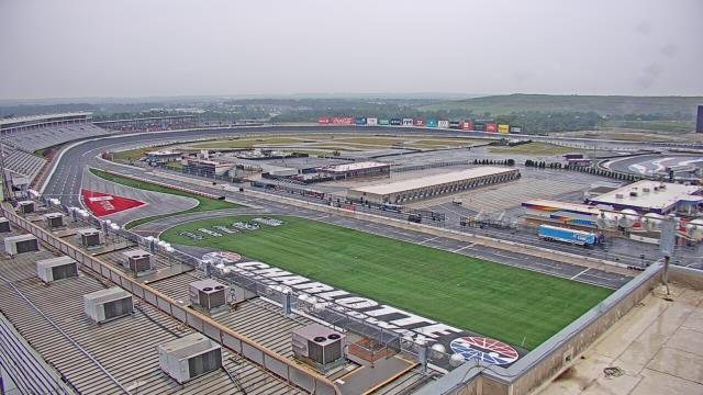
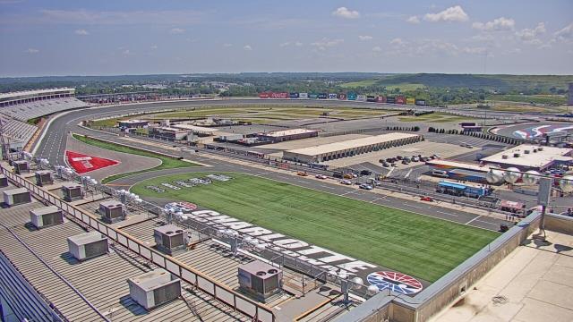
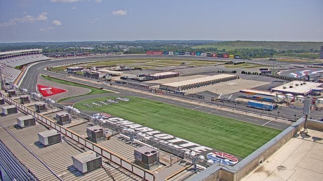
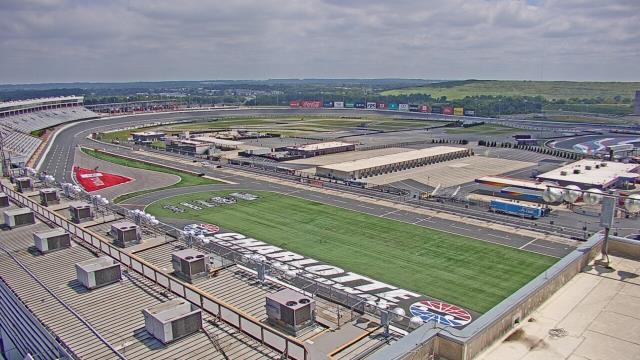
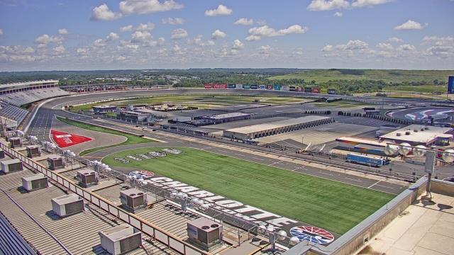
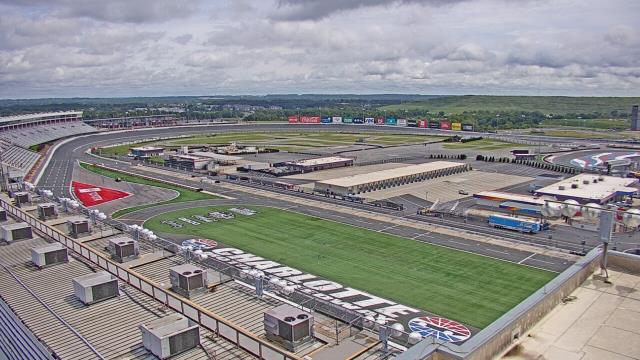
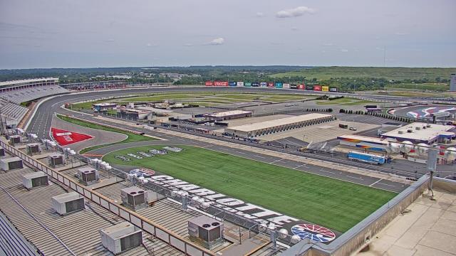
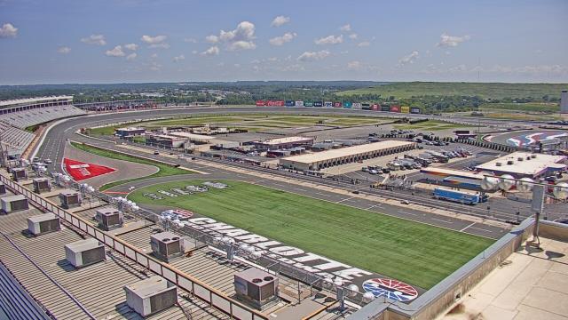
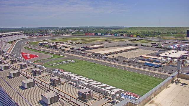
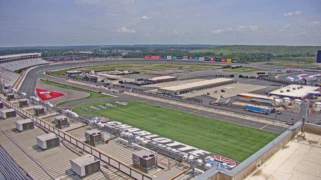
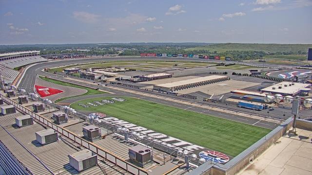
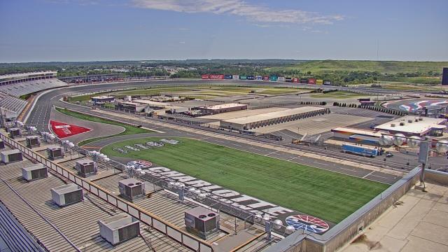
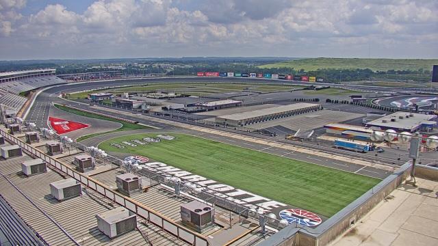
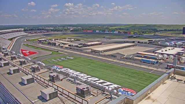
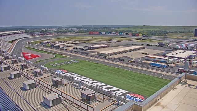
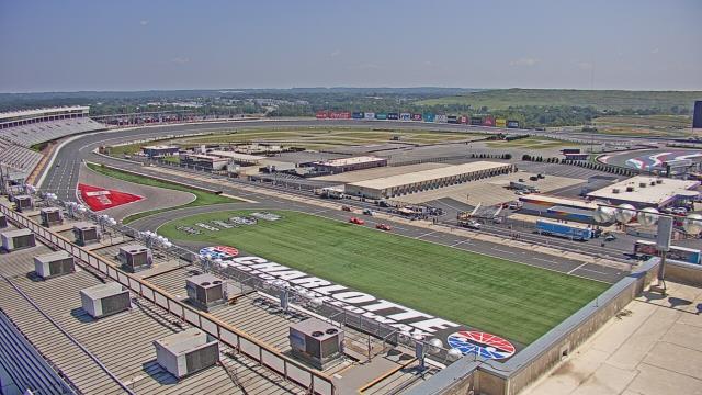
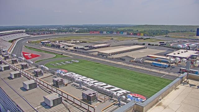
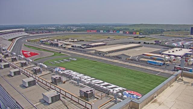
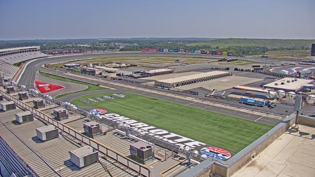
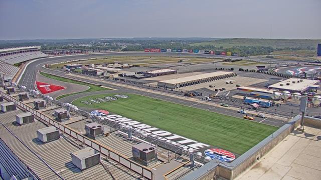
Concord, North Carolina, USA - 80.5 miles from Altamahaw: Charlotte Motor Speedway - A webcam in Concord, North Carolina - camera location: Charlotte Motor Speedway.
Operator: WeatherBug
Operator: WeatherBug


Some other places in this country: Allen Grove - Allens Crossroads - Allison - Alspaugh - Alton - Amity Hill - Ammon - Angier - Ansonville - Antioch