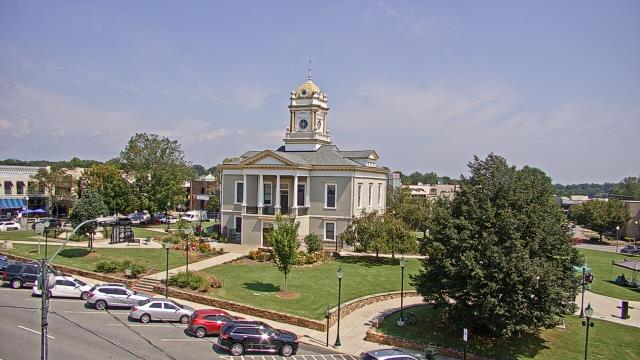
Webcams in the region of Allin (historical), North Carolina, USA
The List of Webcams near Allin (historical), North Carolina, USA:

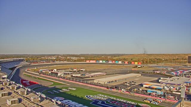
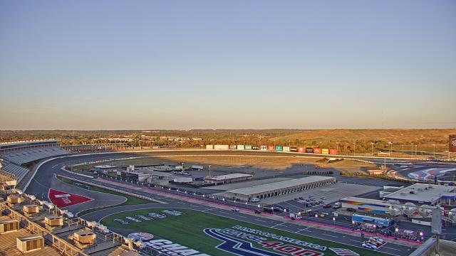
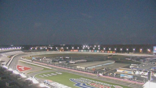
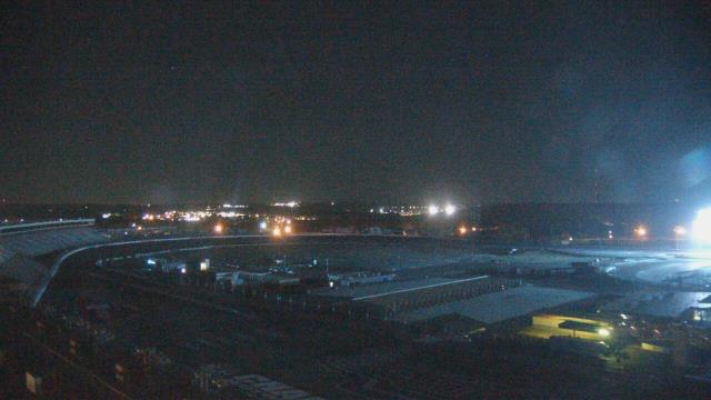
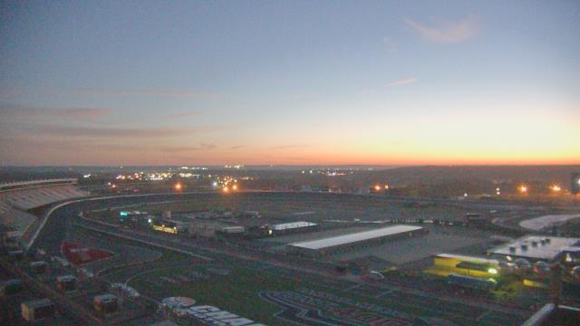
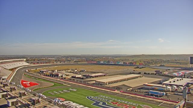
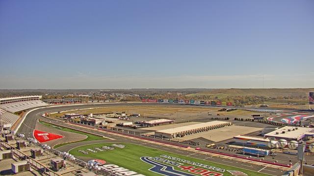
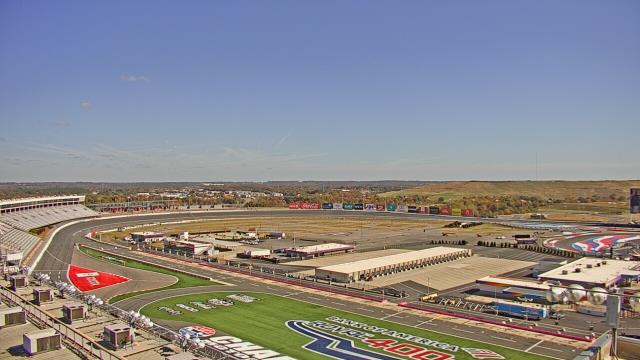
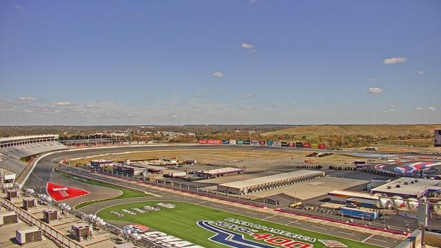
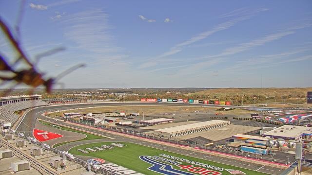
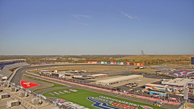
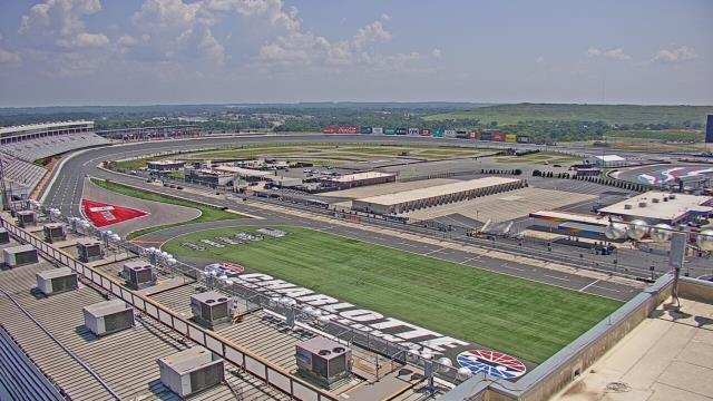
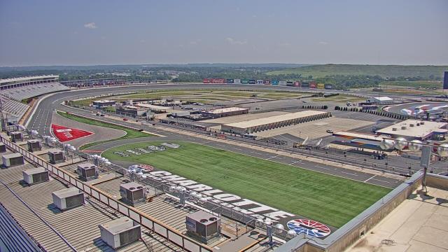
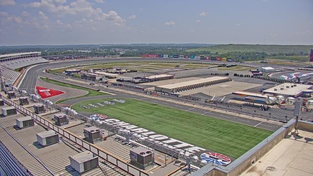
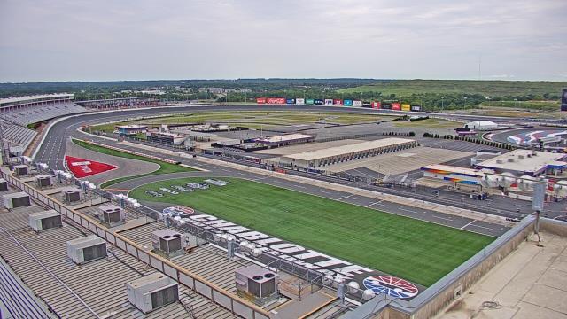
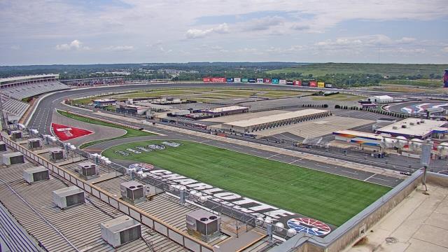
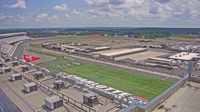
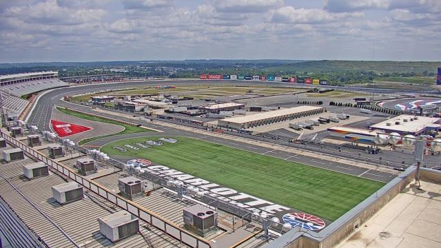
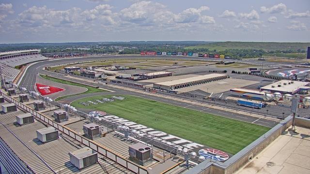
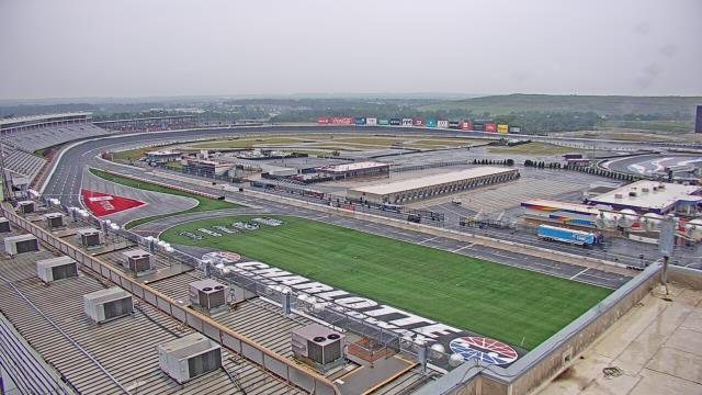
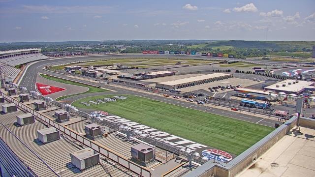
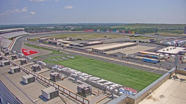
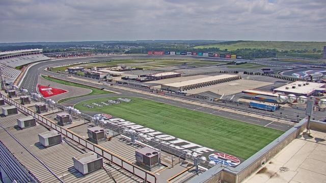
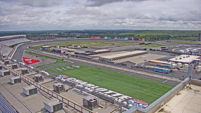
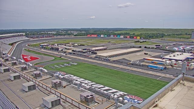
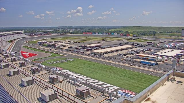
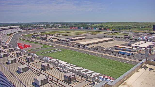
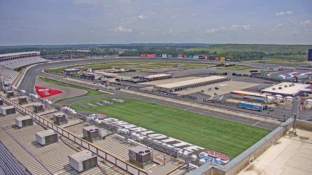
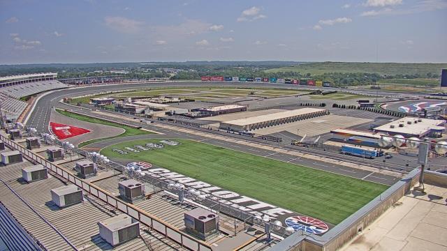
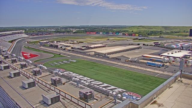
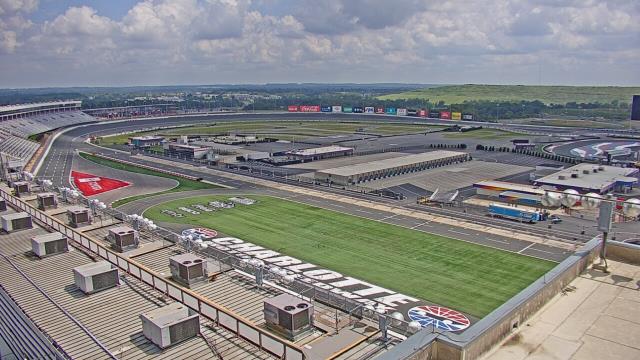
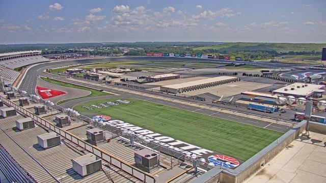
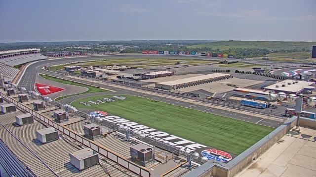
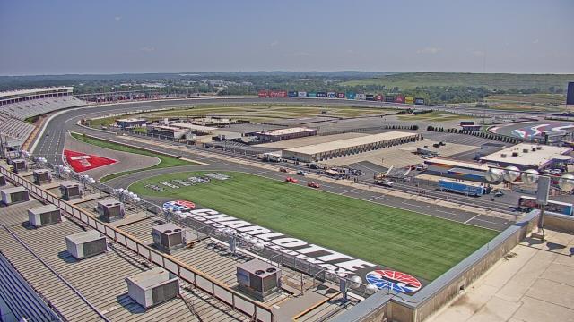
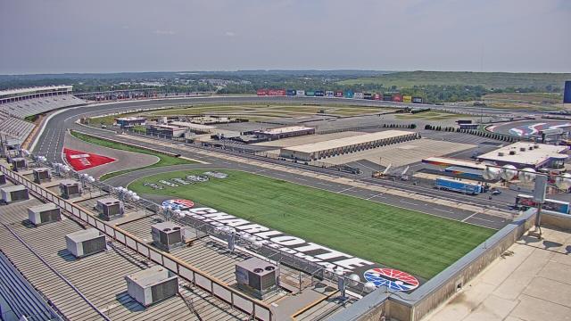
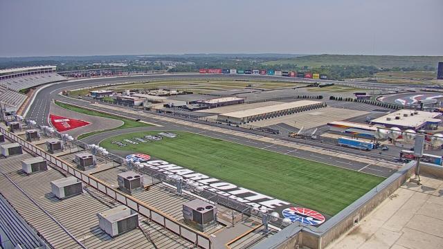
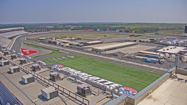
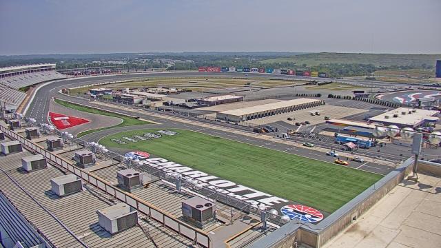
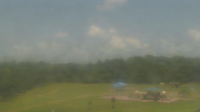
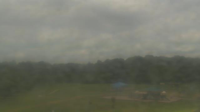
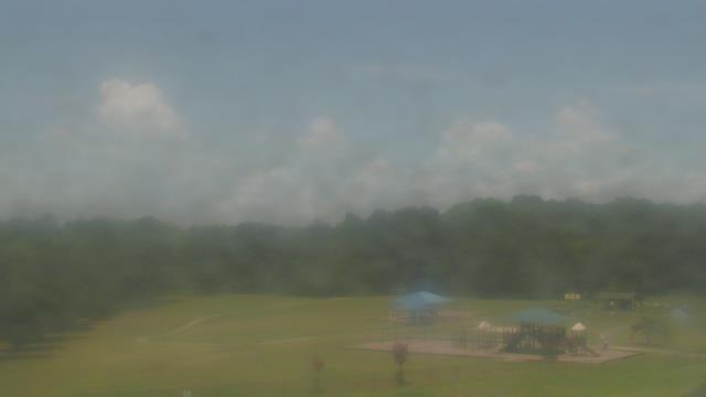
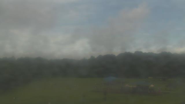
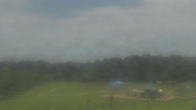
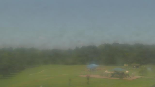
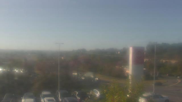
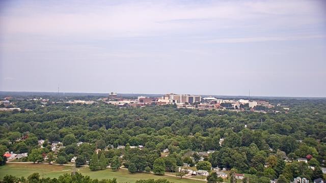
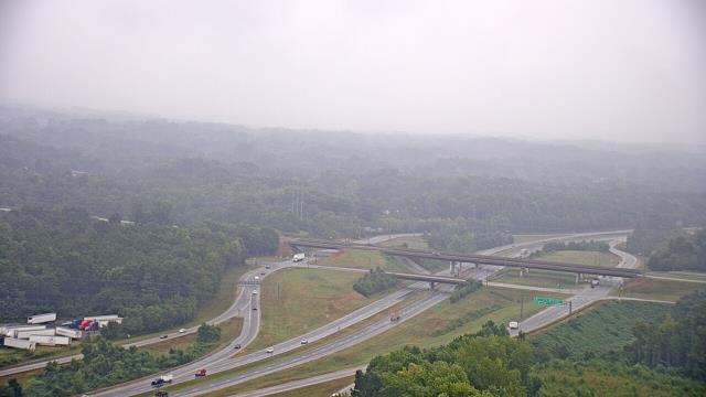
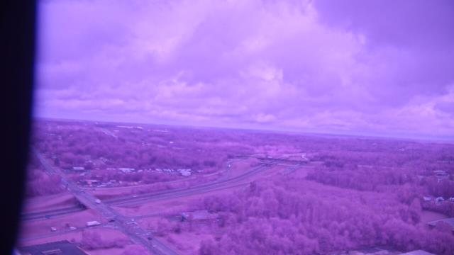
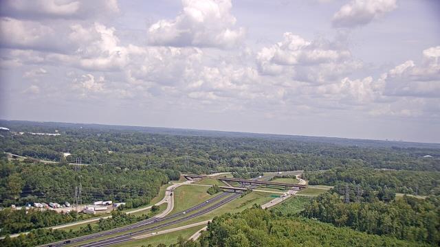
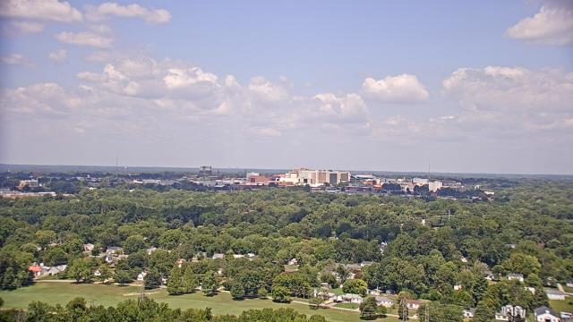
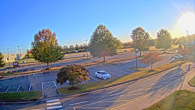
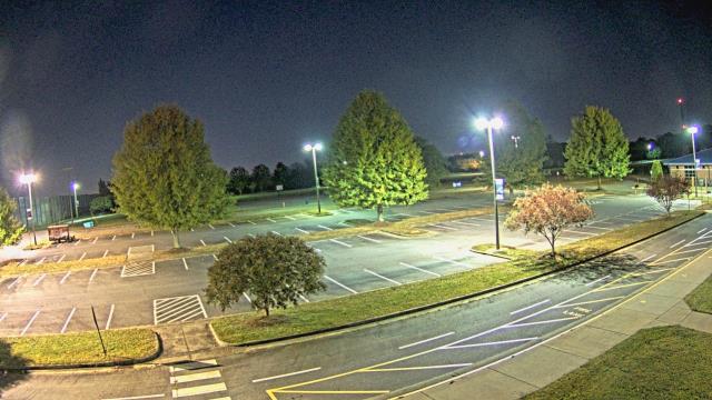
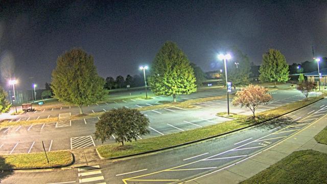
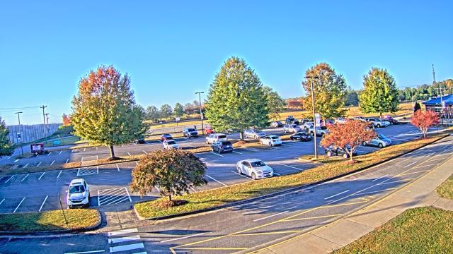
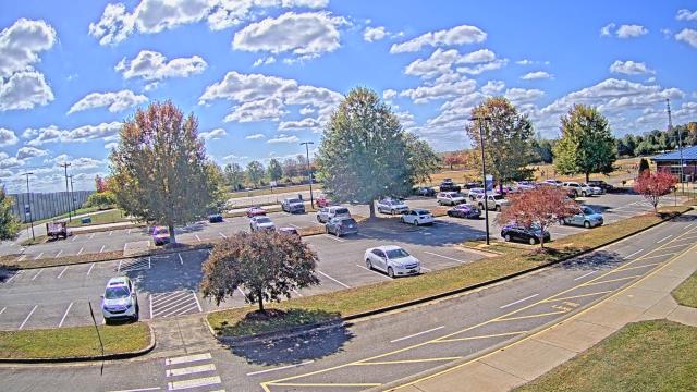
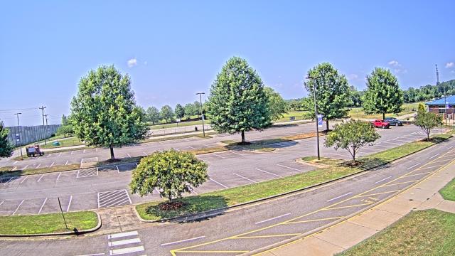
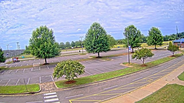
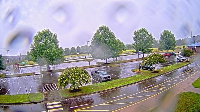
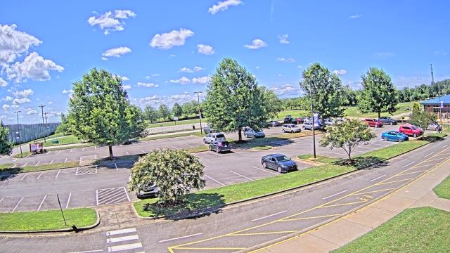
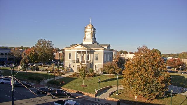
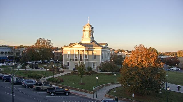
Concord, North Carolina, USA - 15.9 miles from Allin (historical): Charlotte Motor Speedway - A webcam in Concord, North Carolina - camera location: Charlotte Motor Speedway.
Operator: WeatherBug
Operator: WeatherBug


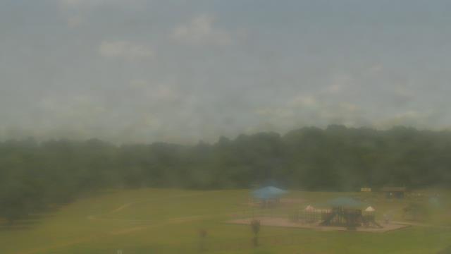
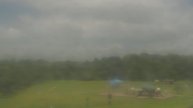
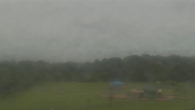
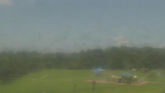
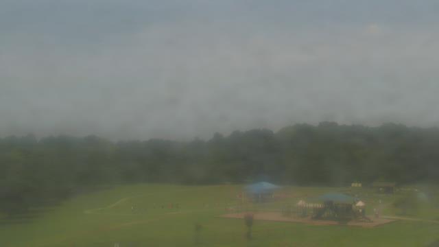
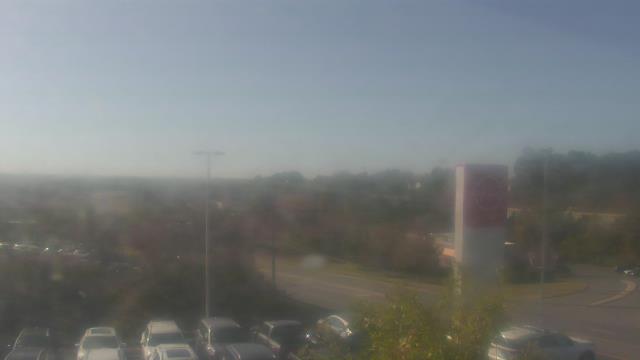
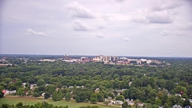
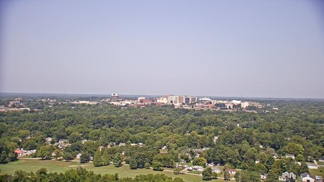
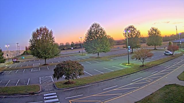
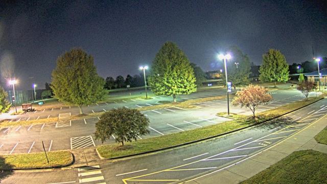
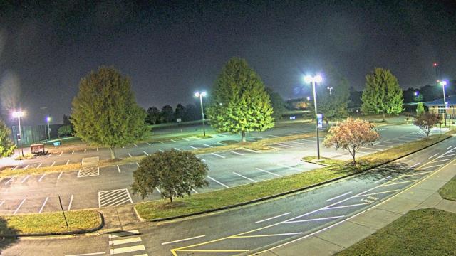
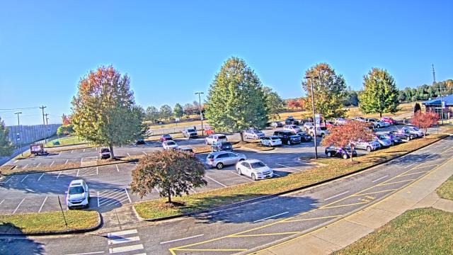
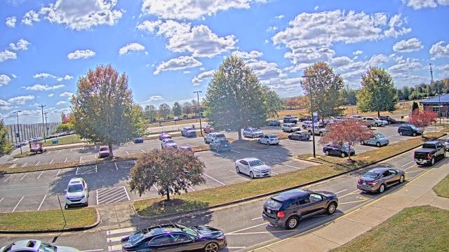
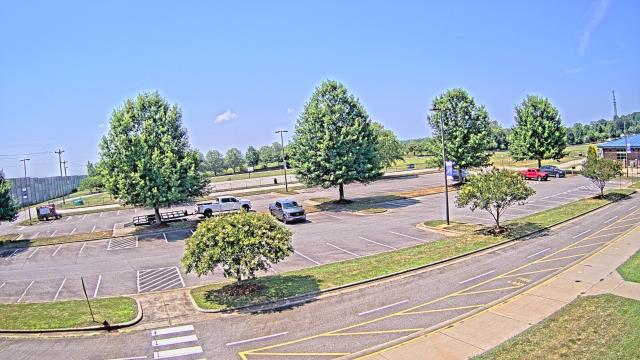
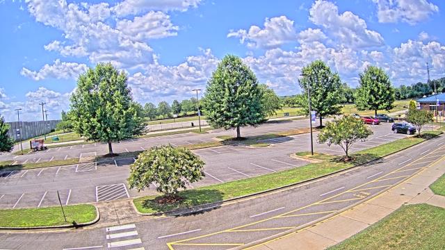
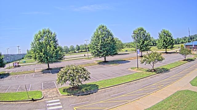
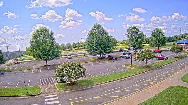
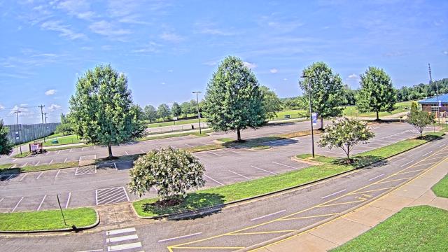
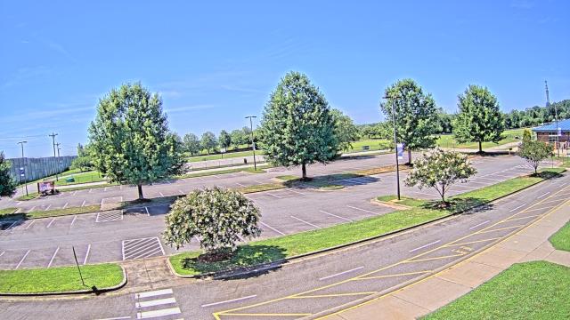
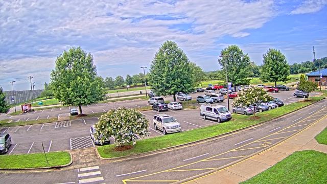
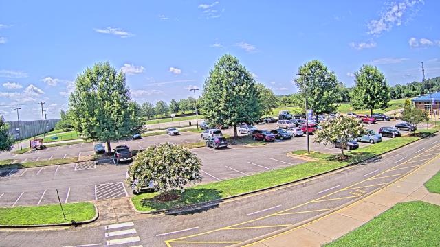
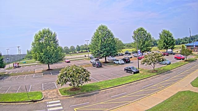
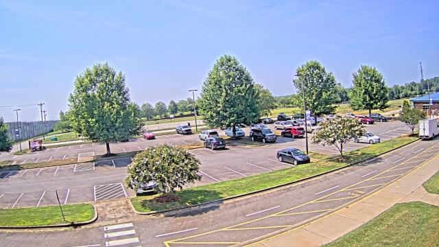
Concord, North Carolina, USA - 15.9 miles from Allin (historical): A T Allen Elementary School - A webcam in Concord, North Carolina - camera location: A T Allen Elementary School.
Operator: WeatherBug
Operator: WeatherBug


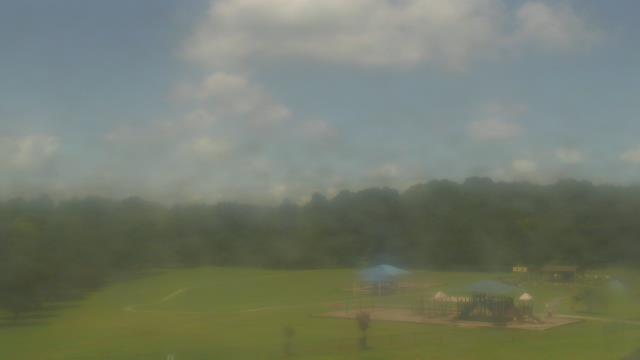
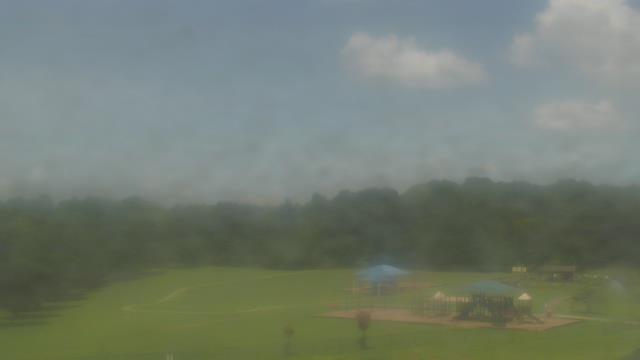

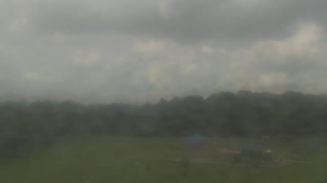


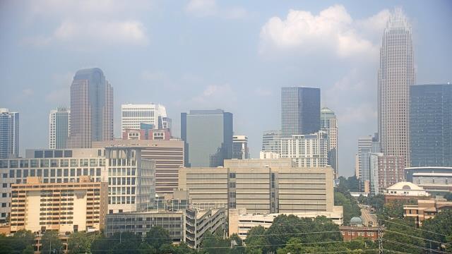
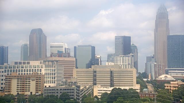
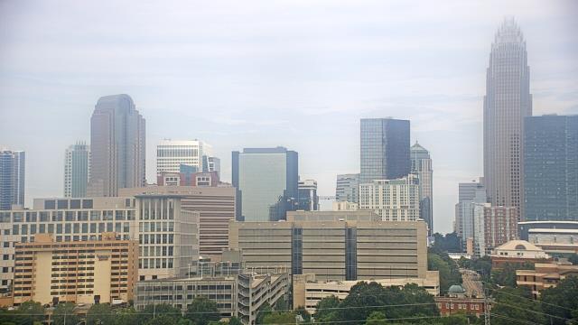
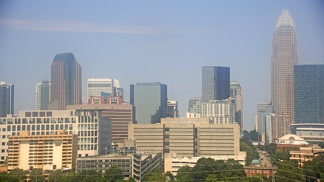
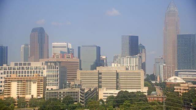
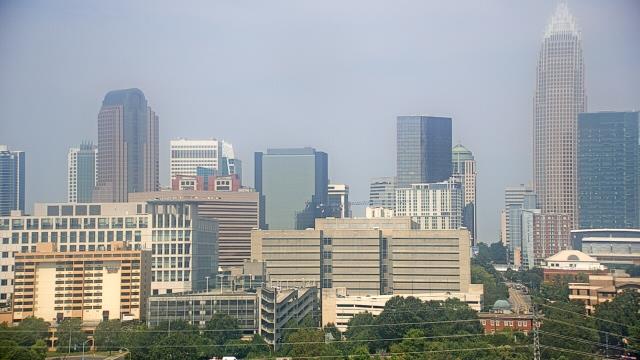
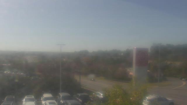
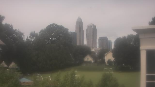
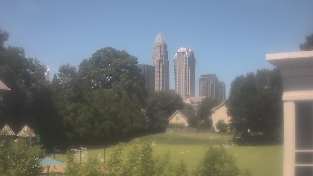
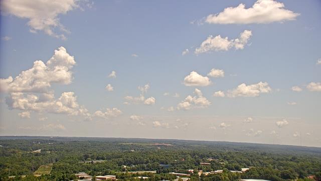
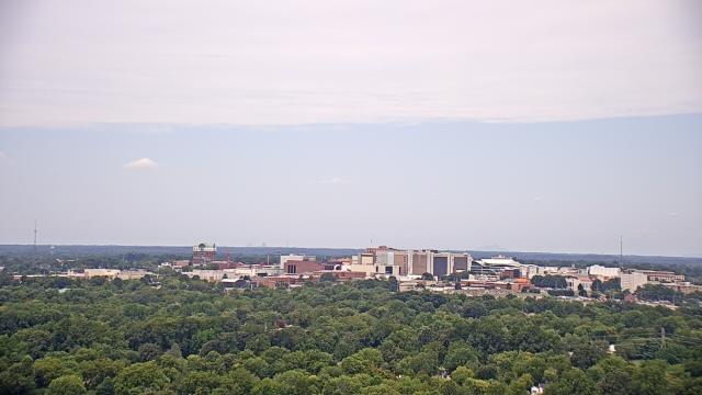
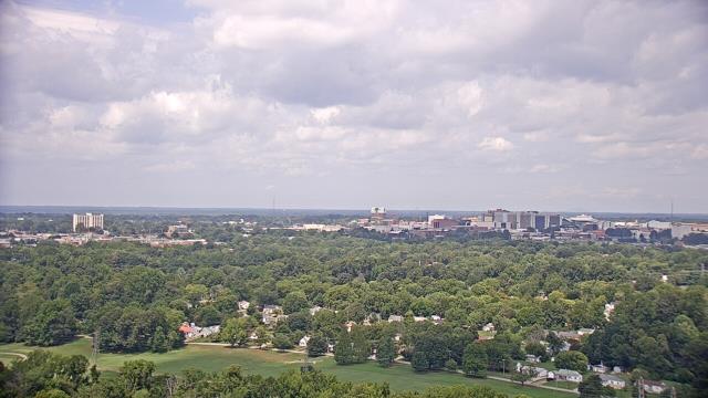
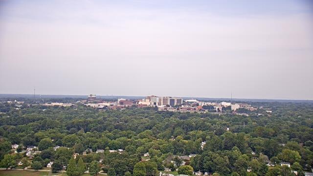
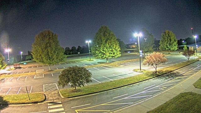
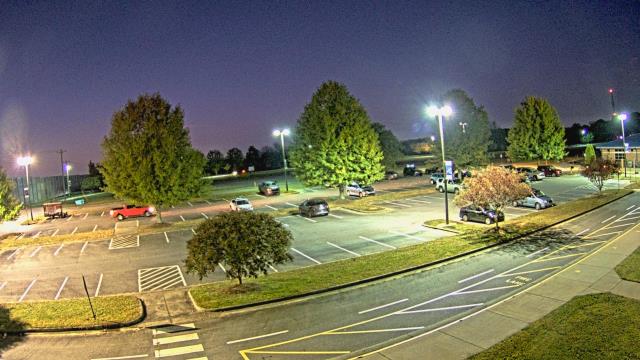
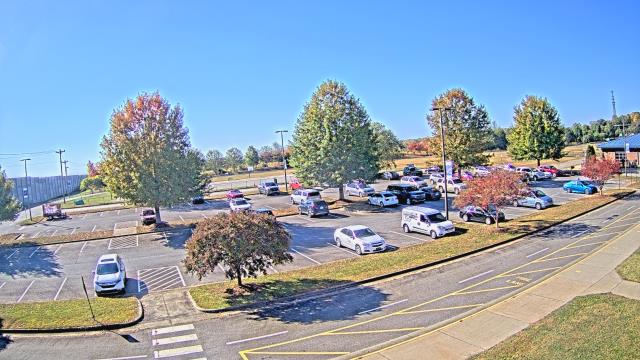
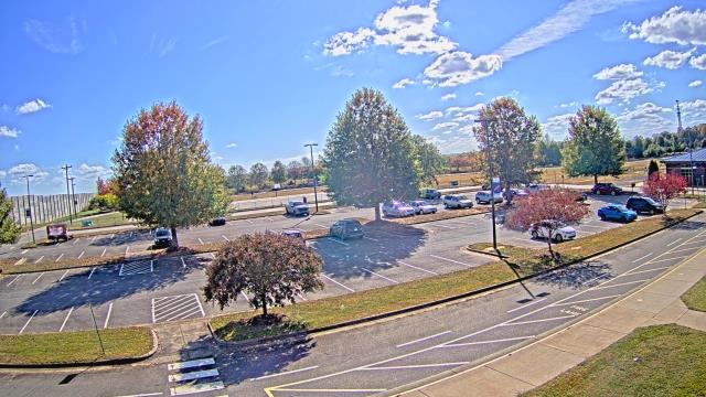
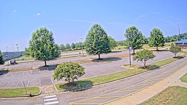
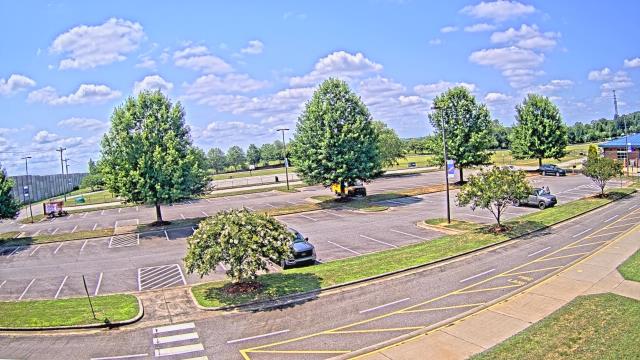
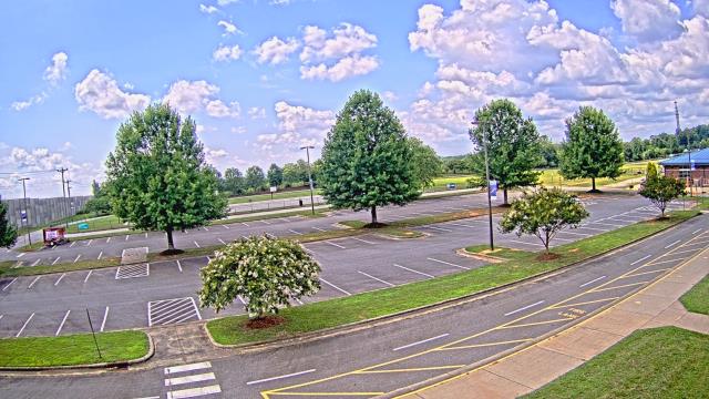
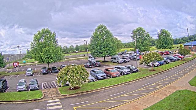
Charlotte, North Carolina, USA - 35 miles from Allin (historical): Central Piedmont Community College - A webcam in Charlotte, North Carolina - camera location: Central Piedmont Community College.
Operator: WeatherBug
Operator: WeatherBug


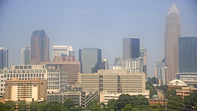


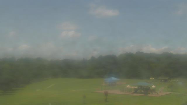
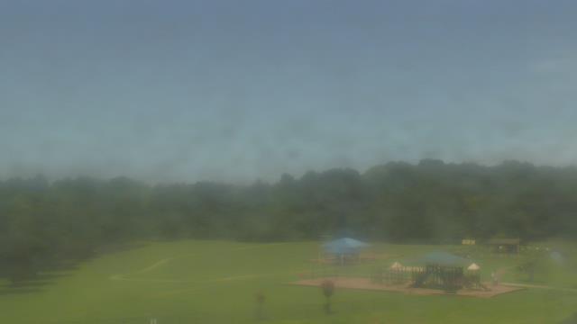
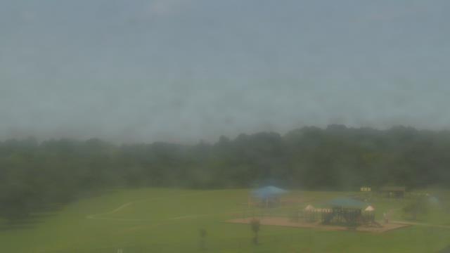
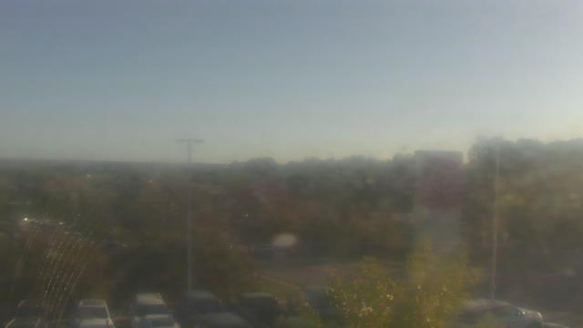
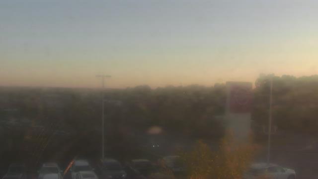
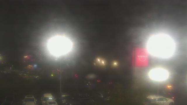
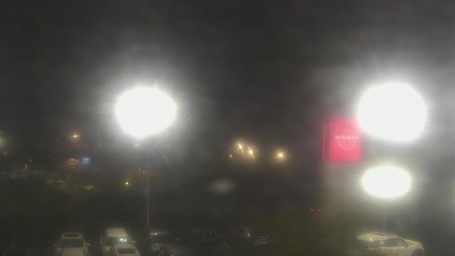
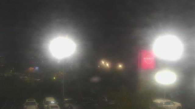
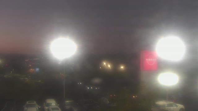
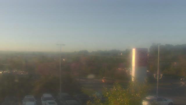
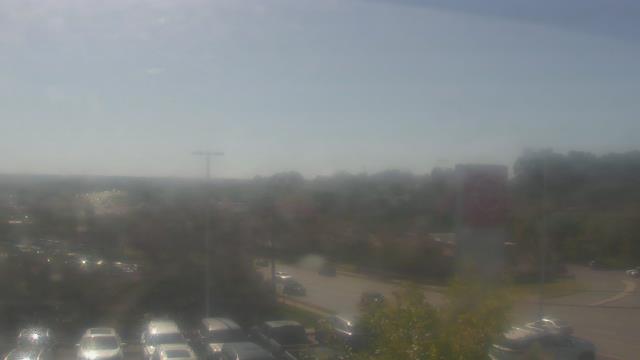
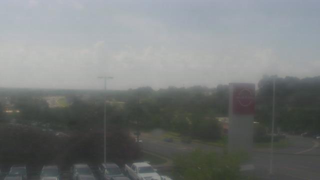
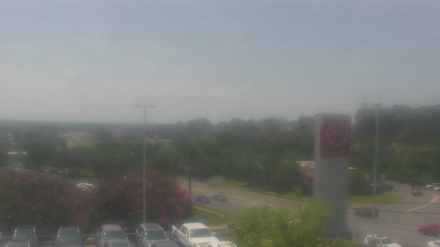
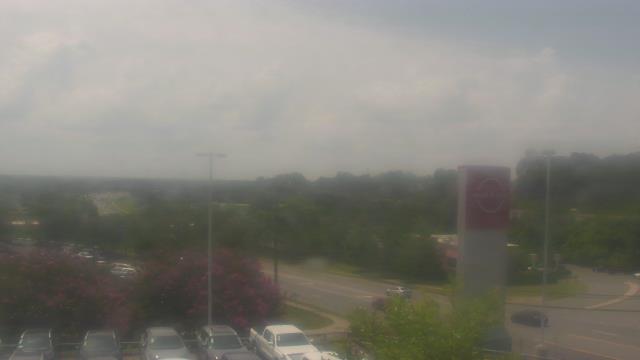
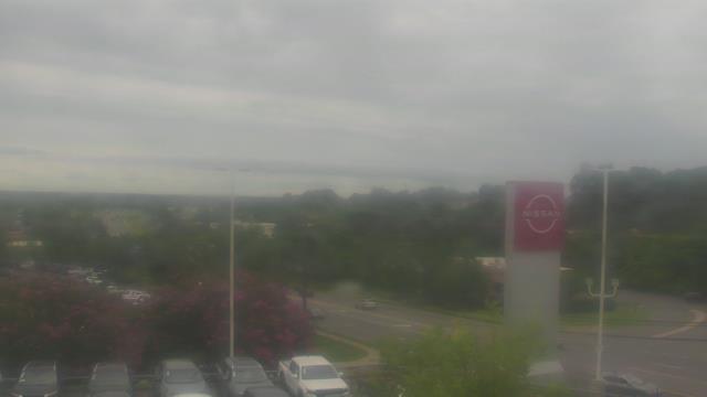
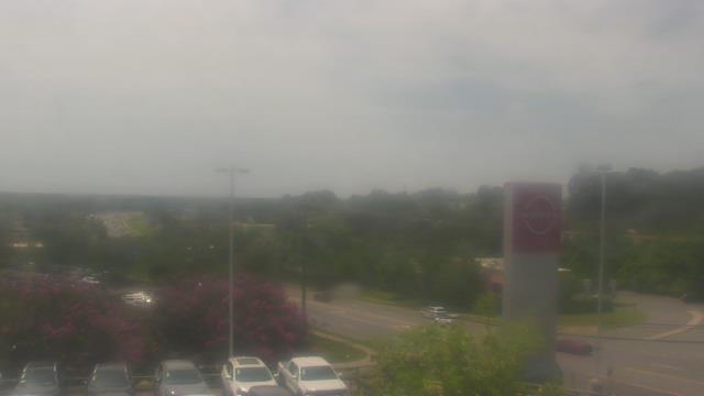
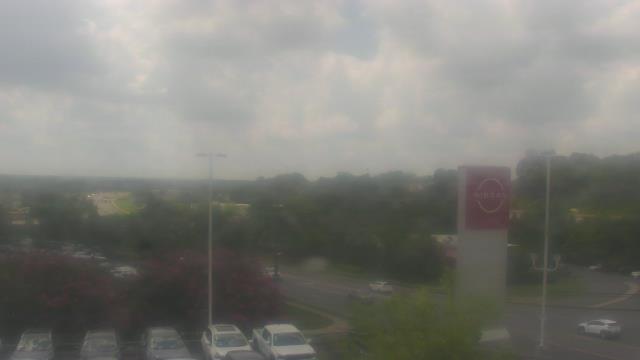
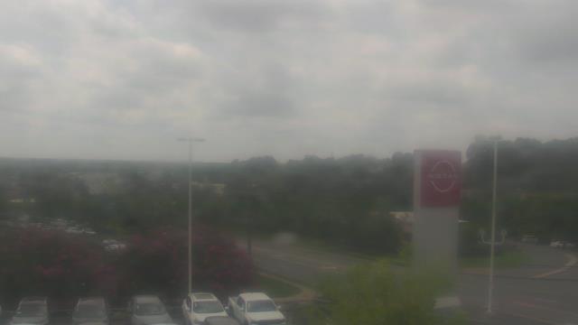
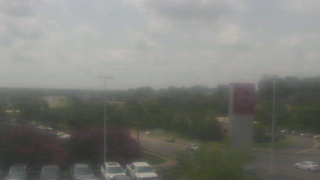
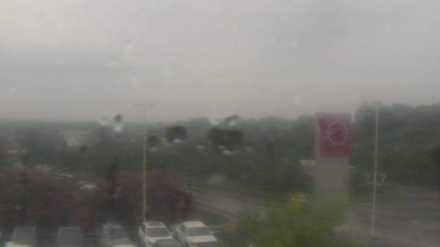
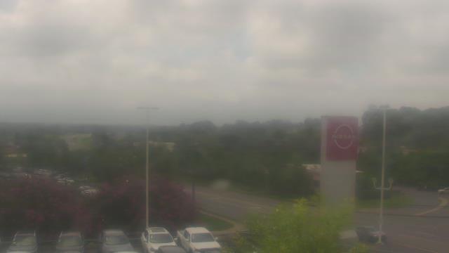
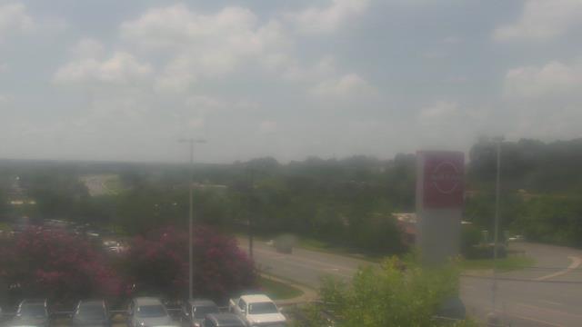
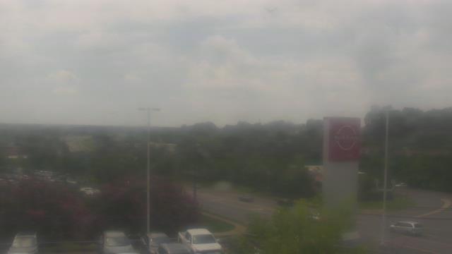
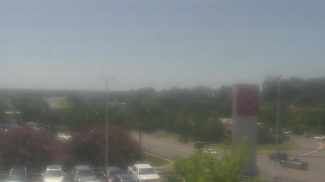
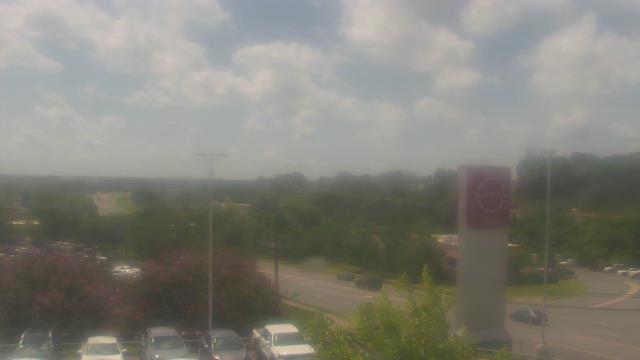
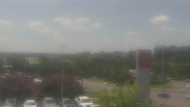
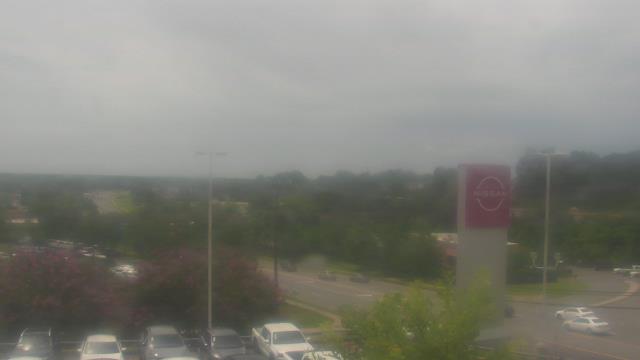
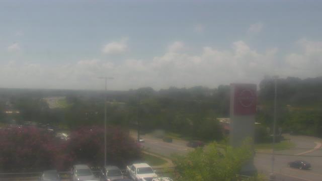
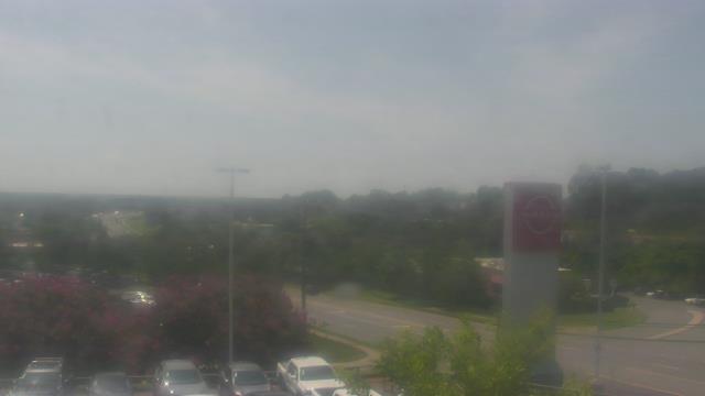
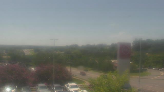
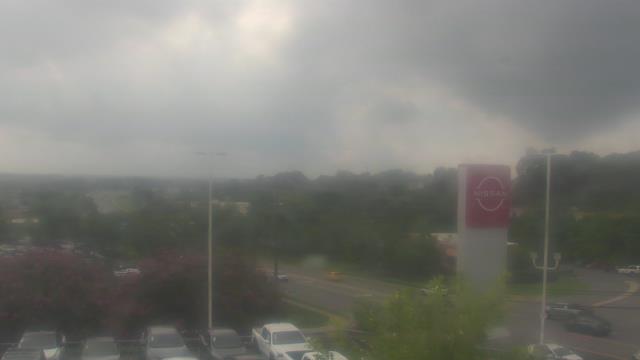
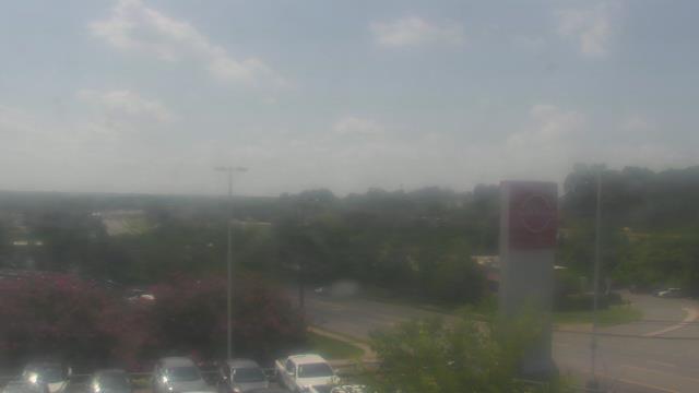
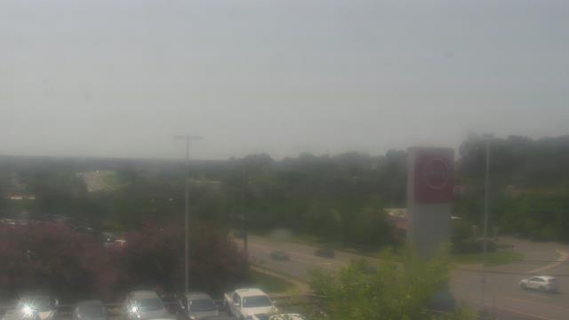
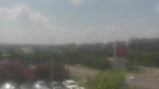
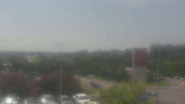
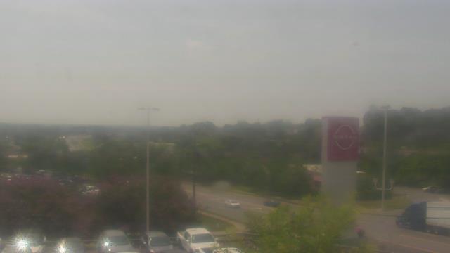
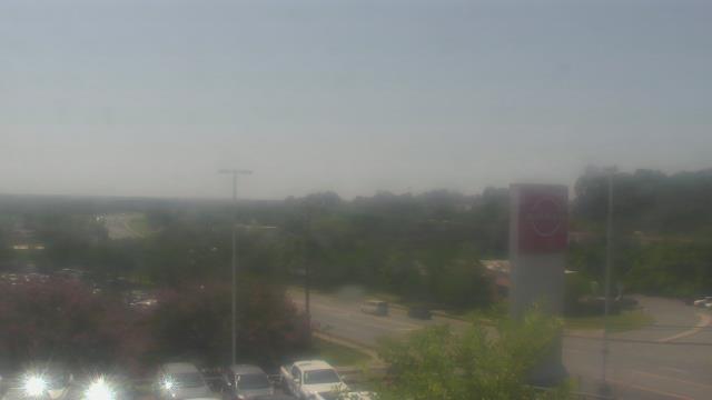
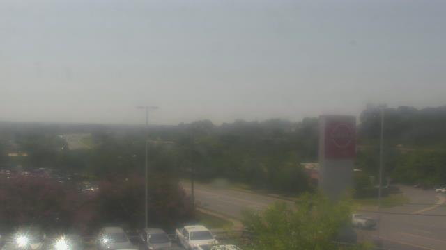
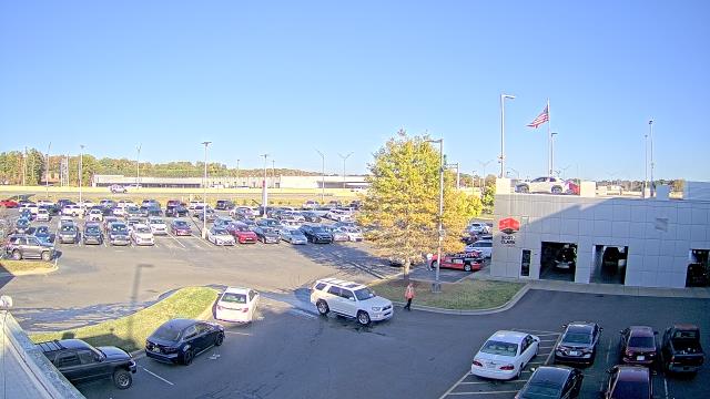
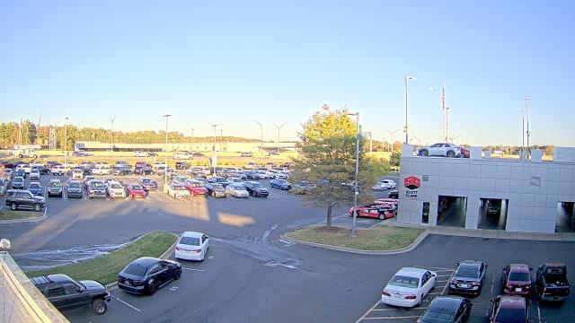
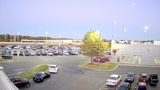
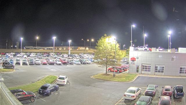
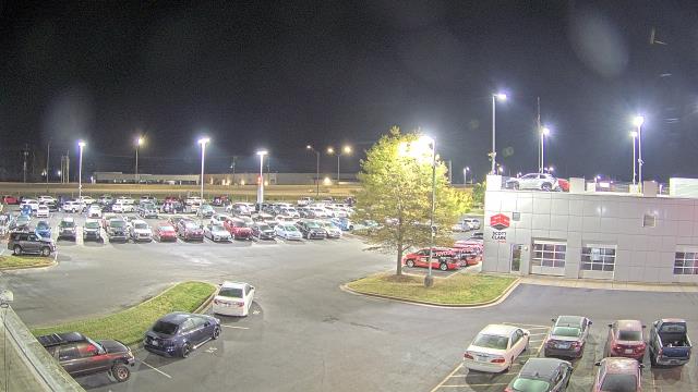
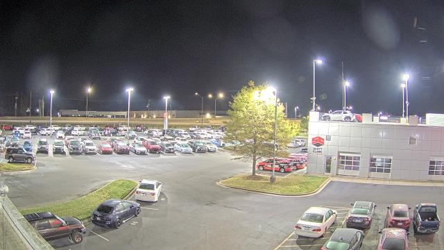
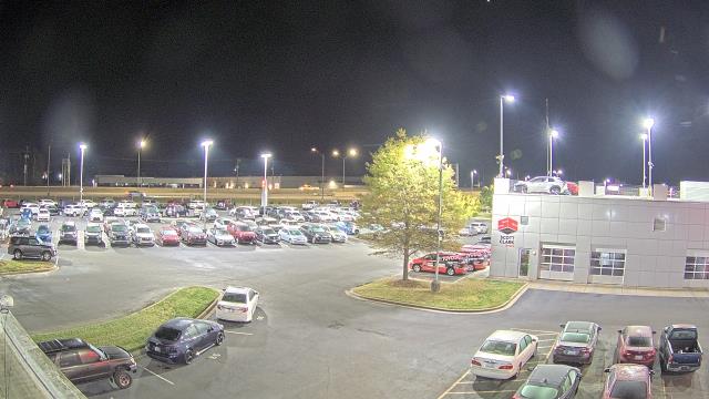
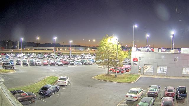
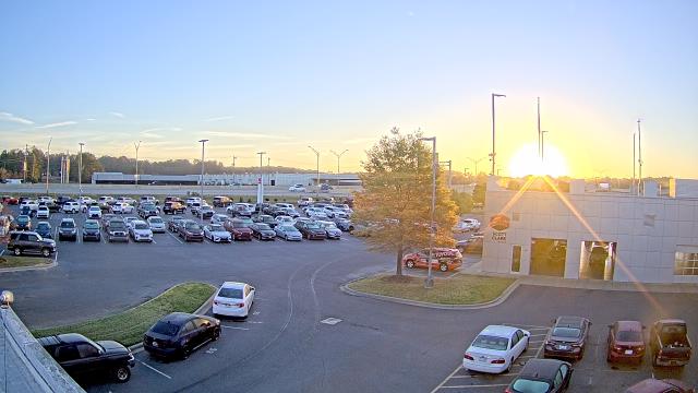
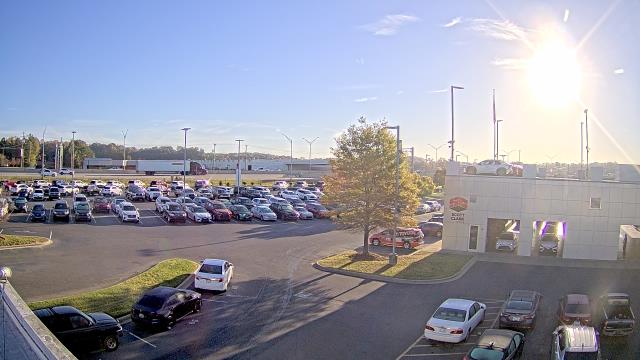
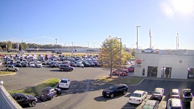
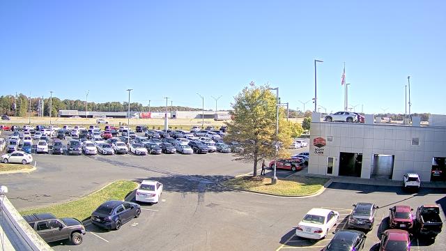
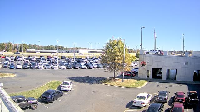
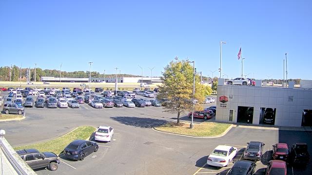
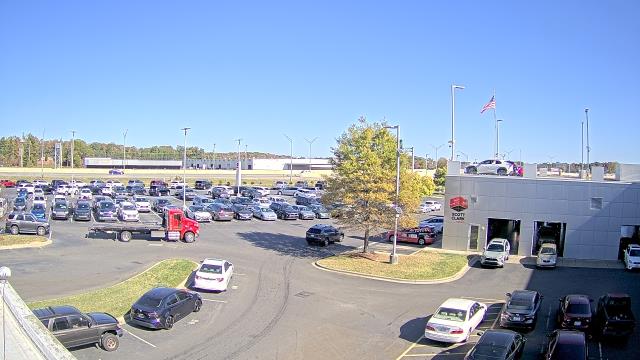
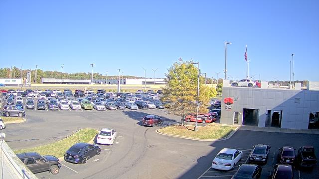
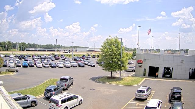
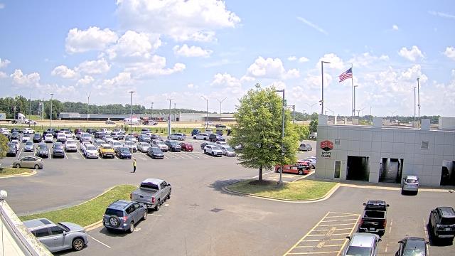
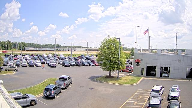
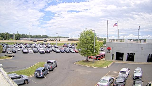
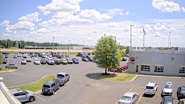
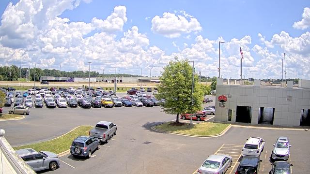
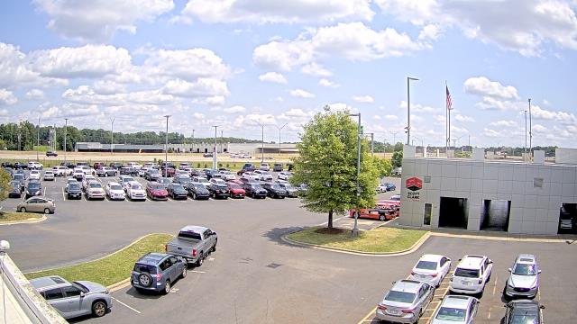
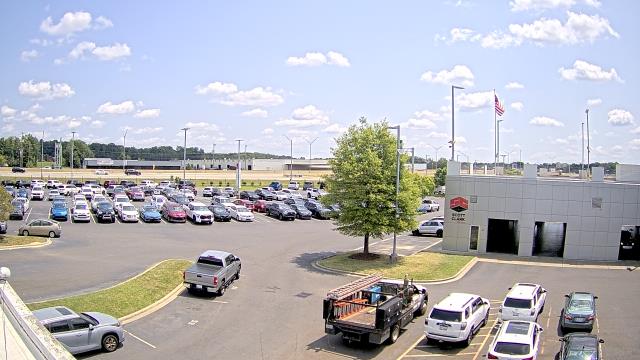
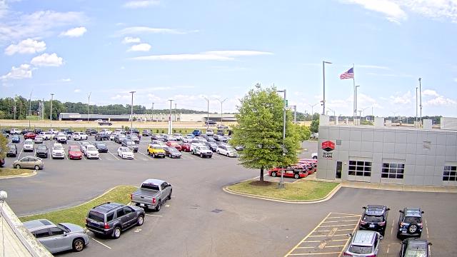
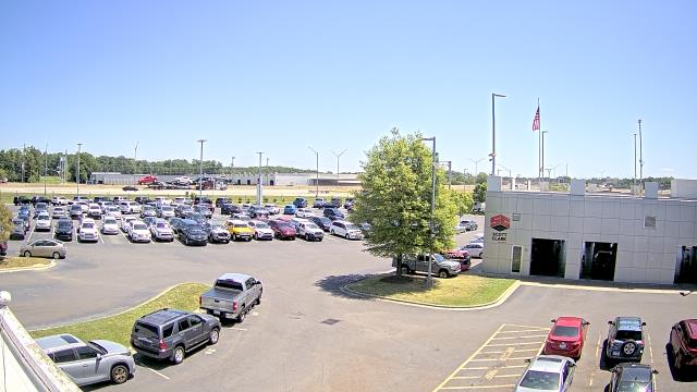
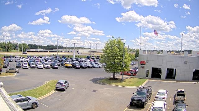
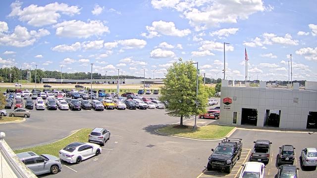
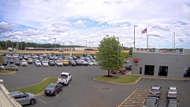
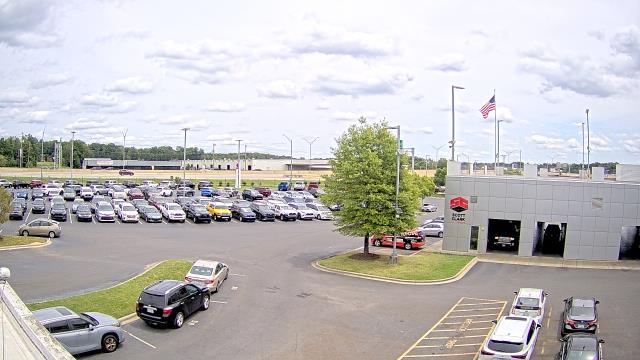
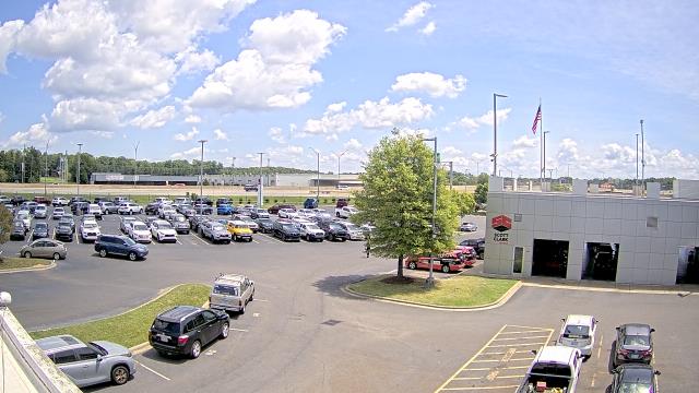
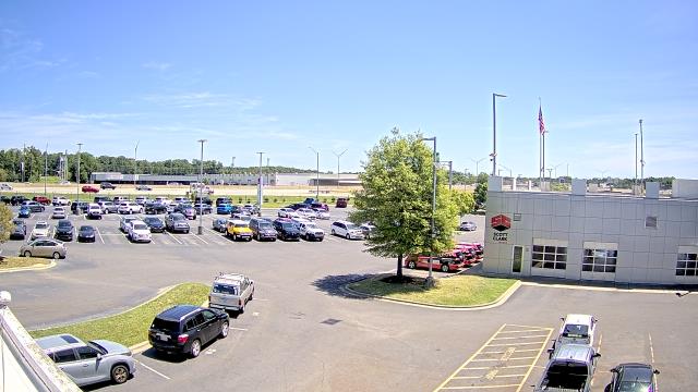
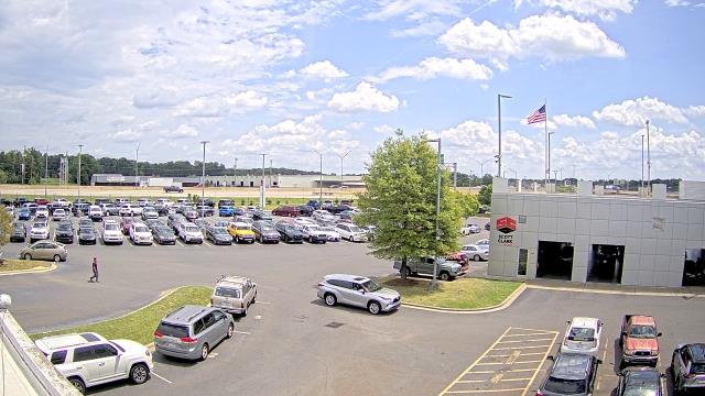
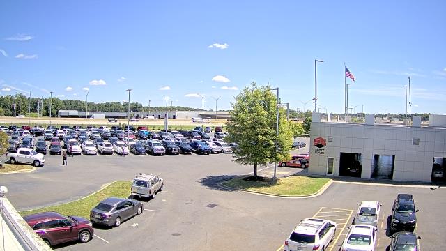
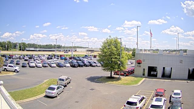
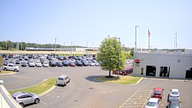
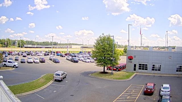
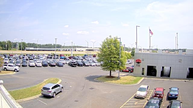
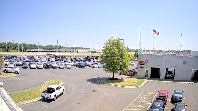
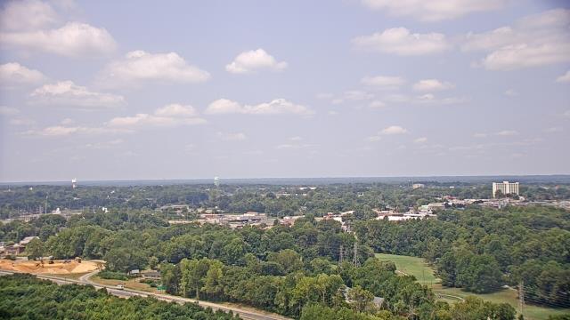
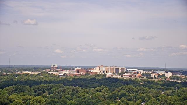
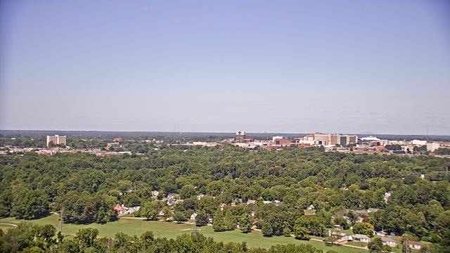
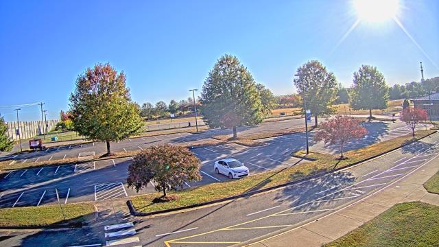
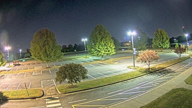
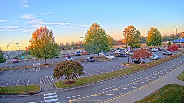
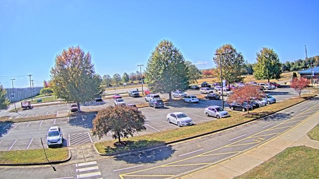
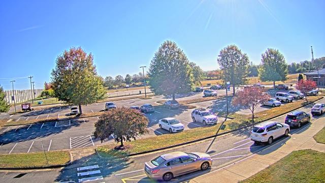
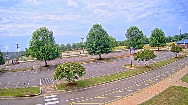
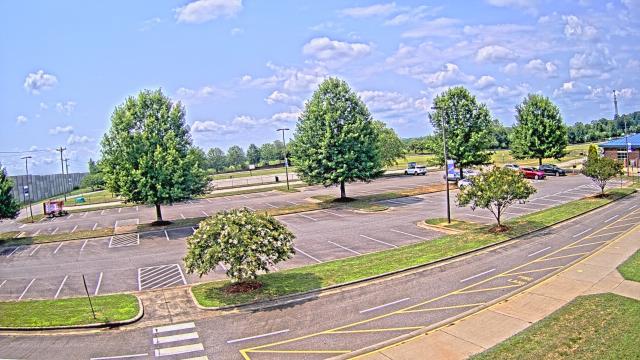
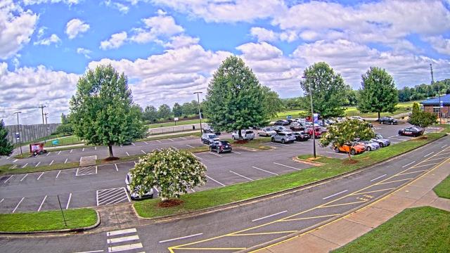
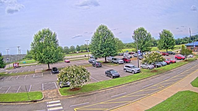
Charlotte, North Carolina, USA - 35 miles from Allin (historical): Scott Clarks Nissan - A webcam in Charlotte, North Carolina - camera location: Scott Clarks Nissan.
Operator: WeatherBug
Operator: WeatherBug


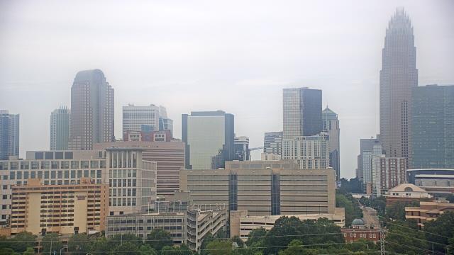
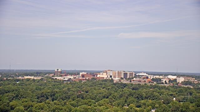
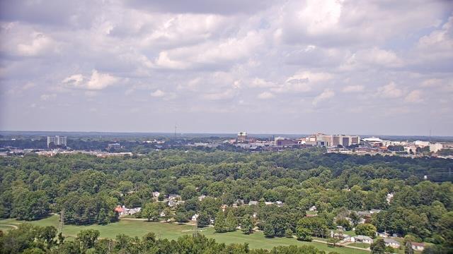
Charlotte, North Carolina, USA - 35 miles from Allin (historical): Trinity Episcopal School - Webcam and current weather data - camera location: Trinity Episcopal School.
Operator: WeatherBug
Operator: WeatherBug


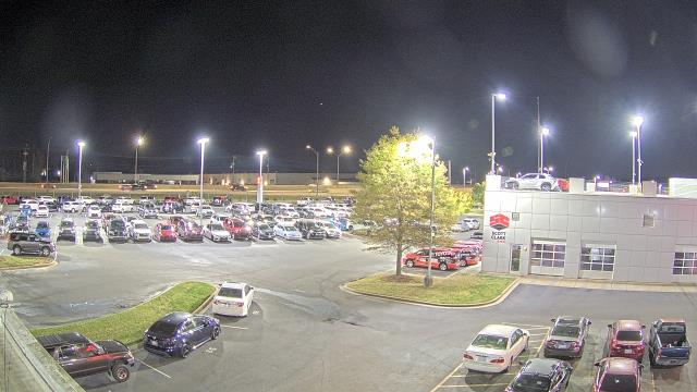
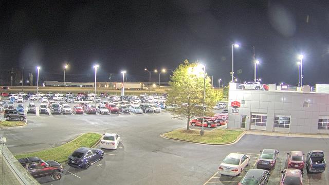
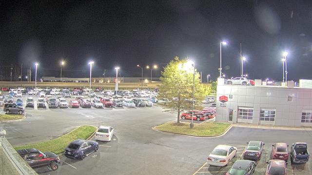
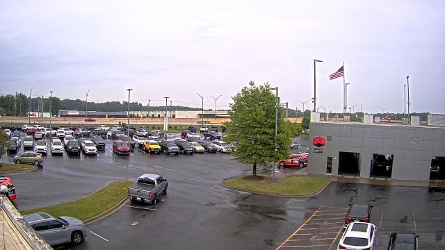
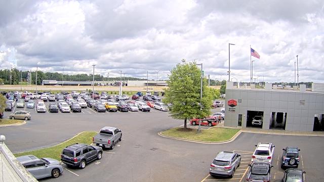
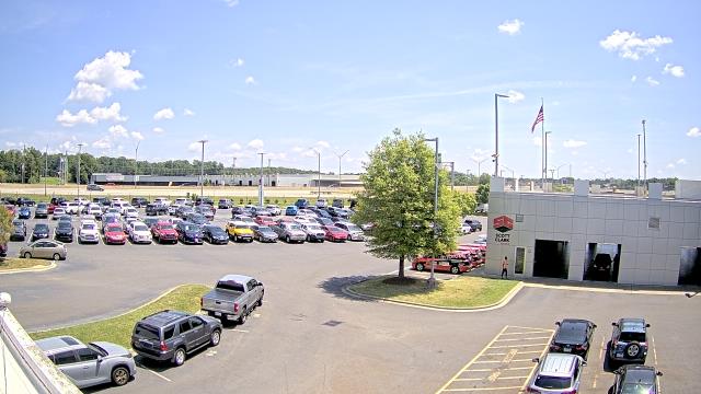
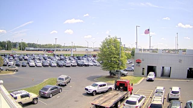
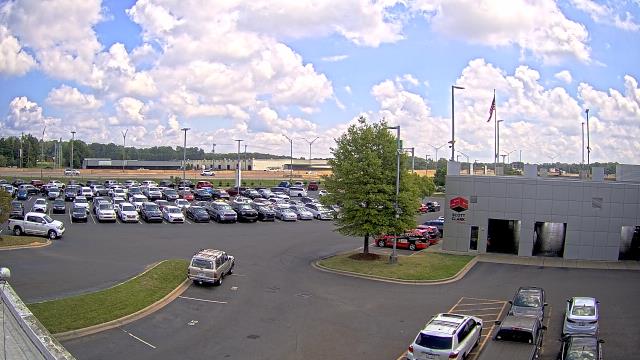
Stallings, North Carolina, USA - 35.1 miles from Allin (historical): Scott Clarks Toyota - A webcam in Stallings, North Carolina - camera location: Scott Clarks Toyota.
Operator: WeatherBug
Operator: WeatherBug


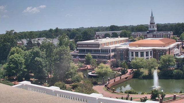
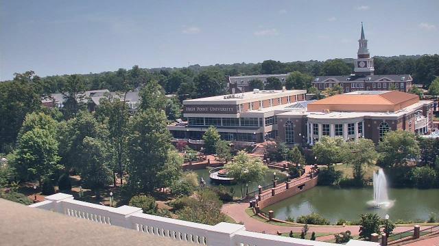
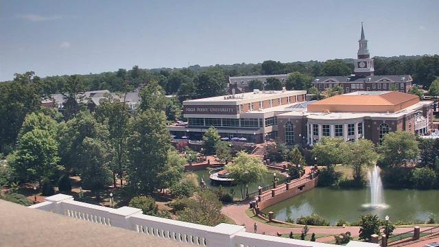
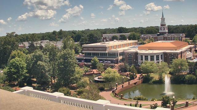
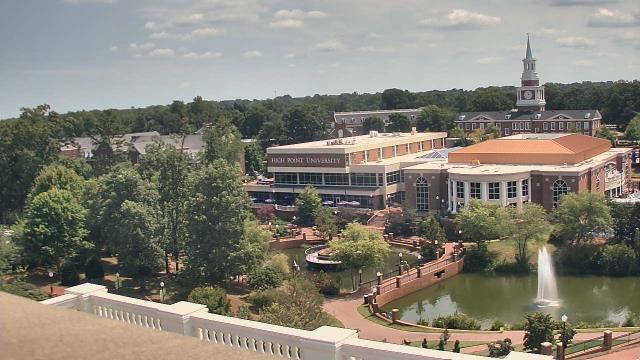
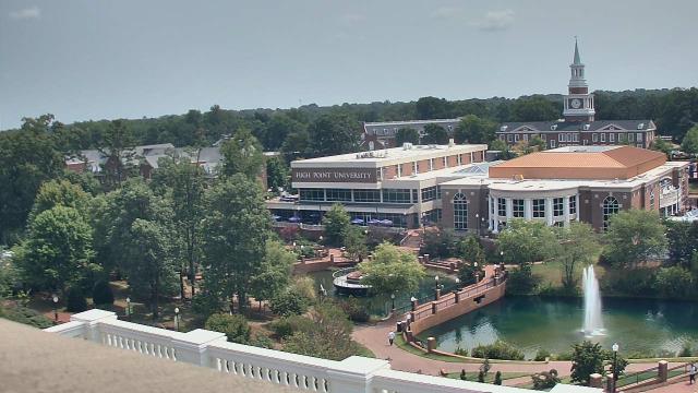
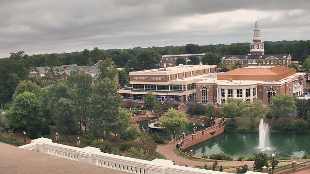
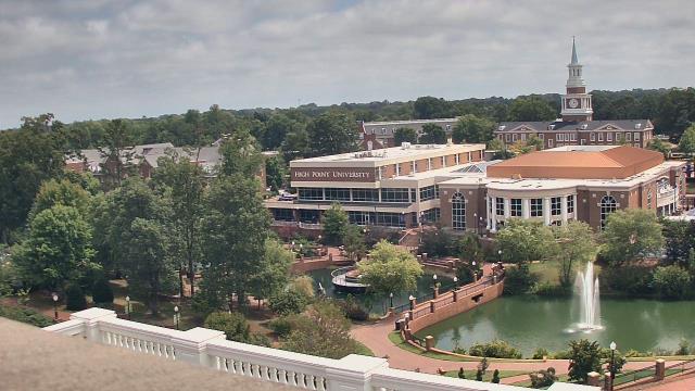
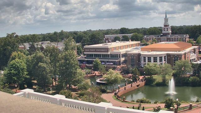
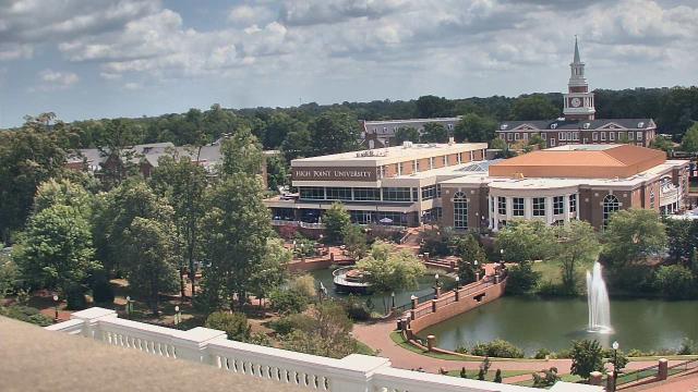
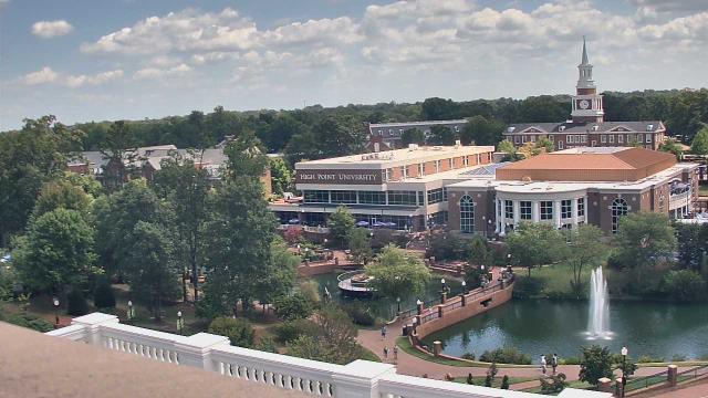
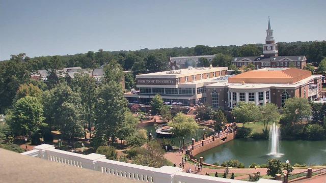
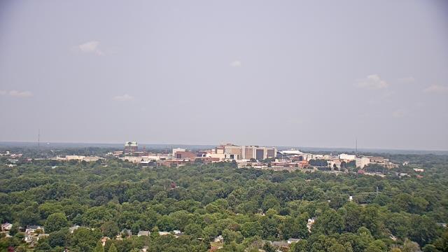
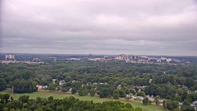
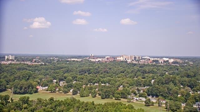
High Point, North Carolina, USA - 35.9 miles from Allin (historical): High Point University - A webcam in High Point, North Carolina - camera location: High Point University.
Operator: WeatherBug
Operator: WeatherBug


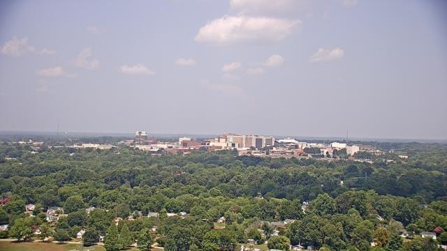
High Point, North Carolina, USA - 35.9 miles from Allin (historical): WGHP-TV - A webcam in High Point, North Carolina - camera location: WGHP-TV.
Operator: WeatherBug
Operator: WeatherBug


Statesville, North Carolina, USA - 37.1 miles from Allin (historical): Cloverleaf Elementary School - A webcam in Statesville, North Carolina - camera location: Cloverleaf Elementary School.
Operator: WeatherBug
Operator: WeatherBug


Morganton, North Carolina, USA - 78.3 miles from Allin (historical): WBTV Morganton Bureau - A webcam in Morganton, North Carolina - camera location: WBTV Morganton Bureau.
Operator: WeatherBug
Operator: WeatherBug


Some other places in this country: Polkadot - Triangle (historical) - Webbs - Wilsonville (historical) - Bellemeade - Belmont - Blackmer (historical) - Brentwood Acres - Catawba Heights - Cedarcrest