Webcams in the region of Poukawa, New Zealand
The List of Webcams near Poukawa, New Zealand:

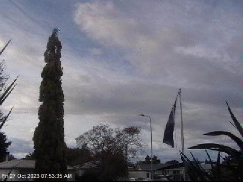
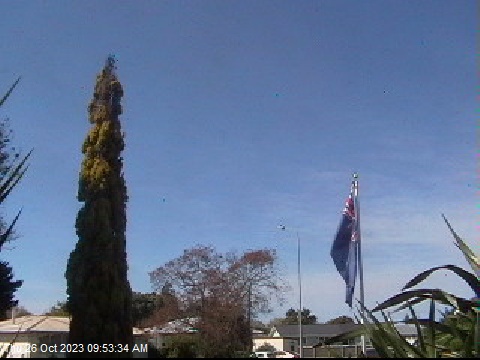
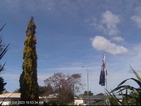
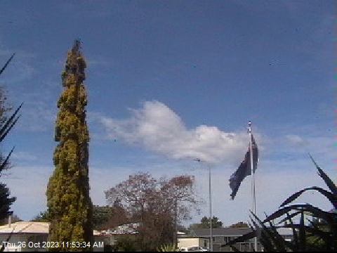
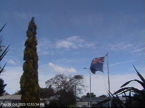
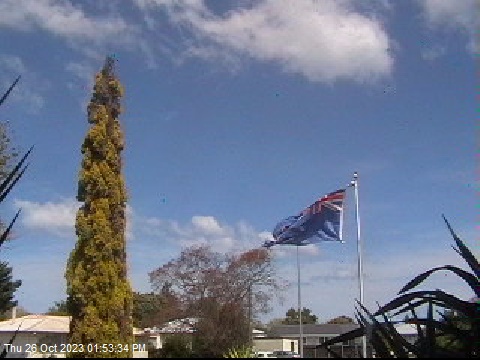
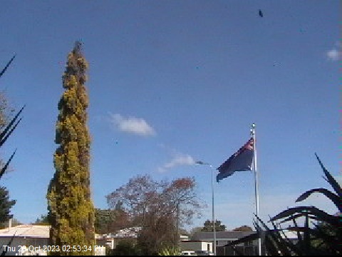
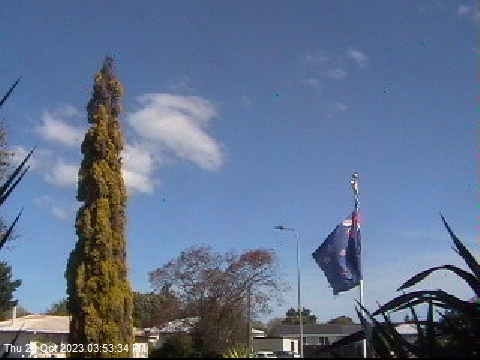
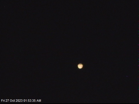
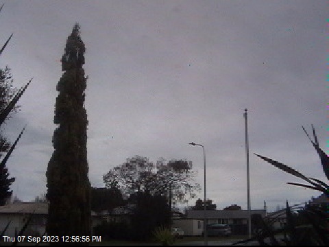
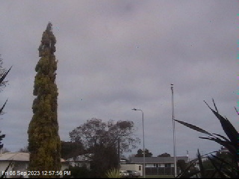
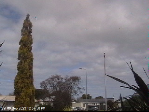
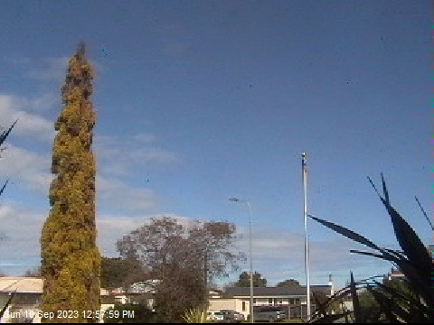
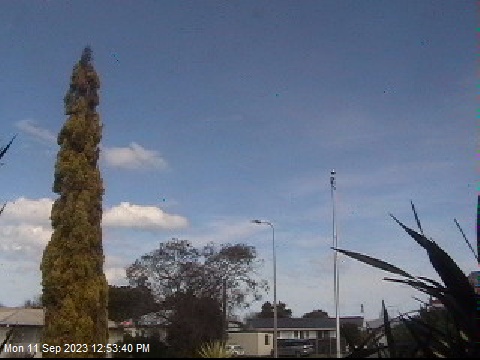
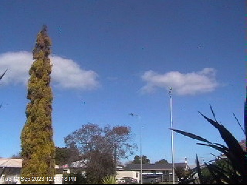
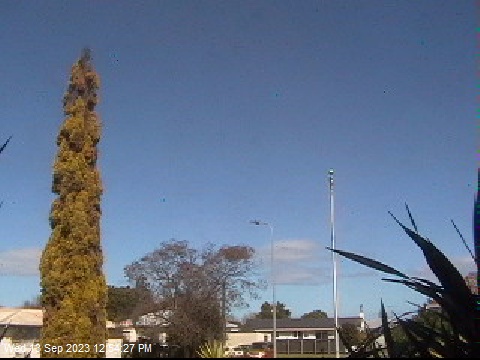
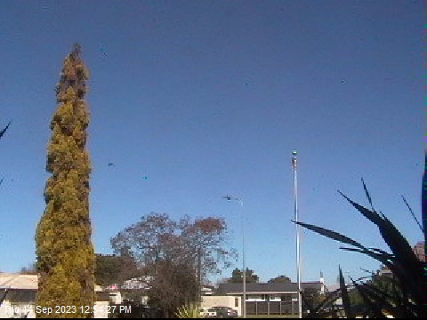
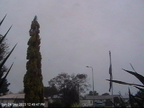
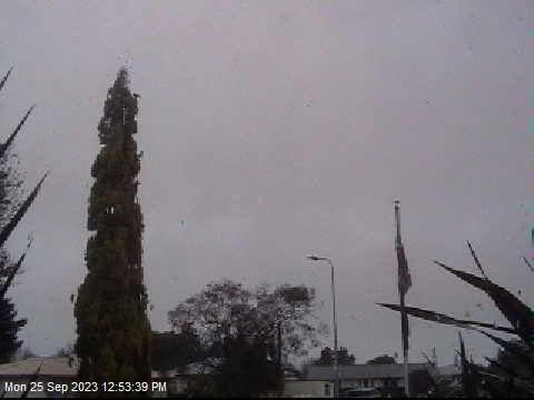
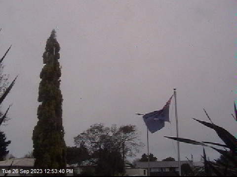
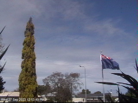
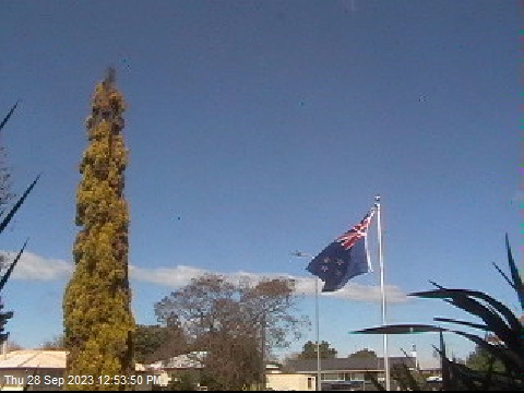
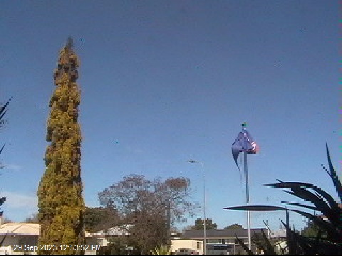
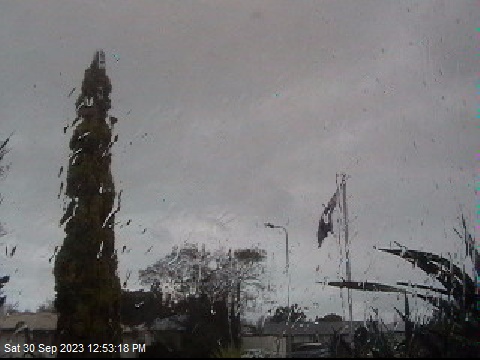
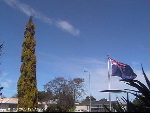
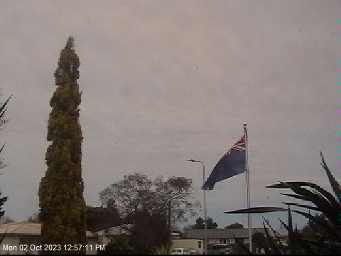
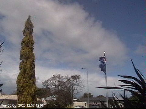
Wairoa, New Zealand - 62.3 miles from Poukawa: The Wairoa Weather Station Cam - Weathercam in Wairoa, Hawke Bay, with current weather data.
Operator: Wairoa Weather
Operator: Wairoa Weather


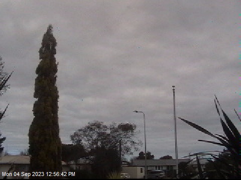
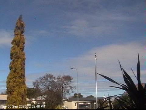
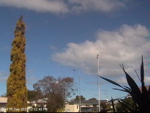


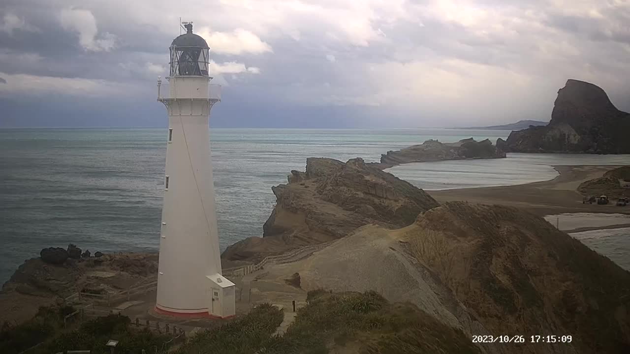
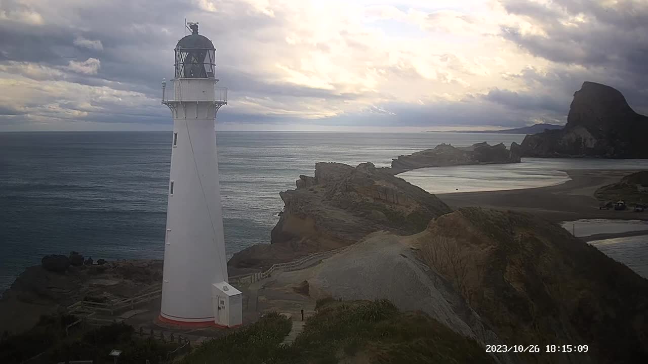
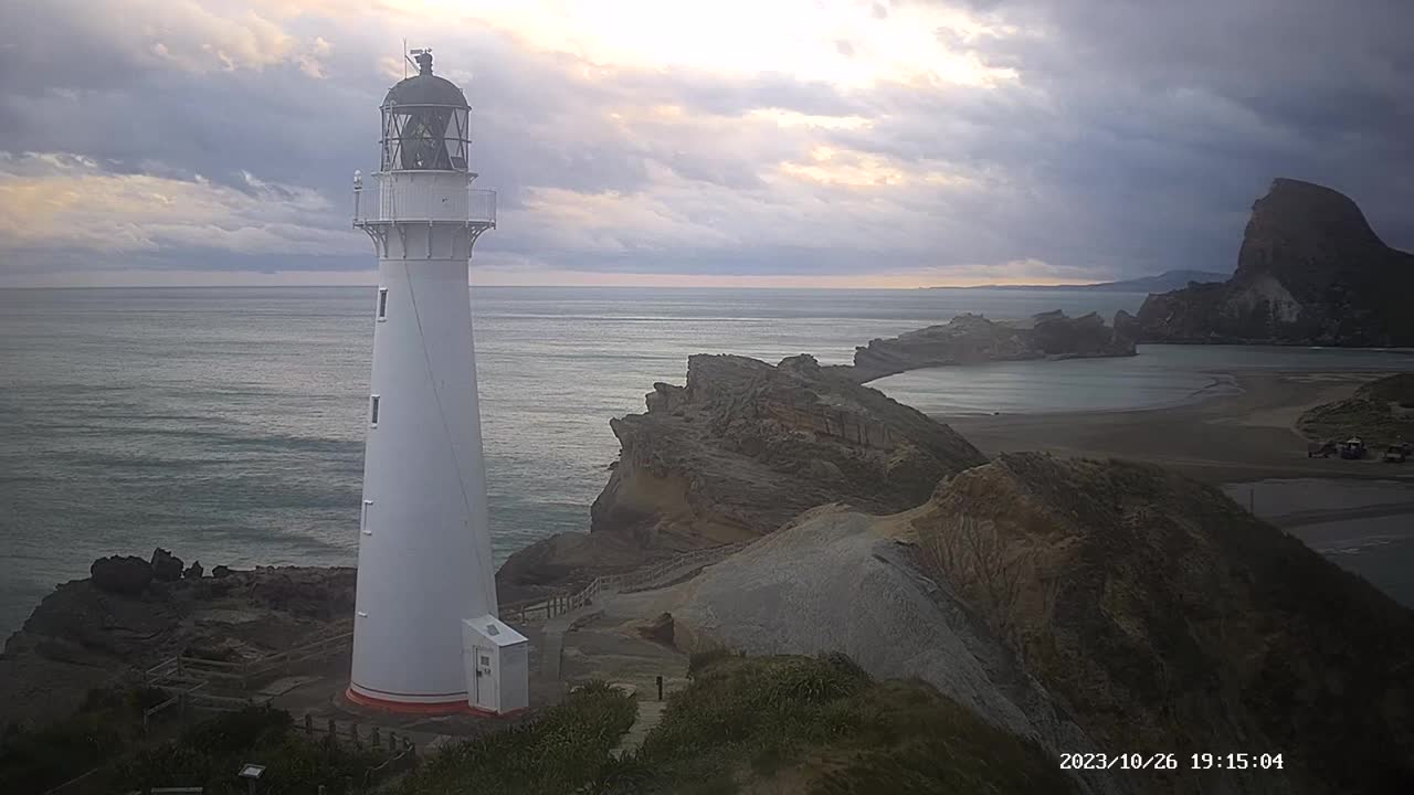
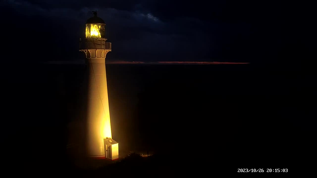
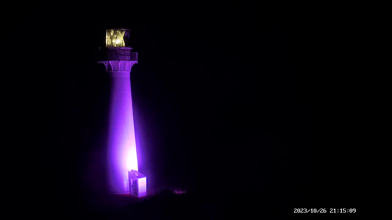
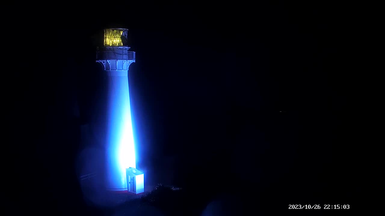
Castlepoint, New Zealand - 82.9 miles from Poukawa: Castlepoint Lighthouse
Operator: Castlepoint Lighthouse
Operator: Castlepoint Lighthouse


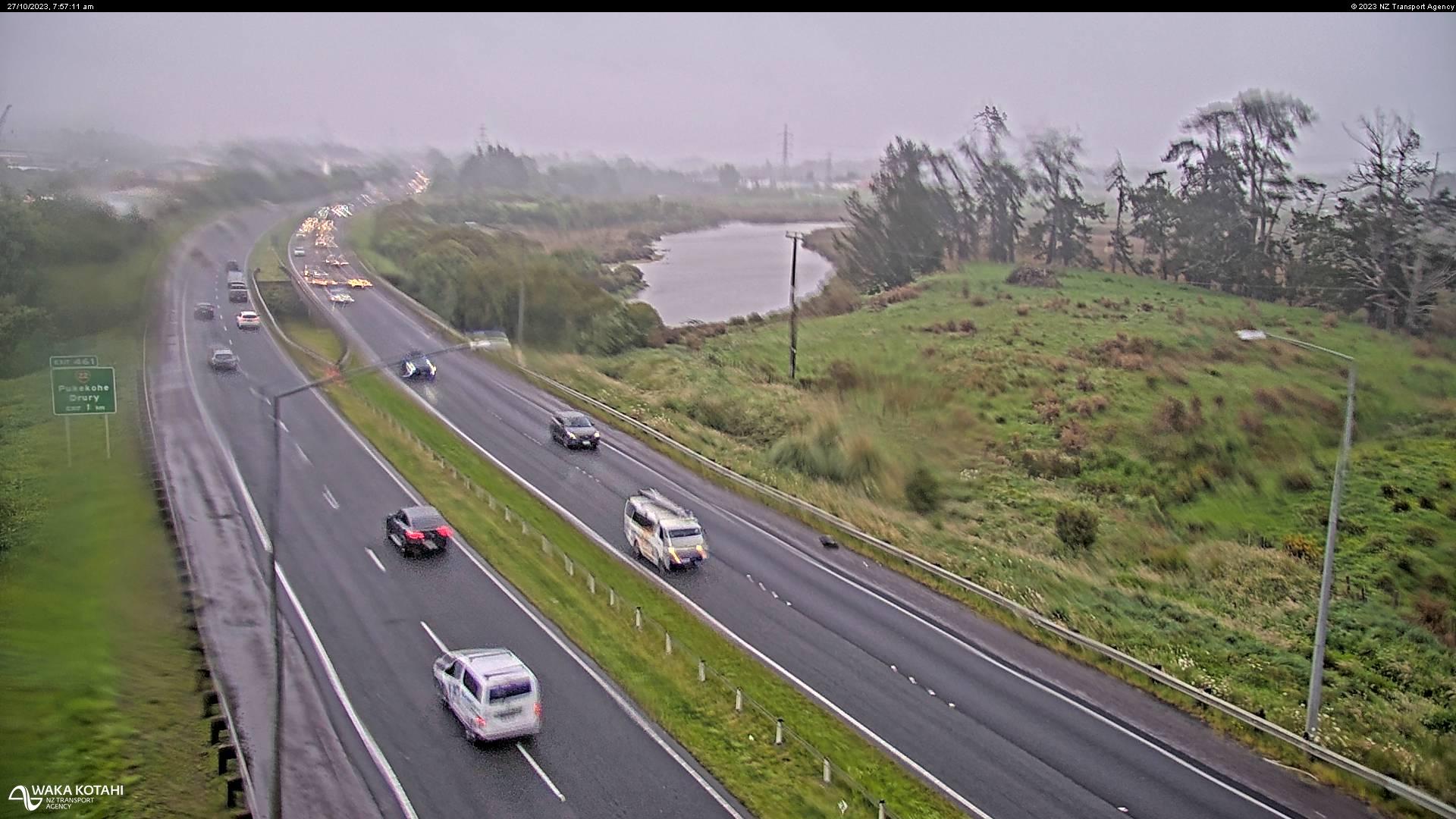
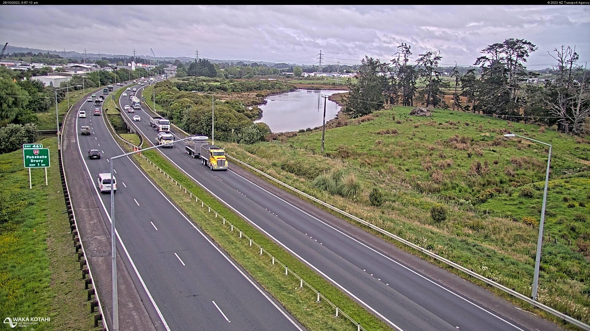
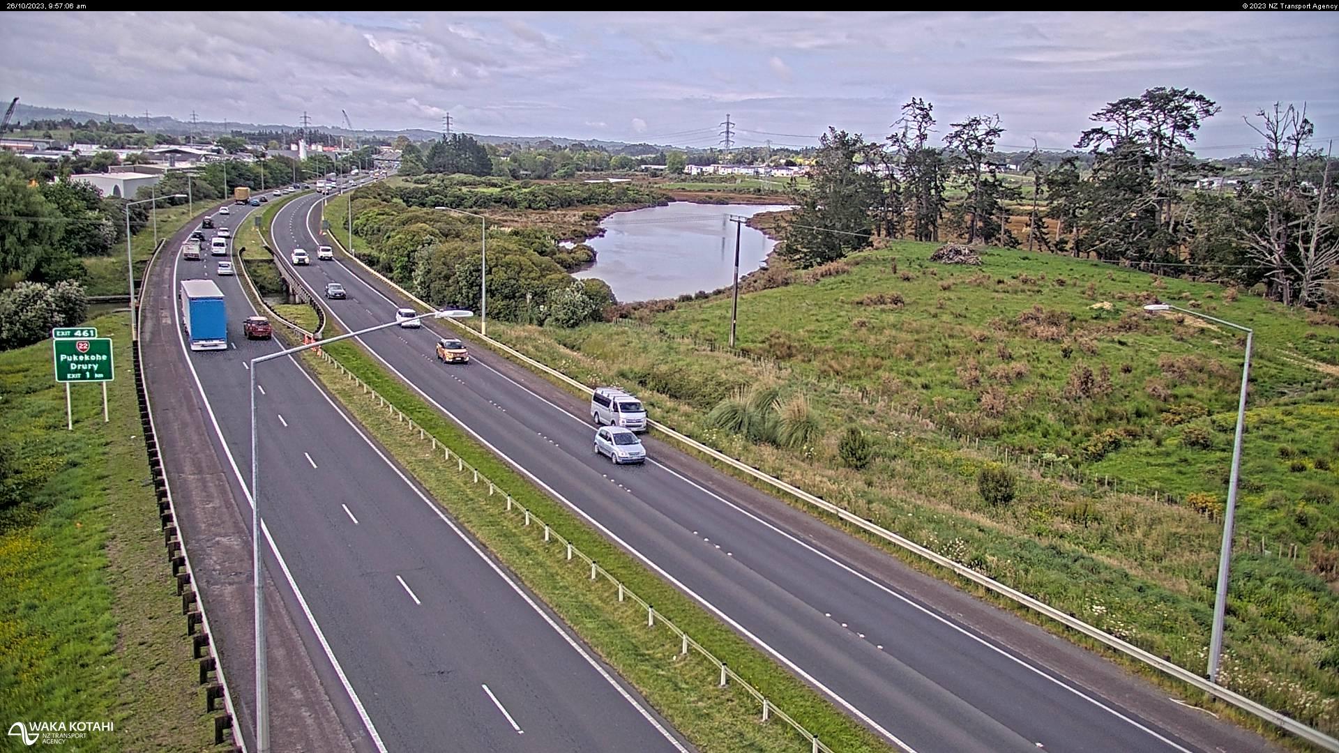
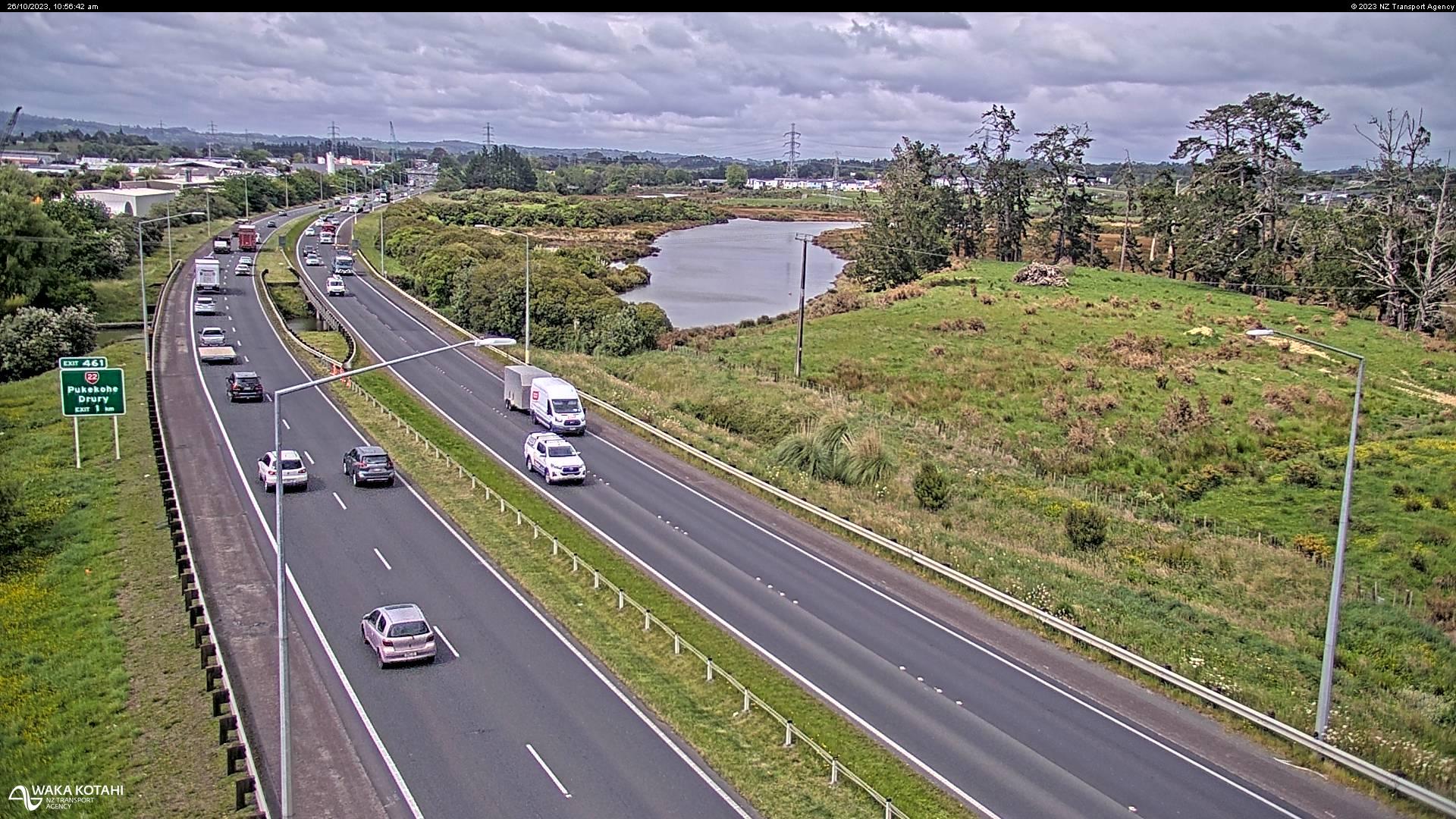
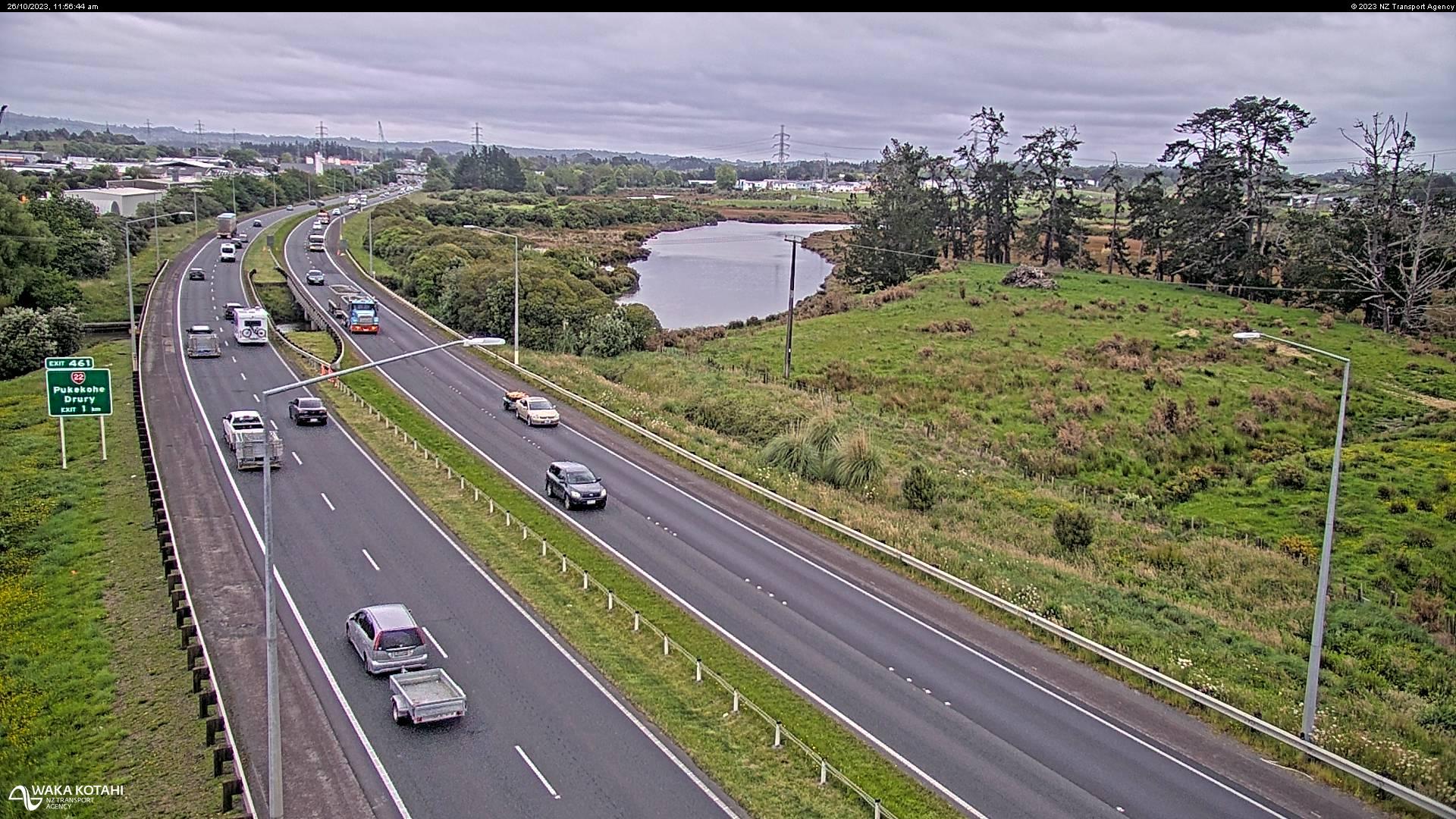
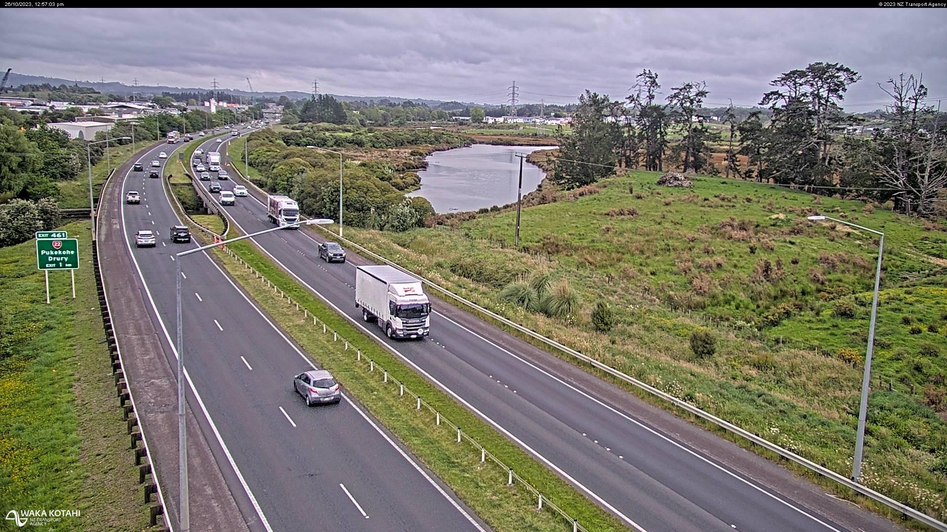
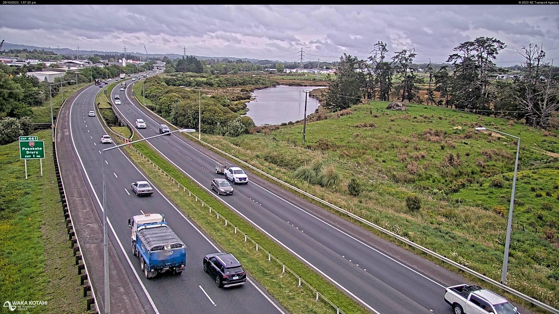
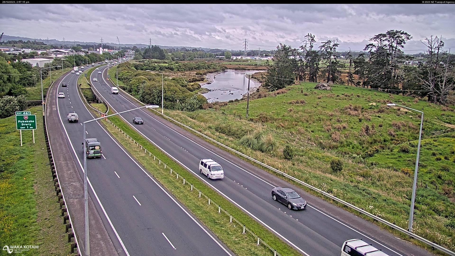
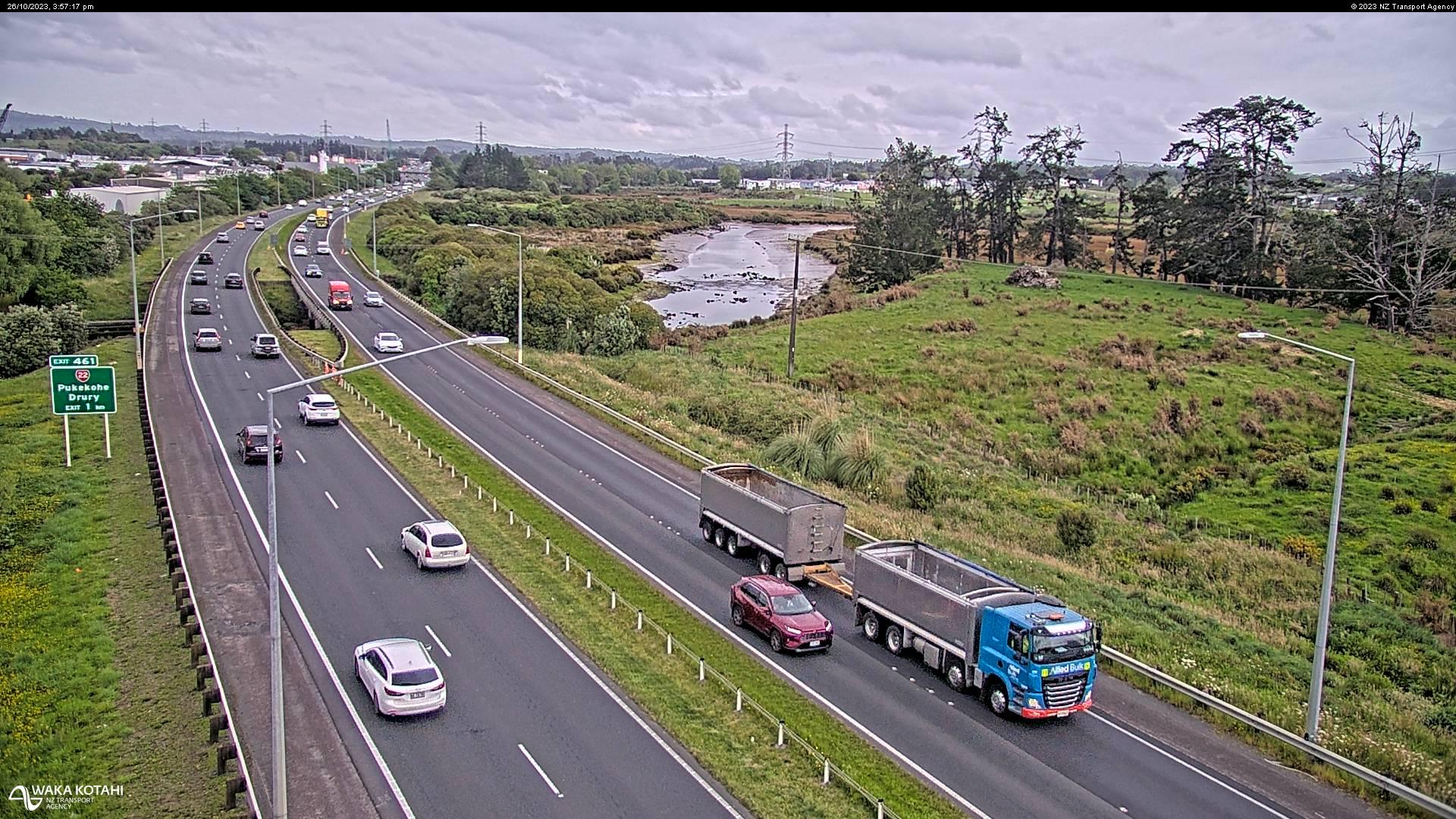
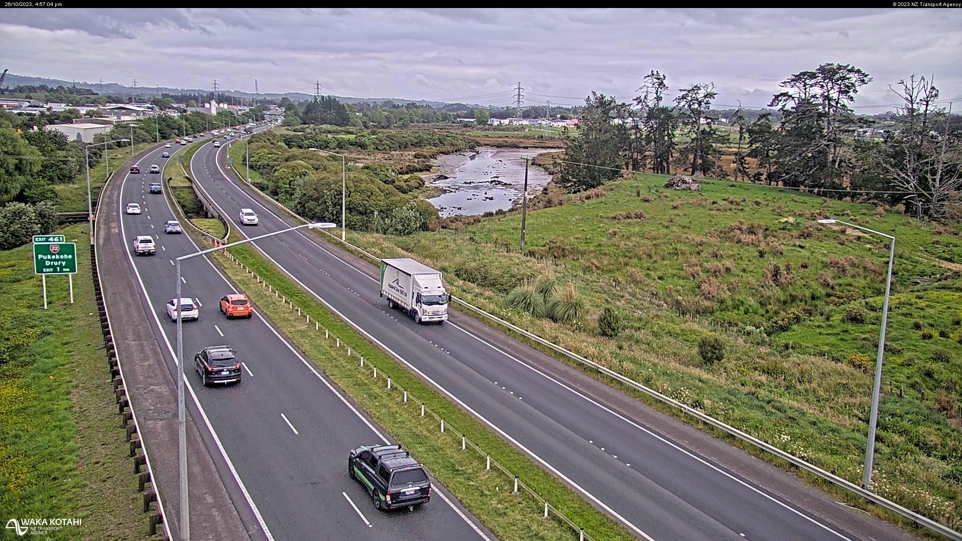
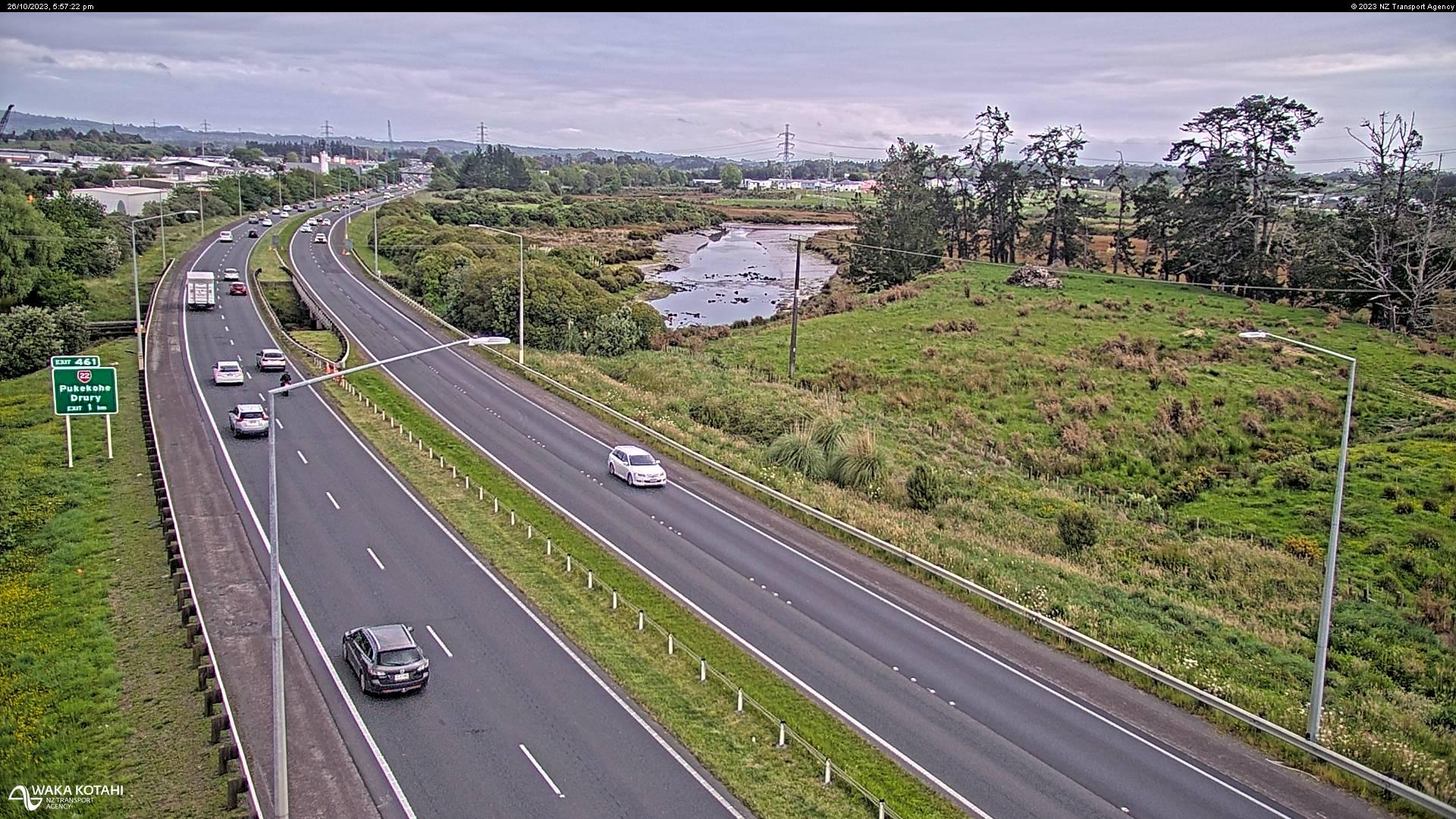
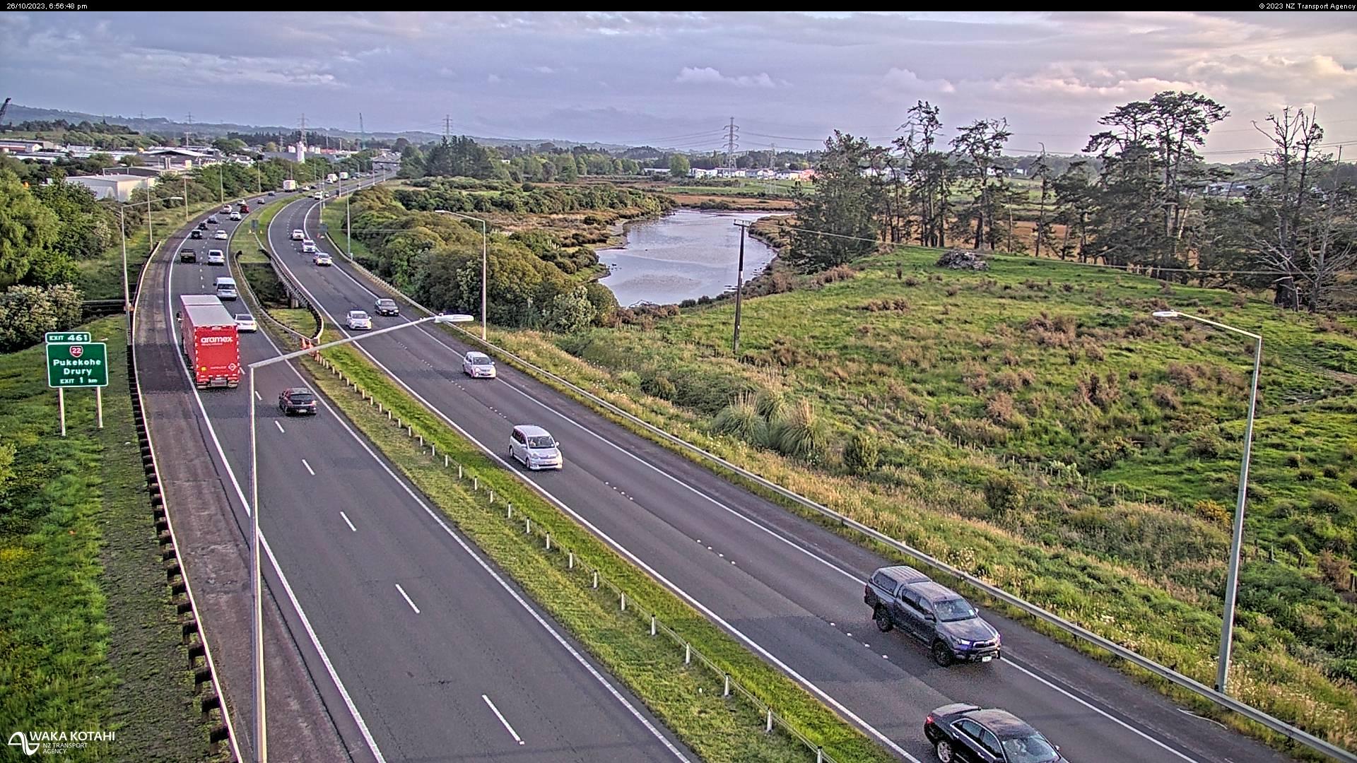
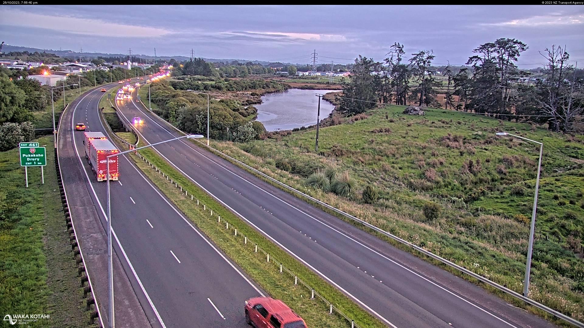
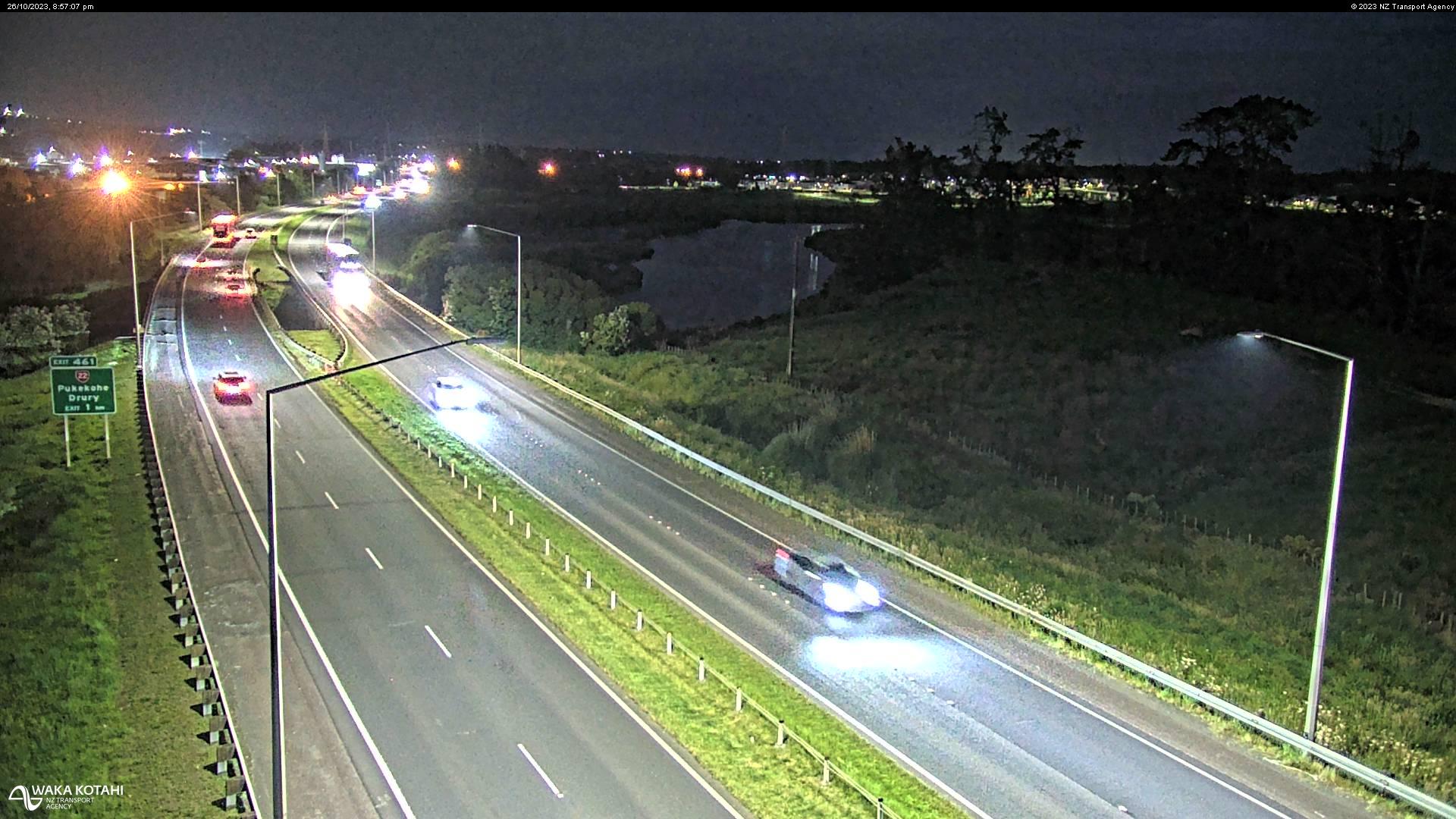
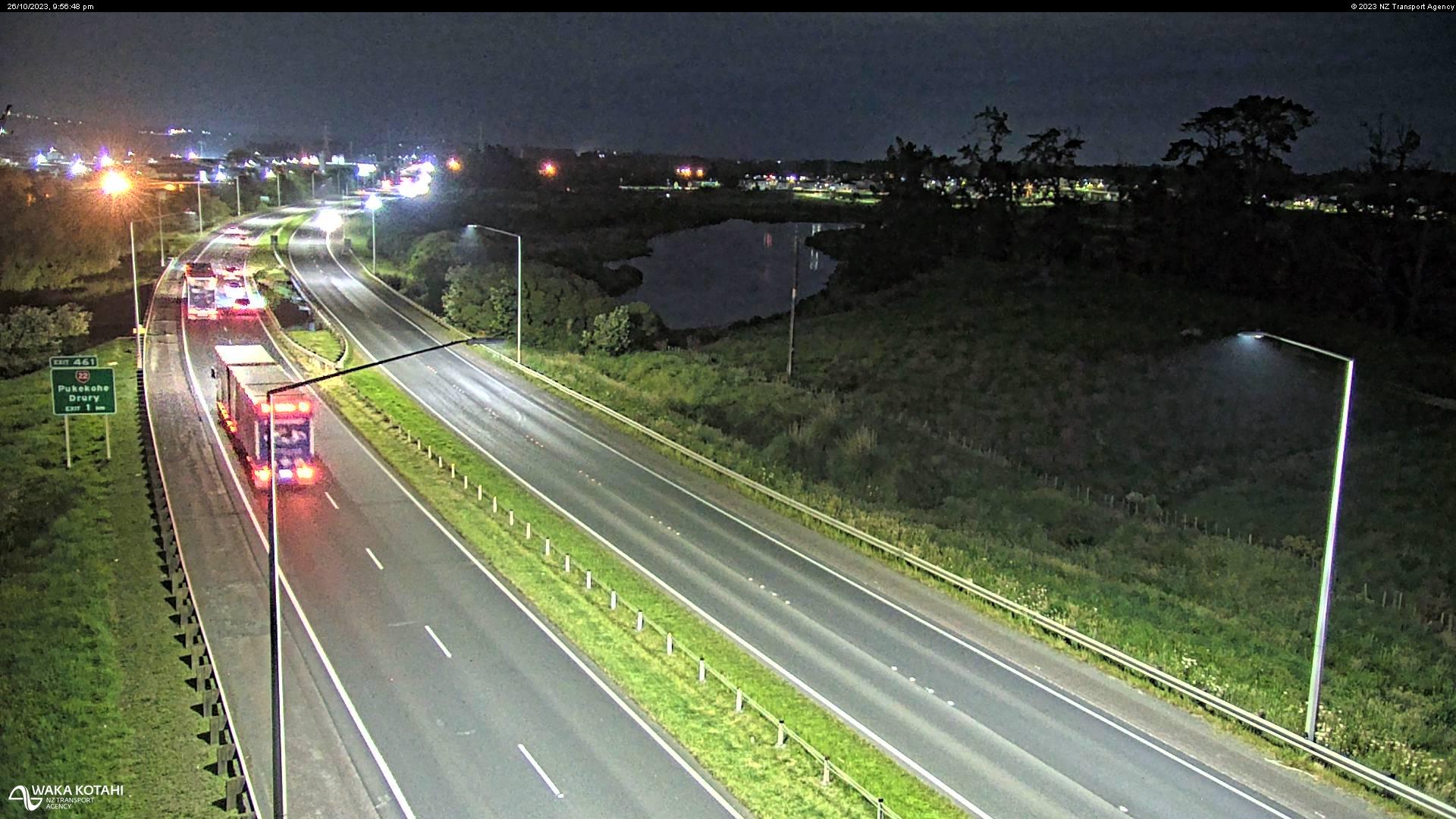
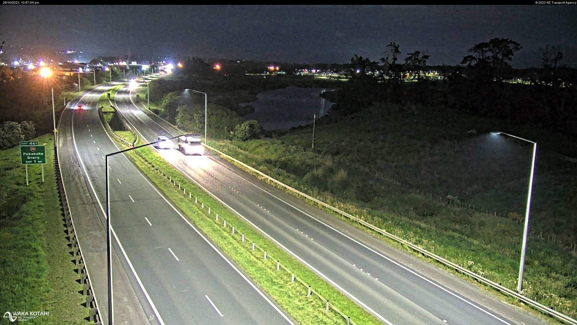
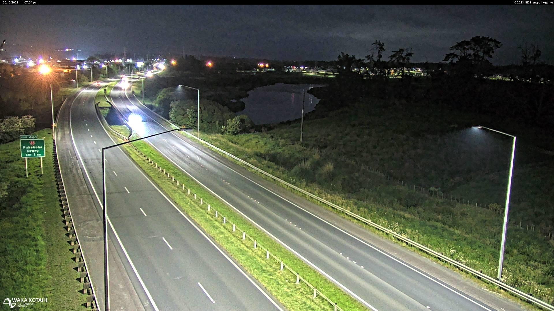
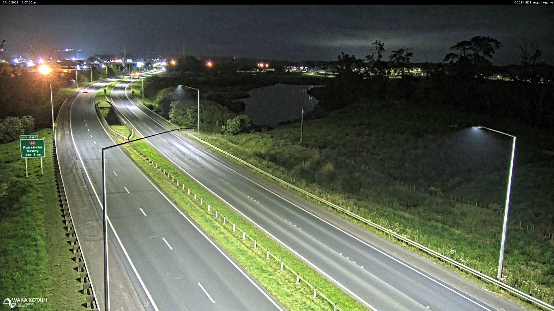
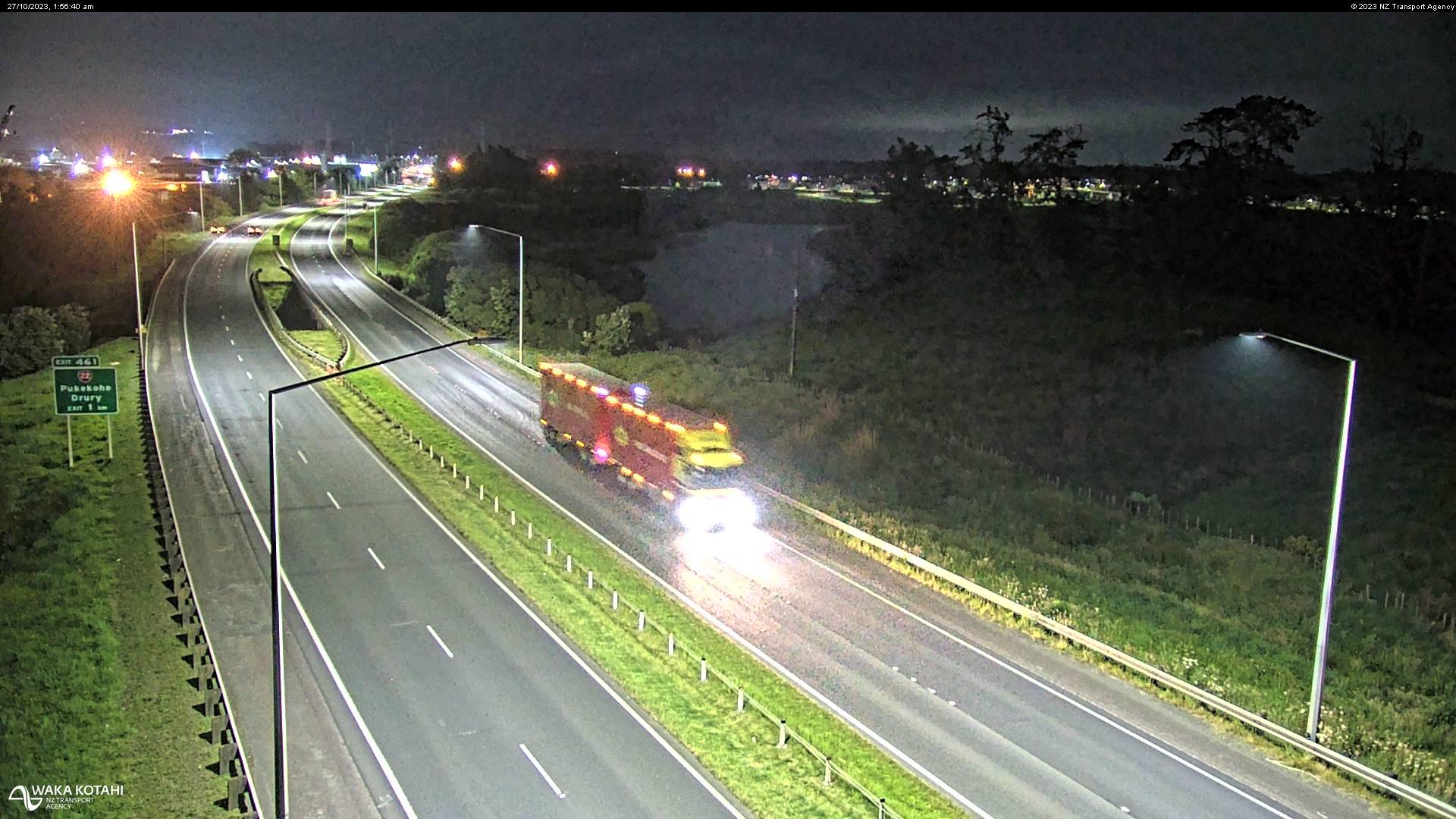
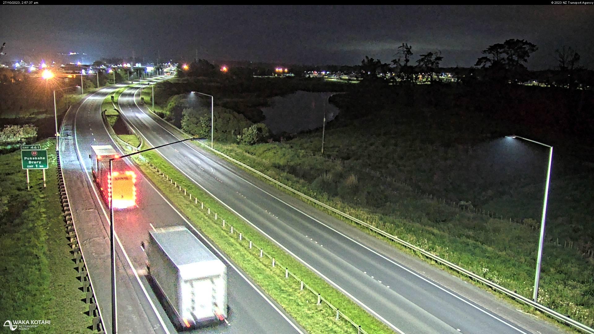
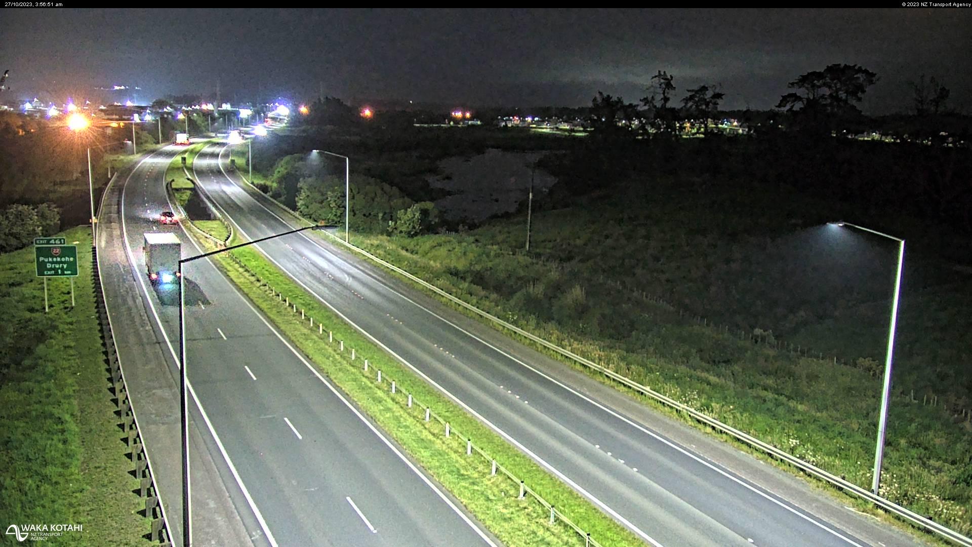
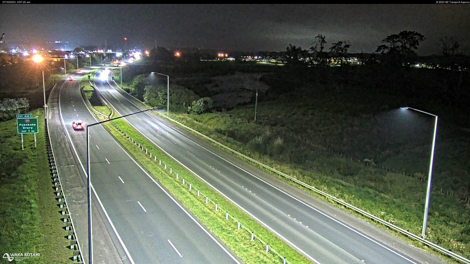
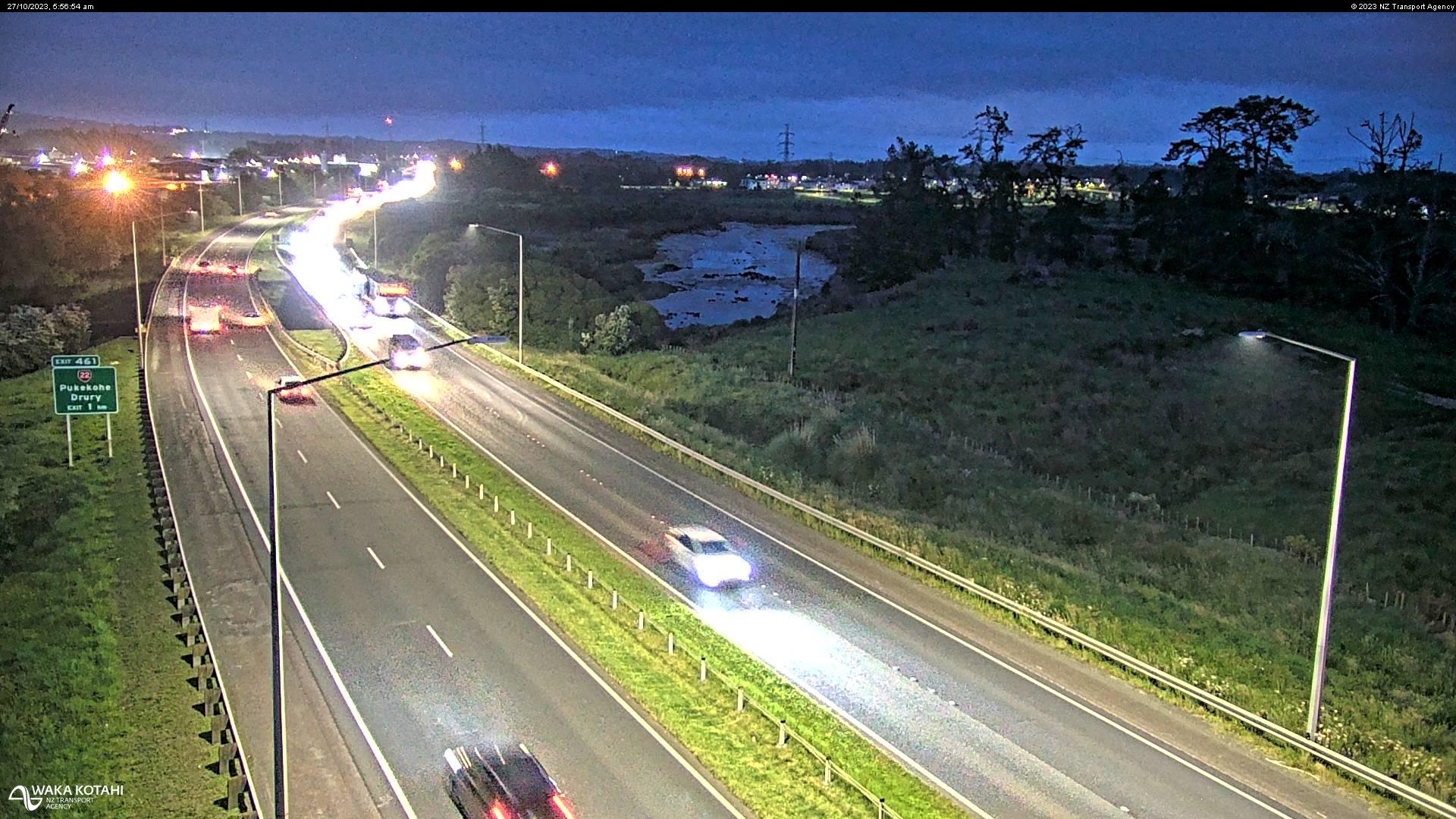
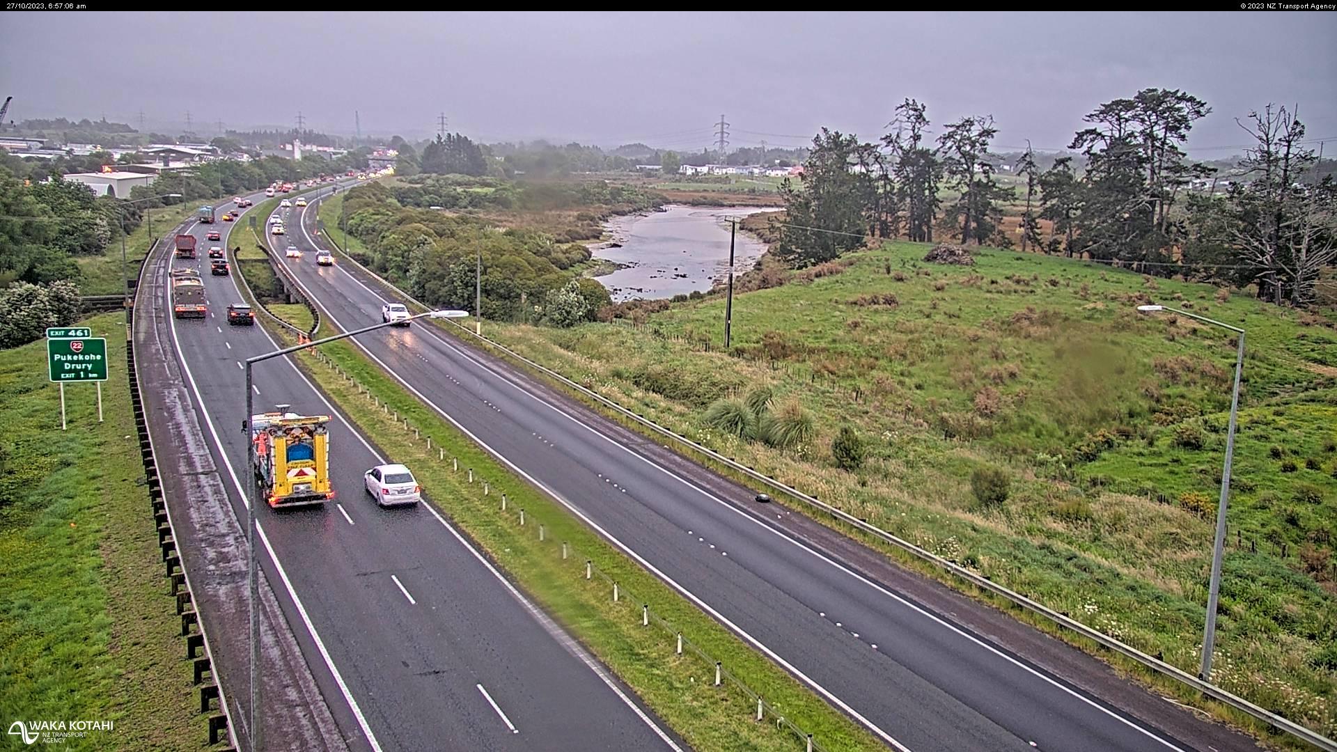
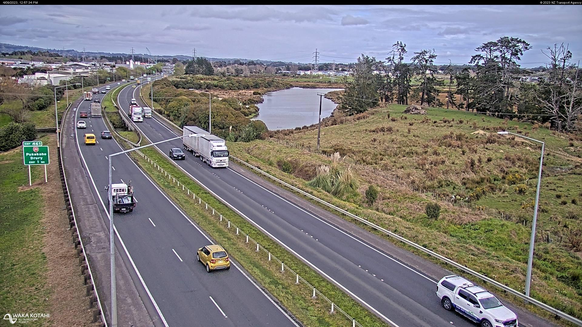
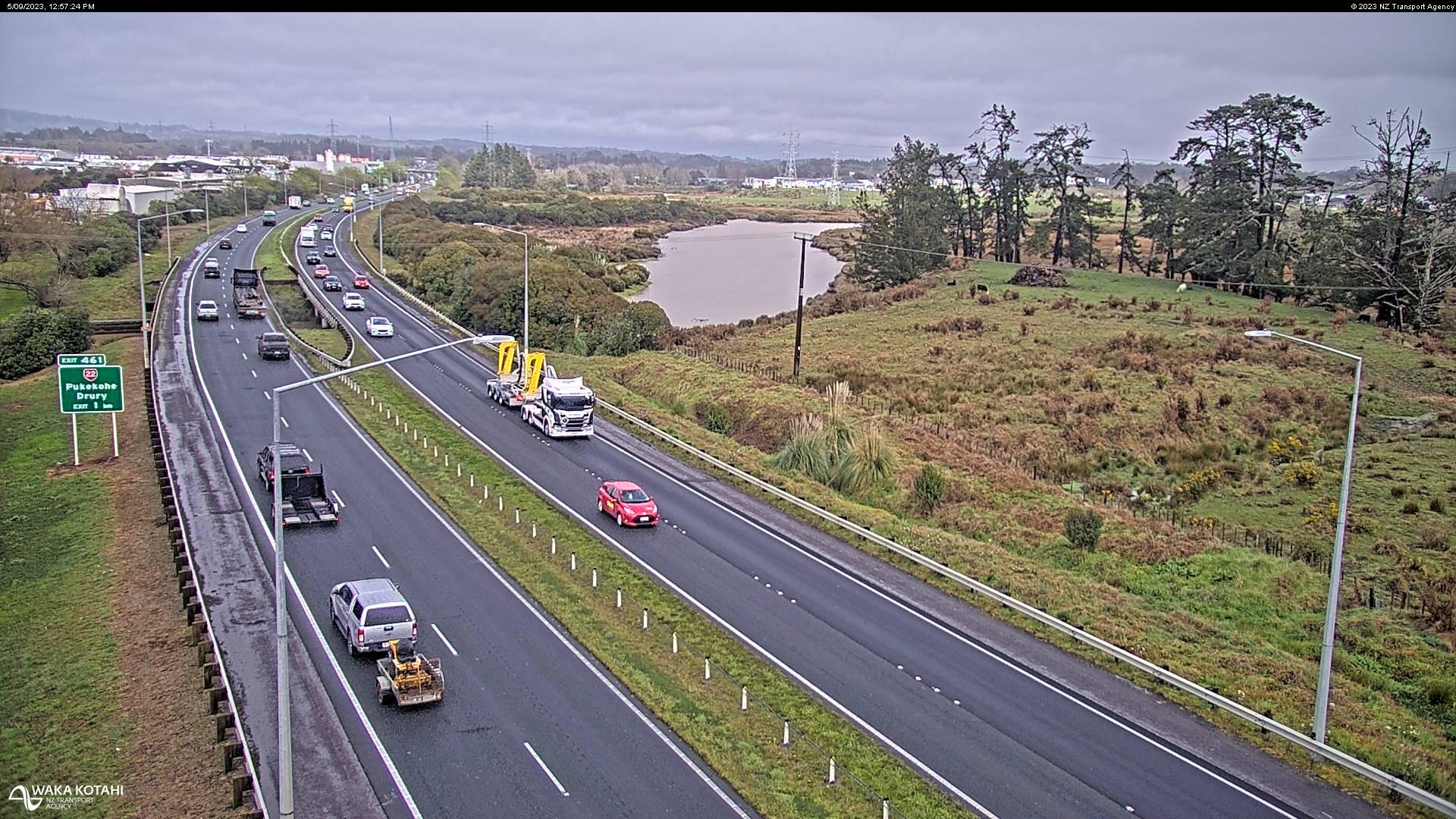
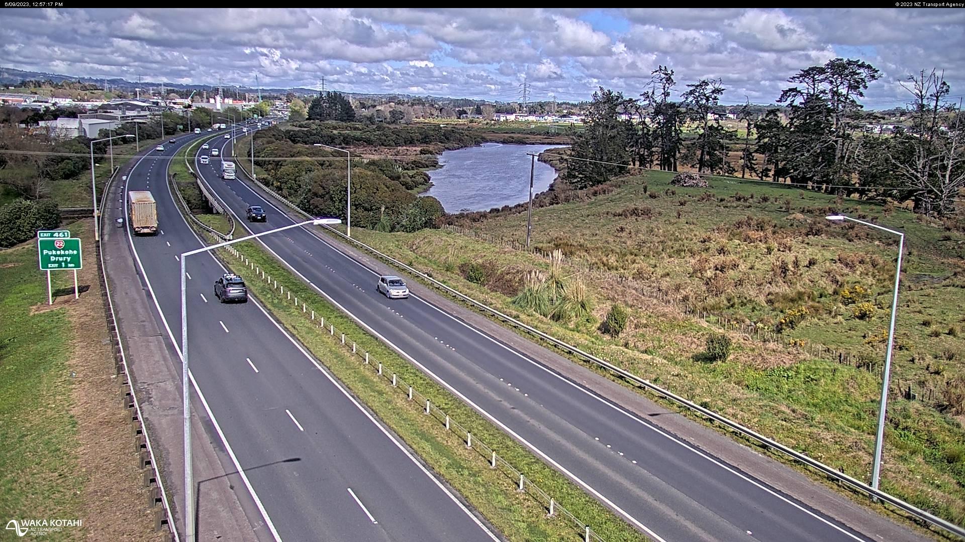
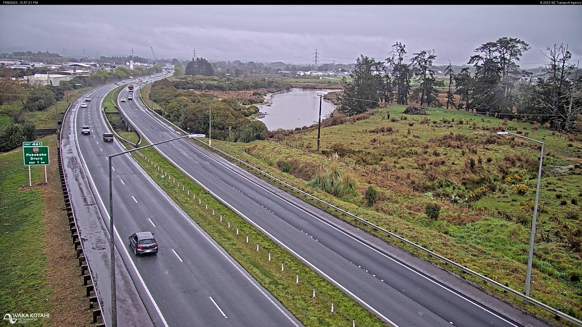
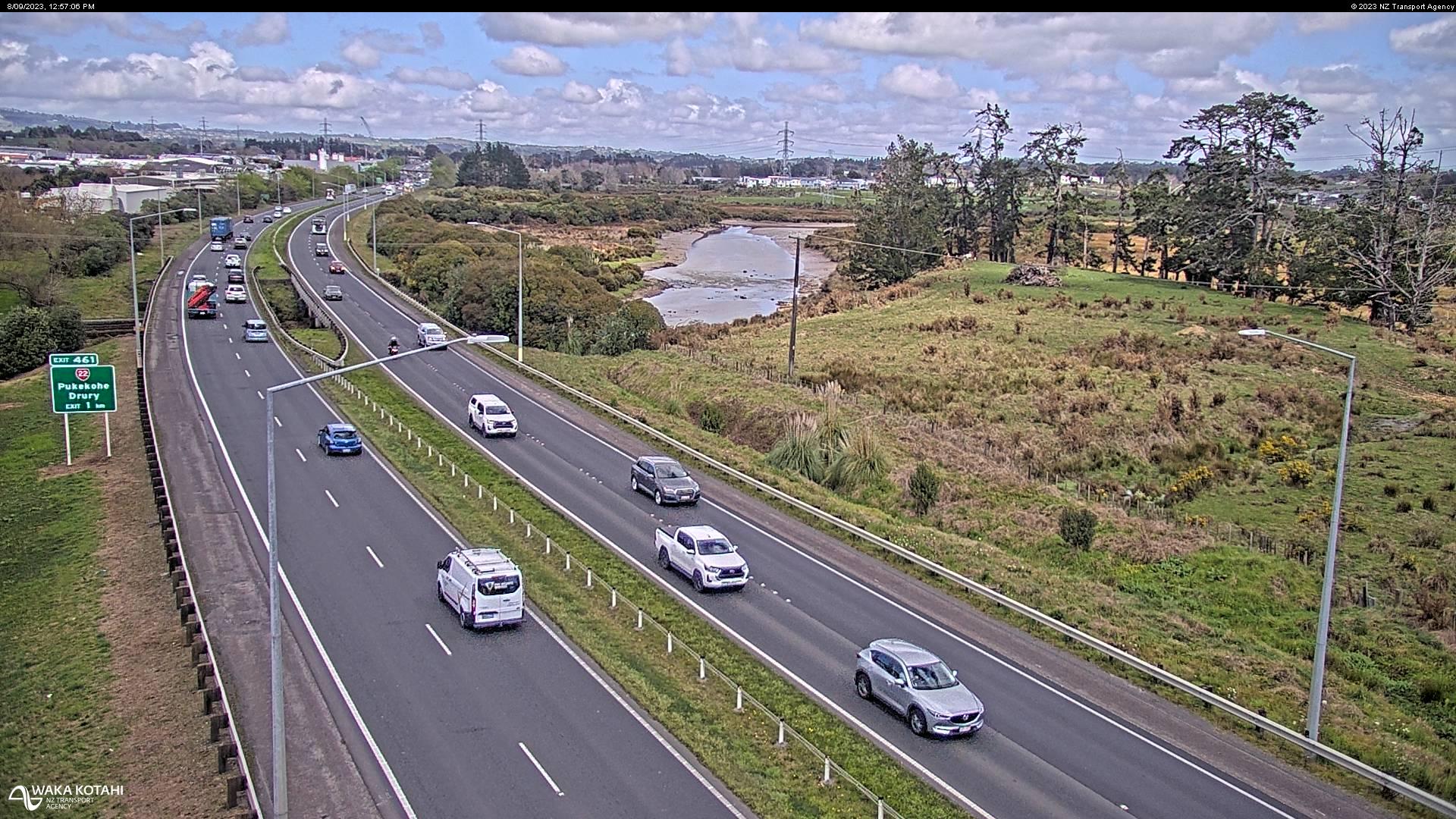
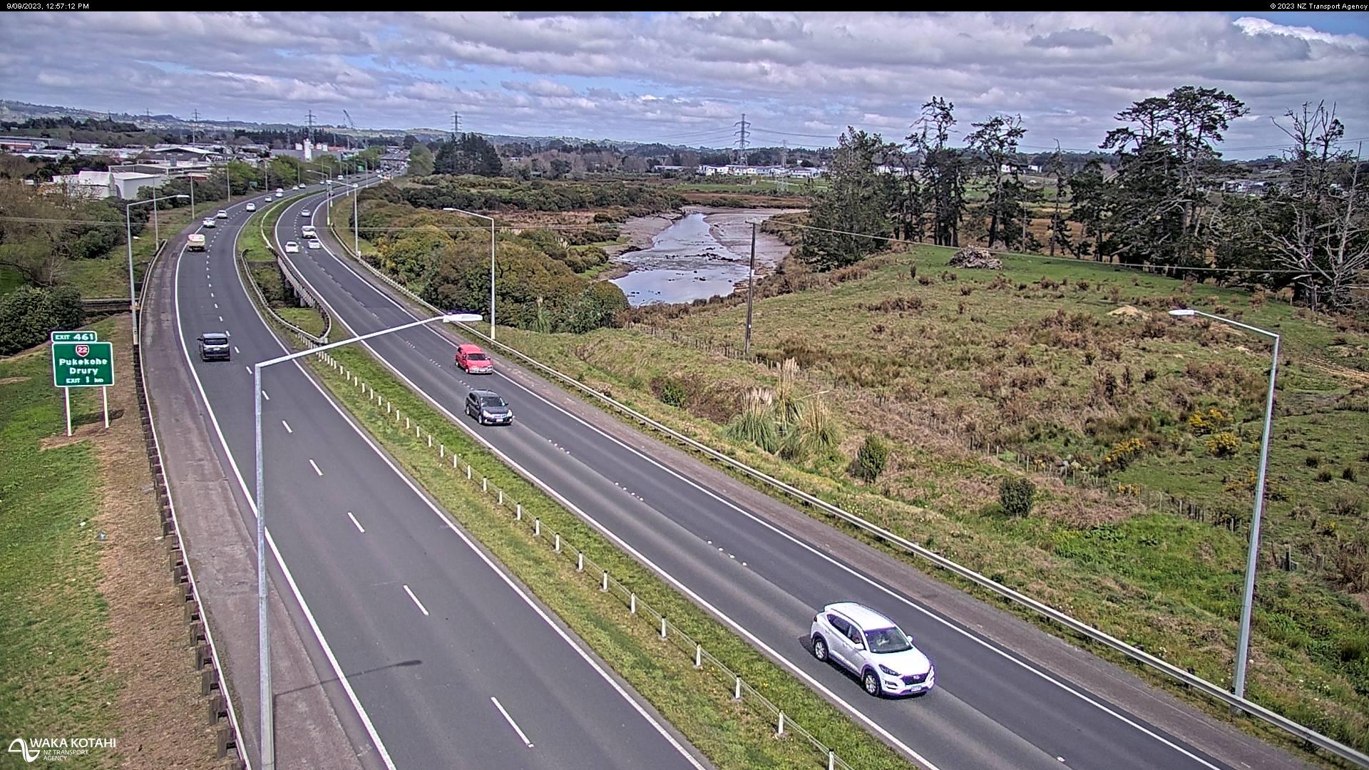
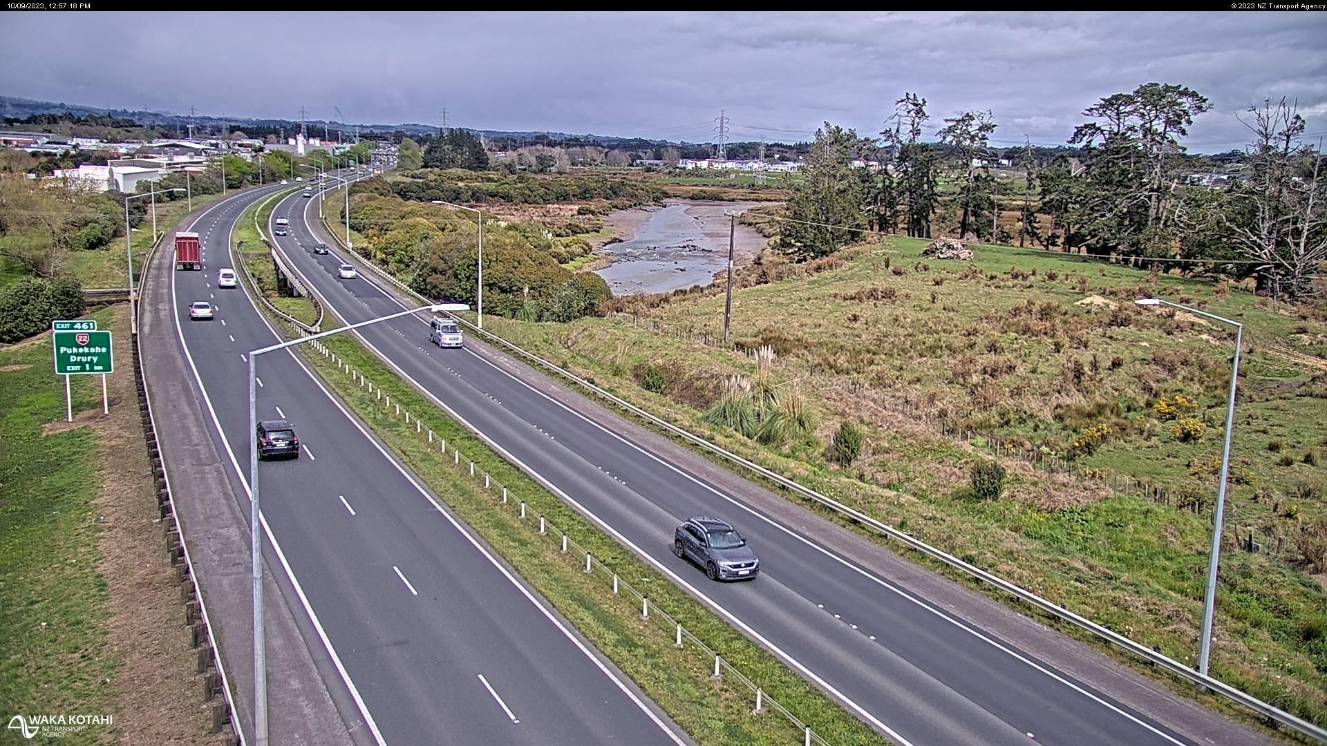
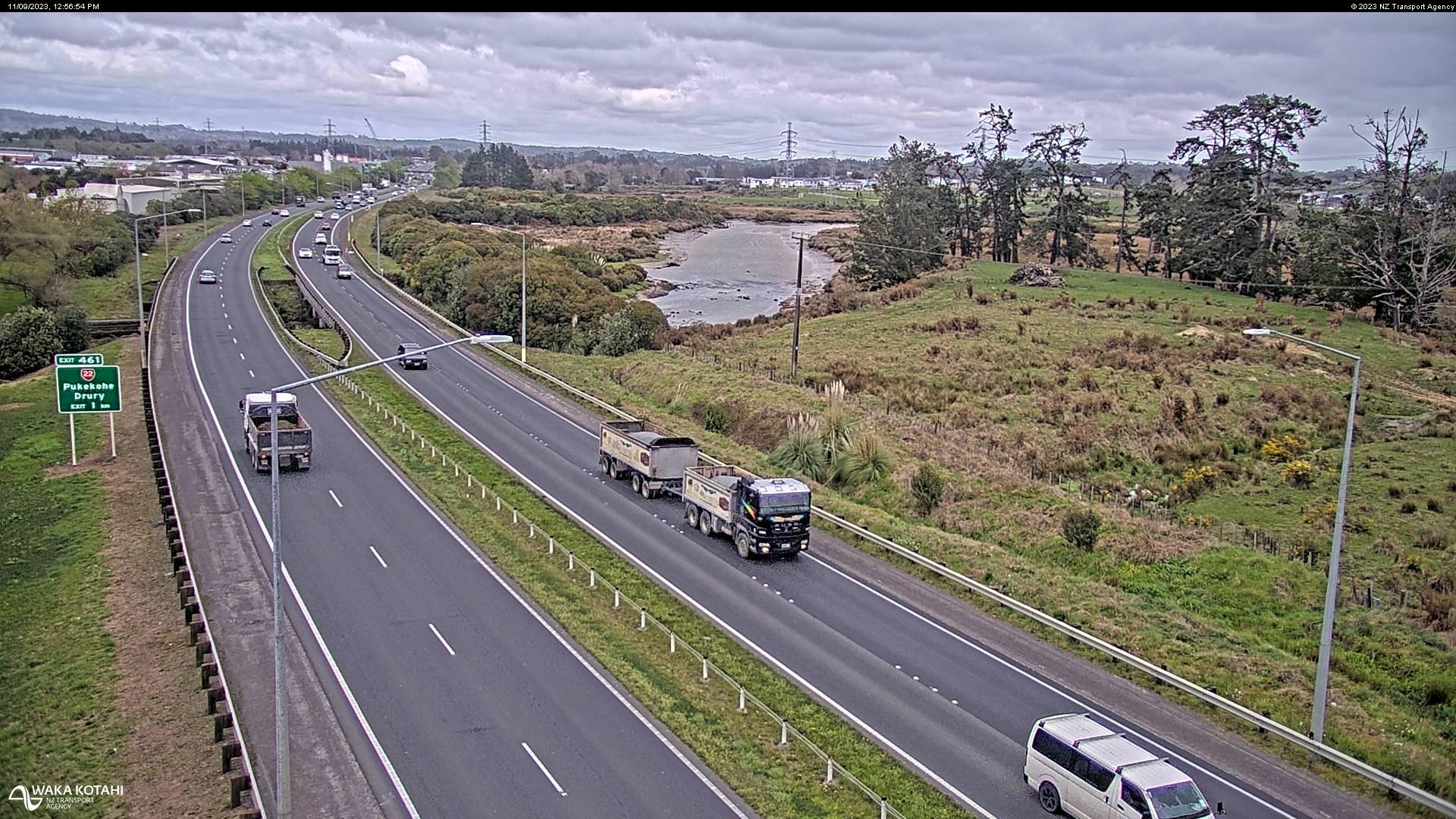
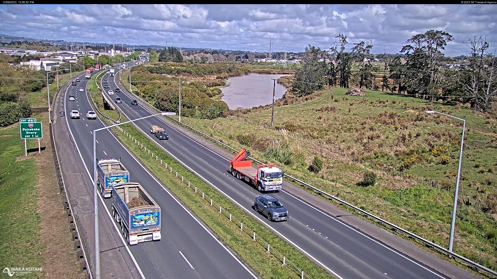
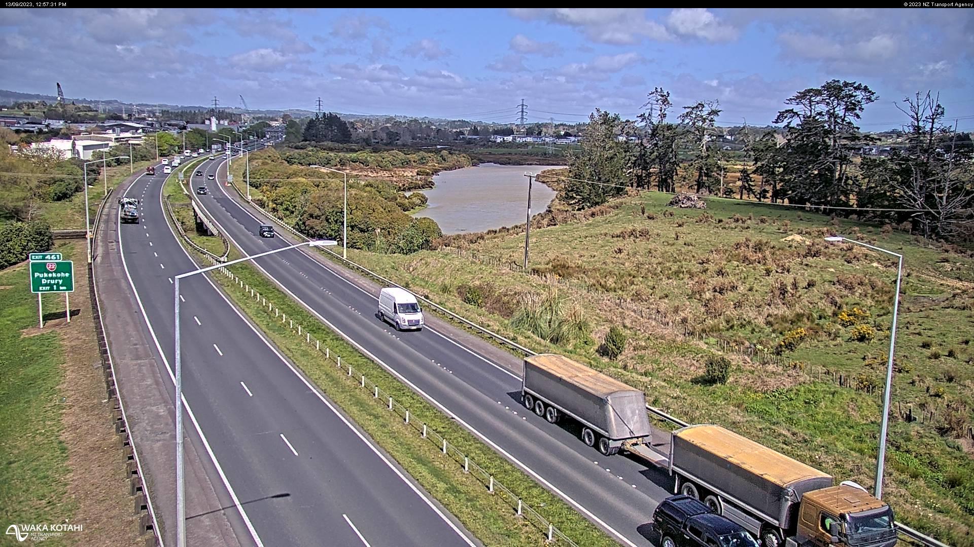
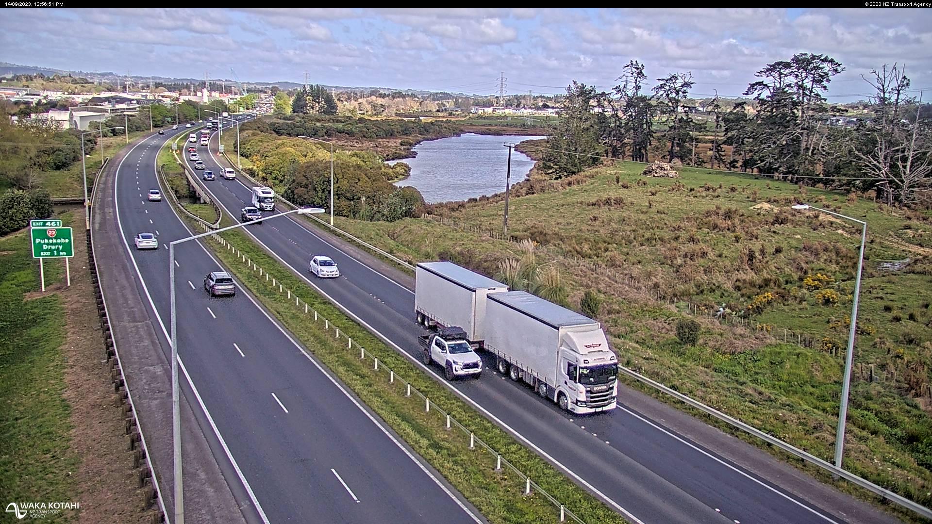
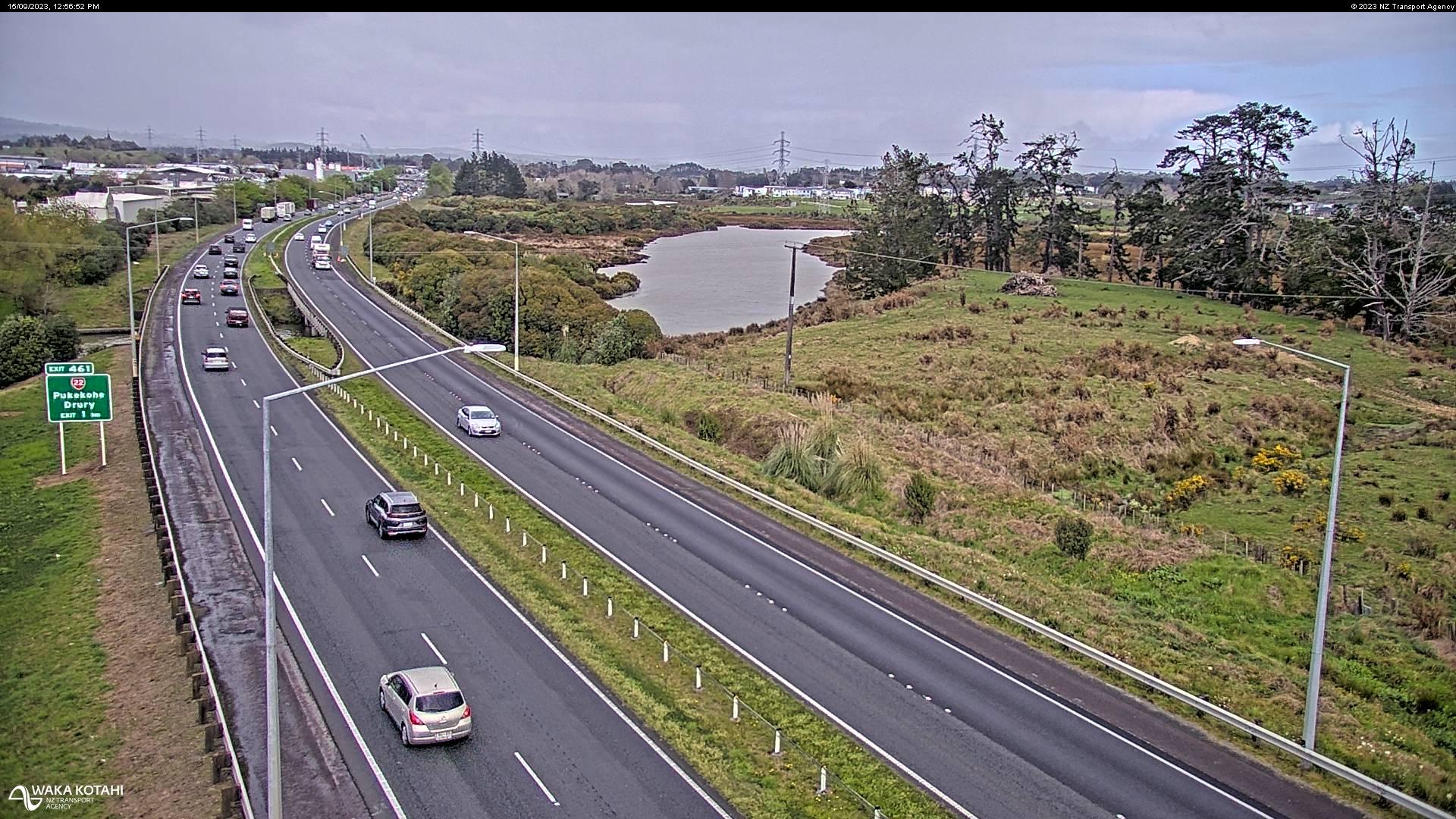
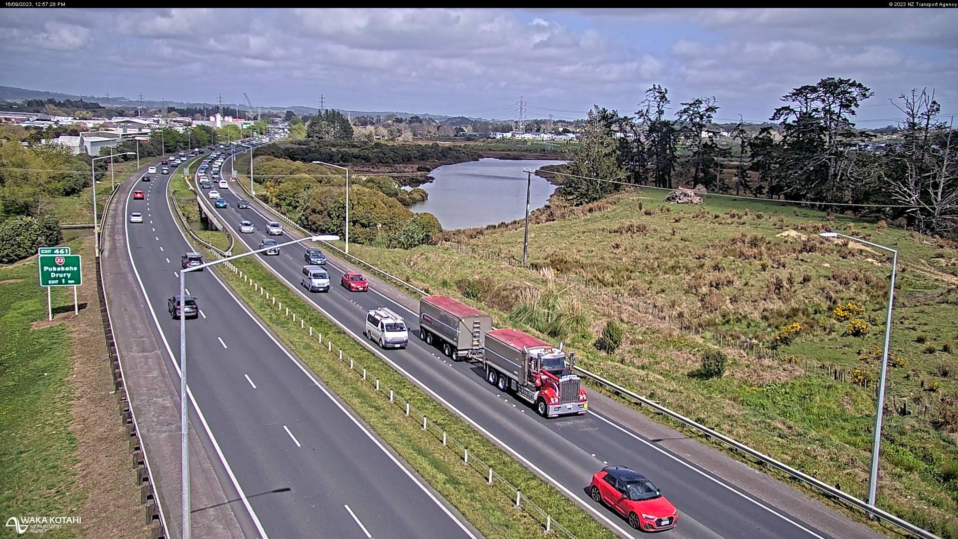
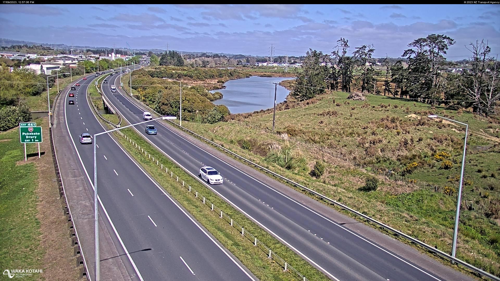
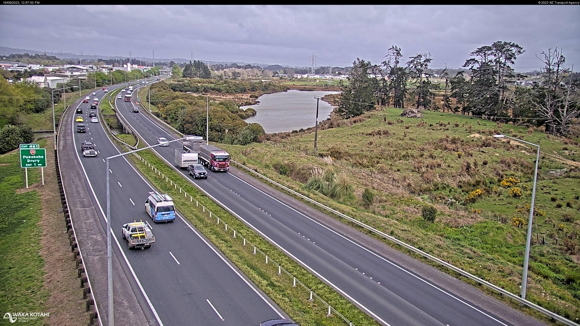
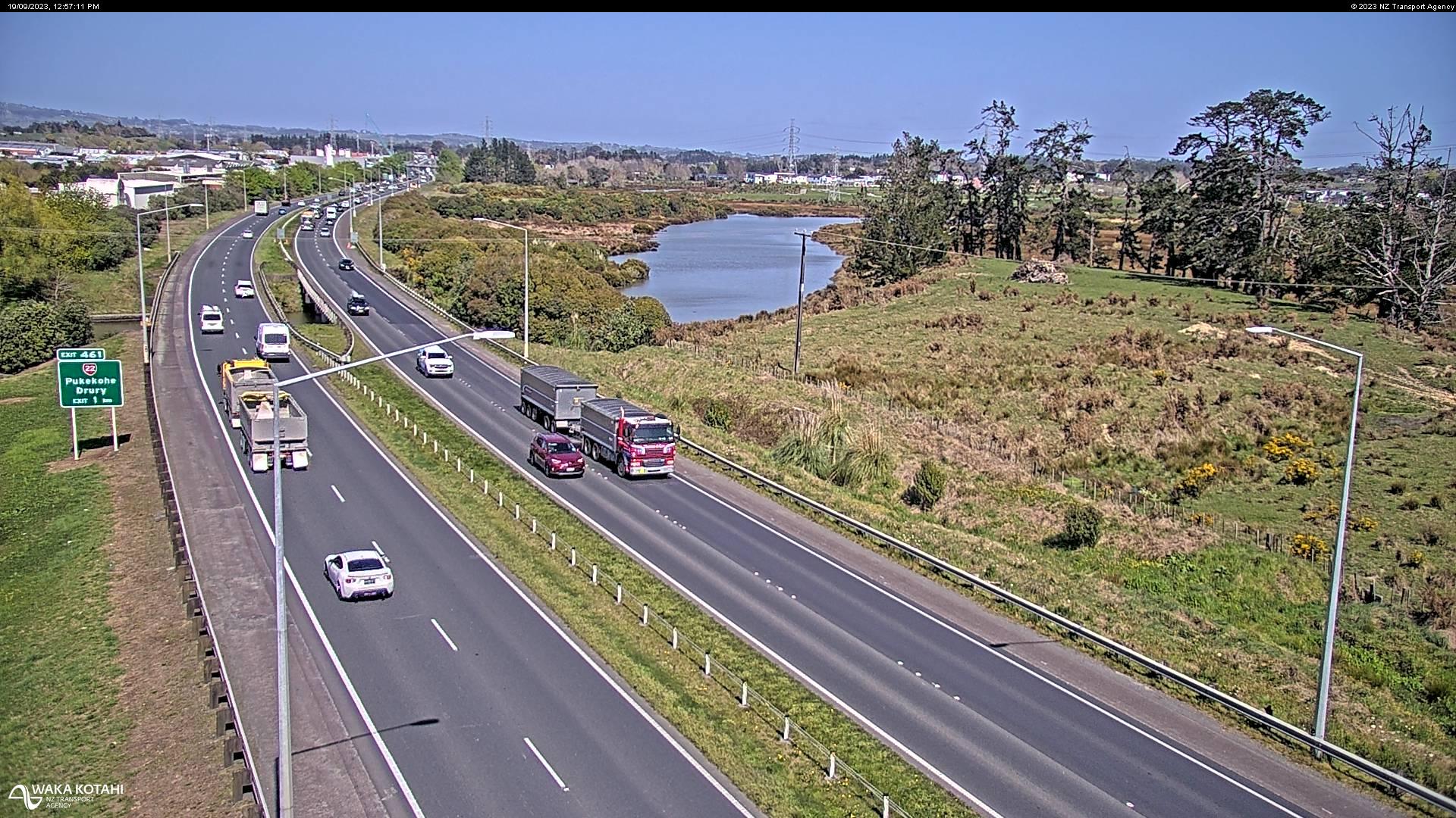
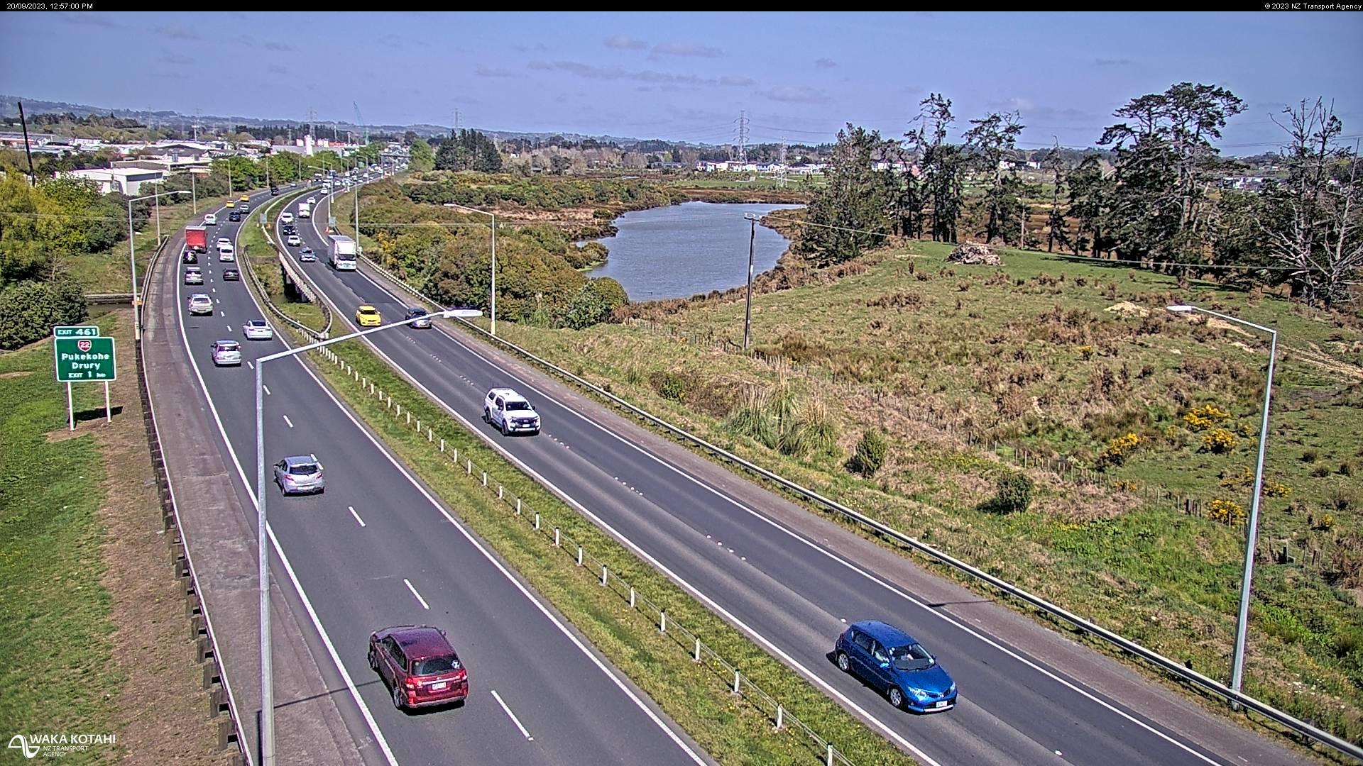
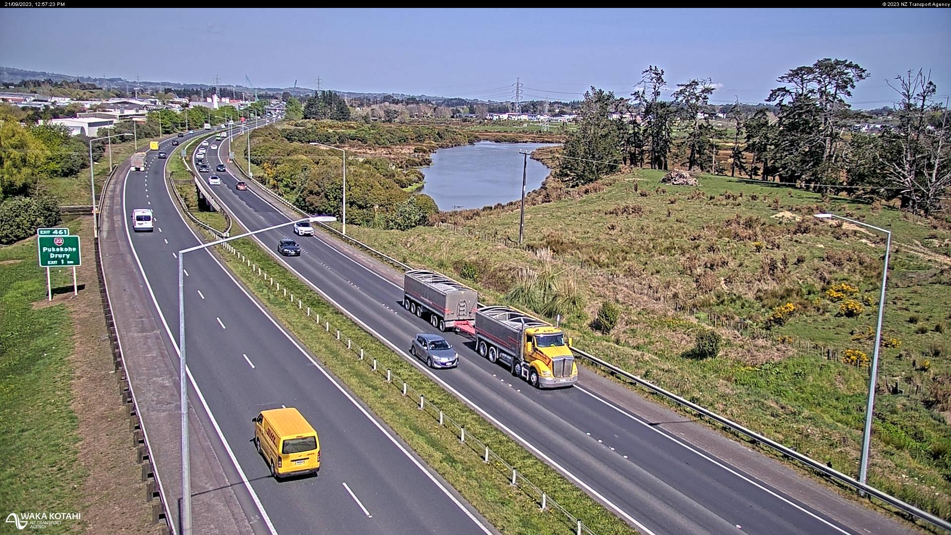
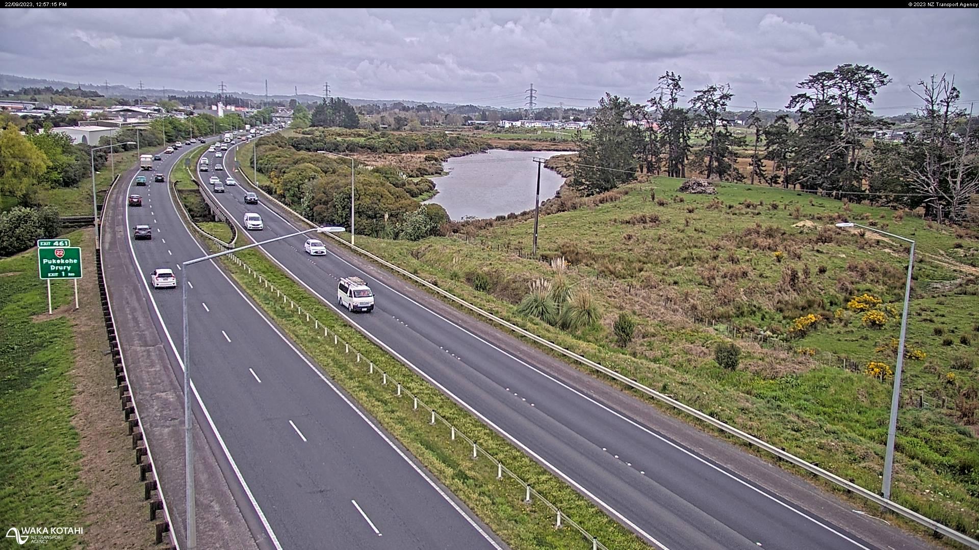
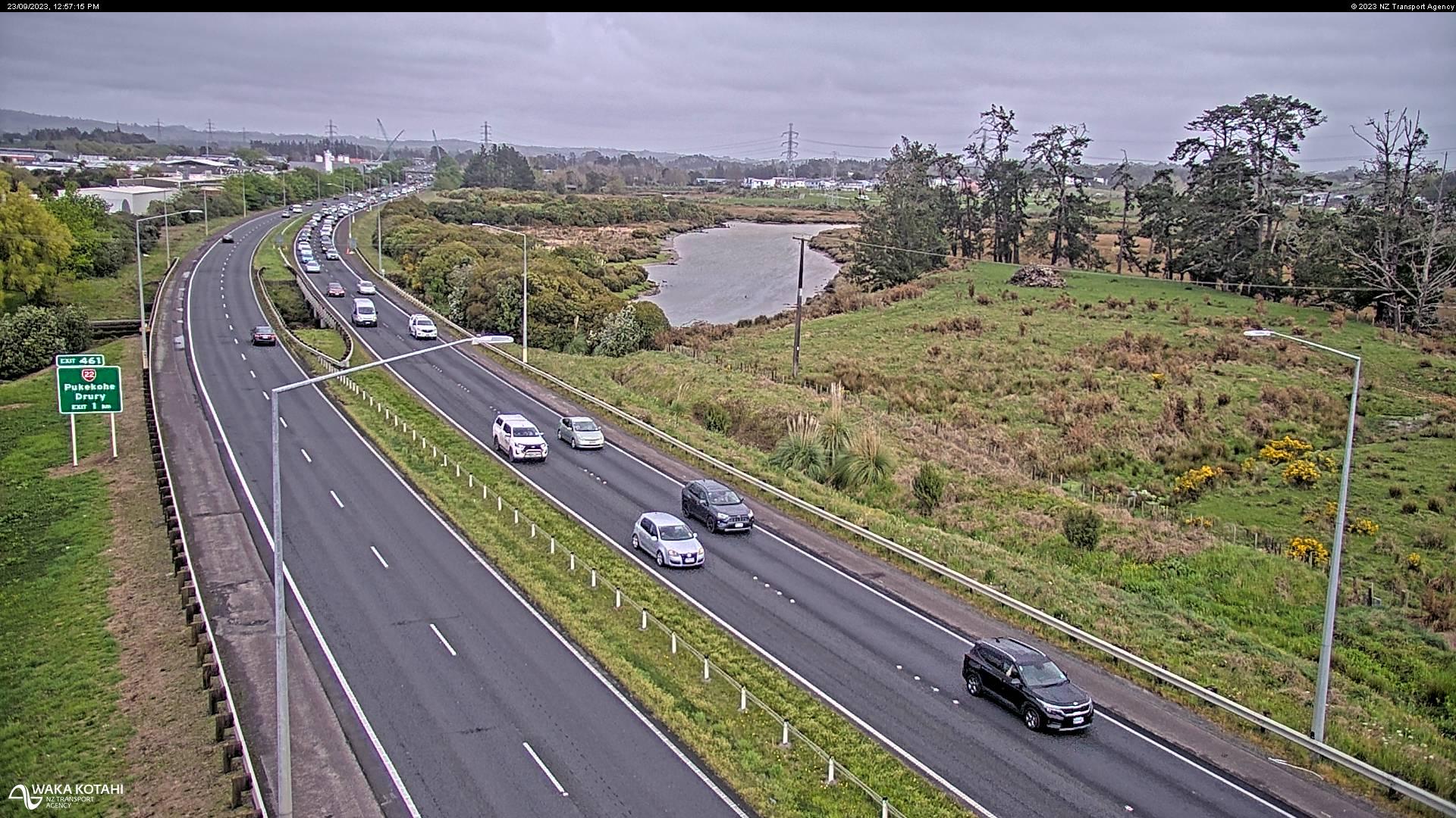
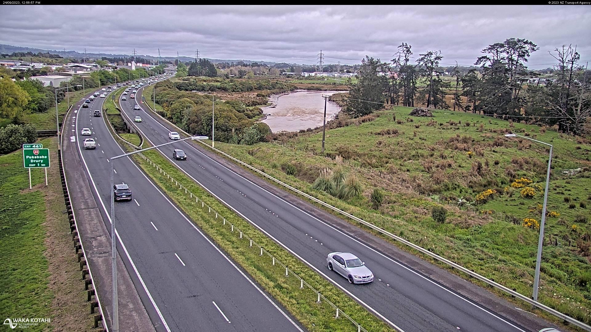
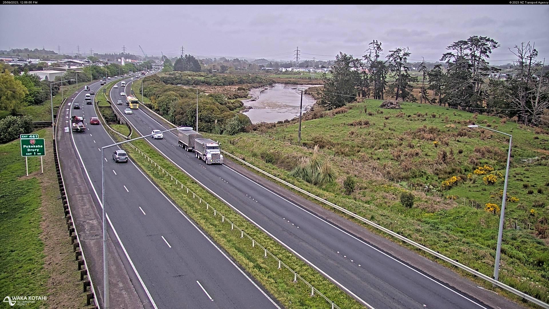
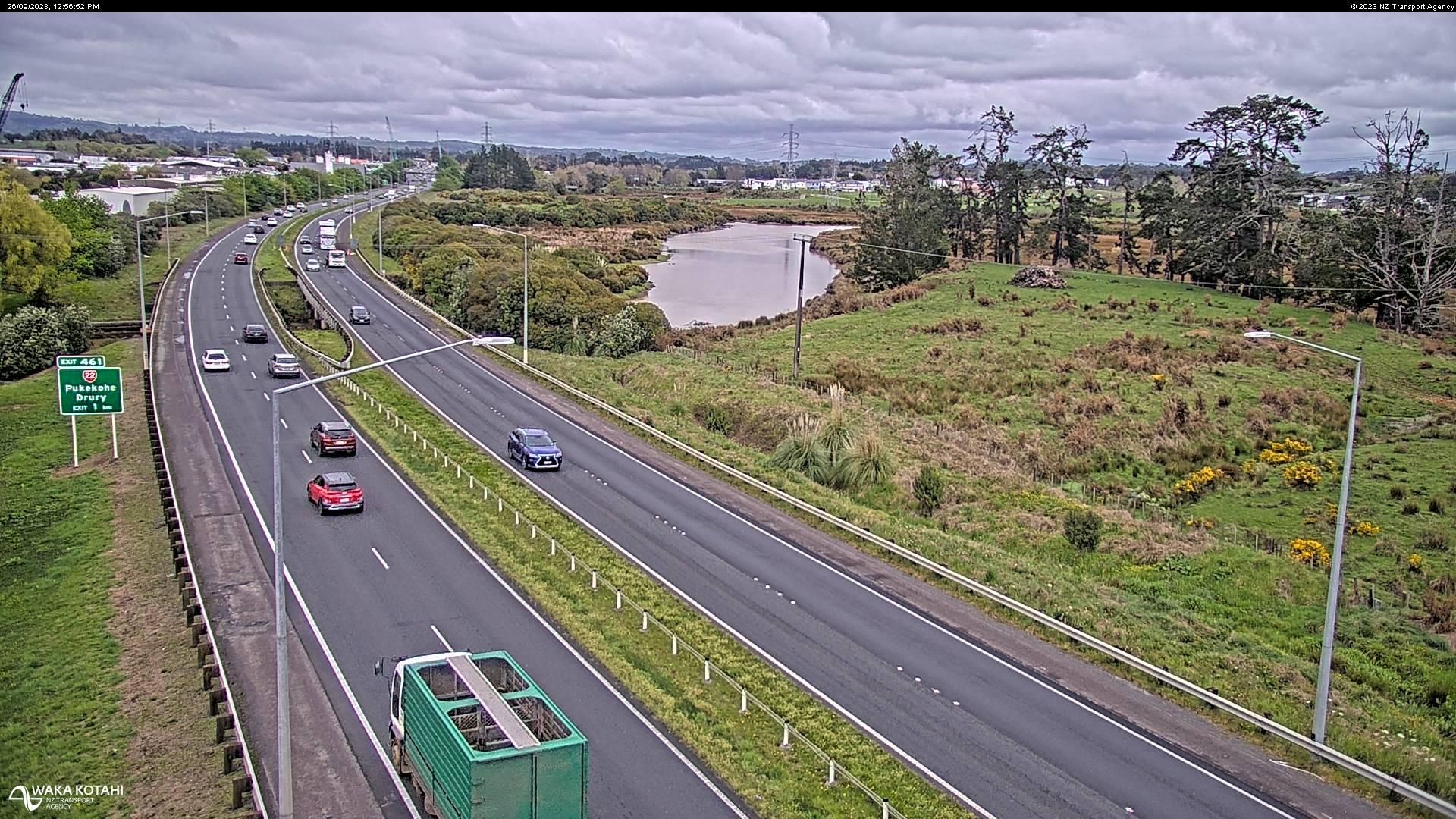
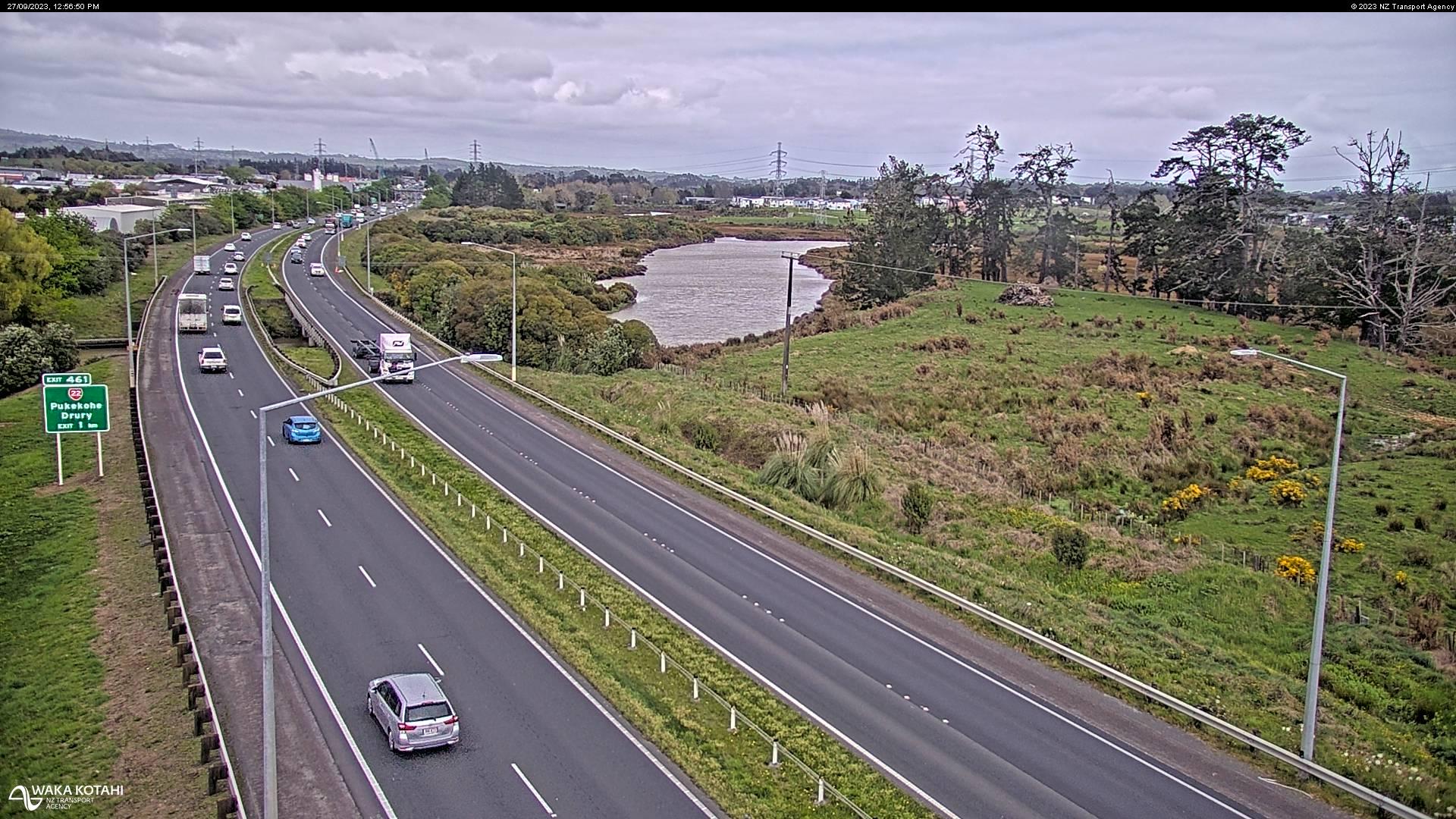
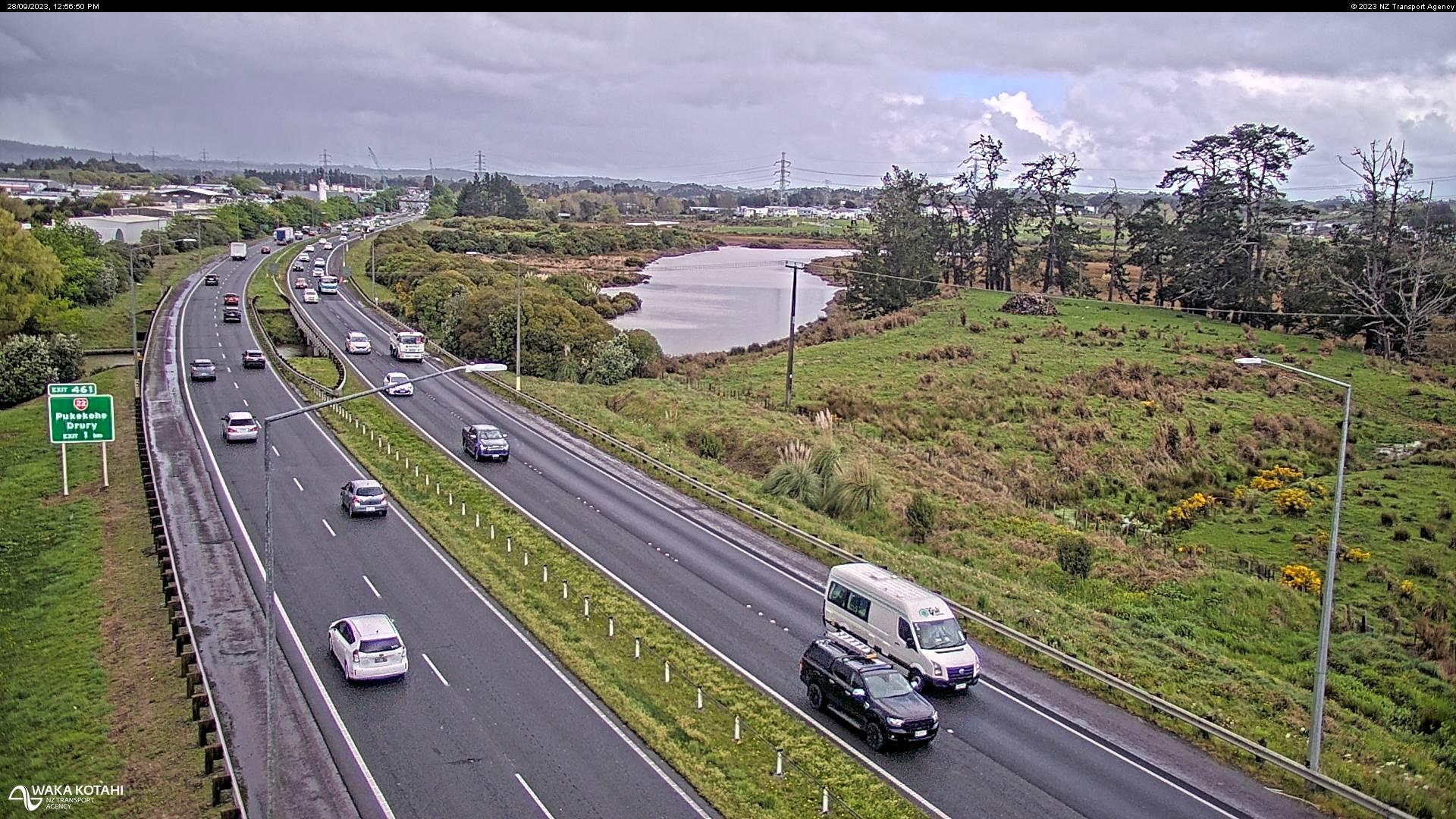
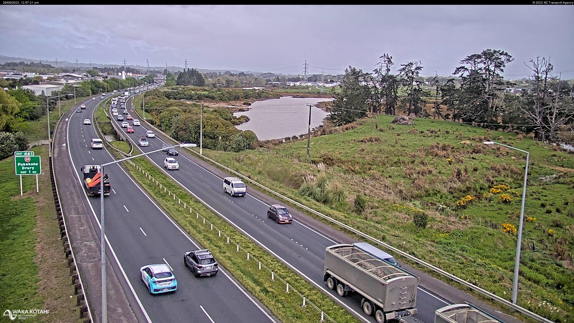
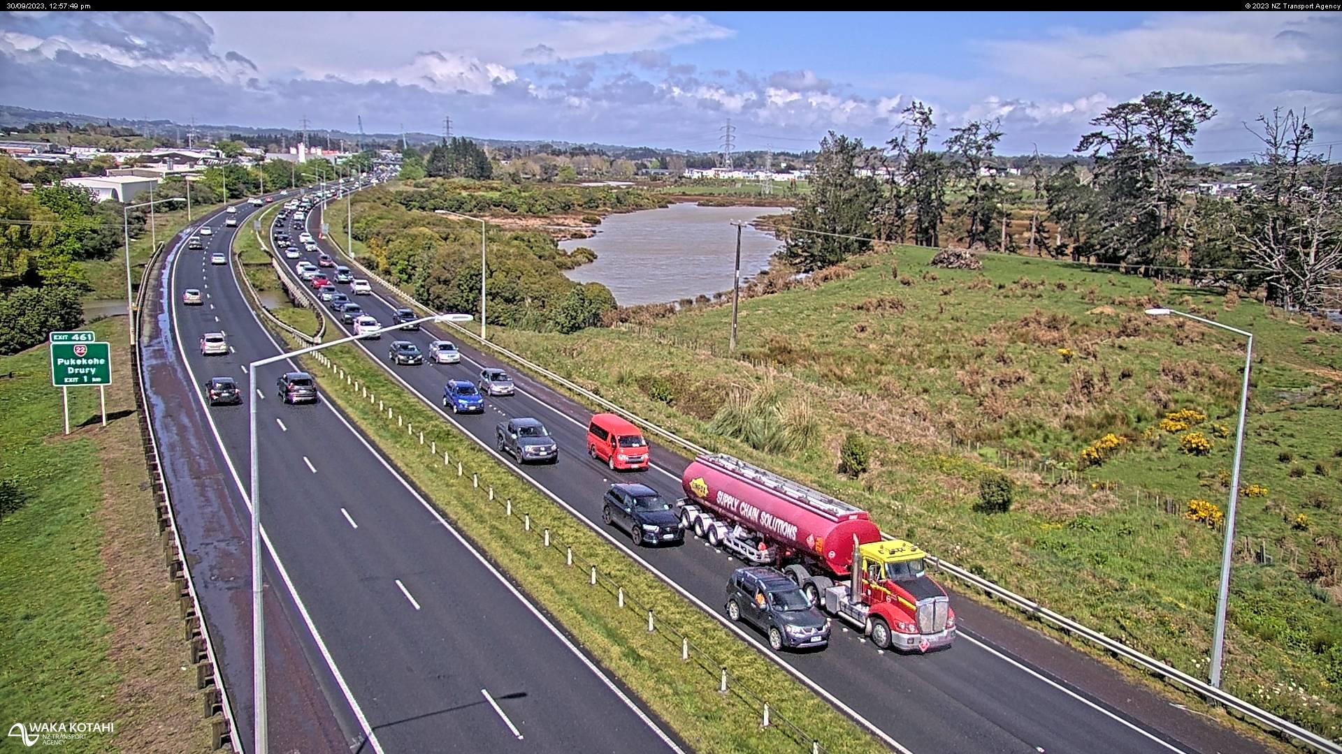
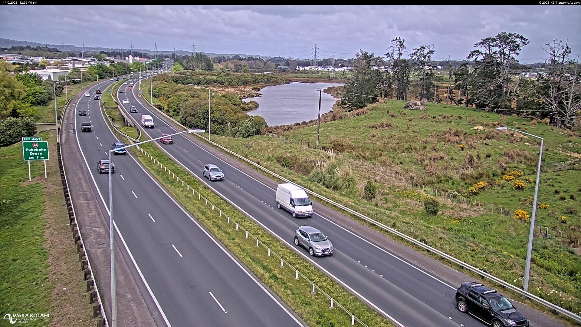
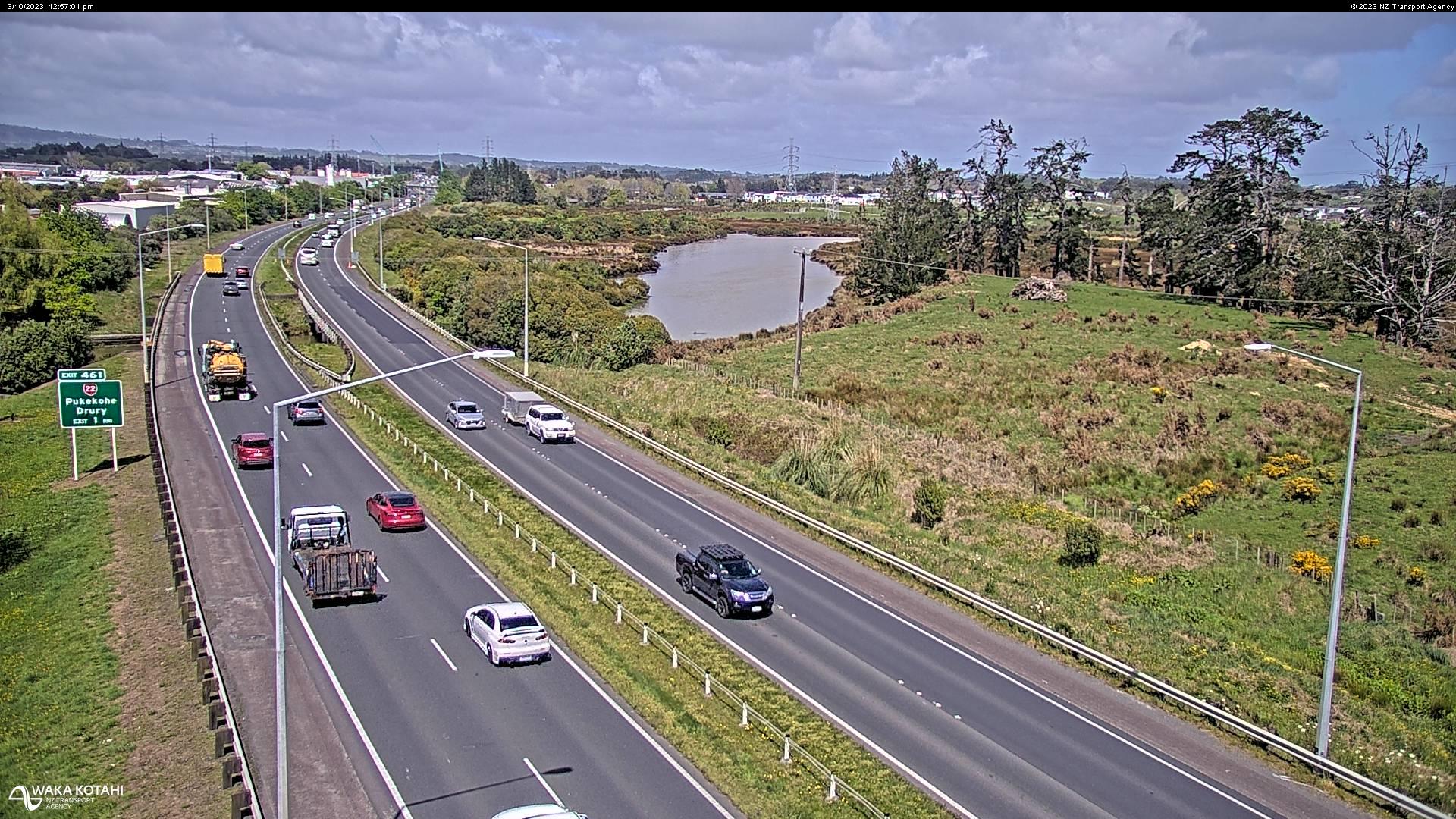
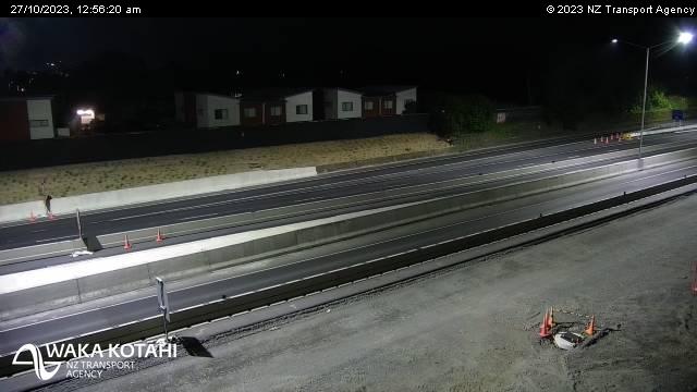
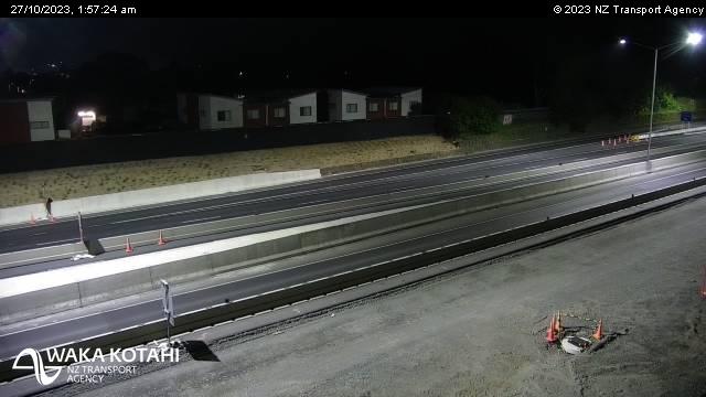
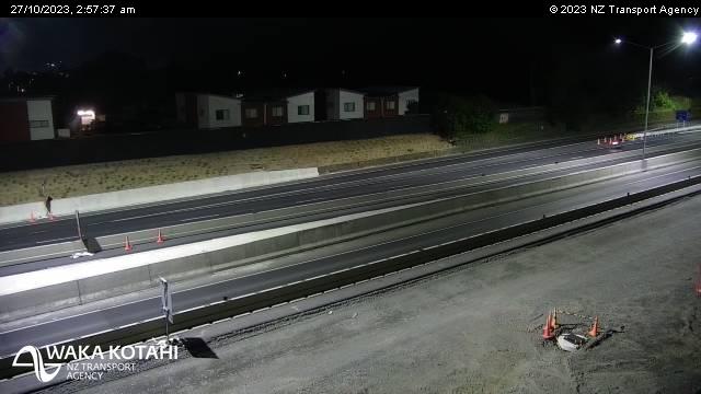
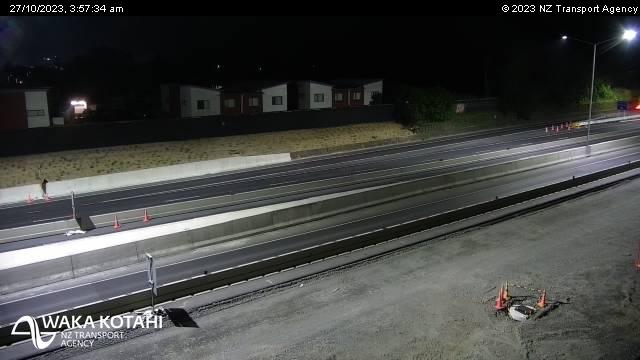
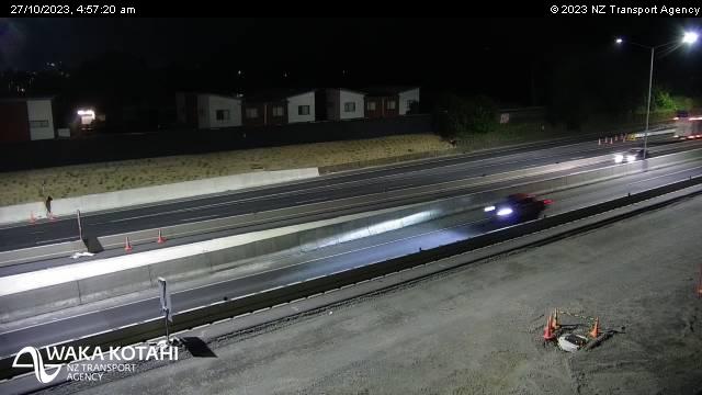
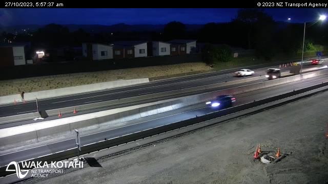
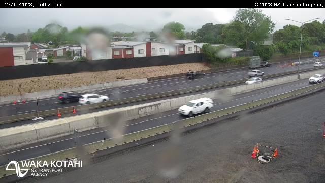
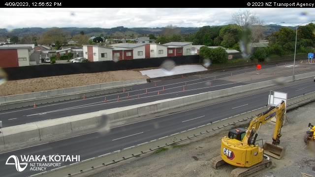
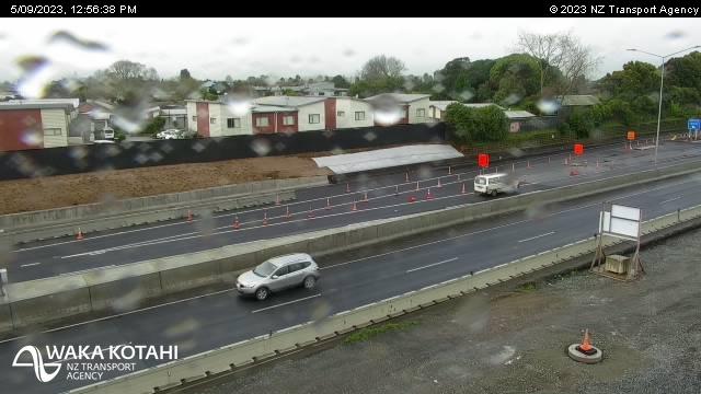
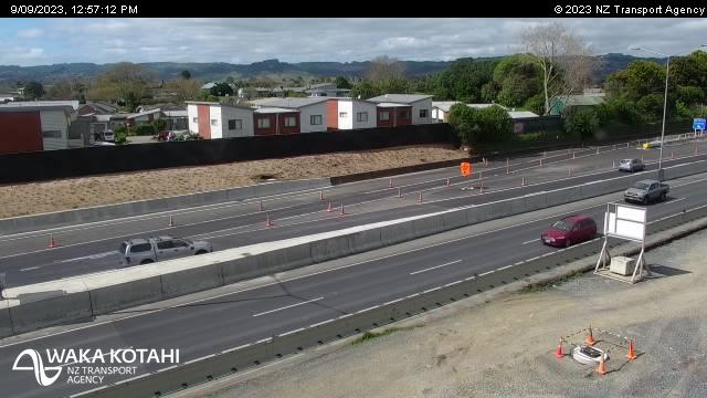
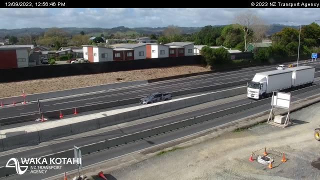
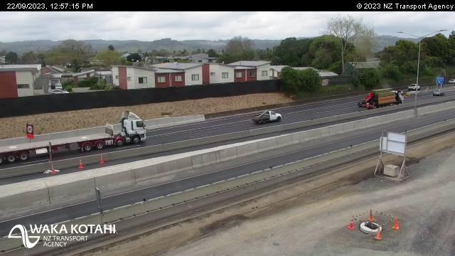
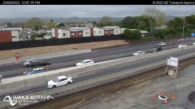
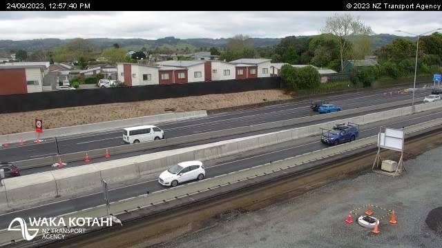
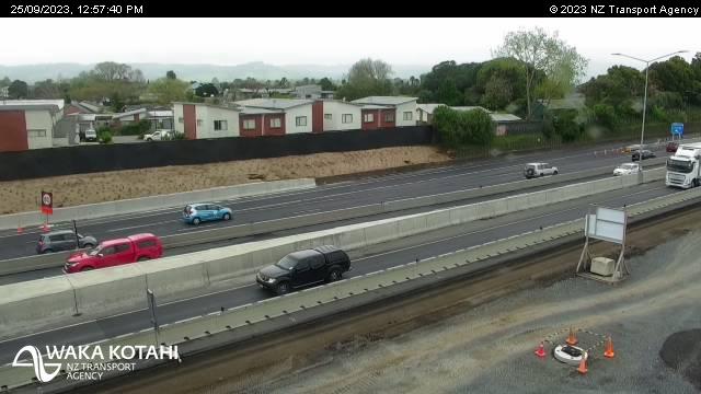
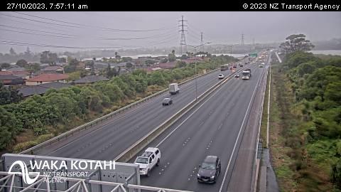
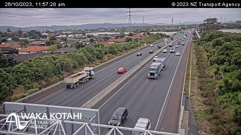
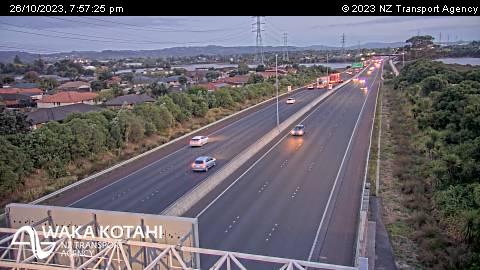
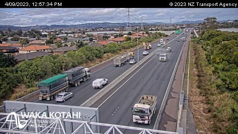
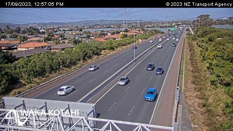
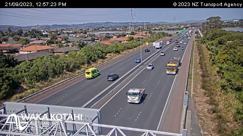
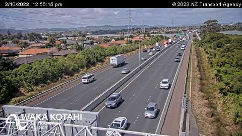
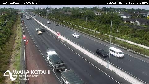
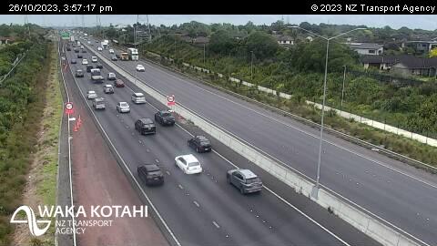
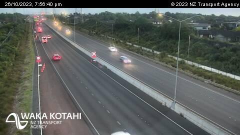
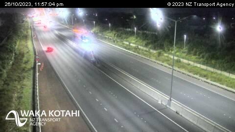
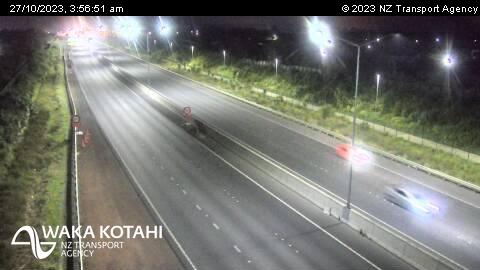
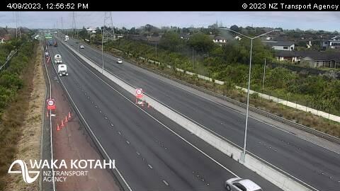
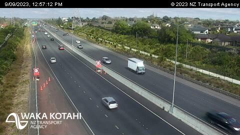
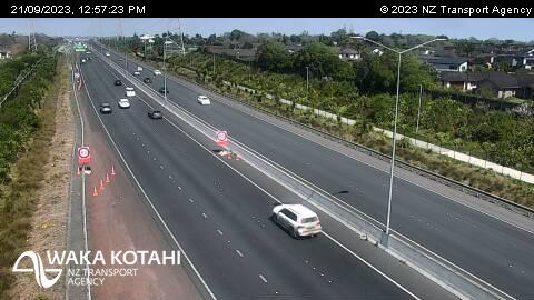
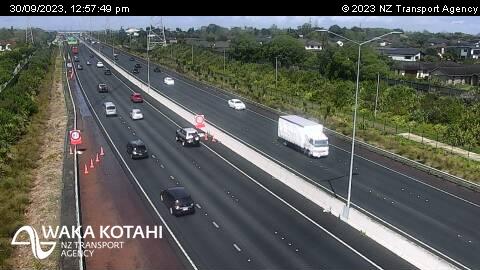
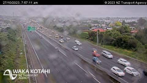
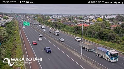
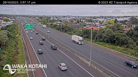
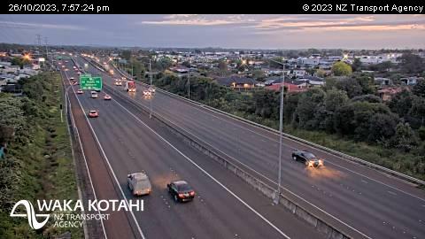
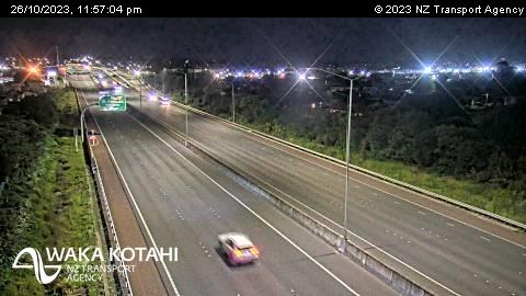
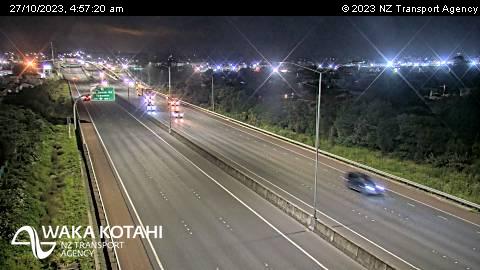
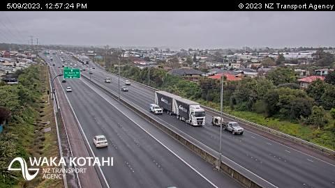
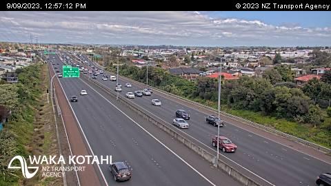
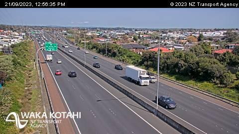
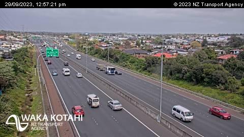
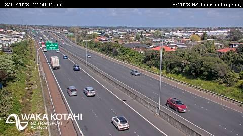
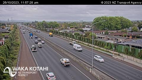
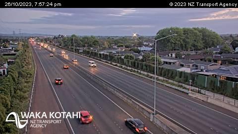
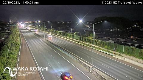
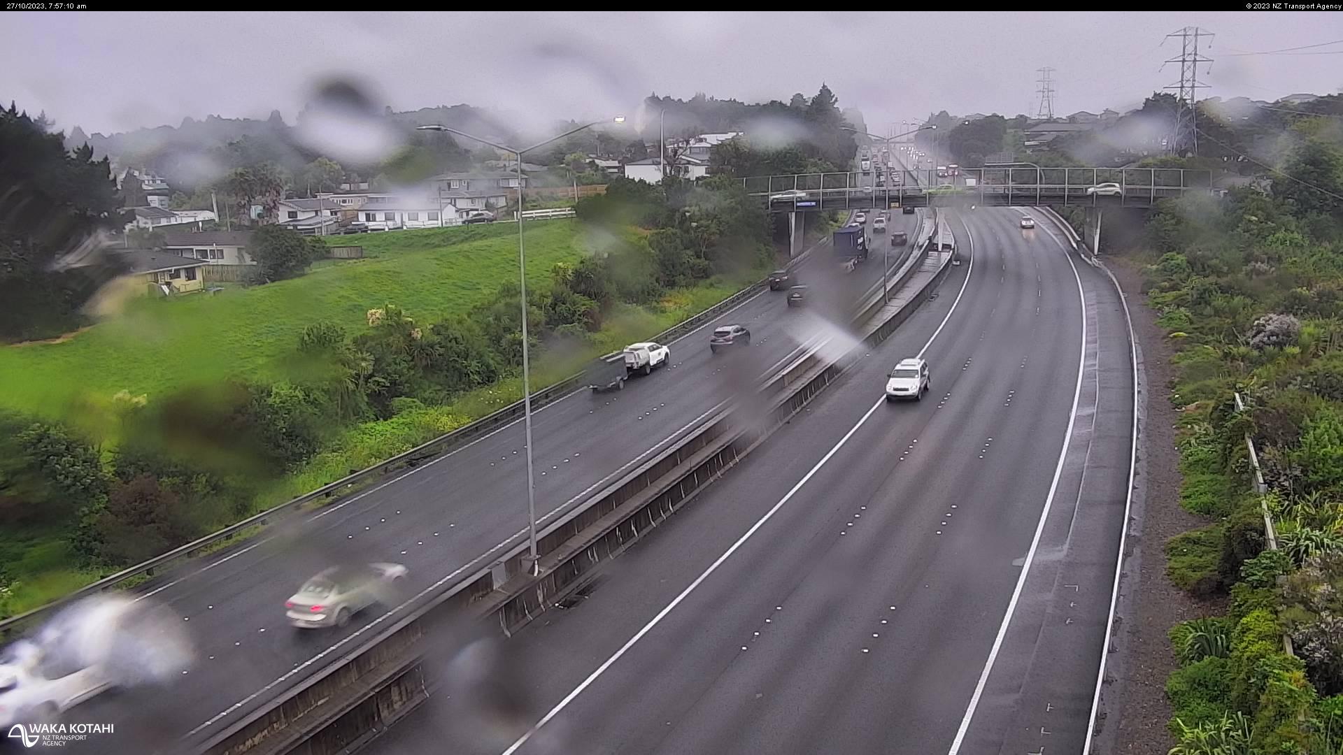
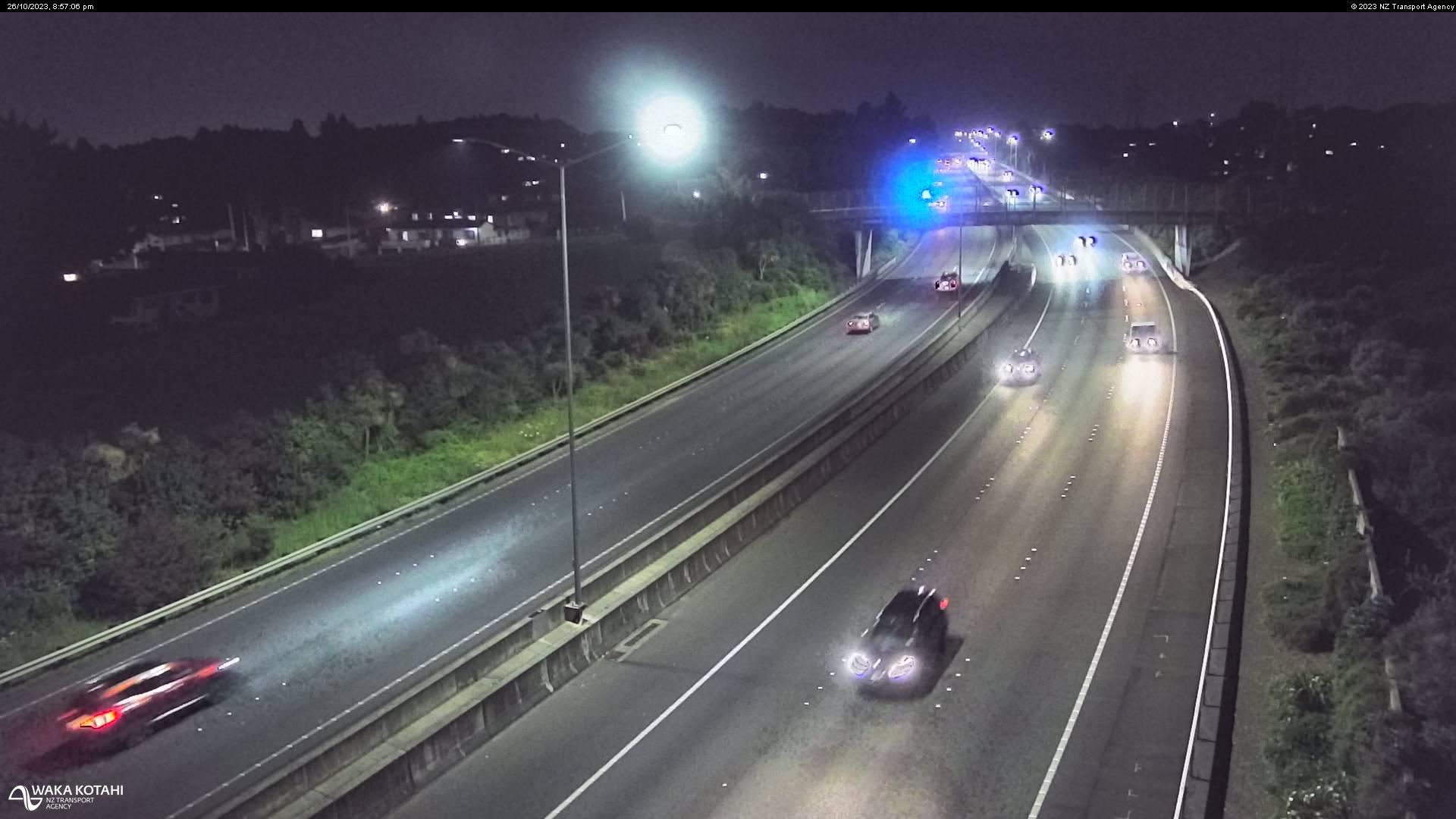
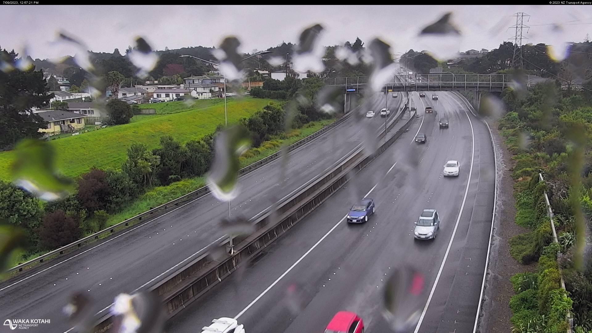
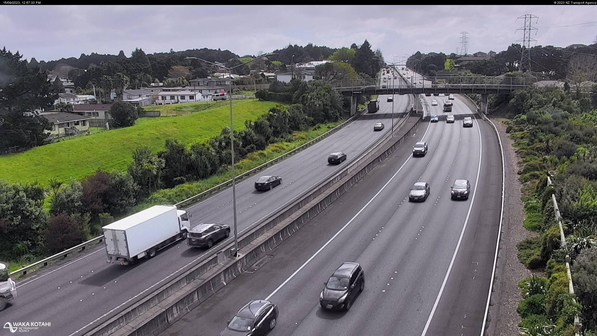
Drury, New Zealand - 208 miles from Poukawa: Traffic SH1, Slippery Creek - A view of the current traffic conditions in southern direction.
Operator: NZ Transport Agency
Operator: NZ Transport Agency


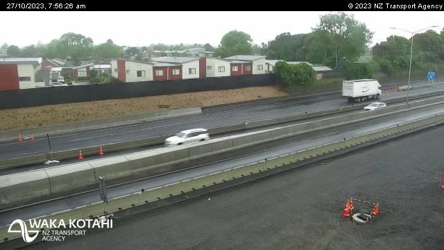
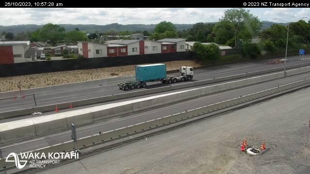
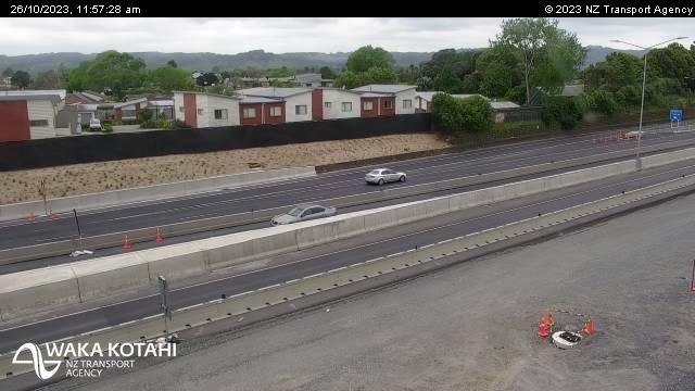
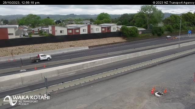
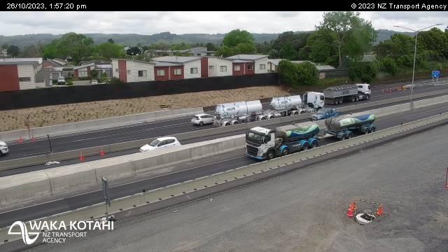
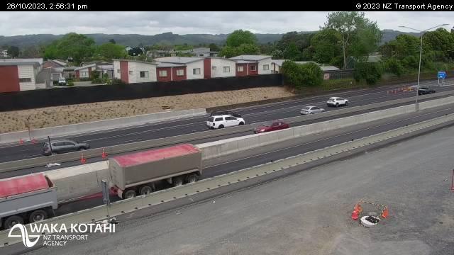
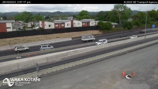
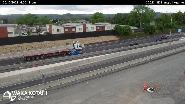
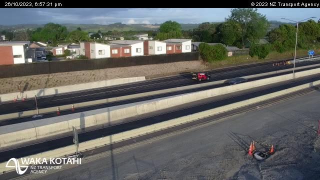
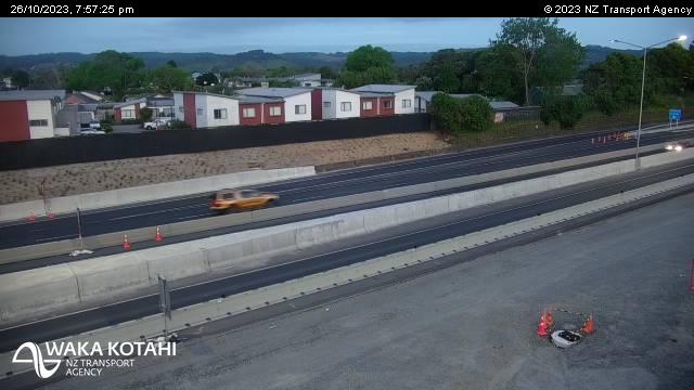
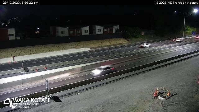
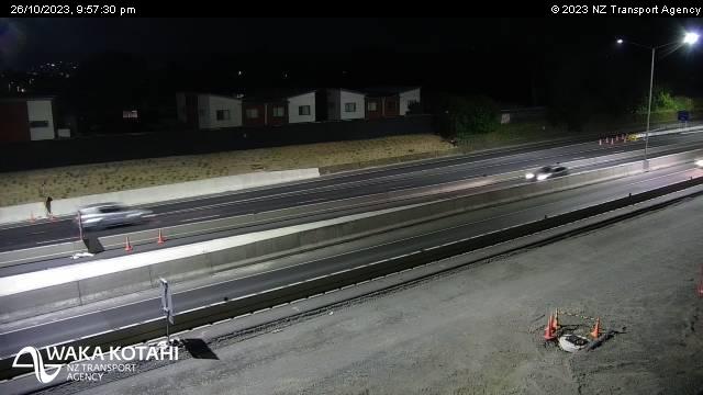
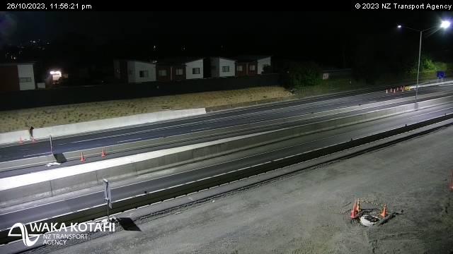
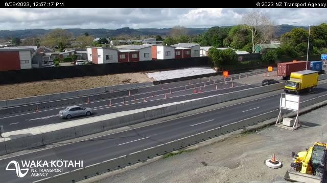
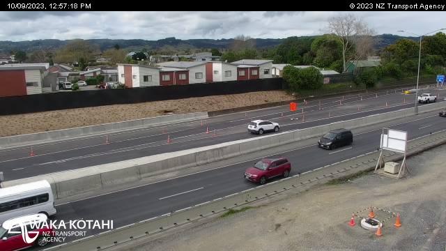
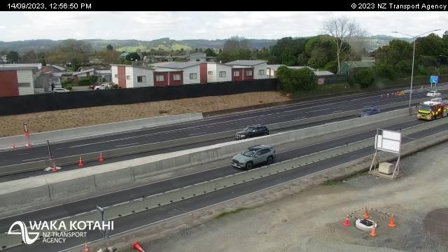
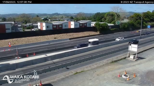
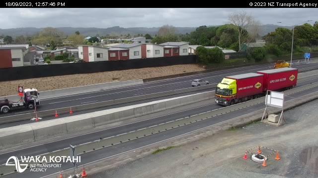
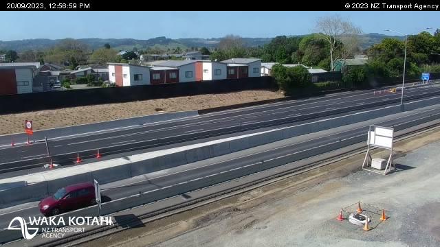
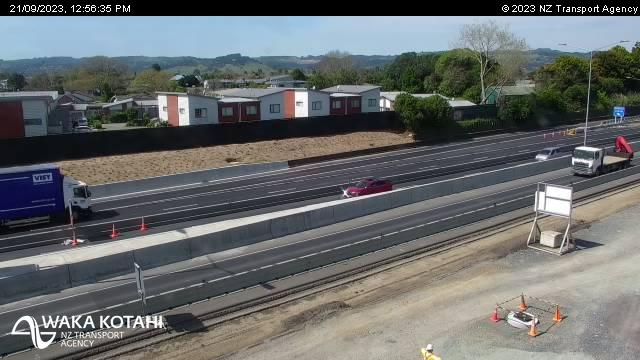
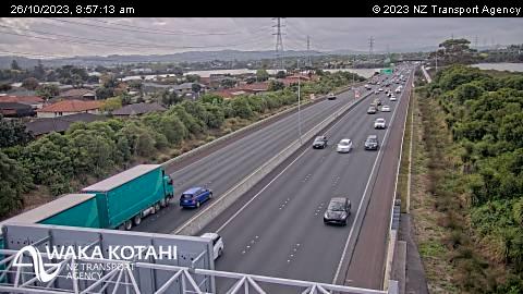
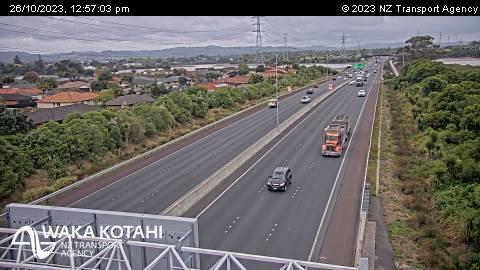
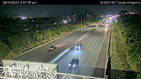
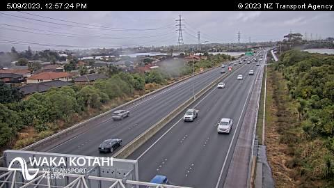
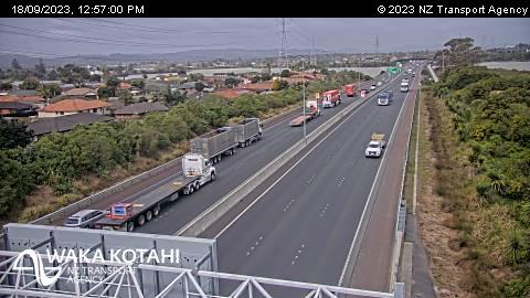
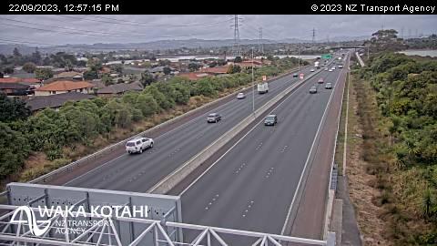
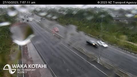
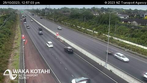
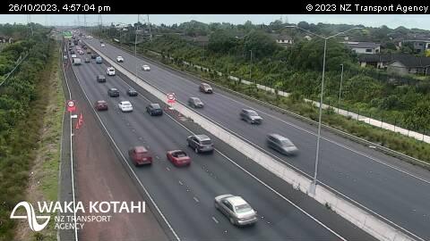
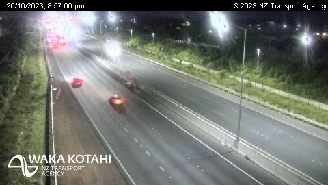
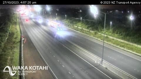
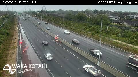
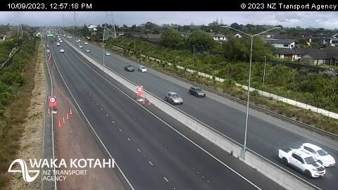
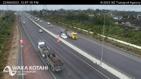
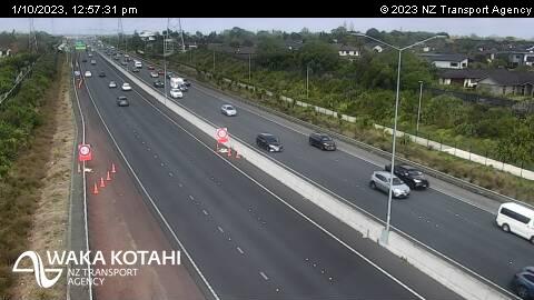
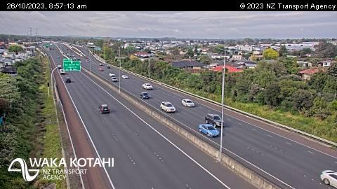
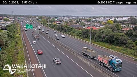
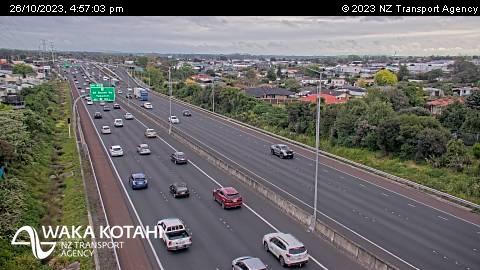
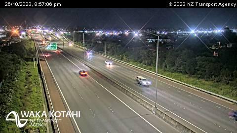
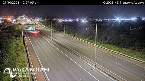
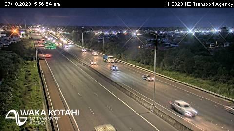
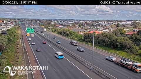
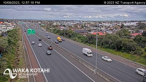
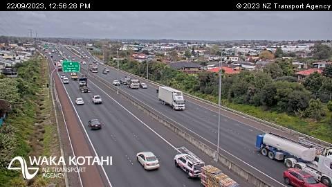
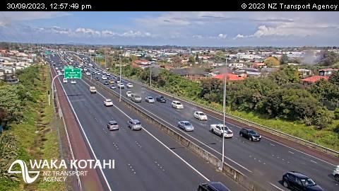
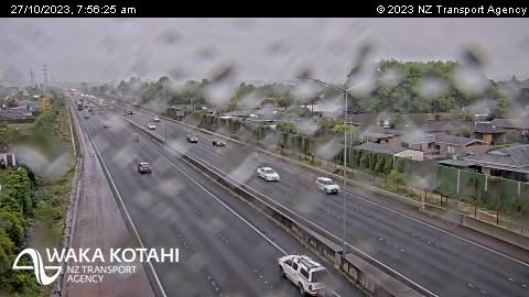
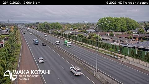
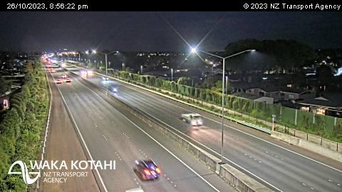
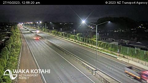
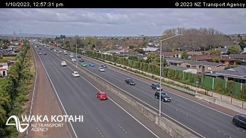
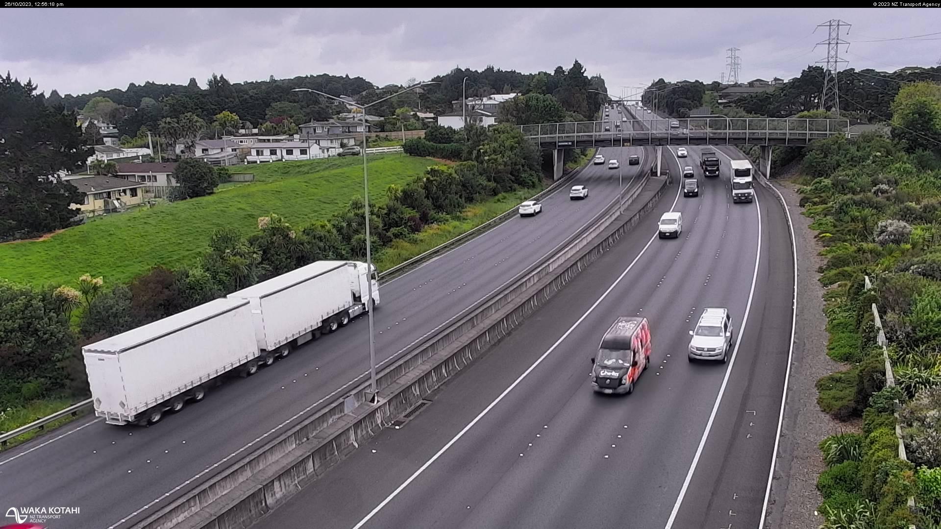
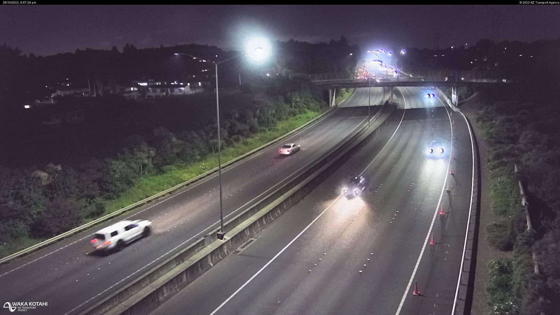
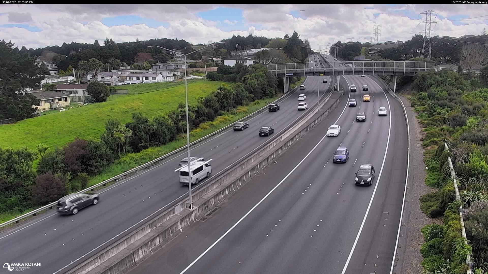
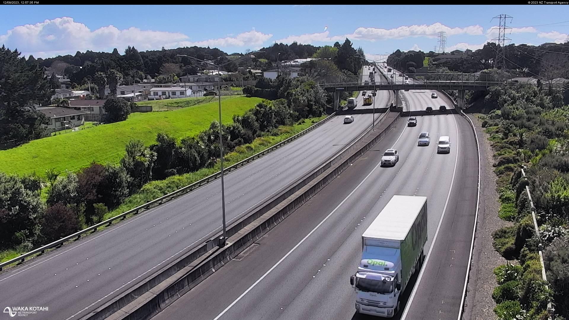
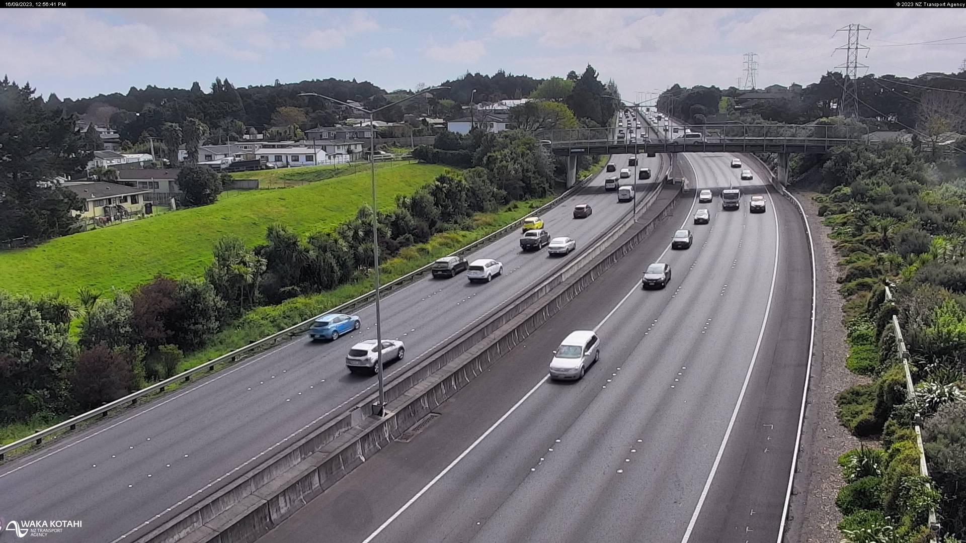
Runciman, New Zealand - 208.4 miles from Poukawa: Traffic SH1, Park Estate - A view of the current traffic conditions in southern direction.
Operator: NZ Transport Agency
Operator: NZ Transport Agency
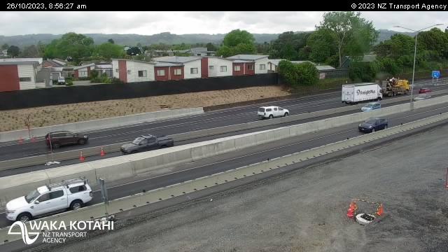


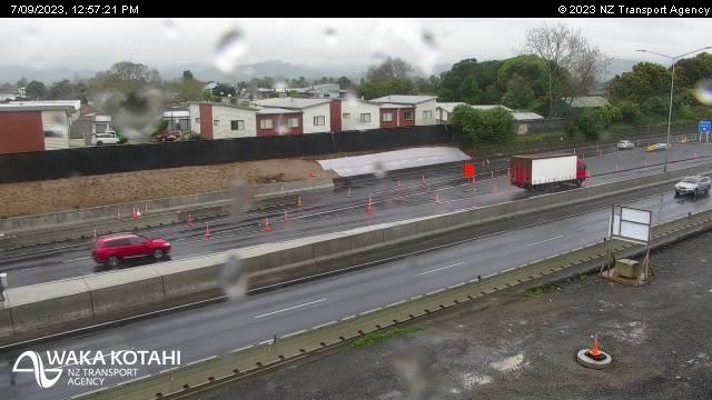
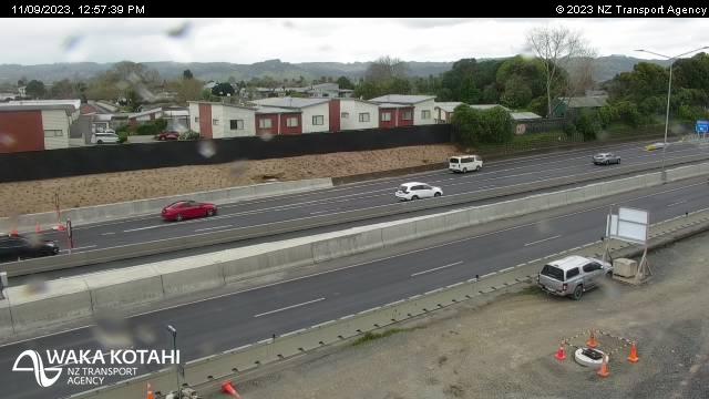
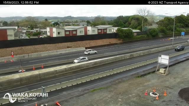

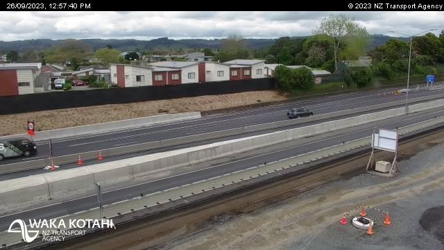
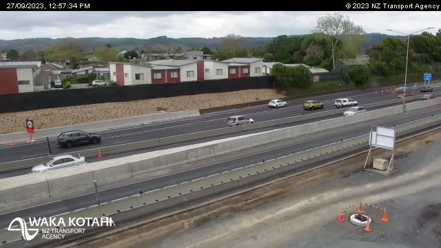
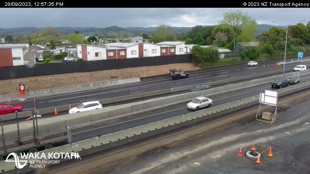
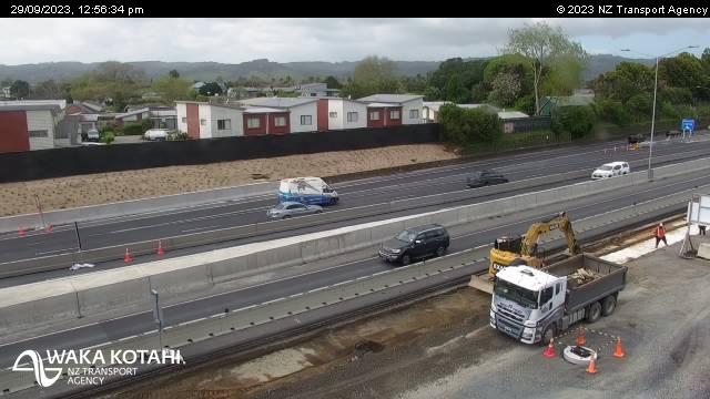
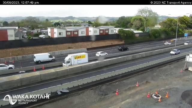

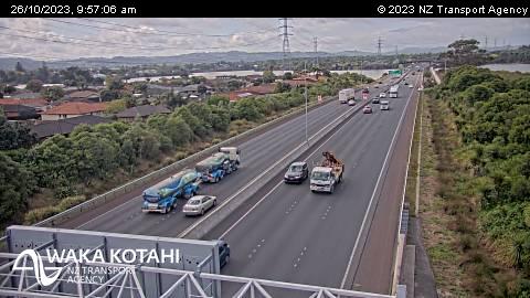
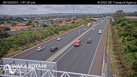
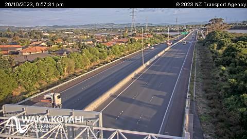
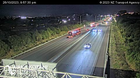
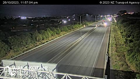
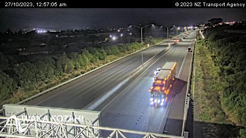
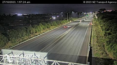
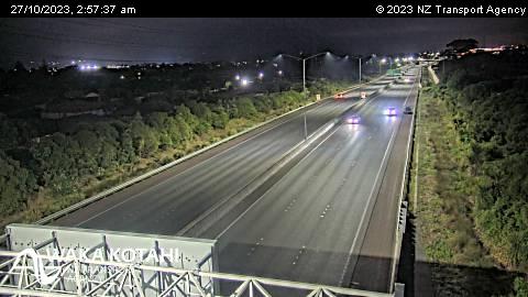
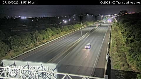
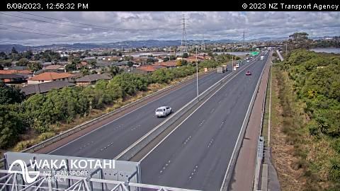
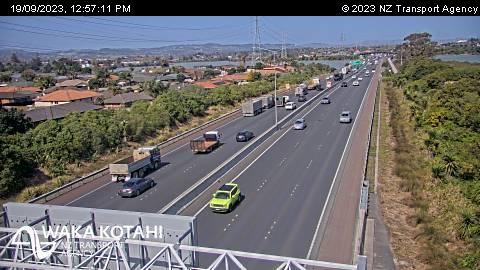
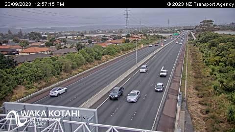
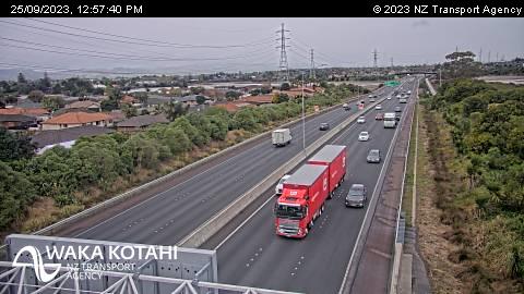
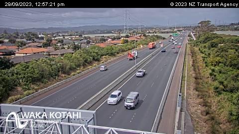
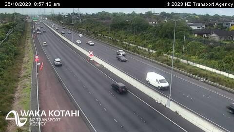
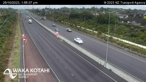
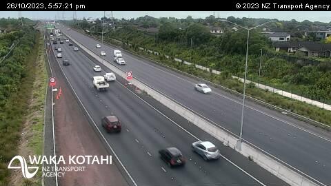
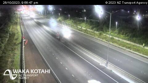
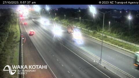
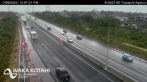
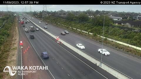
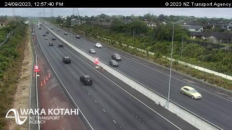
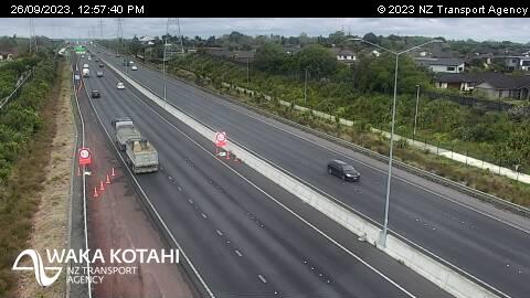
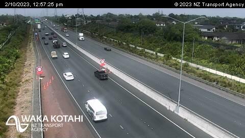
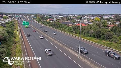
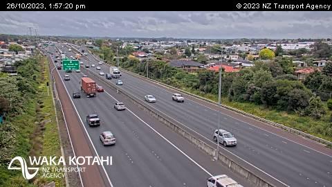
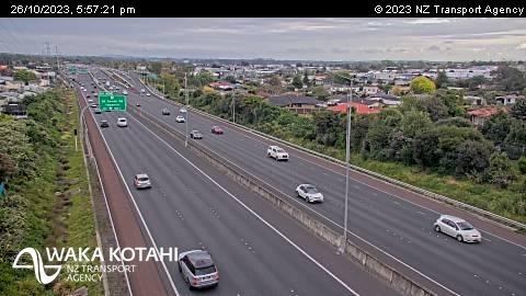
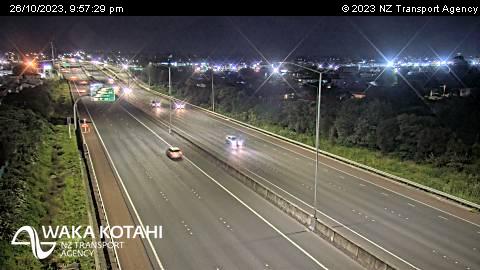
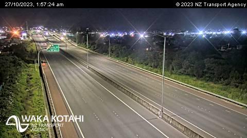
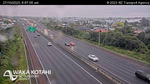
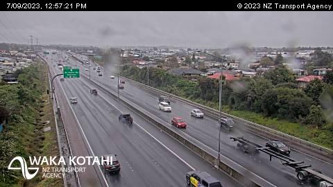
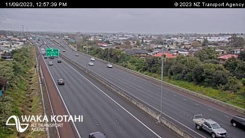
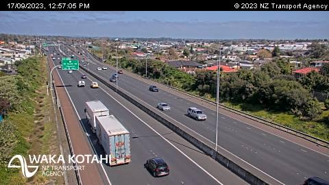
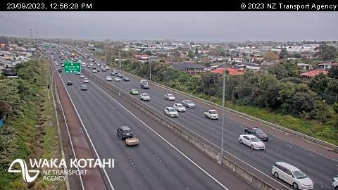
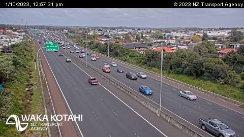
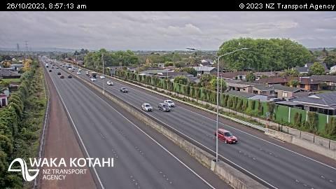
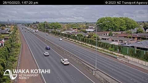
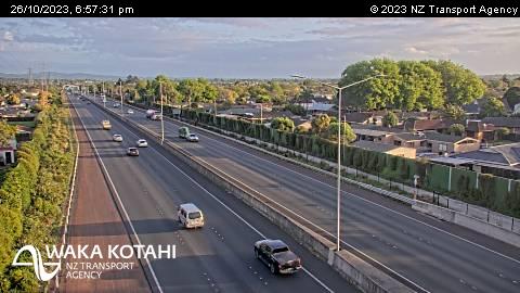
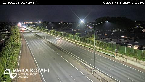
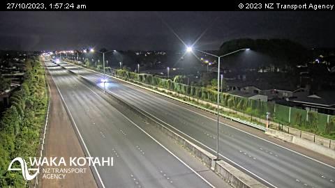
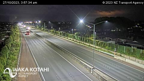
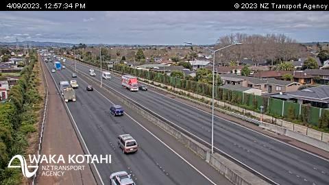
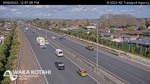
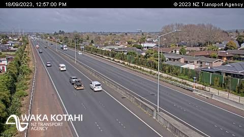
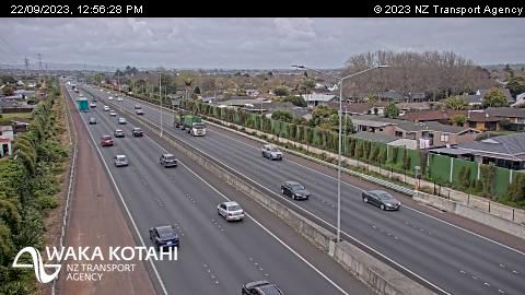
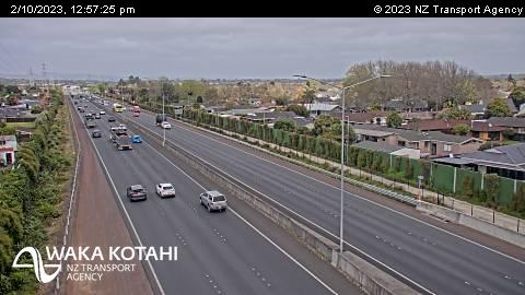
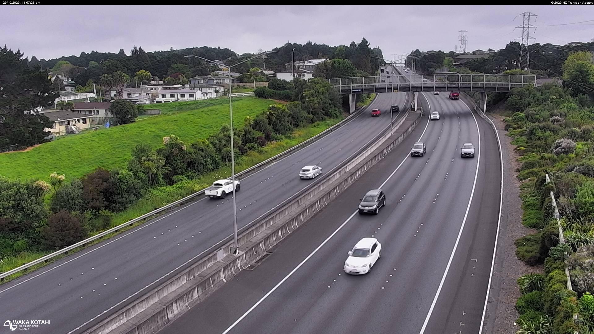
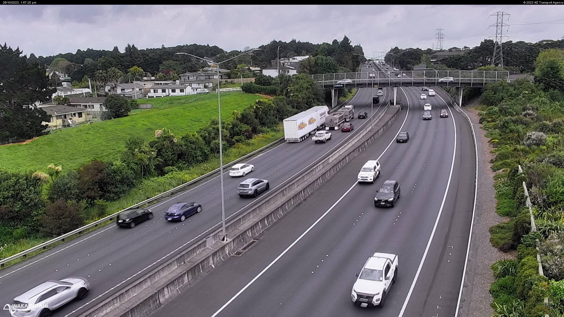
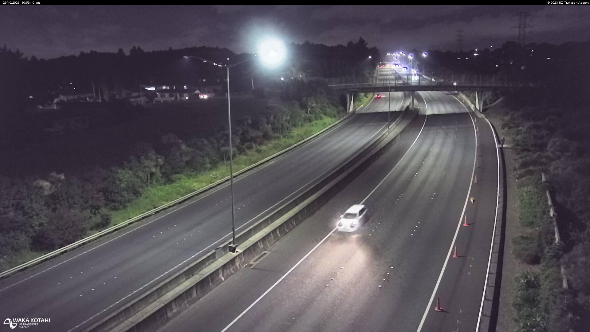
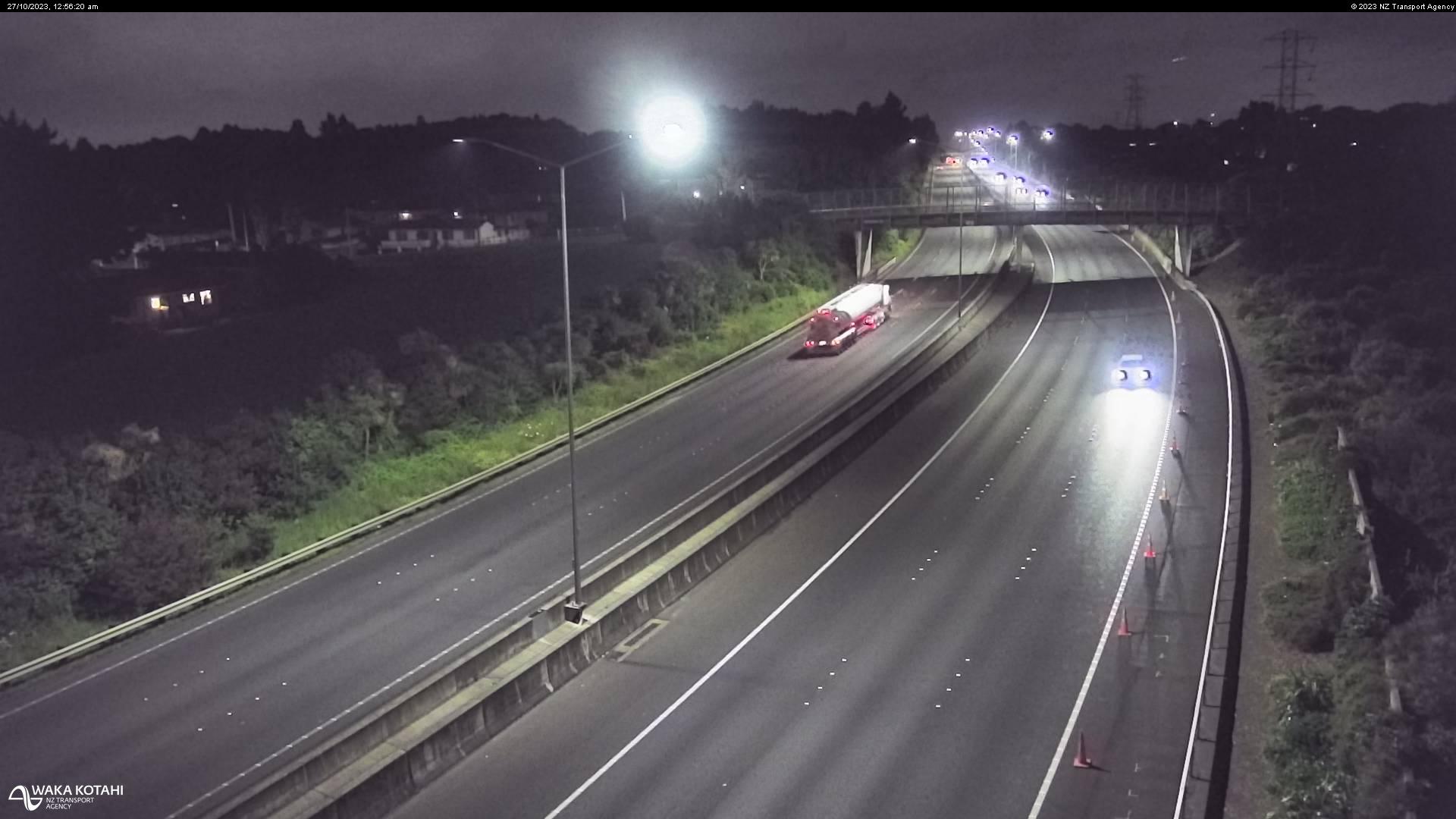
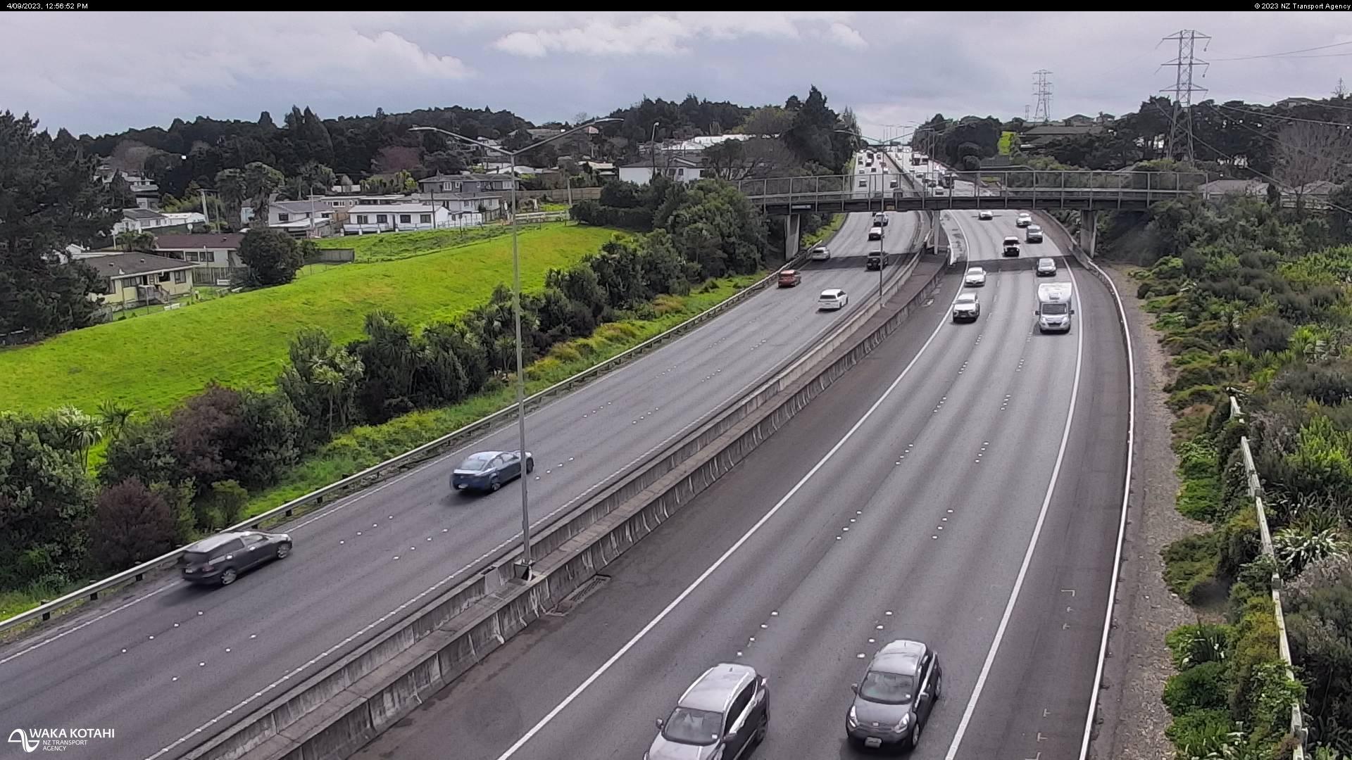
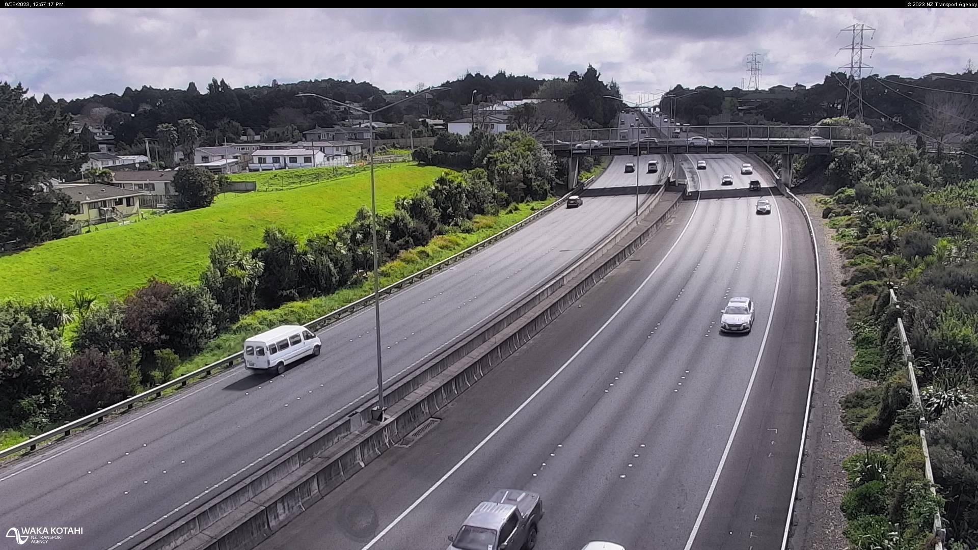
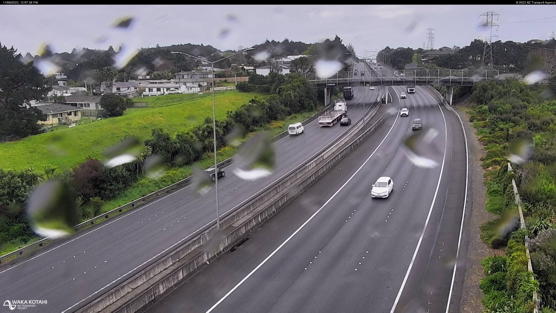
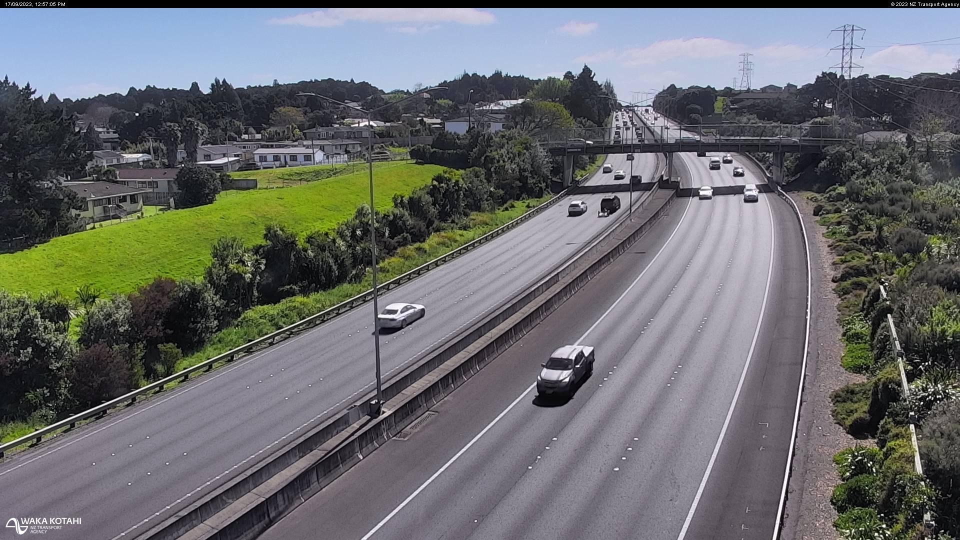
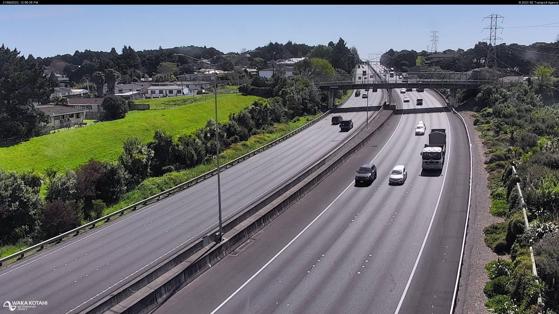
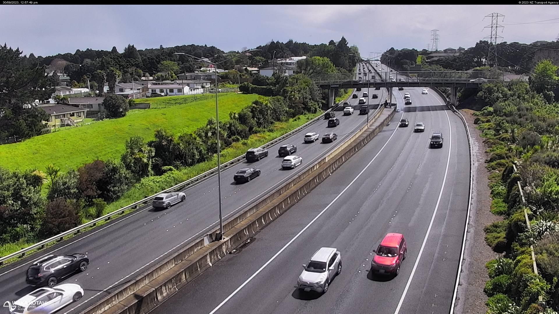
Pahurehure, New Zealand - 211.3 miles from Poukawa: Traffic SH1, Pahurehure - A view of the current traffic conditions in southern direction.
Operator: NZ Transport Agency
Operator: NZ Transport Agency
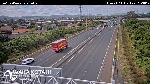
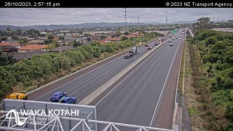
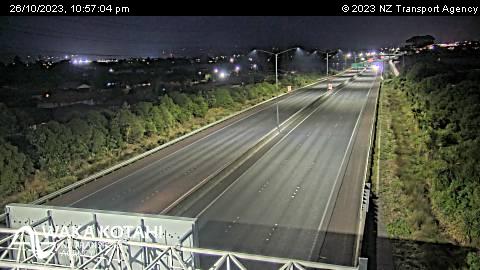
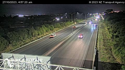
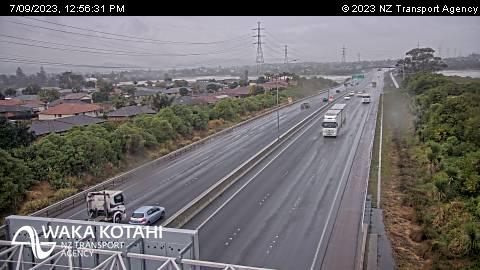

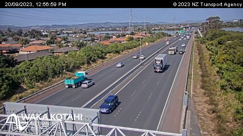
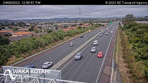
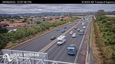
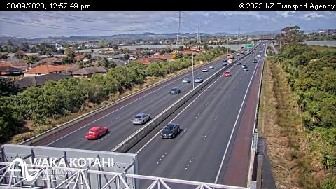

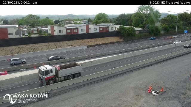
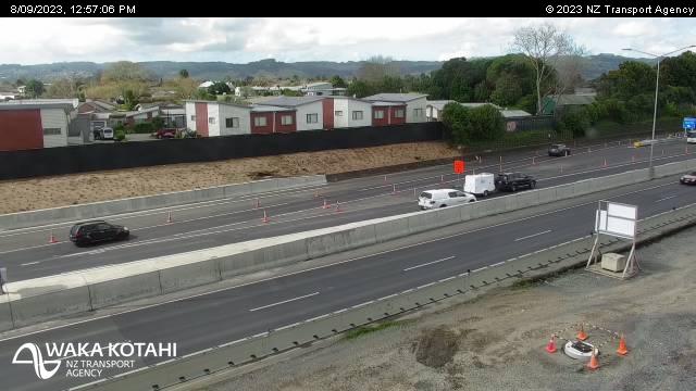
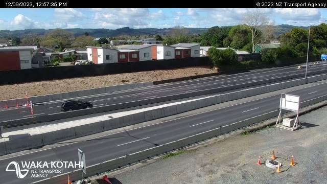
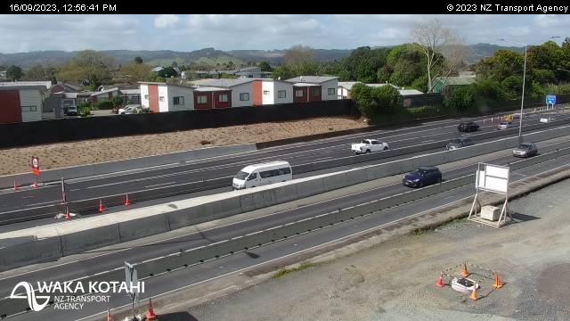
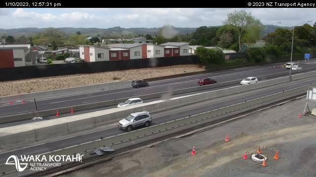
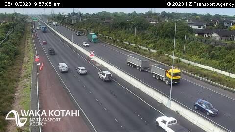
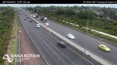
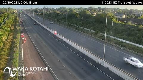
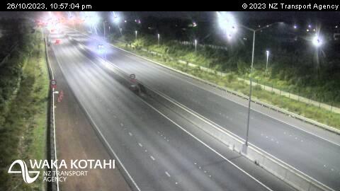
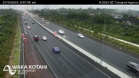
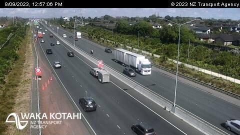
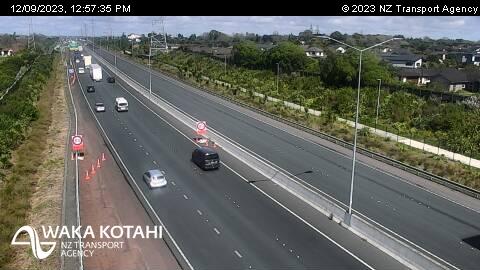
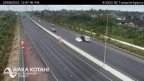
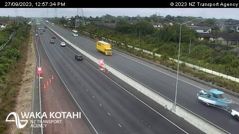
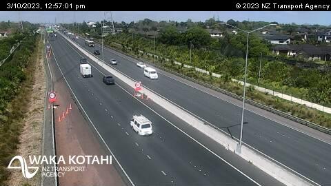
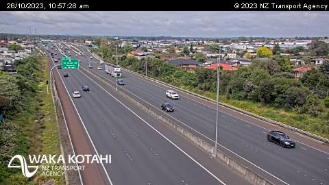
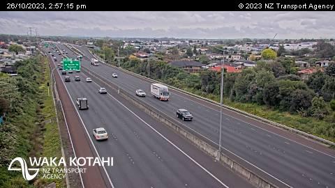
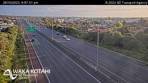
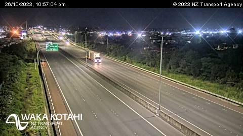
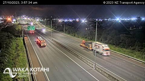
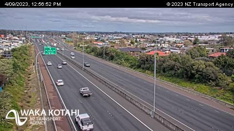
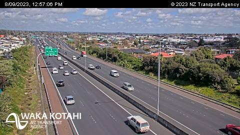
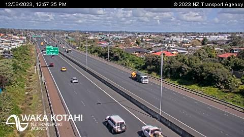
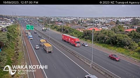
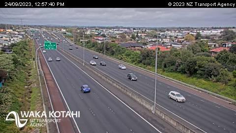
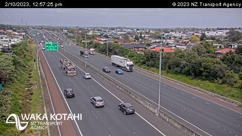
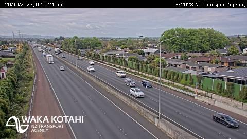
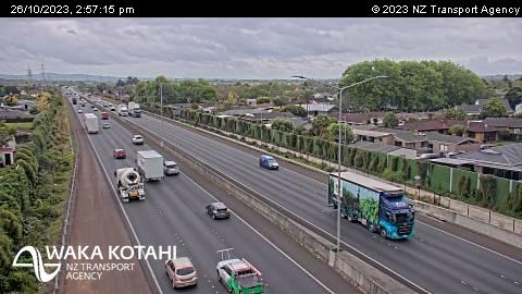
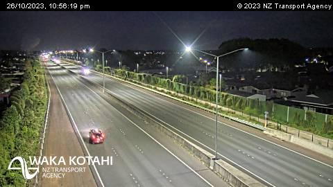
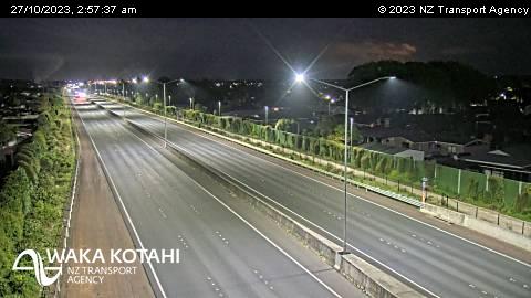
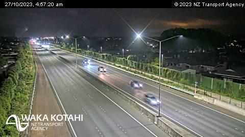
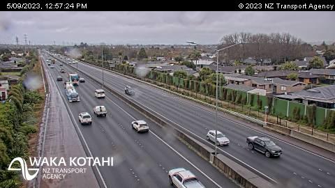
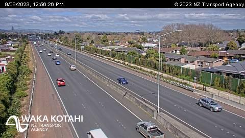
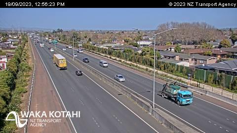
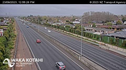
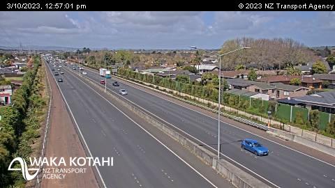
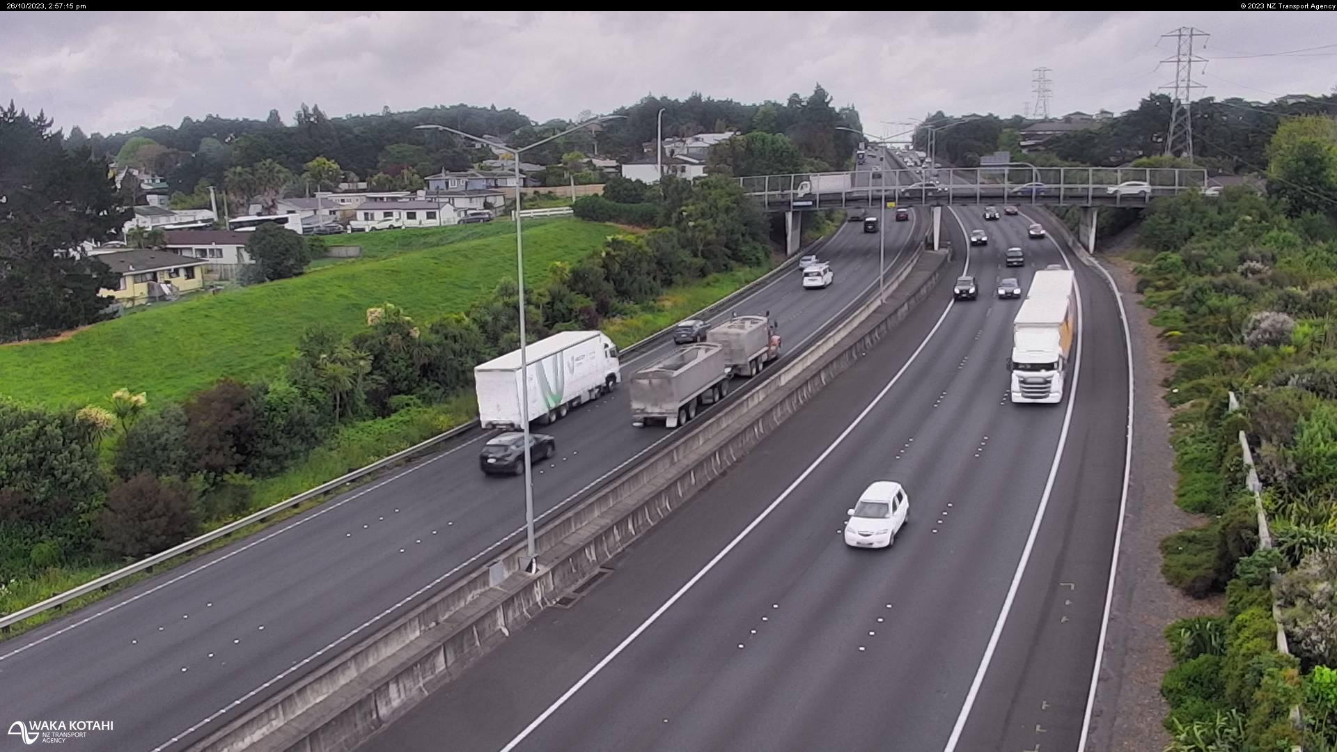
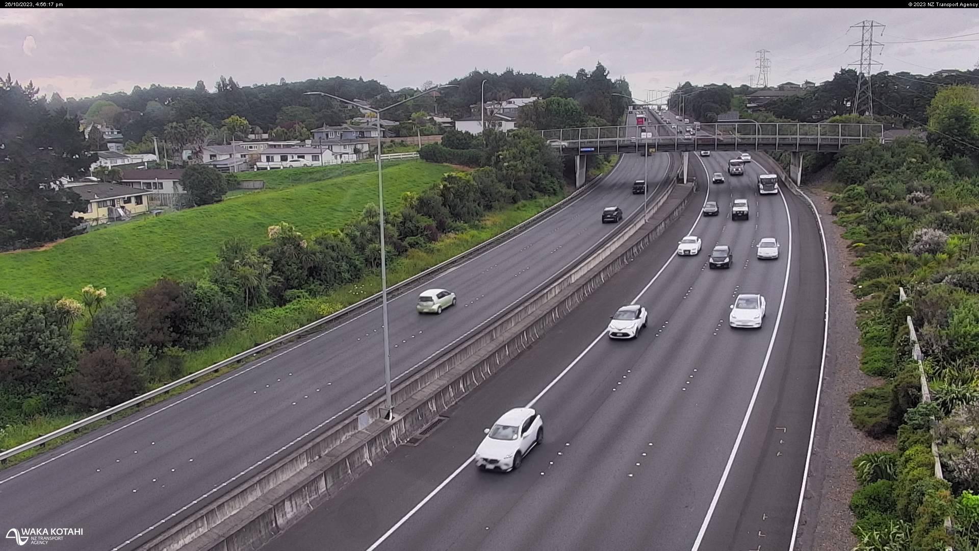
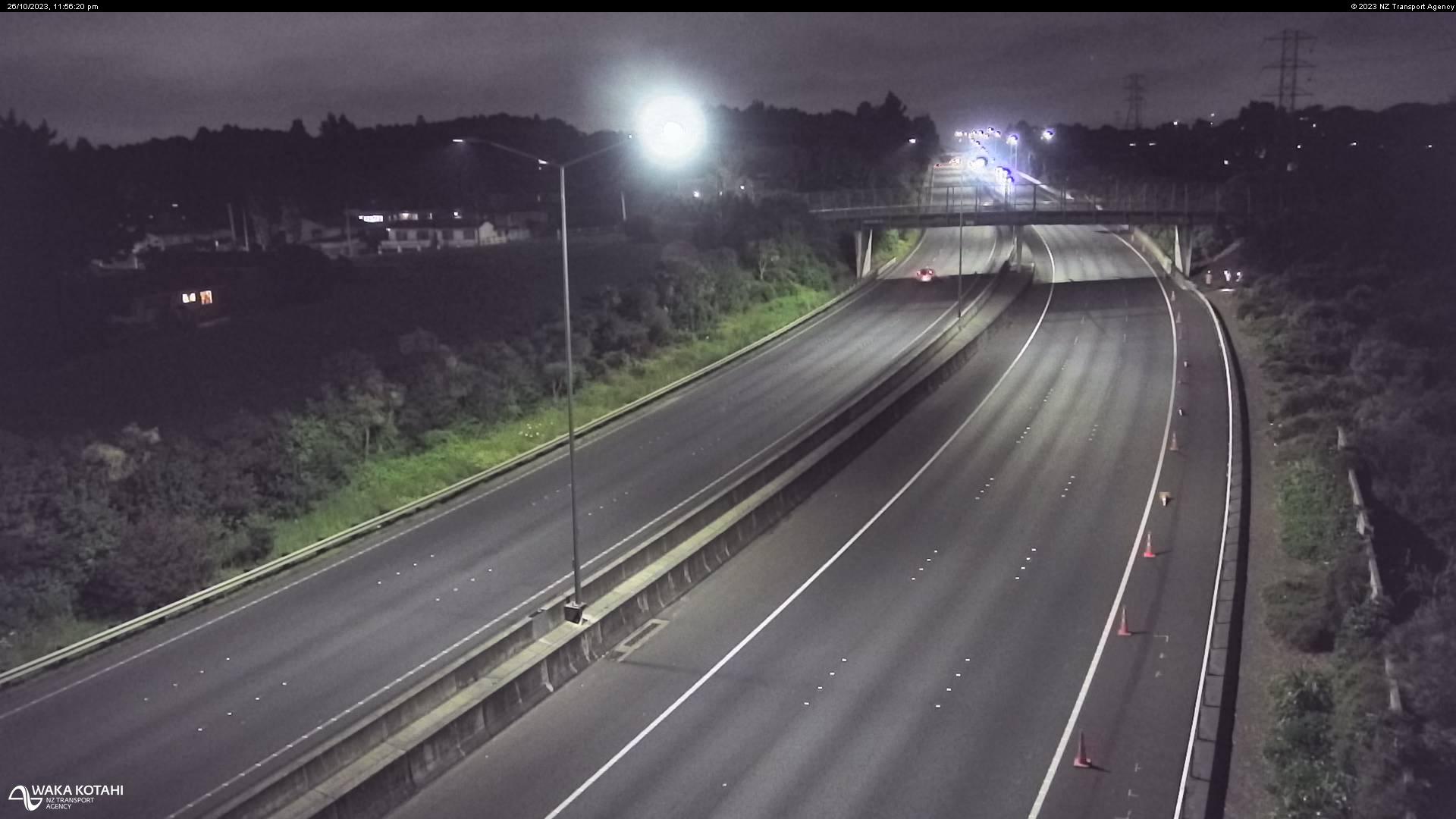
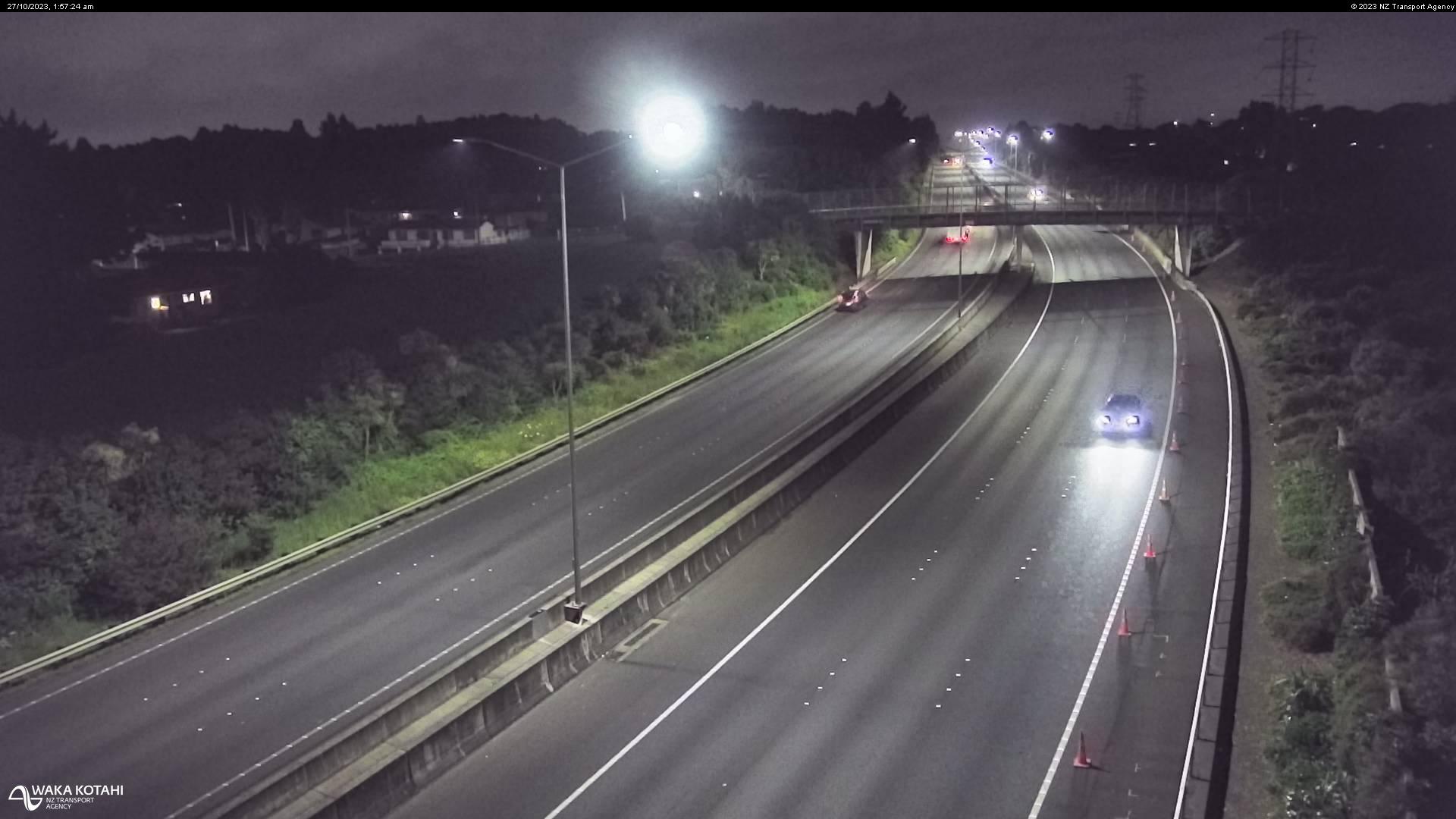
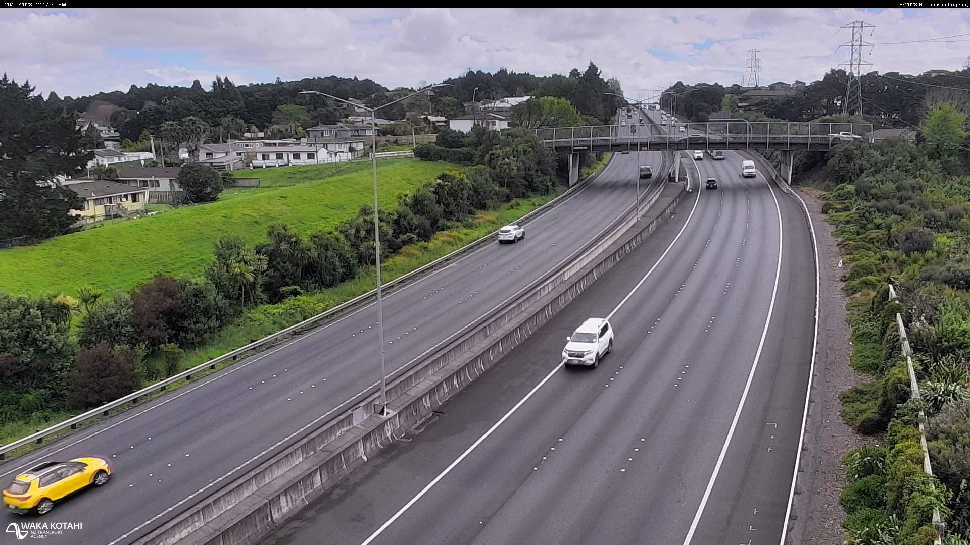
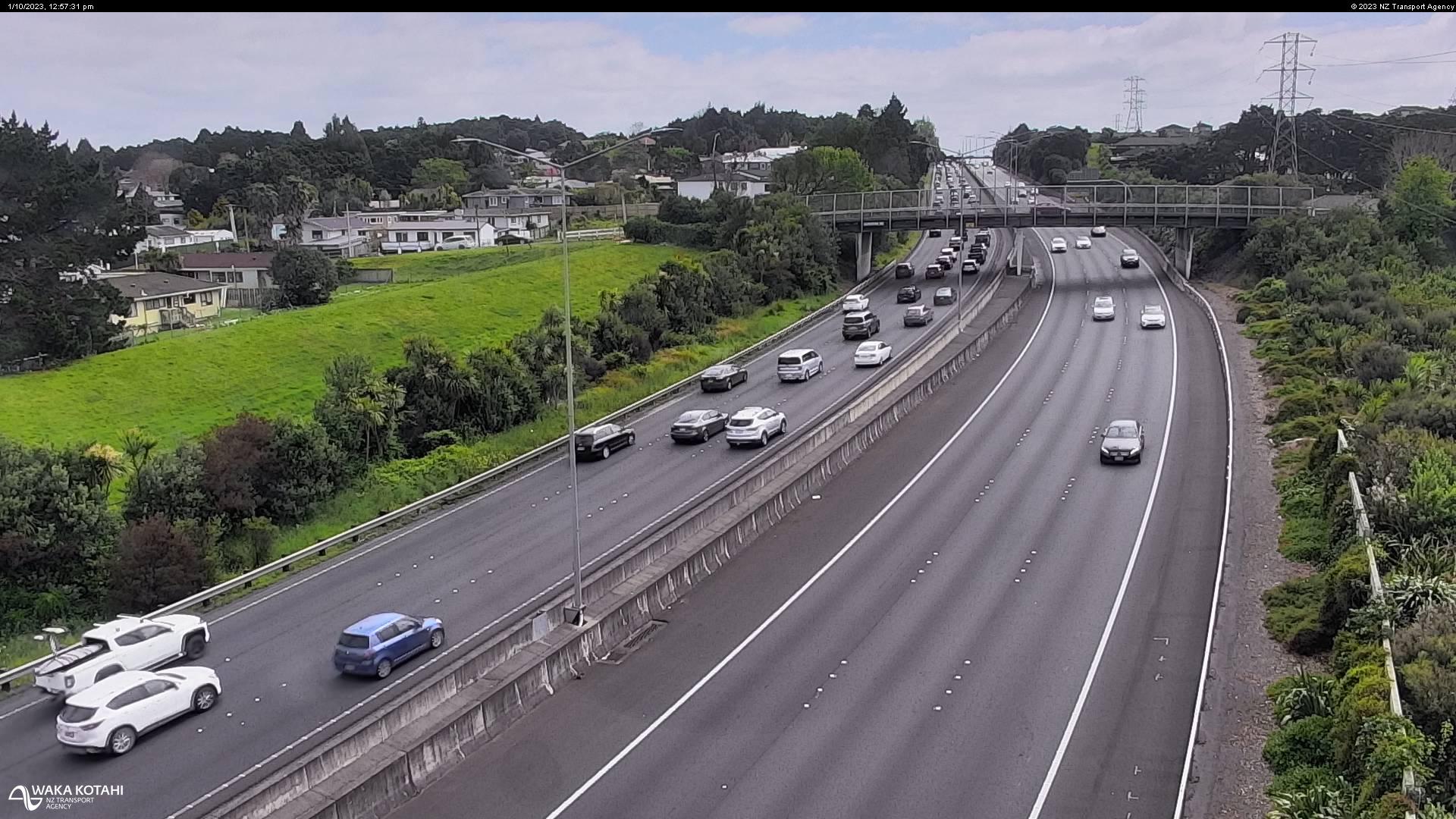
Pahurehure, New Zealand - 211.3 miles from Poukawa: Traffic SH1, Rushgreen Ave - A view of the current traffic conditions in southern direction.
Operator: NZ Transport Agency
Operator: NZ Transport Agency


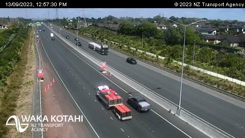
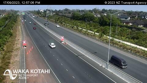

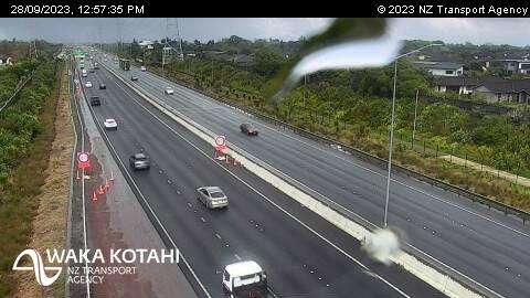

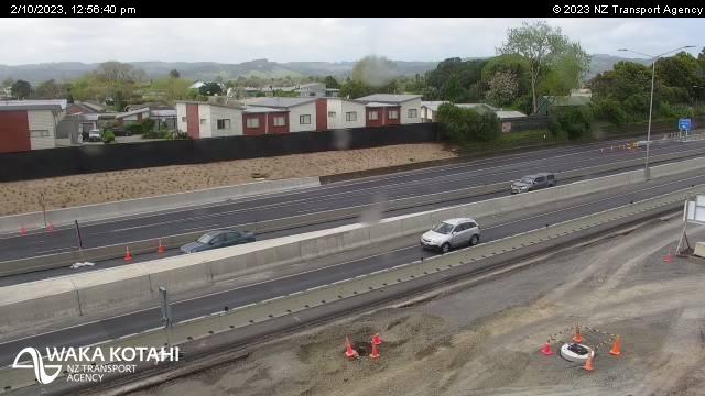
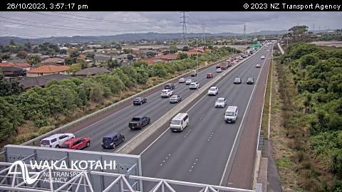
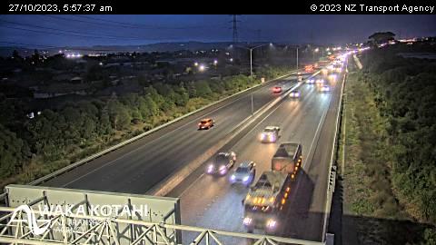
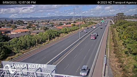
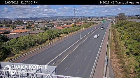
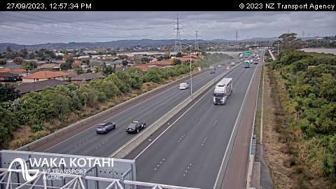
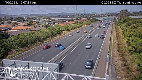
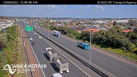
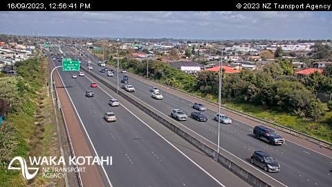
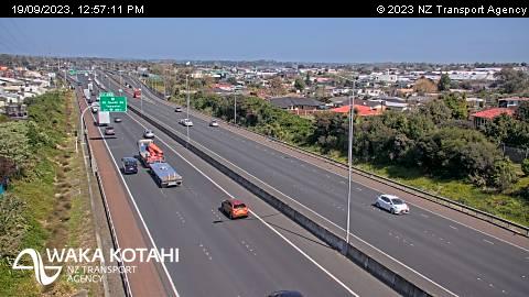
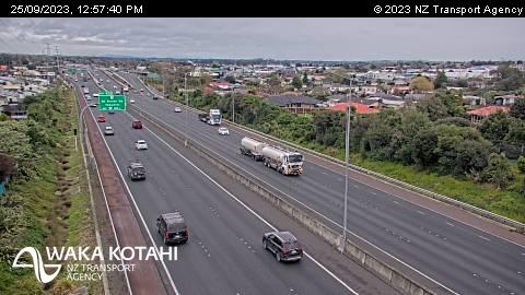
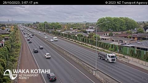
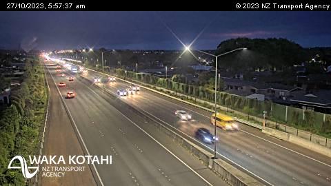
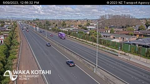
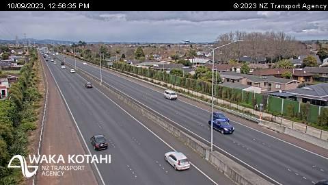
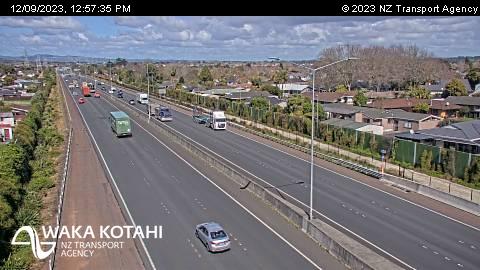
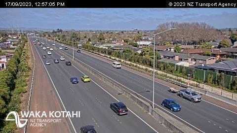
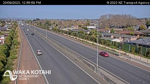
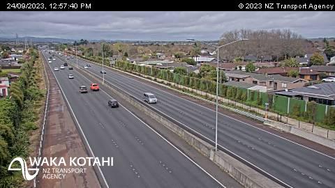
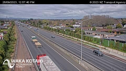
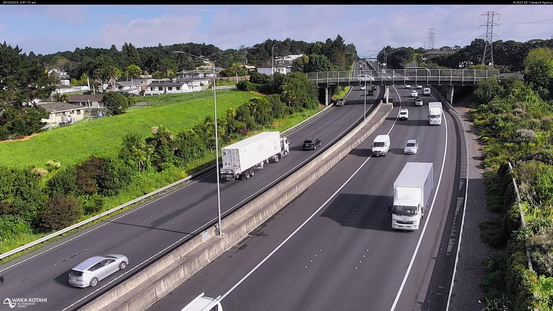
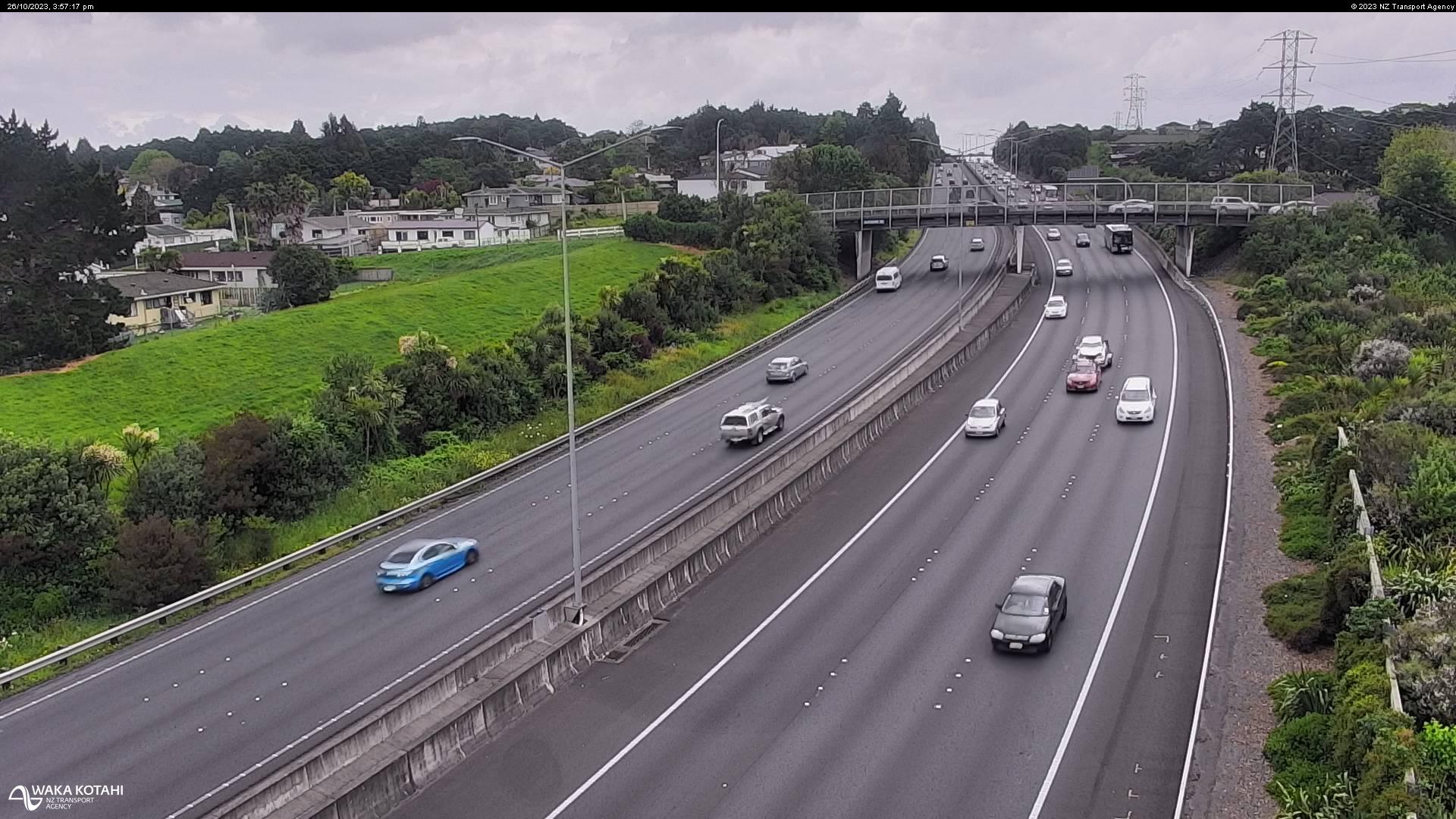
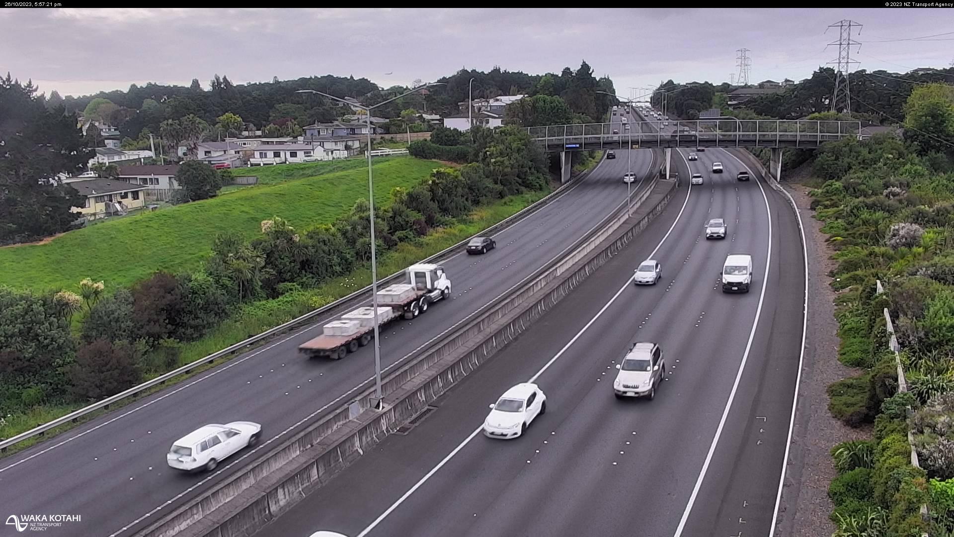
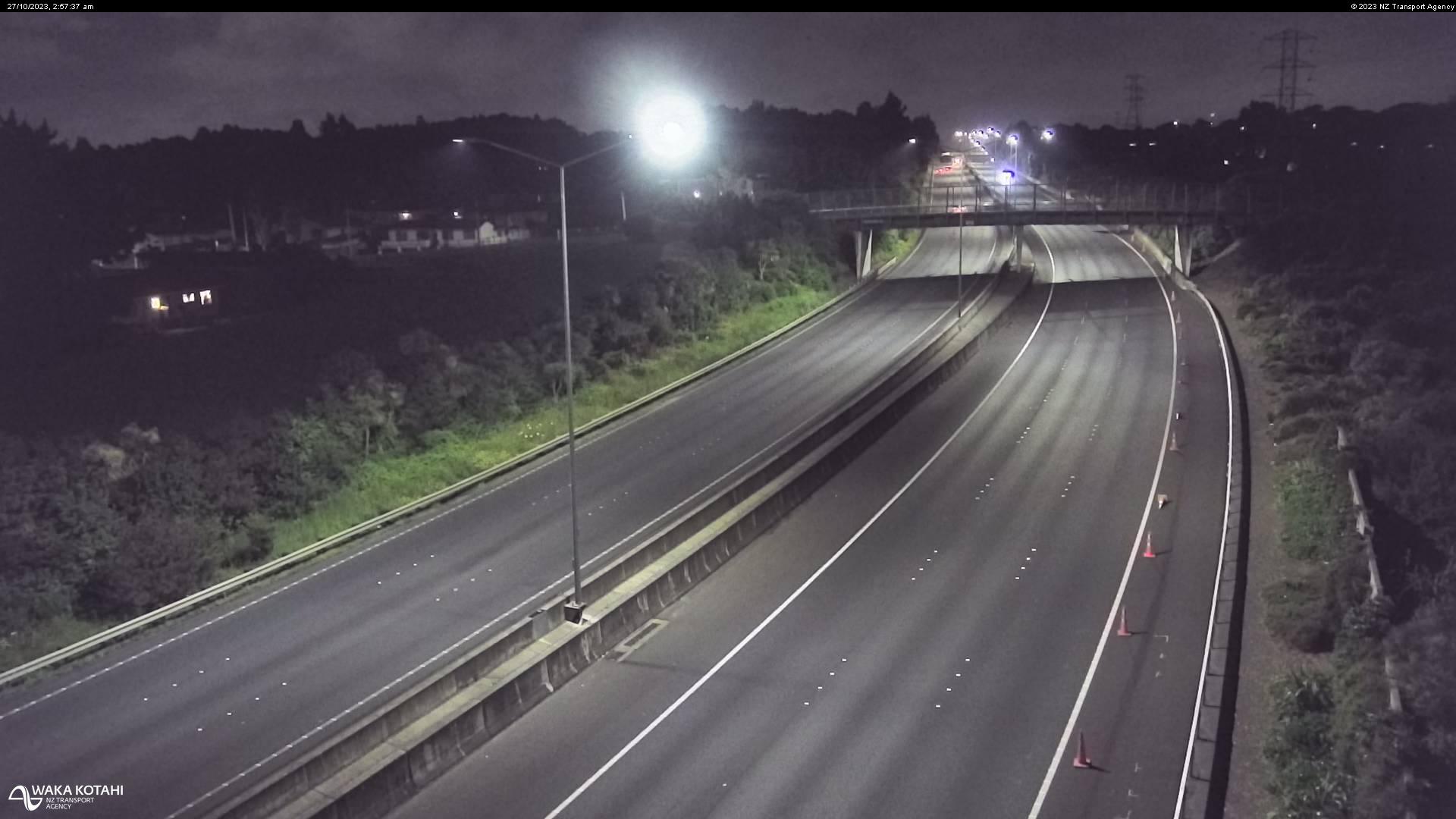
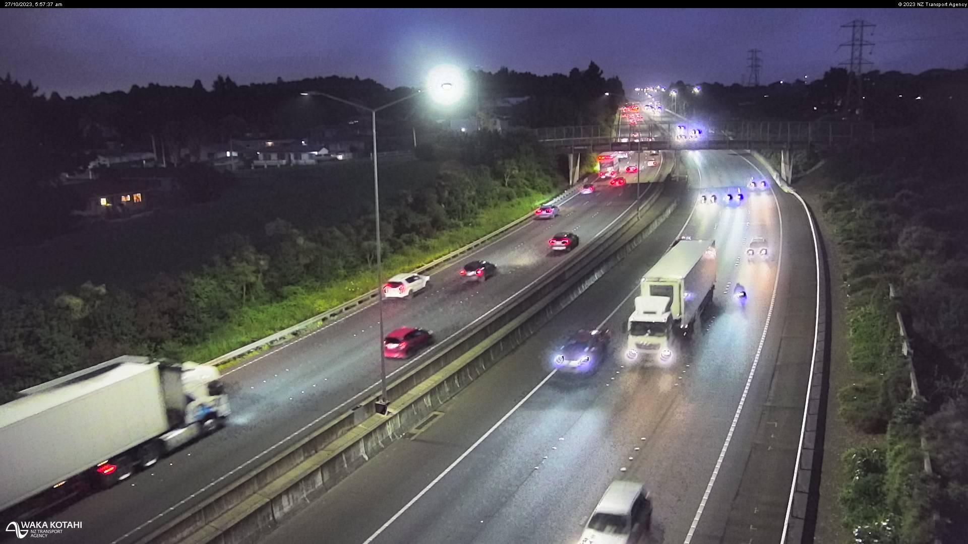
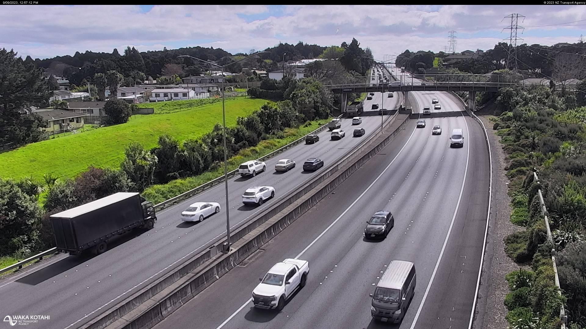
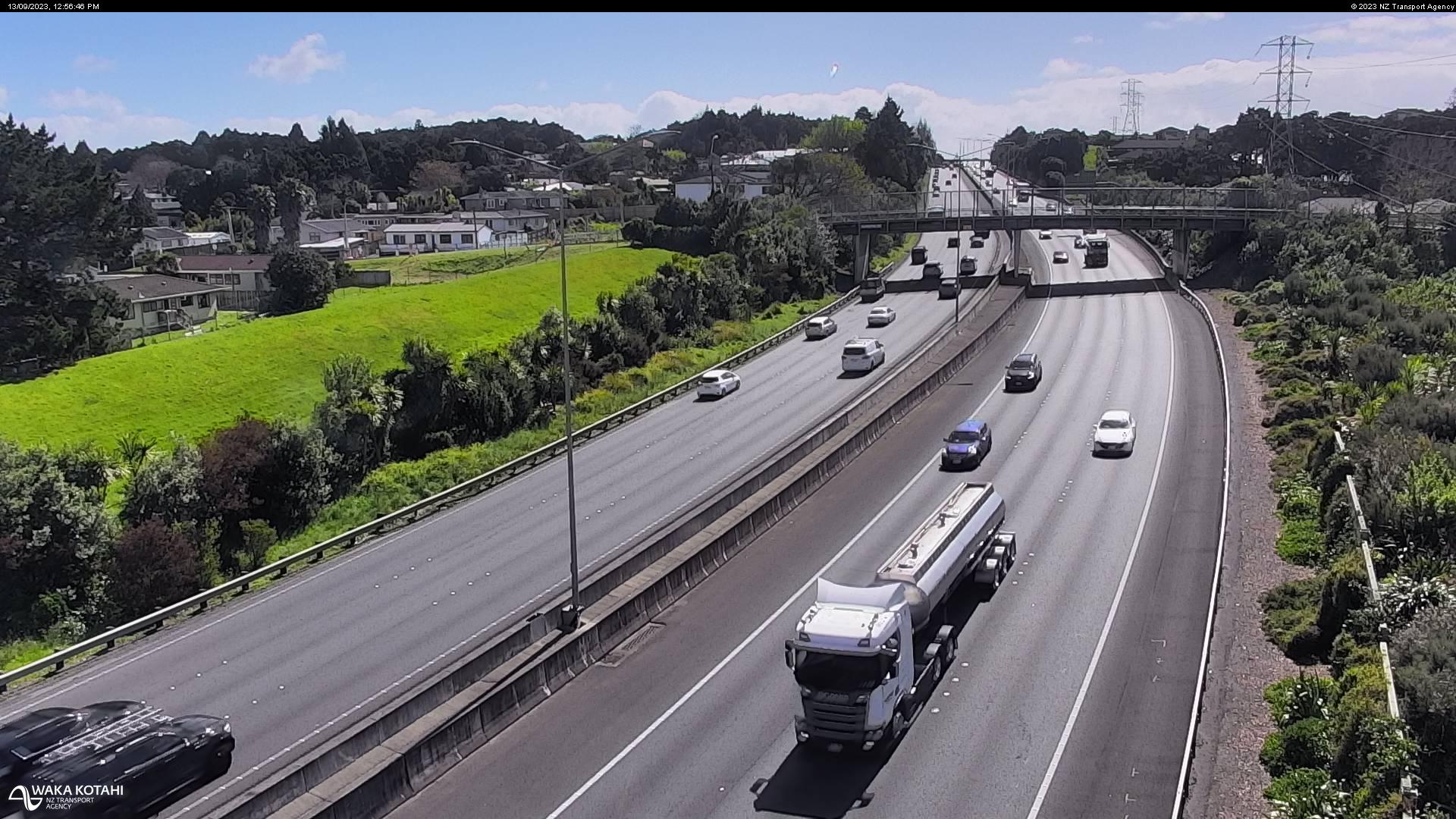
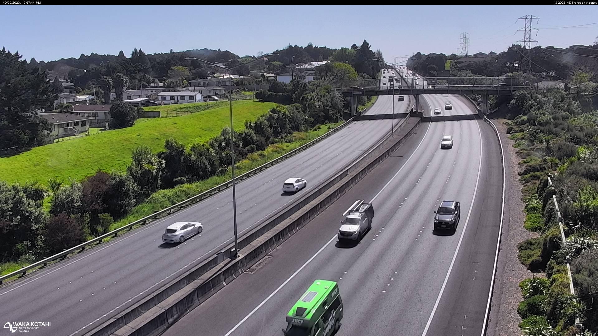
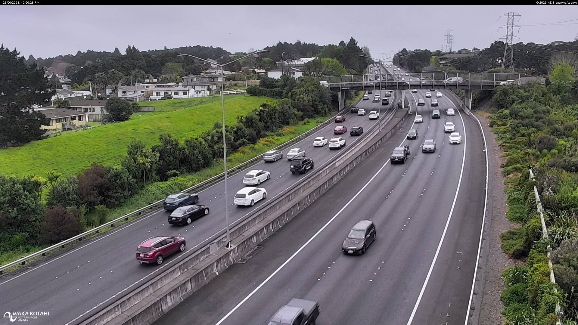
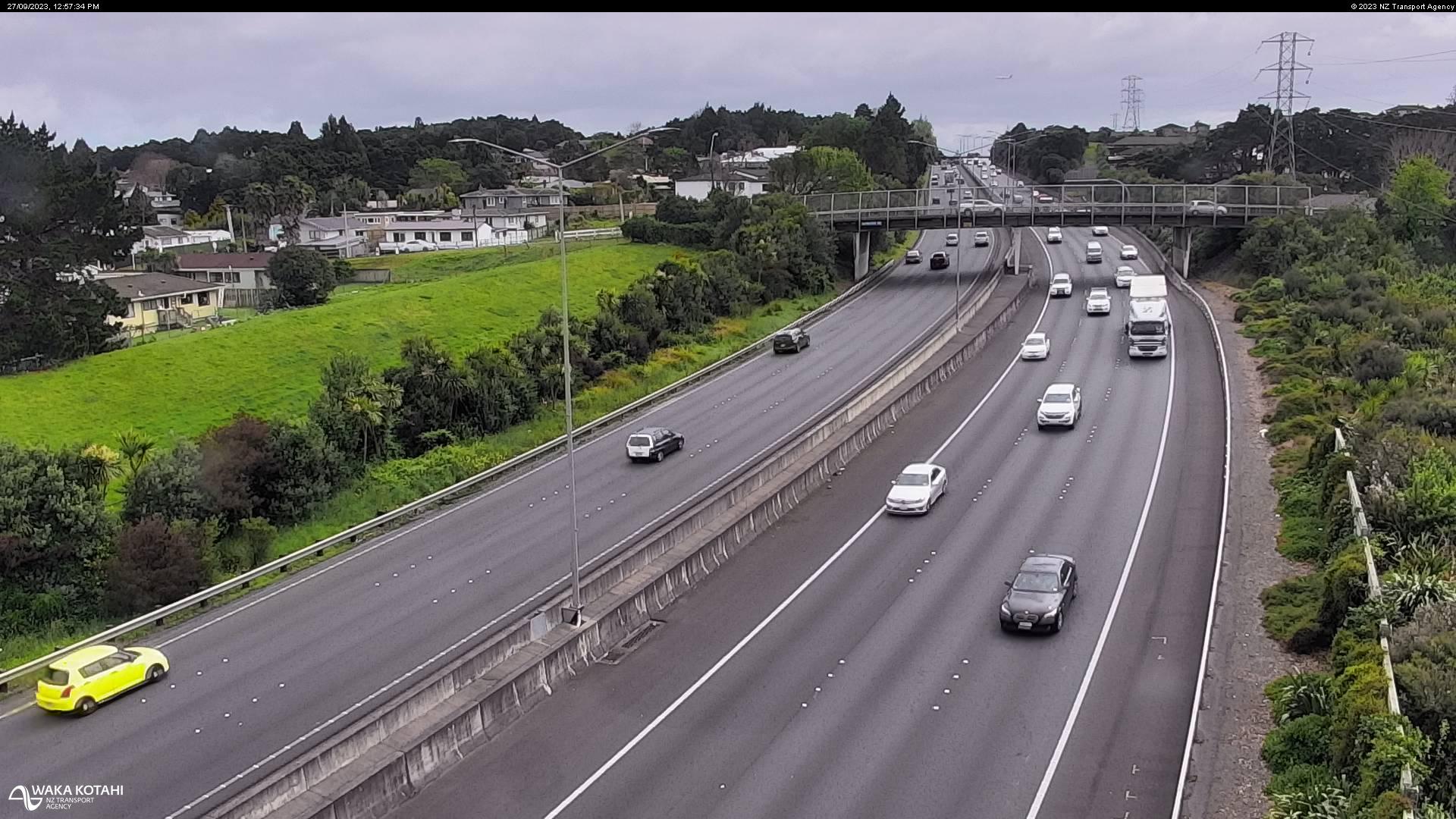
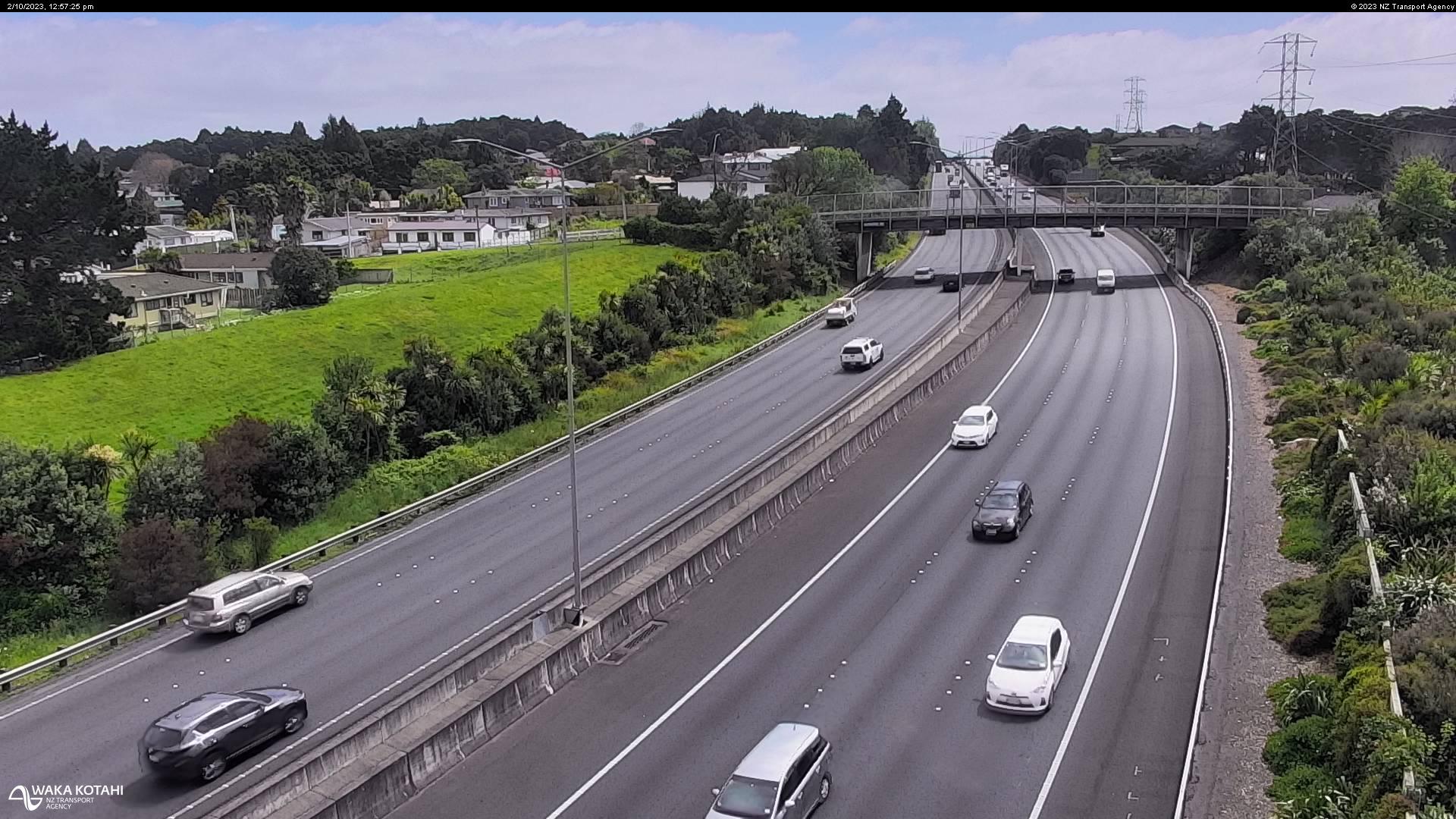
Takanini, New Zealand - 212.9 miles from Poukawa: Traffic SH1, Takanini - A view of the current traffic conditions in southern direction.
Operator: NZ Transport Agency
Operator: NZ Transport Agency

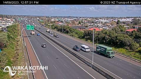
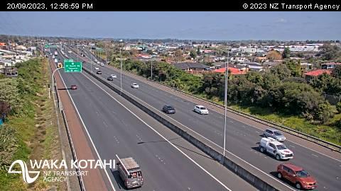
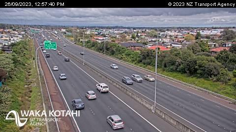

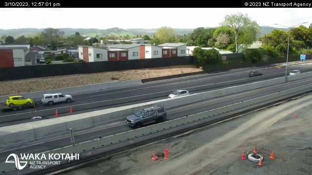
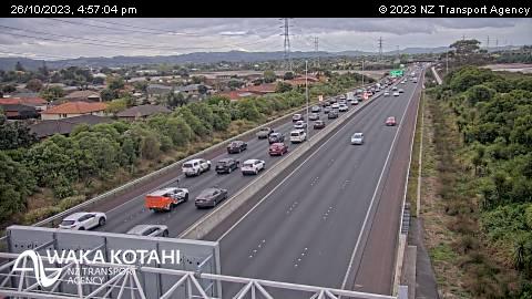
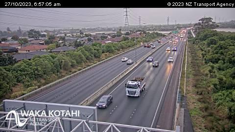
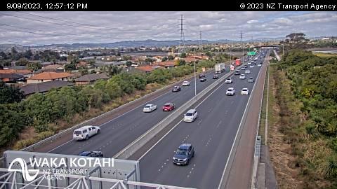
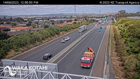
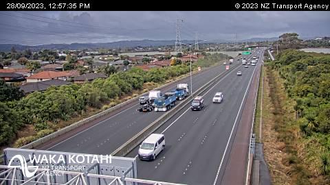
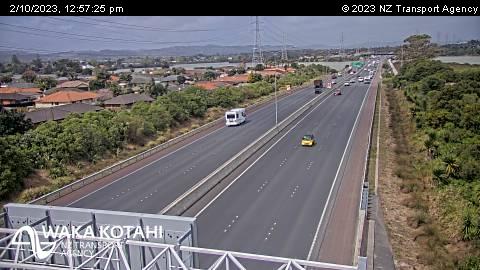
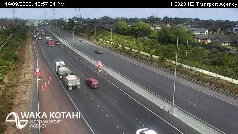
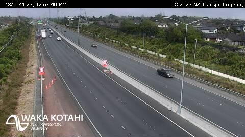
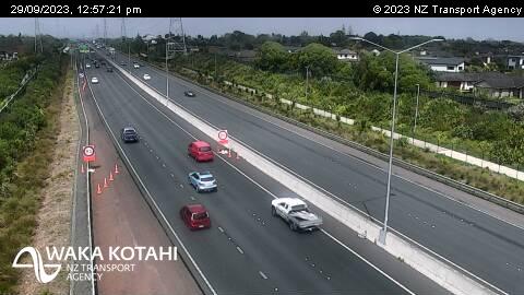
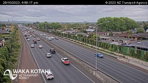
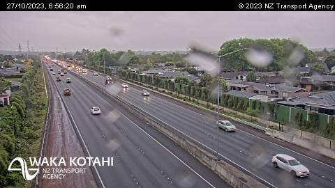
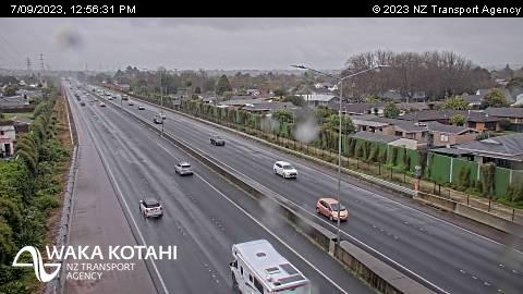
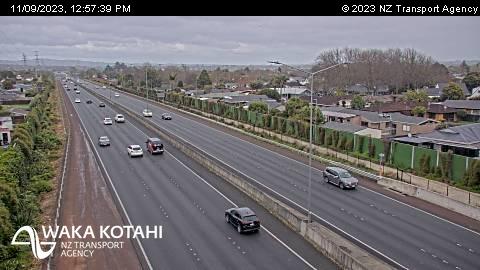
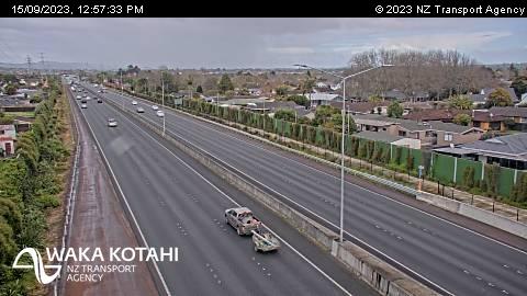
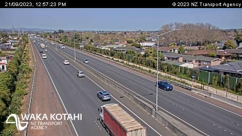
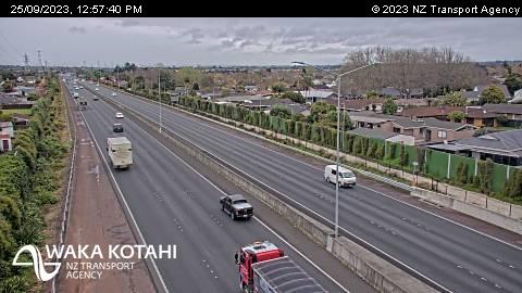
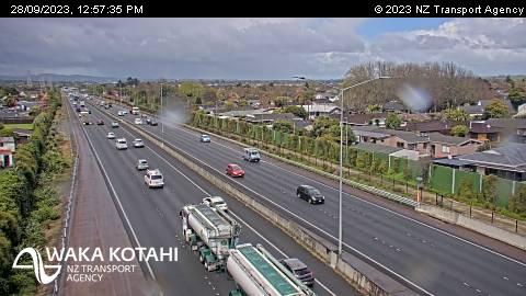
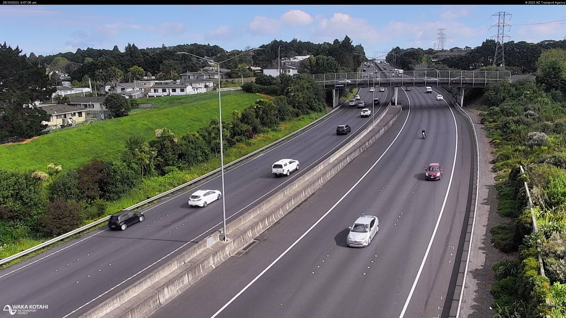
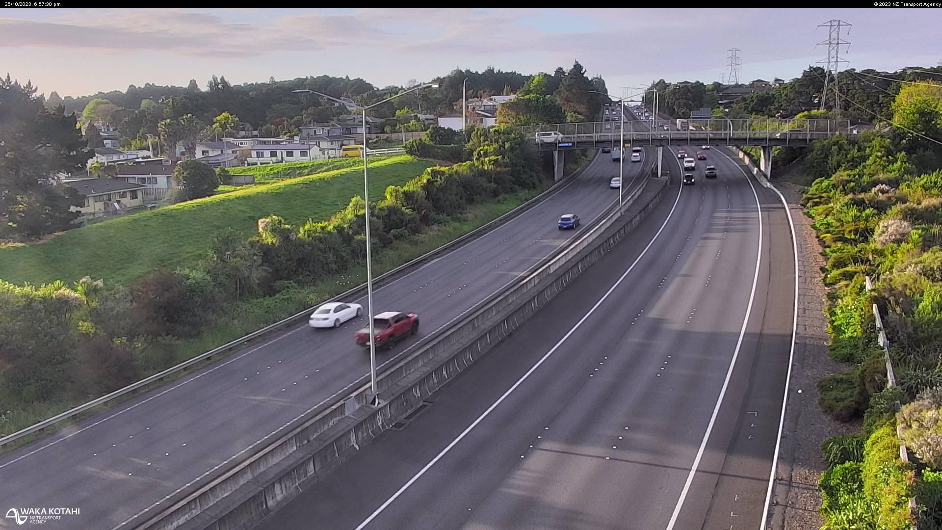
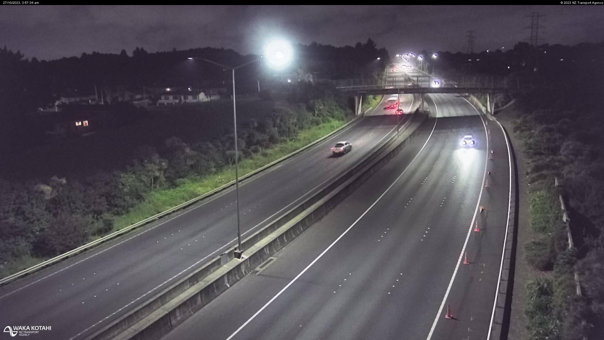
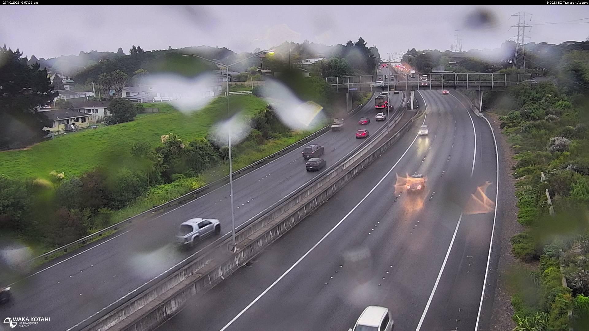
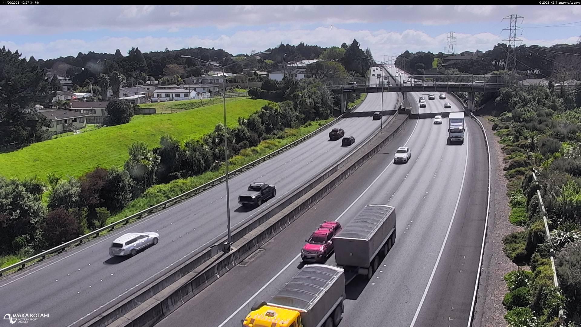
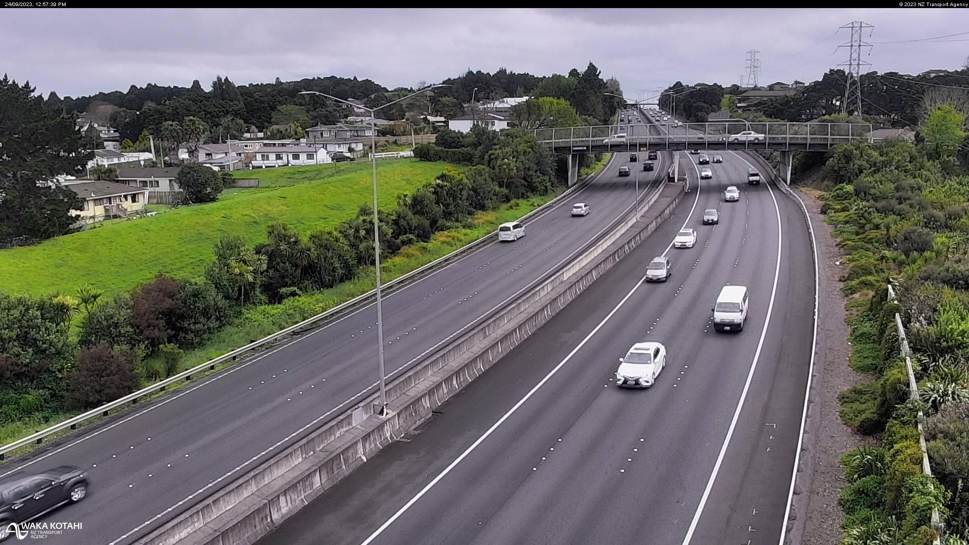
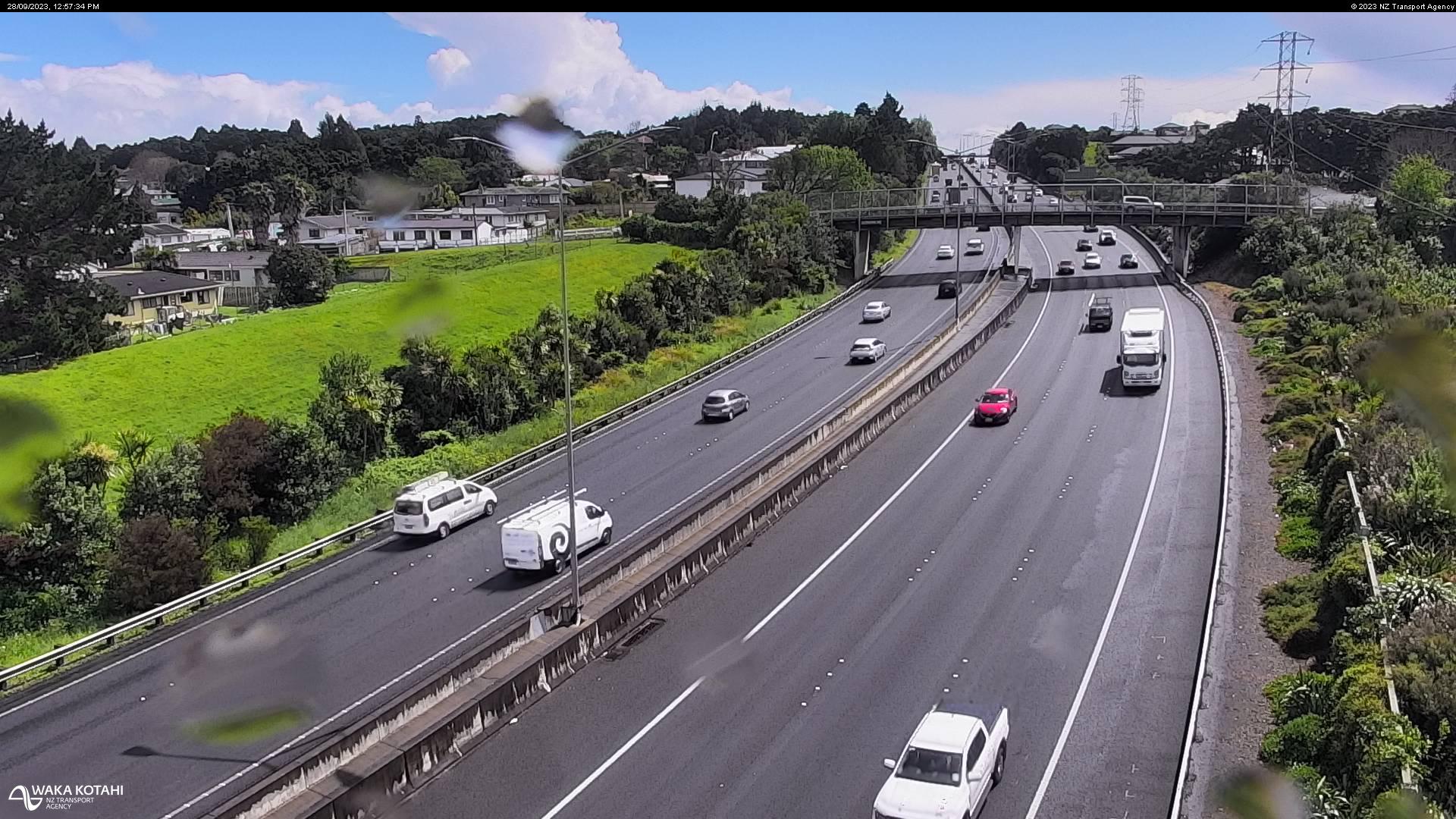
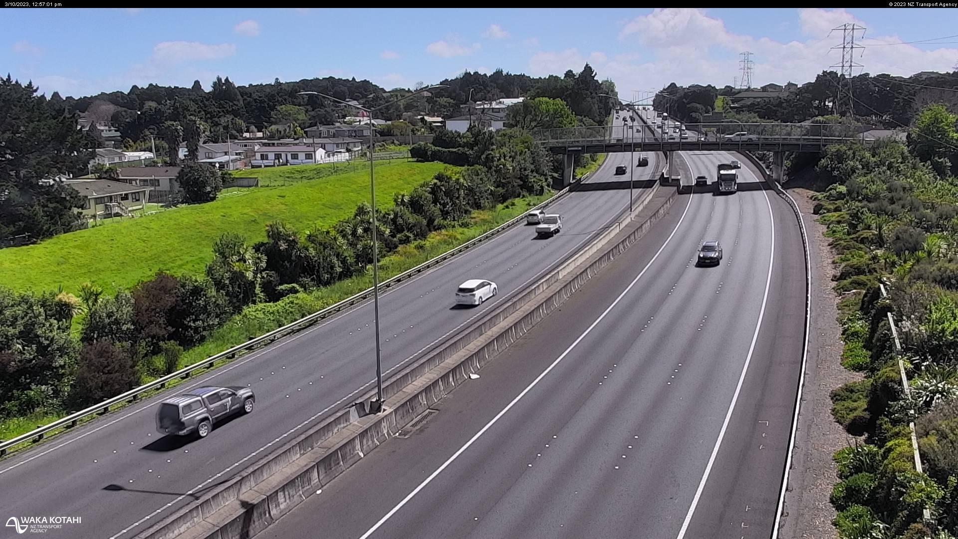
Takanini, New Zealand - 212.9 miles from Poukawa: Traffic SH1, Walter Strevens Drive - A view of the current traffic conditions in southern direction.
Operator: NZ Transport Agency
Operator: NZ Transport Agency

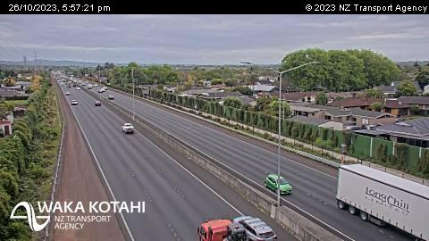


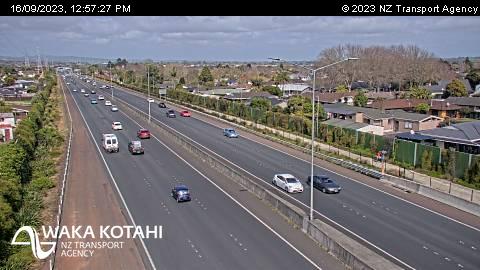

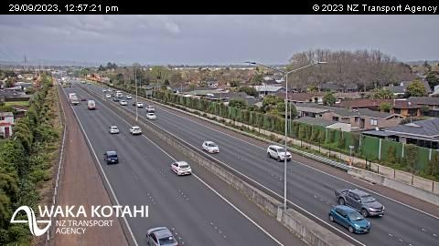
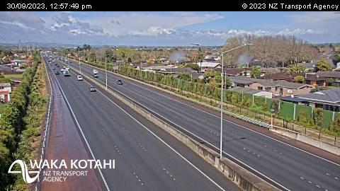

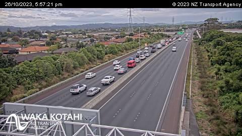
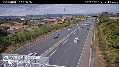
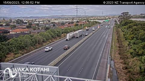
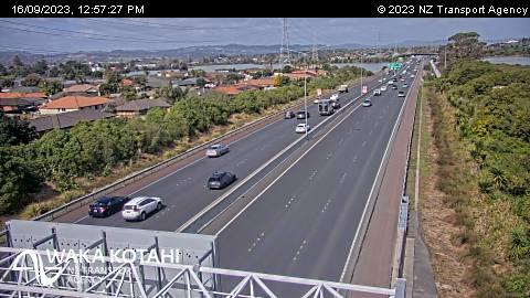
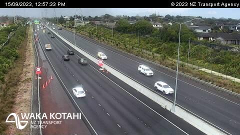
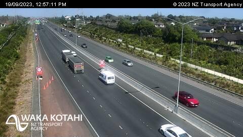
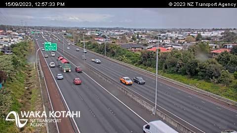
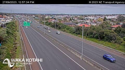
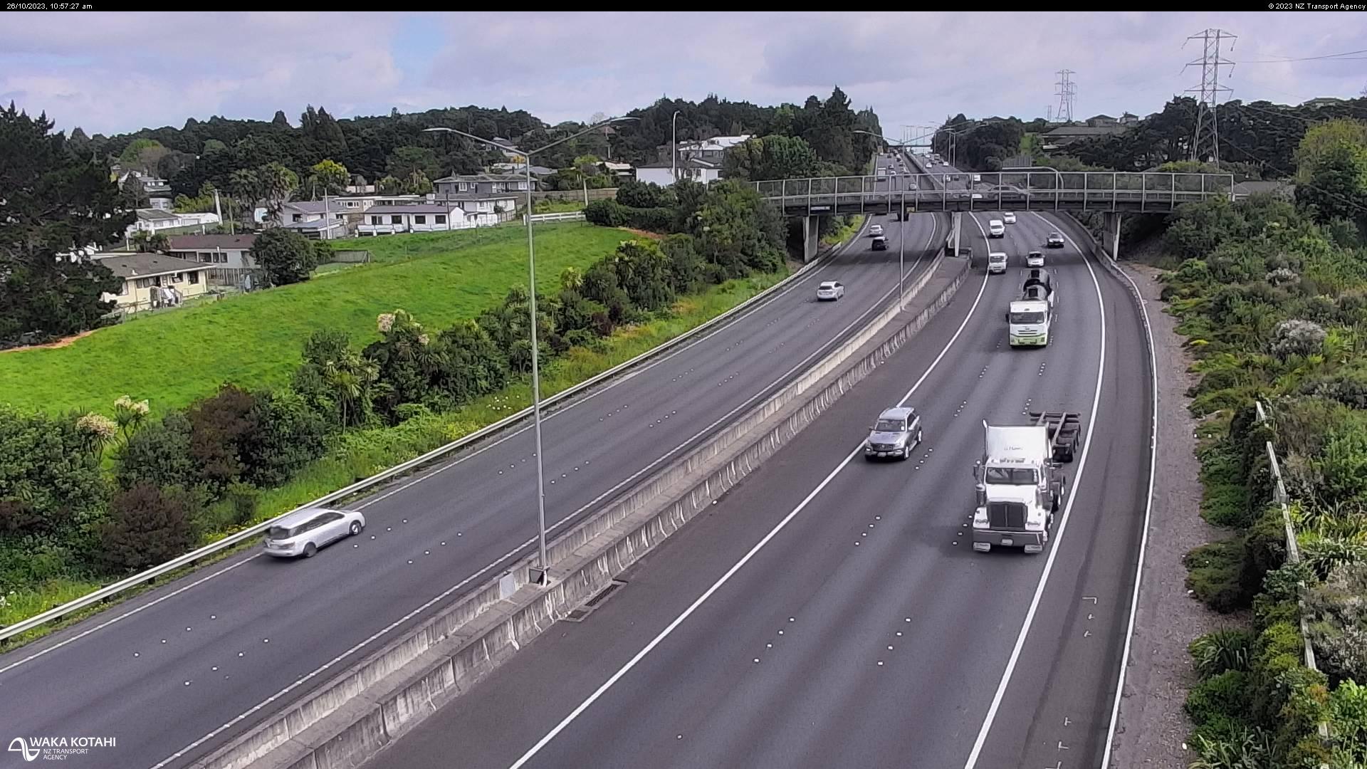
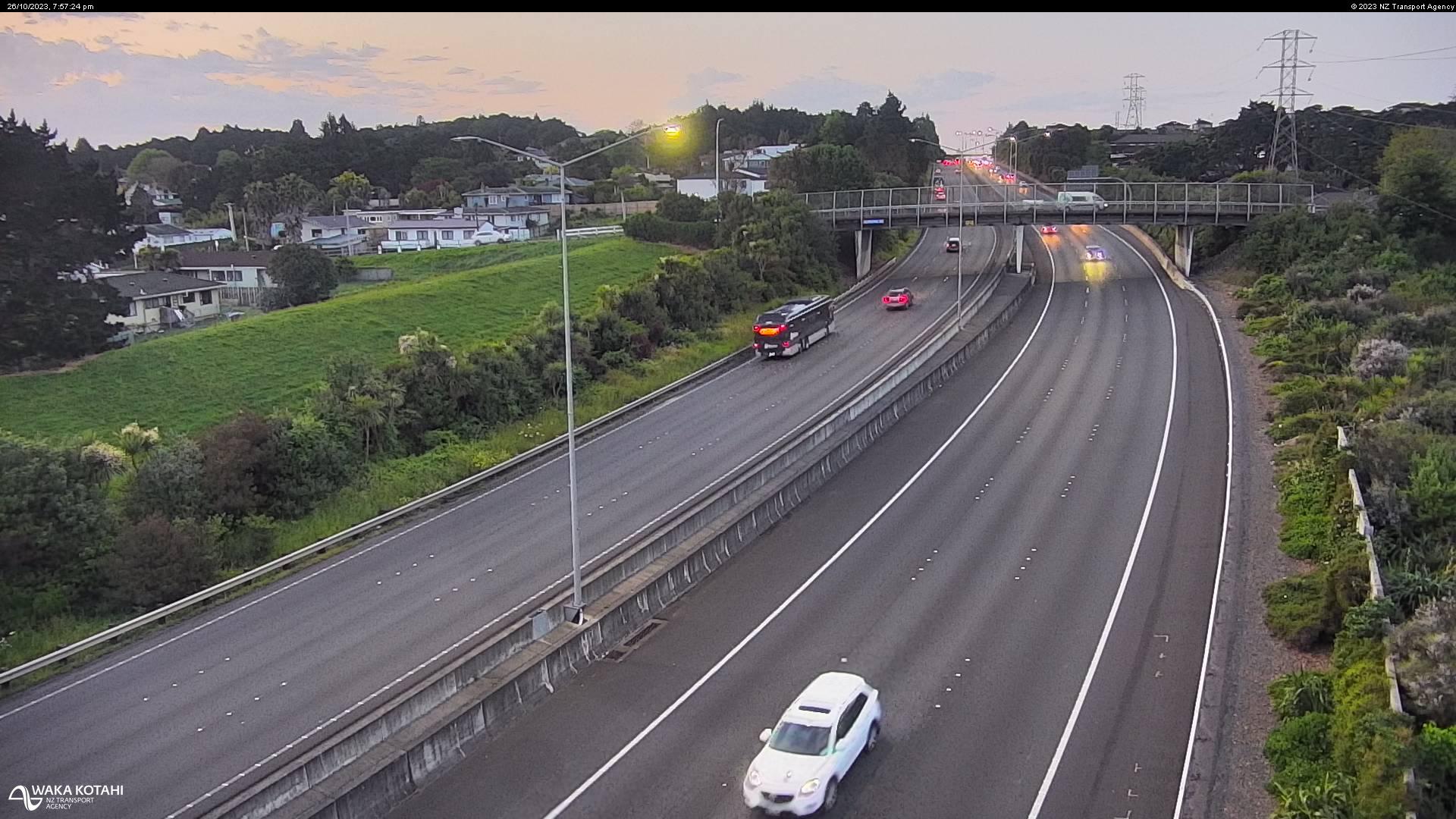
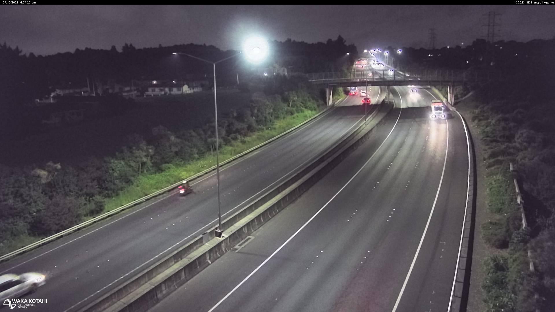
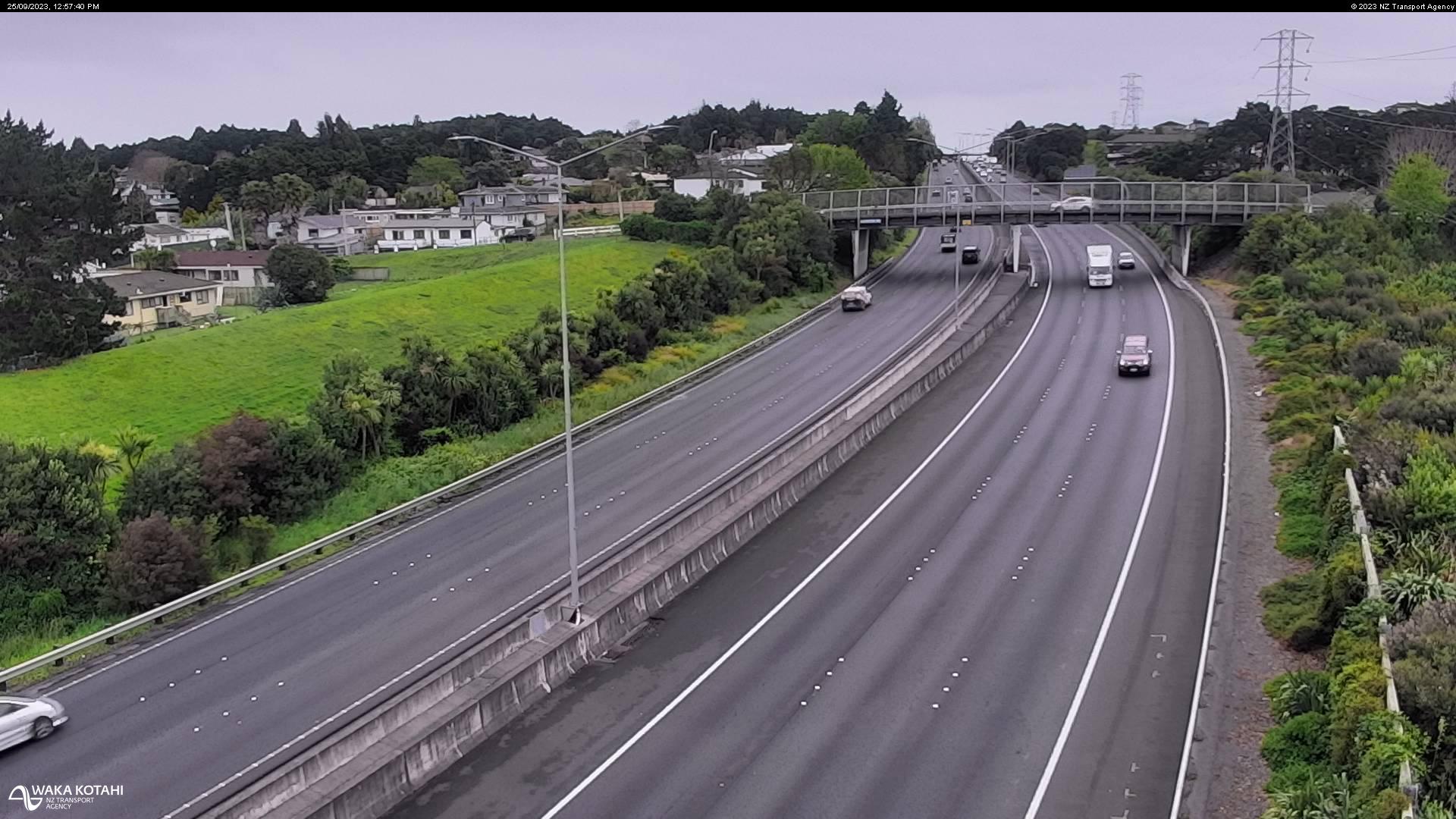
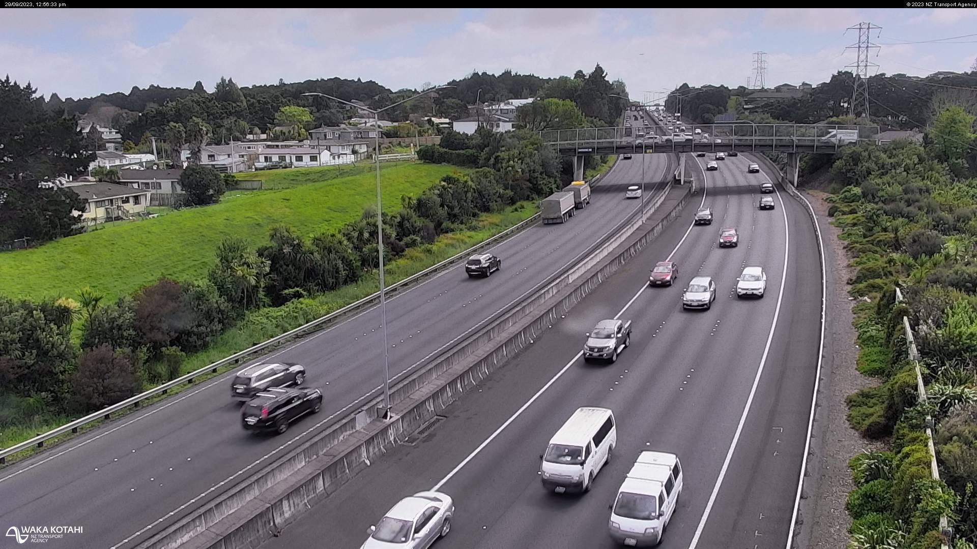
Manurewa East, New Zealand - 214 miles from Poukawa: Traffic SH1, Alfriston Road - A view of the current traffic conditions in northern direction.
Operator: NZ Transport Agency
Operator: NZ Transport Agency


Some other places in this country: Portobello - Port Robinson - Port Waikato - Potters Creek - Poukiore - Pounamu - Pounawea - Pouto - Poutu - Poutu