Webcams in the region of Apata, New Zealand
The List of Webcams near Apata, New Zealand:


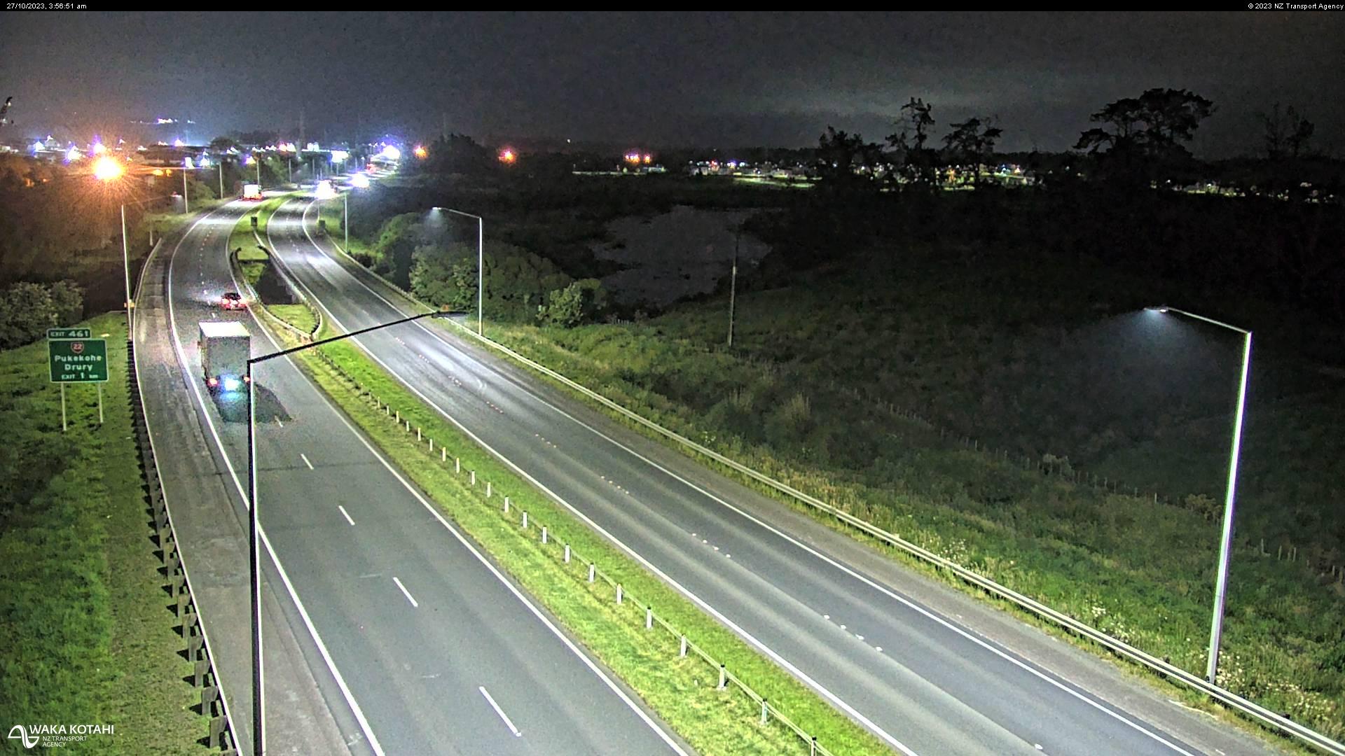
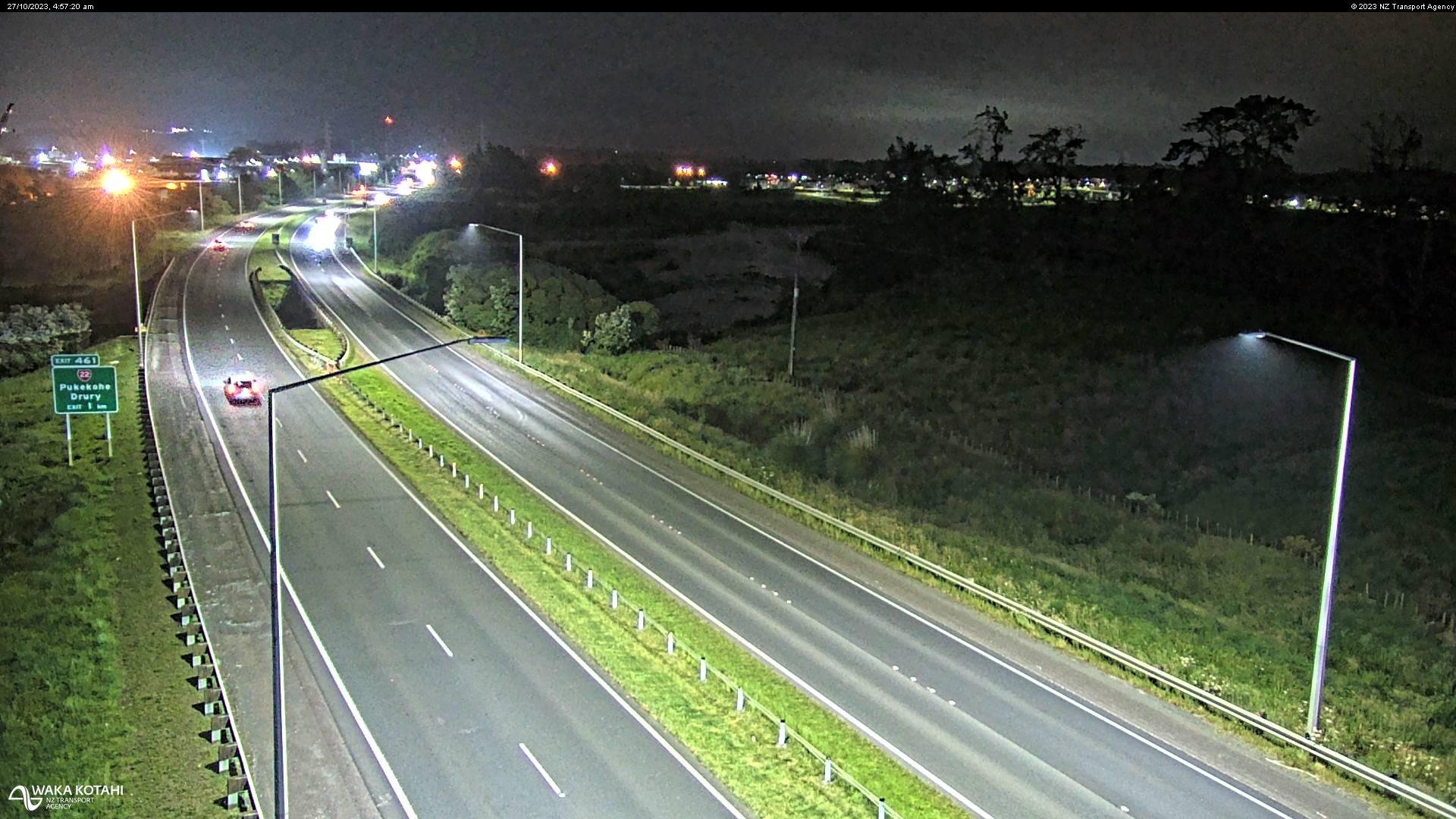
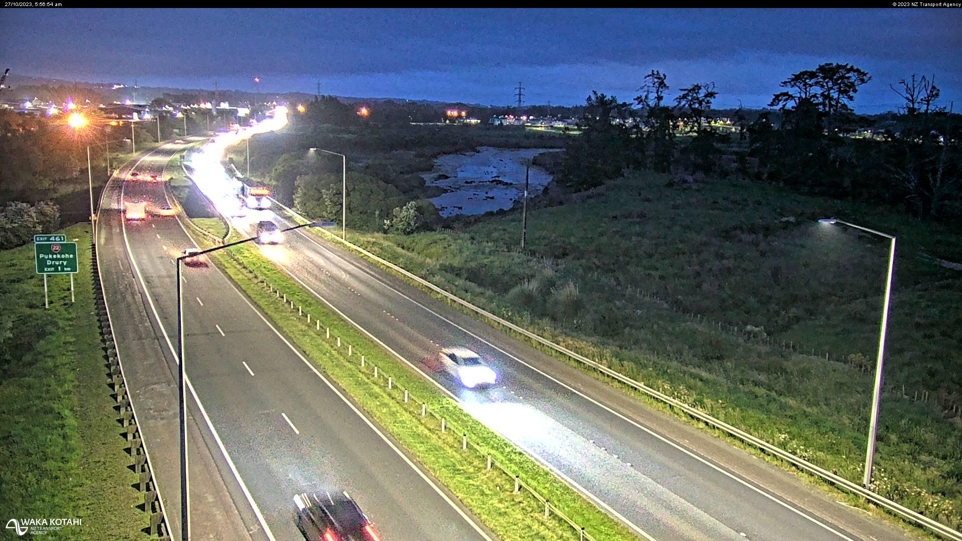
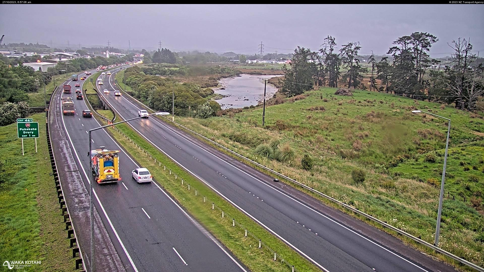
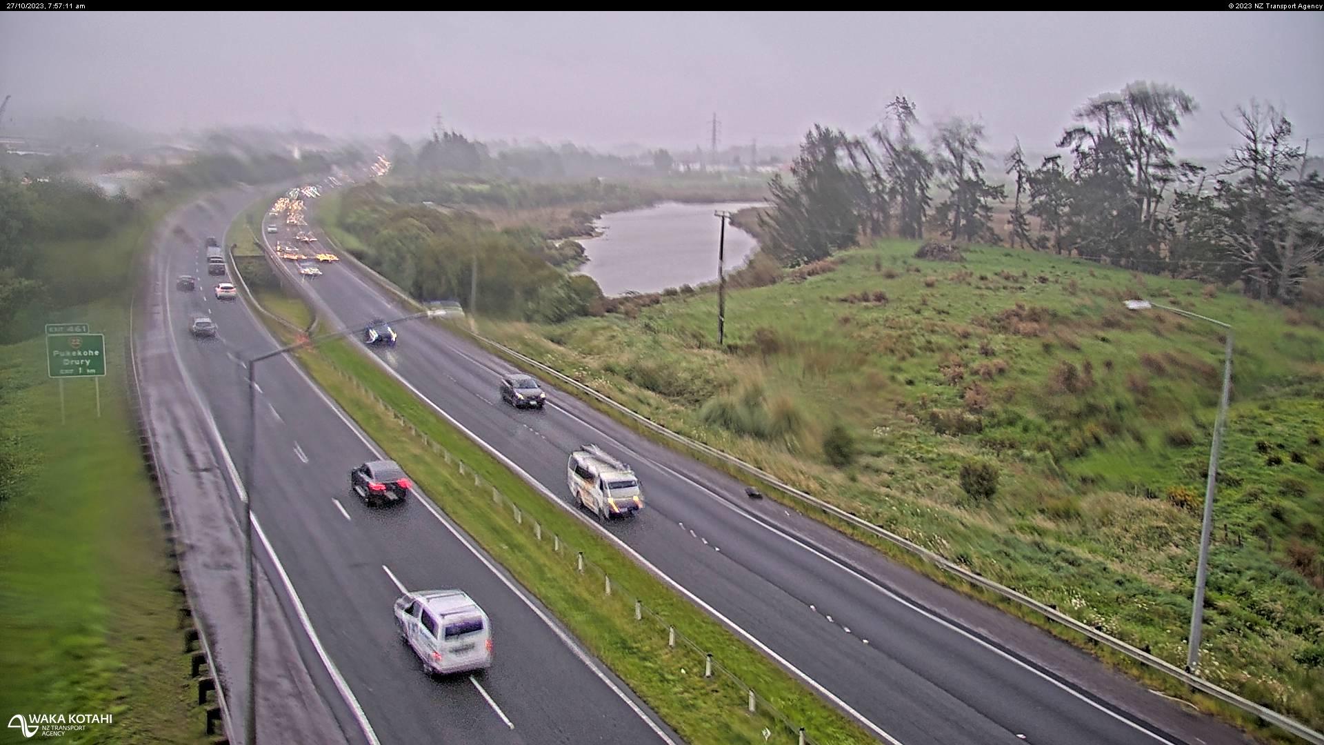
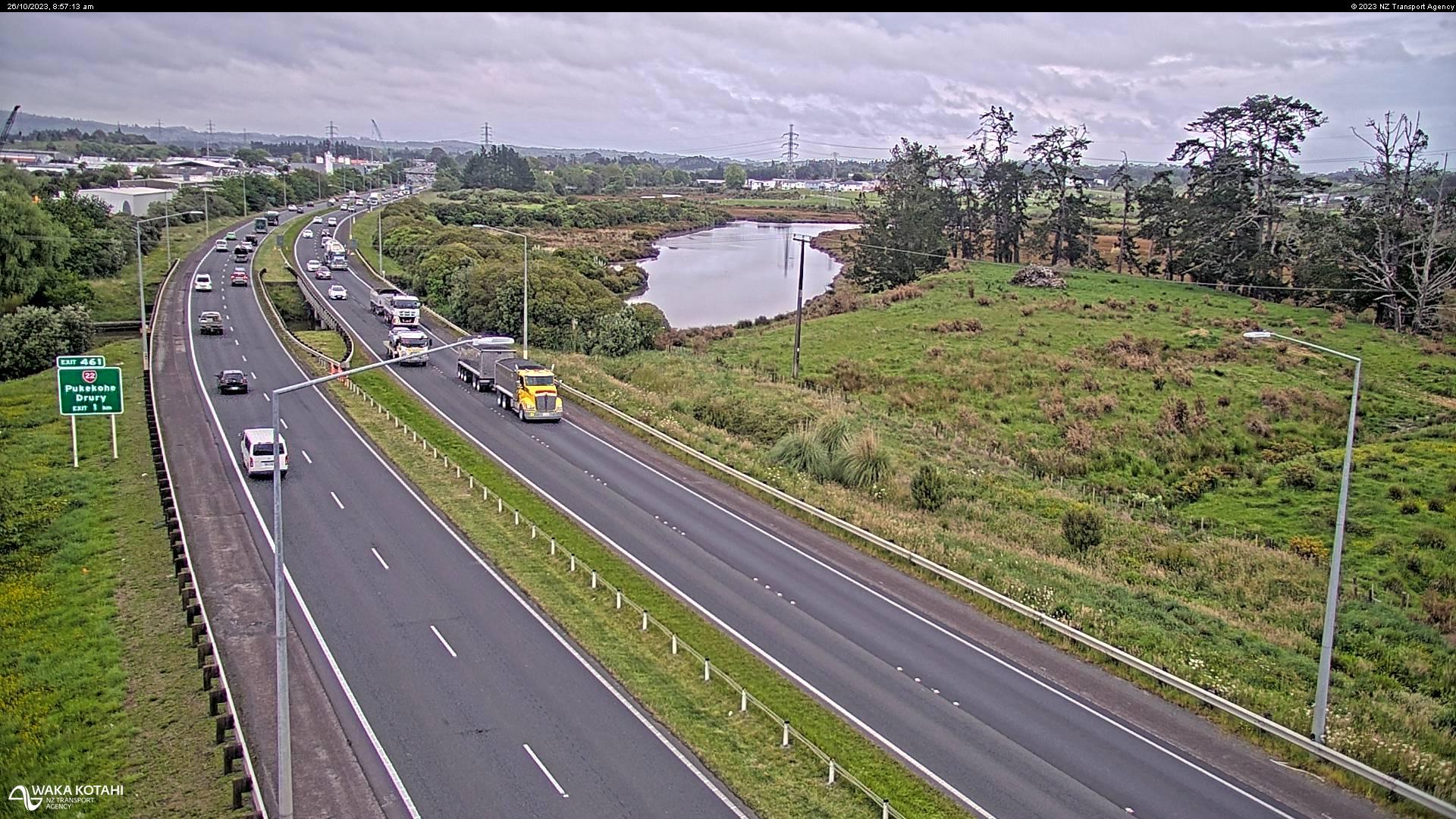
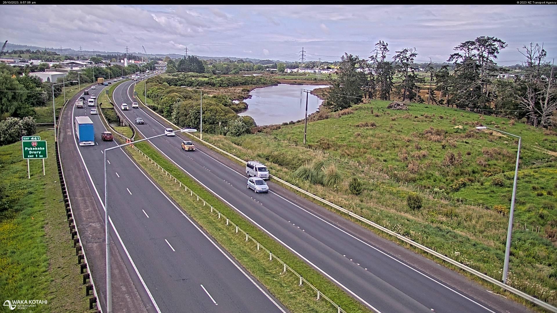
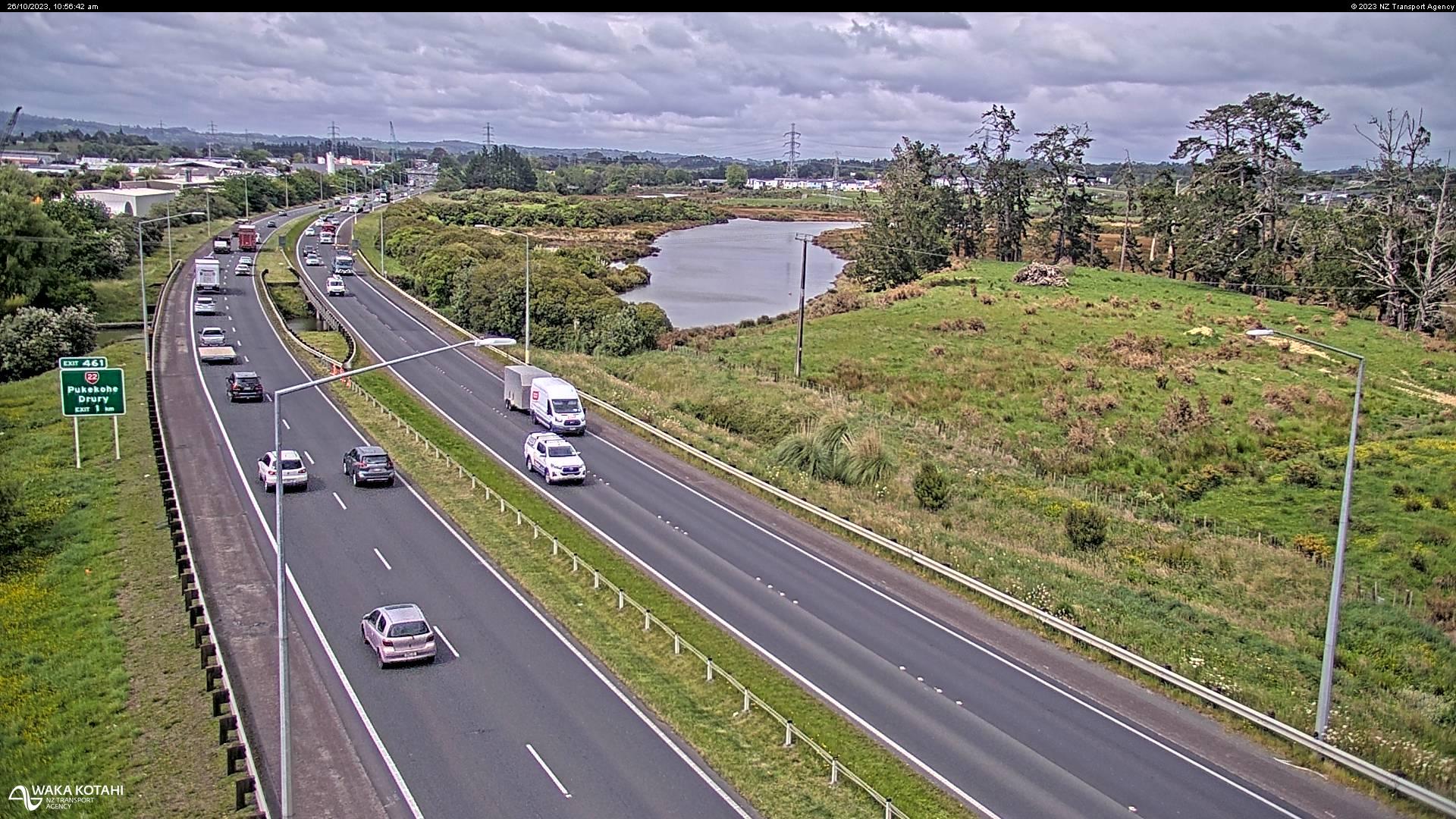
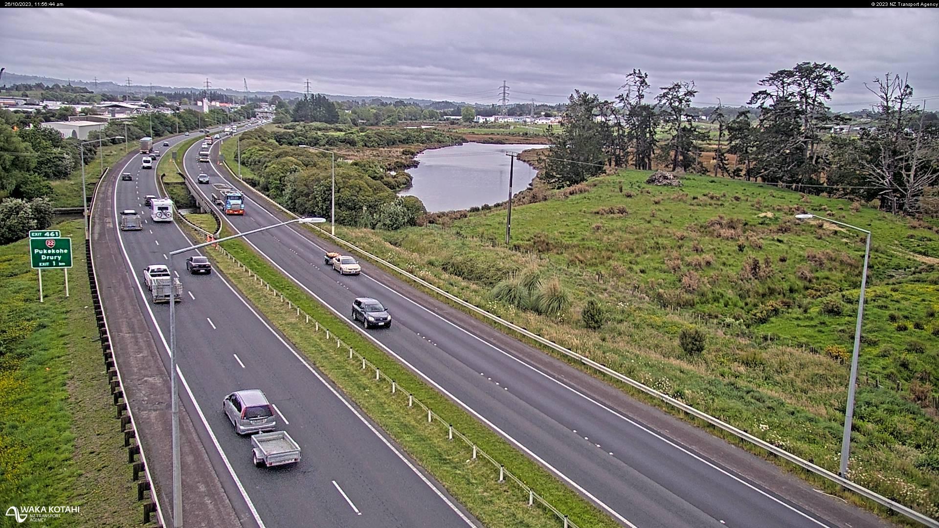
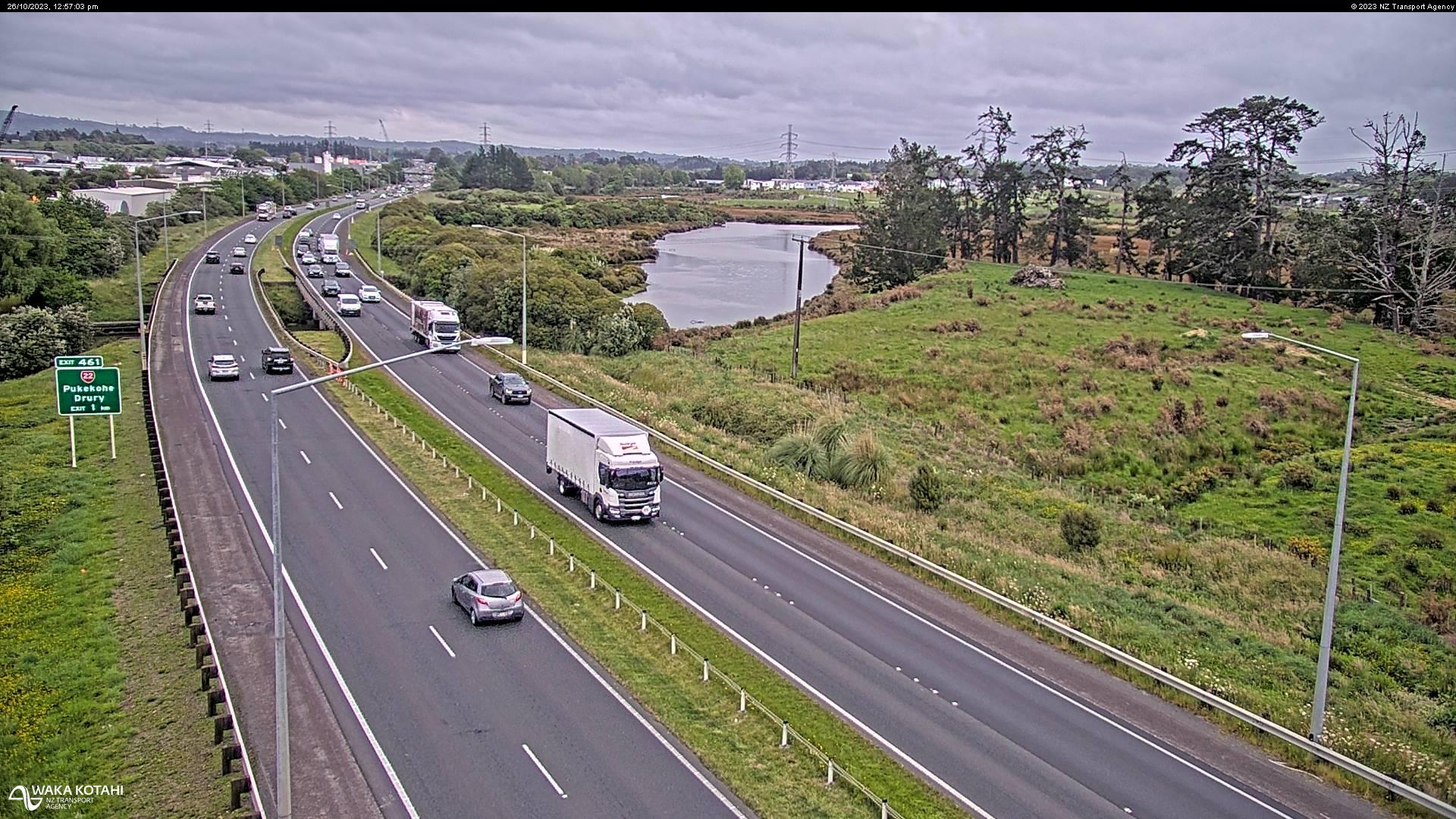
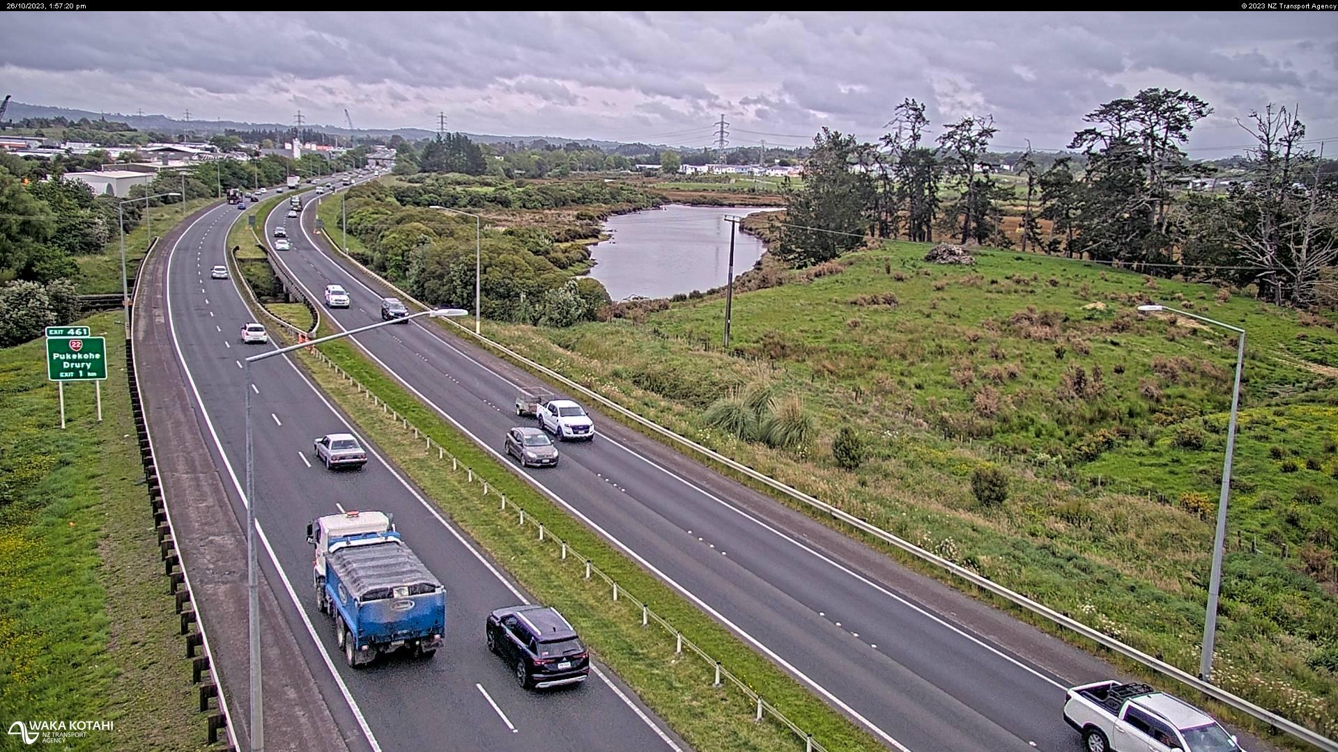
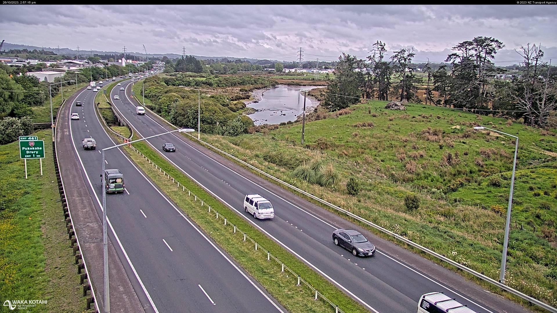
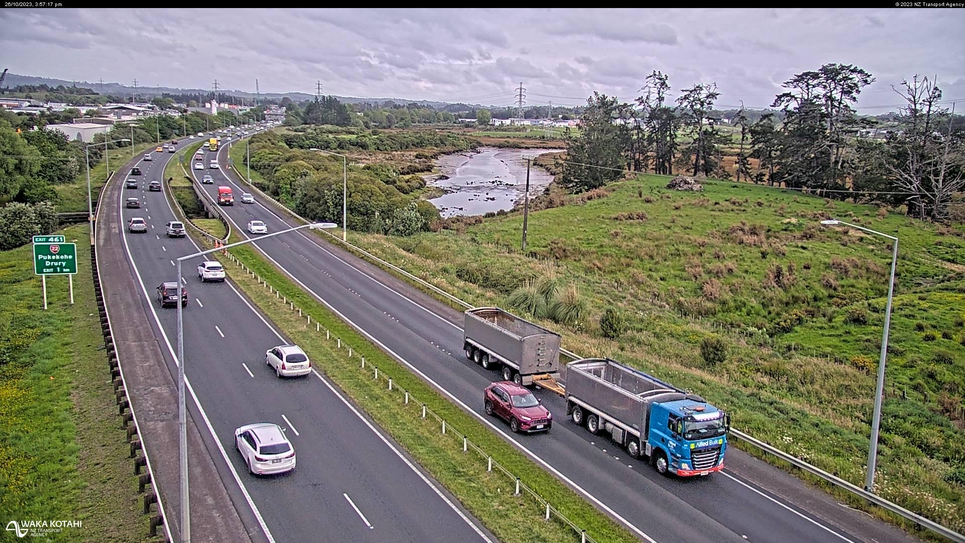
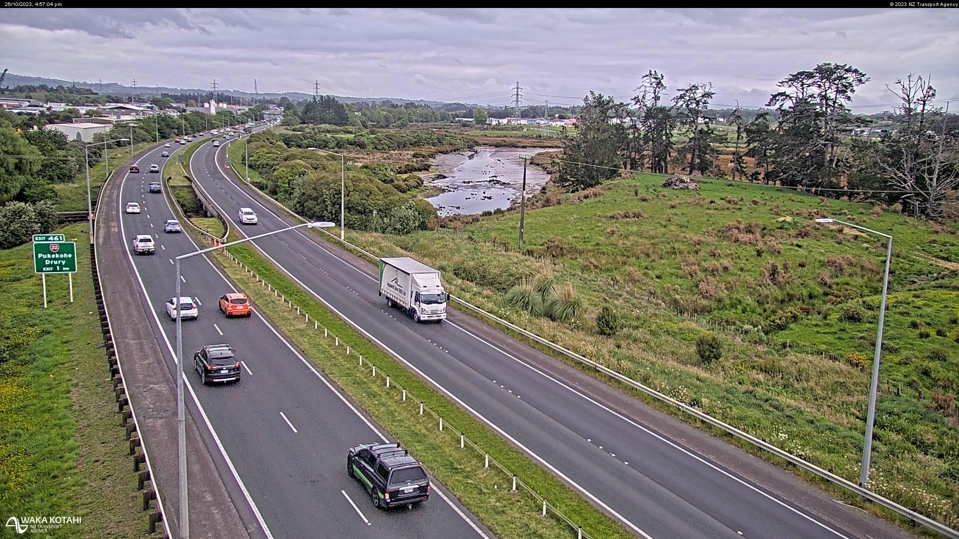
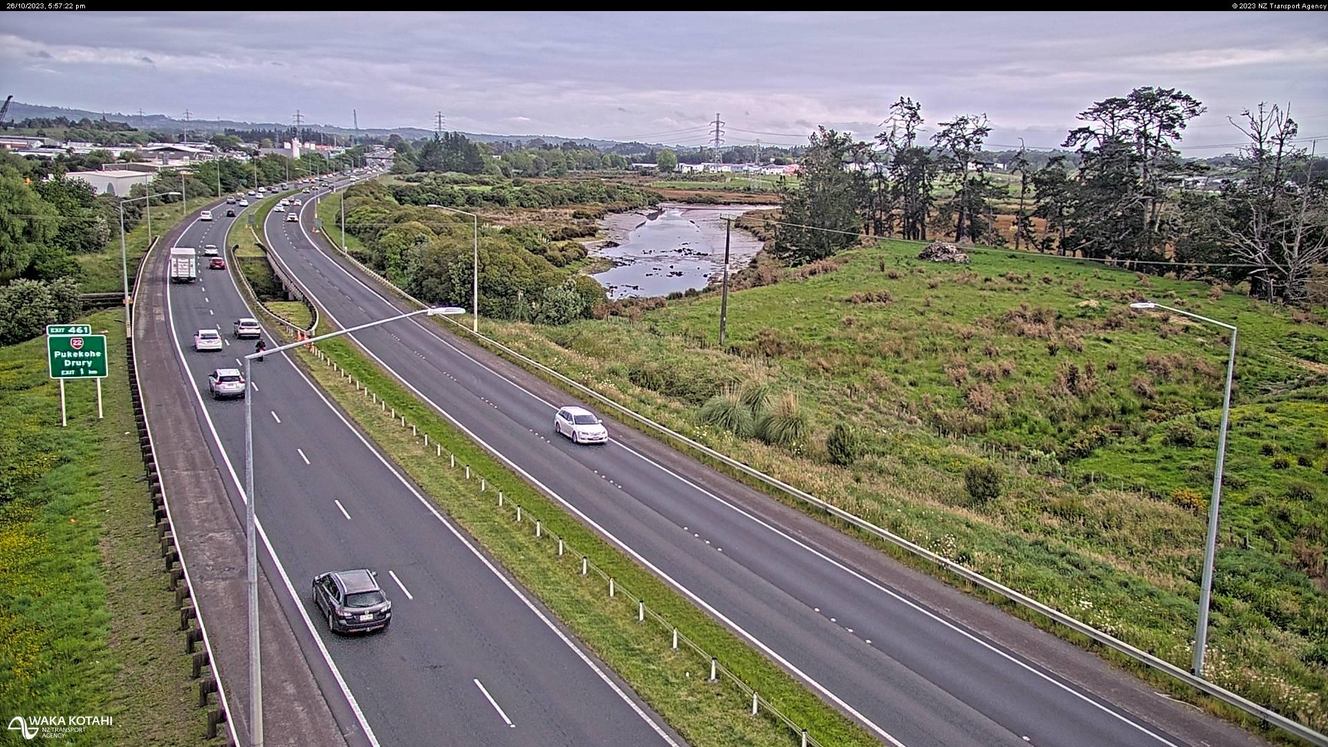
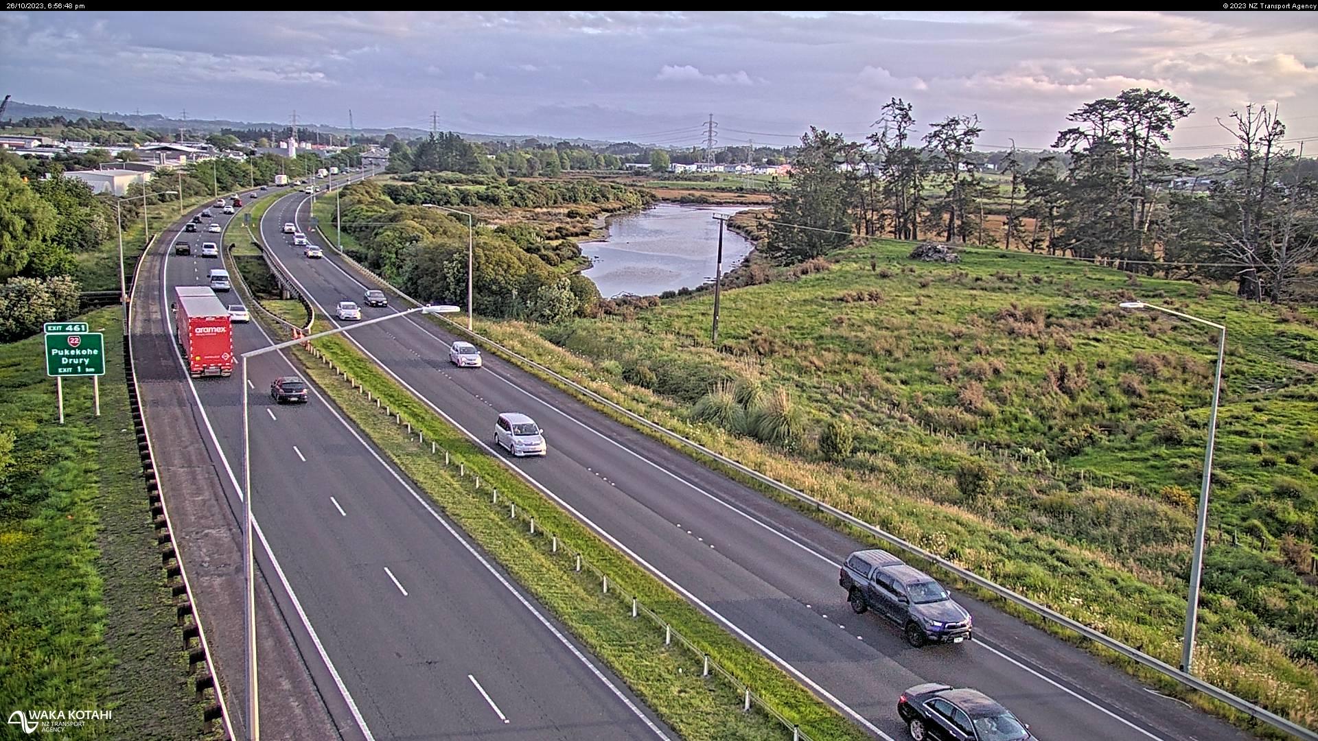
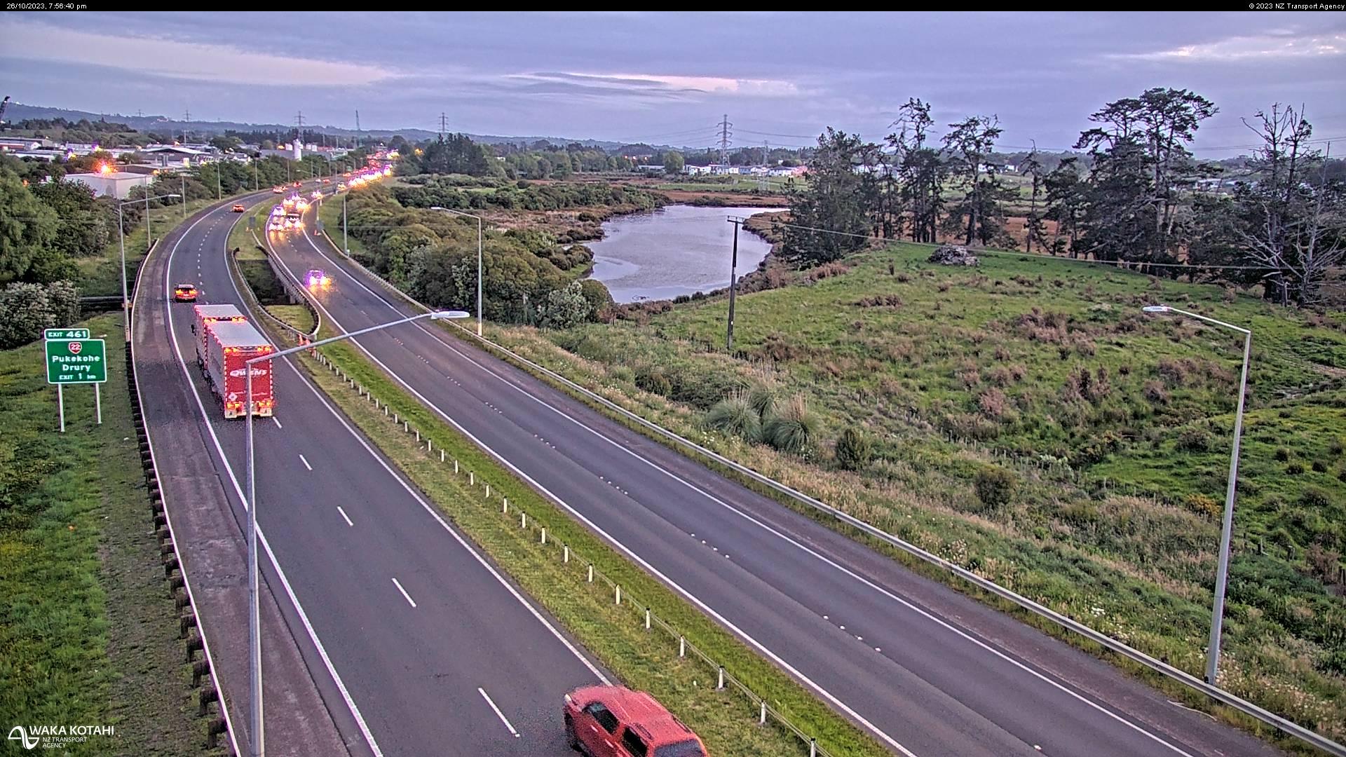
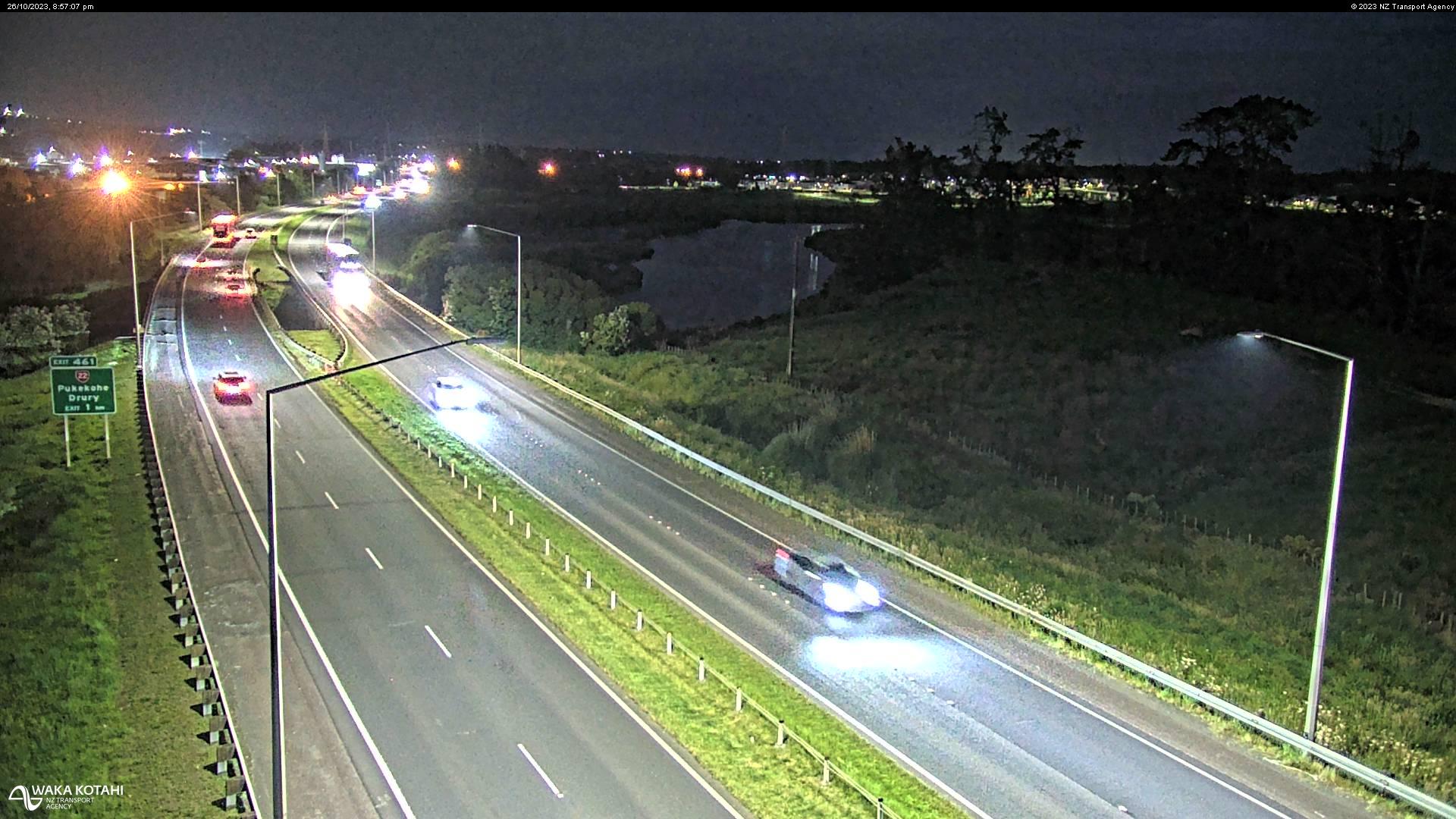
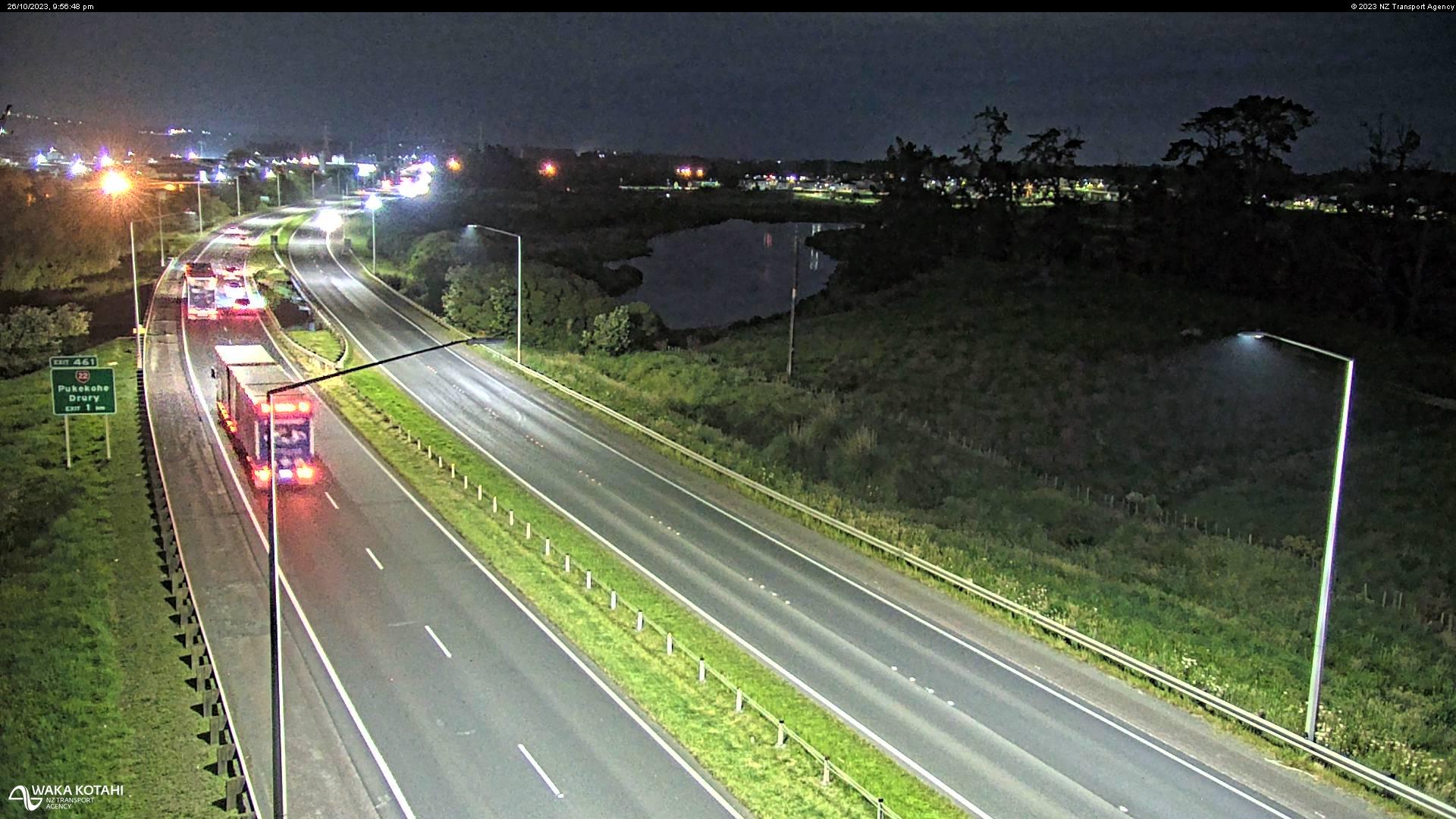
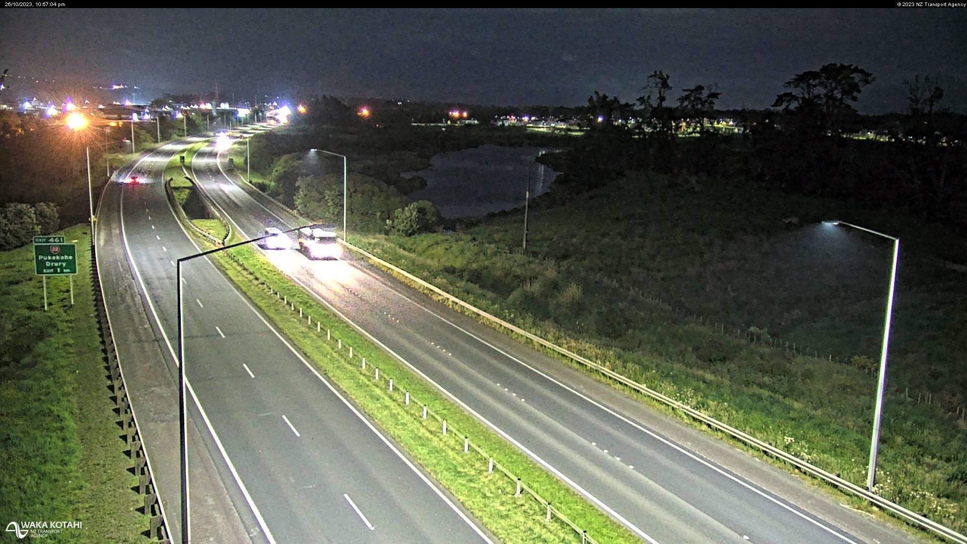
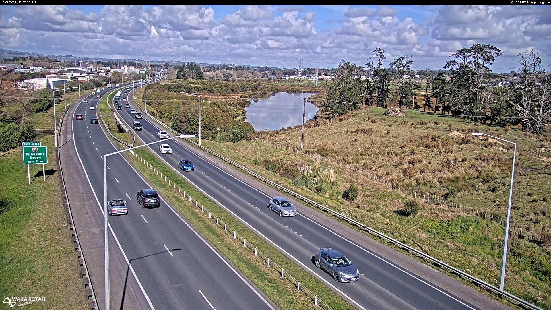
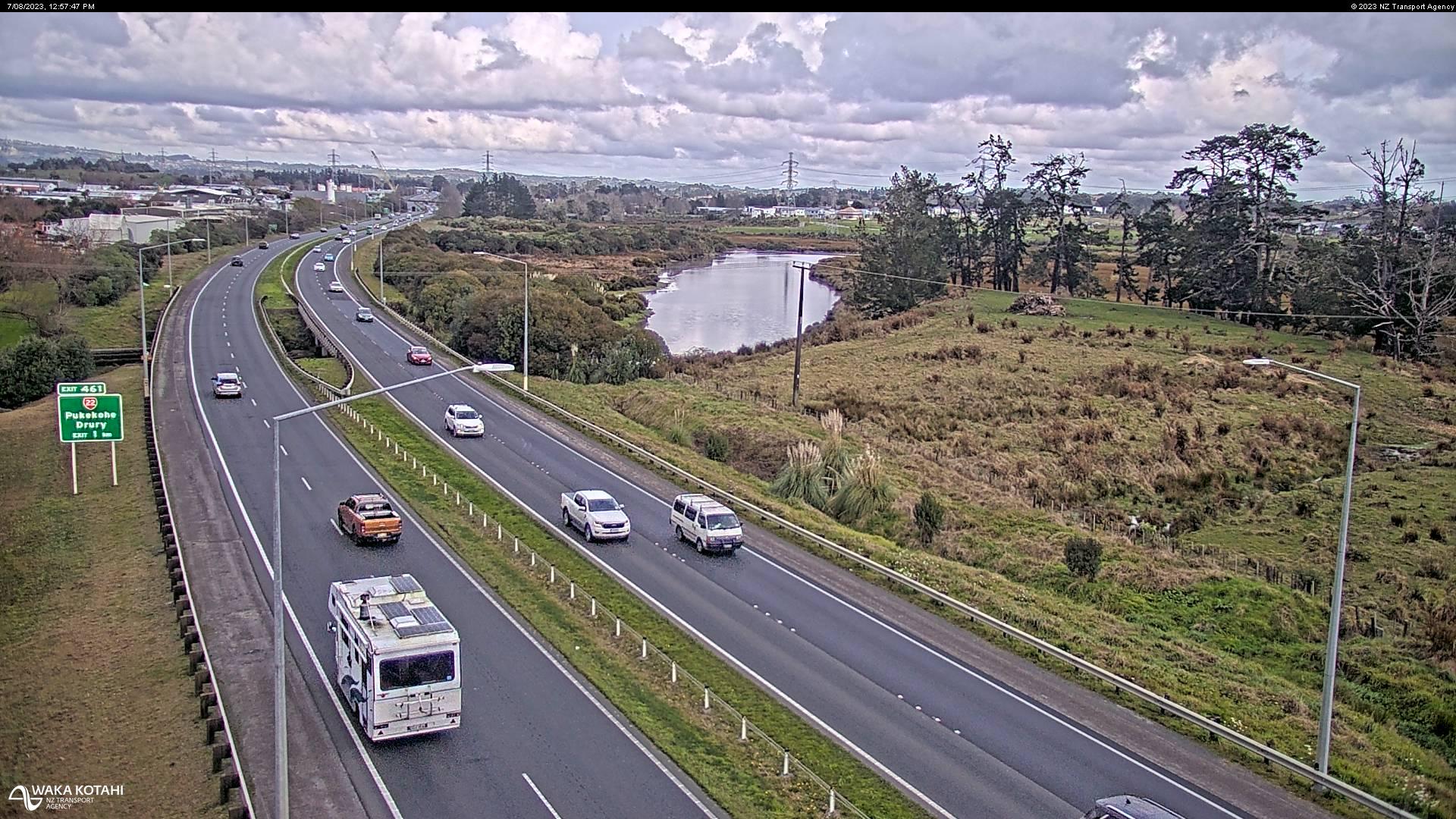
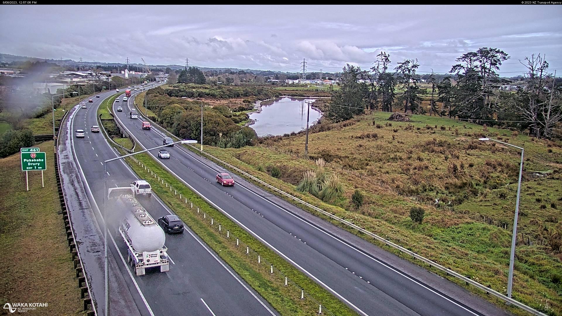
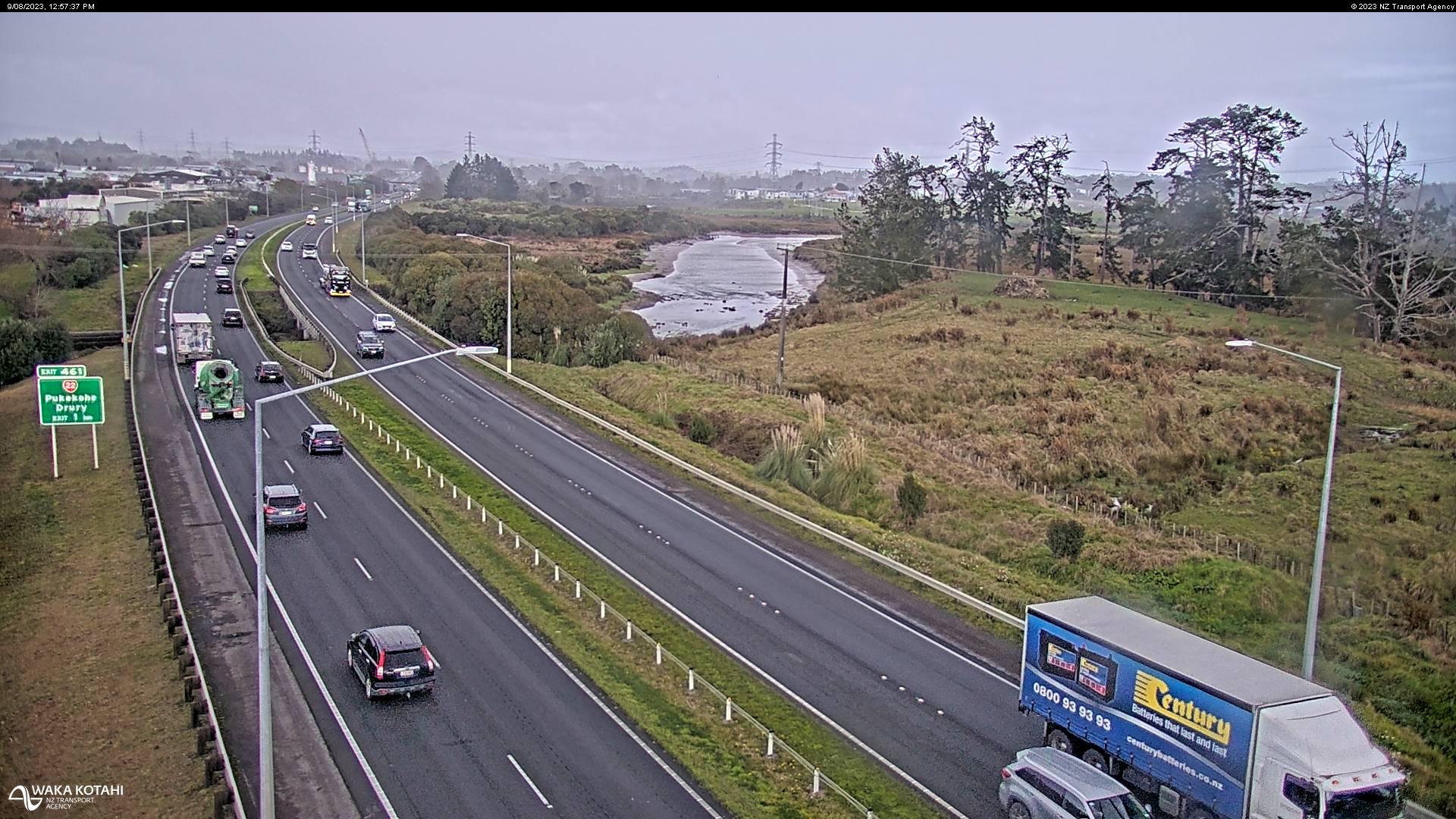
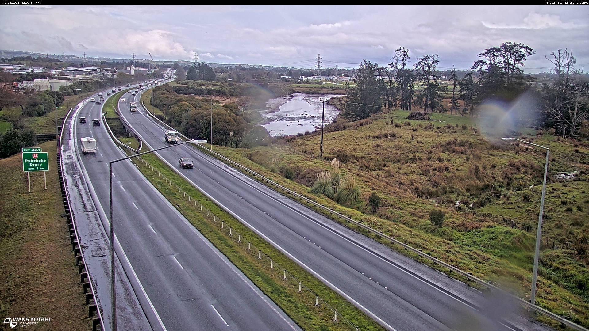
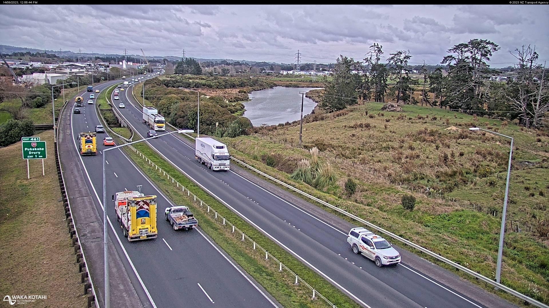
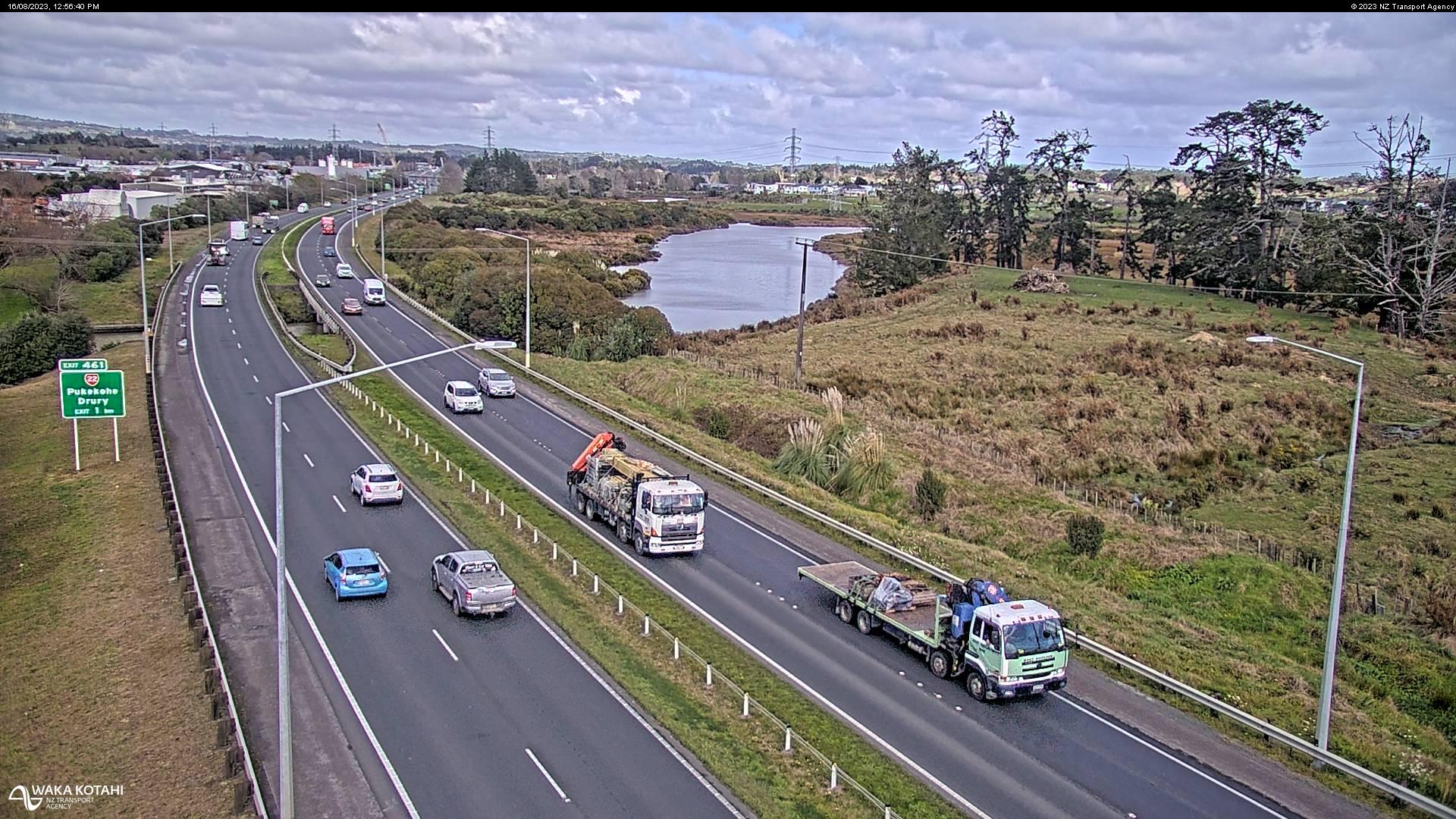
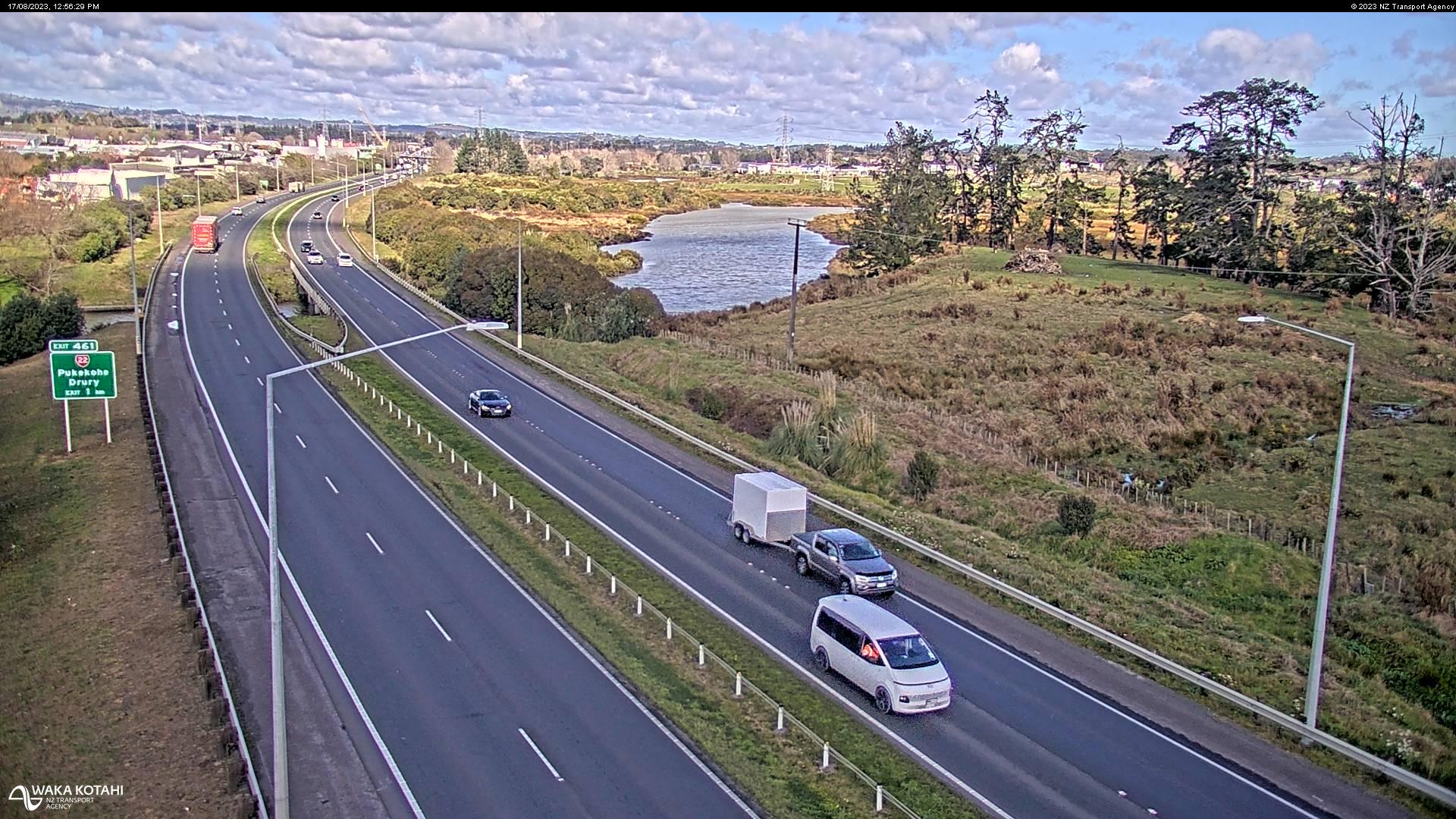
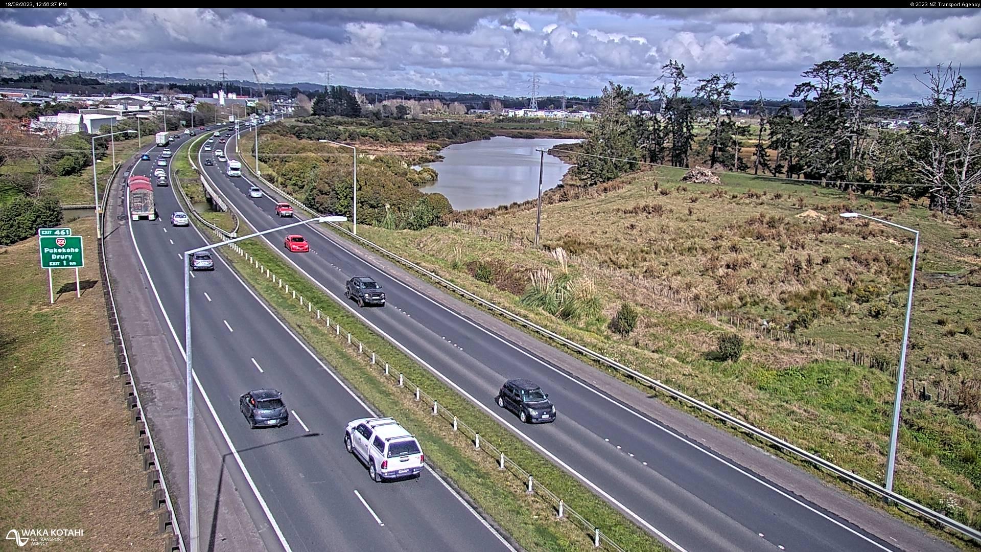
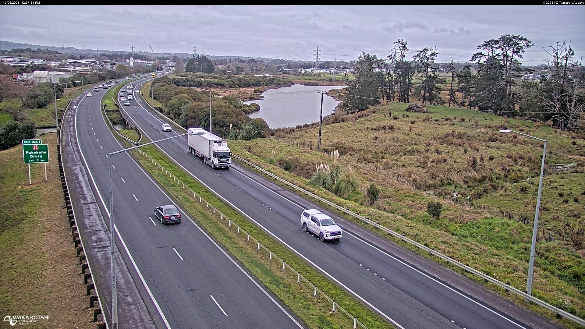
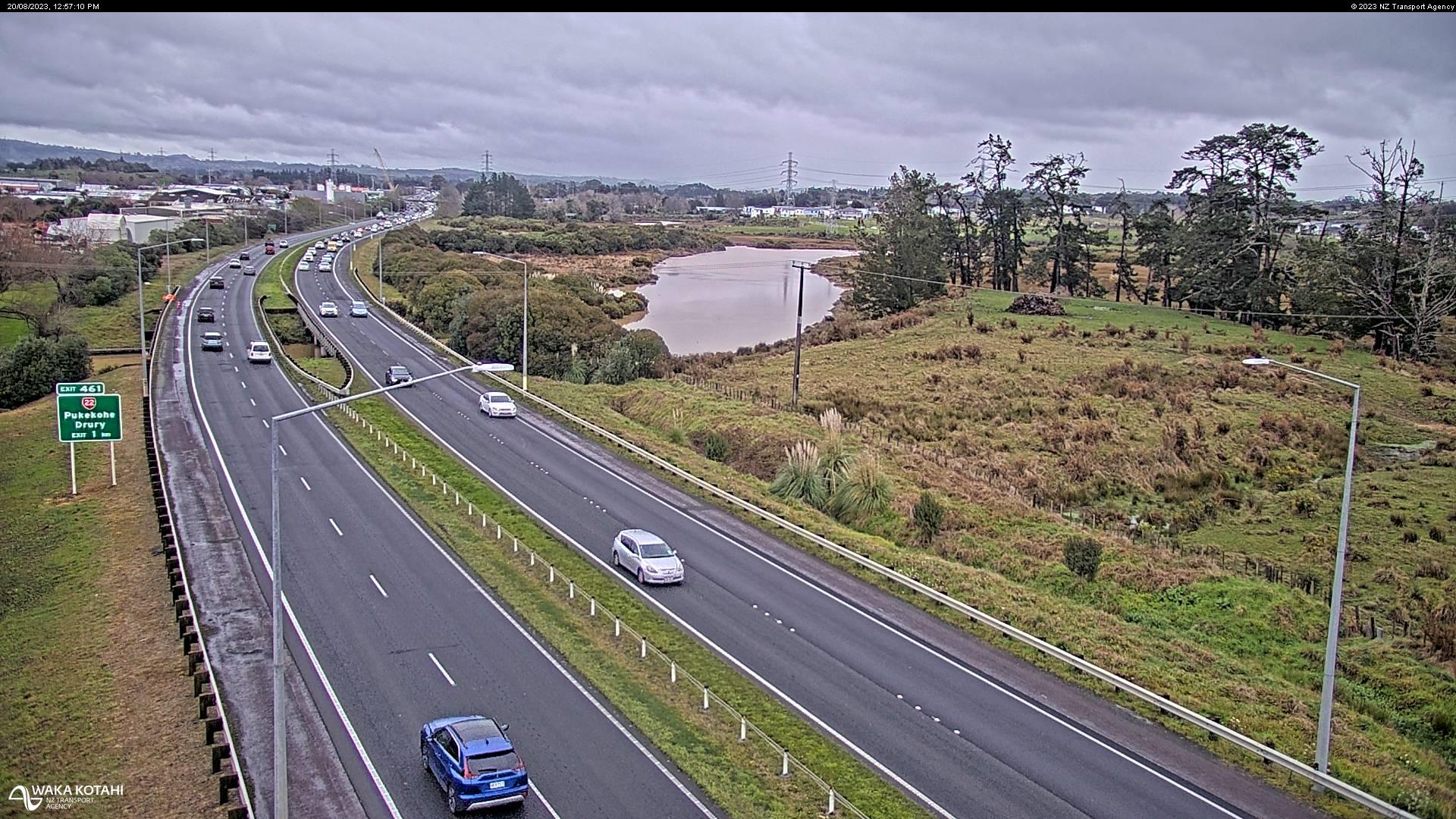
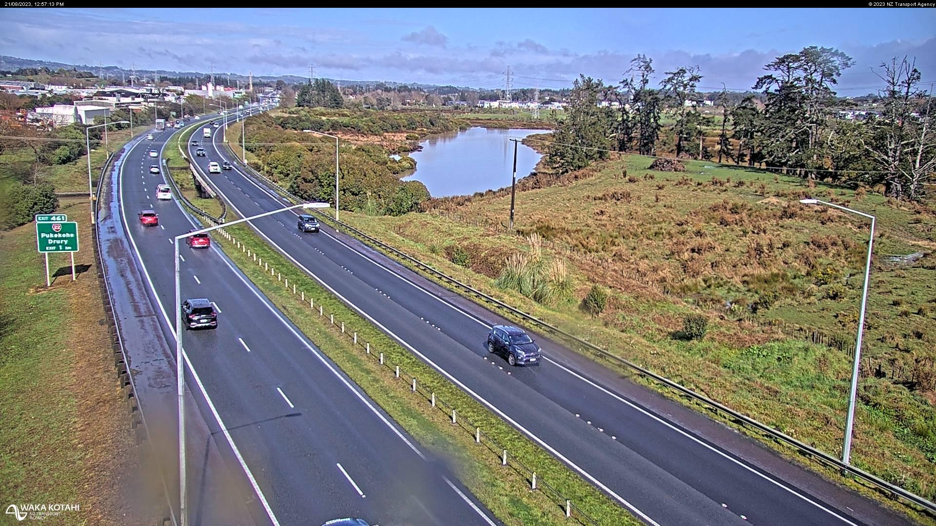
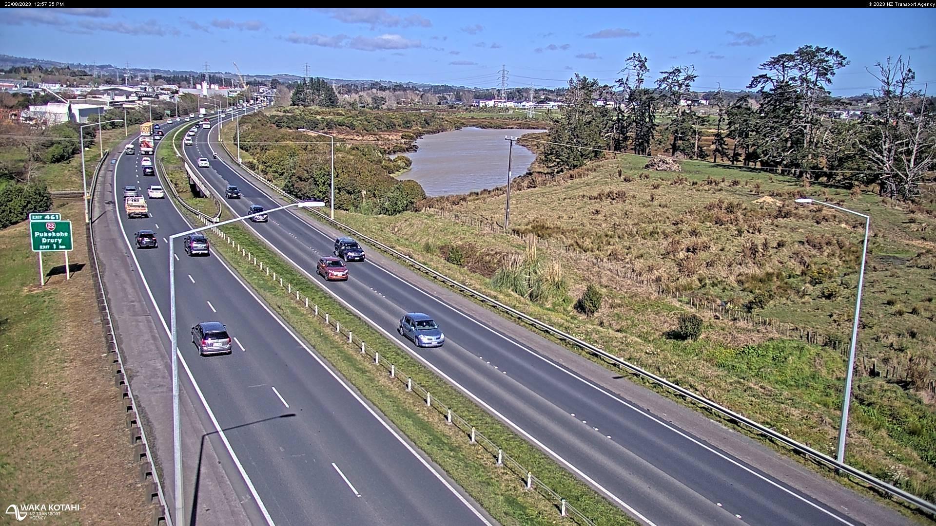
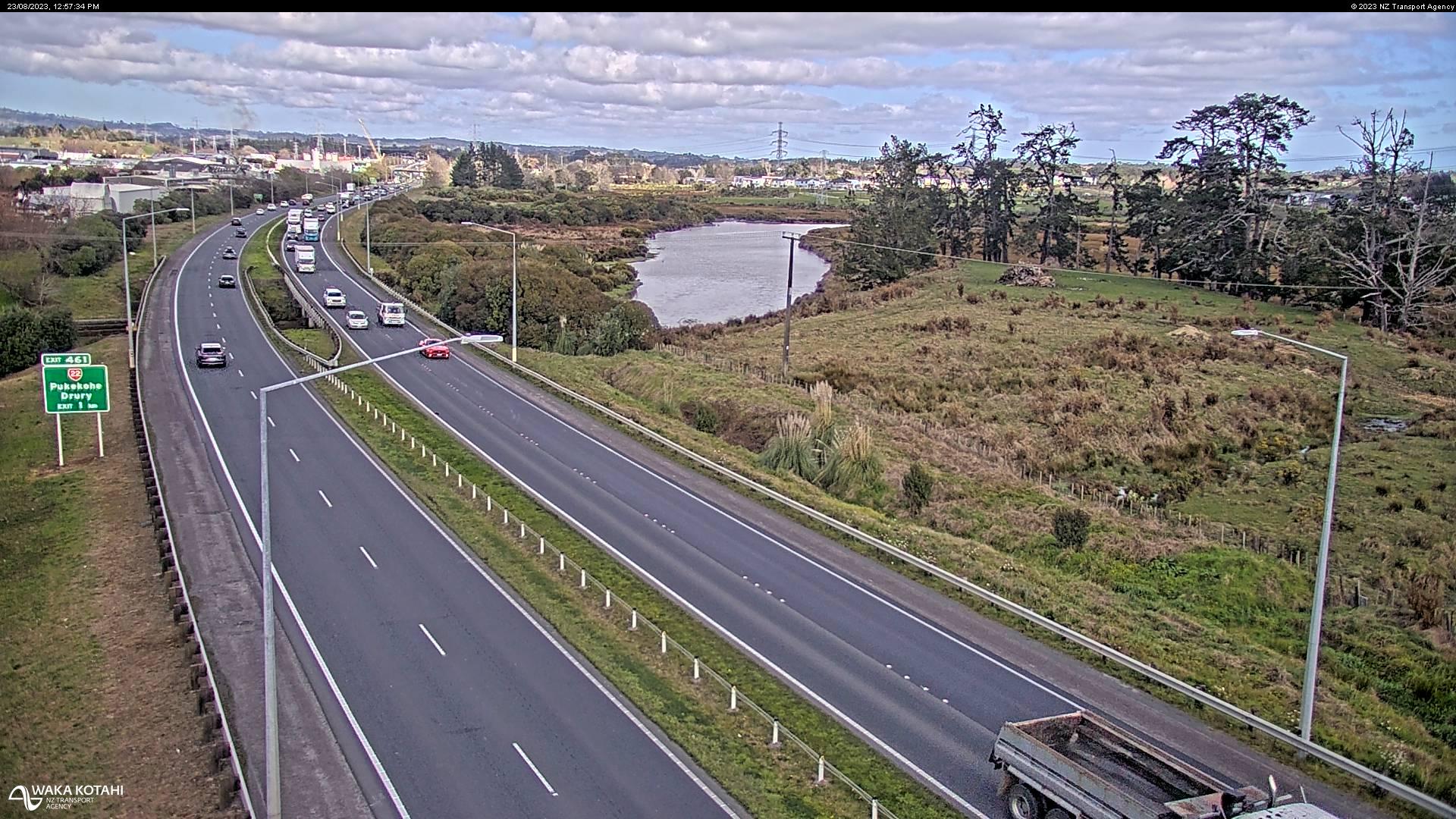
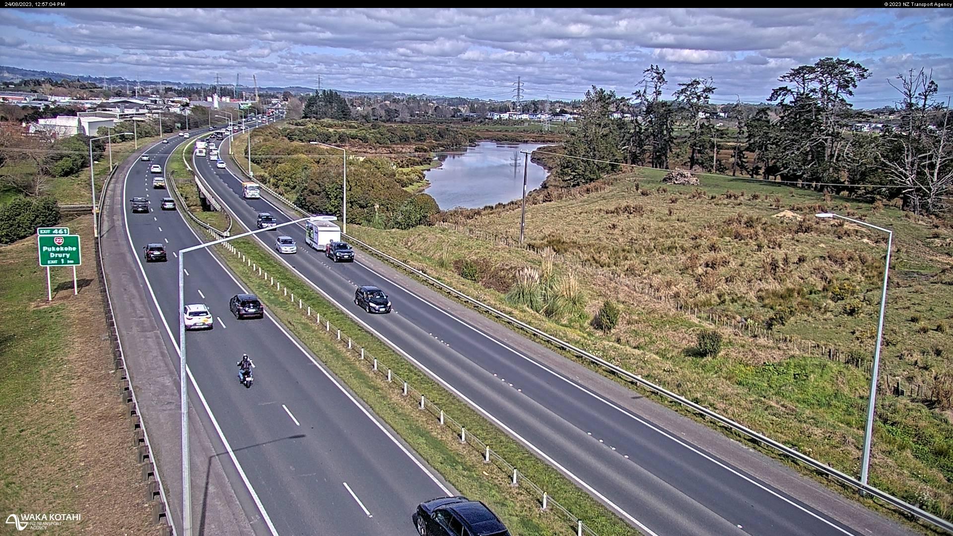
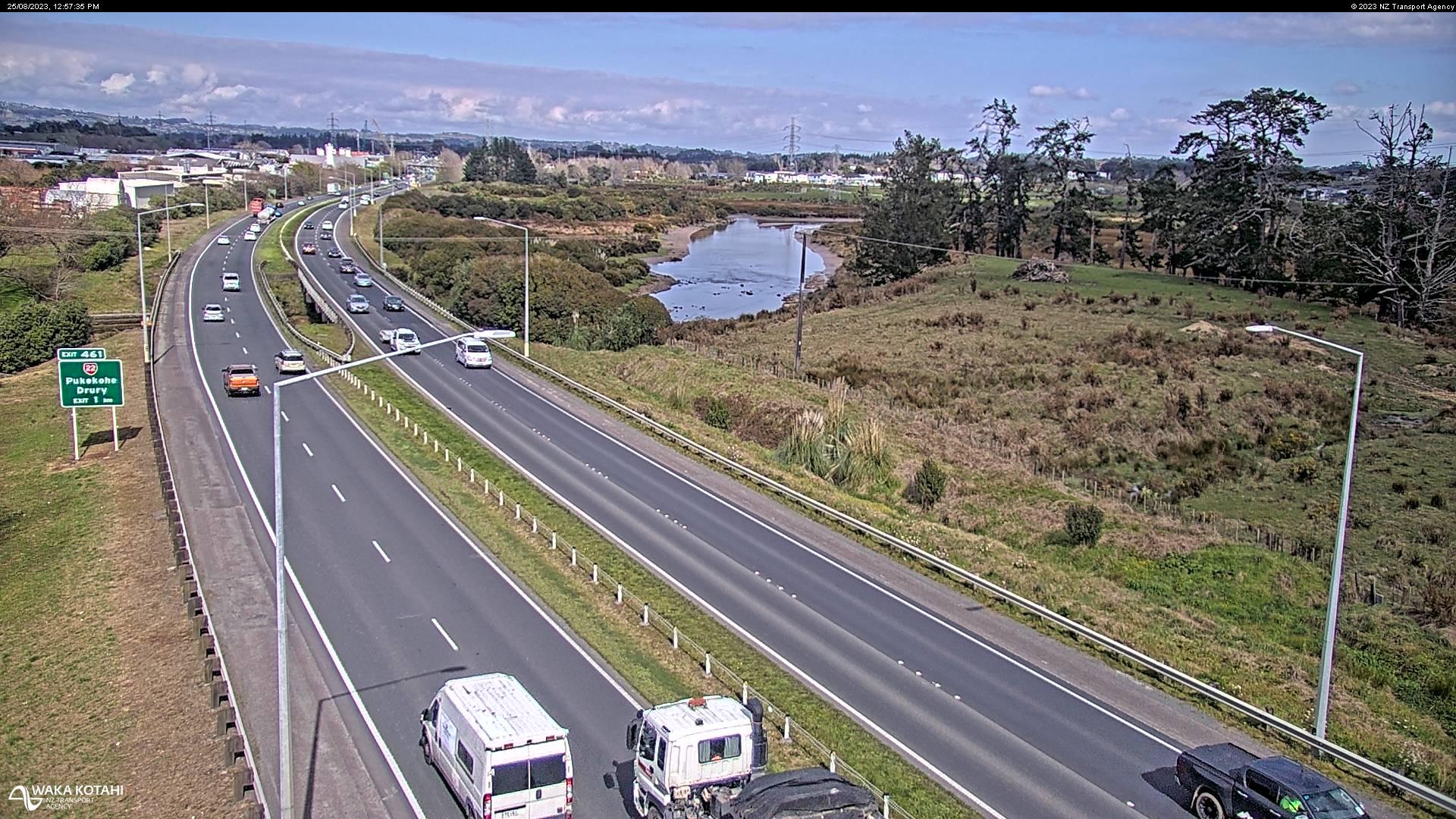
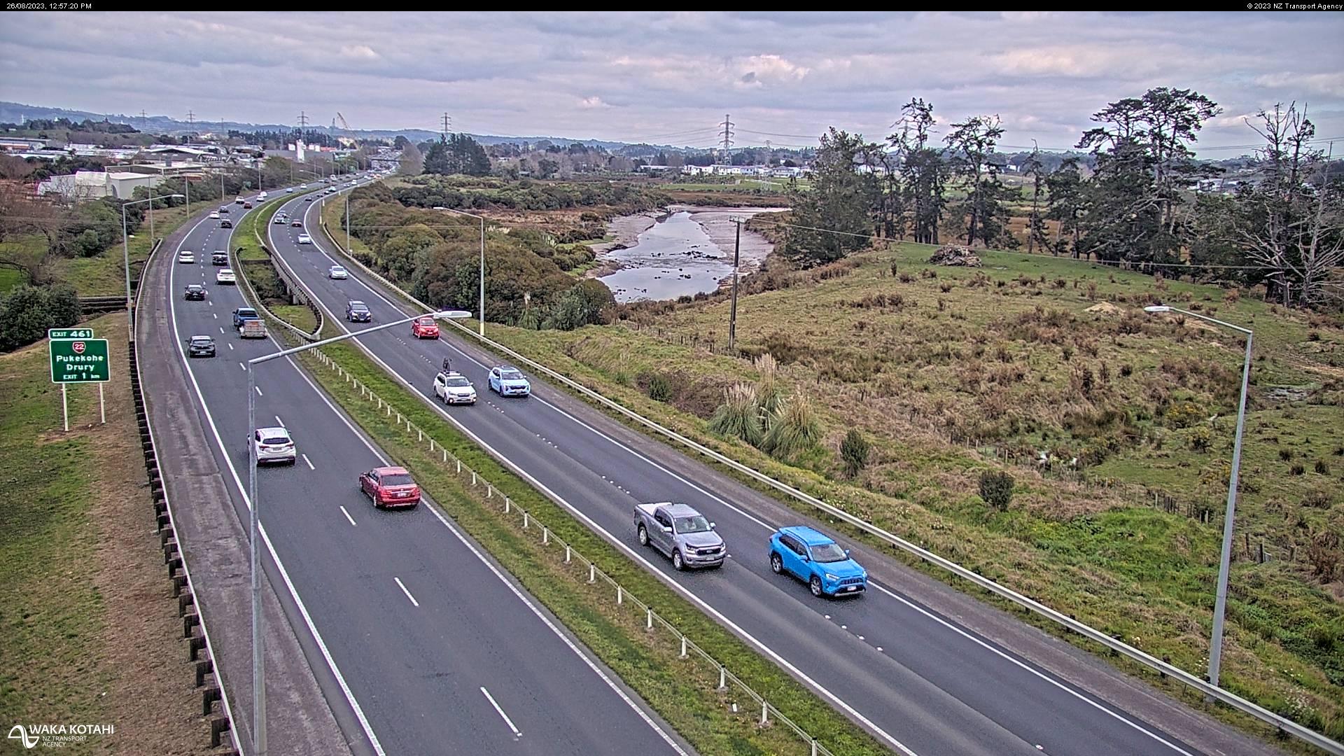
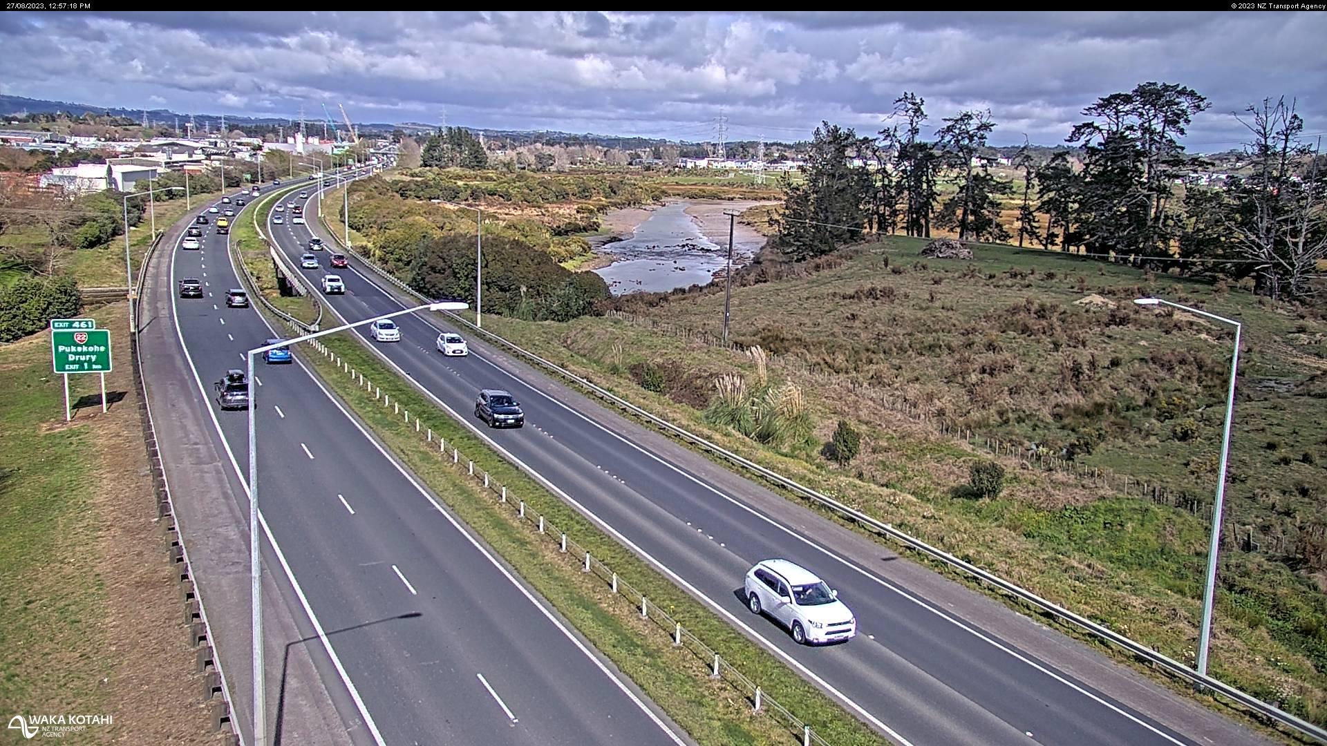
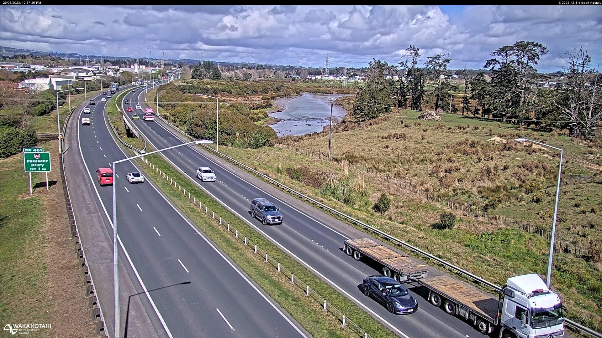
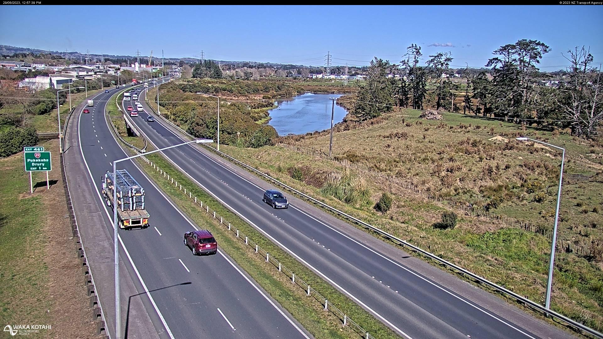
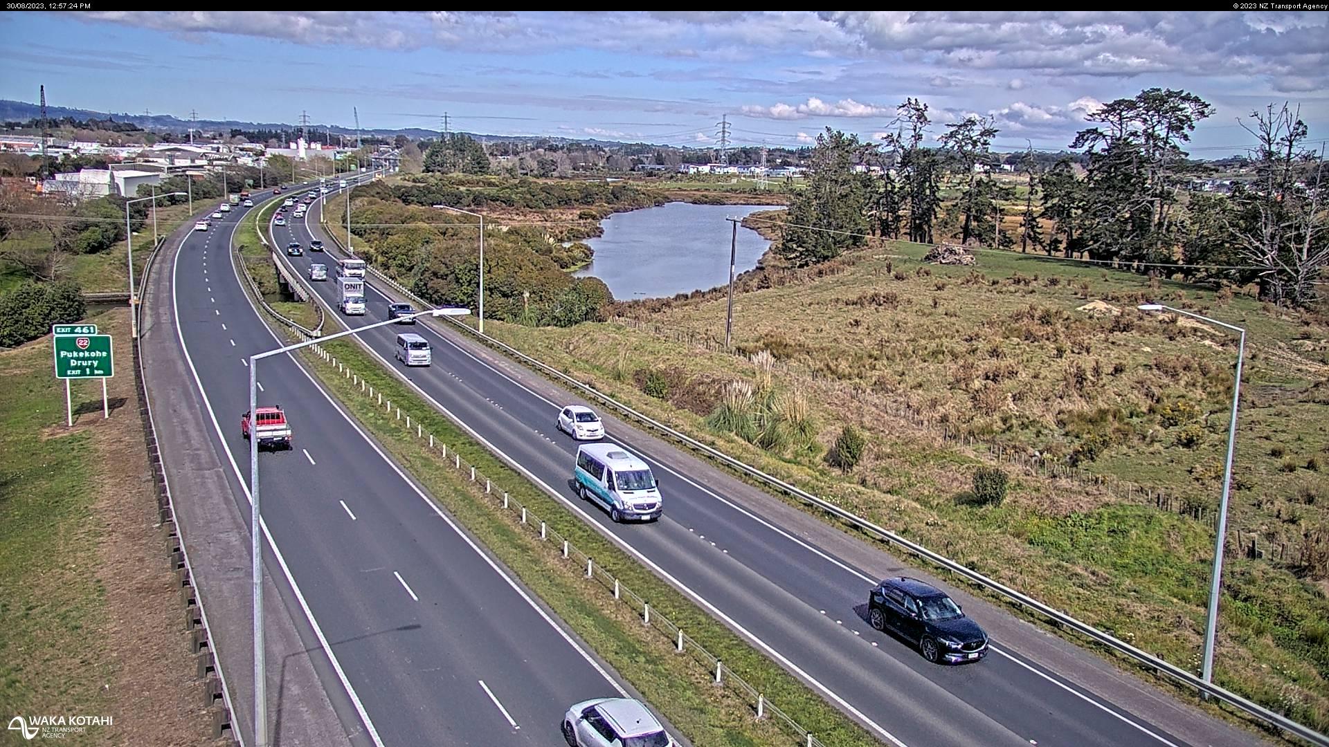
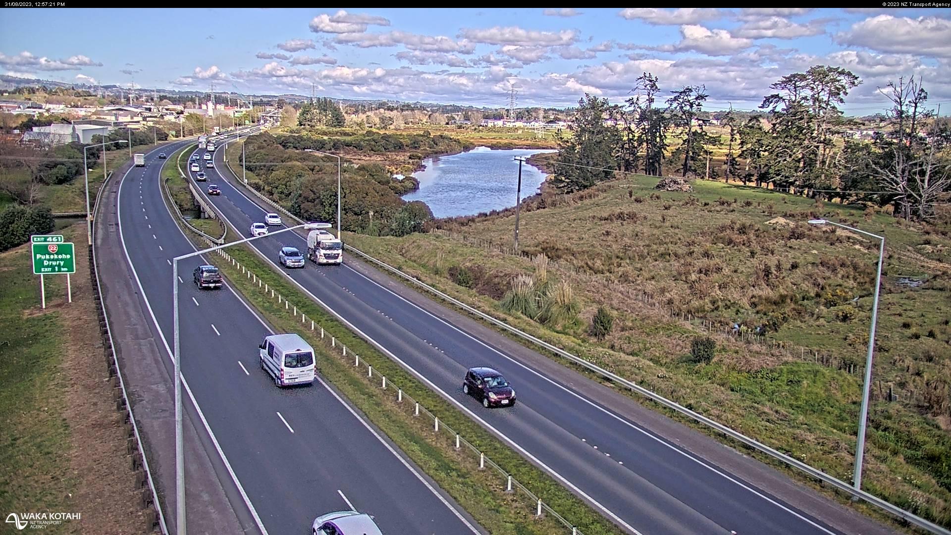
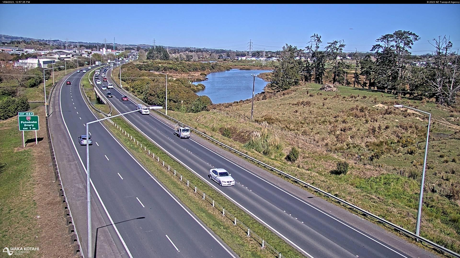
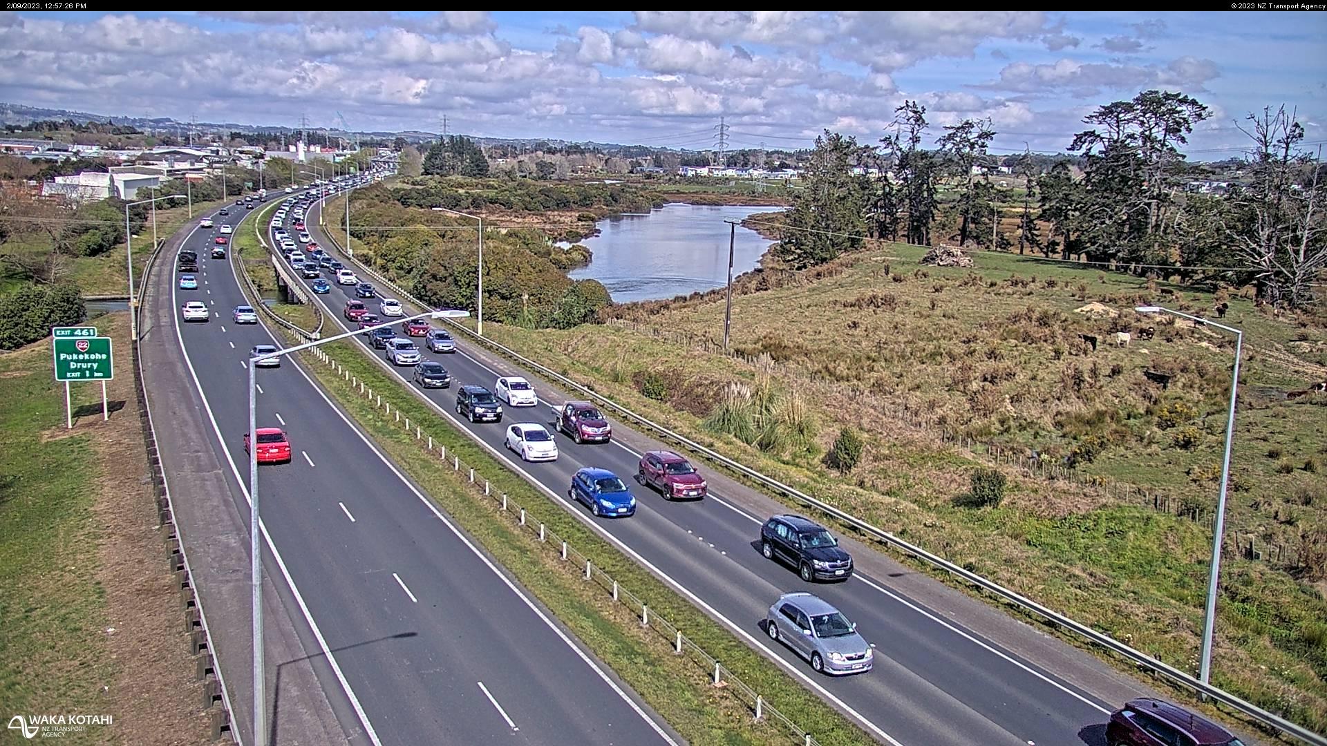
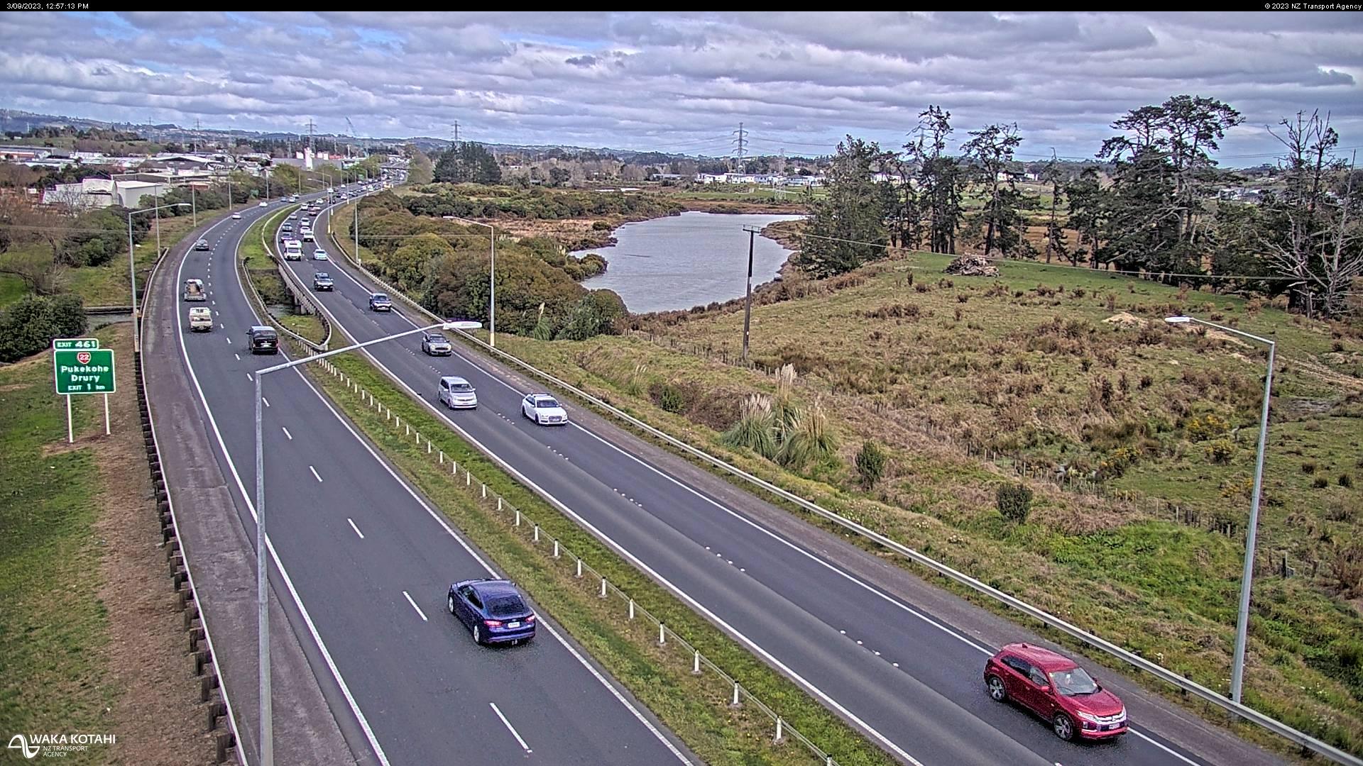
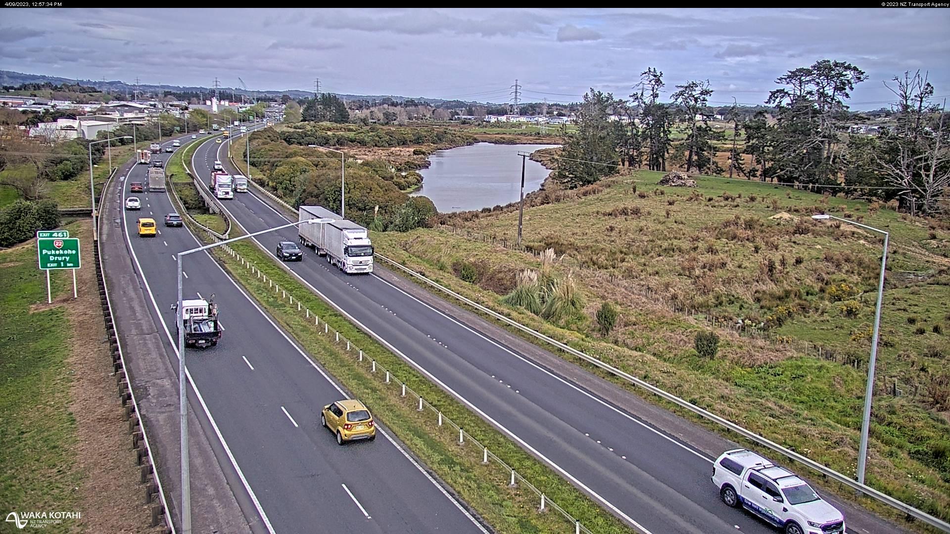
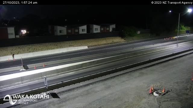
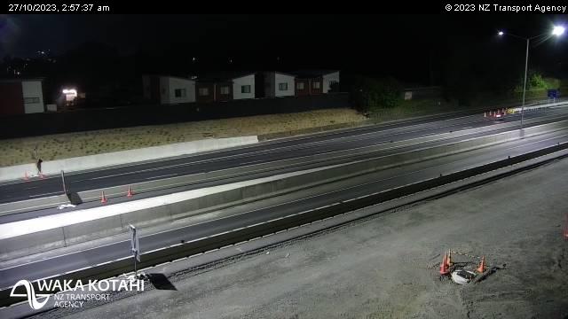
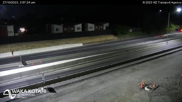
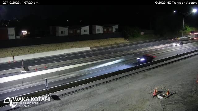
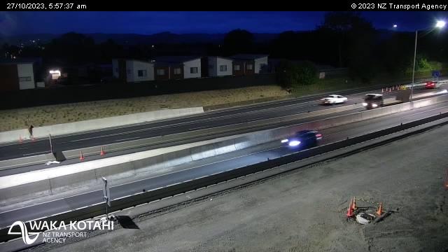
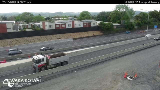
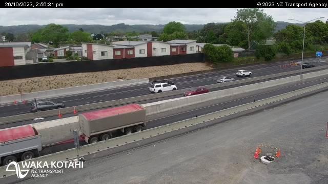
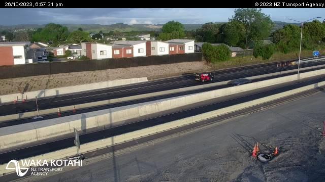
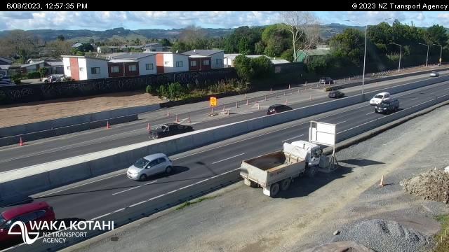
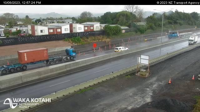
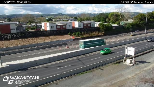
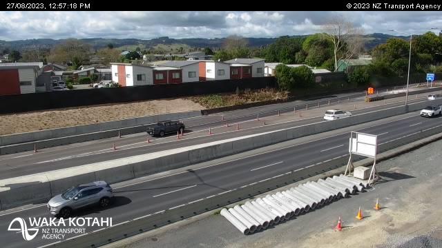
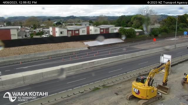
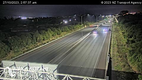
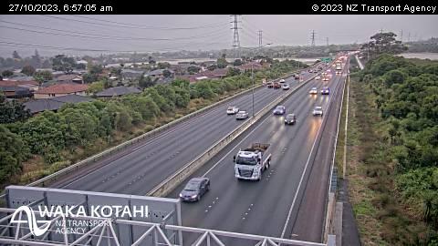
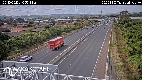
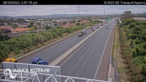
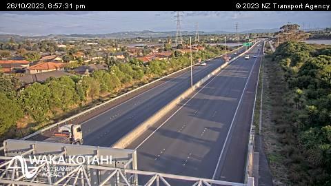
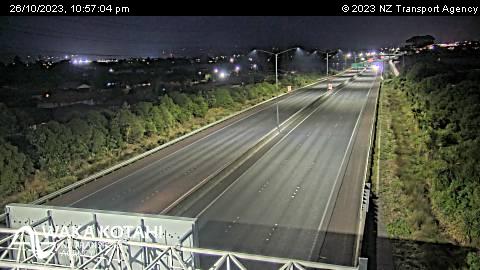
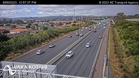
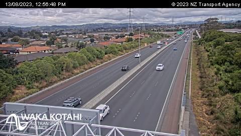
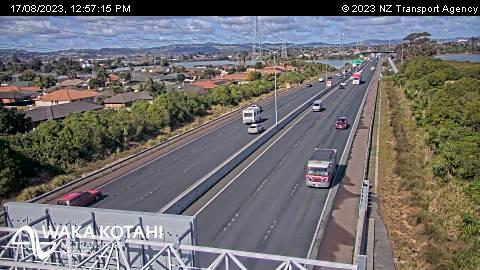
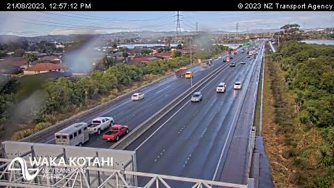
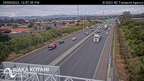
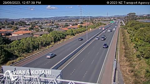
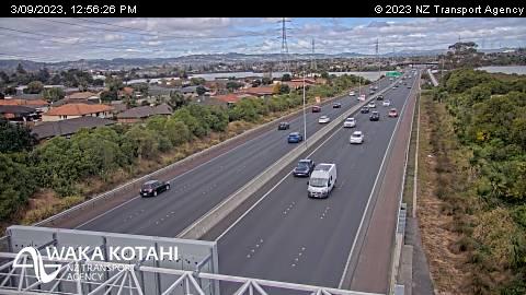
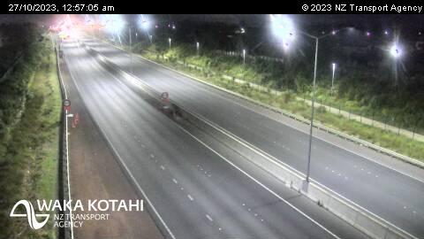
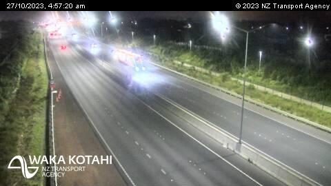
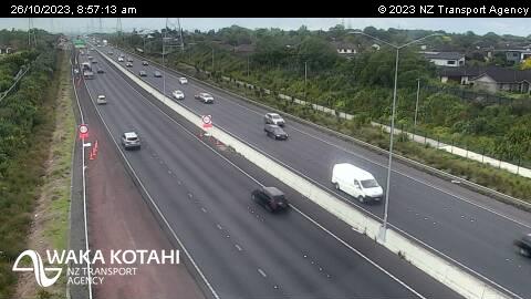
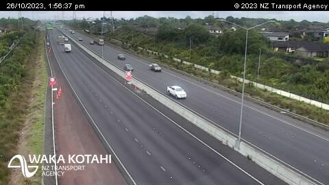
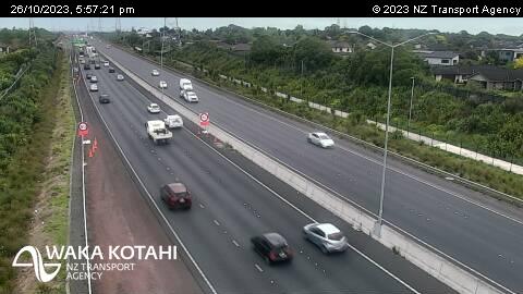
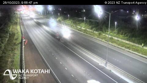
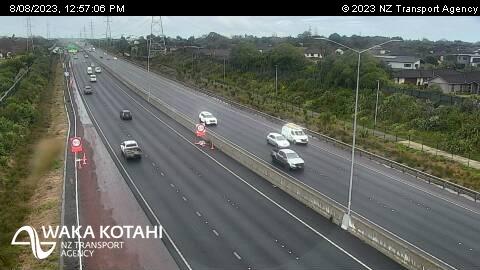
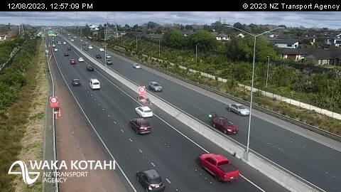
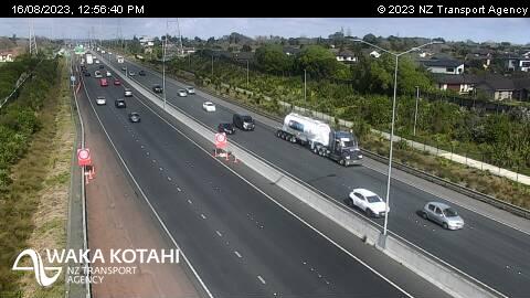
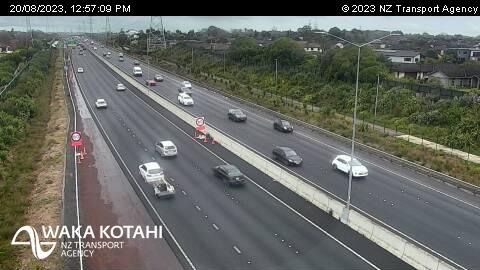
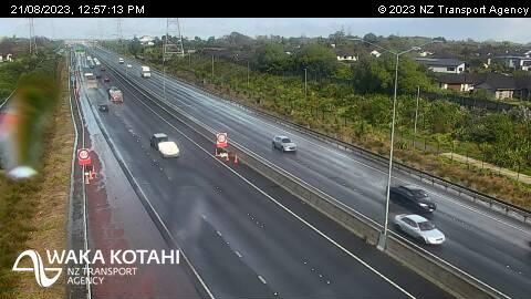
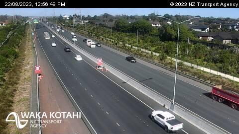
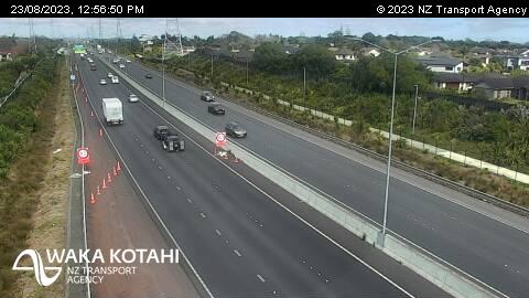
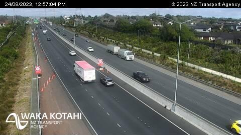
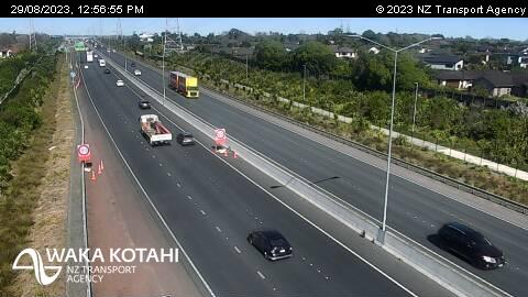
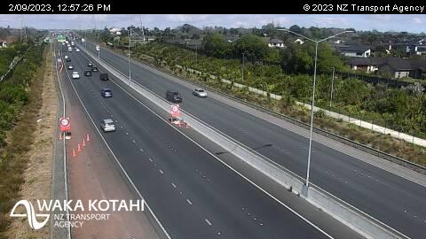
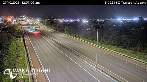
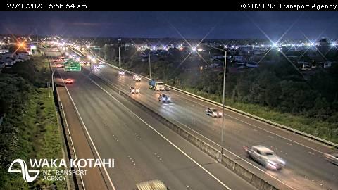
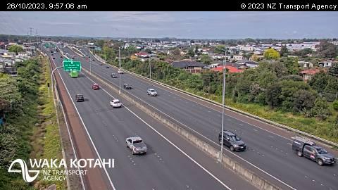
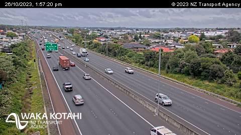
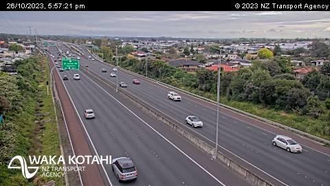
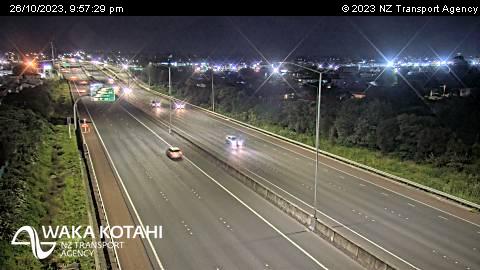
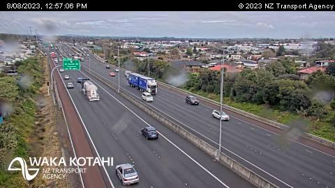
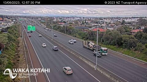
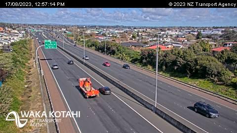
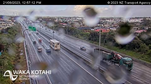
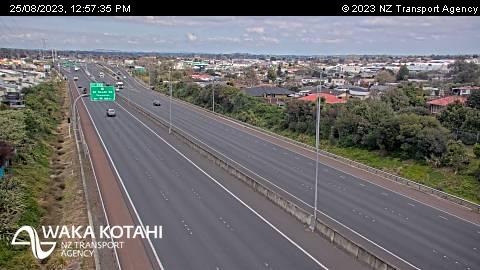
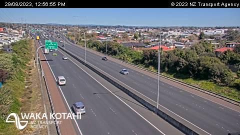
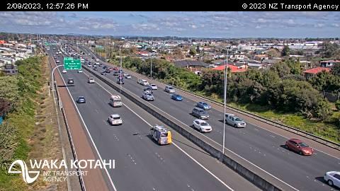
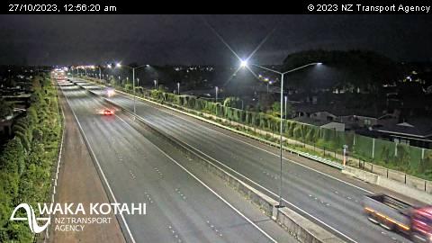
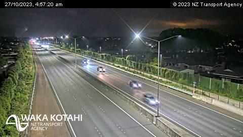
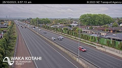
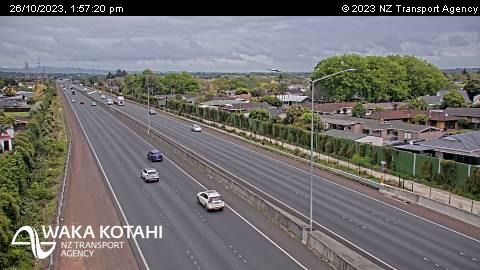
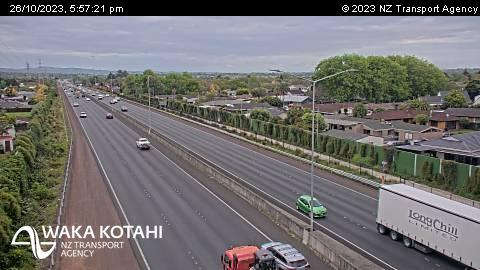
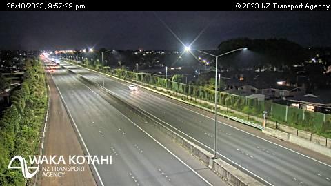
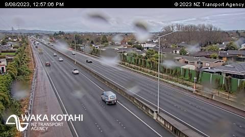
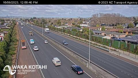
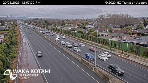
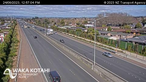
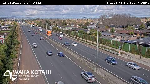
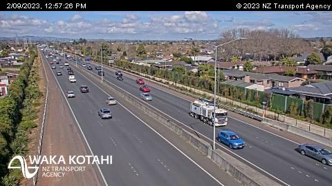
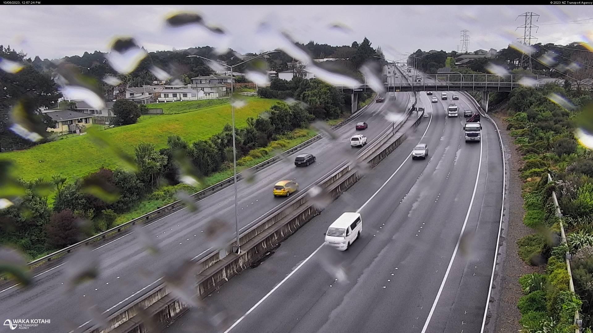
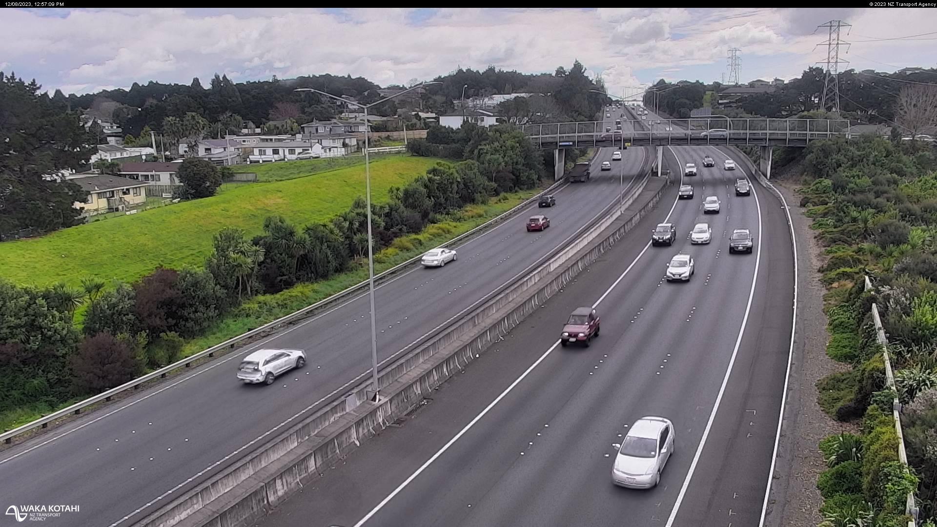
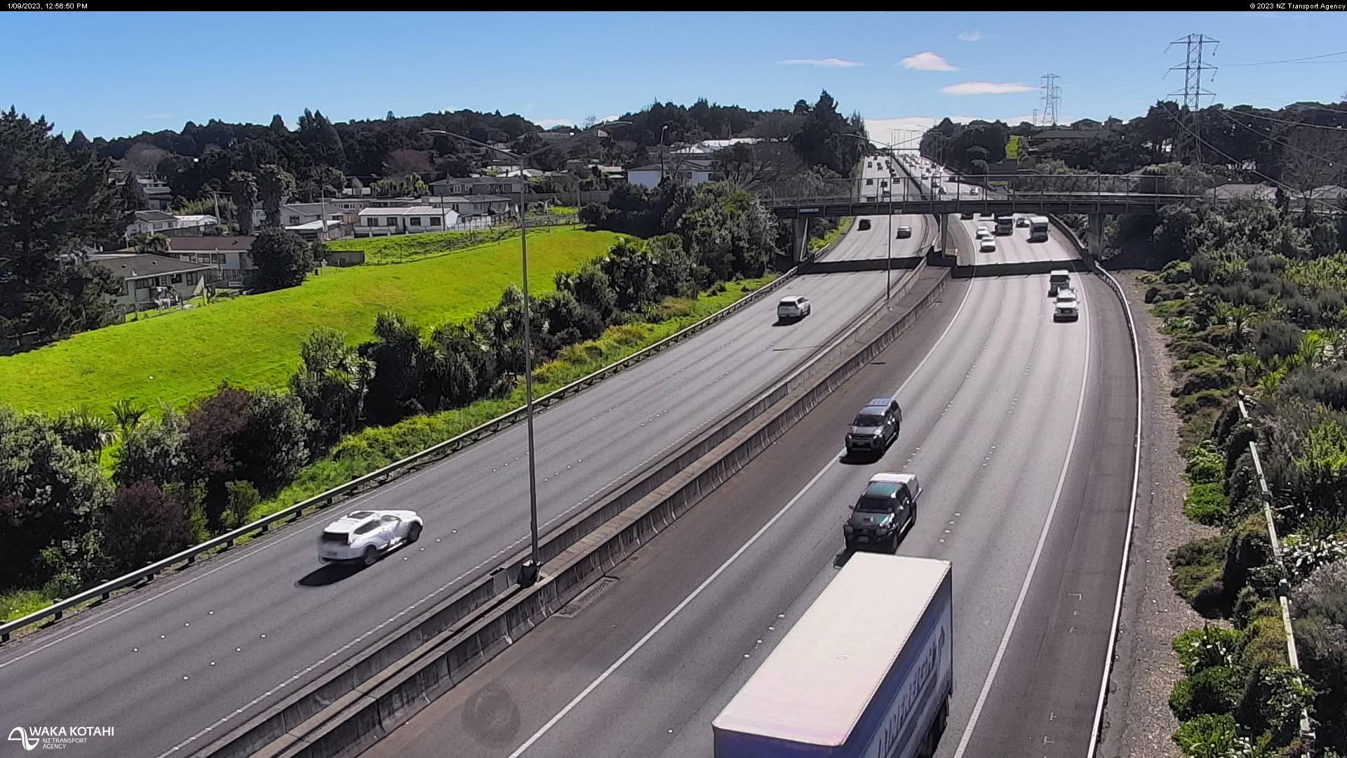
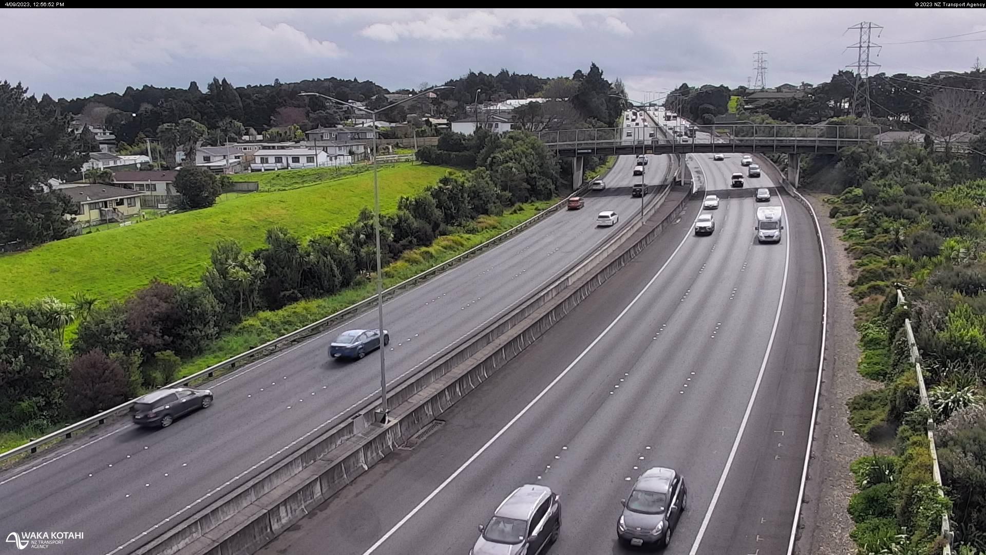
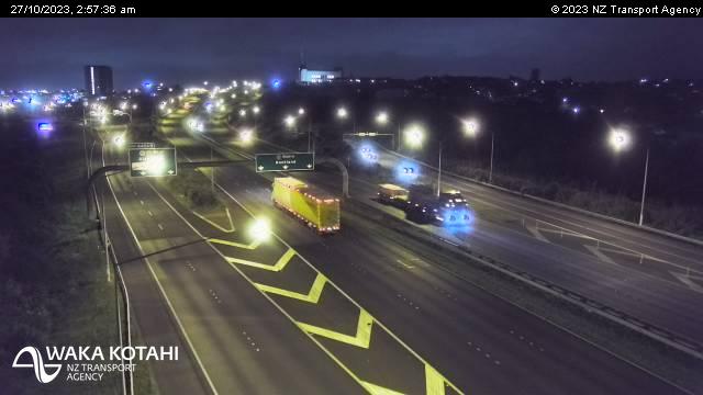
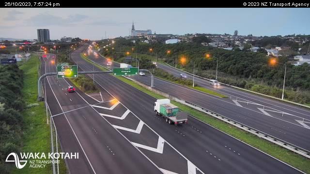
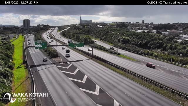
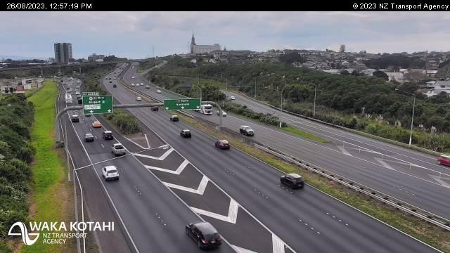
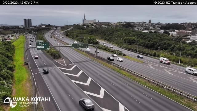
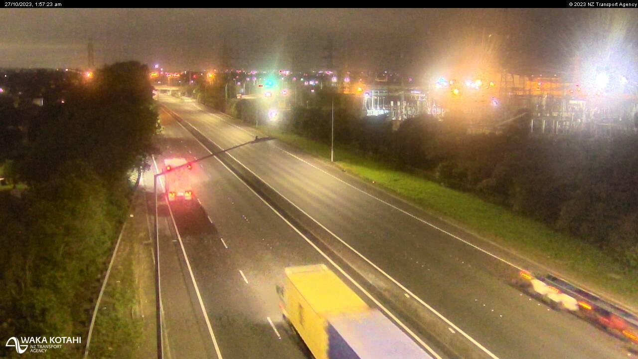
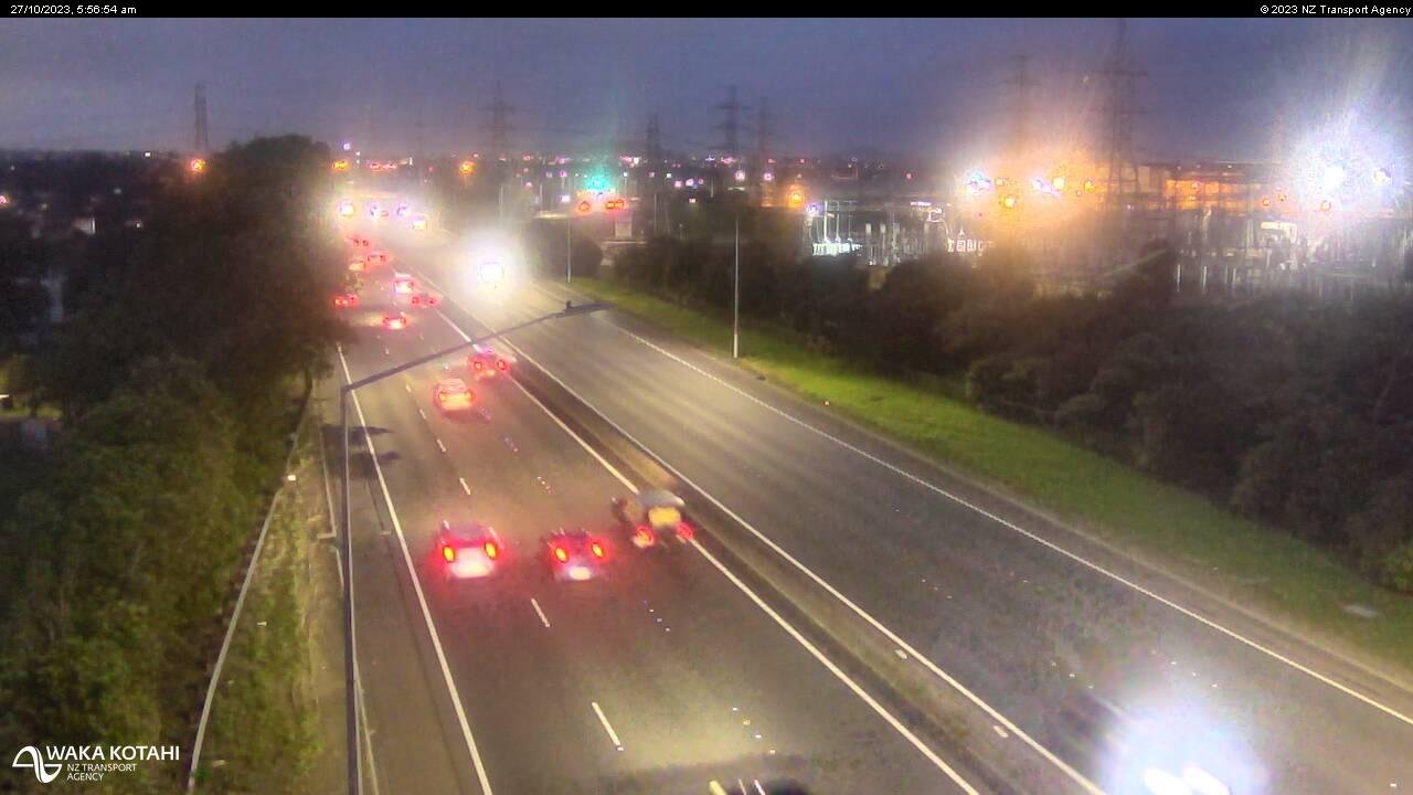
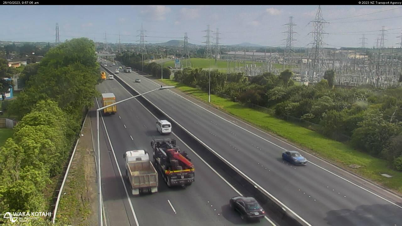
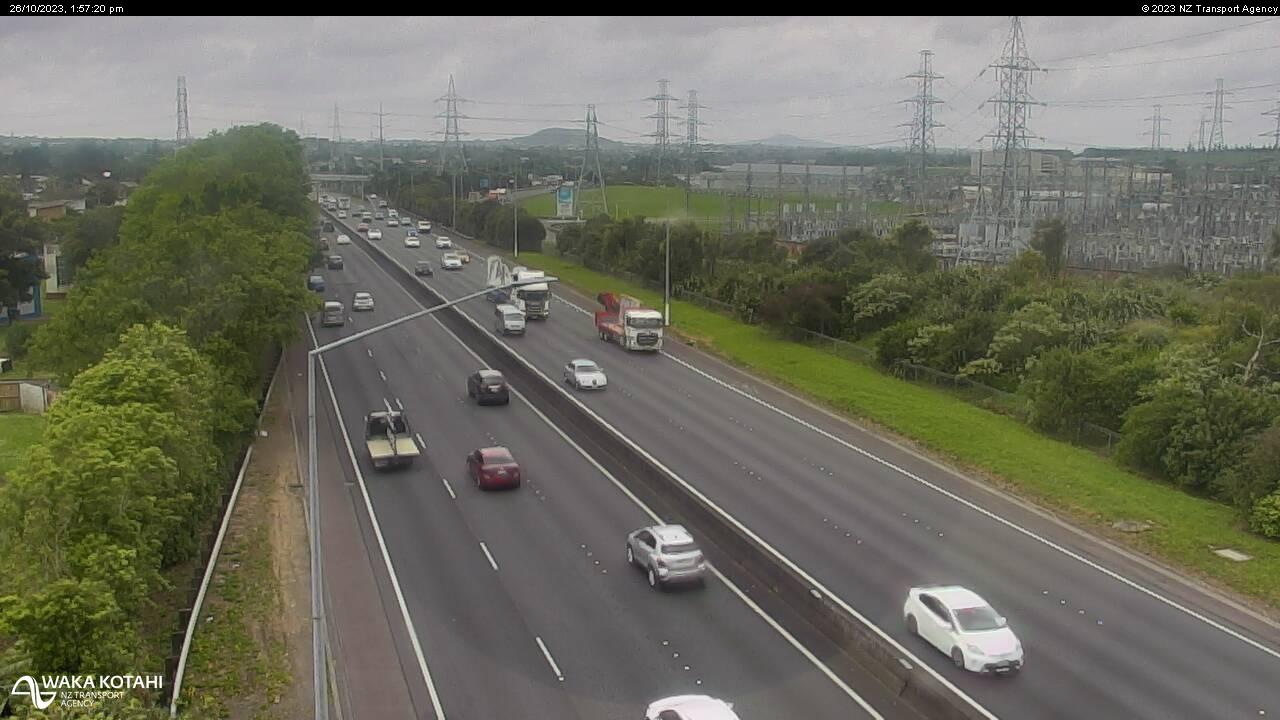
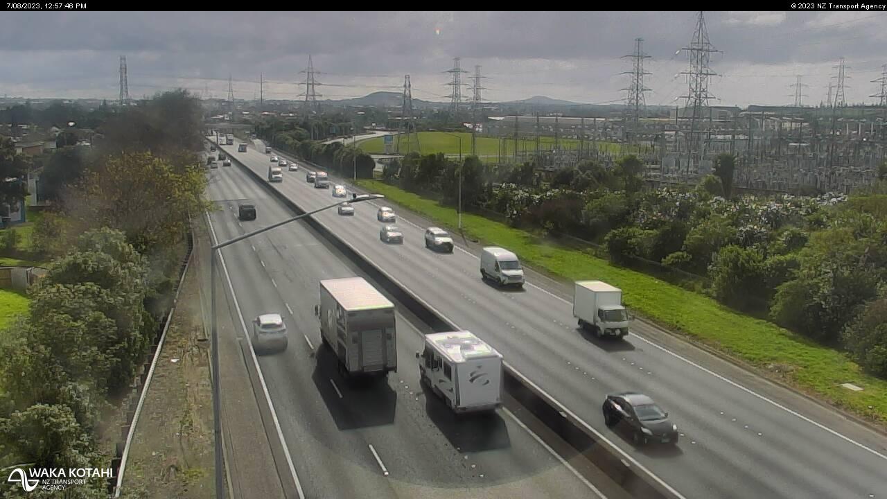
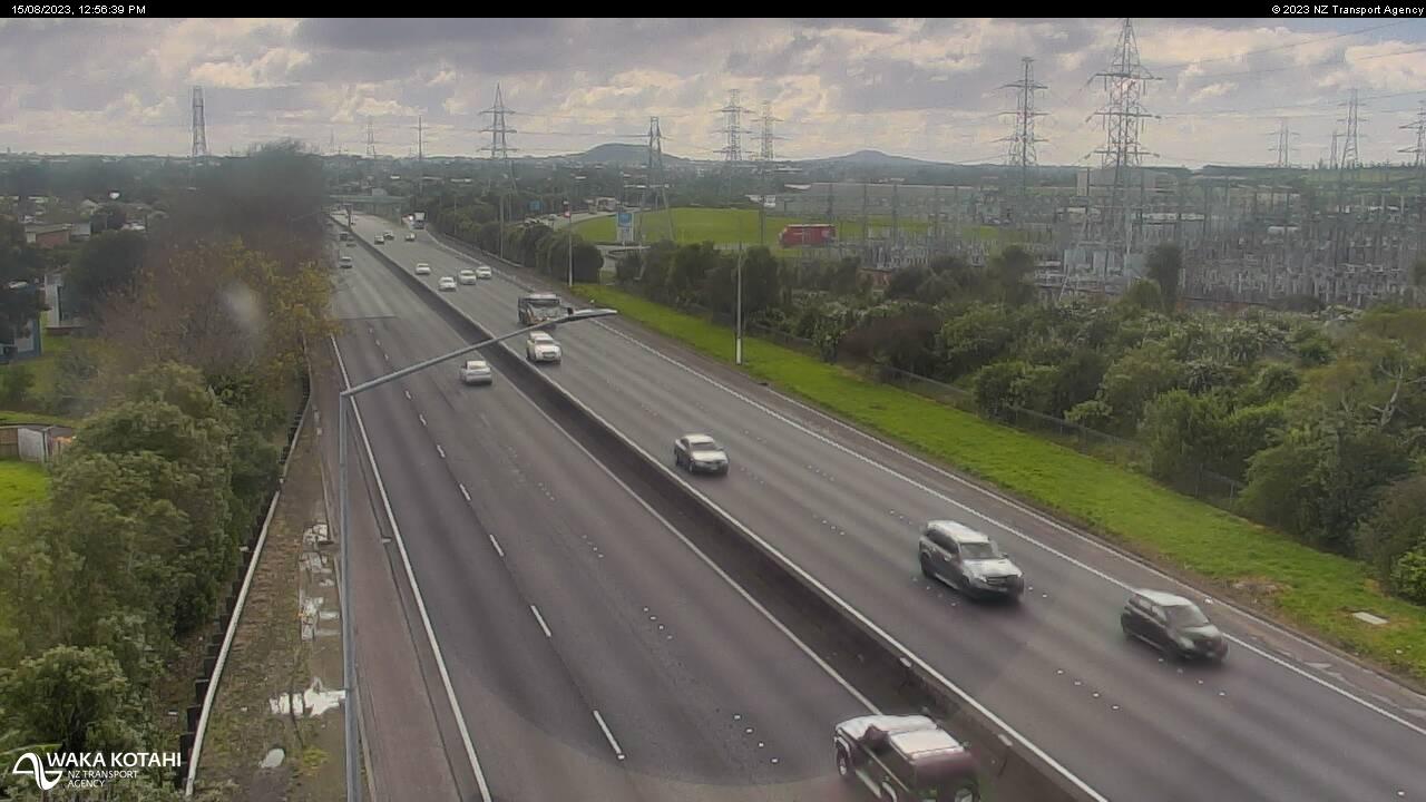
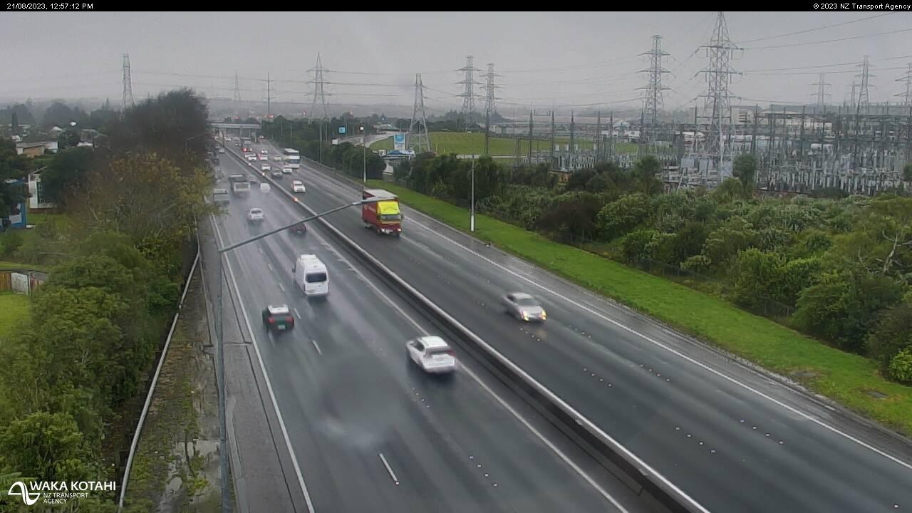
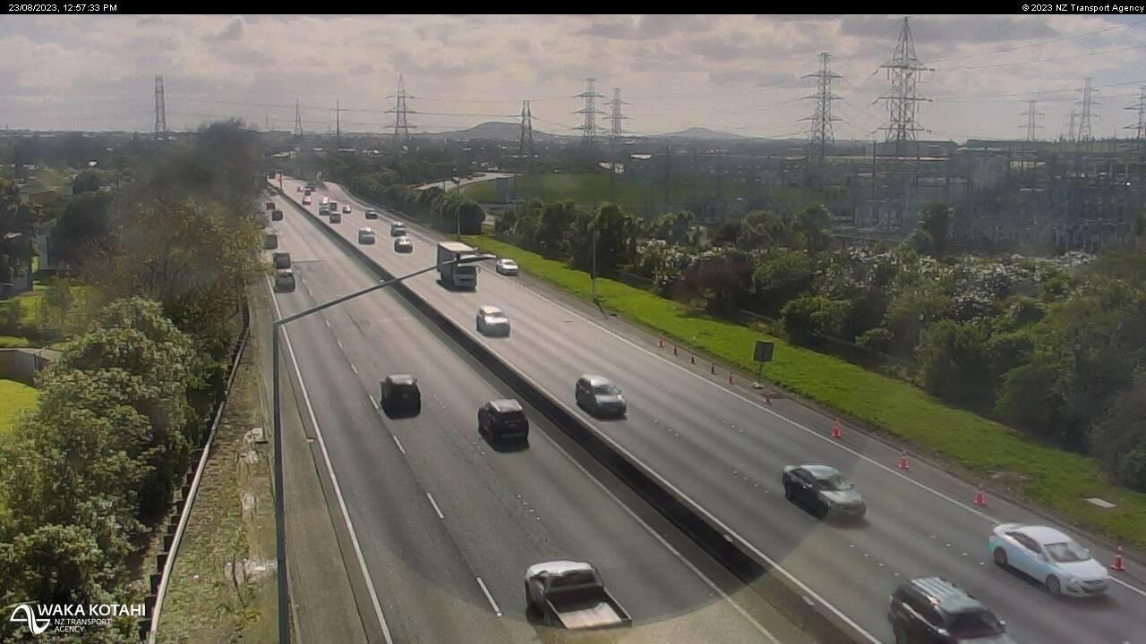
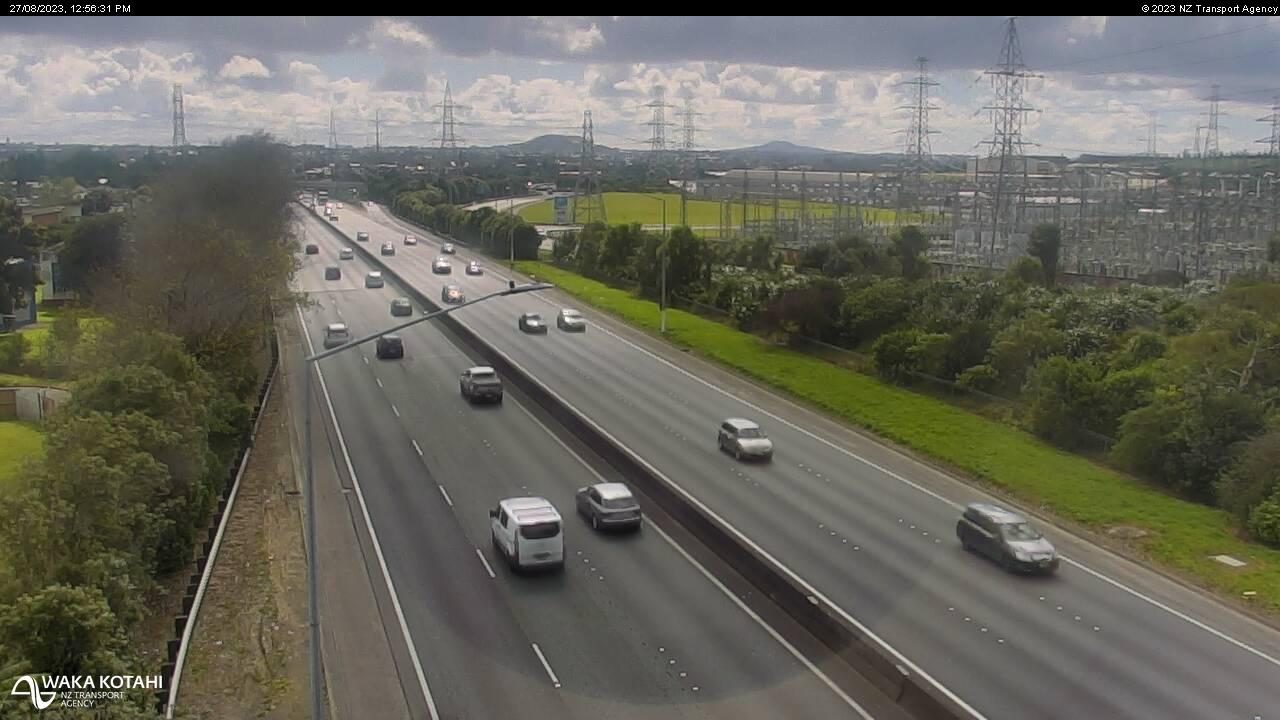
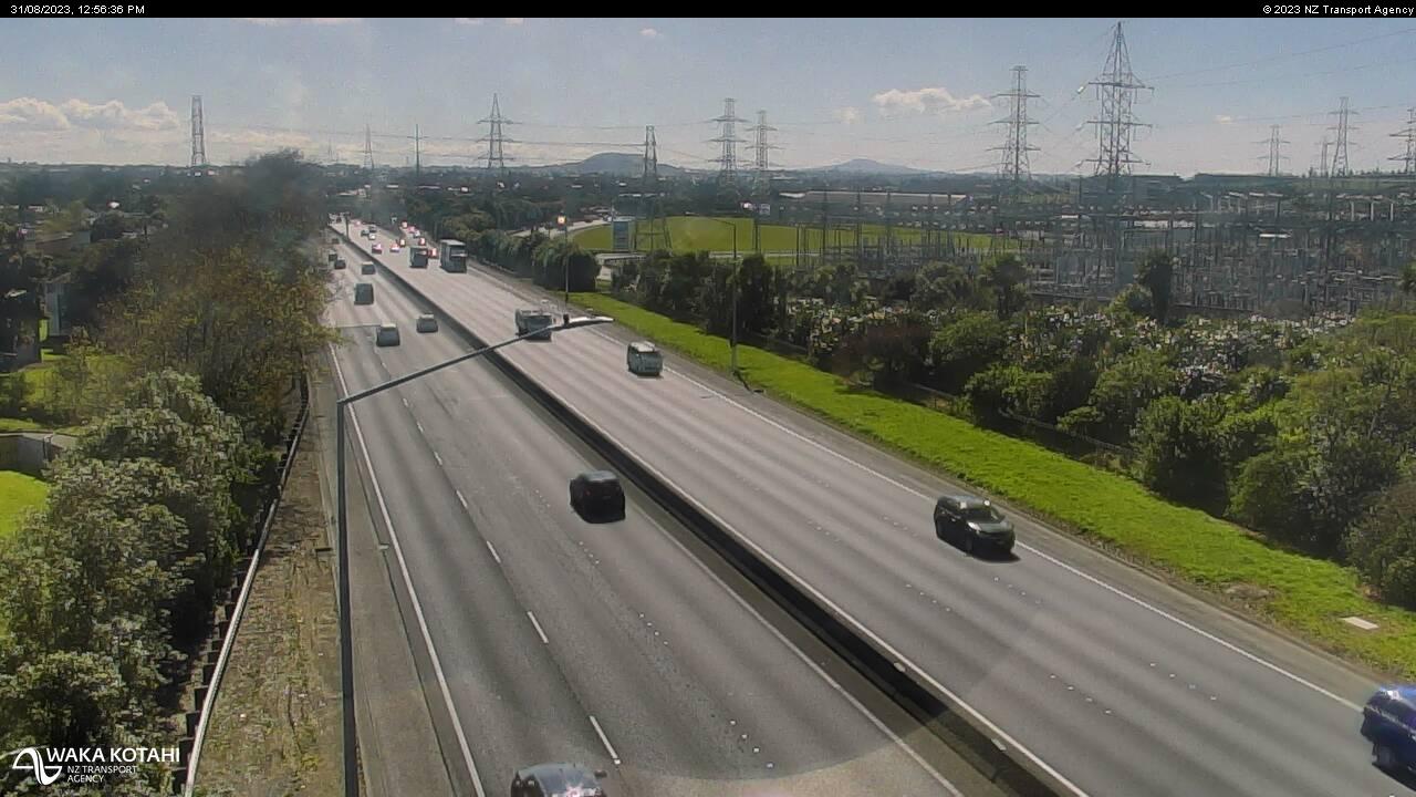
Drury, New Zealand - 69 miles from Apata: Traffic SH1, Slippery Creek - A view of the current traffic conditions in southern direction.
Operator: NZ Transport Agency
Operator: NZ Transport Agency
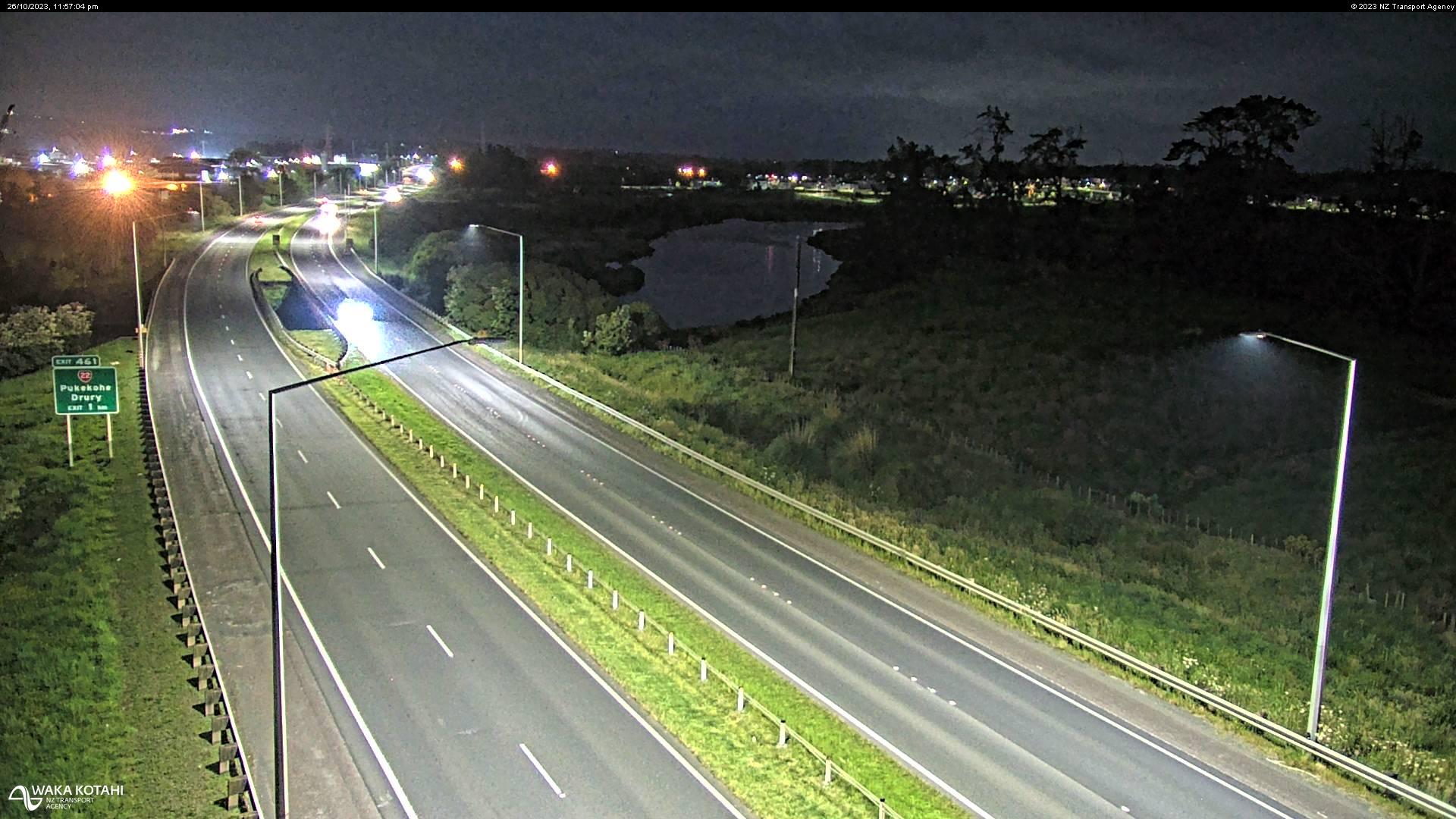
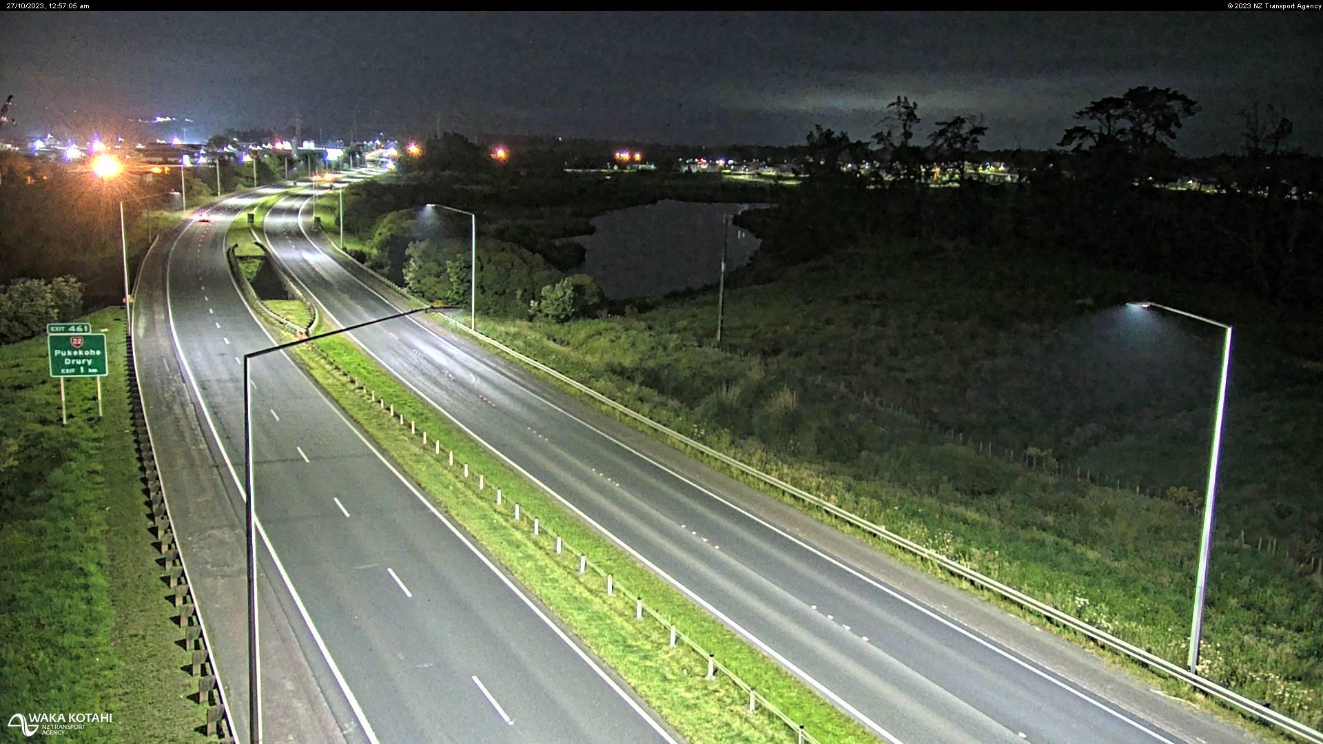
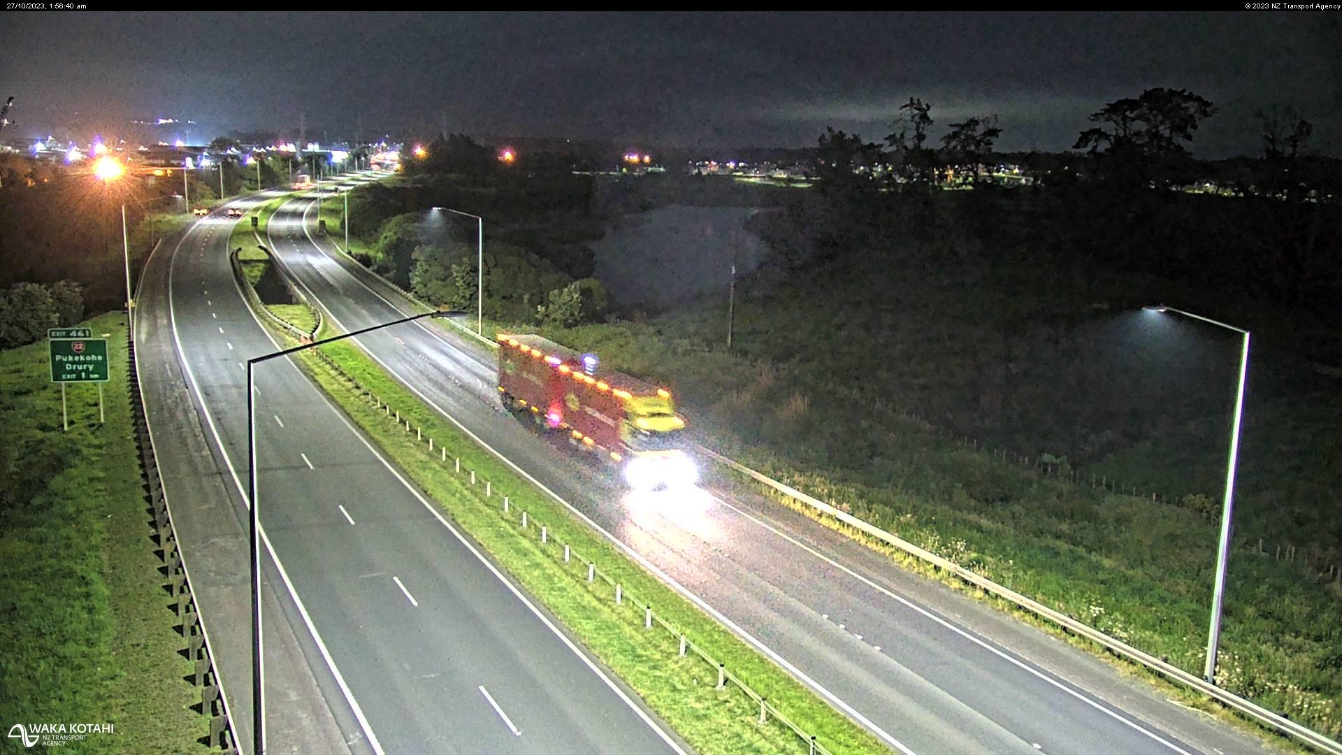
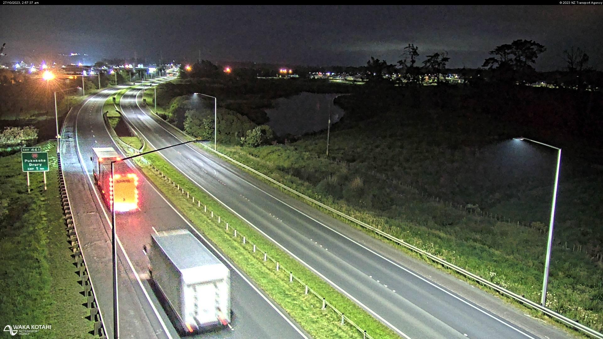
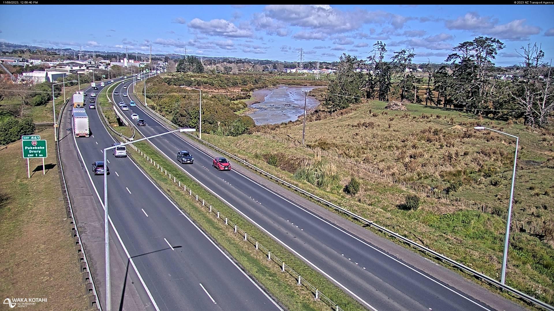
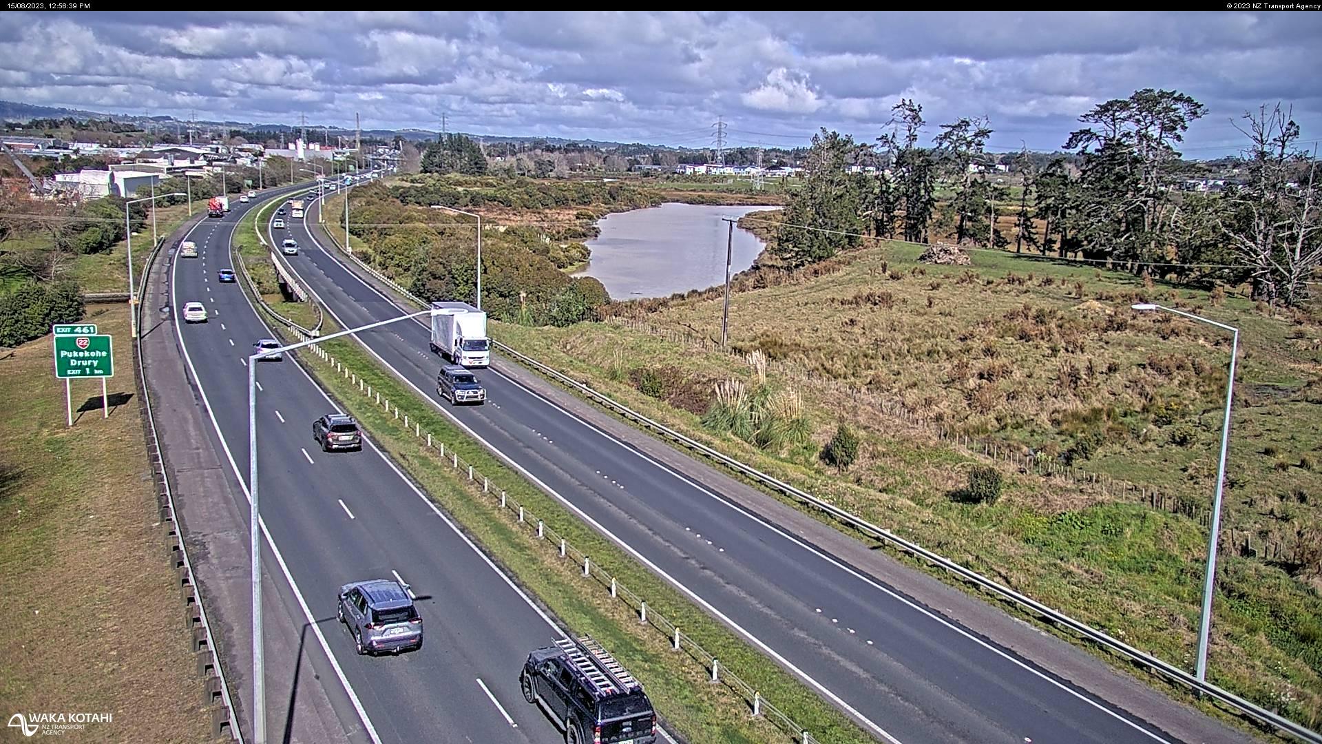

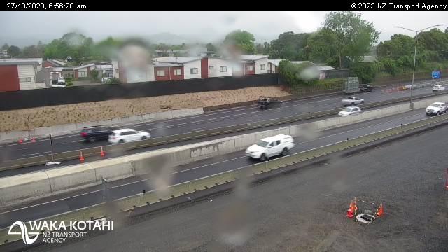
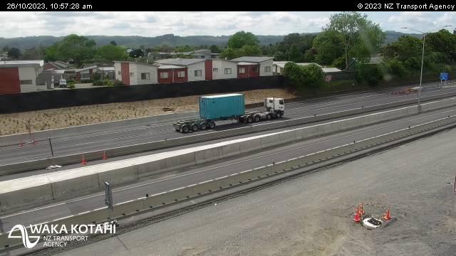
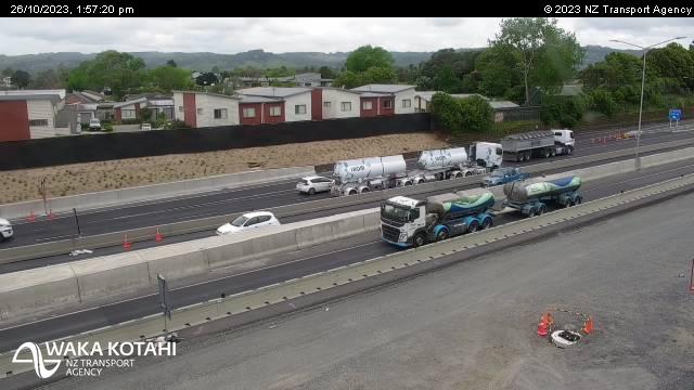
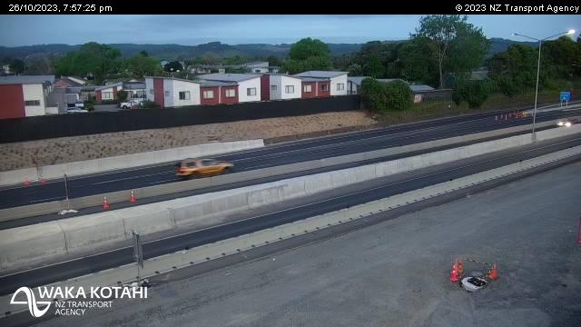
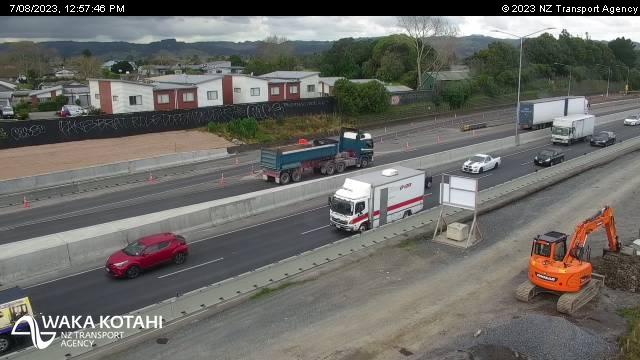
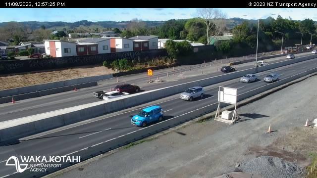
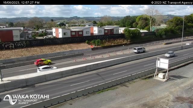
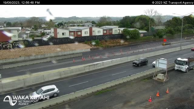
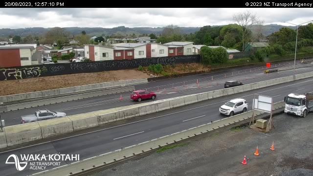
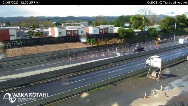
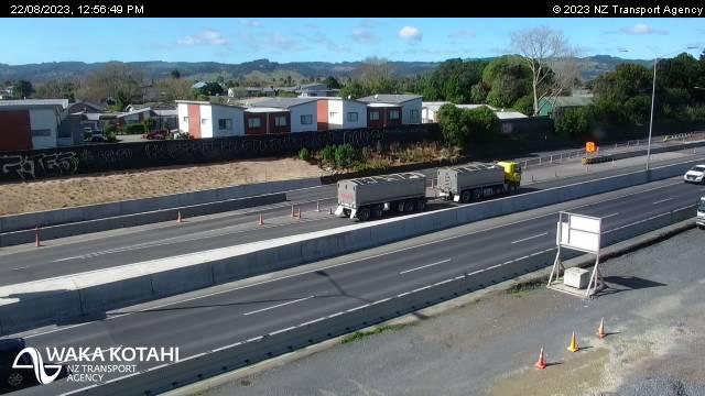
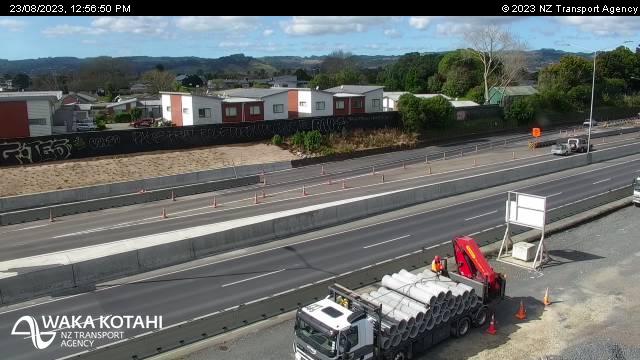
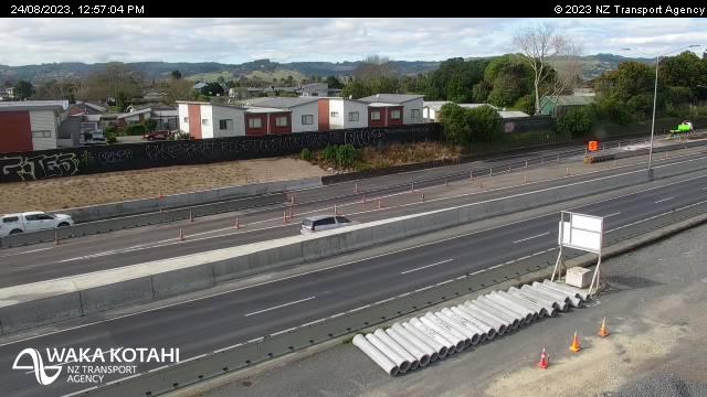
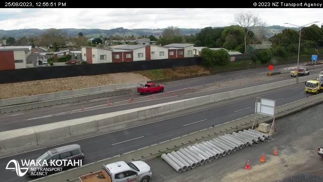
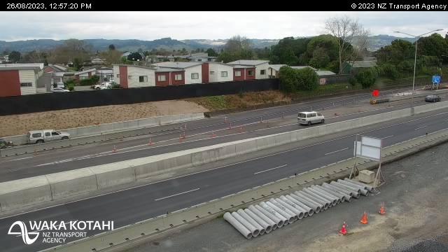
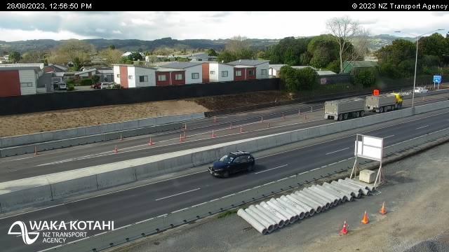
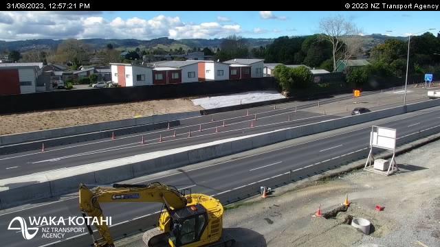
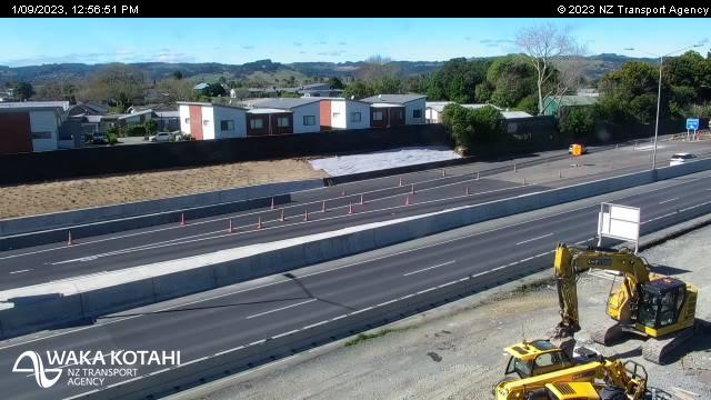
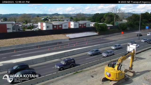
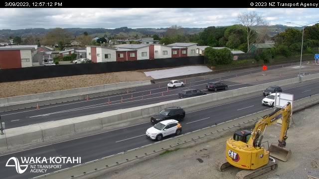
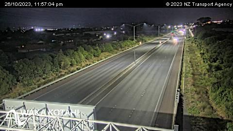
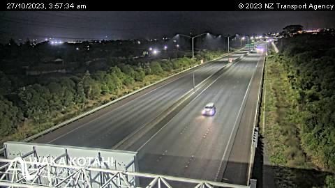
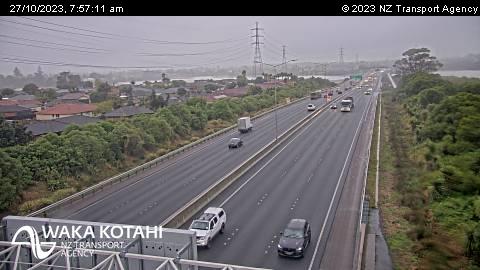
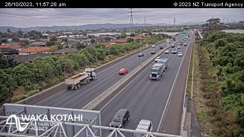
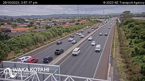
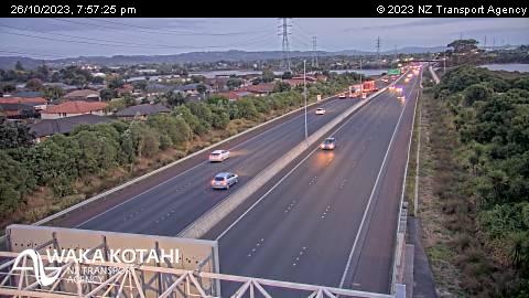
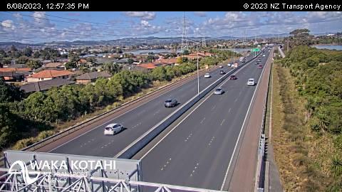
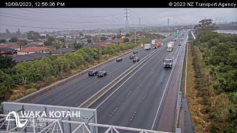
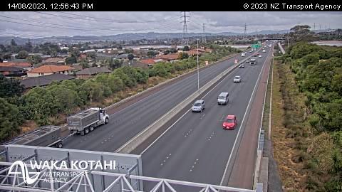
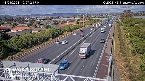
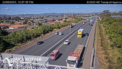
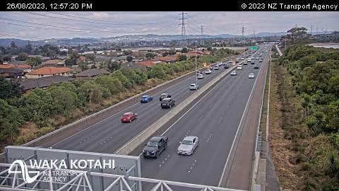
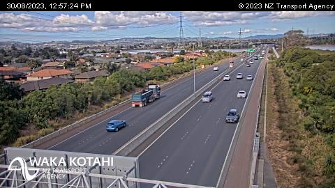
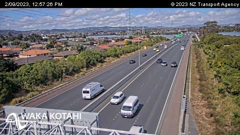
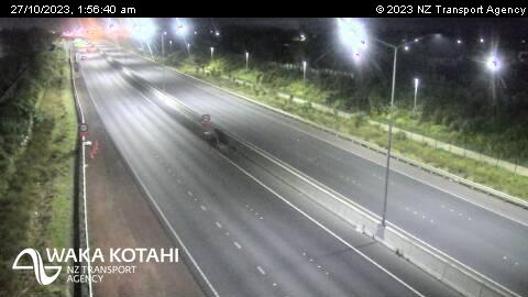
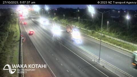
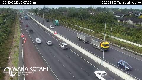
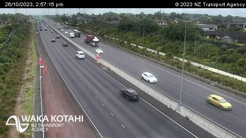
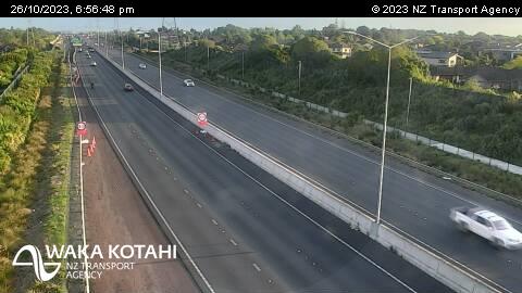
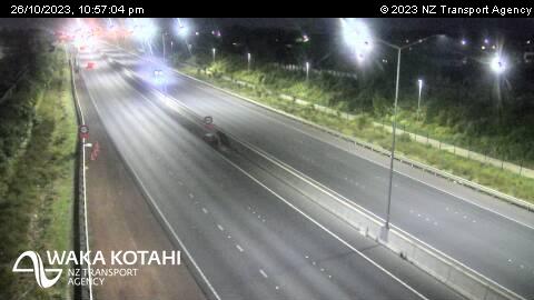
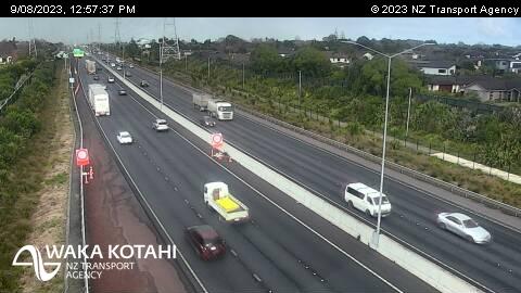
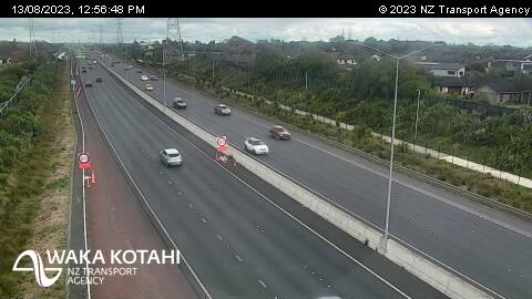
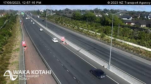
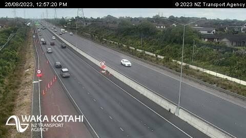
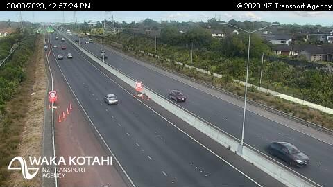
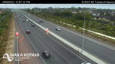
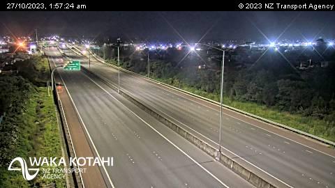
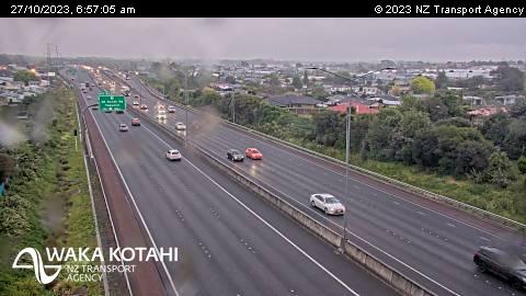
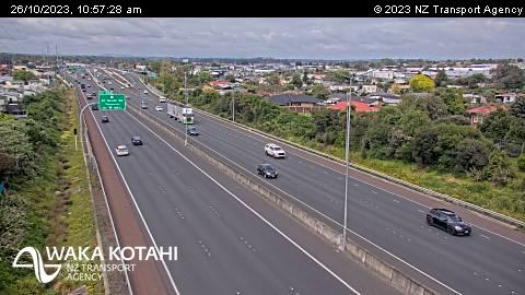
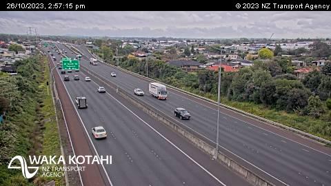
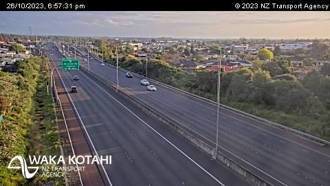
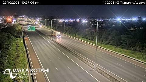
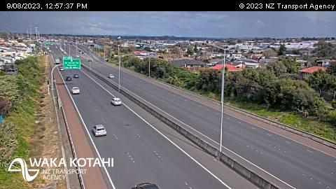
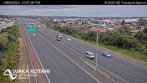
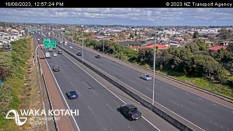
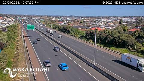
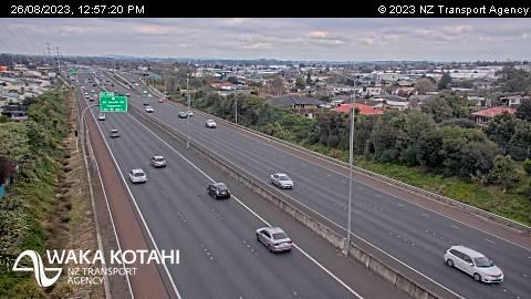
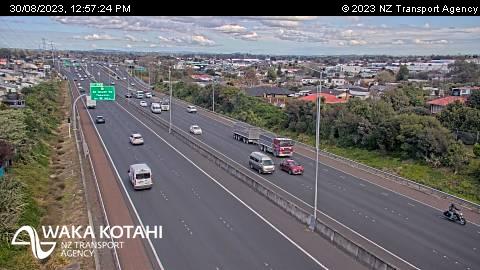
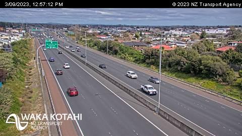
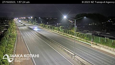
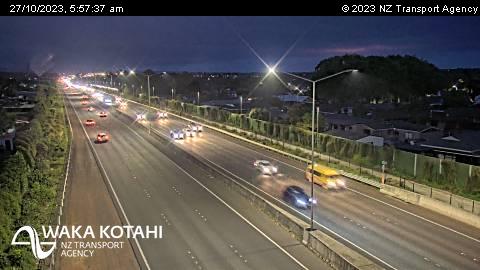
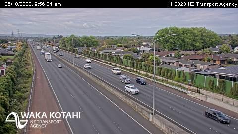
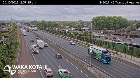
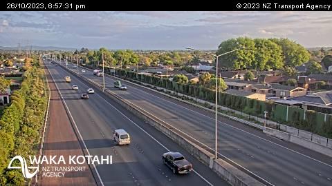
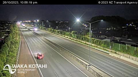
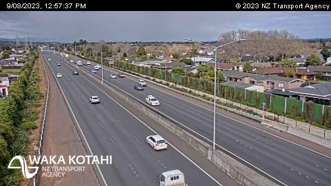
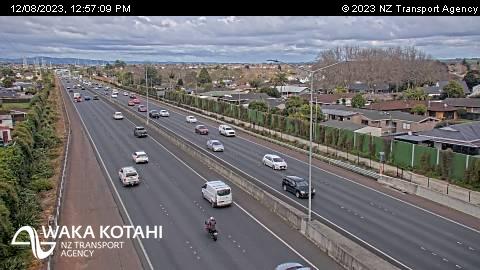
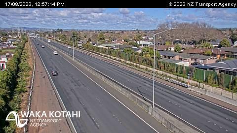
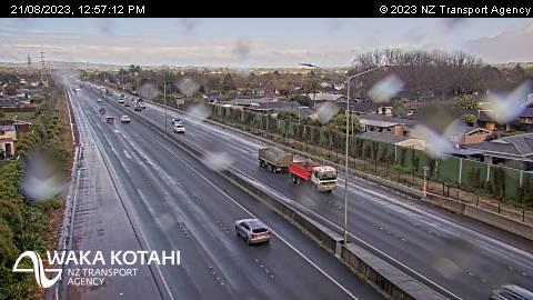
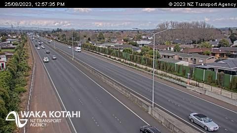
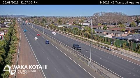
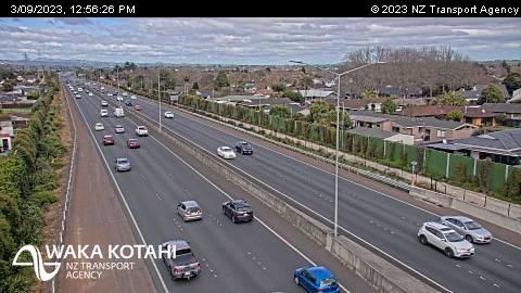
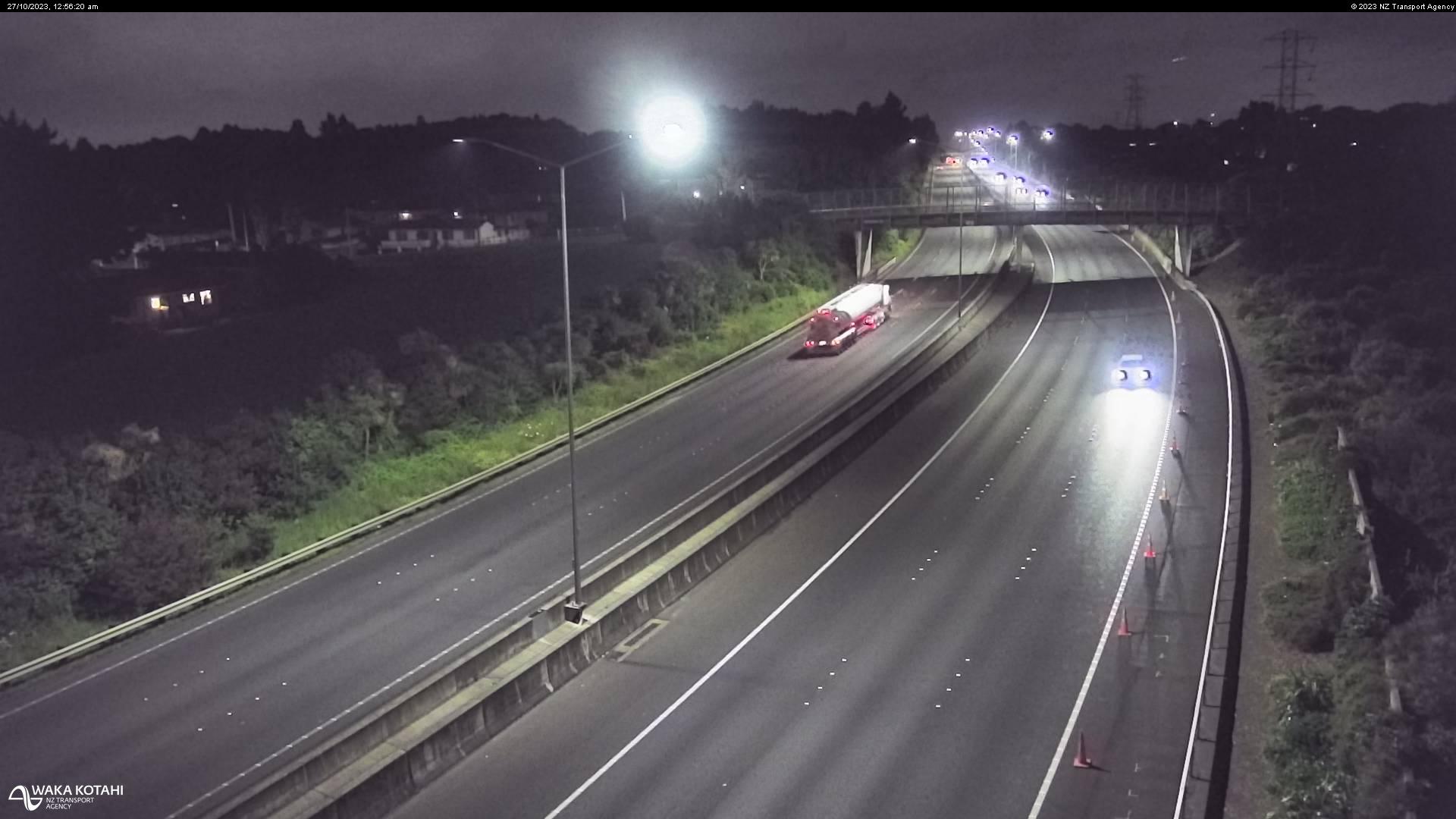
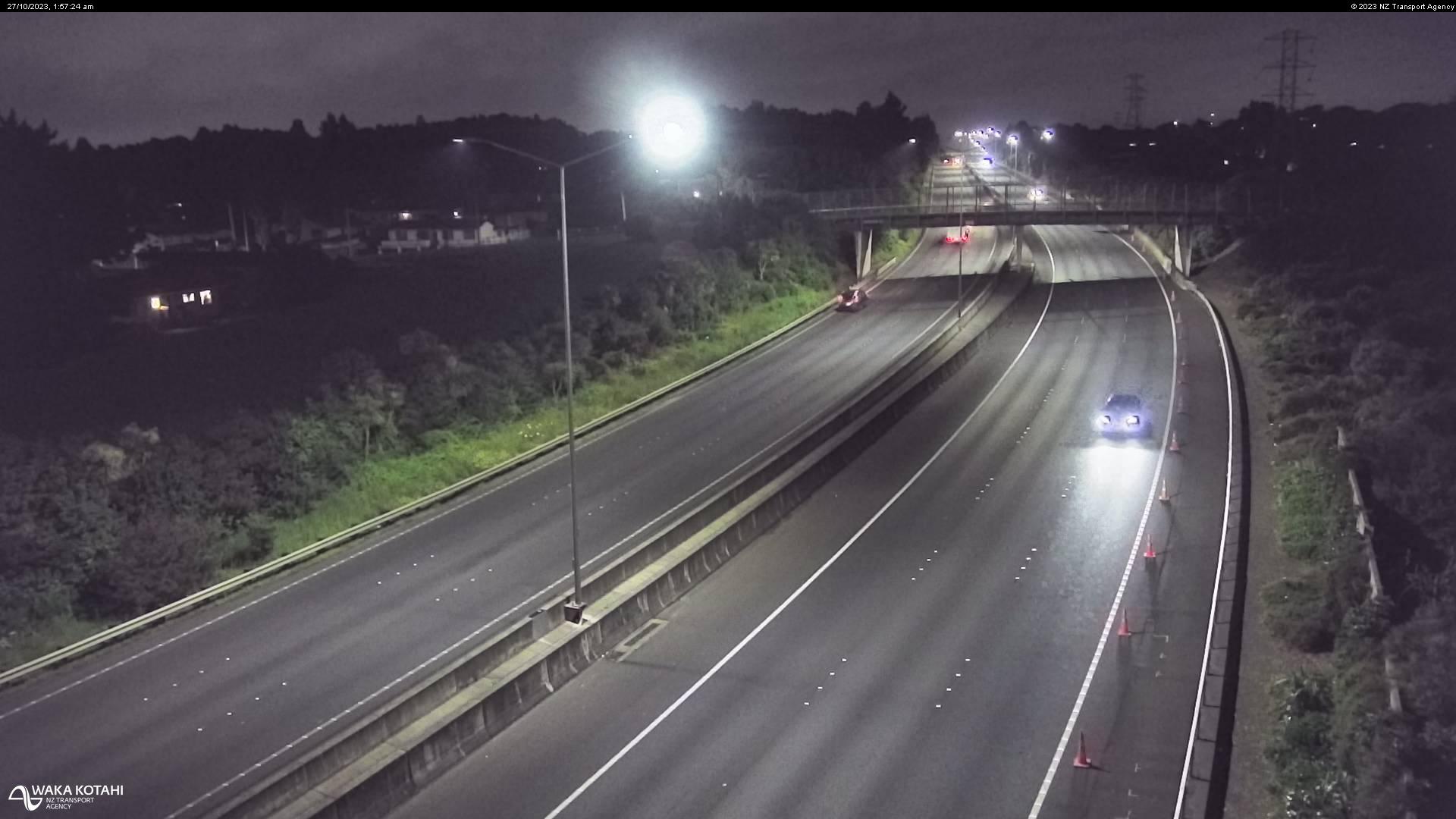
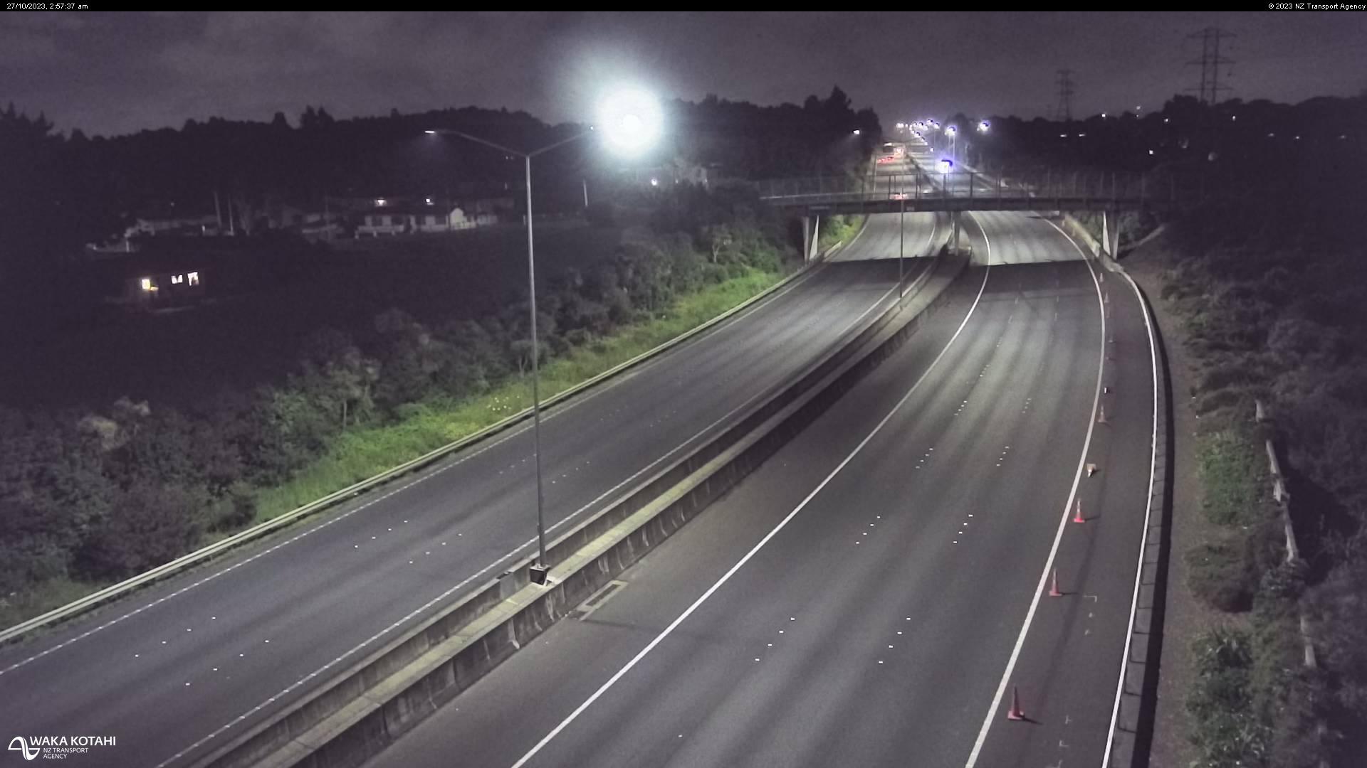
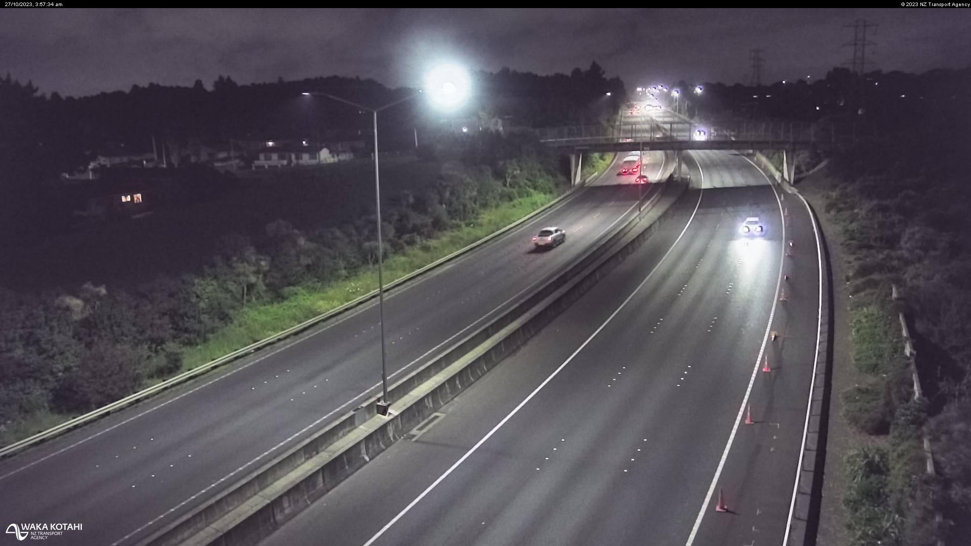
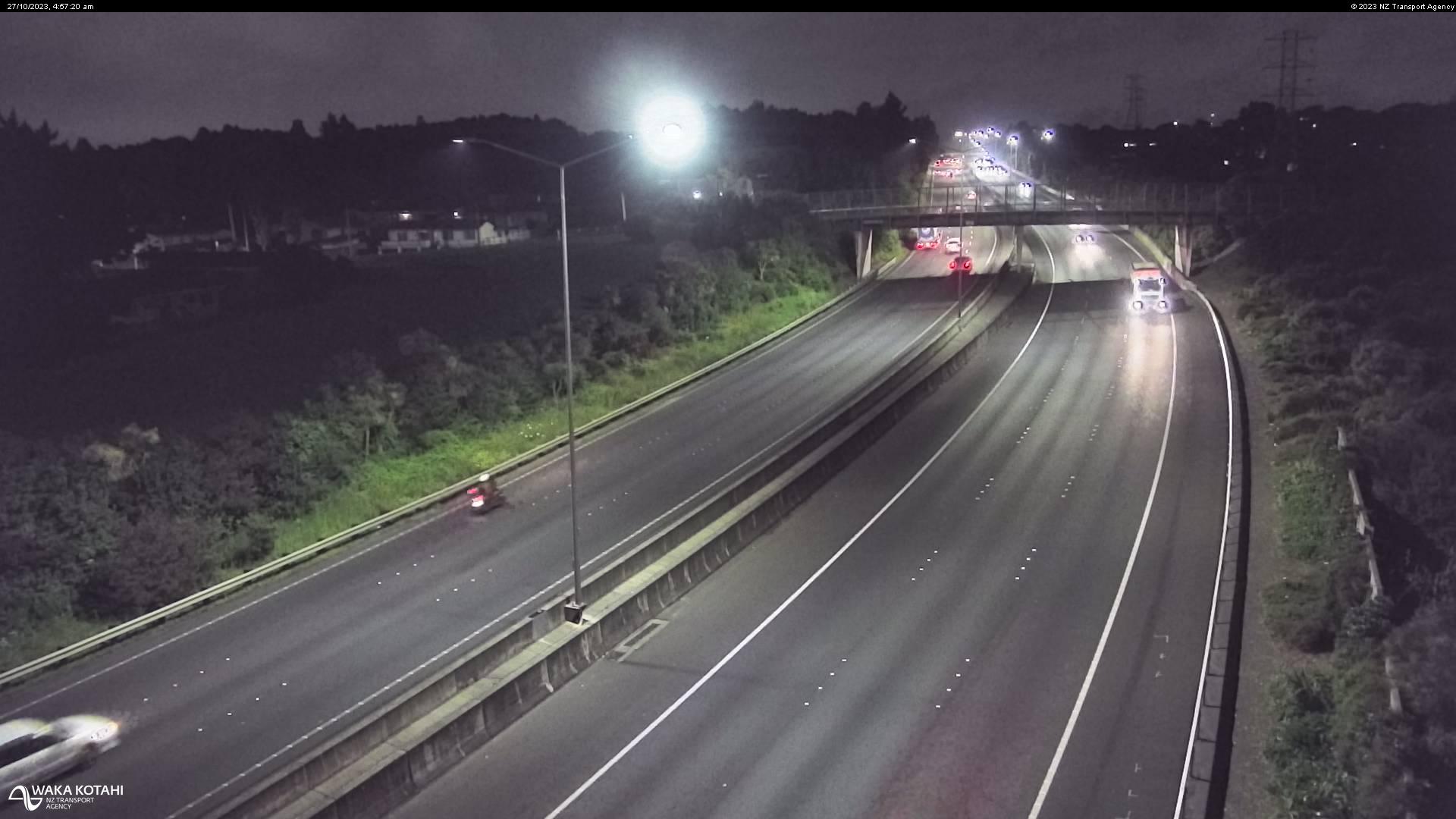
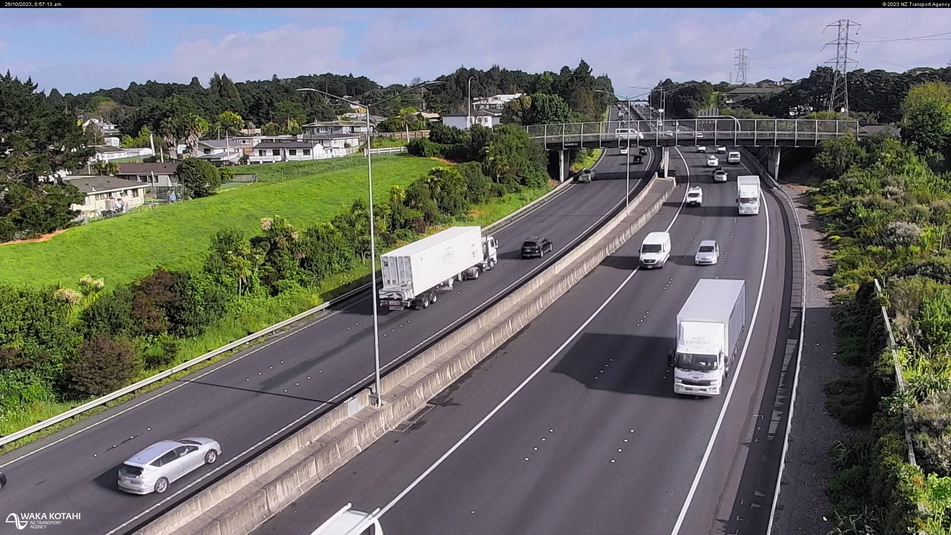
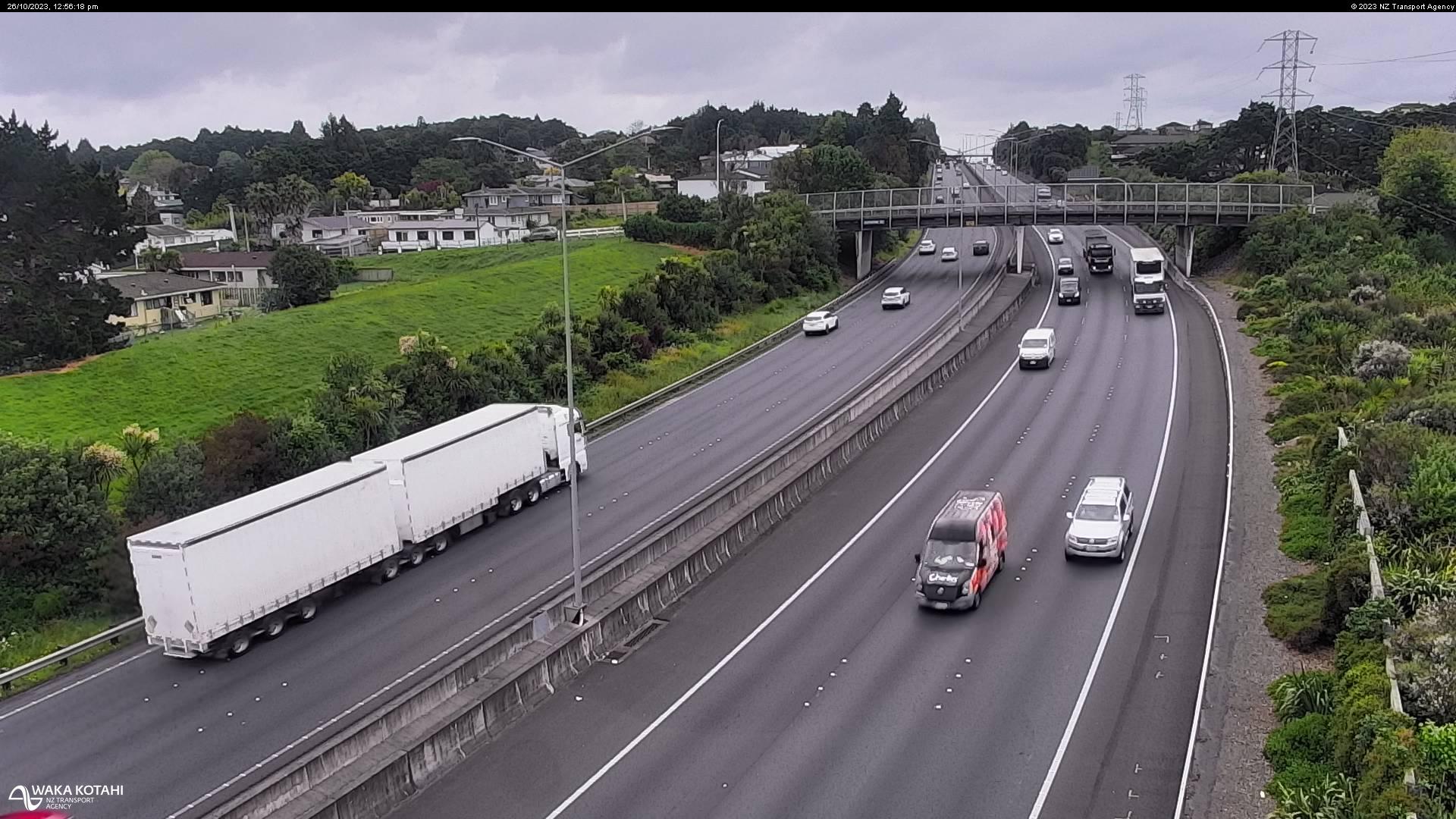
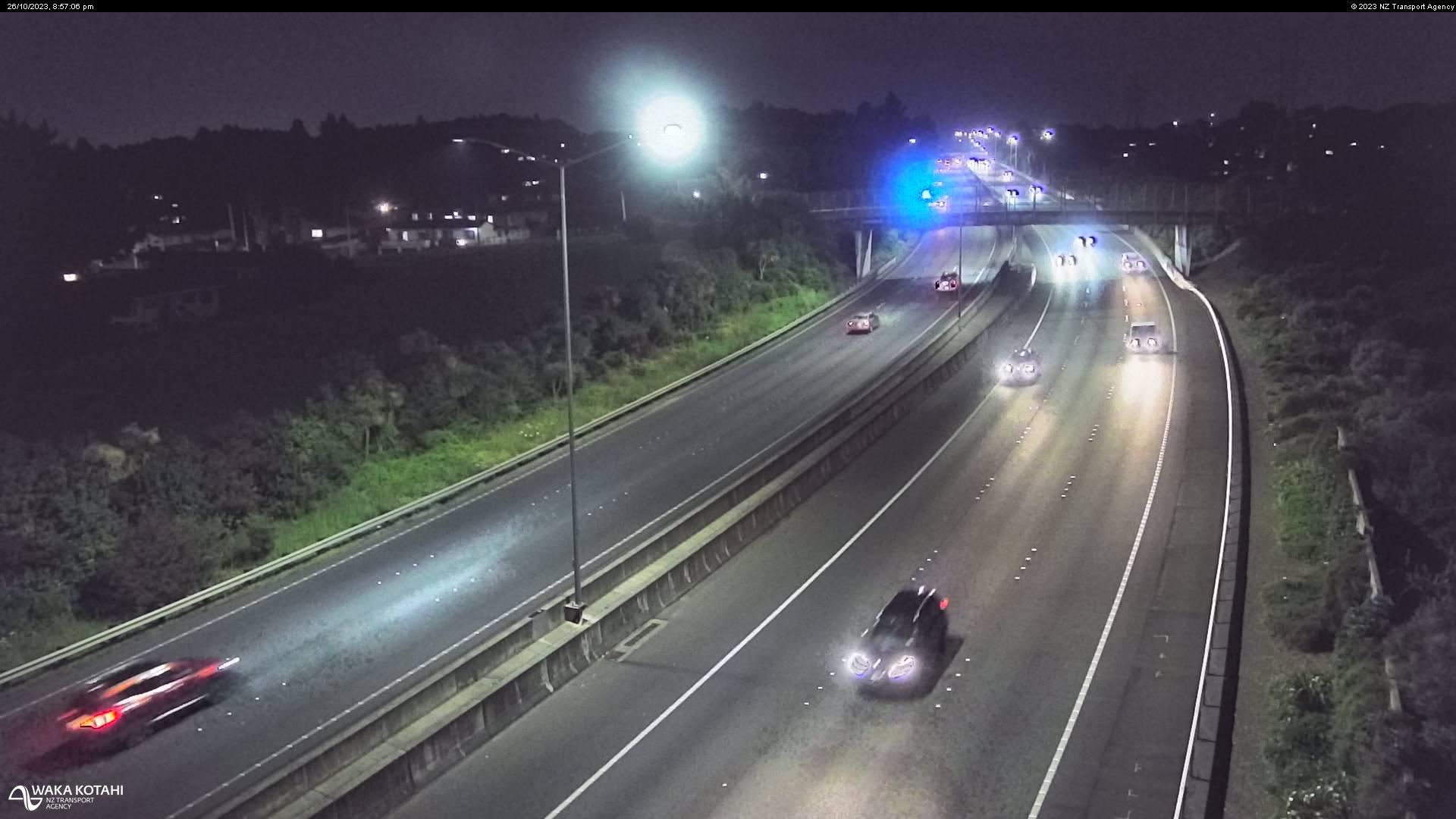
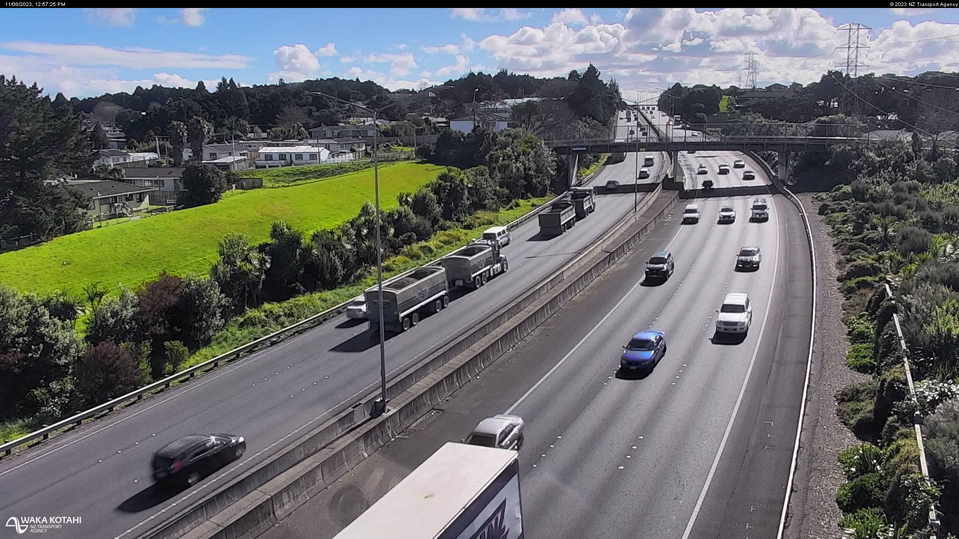
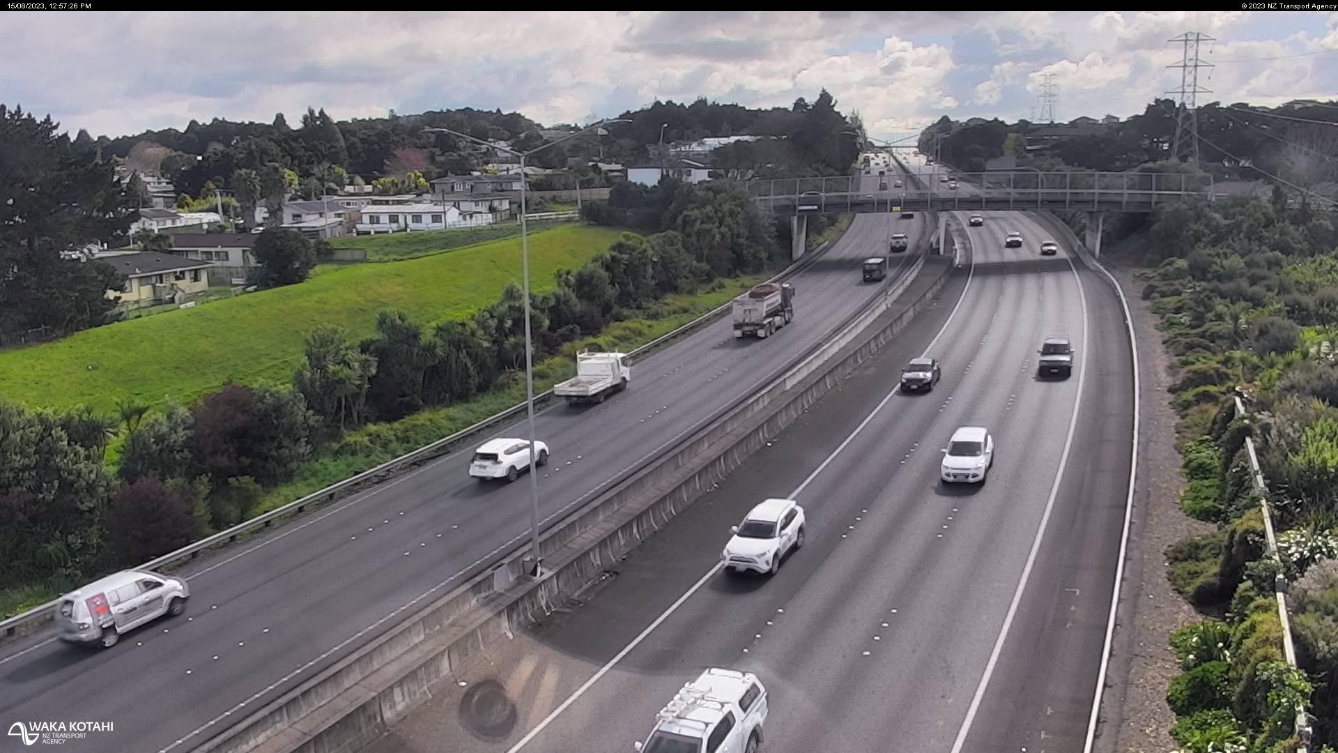
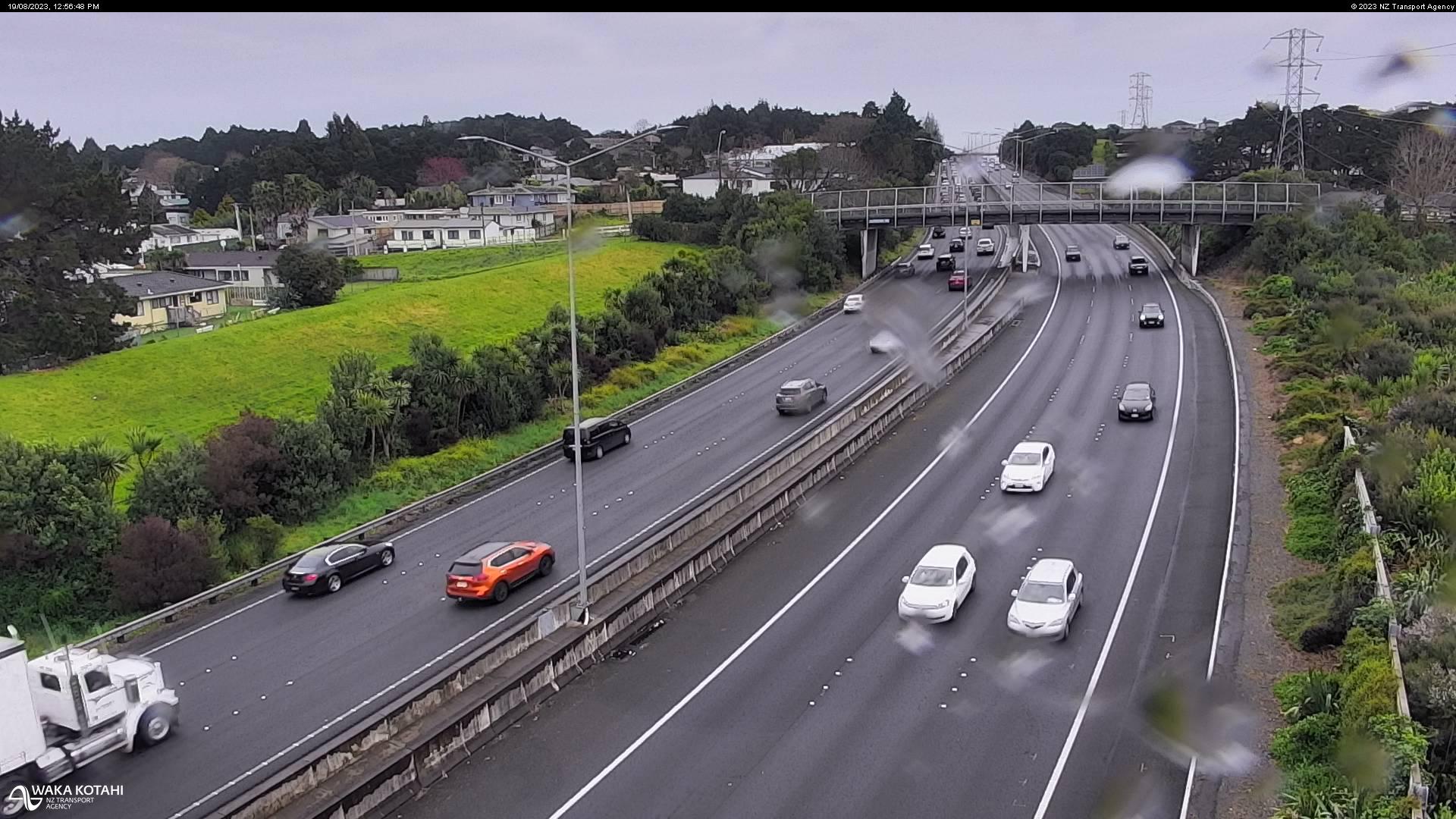
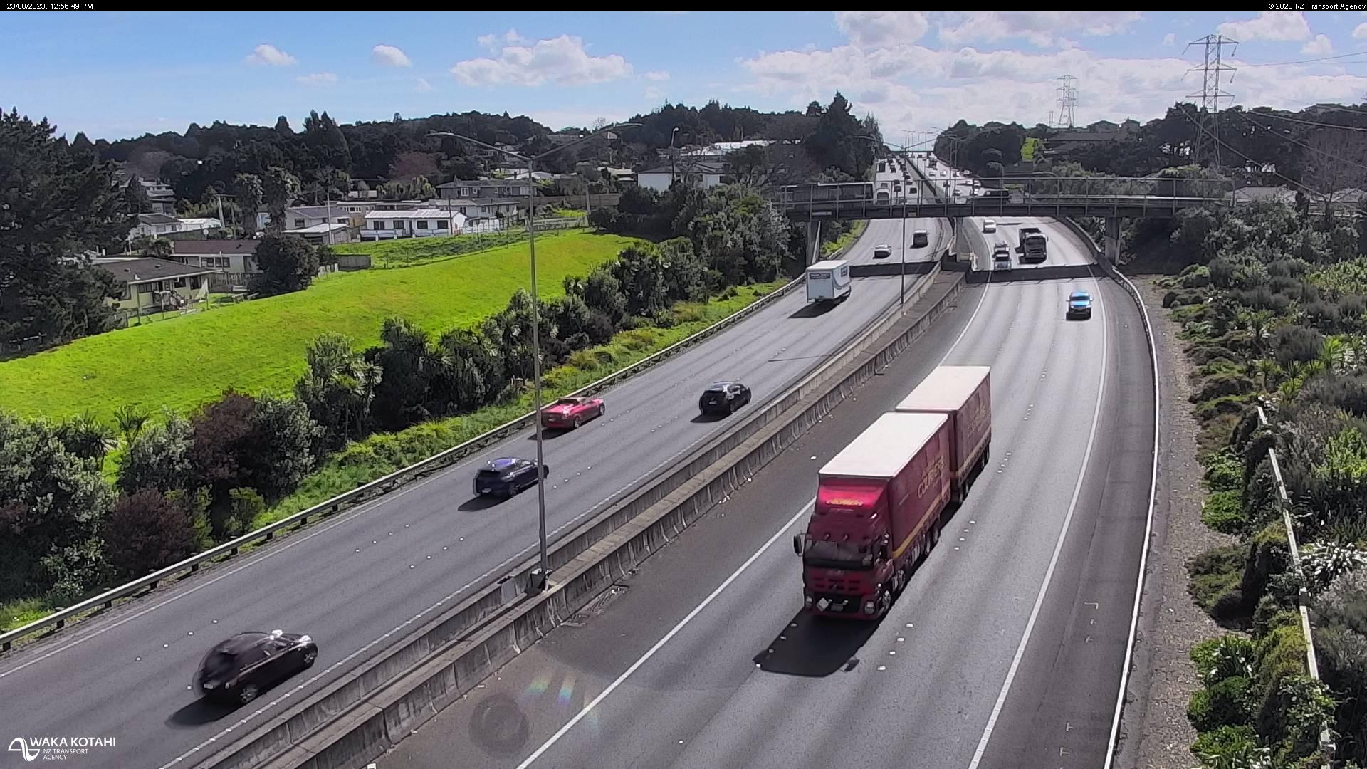
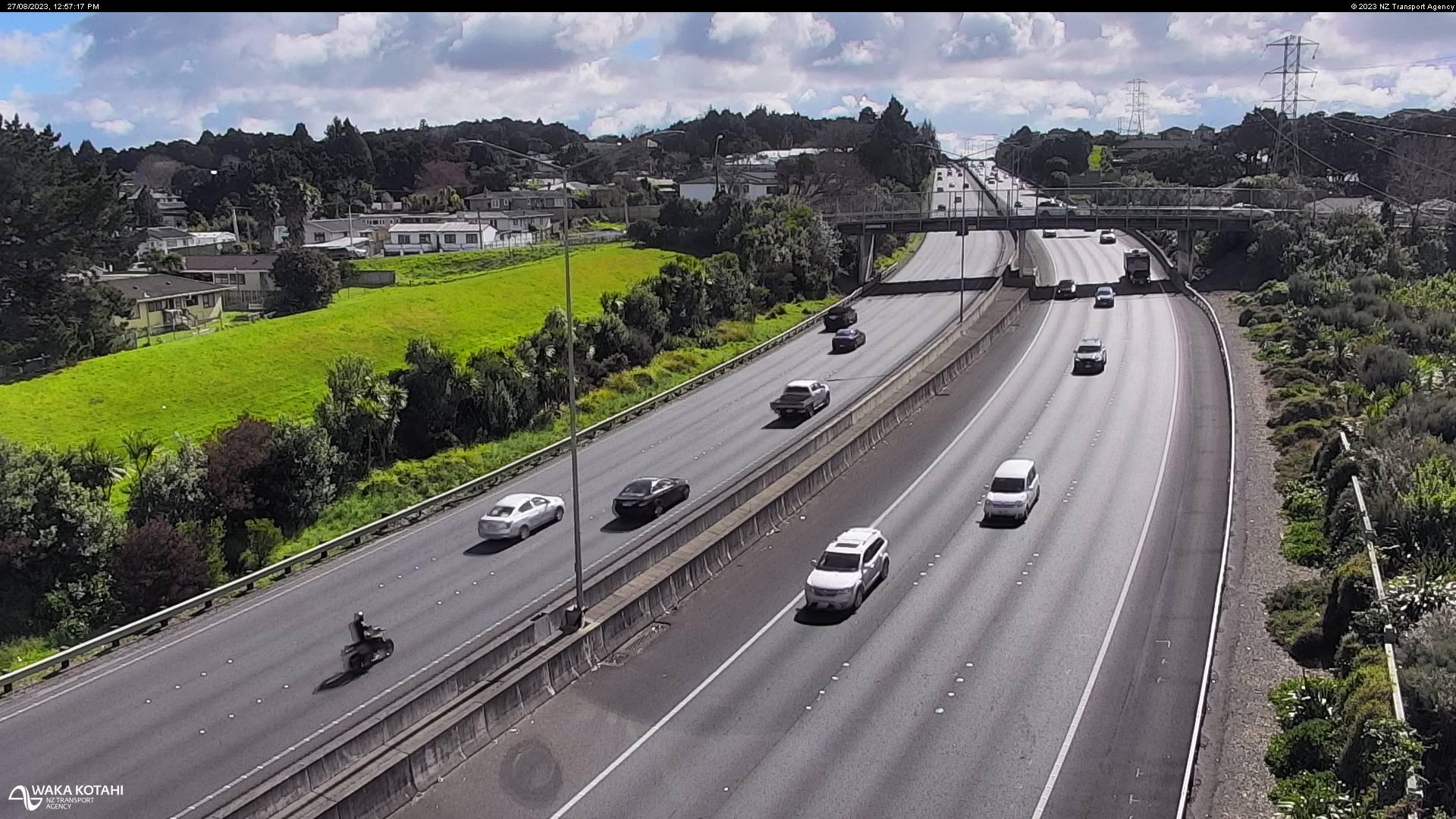
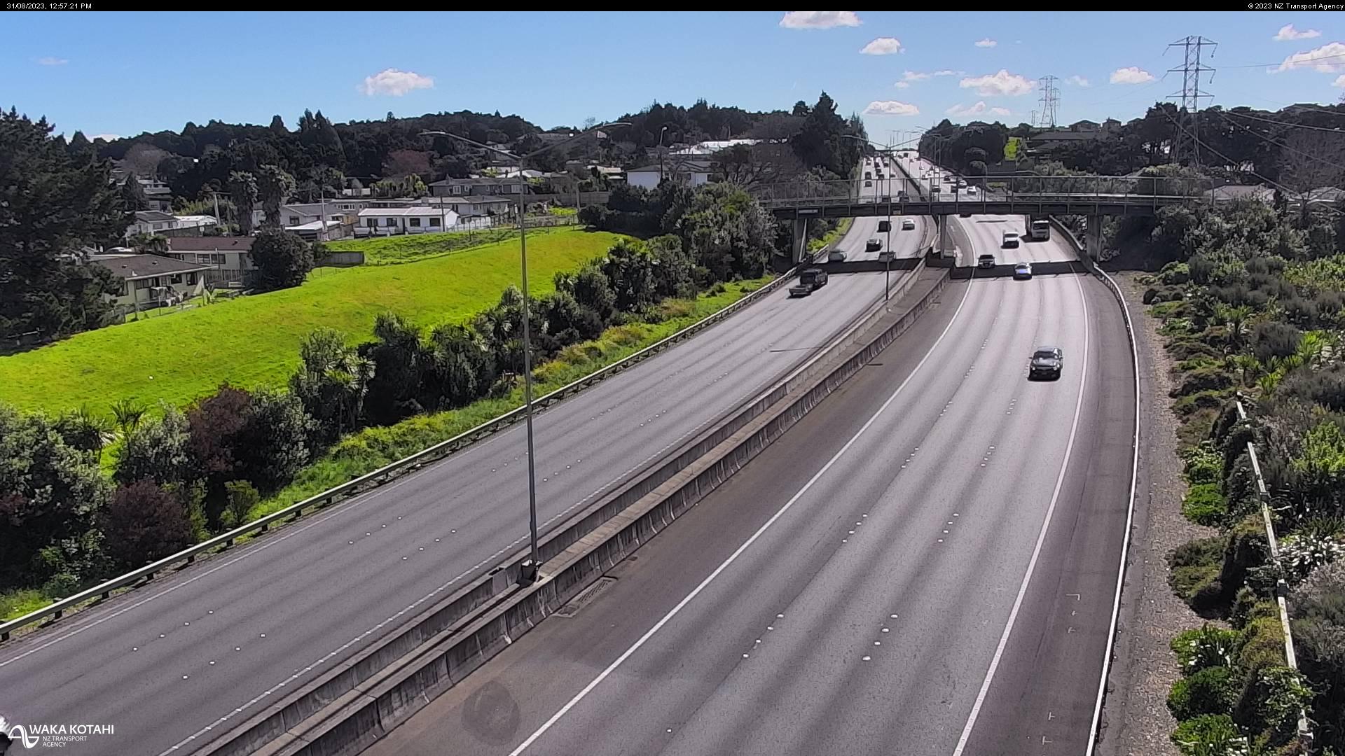
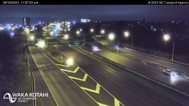
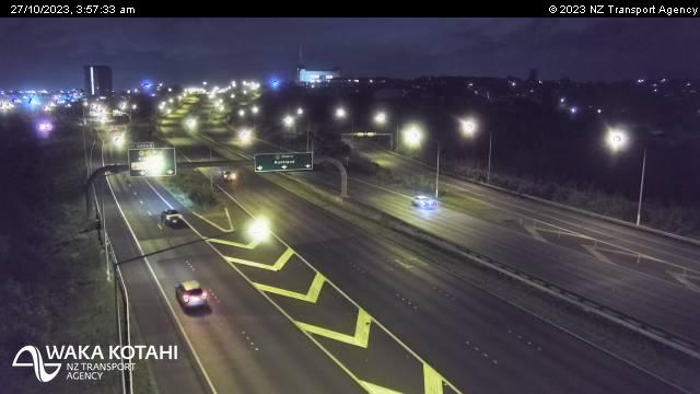
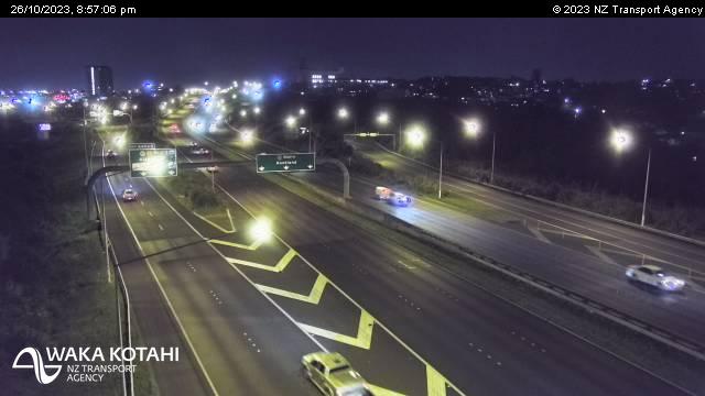
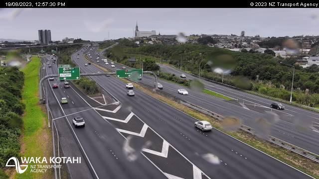
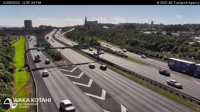
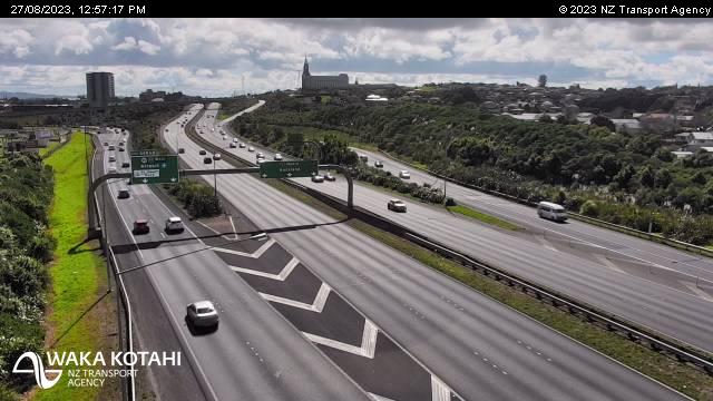
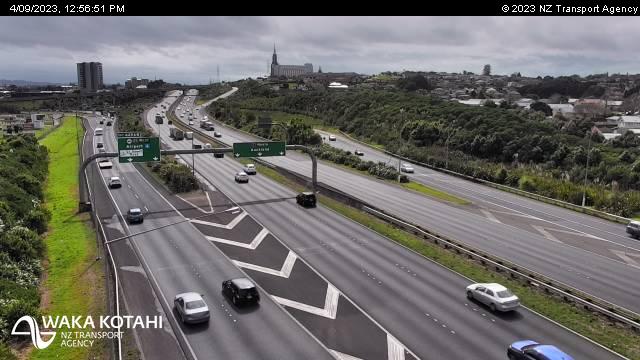
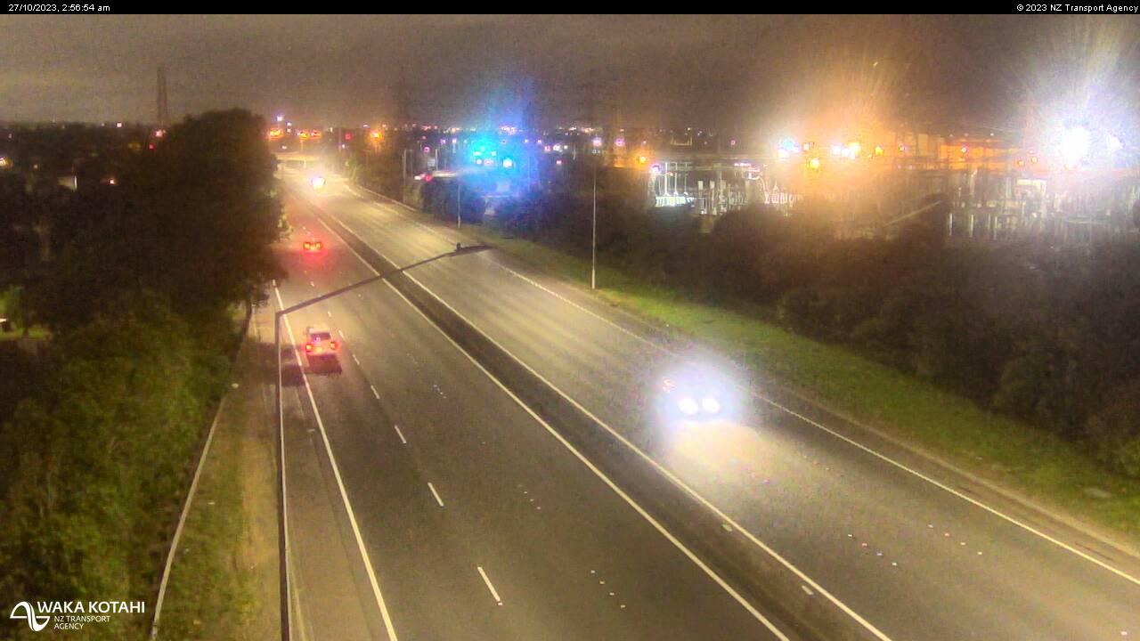
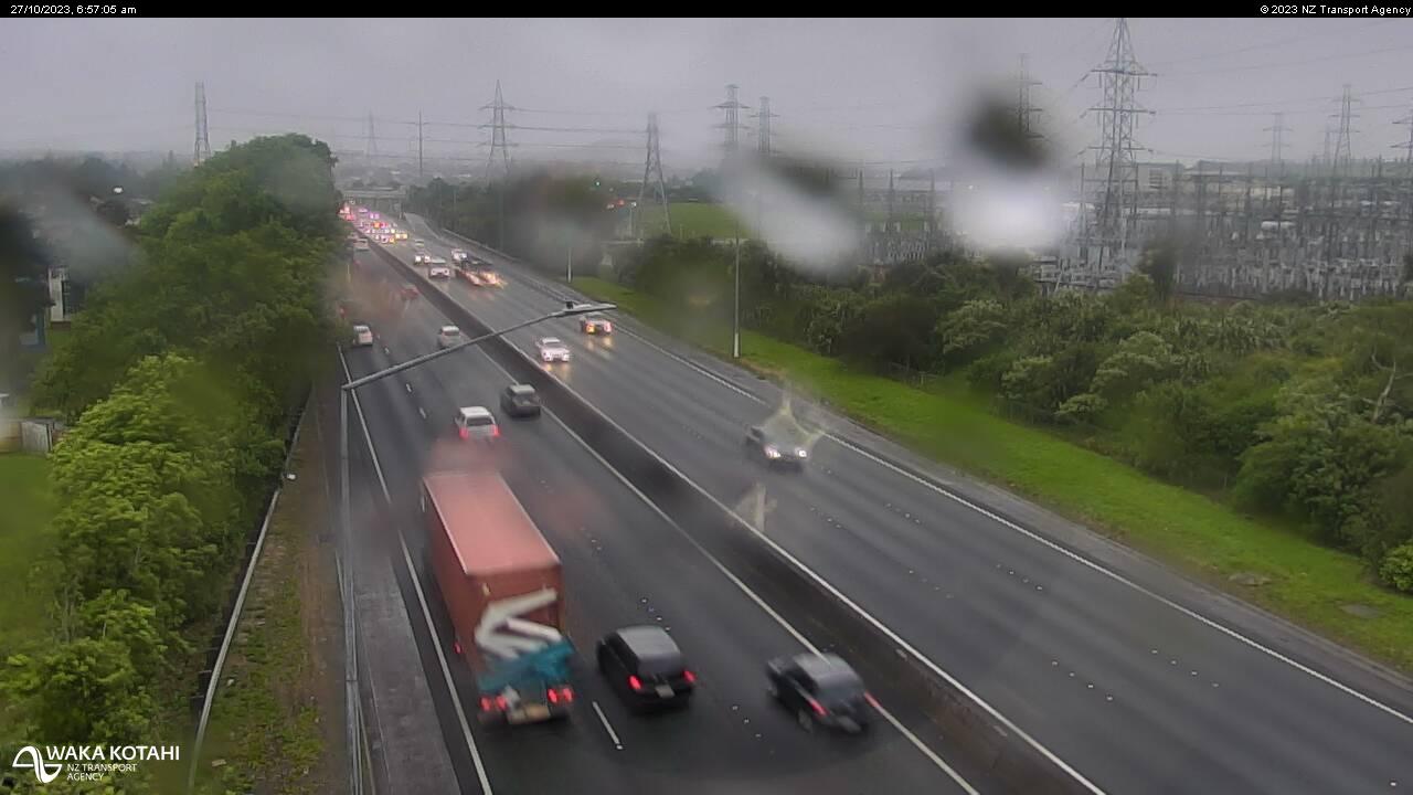
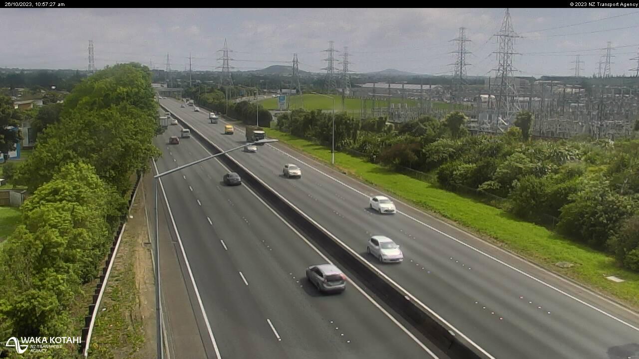
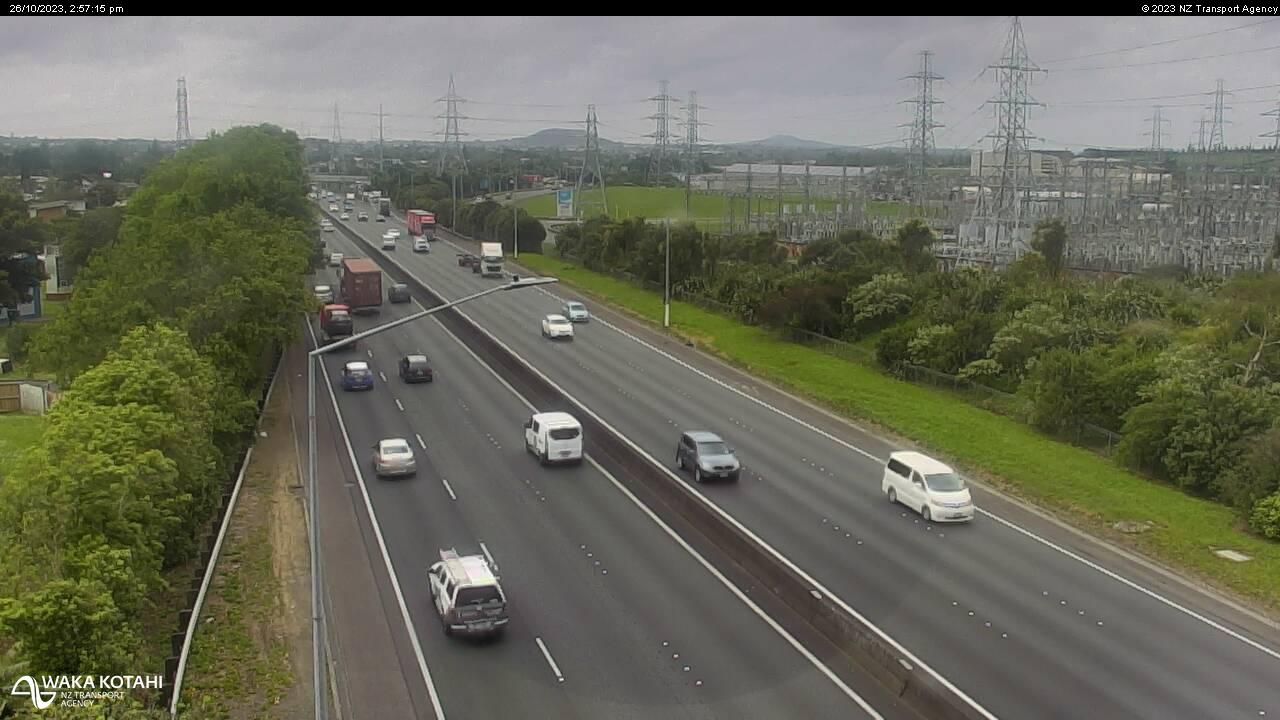
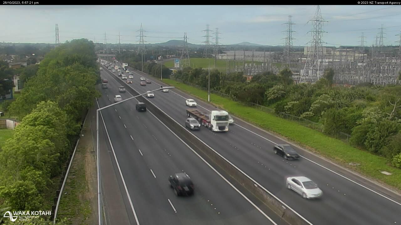
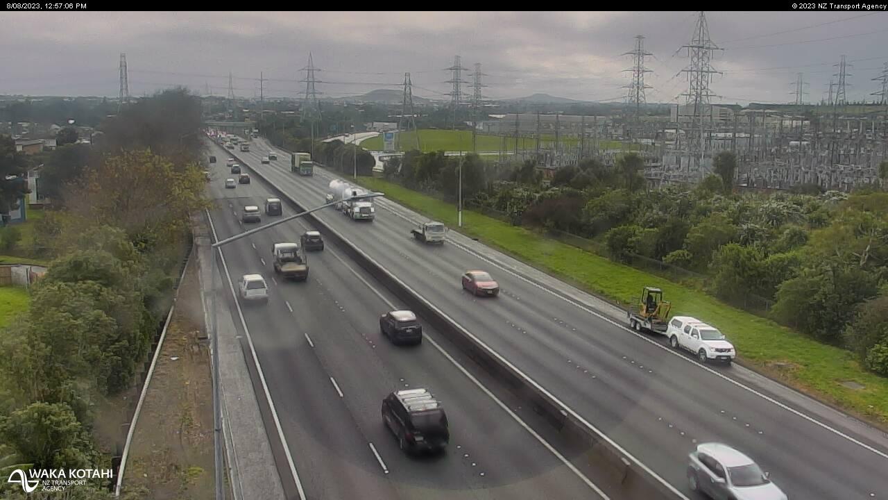
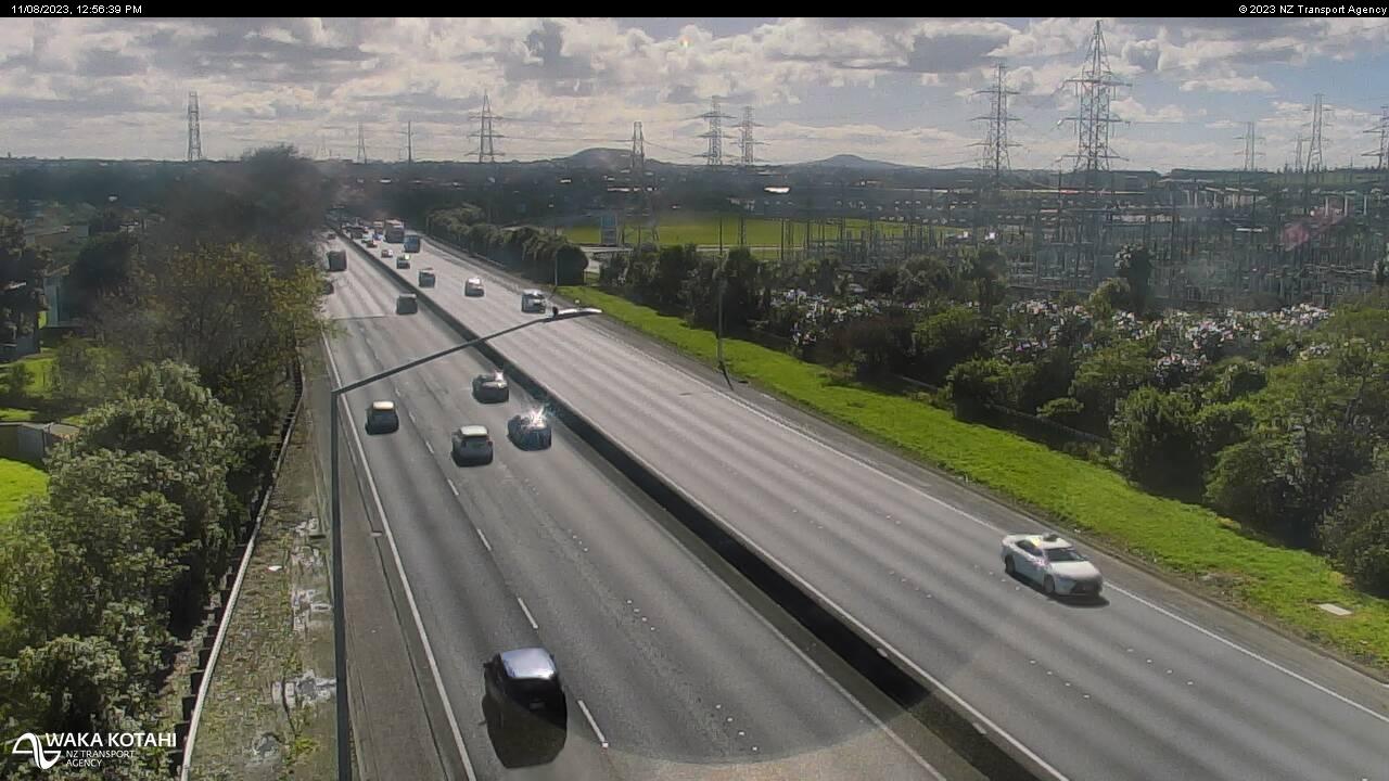
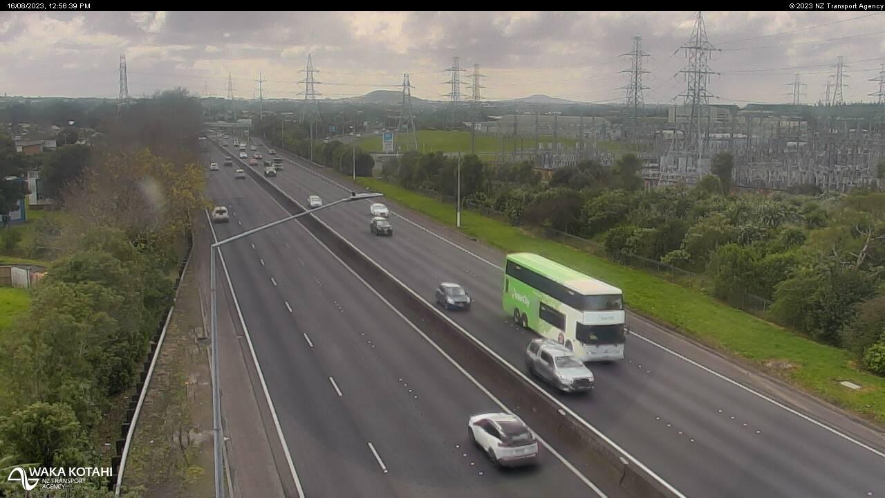
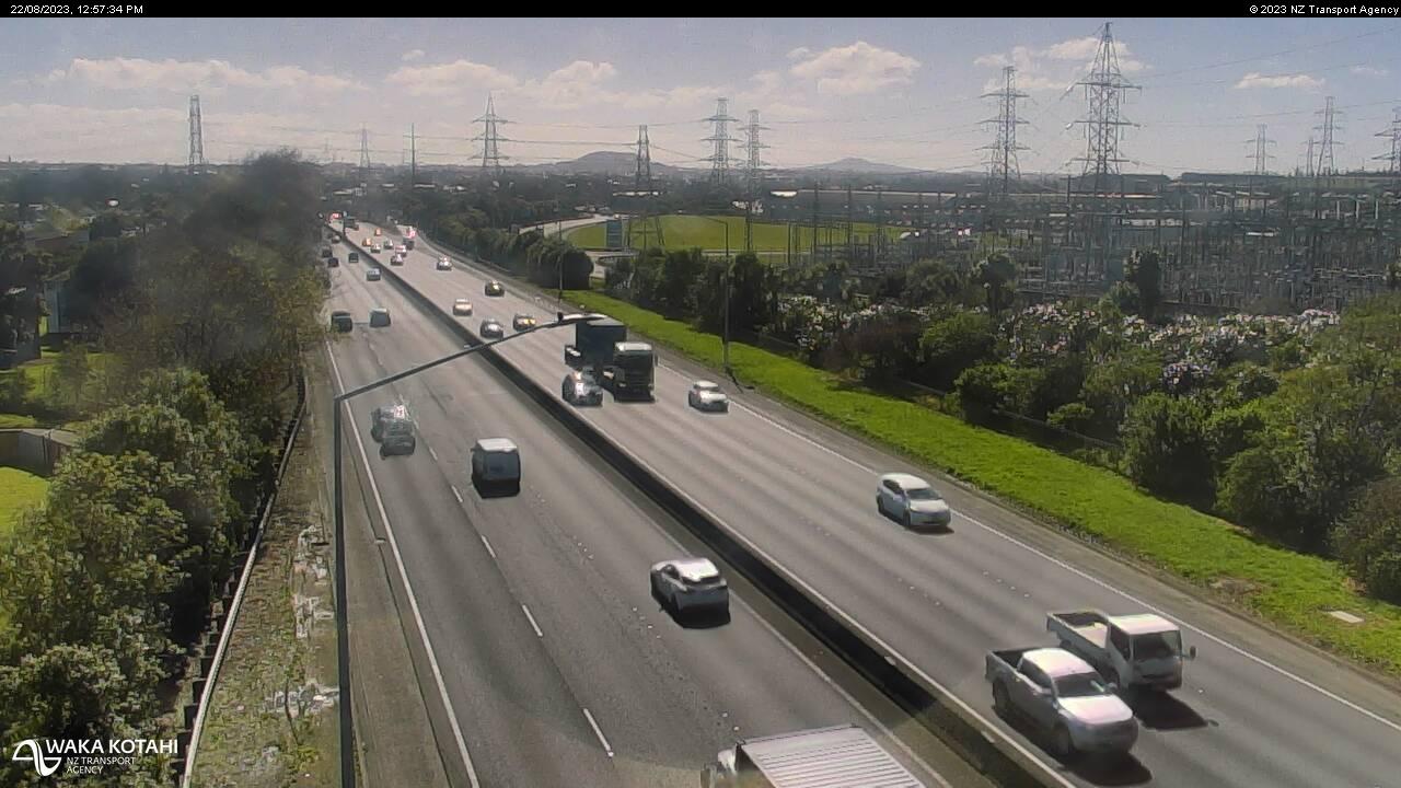
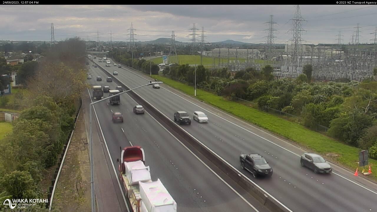
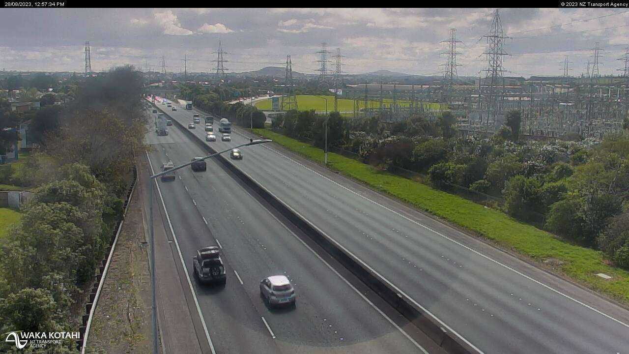
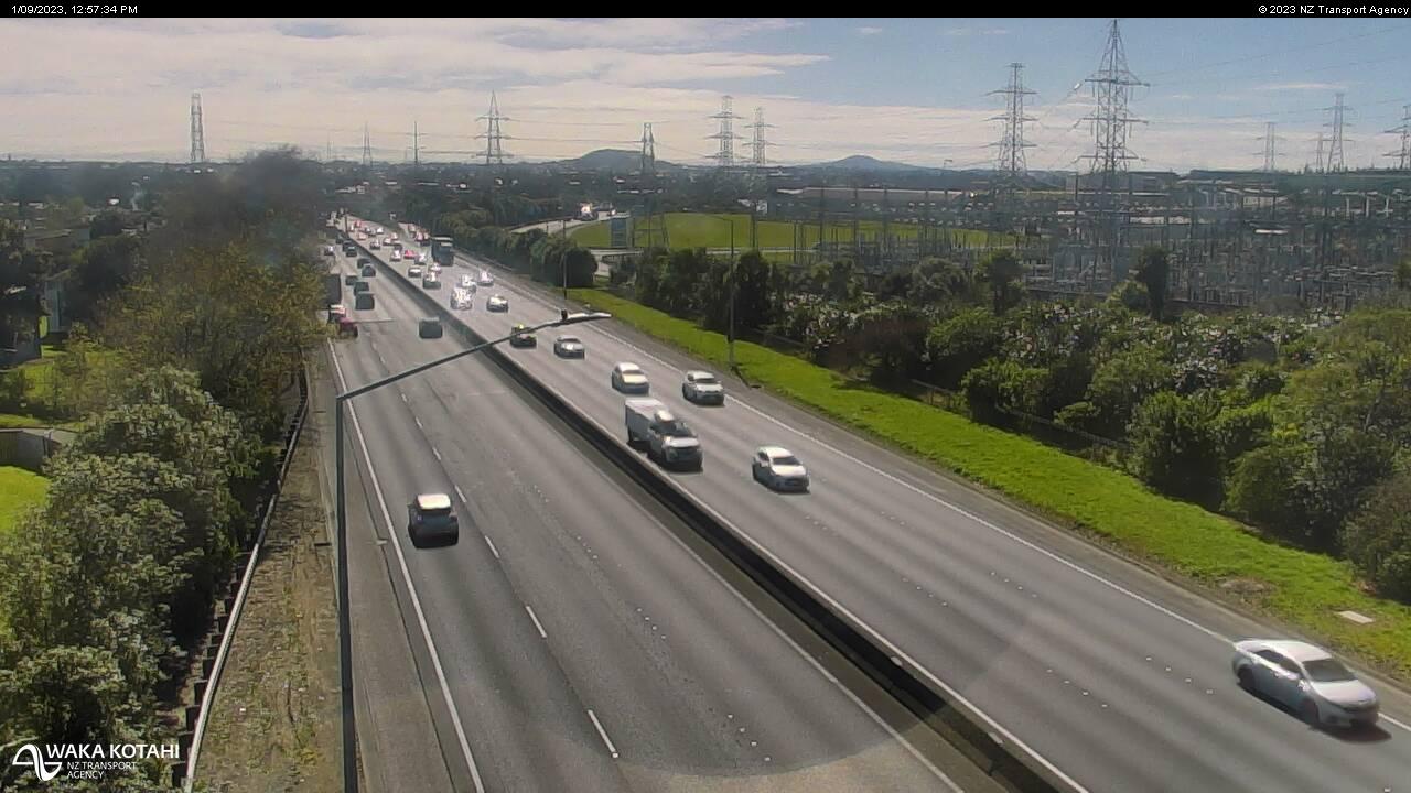
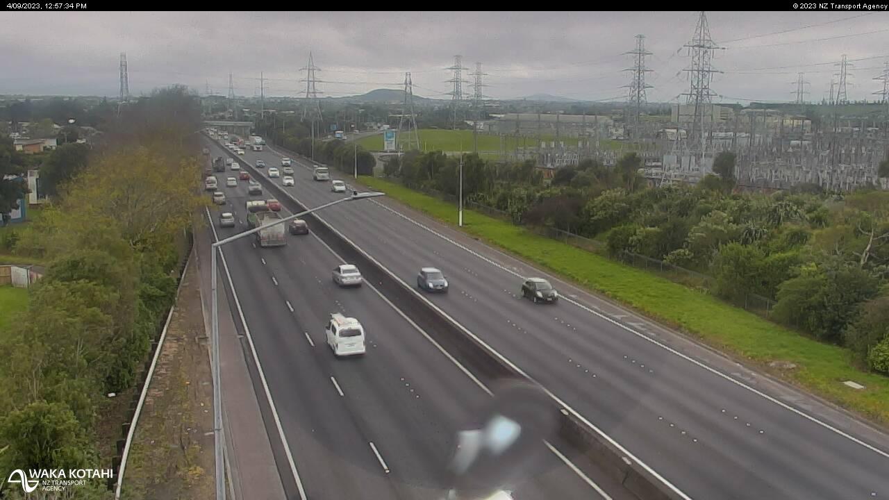
Runciman, New Zealand - 69.8 miles from Apata: Traffic SH1, Park Estate - A view of the current traffic conditions in southern direction.
Operator: NZ Transport Agency
Operator: NZ Transport Agency
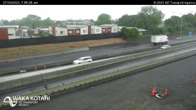
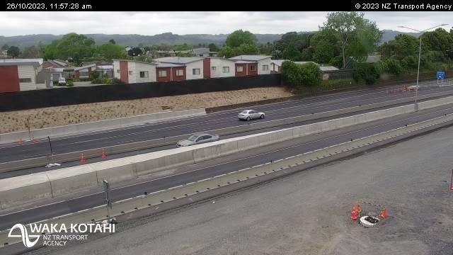
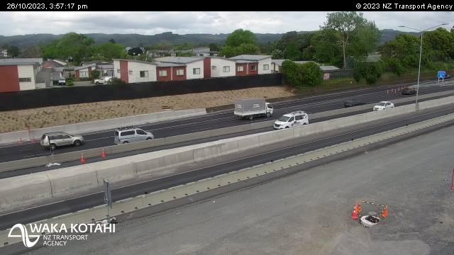


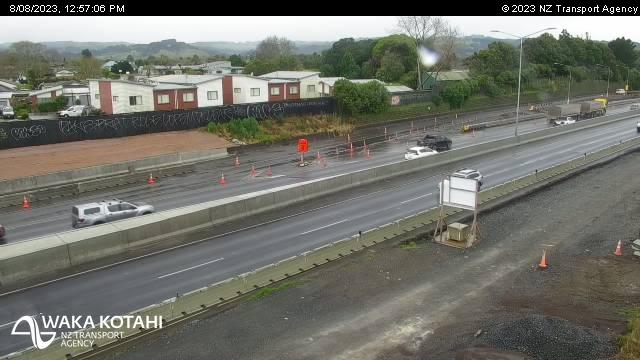
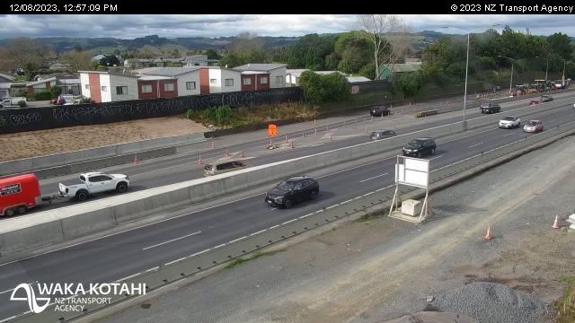

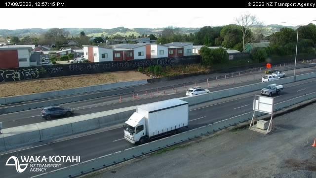
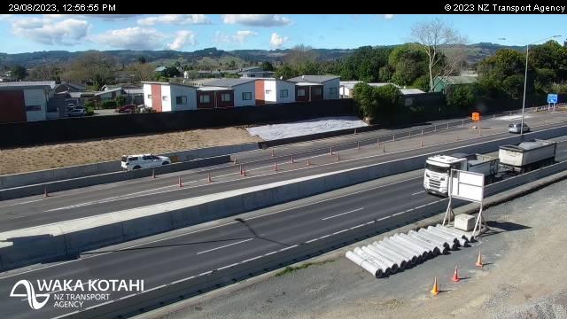

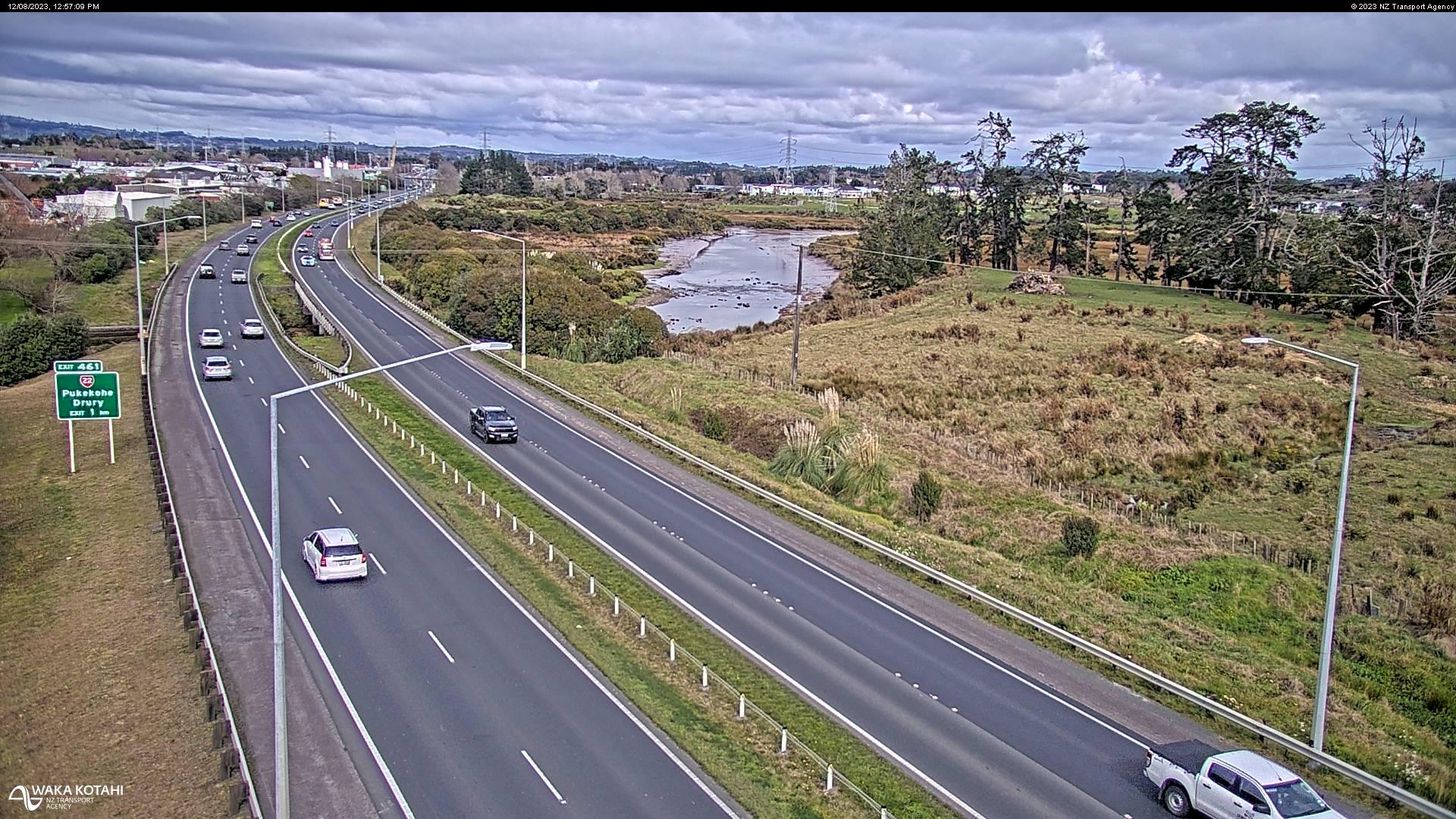
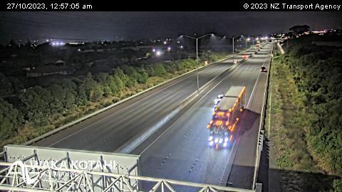
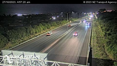
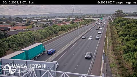
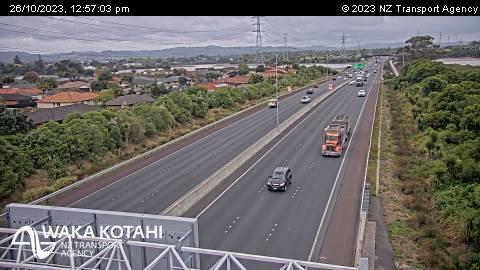
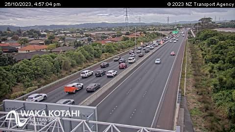
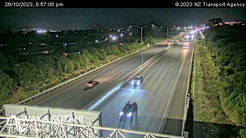
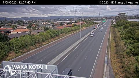
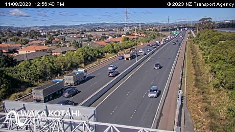
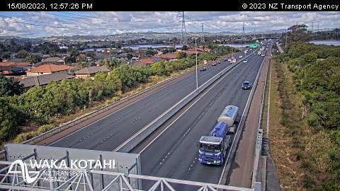
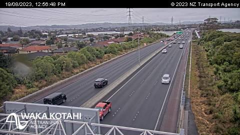
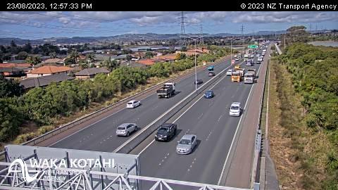
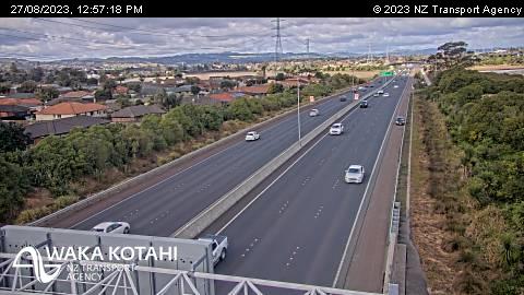
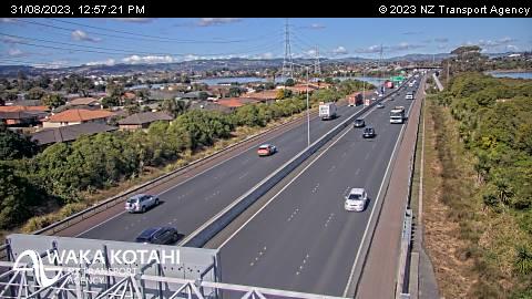
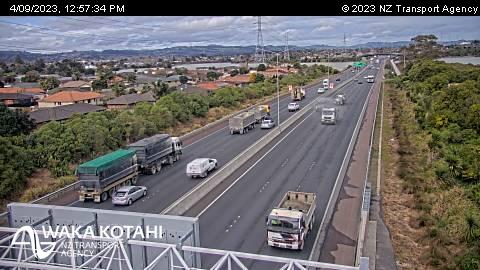
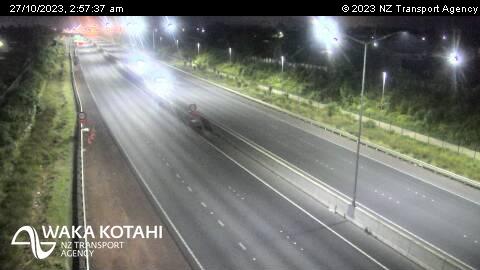
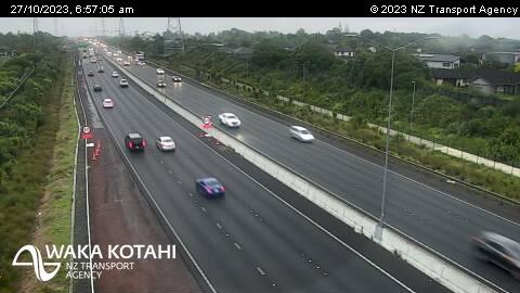
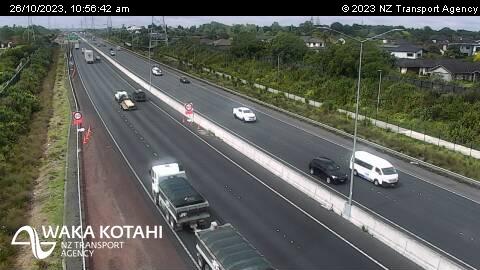
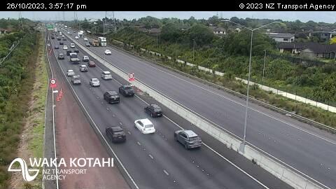
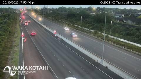
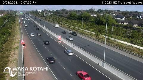
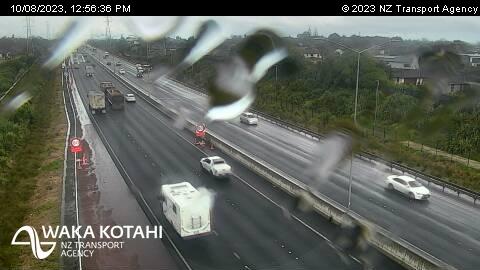
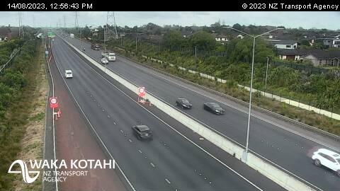
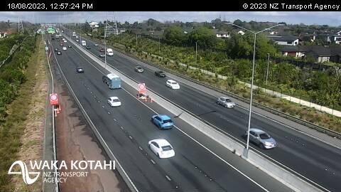
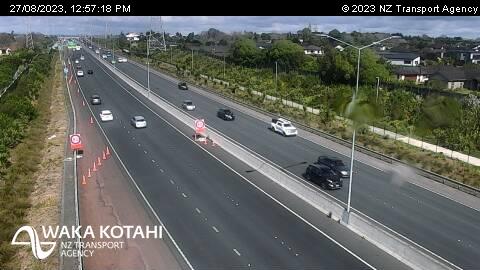
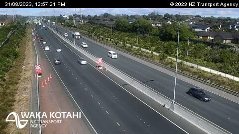
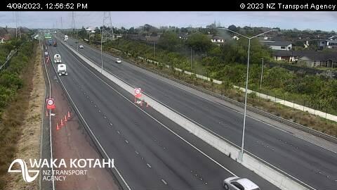
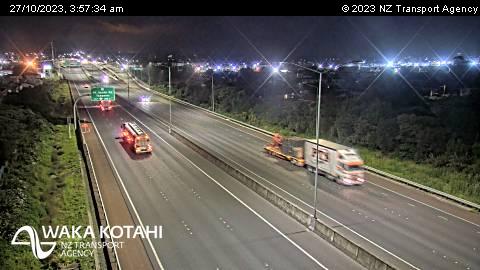
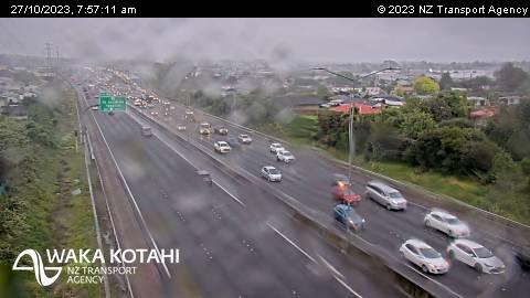
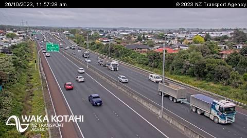
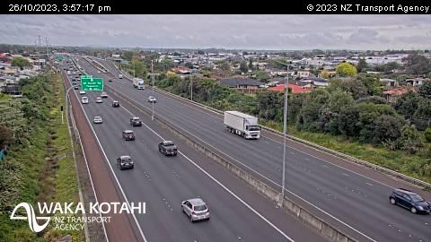
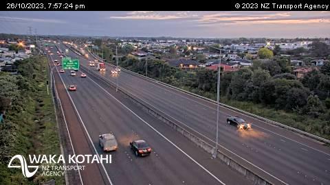
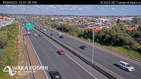
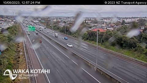
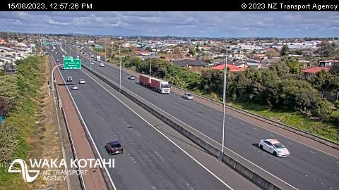
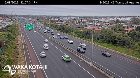
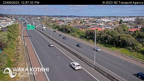
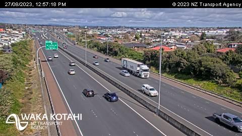
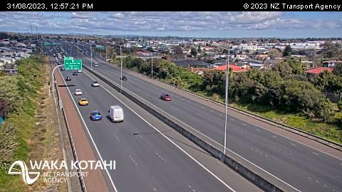
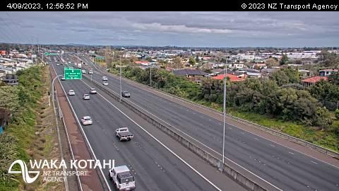
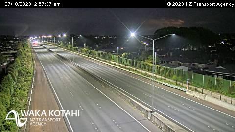
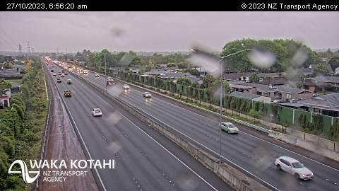
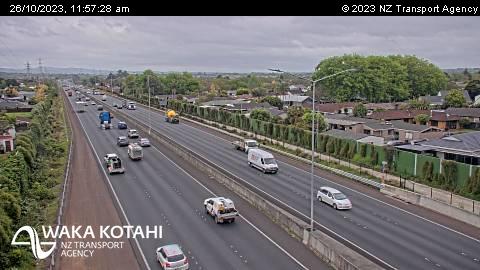
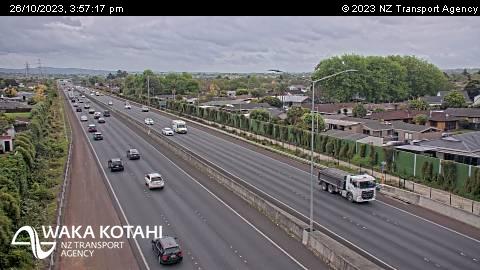
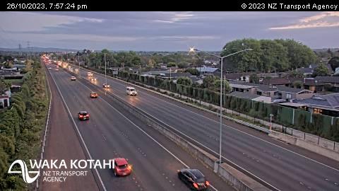
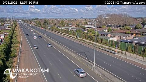
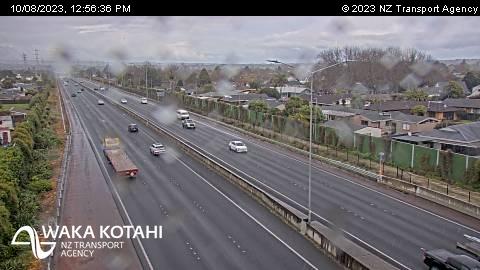
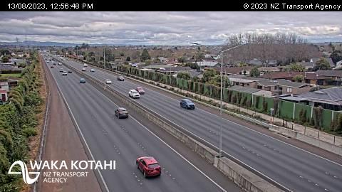
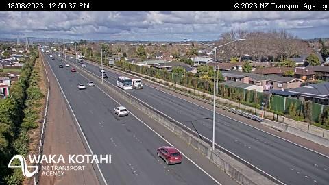
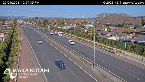
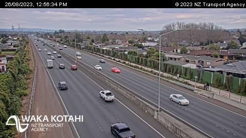
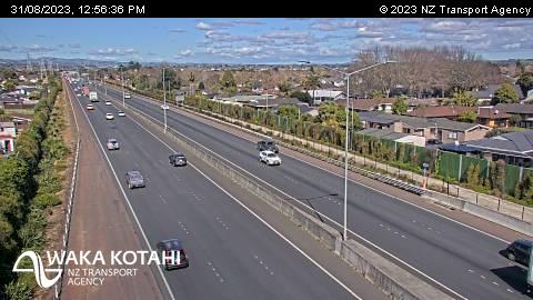
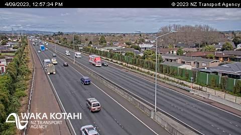
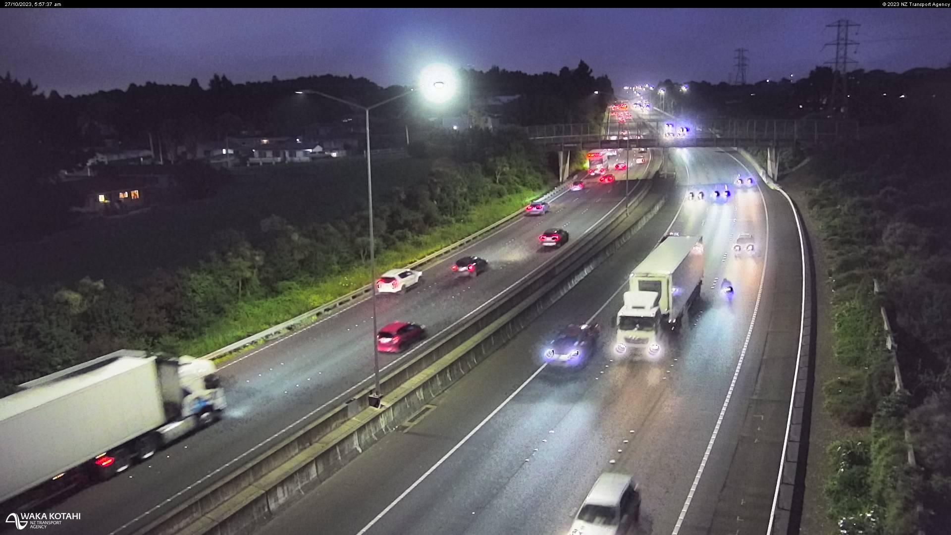
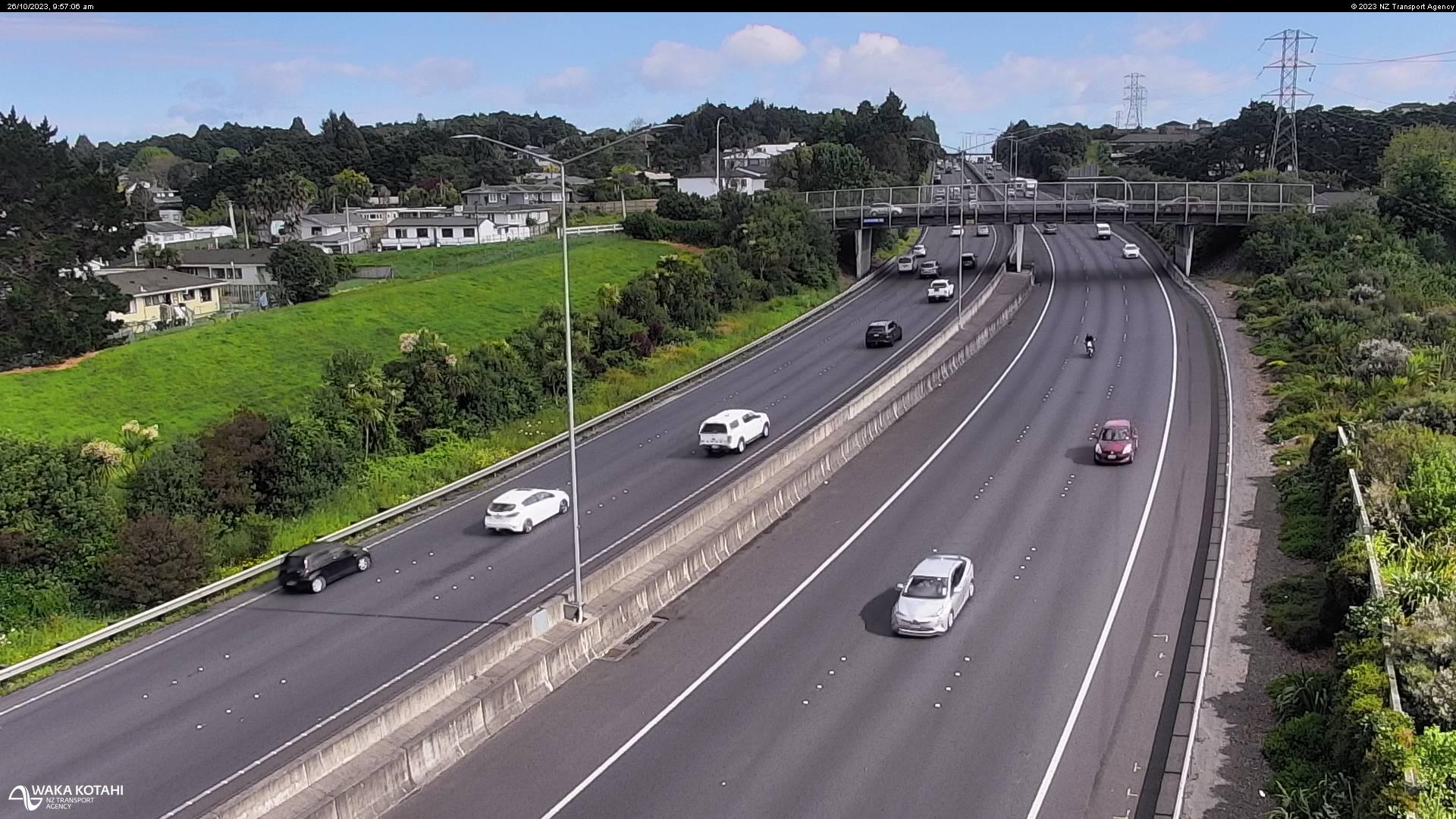
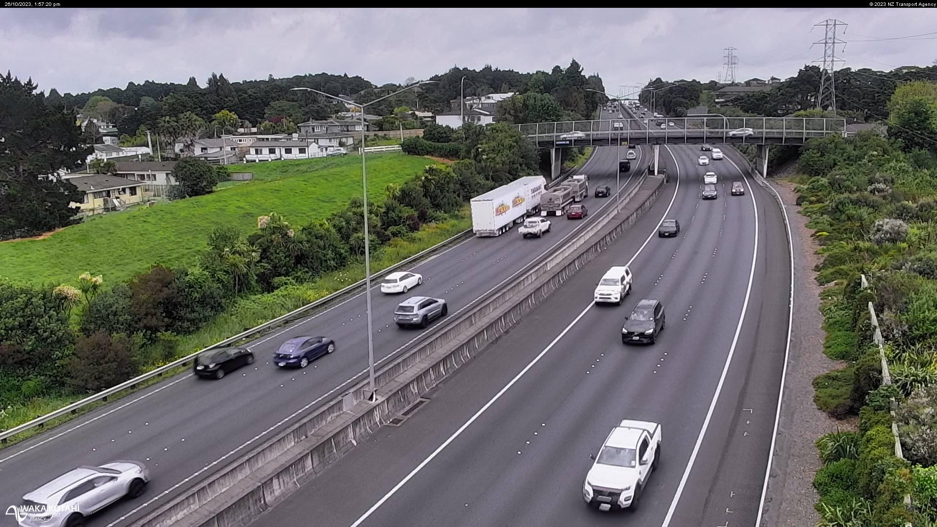
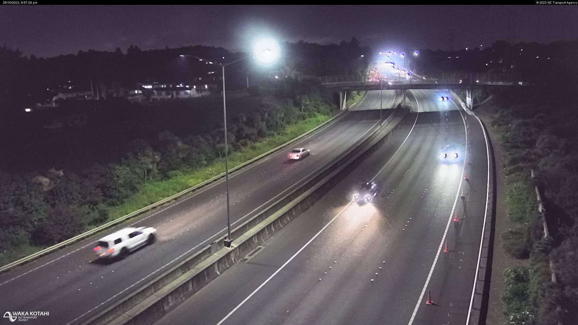
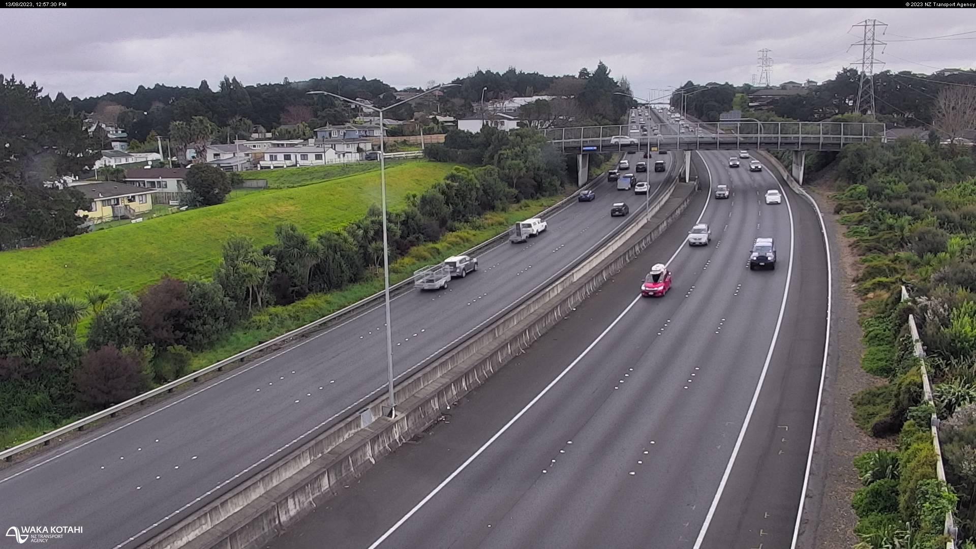
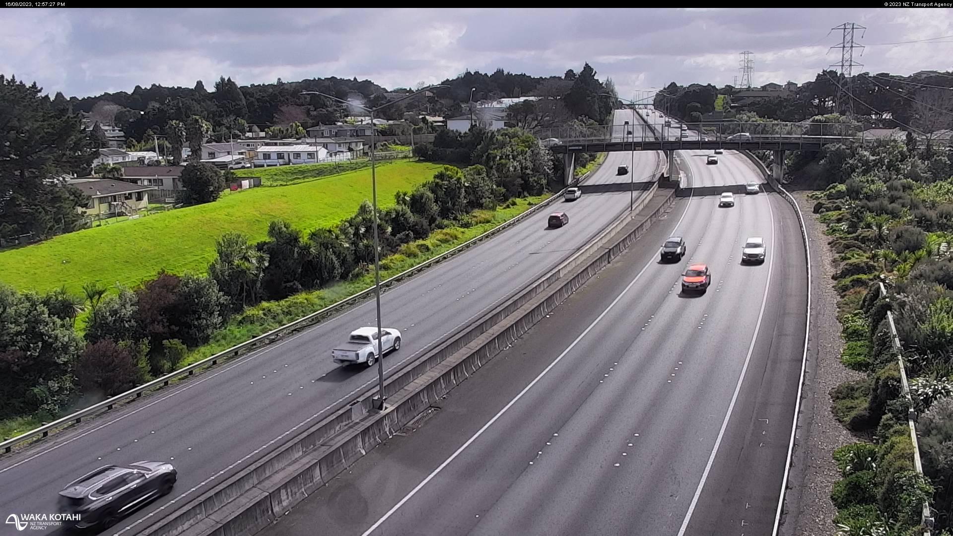
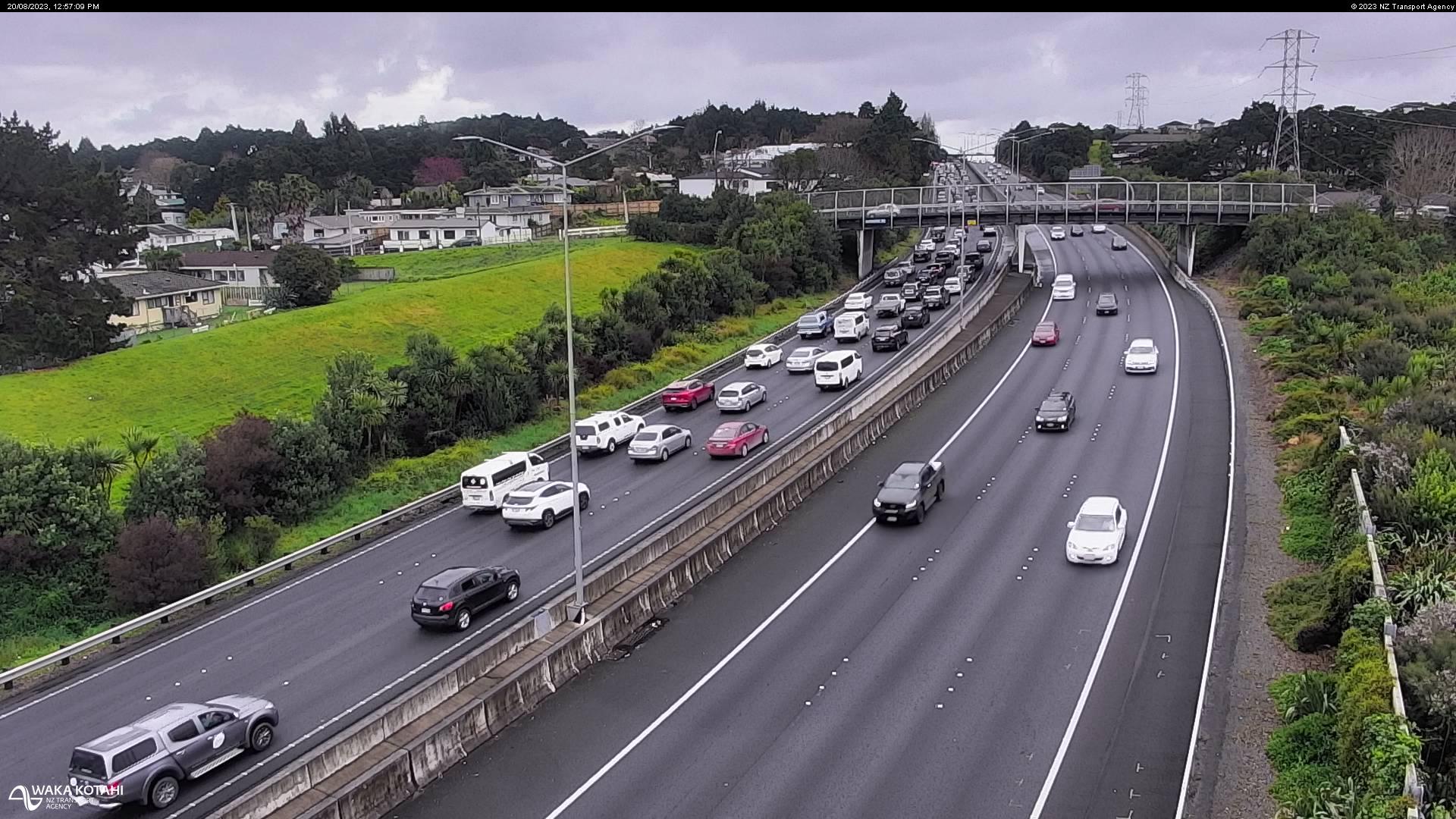
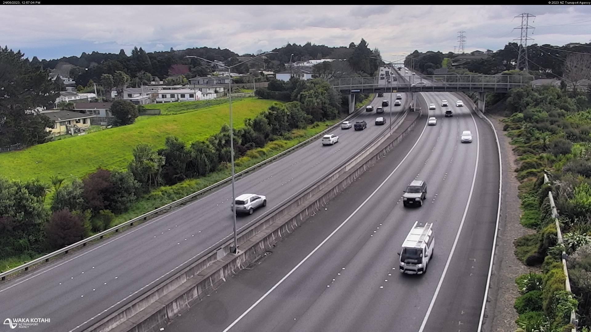
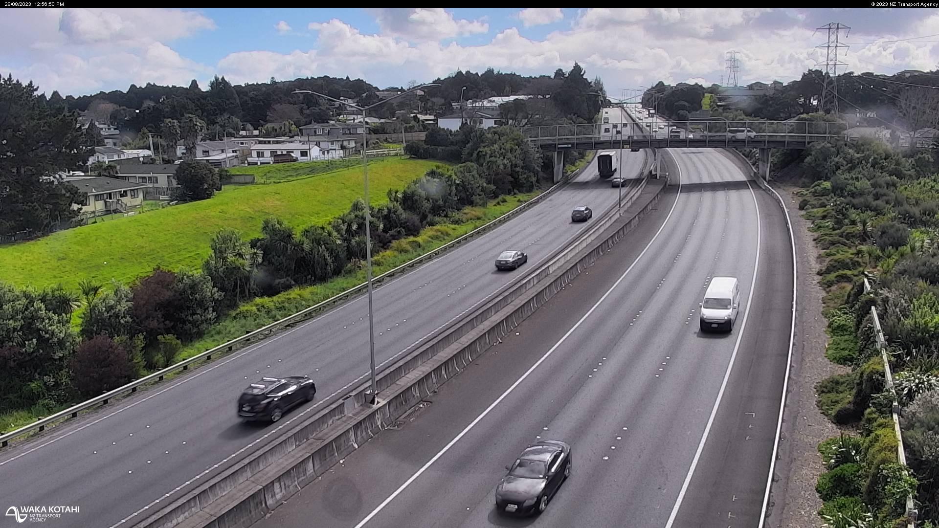
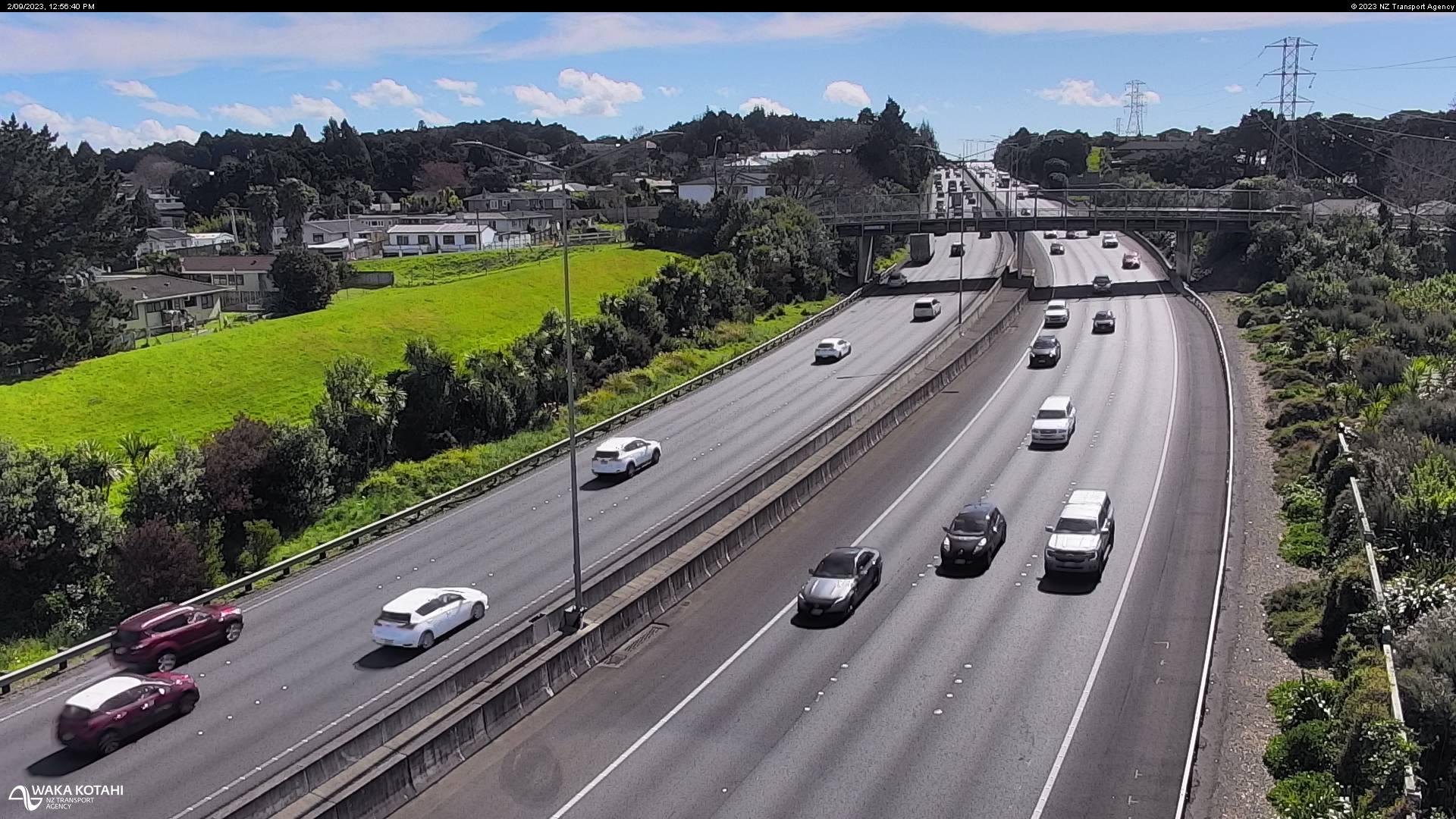
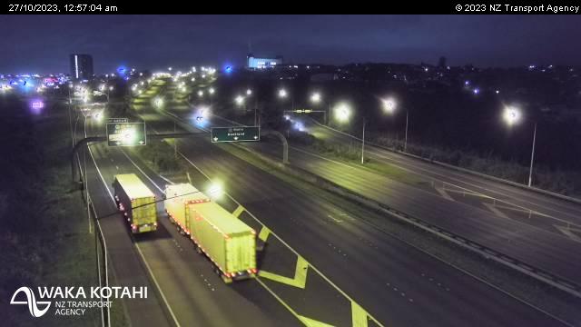
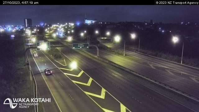
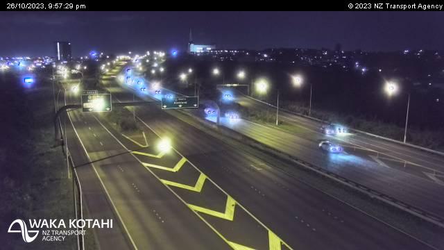
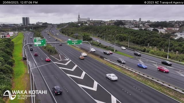
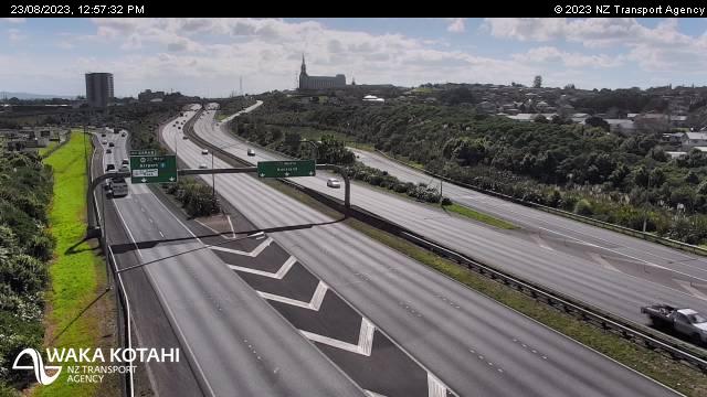
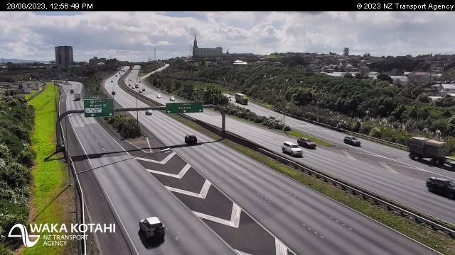
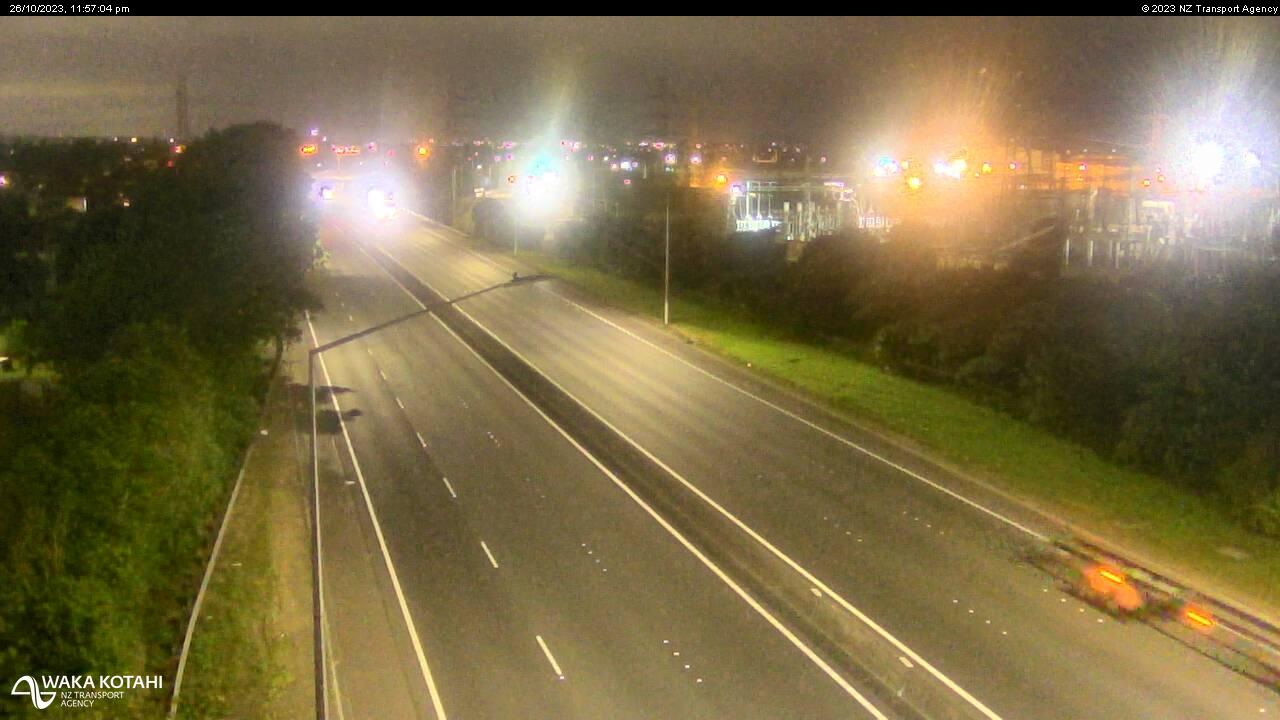
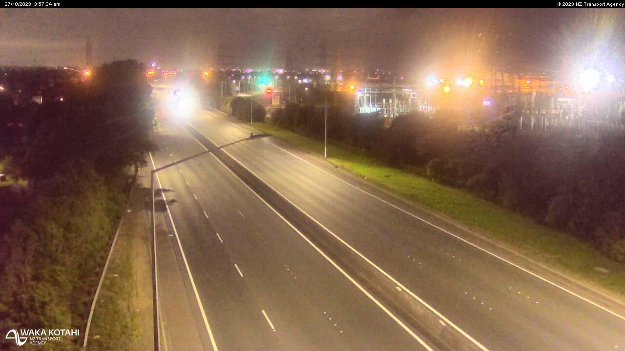
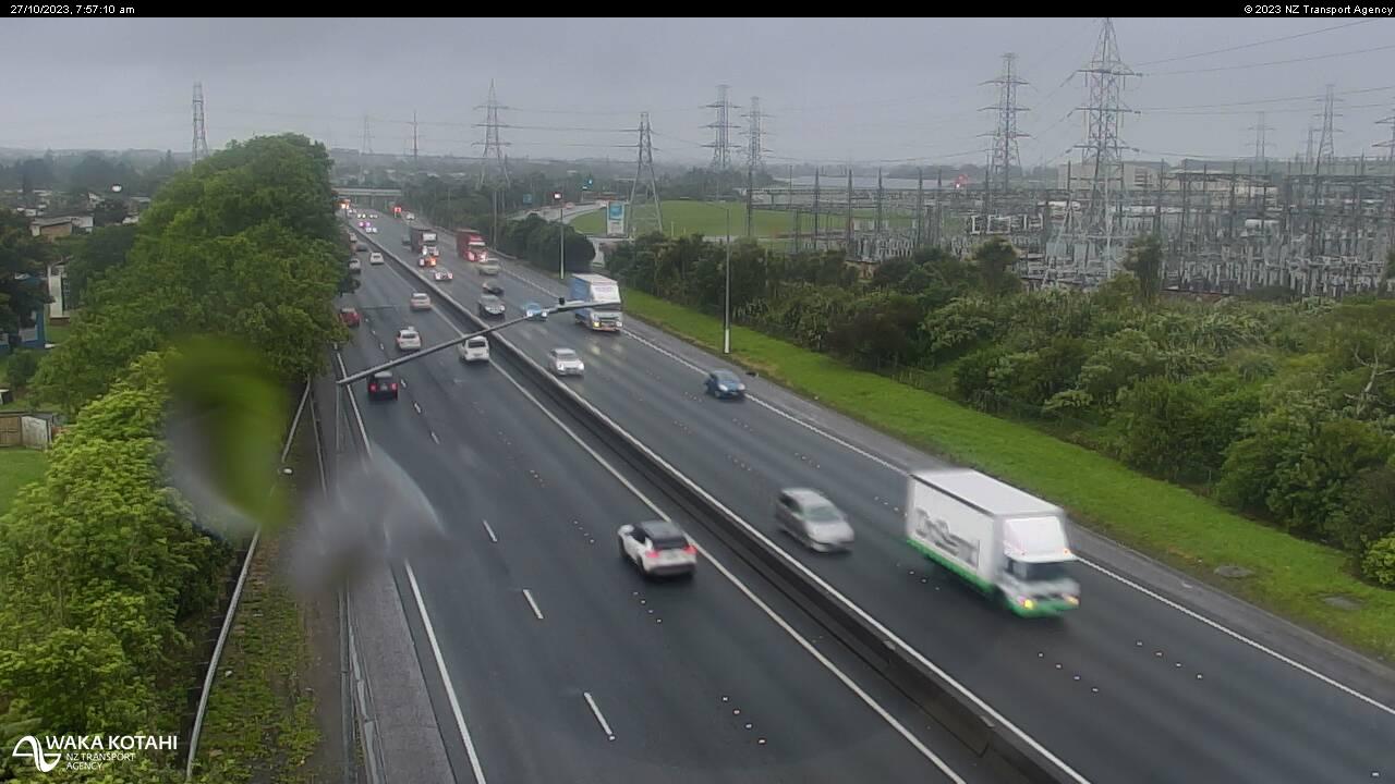
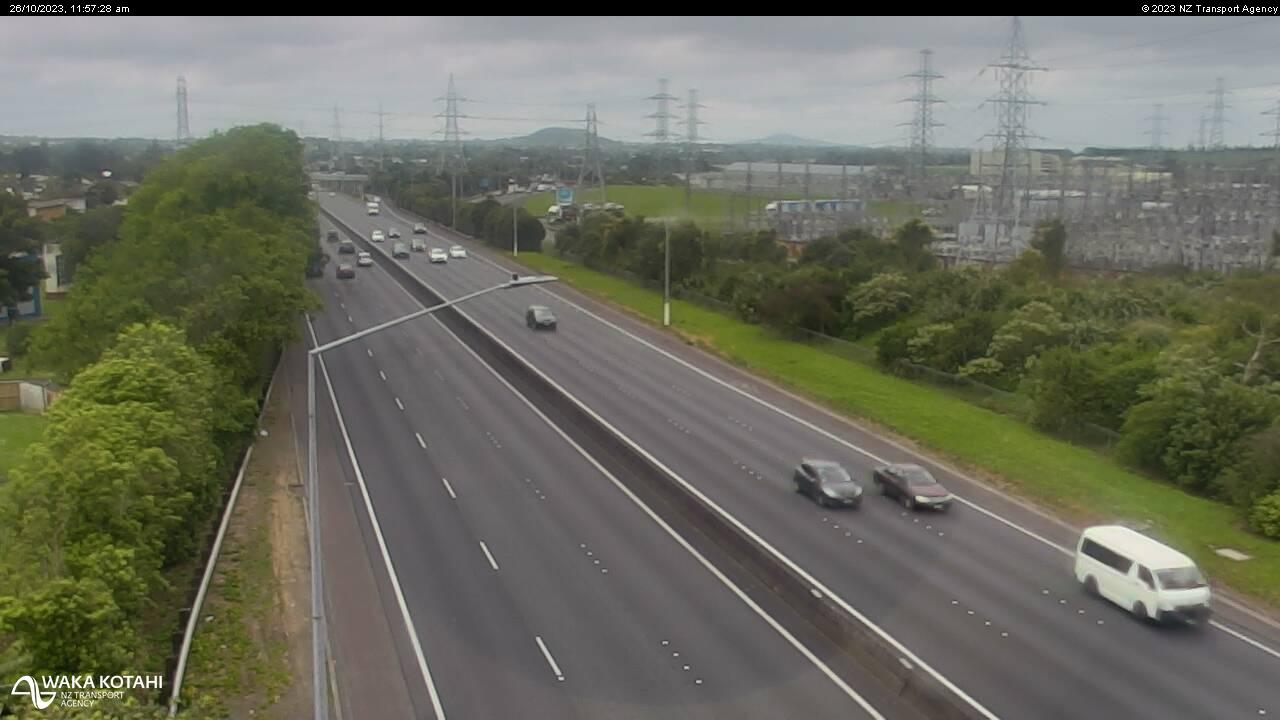
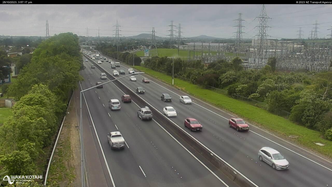
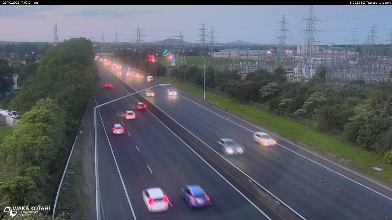
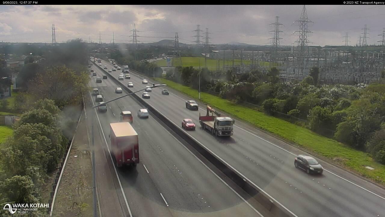
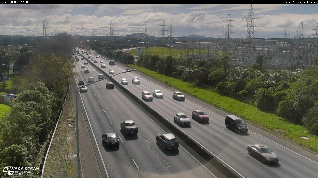
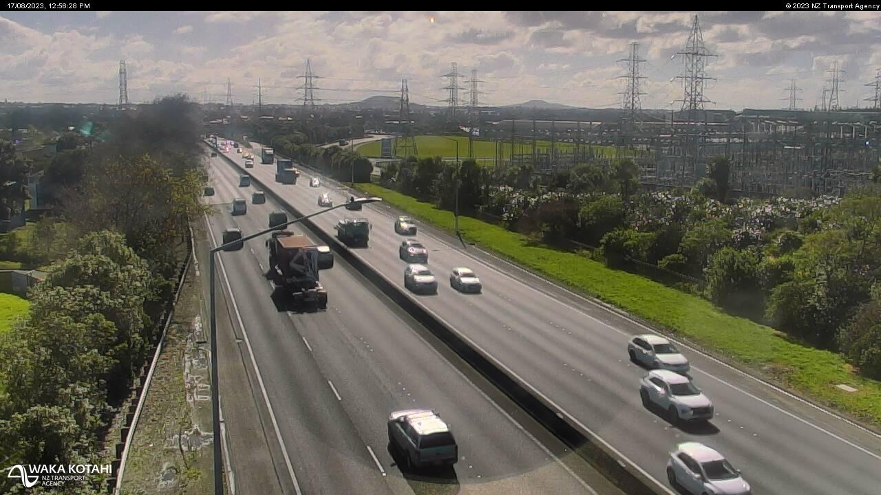
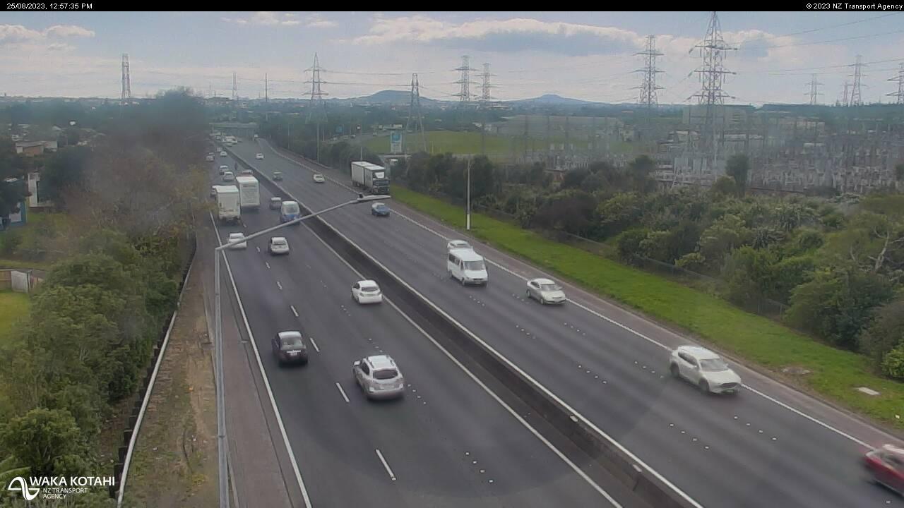
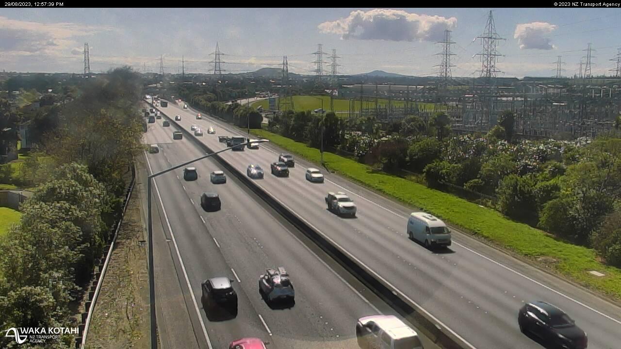
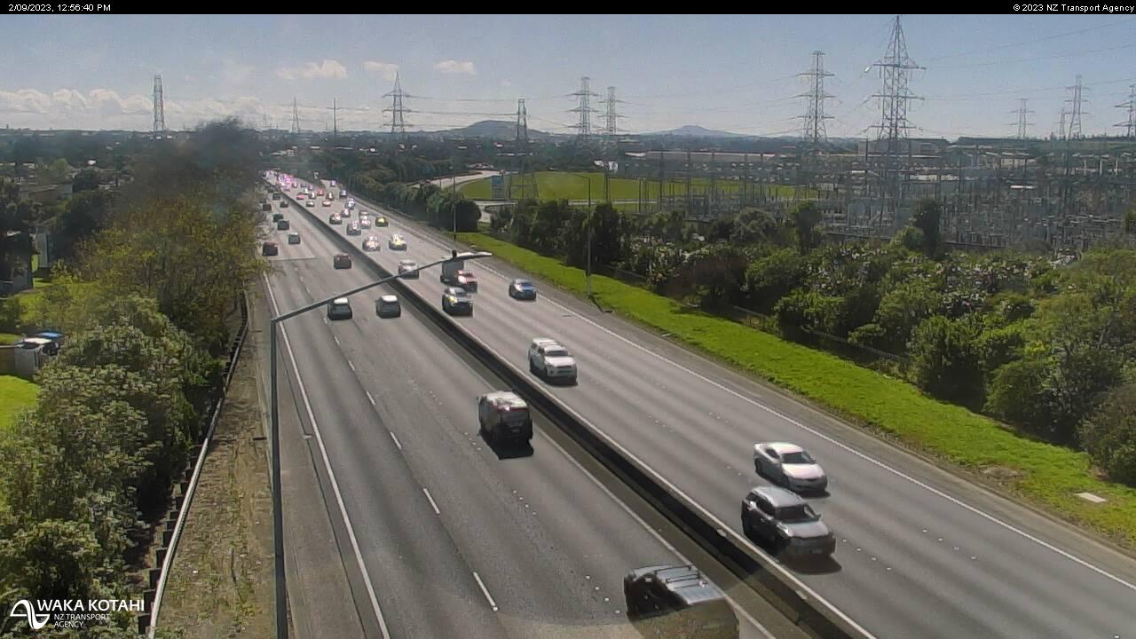
Pahurehure, New Zealand - 72 miles from Apata: Traffic SH1, Pahurehure - A view of the current traffic conditions in southern direction.
Operator: NZ Transport Agency
Operator: NZ Transport Agency
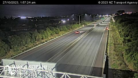
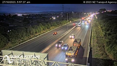
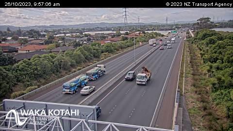
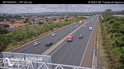
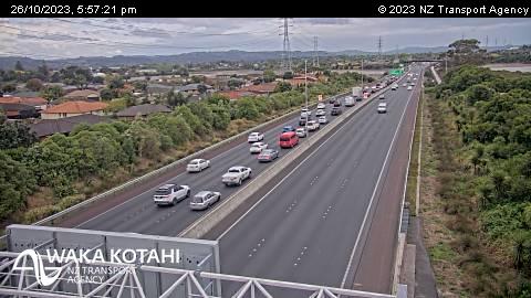
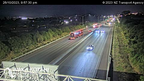
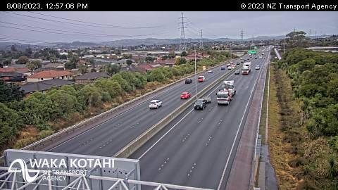
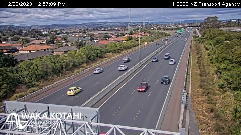
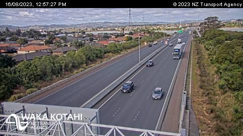
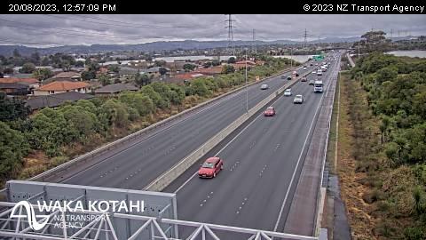
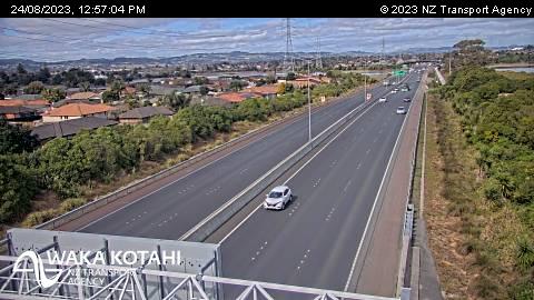
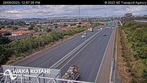
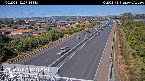

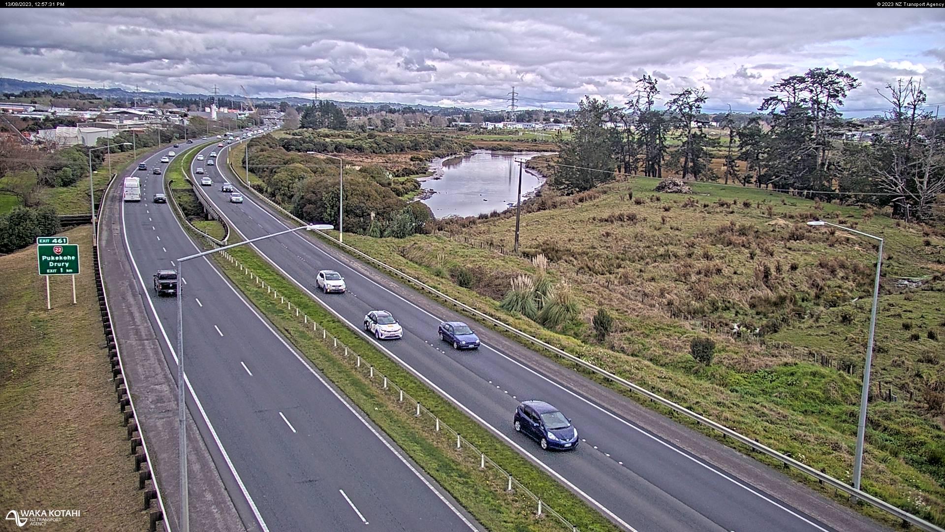
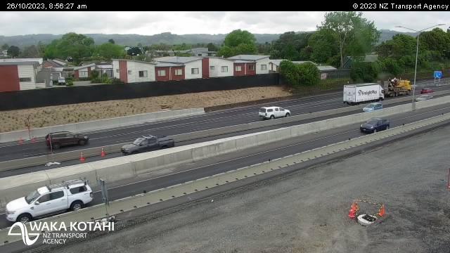
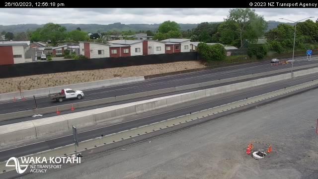
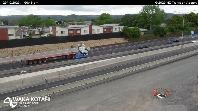
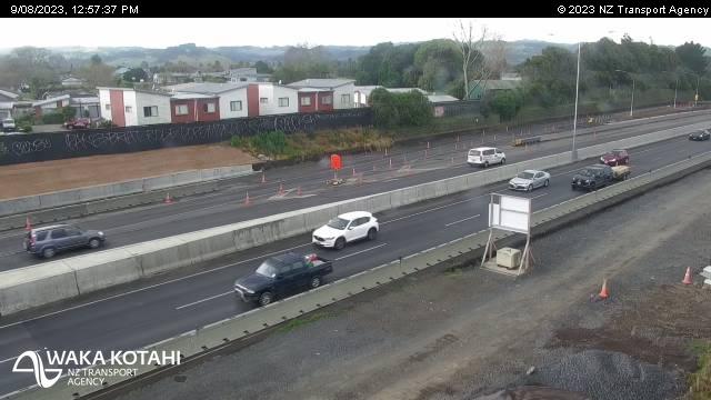
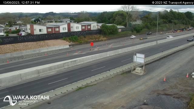
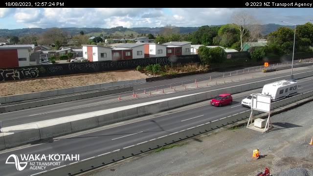
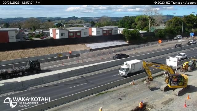
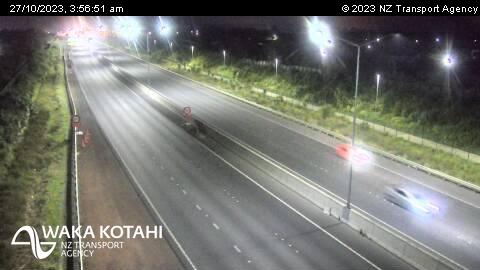
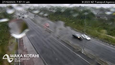
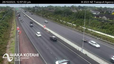
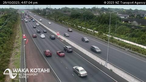
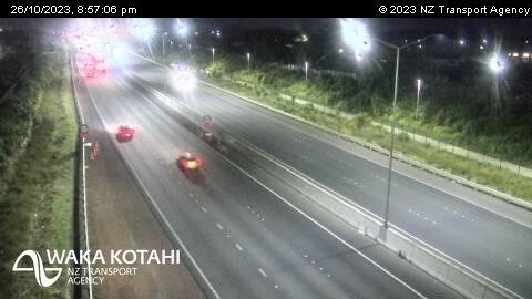
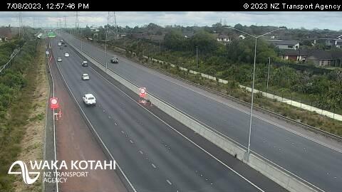
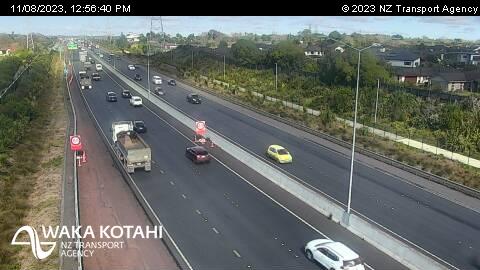
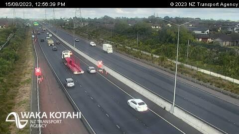
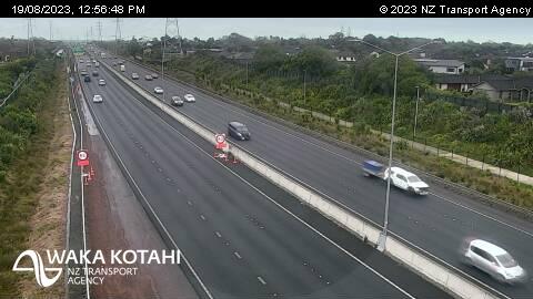
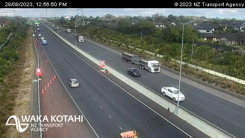
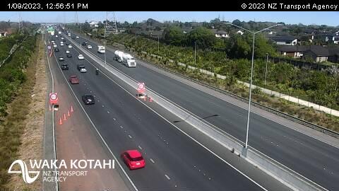
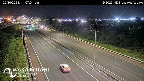
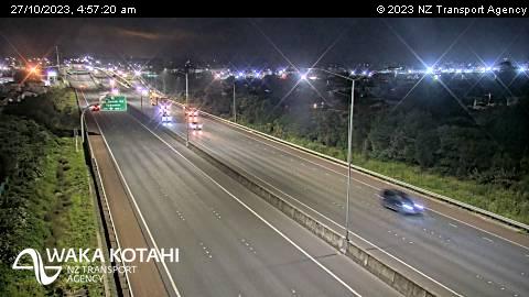
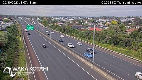
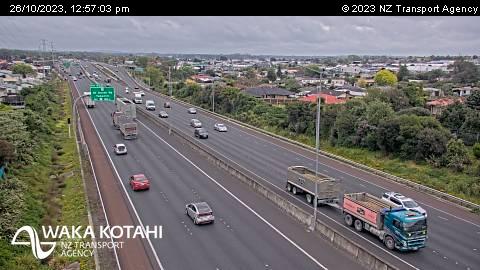
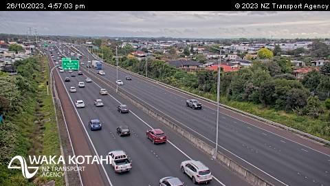
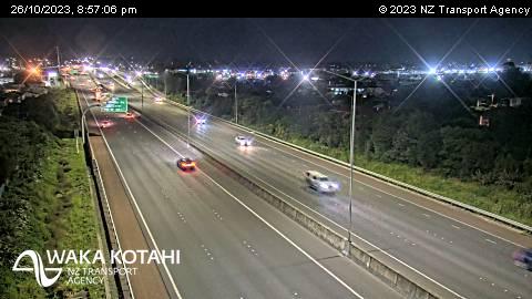
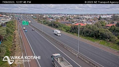
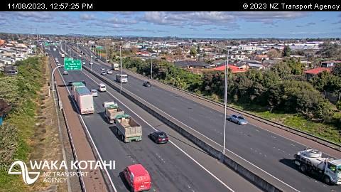
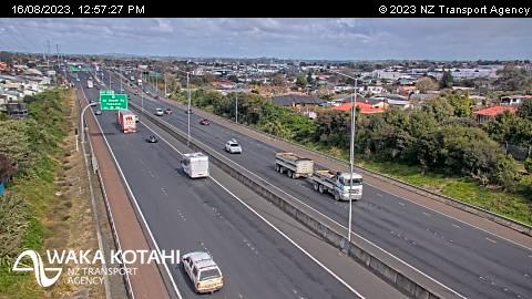
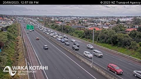
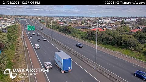
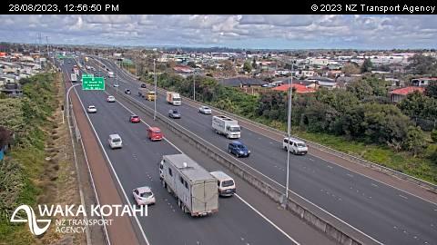
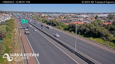
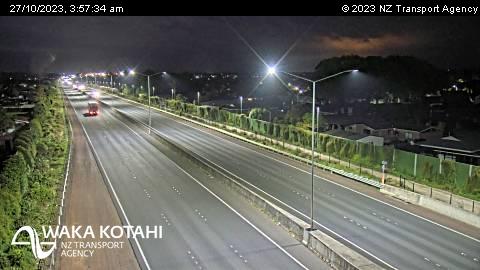
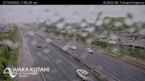
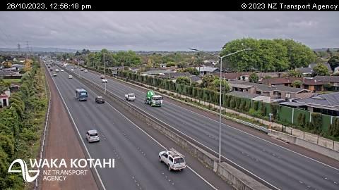
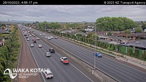
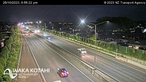
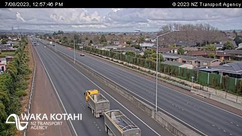
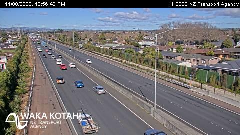
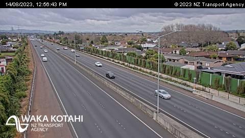
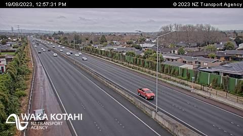
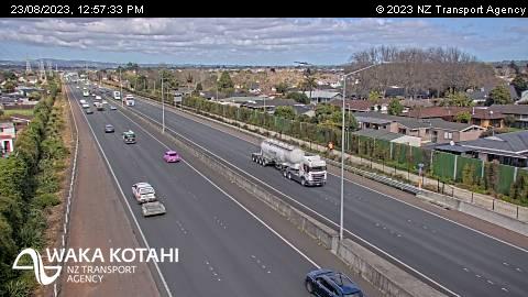
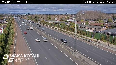
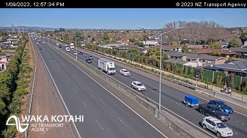
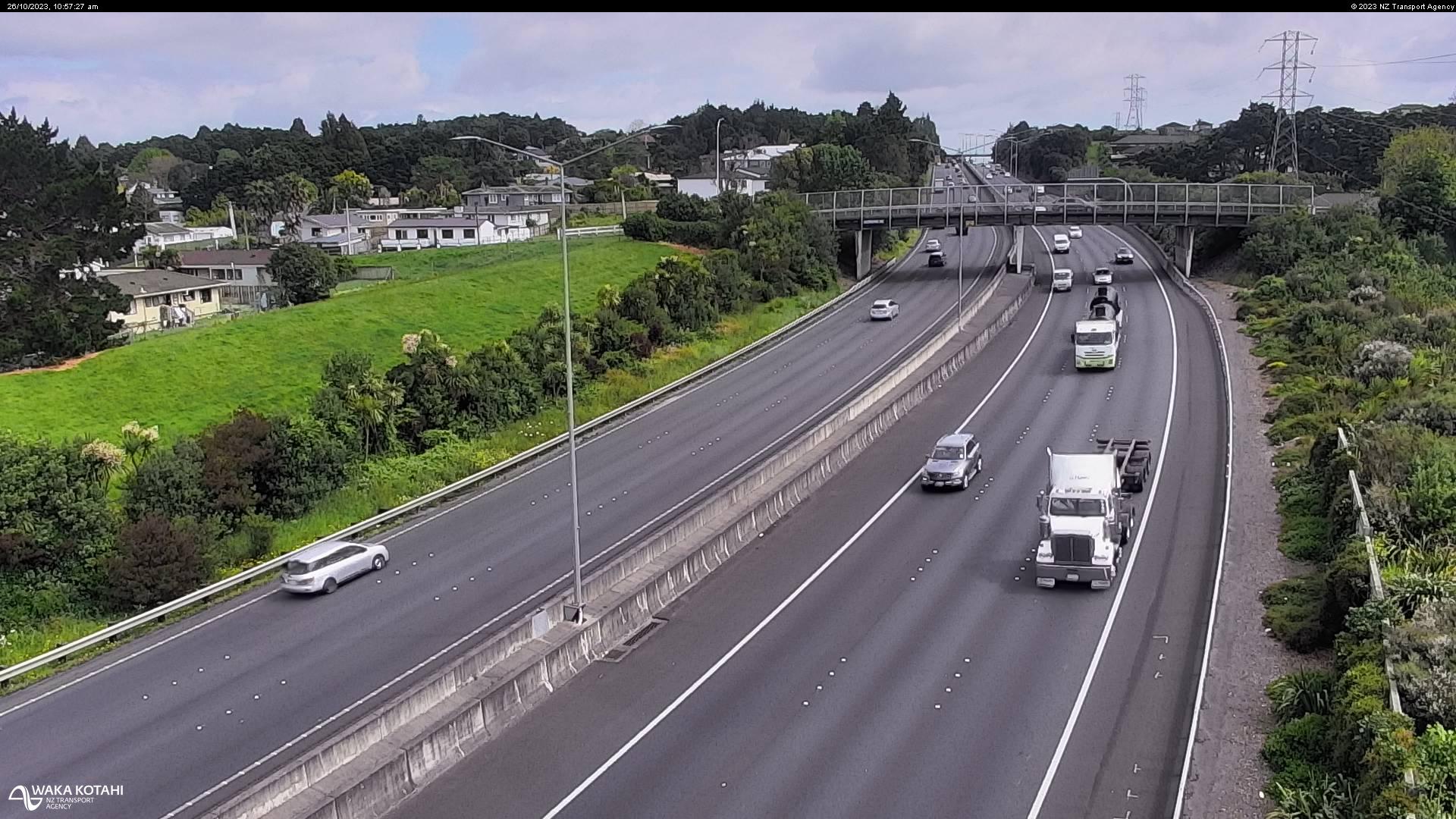
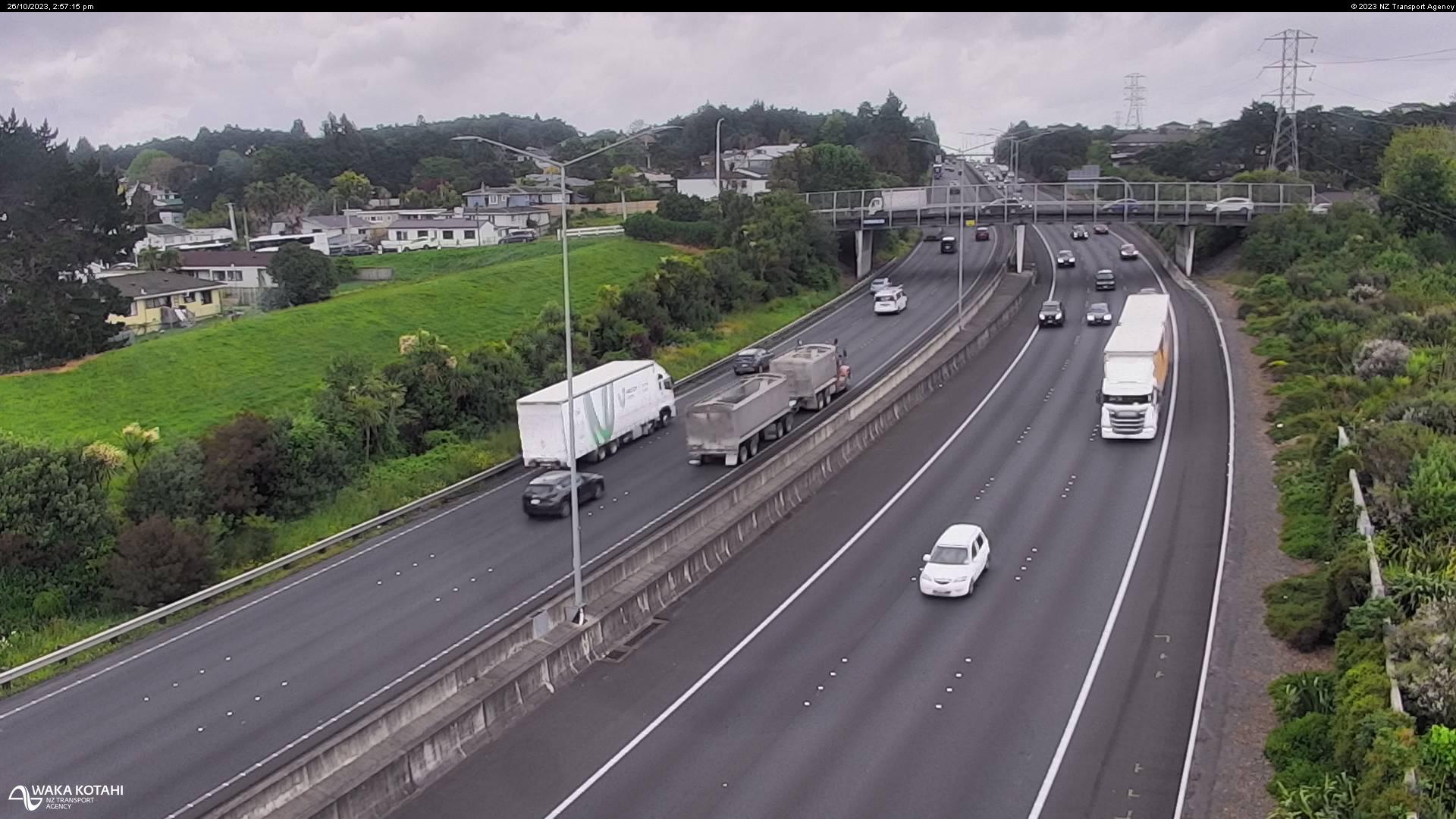
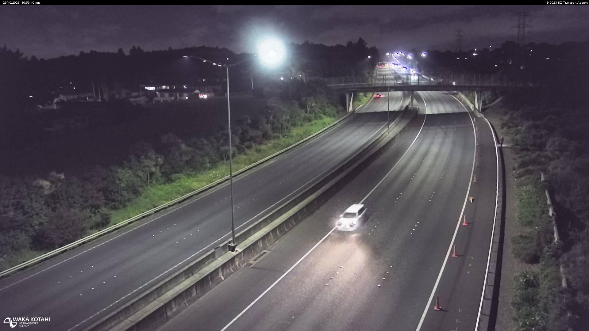
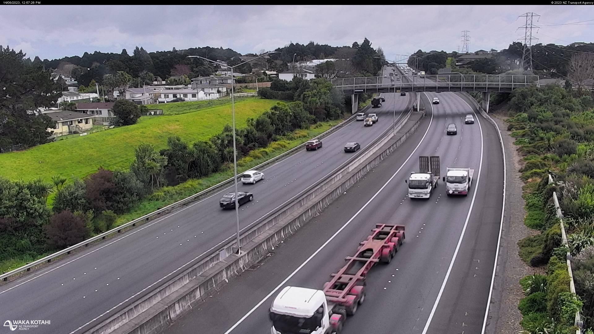
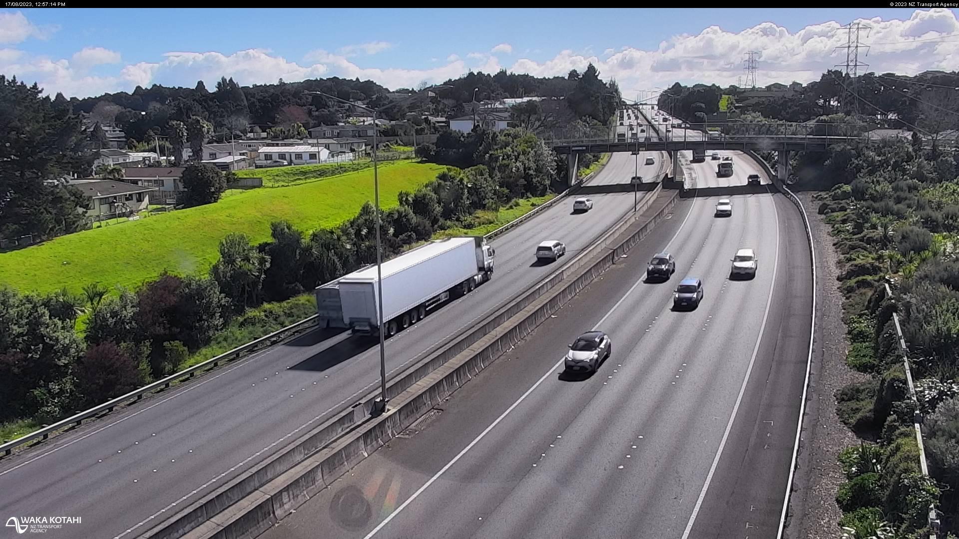
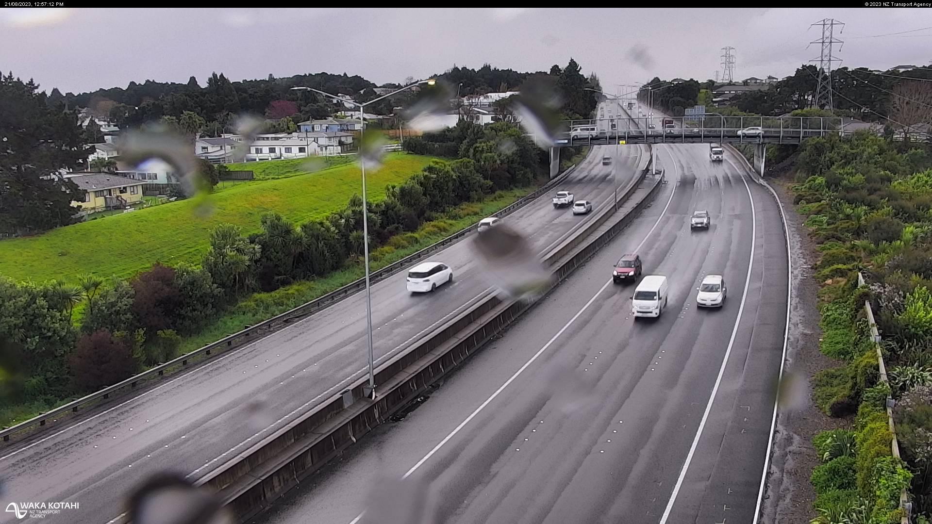
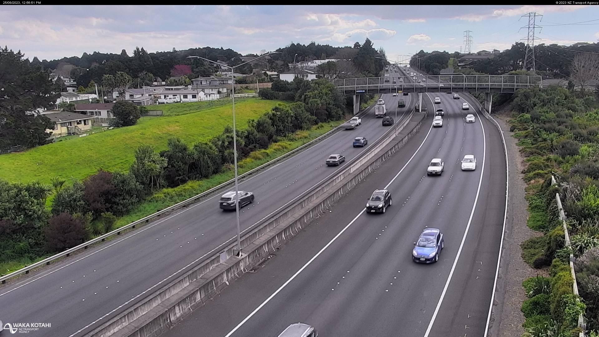
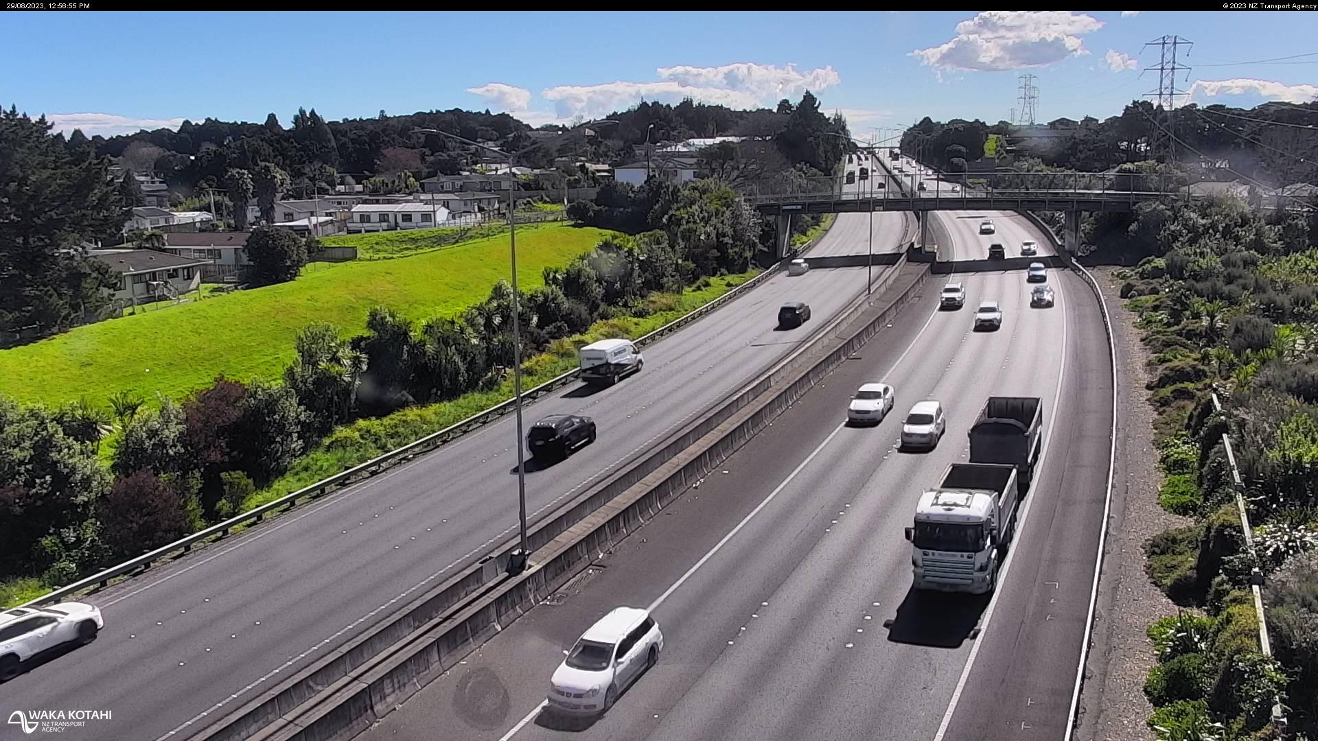
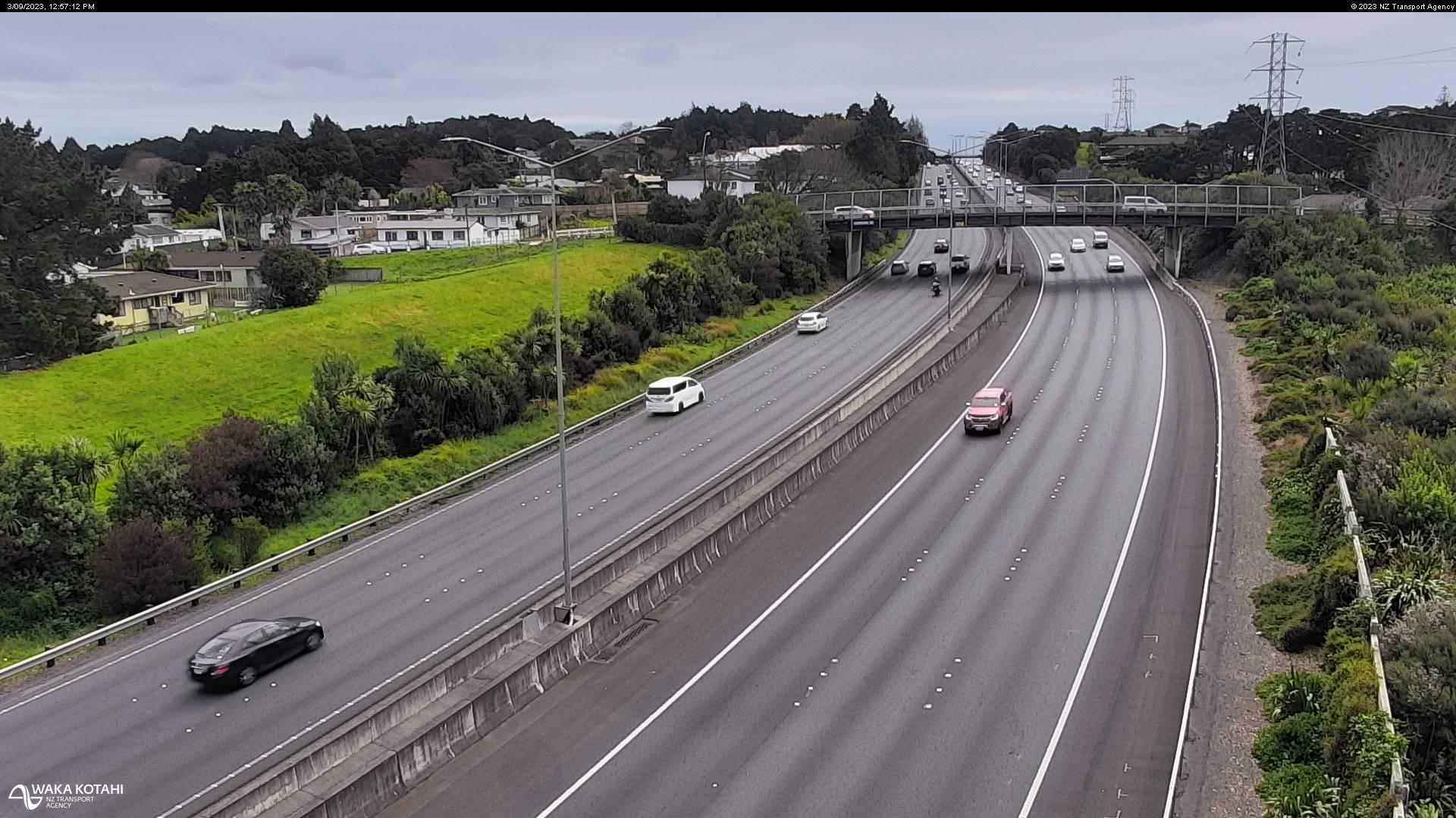
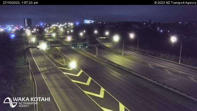
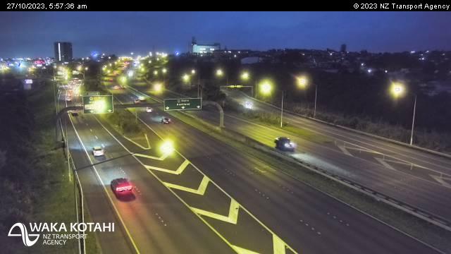
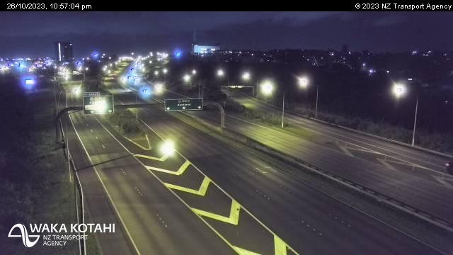
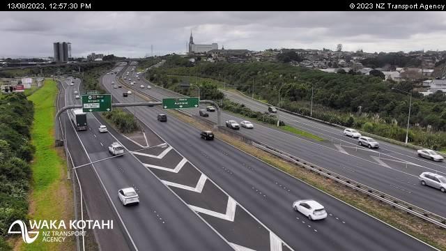
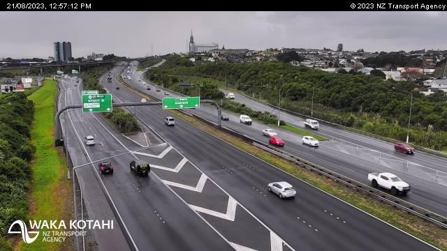
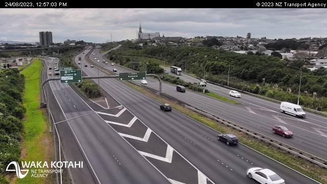
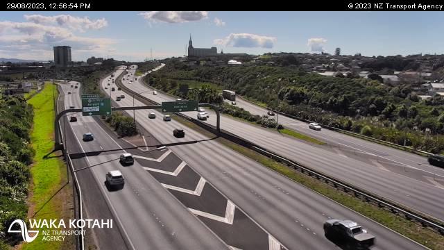
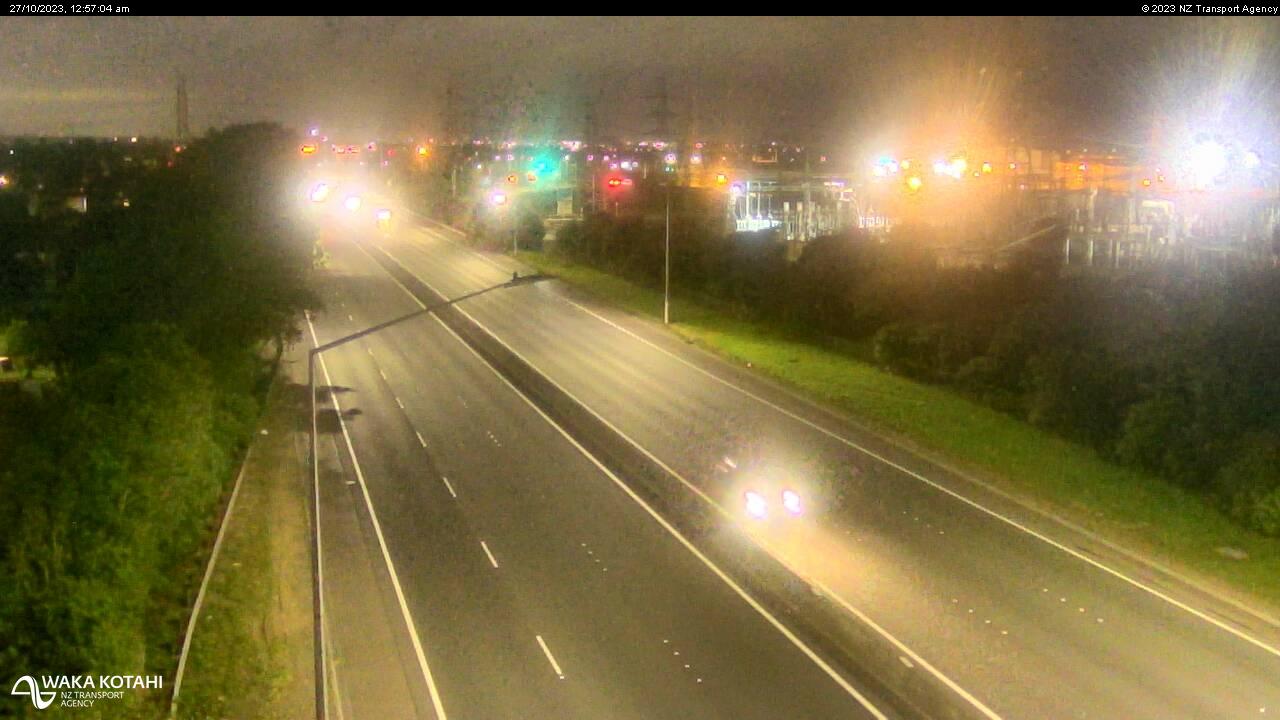
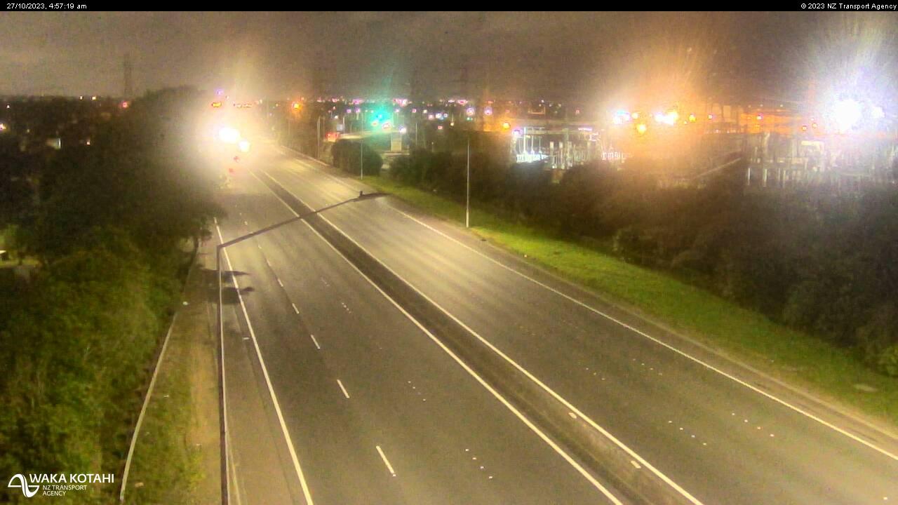
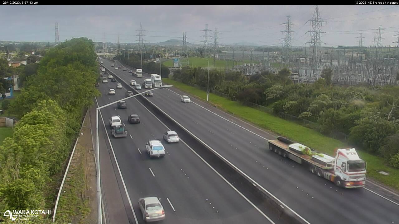
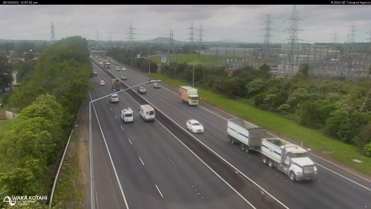
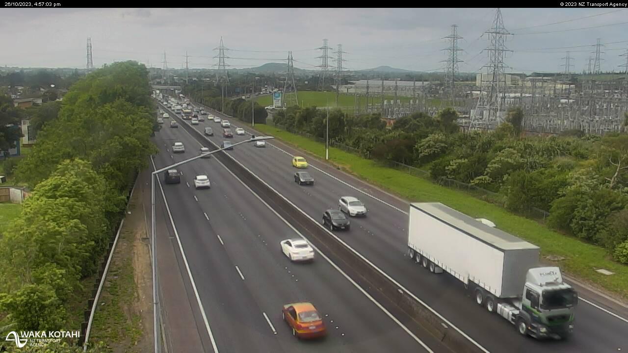
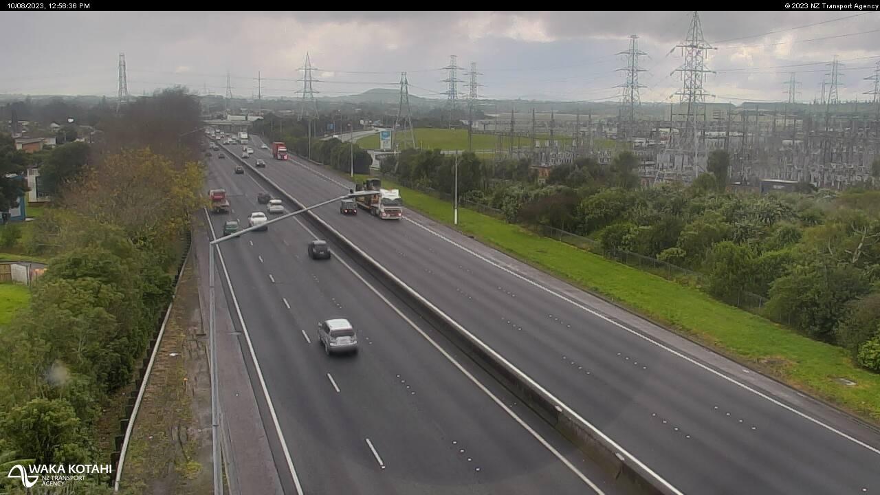
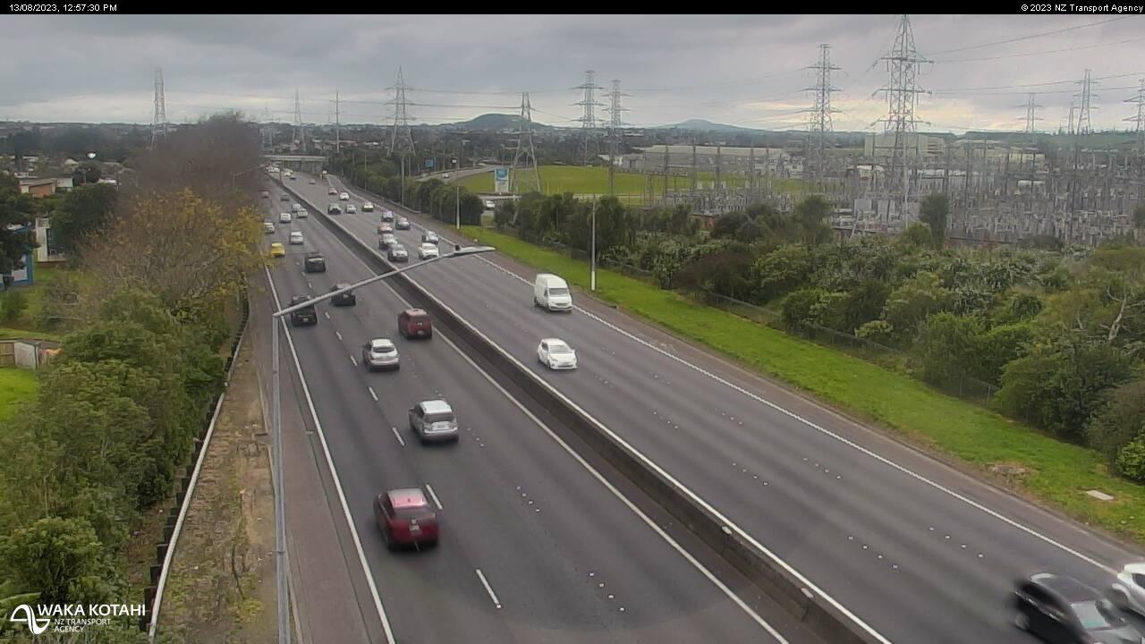
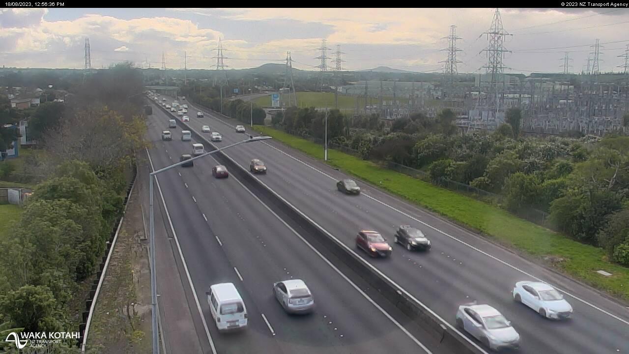
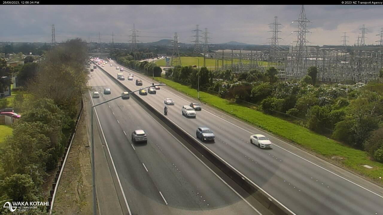
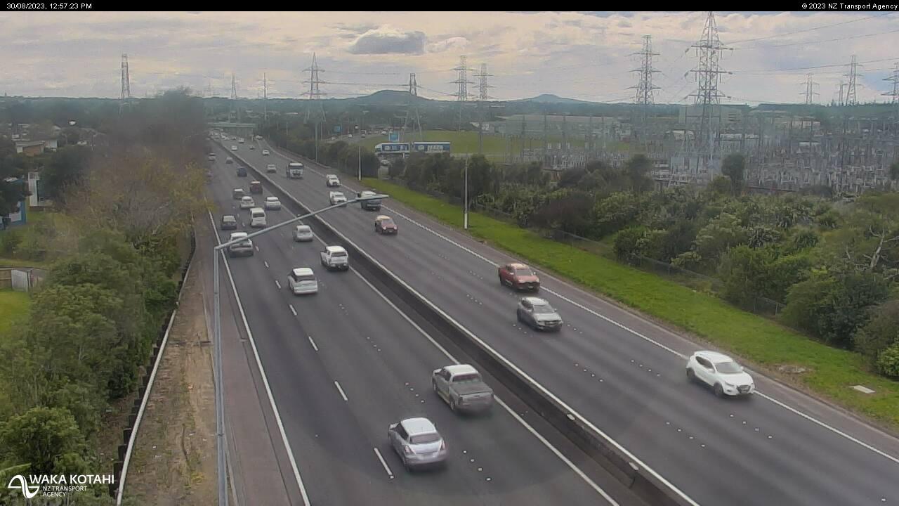
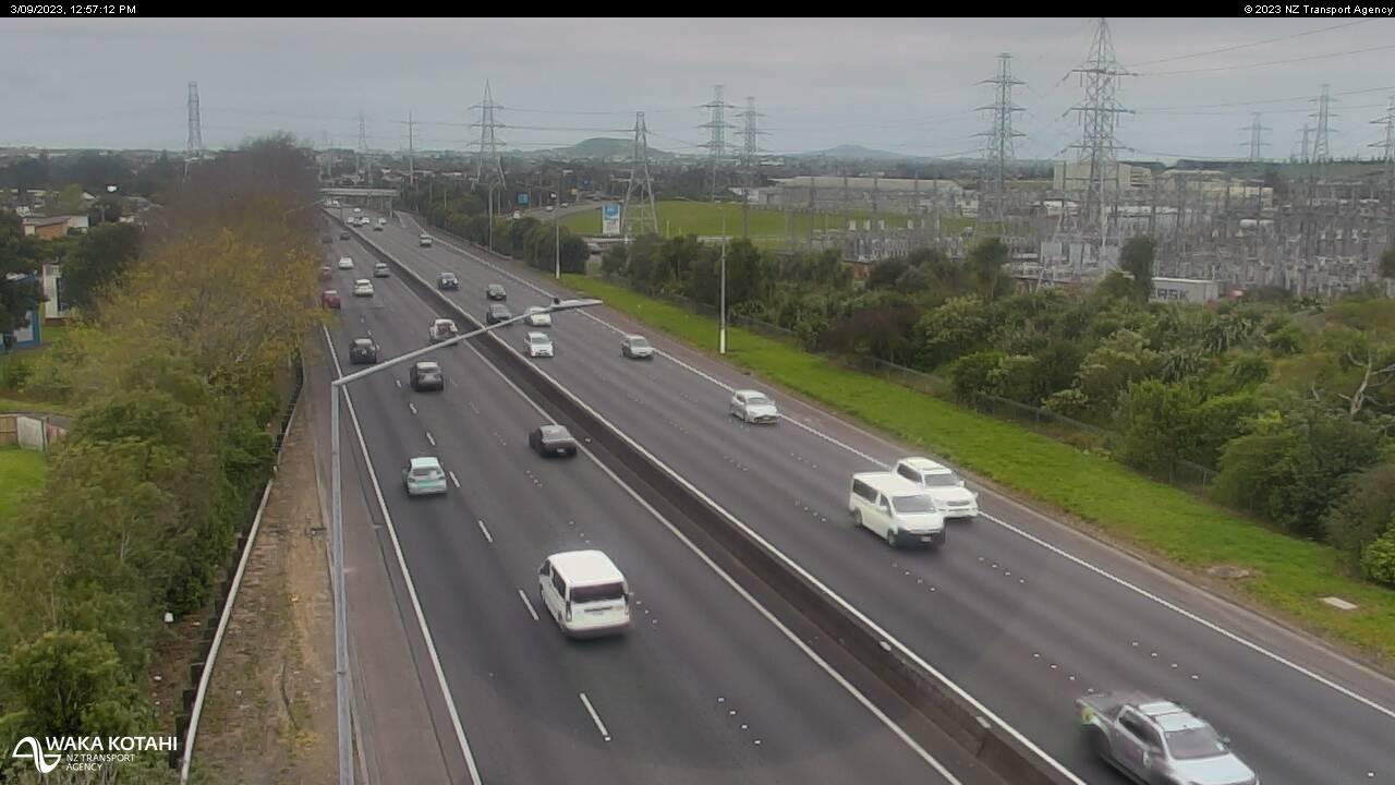
Pahurehure, New Zealand - 72 miles from Apata: Traffic SH1, Rushgreen Ave - A view of the current traffic conditions in southern direction.
Operator: NZ Transport Agency
Operator: NZ Transport Agency


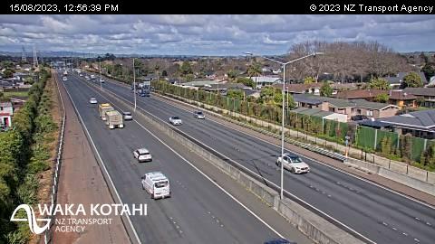
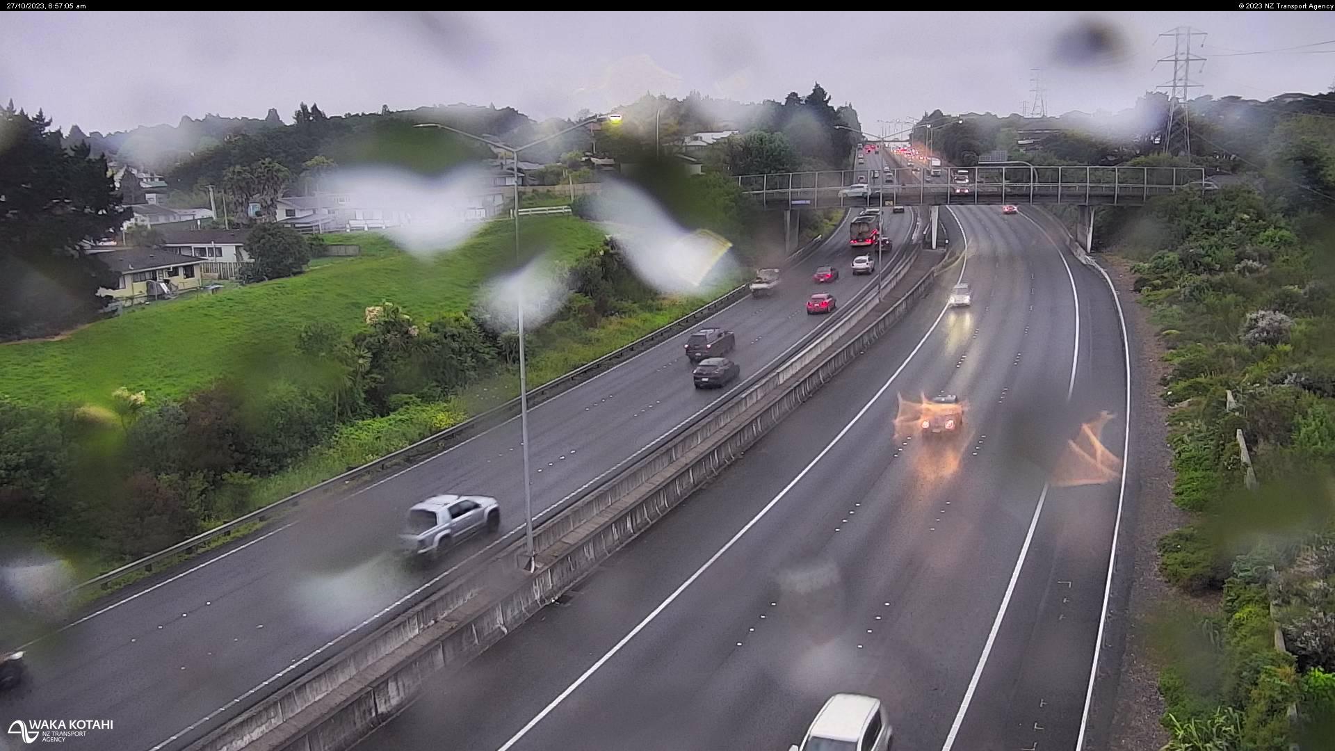
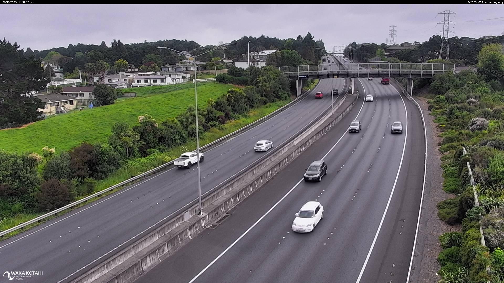
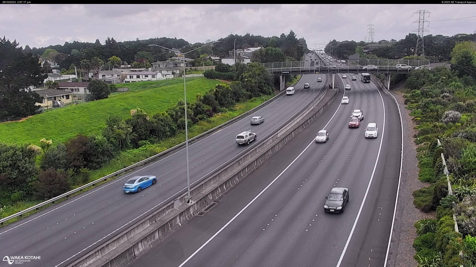
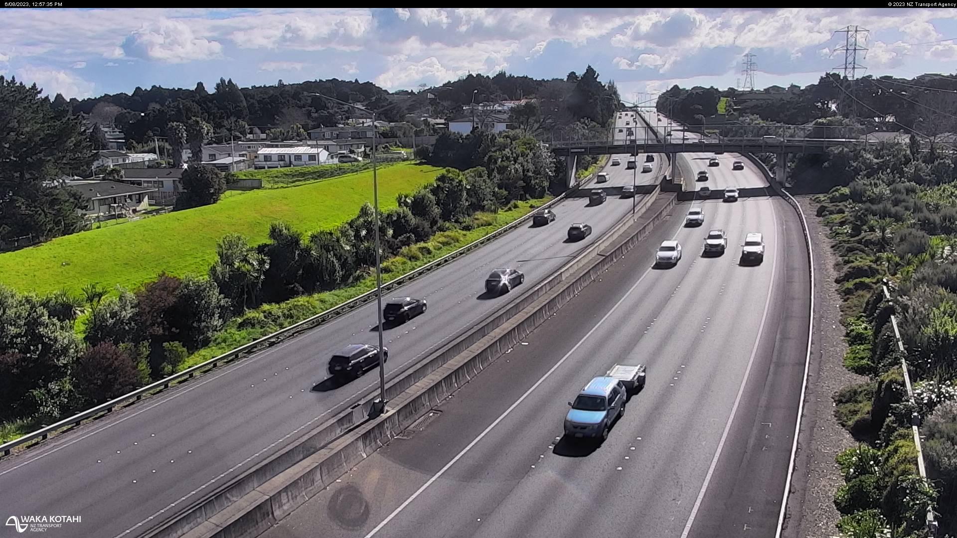
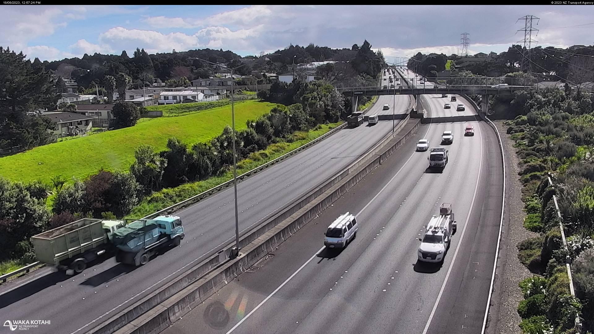
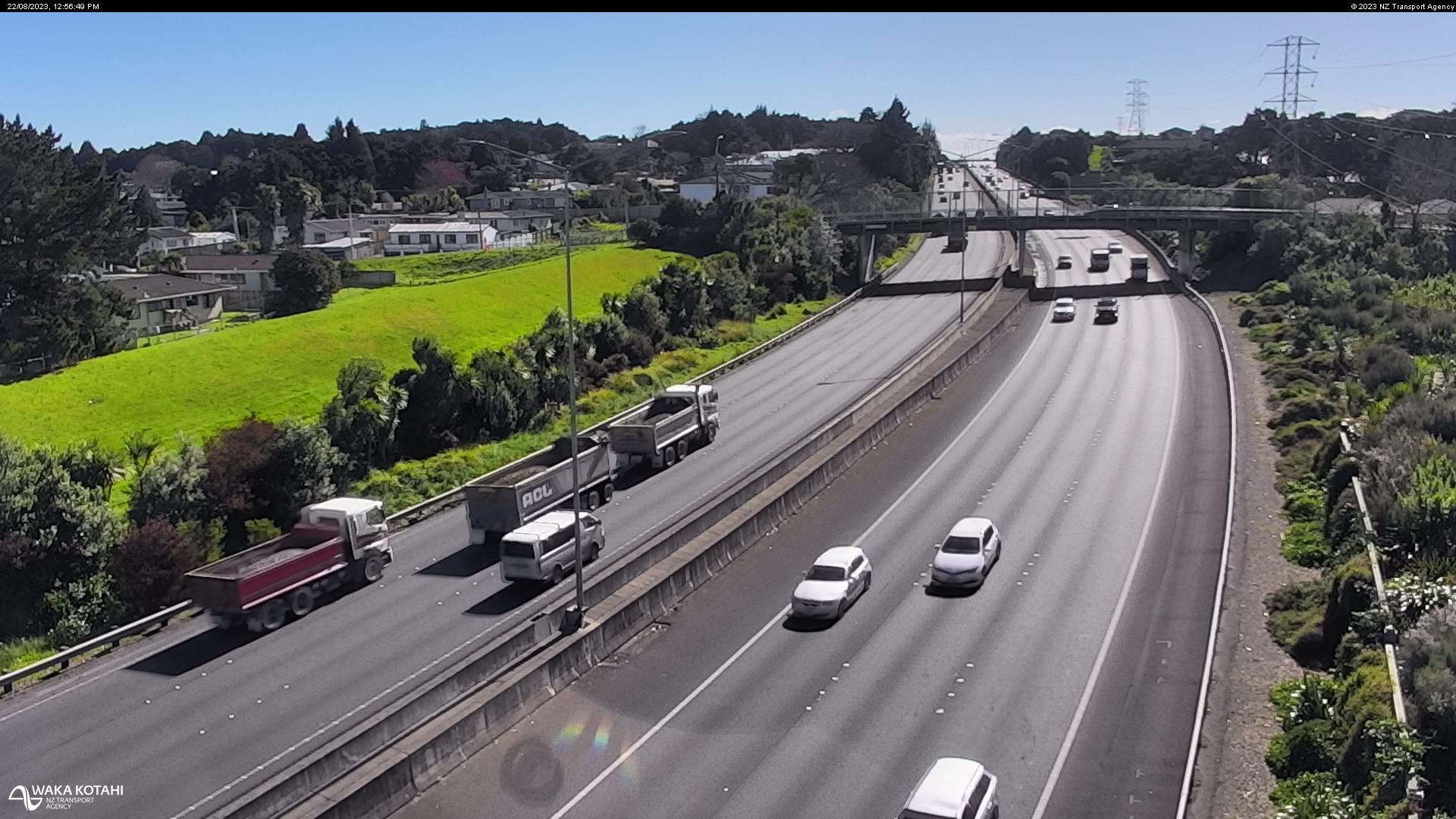
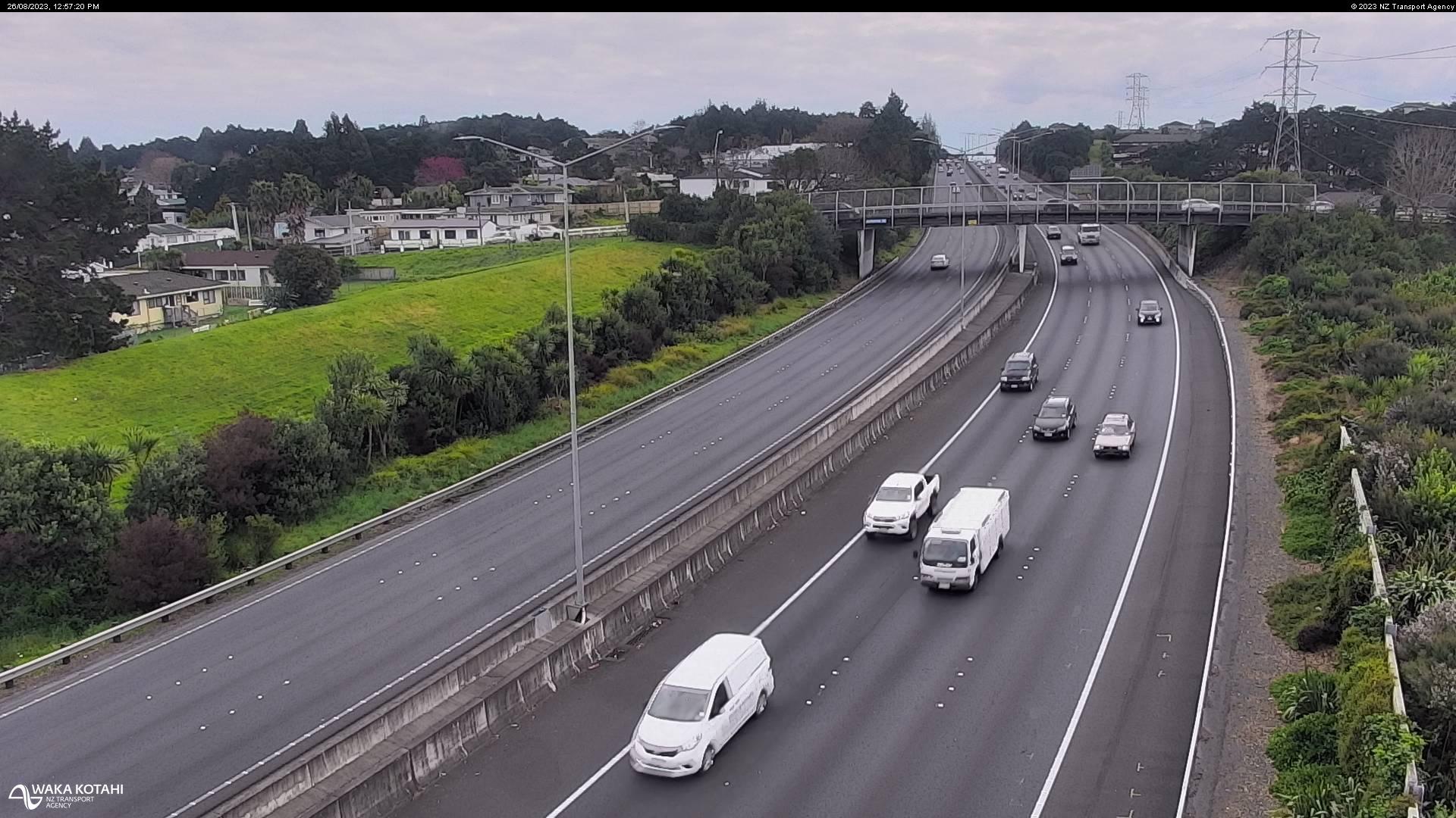
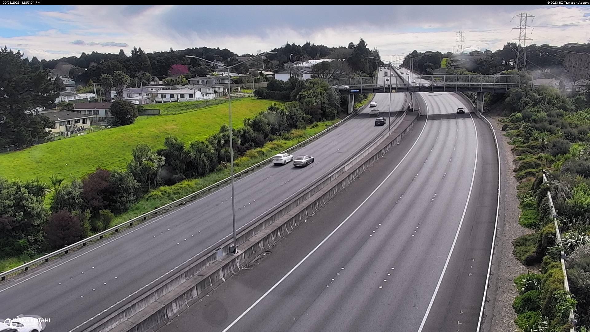
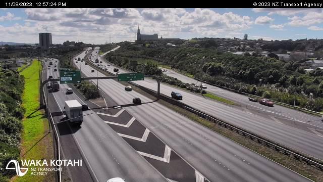
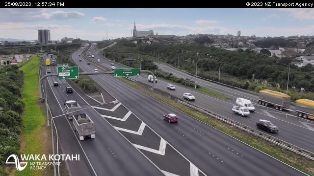
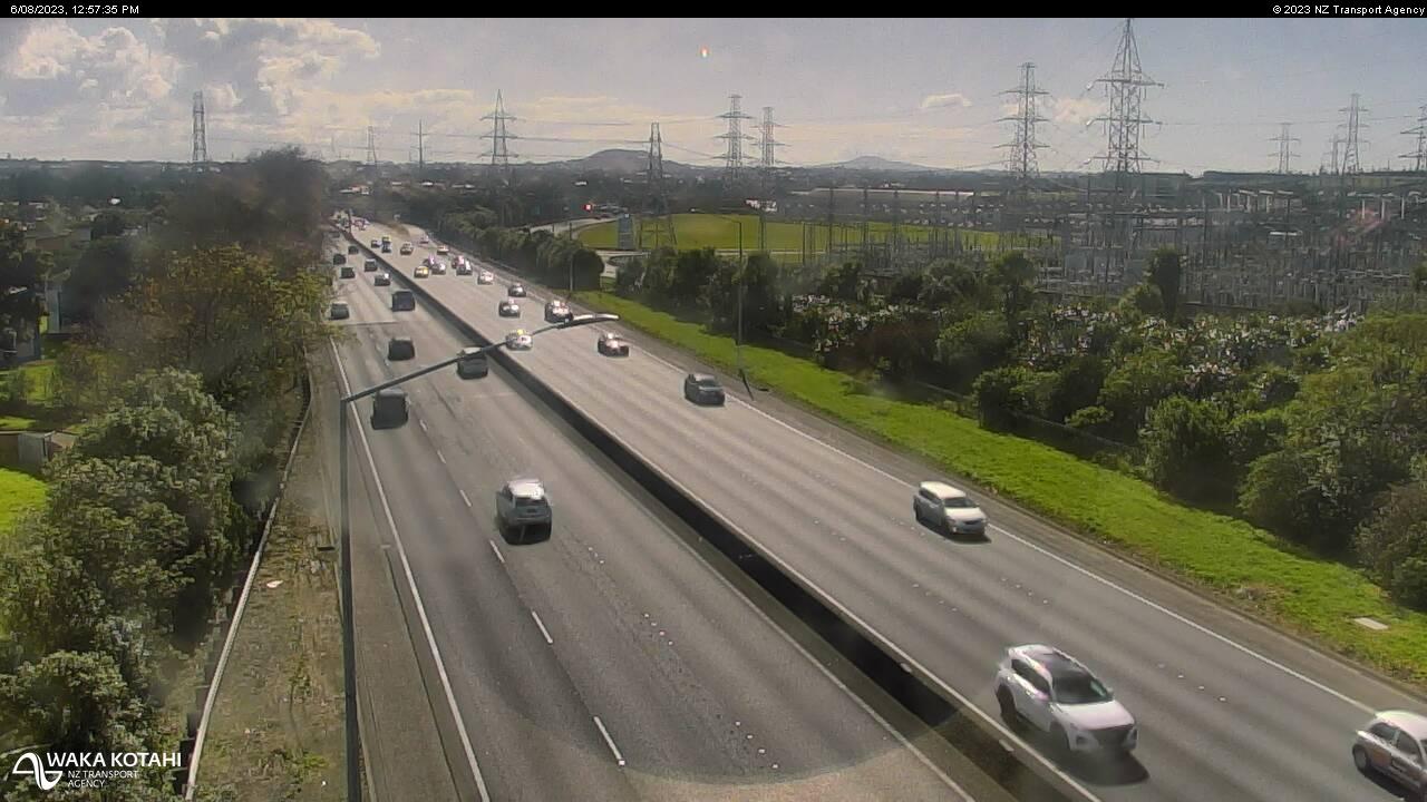
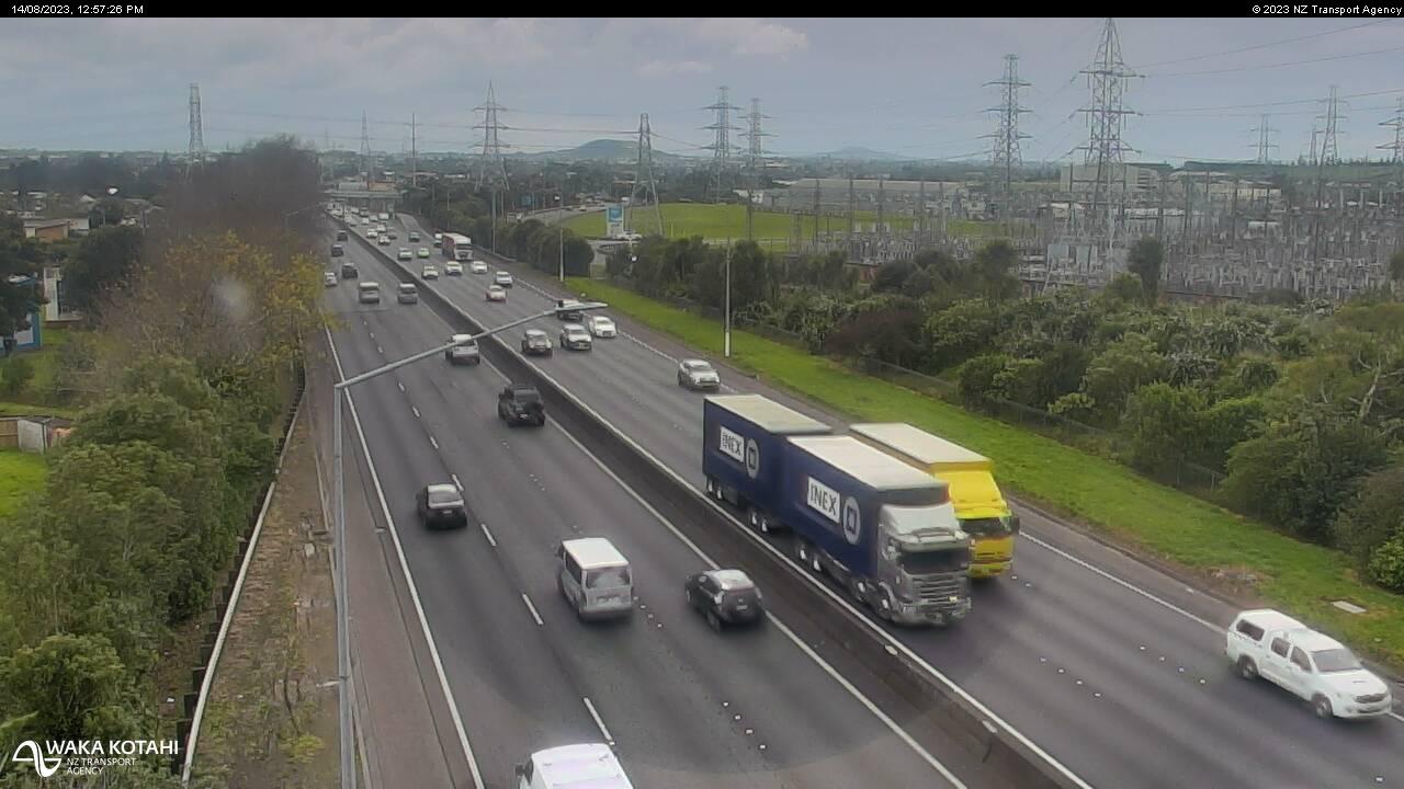
Takanini, New Zealand - 73.2 miles from Apata: Traffic SH1, Takanini - A view of the current traffic conditions in southern direction.
Operator: NZ Transport Agency
Operator: NZ Transport Agency


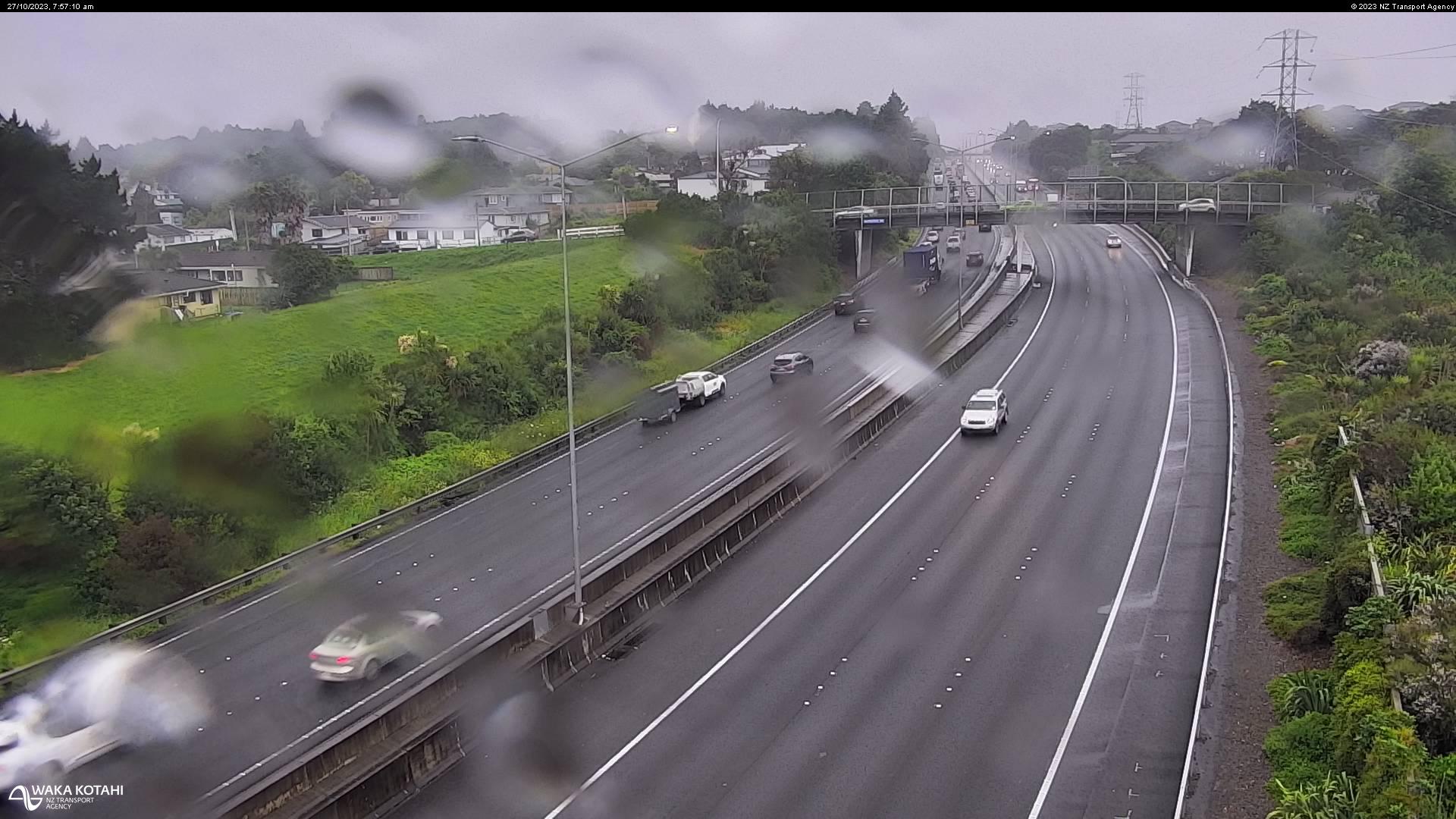
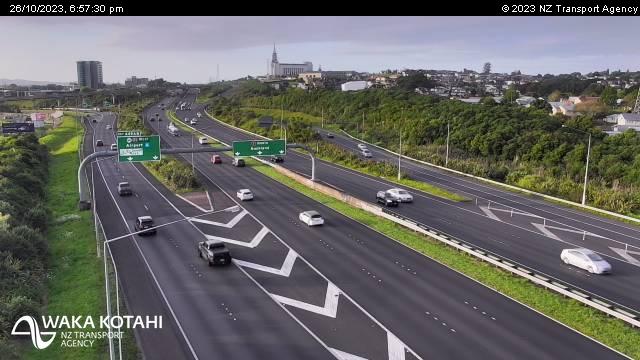
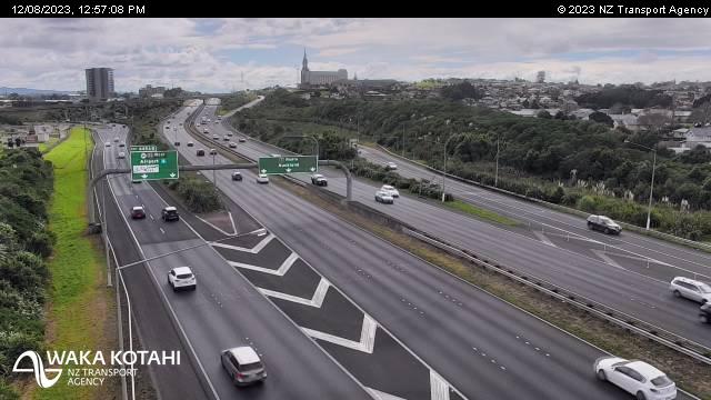
Takanini, New Zealand - 73.2 miles from Apata: Traffic SH1, Walter Strevens Drive - A view of the current traffic conditions in southern direction.
Operator: NZ Transport Agency
Operator: NZ Transport Agency


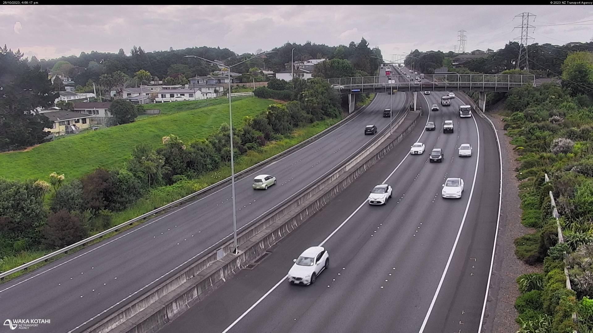
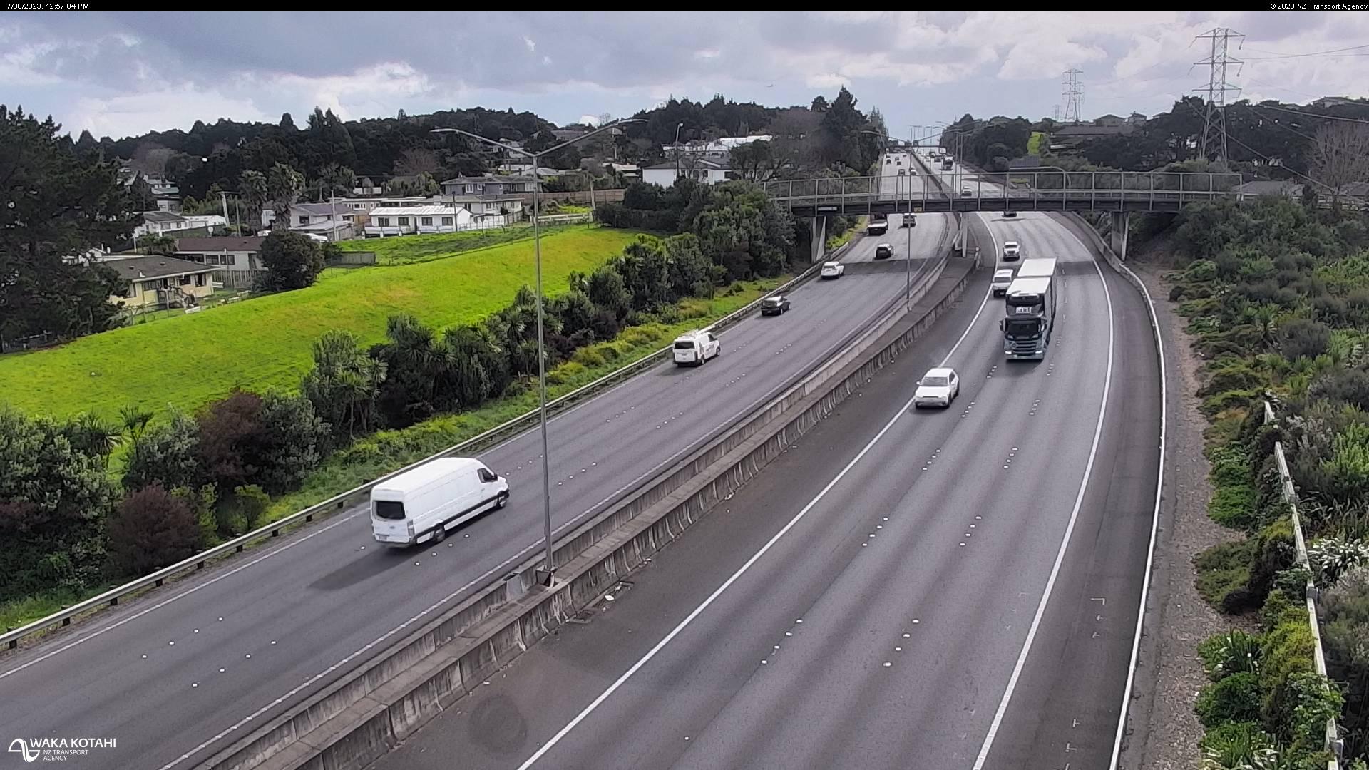
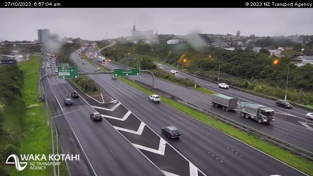
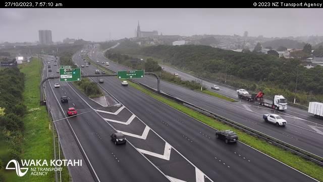
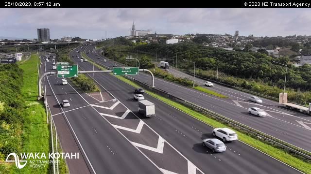
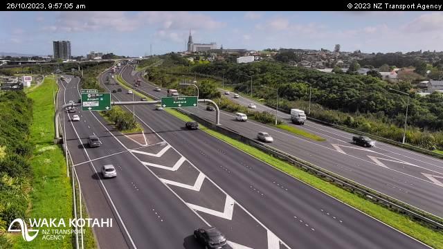
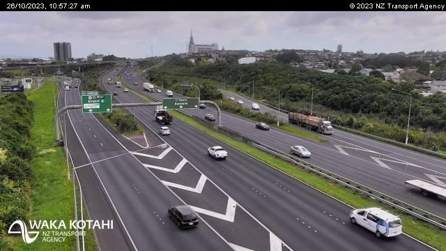
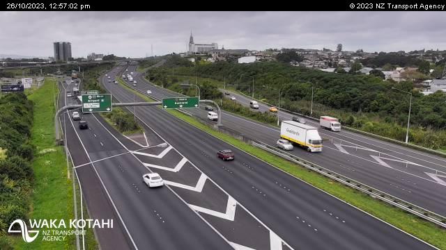
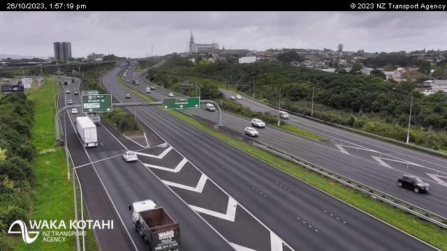
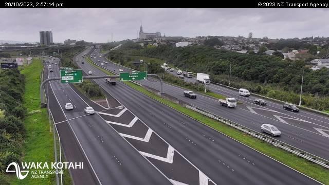
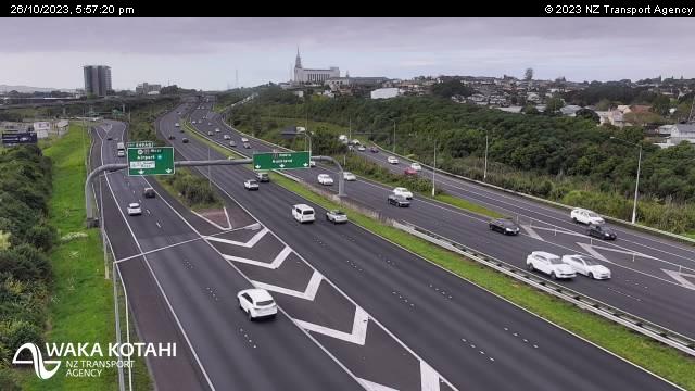
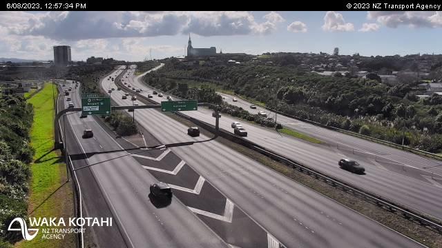
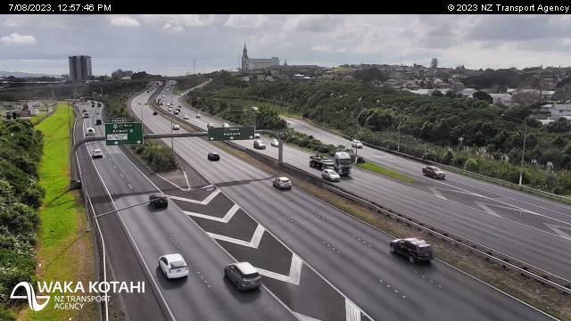
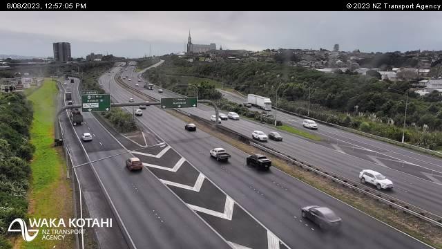
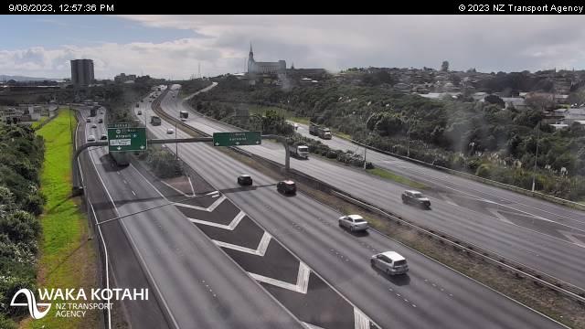
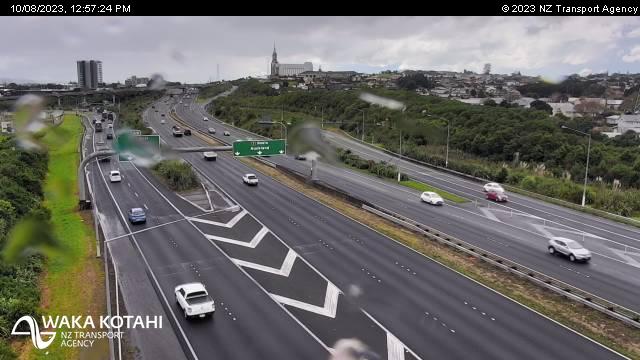
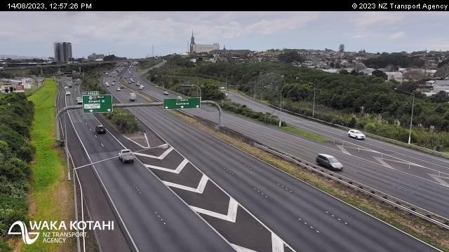
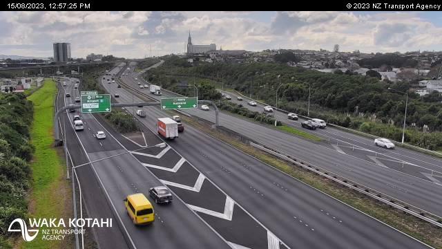
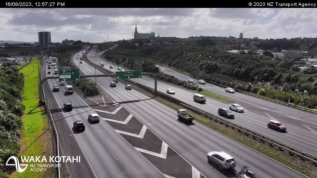
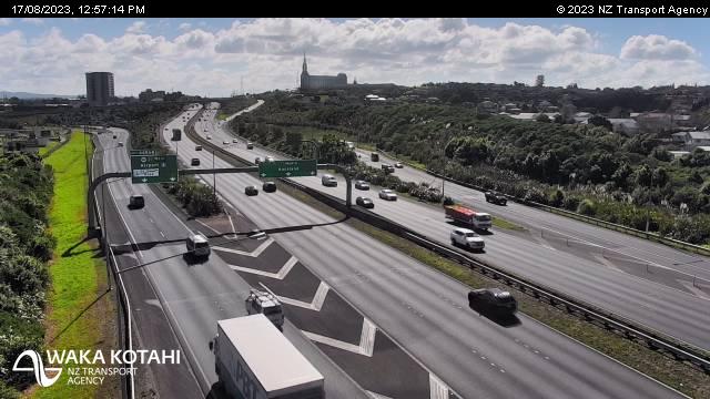
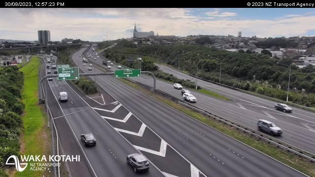
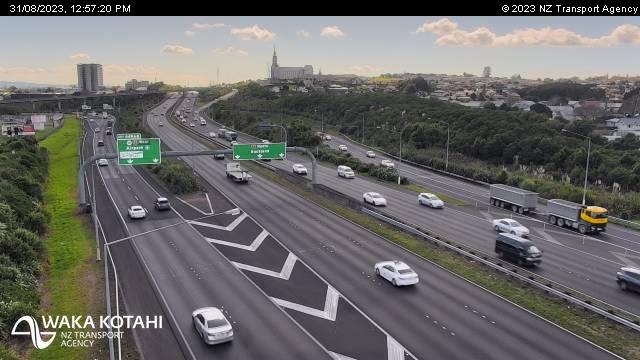
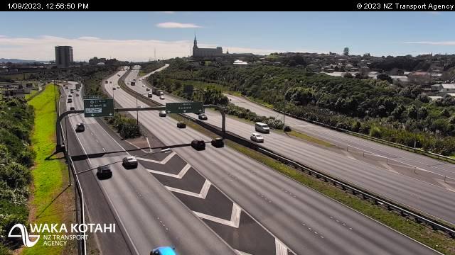
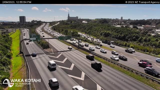
Manurewa East, New Zealand - 74.1 miles from Apata: Traffic SH1, Alfriston Road - A view of the current traffic conditions in northern direction.
Operator: NZ Transport Agency
Operator: NZ Transport Agency
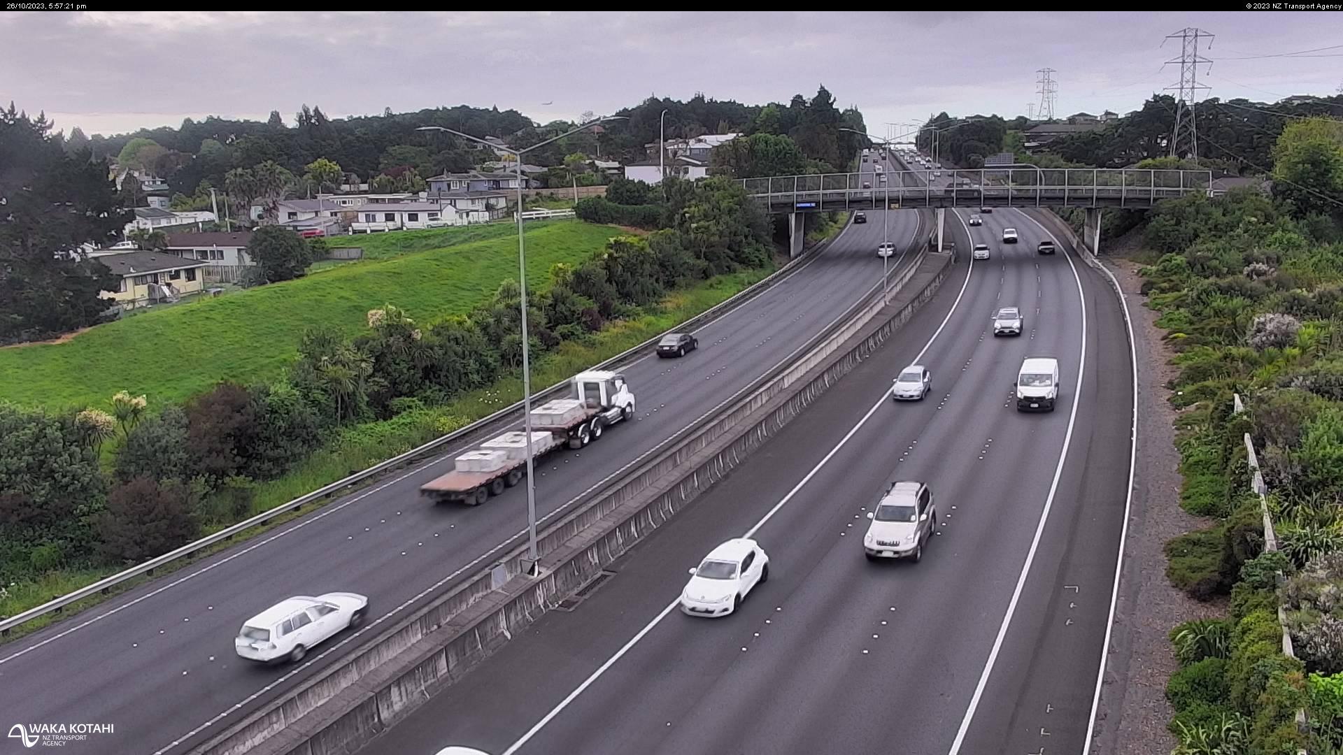
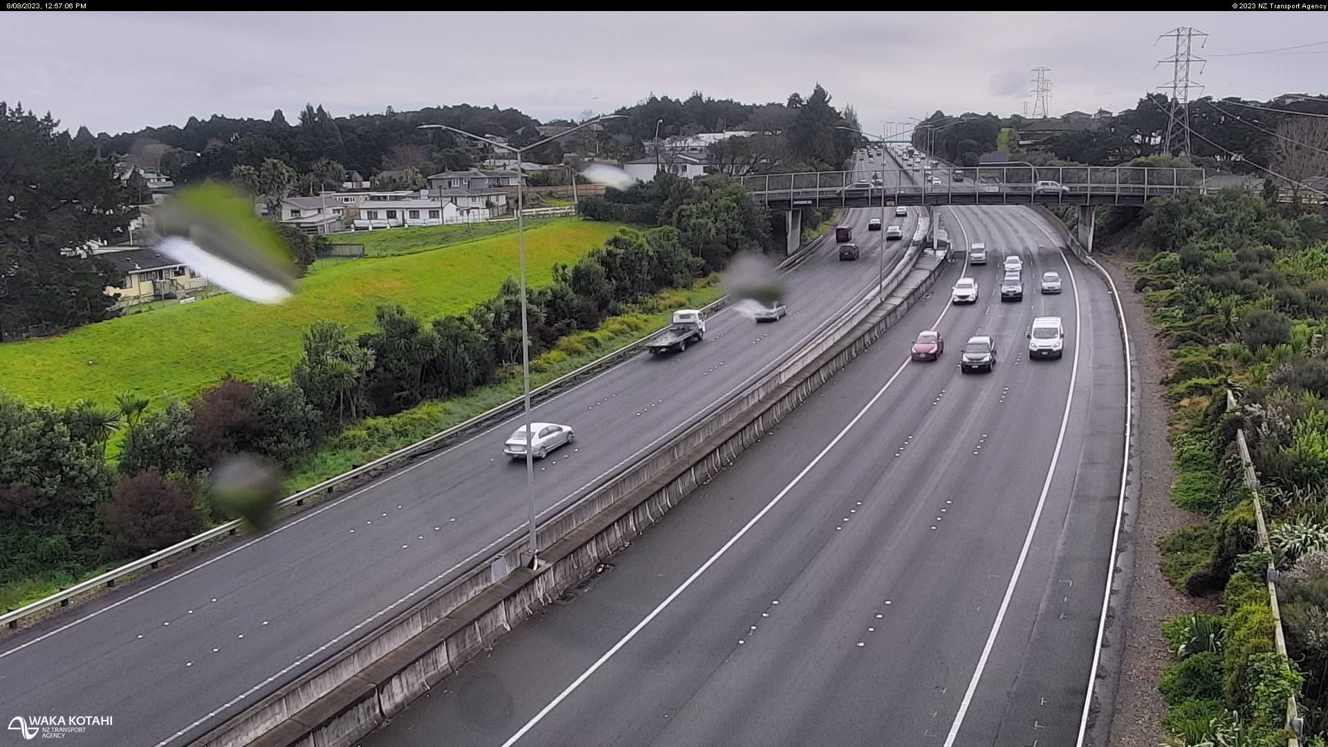

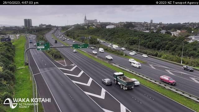
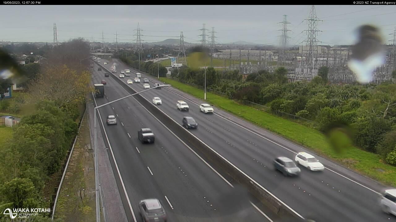
Manukau City, New Zealand - 76.5 miles from Apata: Traffic SH1, Rainbows End - A view of the current traffic conditions in northern direction.
Operator: NZ Transport Agency
Operator: NZ Transport Agency

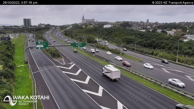

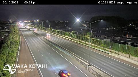
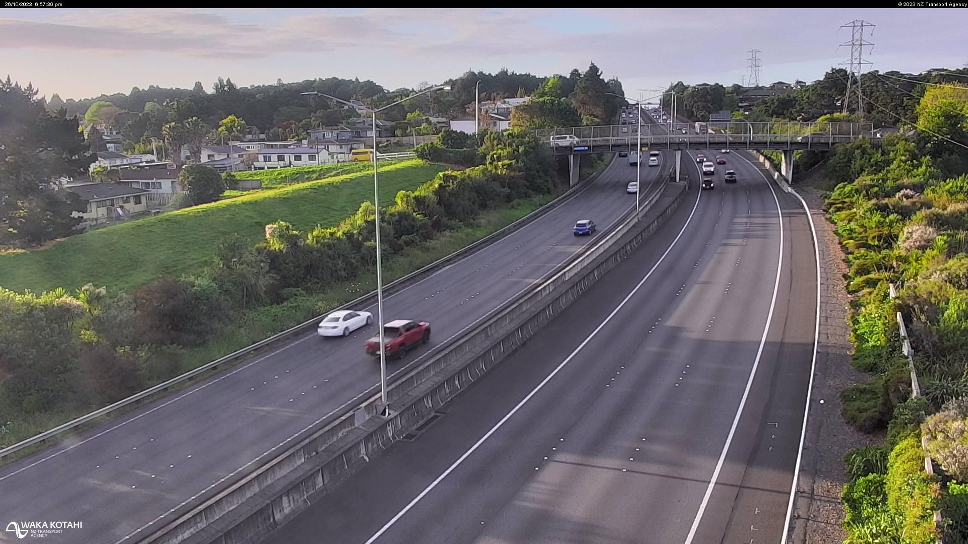
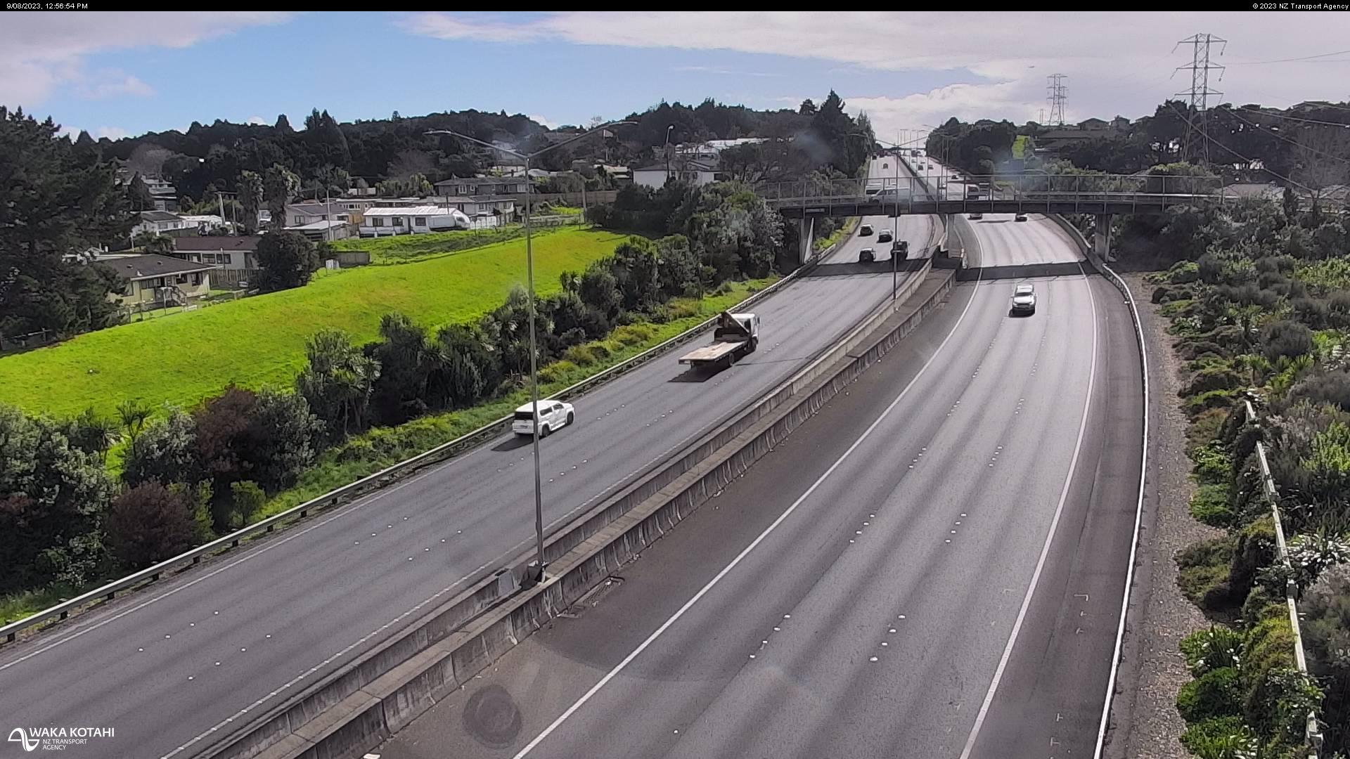
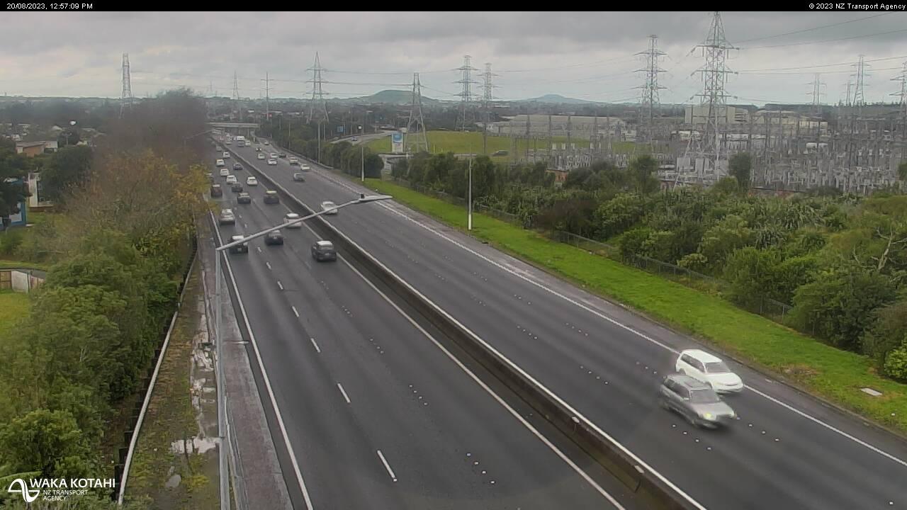
Westfield, New Zealand - 79.6 miles from Apata: Traffic SH1, Bairds Road - A view of the current traffic conditions in northern direction.
Operator: NZ Transport Agency
Operator: NZ Transport Agency


Some other places in this country: Aorere - Aotea - Aotuhia - Apiti - Appleby - Arahura - Arahura - Arai Point - Aramiro - Aramoana