Webcams in the region of Vegas Heights, Nevada, USA
The List of Webcams near Vegas Heights, Nevada, USA:

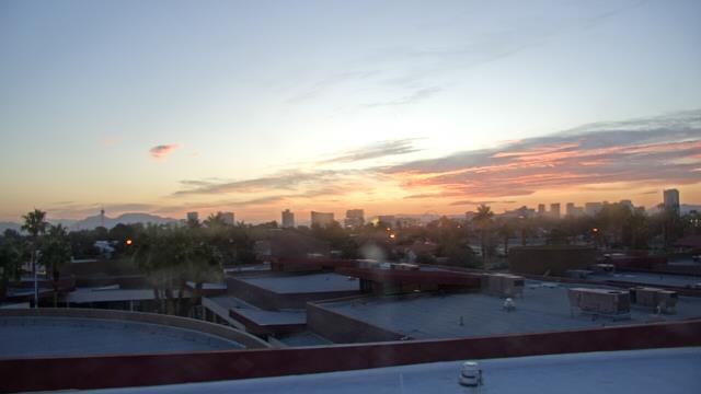
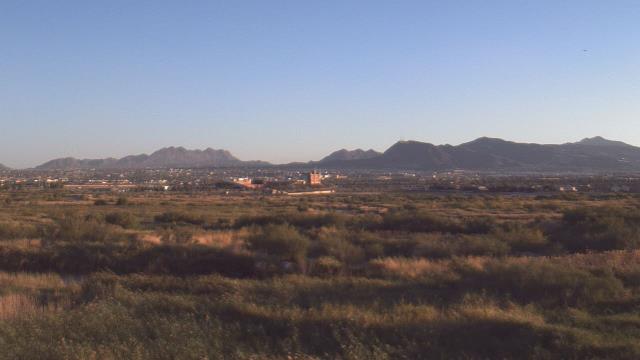
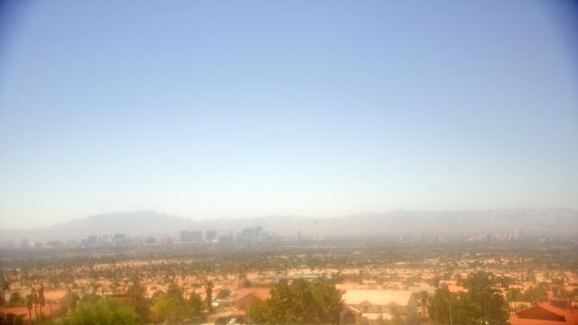
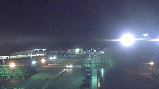
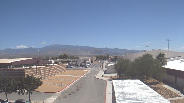
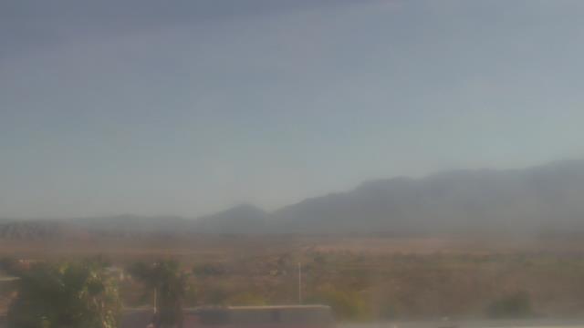
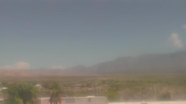
Las Vegas, Nevada, USA - 5.8 miles from Vegas Heights: Las Vegas Day School - A webcam in Las Vegas, Nevada - camera location: Las Vegas Day School.
Operator: WeatherBug
Operator: WeatherBug
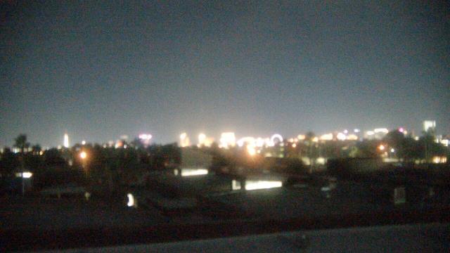


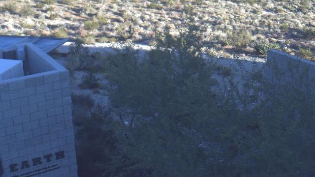
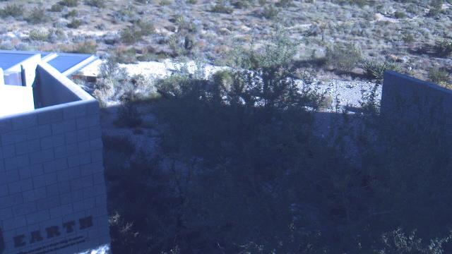
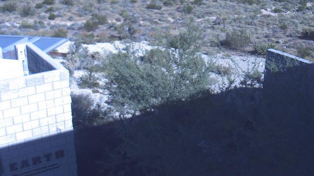
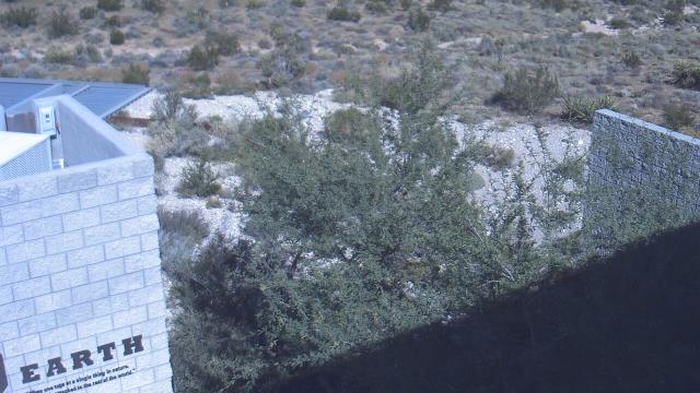
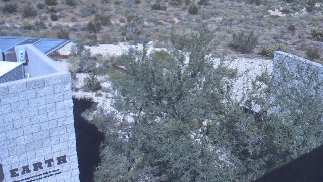
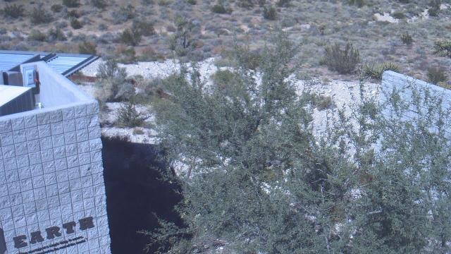
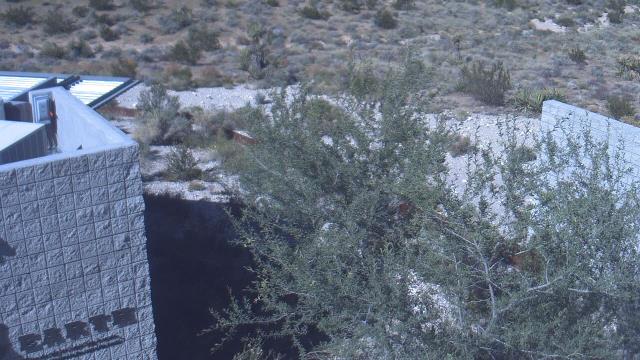
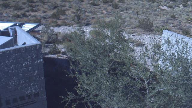
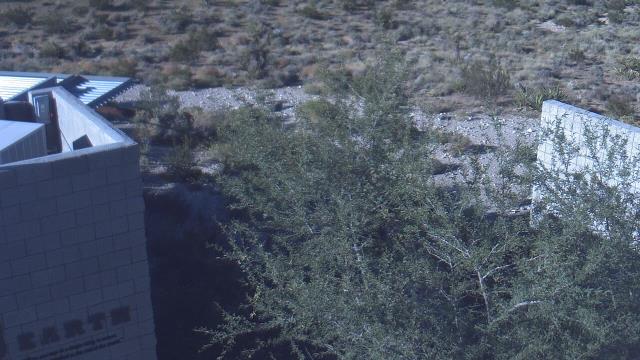
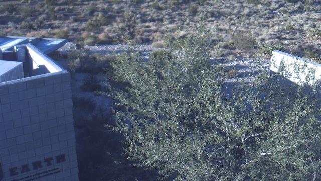
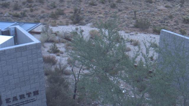
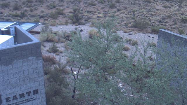
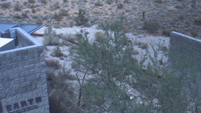
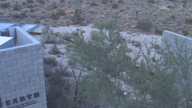
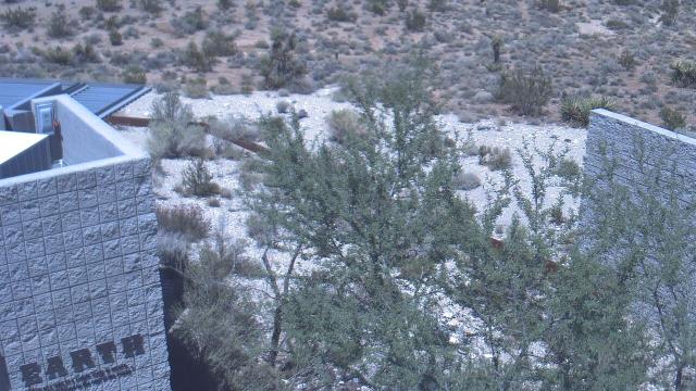
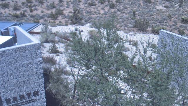
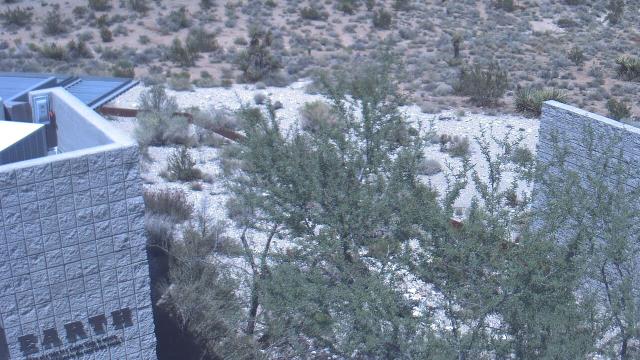
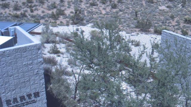
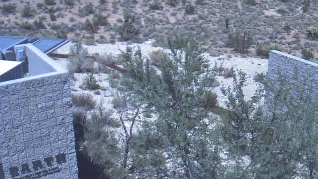
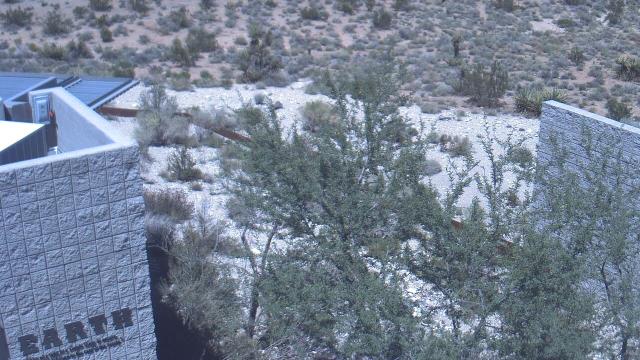
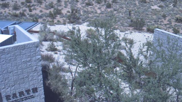
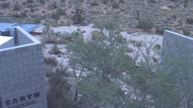
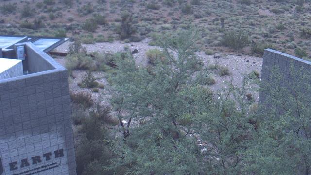
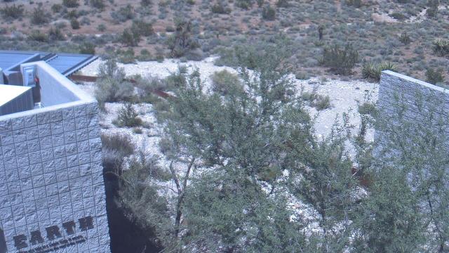
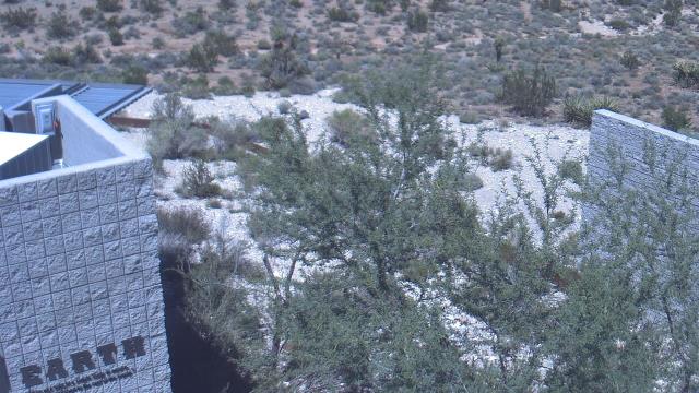
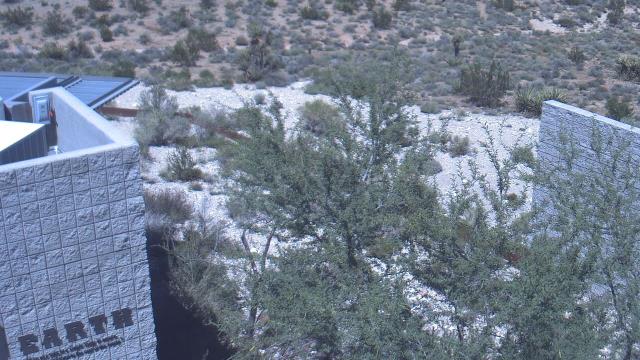
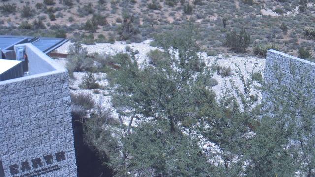
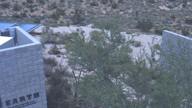
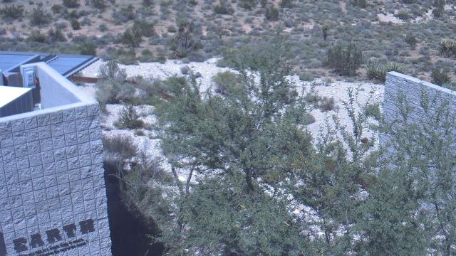
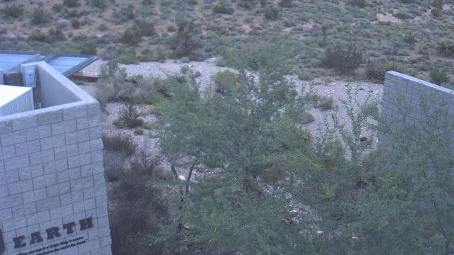
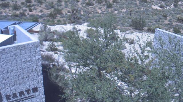
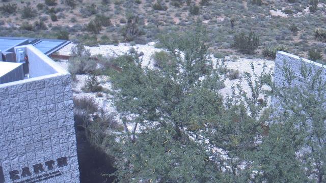
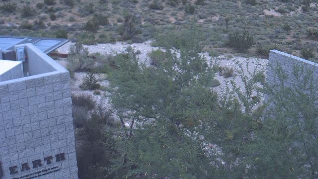
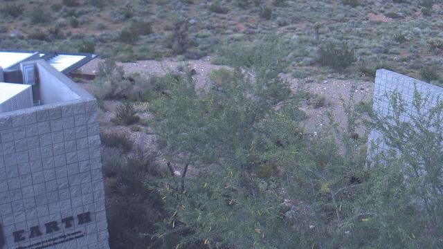
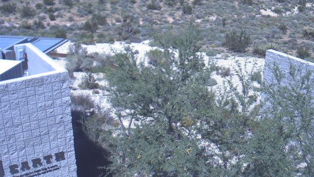
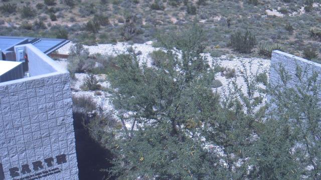
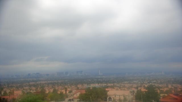
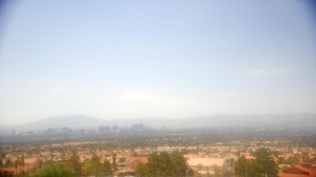
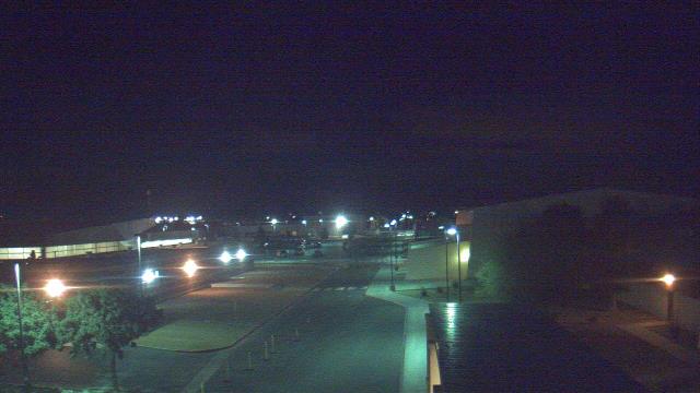
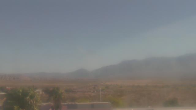
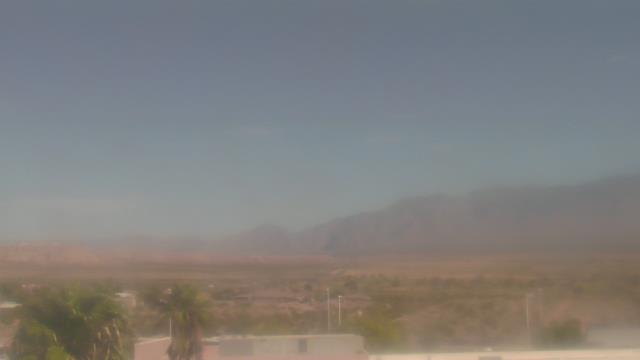
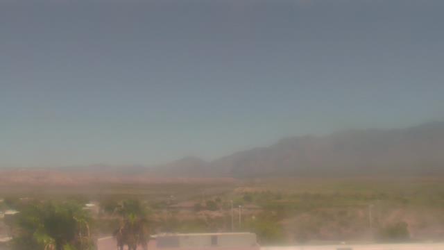
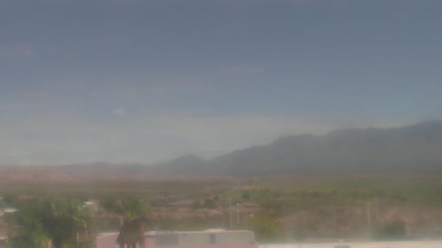
Las Vegas, Nevada, USA - 5.8 miles from Vegas Heights: Red Rock Visitor Center - A webcam in Las Vegas, Nevada - camera location: Red Rock Visitor Center.
Operator: WeatherBug
Operator: WeatherBug


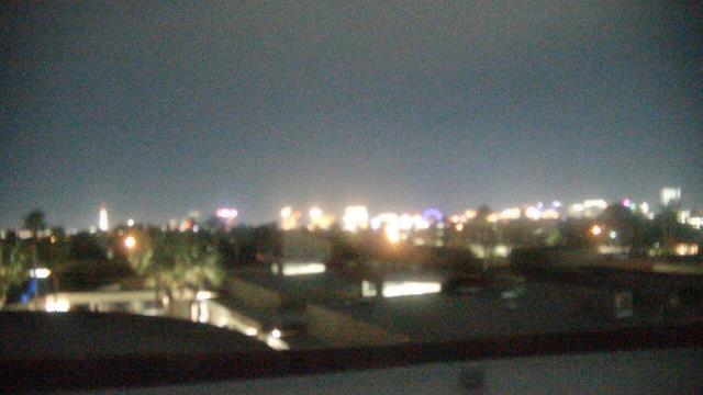
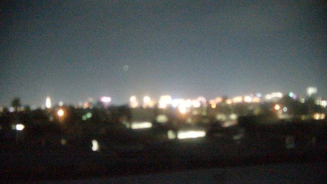
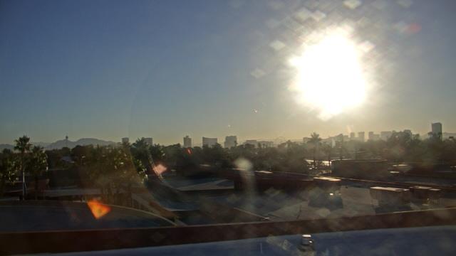
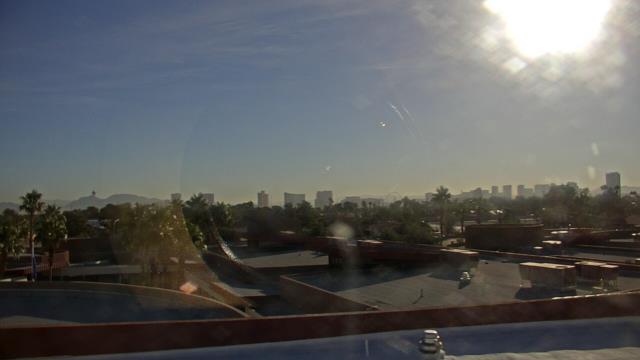
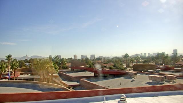
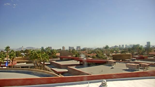
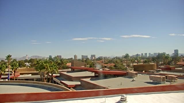
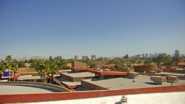
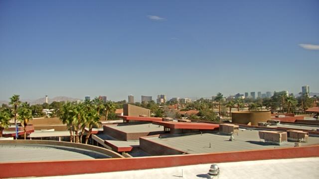
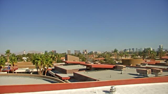
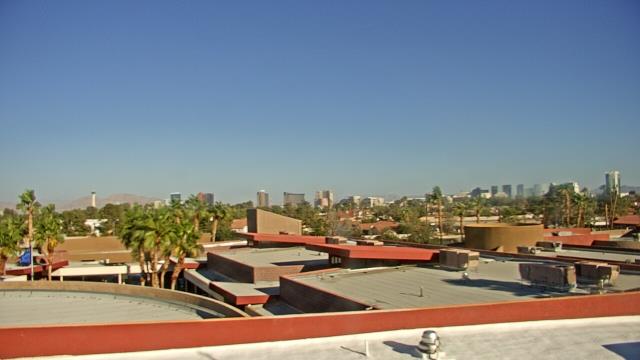
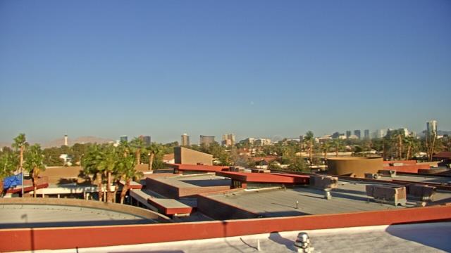
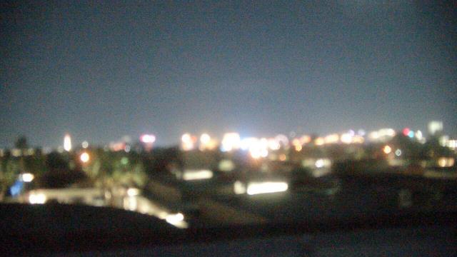
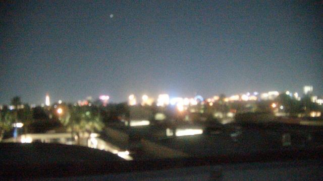
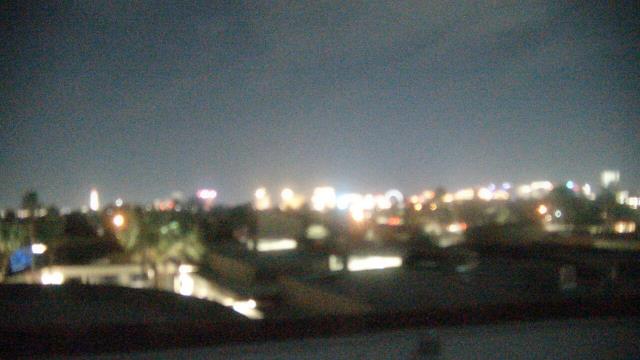
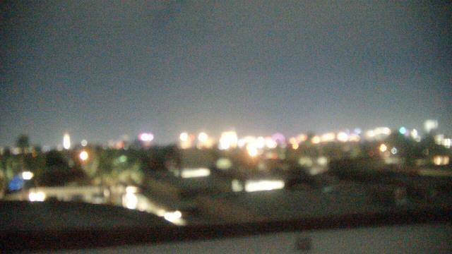
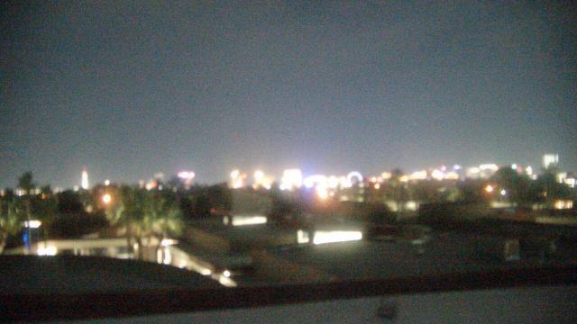
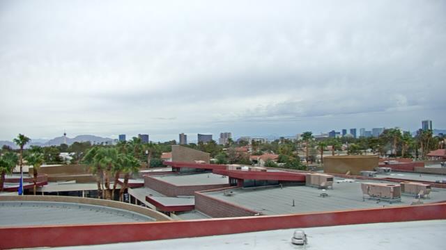
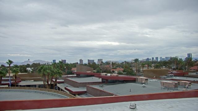
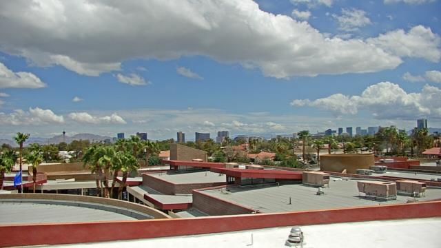
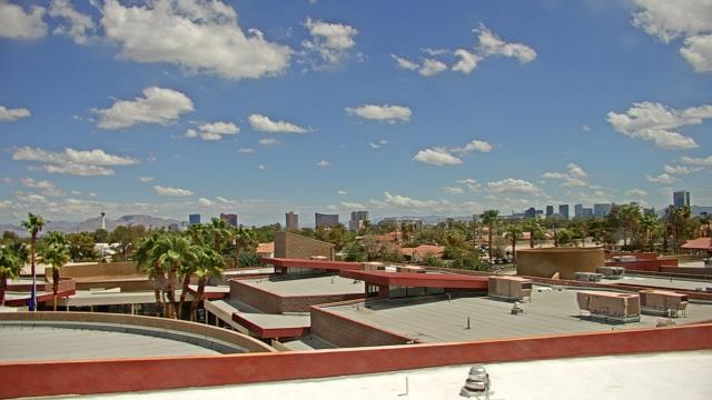
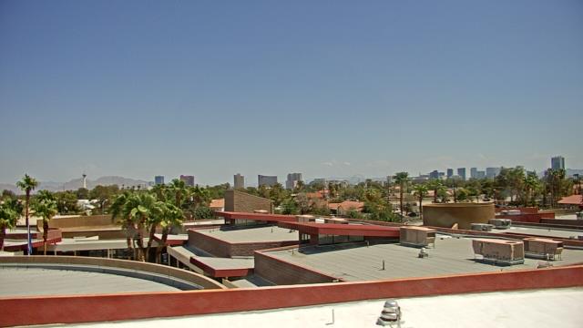
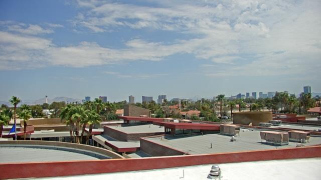
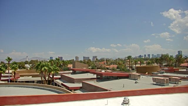
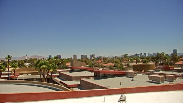
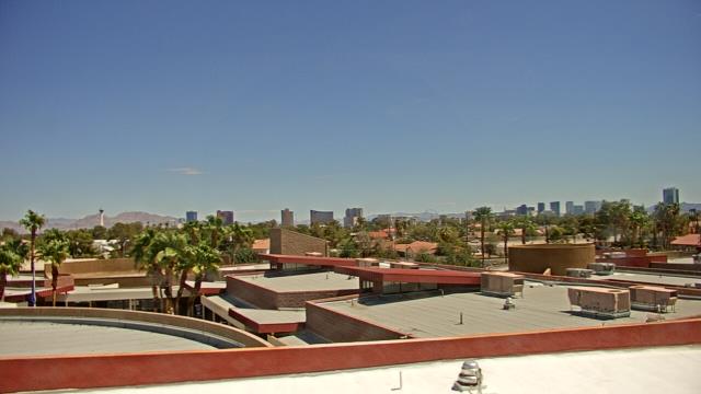
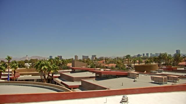
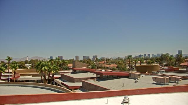
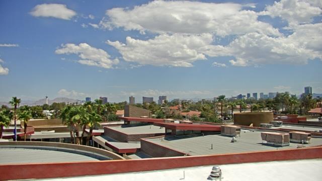
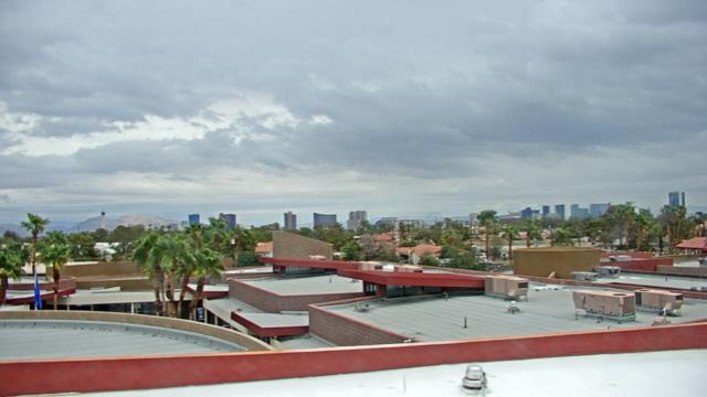
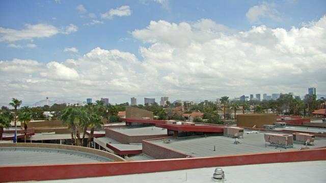
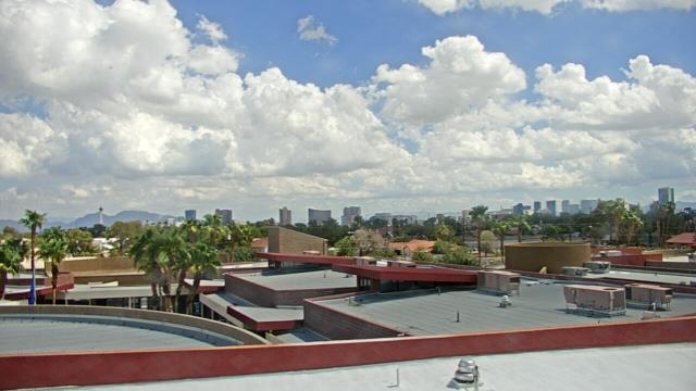
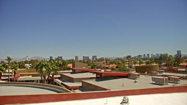
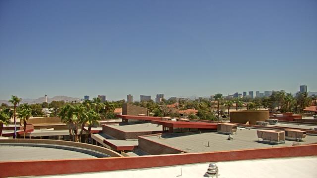
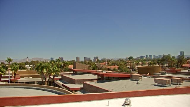
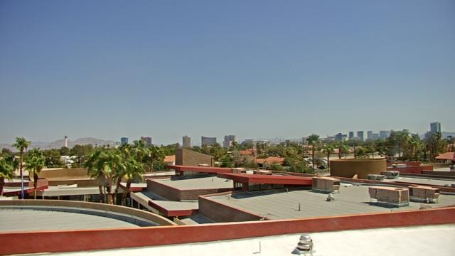
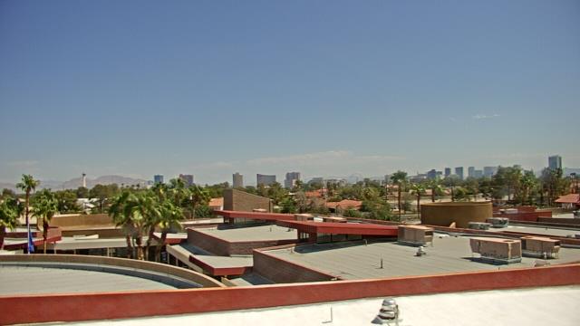
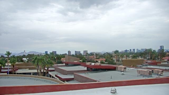
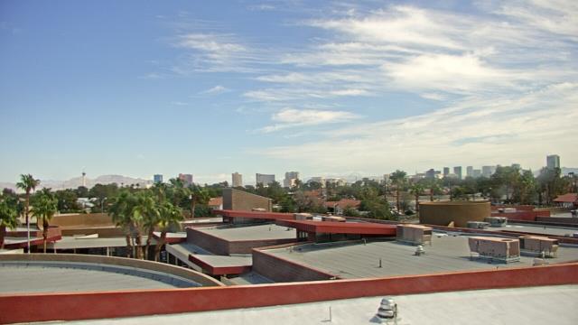
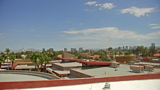
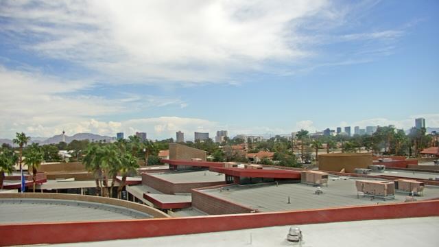
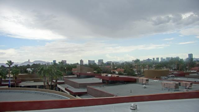
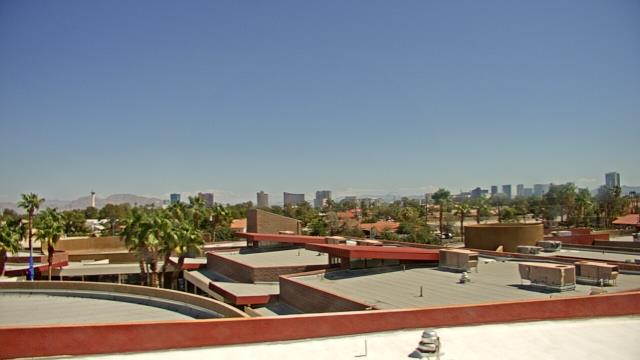
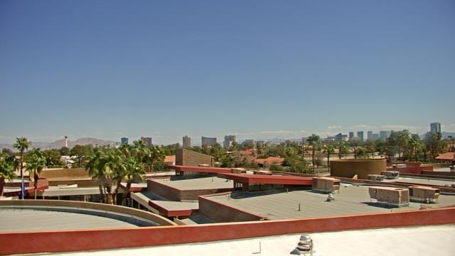
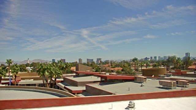
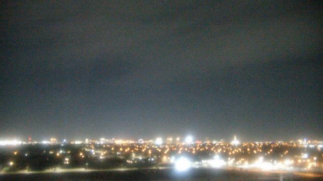
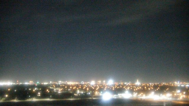
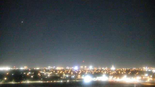
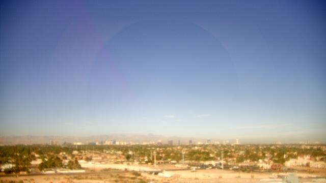
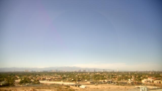
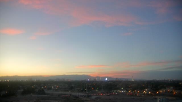
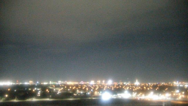
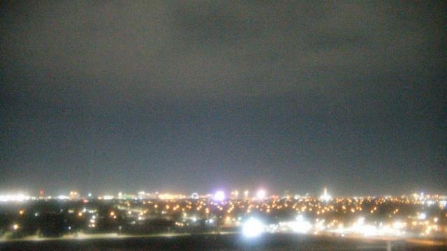
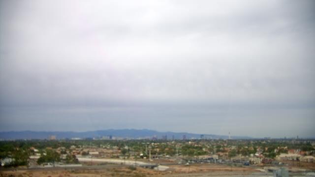
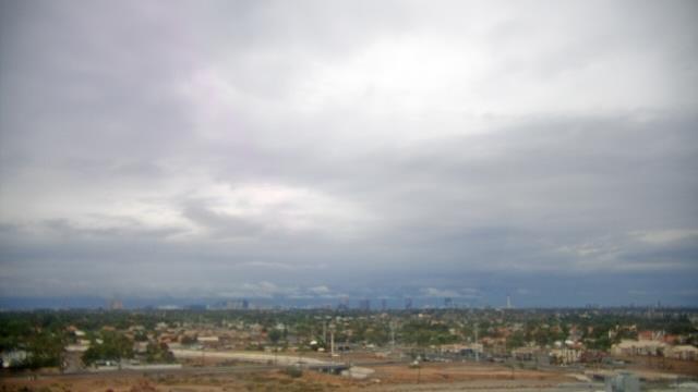
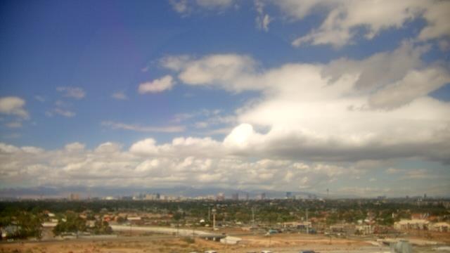
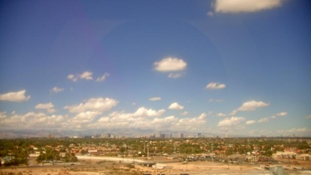
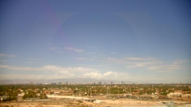
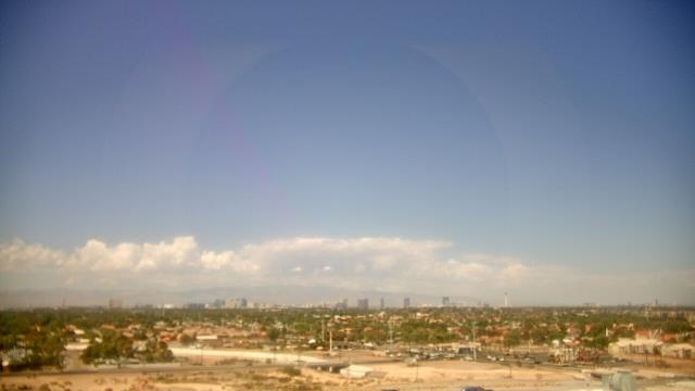
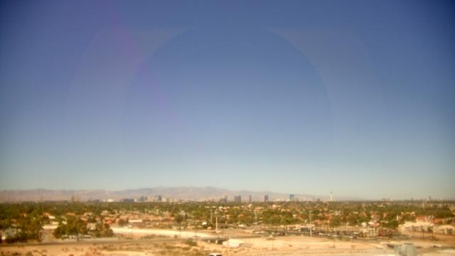
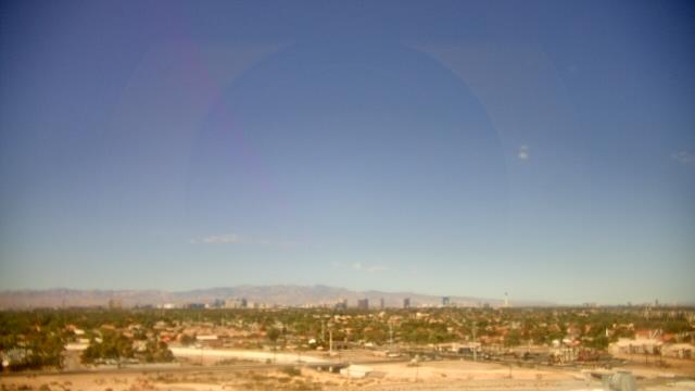
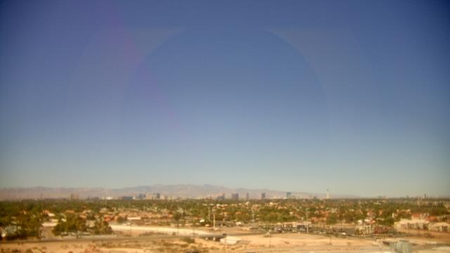
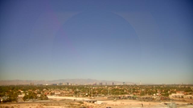
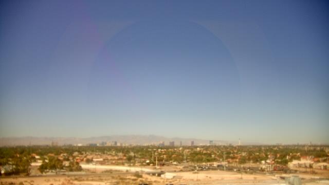
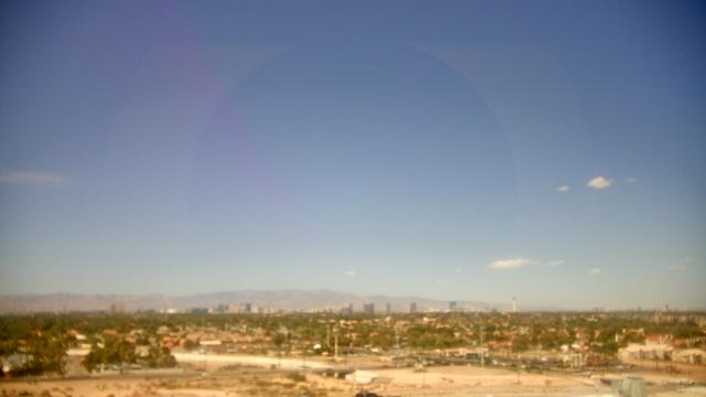
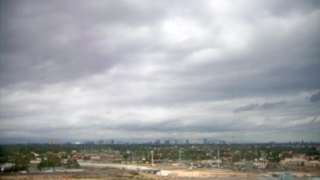
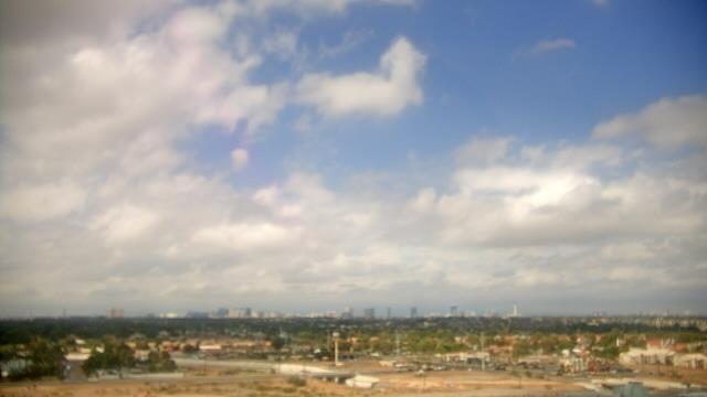
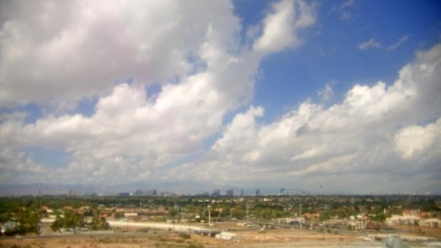
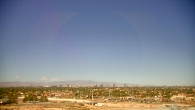
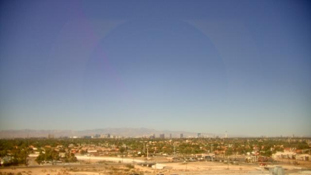
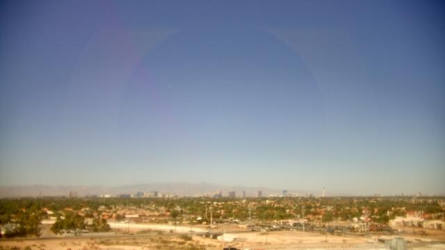
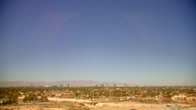
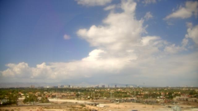
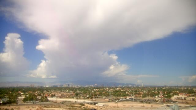
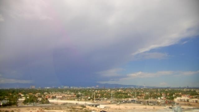
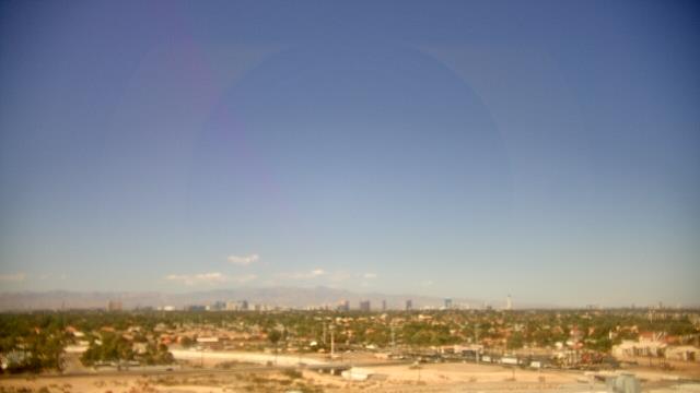
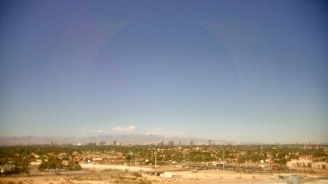
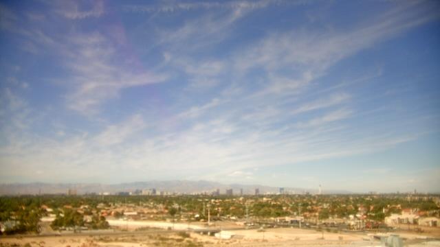
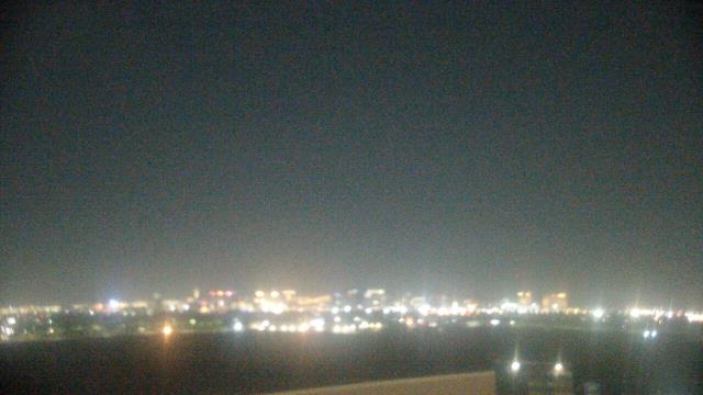
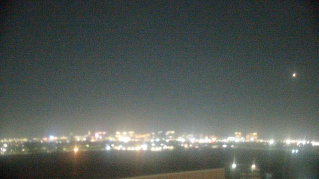
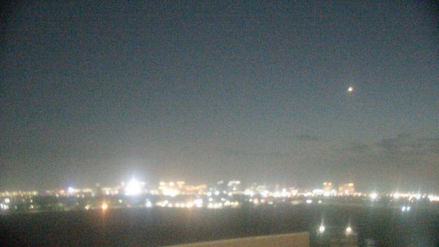
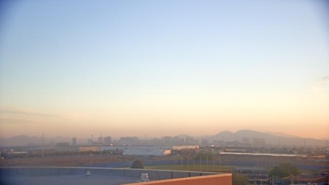
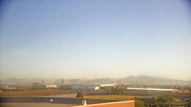
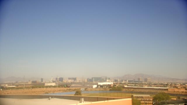
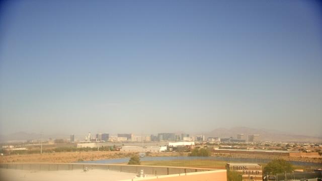
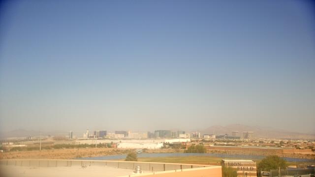
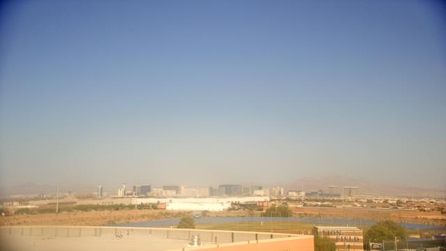
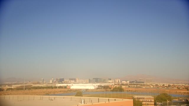
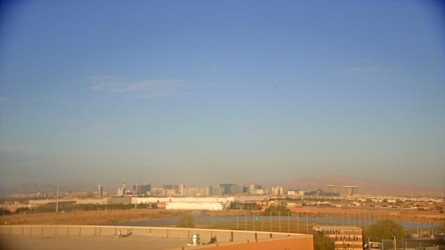
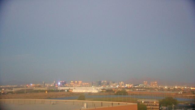
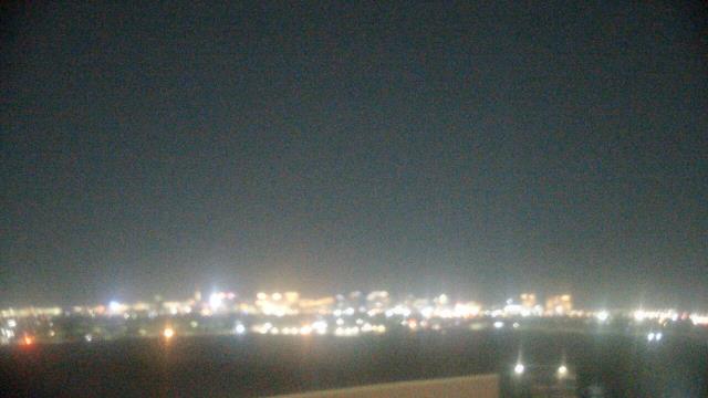
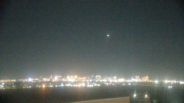
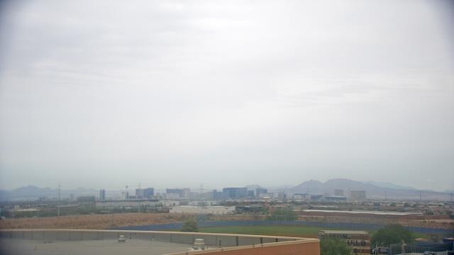
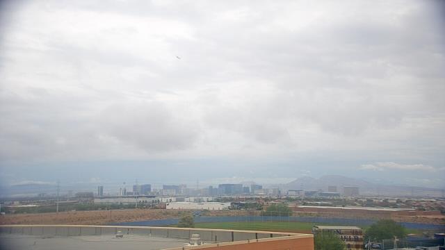
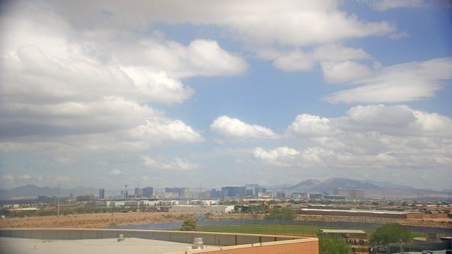
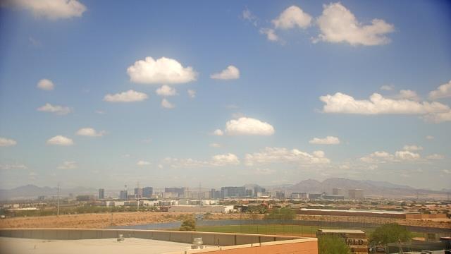
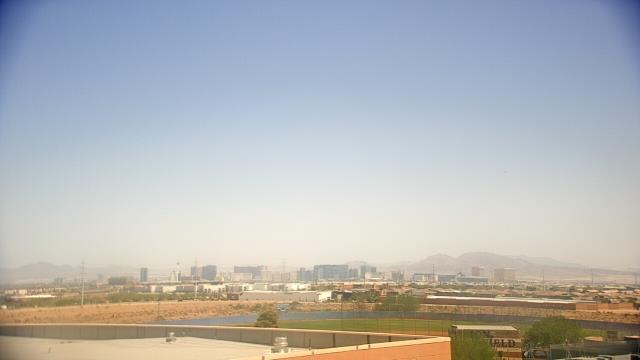
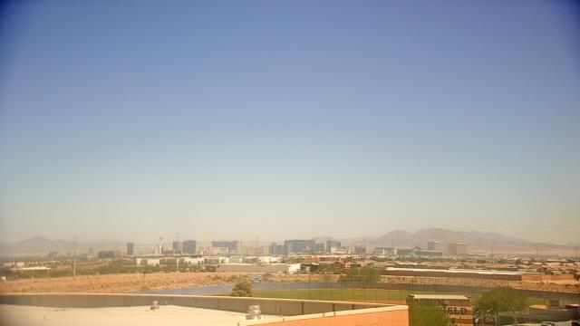
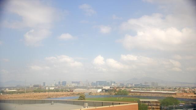
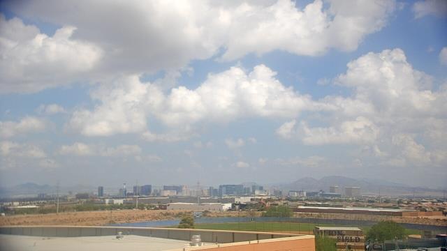
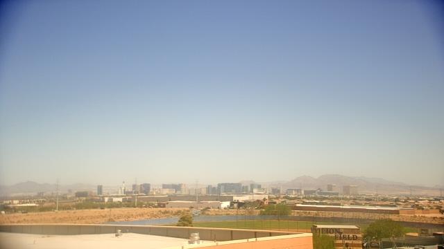
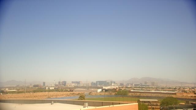
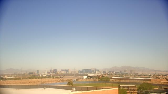
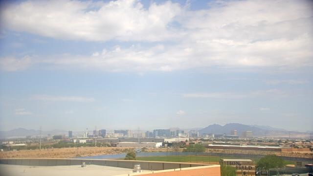
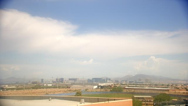
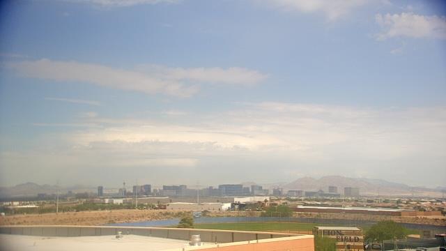
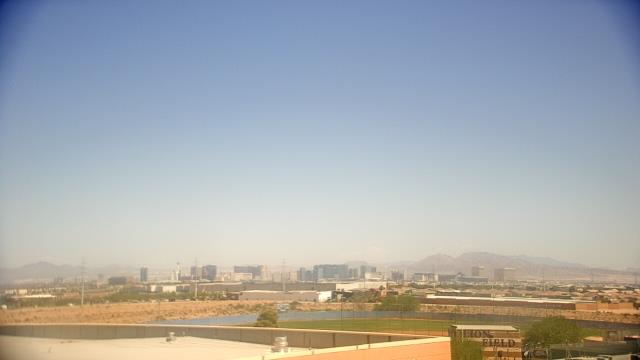
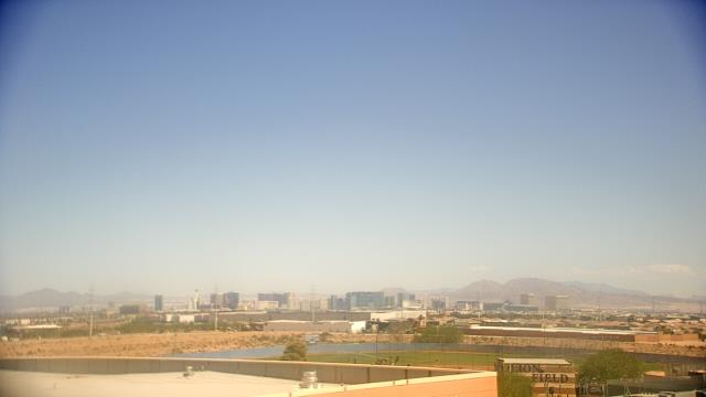
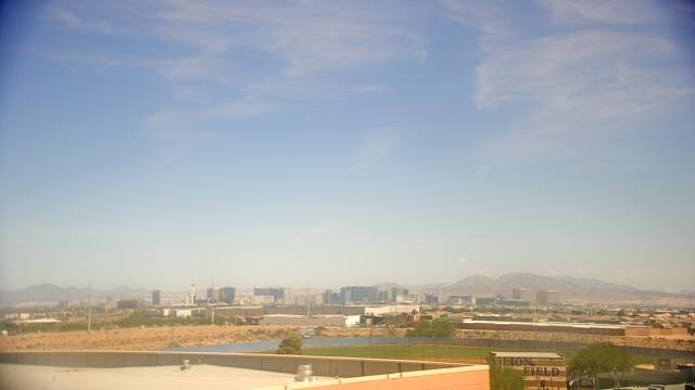
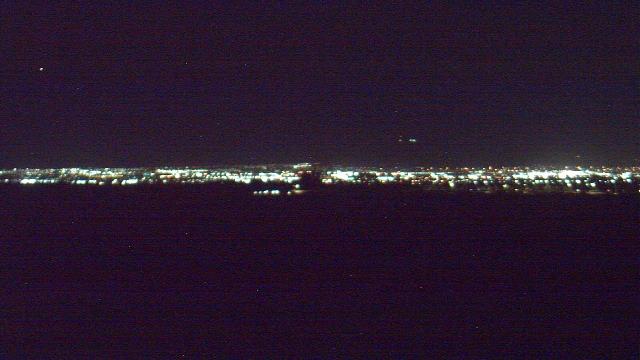
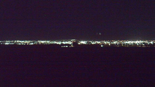
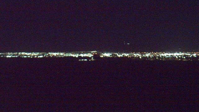
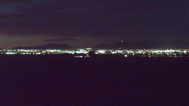
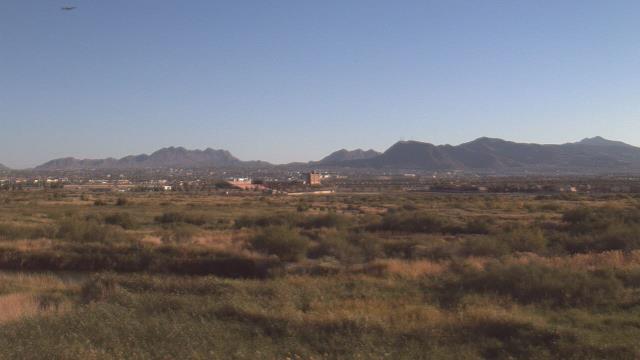
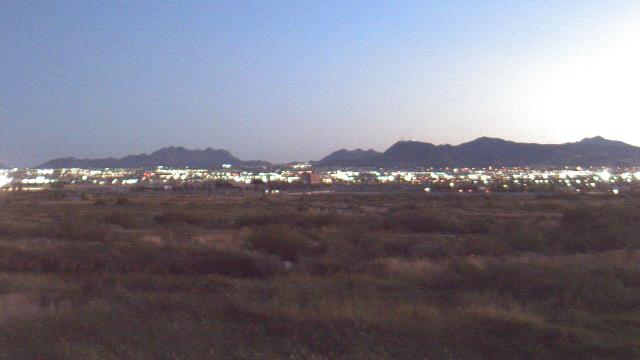
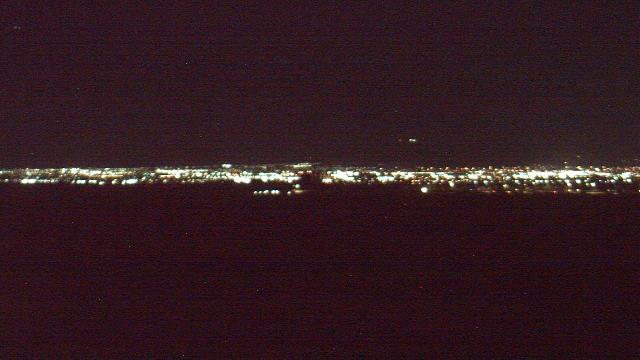
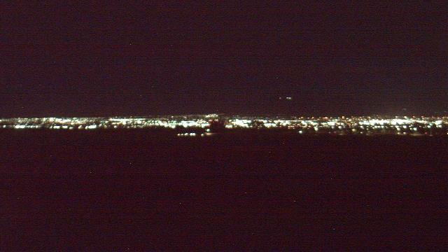
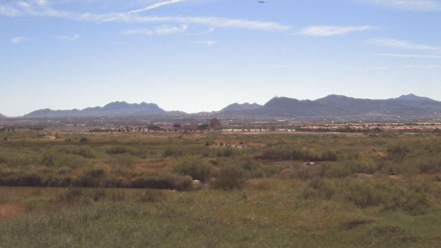
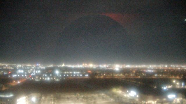
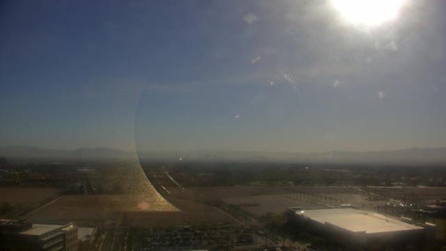
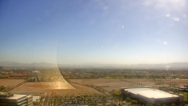
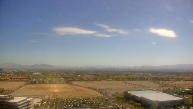
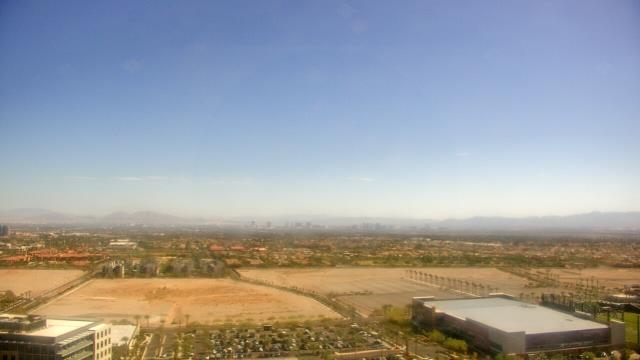
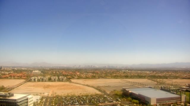
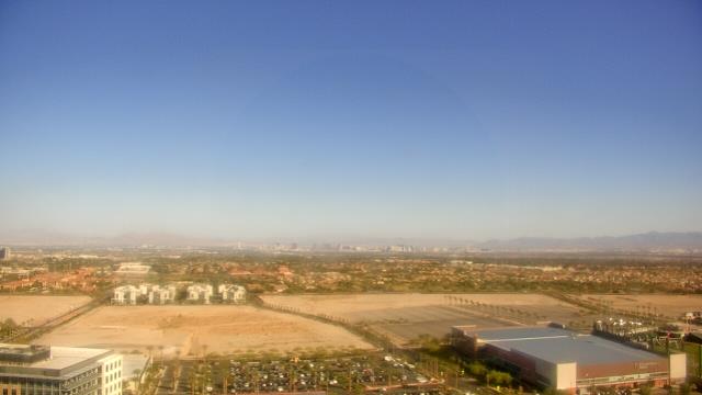
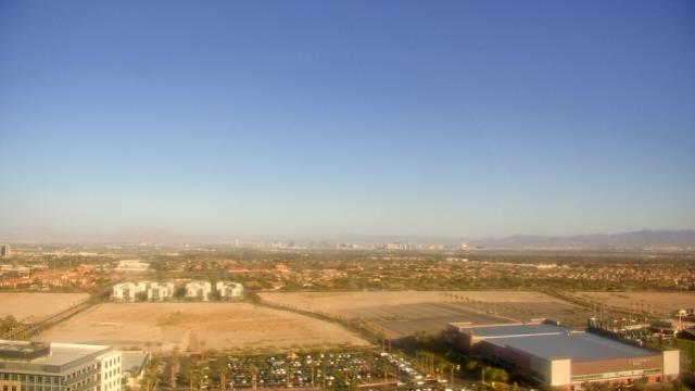
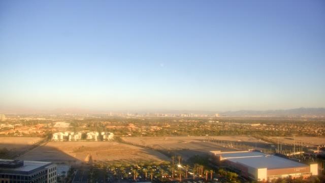
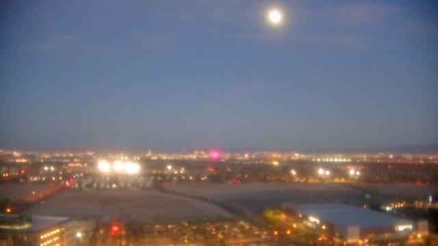
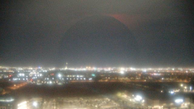
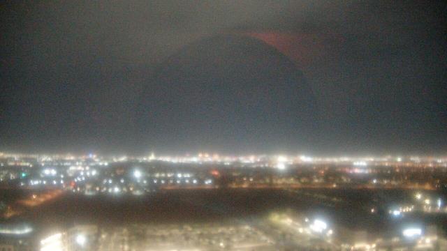
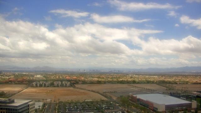
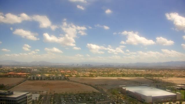
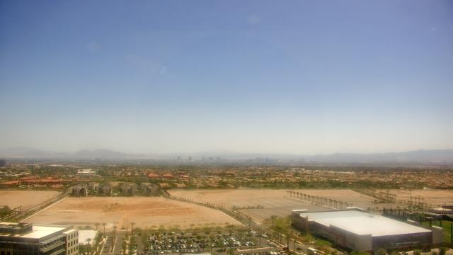
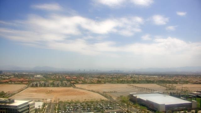
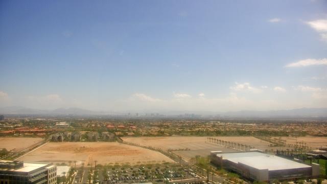
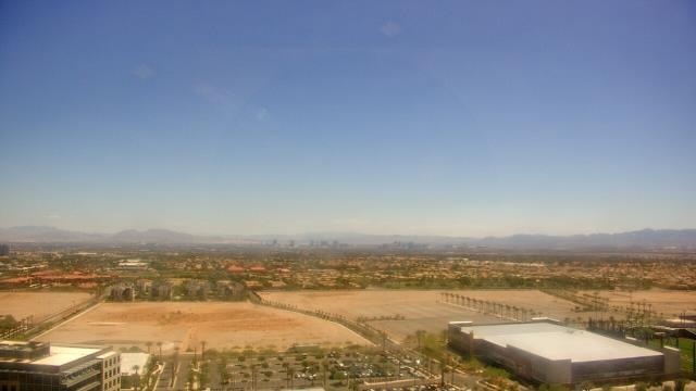
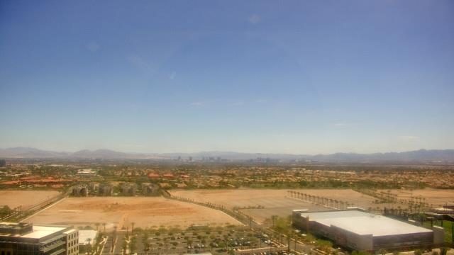
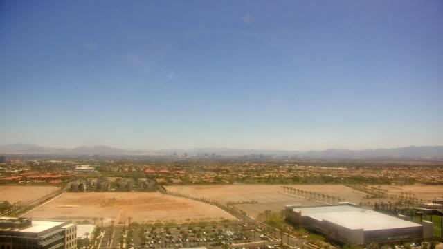
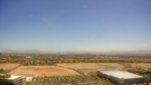
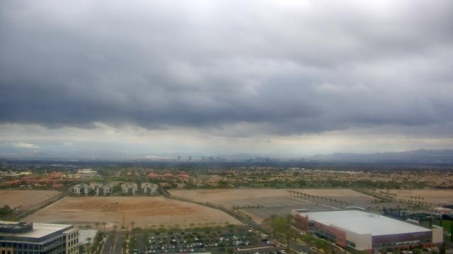
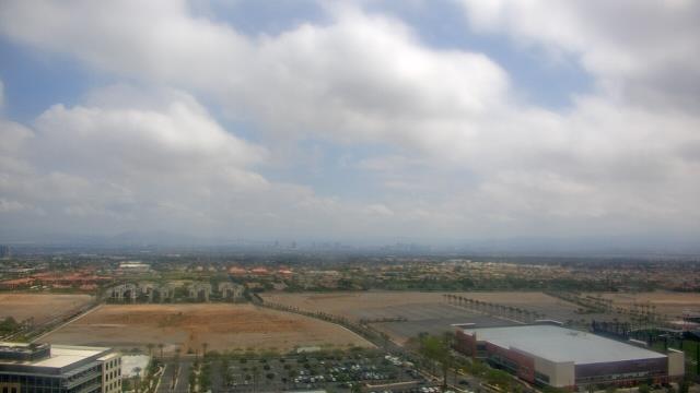
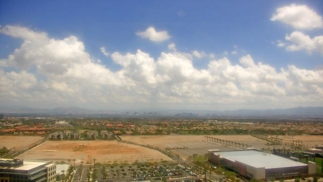
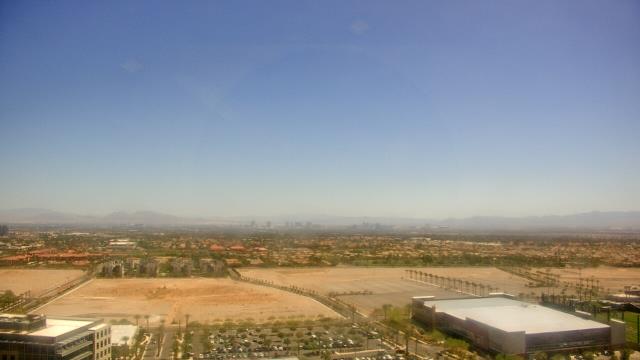
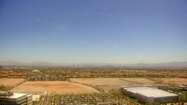
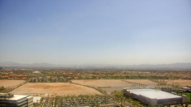
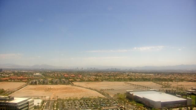
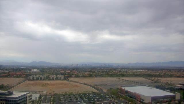
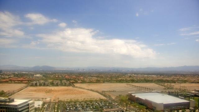
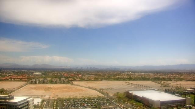
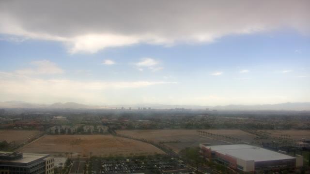
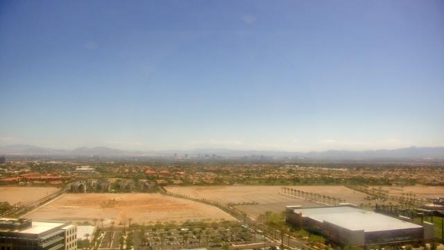
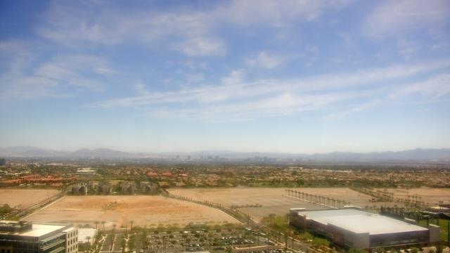
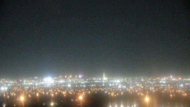
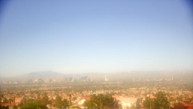
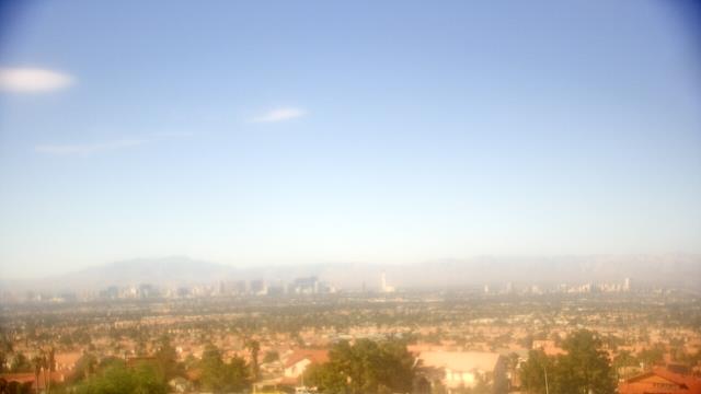
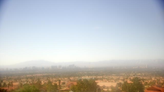
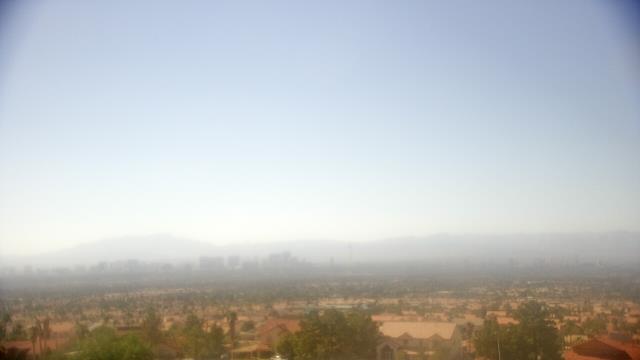
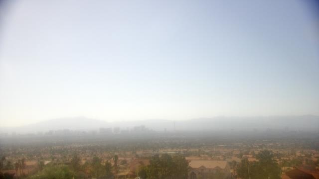
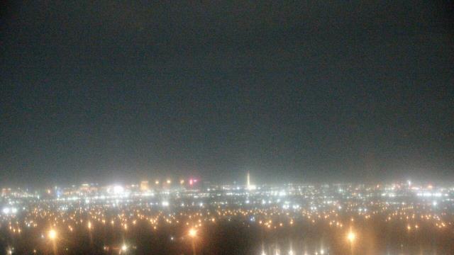
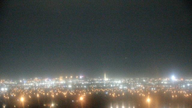
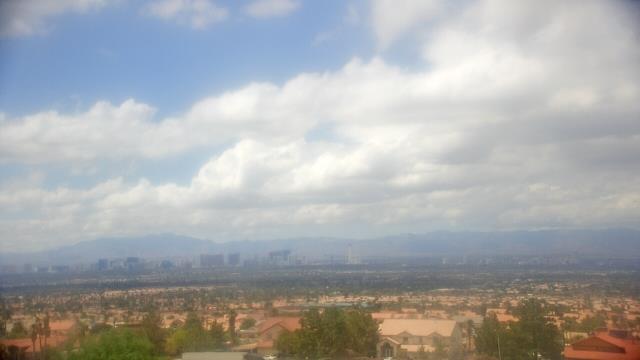
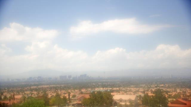
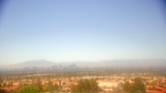
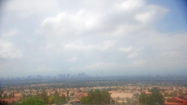
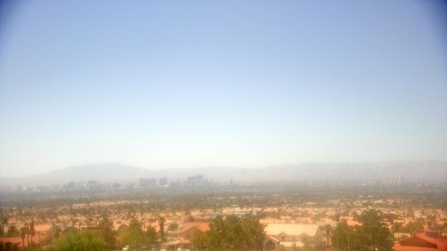
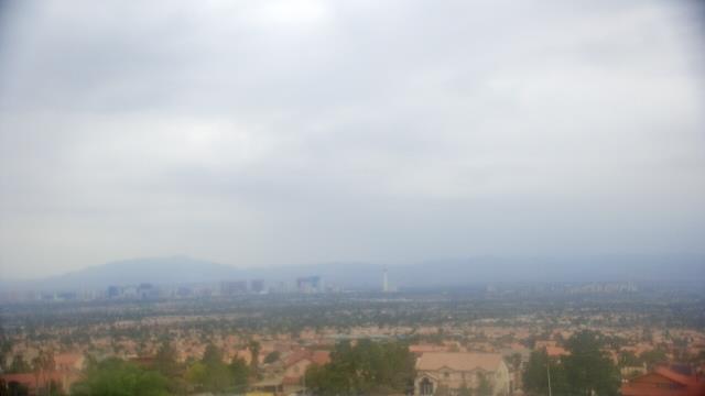
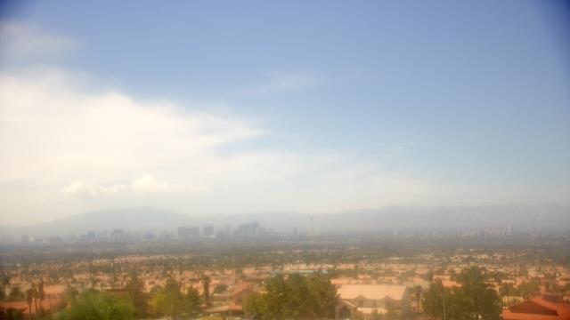
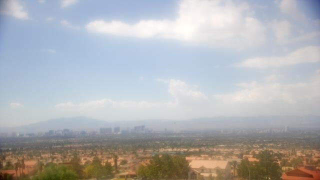
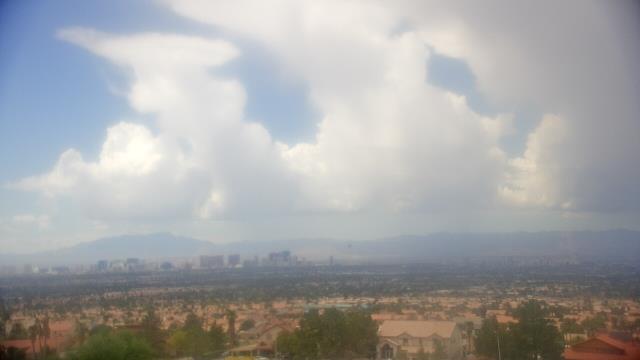
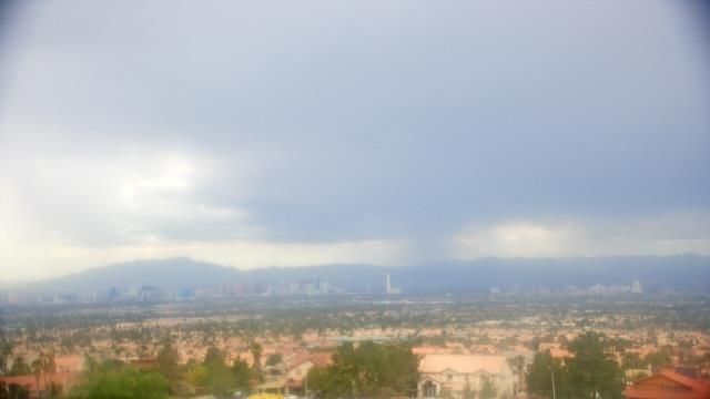
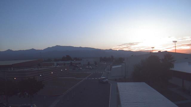
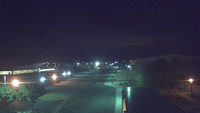
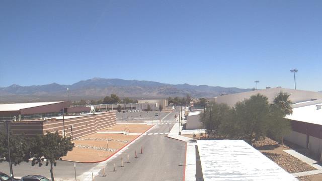
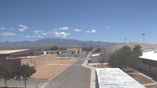
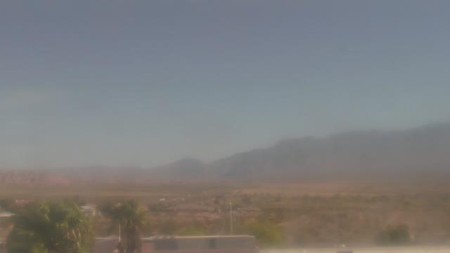
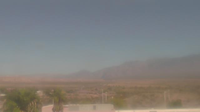
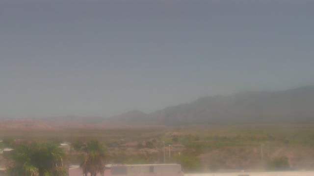
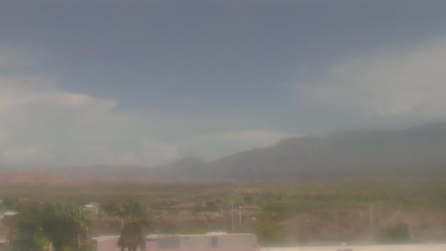
Las Vegas, Nevada, USA - 5.8 miles from Vegas Heights: Skyline - A webcam in Las Vegas, Nevada - camera location: Southeast Career Technical Academy.
Operator: WeatherBug
Operator: WeatherBug

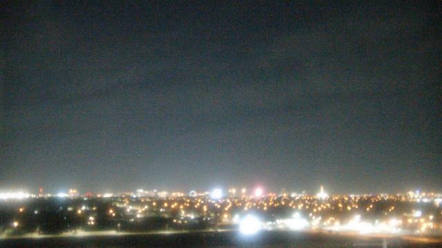
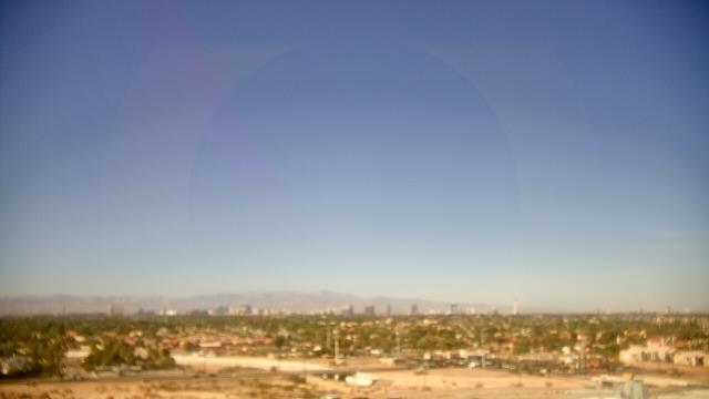
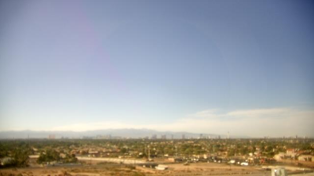


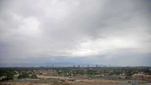

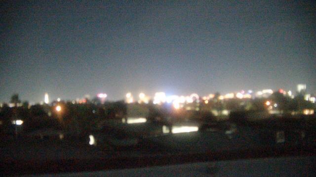
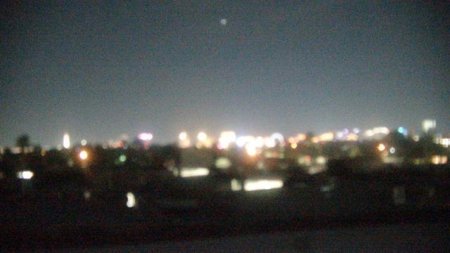
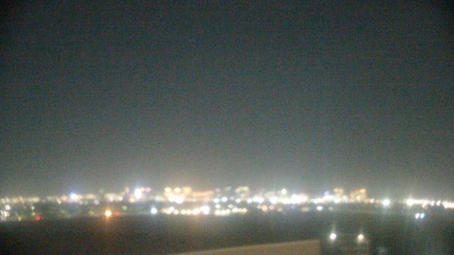
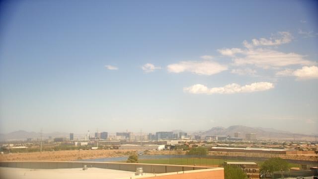
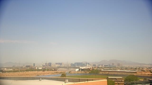
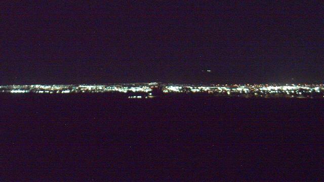
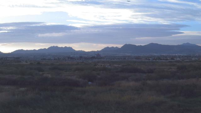
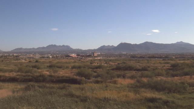
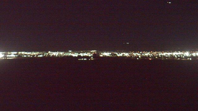
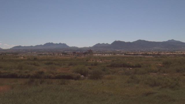
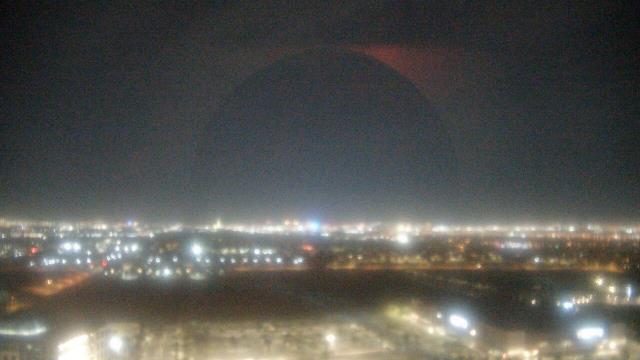
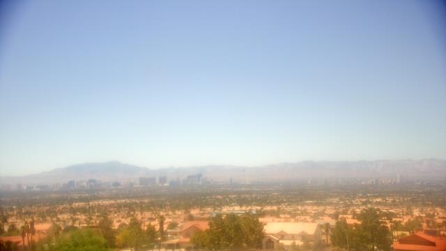
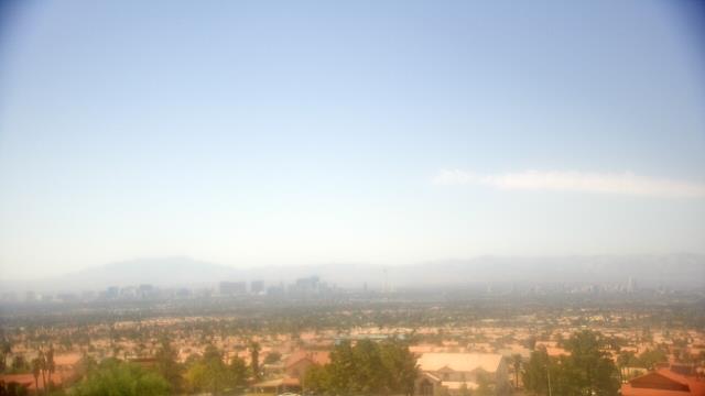
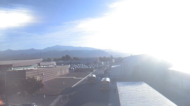
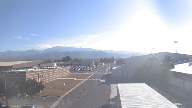
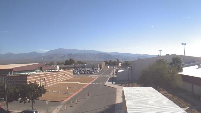
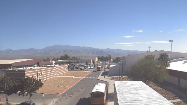
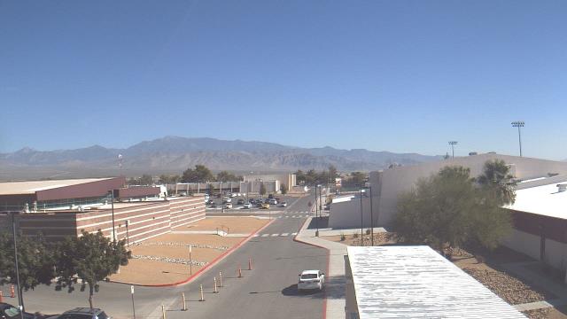
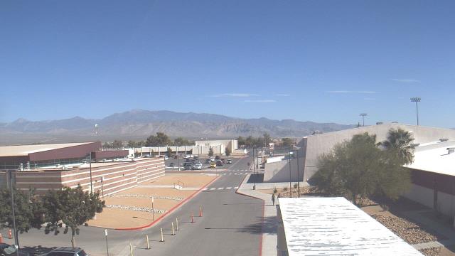
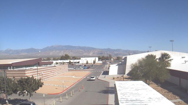
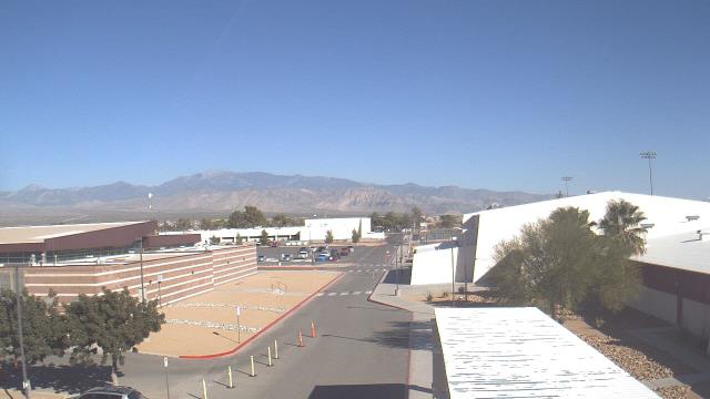
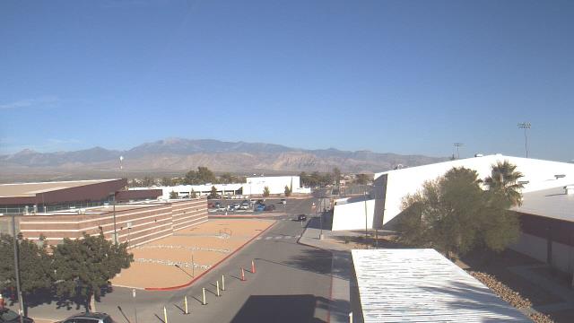
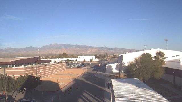
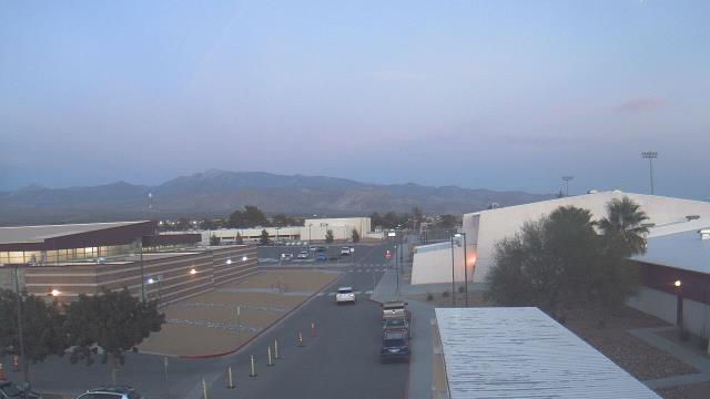
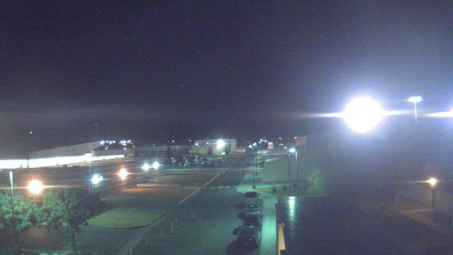
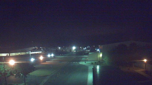
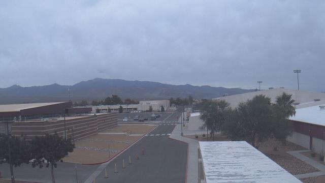
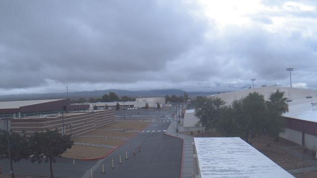
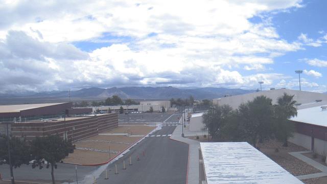
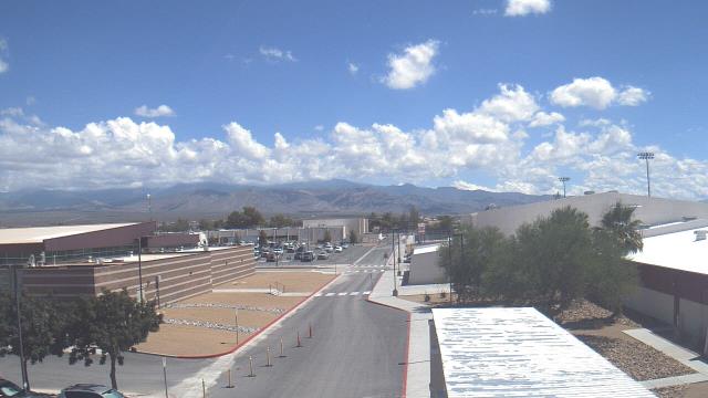
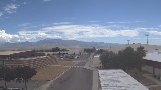
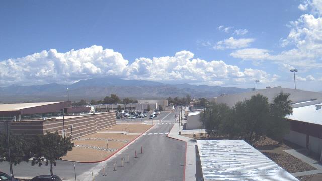
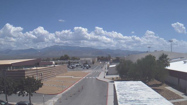
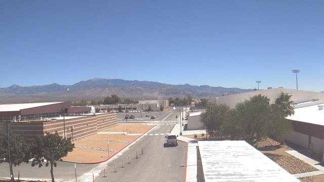
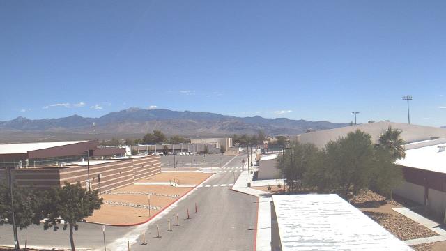
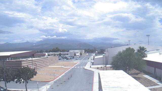
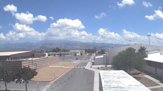
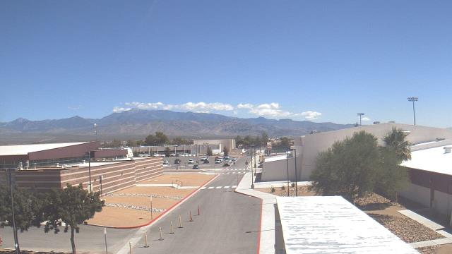
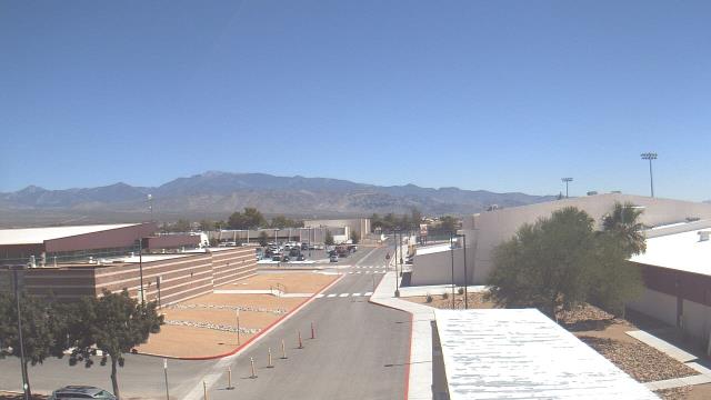
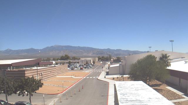
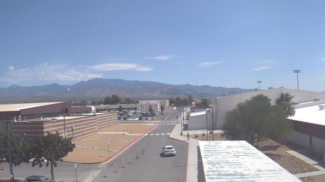
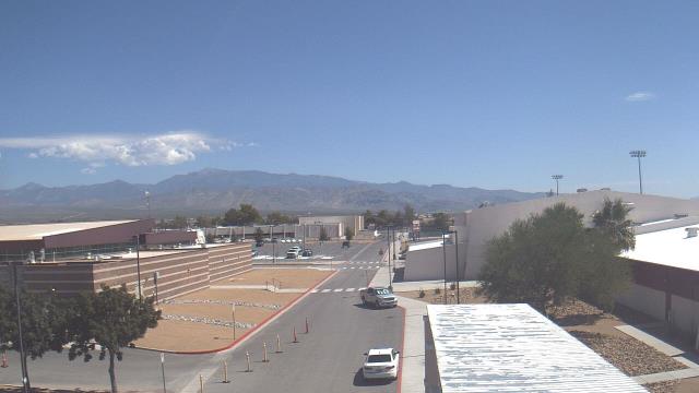
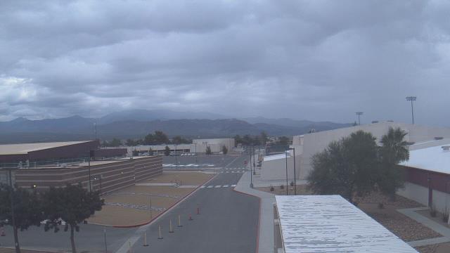
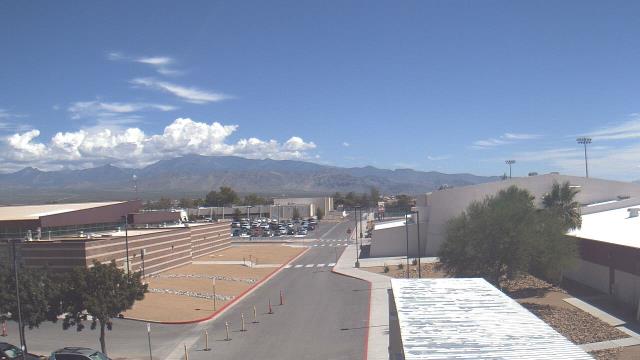
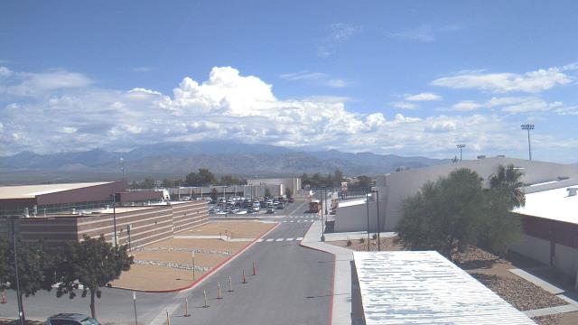
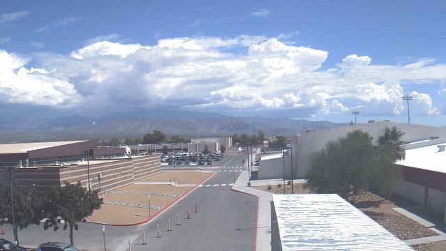
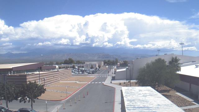
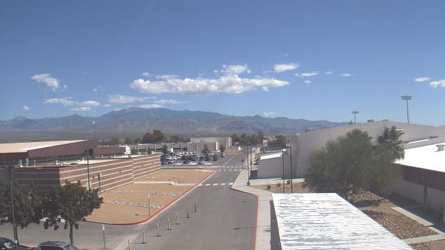
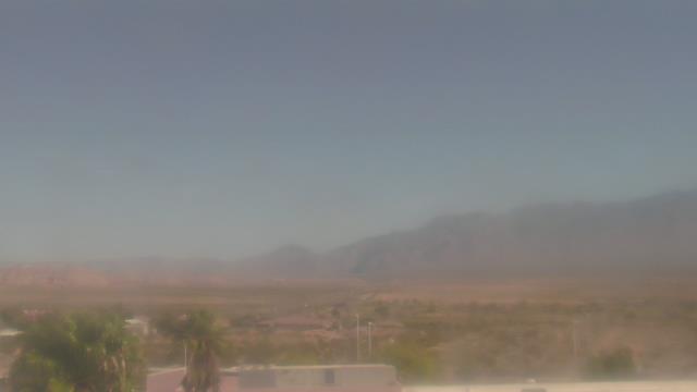
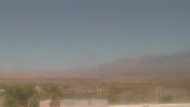
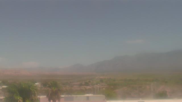
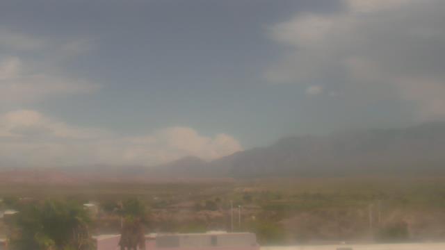
Las Vegas, Nevada, USA - 5.8 miles from Vegas Heights: Sierra Vista High School - A webcam in Las Vegas, Nevada - camera location: Sierra Vista High School.
Operator: WeatherBug
Operator: WeatherBug


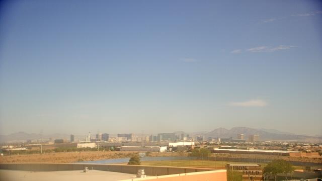
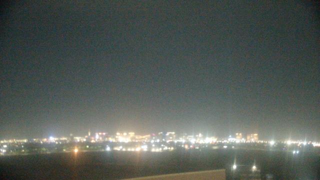


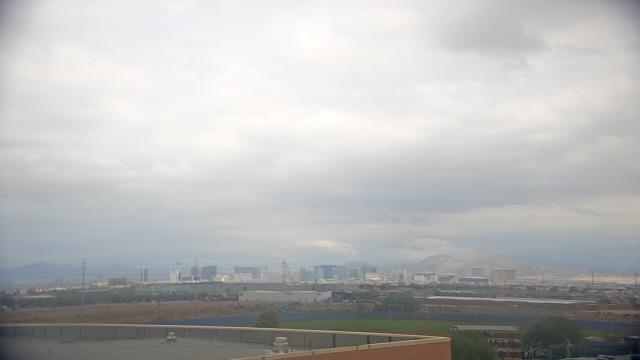


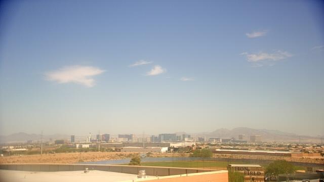

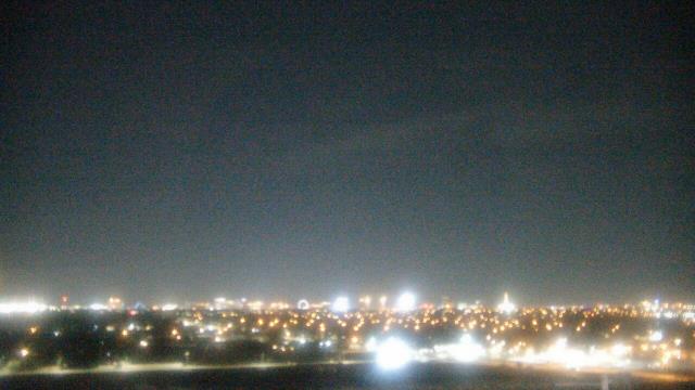
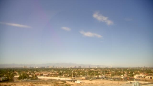
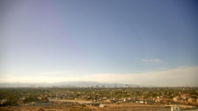
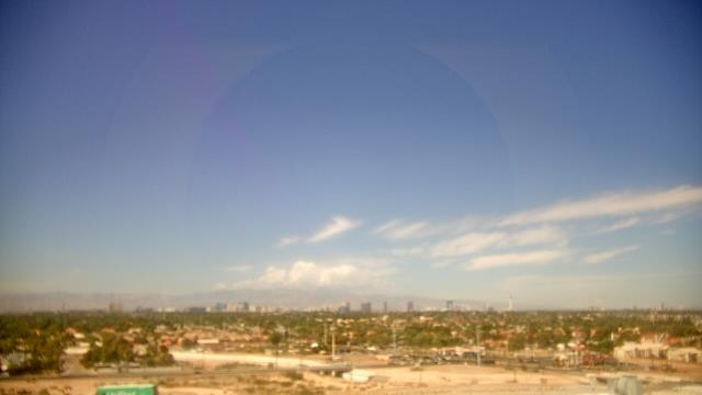
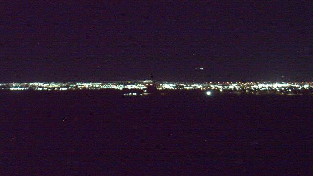
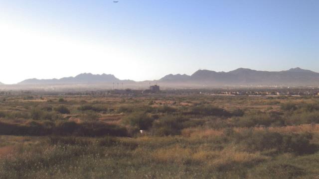
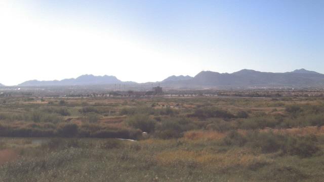
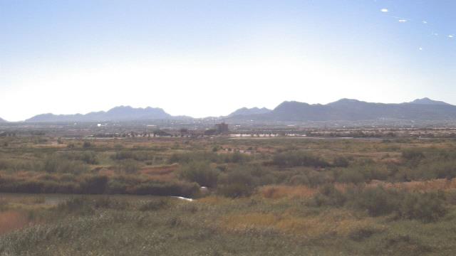
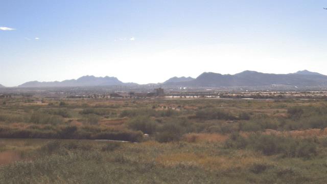
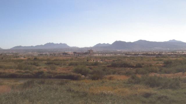
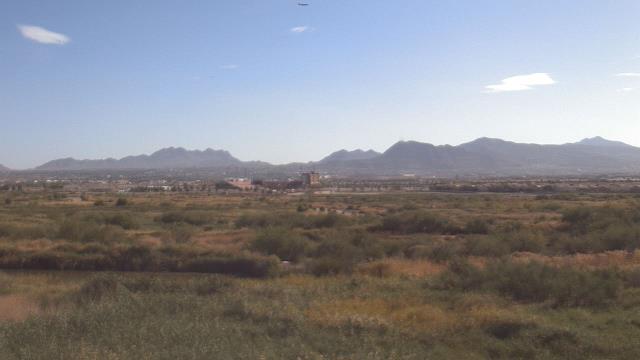
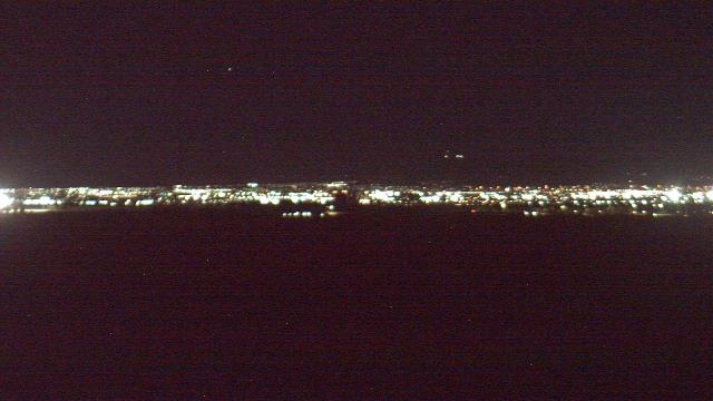
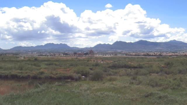
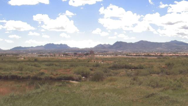
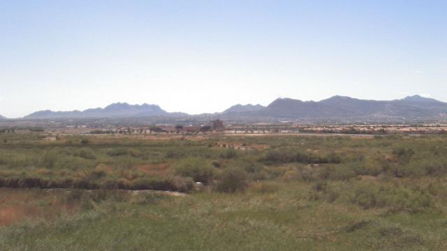
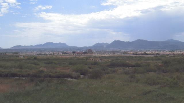
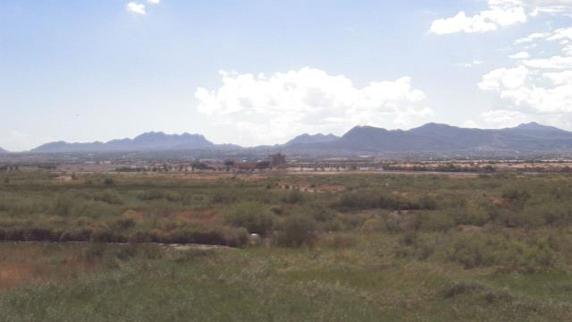
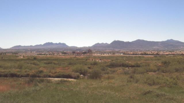
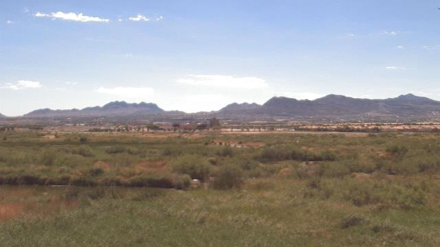
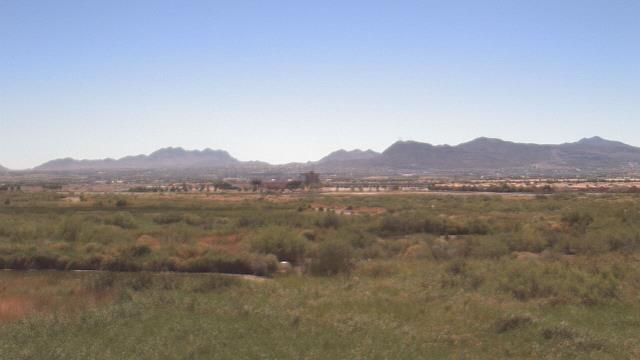
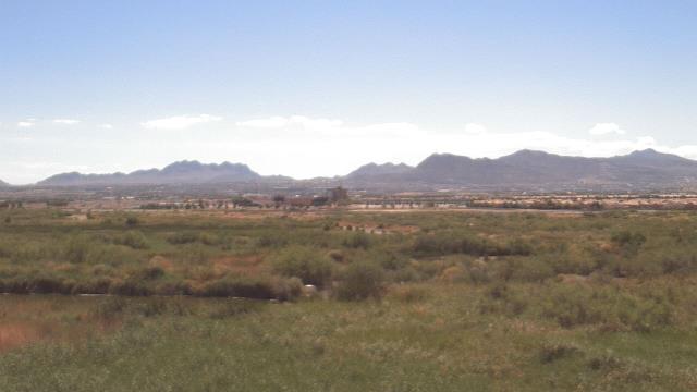
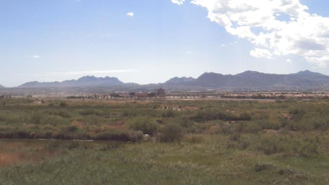
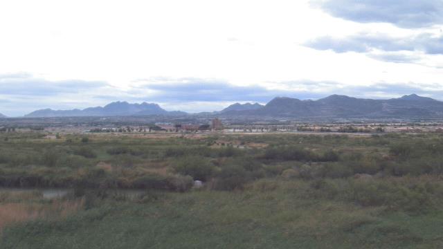
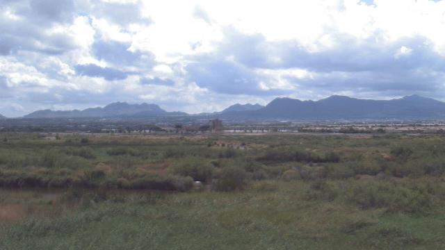
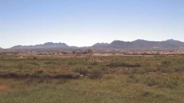
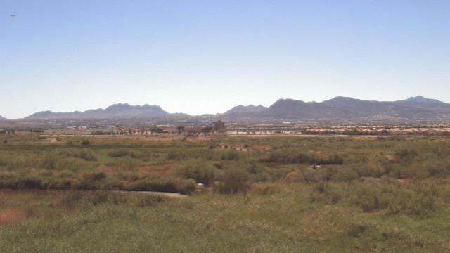
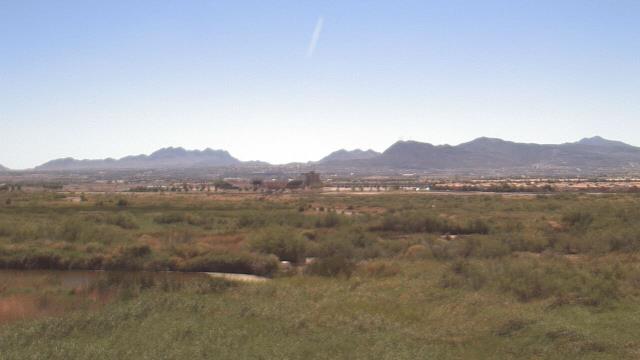
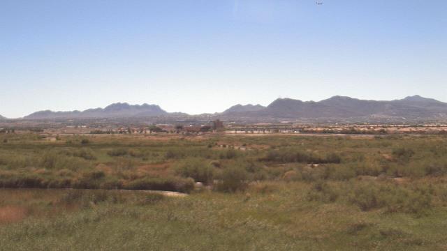
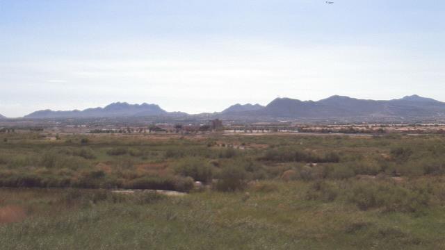
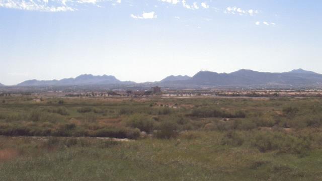
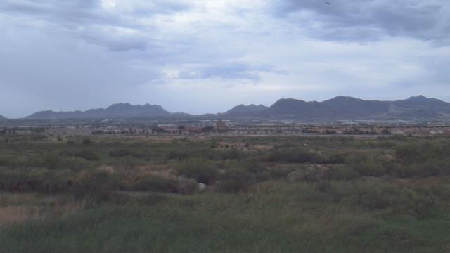
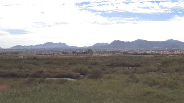
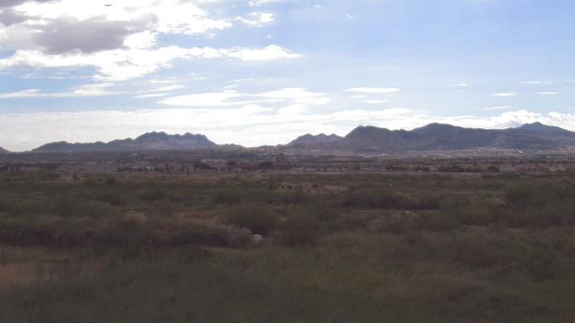
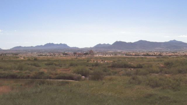
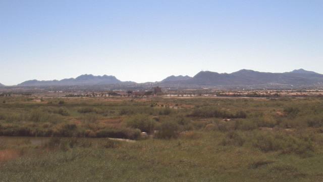
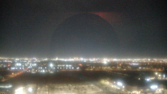
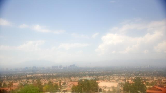
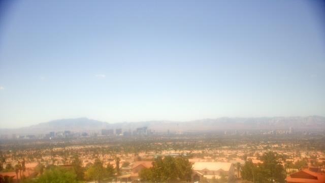
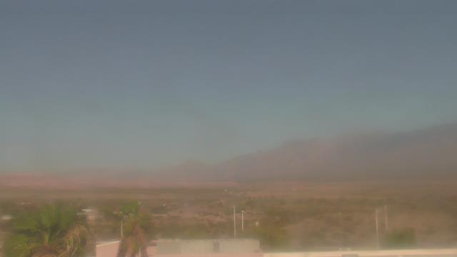
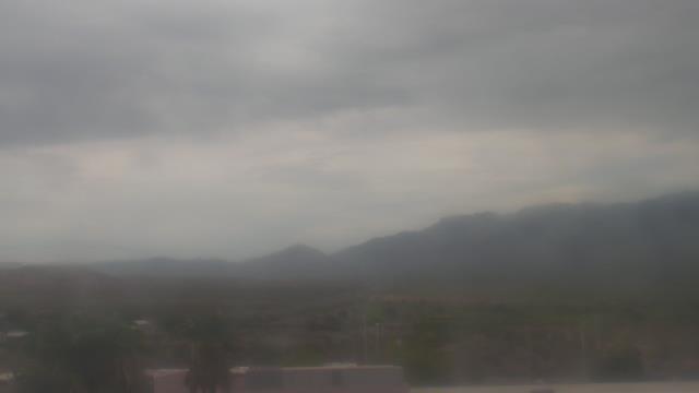
Las Vegas, Nevada, USA - 5.8 miles from Vegas Heights: Wetlands Park (Clark County Parks & Recreation) - A webcam in Las Vegas, Nevada - camera location: Wetlands Park (Clark County Parks & Recreation).
Operator: WeatherBug
Operator: WeatherBug
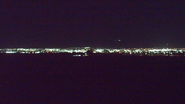
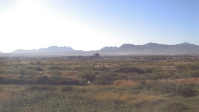
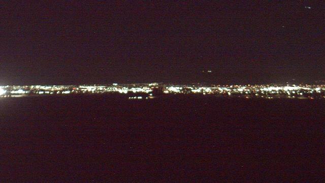


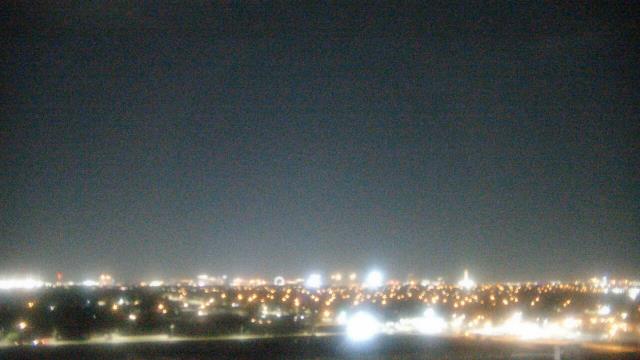
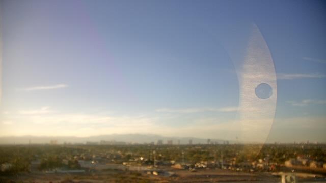
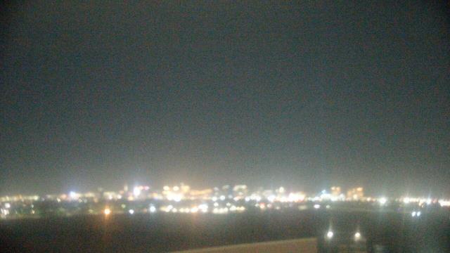
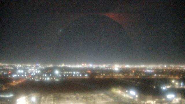
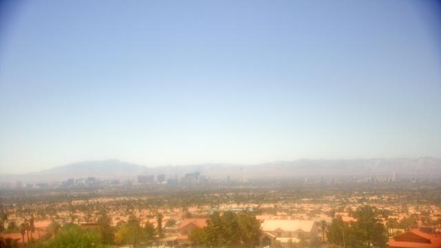
Las Vegas, Nevada, USA - 5.8 miles from Vegas Heights: Red Rock Hotel and Casino - A webcam in Las Vegas, Nevada - camera location: Red Rock Hotel and Casino.
Operator: WeatherBug
Operator: WeatherBug
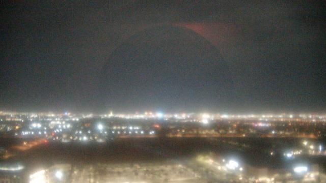


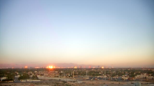
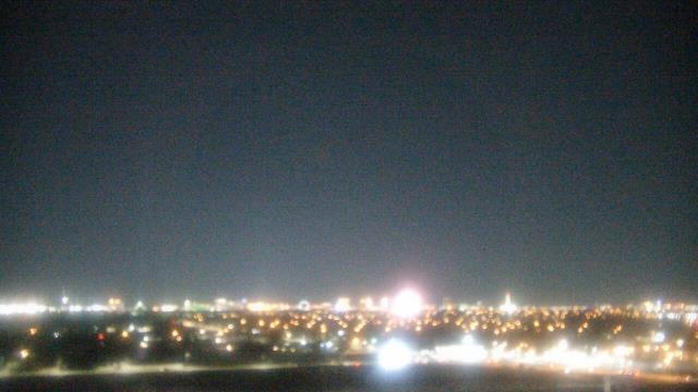
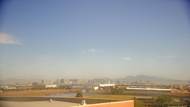
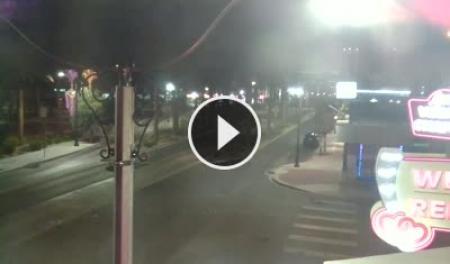
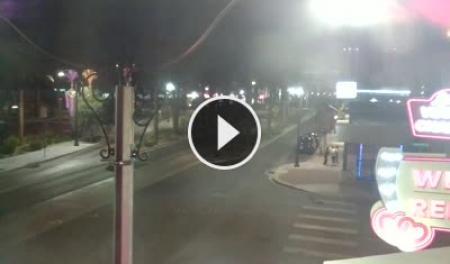
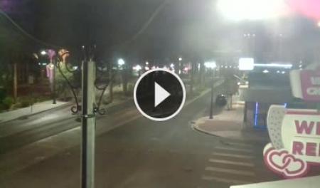
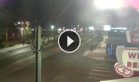
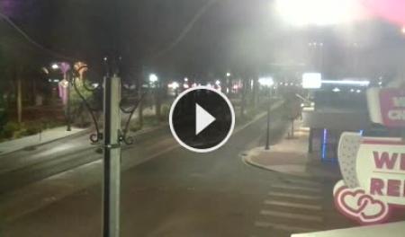
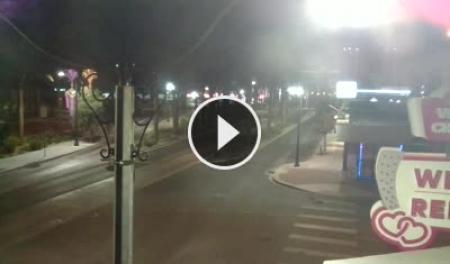
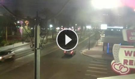
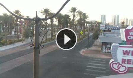
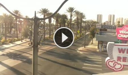
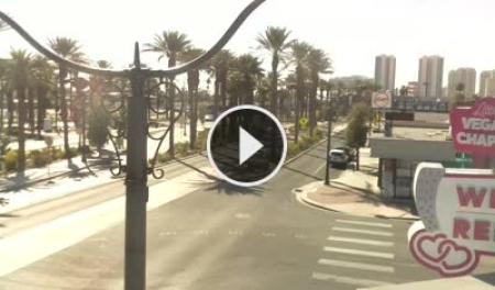
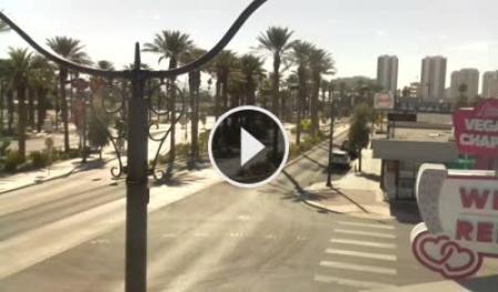
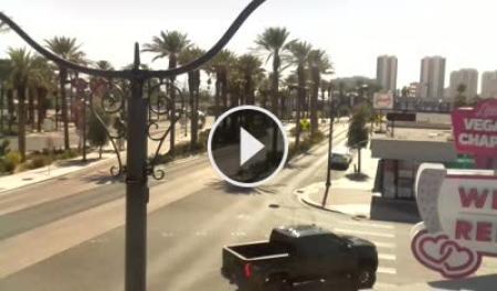
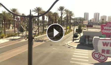
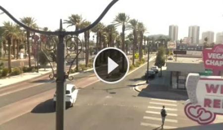
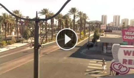
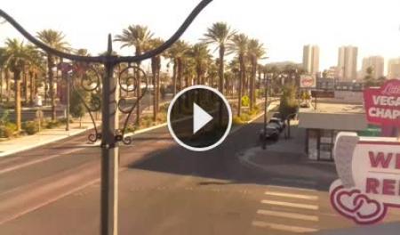
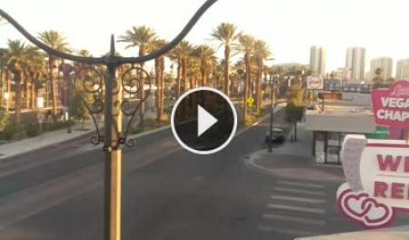
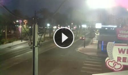
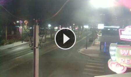
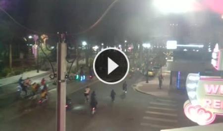
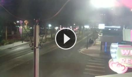
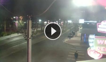
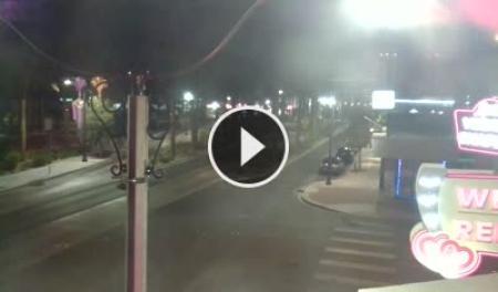
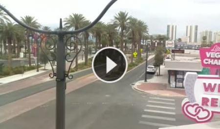
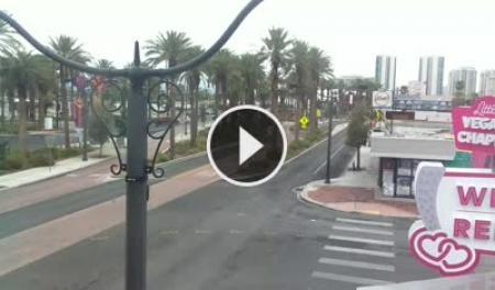
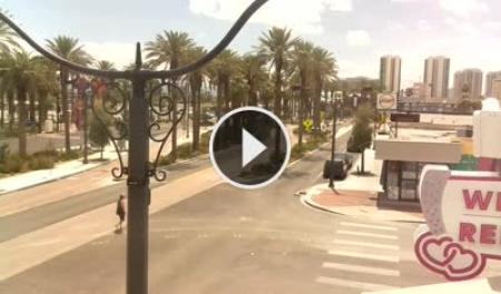
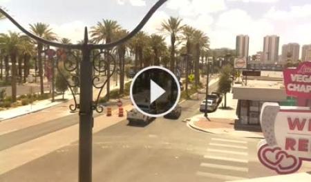
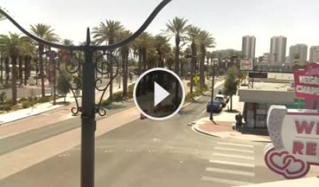
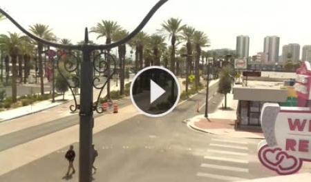
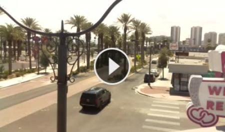
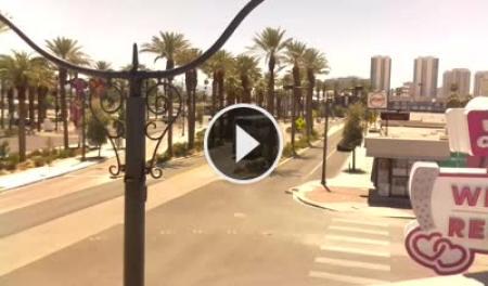
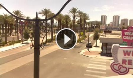
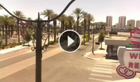
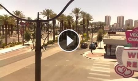
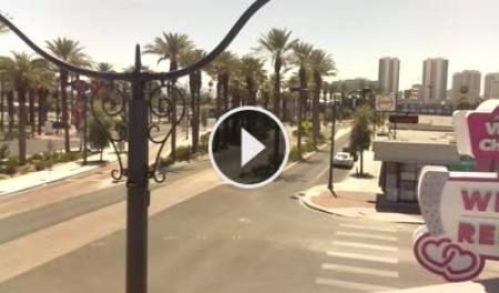
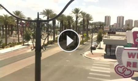
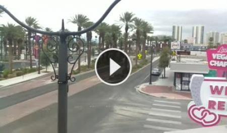
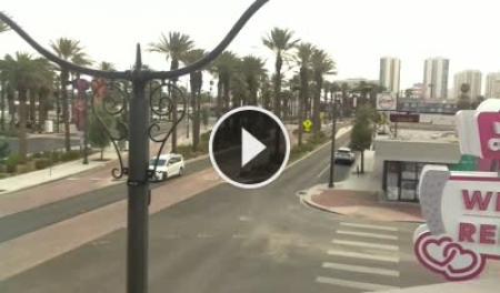
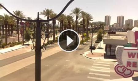
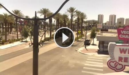
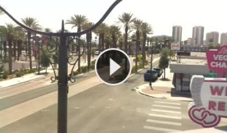
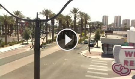
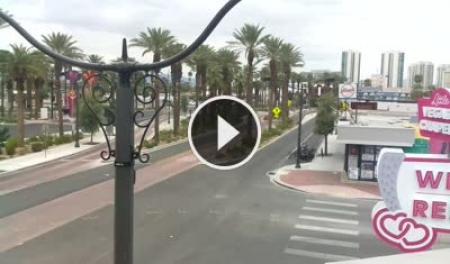
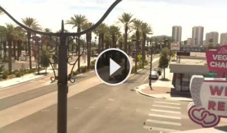
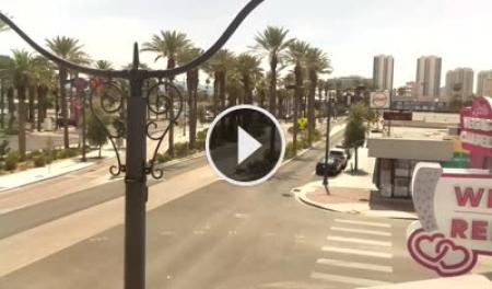
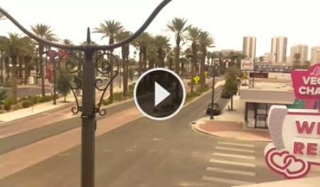
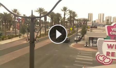
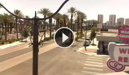
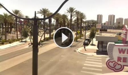
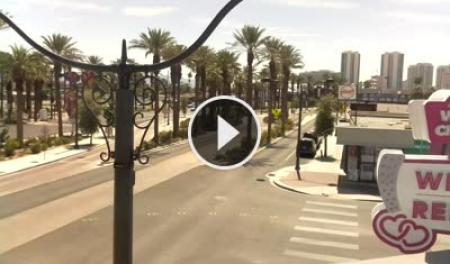
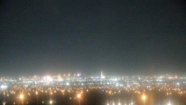
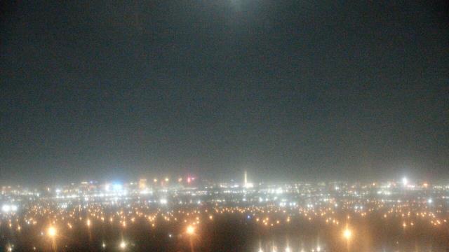
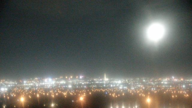
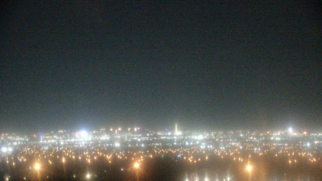
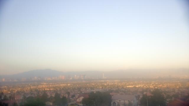
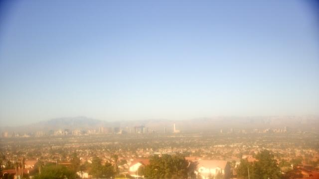
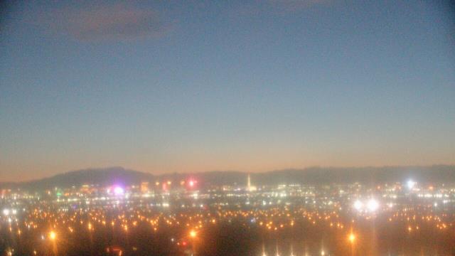
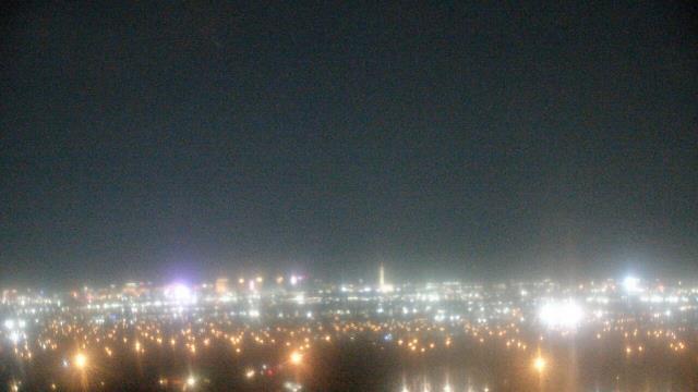
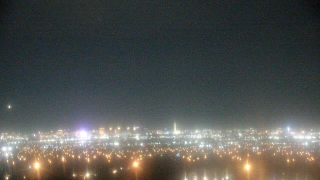
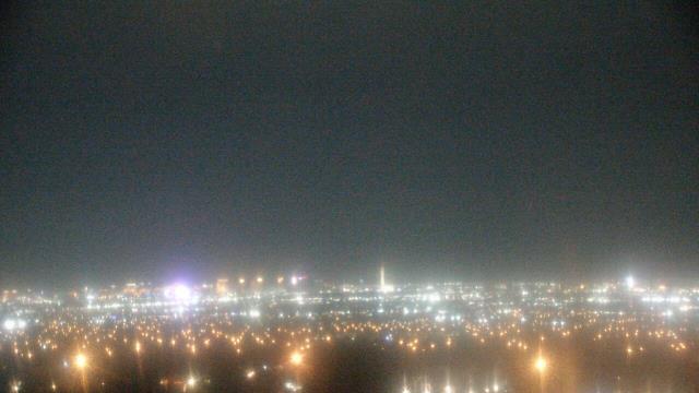
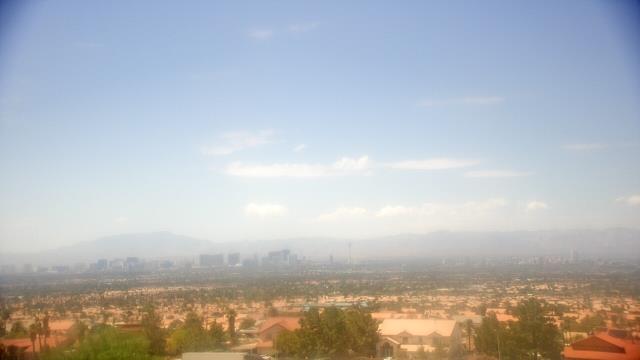
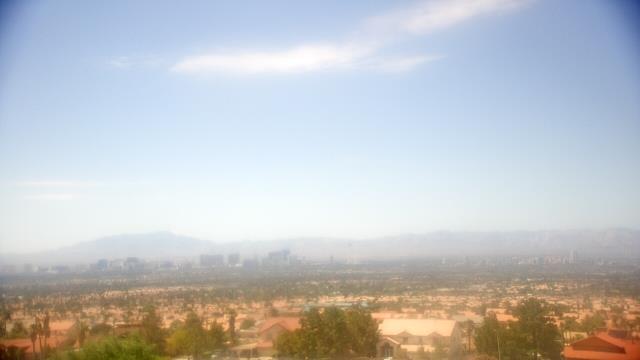
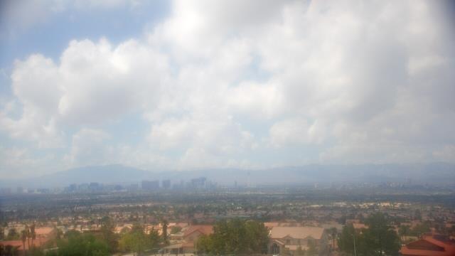
Las Vegas, Nevada, USA - 5.8 miles from Vegas Heights: Las Vegas Strip - The Stratosphere - View over the casinos in Las Vegas Strip from The Little Vegas Chapel.
Operator: Skyline Webcams
Operator: Skyline Webcams


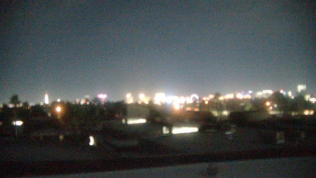
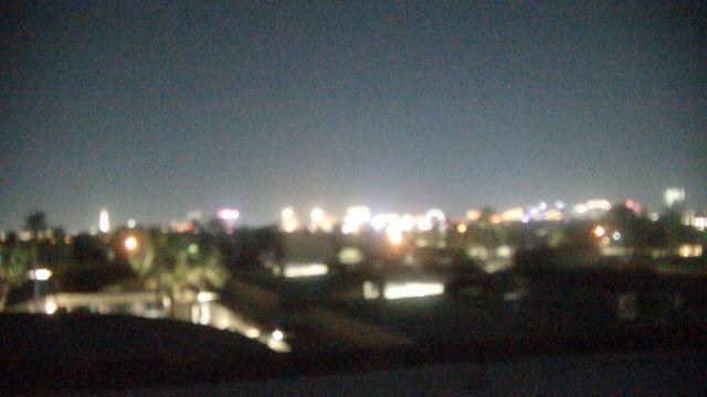
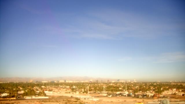
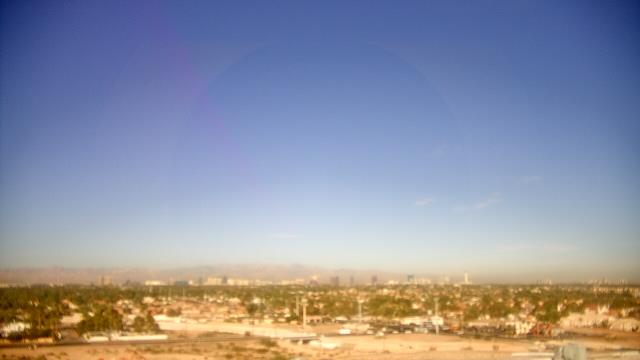
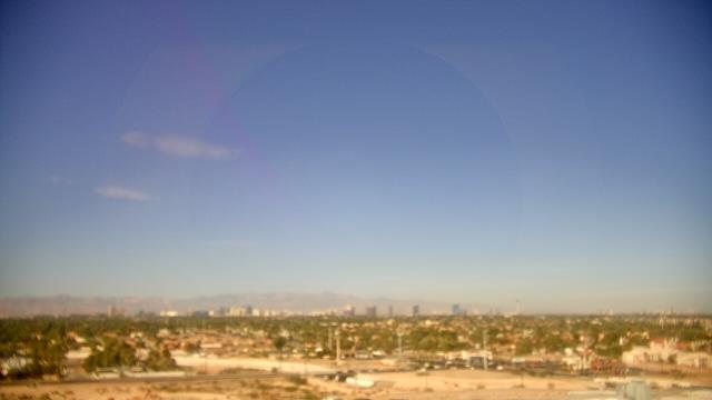
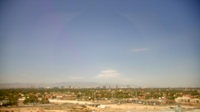
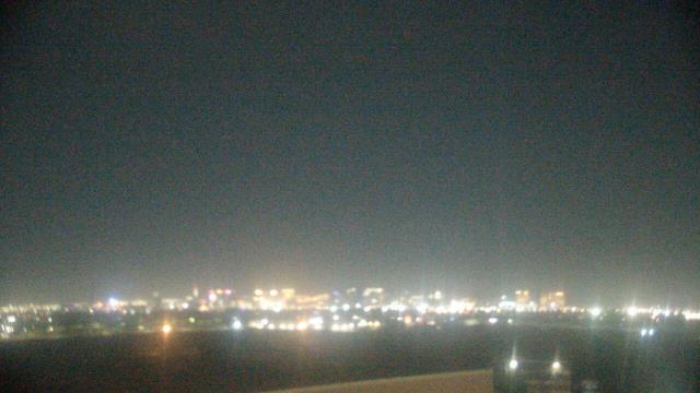
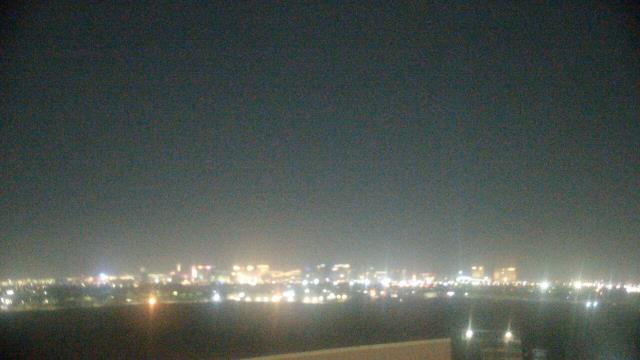
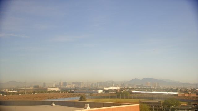
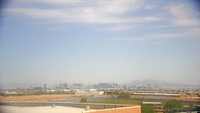
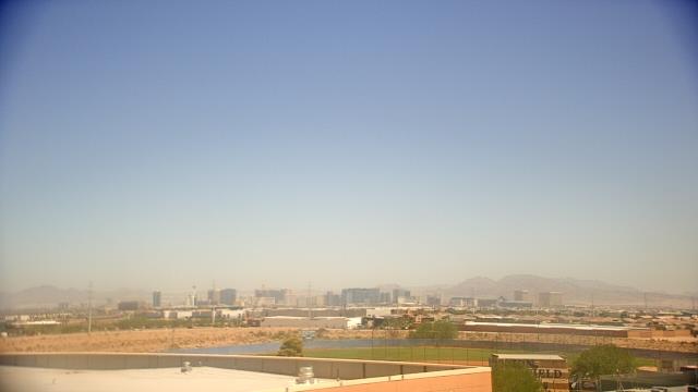
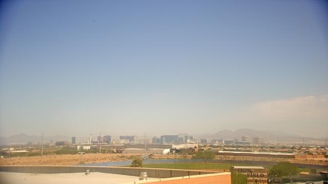
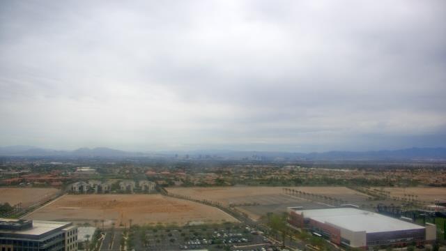
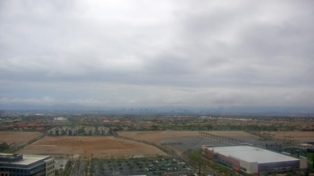
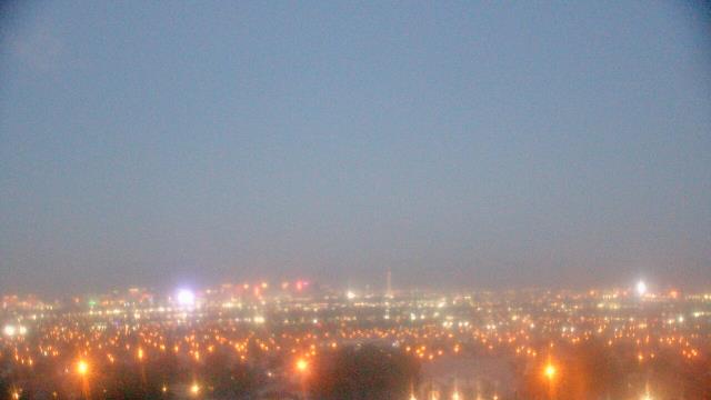
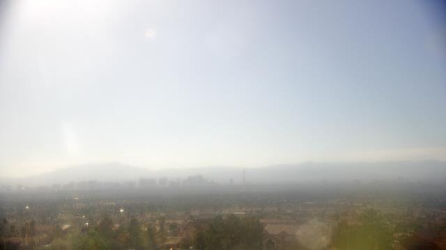
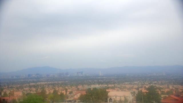
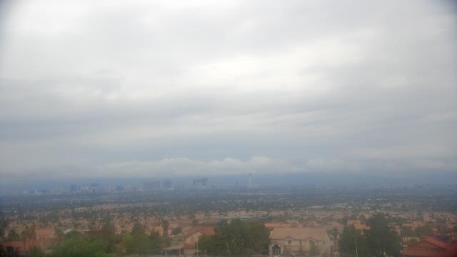
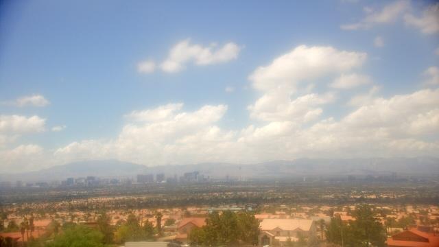
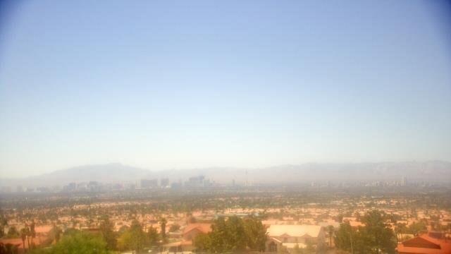
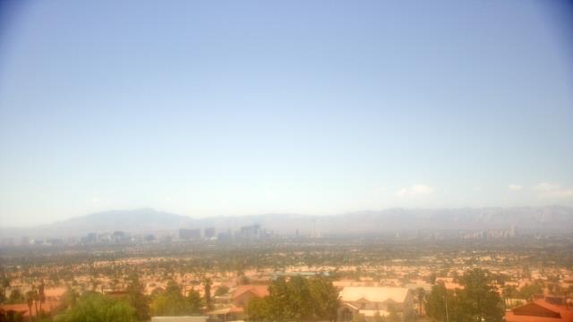
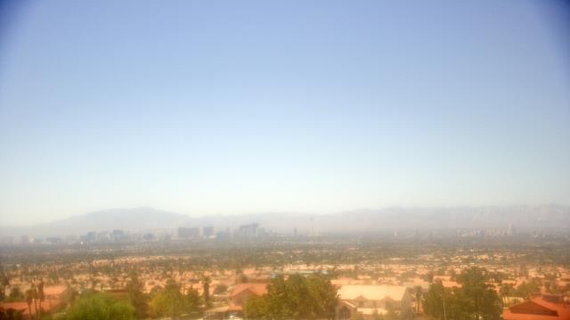
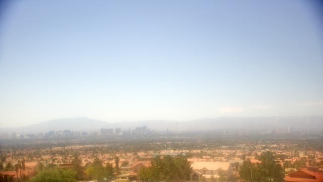
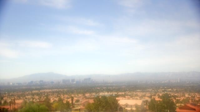
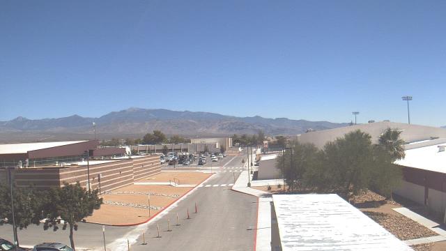
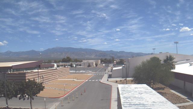
Las Vegas, Nevada, USA - 5.8 miles from Vegas Heights: View of Las Vegas - Webcam and current weather data - camera location: Mike O Callaghan Middle School.
Operator: WeatherBug
Operator: WeatherBug


Pahrump, Nevada, USA - 46.1 miles from Vegas Heights: Pahrump Valley High School - A webcam in Pahrump, Nevada - camera location: Pahrump Valley High School.
Operator: WeatherBug
Operator: WeatherBug


Mesquite, Nevada, USA - 73.6 miles from Vegas Heights: Virgin Valley High School - A webcam in Mesquite, Nevada - camera location: Virgin Valley High School.
Operator: WeatherBug
Operator: WeatherBug


Some other places in this country: Old Overton (historical) - Hesse Camp (historical) - Manse - Victory Village - Bonanza Village - Eastland Heights - Morgantown (historical) - Eldorado Canyon (historical) - Platina (historical) - Nivloc