Webcams in the region of Sunshine Camp (historical), Nevada, USA
The List of Webcams near Sunshine Camp (historical), Nevada, USA:

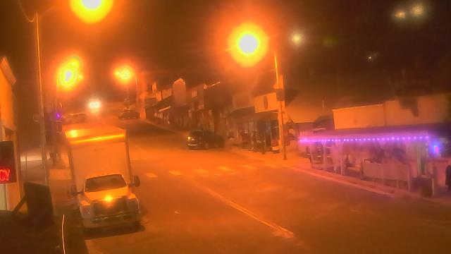
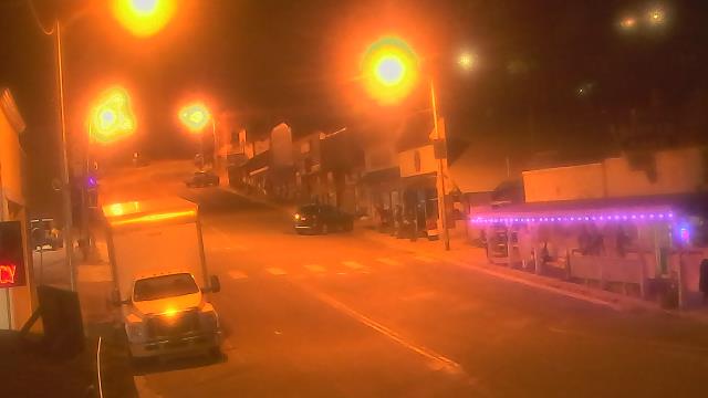
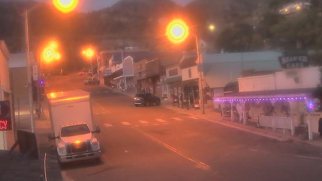
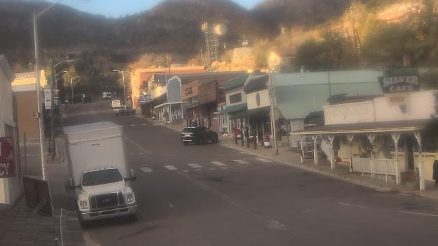
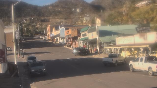
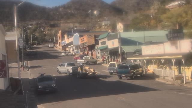
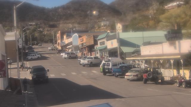
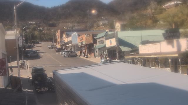
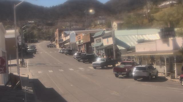
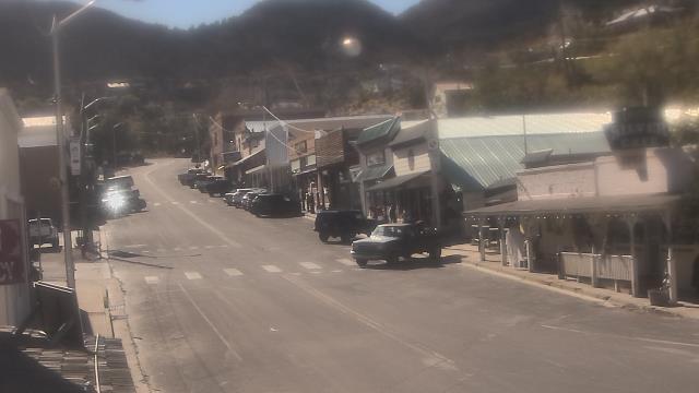
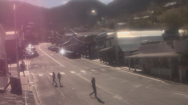
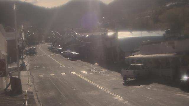
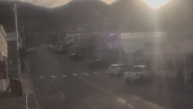
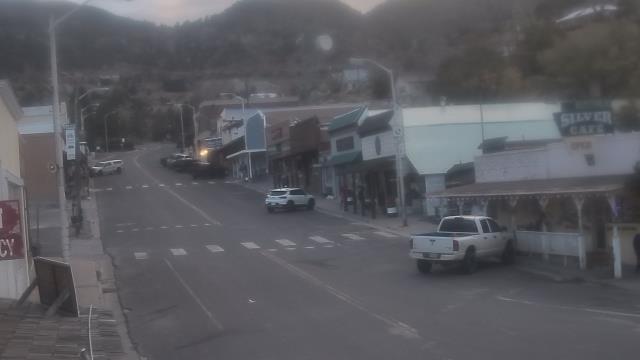
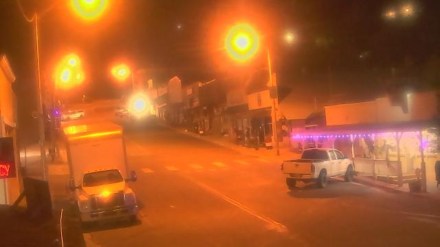
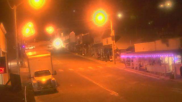
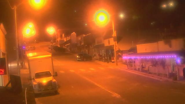
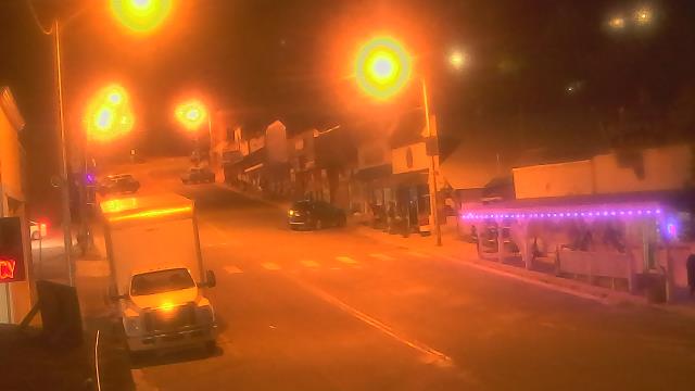
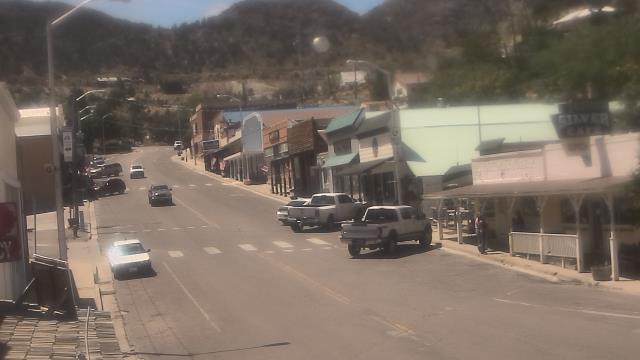
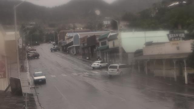
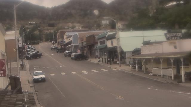
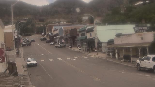
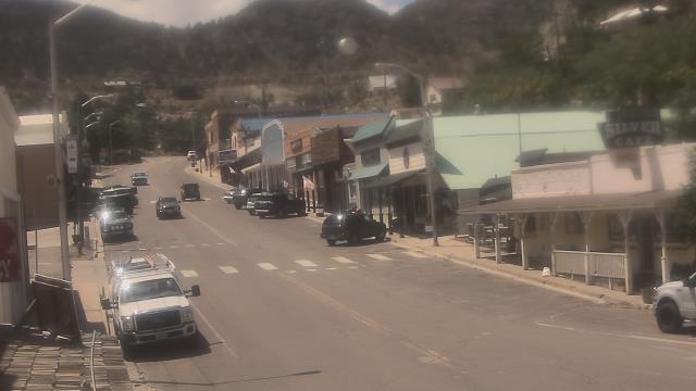
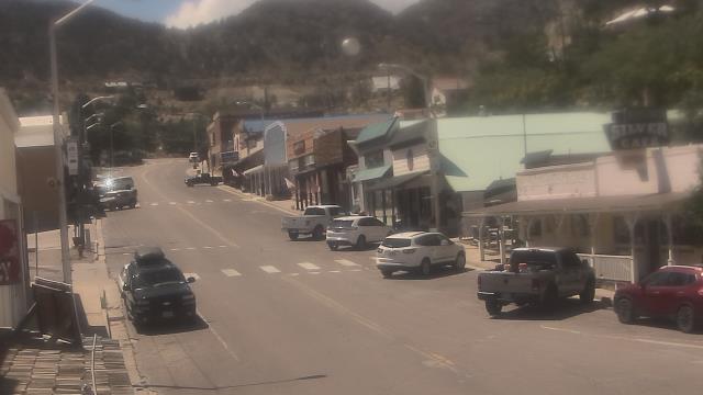
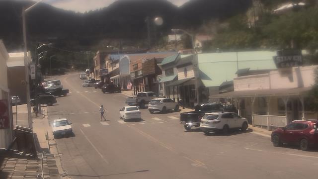
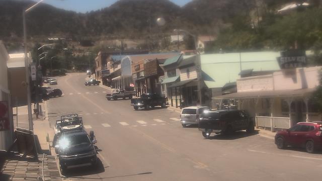
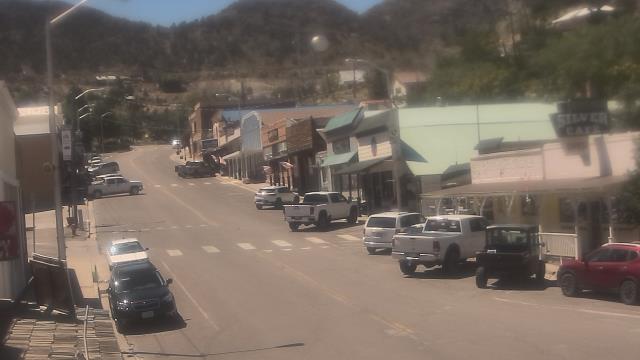
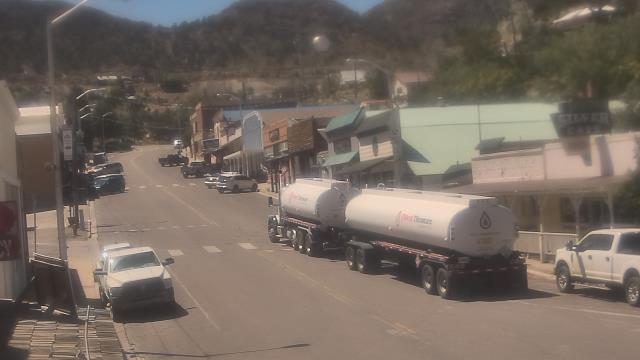
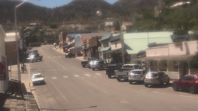
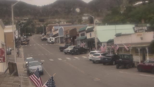
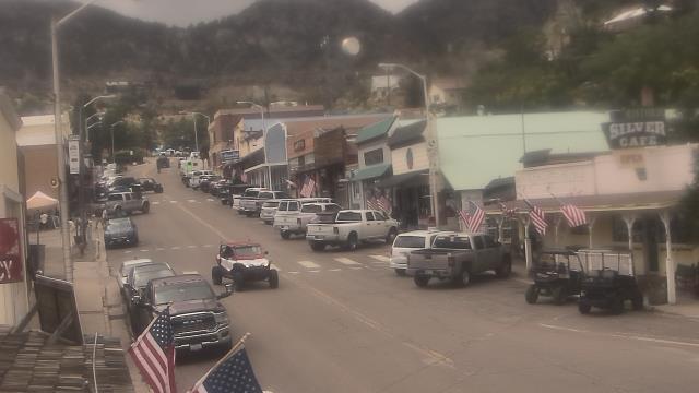
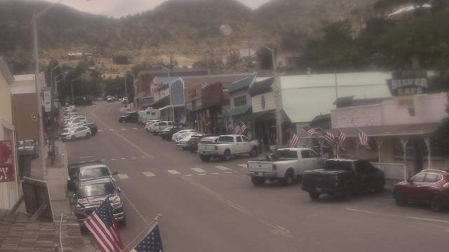
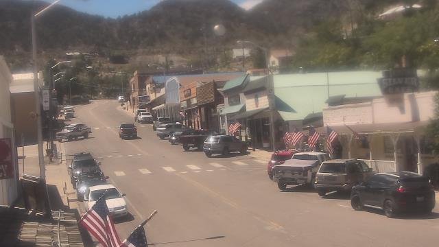
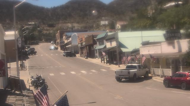
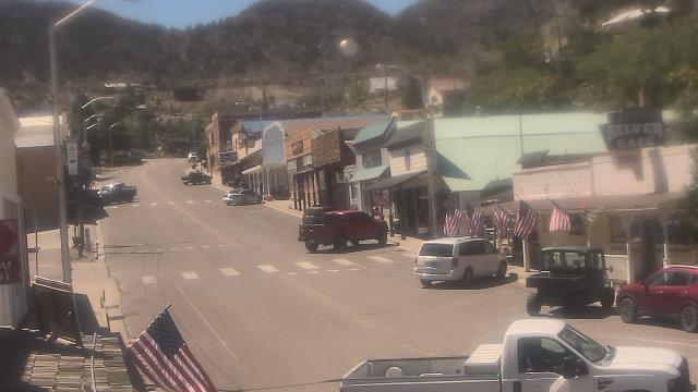
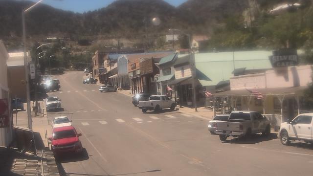
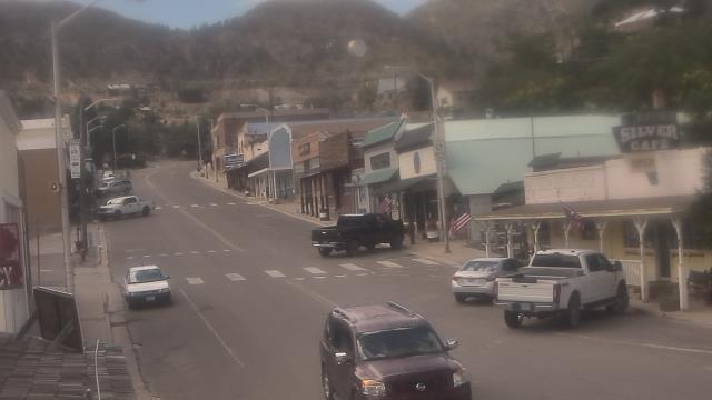
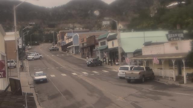
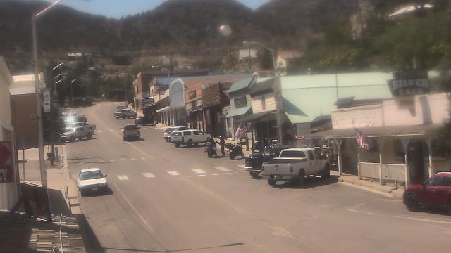
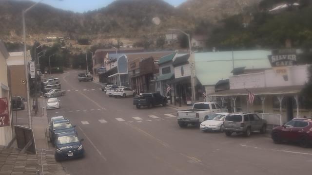
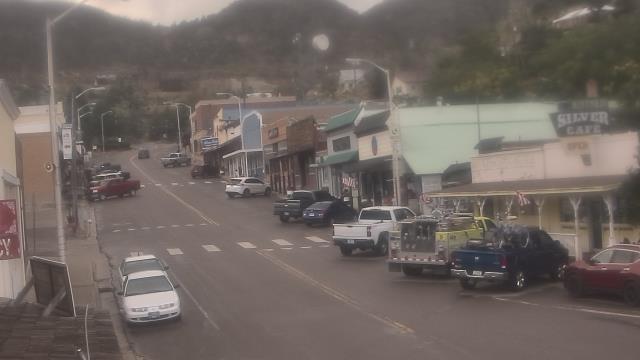
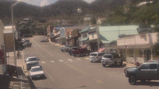
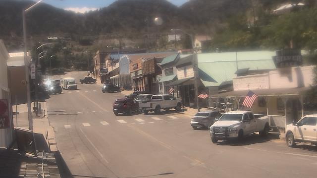
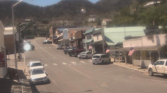
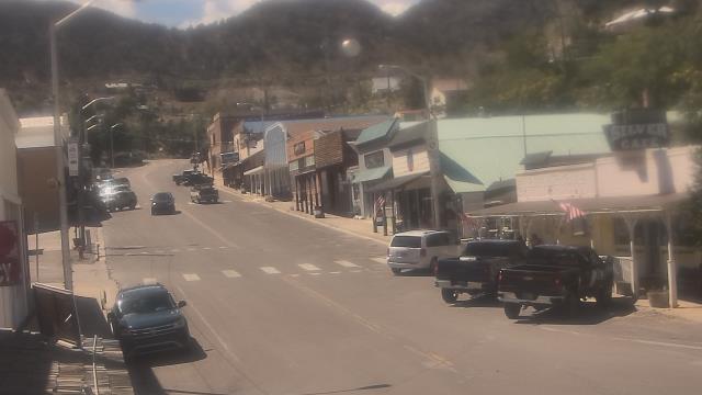
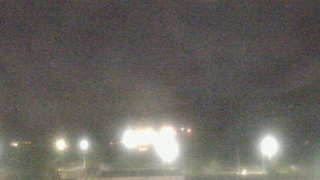
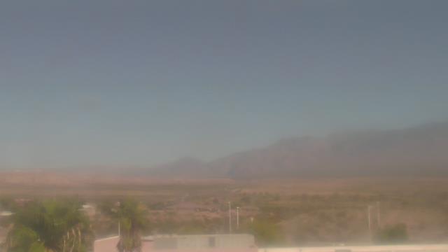
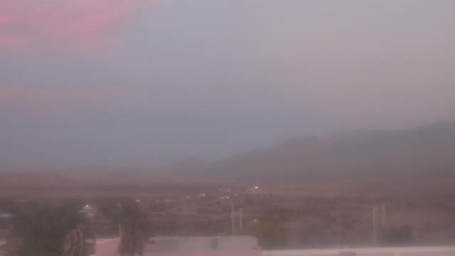
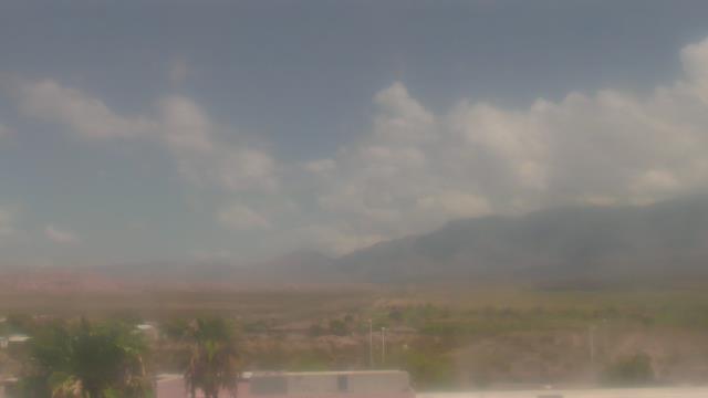
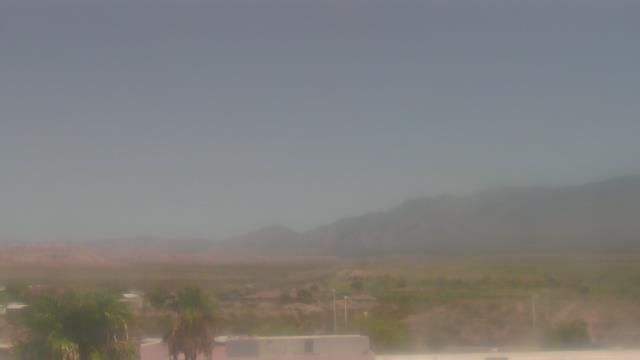
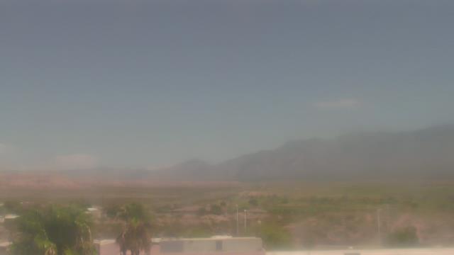
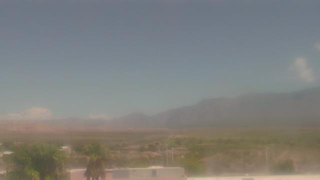
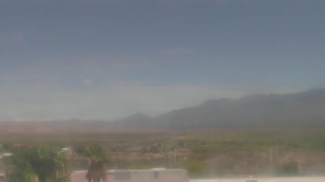
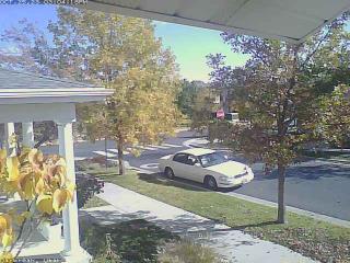
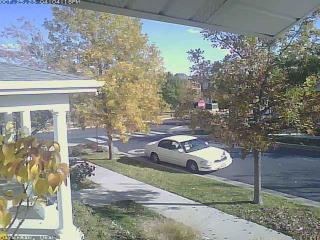
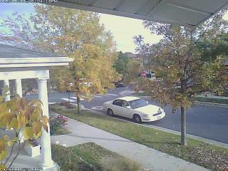
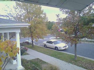
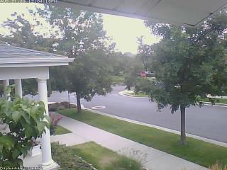
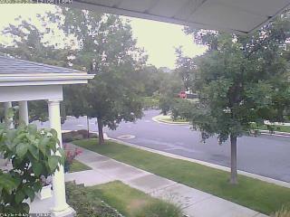
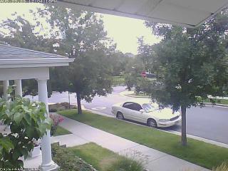
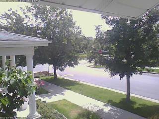
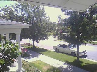
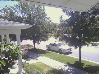
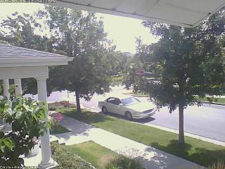
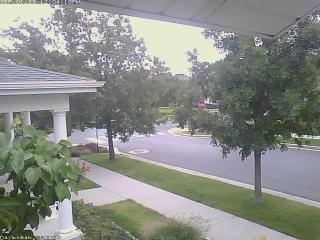
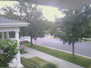
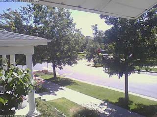
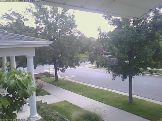
Pioche, Nevada, USA - 97.1 miles from Sunshine Camp (historical): Overland Hotel - Webcam and current weather data - camera location: Overland Hotel.
Operator: WeatherBug
Operator: WeatherBug


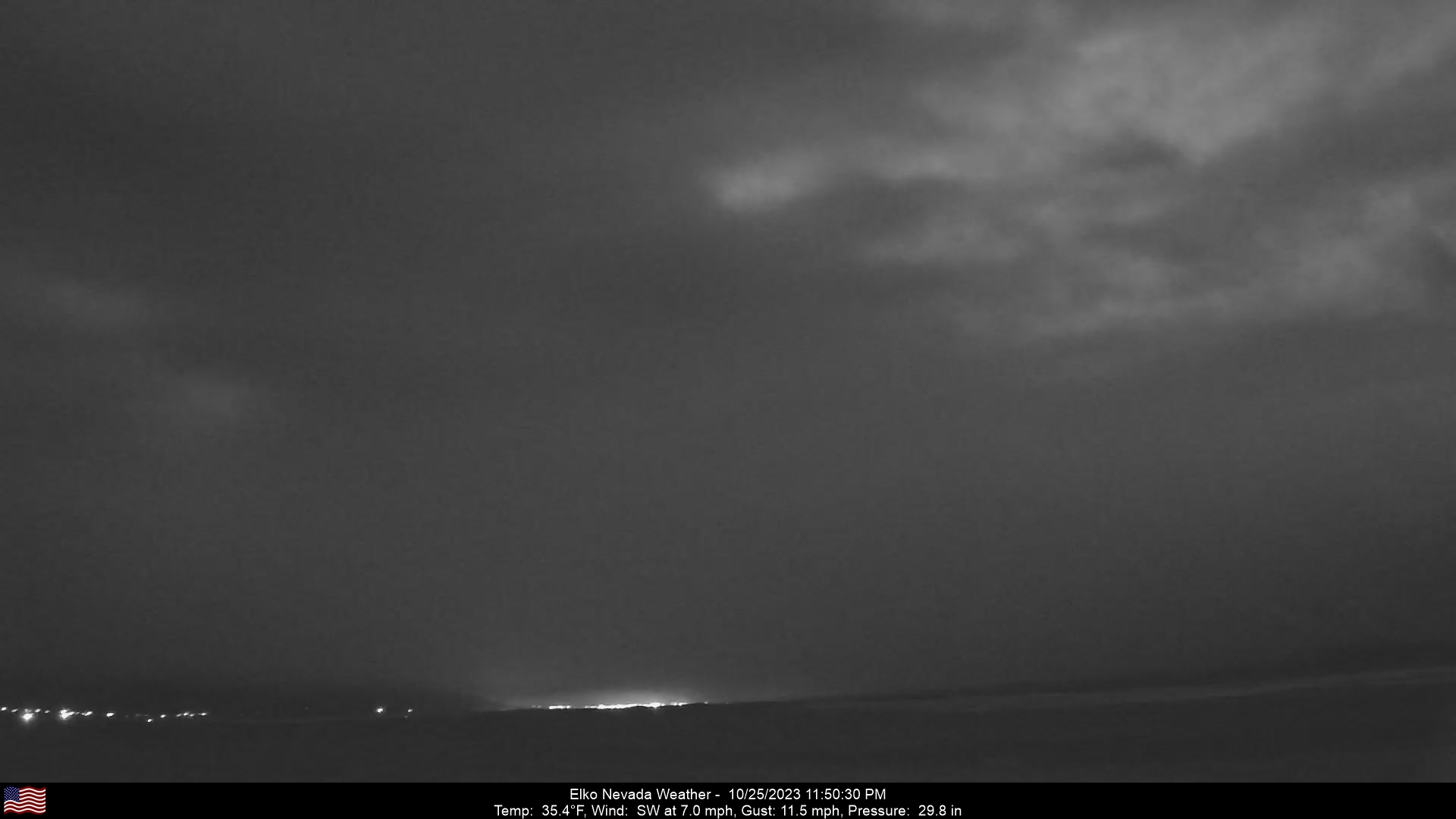
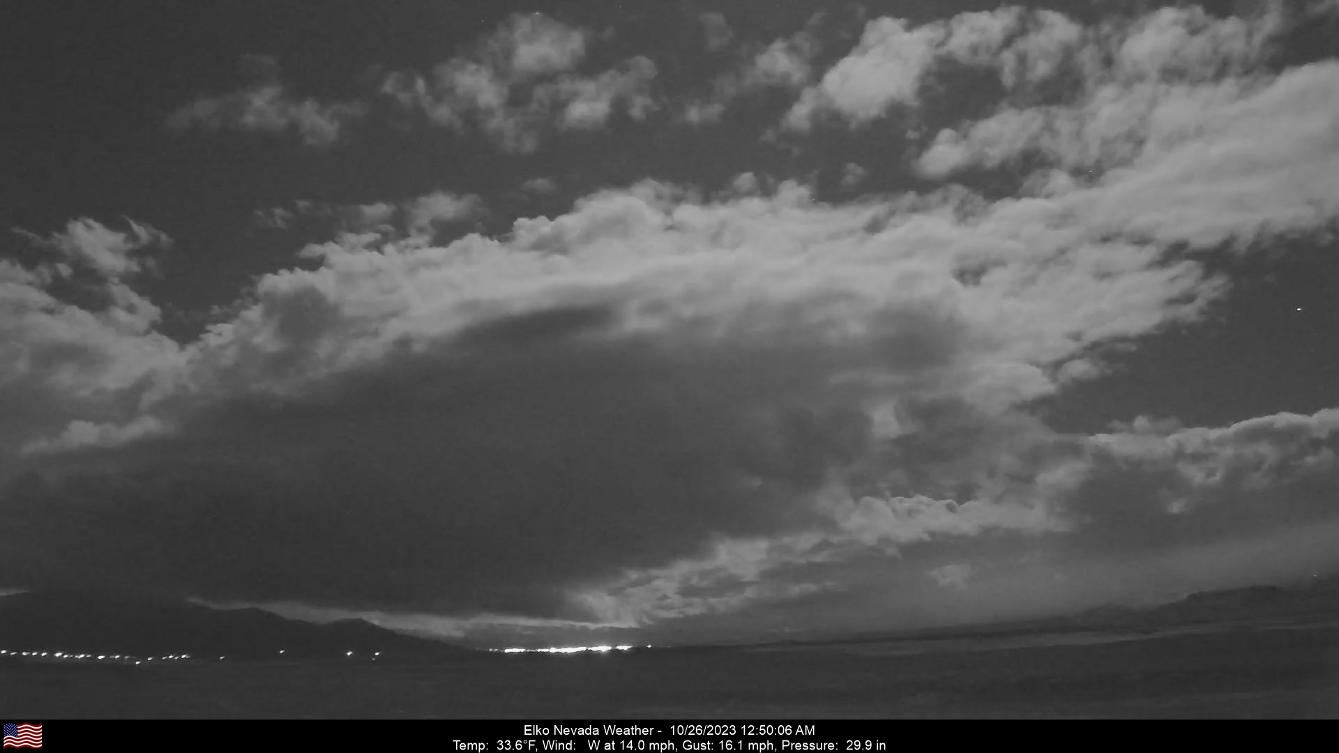
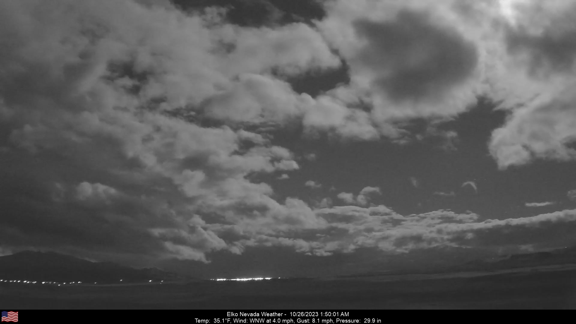
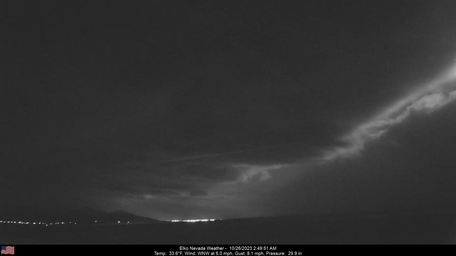
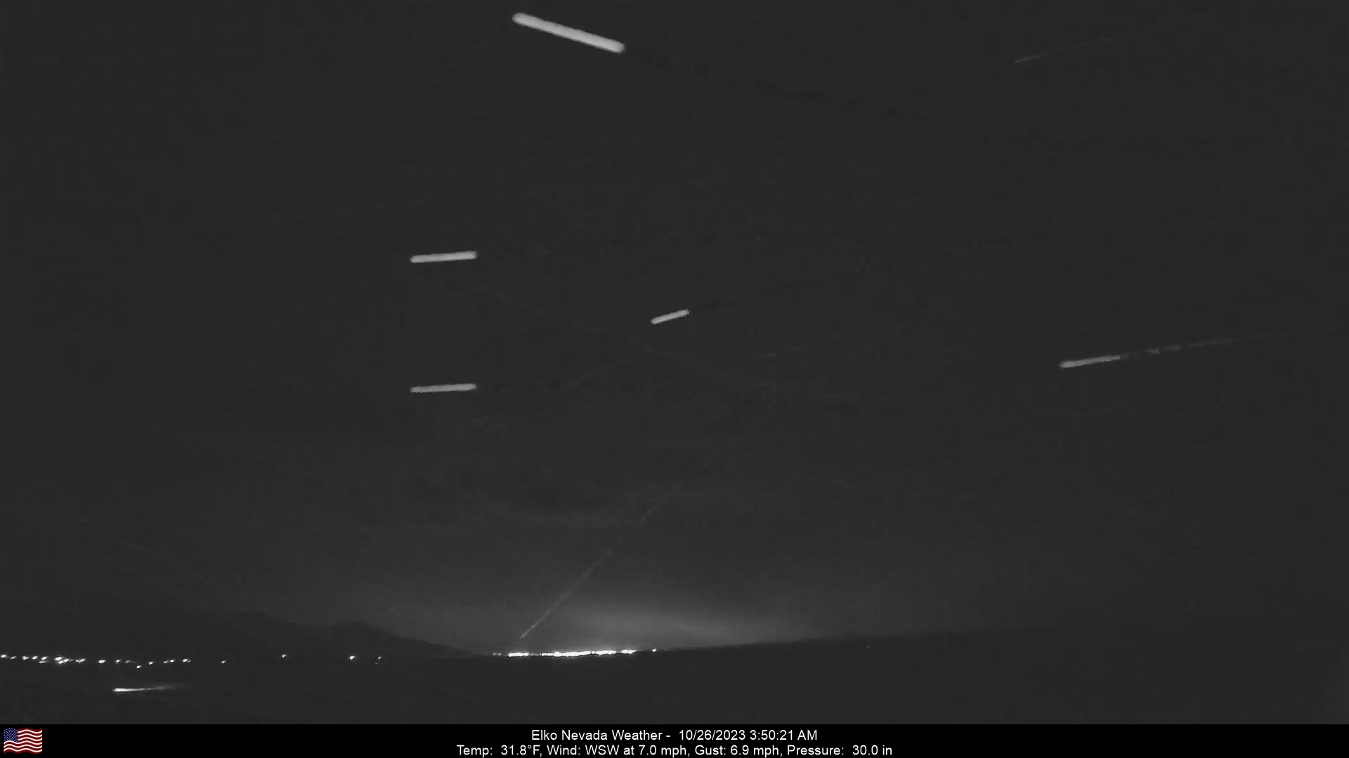
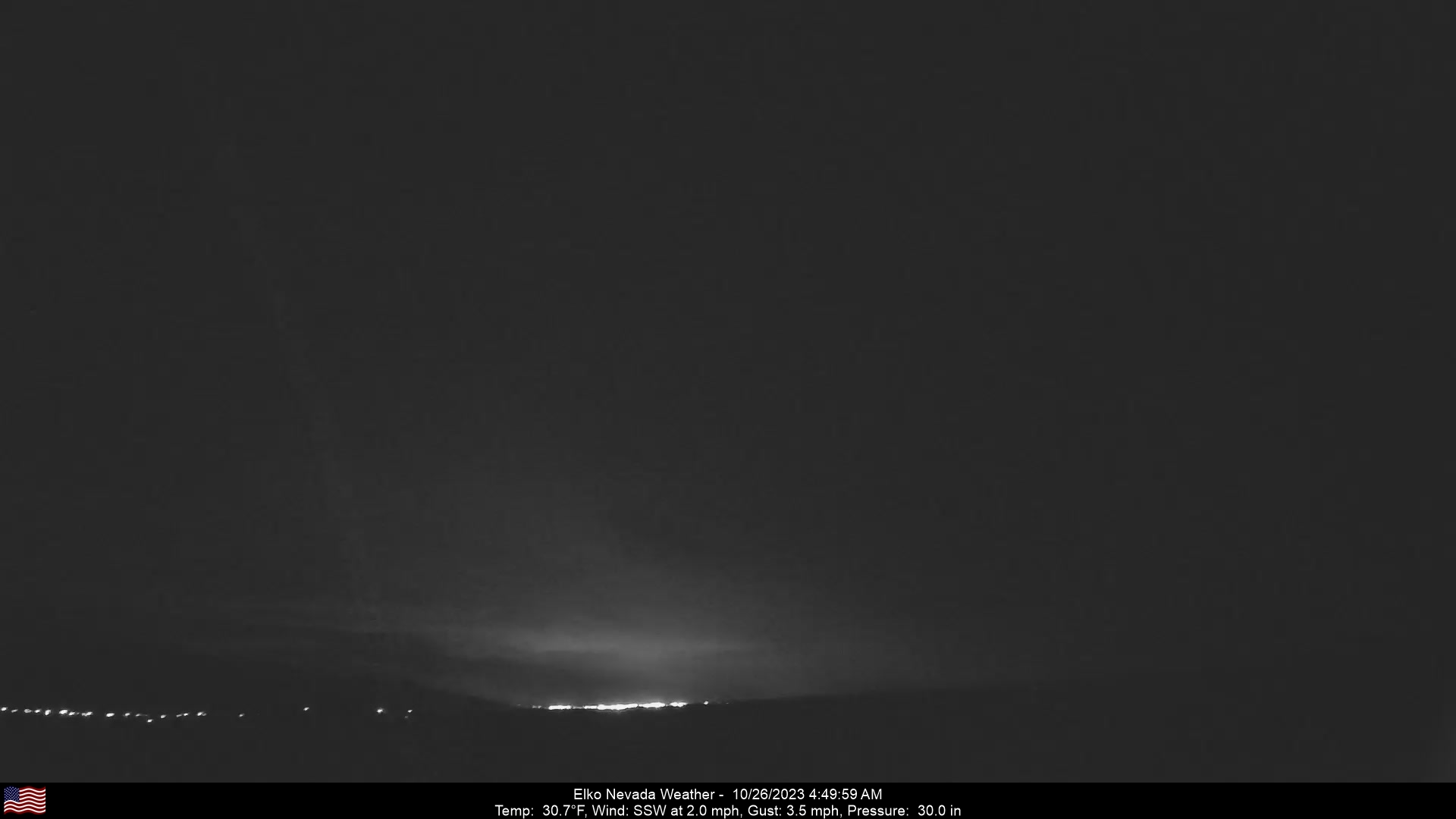
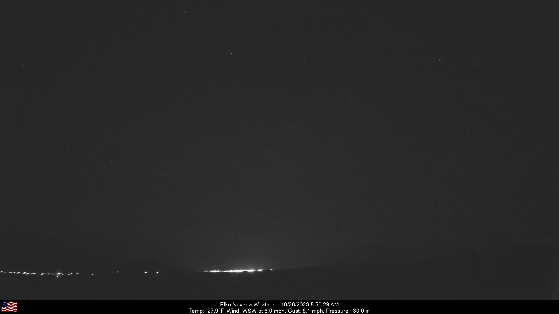
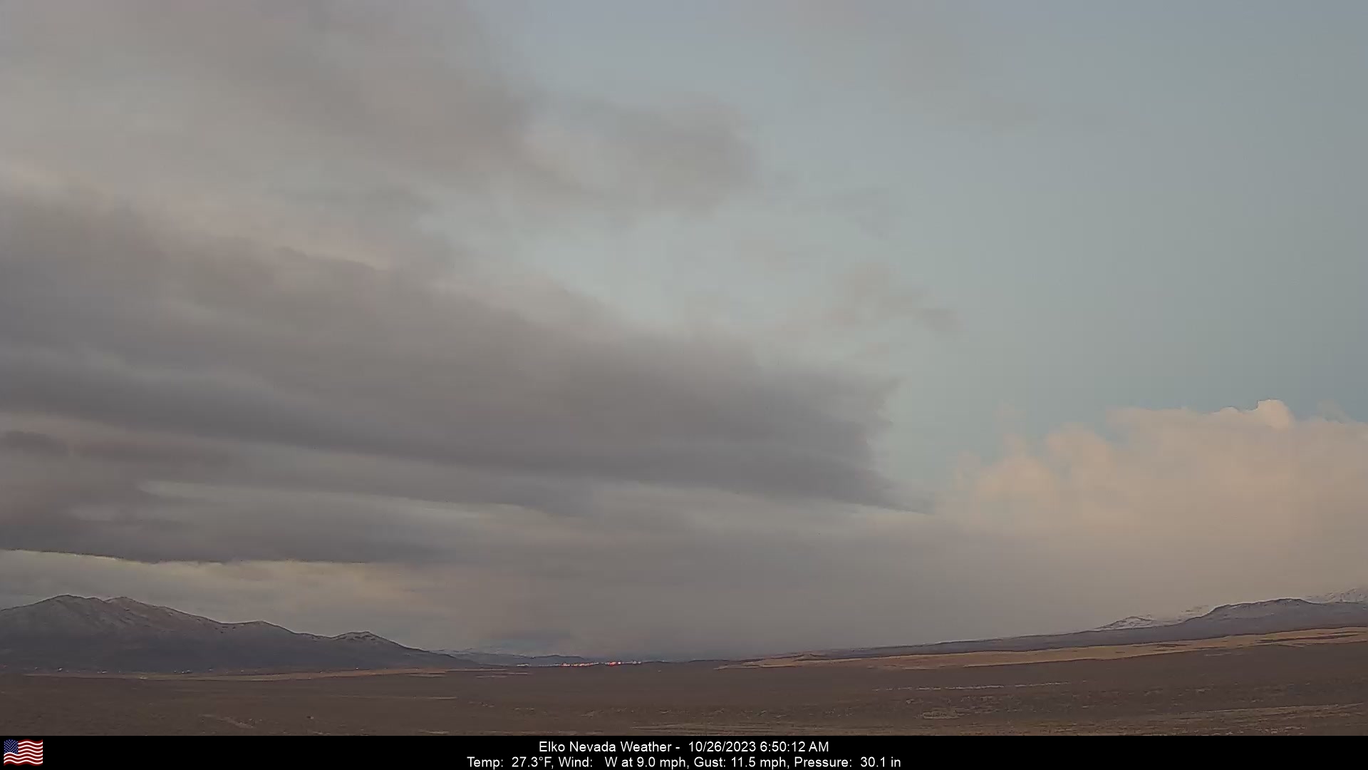
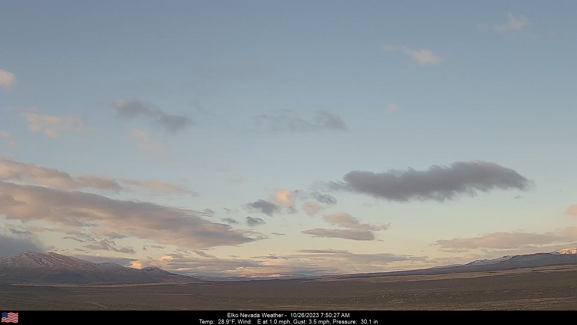
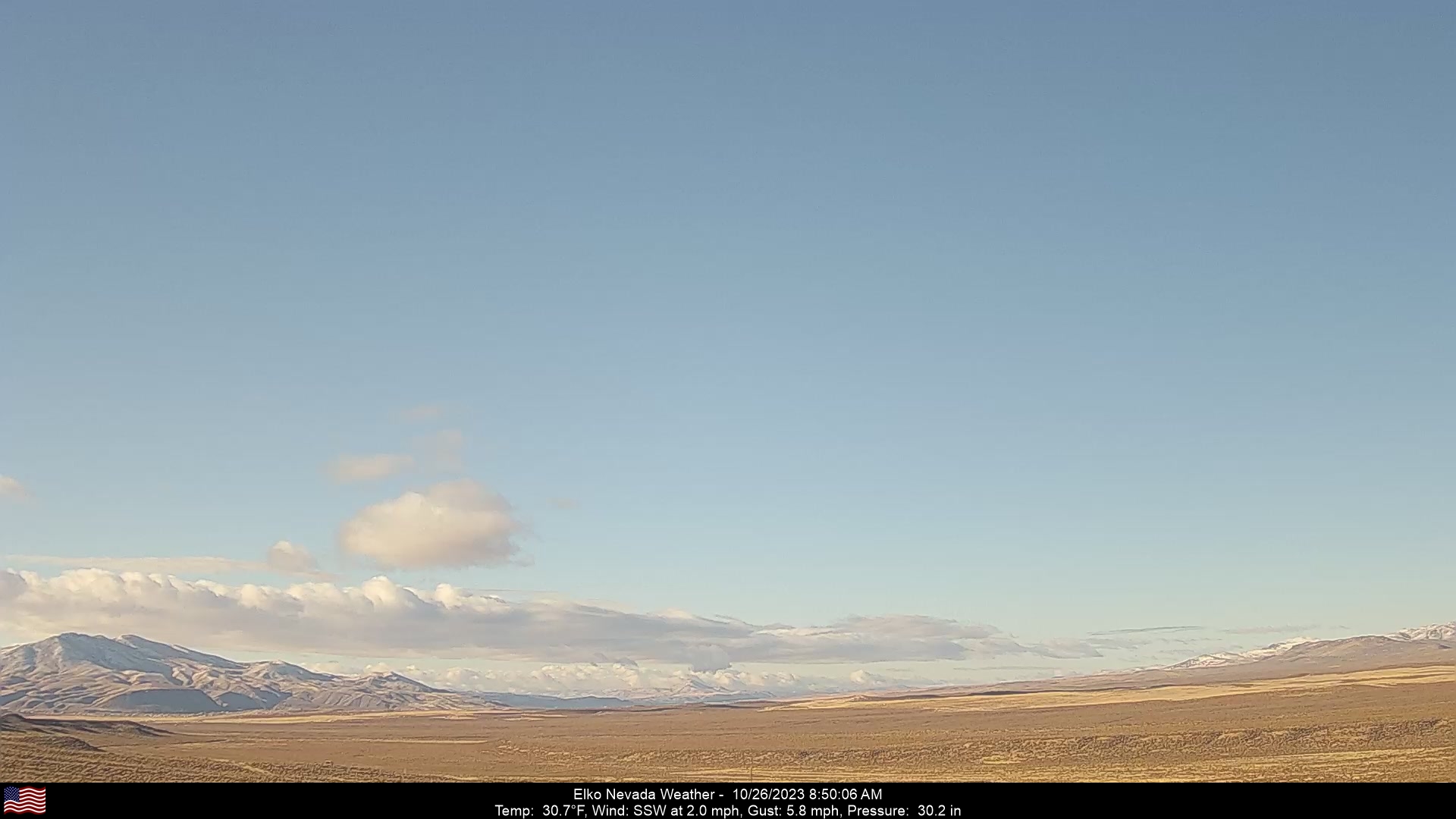
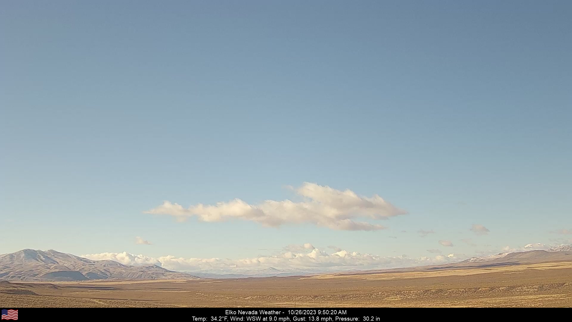
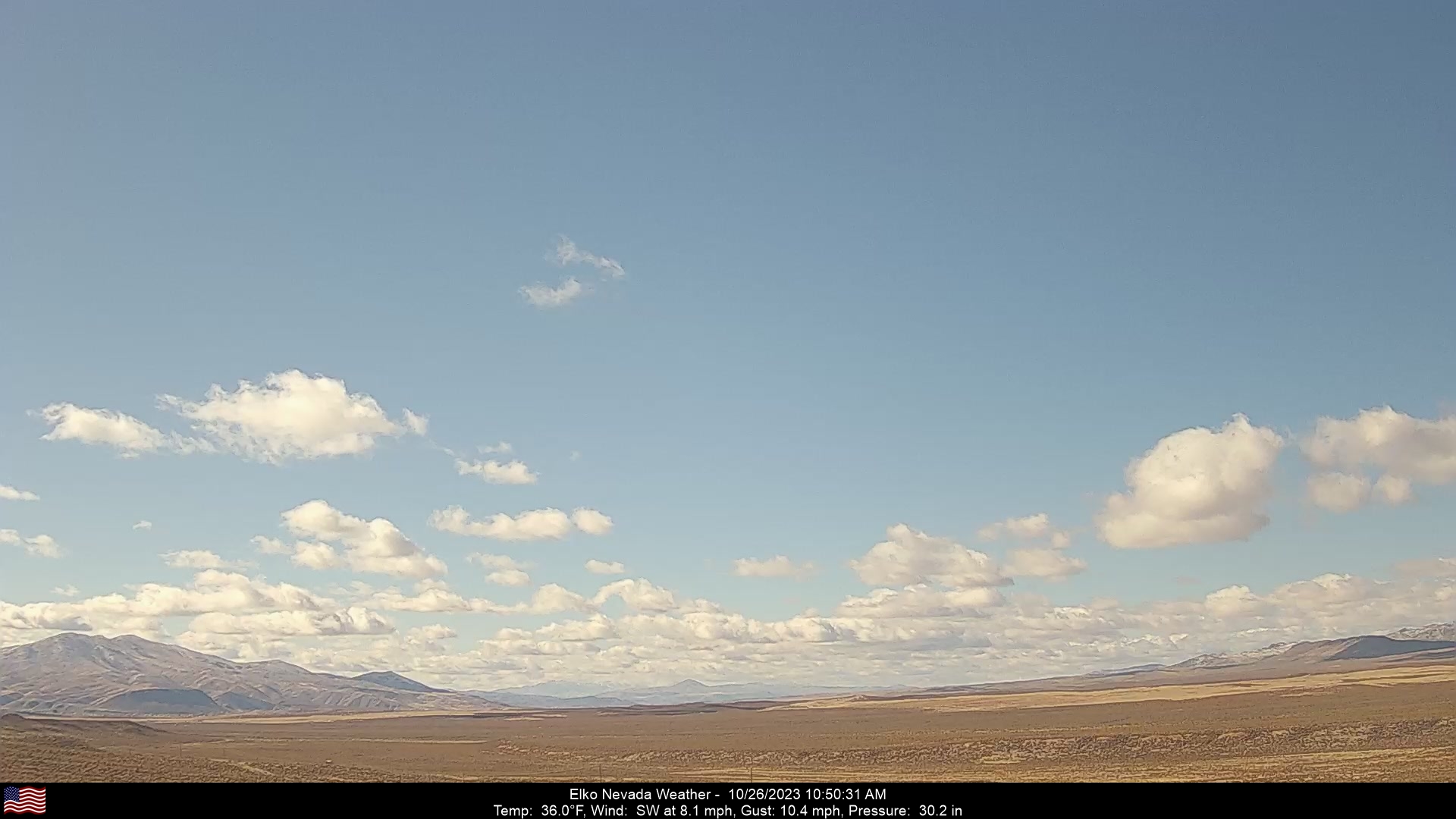
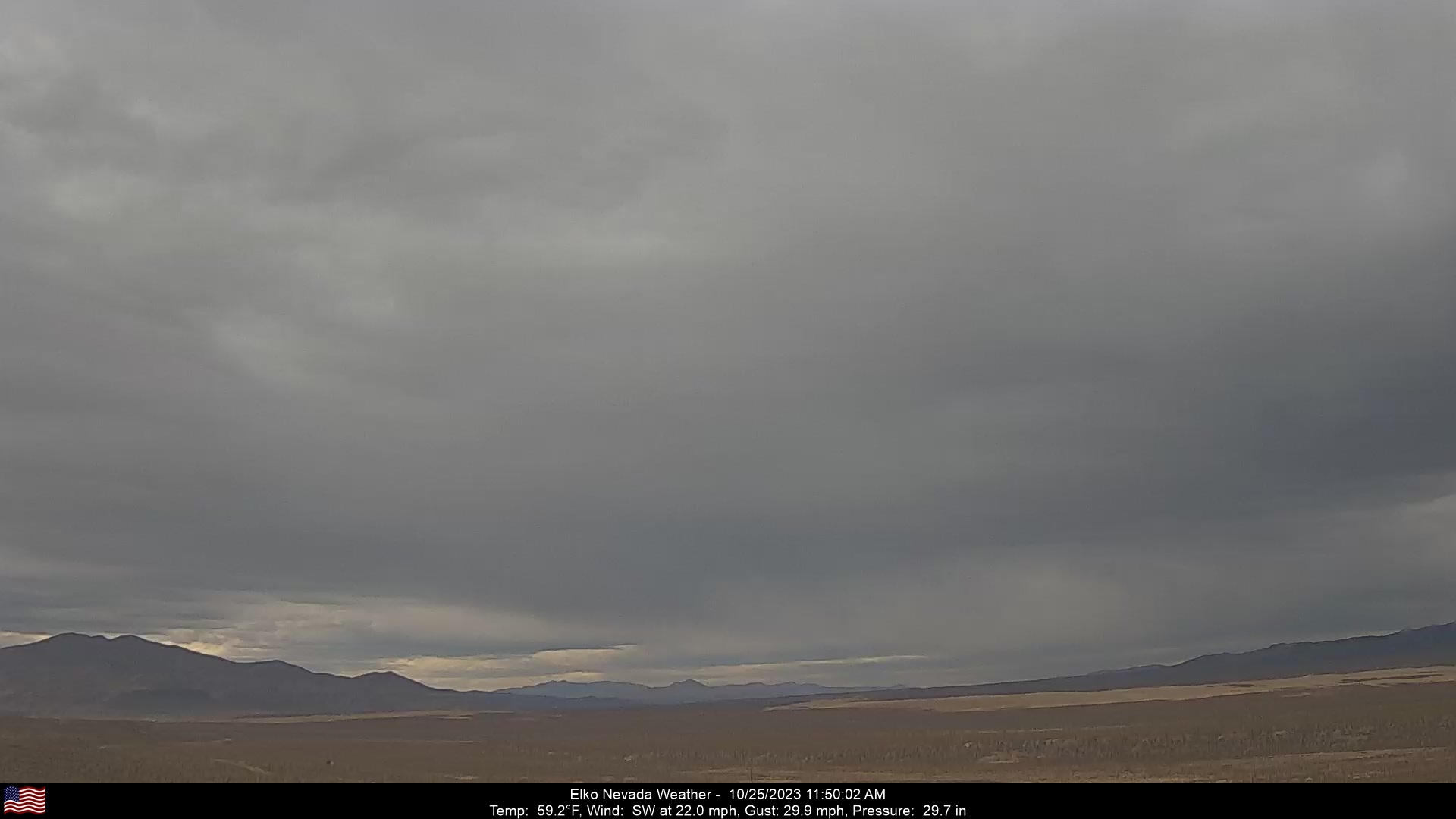
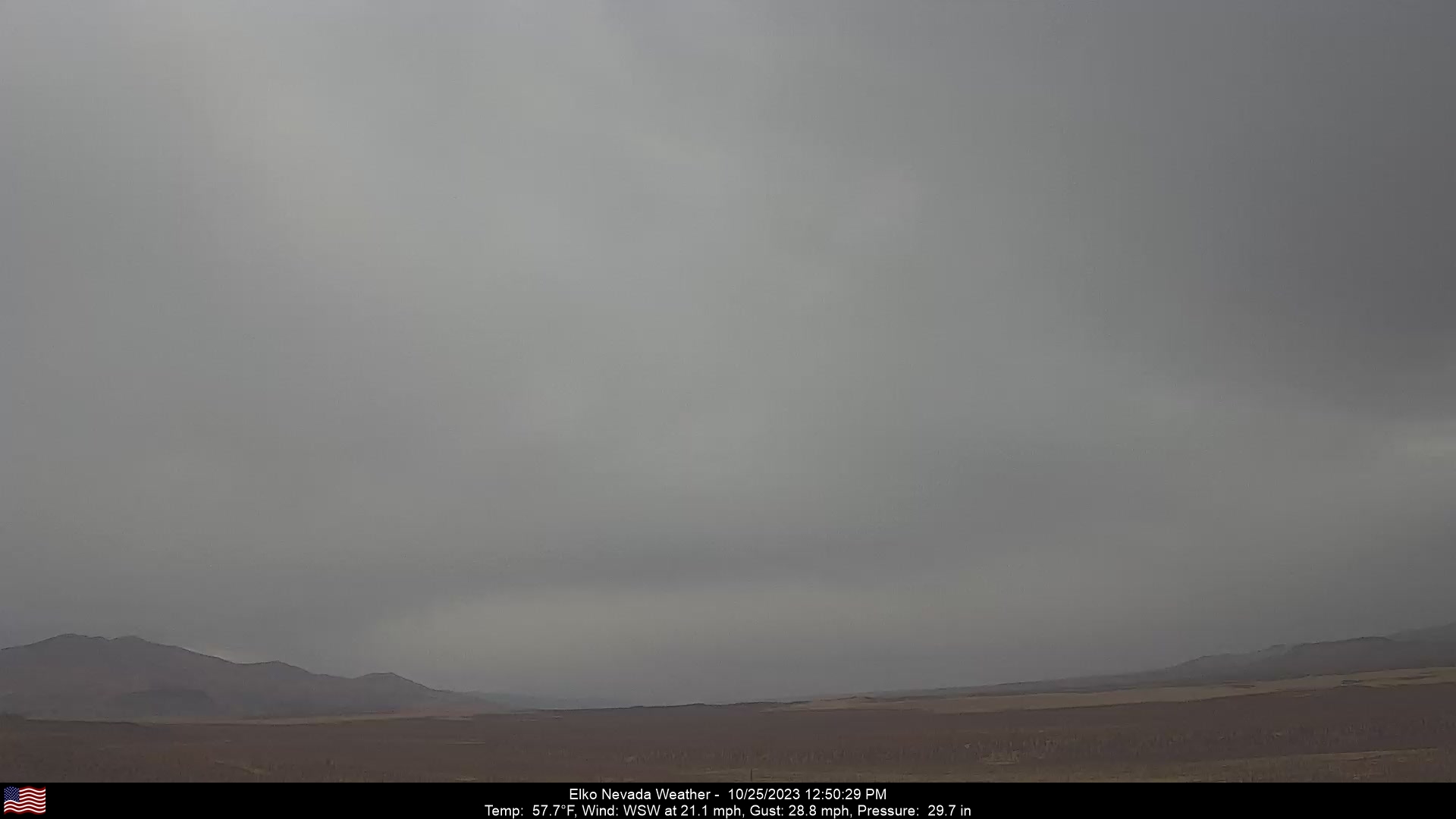
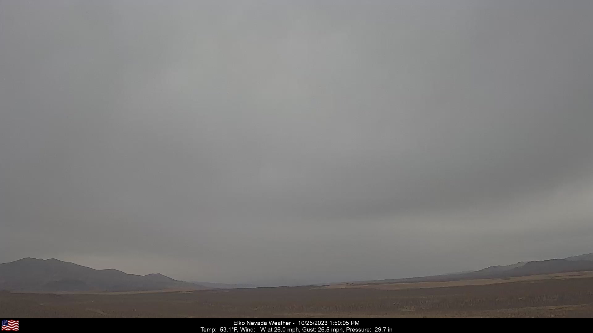
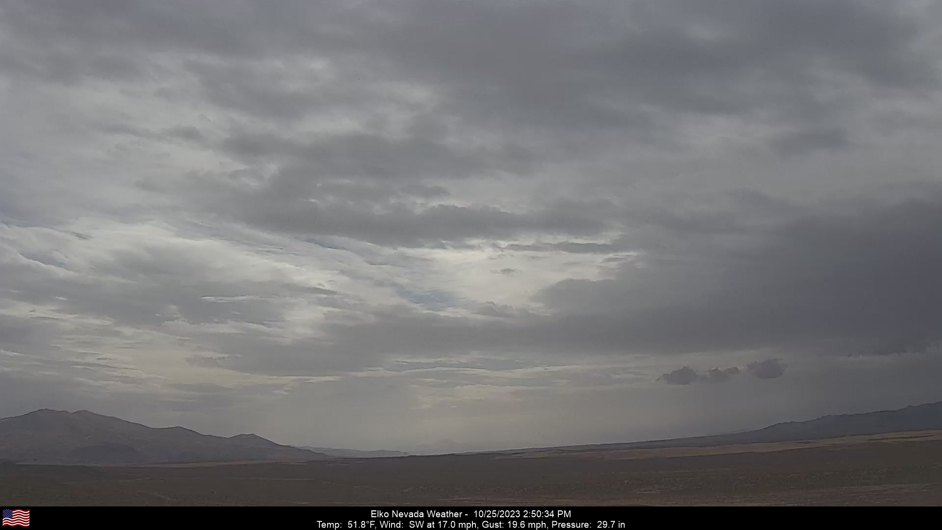
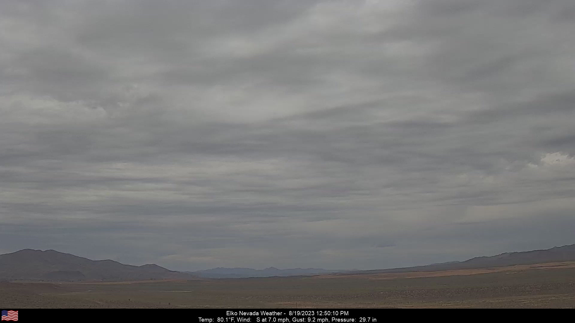
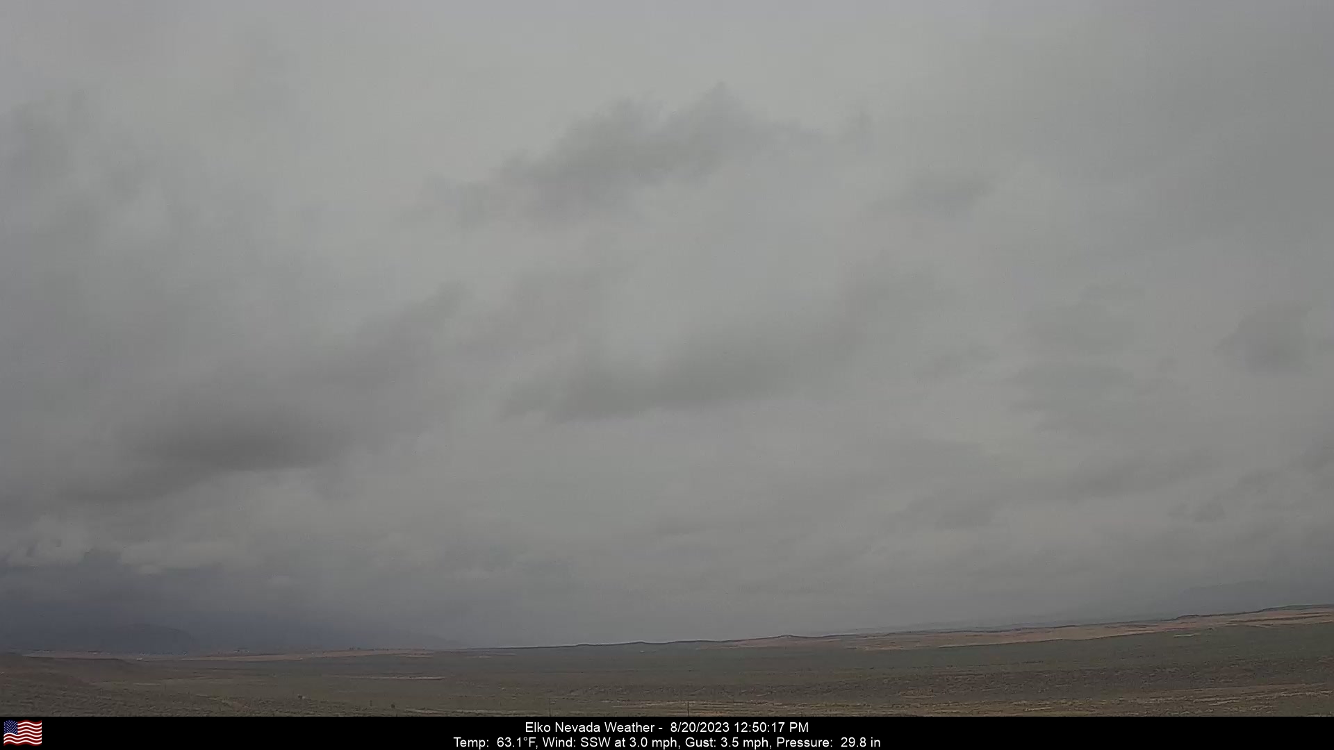
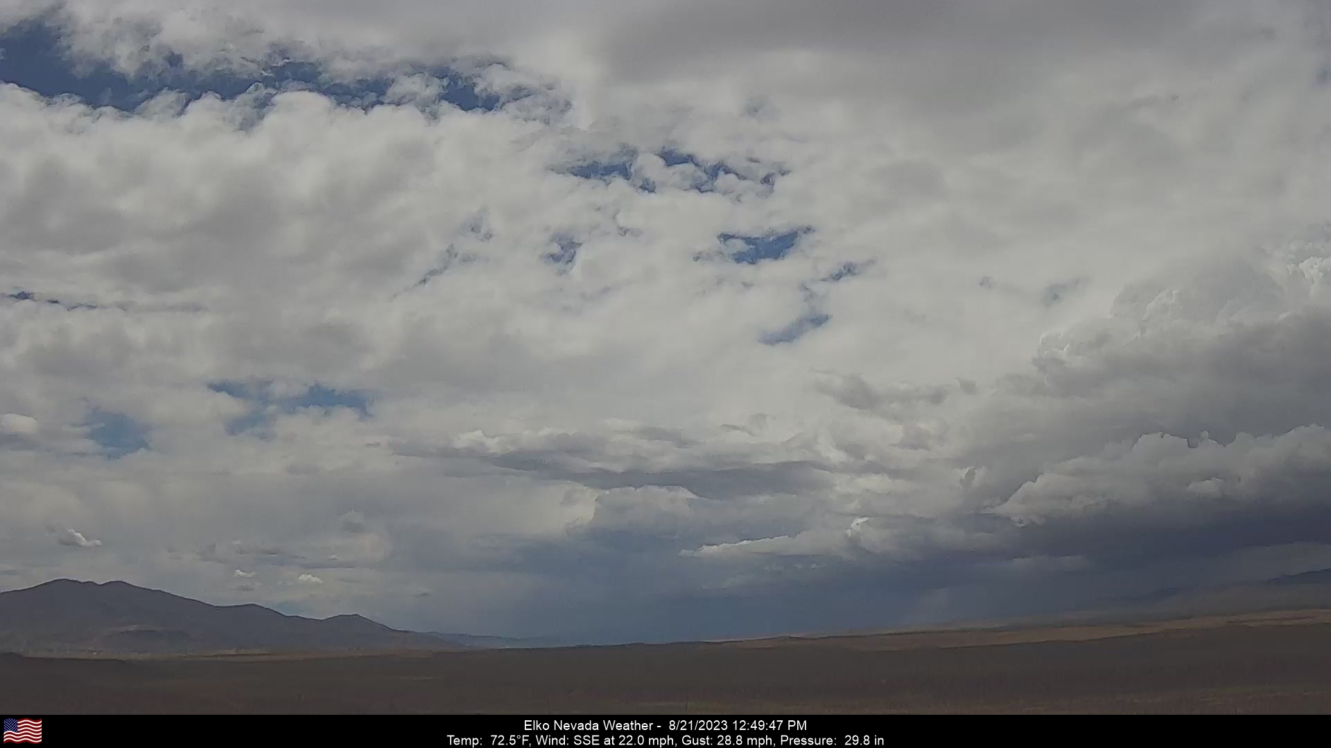
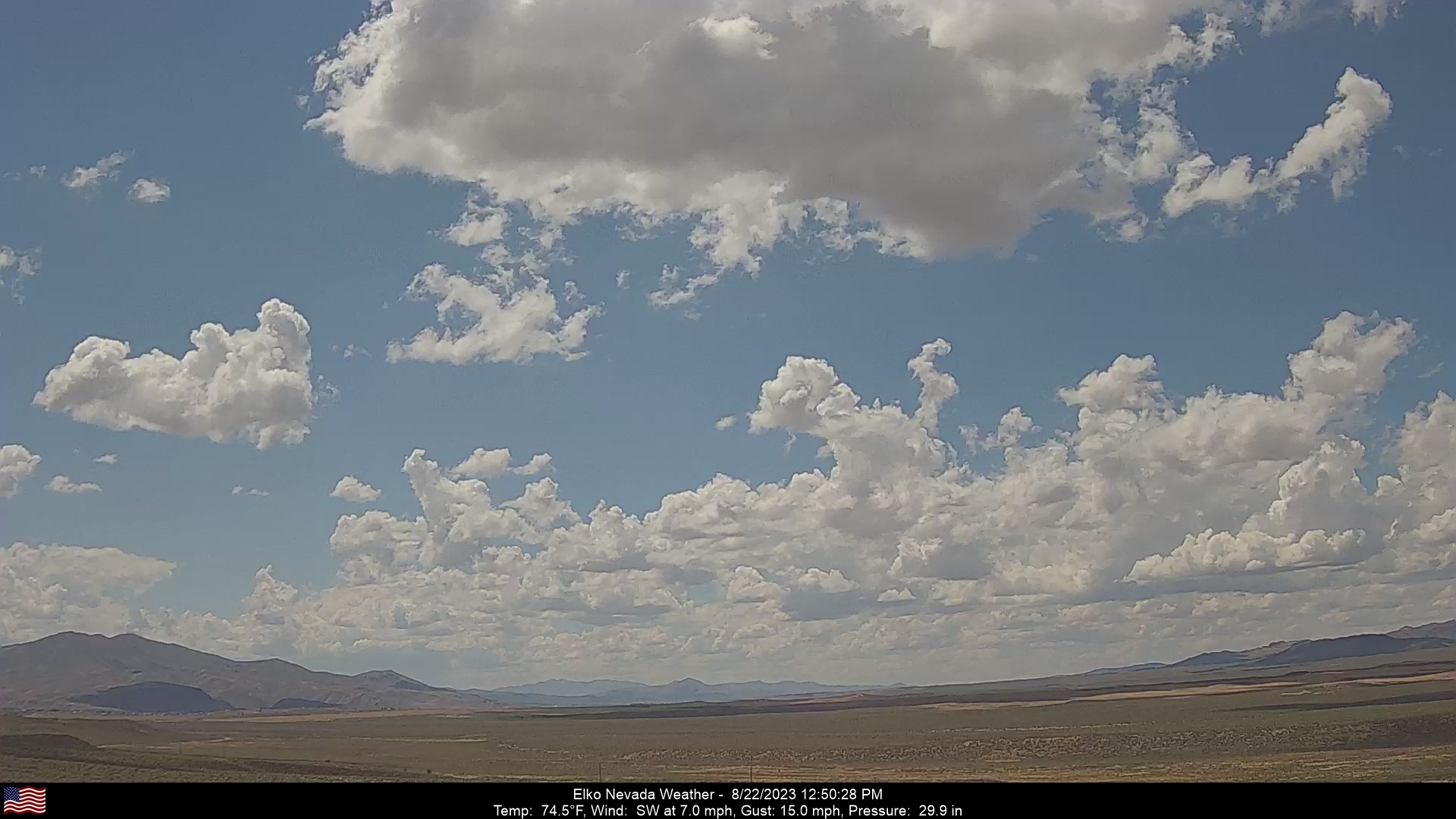
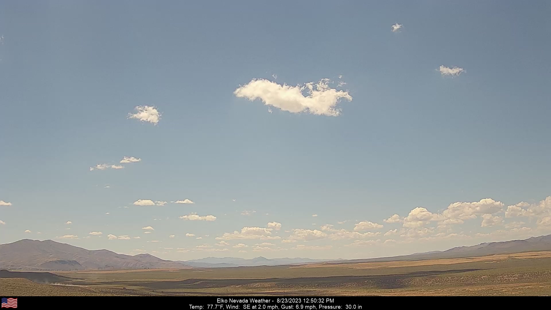
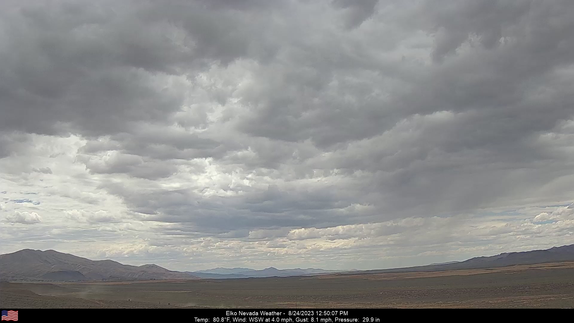
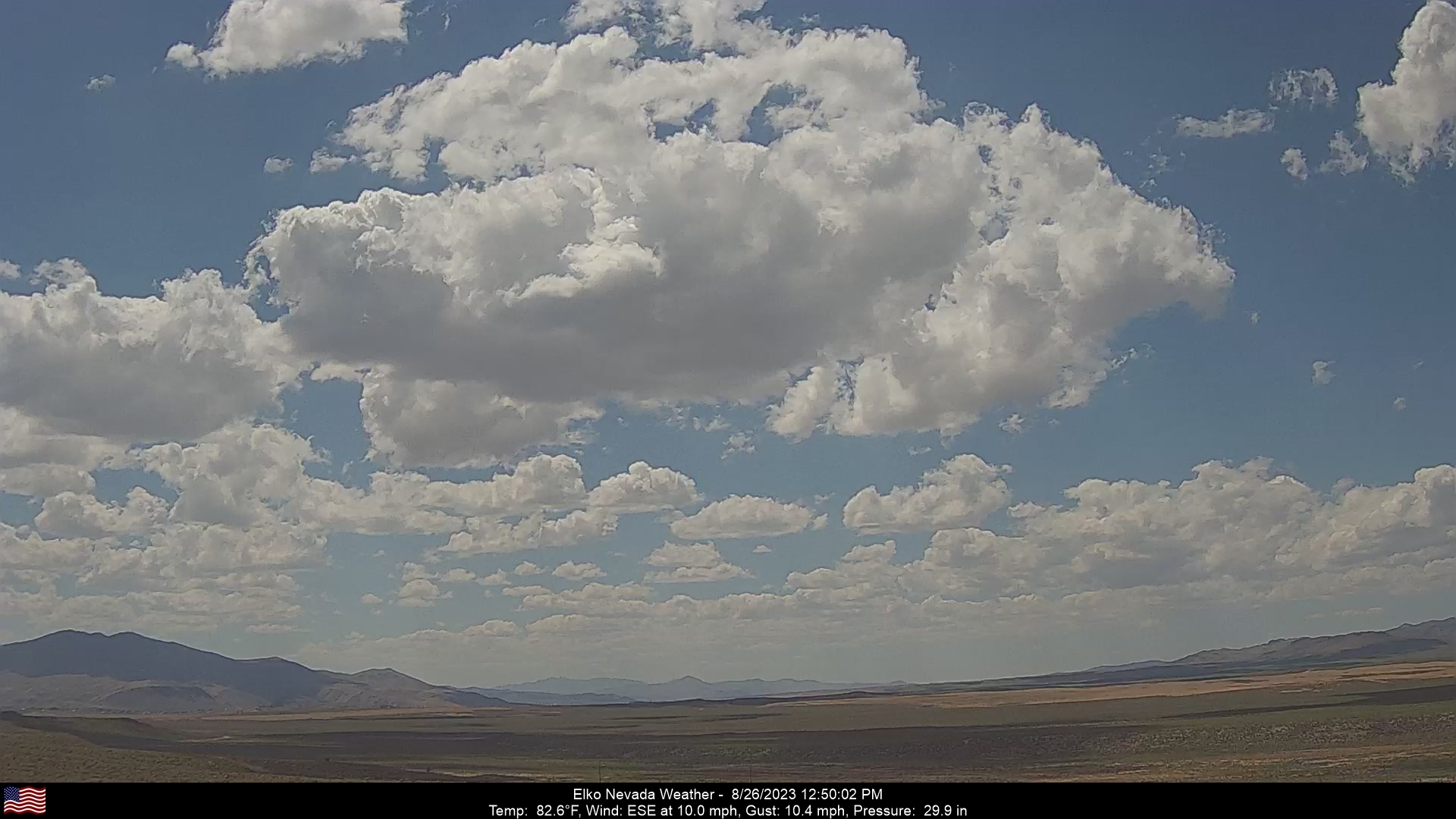
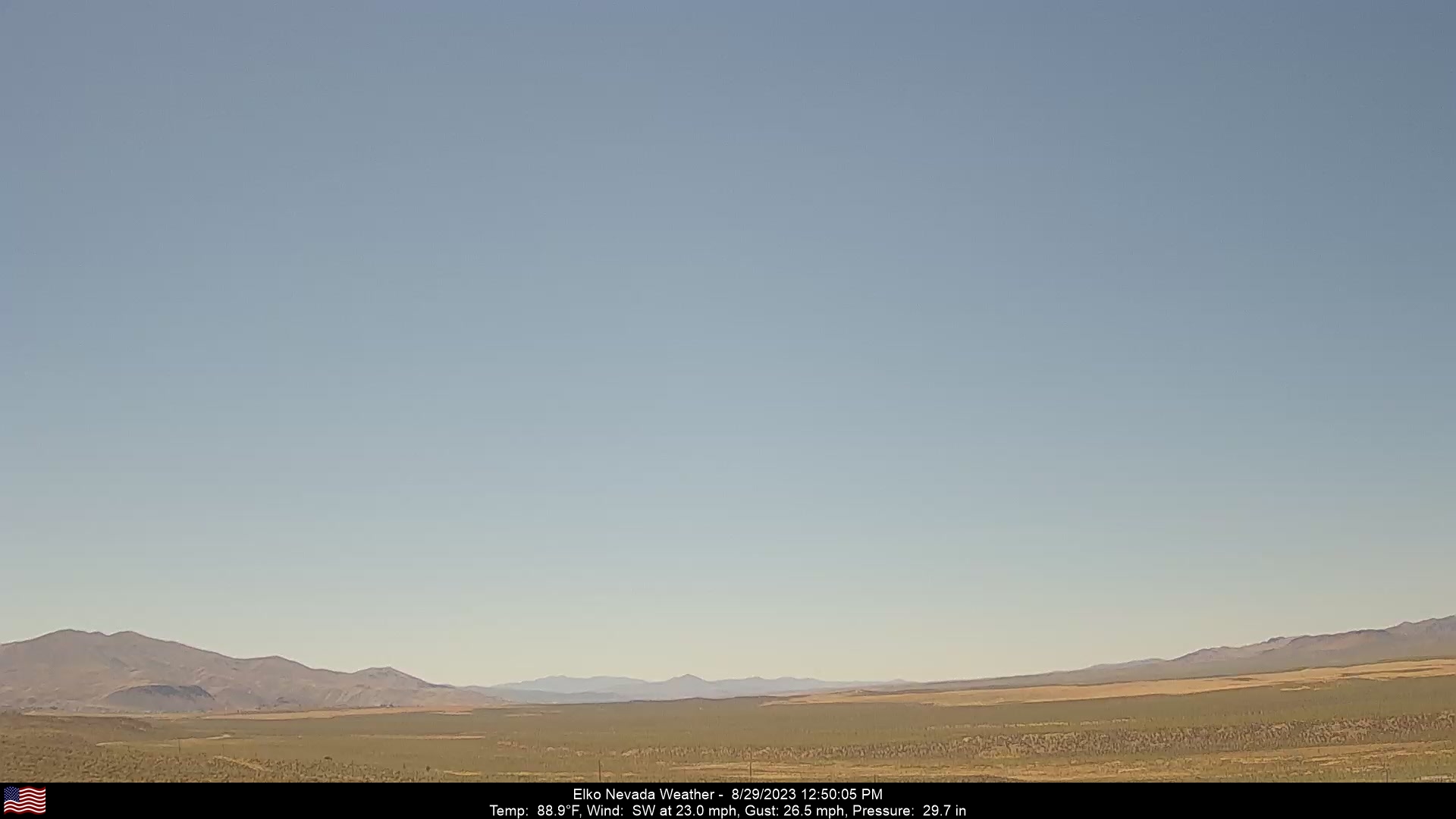
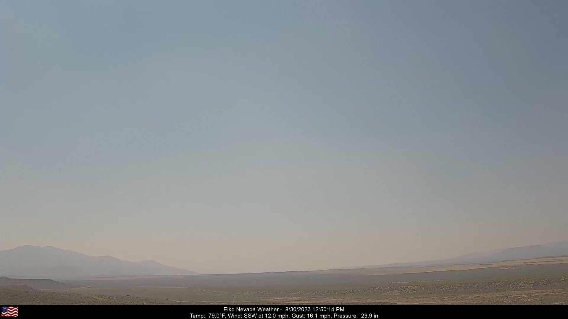
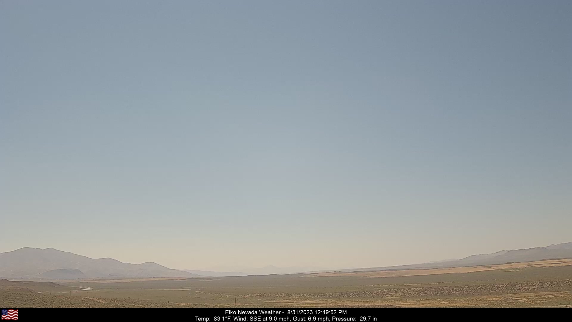
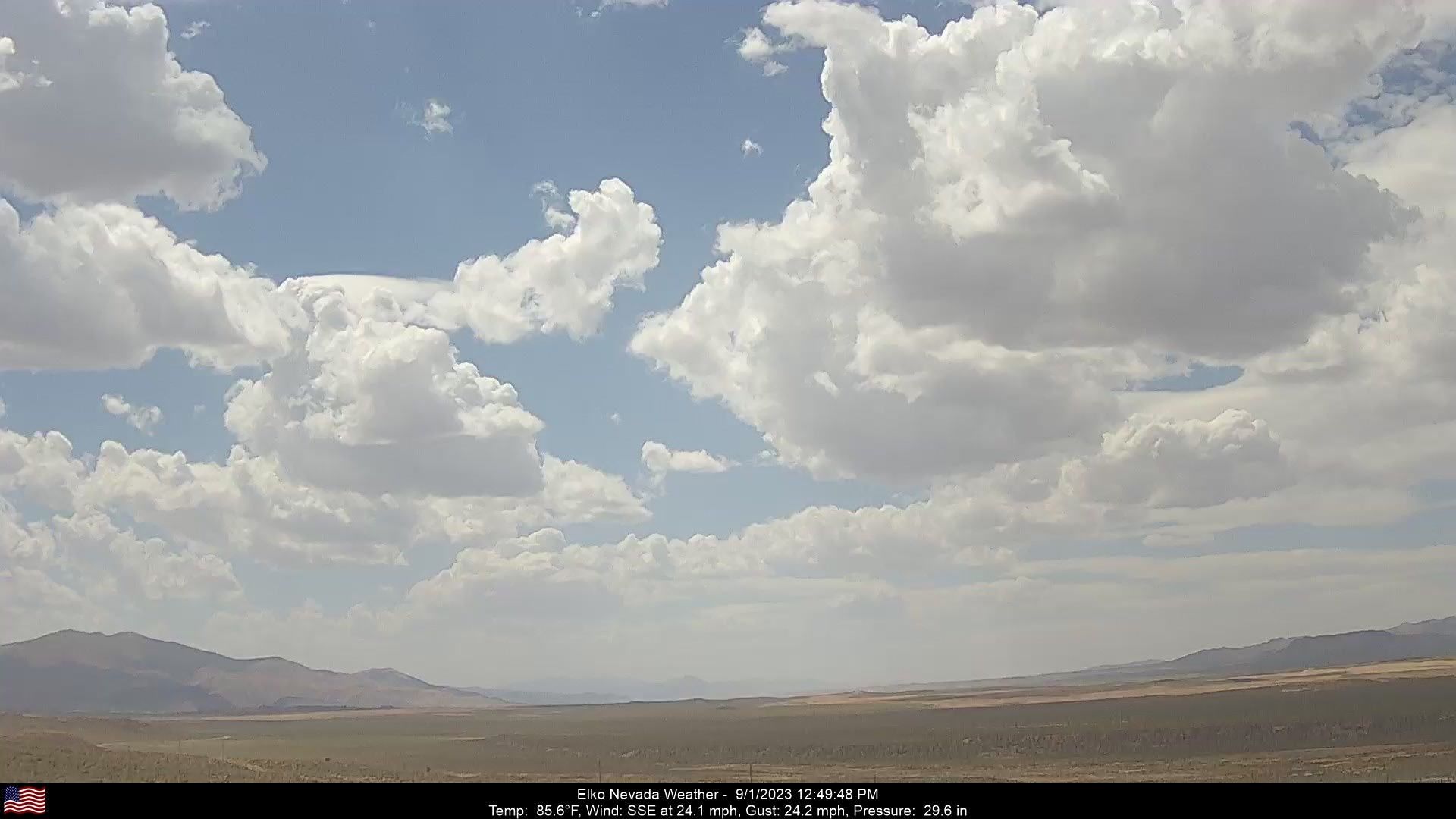
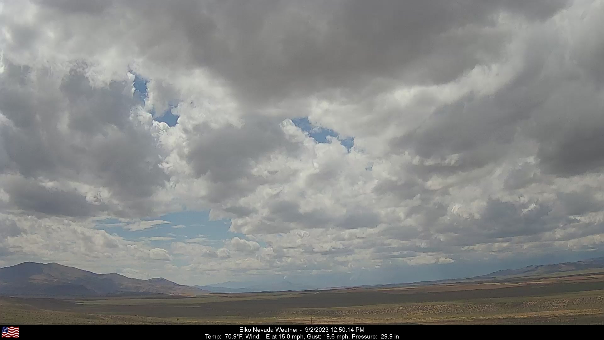
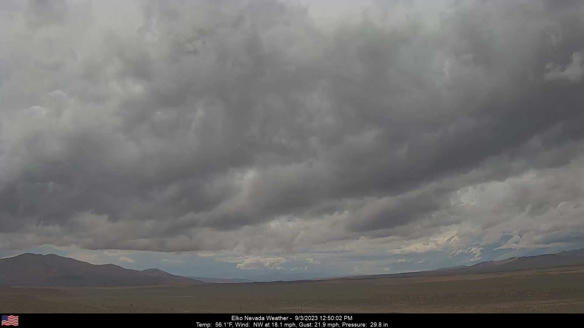
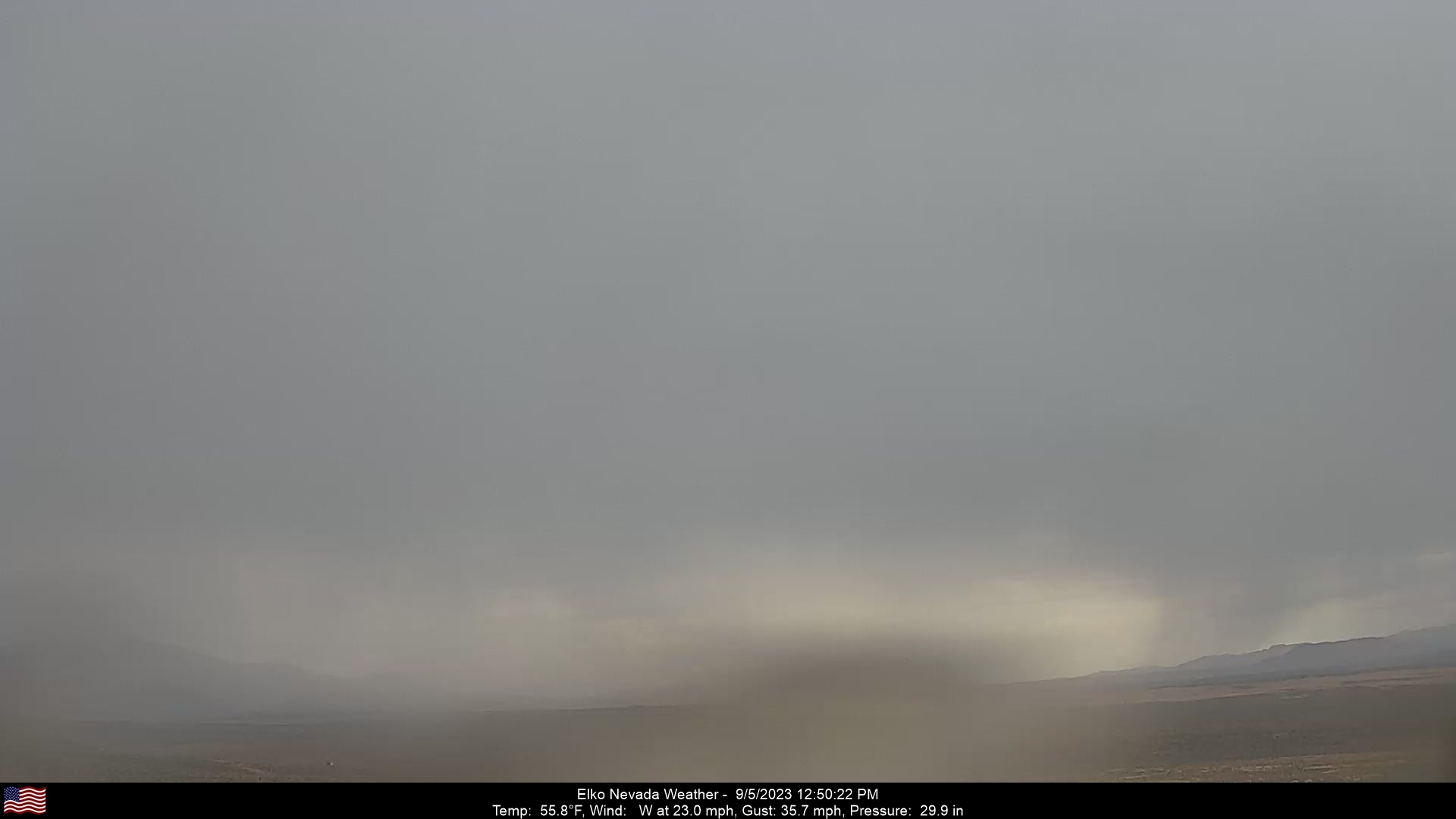
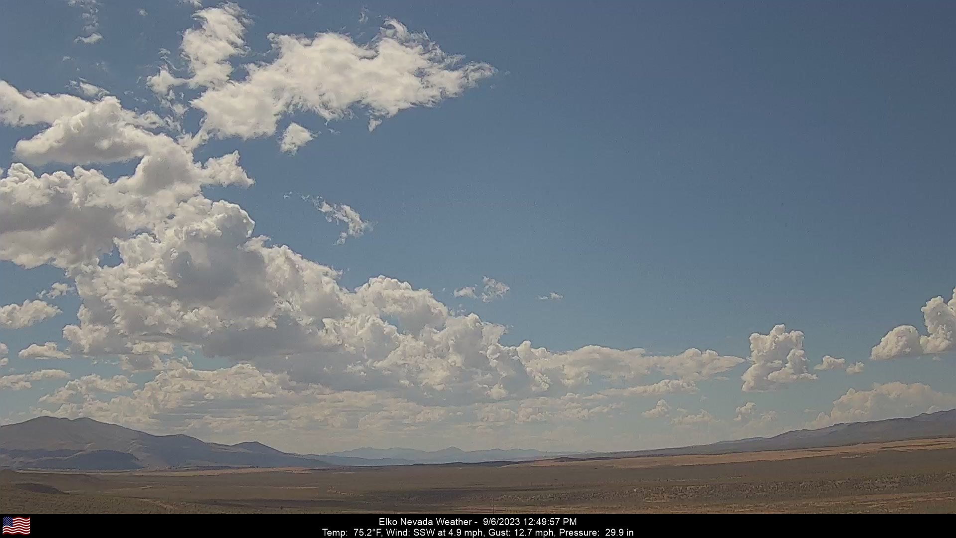
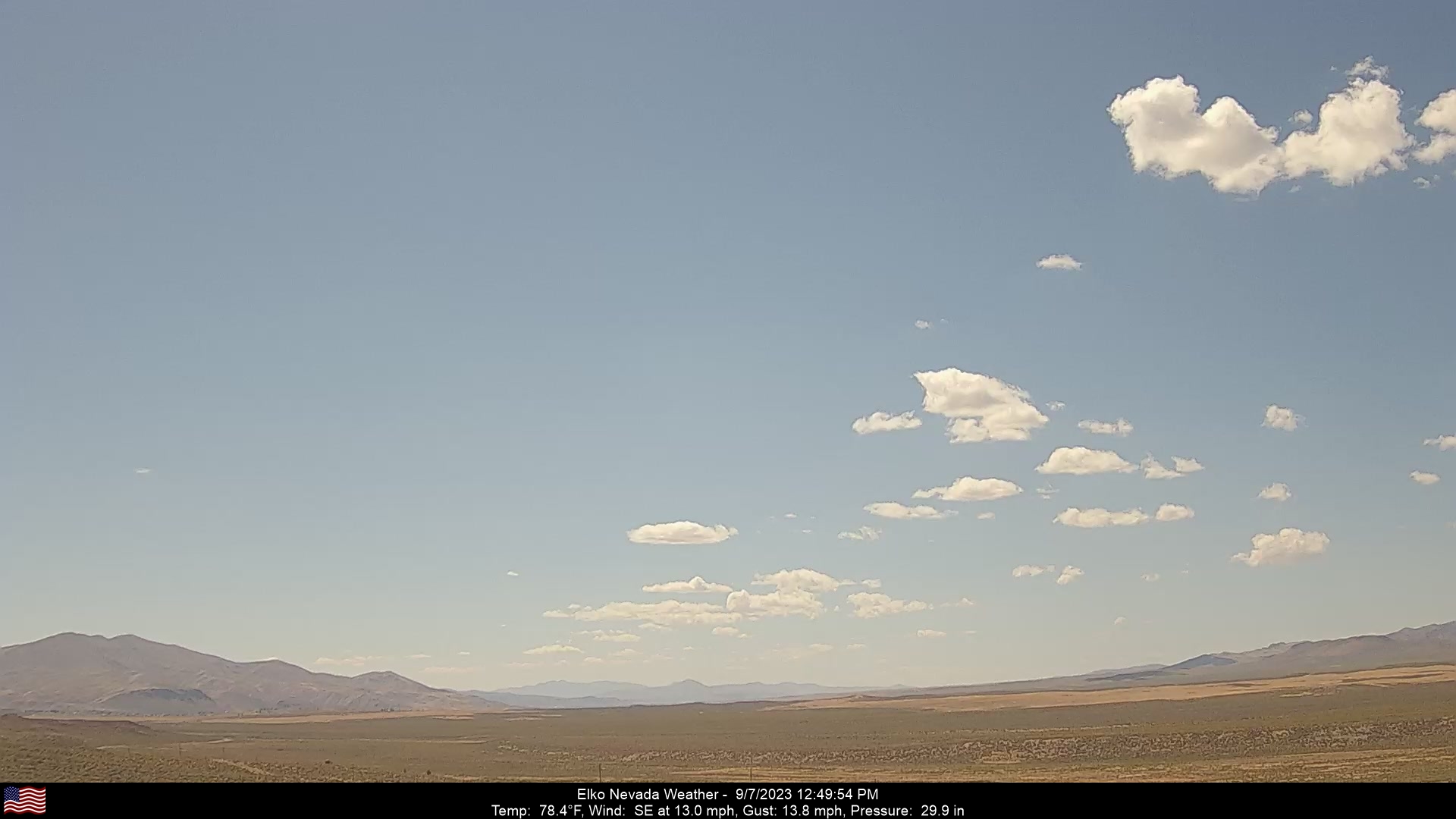
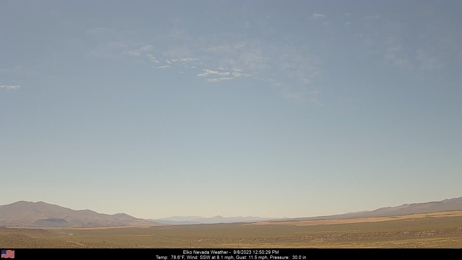
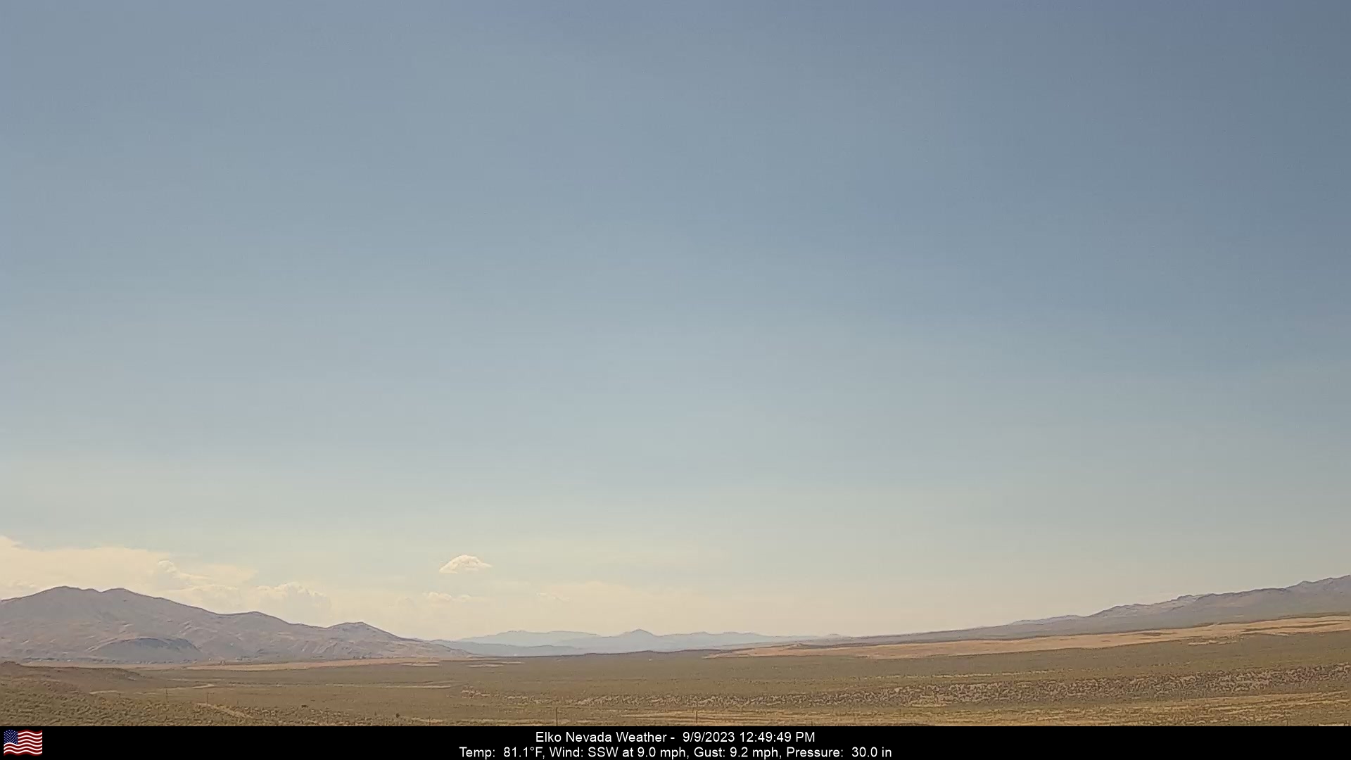
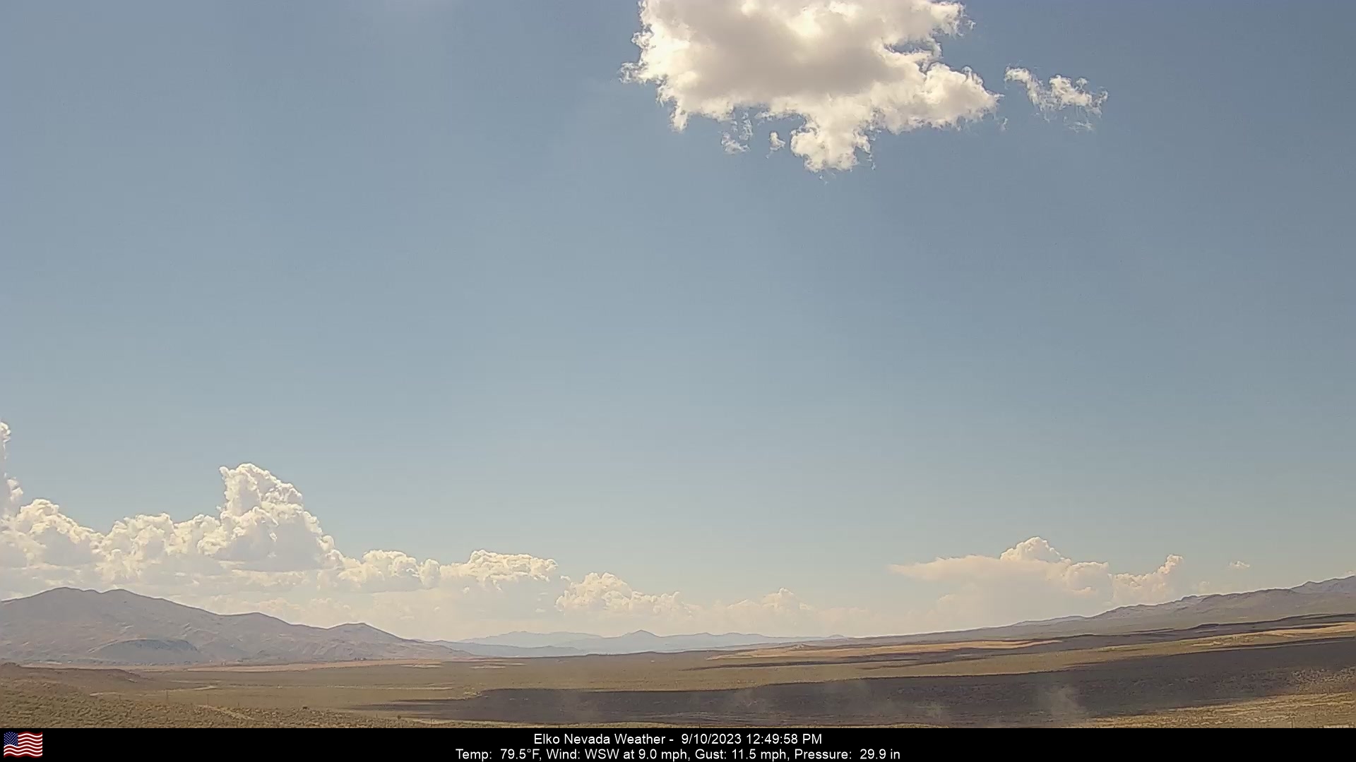
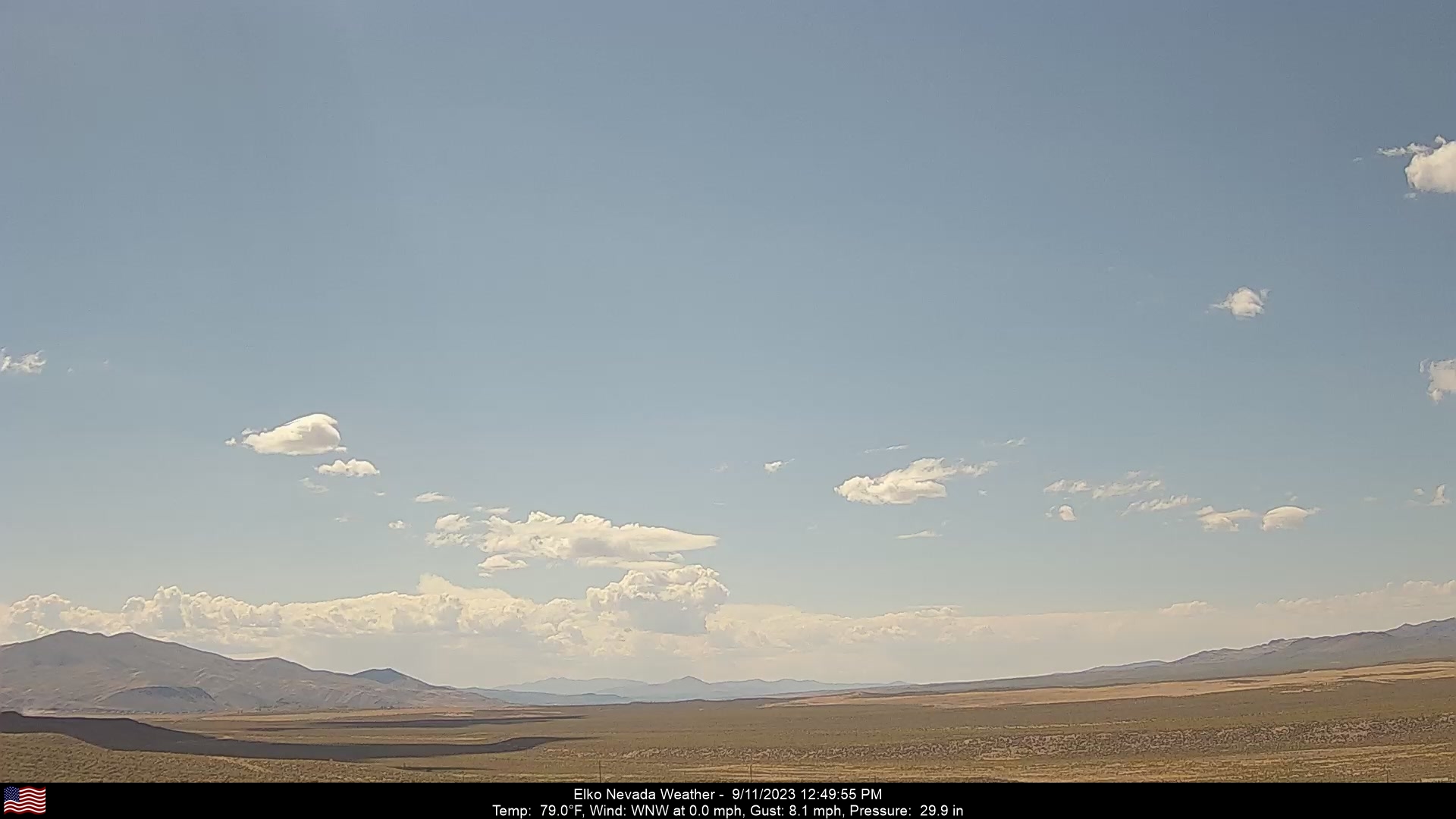
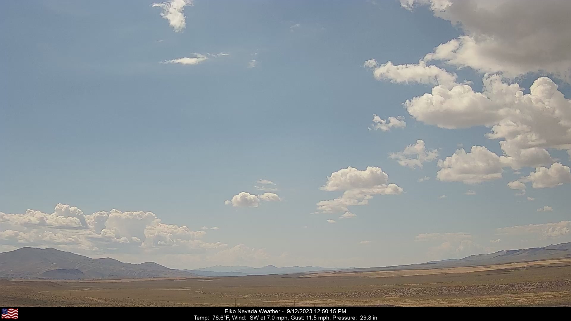
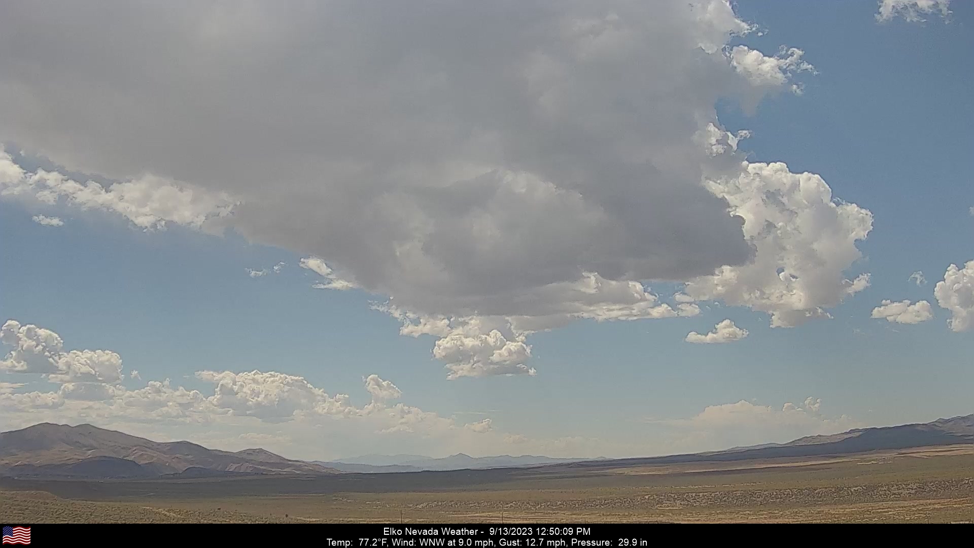
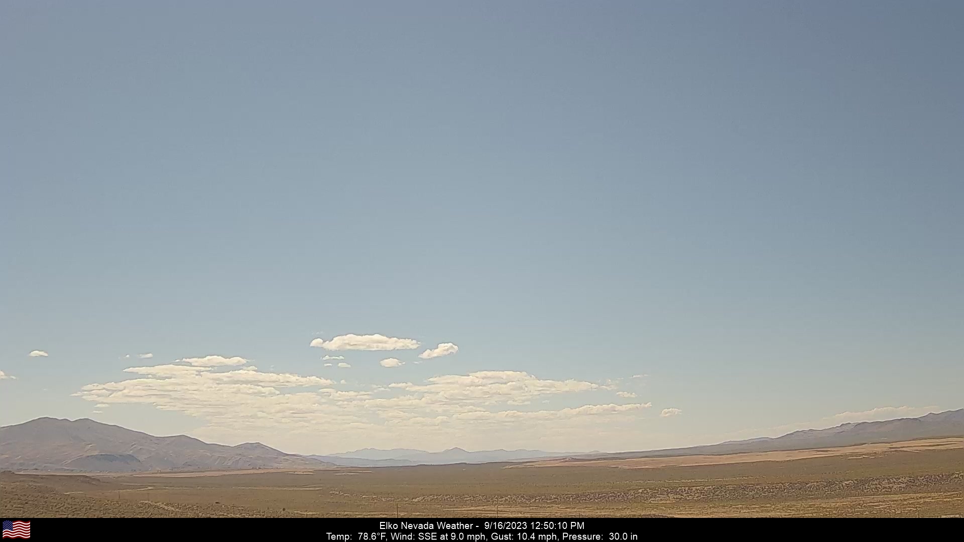
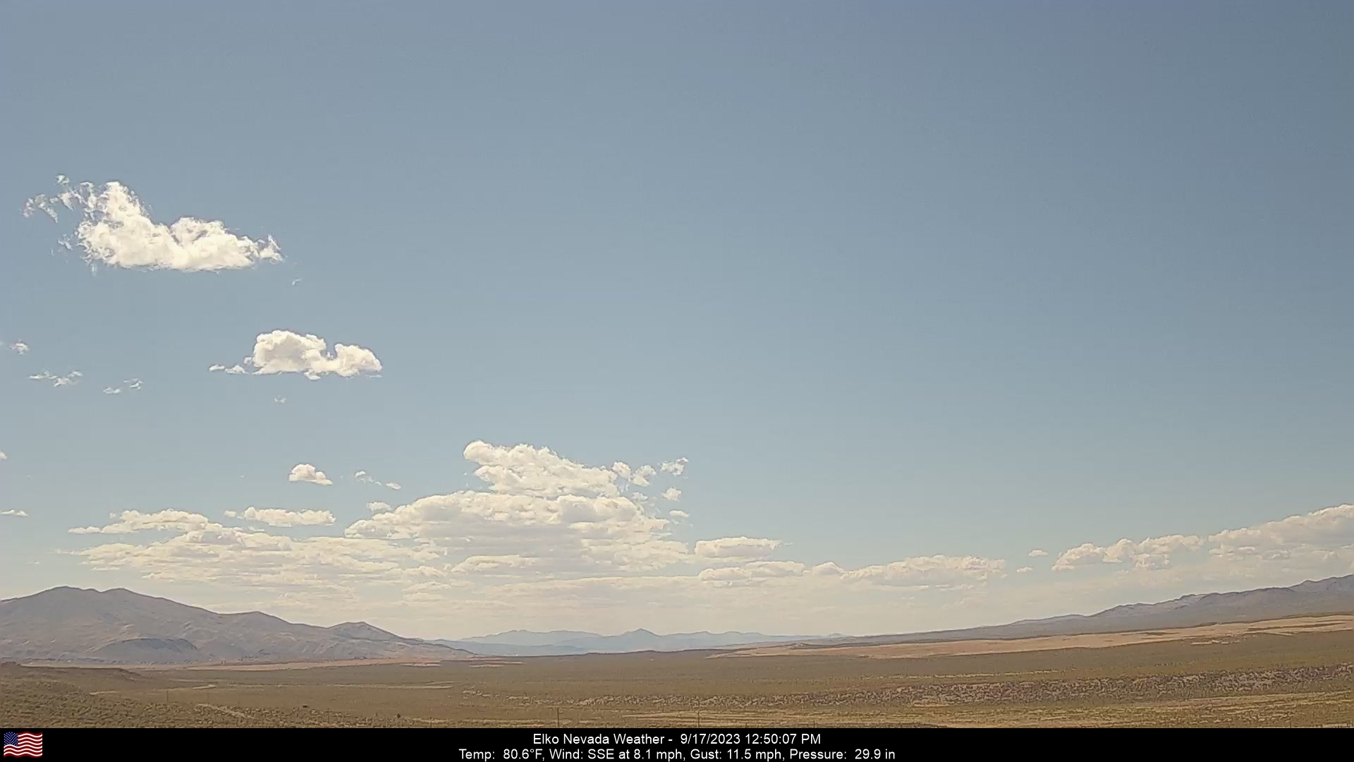
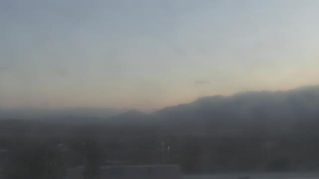
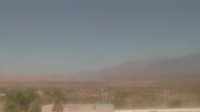
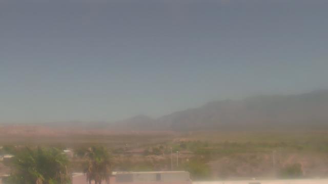
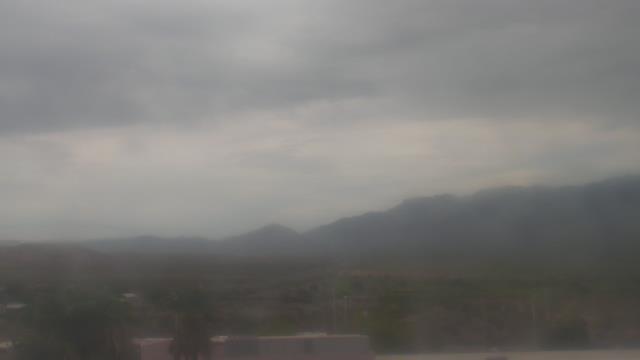
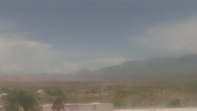
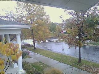
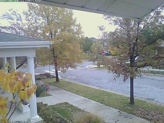
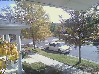
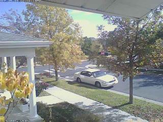
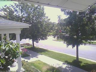
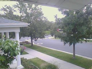
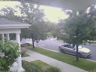
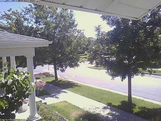
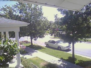
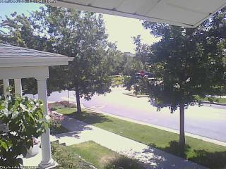
Elko, Nevada, USA - 115.6 miles from Sunshine Camp (historical): Elko Nevada Weather - A webcam in Elko, Nevada - Adobe Range, with current weather data.
Operator: Elko Nevada Weather & Store
Operator: Elko Nevada Weather & Store


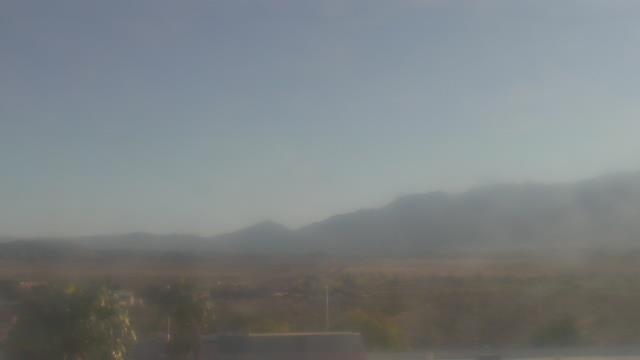
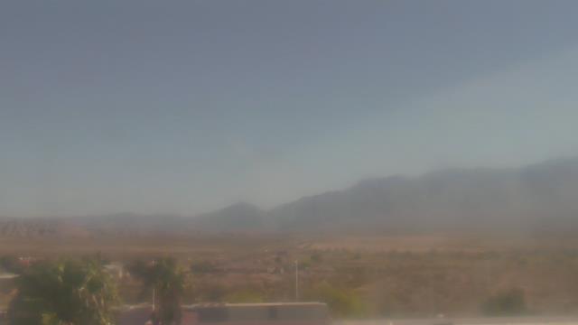
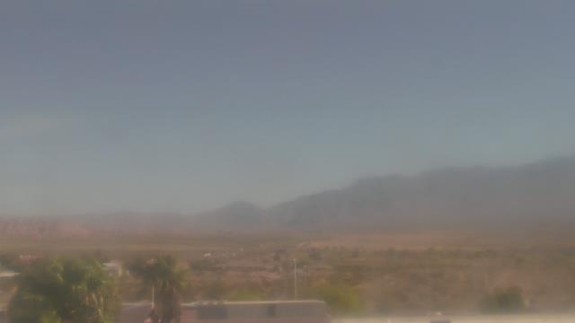
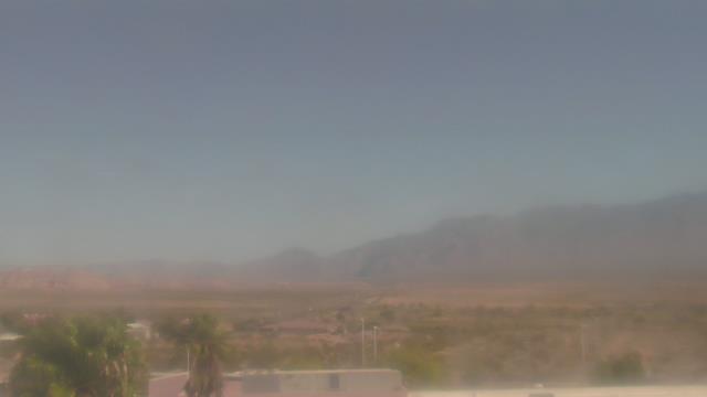
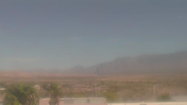
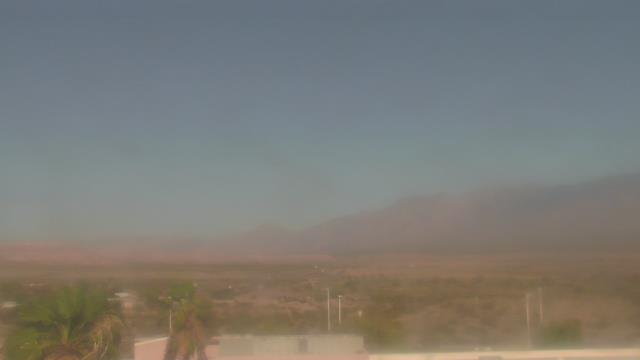
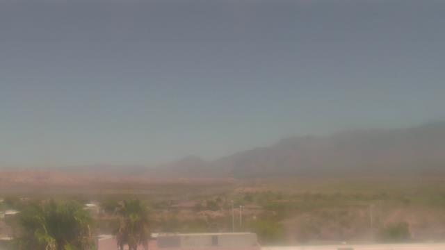
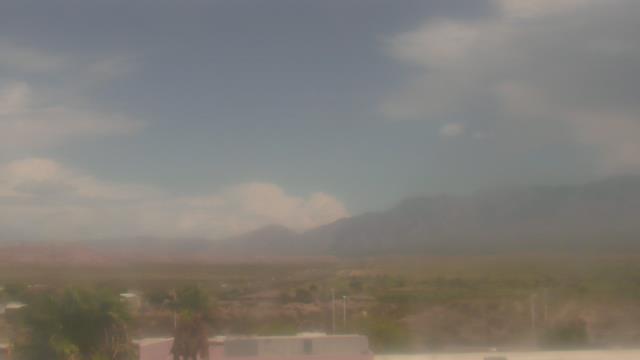
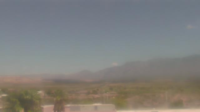
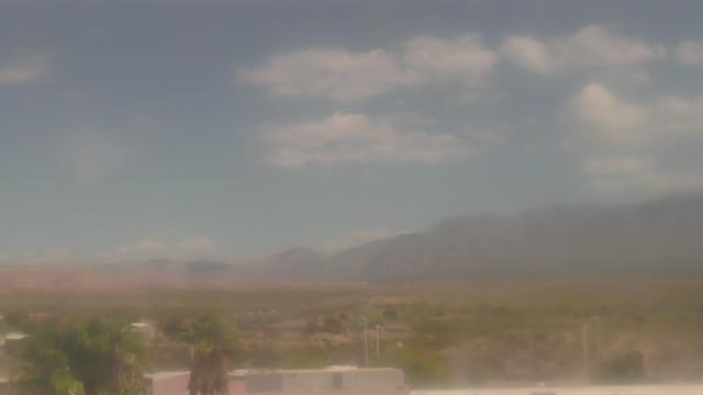
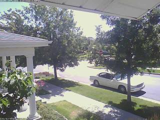
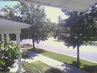
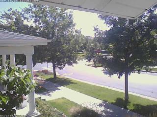
Mesquite, Nevada, USA - 177.6 miles from Sunshine Camp (historical): Virgin Valley High School - A webcam in Mesquite, Nevada - camera location: Virgin Valley High School.
Operator: WeatherBug
Operator: WeatherBug
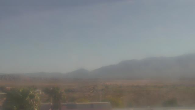
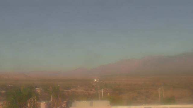


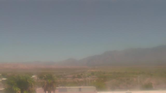
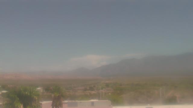

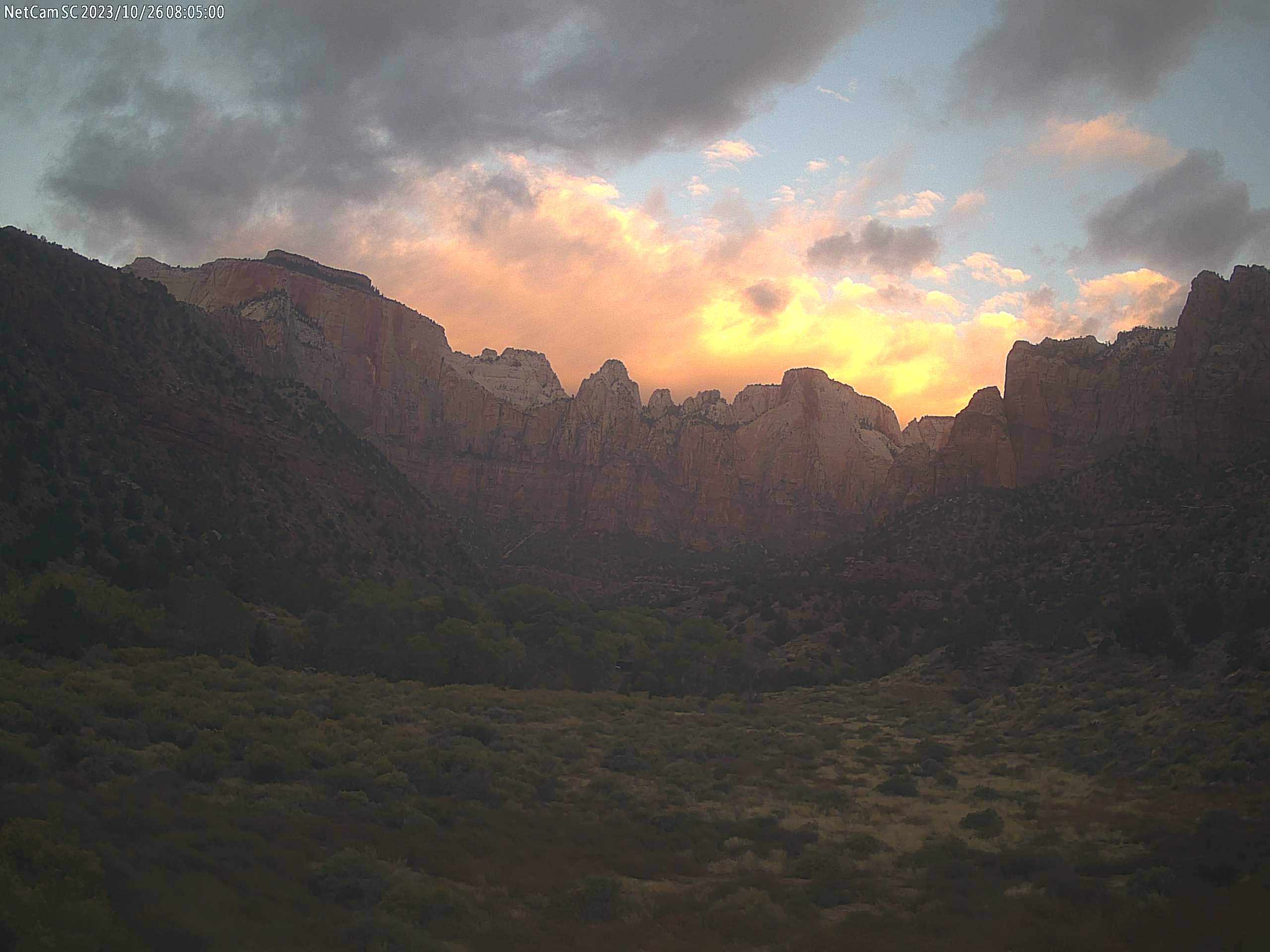
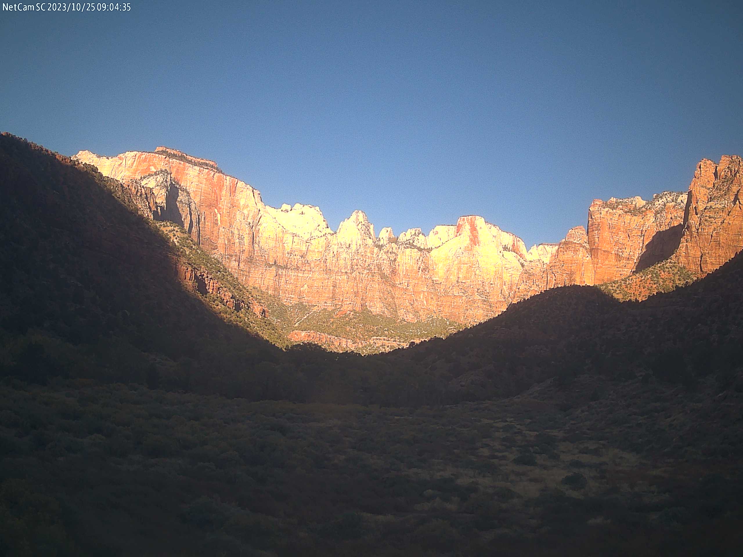
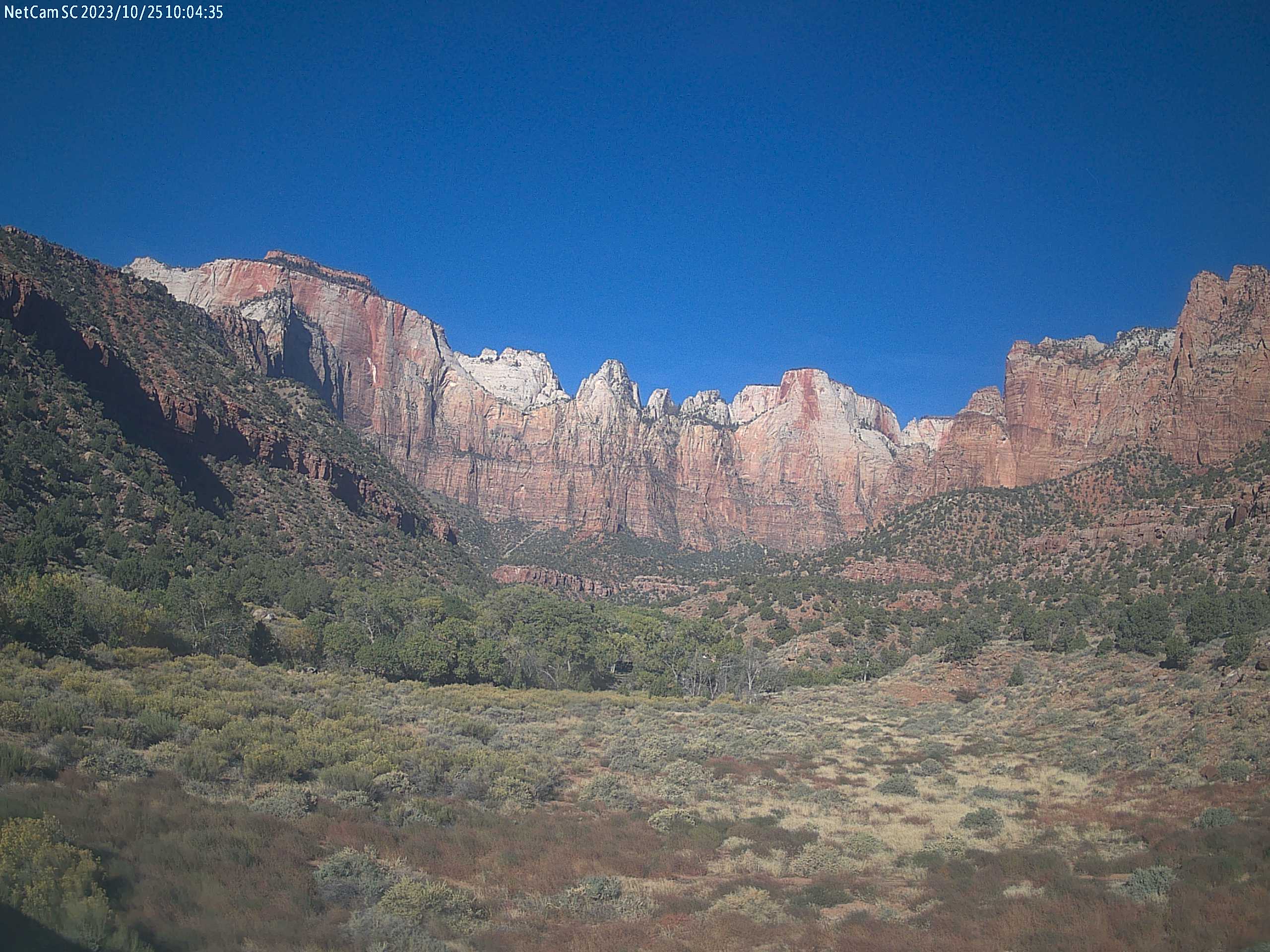
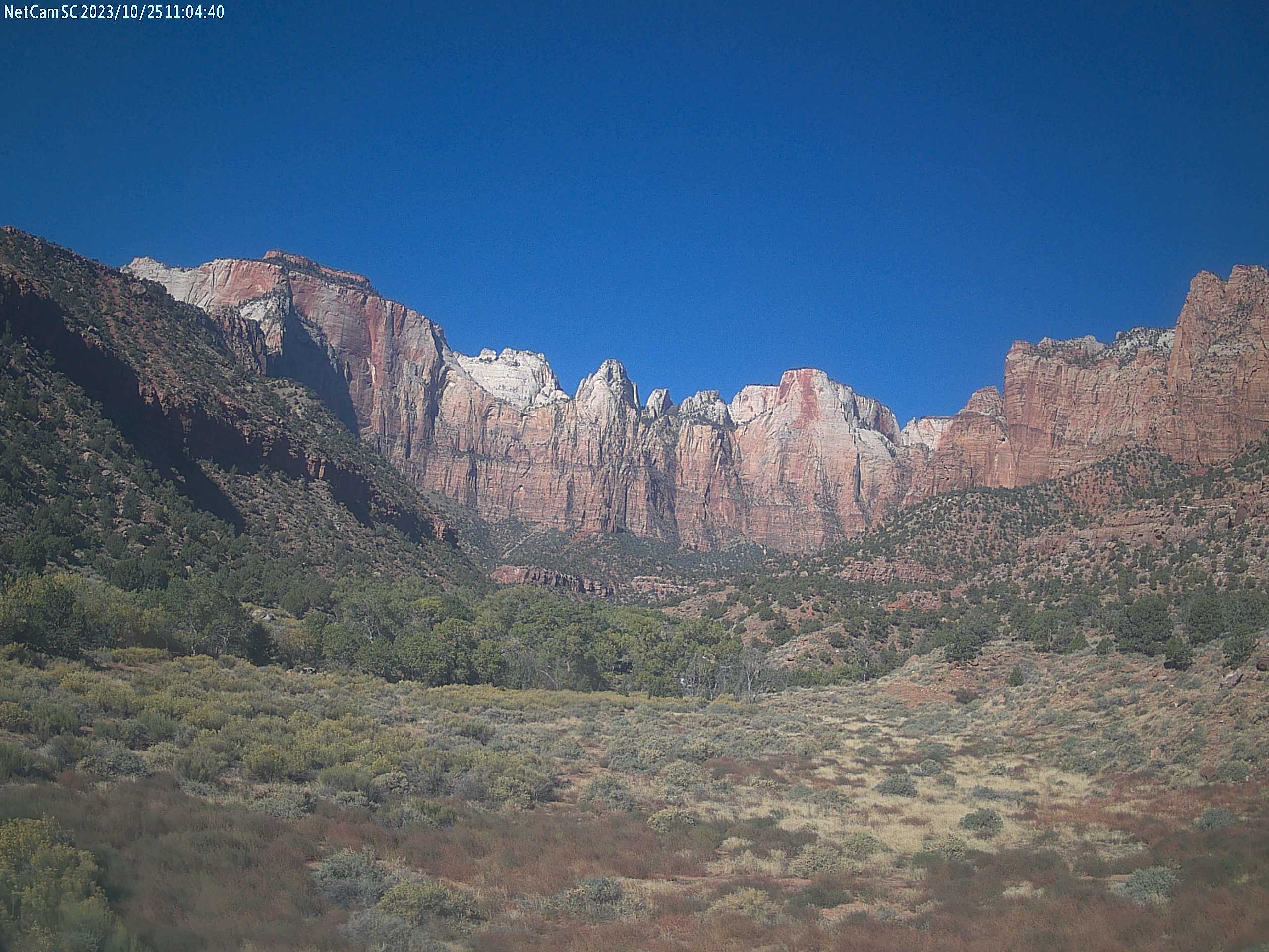
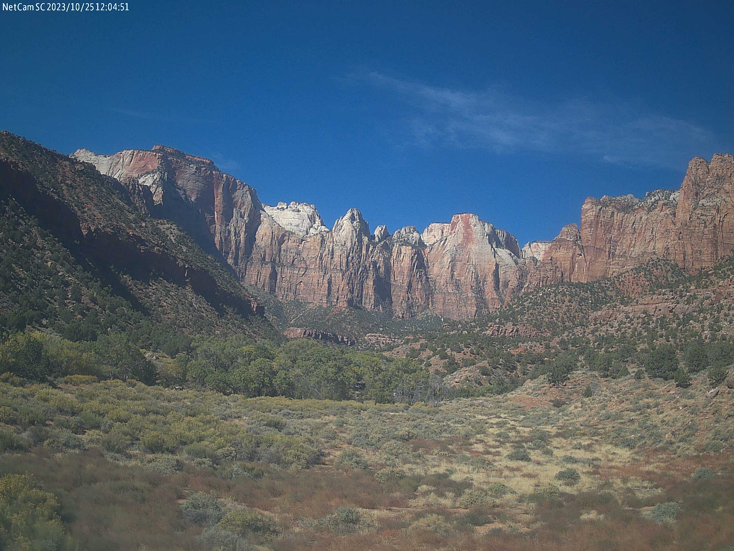
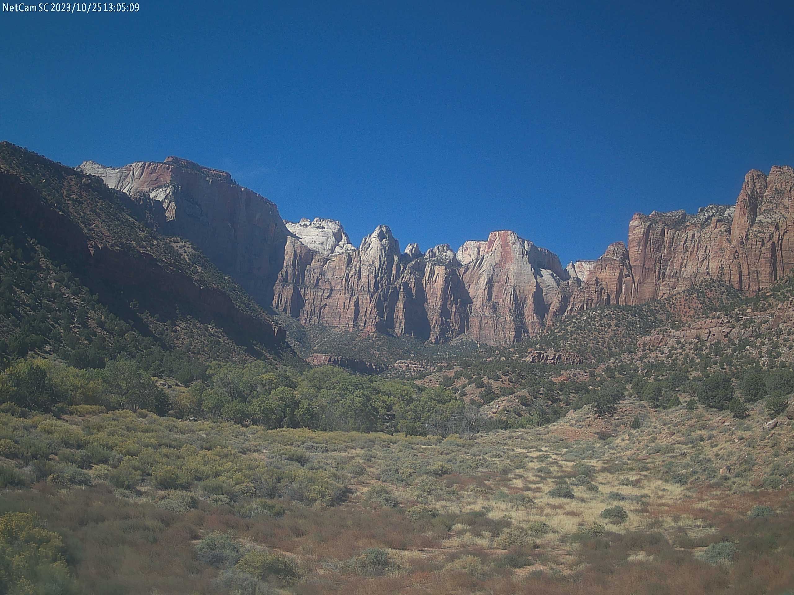
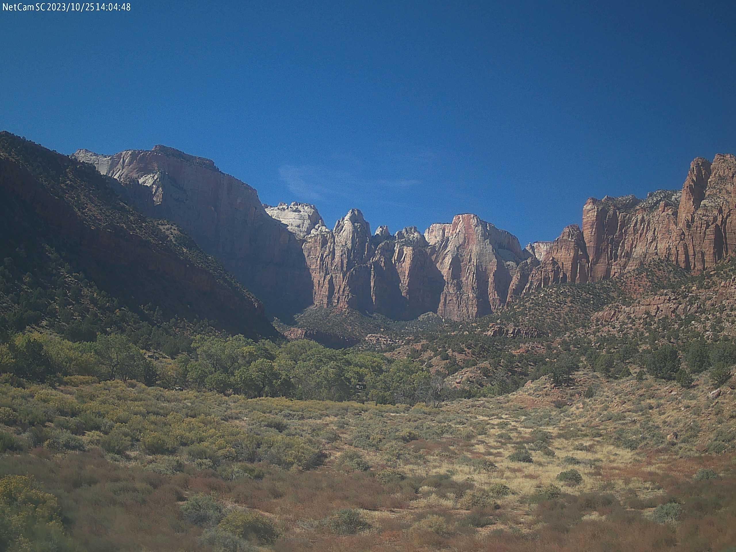
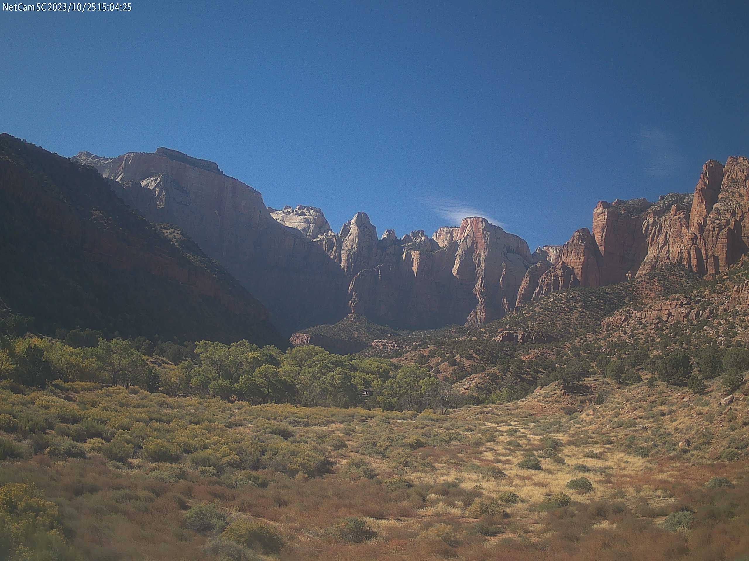
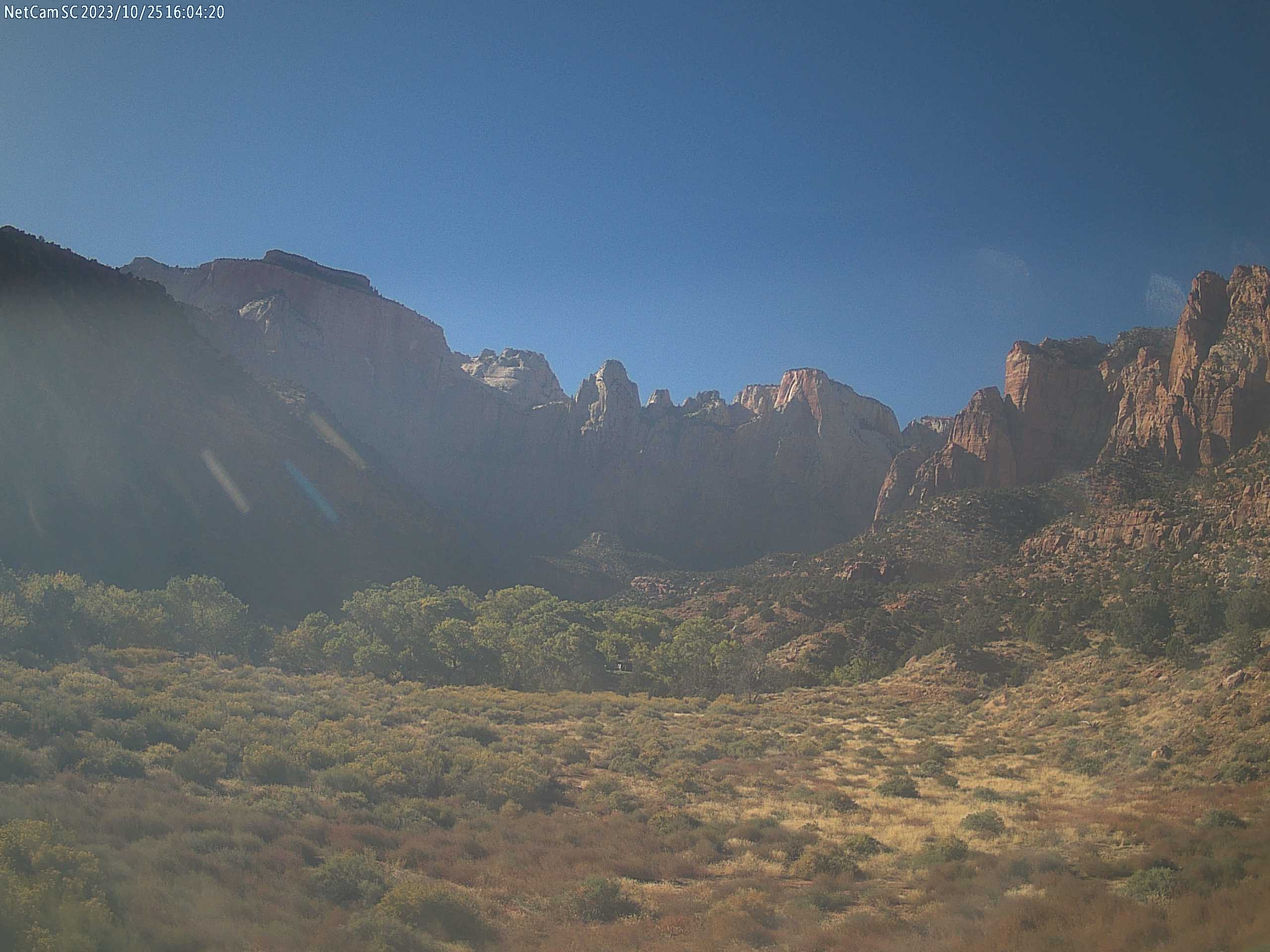
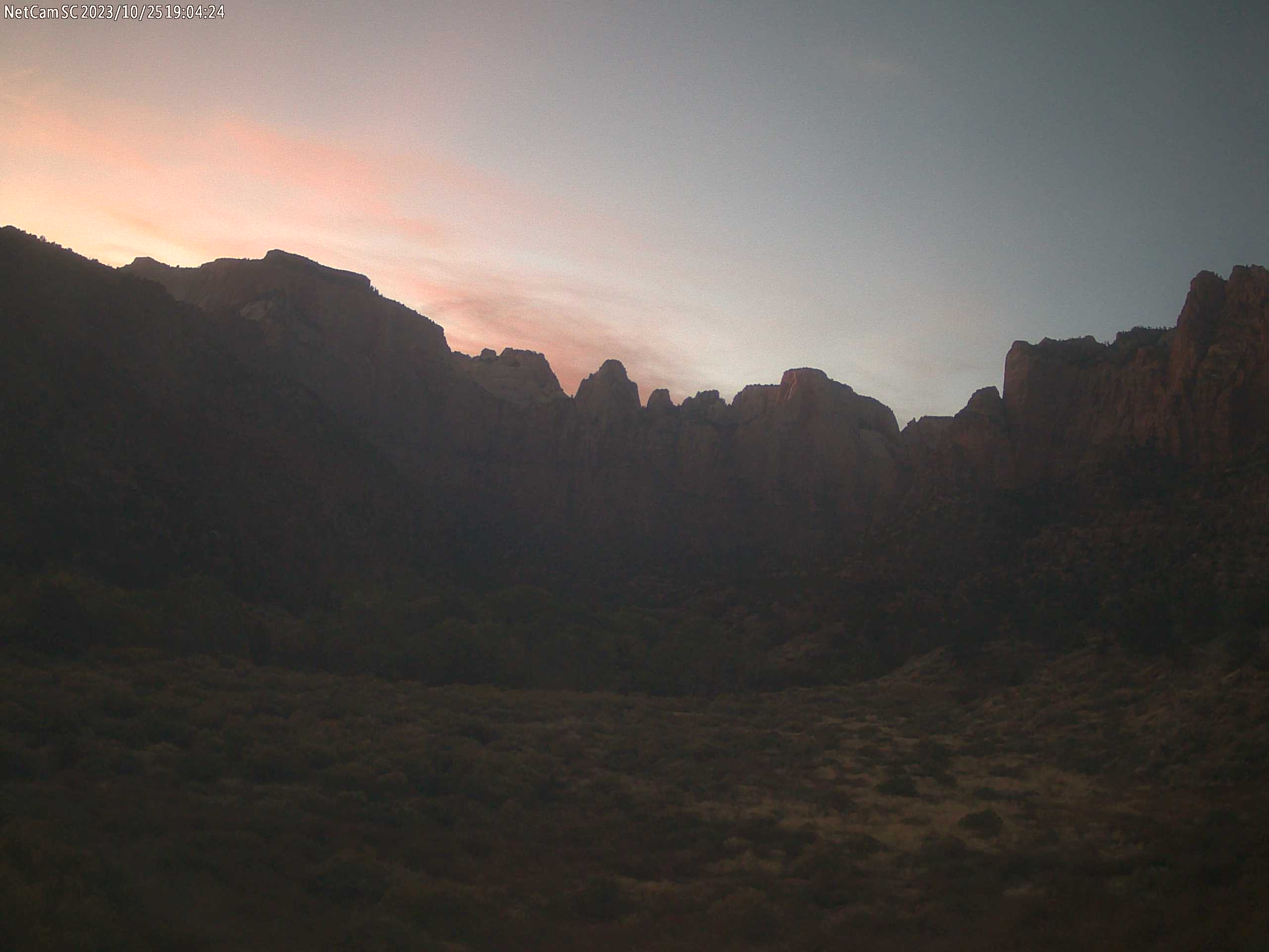
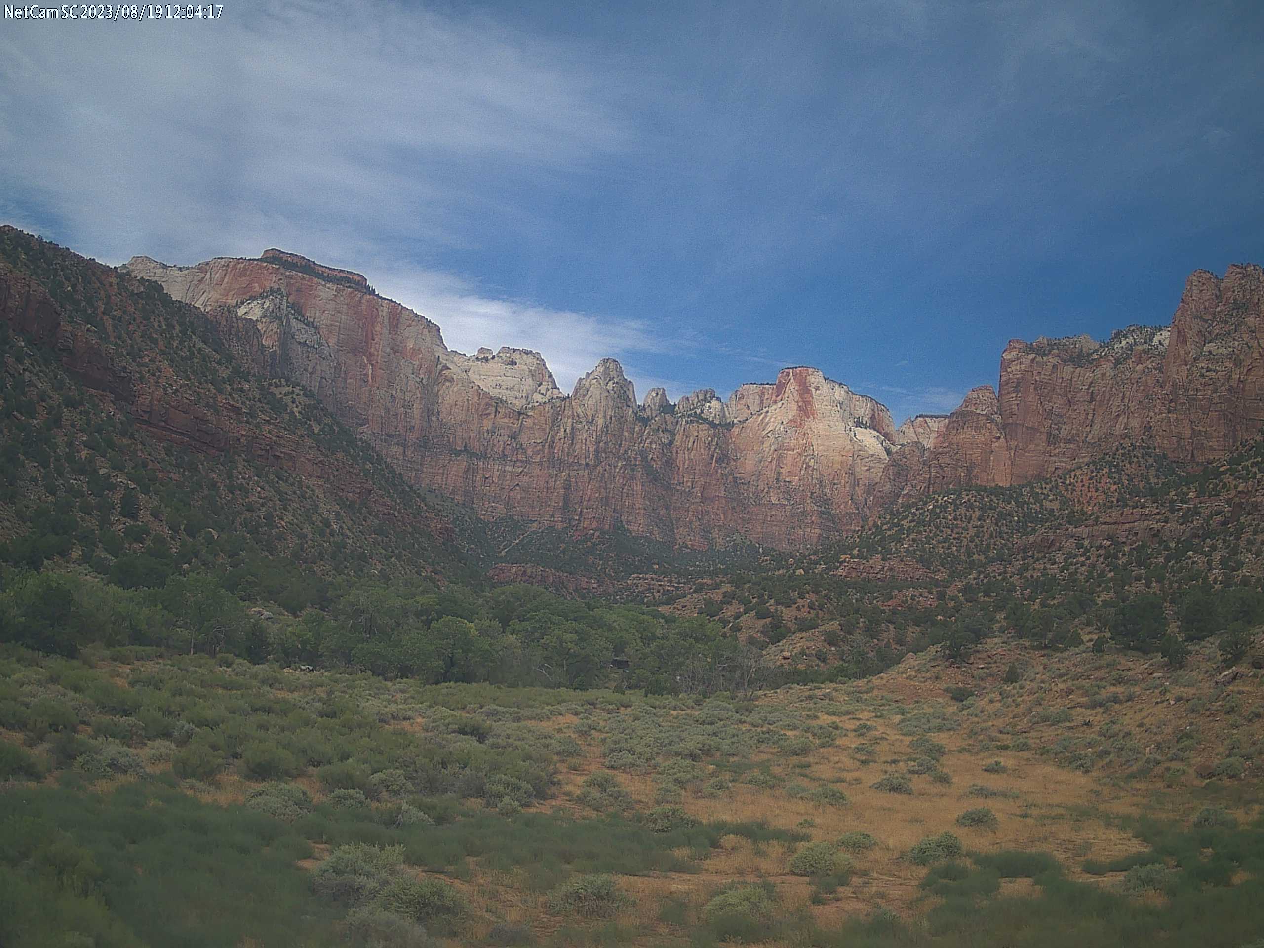
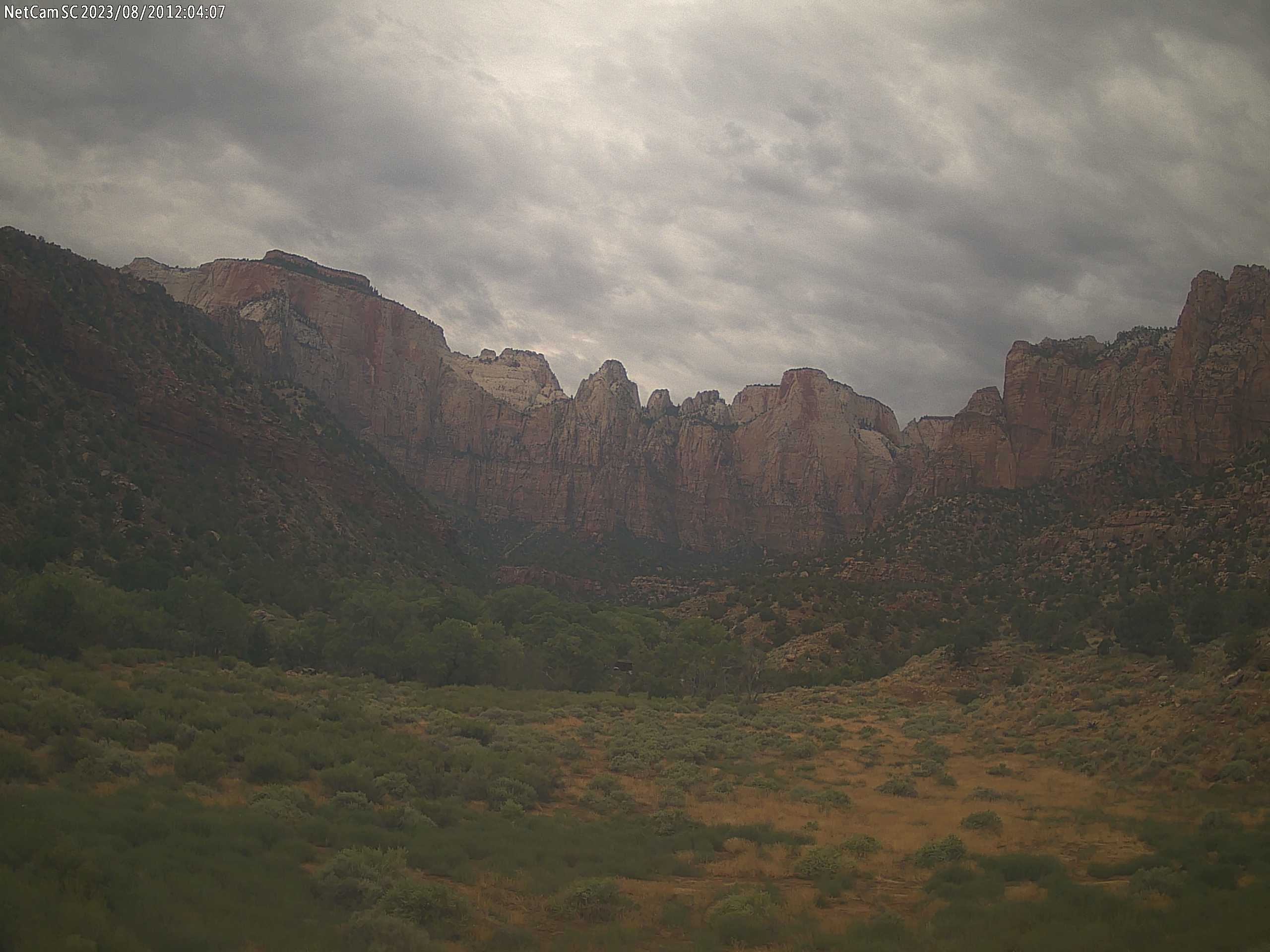
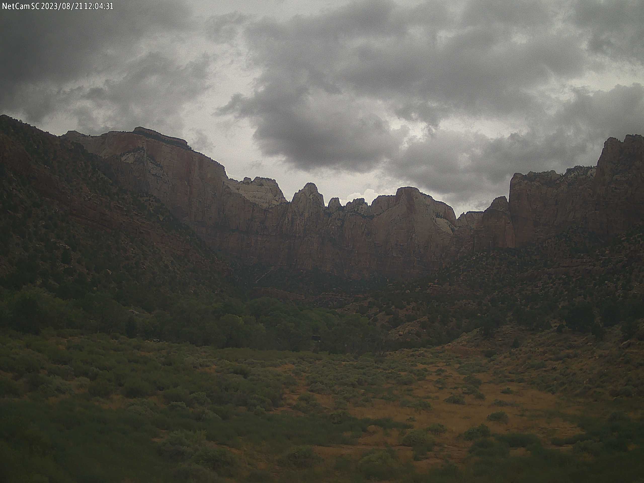
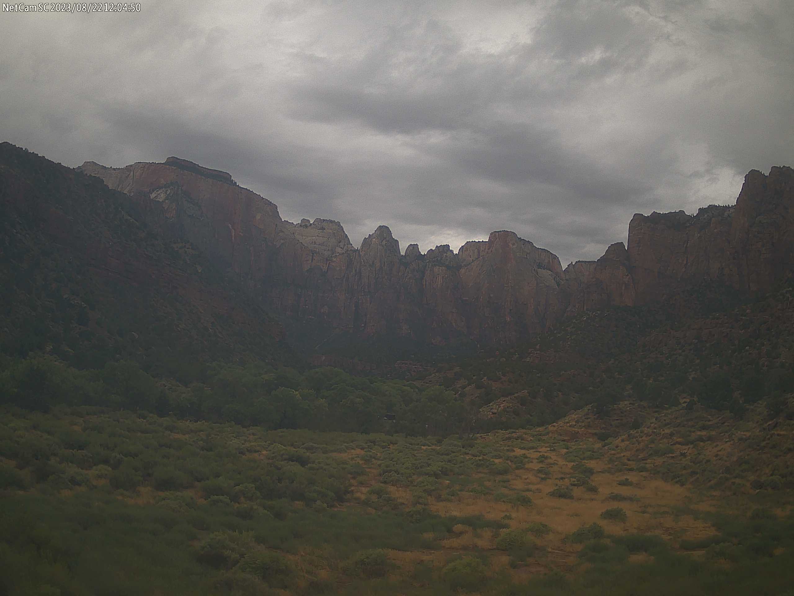
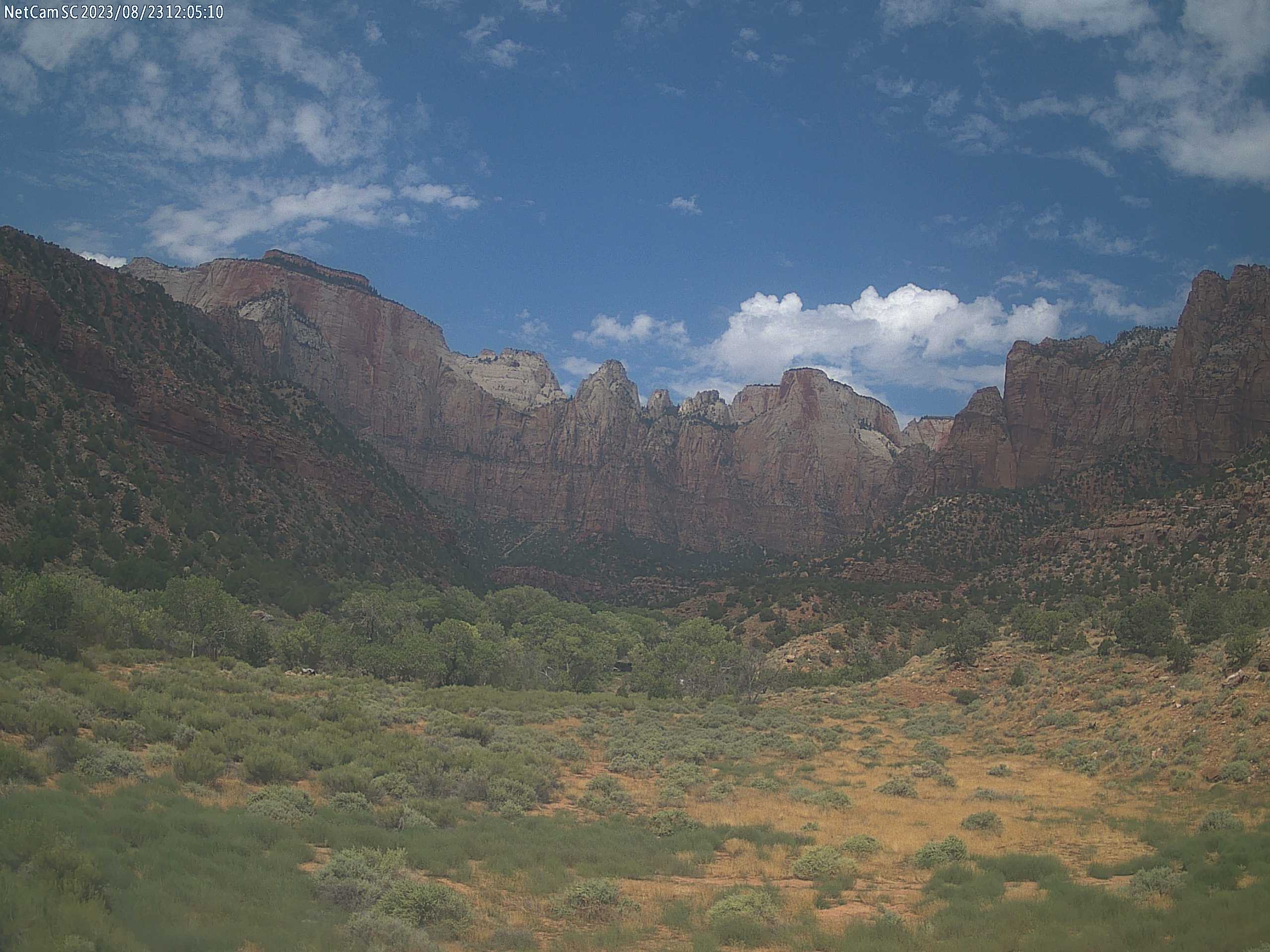
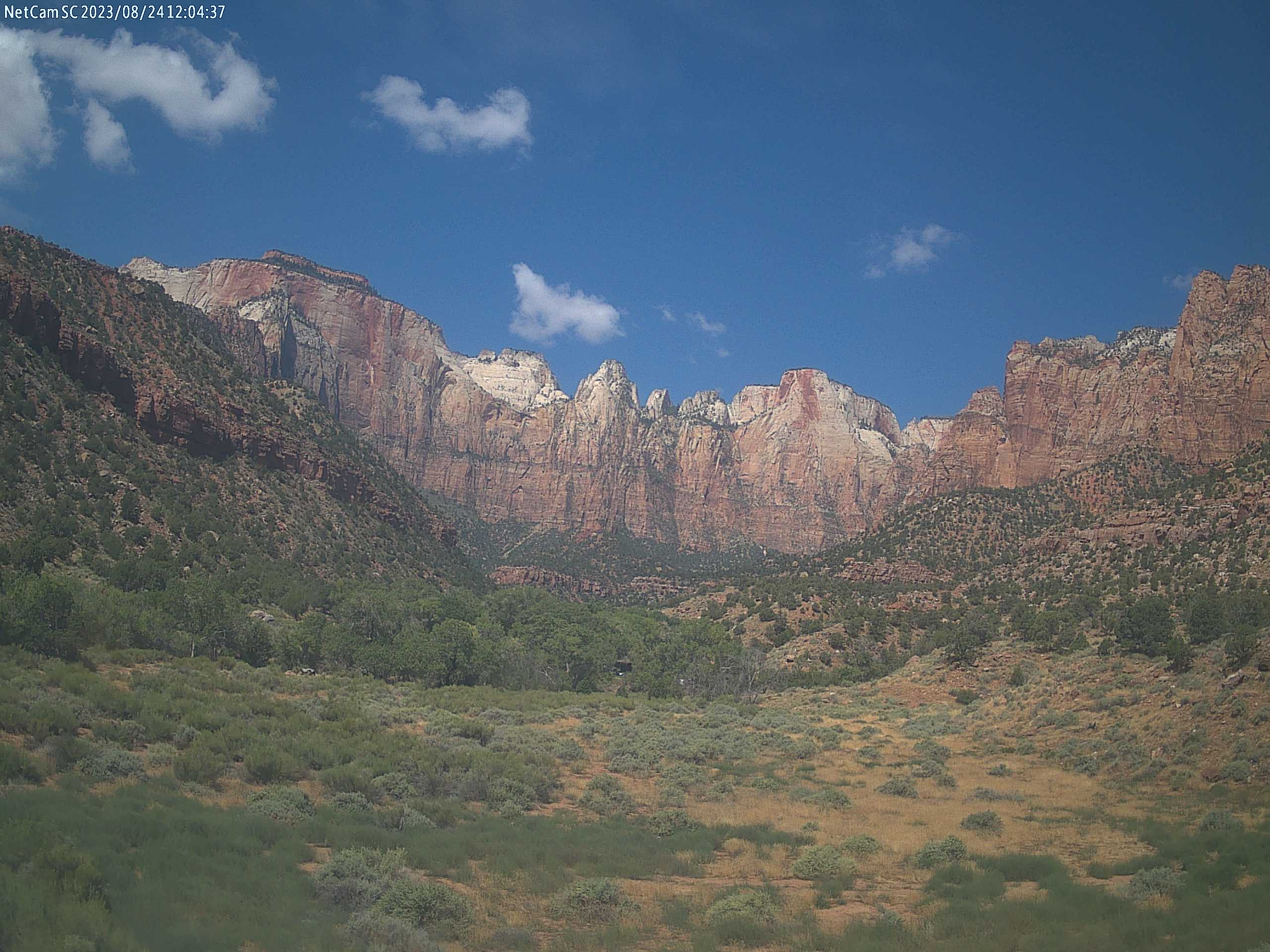
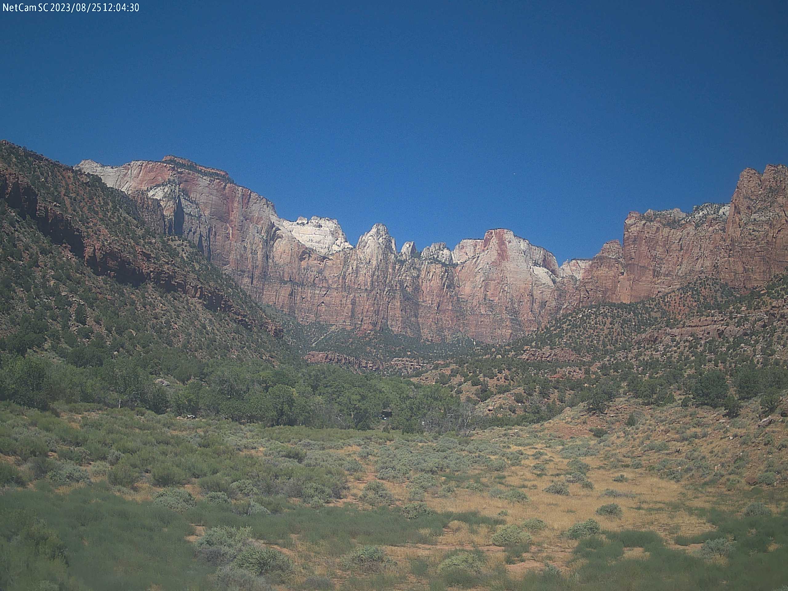
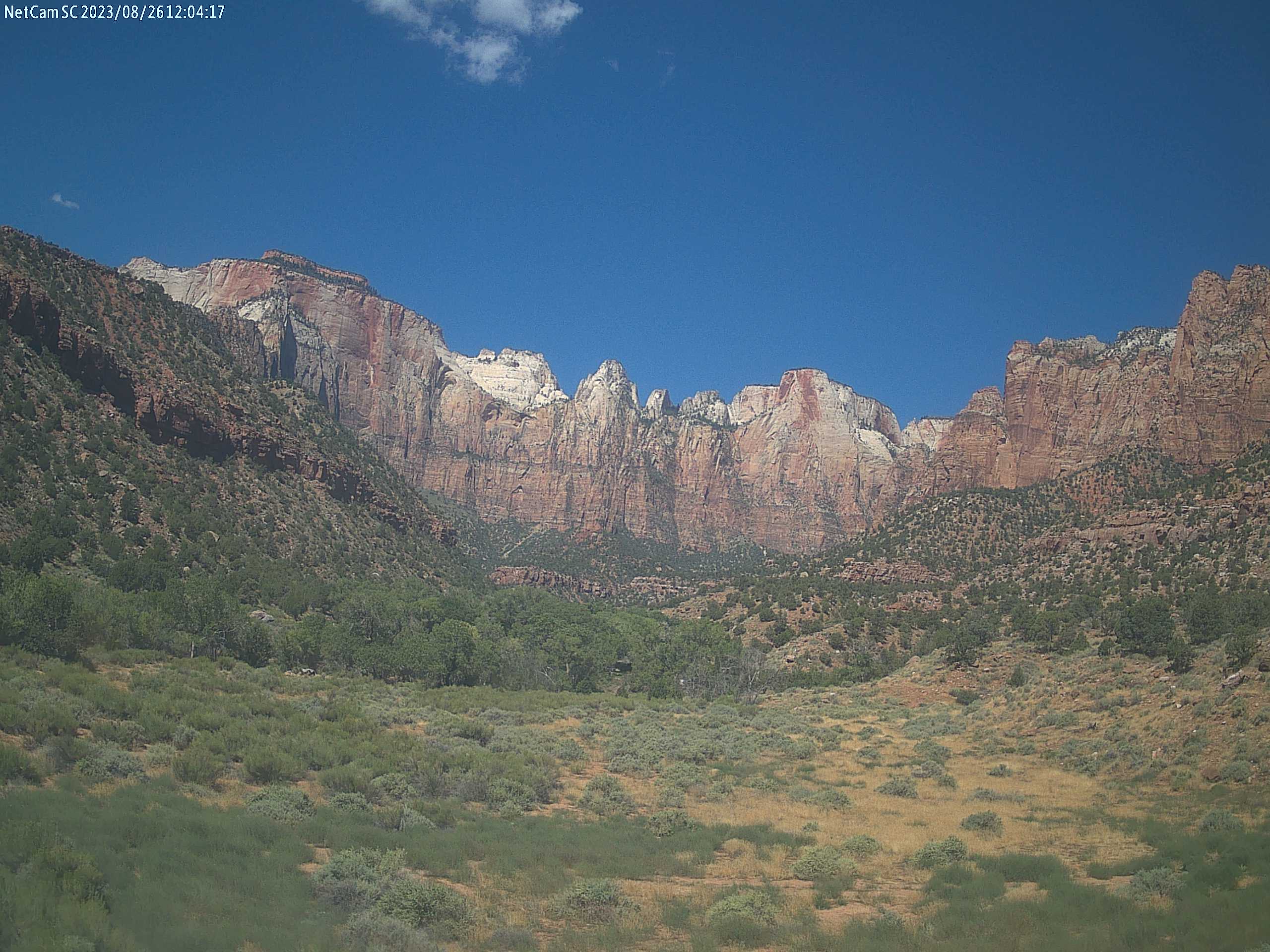
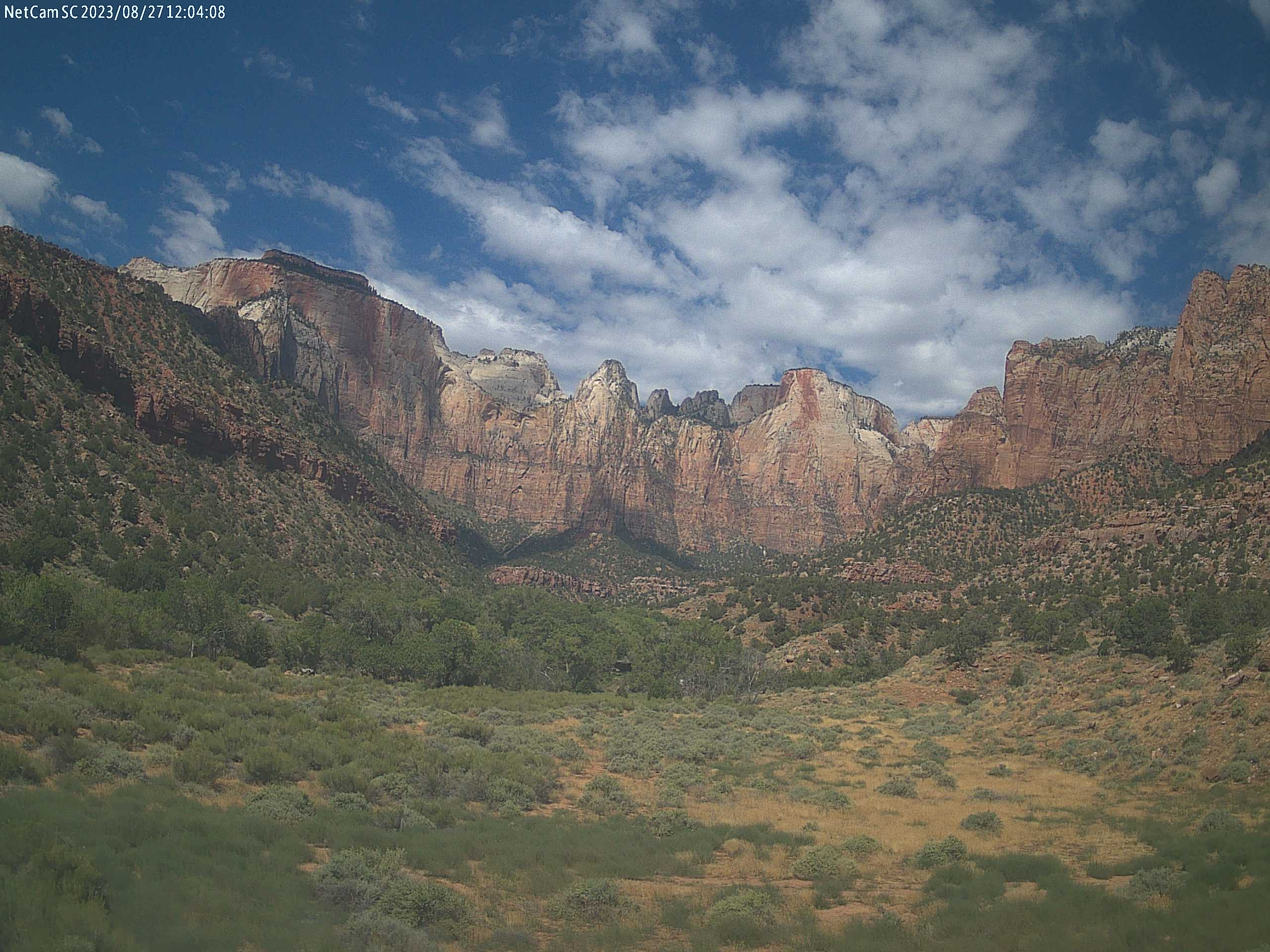
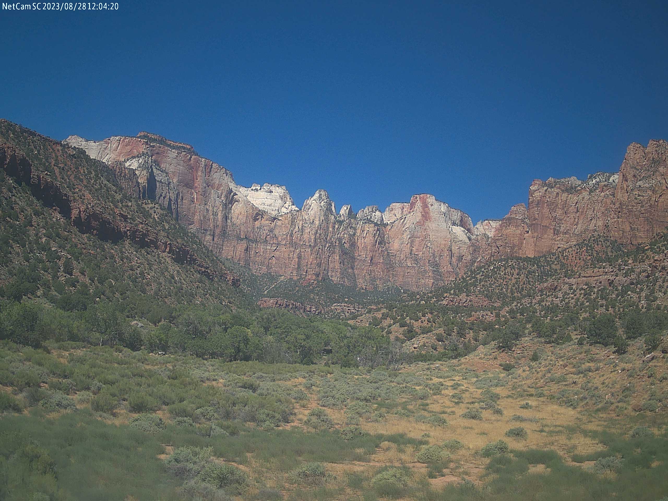
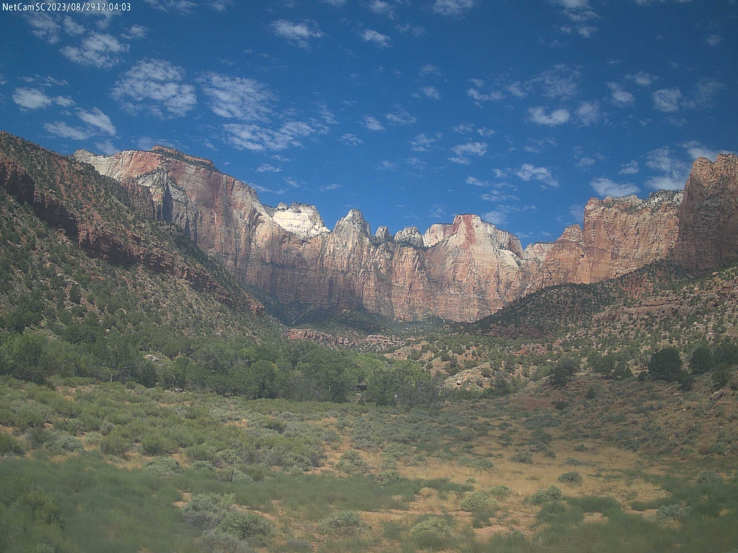
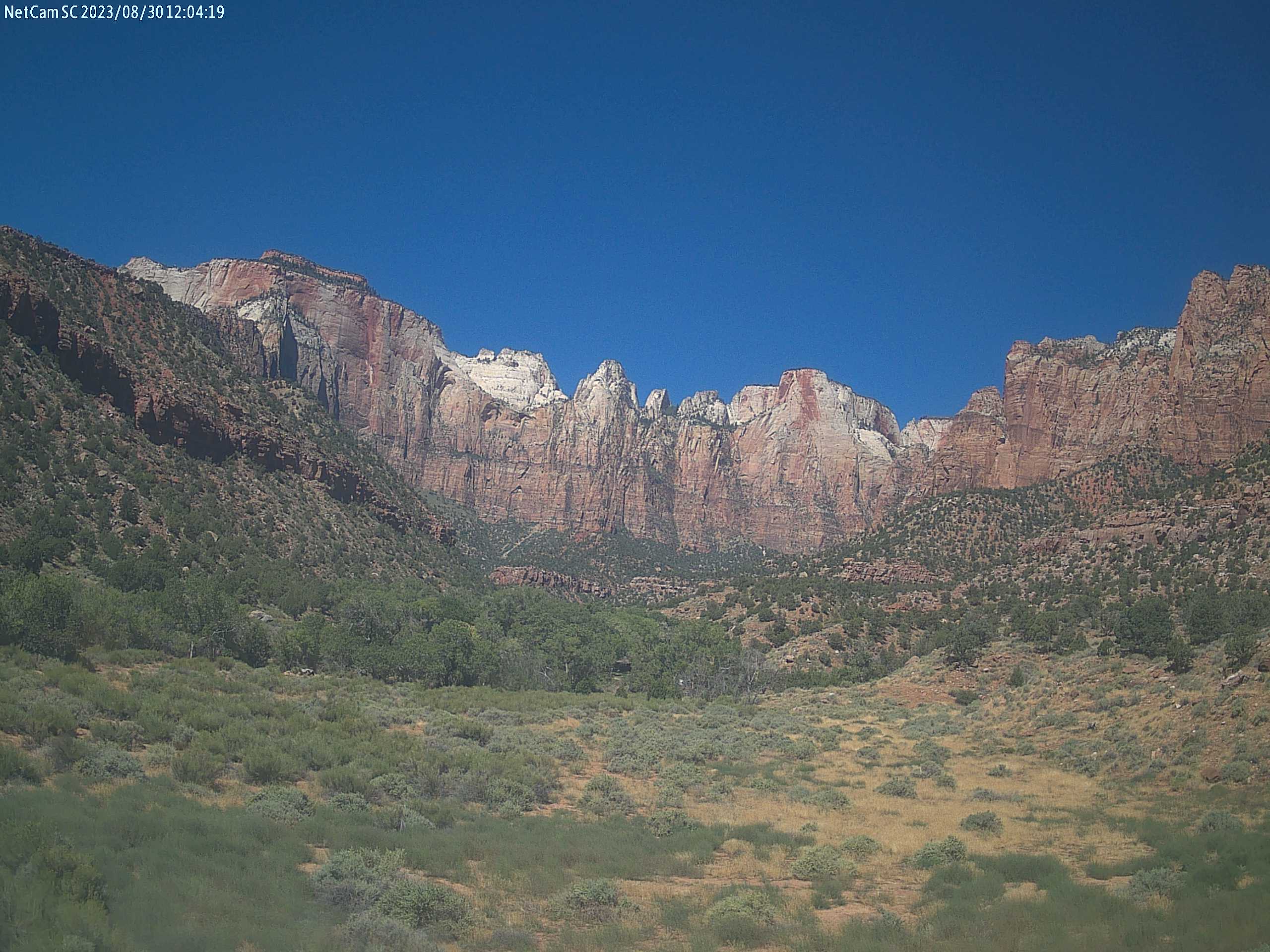
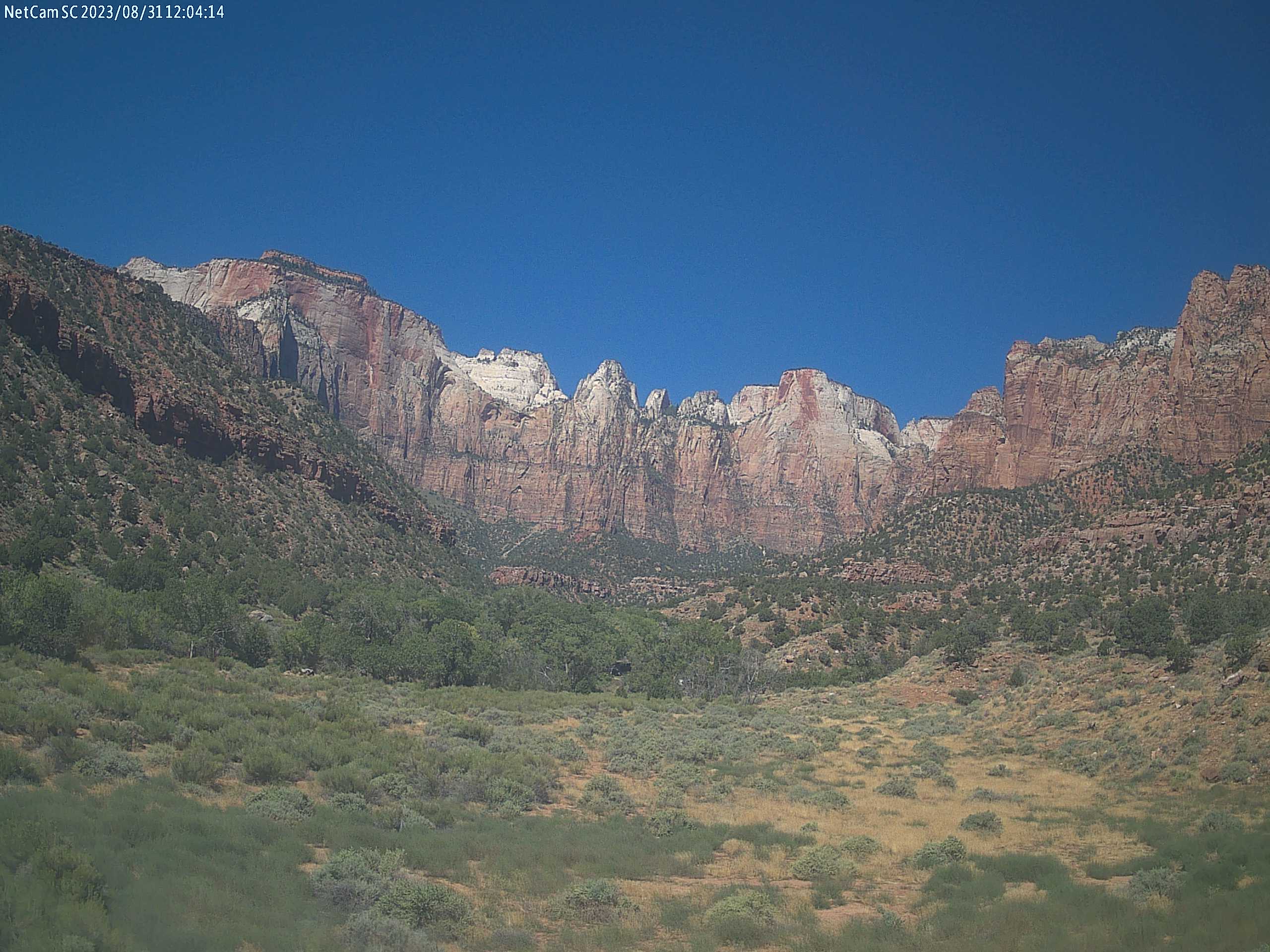
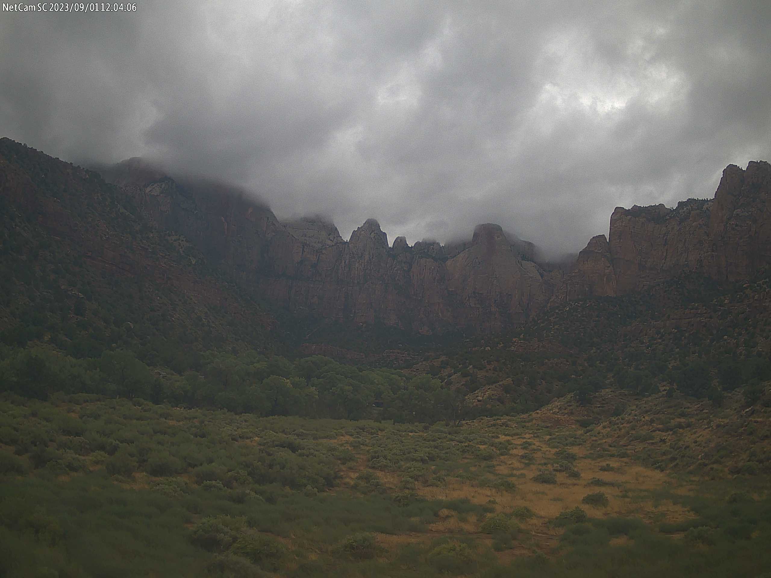
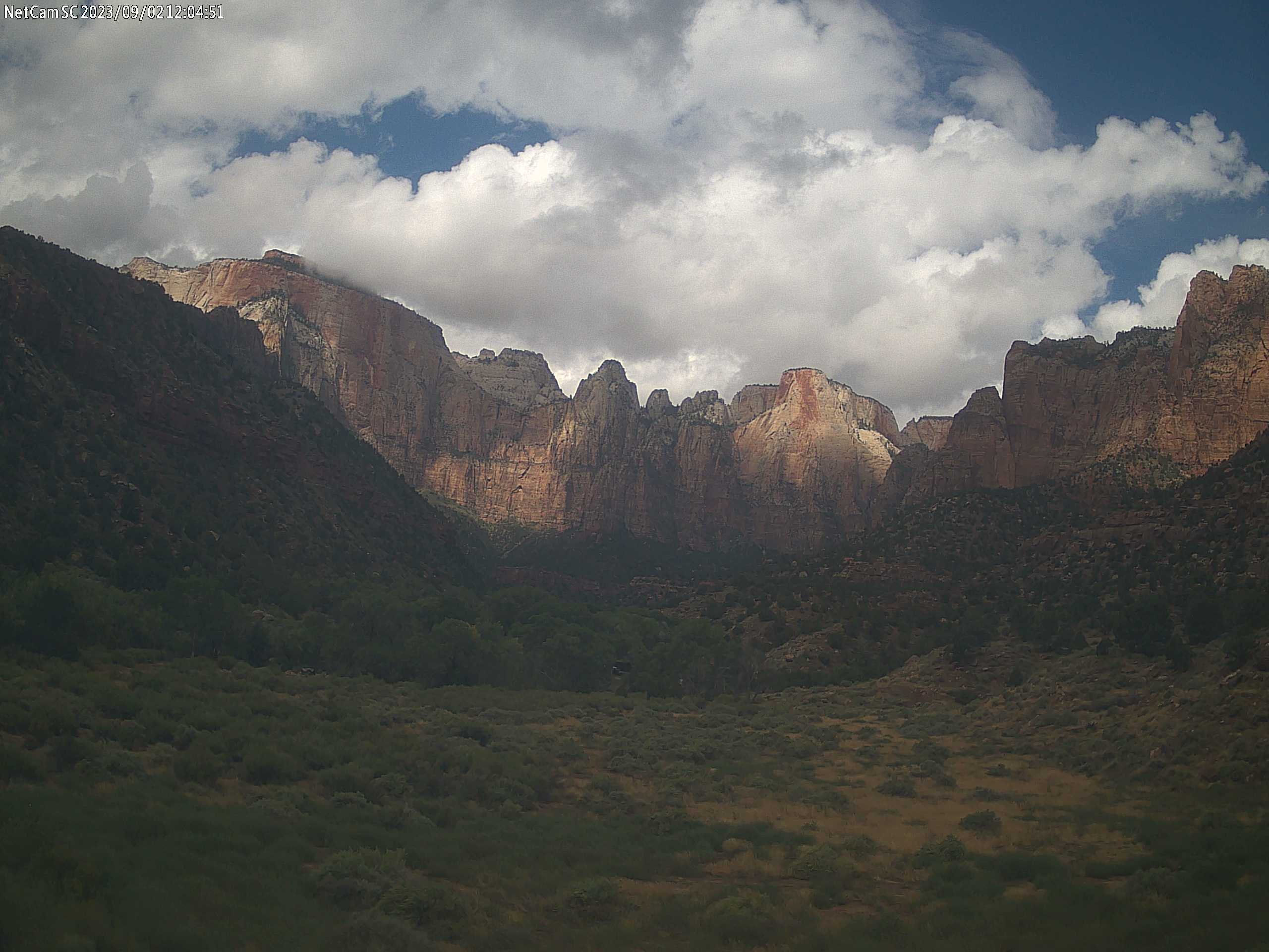
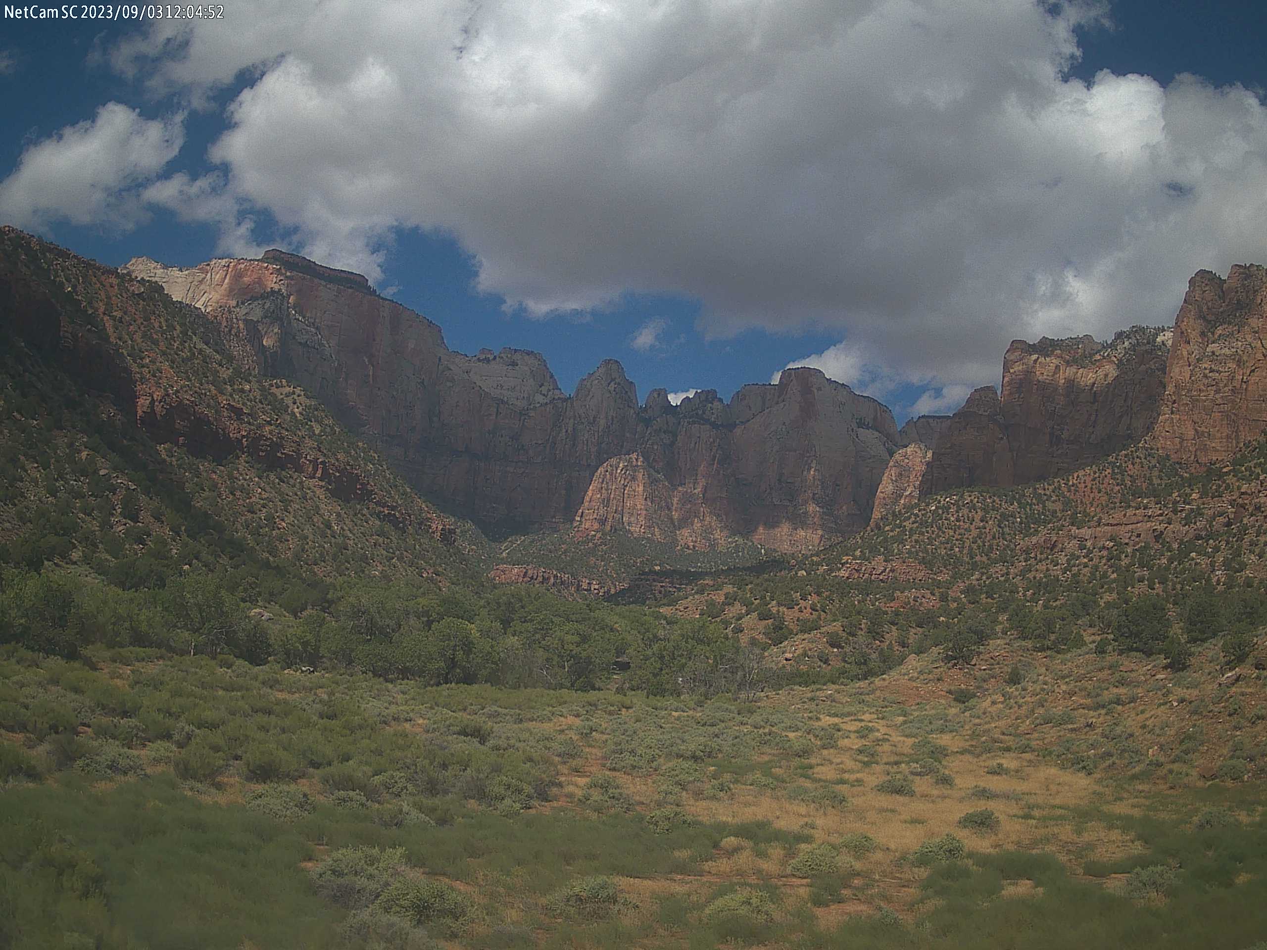
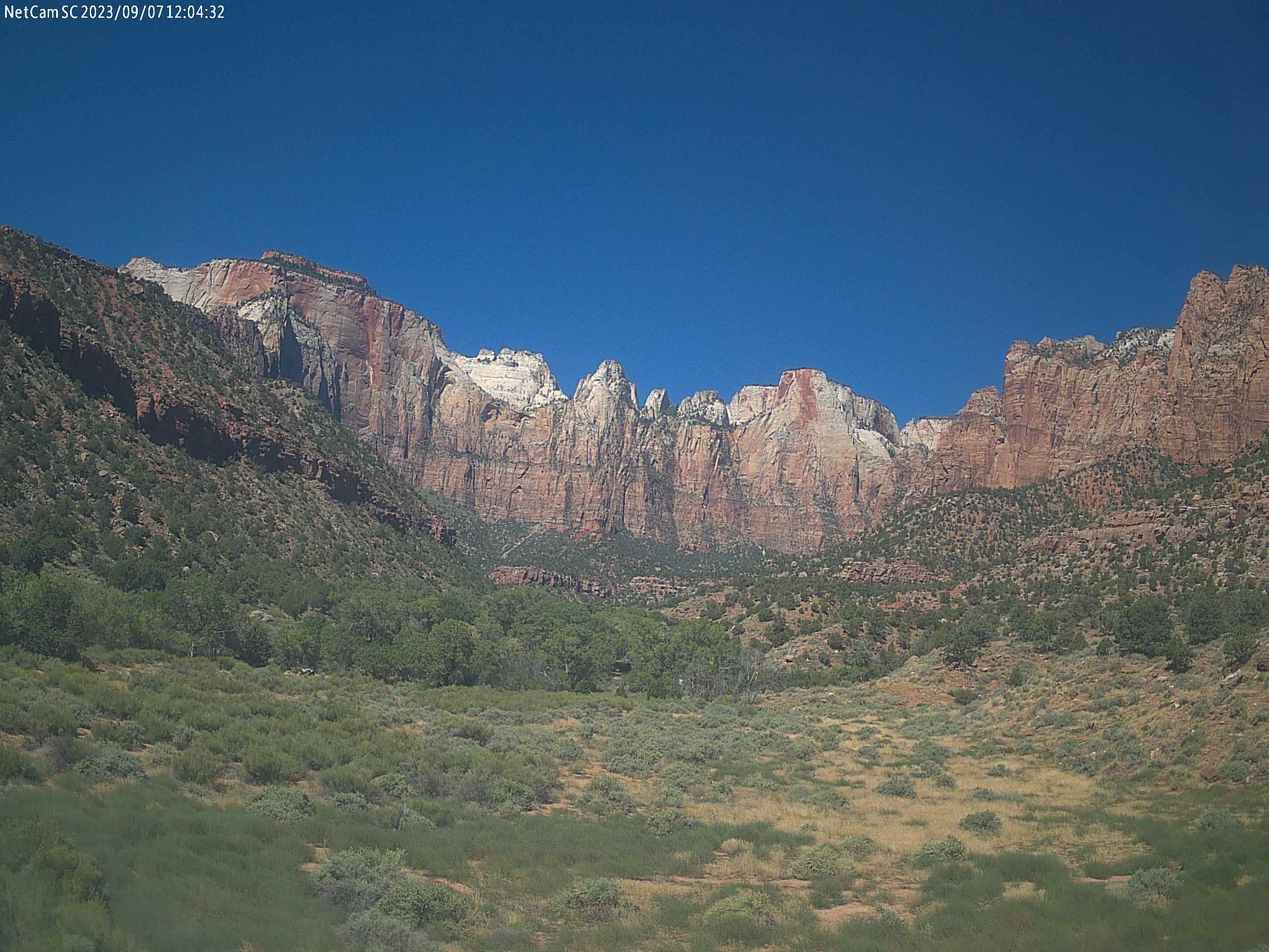
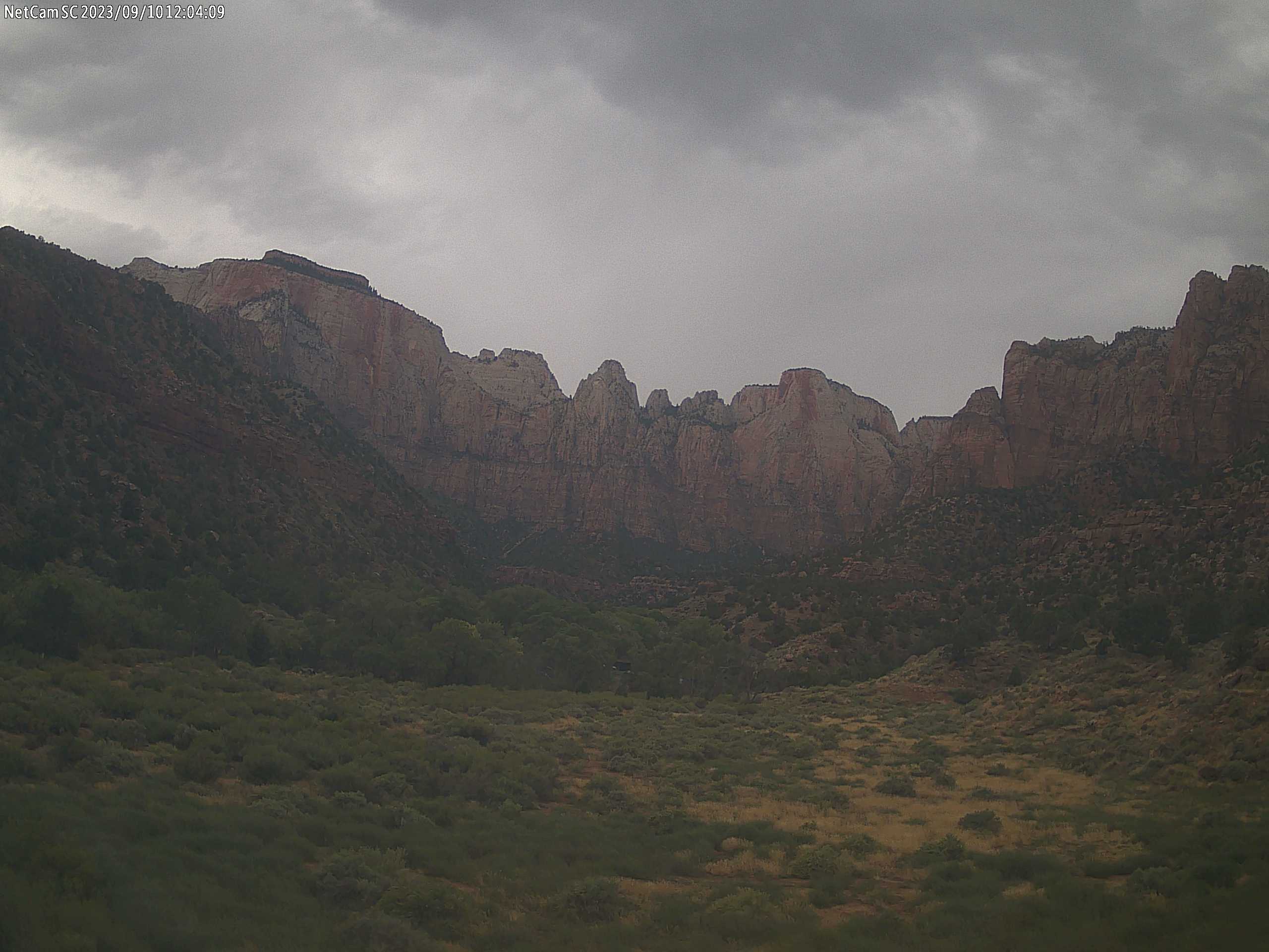
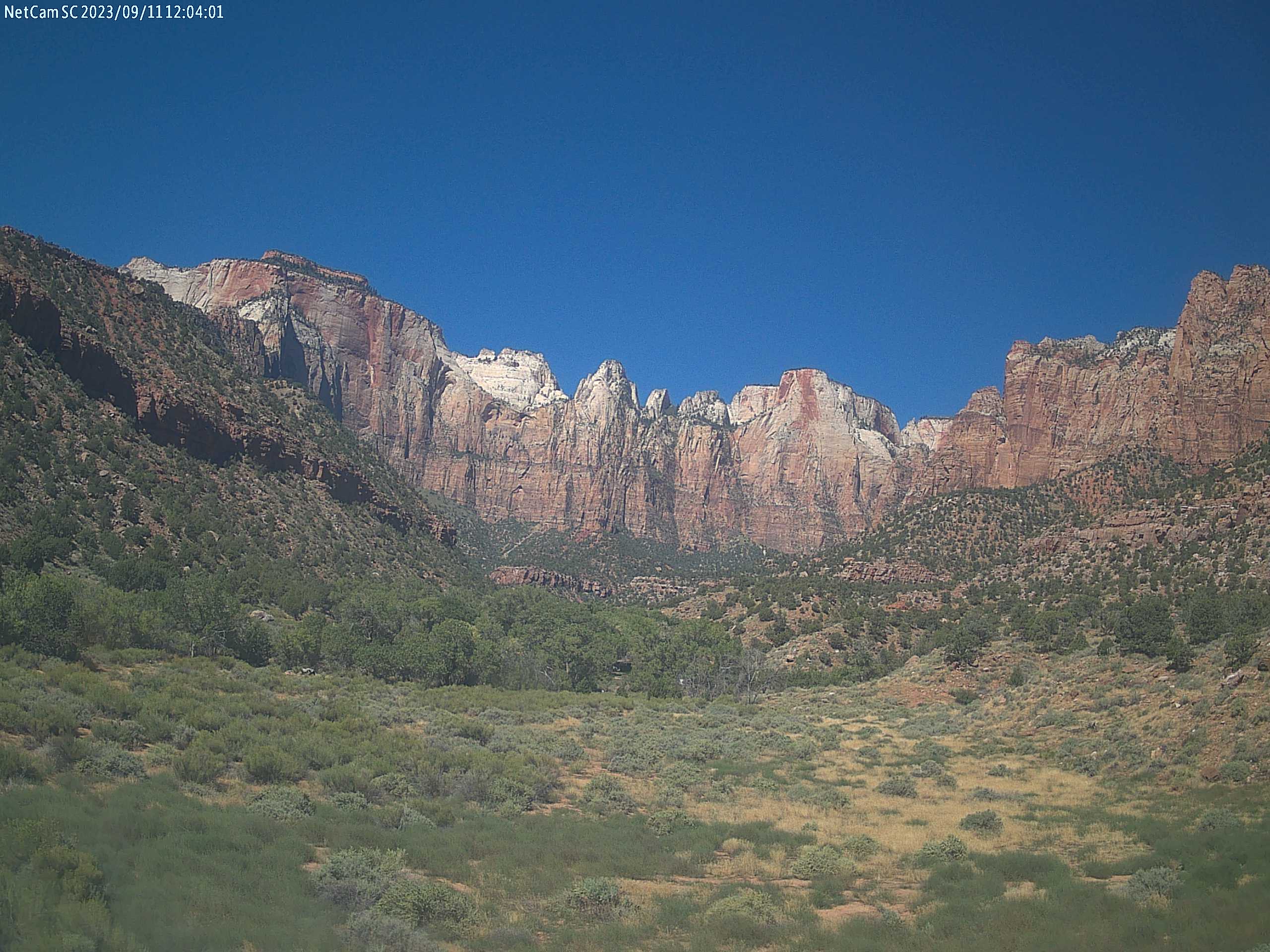
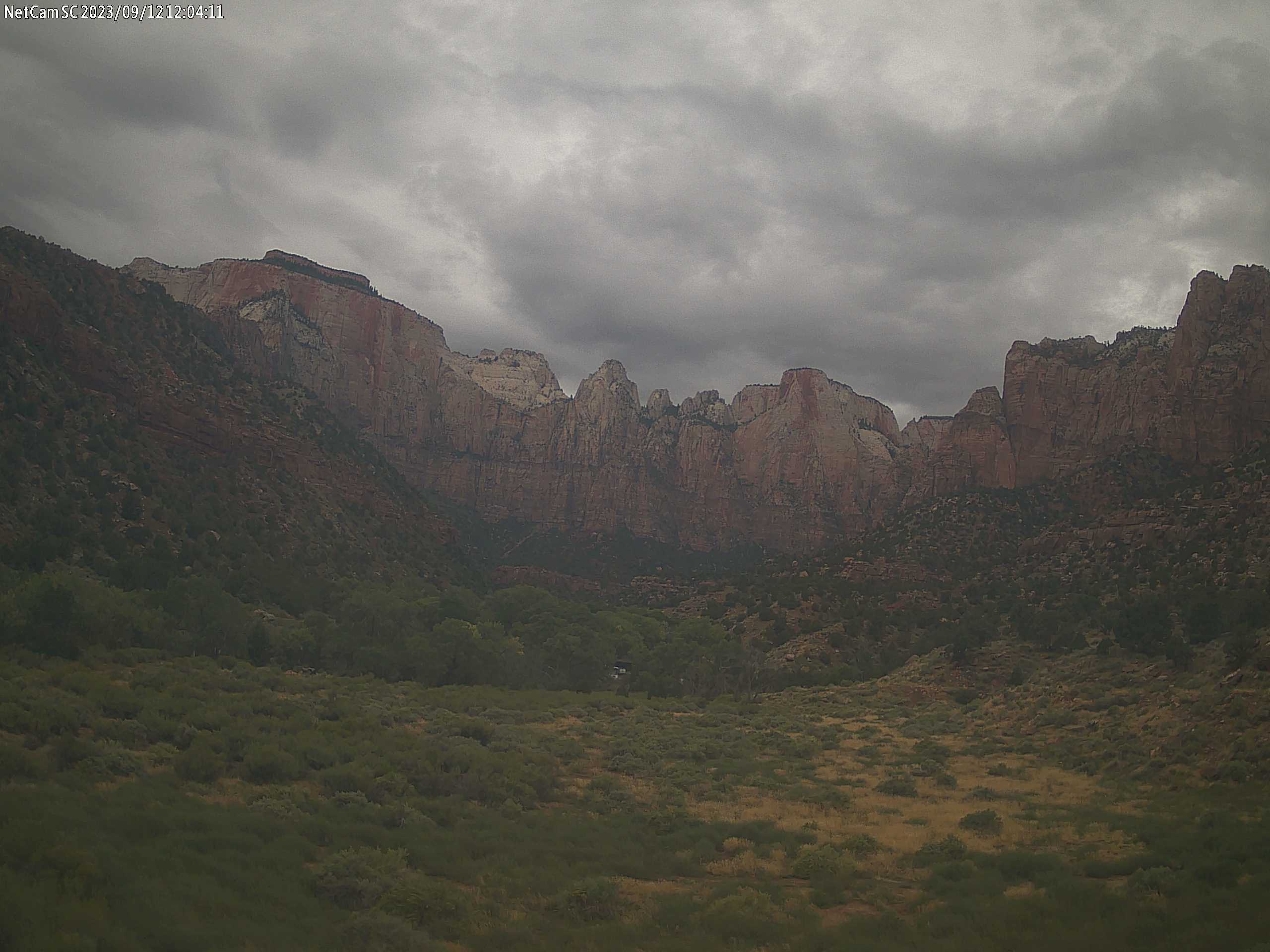
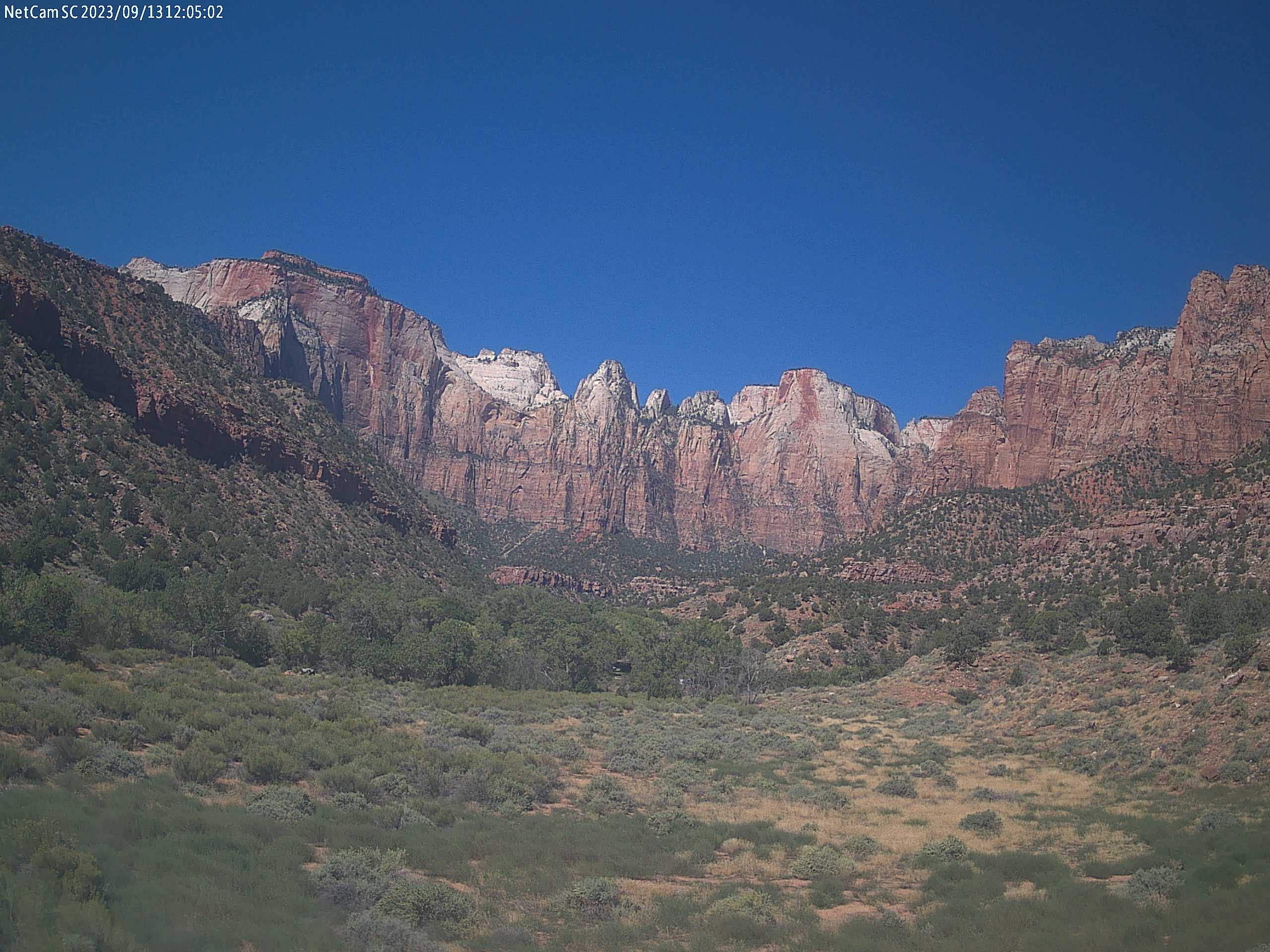
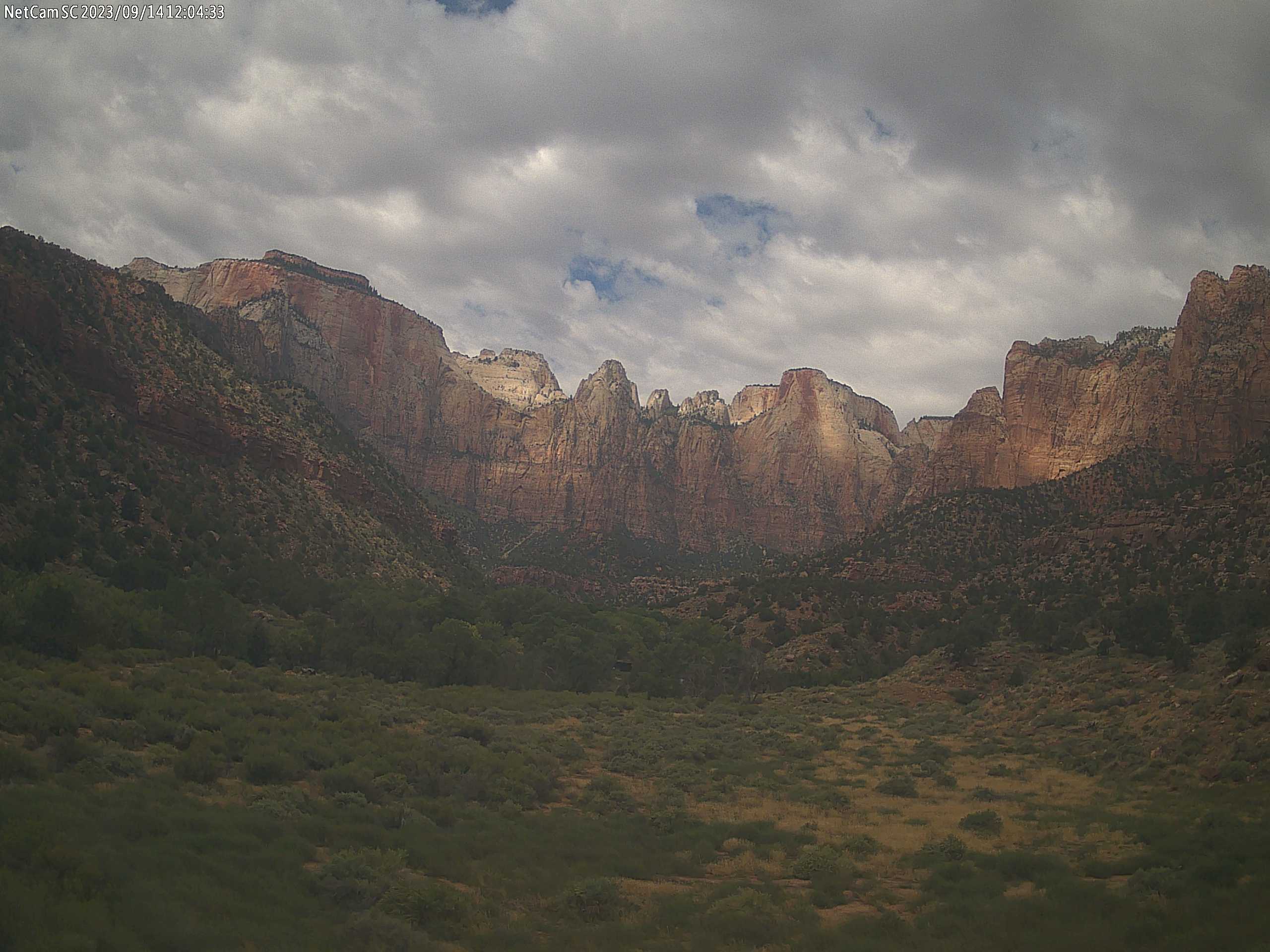
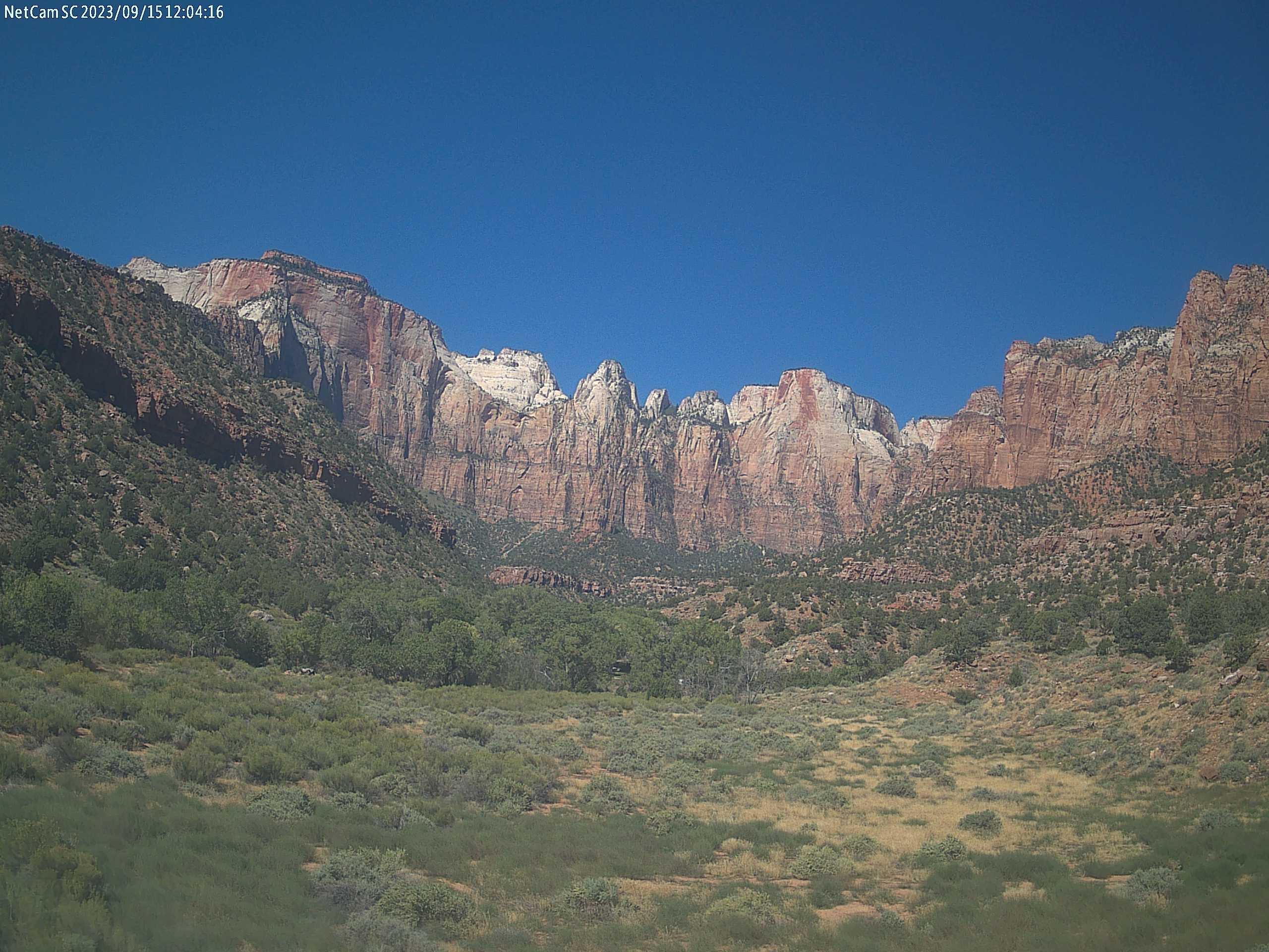
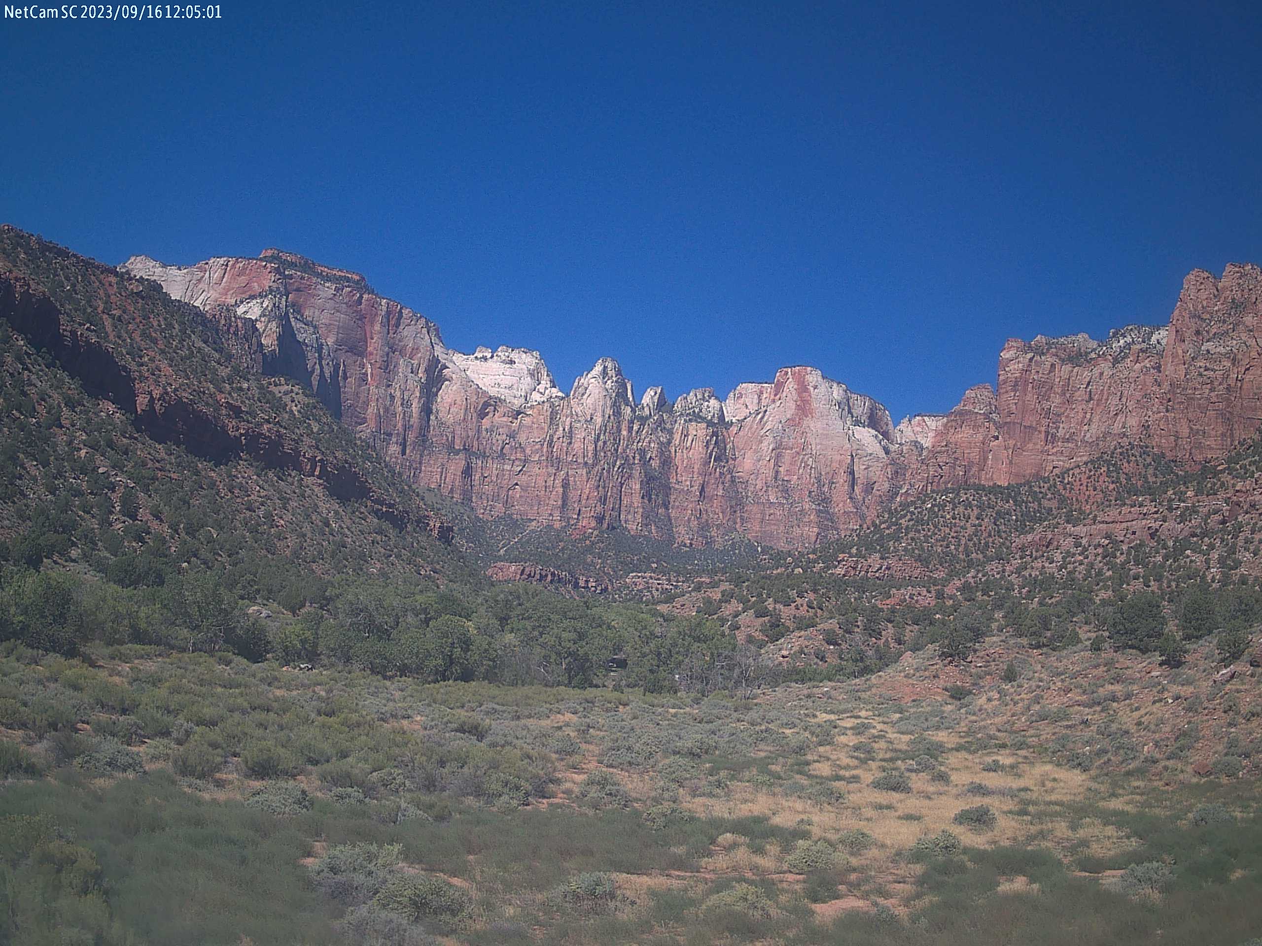
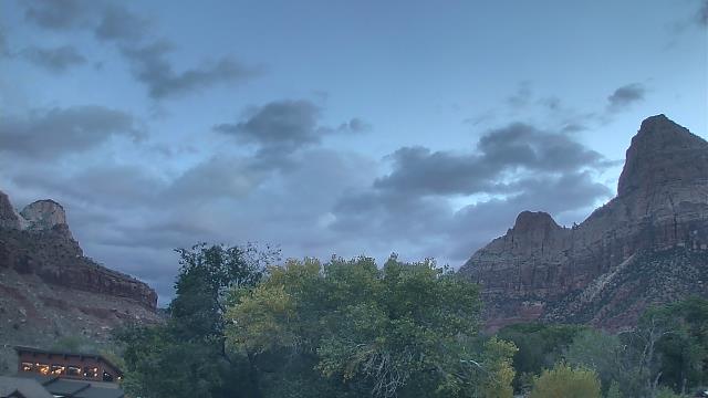
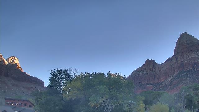
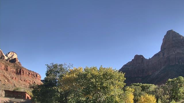
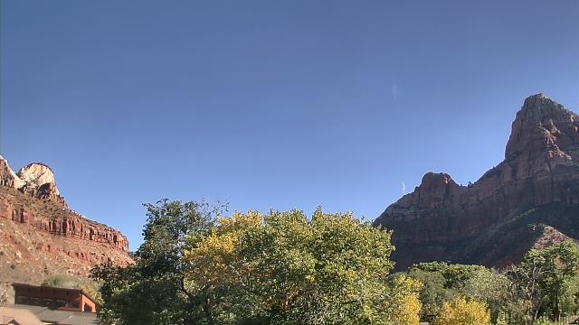
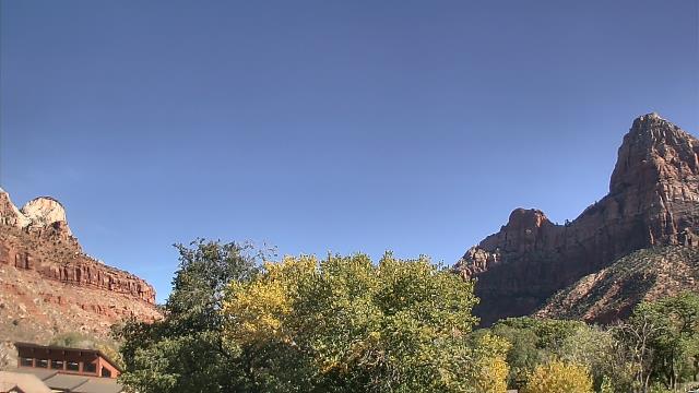
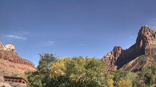
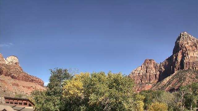
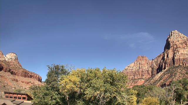
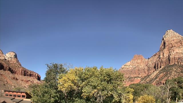
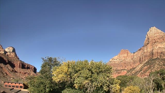
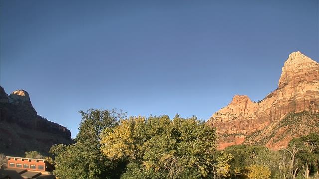
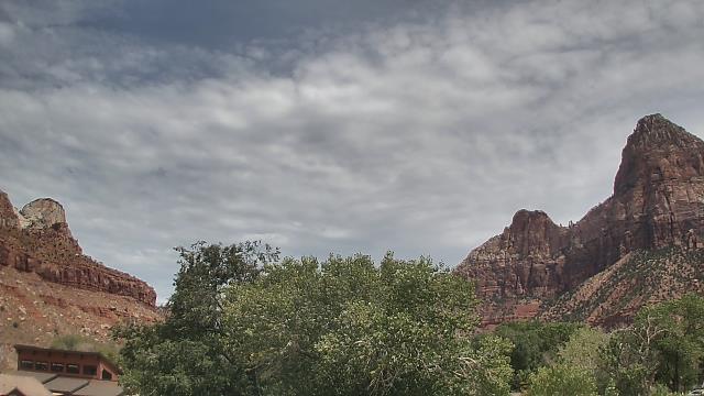
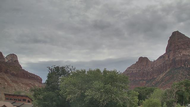
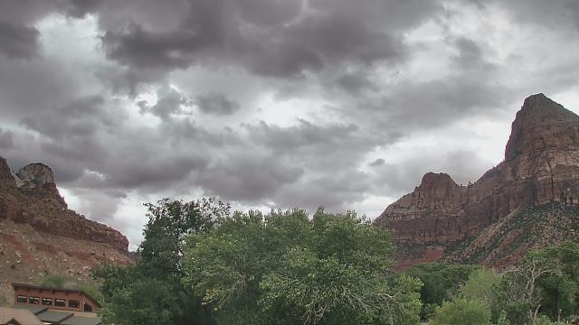
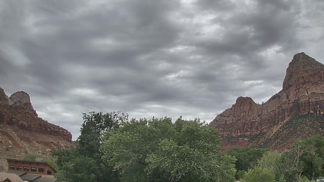
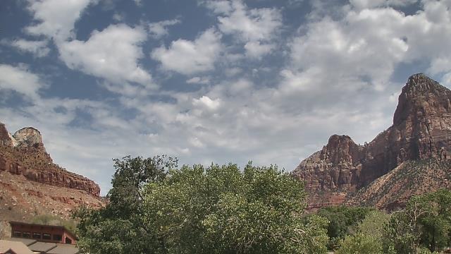
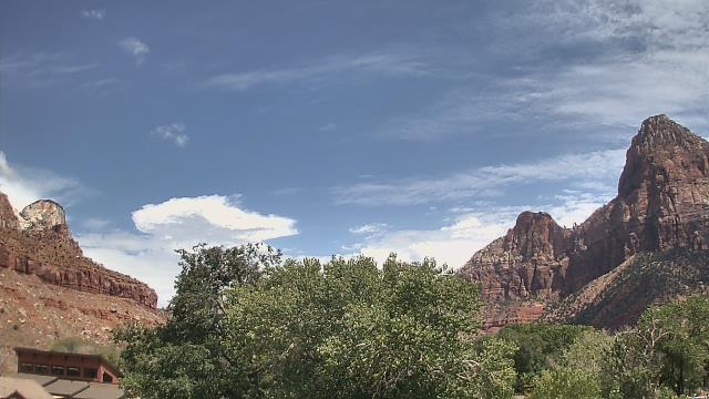
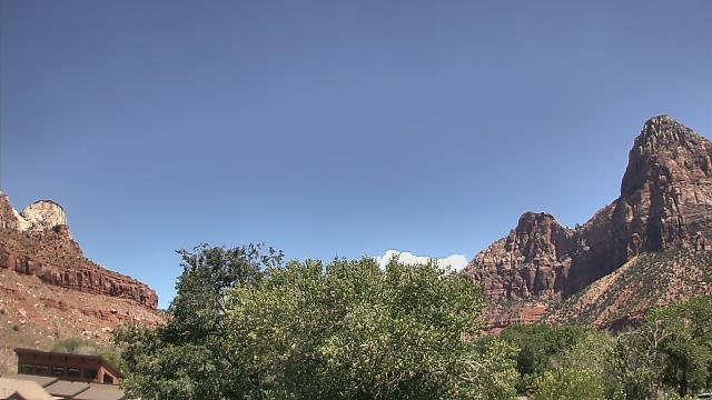
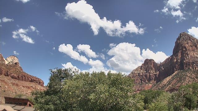
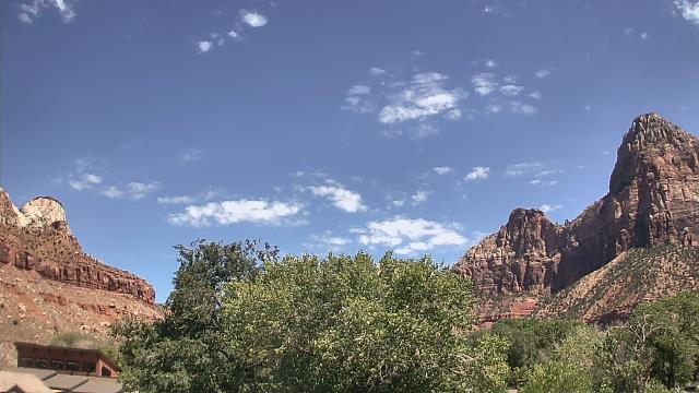
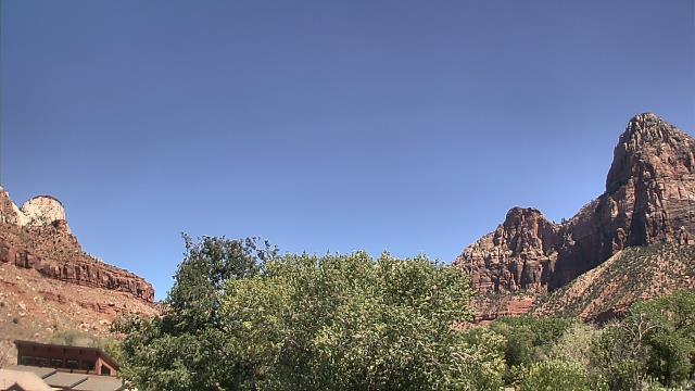
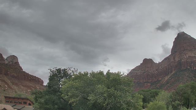
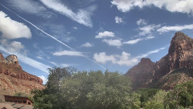
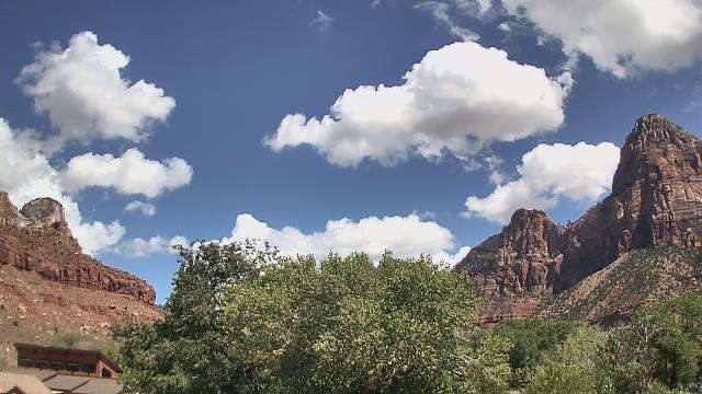
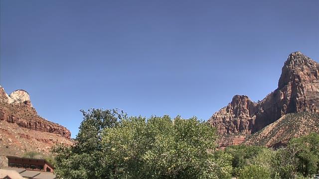
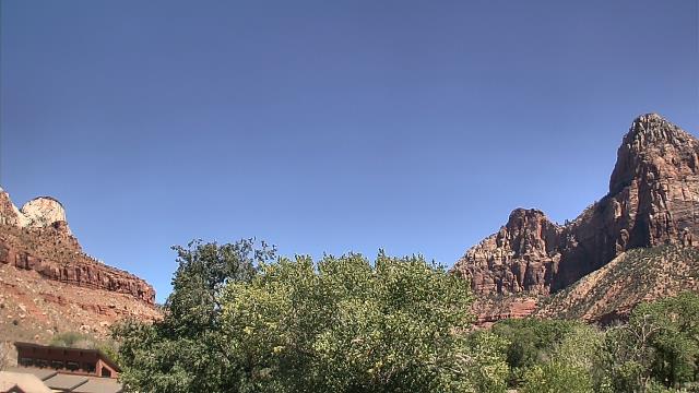
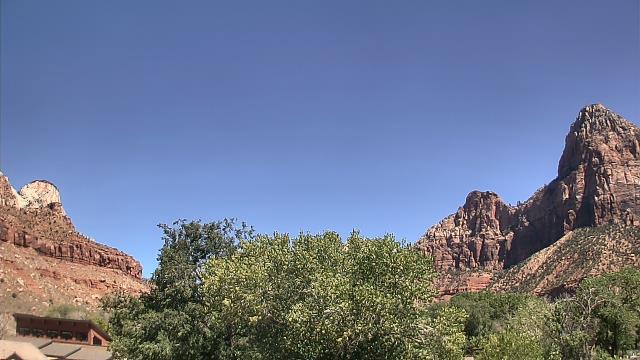
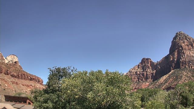
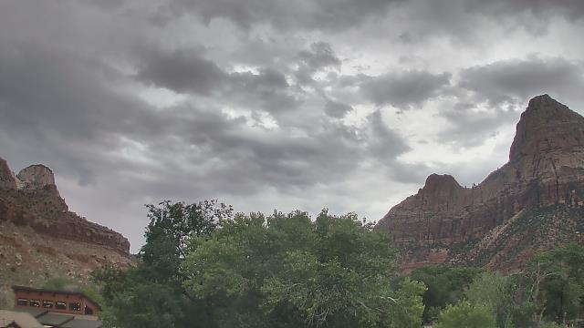
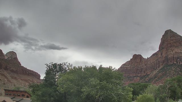
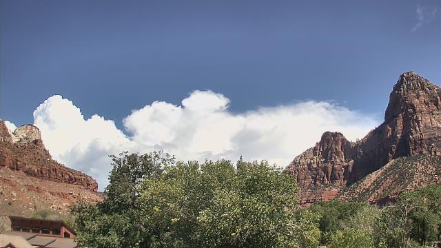
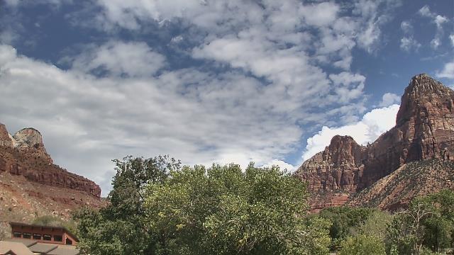
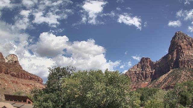
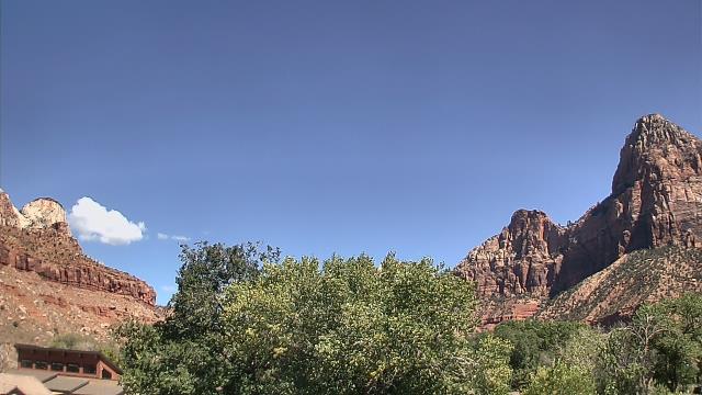
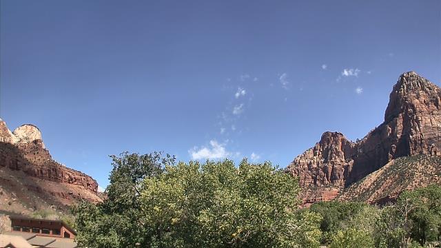
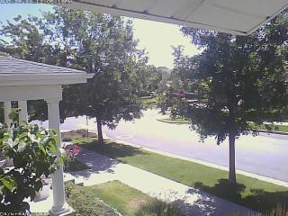
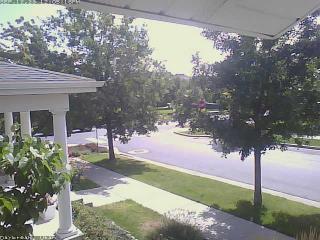
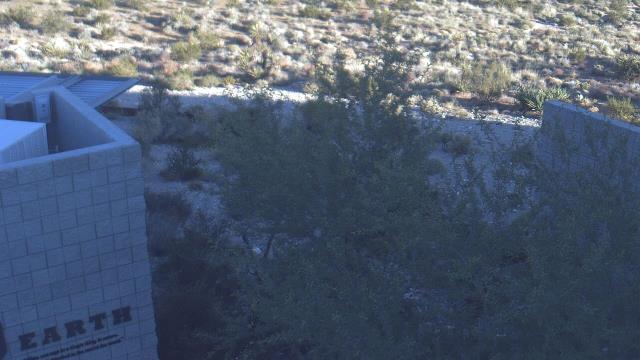
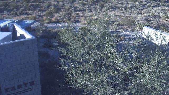
Zion National Park, Utah, USA - 179.3 miles from Sunshine Camp (historical): The Temples and Towers of the Virgin - The view from the Zion National Park headquarters.
Operator: U.S. National Park Service
Operator: U.S. National Park Service


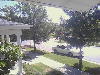
Springdale, Utah, USA - 179.9 miles from Sunshine Camp (historical): Zion Canyon Theatre - A webcam in Springdale, Utah - camera location: Zion Canyon Theatre.
Operator: WeatherBug
Operator: WeatherBug


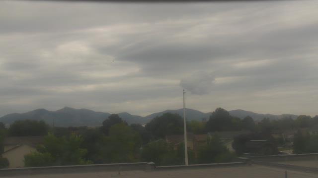
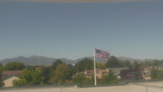
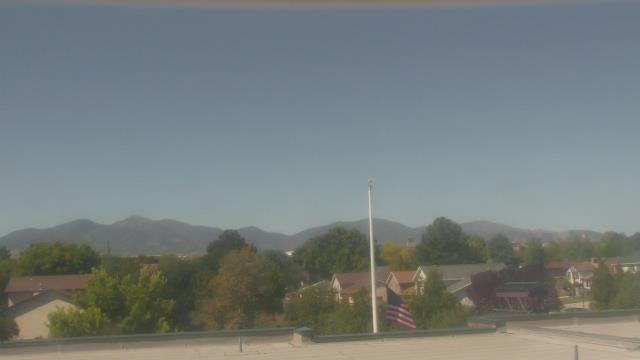
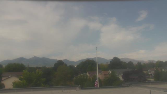
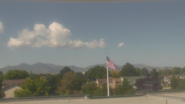
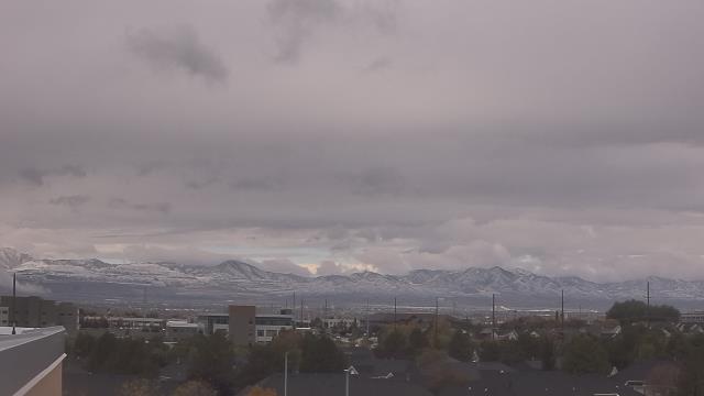
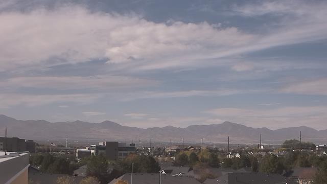
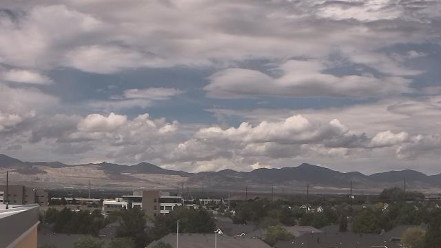
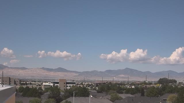
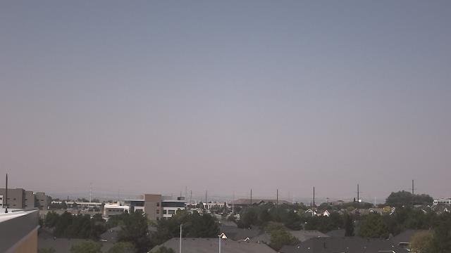
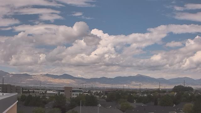
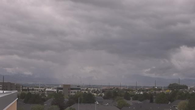
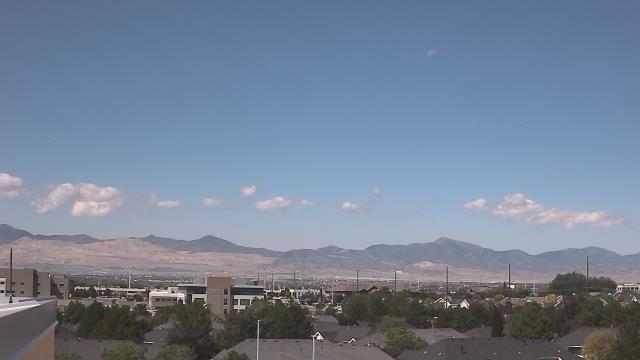
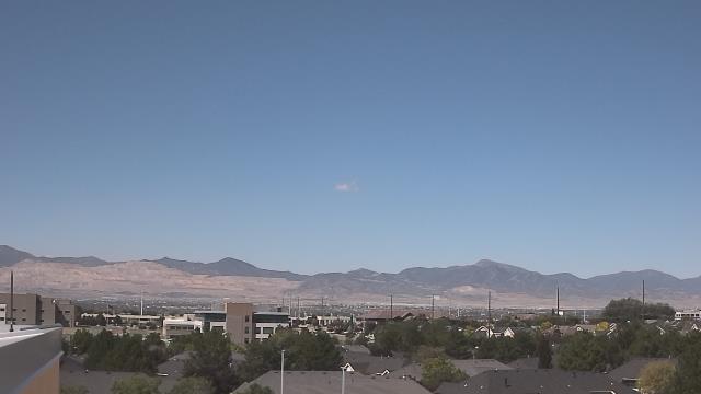
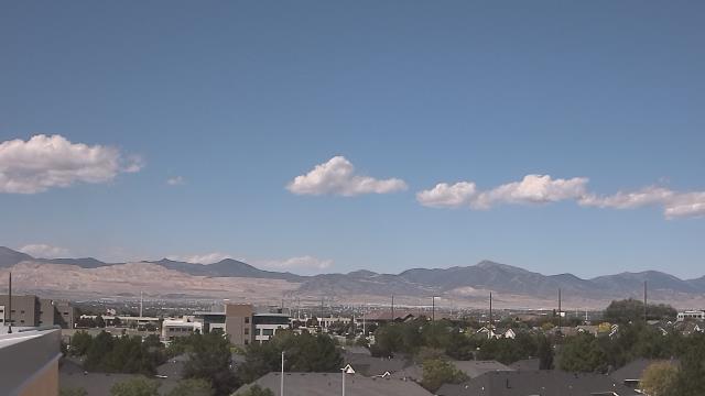
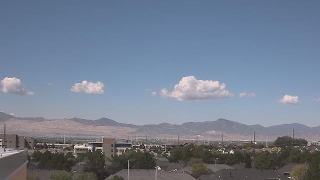
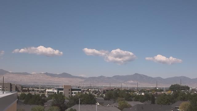
South Jordan, Utah, USA - 184.9 miles from Sunshine Camp (historical): South Jordan Utah Camera - A webcam in South Jordan, Utah - camera location: South Jordan Utah Camera.
Operator: WeatherBug
Operator: WeatherBug


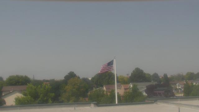
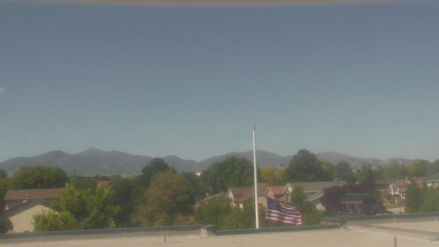
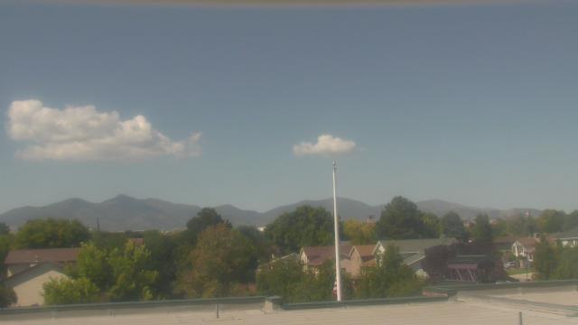
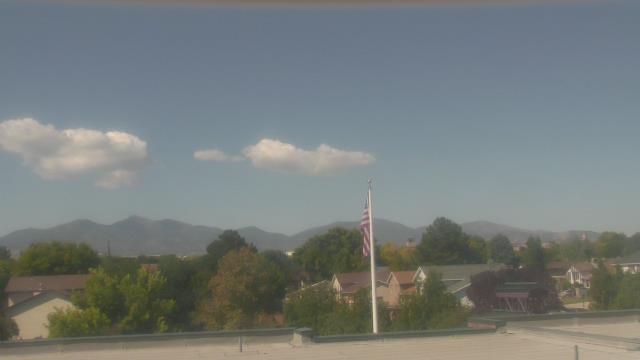
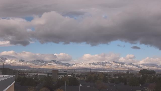
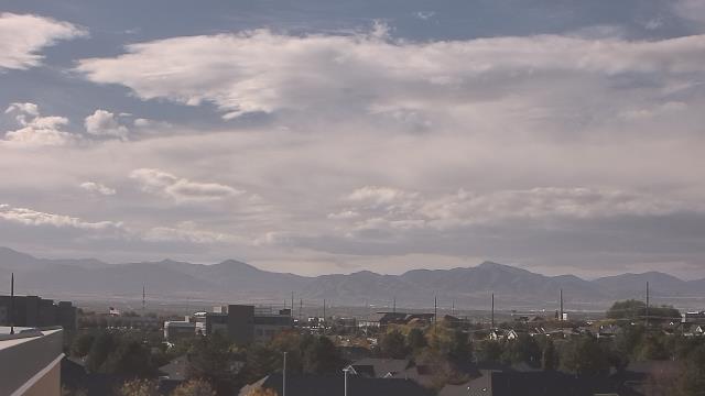
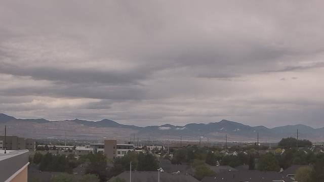
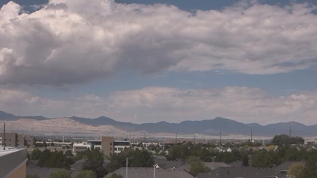
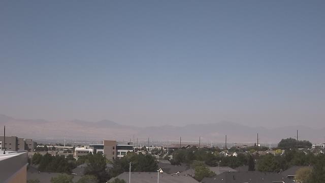
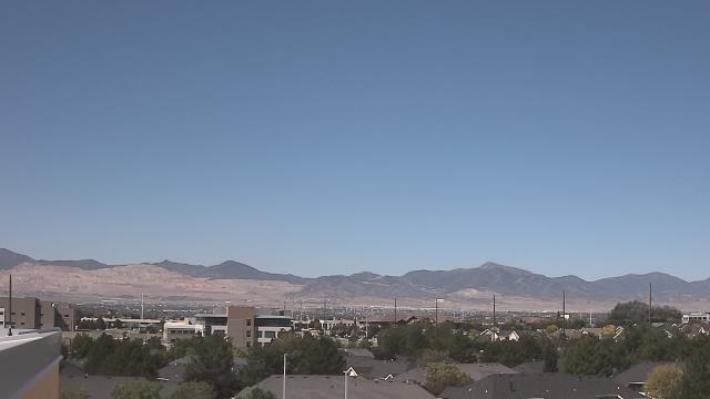
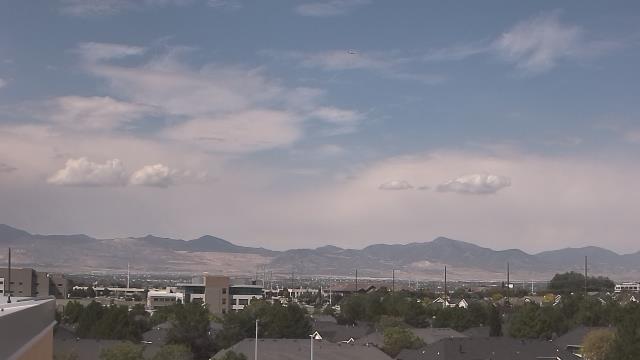
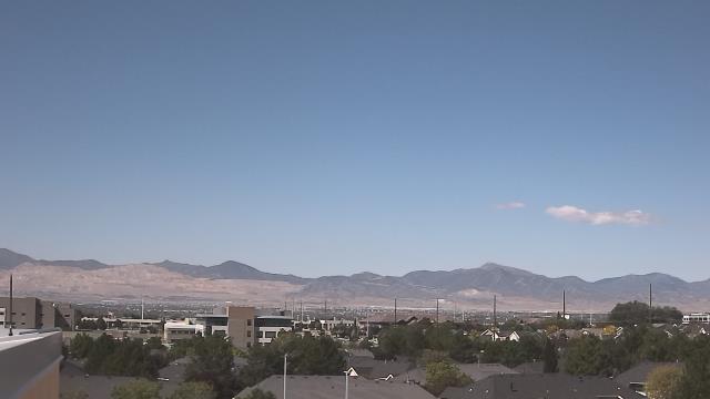
West Jordan, Utah, USA - 186.1 miles from Sunshine Camp (historical): Oquirrh Elementary School - A webcam in West Jordan, Utah - camera location: Oquirrh Elementary School.
Operator: WeatherBug
Operator: WeatherBug


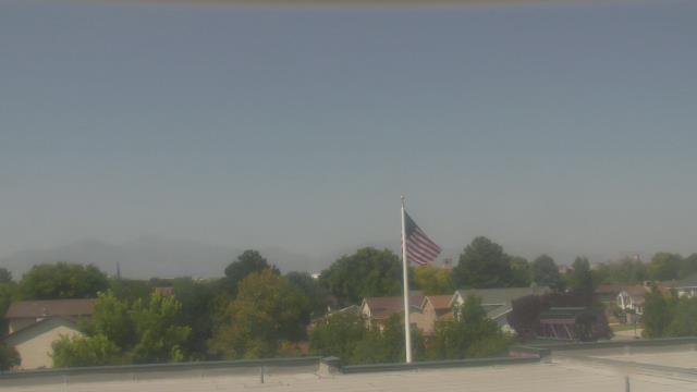
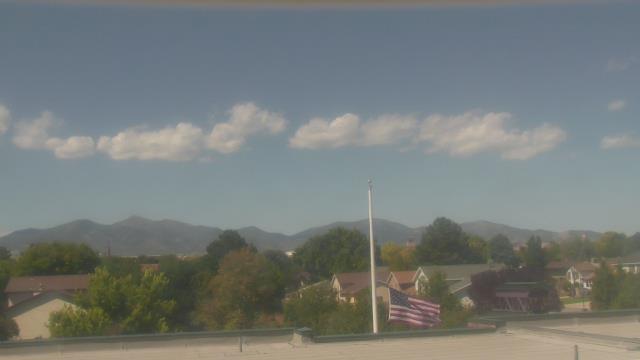
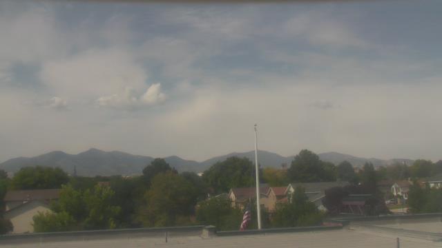
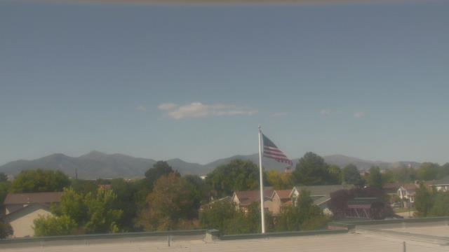

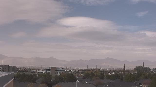
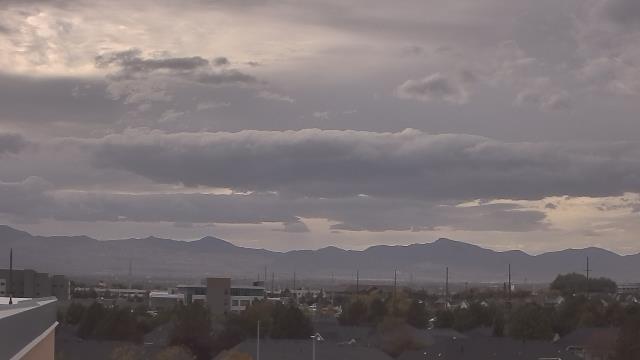
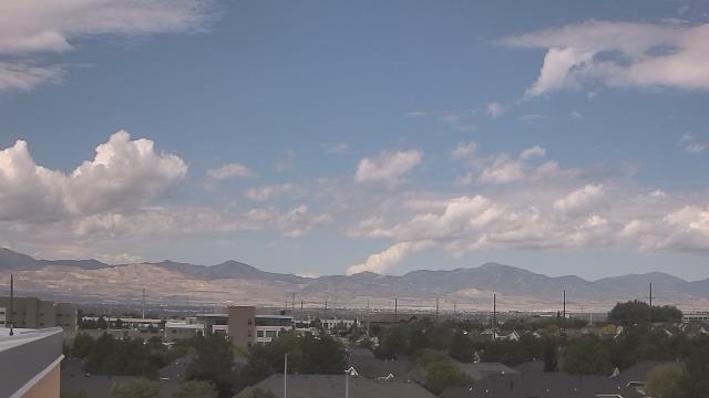
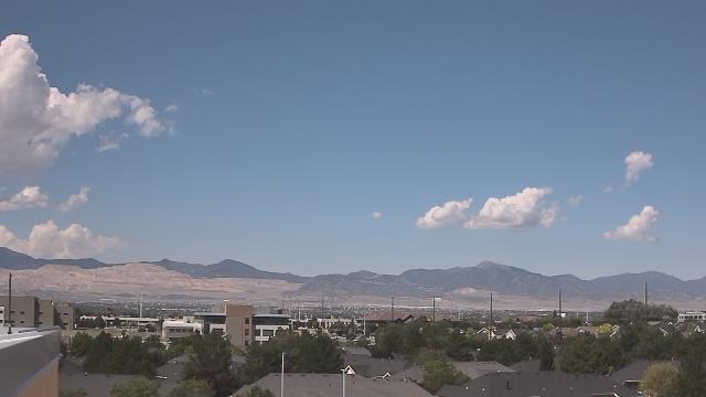
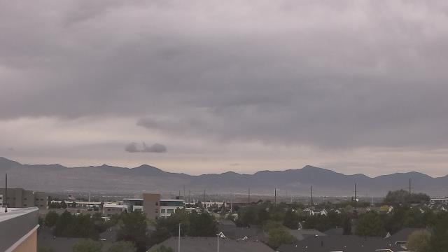
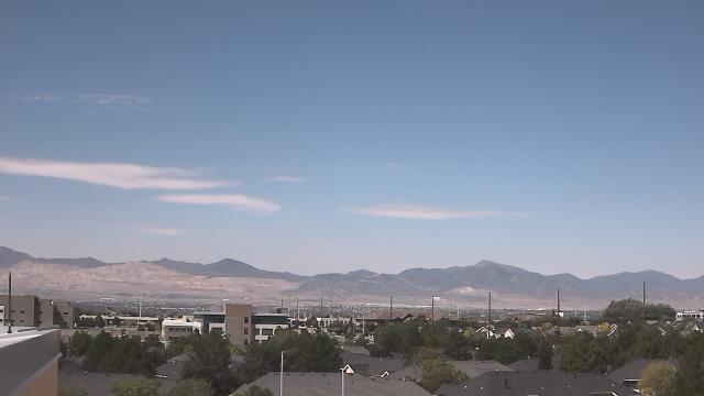
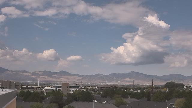
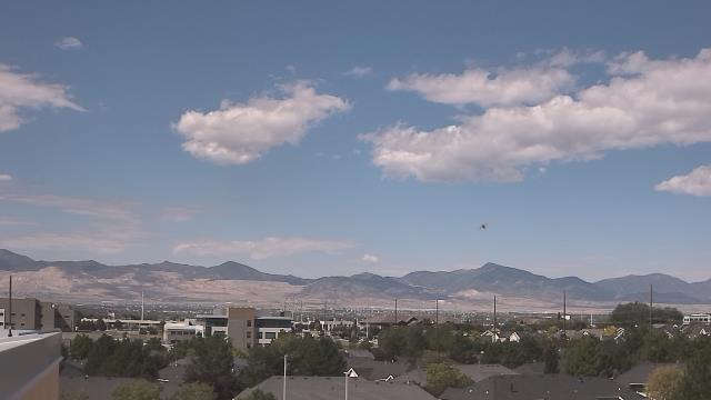
Draper, Utah, USA - 186.8 miles from Sunshine Camp (historical): Juan Diego Catholic High School - A webcam in Draper, Utah - camera location: Juan Diego Catholic High School.
Operator: WeatherBug
Operator: WeatherBug


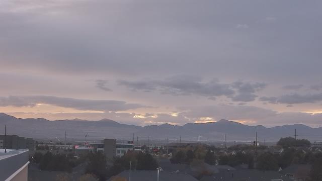
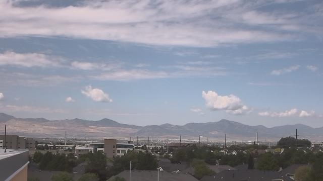

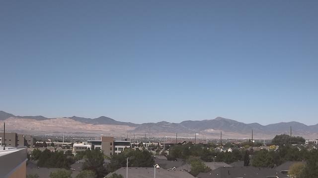
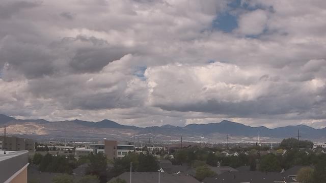
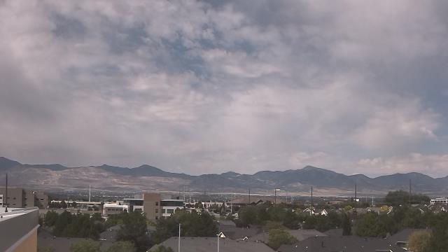

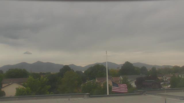
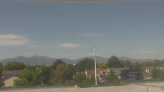
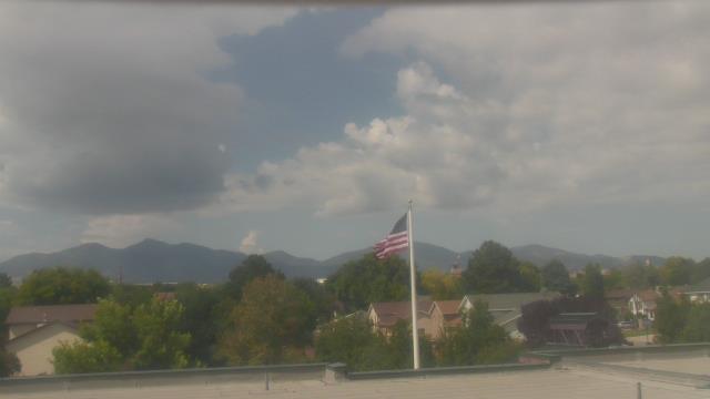
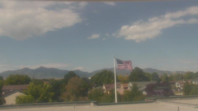
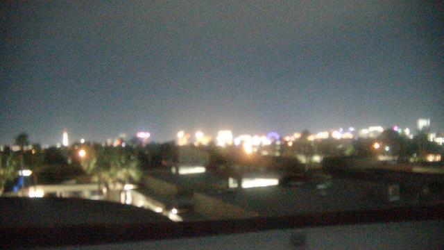
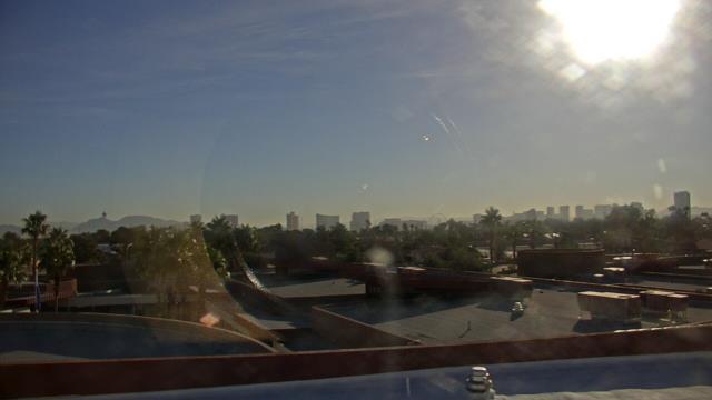
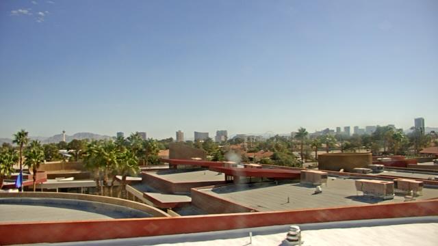
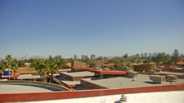
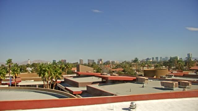
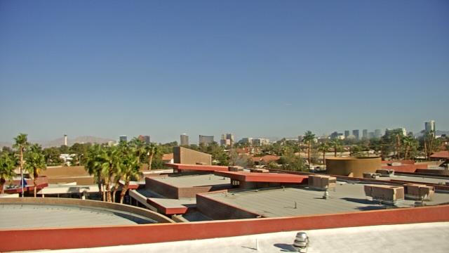
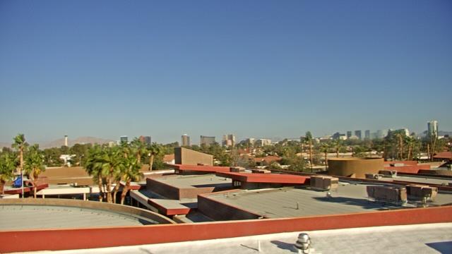
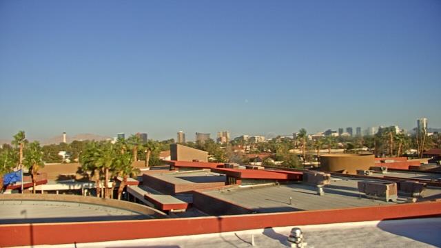
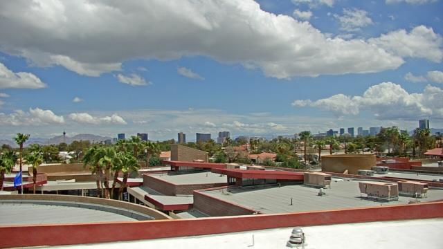
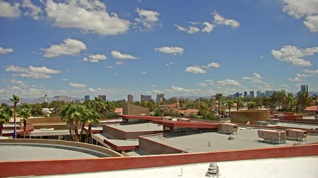
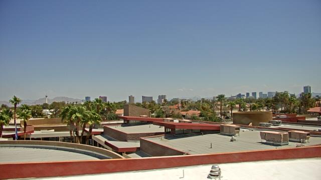
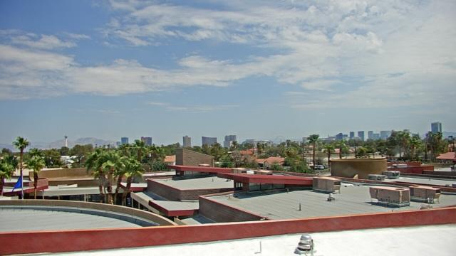
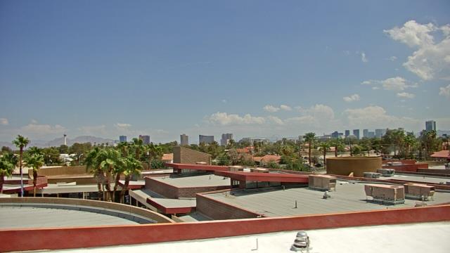
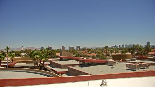
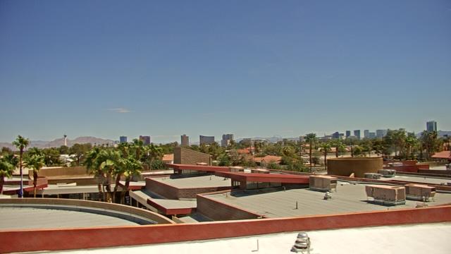
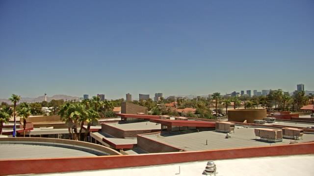
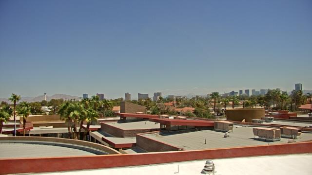
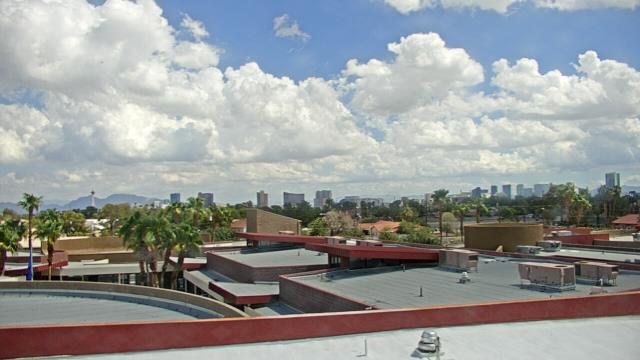
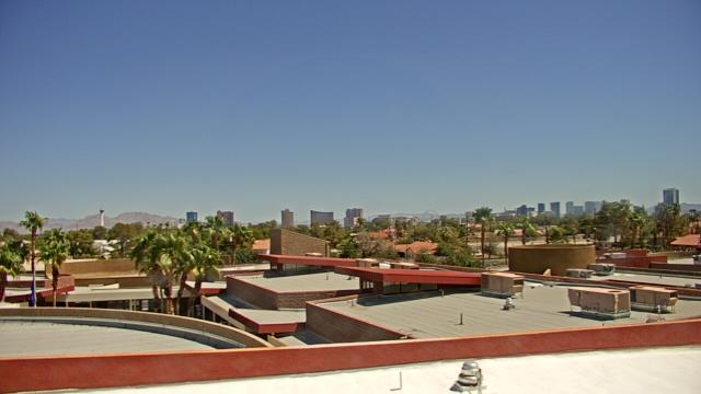
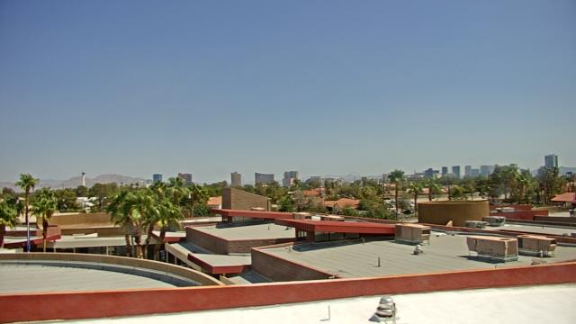
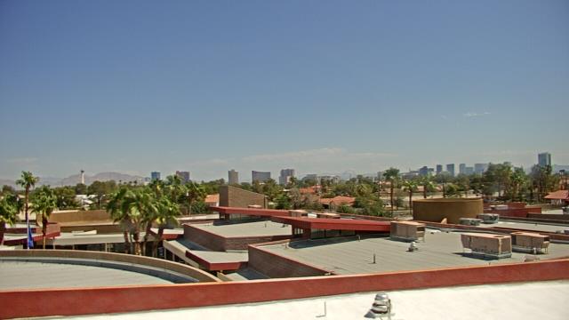
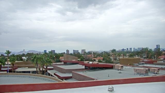
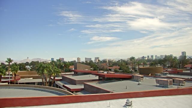
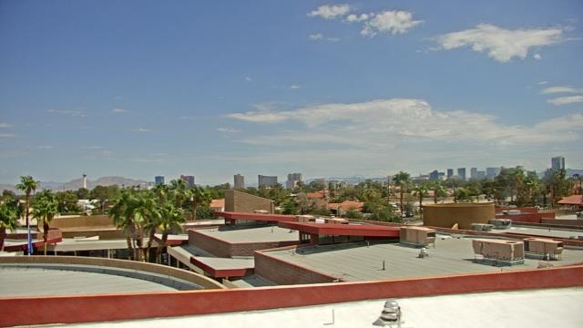
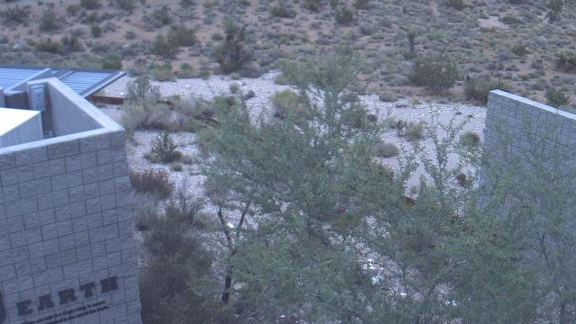
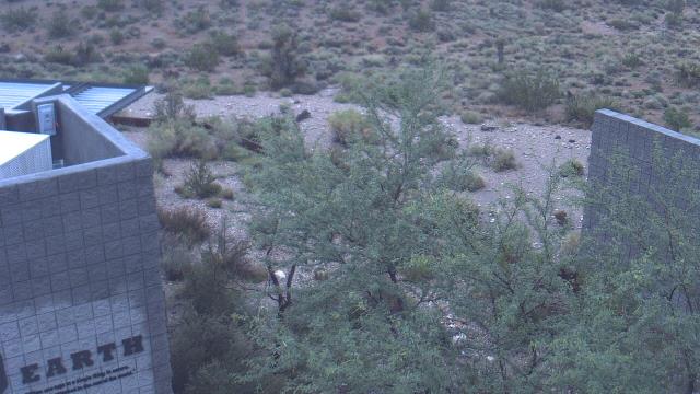
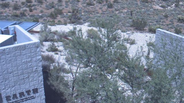
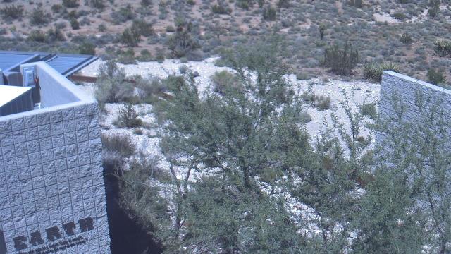
Las Vegas, Nevada, USA - 218.2 miles from Sunshine Camp (historical): Las Vegas Day School - A webcam in Las Vegas, Nevada - camera location: Las Vegas Day School.
Operator: WeatherBug
Operator: WeatherBug
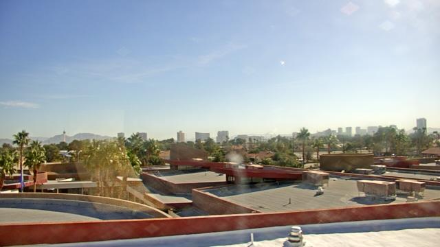
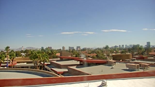


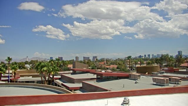
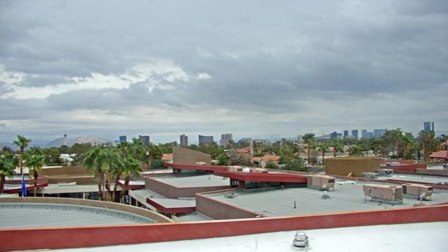
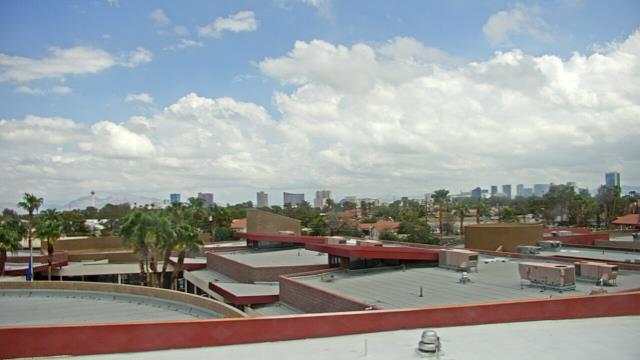
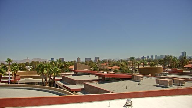

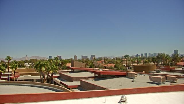
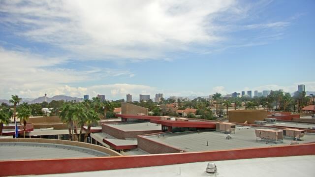
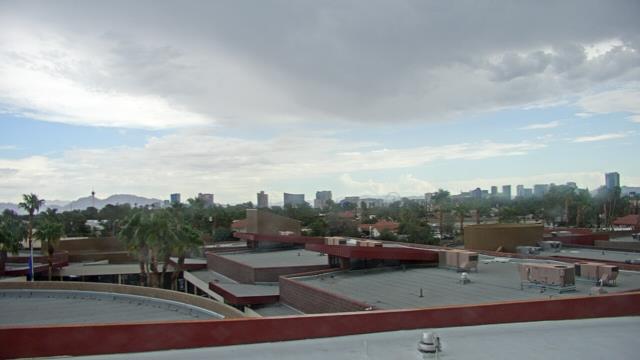
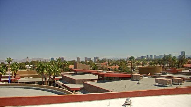
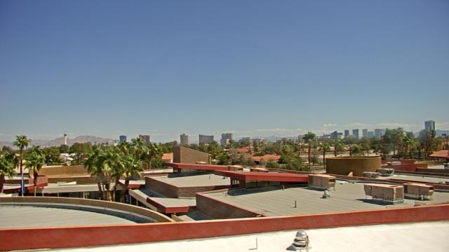
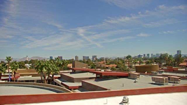

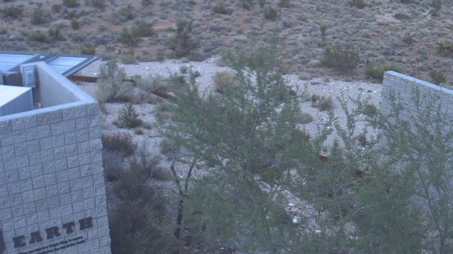
Las Vegas, Nevada, USA - 218.2 miles from Sunshine Camp (historical): Red Rock Visitor Center - A webcam in Las Vegas, Nevada - camera location: Red Rock Visitor Center.
Operator: WeatherBug
Operator: WeatherBug


Some other places in this country: Fluorine (historical) - Roses Well (historical) - Labbe Camp - Alpine (historical) - Old Reveille (historical) - Elaine (historical) - Cherry Creek (historical) - Barrett Springs (historical) - Good Hope (historical) - Summit (historical)