Webcams in the region of Pinto (historical), Nevada, USA
The List of Webcams near Pinto (historical), Nevada, USA:

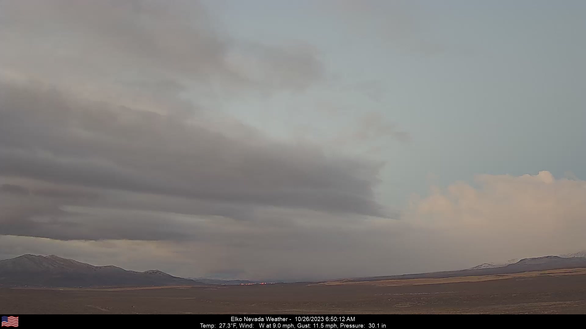
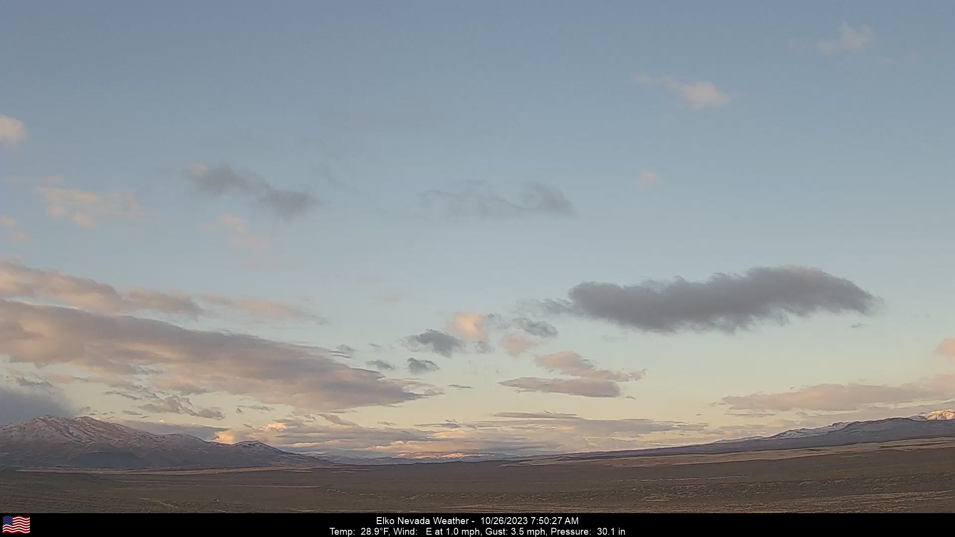
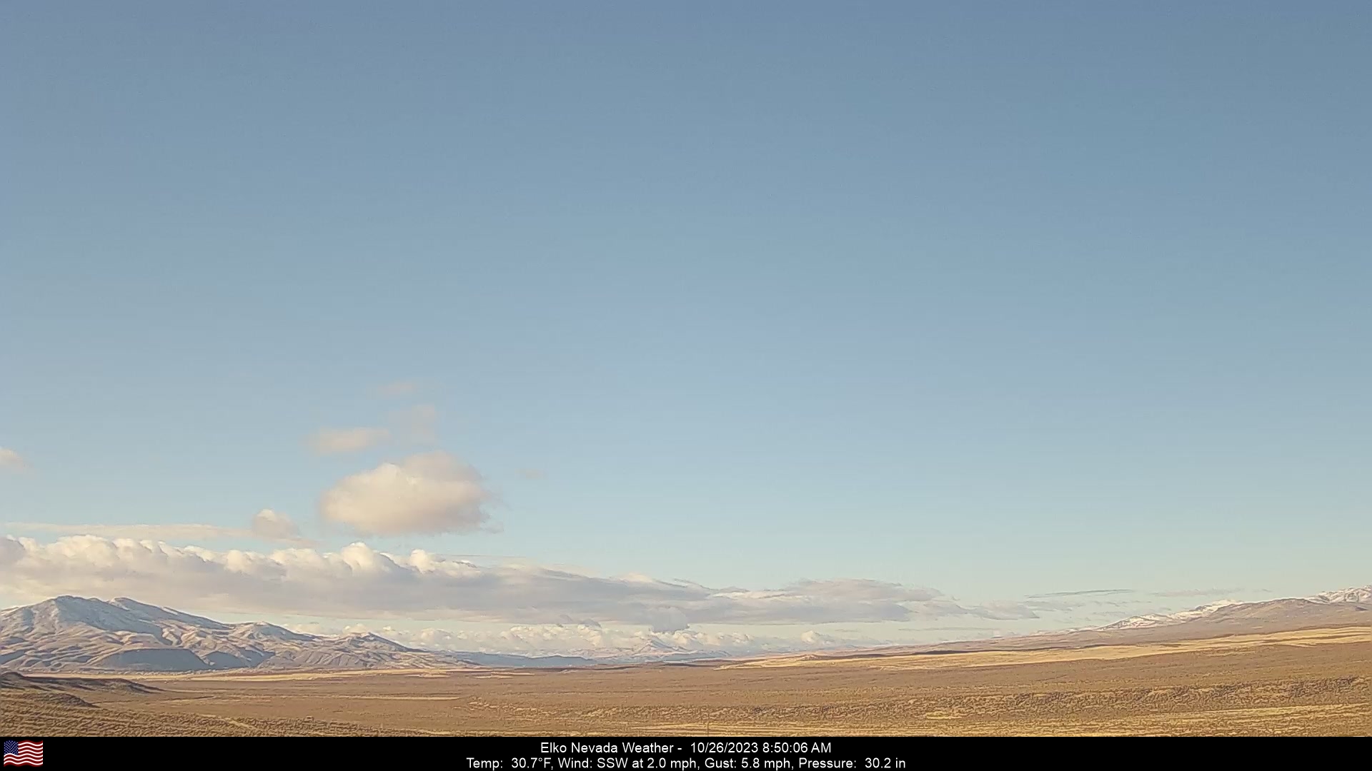
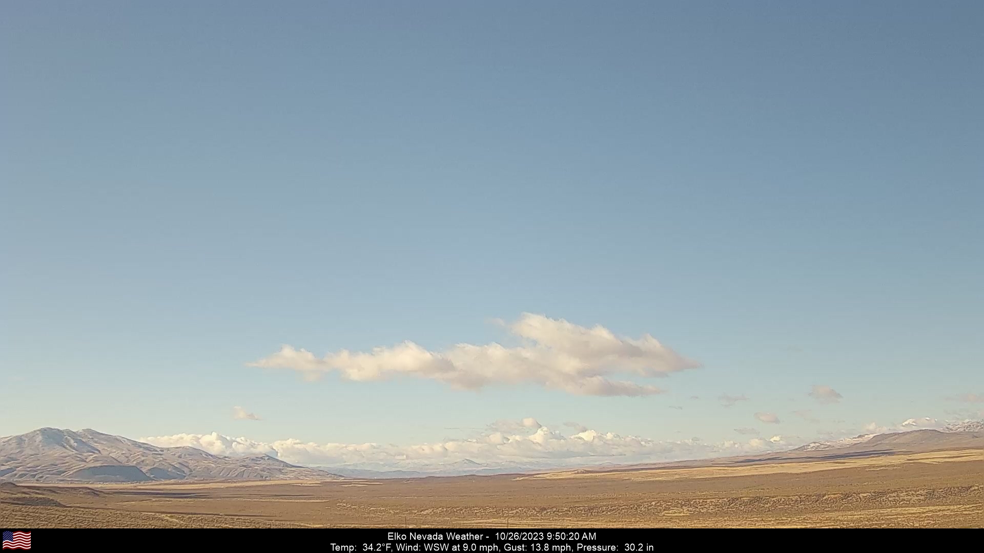
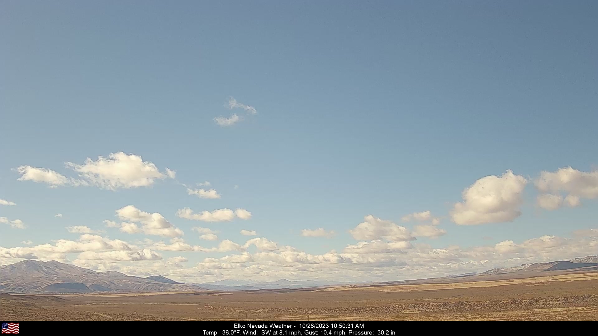
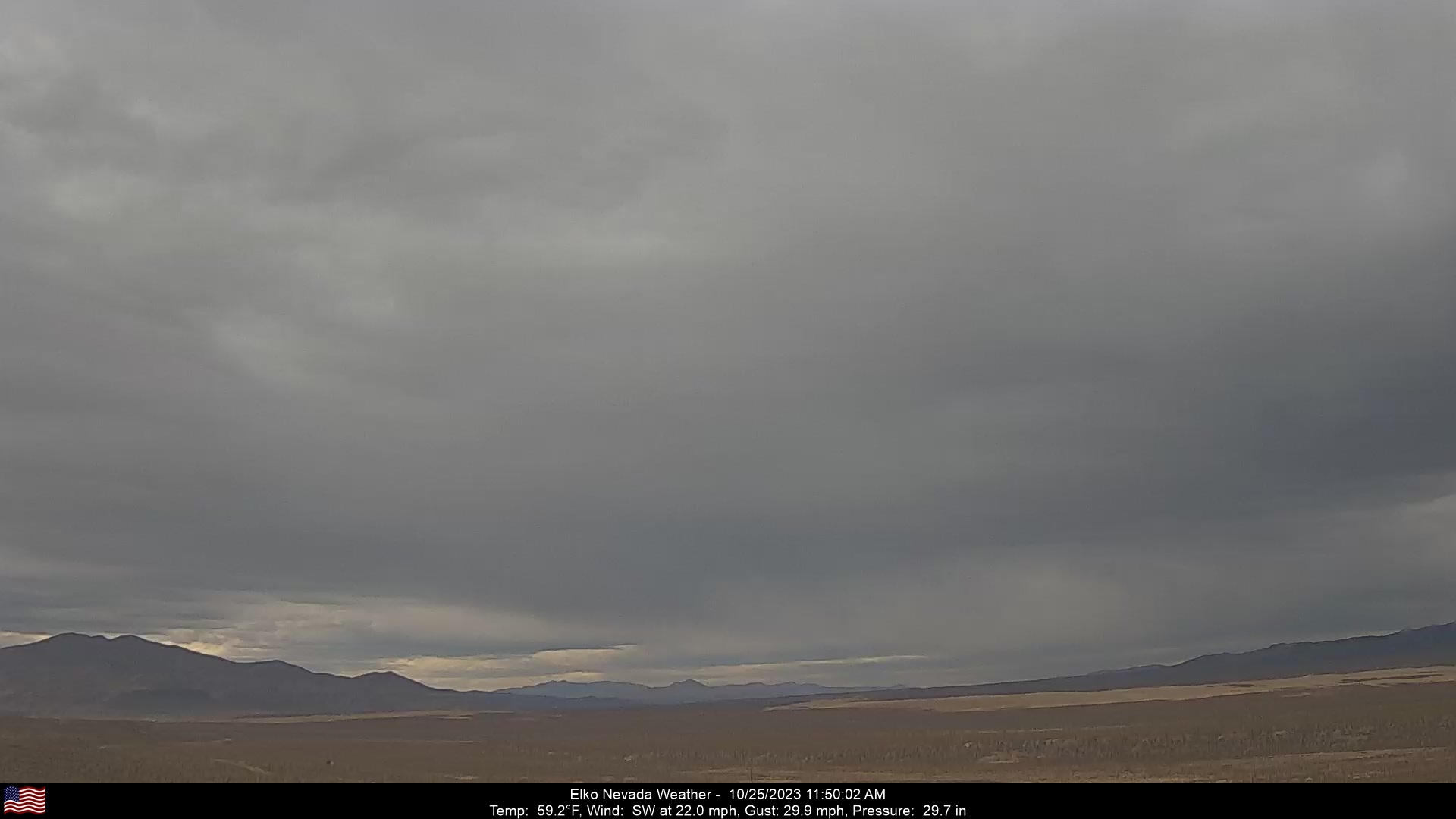
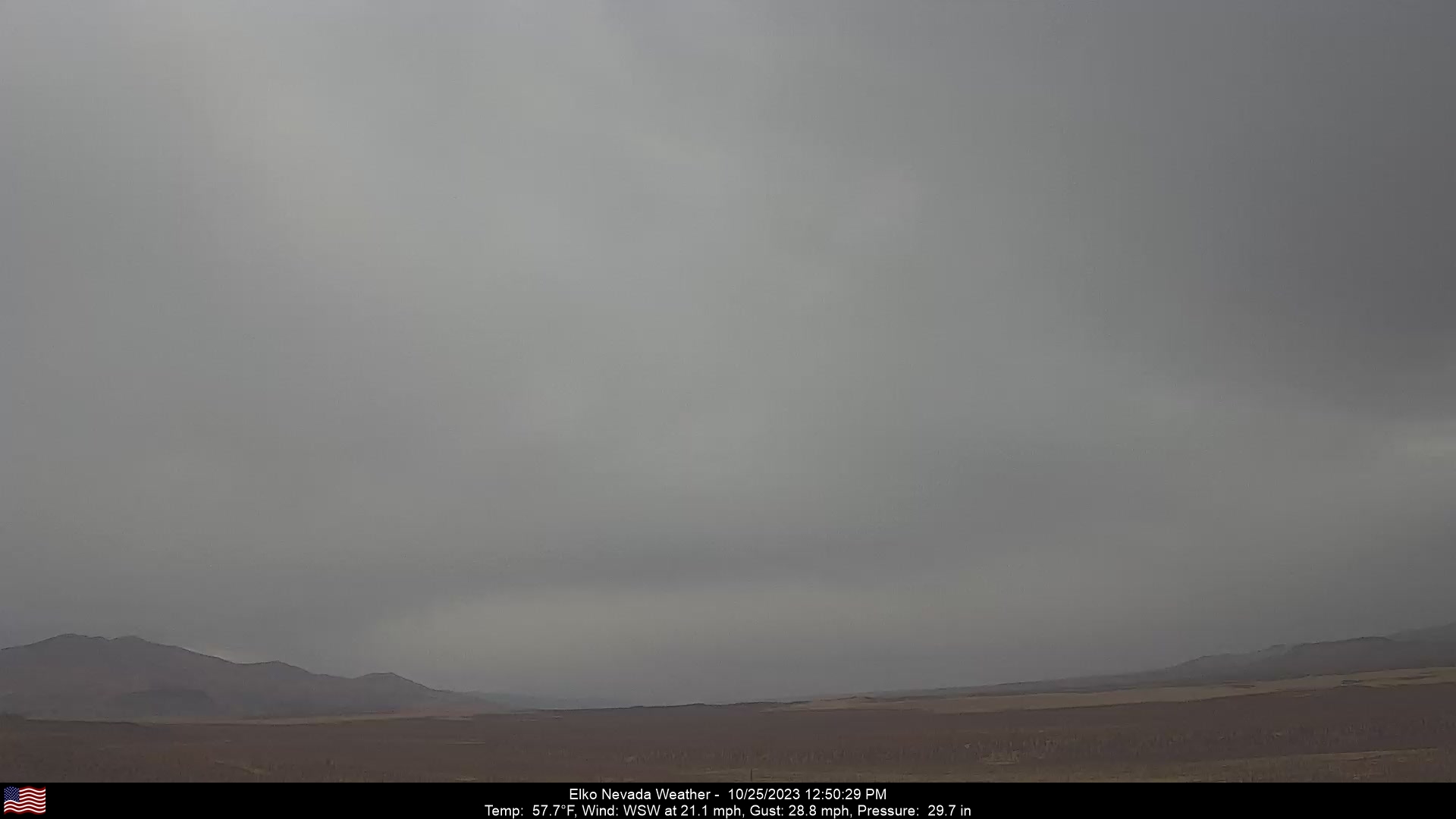
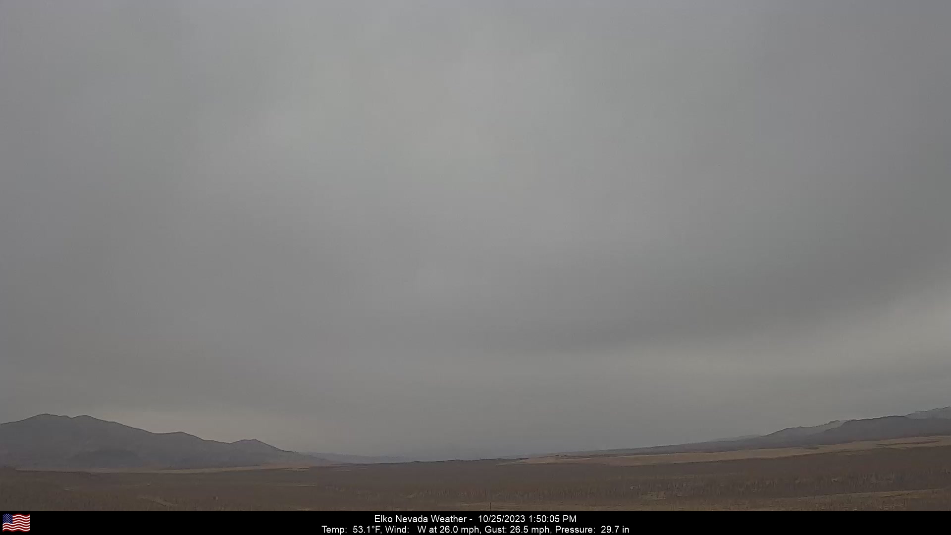
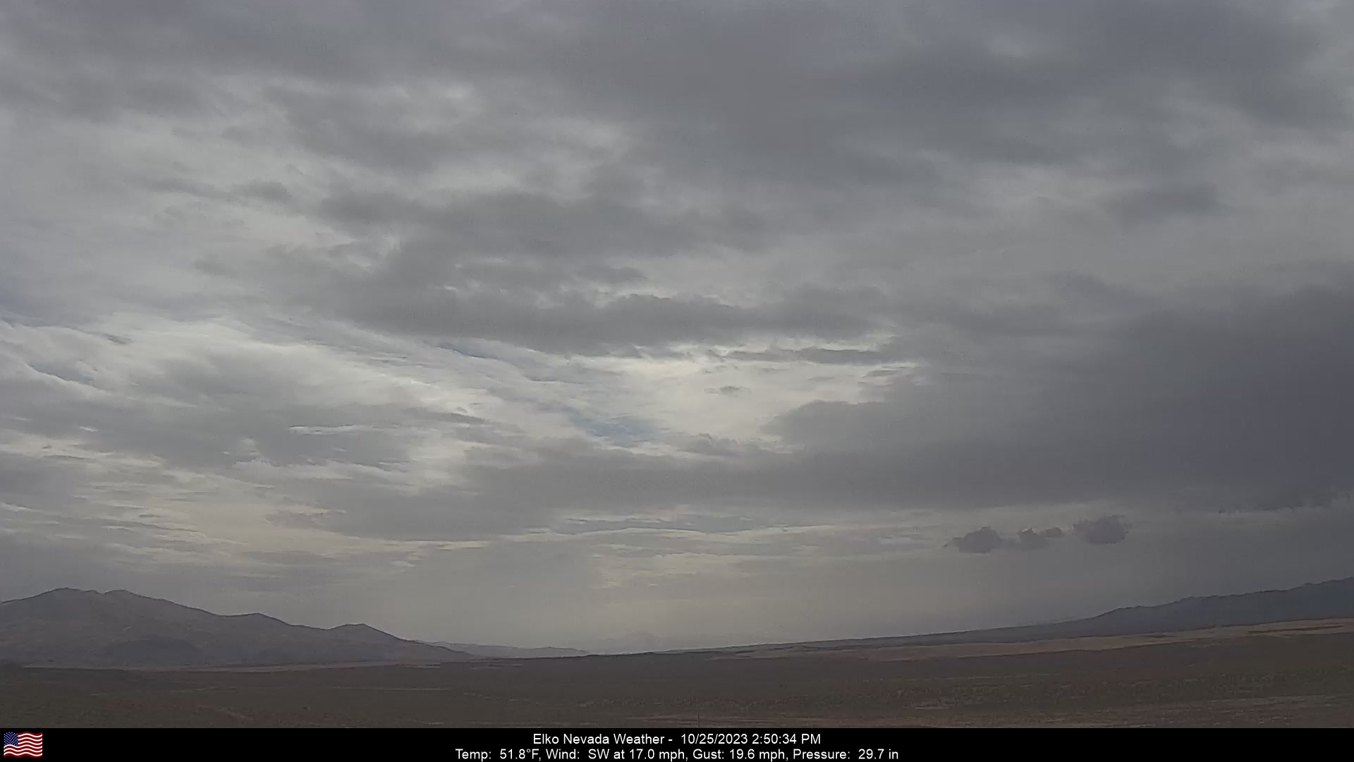
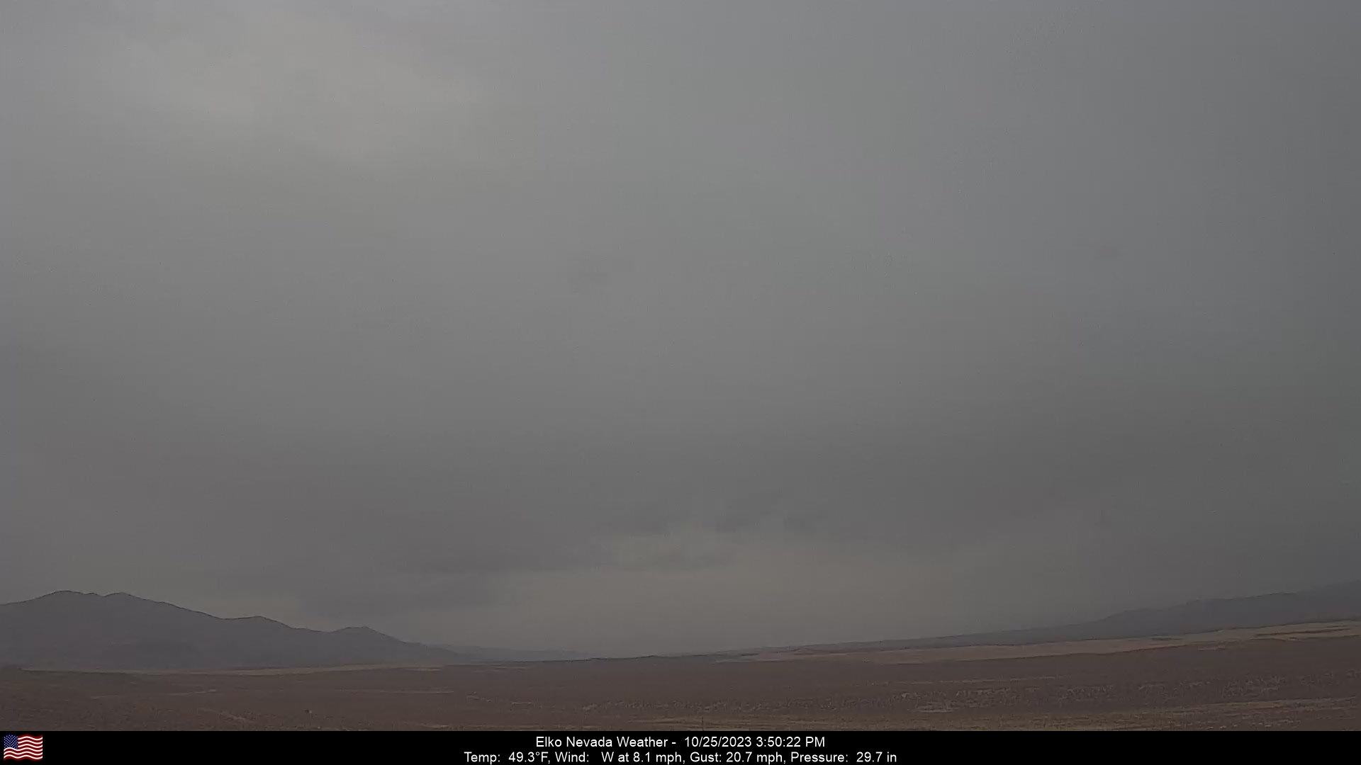
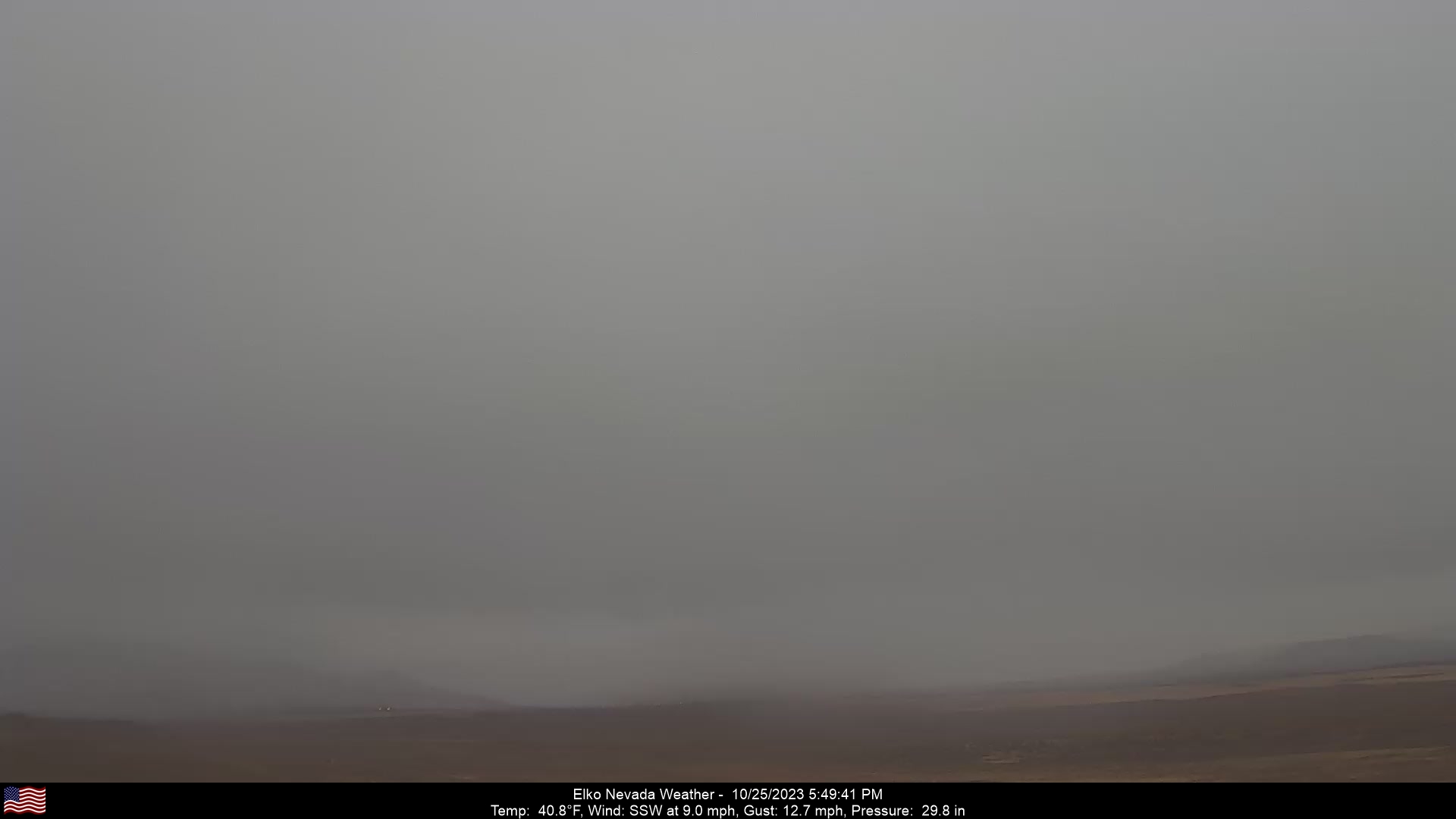
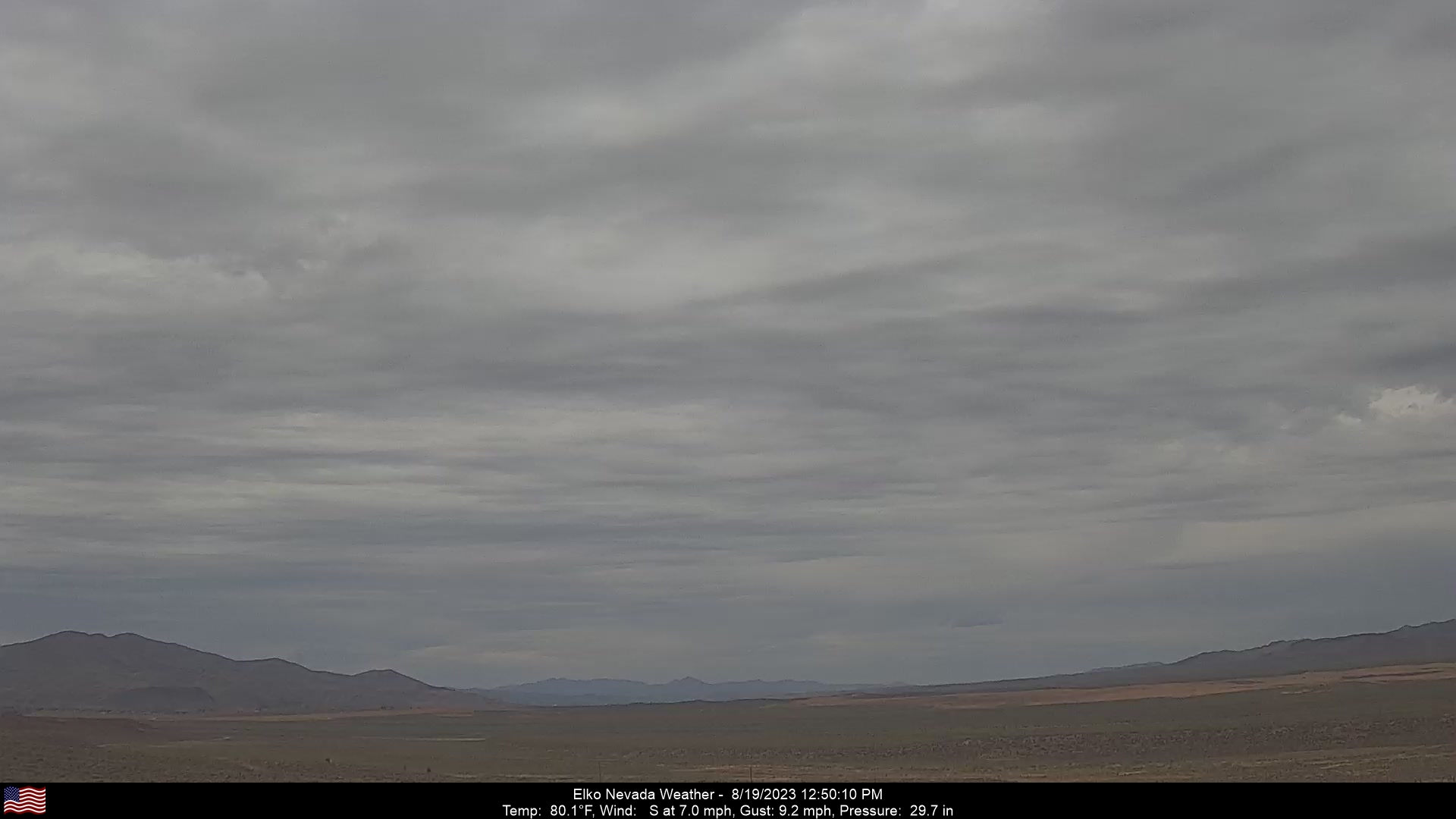
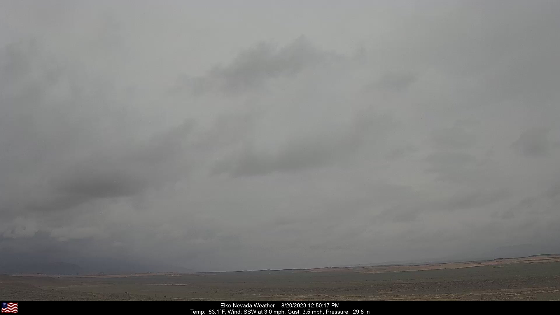
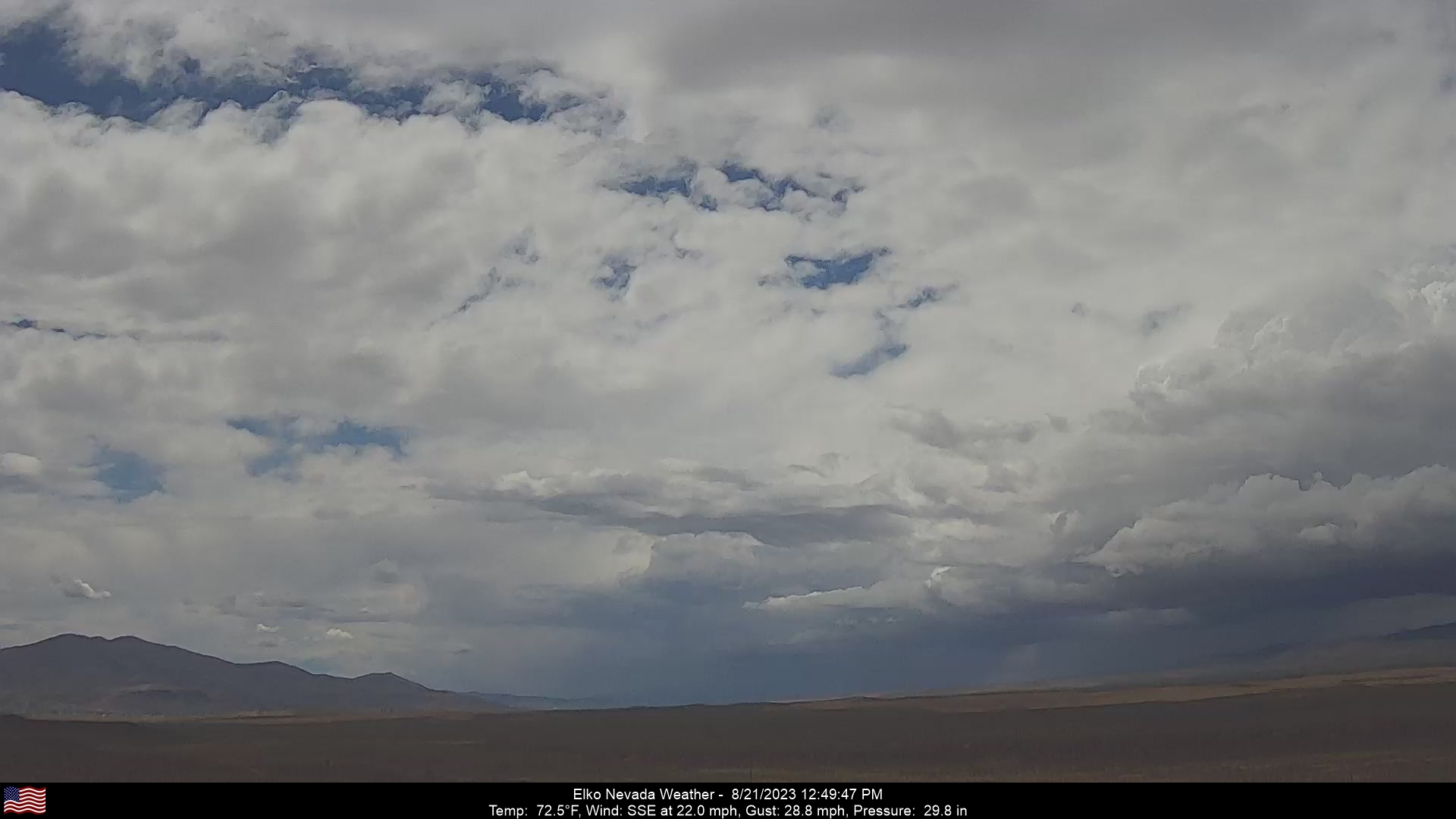
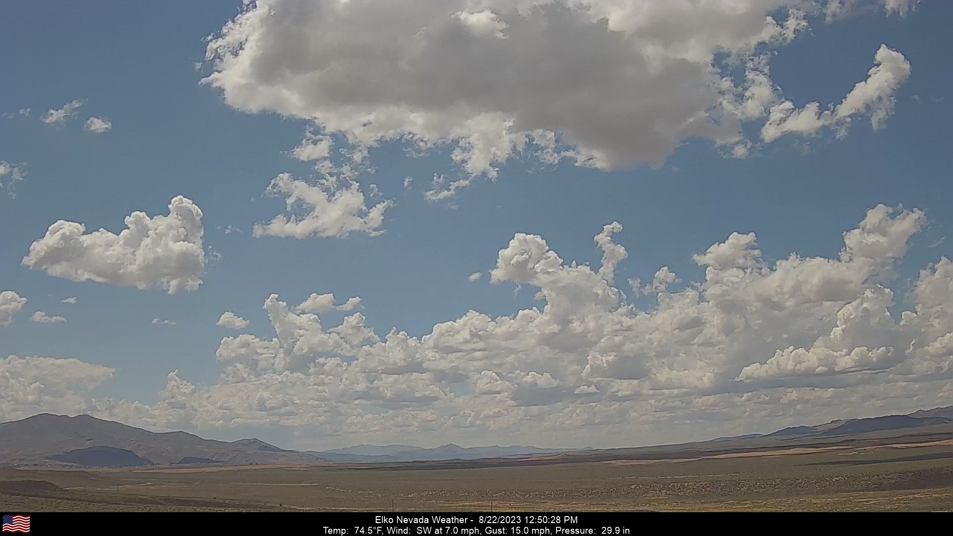
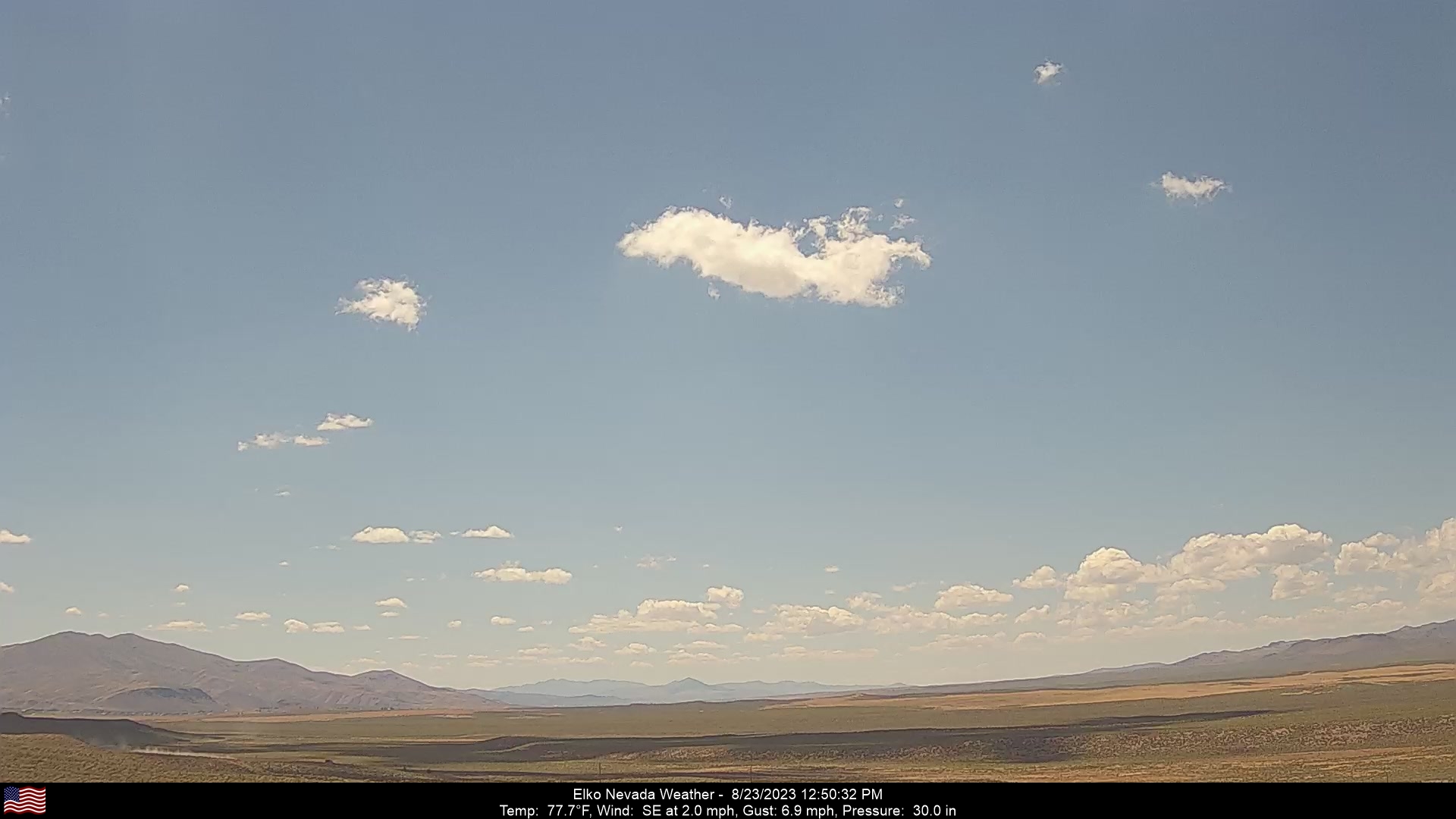
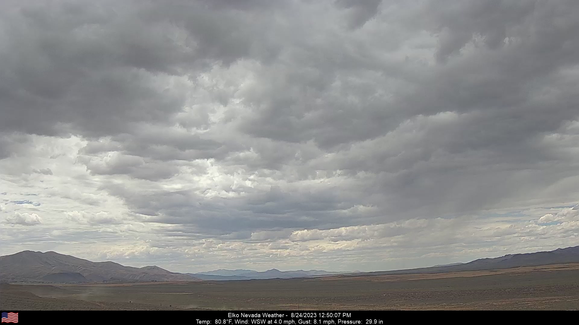
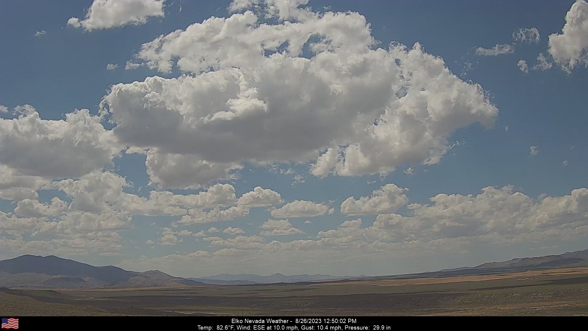
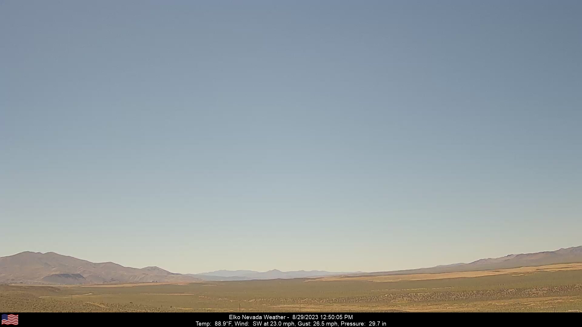
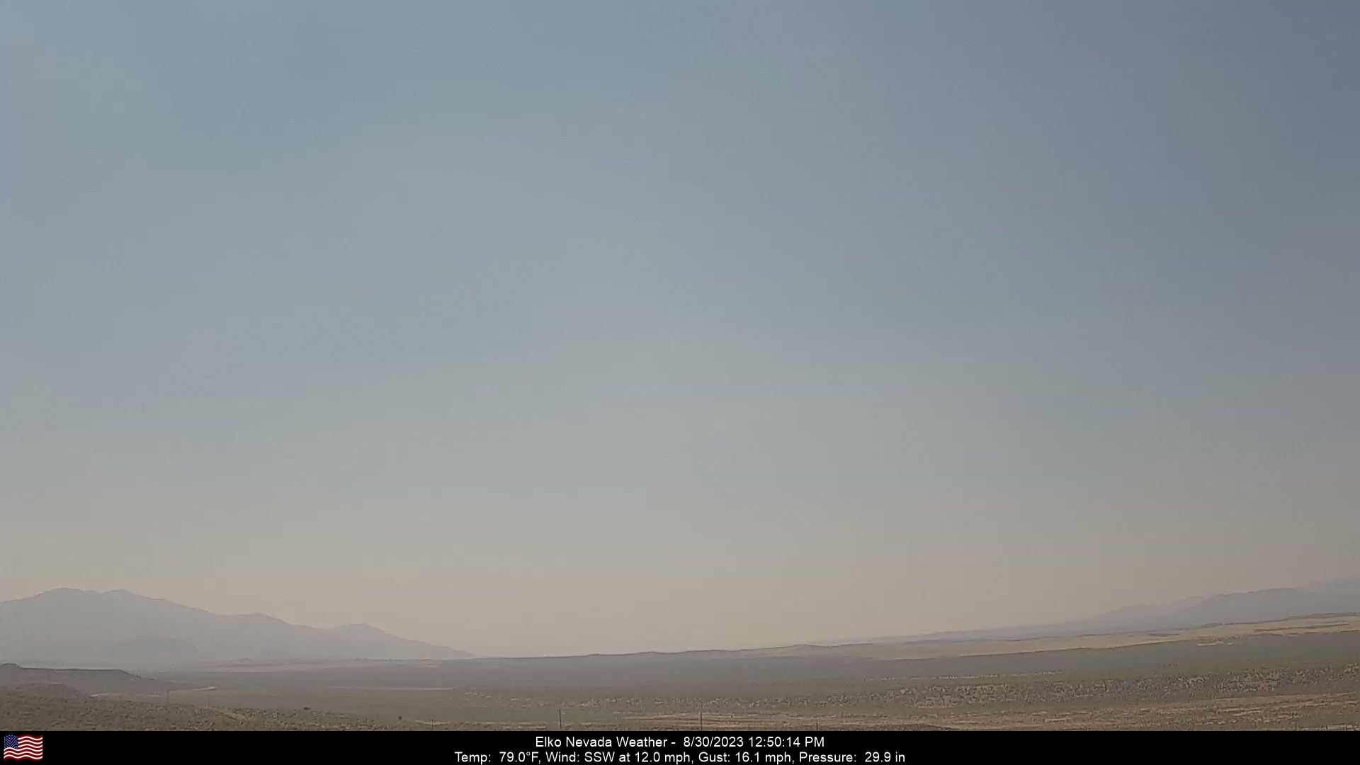
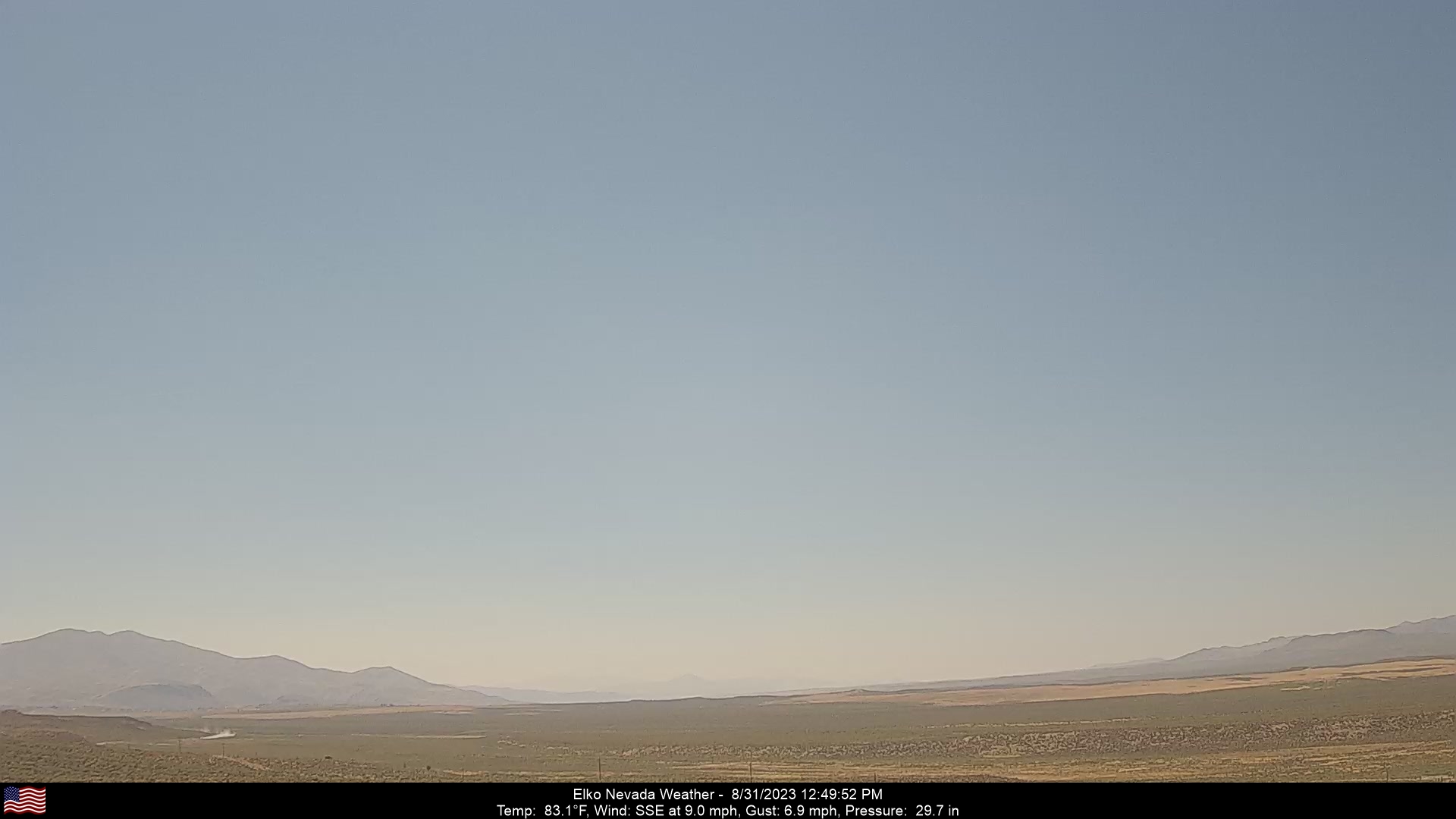
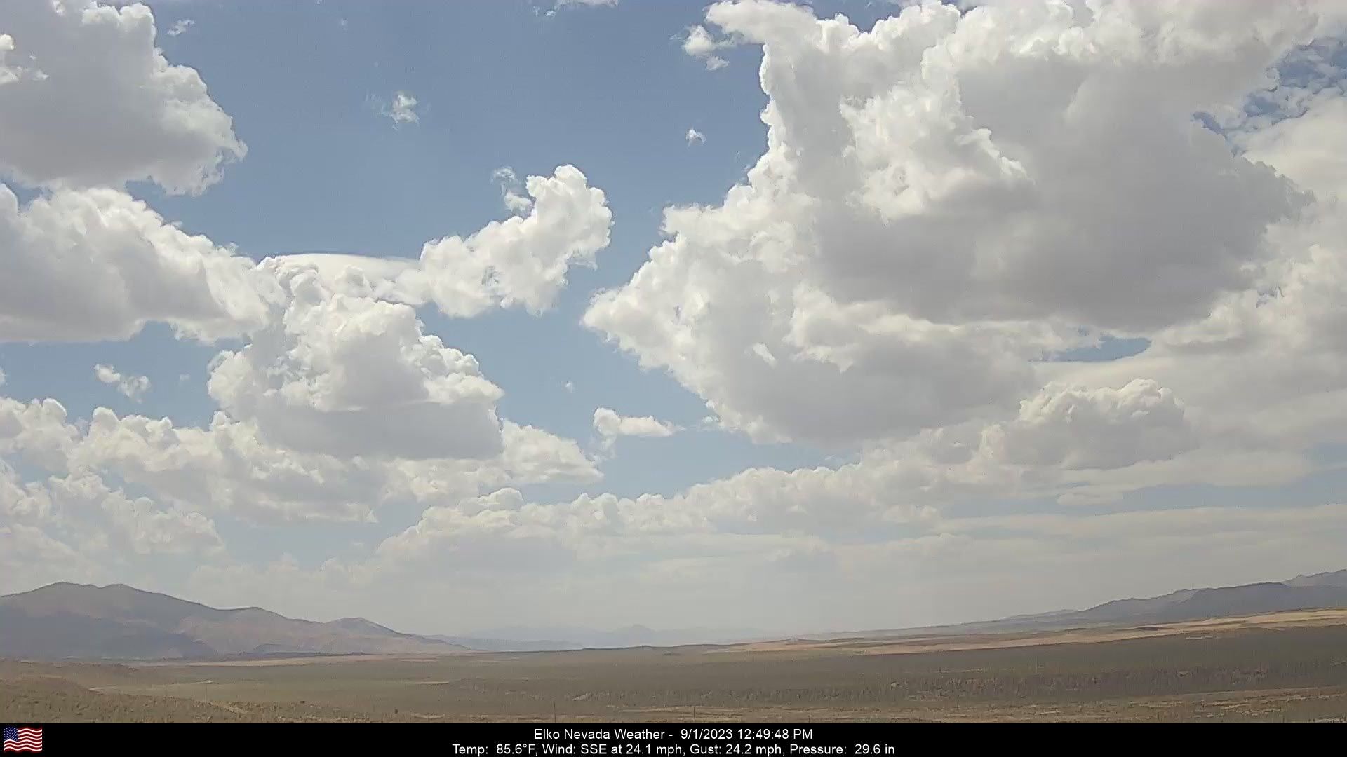
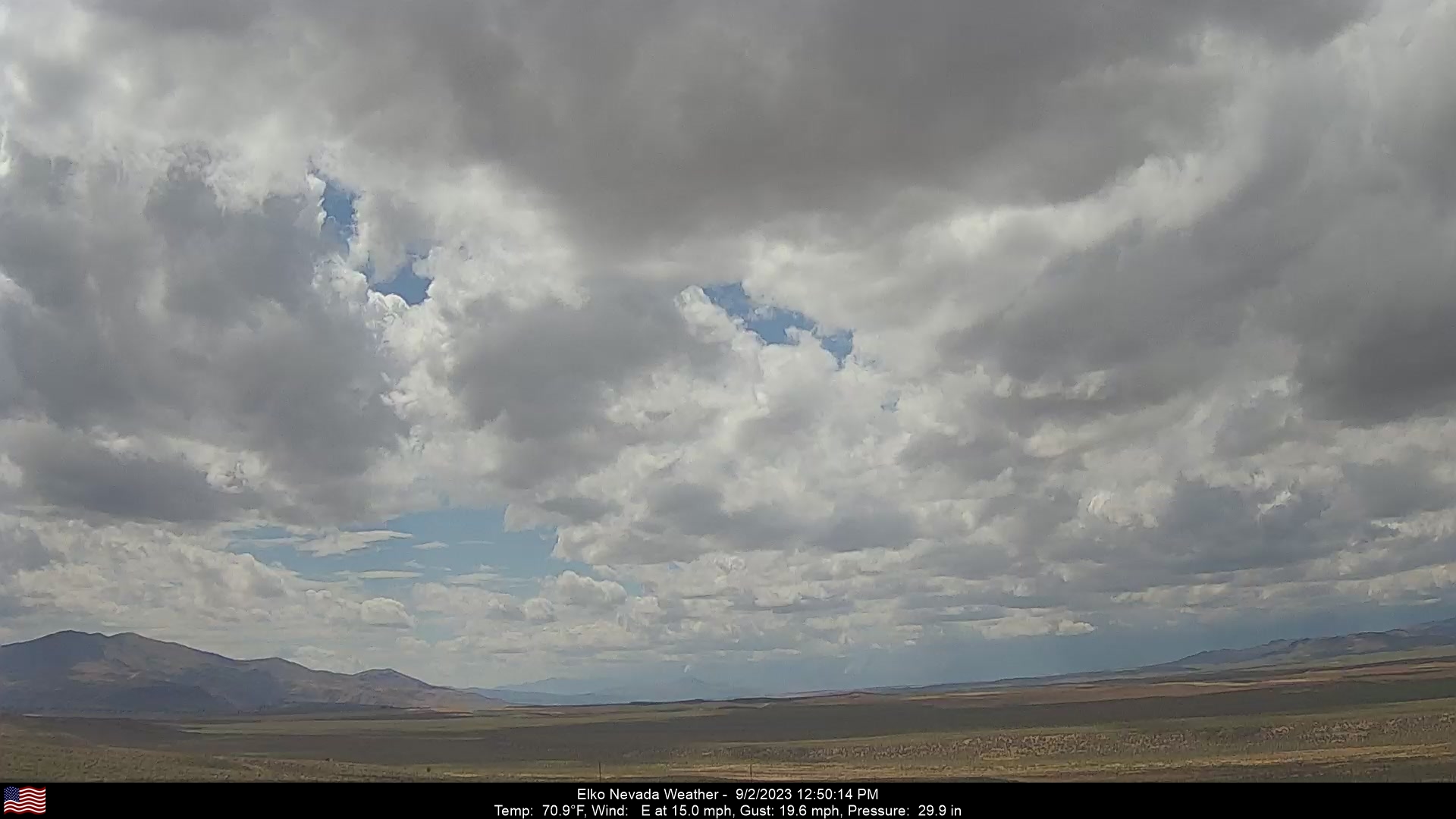
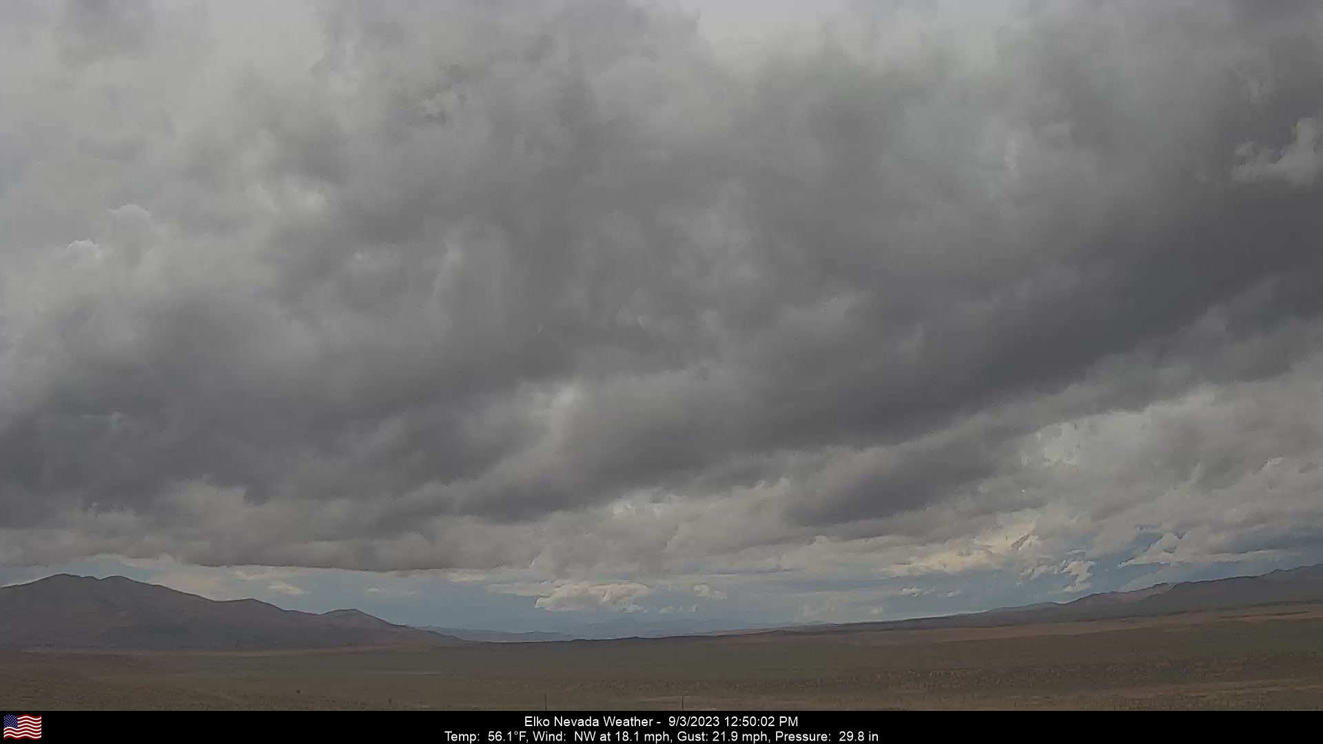
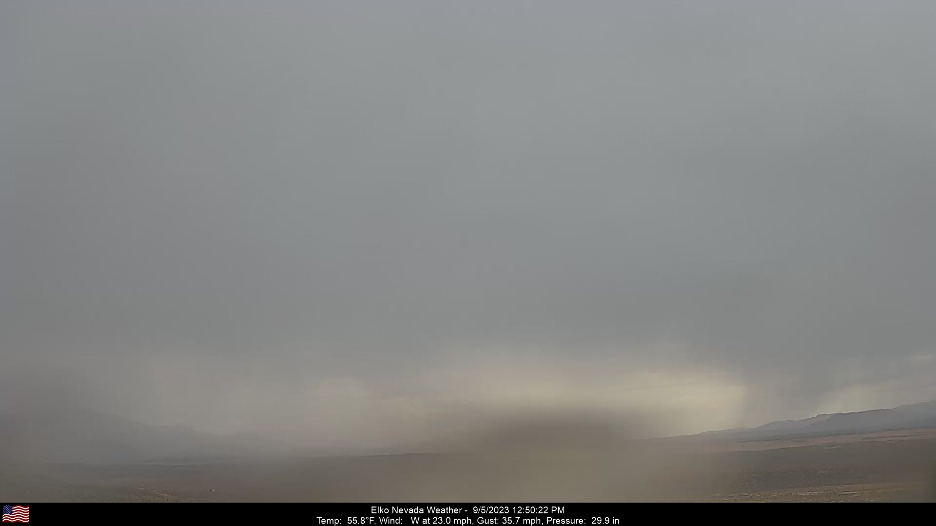
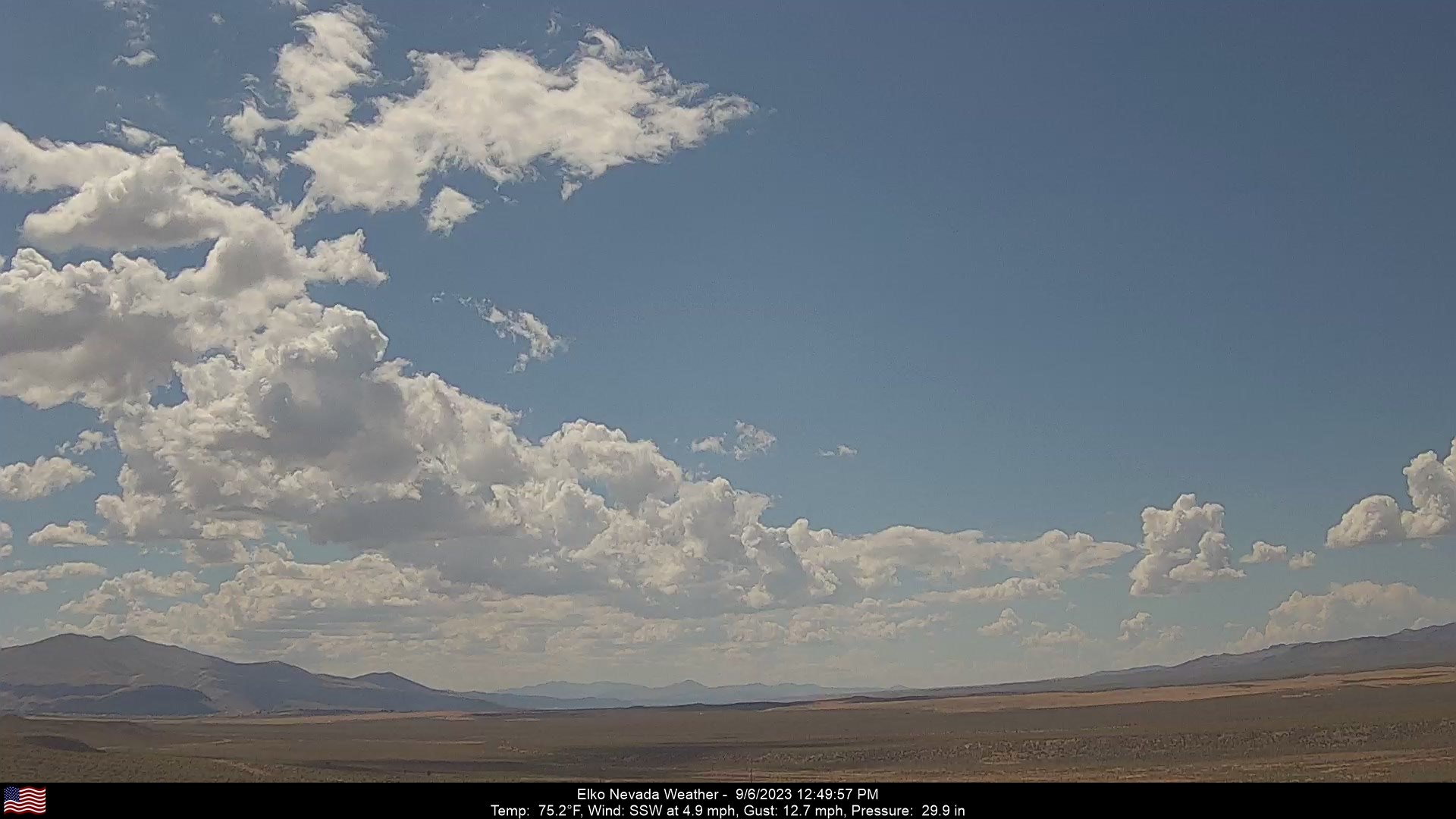
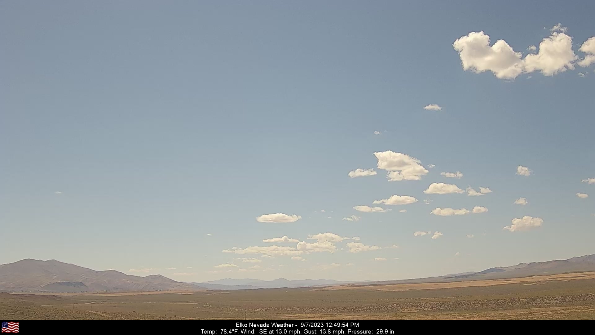
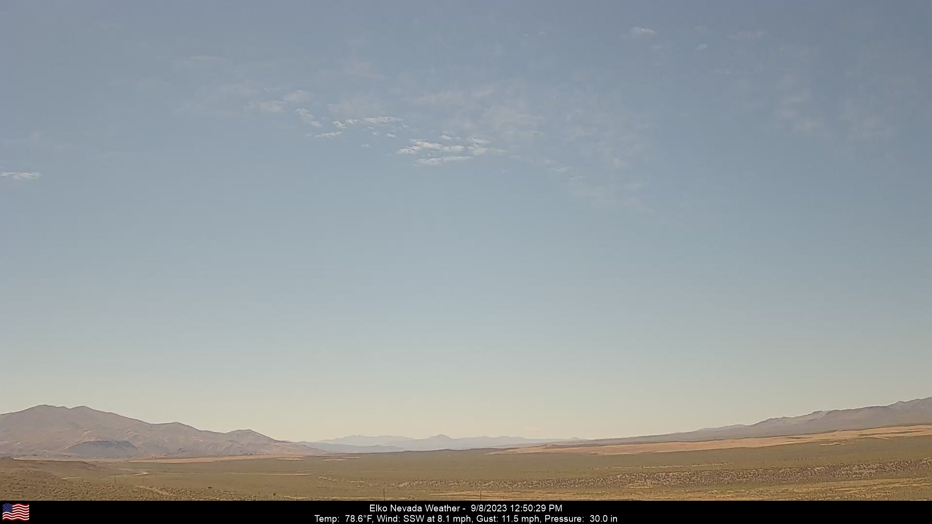
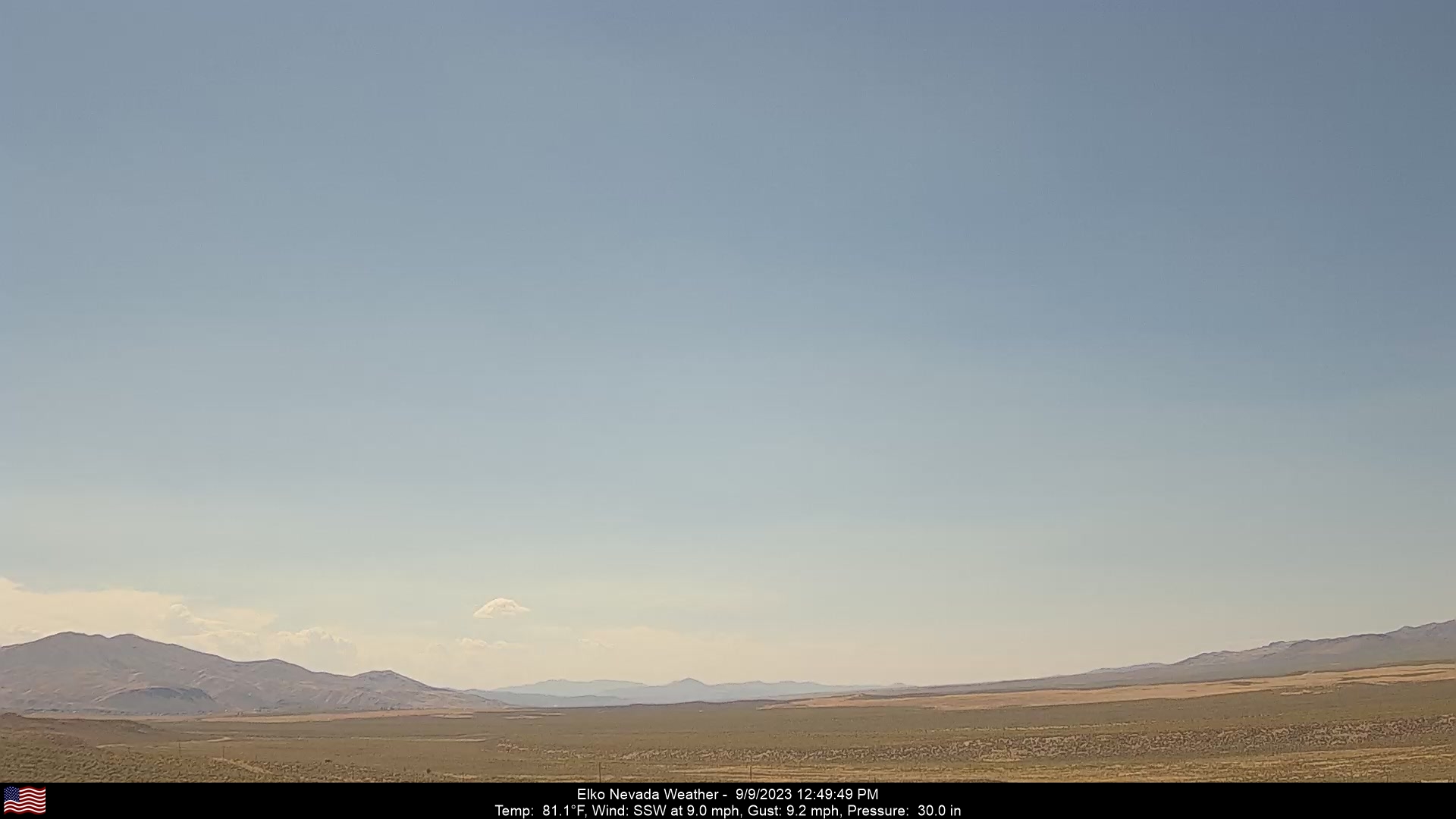
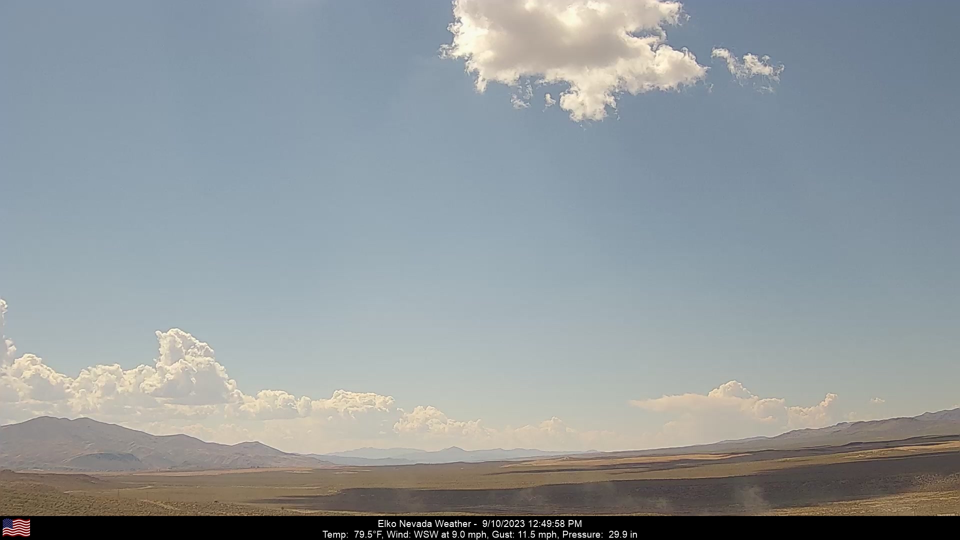
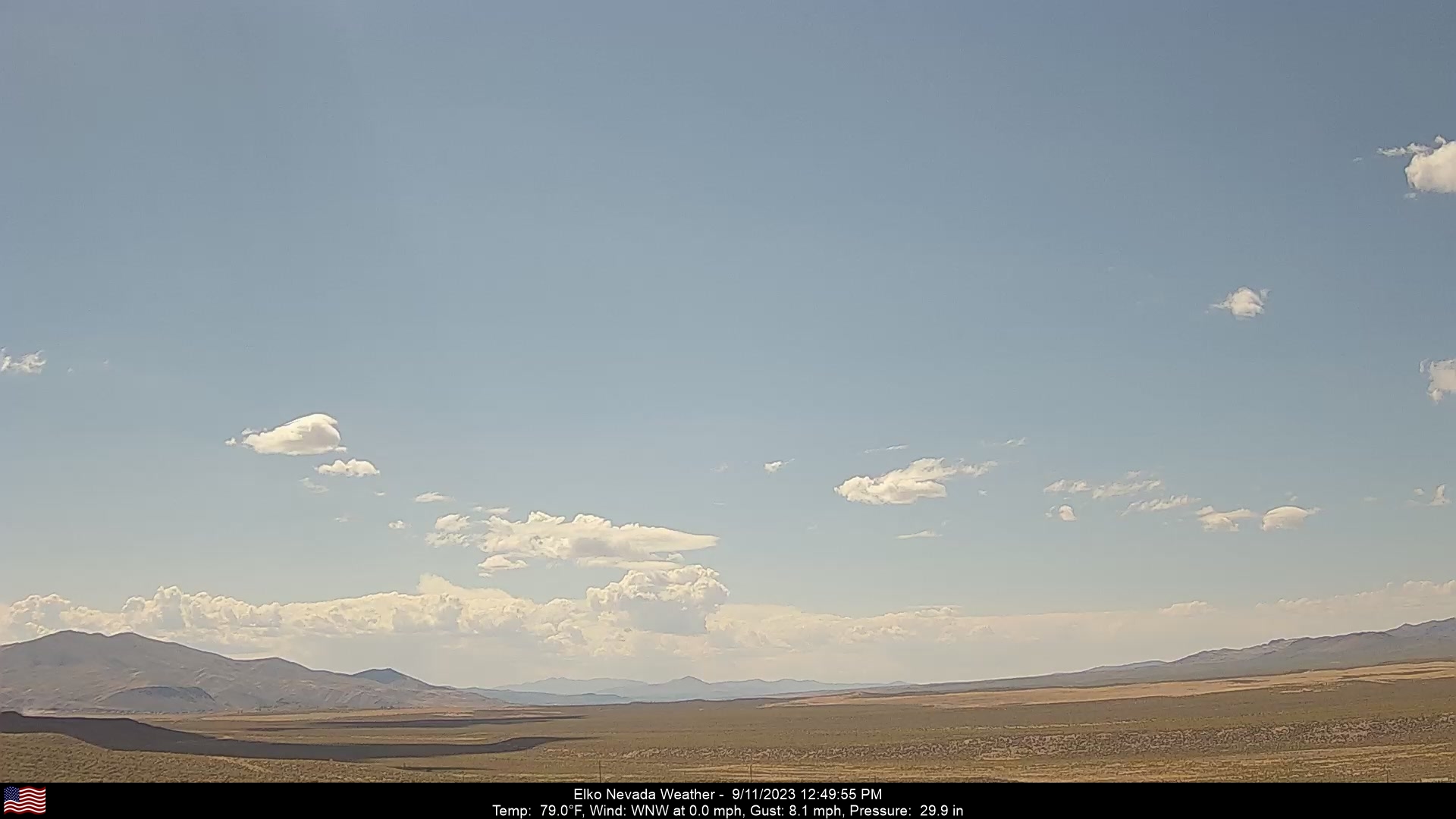
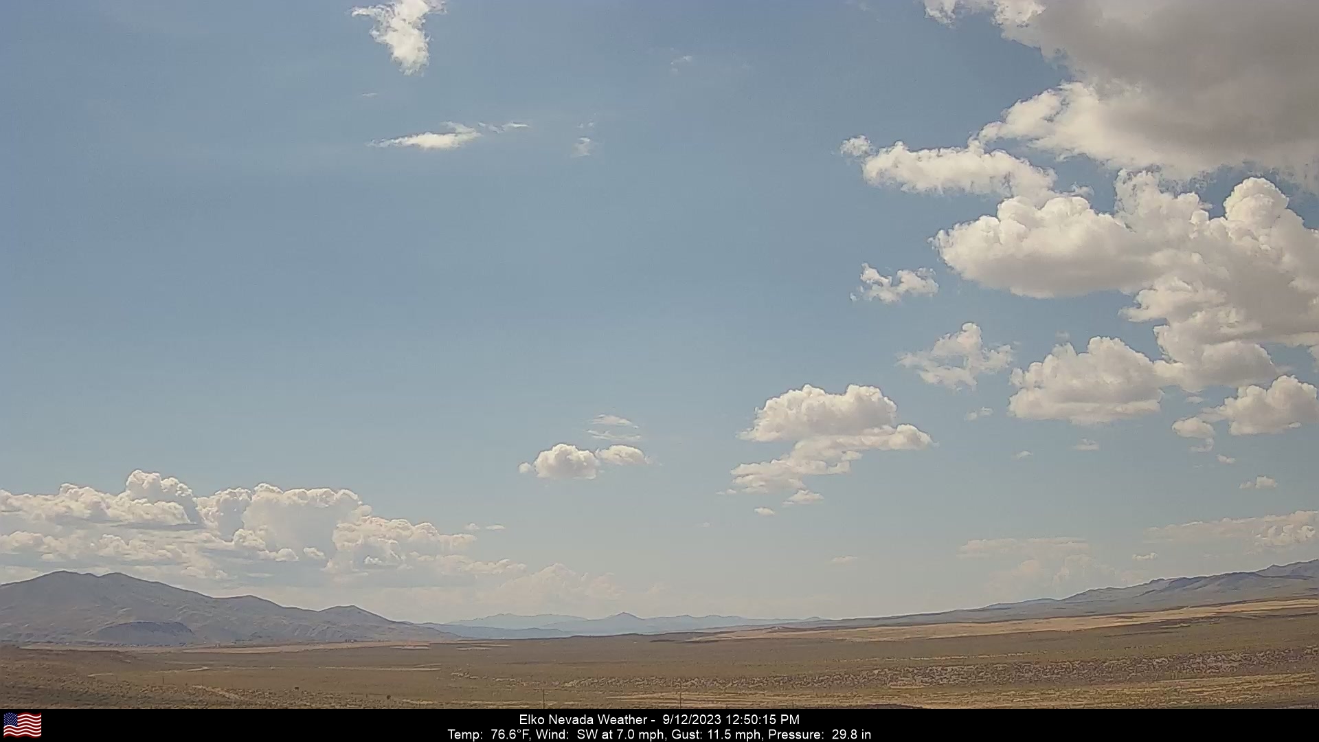
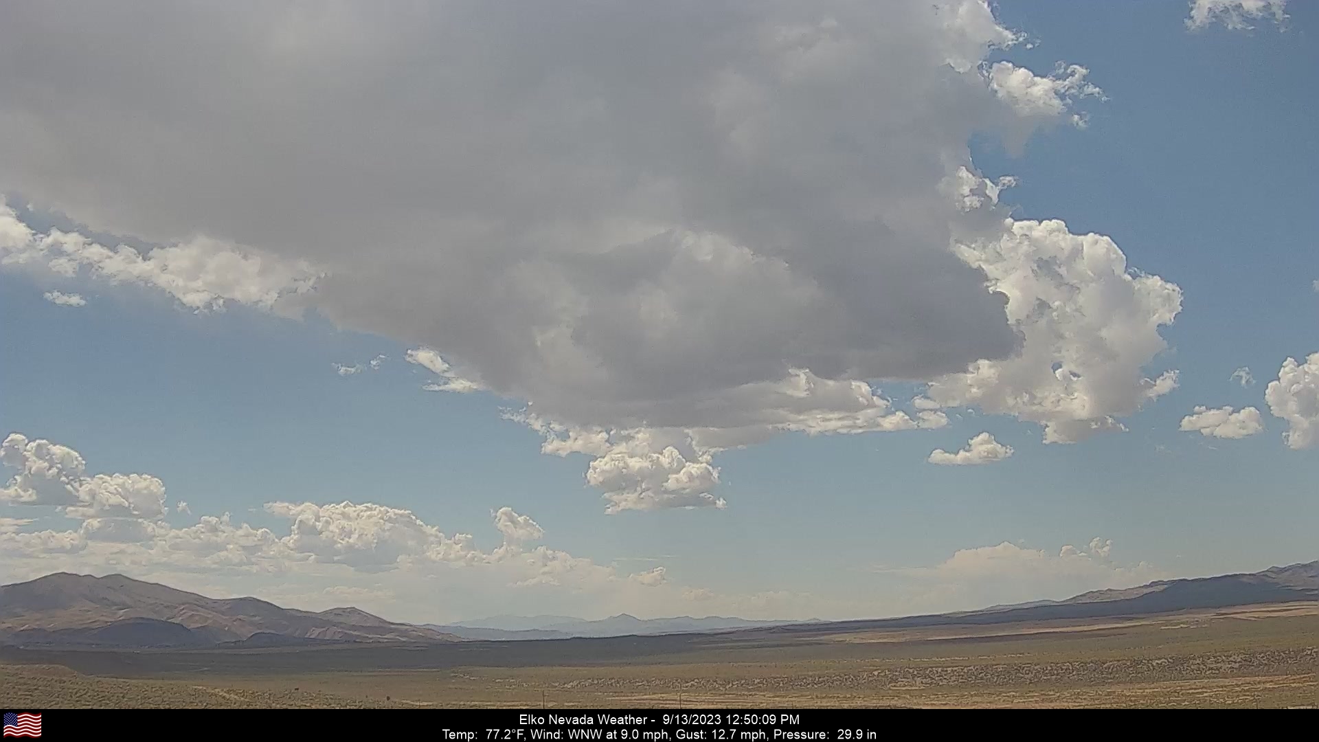
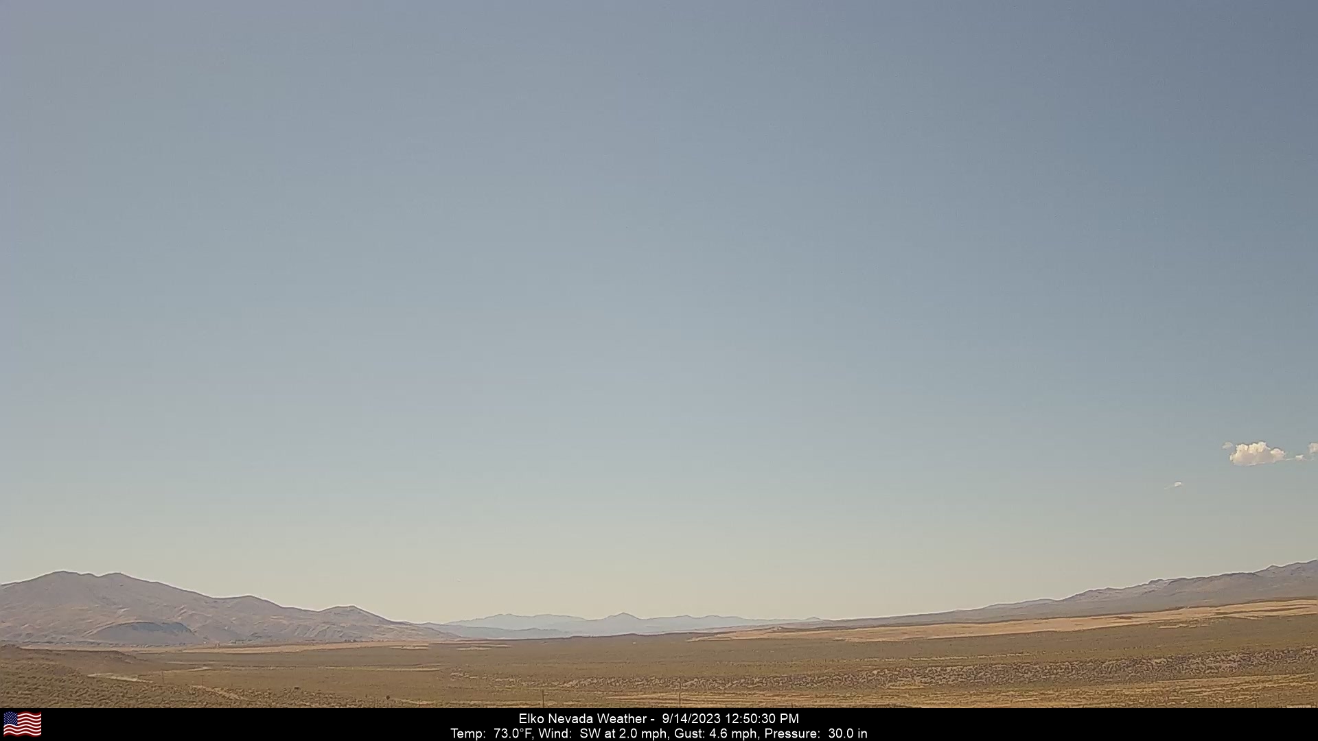
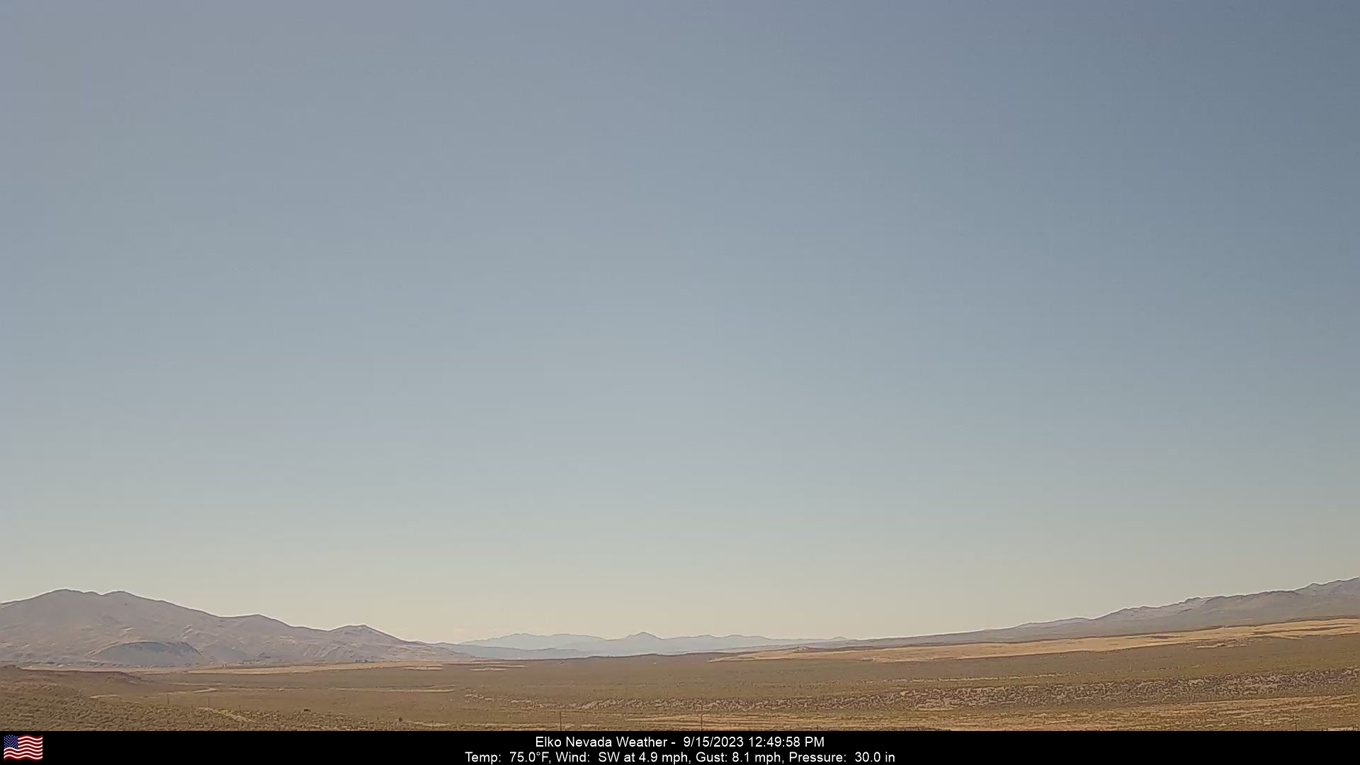
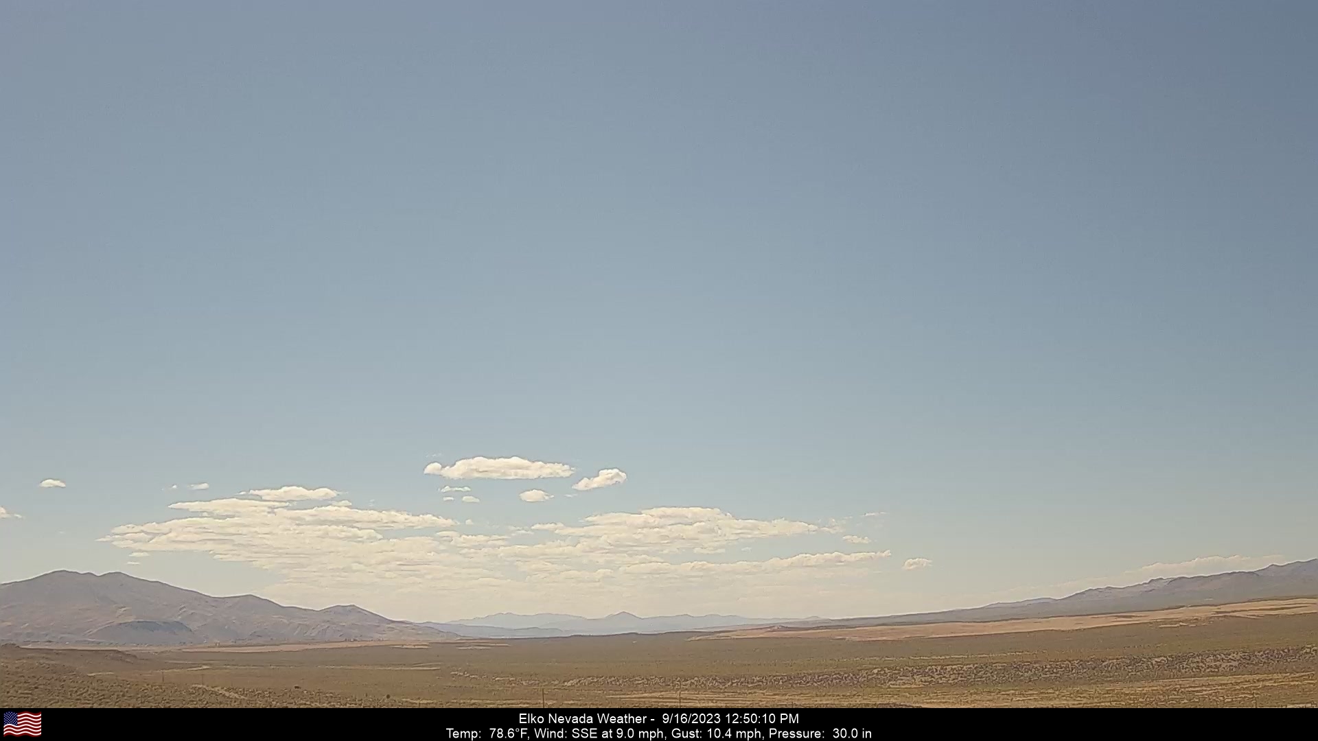
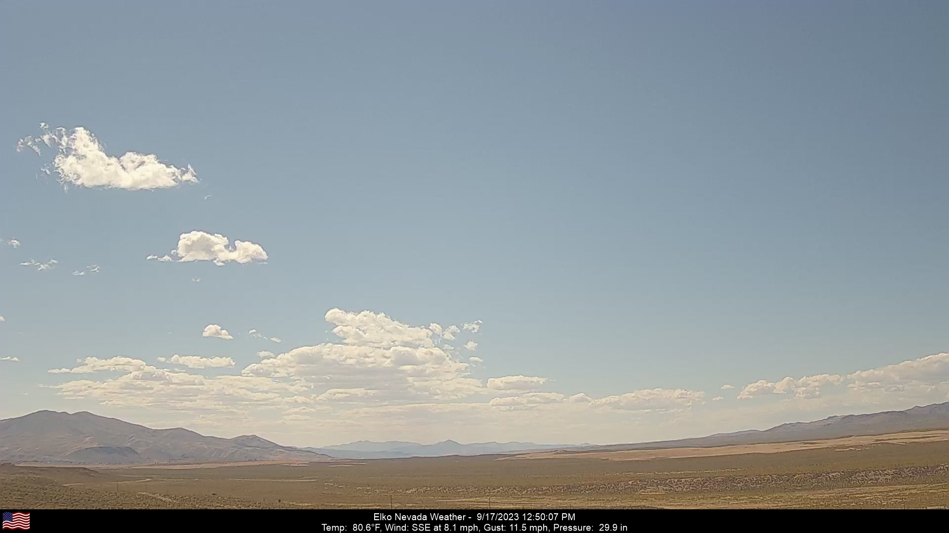
Elko, Nevada, USA - 98 miles from Pinto (historical): Elko Nevada Weather - A webcam in Elko, Nevada - Adobe Range, with current weather data.
Operator: Elko Nevada Weather & Store
Operator: Elko Nevada Weather & Store


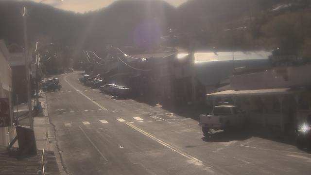
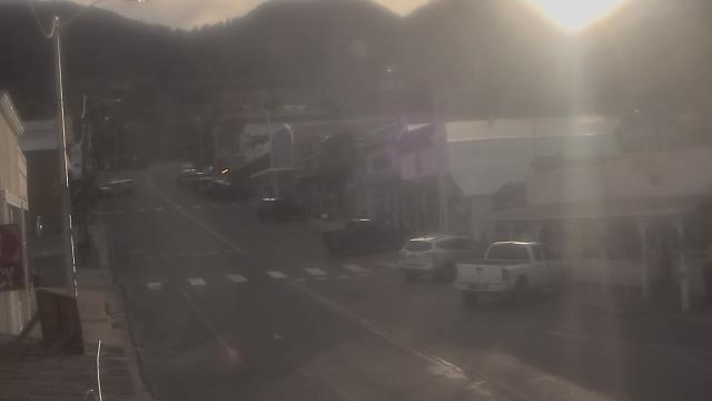
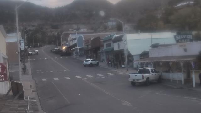
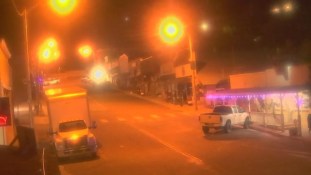
Pioche, Nevada, USA - 130 miles from Pinto (historical): Overland Hotel - Webcam and current weather data - camera location: Overland Hotel.
Operator: WeatherBug
Operator: WeatherBug


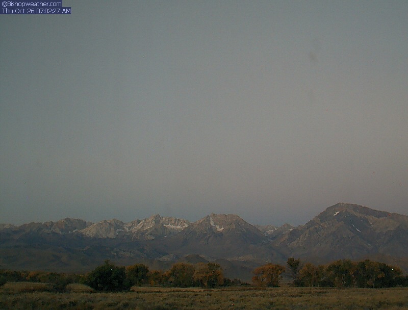
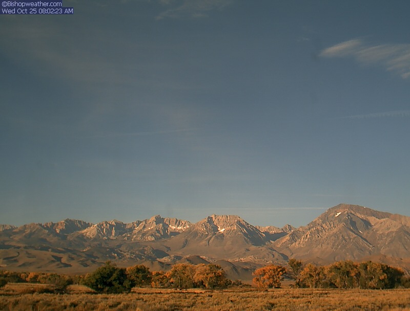
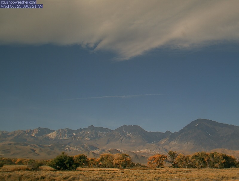
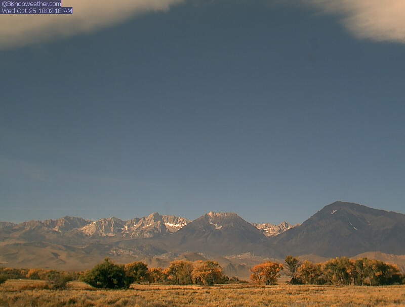
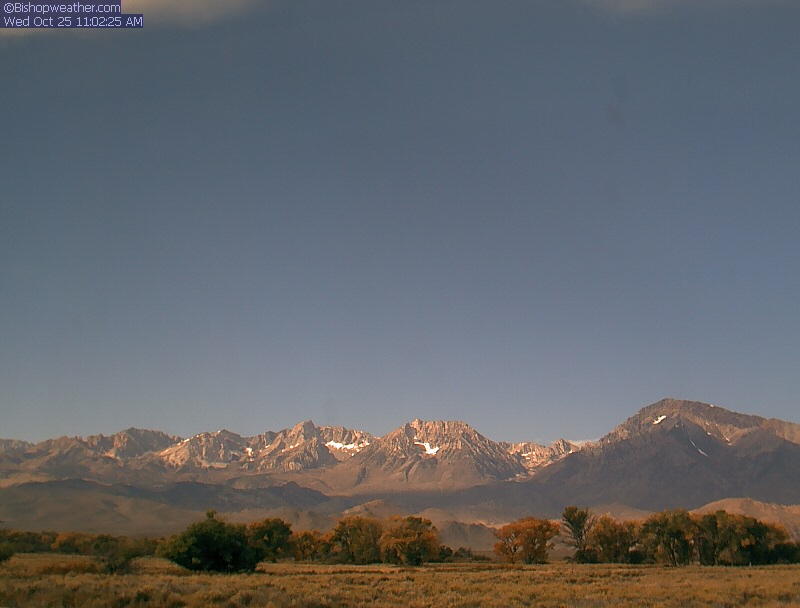
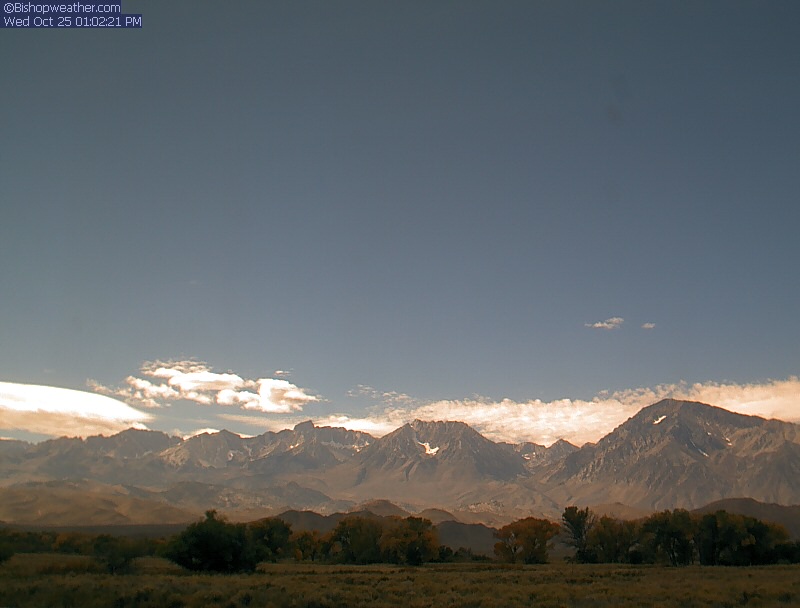
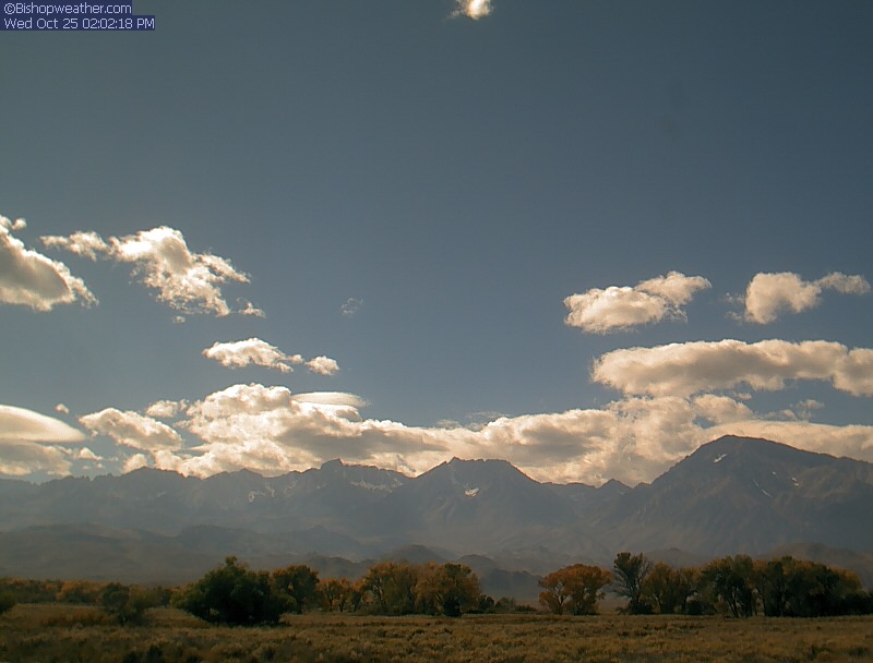
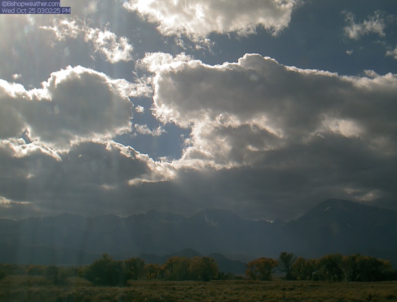
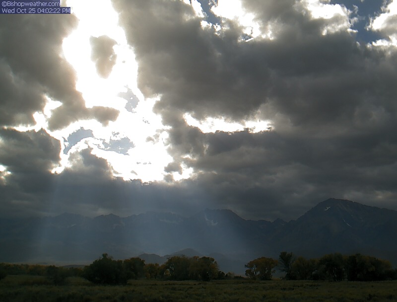
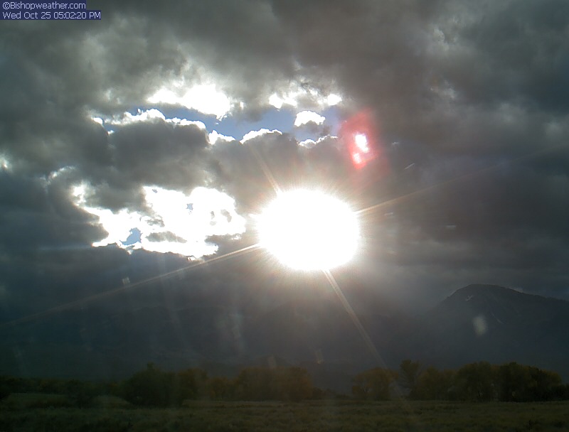
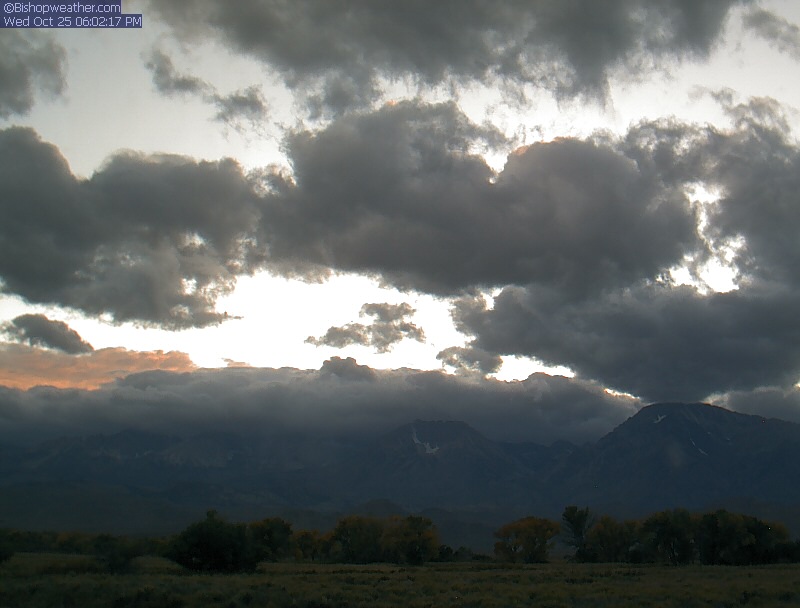
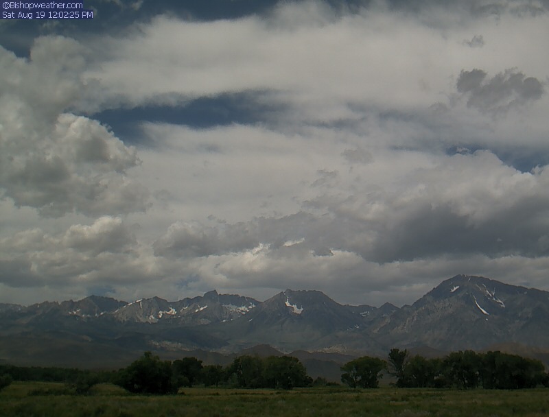
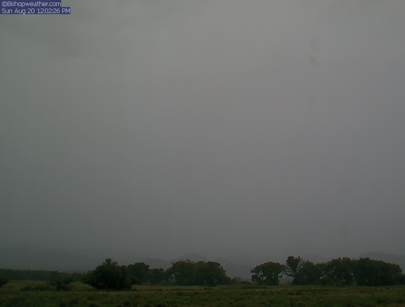
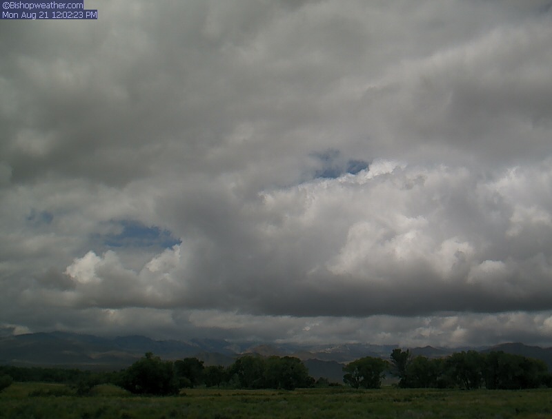
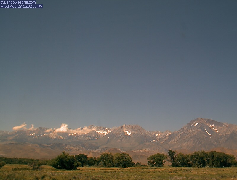
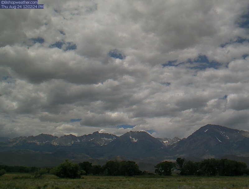
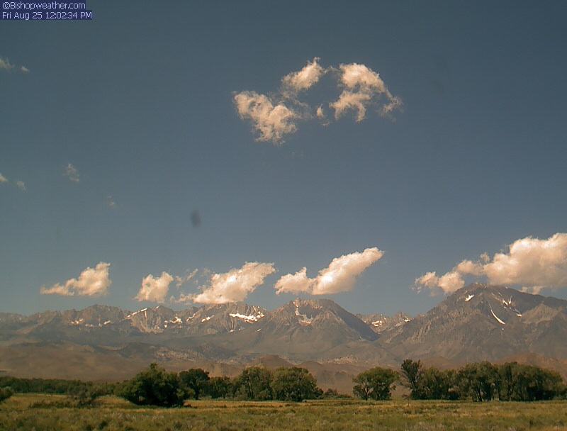
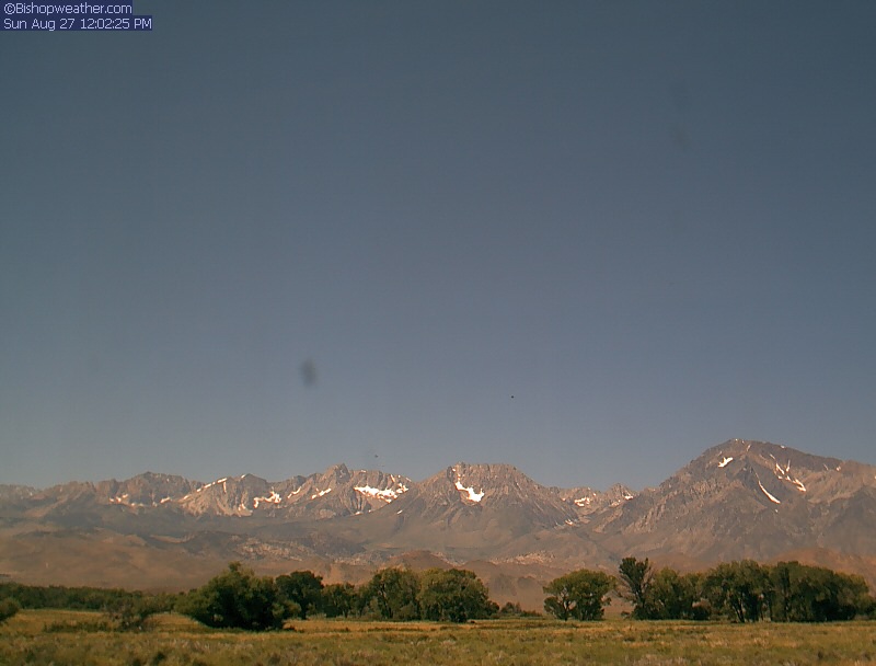
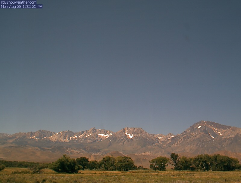
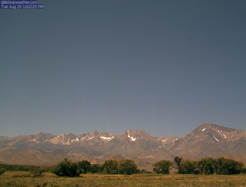
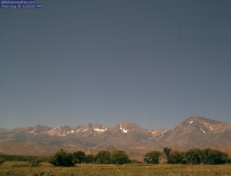
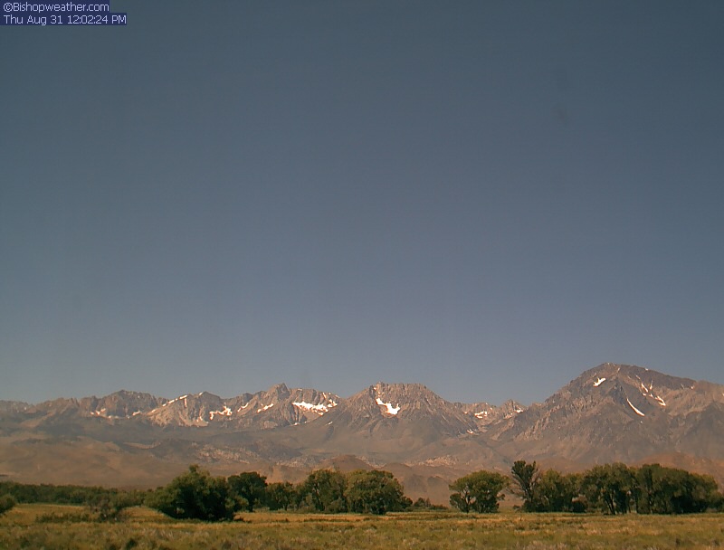
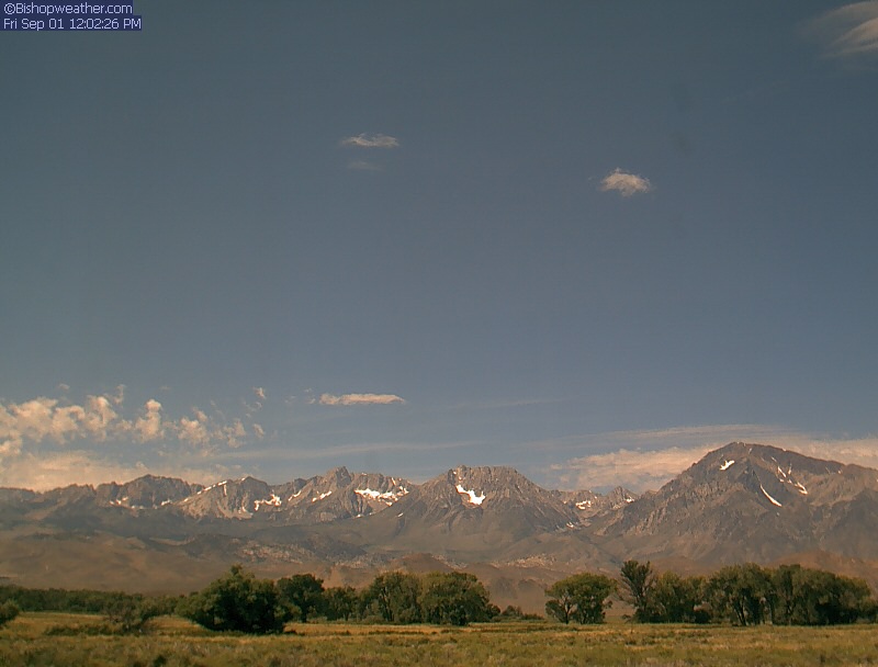
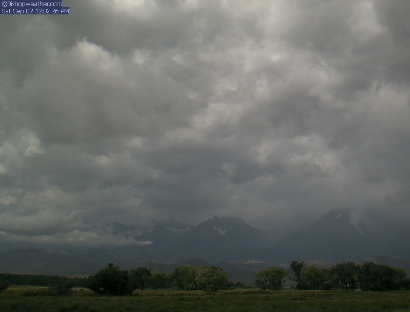
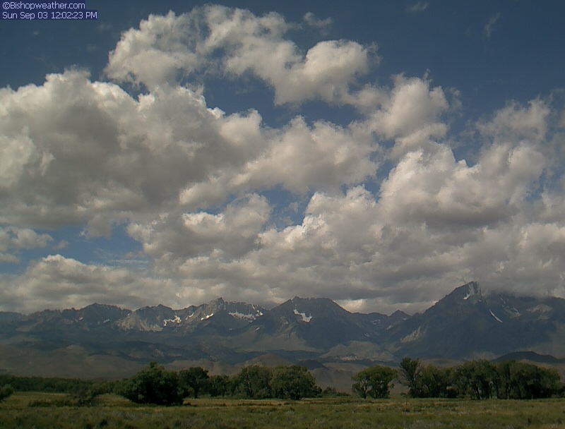
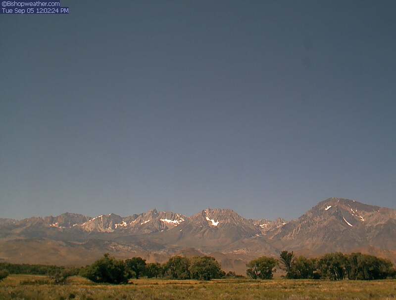
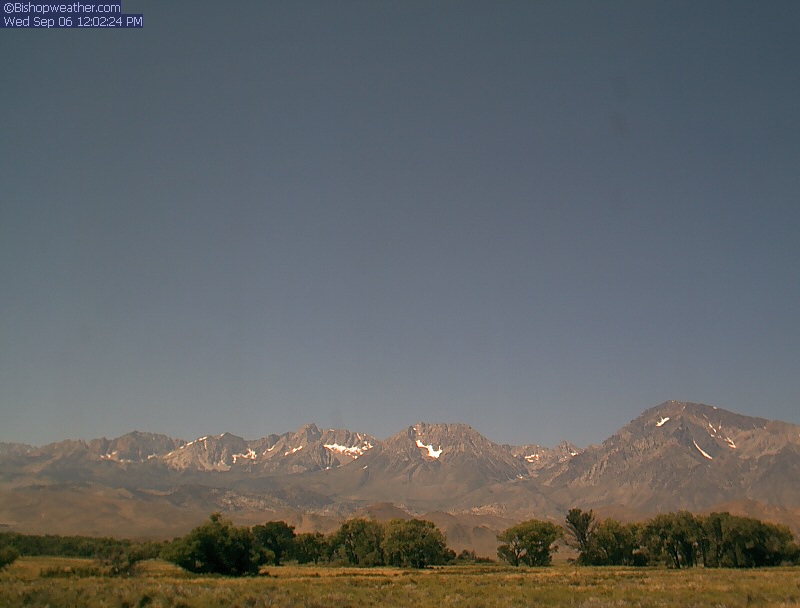
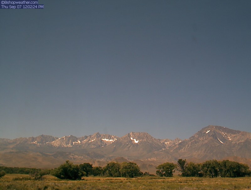
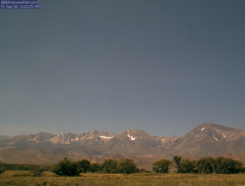
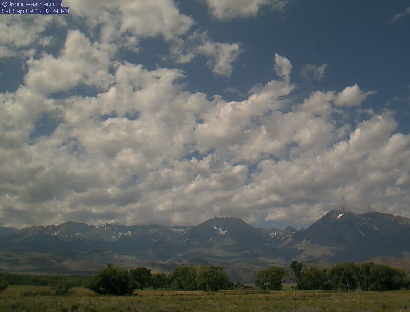
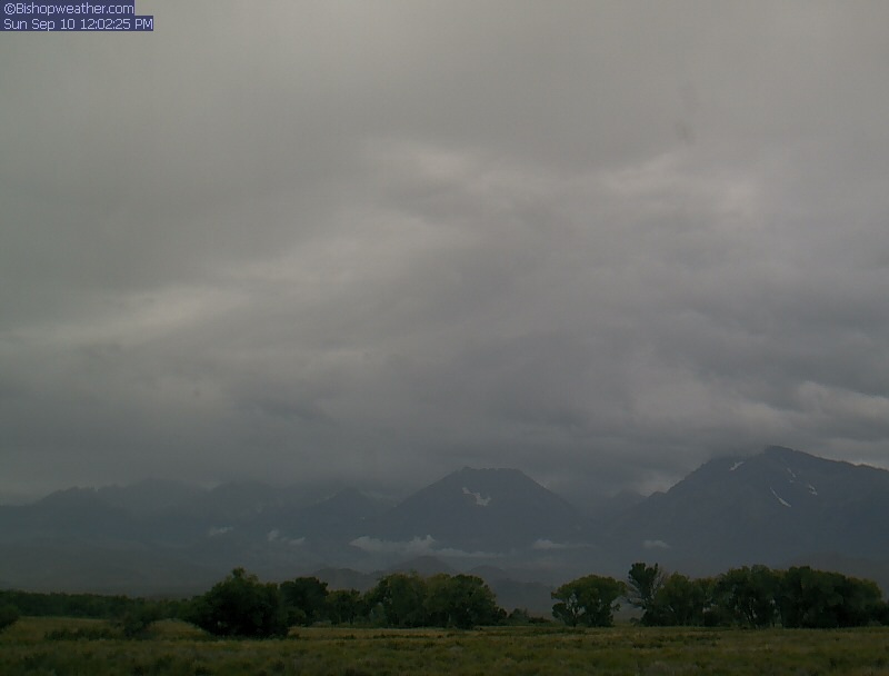
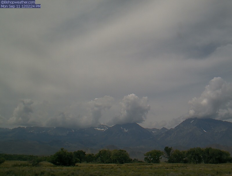
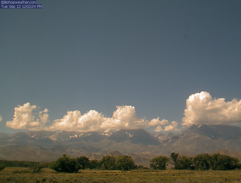
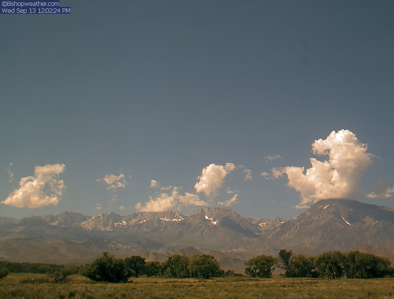
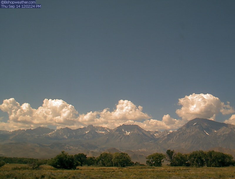
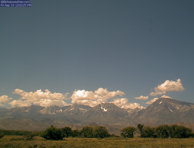
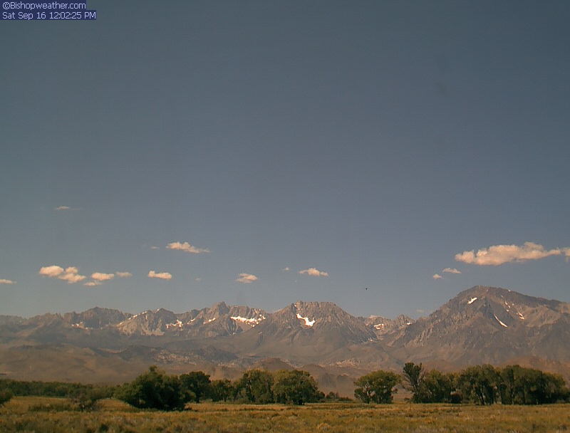
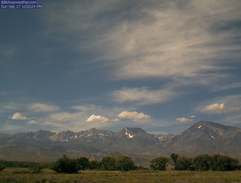
Bishop, California, USA - 195.4 miles from Pinto (historical): Bishopweather - A nice panorama view of Mt. Humphreys, Basin Mountain, and Mt. Tom from Bishop, CA.
Operator: Bishopweather
Operator: Bishopweather


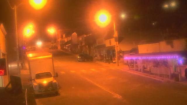
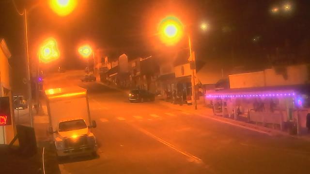
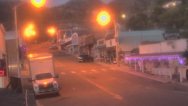
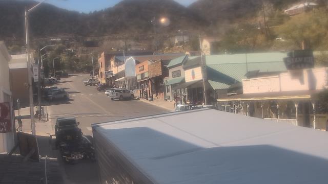
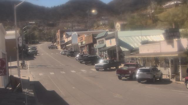
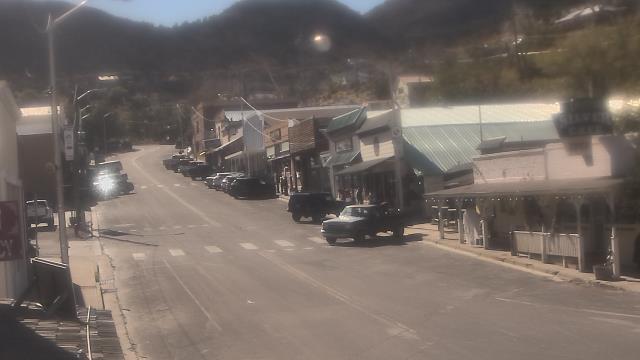
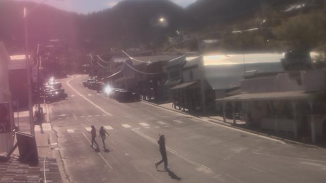
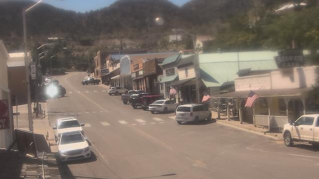
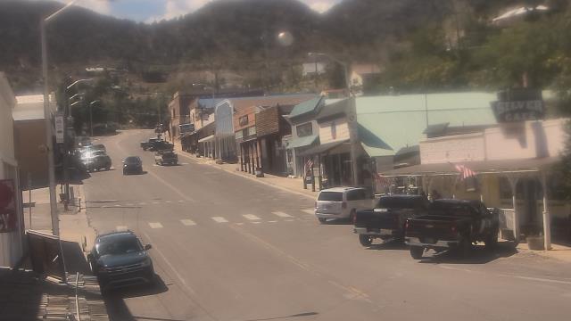
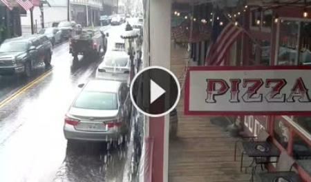
Virginia City, Nevada, USA - 199.4 miles from Pinto (historical): View of the C Street
Operator: Skyline Webcams
Operator: Skyline Webcams


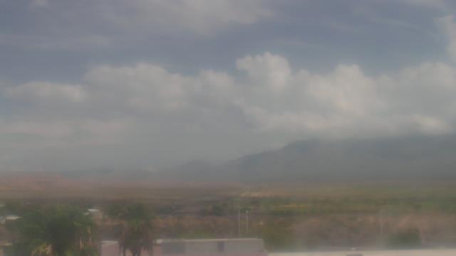
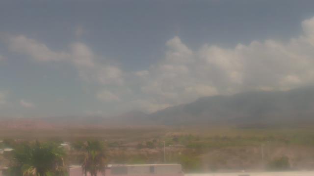
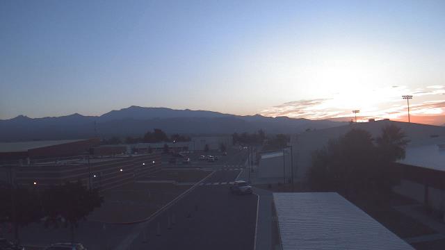
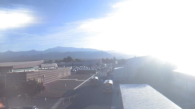
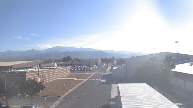
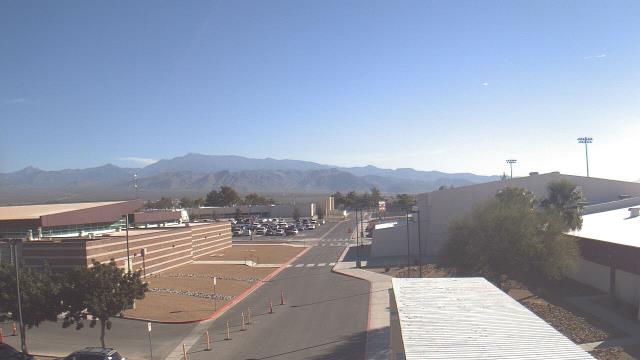
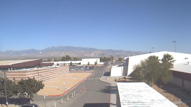
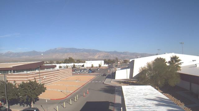
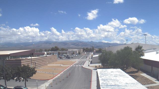
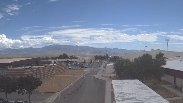
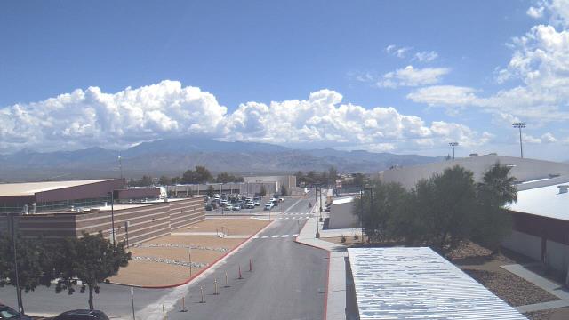
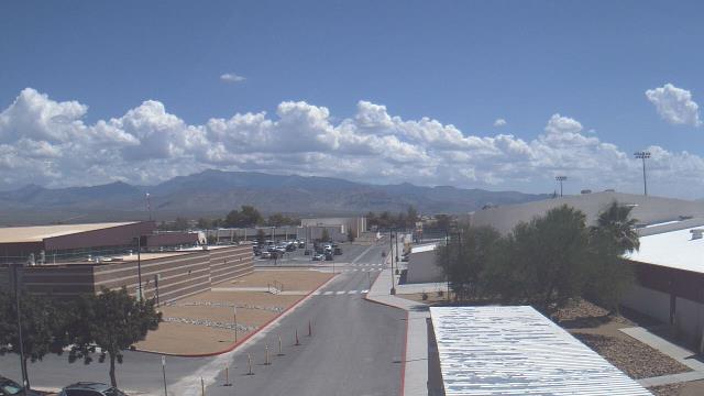
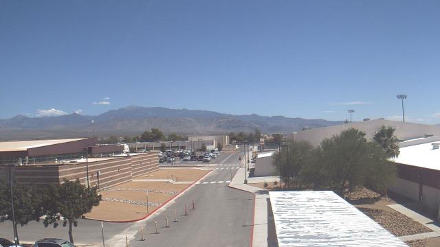
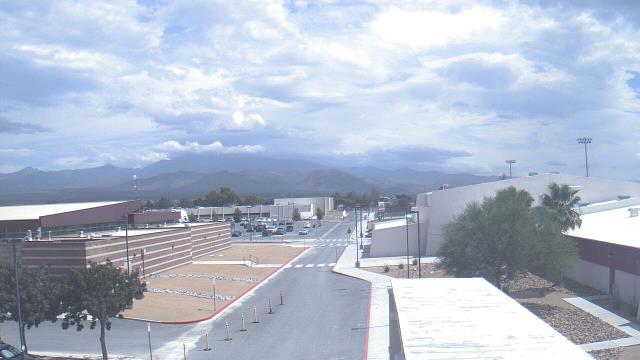
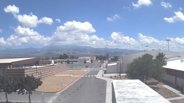
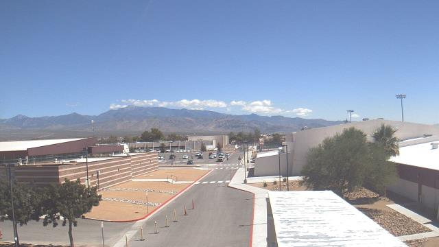
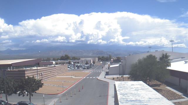
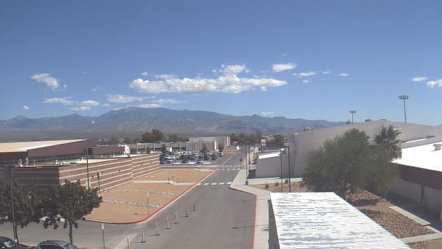
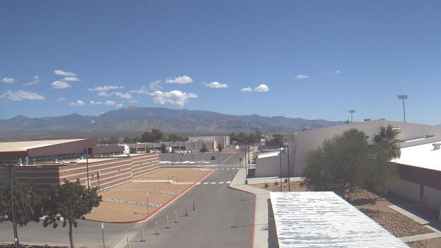
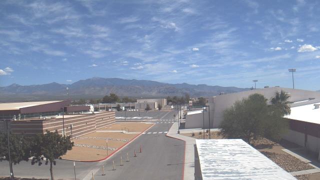
Mesquite, Nevada, USA - 206.9 miles from Pinto (historical): Virgin Valley High School - A webcam in Mesquite, Nevada - camera location: Virgin Valley High School.
Operator: WeatherBug
Operator: WeatherBug


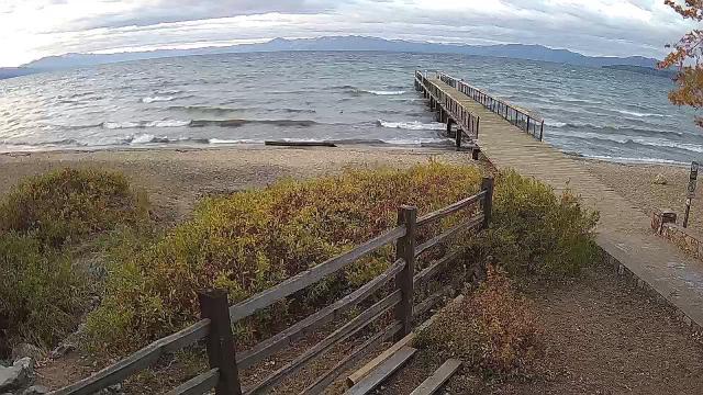
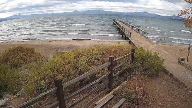
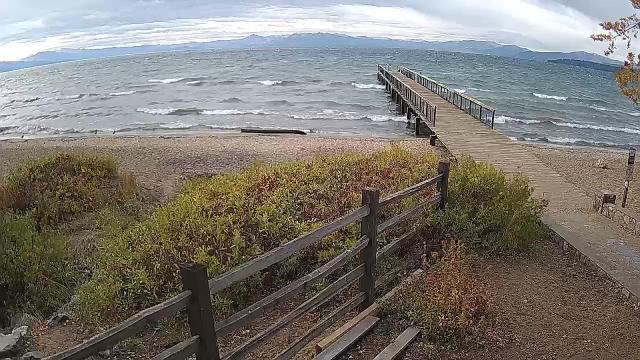
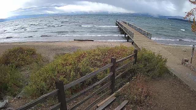
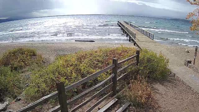
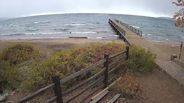
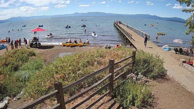
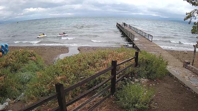
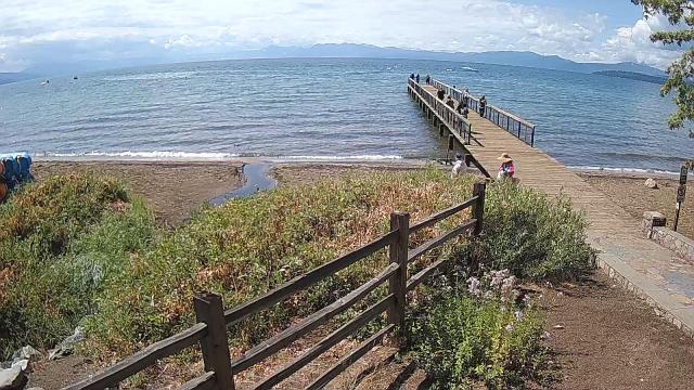
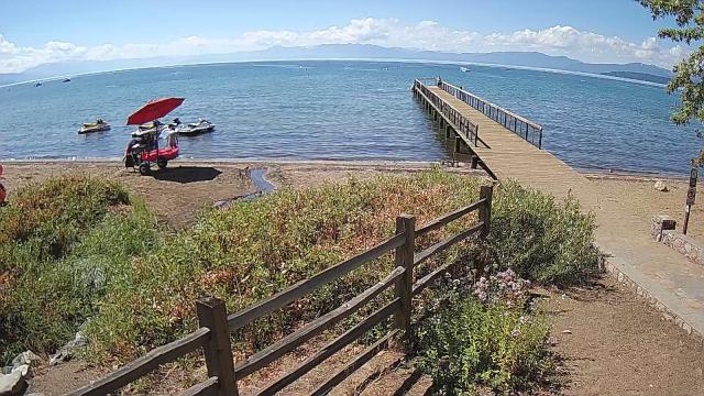
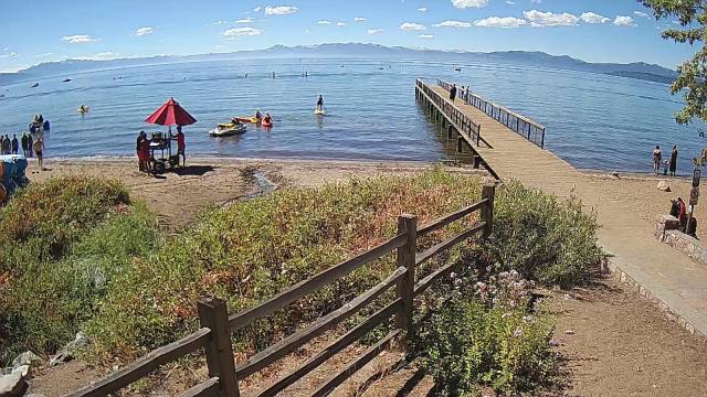
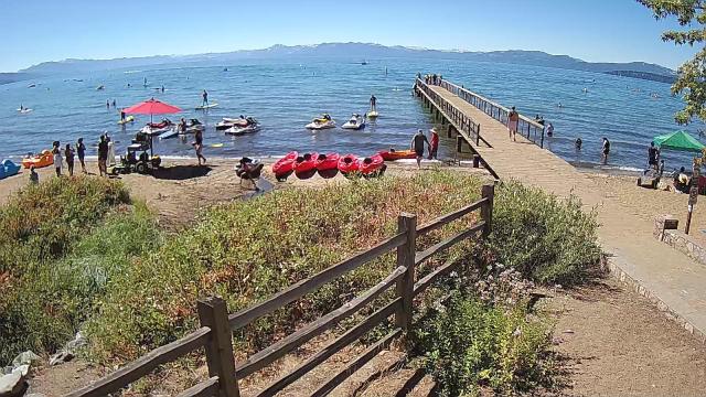
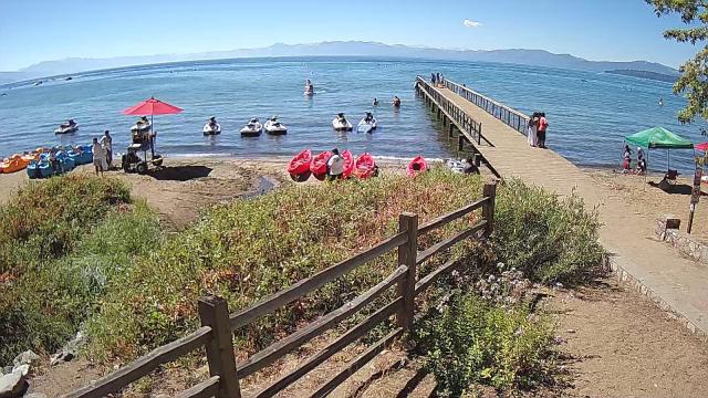
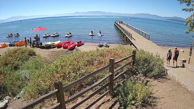
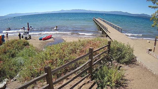
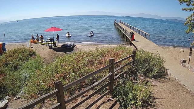
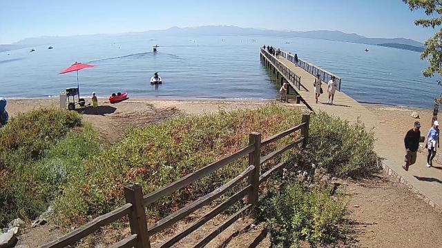
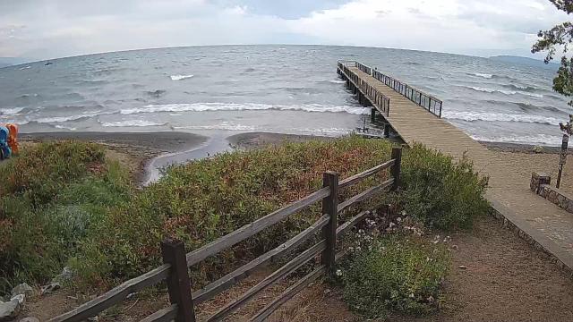
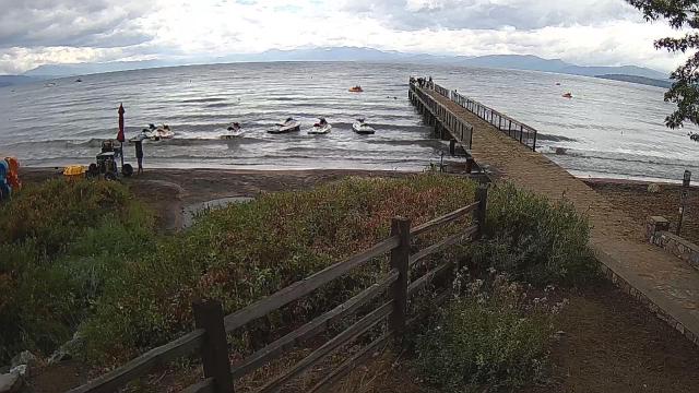
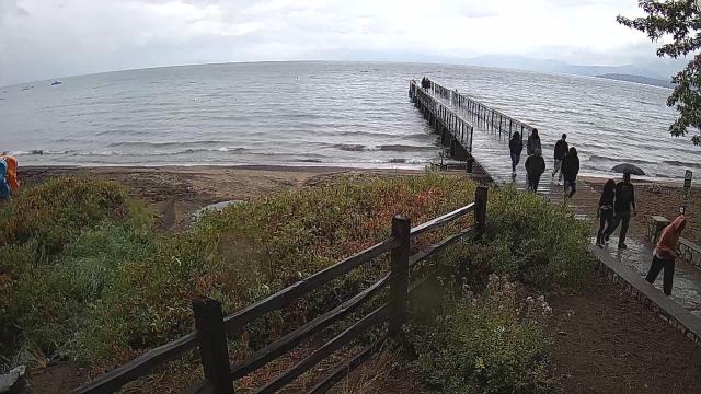
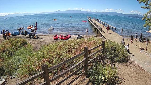
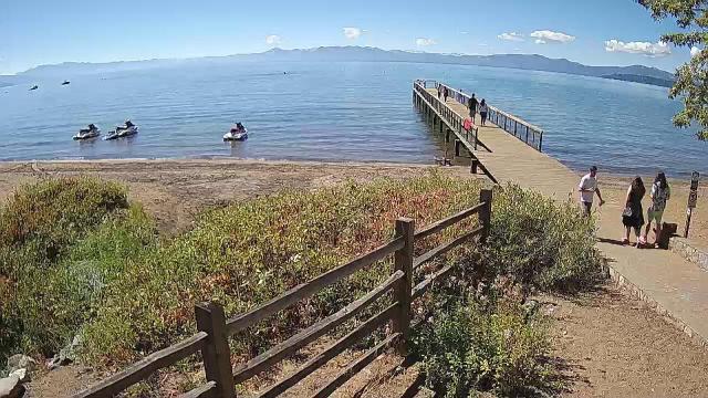
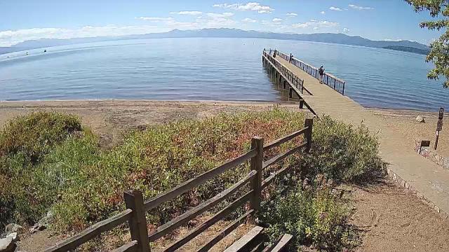
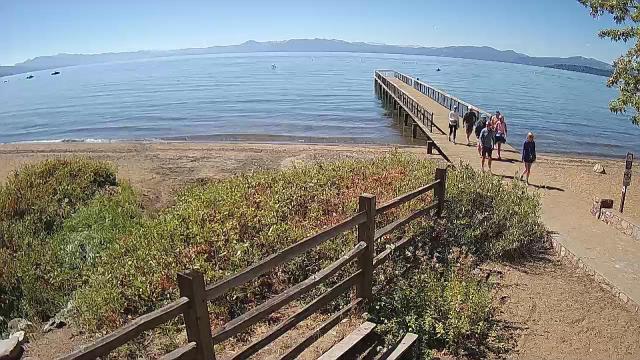
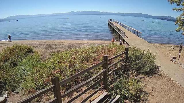
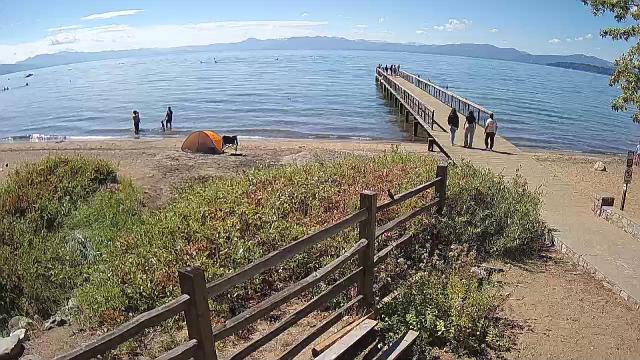
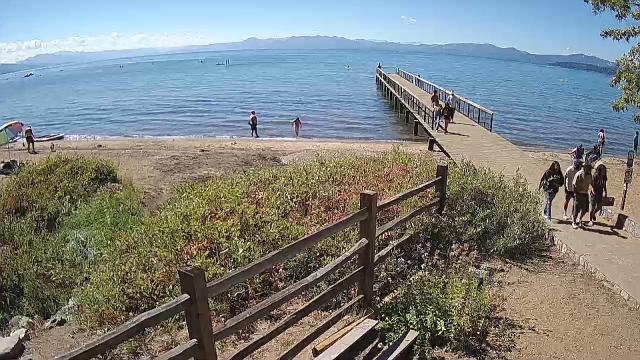
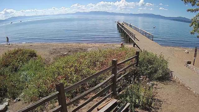
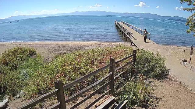
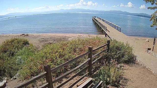
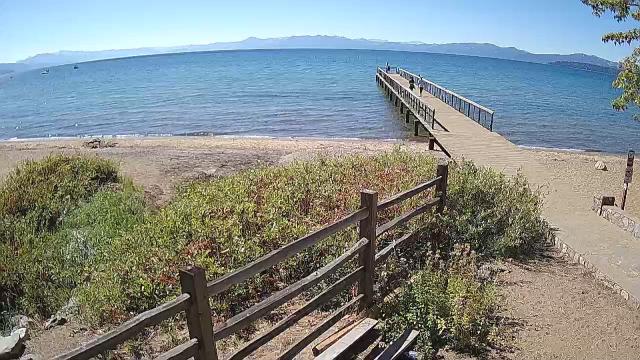
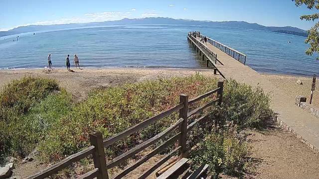
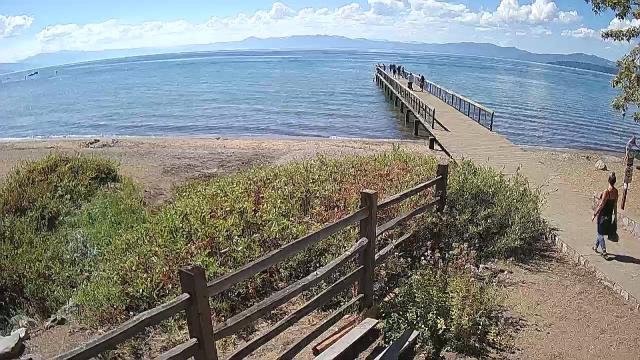
Kings Beach, California, USA - 219.8 miles from Pinto (historical): Beachview - Sunny Kings Beach, Lake Tahoe
Operator: HDOnTap
Operator: HDOnTap


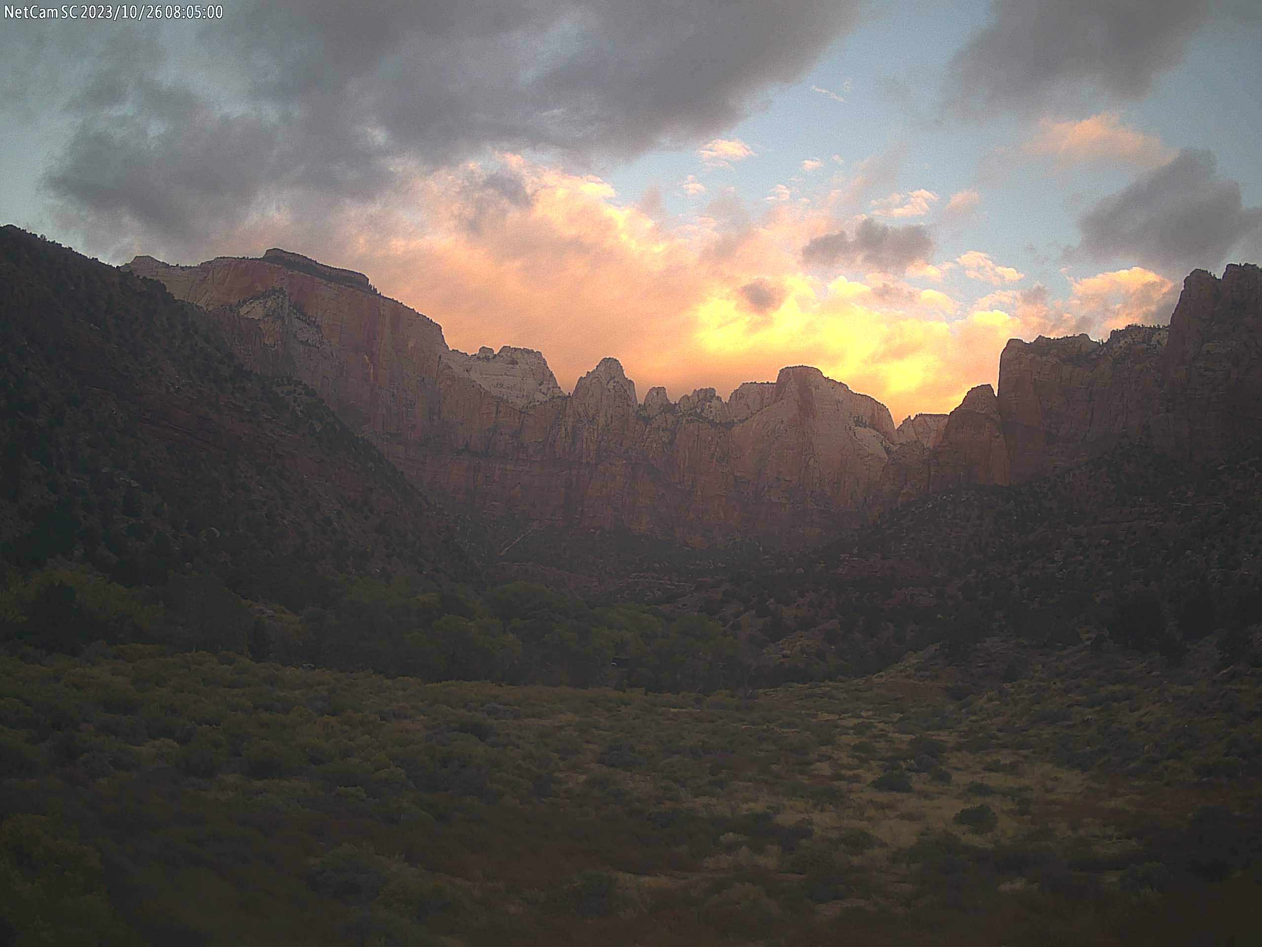
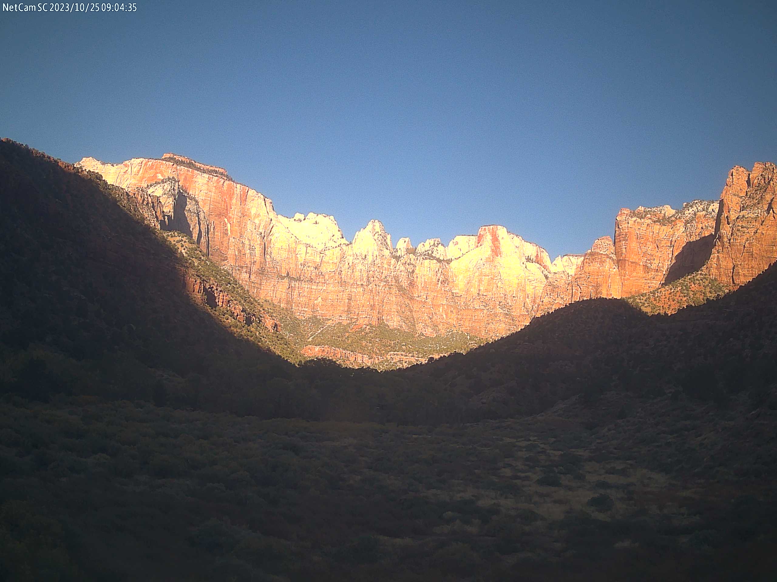
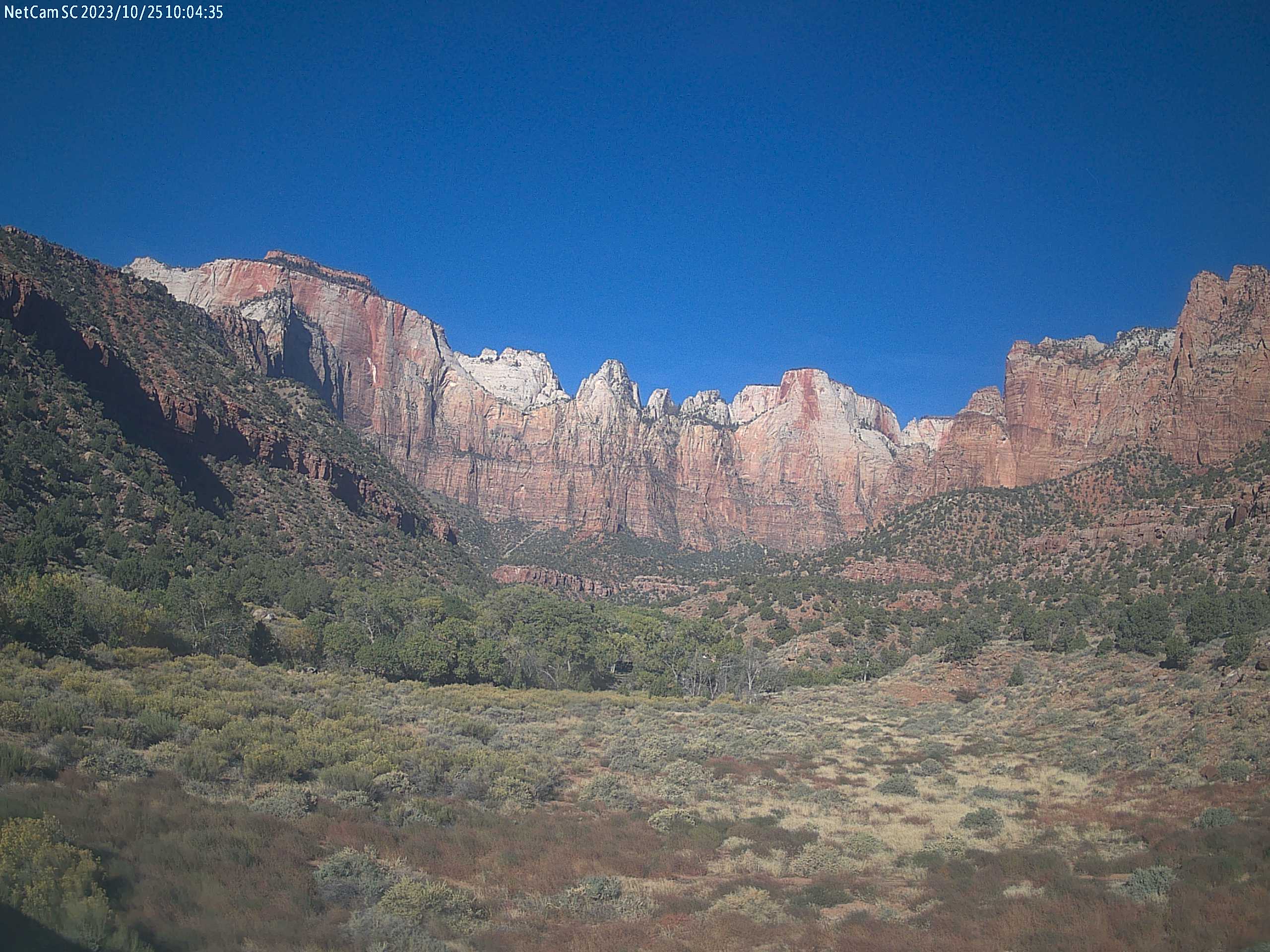
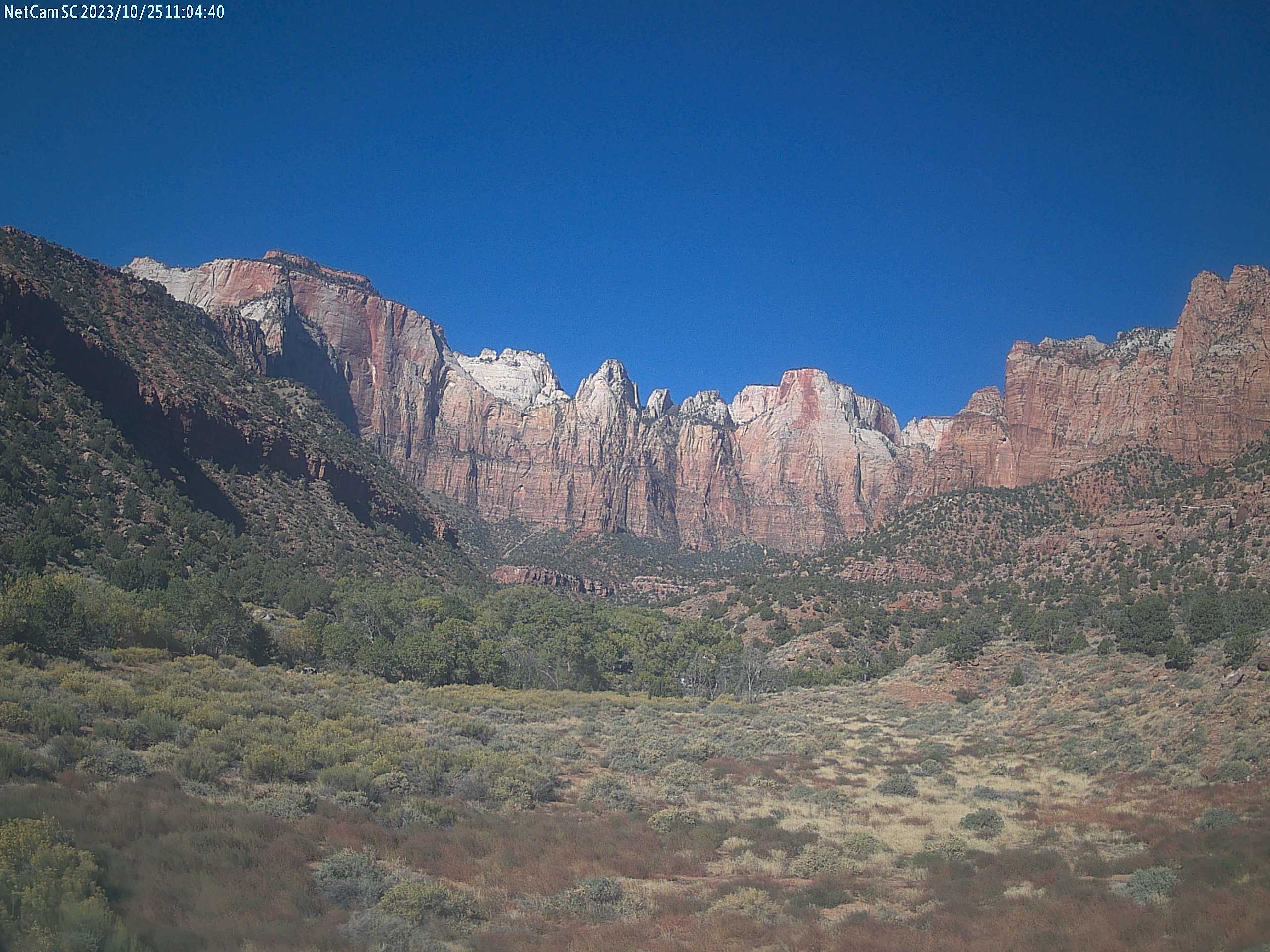
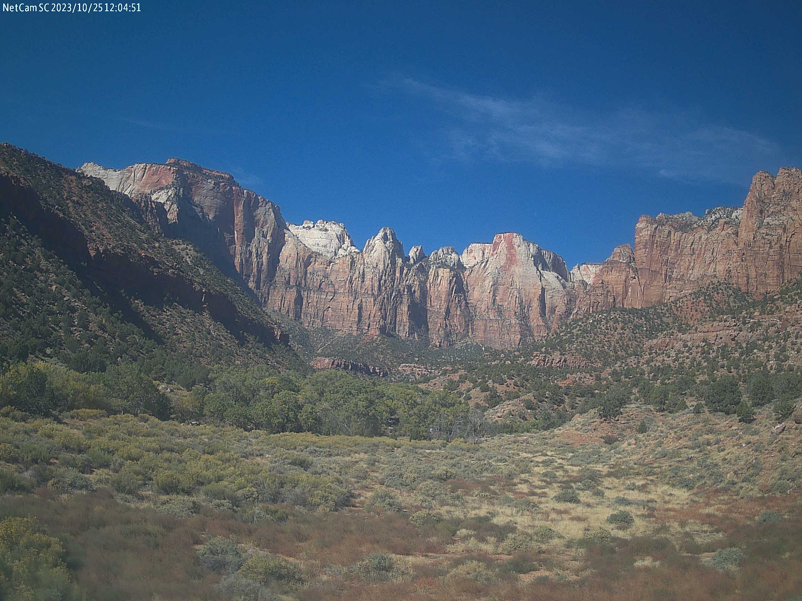
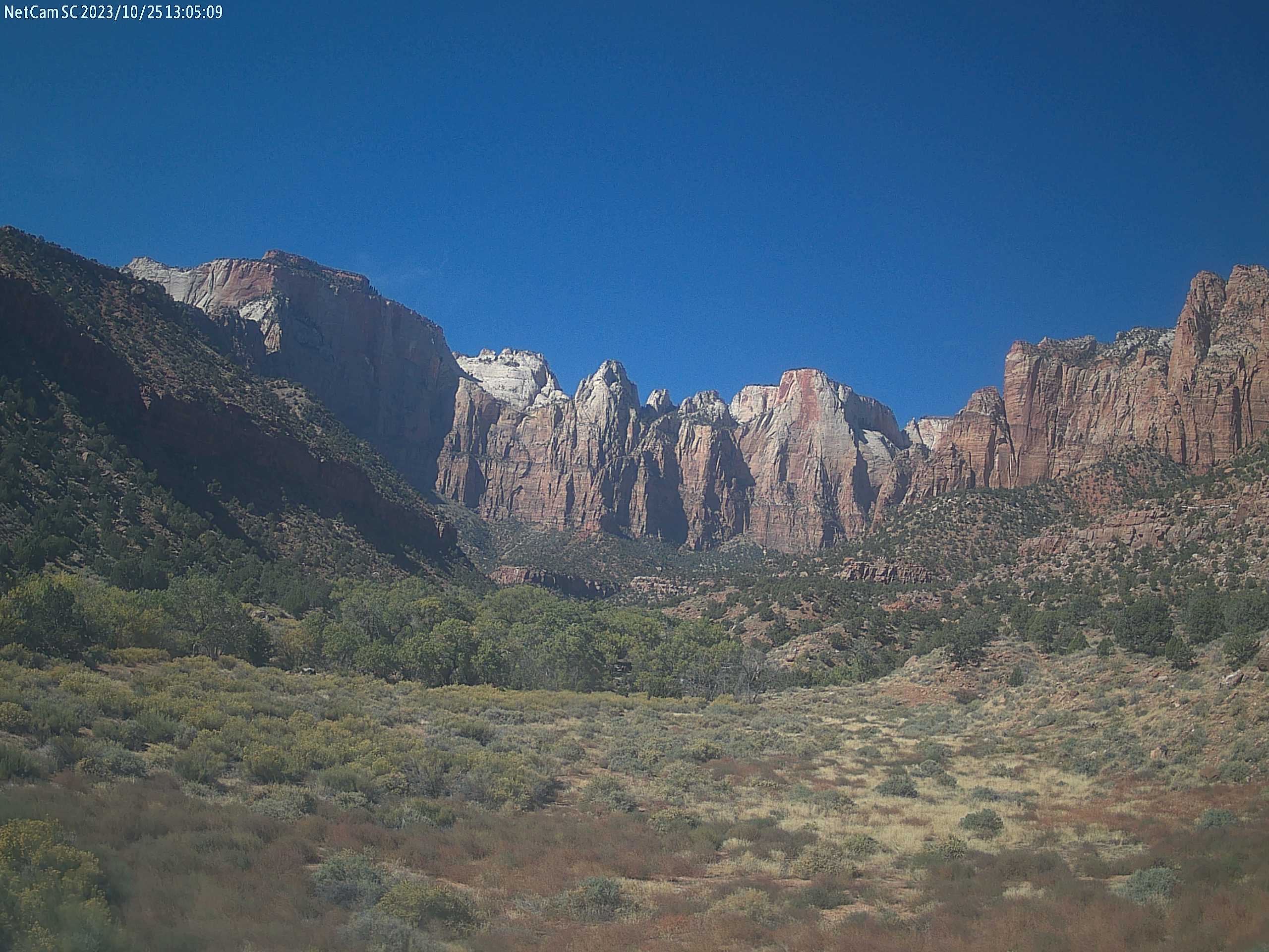
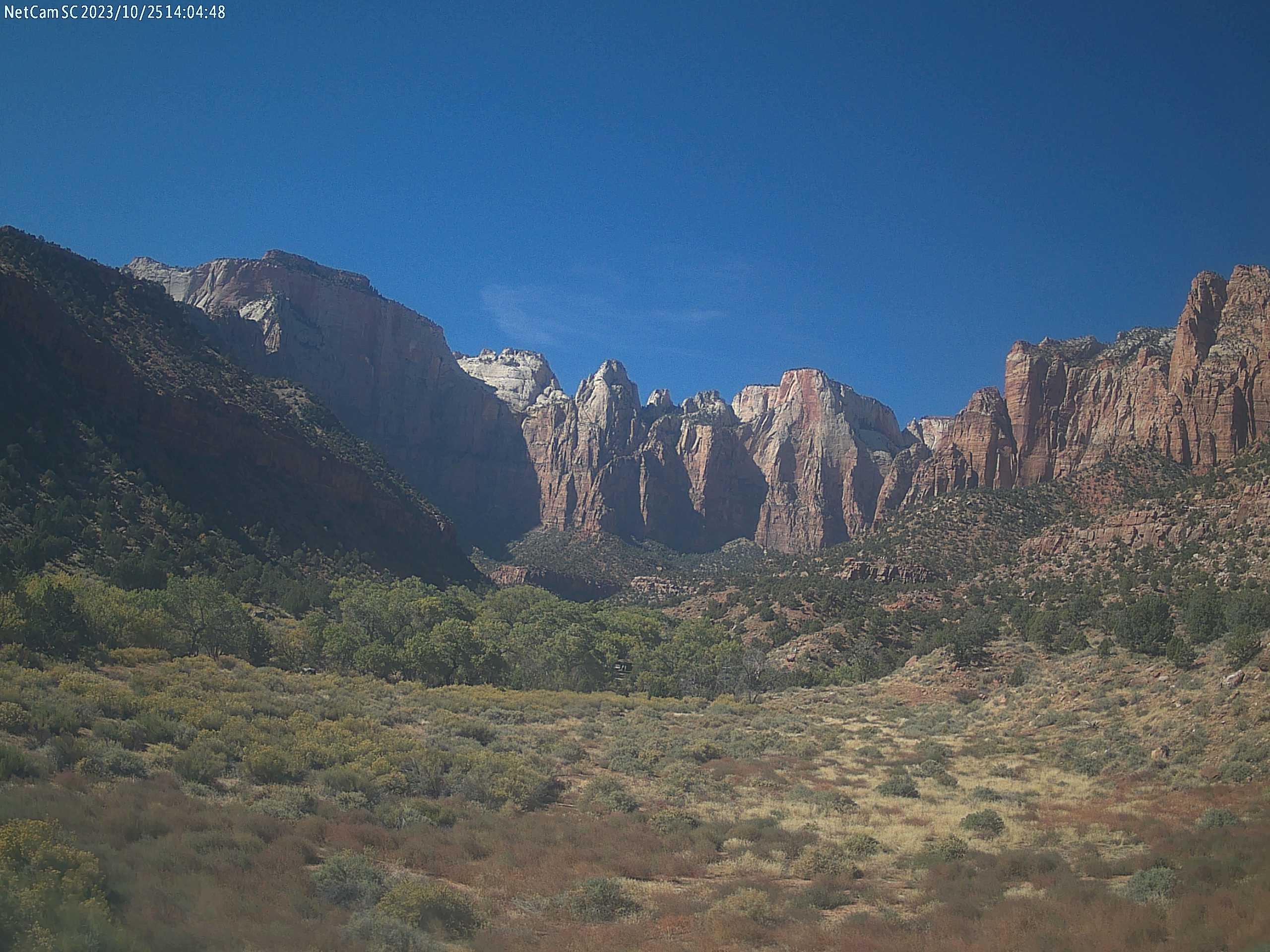
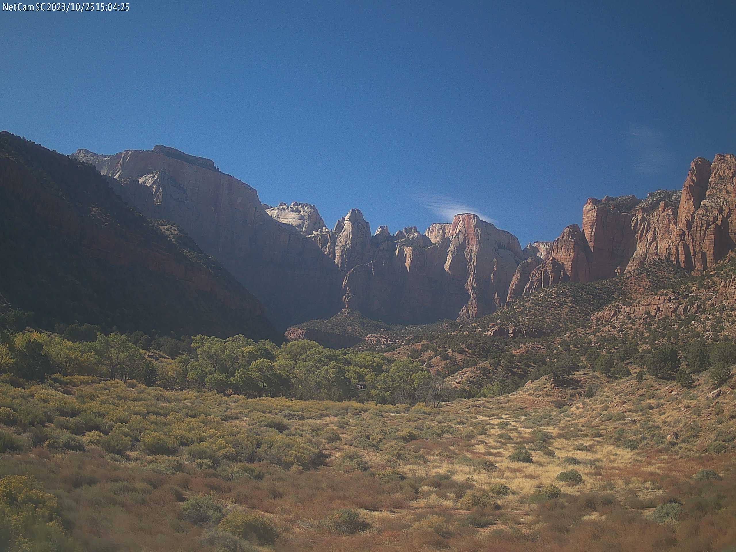
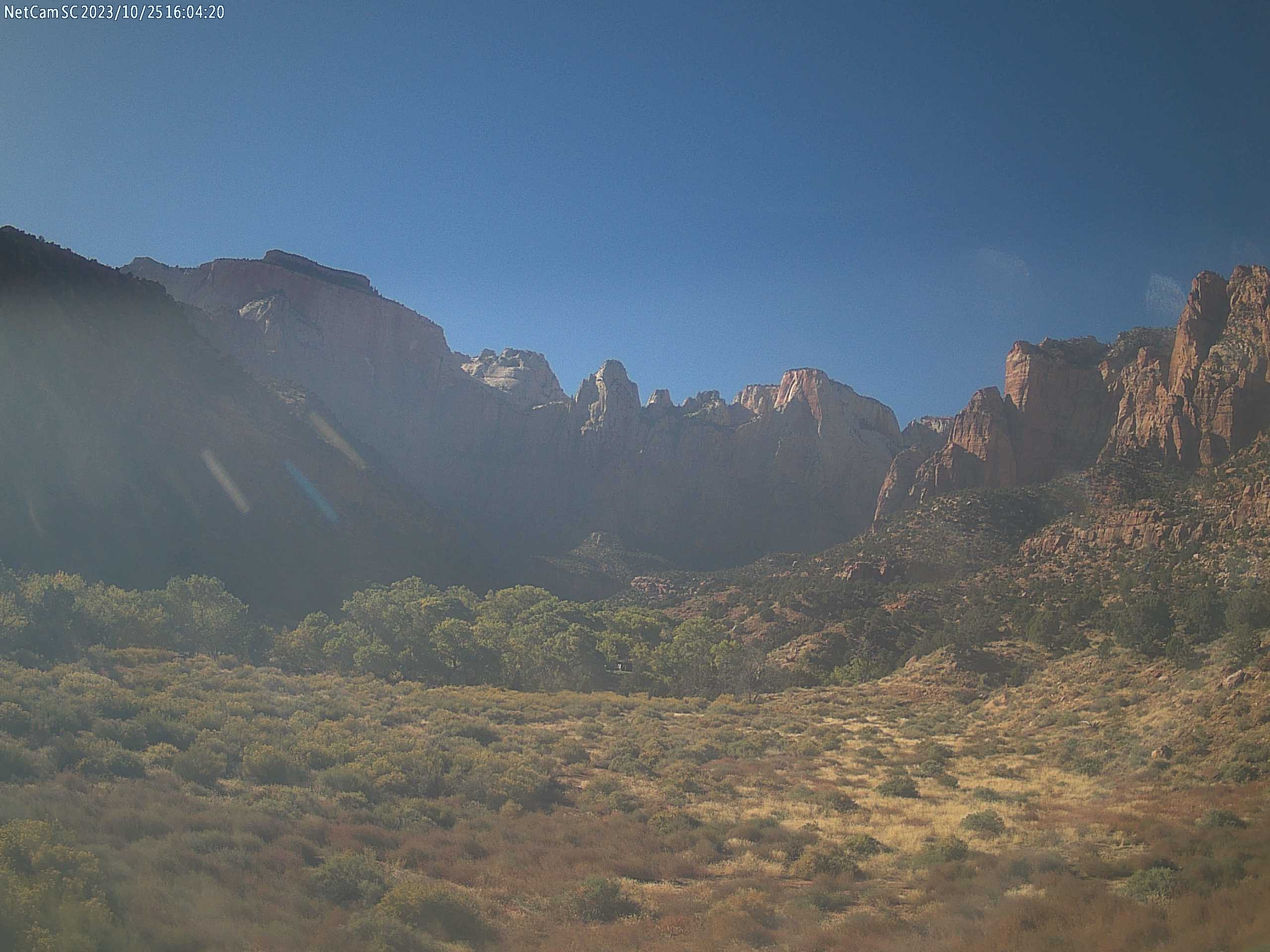
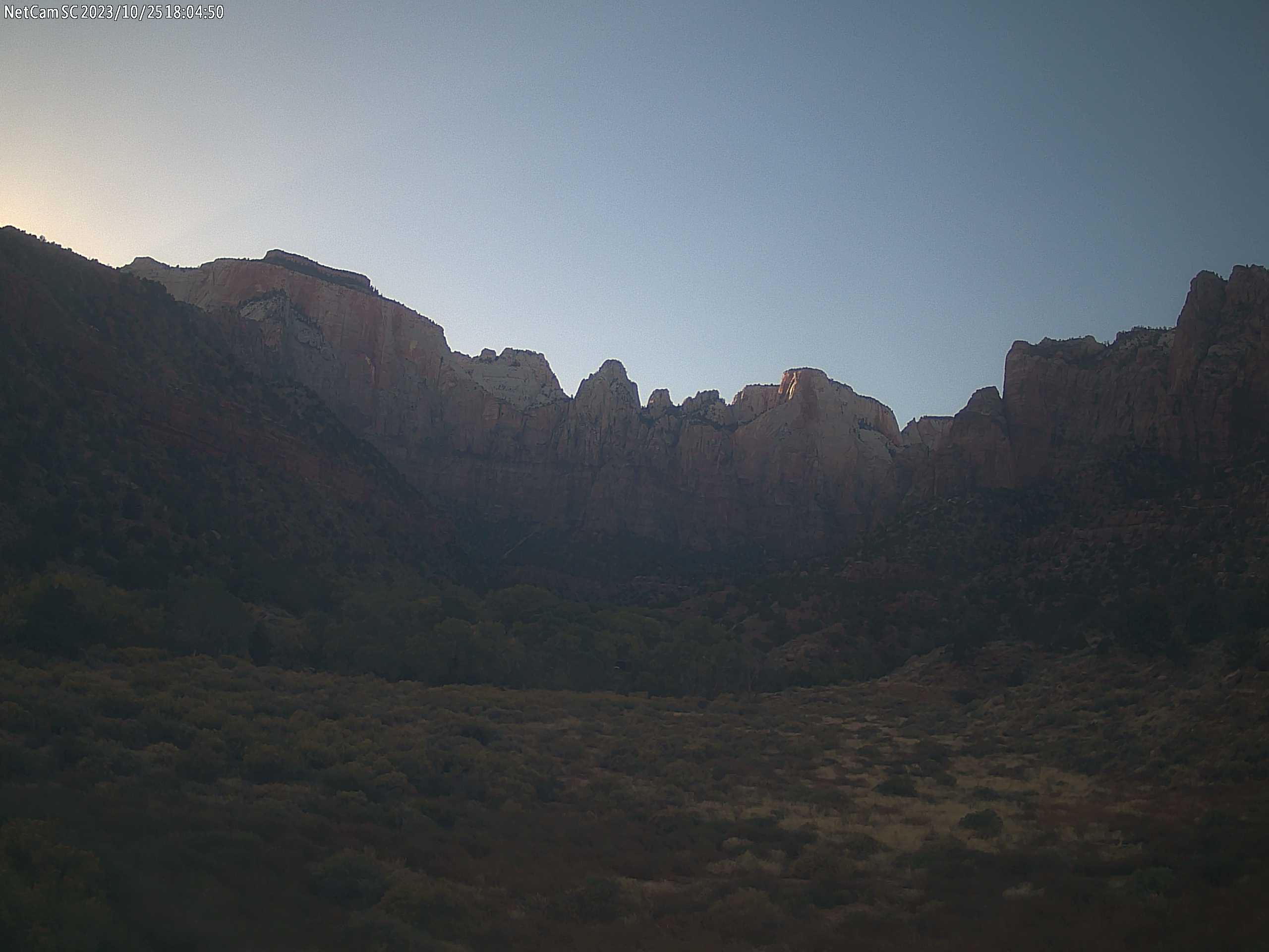
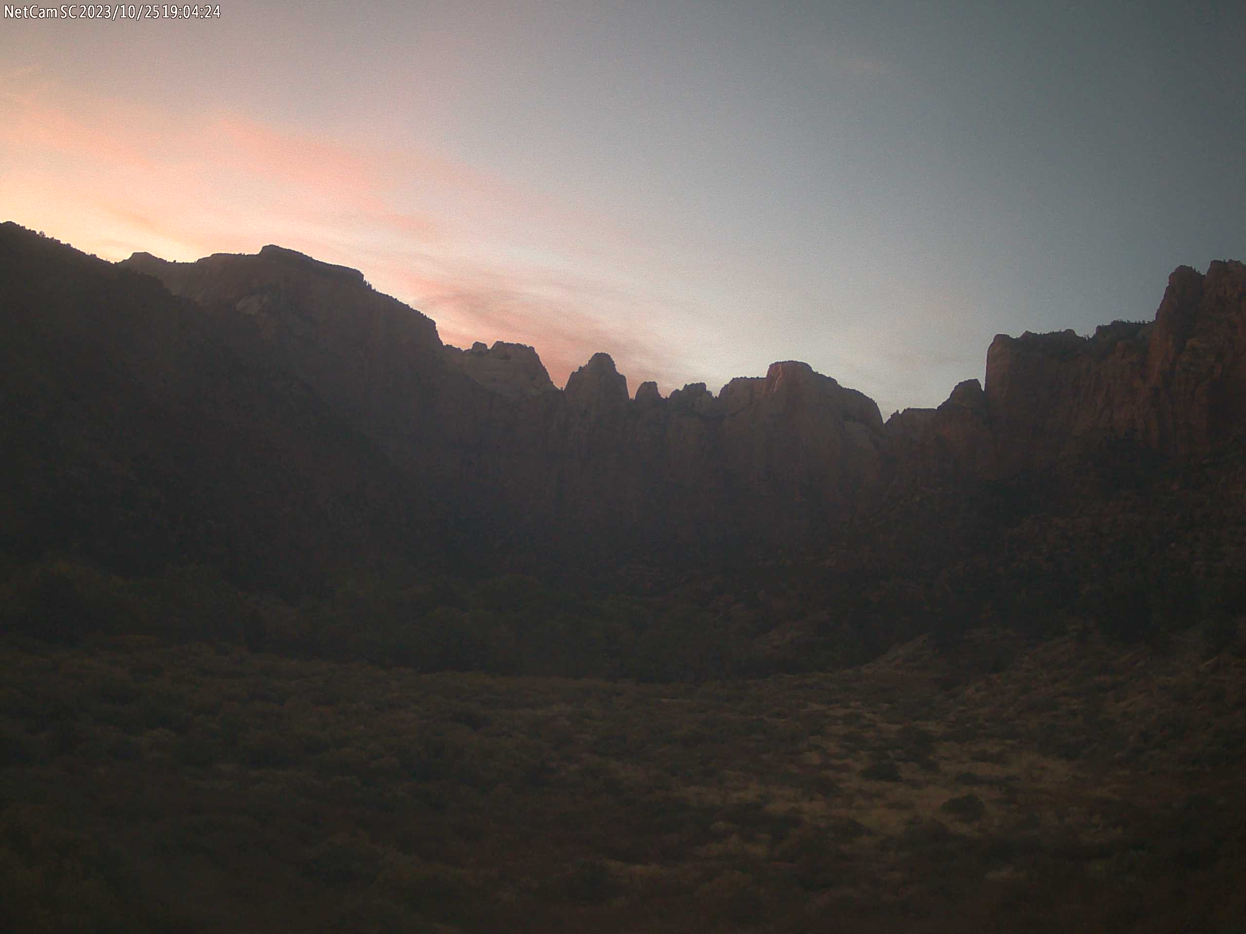
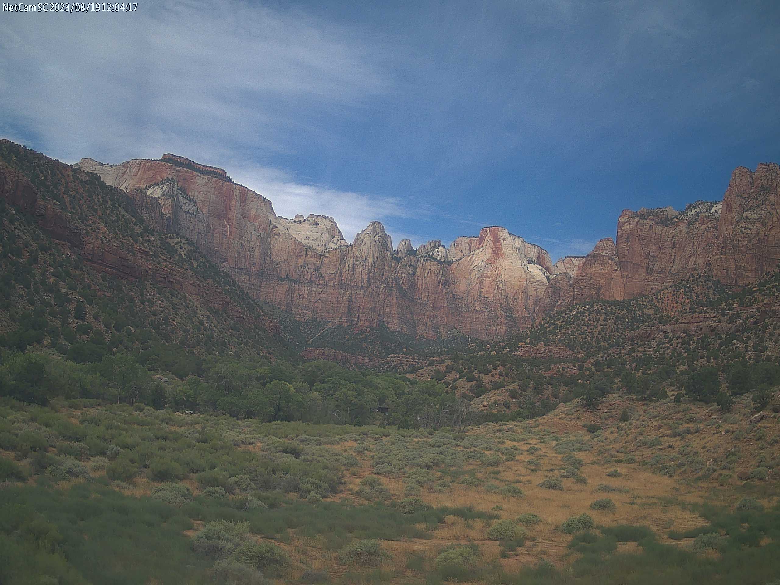
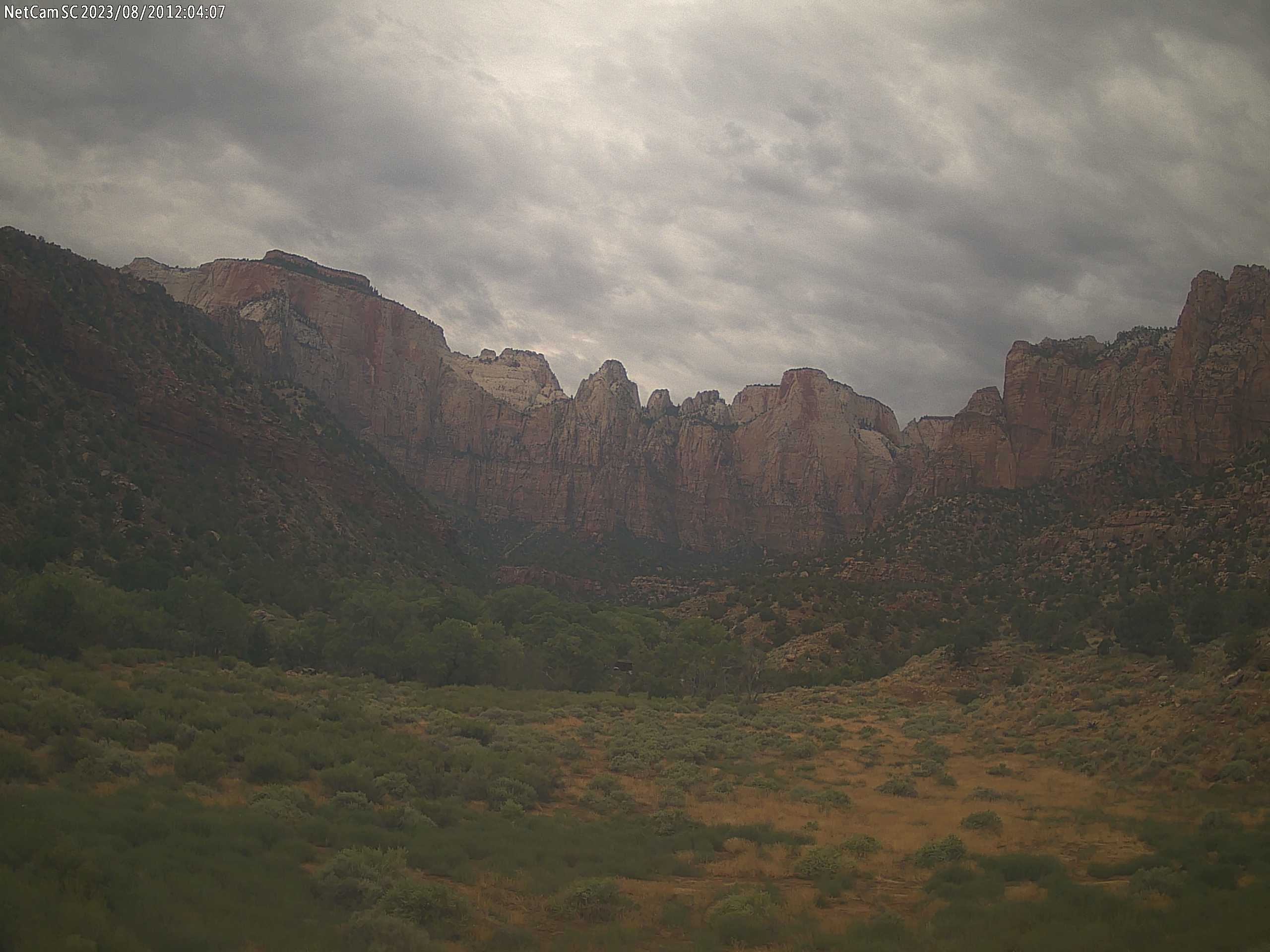
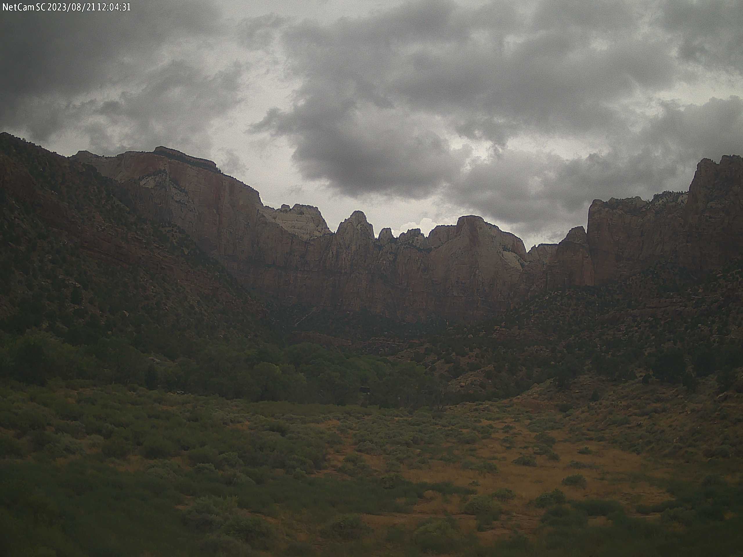
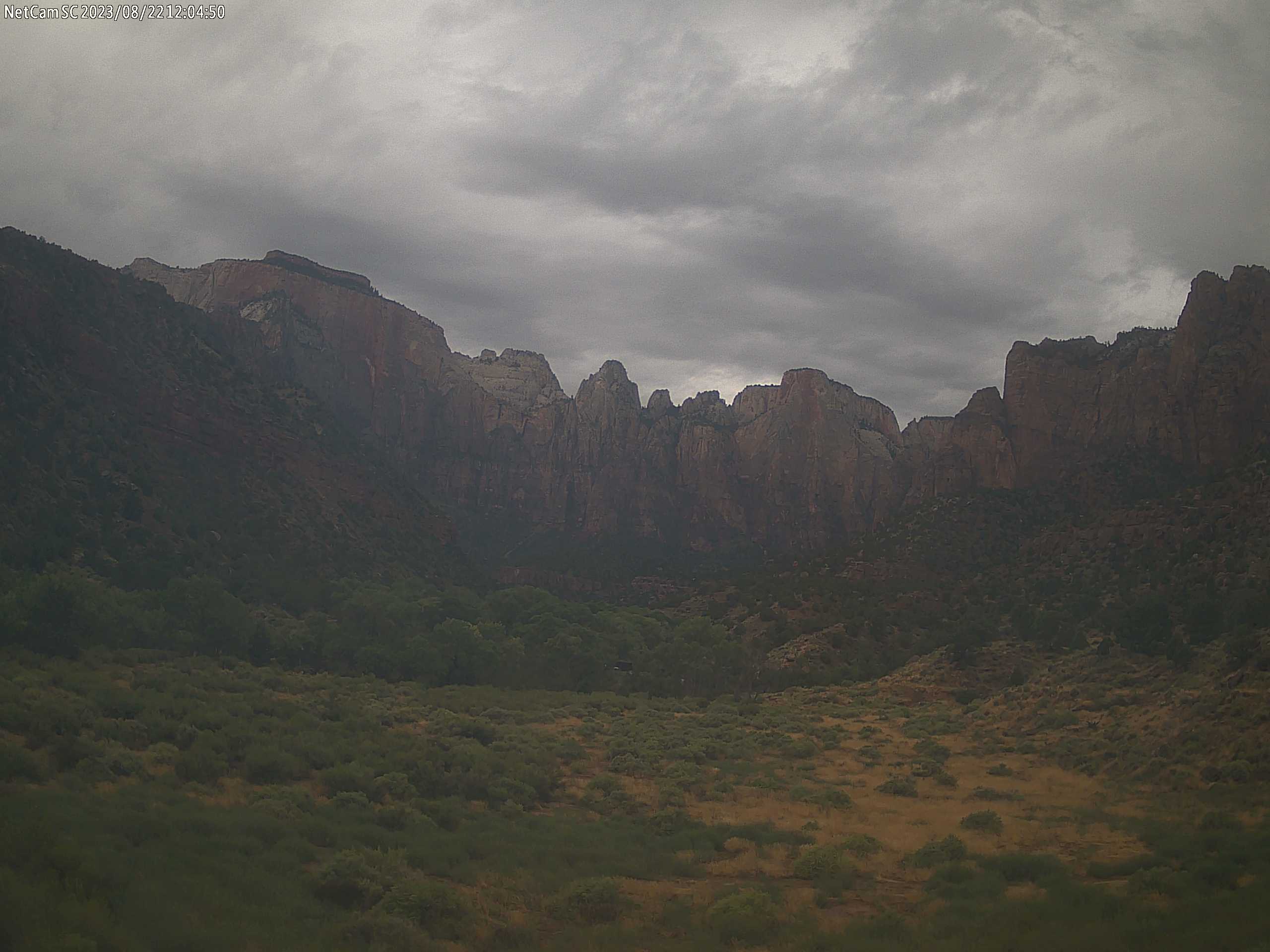
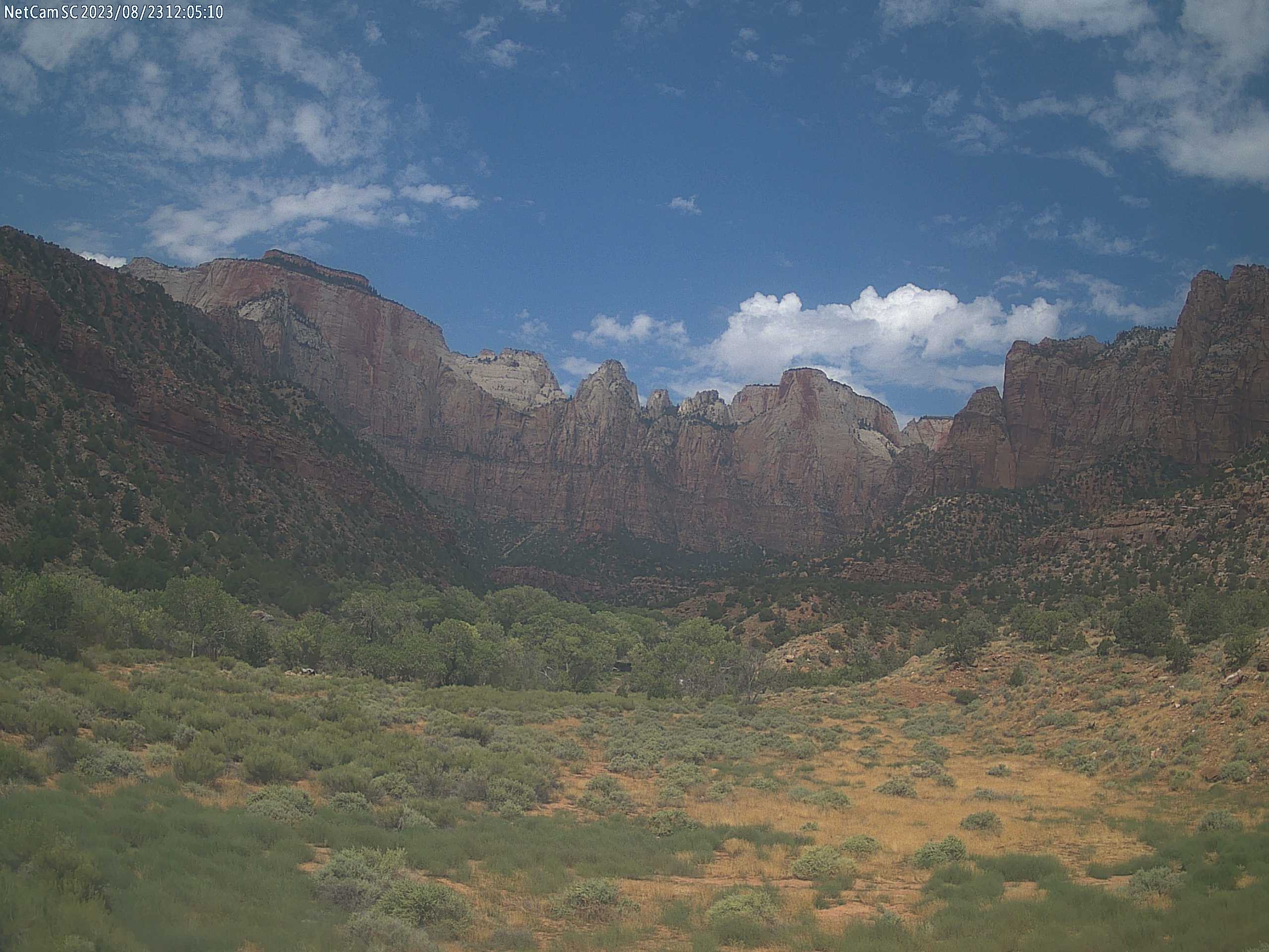
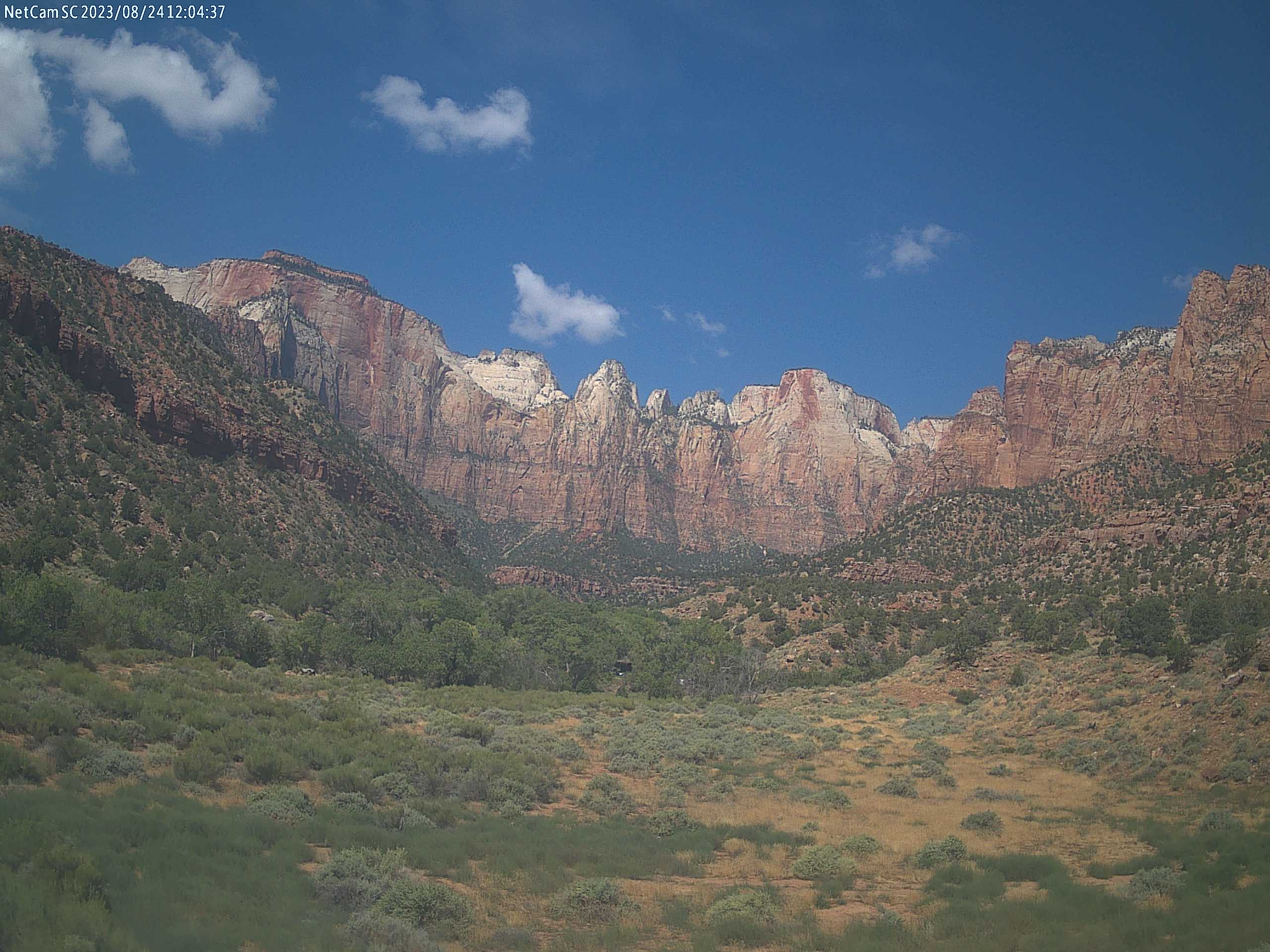
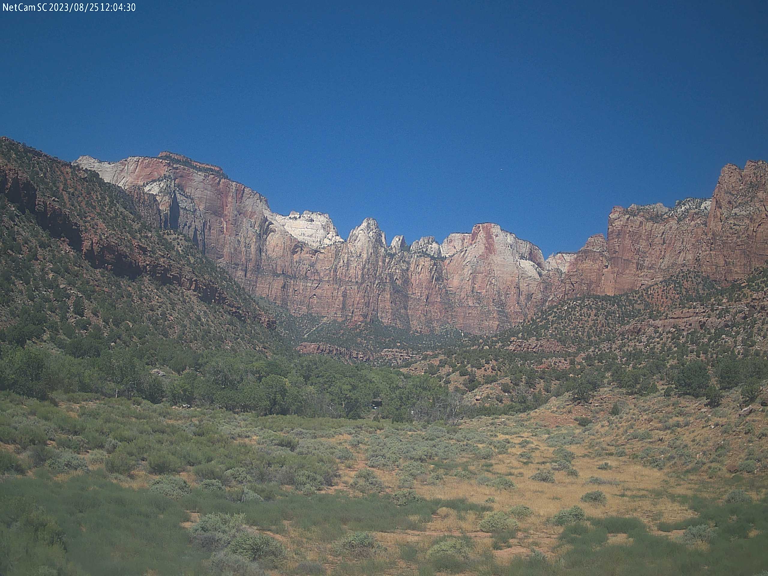
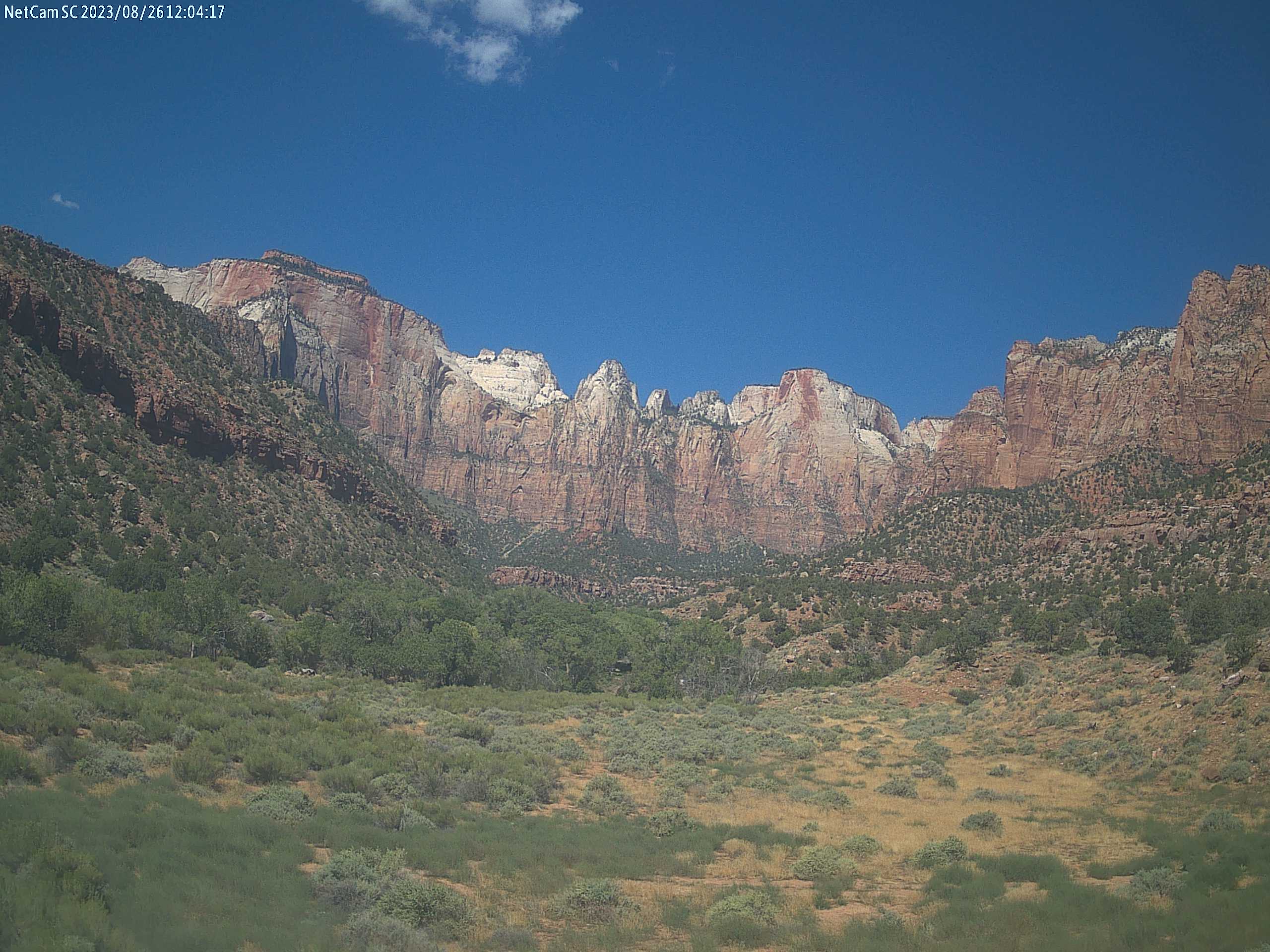
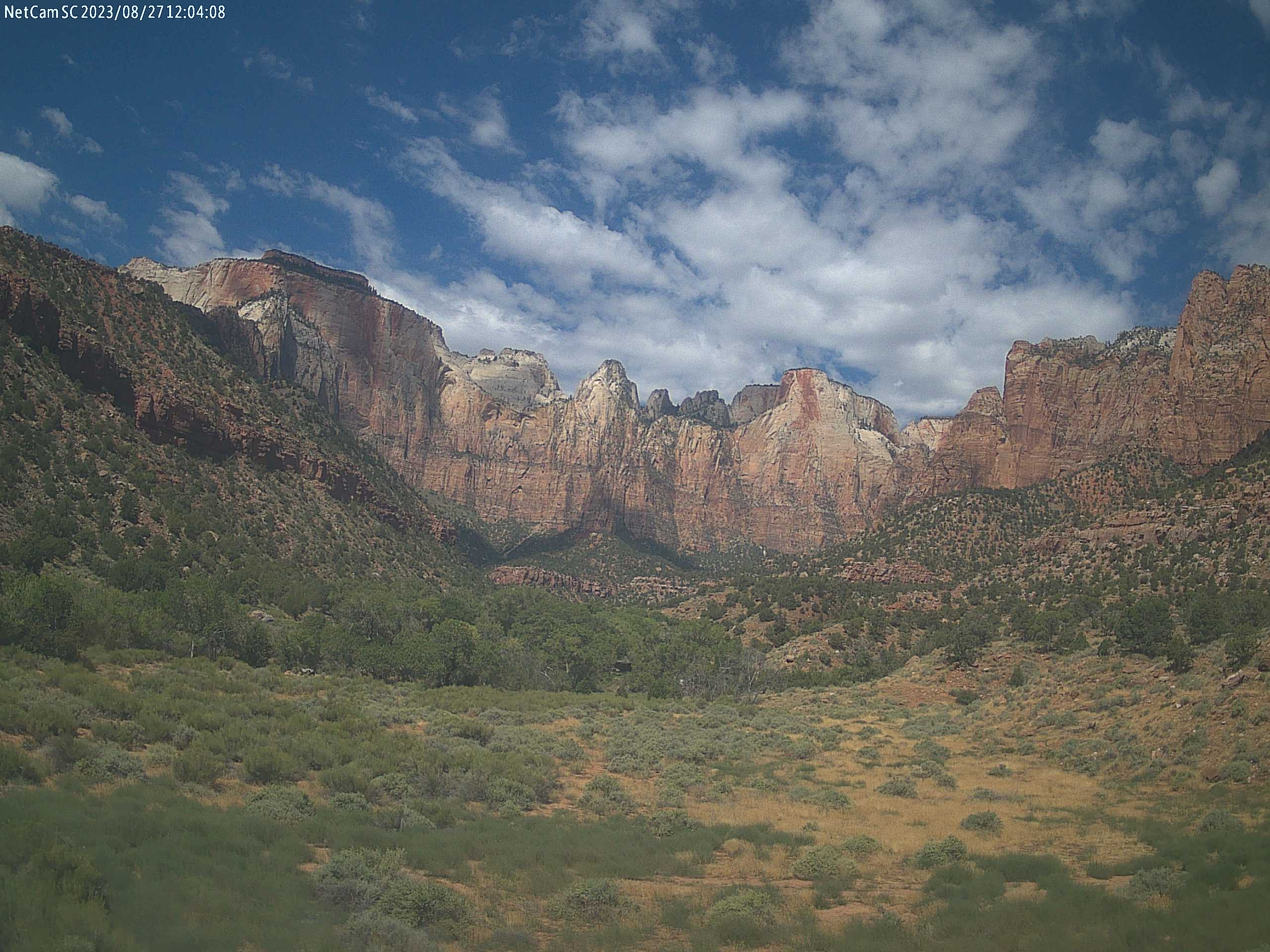
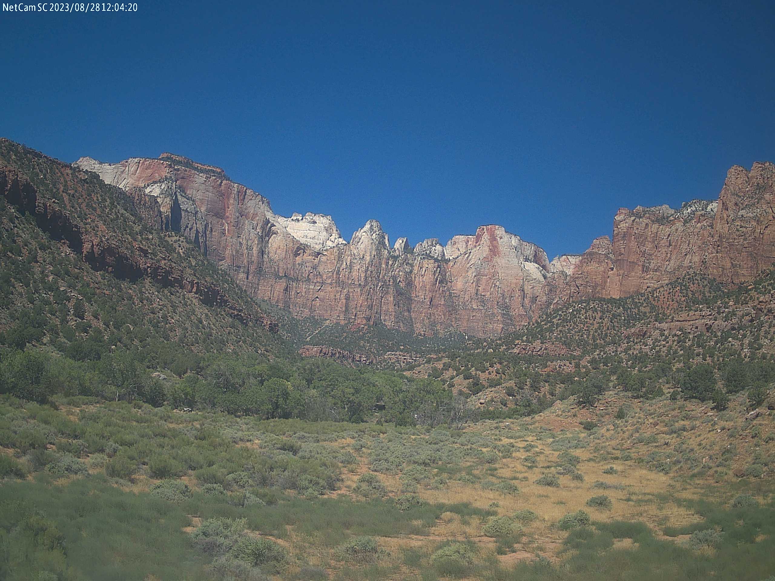
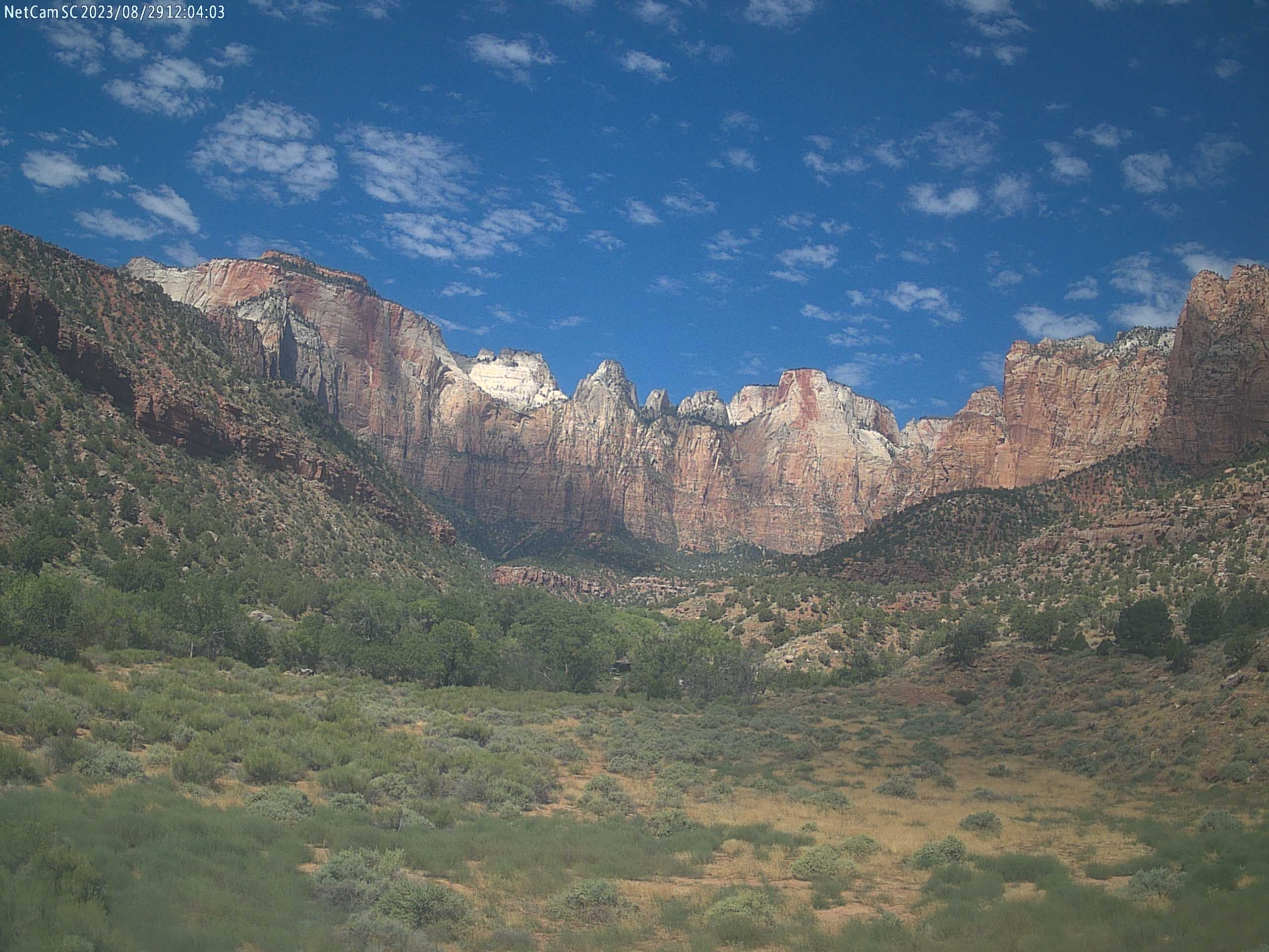
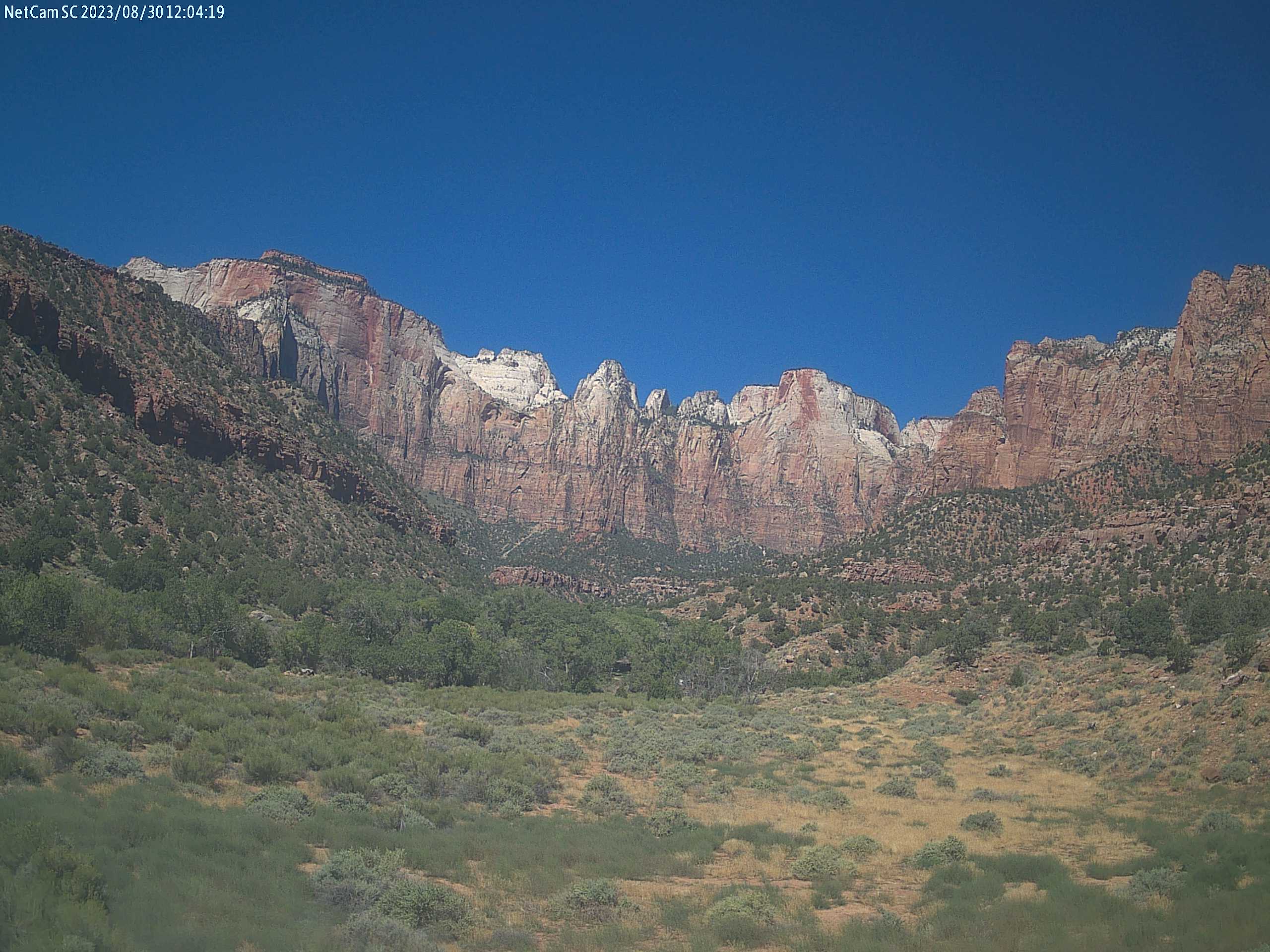
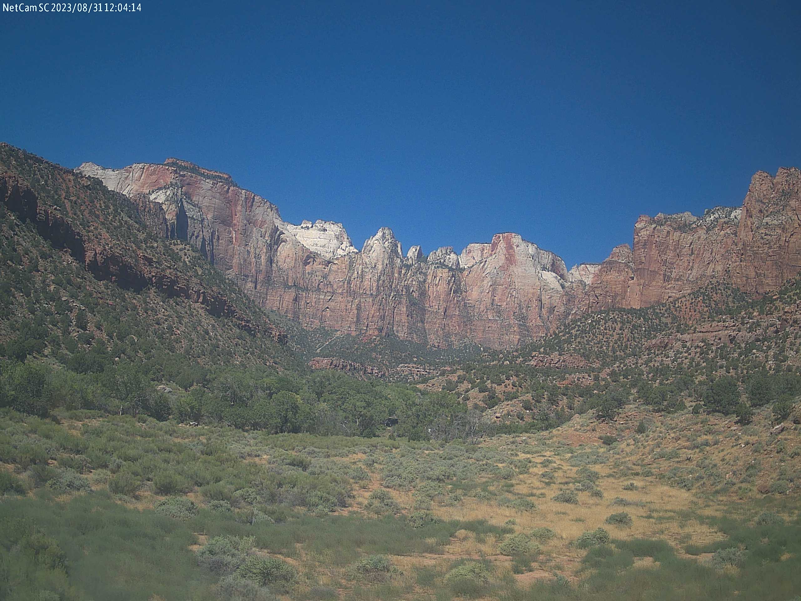
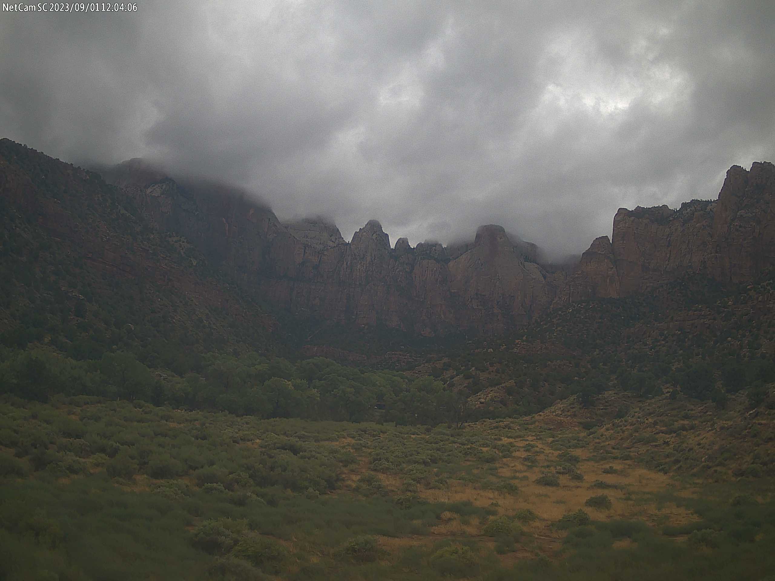
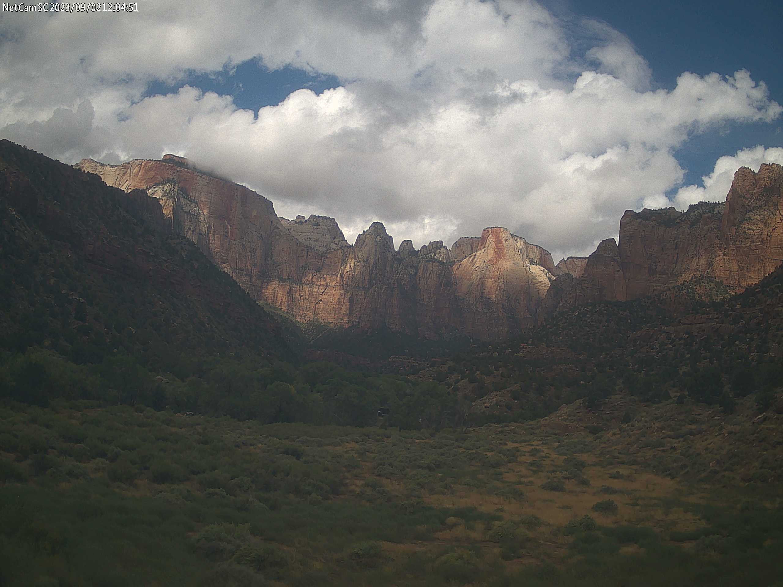
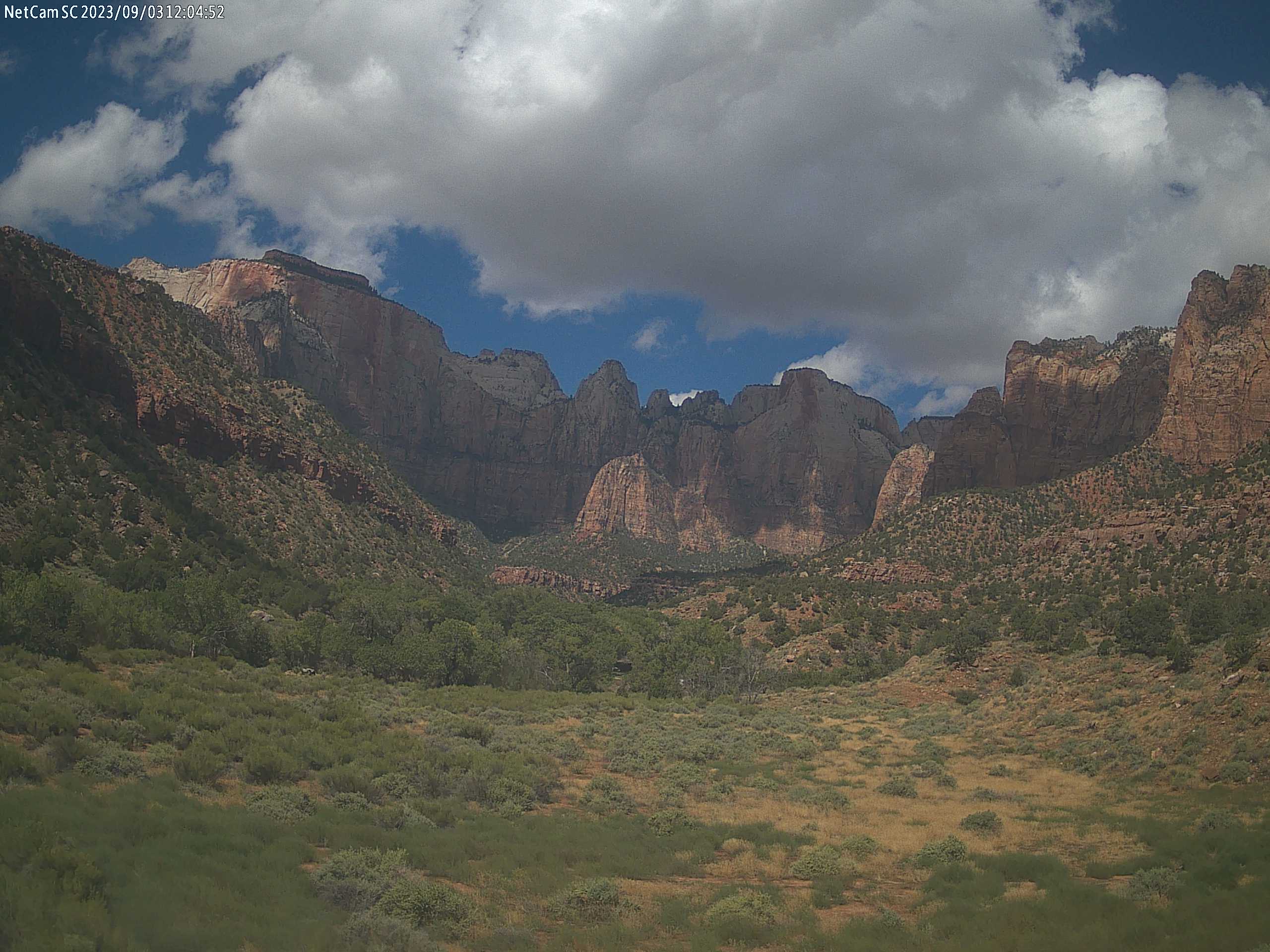
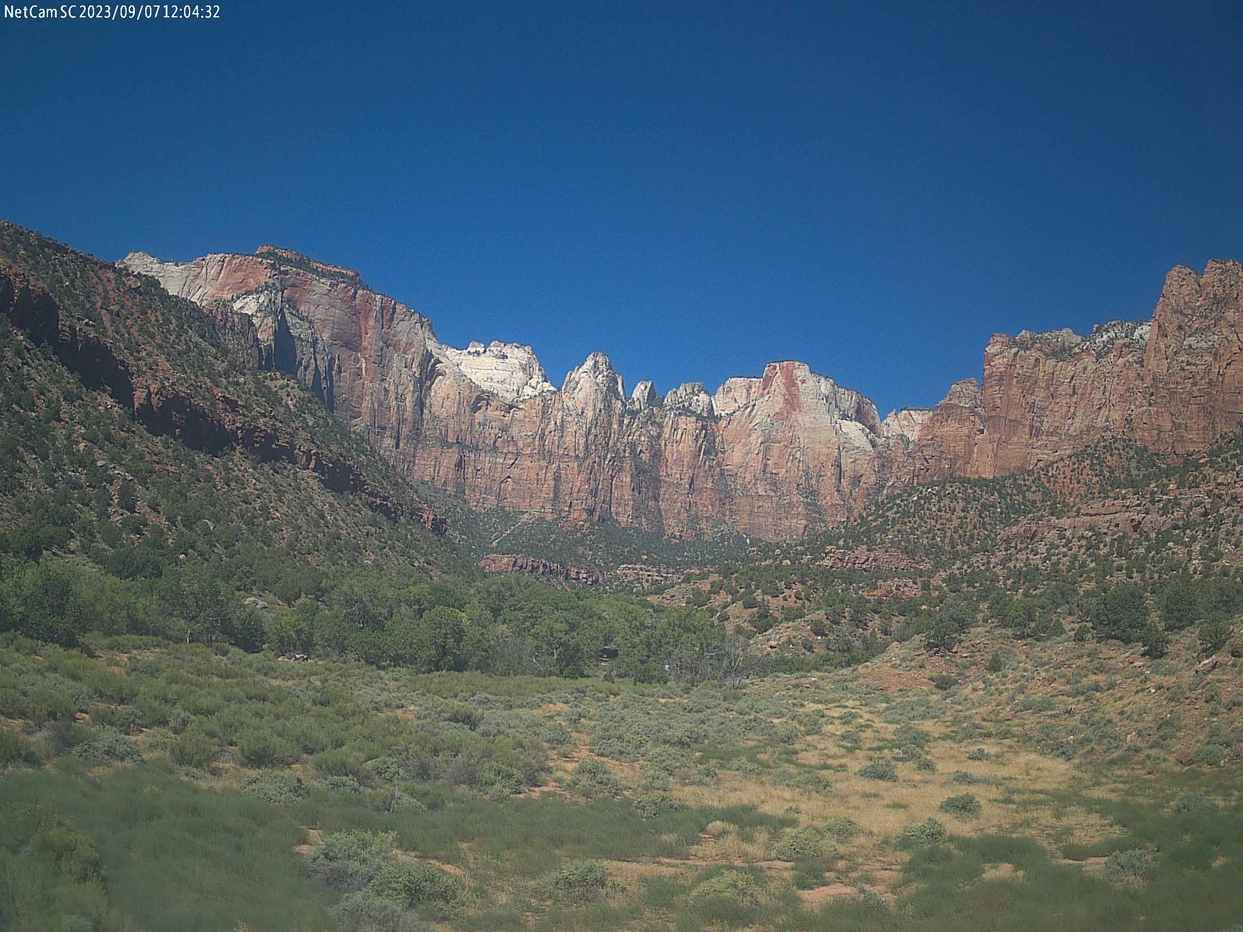
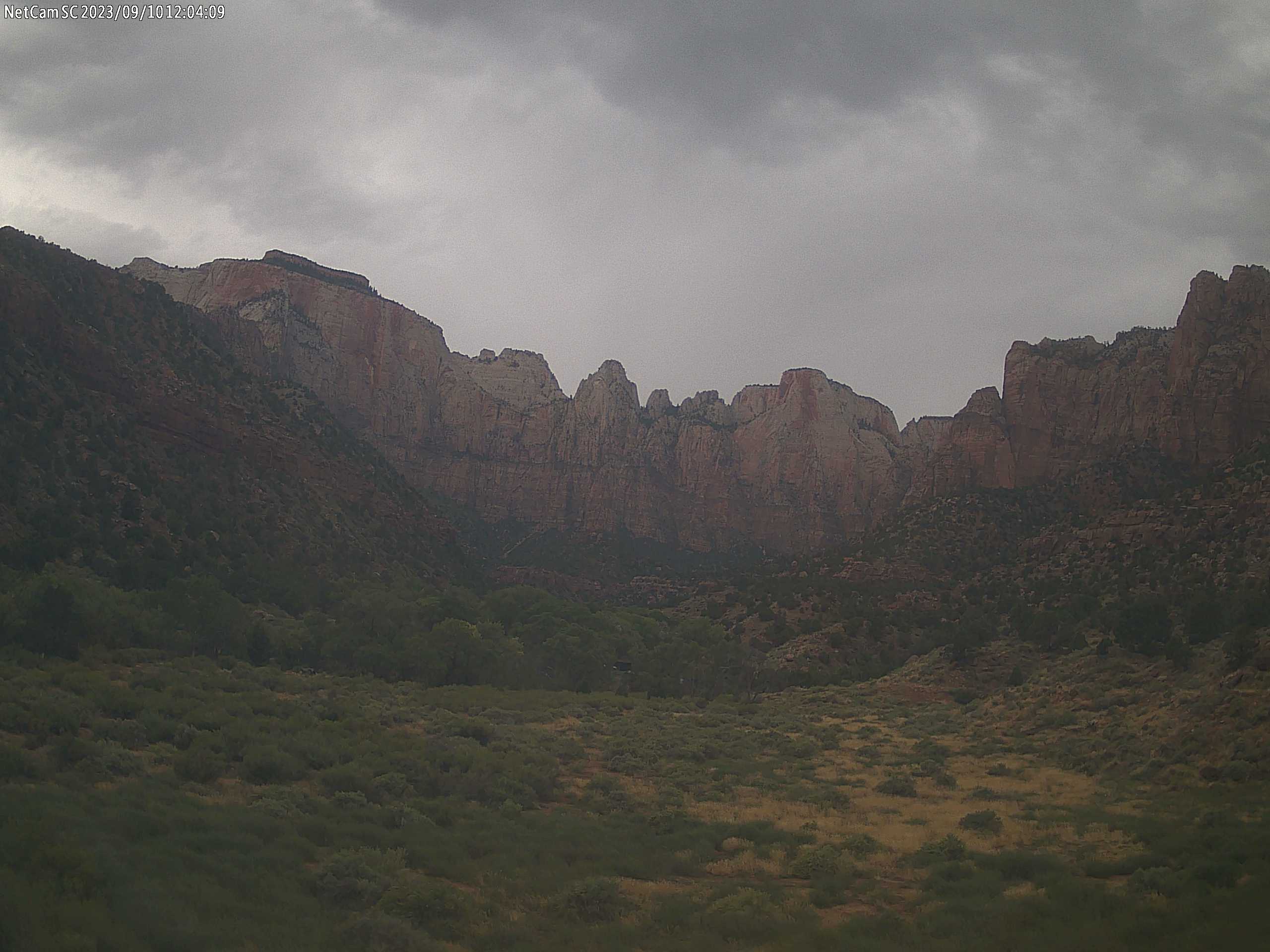
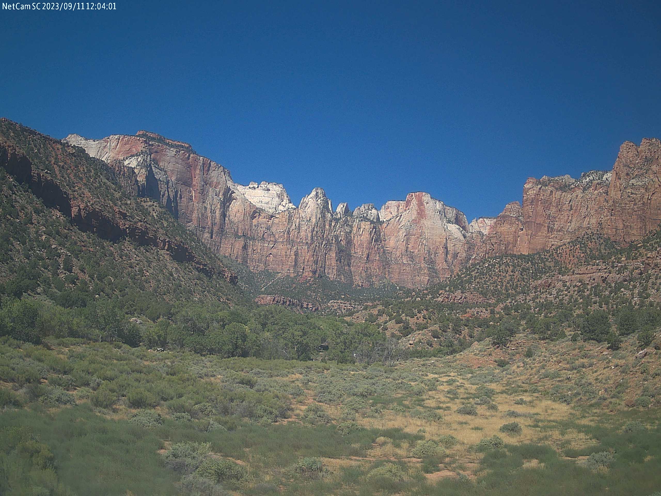
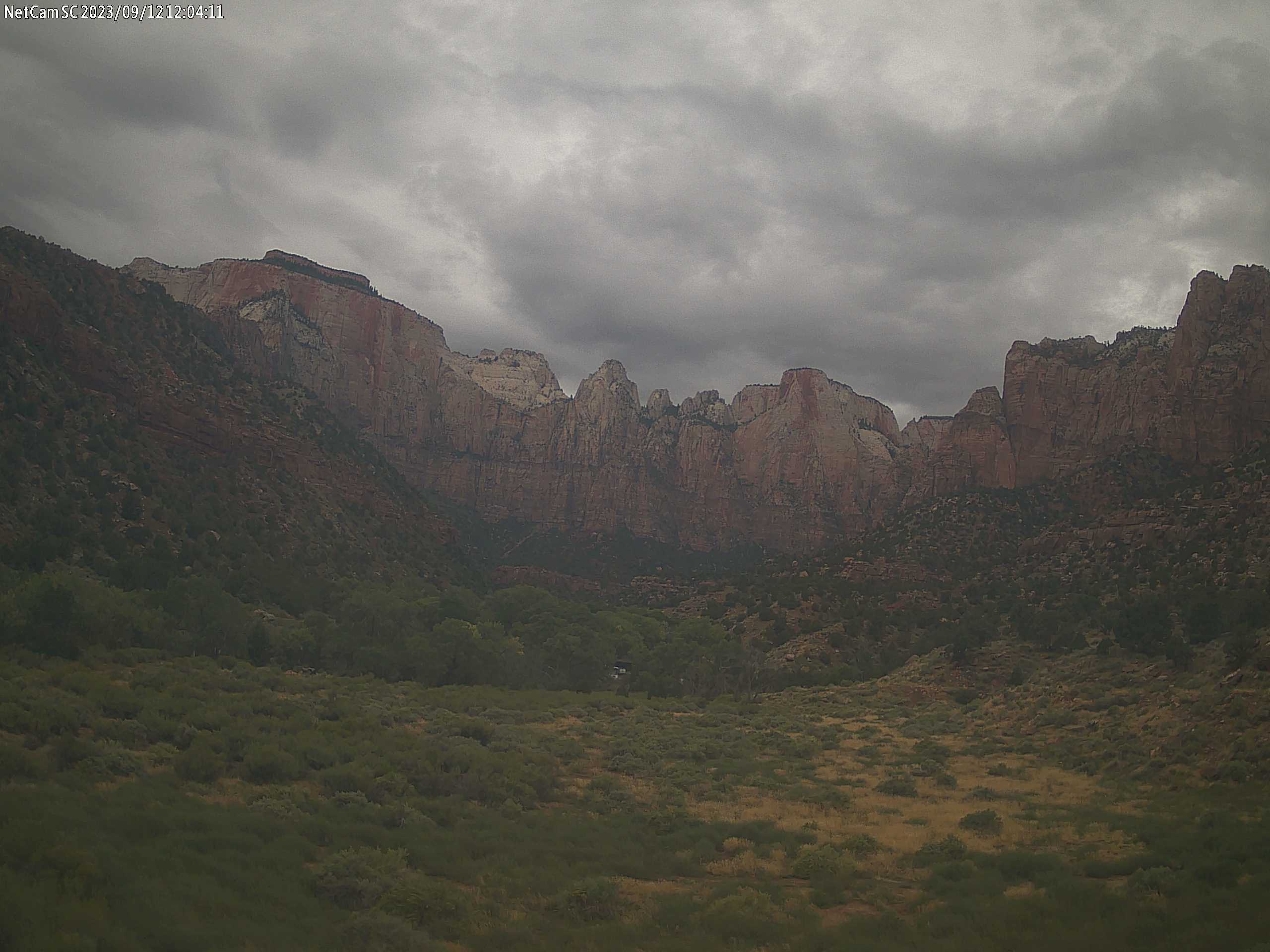
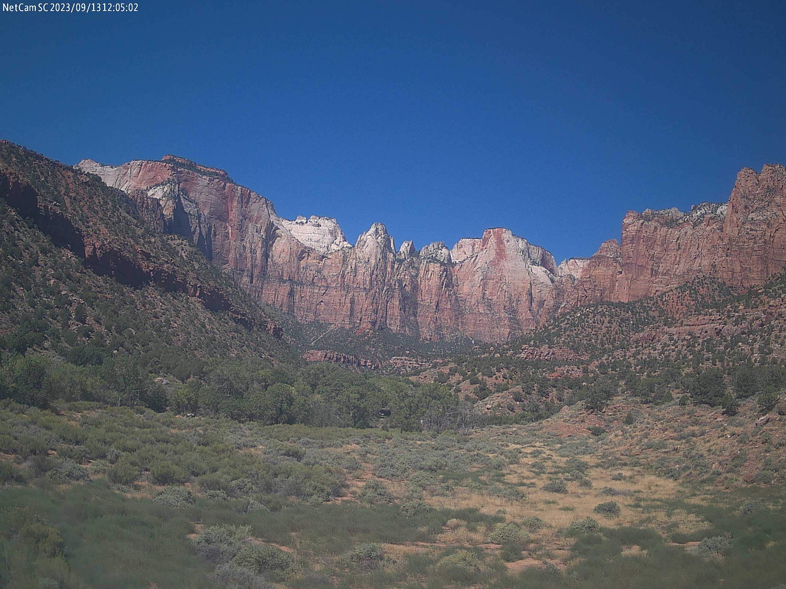
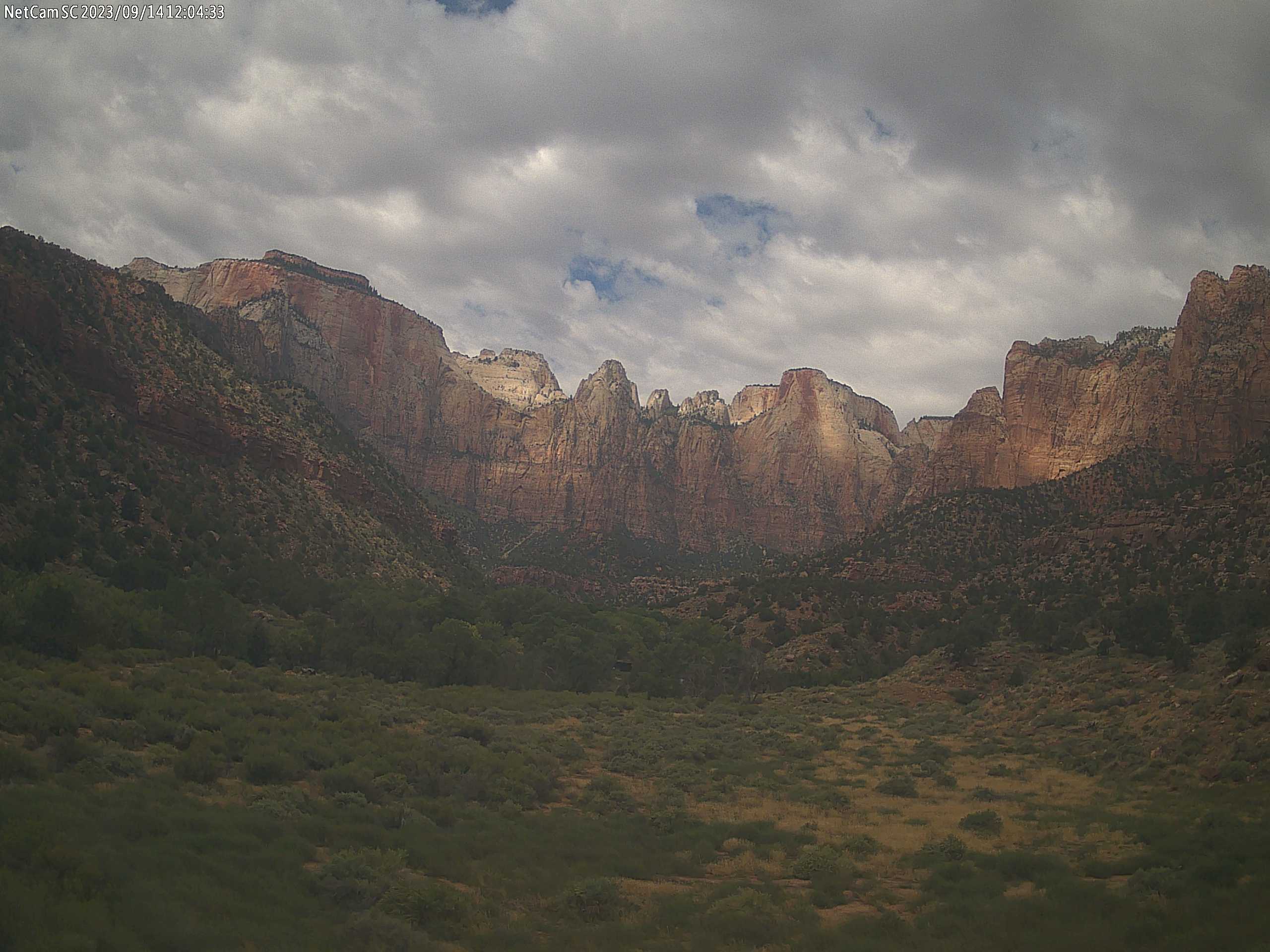
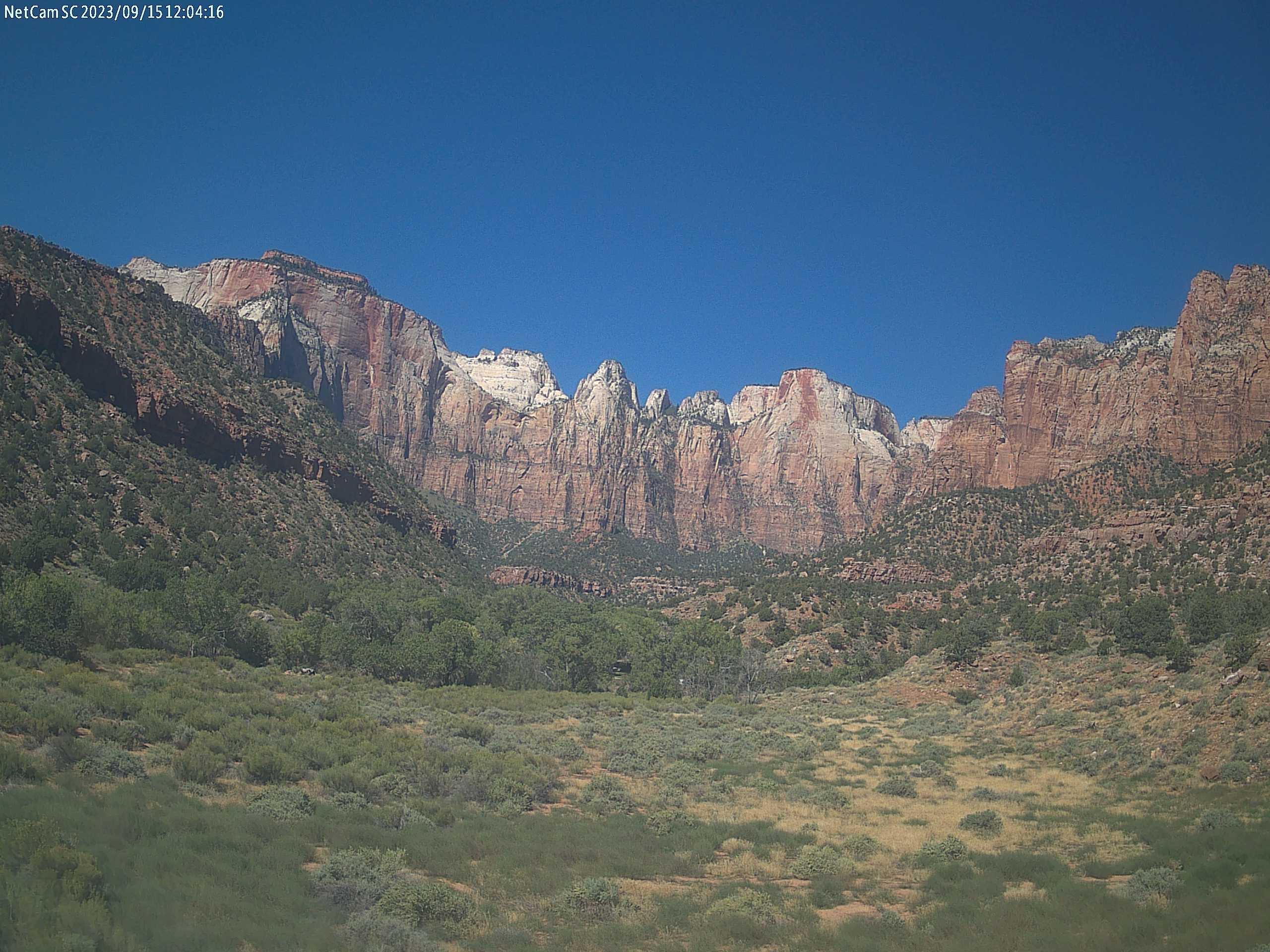
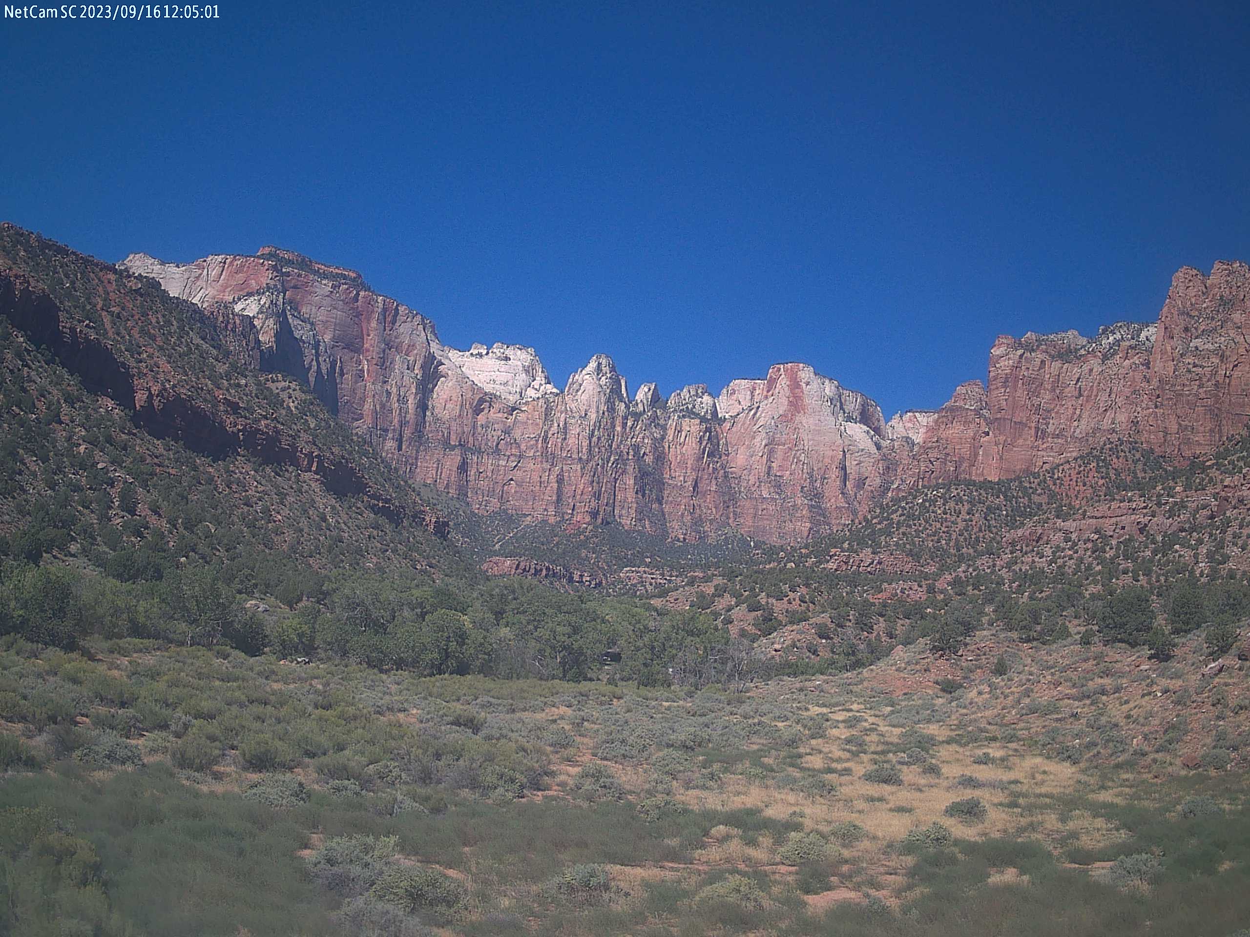
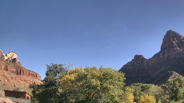
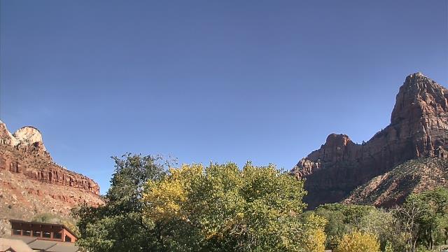
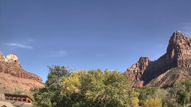
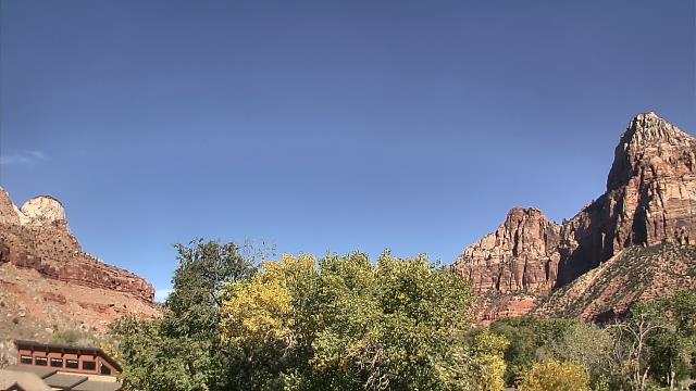
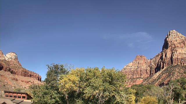
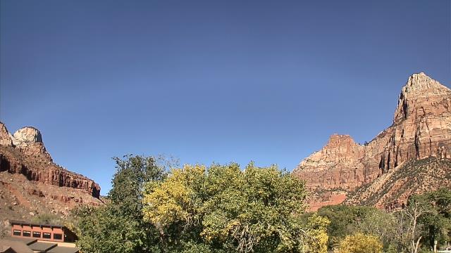
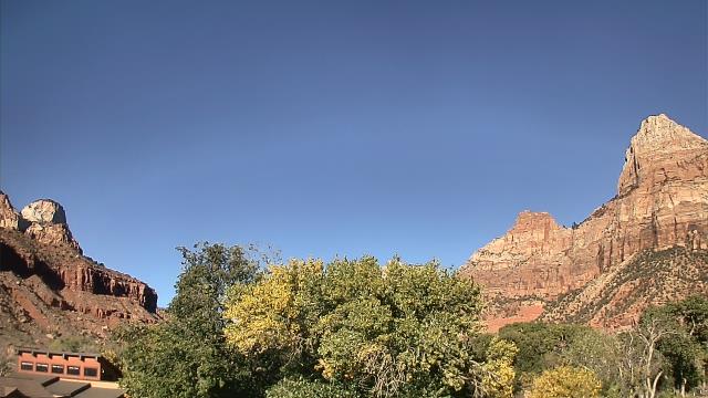
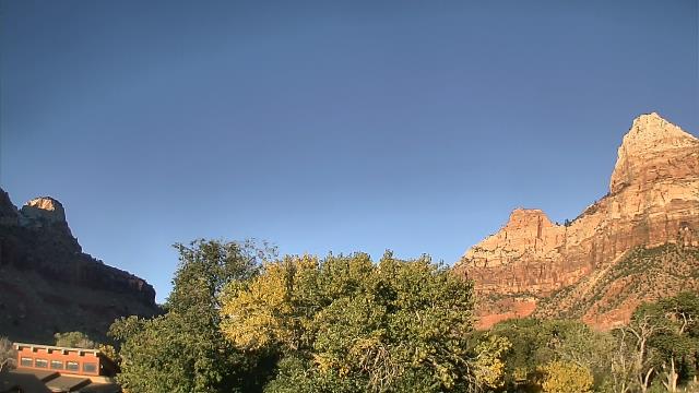
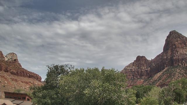
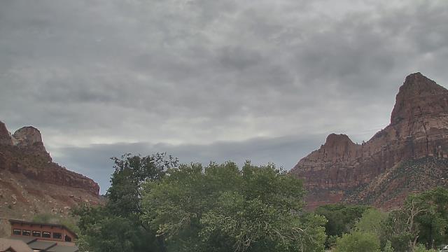
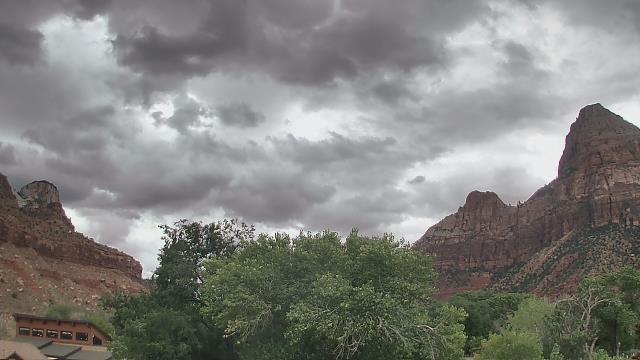
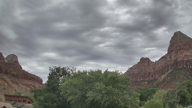
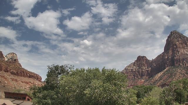
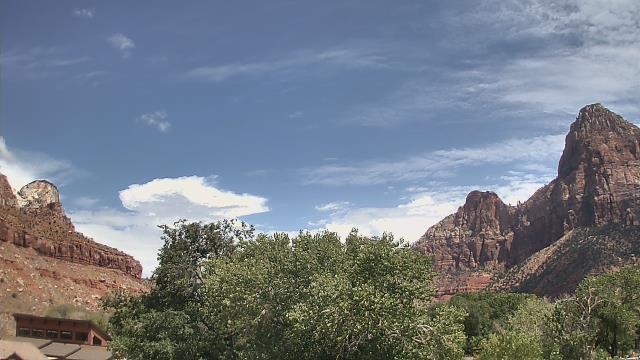
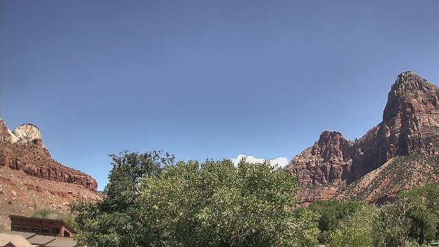
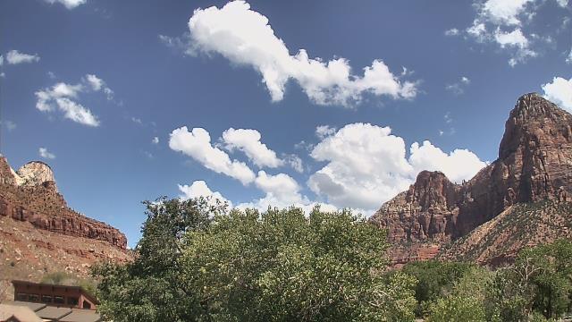
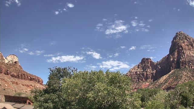
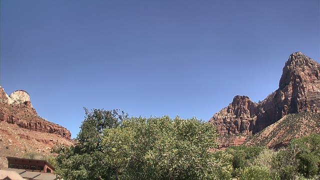
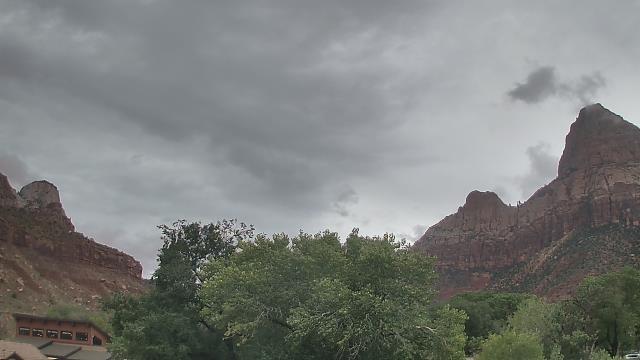
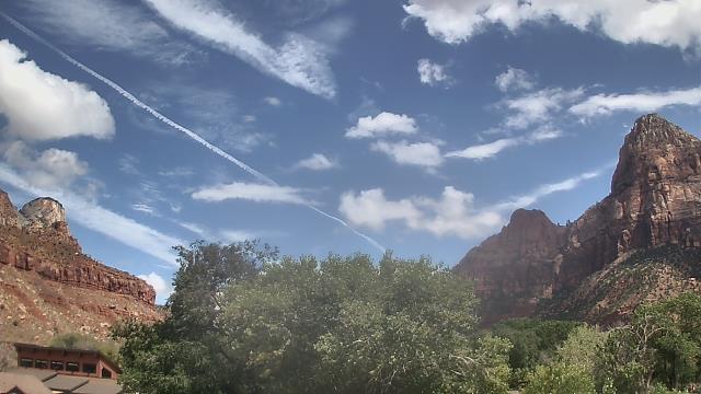
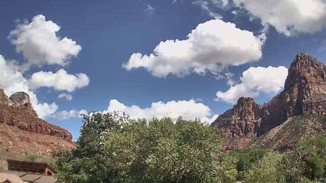
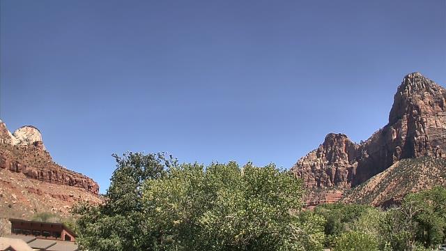
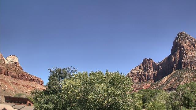
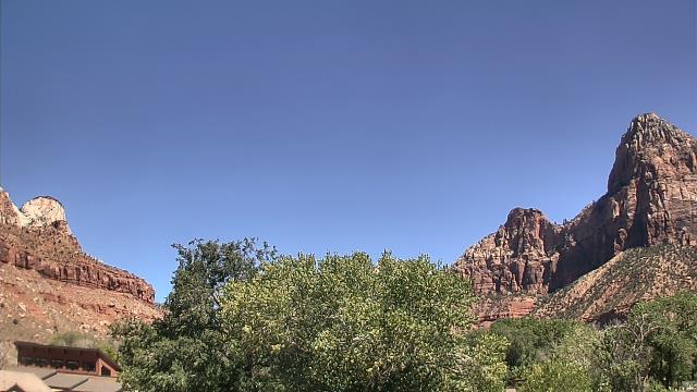
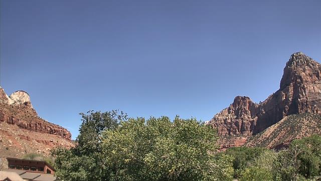
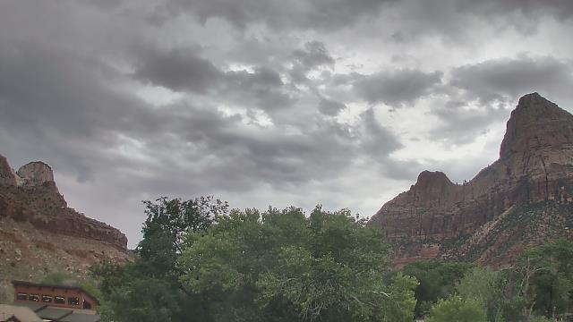
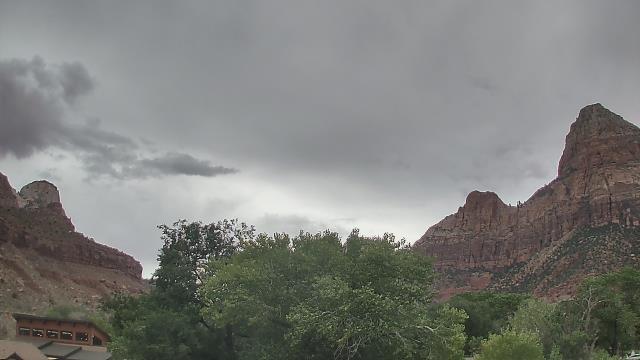
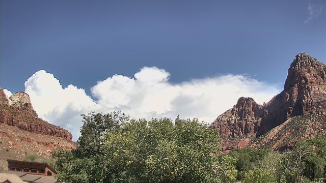
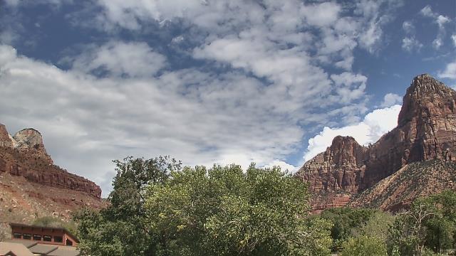
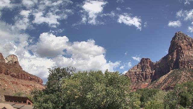
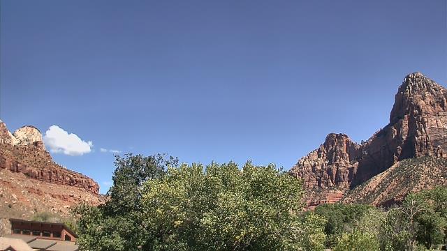
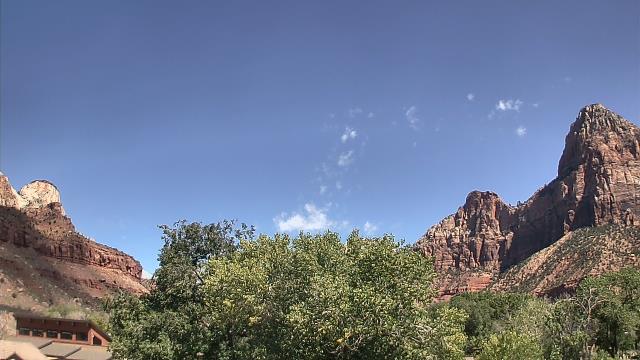
Zion National Park, Utah, USA - 220.7 miles from Pinto (historical): The Temples and Towers of the Virgin - The view from the Zion National Park headquarters.
Operator: U.S. National Park Service
Operator: U.S. National Park Service


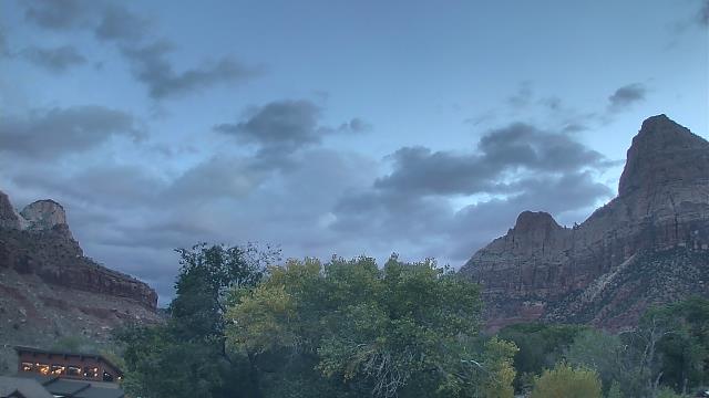
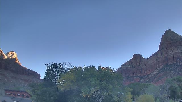
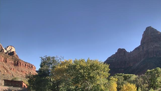
Springdale, Utah, USA - 221.1 miles from Pinto (historical): Zion Canyon Theatre - A webcam in Springdale, Utah - camera location: Zion Canyon Theatre.
Operator: WeatherBug
Operator: WeatherBug


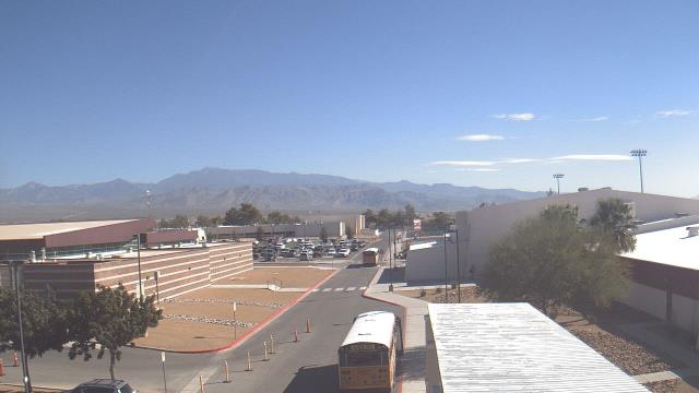
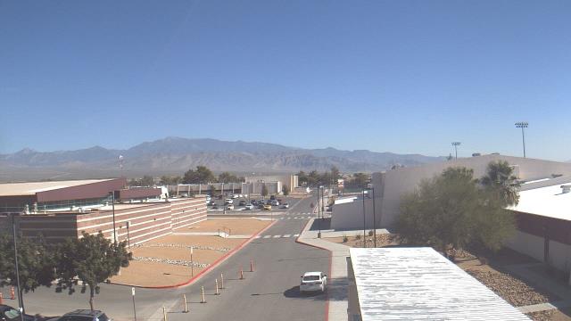
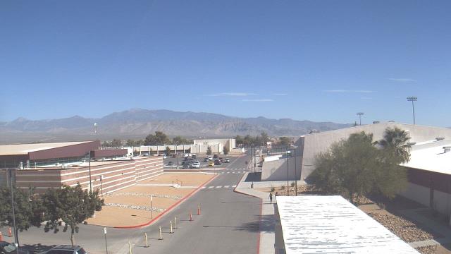
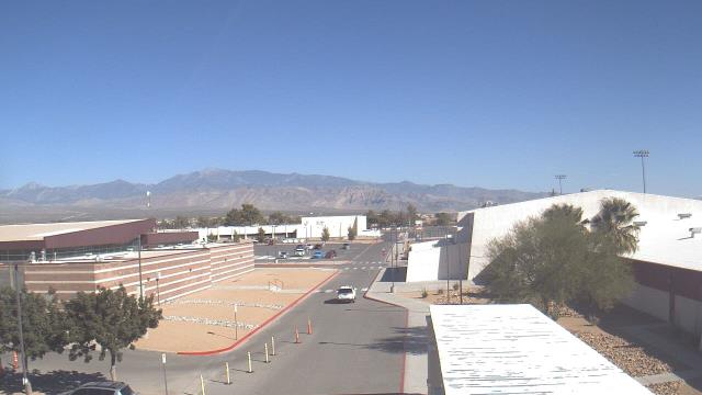
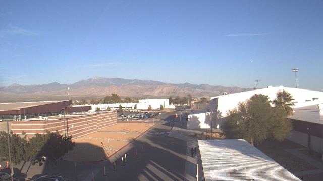
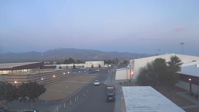
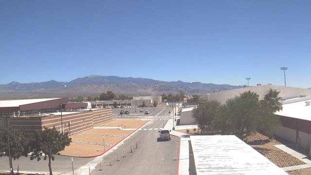
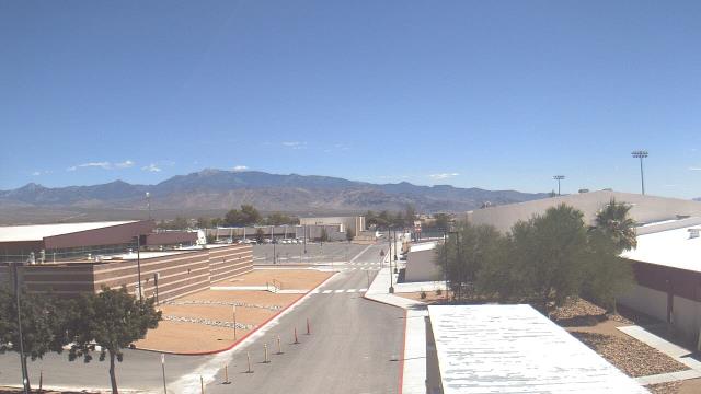
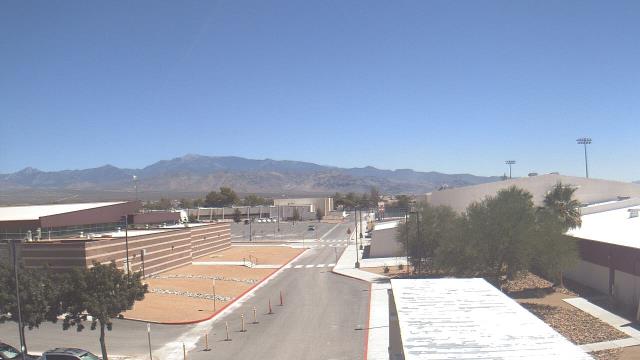
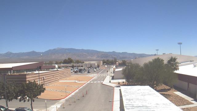
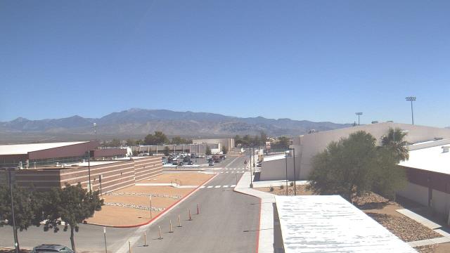
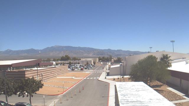
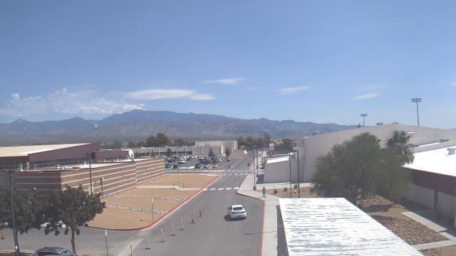
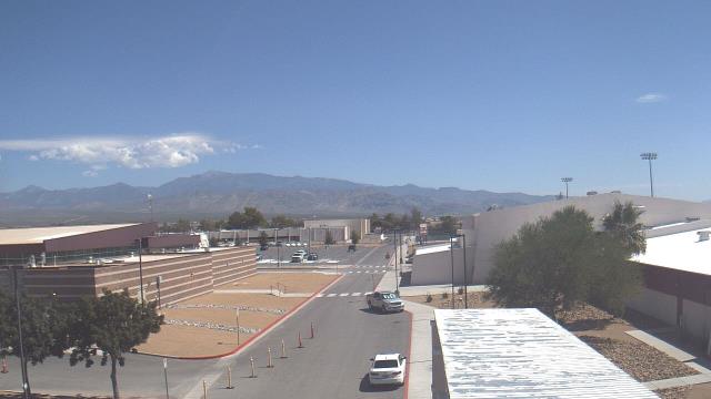
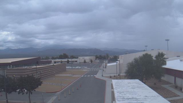
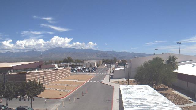
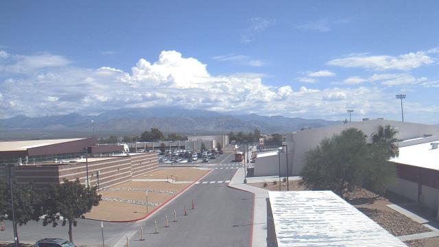
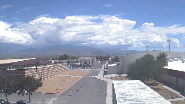
Pahrump, Nevada, USA - 222 miles from Pinto (historical): Pahrump Valley High School - A webcam in Pahrump, Nevada - camera location: Pahrump Valley High School.
Operator: WeatherBug
Operator: WeatherBug


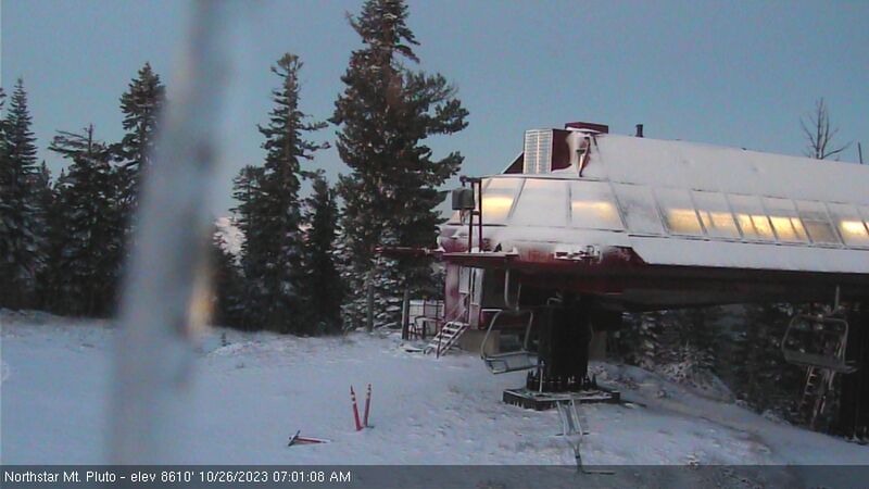
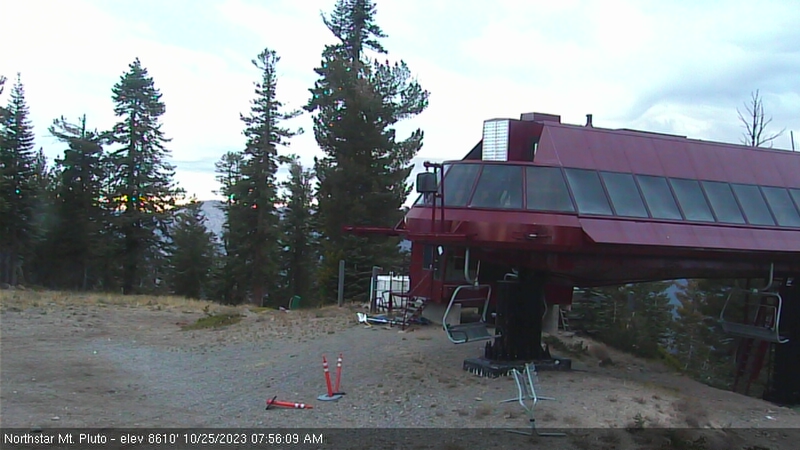
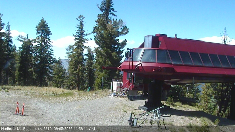
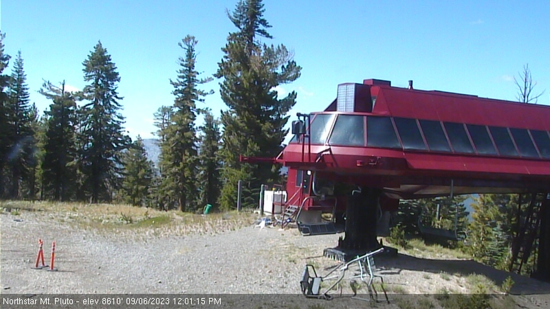
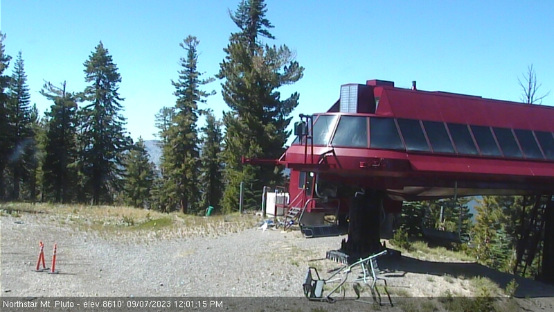
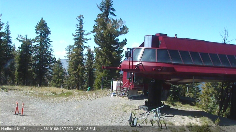
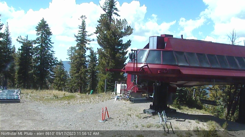
Northstar California Resort, USA - 224.6 miles from Pinto (historical): Current Snow Conditions - Several webcams offer a view of the current snow situation at the Northstar California Resort.
Operator: Northstar California Resort
Operator: Northstar California Resort


Some other places in this country: Divide (historical) - Mayberrys (historical) - Buckskin (historical) - Betty O'Neal (historical) - Ramsey Station - Davis Station - Copper Run - Corwin - Sundown - Getchell