Webcams in the region of Pine Creek (historical), Nevada, USA
The List of Webcams near Pine Creek (historical), Nevada, USA:

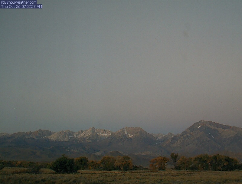
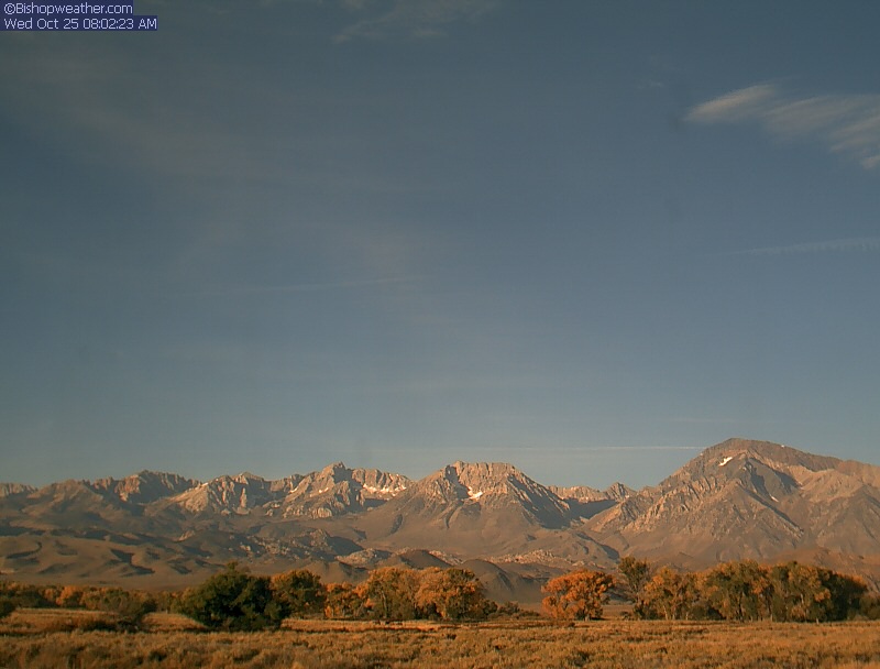
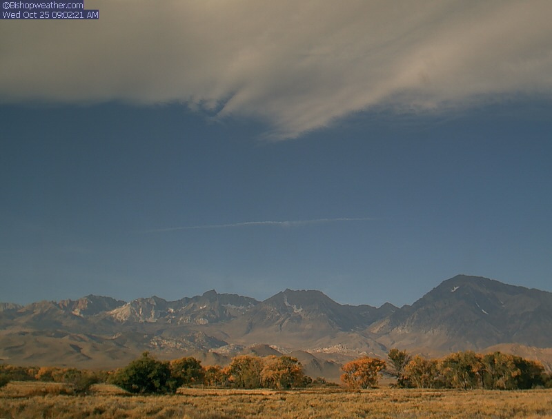
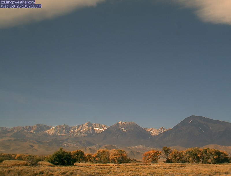
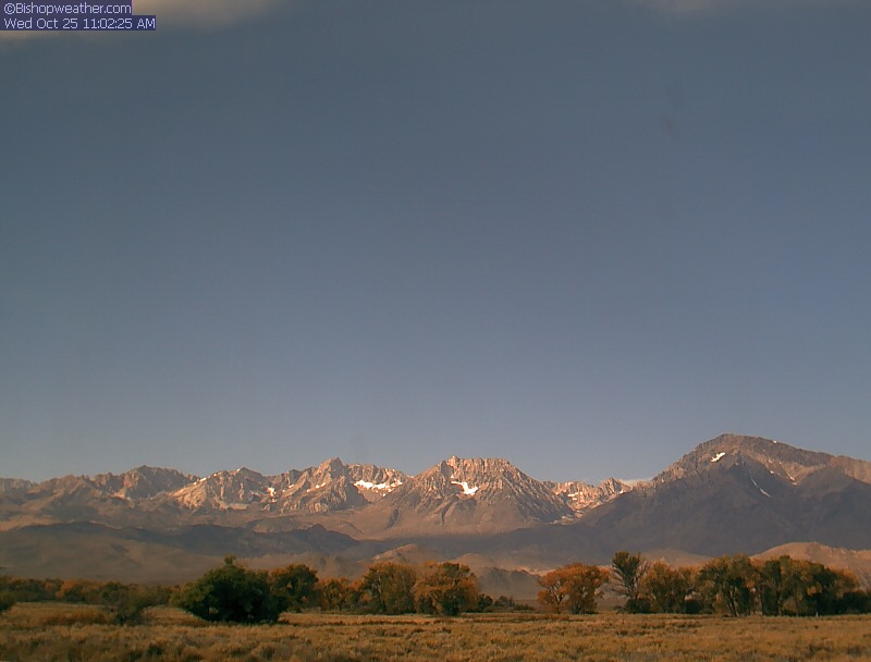
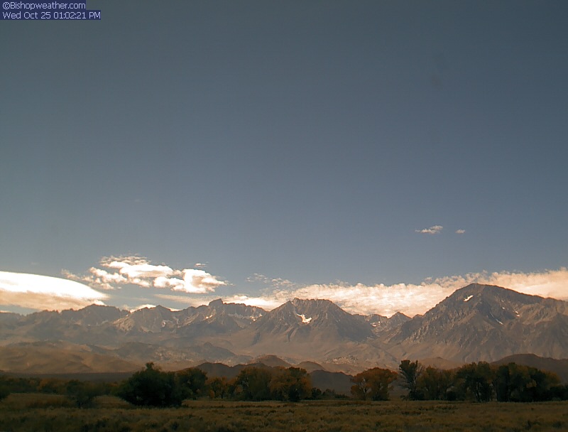
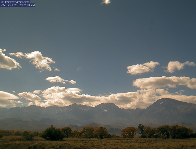
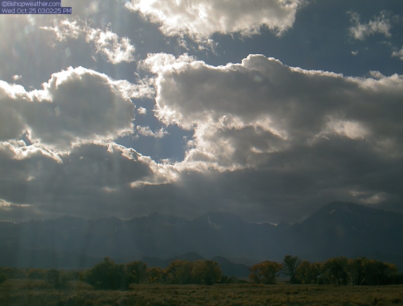
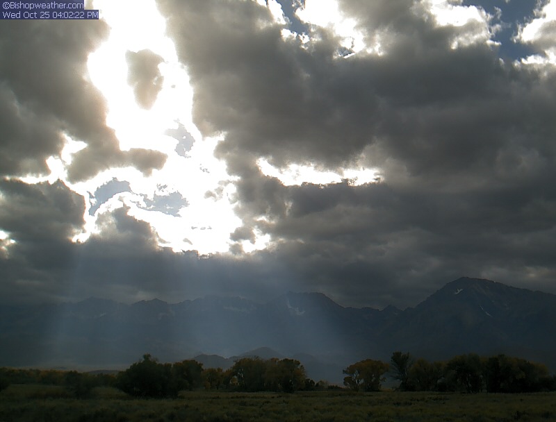
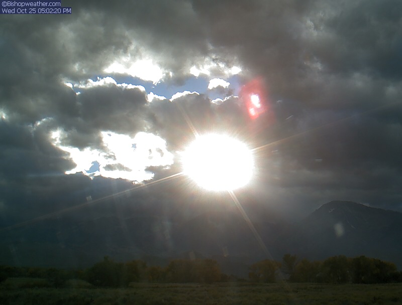
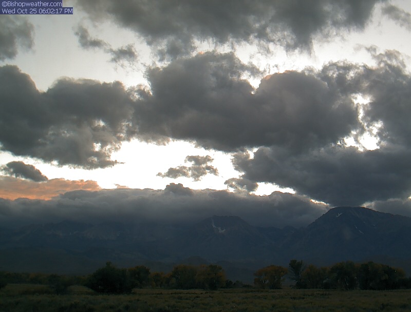
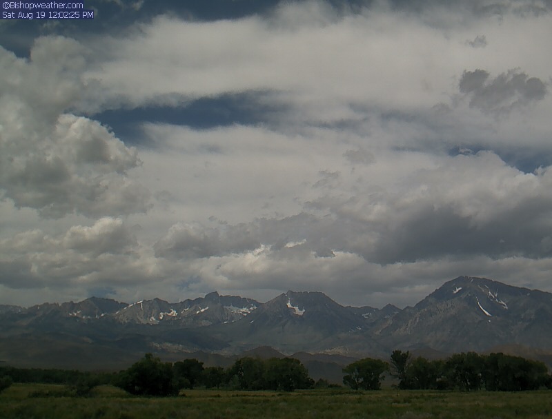
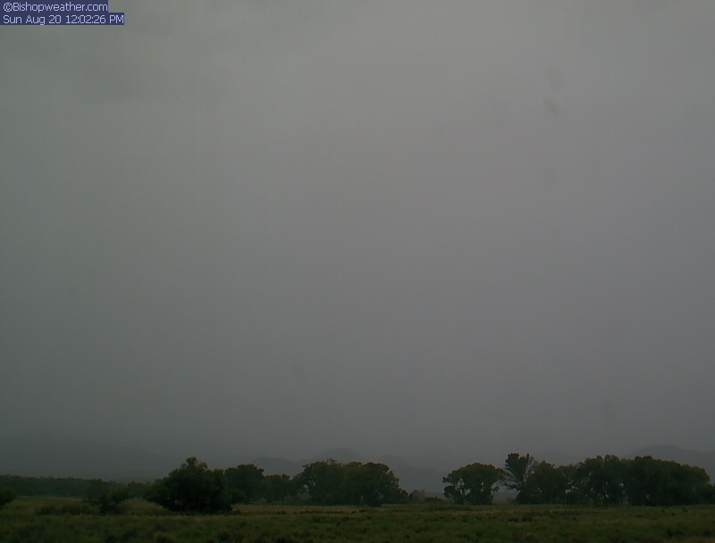
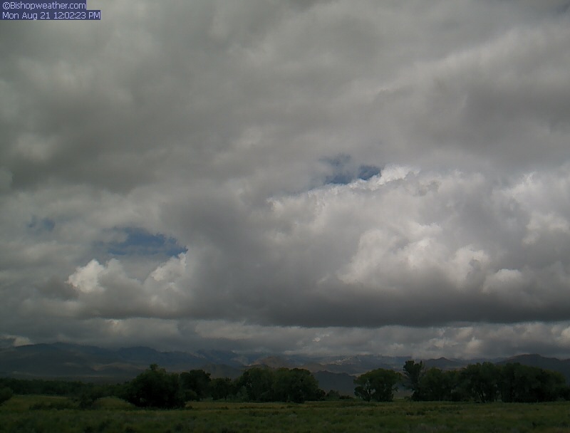
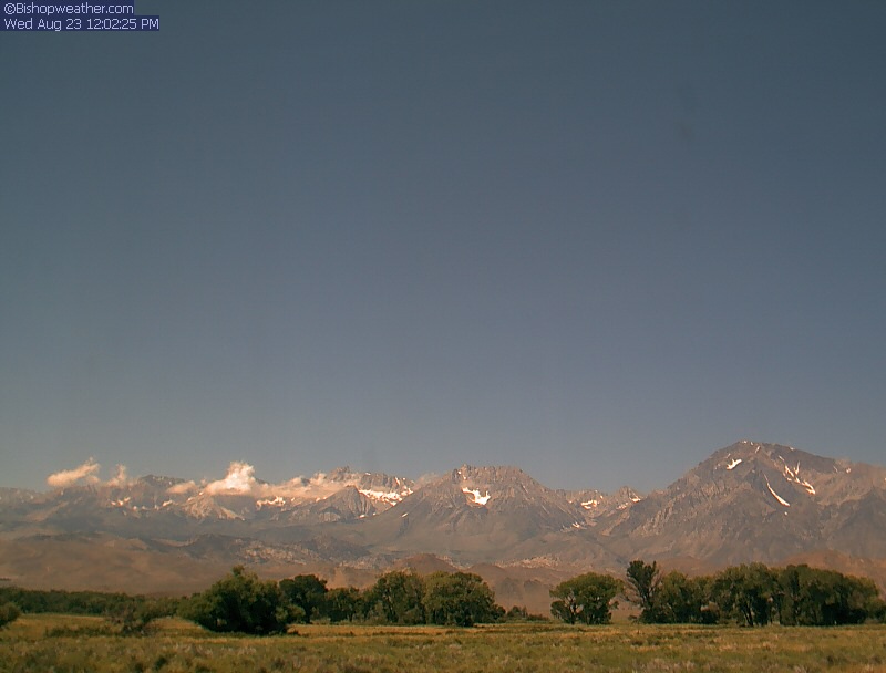
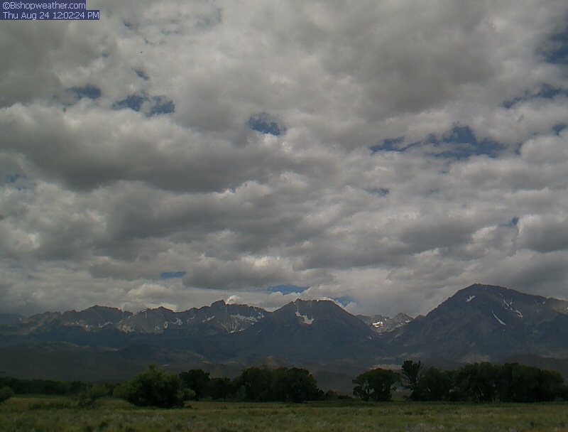
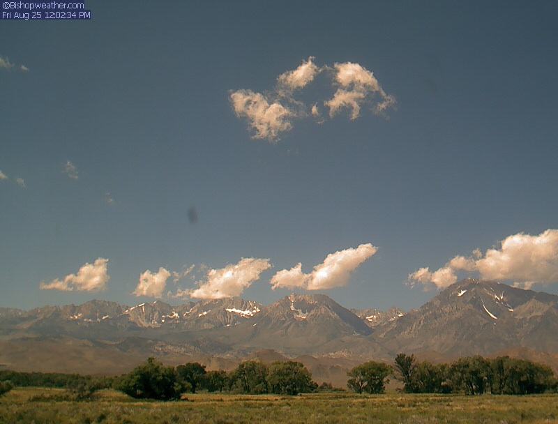
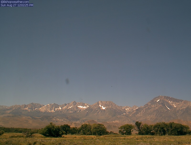
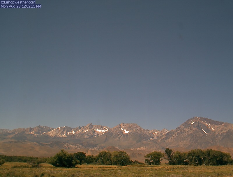
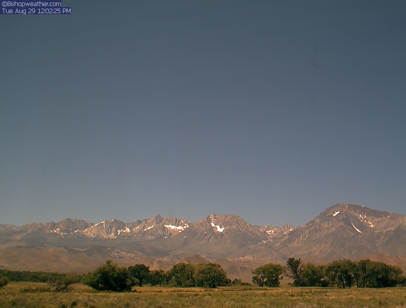
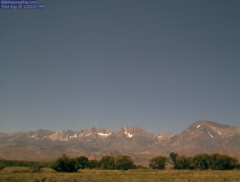
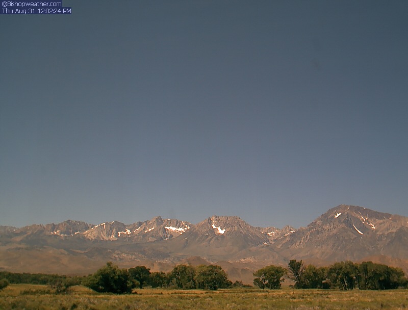
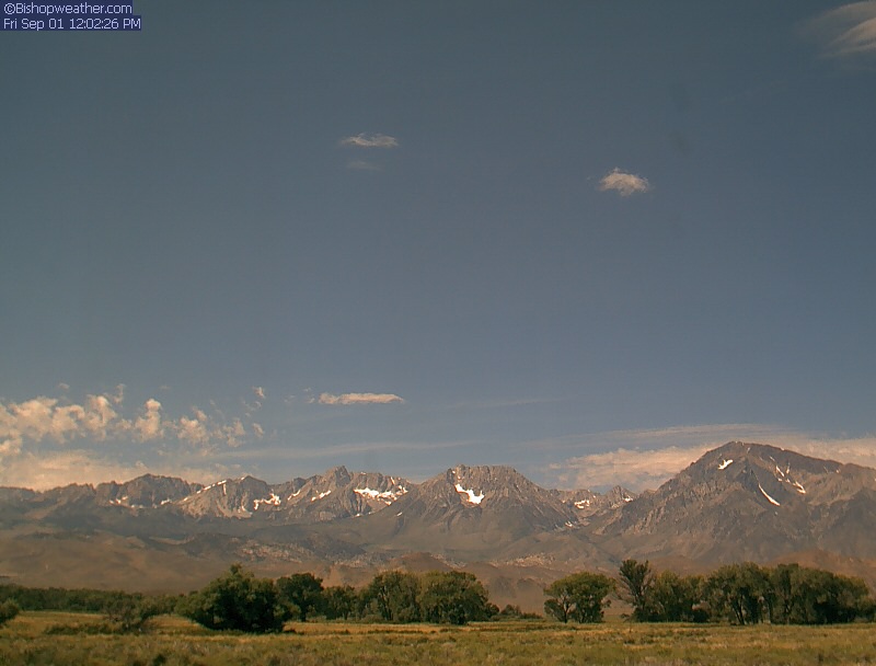
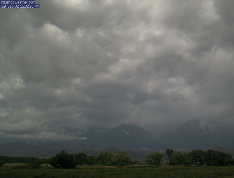
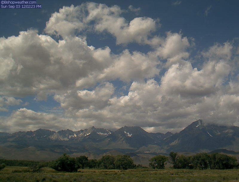
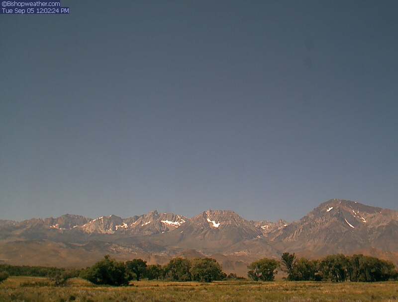
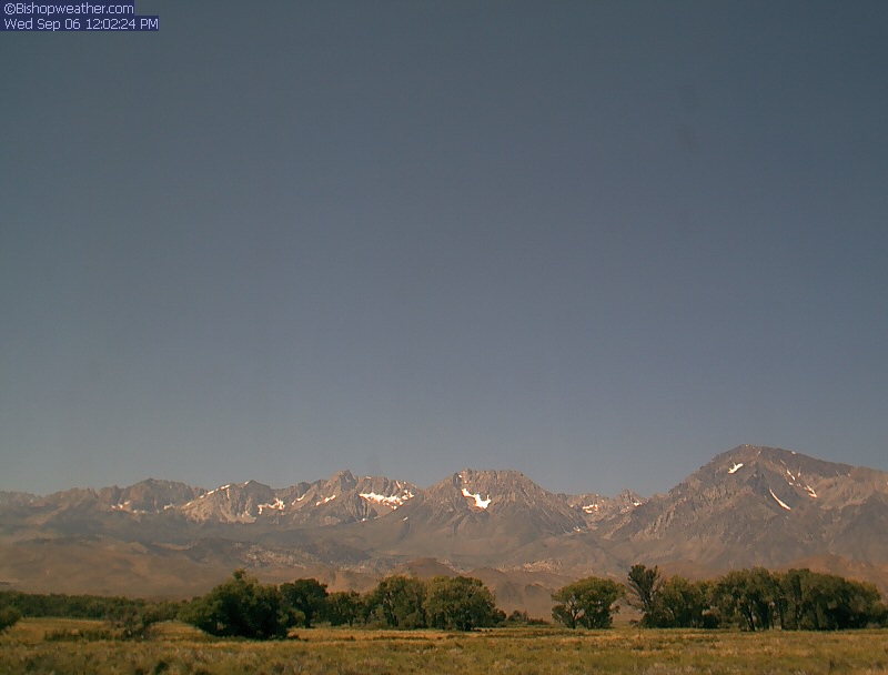
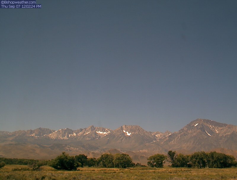
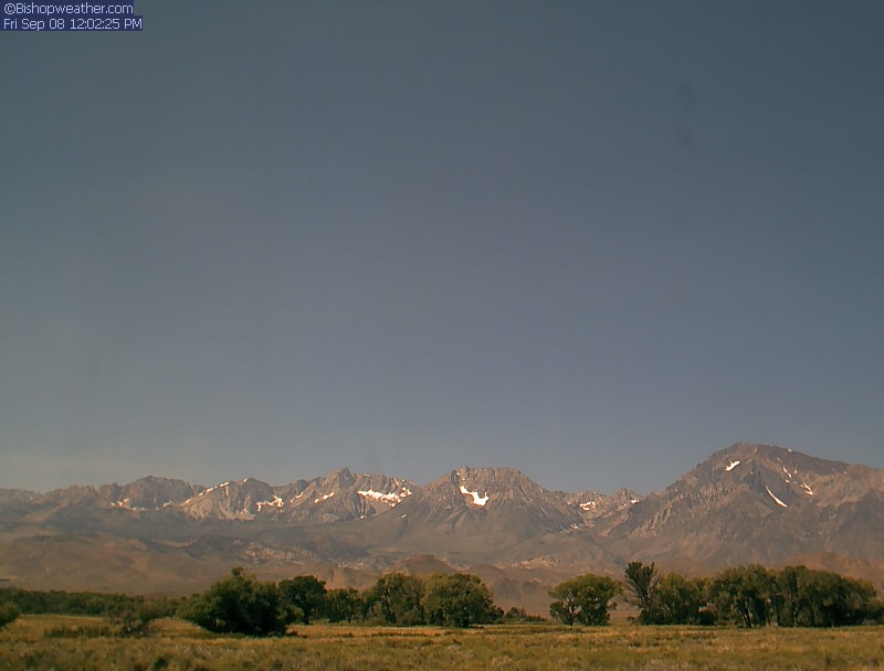
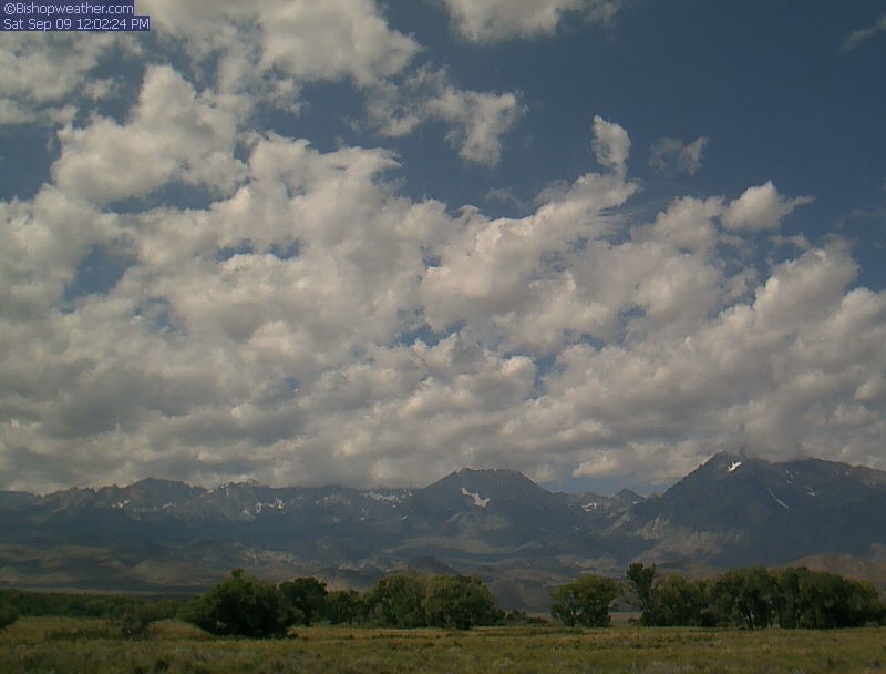
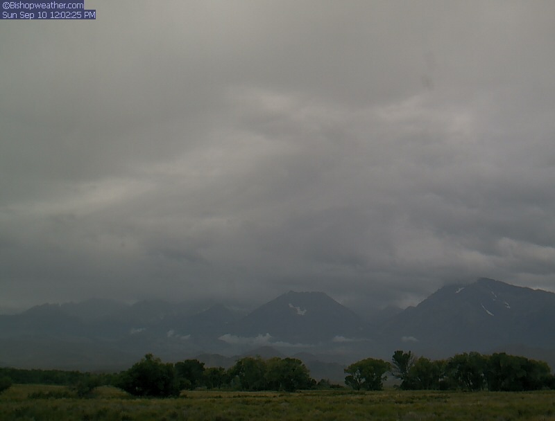
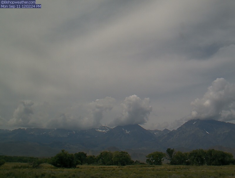
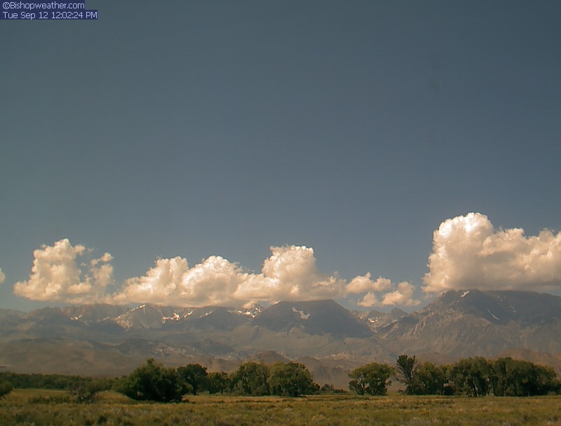
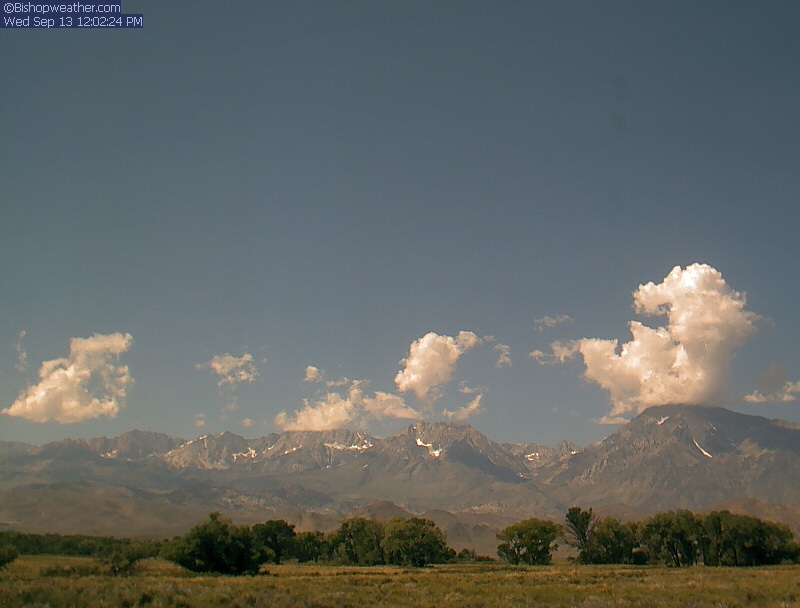
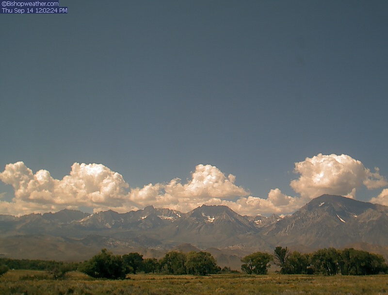
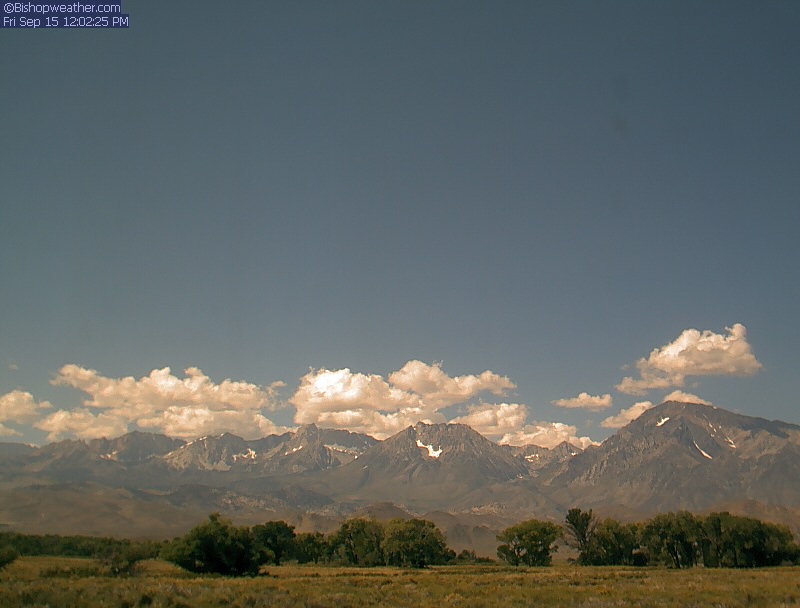
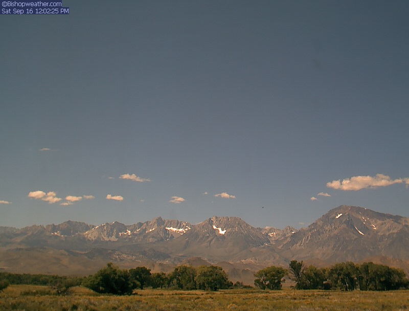
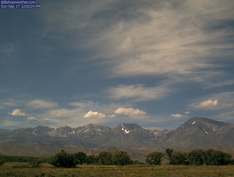
Bishop, California, USA - 129.9 miles from Pine Creek (historical): Bishopweather - A nice panorama view of Mt. Humphreys, Basin Mountain, and Mt. Tom from Bishop, CA.
Operator: Bishopweather
Operator: Bishopweather


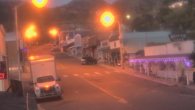
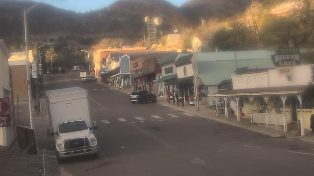
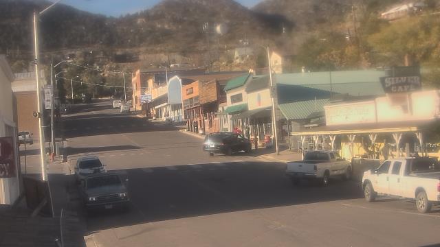
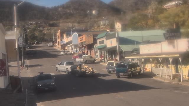
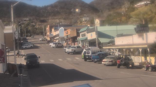
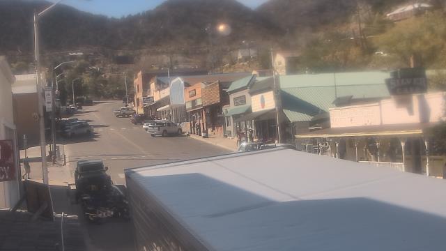
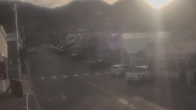
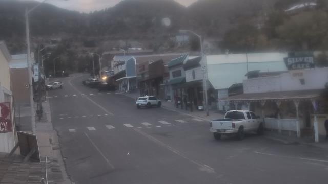
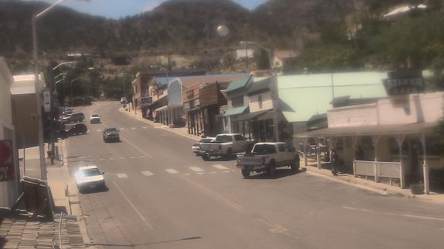
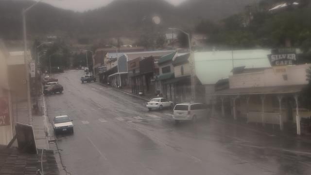
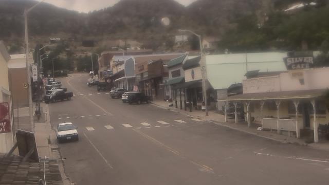
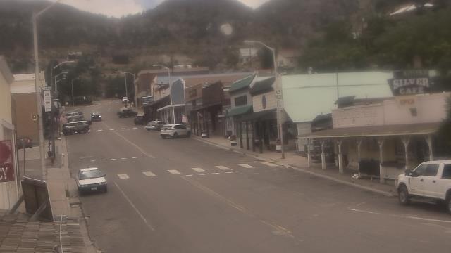
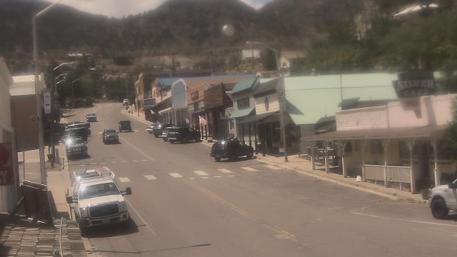
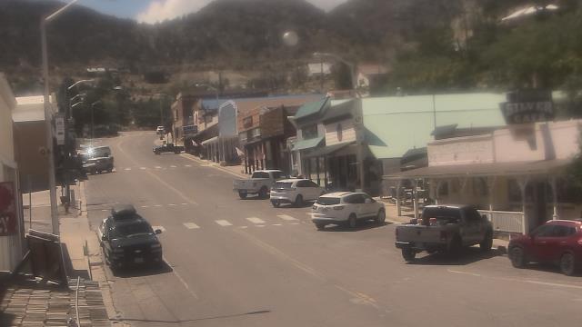
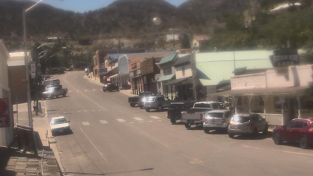
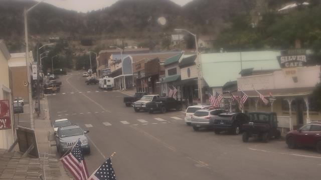
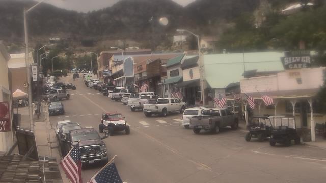
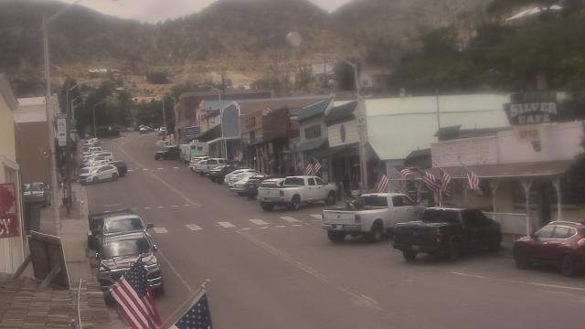
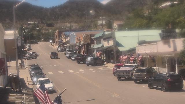
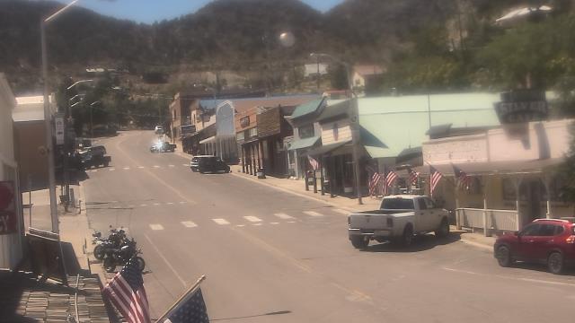
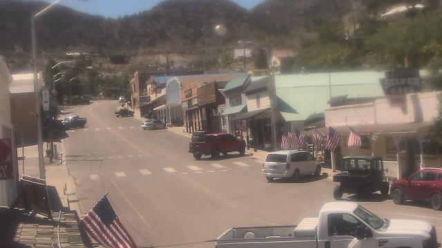
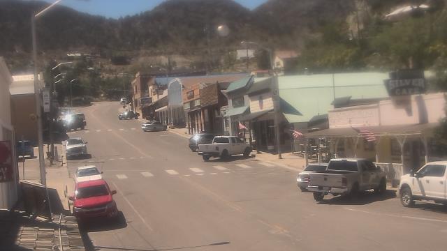
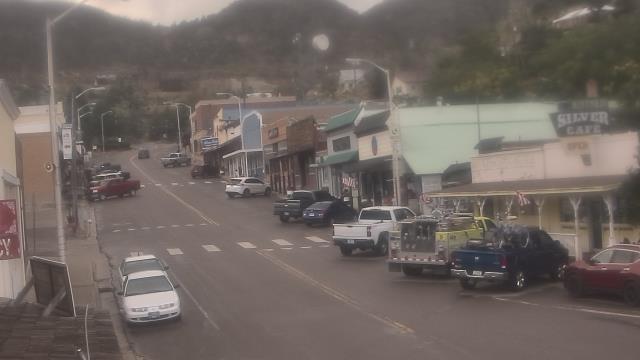
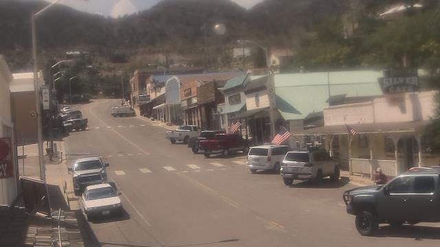
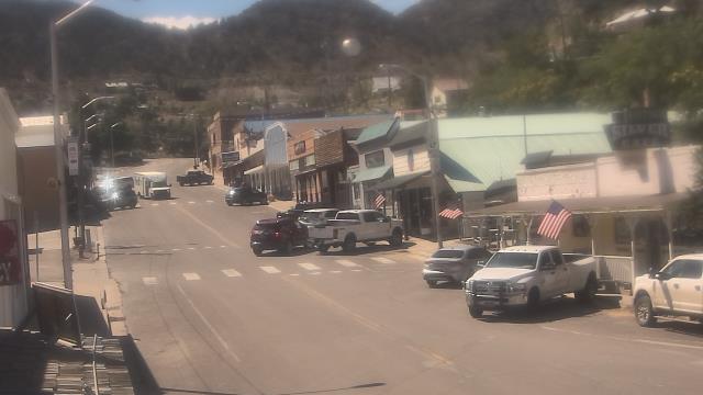
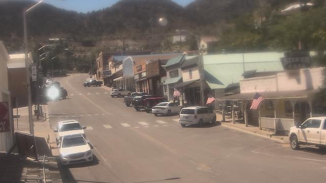
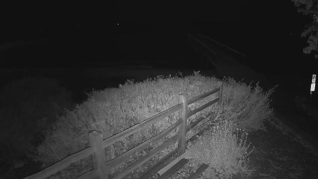
Pioche, Nevada, USA - 143 miles from Pine Creek (historical): Overland Hotel - Webcam and current weather data - camera location: Overland Hotel.
Operator: WeatherBug
Operator: WeatherBug


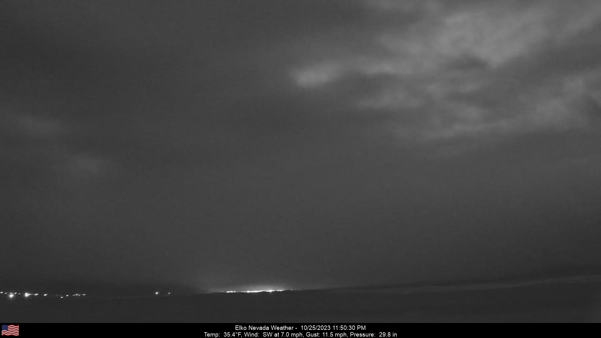
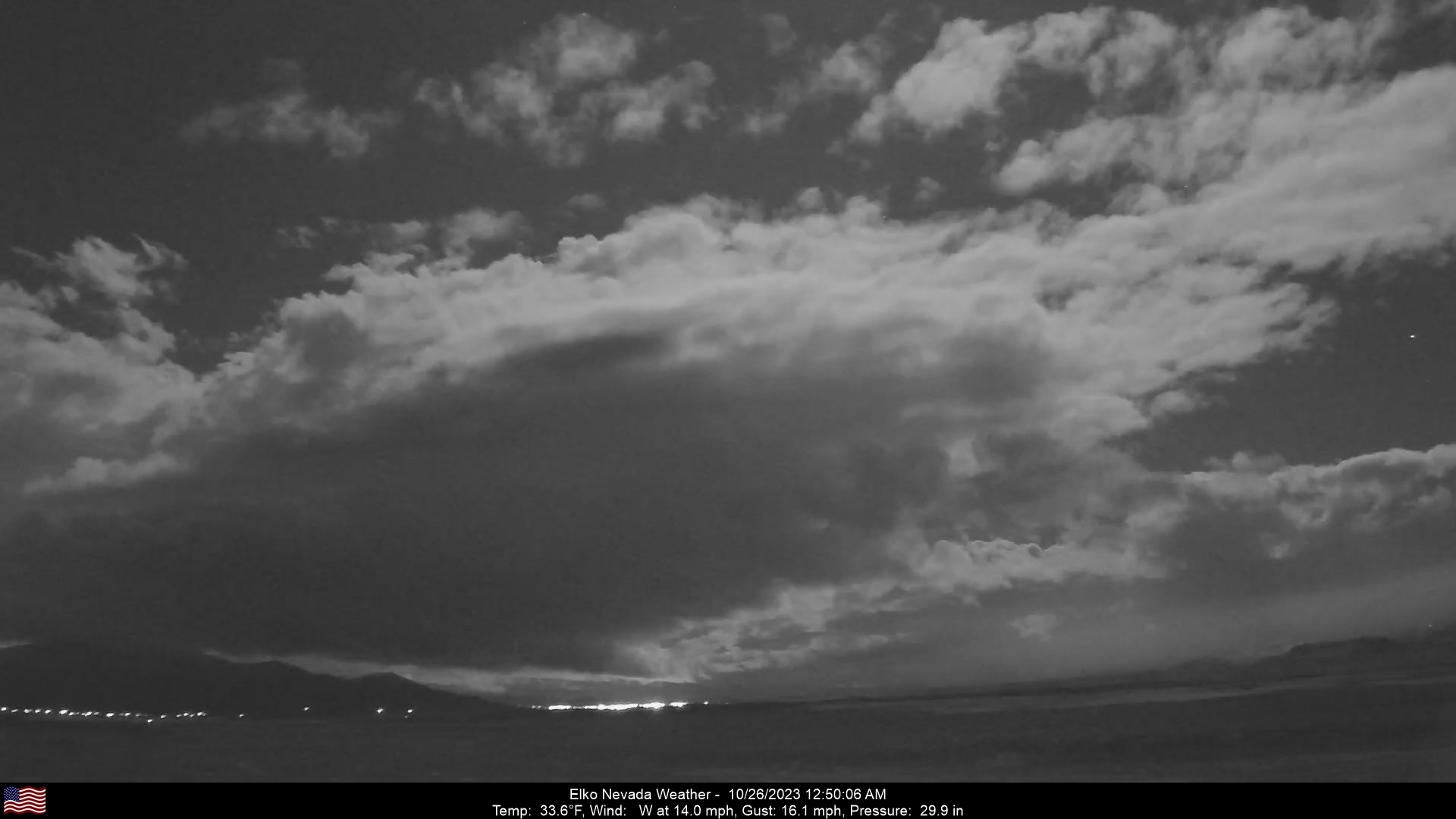
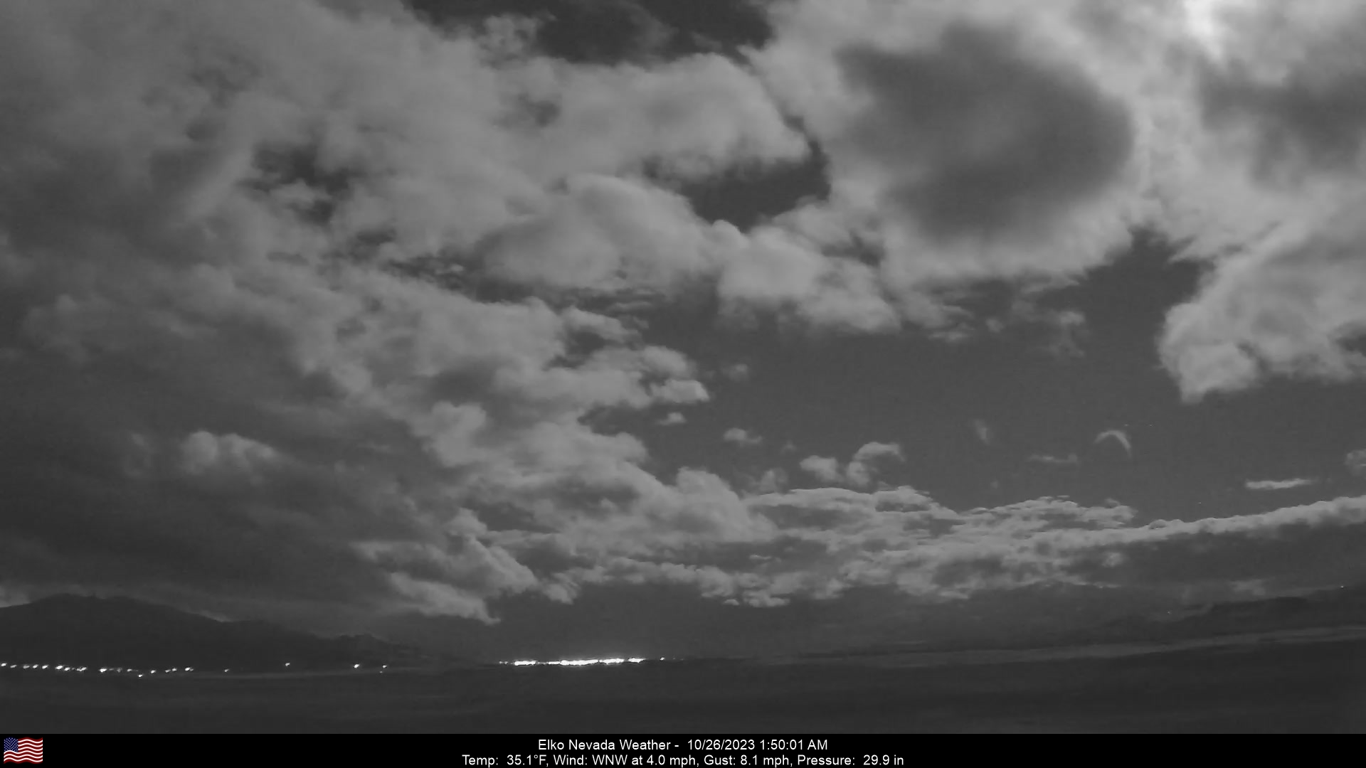
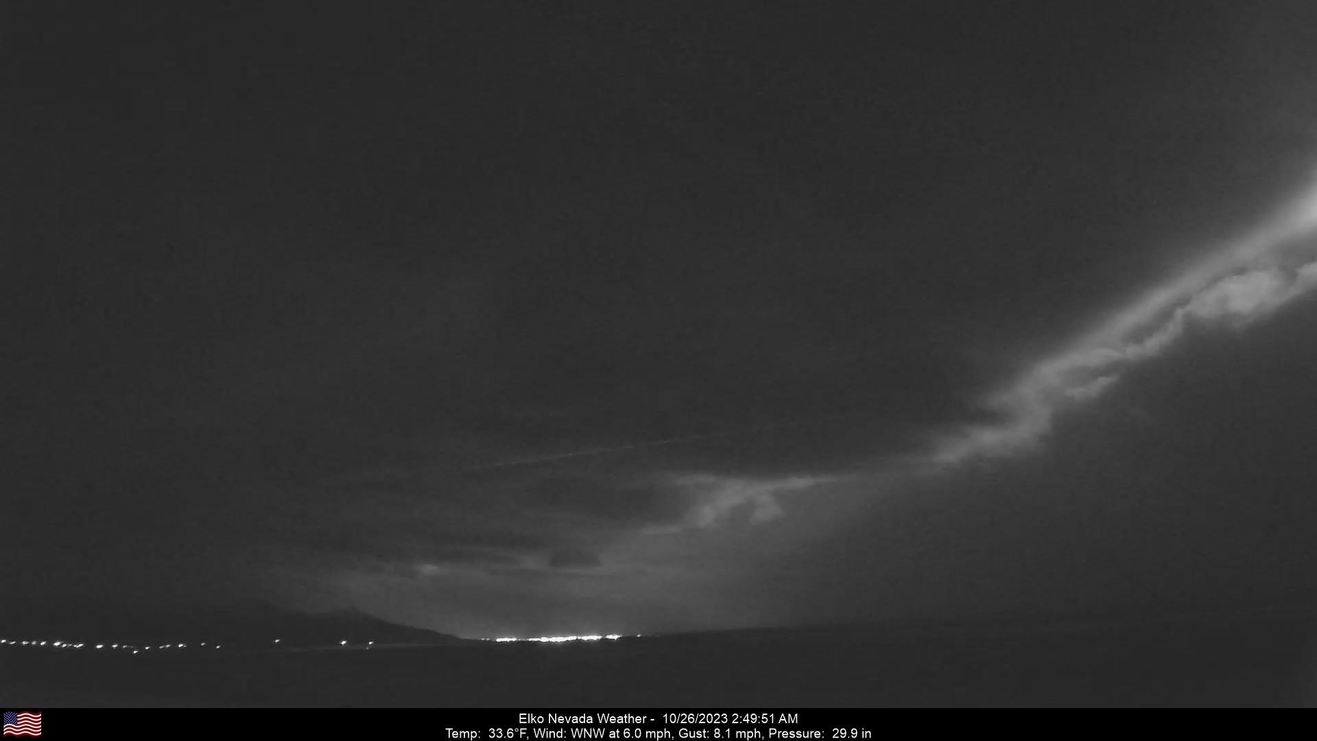
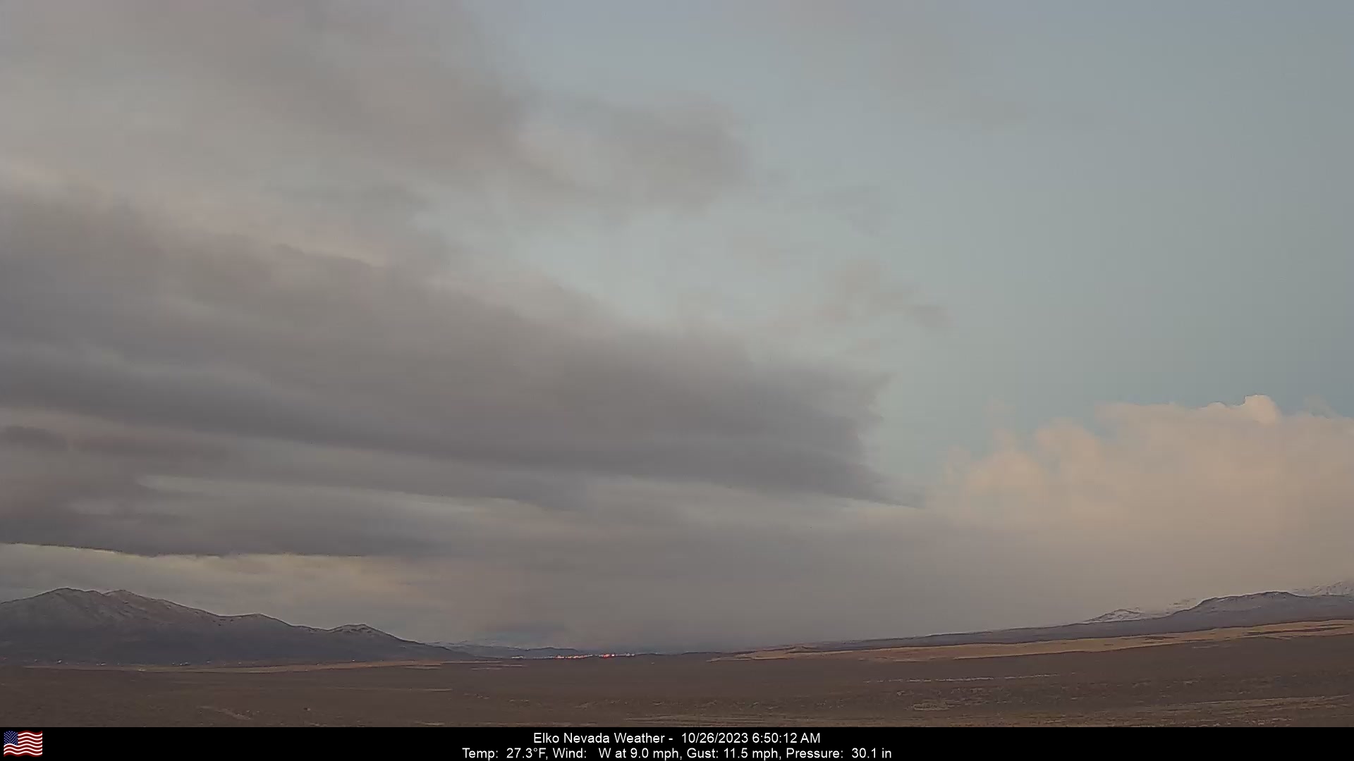
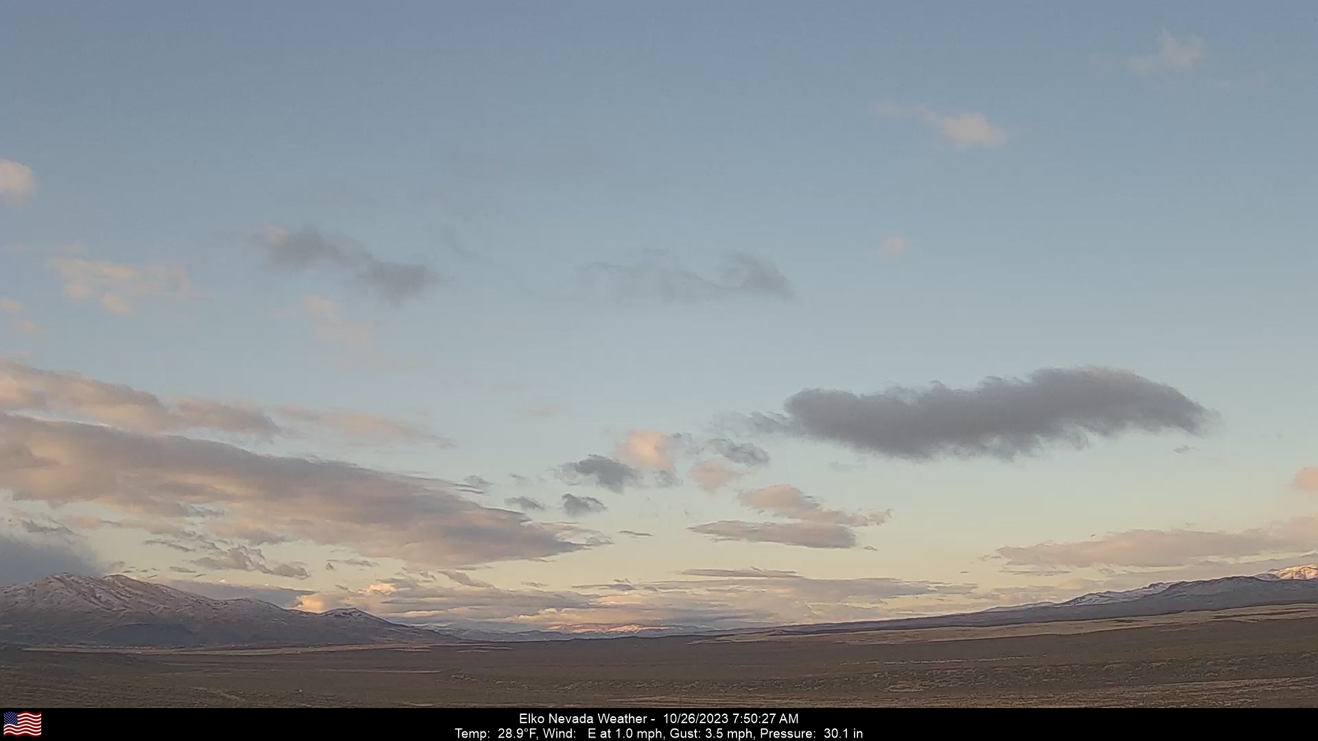
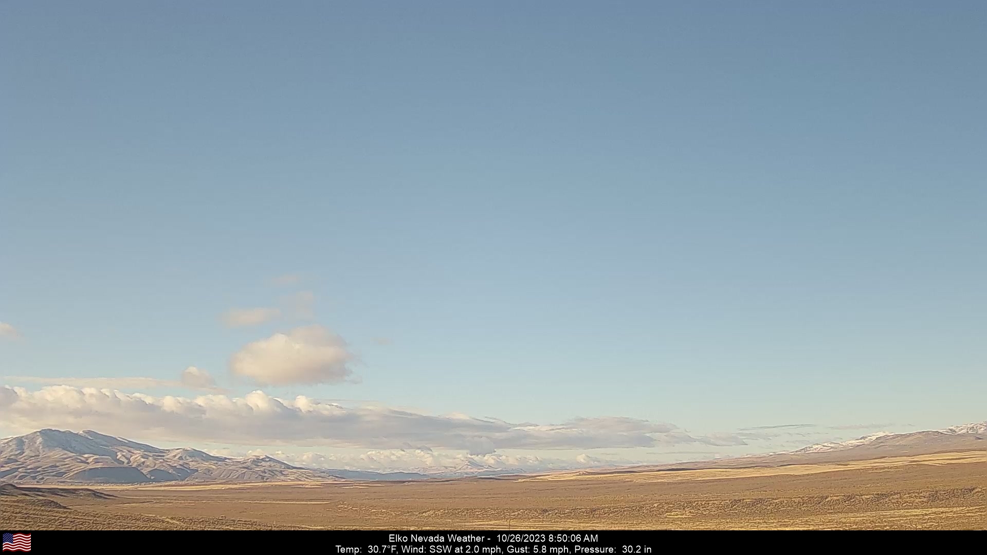
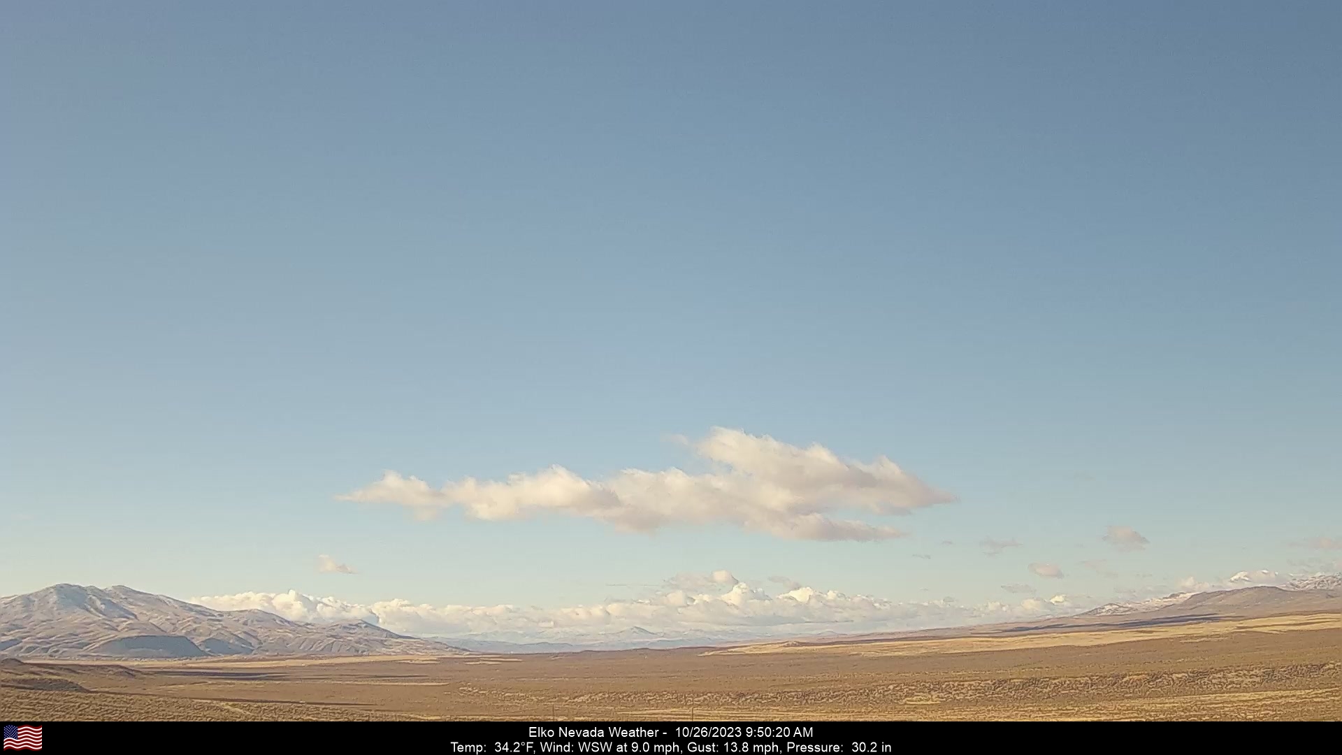
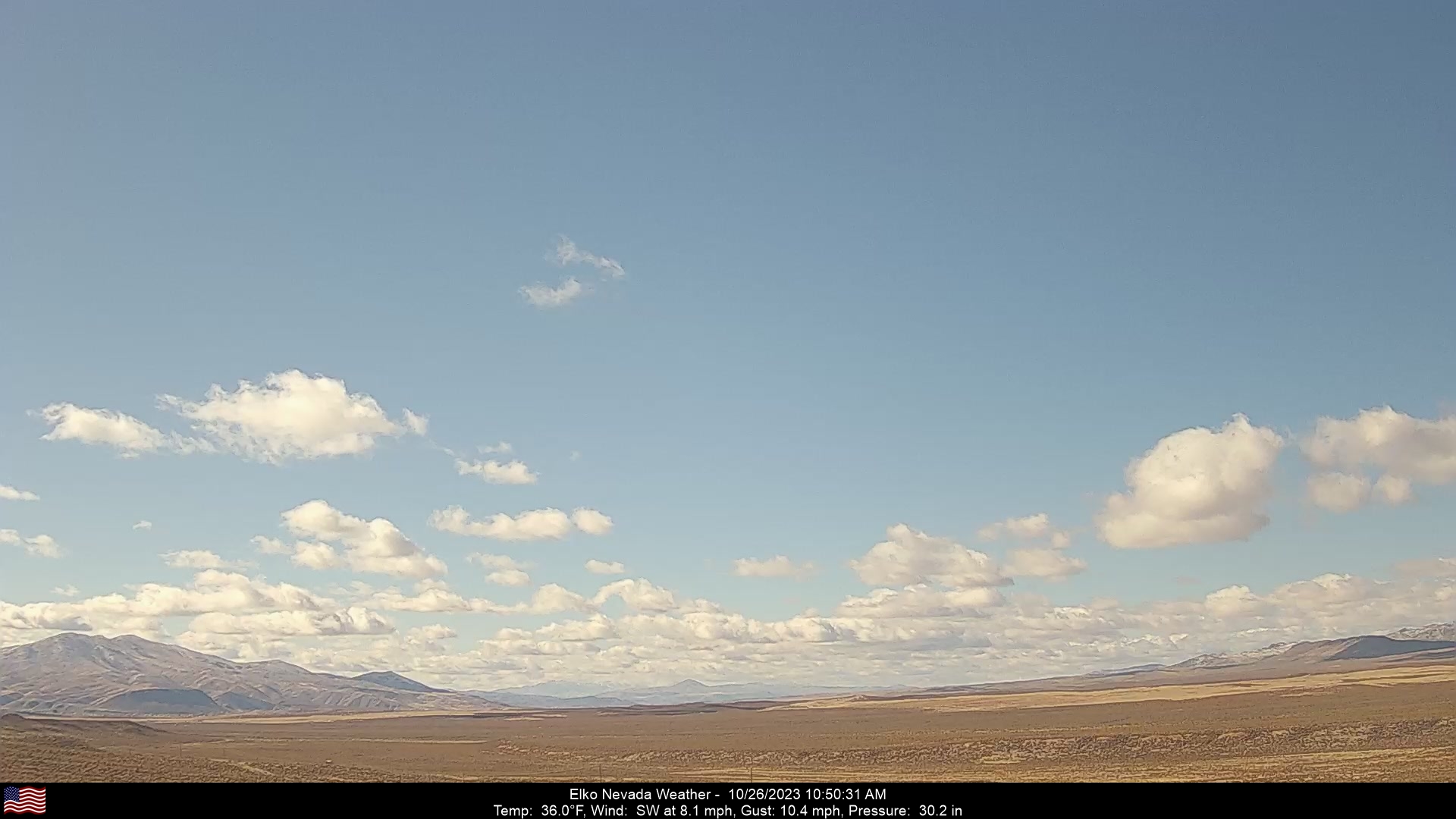
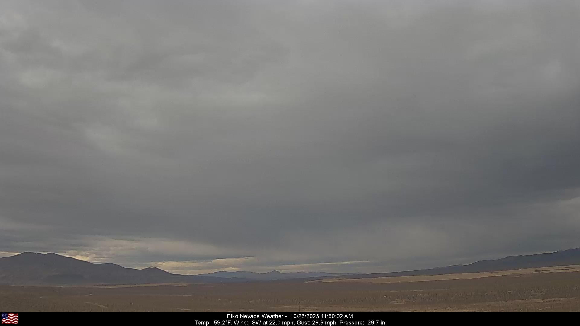
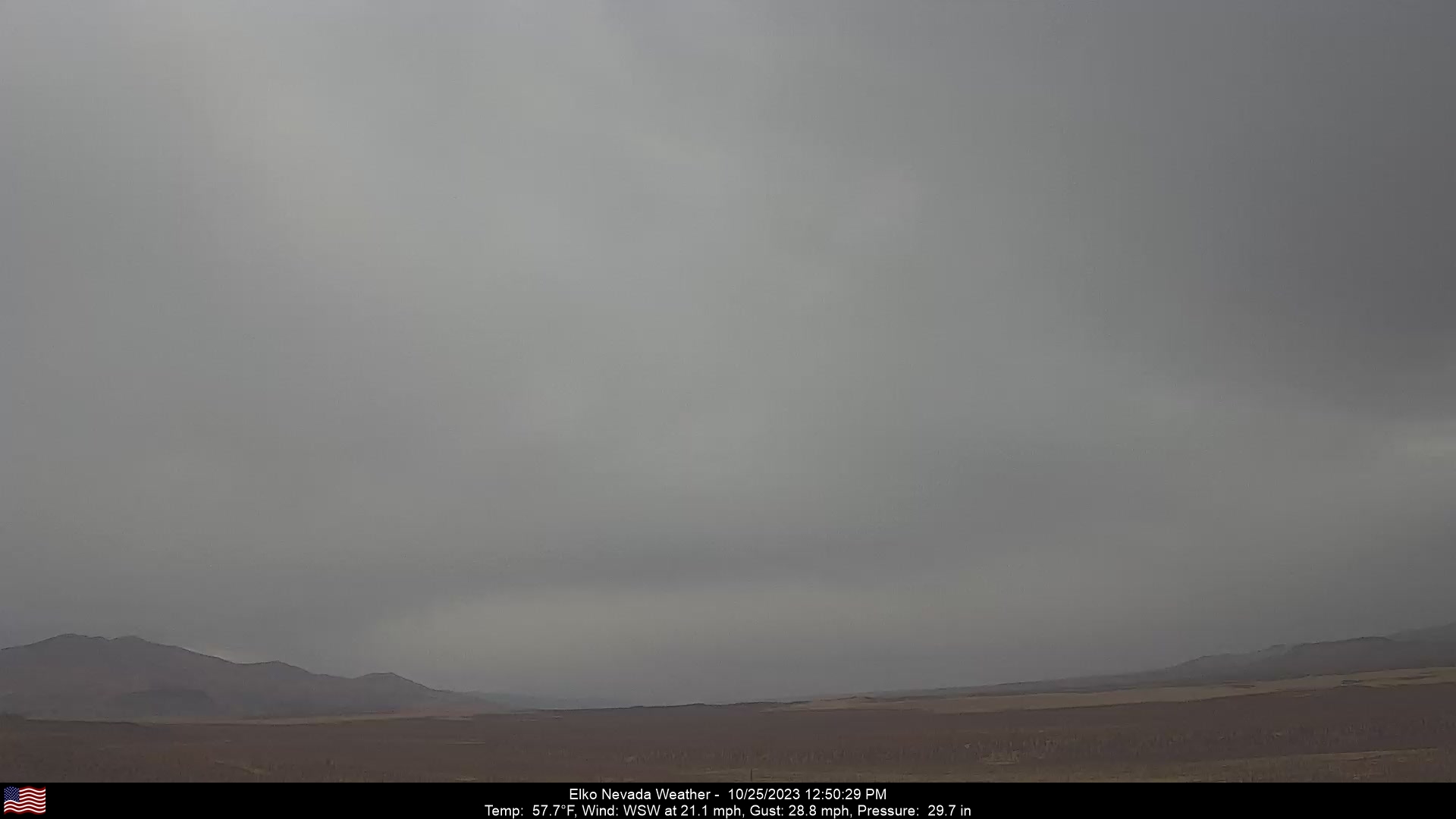
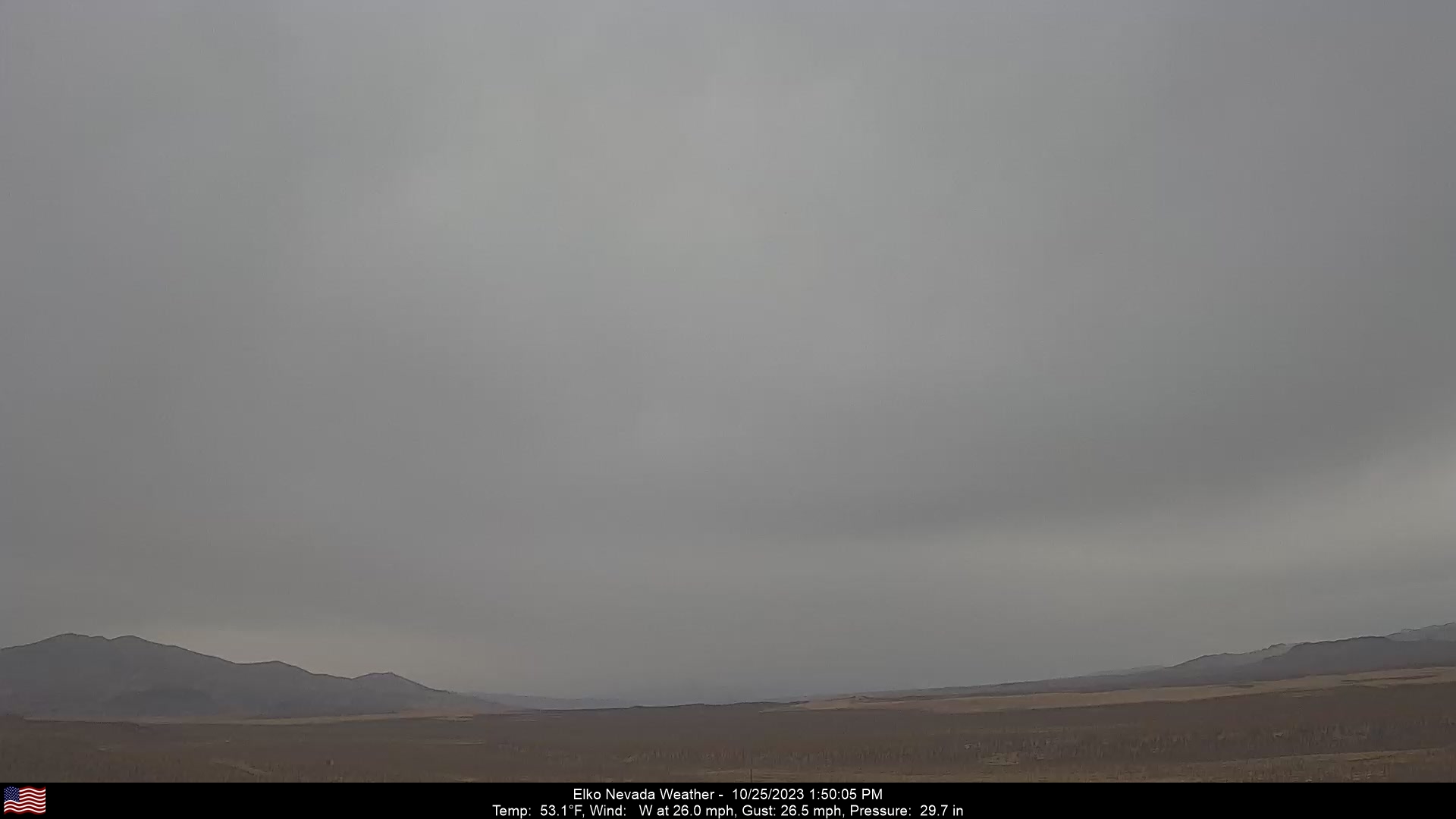
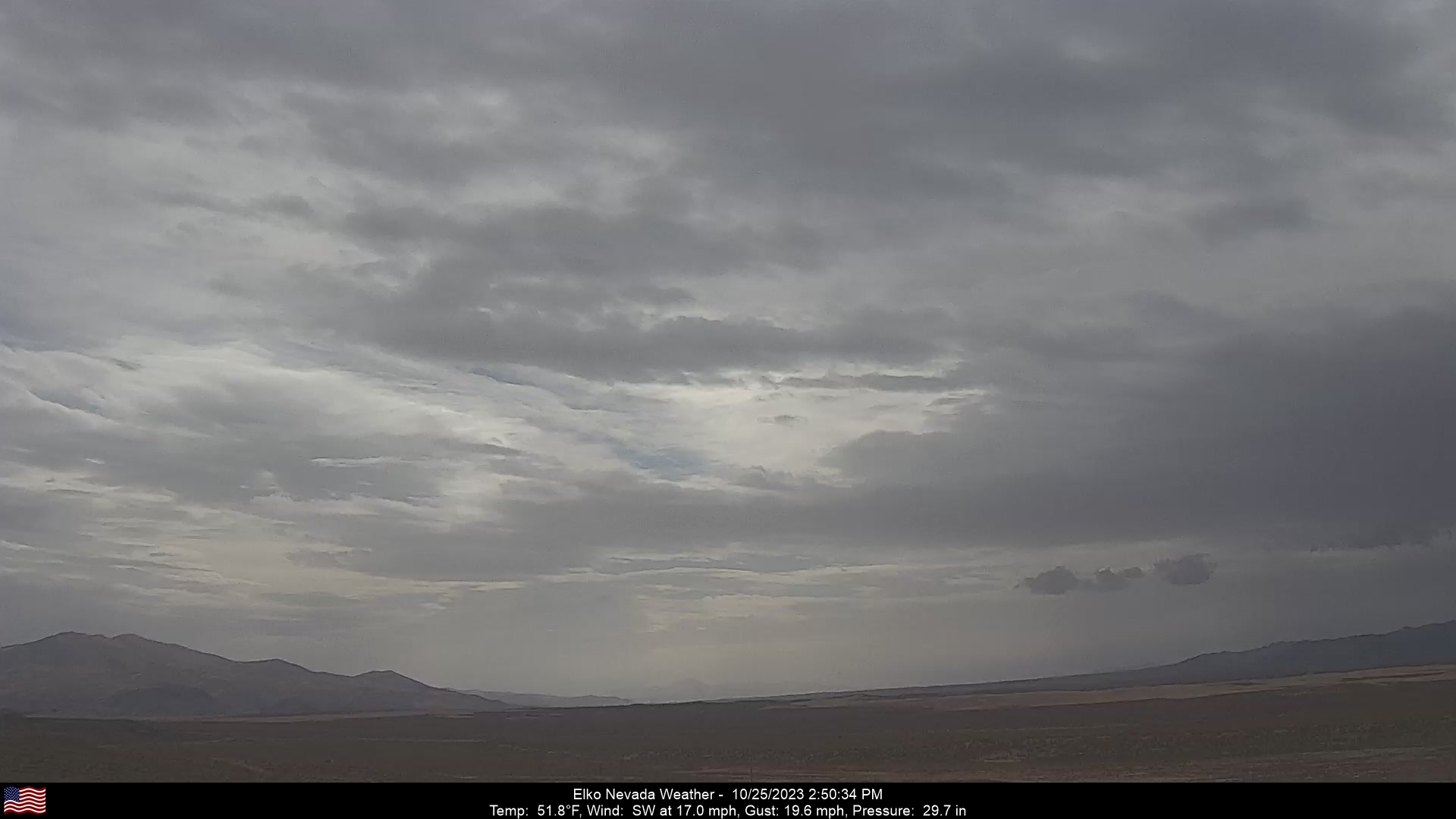
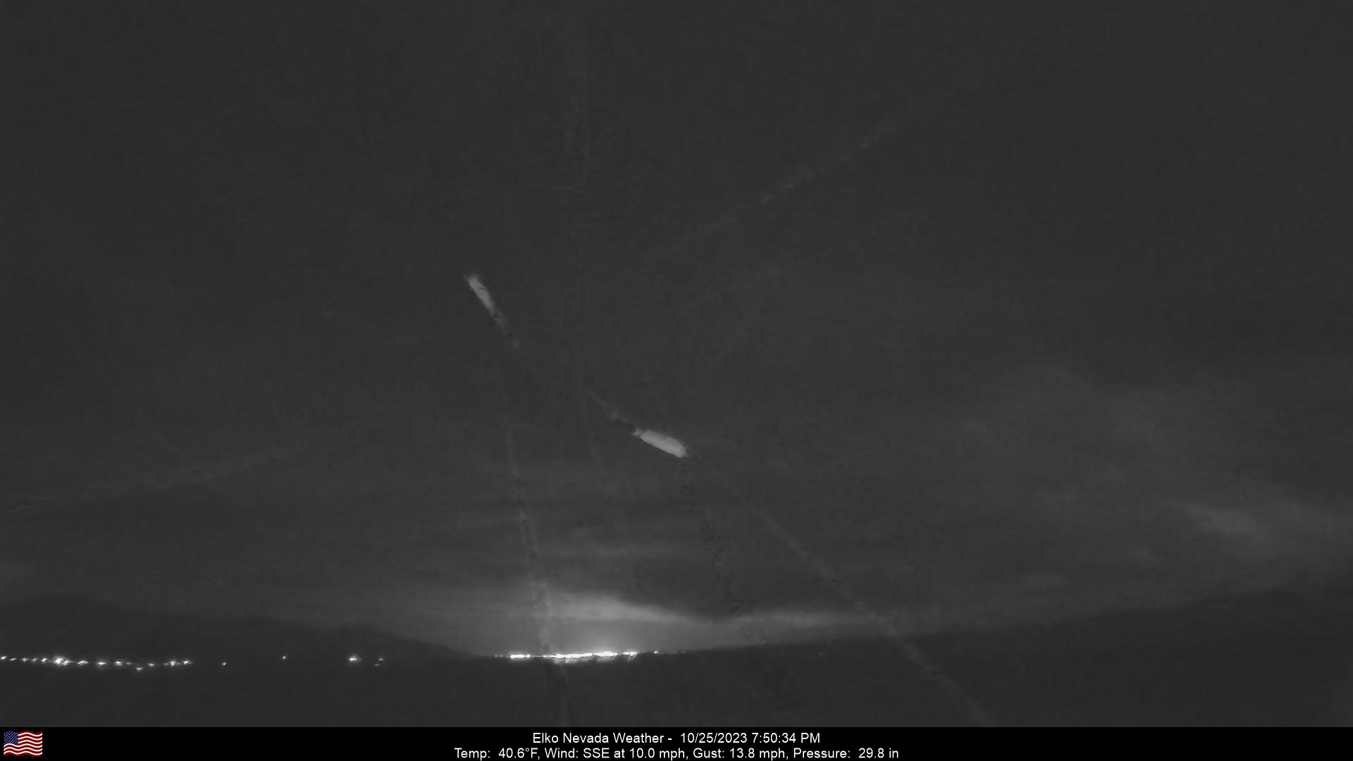
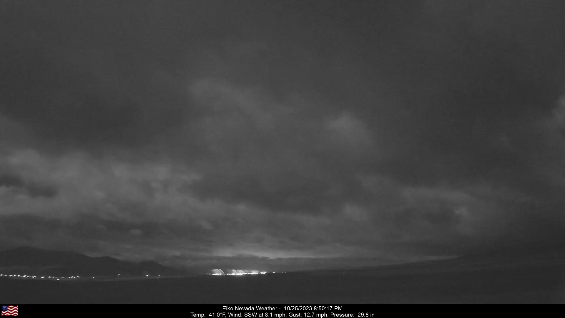
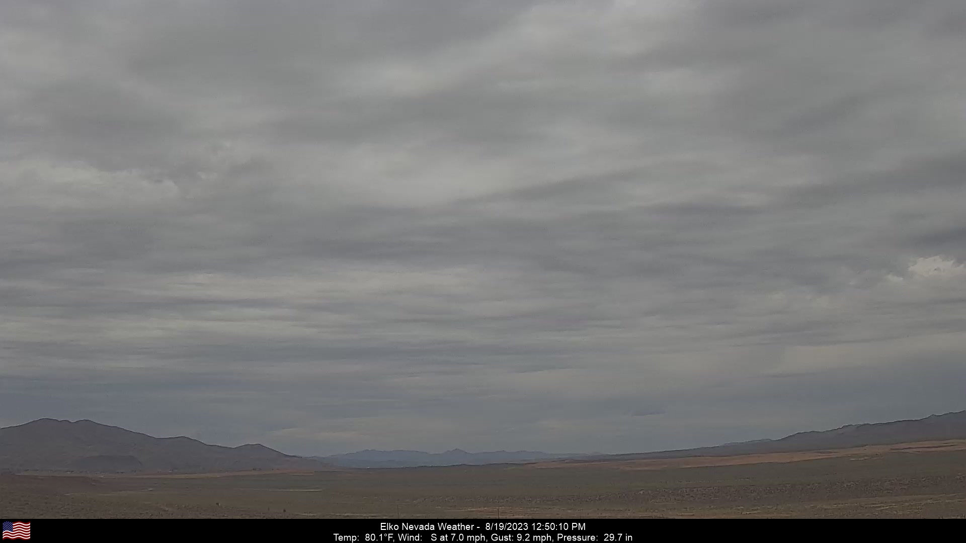
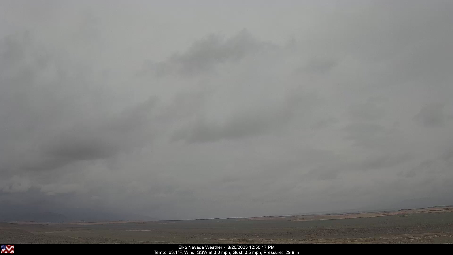
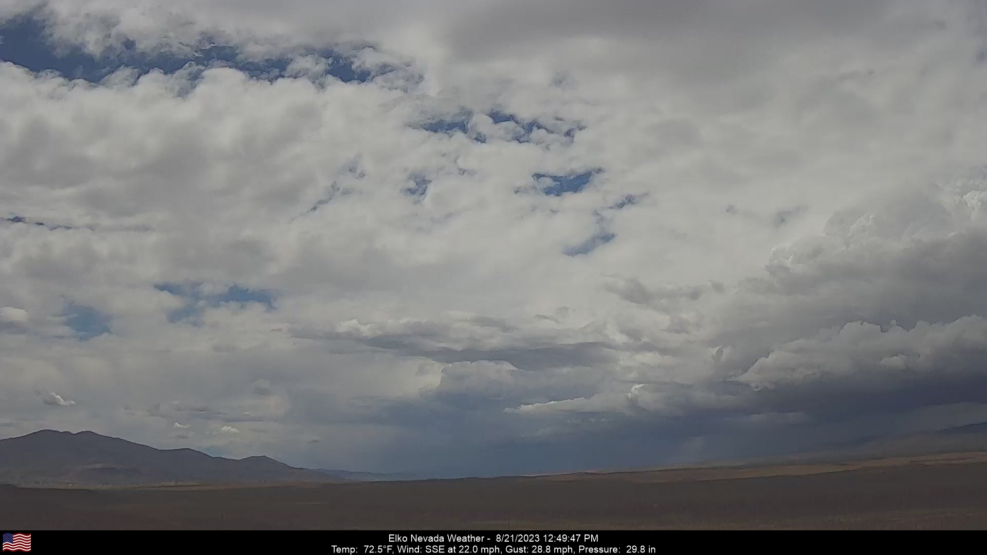
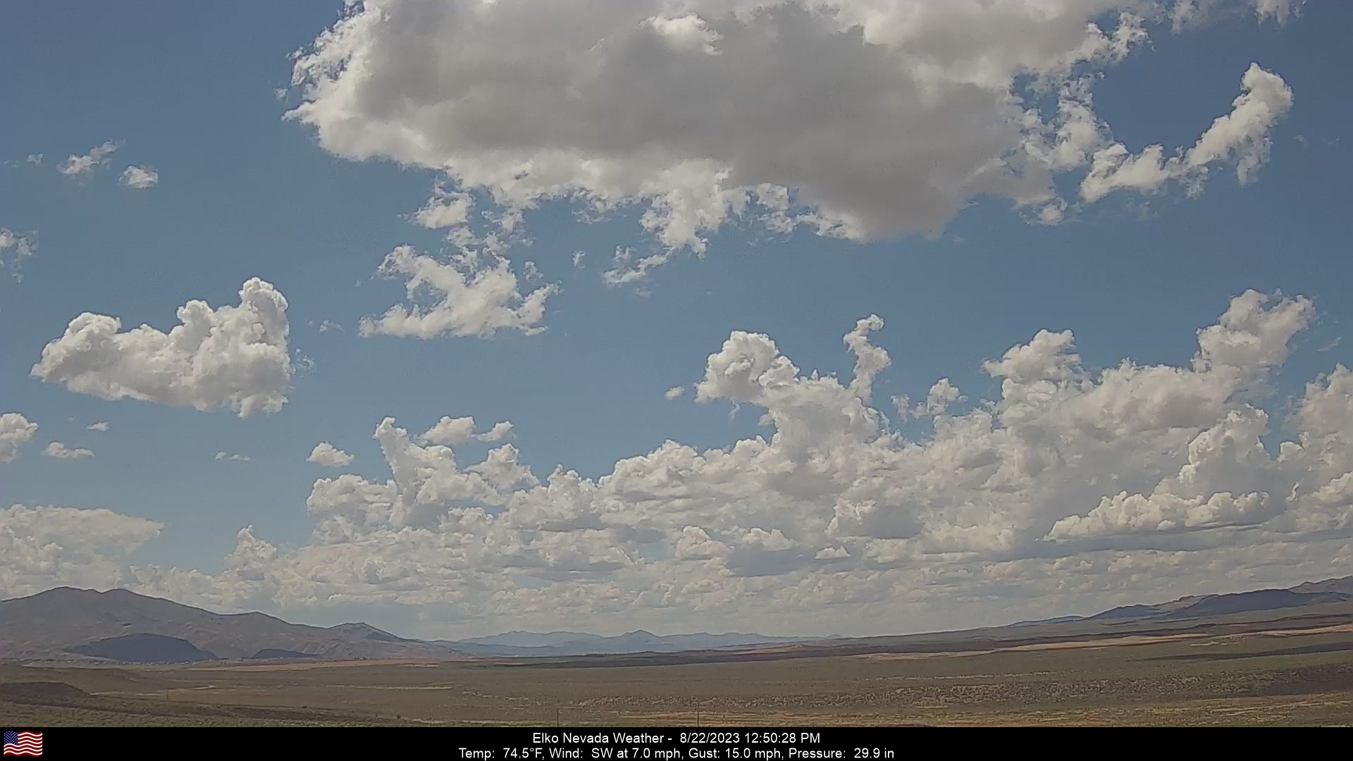
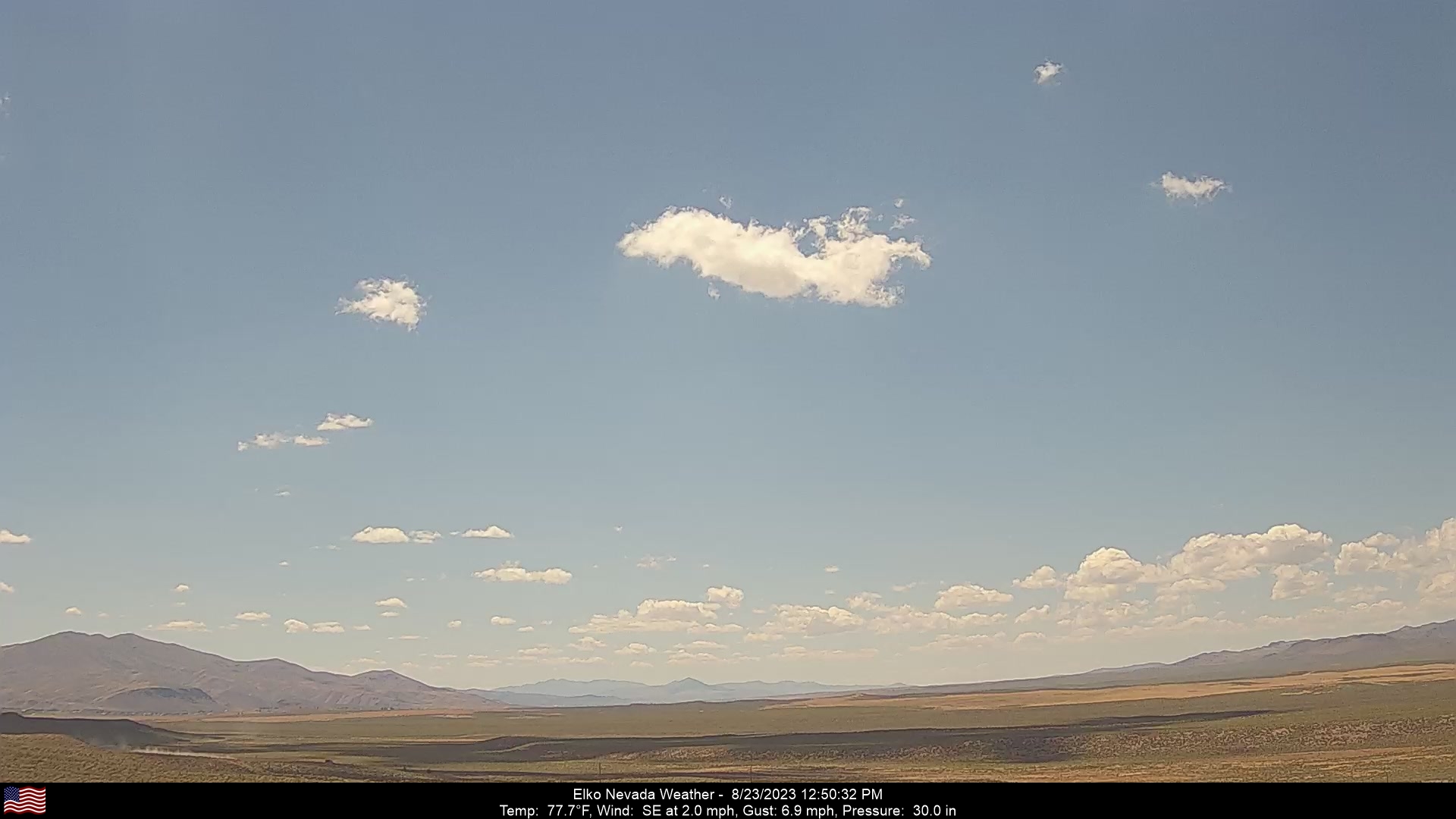
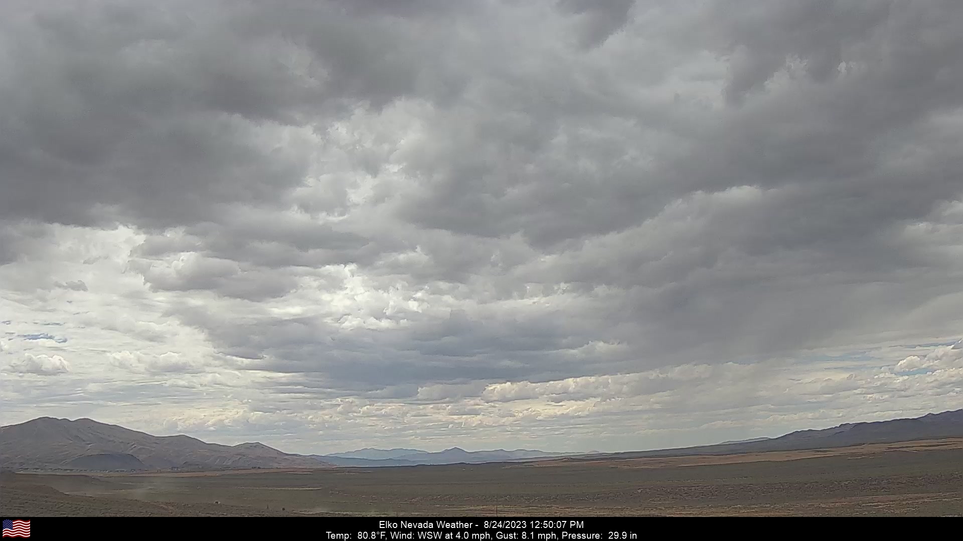
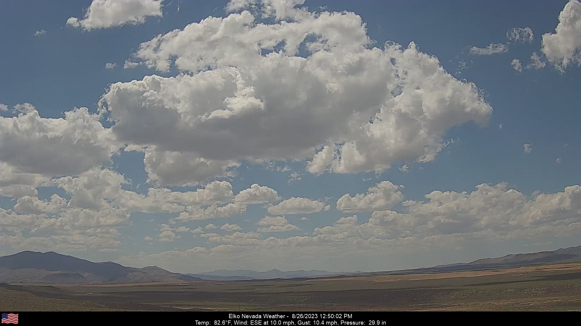
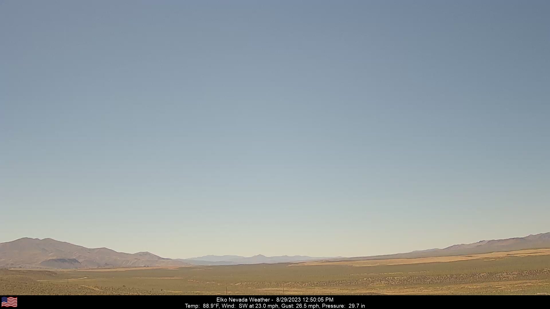
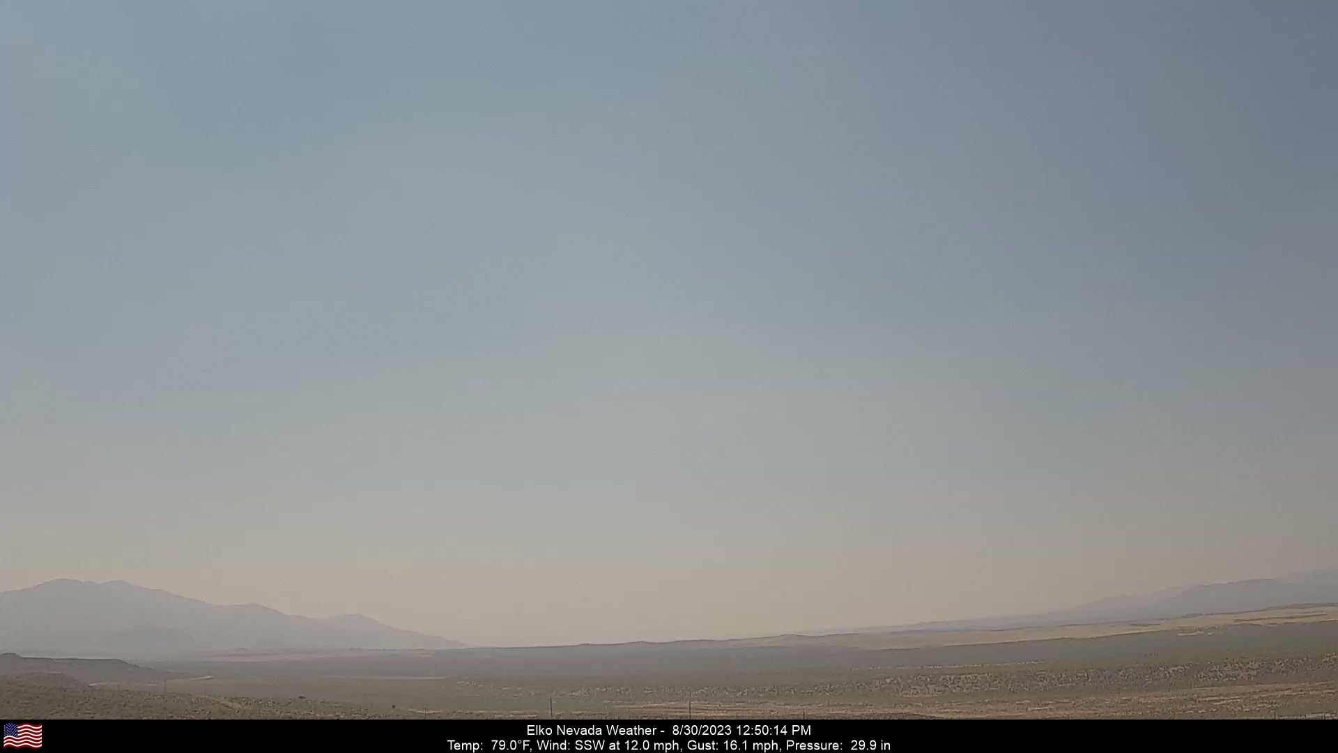
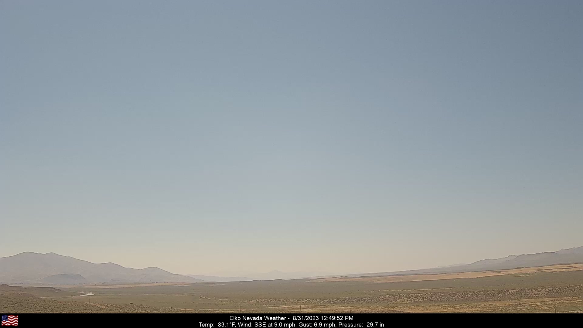
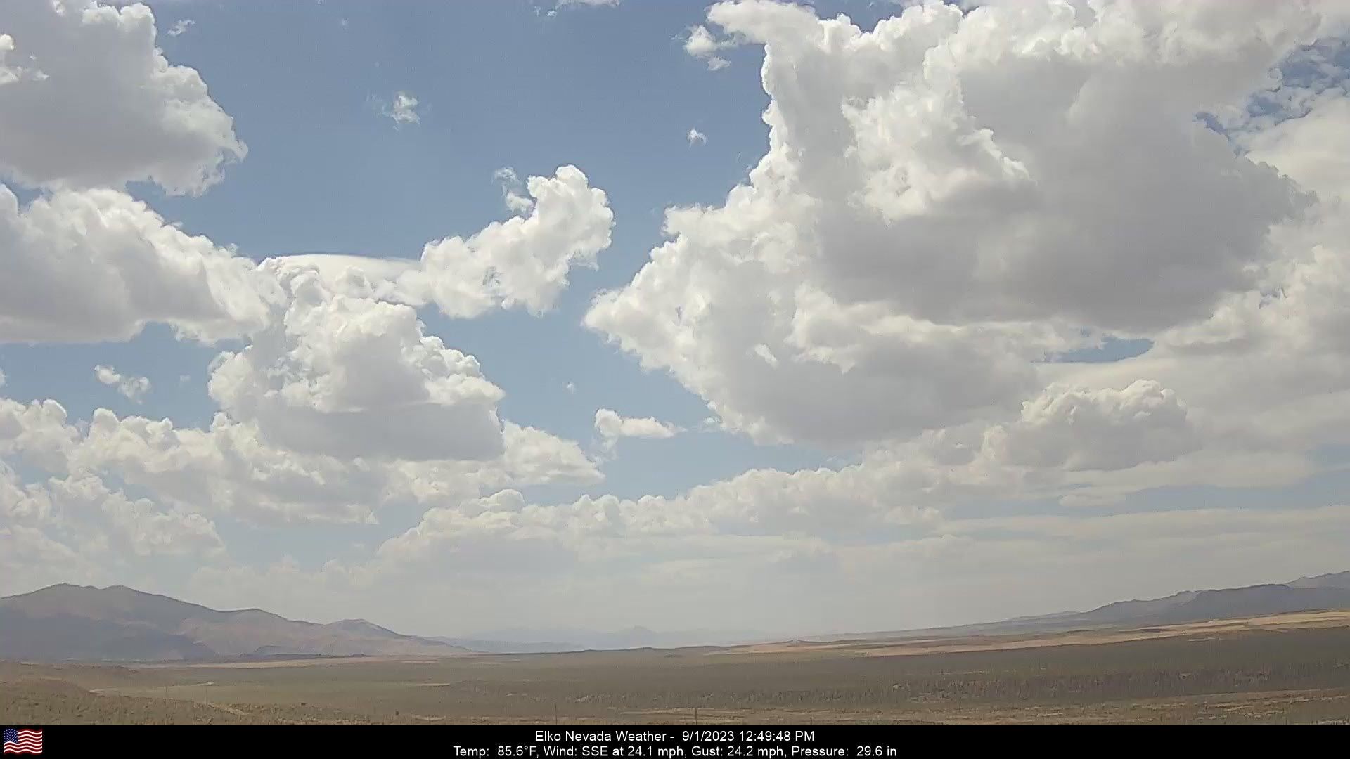
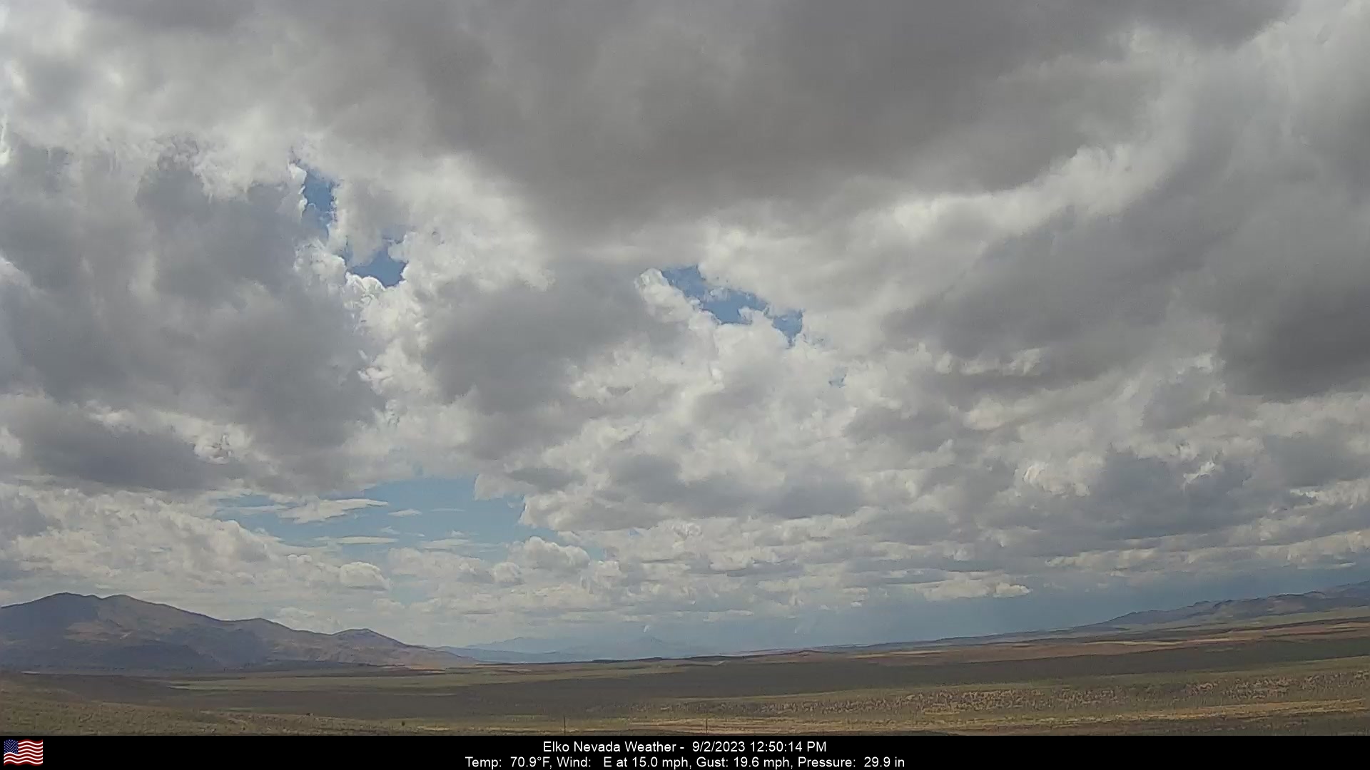
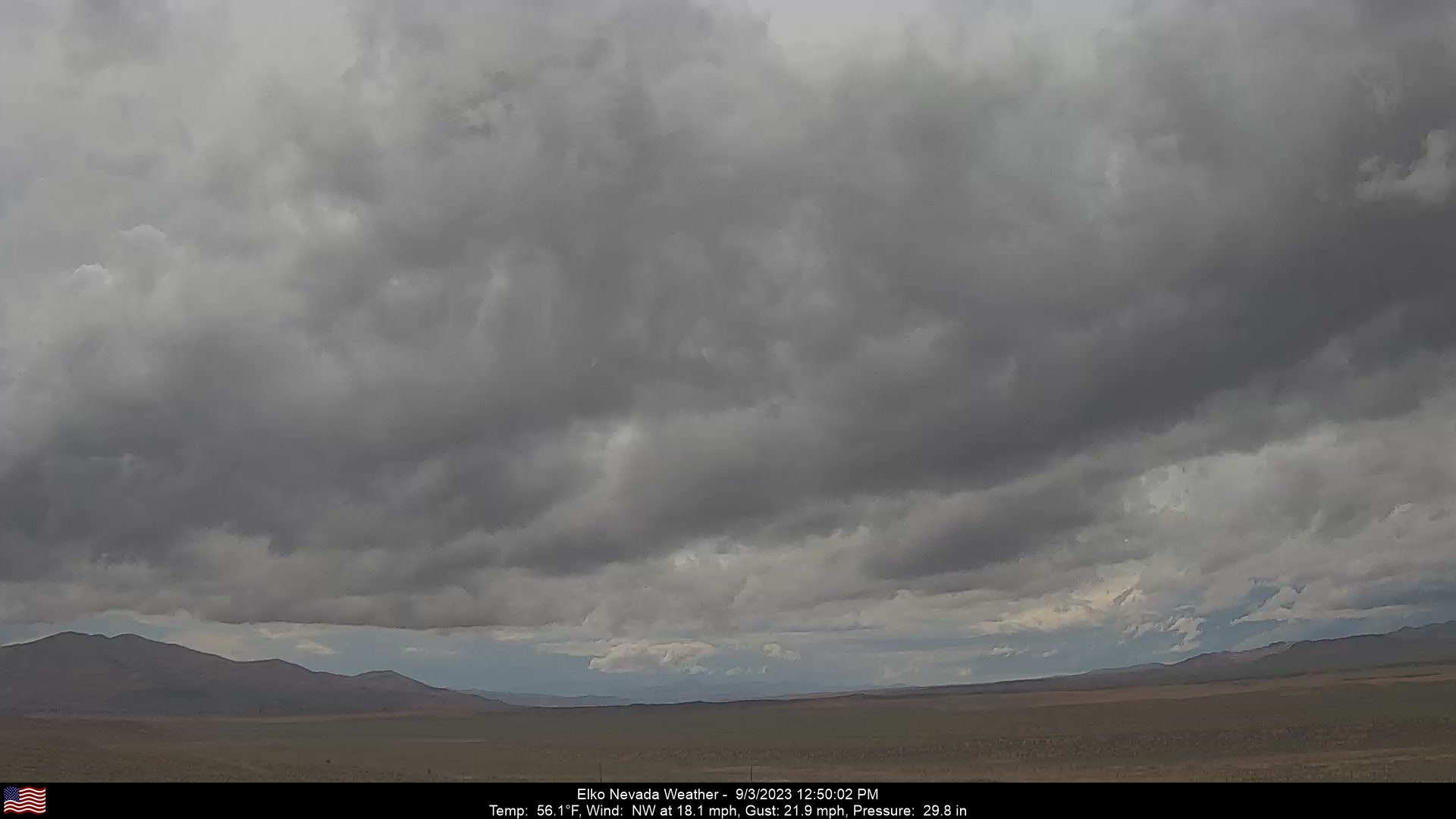
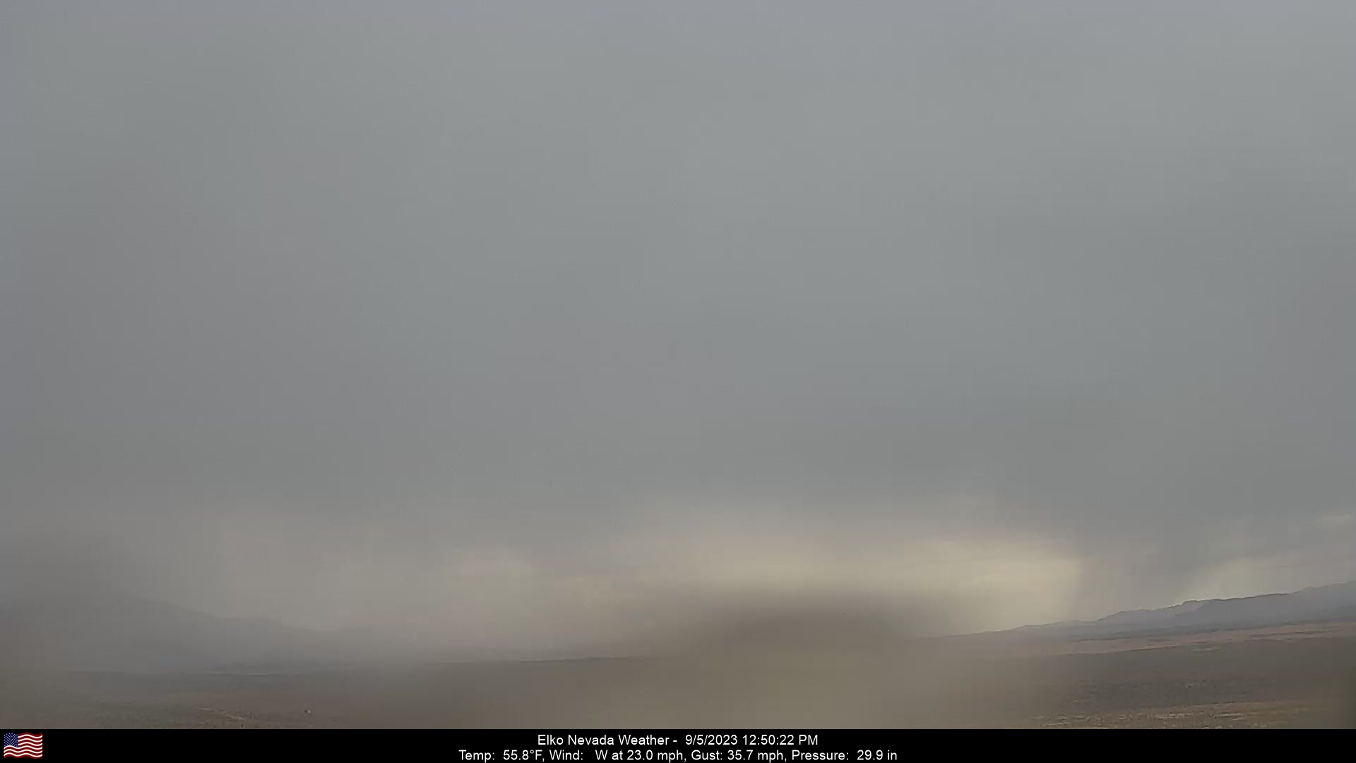
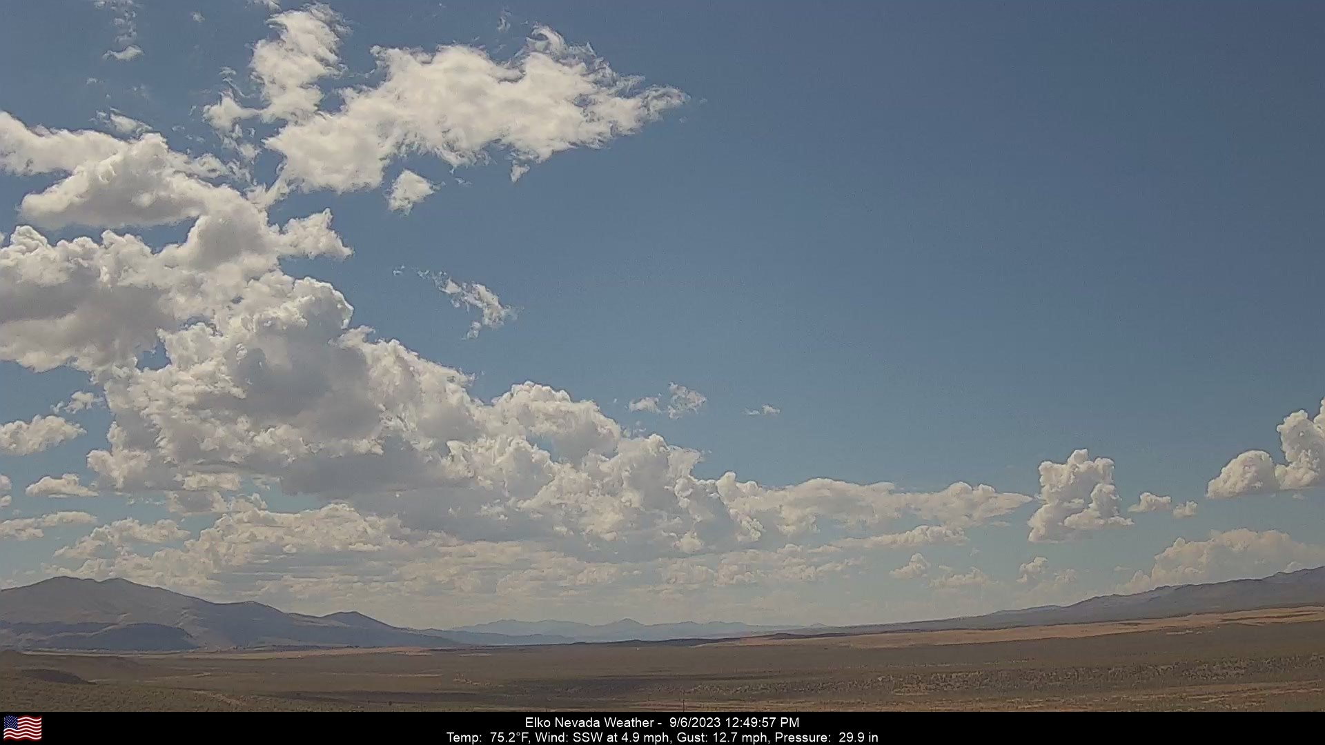
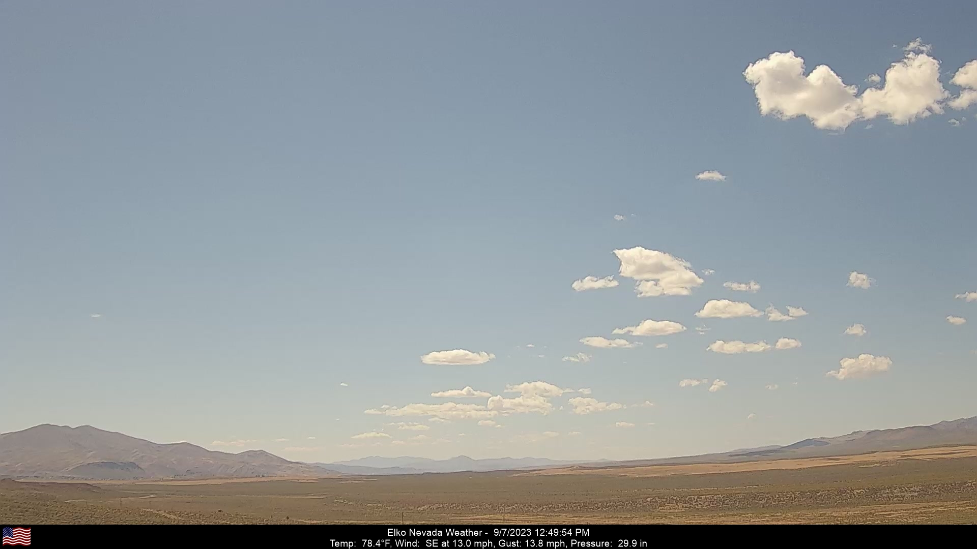
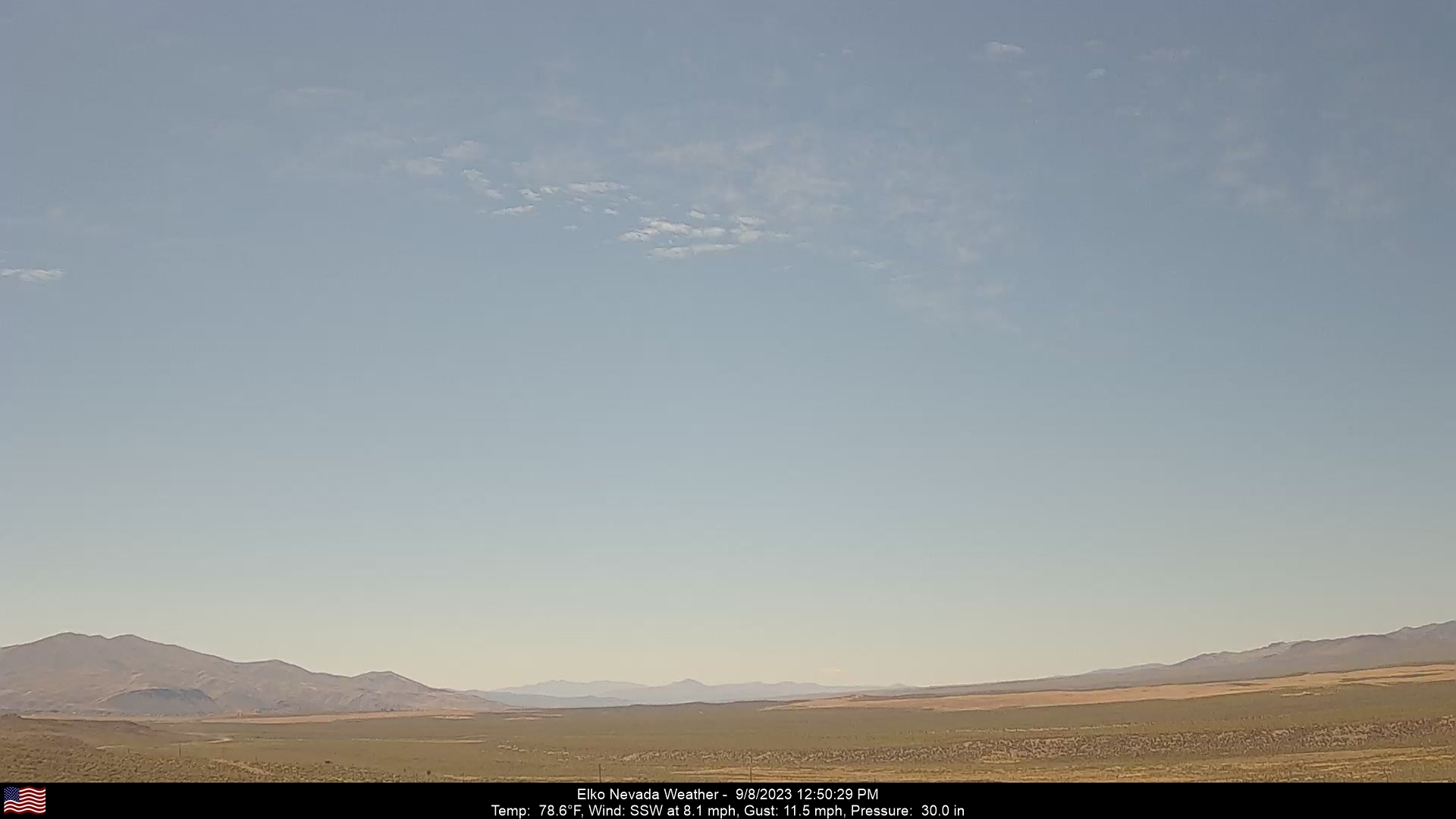
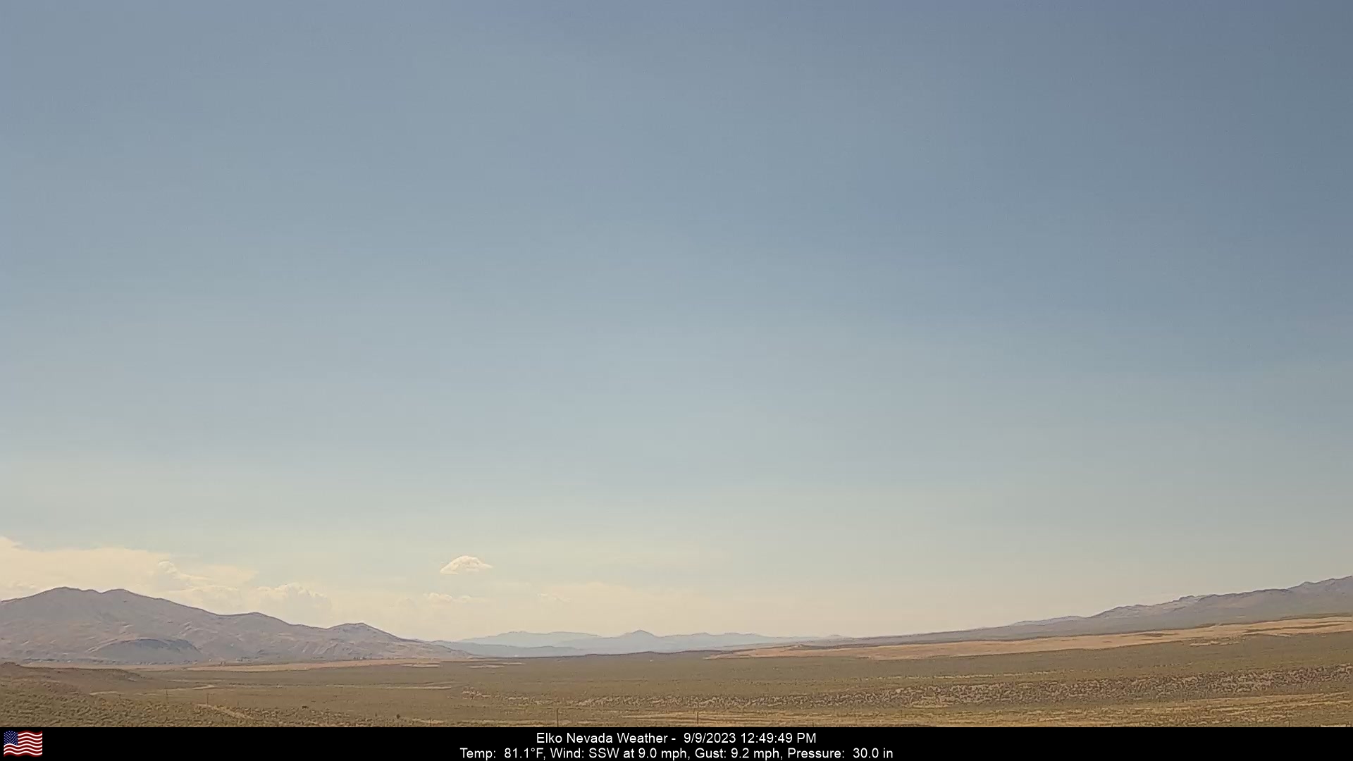
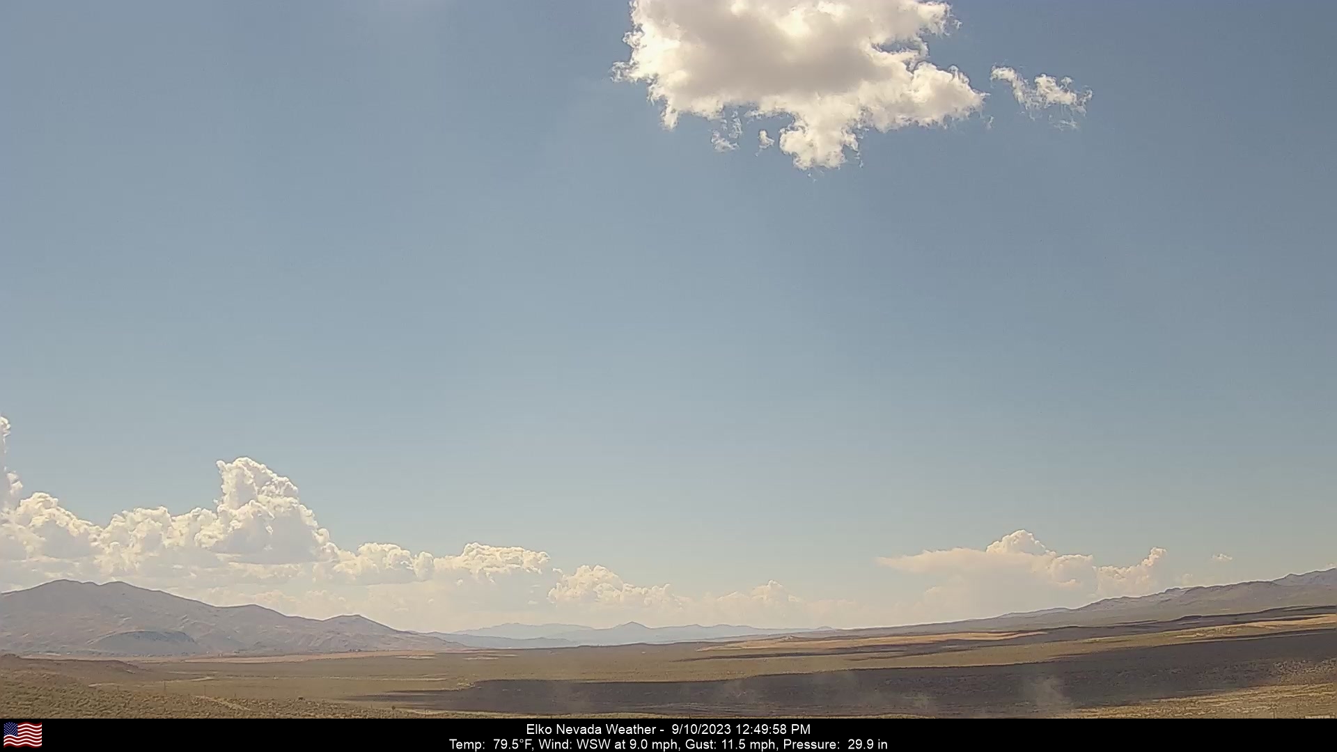
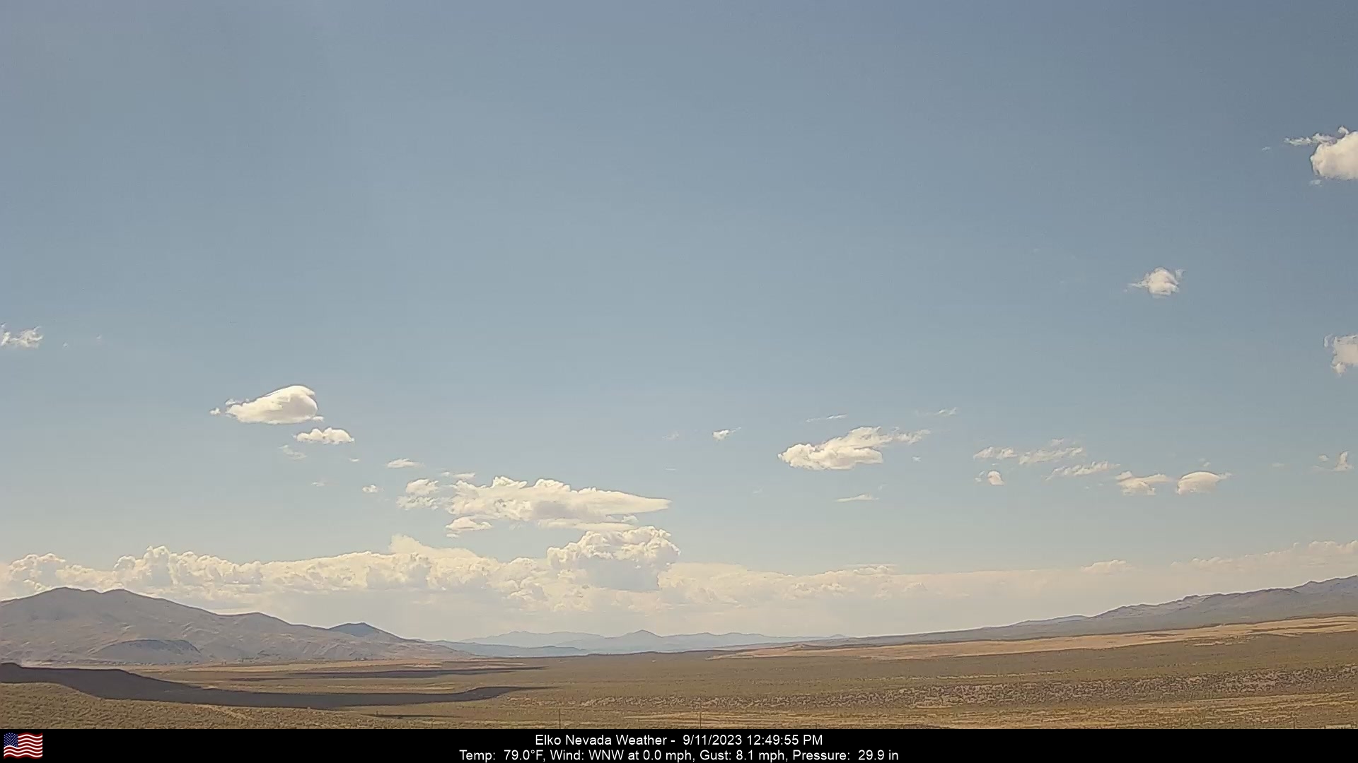
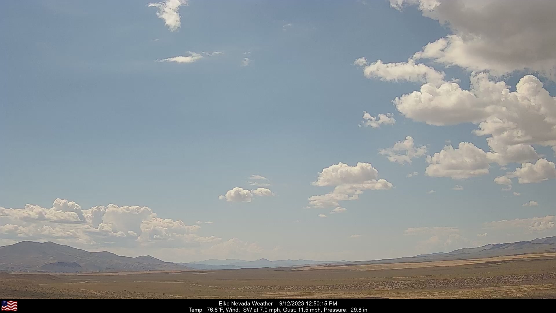
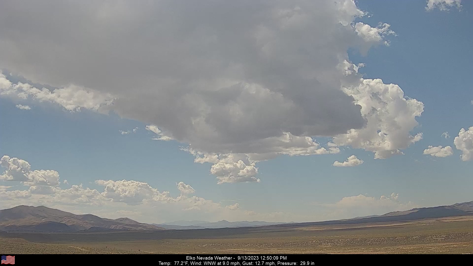
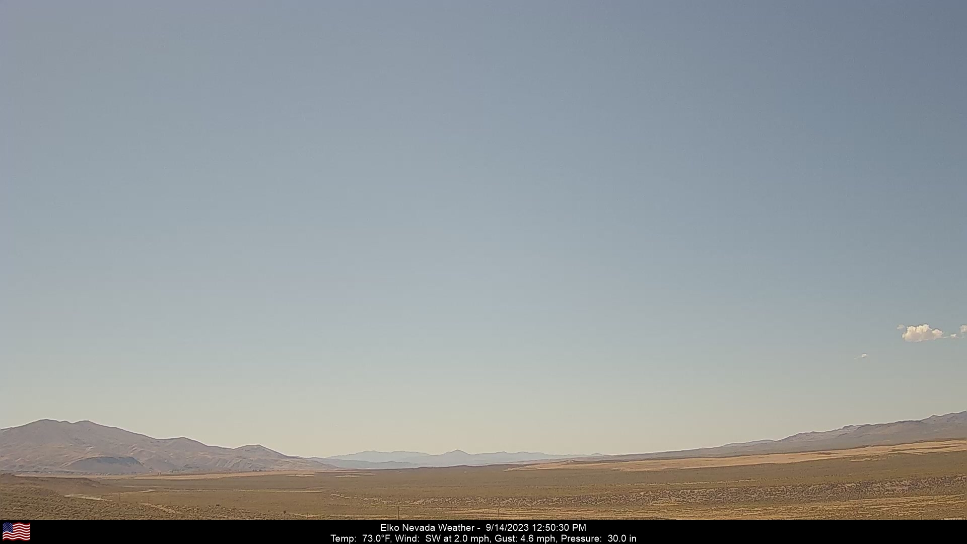
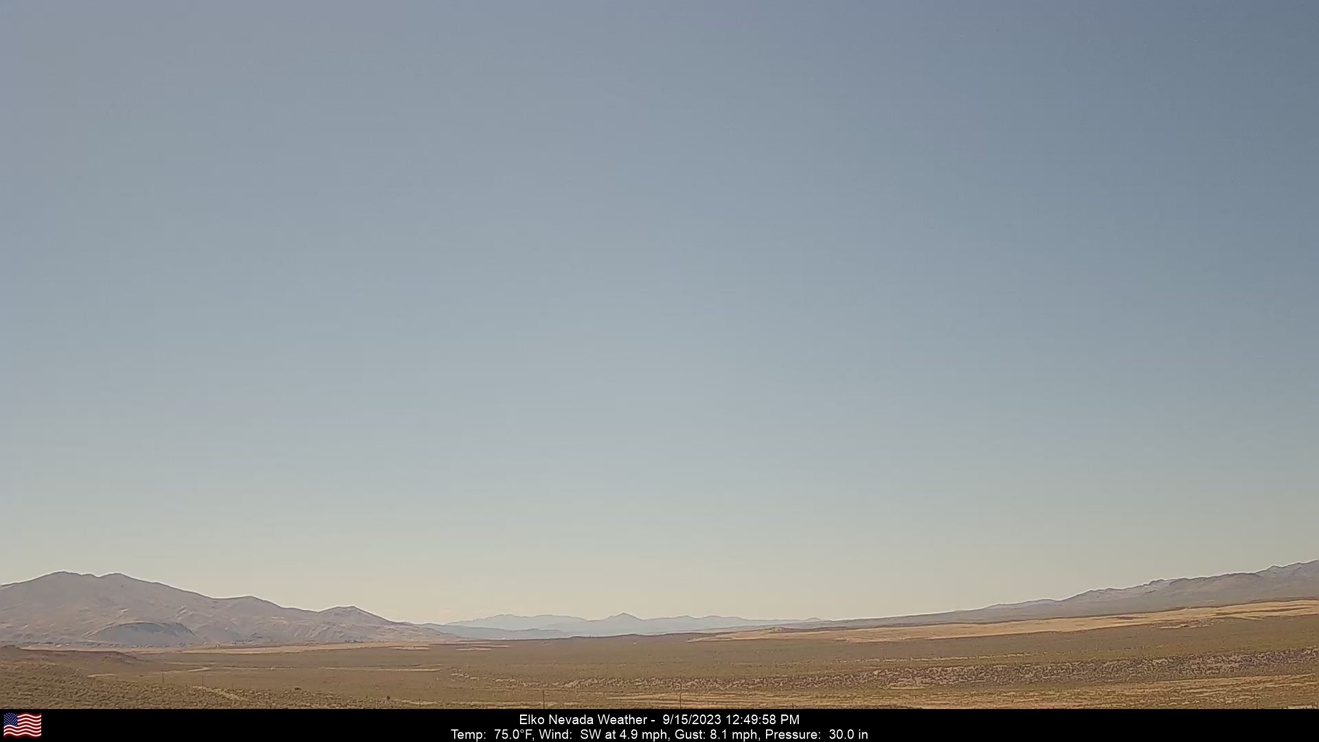
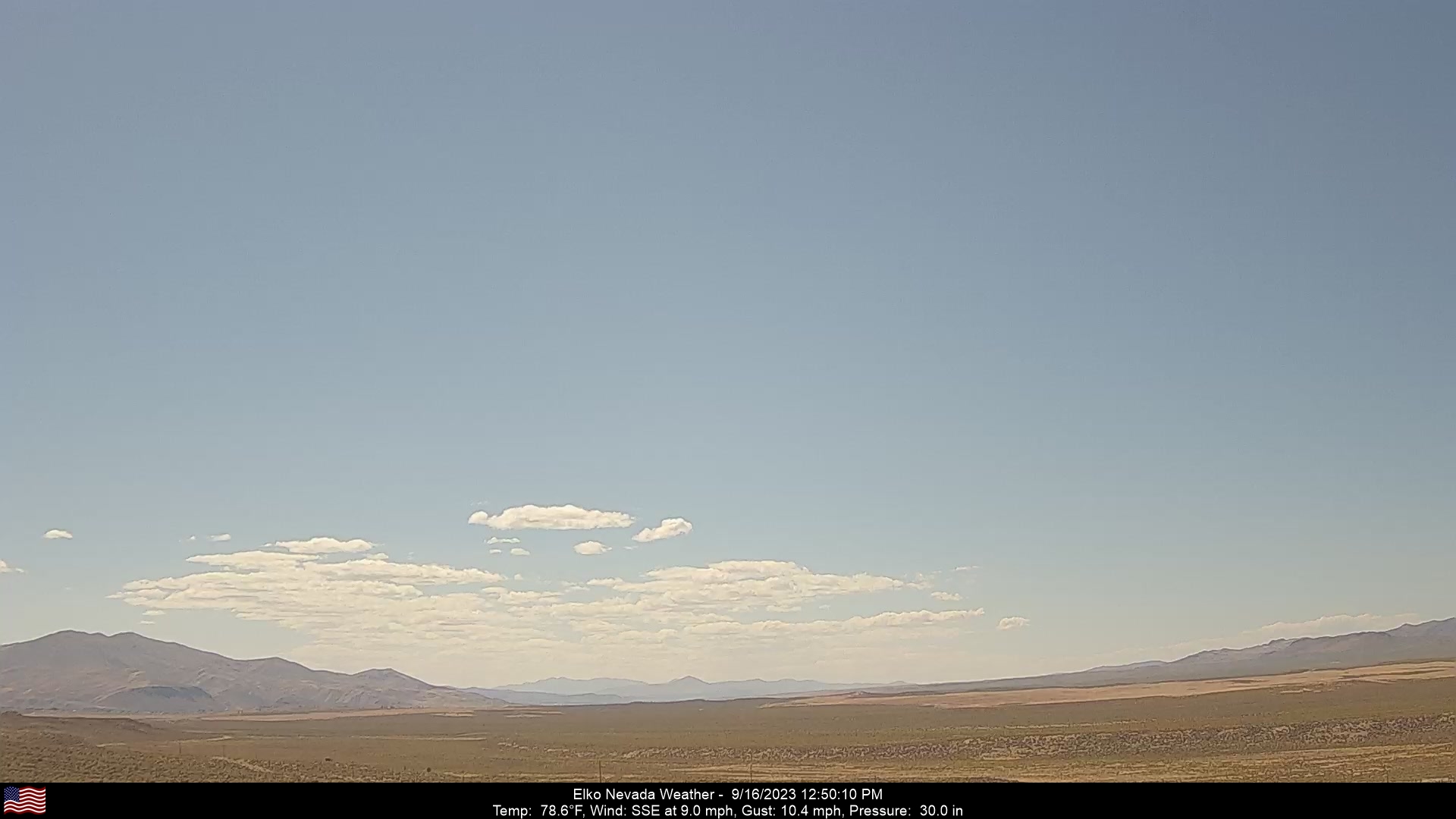
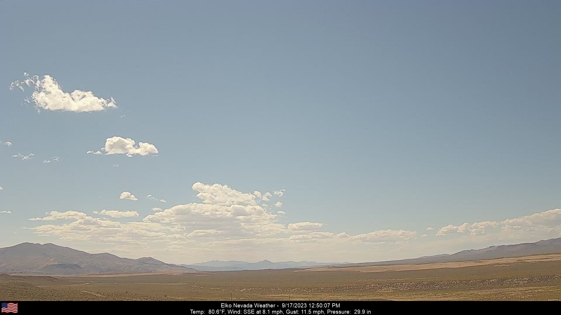
Elko, Nevada, USA - 152.1 miles from Pine Creek (historical): Elko Nevada Weather - A webcam in Elko, Nevada - Adobe Range, with current weather data.
Operator: Elko Nevada Weather & Store
Operator: Elko Nevada Weather & Store


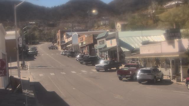
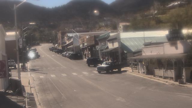
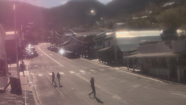
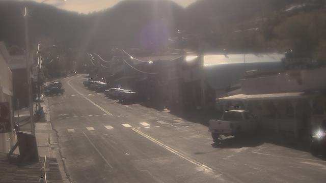
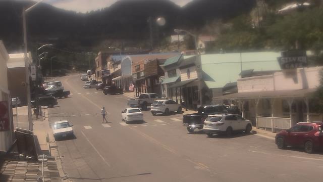
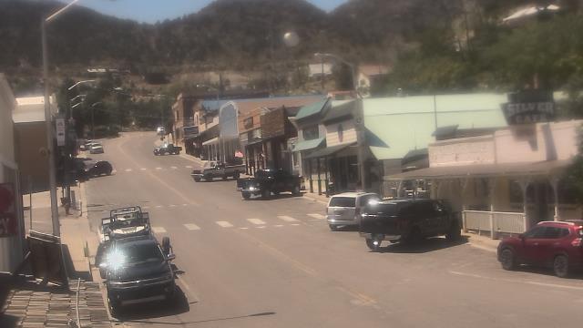
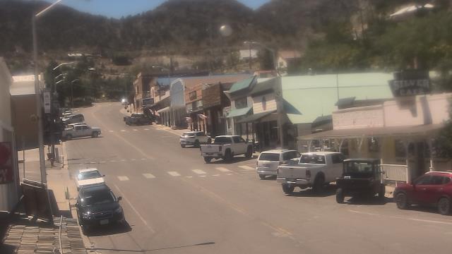
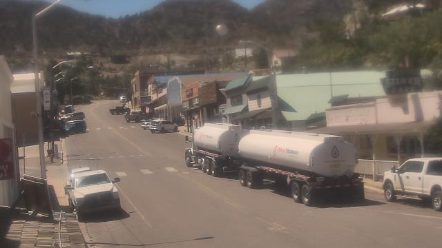
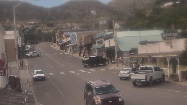
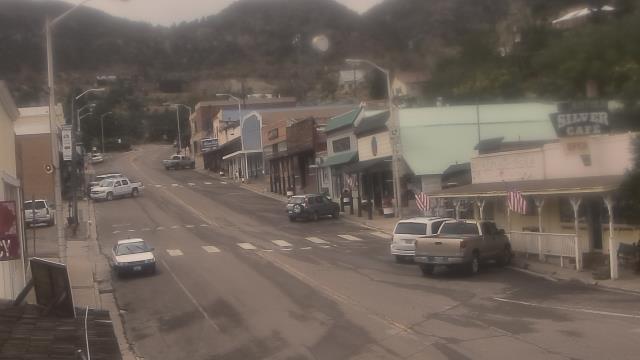
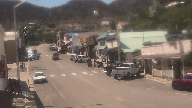
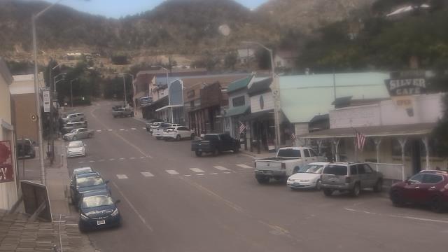
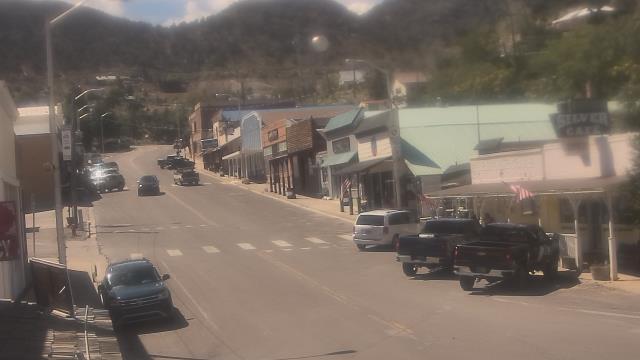
Virginia City, Nevada, USA - 154.4 miles from Pine Creek (historical): View of the C Street
Operator: Skyline Webcams
Operator: Skyline Webcams


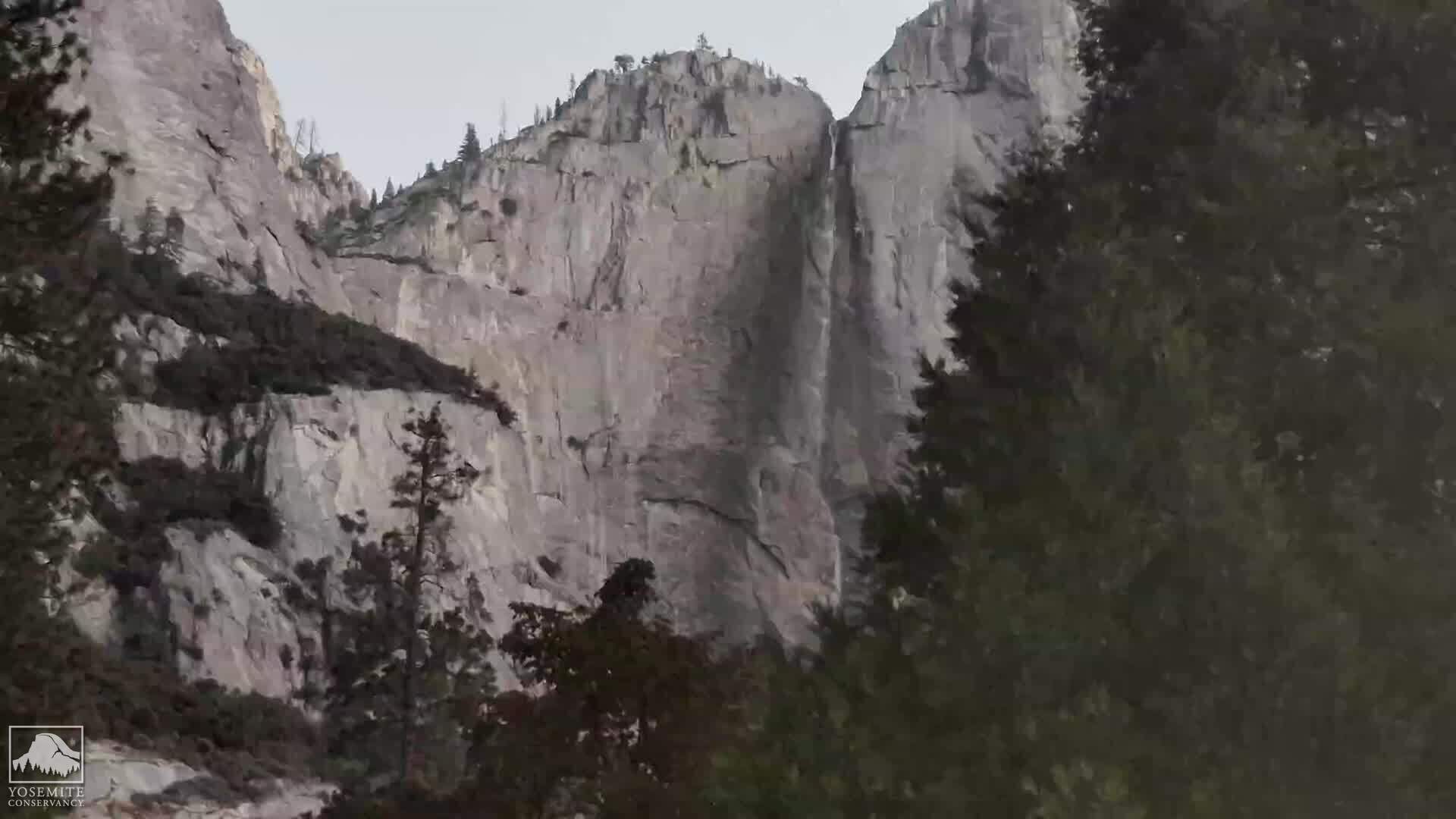
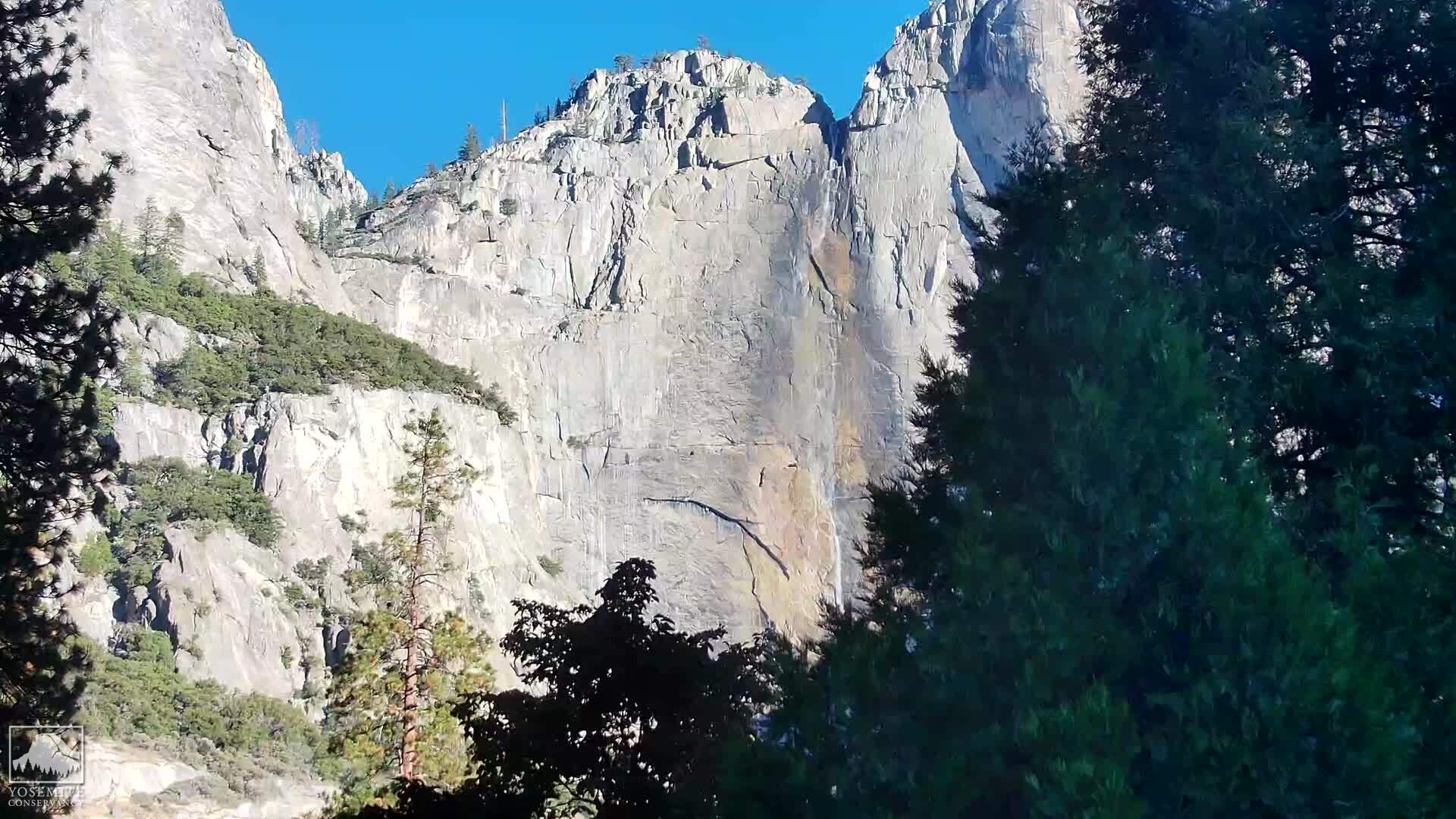
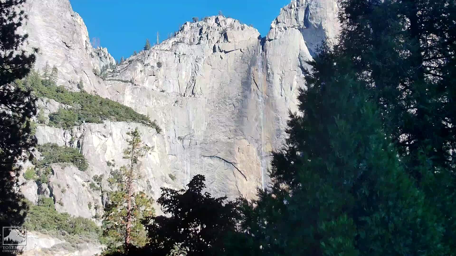
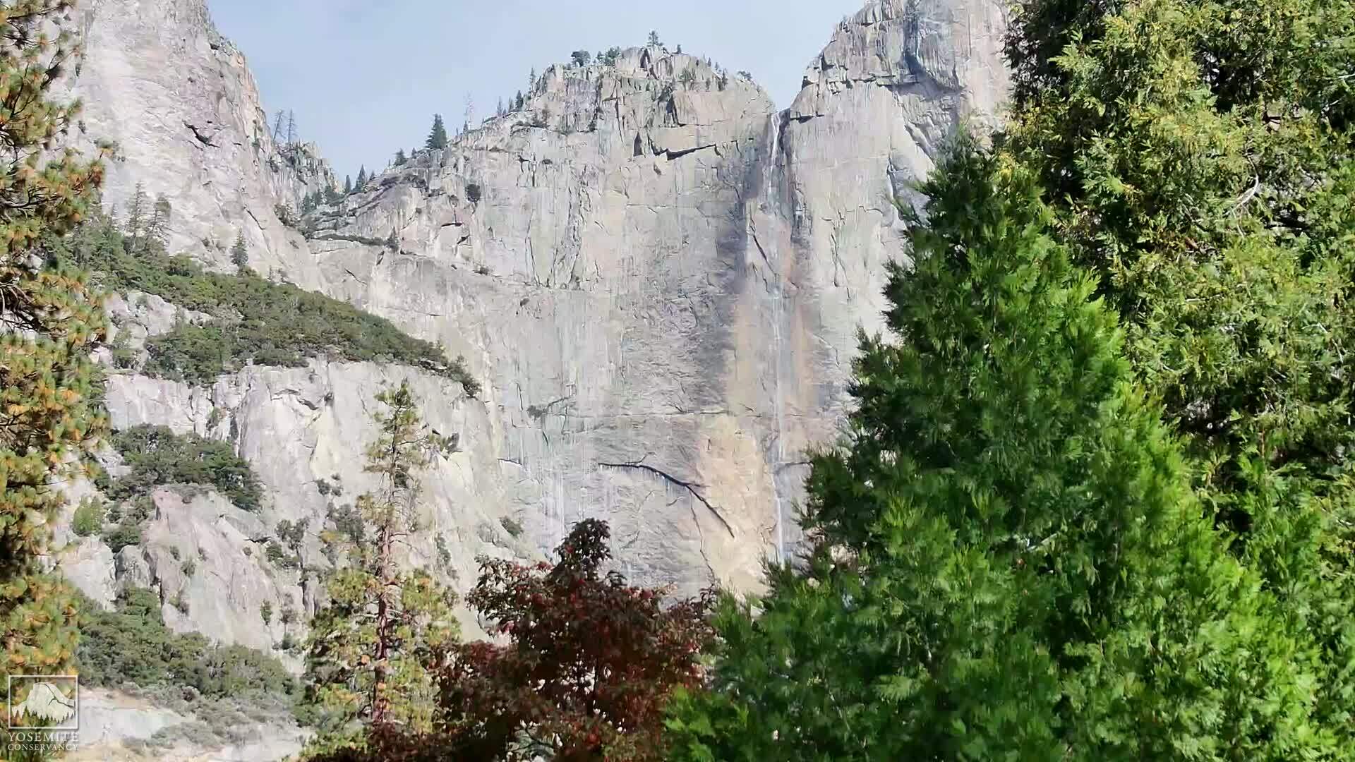
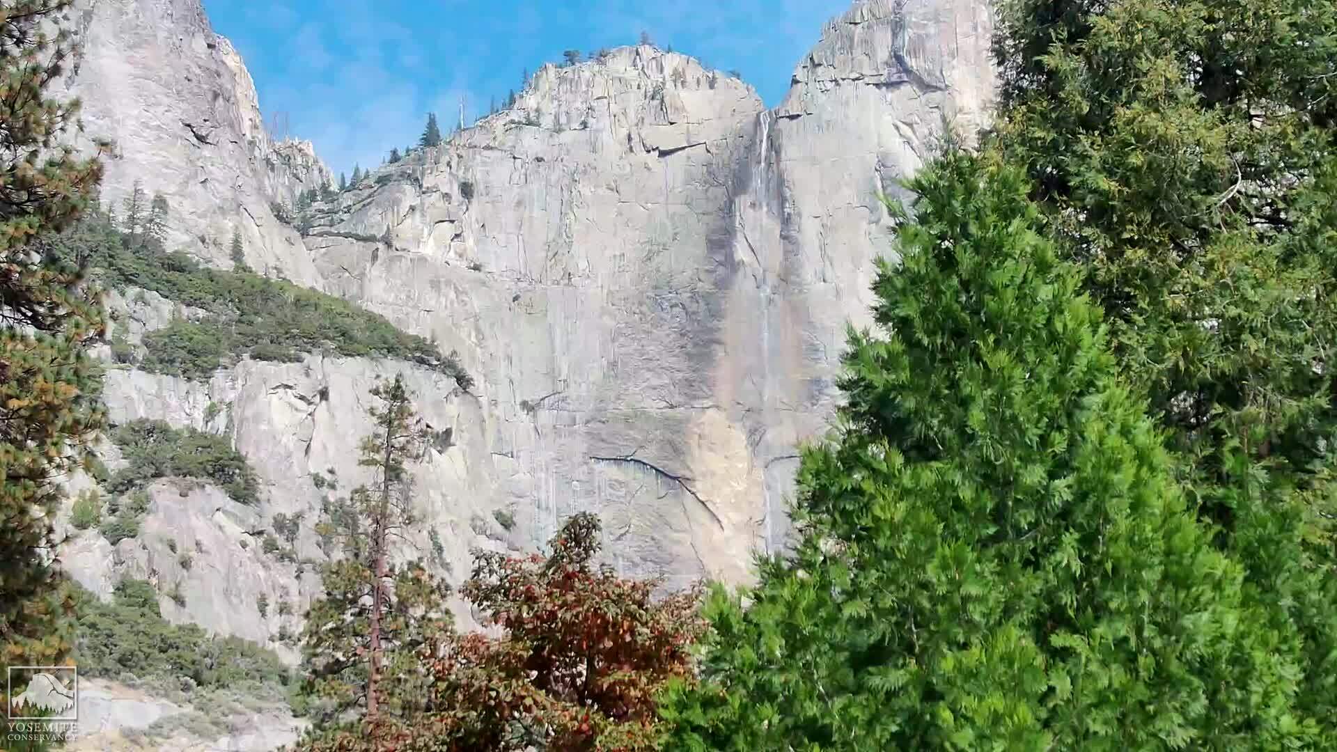
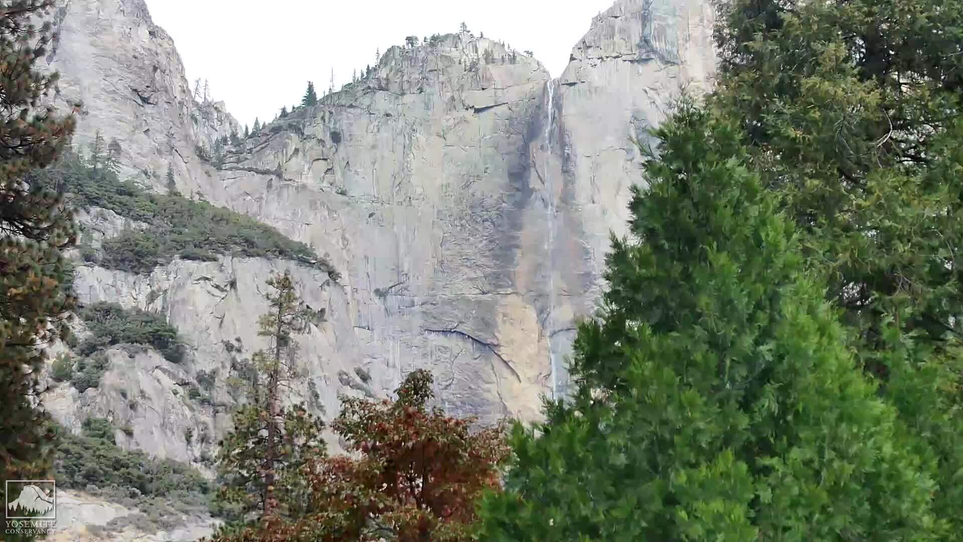
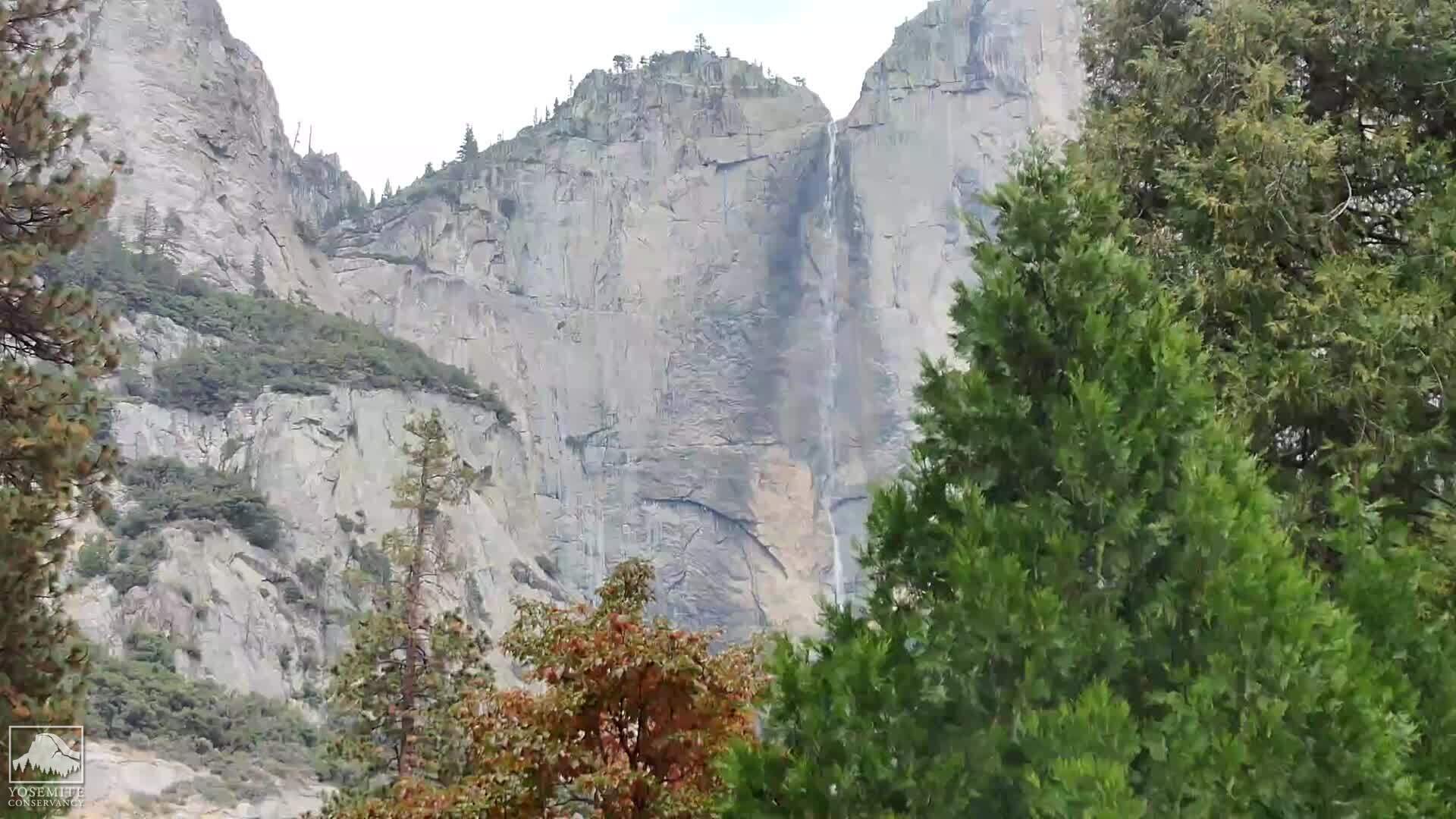
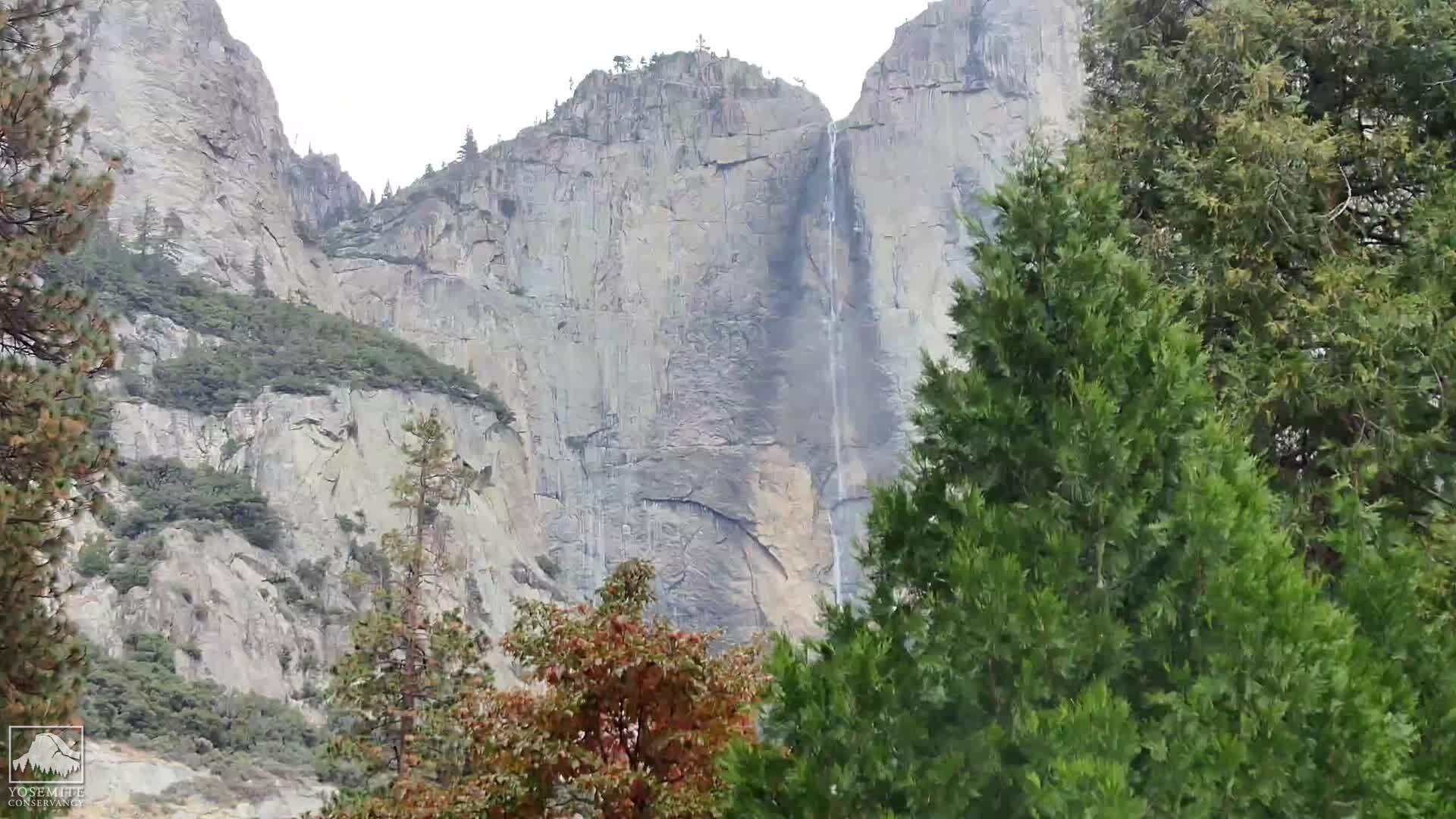
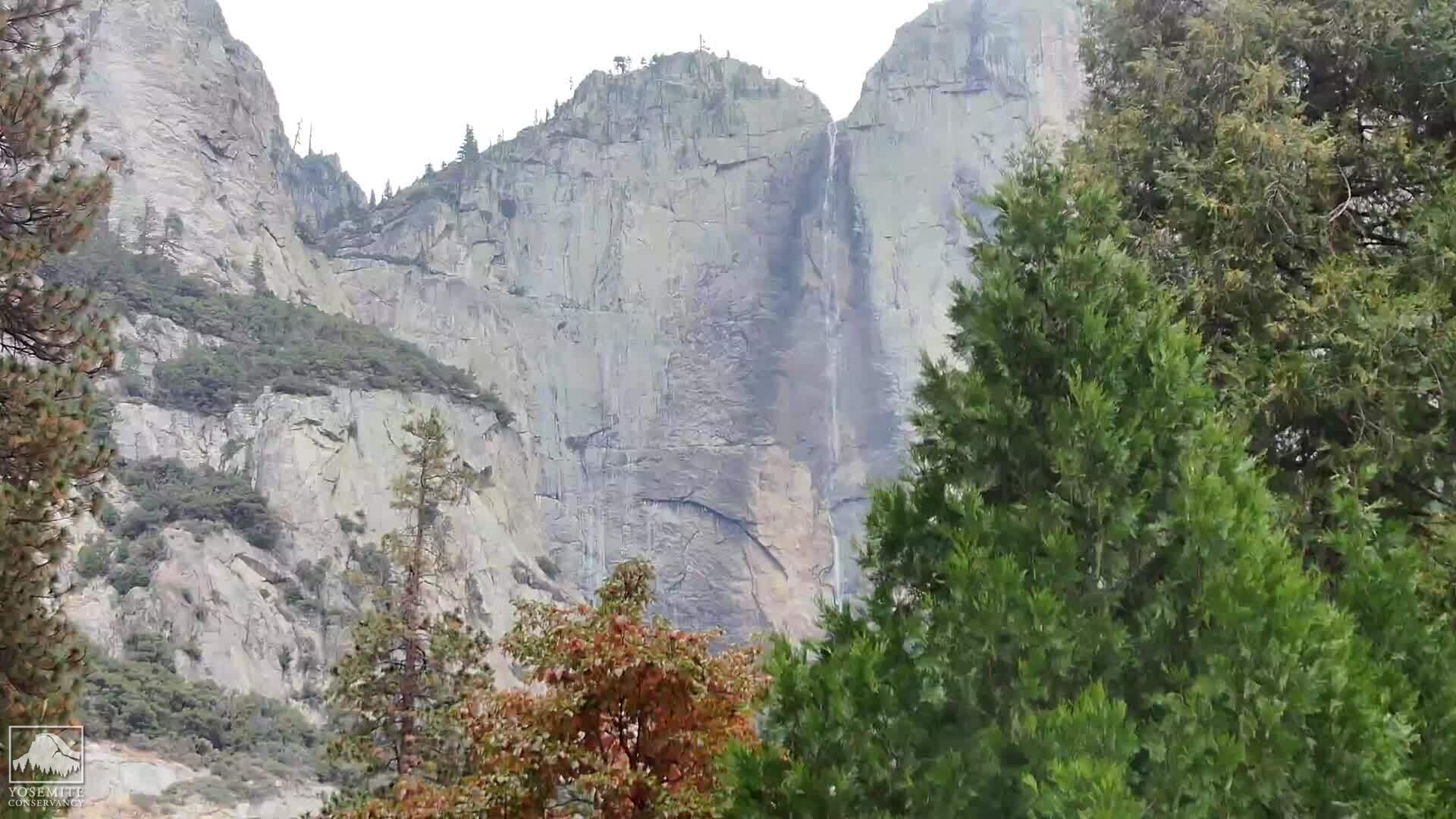
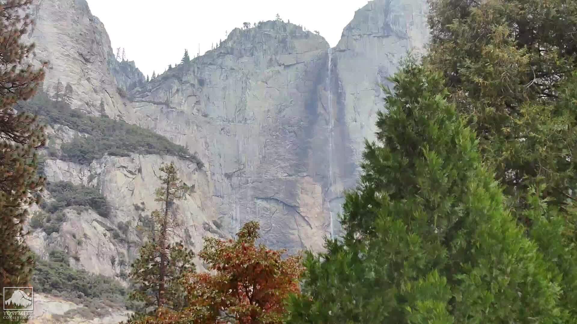
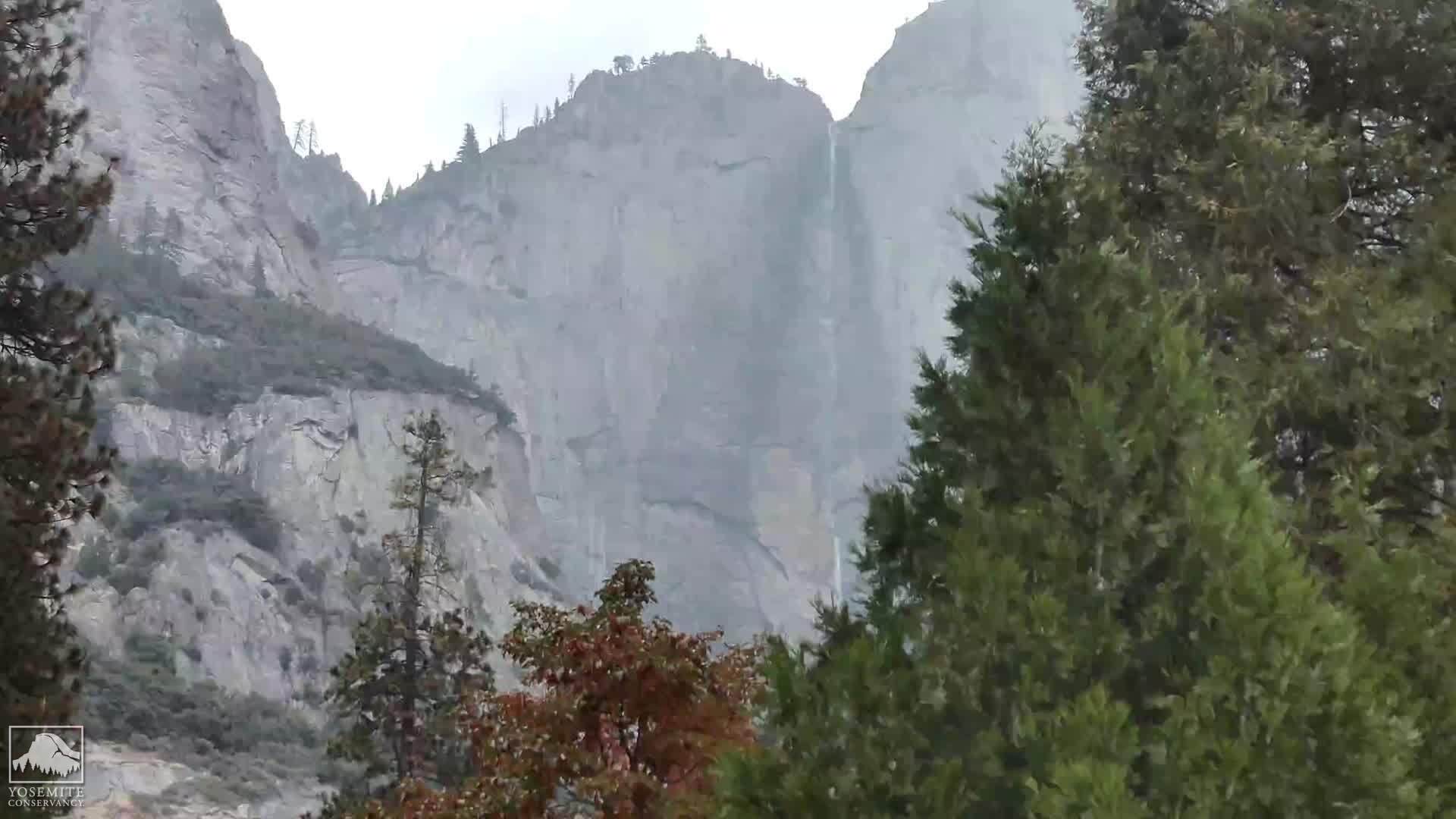
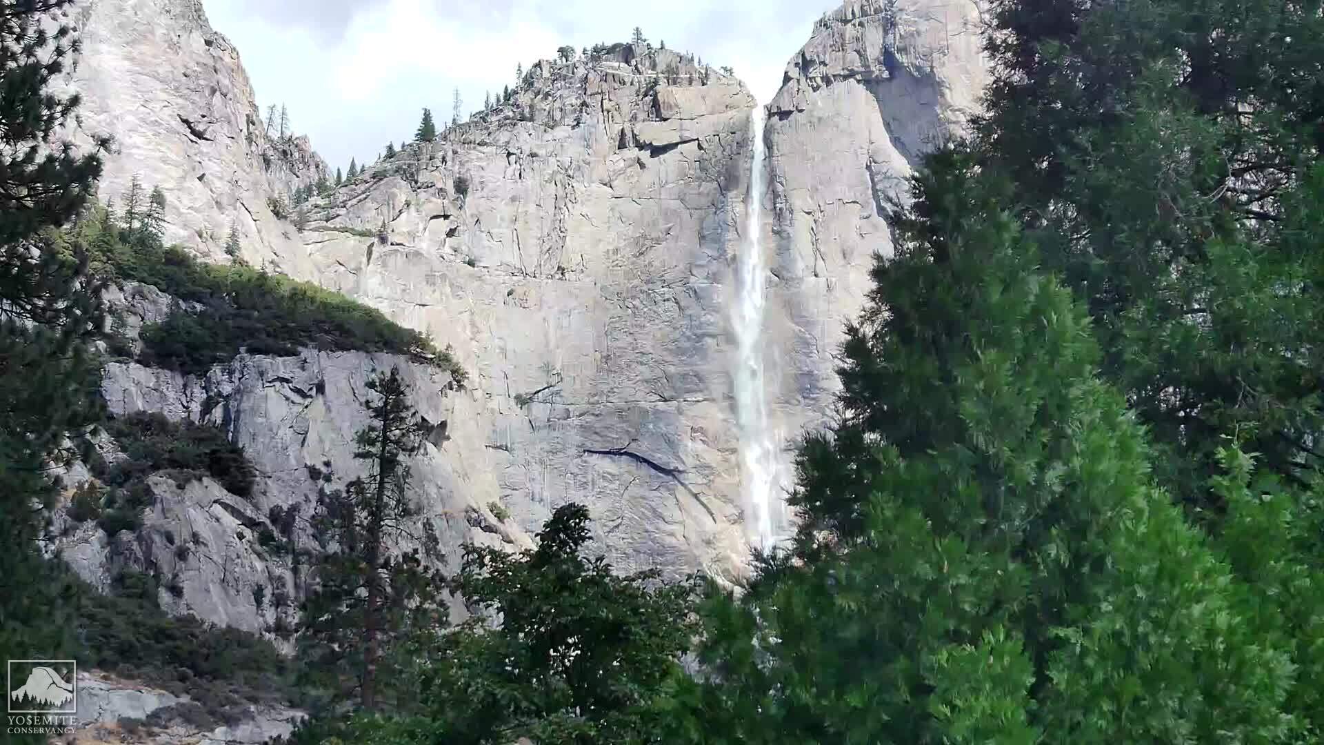
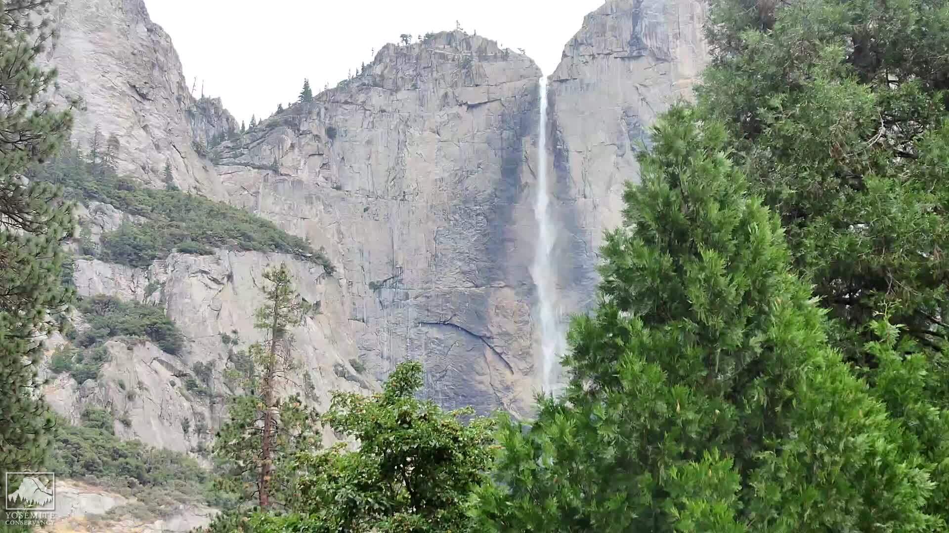
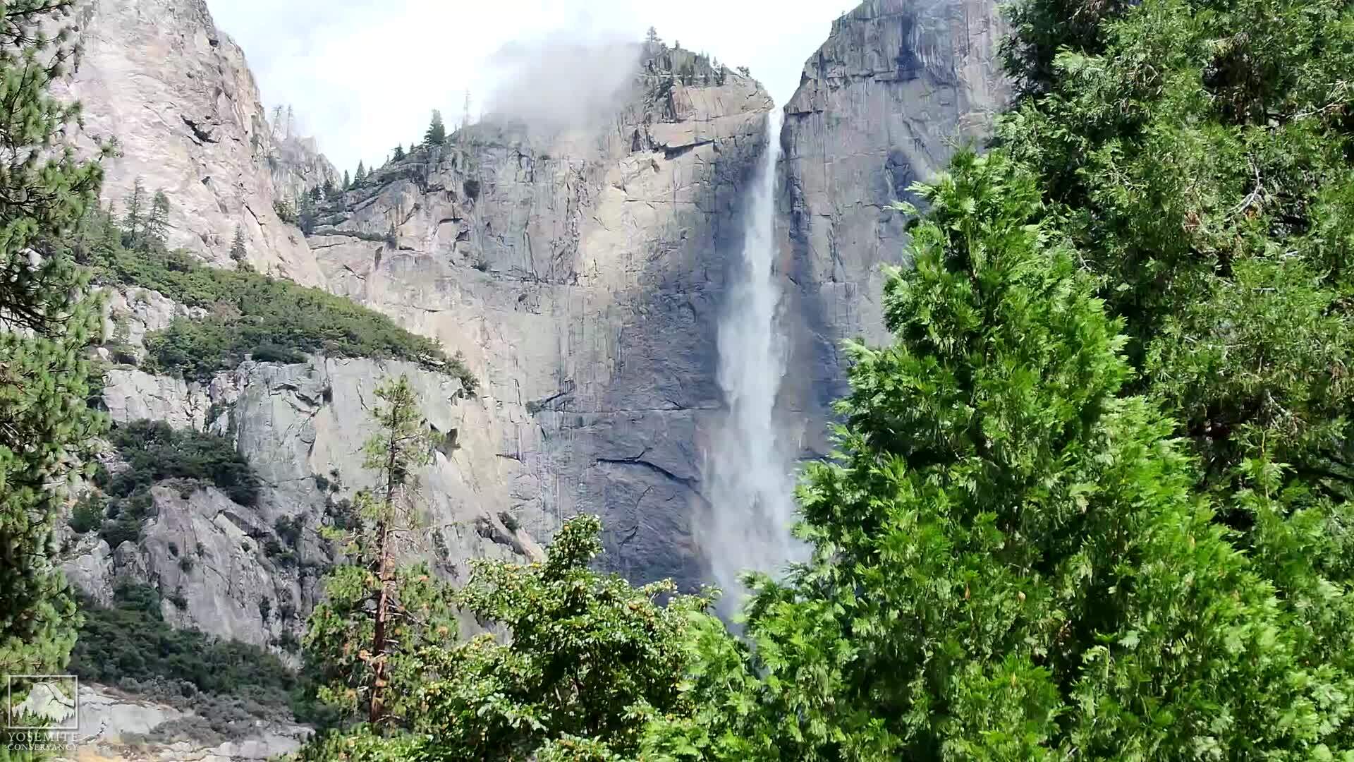
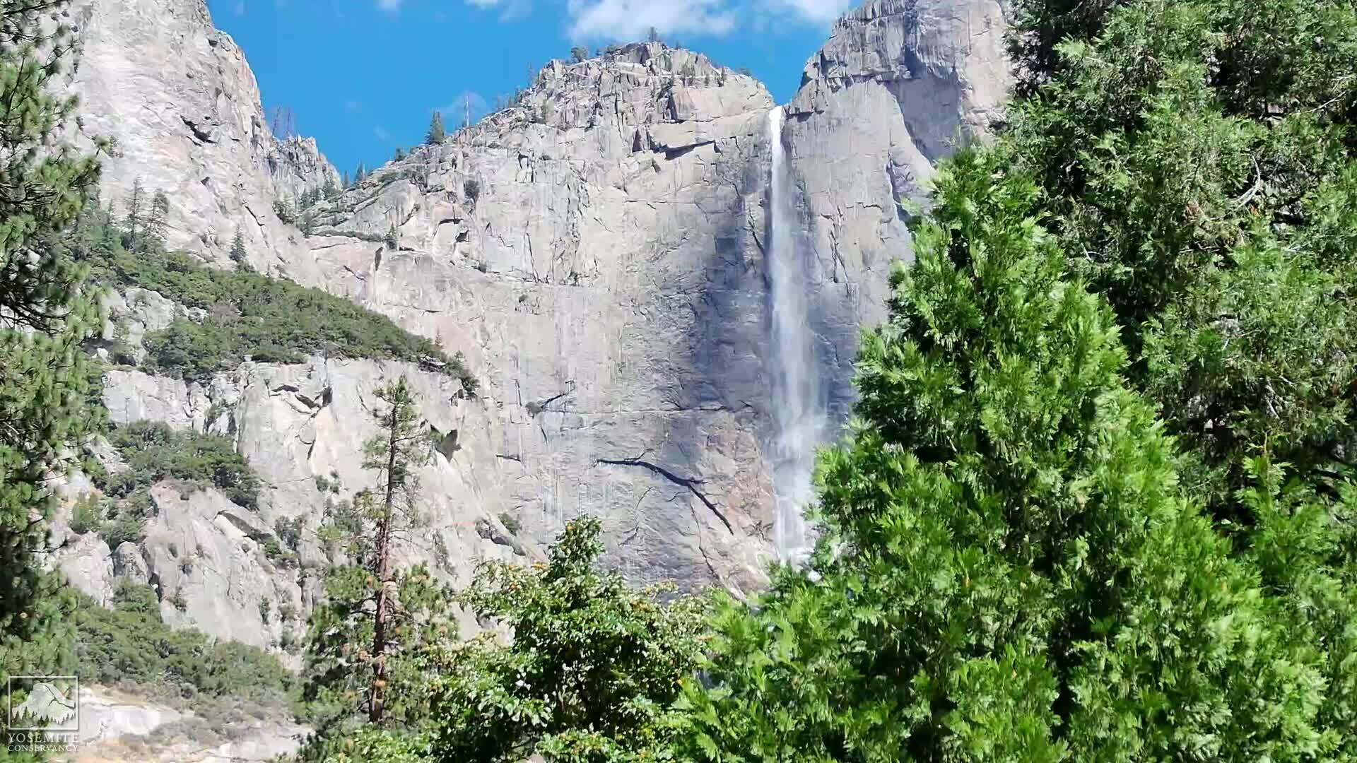
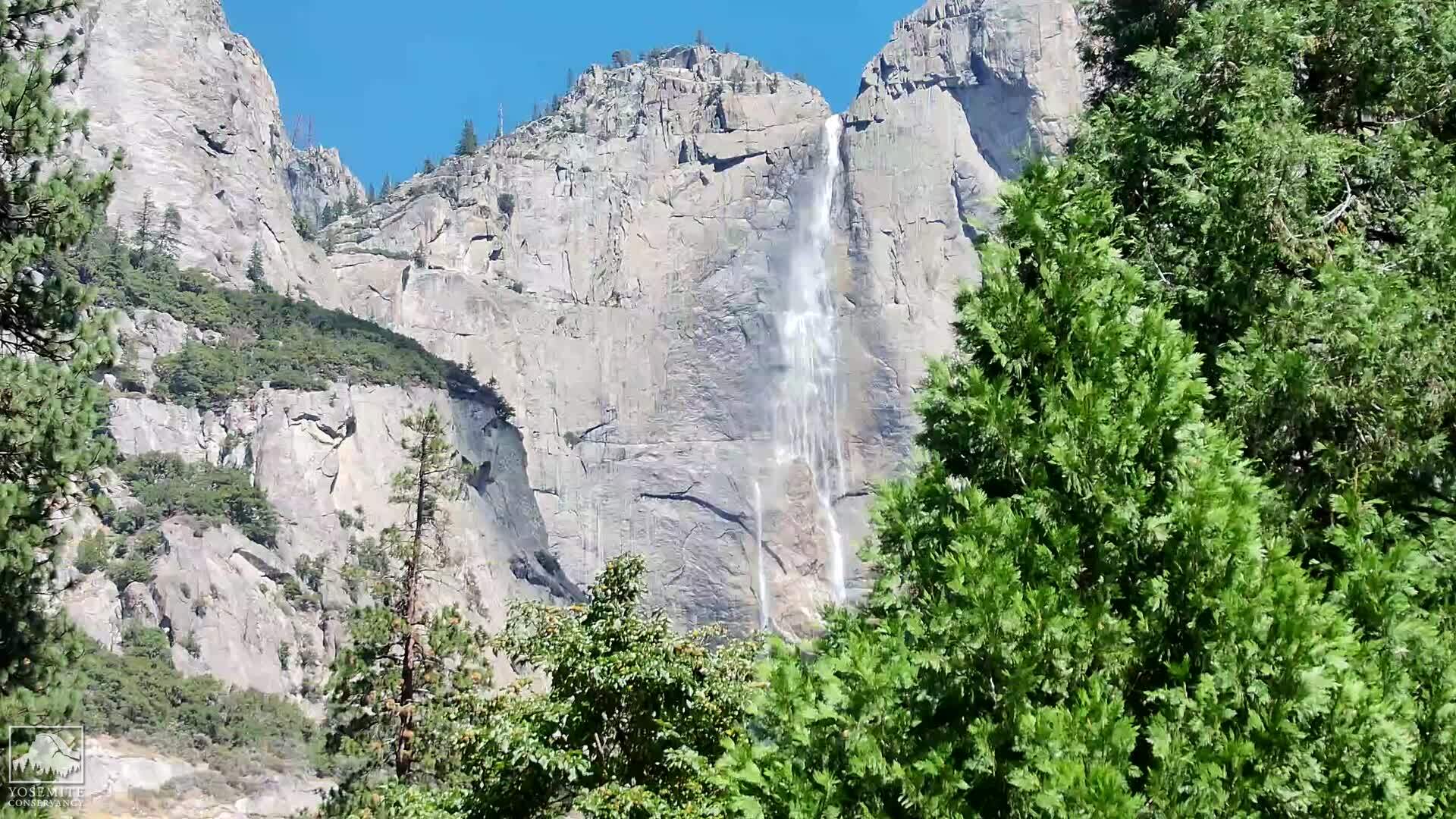
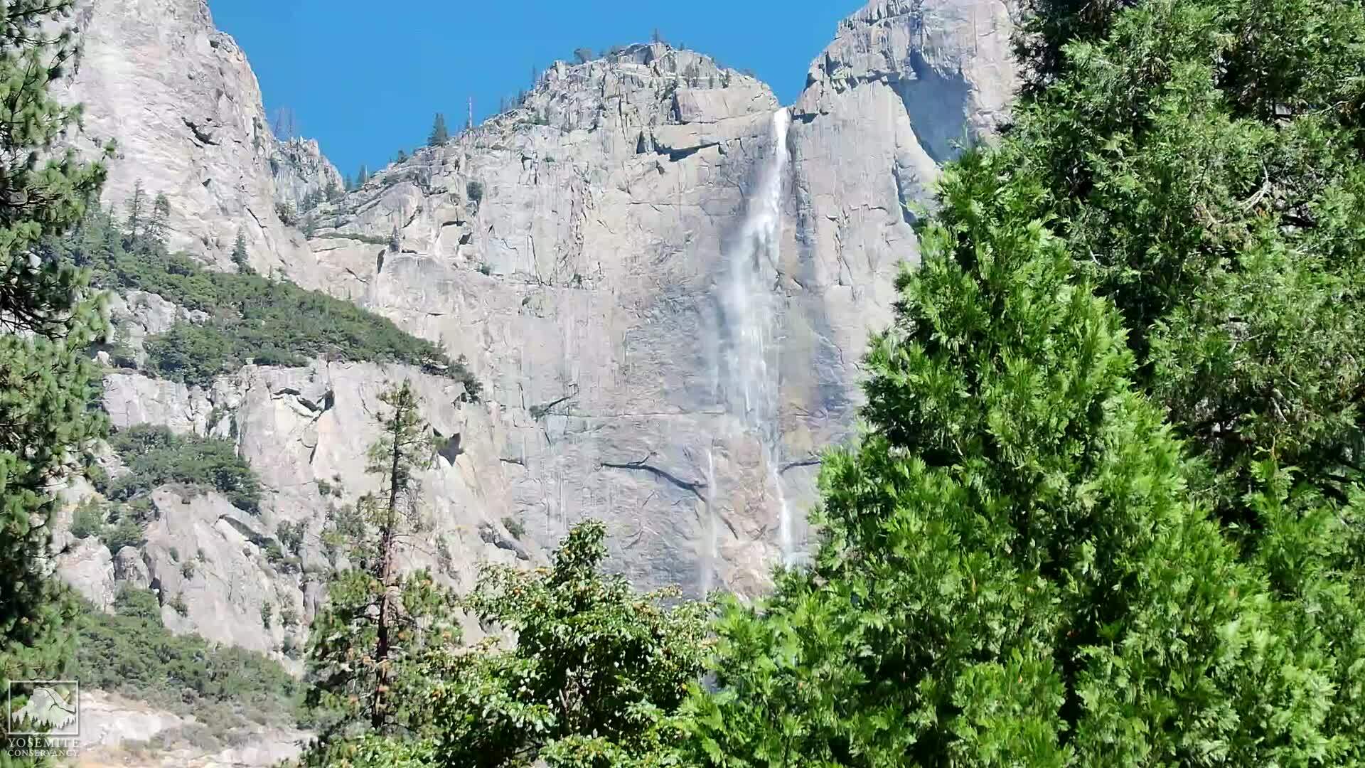
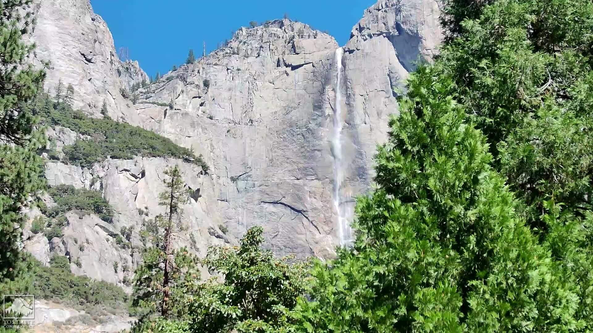
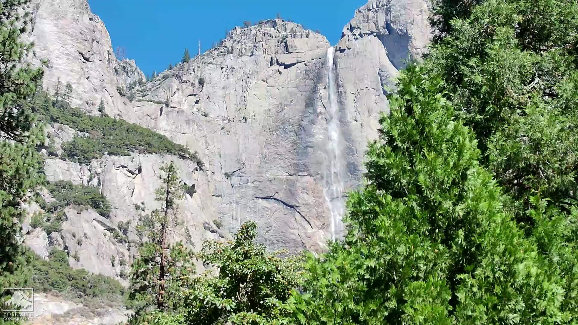
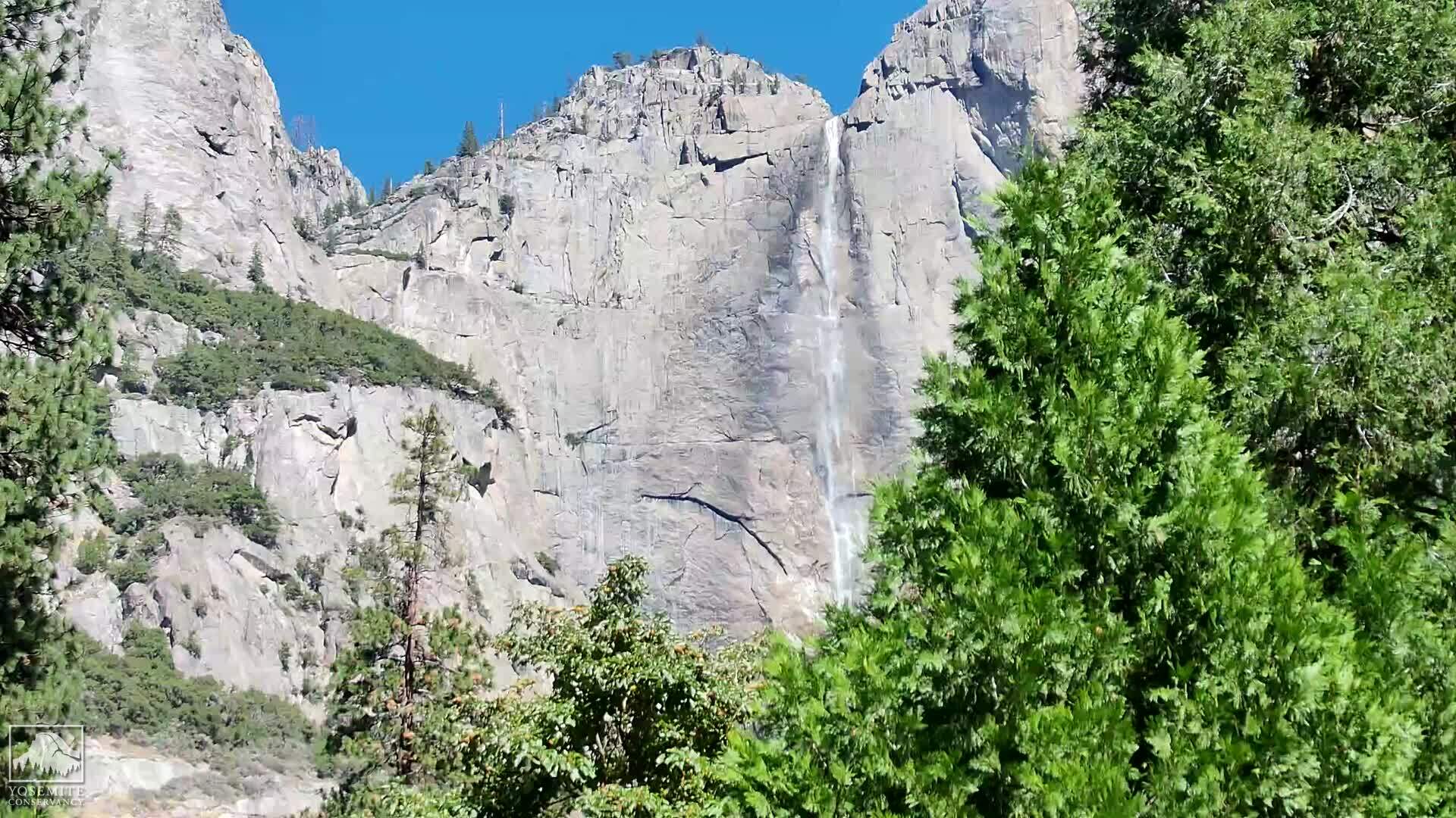
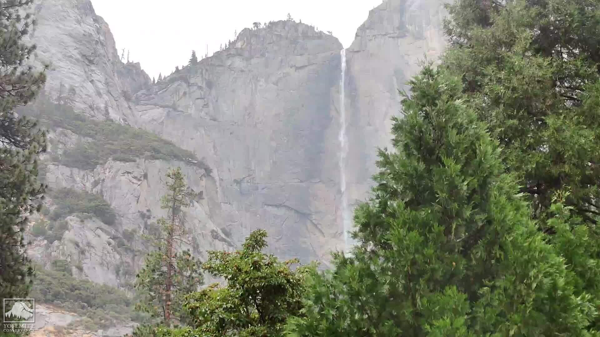
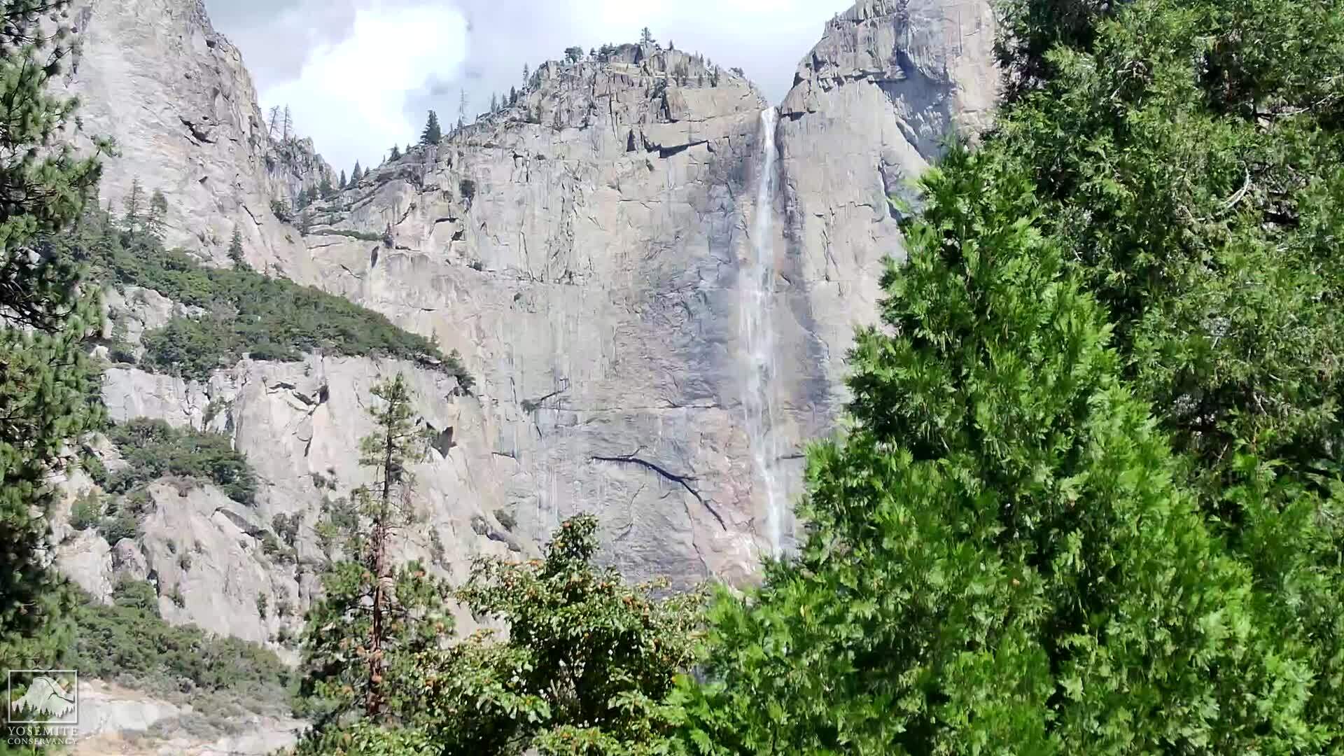
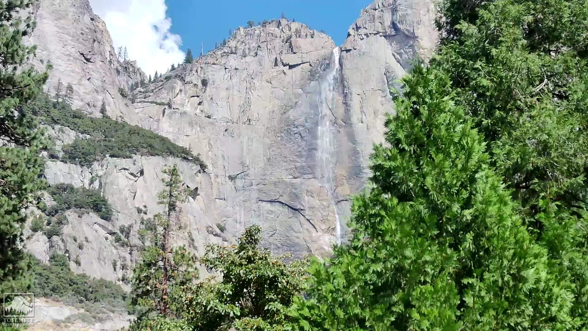
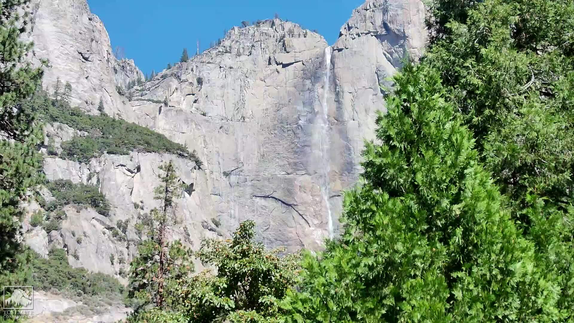
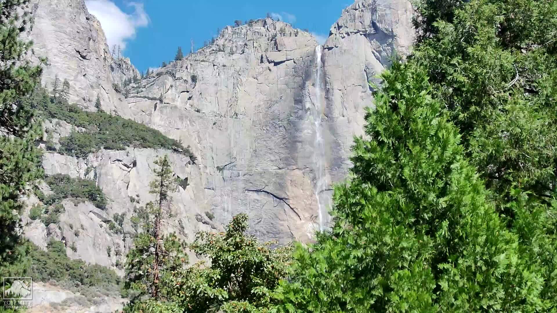
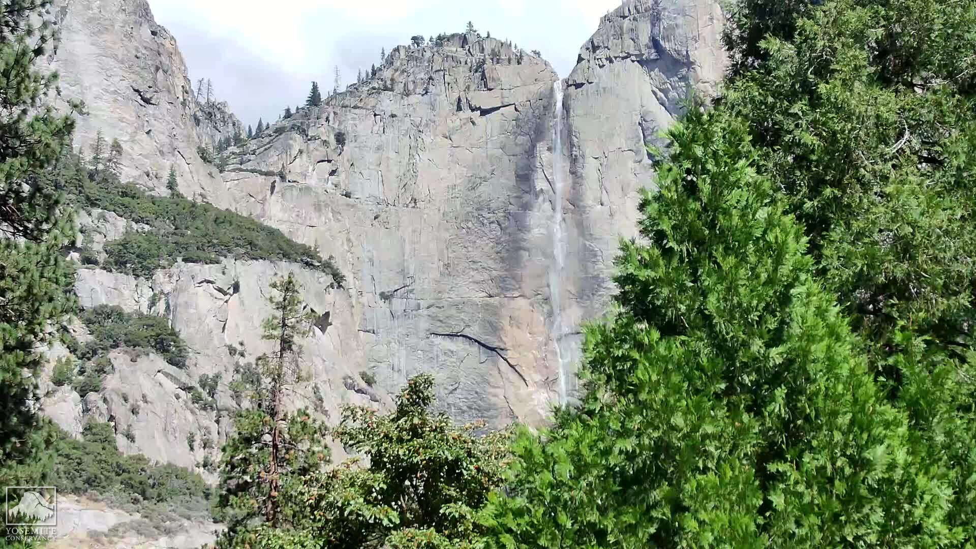
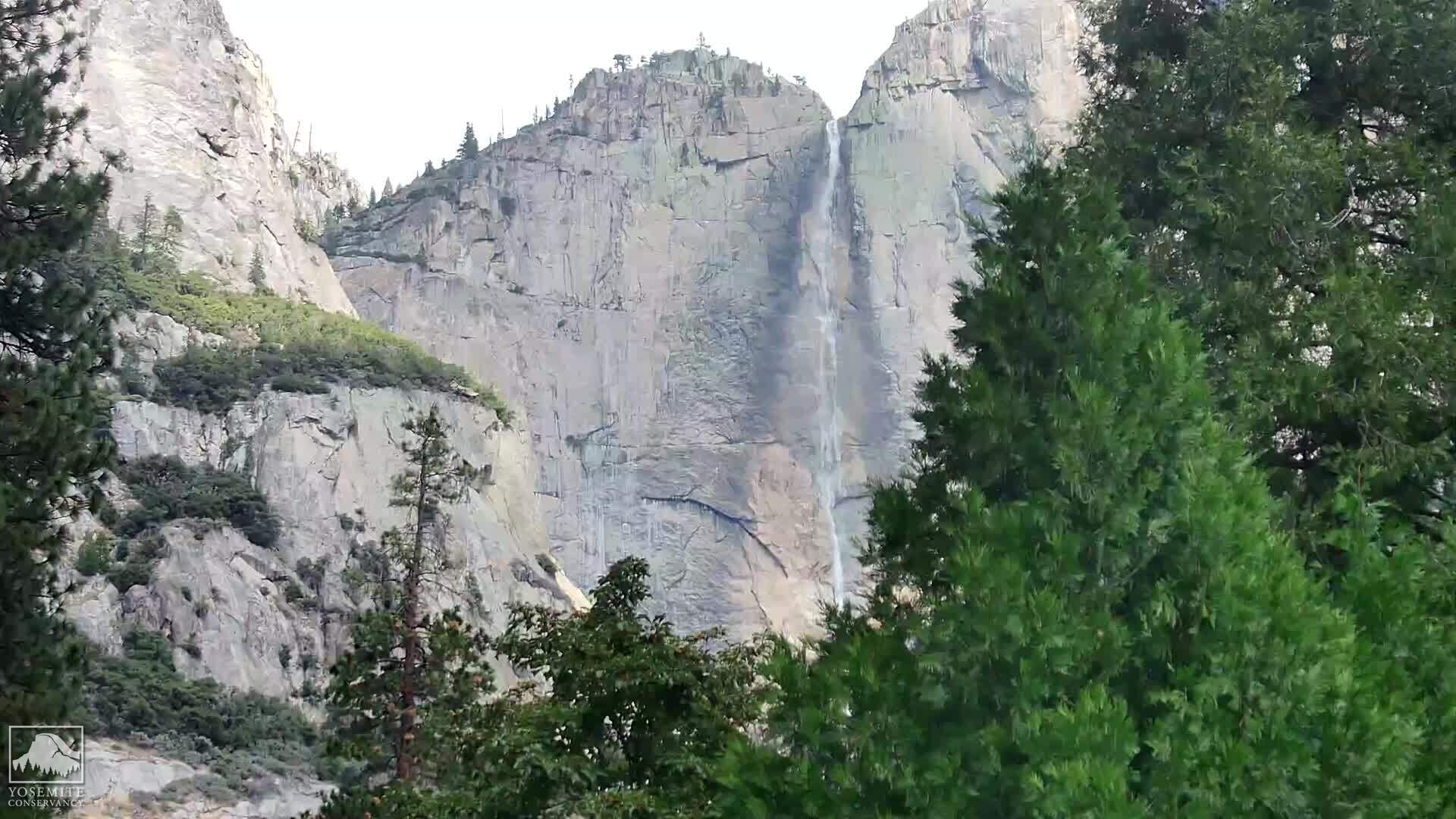
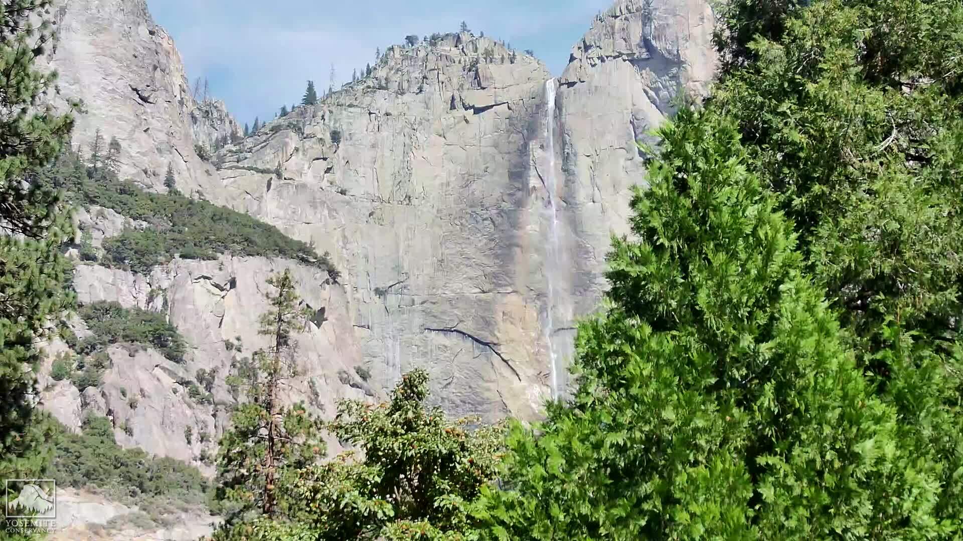
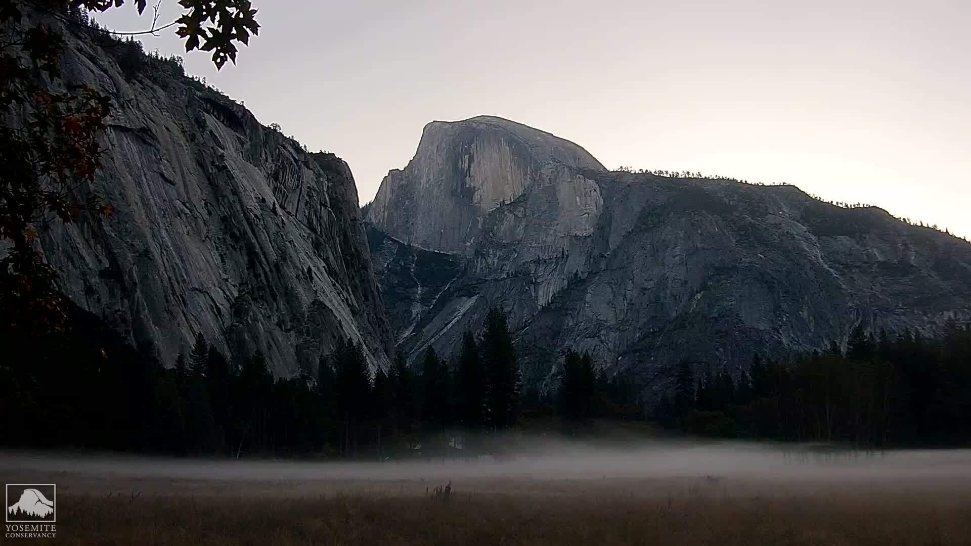
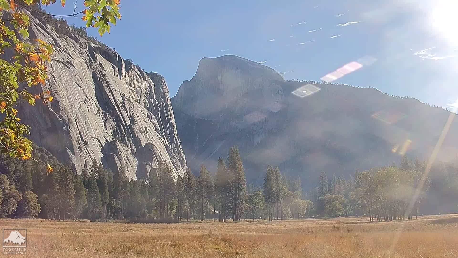
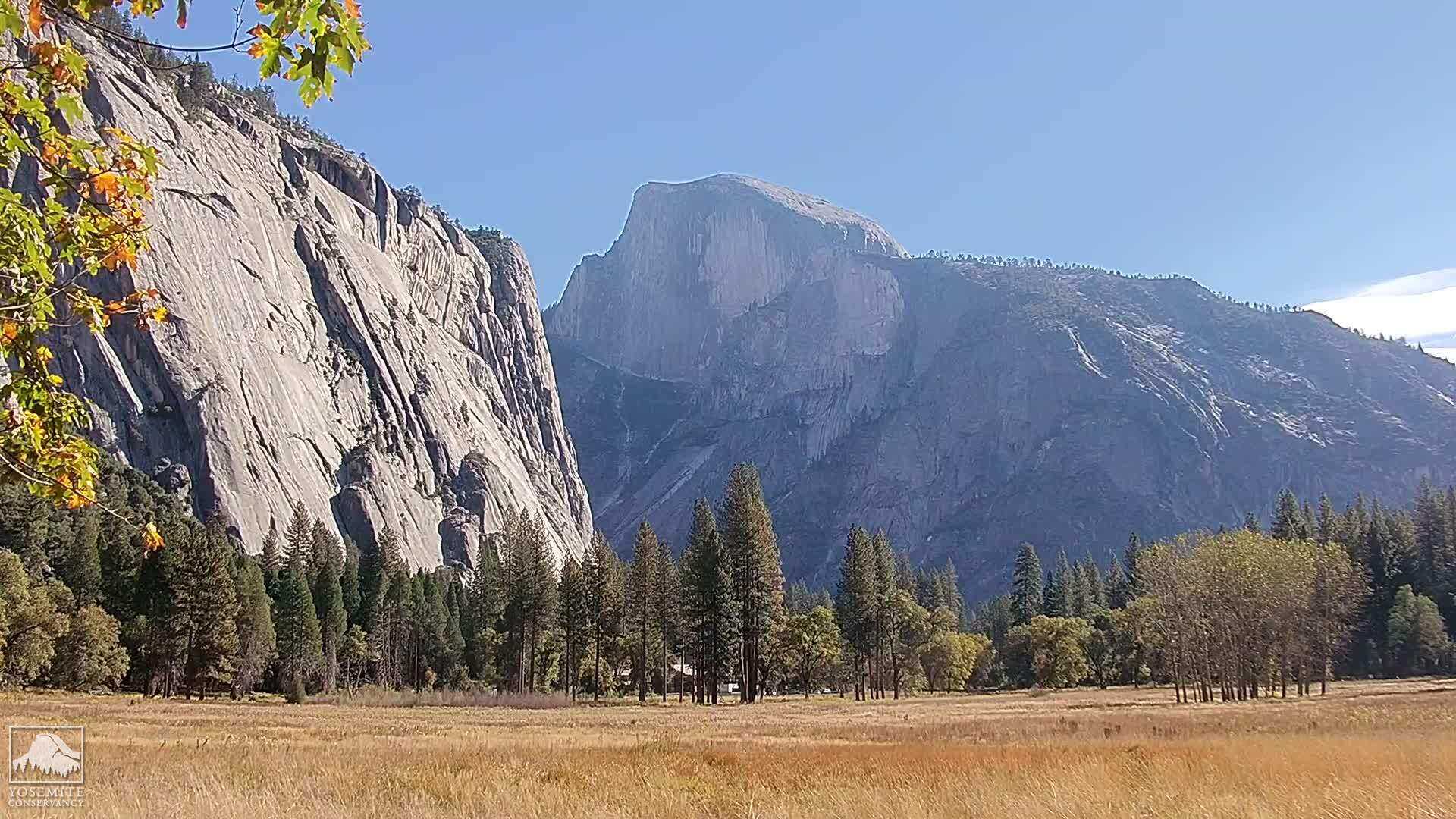
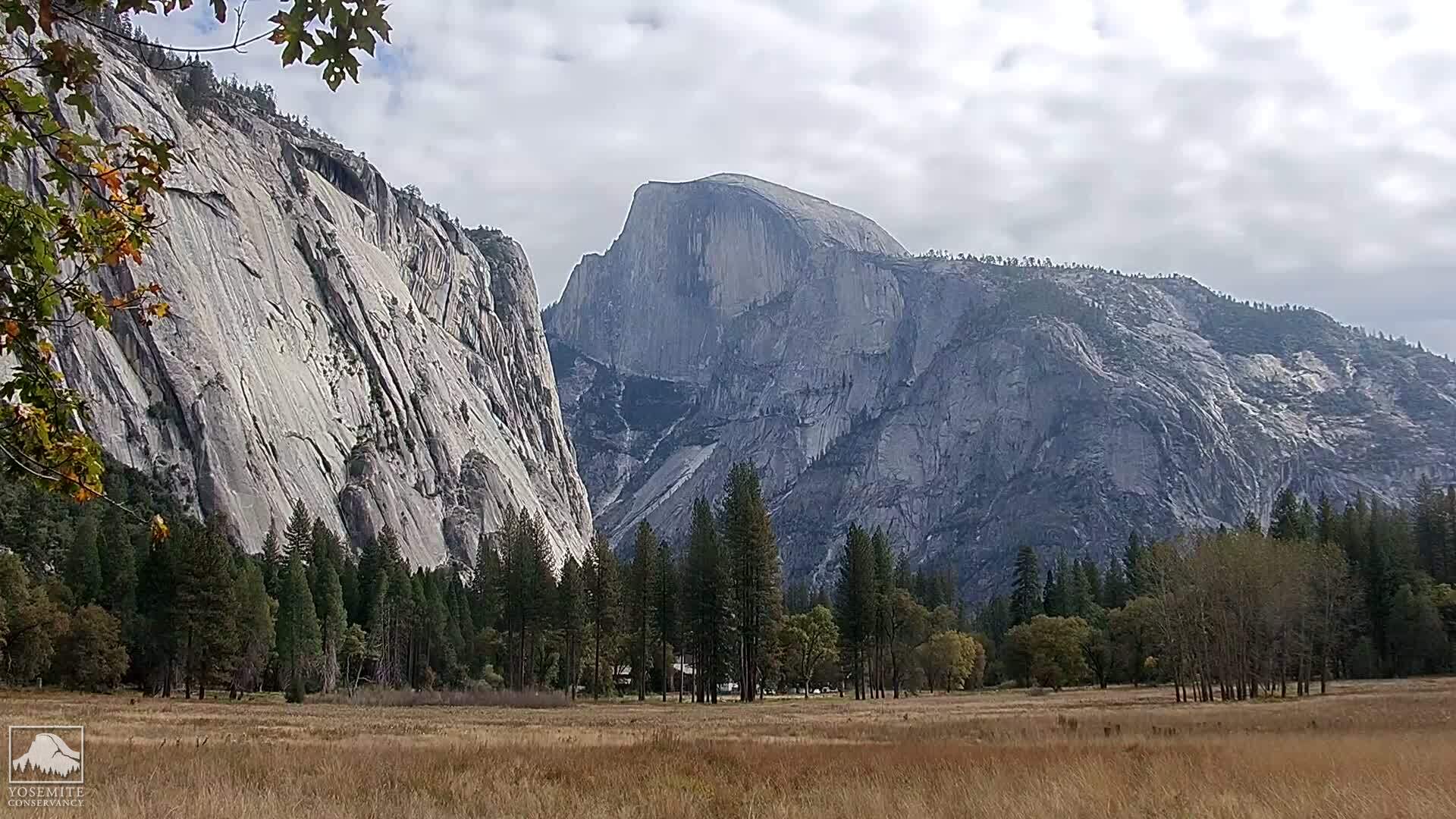
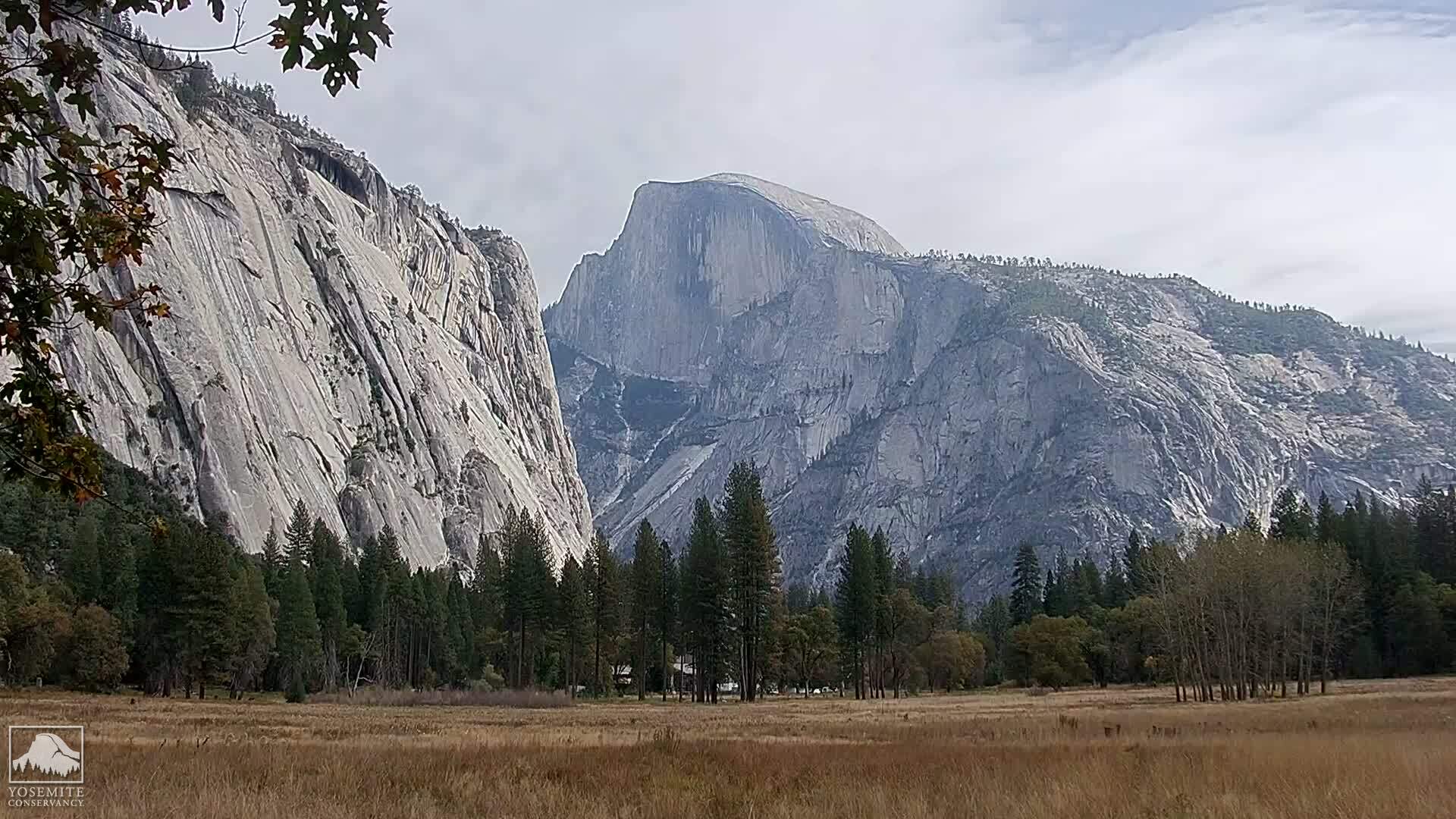
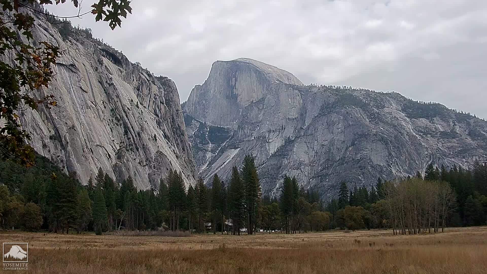
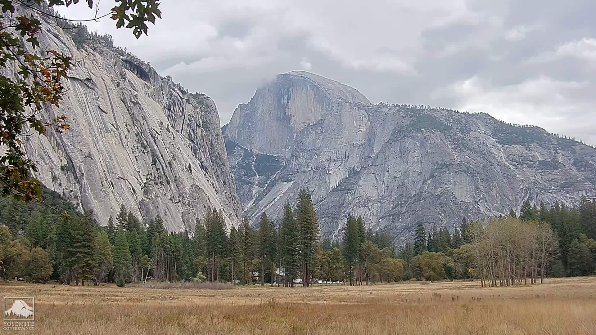
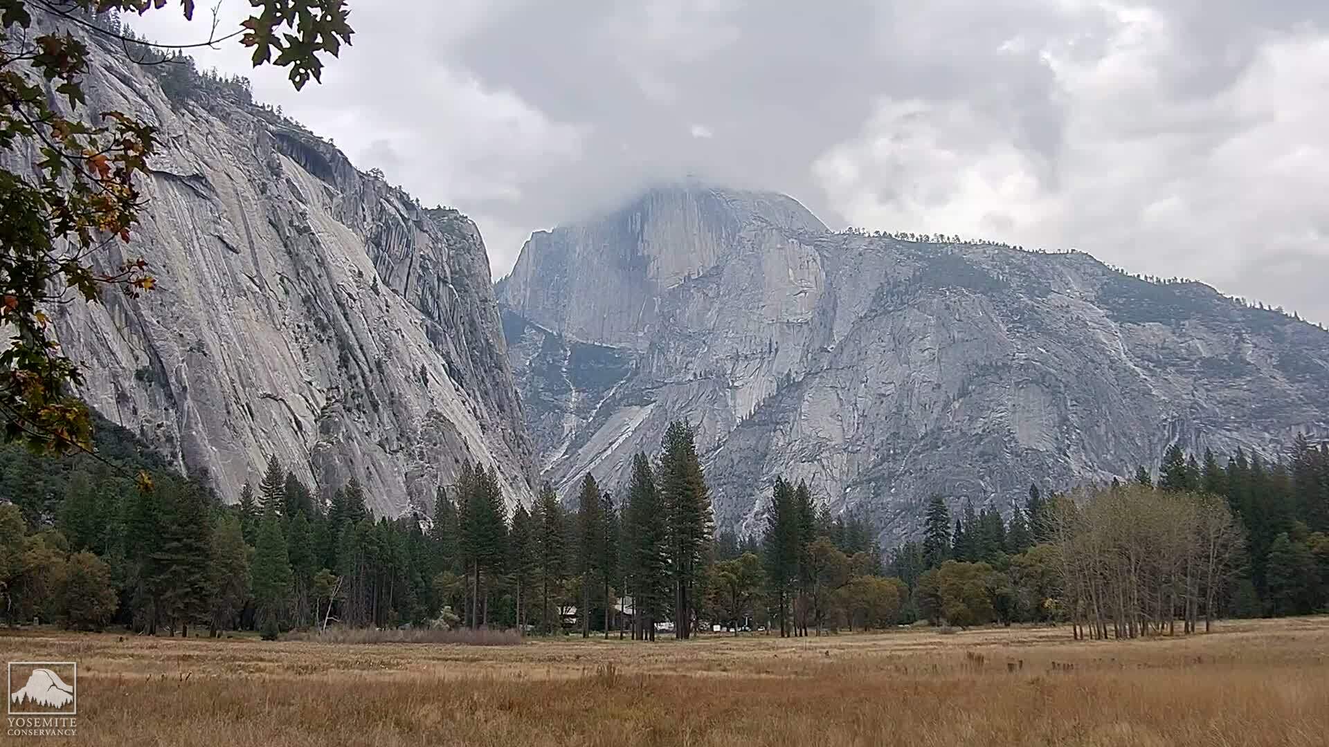
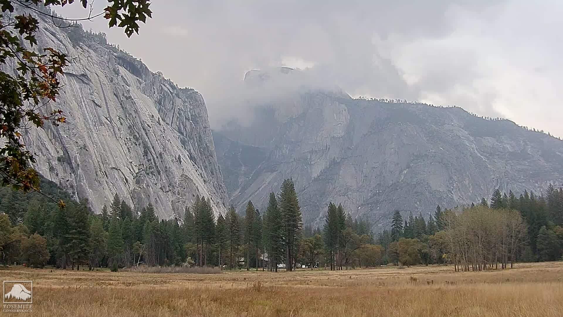
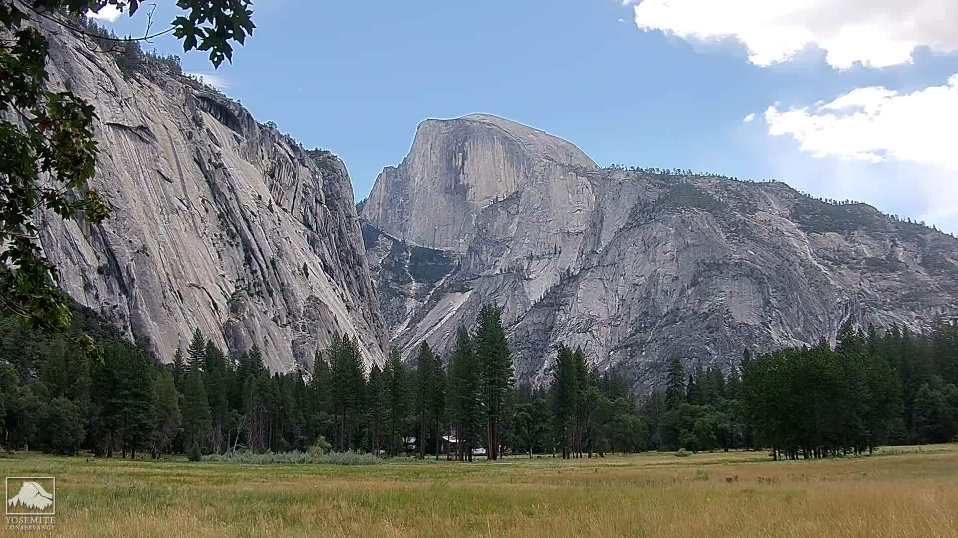
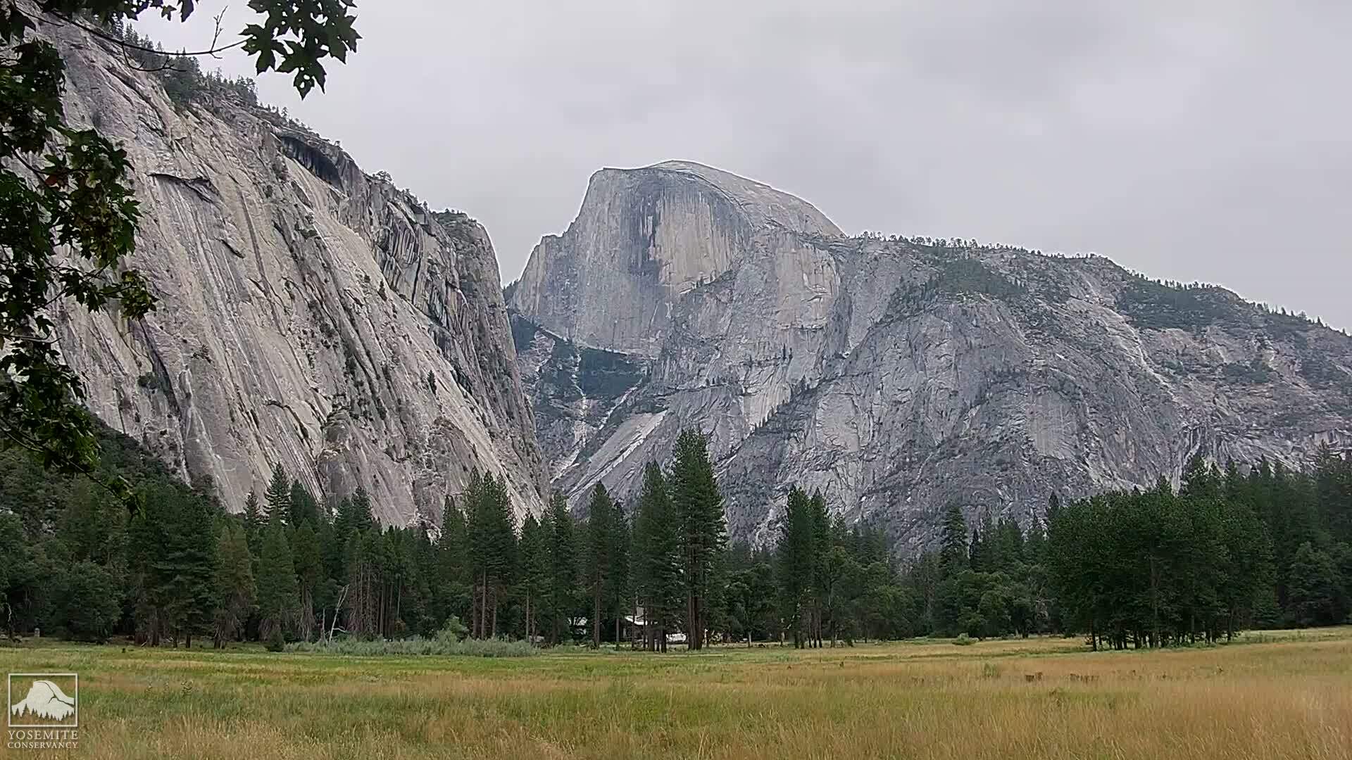
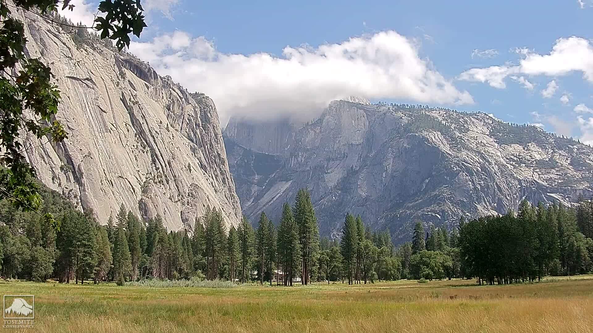
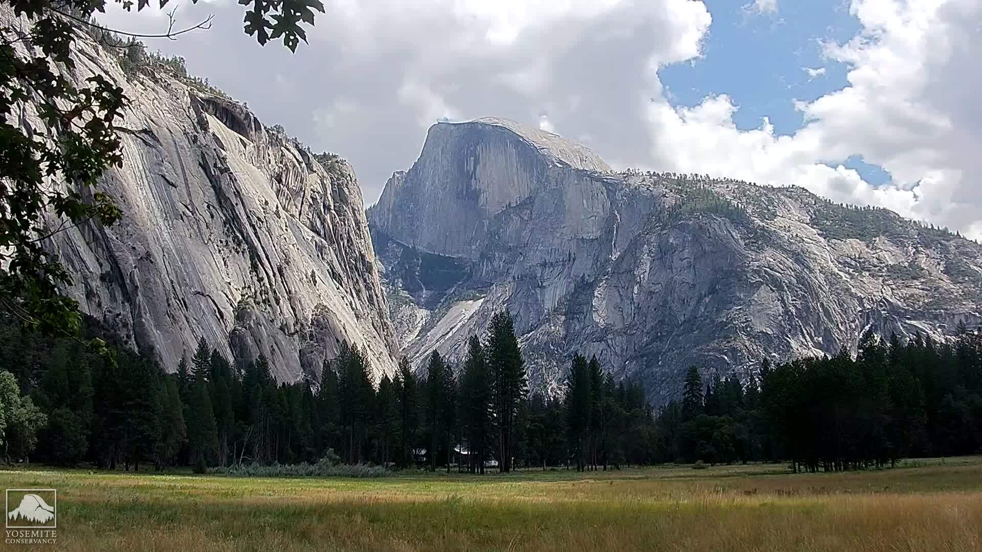
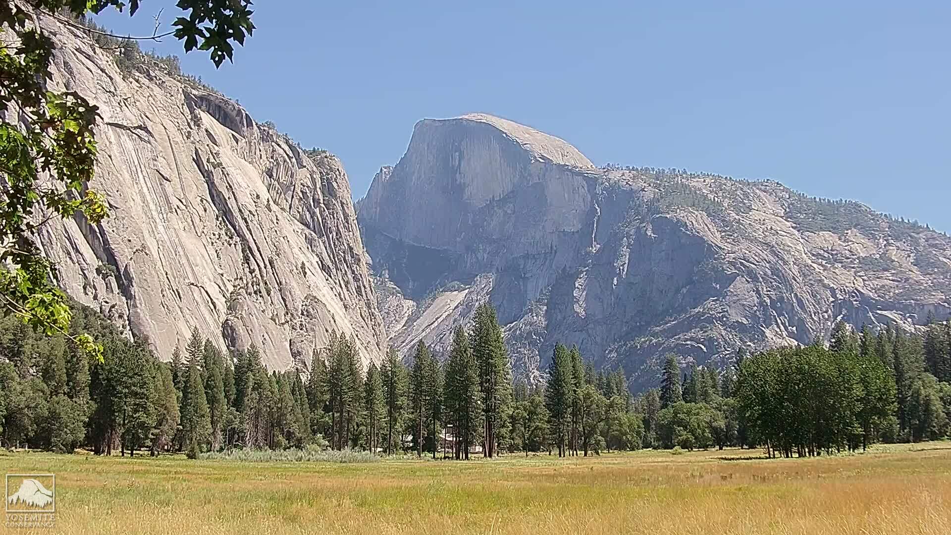
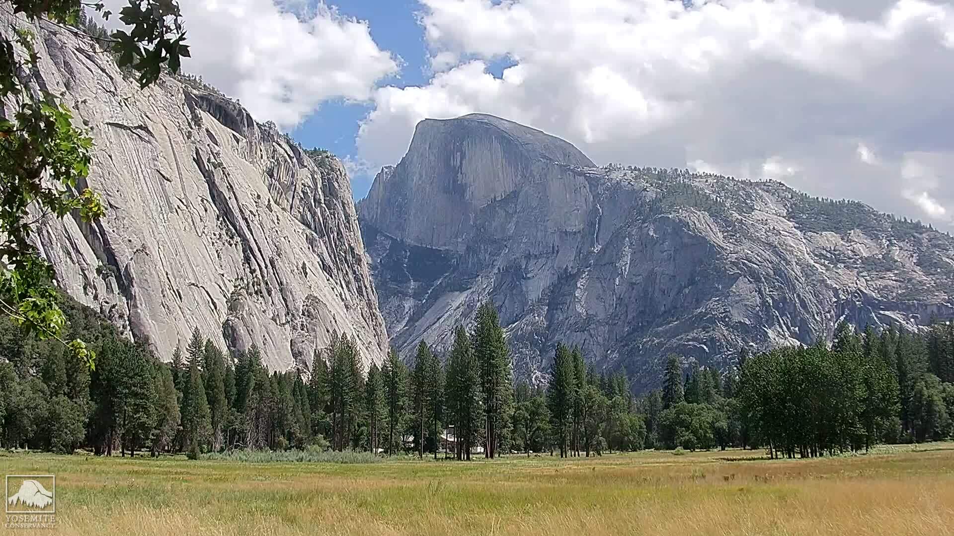
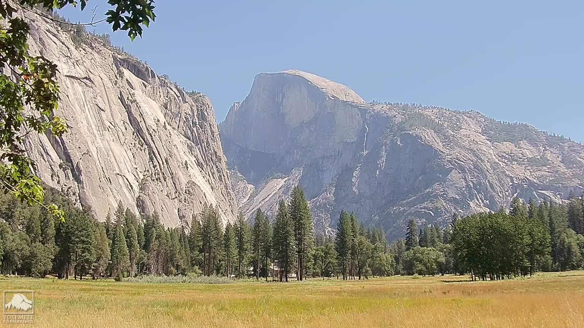
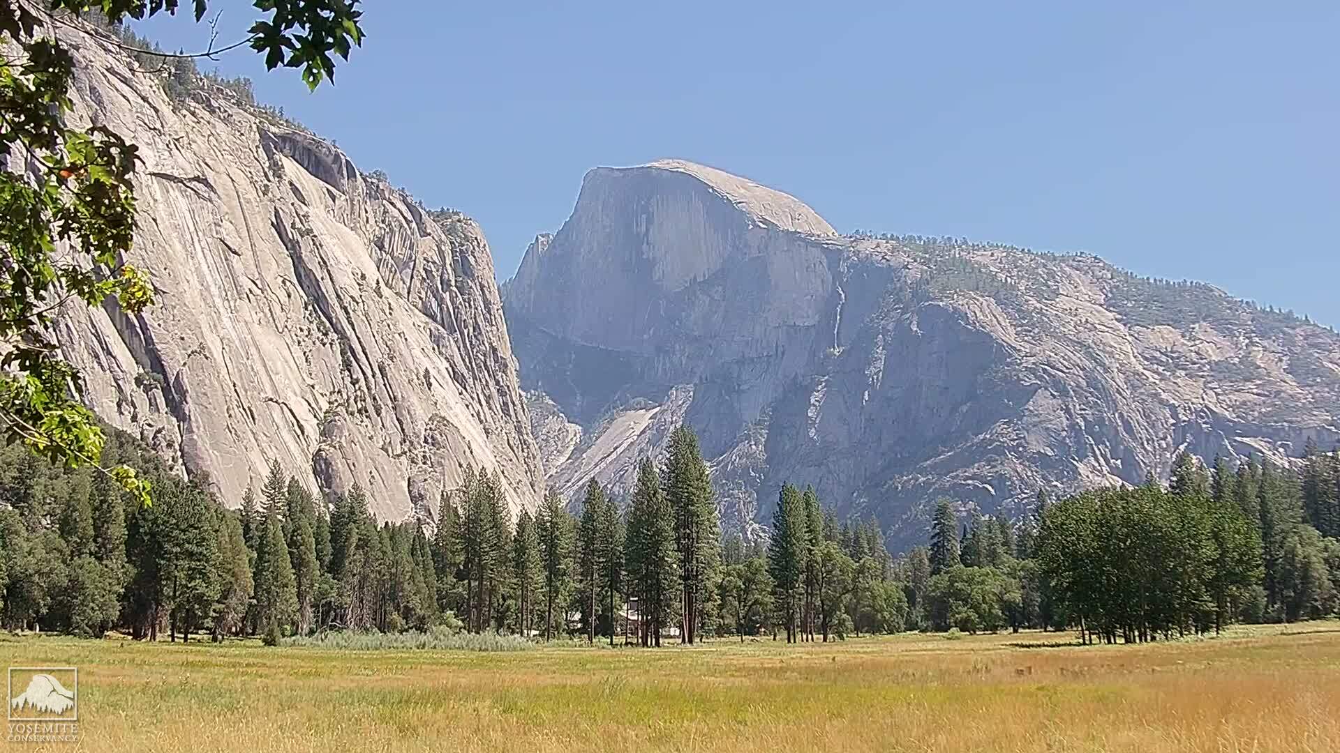
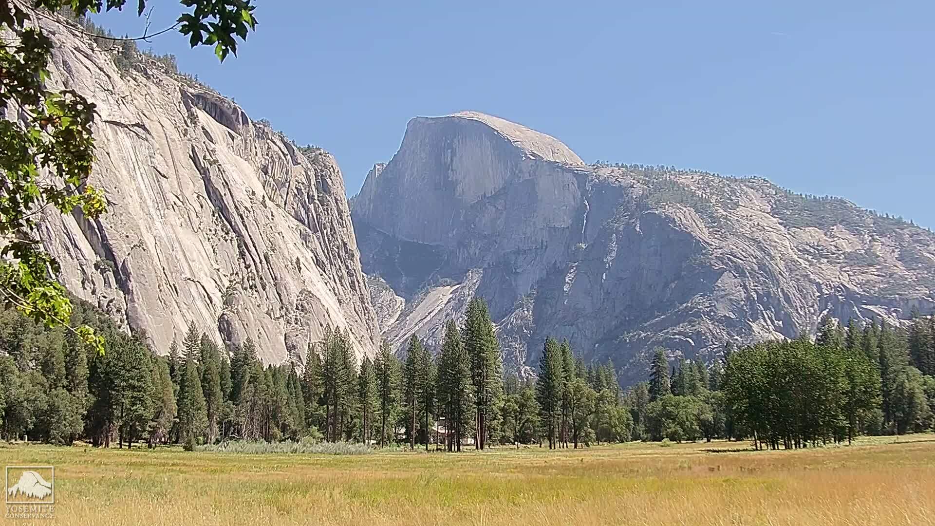
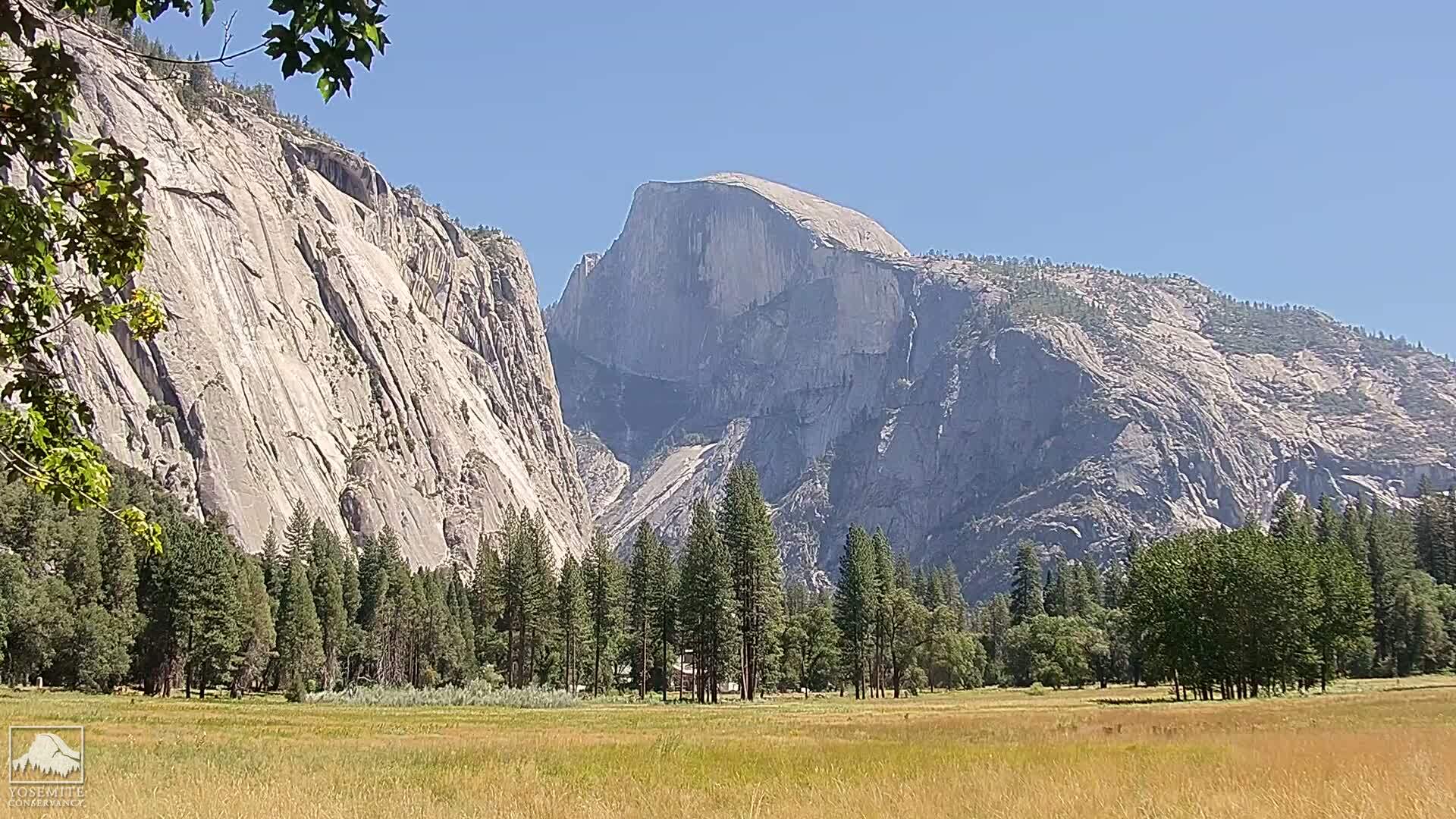
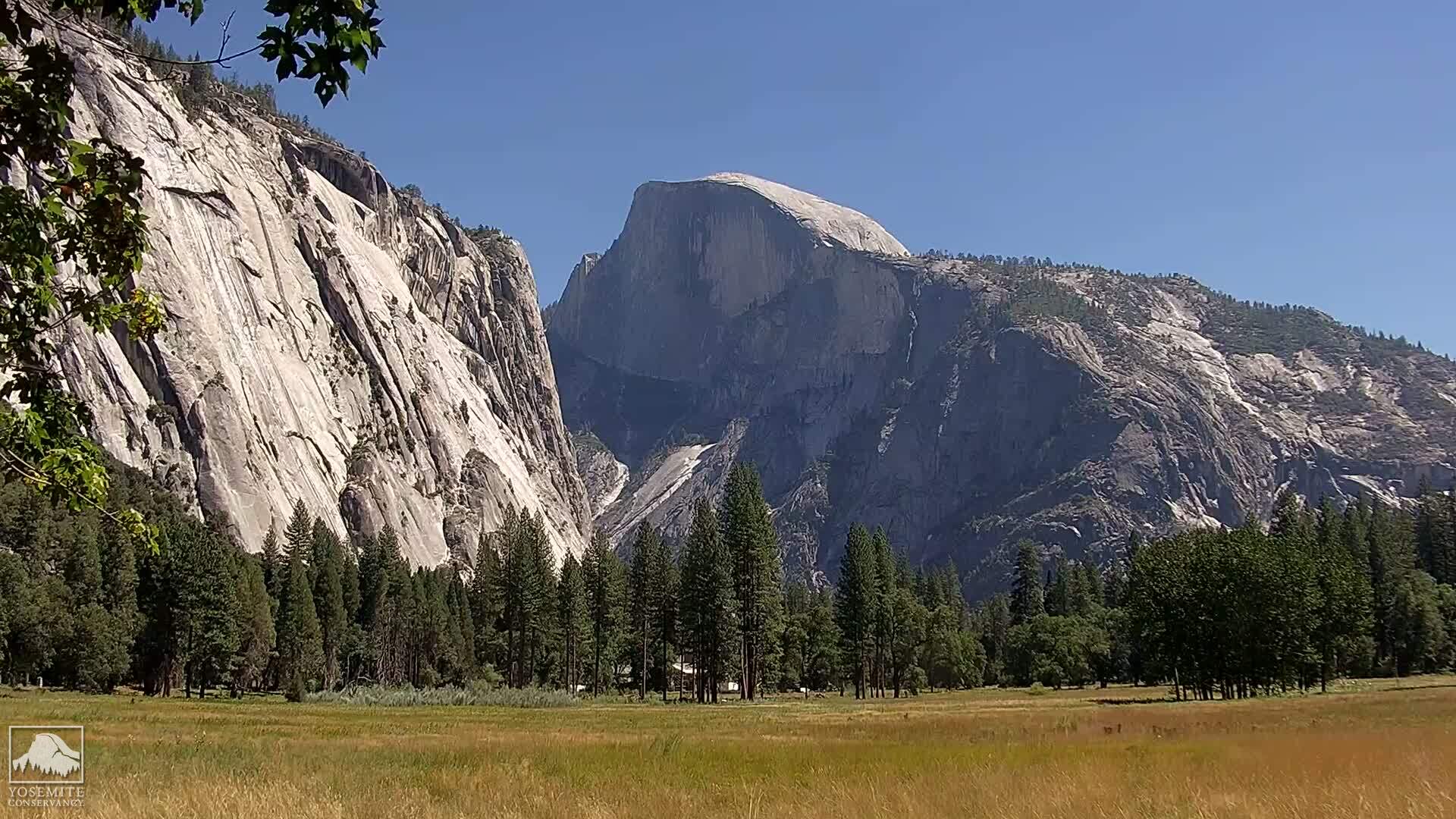
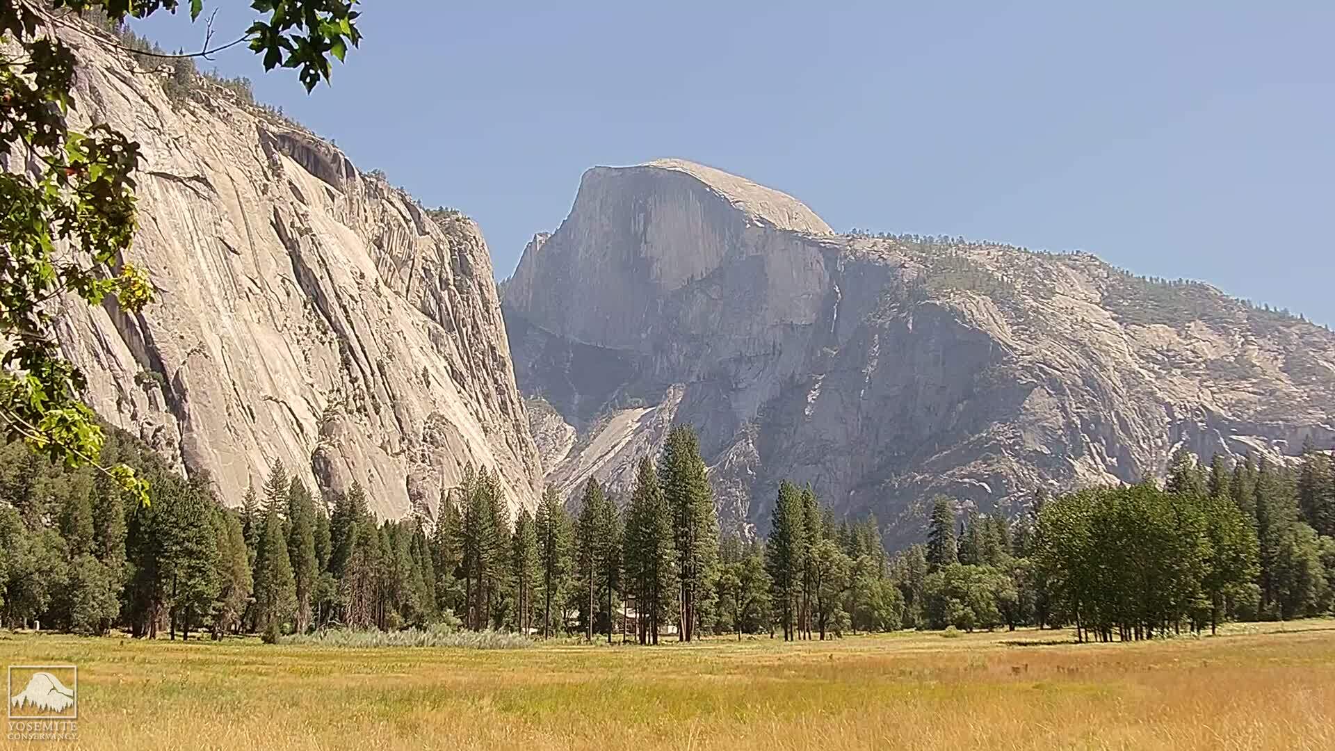
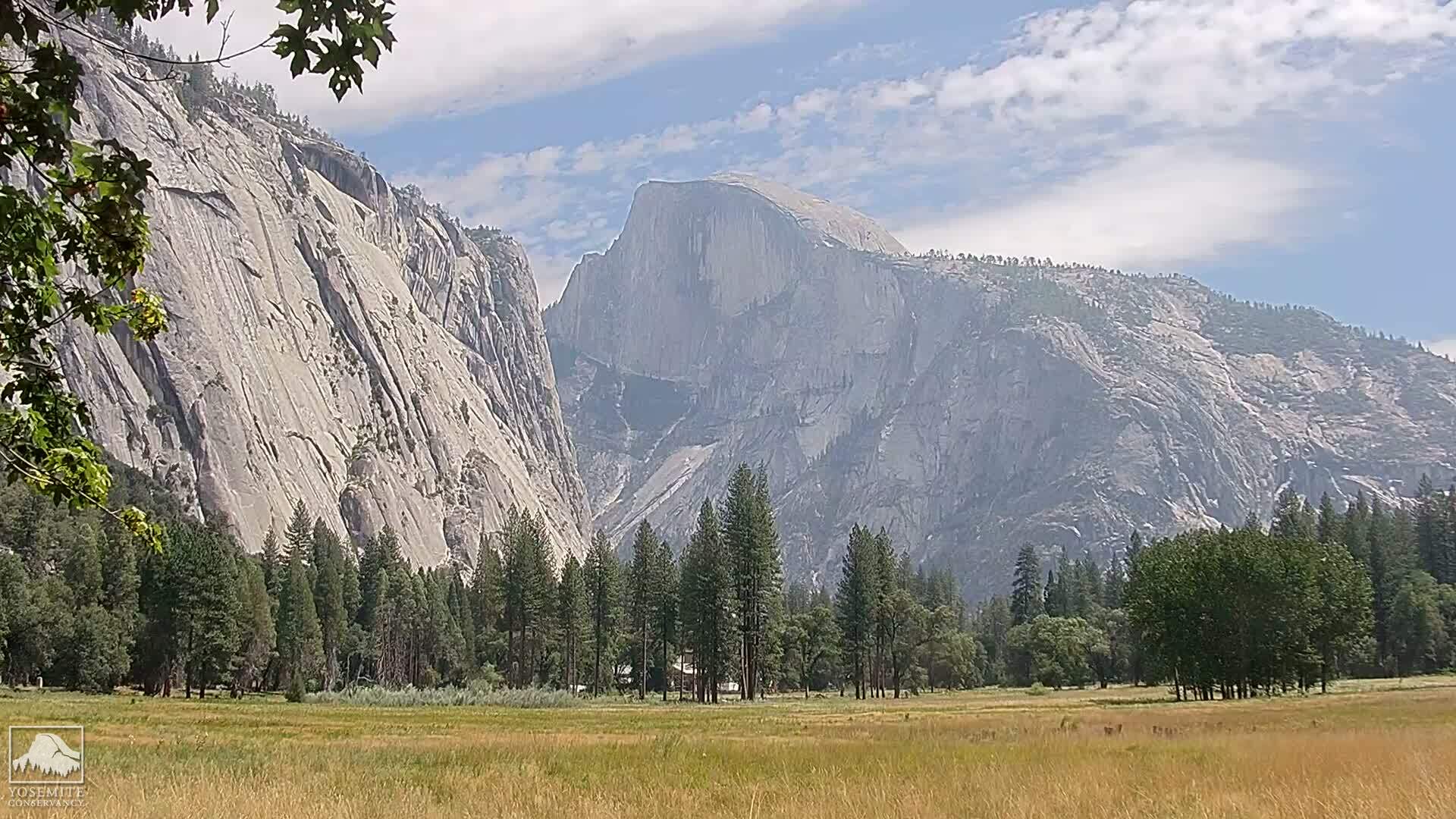
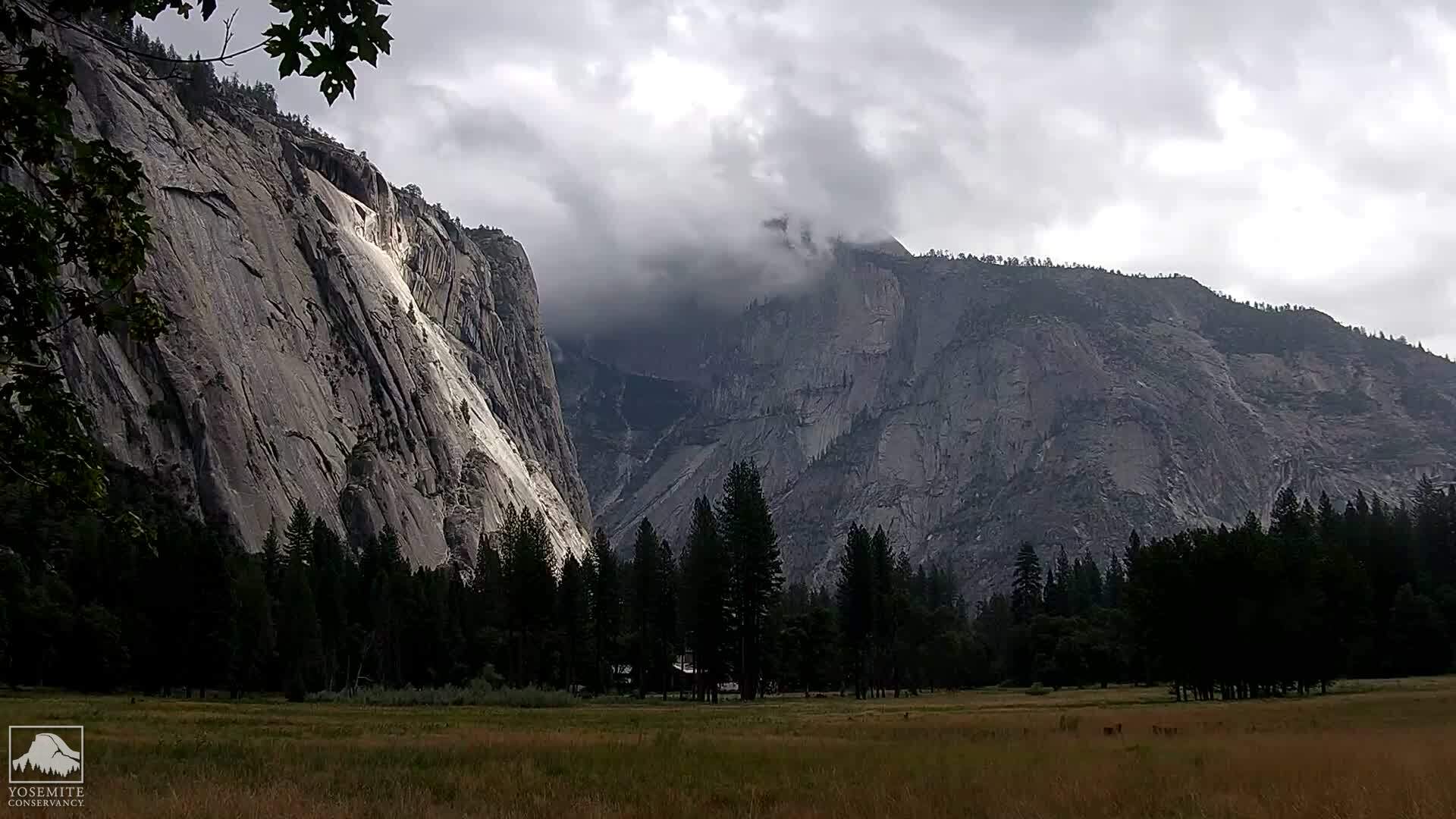
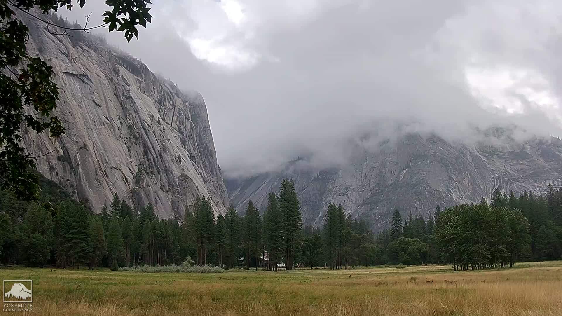
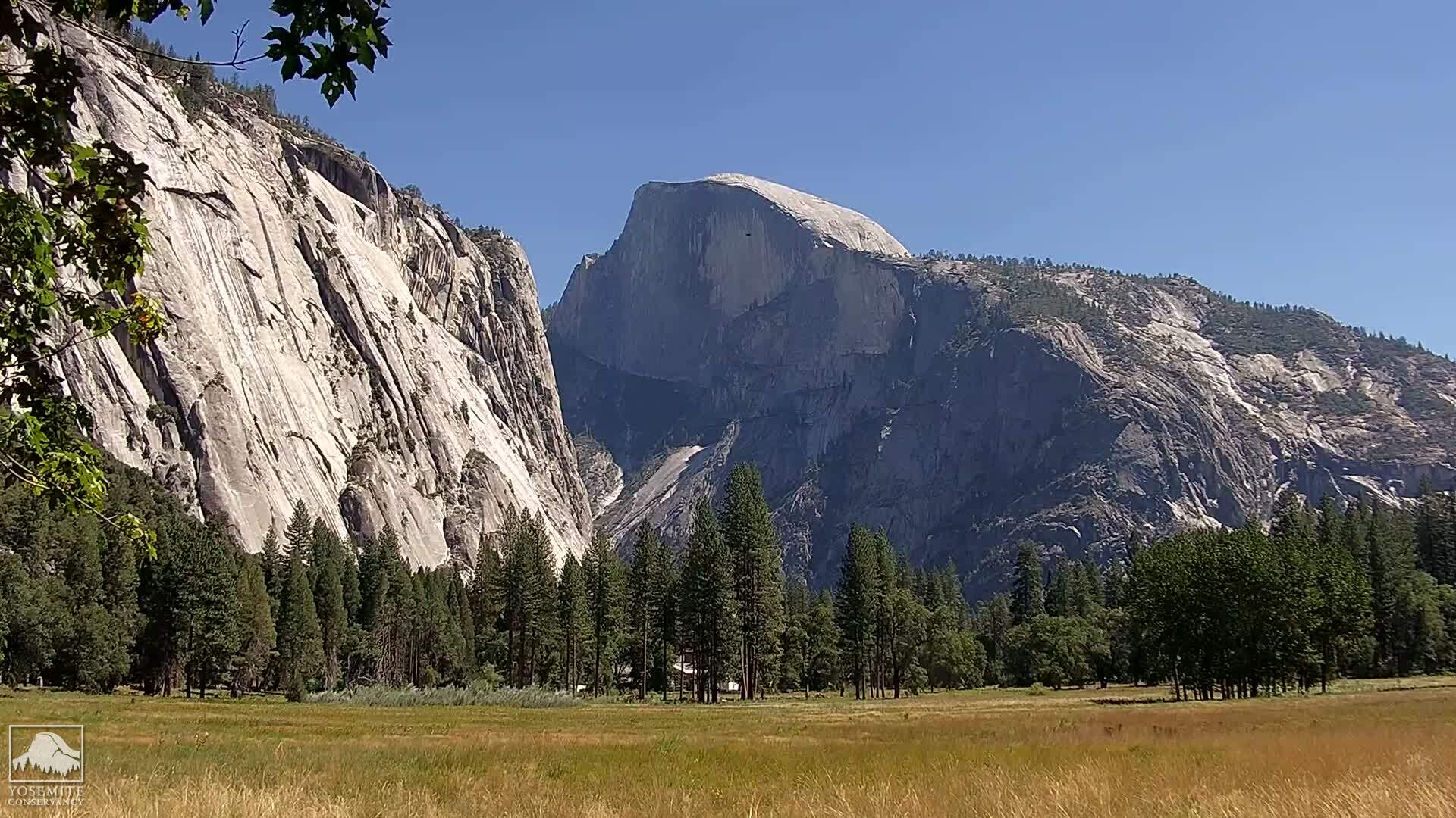
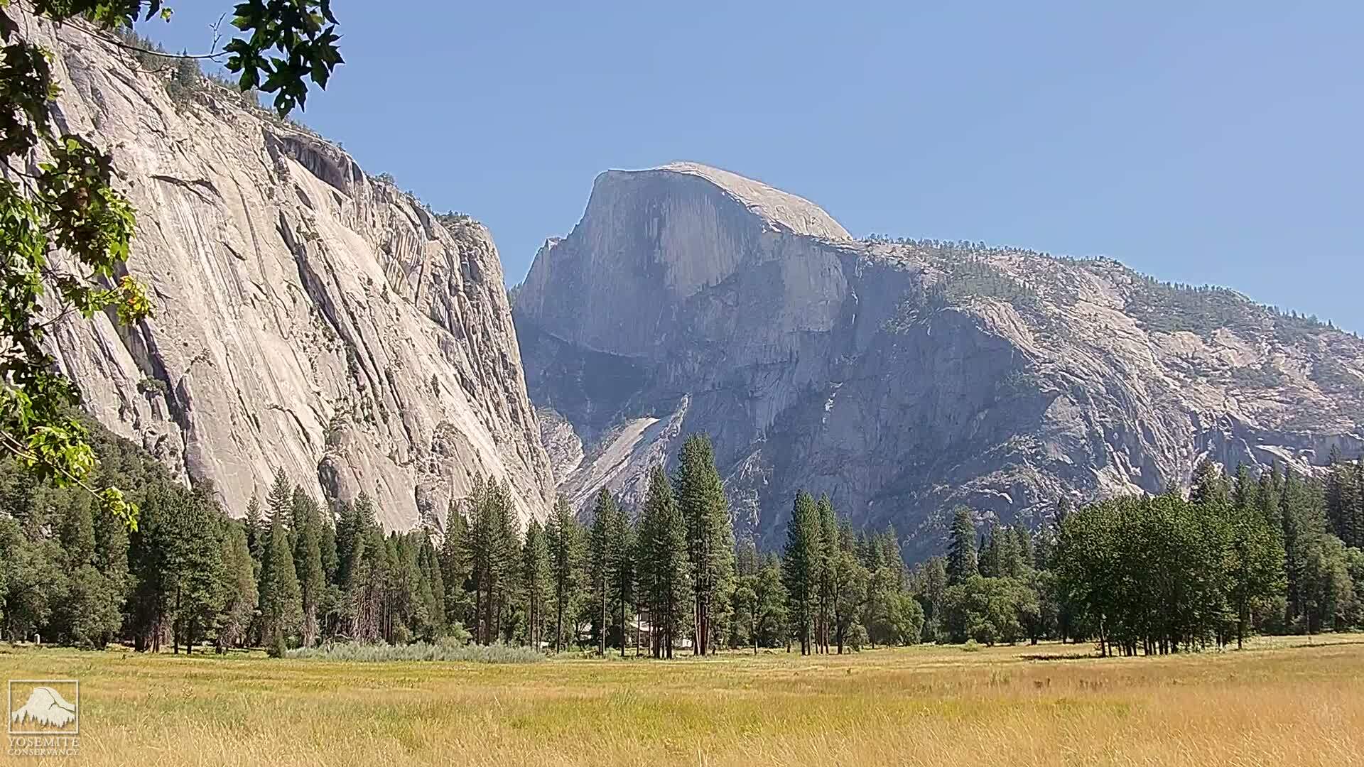
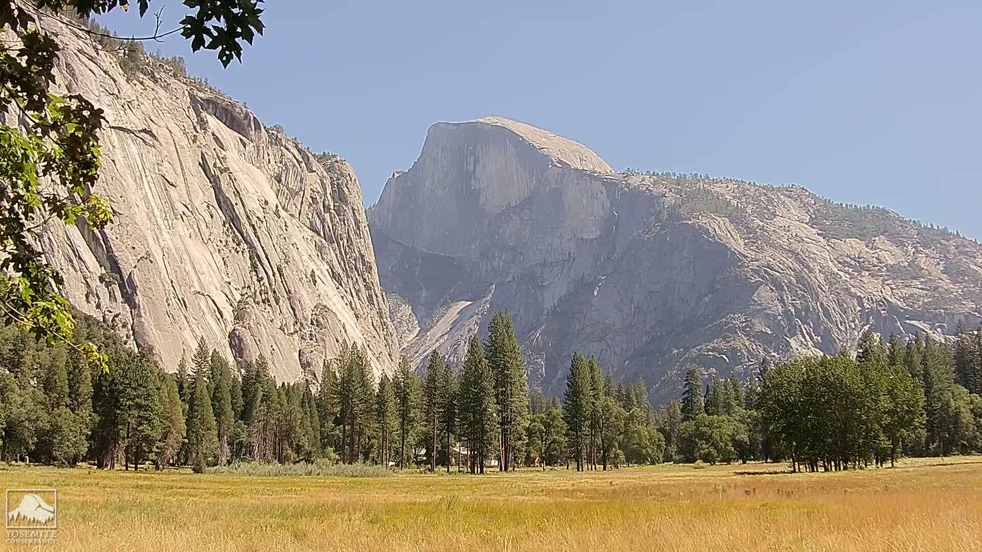
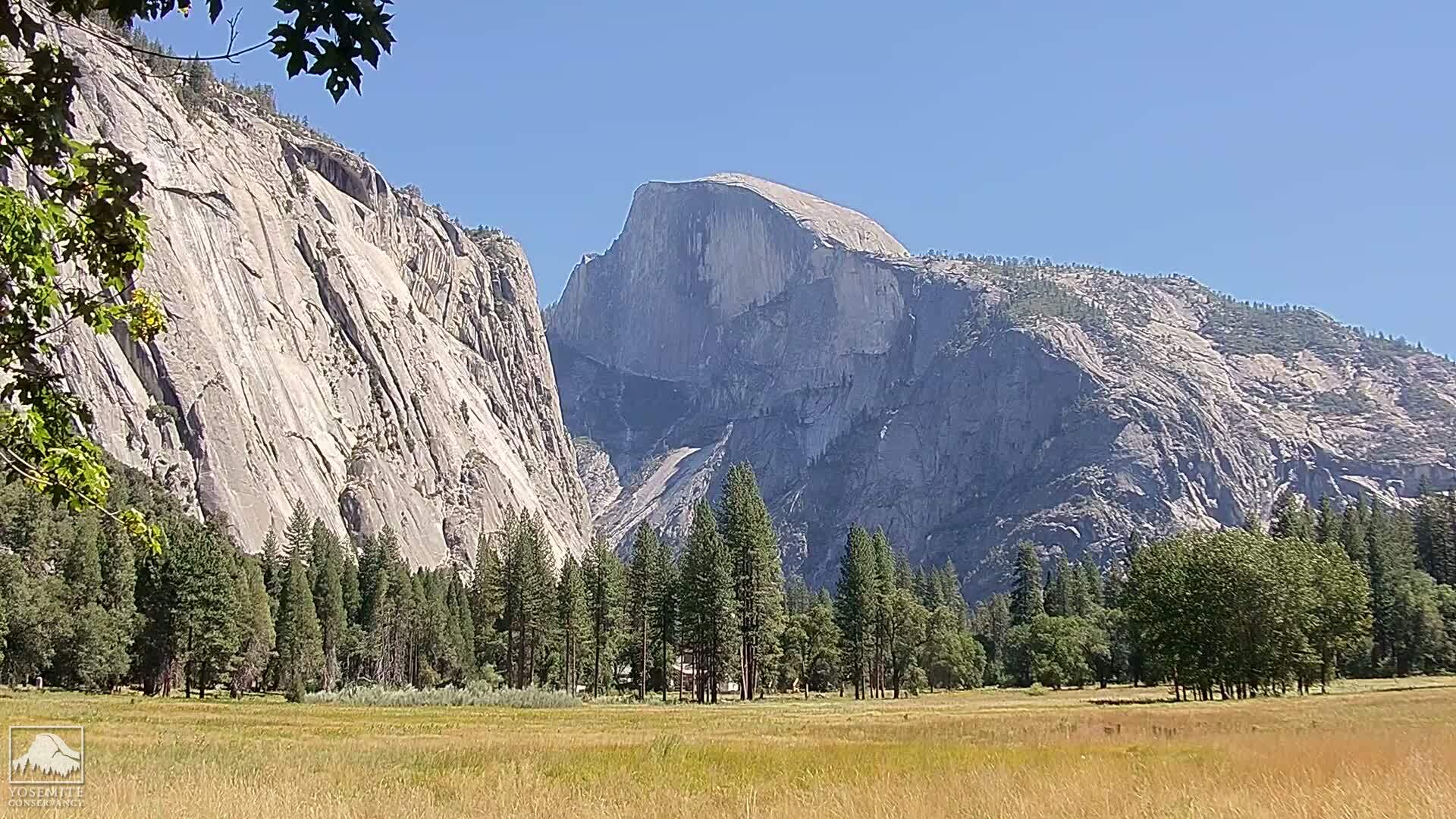
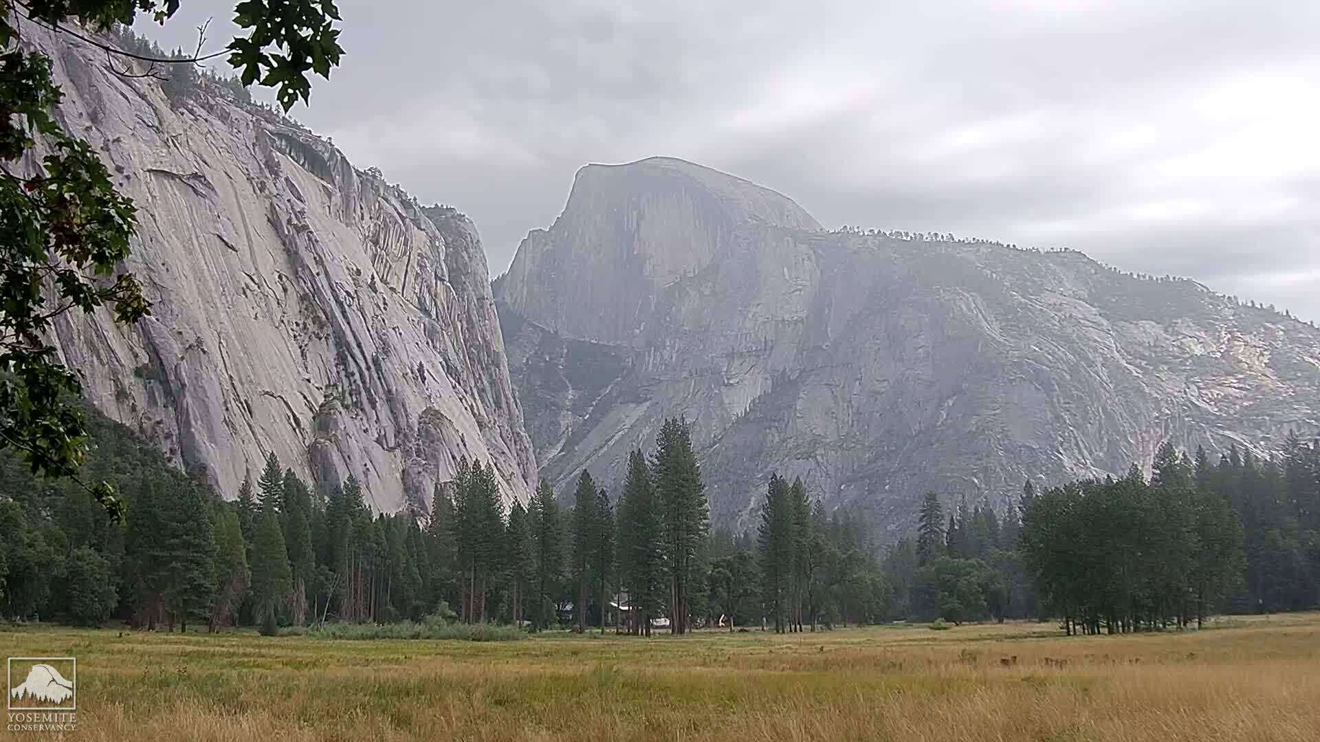
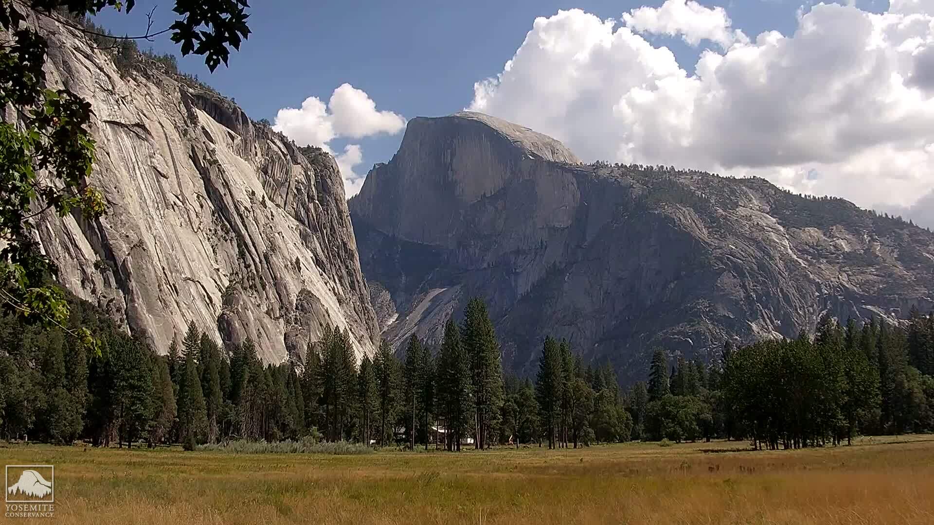
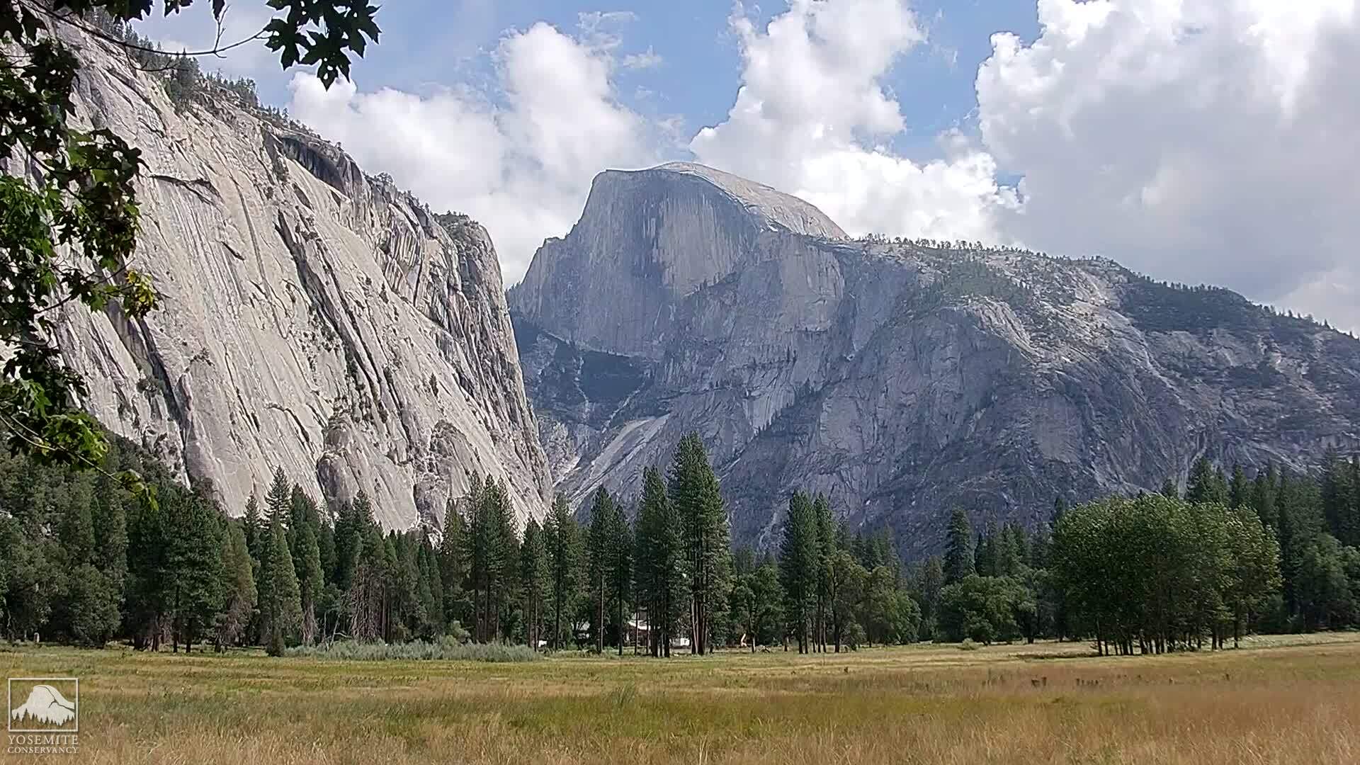
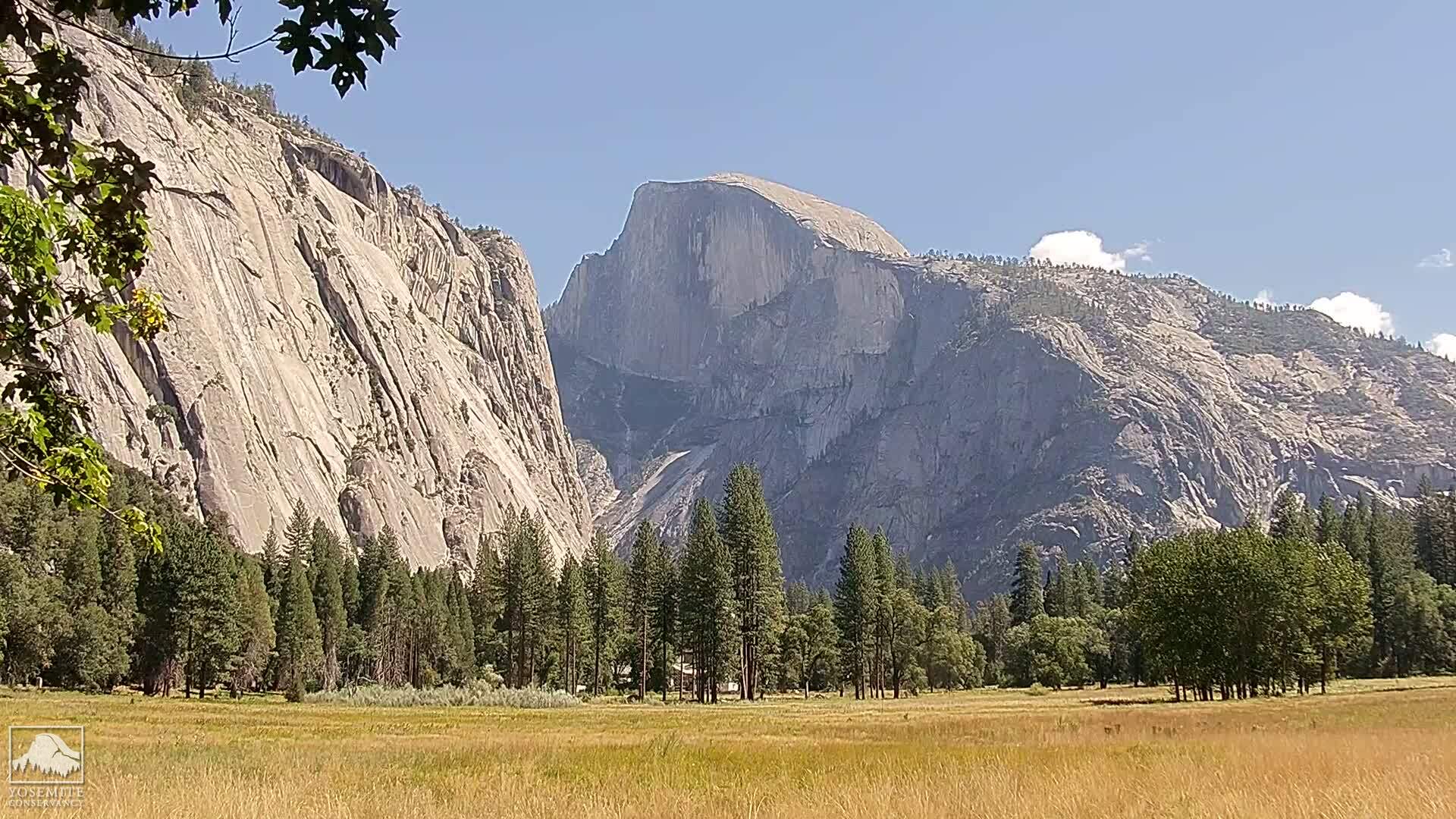
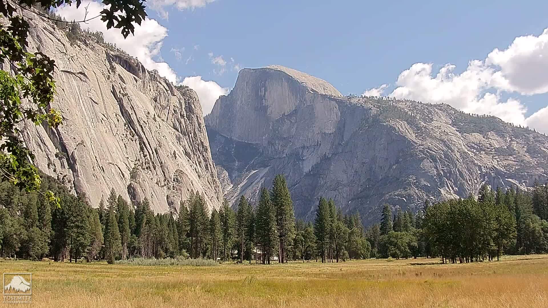
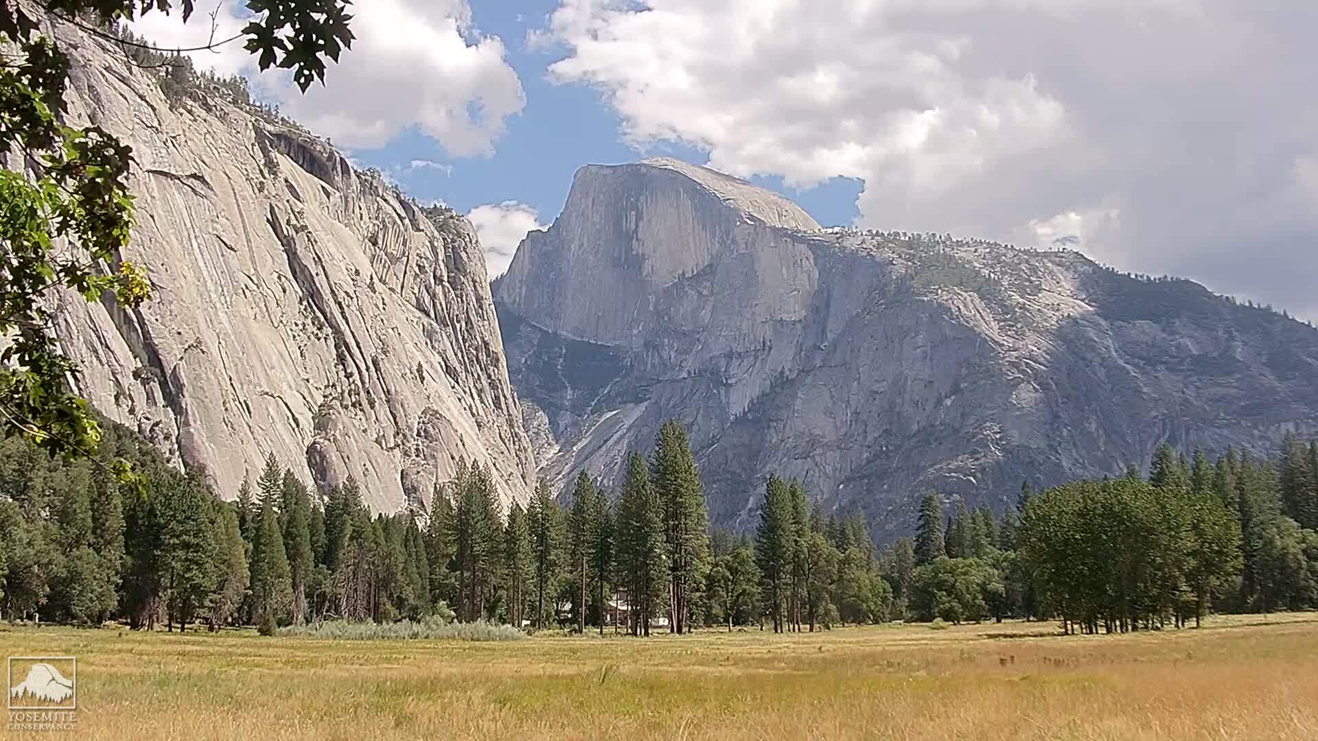
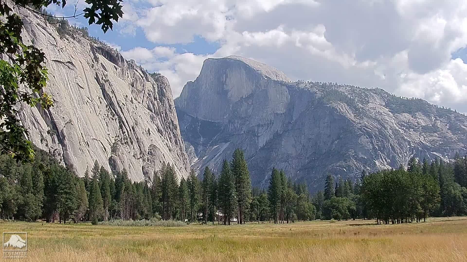
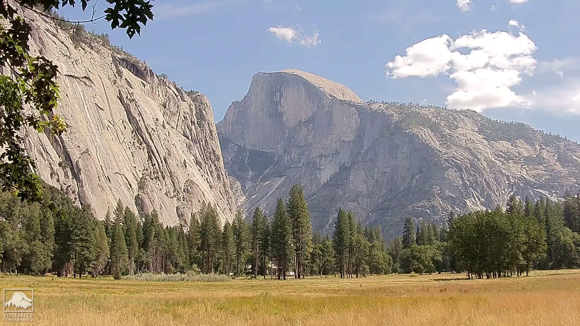
Yosemite Village, California, USA - 165.2 miles from Pine Creek (historical): Yosemite Falls
Operator: Yosemite Conservancy
Operator: Yosemite Conservancy


Yosemite National Park, California, USA - 165.7 miles from Pine Creek (historical): Live Web Cam Views of Yosemite Valley - Several views.
Operator: The Yosemite Association
Operator: The Yosemite Association


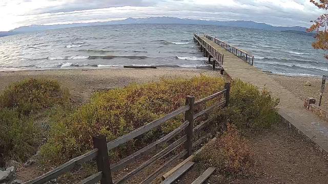
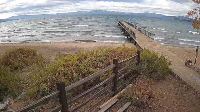
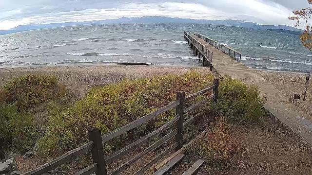
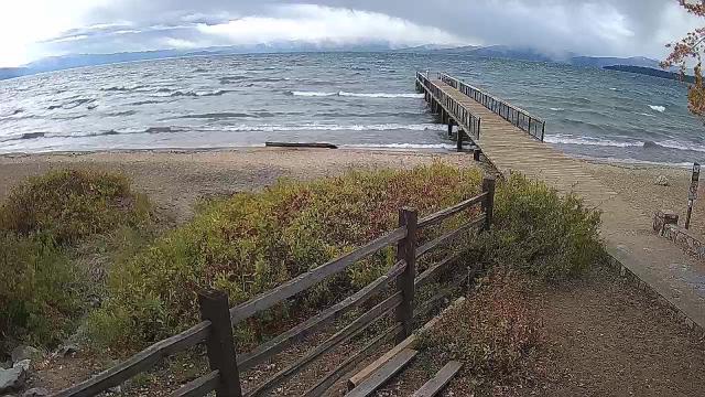
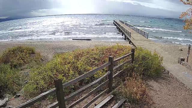
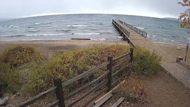
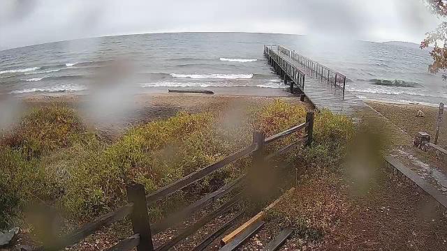
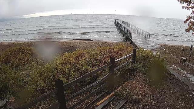
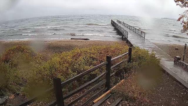
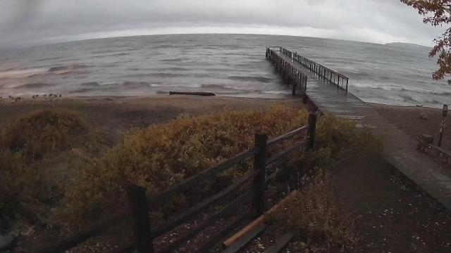
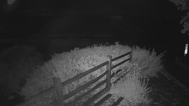
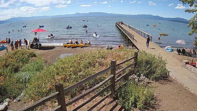
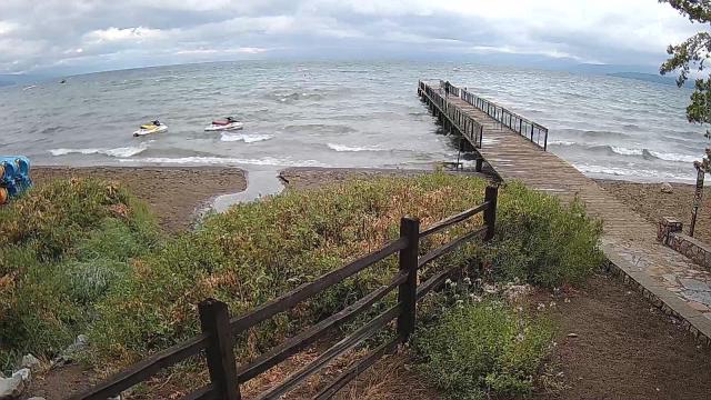
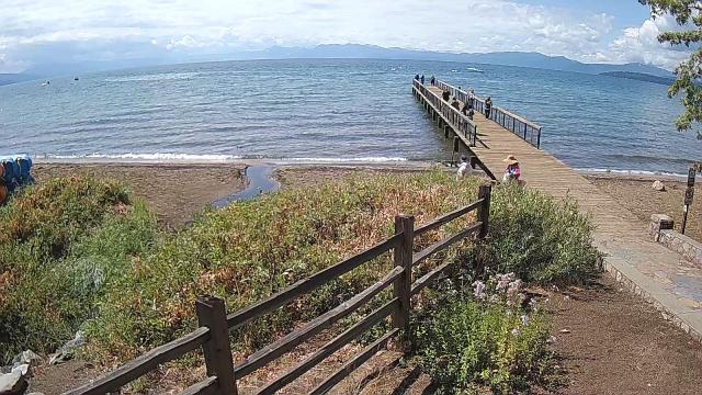
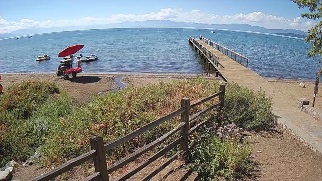
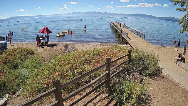
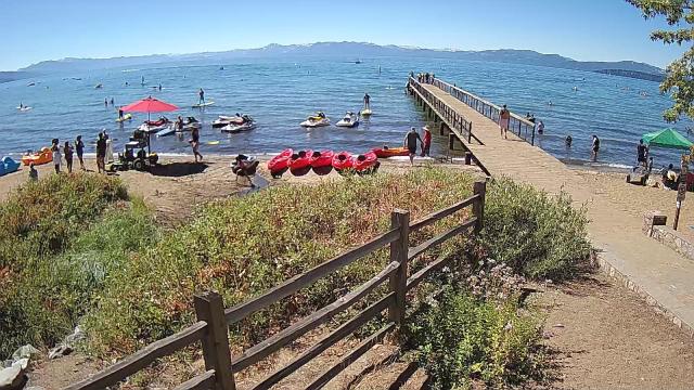
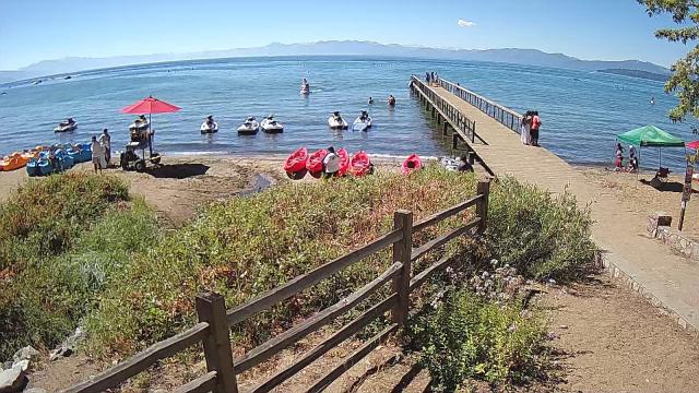
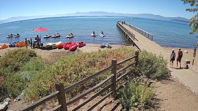
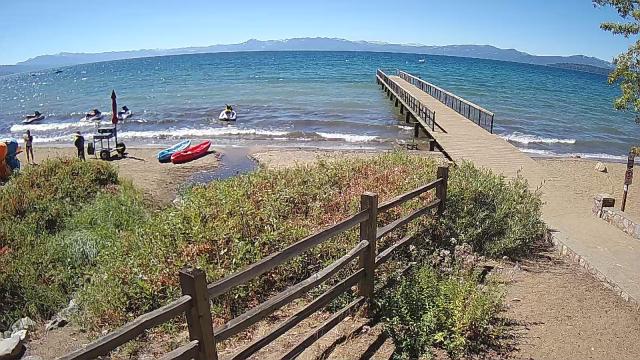
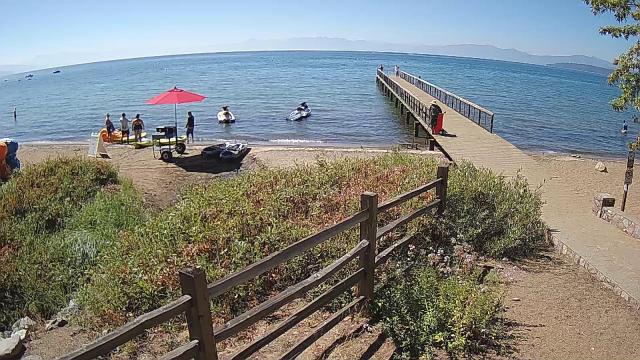
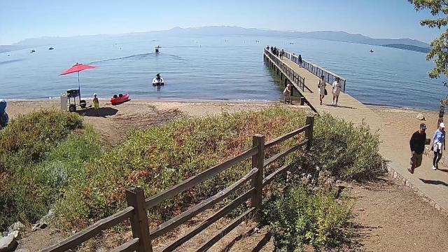
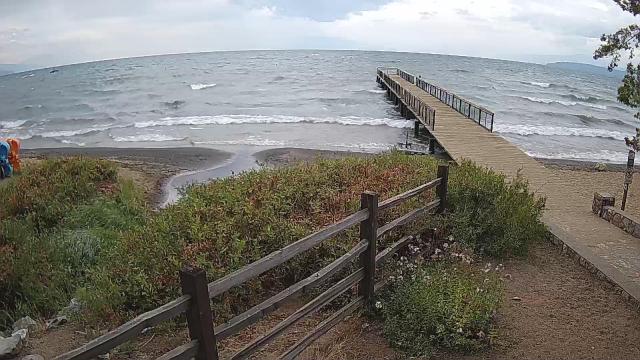
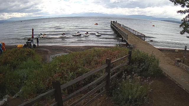
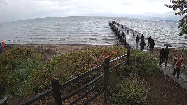
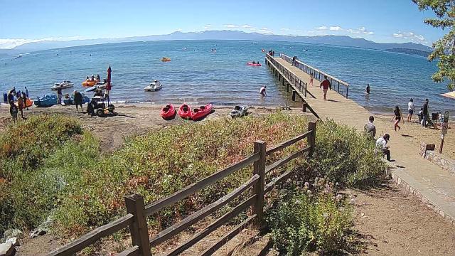
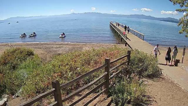
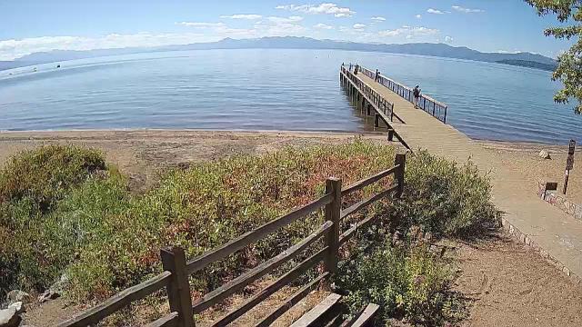
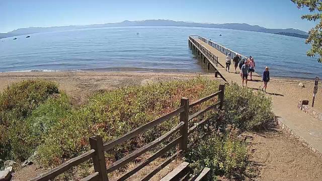
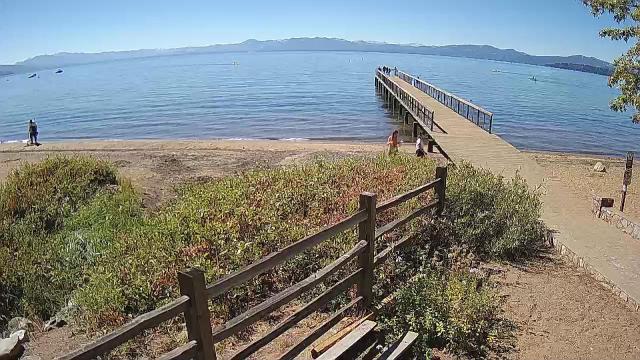
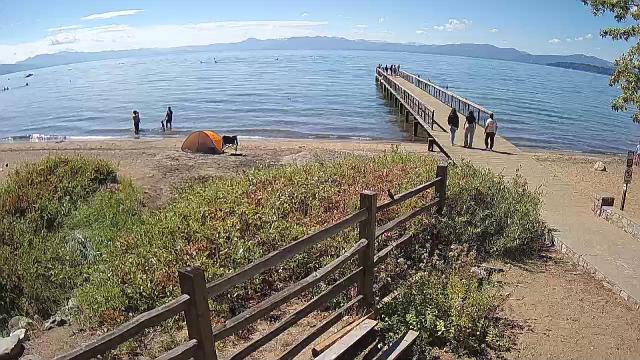
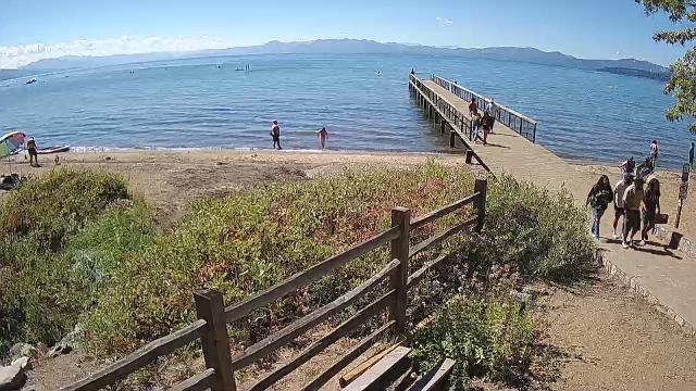
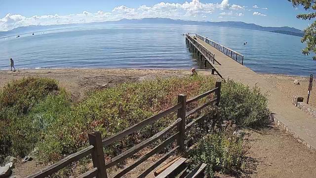
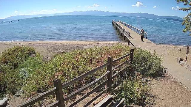
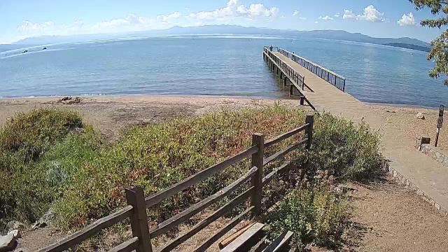
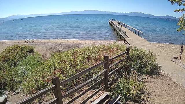
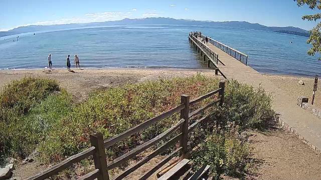
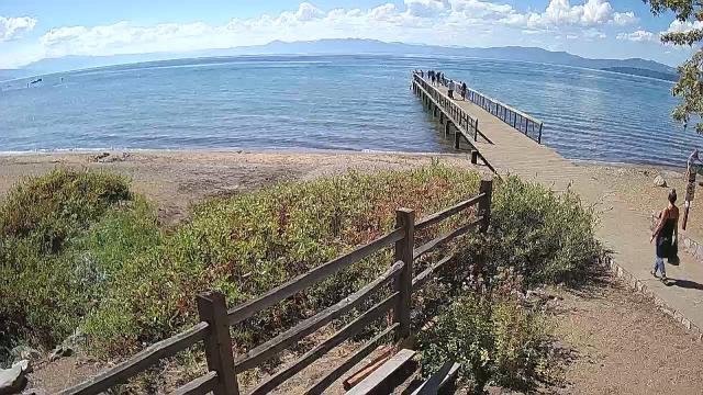
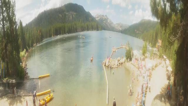
Kings Beach, California, USA - 173.3 miles from Pine Creek (historical): Beachview - Sunny Kings Beach, Lake Tahoe
Operator: HDOnTap
Operator: HDOnTap


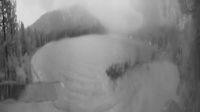
Pinecrest, California, USA - 175 miles from Pine Creek (historical): Dodge Ridge Ski Resort - Base Cam - Controllable webcam at the Dodge Ridge Ski Resort showing the current snow conditions.
Operator: Dodge Ridge Ski Resort
Operator: Dodge Ridge Ski Resort

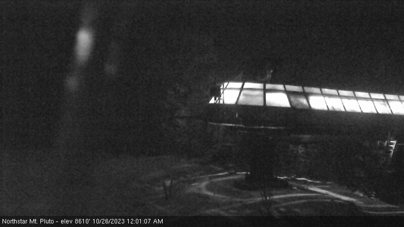
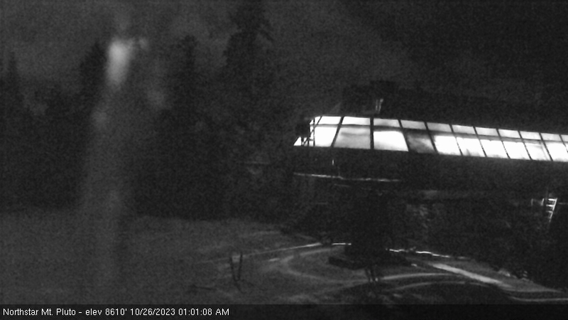
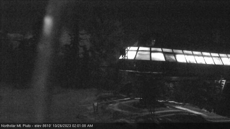
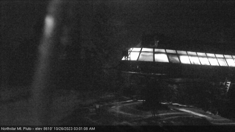
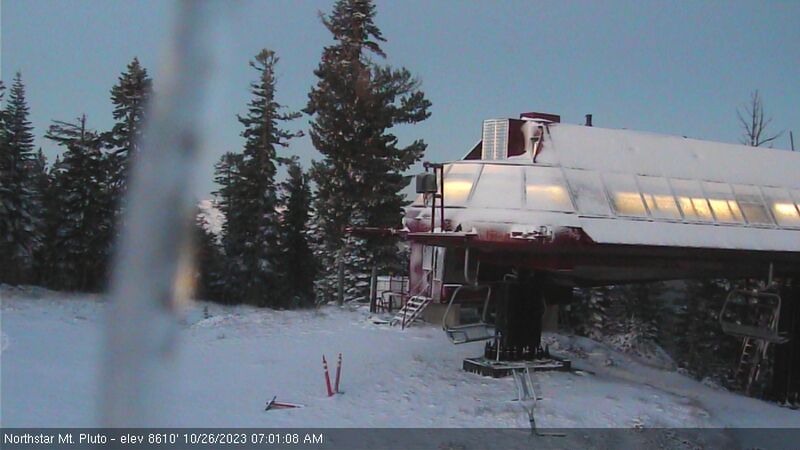
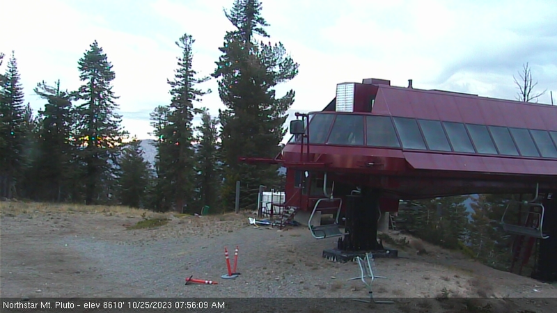
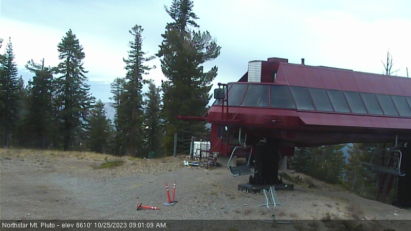
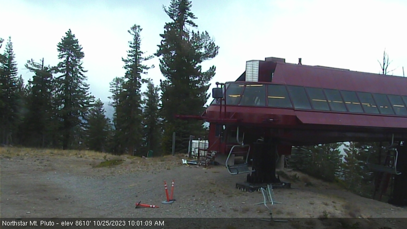
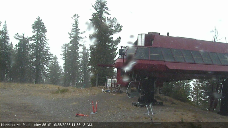
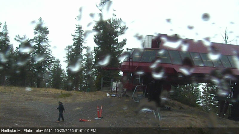
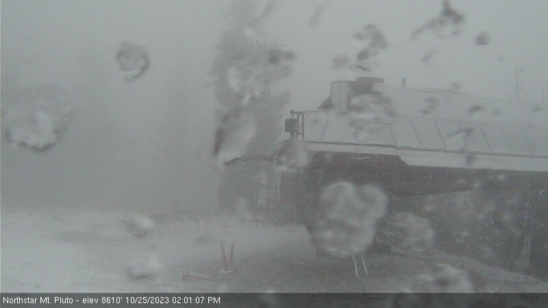
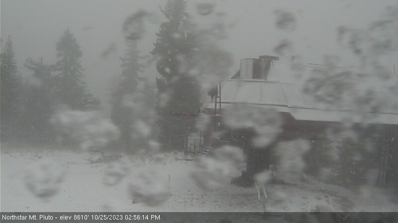
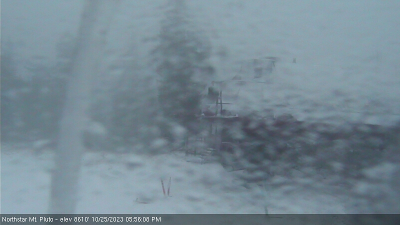
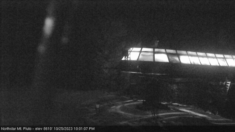
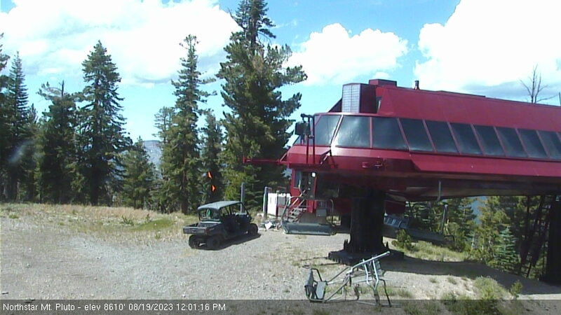
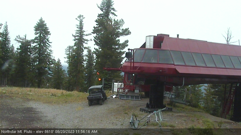
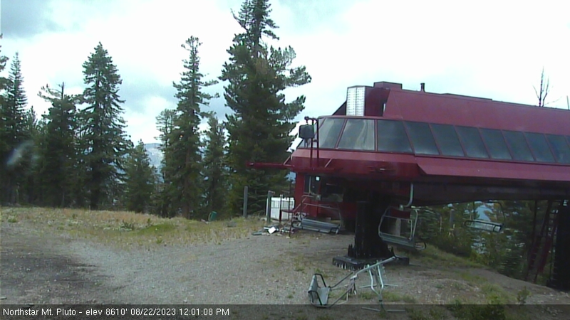
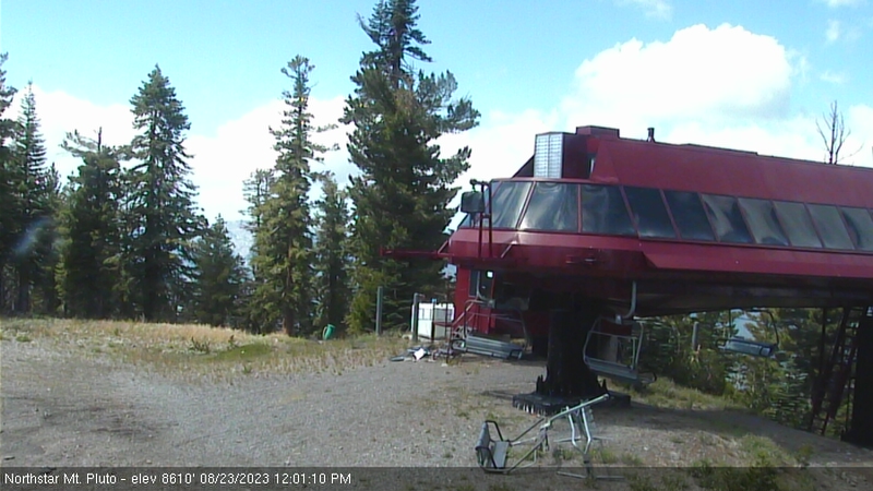
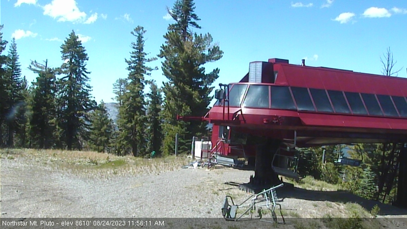
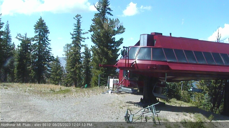
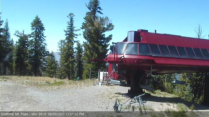
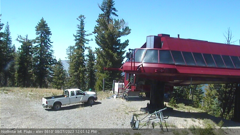
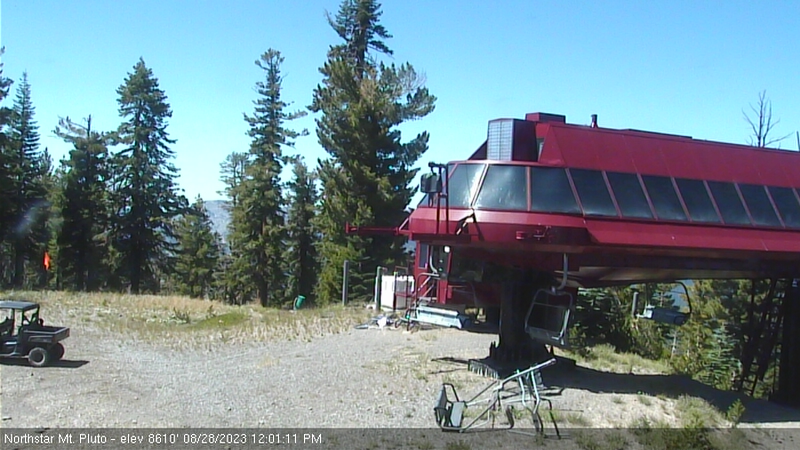
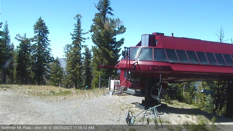
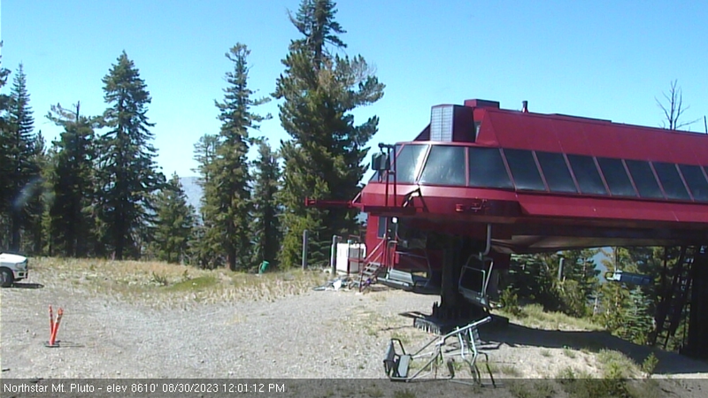
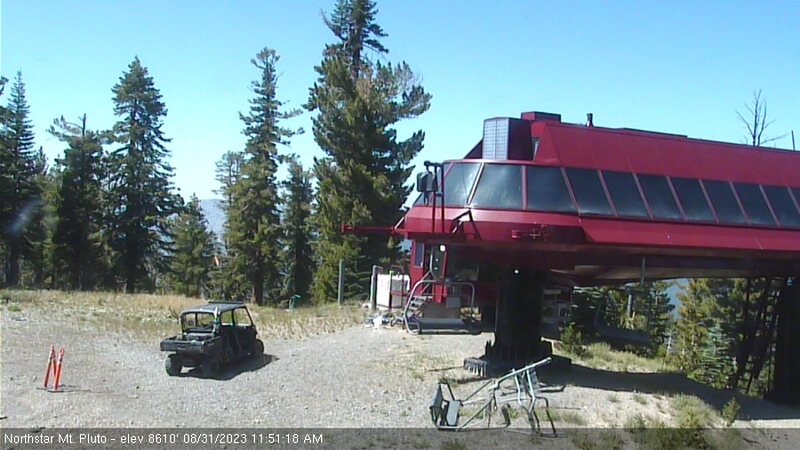
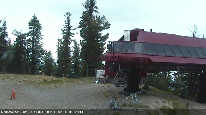
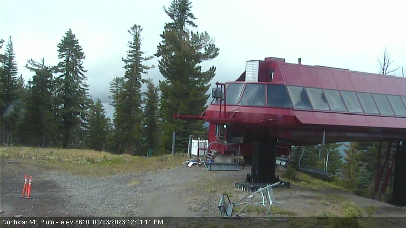
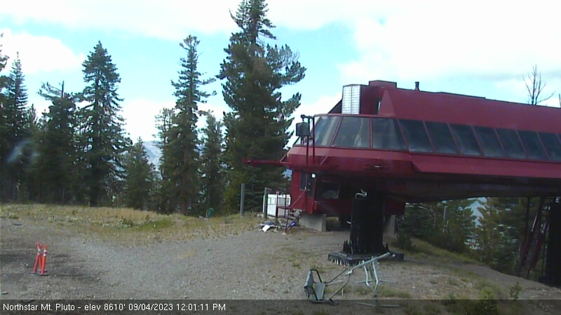
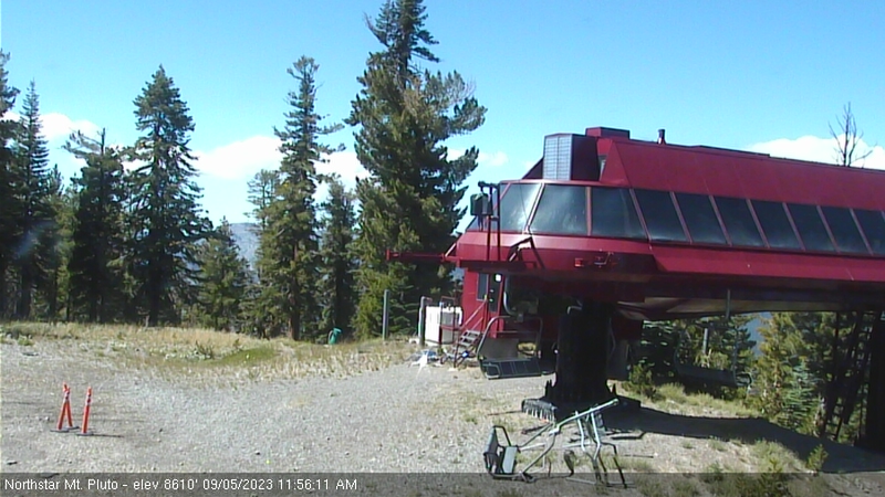
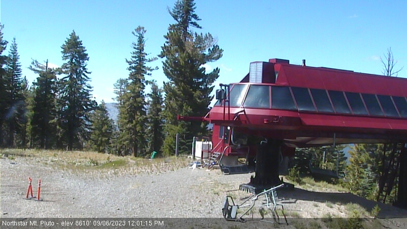
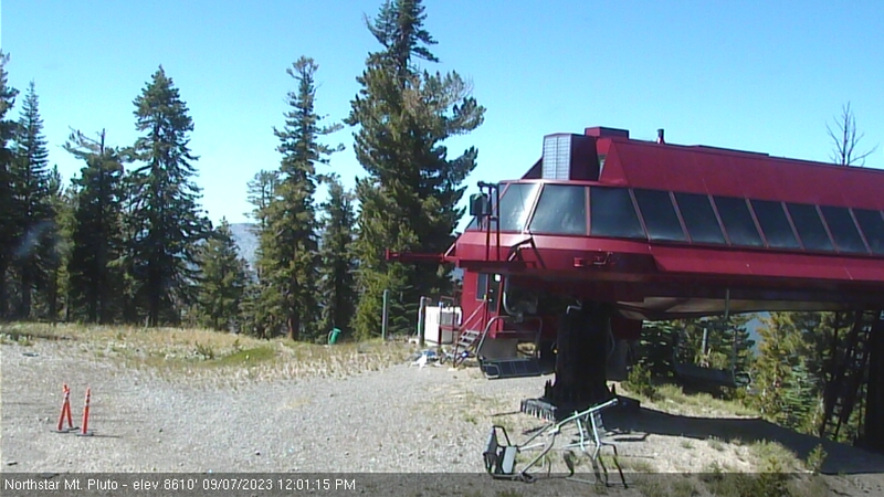
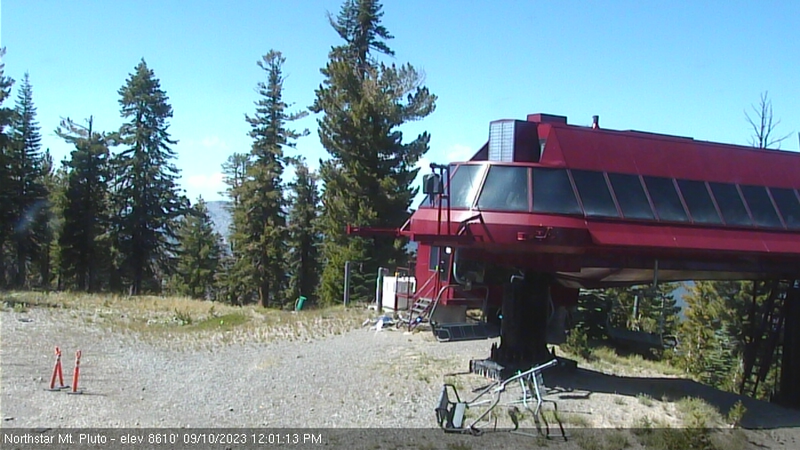
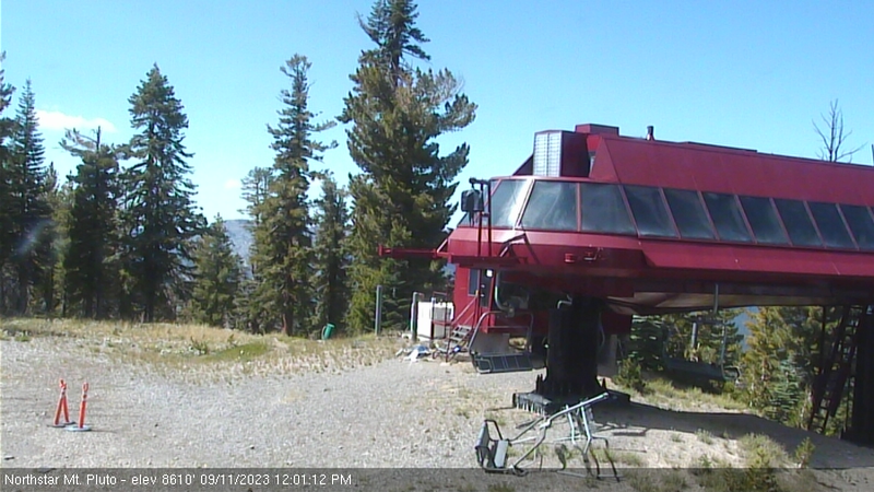
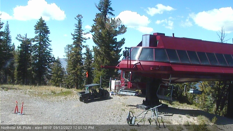
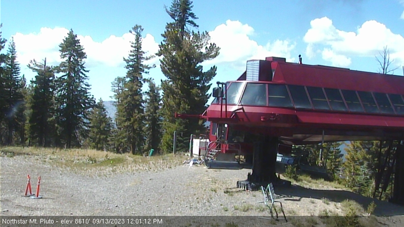
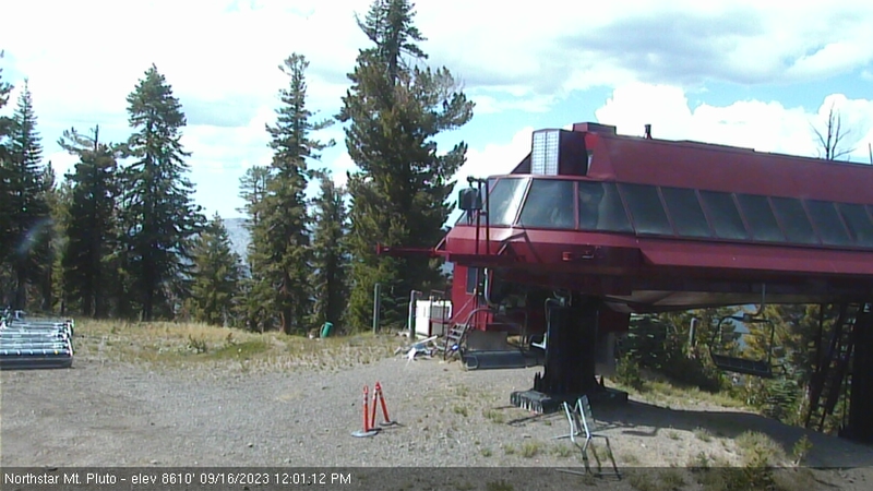
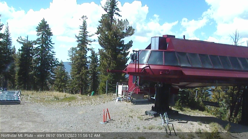
Northstar California Resort, USA - 178.7 miles from Pine Creek (historical): Current Snow Conditions - Several webcams offer a view of the current snow situation at the Northstar California Resort.
Operator: Northstar California Resort
Operator: Northstar California Resort


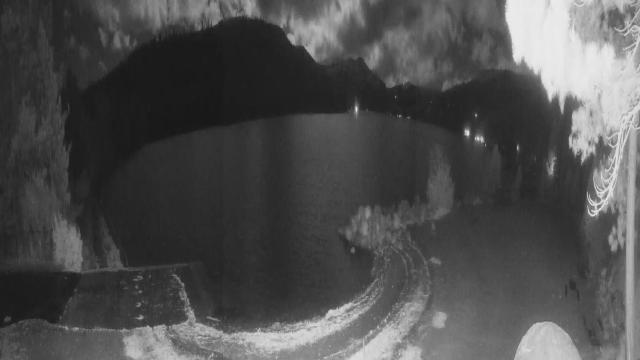
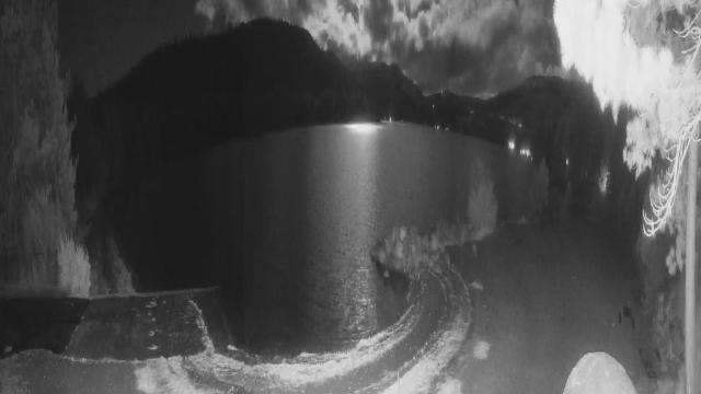
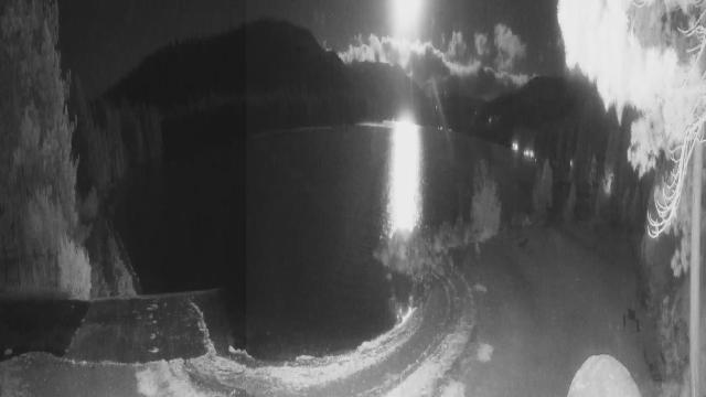
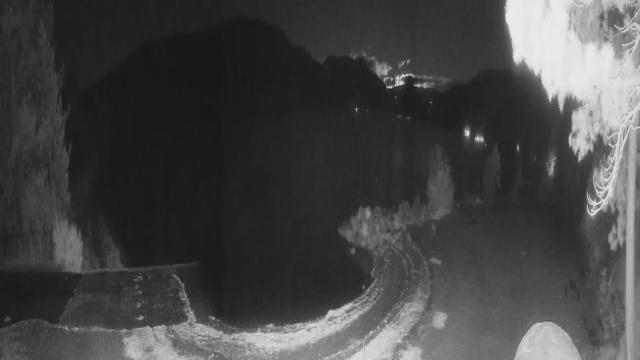
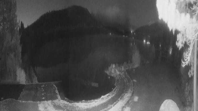
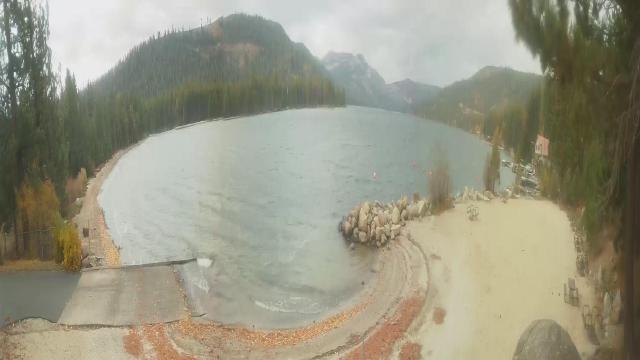
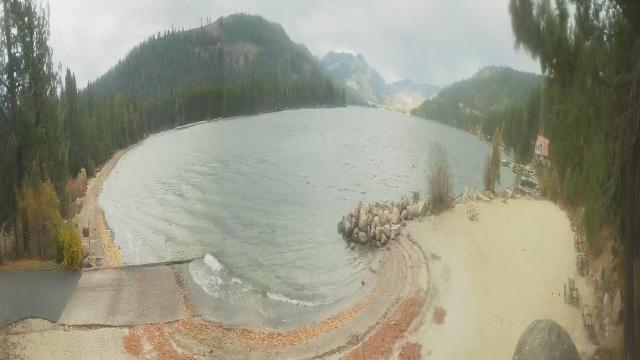
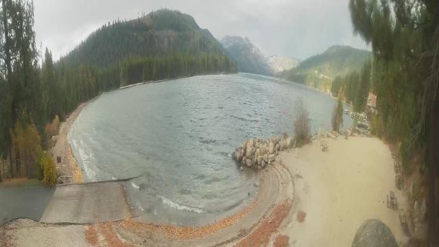
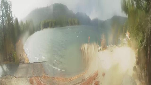
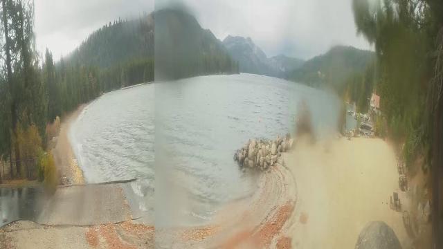
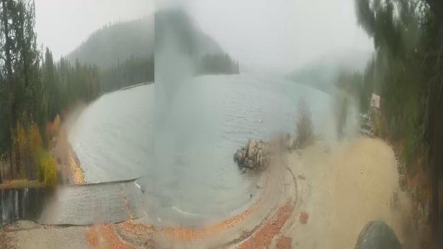
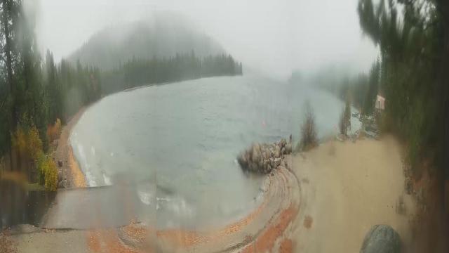
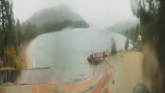
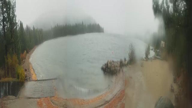
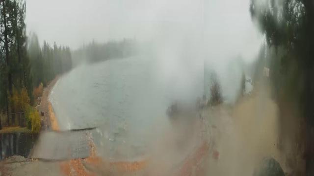
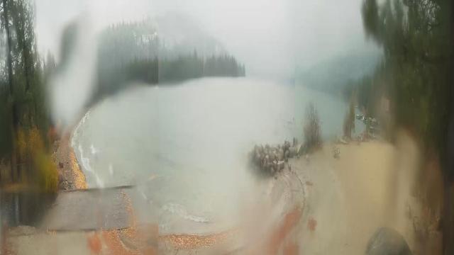
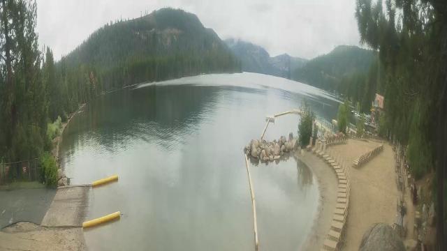
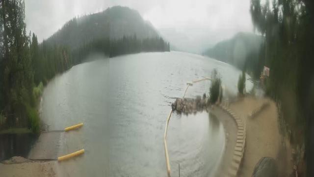
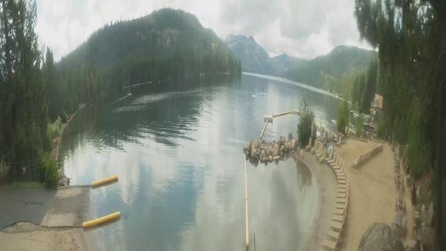
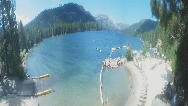
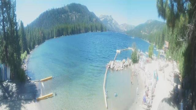
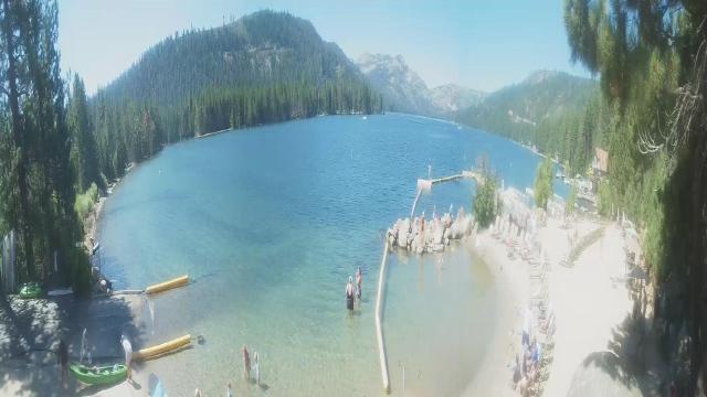
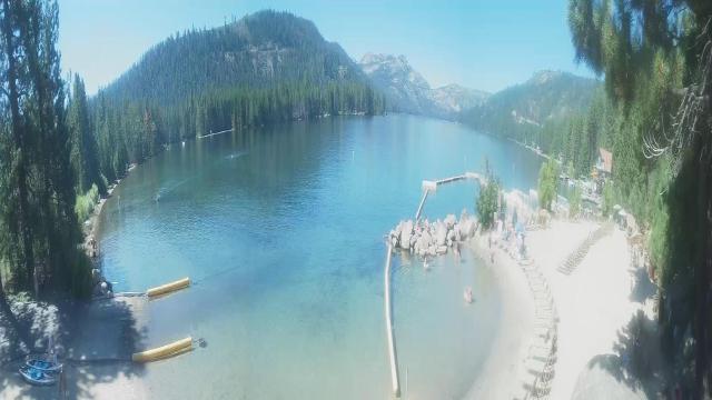
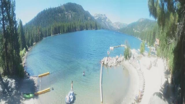
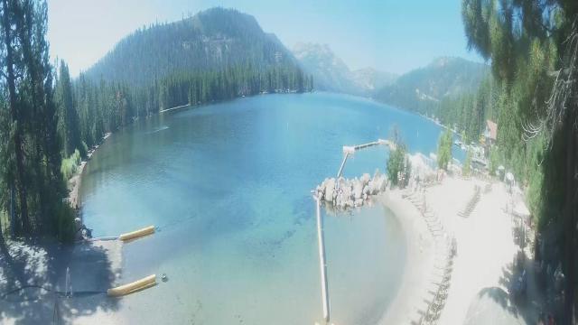
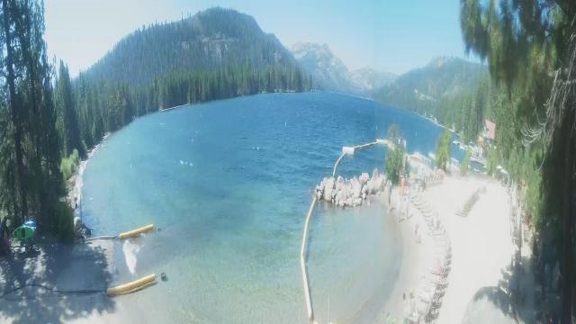
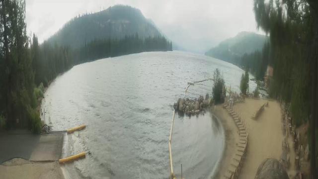
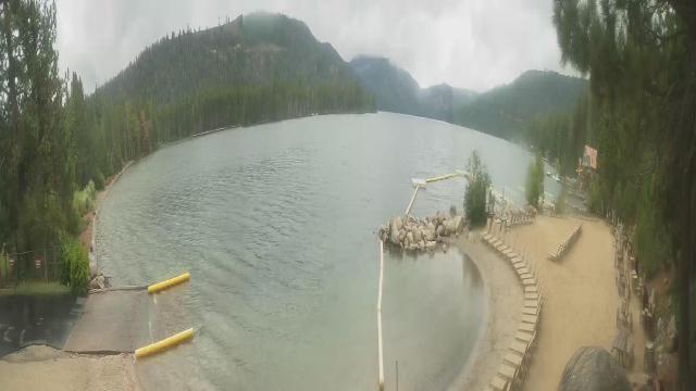
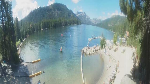
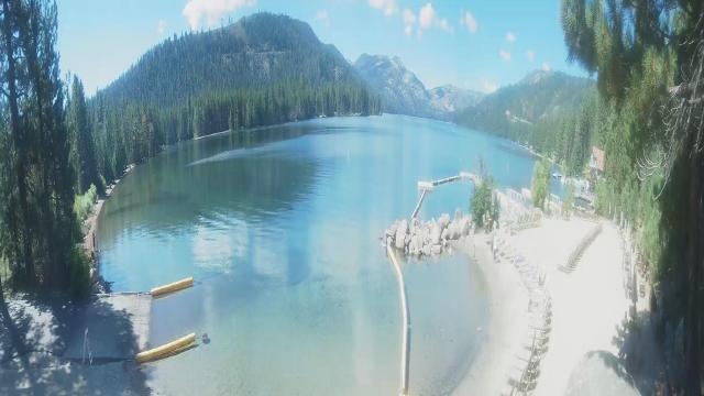
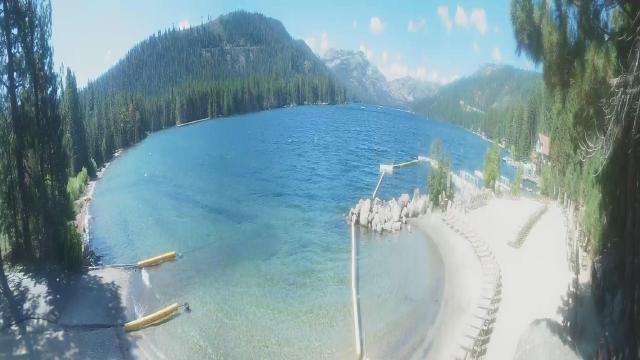
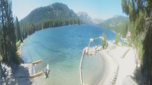
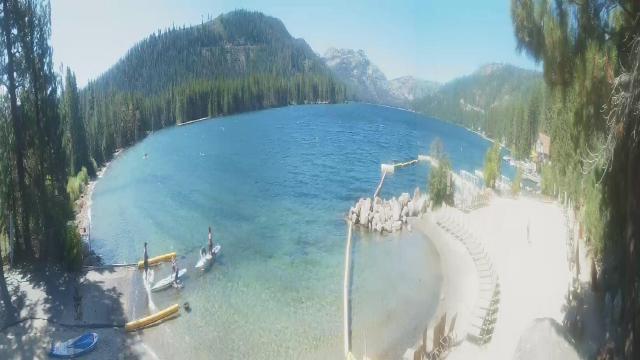
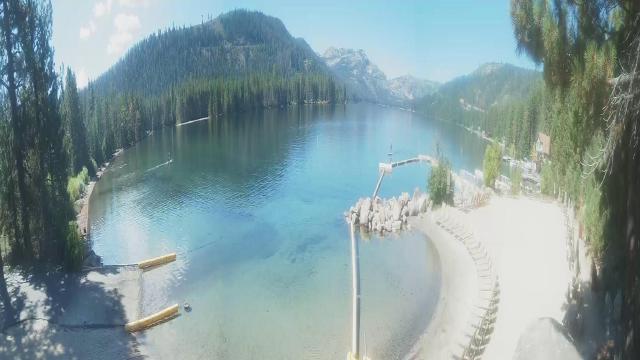
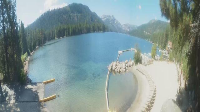
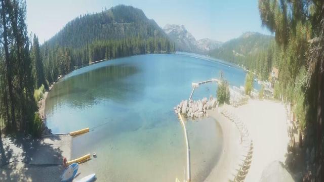
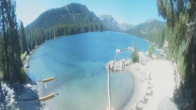
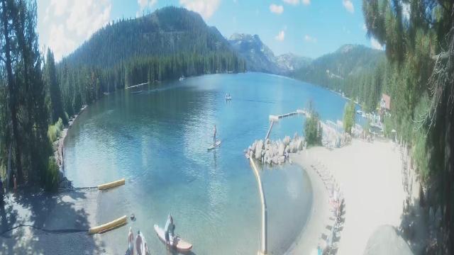
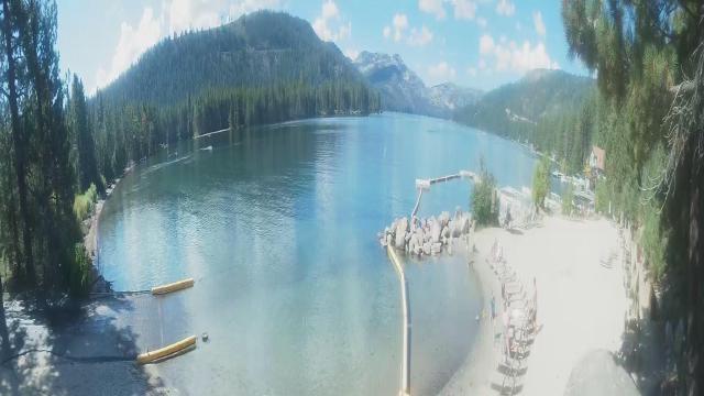
Truckee, California, USA - 182.6 miles from Pine Creek (historical): Lake View - Donner Lake in Truckee, California.
Operator: HDOnTap
Operator: HDOnTap


Some other places in this country: Sheepshead - Upper Pyramid (historical) - Pyramid (historical) - Wedekind - Pioneer (historical) - Union (historical) - Green Springs (historical) - Neptune City (historical) - Stevensville (historical) - Lower Town (historical)