Webcams in the region of Frisbie (historical), Nevada, USA
The List of Webcams near Frisbie (historical), Nevada, USA:

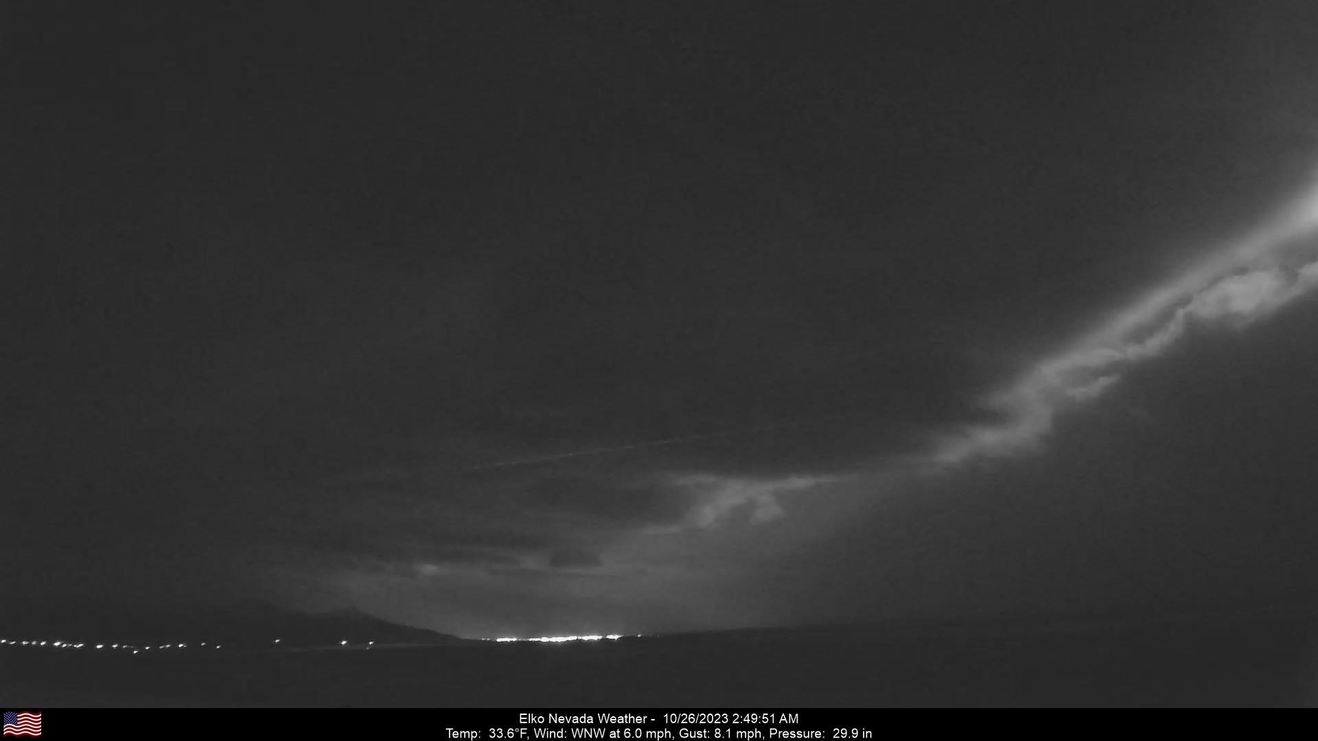
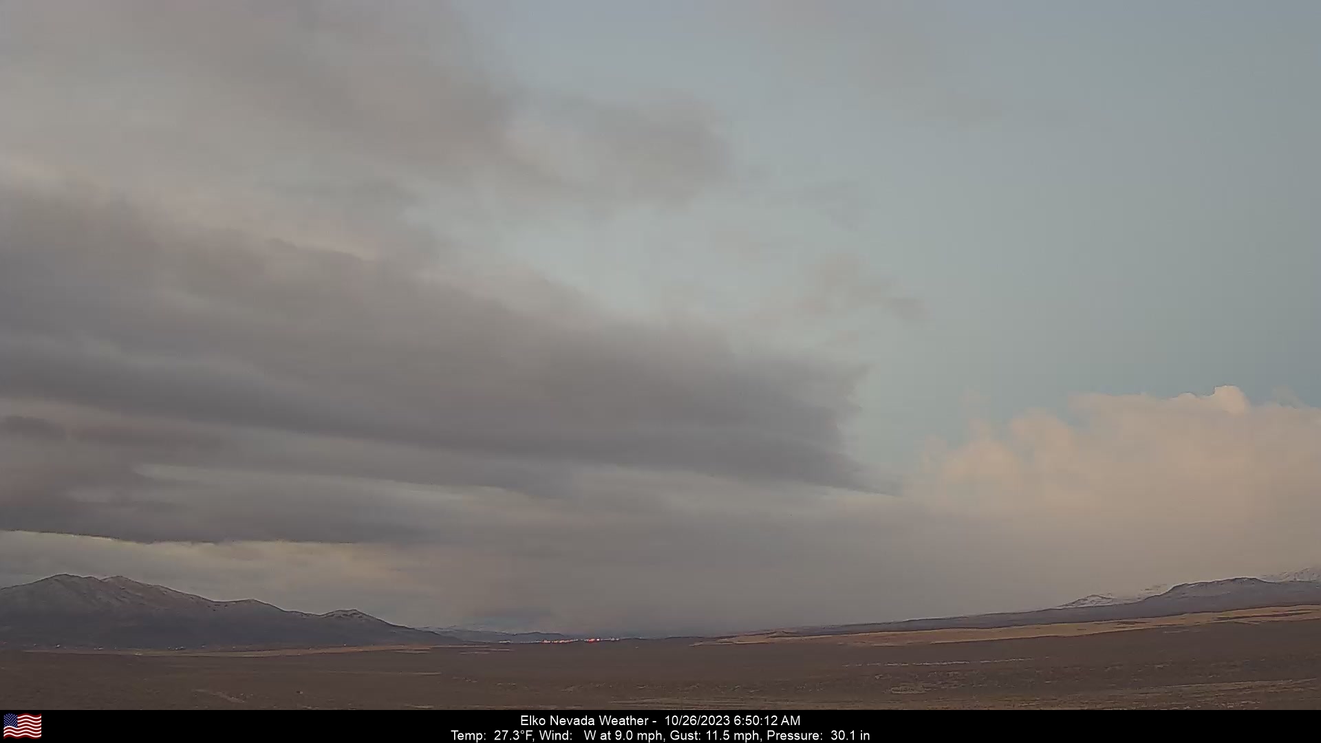
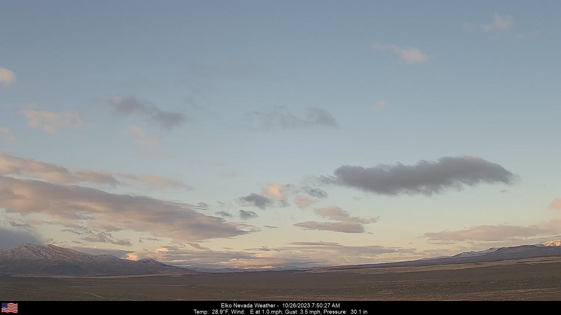
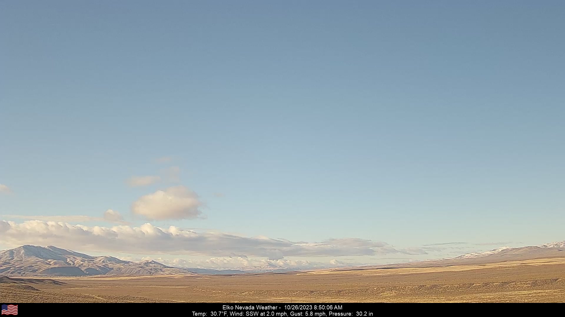
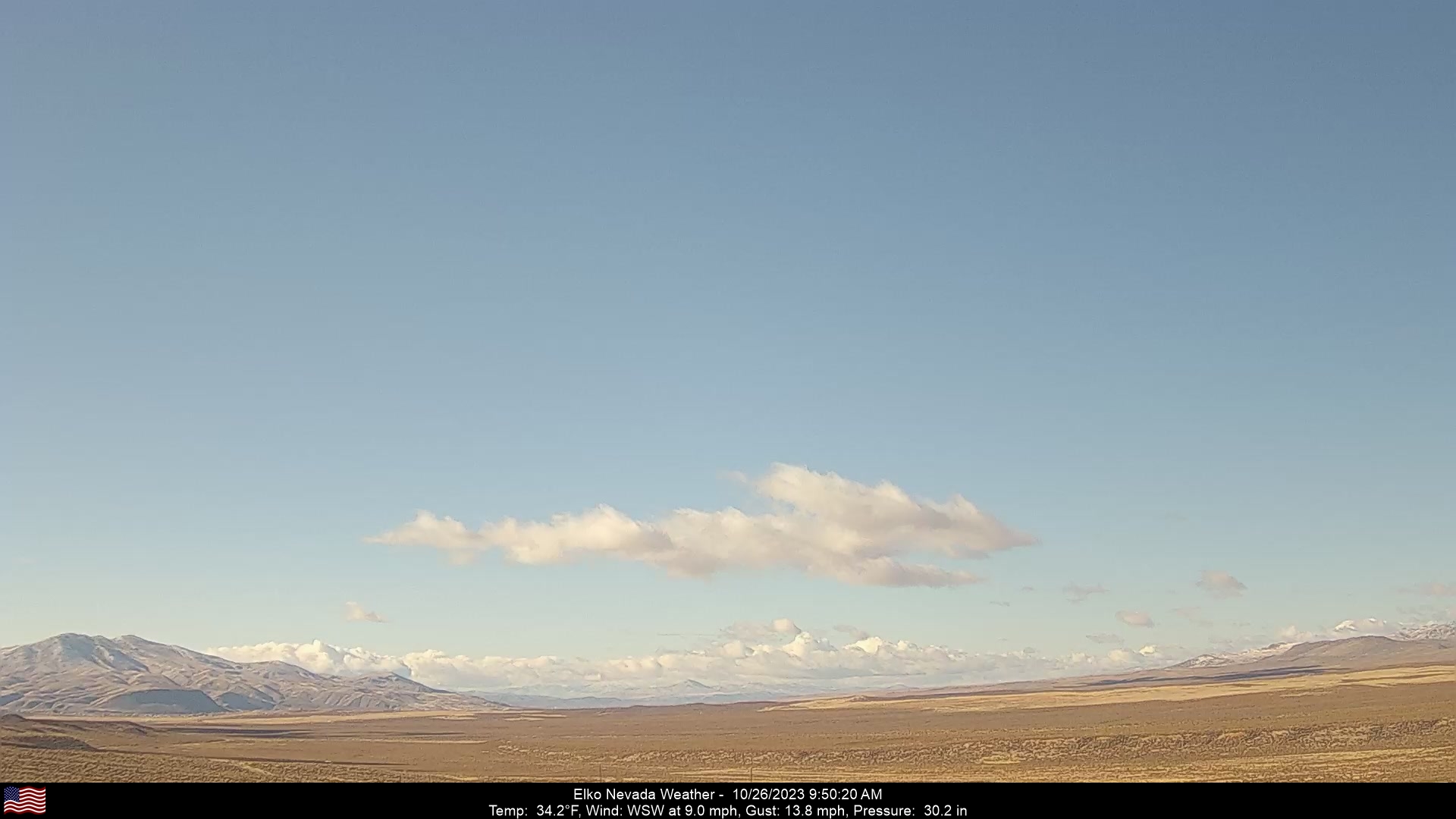
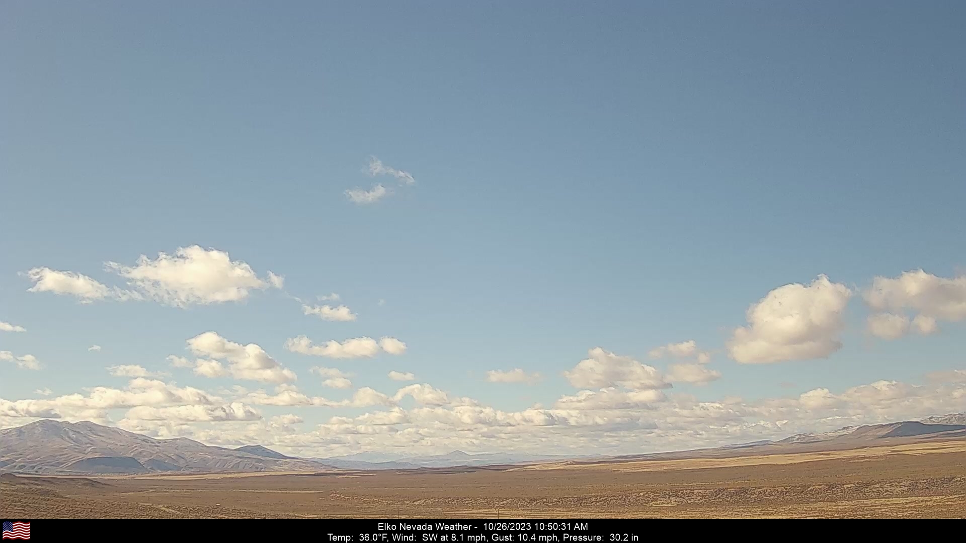
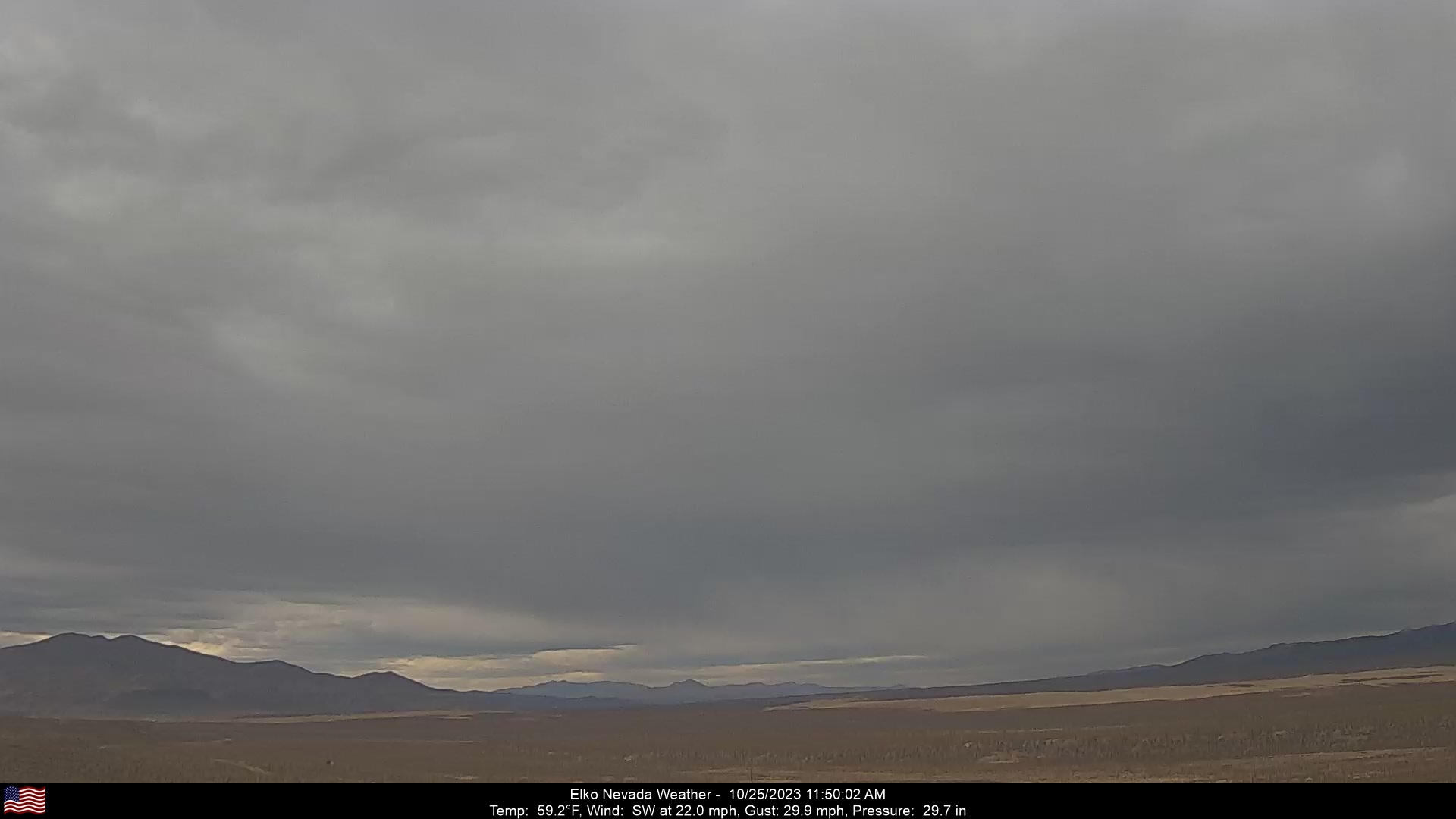
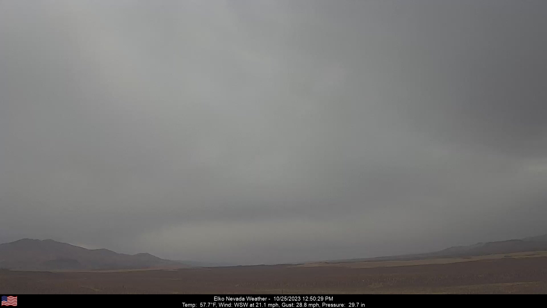
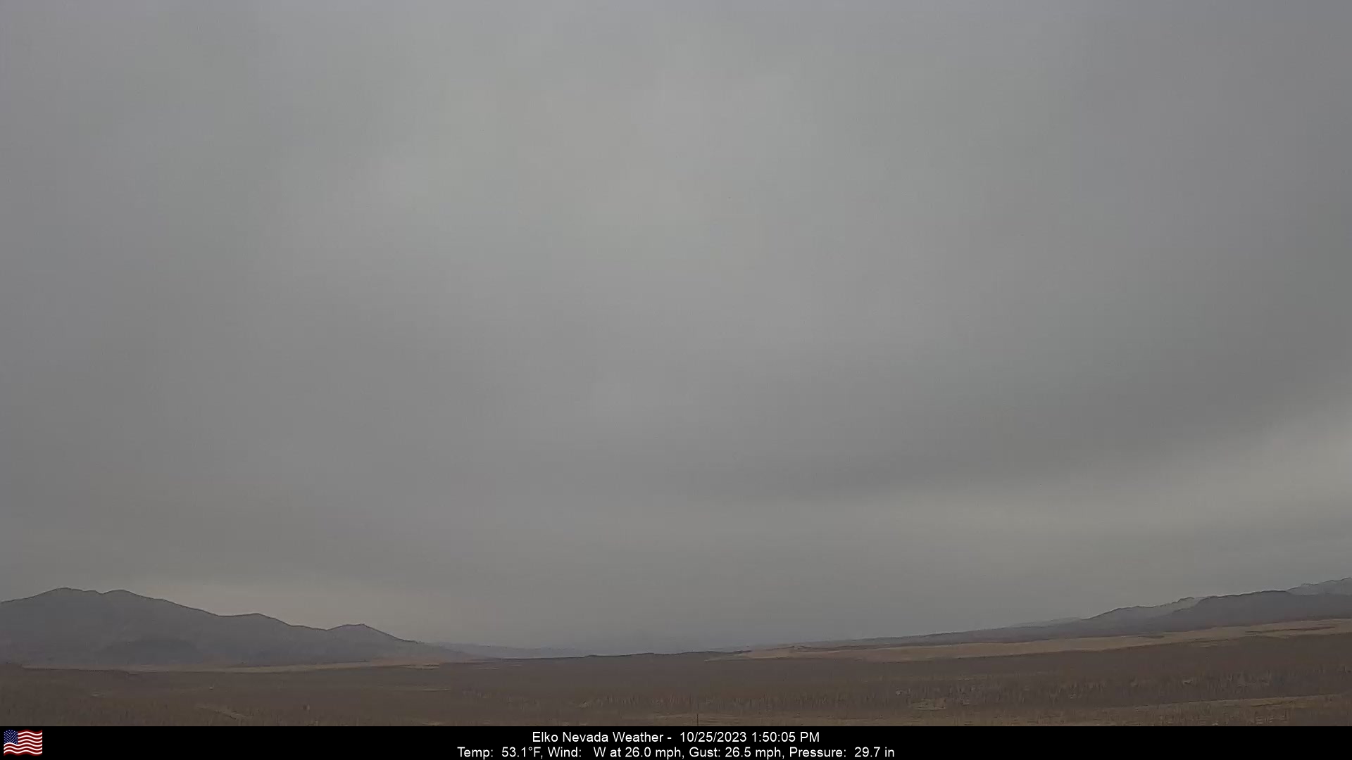
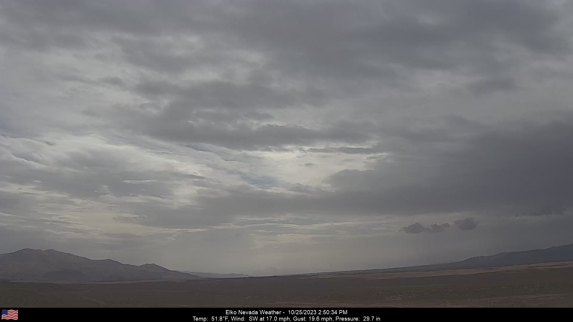
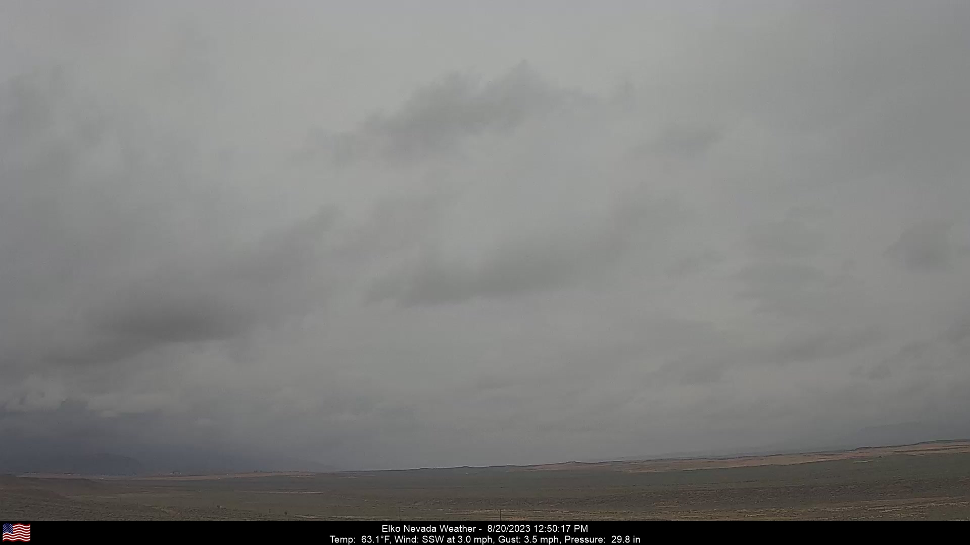
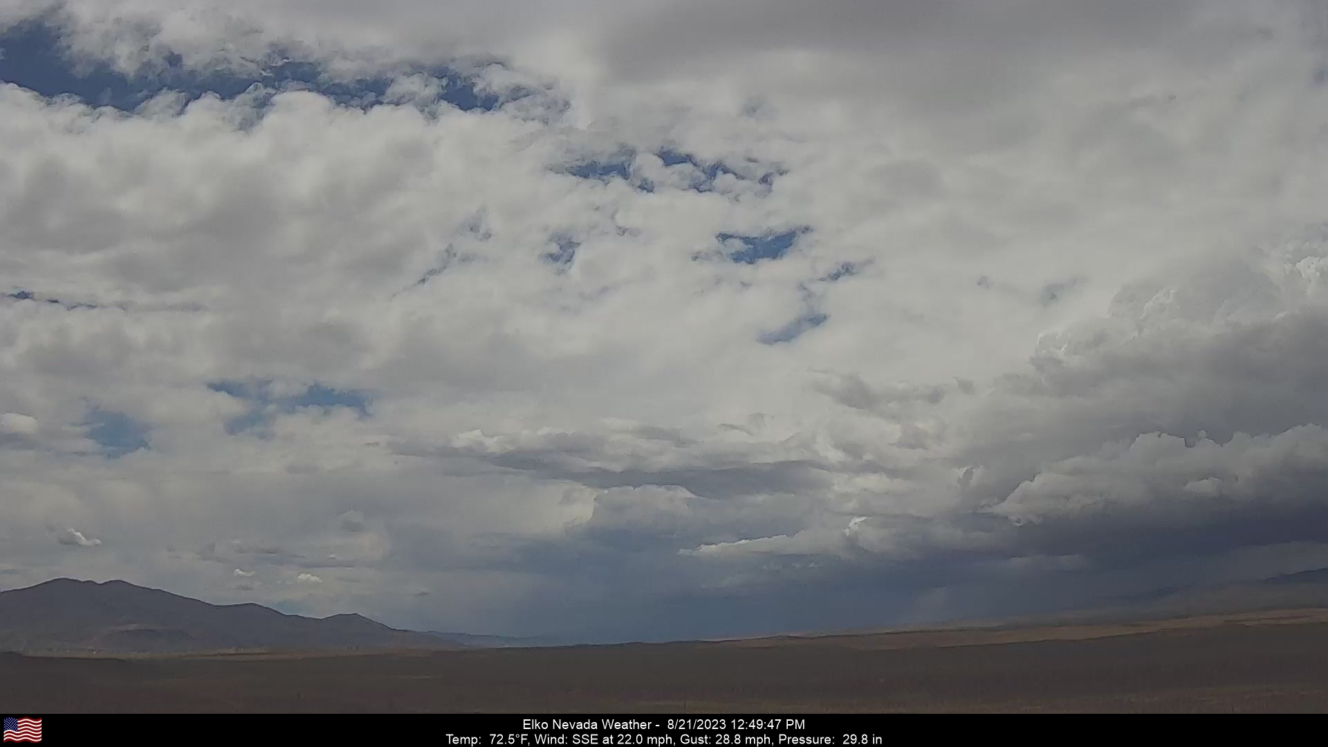
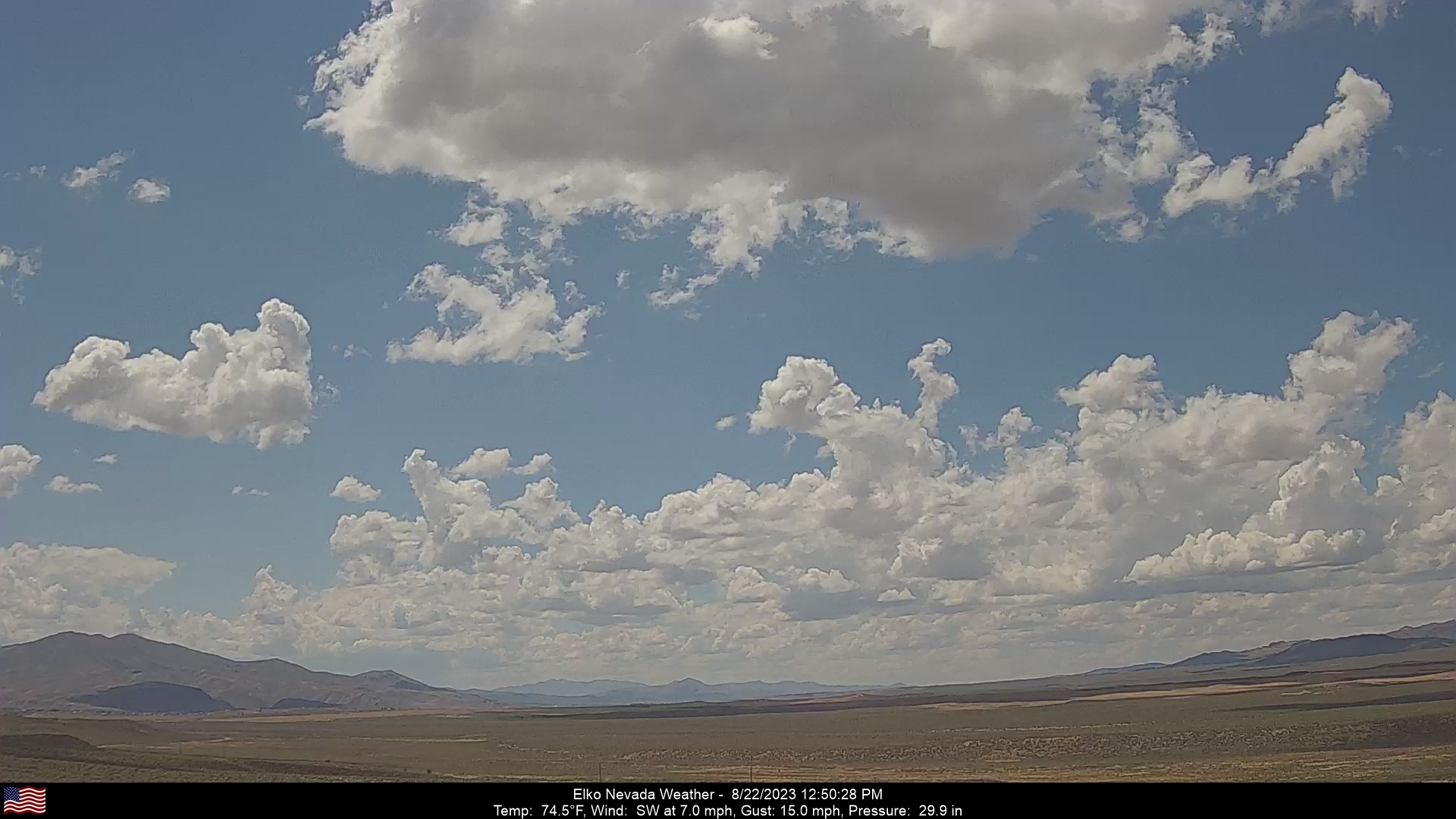
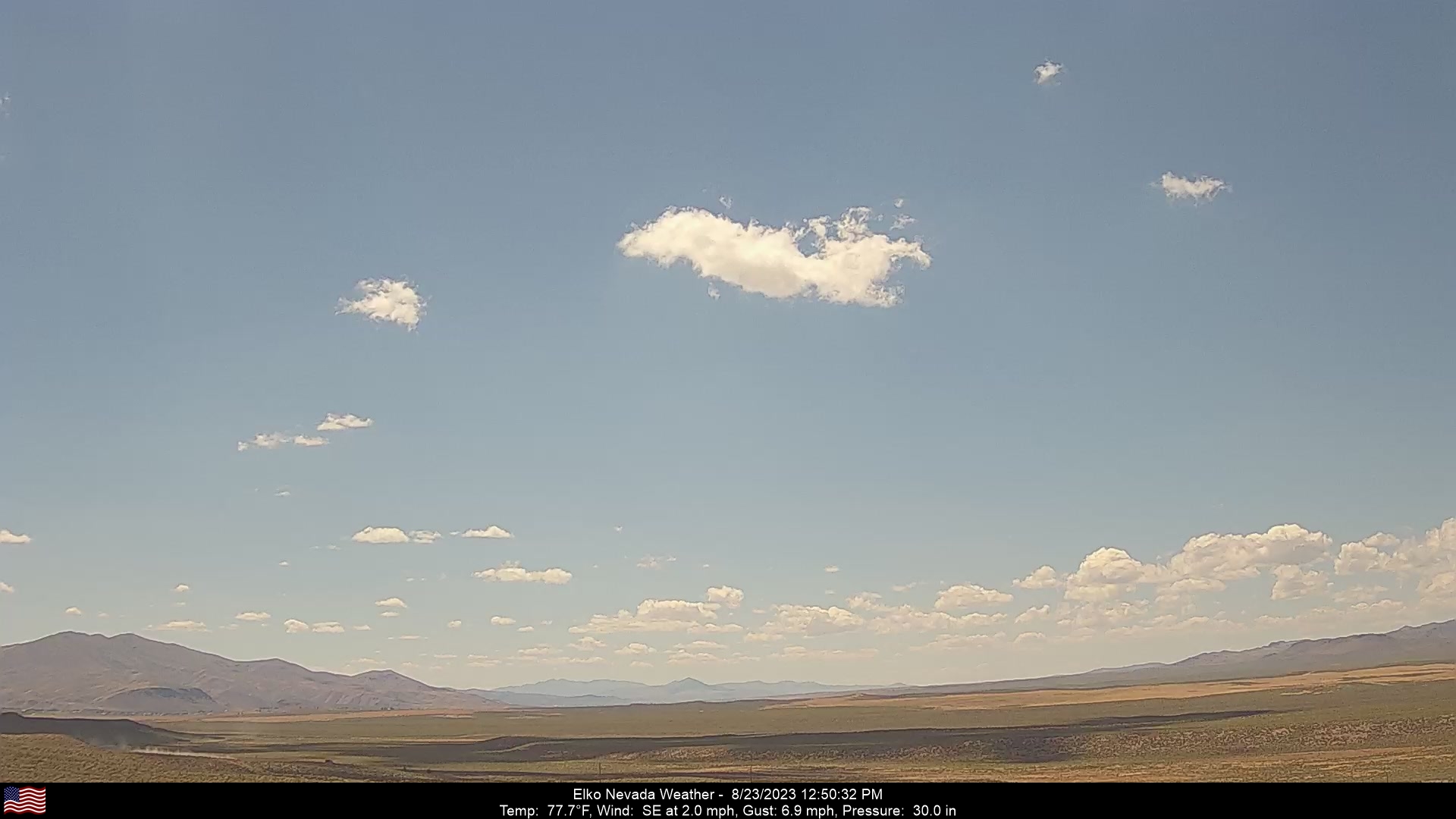
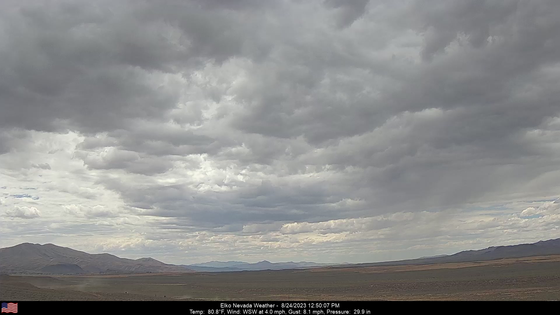
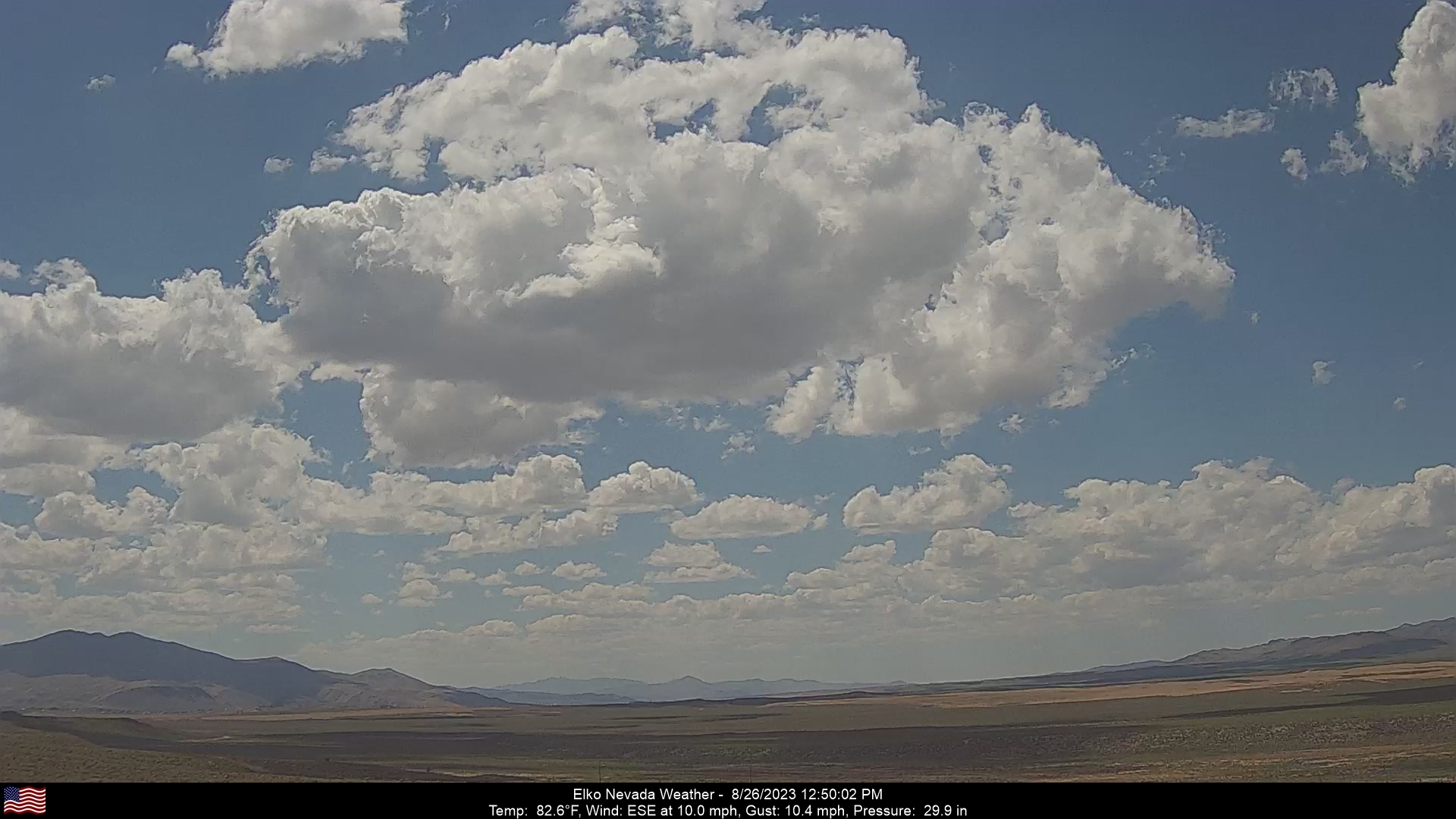
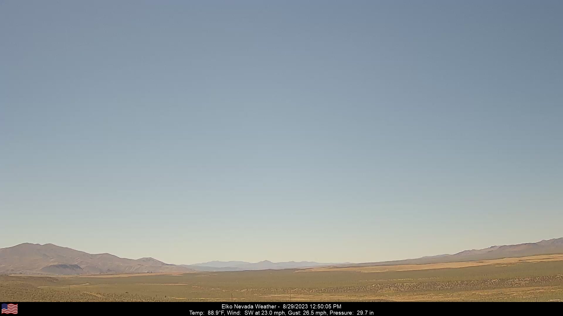
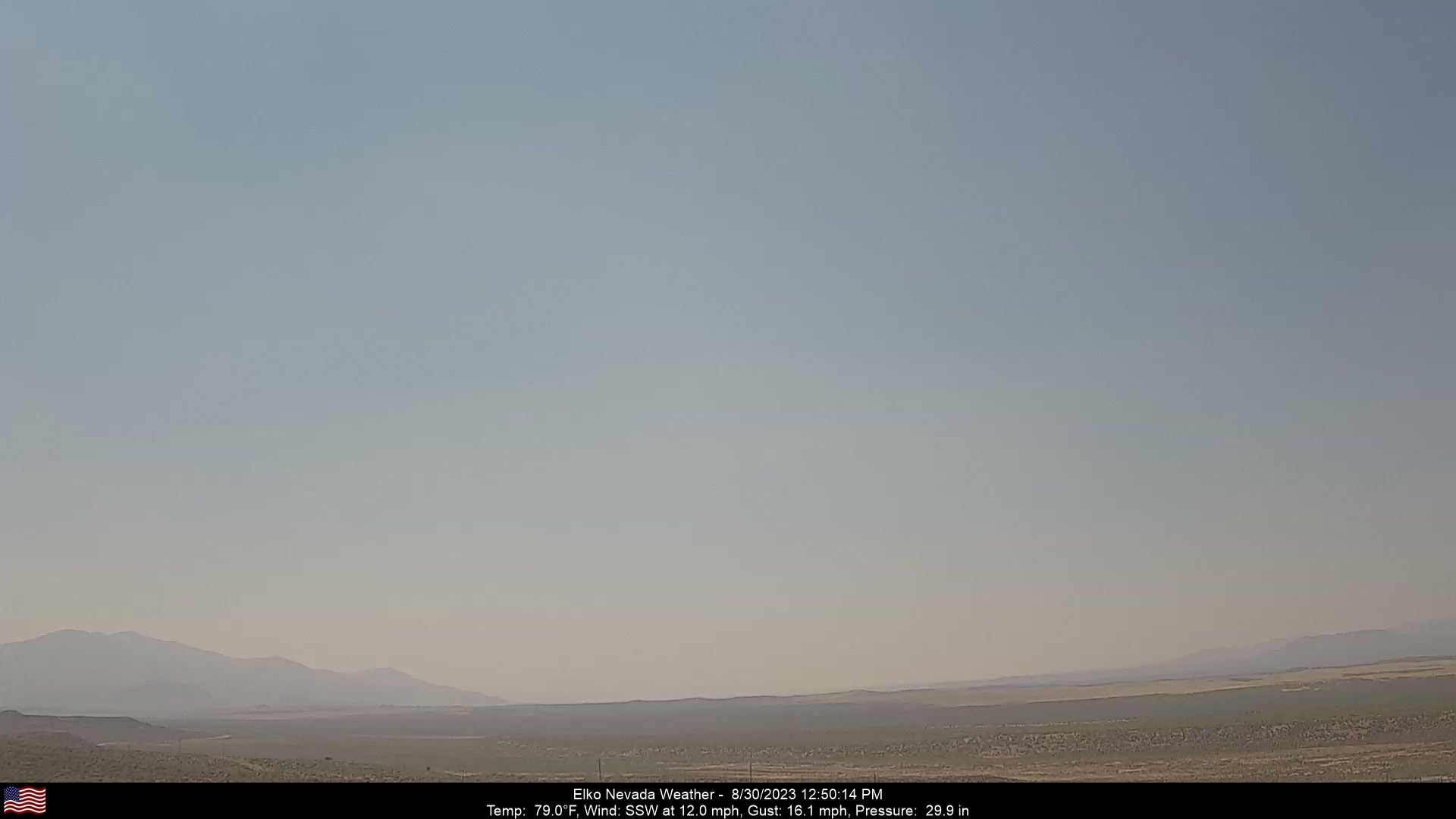
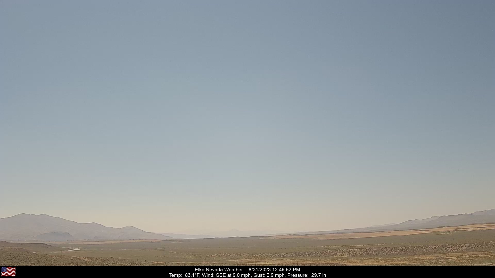
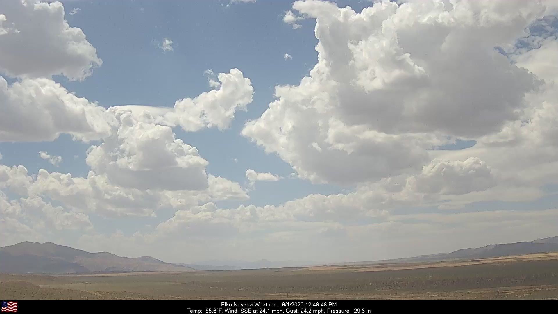
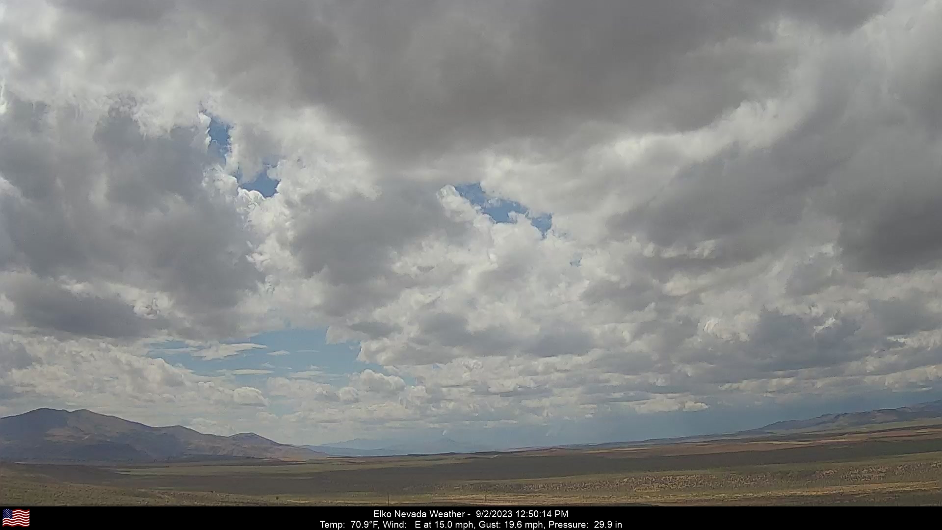
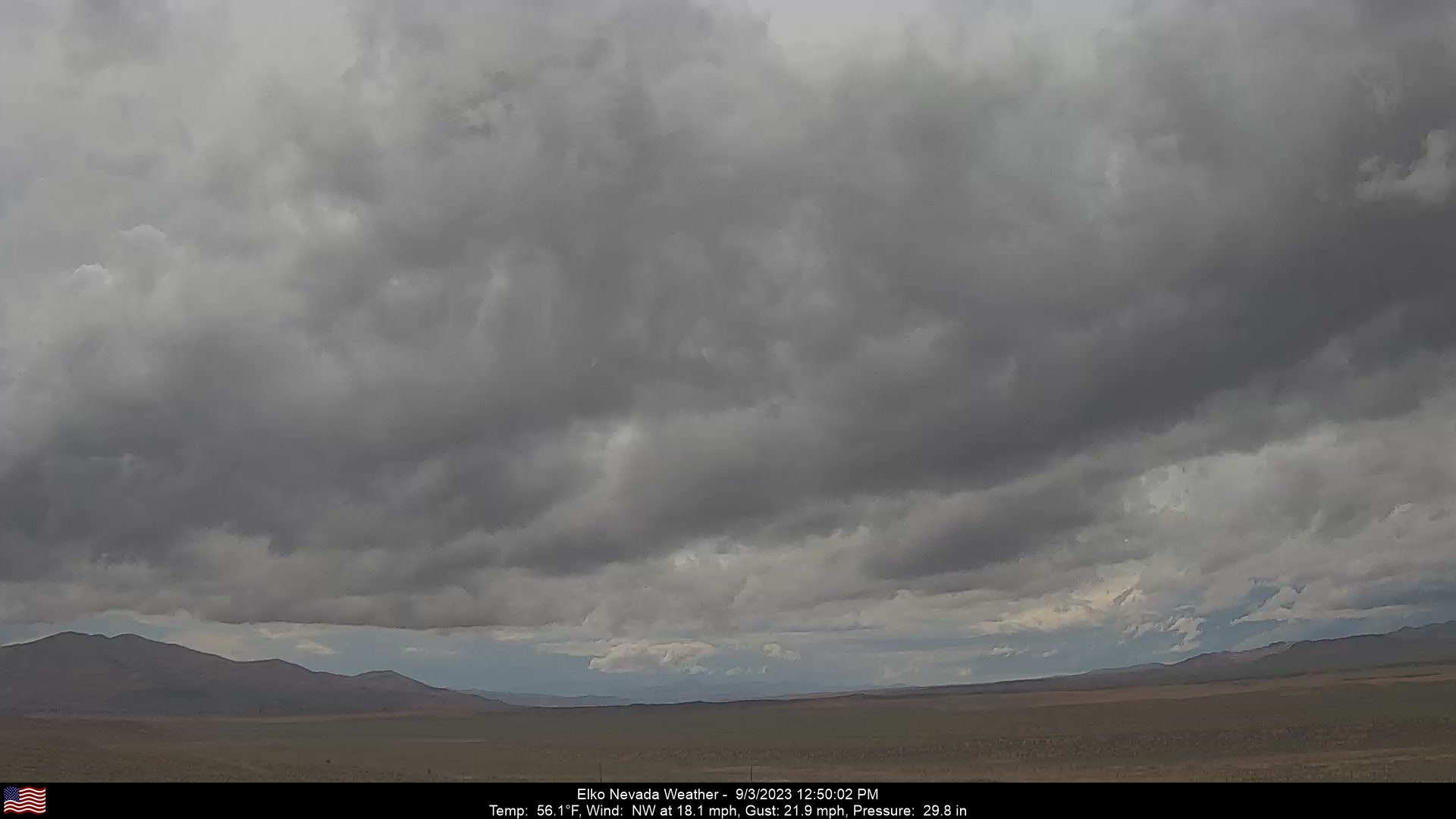
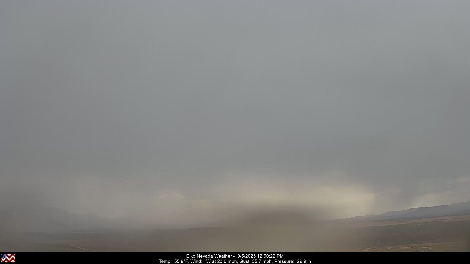
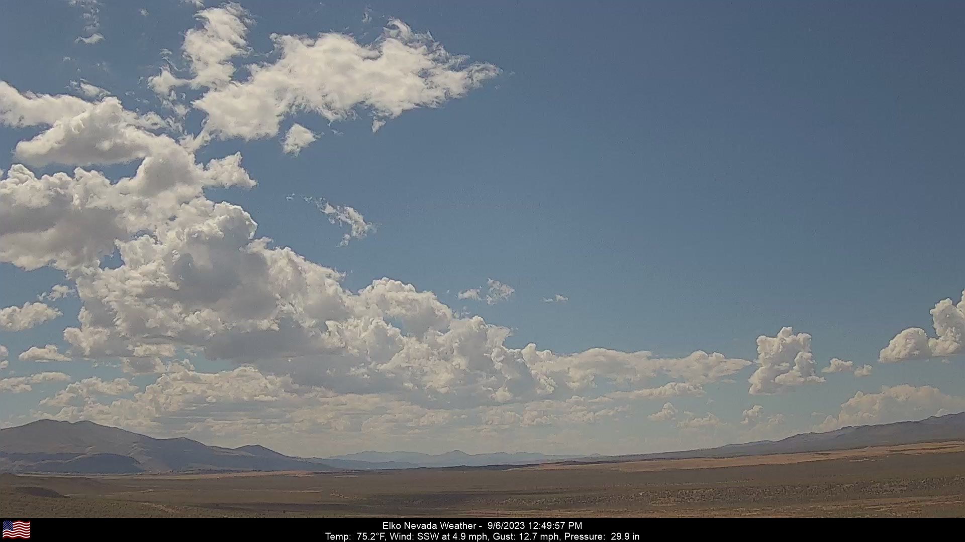
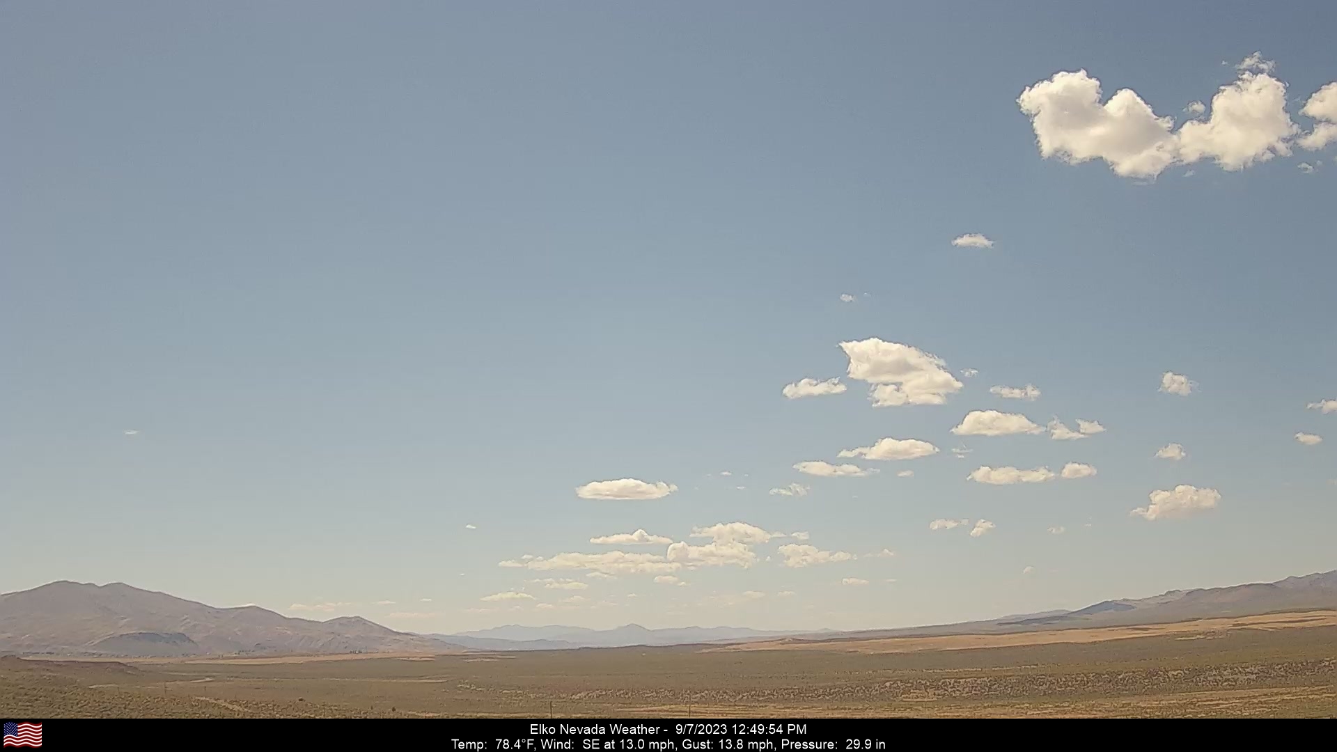
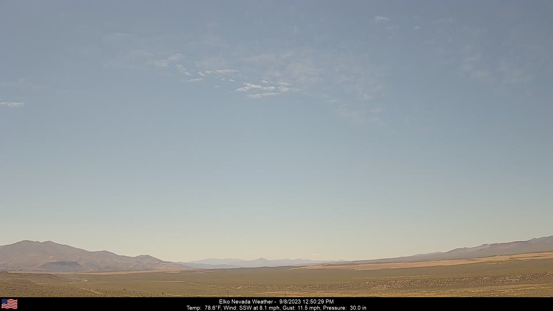
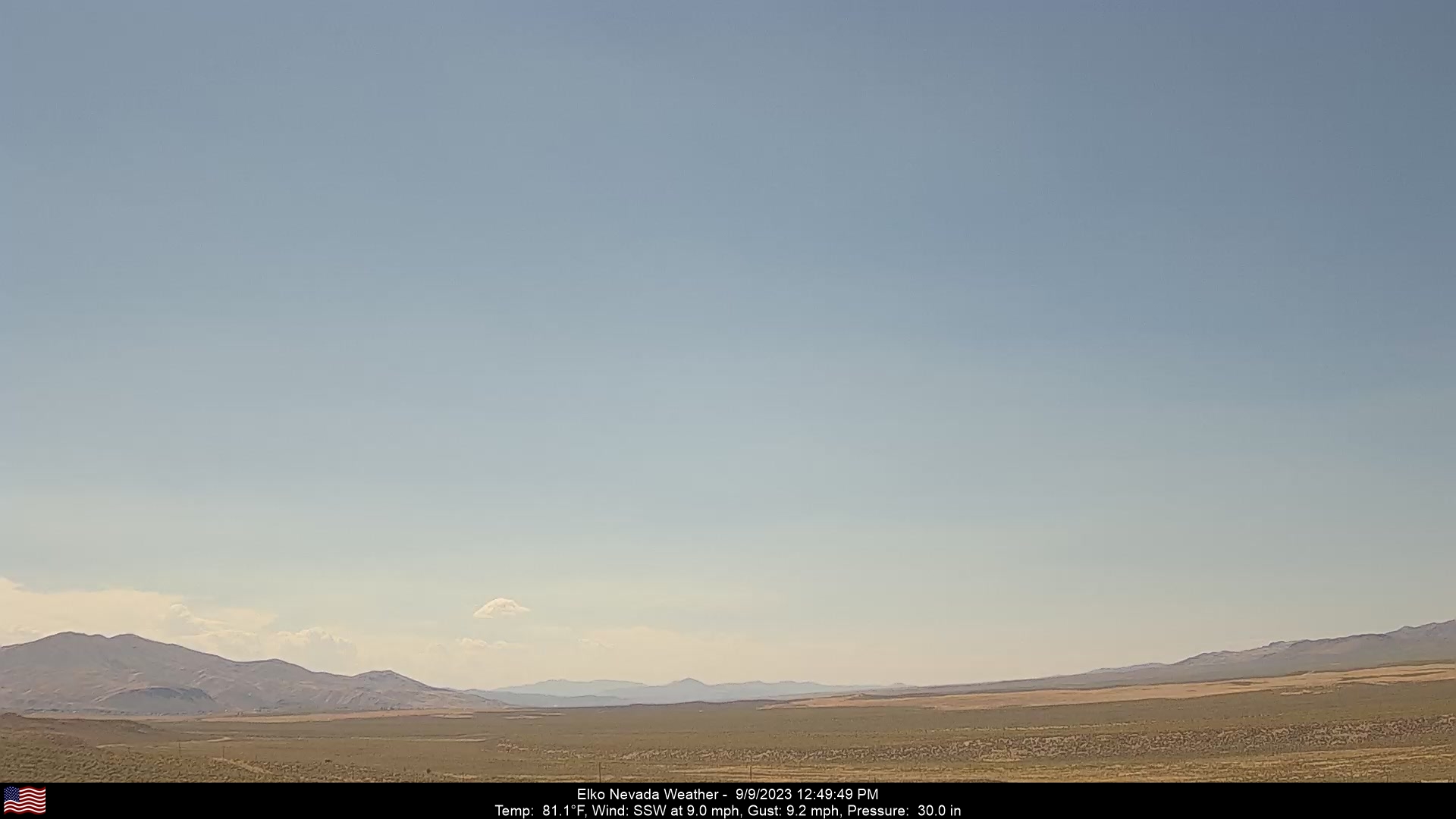
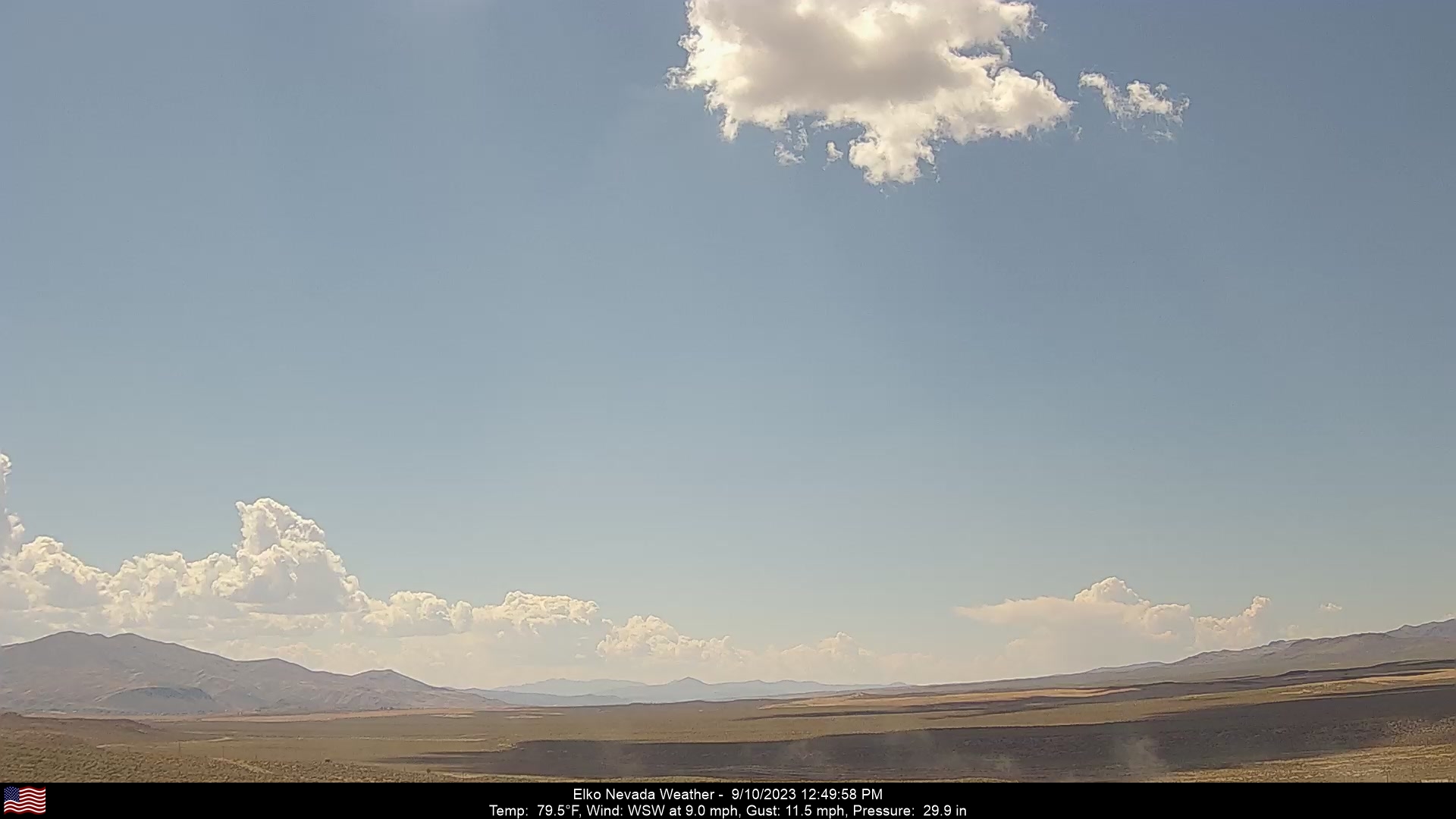
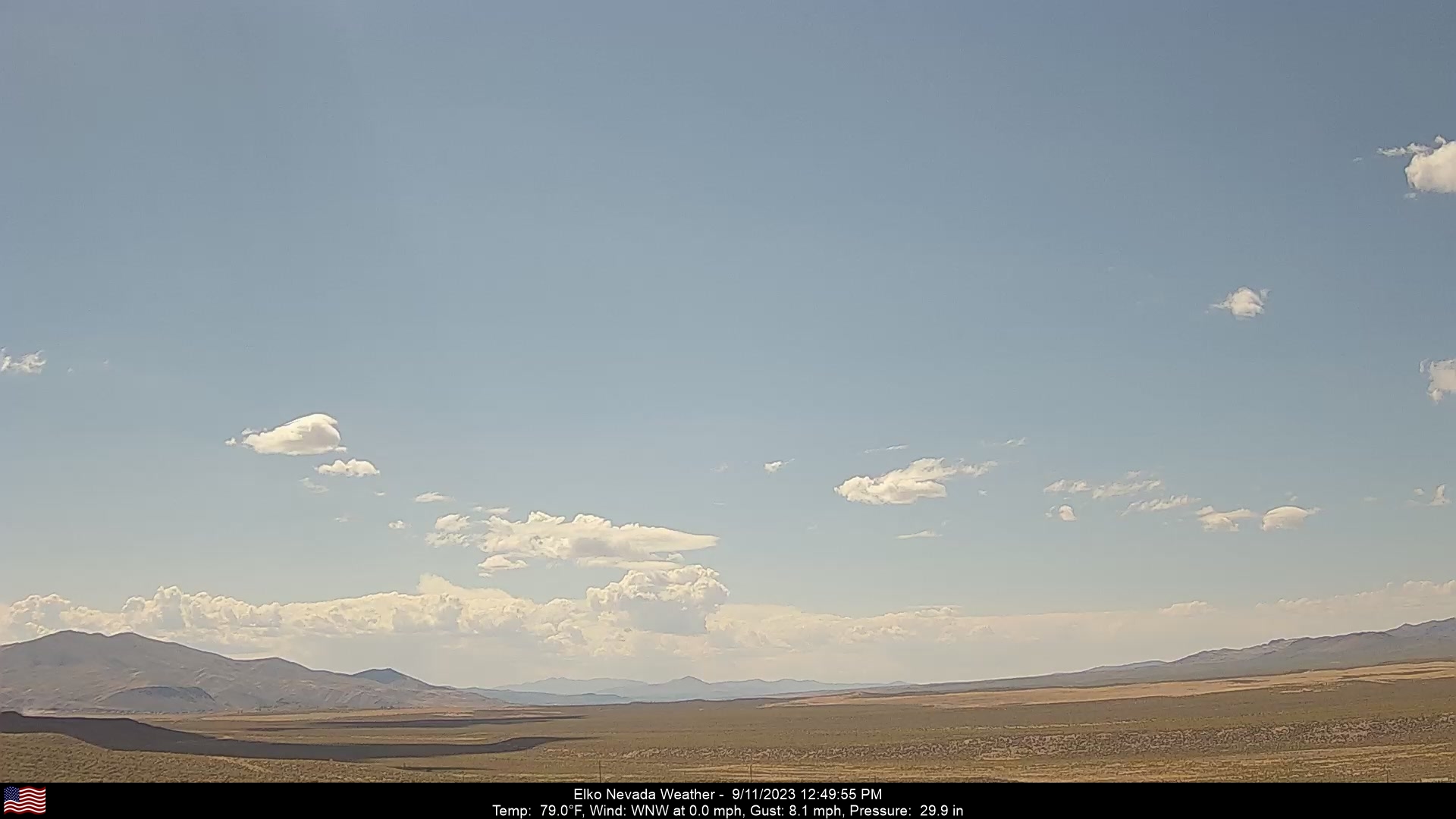
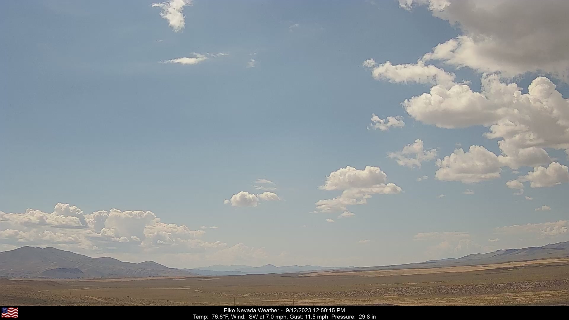
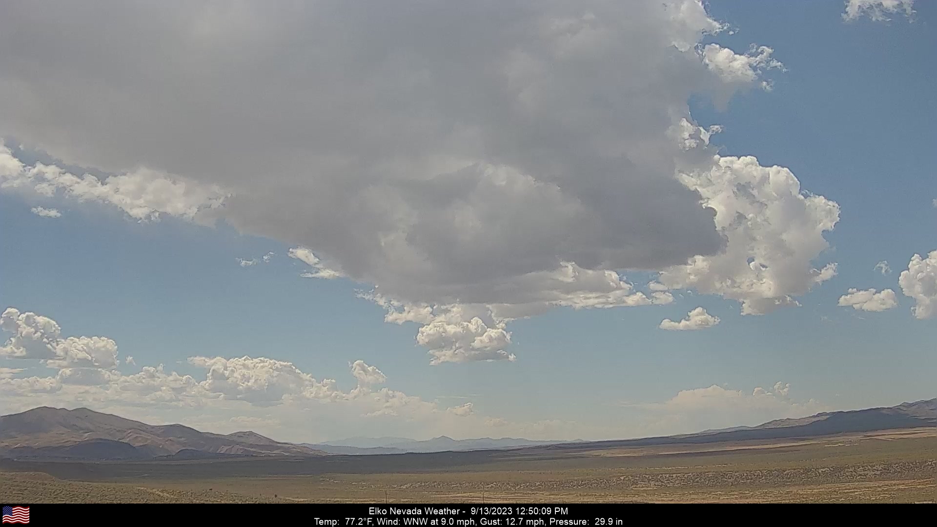
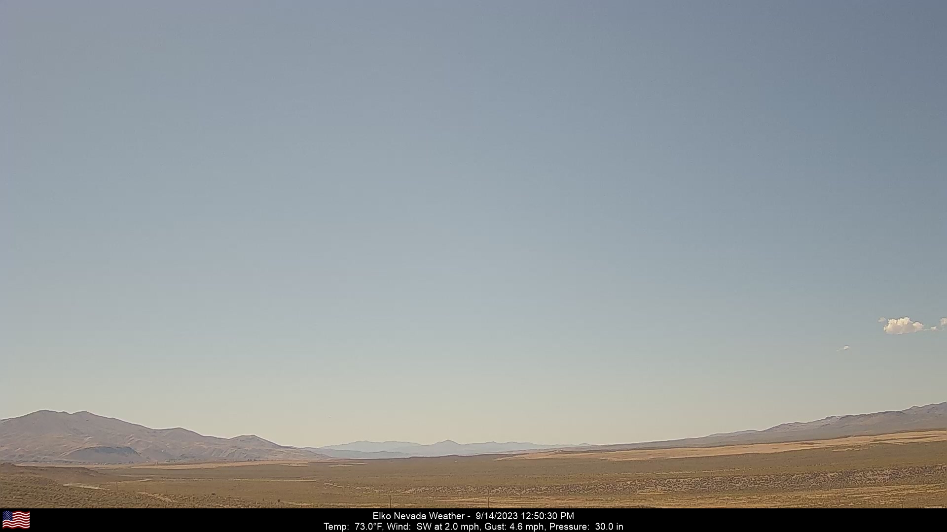
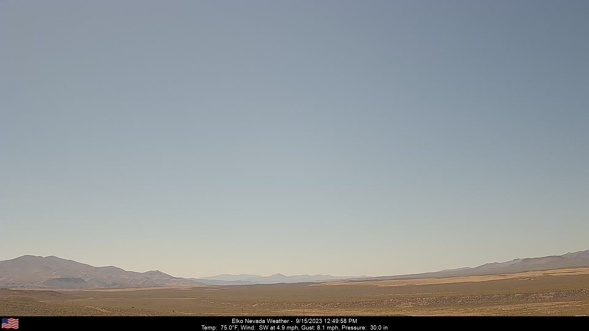
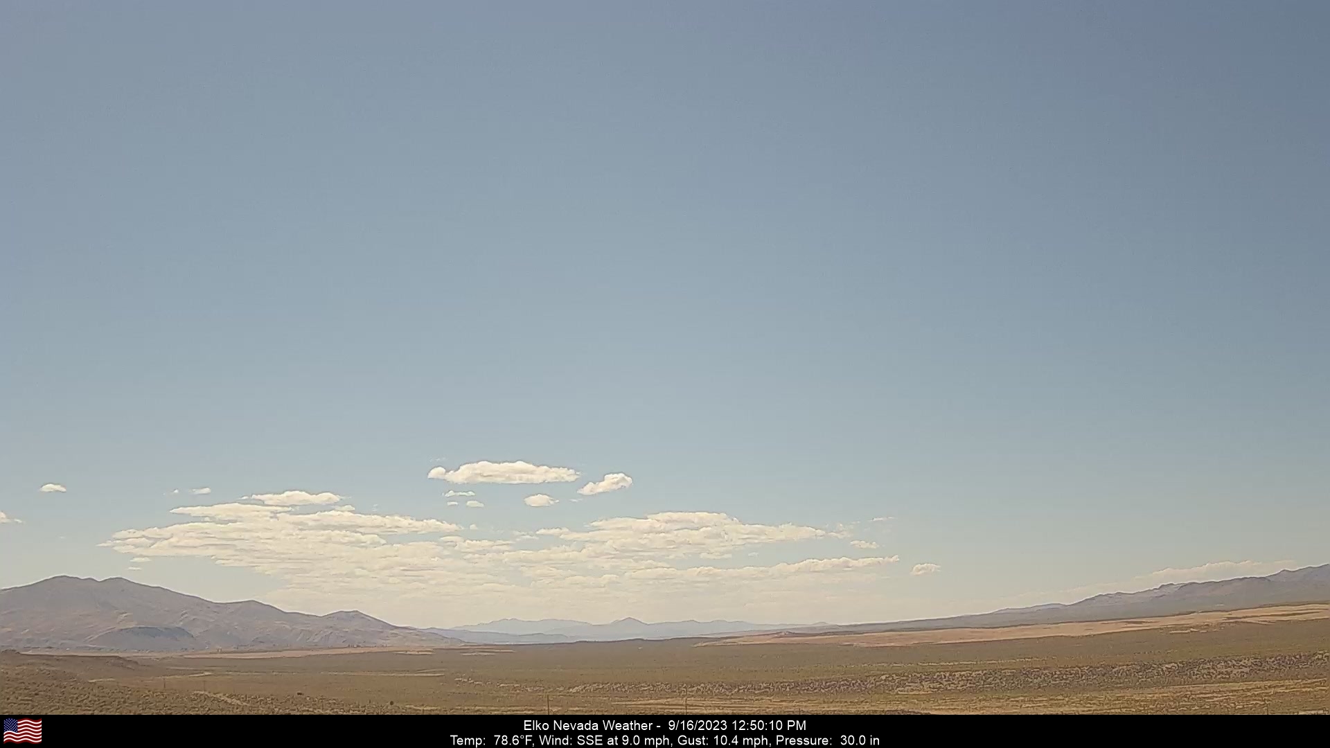
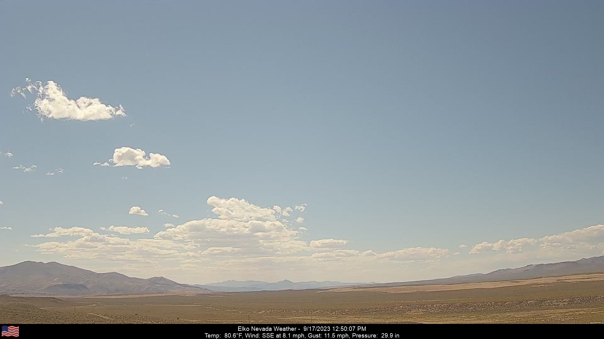
Elko, Nevada, USA - 62.3 miles from Frisbie (historical): Elko Nevada Weather - A webcam in Elko, Nevada - Adobe Range, with current weather data.
Operator: Elko Nevada Weather & Store
Operator: Elko Nevada Weather & Store


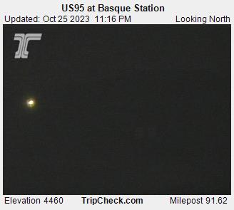
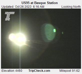
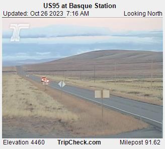
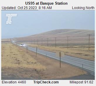
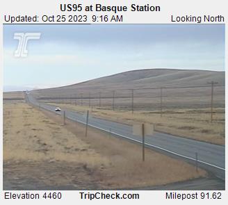
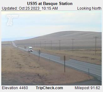
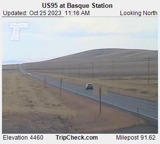
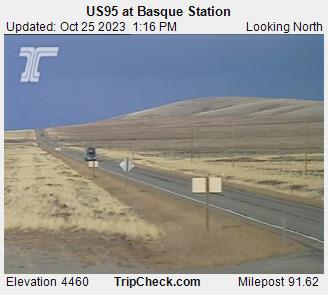
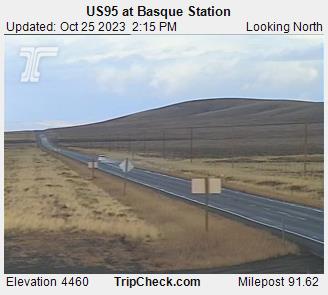
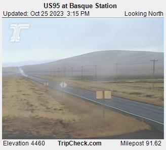
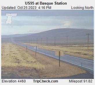
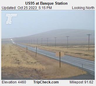
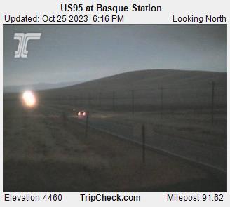
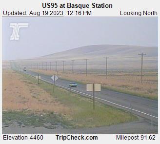
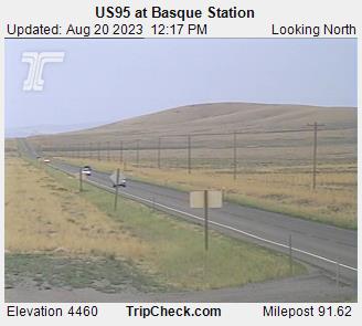
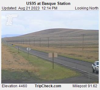
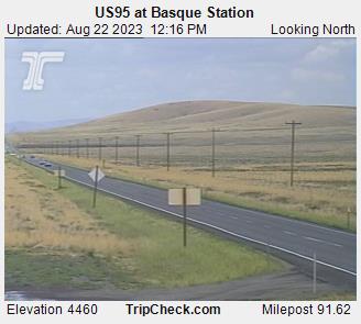
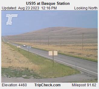
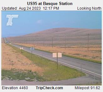
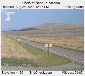
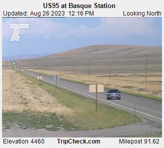
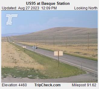
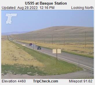
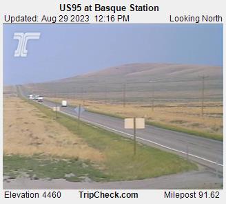
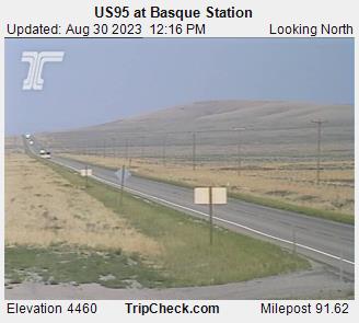
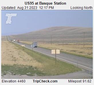
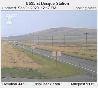
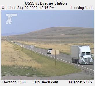
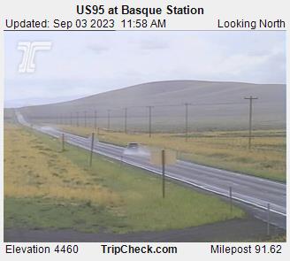
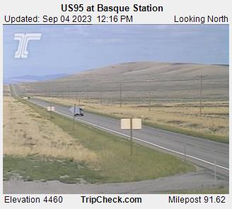
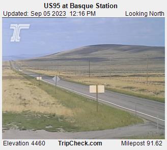
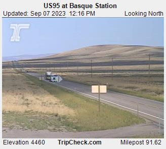
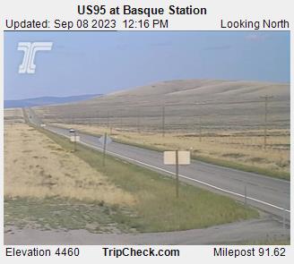
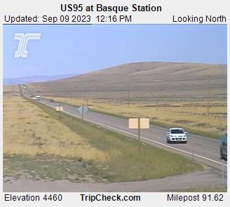
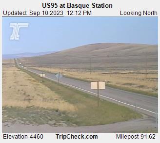
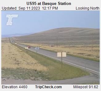
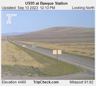
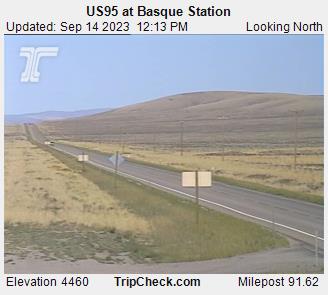
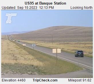
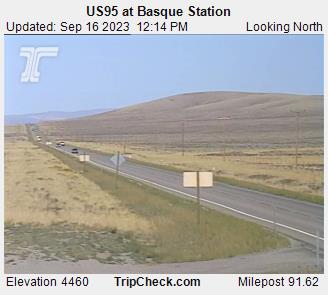
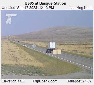
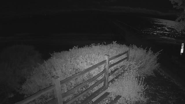
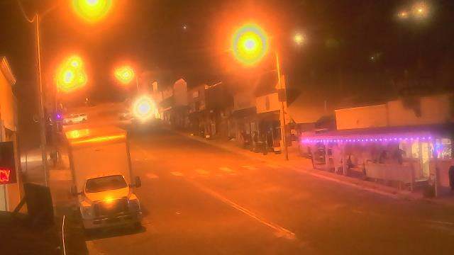
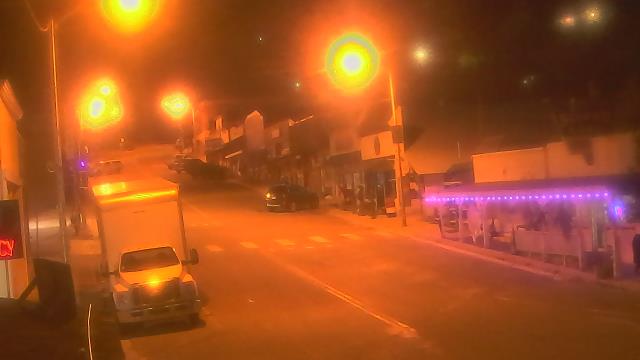
Basque, Oregon, USA - 159.8 miles from Frisbie (historical): US95 at Basque Station - A view of the current traffic situation on the US95.
Operator: Oregon Department of Transportation
Operator: Oregon Department of Transportation


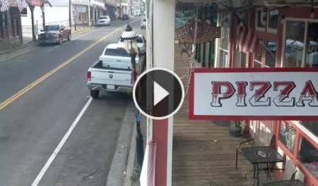
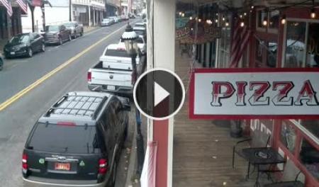
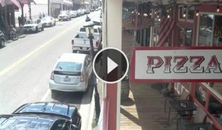
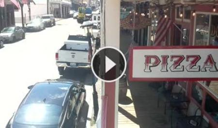
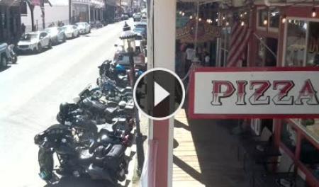
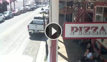
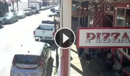
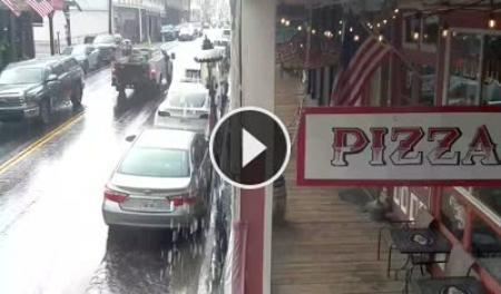
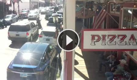
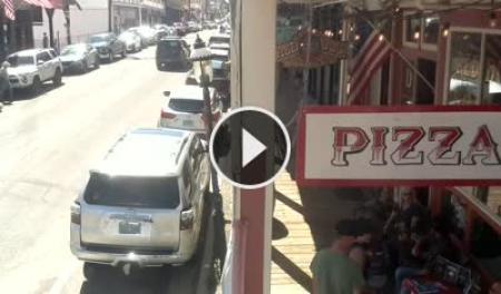
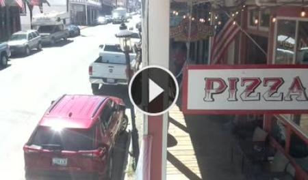
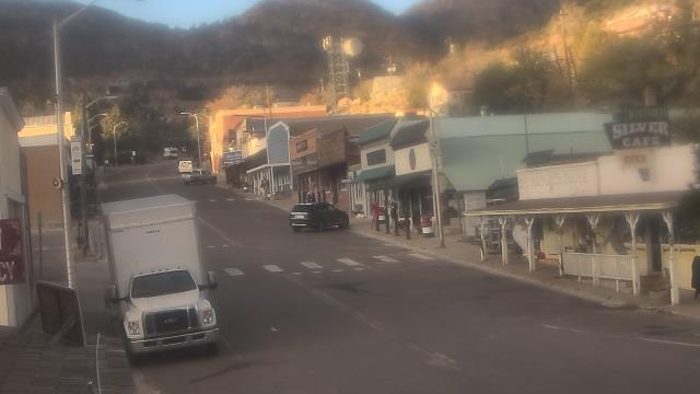
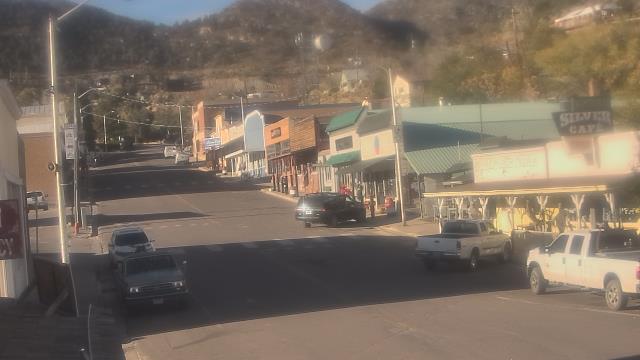
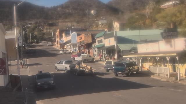
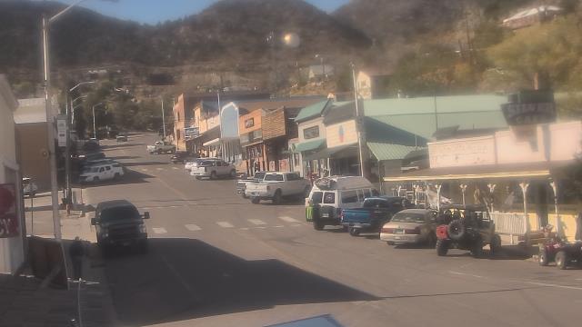
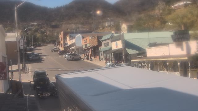
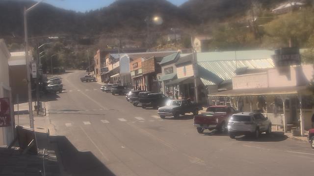
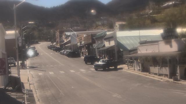
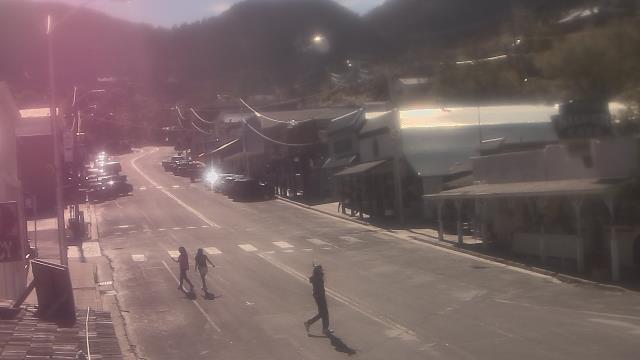
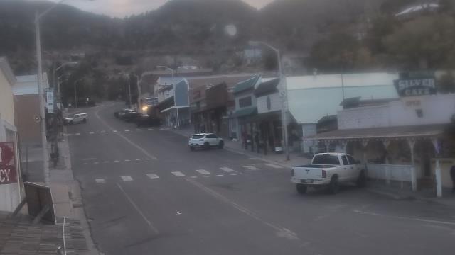
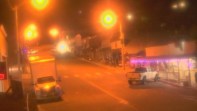
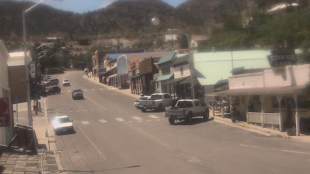
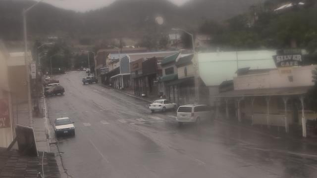
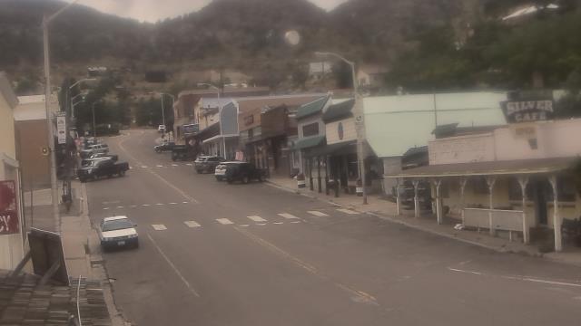
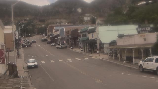
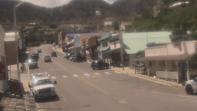
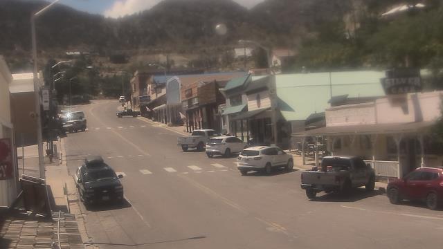
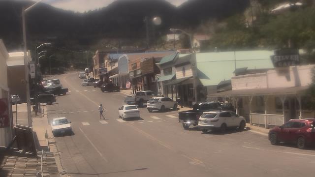
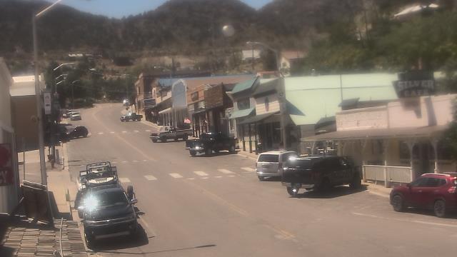
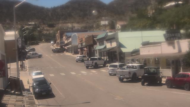
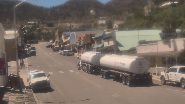
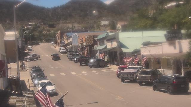
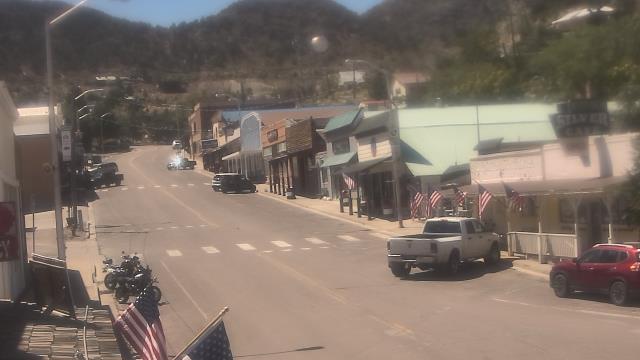
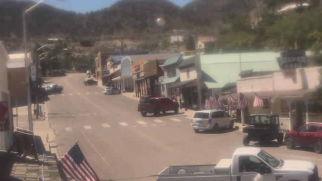
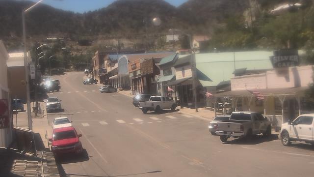
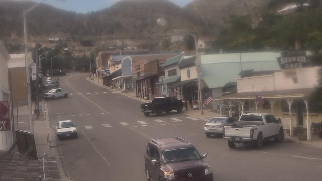
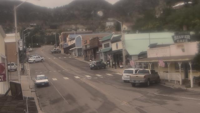
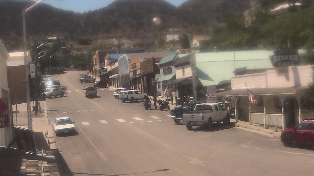
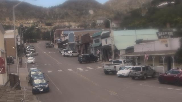
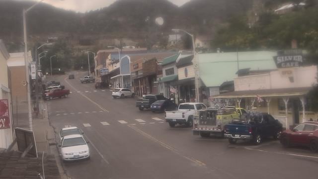
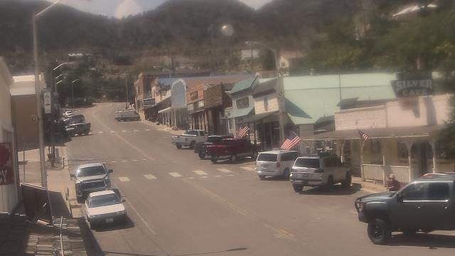
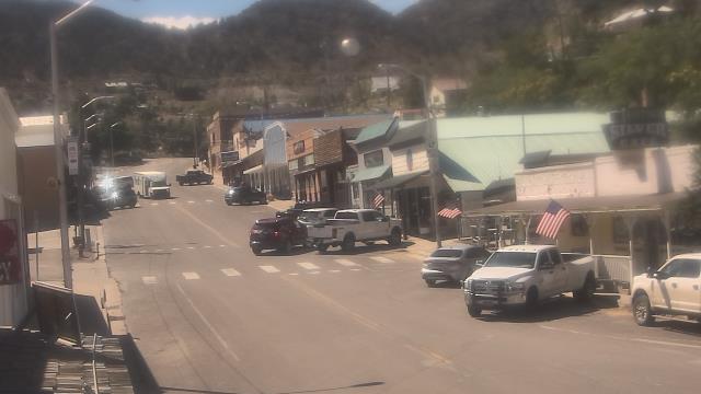
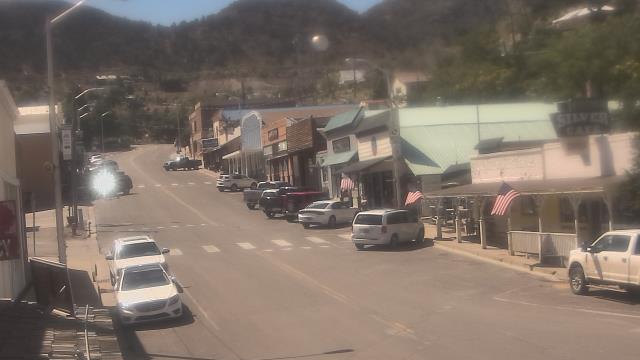
Virginia City, Nevada, USA - 170.5 miles from Frisbie (historical): View of the C Street
Operator: Skyline Webcams
Operator: Skyline Webcams


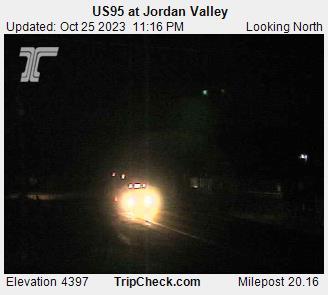
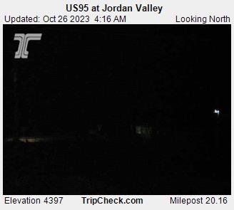
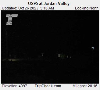
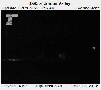
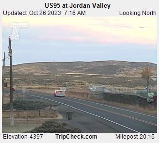
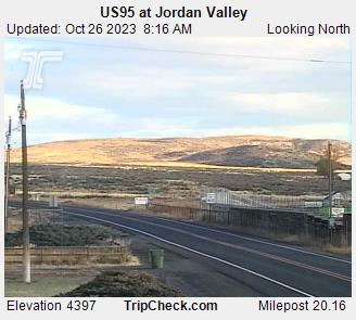
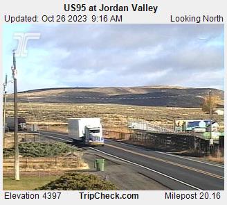
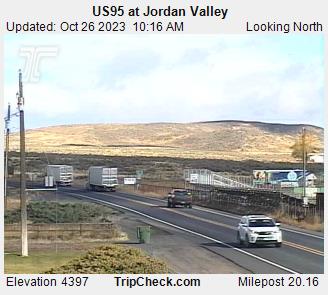
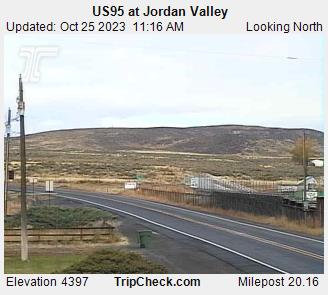
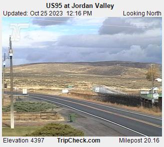
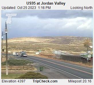
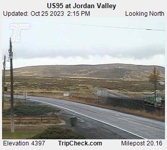
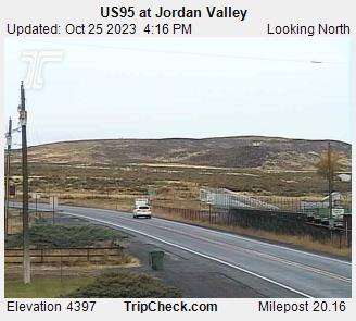
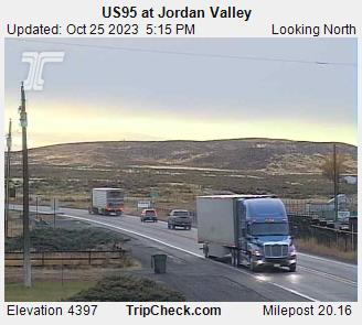
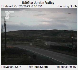
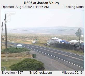
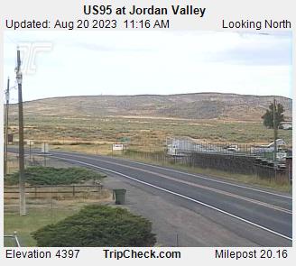
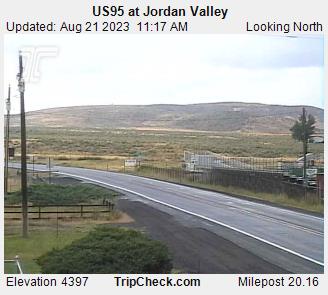
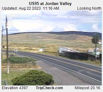
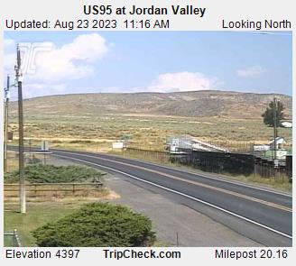
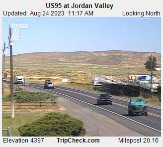
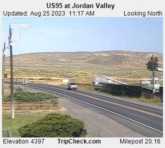
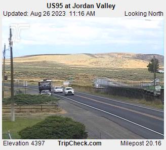
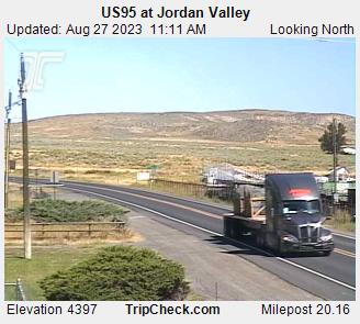
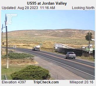
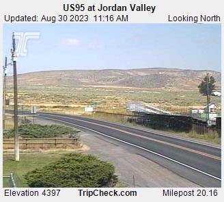
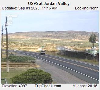
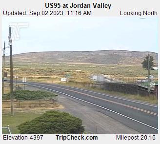
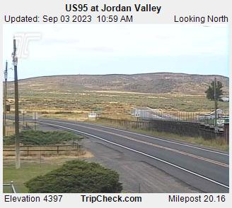
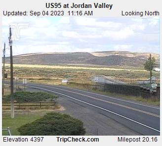
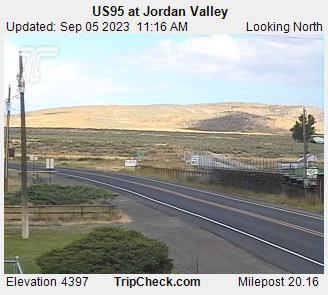
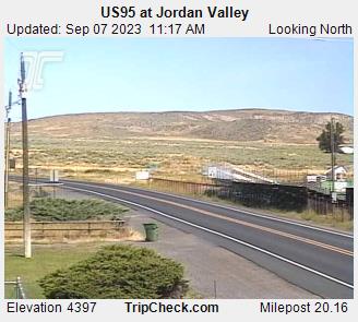
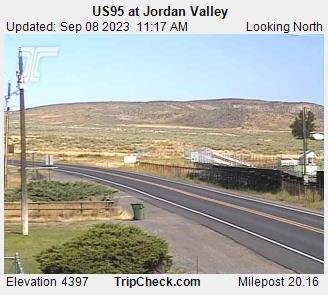
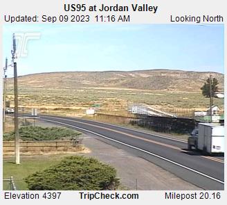
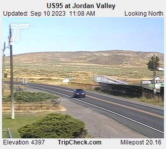
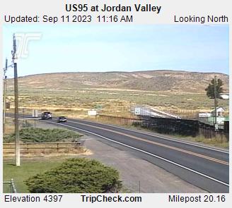
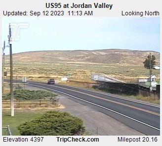
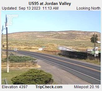
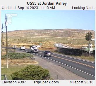
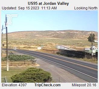
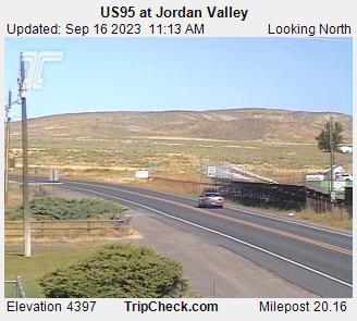
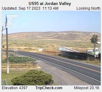
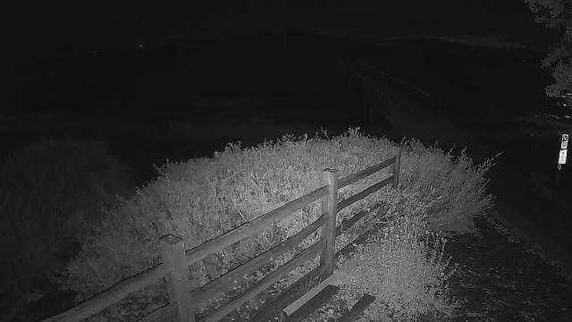
Jordan Valley, Oregon, USA - 187.6 miles from Frisbie (historical): US95 at Jordan Valley - A view of the current traffic situation on the US95.
Operator: Oregon Department of Transportation
Operator: Oregon Department of Transportation


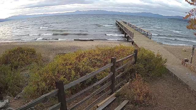
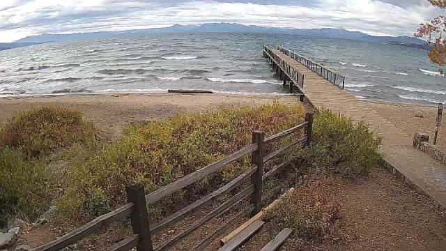
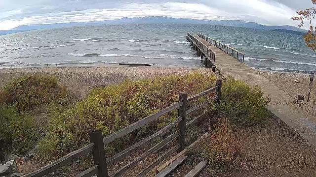
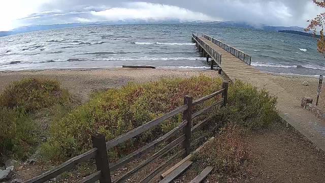
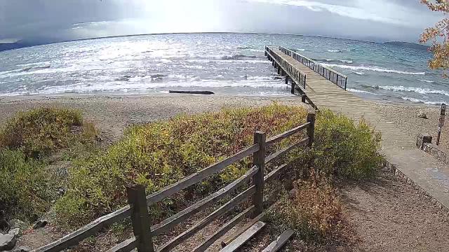
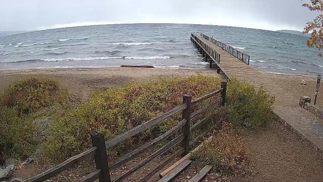
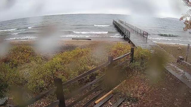
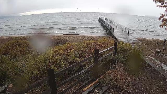
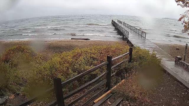
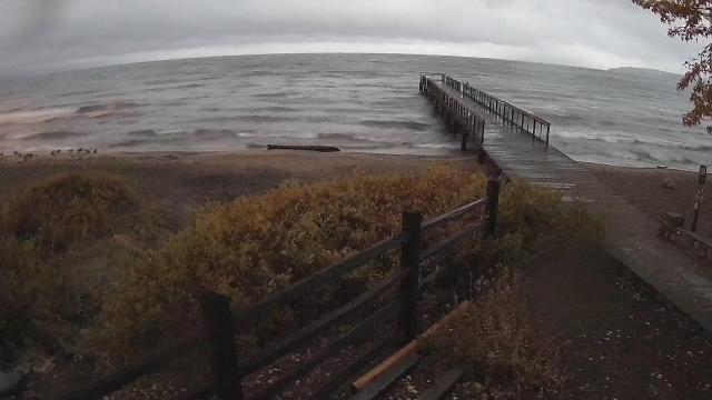
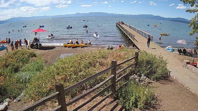
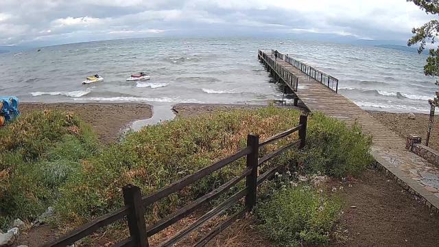
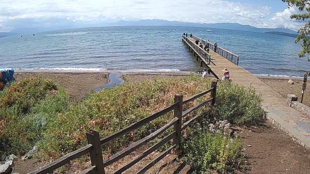
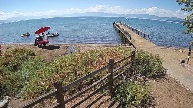
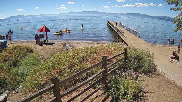
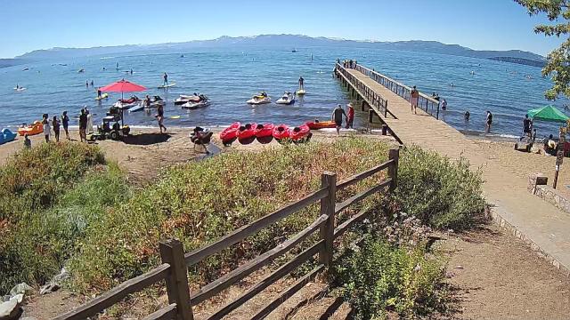
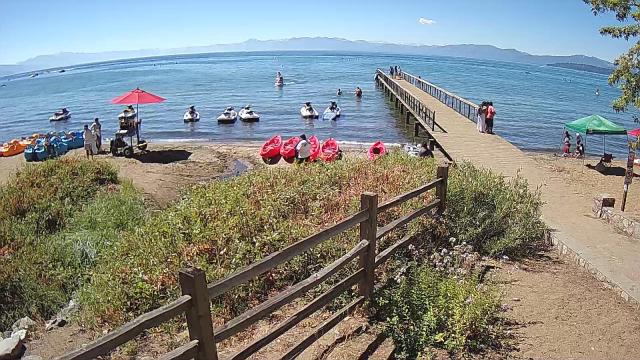
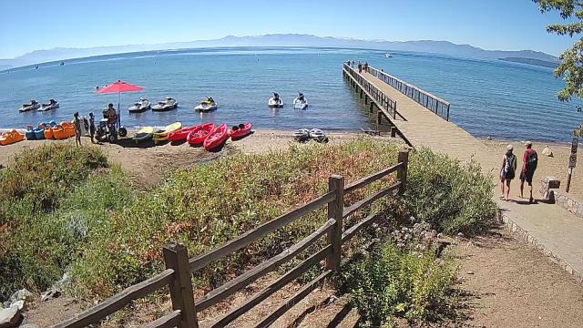
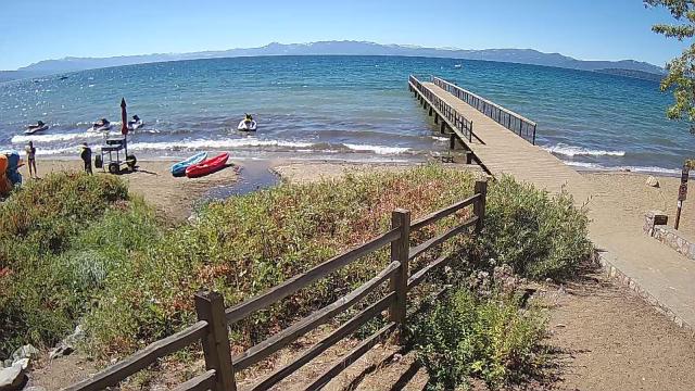
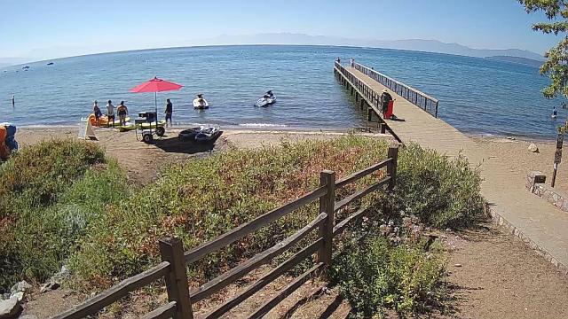
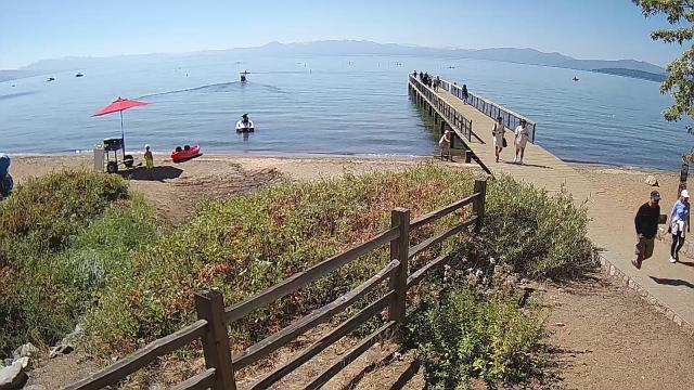
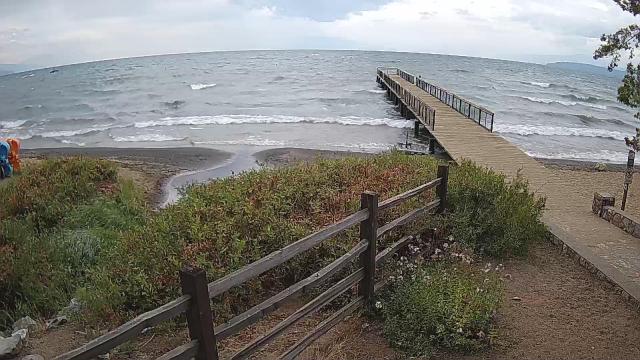
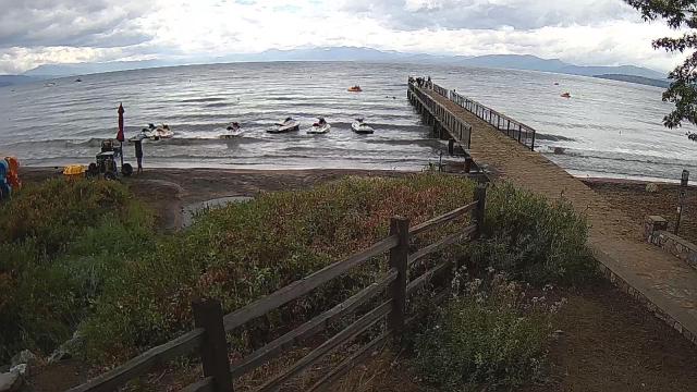
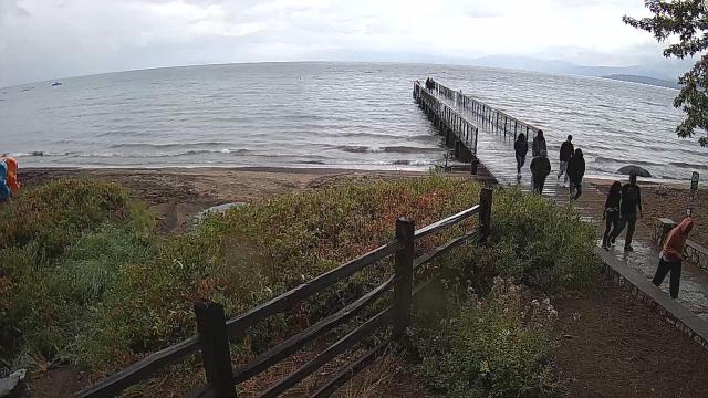
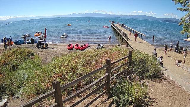
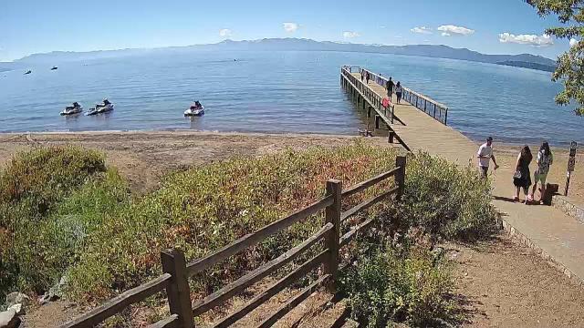
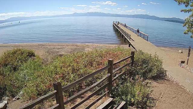
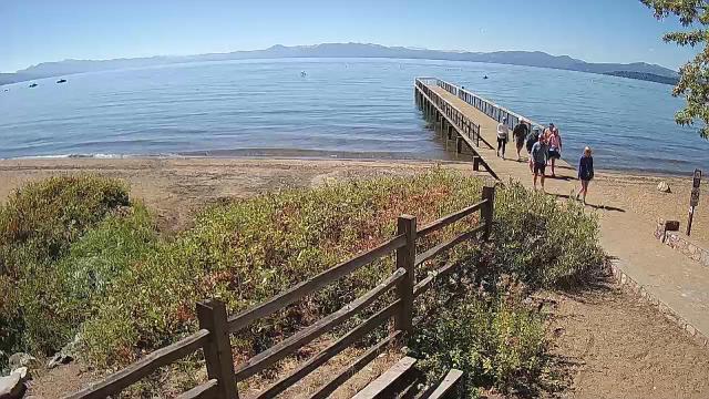
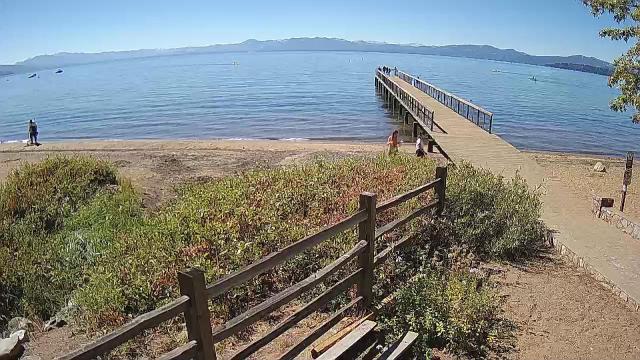
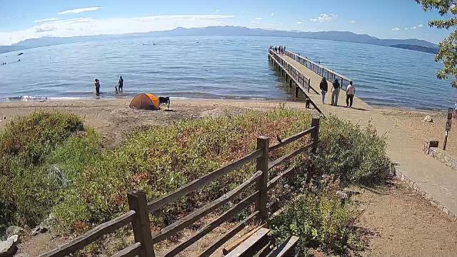
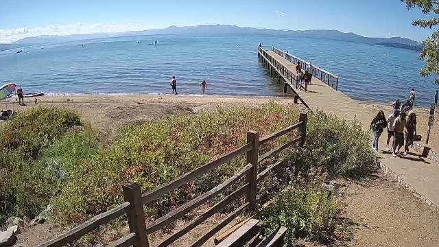
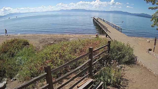
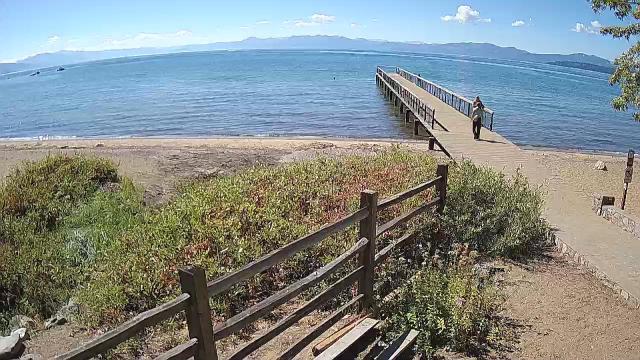
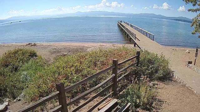
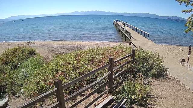
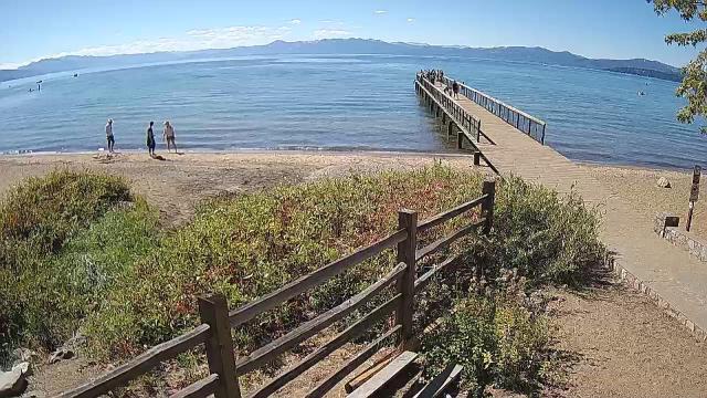
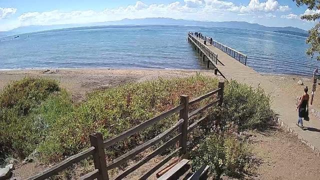
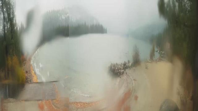
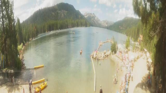
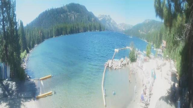
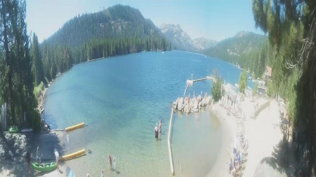
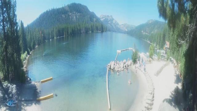
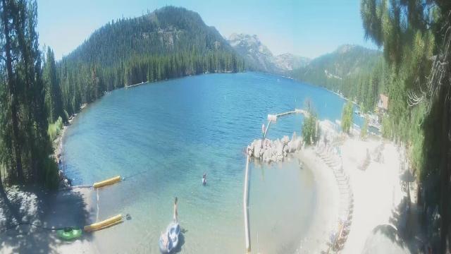
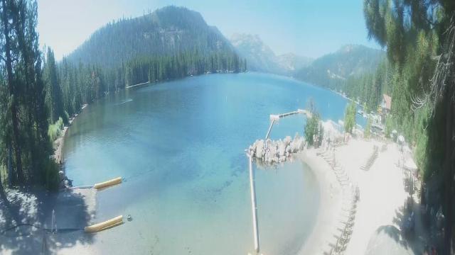
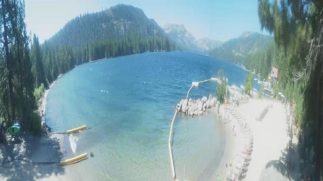
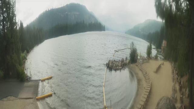
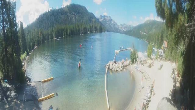
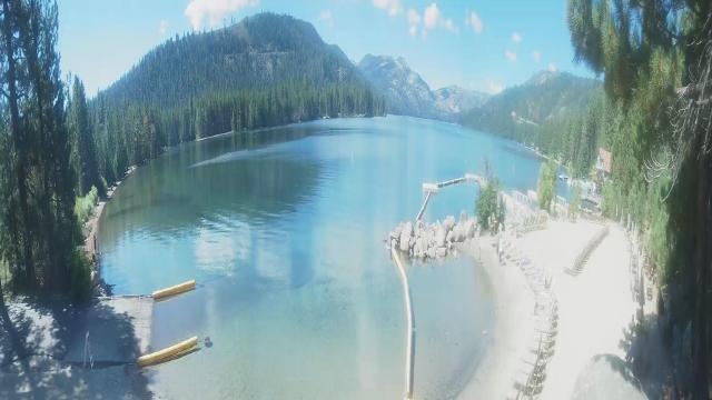
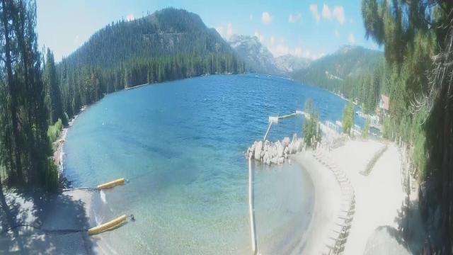
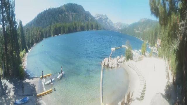
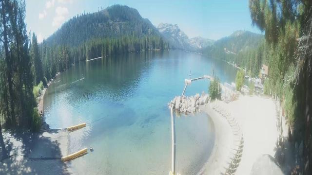
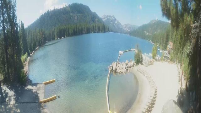
Kings Beach, California, USA - 190.9 miles from Frisbie (historical): Beachview - Sunny Kings Beach, Lake Tahoe
Operator: HDOnTap
Operator: HDOnTap


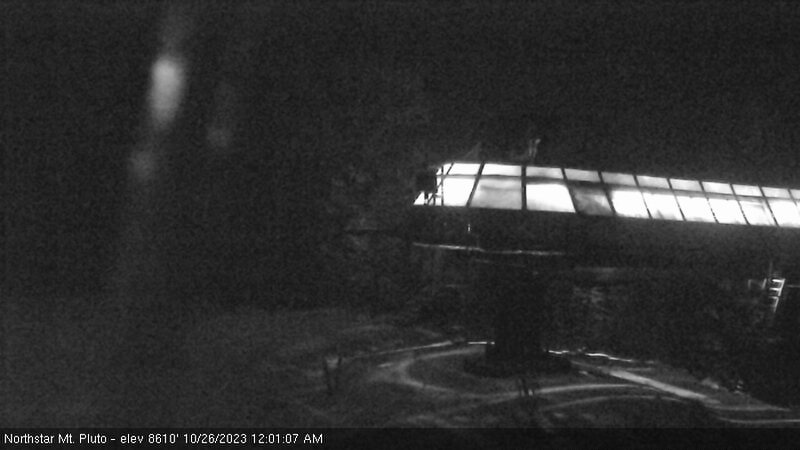
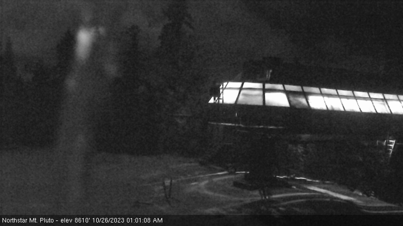
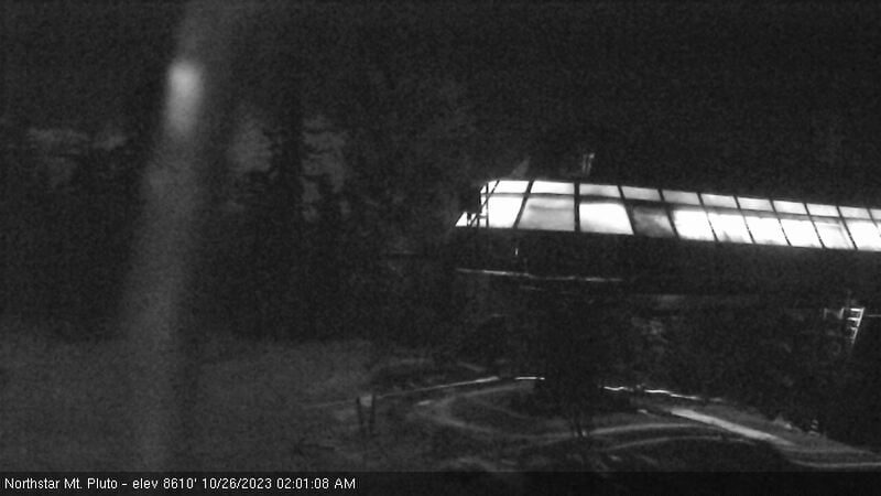
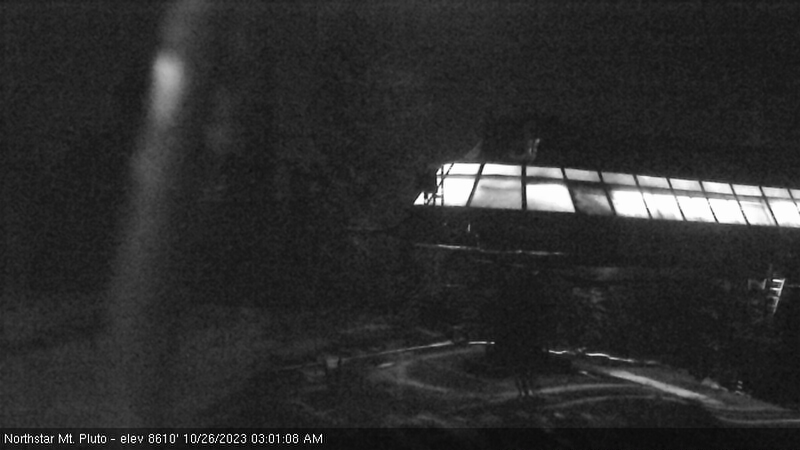
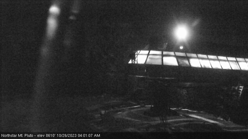
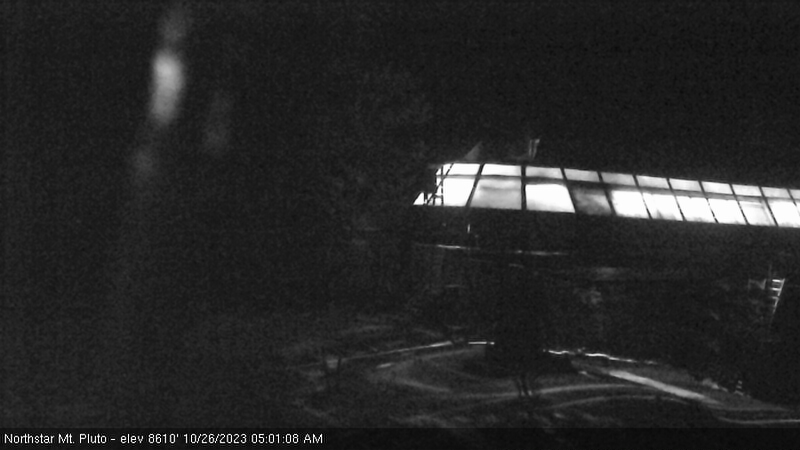
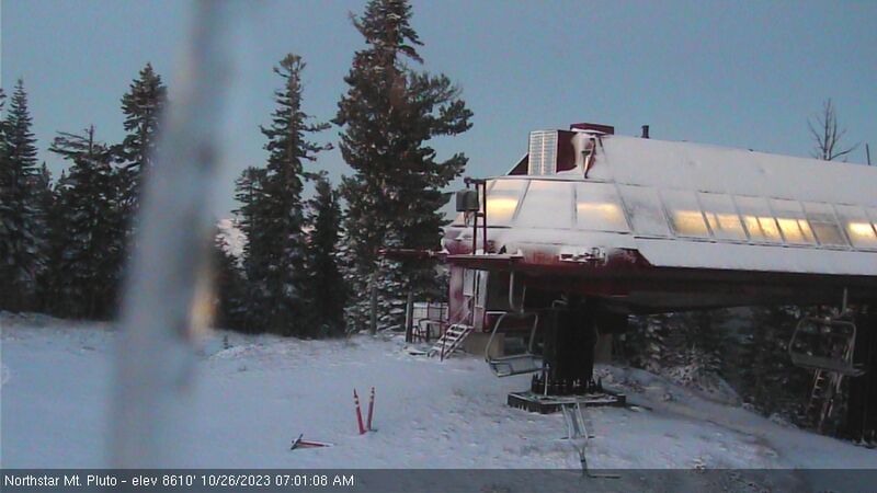
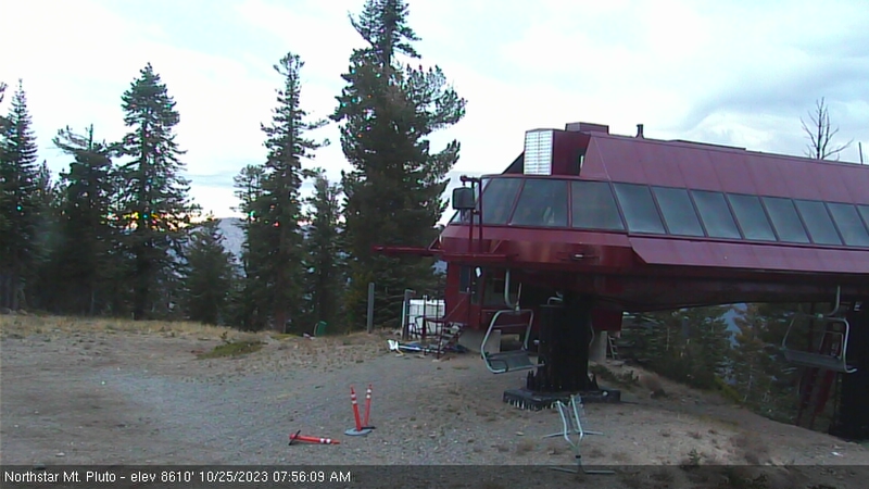
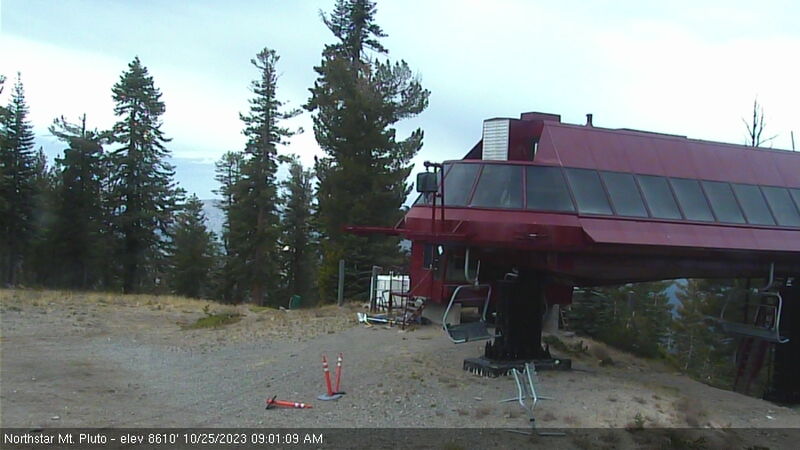
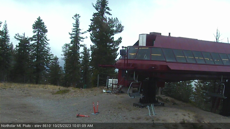
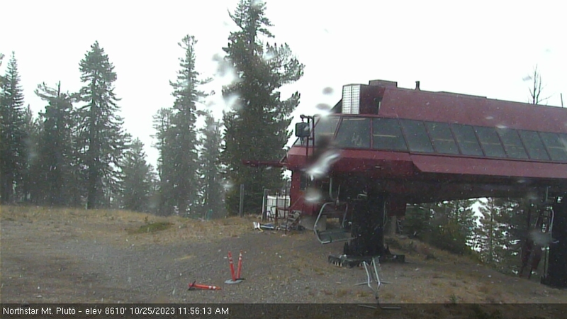
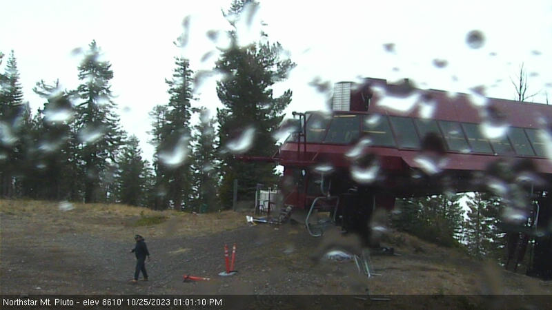
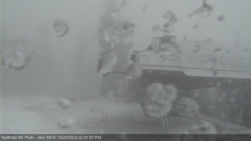
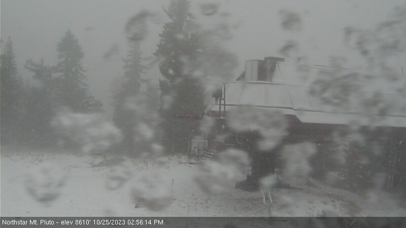
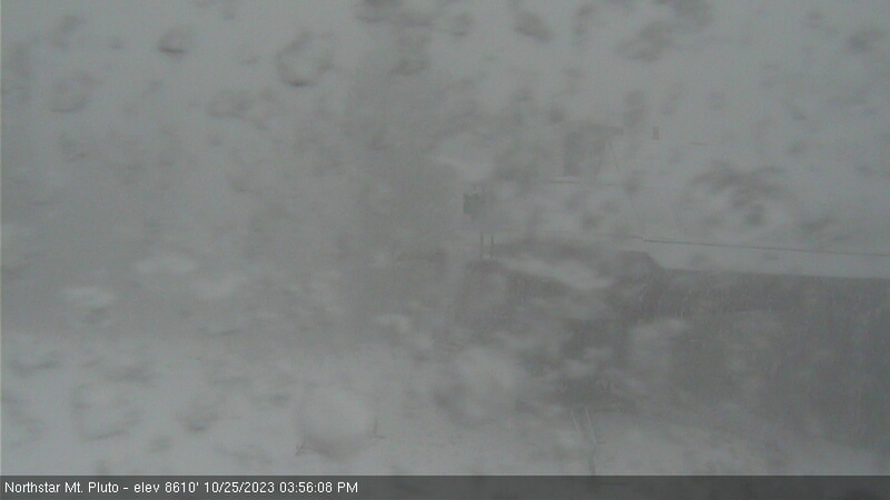
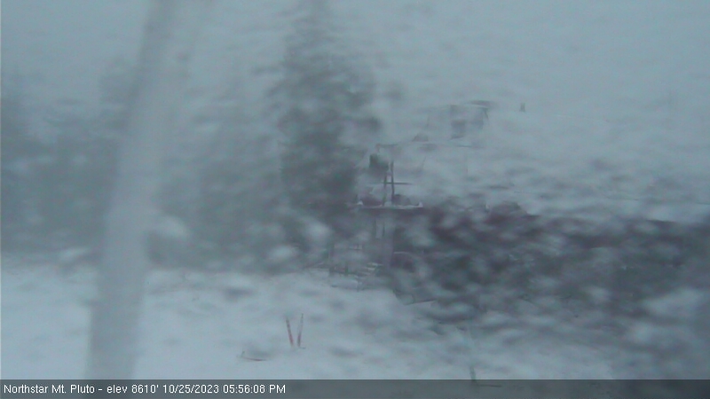
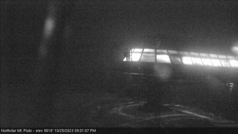
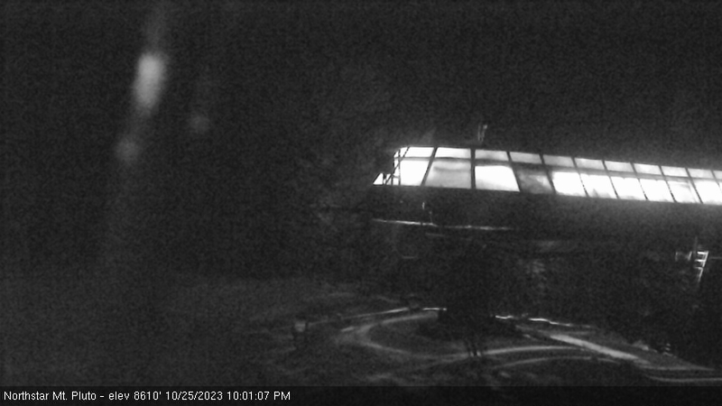
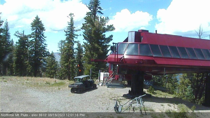
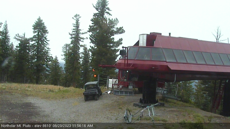
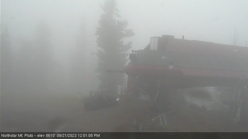
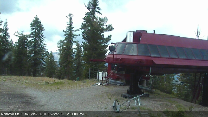
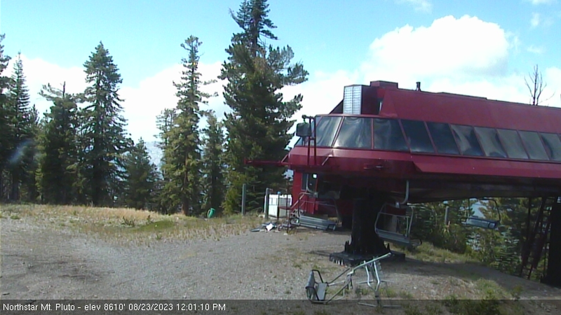
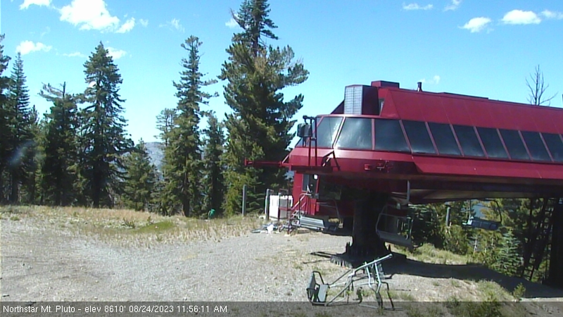
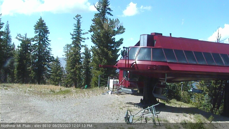
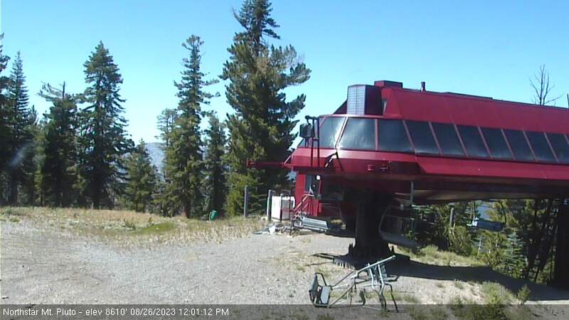
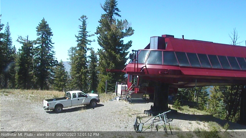
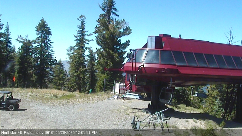
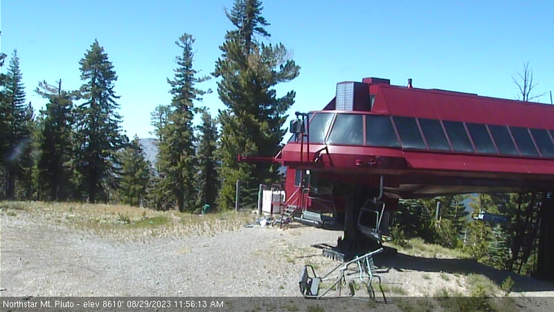
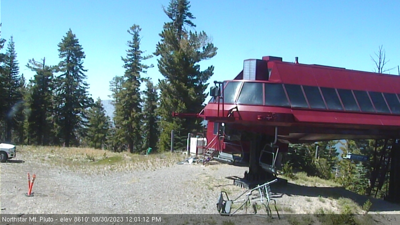
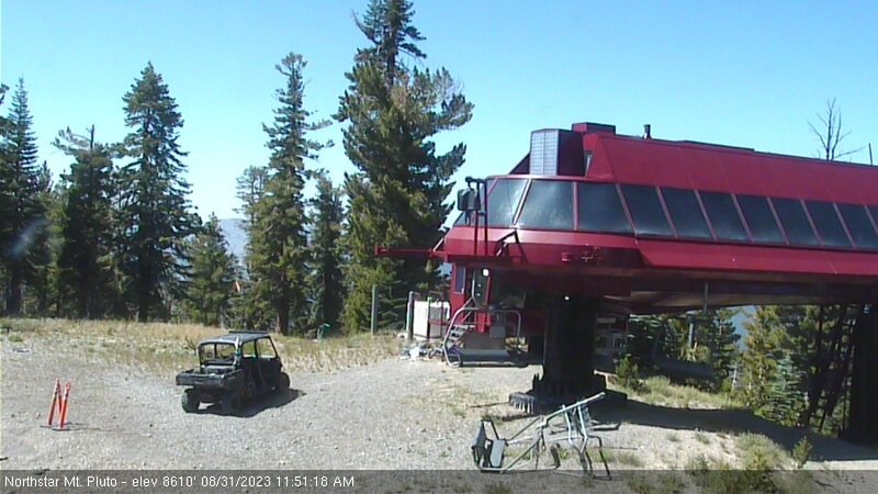
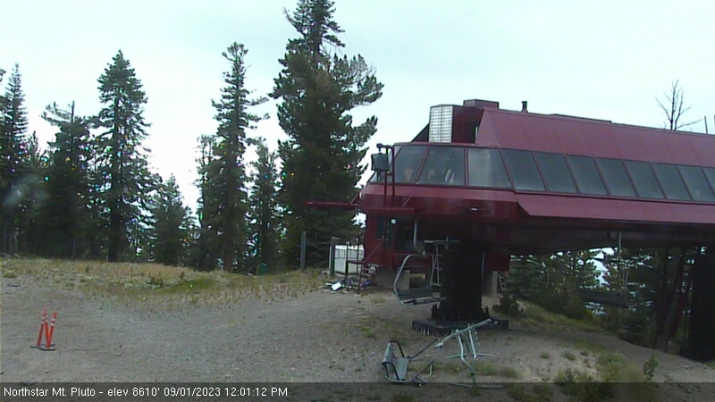
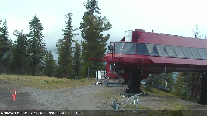
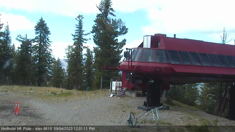
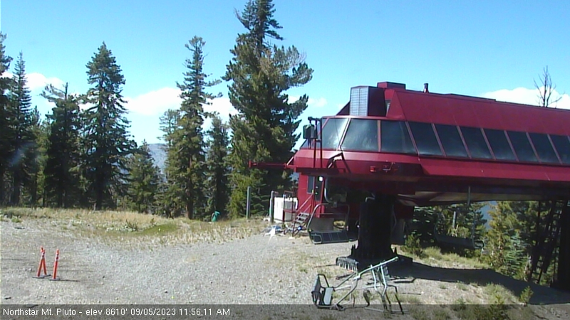
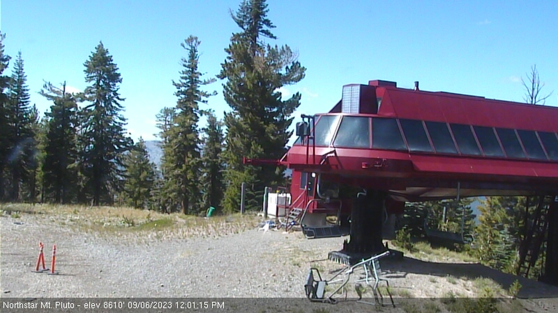
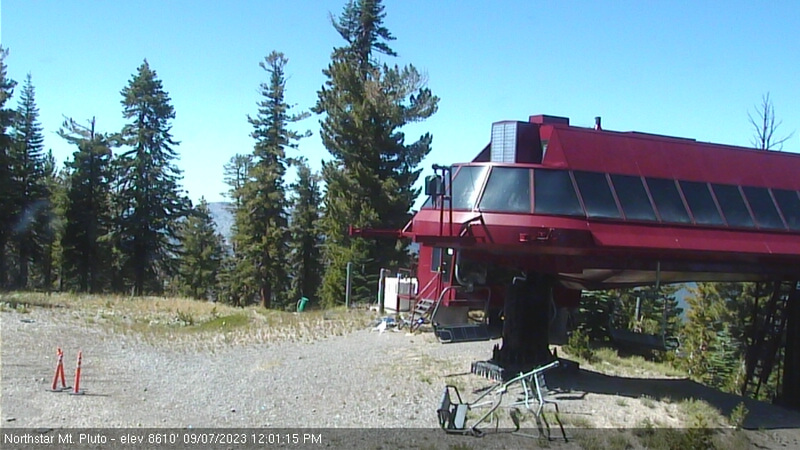
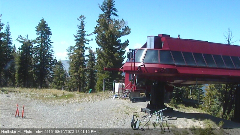
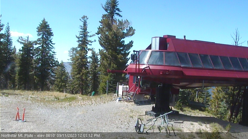
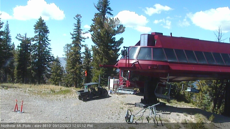
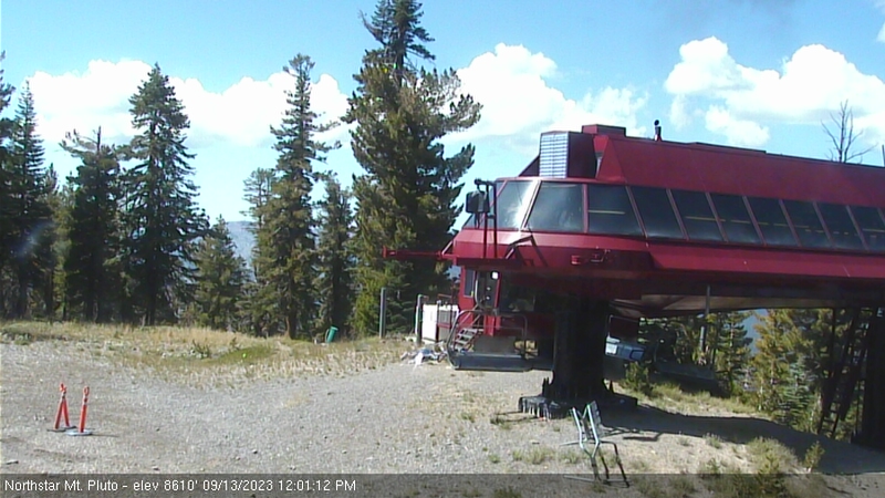
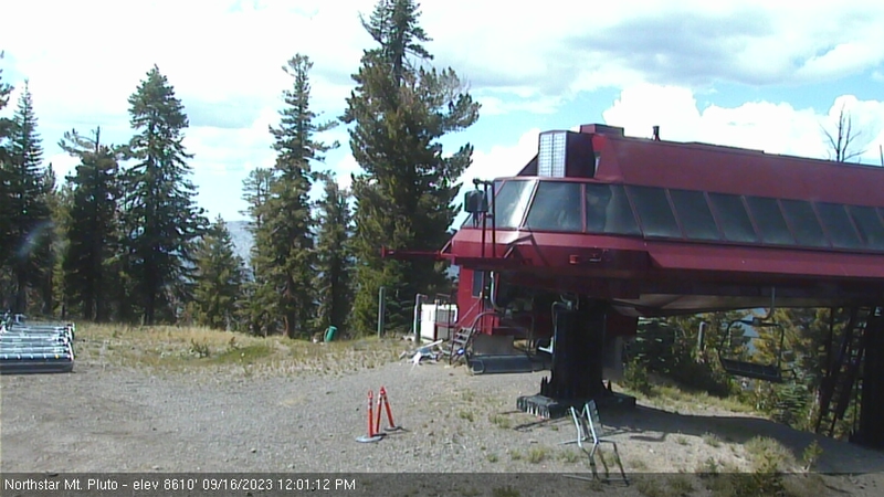
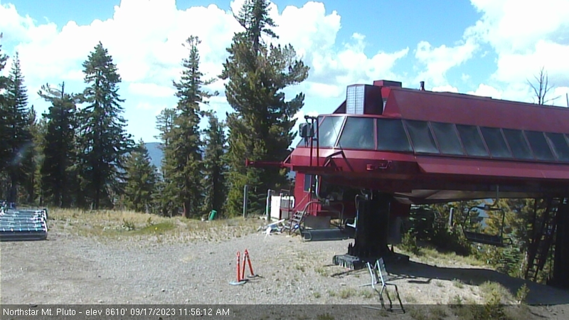
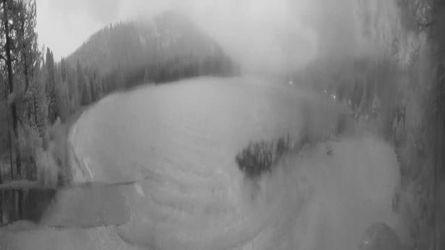
Northstar California Resort, USA - 194.6 miles from Frisbie (historical): Current Snow Conditions - Several webcams offer a view of the current snow situation at the Northstar California Resort.
Operator: Northstar California Resort
Operator: Northstar California Resort


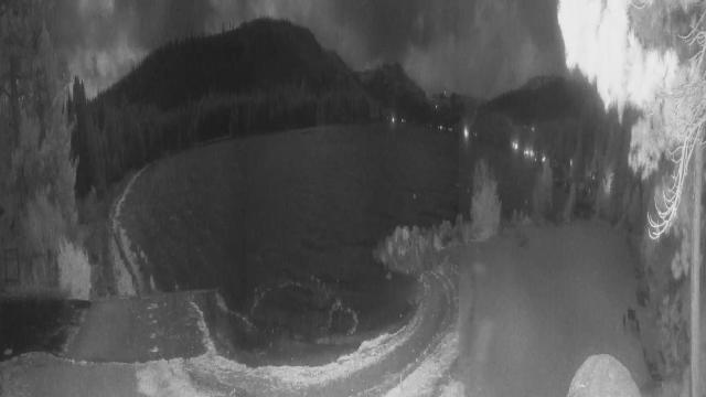
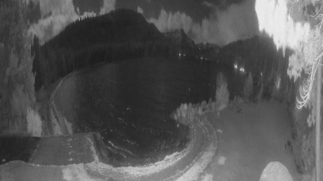
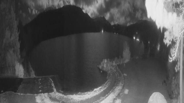
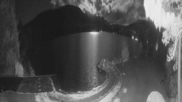
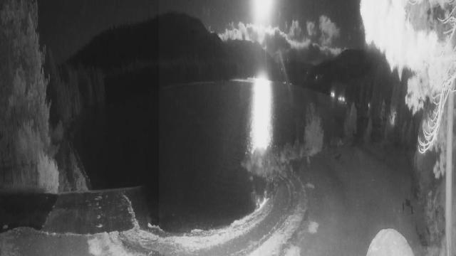
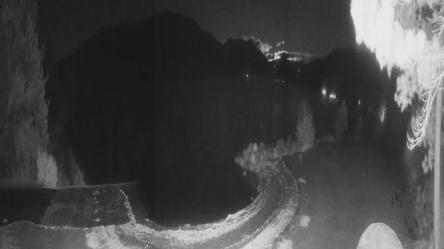
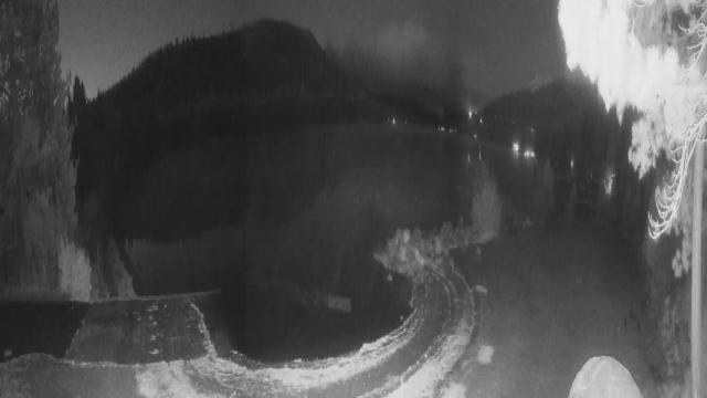
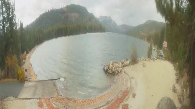
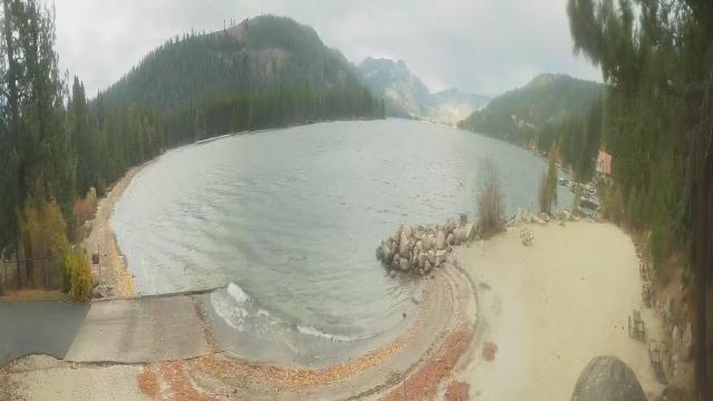
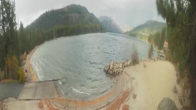
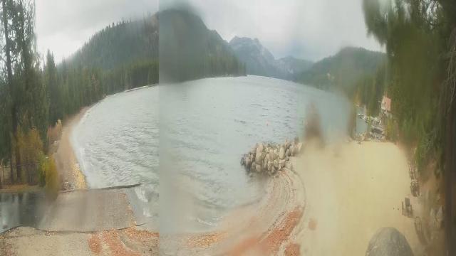
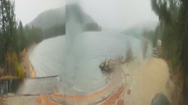
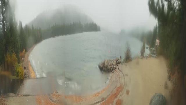
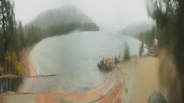
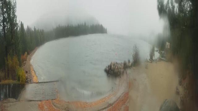
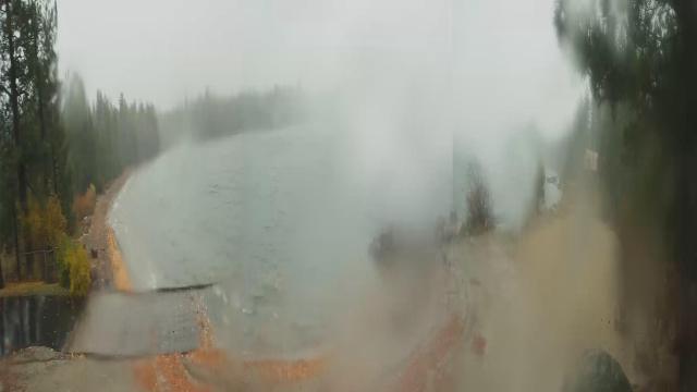
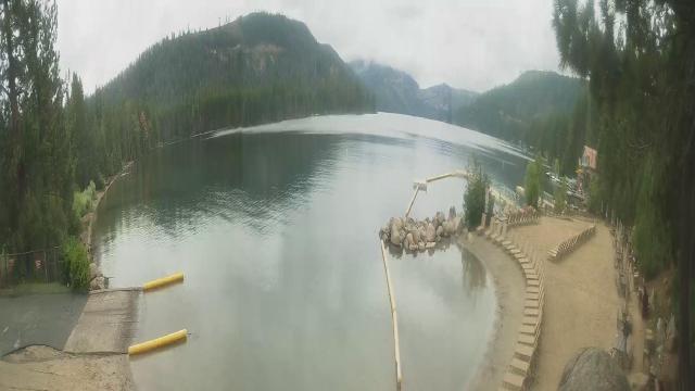
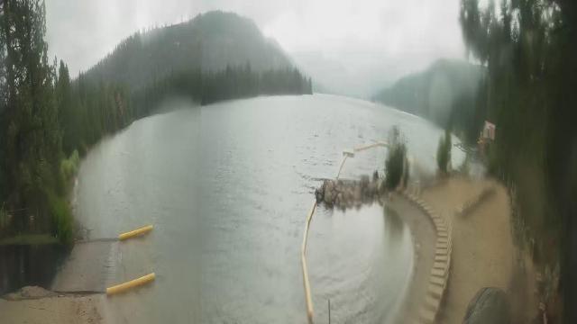
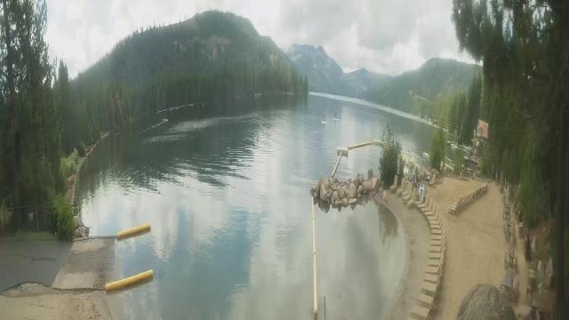
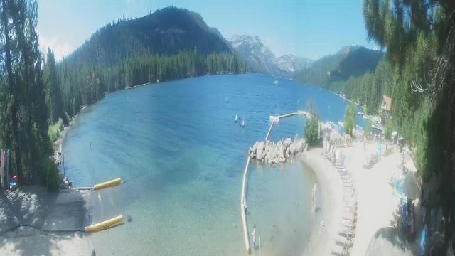
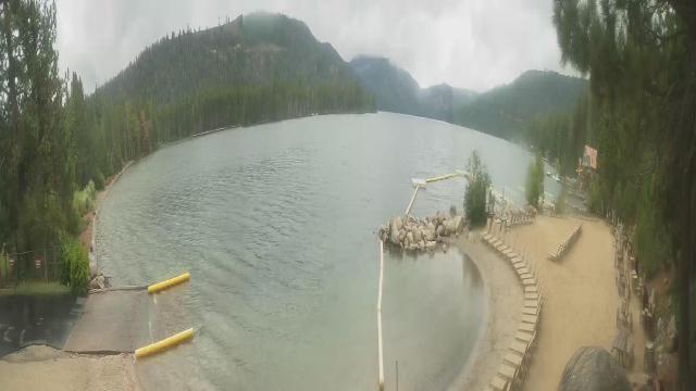
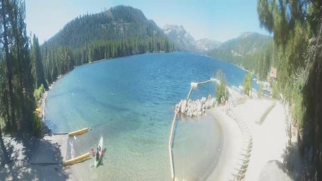
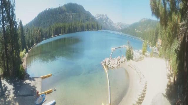
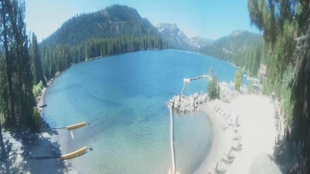
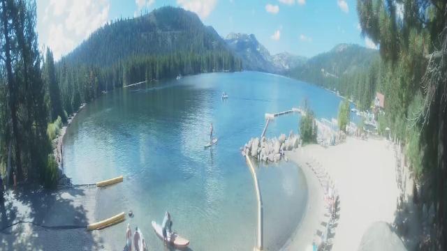
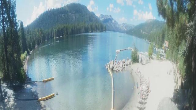
Truckee, California, USA - 196.4 miles from Frisbie (historical): Lake View - Donner Lake in Truckee, California.
Operator: HDOnTap
Operator: HDOnTap


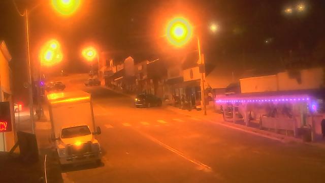
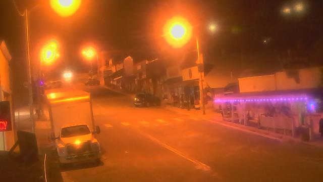
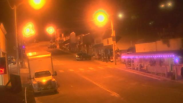
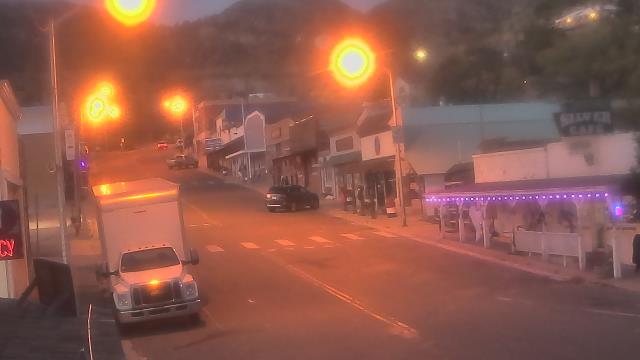
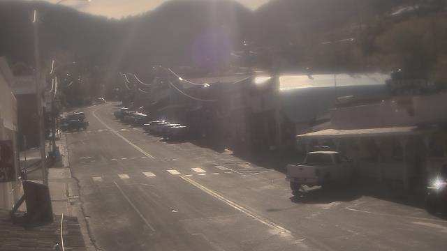
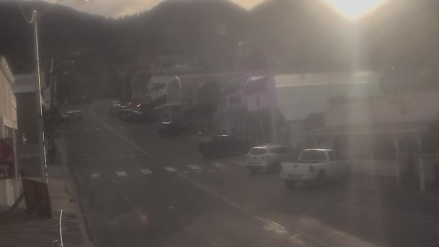
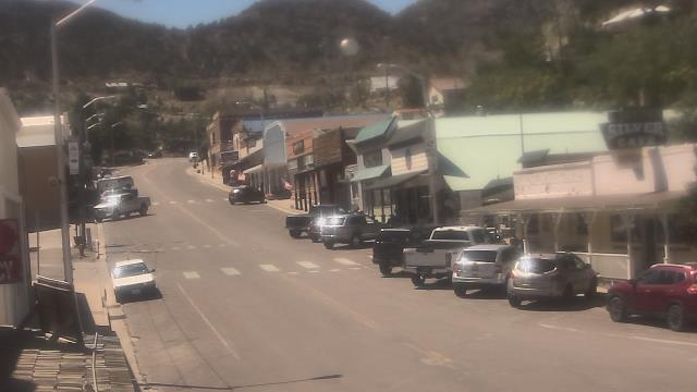
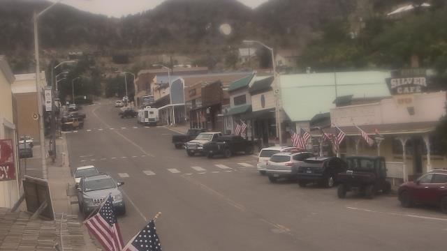
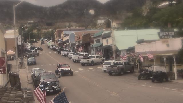
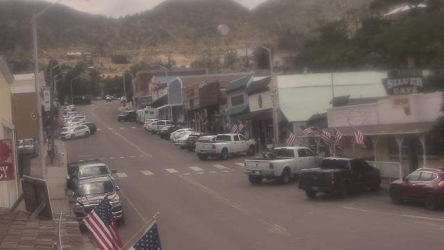
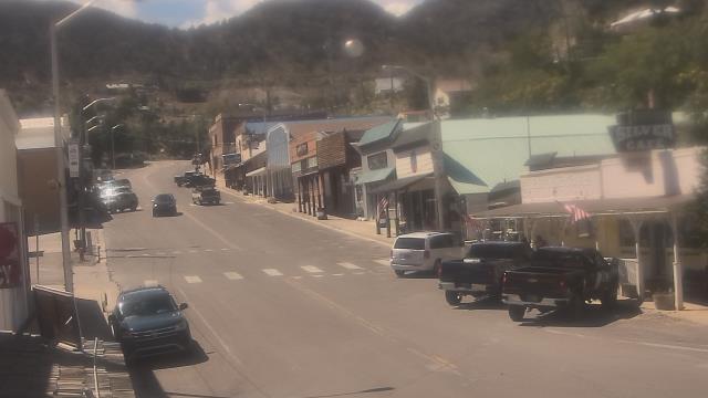
Pioche, Nevada, USA - 201.6 miles from Frisbie (historical): Overland Hotel - Webcam and current weather data - camera location: Overland Hotel.
Operator: WeatherBug
Operator: WeatherBug


Norden, California, USA - 205.3 miles from Frisbie (historical): Sugar Bowl Ski Resort - Several views of the Sugar Bowl Ski Resort near Norden, California.
Operator: Sugar Bowl Ski Resort
Operator: Sugar Bowl Ski Resort

Boreal Mountain Resort, California, USA - 205.3 miles from Frisbie (historical): Current Snow Conditions - View of the current snow conditions at the Boreal Mountain Resort.
Operator: Boreal Mountain Resort
Operator: Boreal Mountain Resort
Some other places in this country: Gold Run (historical) - Northam (historical) - New Boston (historical) - Bley (historical) - Ashmeadow (historical) - Spring Creek - Pleasant Valley - American Flat (historical) - Blanco (historical) - Broadway (historical)