Webcams in the region of Denio, Nevada, USA
The List of Webcams near Denio, Nevada, USA:

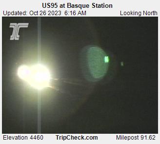
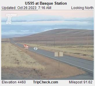
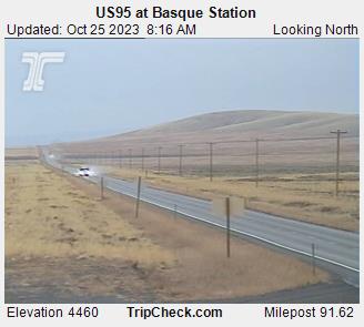
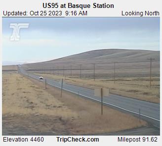
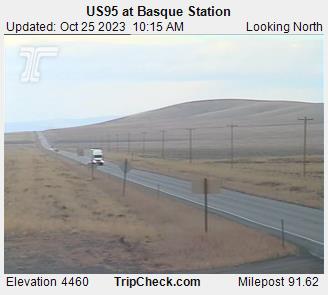
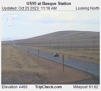
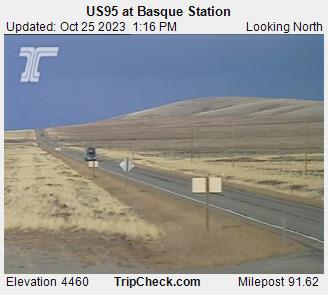
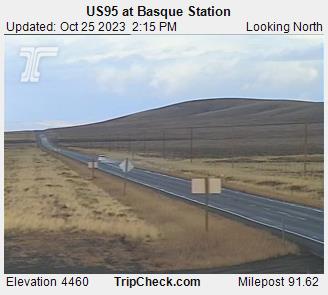
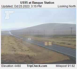
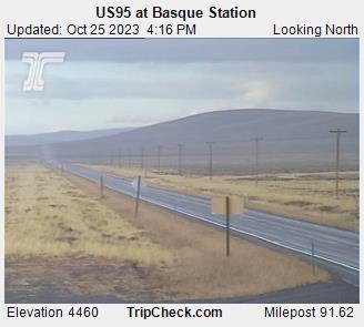
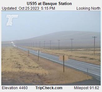
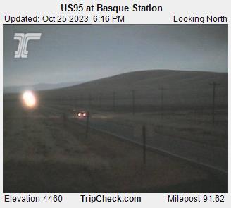
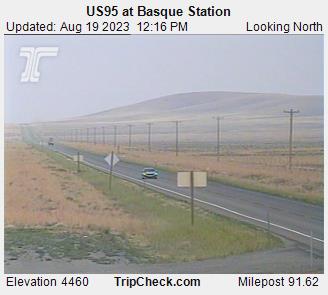
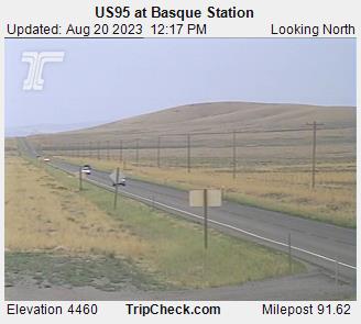
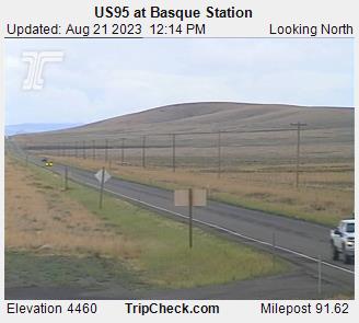
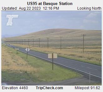
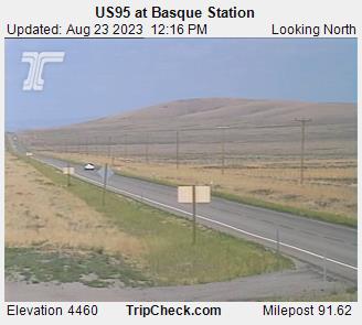
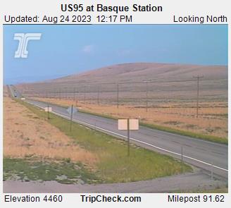
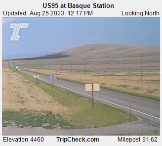
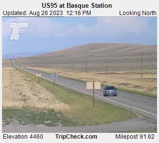
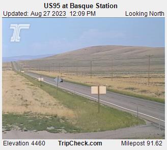
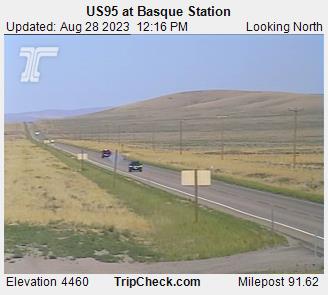
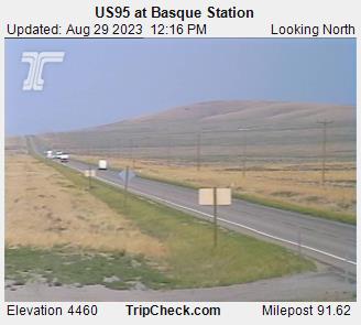
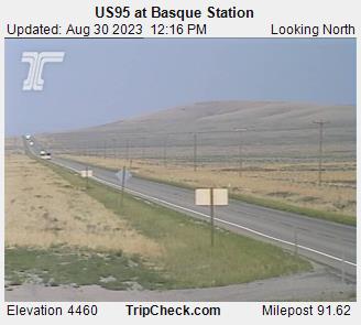
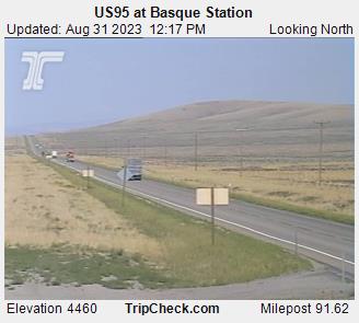
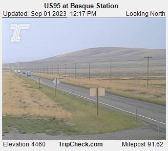
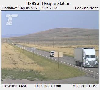
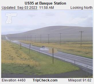
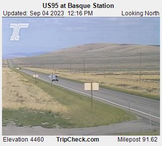
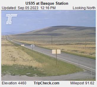
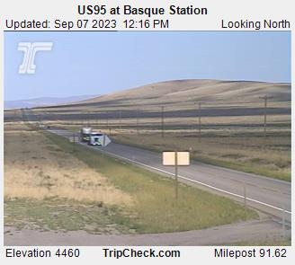
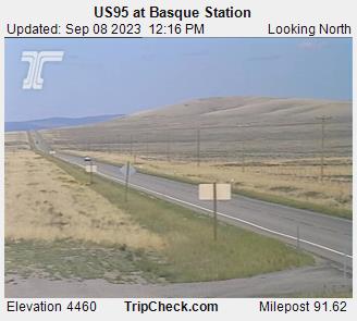
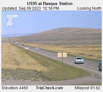
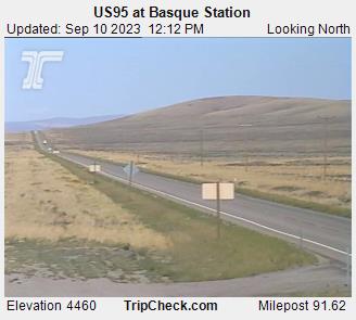
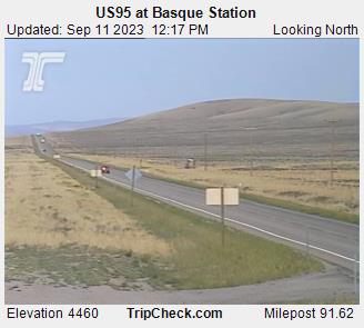
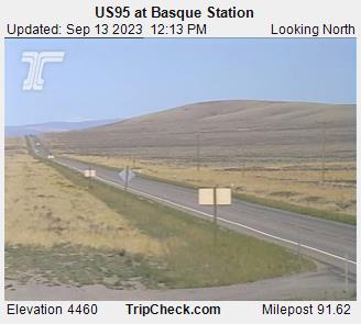
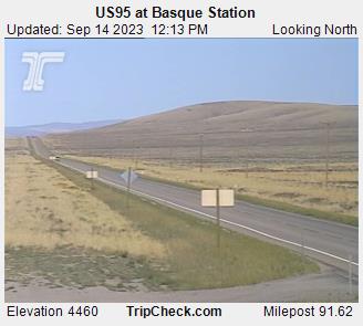
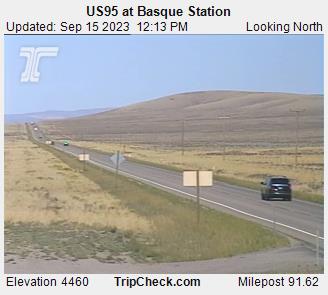
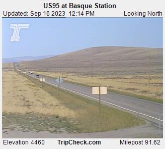
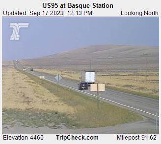
Basque, Oregon, USA - 48.8 miles from Denio: US95 at Basque Station - A view of the current traffic situation on the US95.
Operator: Oregon Department of Transportation
Operator: Oregon Department of Transportation


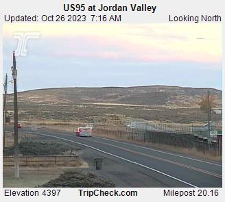
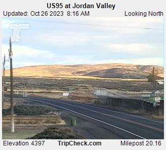
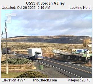
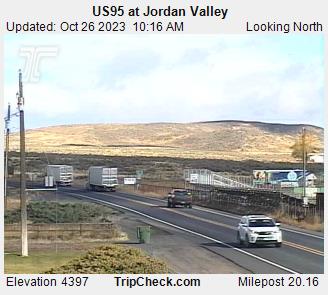
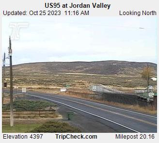
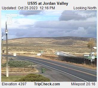
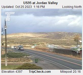
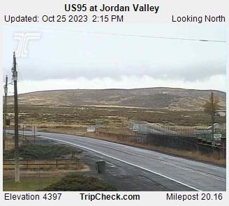
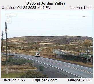
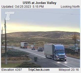
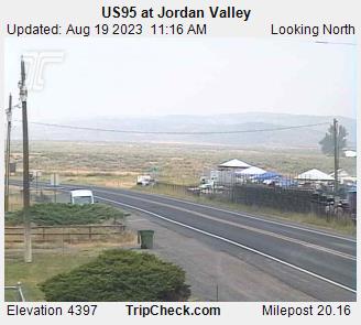
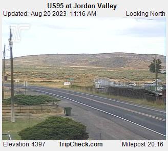
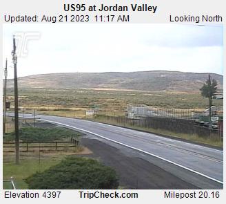
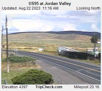
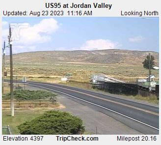
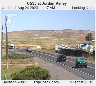
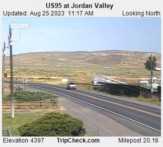
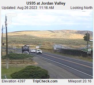
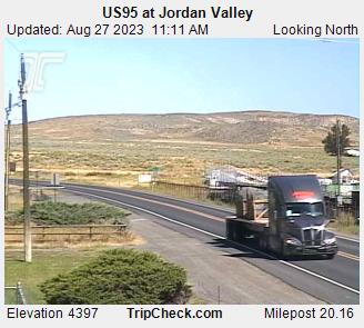
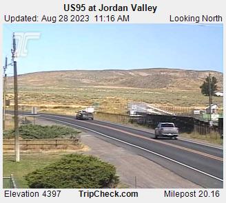
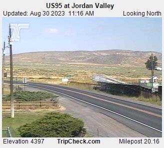
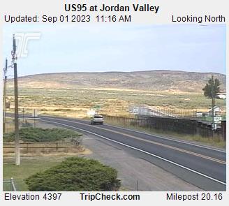
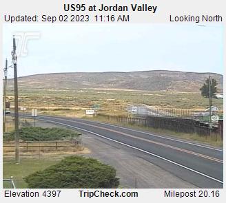
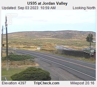
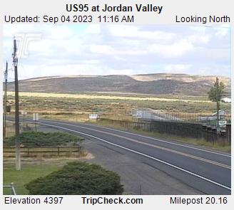
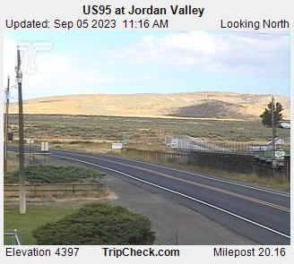
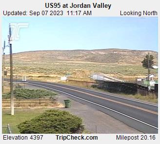
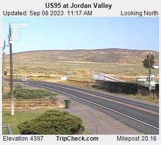
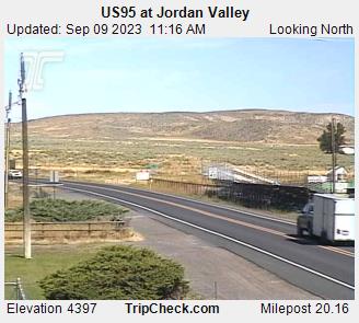
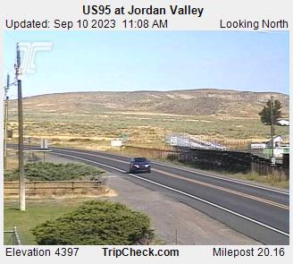
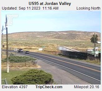
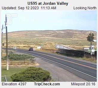
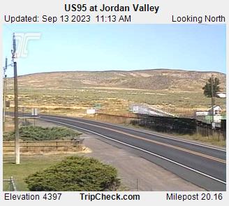
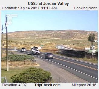
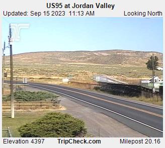
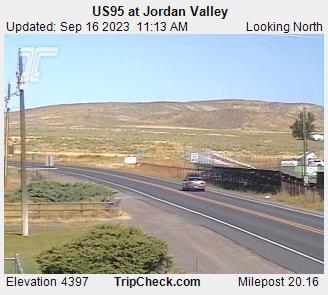
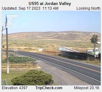
Jordan Valley, Oregon, USA - 105.4 miles from Denio: US95 at Jordan Valley - A view of the current traffic situation on the US95.
Operator: Oregon Department of Transportation
Operator: Oregon Department of Transportation


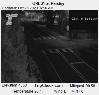
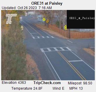
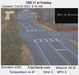
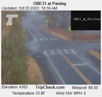
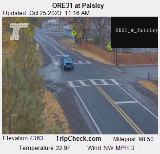
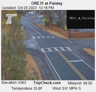
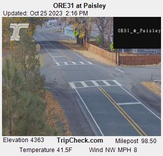
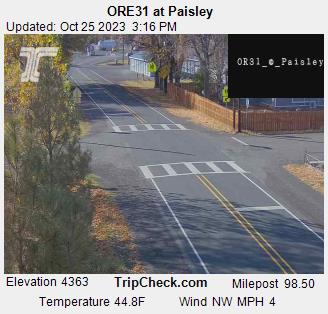
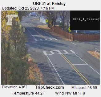
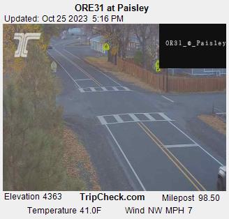
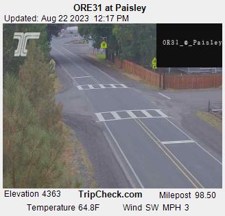
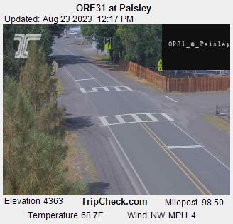
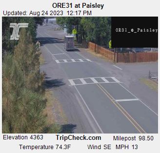
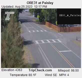
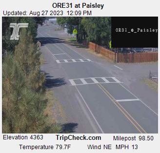
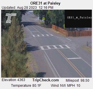
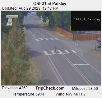
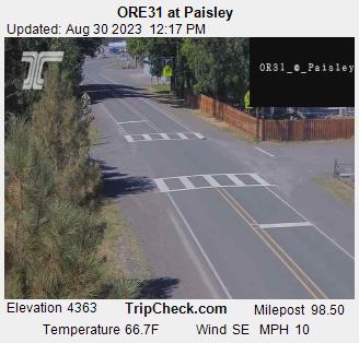
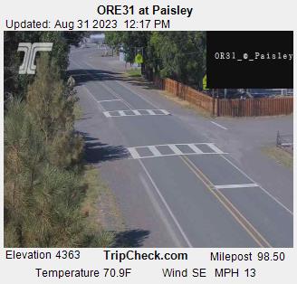
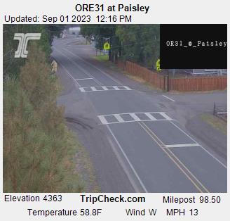
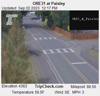
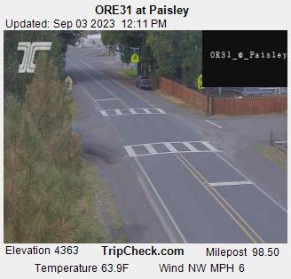
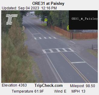
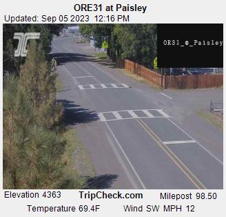
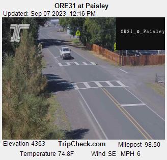
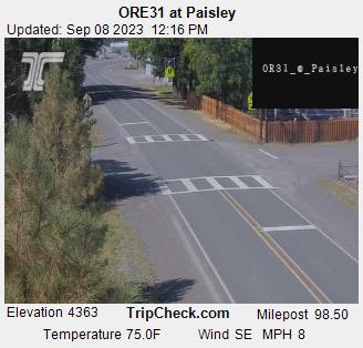
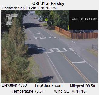
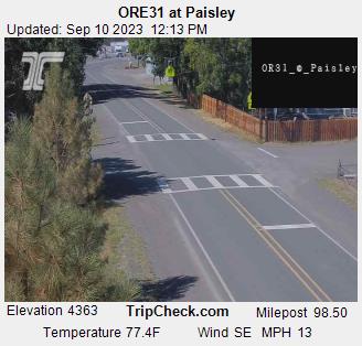
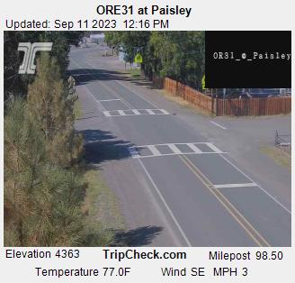
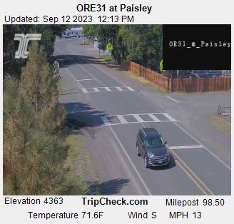
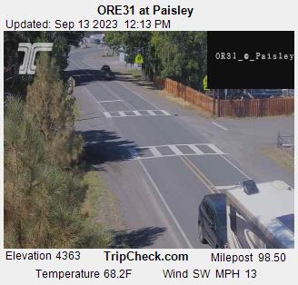
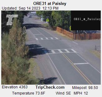
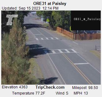
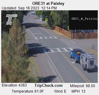
Paisley, Oregon, USA - 109.1 miles from Denio: ORE31 at Paisley - A view of the current traffic situation on the ORE31.
Operator: Oregon Department of Transportation
Operator: Oregon Department of Transportation


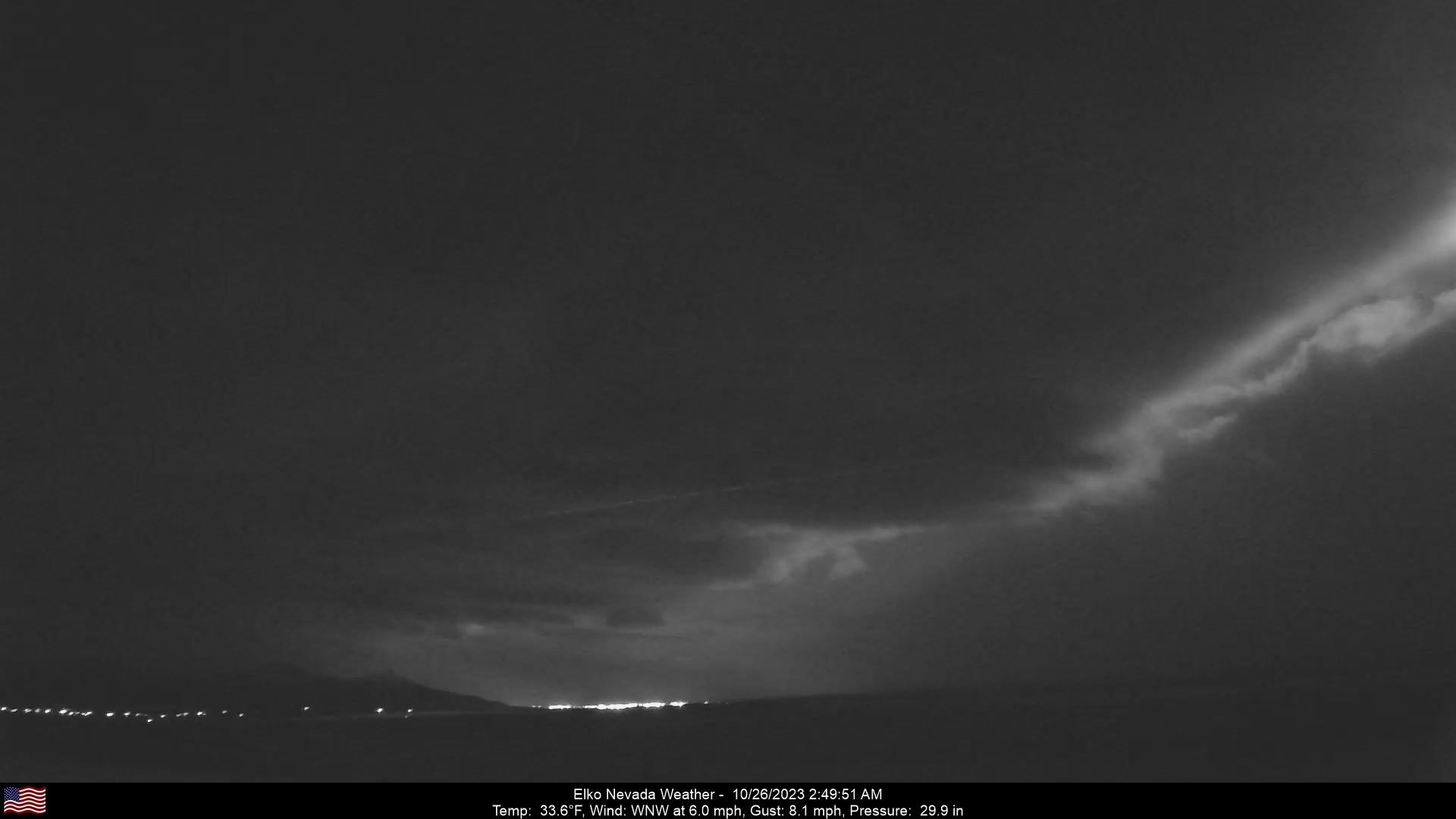
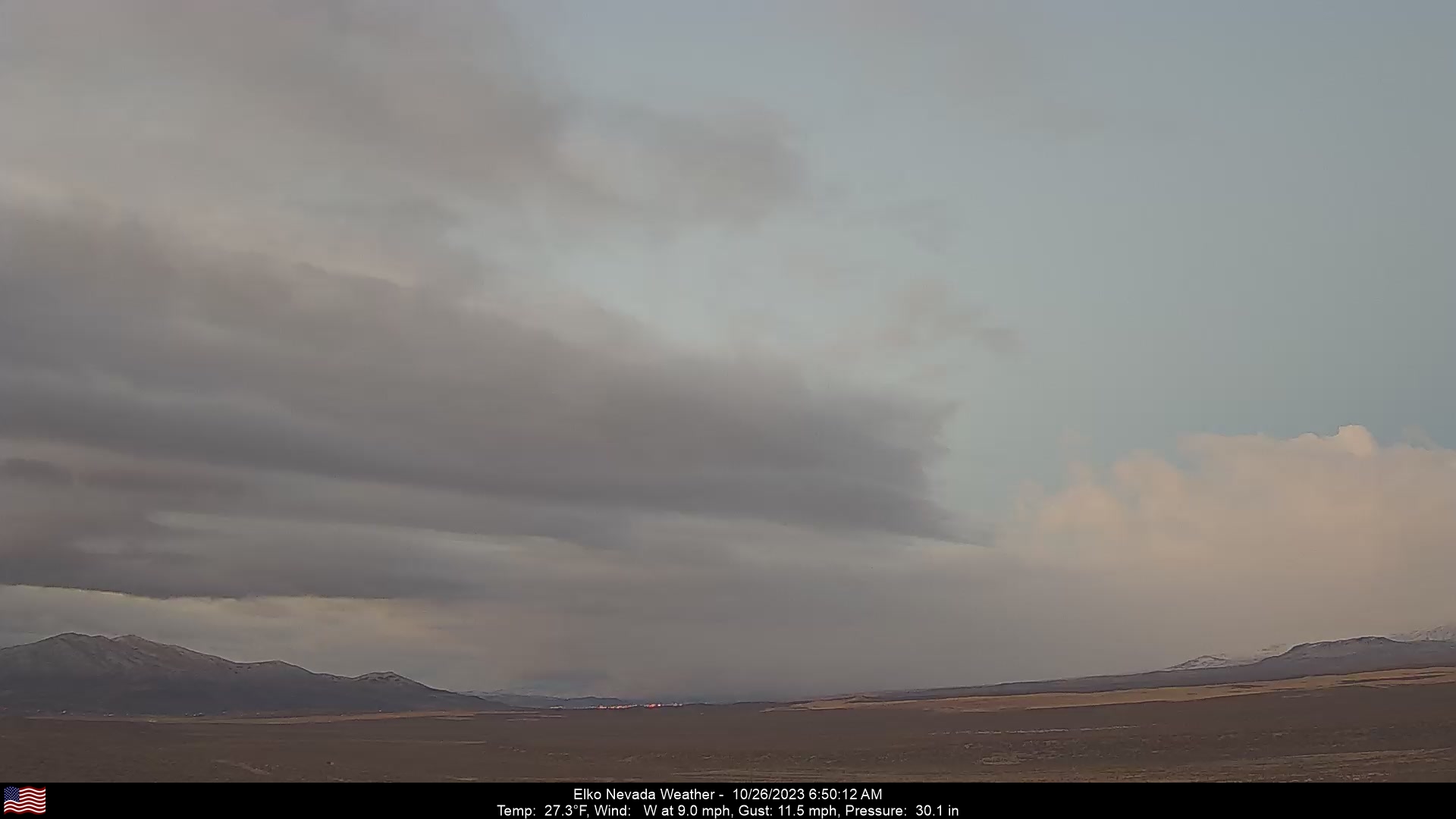
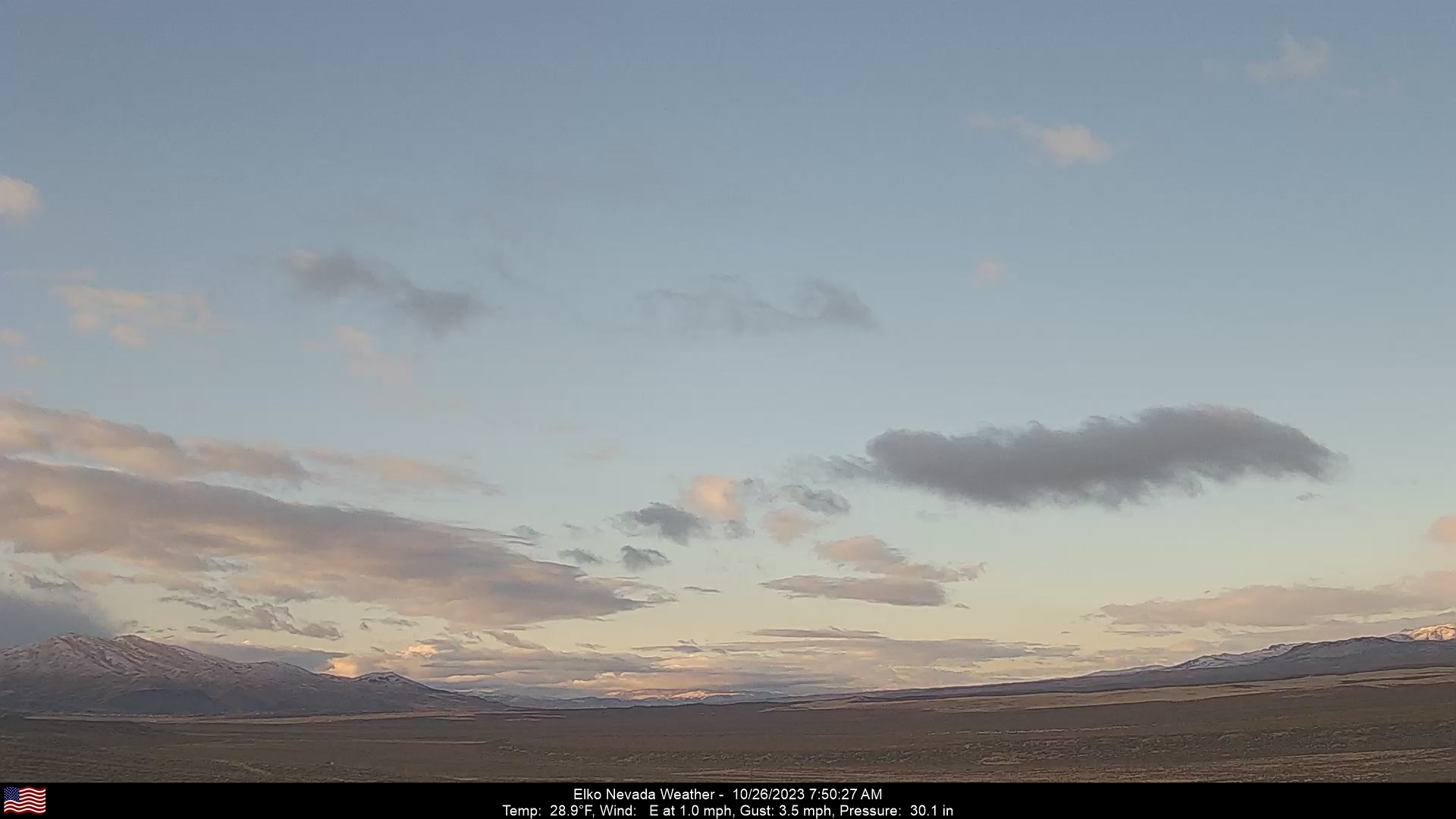
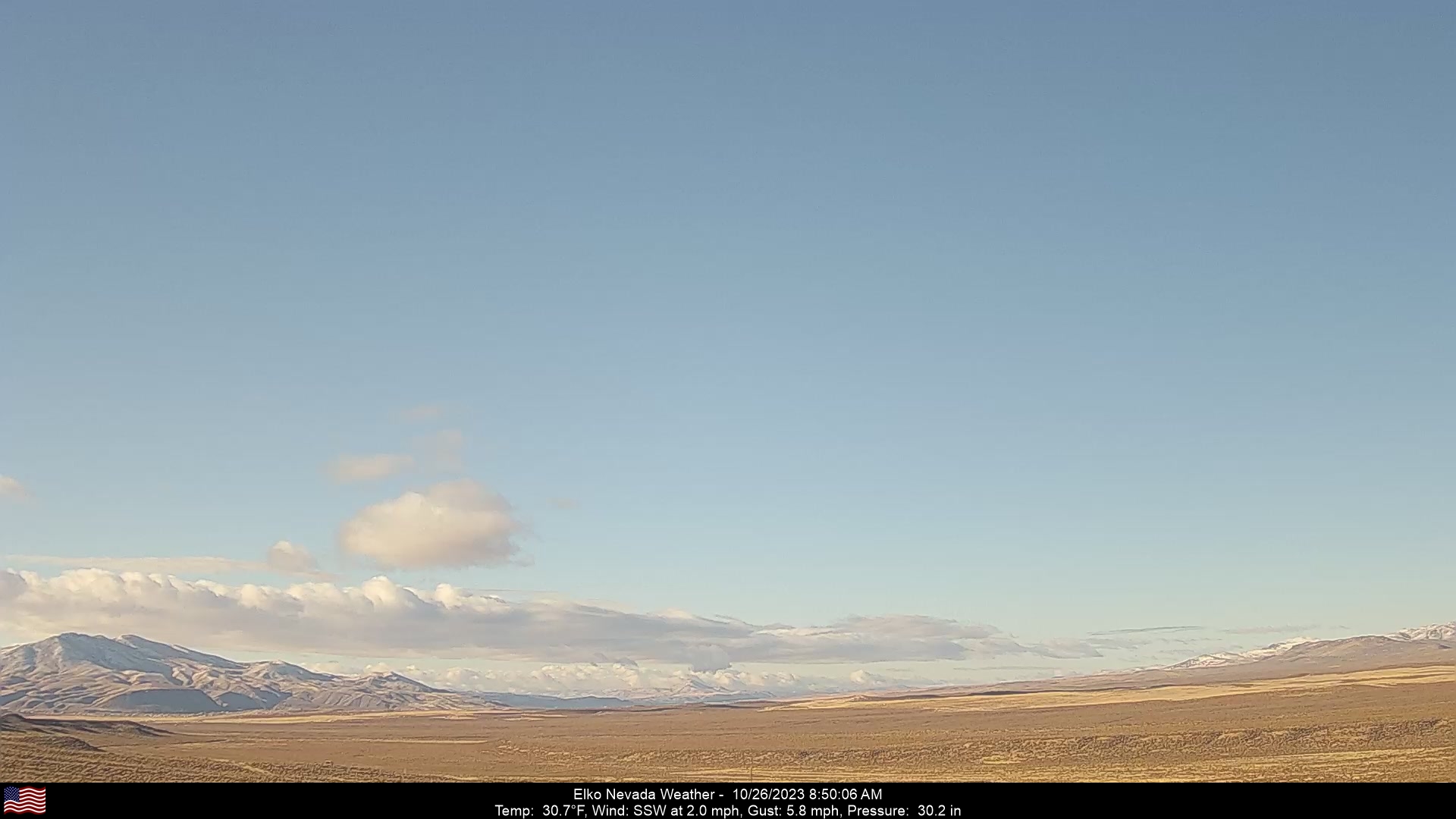
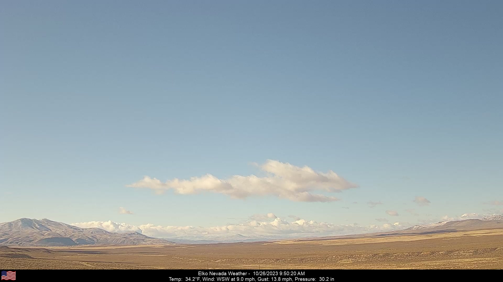
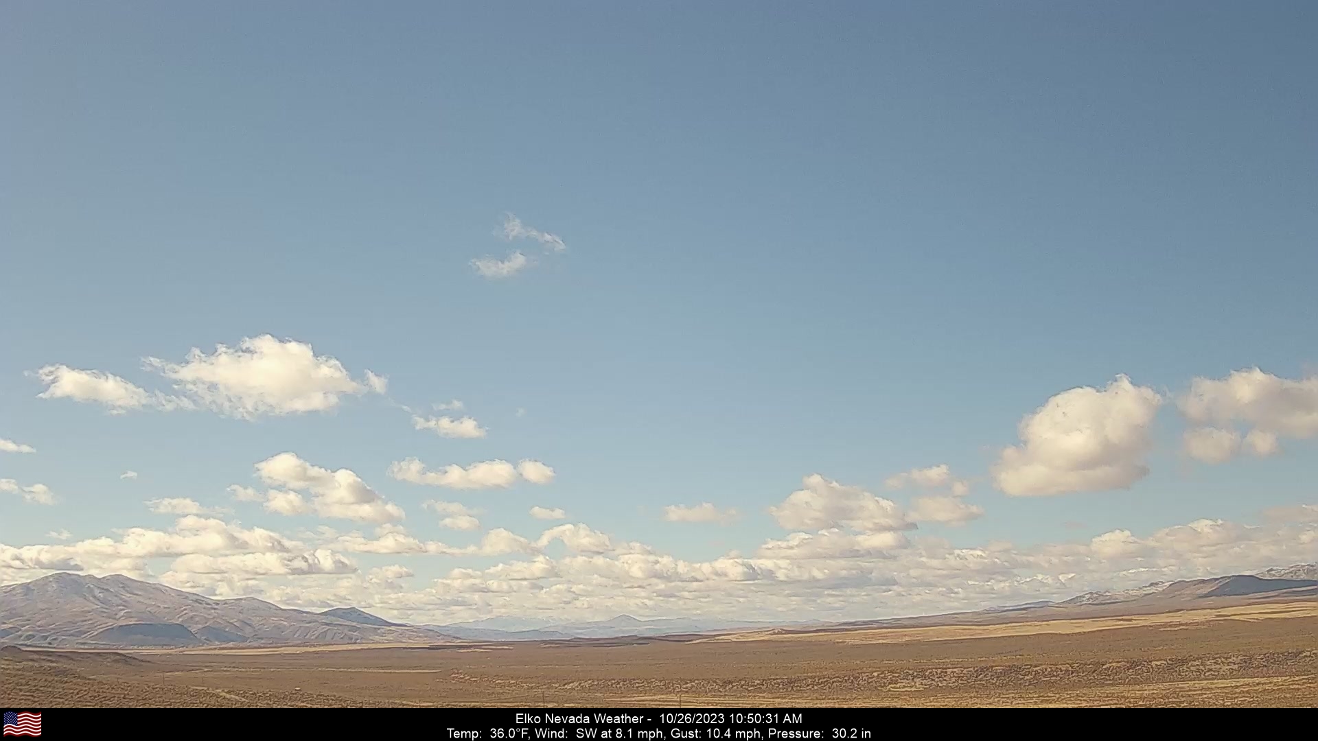
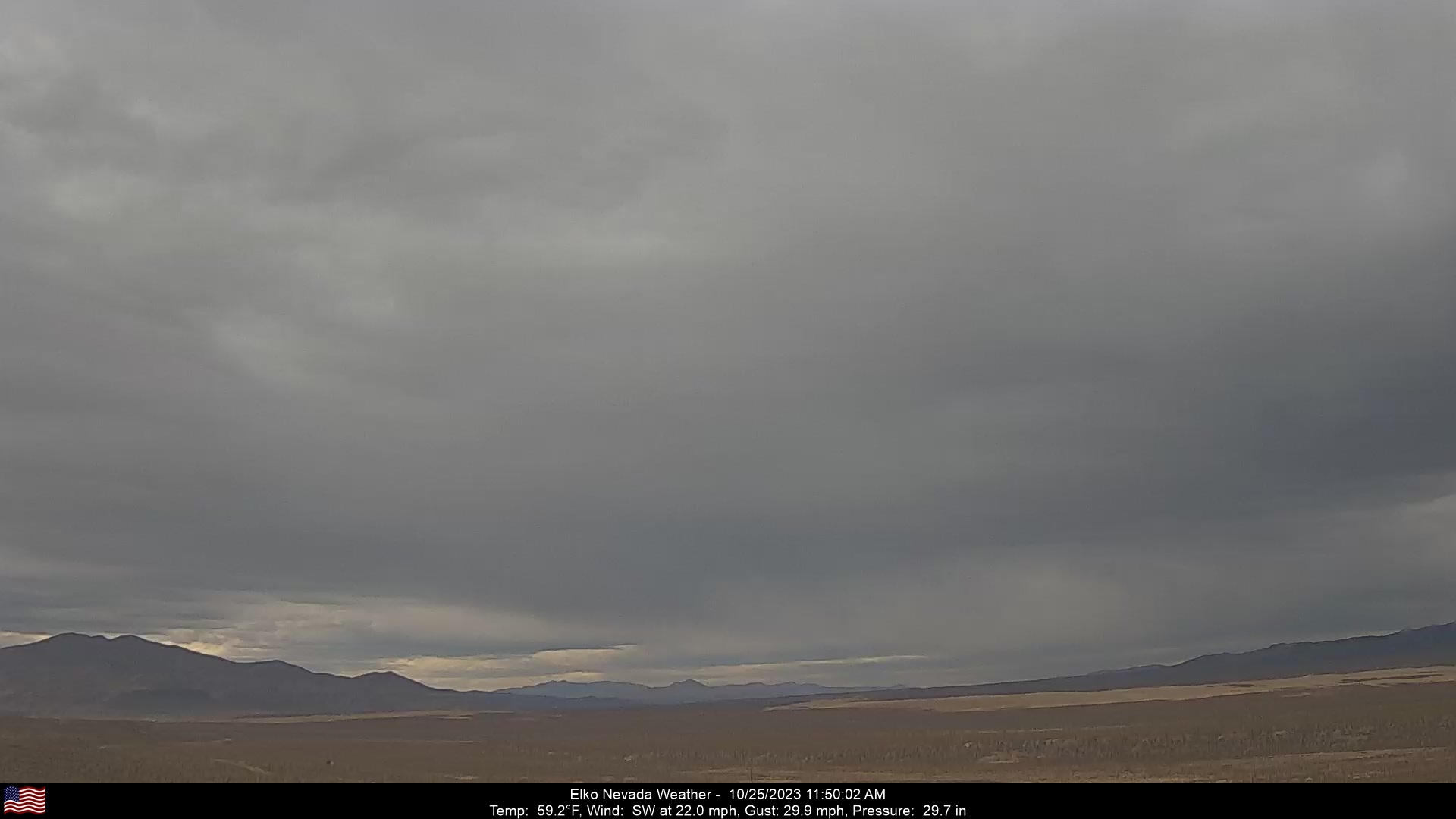
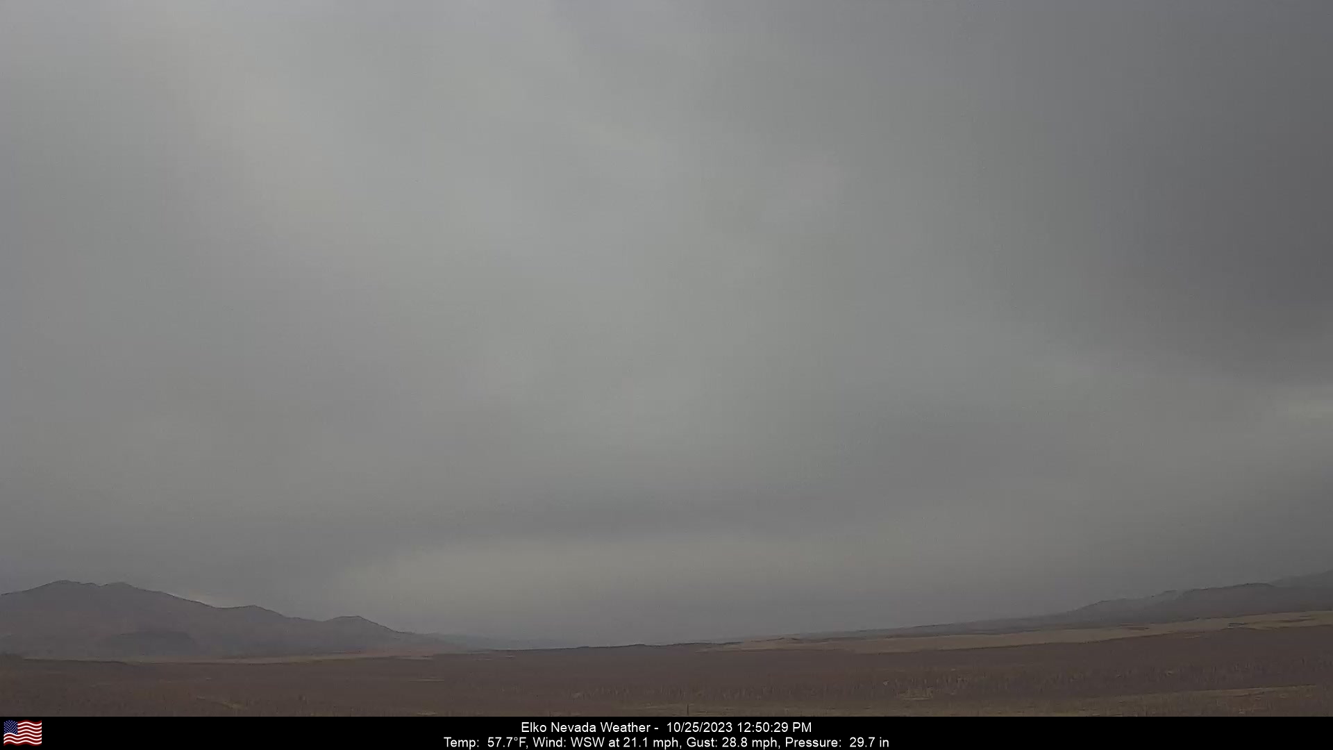
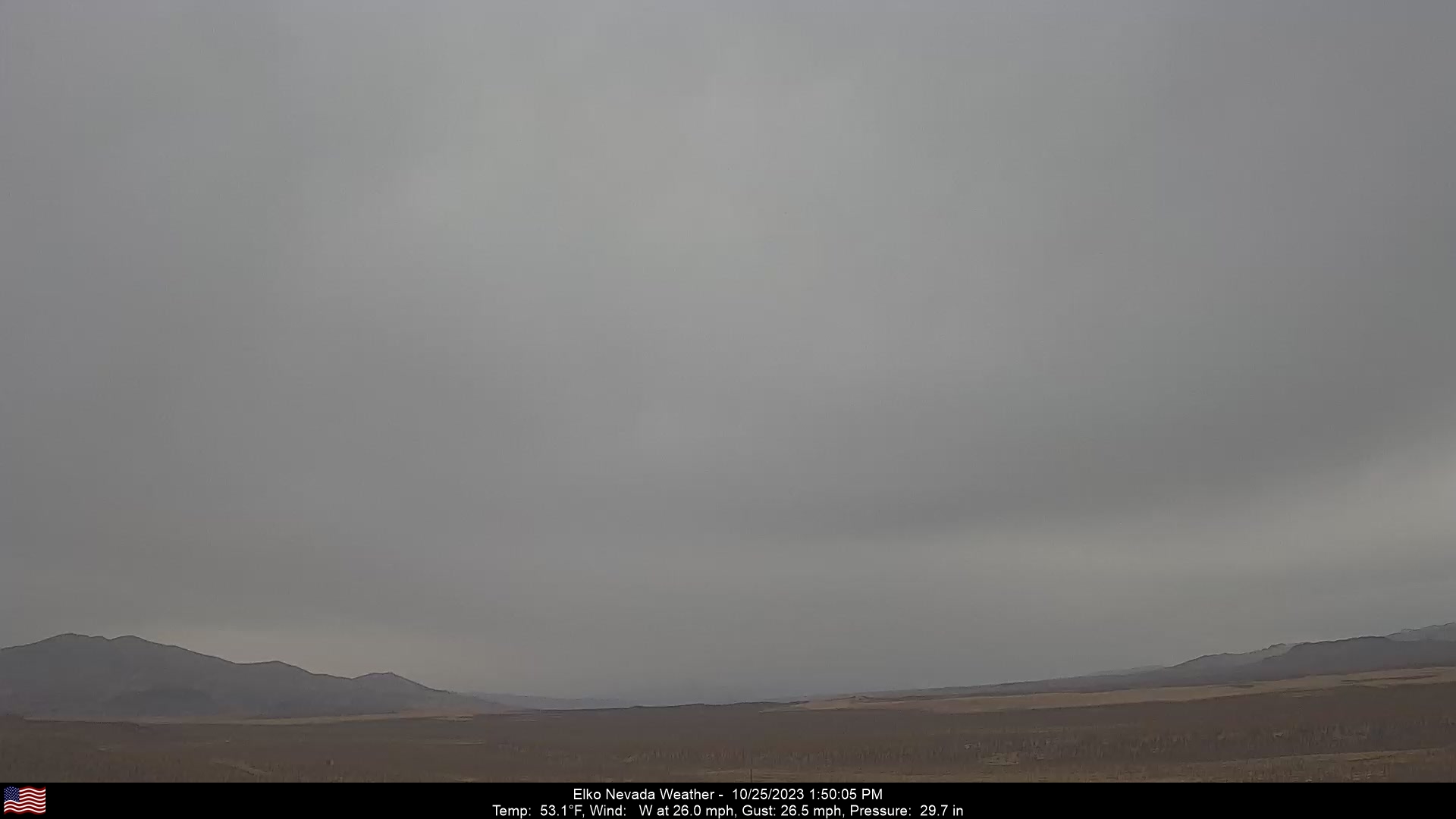
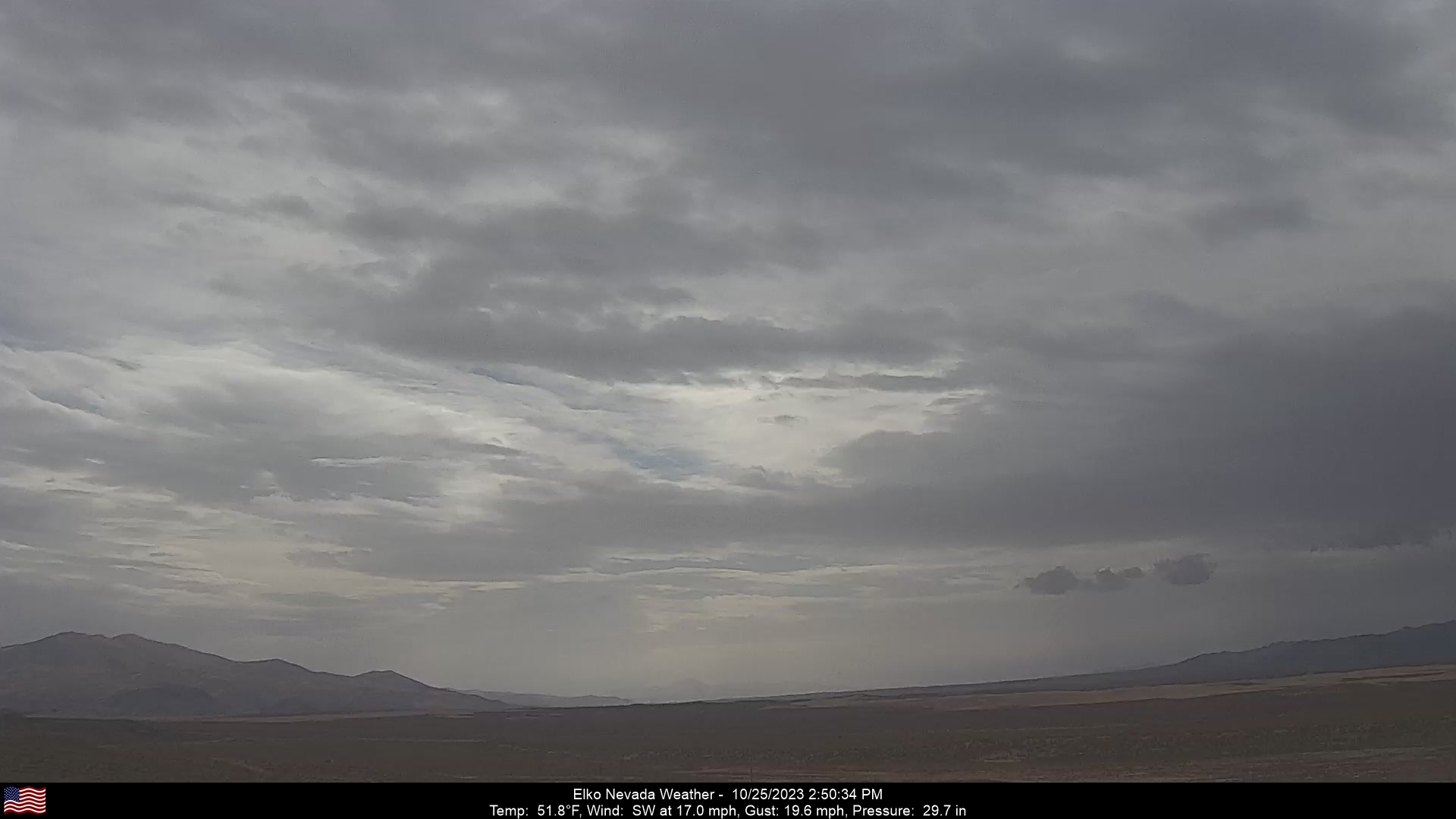
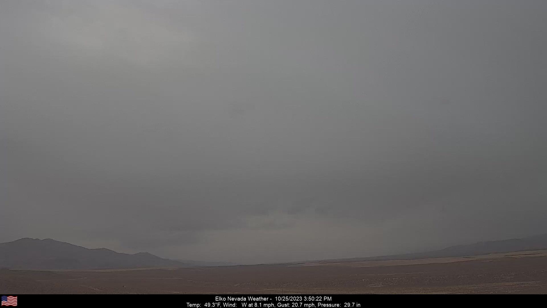
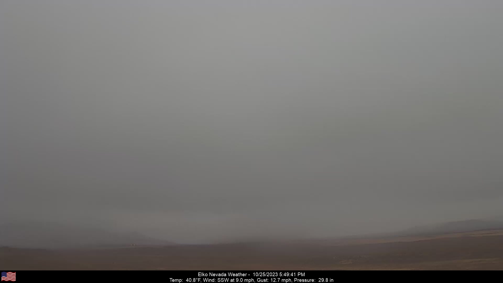
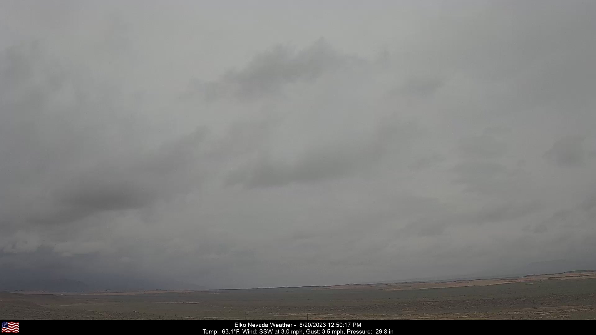
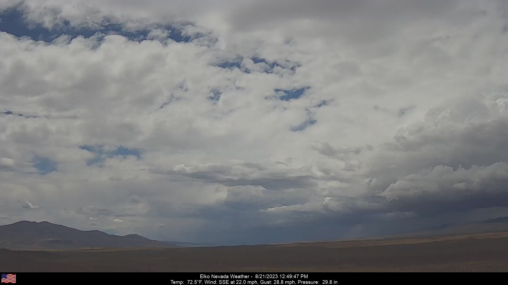
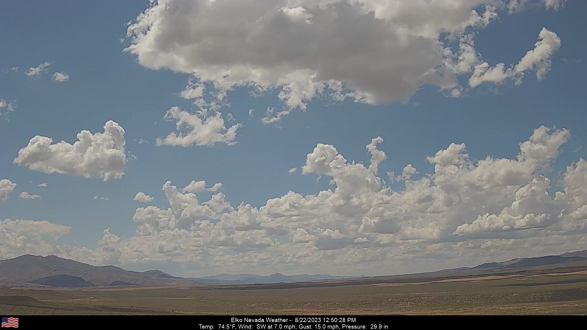
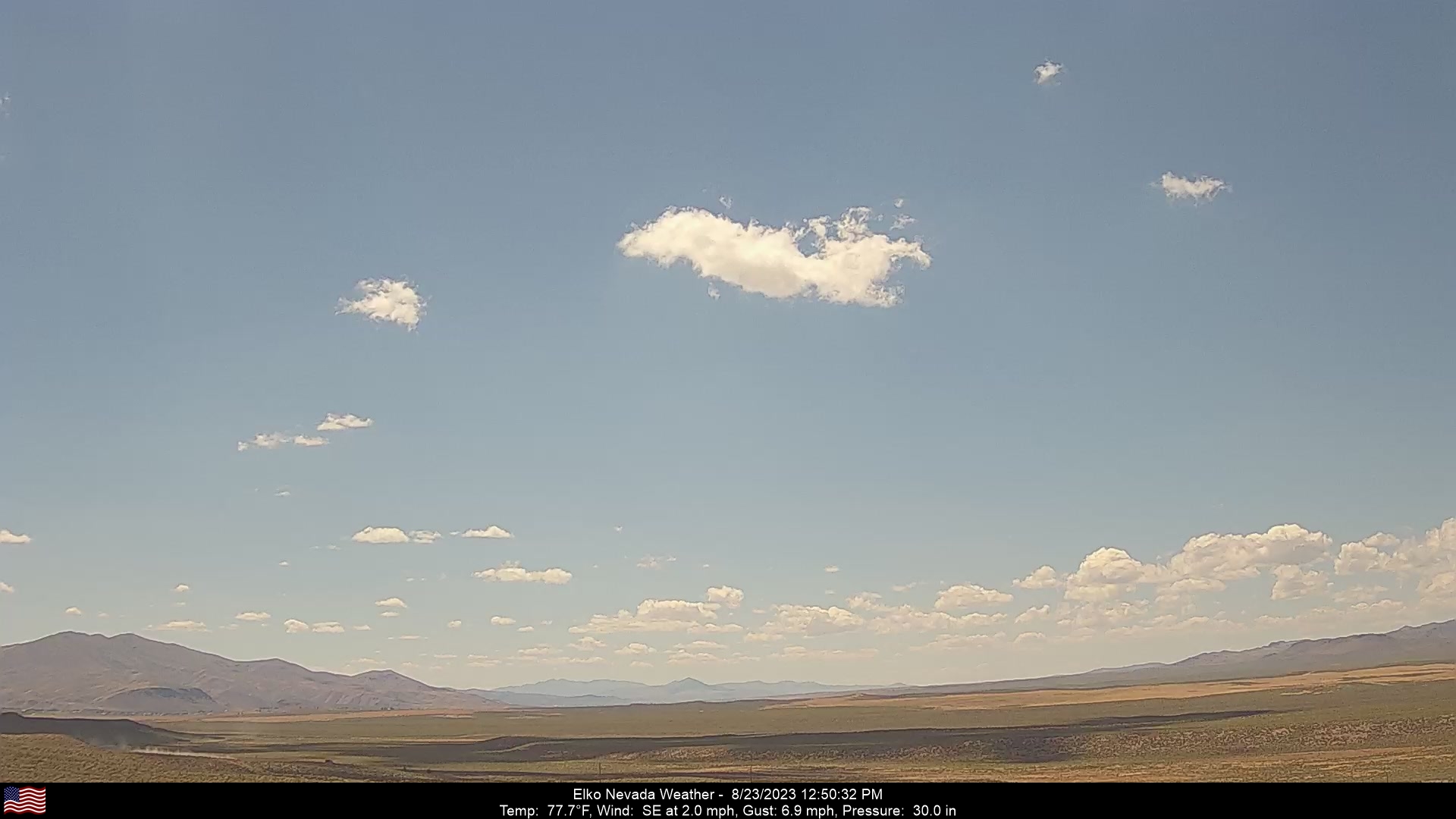
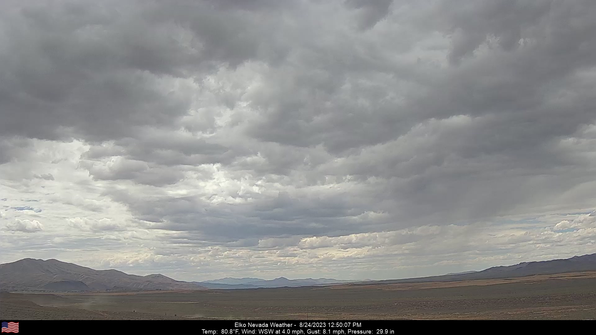
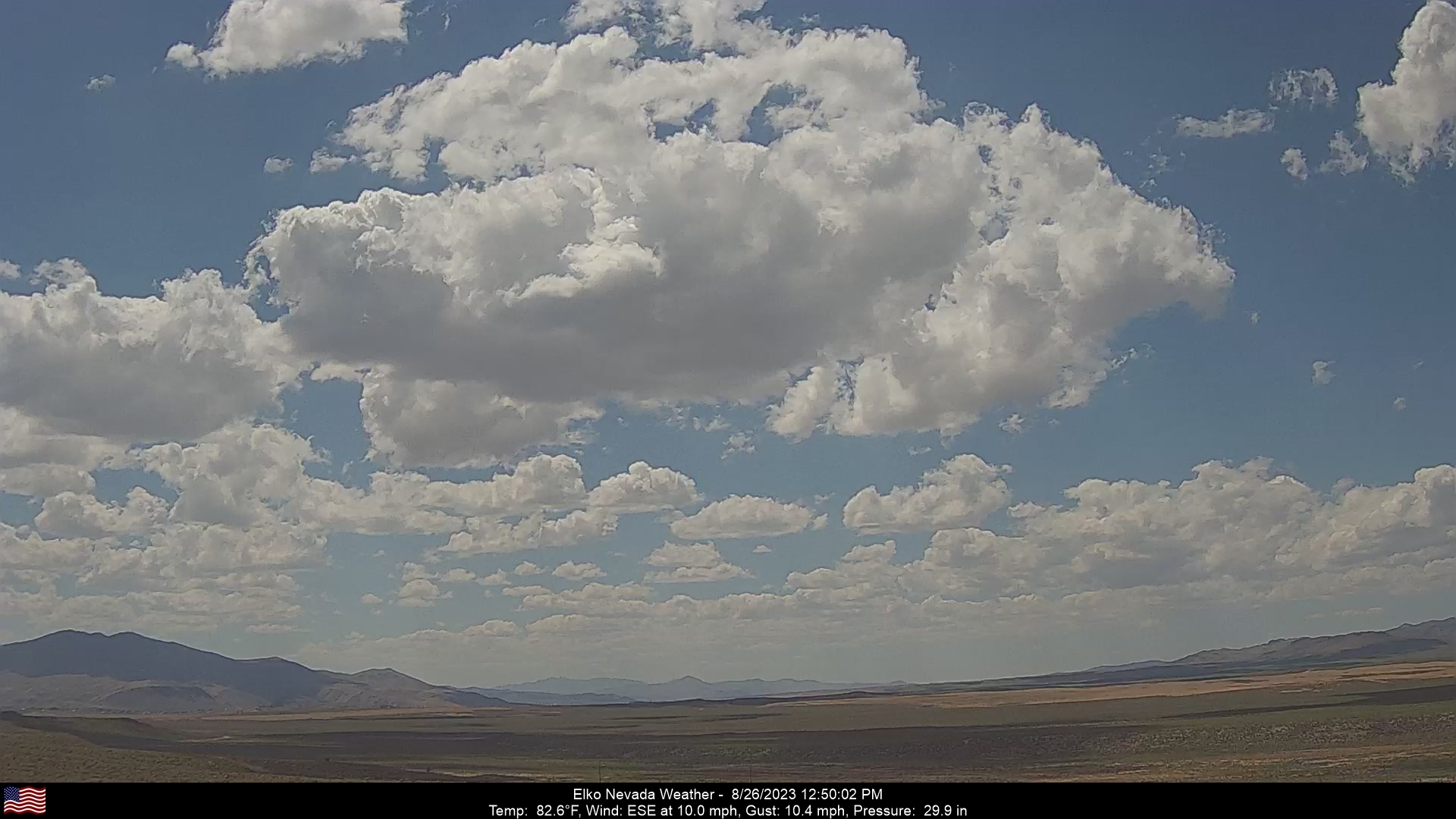
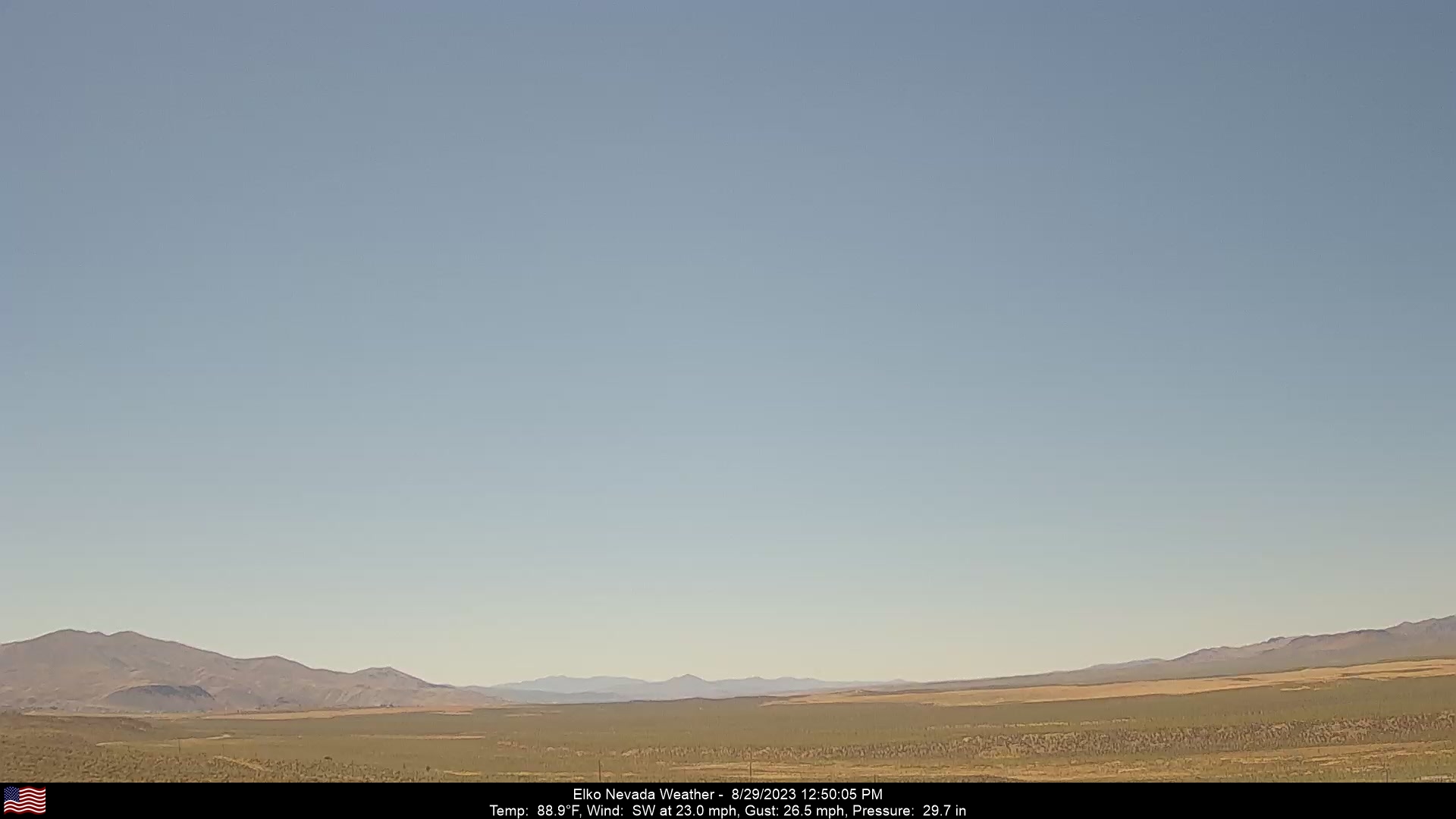
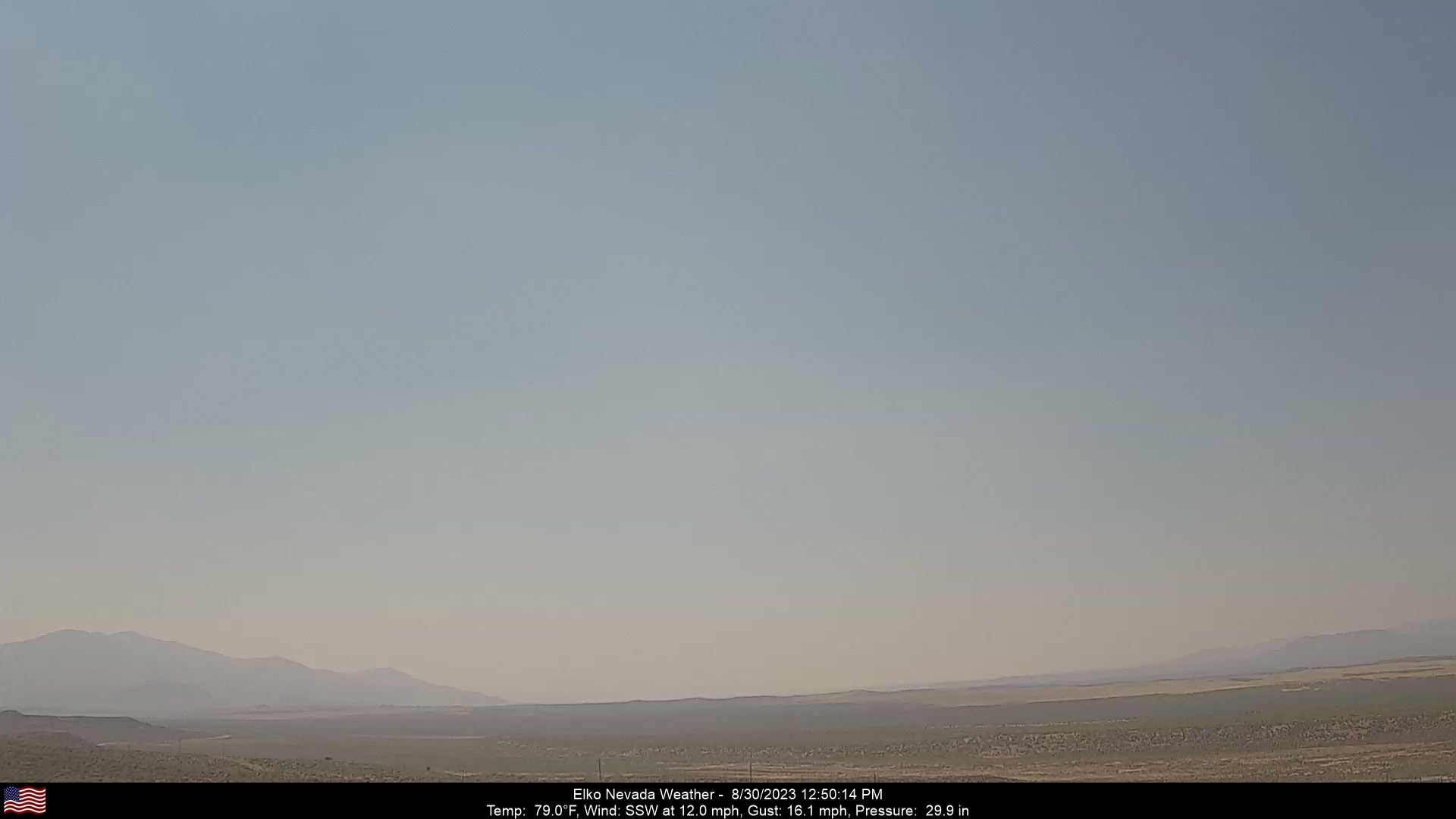
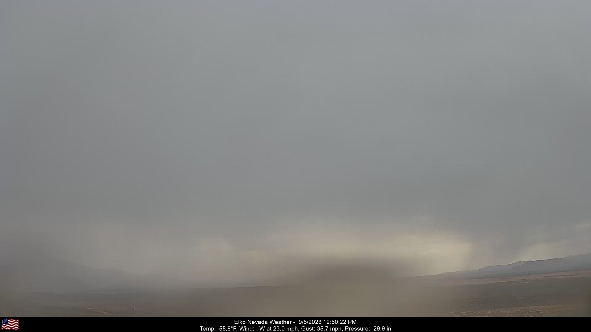
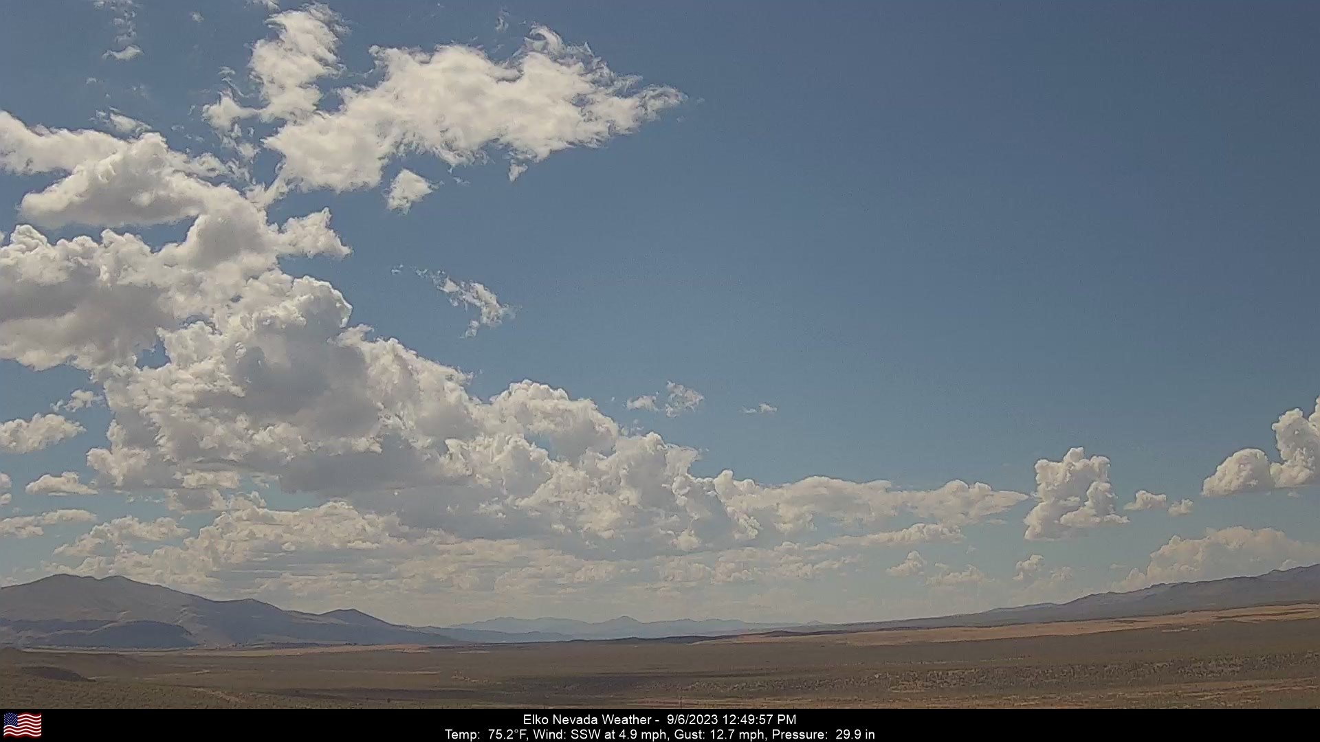
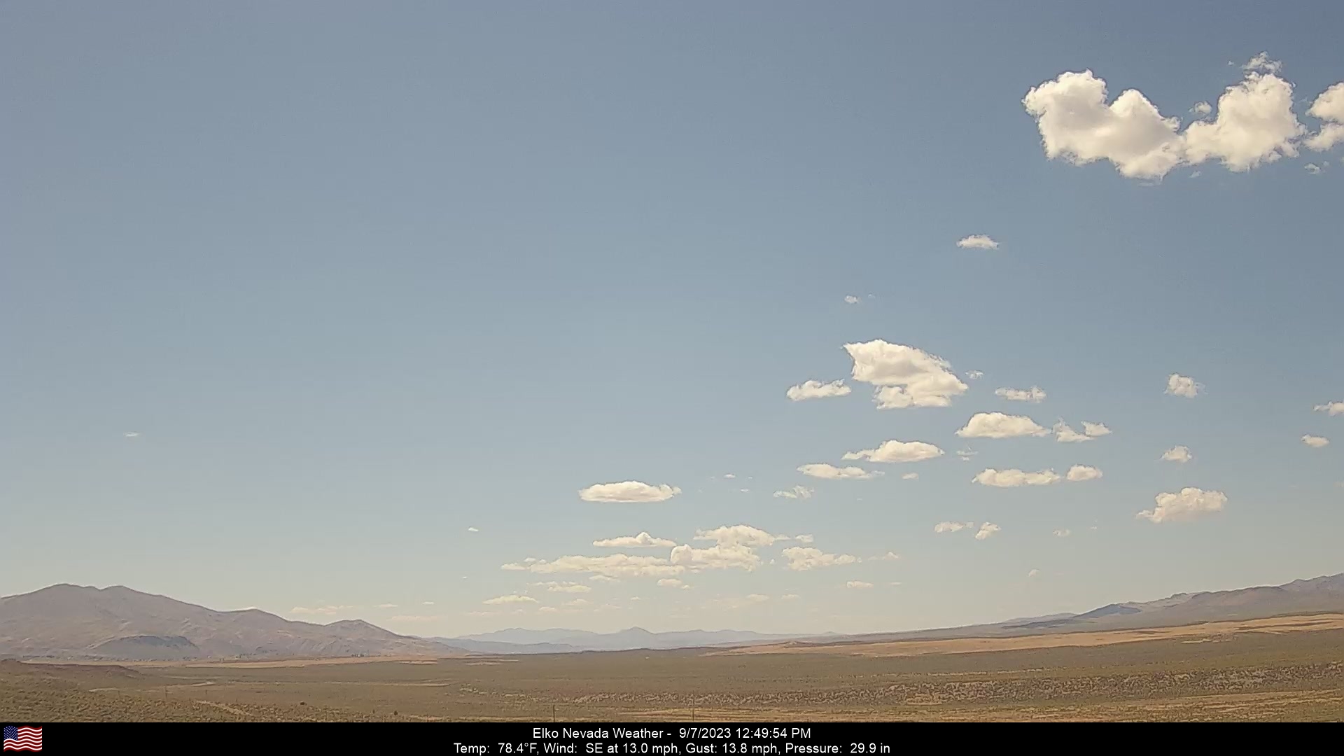
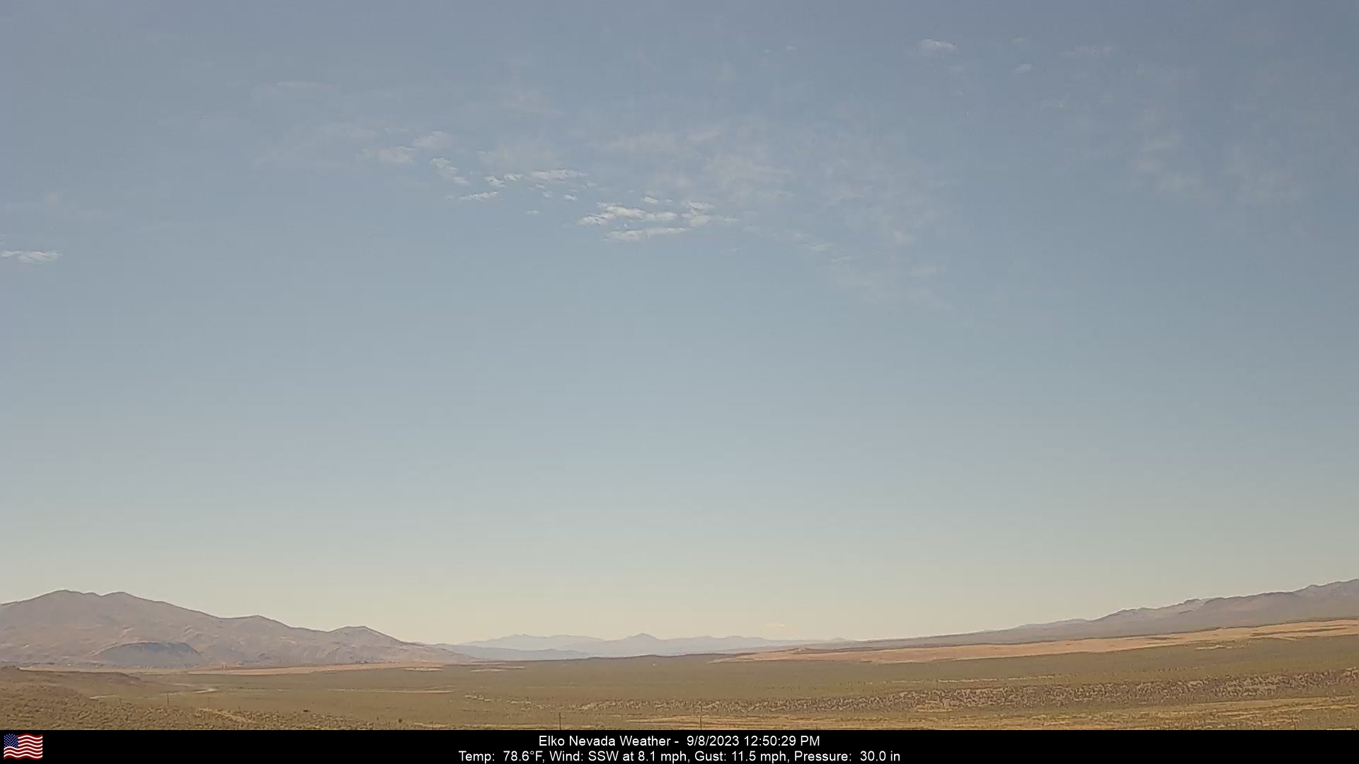
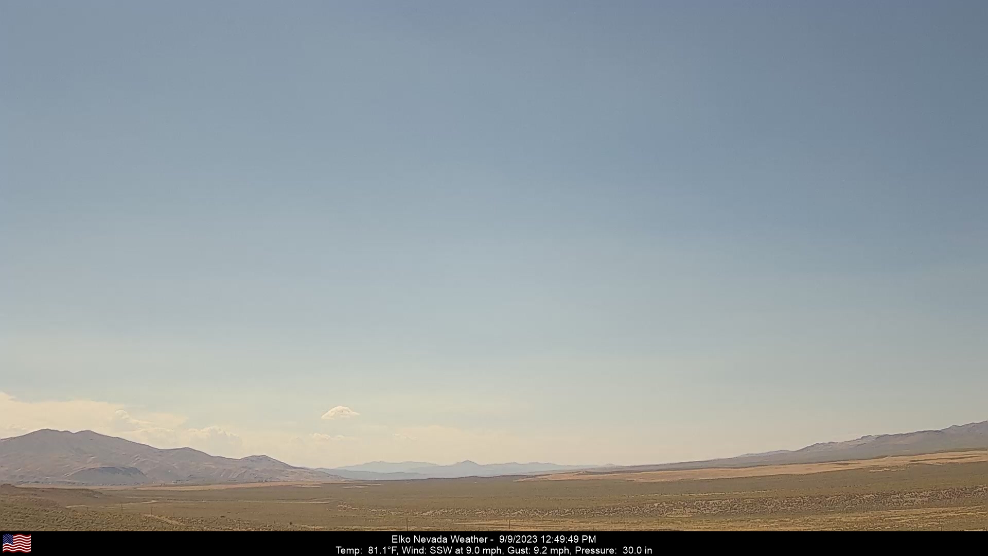
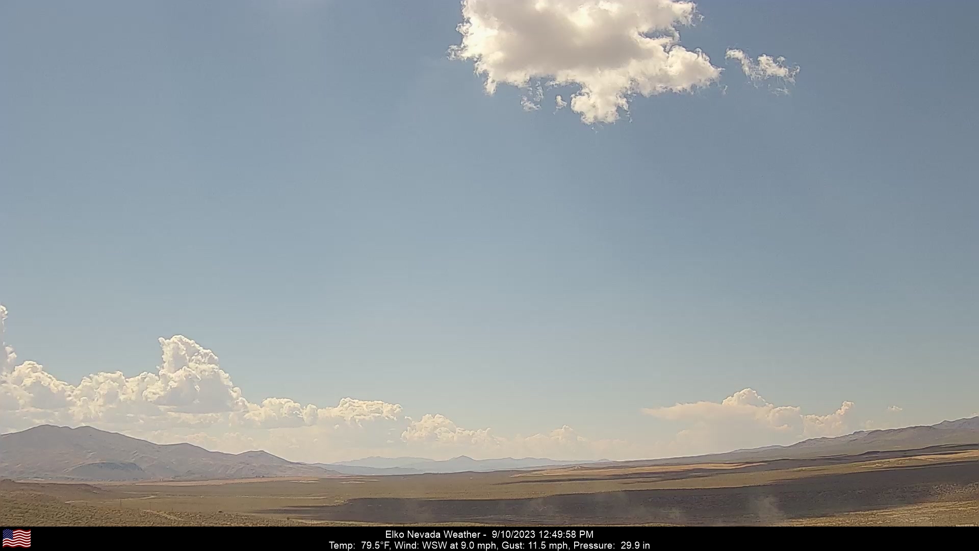
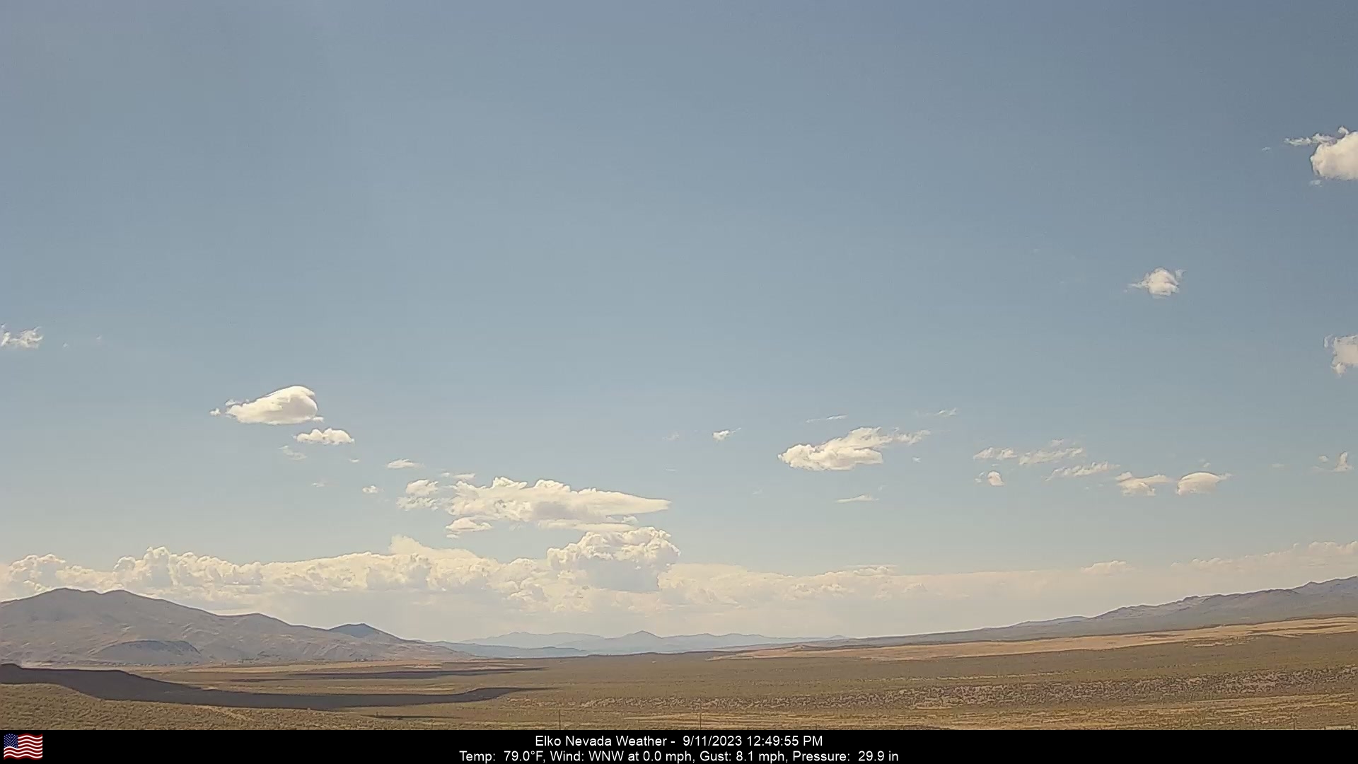
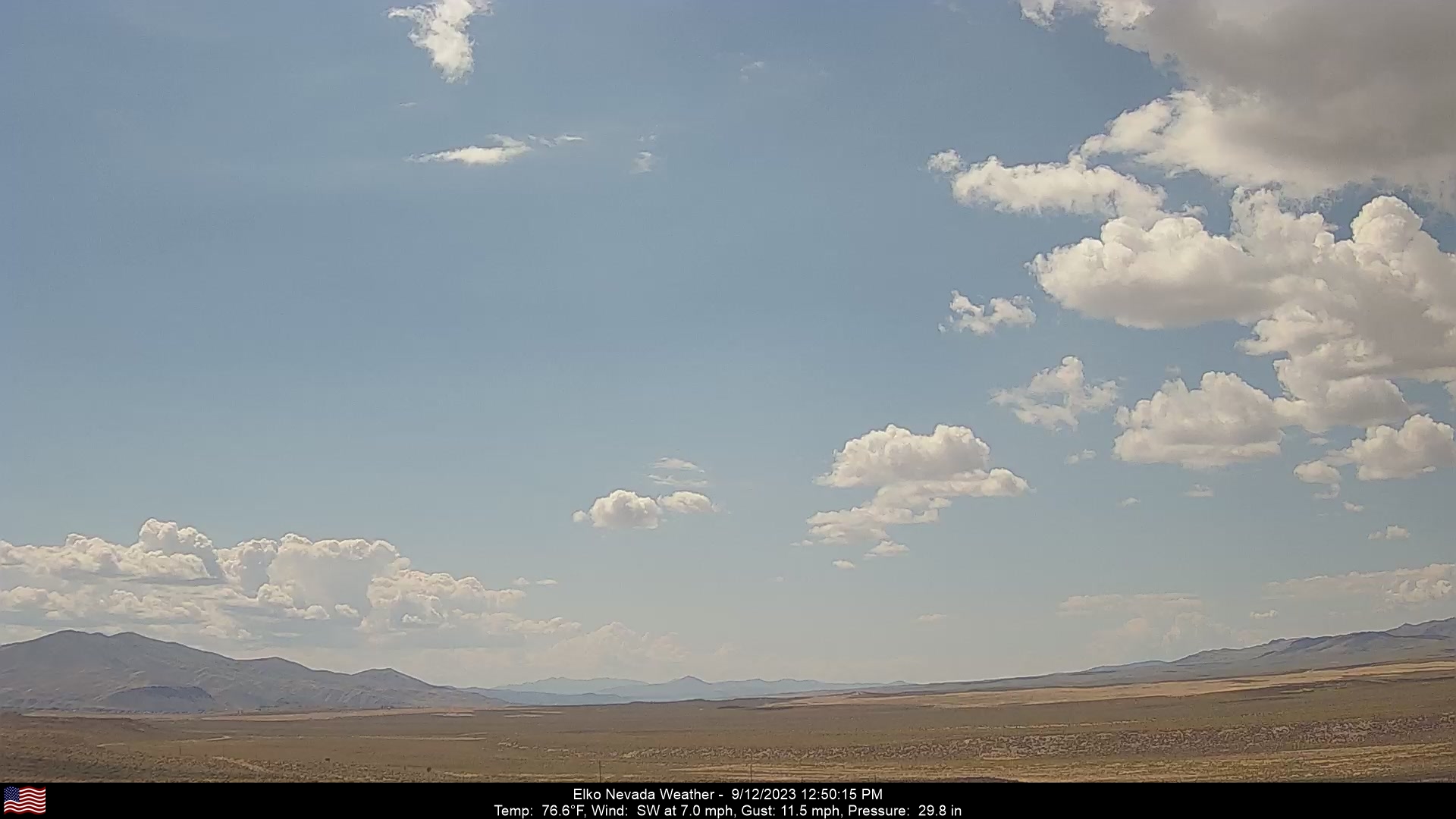
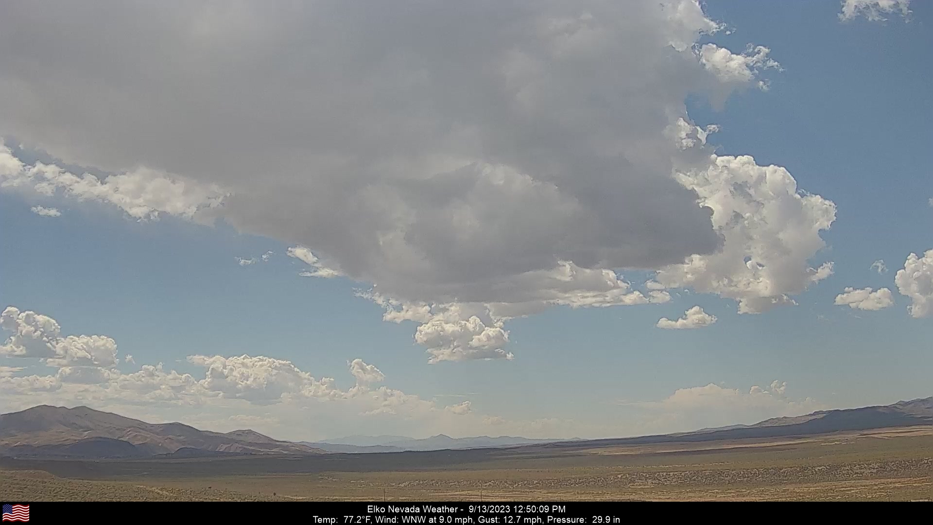
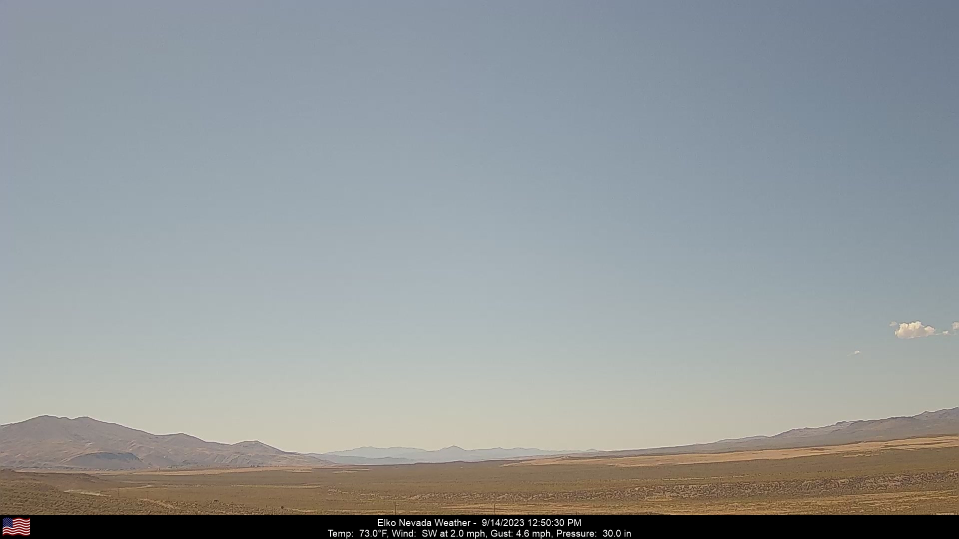
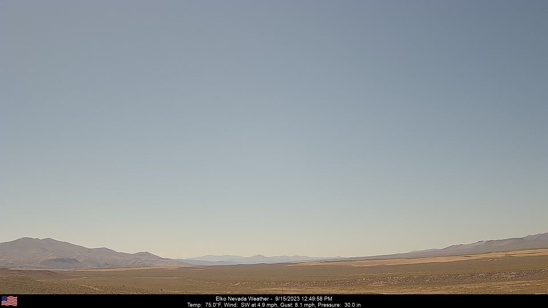
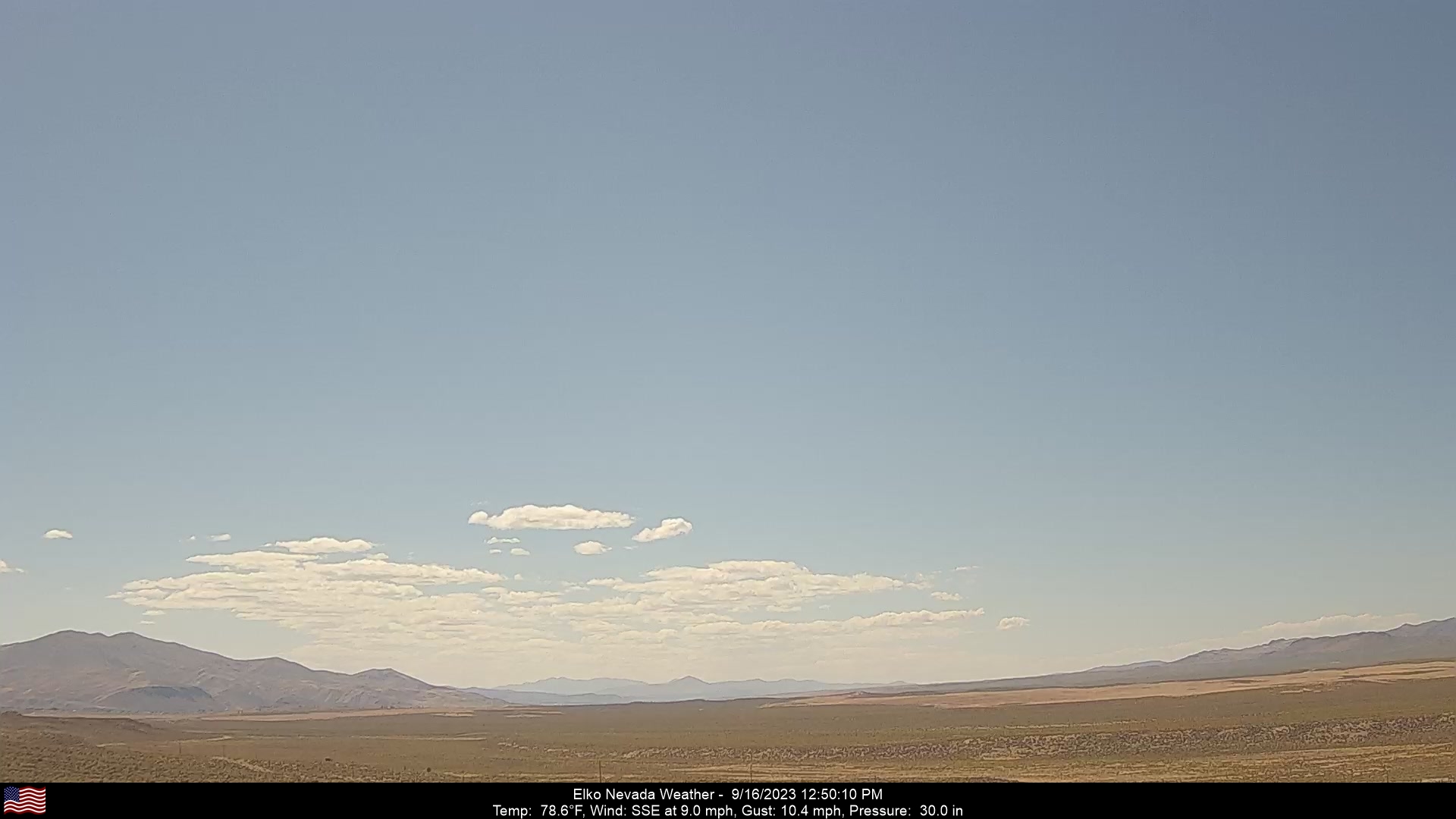
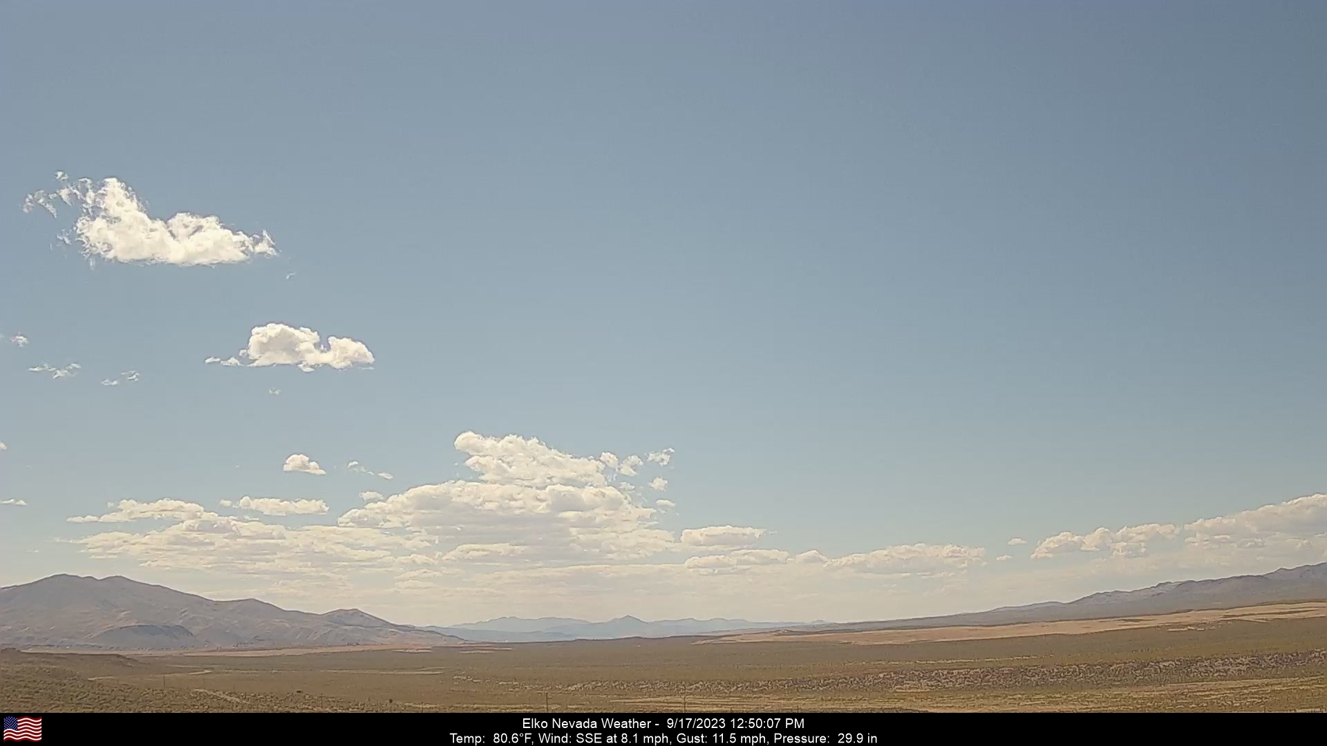
Elko, Nevada, USA - 168.6 miles from Denio: Elko Nevada Weather - A webcam in Elko, Nevada - Adobe Range, with current weather data.
Operator: Elko Nevada Weather & Store
Operator: Elko Nevada Weather & Store


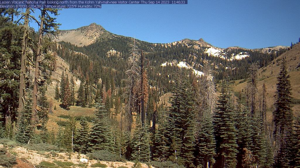
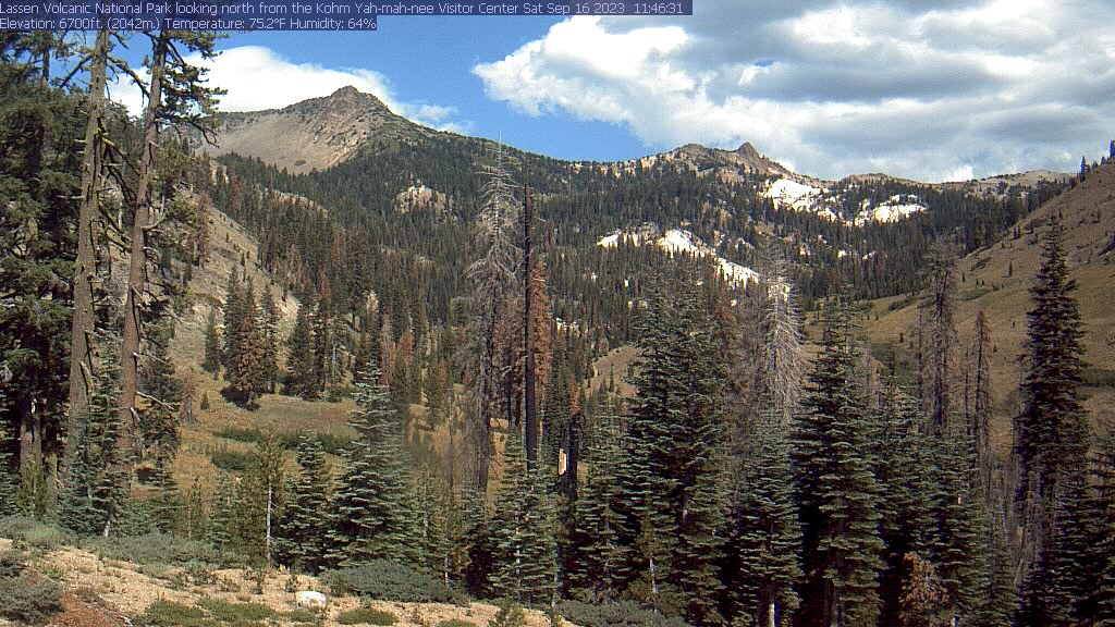
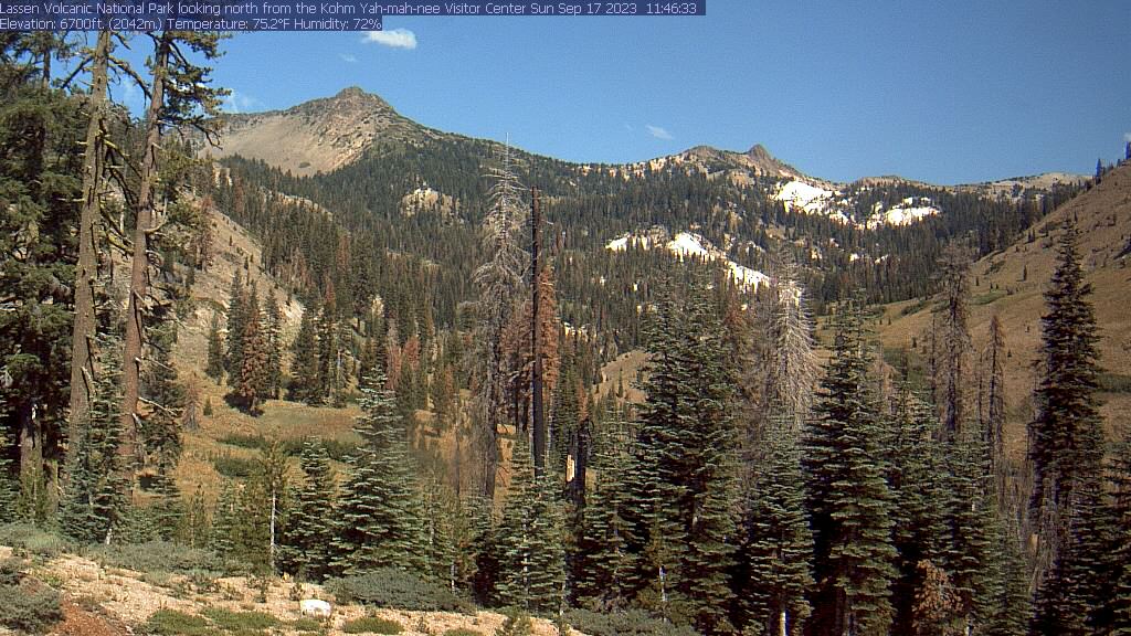
Lassen Volcanic National Park, California, USA - 177.9 miles from Denio: Kohm Yah-mah-nee Visitor Center - A view from the Kohm Yah-mah-nee Visitor Center in the Lassen Volcanic National Park towards Mt. Diller (left) und Pilot Pinnacle (right).
Operator: U.S. National Park Service
Operator: U.S. National Park Service


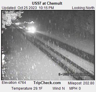
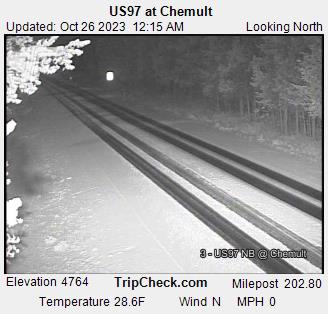
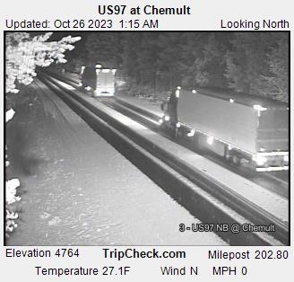
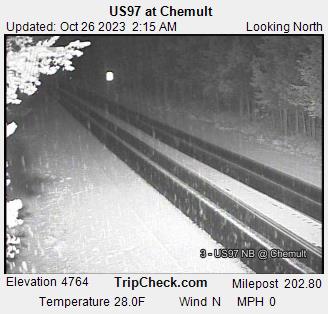
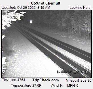
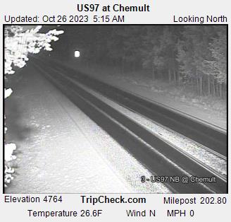
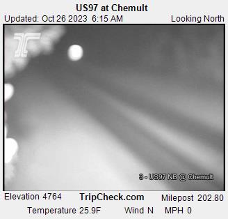
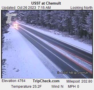
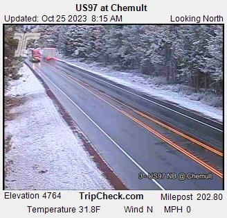
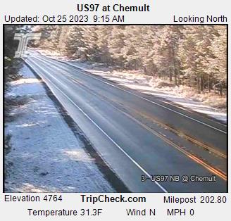
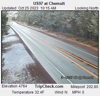
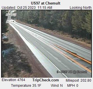
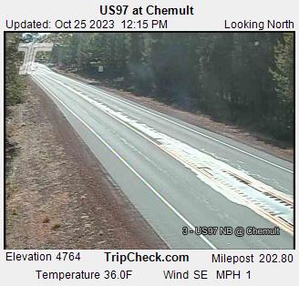
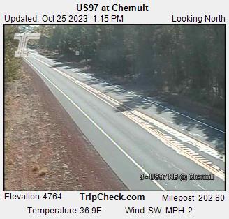
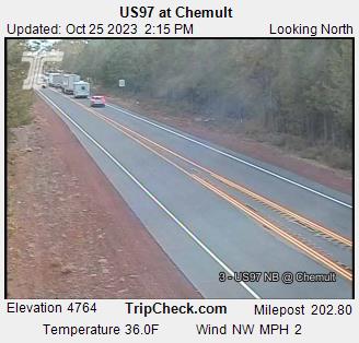
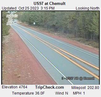
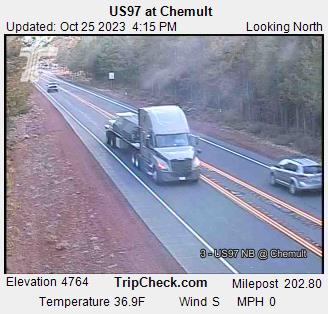
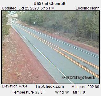
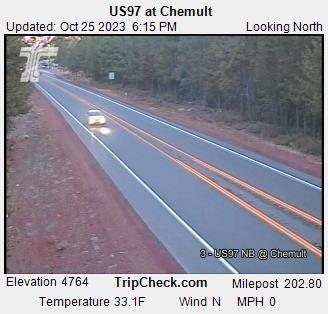
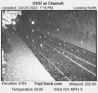
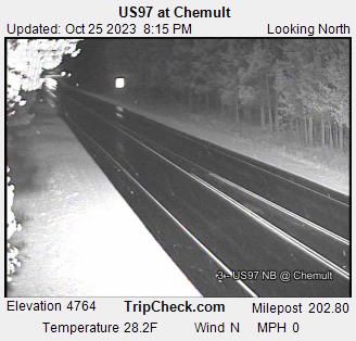
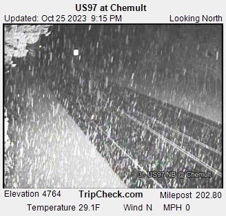
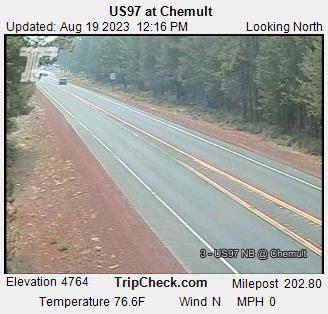
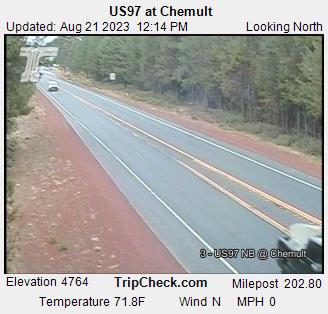
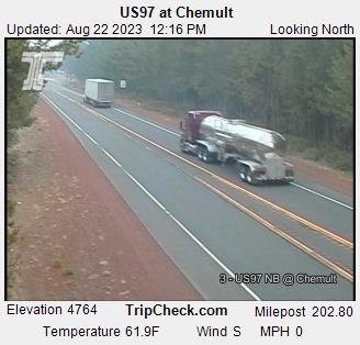
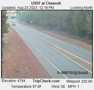
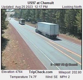
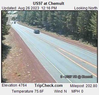
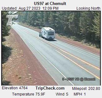
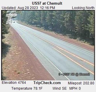
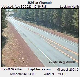
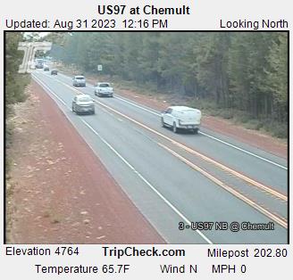
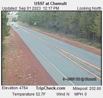
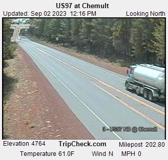
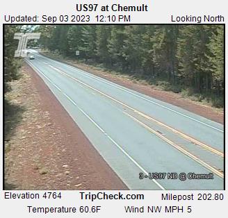
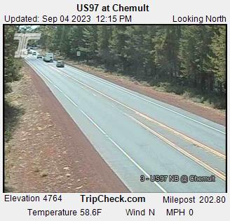
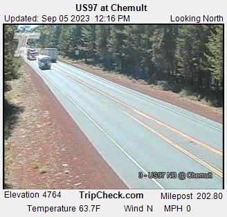
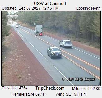
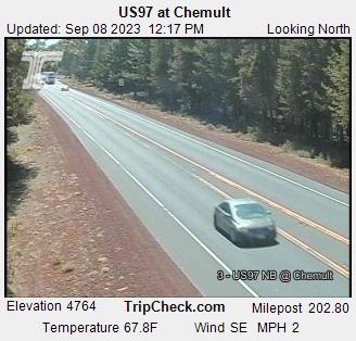
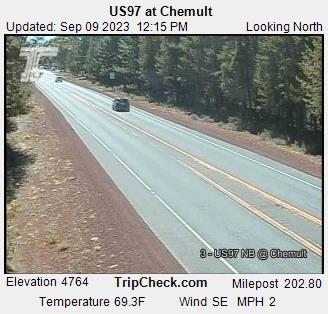
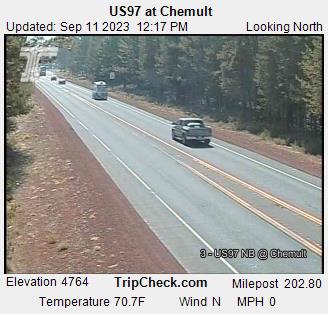
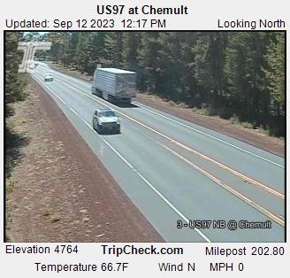
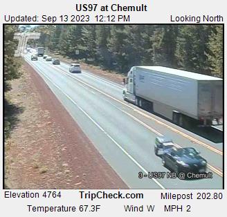
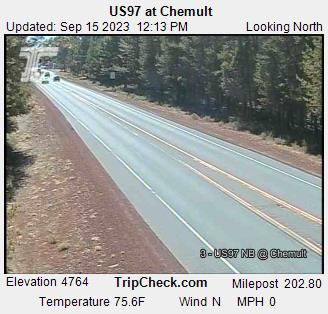
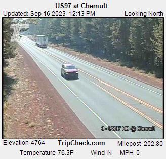
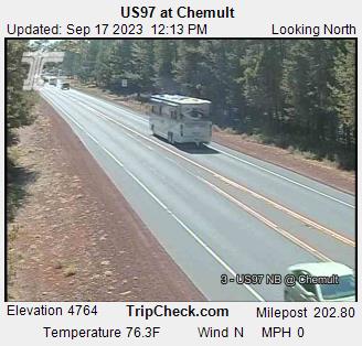
Chemult, Oregon, USA - 181.2 miles from Denio: US97 at Chemult - A view of the current traffic situation on the US97.
Operator: Oregon Department of Transportation
Operator: Oregon Department of Transportation


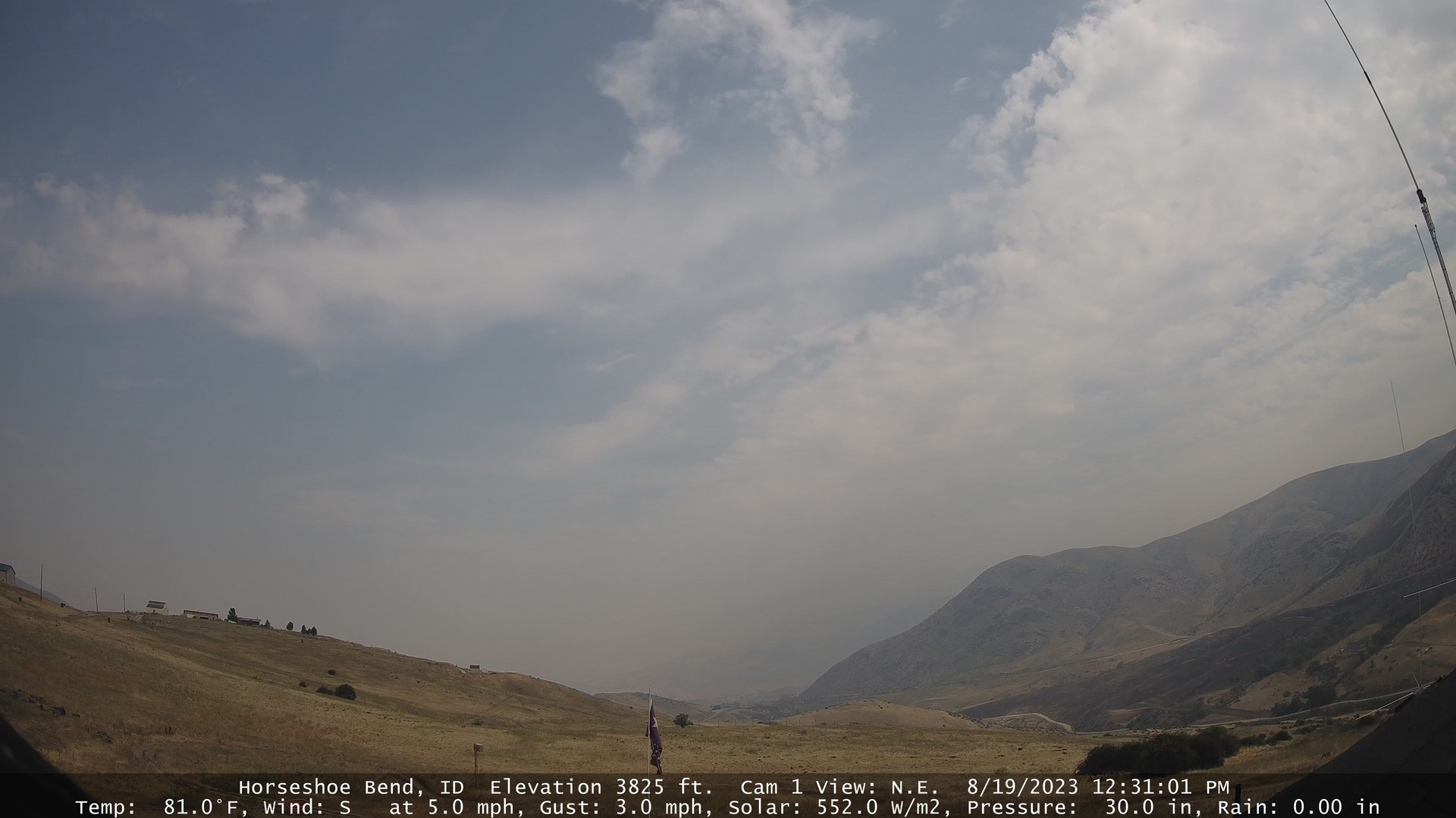
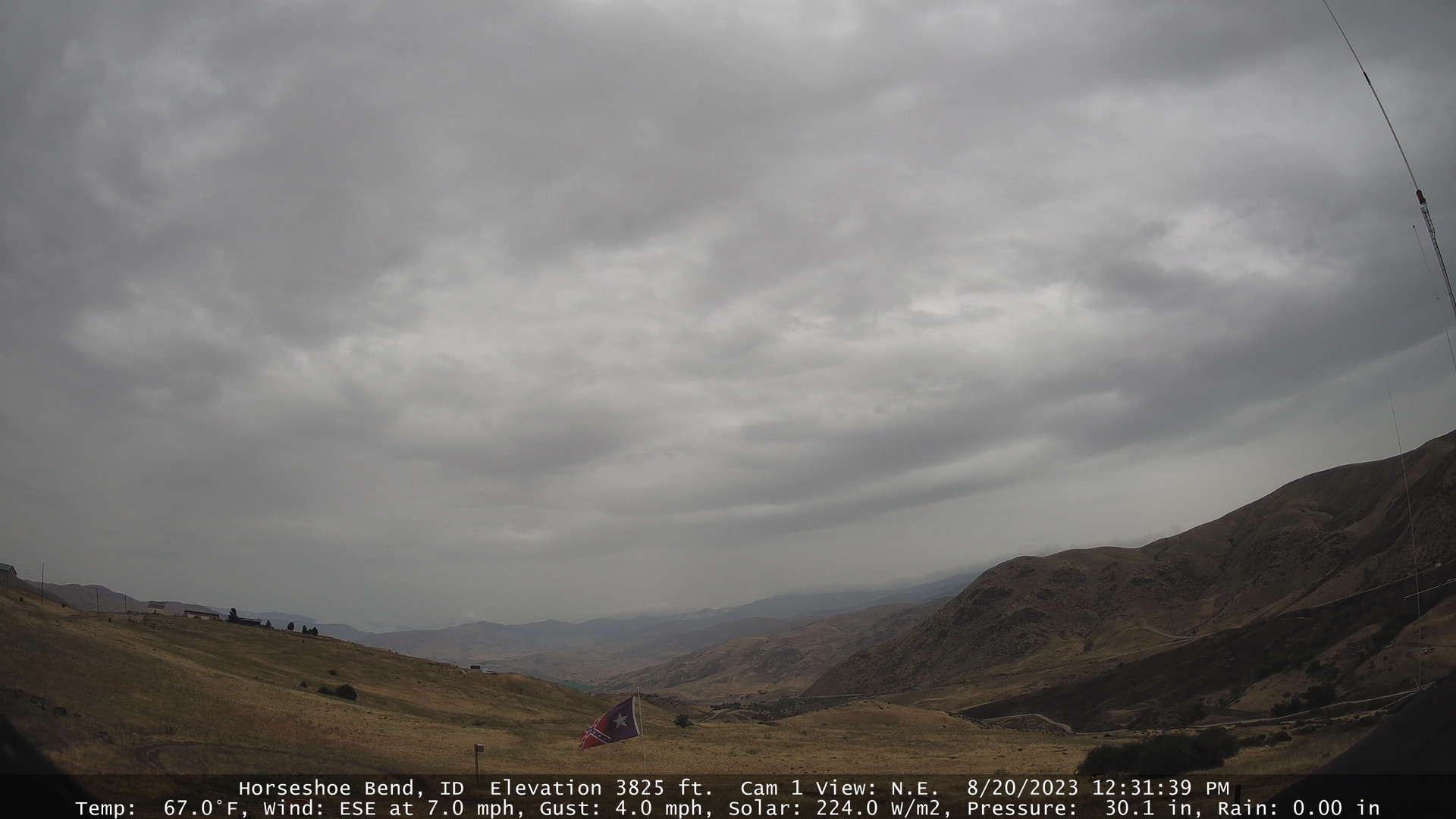
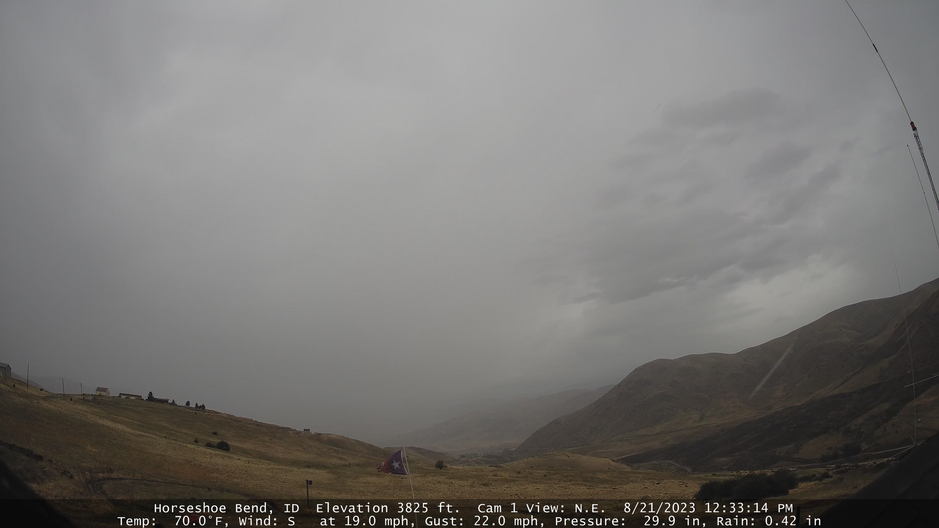
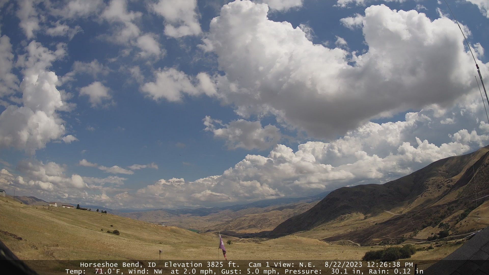
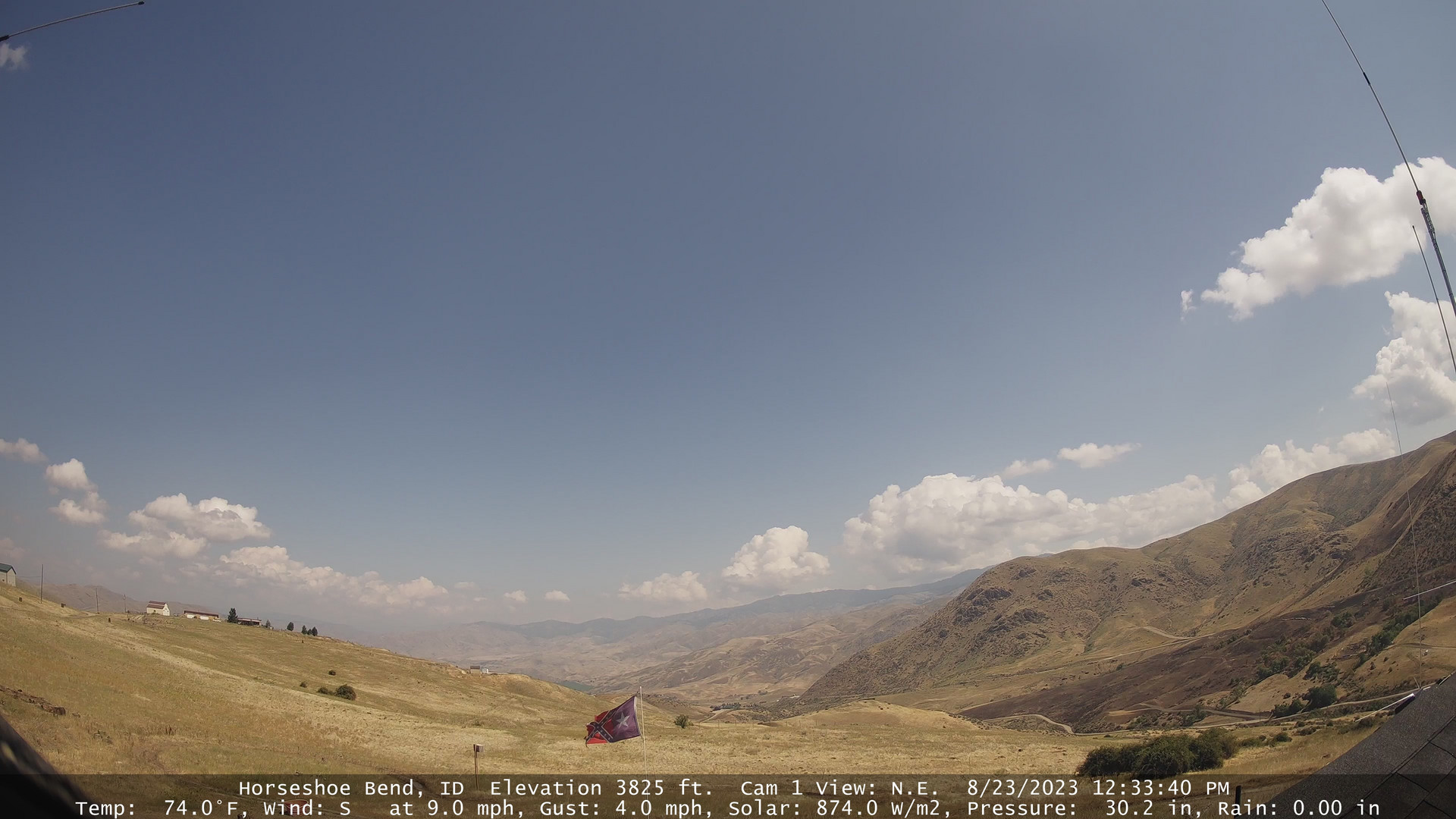
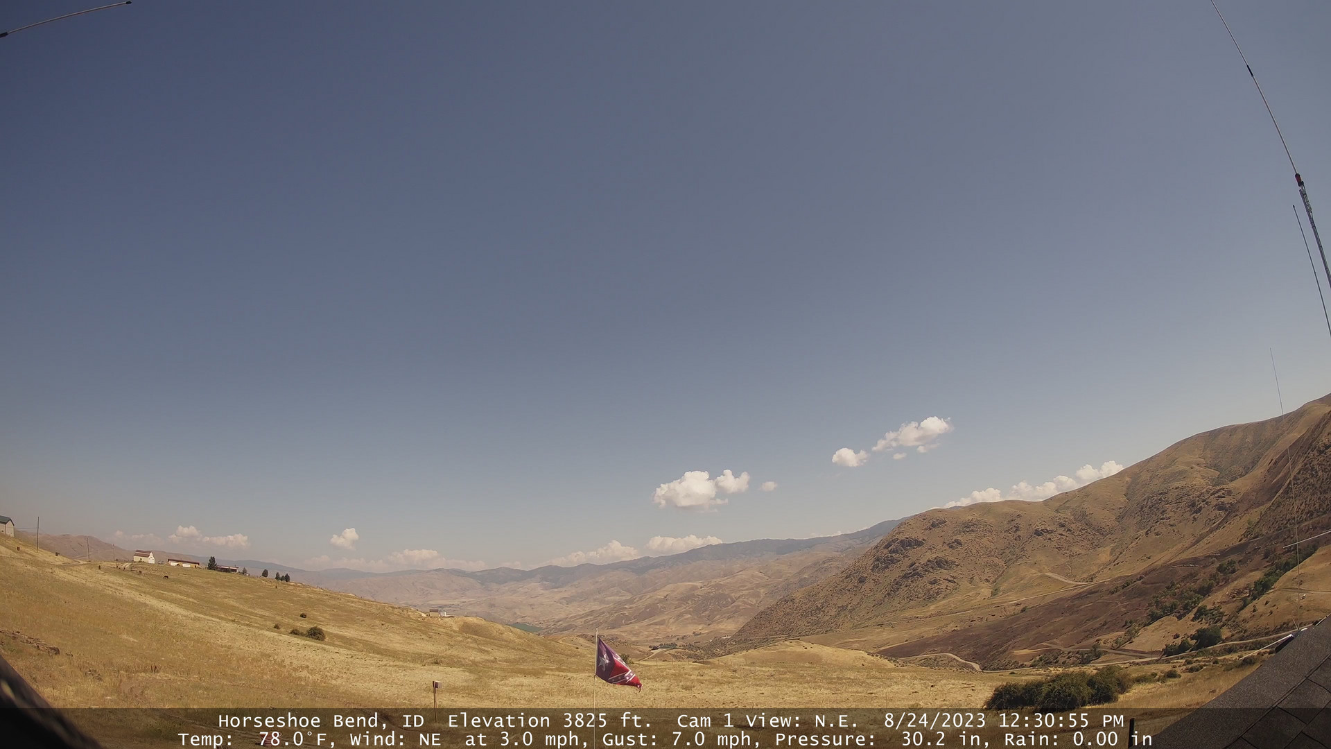
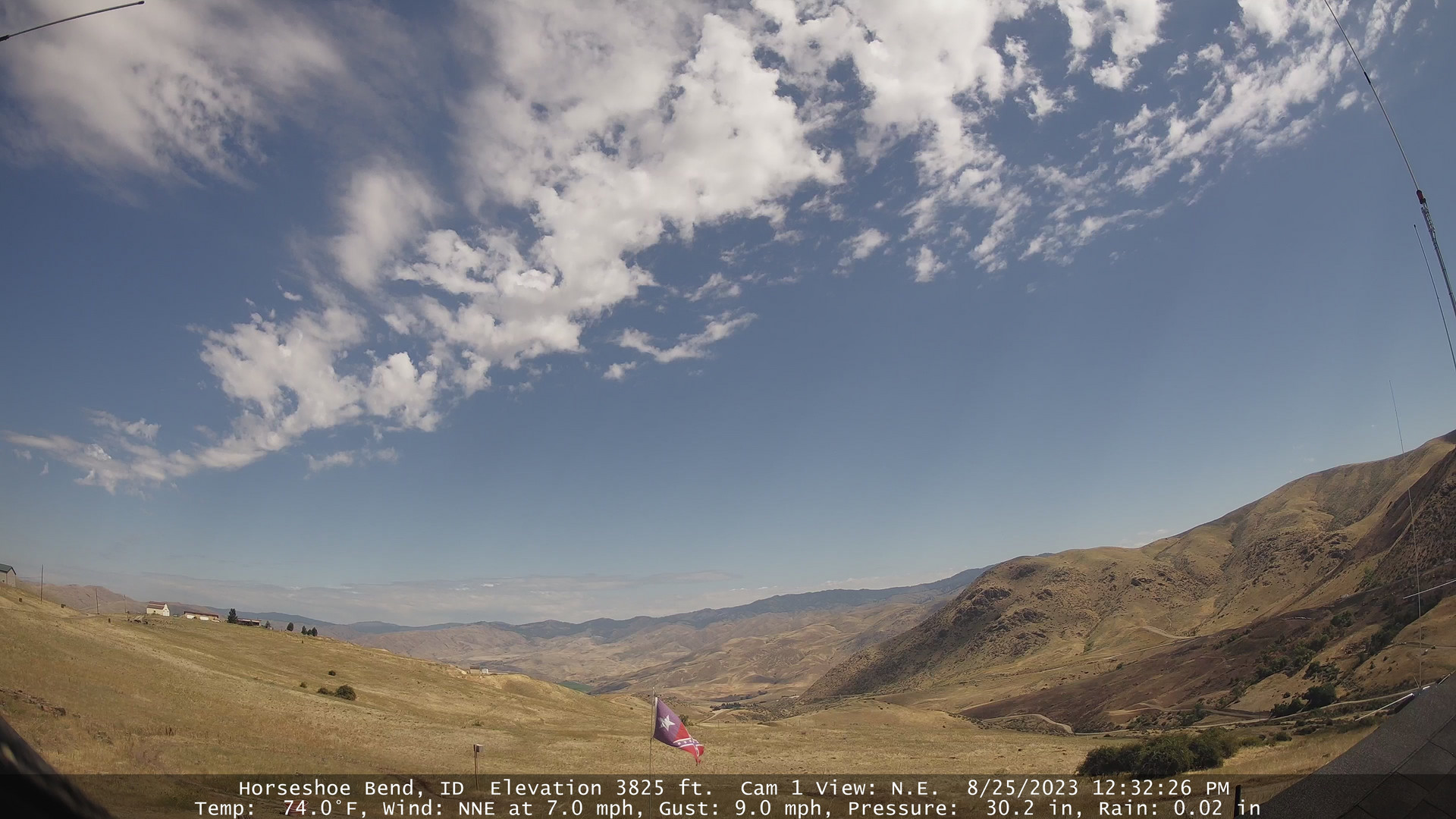
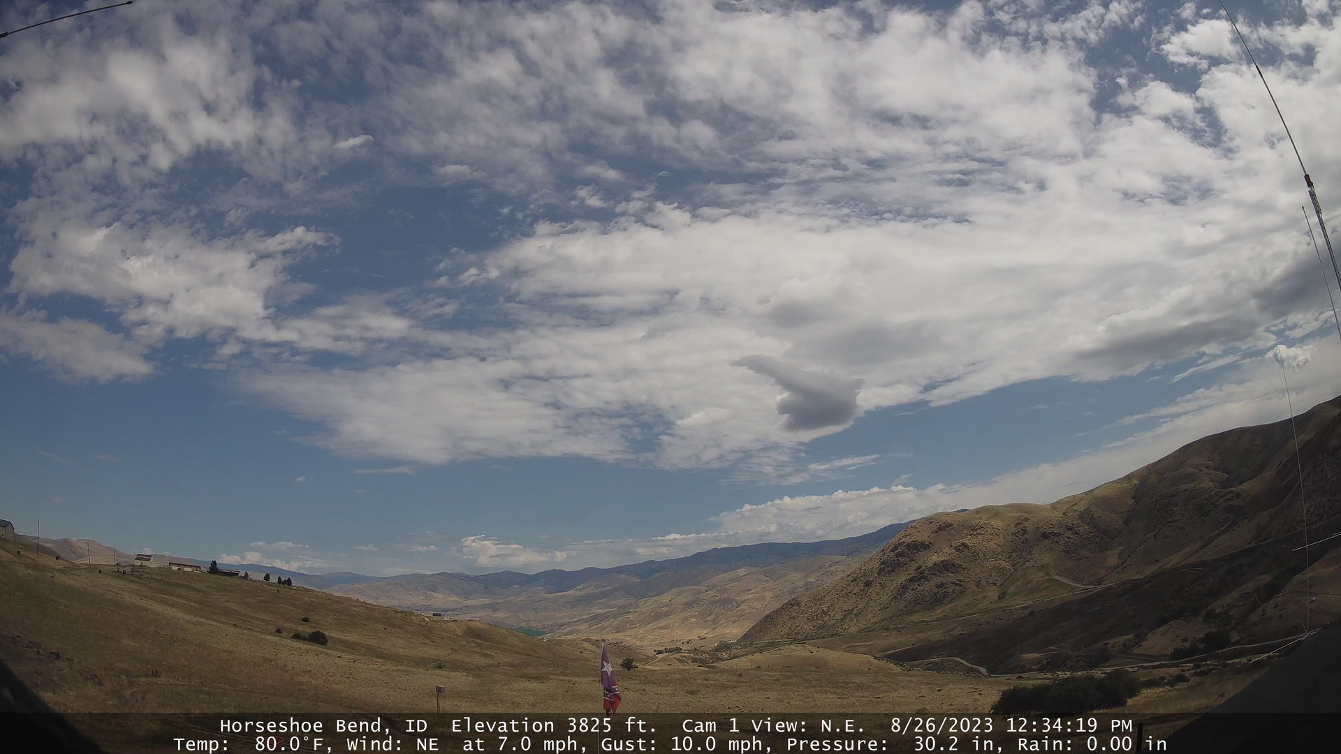
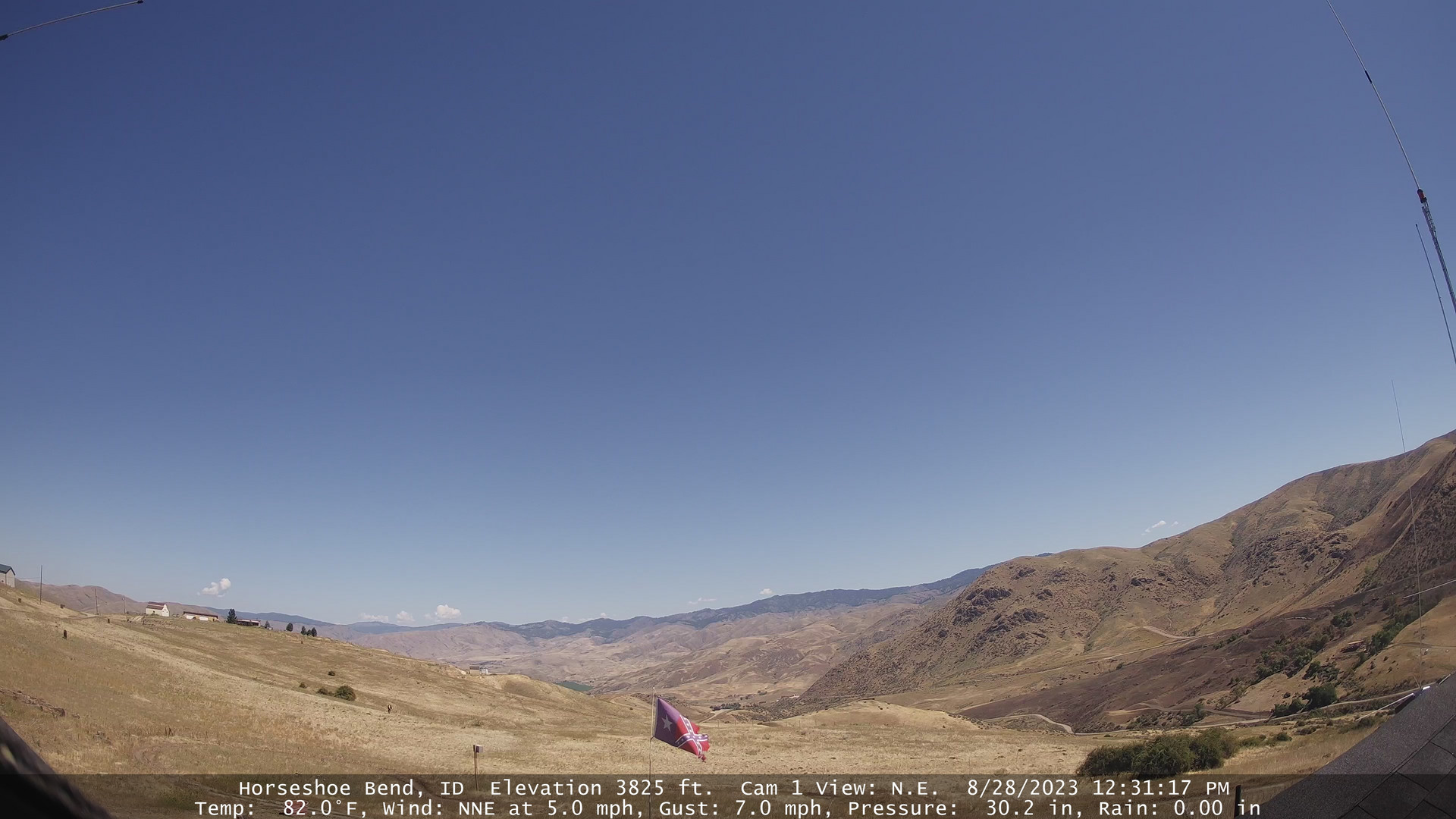
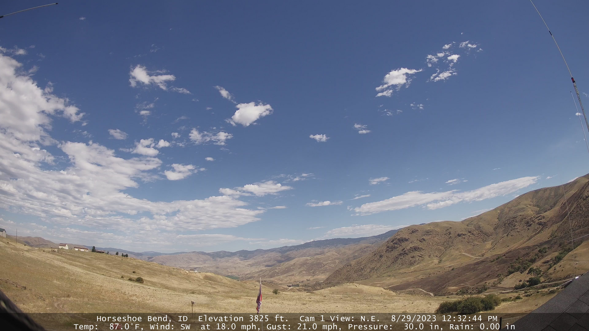
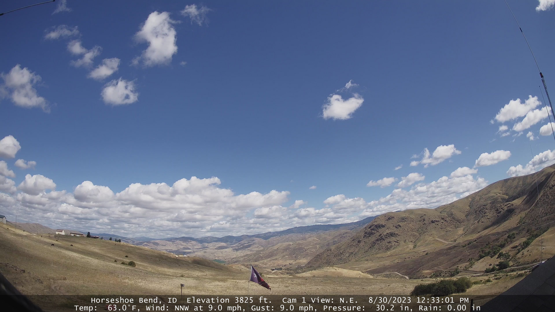
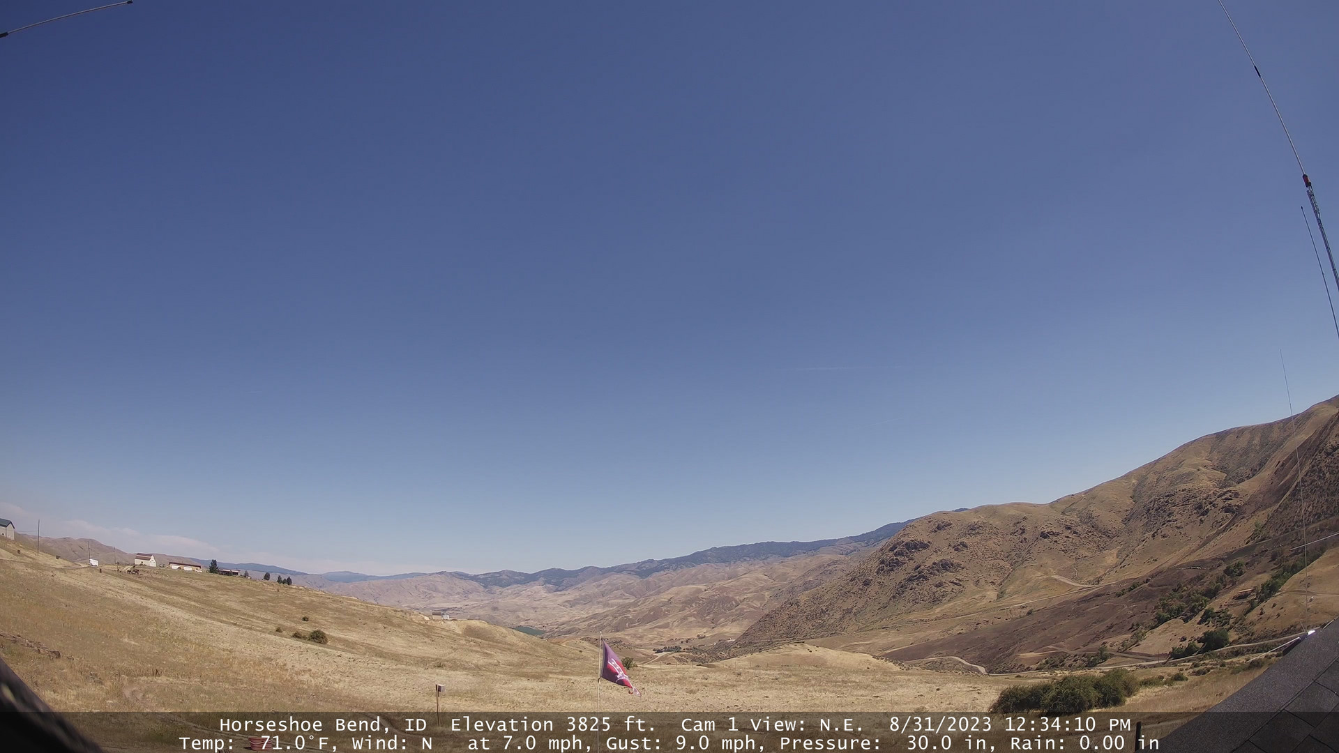
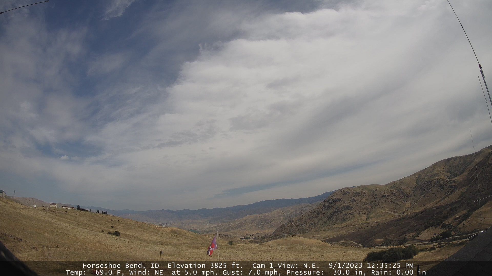
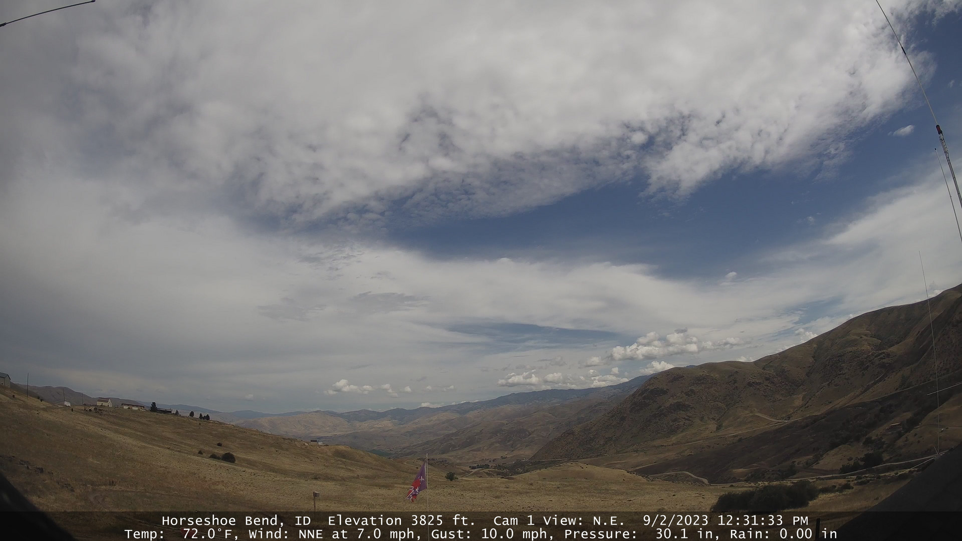
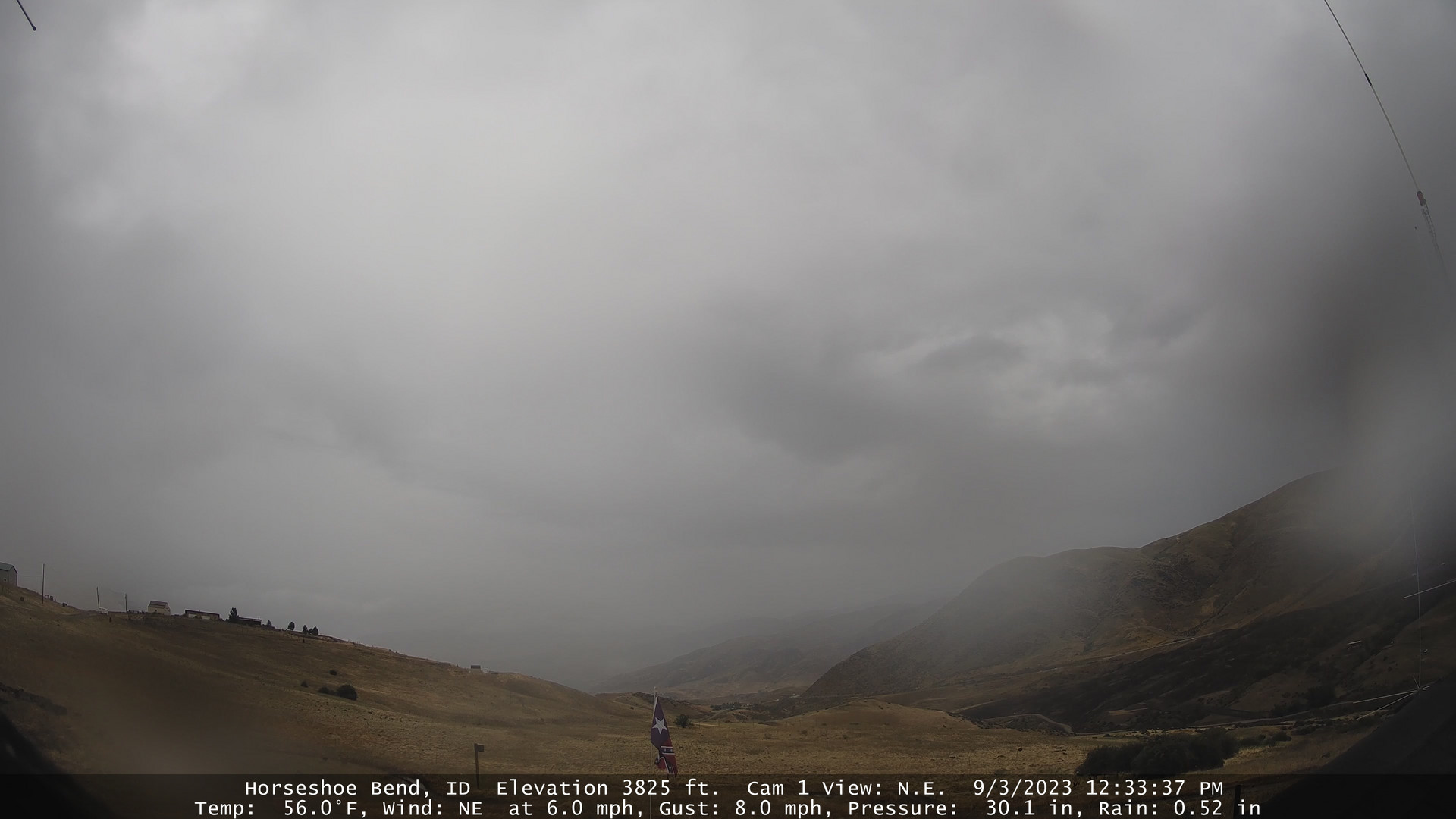
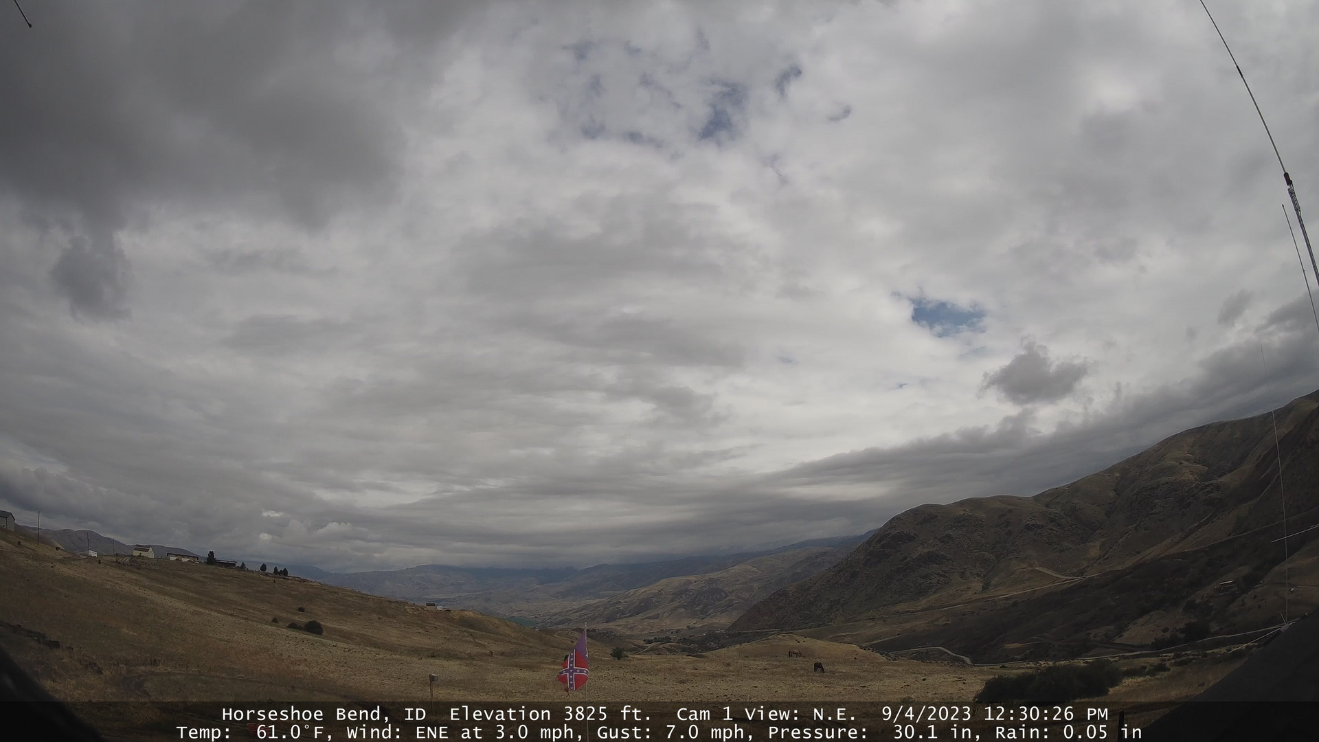
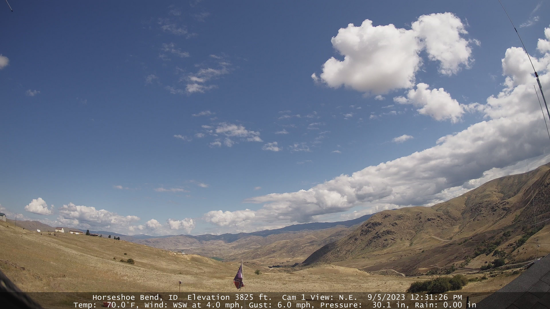
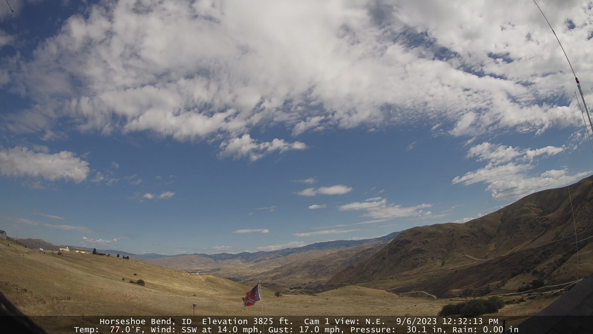
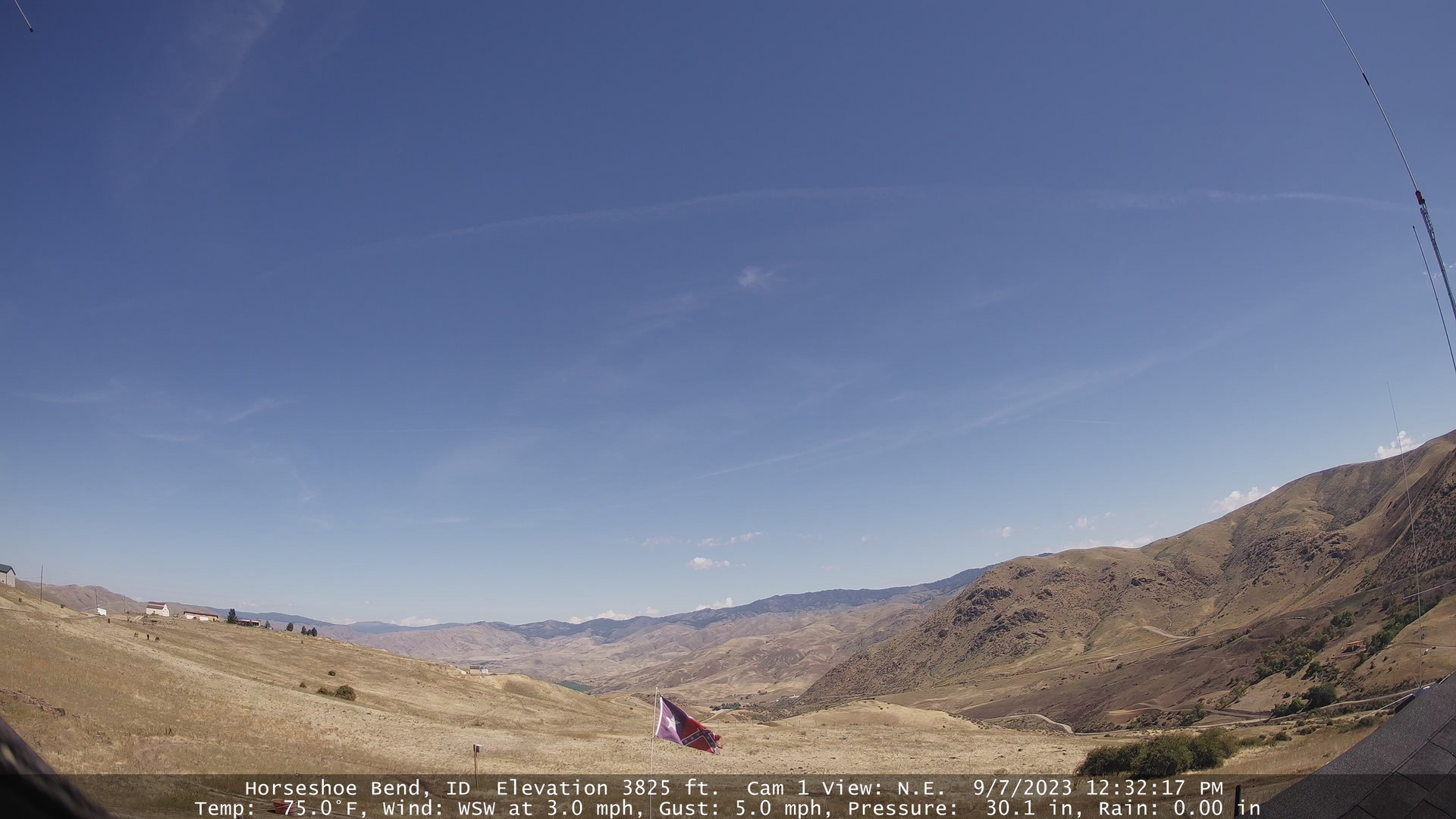
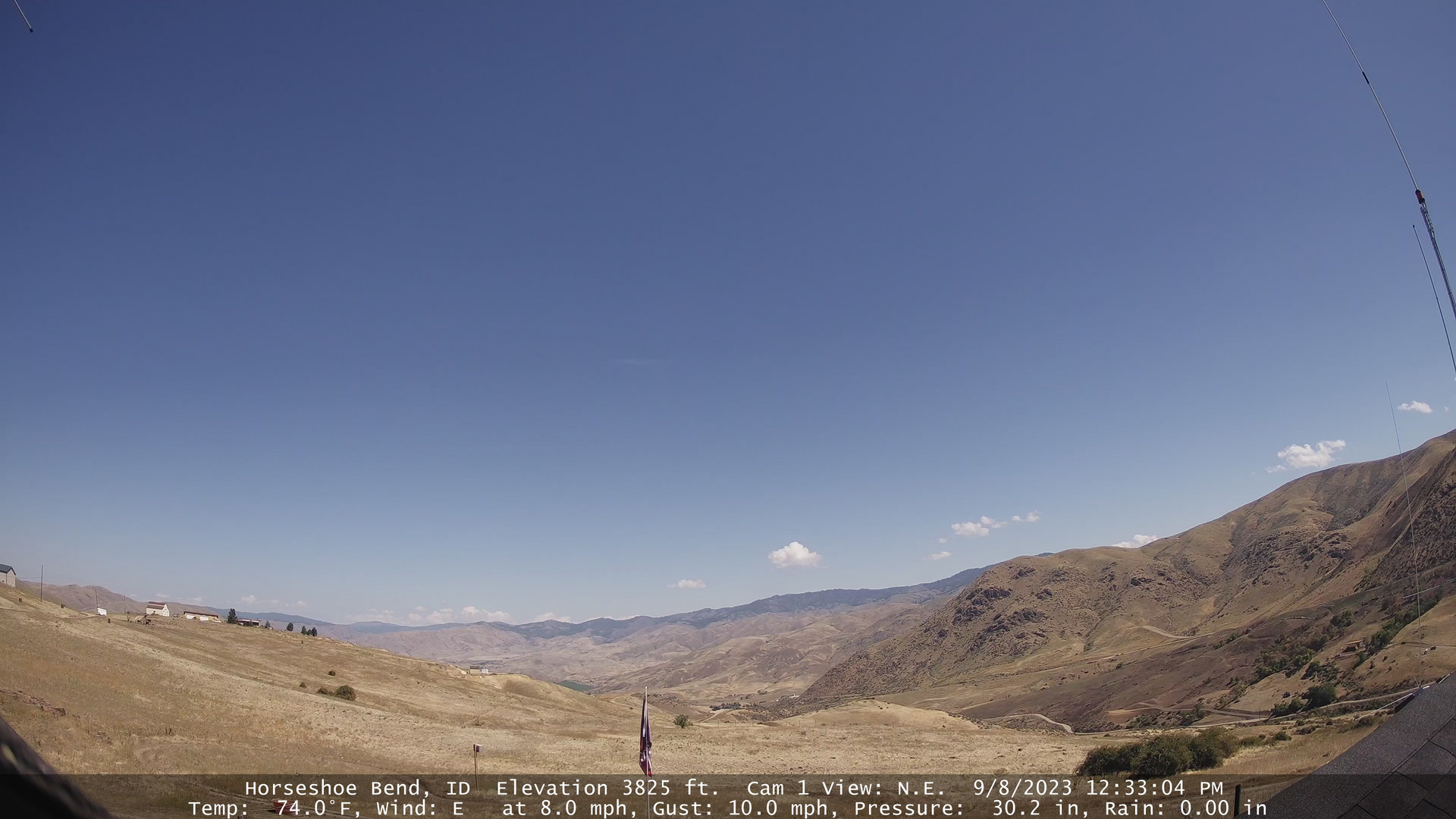
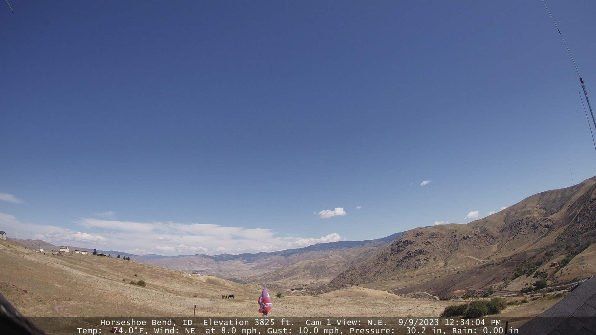
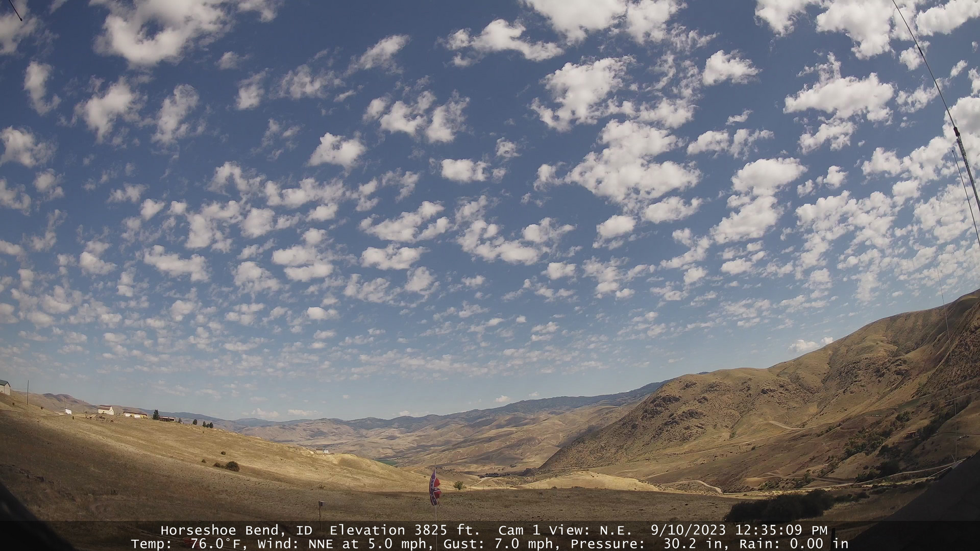
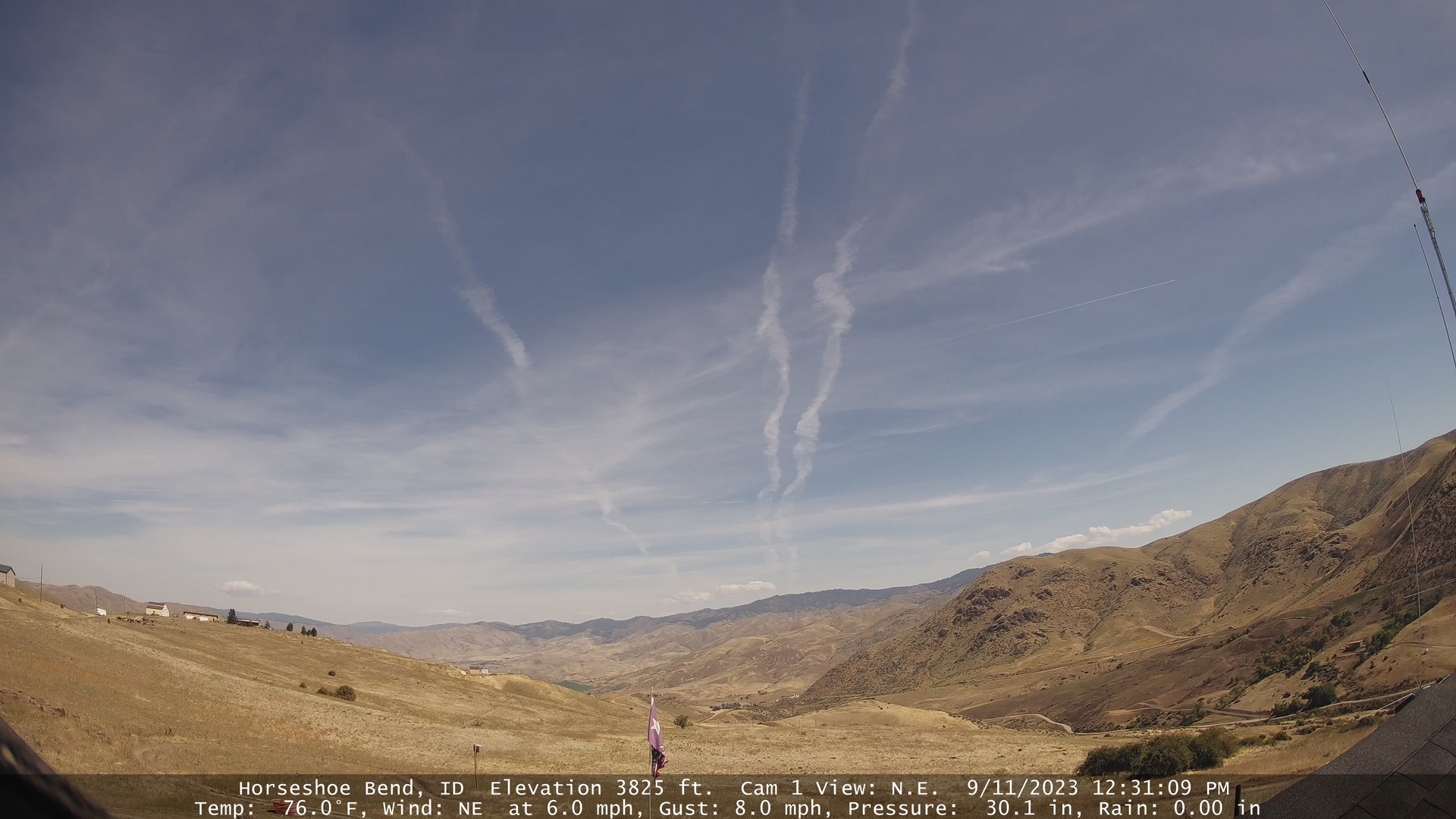
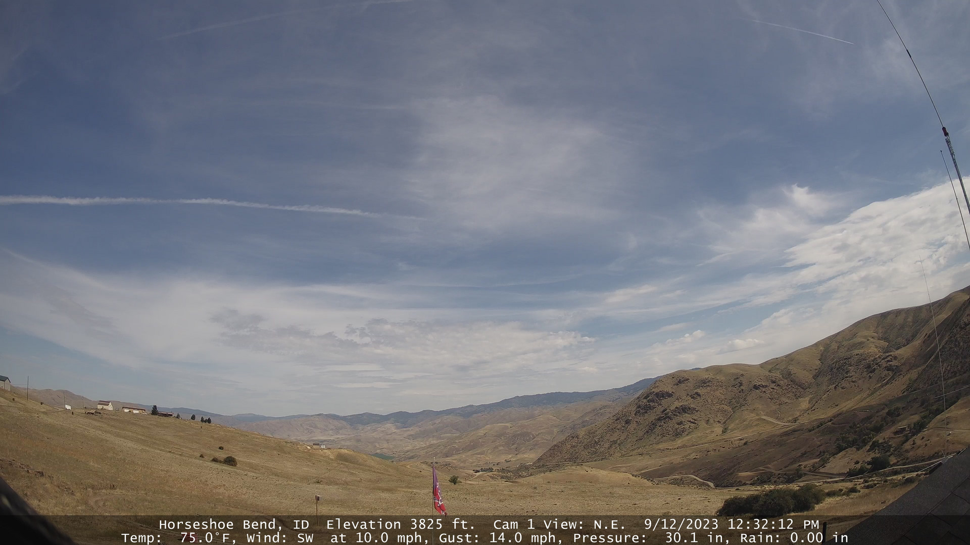
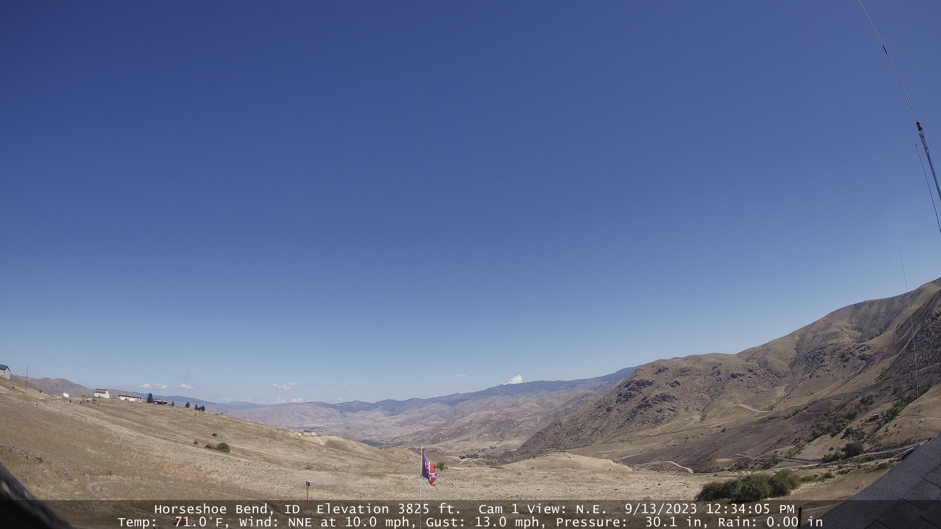
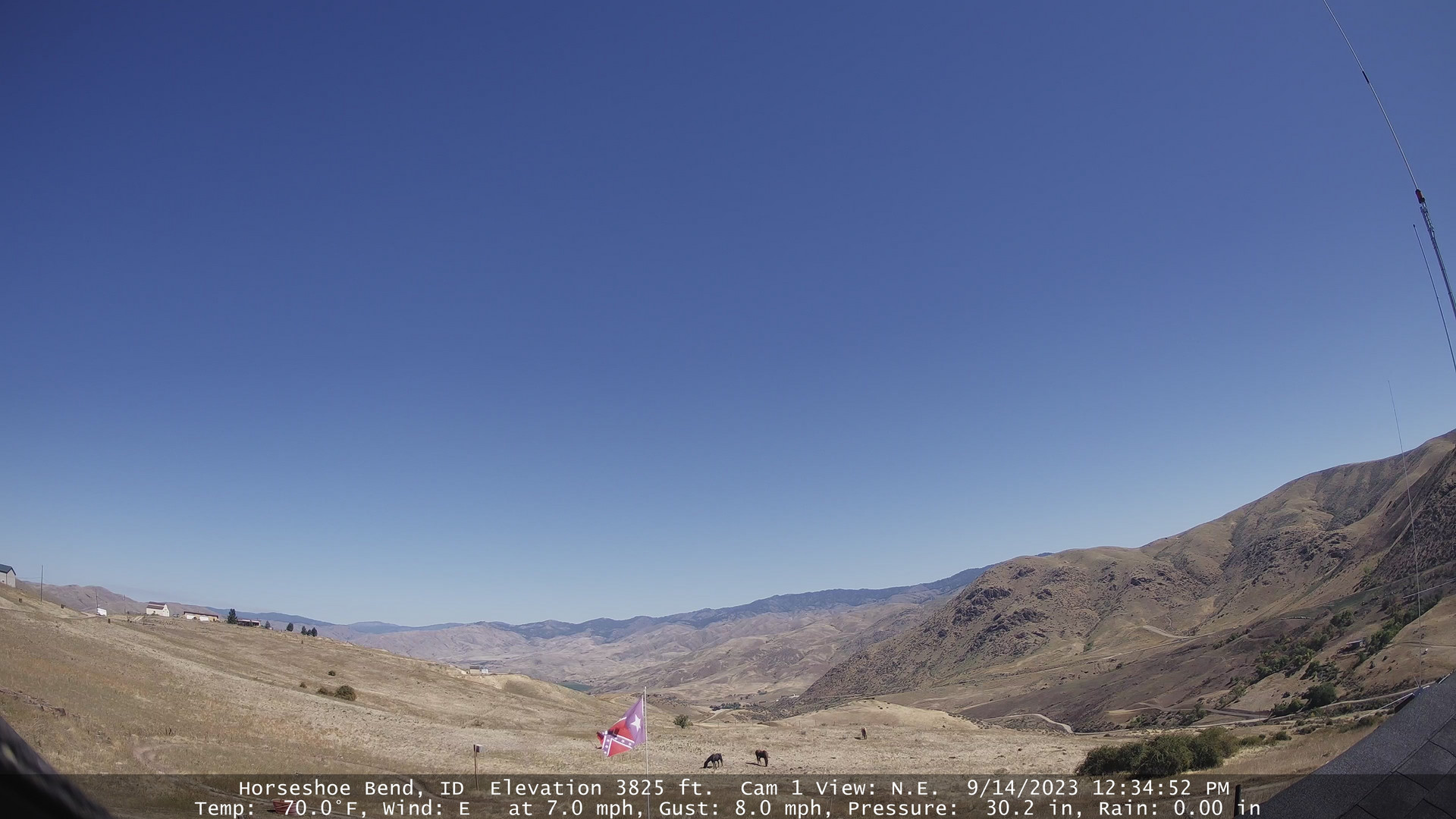
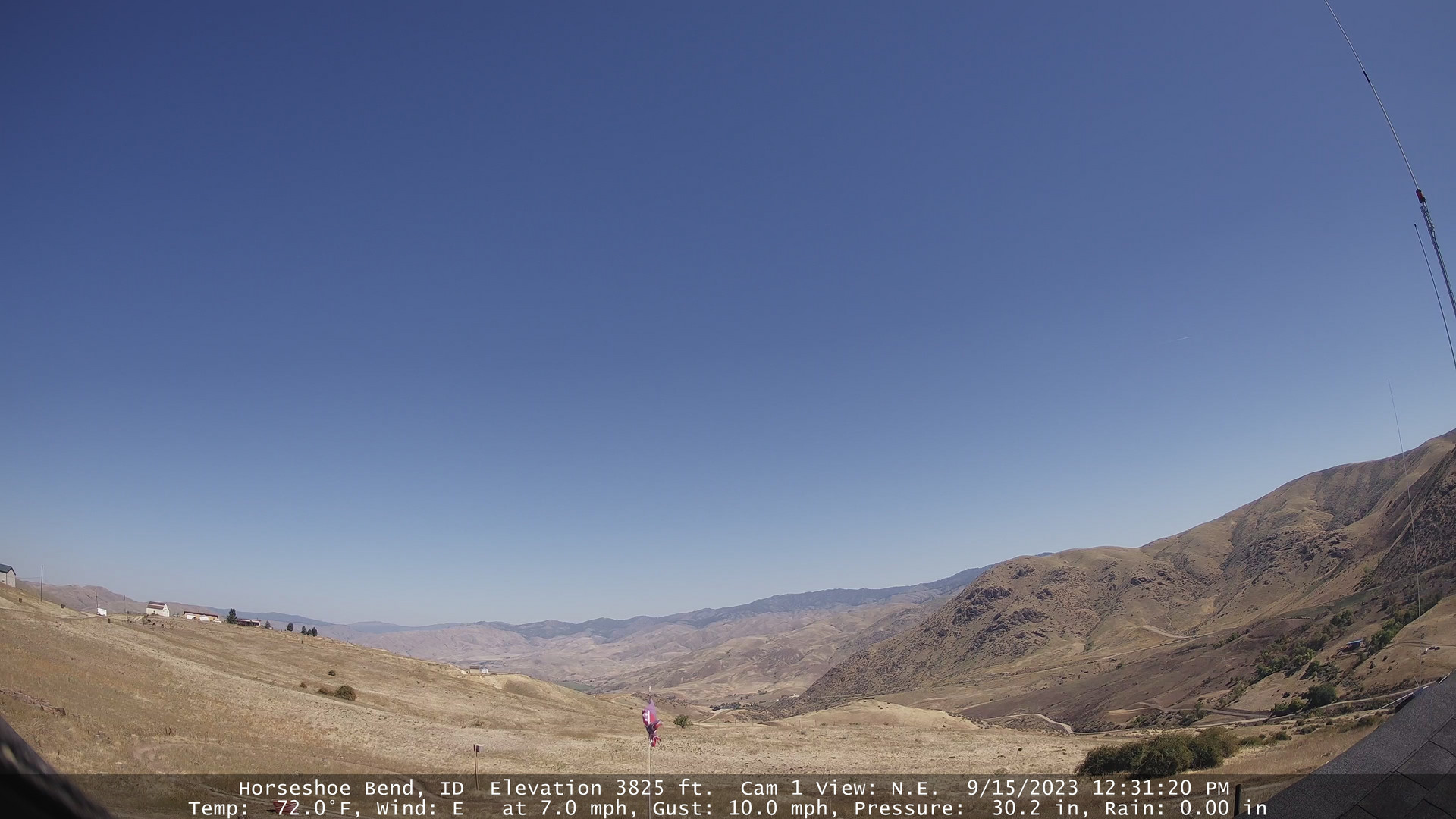
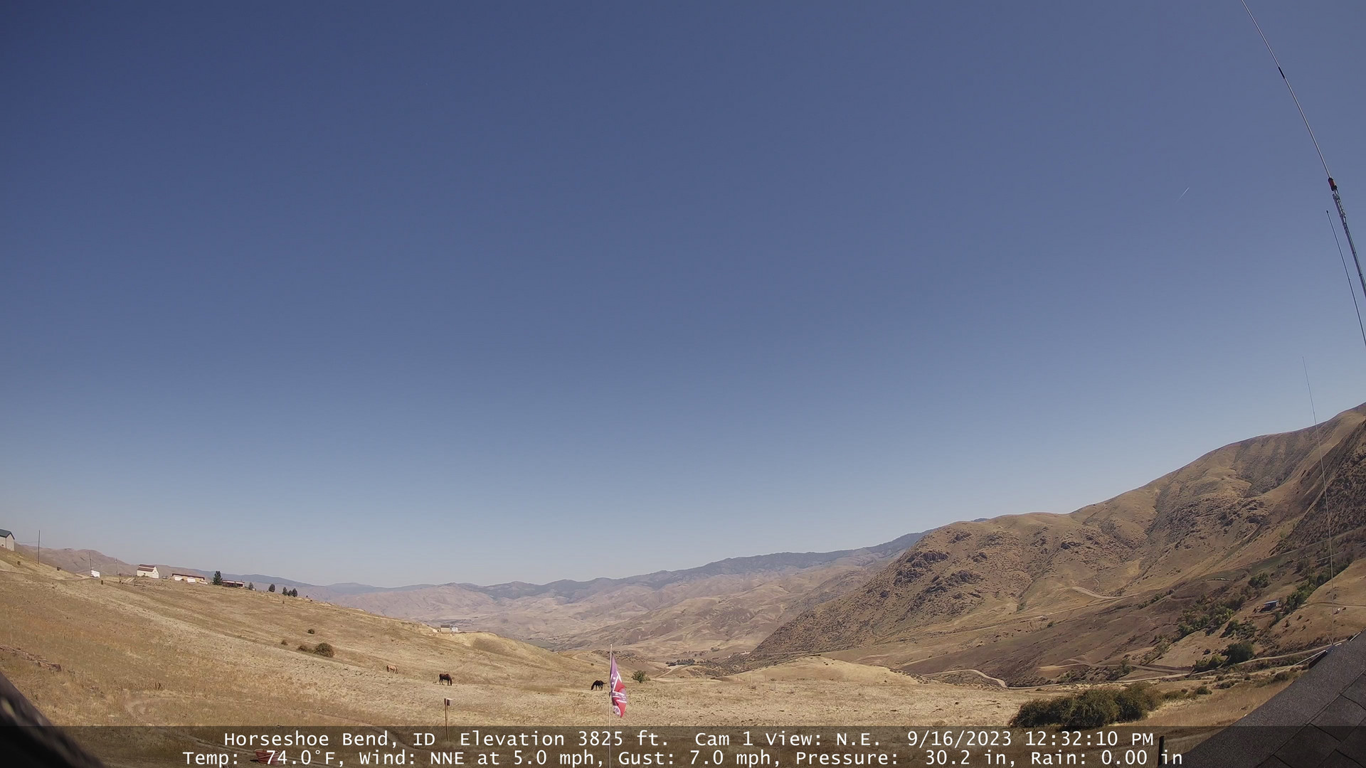
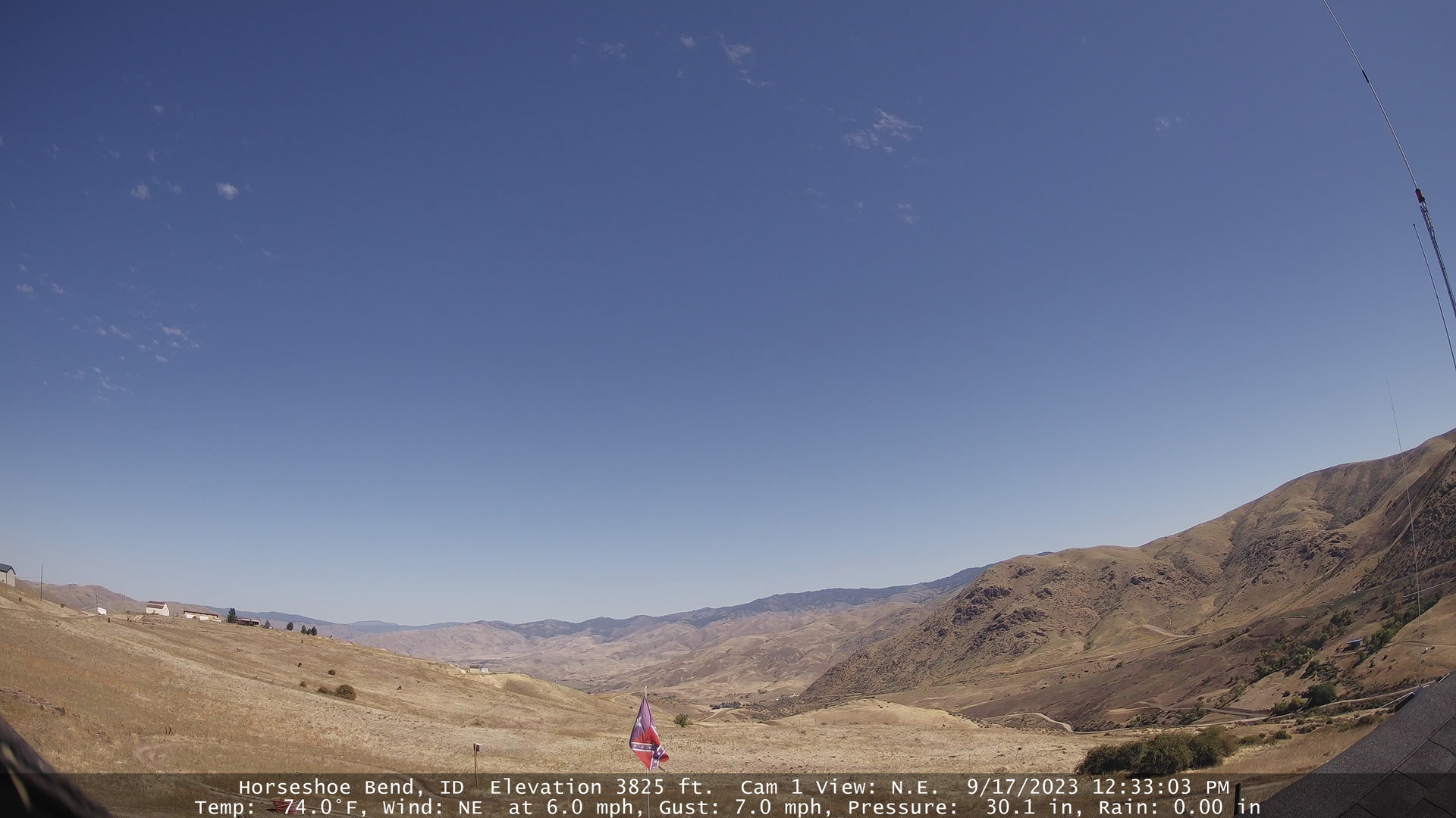
Horseshoe Bend, Idaho, USA - 181.3 miles from Denio: Horseshoe Bend Weathercam - A view of the mountains above Horseshoe Bend, Idaho.
Operator: Horseshoe Bend Idaho Weather
Operator: Horseshoe Bend Idaho Weather


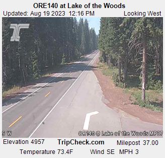
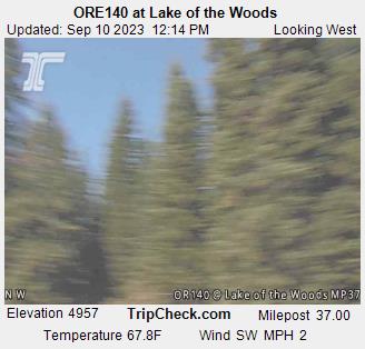
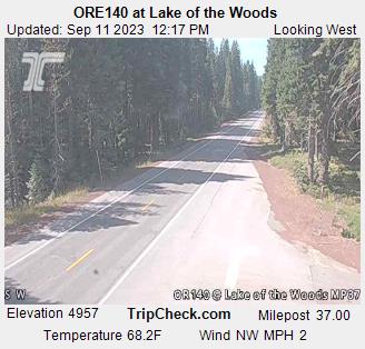
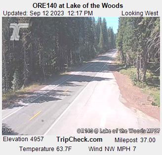
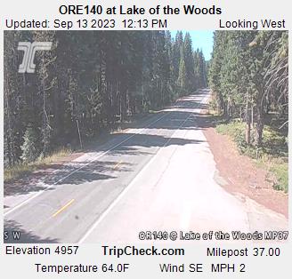
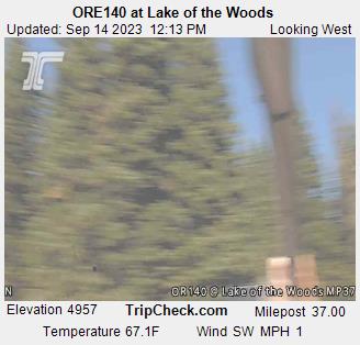
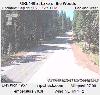
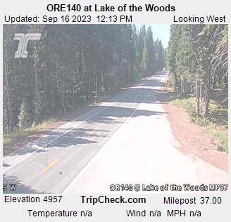
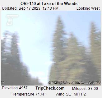
Lake of the Woods, Oregon, USA - 185.1 miles from Denio: ORE140 at Lake of the Woods - A view of the current traffic situation on the ORE140.
Operator: Oregon Department of Transportation
Operator: Oregon Department of Transportation


Virginia City, Nevada, USA - 192.7 miles from Denio: View of the C Street
Operator: Skyline Webcams
Operator: Skyline Webcams


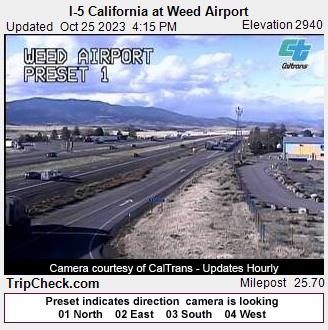
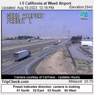
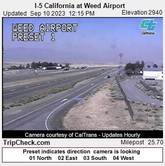
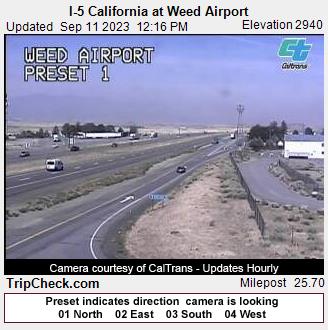
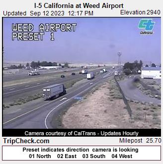
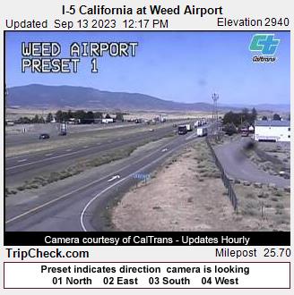
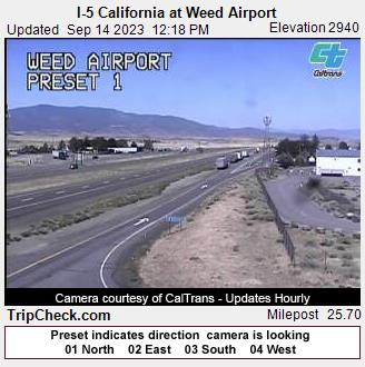
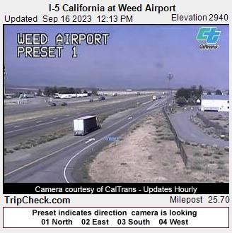
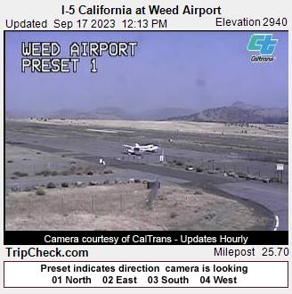
Weed, California, USA - 197.4 miles from Denio: I-5 California at Weed Airport - A view of the current traffic situation on the I-5.
Operator: Oregon Department of Transportation
Operator: Oregon Department of Transportation


Some other places in this country: Caselton Heights - Cobre - Contact - Deeth - Dresslerville - Dunphy - Elgin - Elko - Glendale - Gold Acres