Webcams in the region of Camp Booth (historical), Nevada, USA
The List of Webcams near Camp Booth (historical), Nevada, USA:

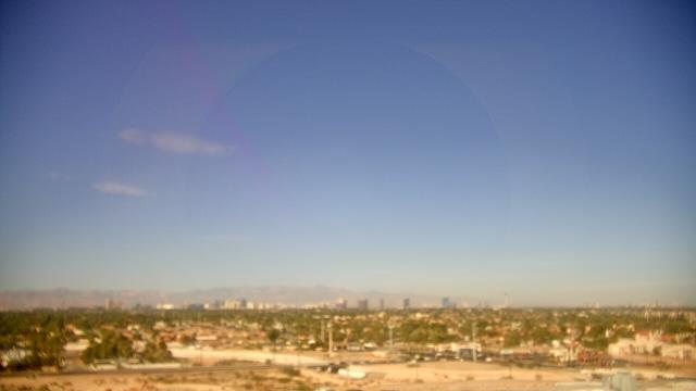
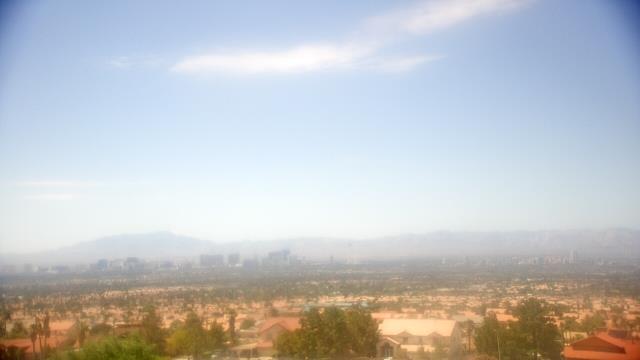
Las Vegas, Nevada, USA - 37.6 miles from Camp Booth (historical): Las Vegas Day School - A webcam in Las Vegas, Nevada - camera location: Las Vegas Day School.
Operator: WeatherBug
Operator: WeatherBug


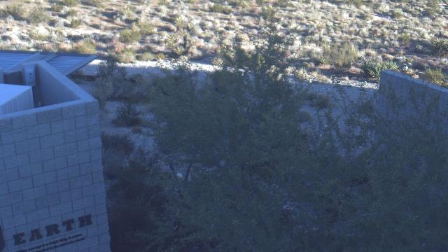
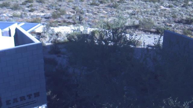
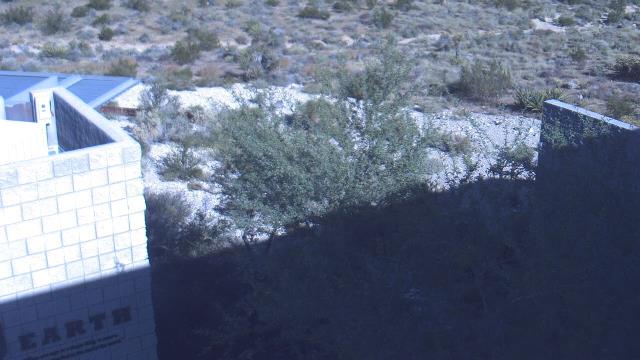
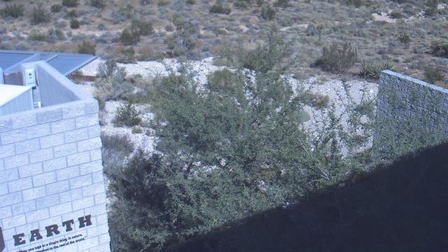
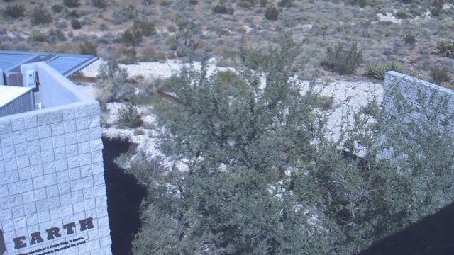
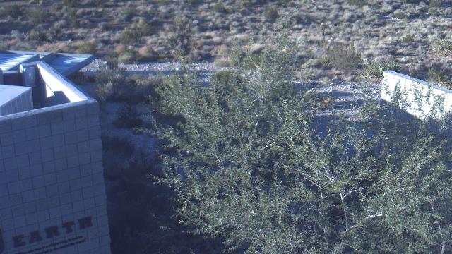
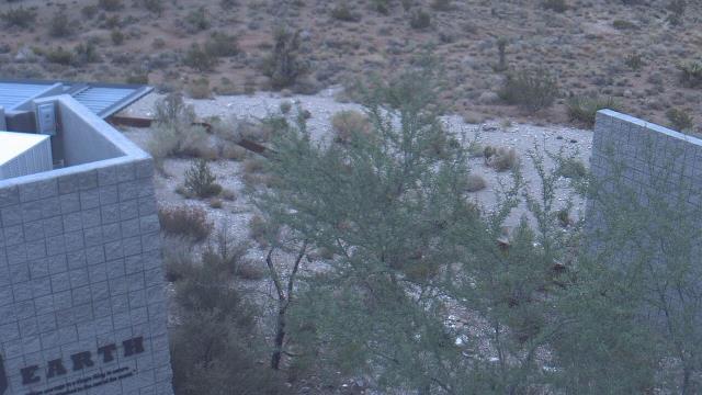
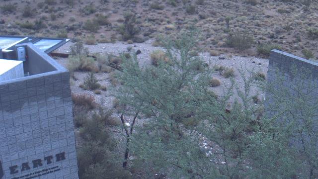
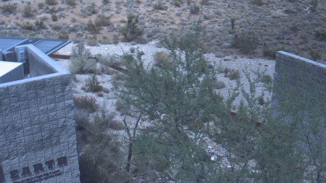
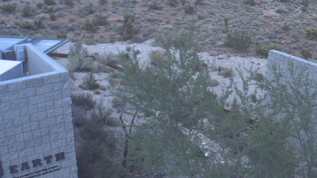
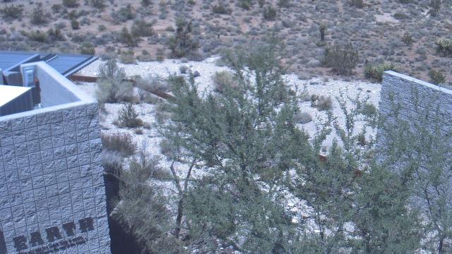
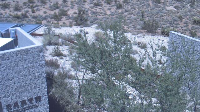
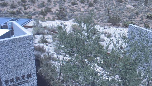
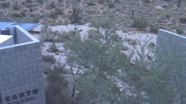
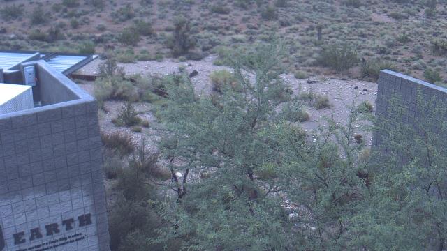
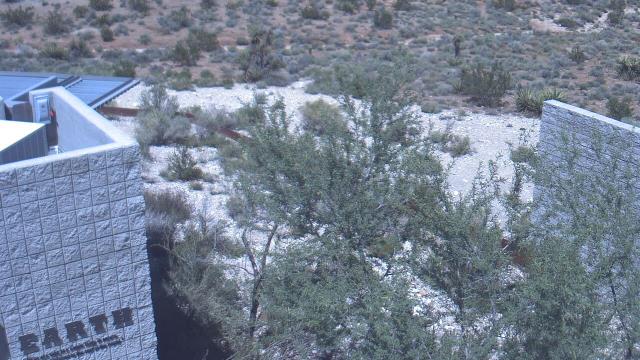
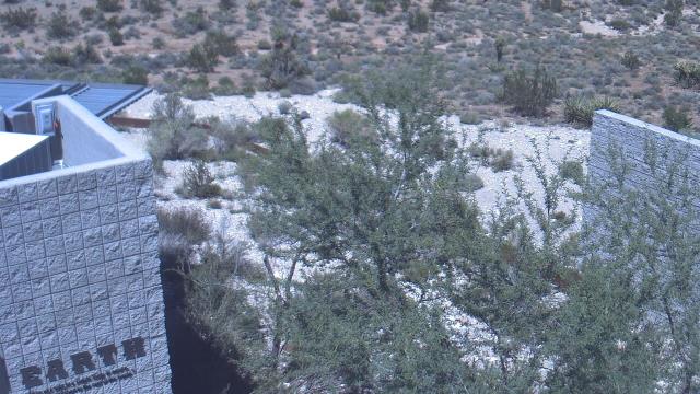
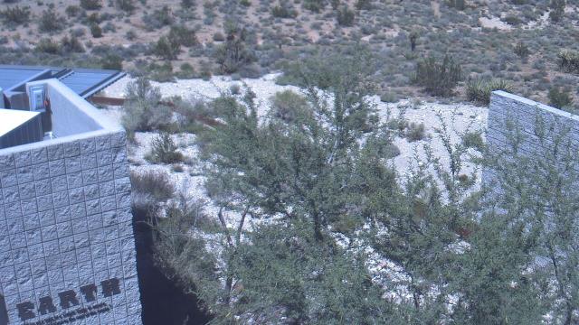
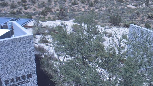
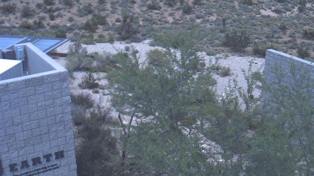
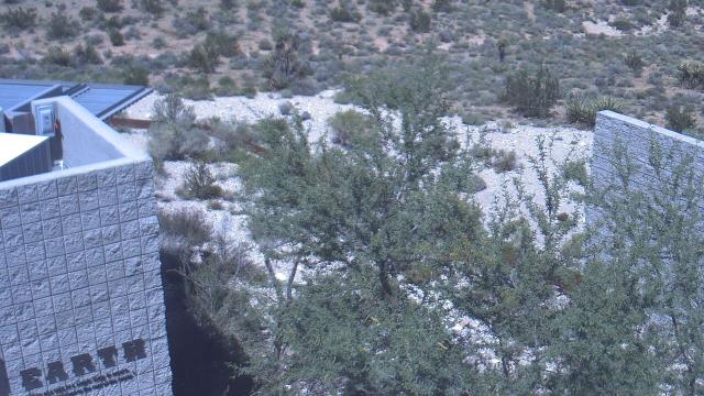
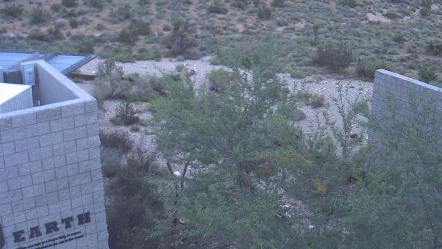
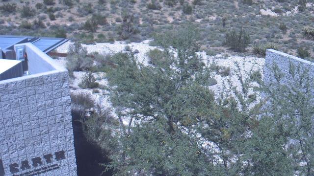
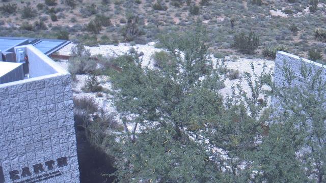
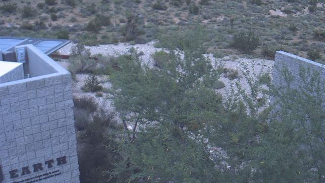
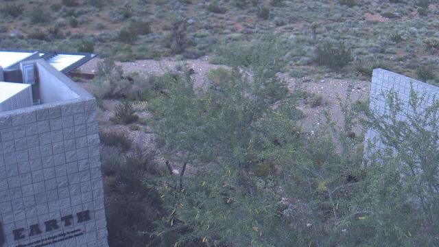
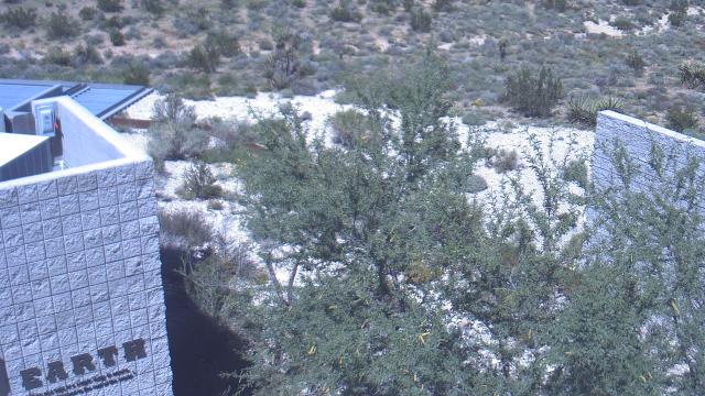
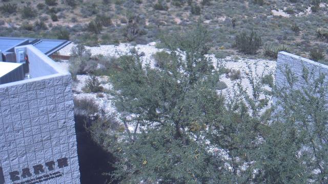
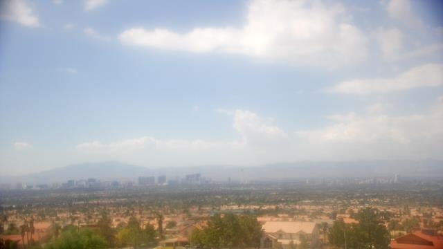
Las Vegas, Nevada, USA - 37.6 miles from Camp Booth (historical): Red Rock Visitor Center - A webcam in Las Vegas, Nevada - camera location: Red Rock Visitor Center.
Operator: WeatherBug
Operator: WeatherBug


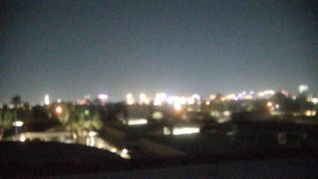
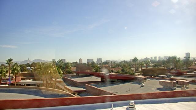
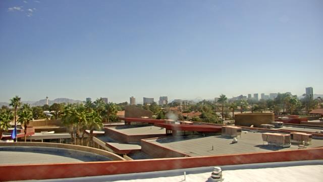
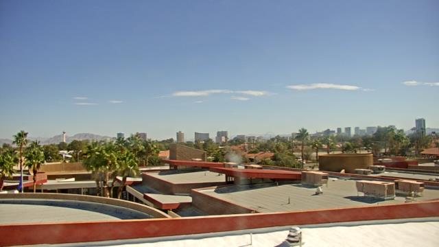
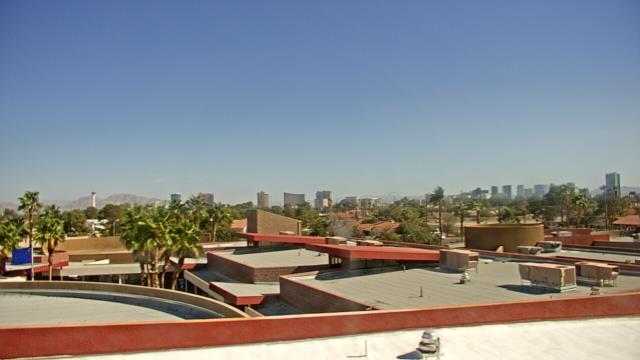
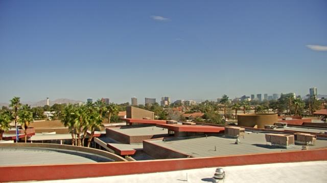
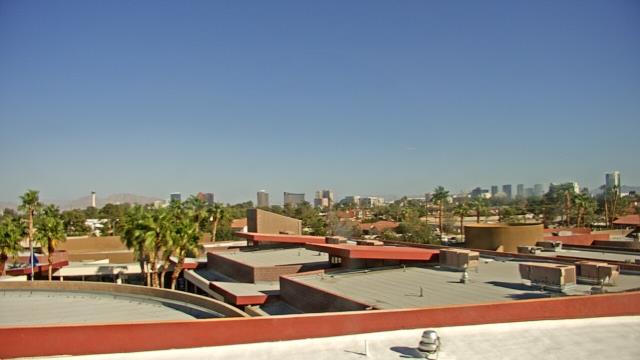
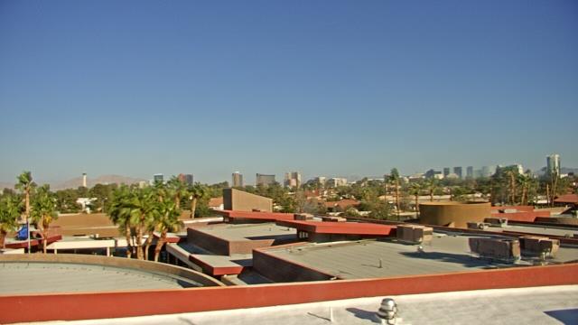
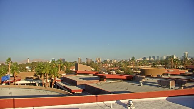
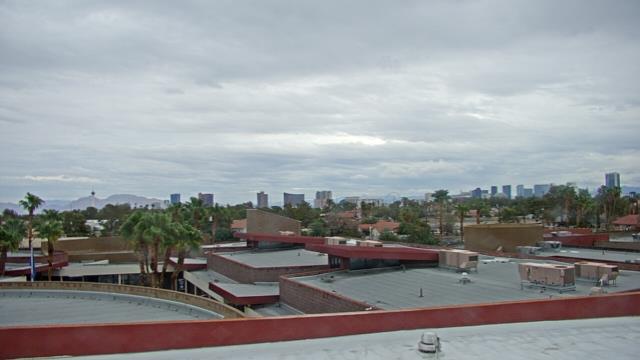
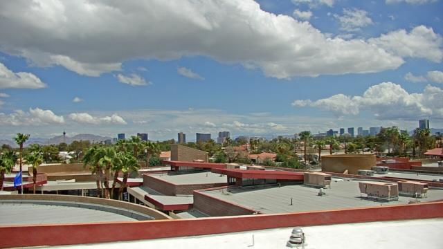
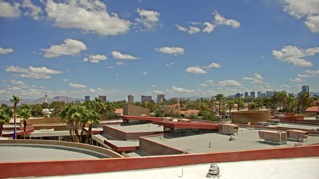
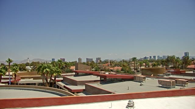
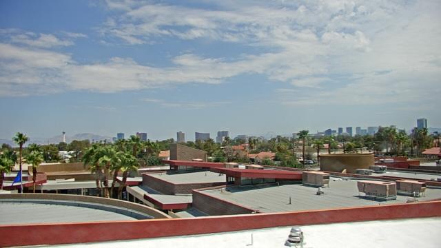
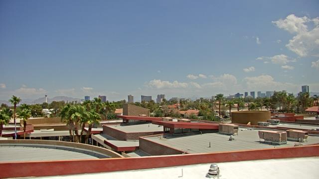
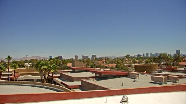
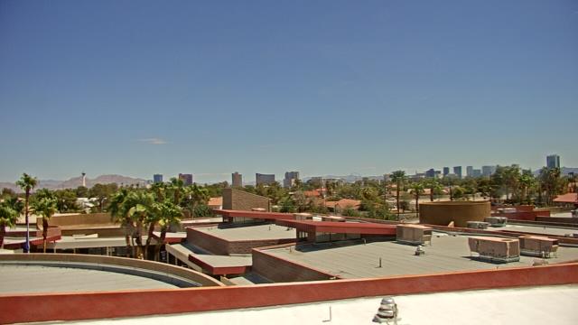
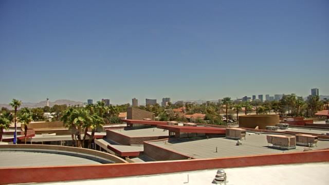
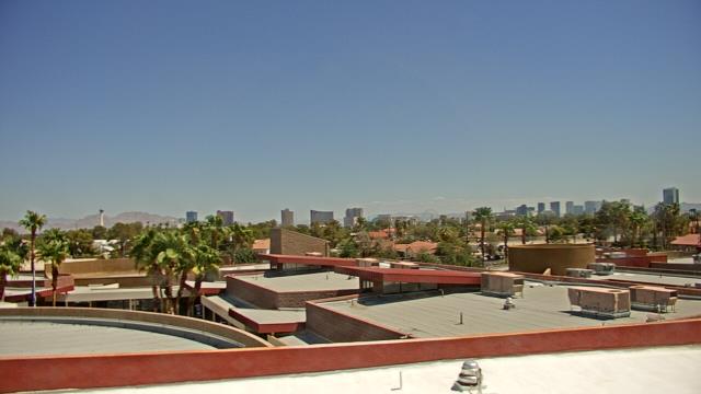
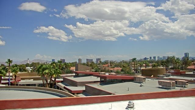
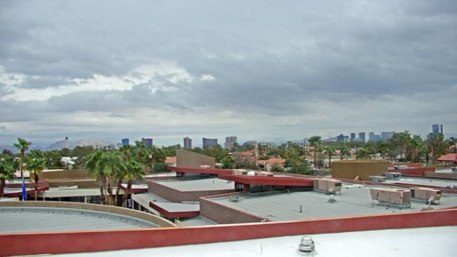
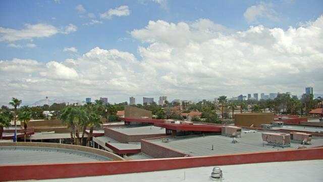
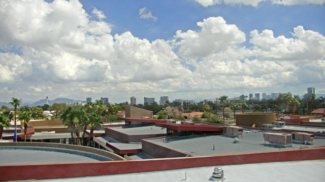
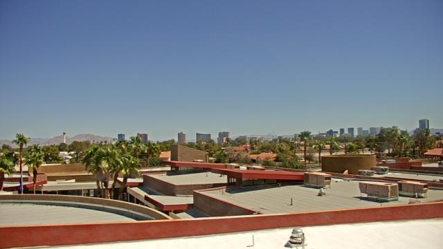
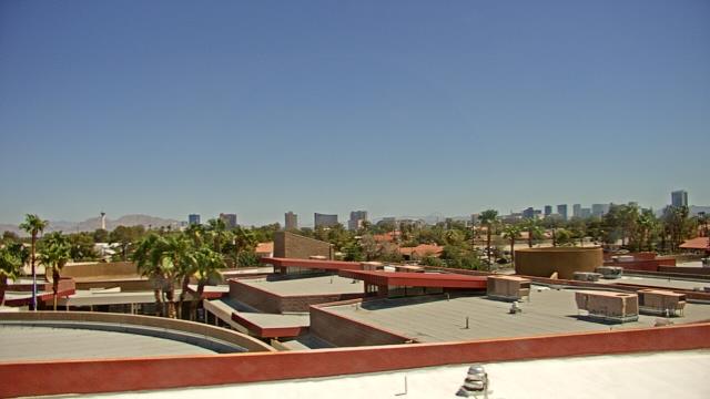
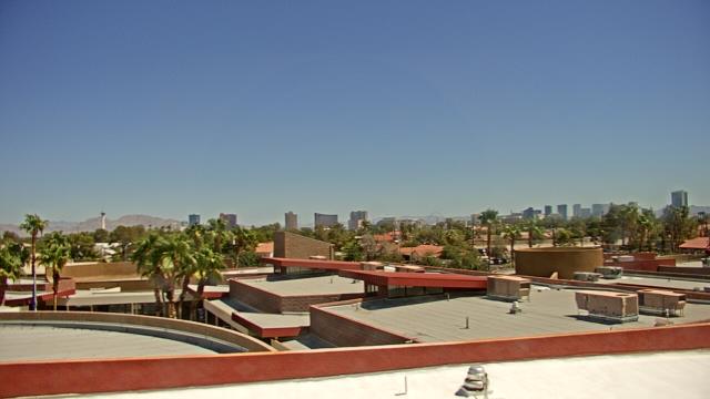
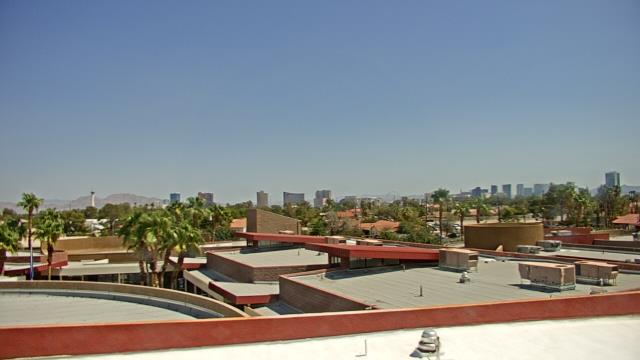
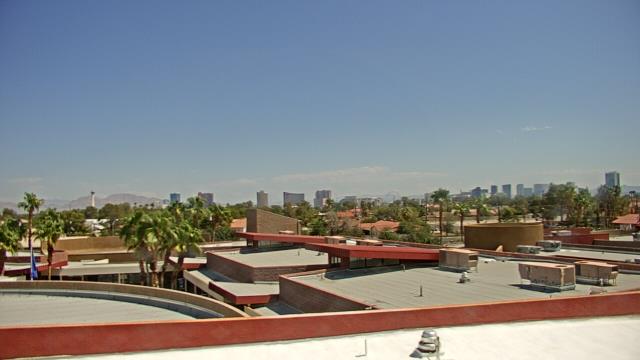
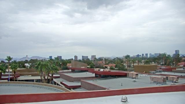
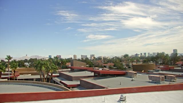
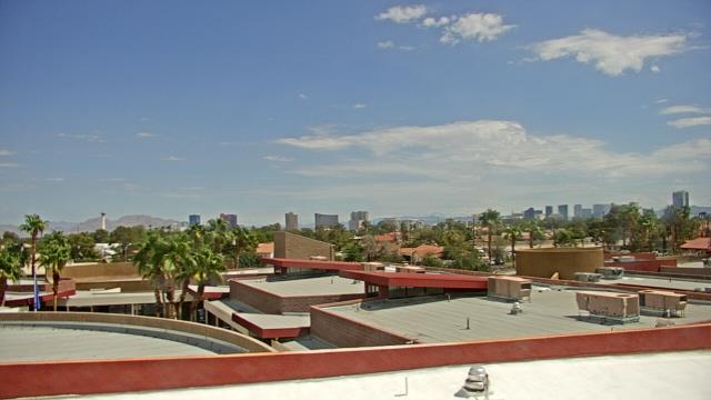
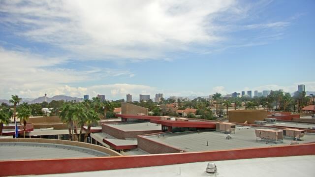
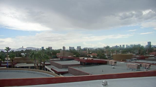
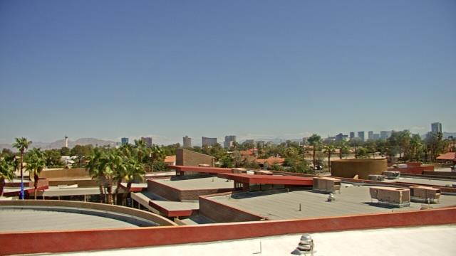
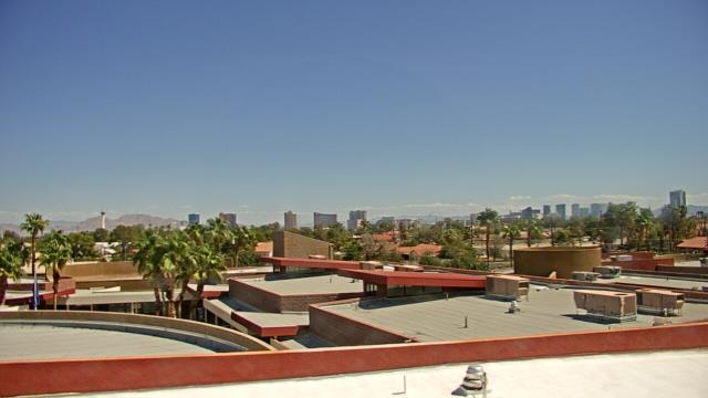
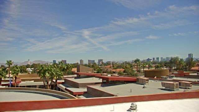
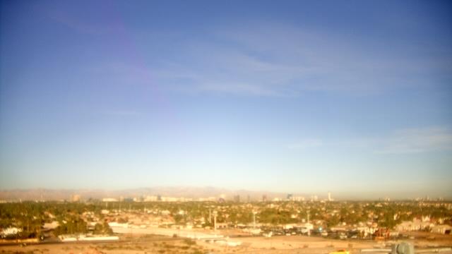
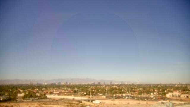
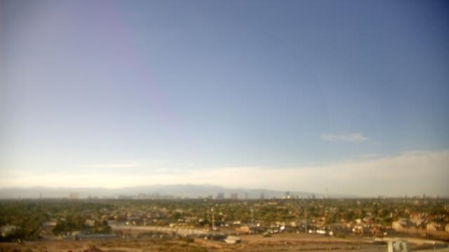
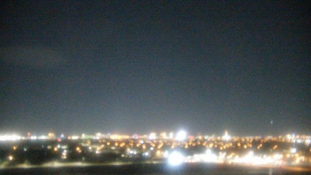
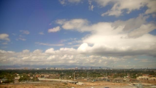
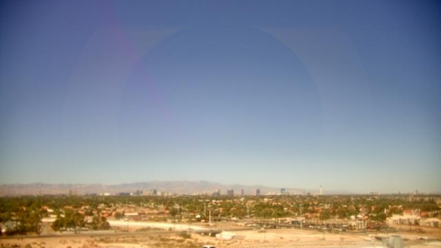
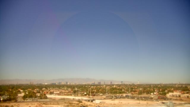
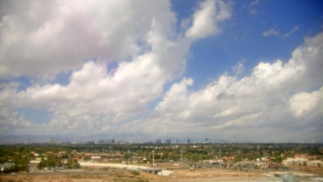
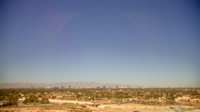
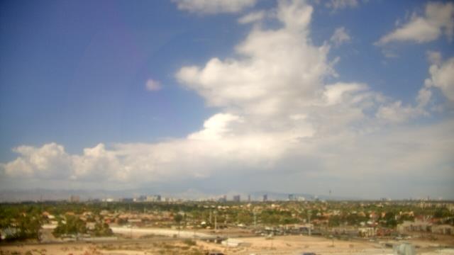
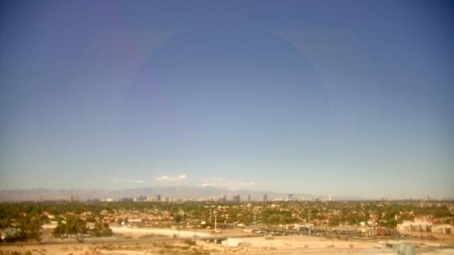
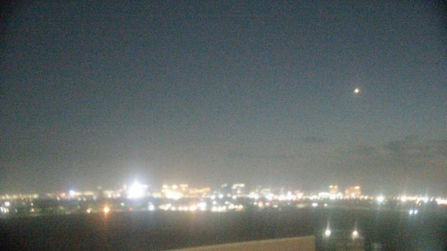
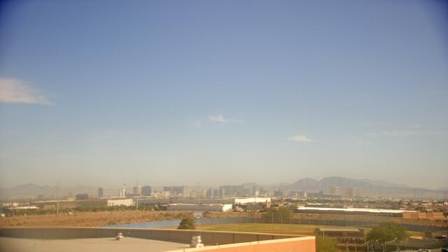
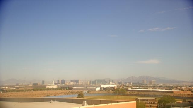
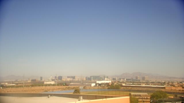
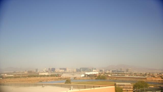
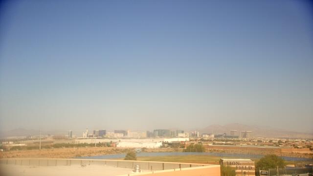
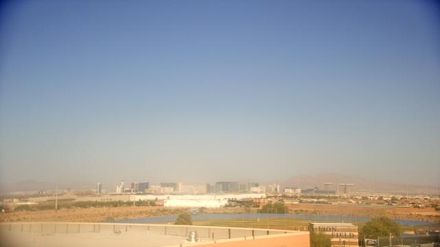
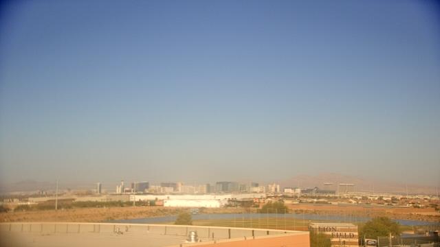
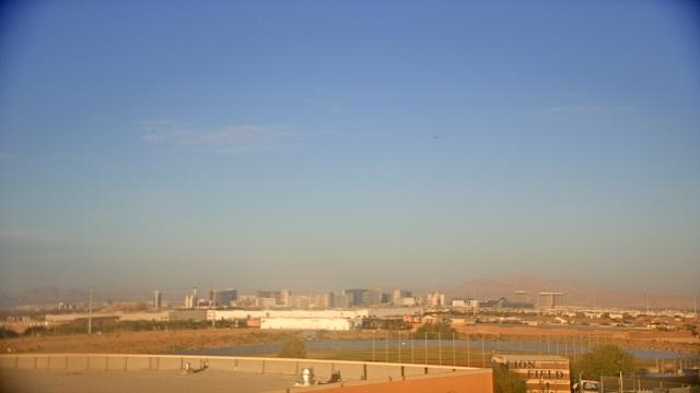
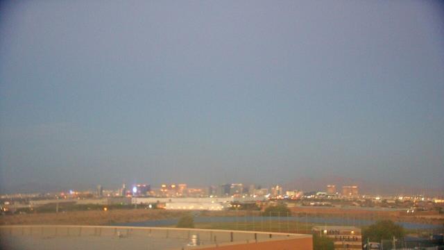
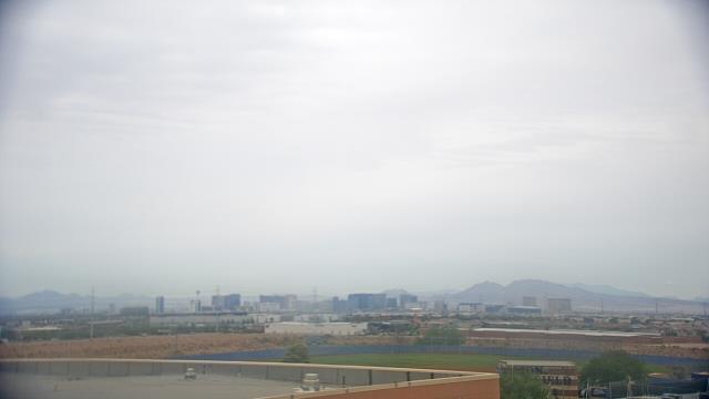
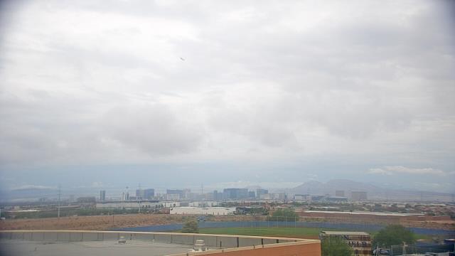
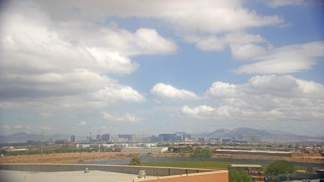
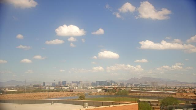
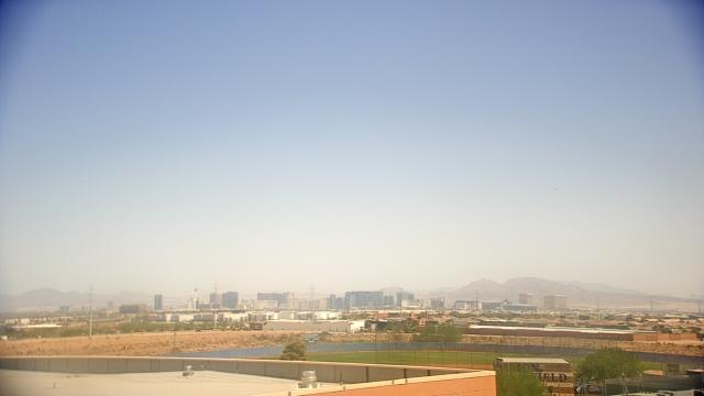
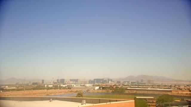
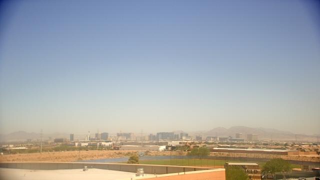
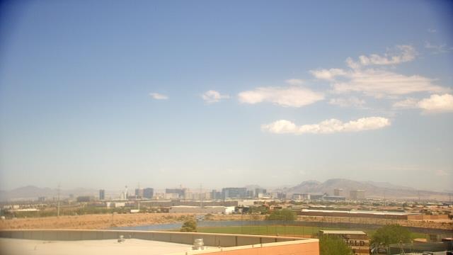
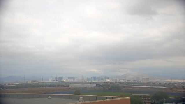
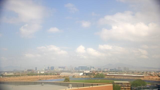
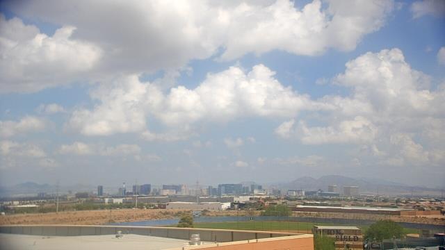
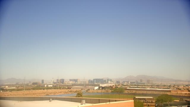
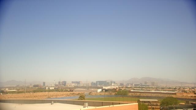
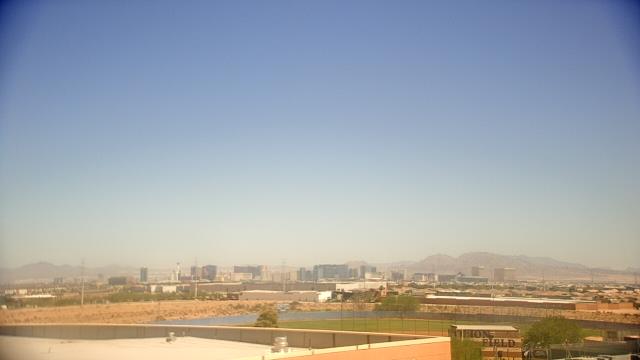
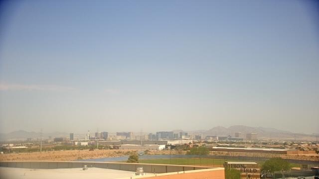
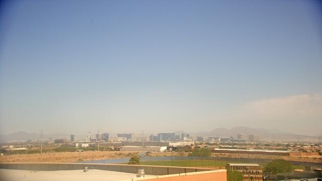
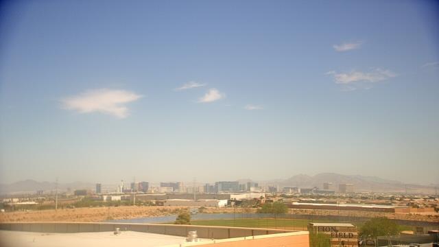
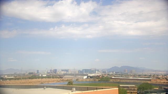
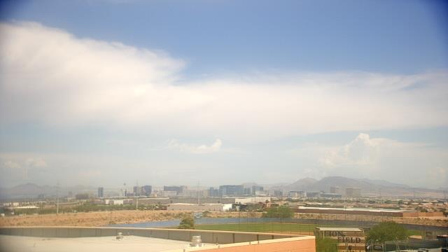
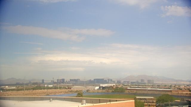
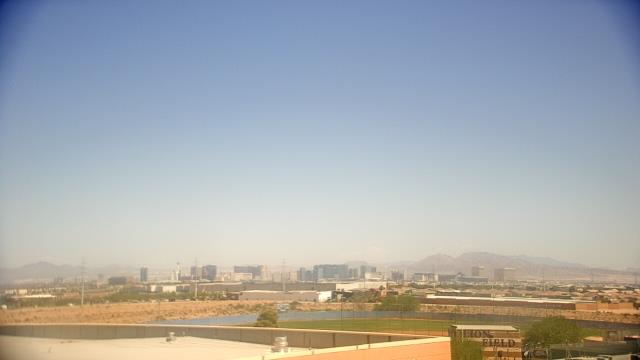
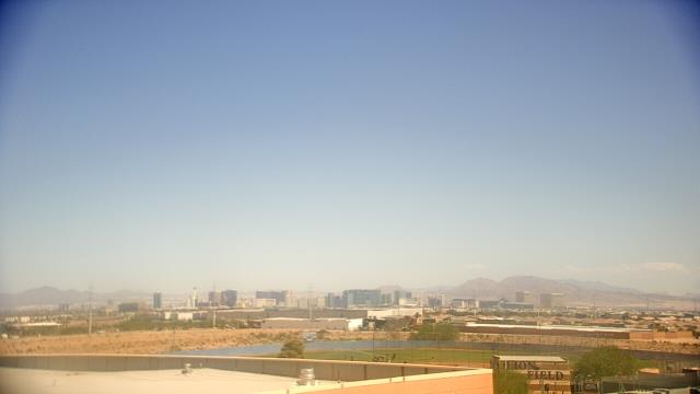
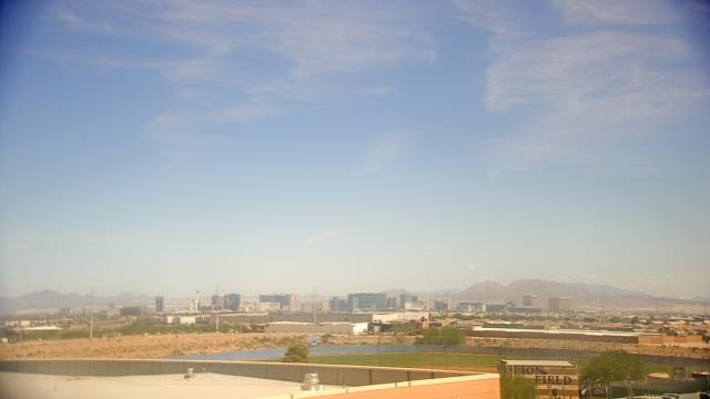
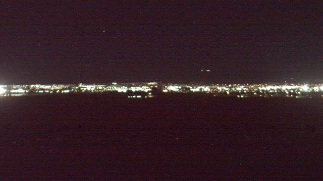
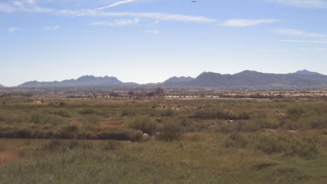
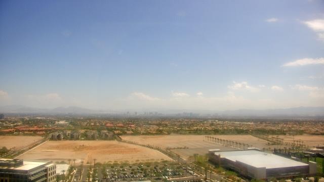
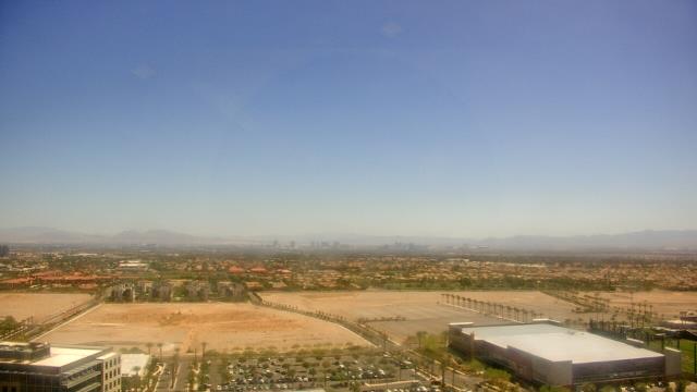
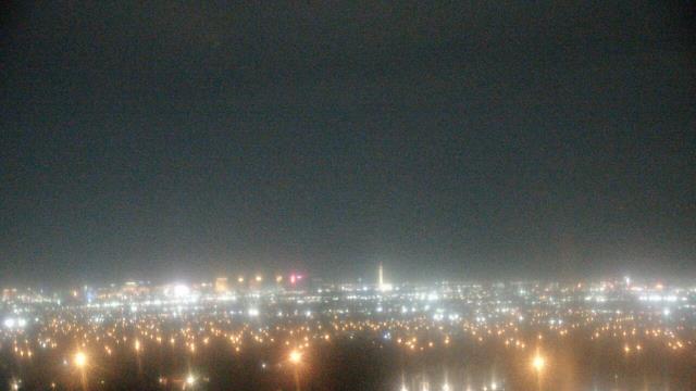
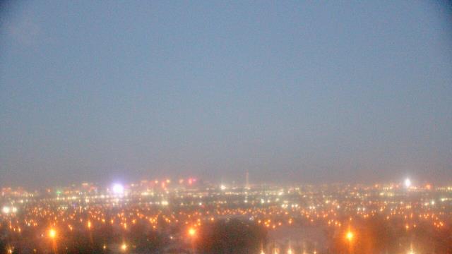
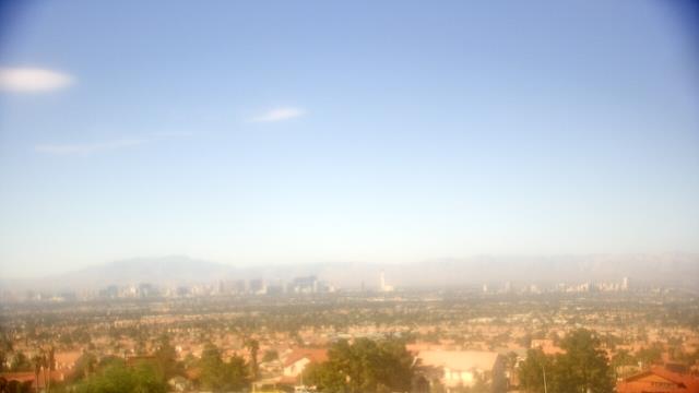
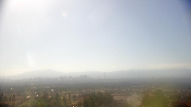
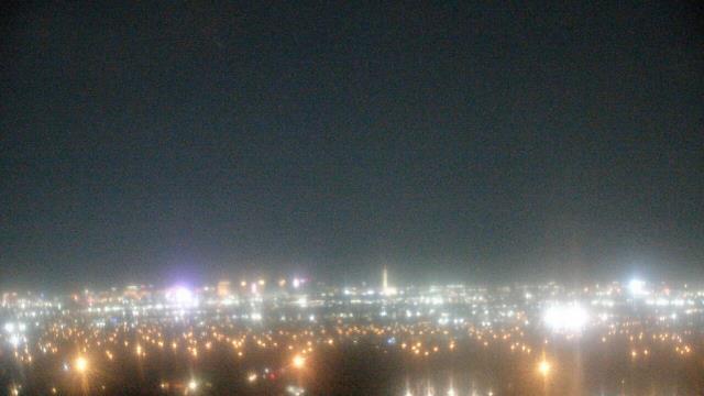
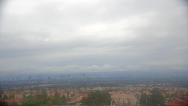
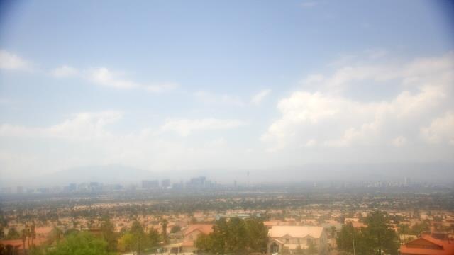
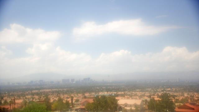
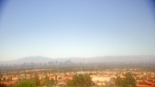
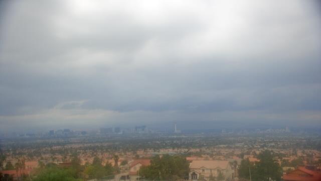
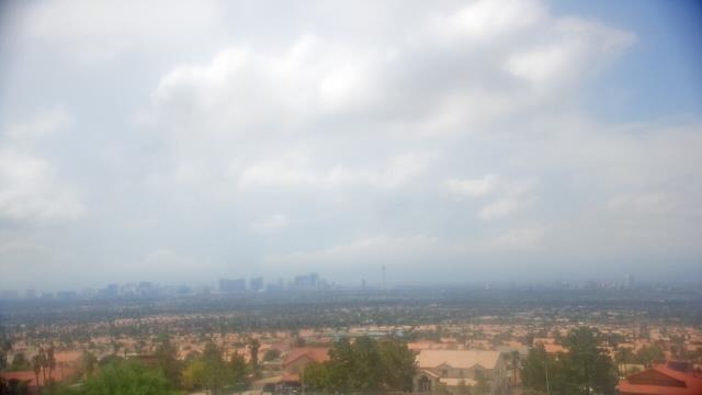
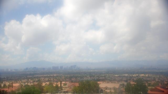
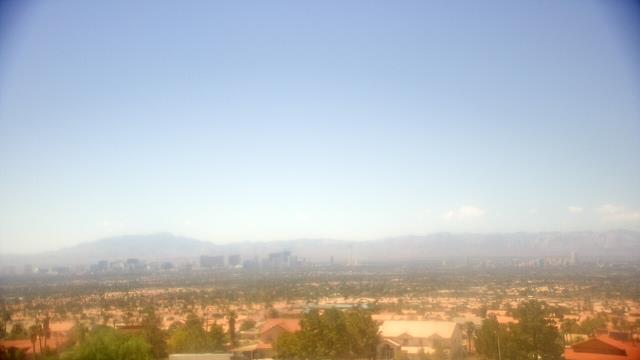
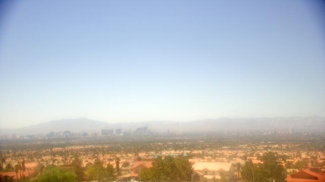
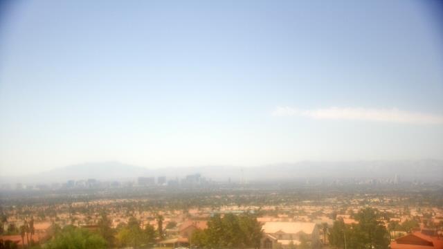
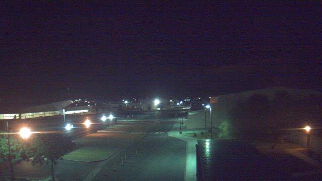
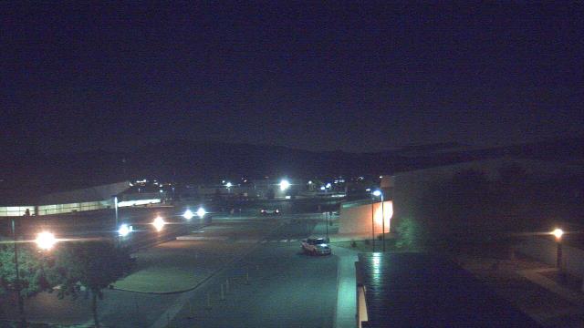
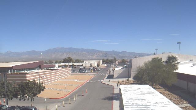
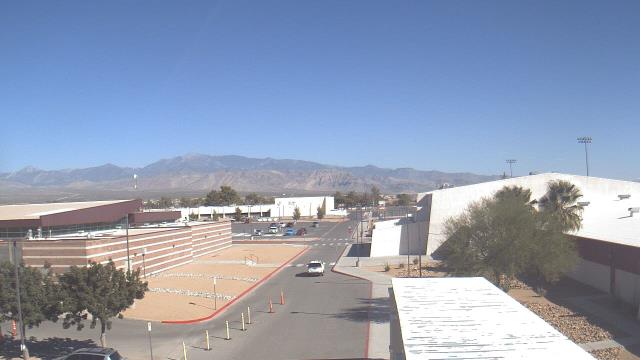
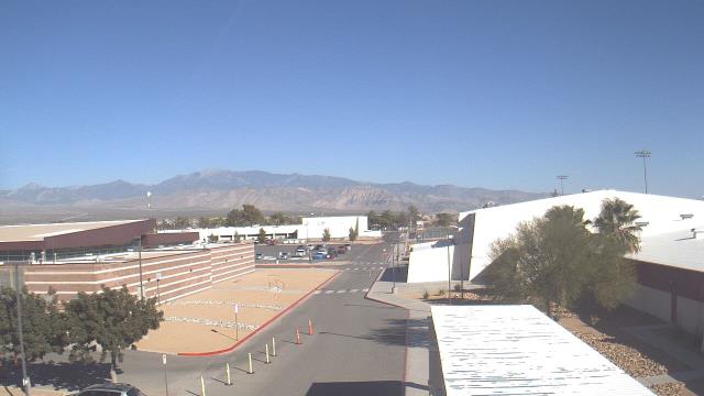
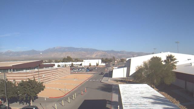
Las Vegas, Nevada, USA - 37.6 miles from Camp Booth (historical): Skyline - A webcam in Las Vegas, Nevada - camera location: Southeast Career Technical Academy.
Operator: WeatherBug
Operator: WeatherBug

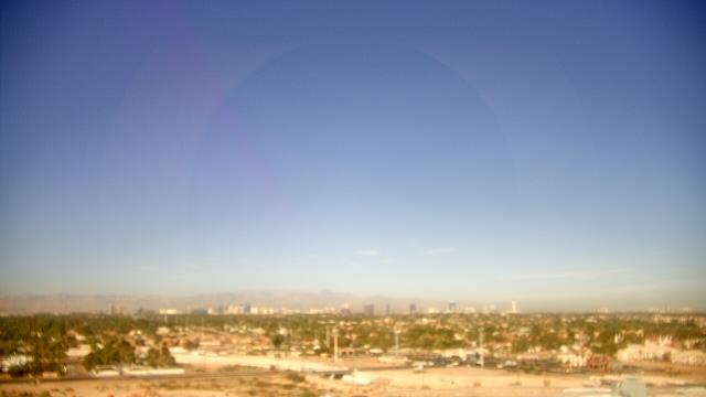
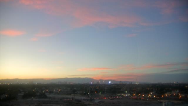

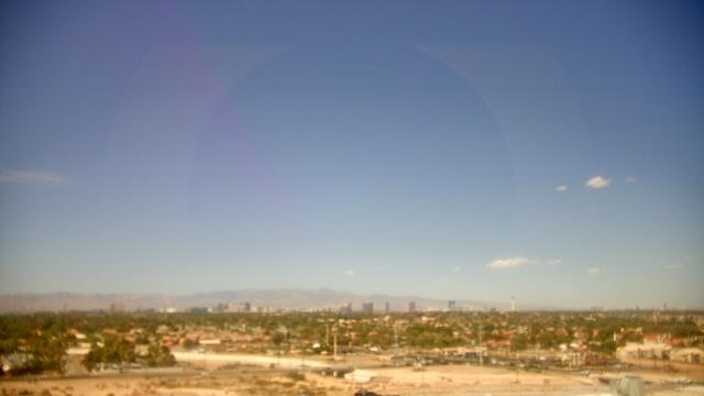


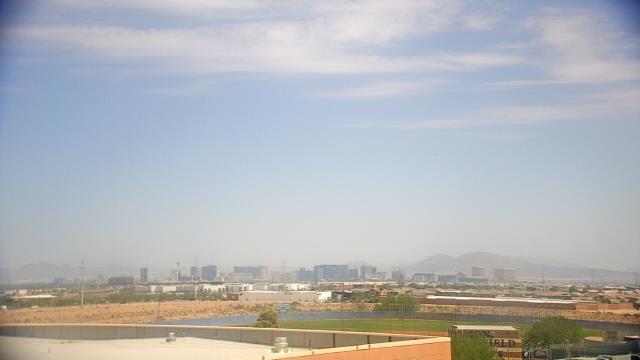
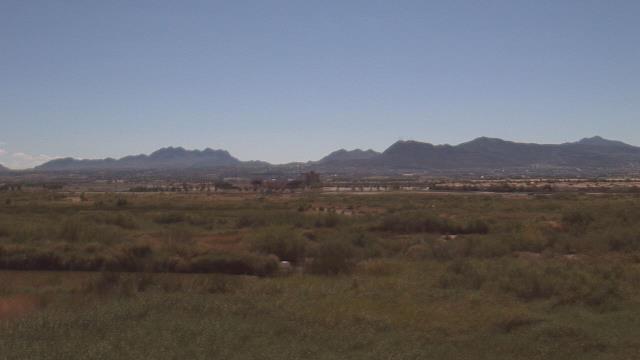
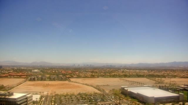
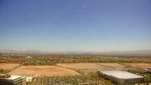
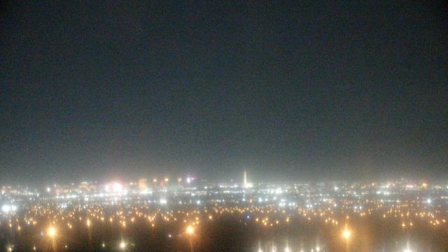
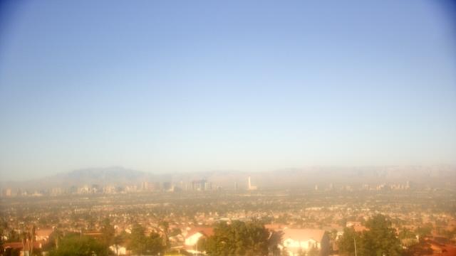
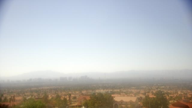
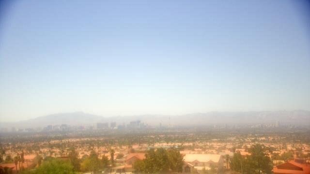
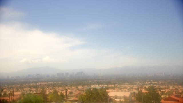
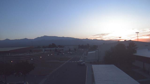
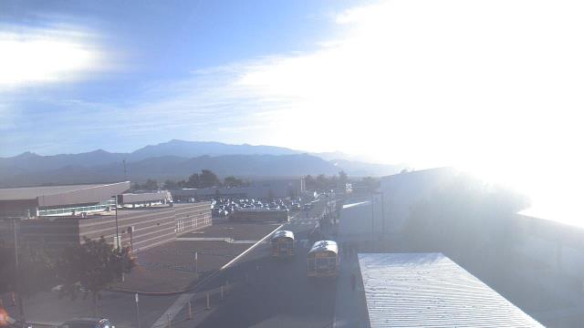
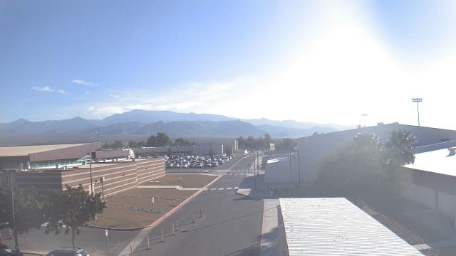
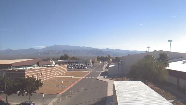
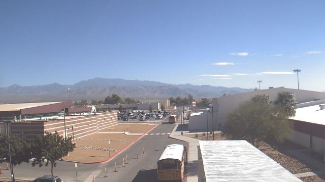
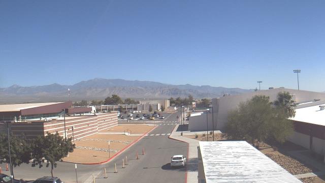
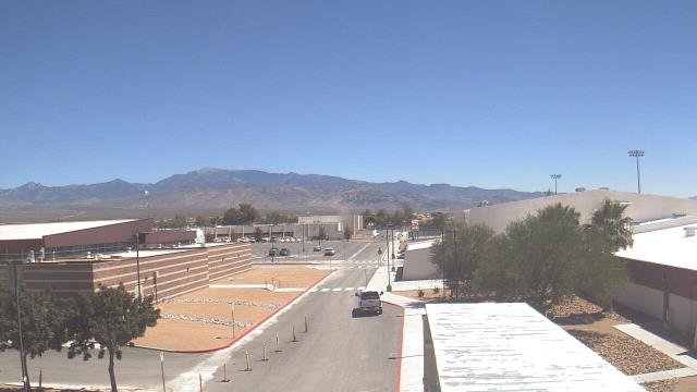
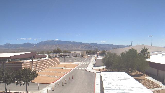
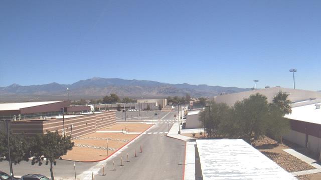
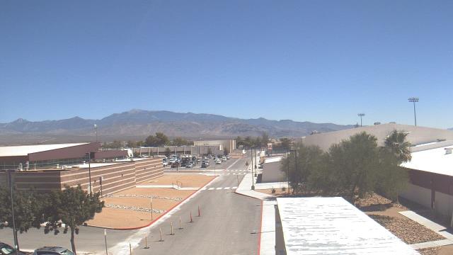
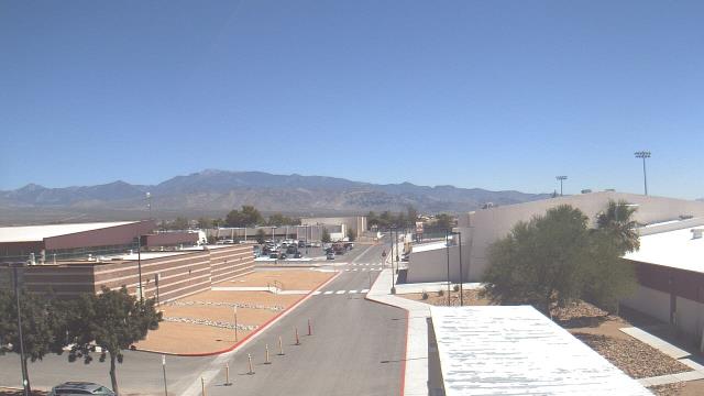
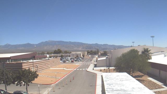
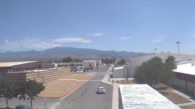
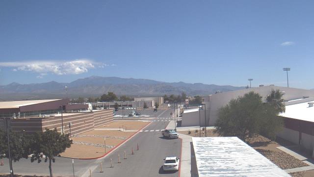
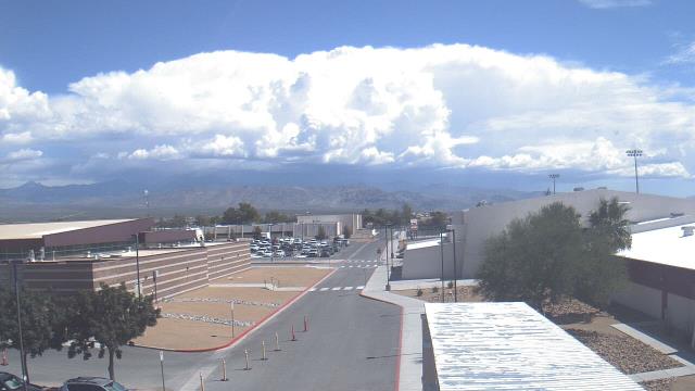
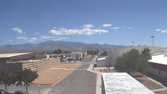
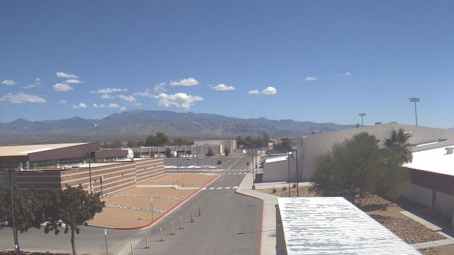
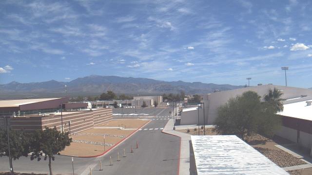
Las Vegas, Nevada, USA - 37.6 miles from Camp Booth (historical): Sierra Vista High School - A webcam in Las Vegas, Nevada - camera location: Sierra Vista High School.
Operator: WeatherBug
Operator: WeatherBug


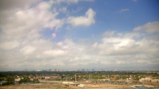
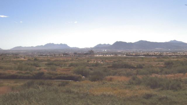
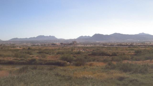
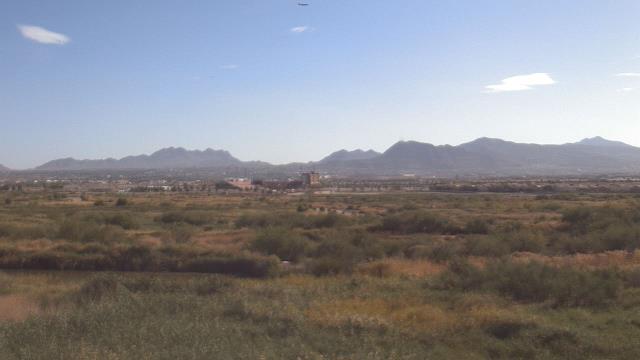
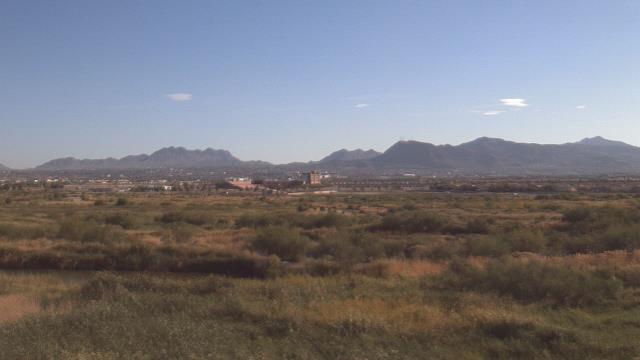
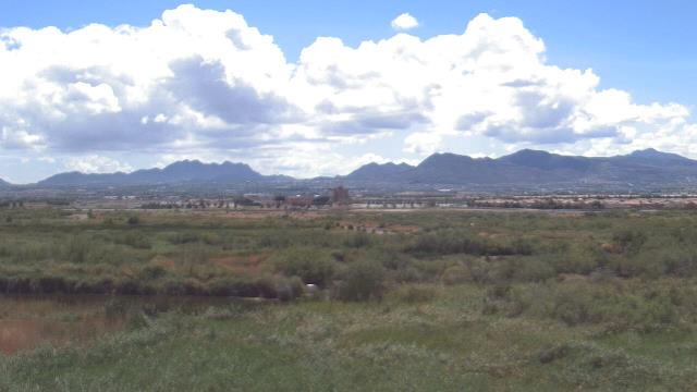
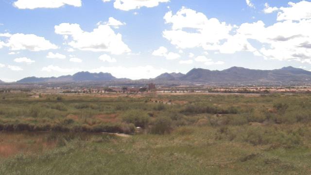
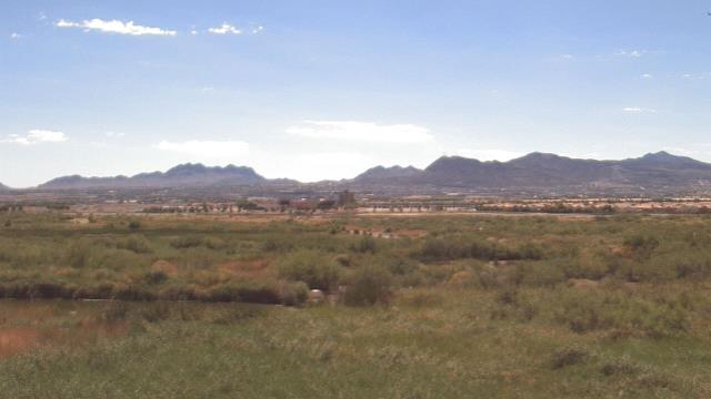
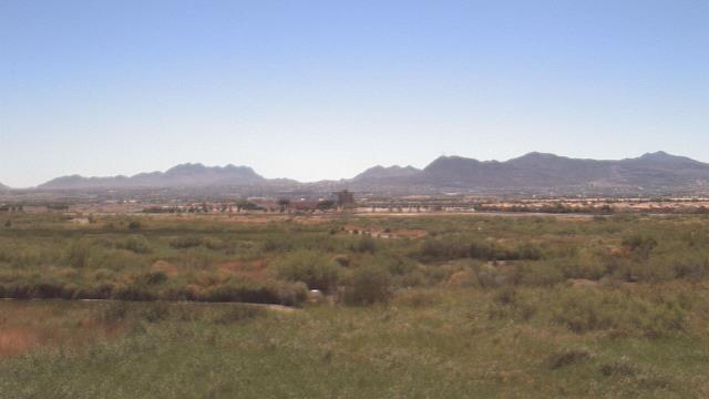
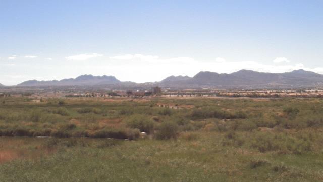
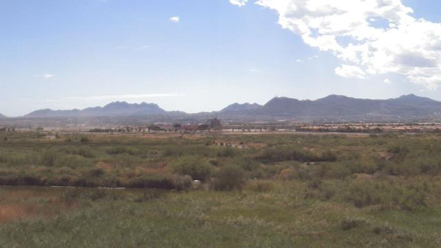
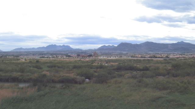
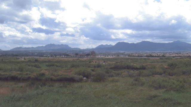
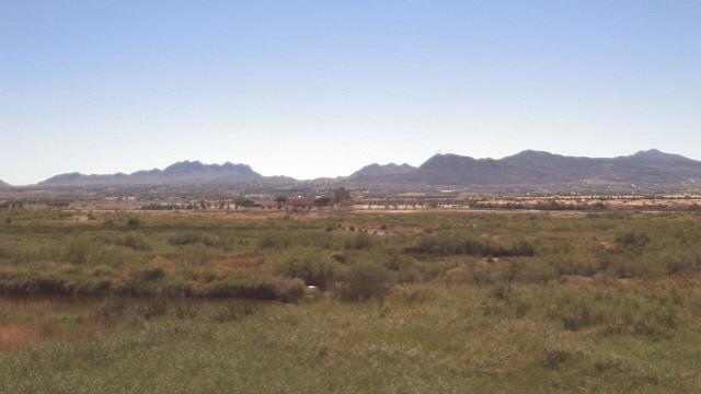
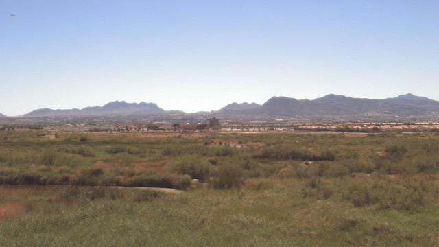
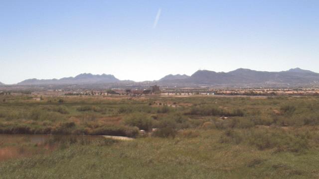
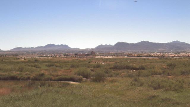
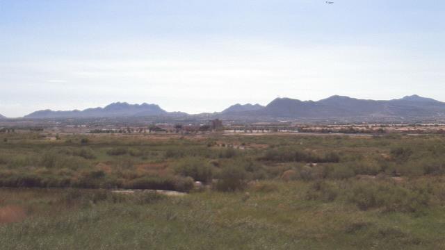
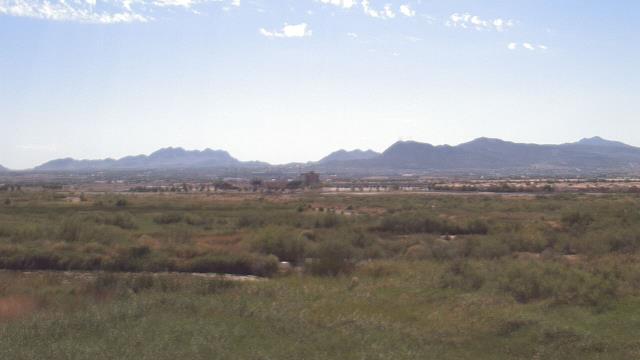
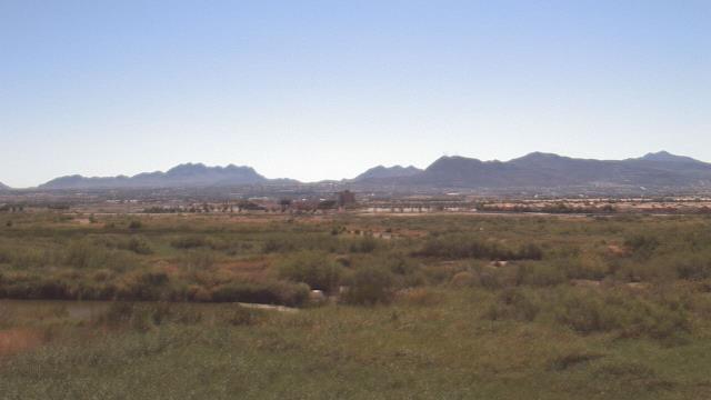
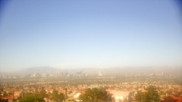
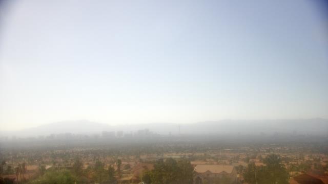
Las Vegas, Nevada, USA - 37.6 miles from Camp Booth (historical): Wetlands Park (Clark County Parks & Recreation) - A webcam in Las Vegas, Nevada - camera location: Wetlands Park (Clark County Parks & Recreation).
Operator: WeatherBug
Operator: WeatherBug


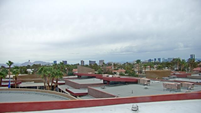
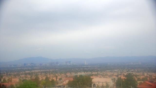
Las Vegas, Nevada, USA - 37.6 miles from Camp Booth (historical): Red Rock Hotel and Casino - A webcam in Las Vegas, Nevada - camera location: Red Rock Hotel and Casino.
Operator: WeatherBug
Operator: WeatherBug
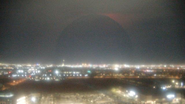


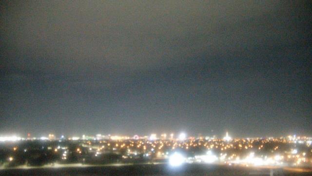
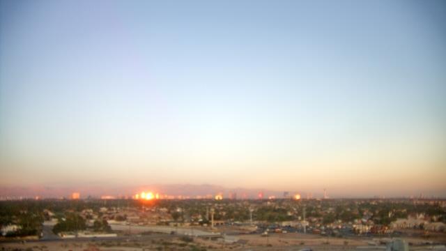
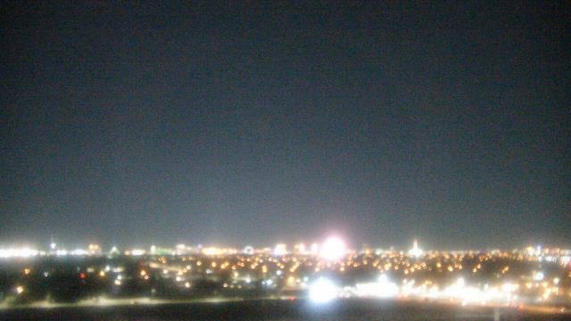
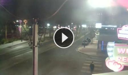
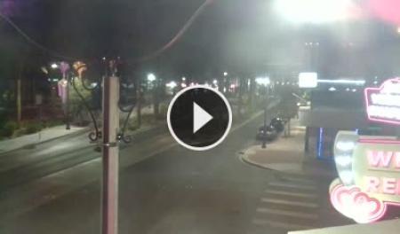
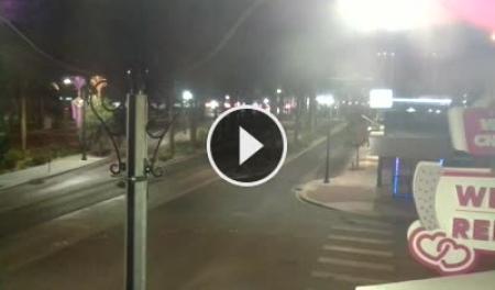
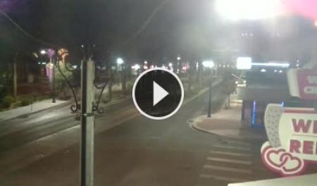
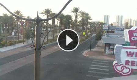
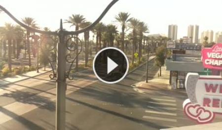
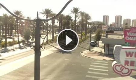
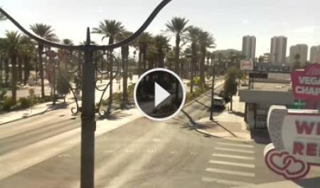
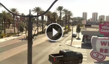
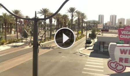
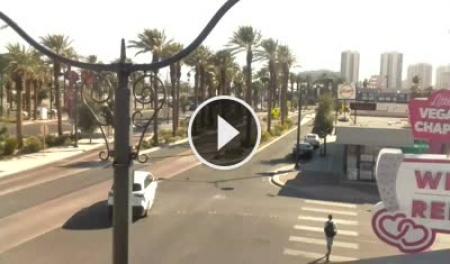
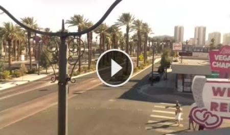
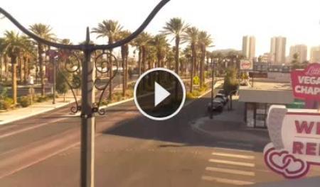
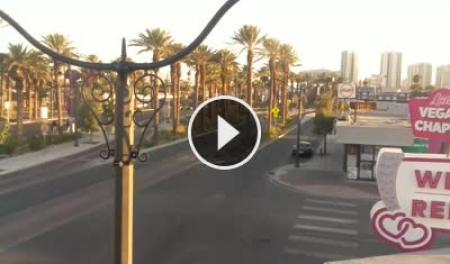
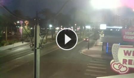
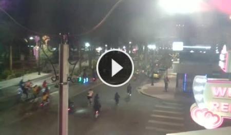
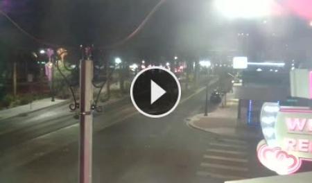
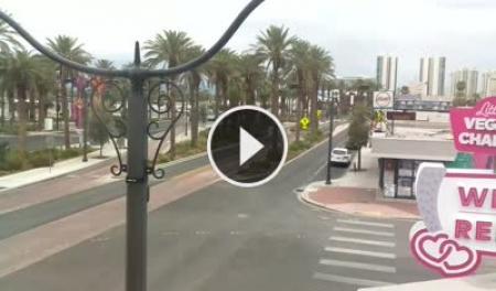
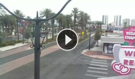
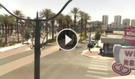
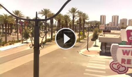
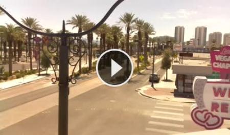
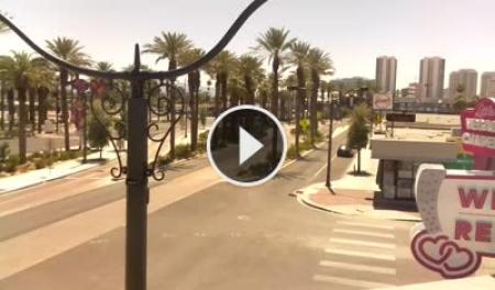
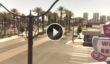
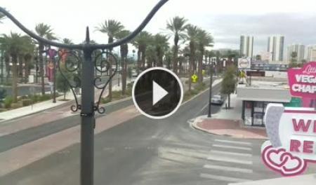
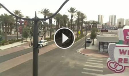
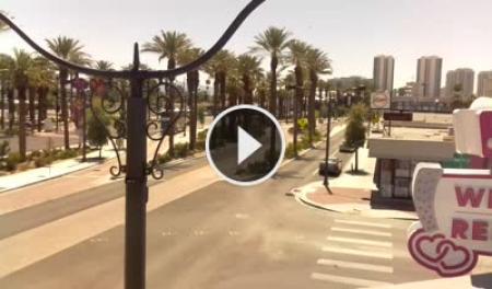
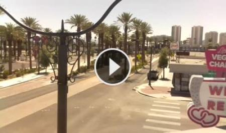
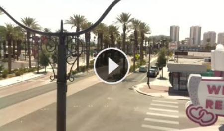
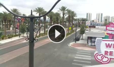
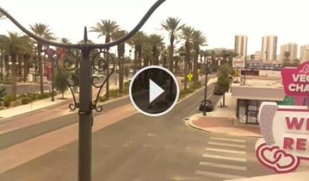
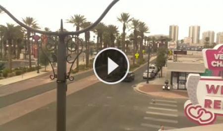
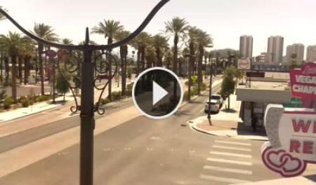
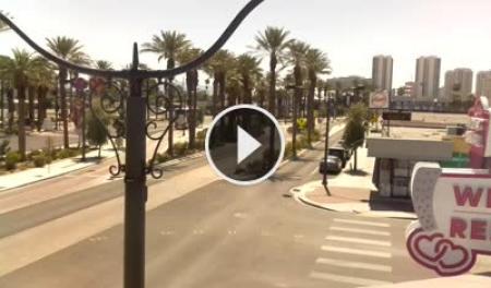
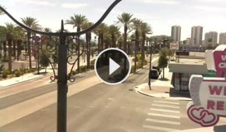
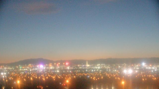
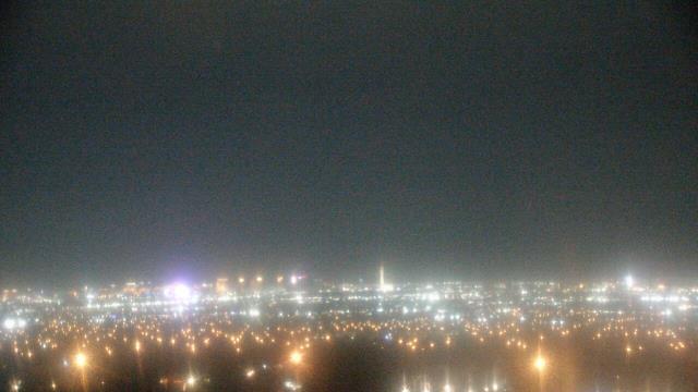
Las Vegas, Nevada, USA - 37.6 miles from Camp Booth (historical): Las Vegas Strip - The Stratosphere - View over the casinos in Las Vegas Strip from The Little Vegas Chapel.
Operator: Skyline Webcams
Operator: Skyline Webcams


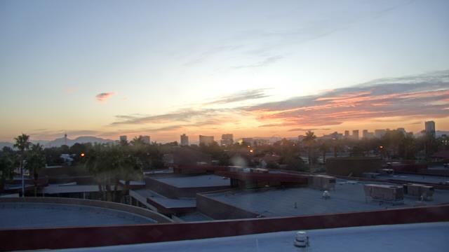
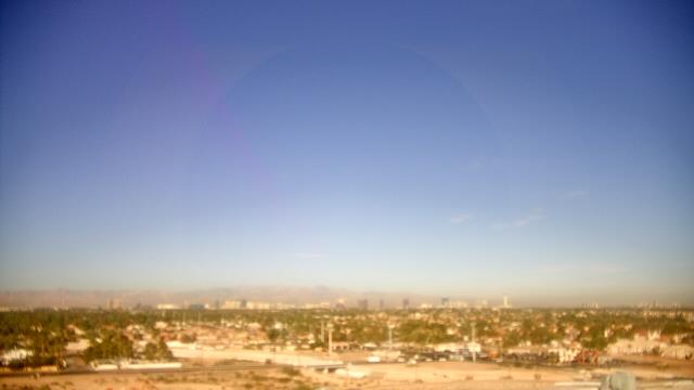
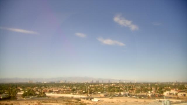
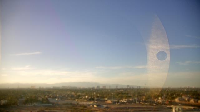
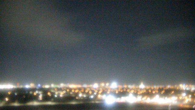
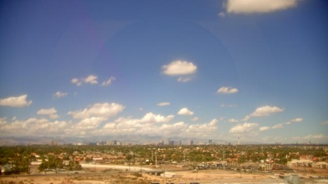
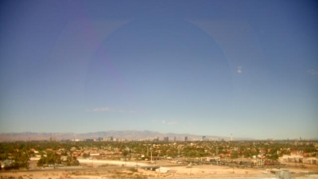
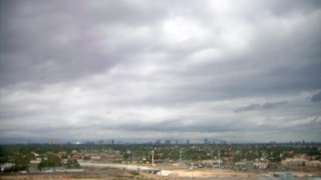
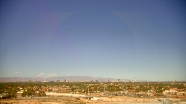
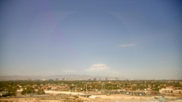
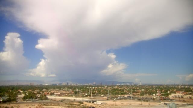
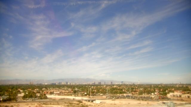
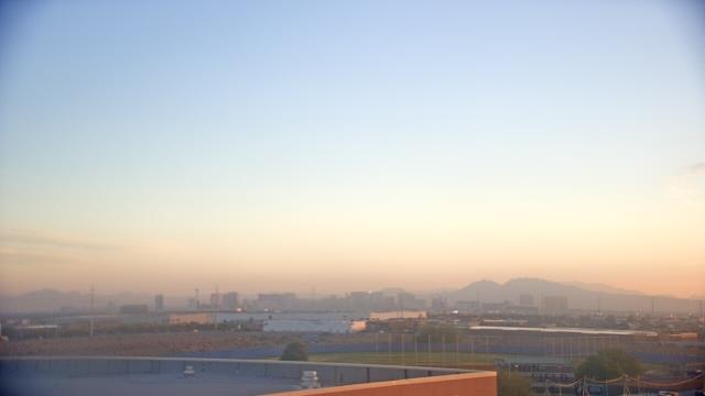
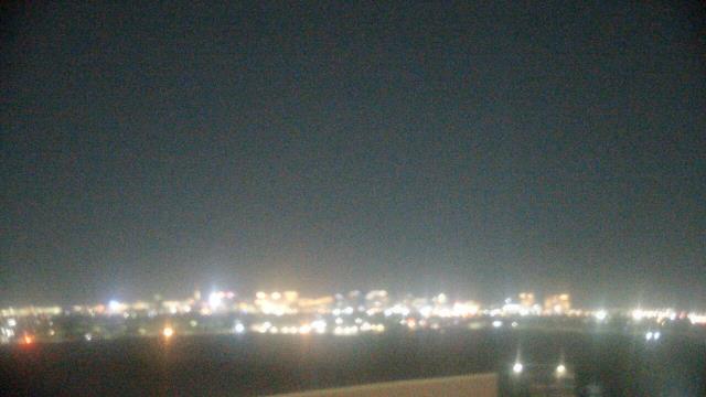
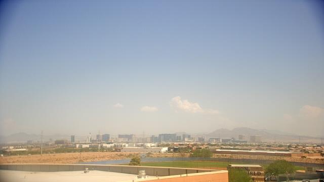
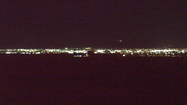
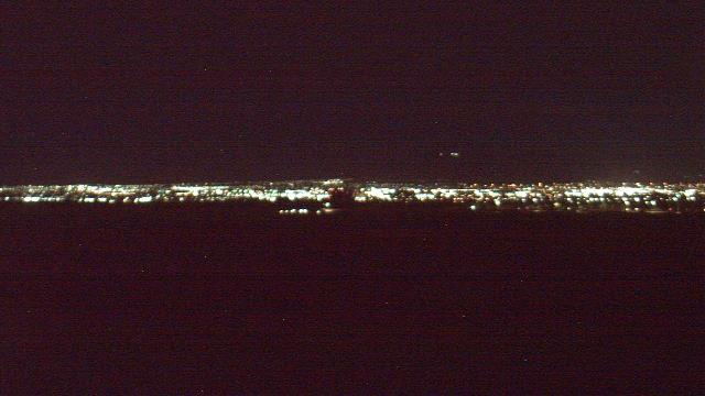
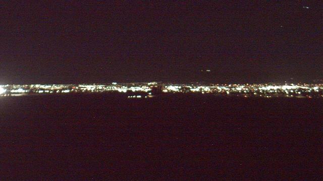
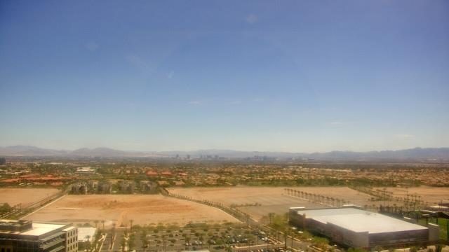
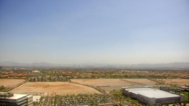
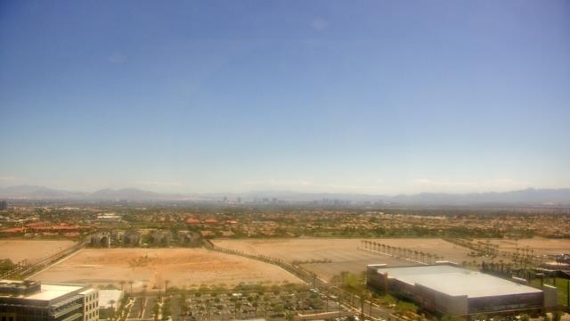
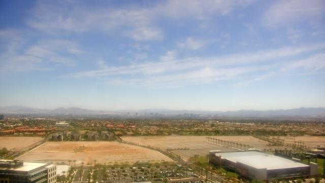
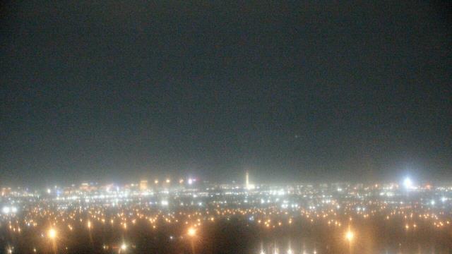
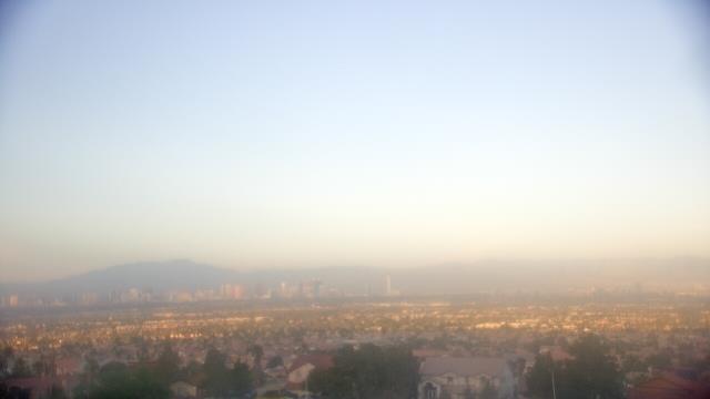
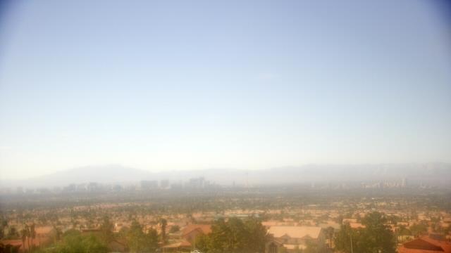
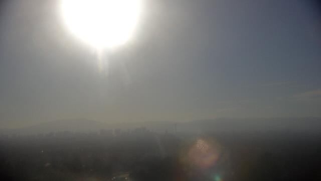
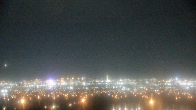
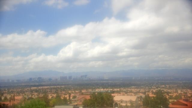
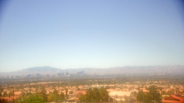
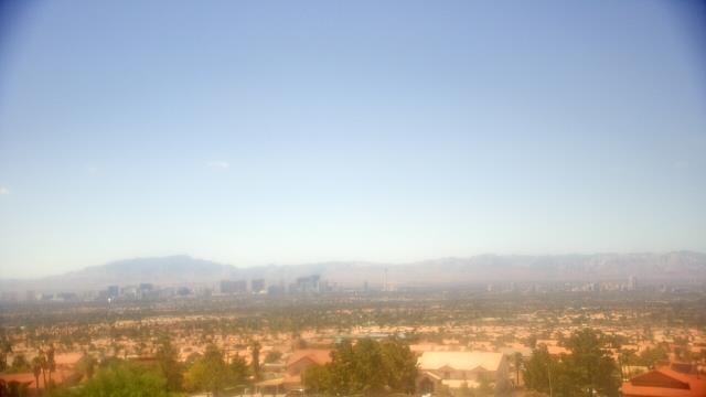
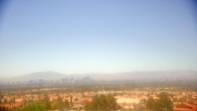
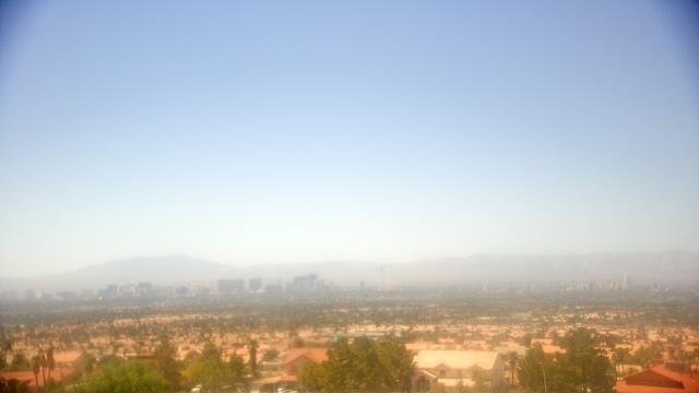
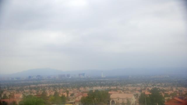
Las Vegas, Nevada, USA - 37.6 miles from Camp Booth (historical): View of Las Vegas - Webcam and current weather data - camera location: Mike O Callaghan Middle School.
Operator: WeatherBug
Operator: WeatherBug


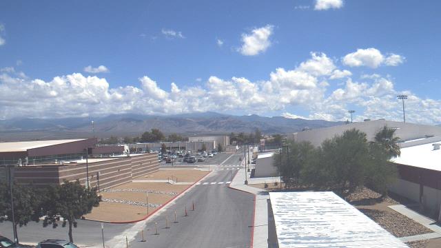
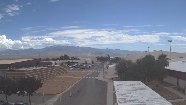
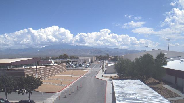
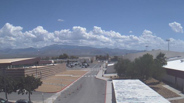
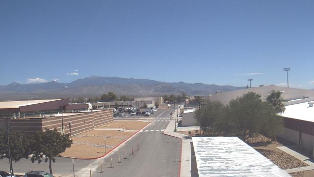
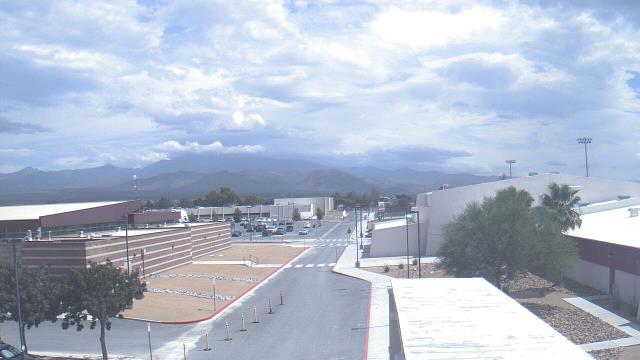
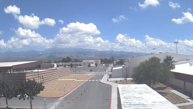
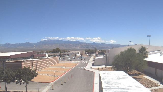
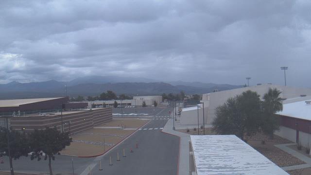
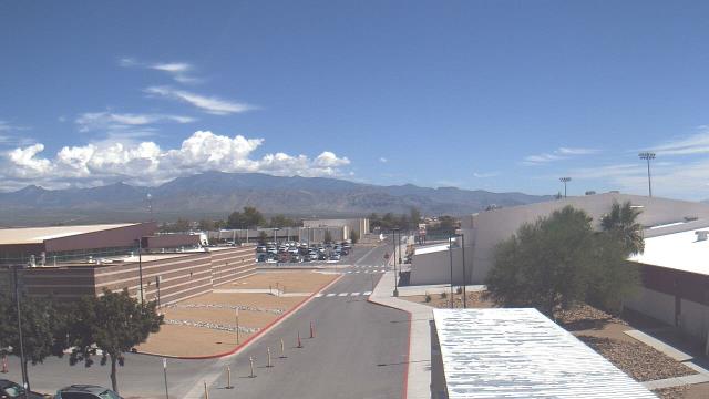
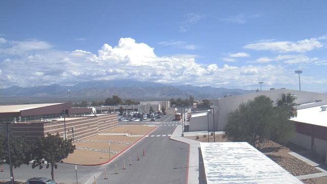
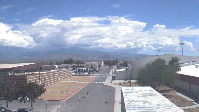
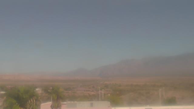
Pahrump, Nevada, USA - 75.6 miles from Camp Booth (historical): Pahrump Valley High School - A webcam in Pahrump, Nevada - camera location: Pahrump Valley High School.
Operator: WeatherBug
Operator: WeatherBug


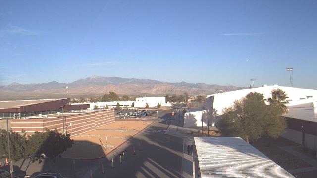
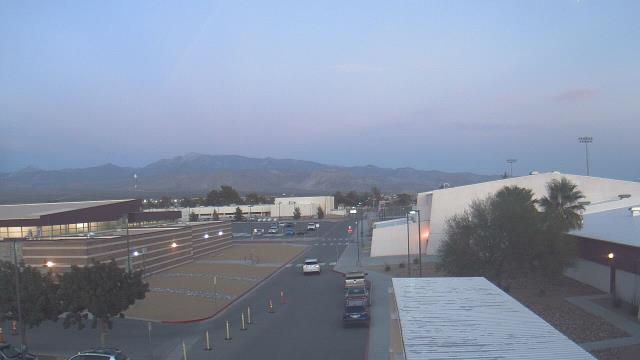
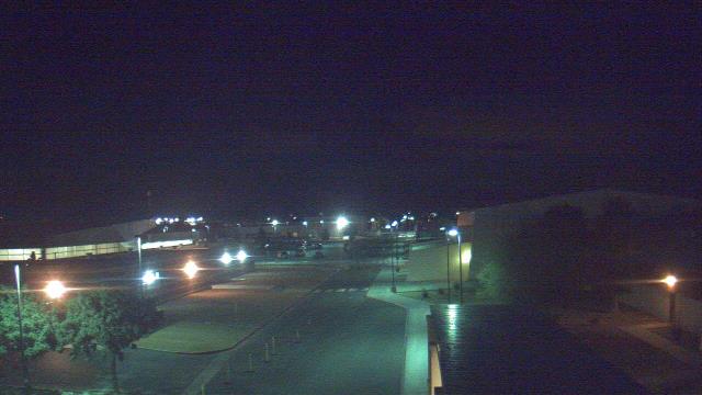


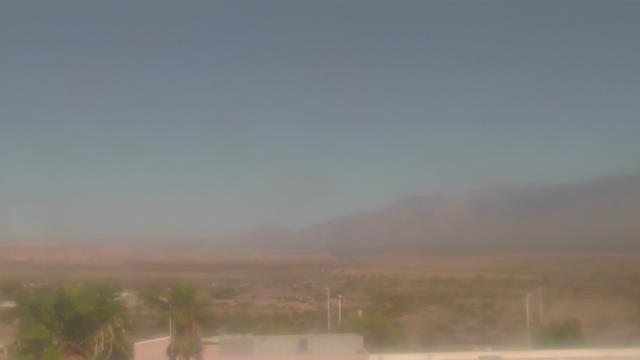
Mesquite, Nevada, USA - 89.7 miles from Camp Booth (historical): Virgin Valley High School - A webcam in Mesquite, Nevada - camera location: Virgin Valley High School.
Operator: WeatherBug
Operator: WeatherBug


Some other places in this country: Bowlerville (historical) - Tempest (historical) - Gold Reef (historical) - Camp Duncan (historical) - Copper Camp (historical) - Kerwin Camp (historical) - Emerald City (historical) - Camp Sunrise (historical) - Copper City (historical) - West End (historical)