Webcams in the region of Haar, Netherlands
The List of Webcams near Haar, Netherlands:

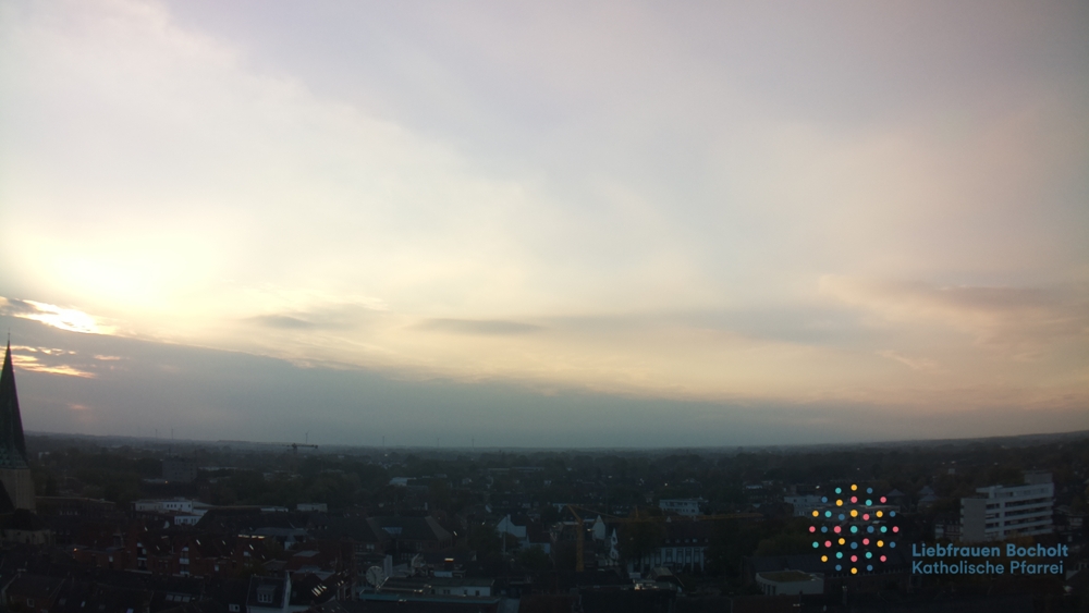
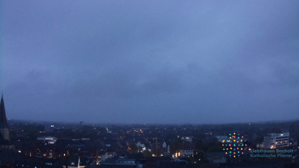
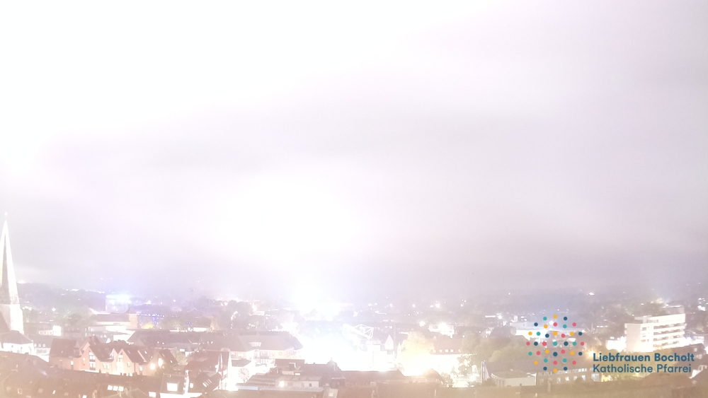
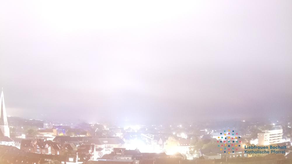
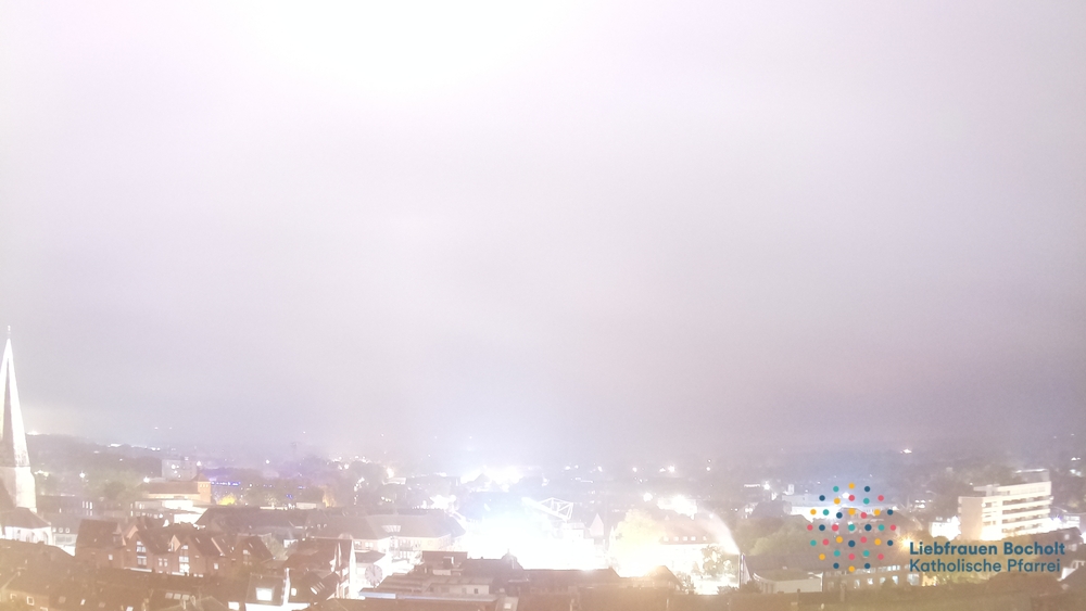
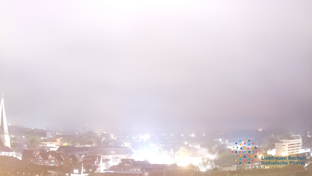
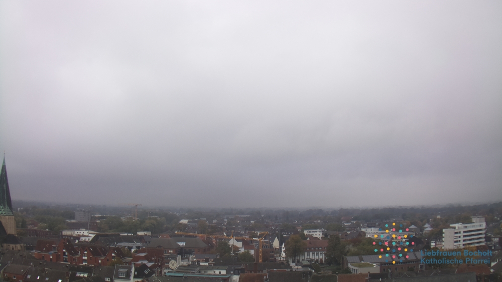
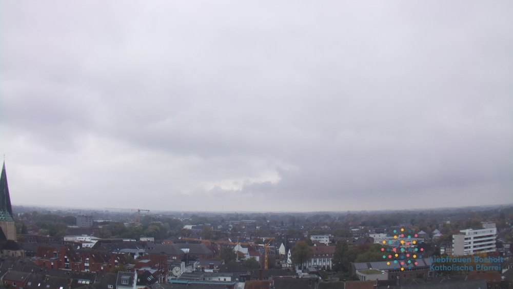
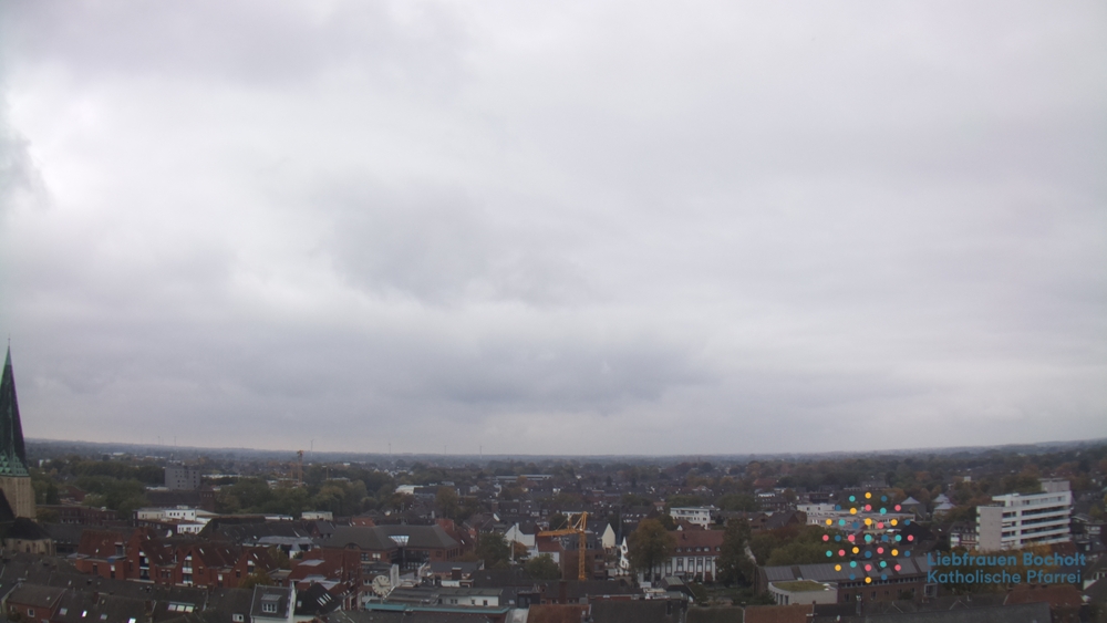
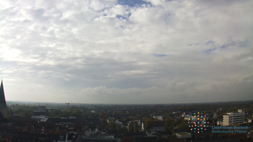
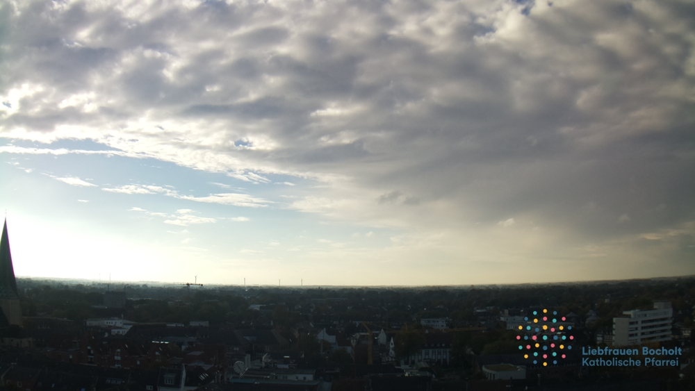
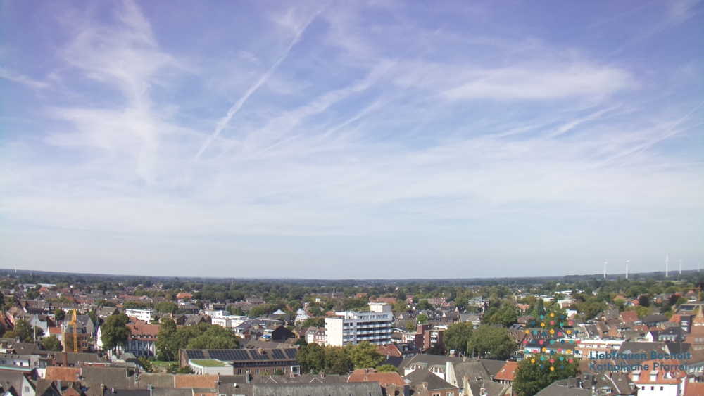
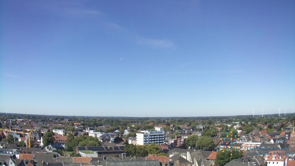
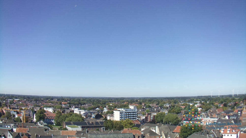
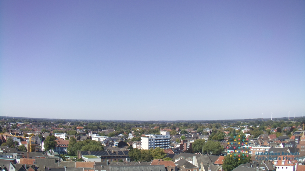
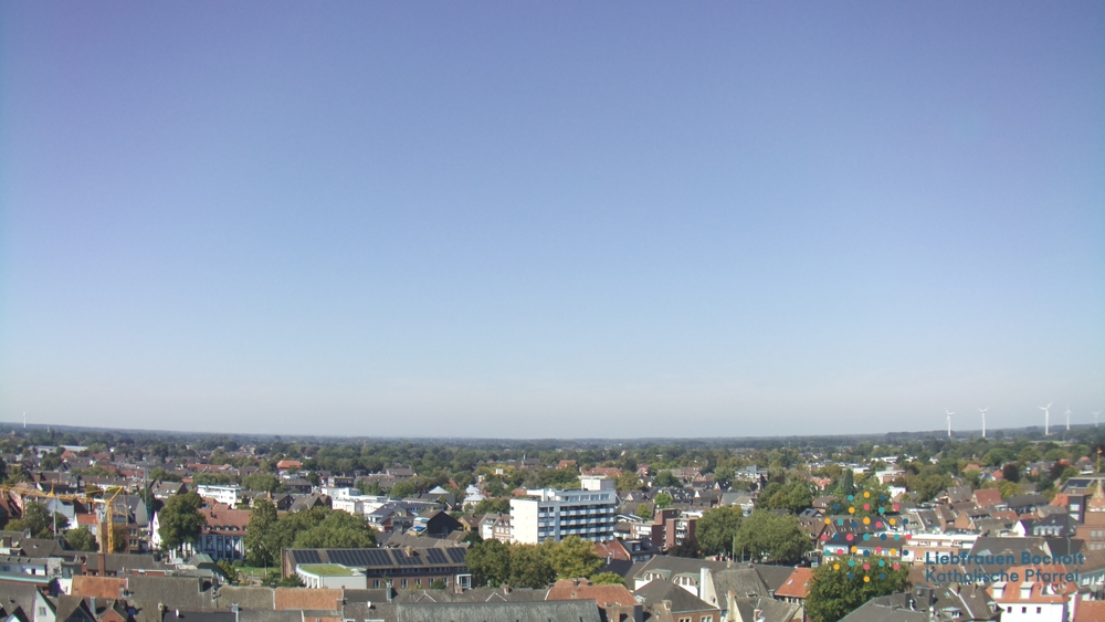
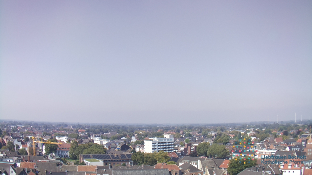
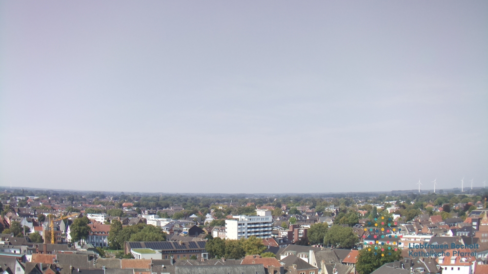
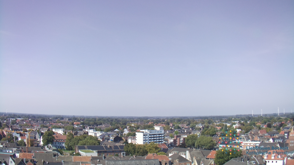
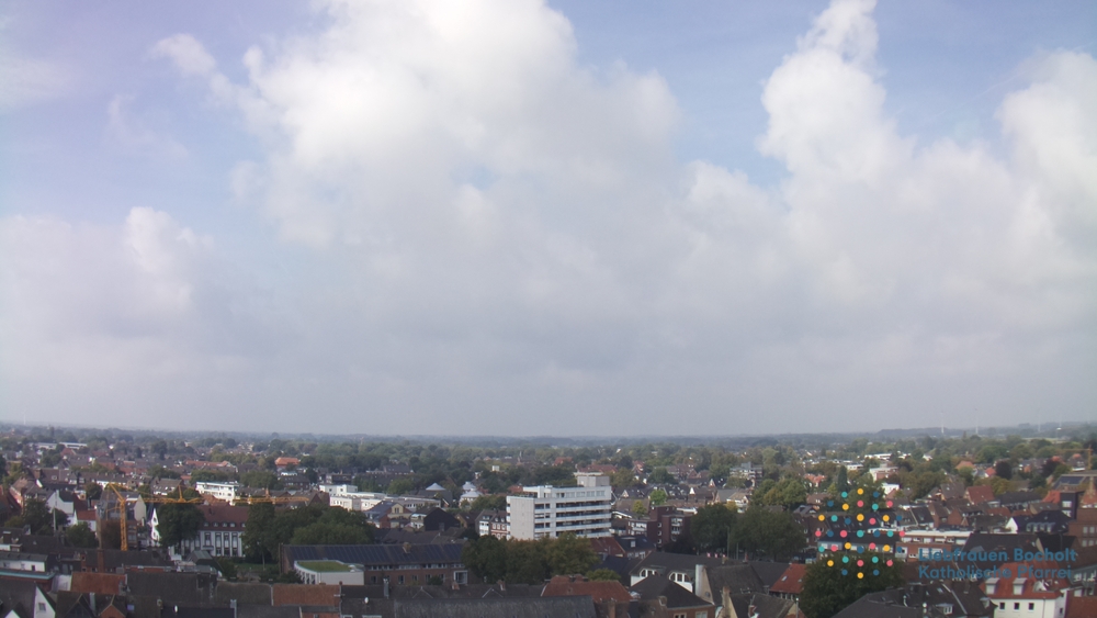
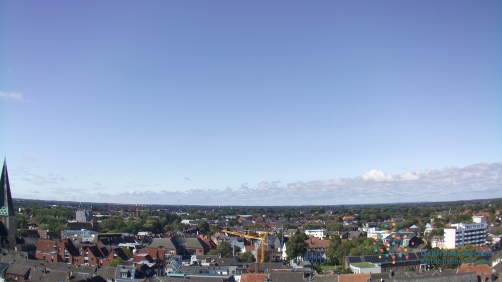
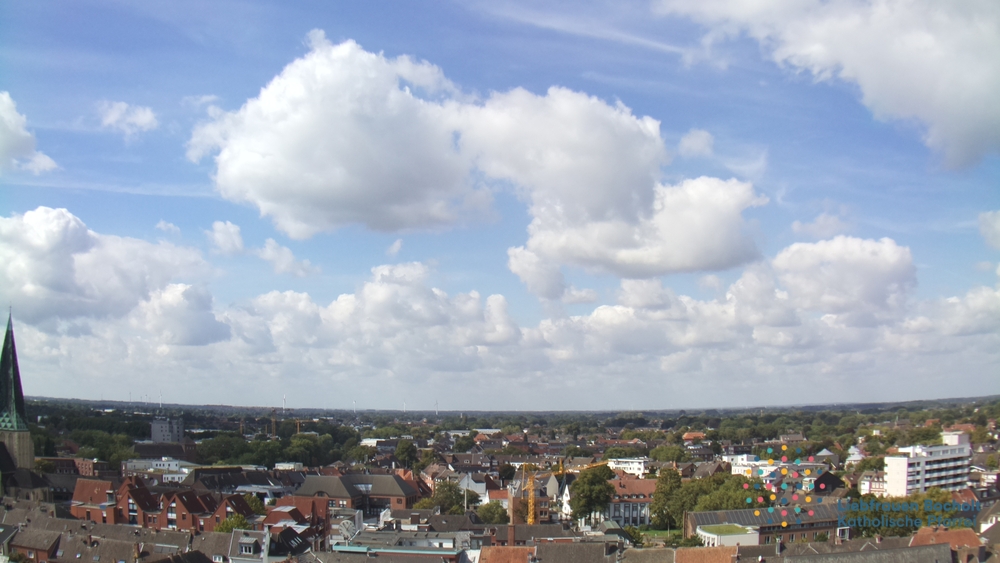
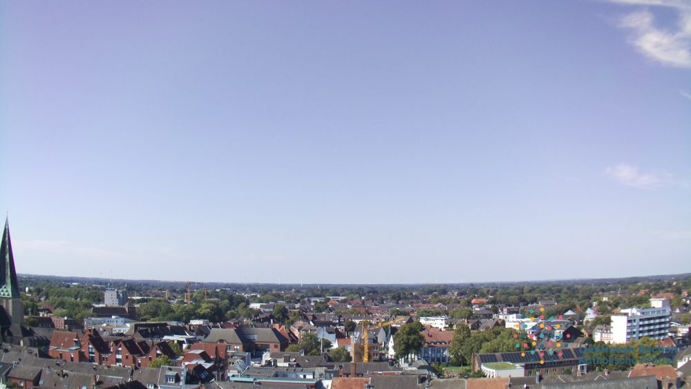
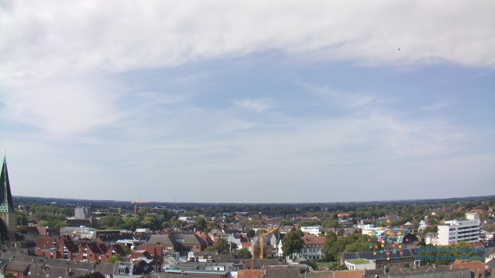
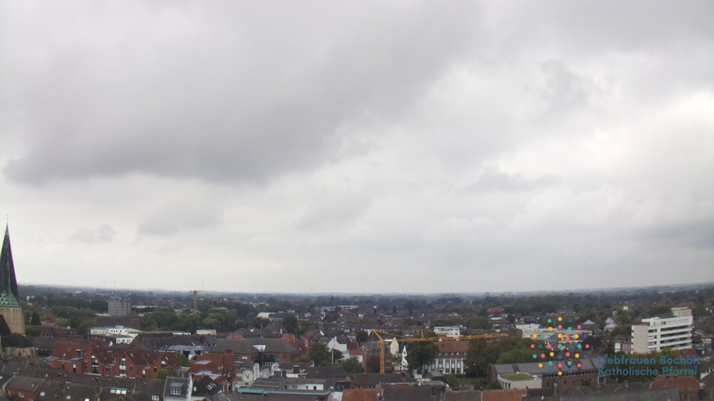
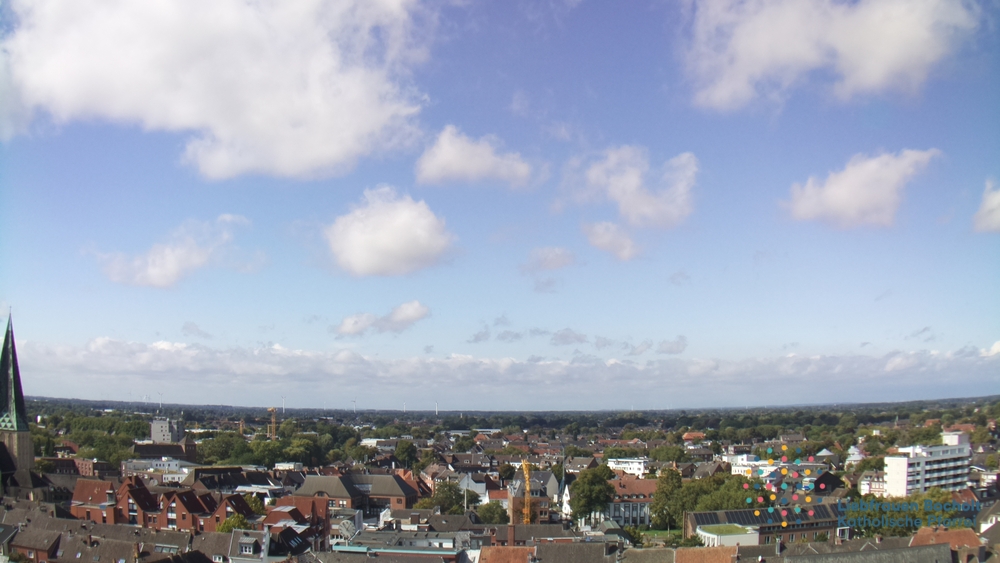
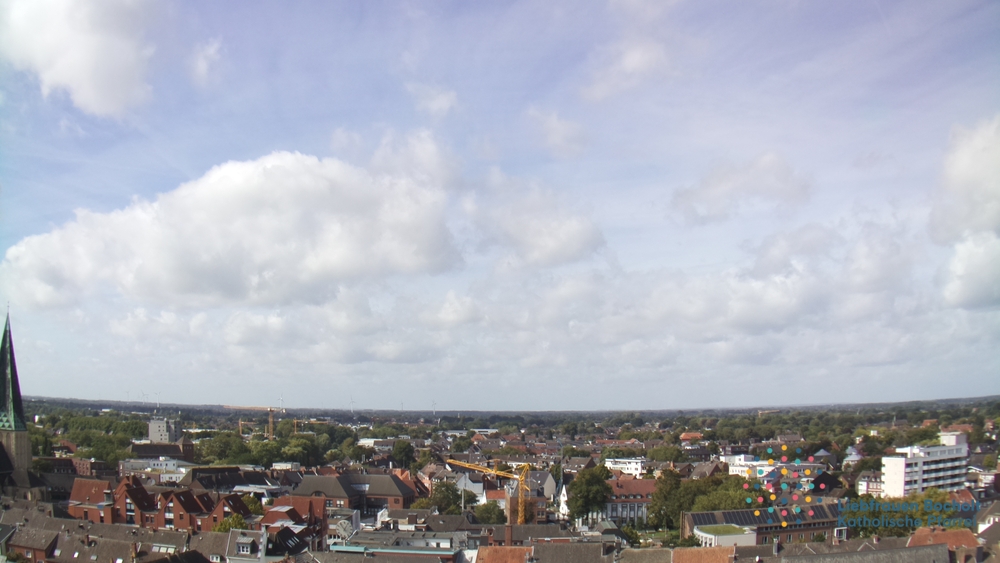
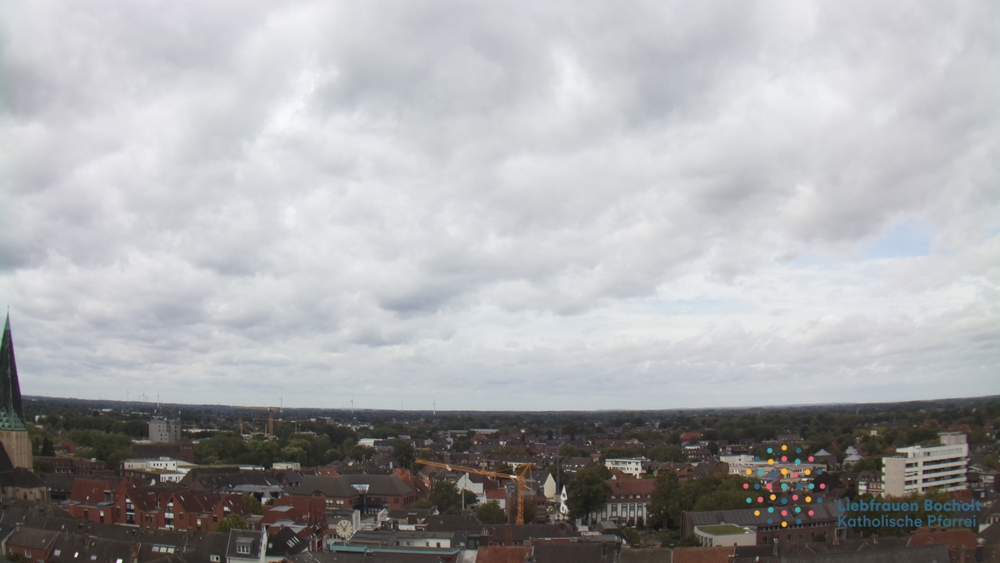
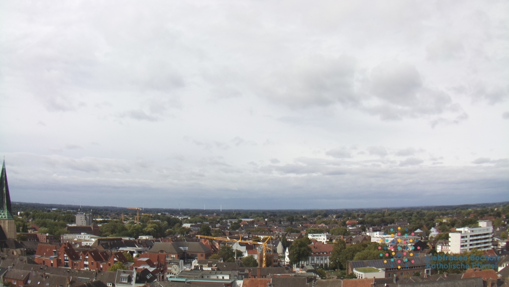
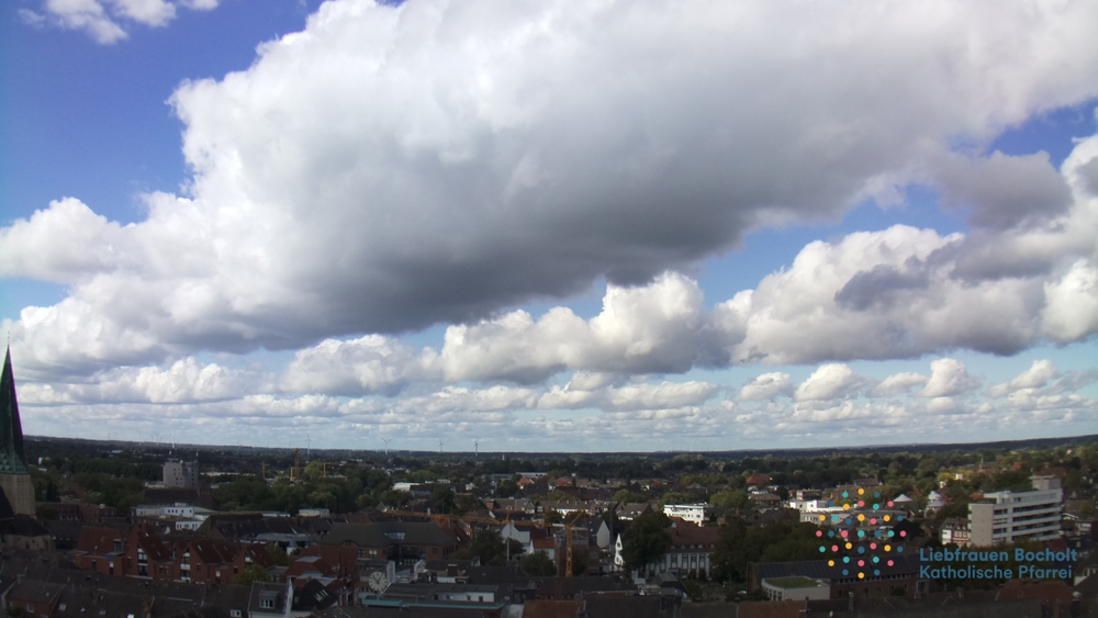
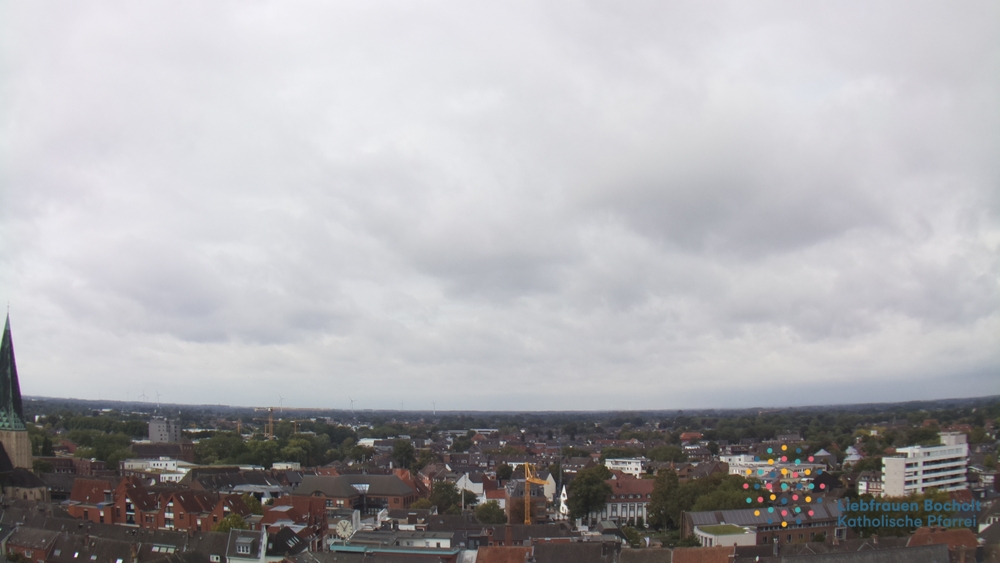
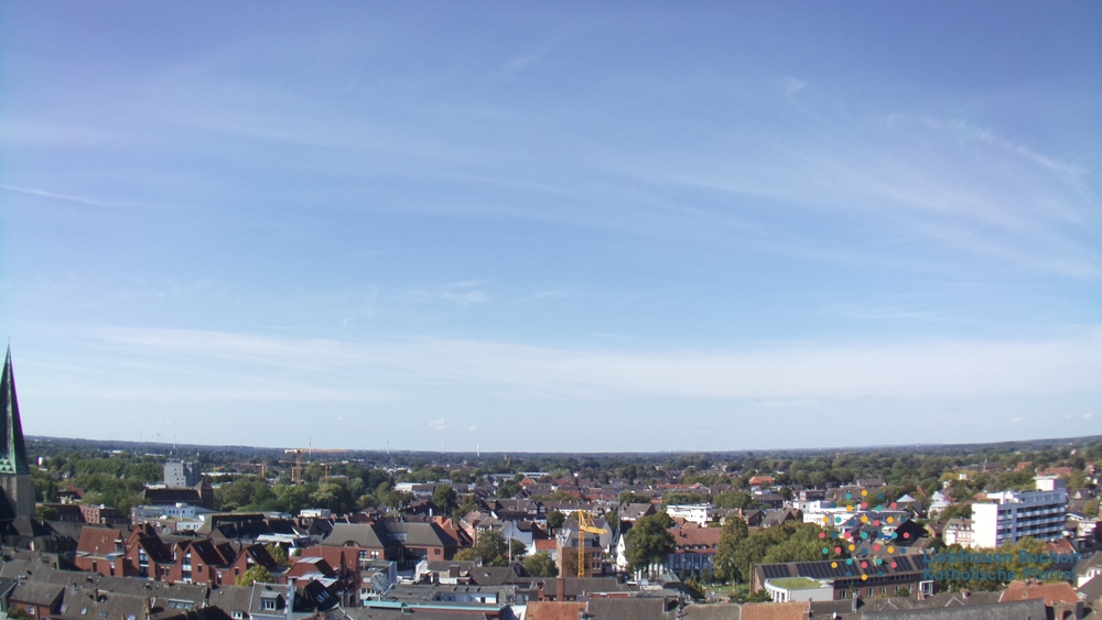
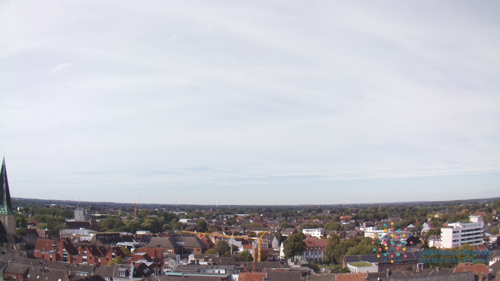
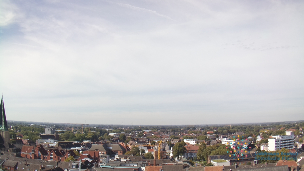
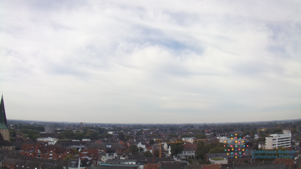
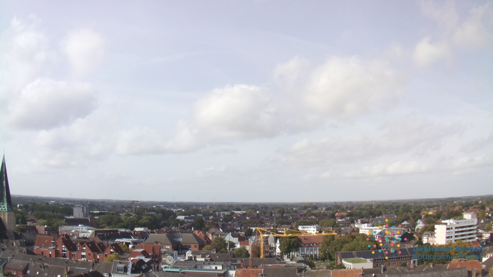
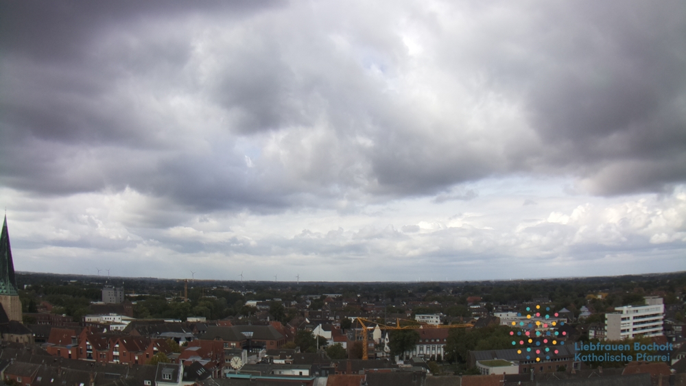
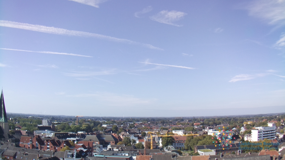
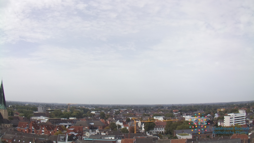
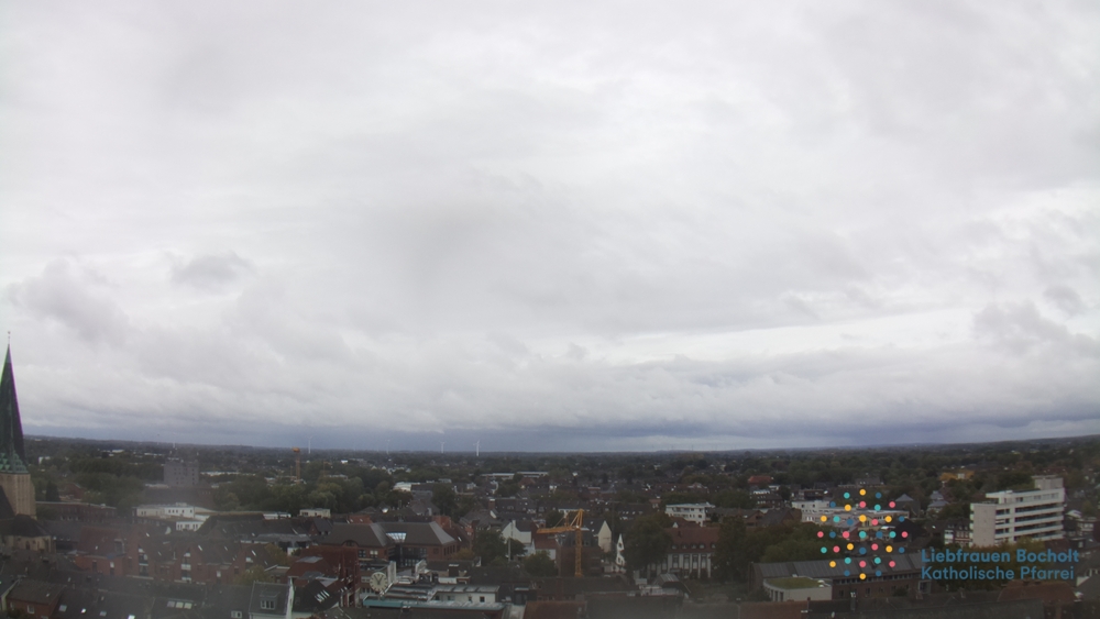
Bocholt, Germany - 17.6 miles from Haar: View over Bocholt - A nice panorama from the Liebfrauenkirche.
Operator: Pfarrei Liebfrauen Bocholt
Operator: Pfarrei Liebfrauen Bocholt


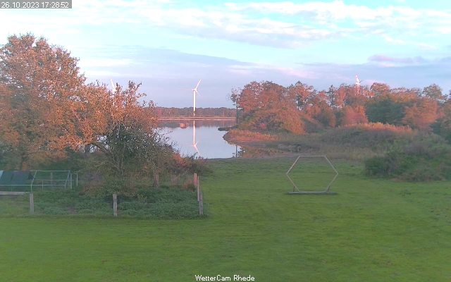
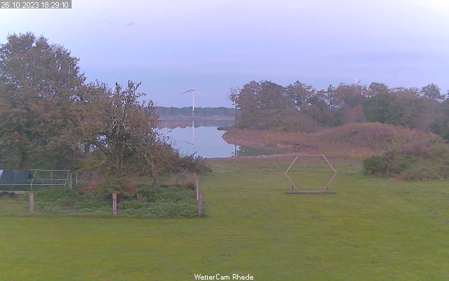
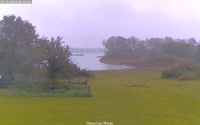
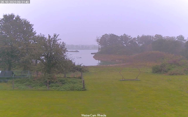
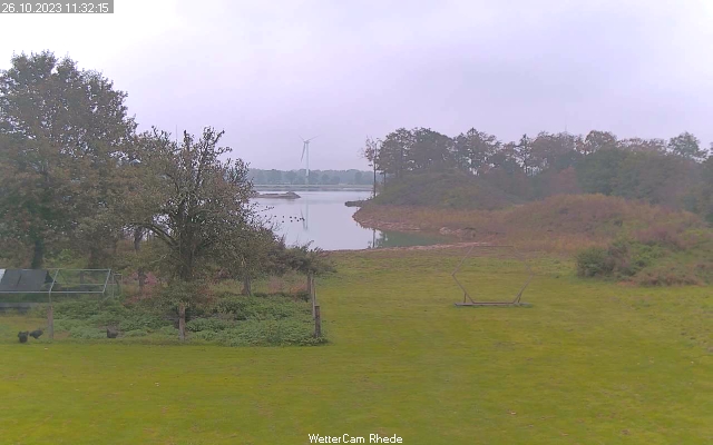
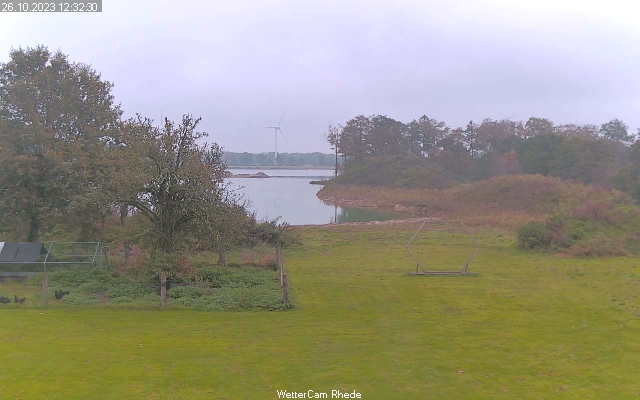
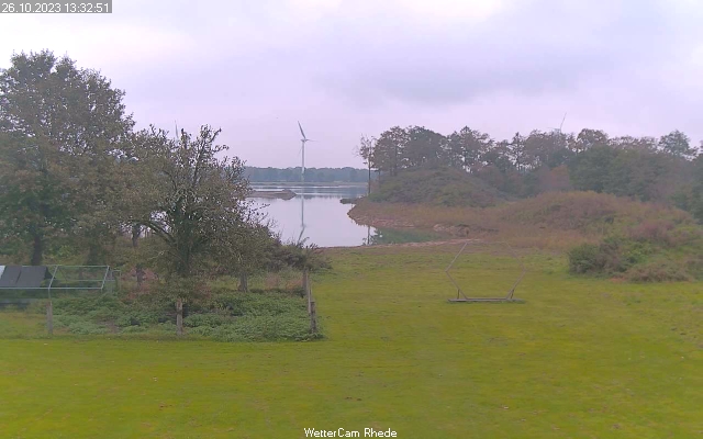
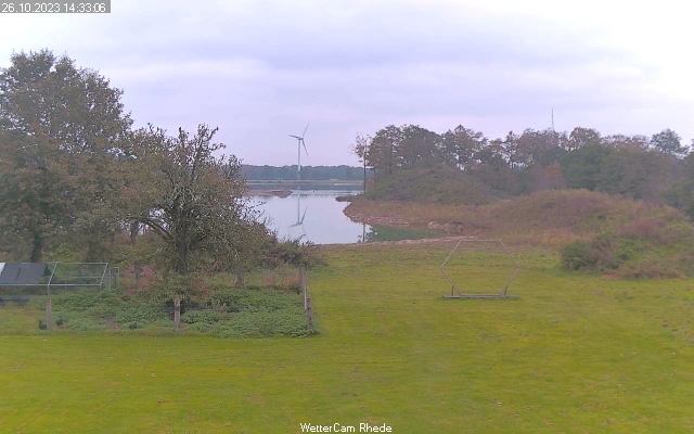
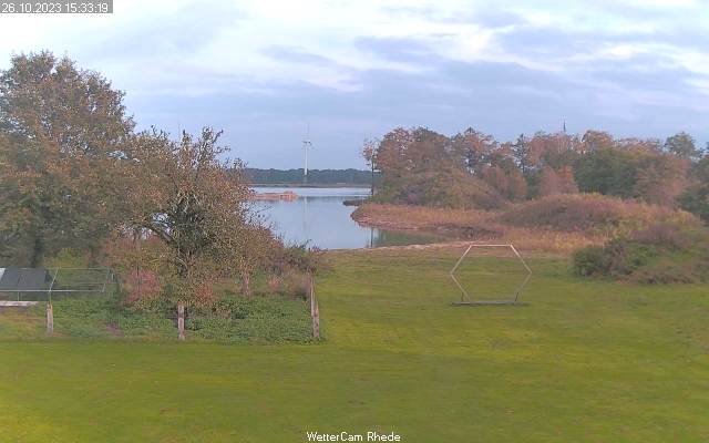
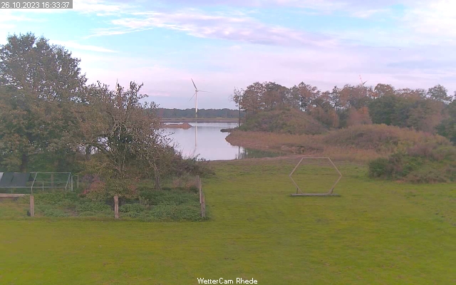
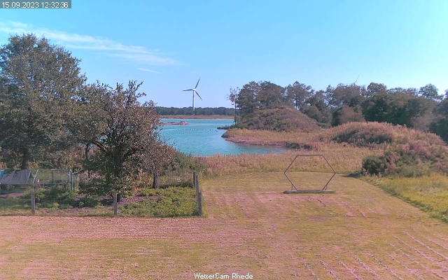
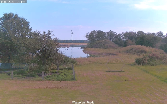
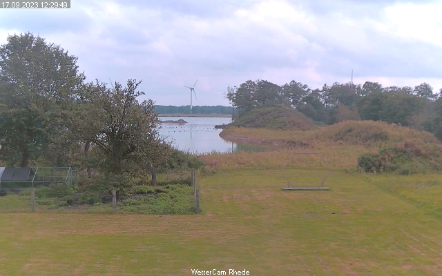
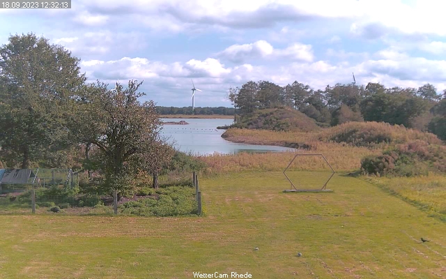
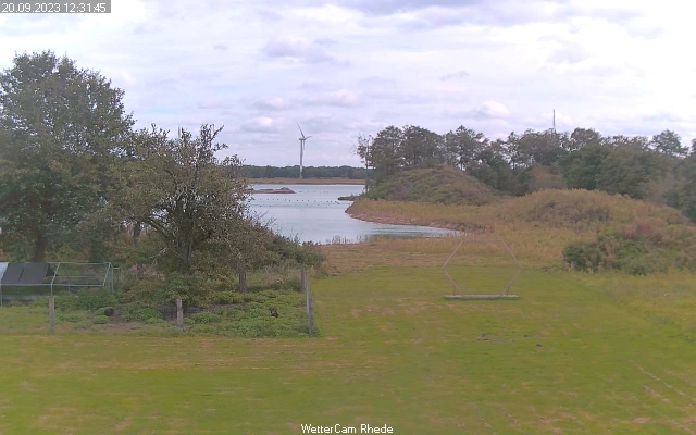
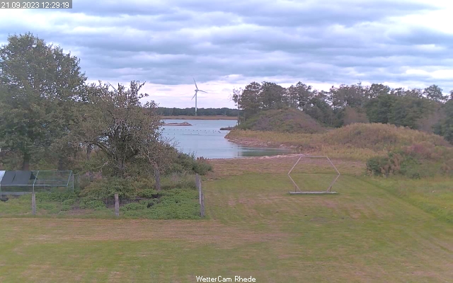
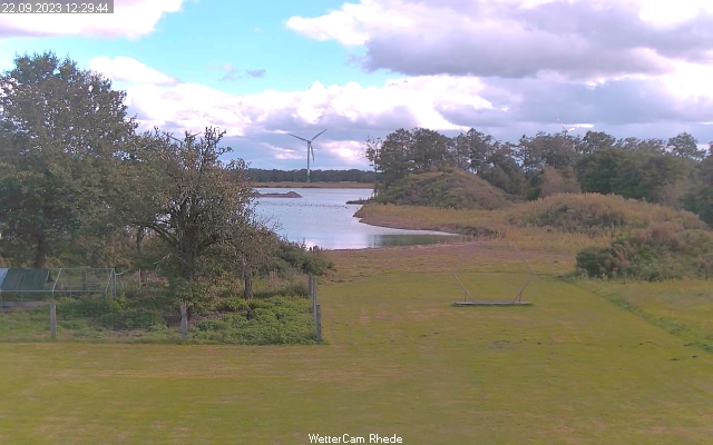
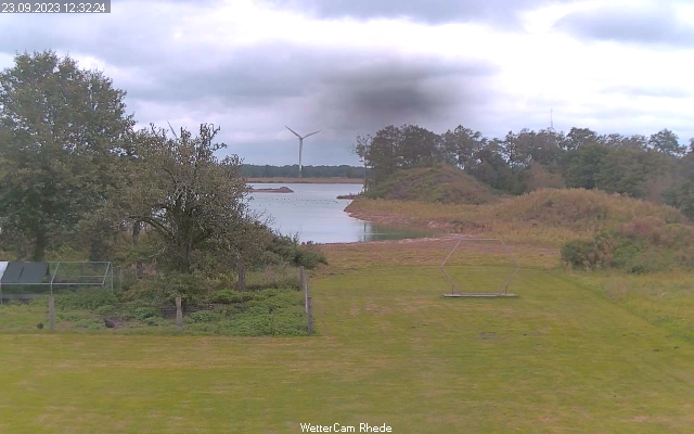
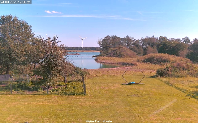
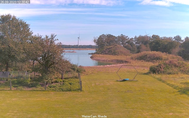
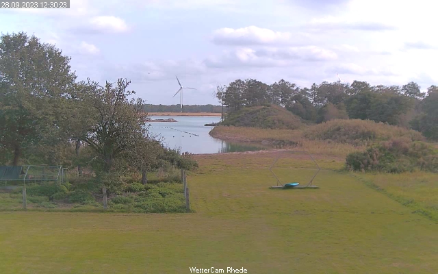
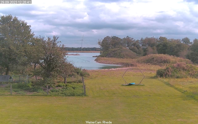
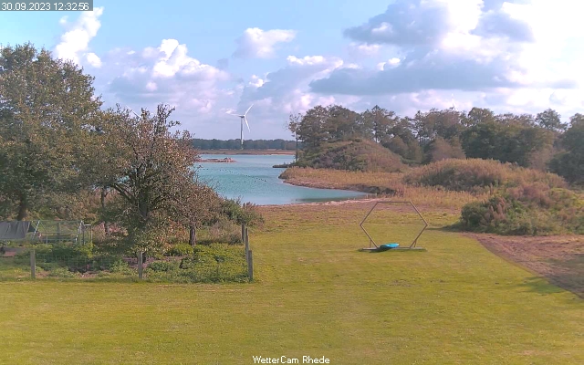
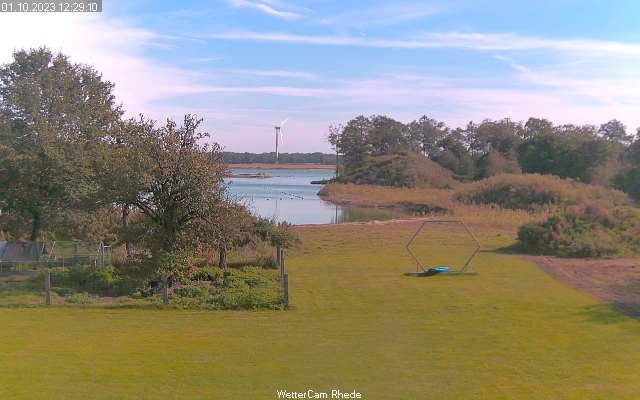
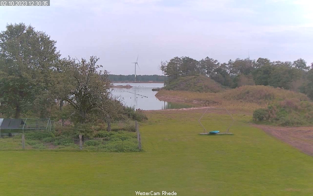
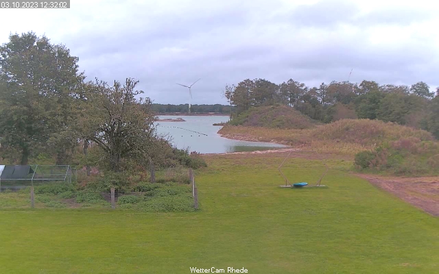
Rhede, Germany - 19.4 miles from Haar: Weathercam Rhede
Operator: Wetterstation Rhede
Operator: Wetterstation Rhede


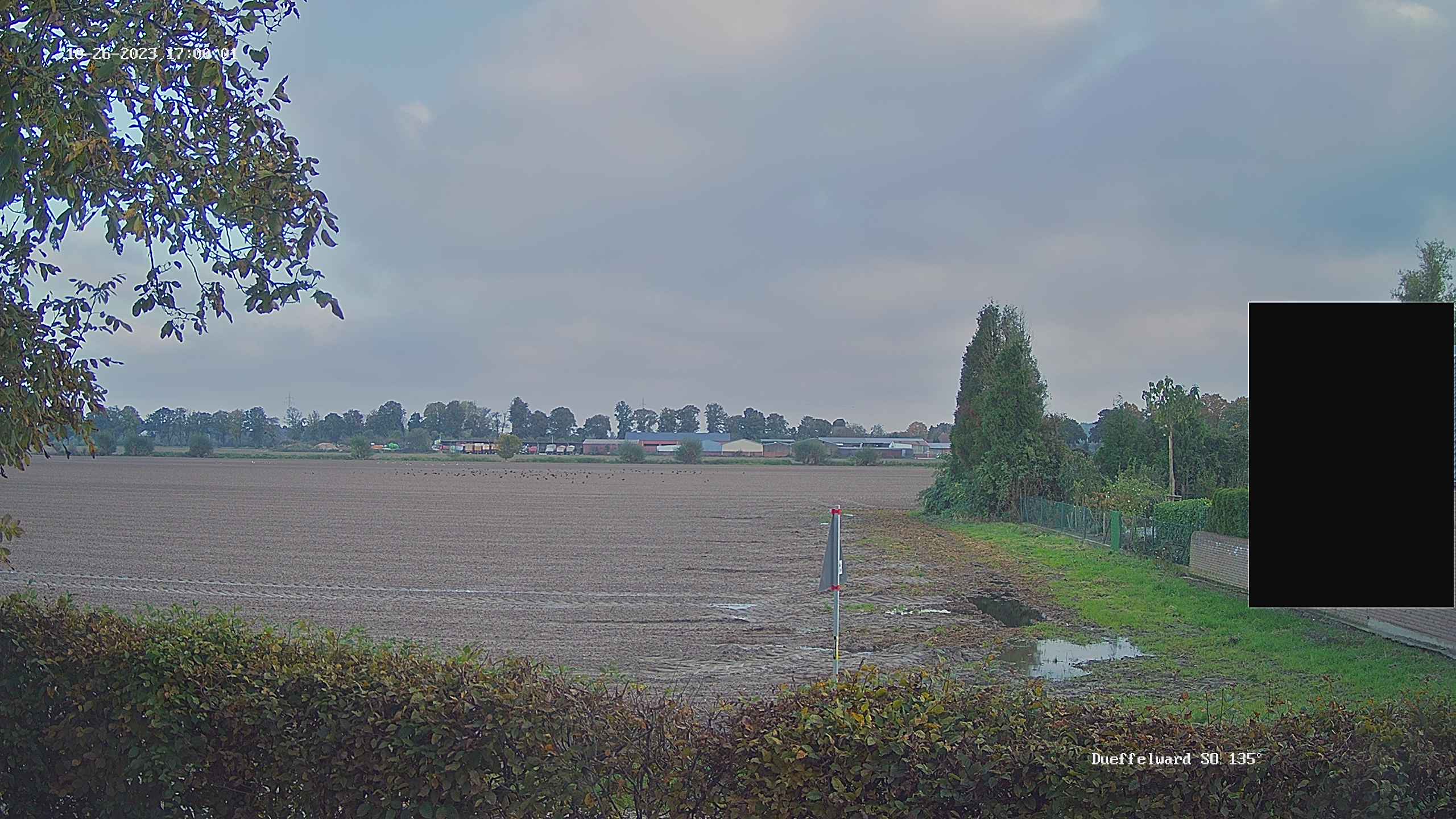
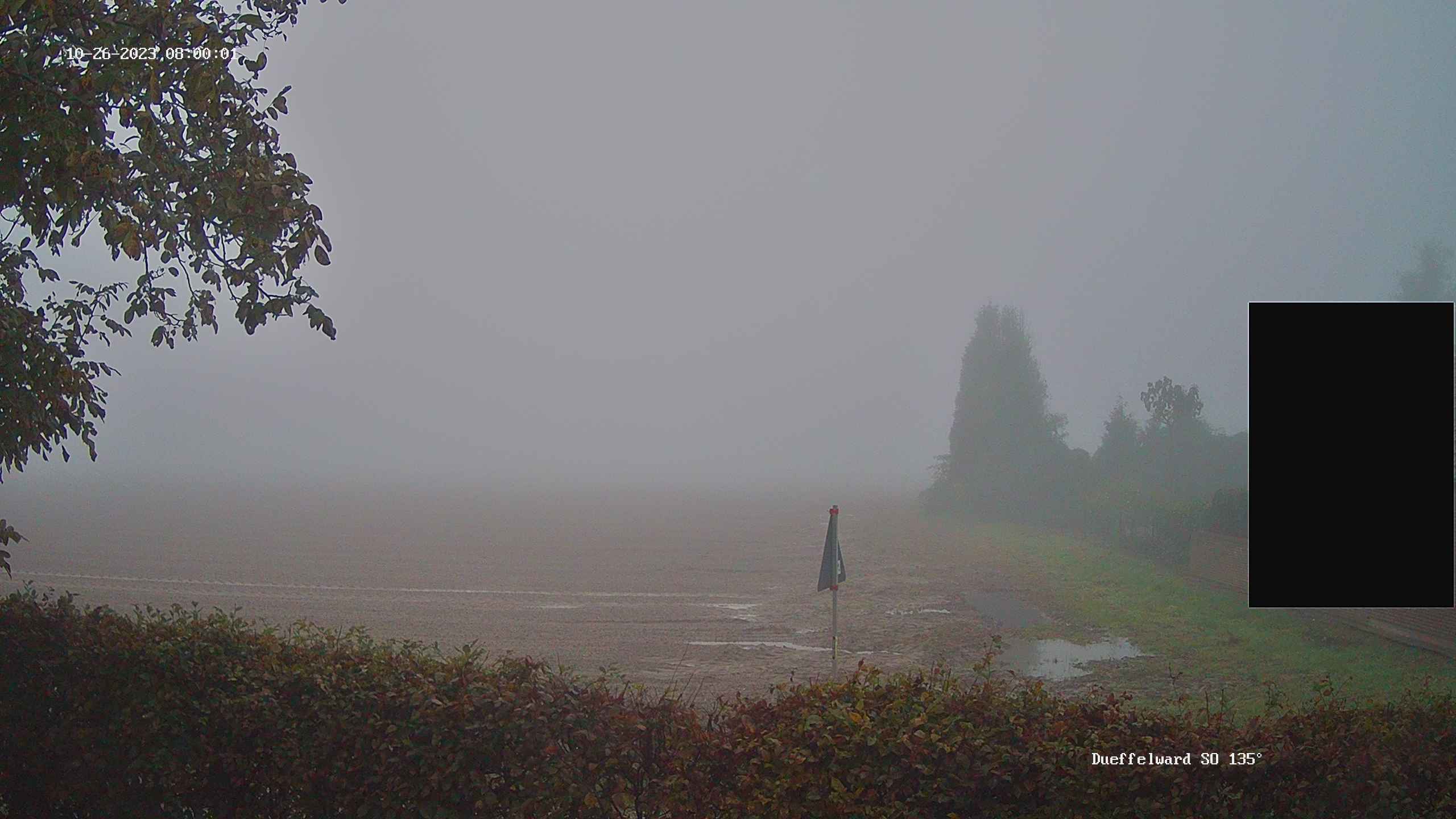
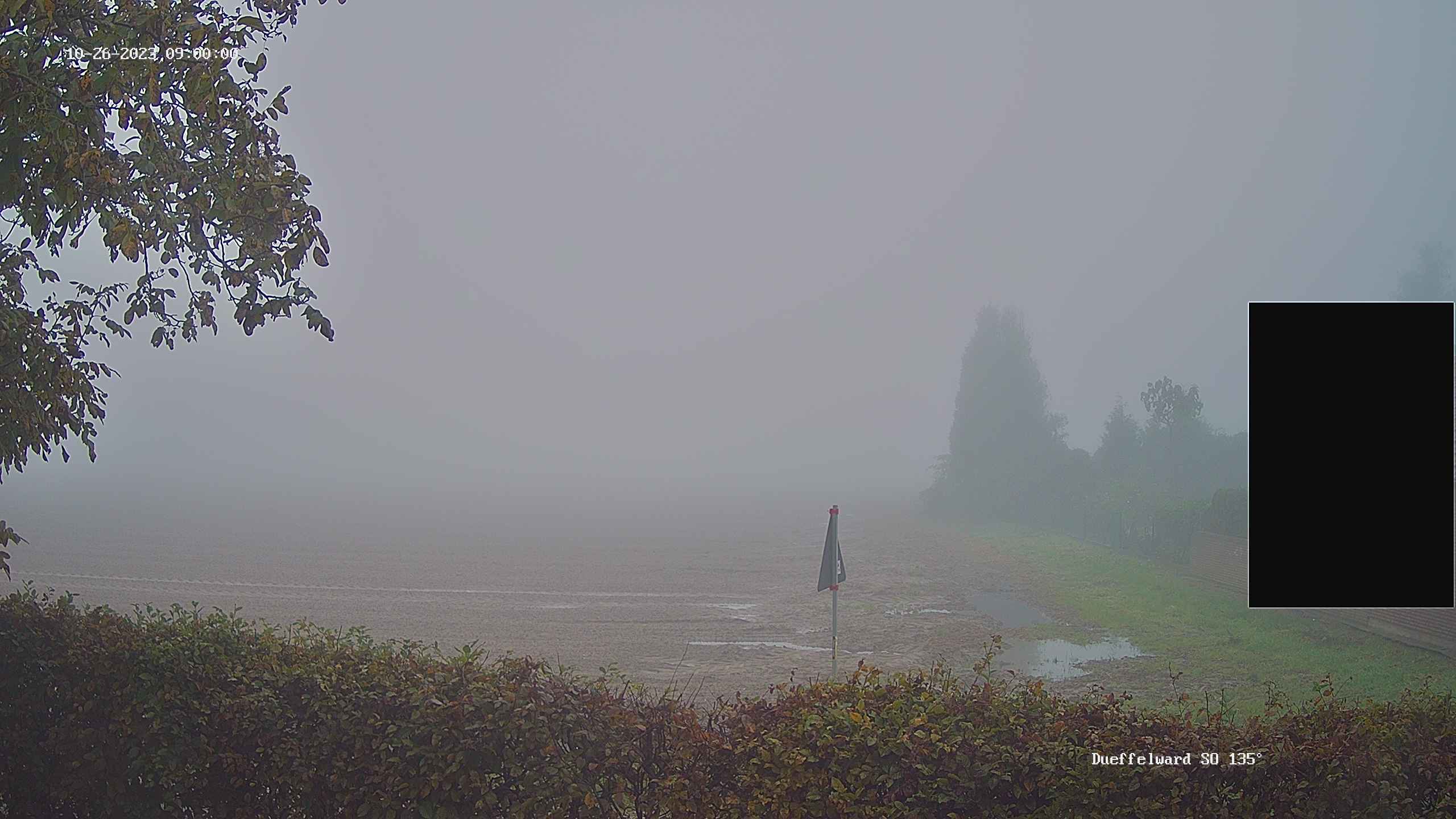
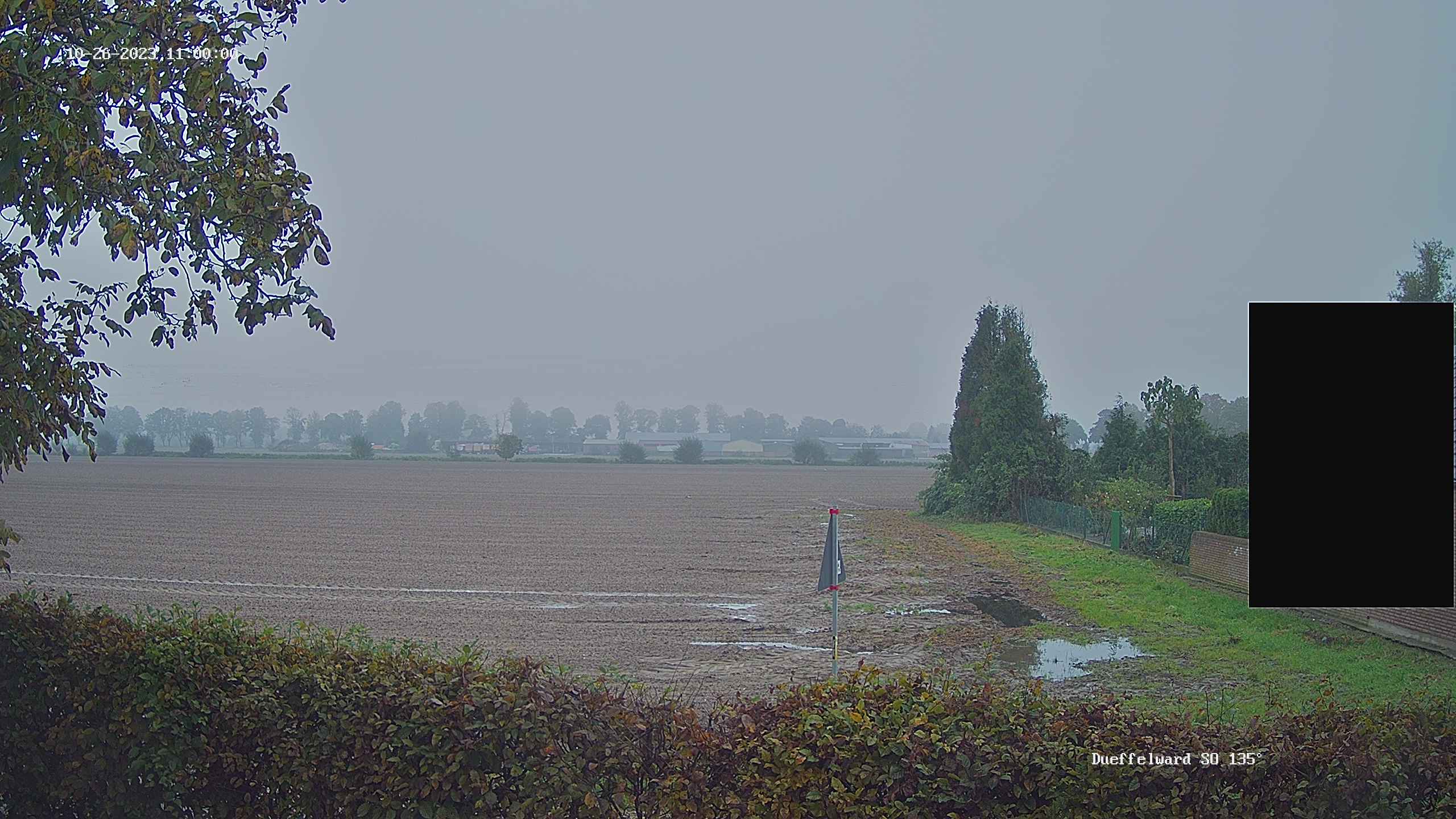
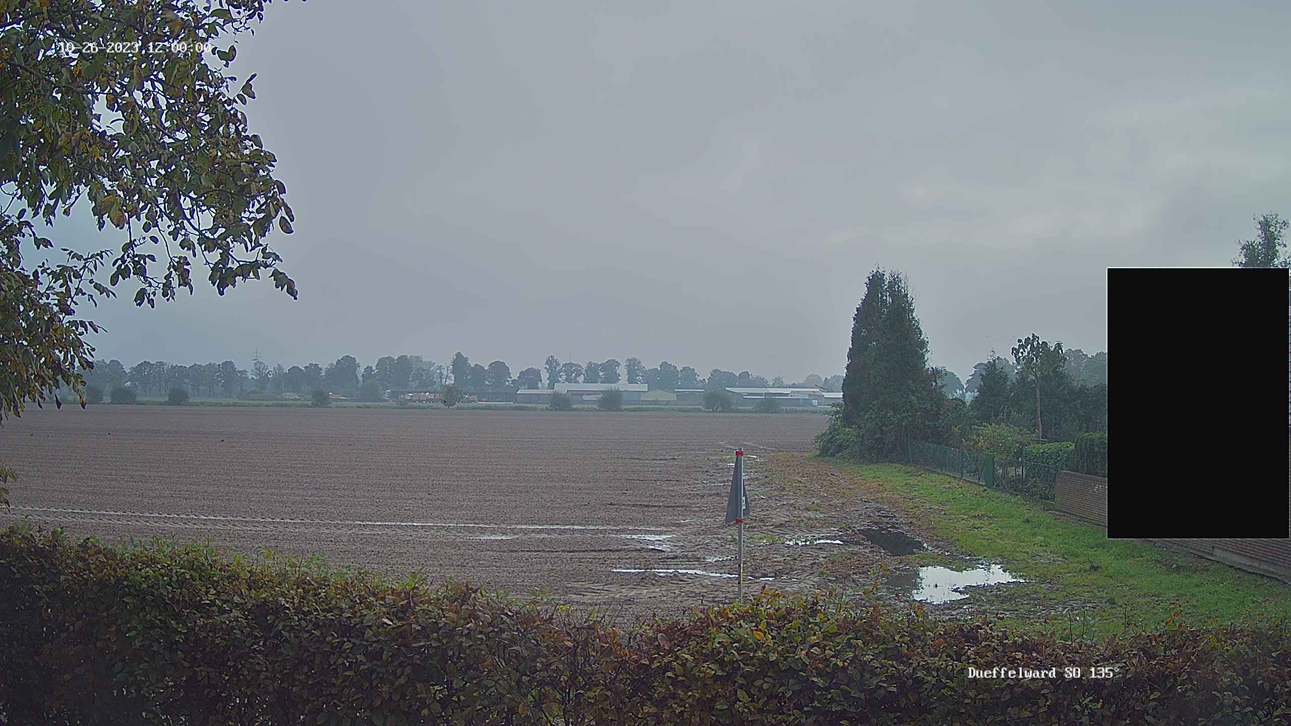
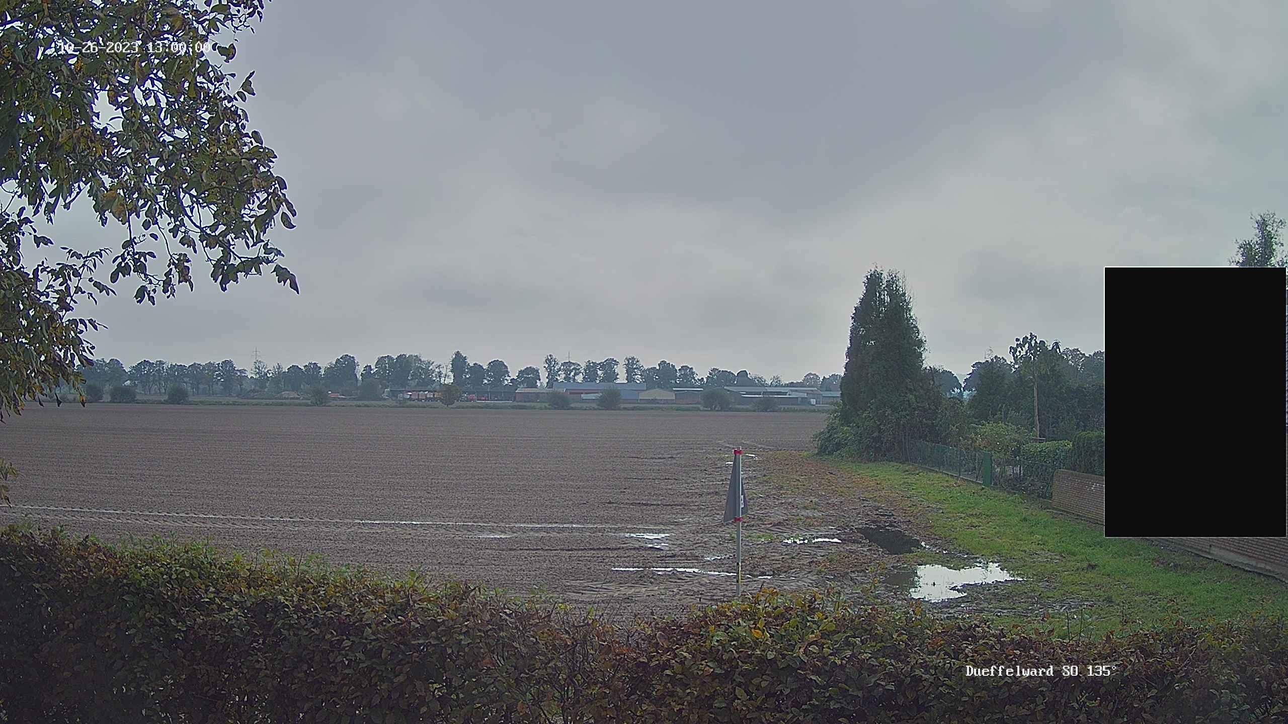
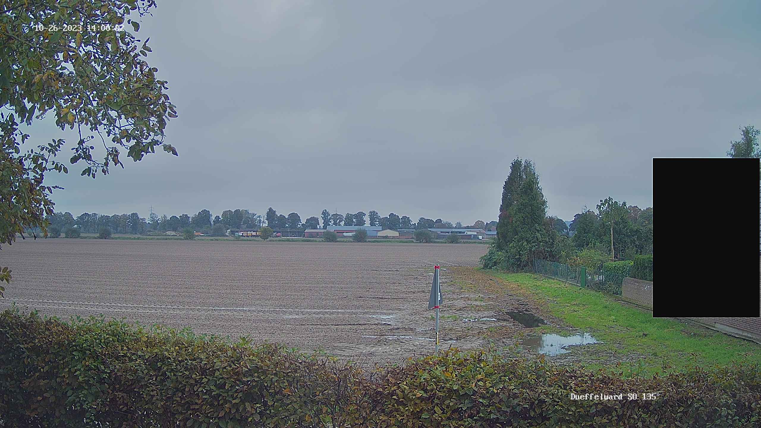
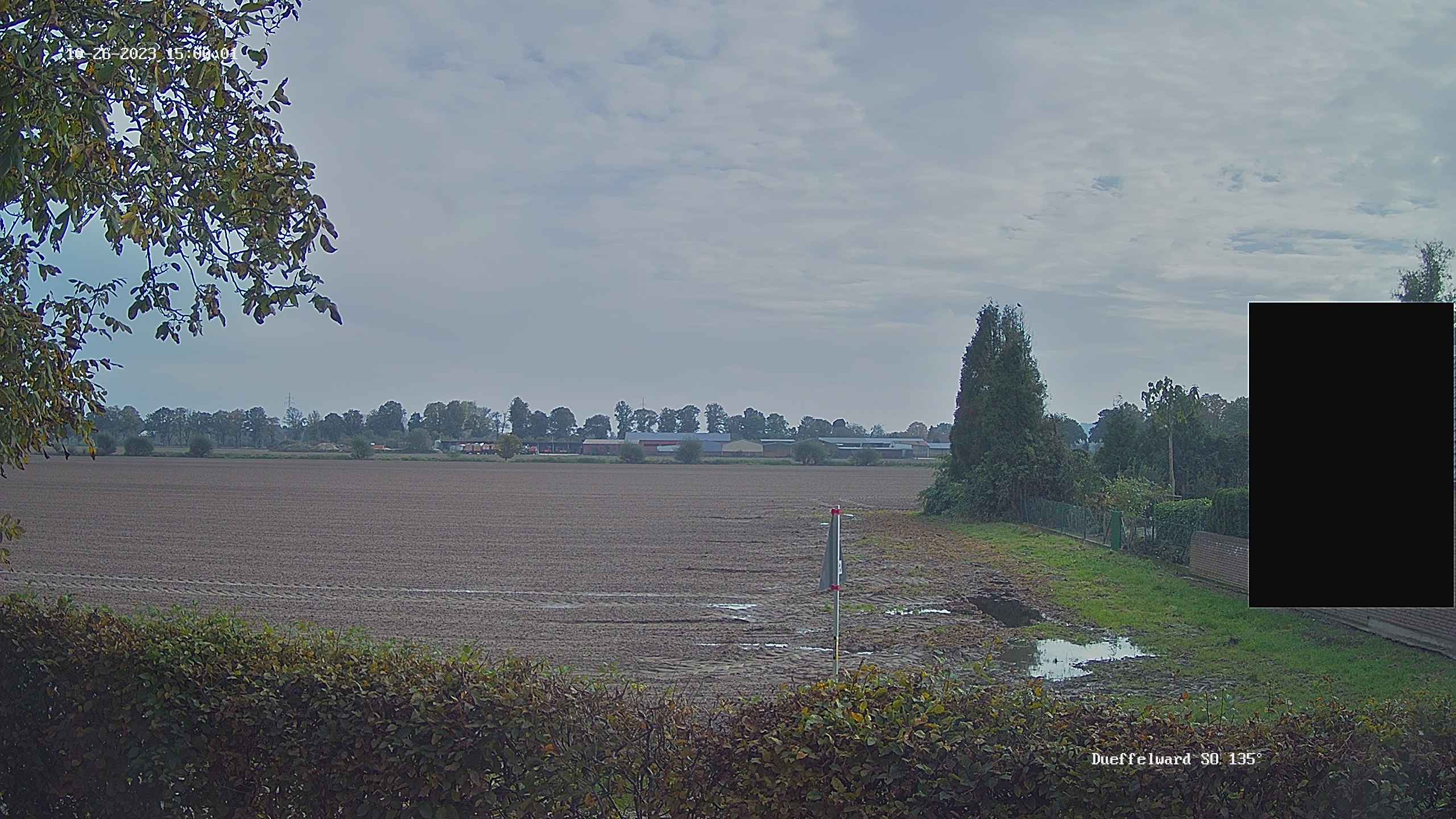
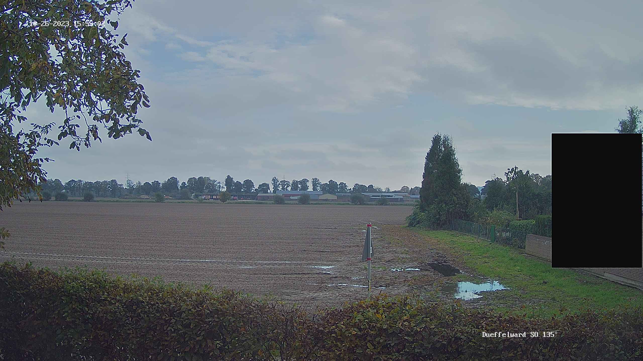
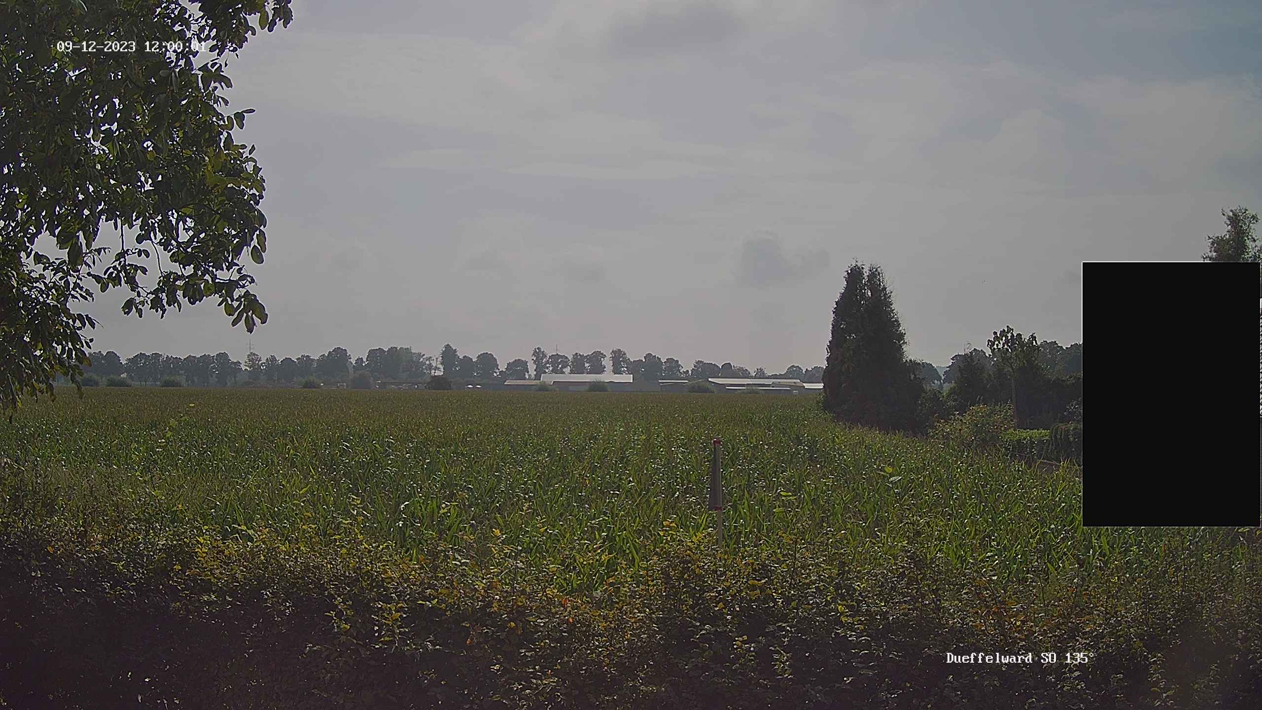
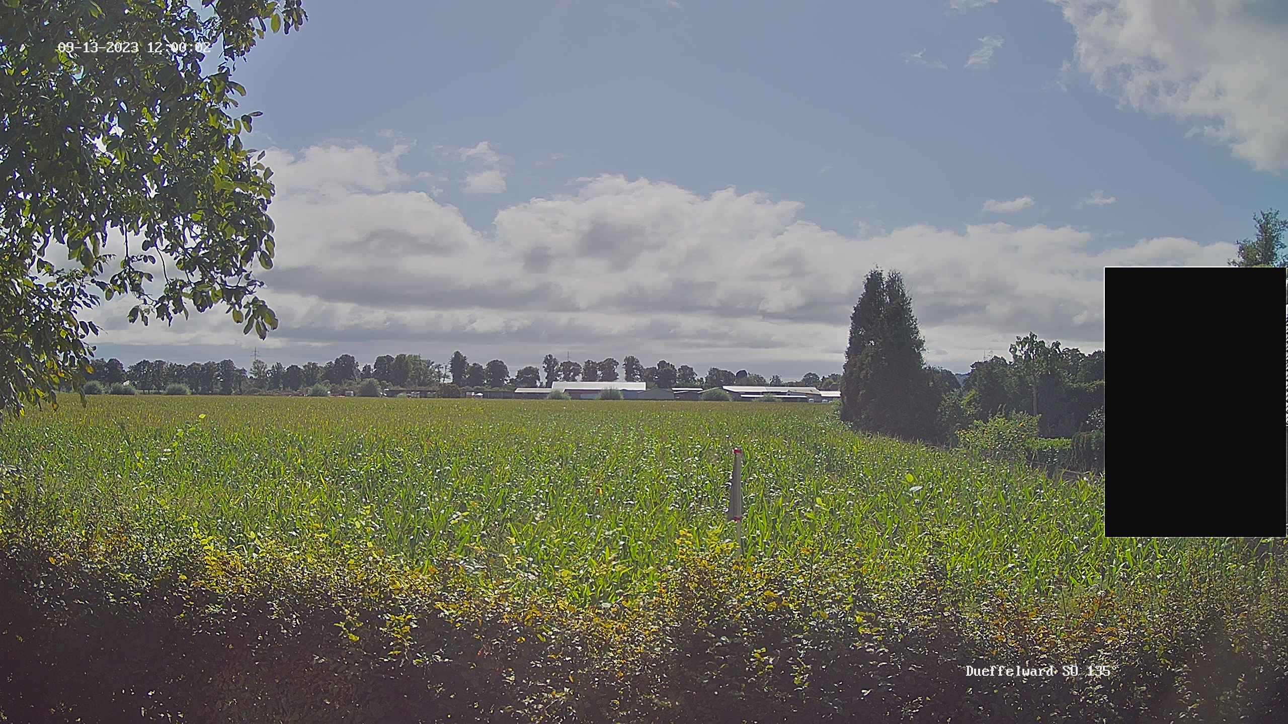
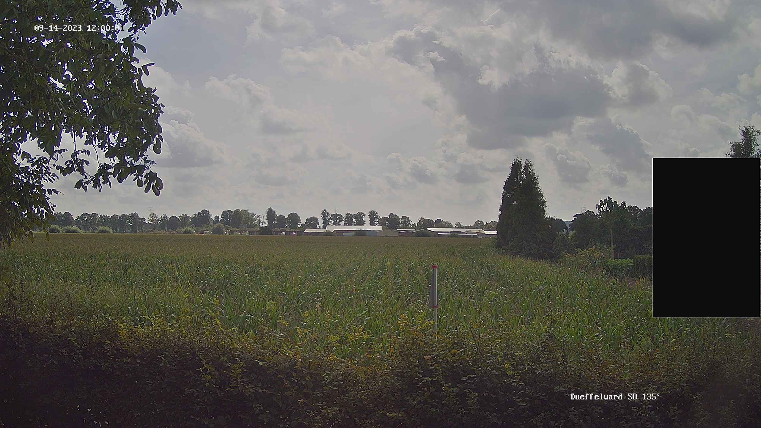
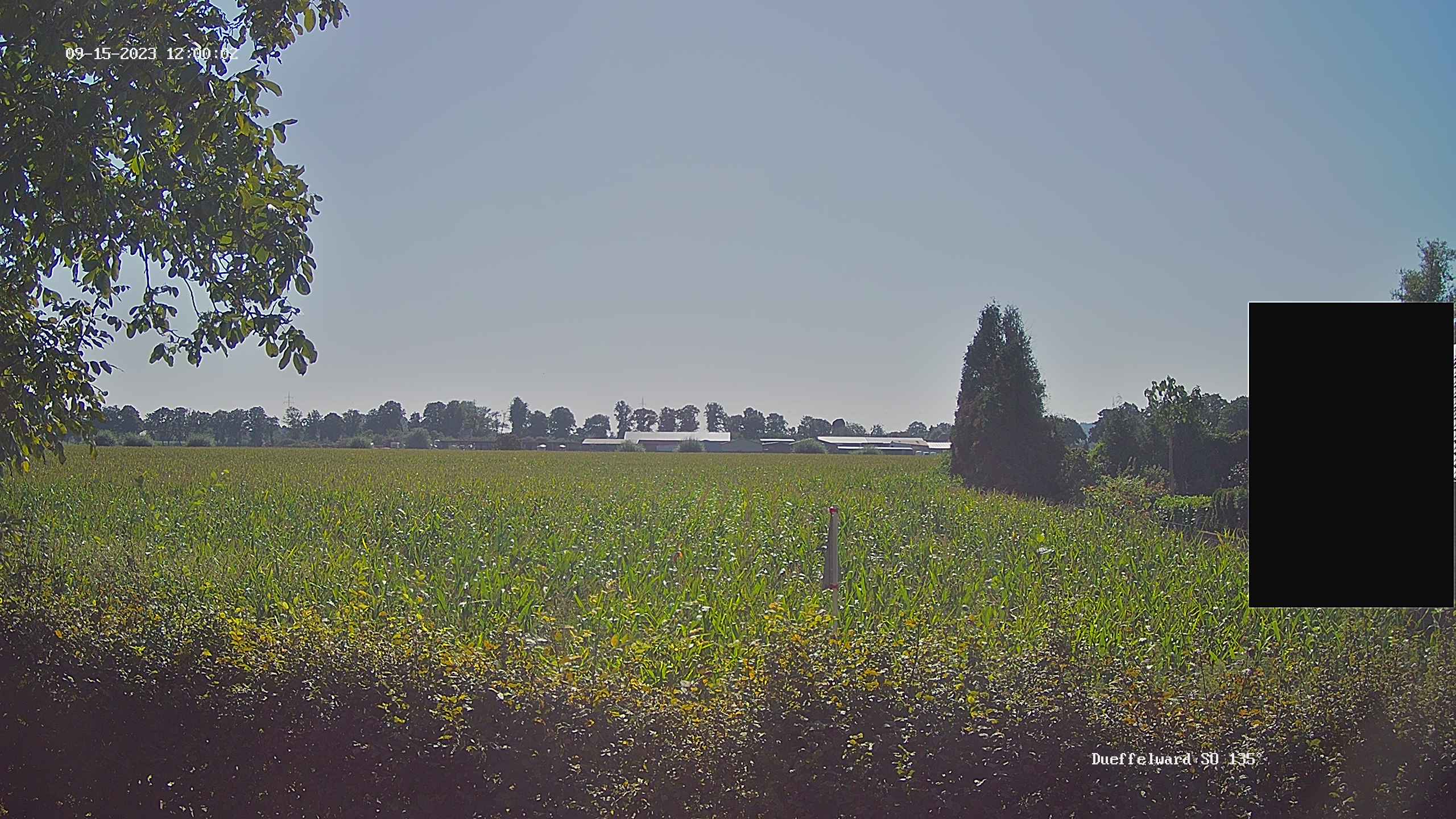
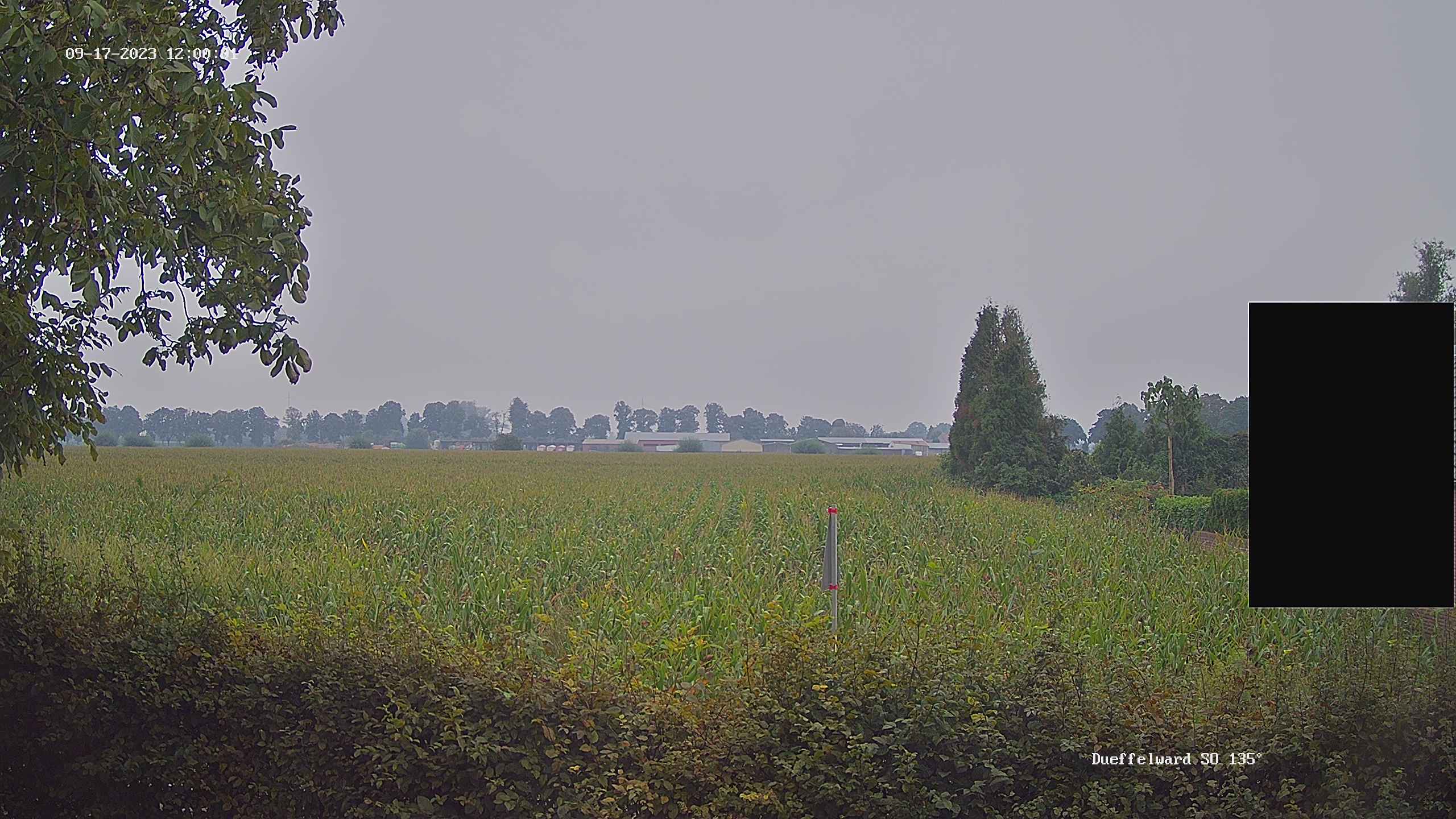
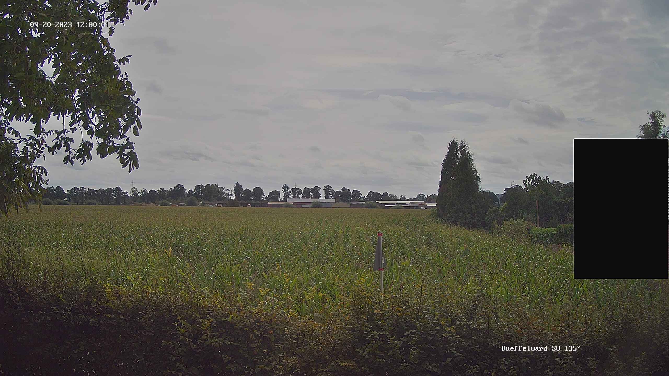
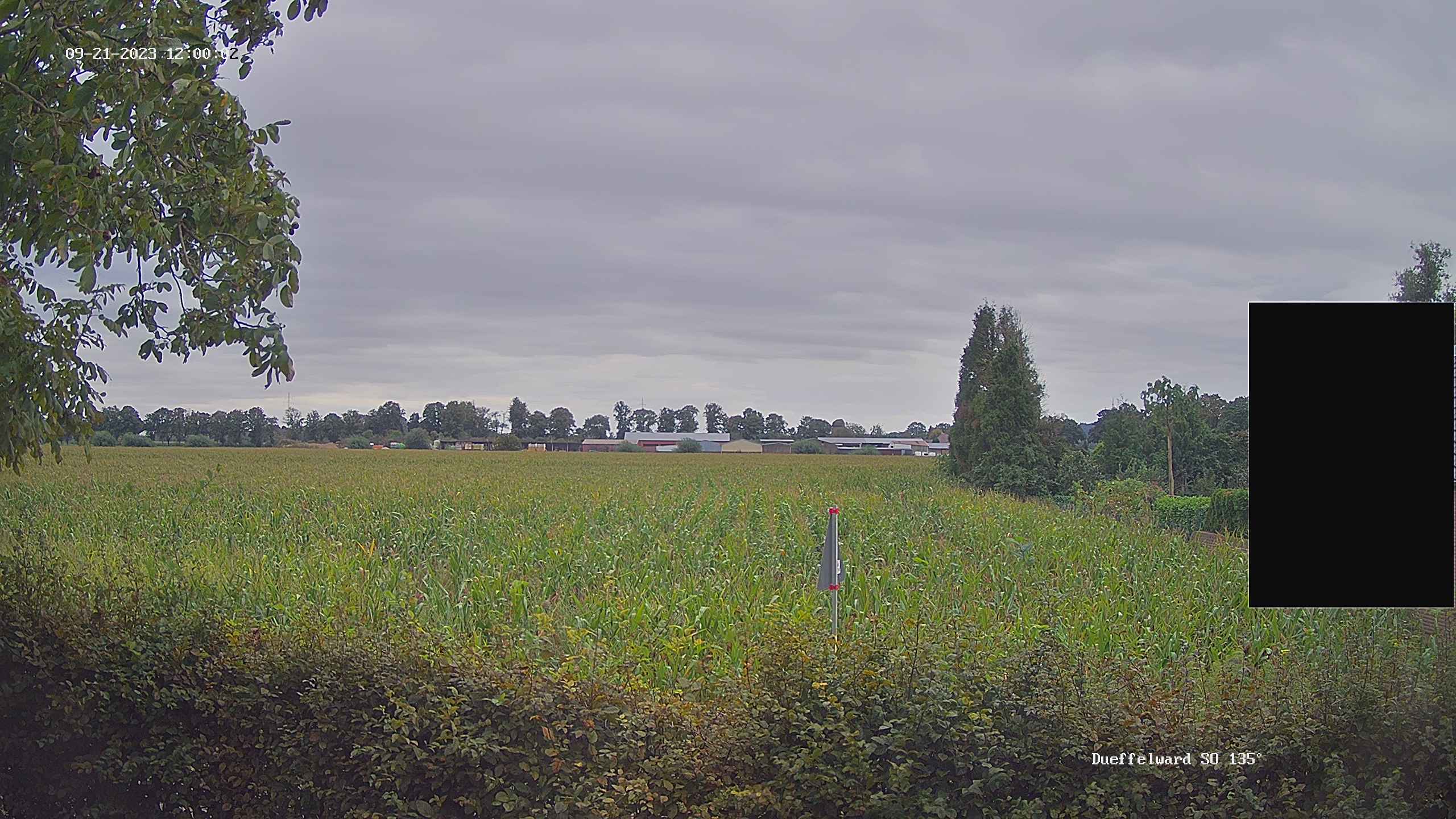
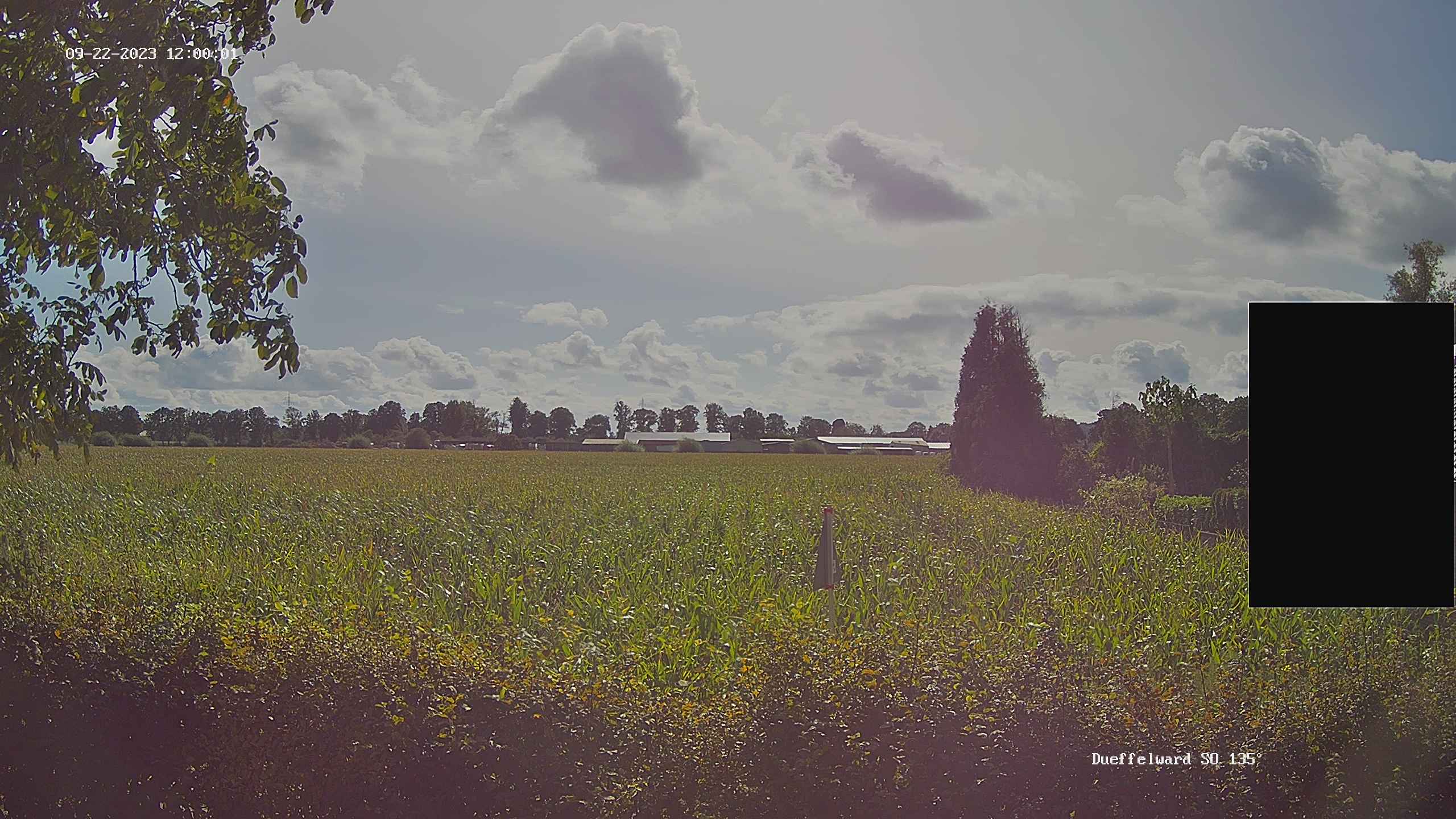
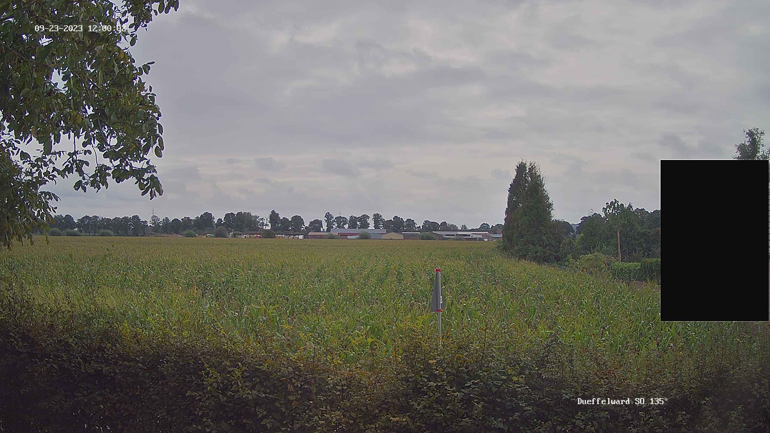
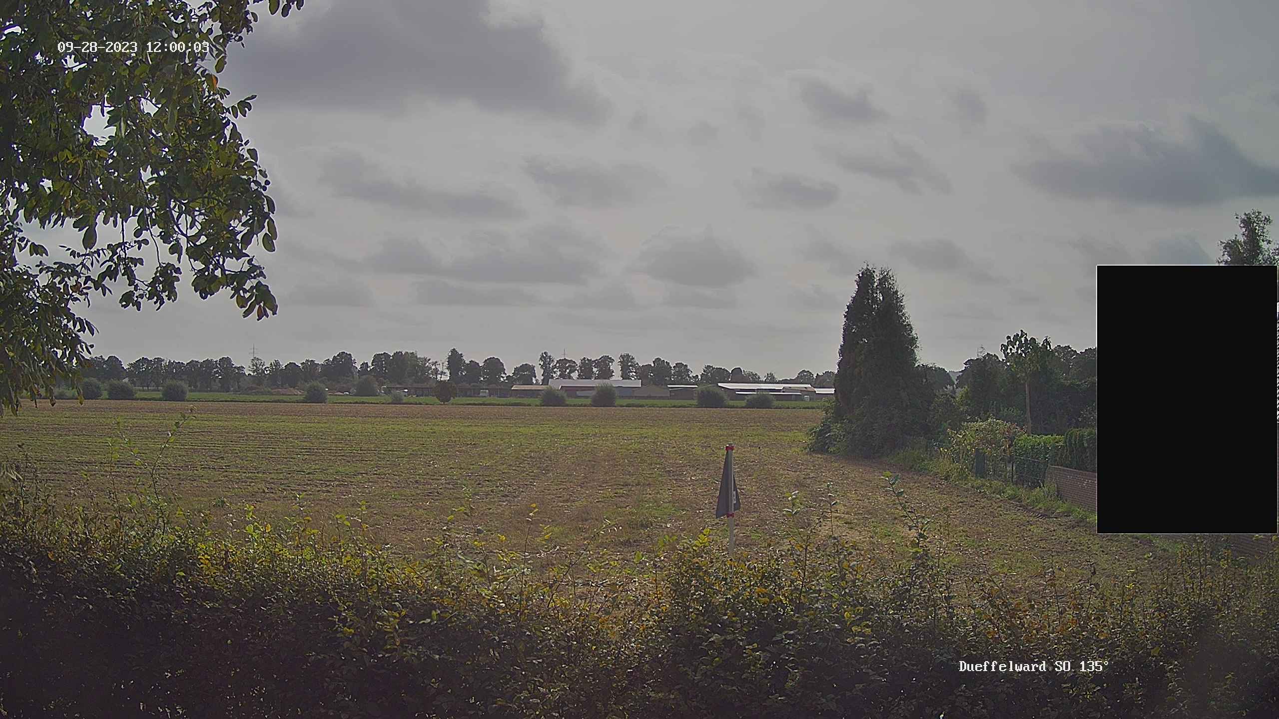
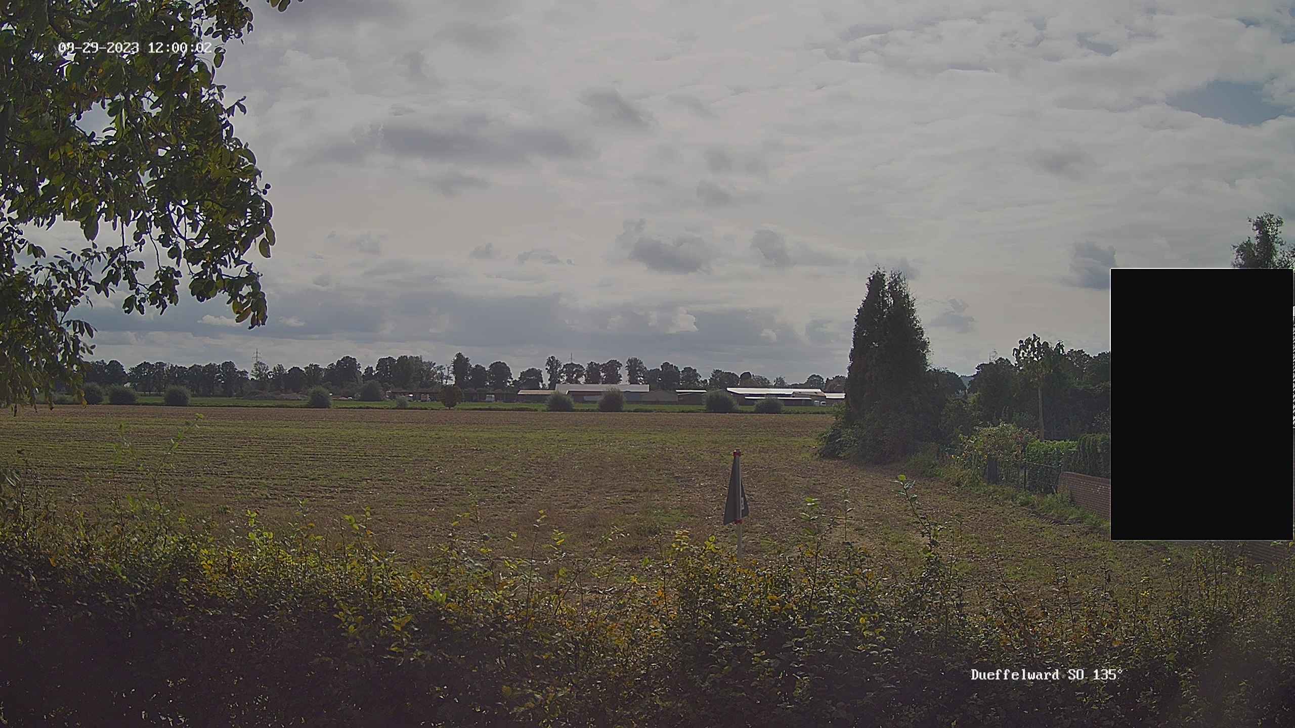
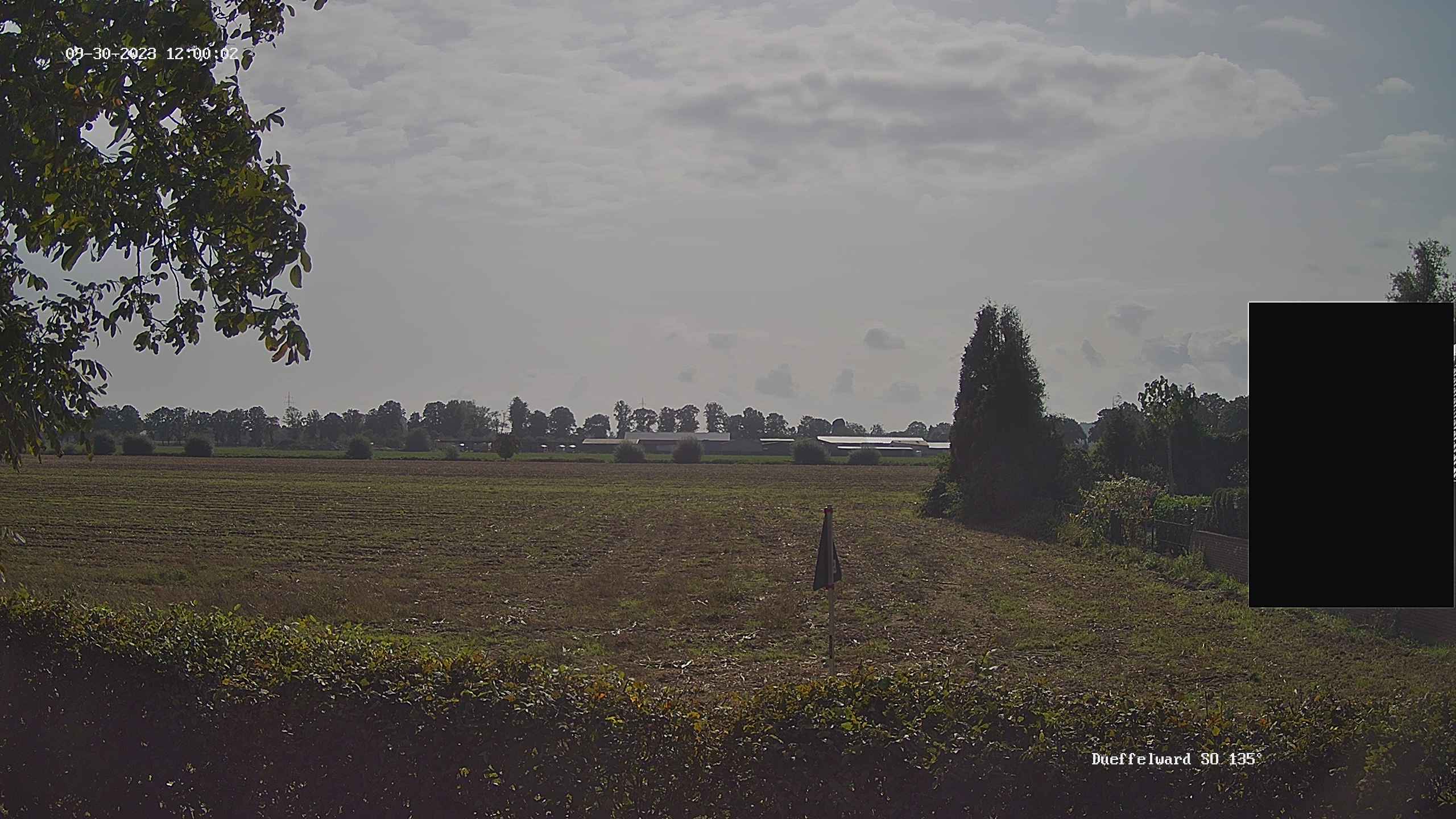
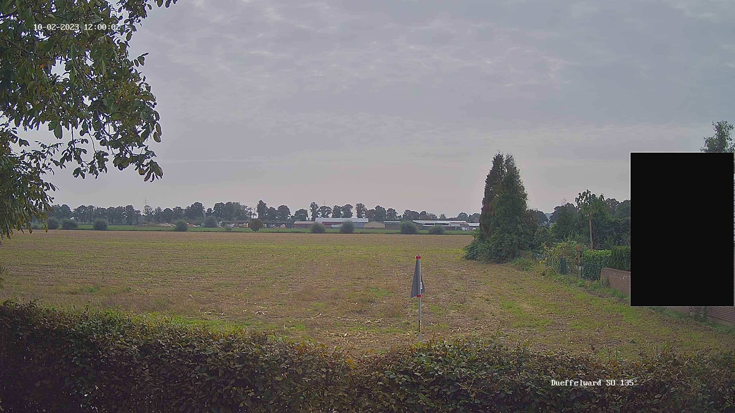
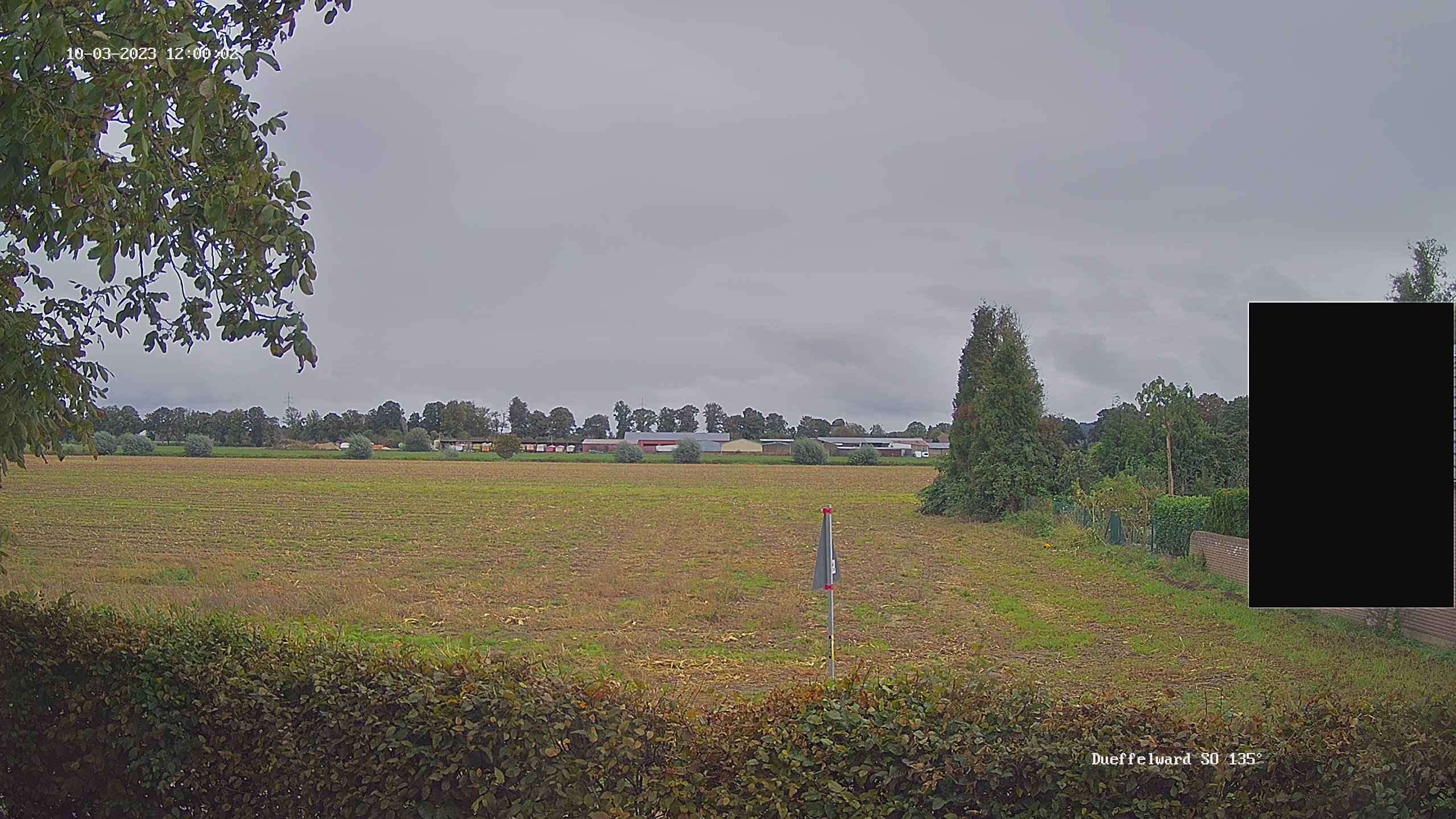
Düffelward, Germany - 21.5 miles from Haar: Weathercam in Kleve-Düffelward
Operator: Private Wetterstation Kleve-Düffelward
Operator: Private Wetterstation Kleve-Düffelward


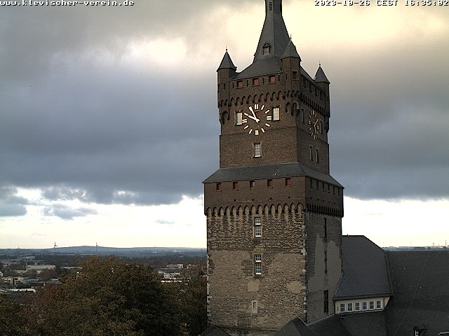
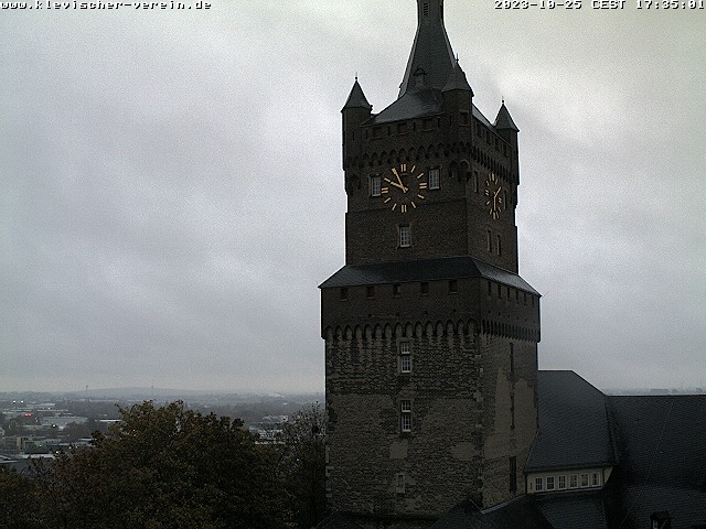
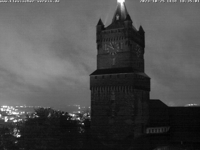
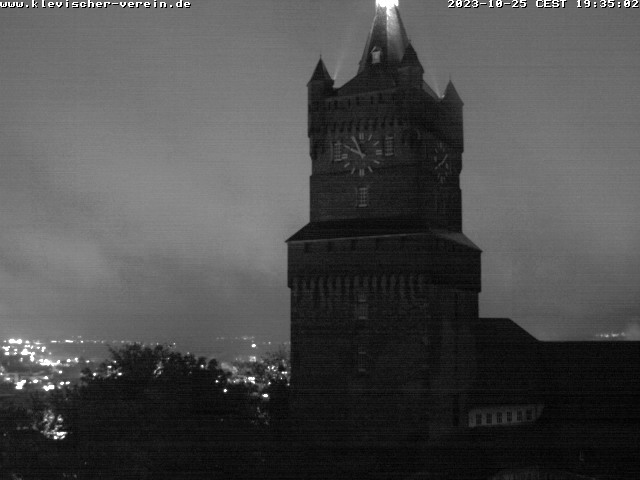
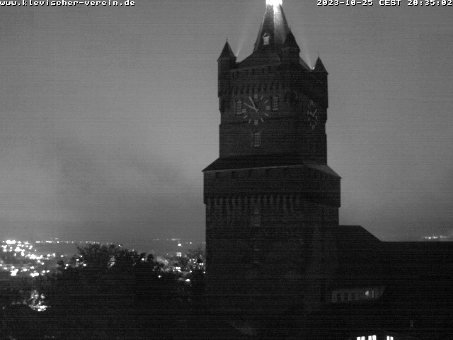
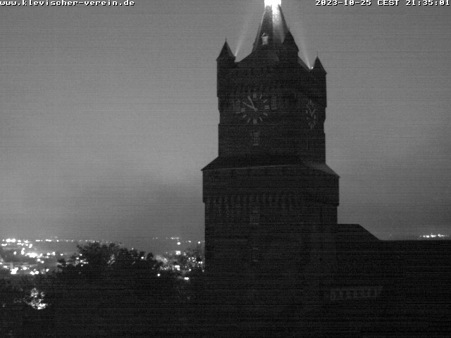
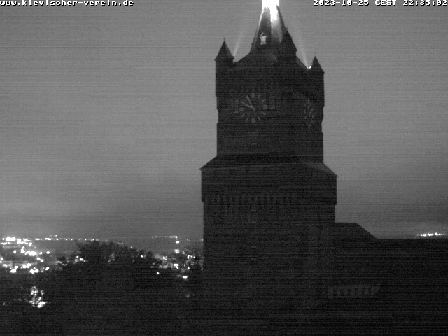
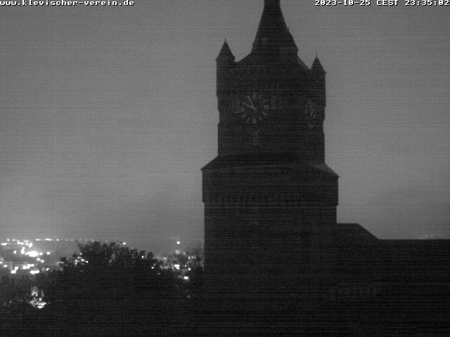
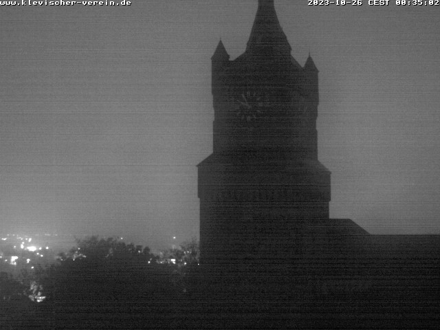
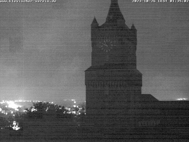
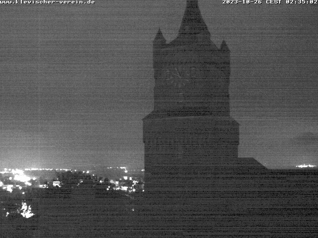
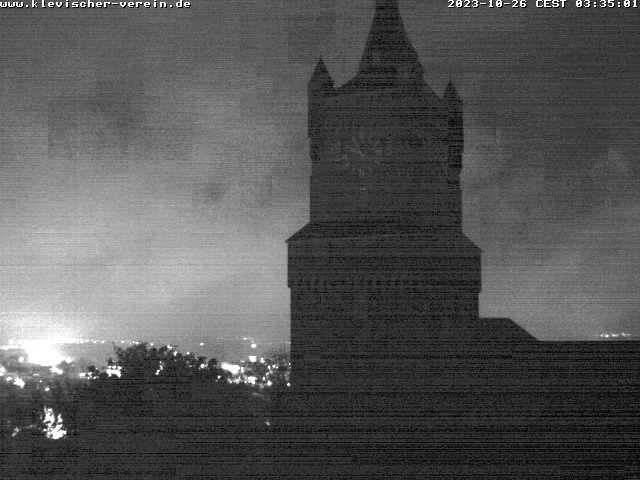
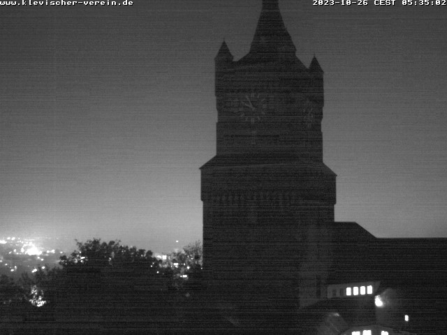
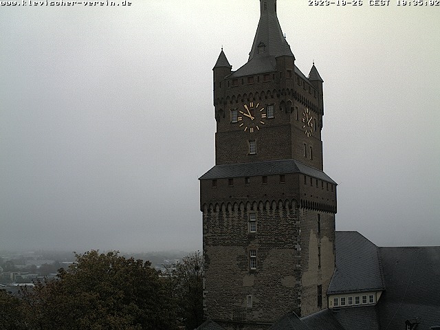
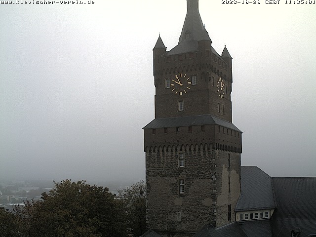
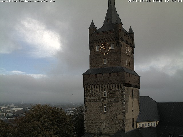
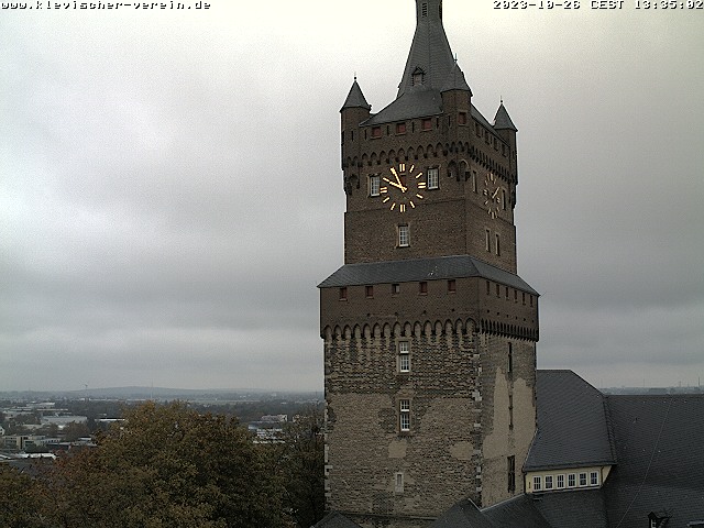
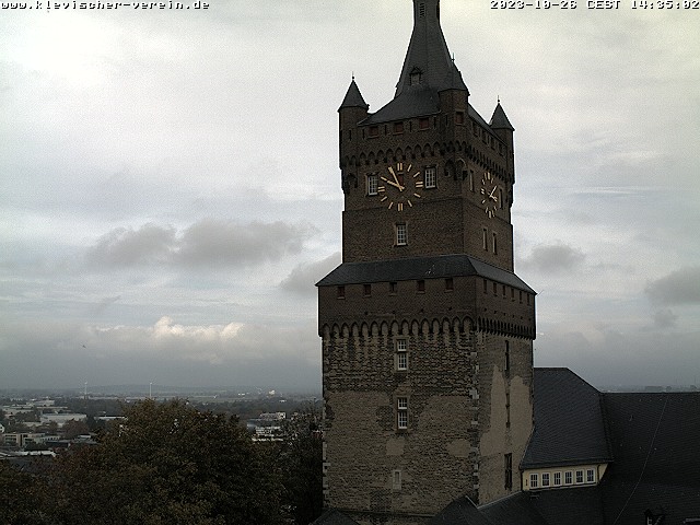
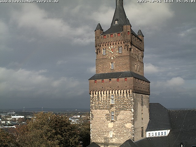
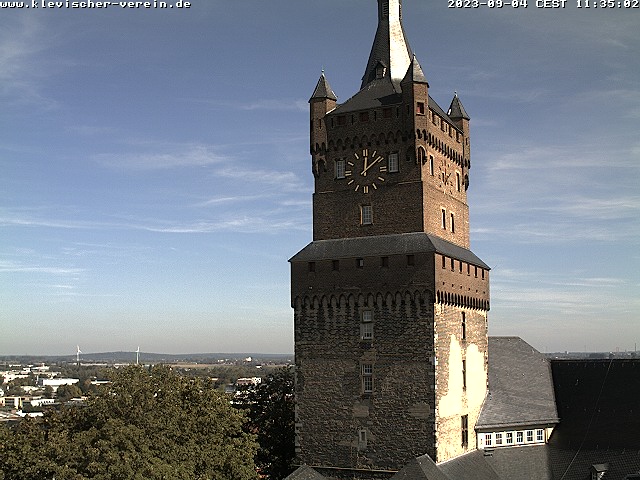
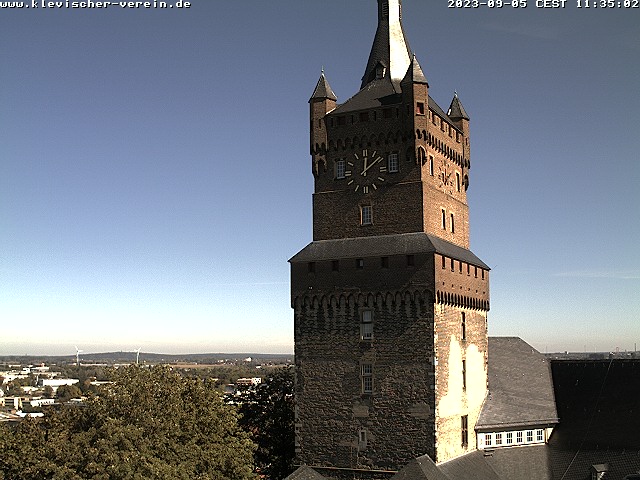
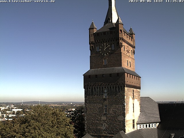
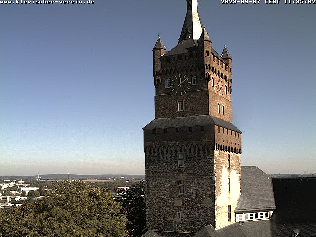
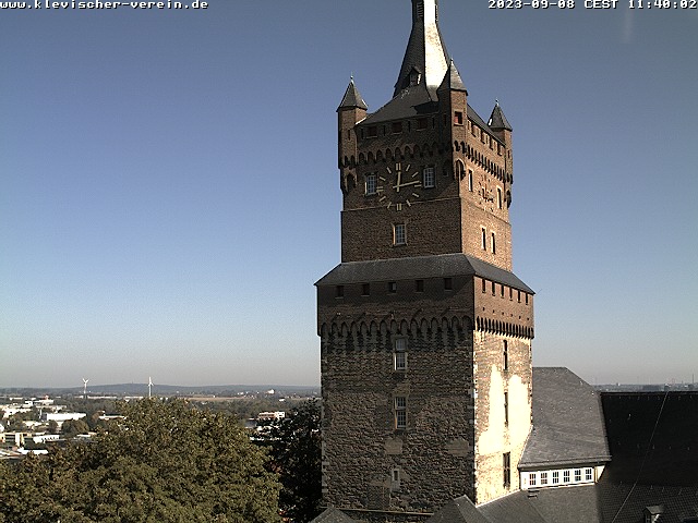
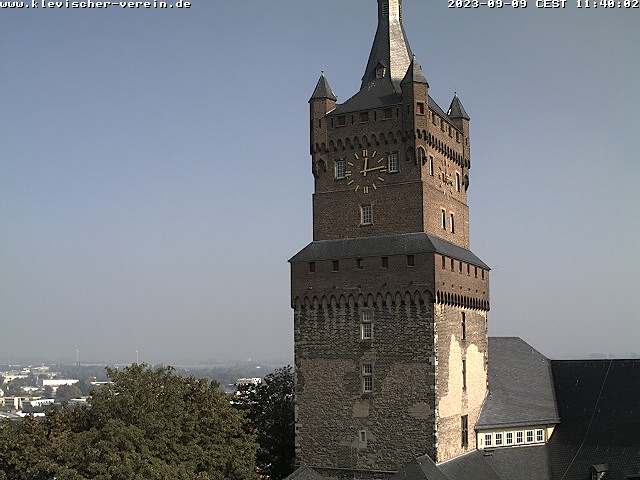
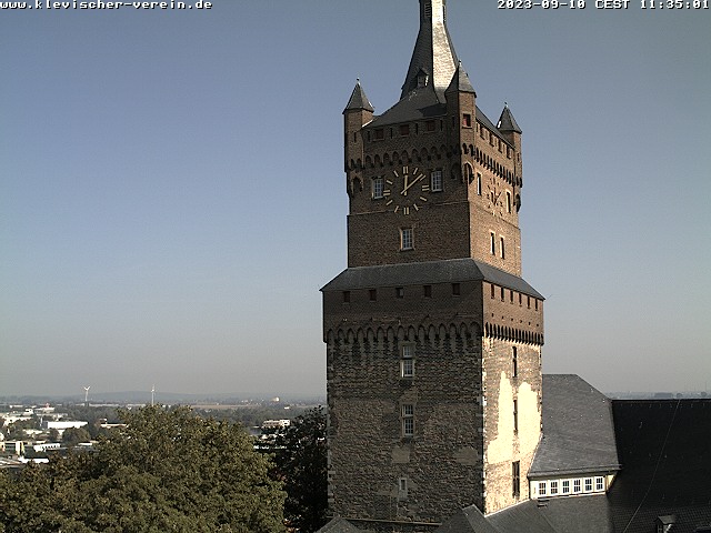
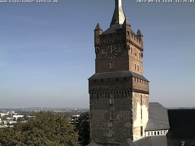
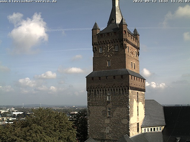
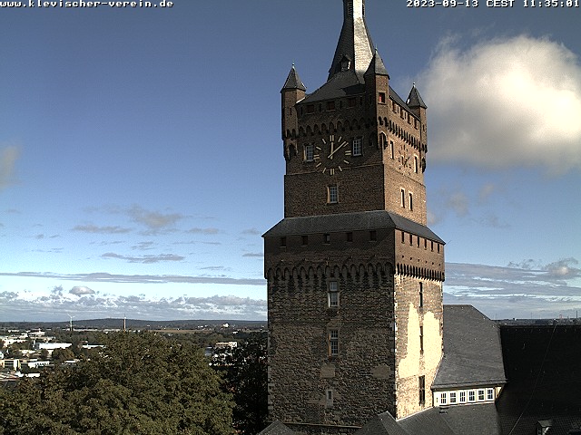
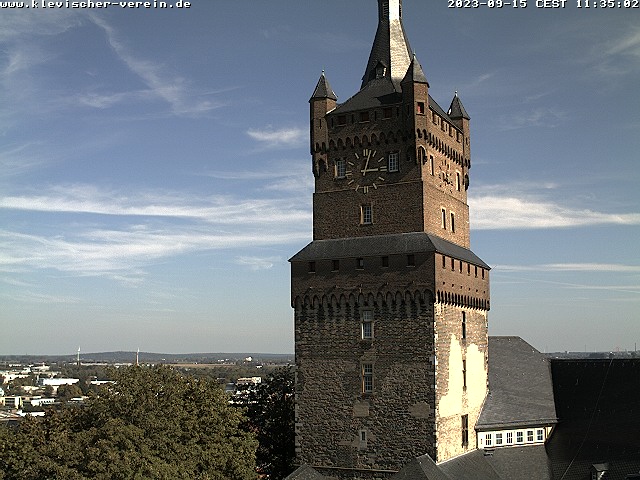
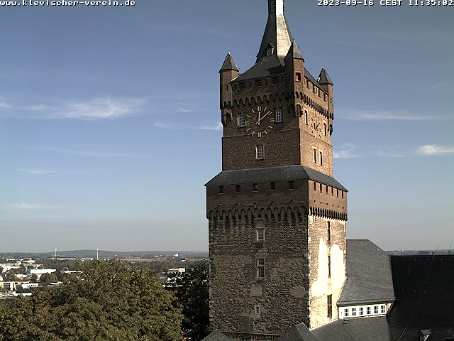
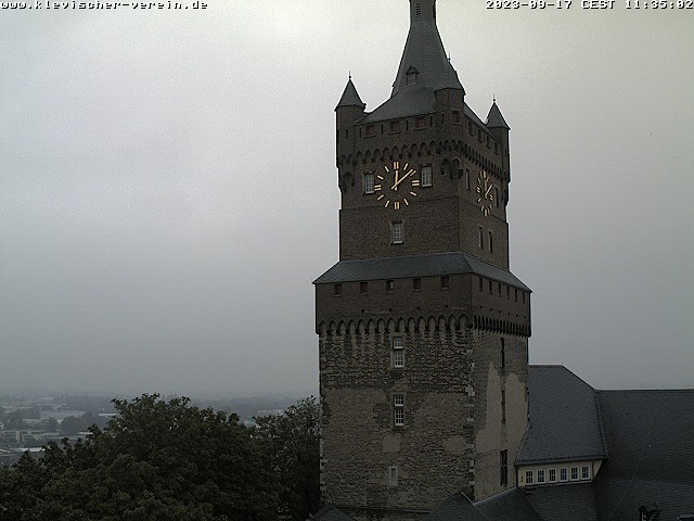
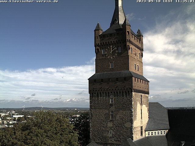
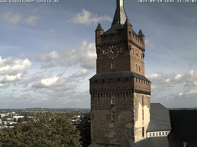
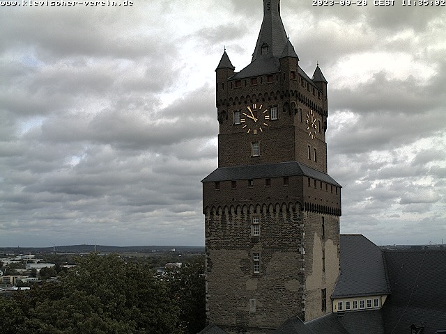
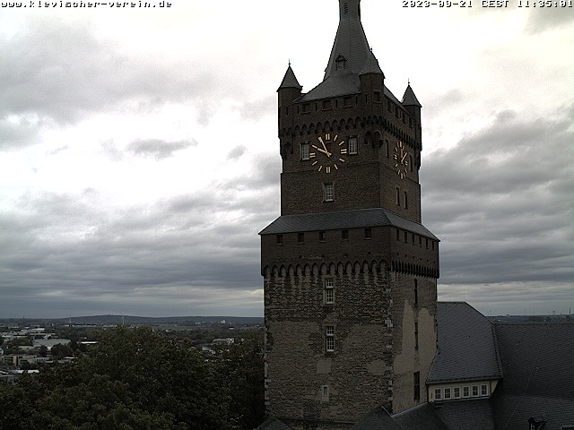
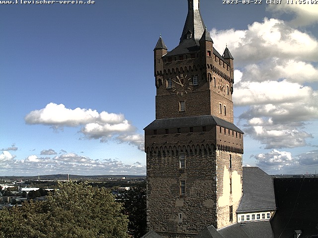
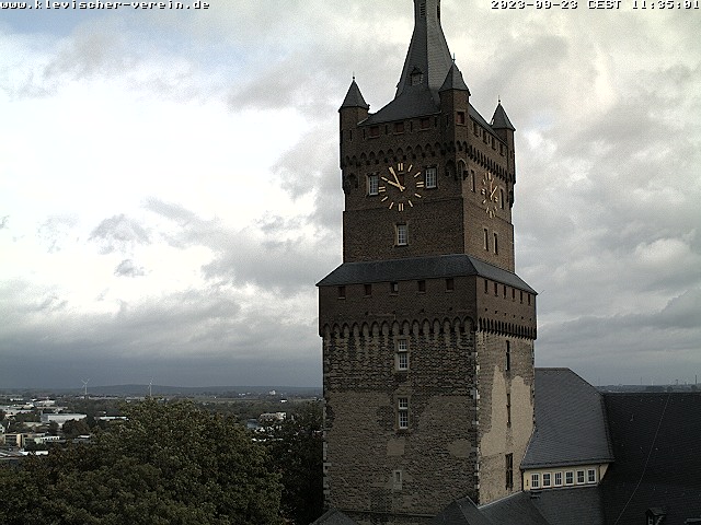
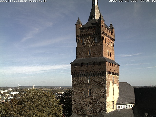
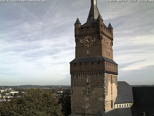
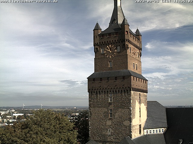
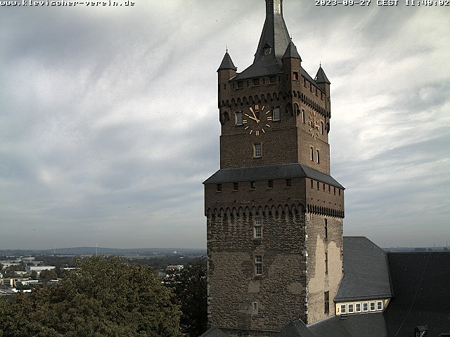
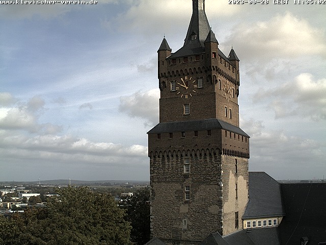
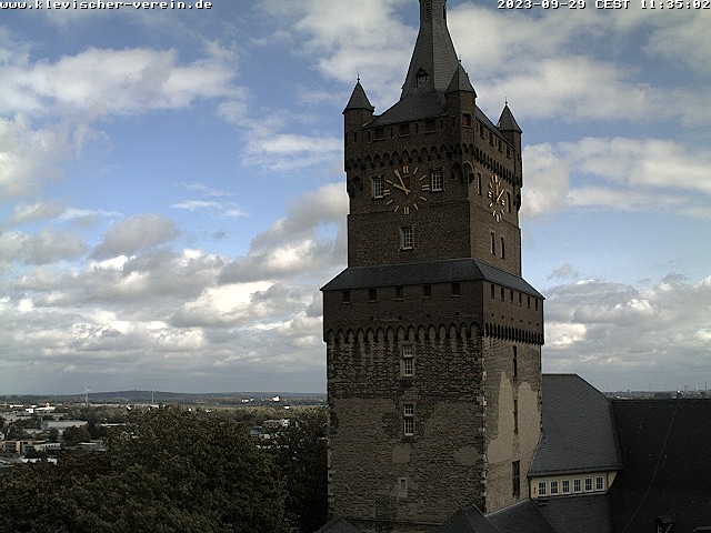
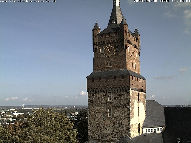
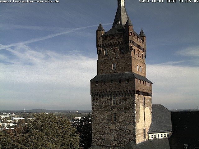
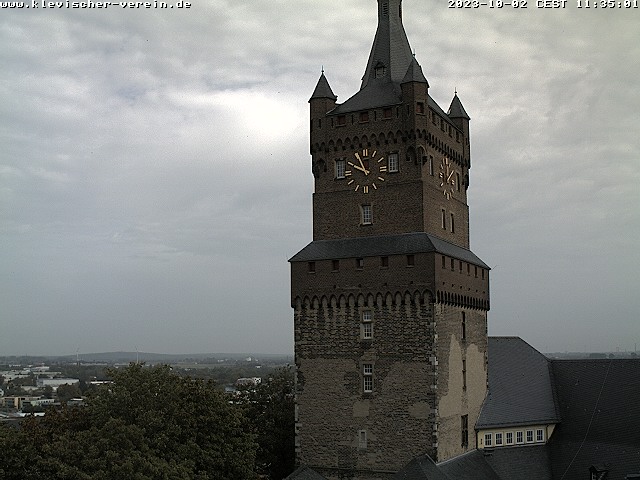
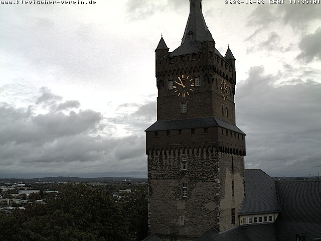
Kleve, Germany - 23.1 miles from Haar: Schwanenturm - A nice view of the Schwanenturm from the Spiegelturm.
Operator: Klevischer Verein für Kultur und Geschichte
Operator: Klevischer Verein für Kultur und Geschichte


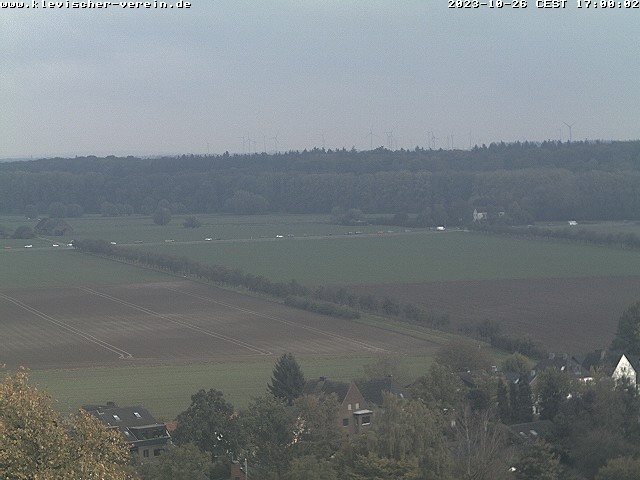
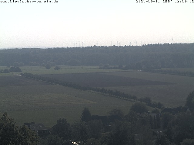
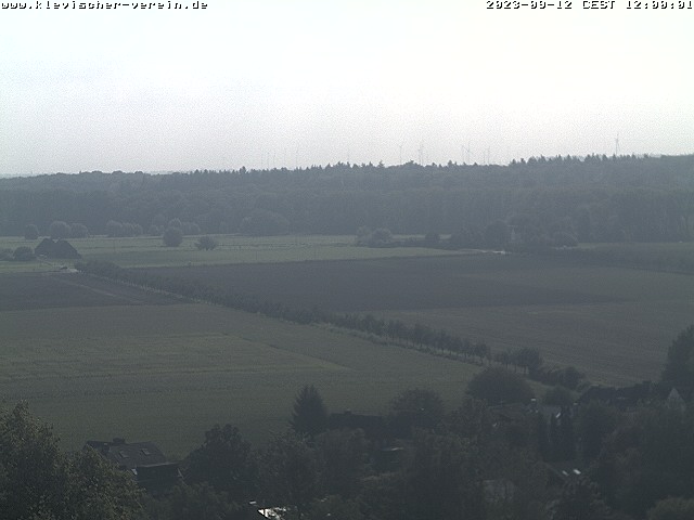
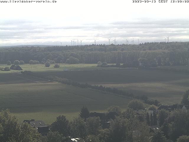
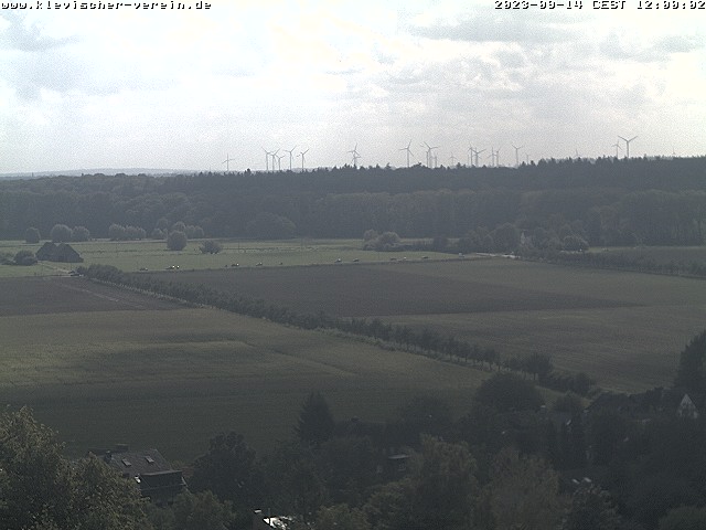
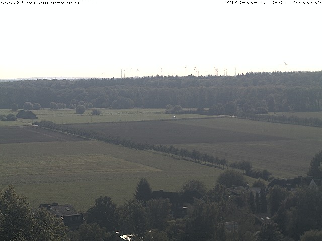
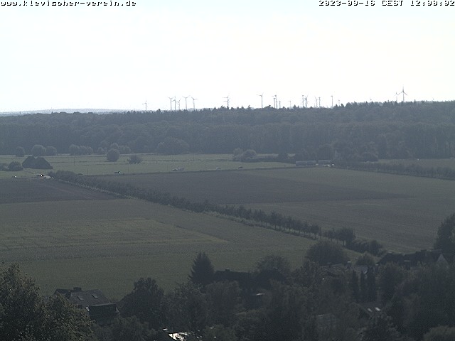
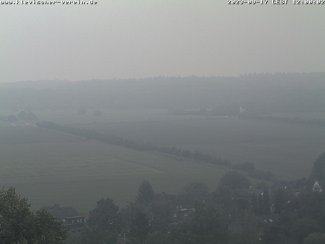
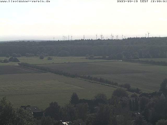
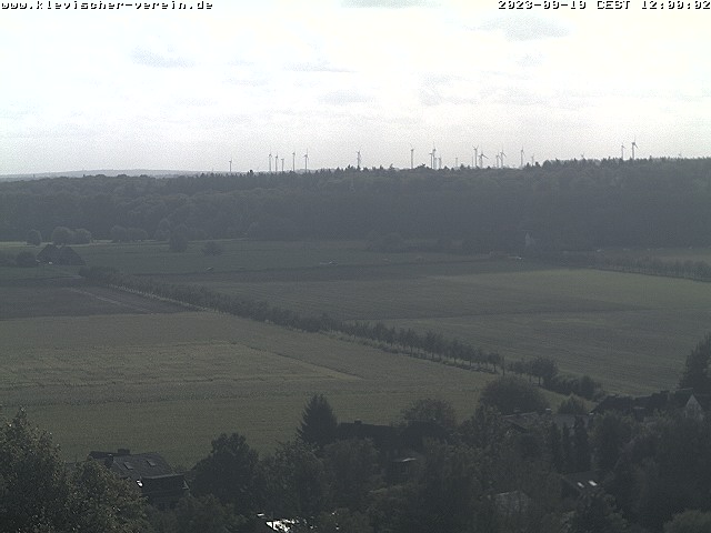
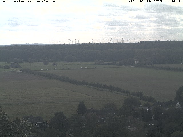
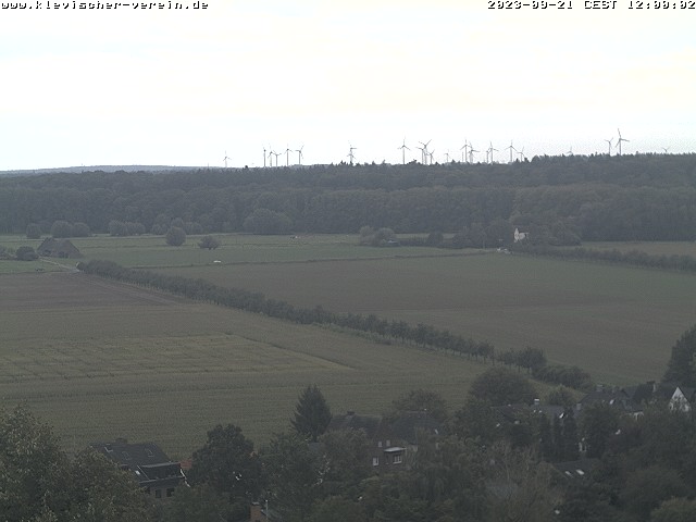
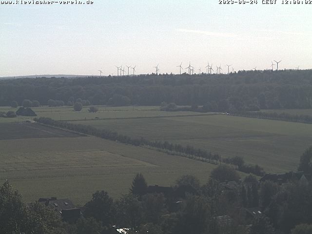
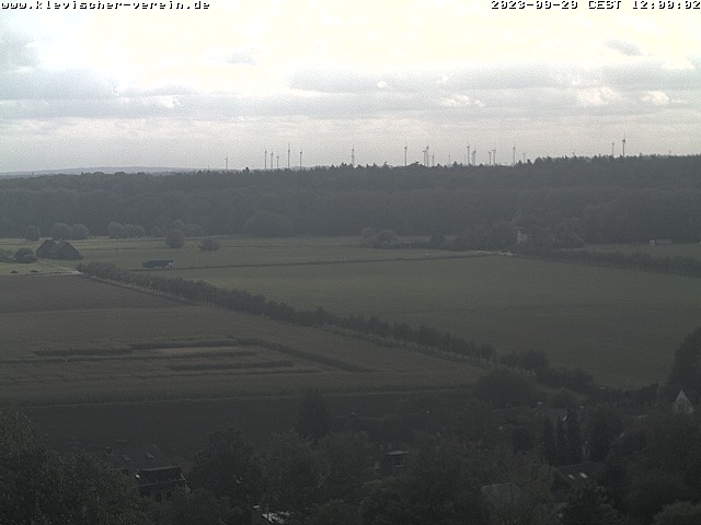
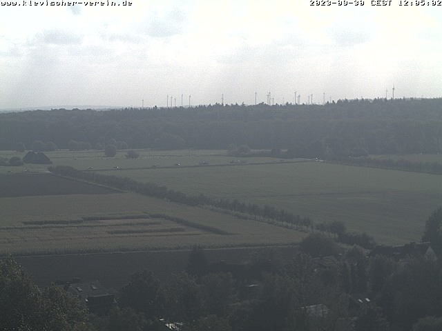
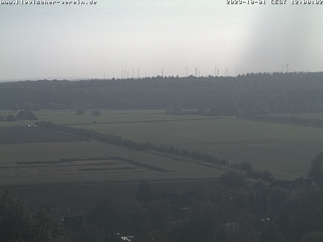
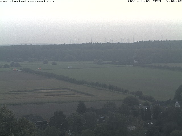
Kleve, Germany - 23.1 miles from Haar: Galleien - A nice view onto the Galleien from the Spiegelturm.
Operator: Klevischer Verein für Kultur und Geschichte
Operator: Klevischer Verein für Kultur und Geschichte
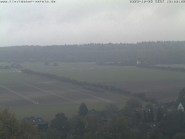

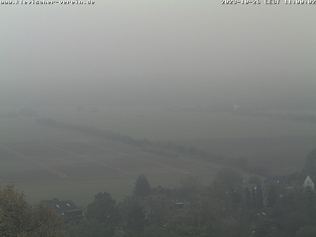
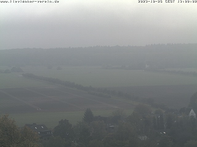

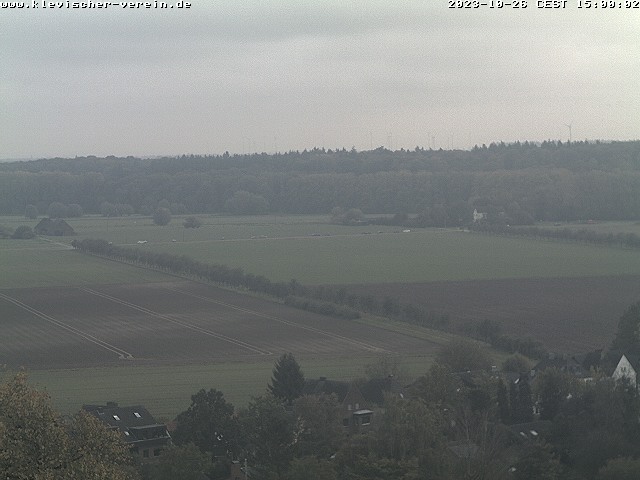
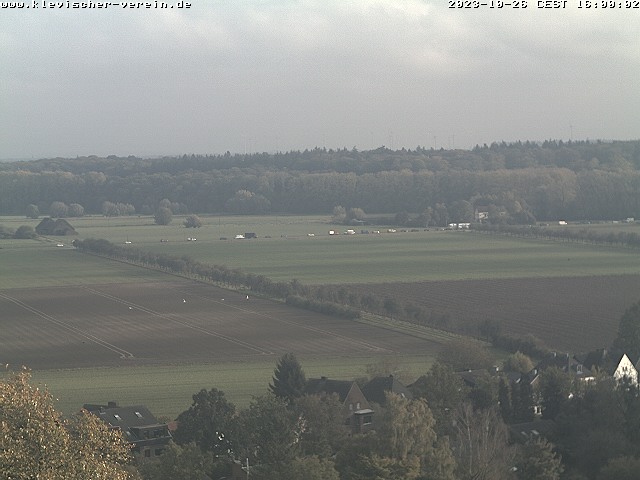
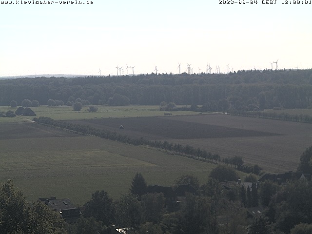
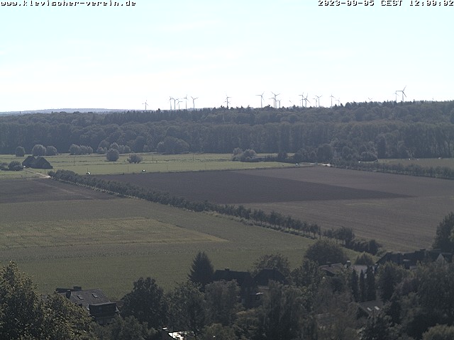
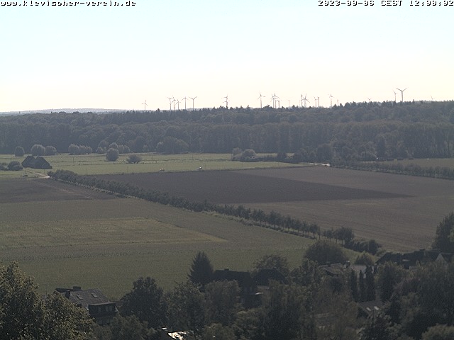
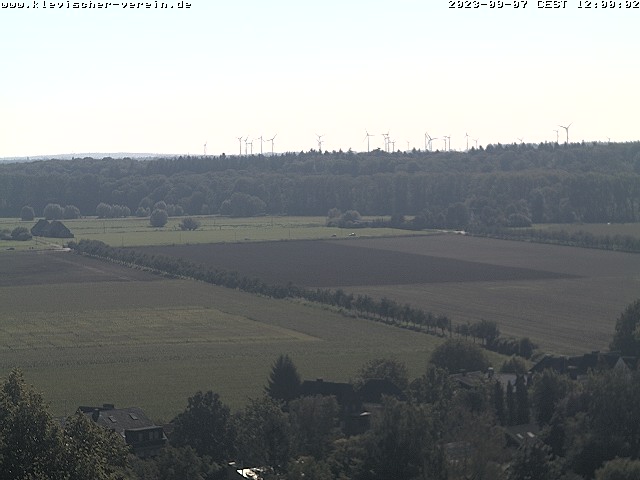
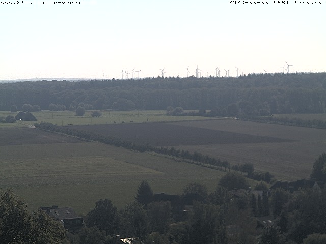
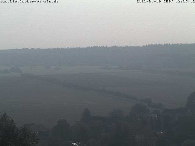
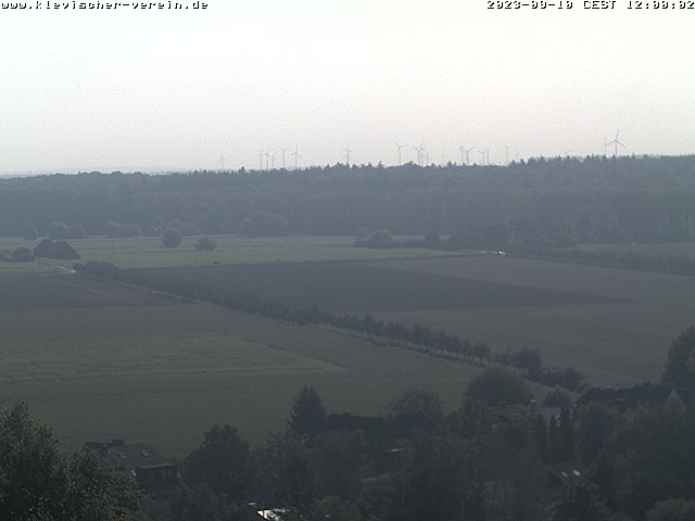


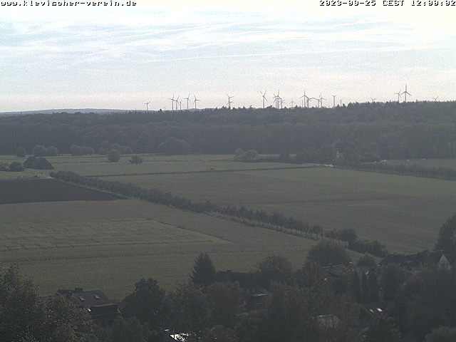
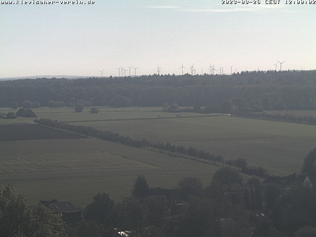
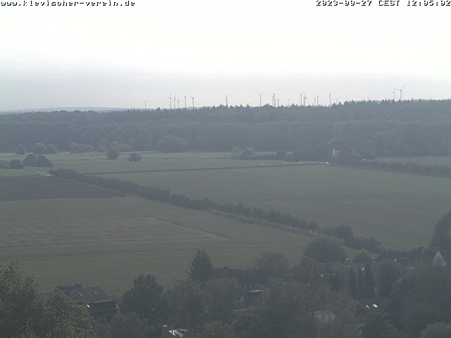
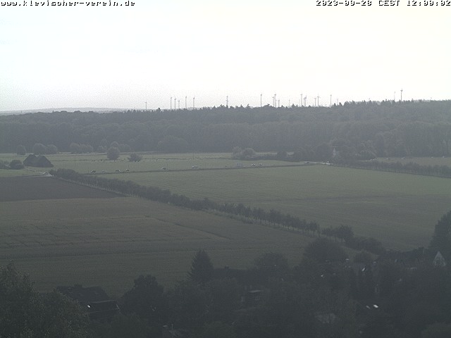


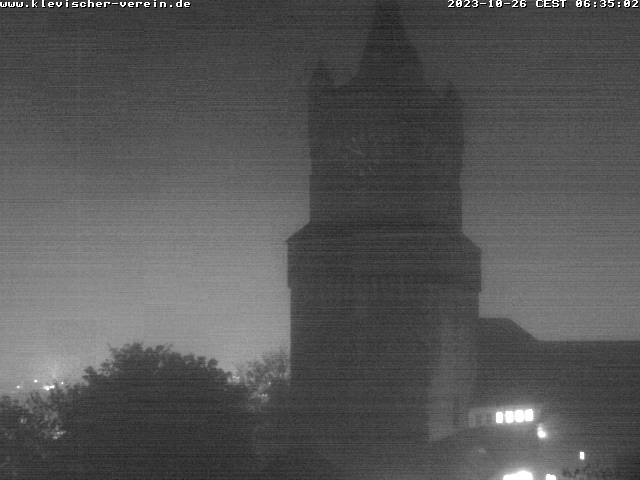
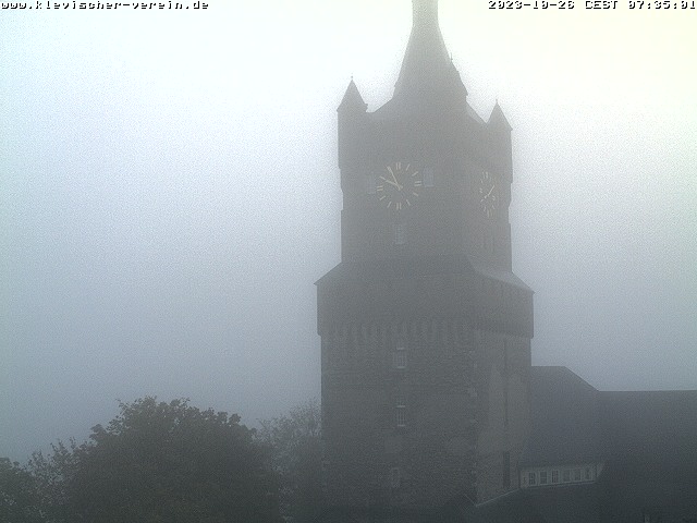
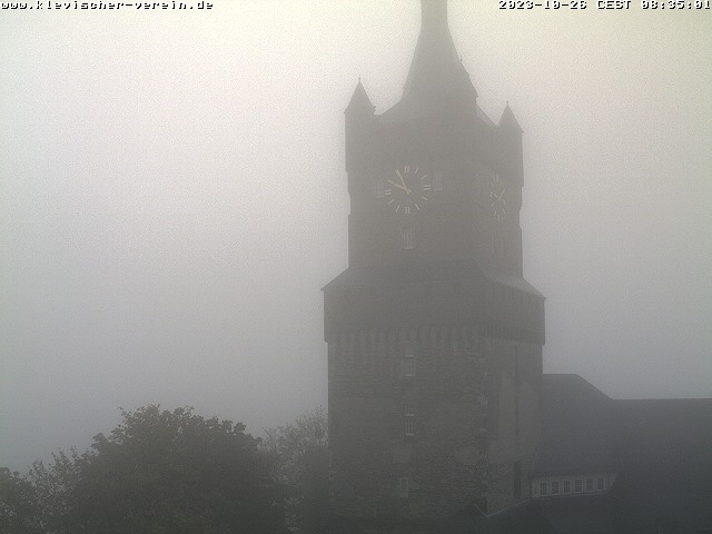
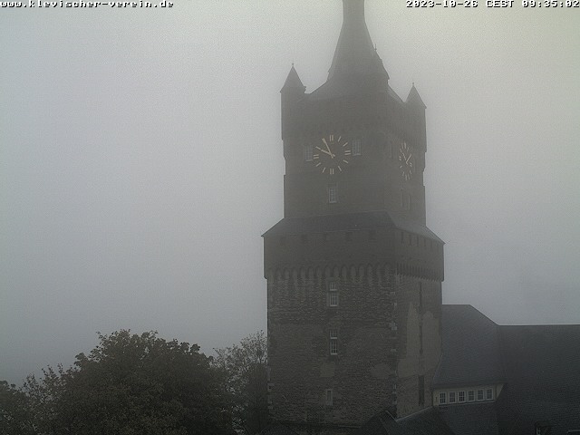
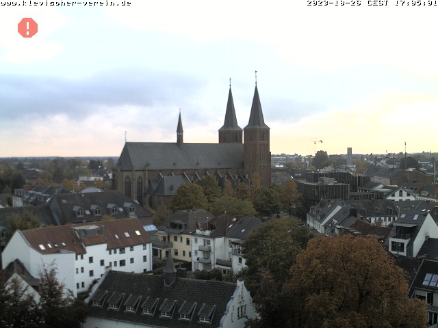
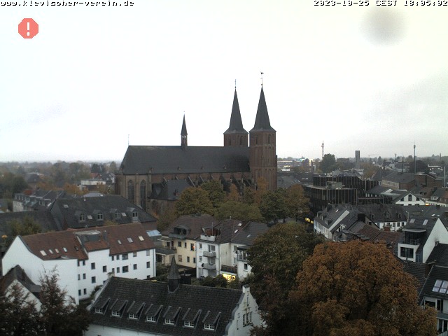
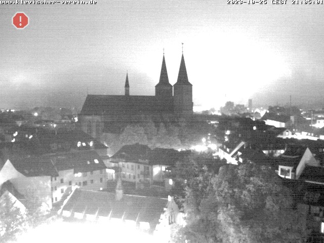
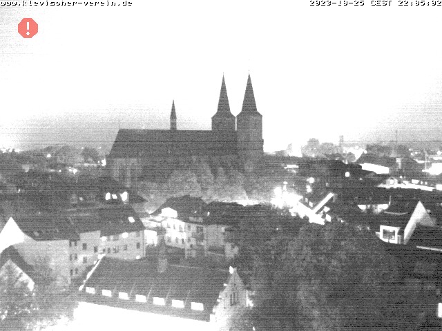
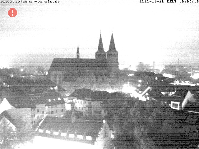
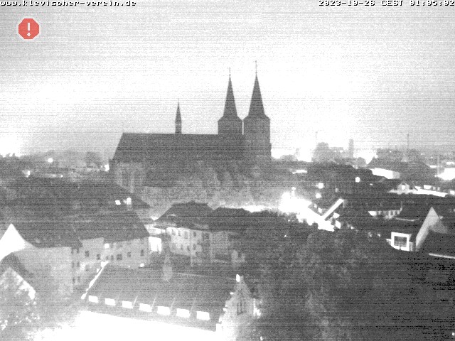
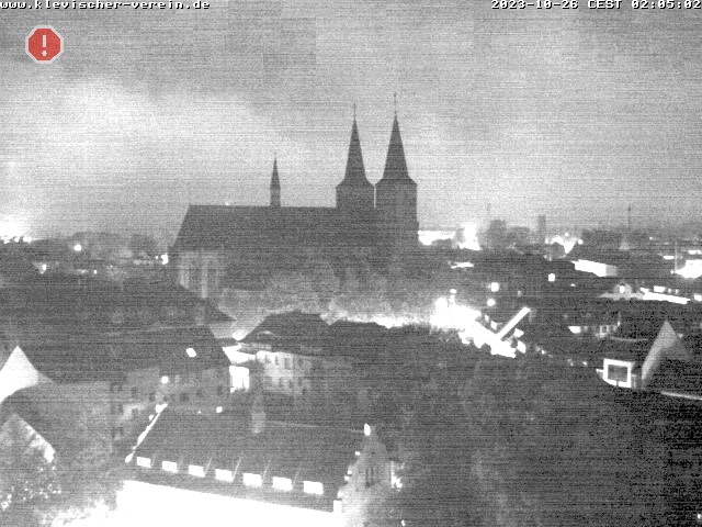
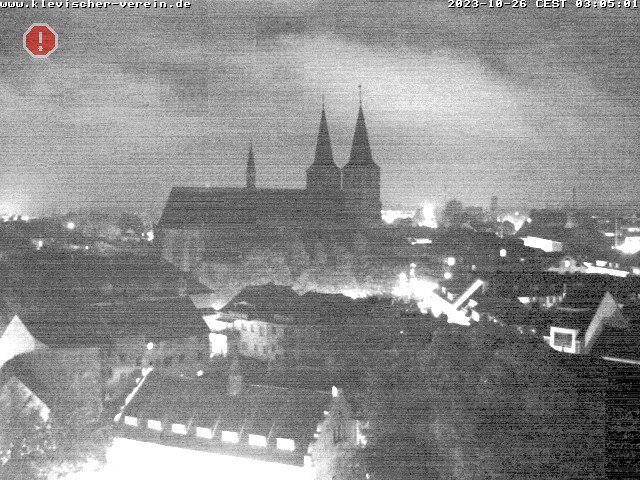
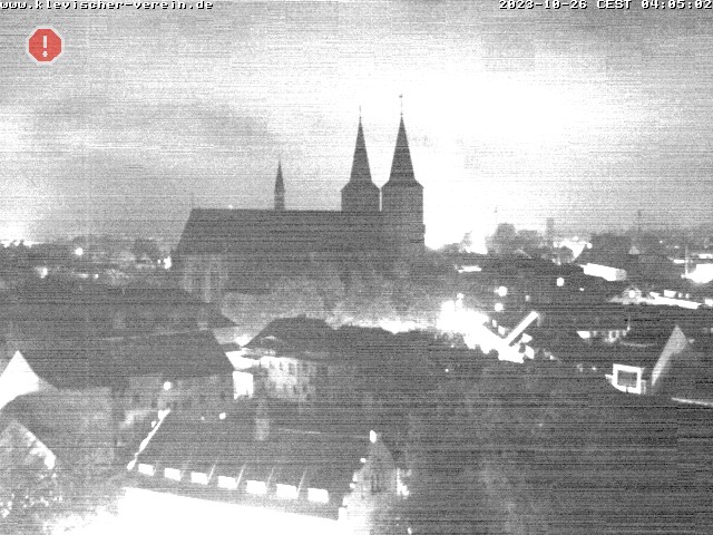
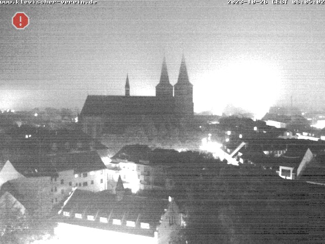
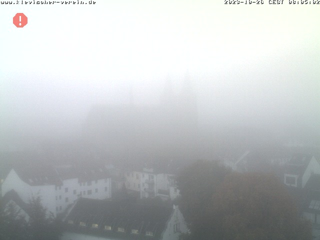
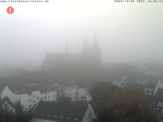
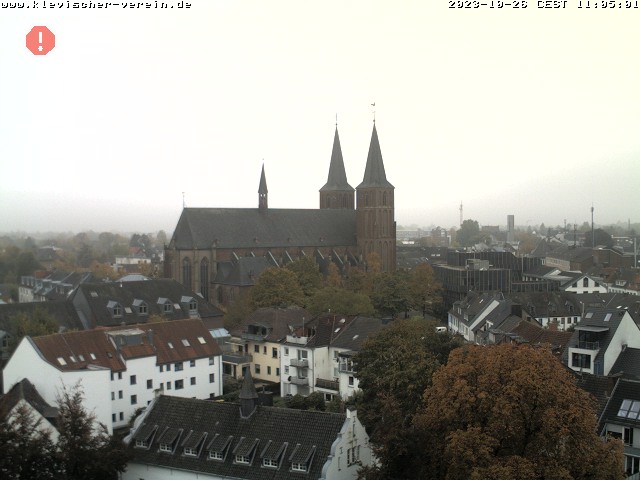
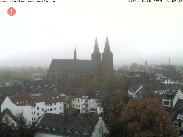
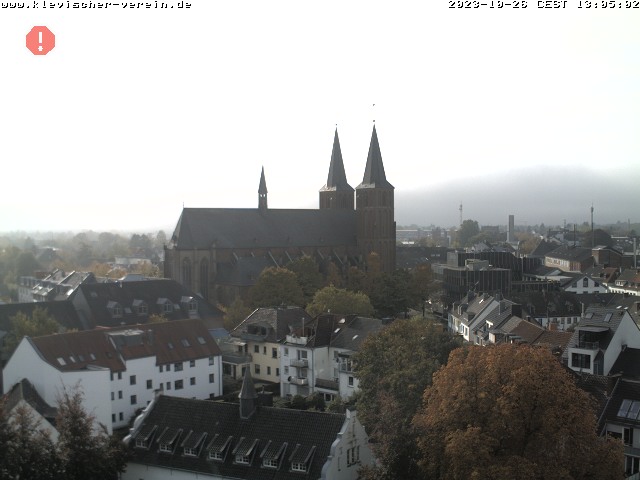
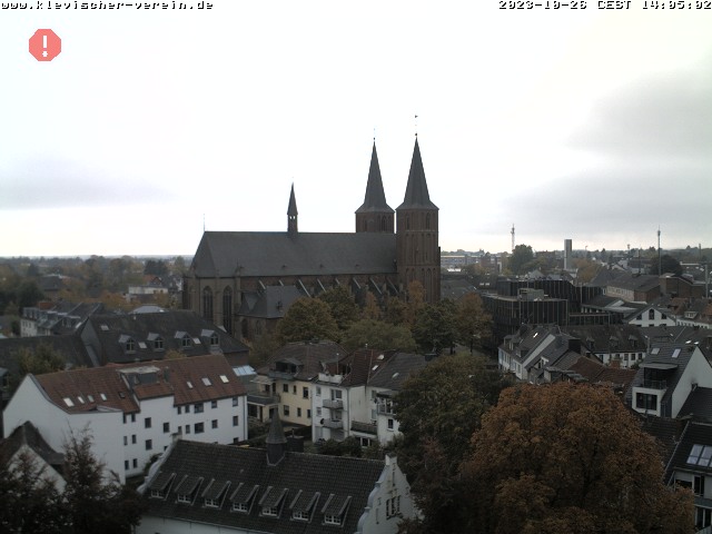
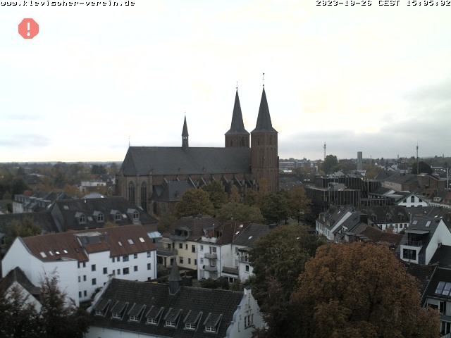
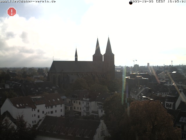
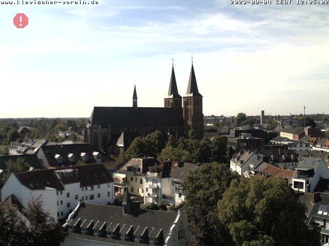
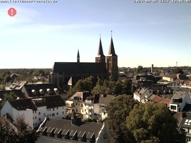
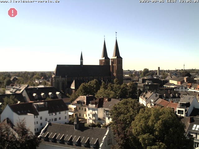
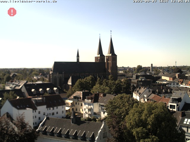
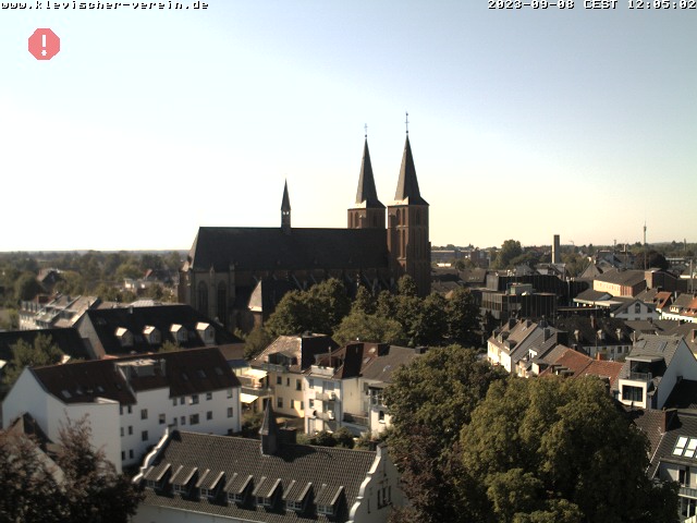
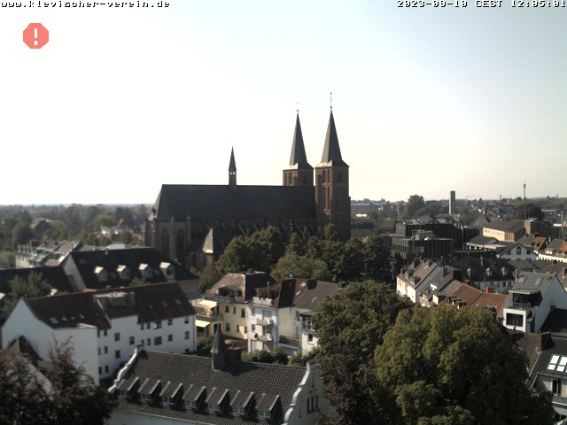
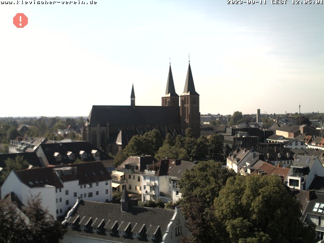
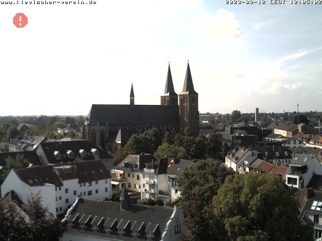
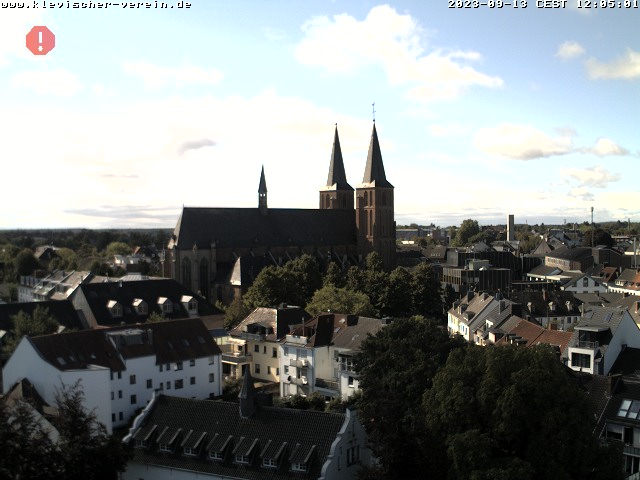
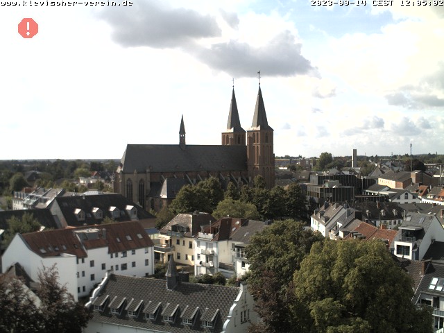
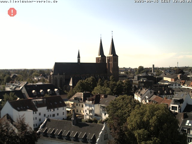
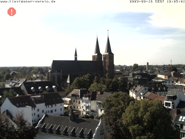
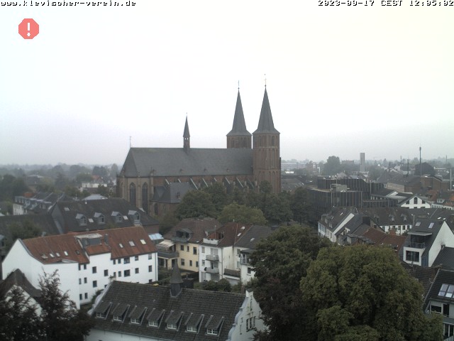
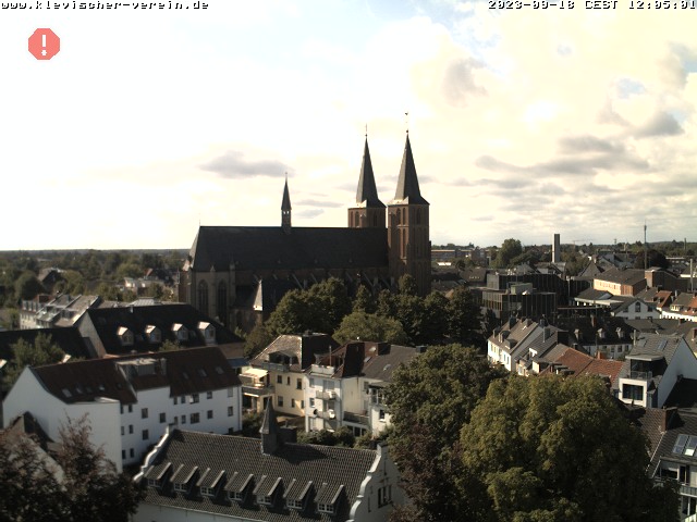
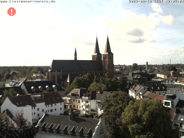
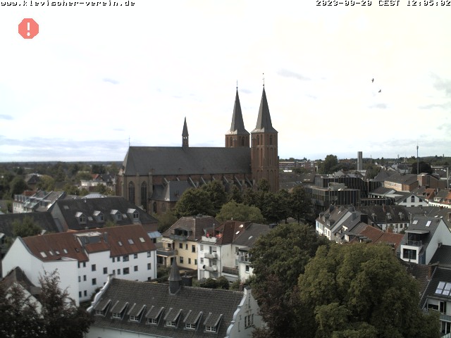
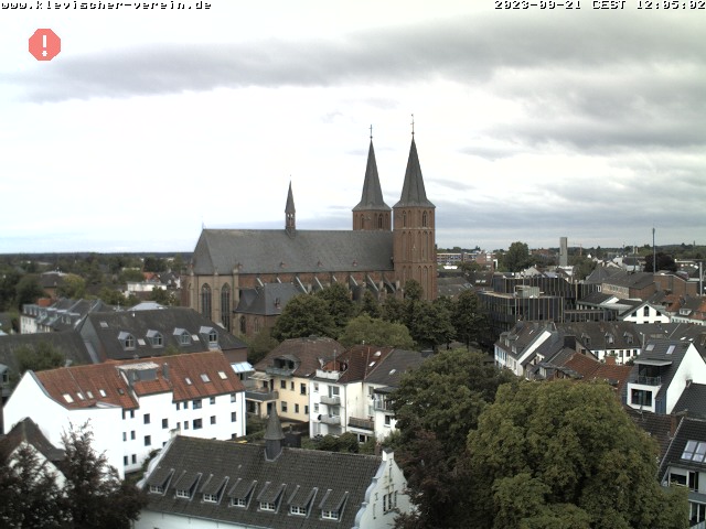
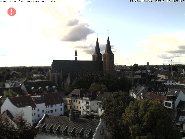
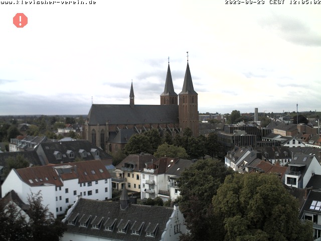
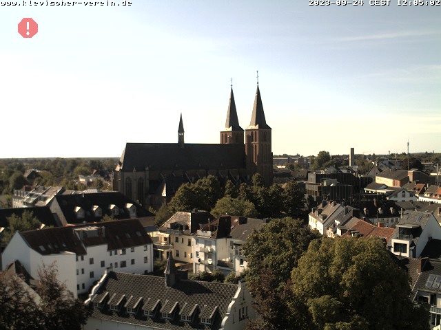
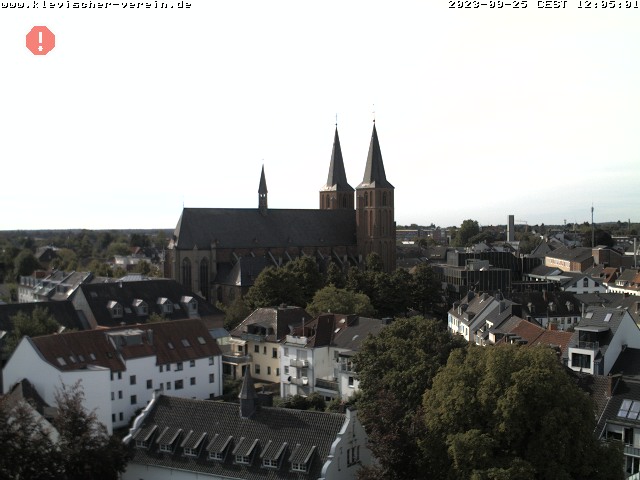
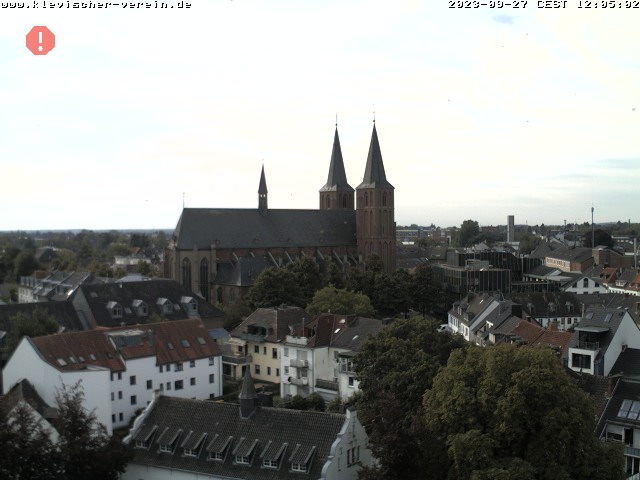
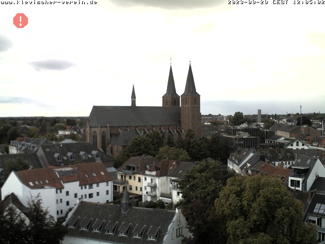
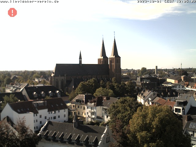
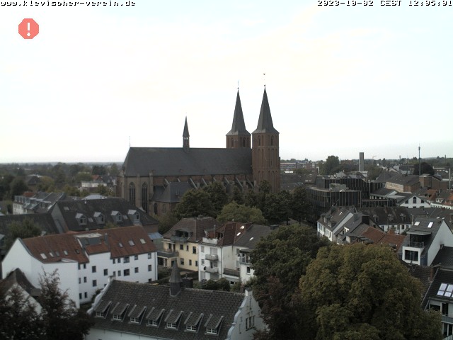
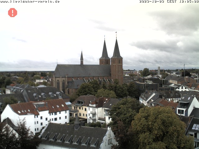
Kleve, Germany - 23.1 miles from Haar: Stiftskirche - A nice view of the Stiftskirche from the Spiegelturm.
Operator: Klevischer Verein für Kultur und Geschichte
Operator: Klevischer Verein für Kultur und Geschichte


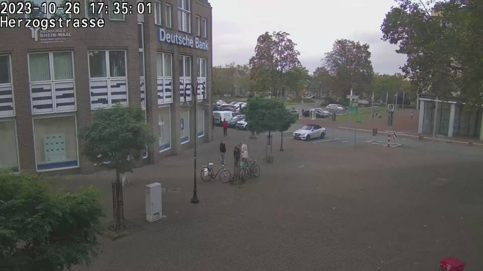
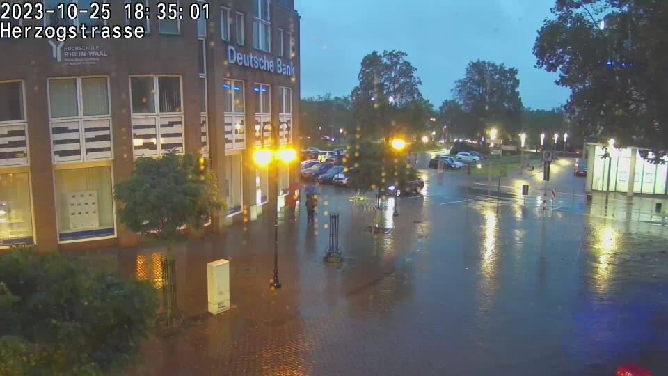
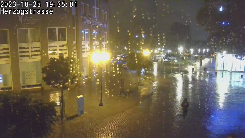
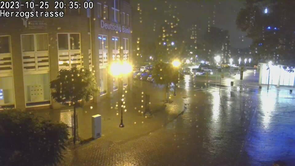
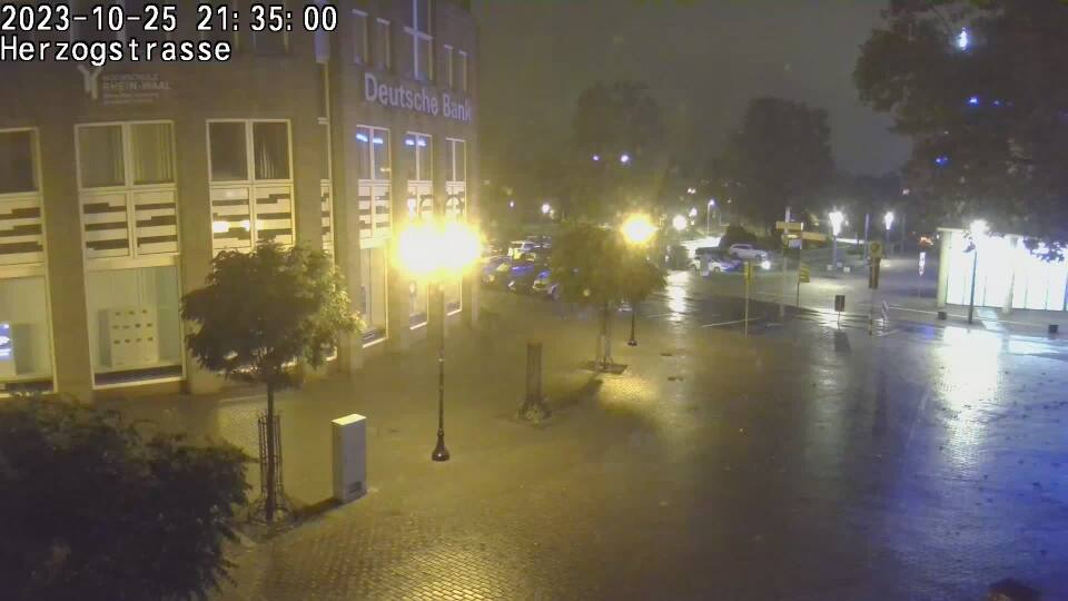
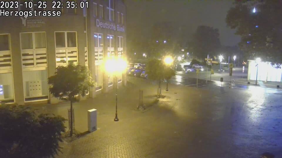
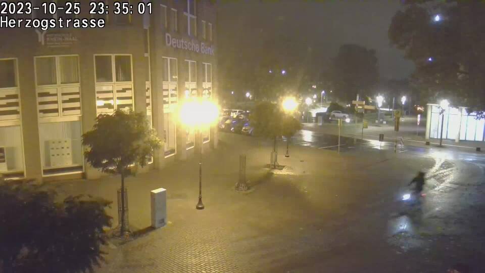
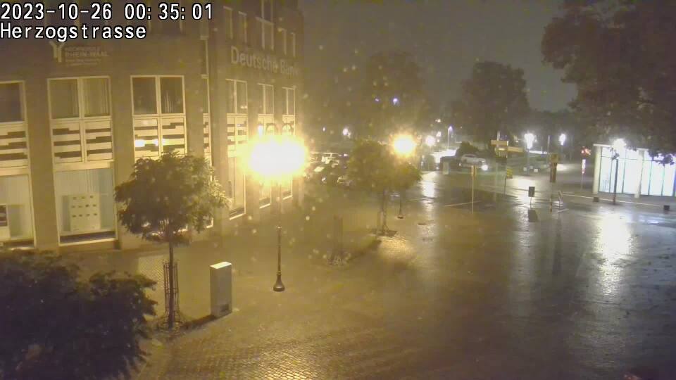
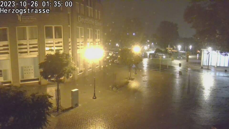
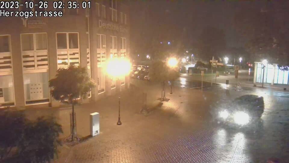
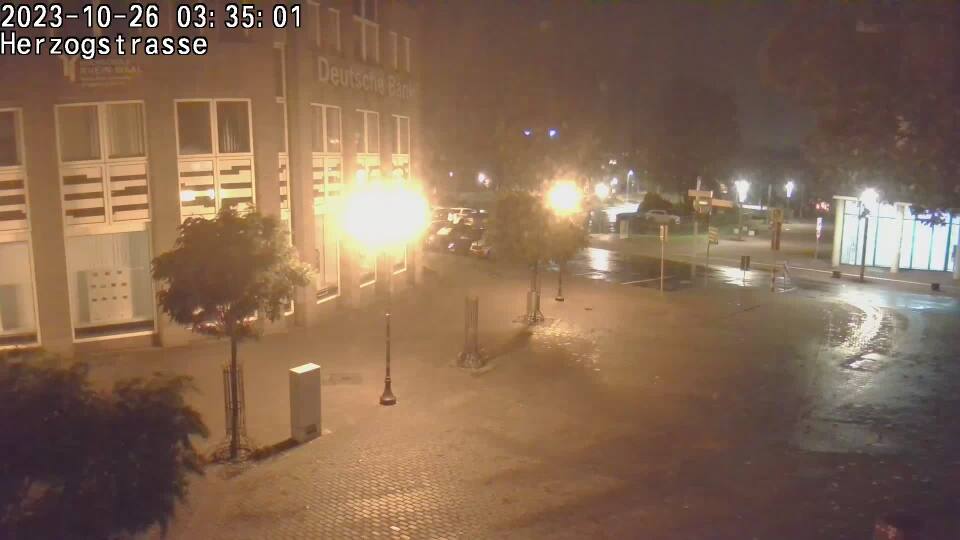
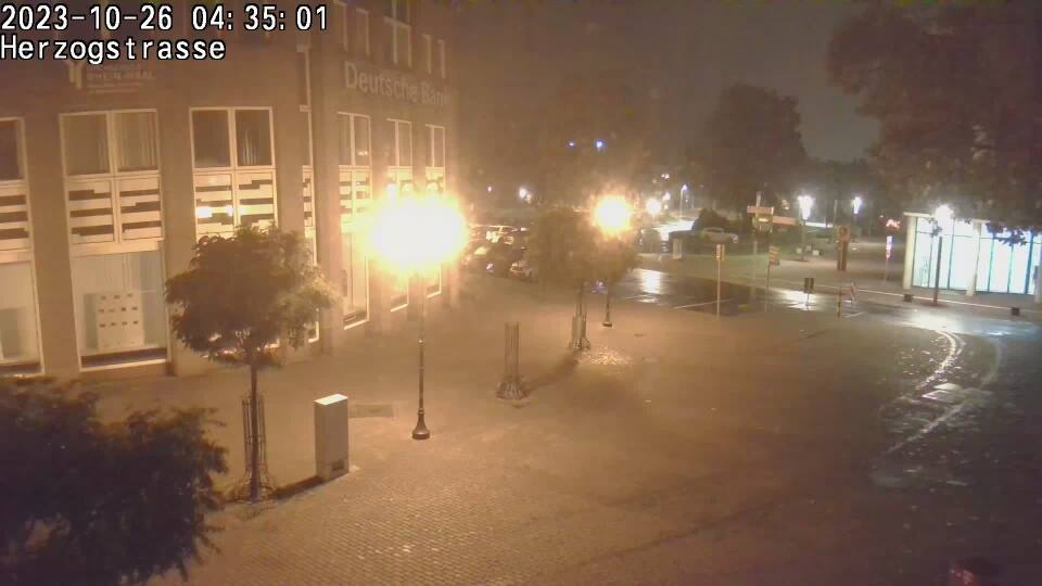
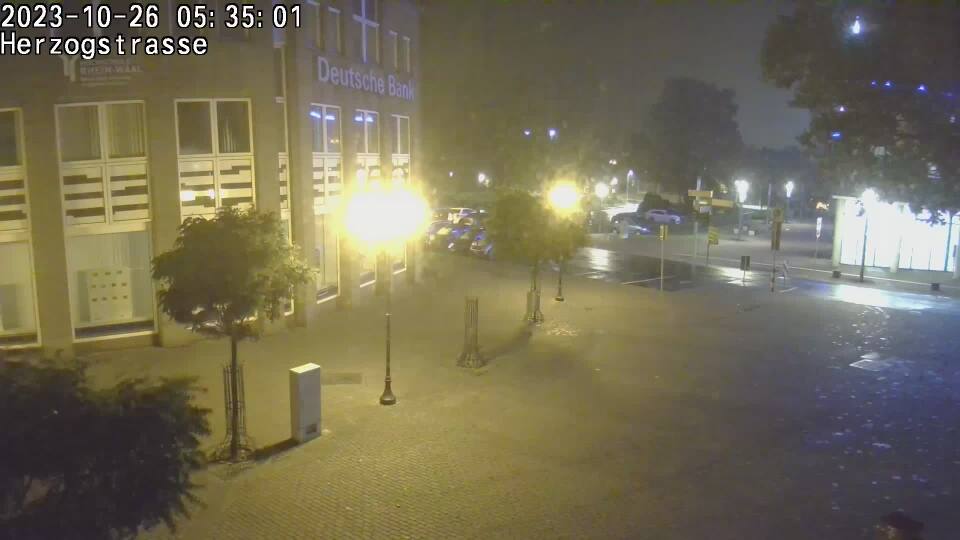
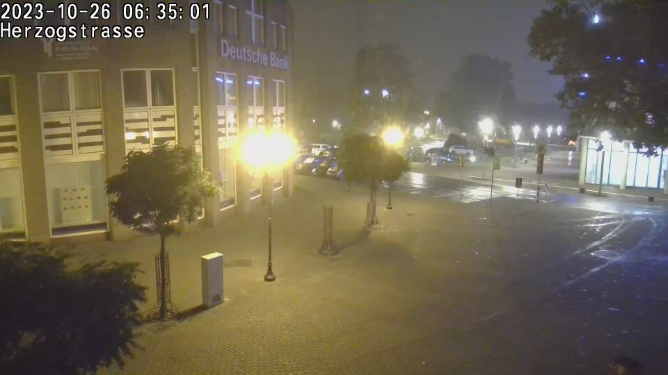
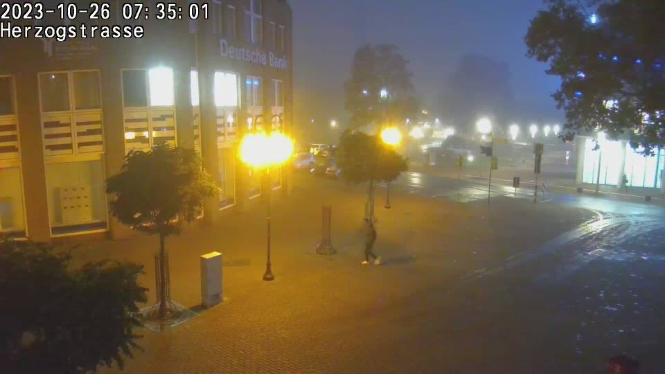
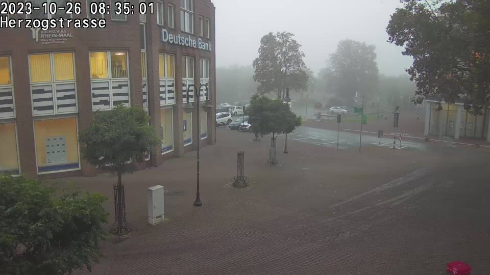
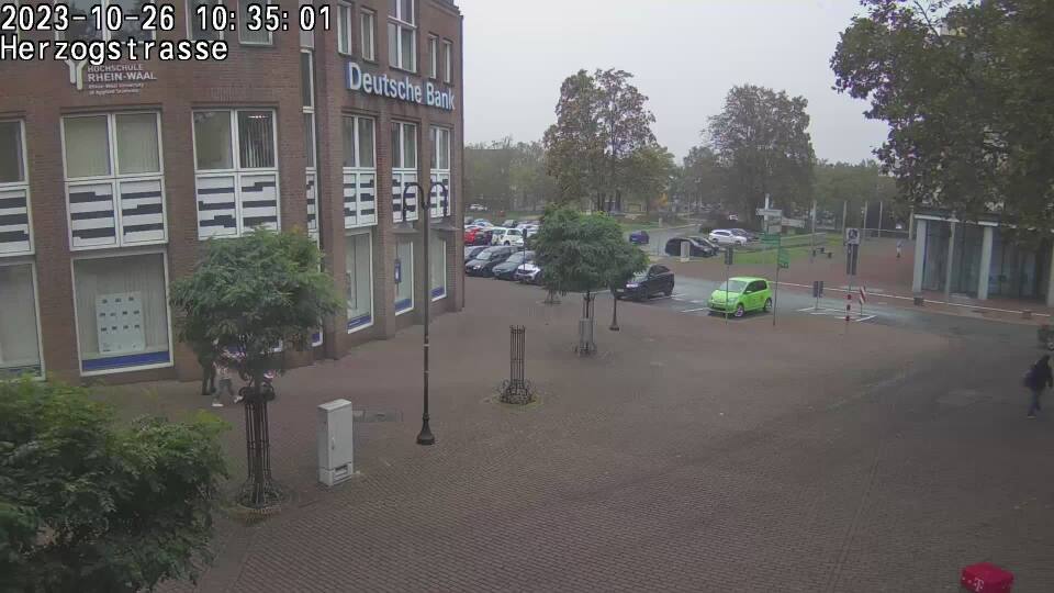
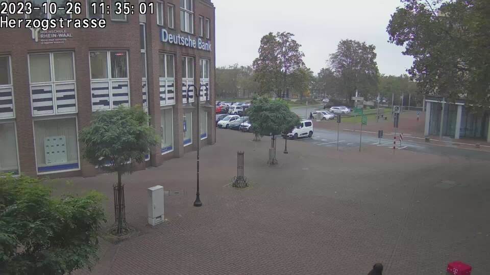
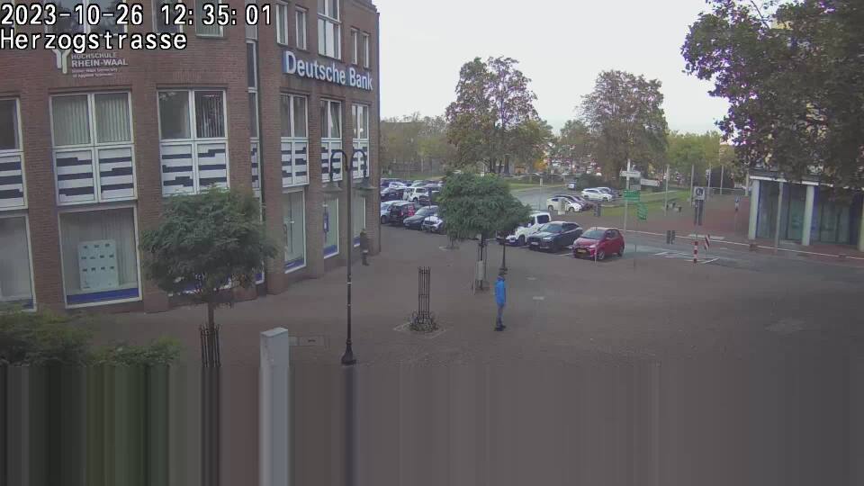
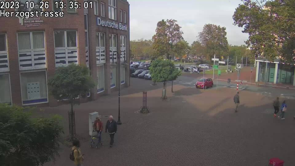
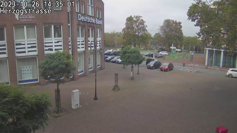
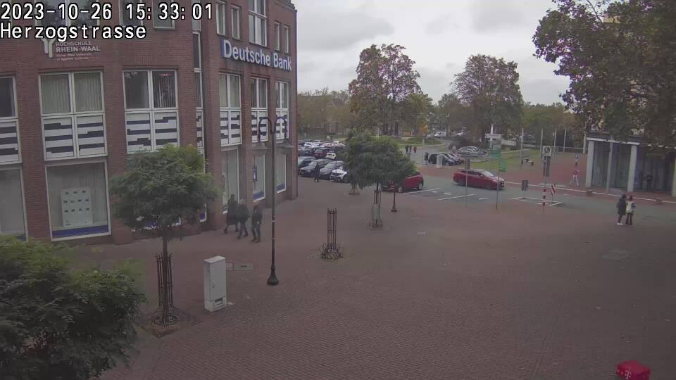
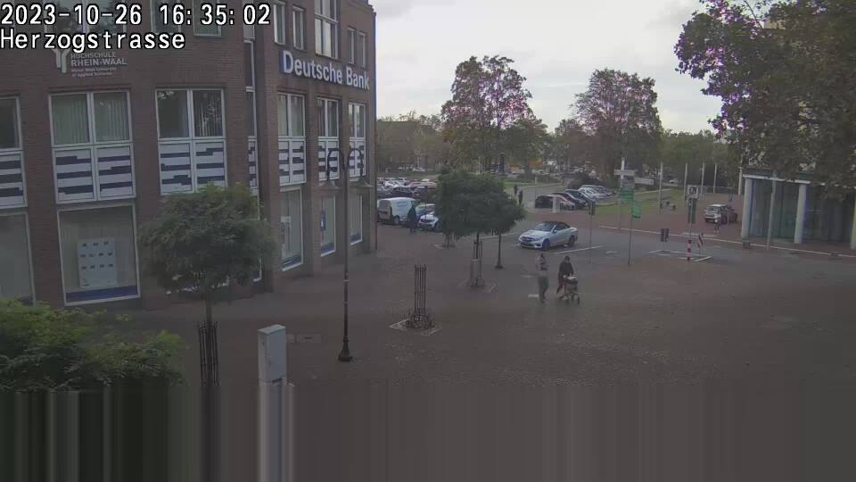
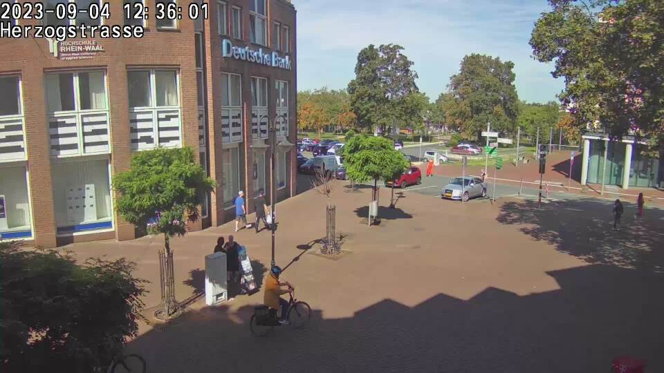
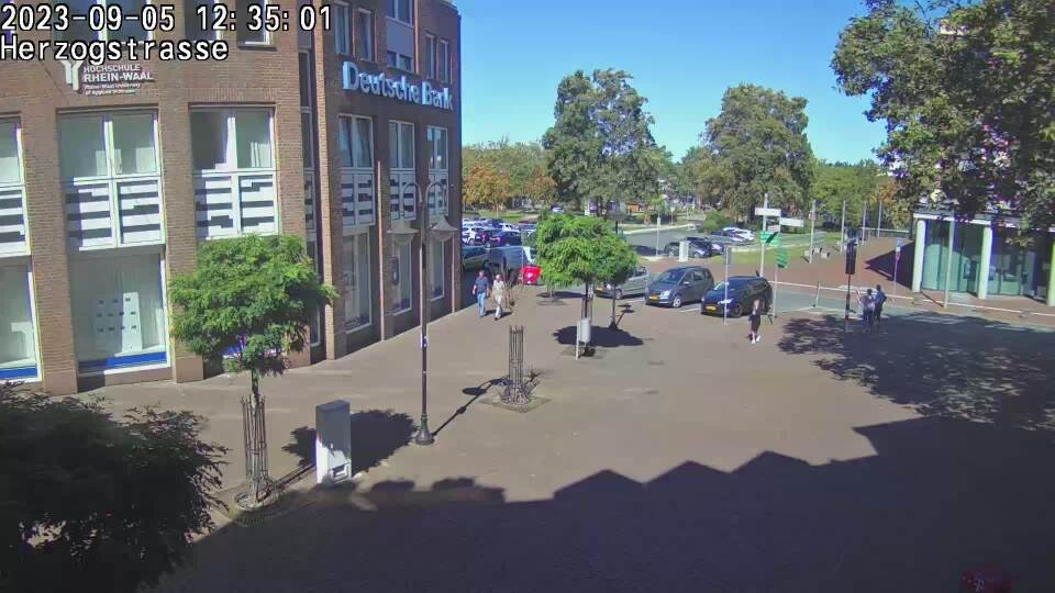
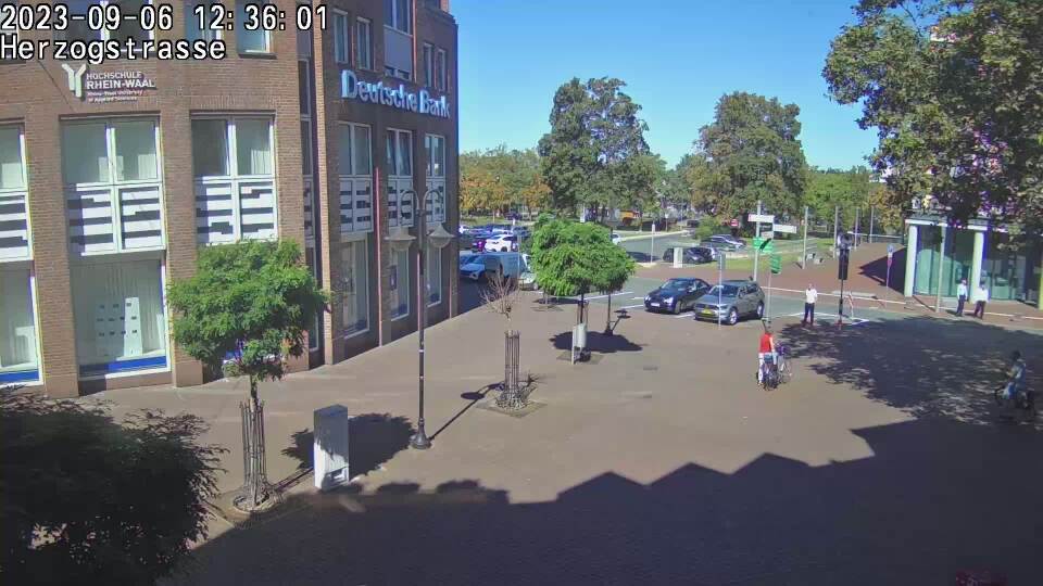
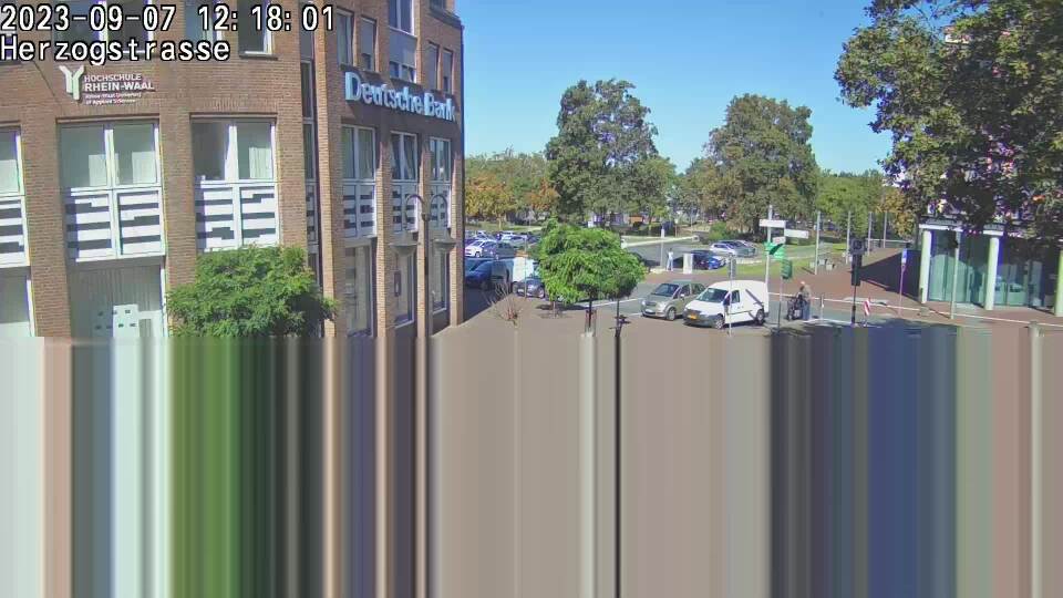
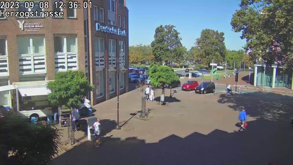
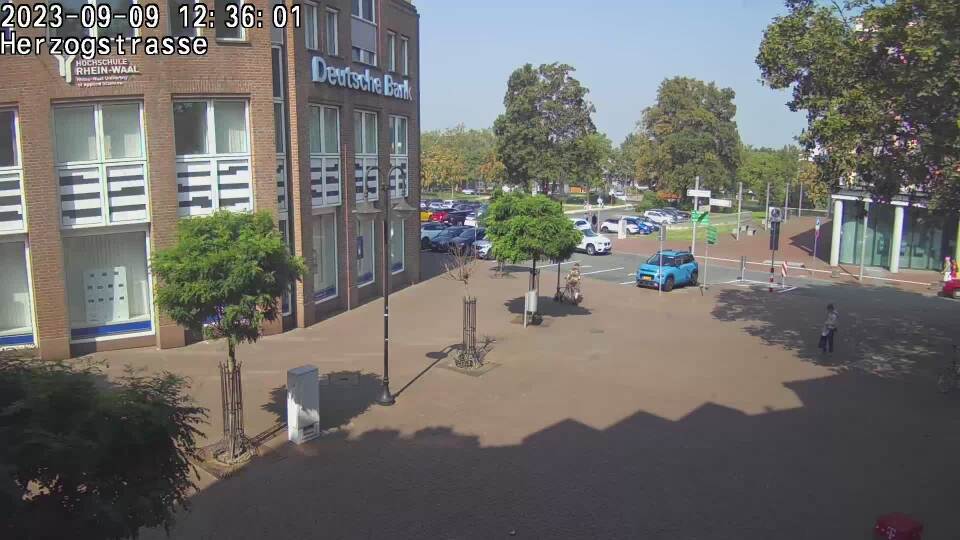
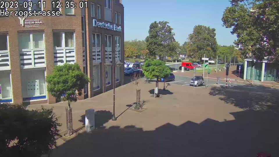
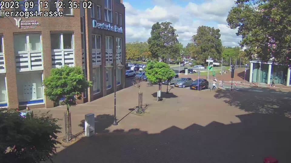
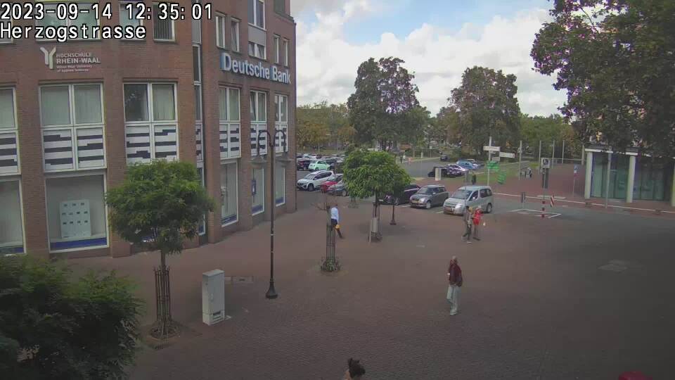
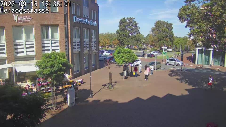
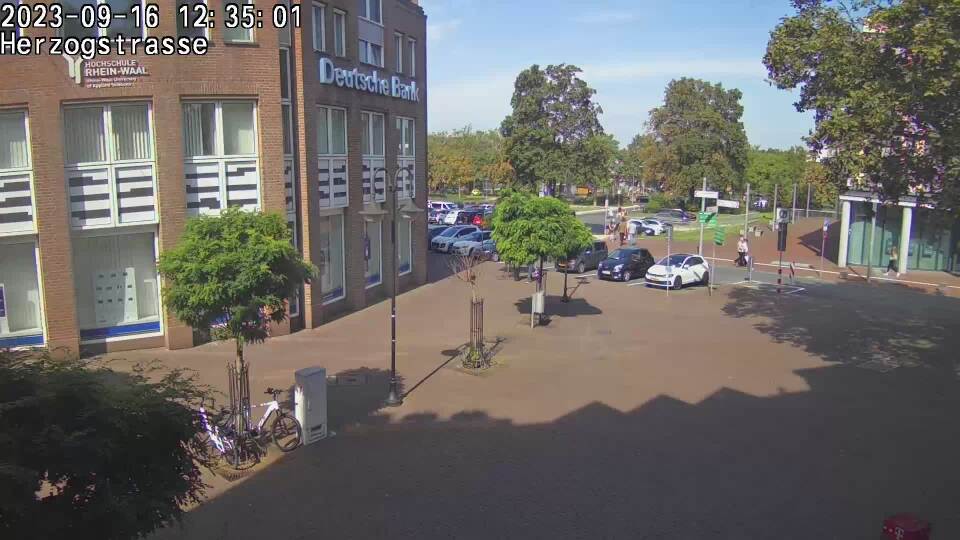
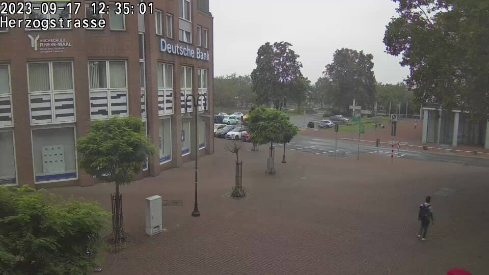
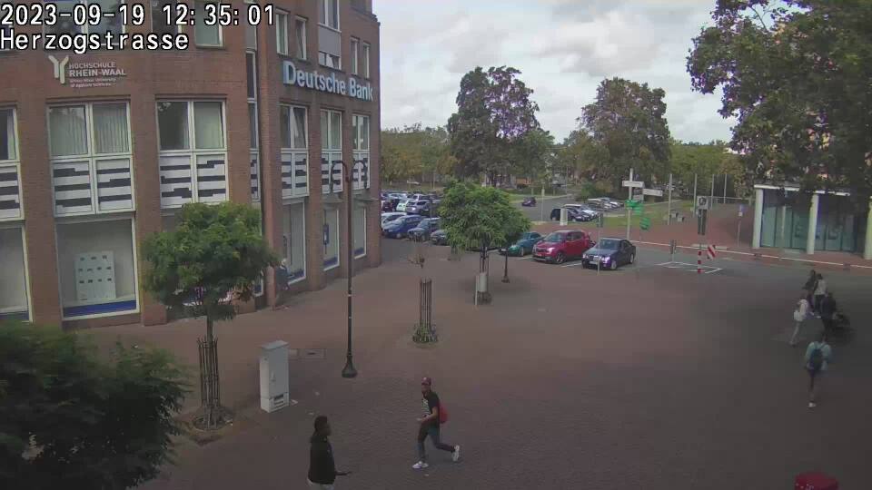
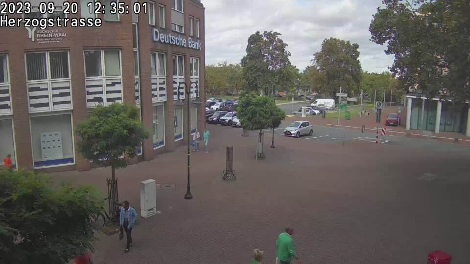
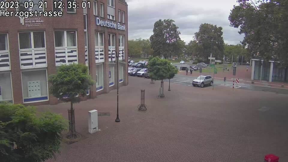
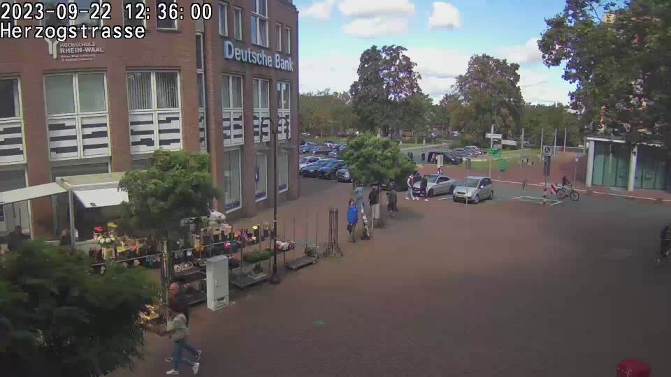
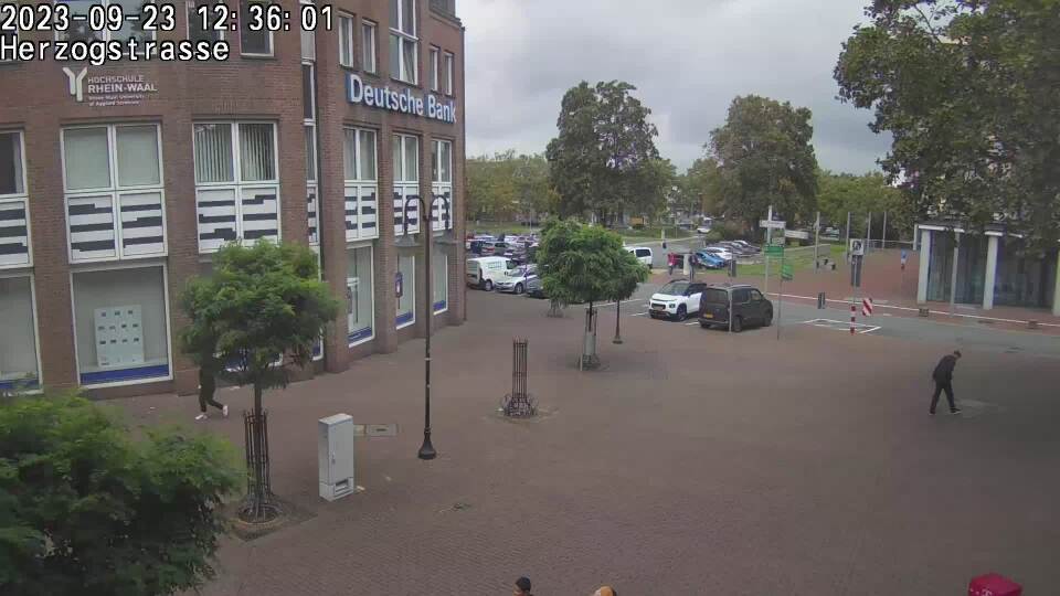
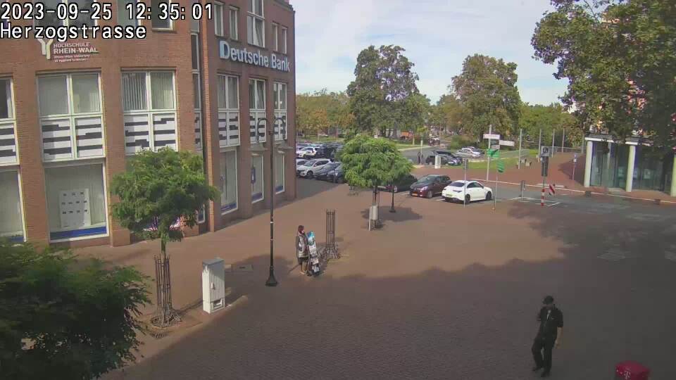
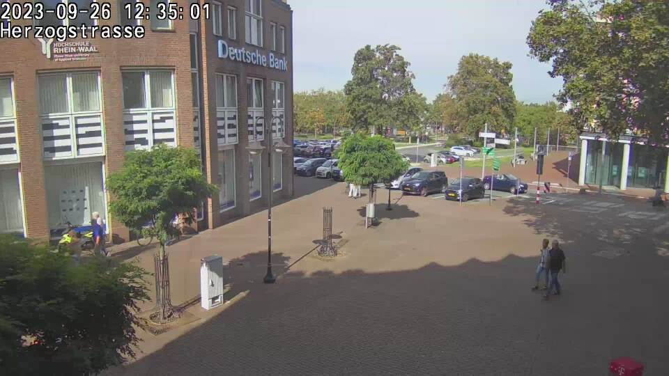
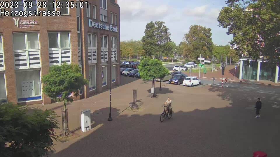
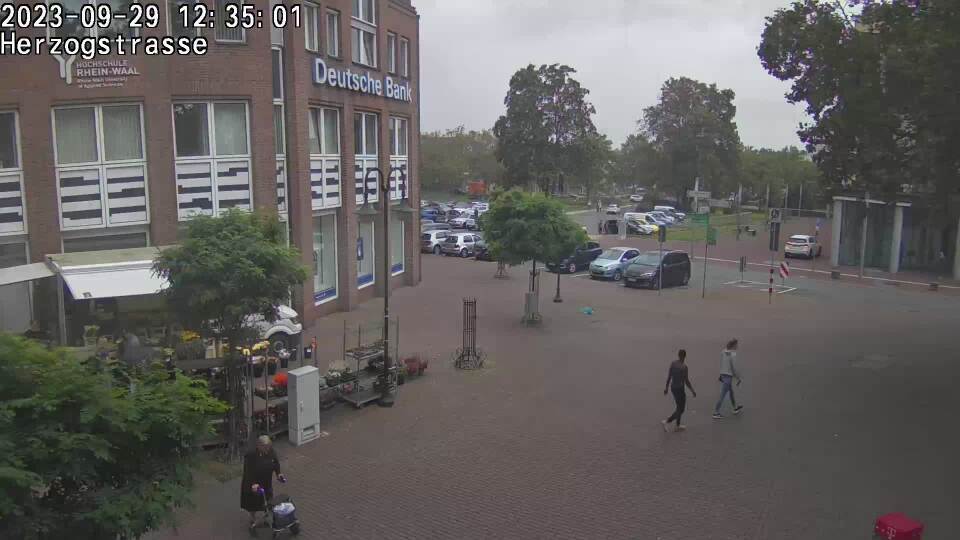
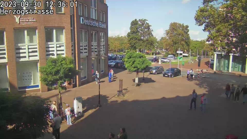
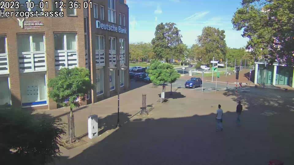
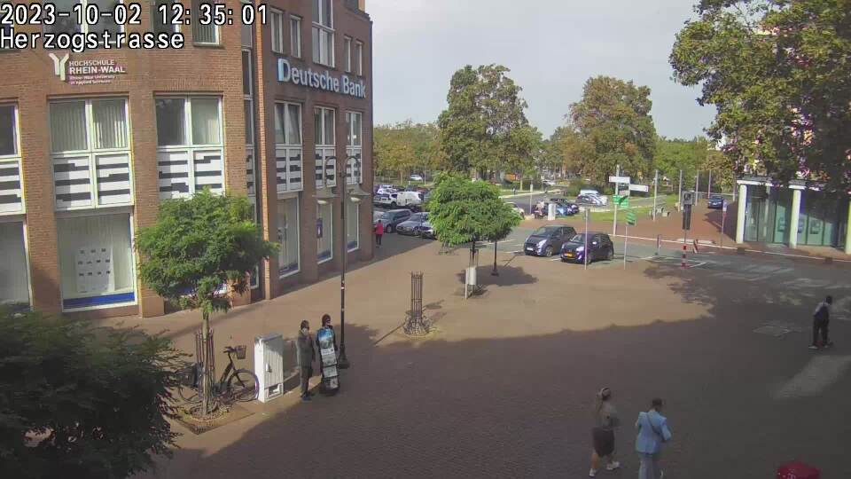
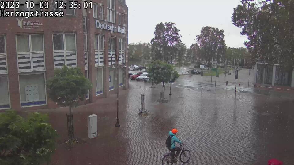
Kleve, Germany - 23.1 miles from Haar: Herzogstraße Kleve - Webcam Herzogstrasse, Minoritenstrasse in Kleve.
Operator: Interaktive Karte von Kleve
Operator: Interaktive Karte von Kleve


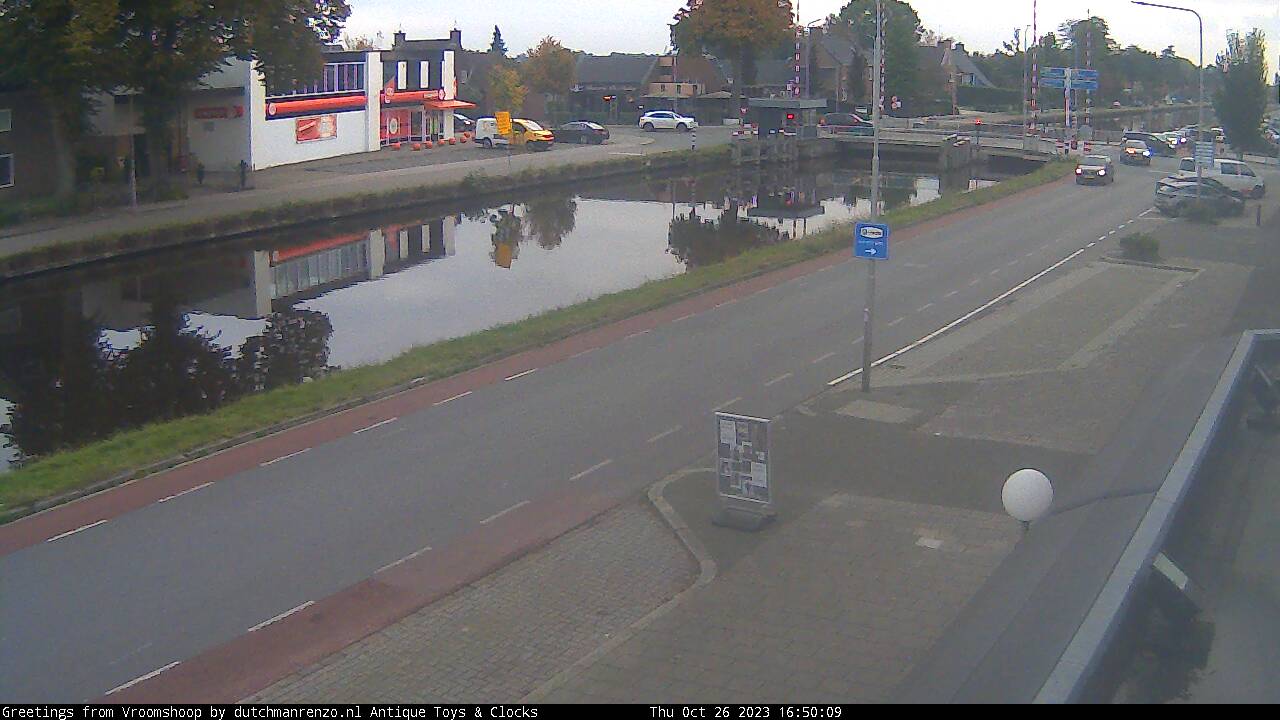
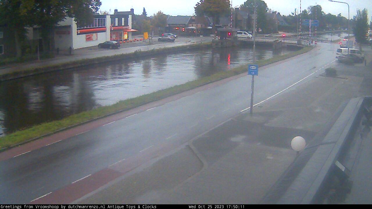
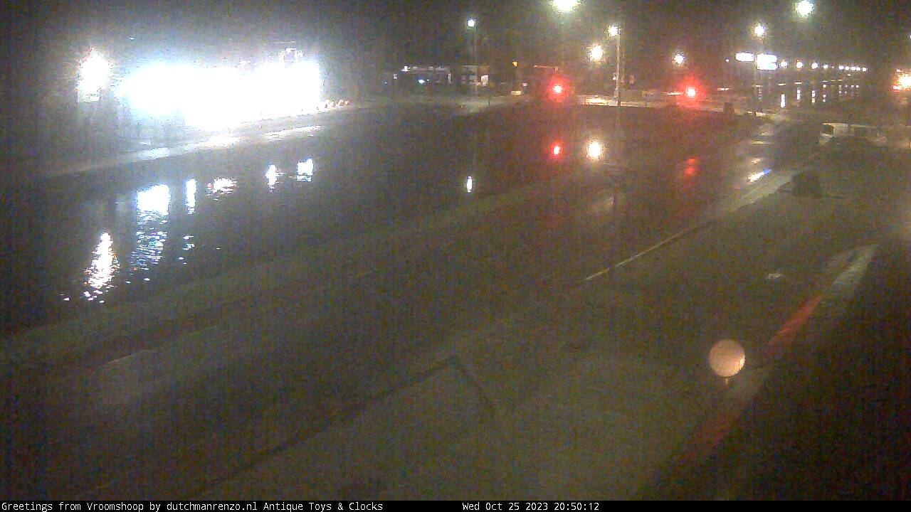
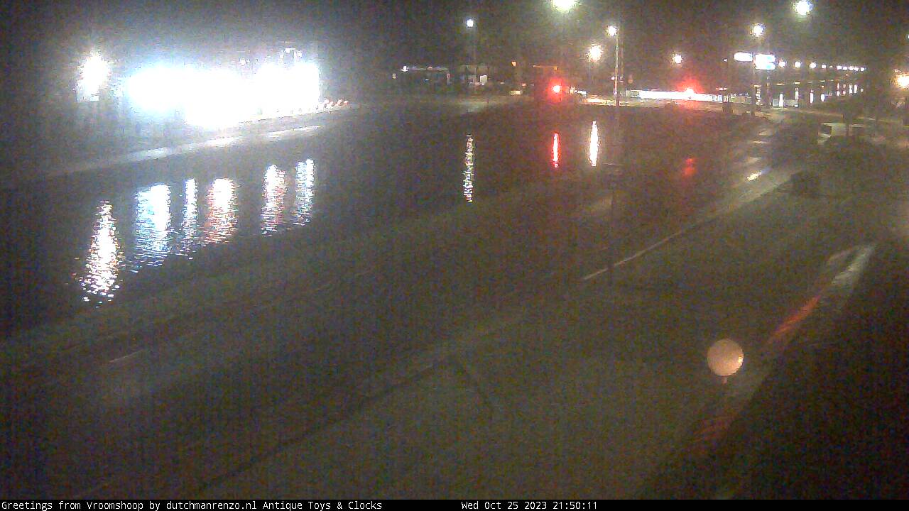
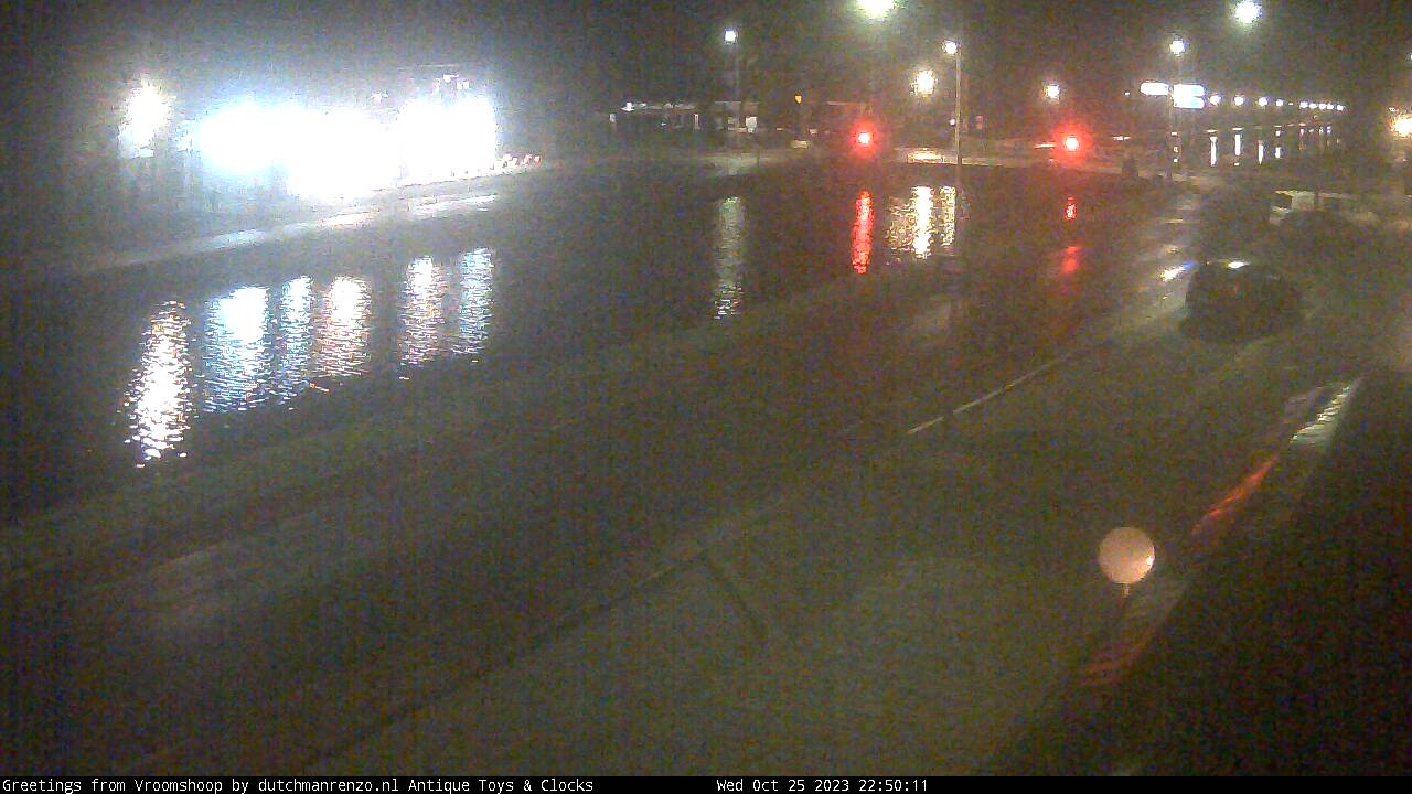
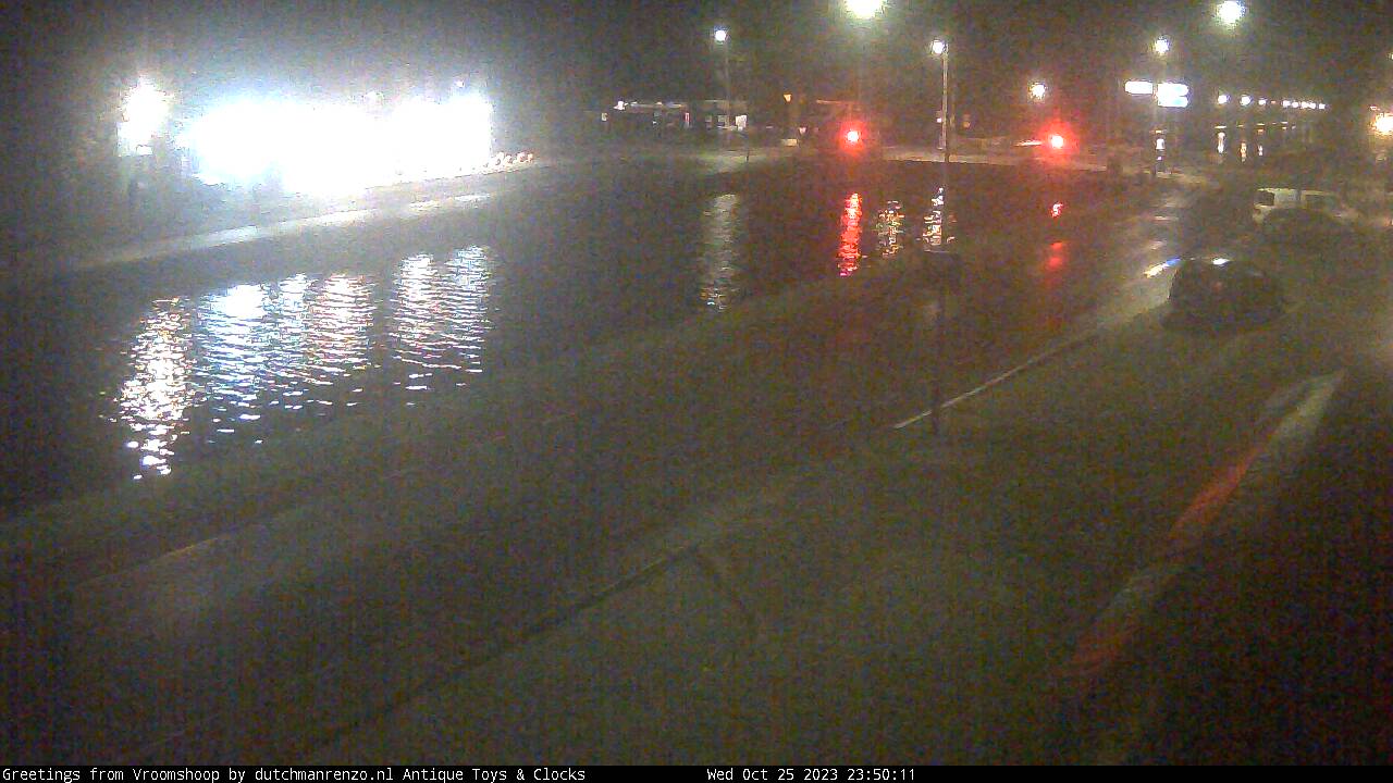
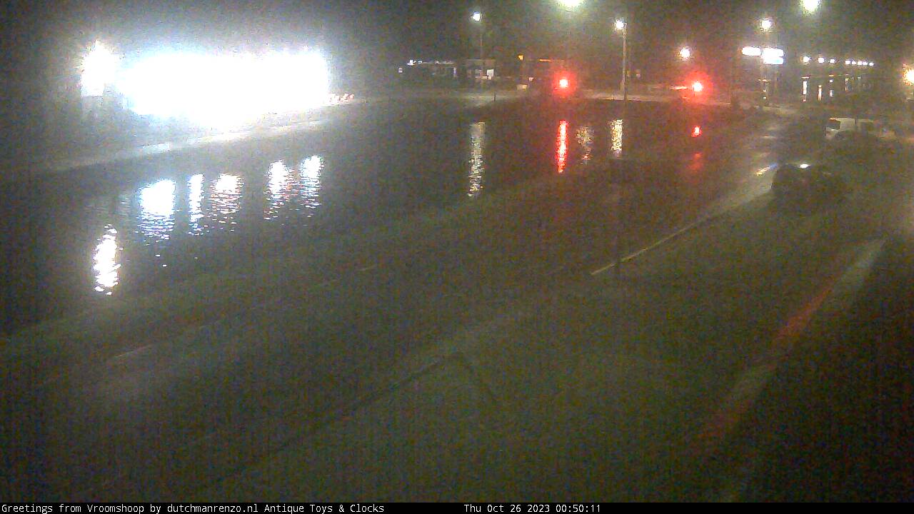
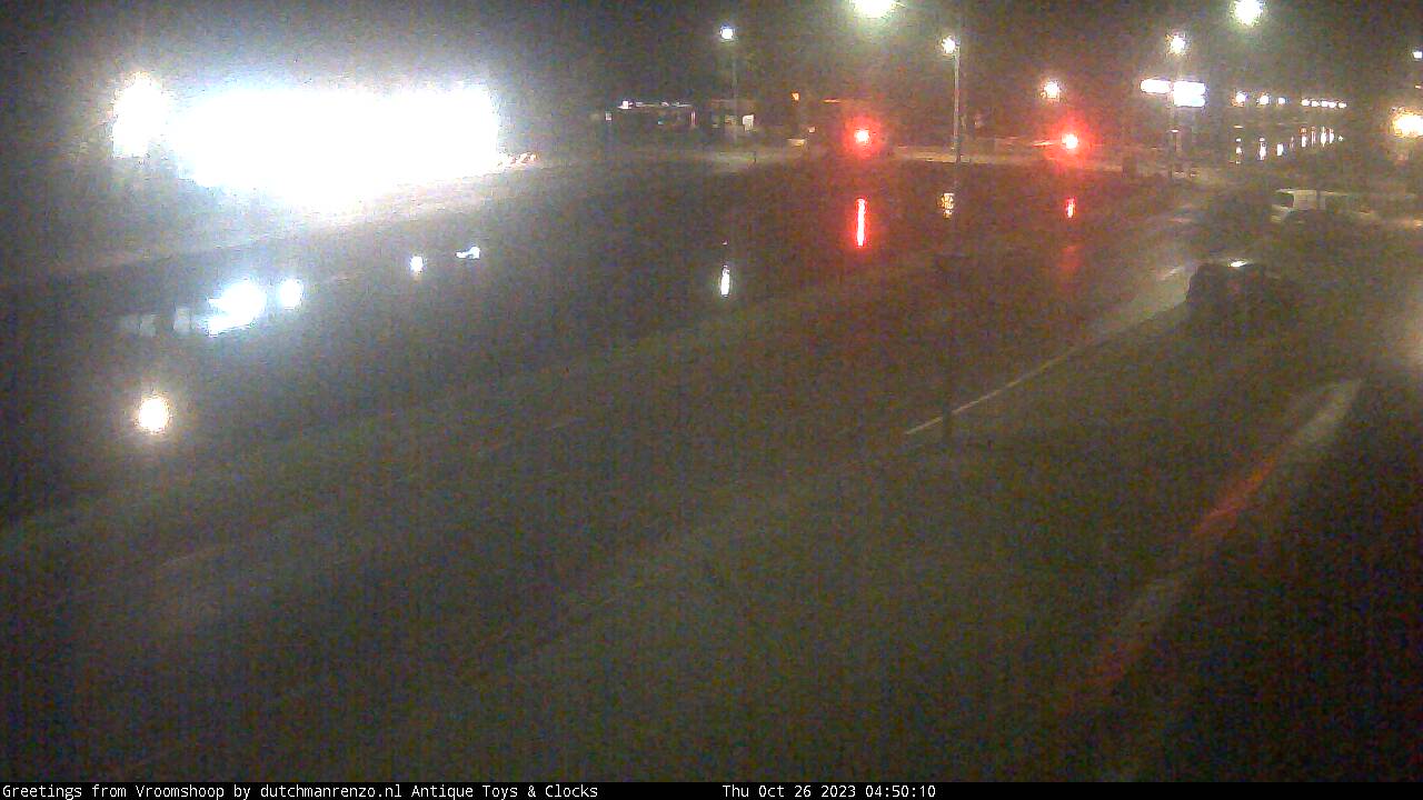
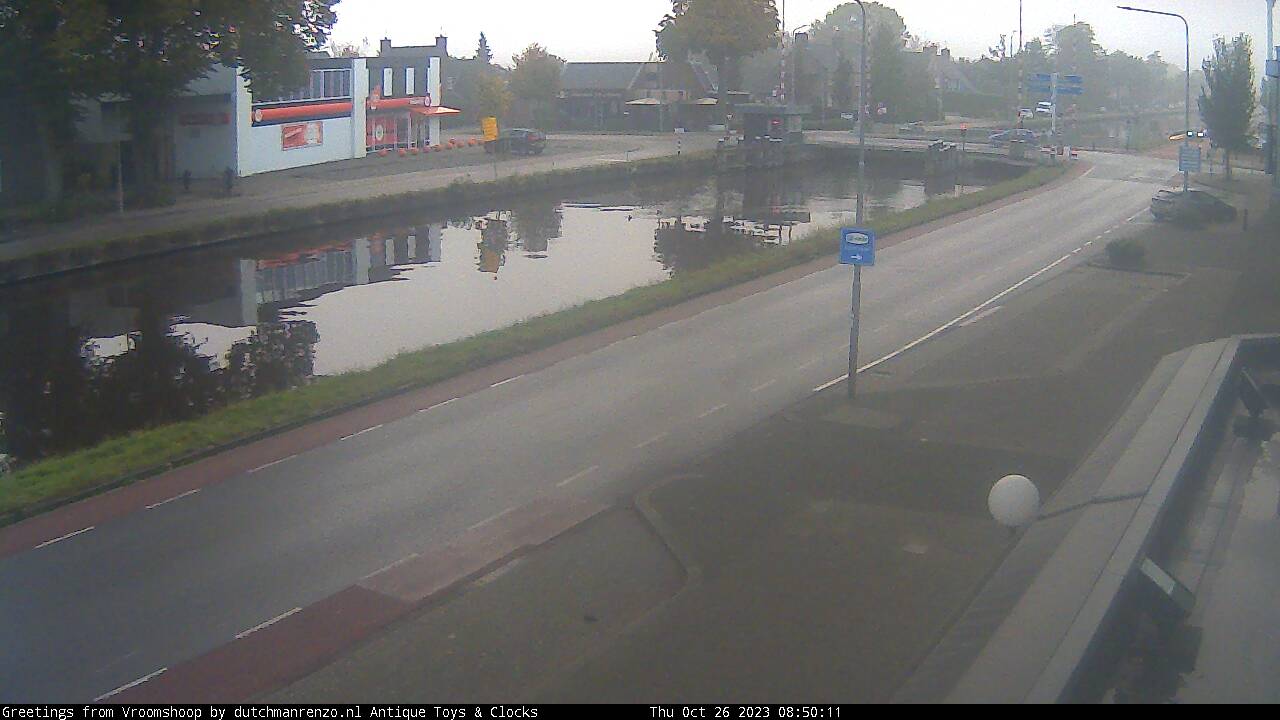
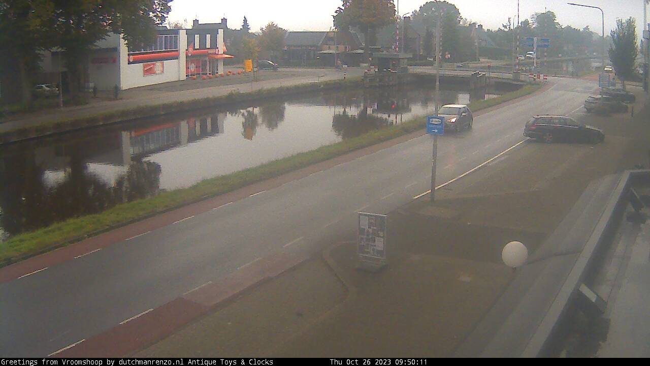
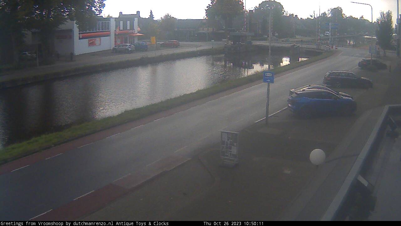
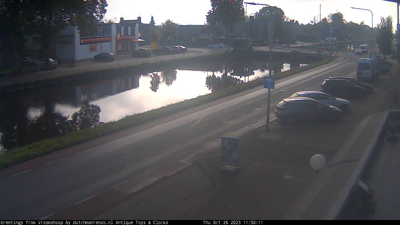
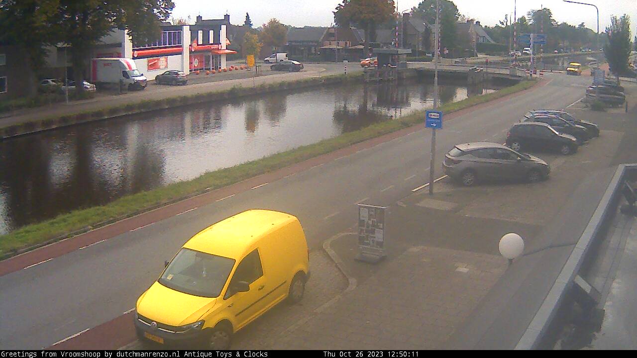
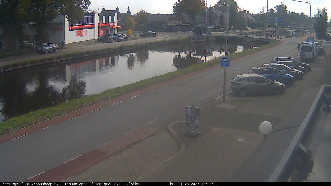
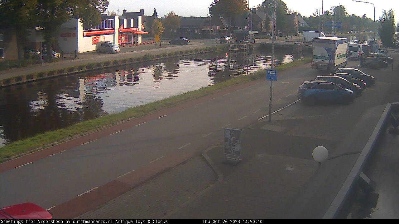
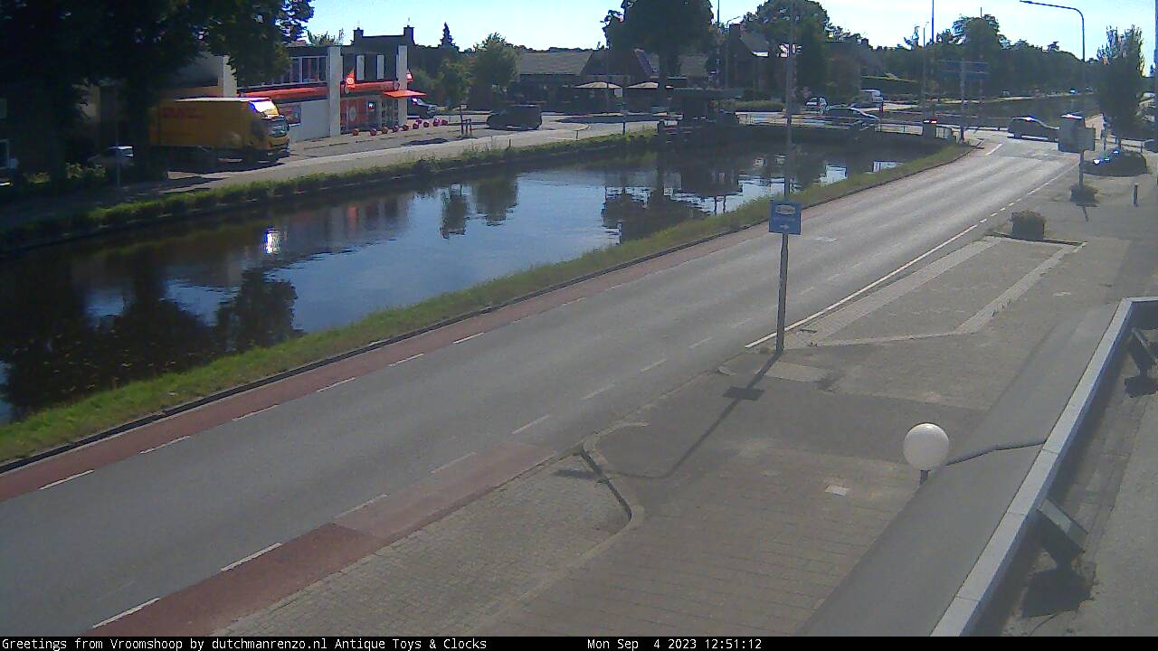
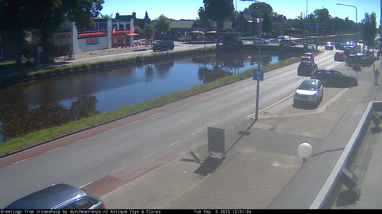
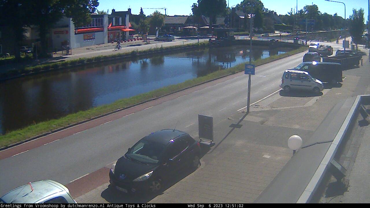
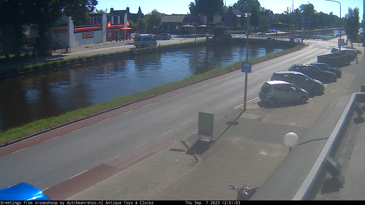
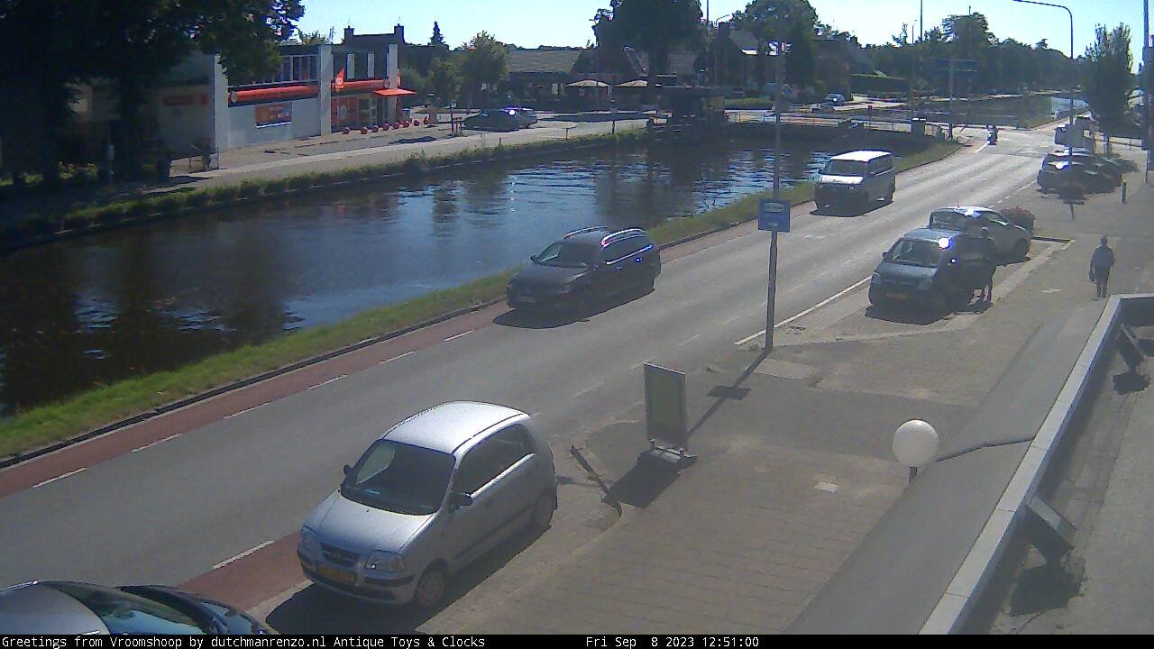
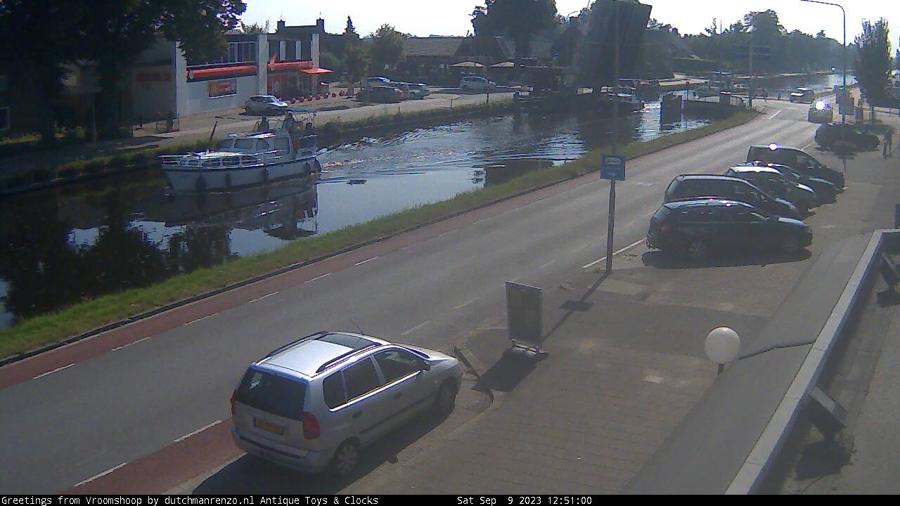
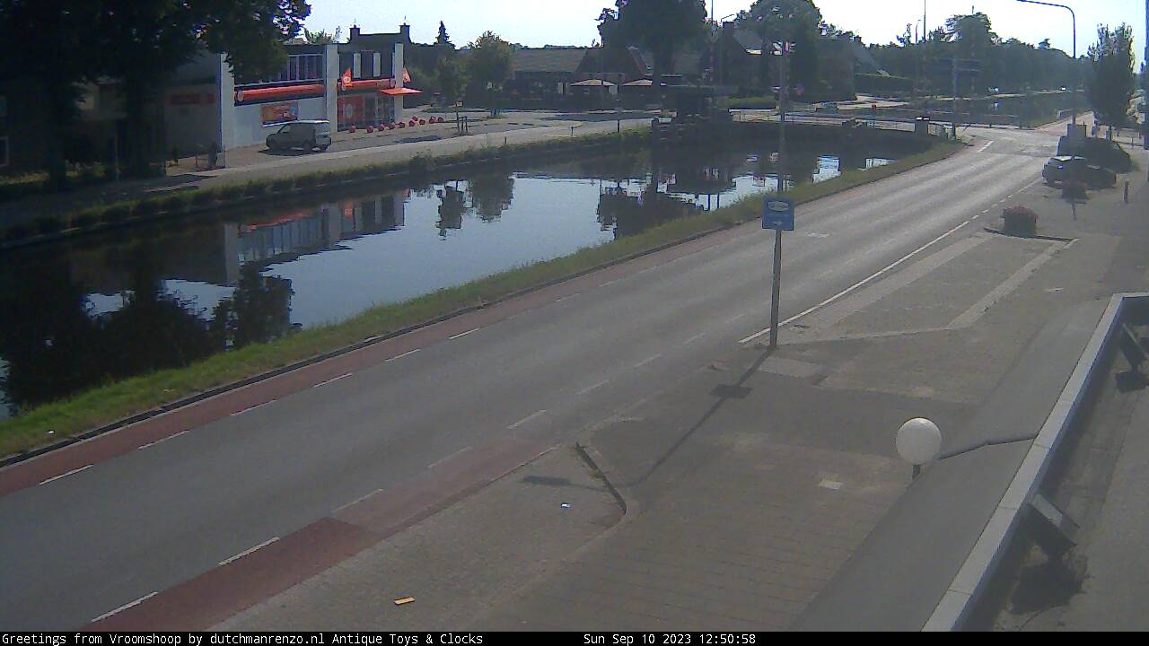
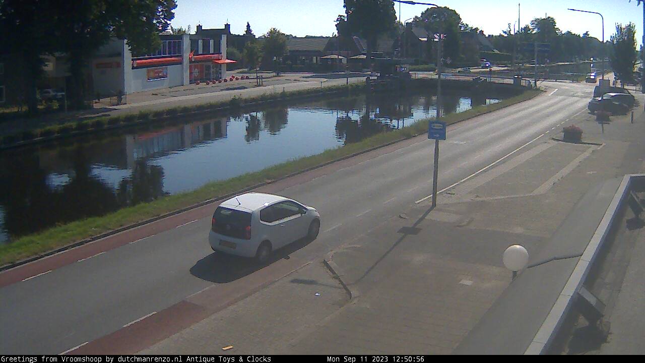
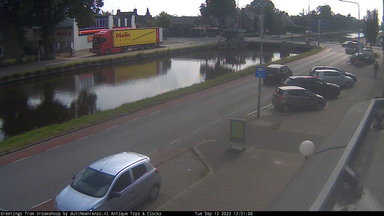
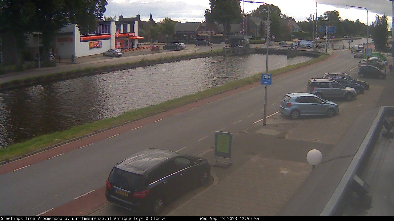
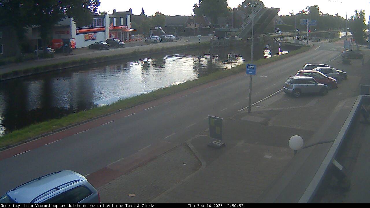
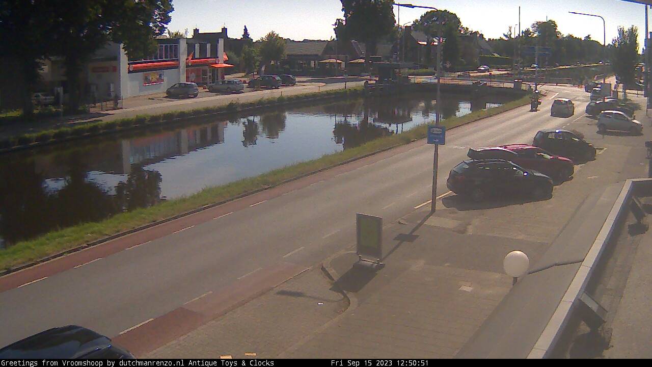
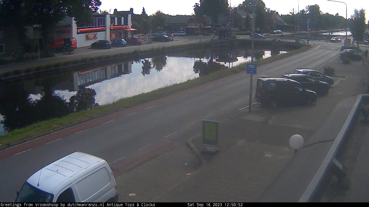
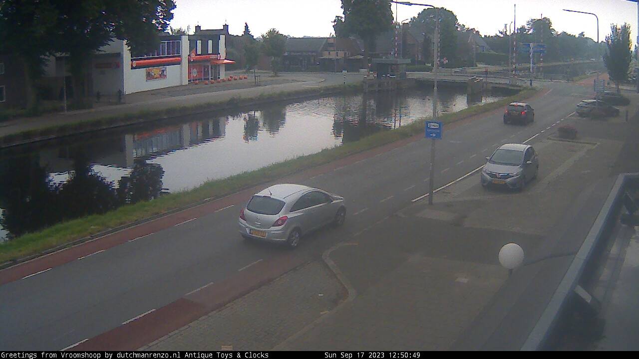
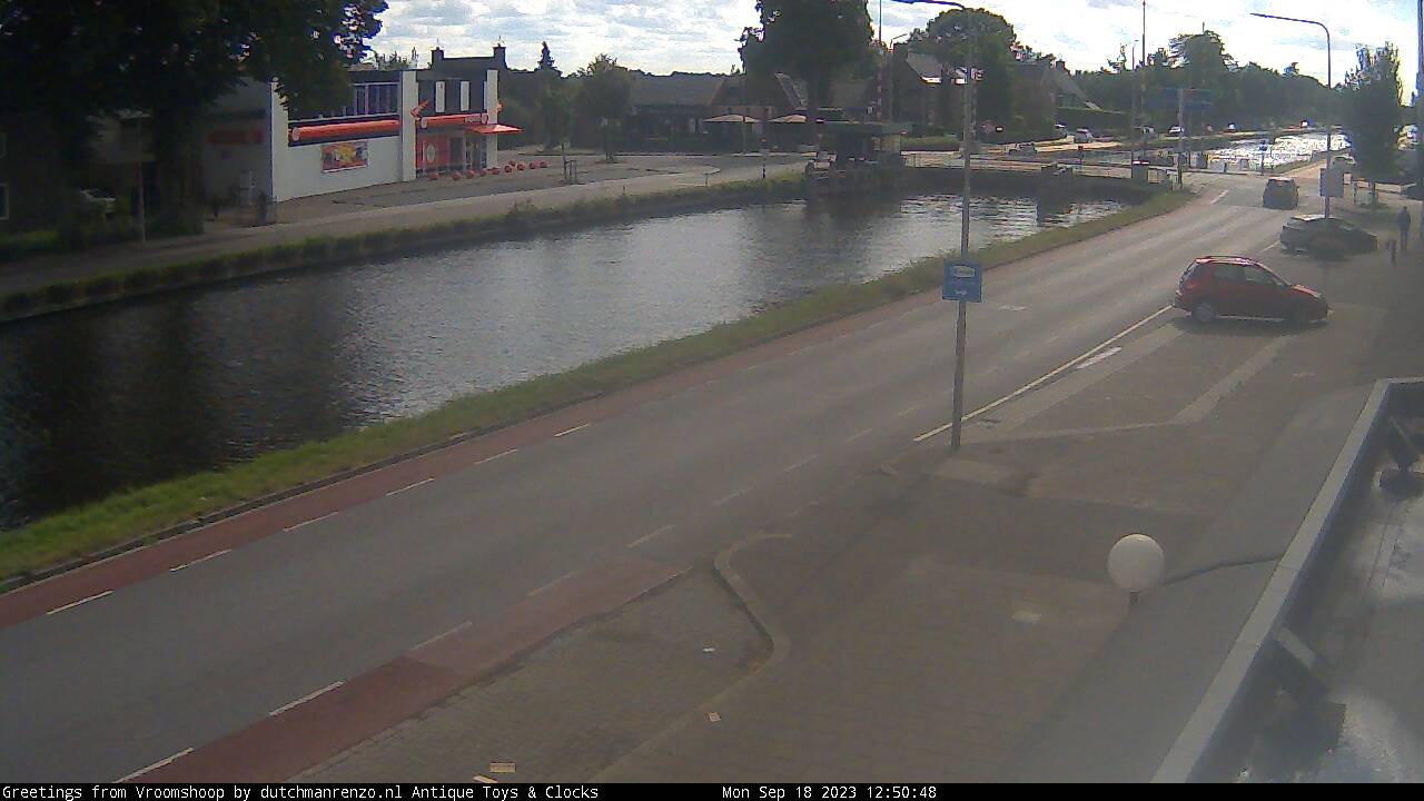
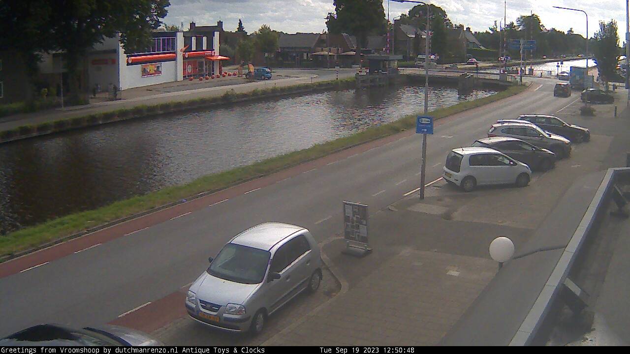
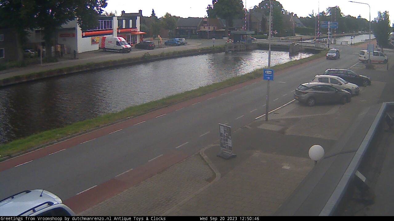
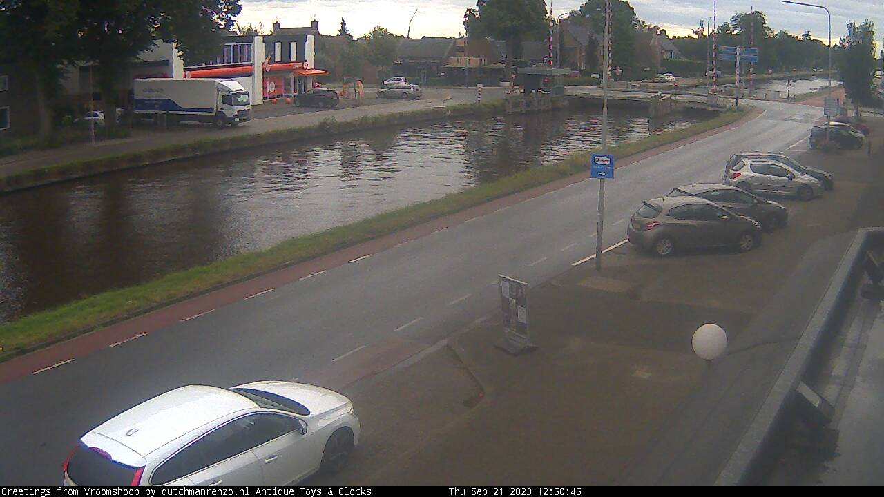
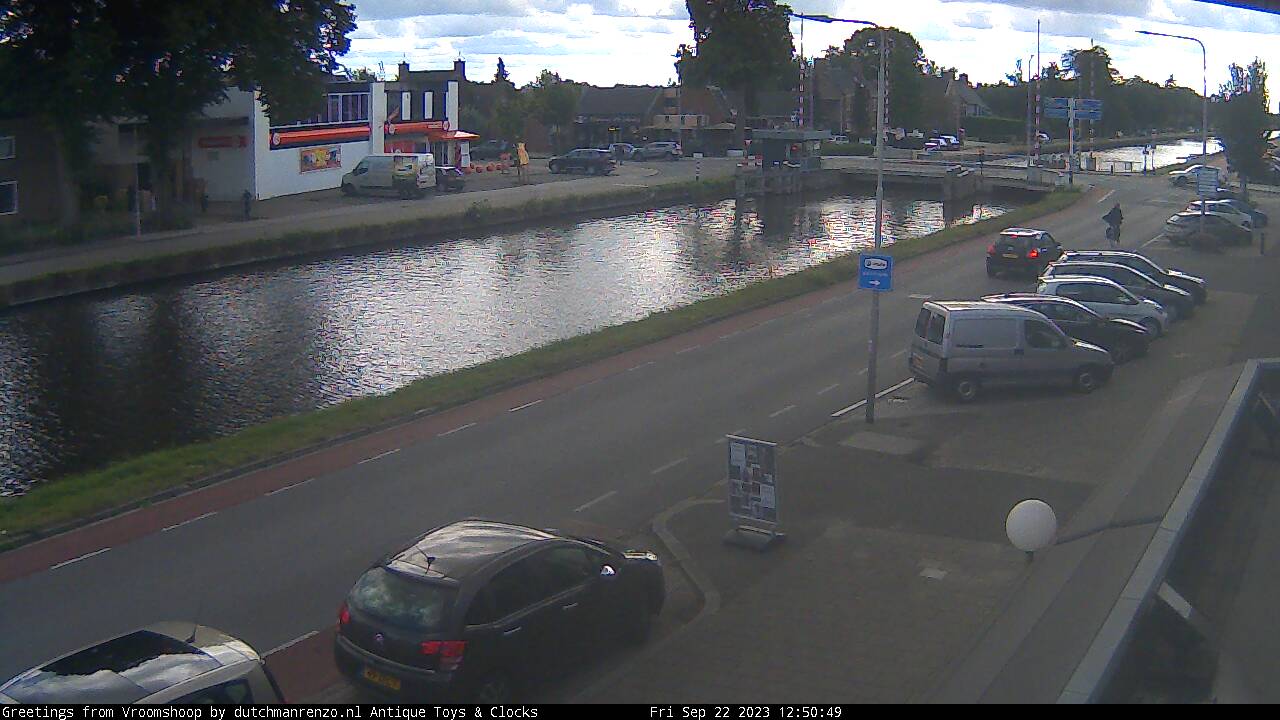
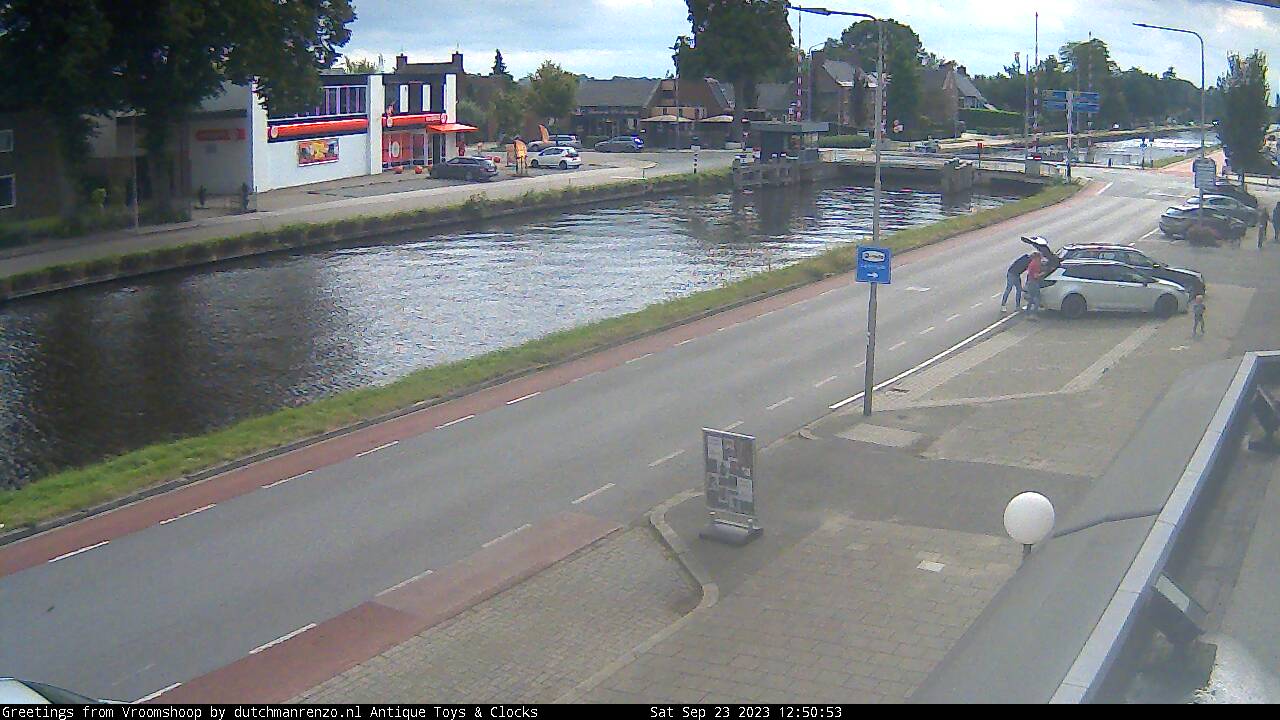
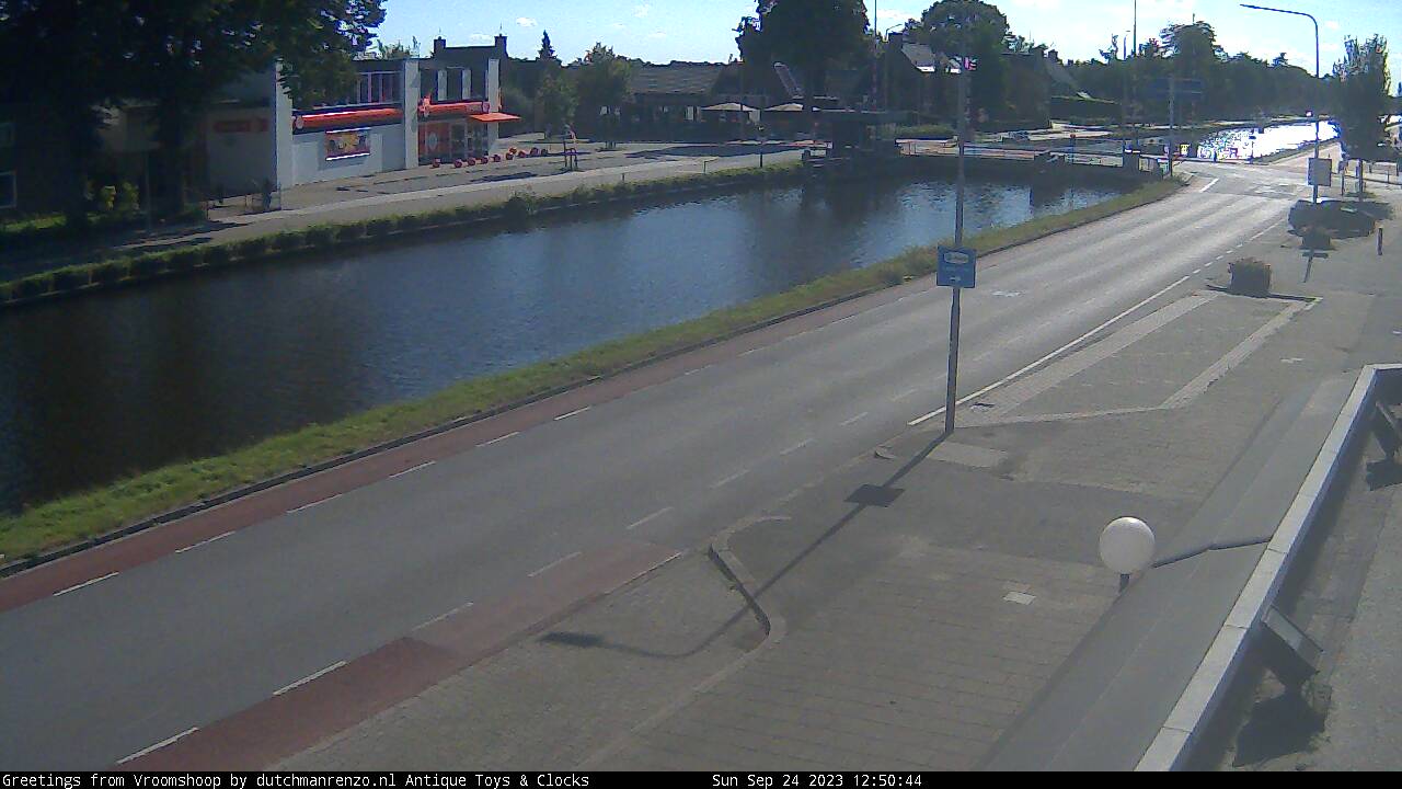
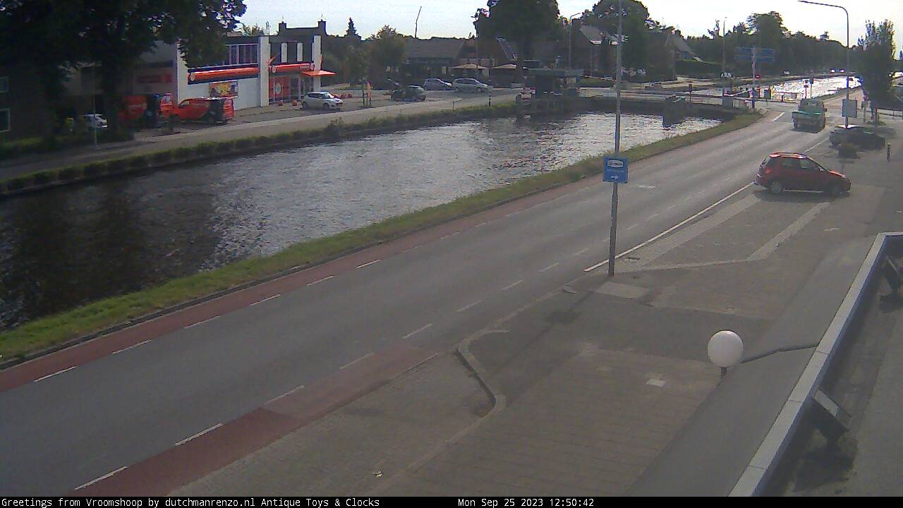
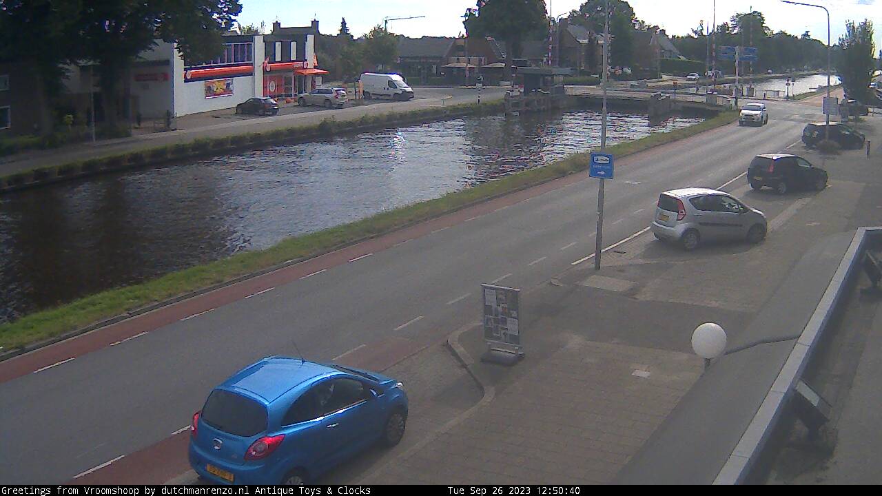
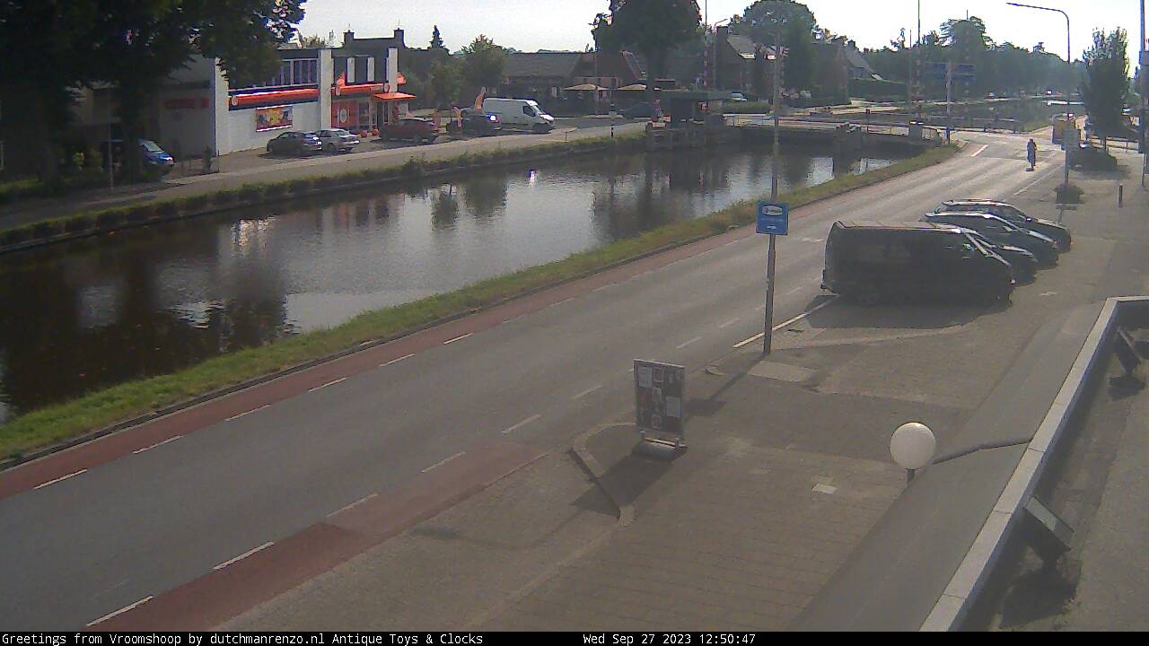
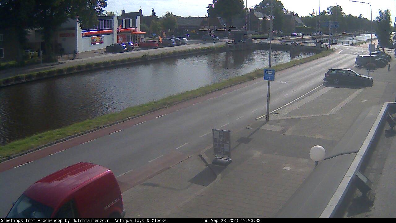
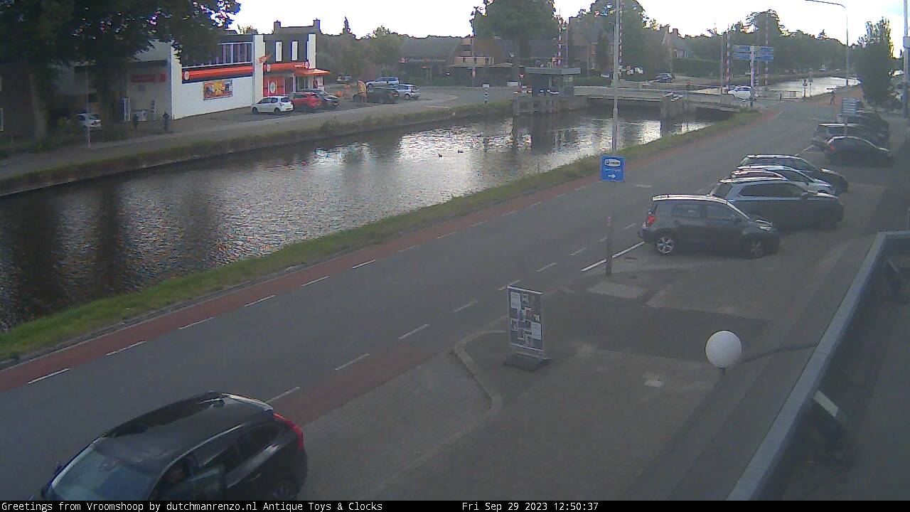
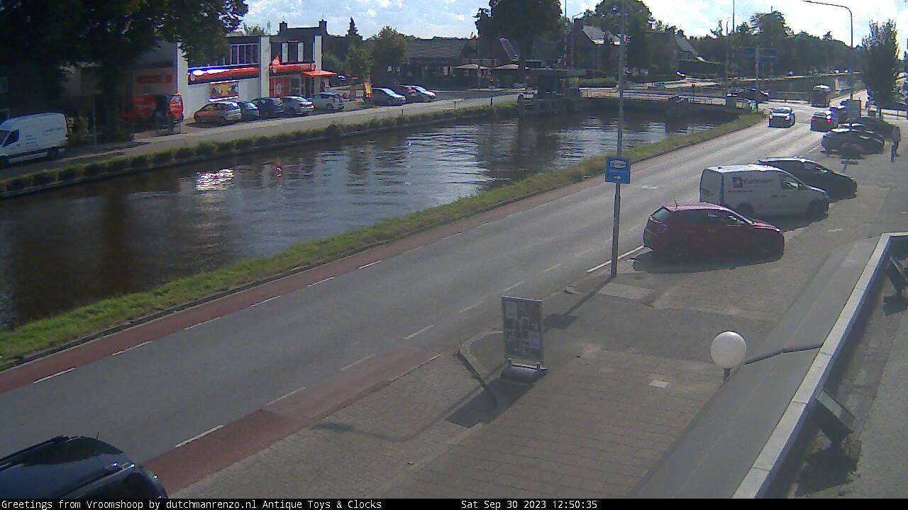
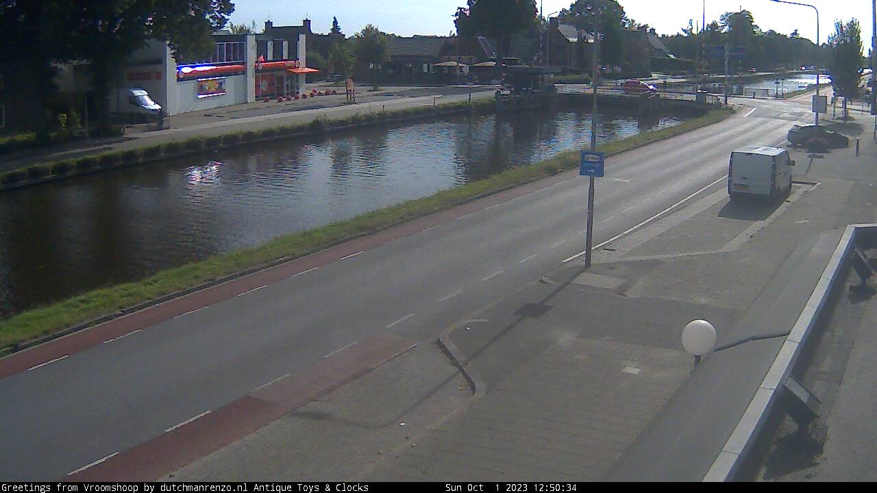
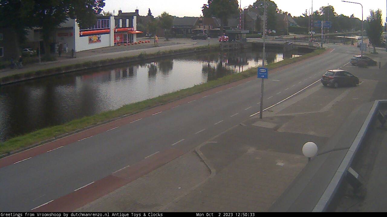
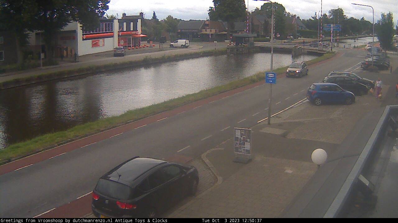
Vroomshoop, Netherlands - 27.9 miles from Haar: Vroomshoop Center Bridge - Vroomshoop Center Bridge along the canal that splits the village. Daily many freight ships pass, in summer many yachts and tugs.
Operator: vroomshoopwebcam
Operator: vroomshoopwebcam


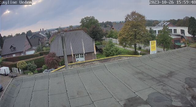
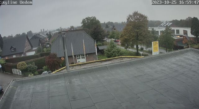
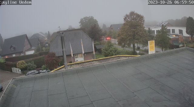
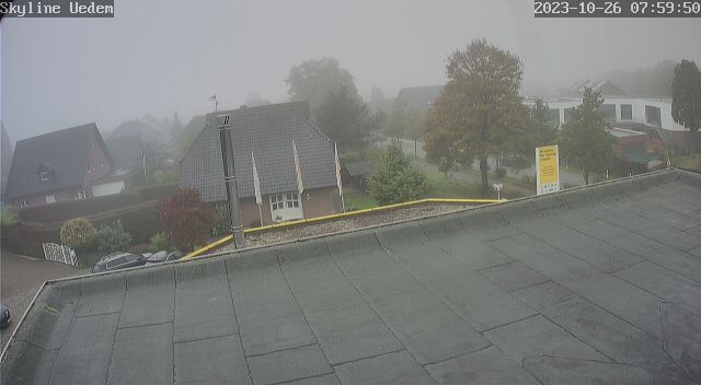
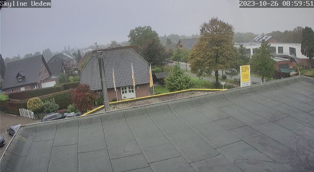
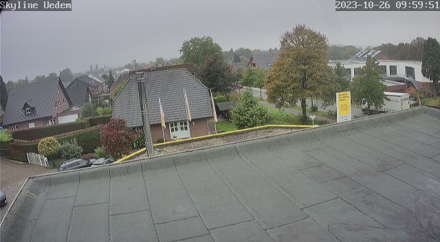
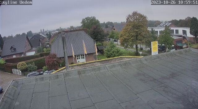
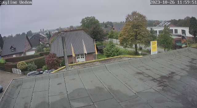
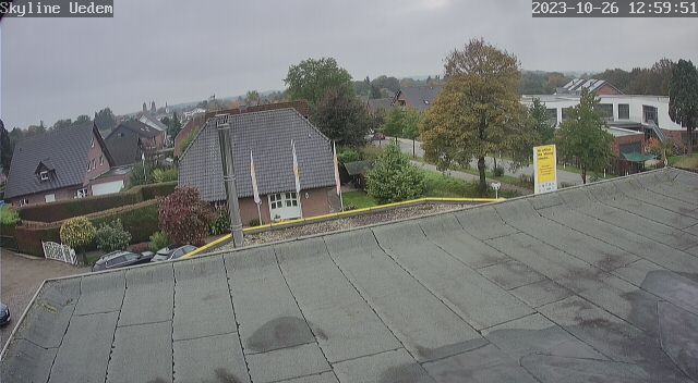
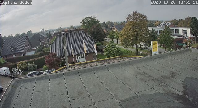
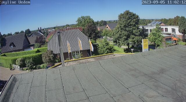
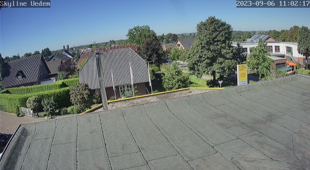
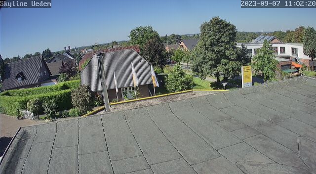
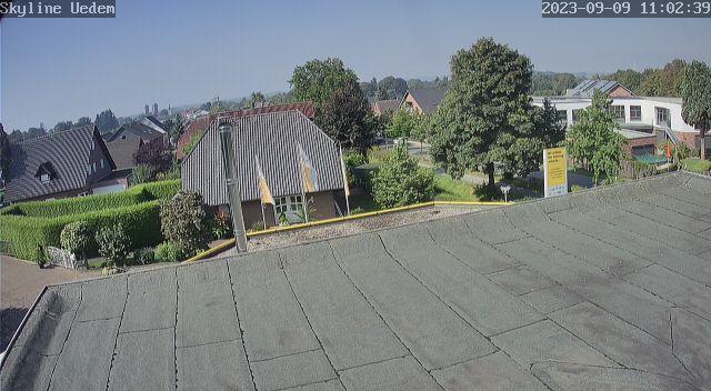
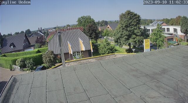
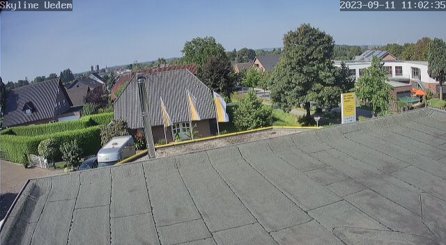
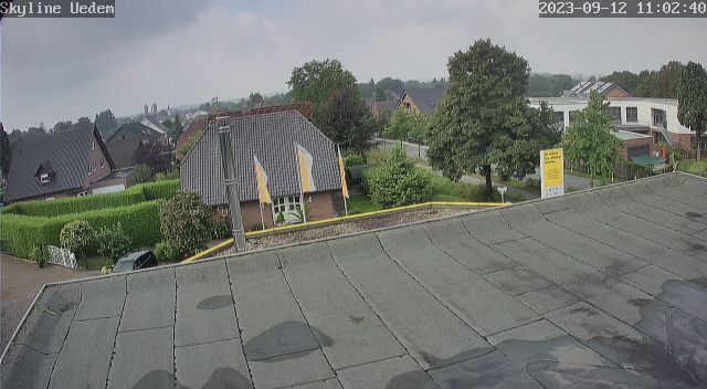
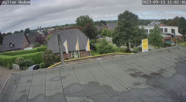
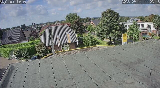
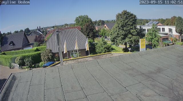
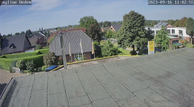
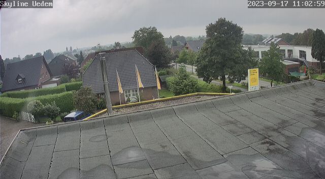
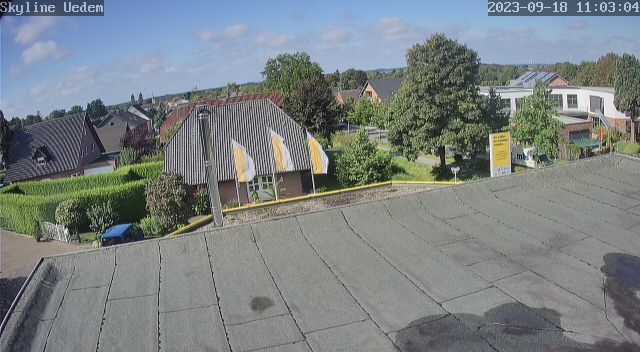
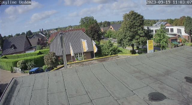
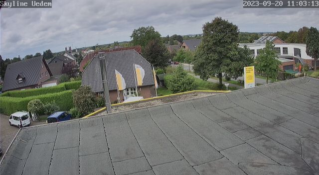
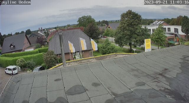
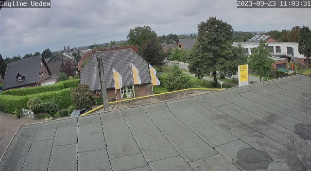
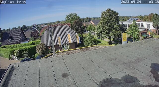
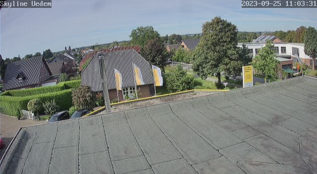
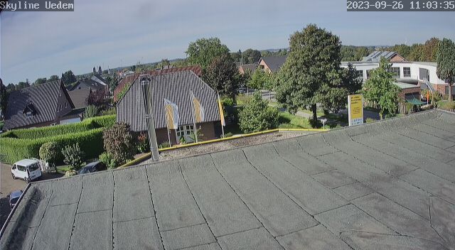
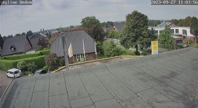
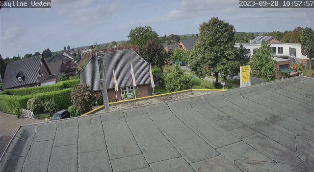
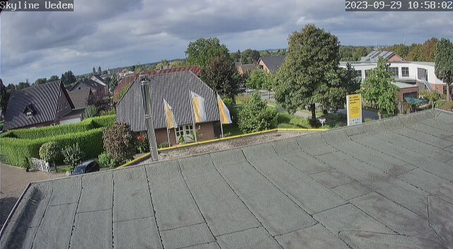
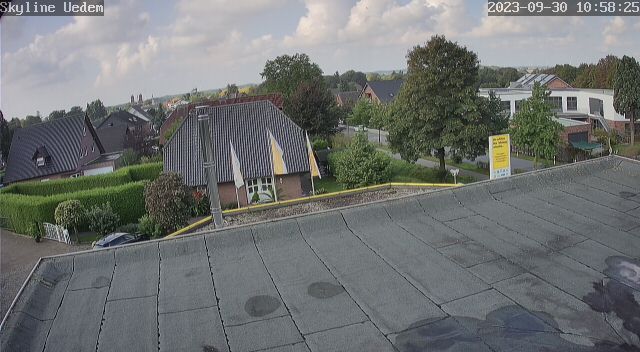
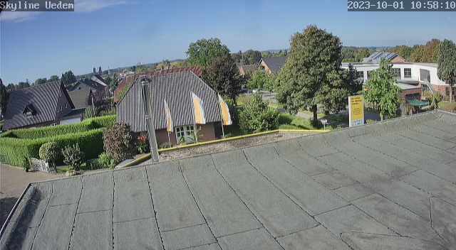
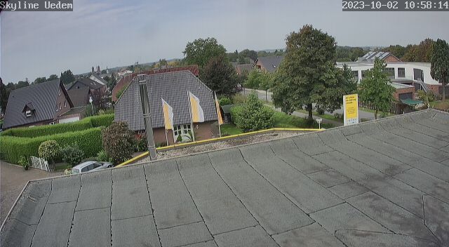
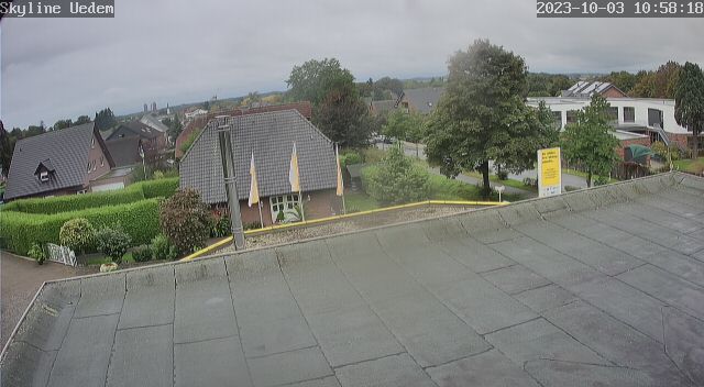
Uedem, Germany - 28.4 miles from Haar: View over Uedem
Operator: Autohaus Opel Kühnen
Operator: Autohaus Opel Kühnen


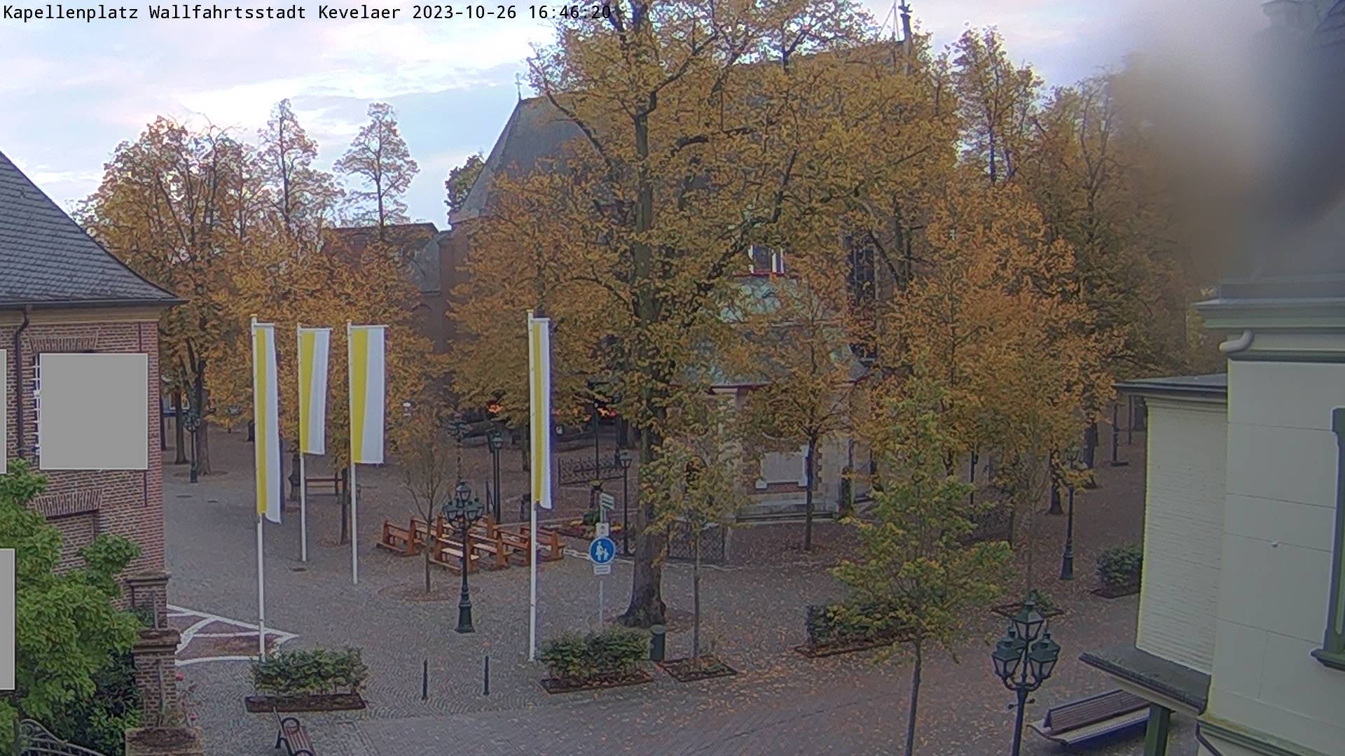
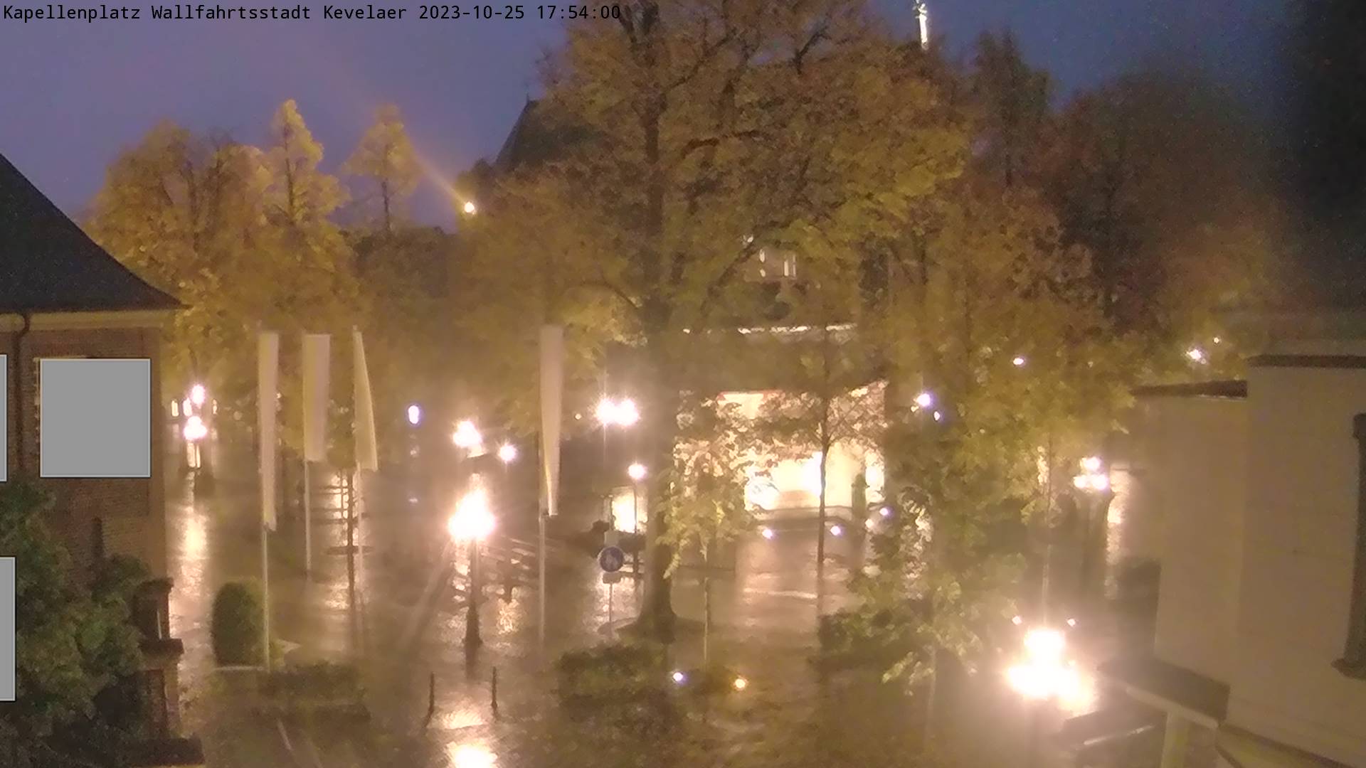
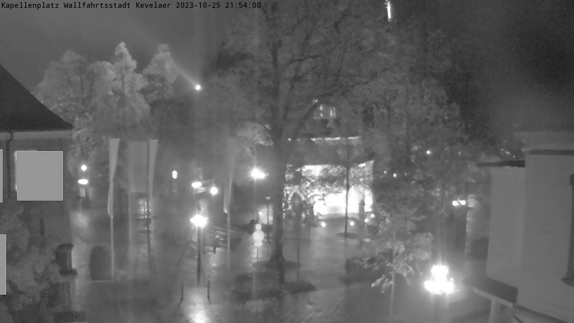
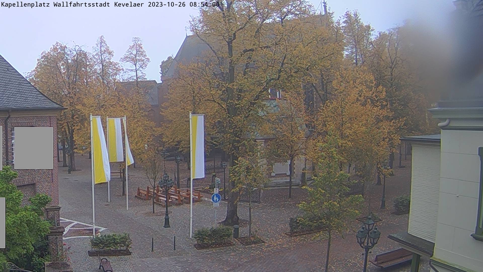
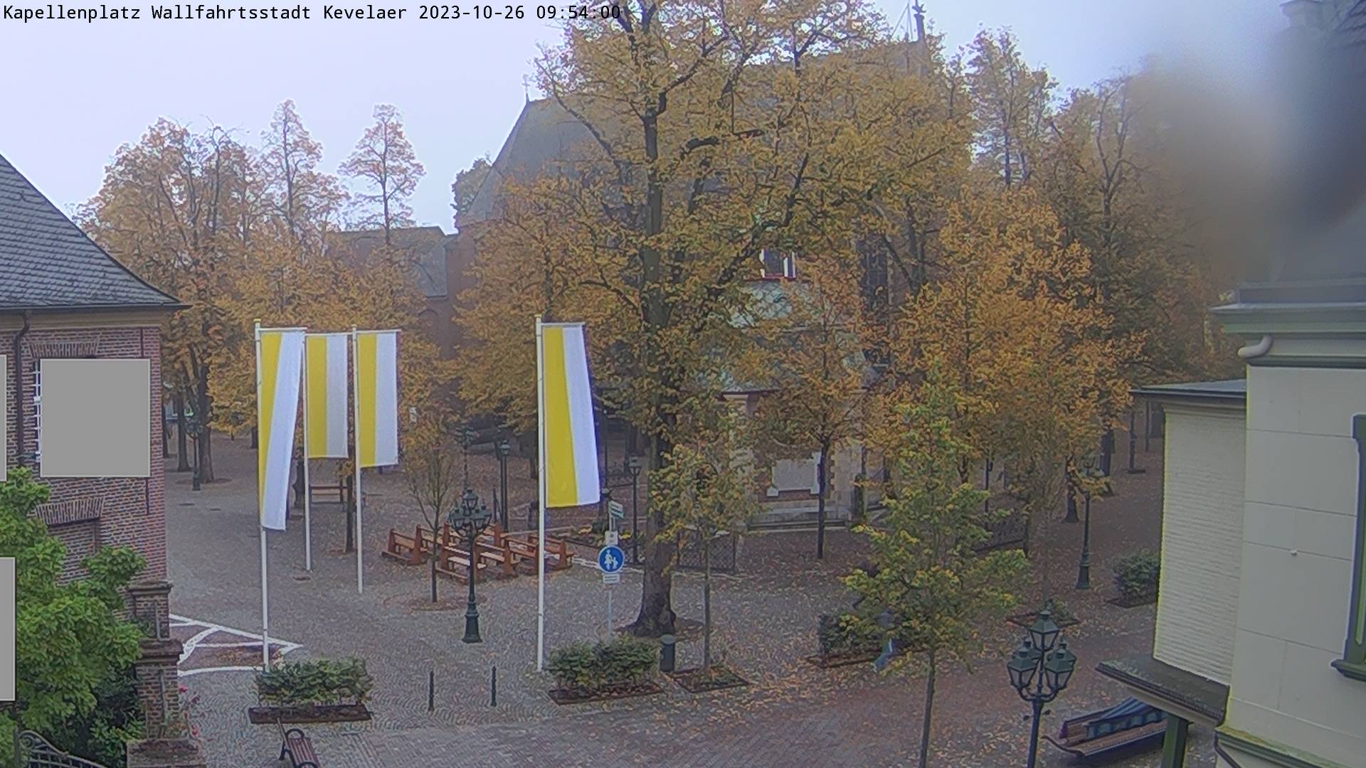
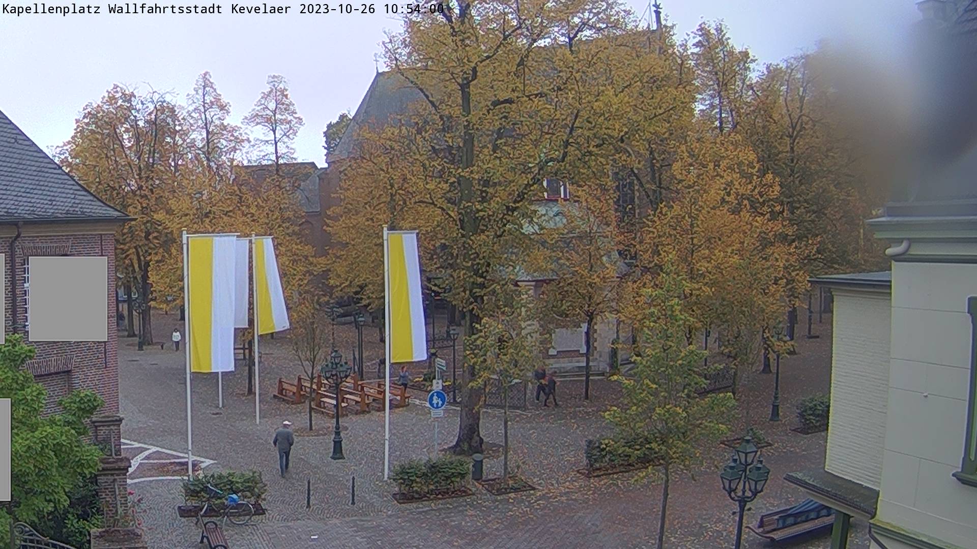
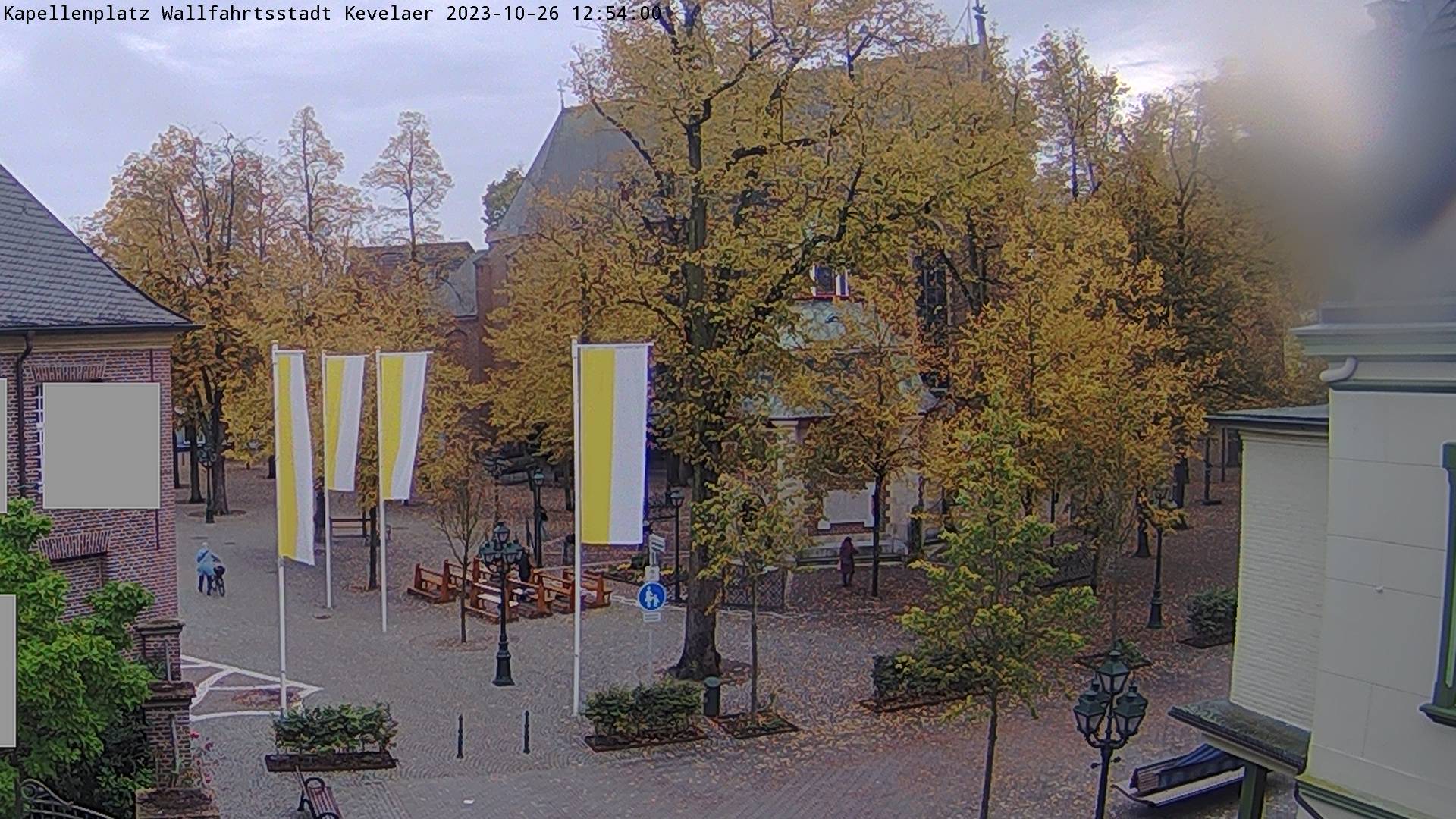
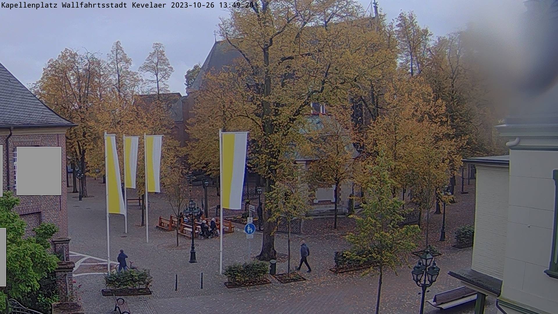
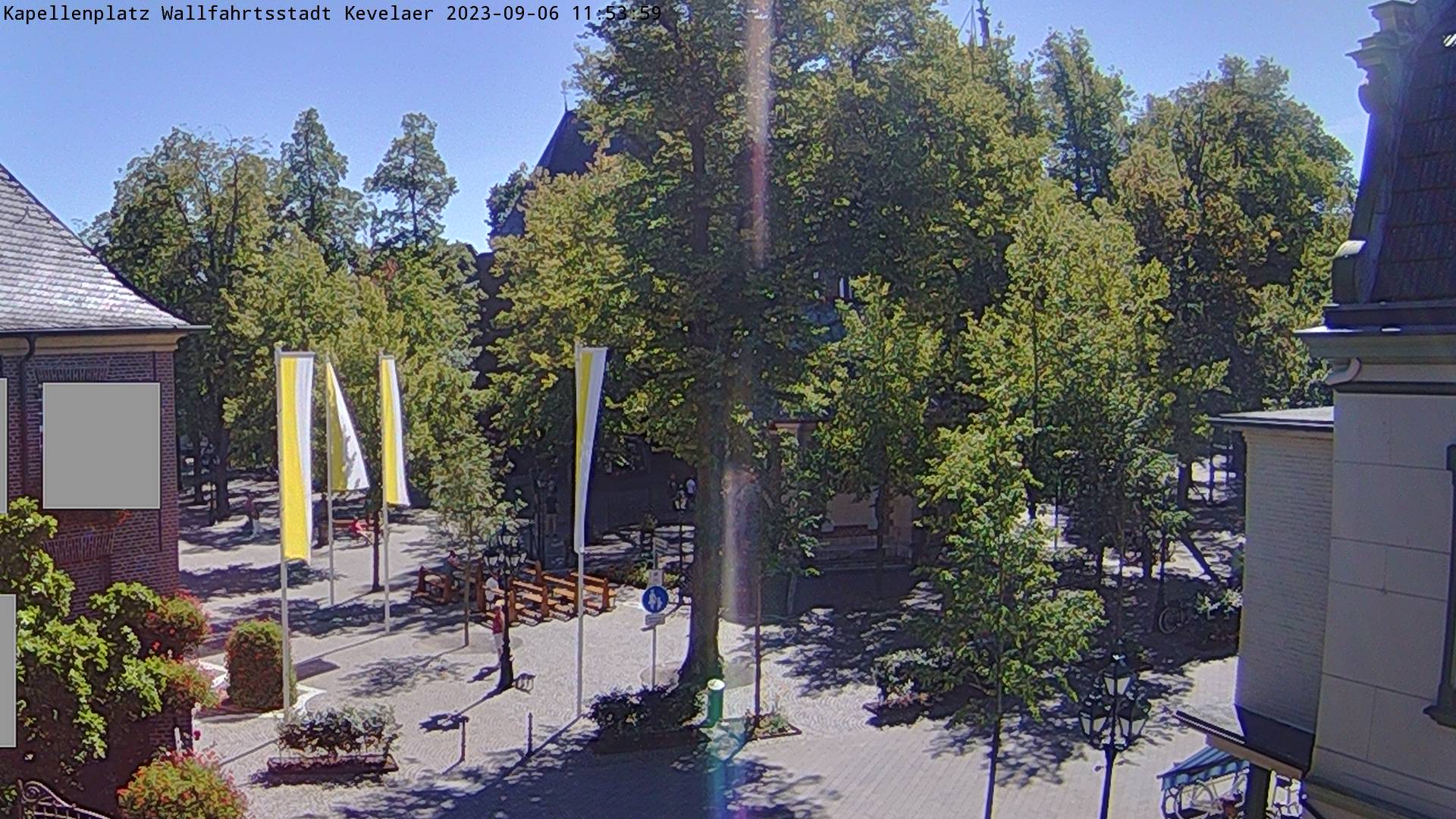
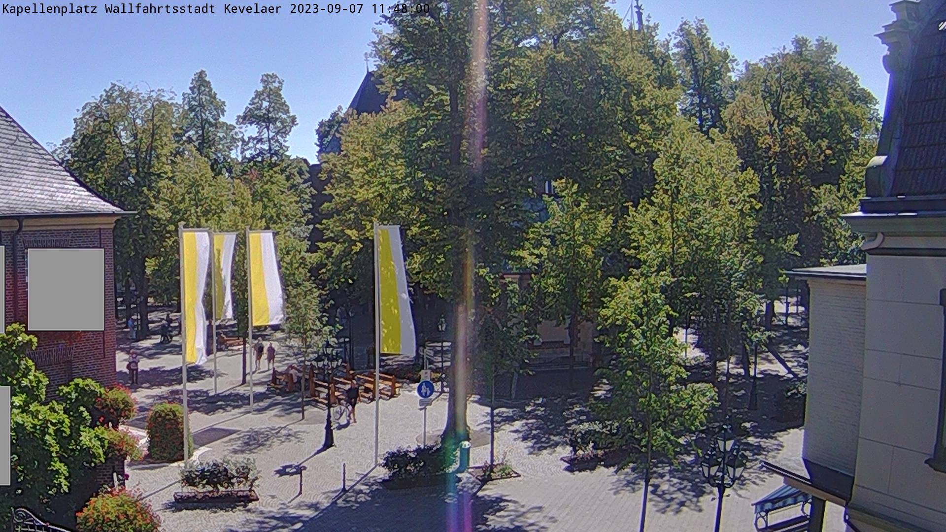
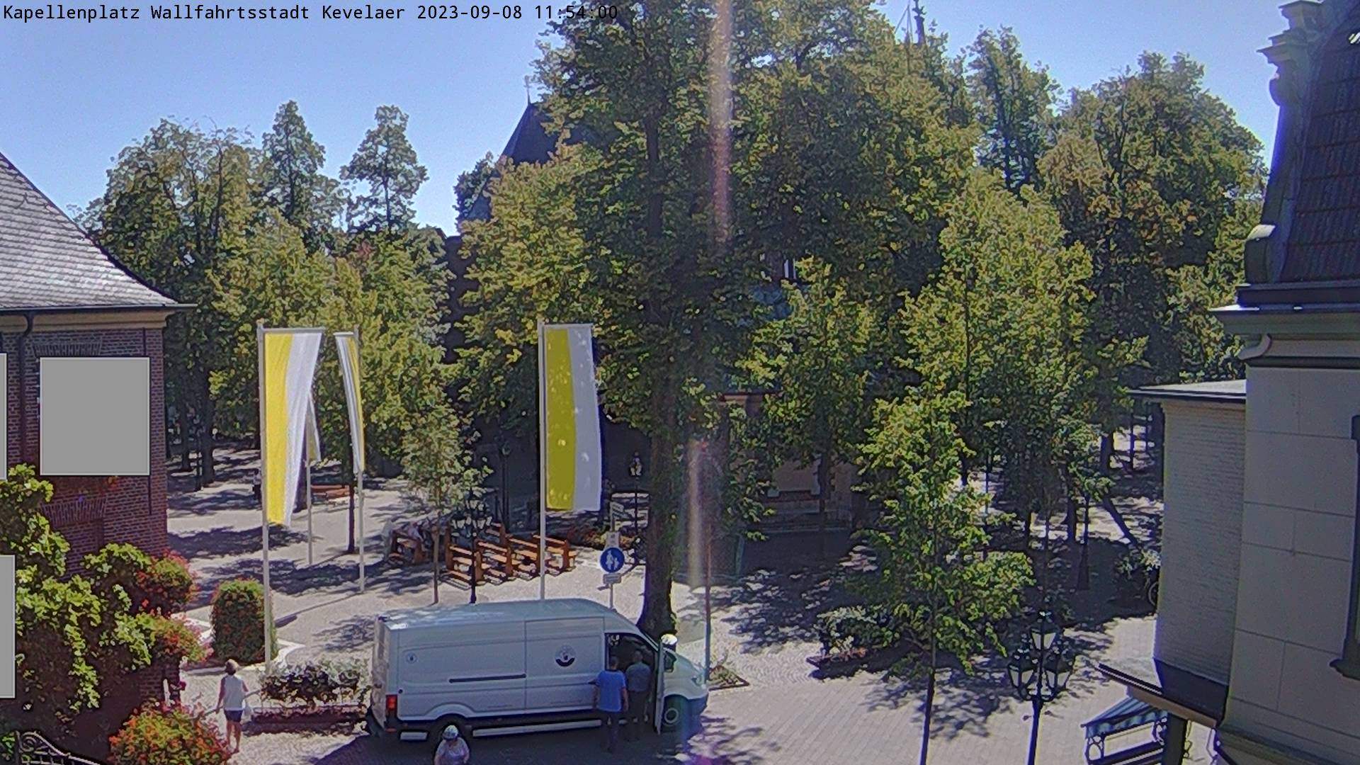
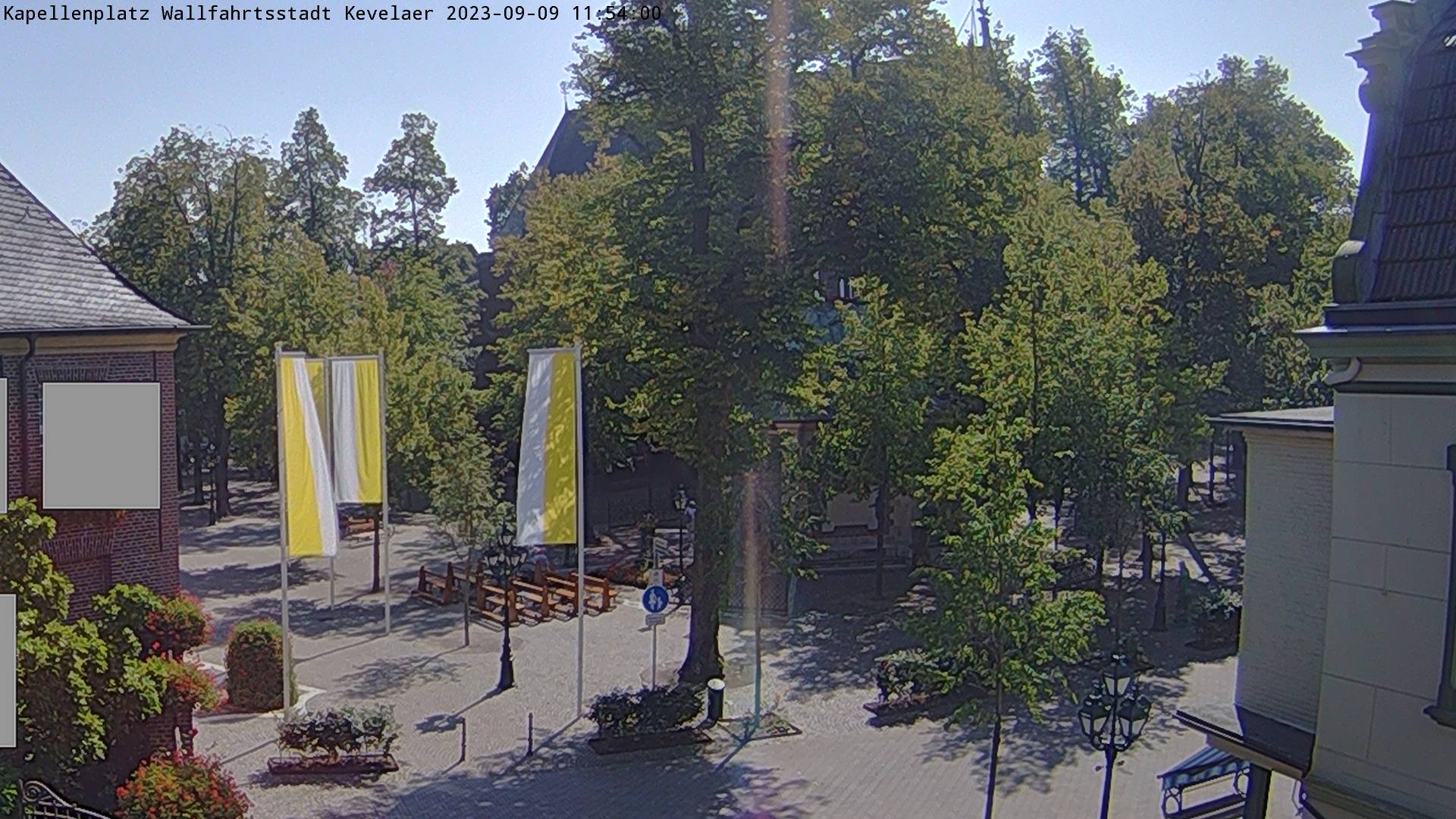
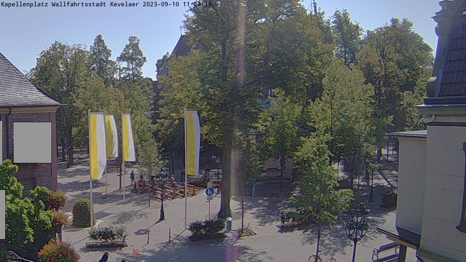
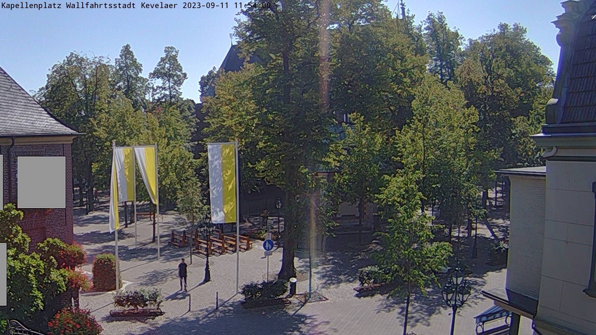
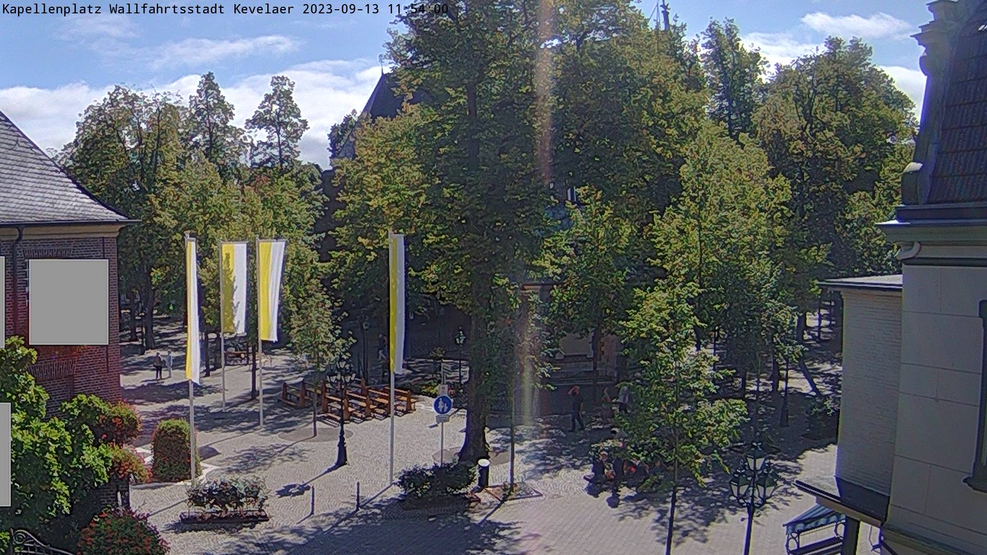
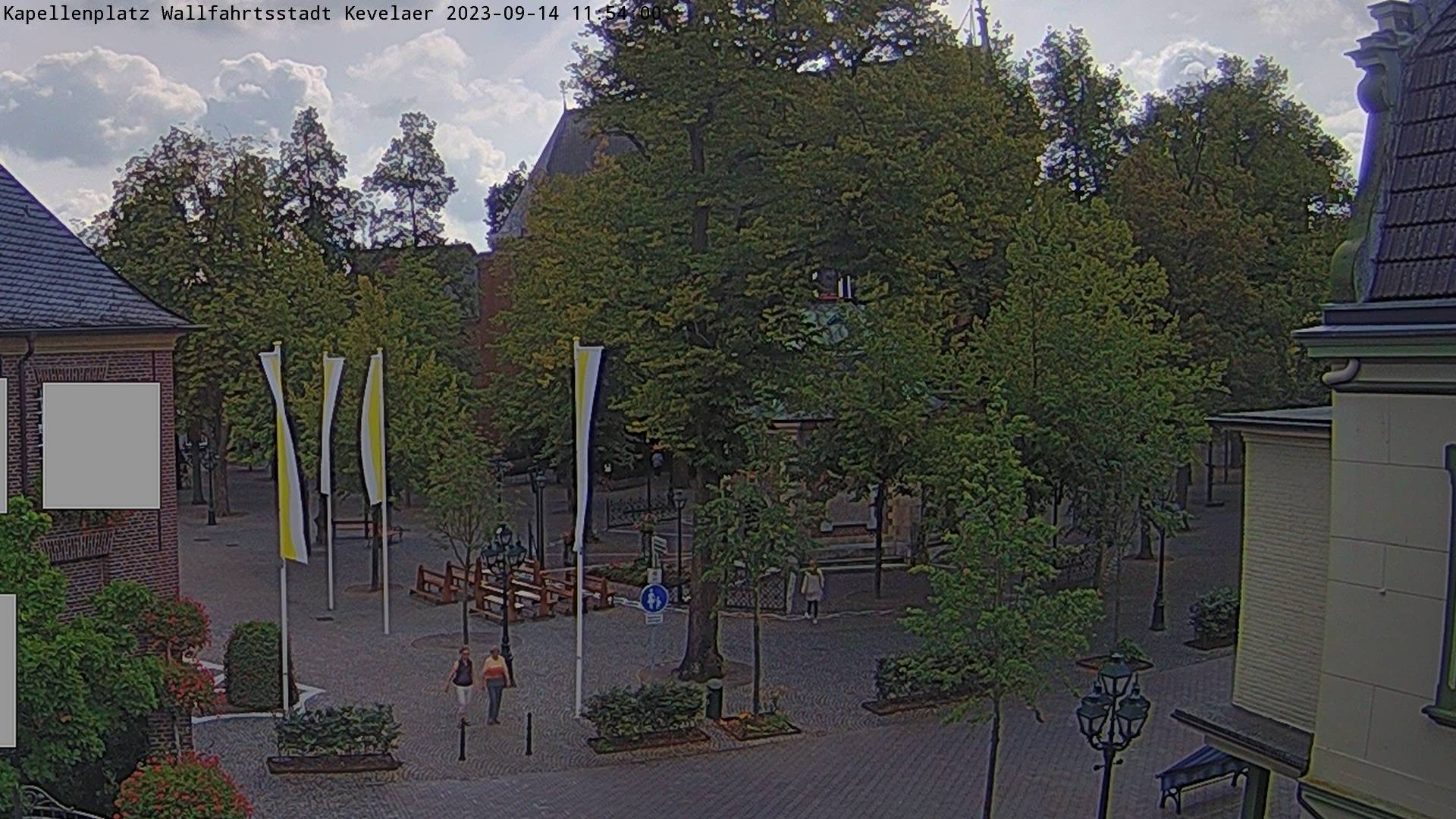
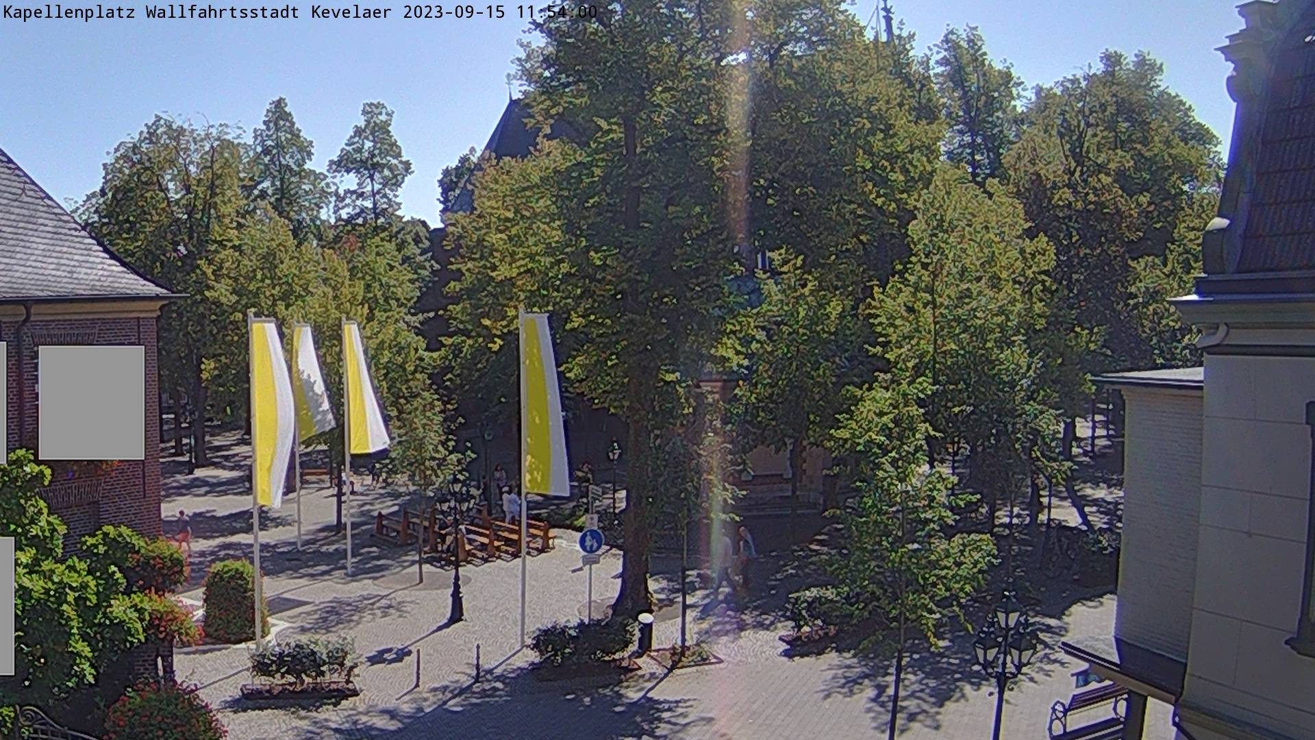
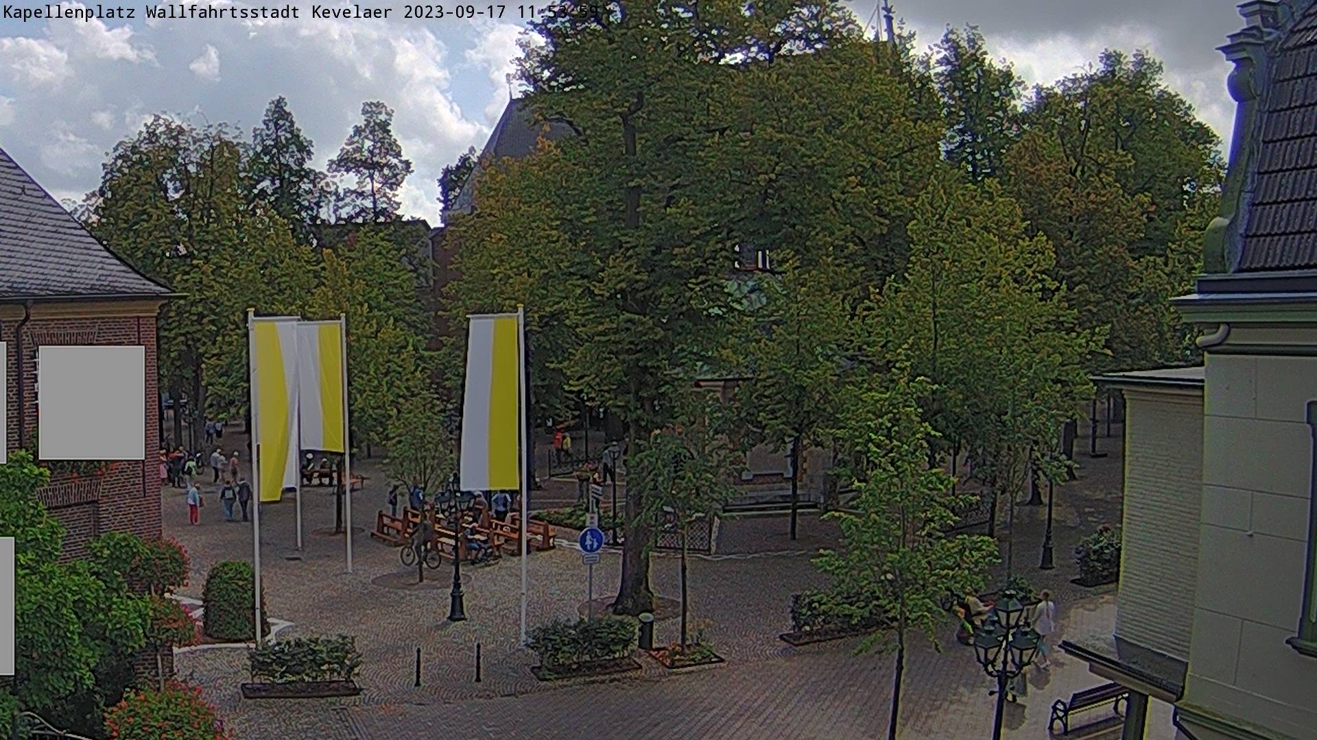
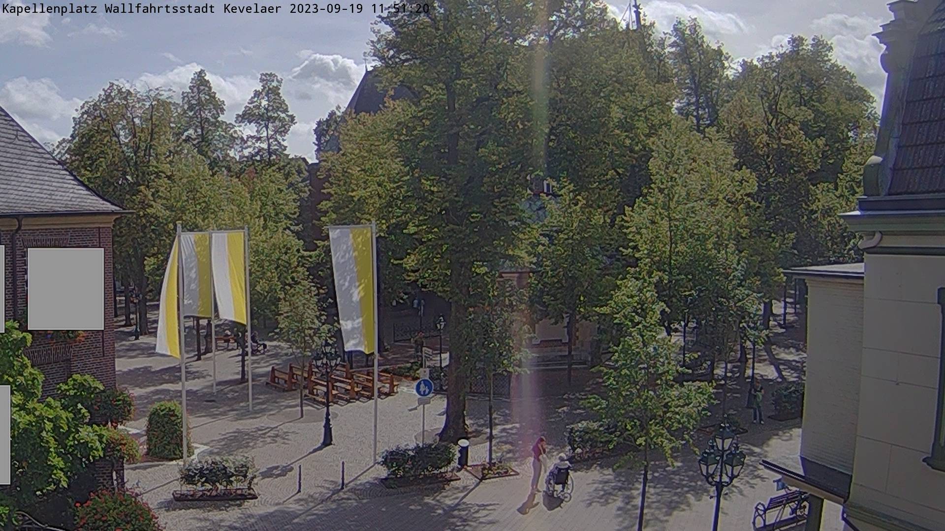
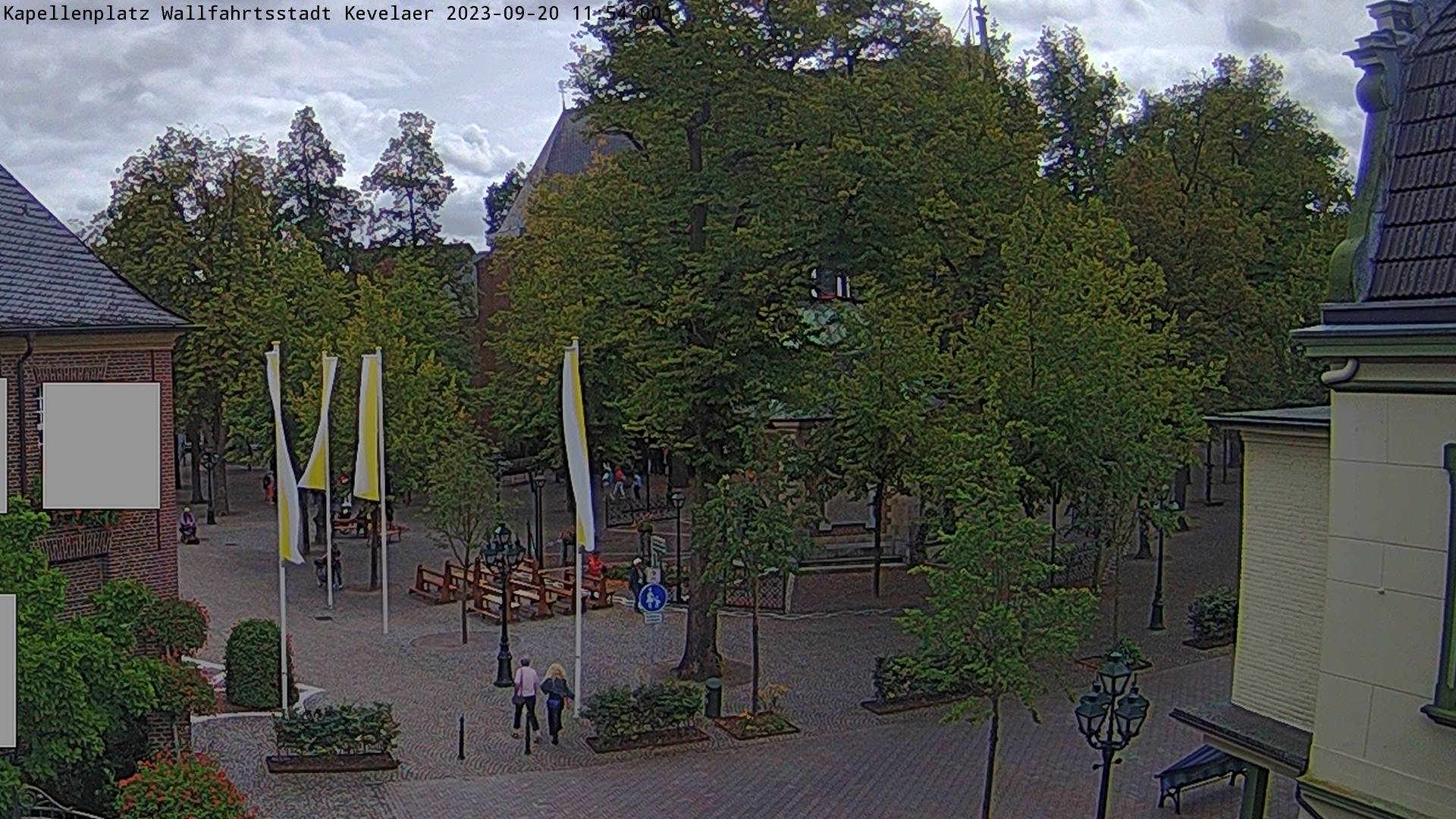
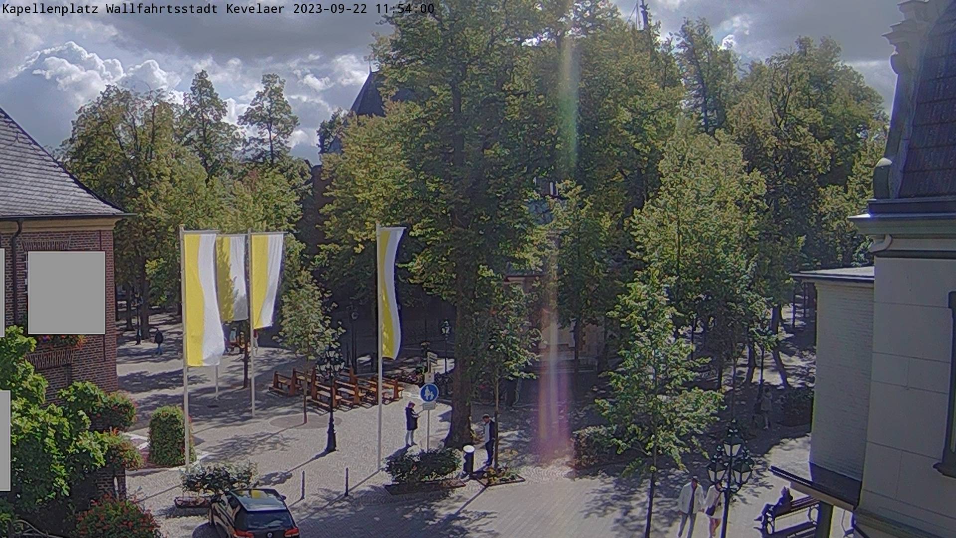
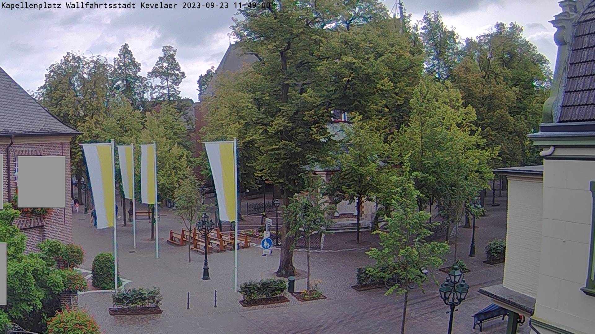
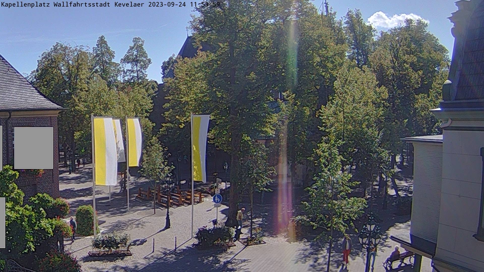
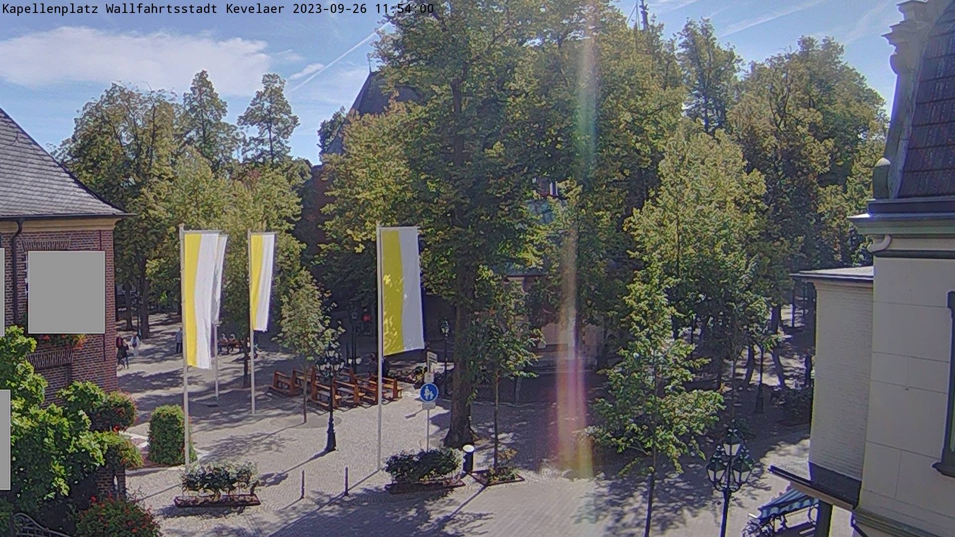
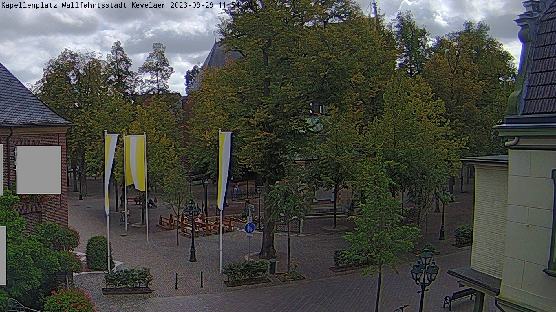
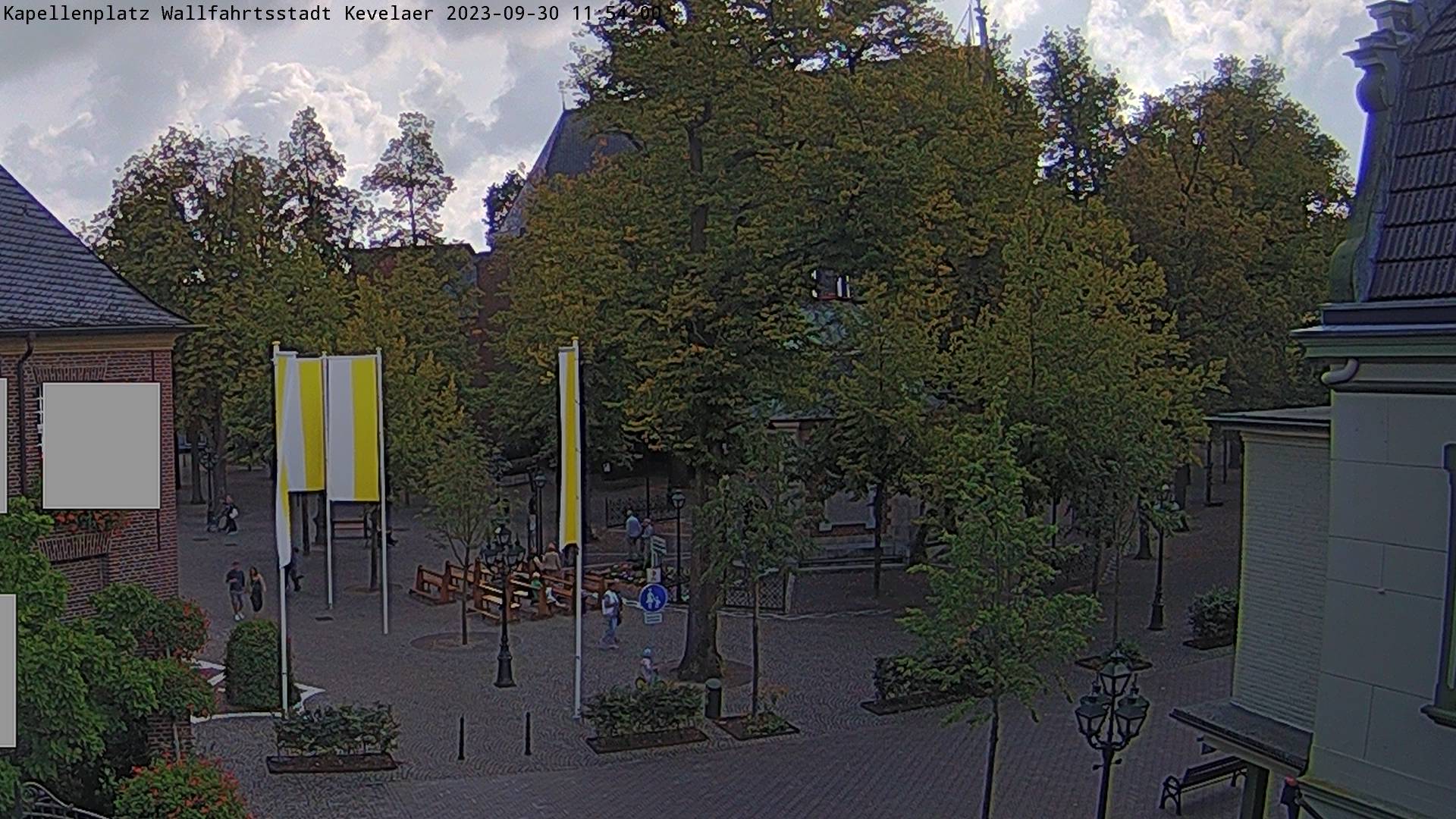
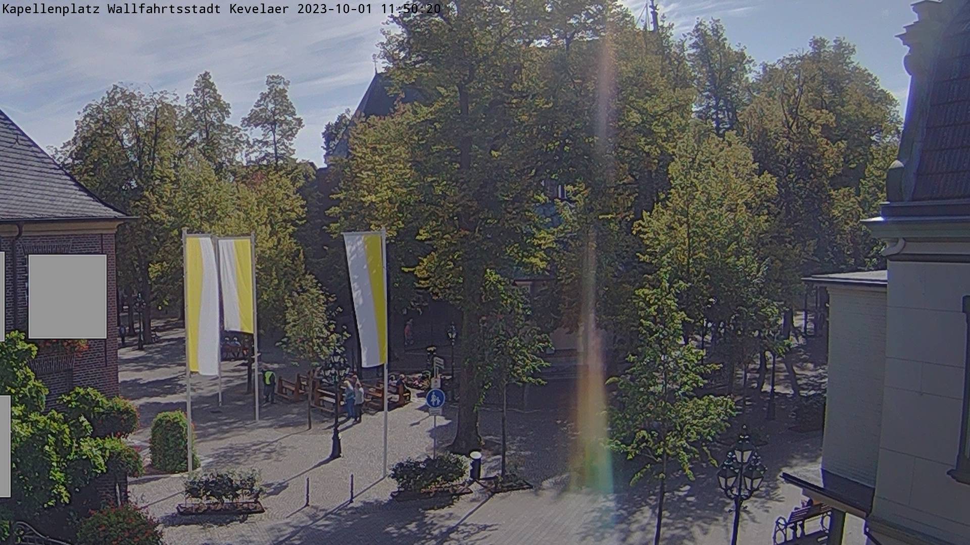
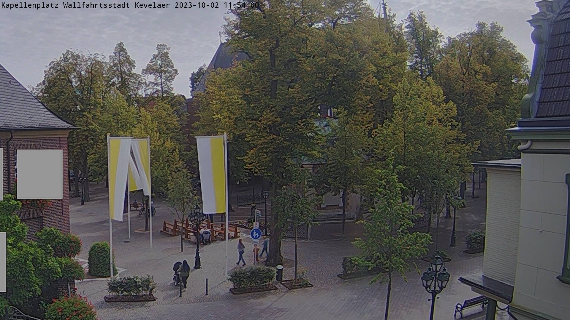
Kevelaer, Germany - 34.4 miles from Haar: Kapellenplatz - A view of the Kapellenplatz (Capel Square) in the city of Kevelaer.
Operator: Stadt Kevelaer
Operator: Stadt Kevelaer


Some other places in this country: Haansberg - Haanwijk - Haanwijk - Haar - Haaren - Haarheeze - Haarle - Haarle - Haarlem - Haarlemmerliede