Webcams in the region of Emery (historical), Montana, USA
The List of Webcams near Emery (historical), Montana, USA:

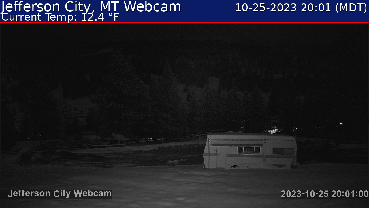
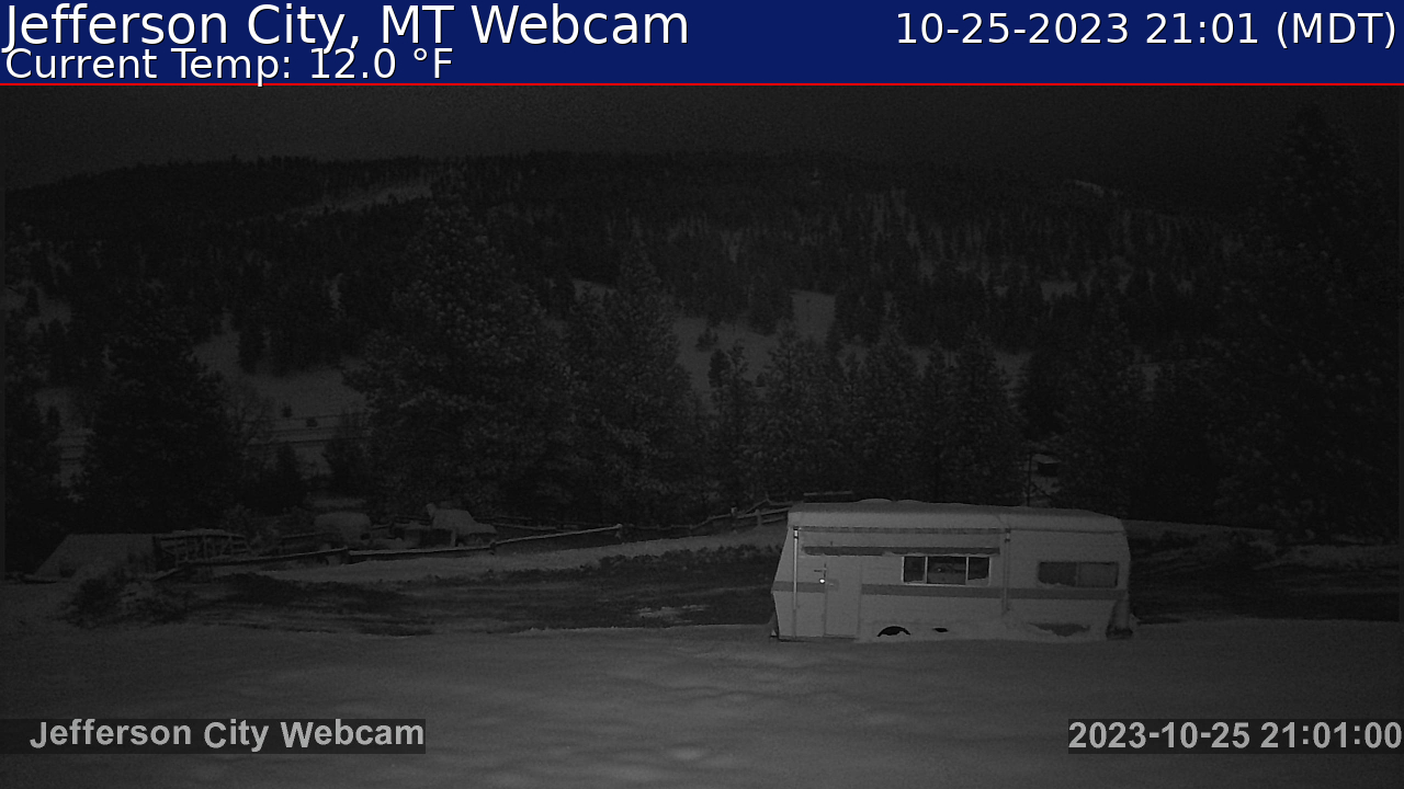
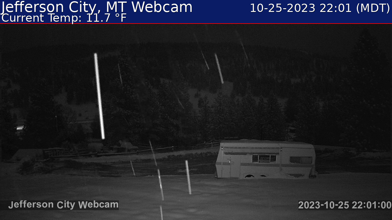
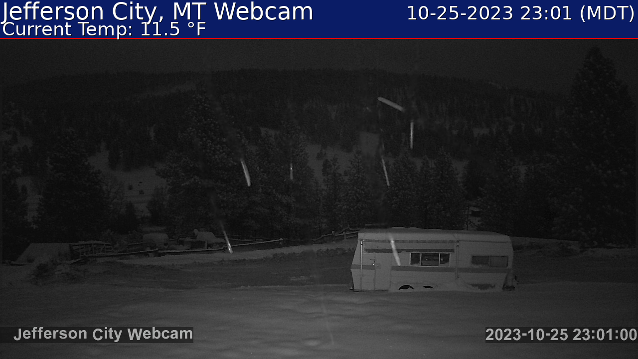
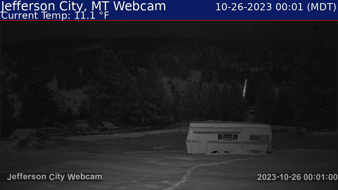
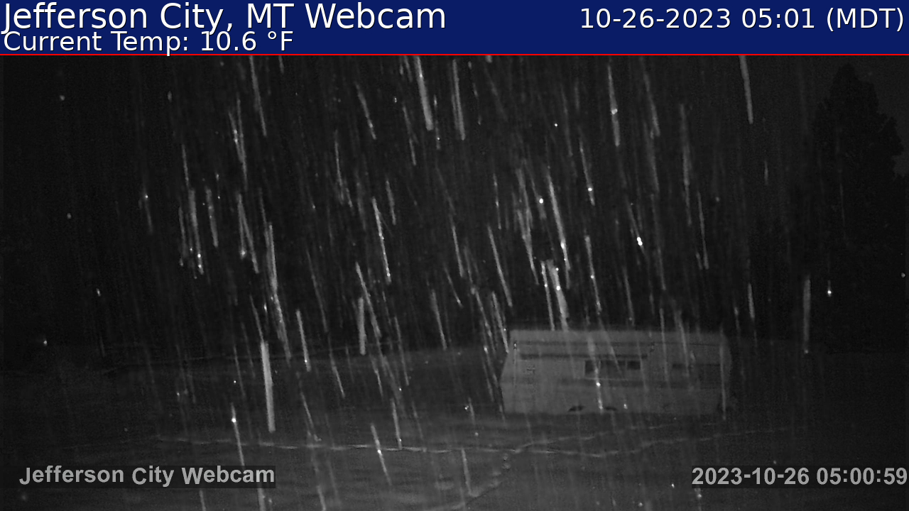
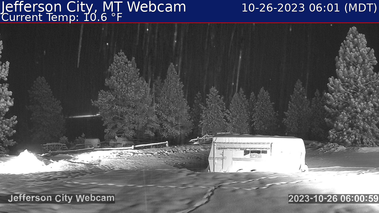
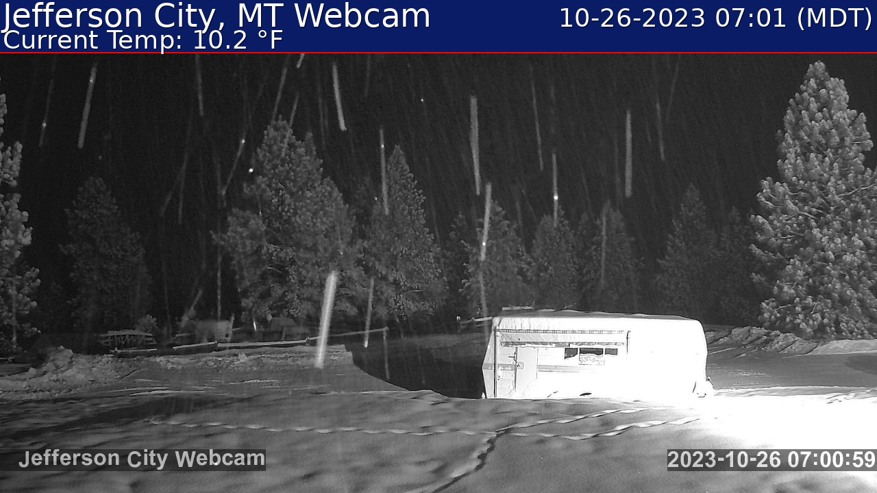
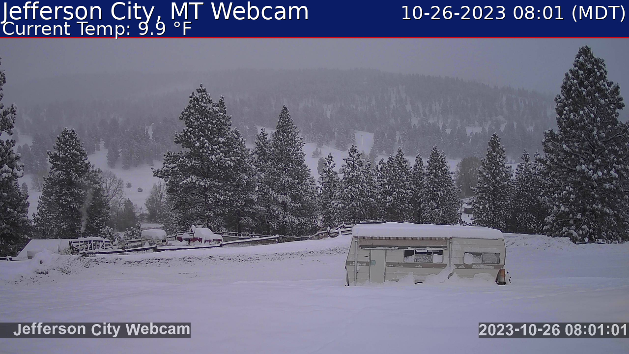
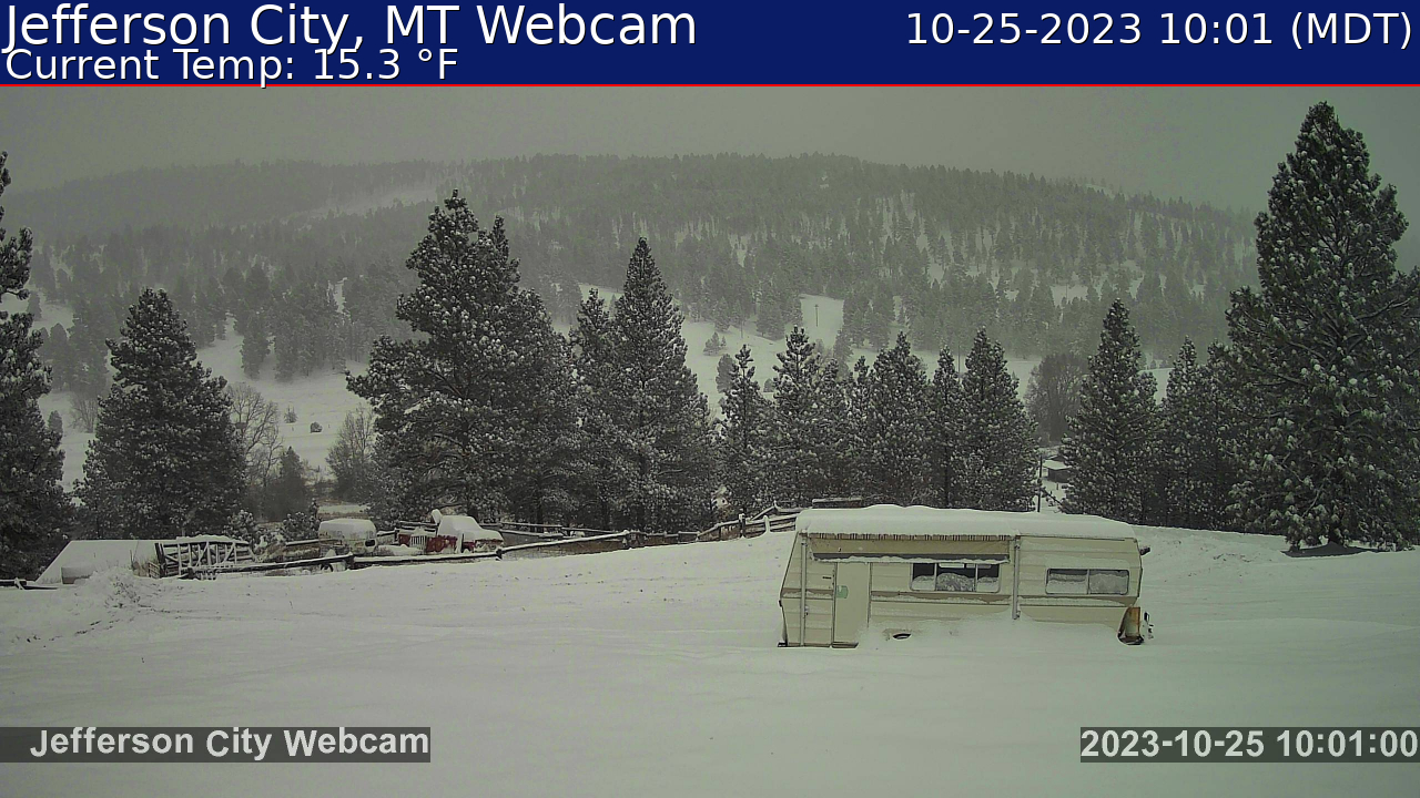
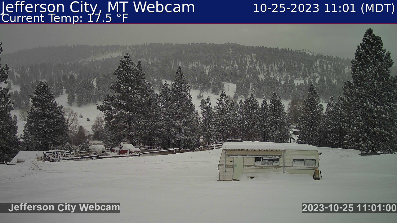
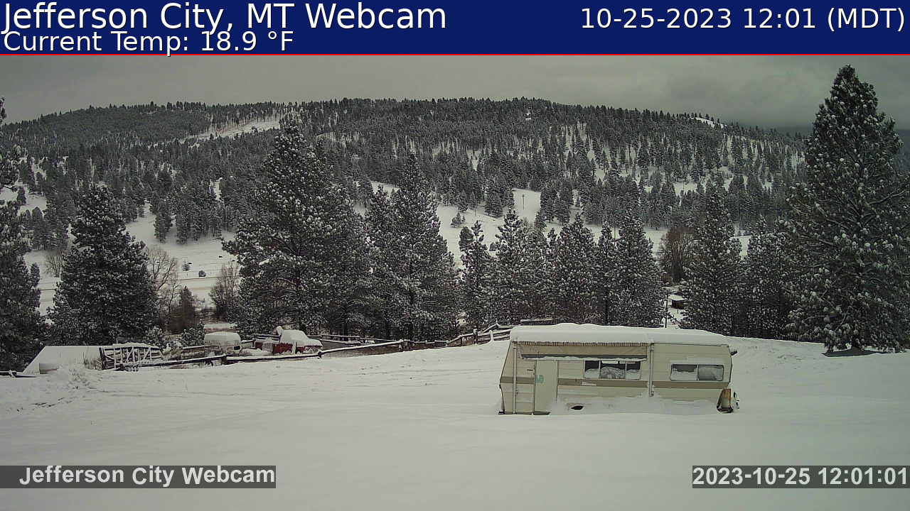
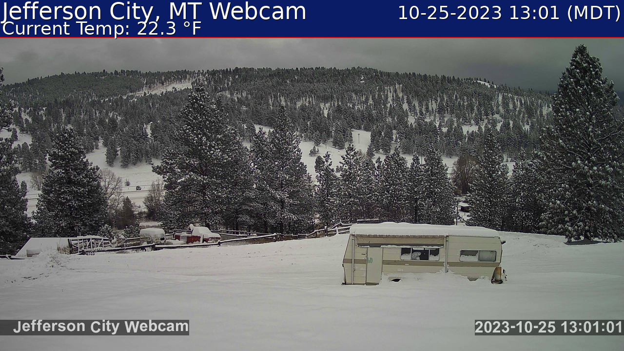
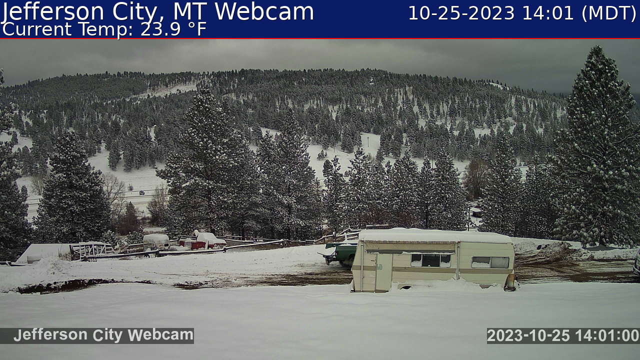
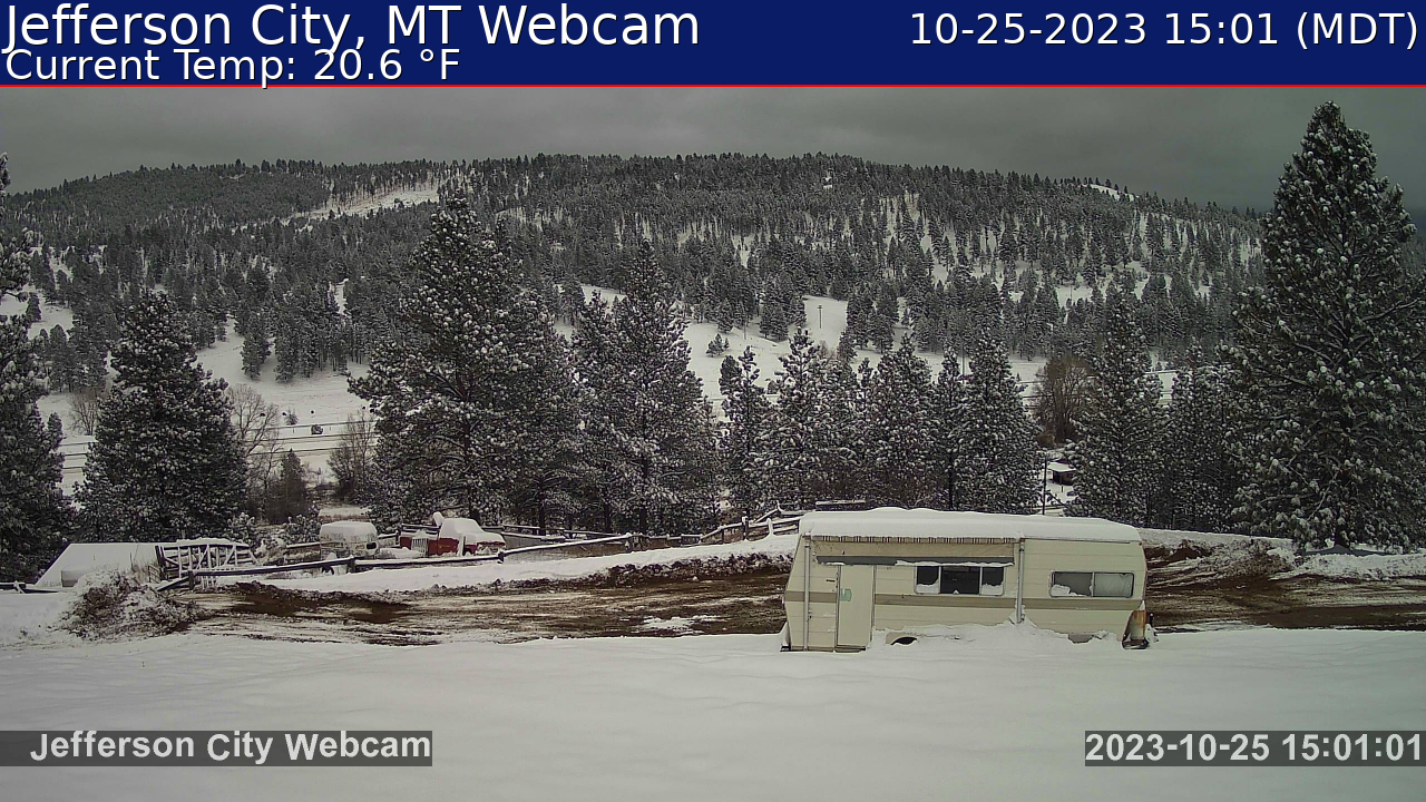
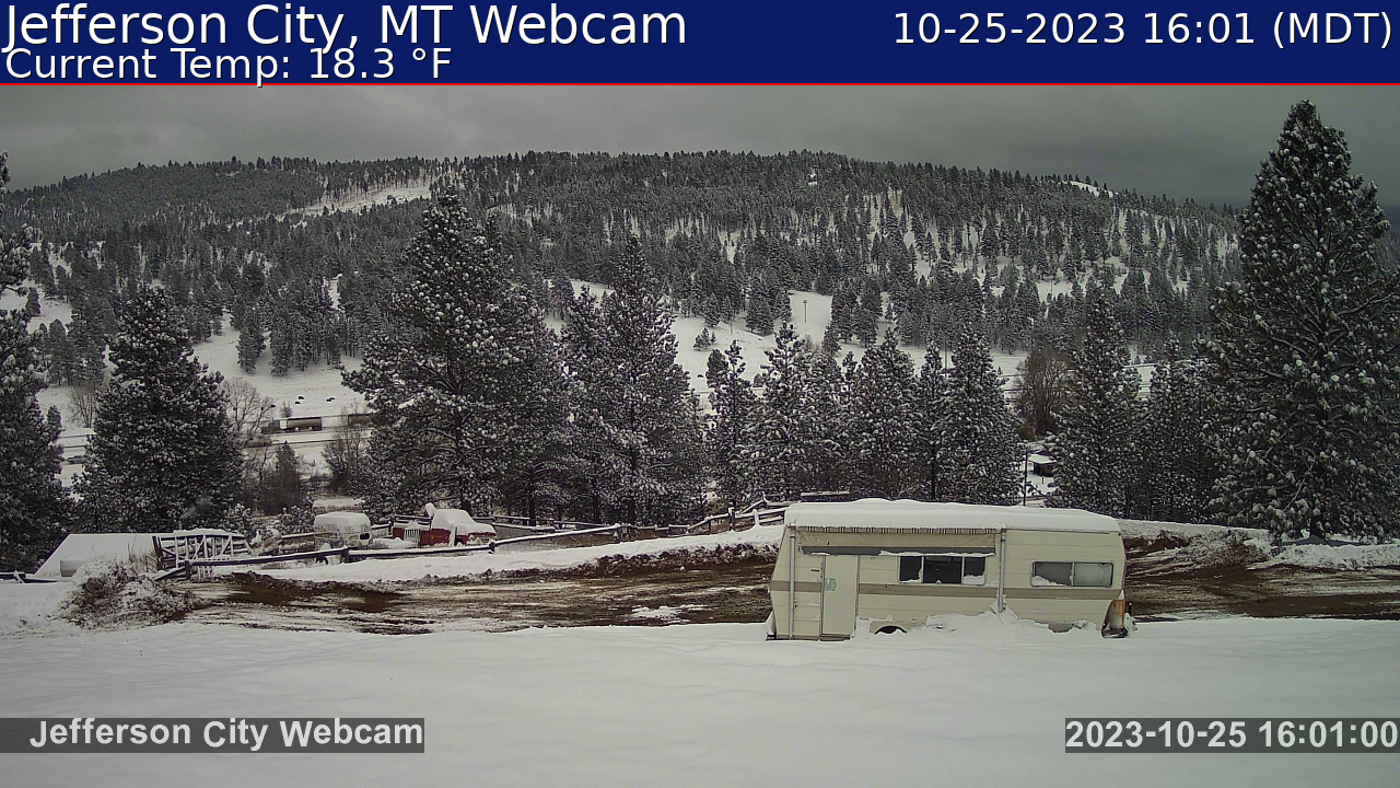
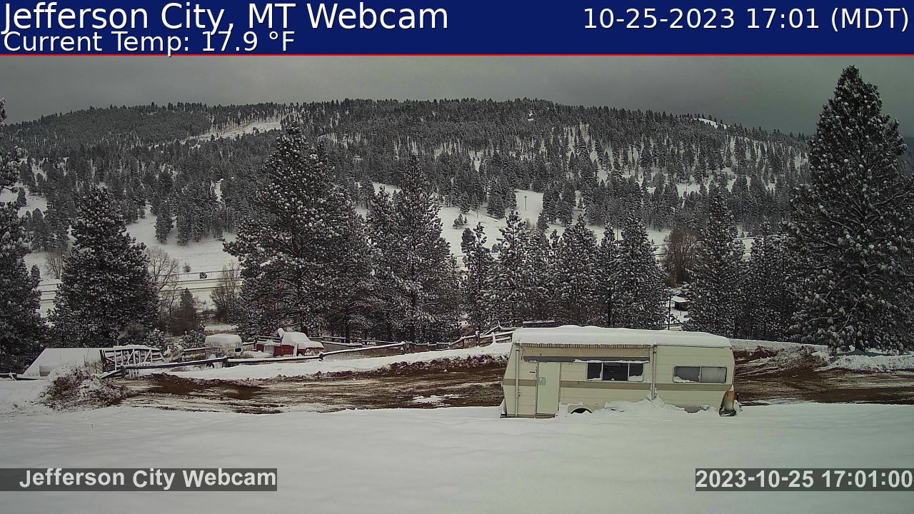
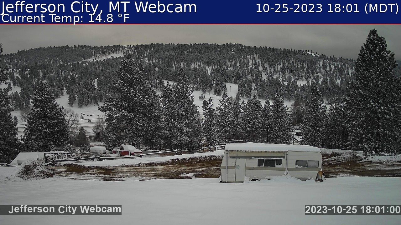
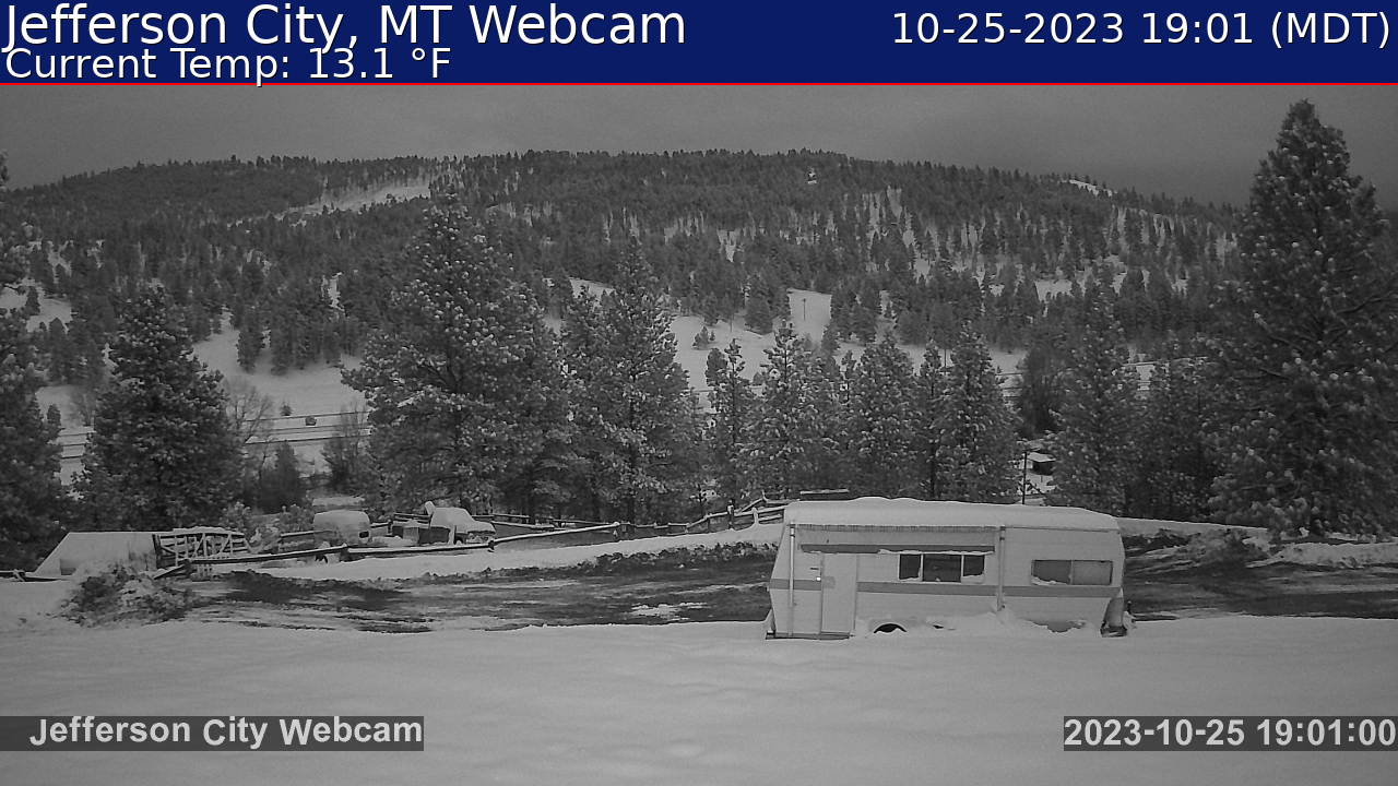
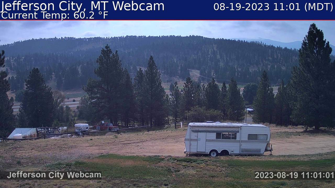
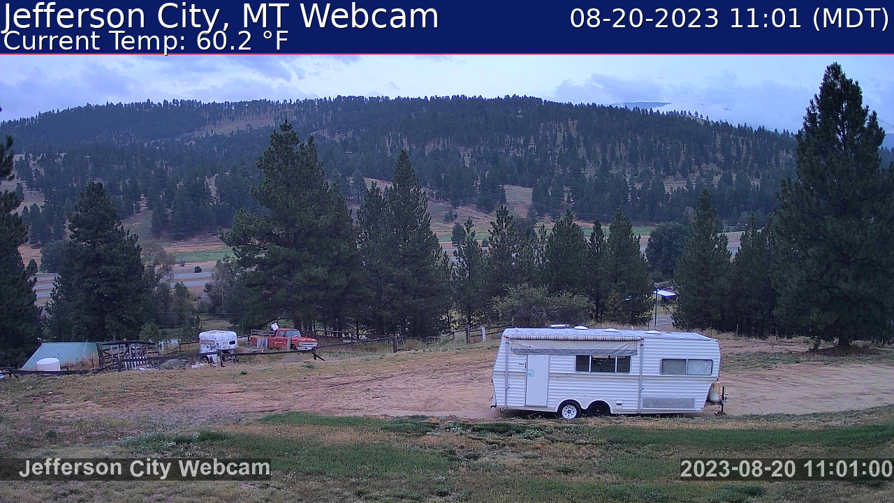
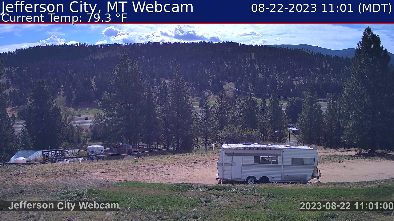
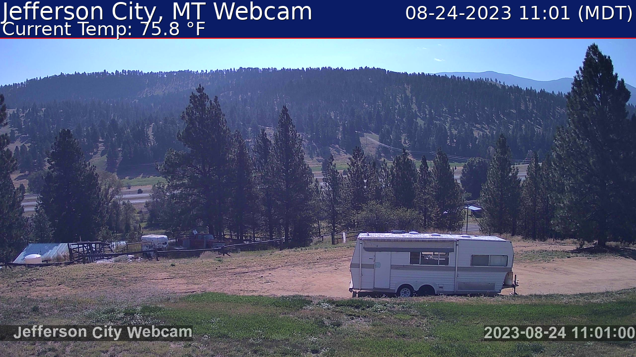
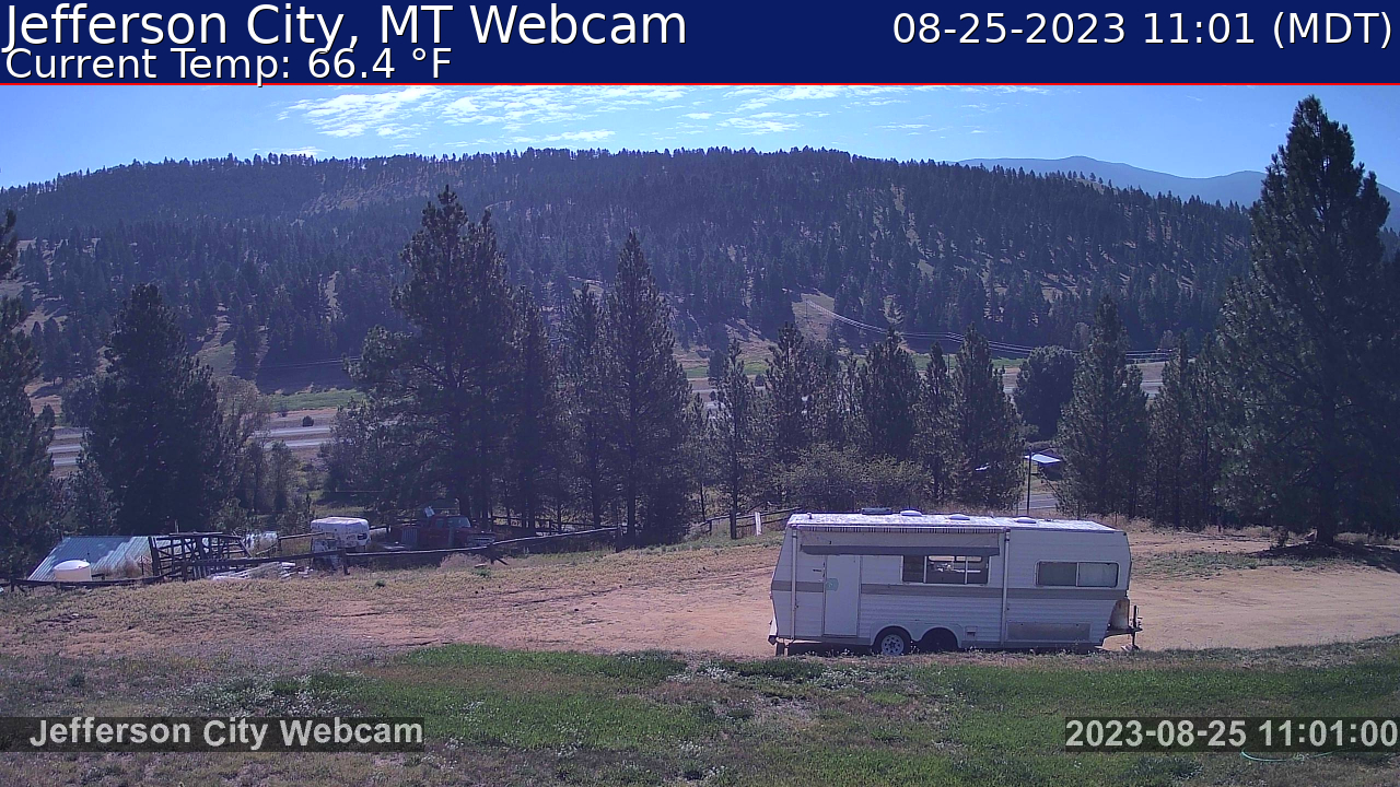
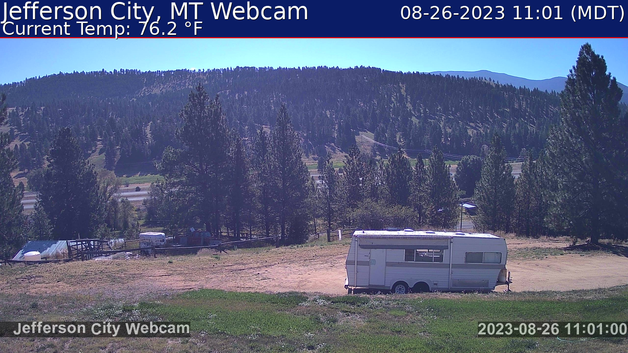
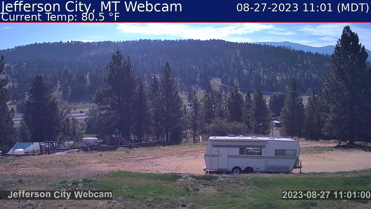
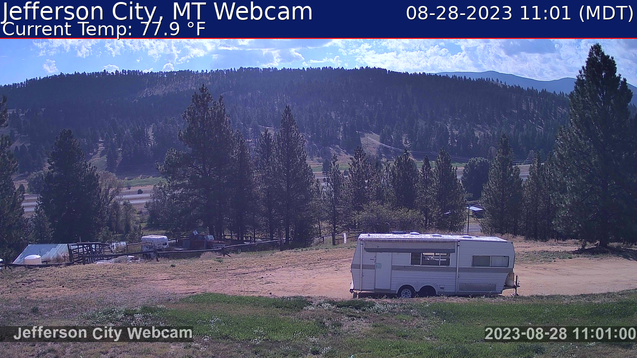
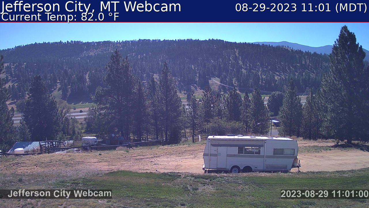
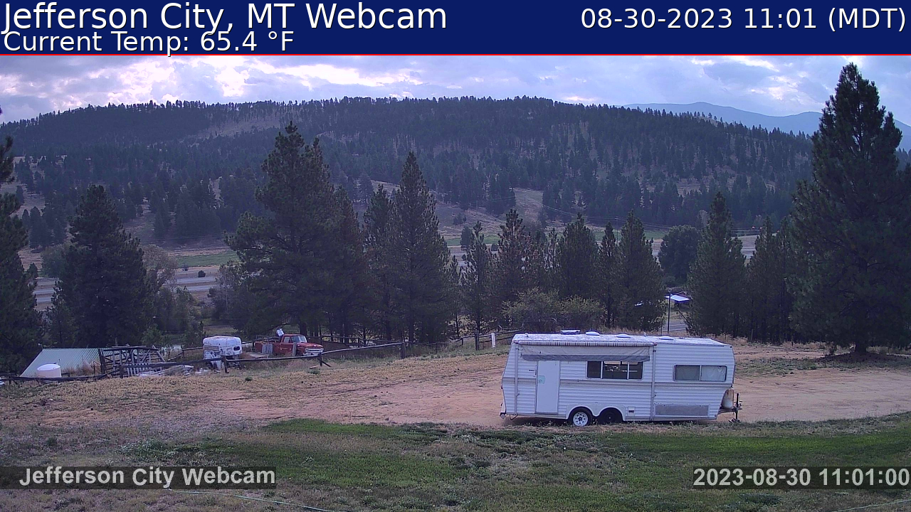
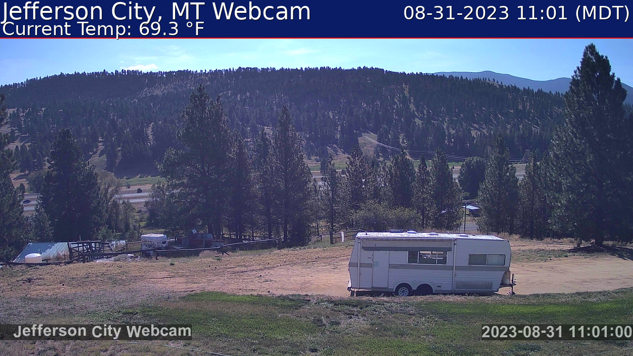
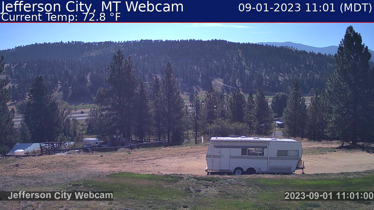
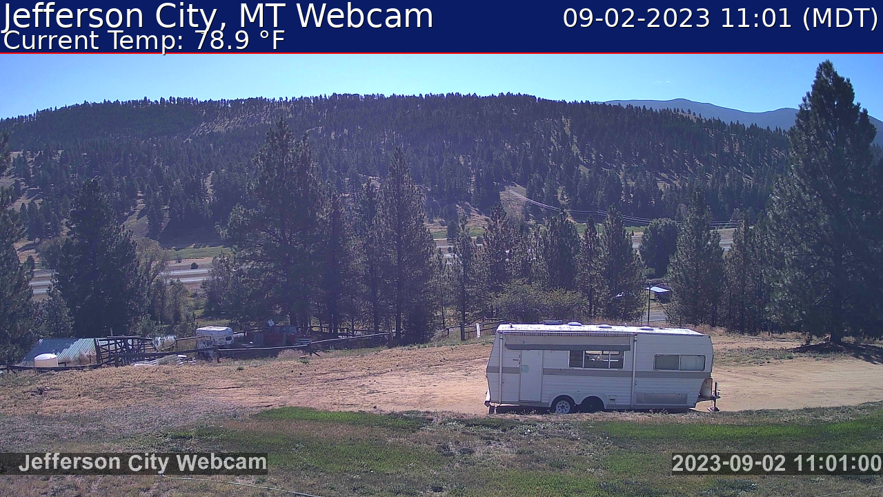
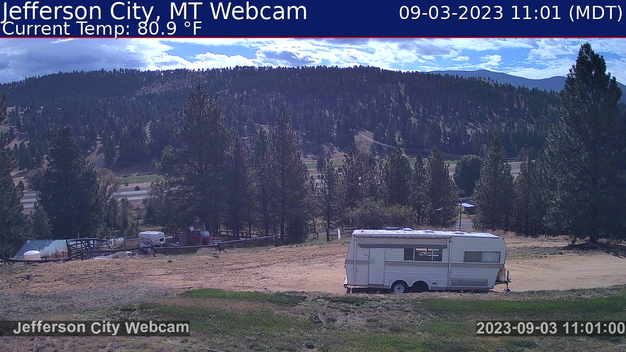
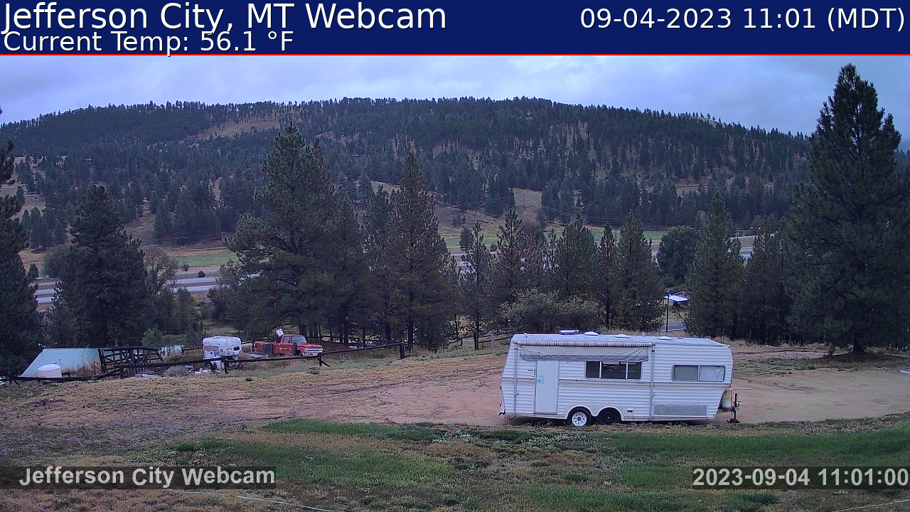
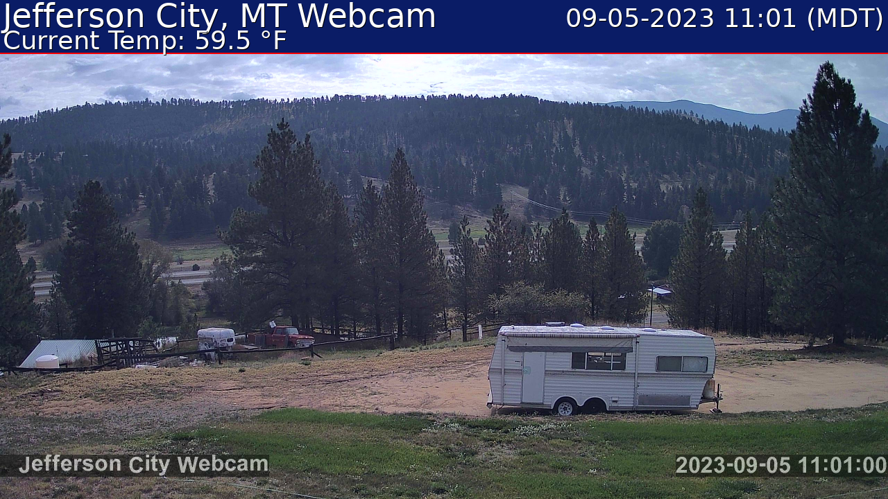
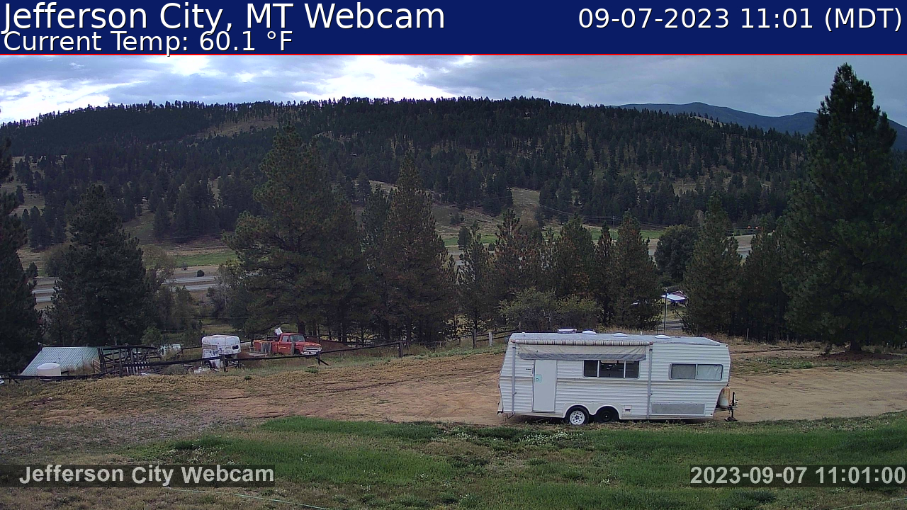
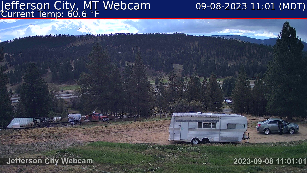
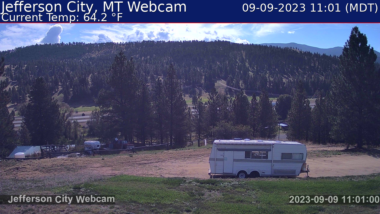
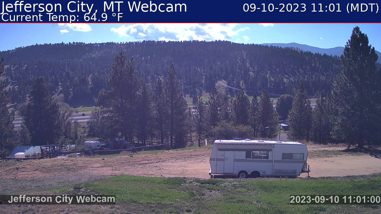
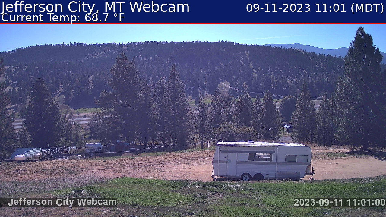
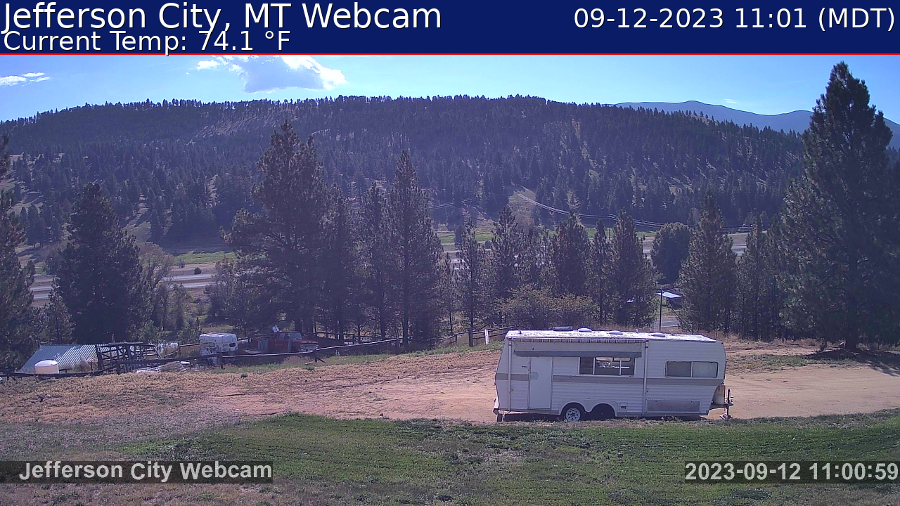
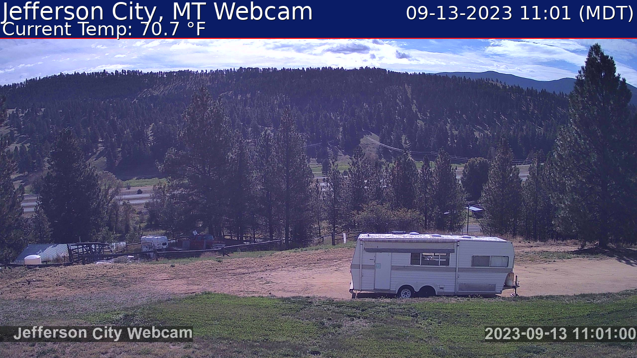
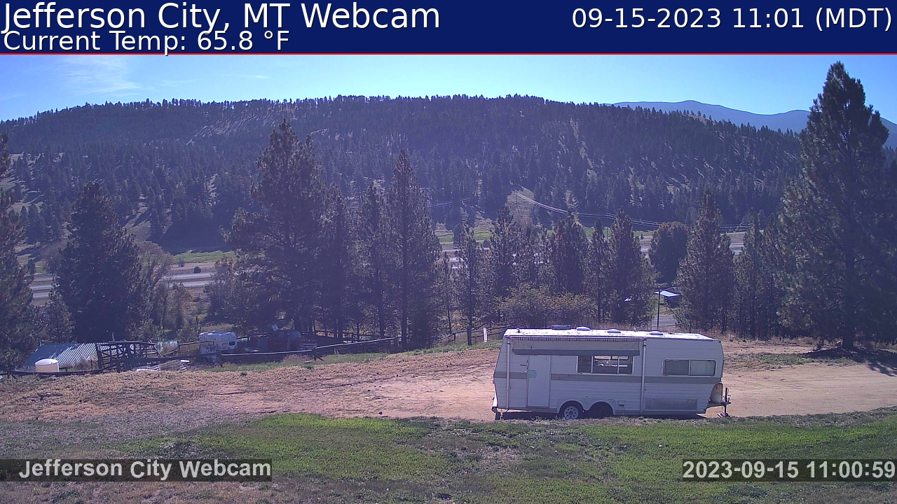
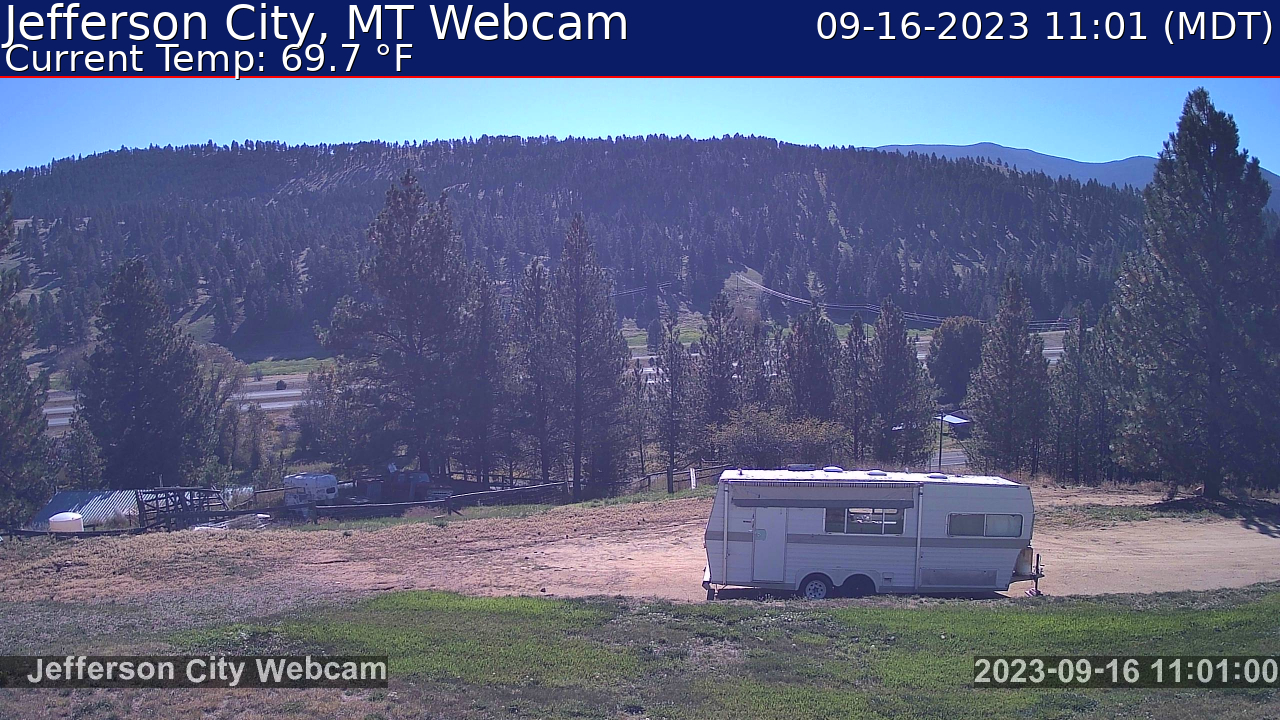
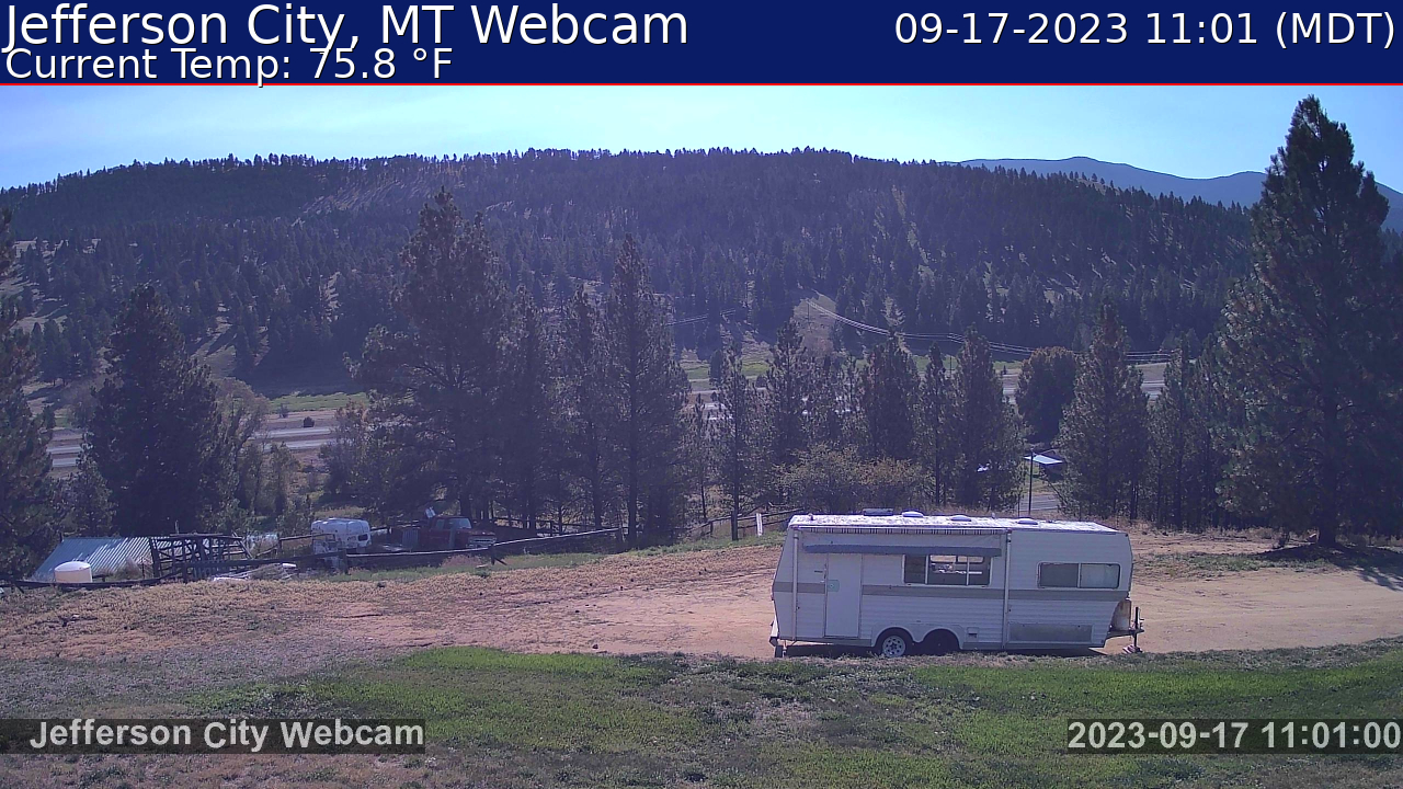
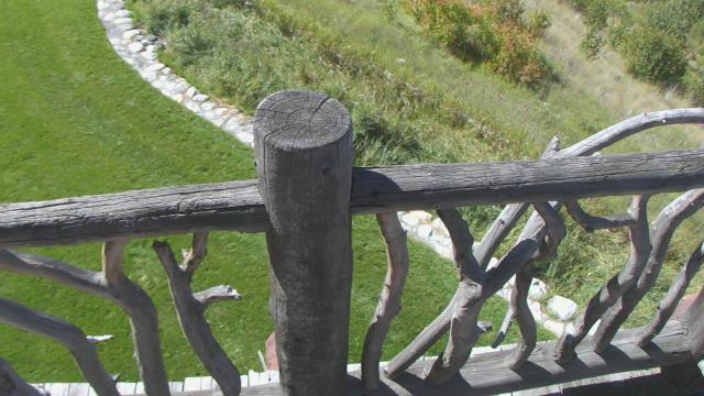
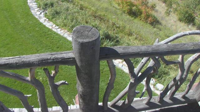
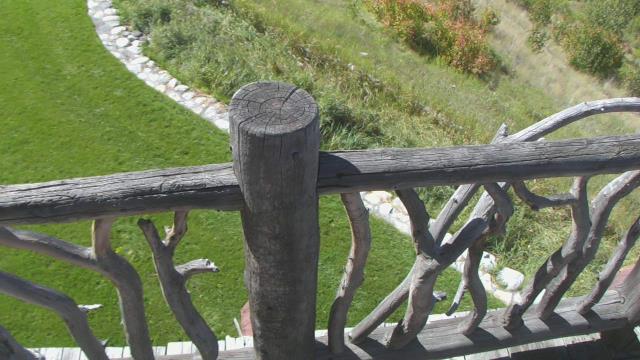
Jefferson City, Montana, USA - 26.4 miles from Emery (historical): Weathercam - Jefferson City MT Webcam and weather.
Operator: Ham Radio Blog of Amateur Radio Station K7JM
Operator: Ham Radio Blog of Amateur Radio Station K7JM


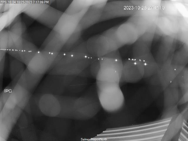
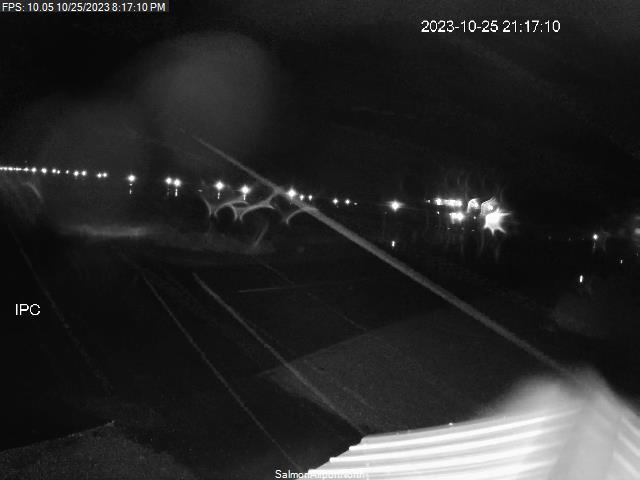
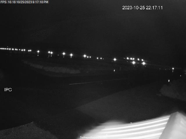
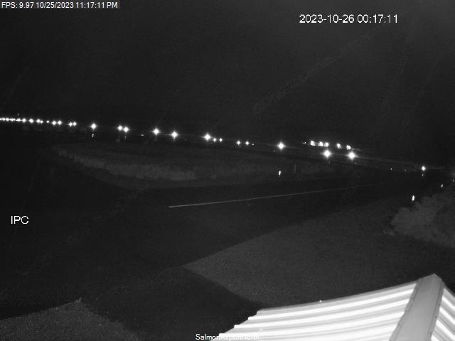
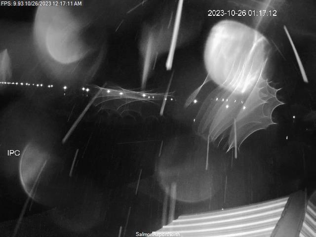
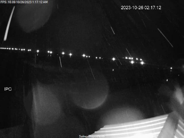
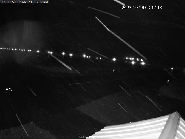
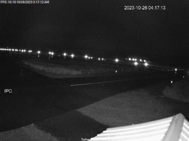
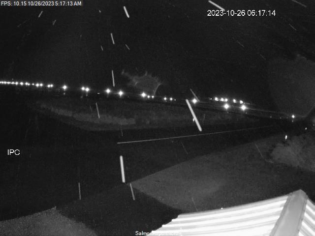
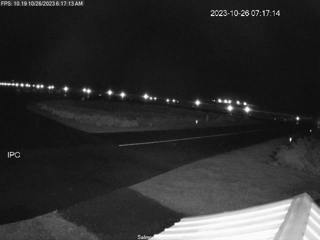
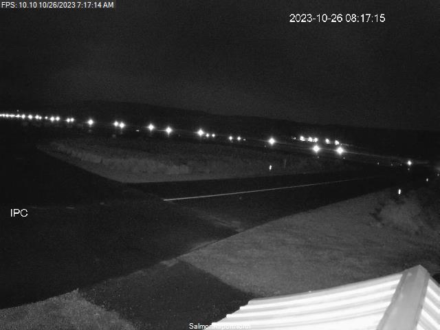
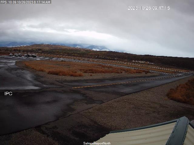
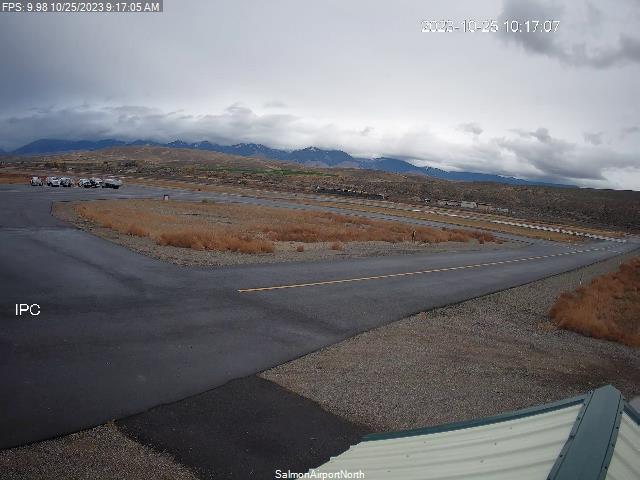
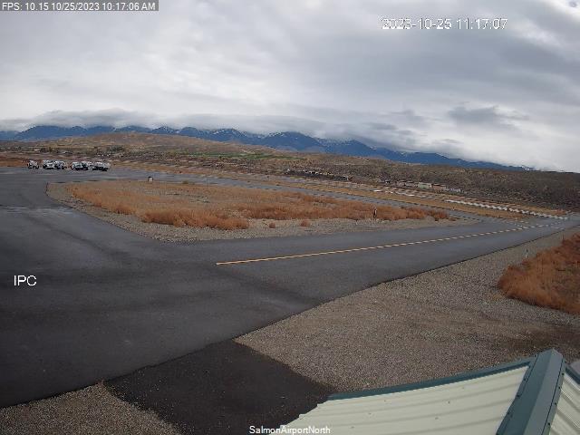
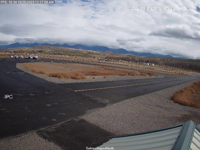
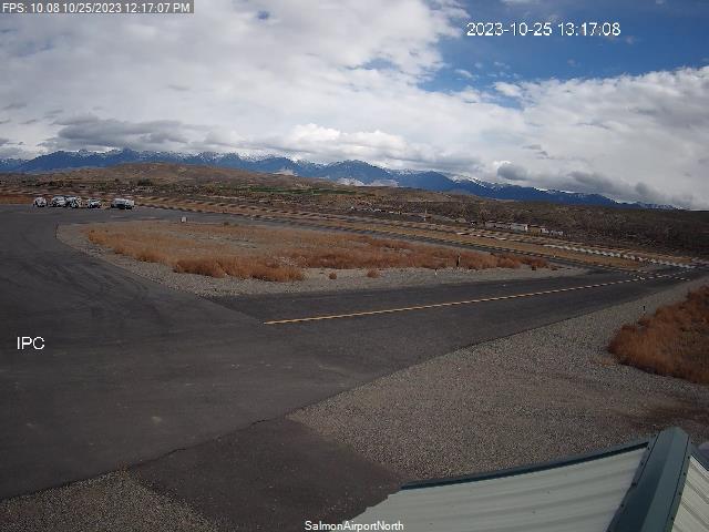
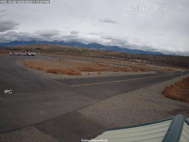
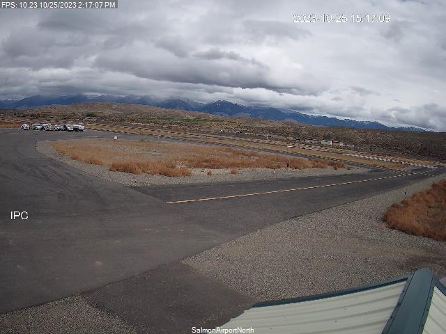
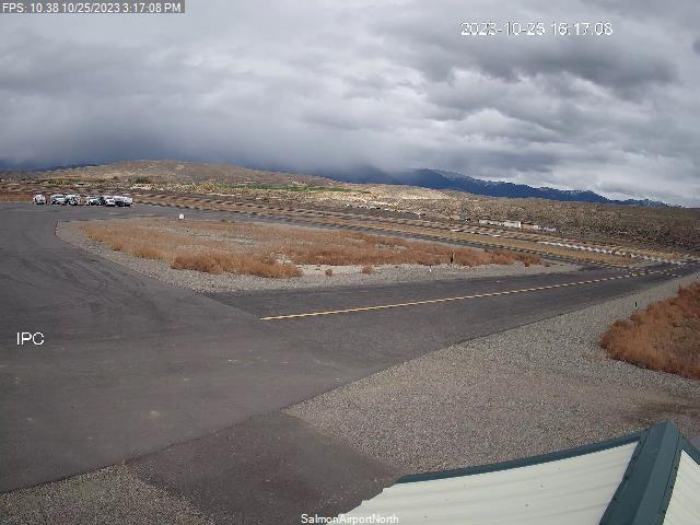
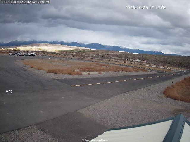
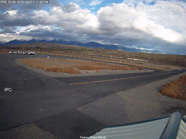
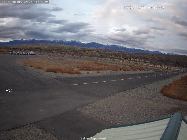
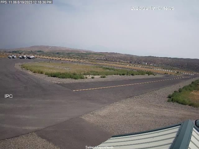
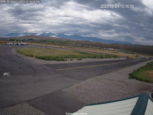
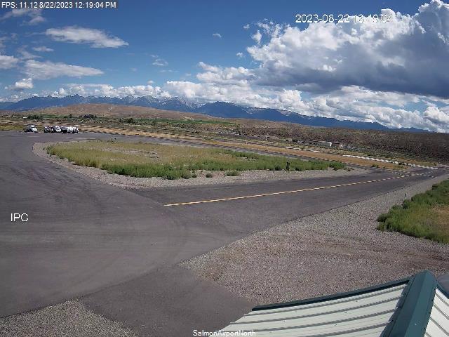
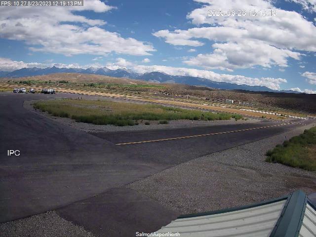
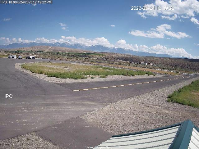
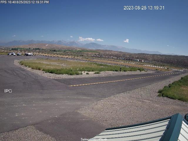
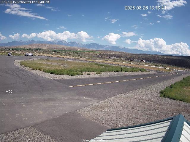
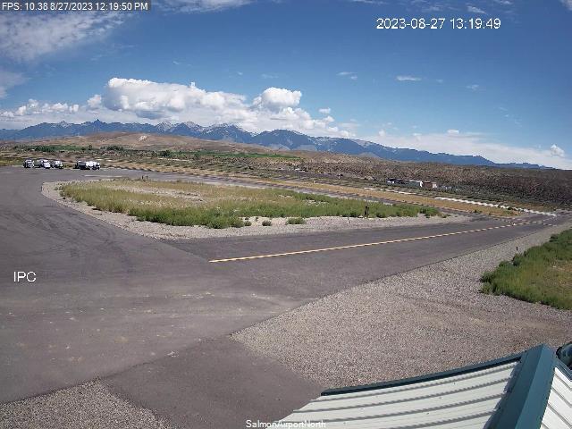
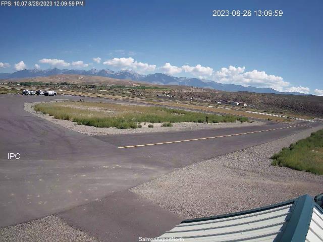
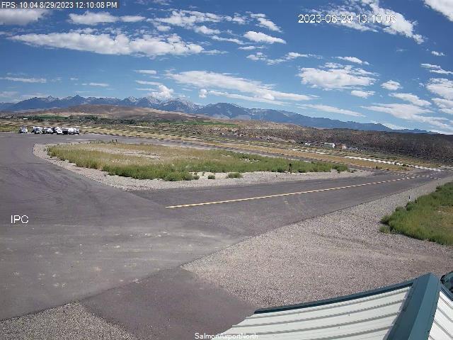
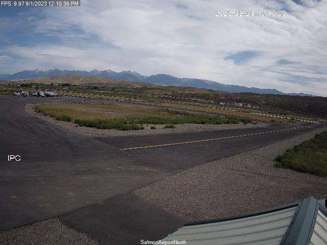
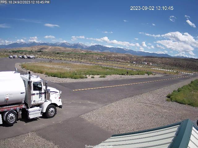
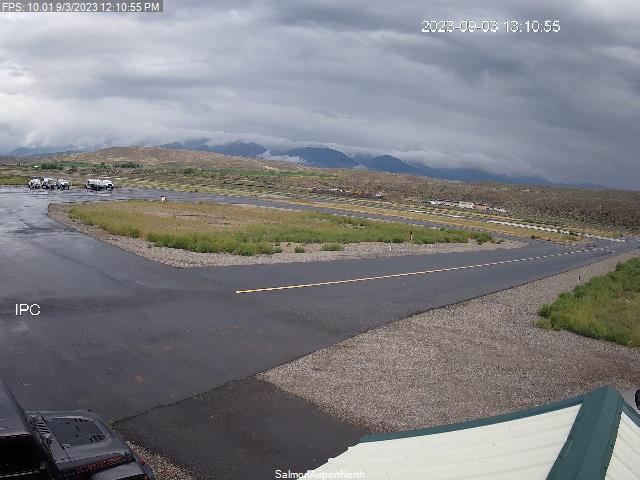
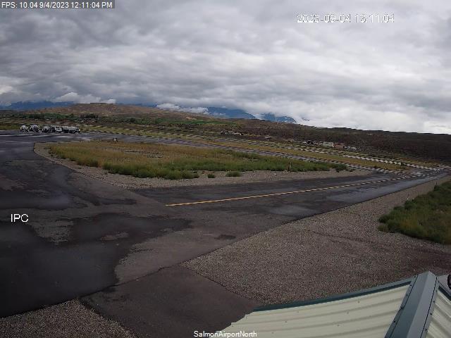
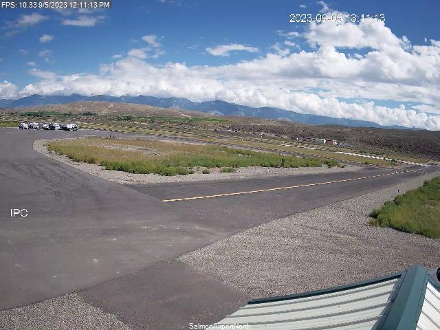
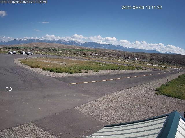
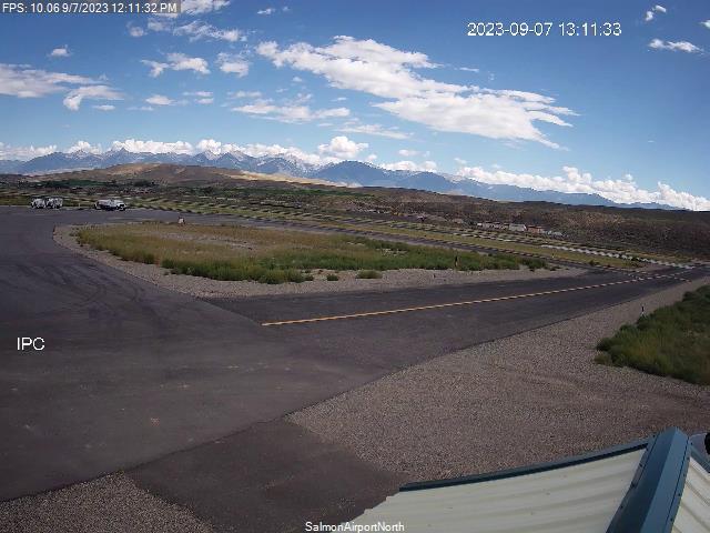
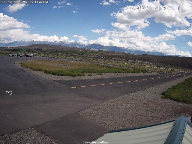
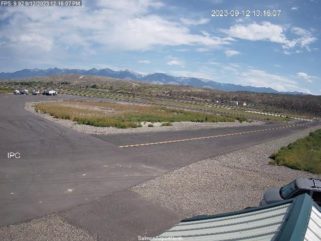
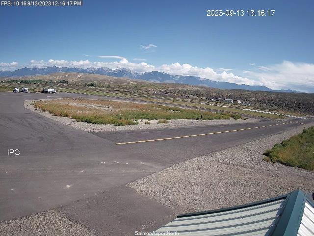
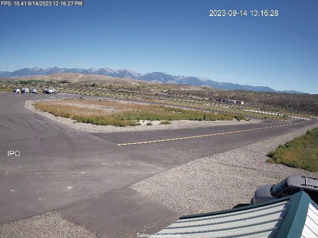
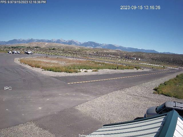
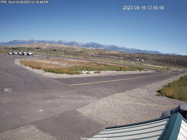
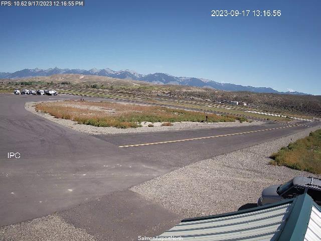
Salmon, Idaho, USA - 104.5 miles from Emery (historical): Lemhi County Airport - Views north & south from the Airport.
Operator: Lemhi County Airport
Operator: Lemhi County Airport


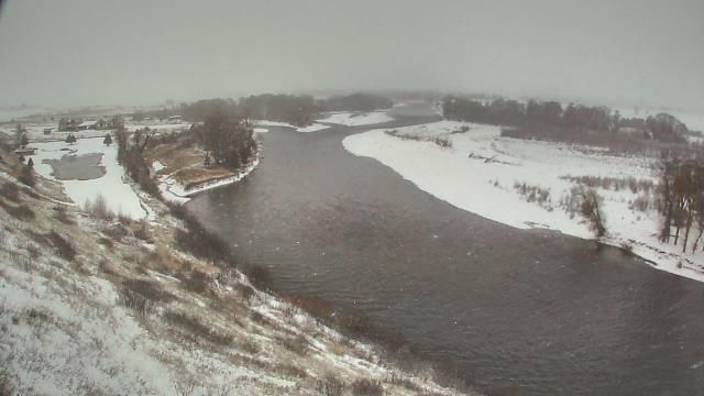
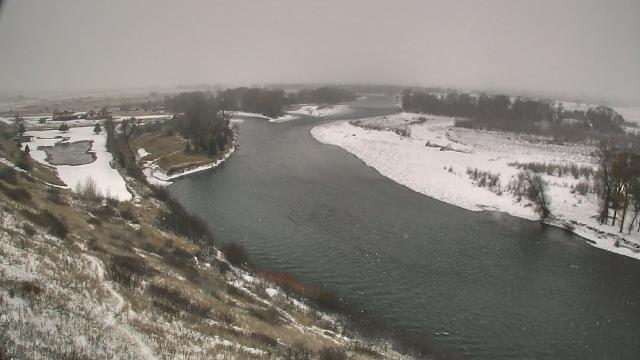
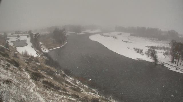
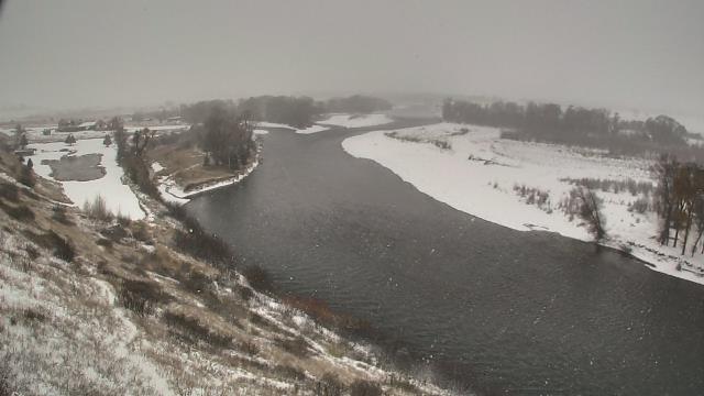
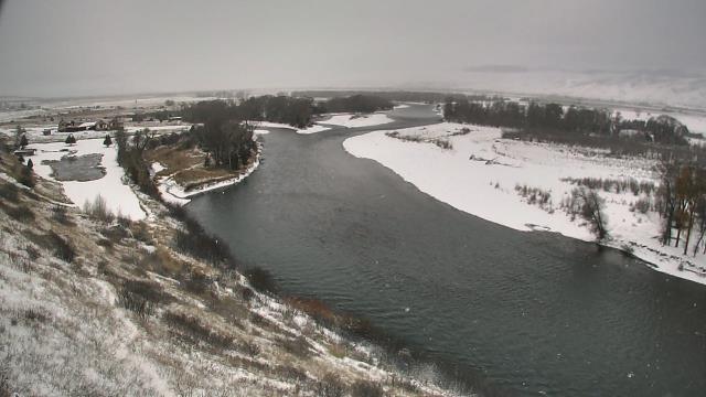
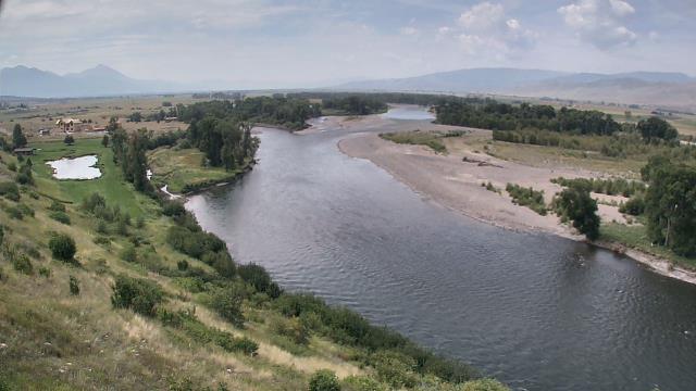
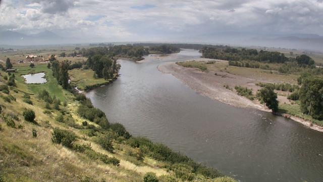
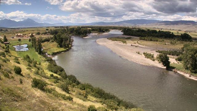
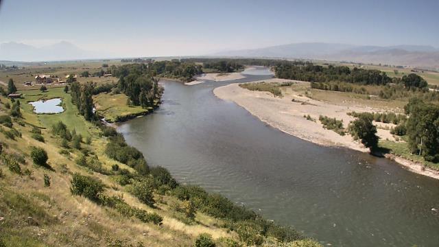
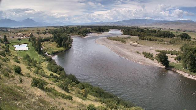
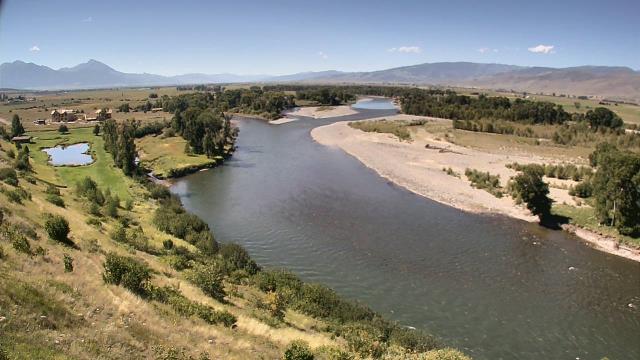
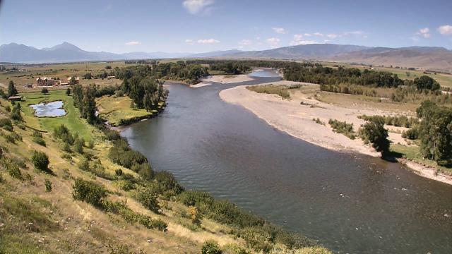
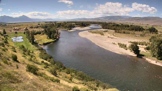
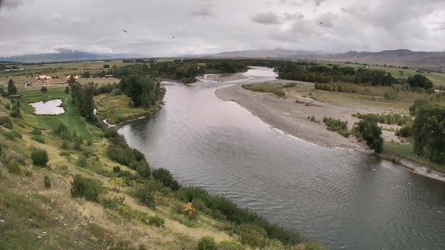
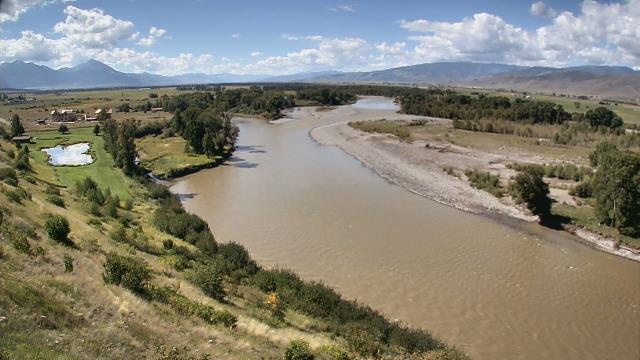
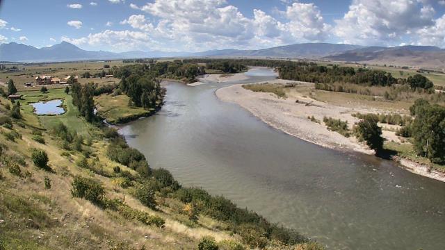
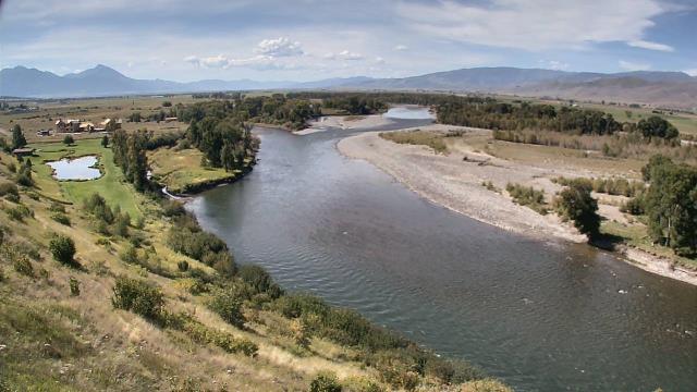
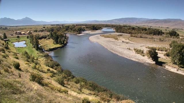
Livingston, Montana, USA - 108.9 miles from Emery (historical): Lone Tree Ranch - A webcam in Livingston, Montana - camera location: Lone Tree Ranch.
Operator: WeatherBug
Operator: WeatherBug


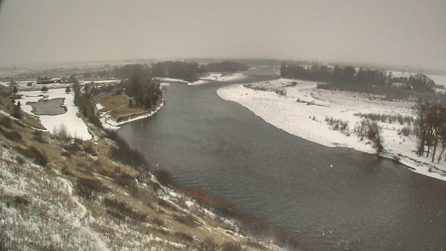
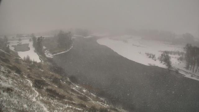
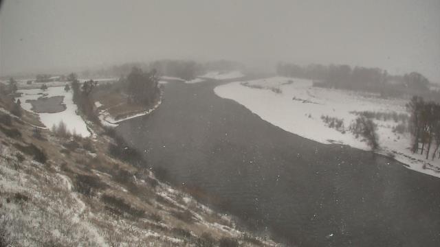

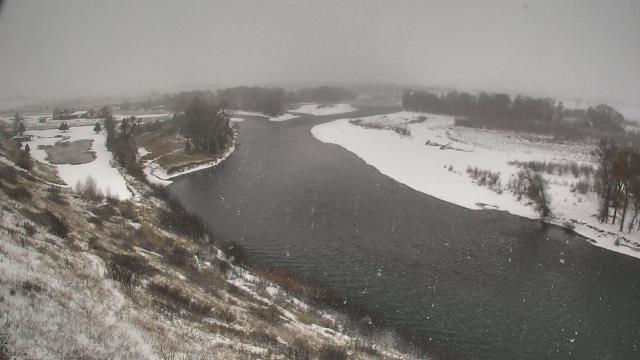
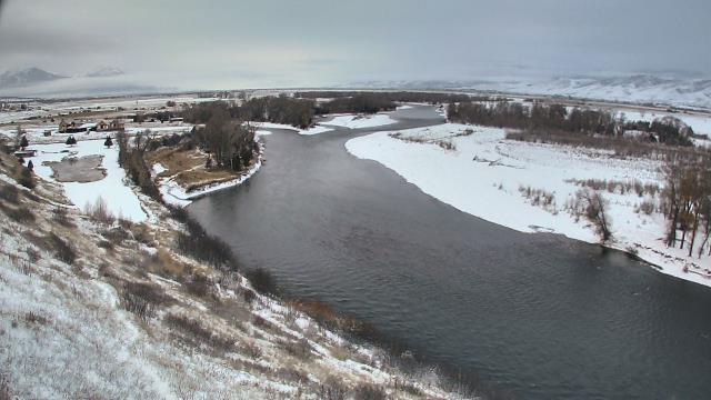
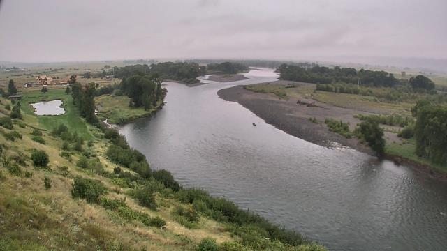
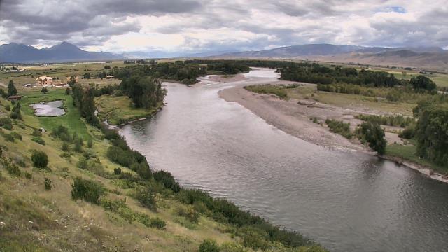
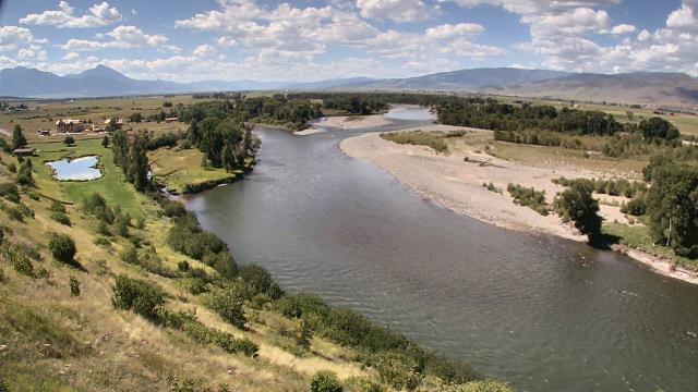
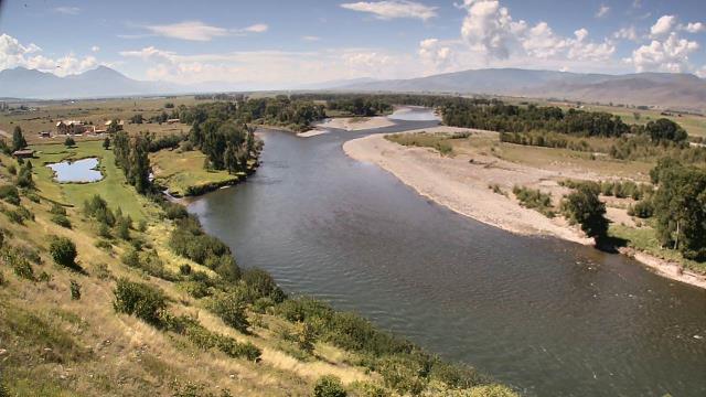
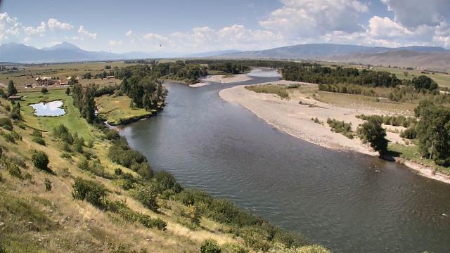
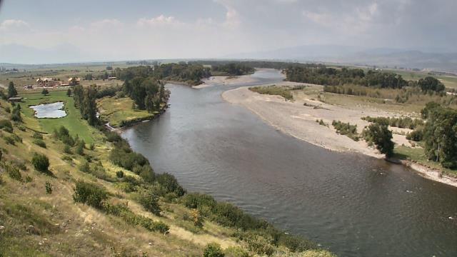
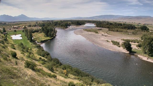
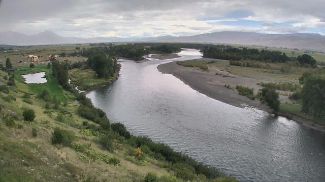
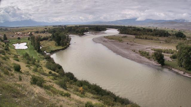
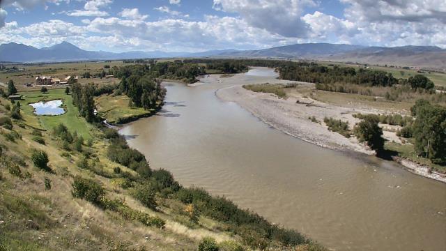
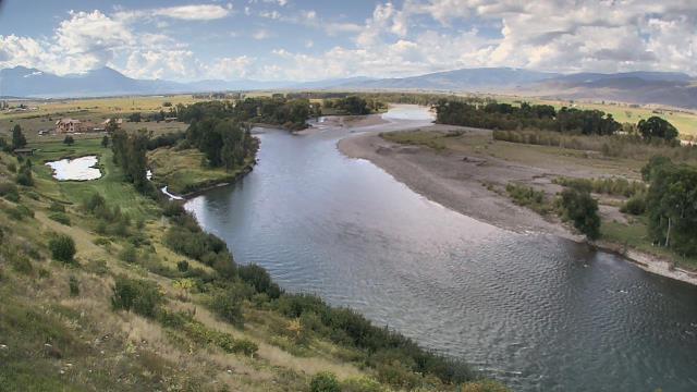
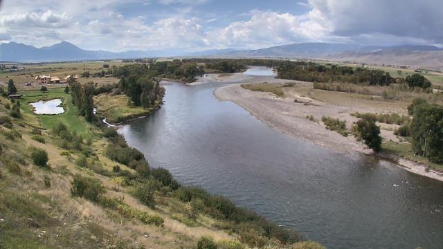
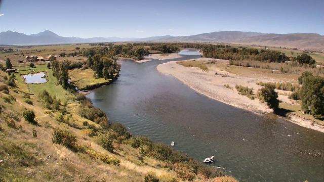

Livingston, Montana, USA - 108.9 miles from Emery (historical): Lone Tree Ranch - A webcam in Livingston, Montana - camera location: Lone Tree Ranch.
Operator: WeatherBug
Operator: WeatherBug


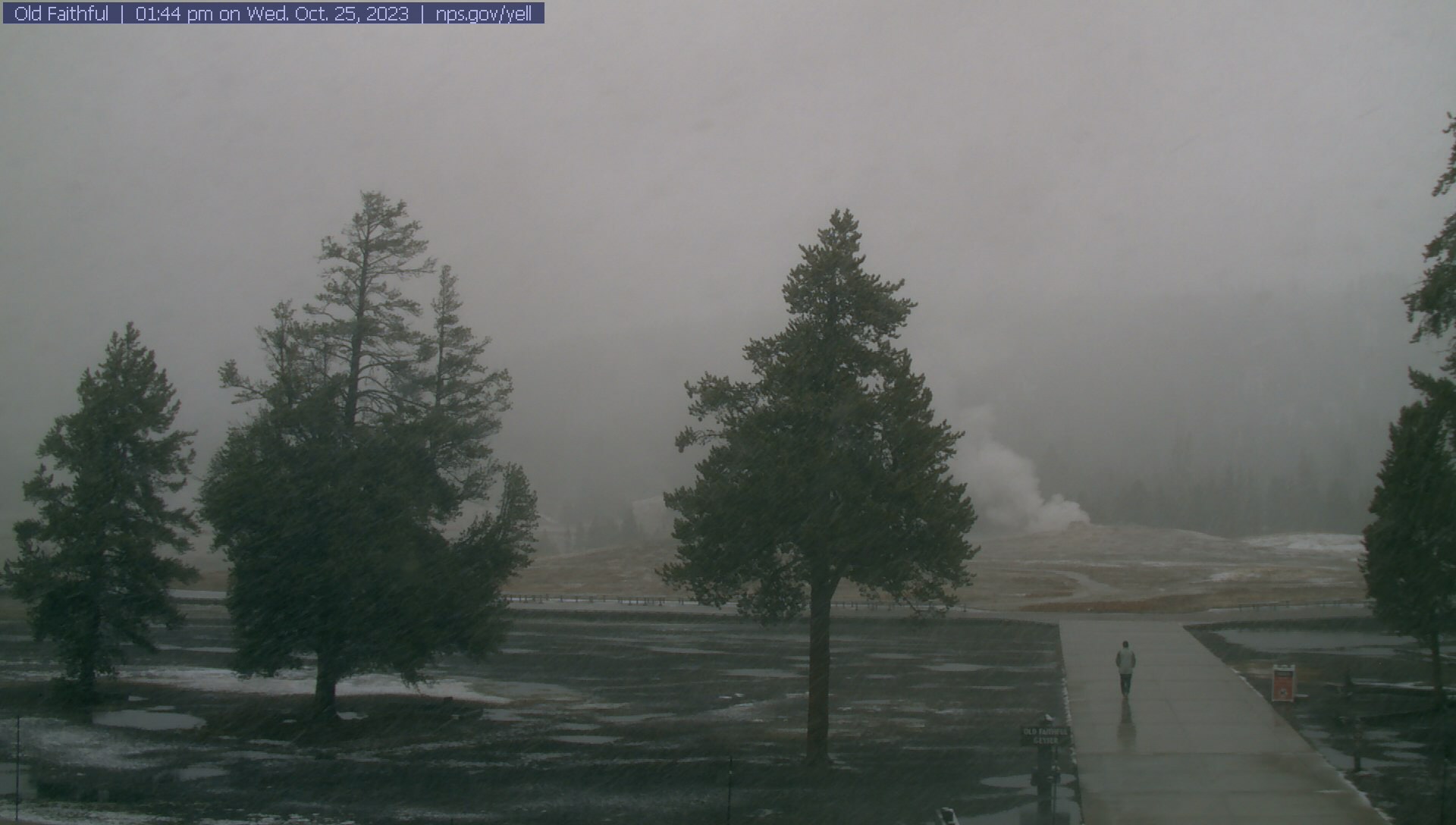
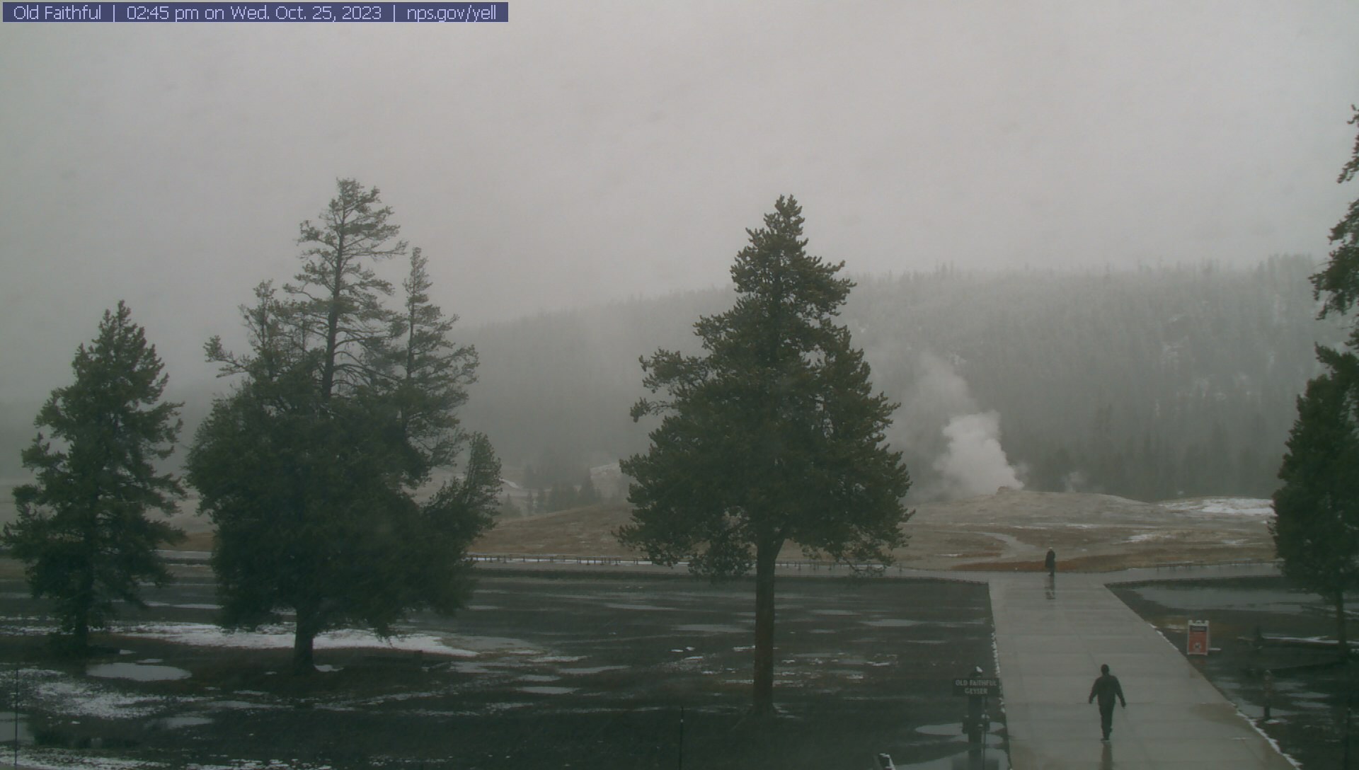
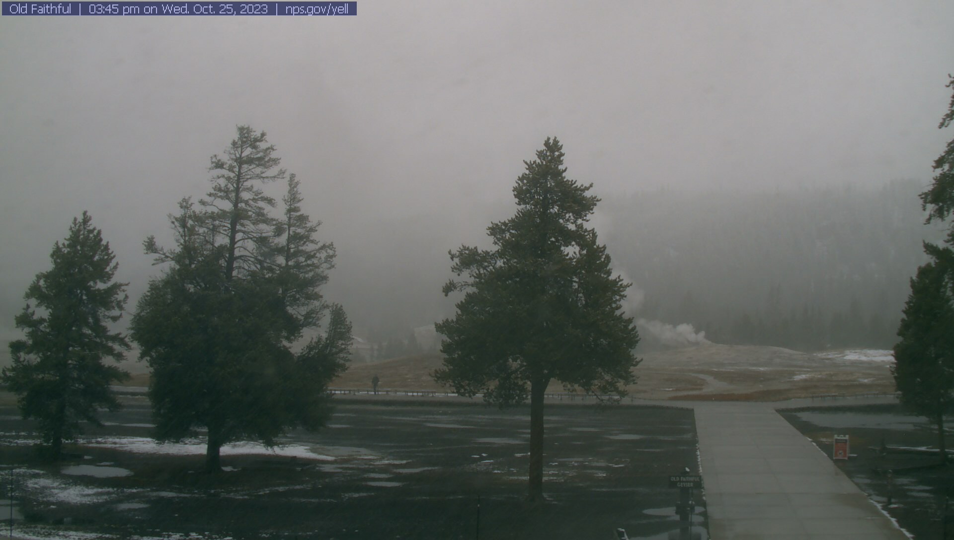
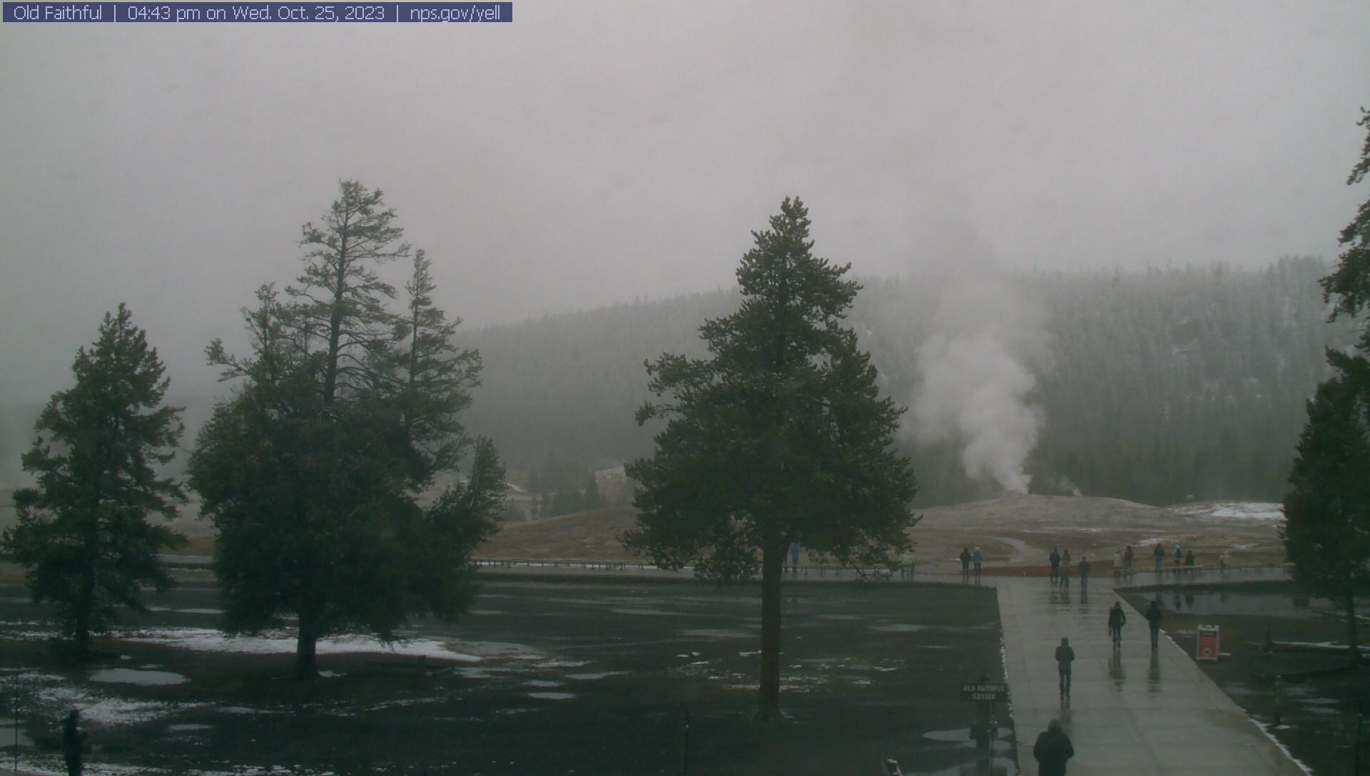
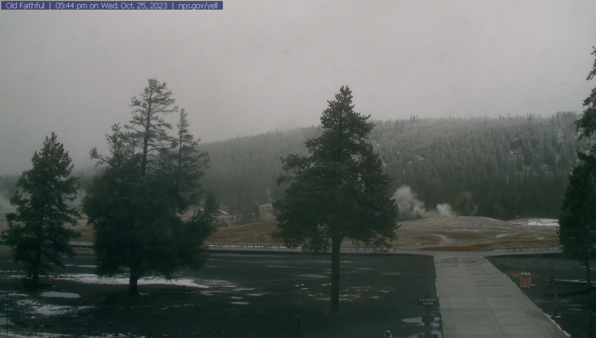
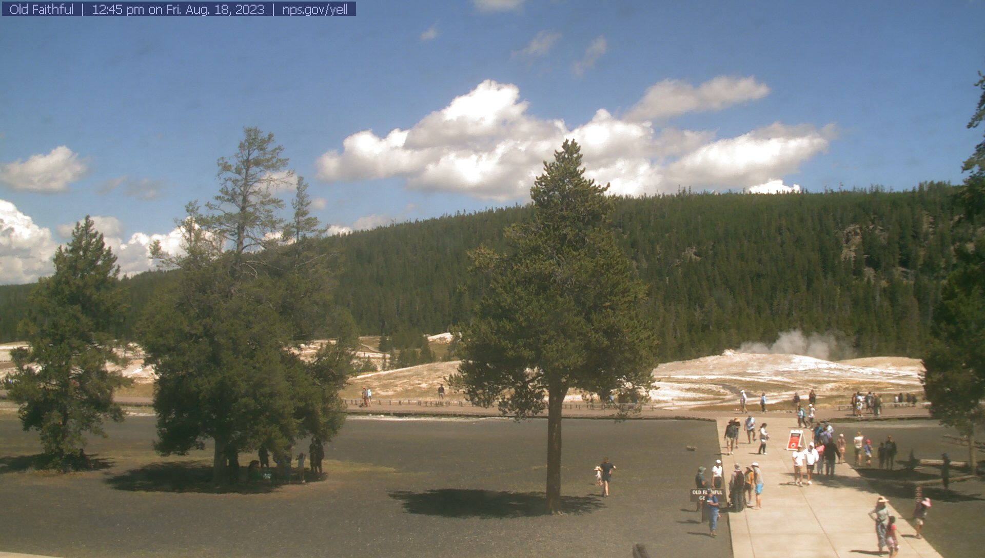
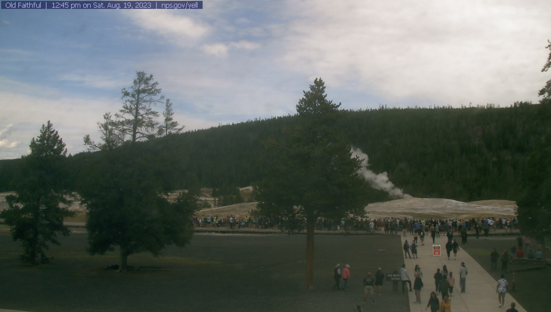
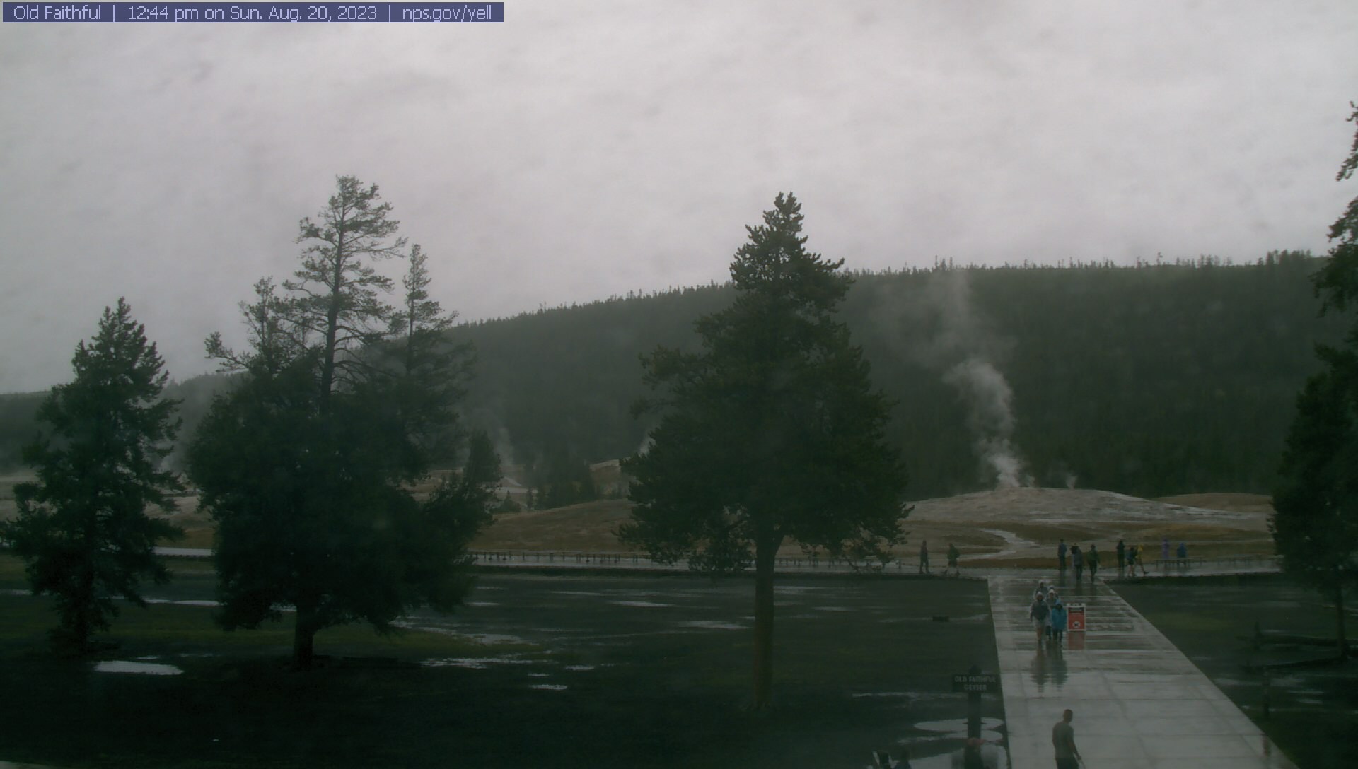
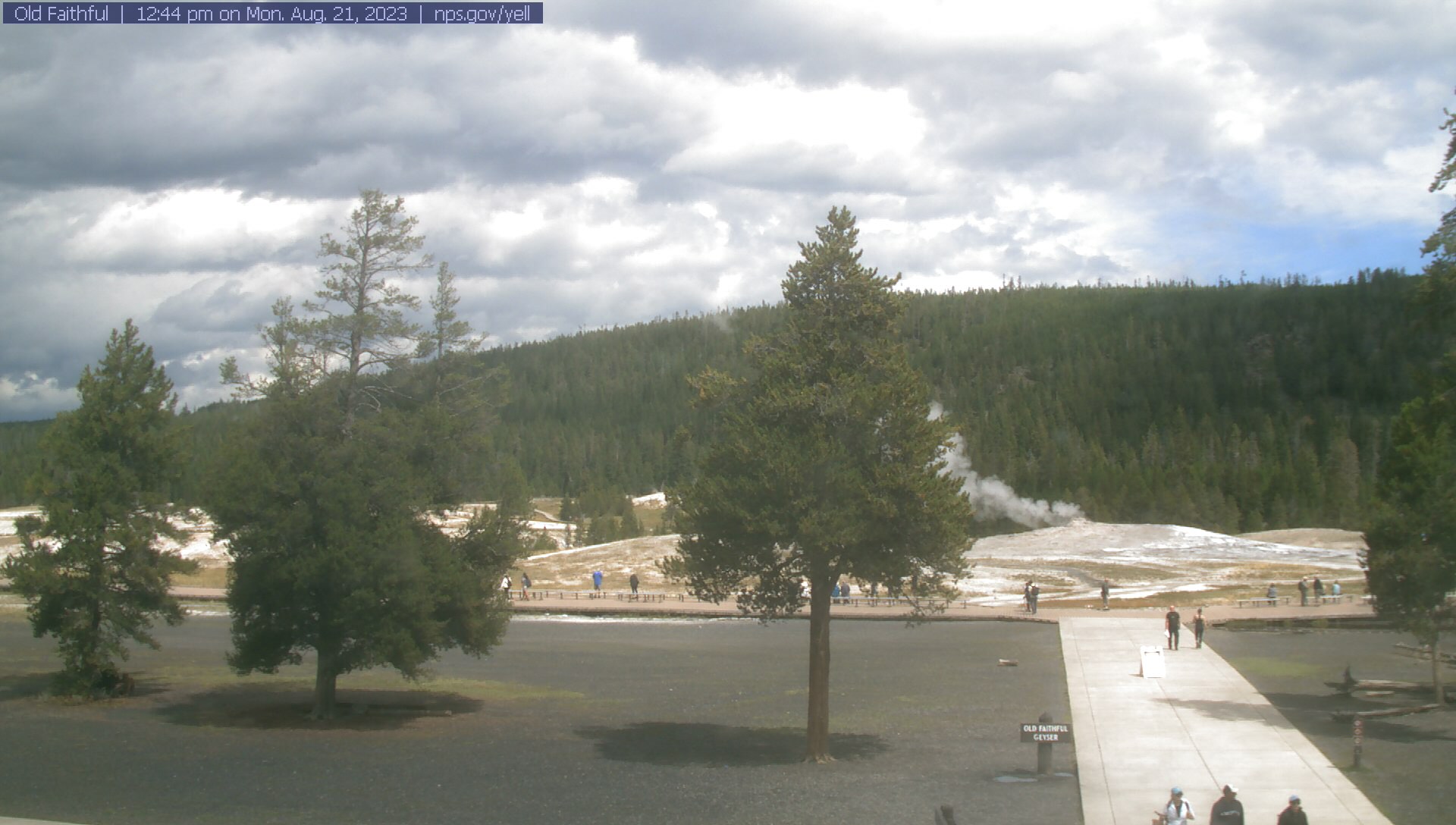
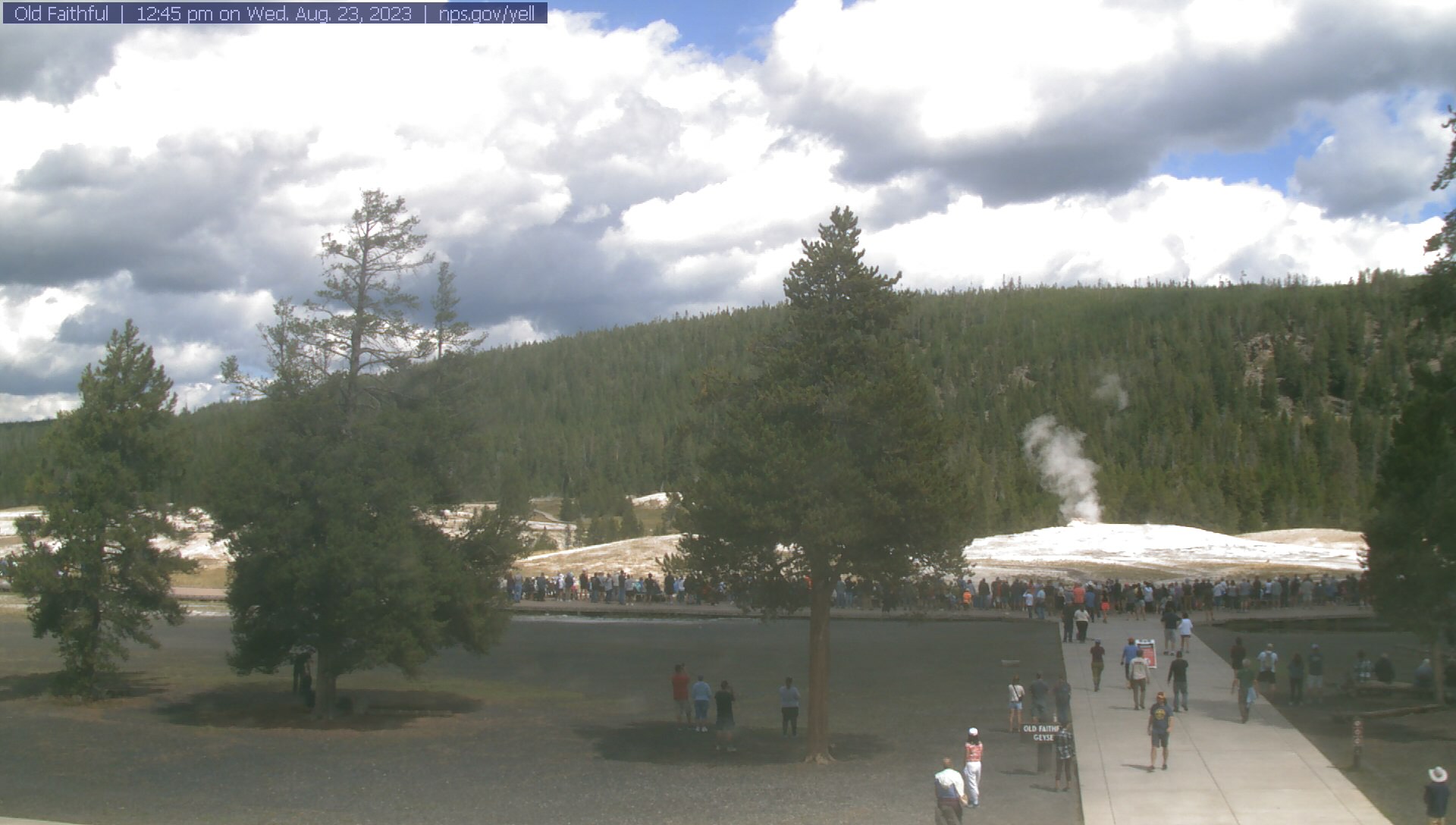
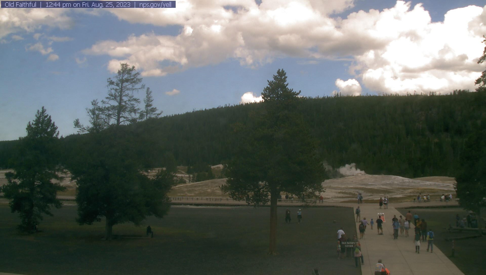
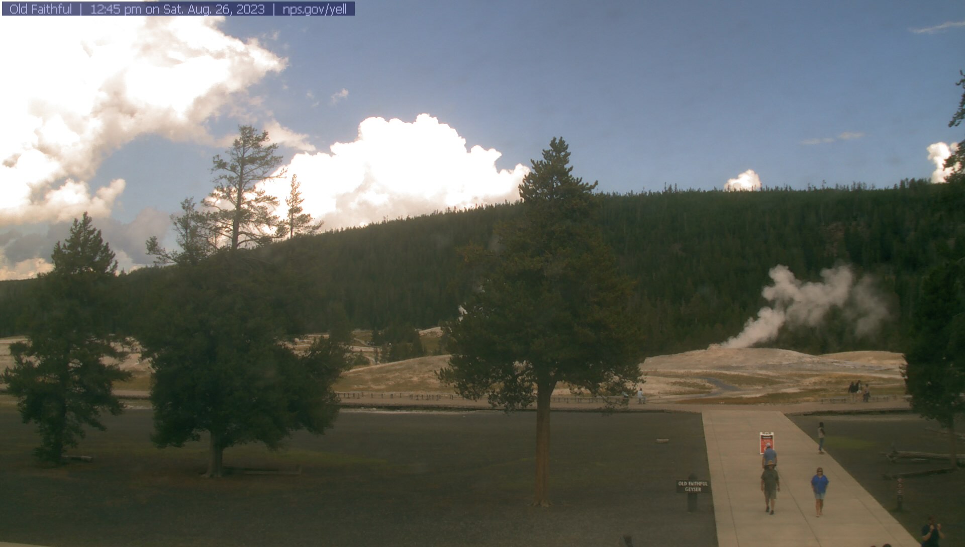
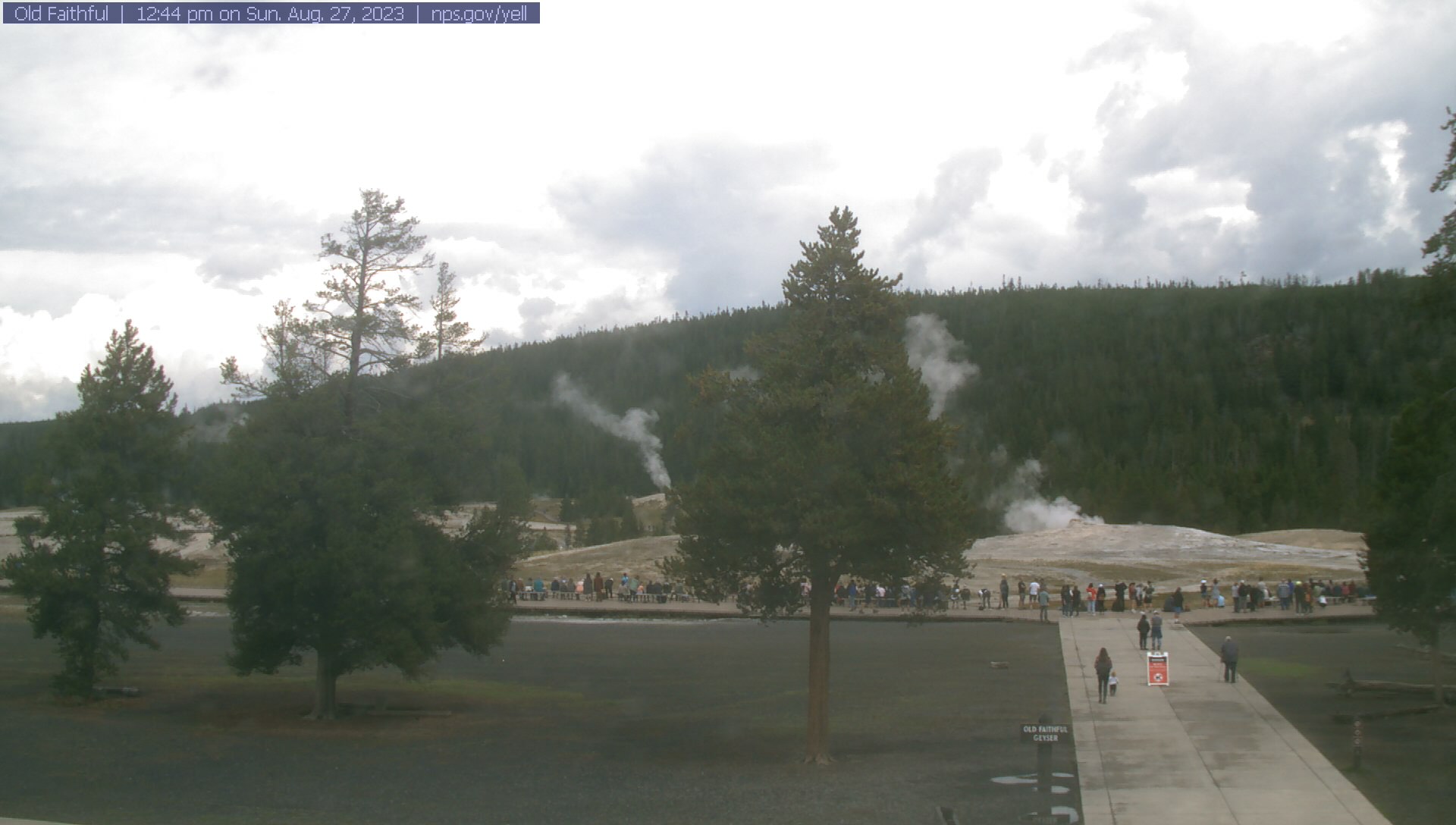
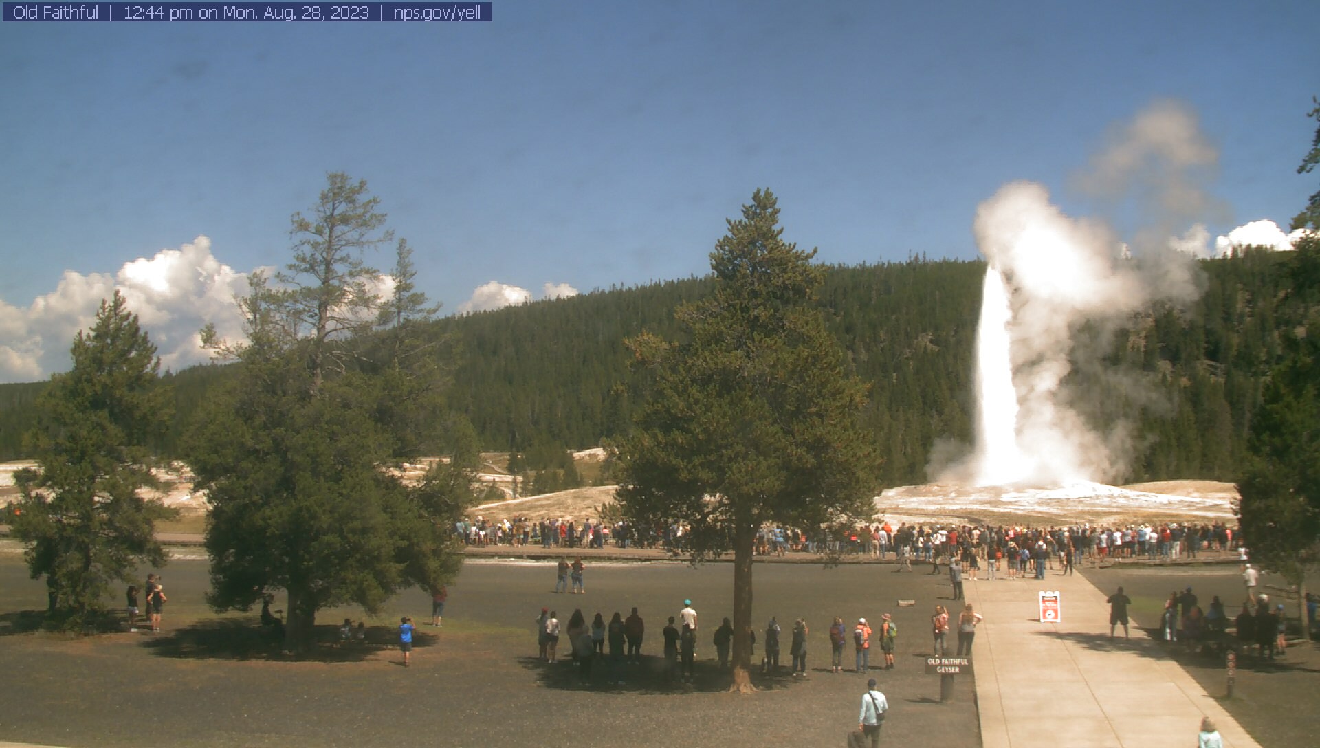
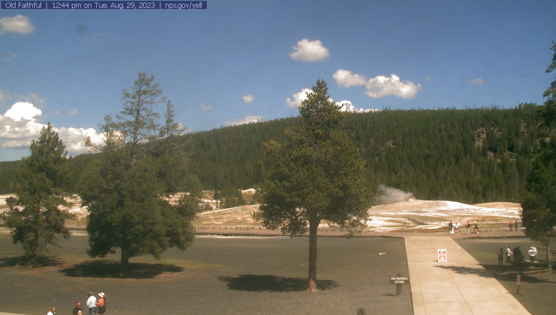
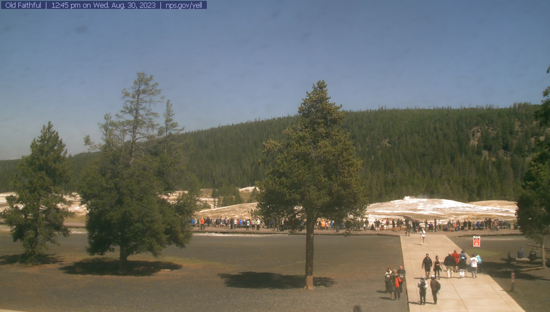
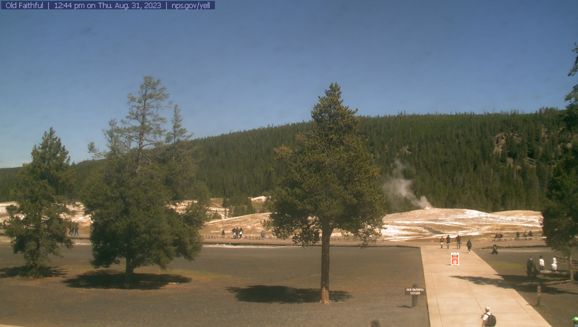
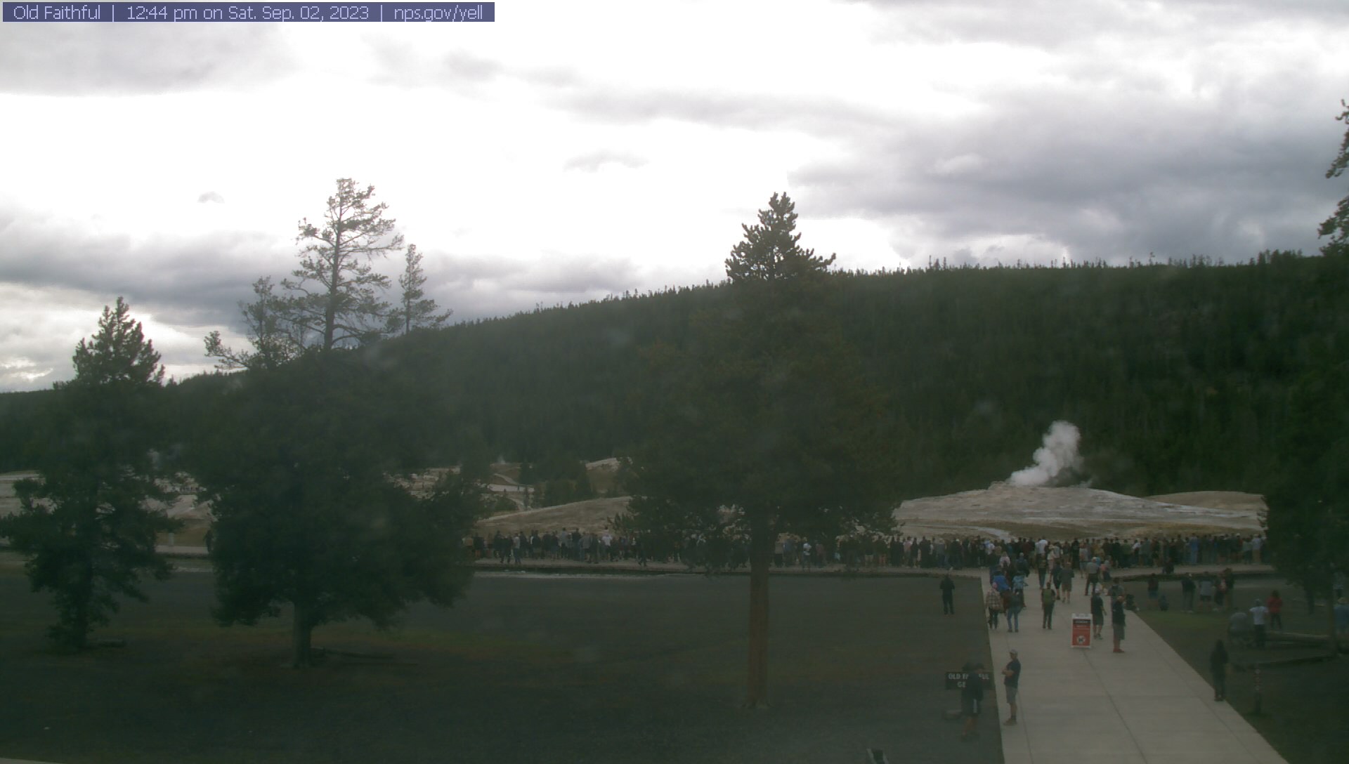
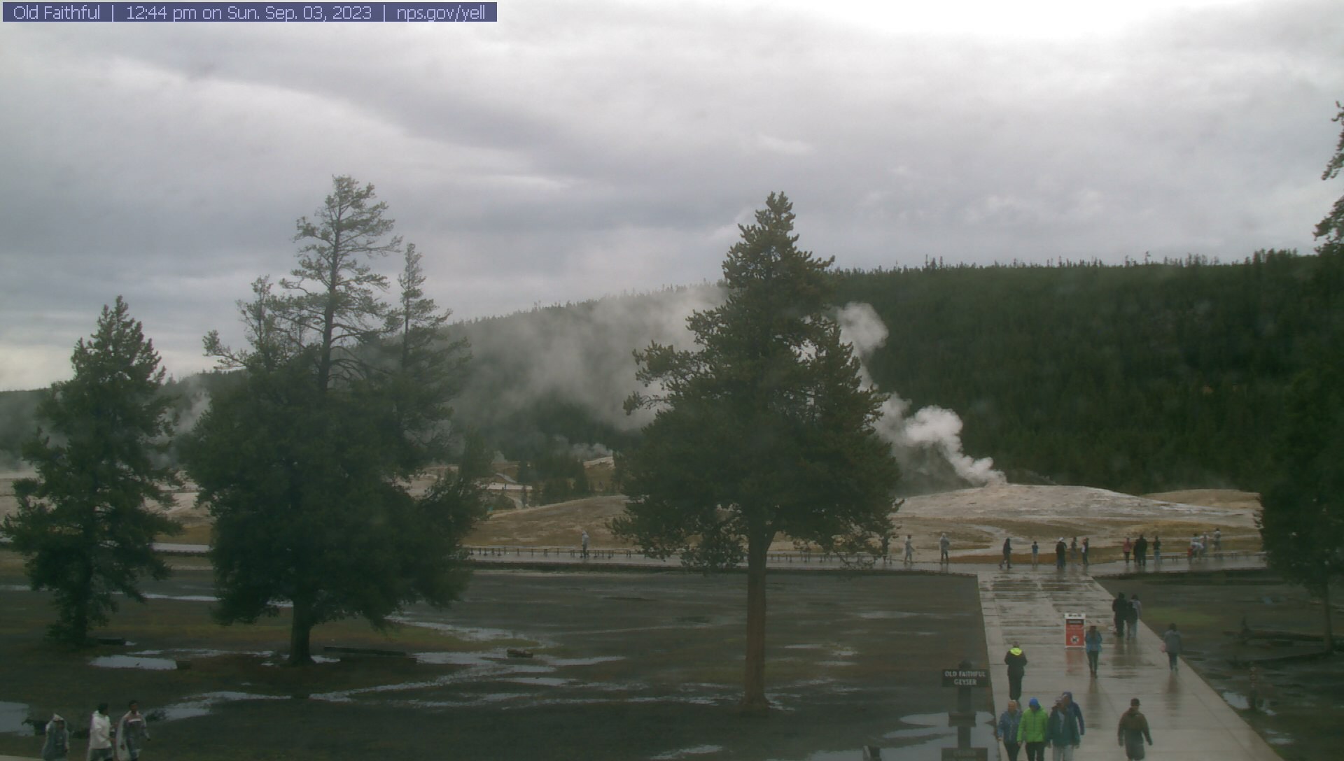
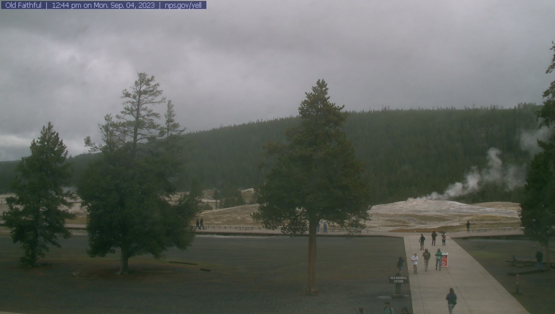
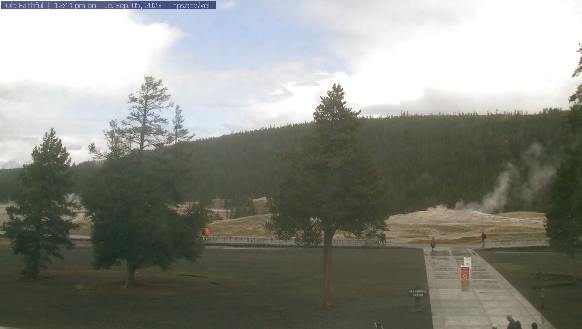
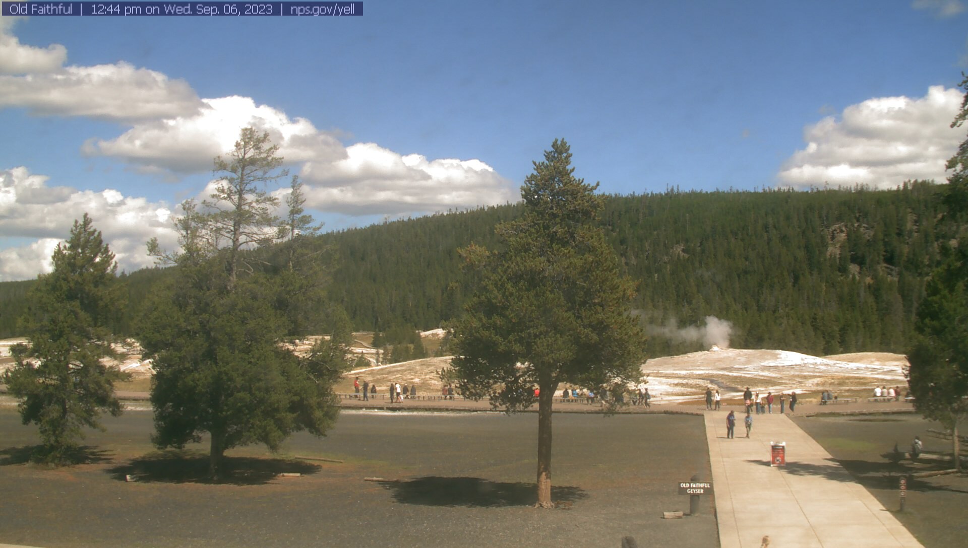
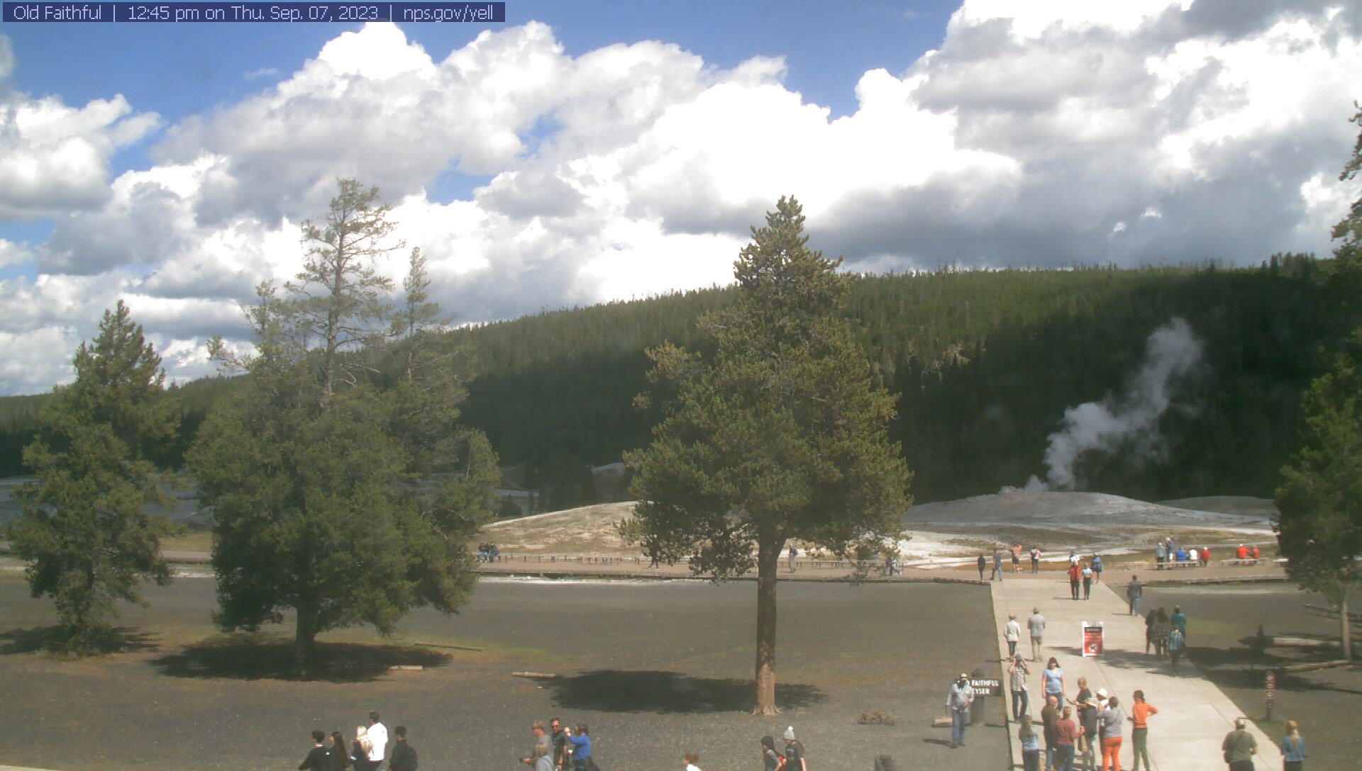
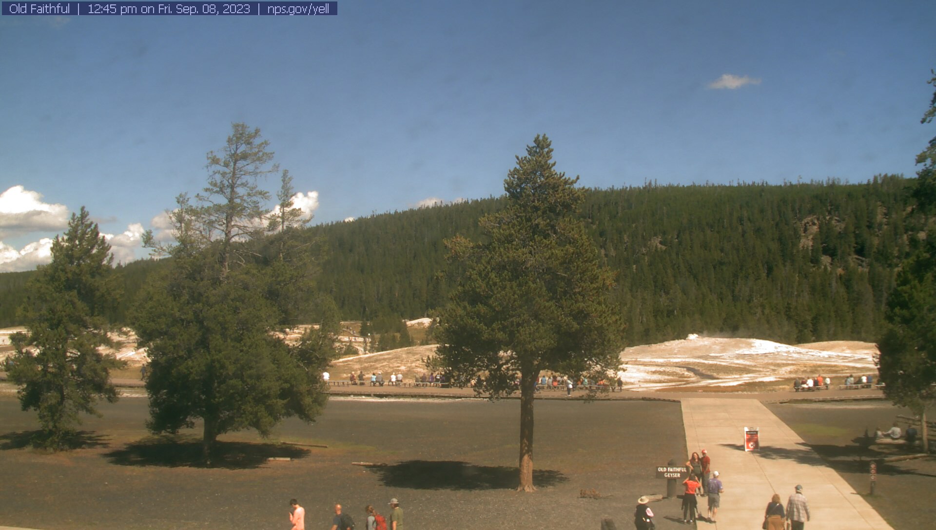
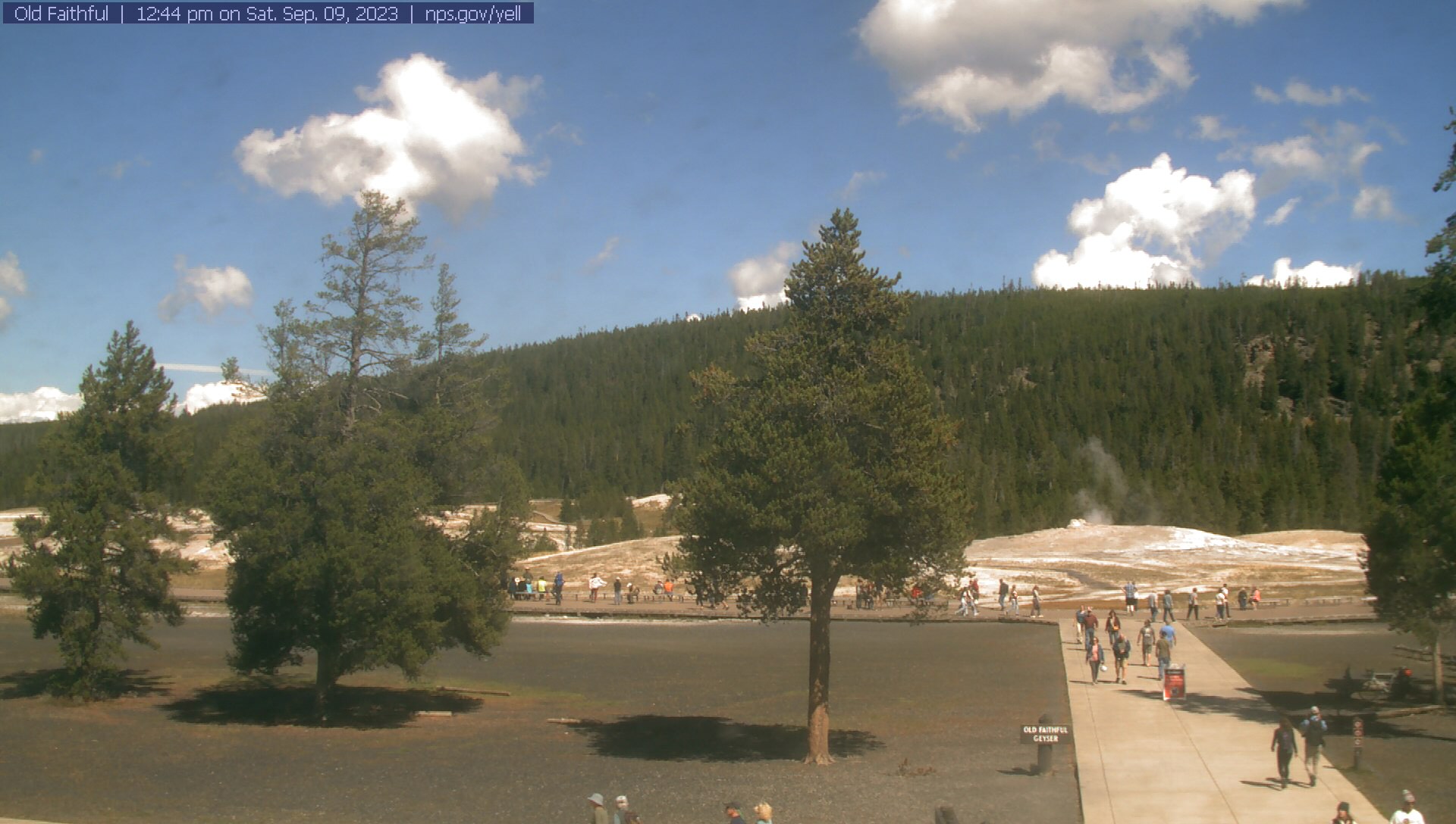
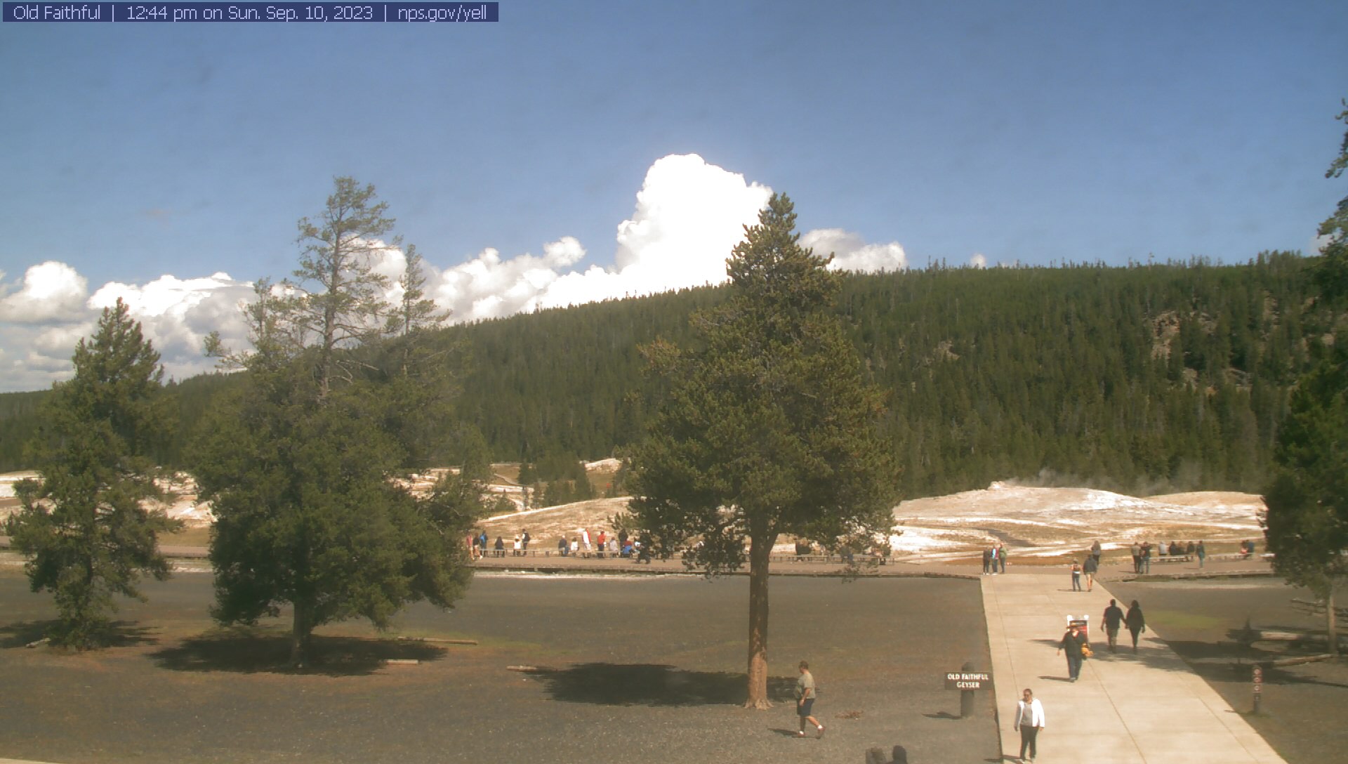
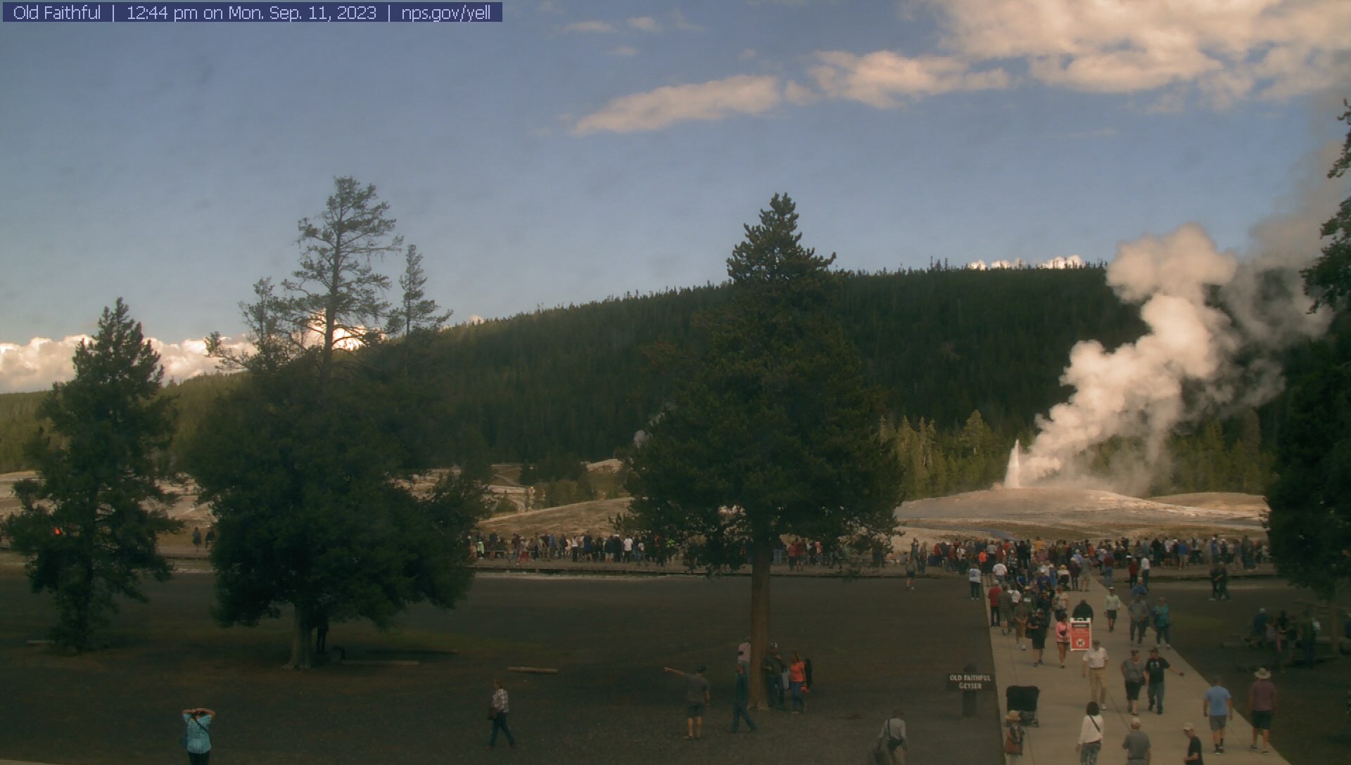
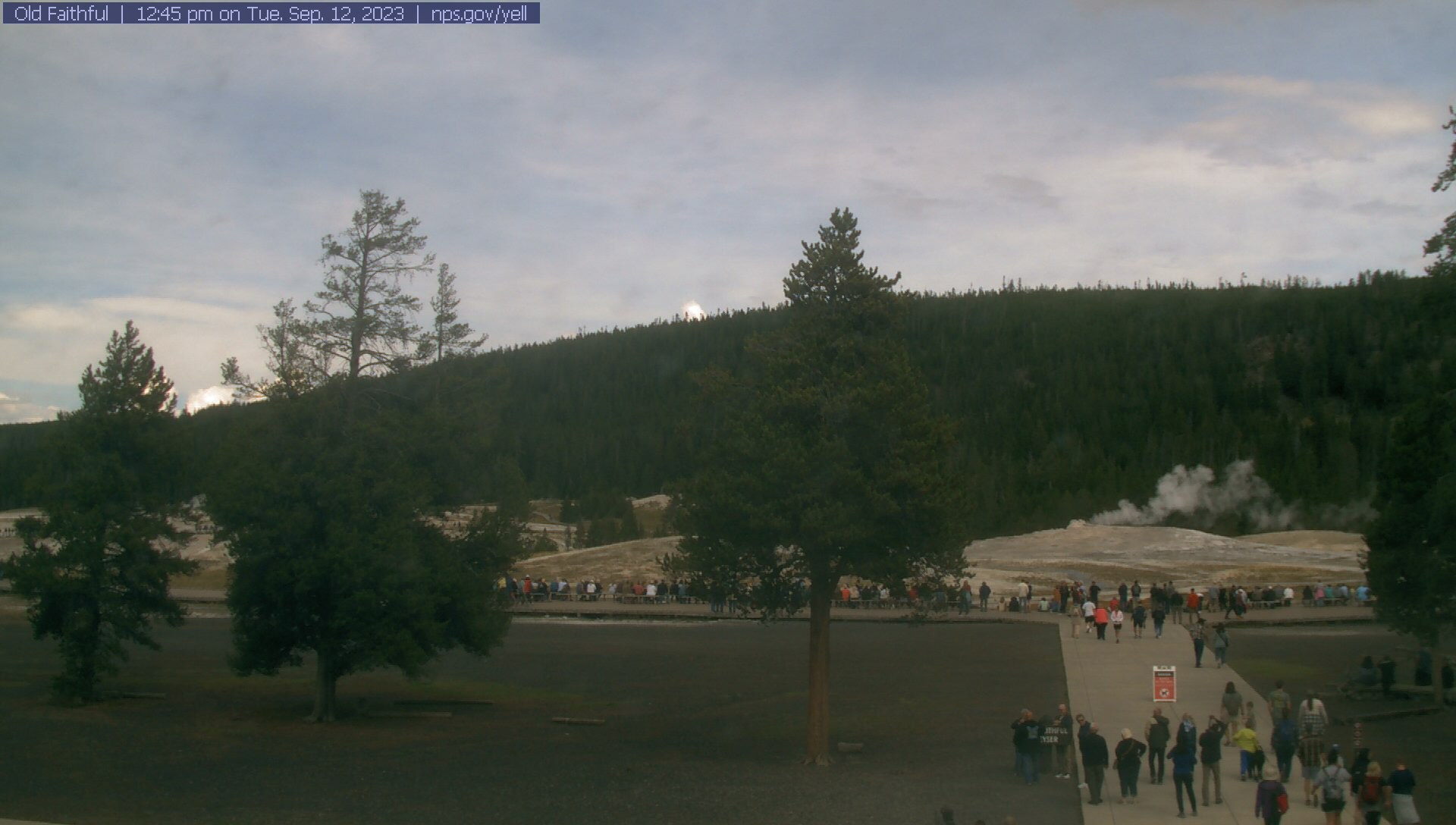
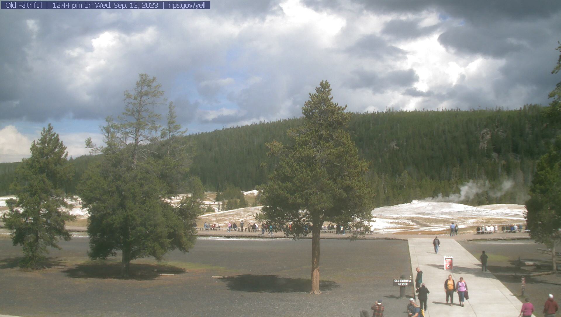
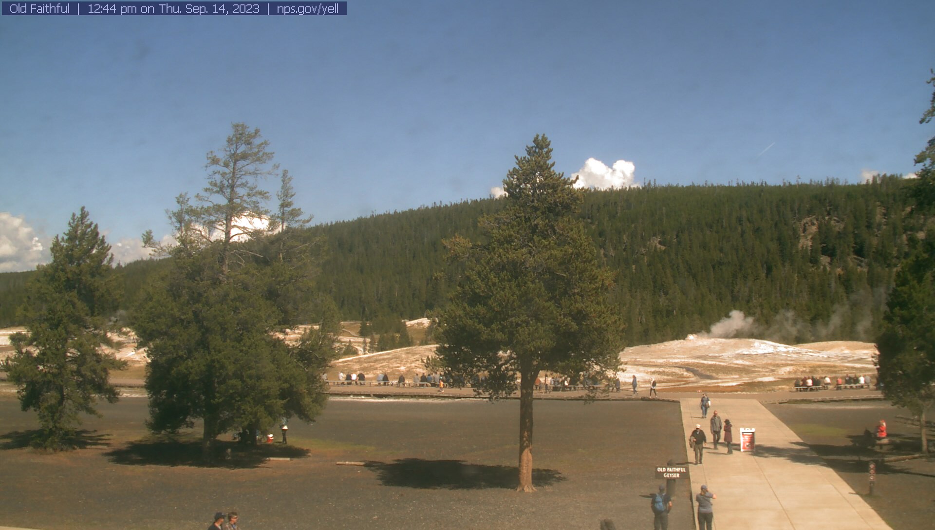
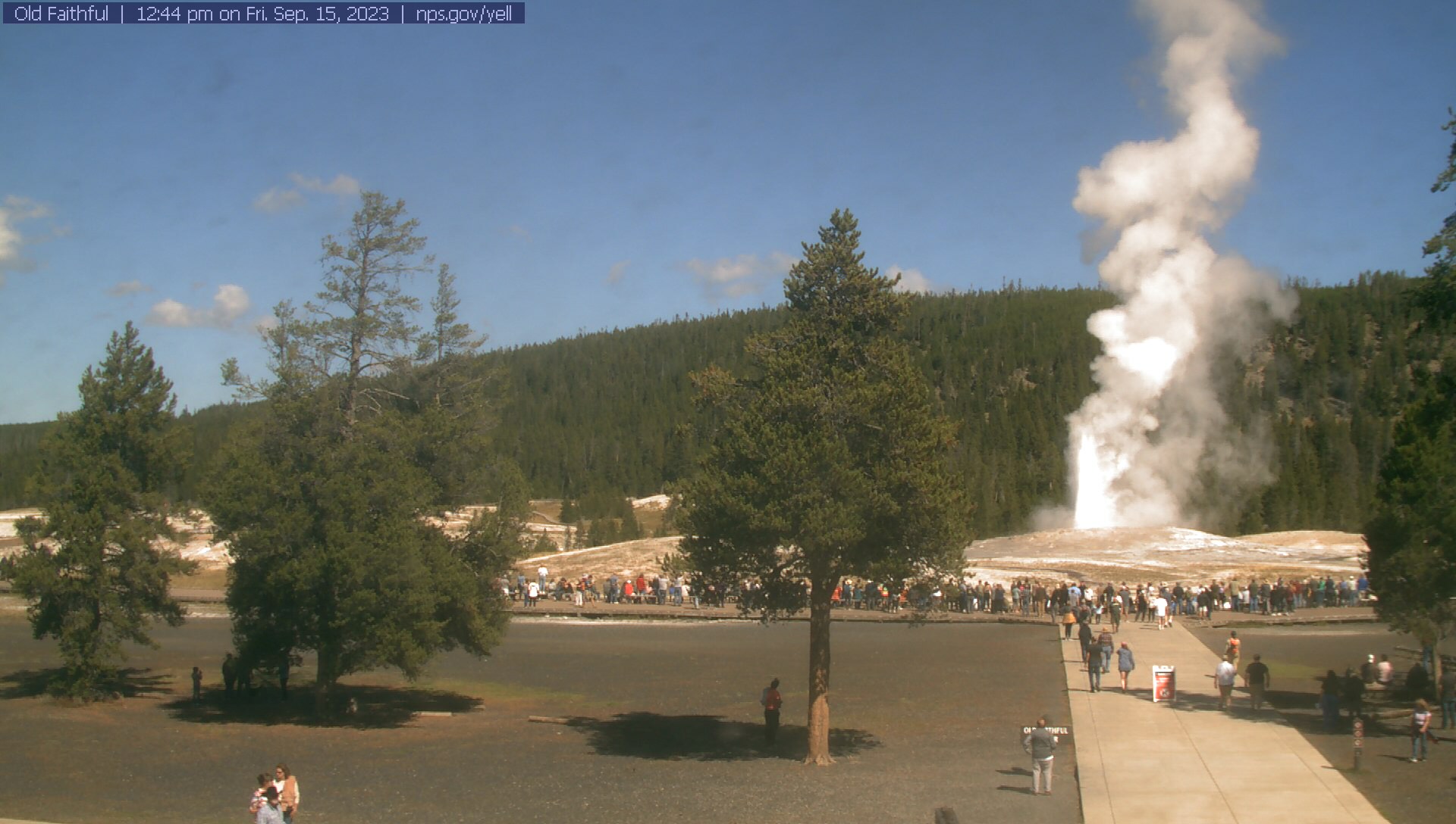
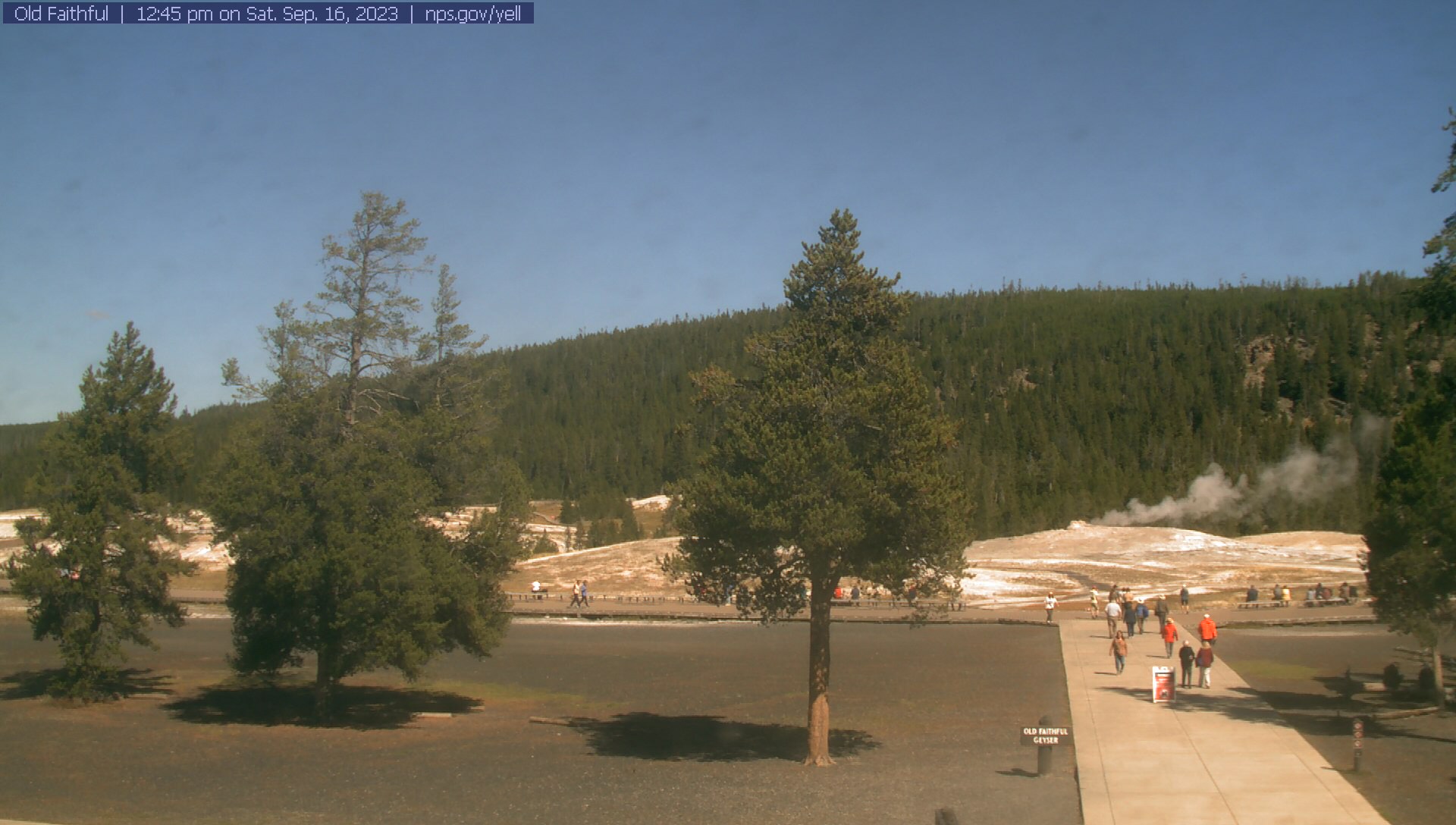
Old Faithful, Wyoming, USA - 157.1 miles from Emery (historical): Old Faithful Geyser - The Old Faithful WebCam sends a new real-time photo of Old Faithful Geyser in the Yellowstone National Park approximately every 30 seconds.
Operator: Yellowstone National Park
Operator: Yellowstone National Park


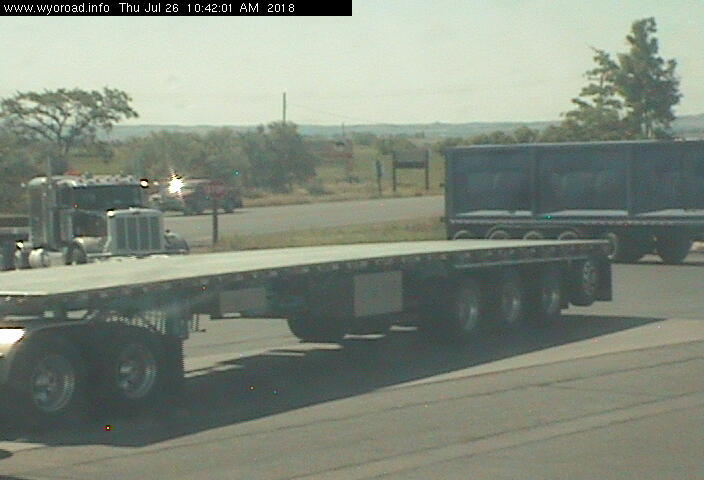
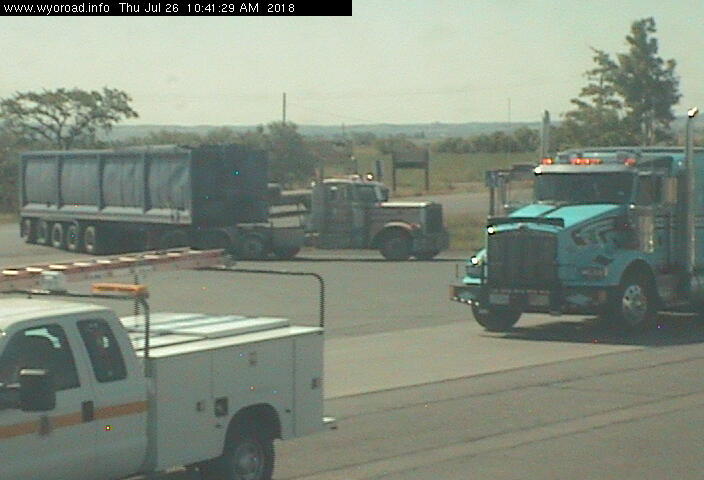
Frannie, Wyoming, USA - 214.4 miles from Emery (historical): Frannie POE - Traffic and Weather - A view of the current traffic and weather situation.
Operator: WYDOT Travel Information Service
Operator: WYDOT Travel Information Service


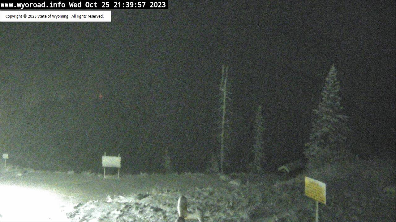
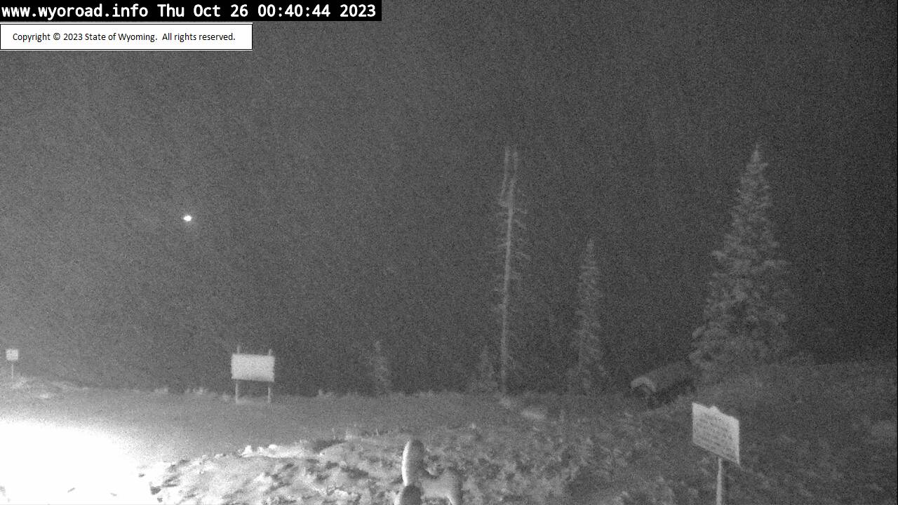
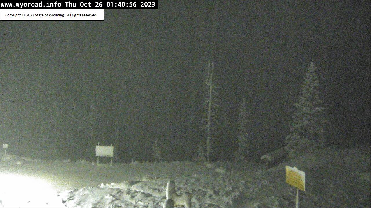
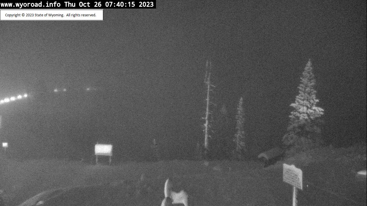
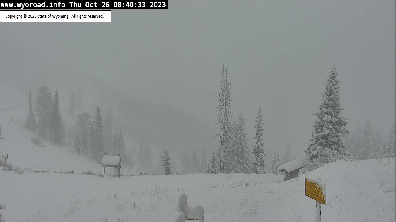
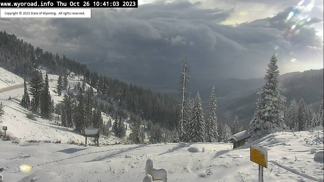
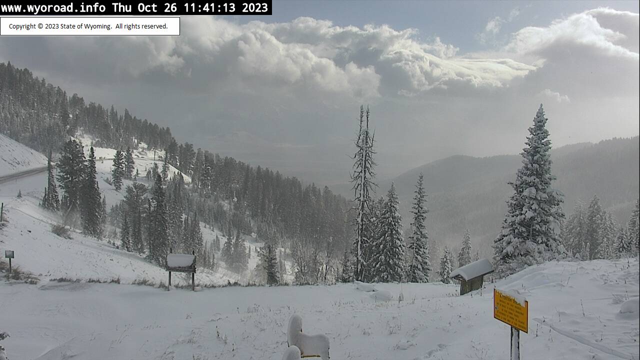
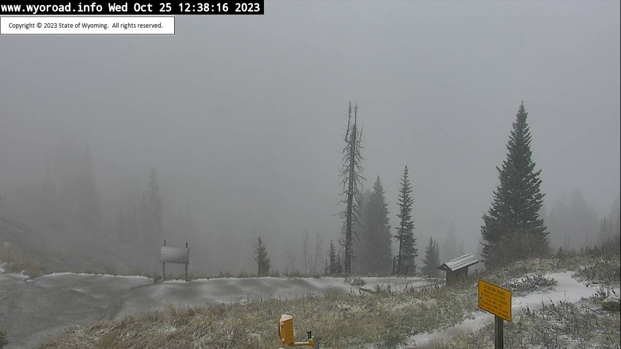
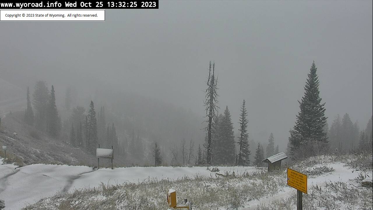
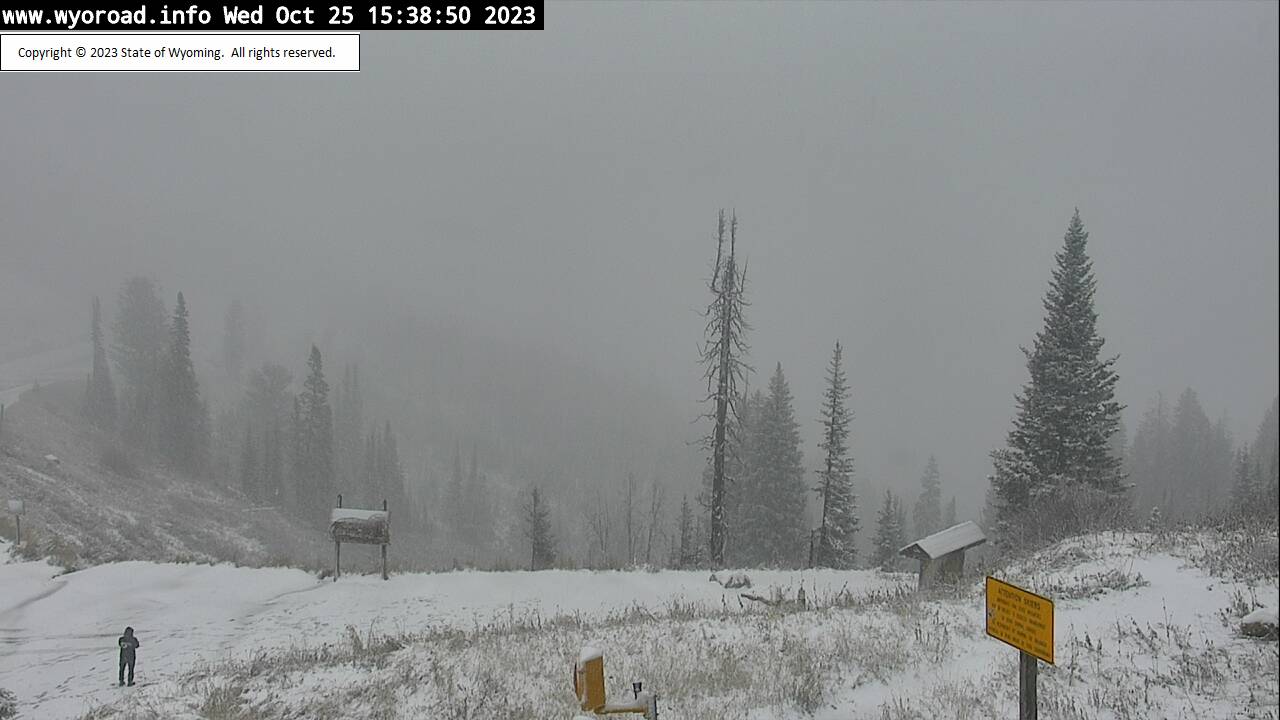
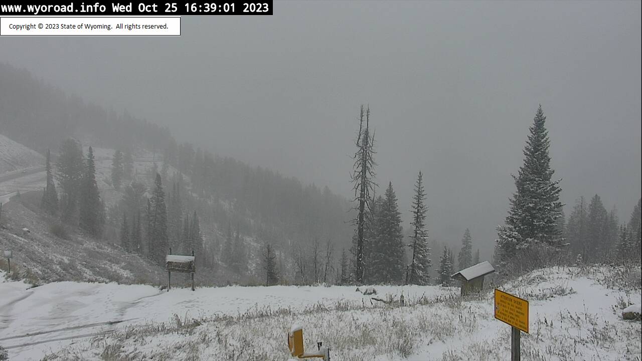
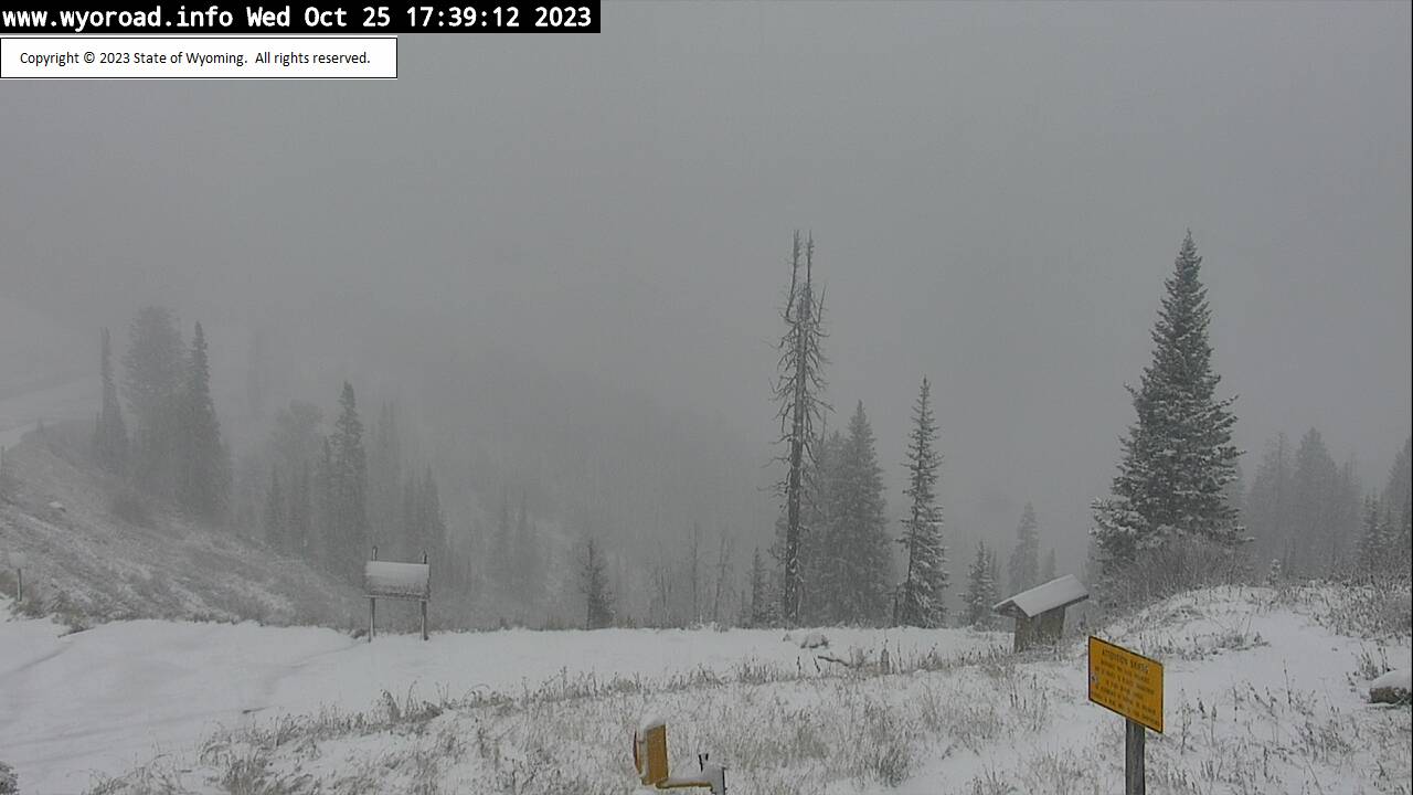
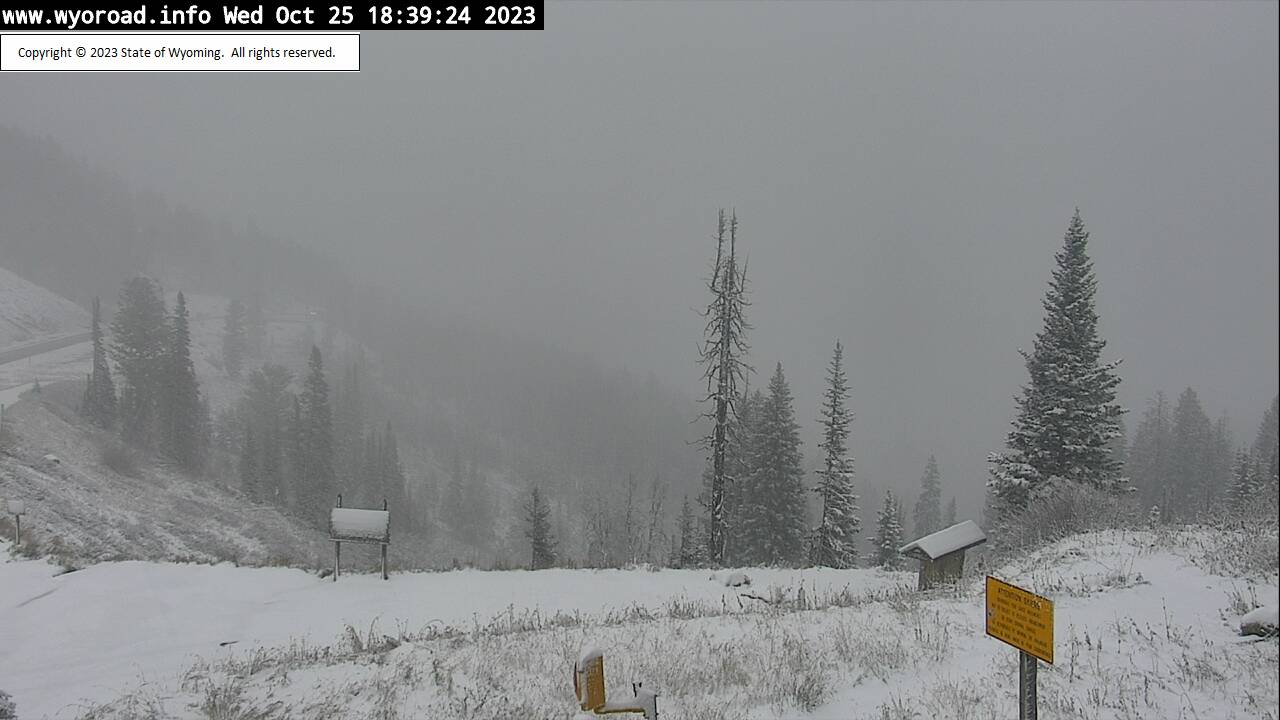
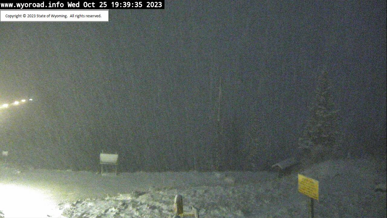
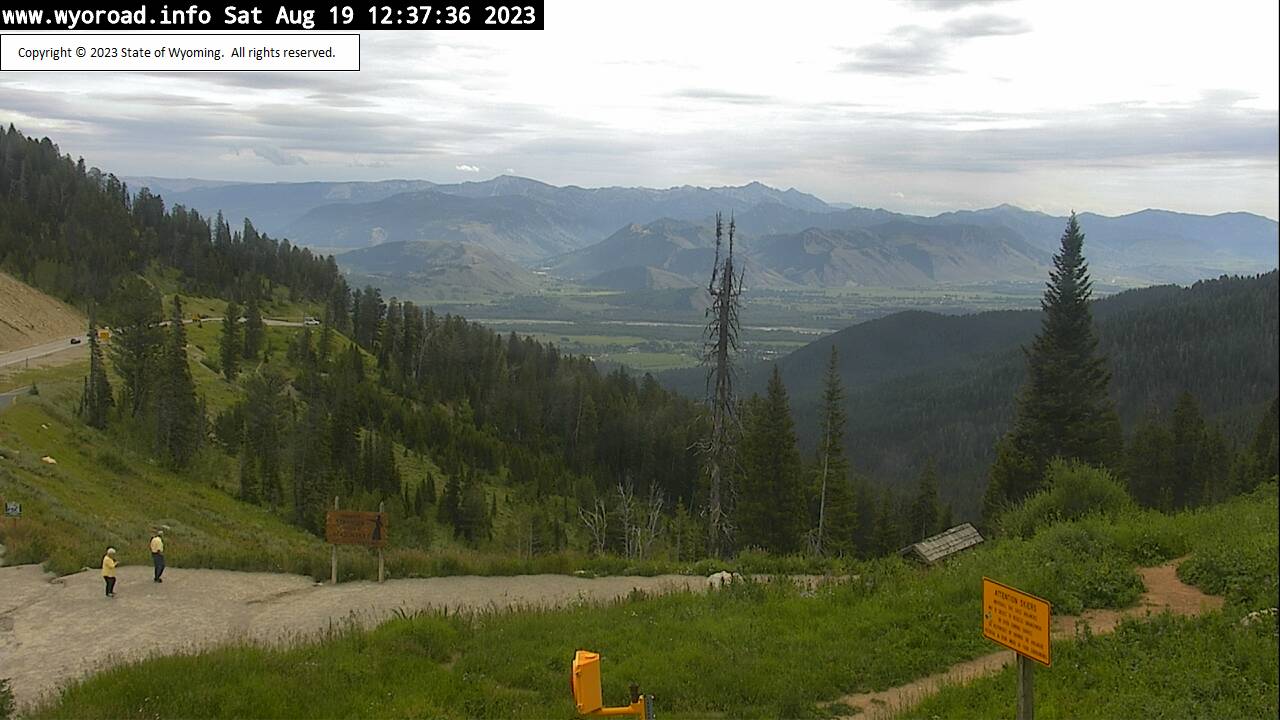
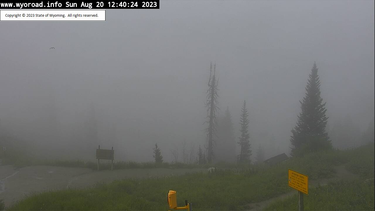
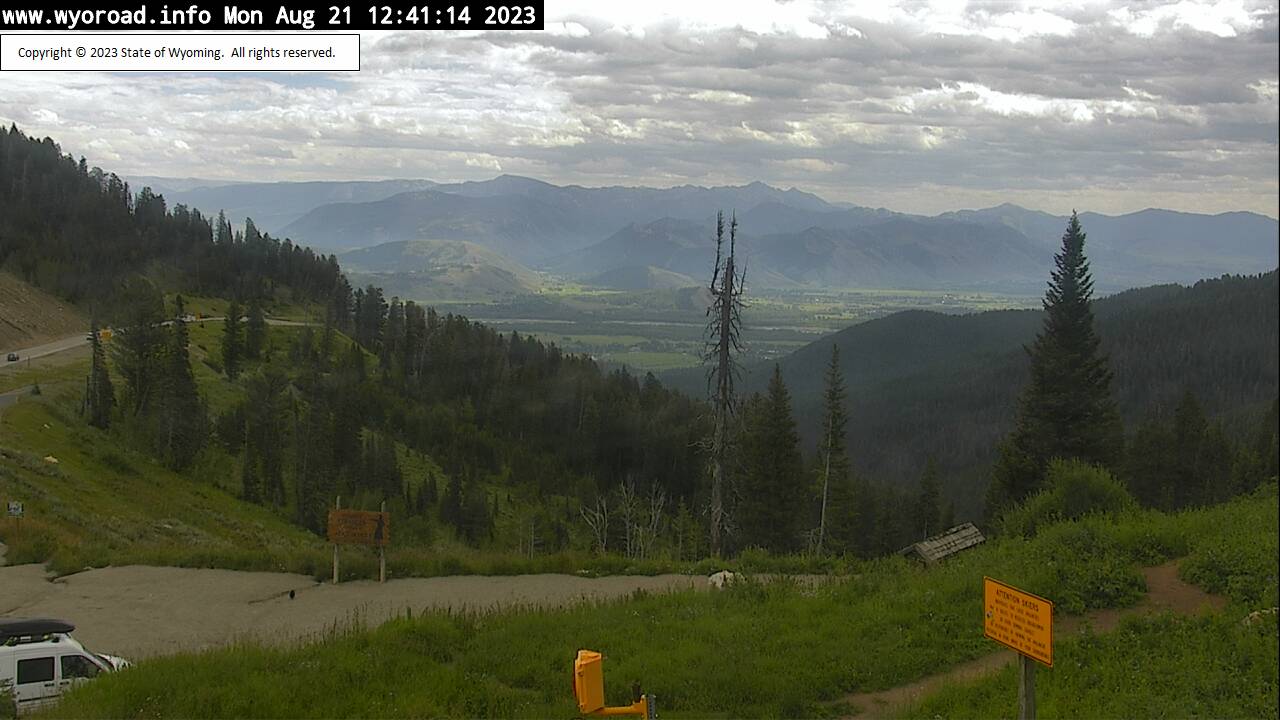
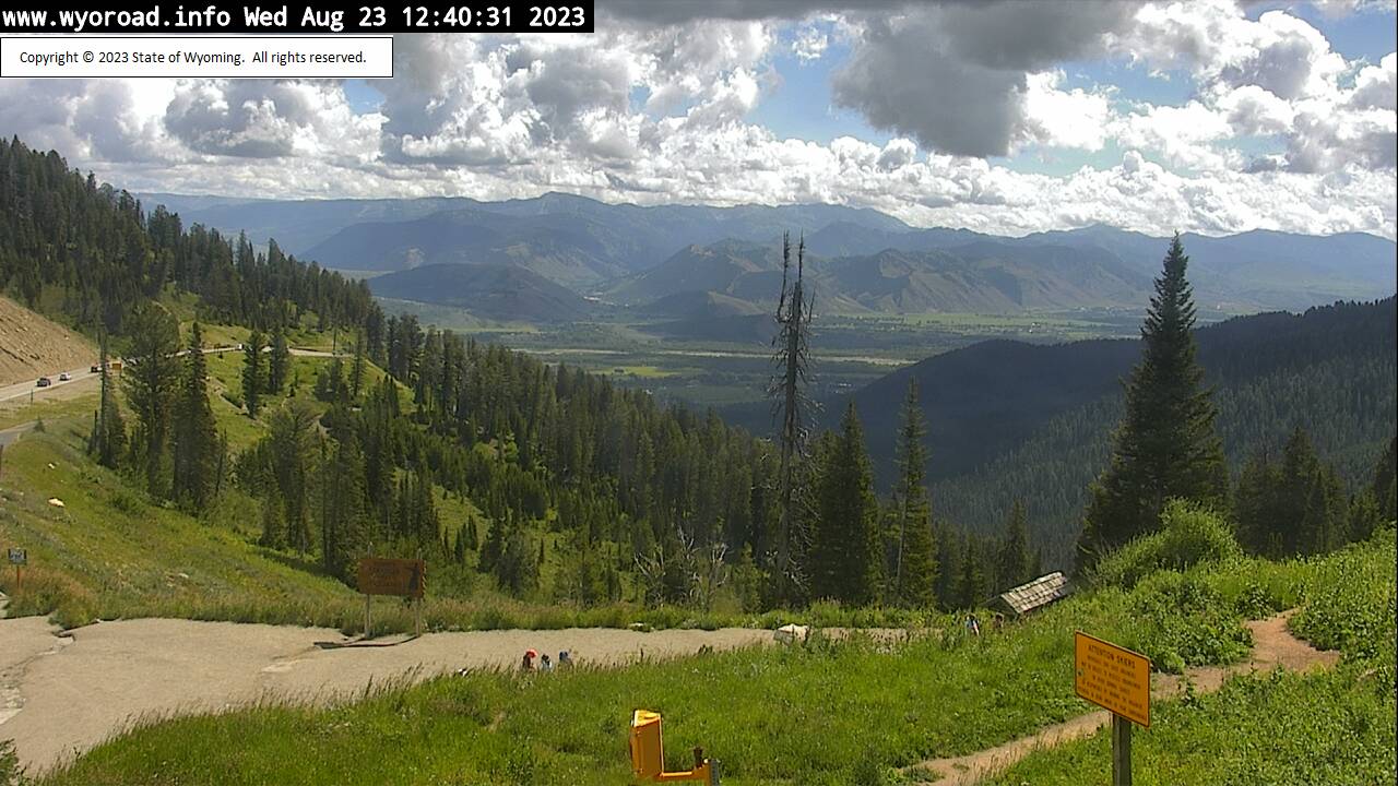
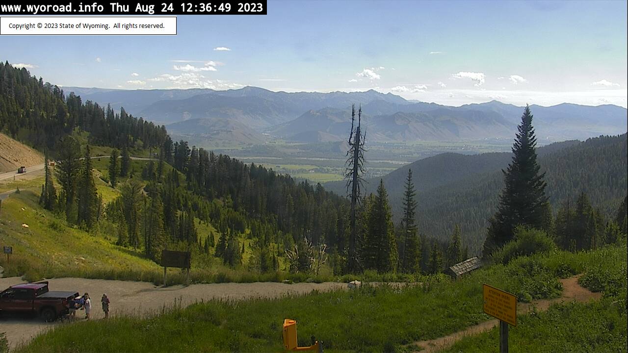
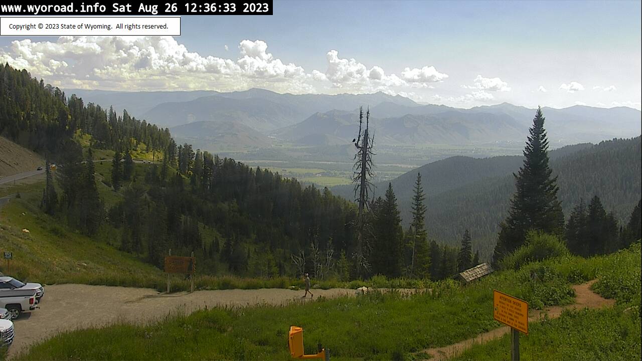
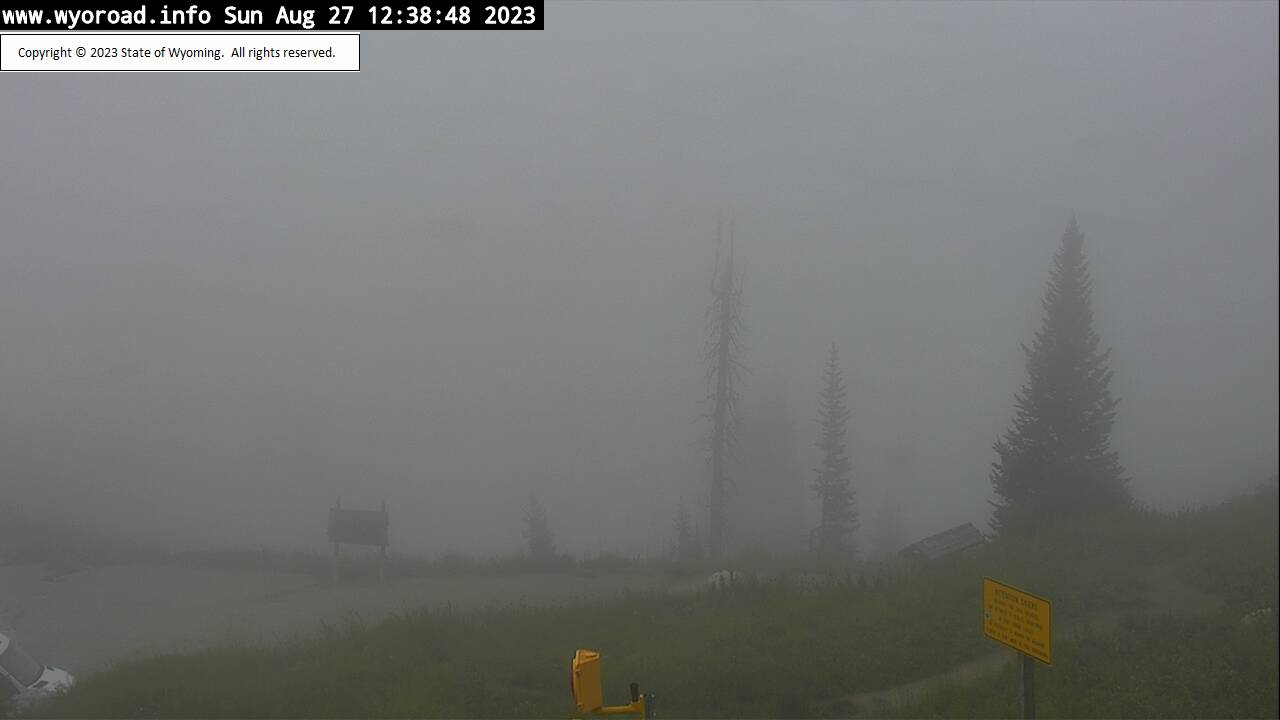
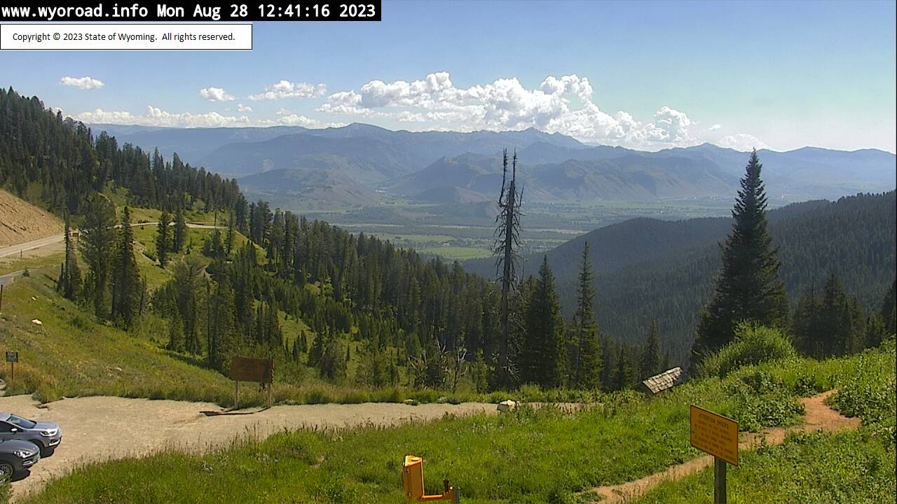
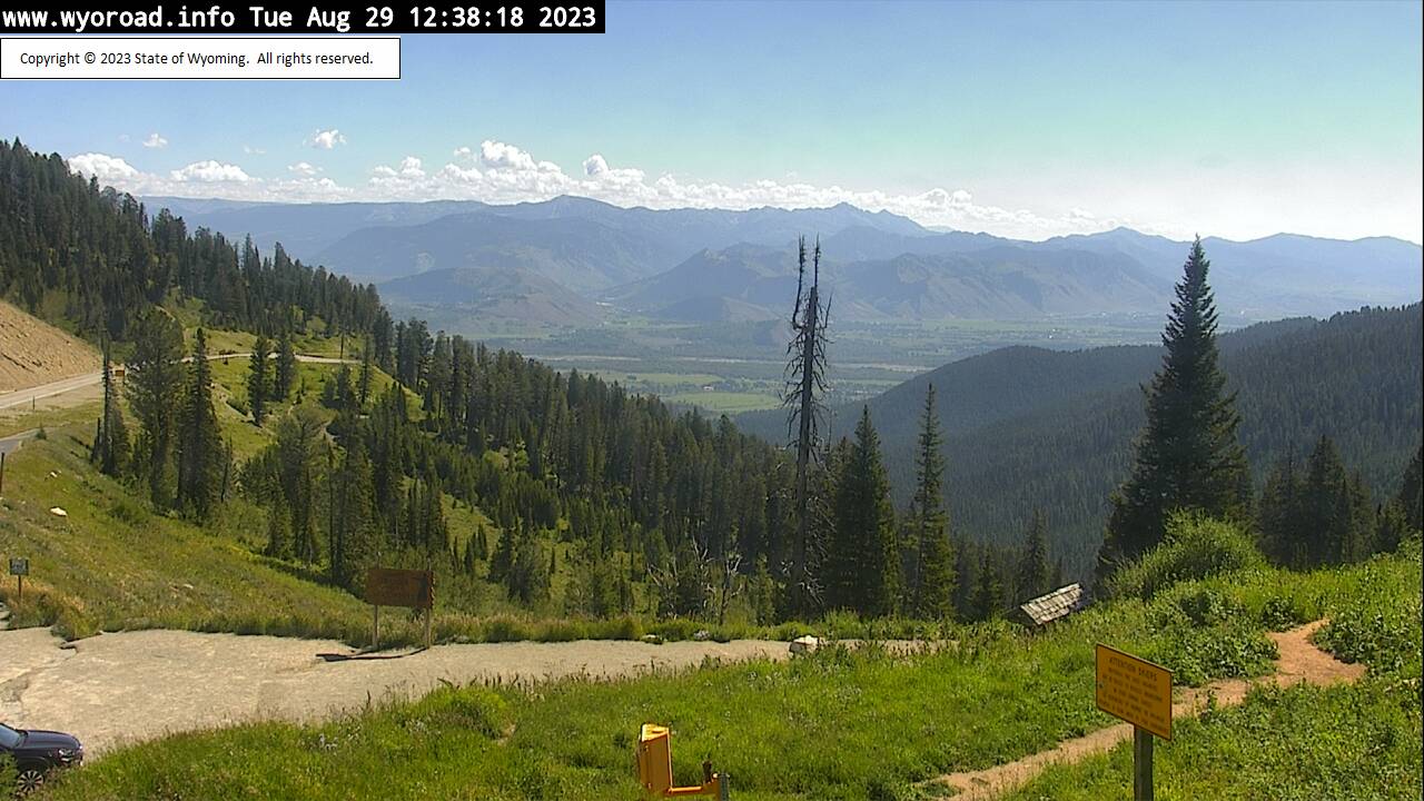
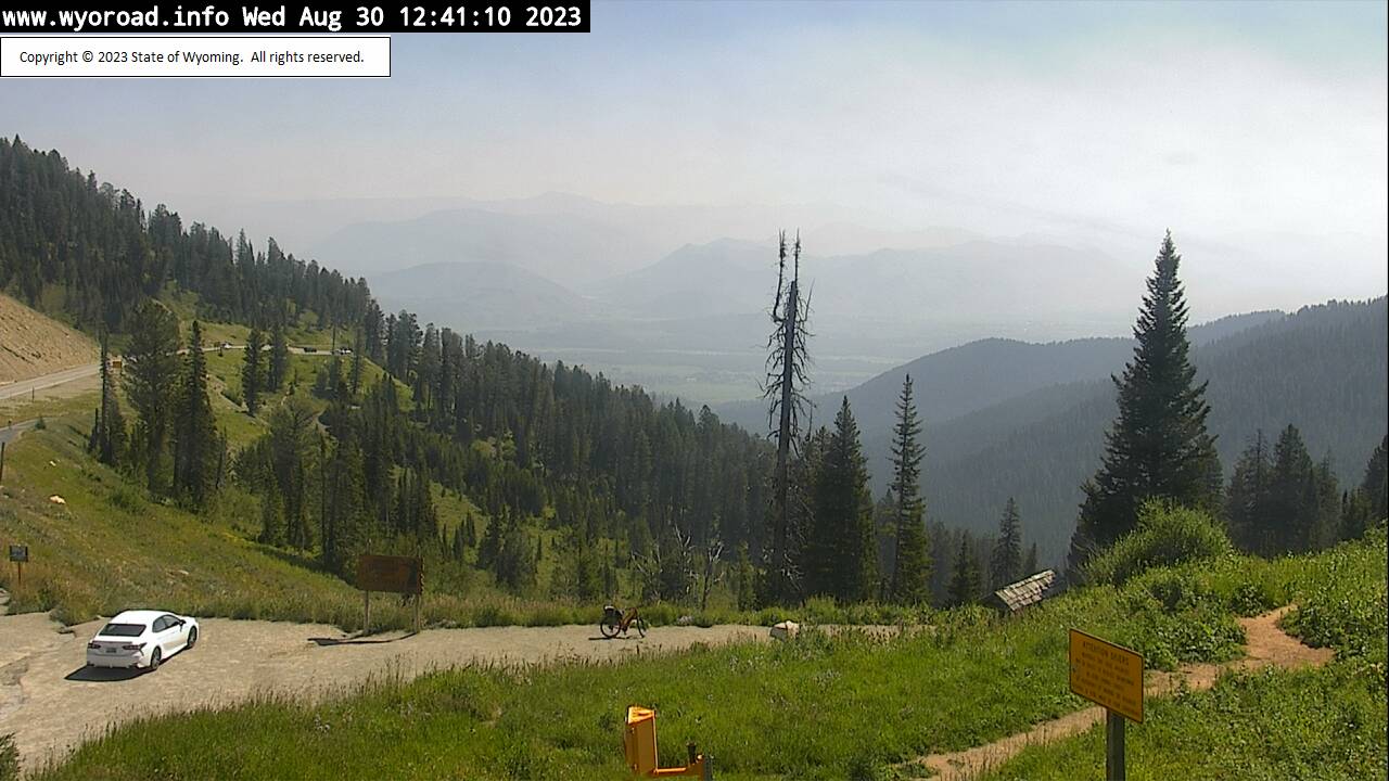
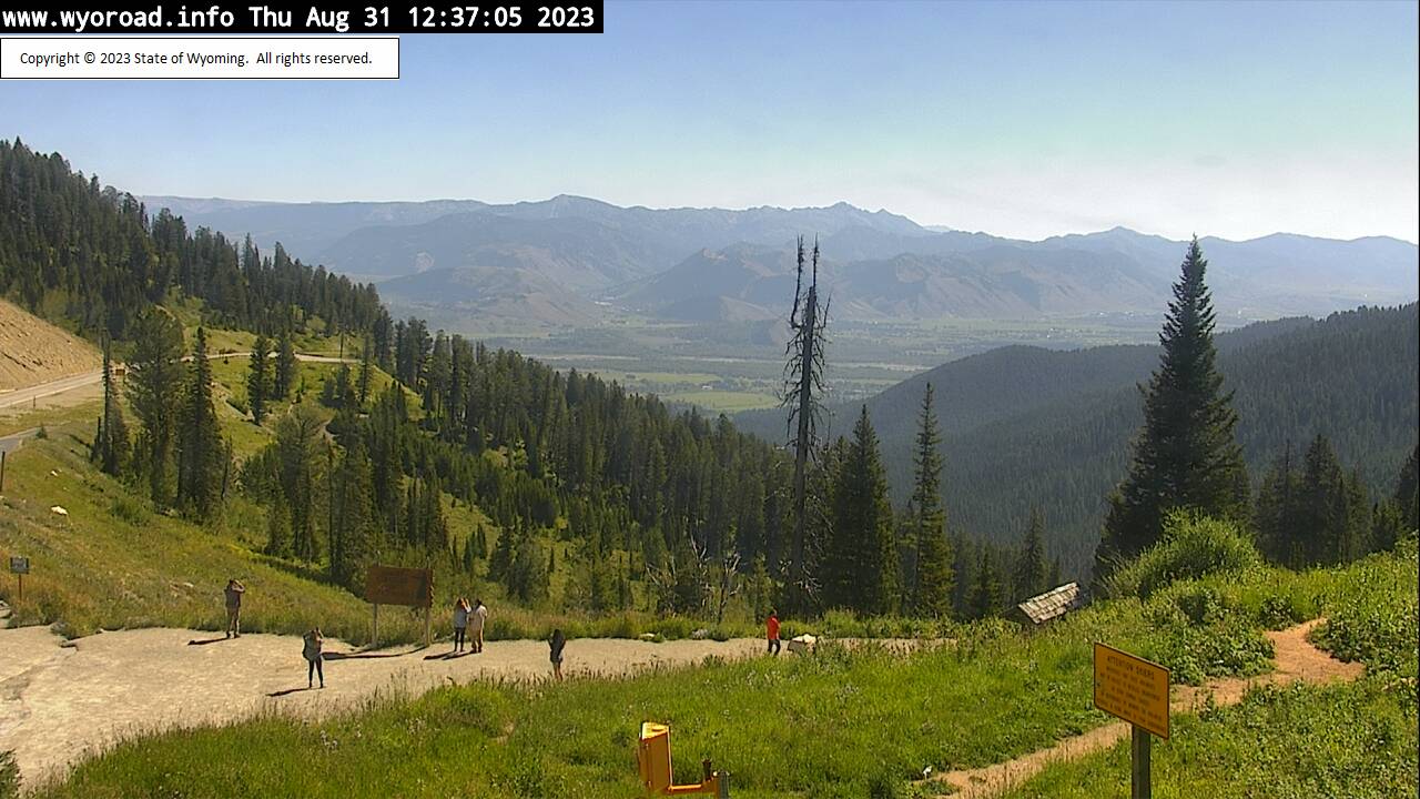
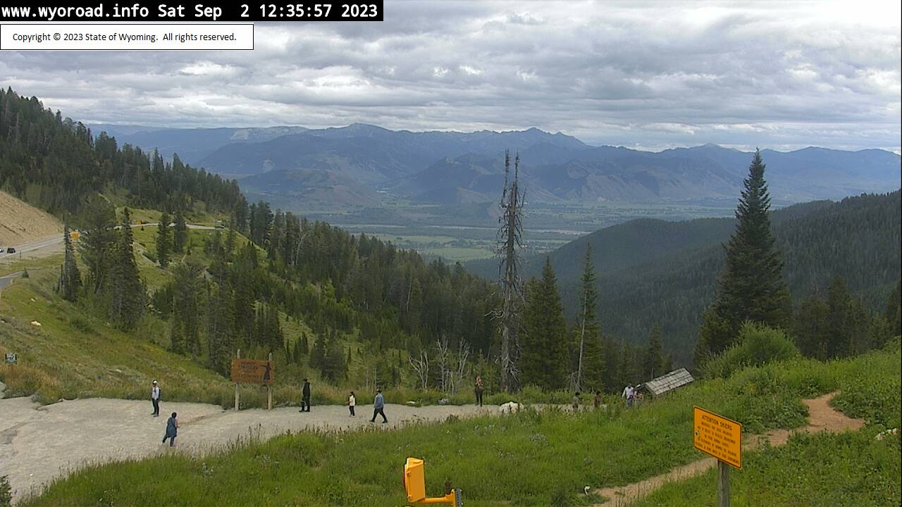
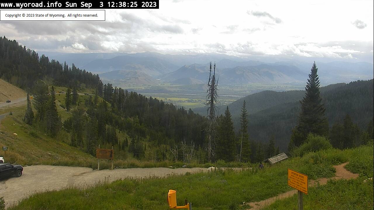
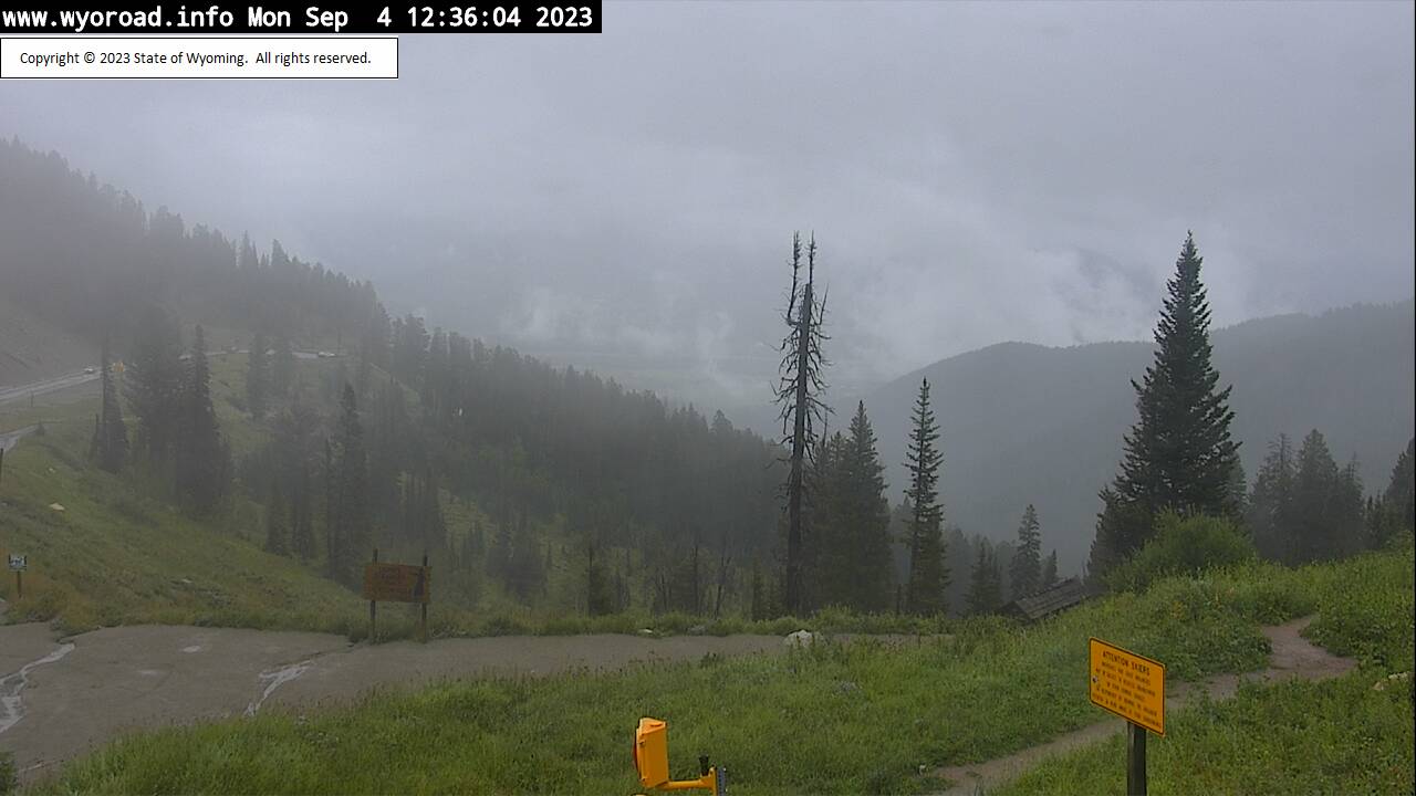
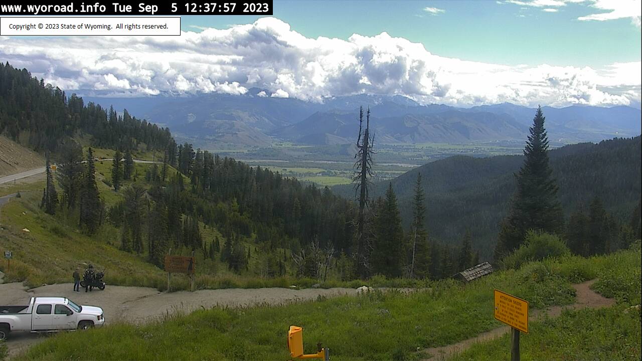
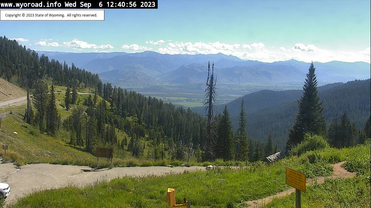
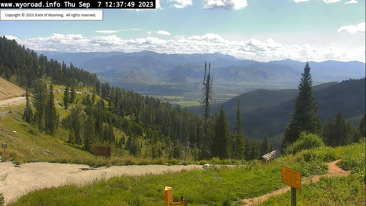
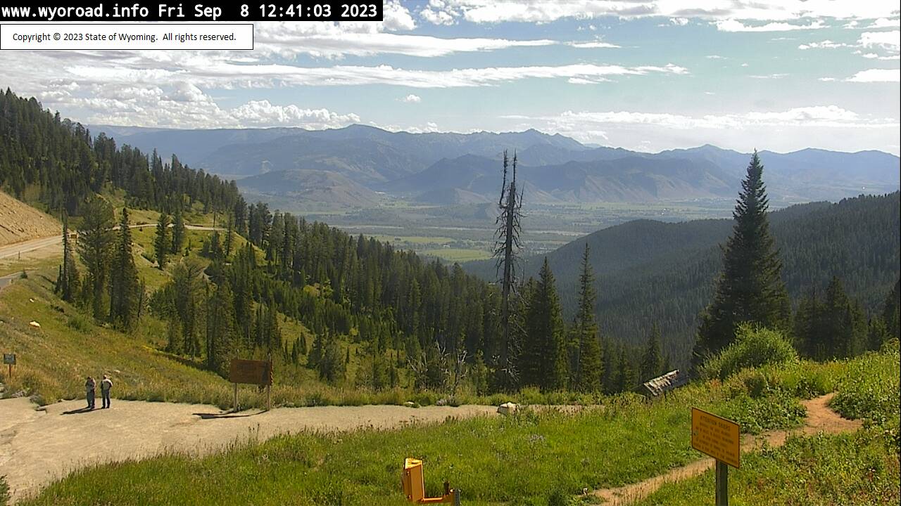
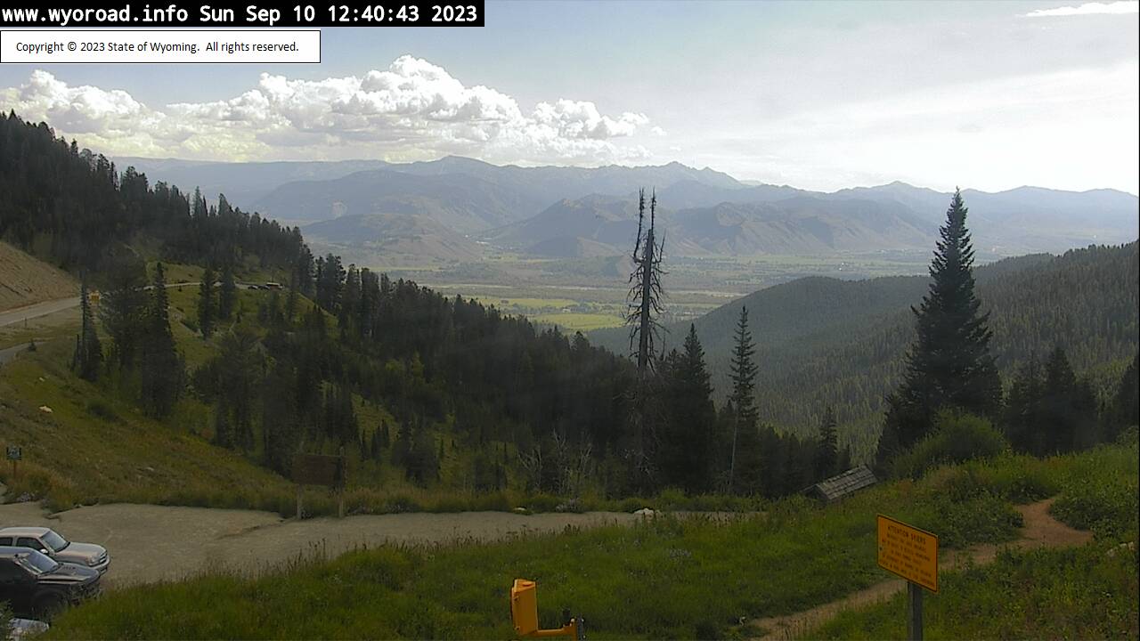
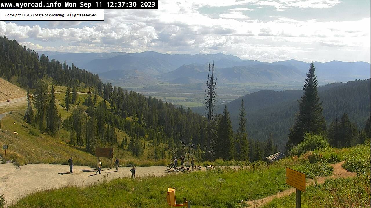
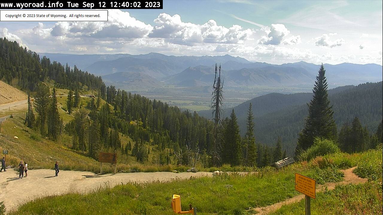
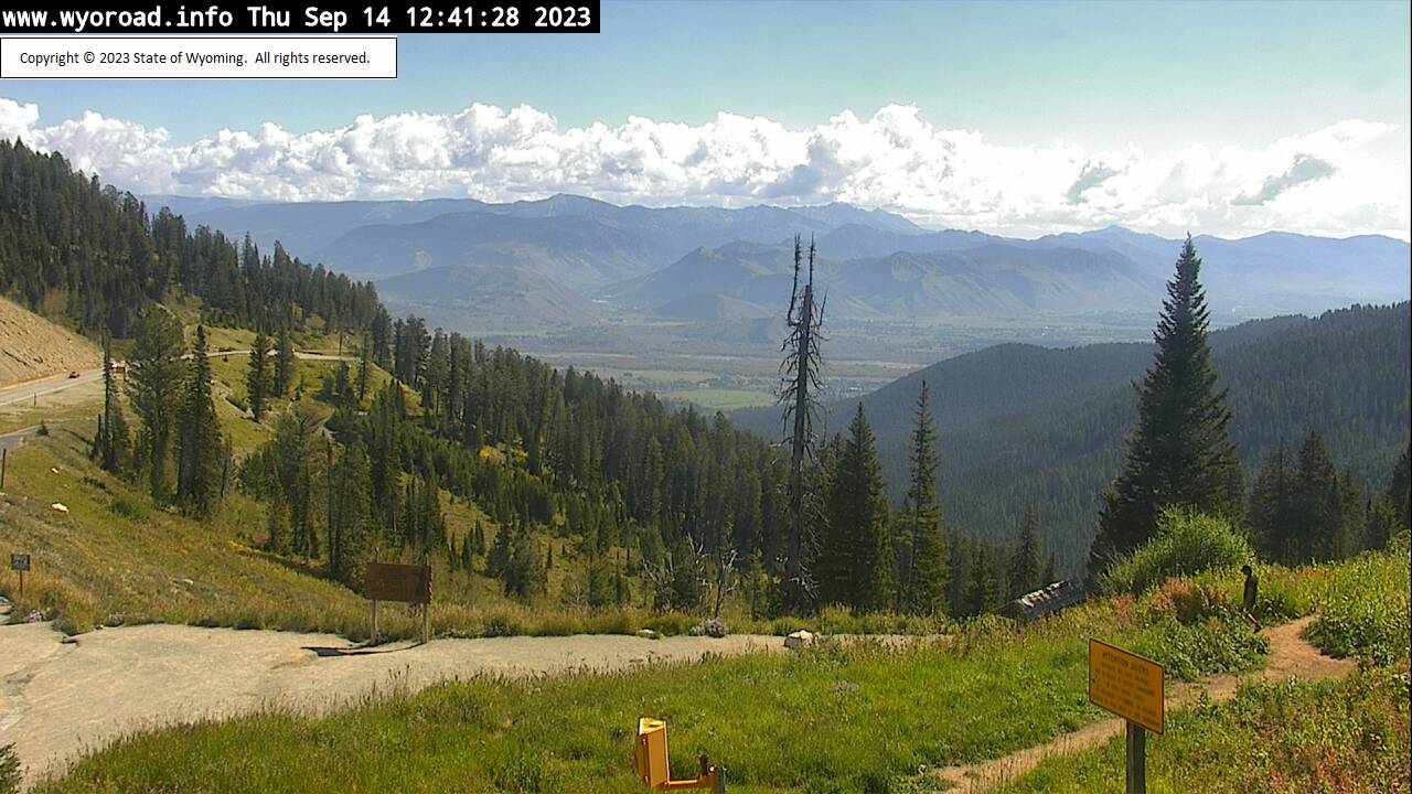
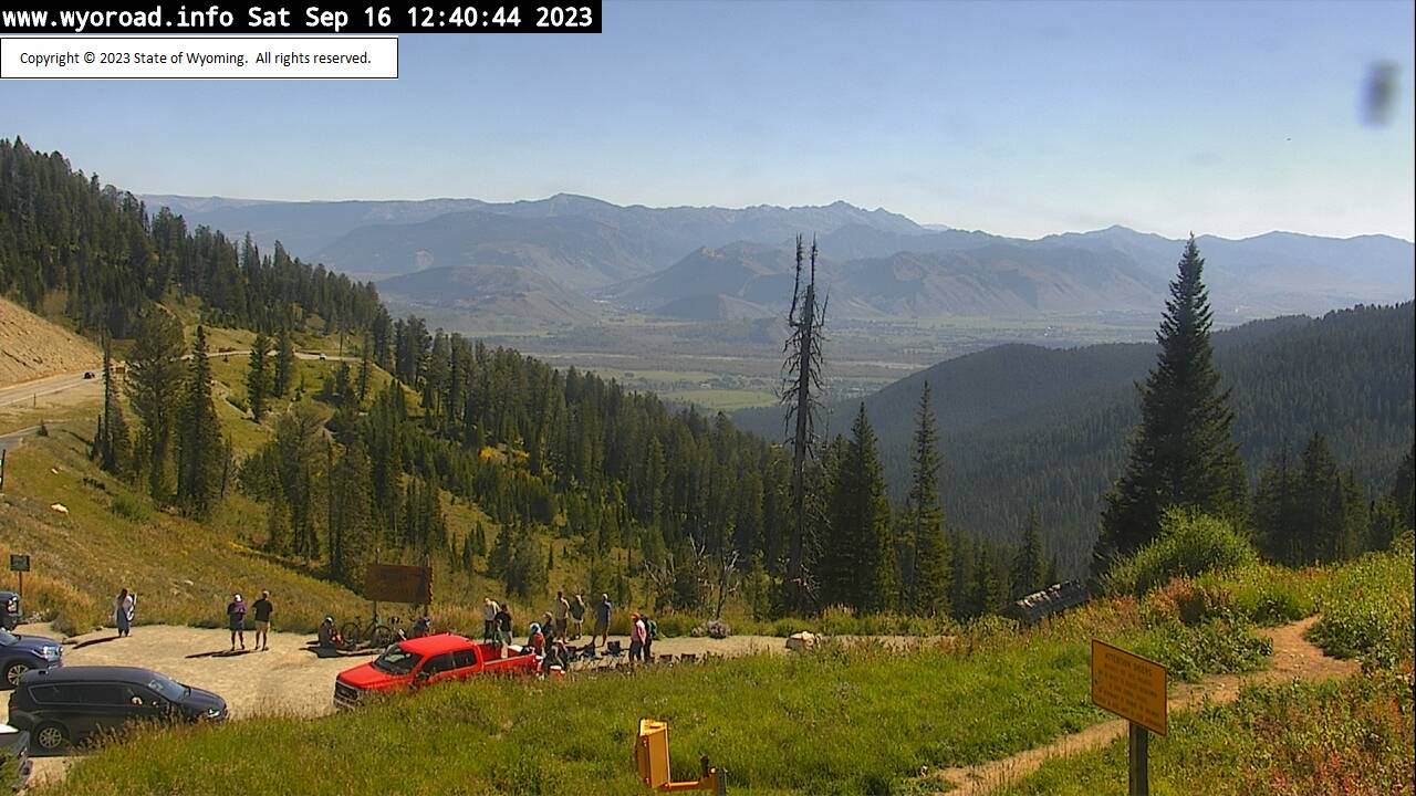
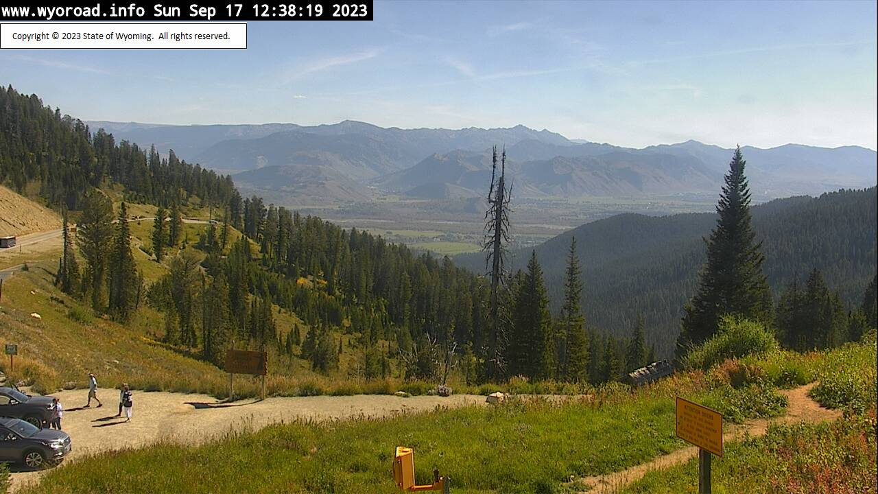
Wilson, Wyoming, USA - 215.5 miles from Emery (historical): Teton Pass - Traffic and Weather - A view of the current traffic and weather situation.
Operator: WYDOT Travel Information Service
Operator: WYDOT Travel Information Service


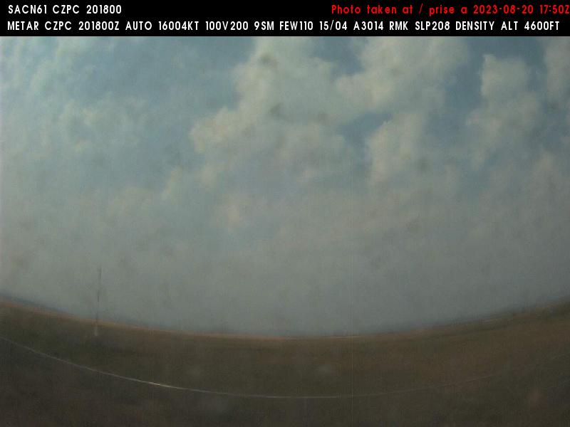
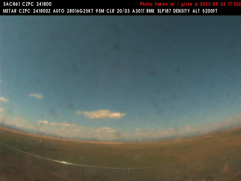
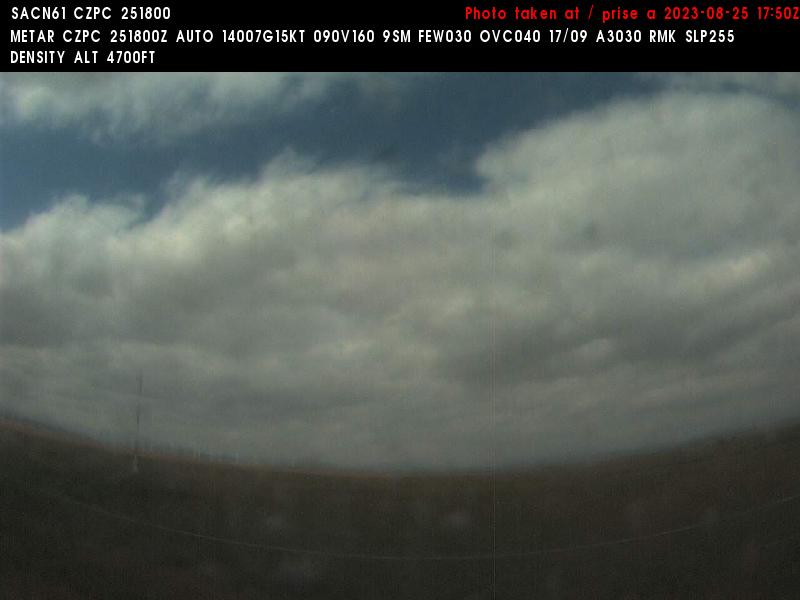
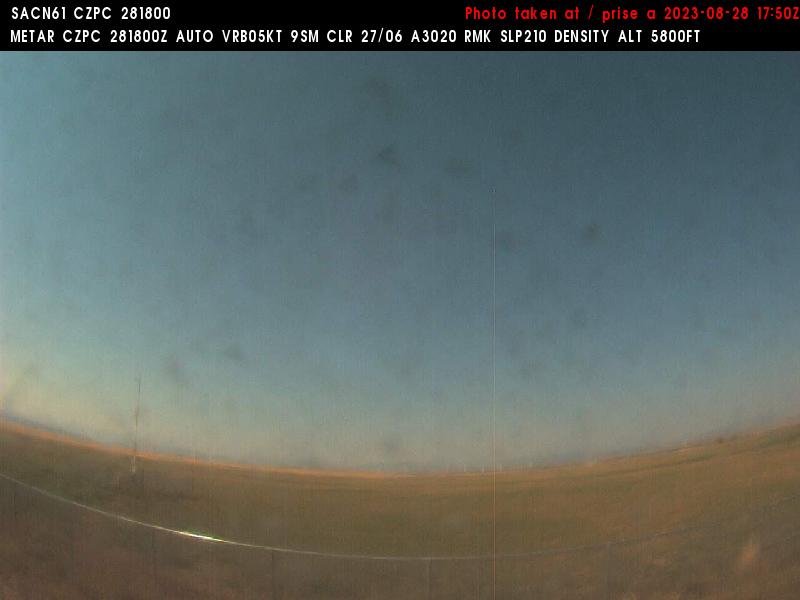
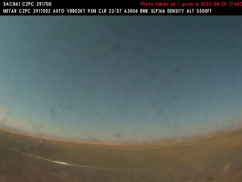
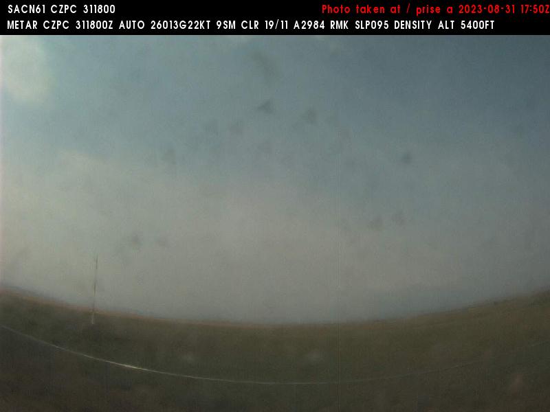
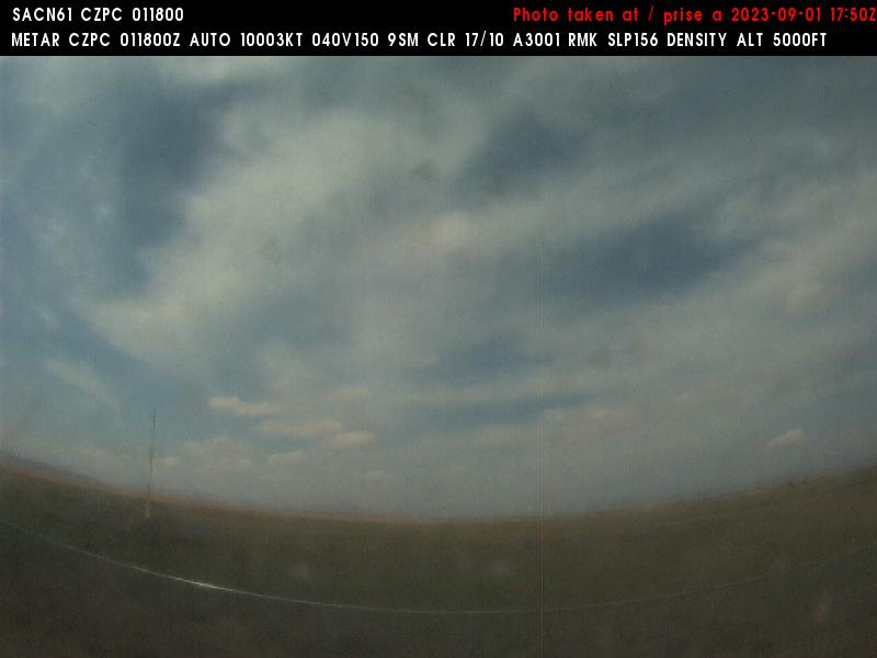
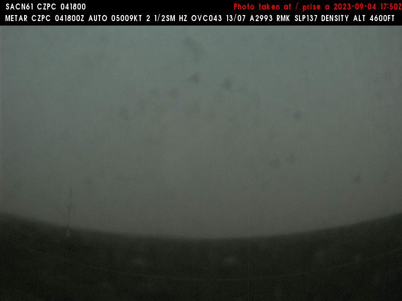
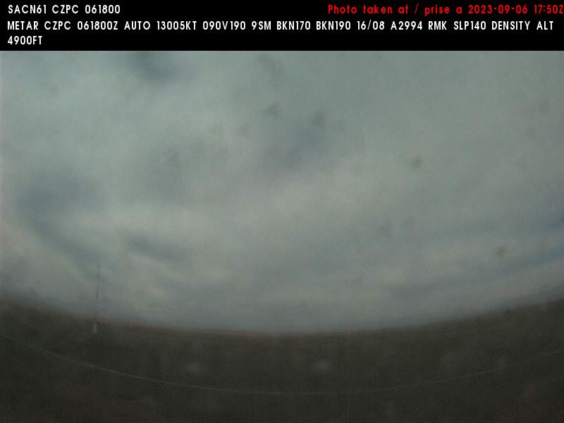
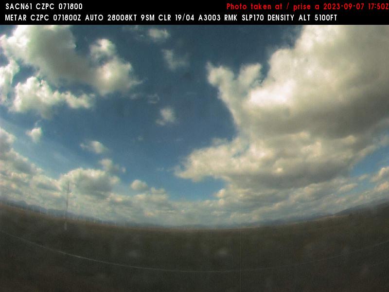
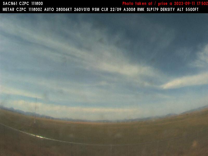
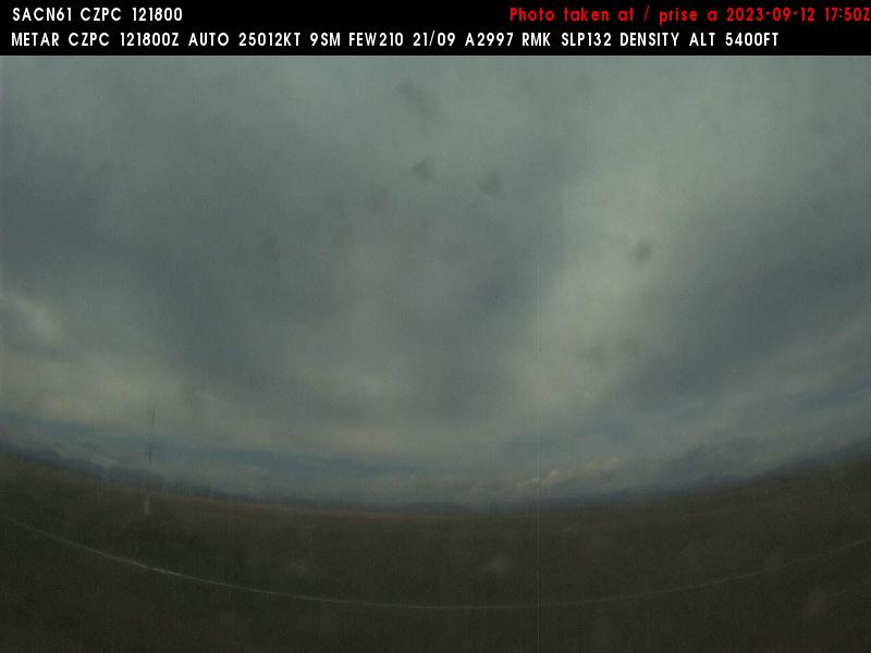
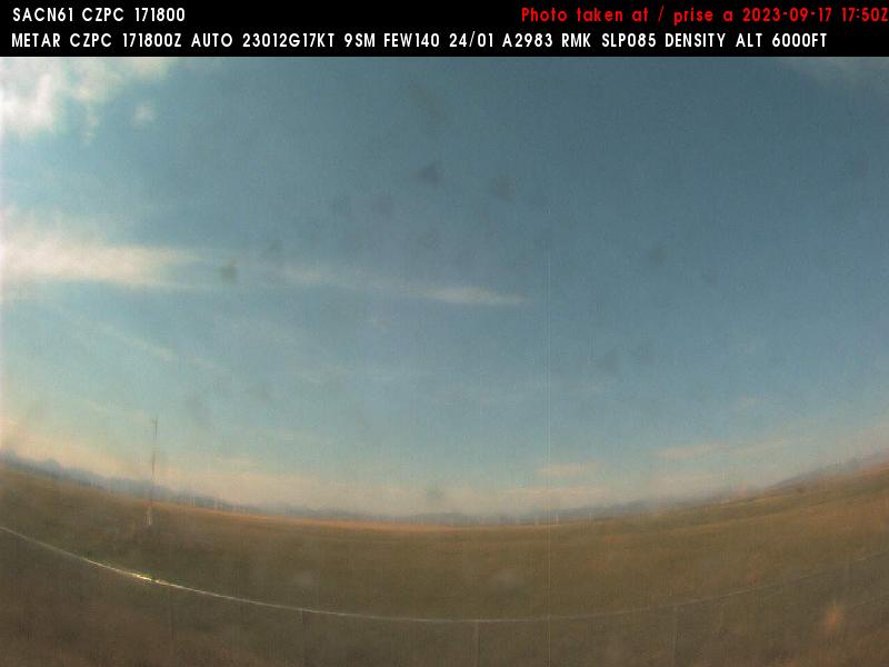
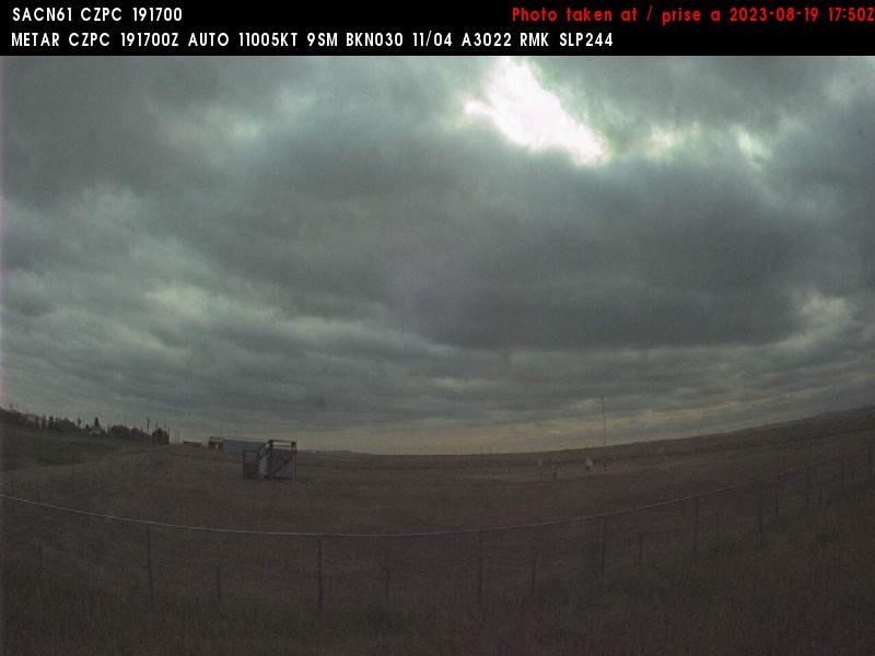
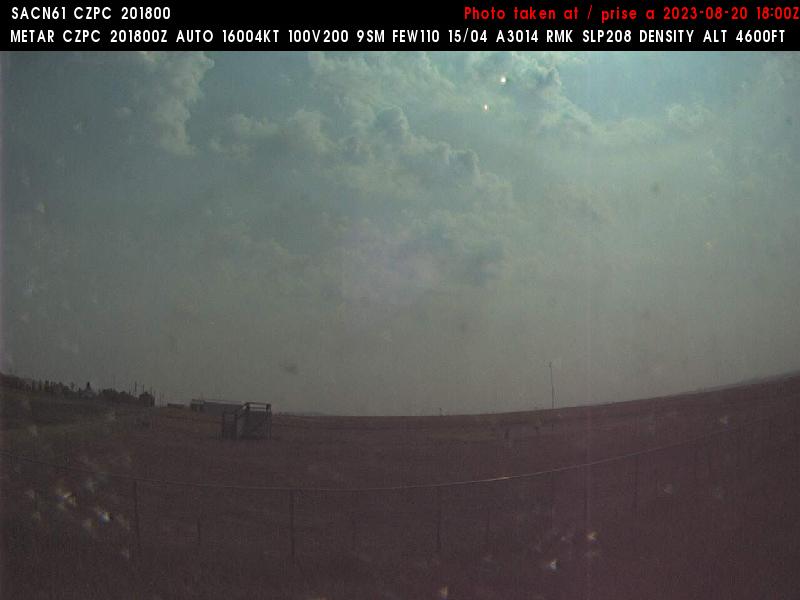
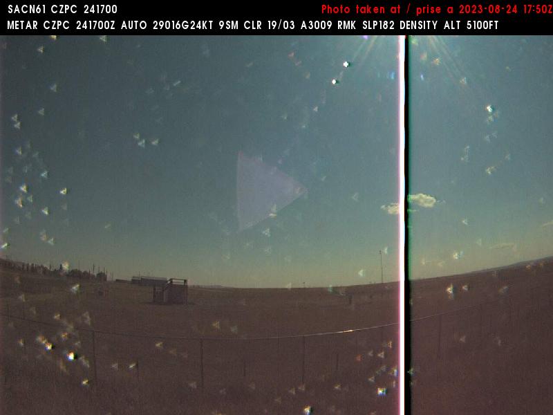
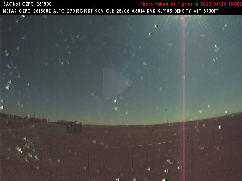
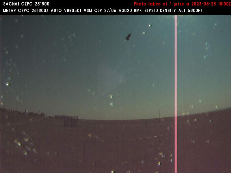
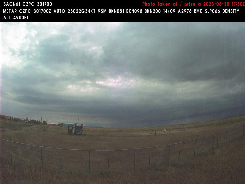
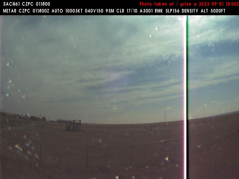
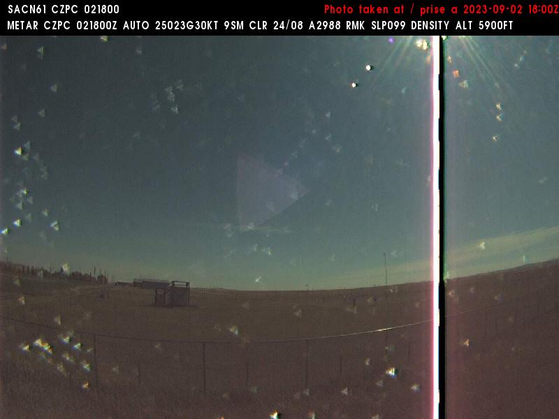
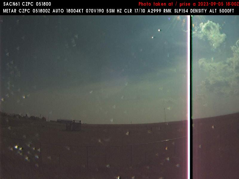
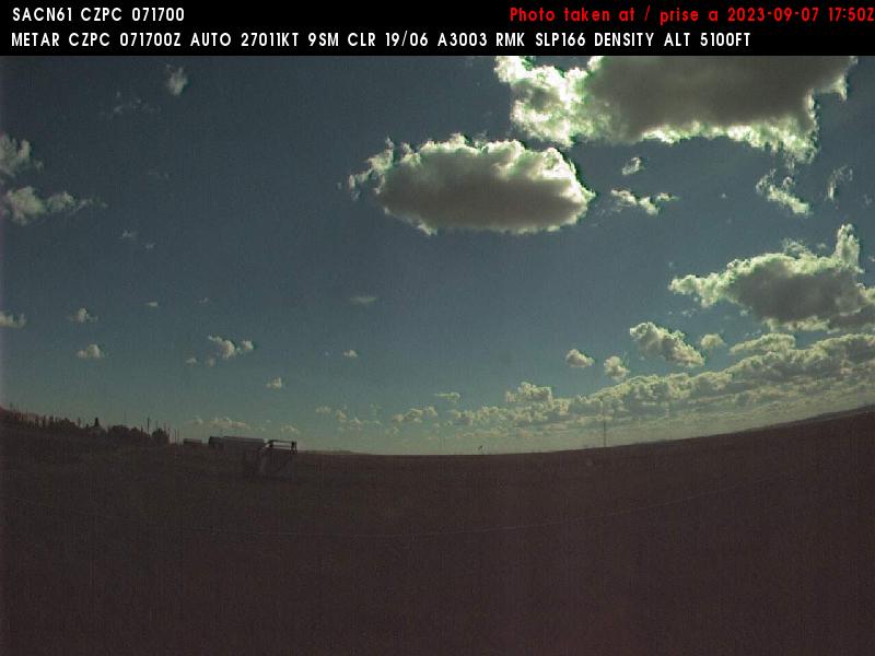
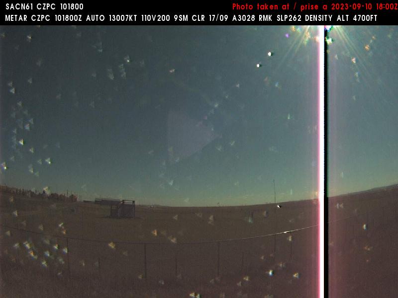
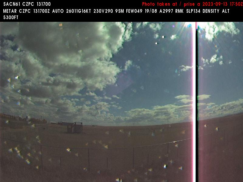
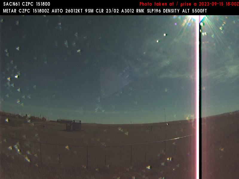
Pincher Creek, Canada - 224 miles from Emery (historical): Pincher Creek Airport (CZPC) - A view in western direction.
Operator: NAV CANADA
Operator: NAV CANADA


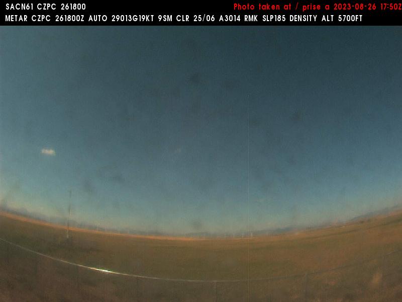
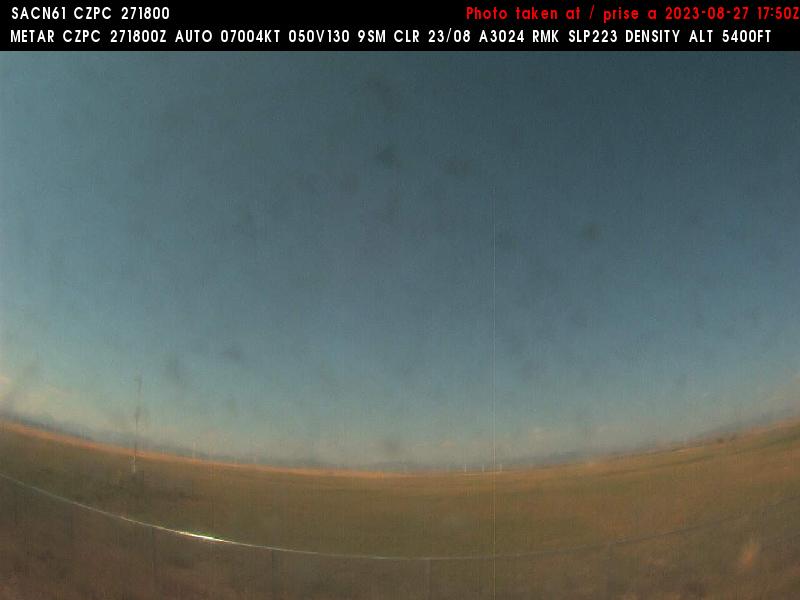
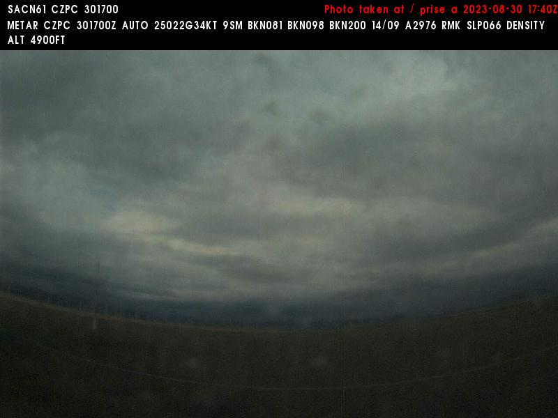
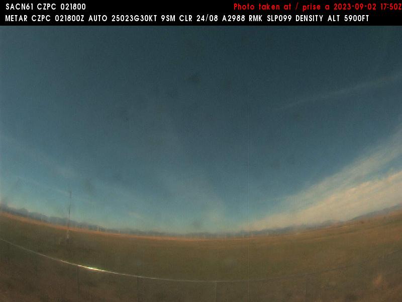

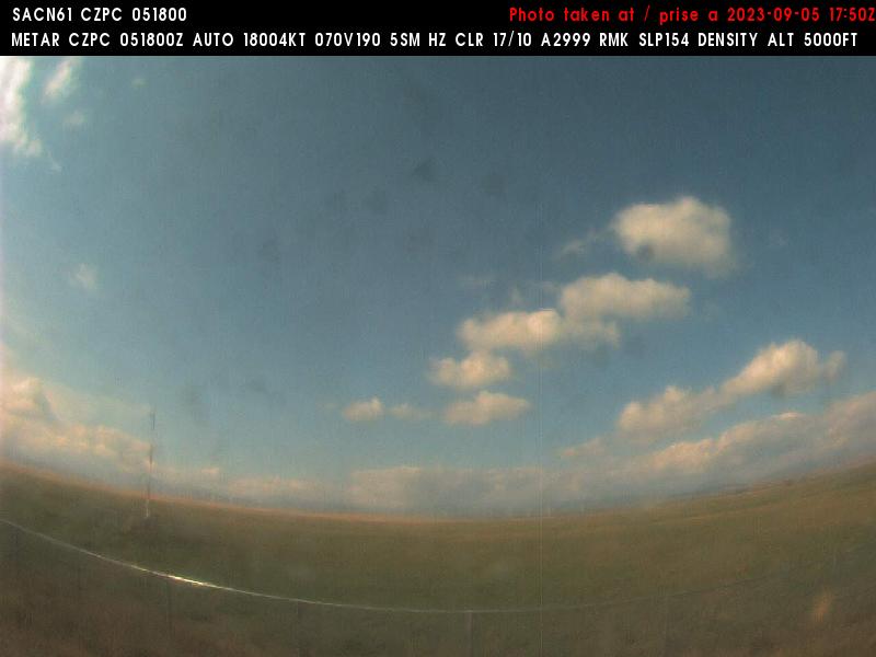

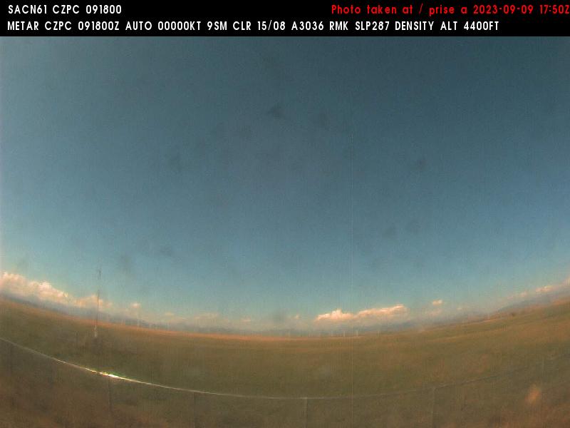
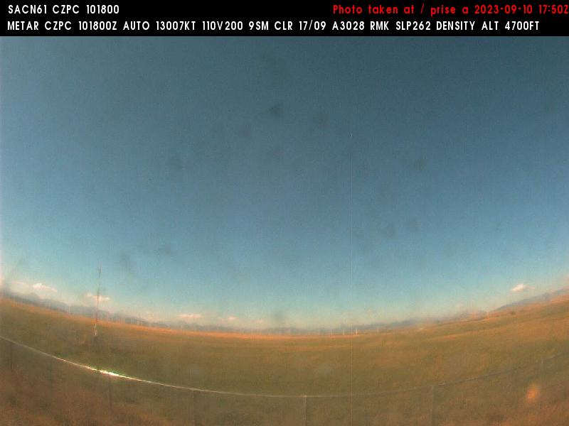
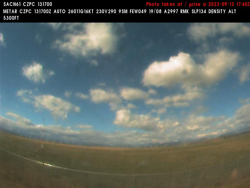
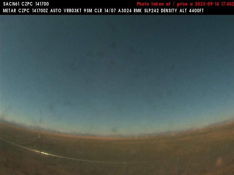


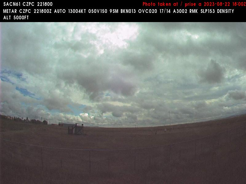
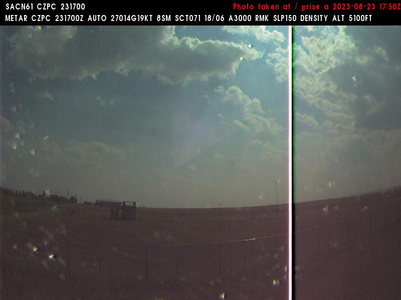
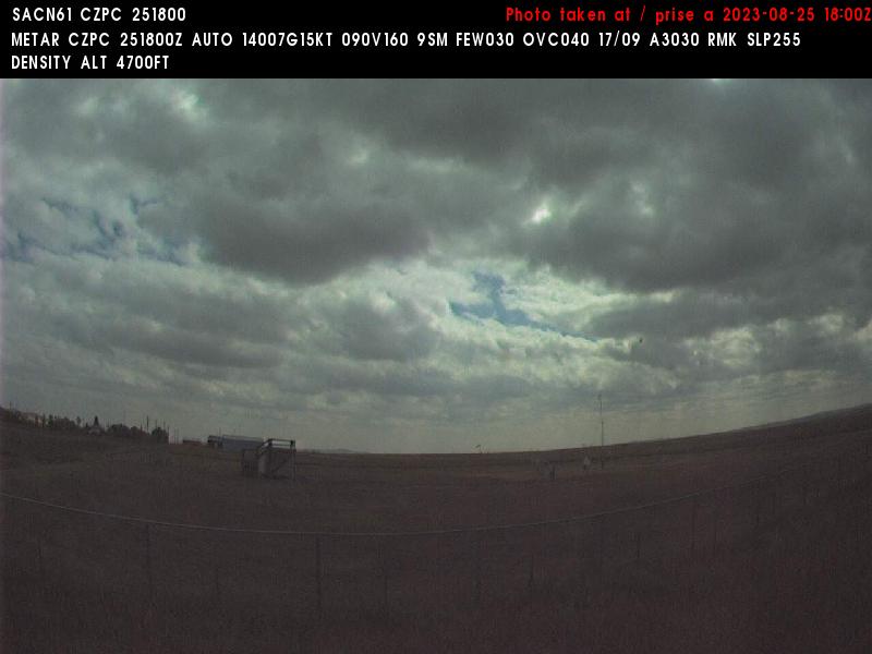
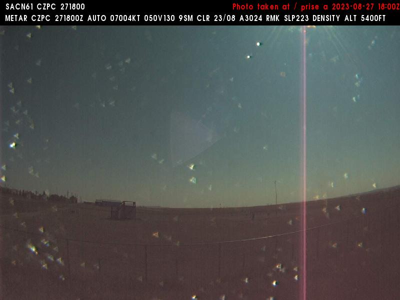
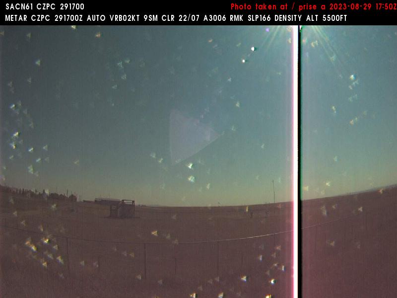
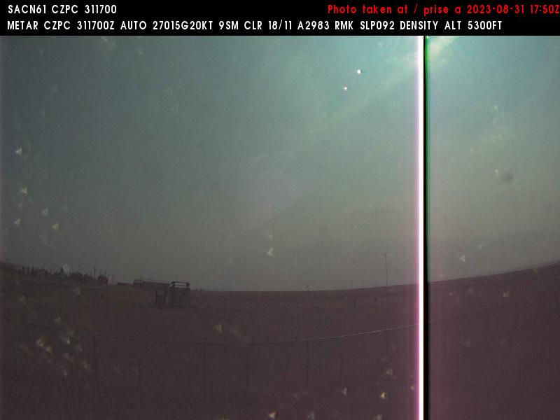
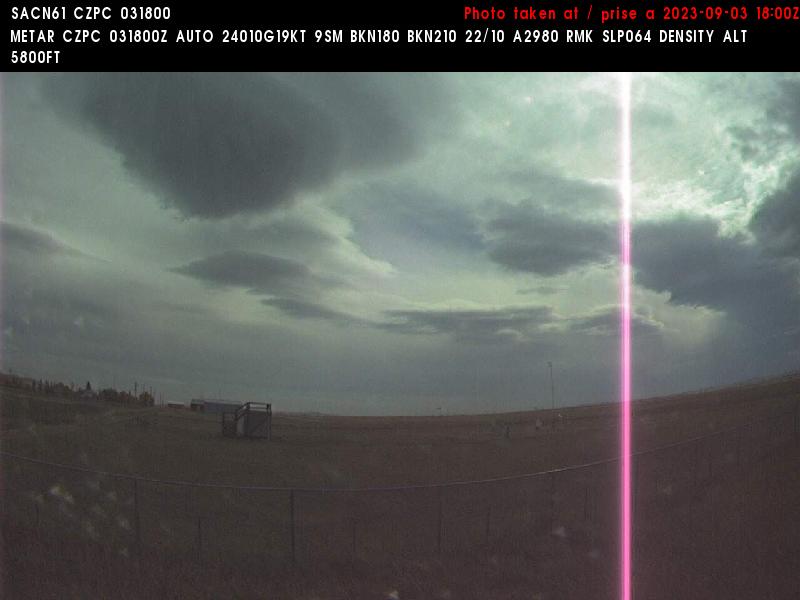
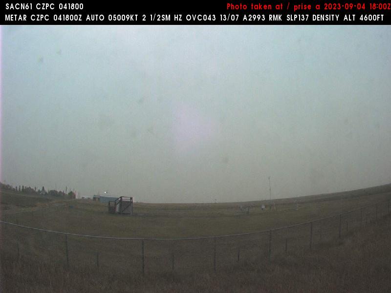
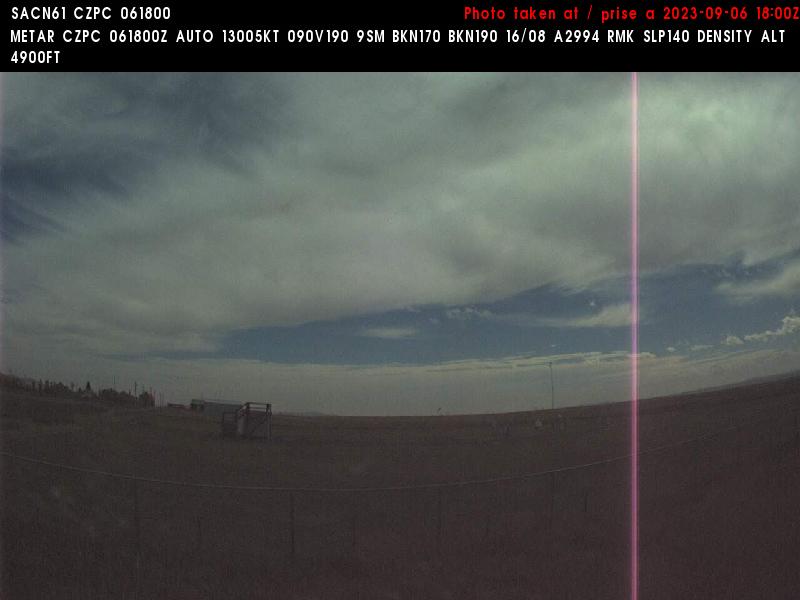
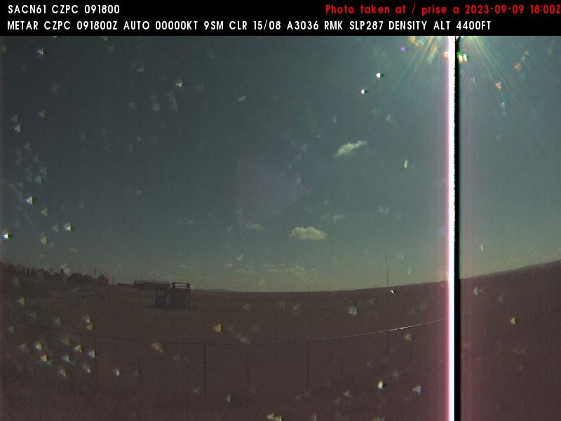
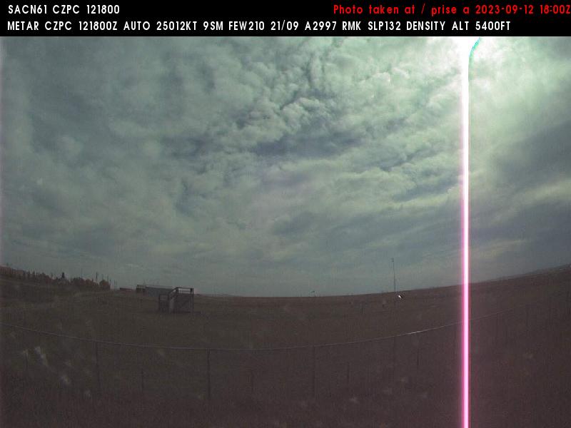
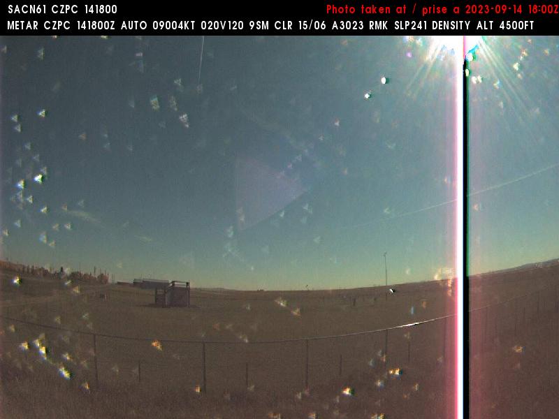
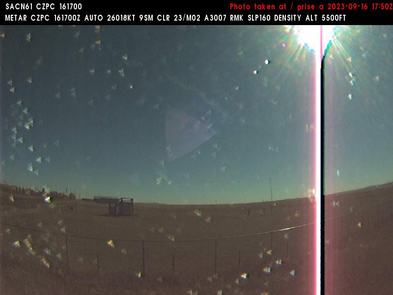
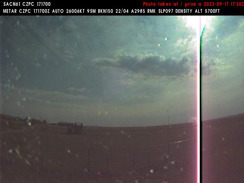
Pincher Creek, Canada - 224 miles from Emery (historical): Pincher Creek Airport (CZPC) - A view in eastern direction.
Operator: NAV CANADA
Operator: NAV CANADA


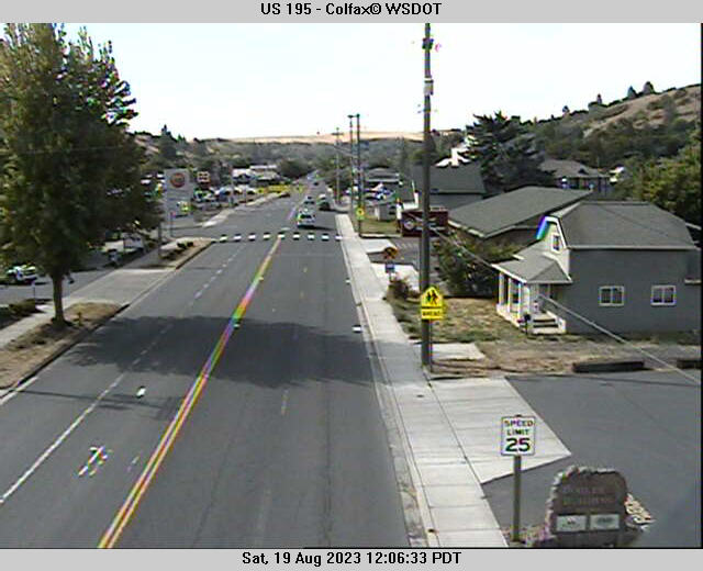
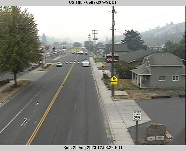
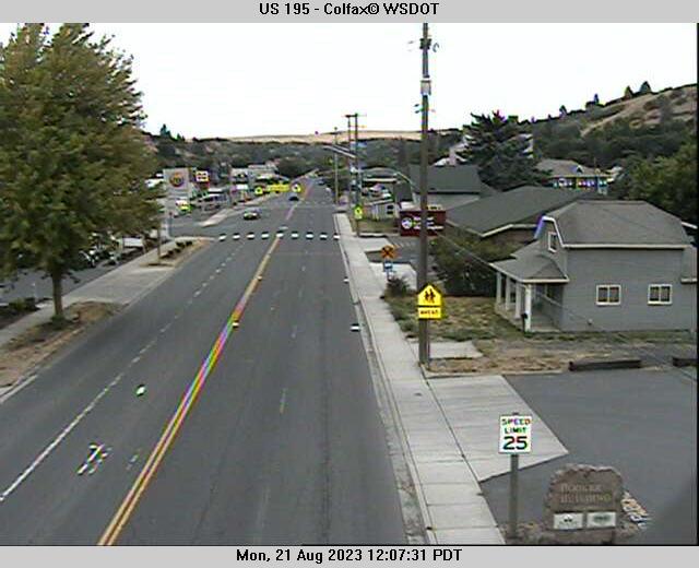
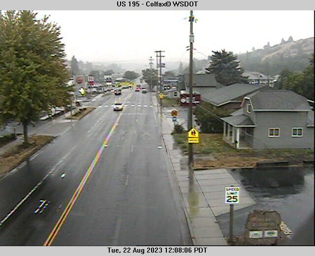
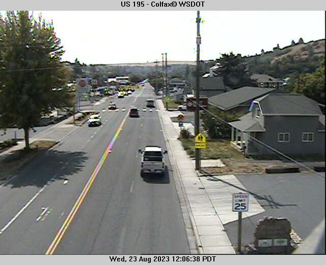
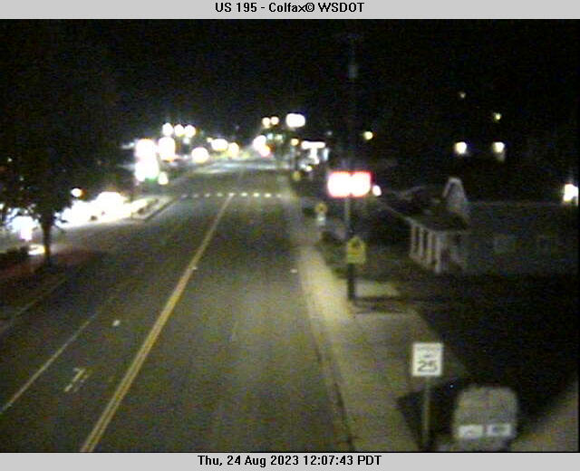
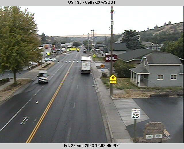
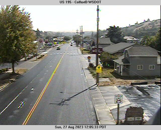
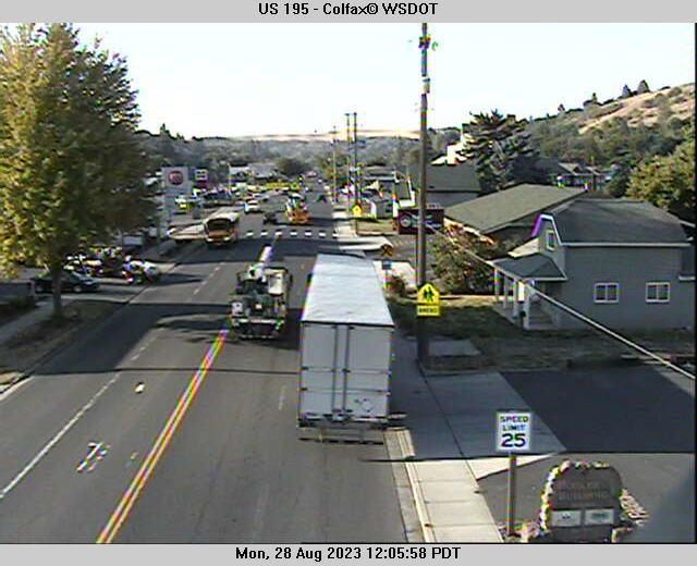
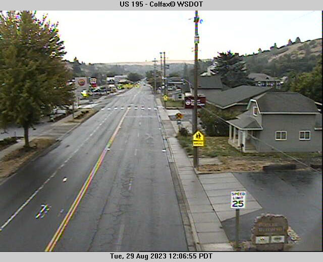
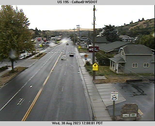
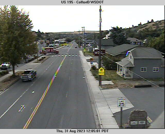
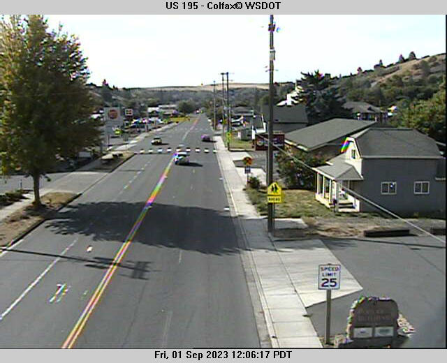
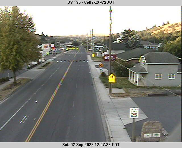
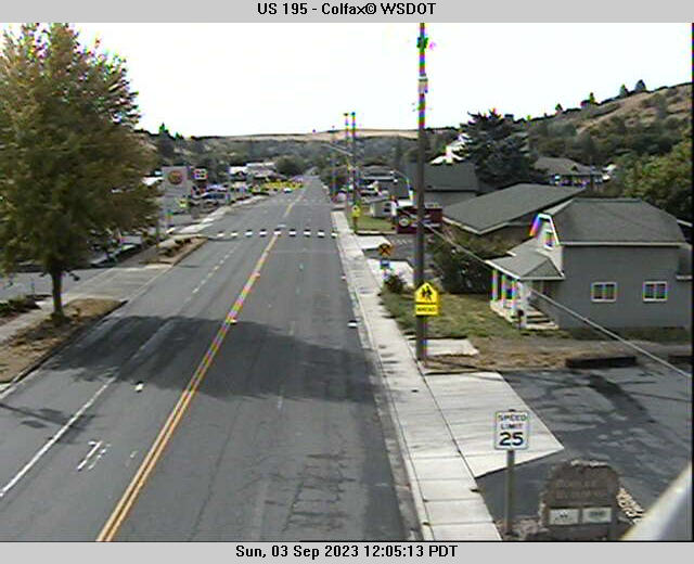
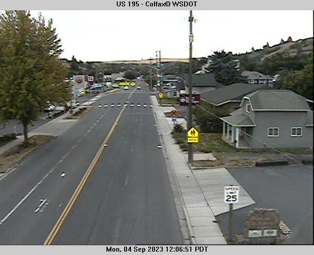
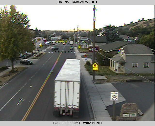
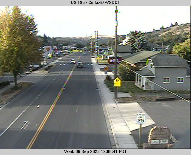
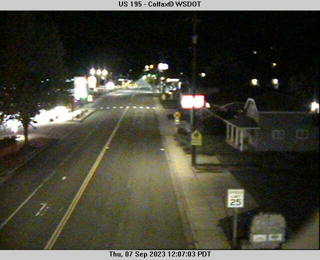
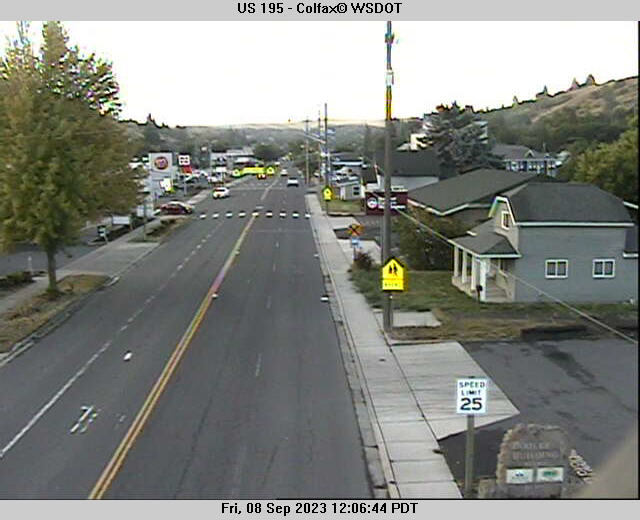
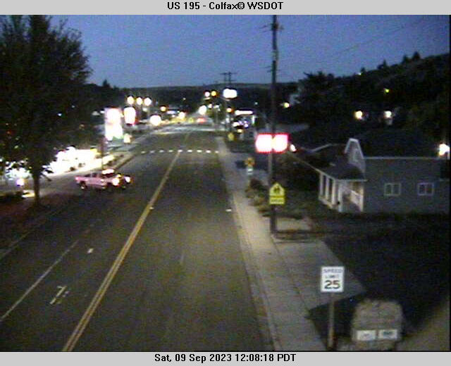
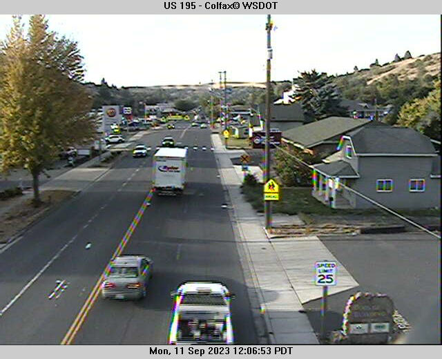
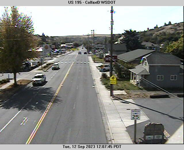
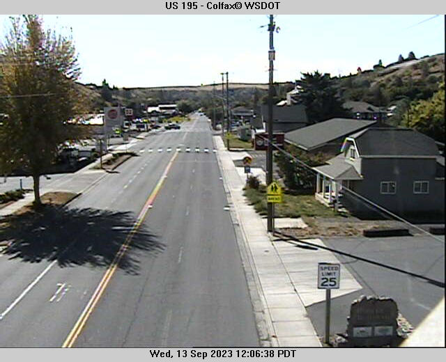
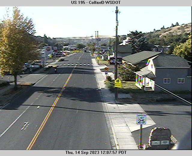
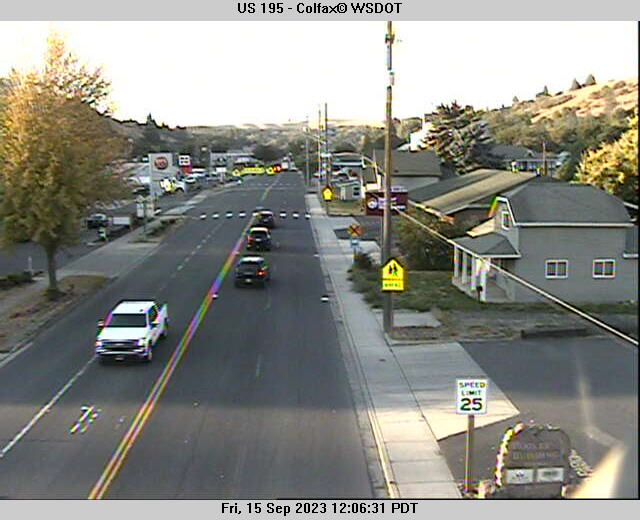
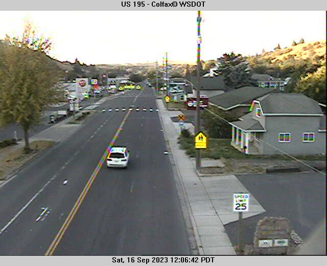
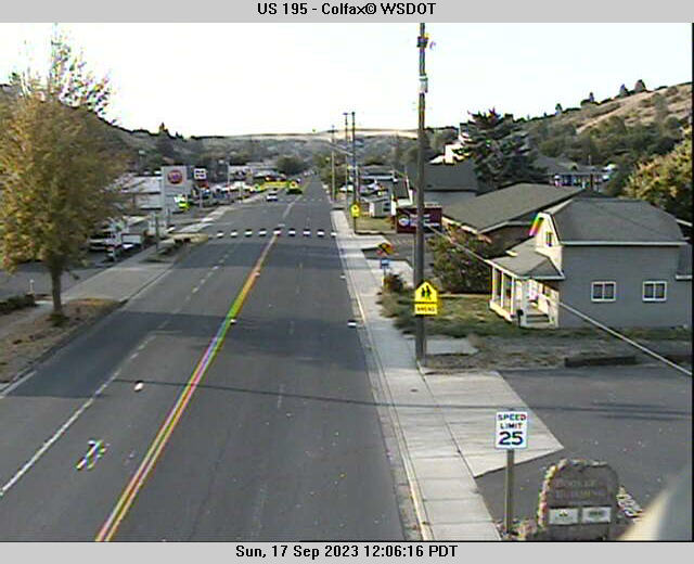
Colfax, Washington, USA - 229.6 miles from Emery (historical): US 195 - Colfax - A view of the current traffic situation.
Operator: WSDOT
Operator: WSDOT


Some other places in this country: Burnt Fork (historical) - Bitter Root (historical) - Sharkeyville (historical) - Bradley (historical) - Beaver Creek - Big Sky - Boneau - Camp Three - Herron - Jette