Webcams in the region of Albright (historical), Montana, USA
The List of Webcams near Albright (historical), Montana, USA:

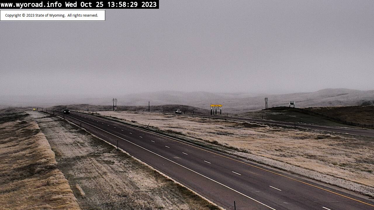
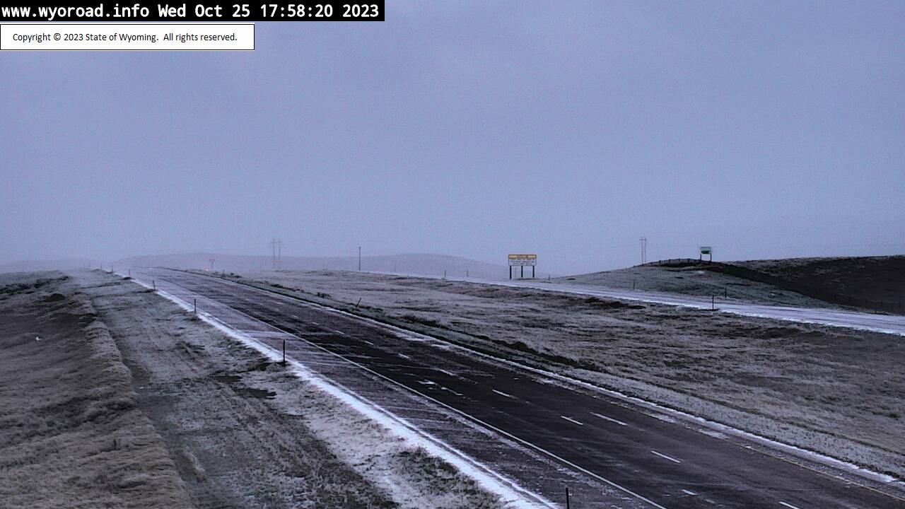
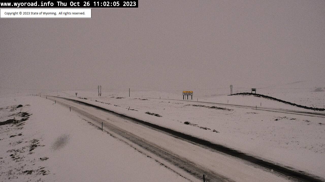
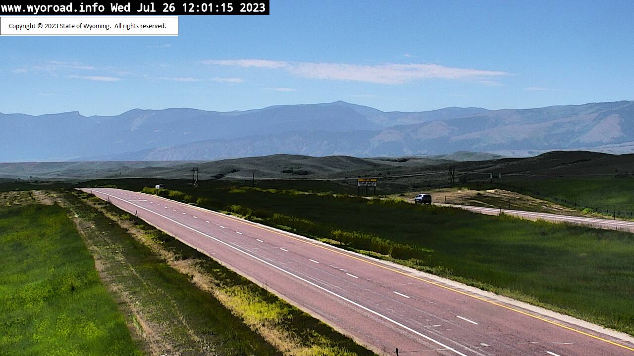
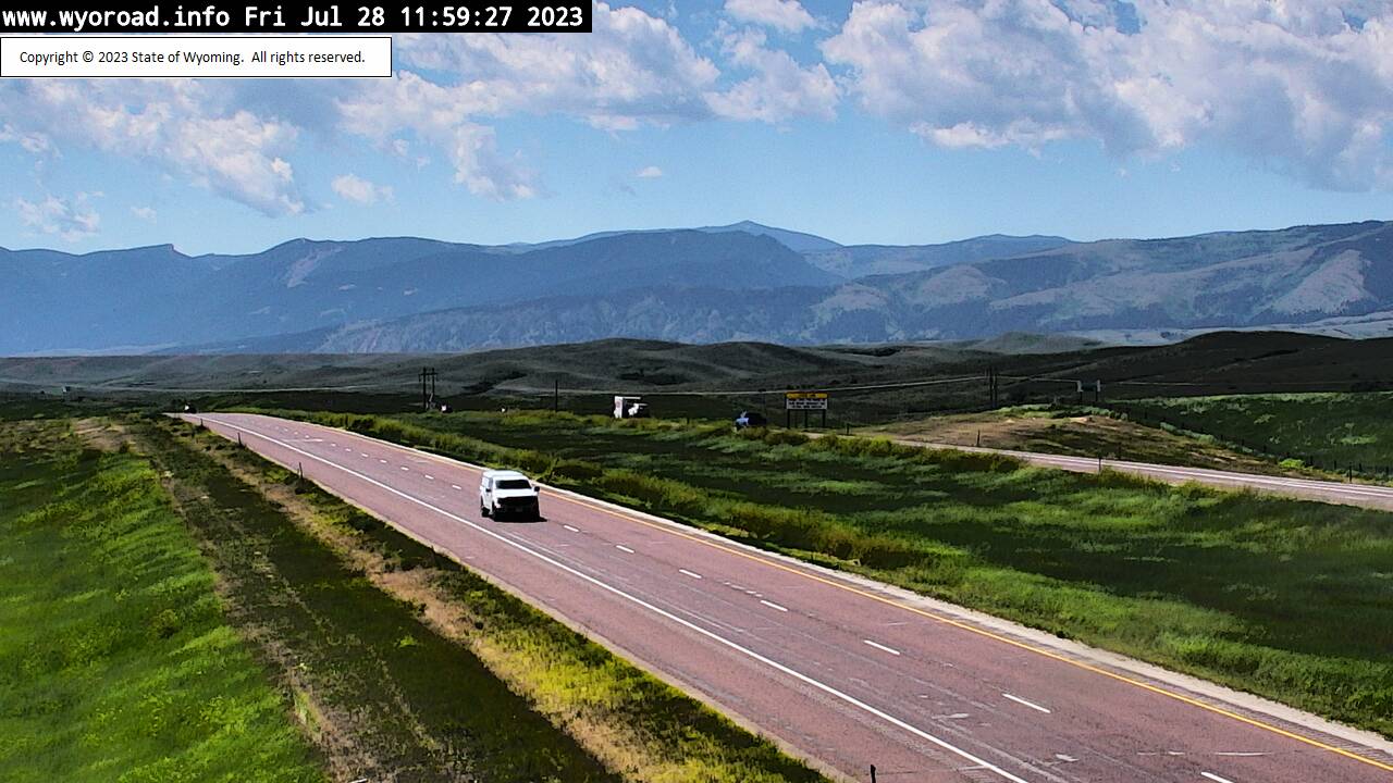
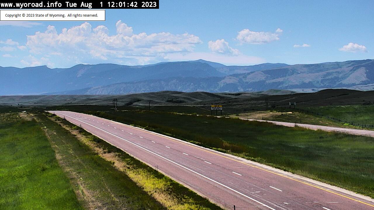
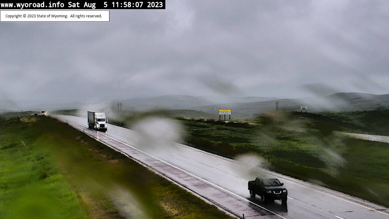
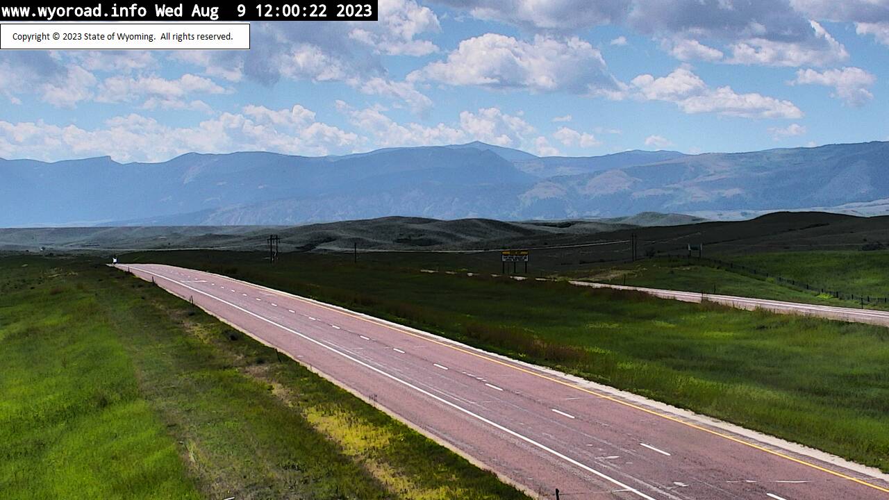
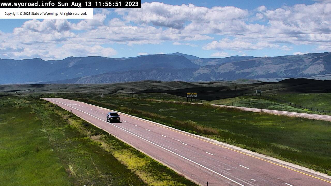
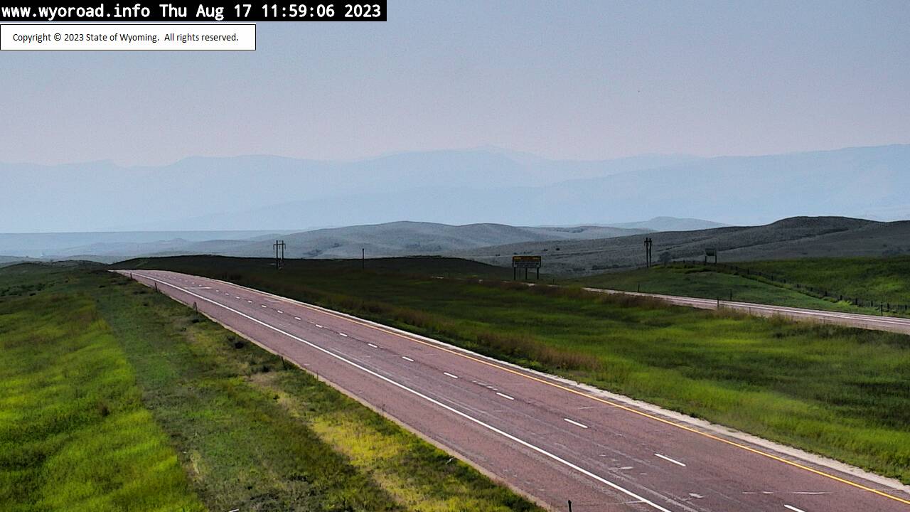
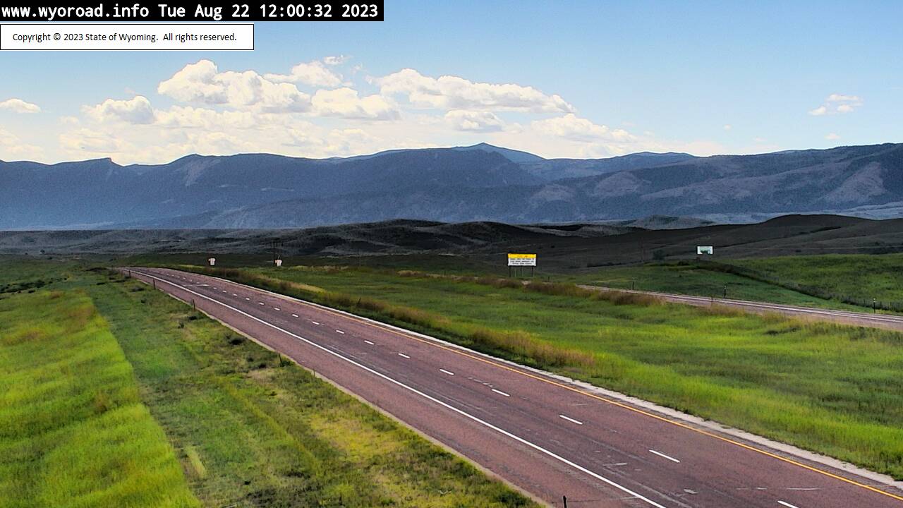
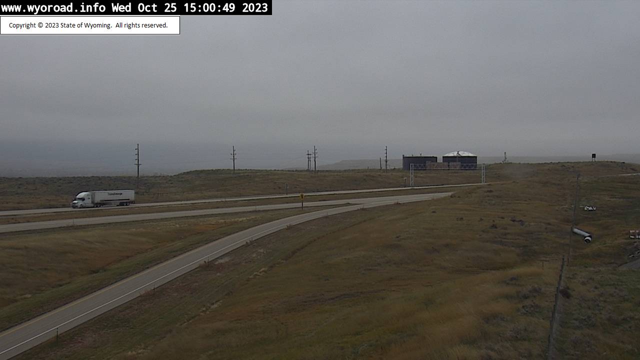
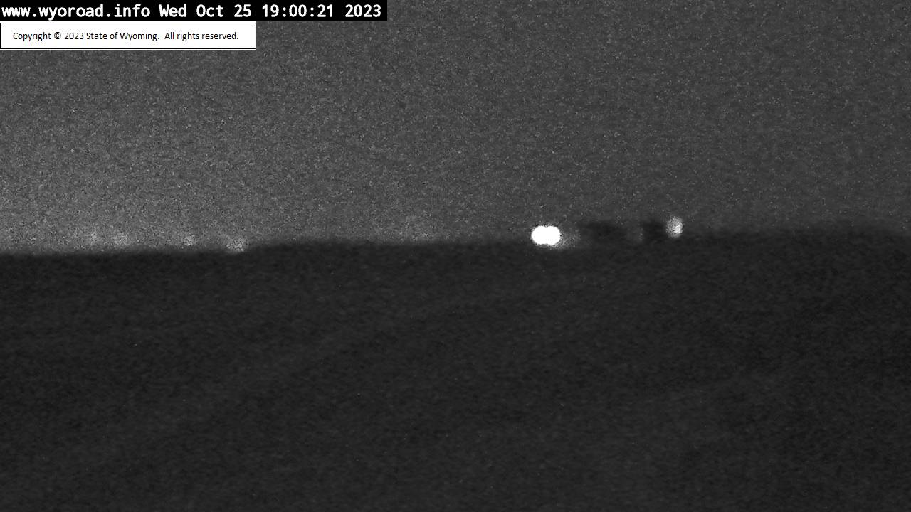
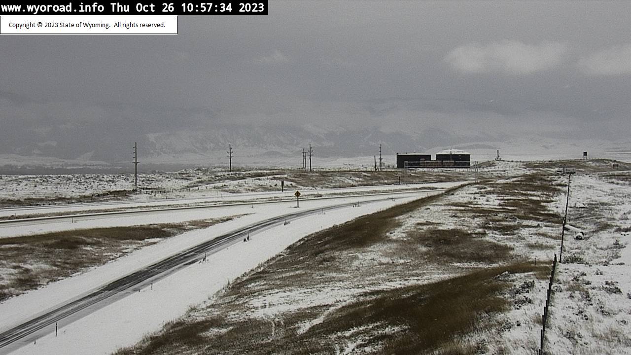
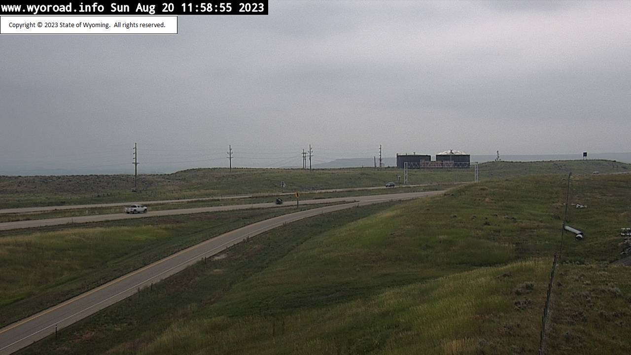
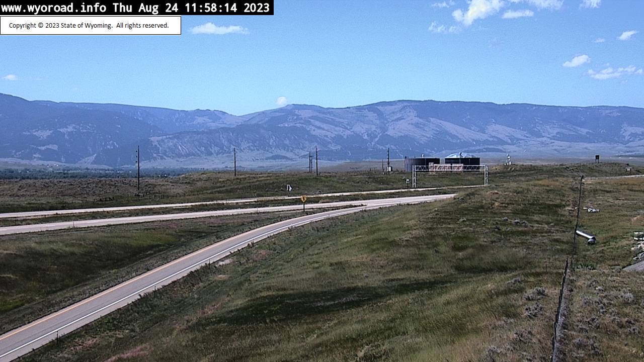
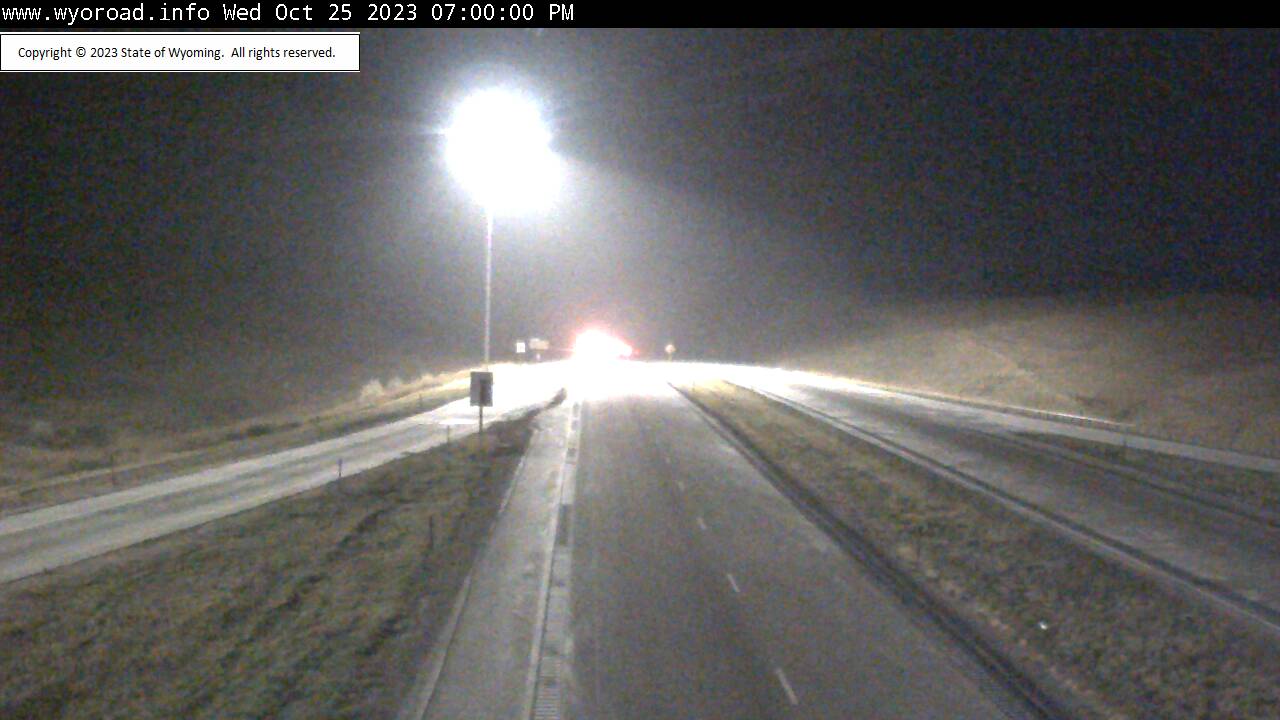
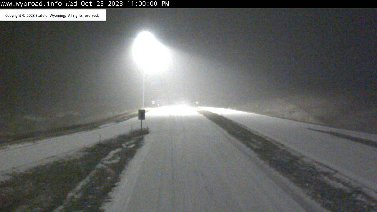
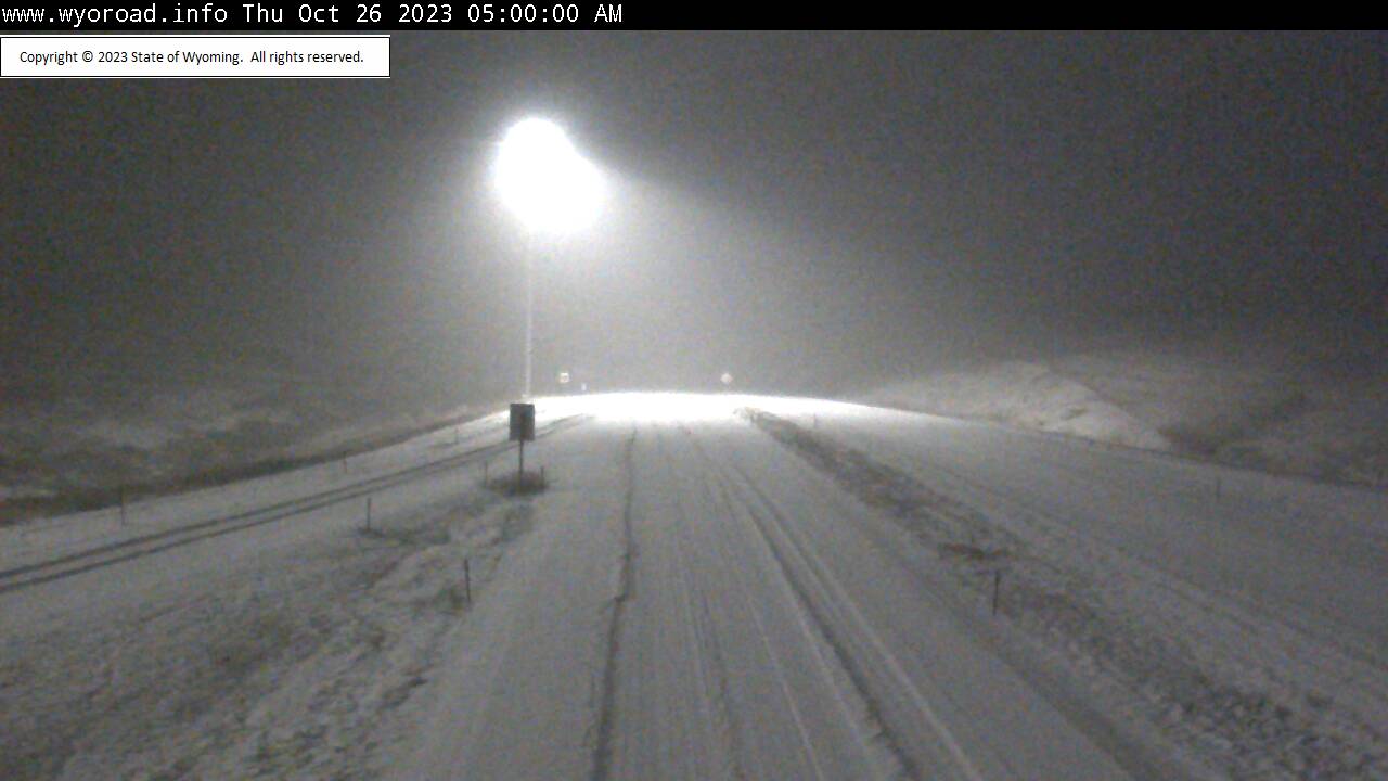
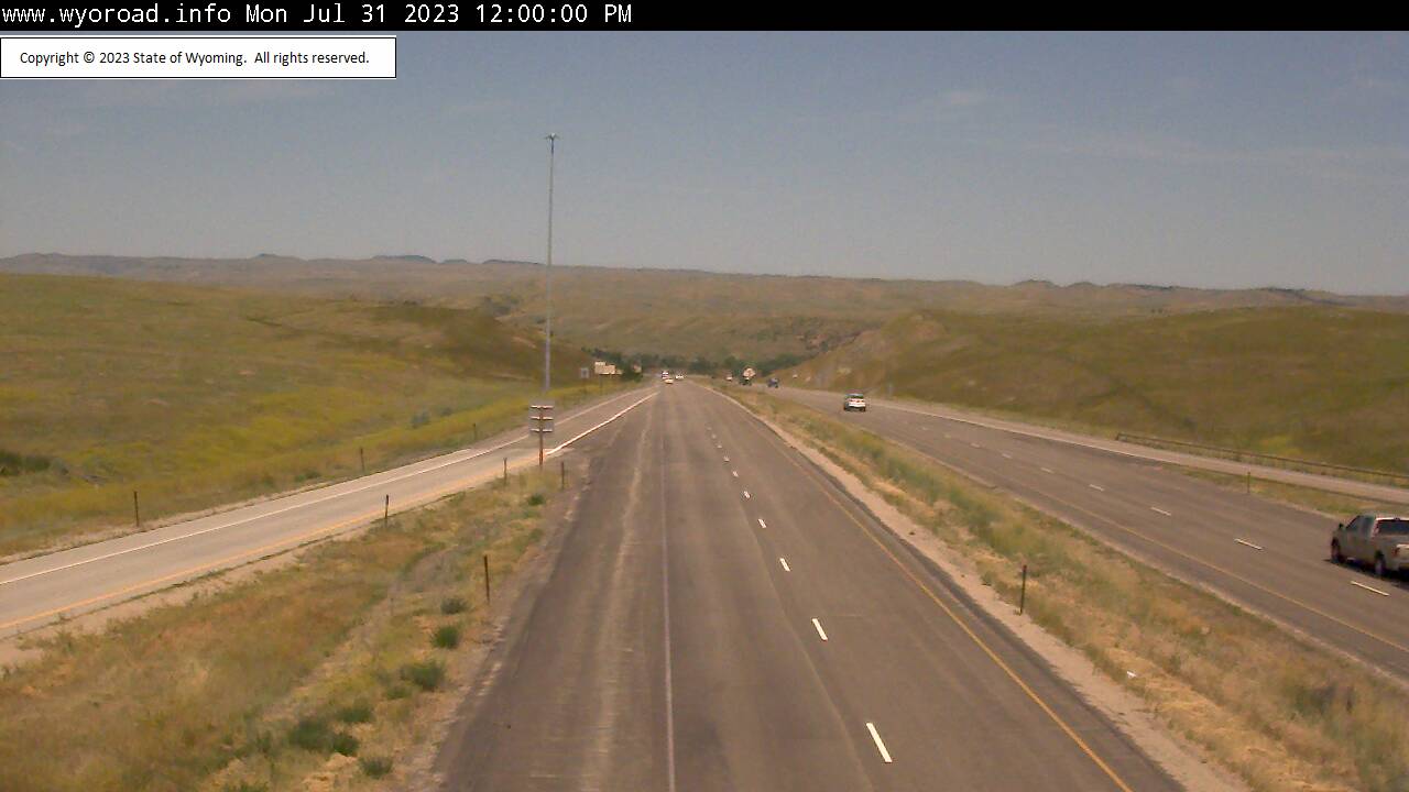
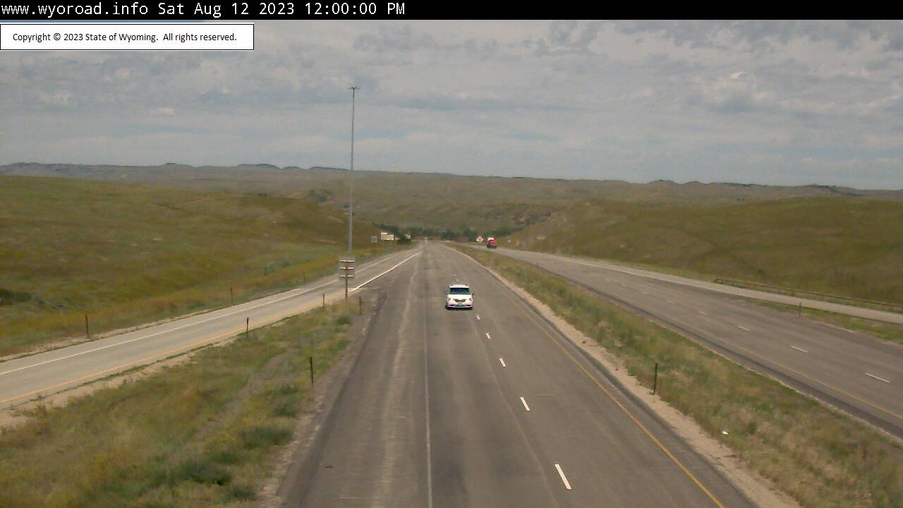
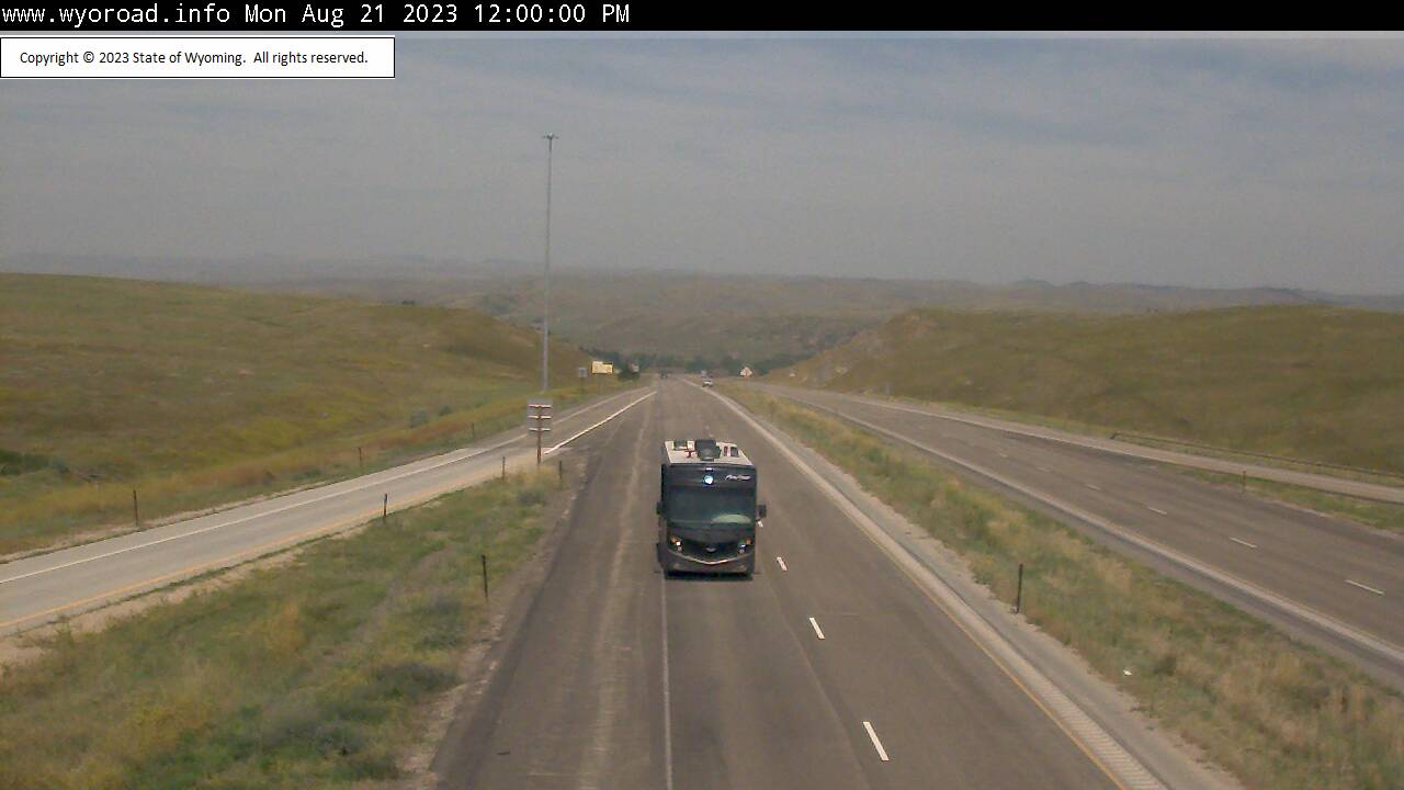
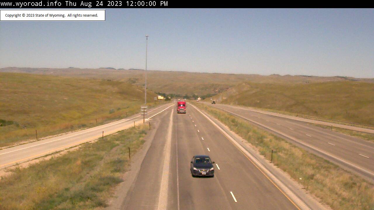
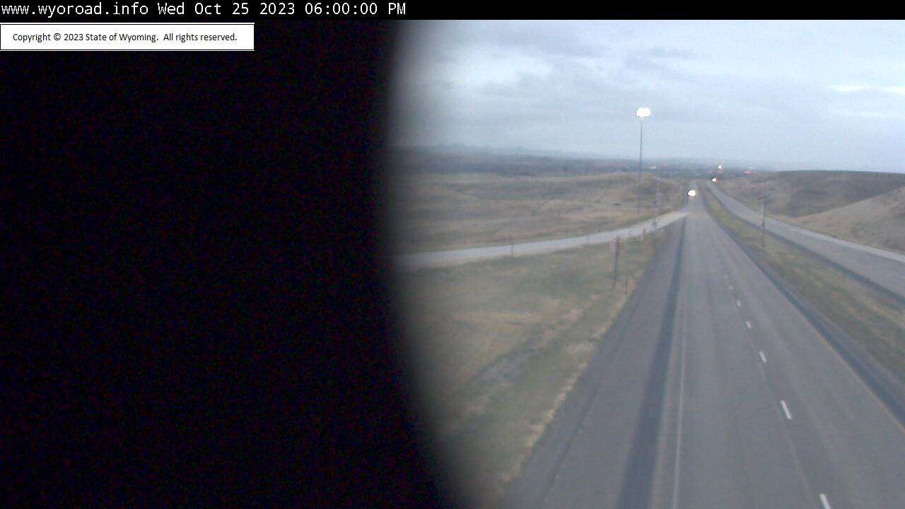
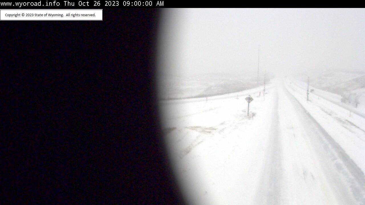
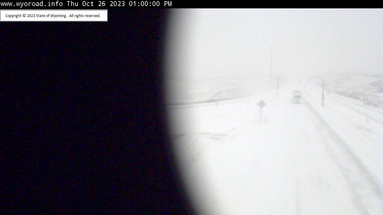
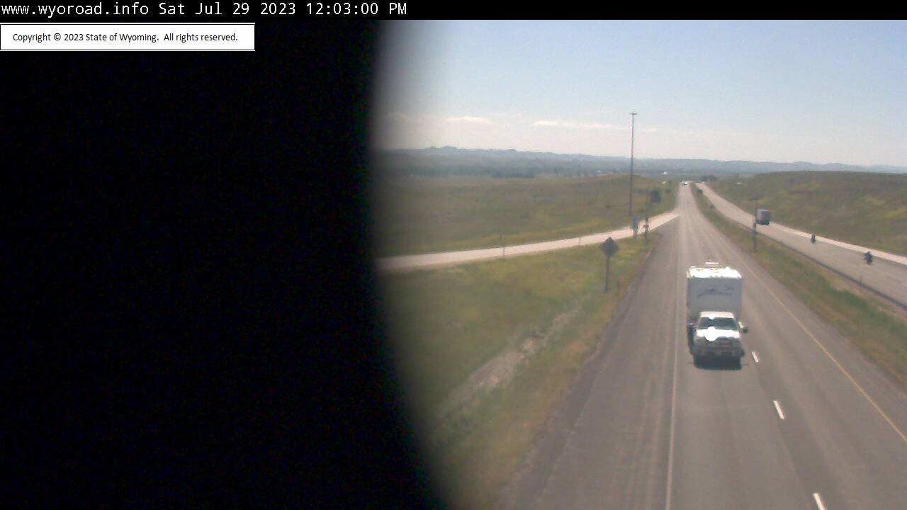
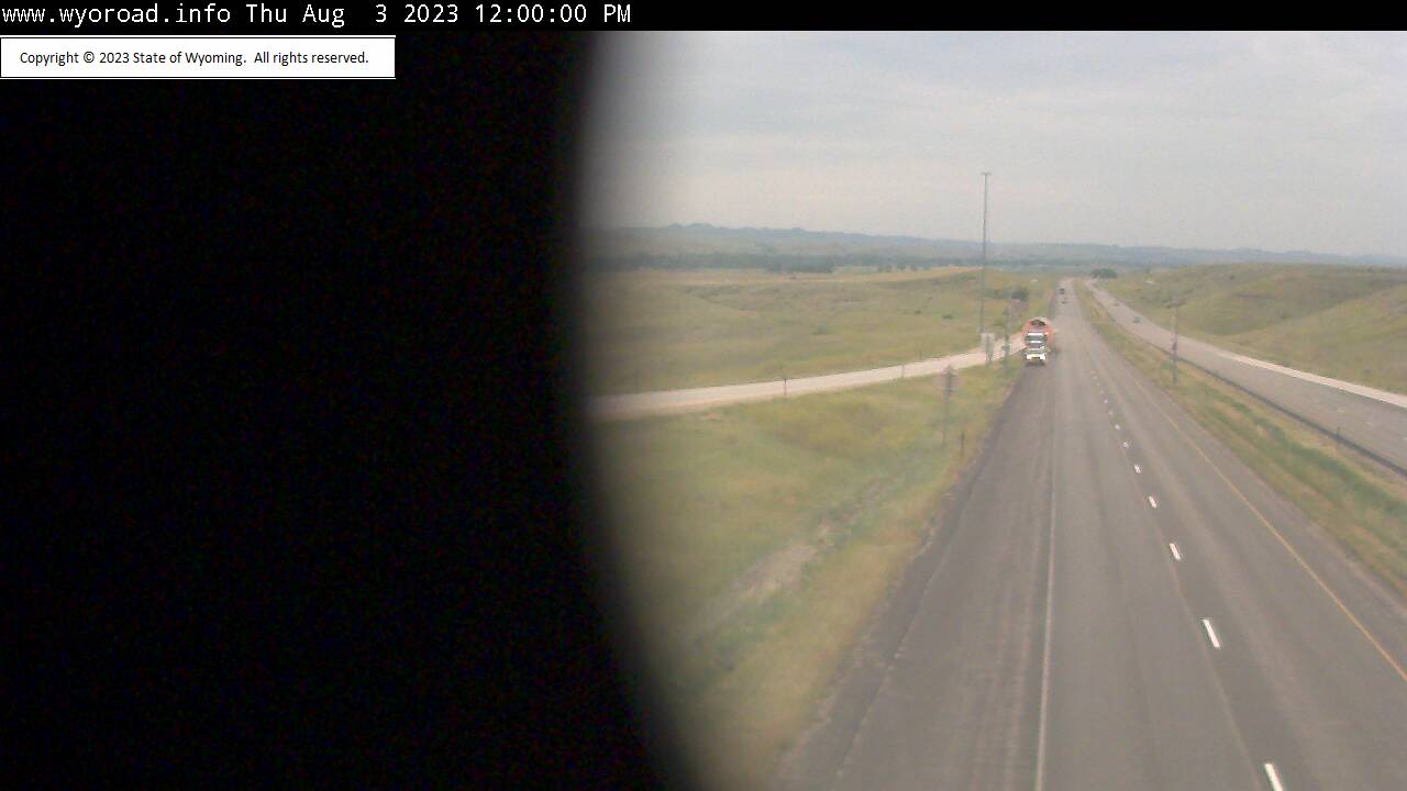
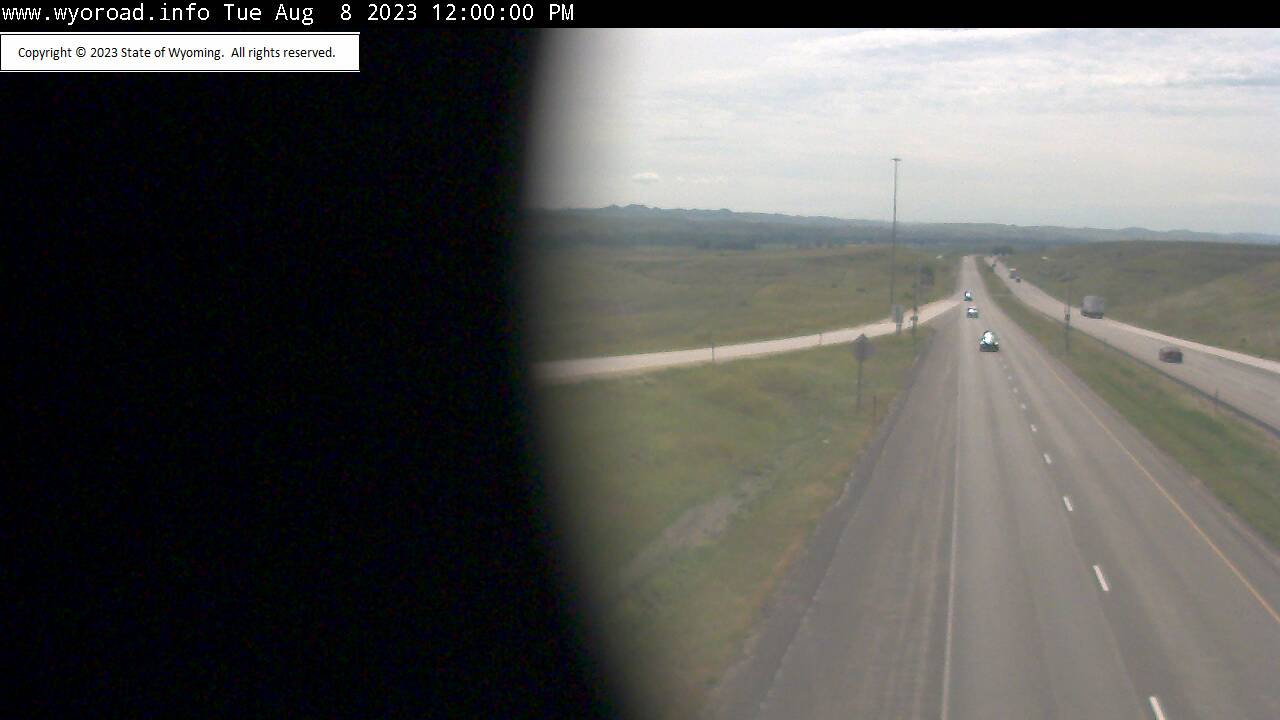
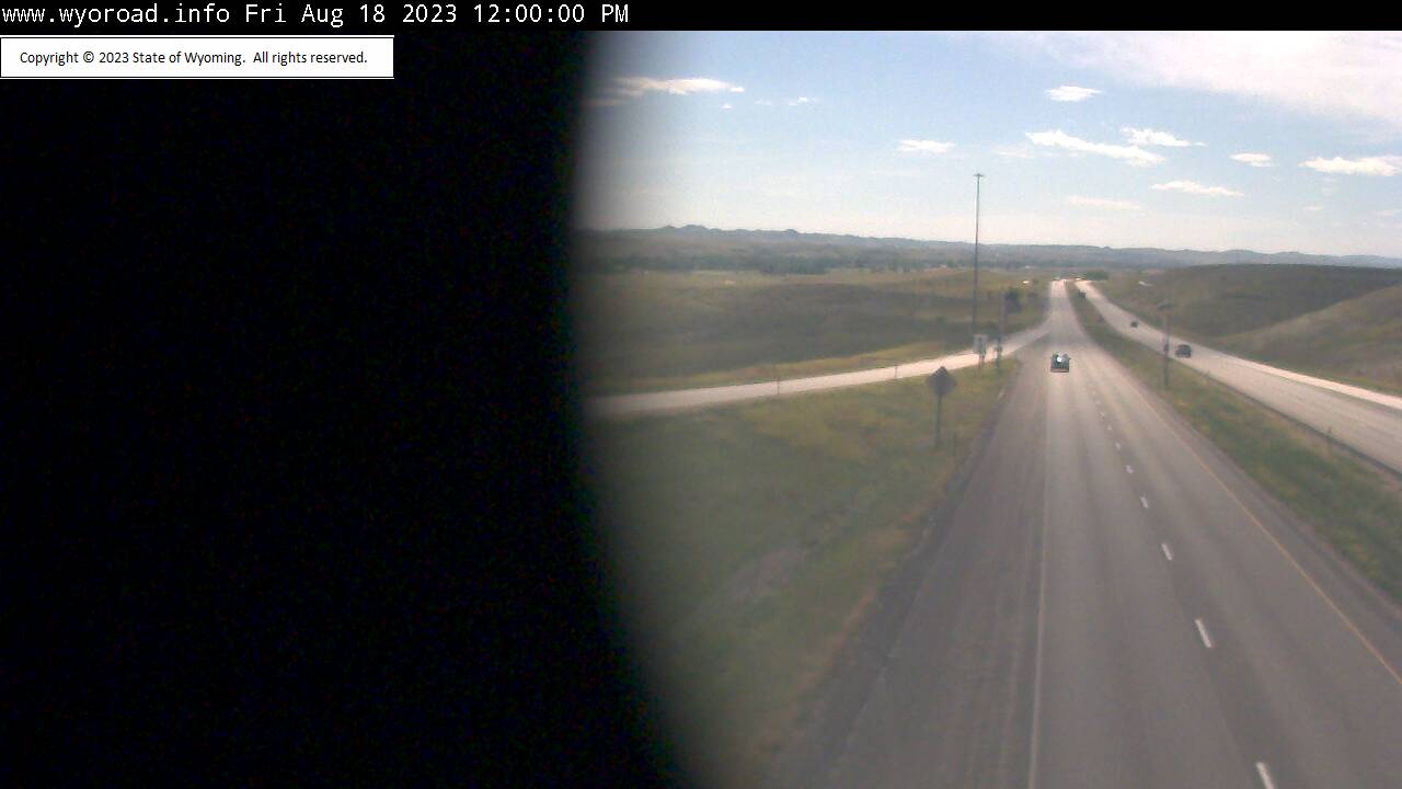
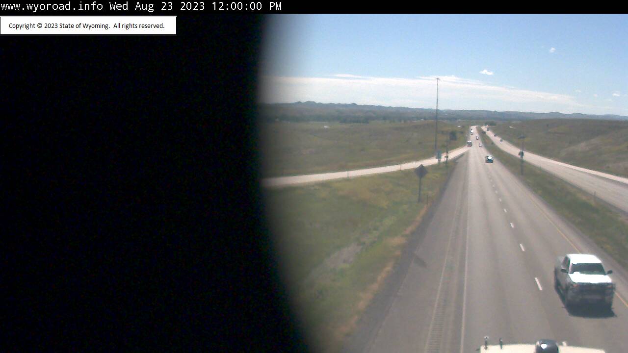
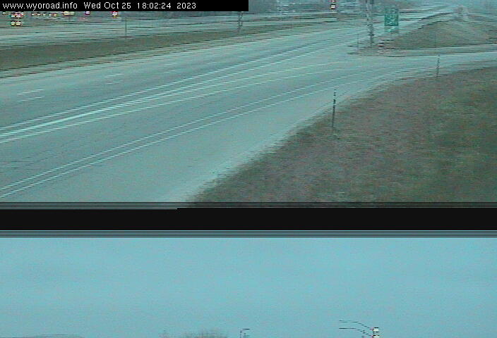
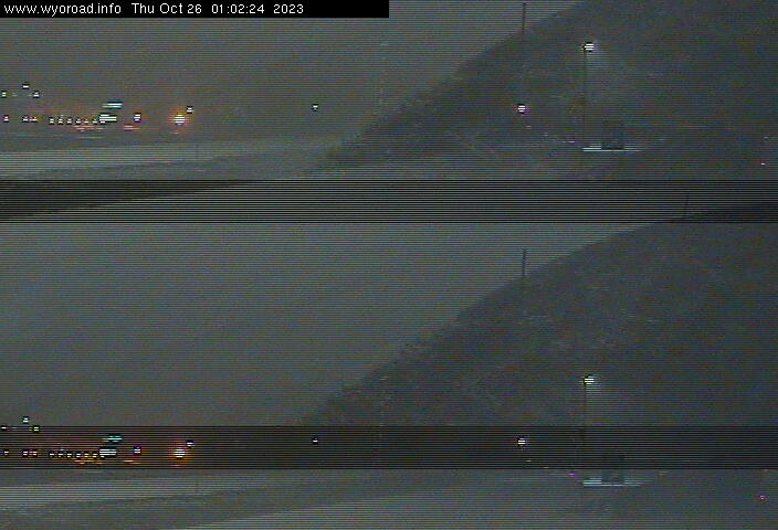
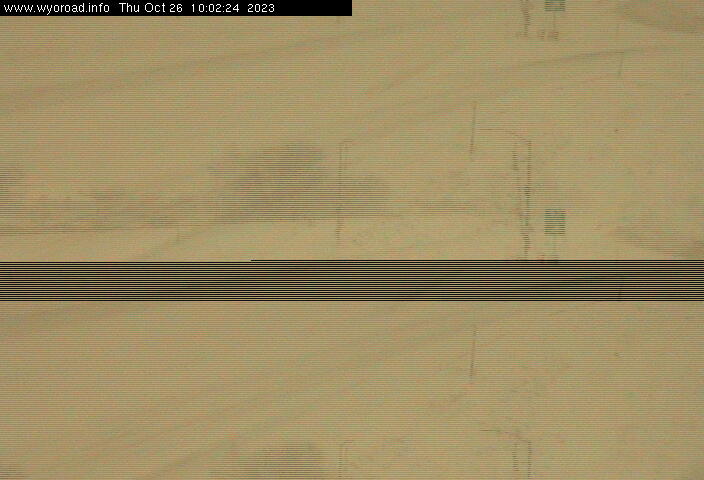
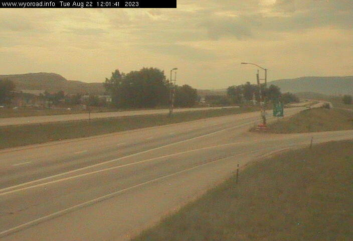
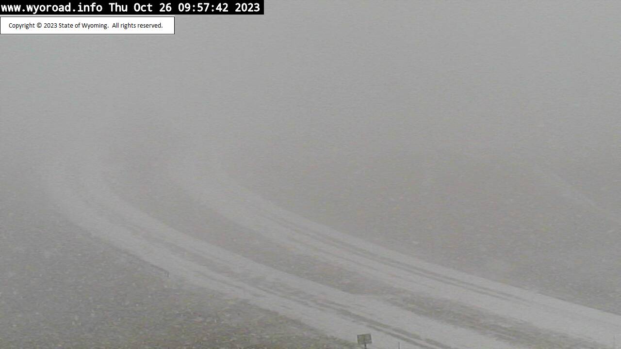
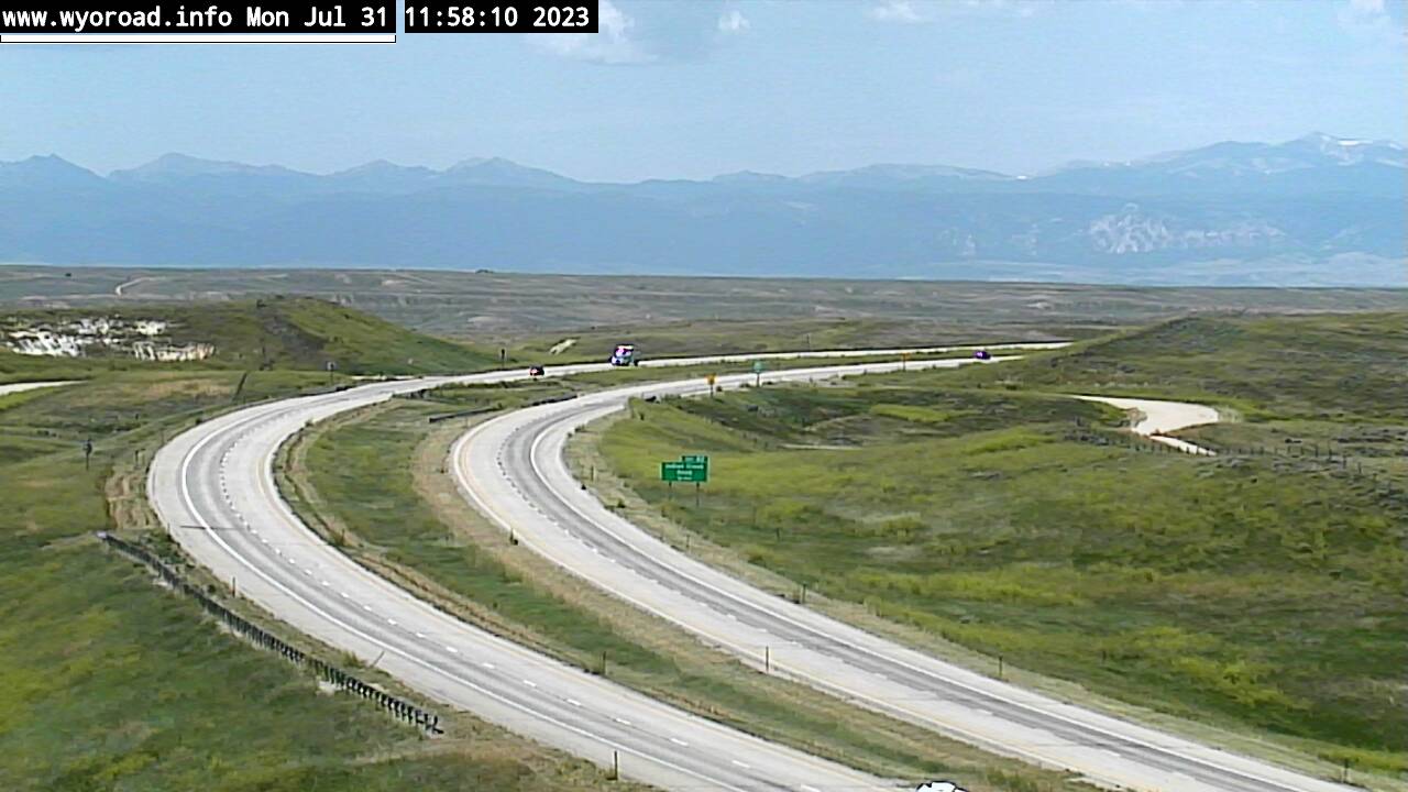
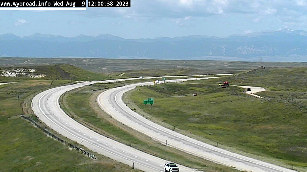
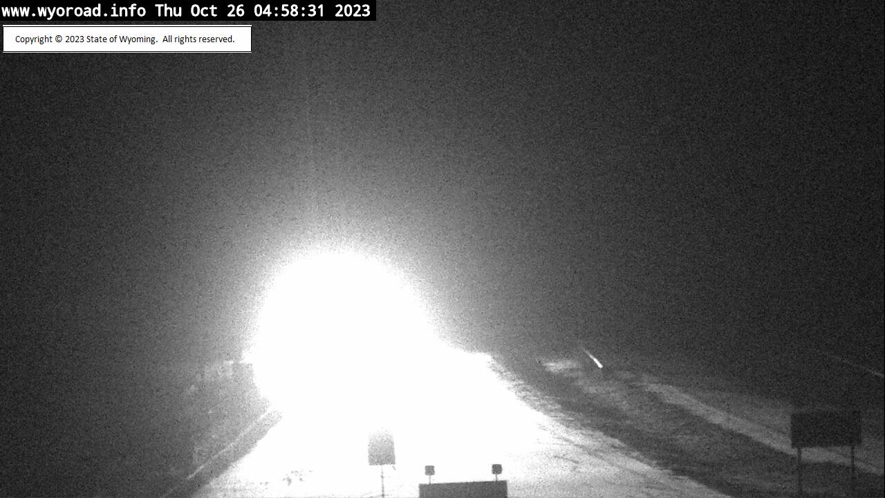
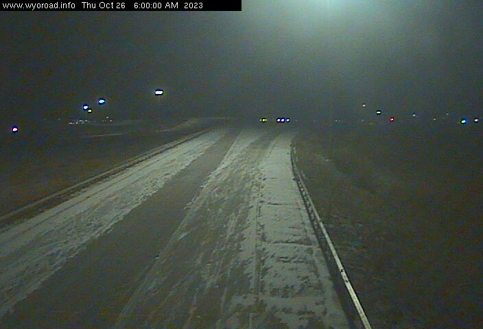
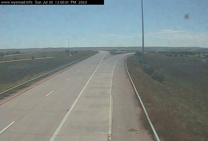
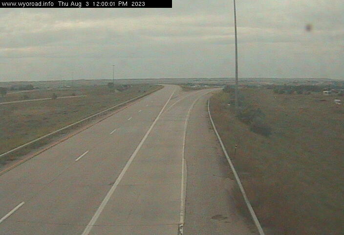
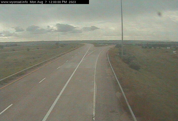
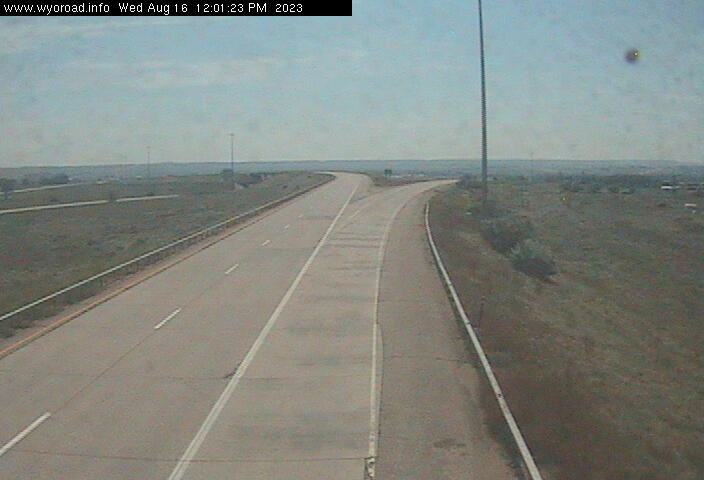
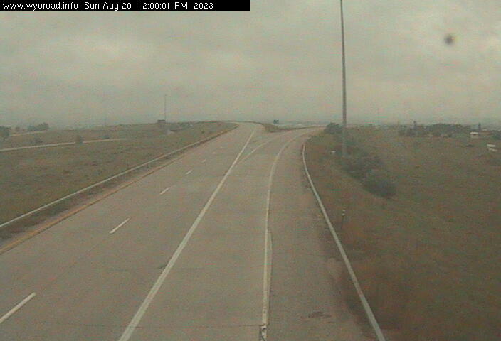
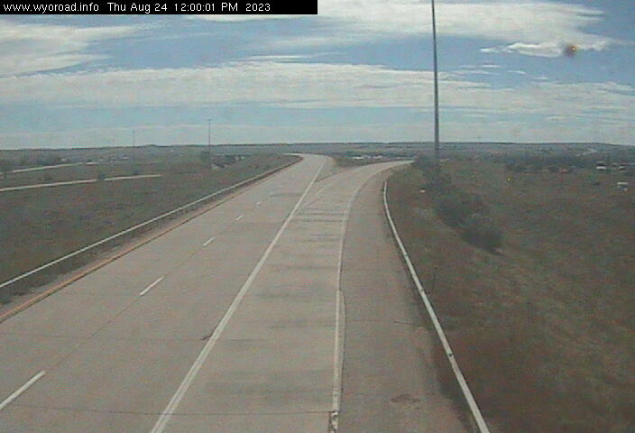
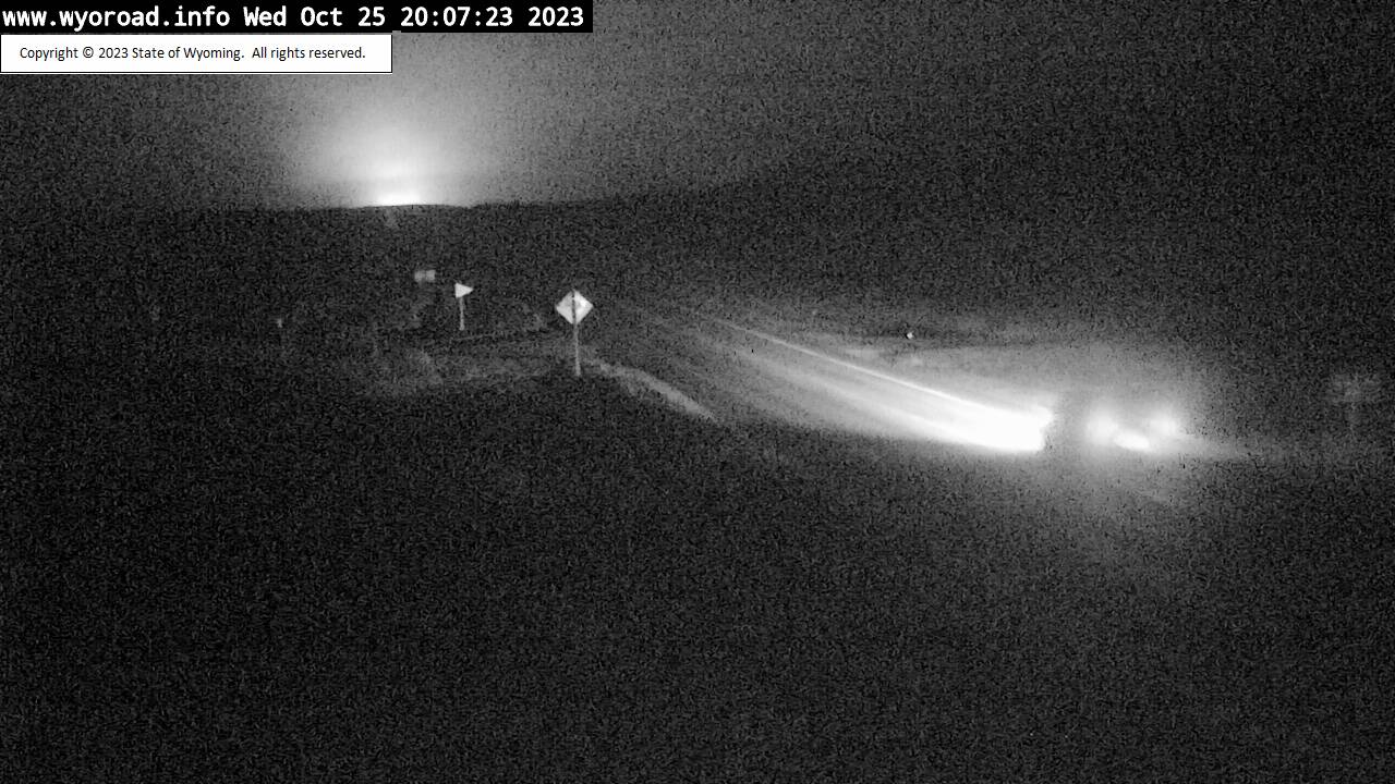
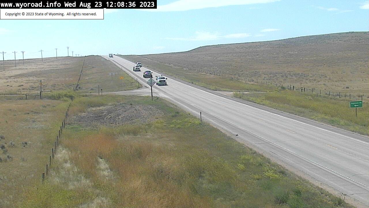
Parkman, Wyoming, USA - 99.7 miles from Albright (historical): Montana Line - Traffic and Weather - A view of the current traffic and weather situation.
Operator: WYDOT Travel Information Service
Operator: WYDOT Travel Information Service
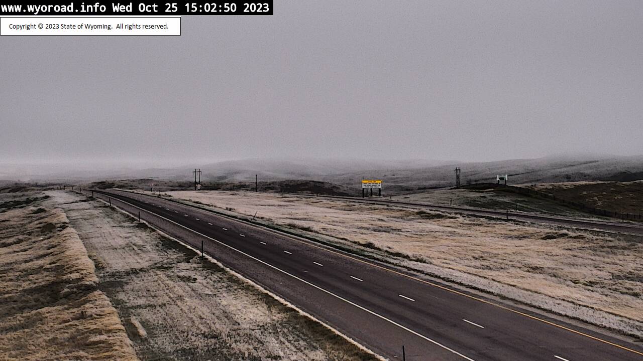

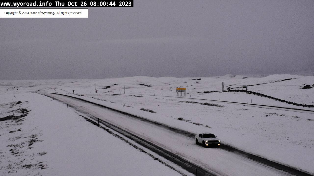
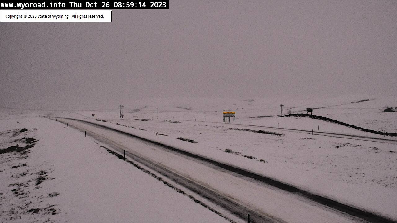
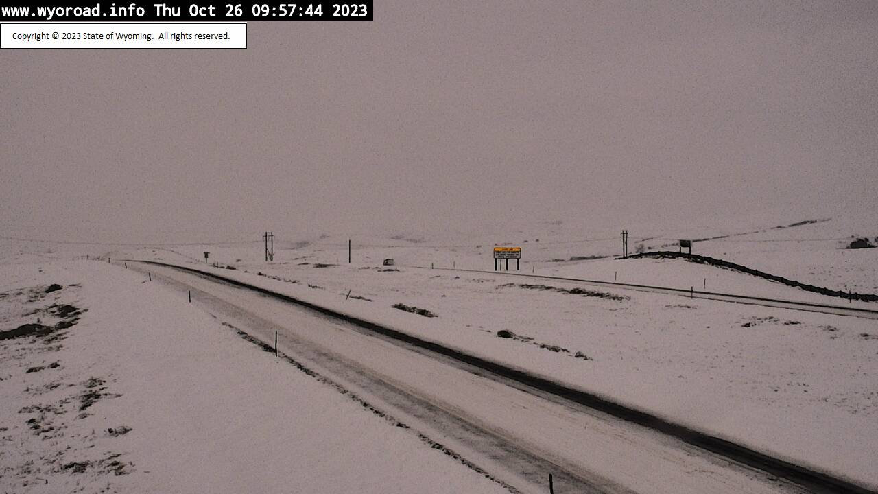
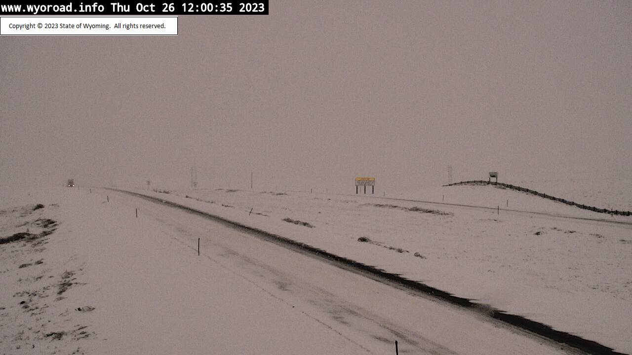

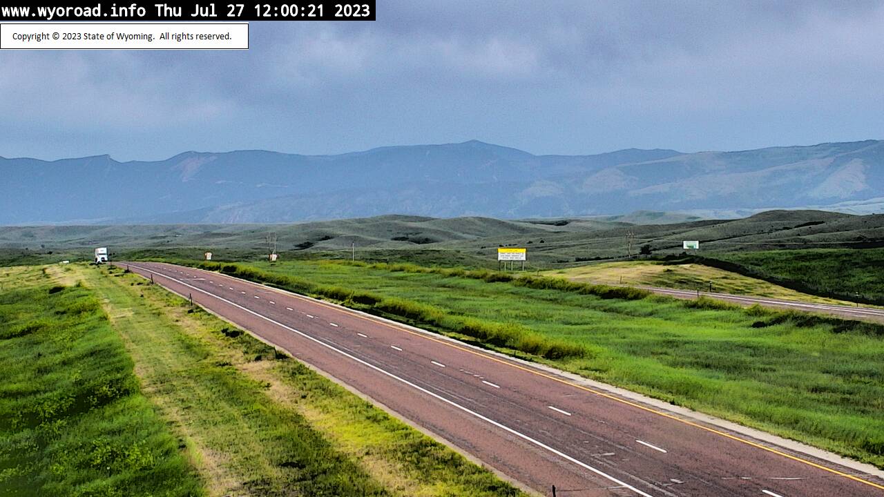
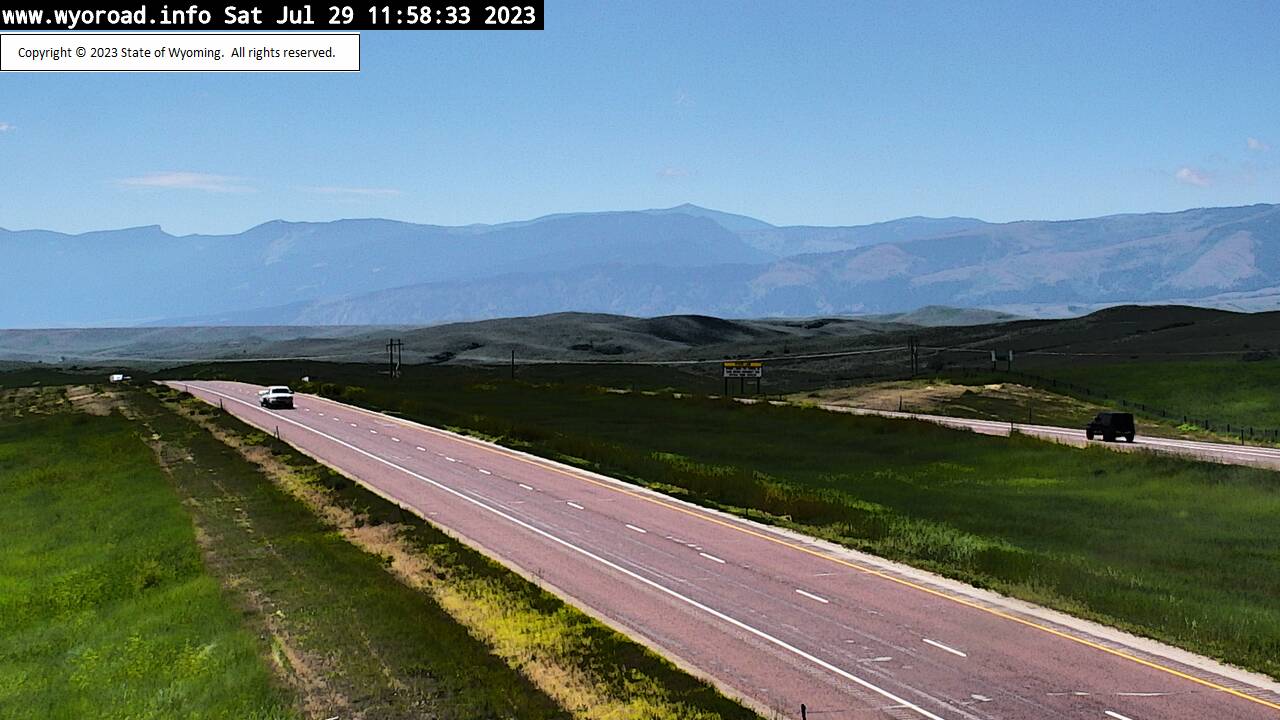
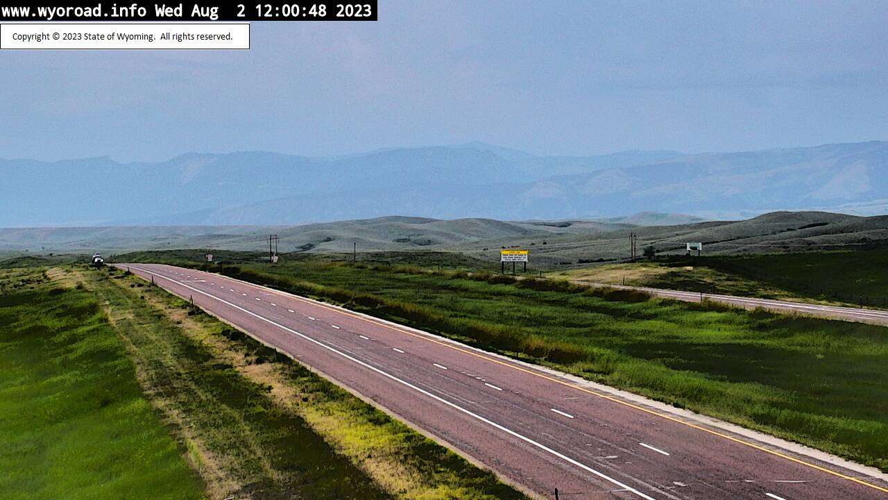
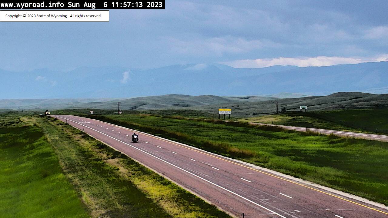
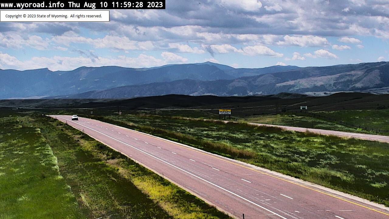
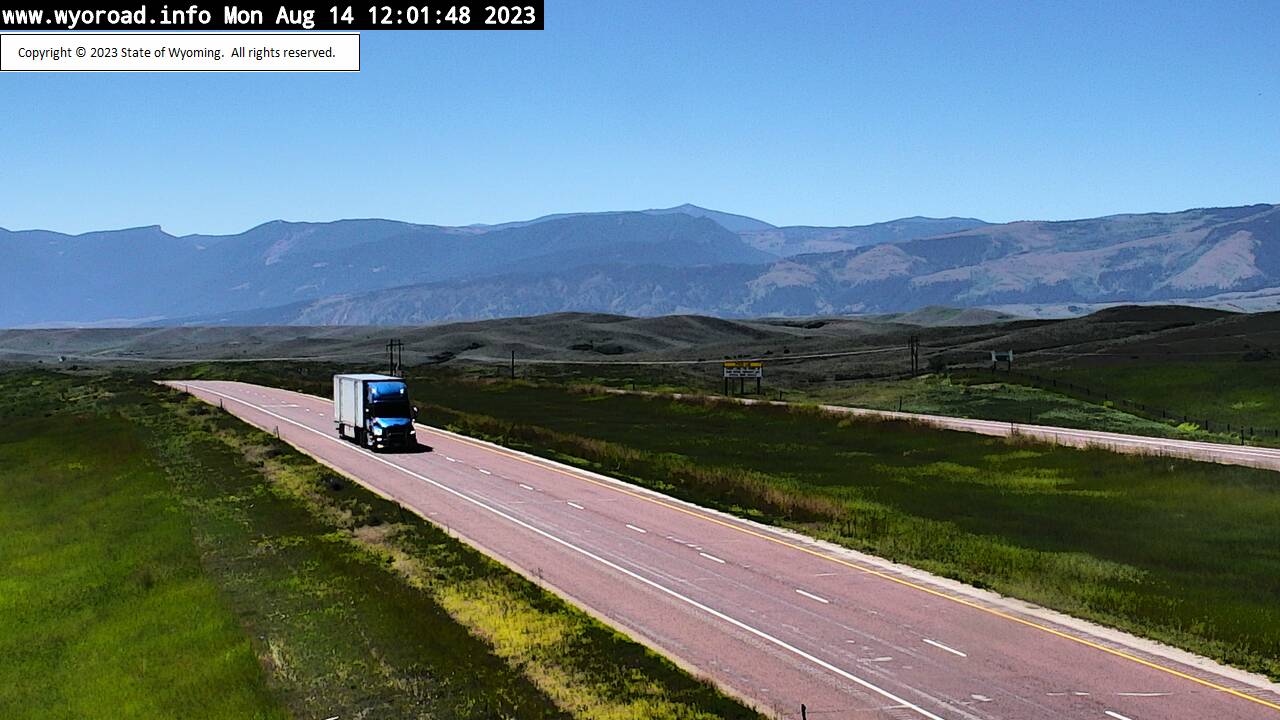
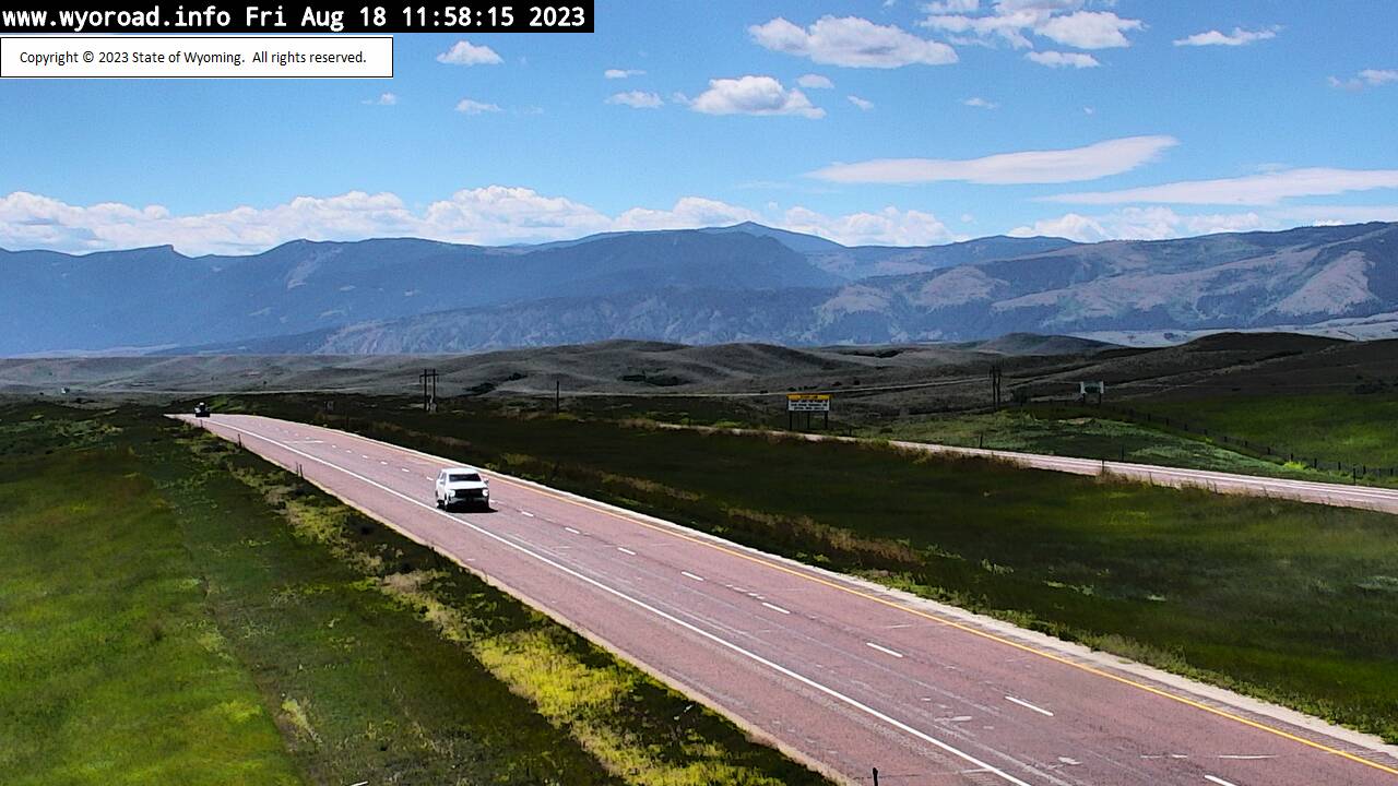

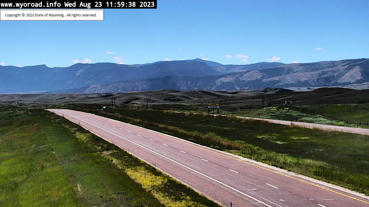

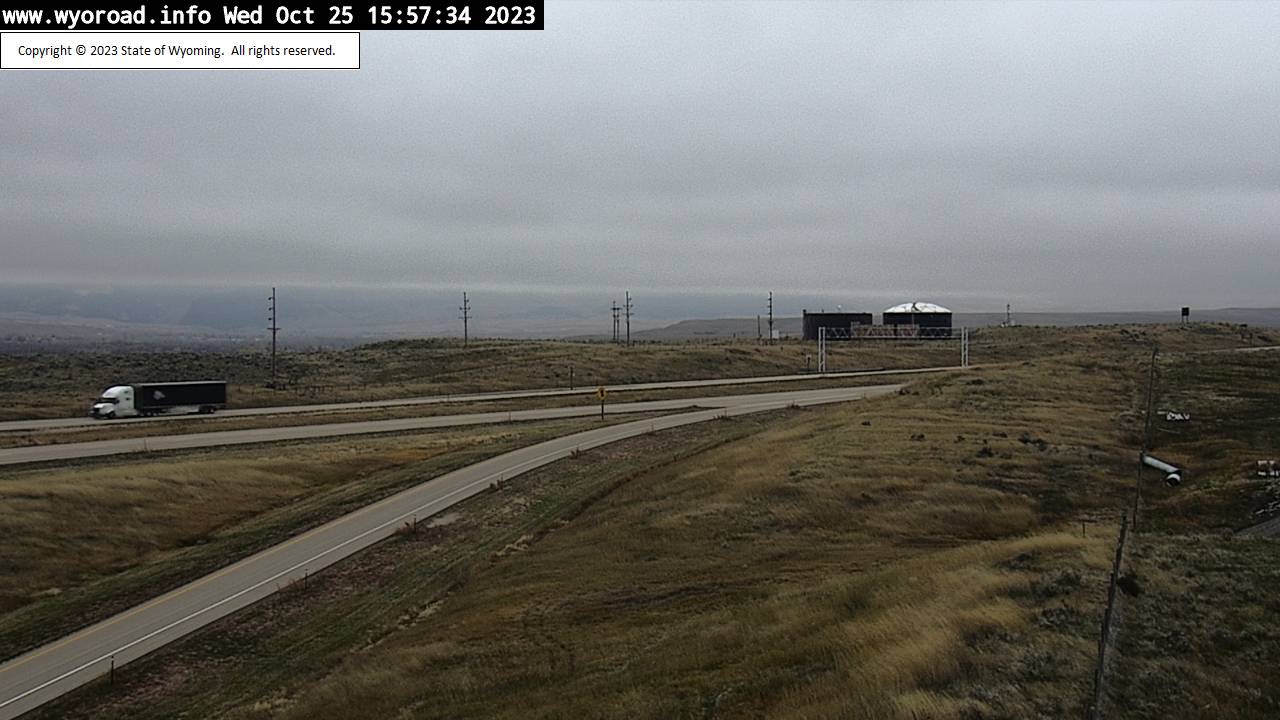
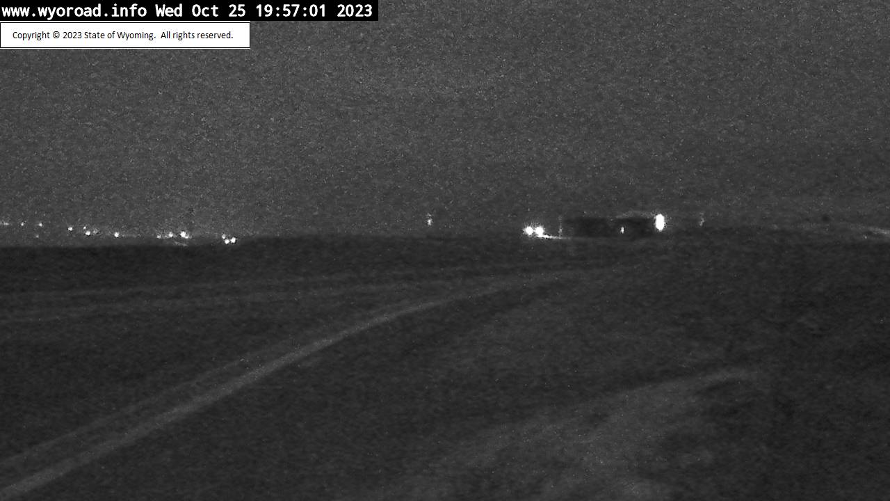
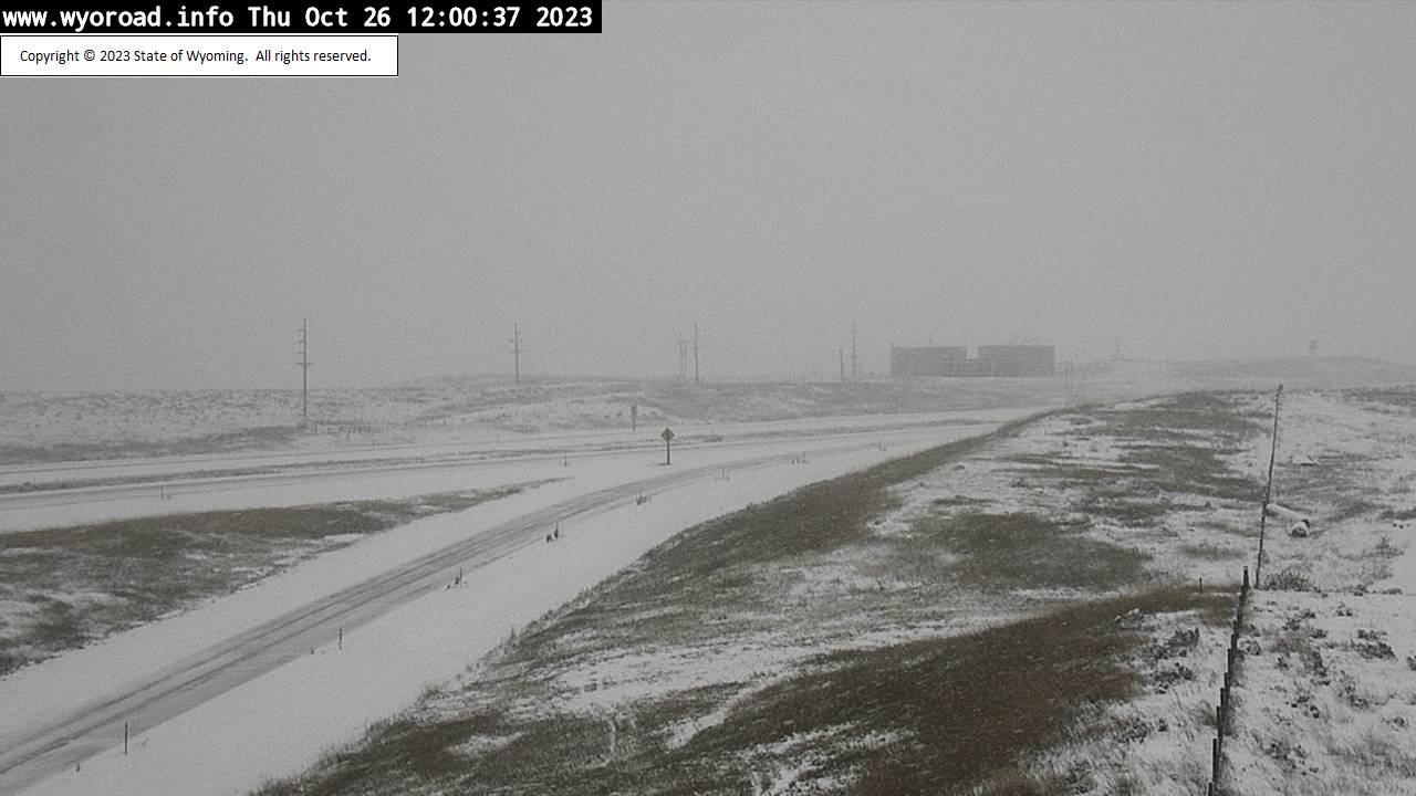
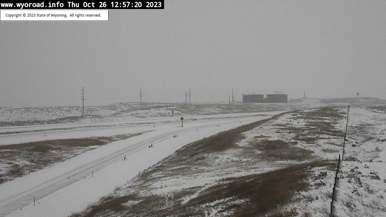
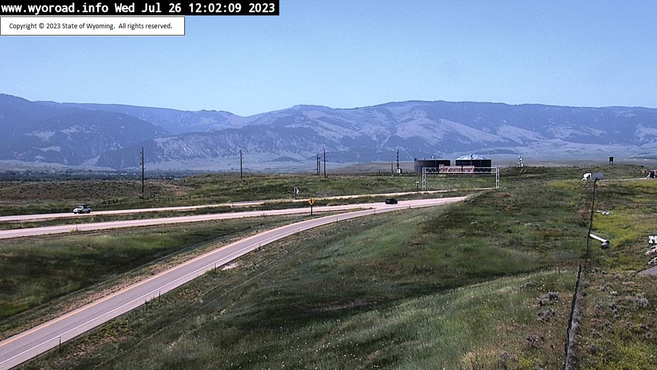
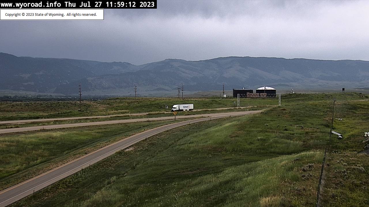
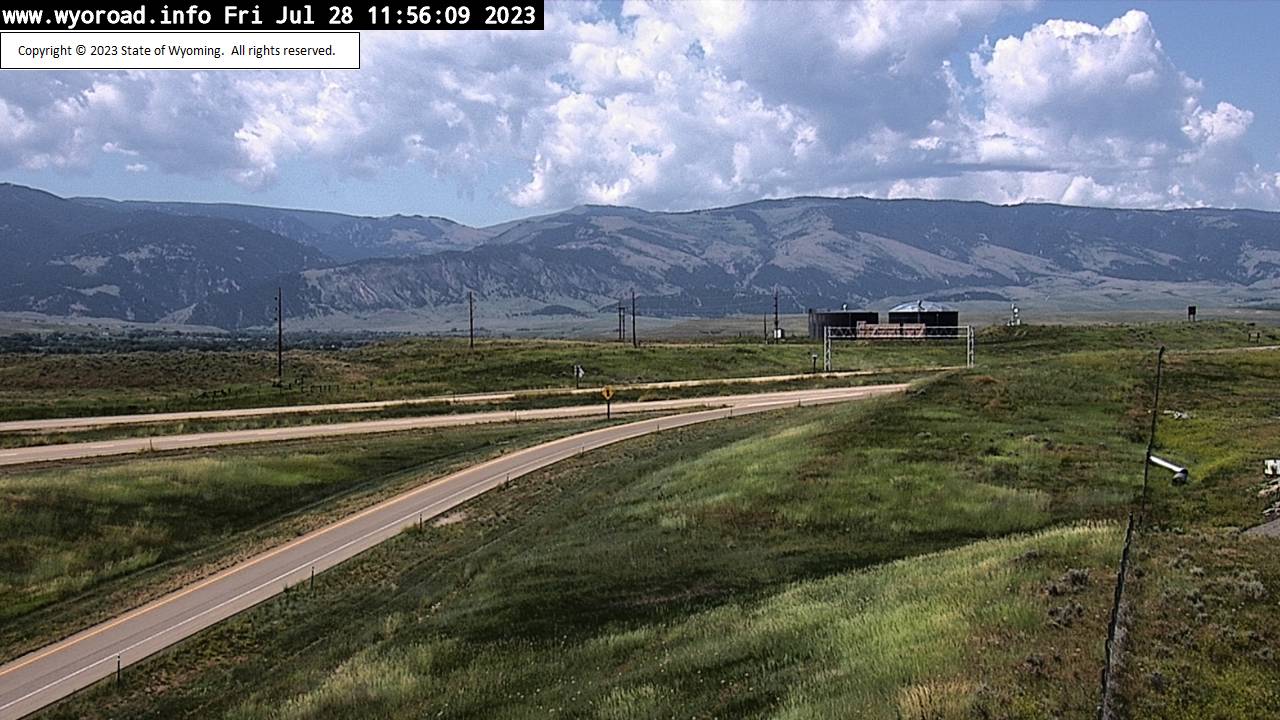
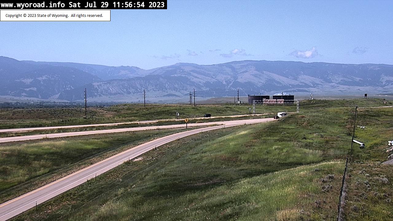
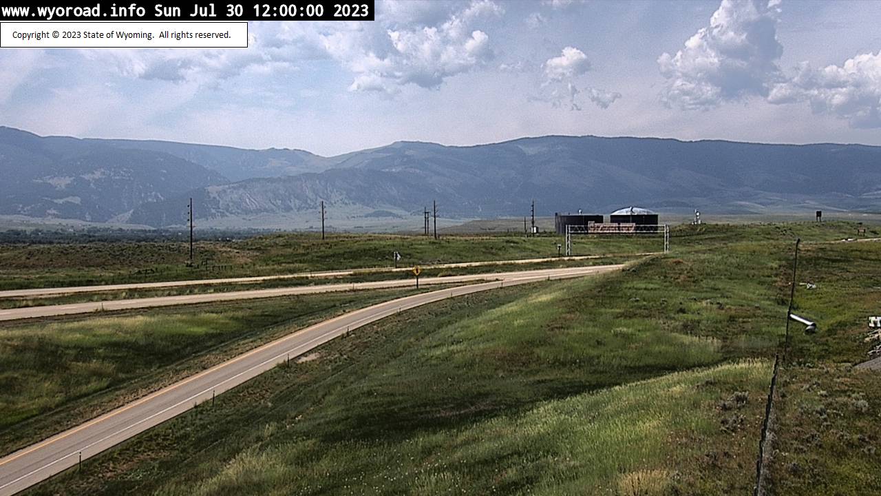
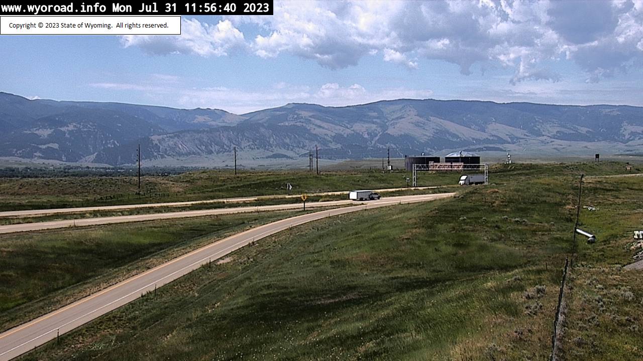
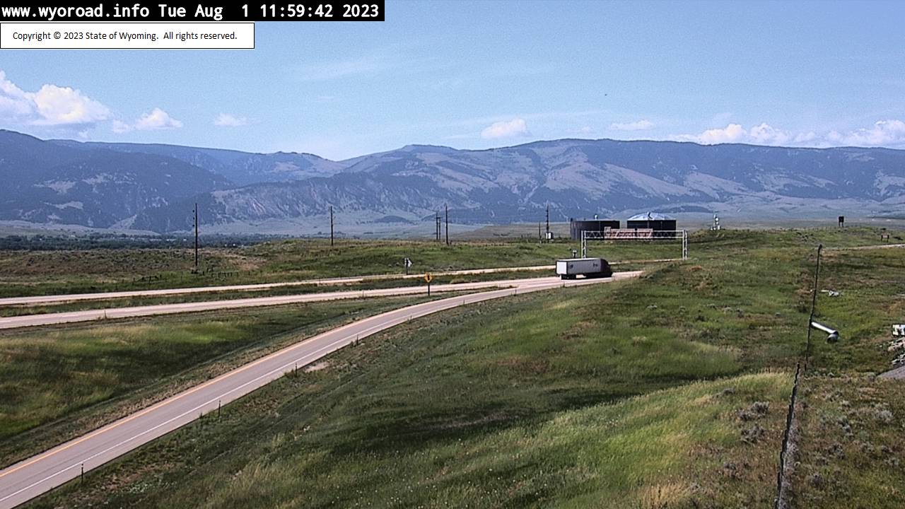
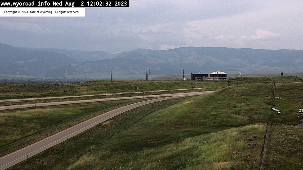
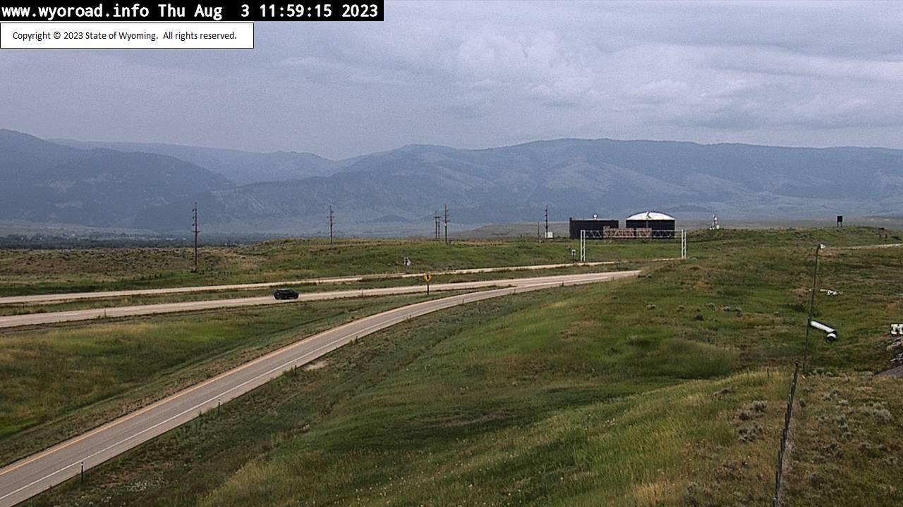
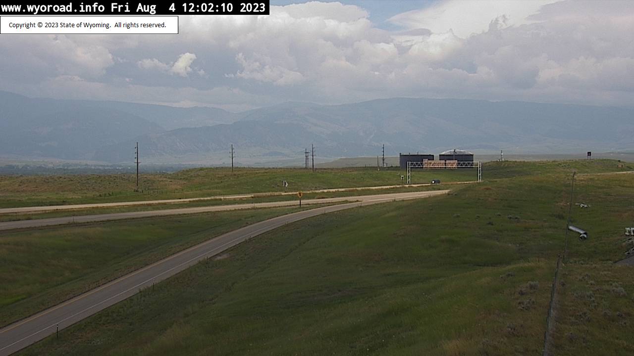
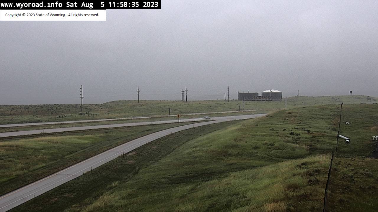
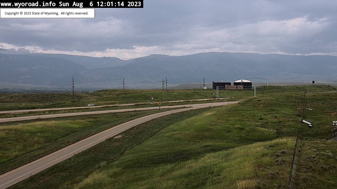
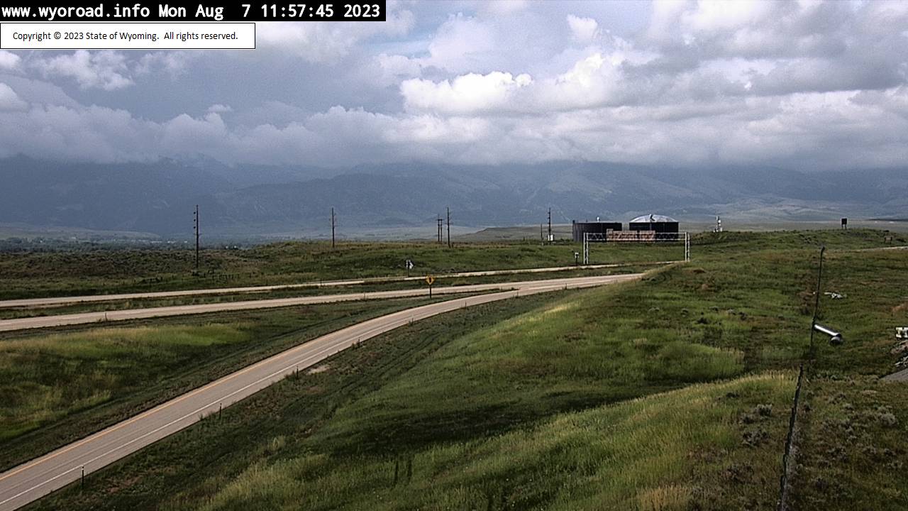
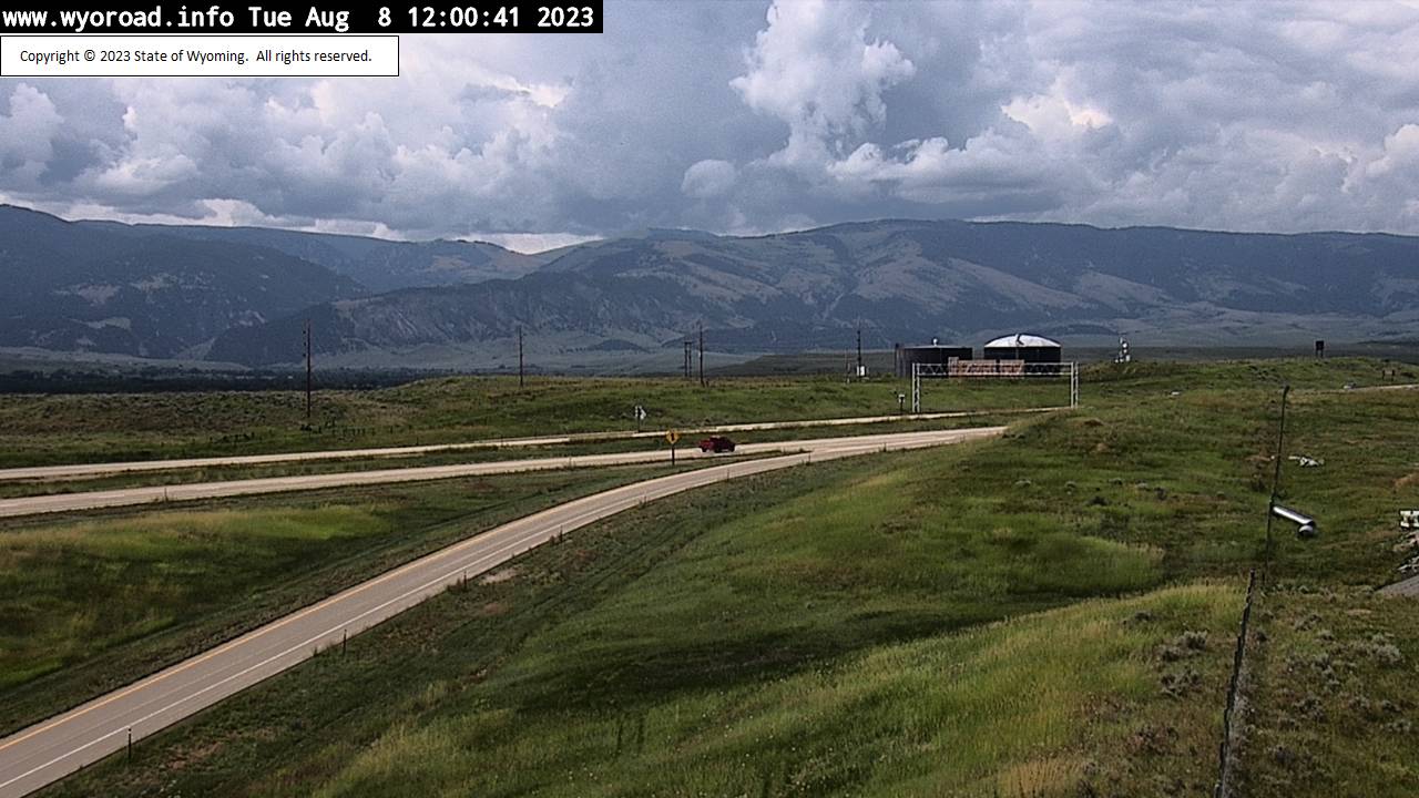
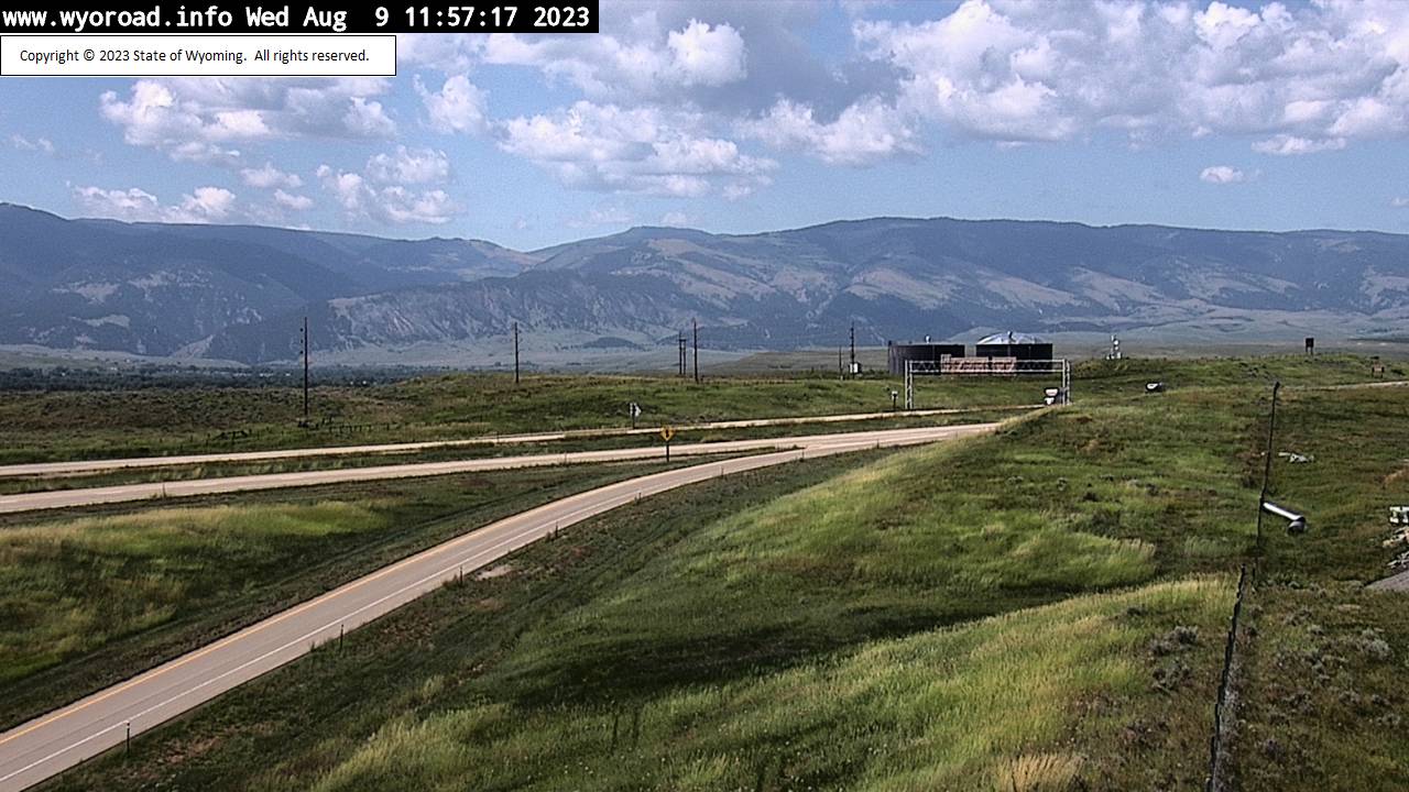
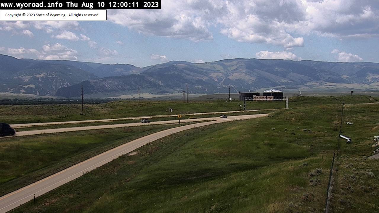
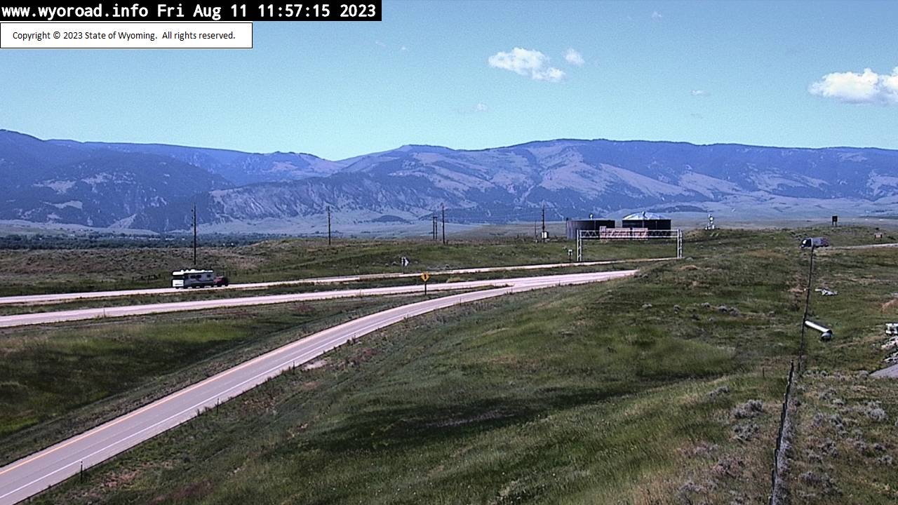
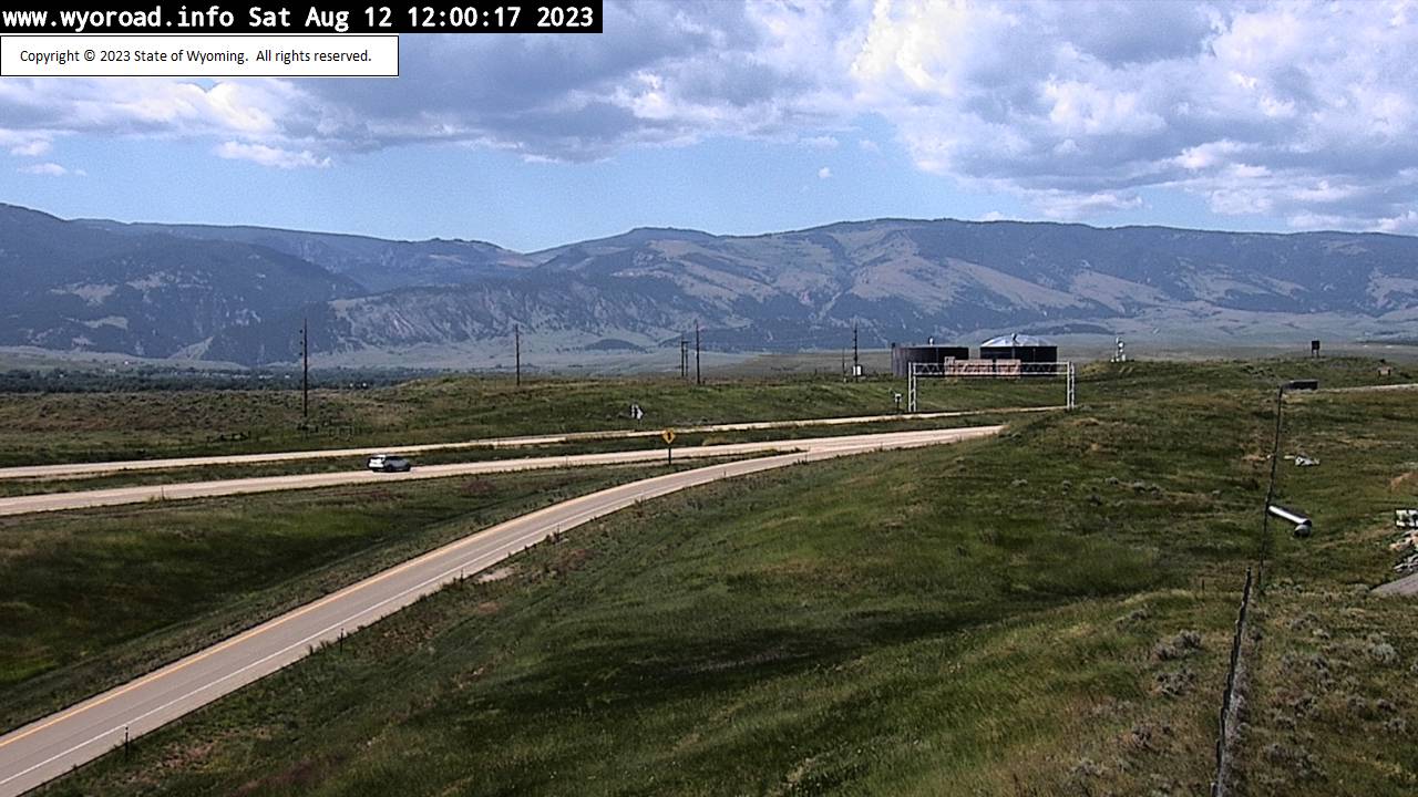
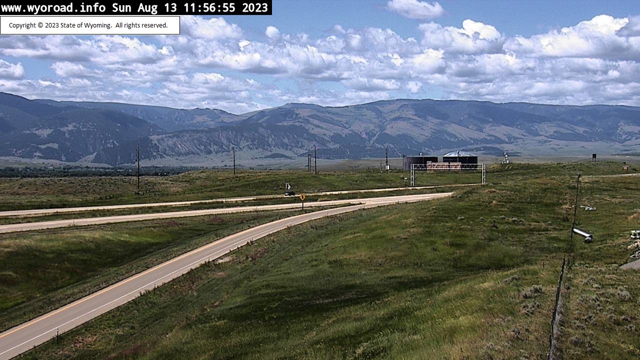
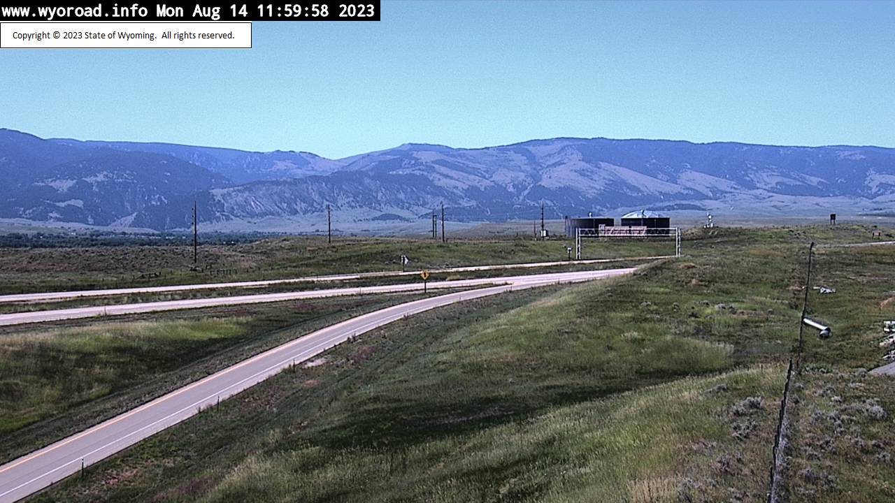
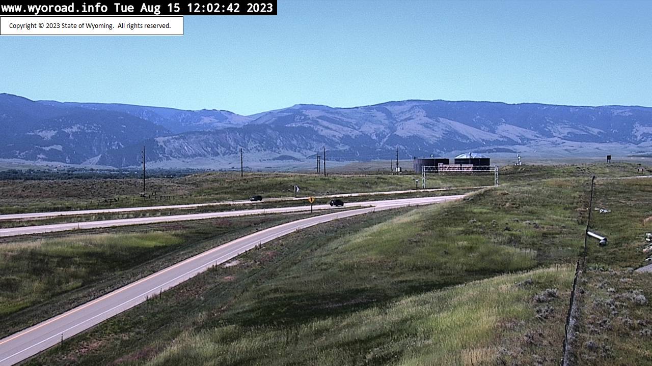
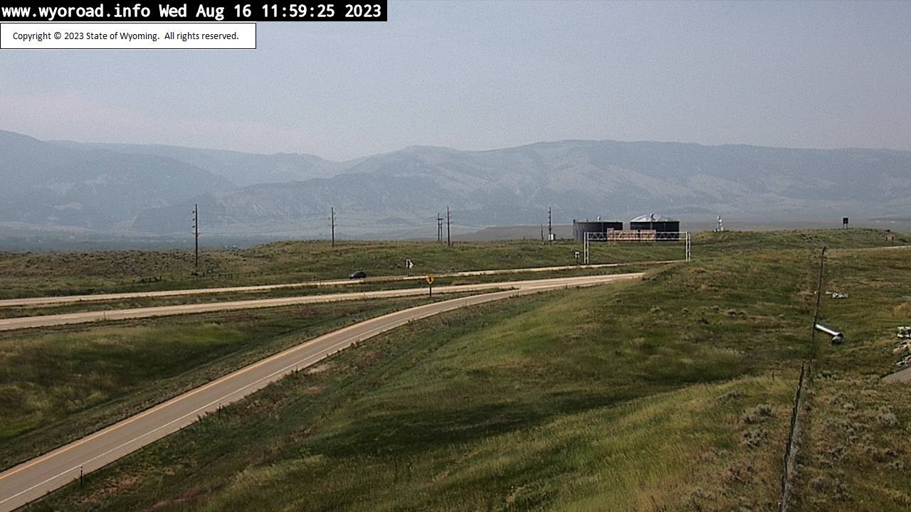
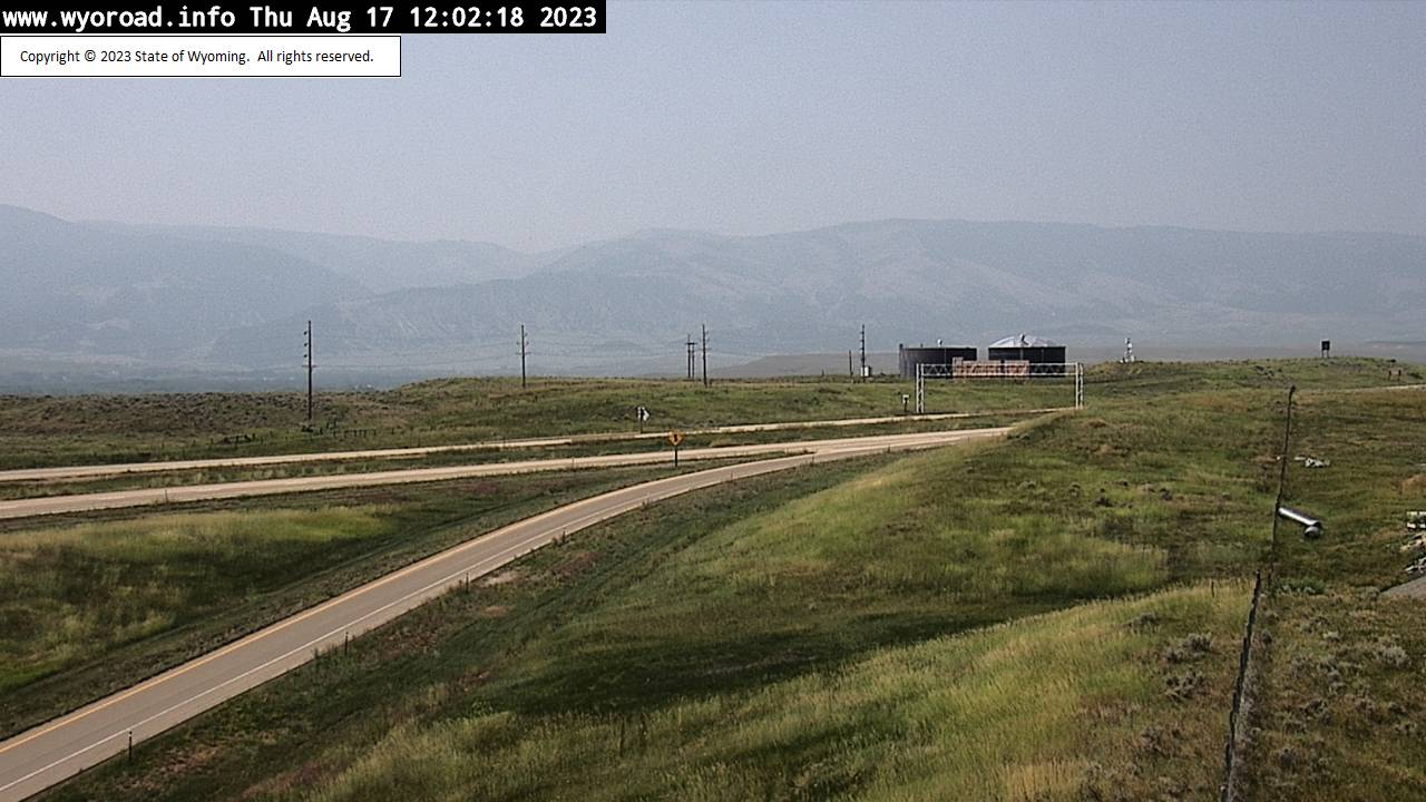
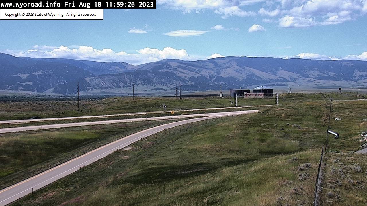
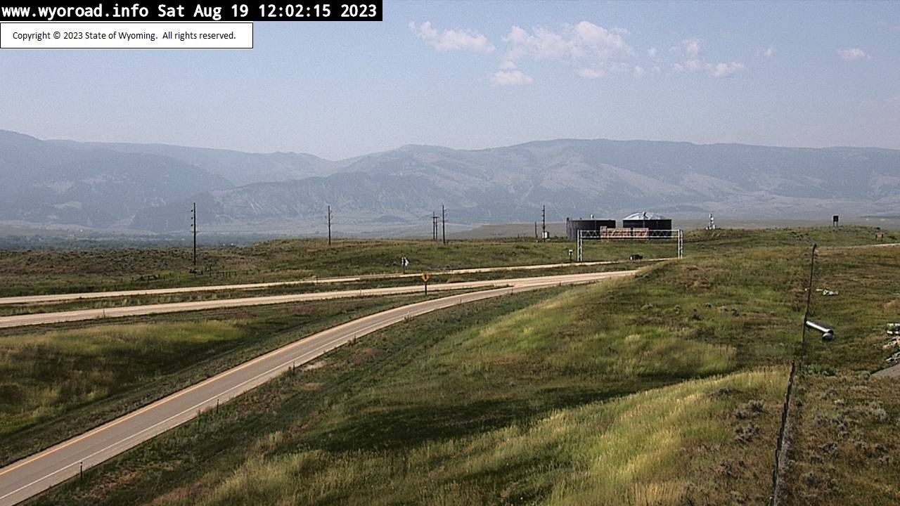
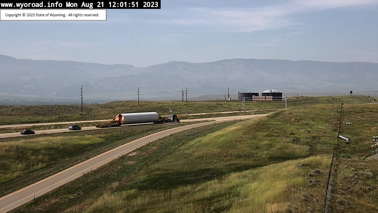
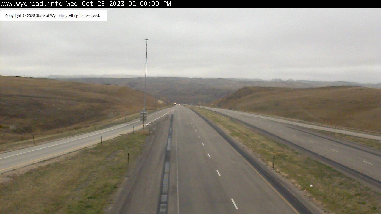
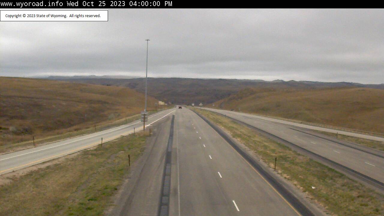
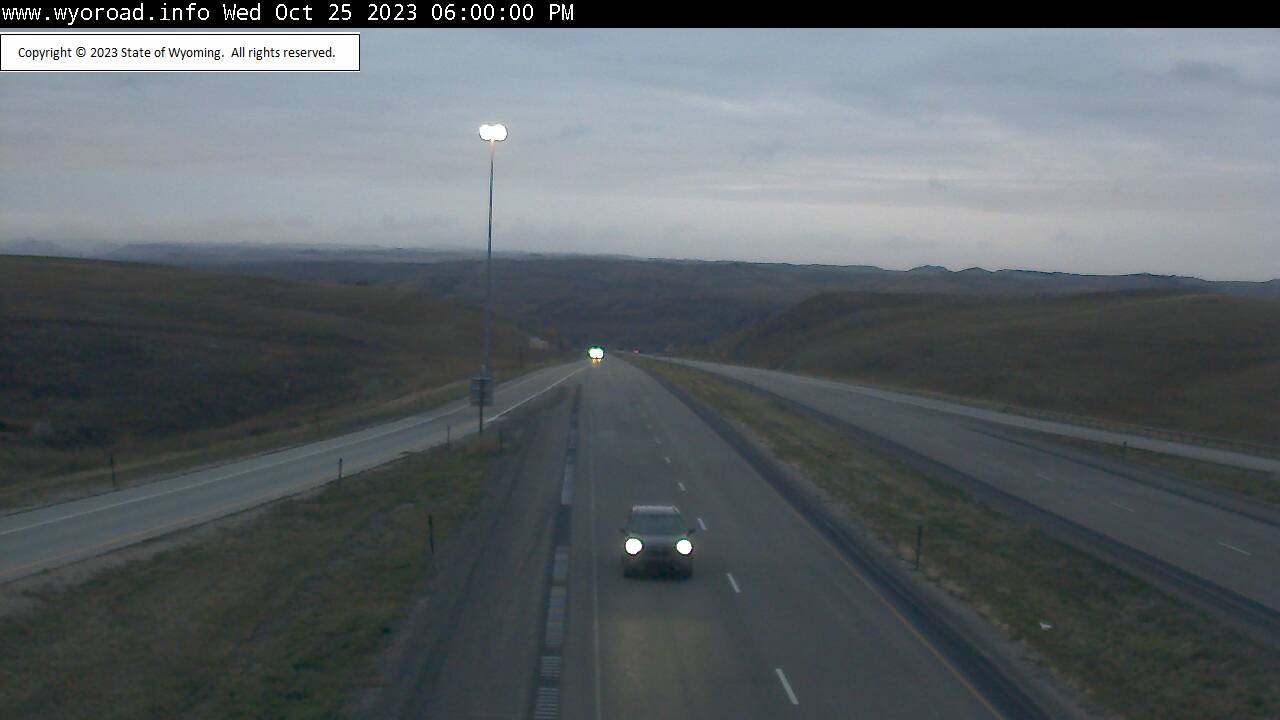
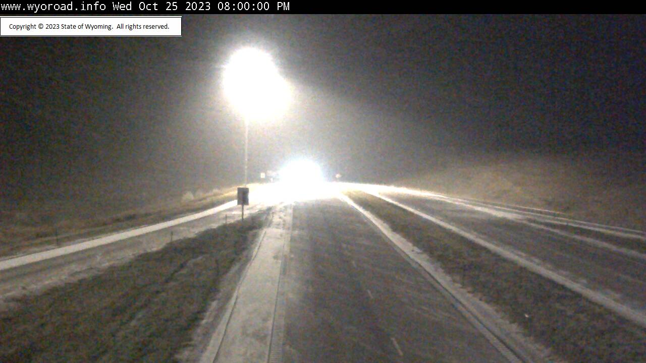
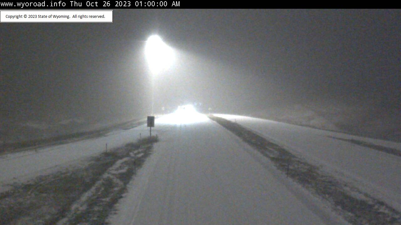
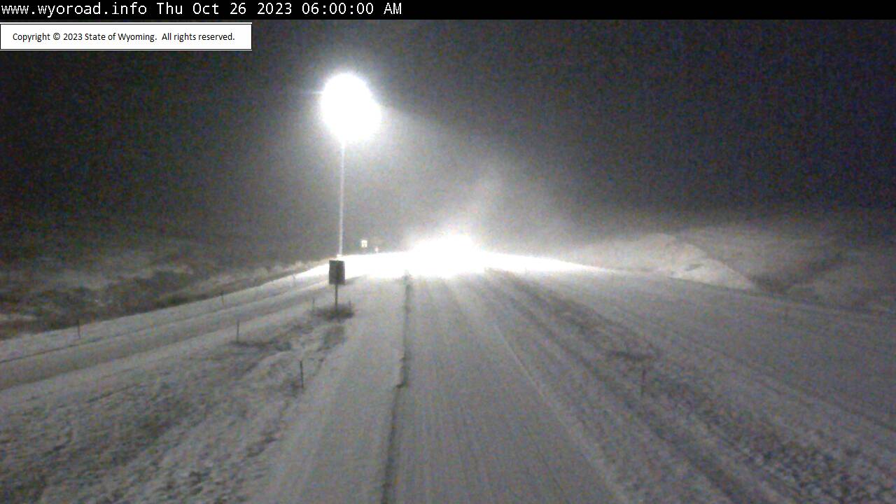
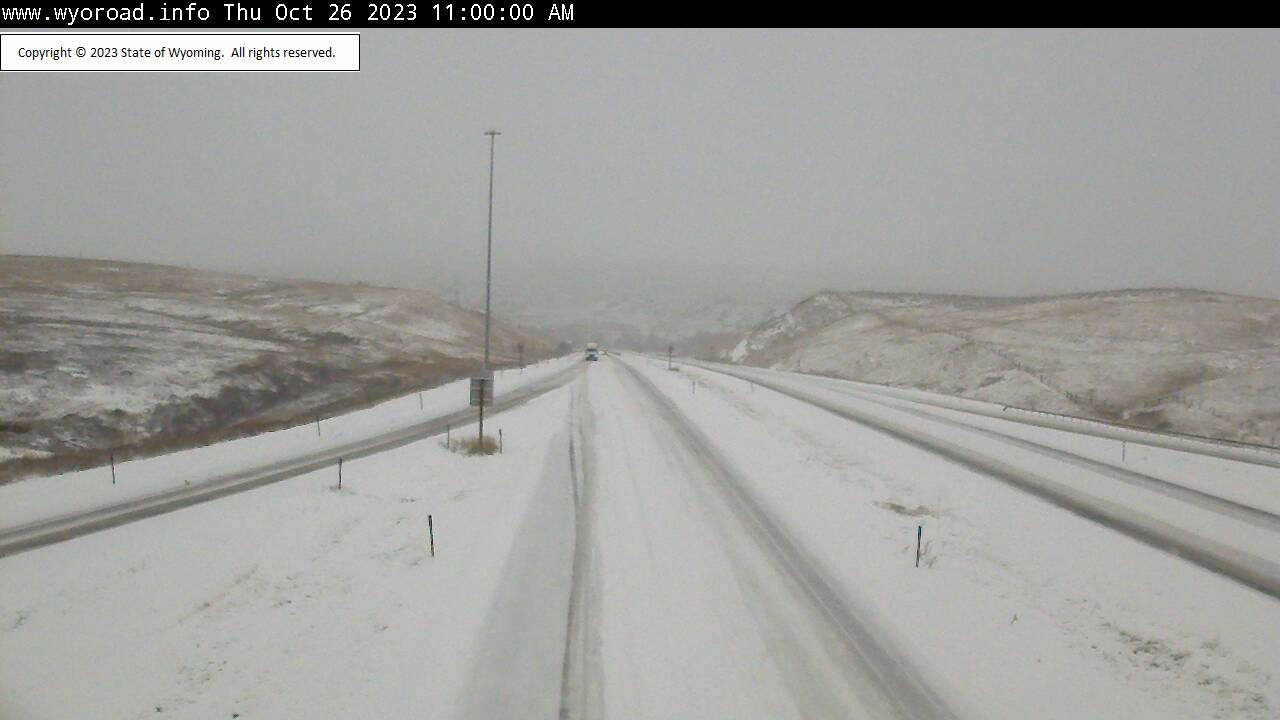
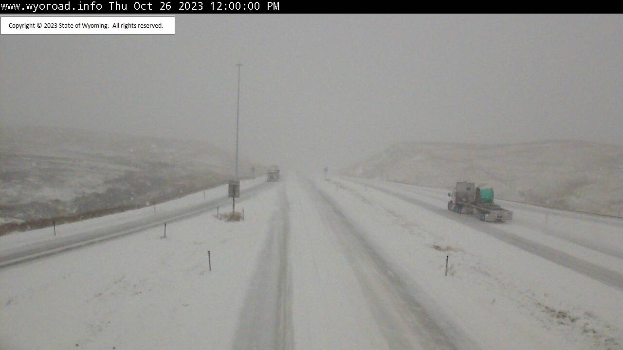
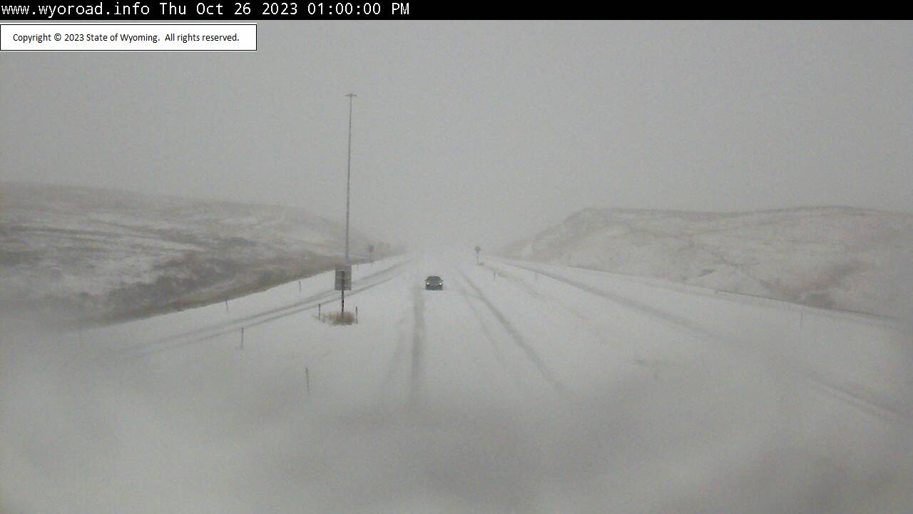
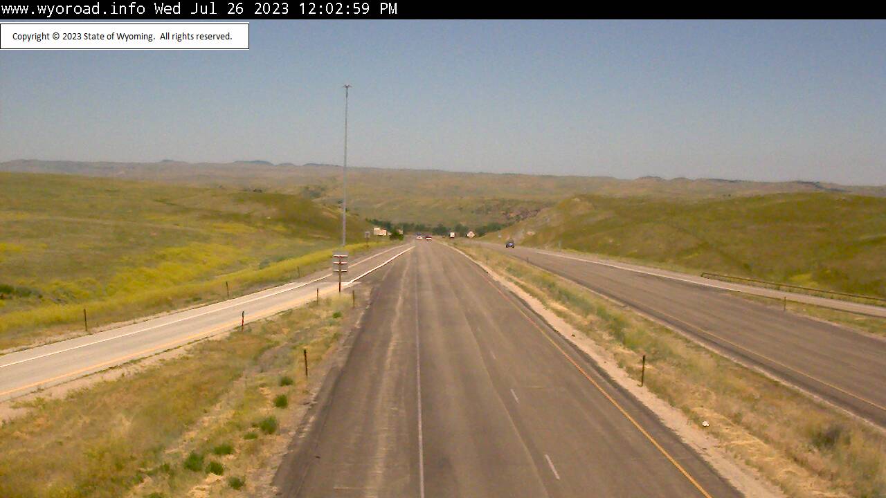
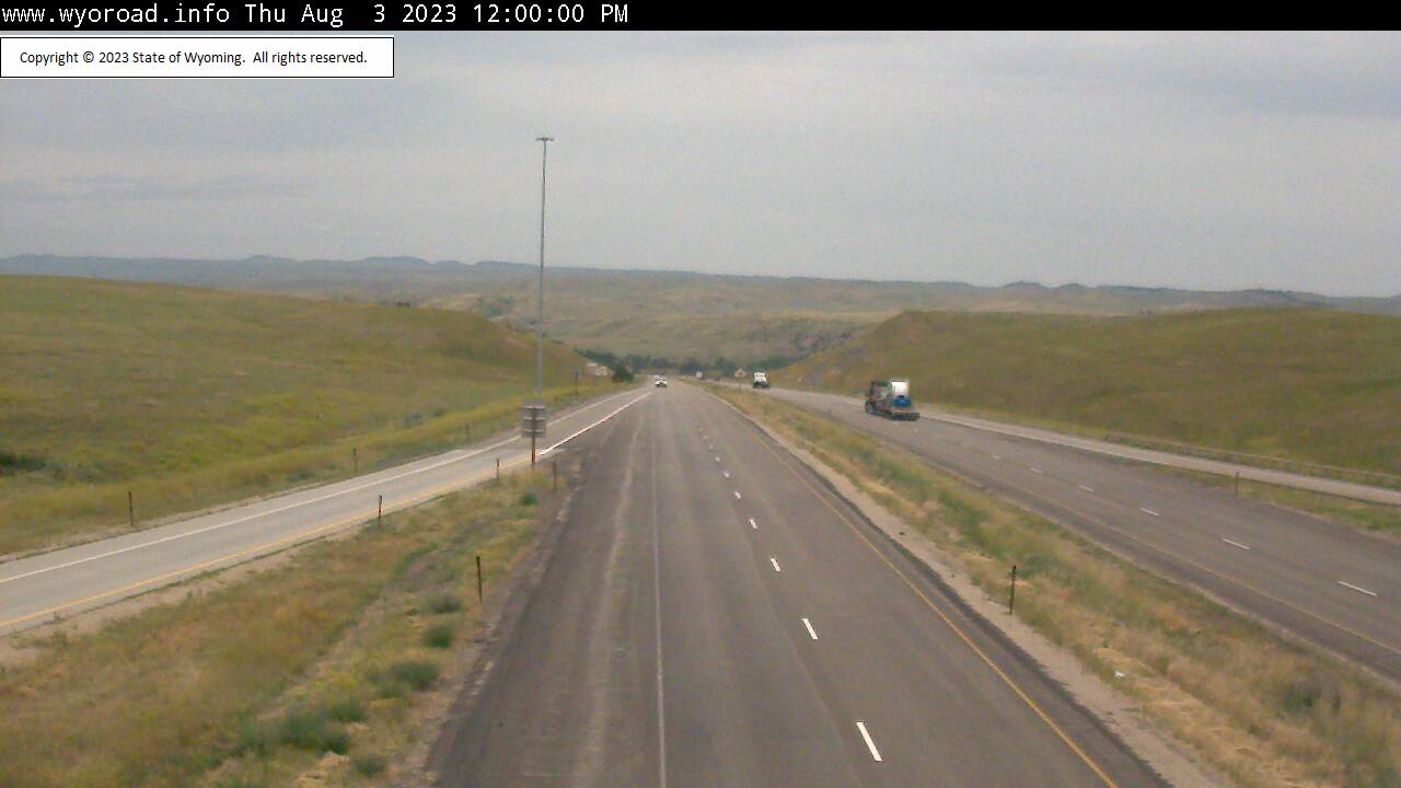
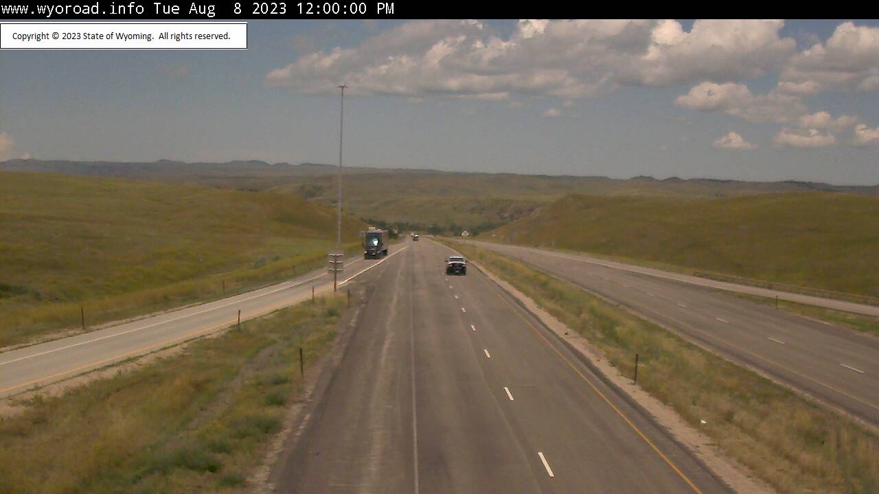
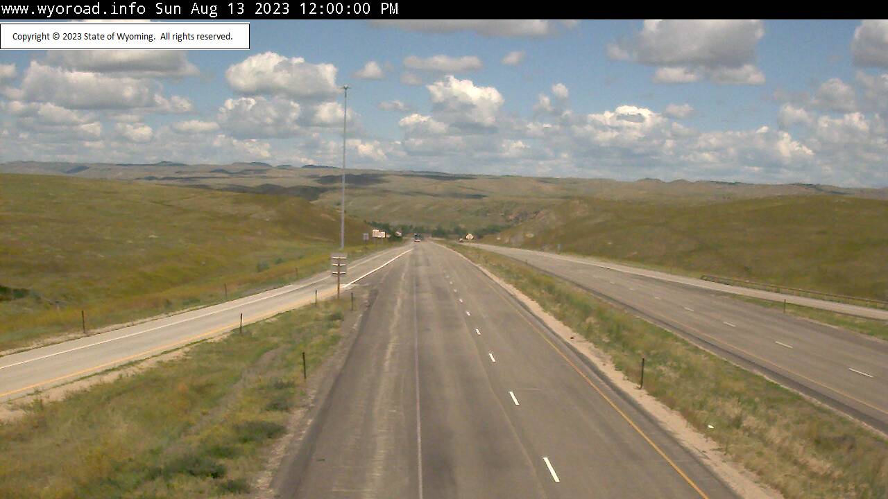
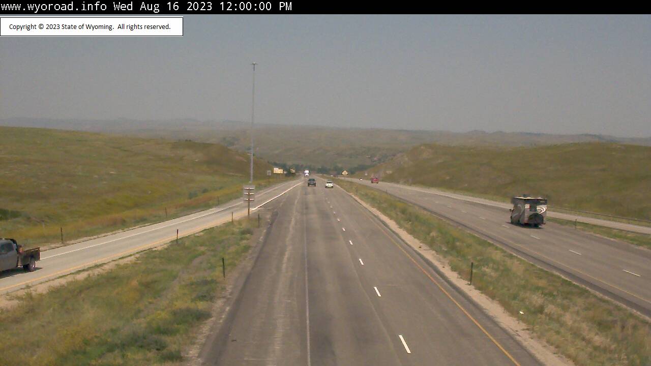
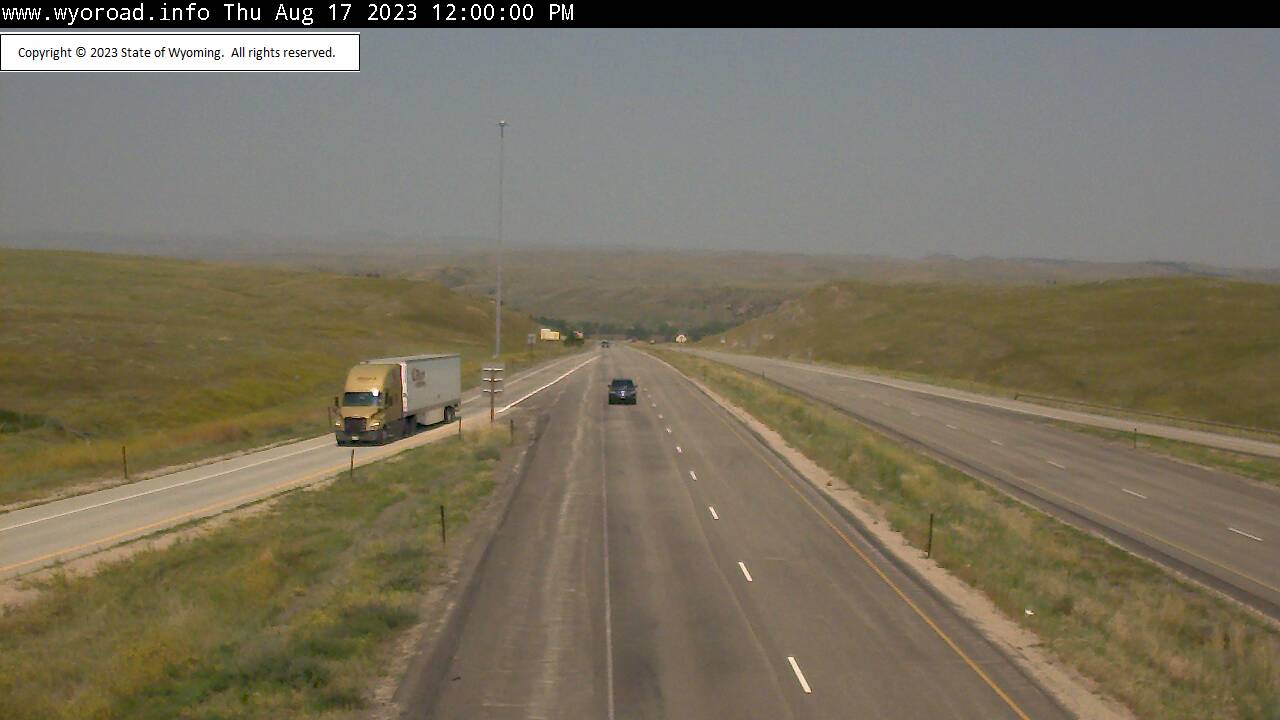
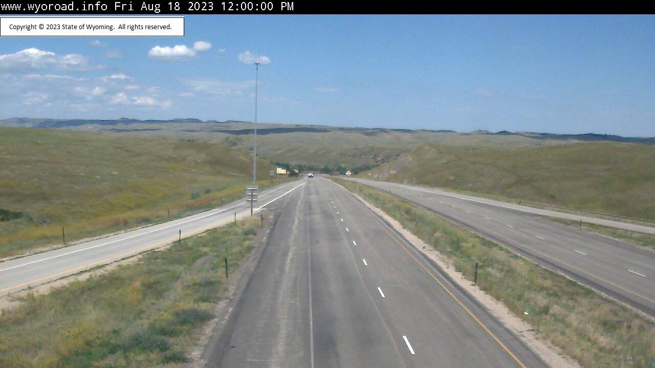
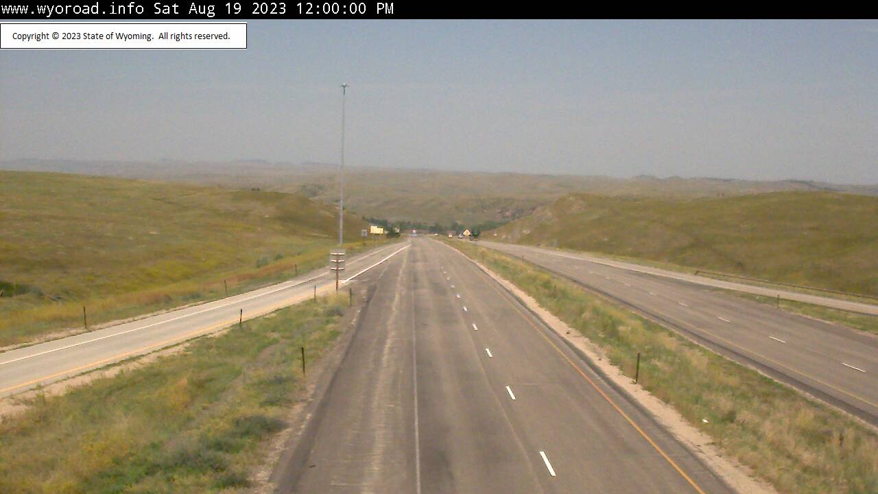
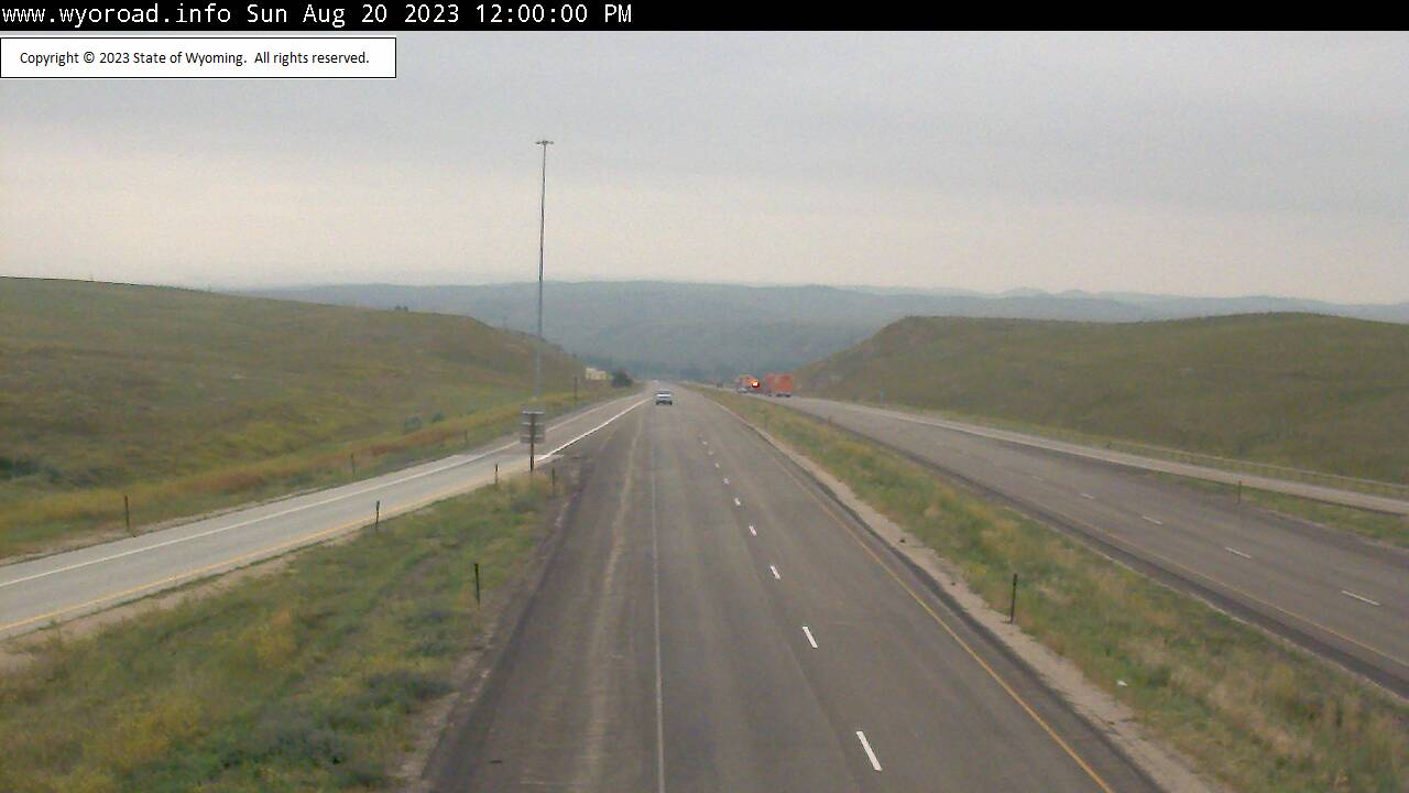
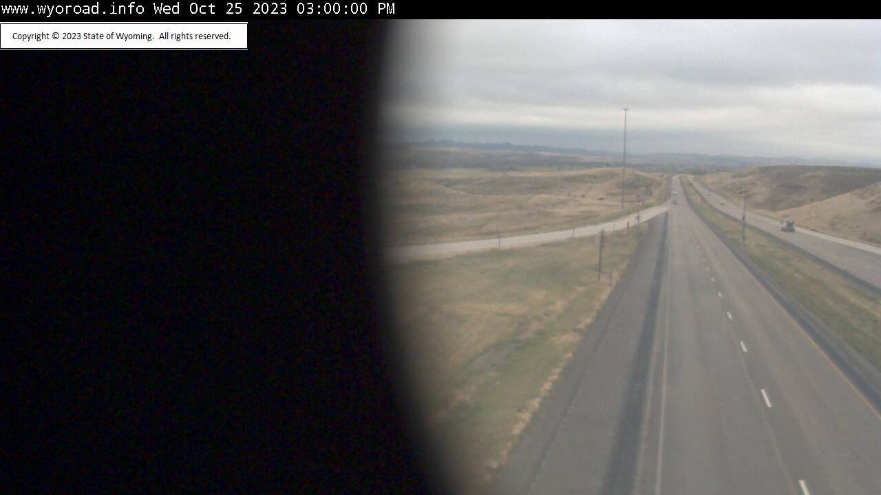
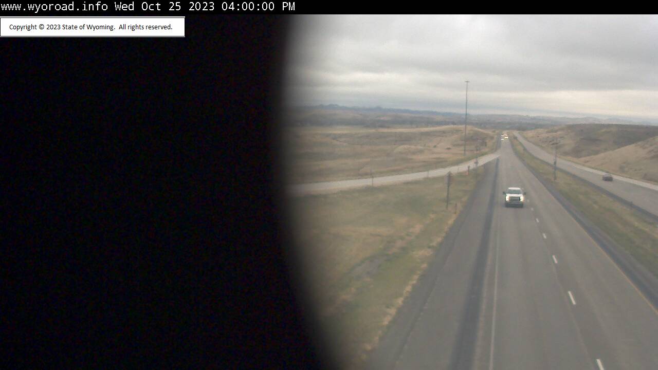
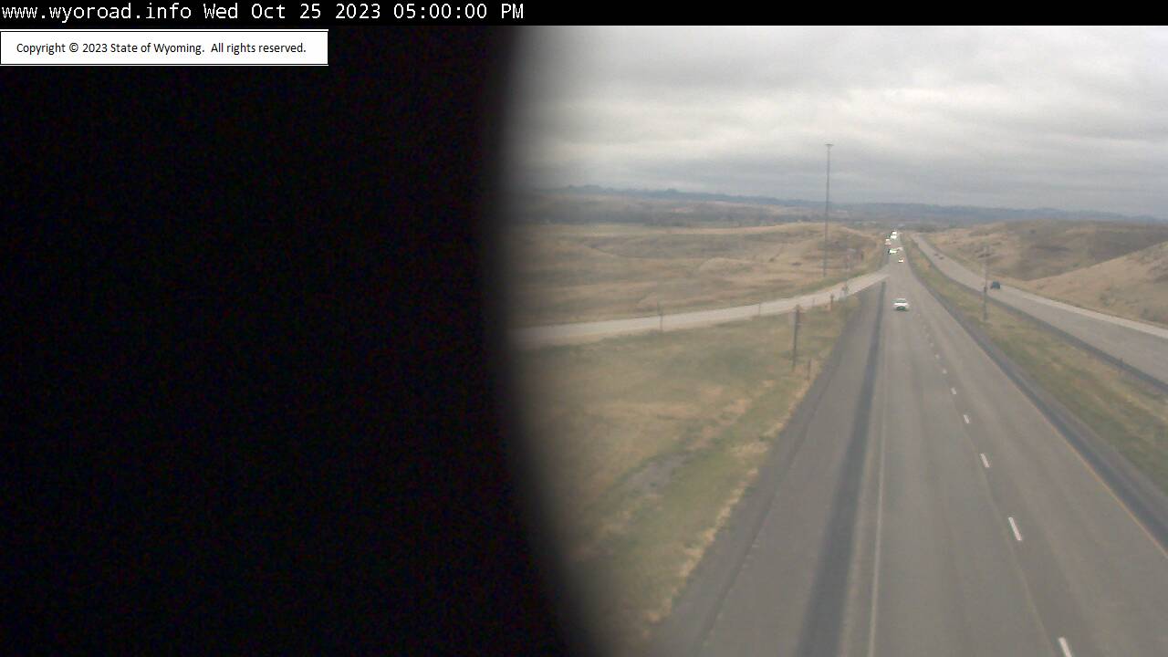
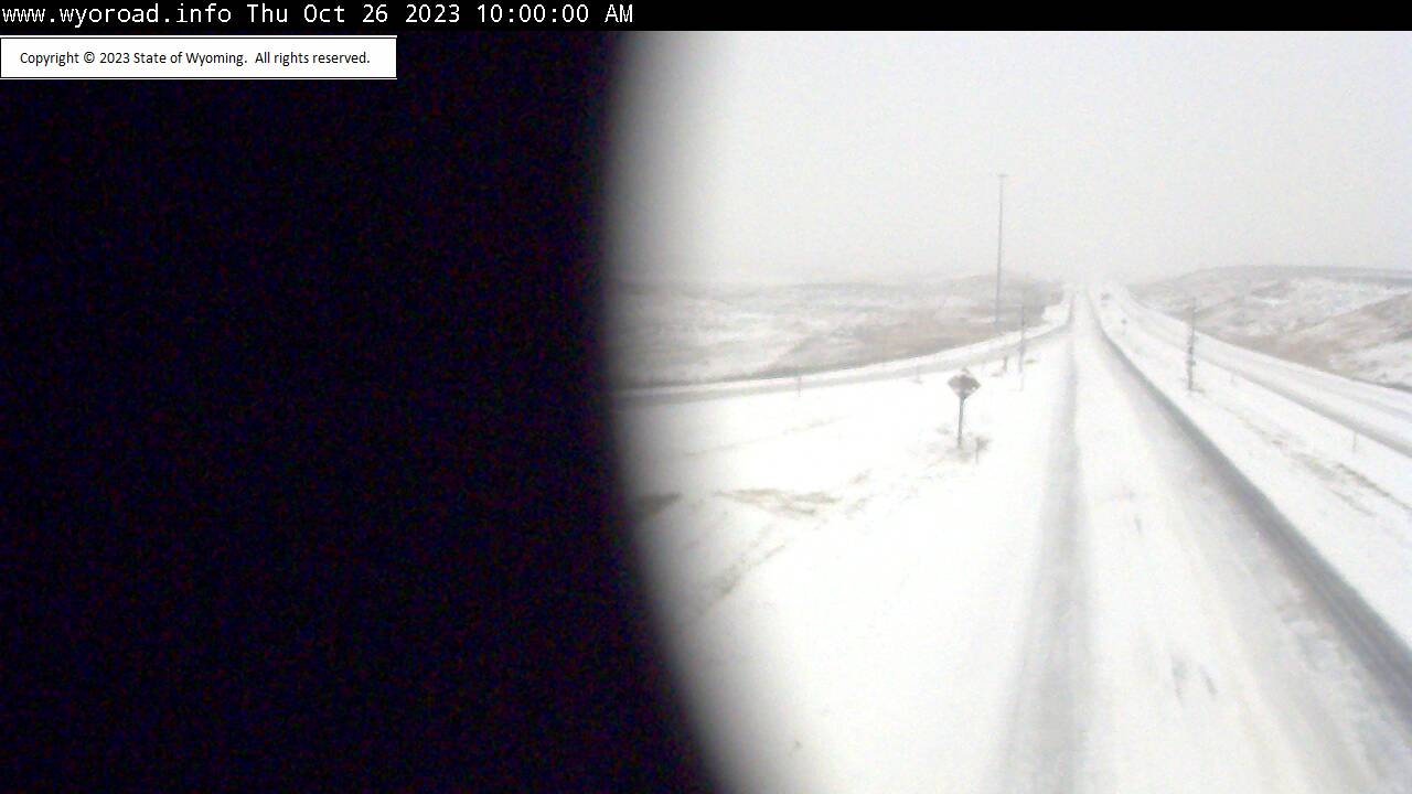
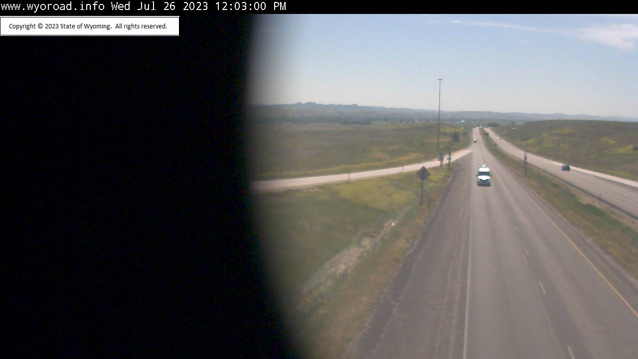
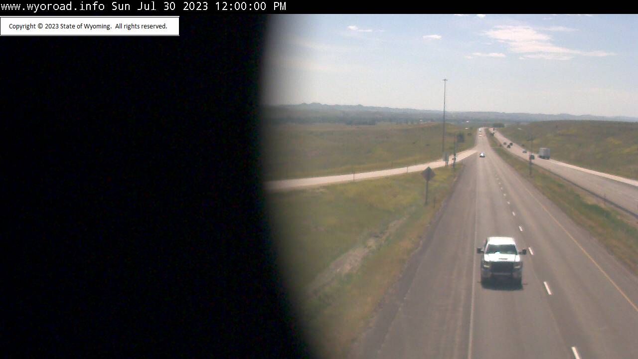
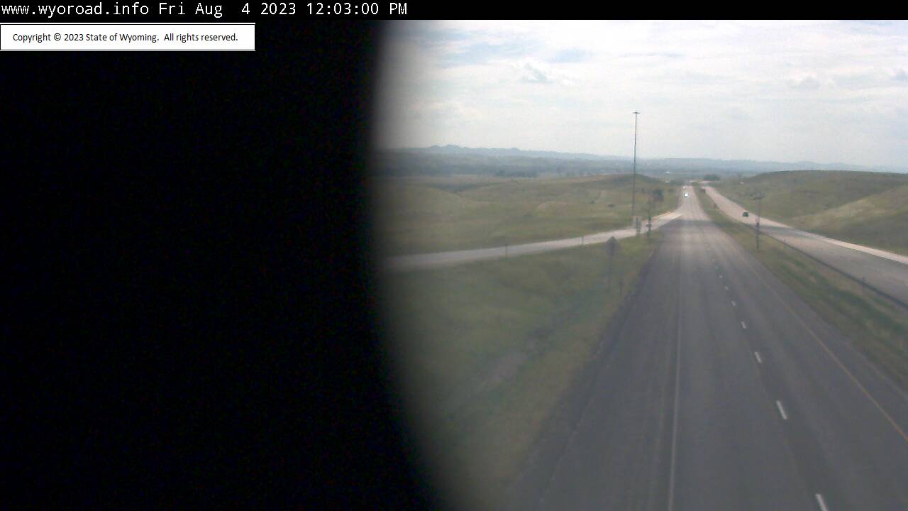
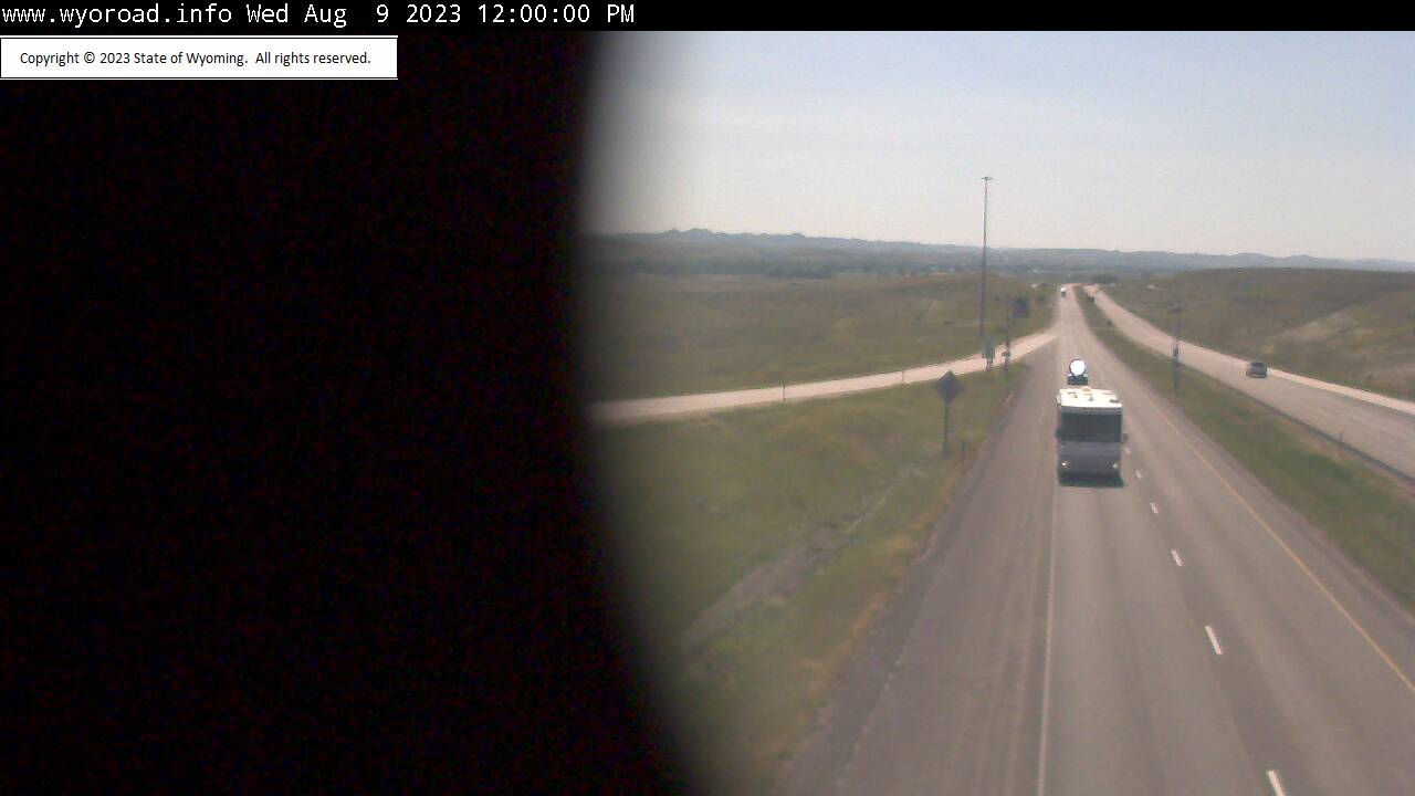
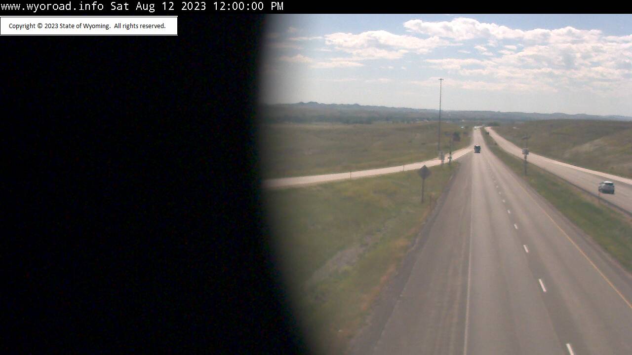
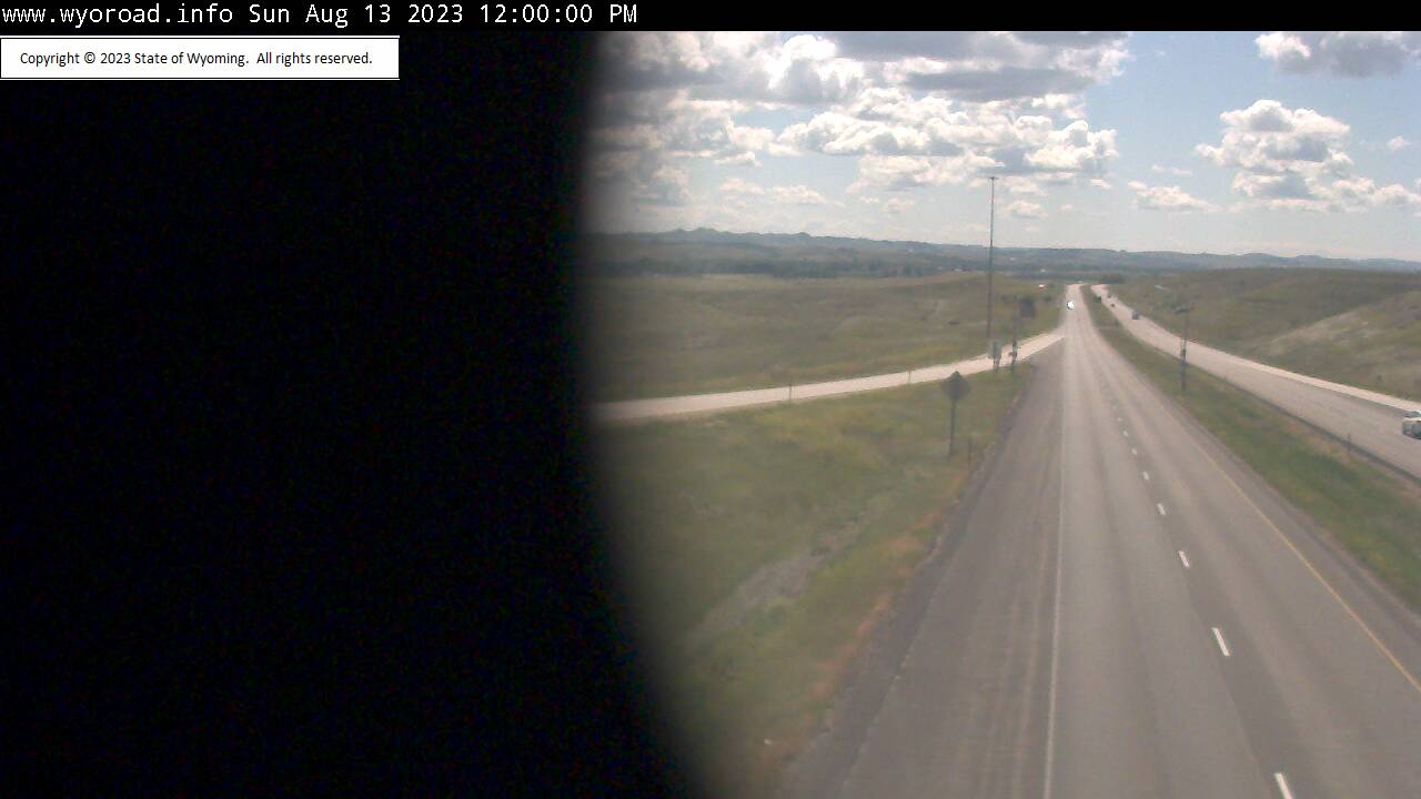
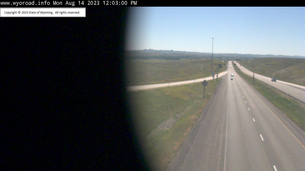
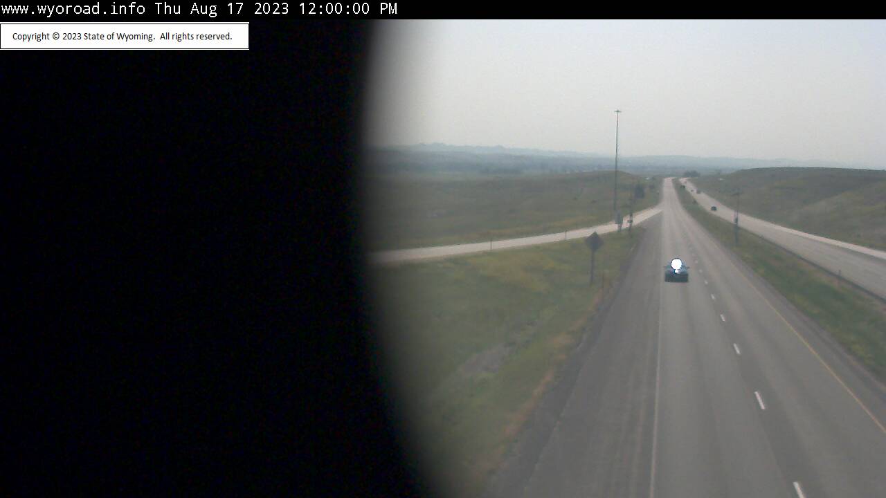
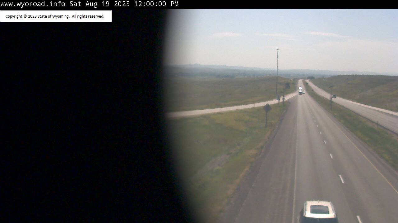
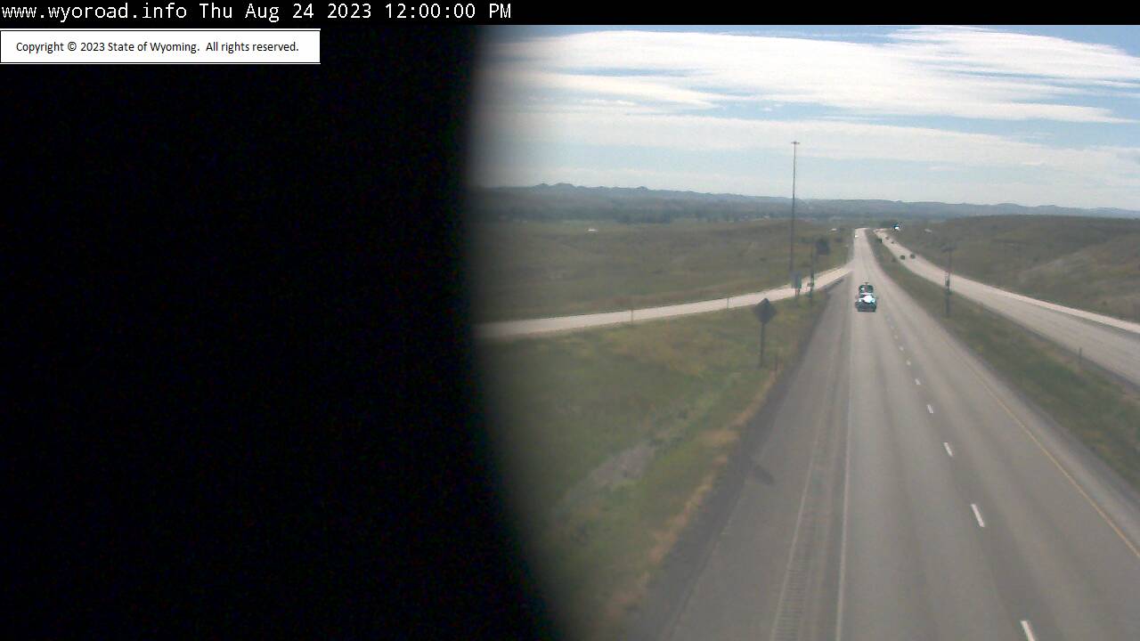
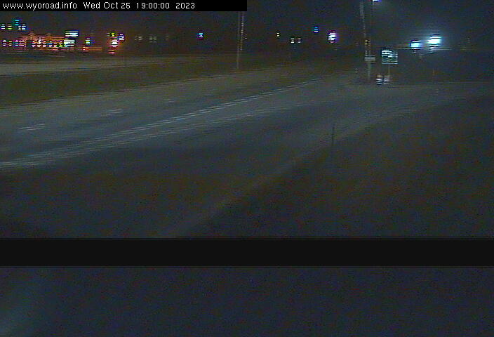
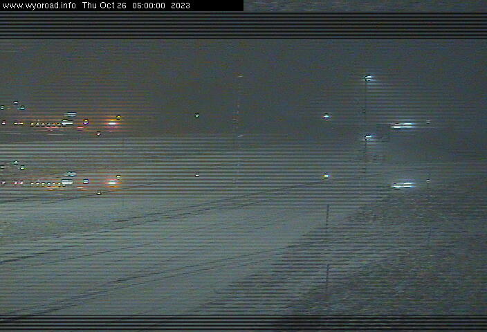
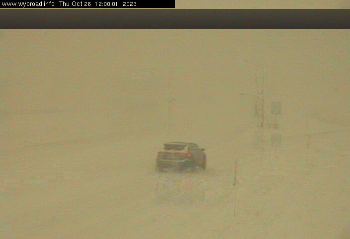
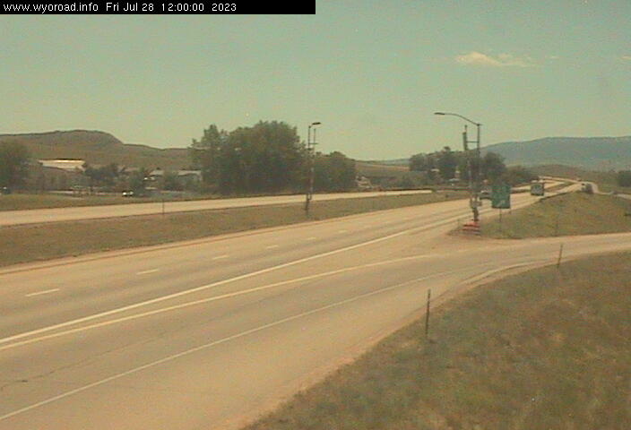
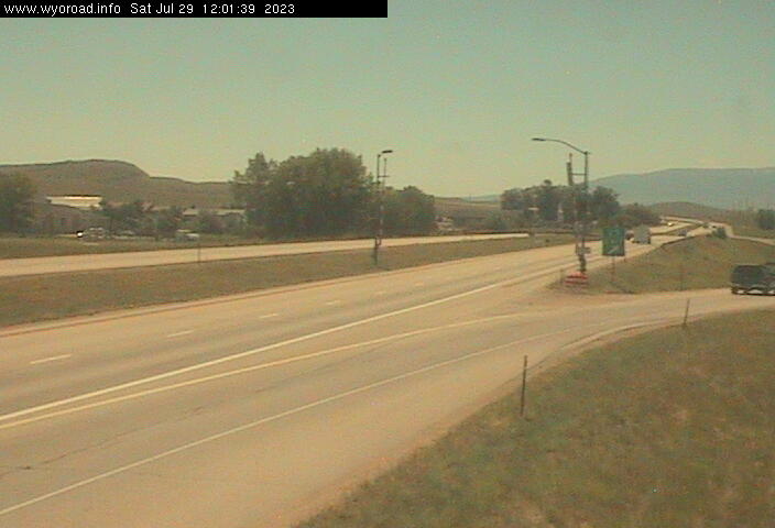
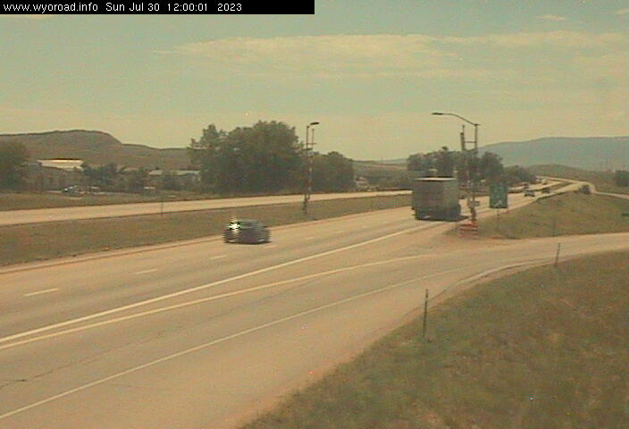
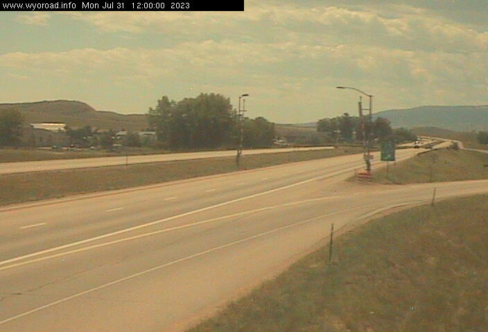
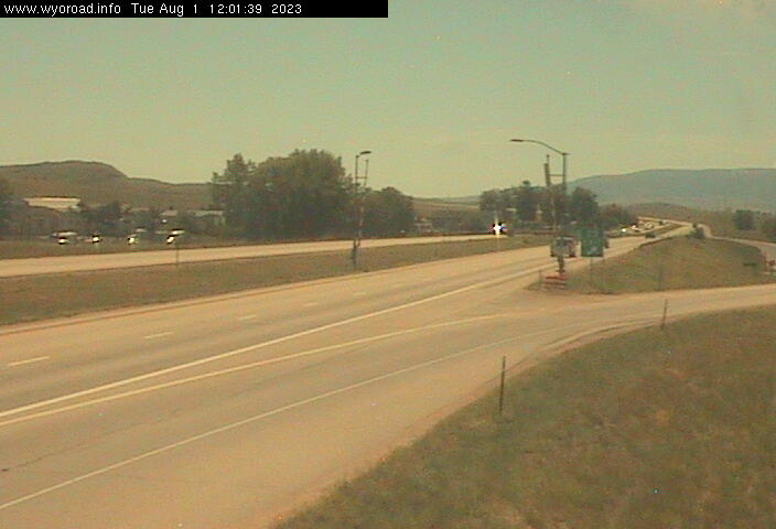
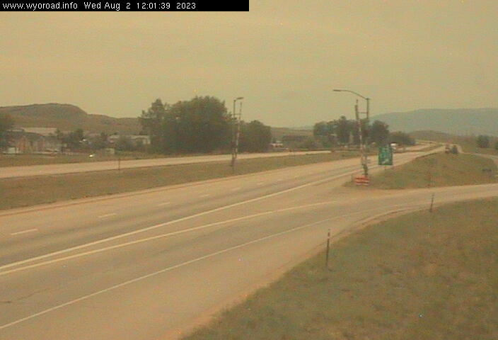
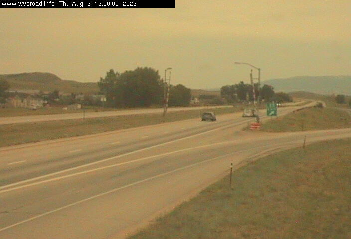
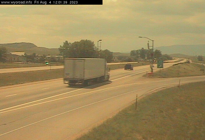
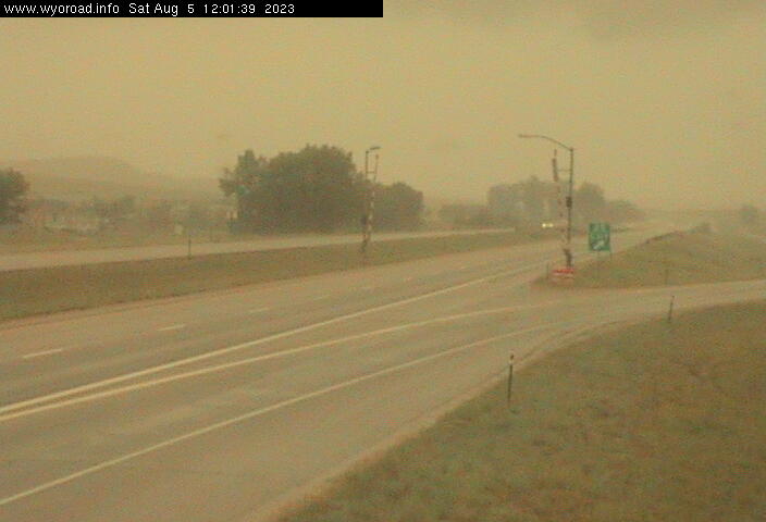
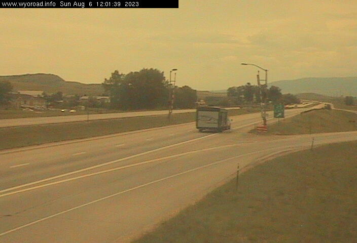
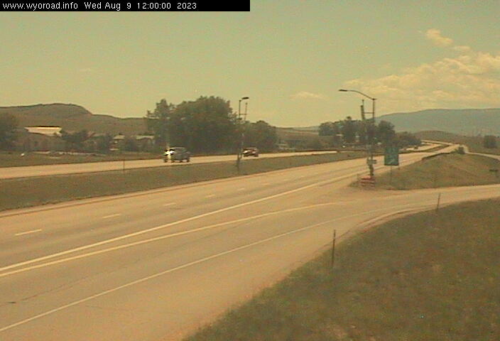
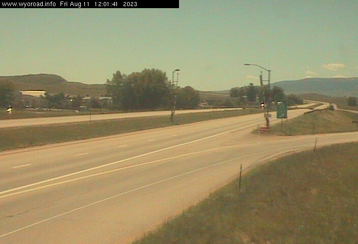
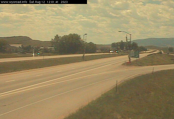
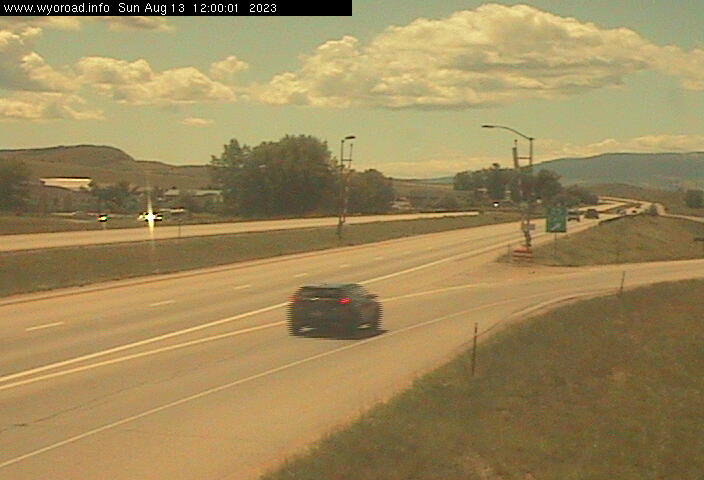
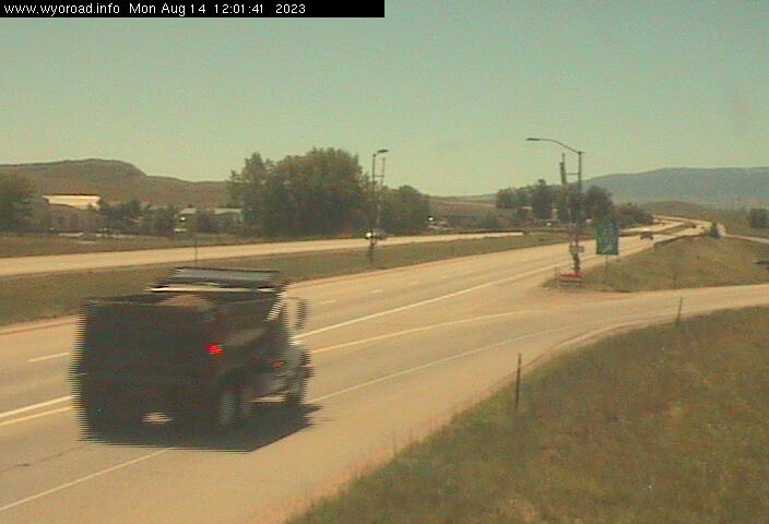
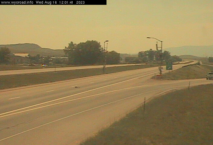
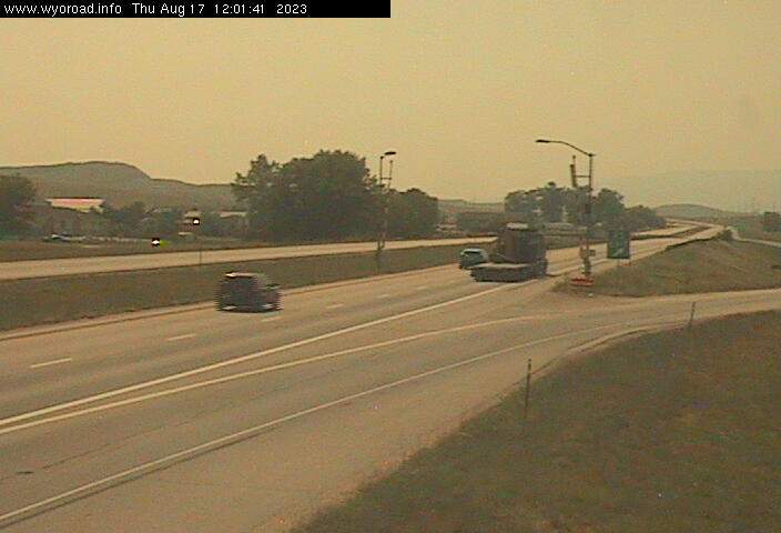
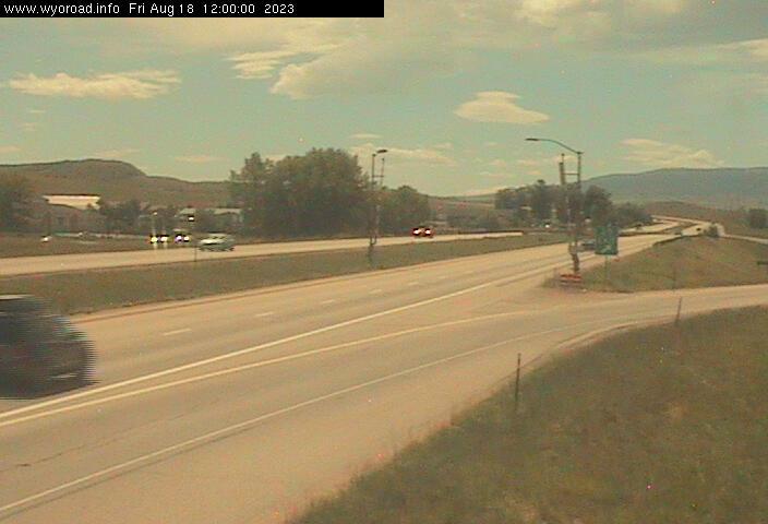
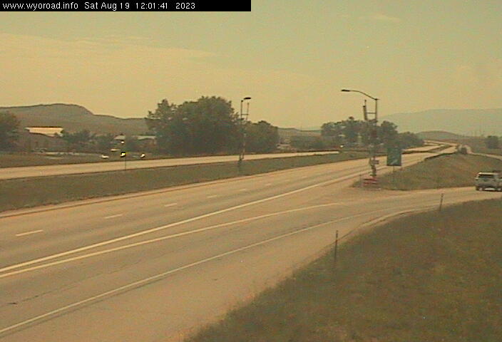
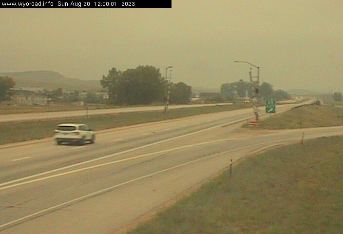
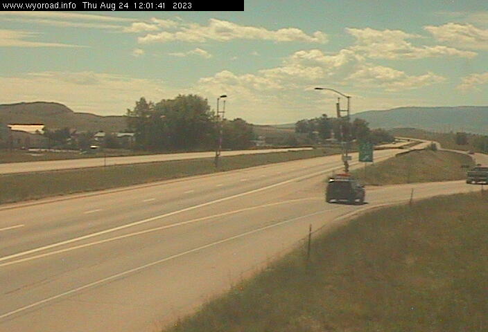
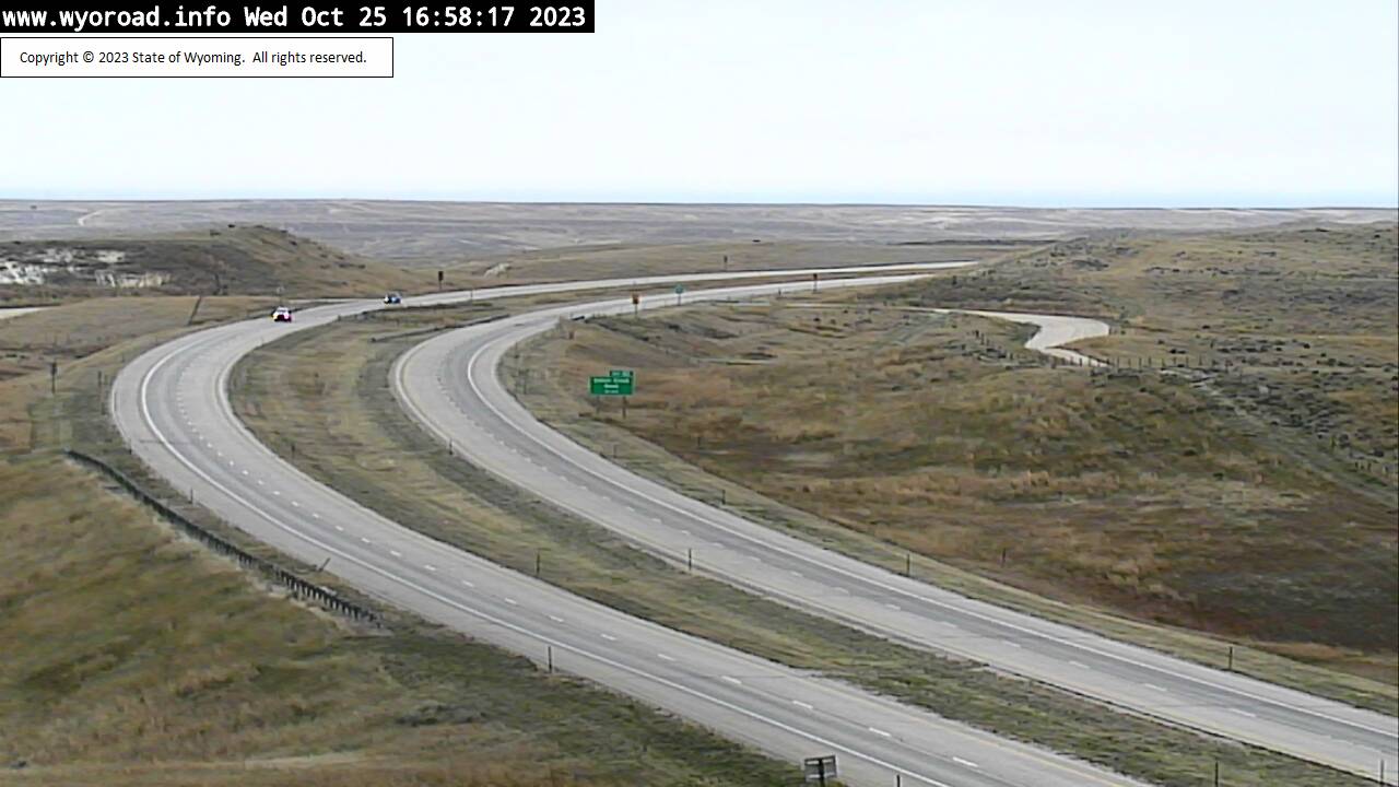
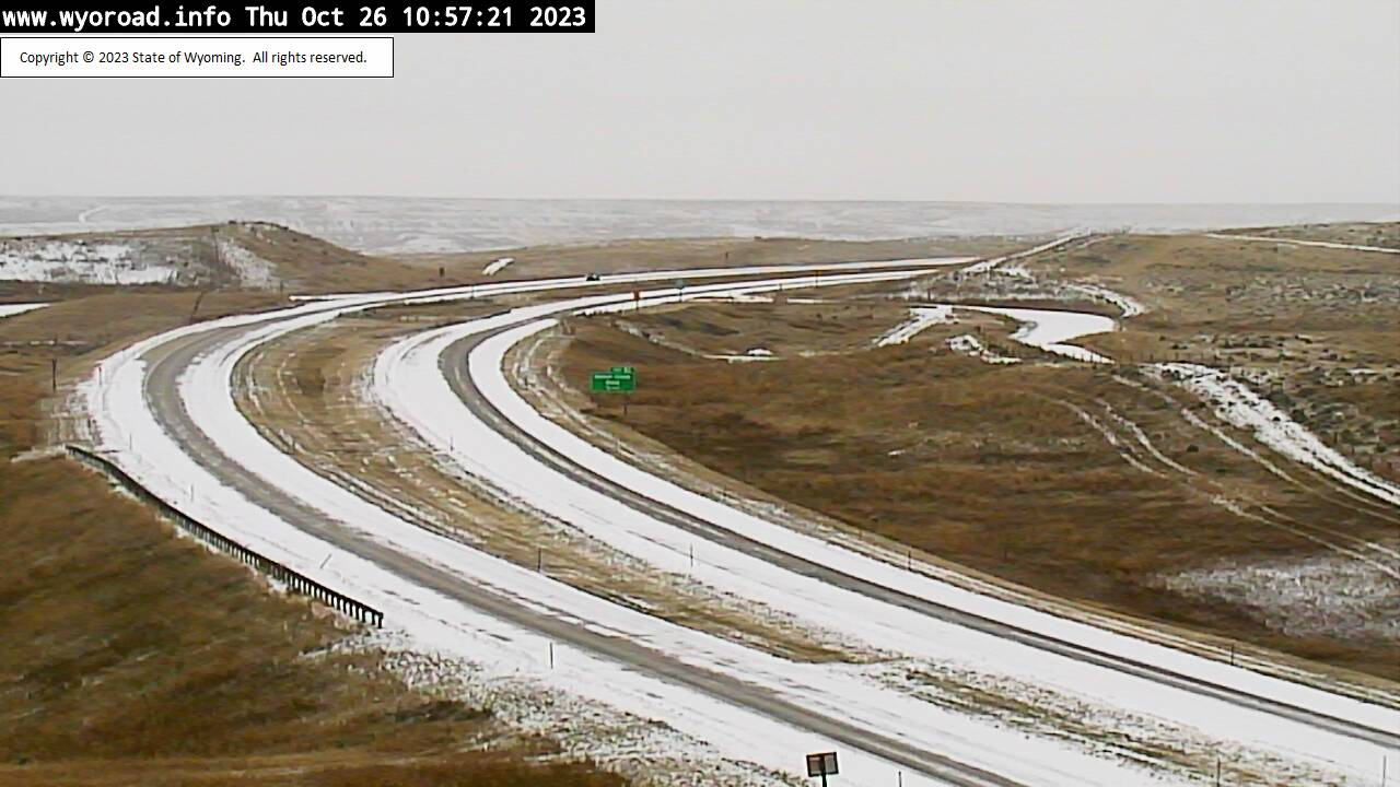
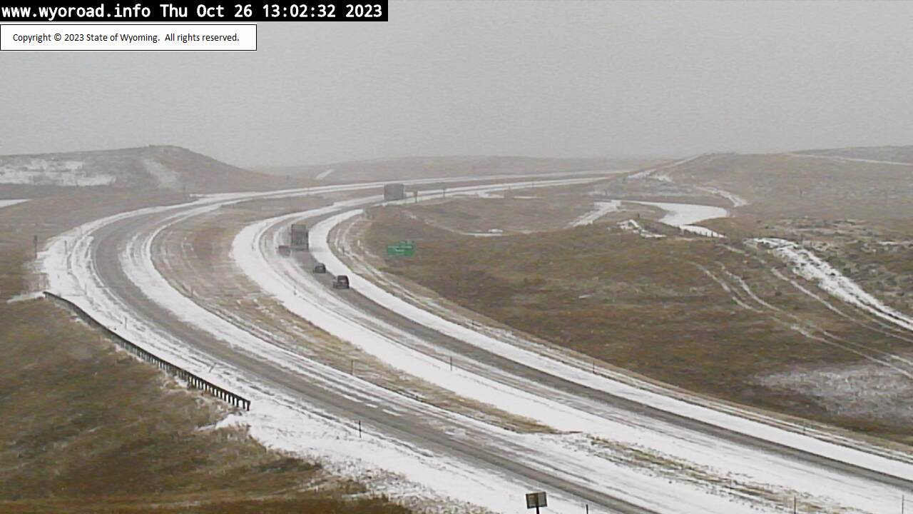
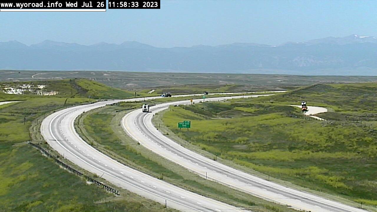
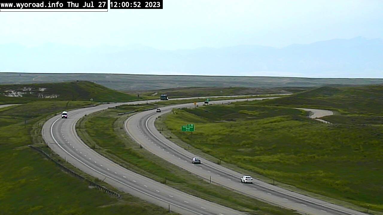
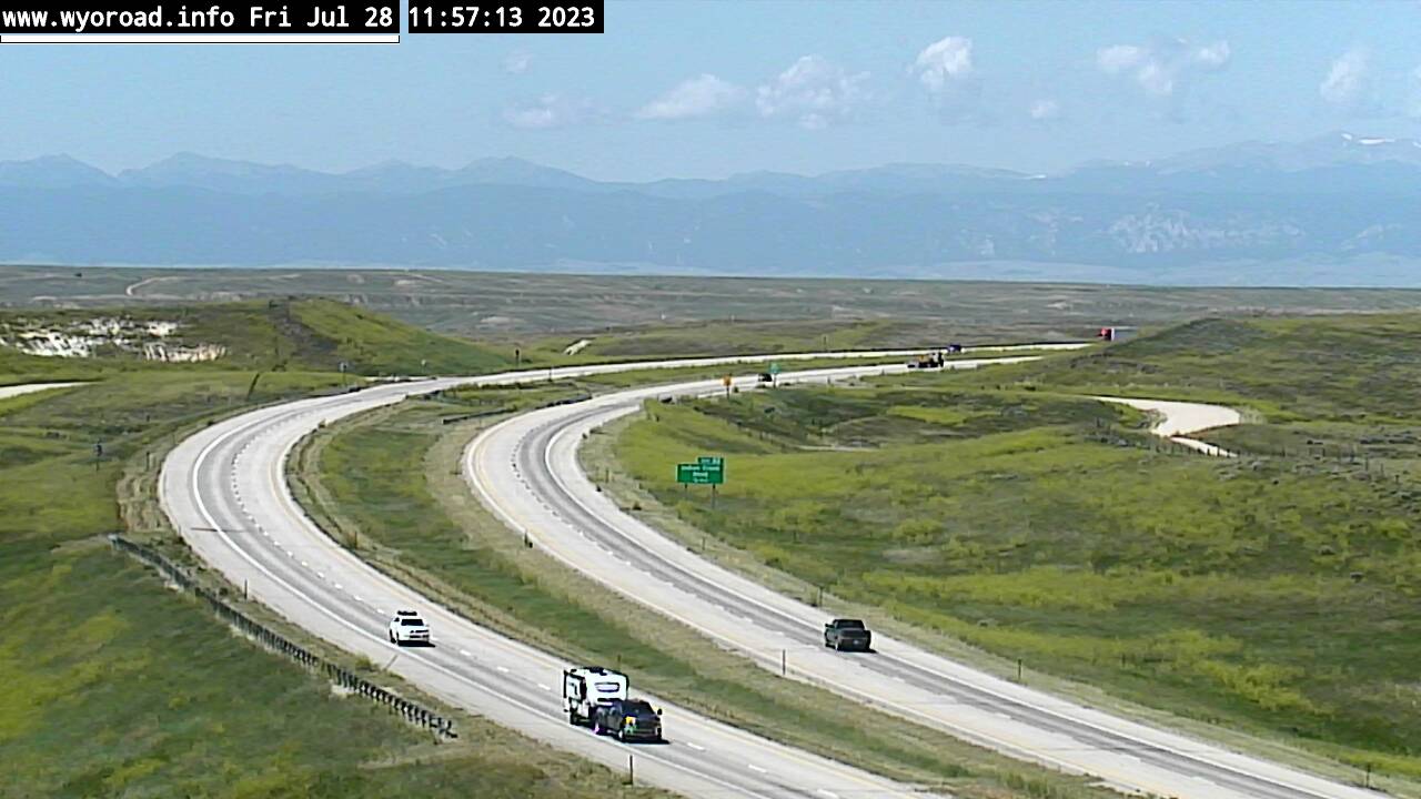
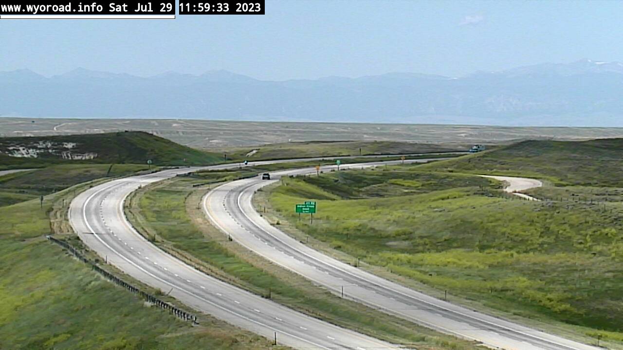
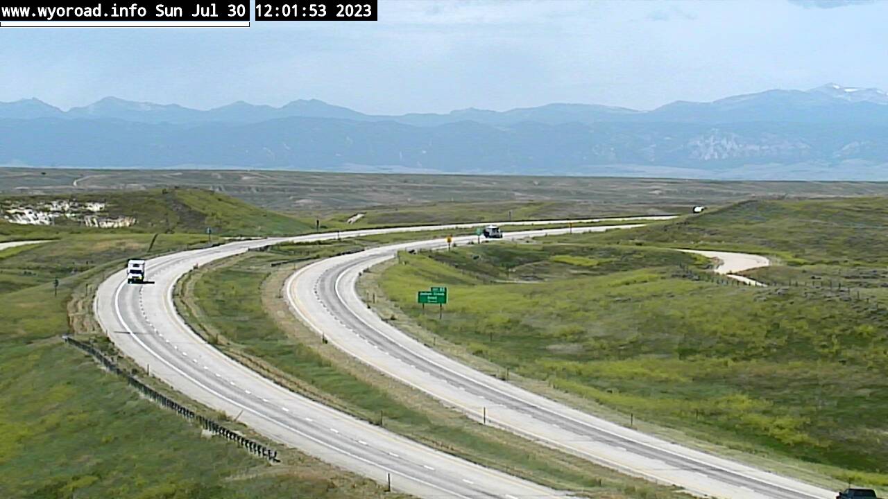
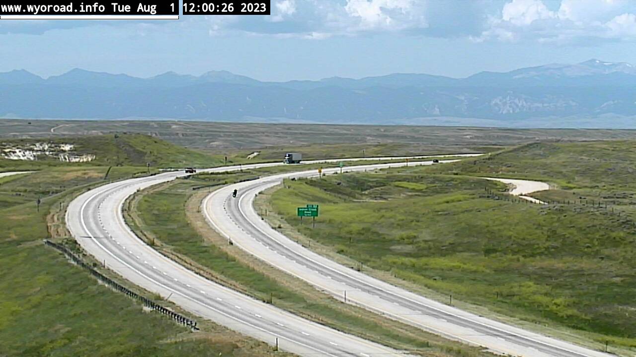
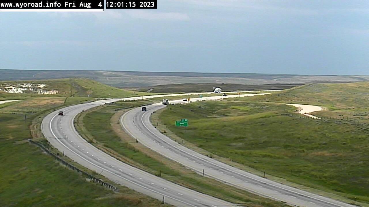
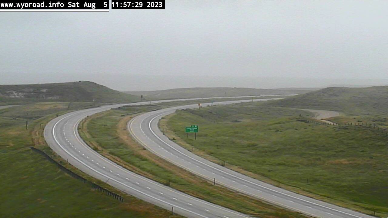
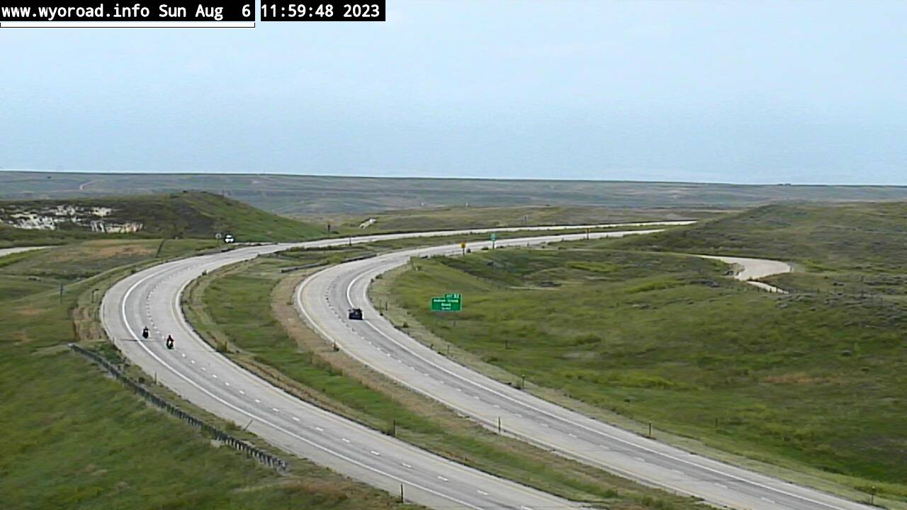
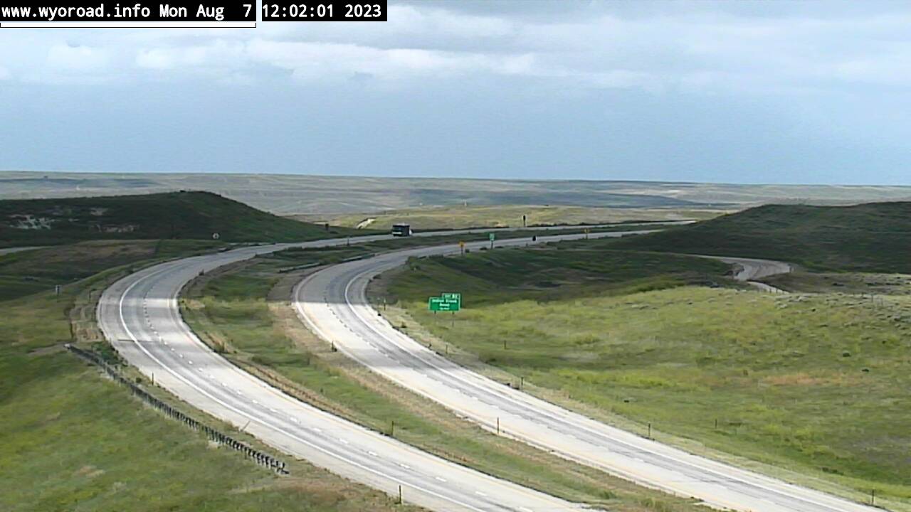
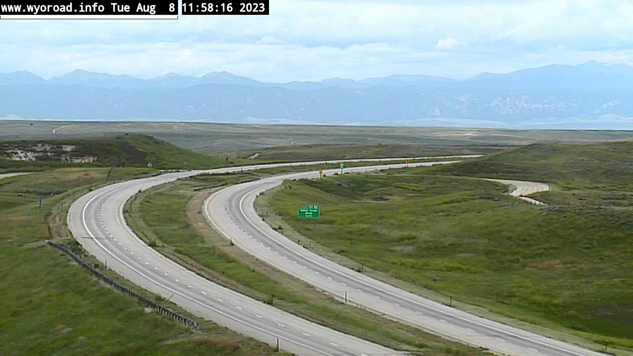
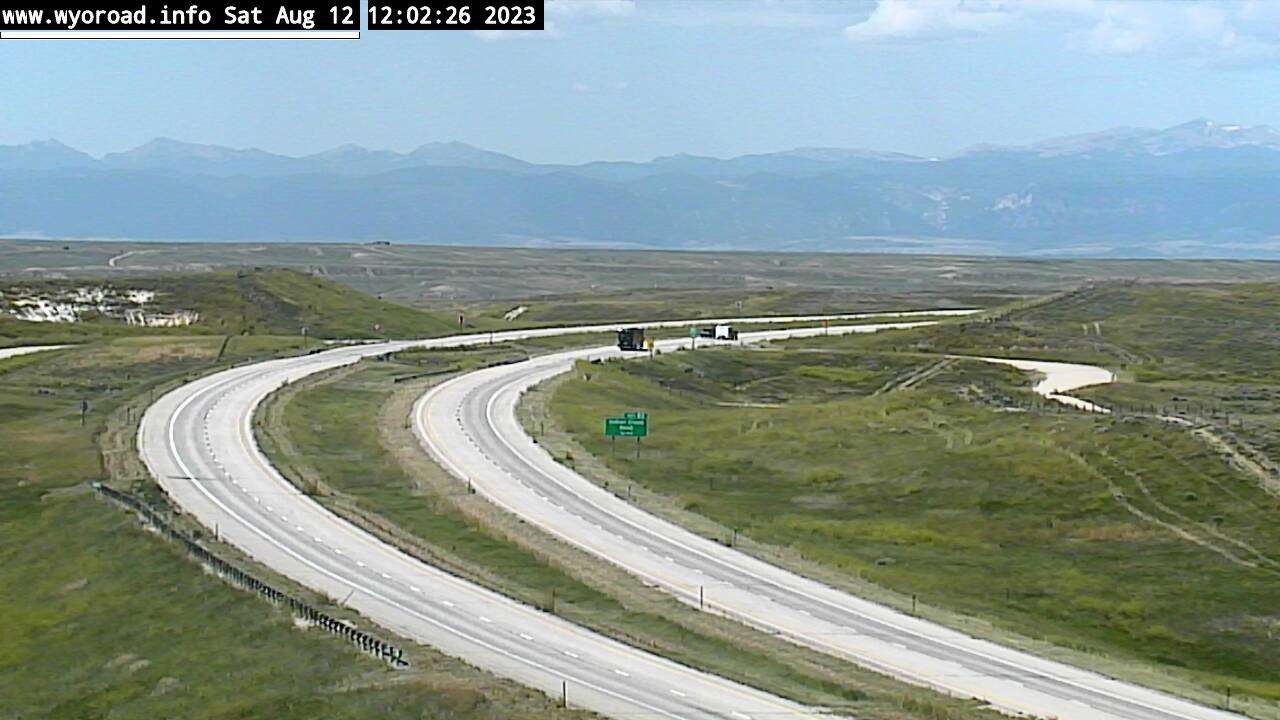
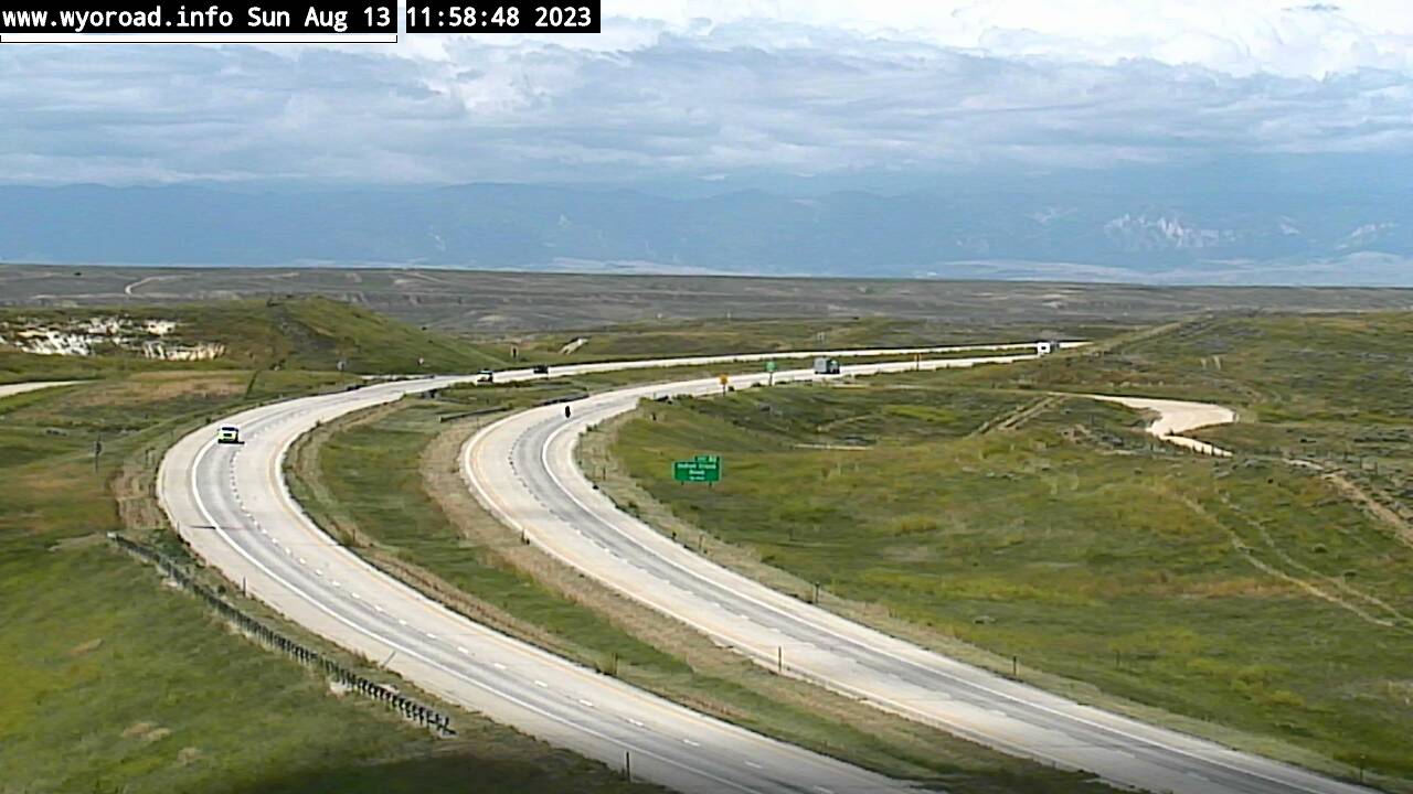
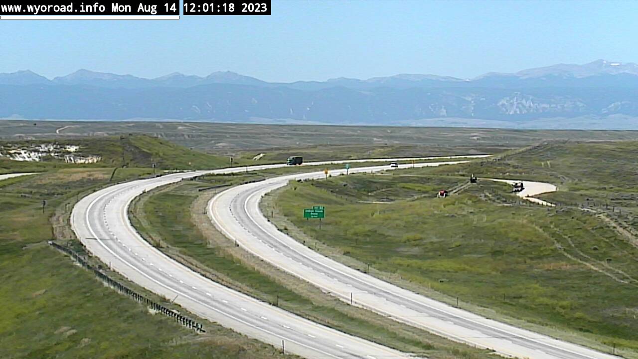
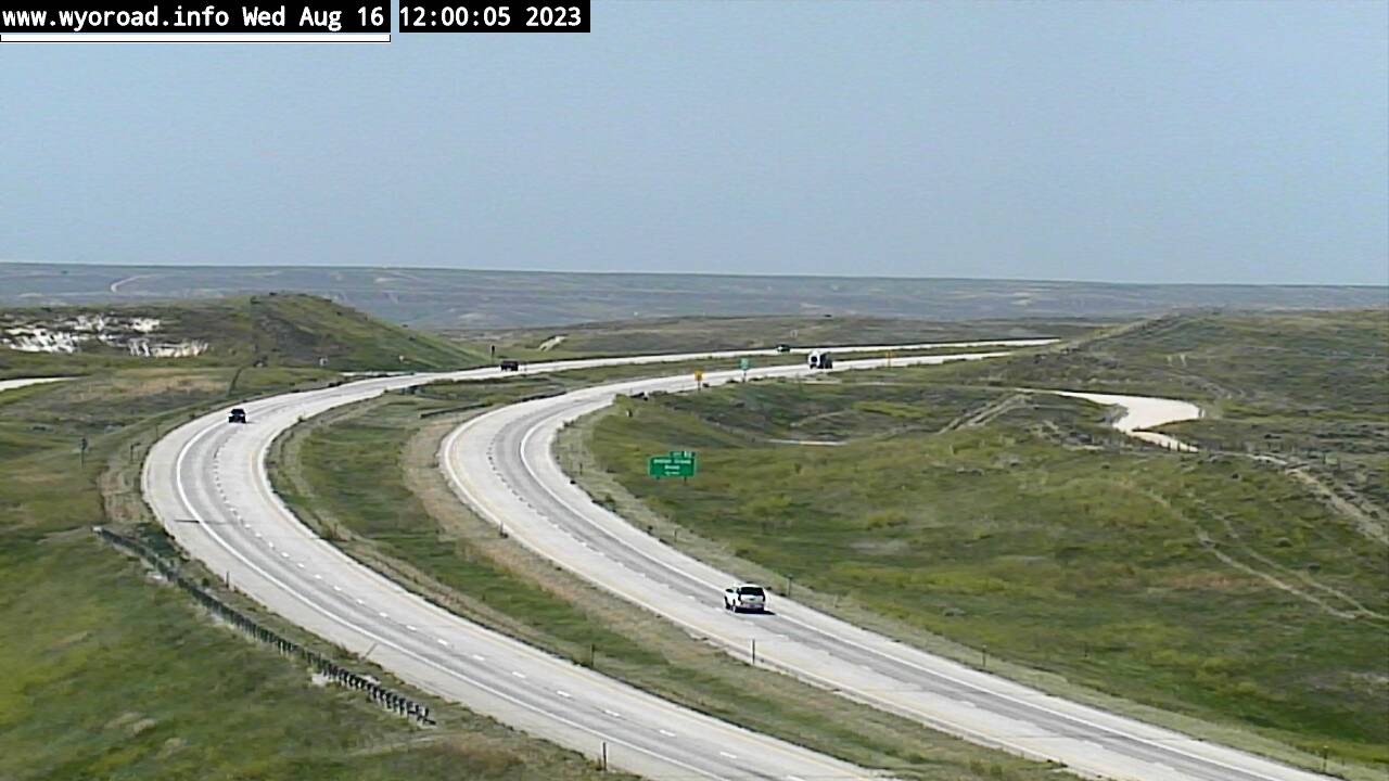
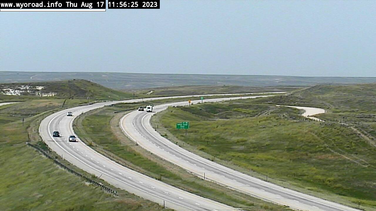
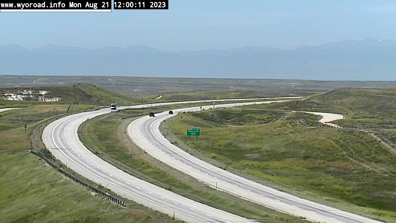
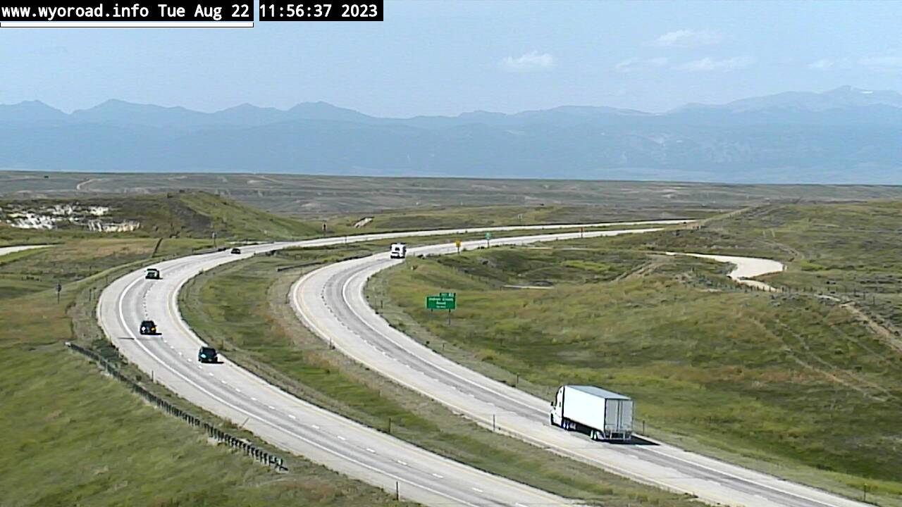
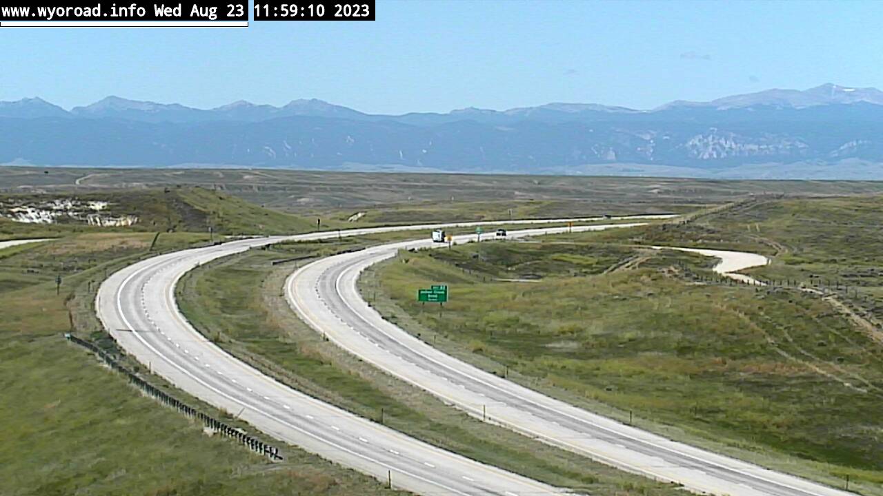
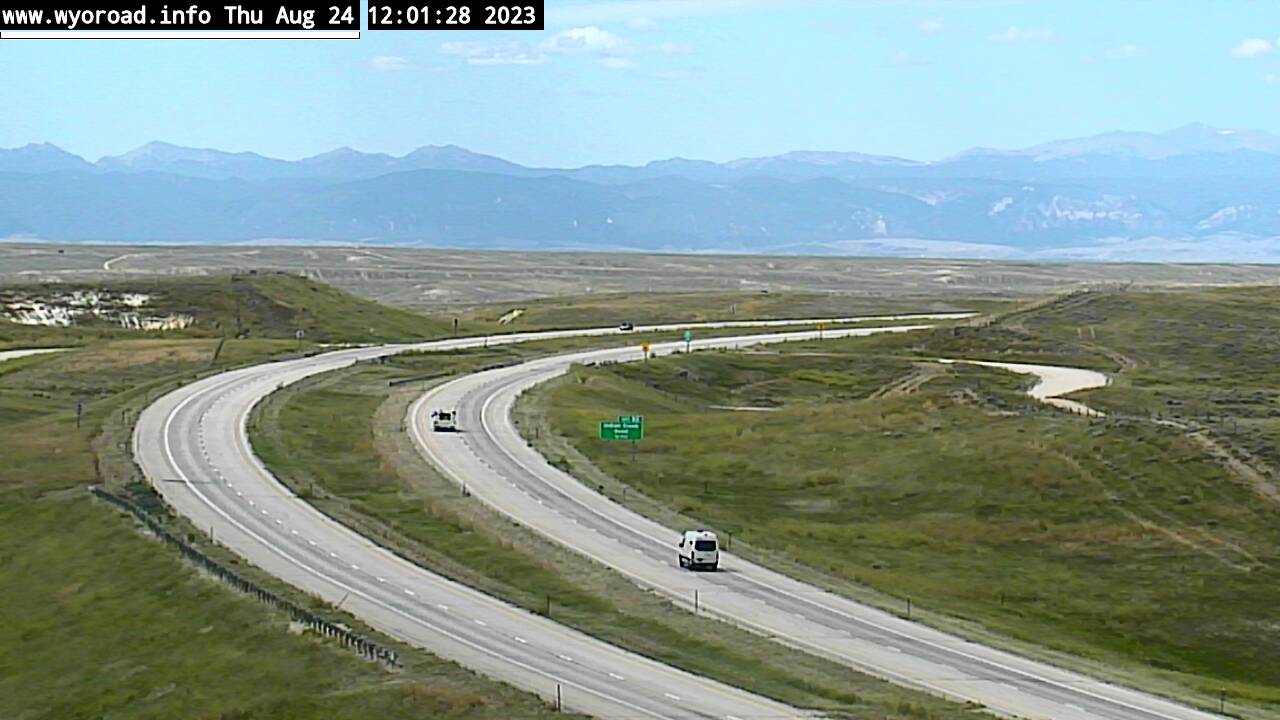
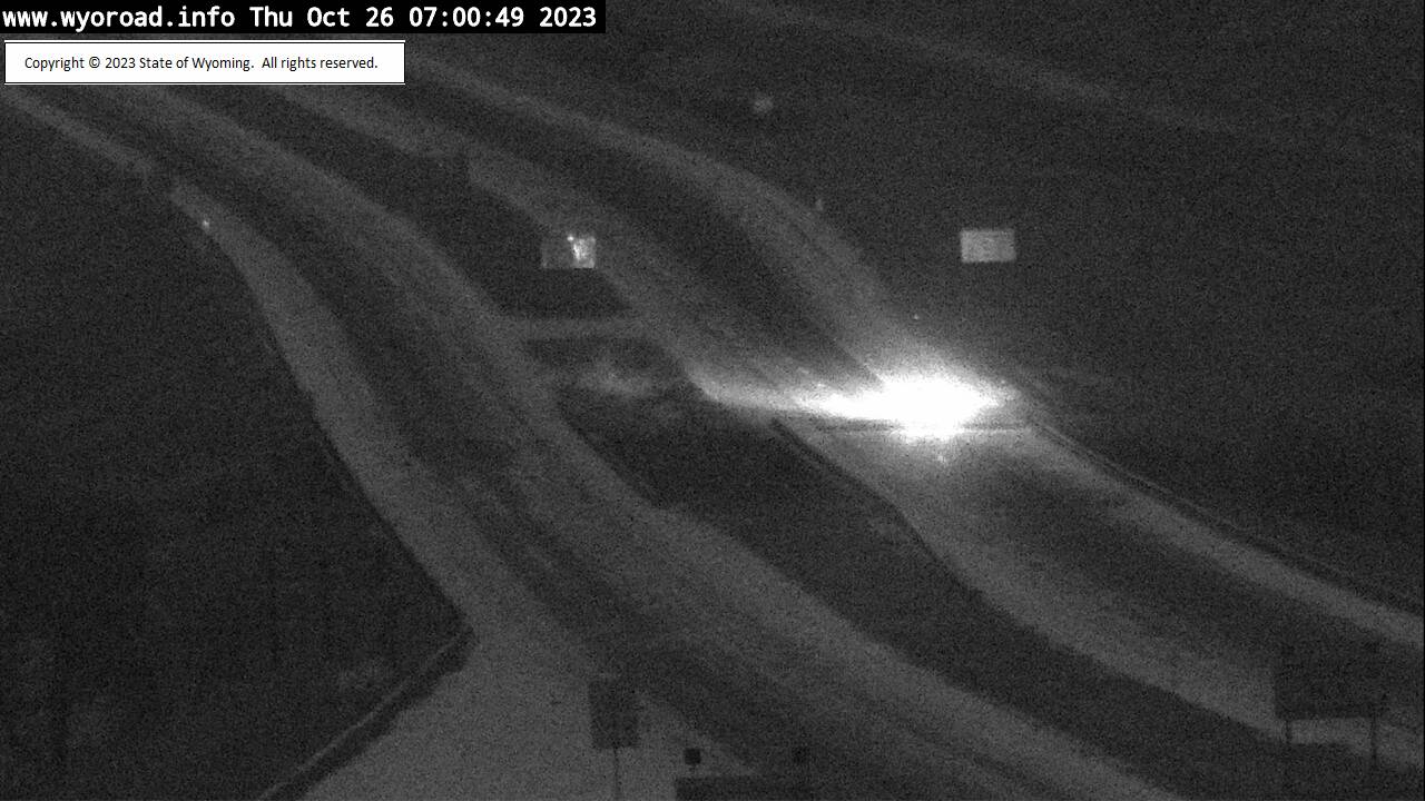
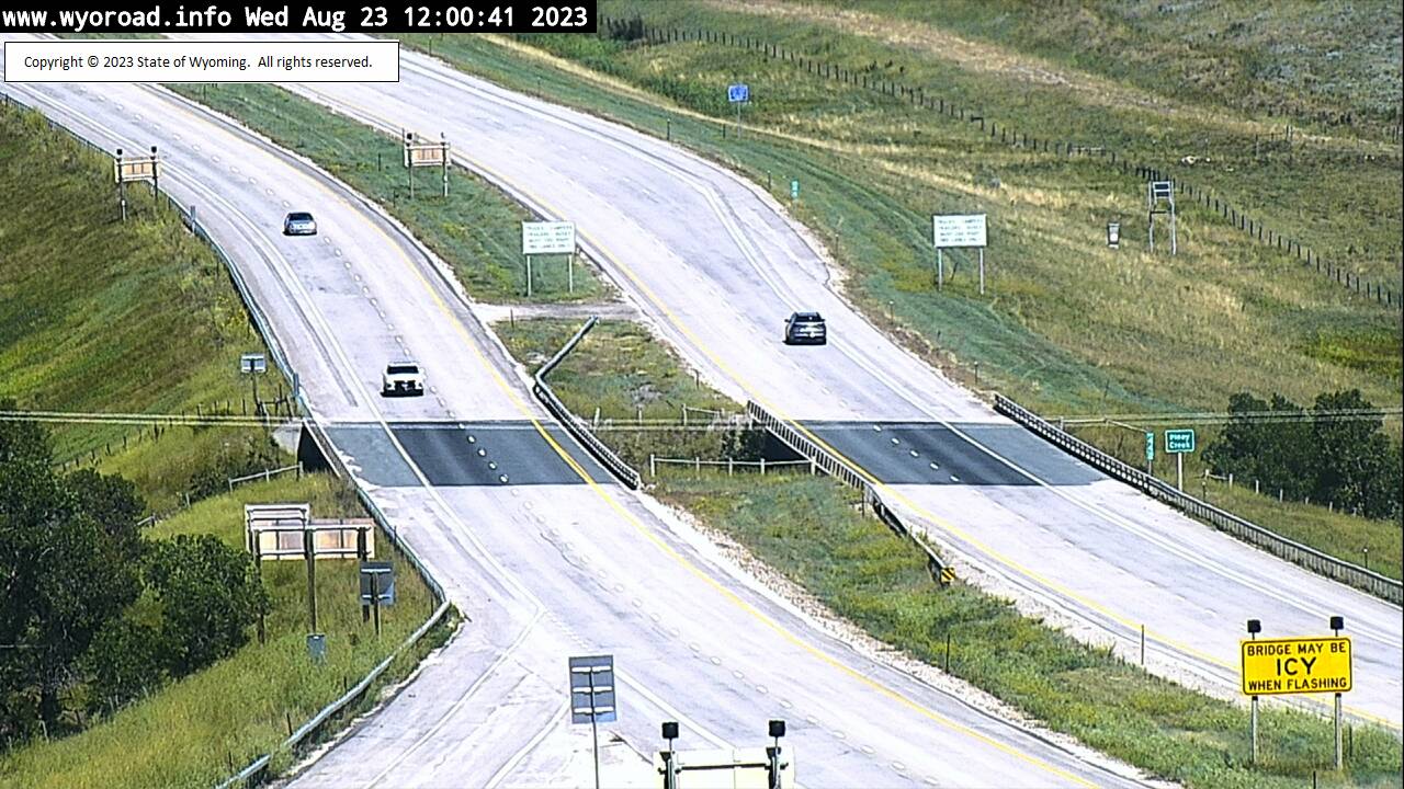
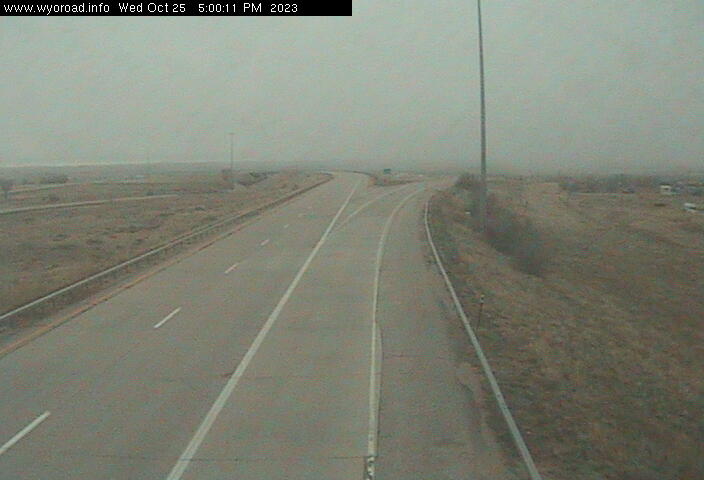
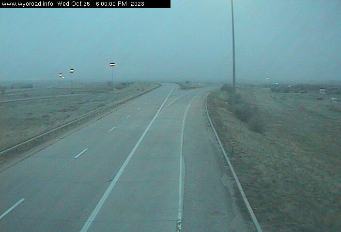
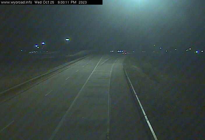
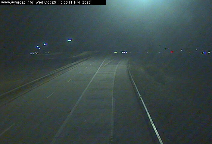
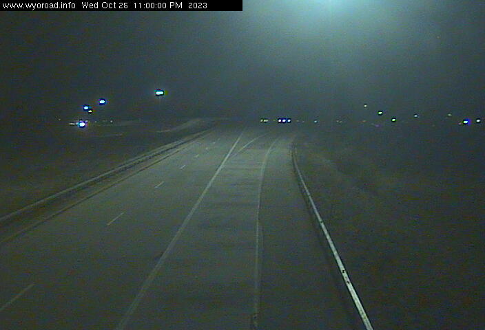
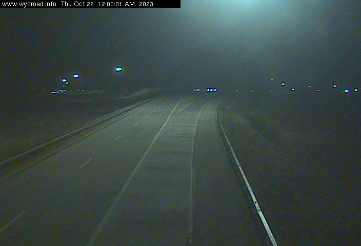
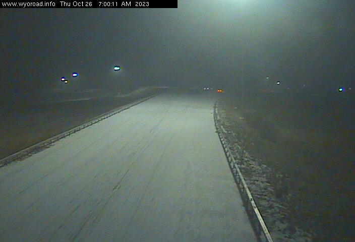
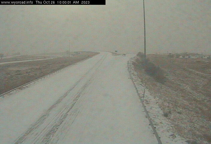
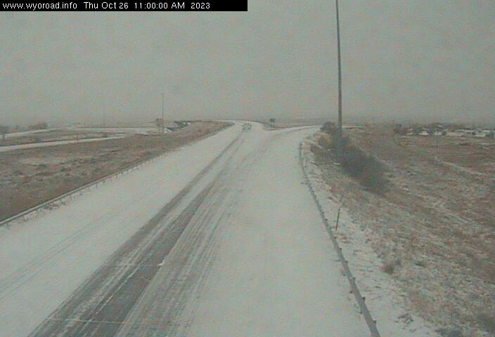
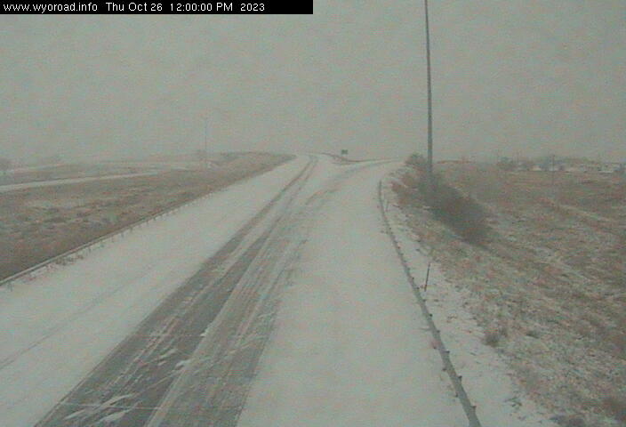
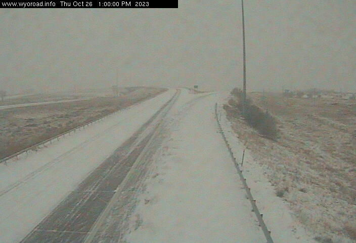
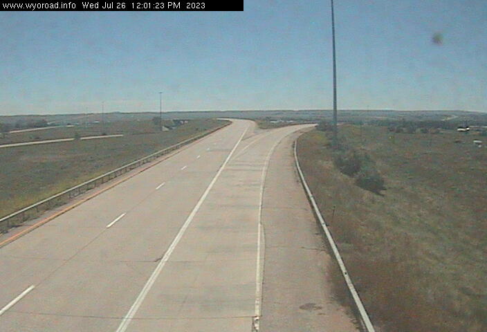
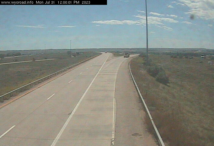
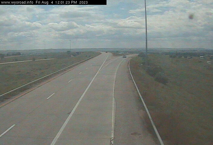
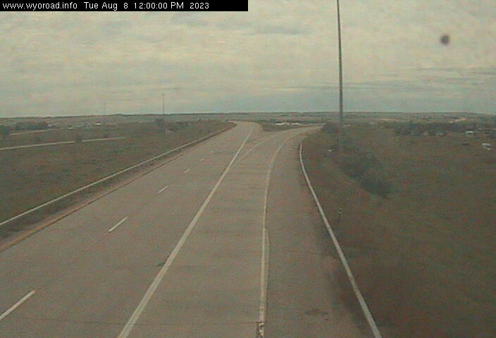
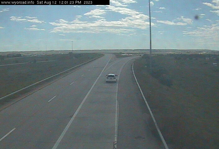
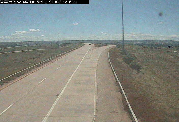
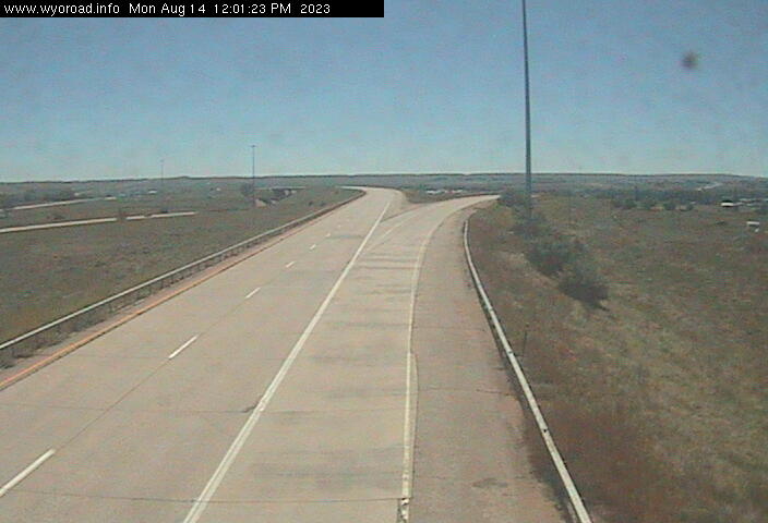
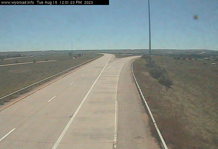
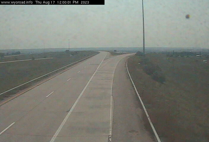
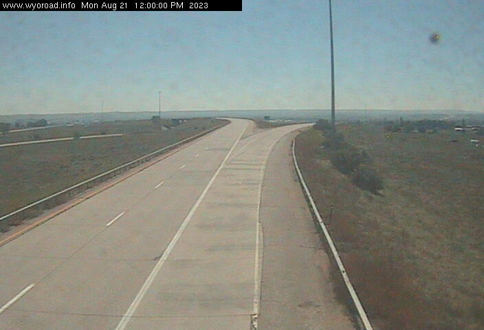
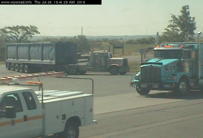
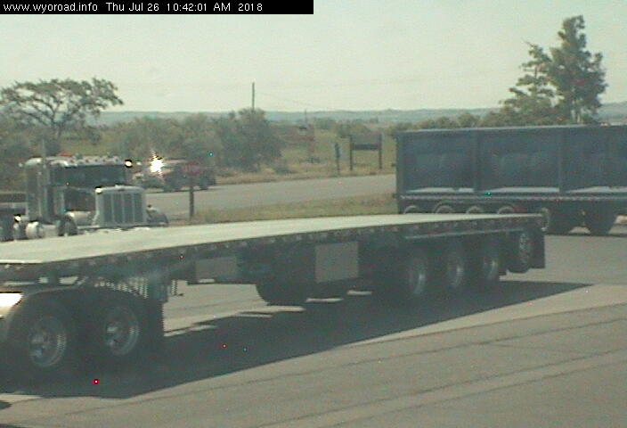
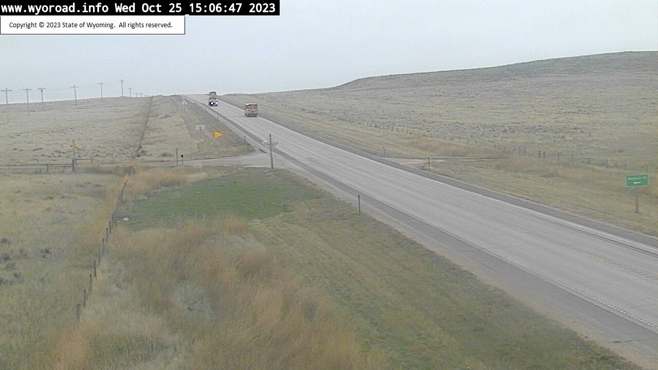
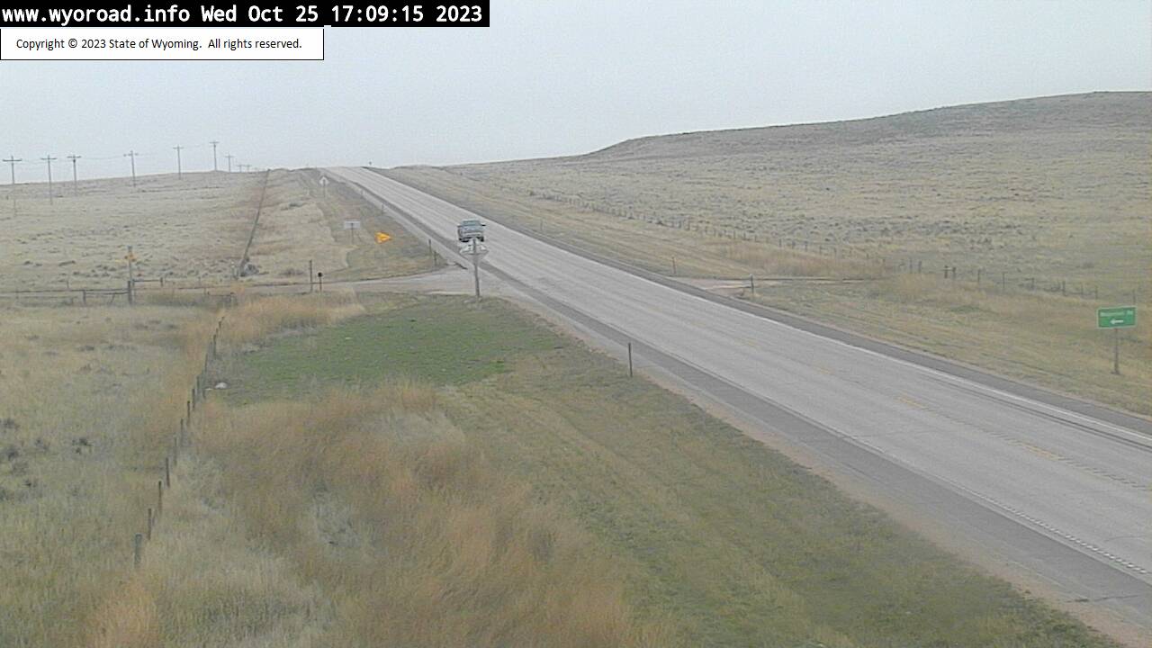
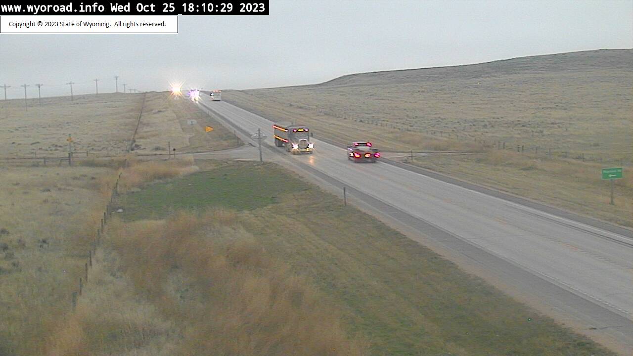
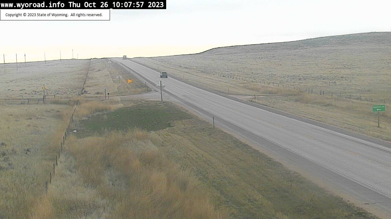
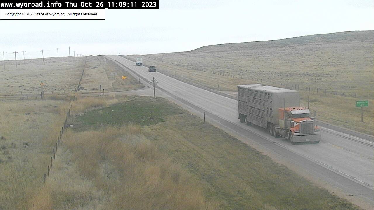
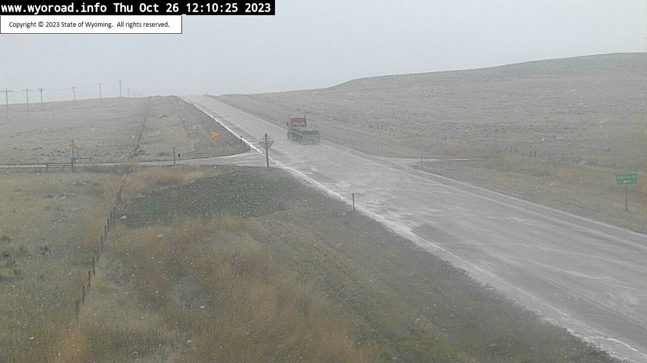
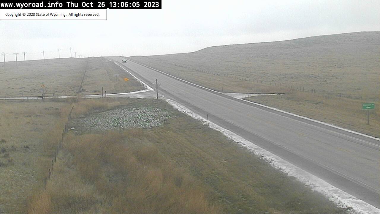
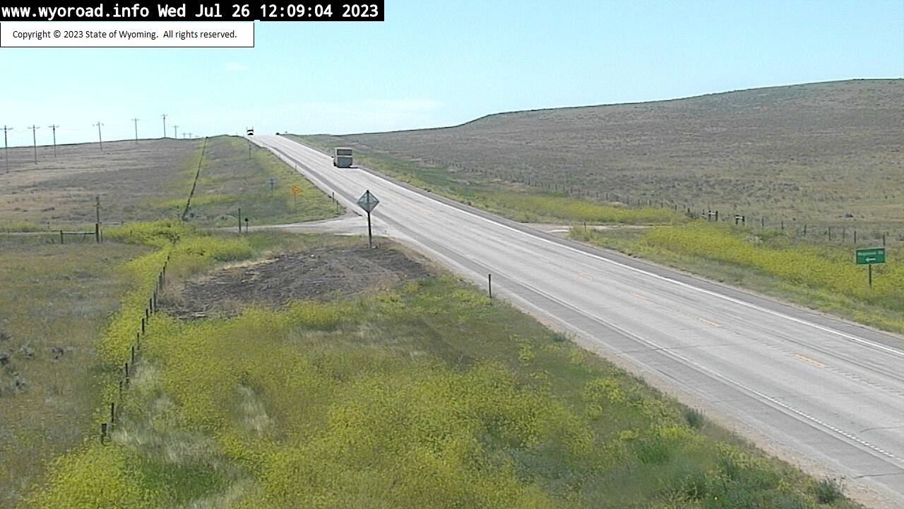
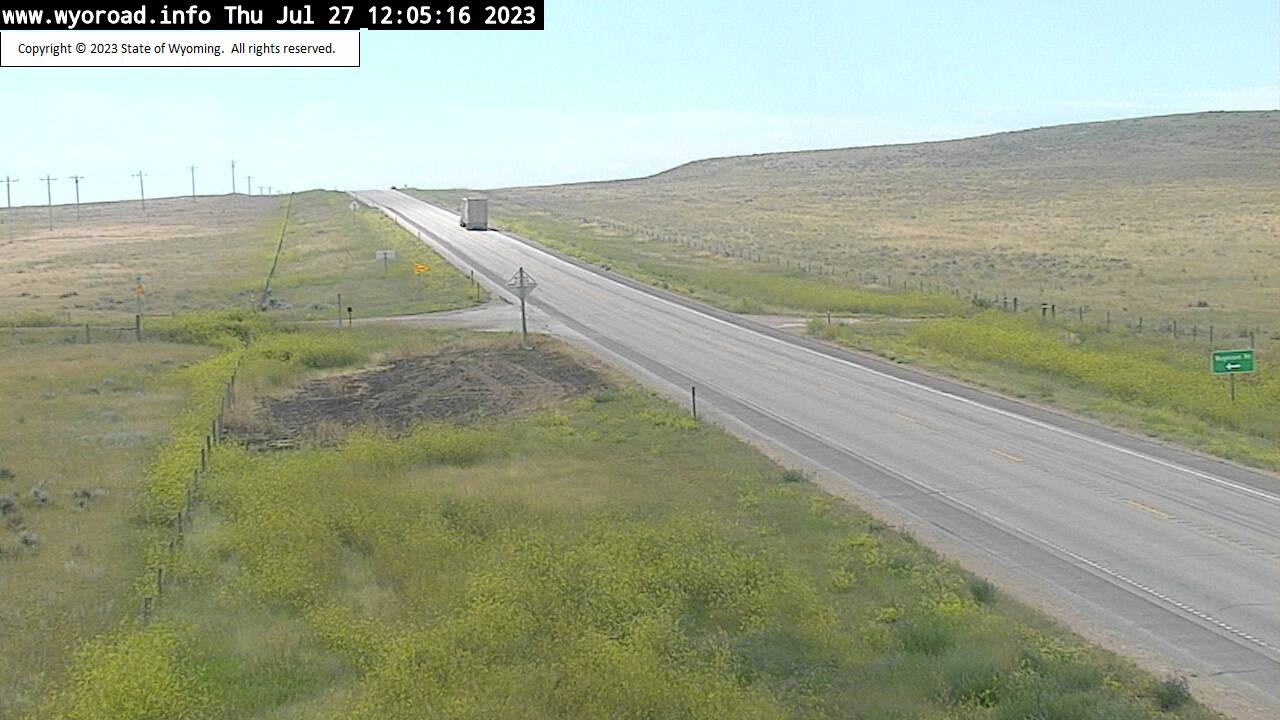
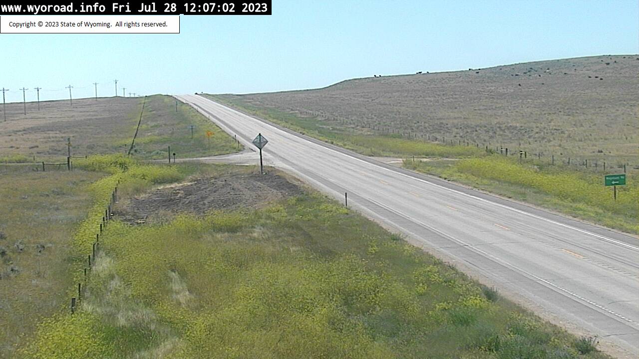
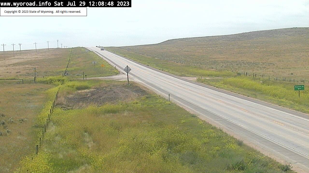
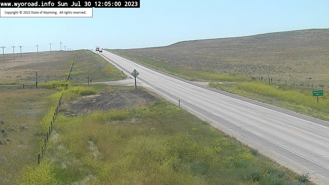
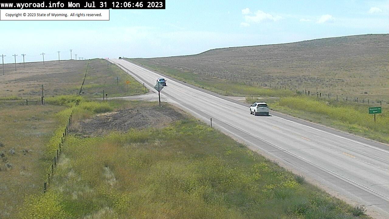
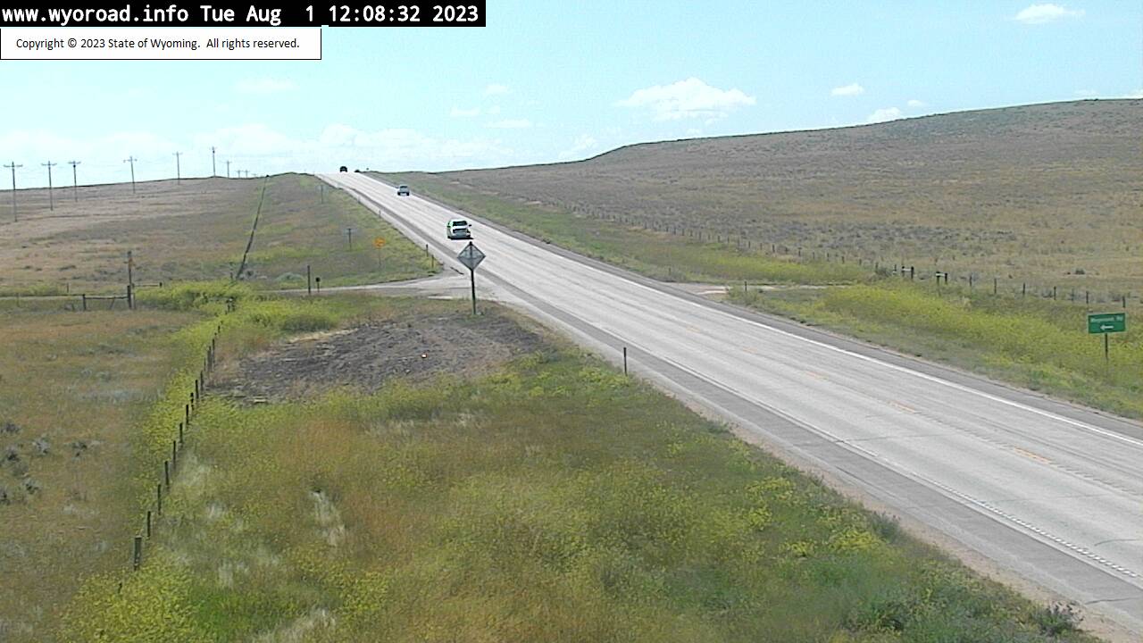
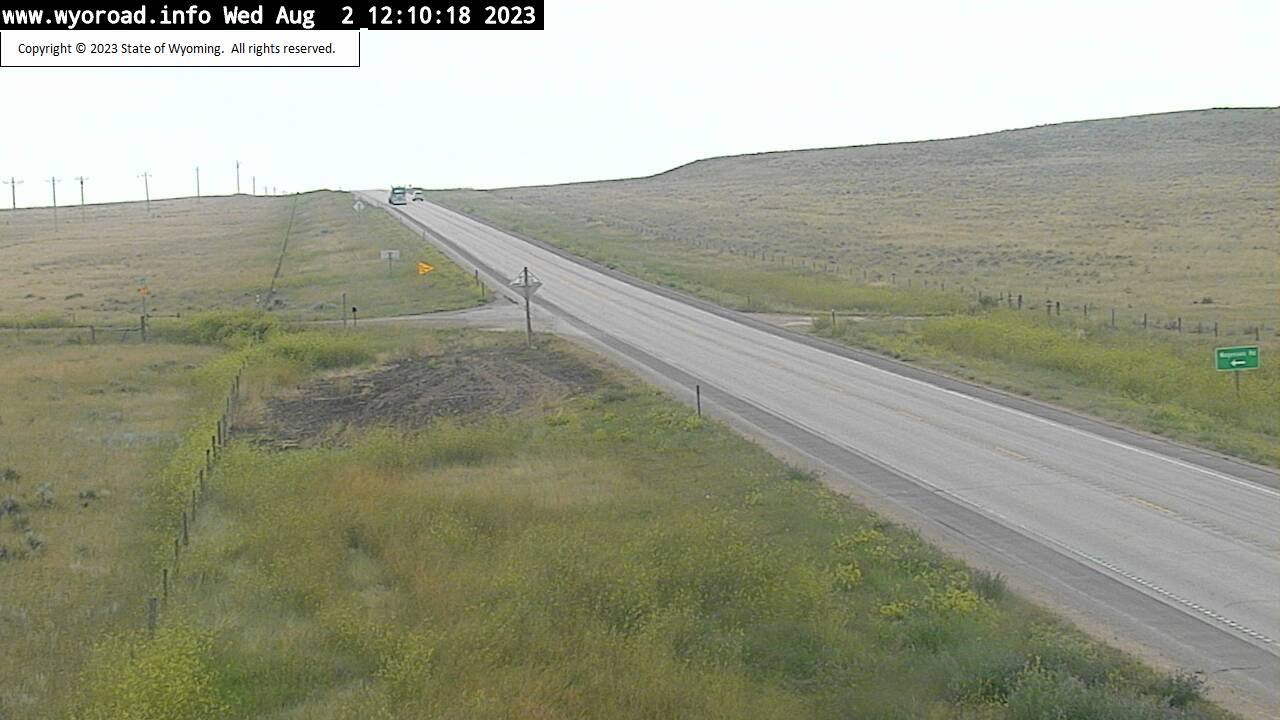
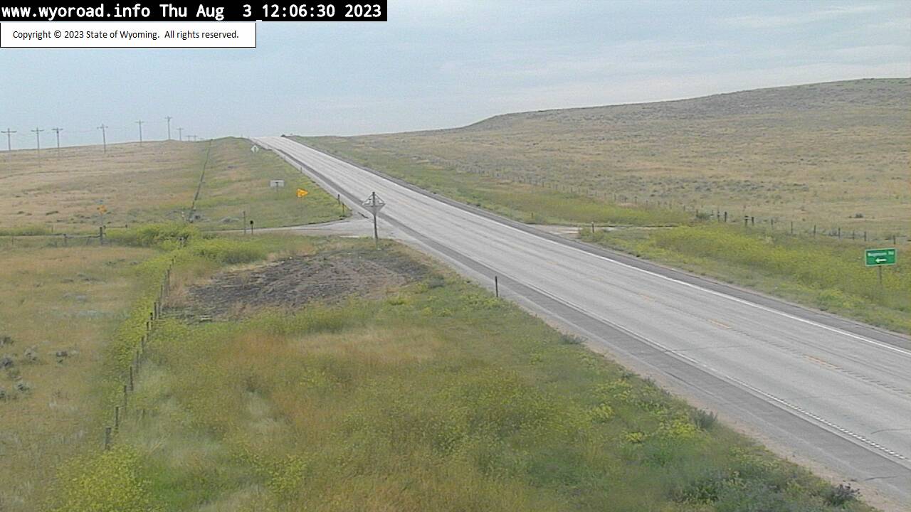
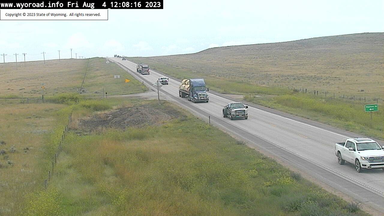
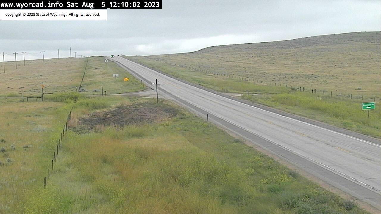
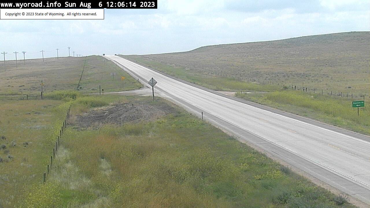
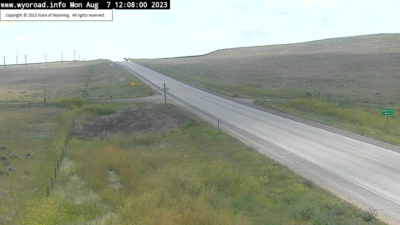
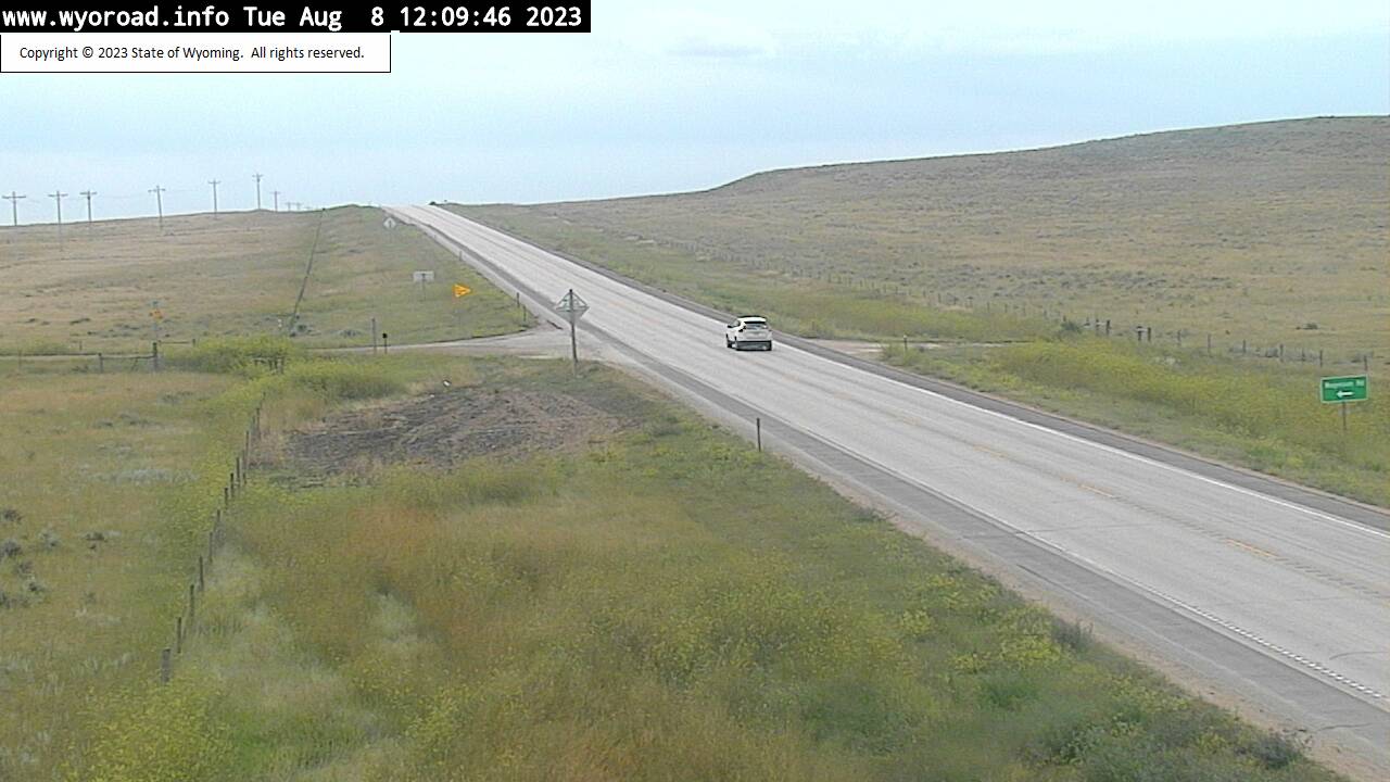
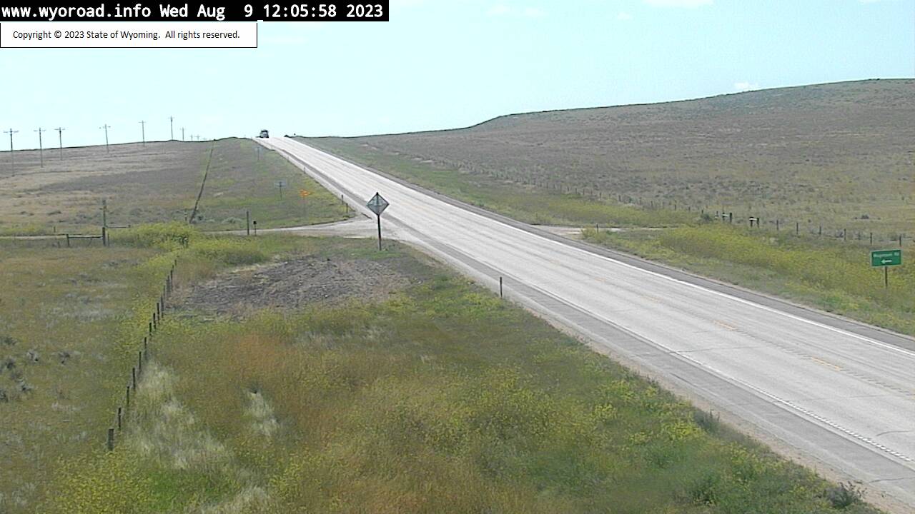
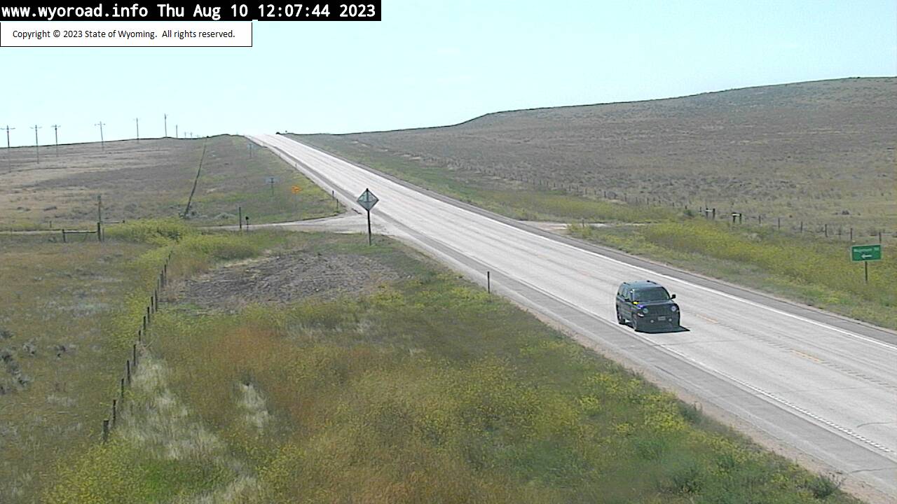
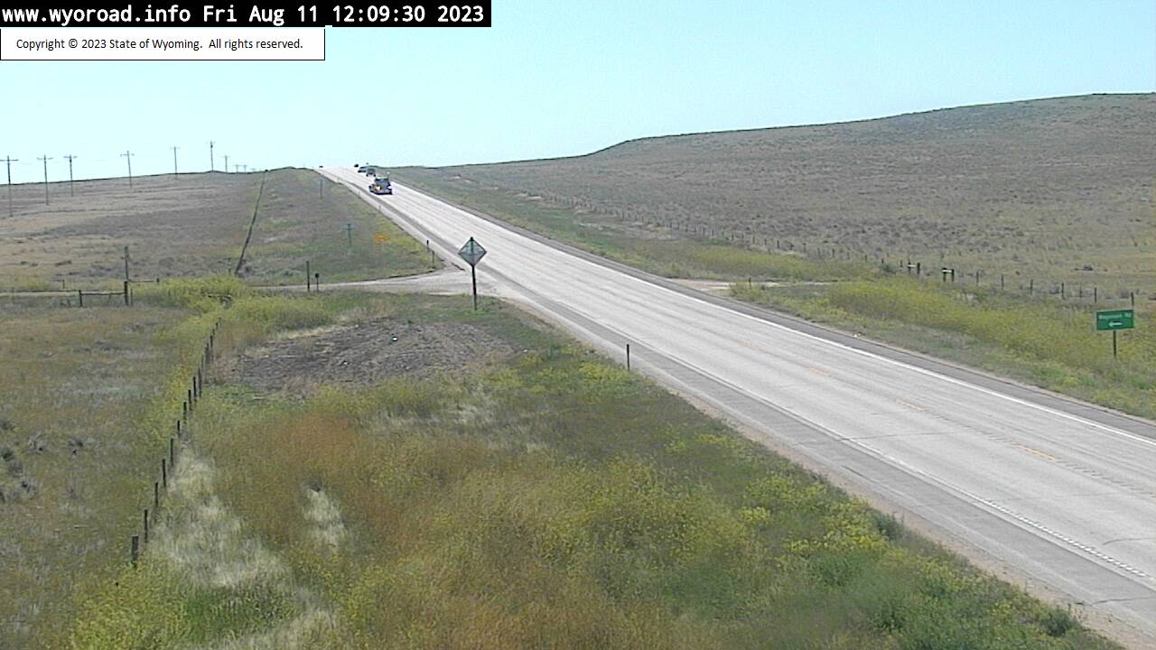
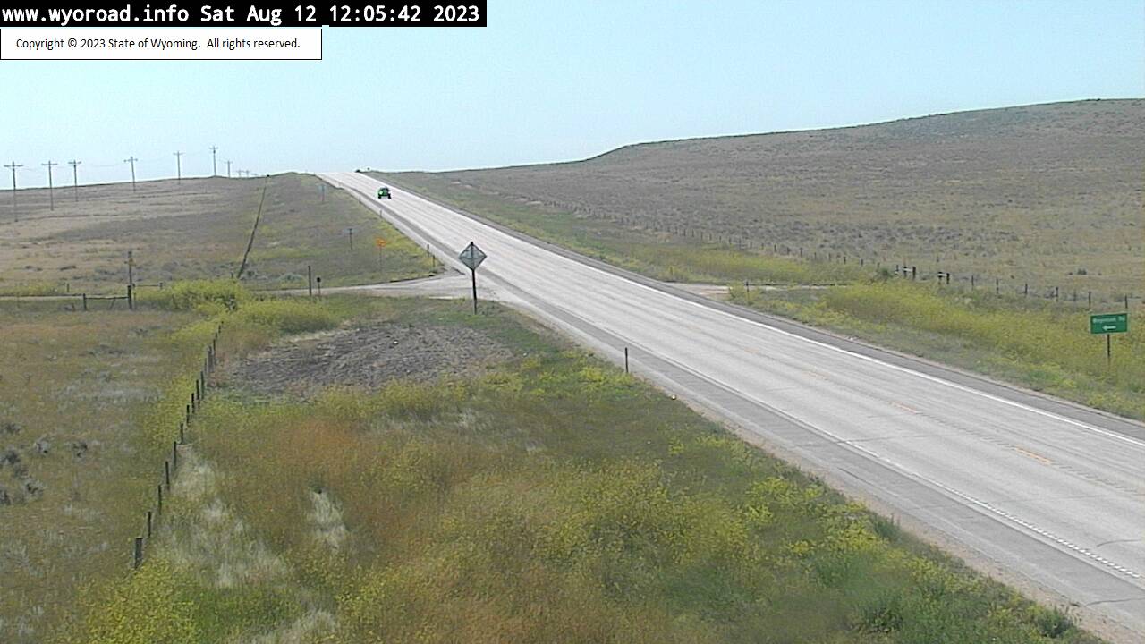
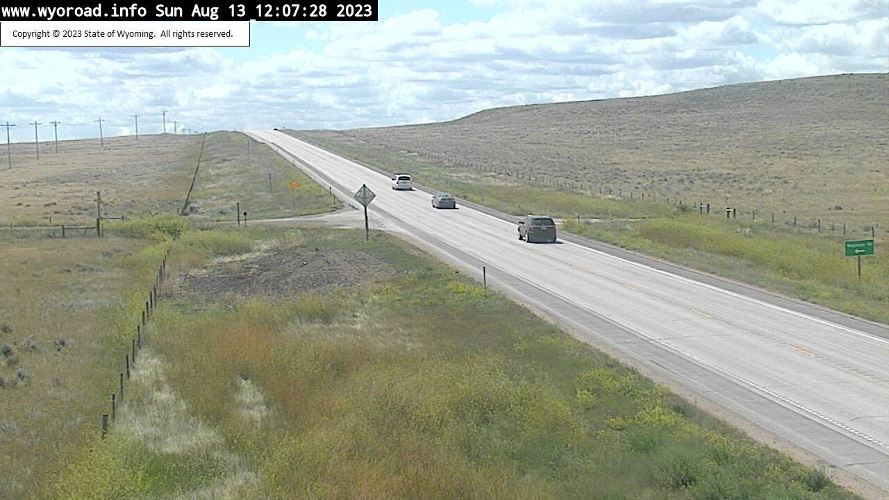
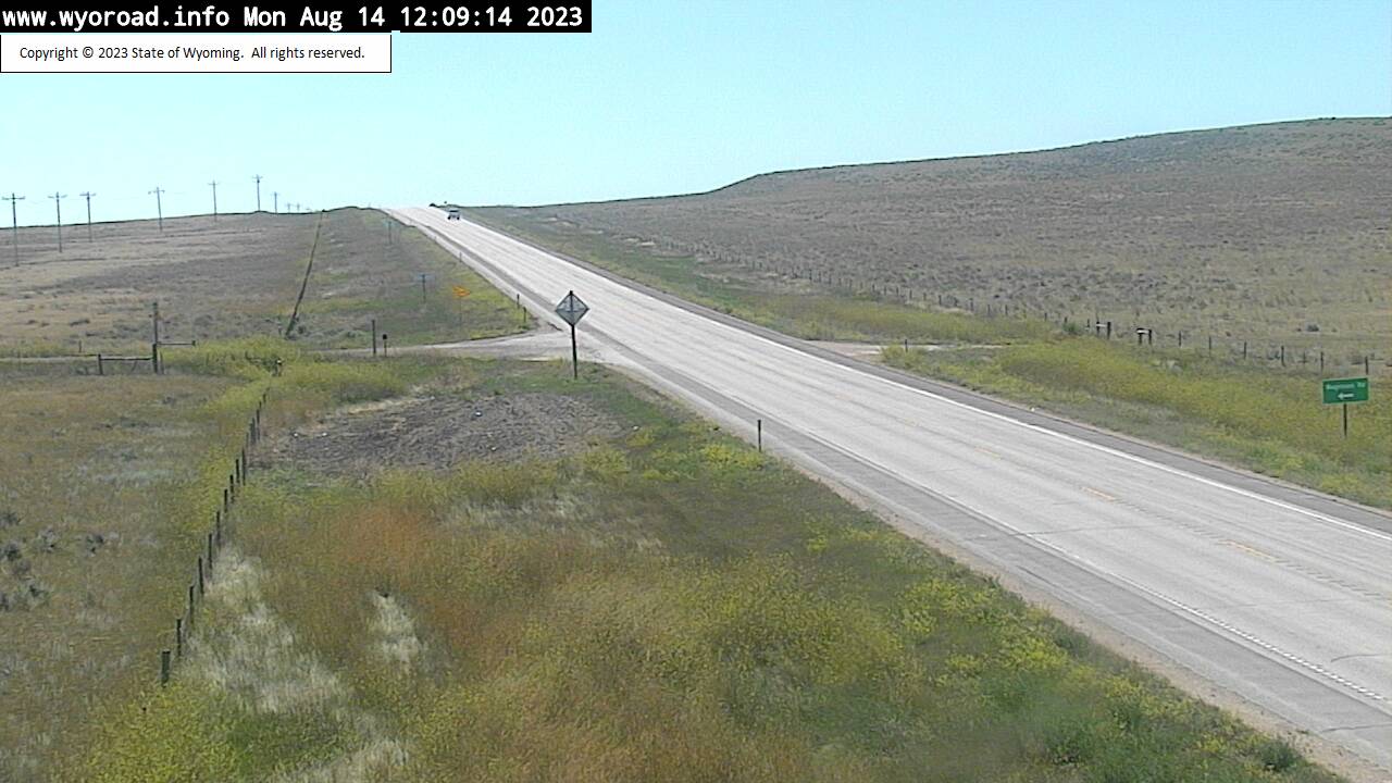
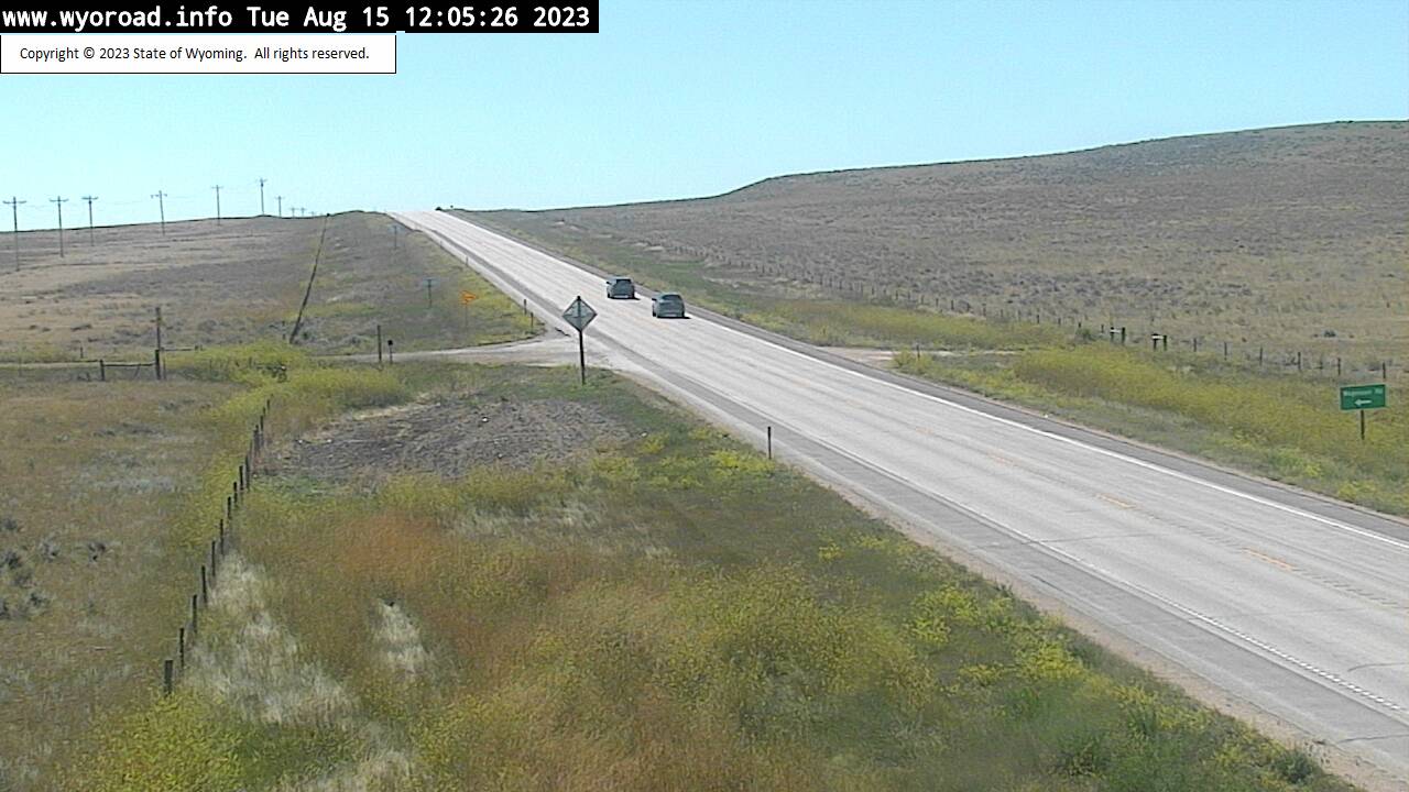
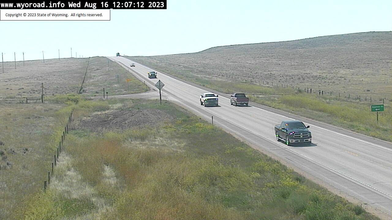
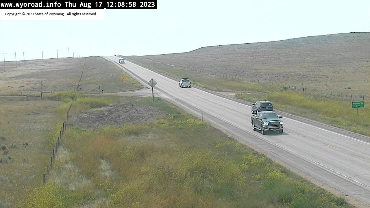
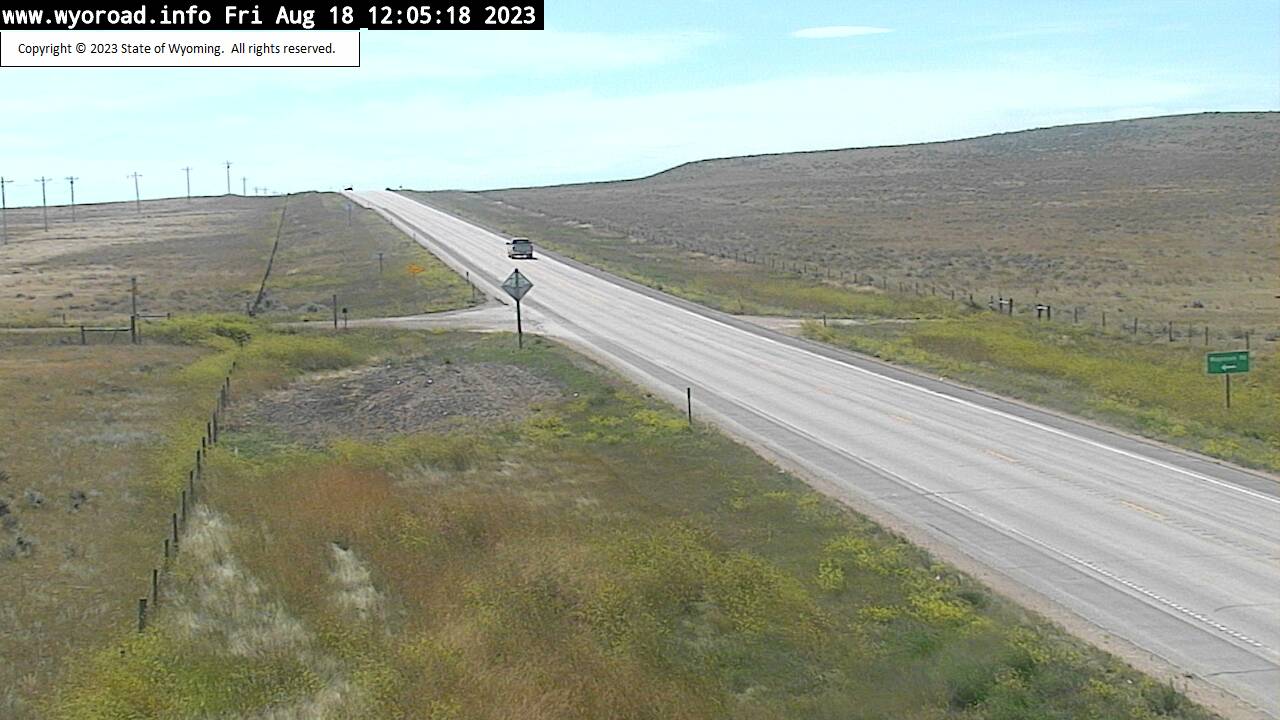
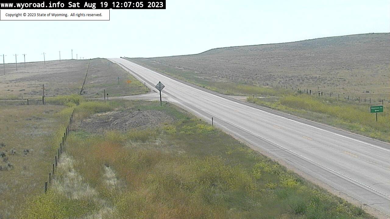
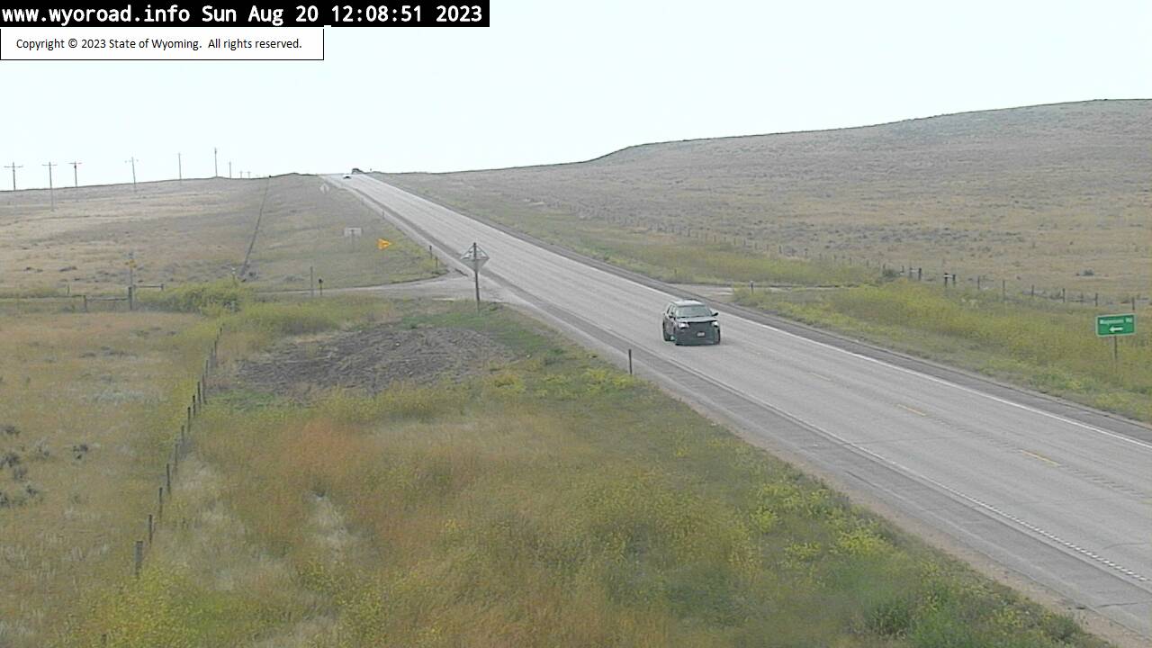
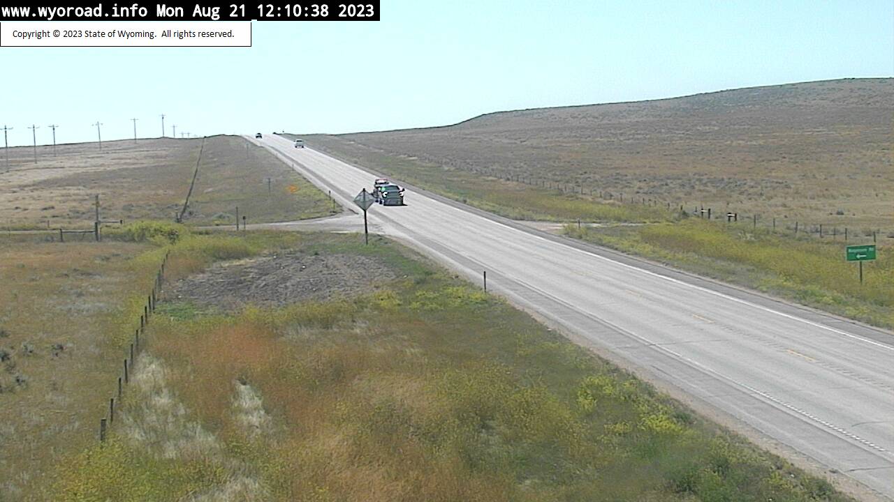
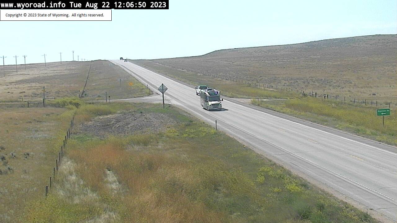
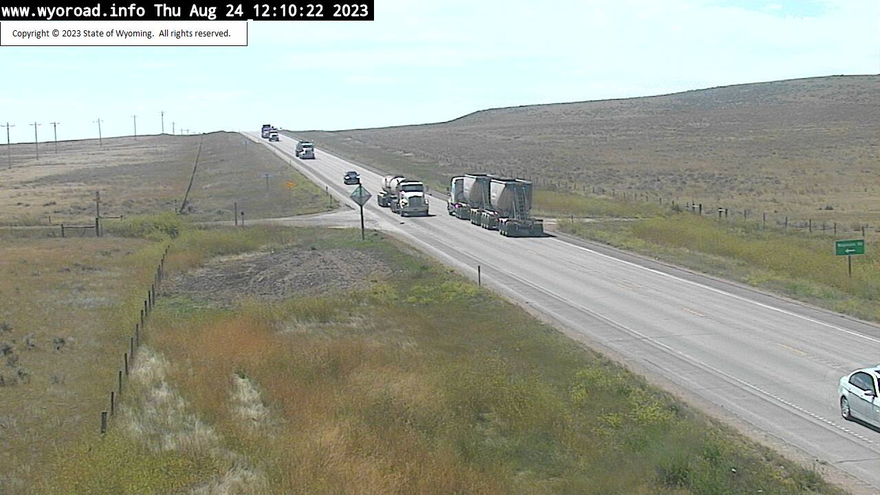
Ranchester, Wyoming, USA - 100.5 miles from Albright (historical): Ranchester Interchange - Traffic and Weather - A view of the current traffic and weather situation.
Operator: WYDOT Travel Information Service
Operator: WYDOT Travel Information Service
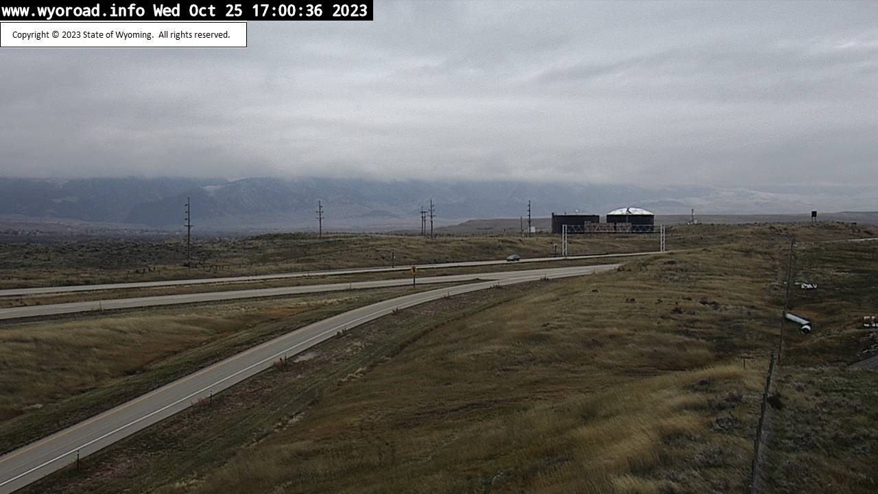


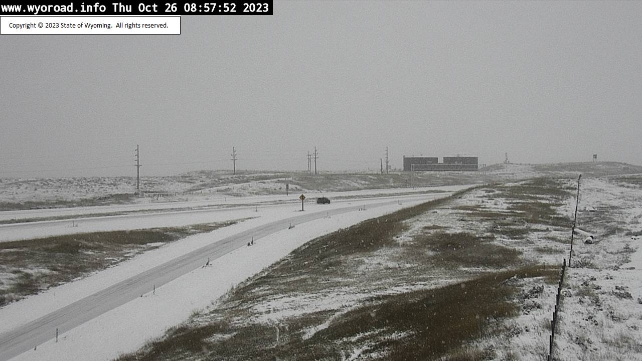
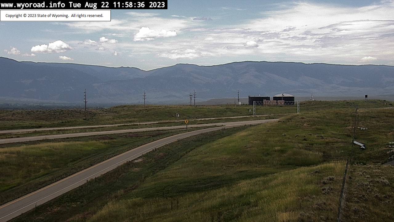

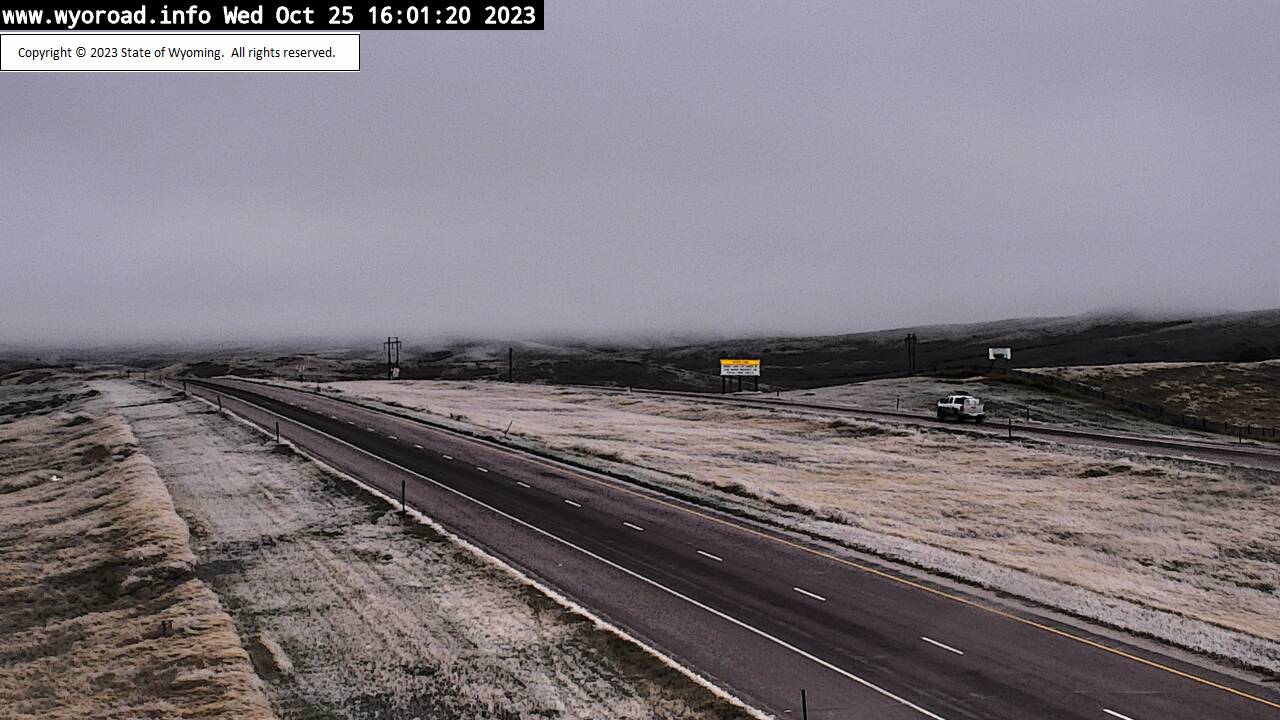
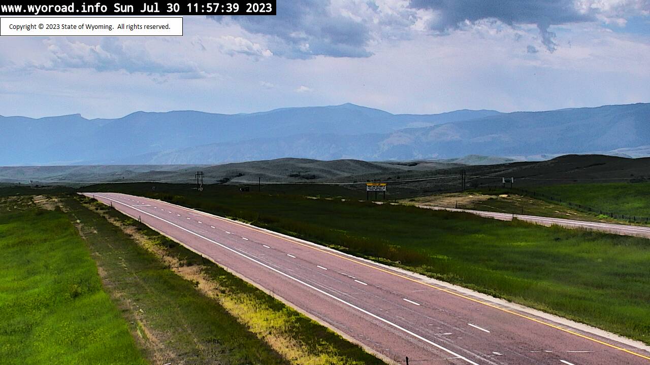
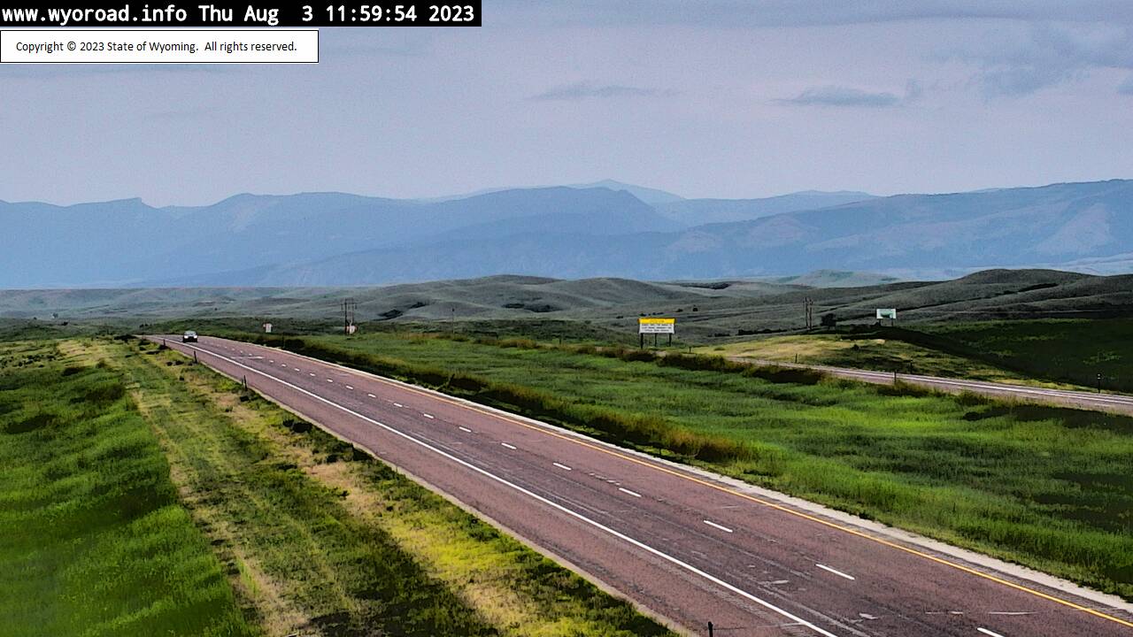
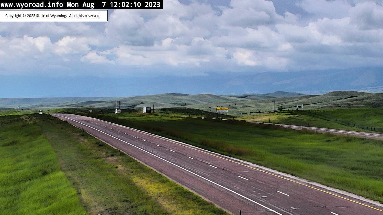
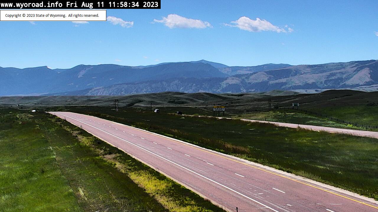
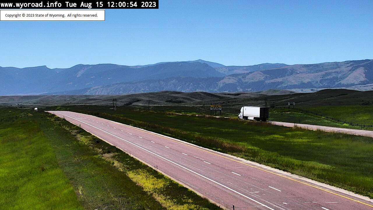
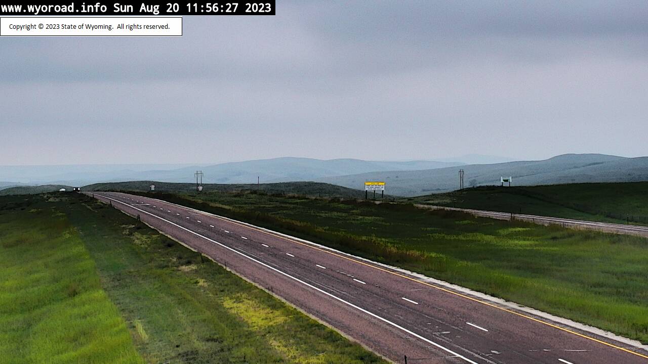
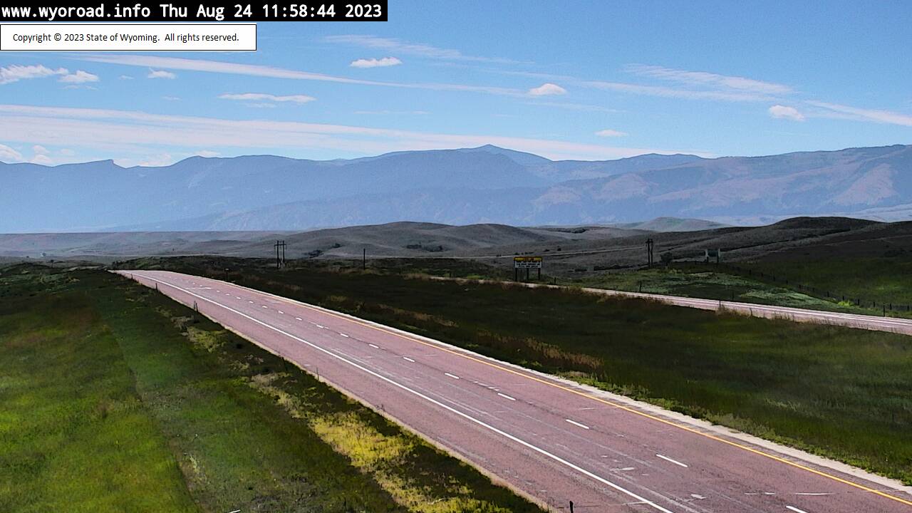
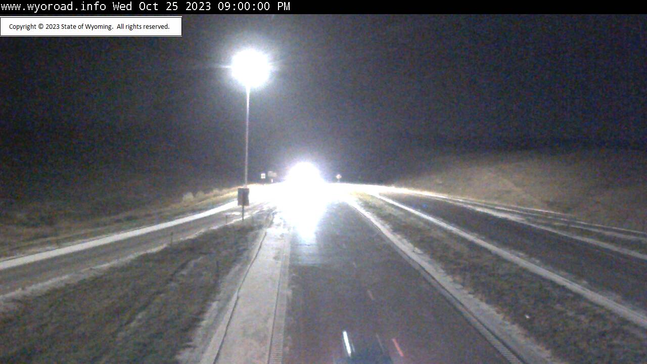
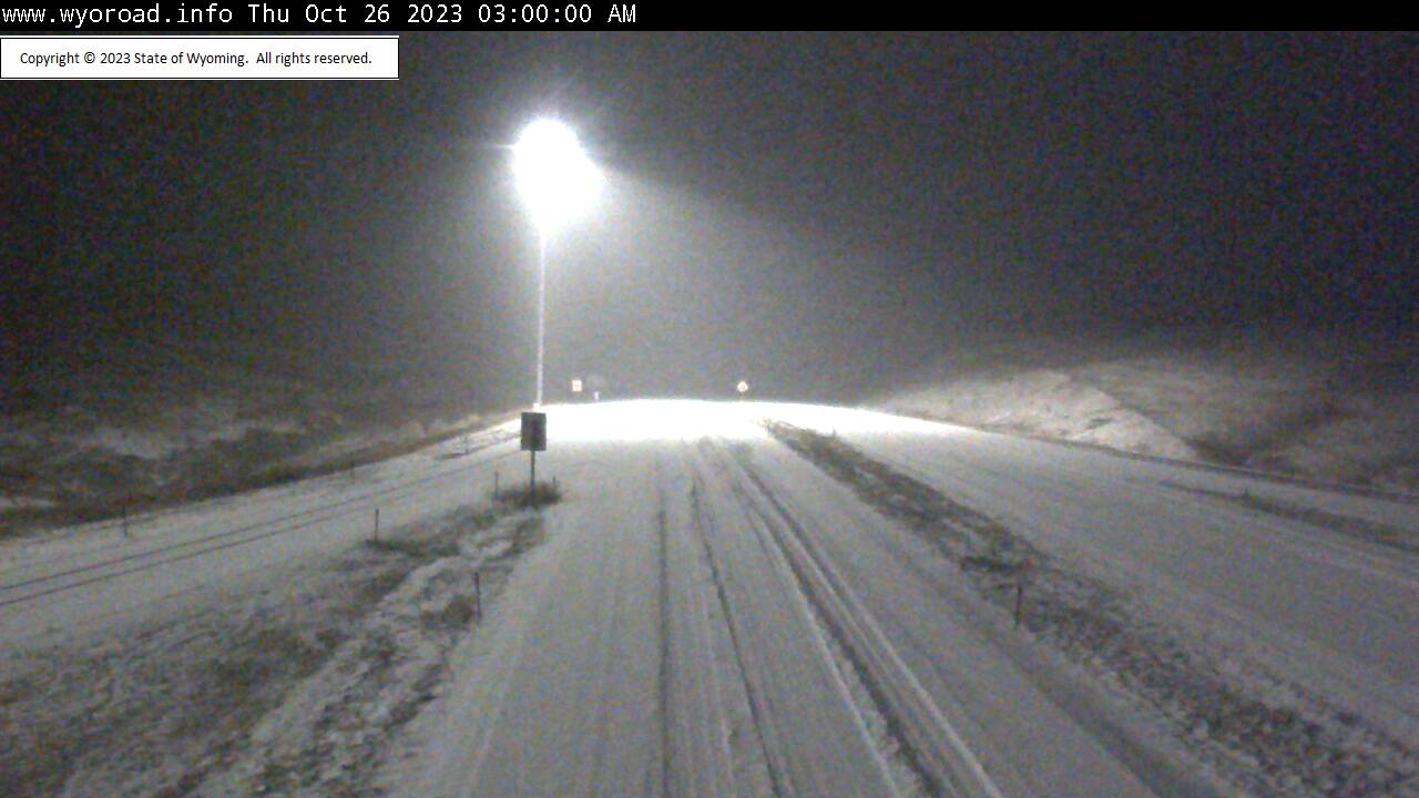
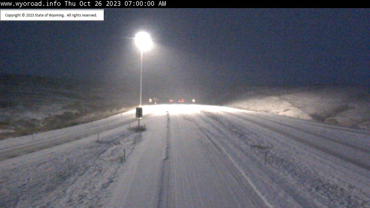
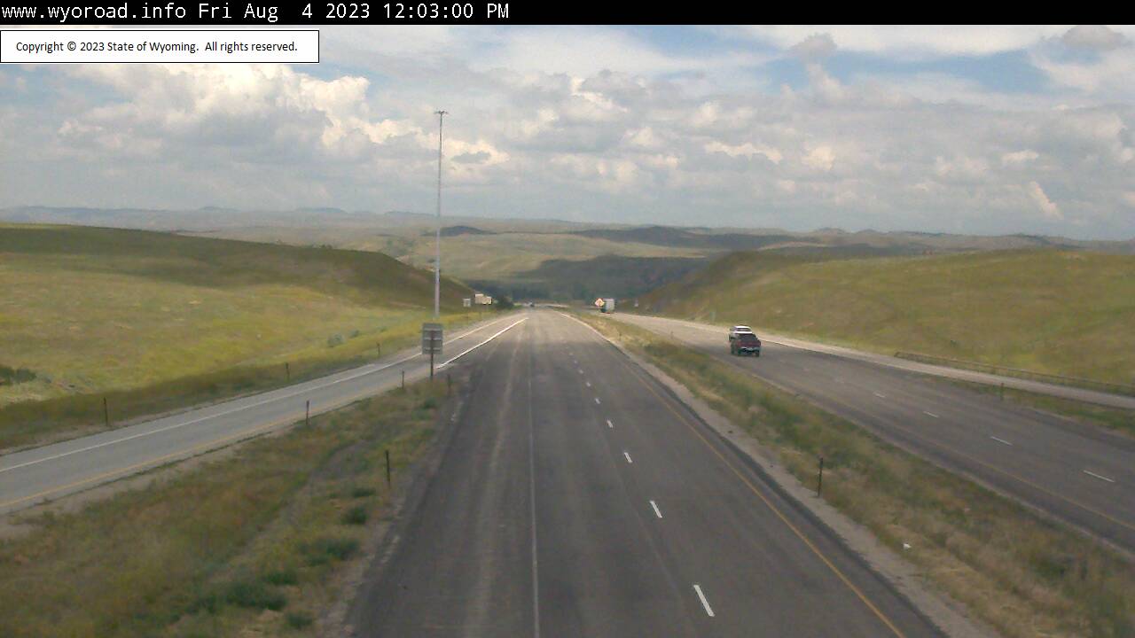
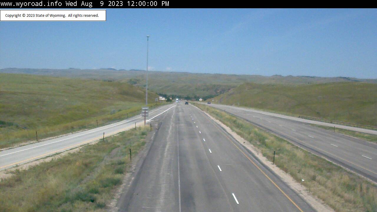
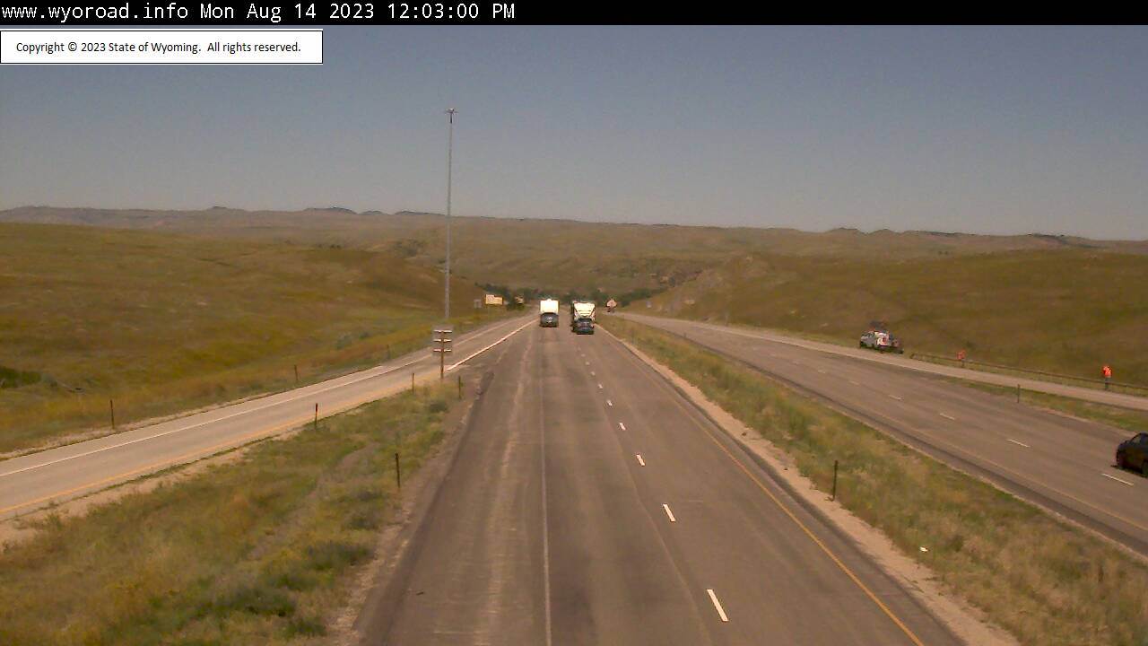
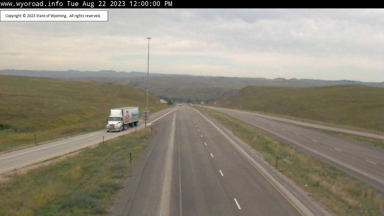
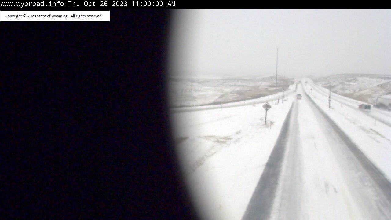
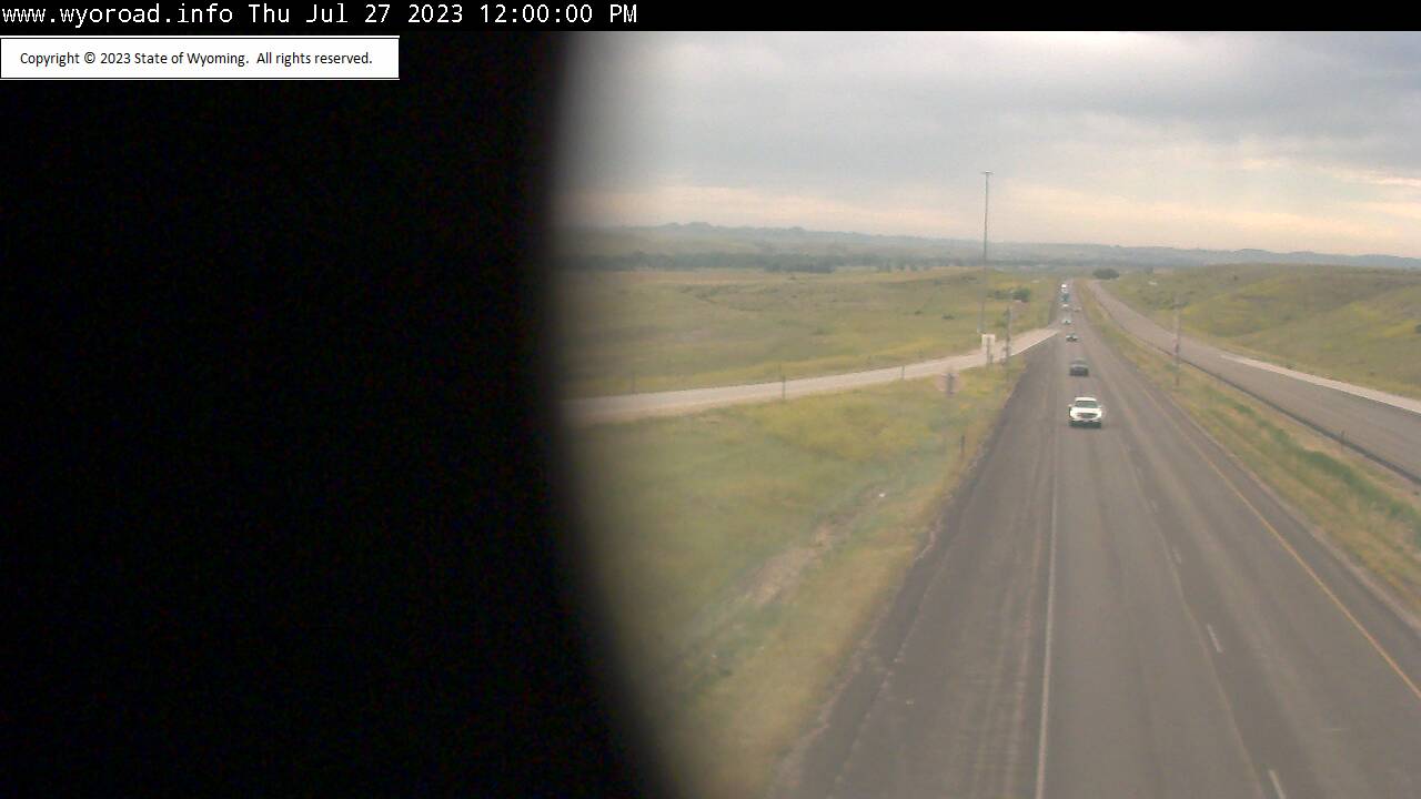
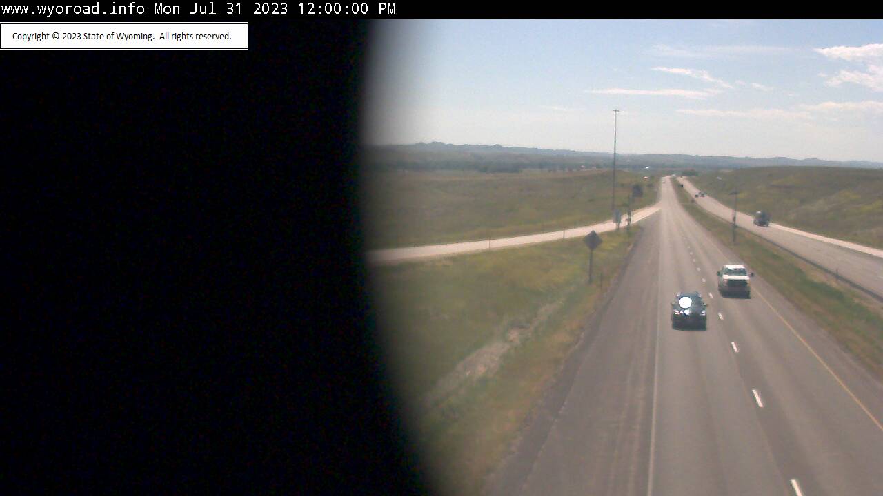
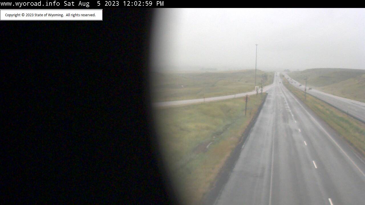
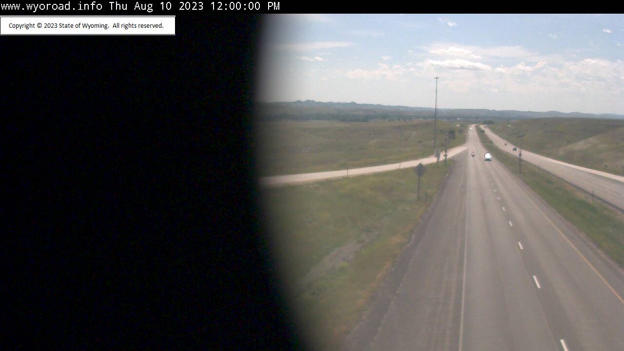
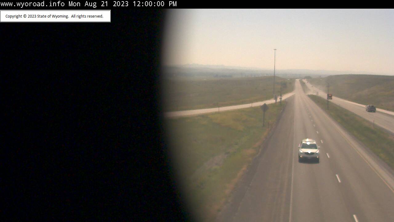
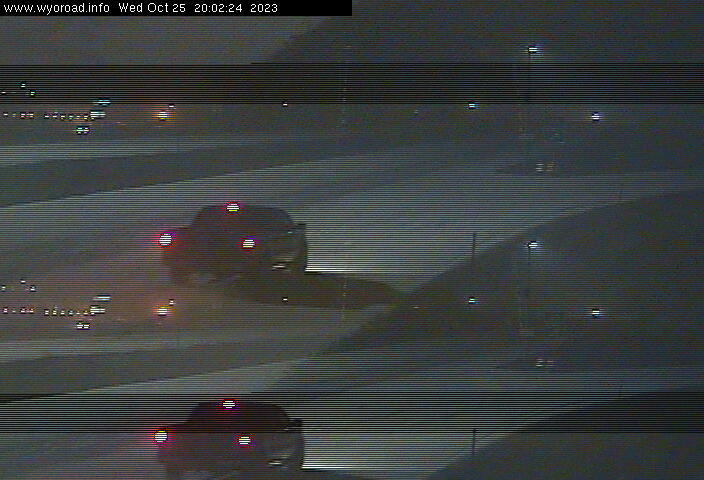
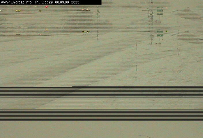
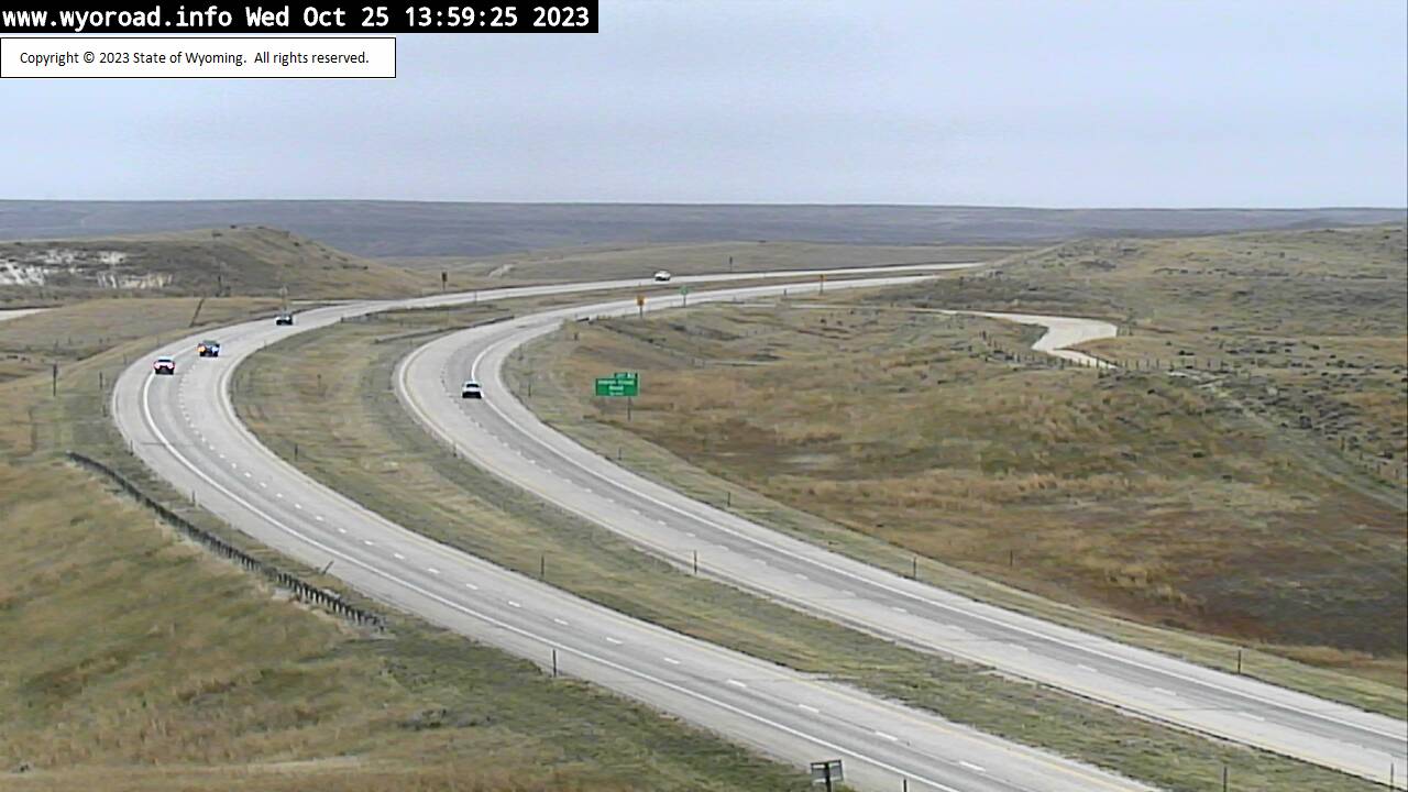
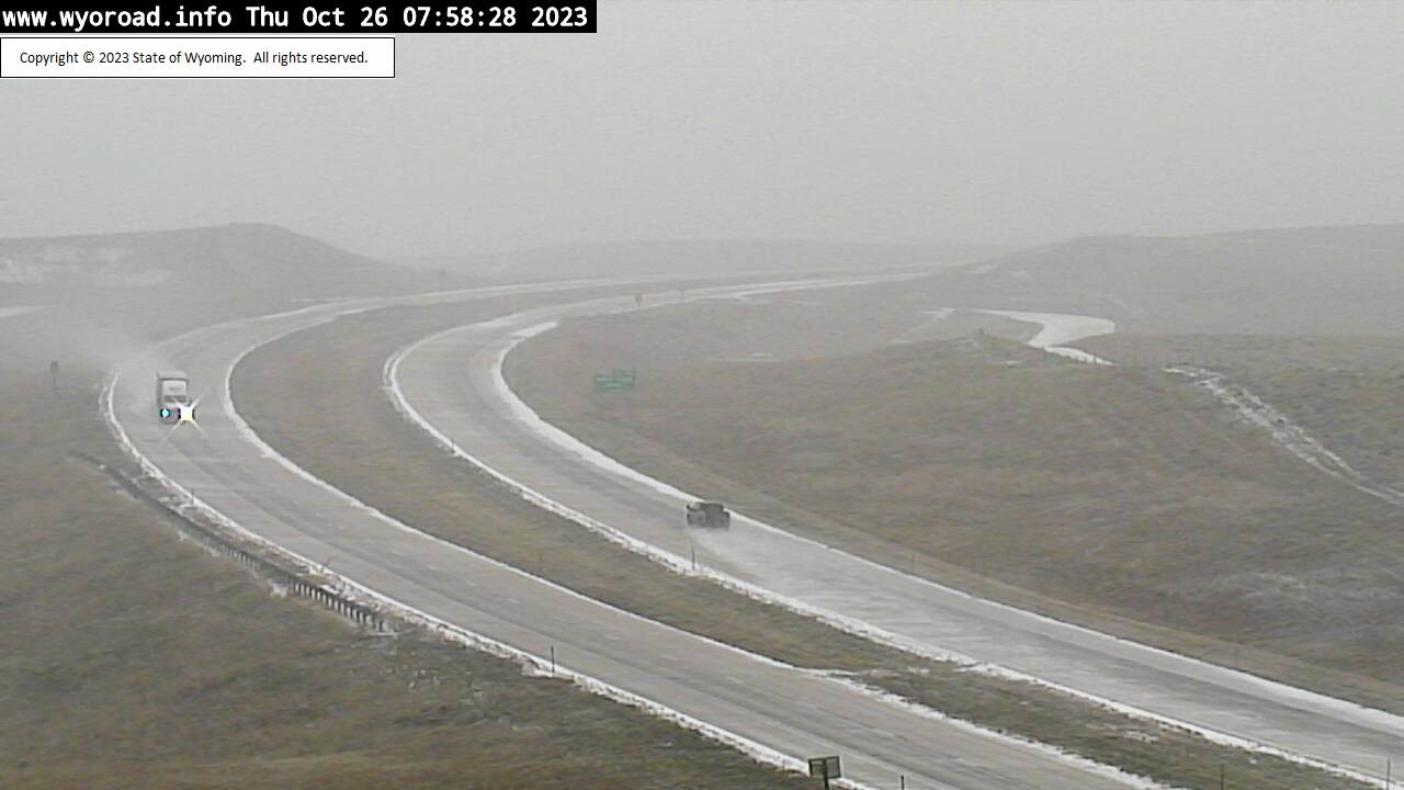
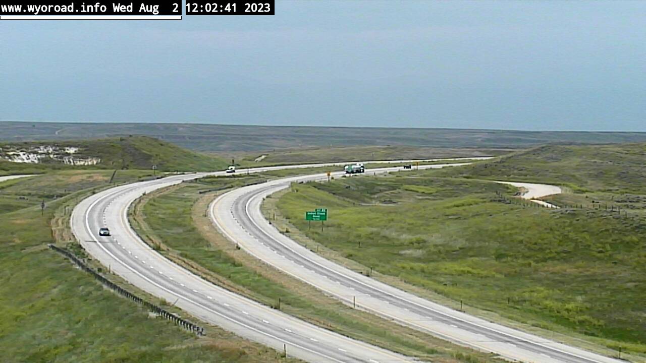
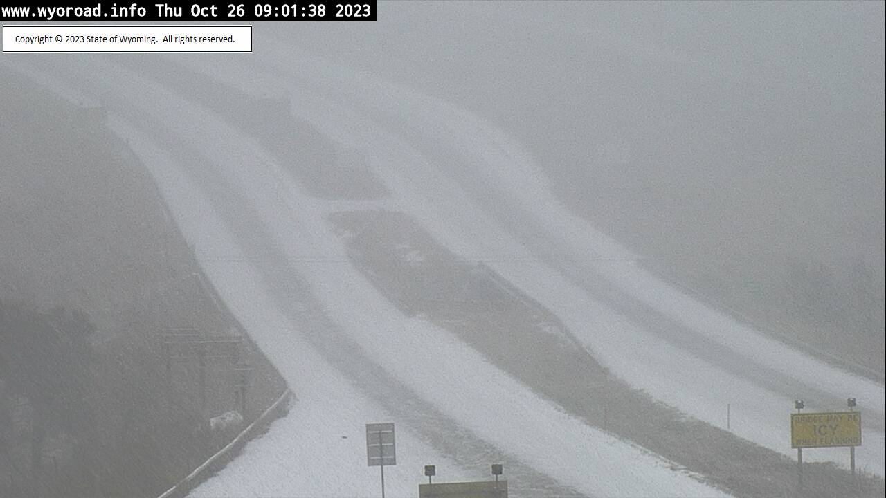
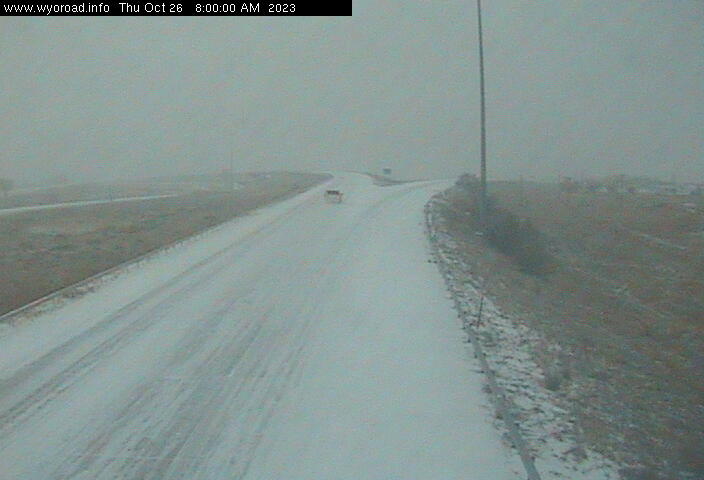
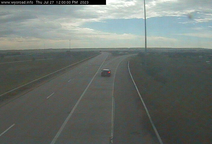
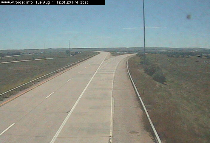
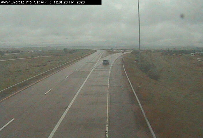
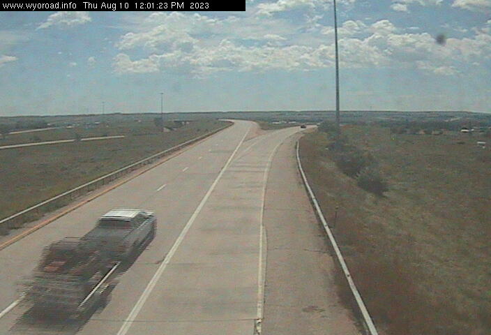
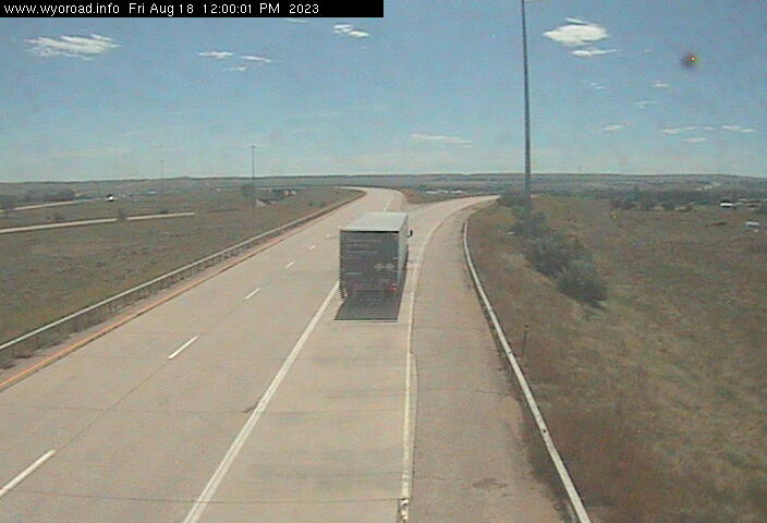
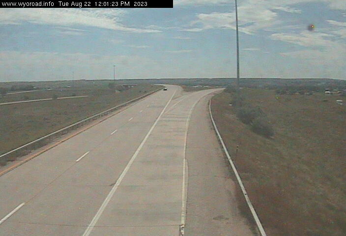
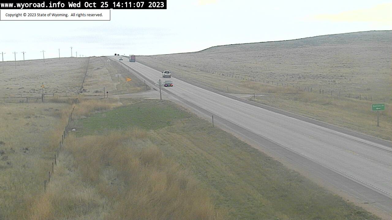
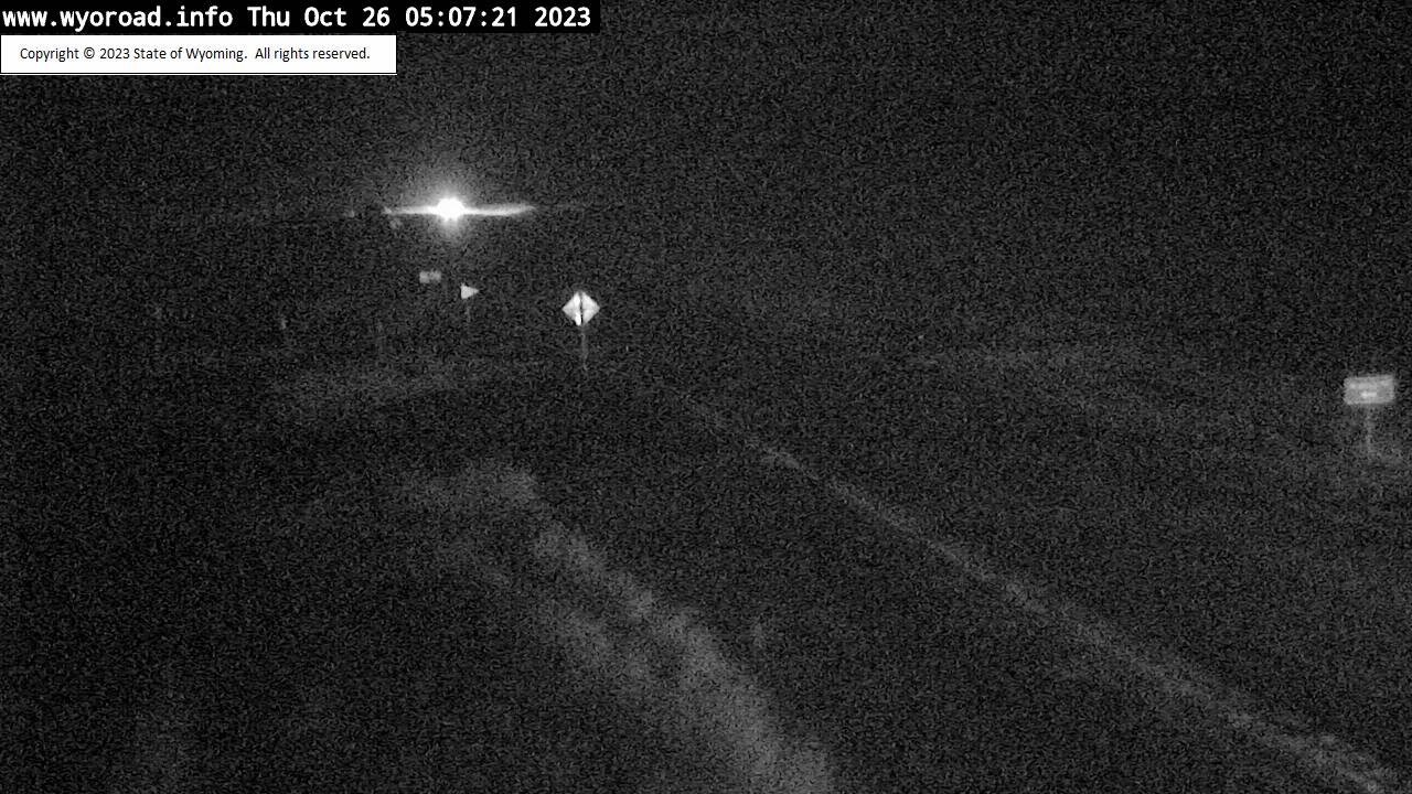
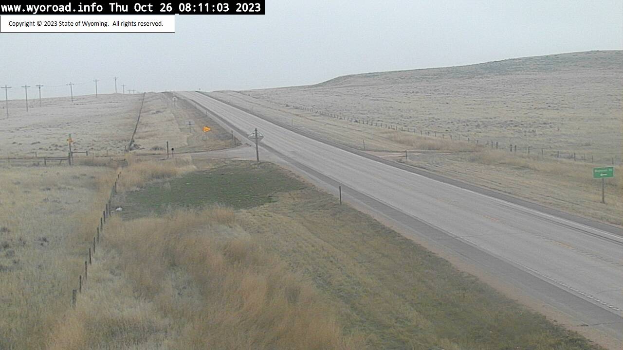
Sheridan, Wyoming, USA - 105.2 miles from Albright (historical): Dietz POE North - Traffic and Weather - A view of the current traffic and weather situation.
Operator: WYDOT Travel Information Service
Operator: WYDOT Travel Information Service


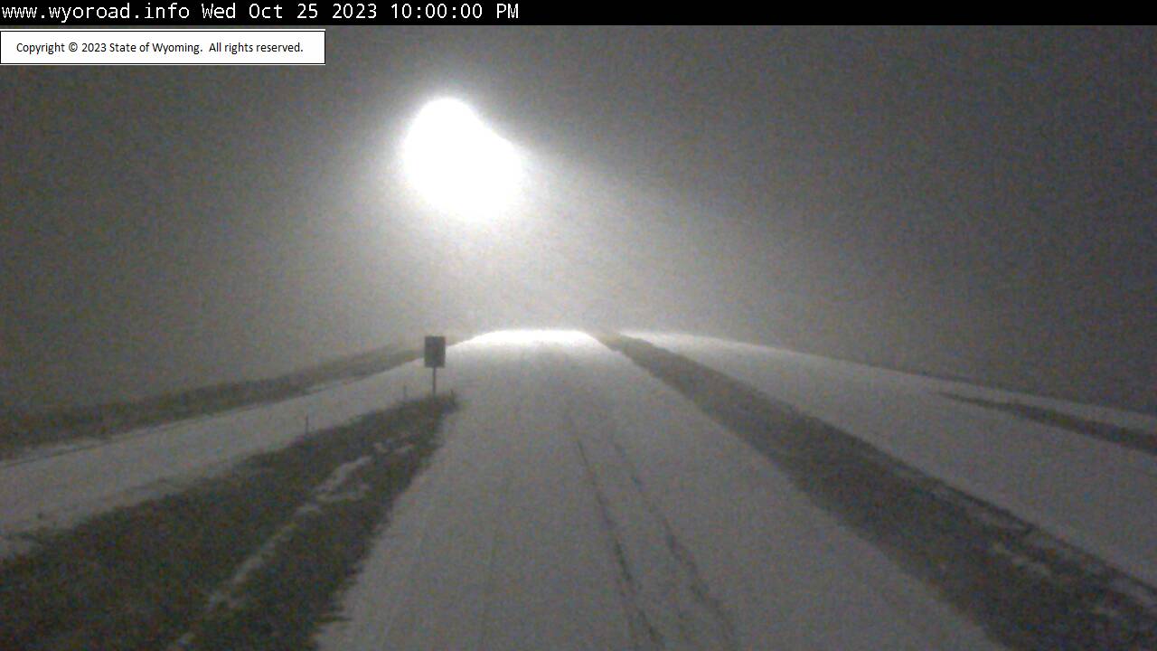

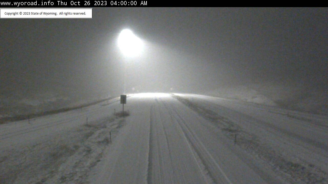

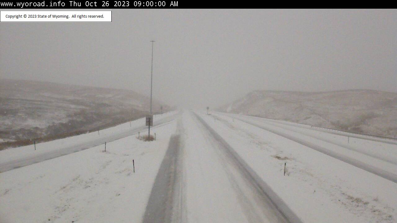


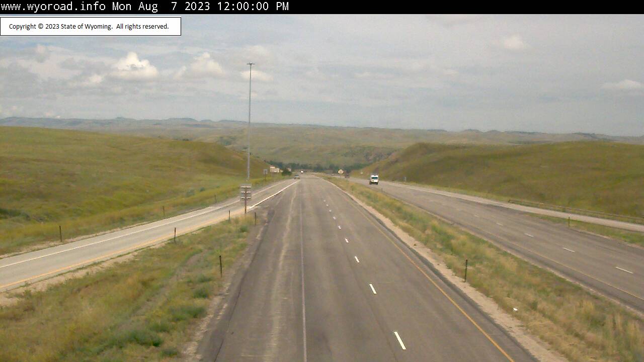
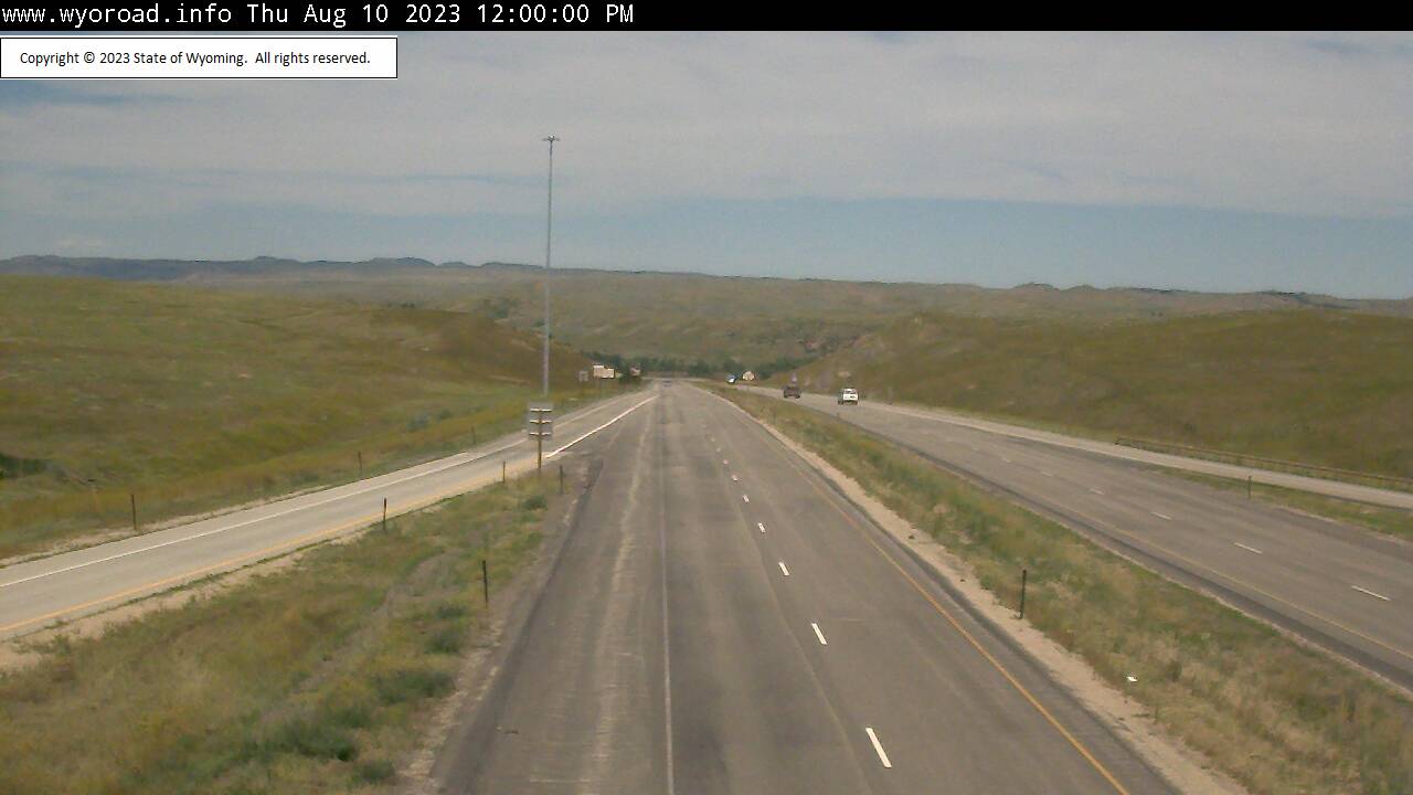
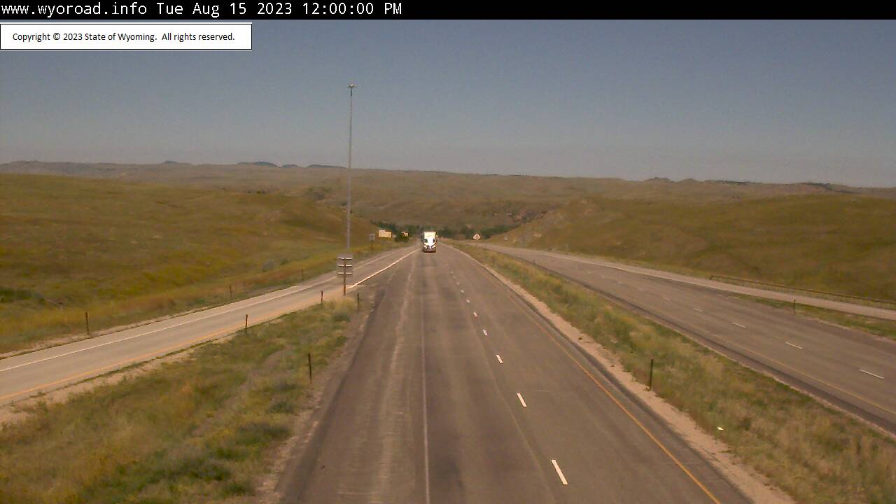
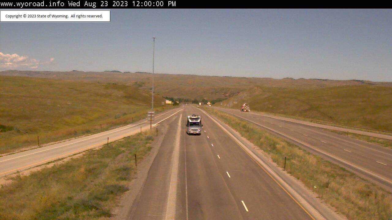

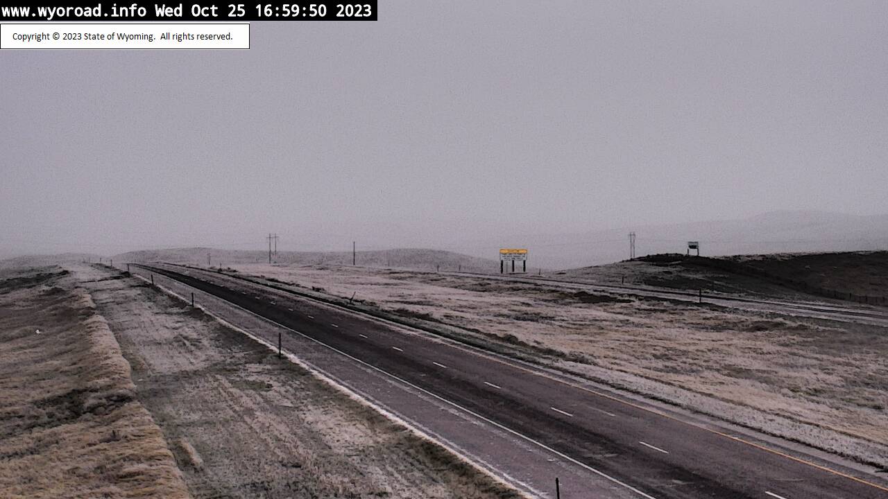
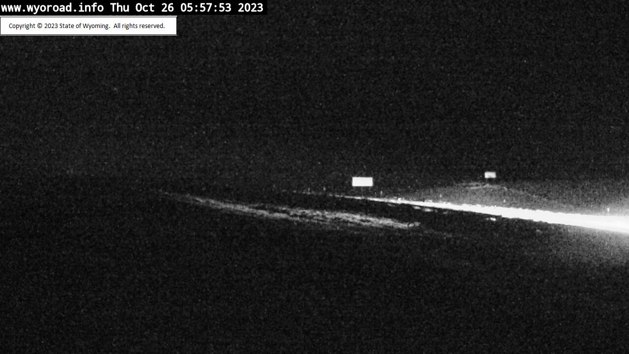
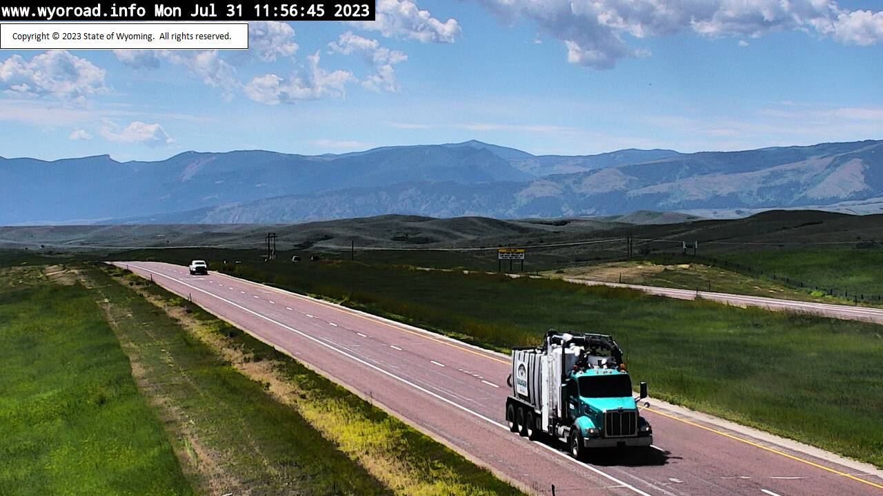
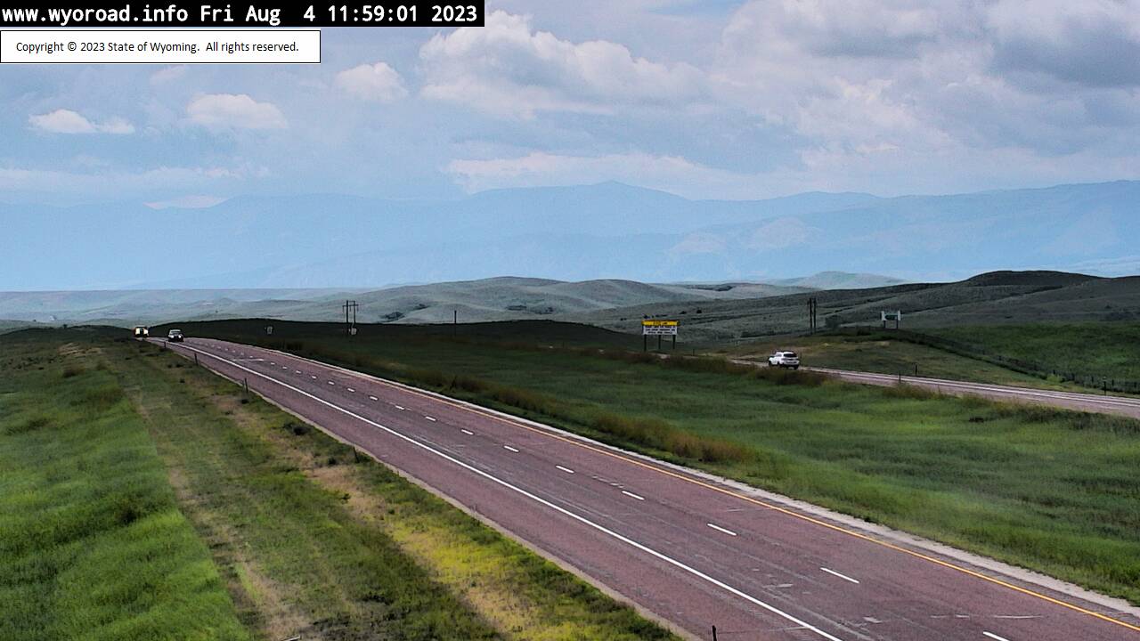
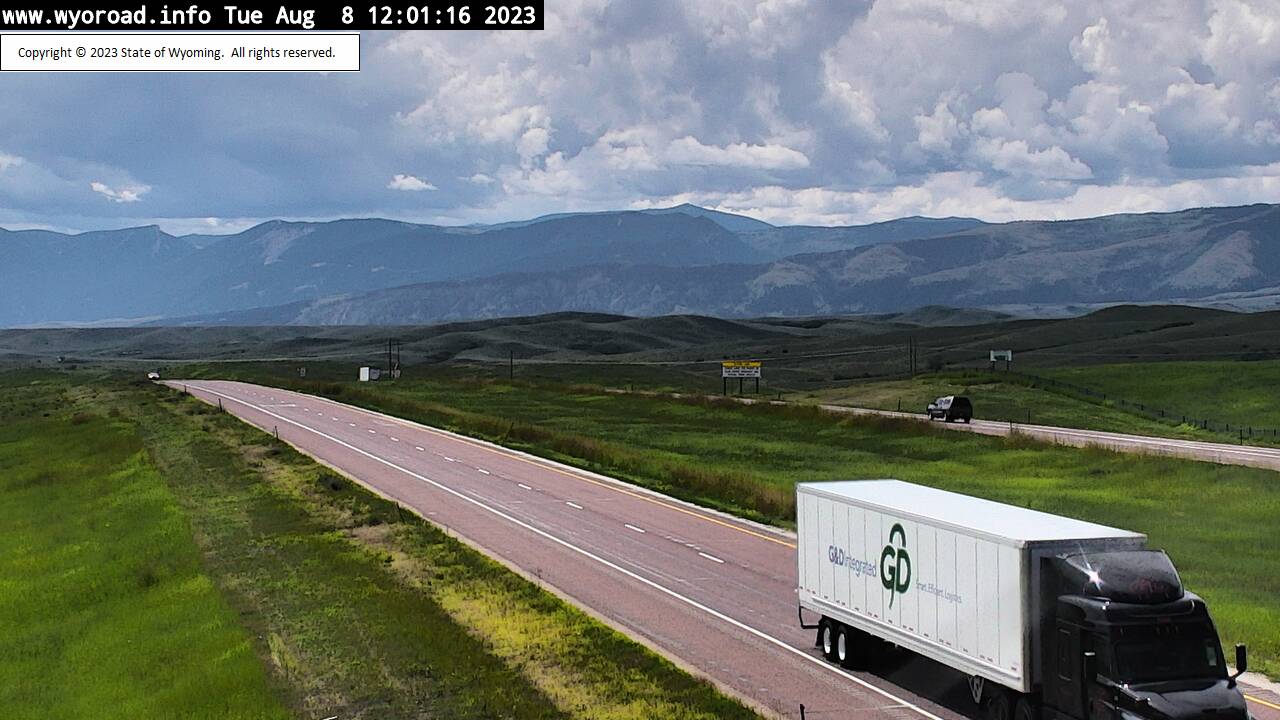
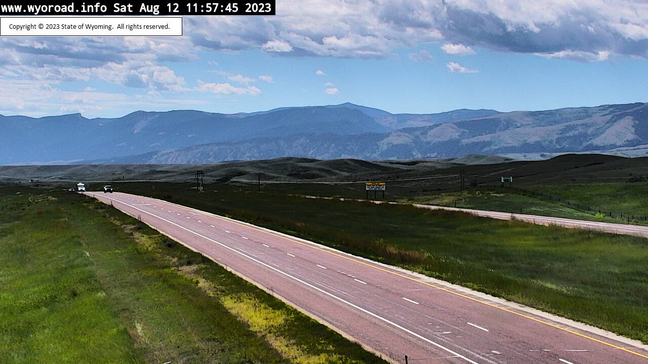
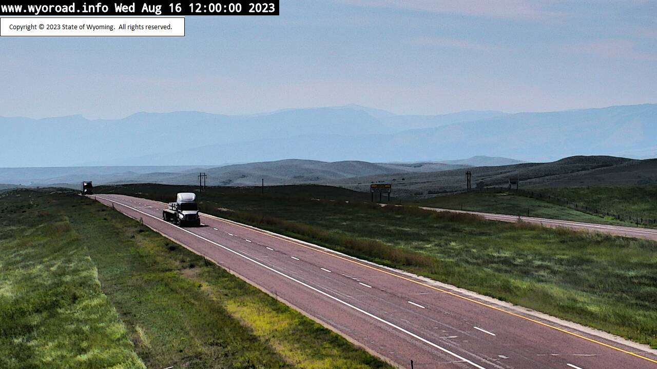
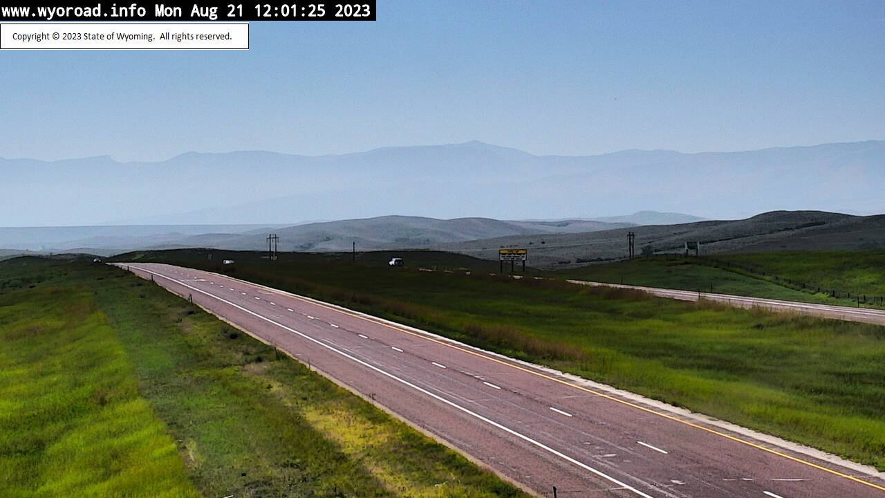
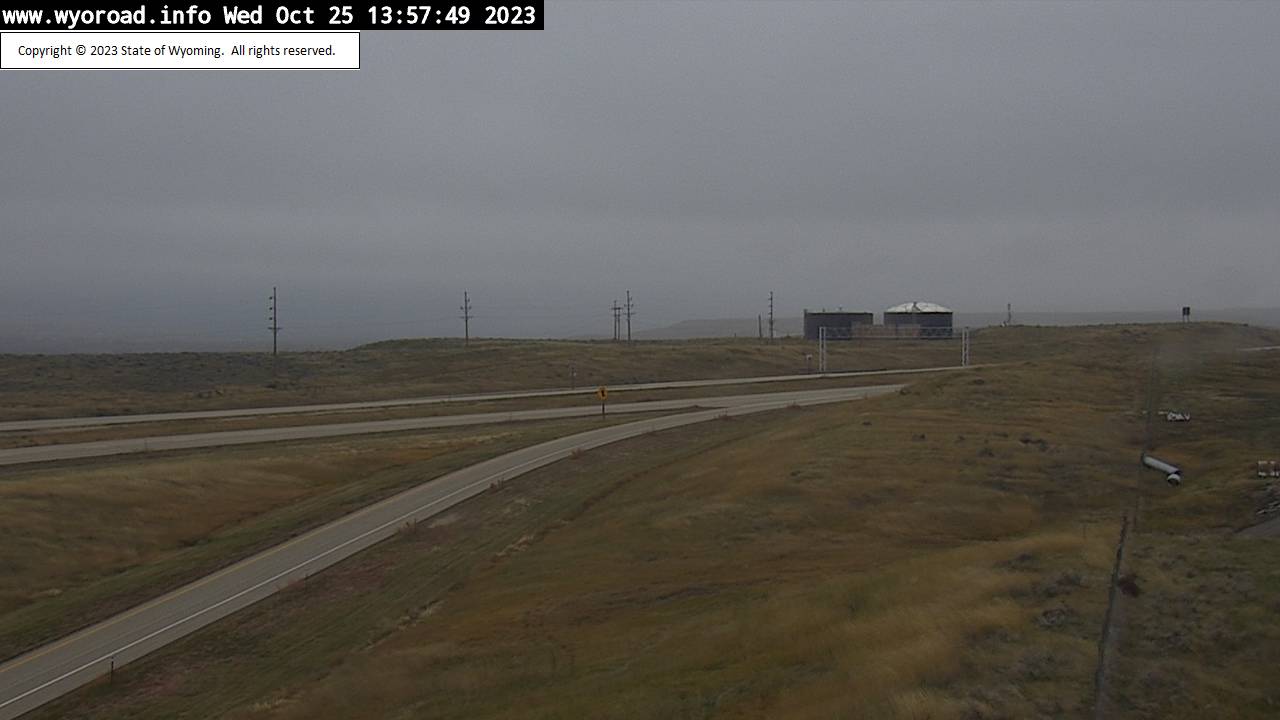
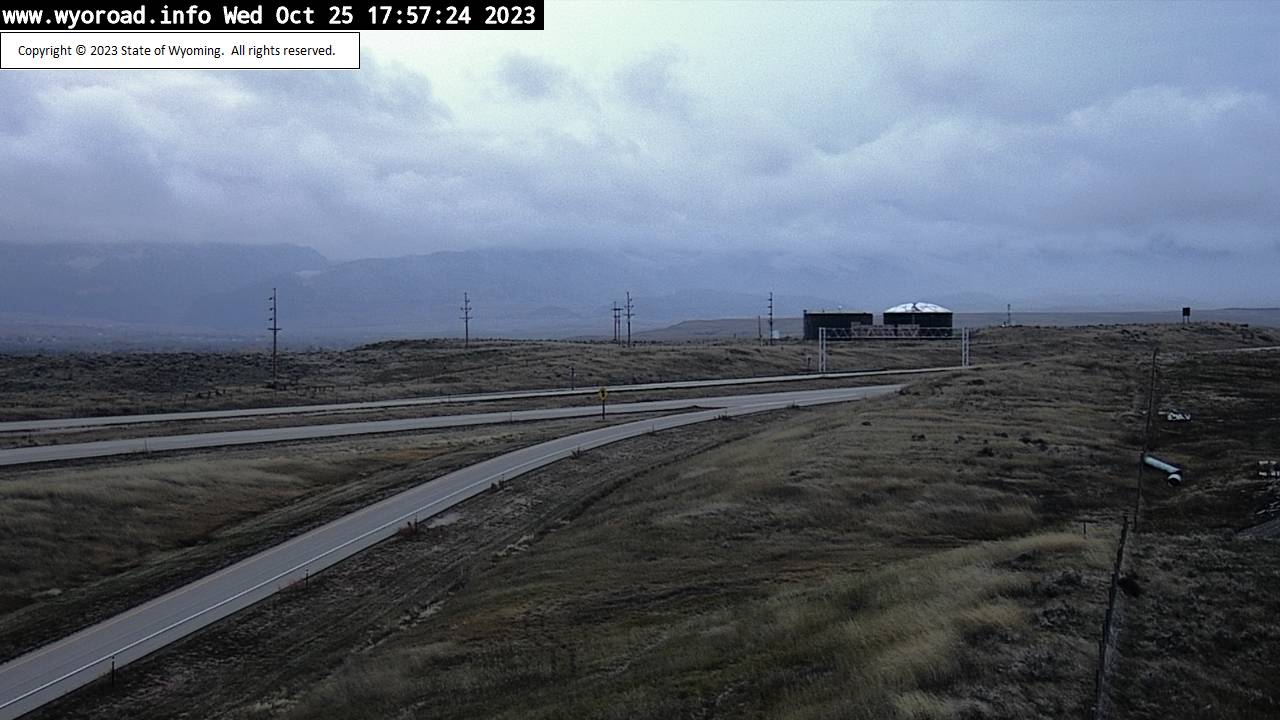
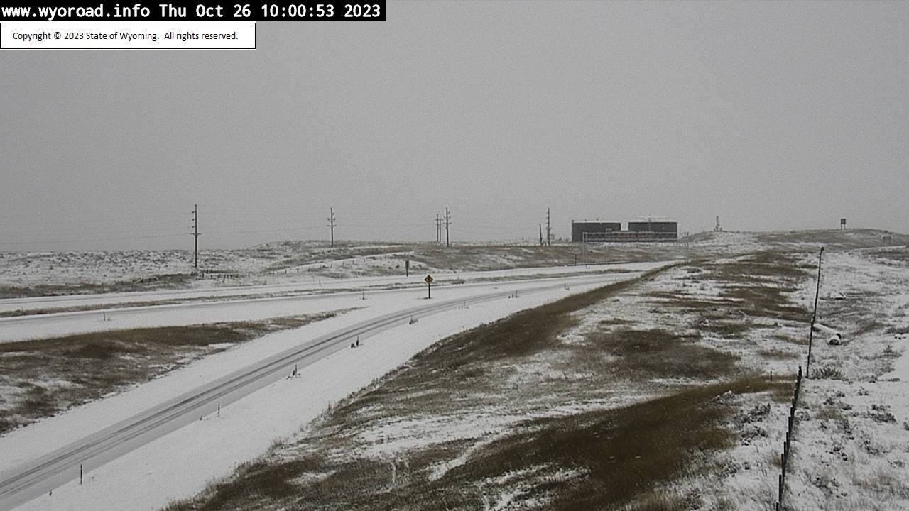
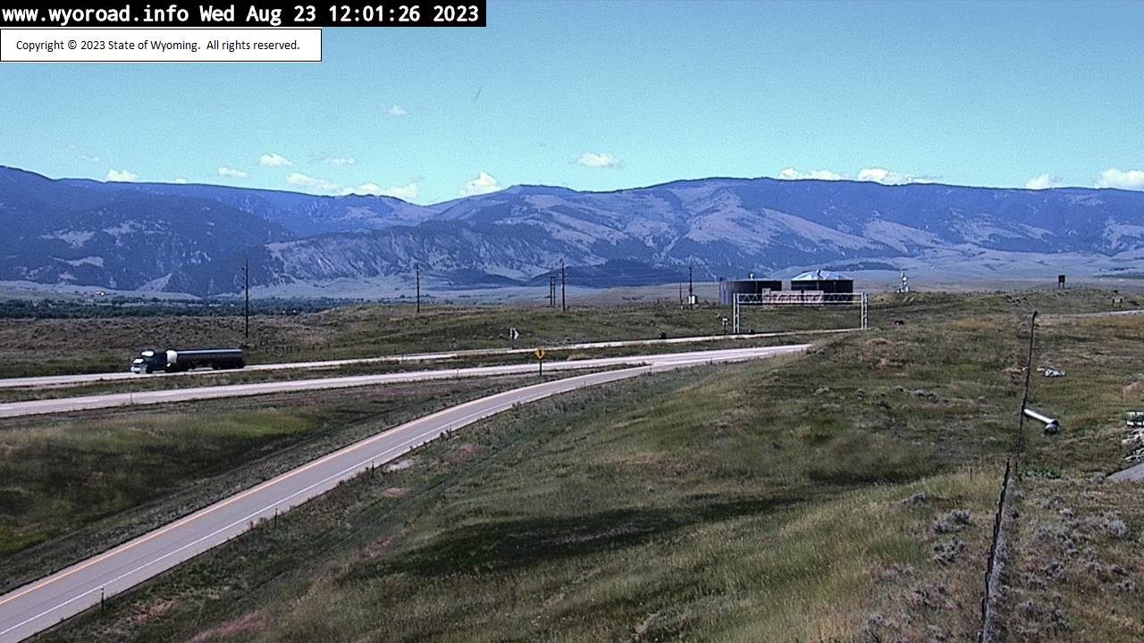
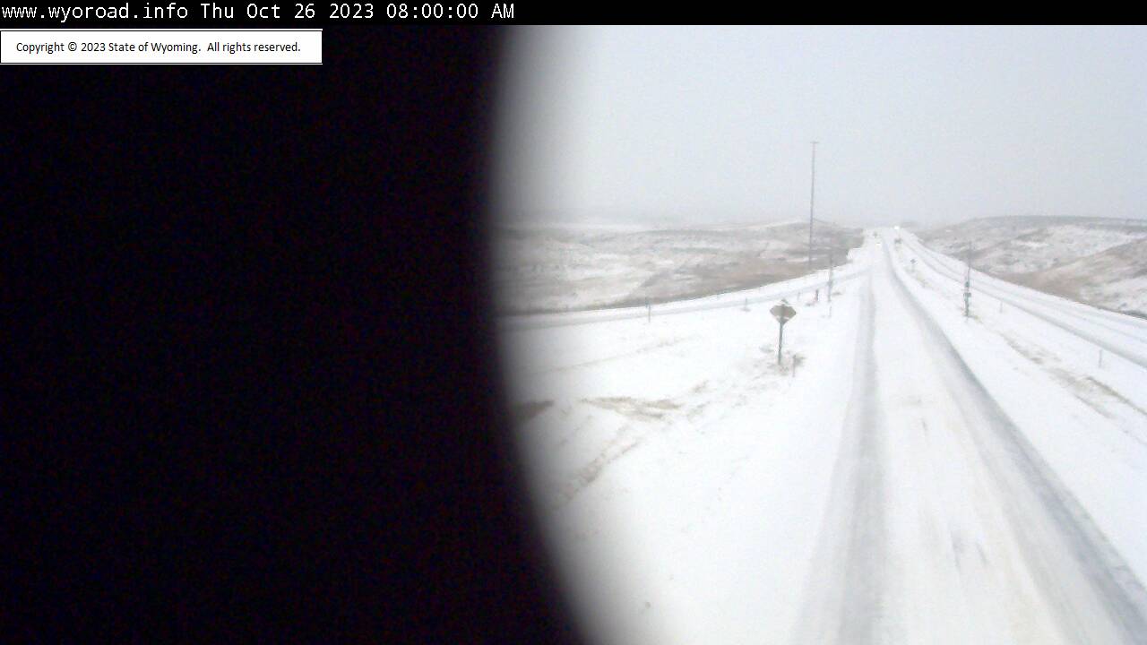
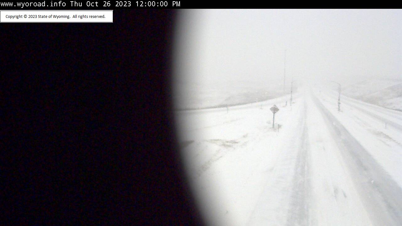
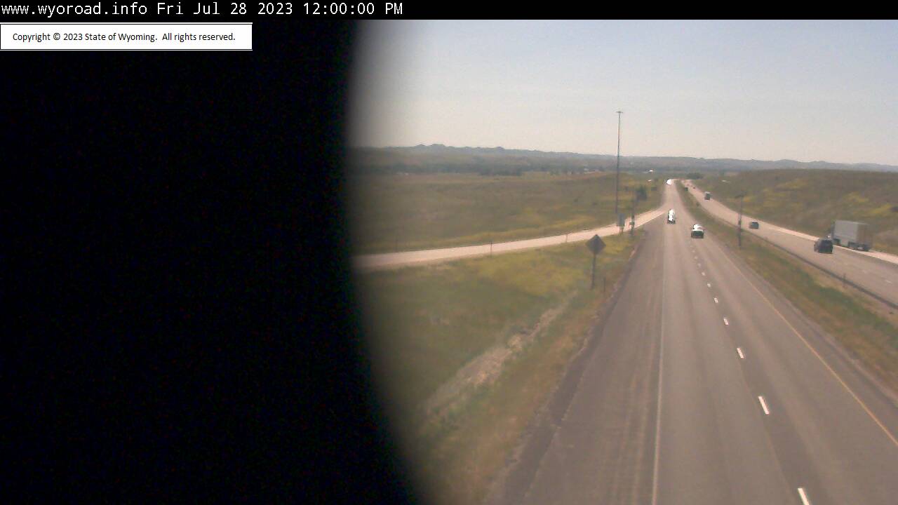
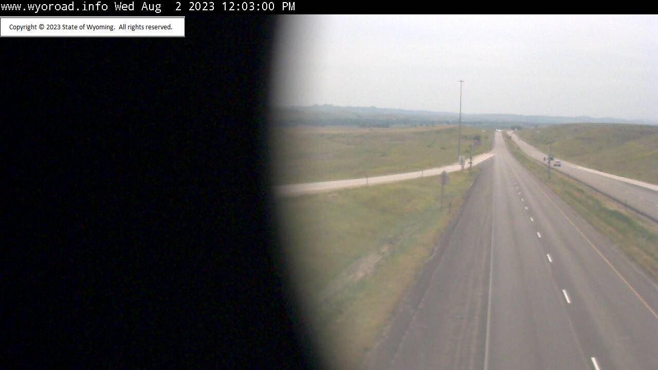
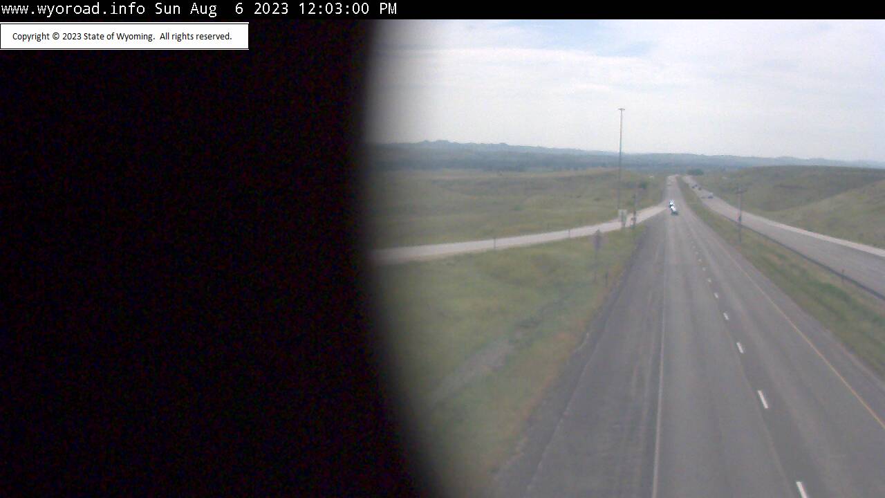
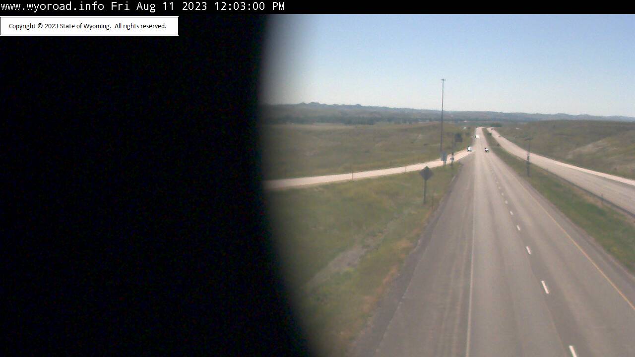
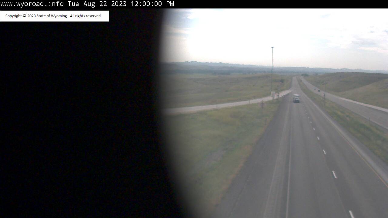
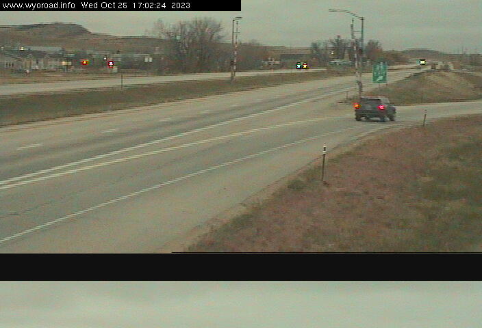
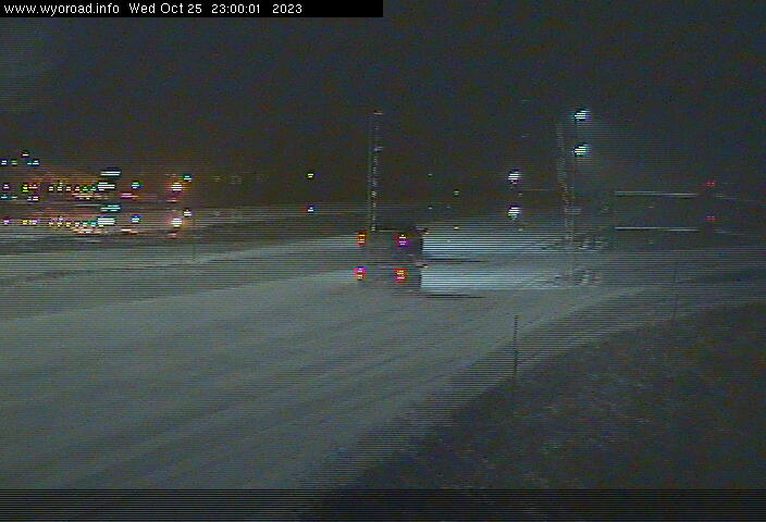
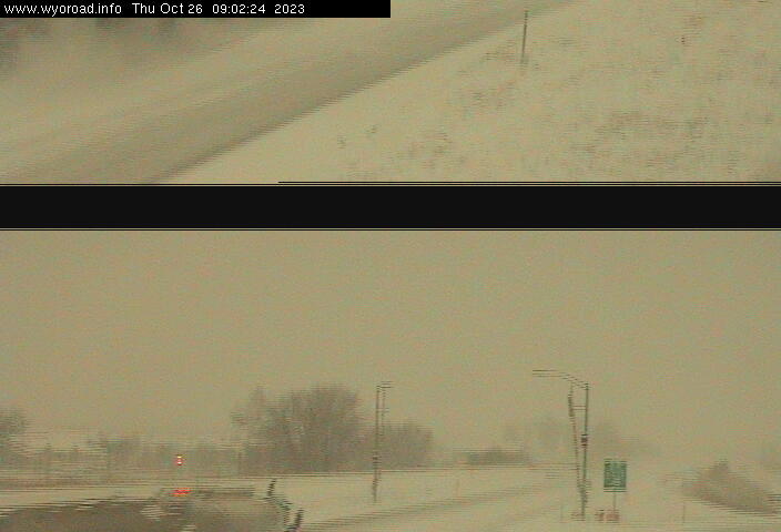
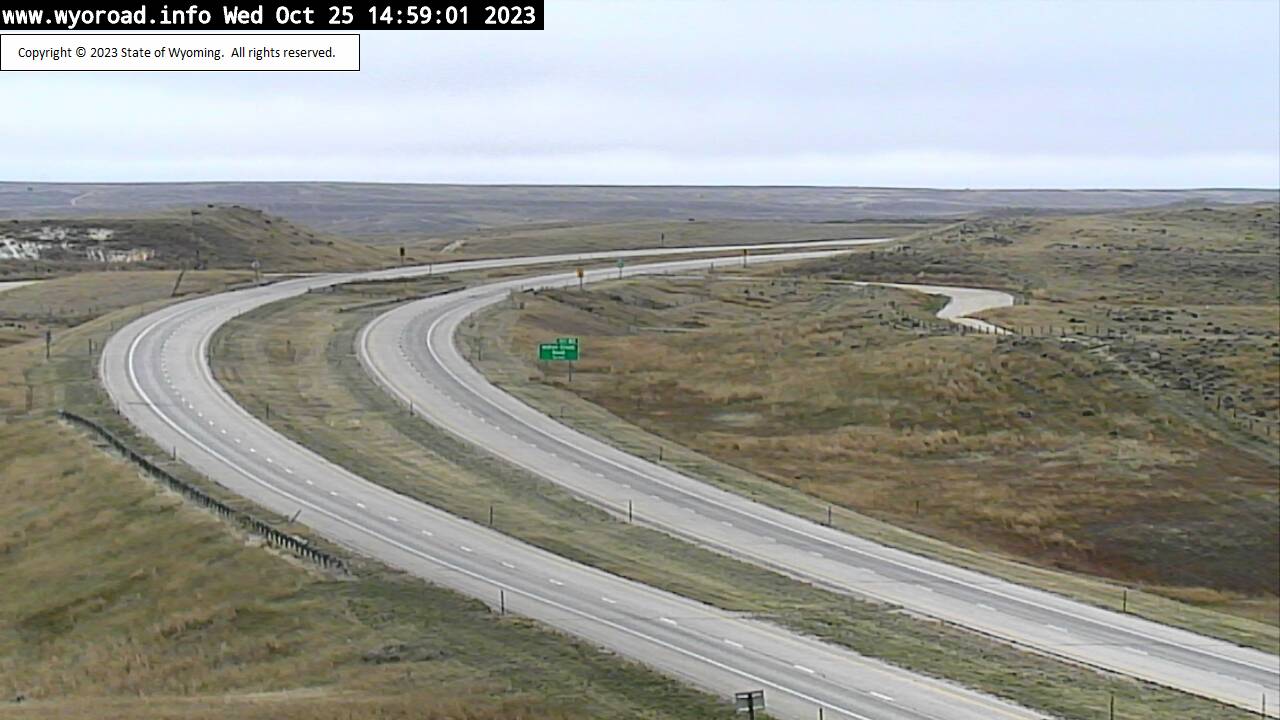
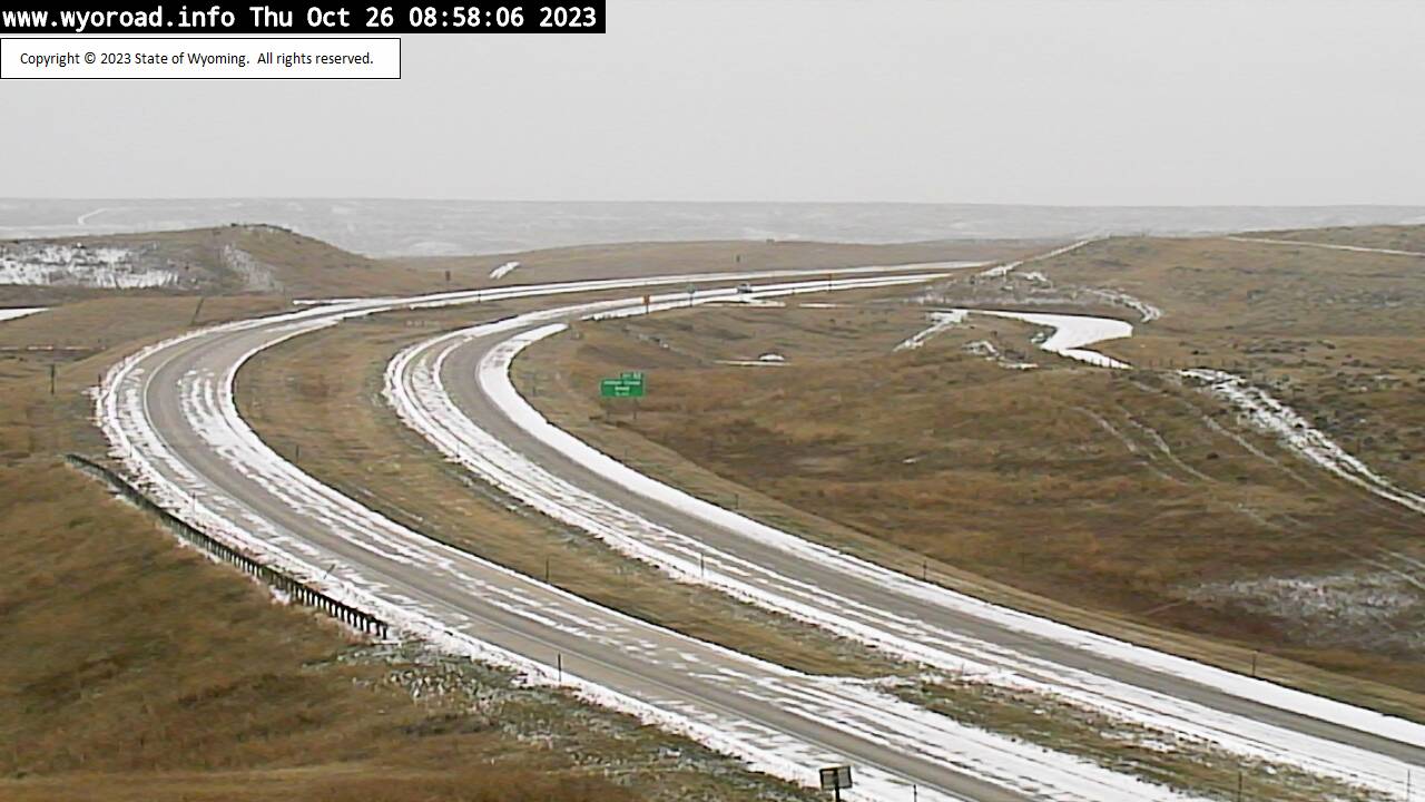
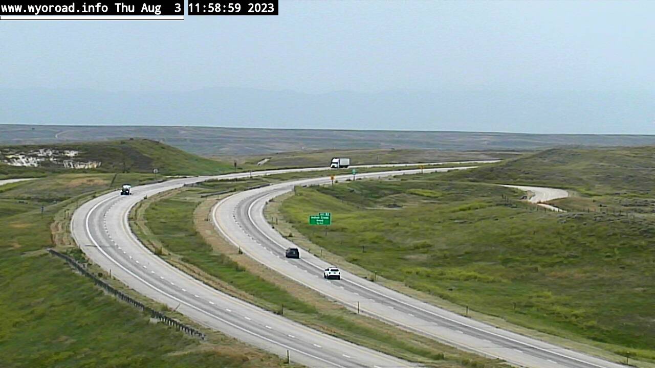
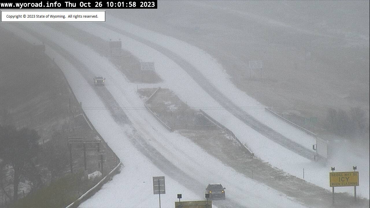
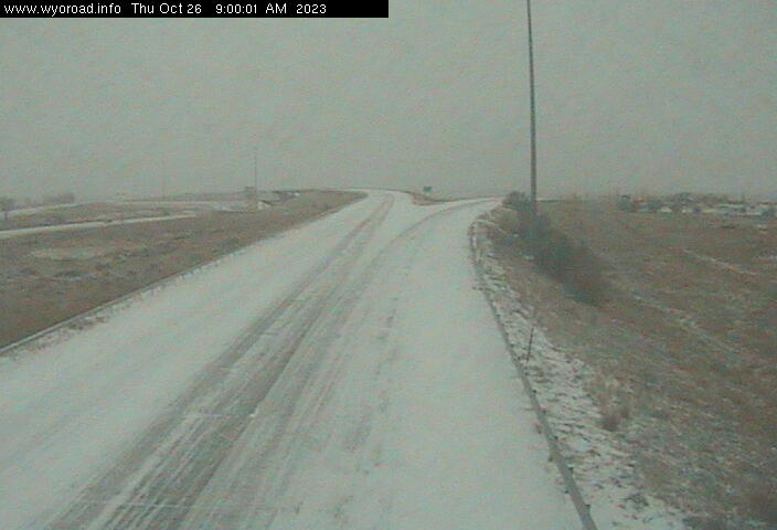
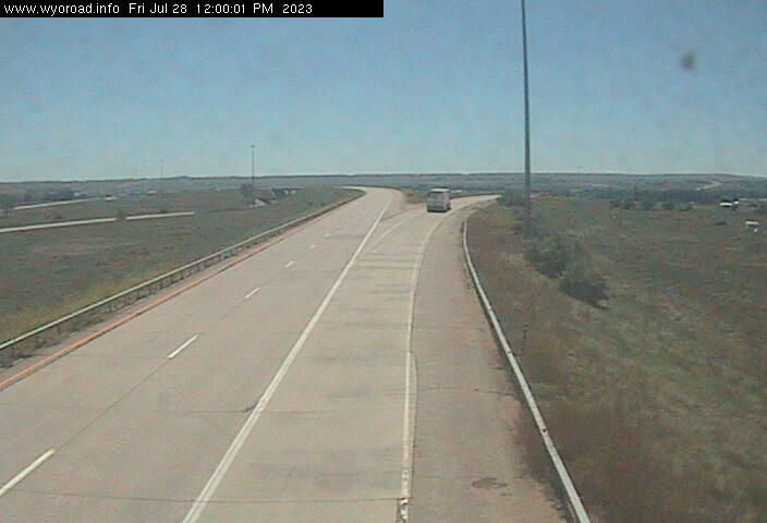
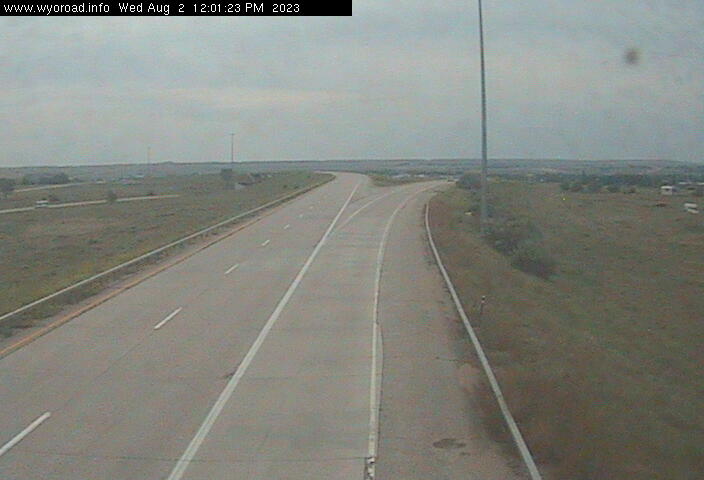
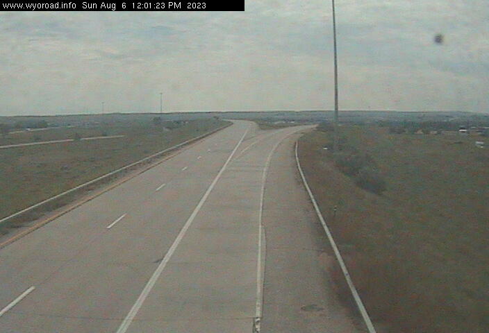
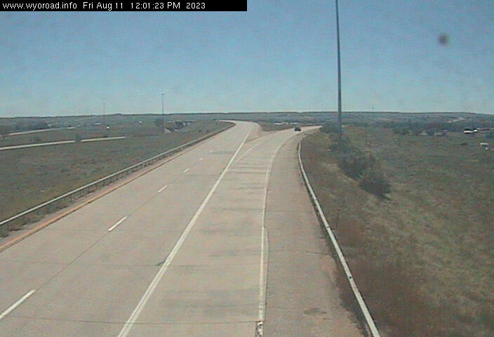
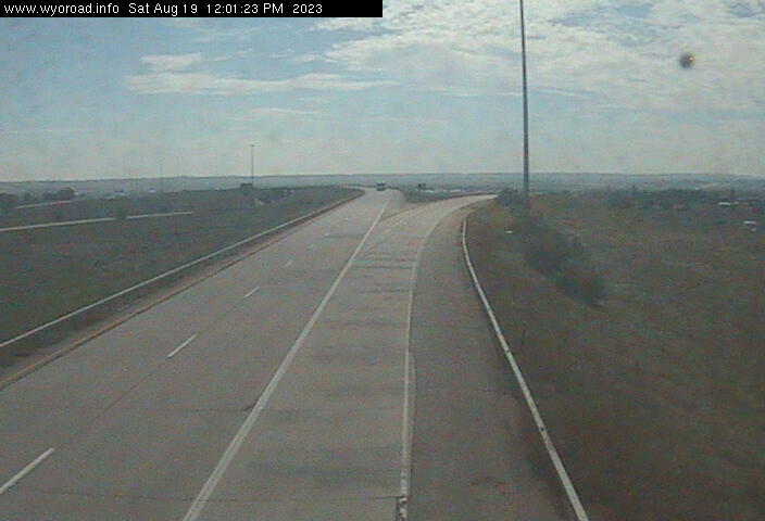
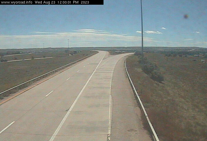
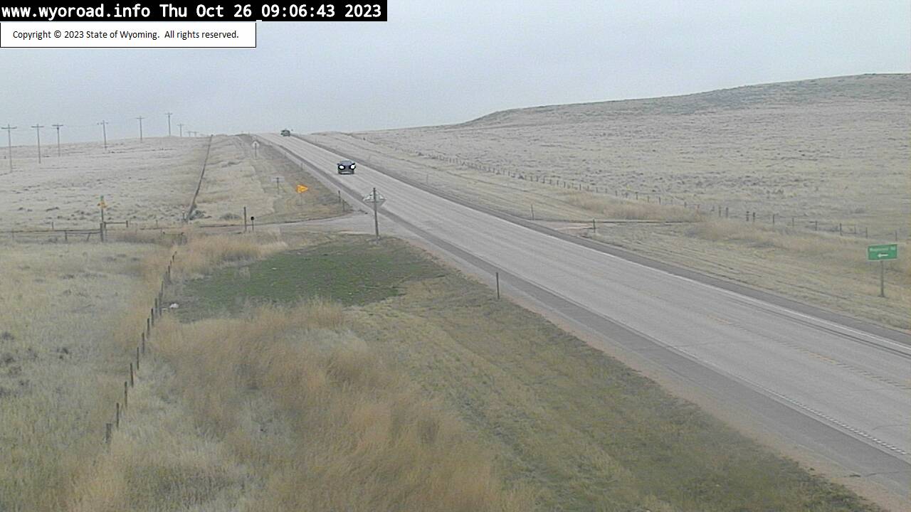
Sheridan, Wyoming, USA - 105.2 miles from Albright (historical): Dietz POE South - Traffic and Weather - A view of the current traffic and weather situation.
Operator: WYDOT Travel Information Service
Operator: WYDOT Travel Information Service


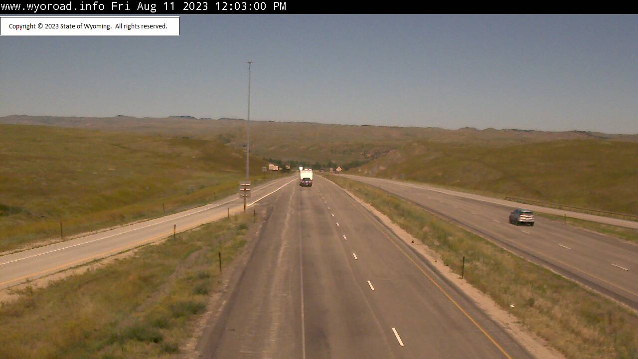
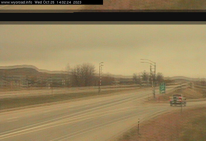
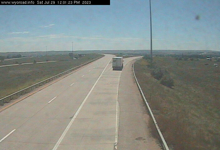
Sheridan, Wyoming, USA - 105.2 miles from Albright (historical): Sheridan - Traffic and Weather - A view of the current traffic and weather situation.
Operator: WYDOT Travel Information Service
Operator: WYDOT Travel Information Service


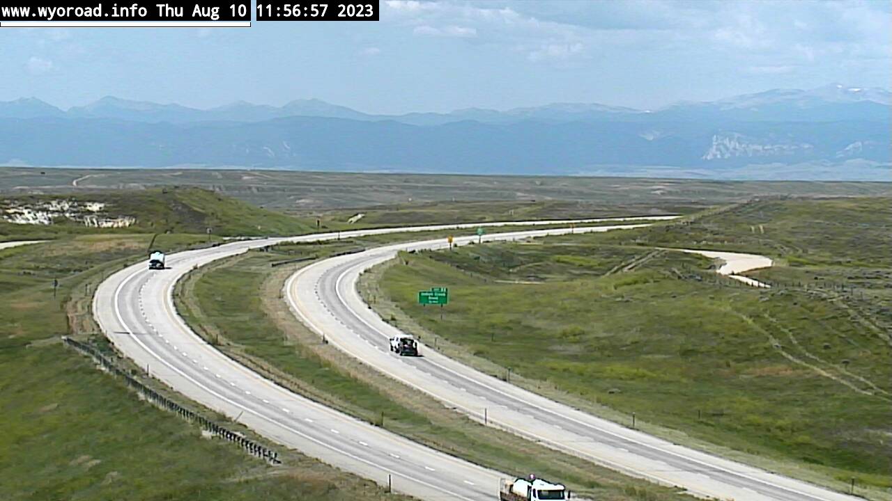
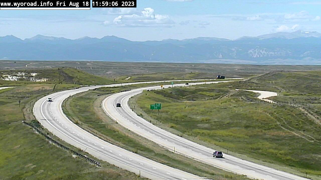
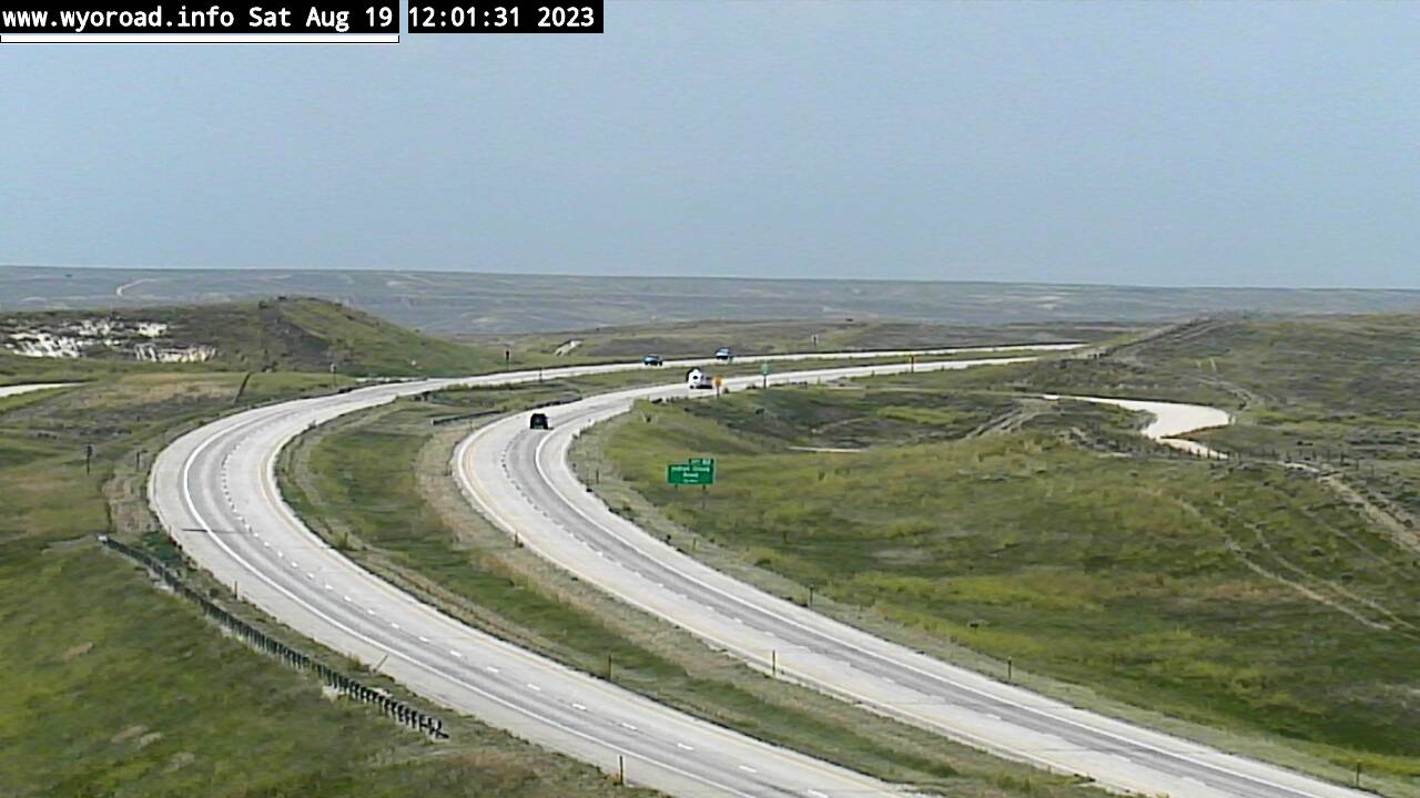
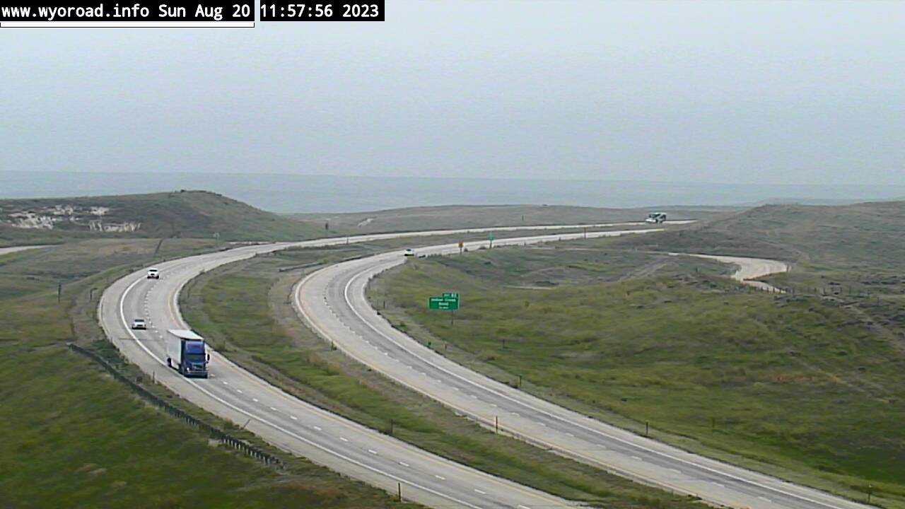
Arvada, Wyoming, USA - 113.9 miles from Albright (historical): Indian Creek Rd - Traffic and Weather - A view of the current traffic and weather situation.
Operator: WYDOT Travel Information Service
Operator: WYDOT Travel Information Service


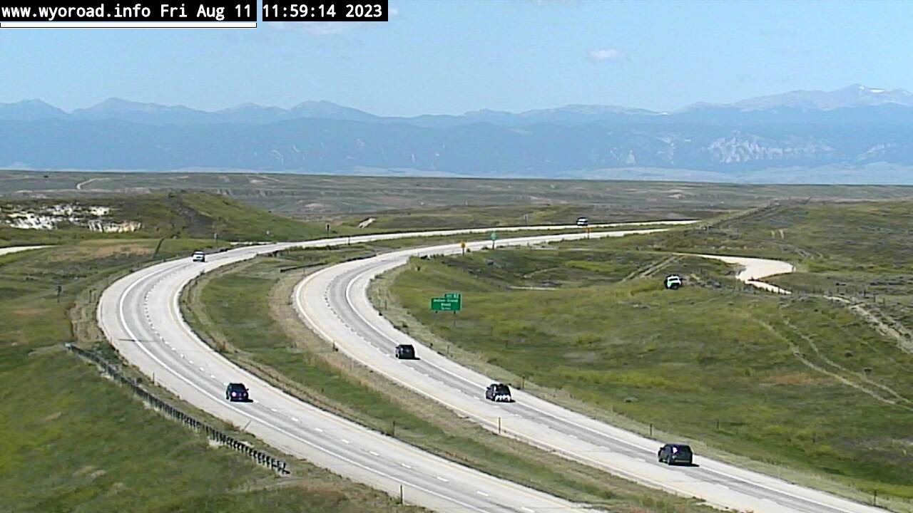


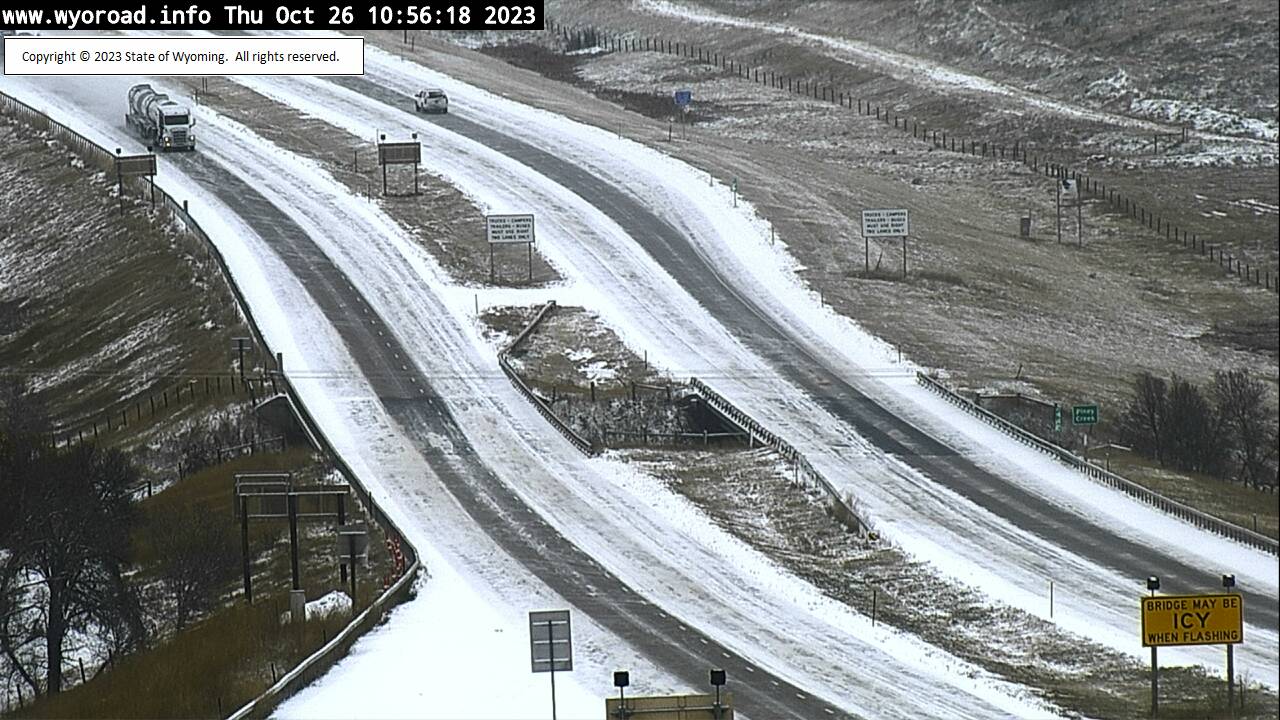
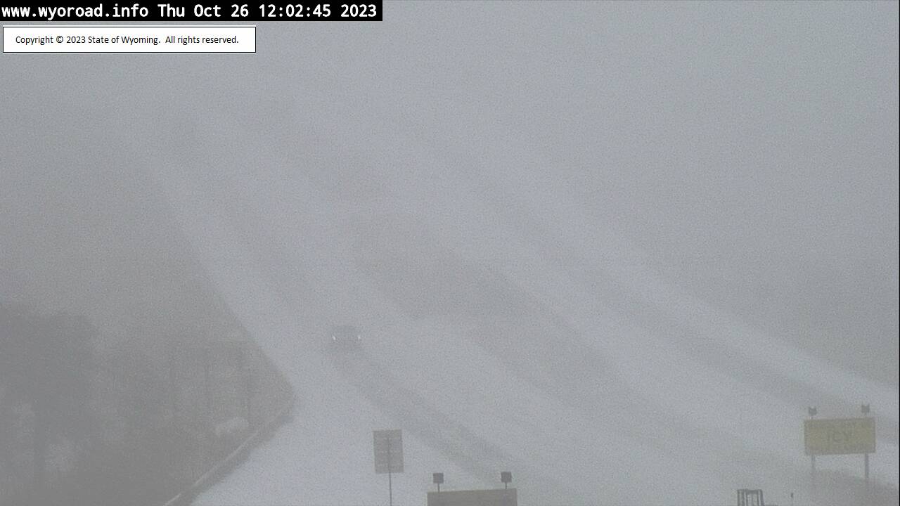
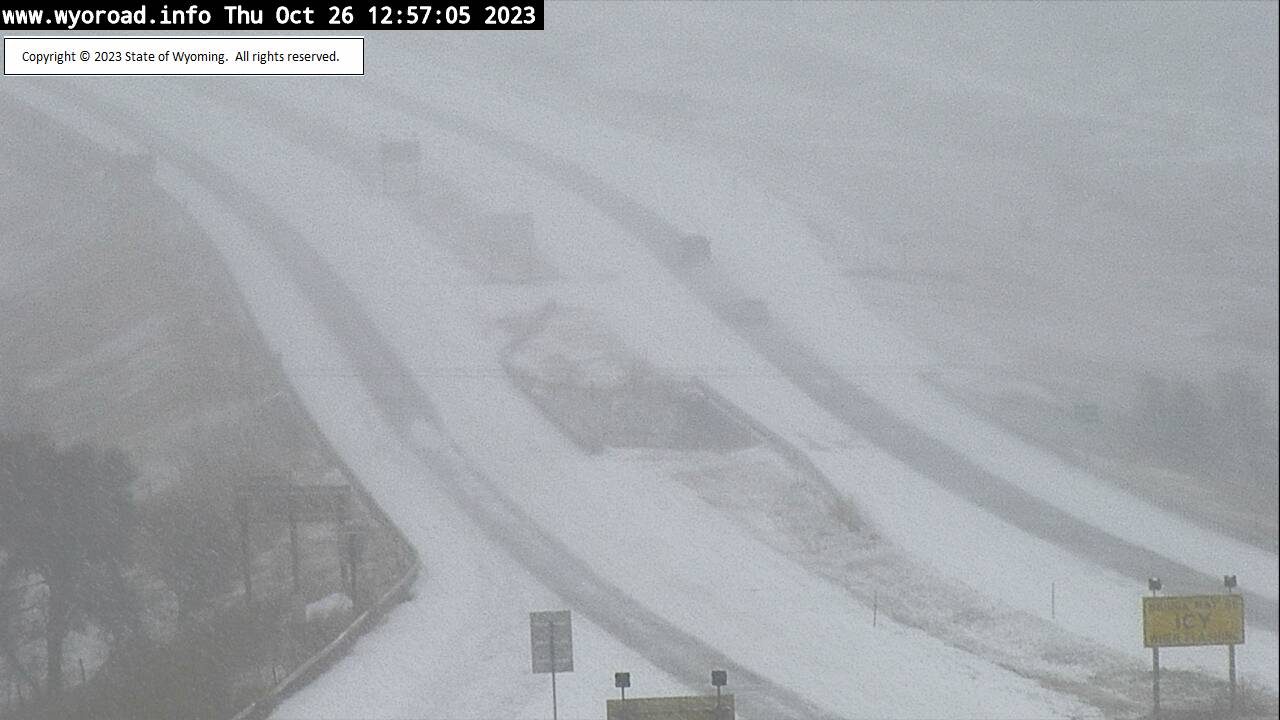
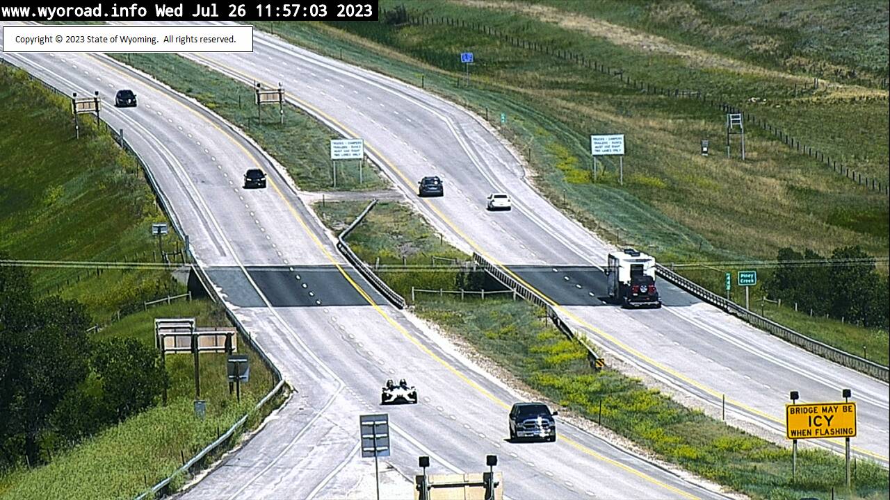
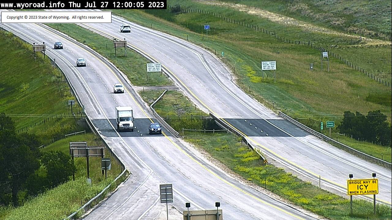
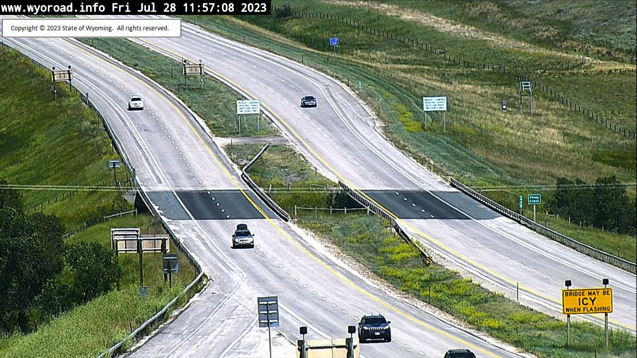
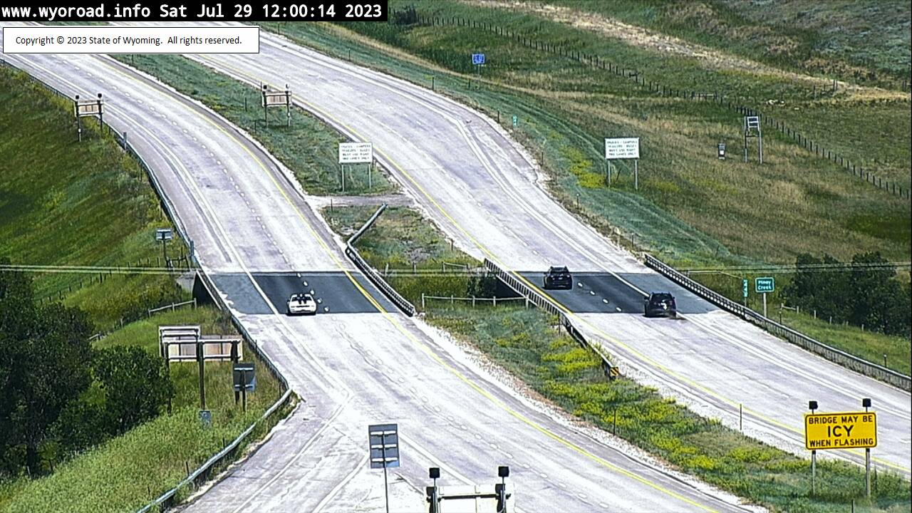
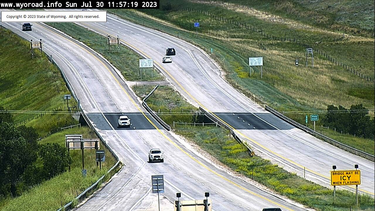
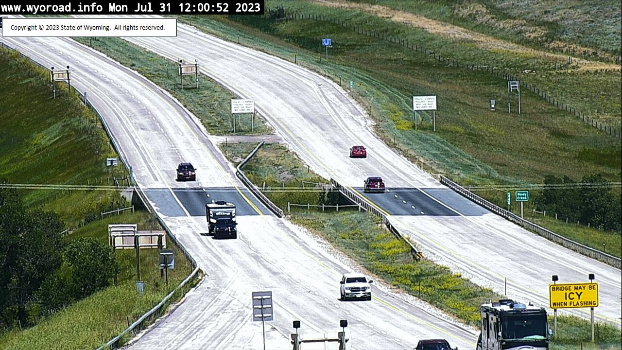
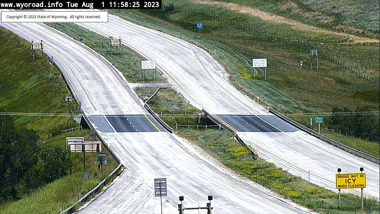
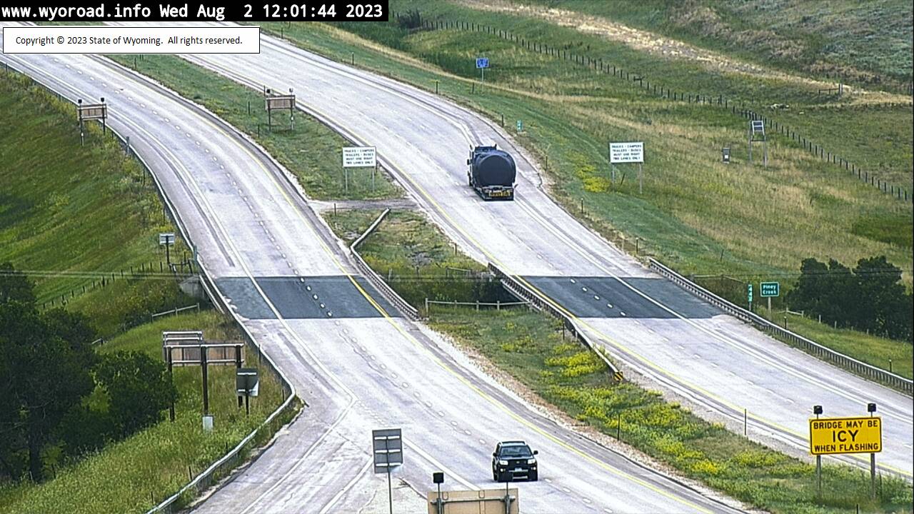
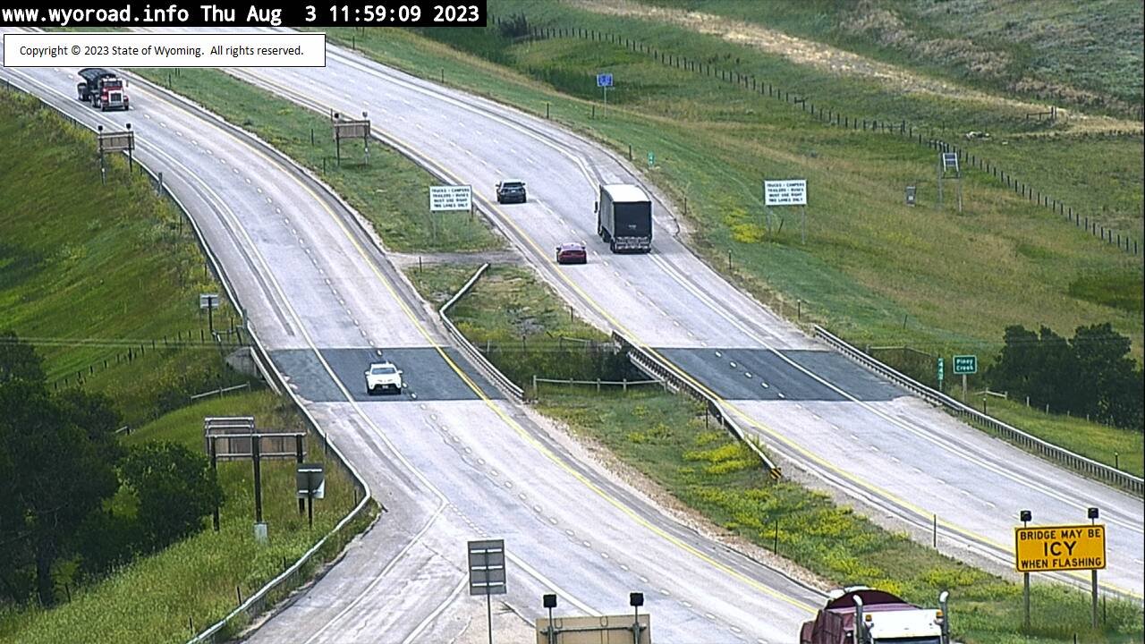
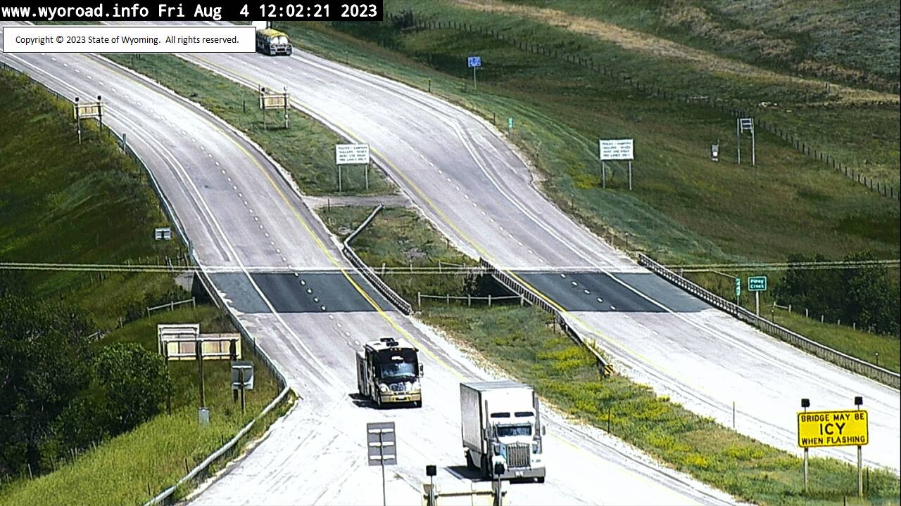
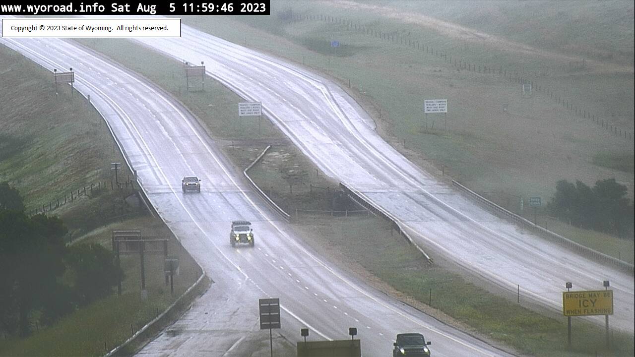
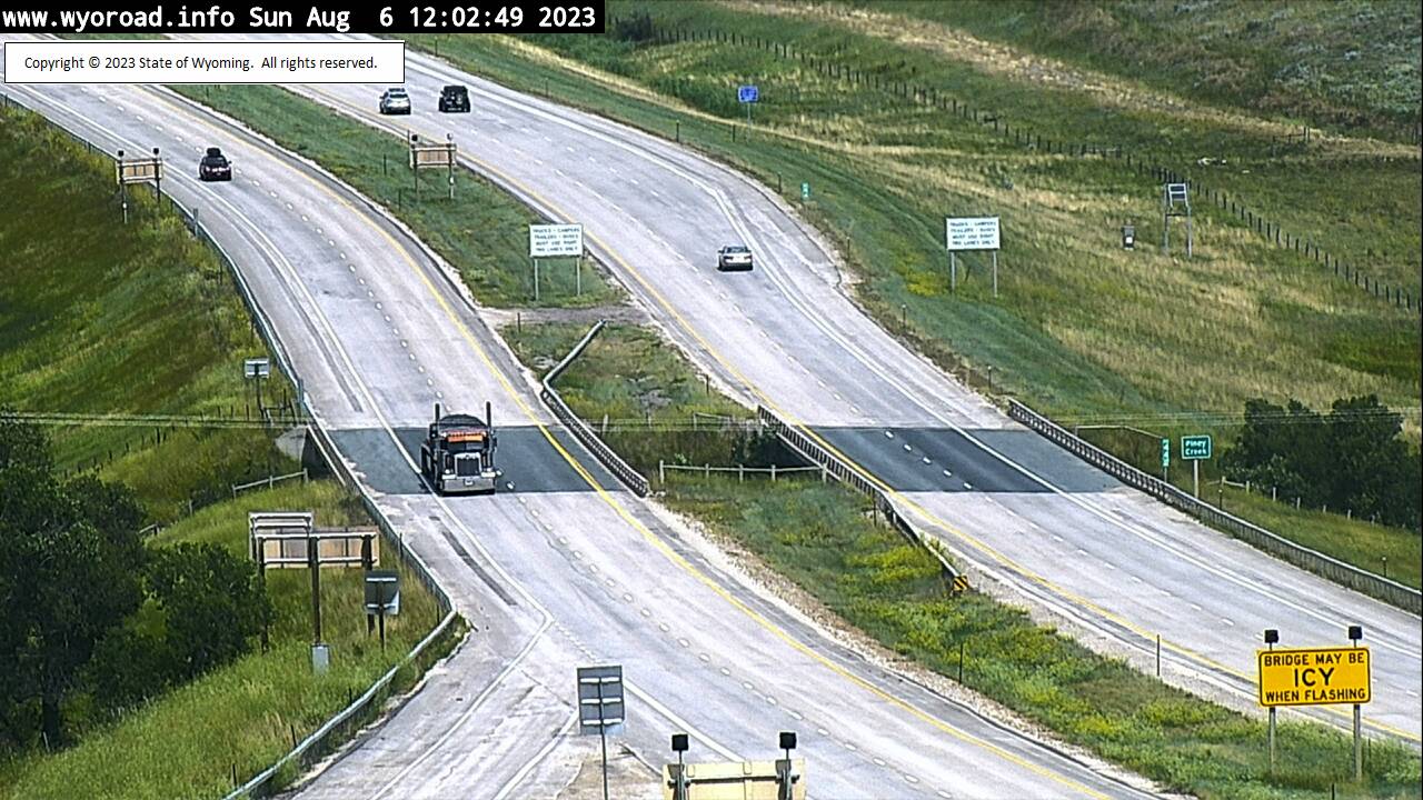
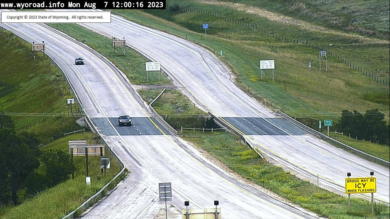
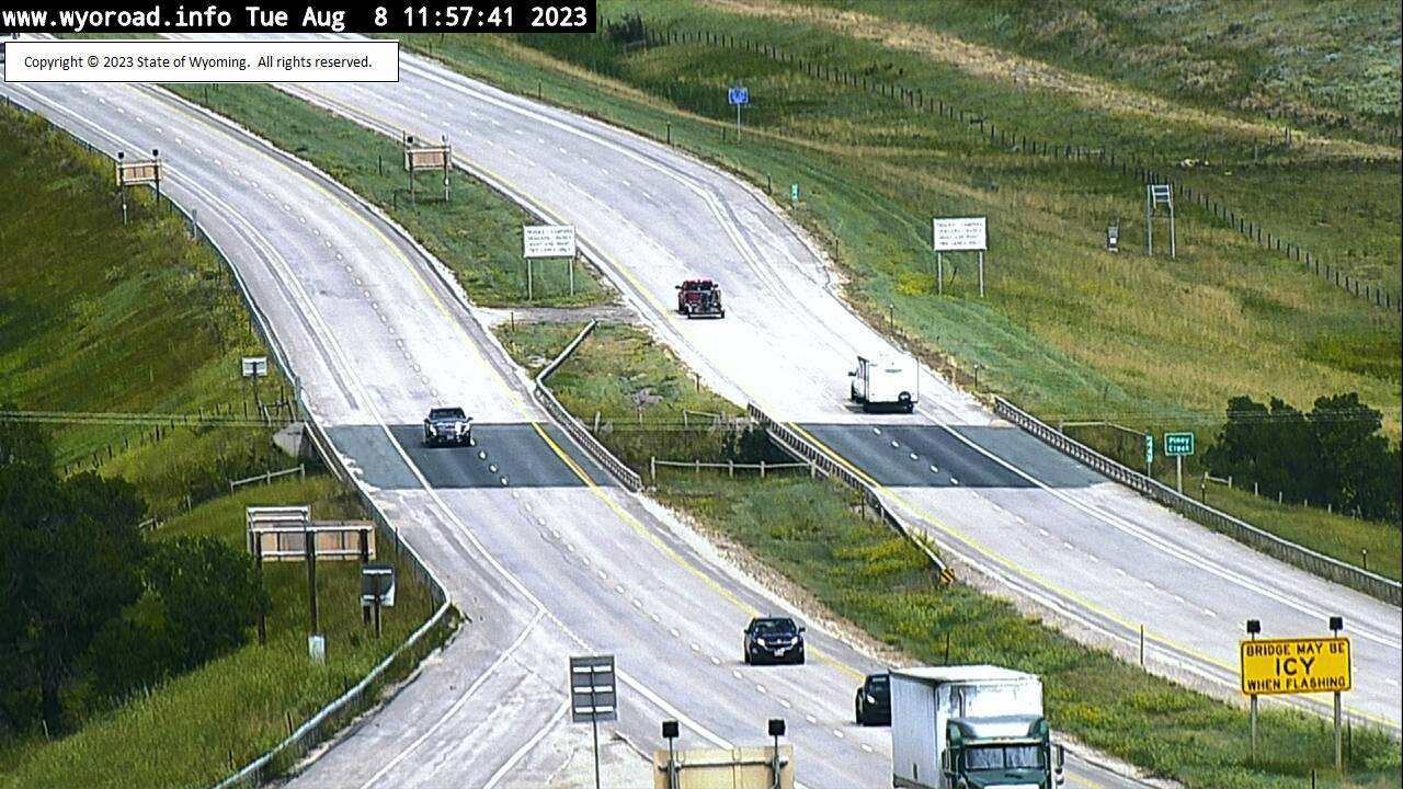
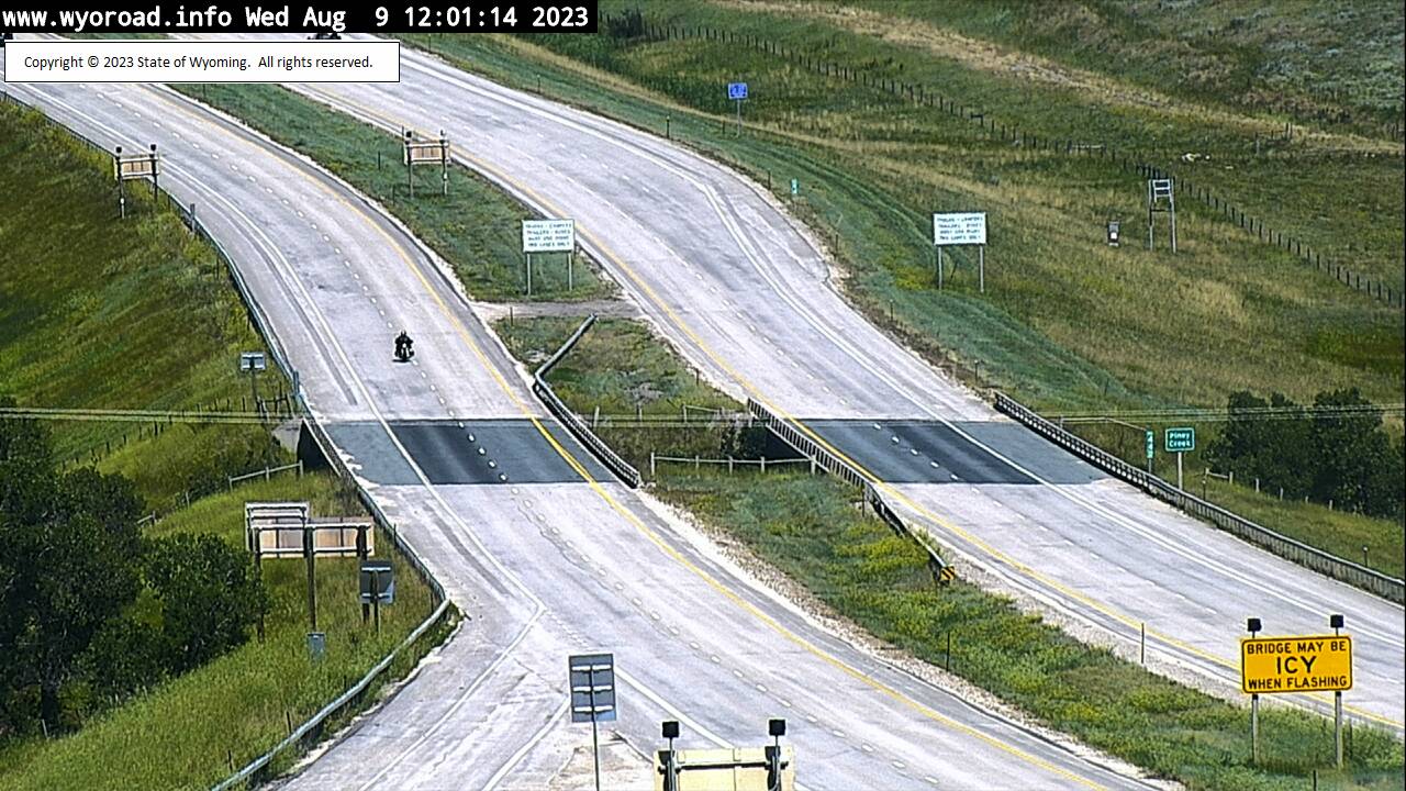
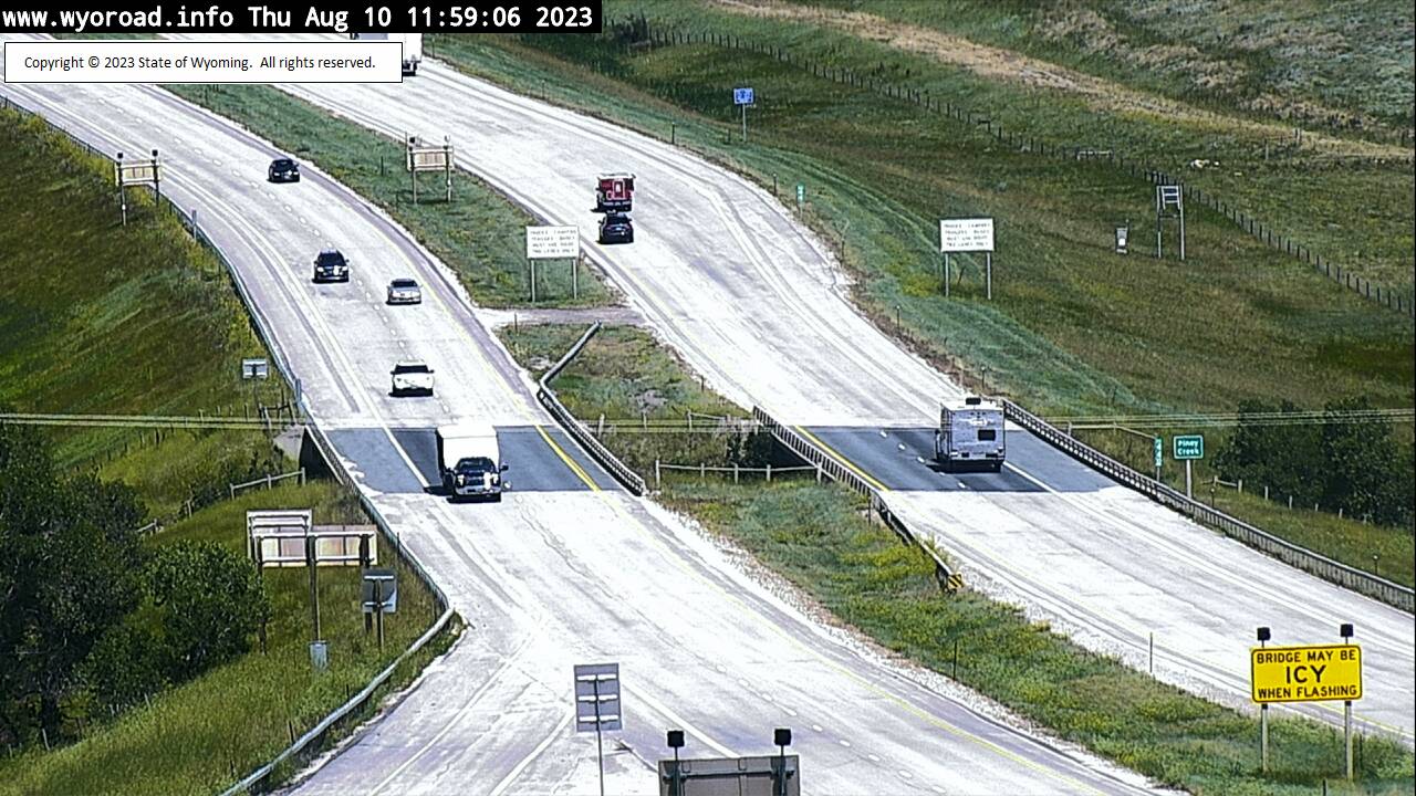
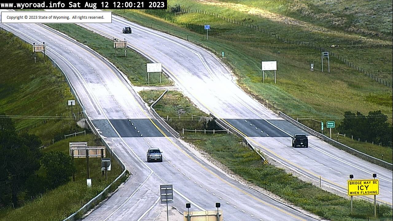
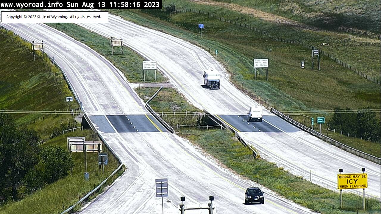
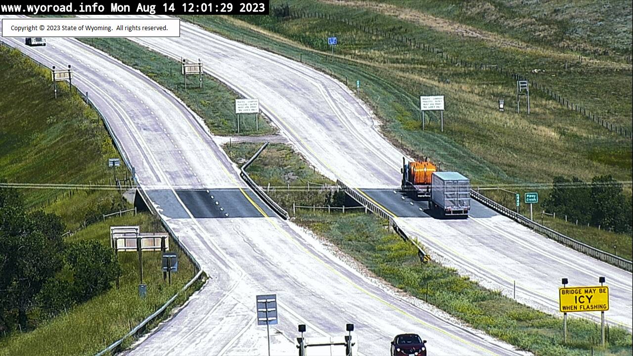
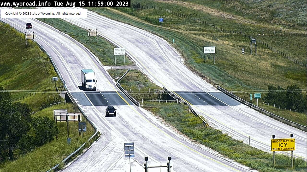
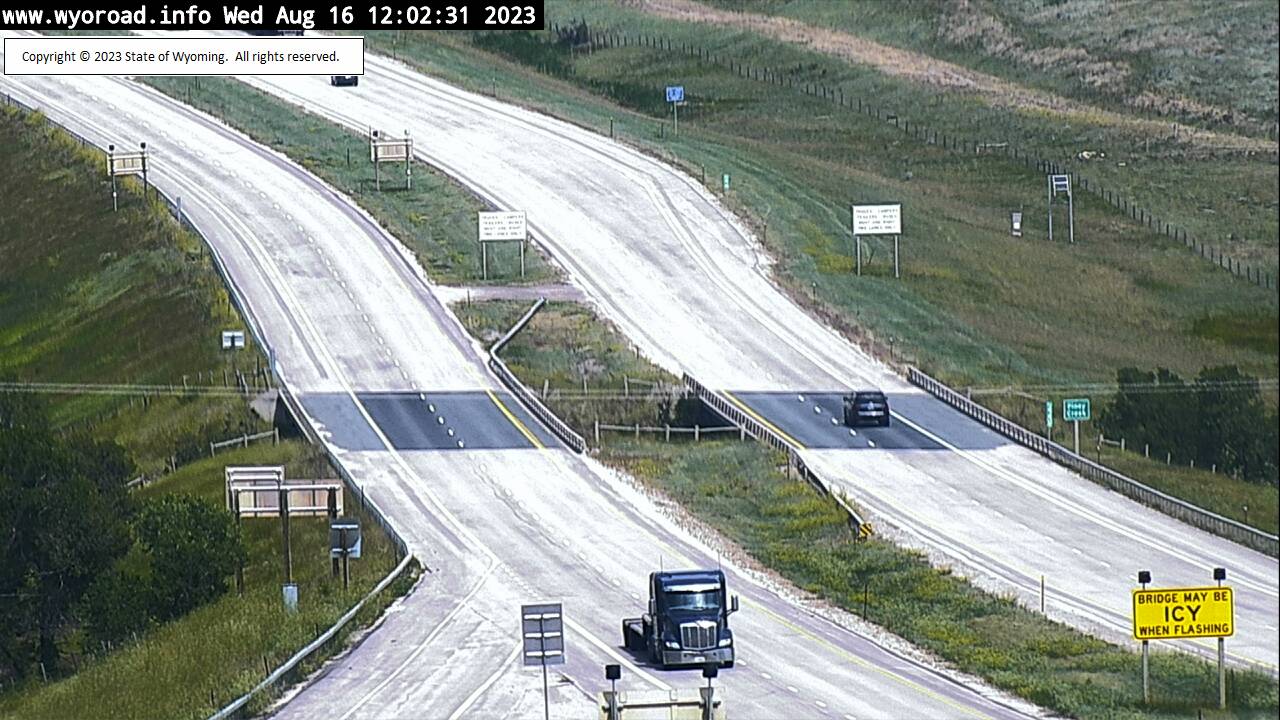
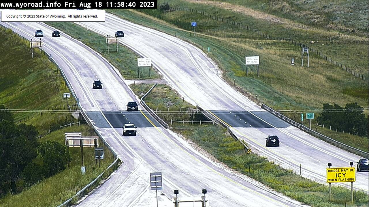
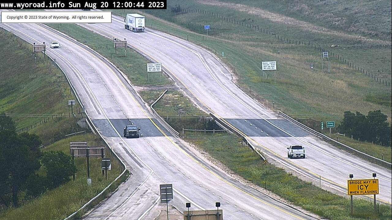
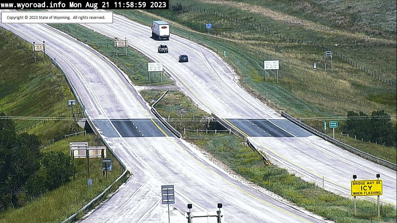
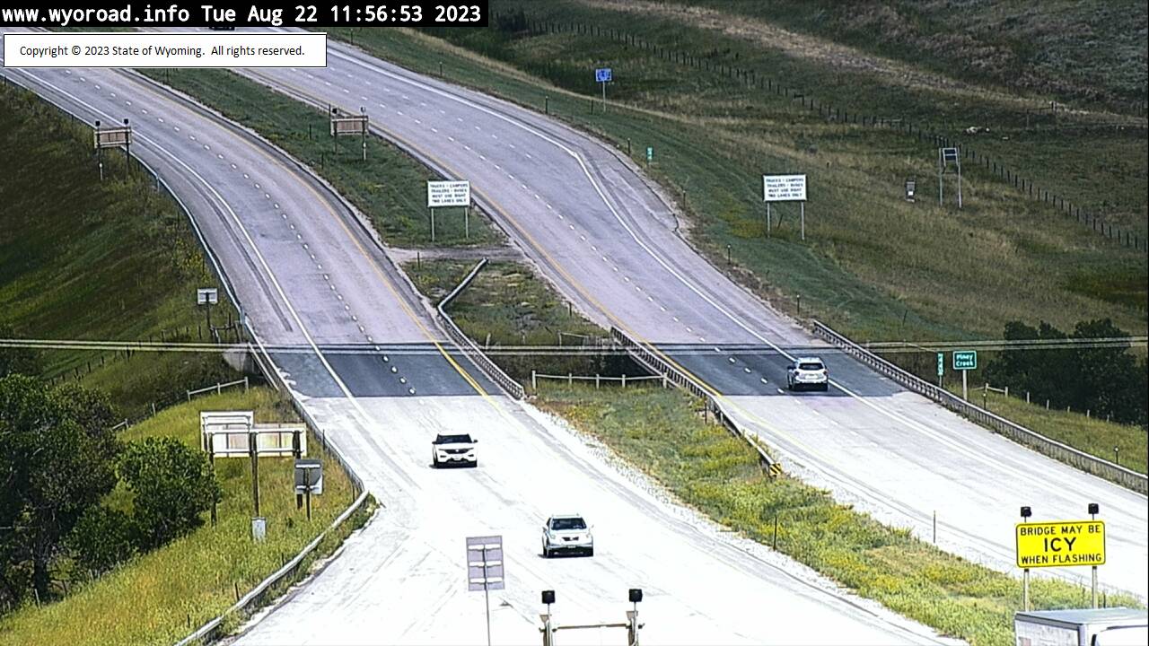
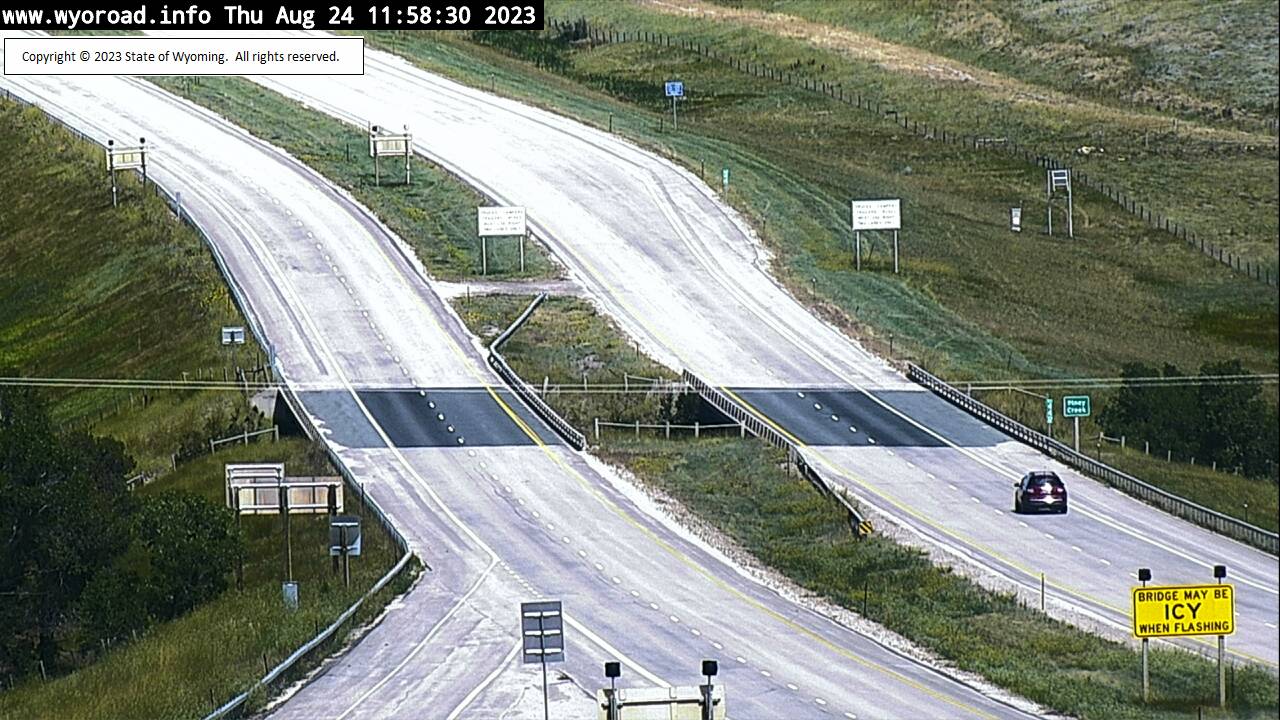
Kearny, Wyoming, USA - 122.1 miles from Albright (historical): Piney Creek Interchange - Traffic and Weather - A view of the current traffic and weather situation.
Operator: WYDOT Travel Information Service
Operator: WYDOT Travel Information Service


Buffalo, Wyoming, USA - 134.2 miles from Albright (historical): Buffalo - Traffic and Weather - A view of the current traffic and weather situation.
Operator: WYDOT Travel Information Service
Operator: WYDOT Travel Information Service


Frannie, Wyoming, USA - 137.4 miles from Albright (historical): Frannie POE - Traffic and Weather - A view of the current traffic and weather situation.
Operator: WYDOT Travel Information Service
Operator: WYDOT Travel Information Service


Gillette, Wyoming, USA - 145.9 miles from Albright (historical): Belle Fourche - Traffic and Weather - A view of the current traffic and weather situation.
Operator: WYDOT Travel Information Service
Operator: WYDOT Travel Information Service


Some other places in this country: Muddy - McRae (historical) - Gopher (historical) - Signal Butte (historical) - Saints Rest (historical) - Howard (historical) - Sabra (historical) - Porcupine (historical) - Lee (historical) - Hopsonville (historical)