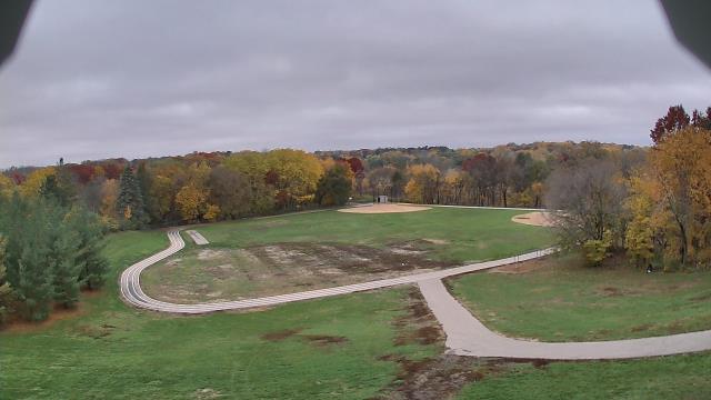
Webcams in the region of Popple Creek, Minnesota, USA
The List of Webcams near Popple Creek, Minnesota, USA:

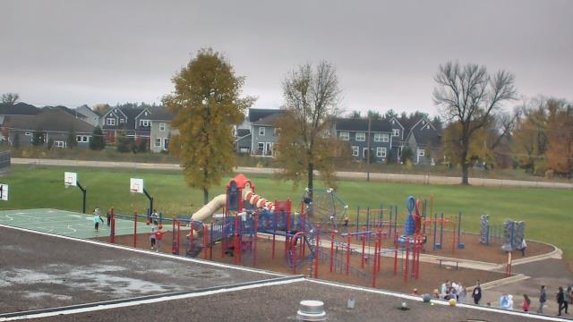
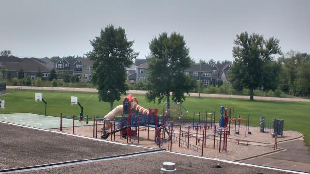
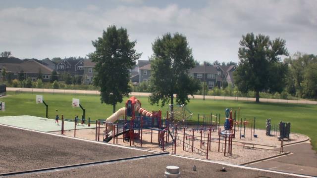
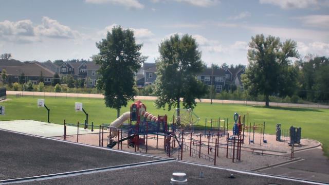
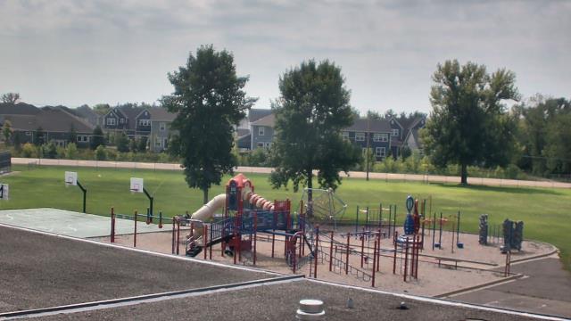
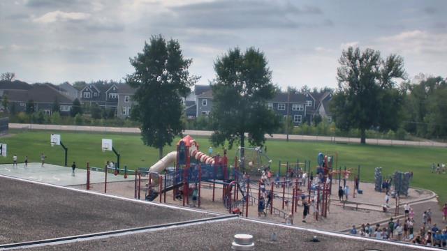
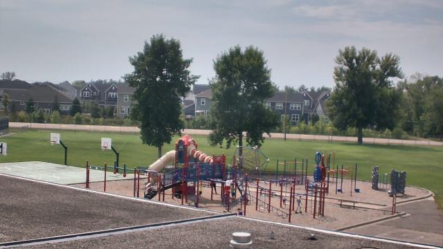
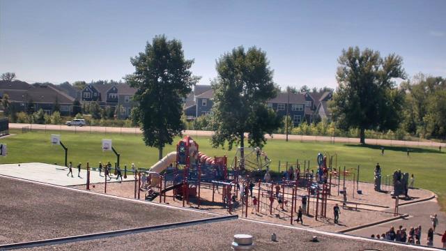
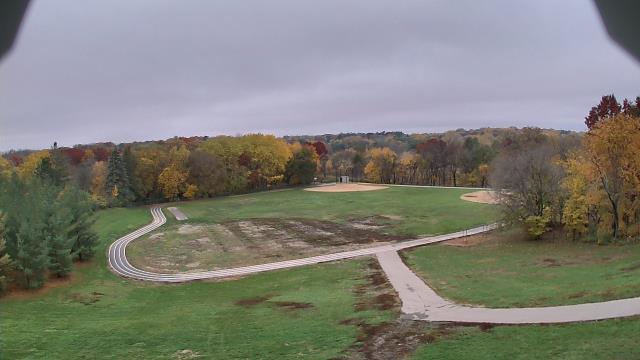
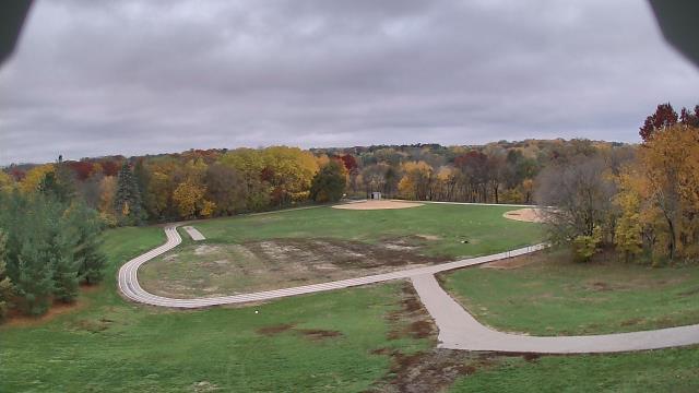
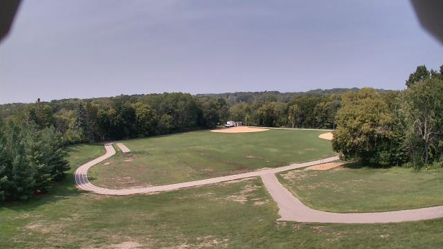
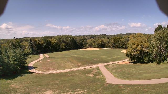
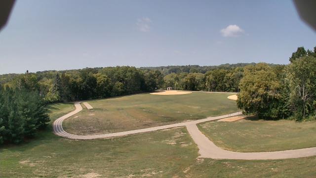
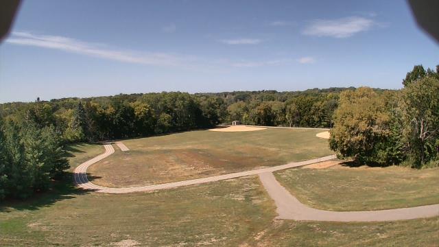
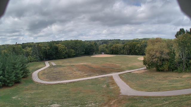
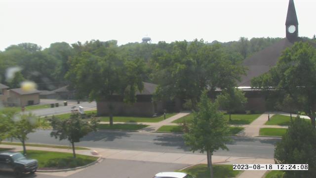
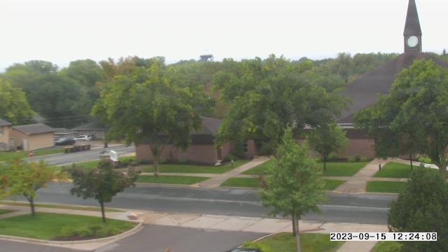
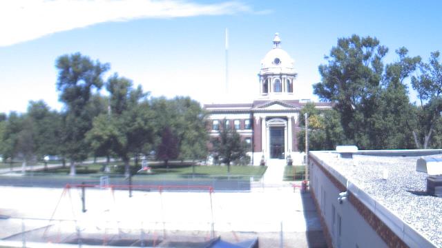
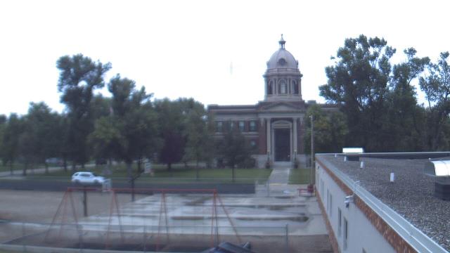
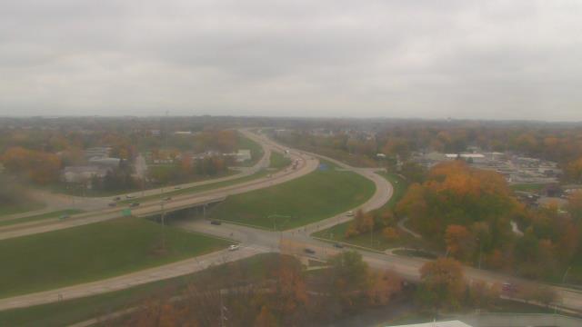
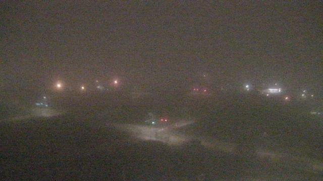
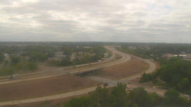
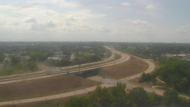
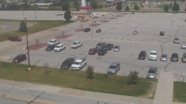
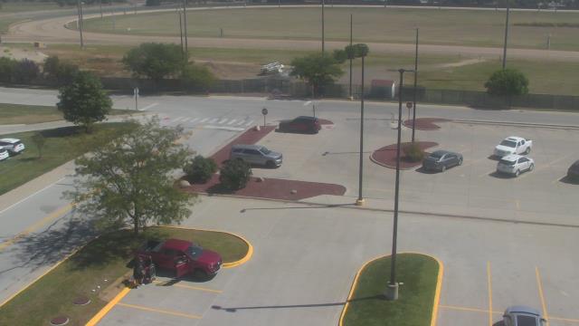
Long Lake, Minnesota, USA - 51.6 miles from Popple Creek: Orono Intermediate School - A webcam in Long Lake, Minnesota - camera location: Orono Intermediate School.
Operator: WeatherBug
Operator: WeatherBug
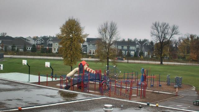
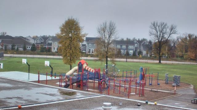
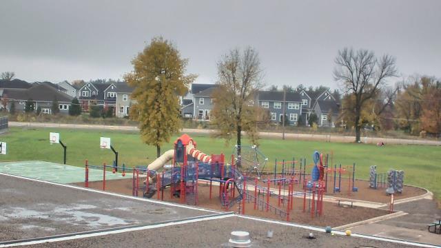
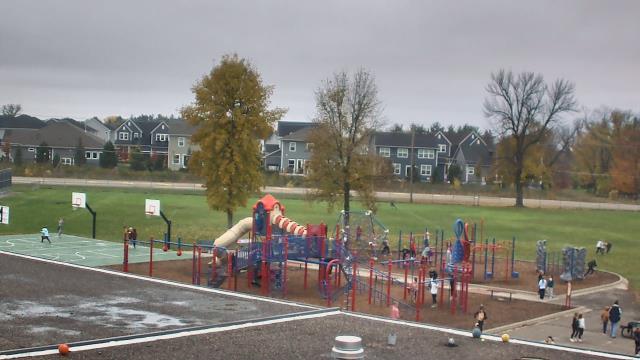
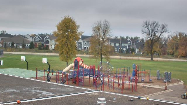
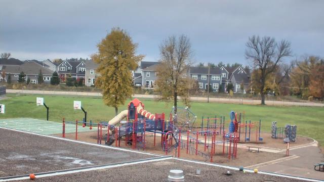
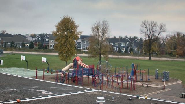
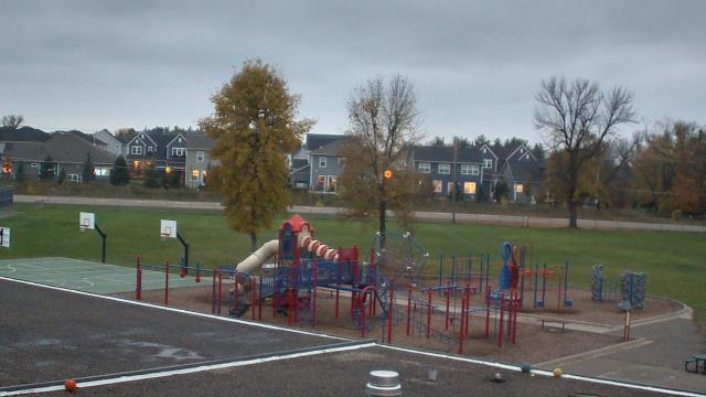

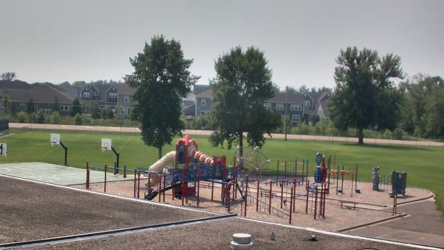

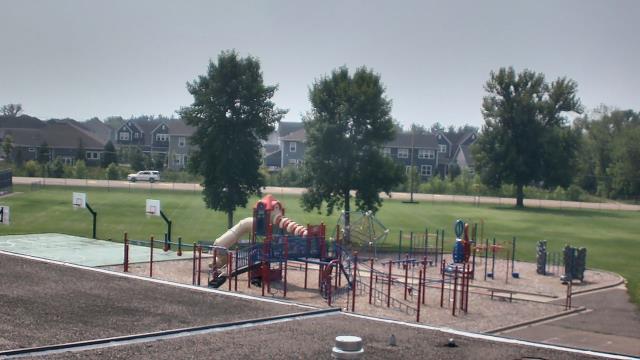


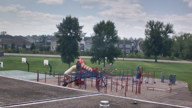
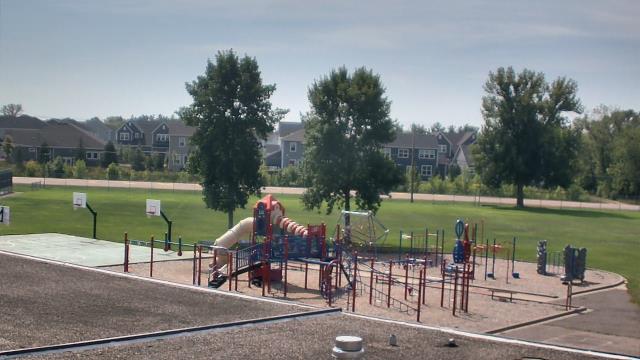


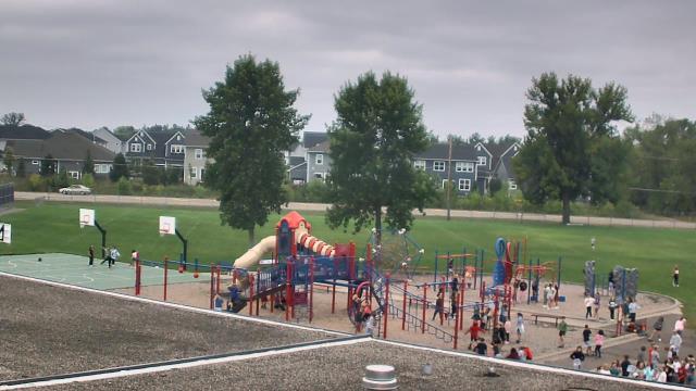
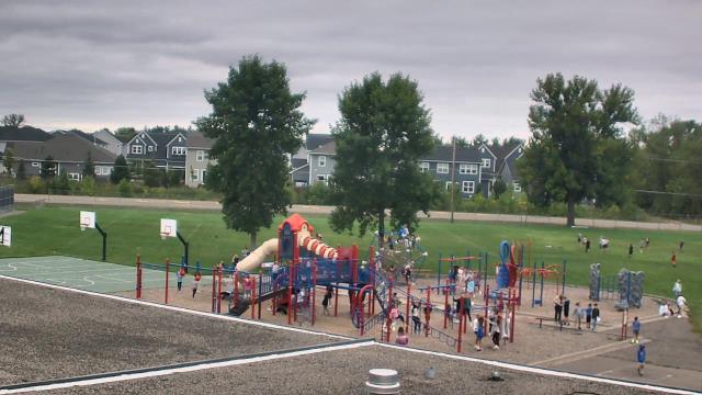
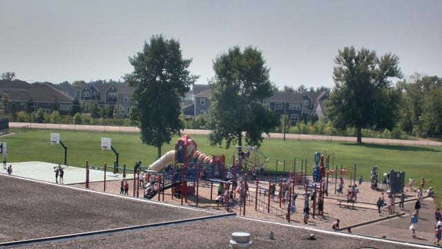
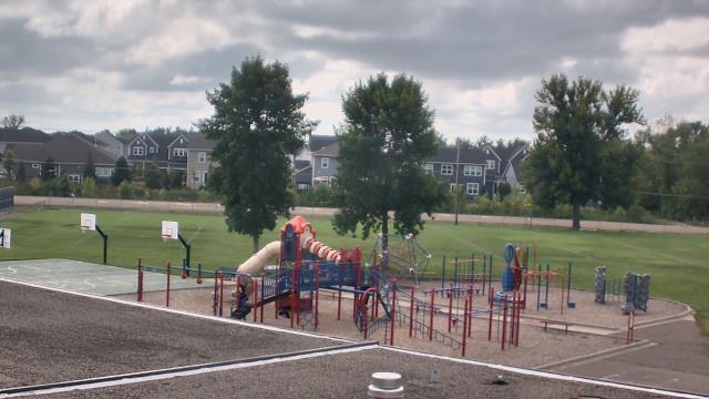
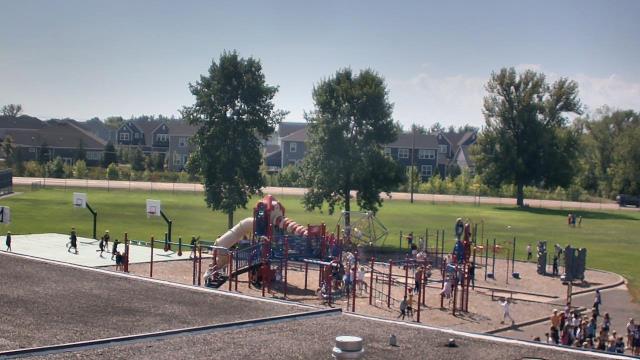

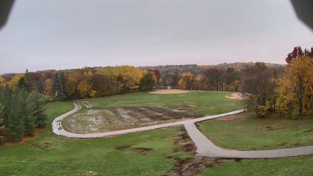
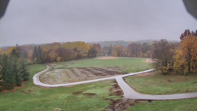
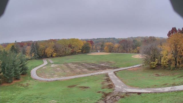
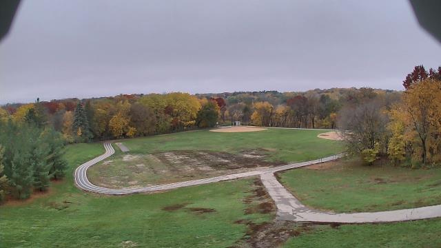
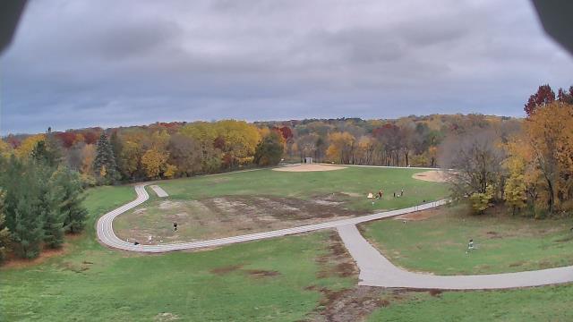
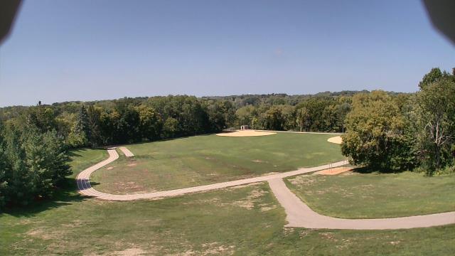
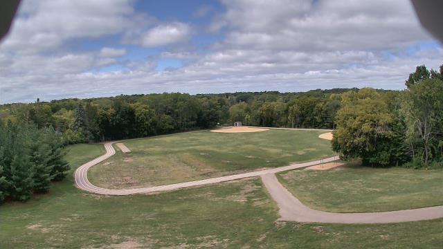
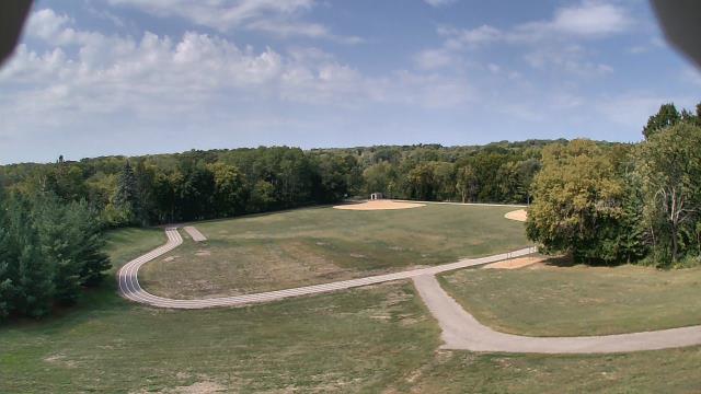
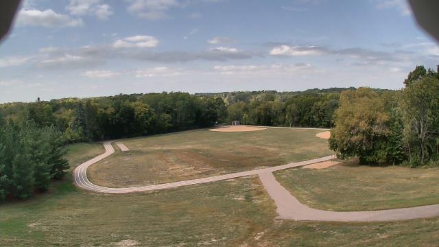
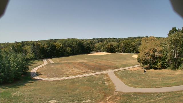
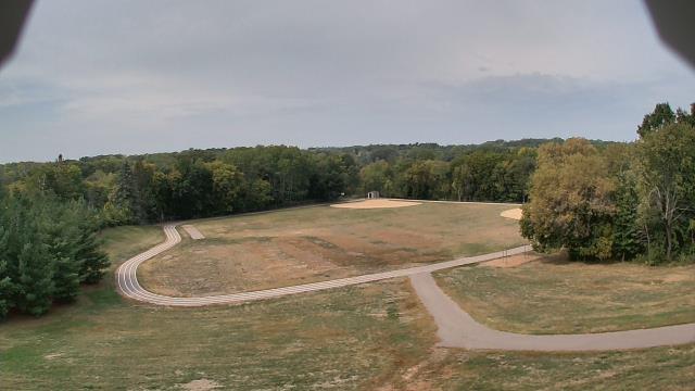
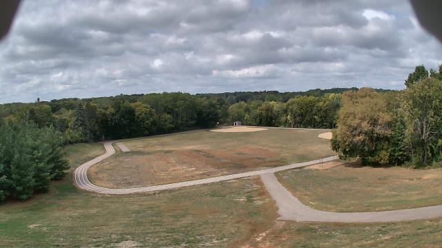
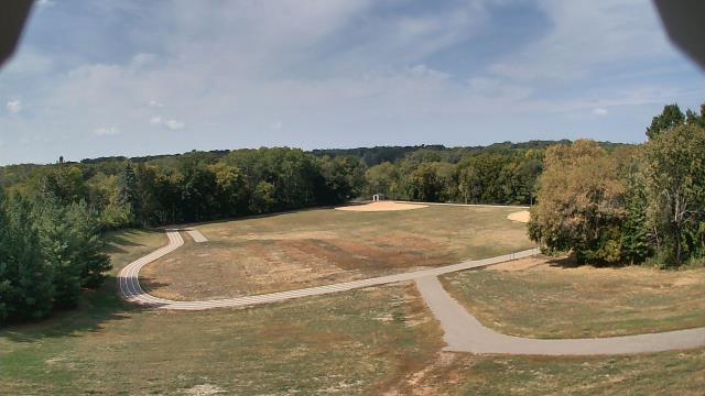
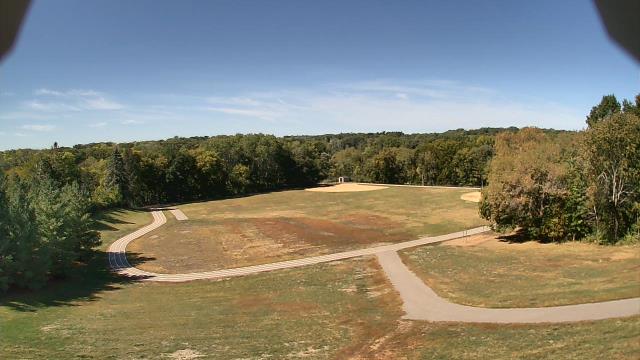
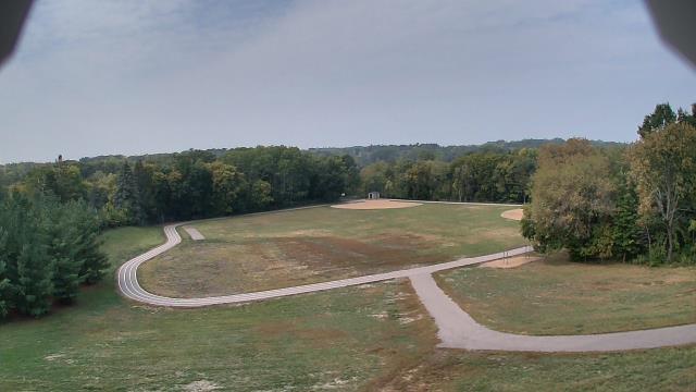
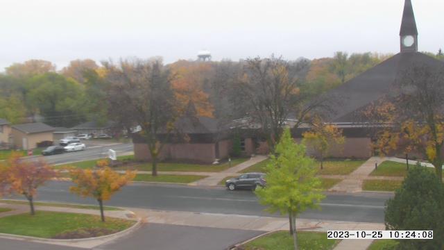
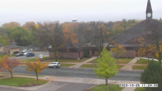
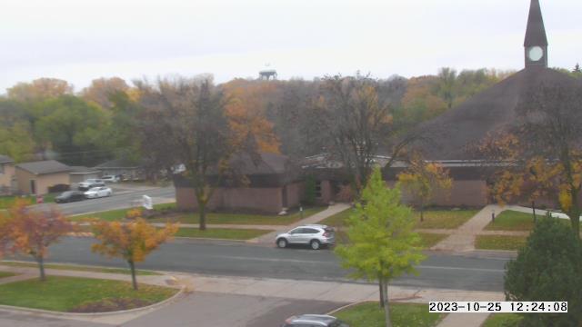
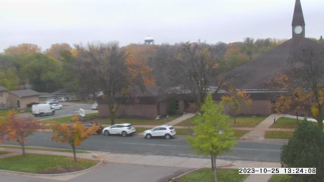
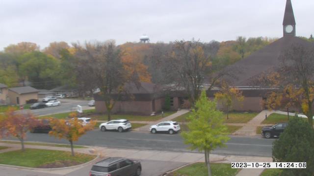
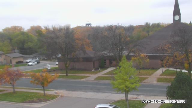
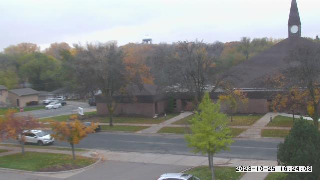
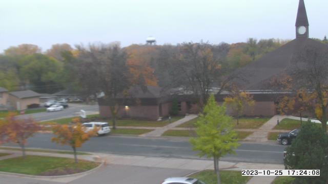
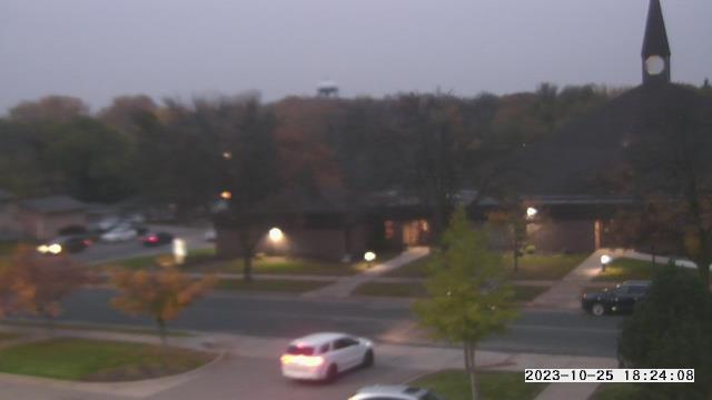
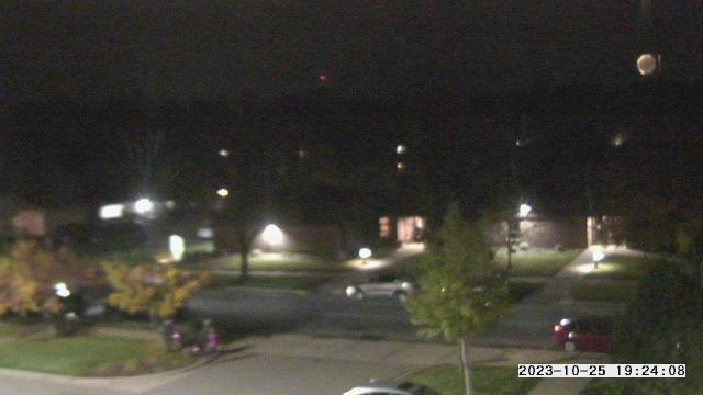
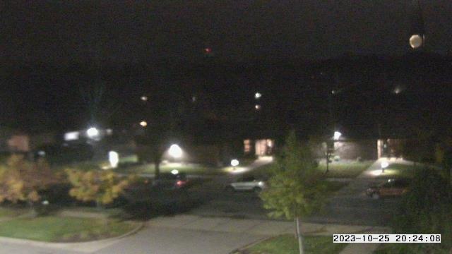
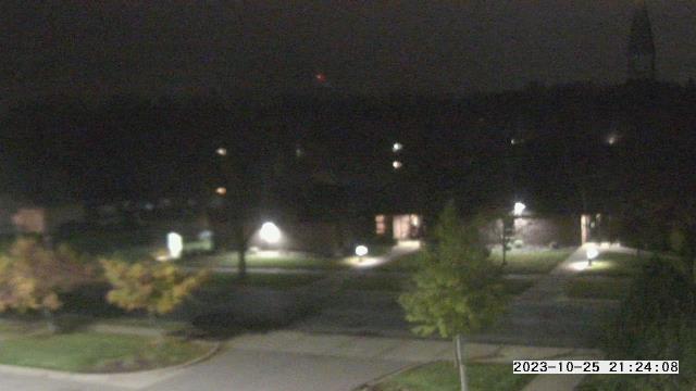
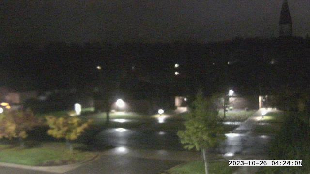
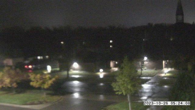
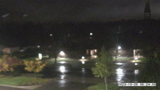
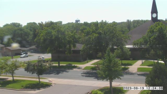
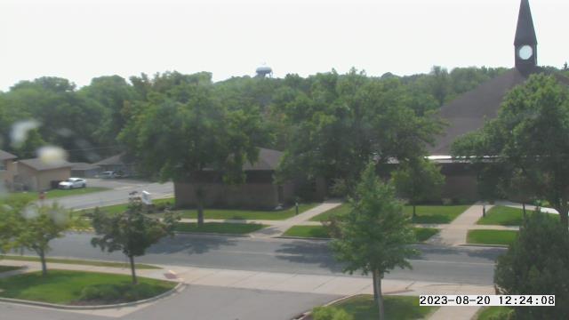
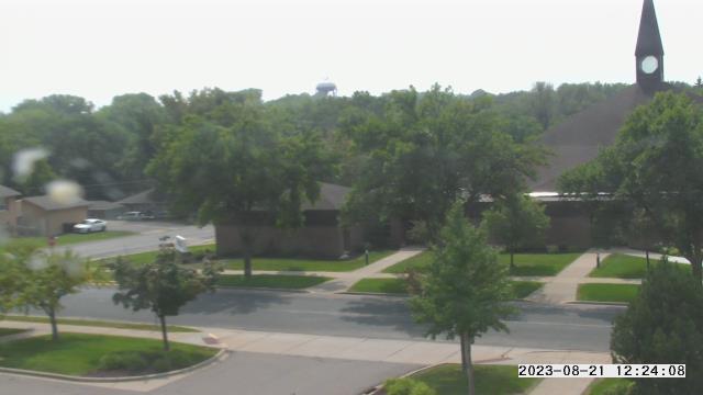
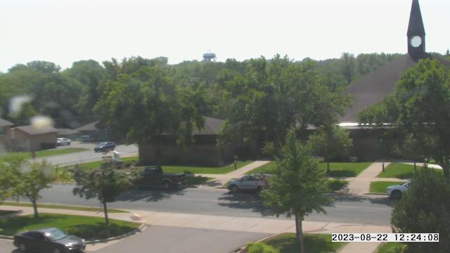
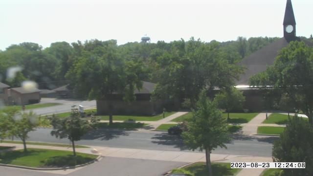
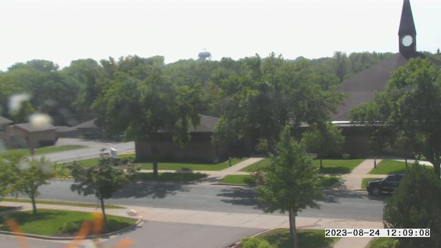
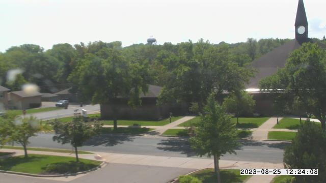
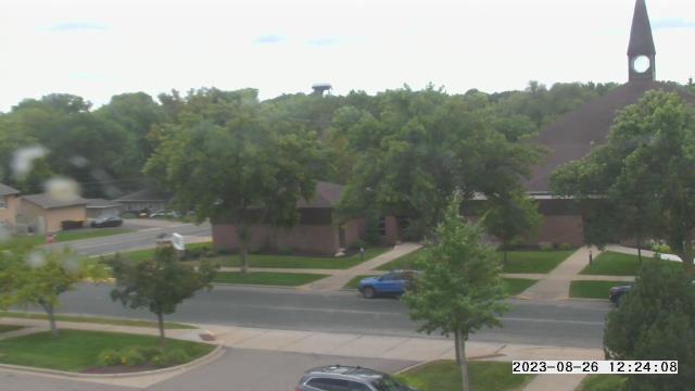
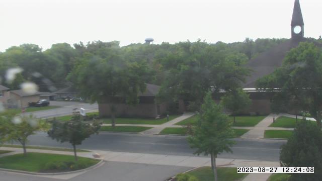
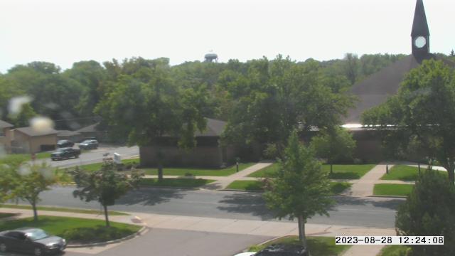
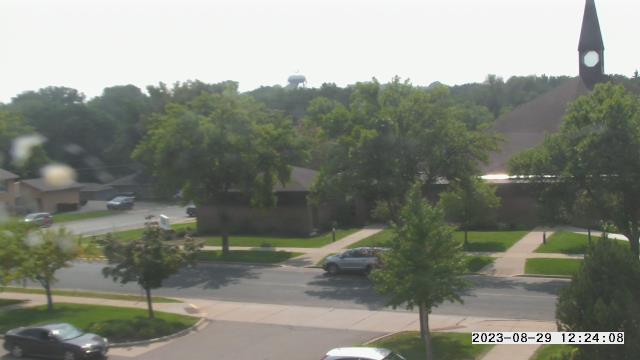
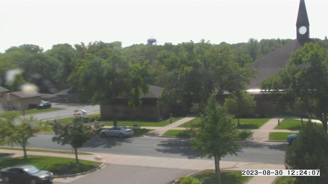
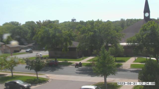
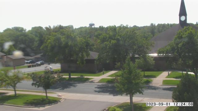
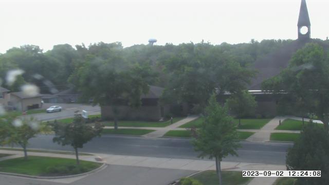
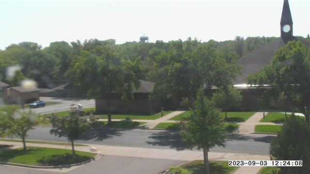
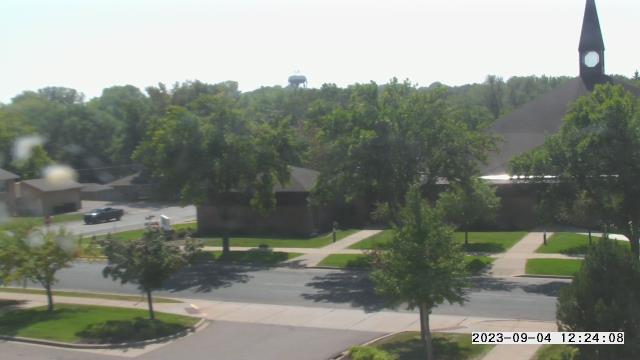
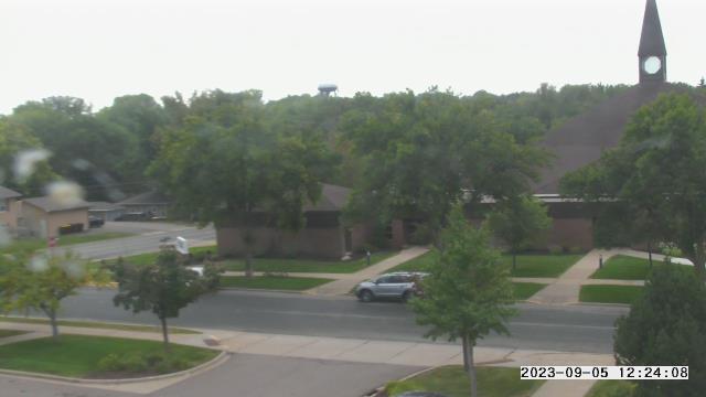
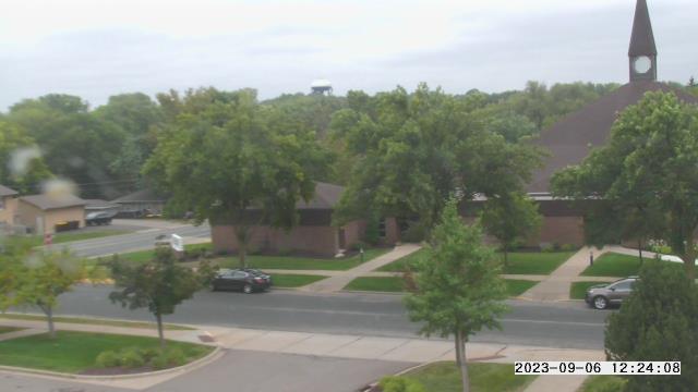
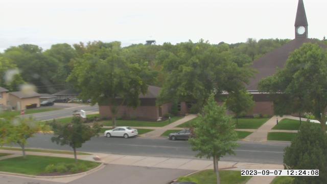
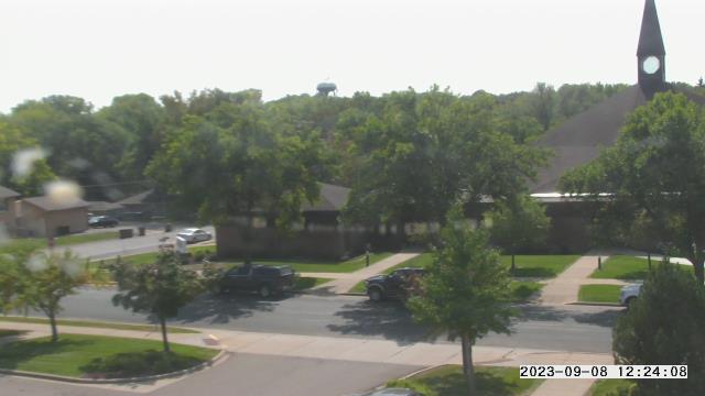
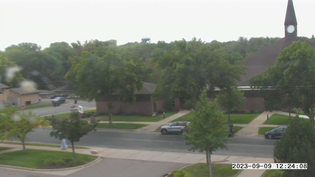
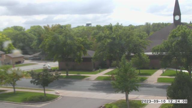
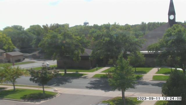
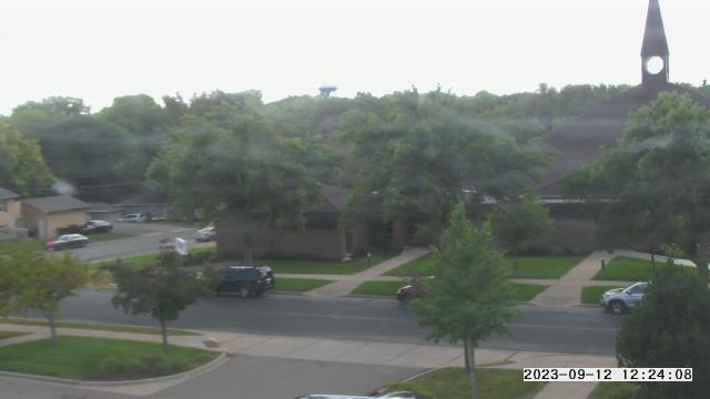
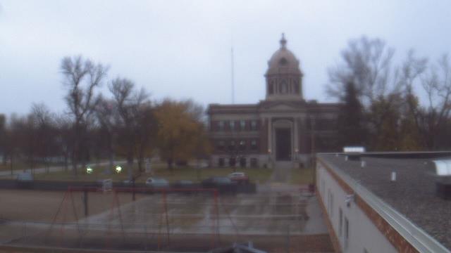
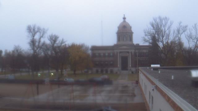
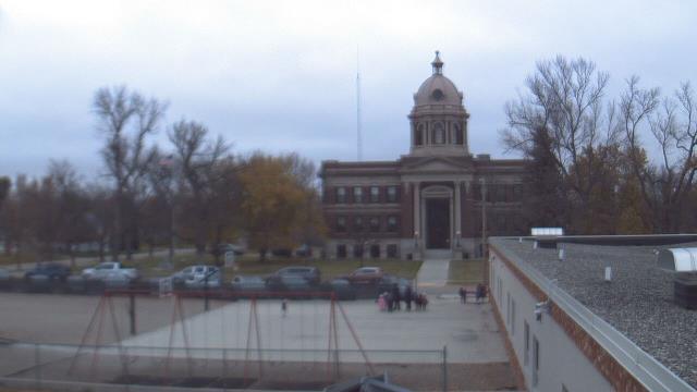
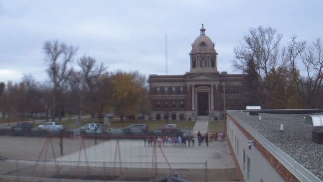
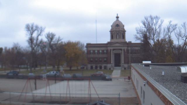
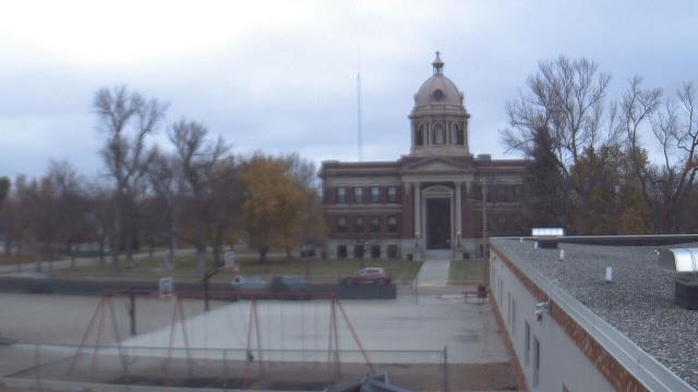
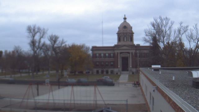
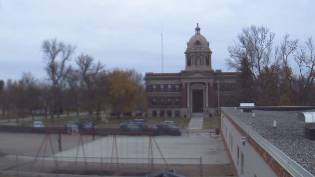
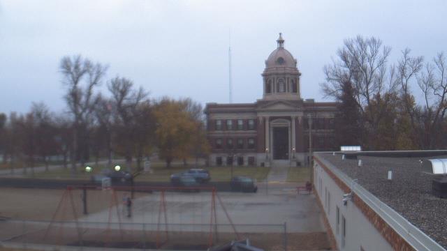
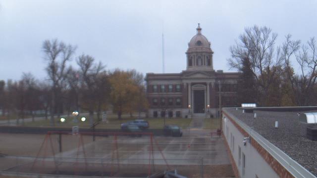
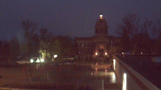
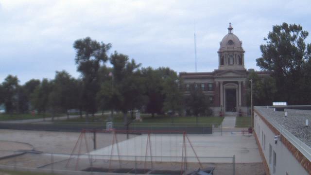
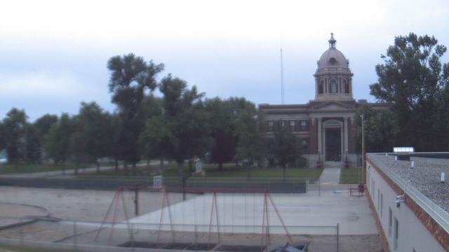
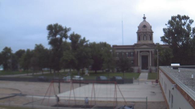
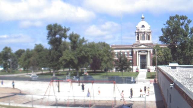
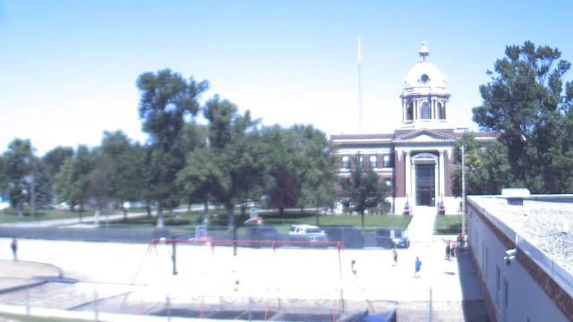
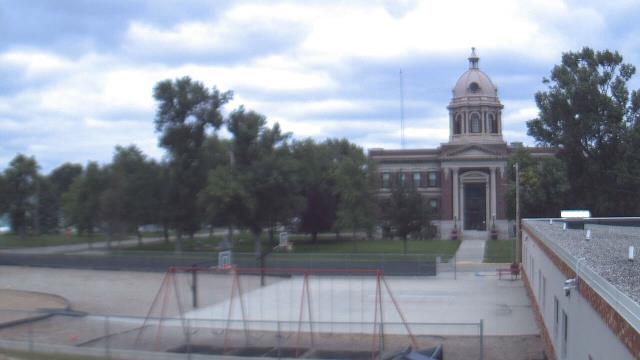
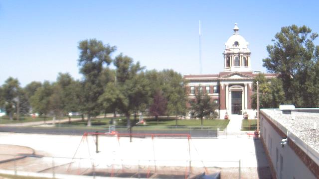
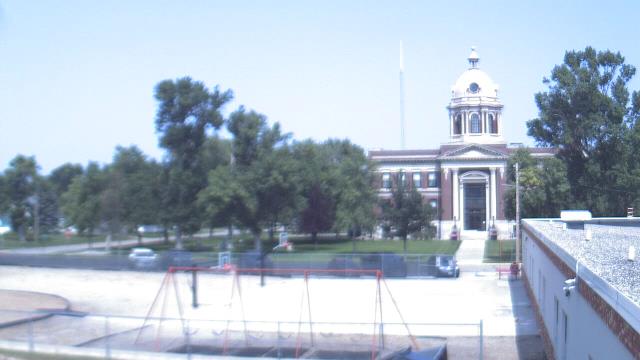
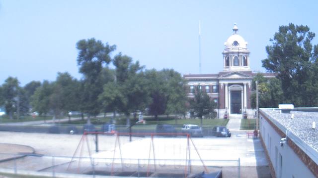
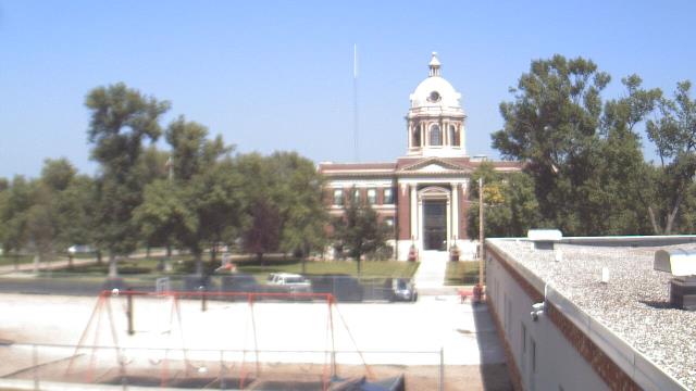
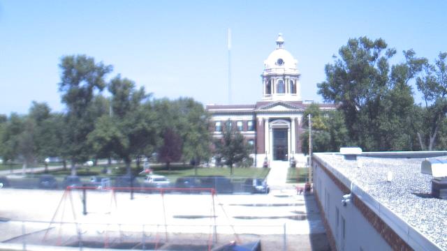
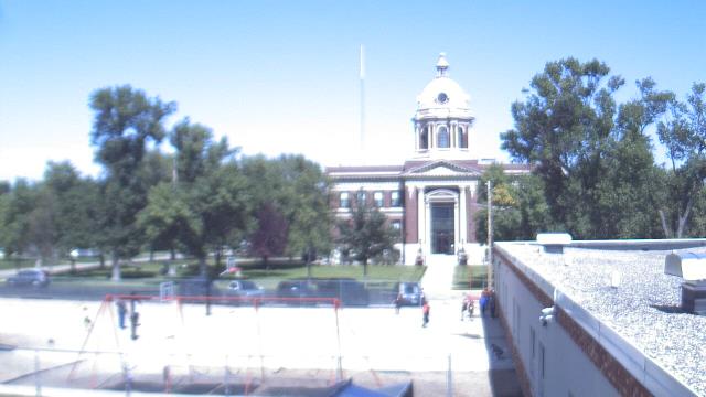
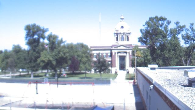
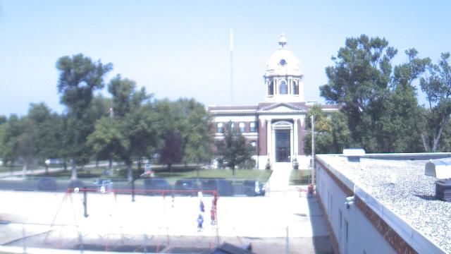
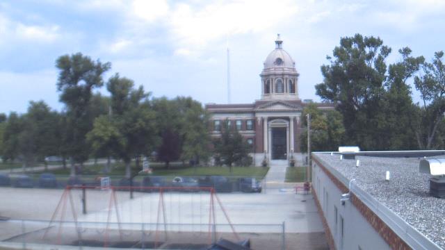
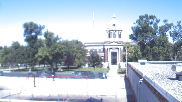
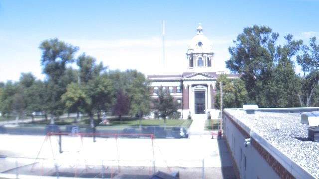
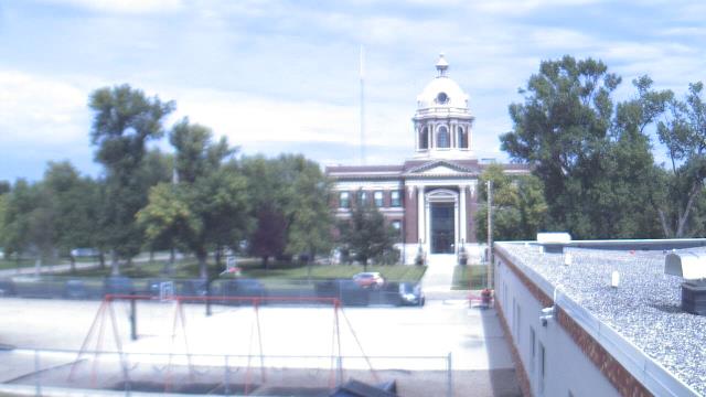
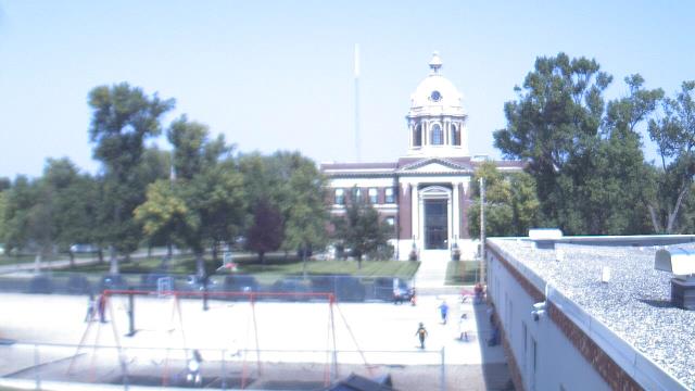
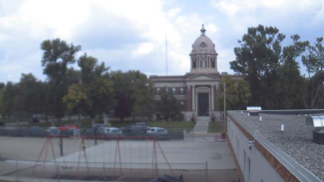
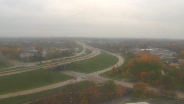
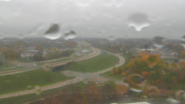
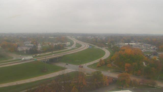
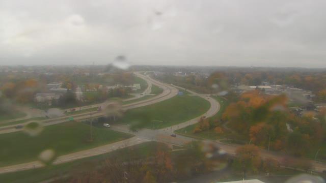
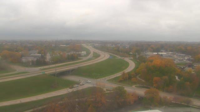
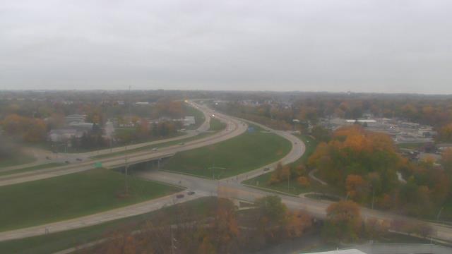
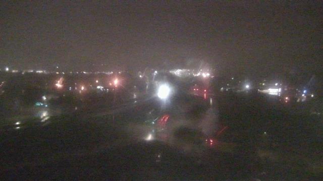
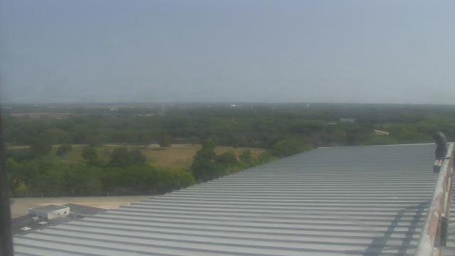
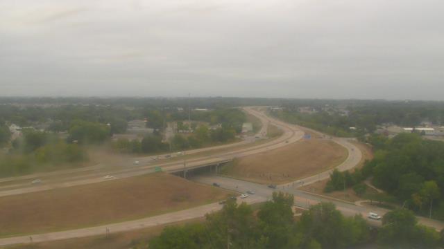
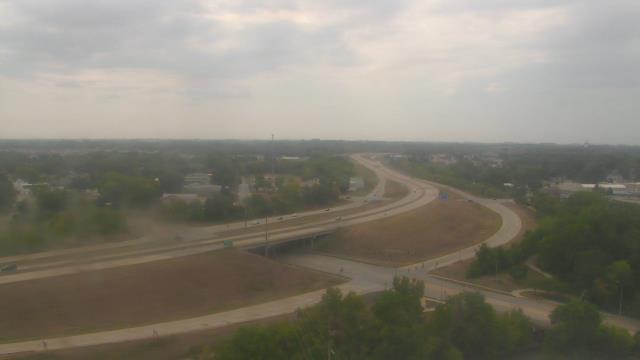
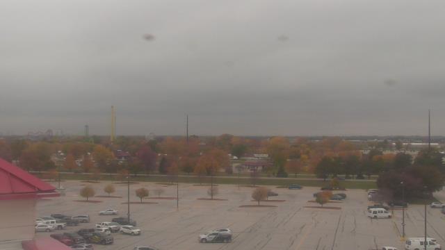
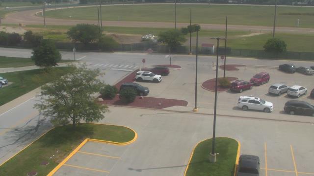
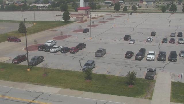
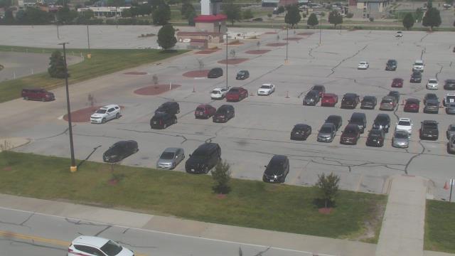
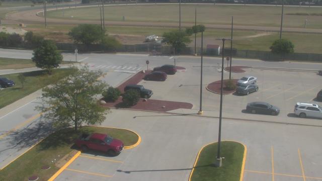
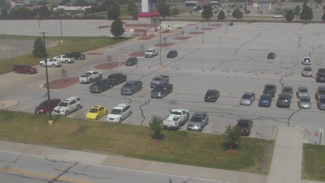
Minnetonka, Minnesota, USA - 58 miles from Popple Creek: Scenic Heights Elementary School - A webcam in Minnetonka, Minnesota - camera location: Scenic Heights Elementary School.
Operator: WeatherBug
Operator: WeatherBug
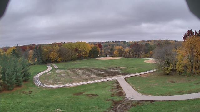

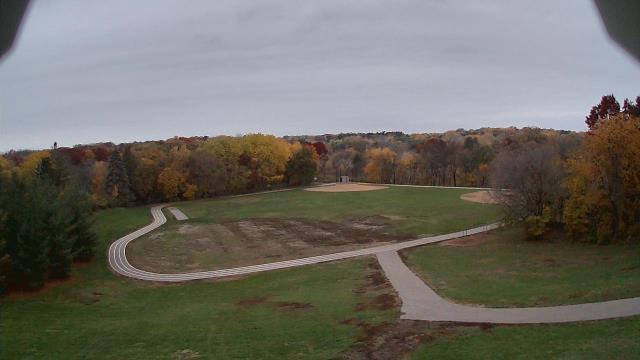


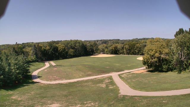
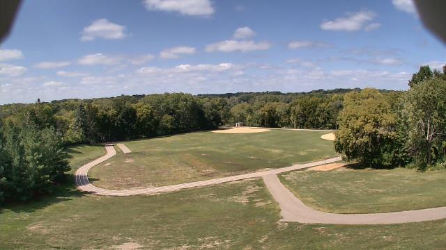
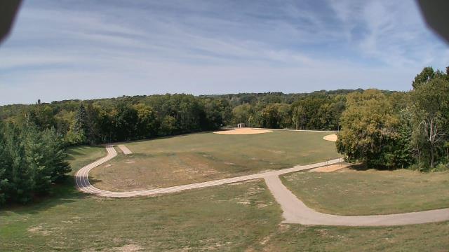


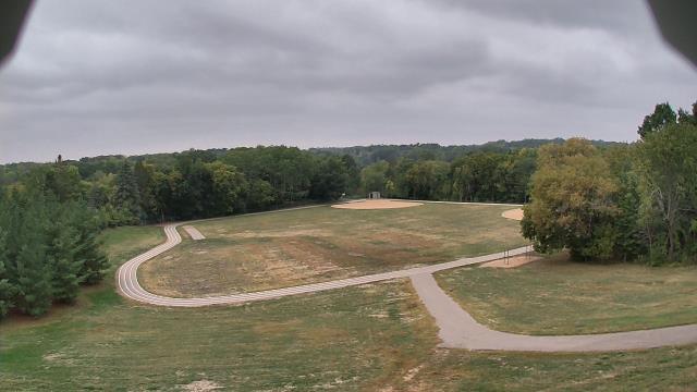
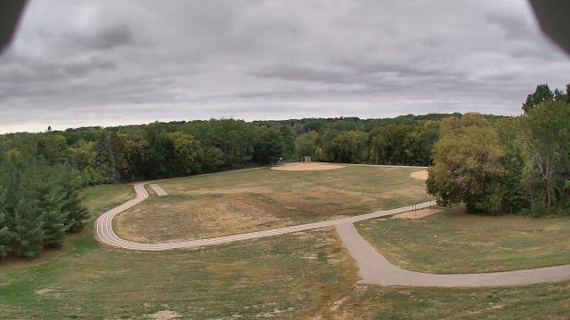
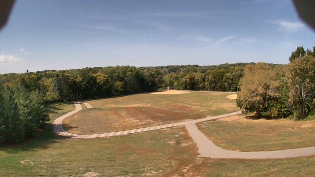
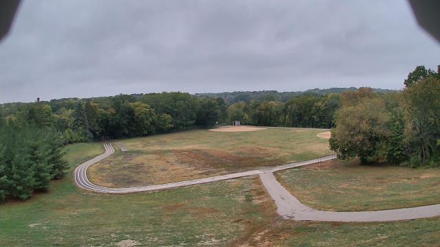

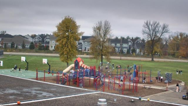
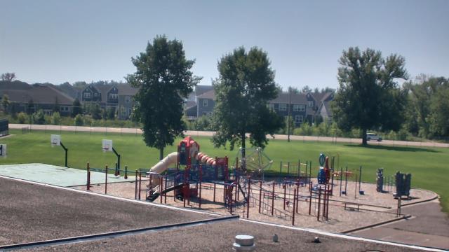
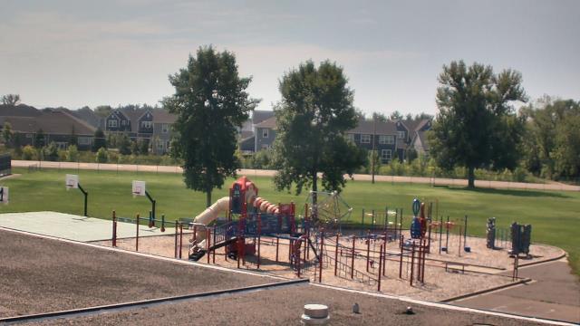
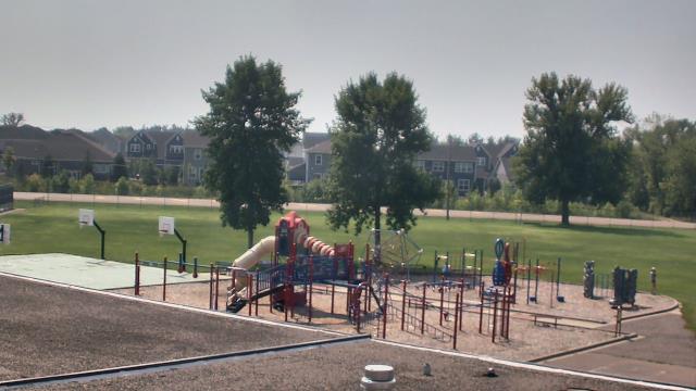
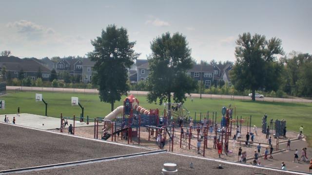
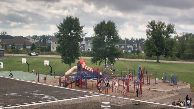
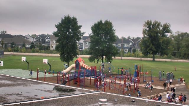
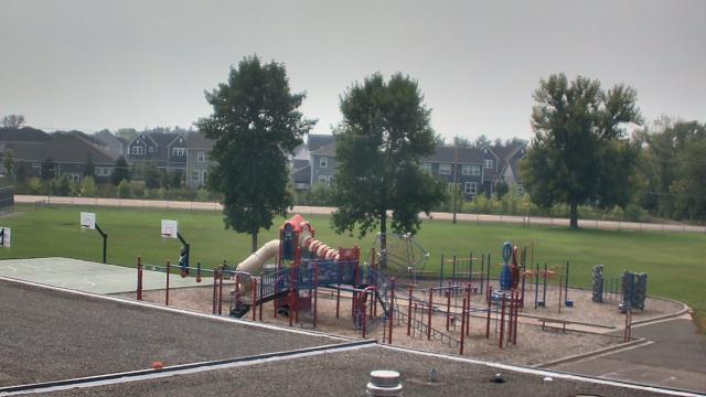
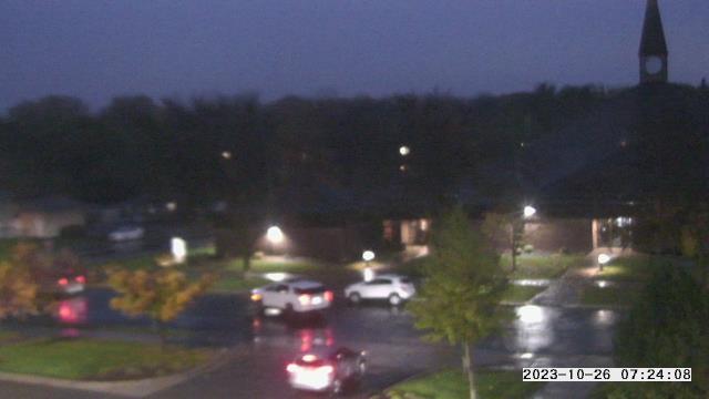
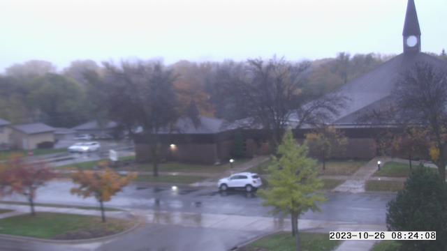
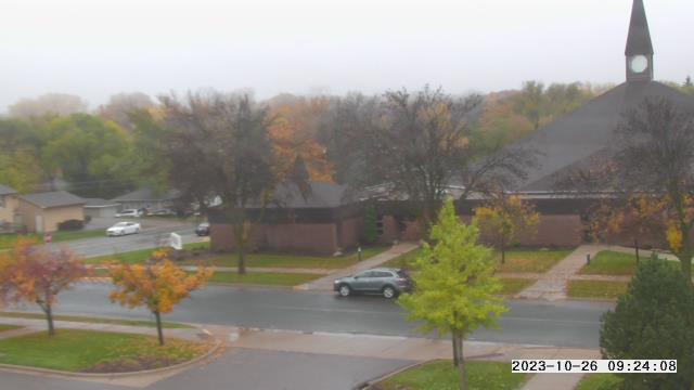
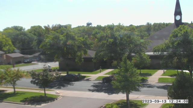
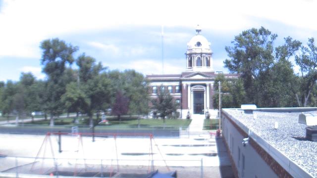
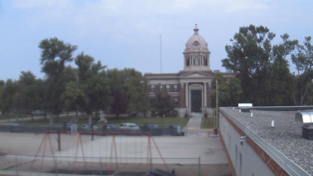
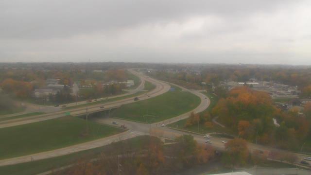
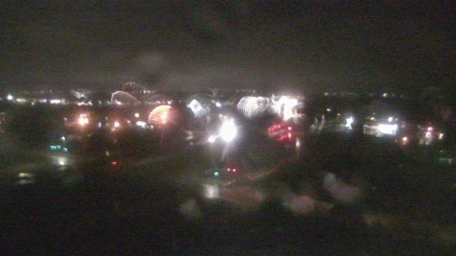
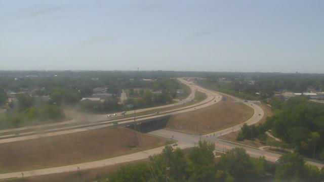
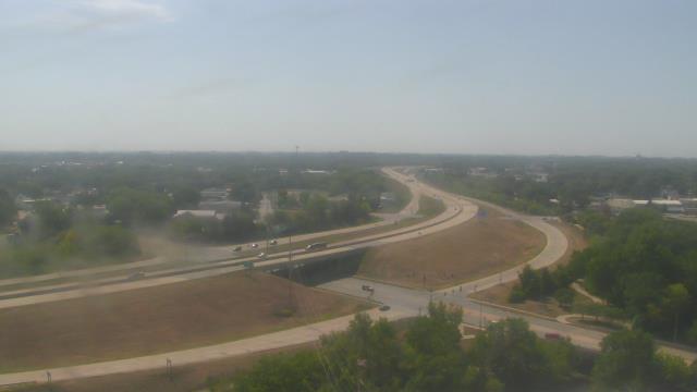
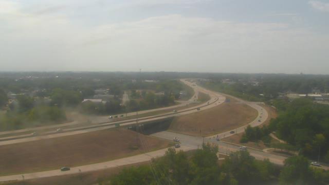
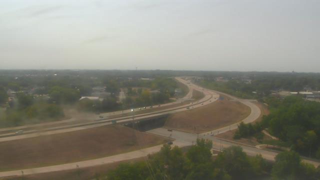
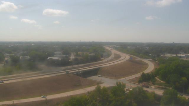
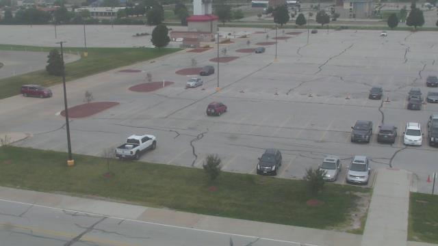
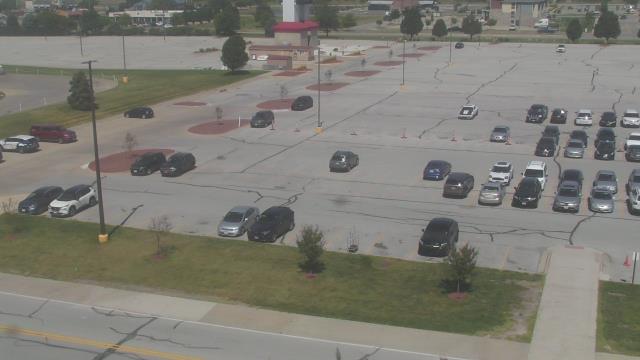
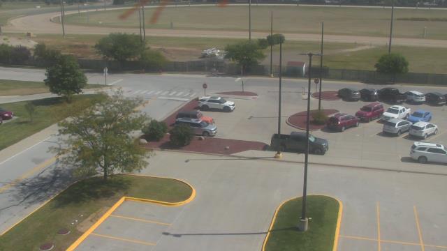
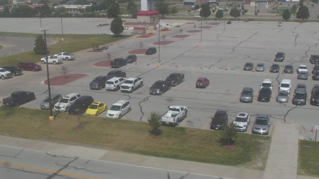
Prior Lake, Minnesota, USA - 71.8 miles from Popple Creek: St. Michael Catholic School - A webcam in Prior Lake, Minnesota - camera location: St. Michael Catholic School.
Operator: WeatherBug
Operator: WeatherBug
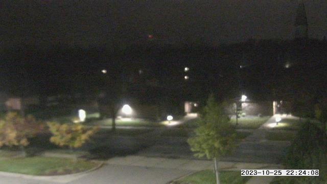

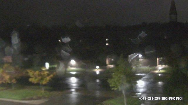

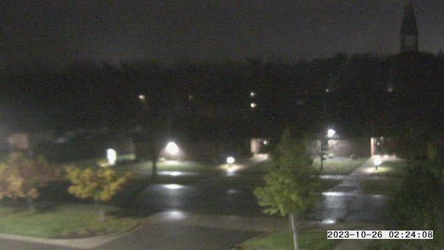
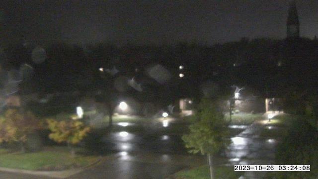


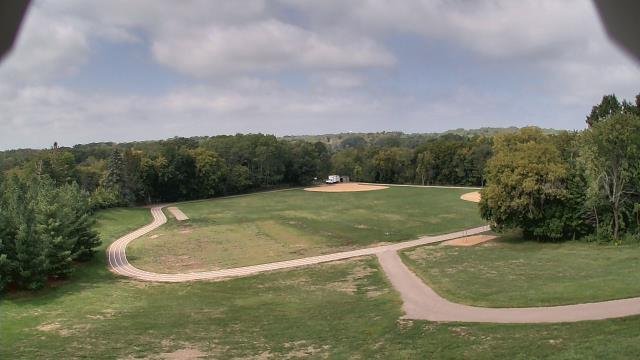
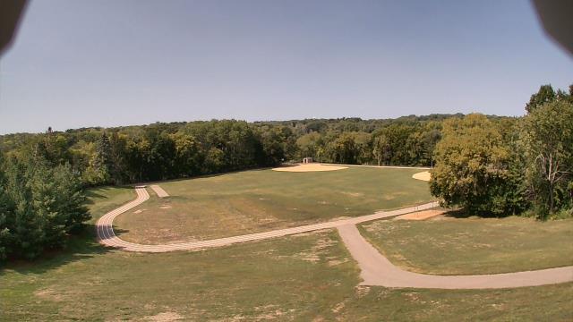
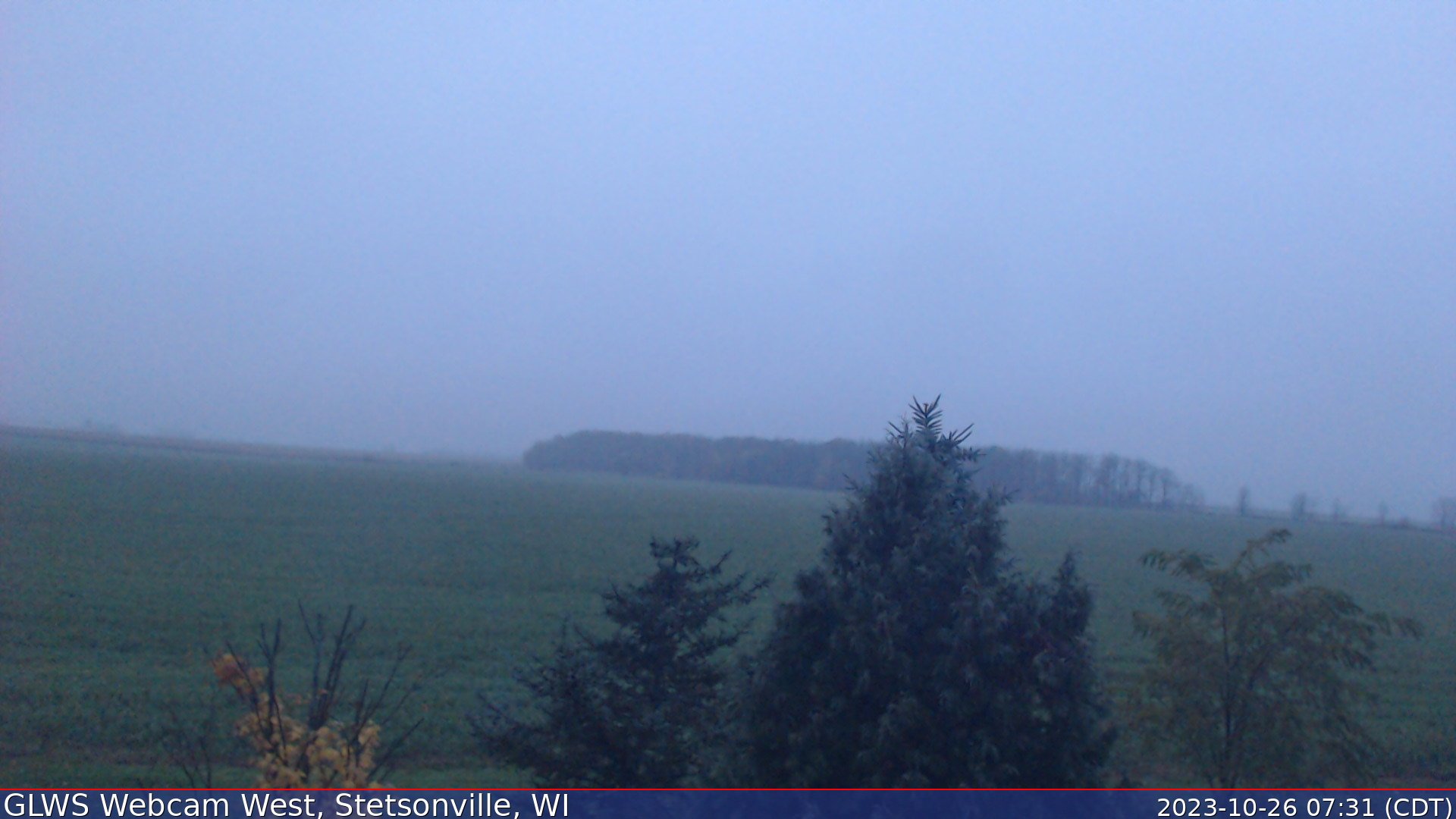
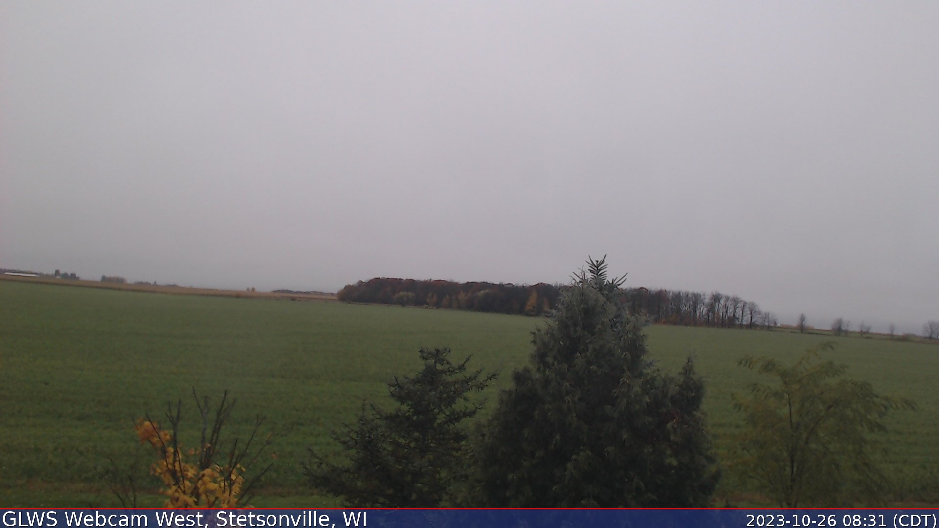
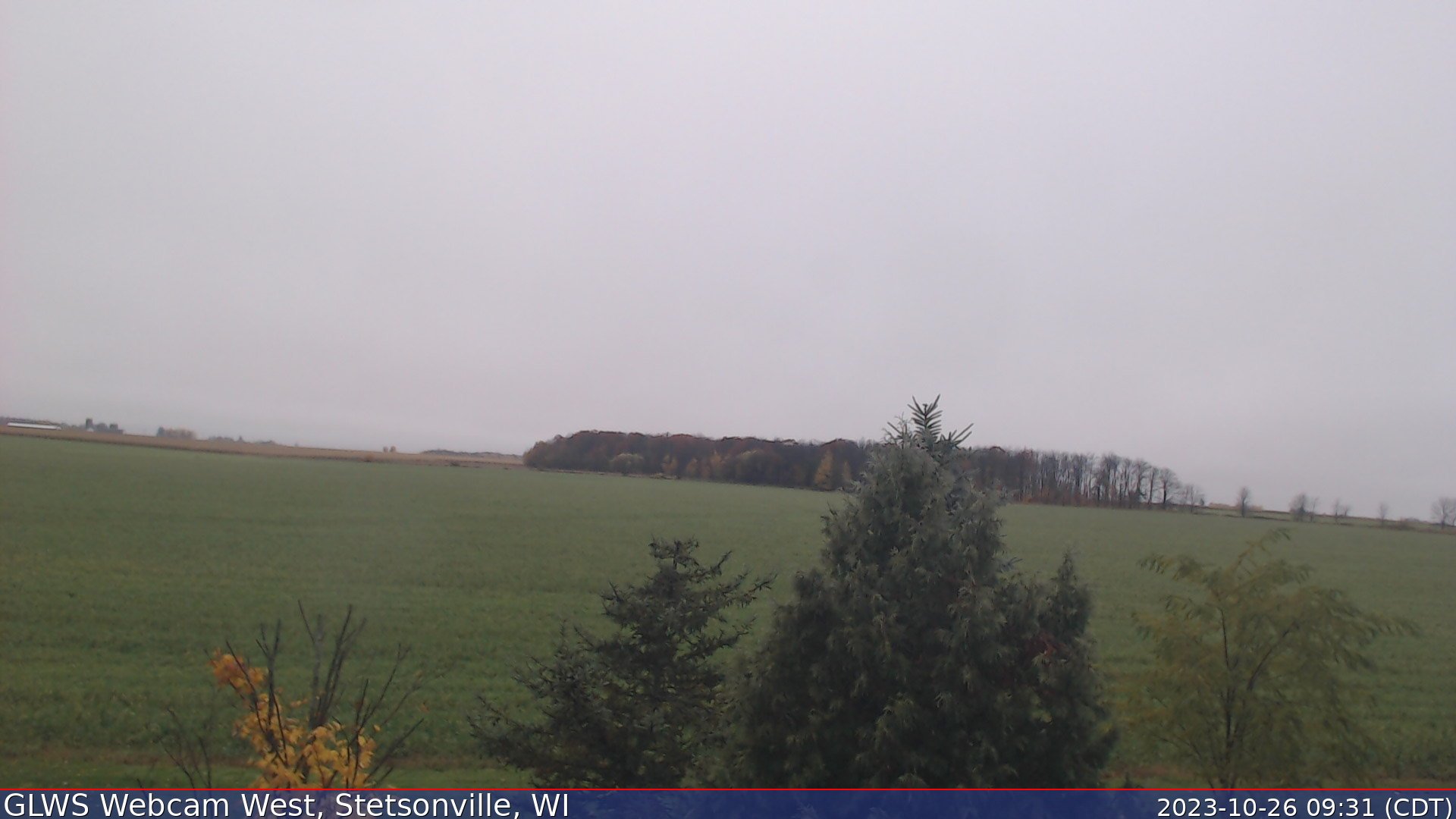
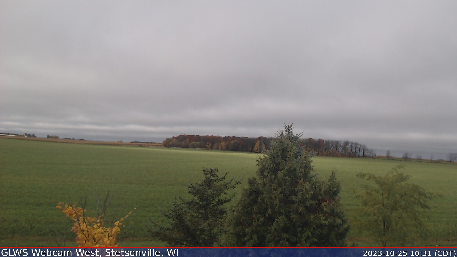
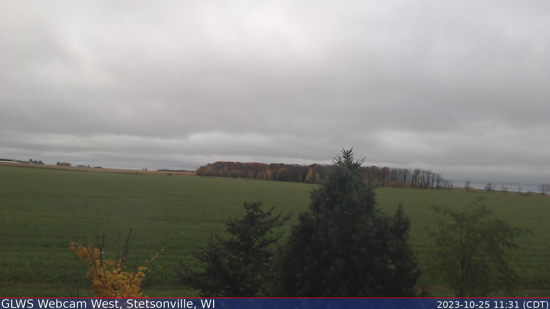
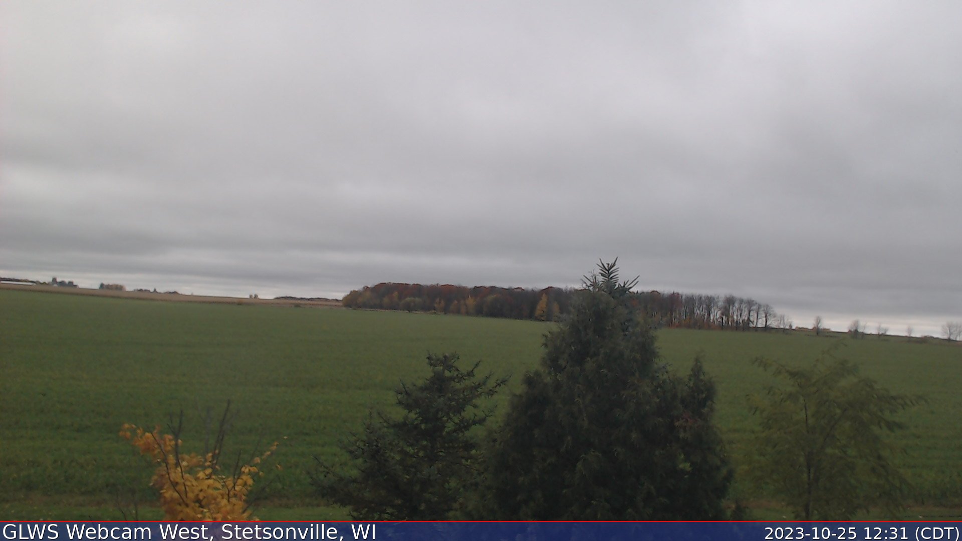
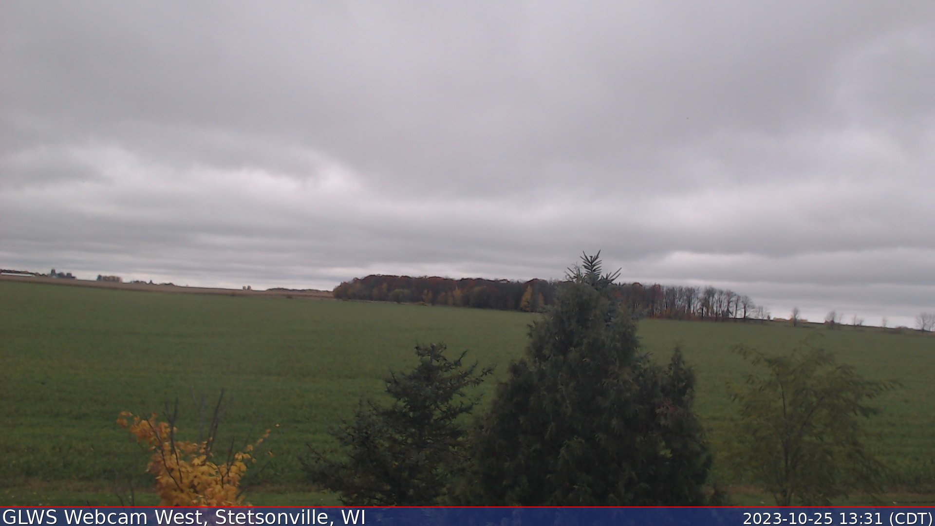
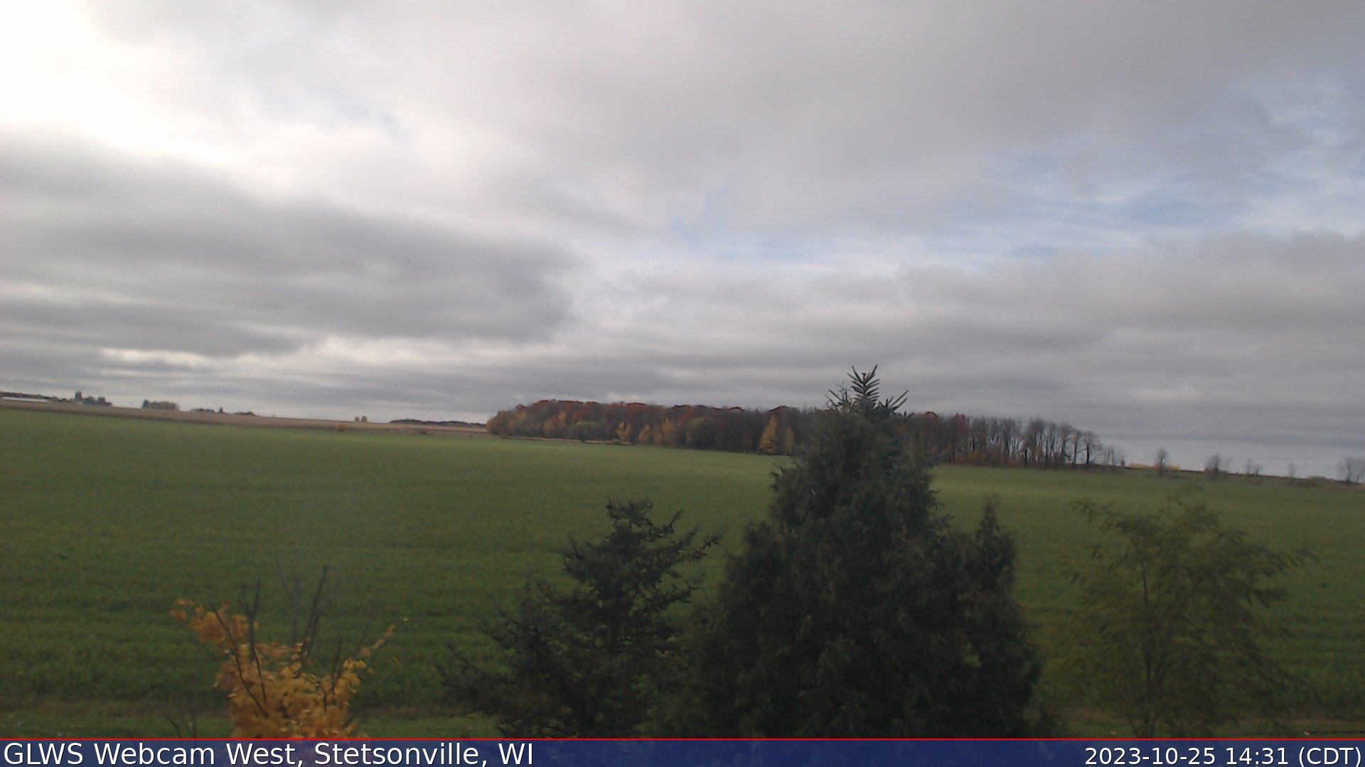
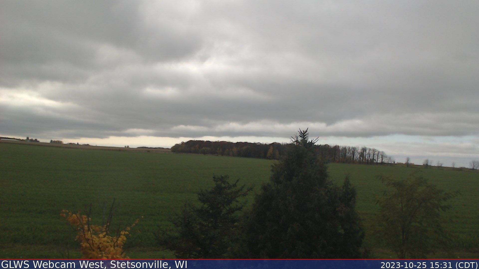
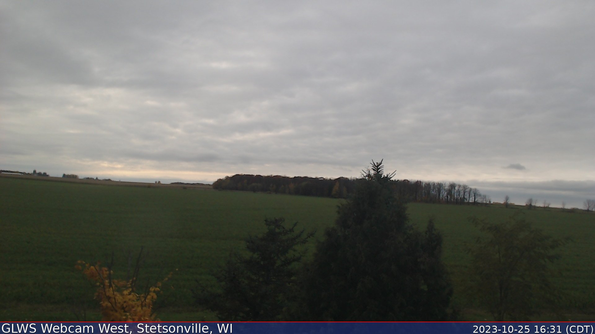
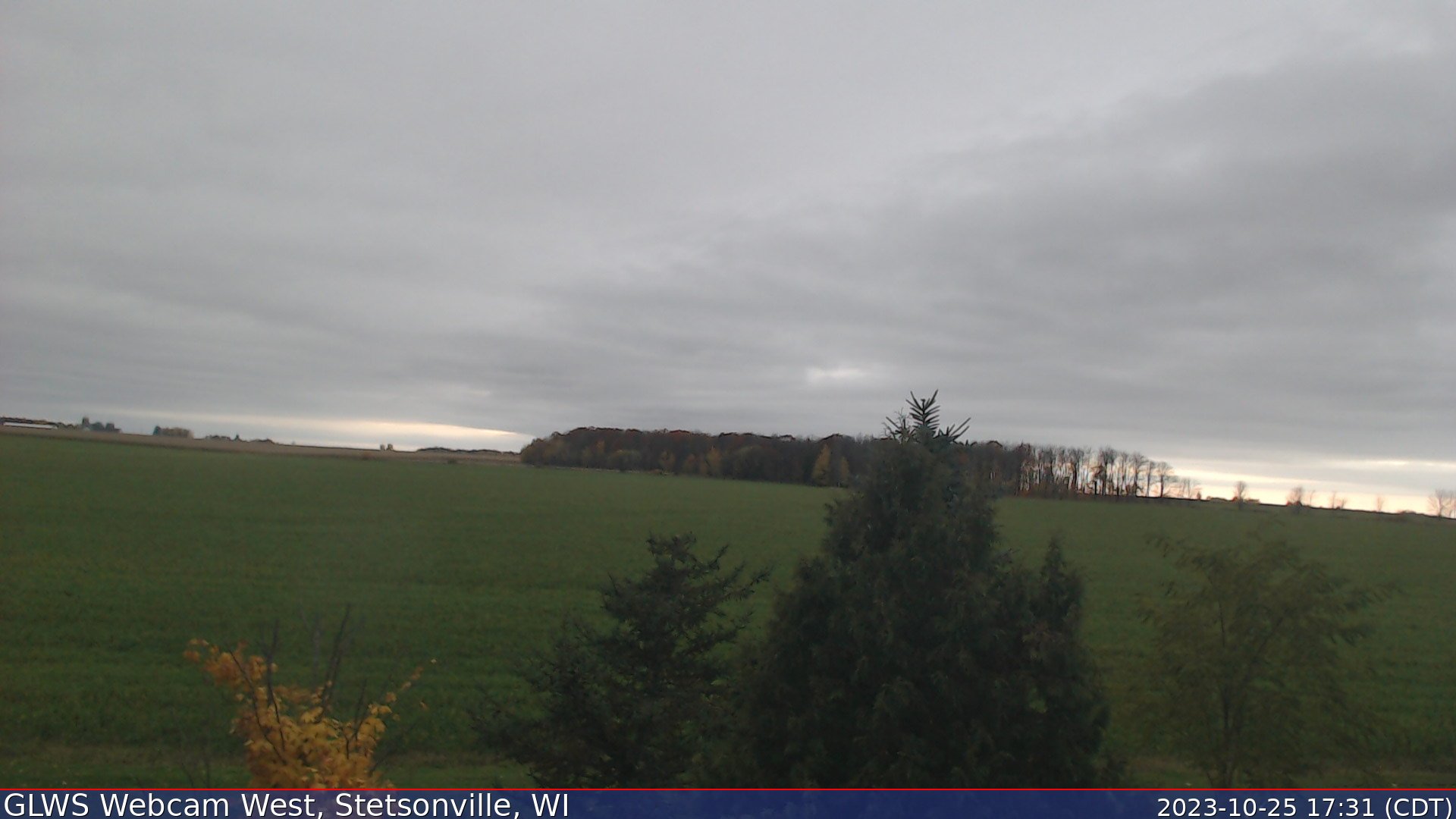
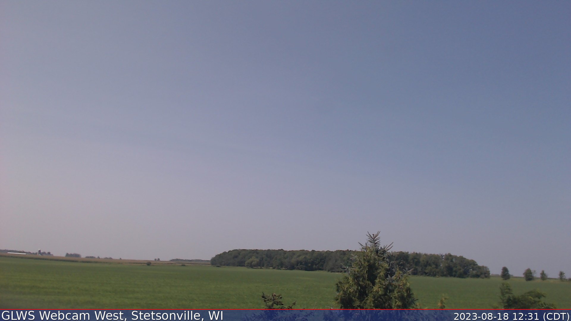
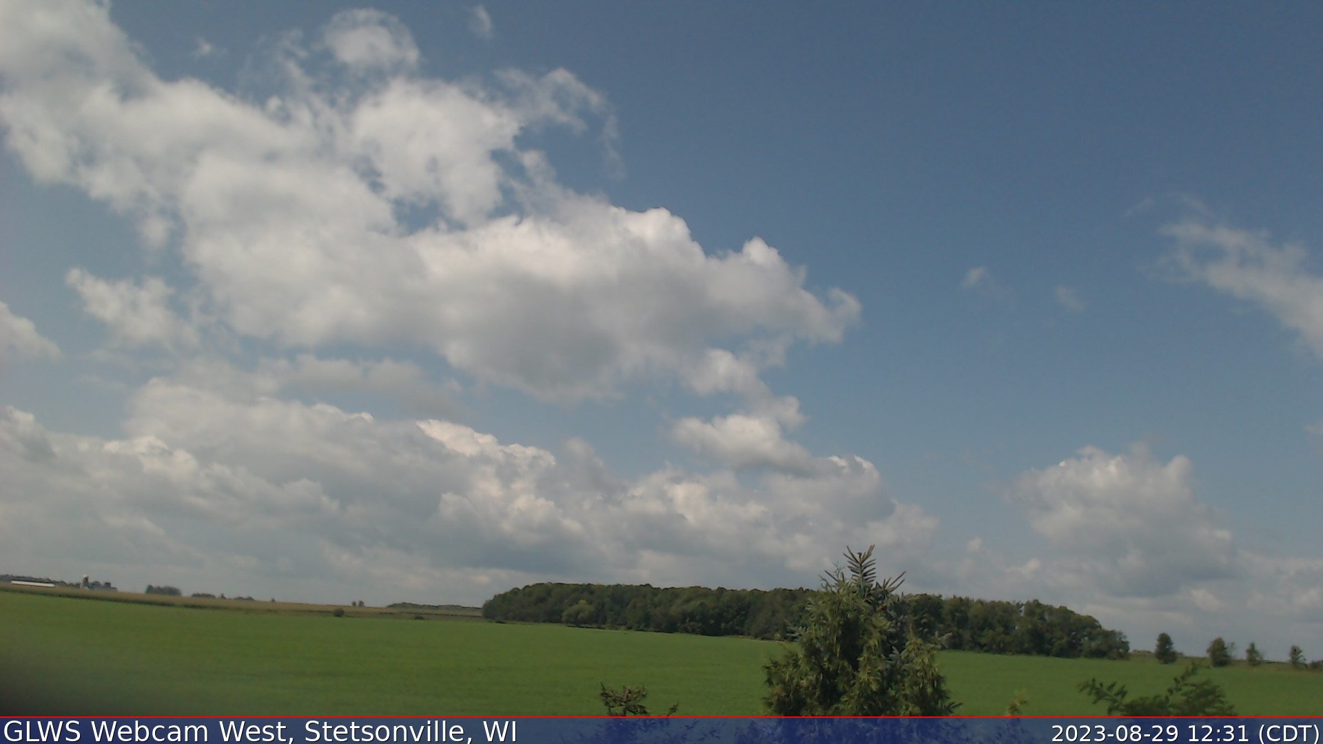
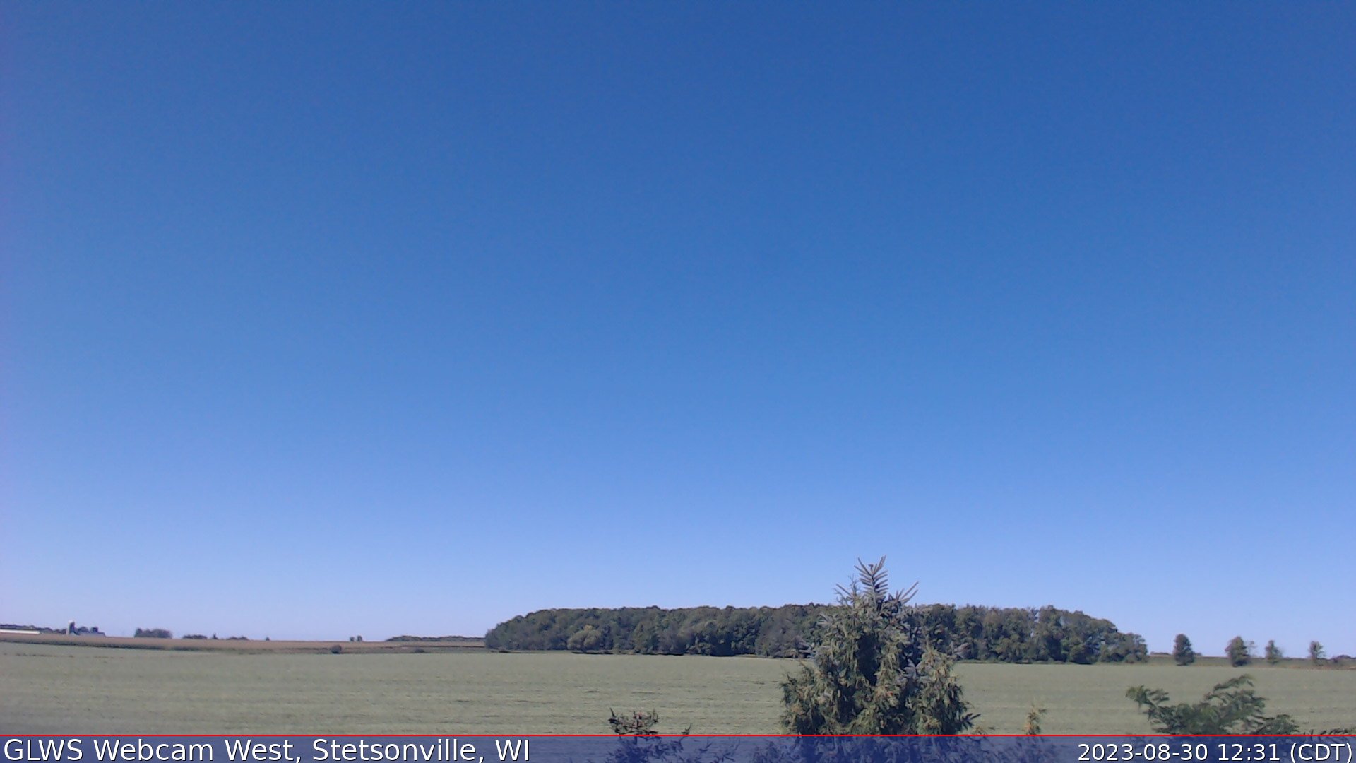
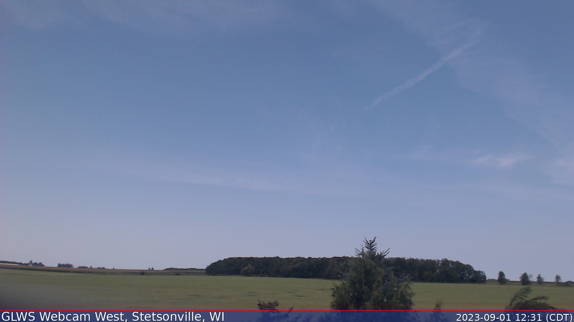
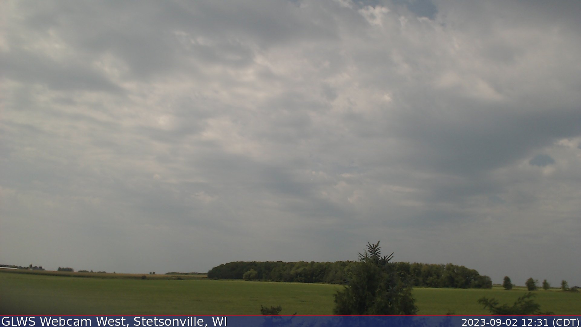
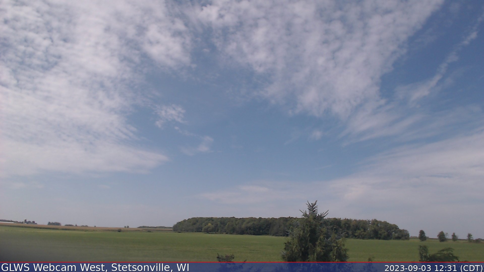
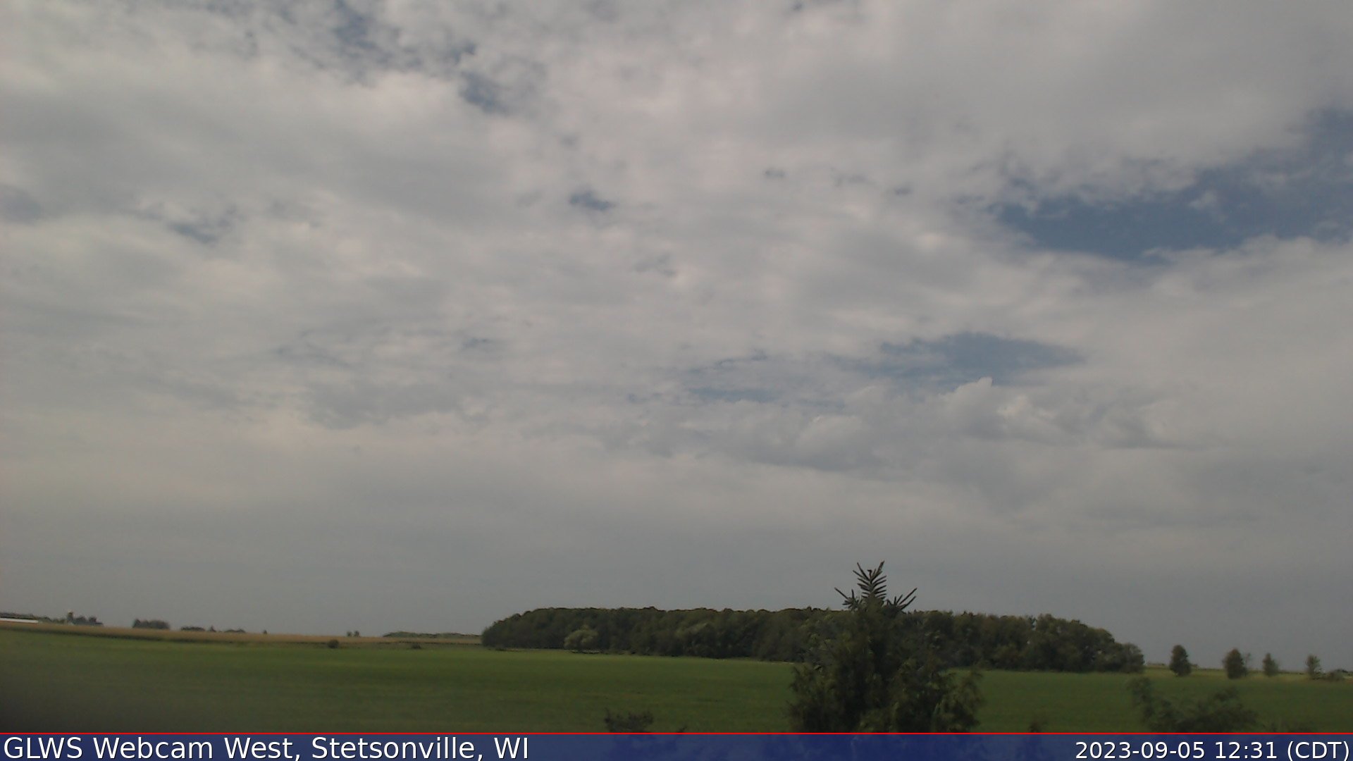
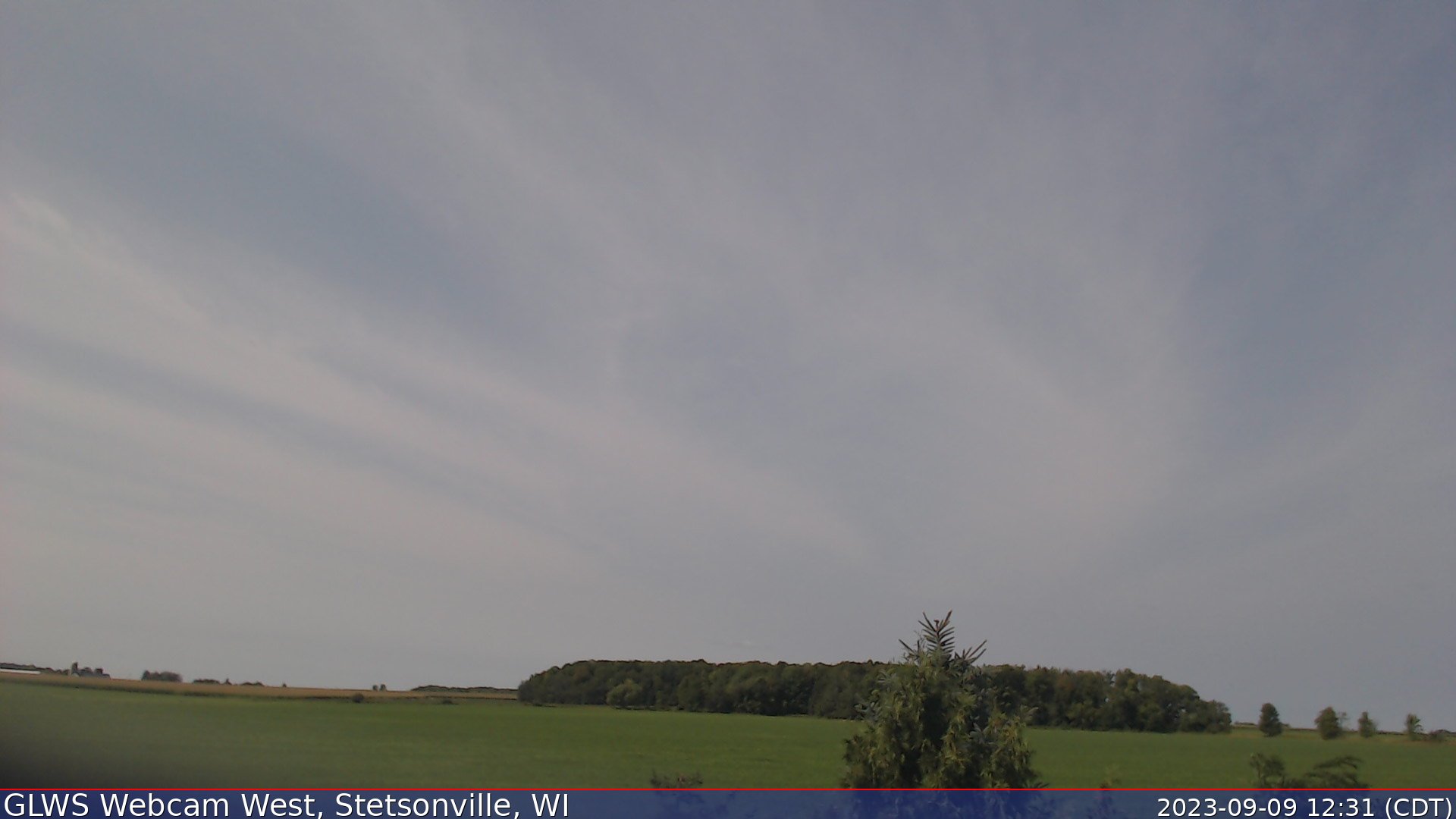
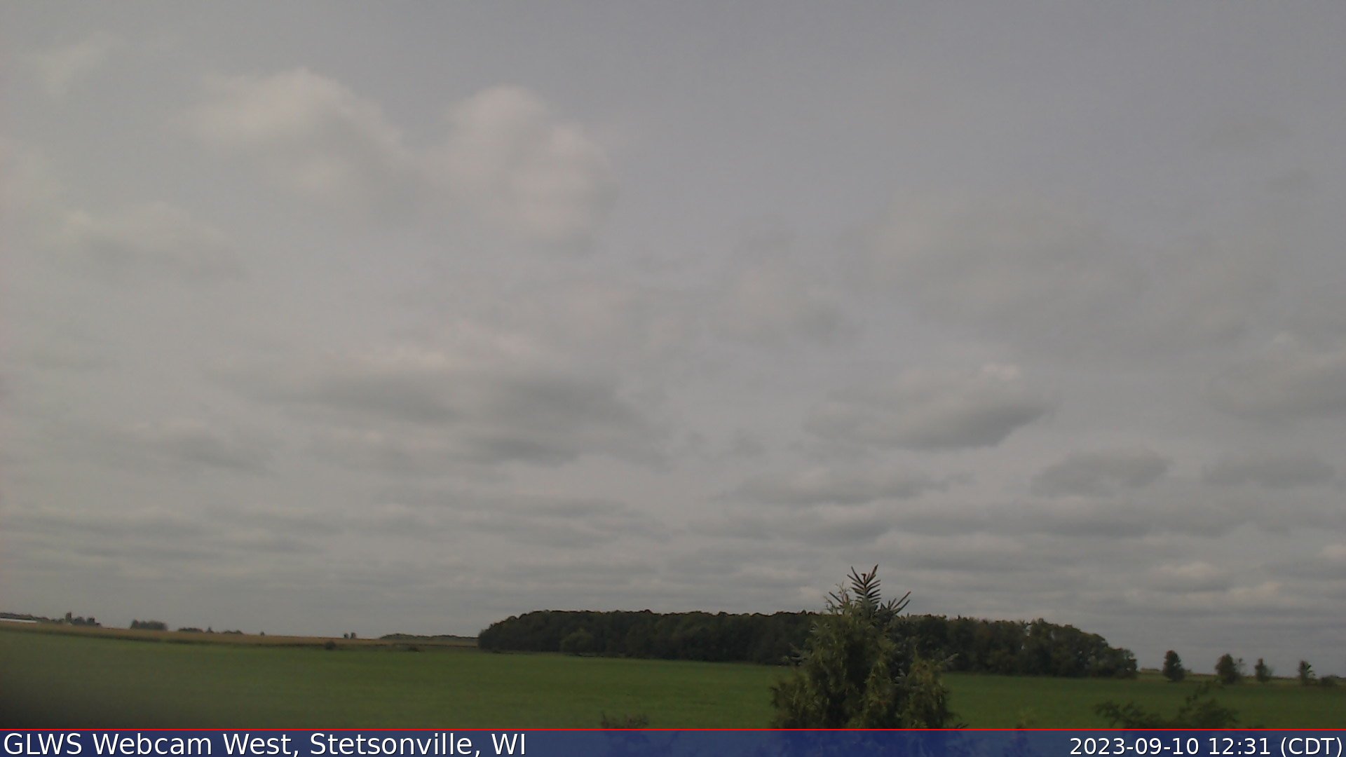
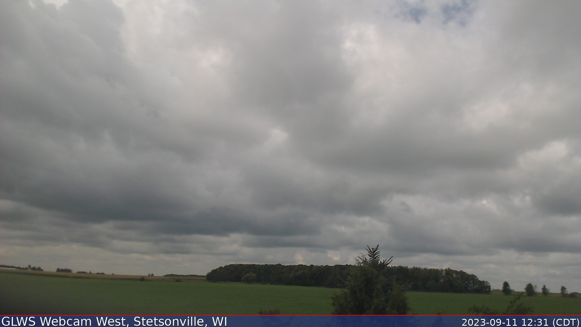
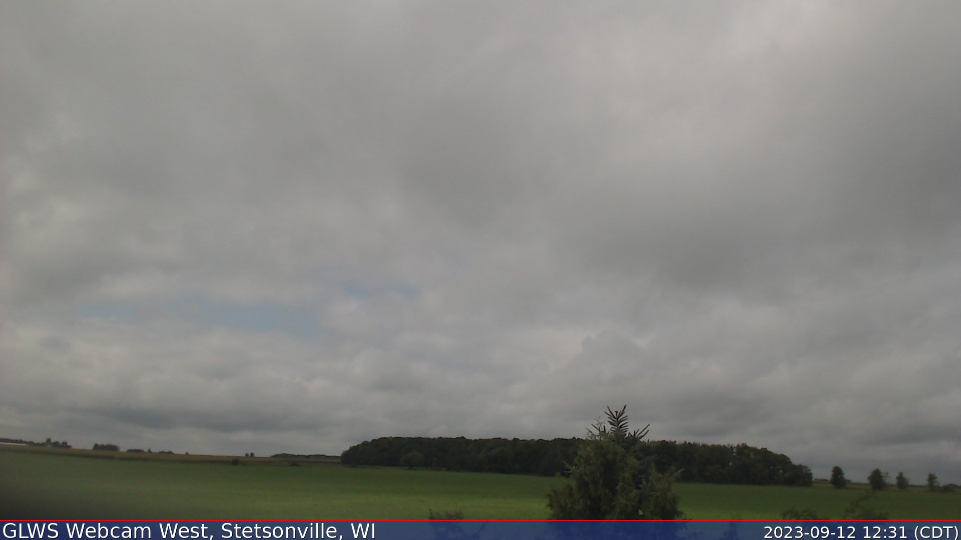
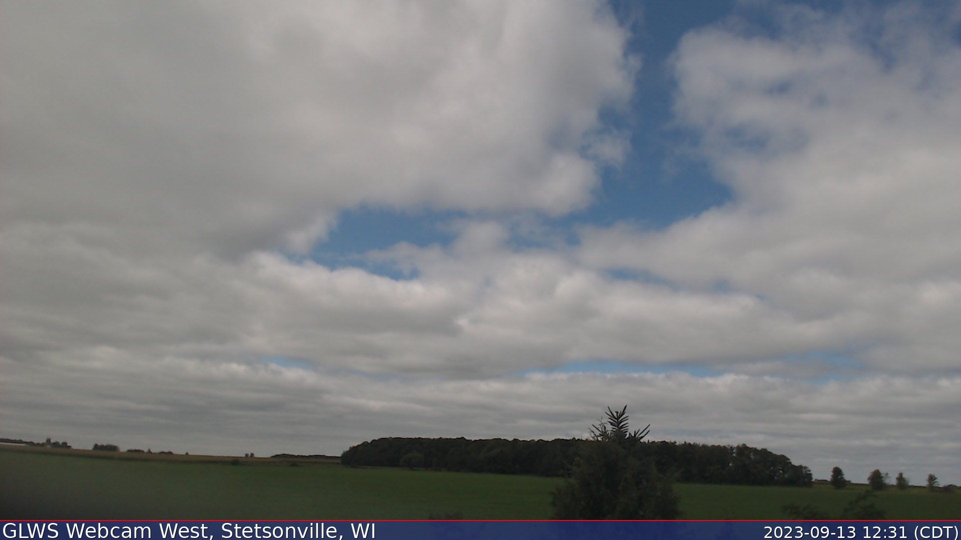
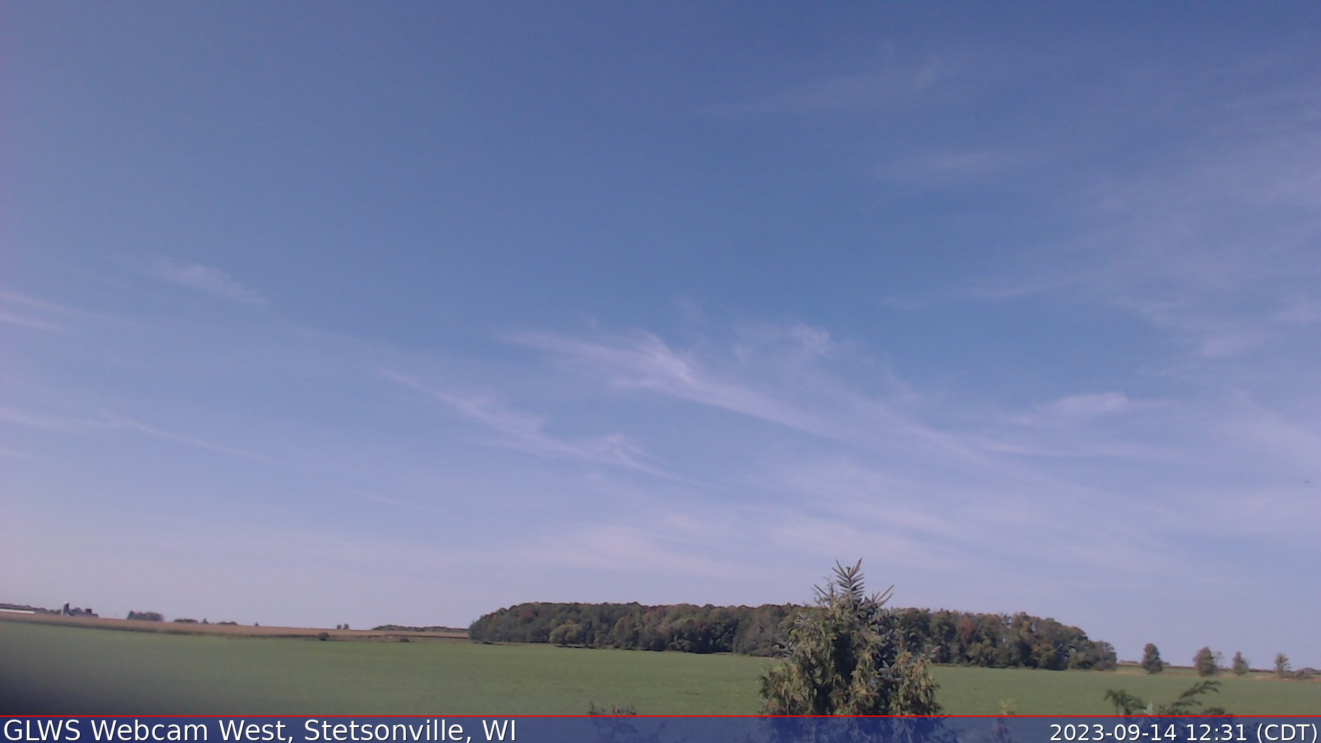
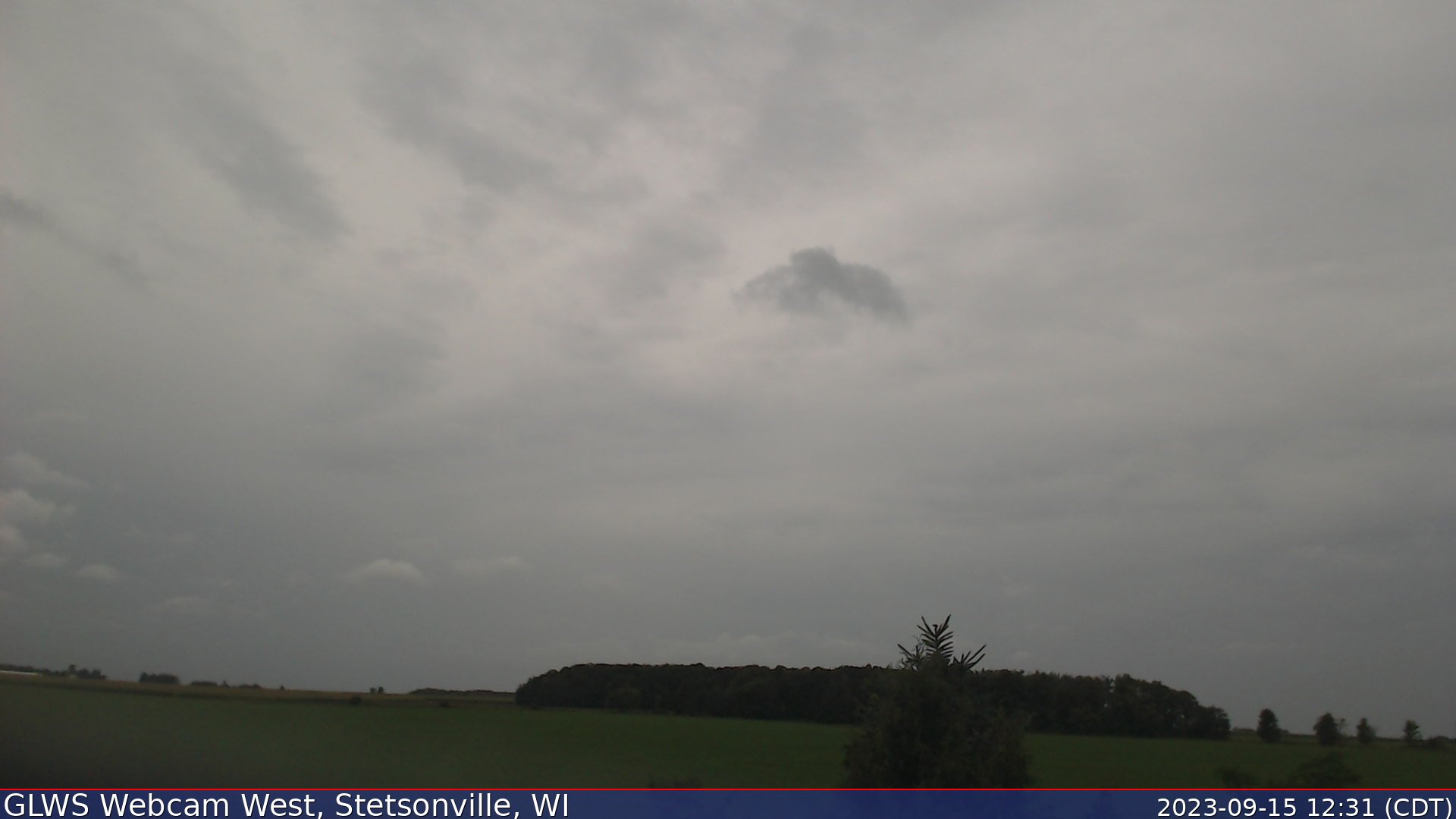
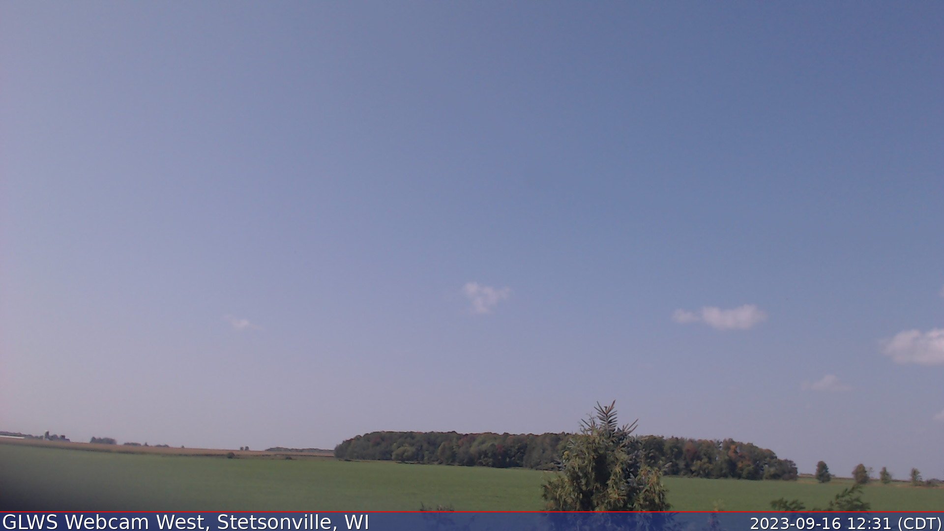
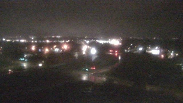
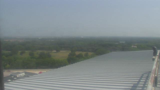
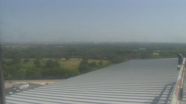
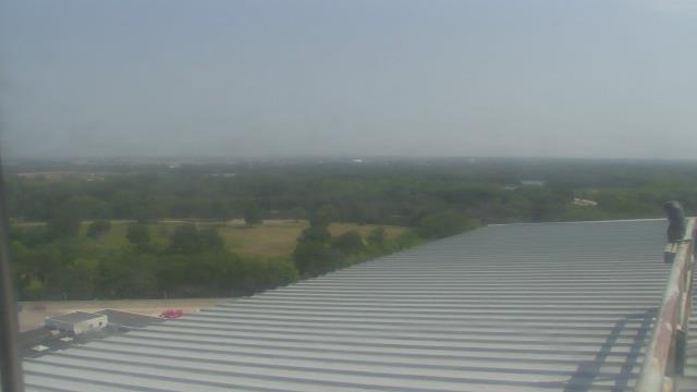
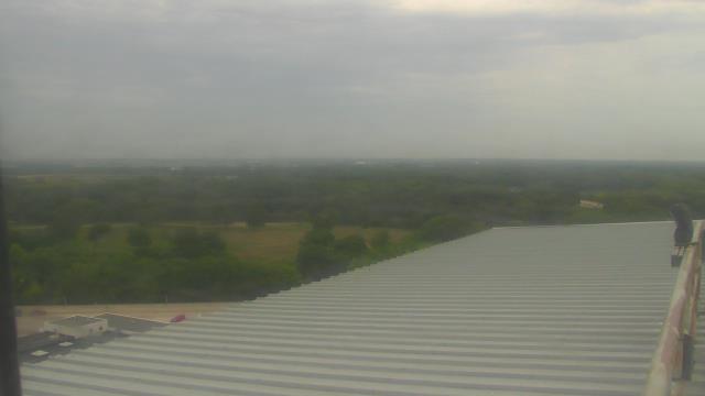
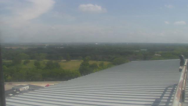
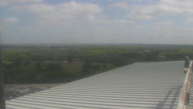
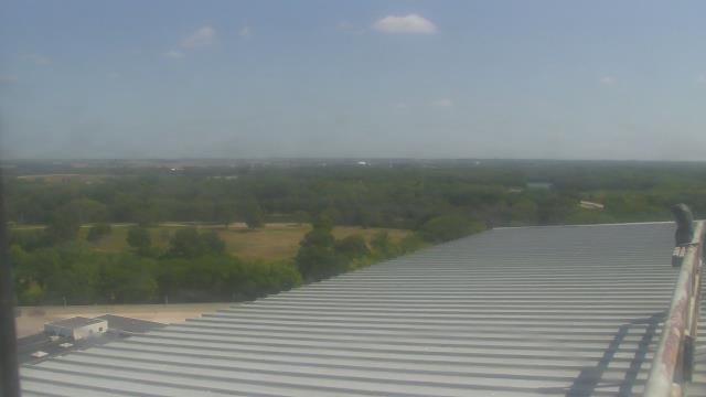
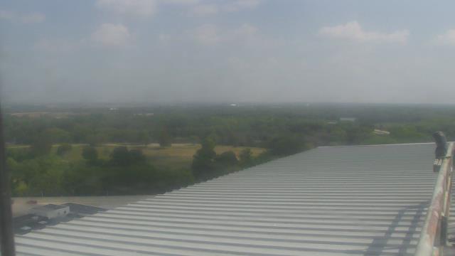
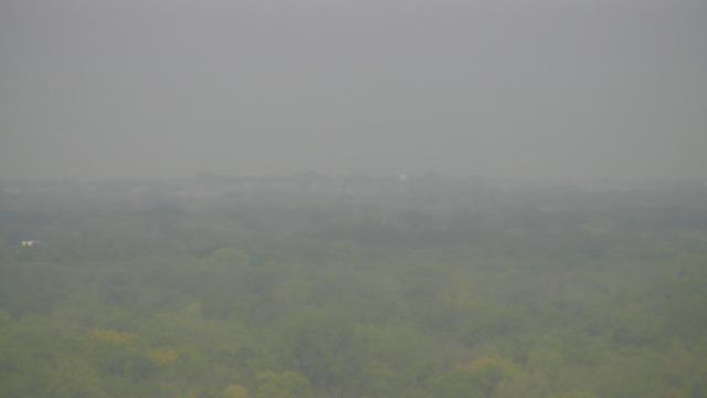
Stetsonville, Wisconsin, USA - 184.6 miles from Popple Creek: GLWS Webcam West - A view to the west from the Great Lakes Weather Service HQ in Stetsonville, WI.
Operator: Great Lakes Weather Service
Operator: Great Lakes Weather Service


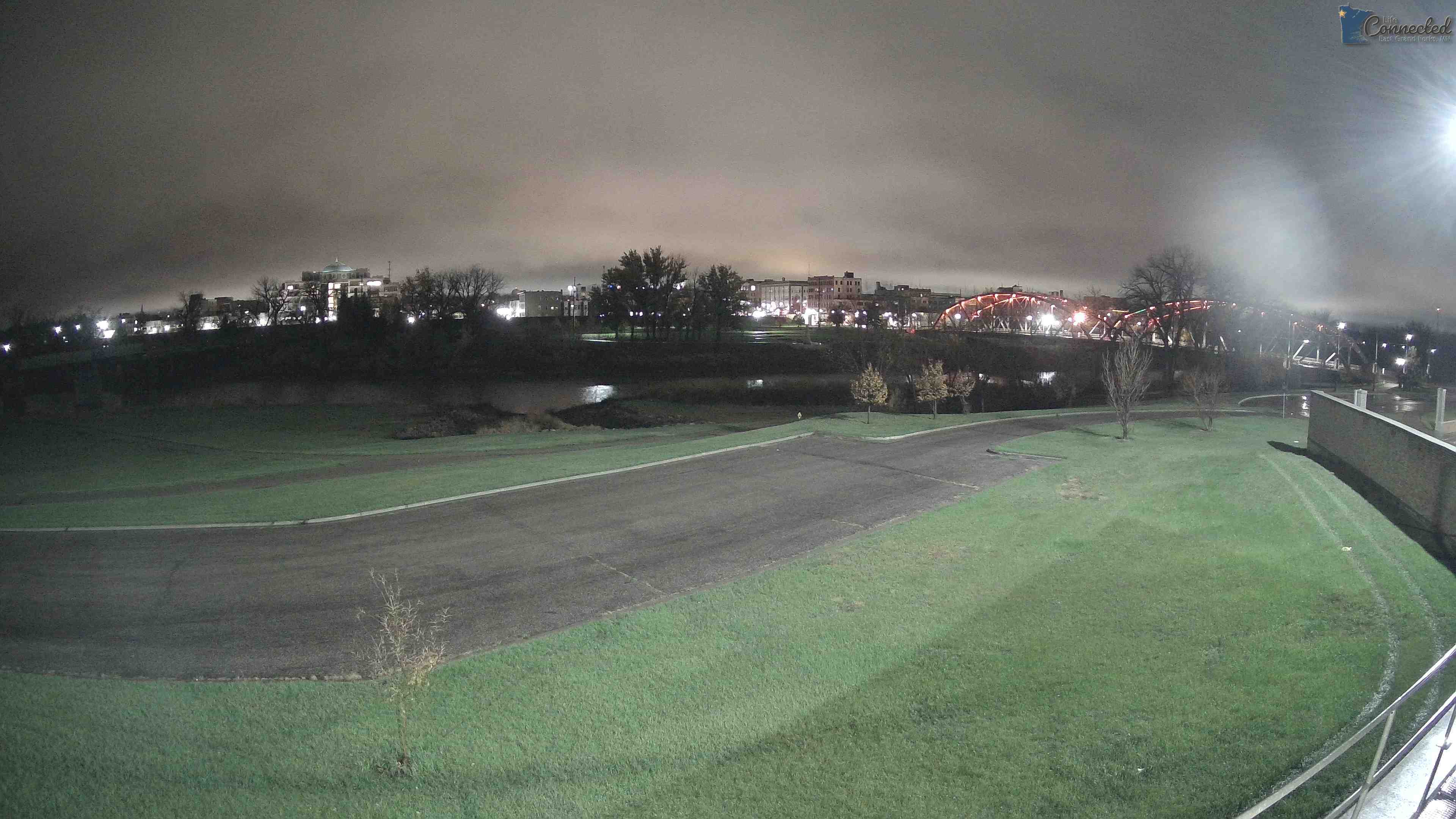
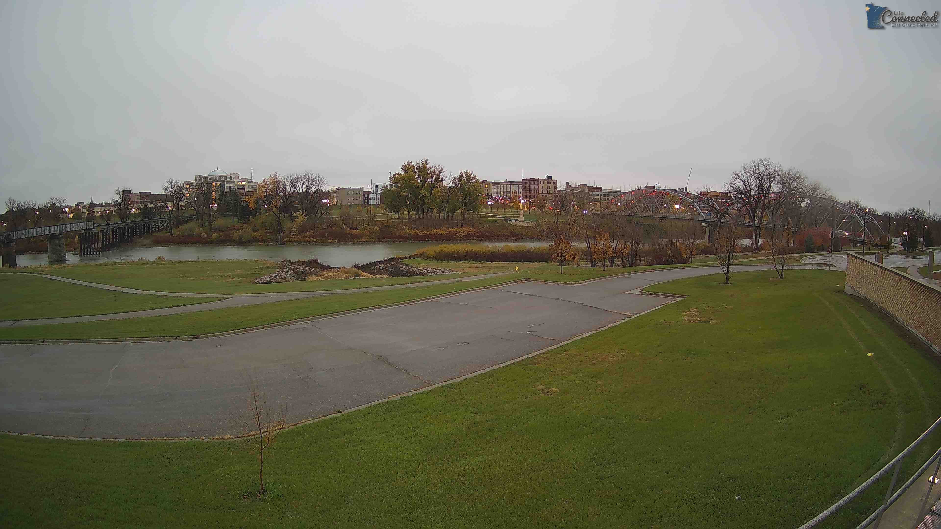
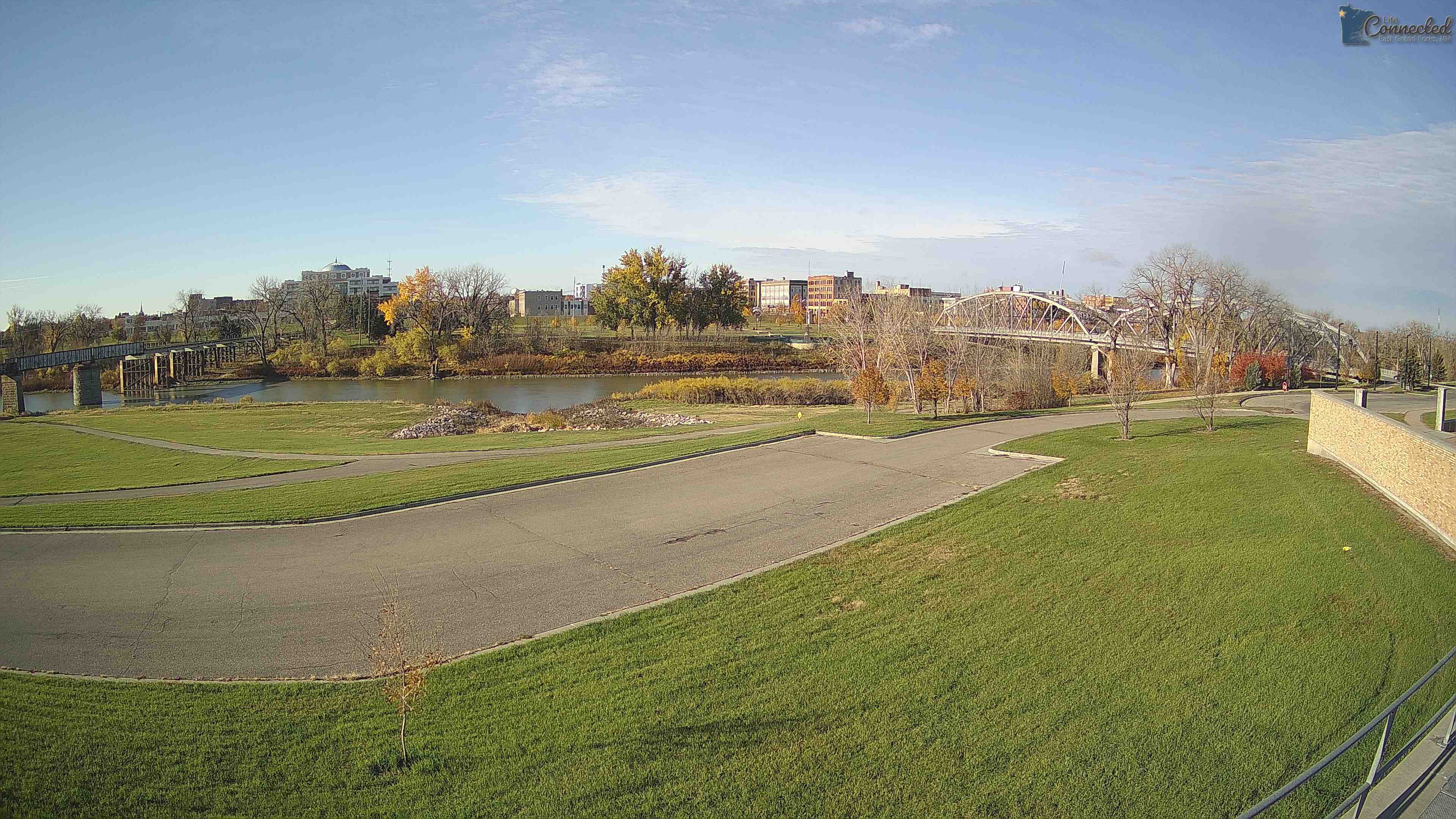
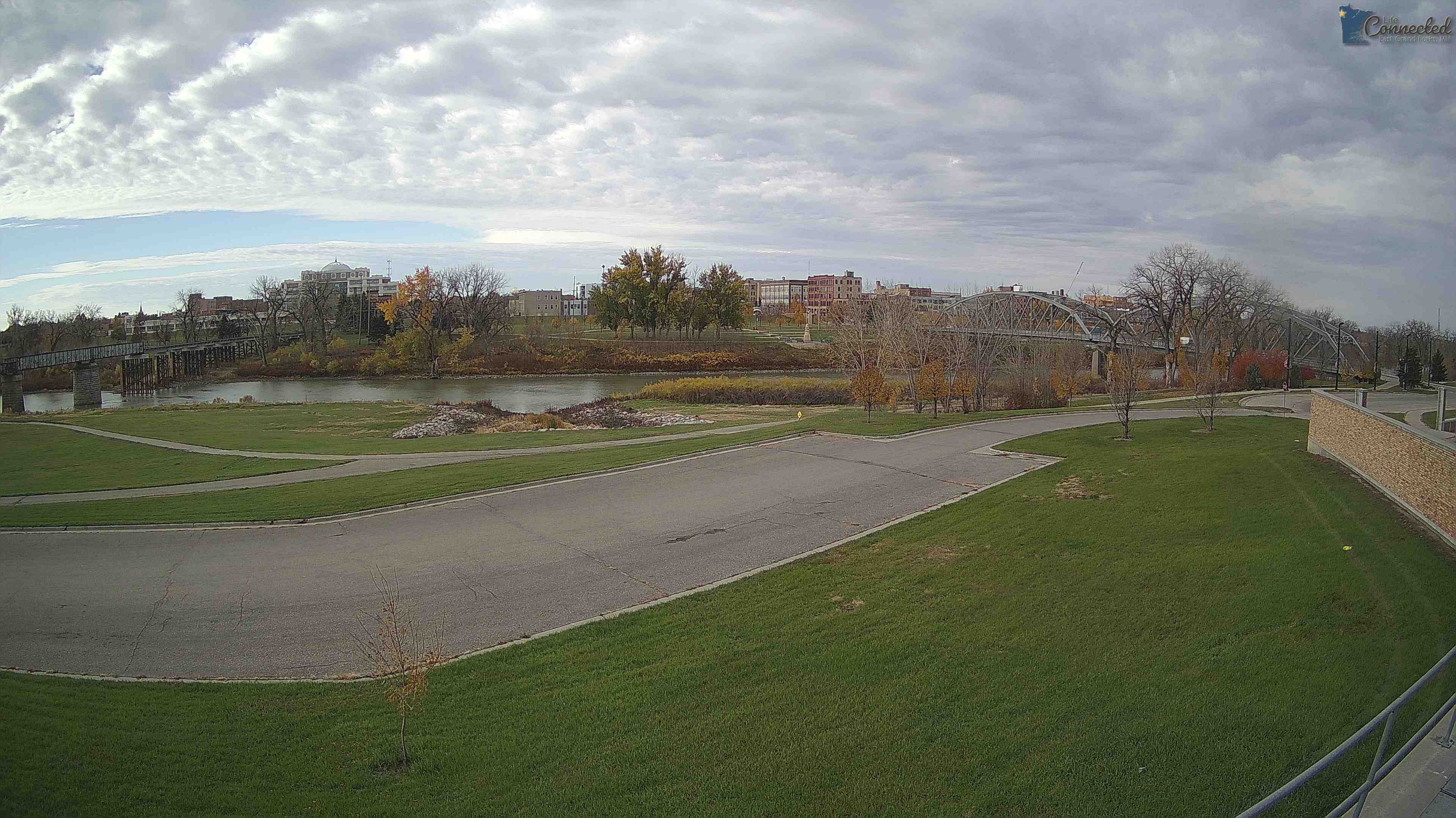
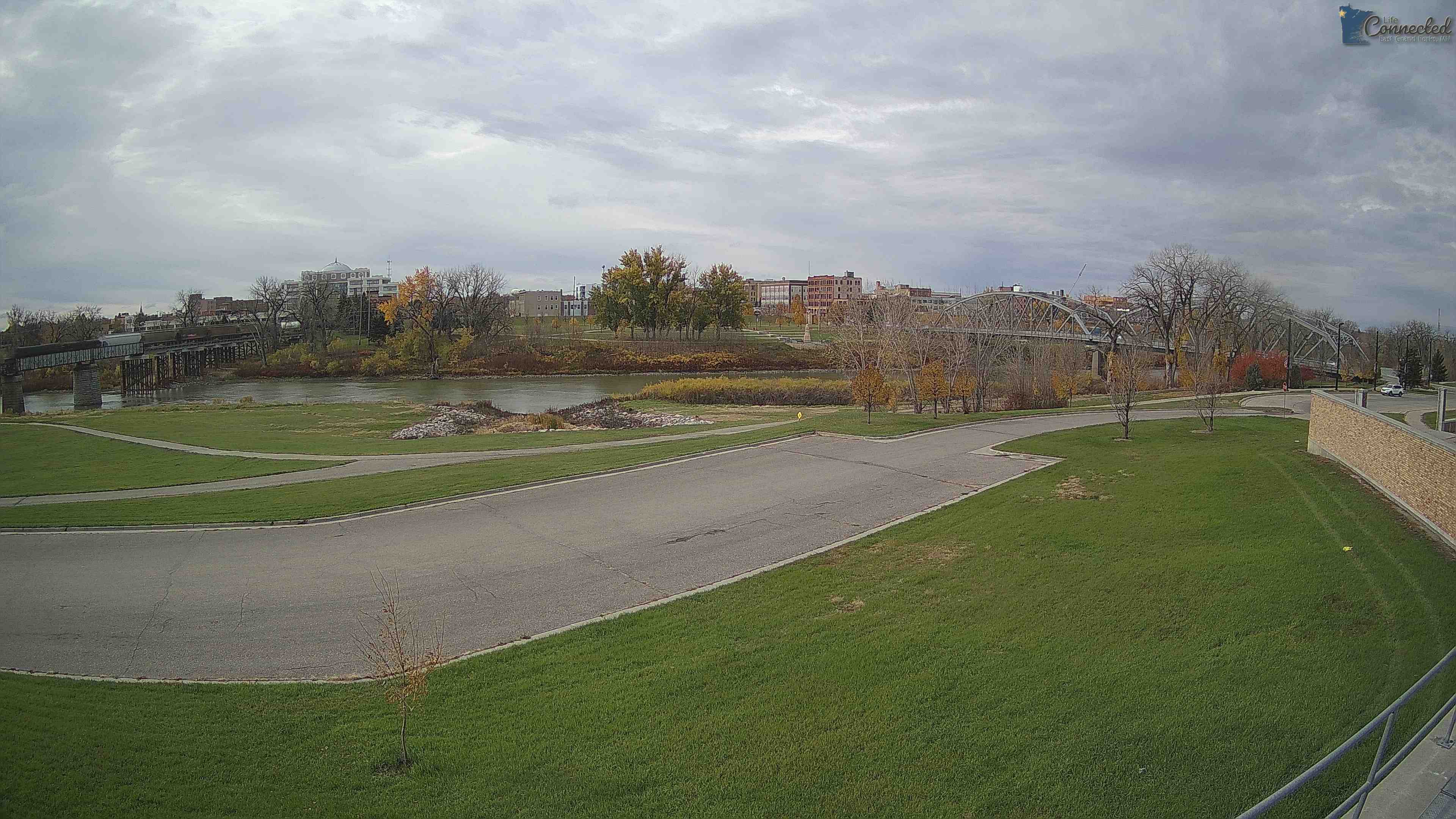
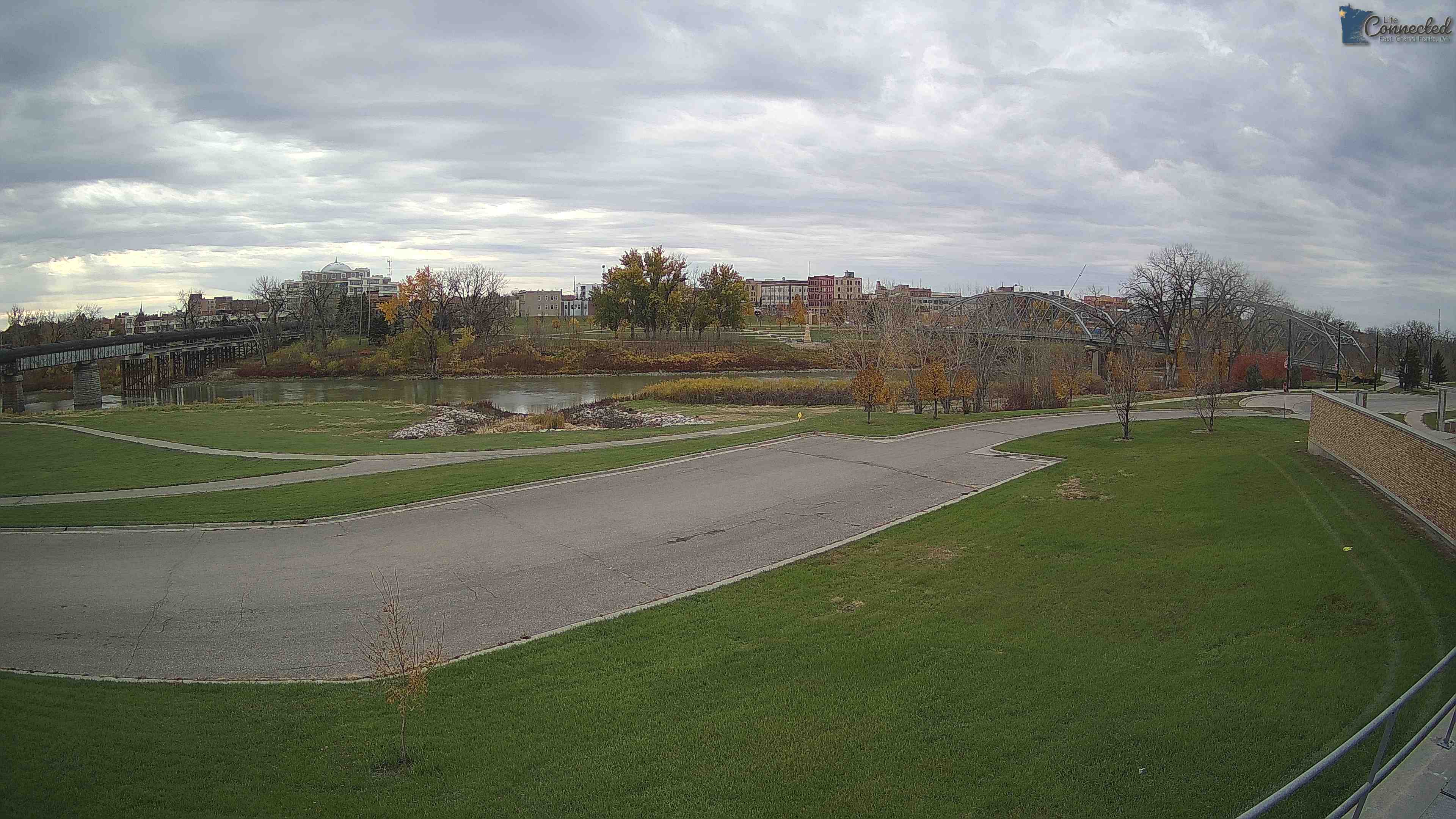
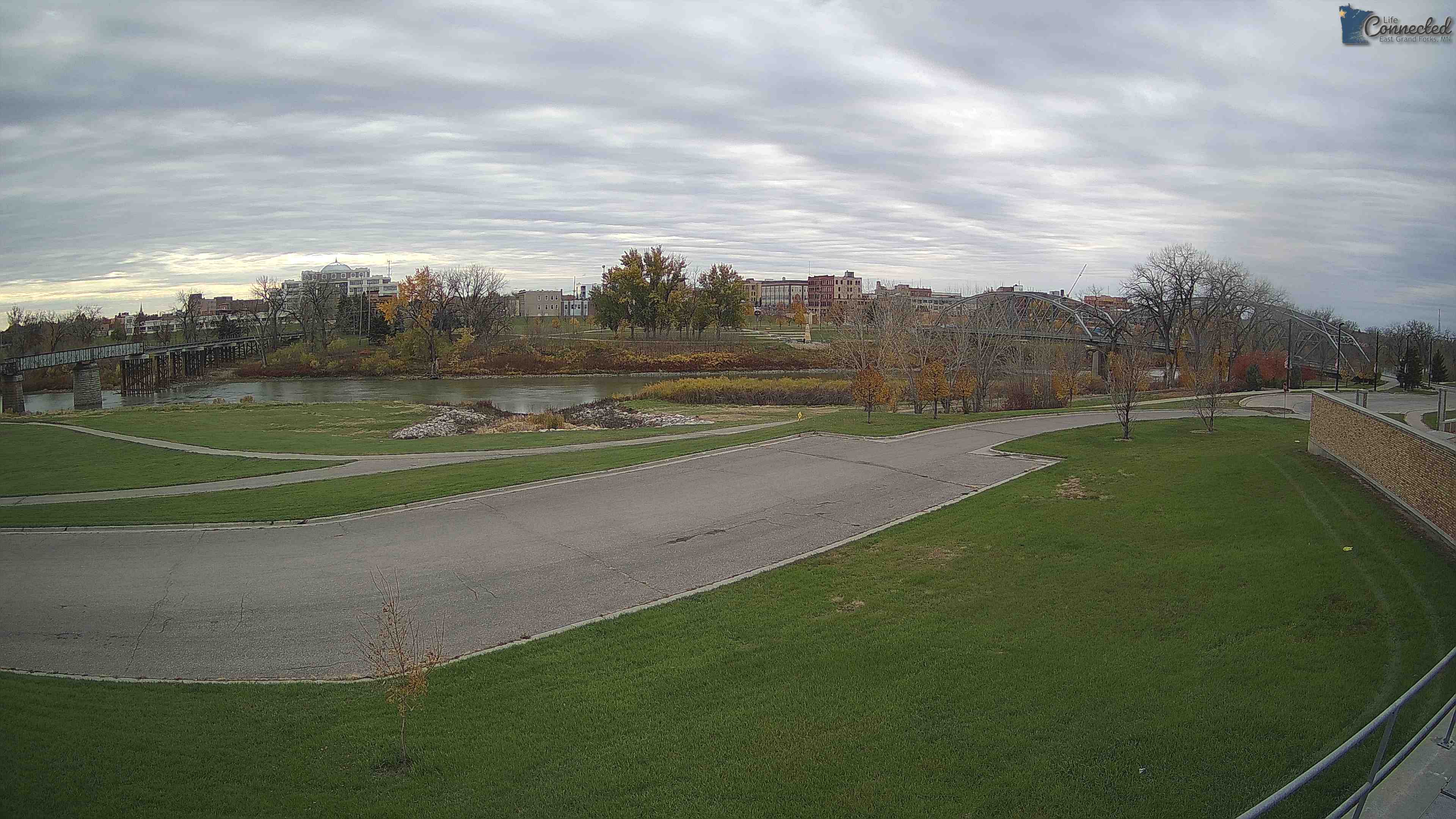
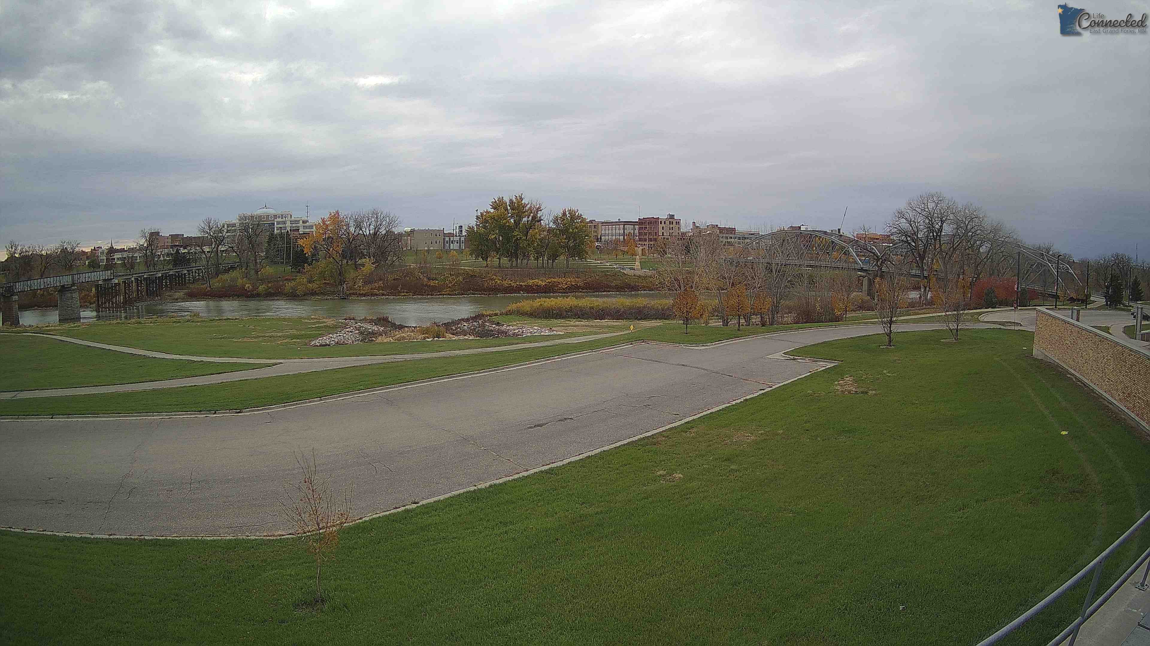
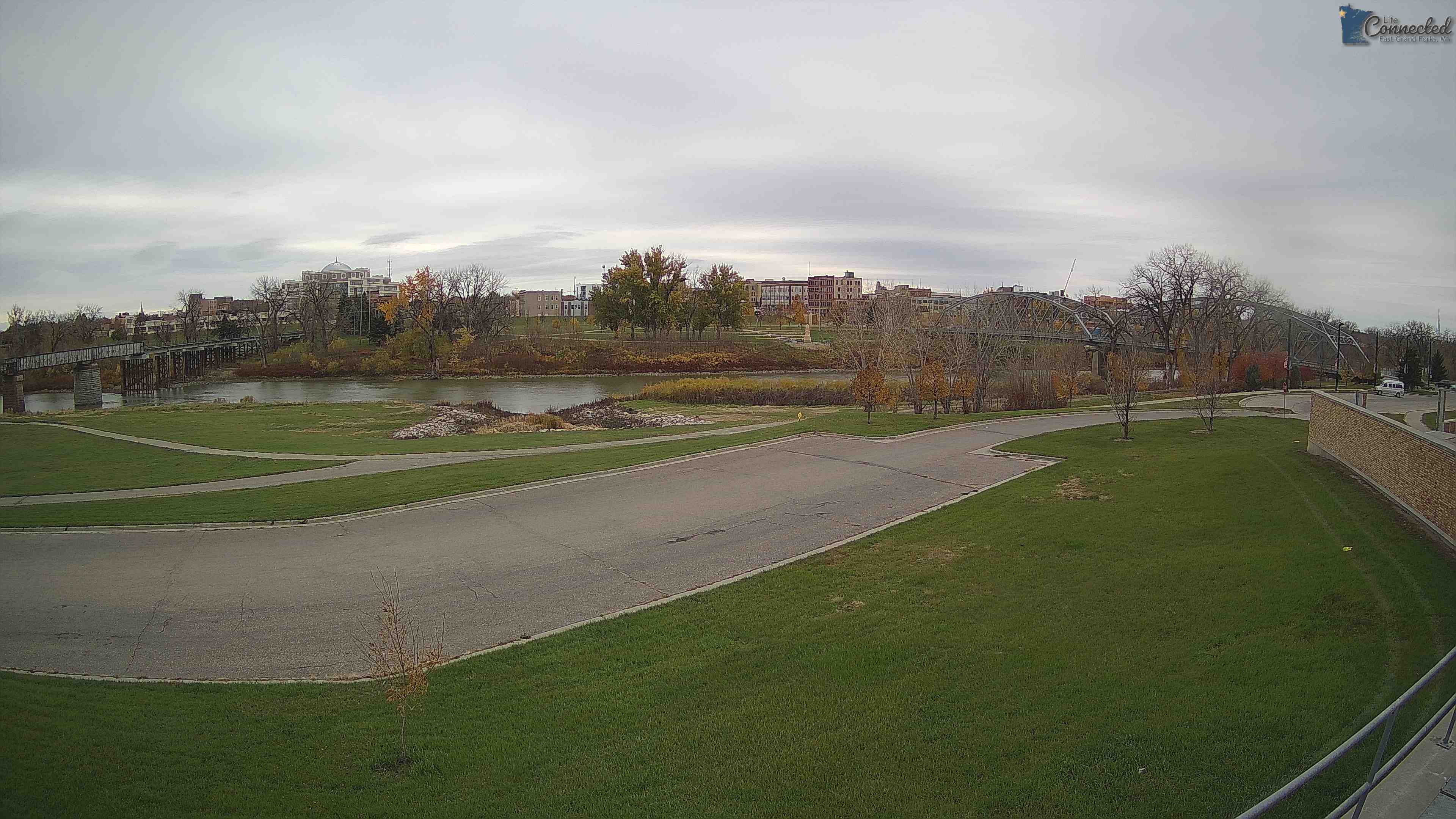
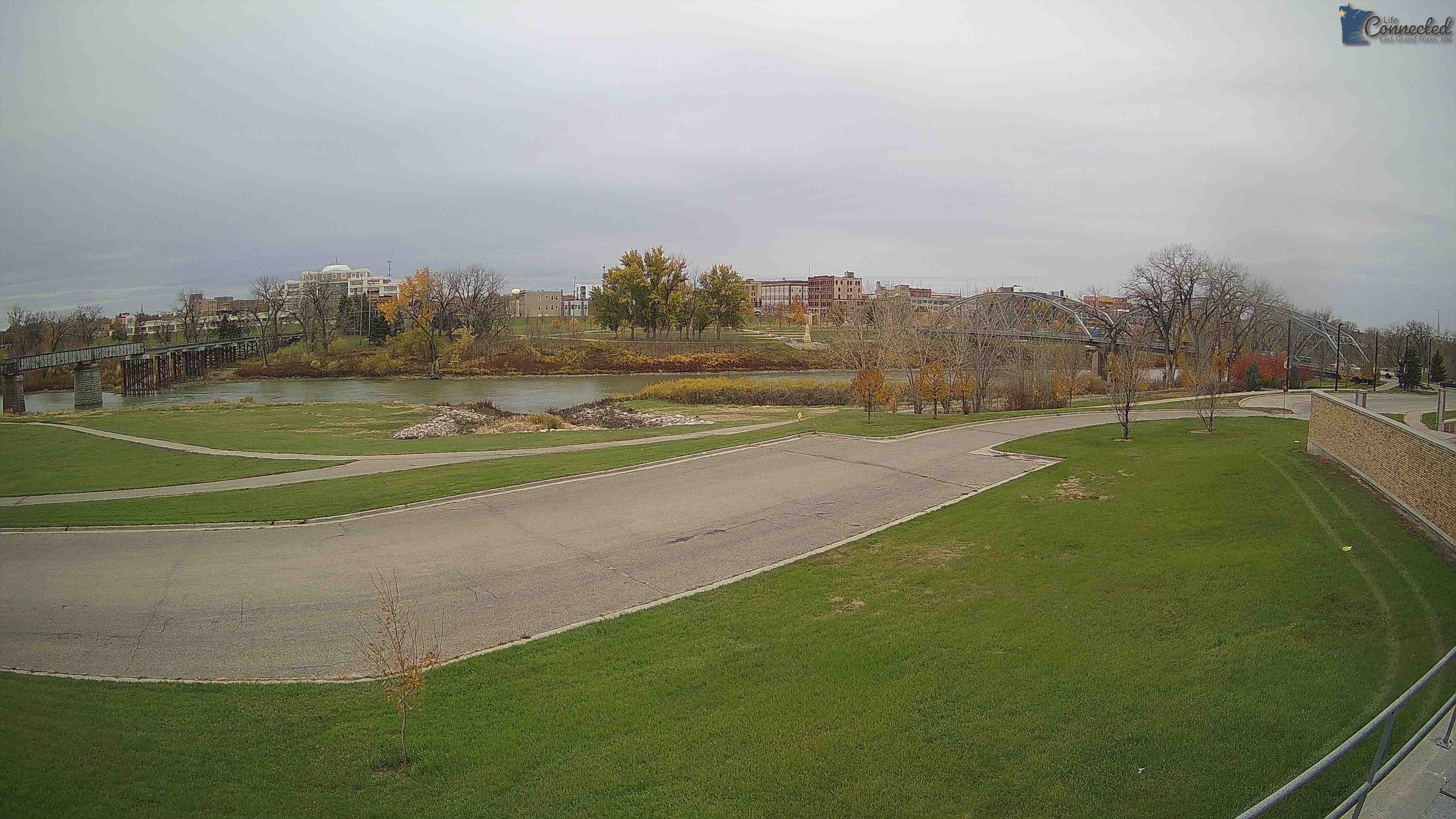
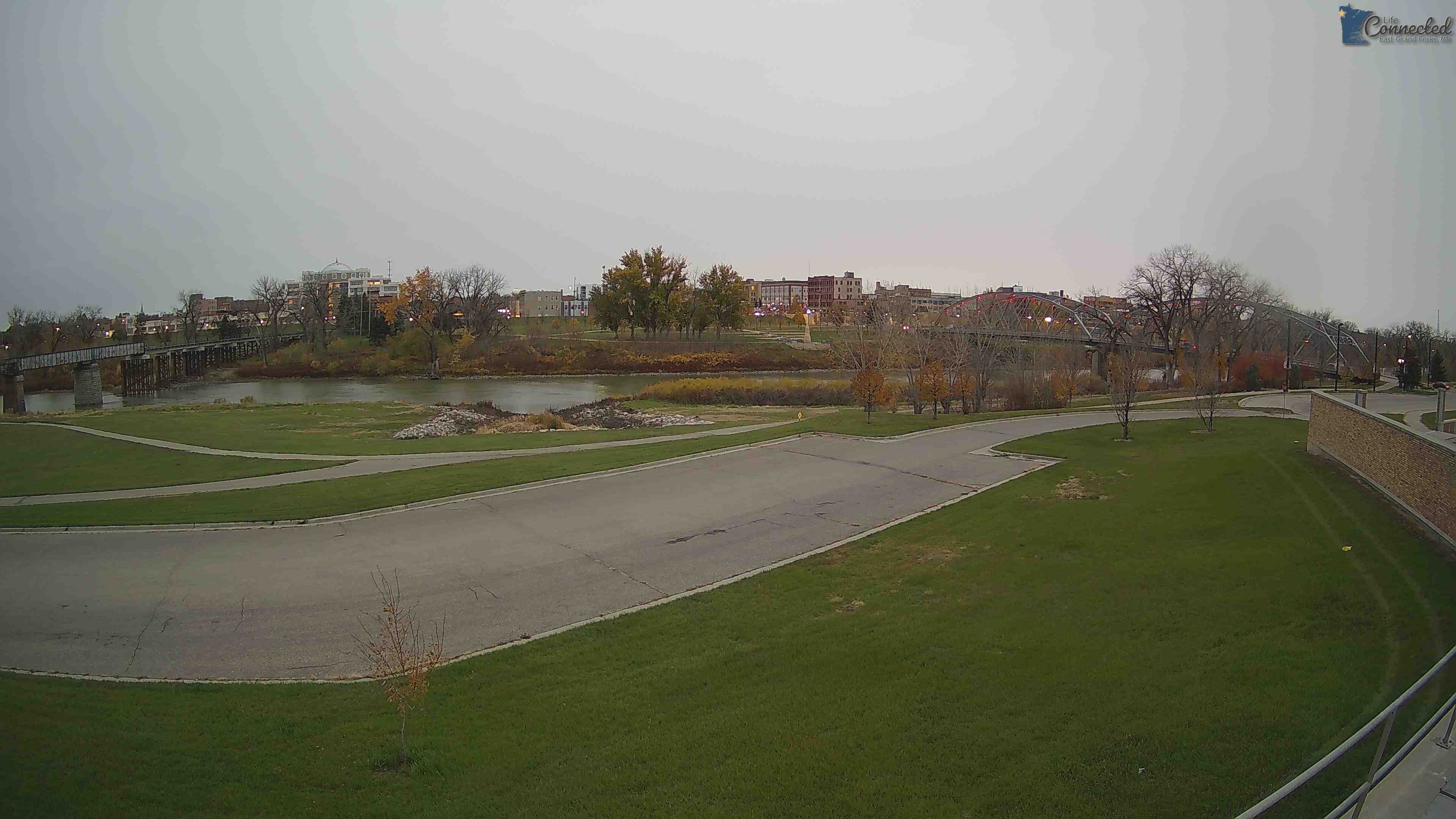
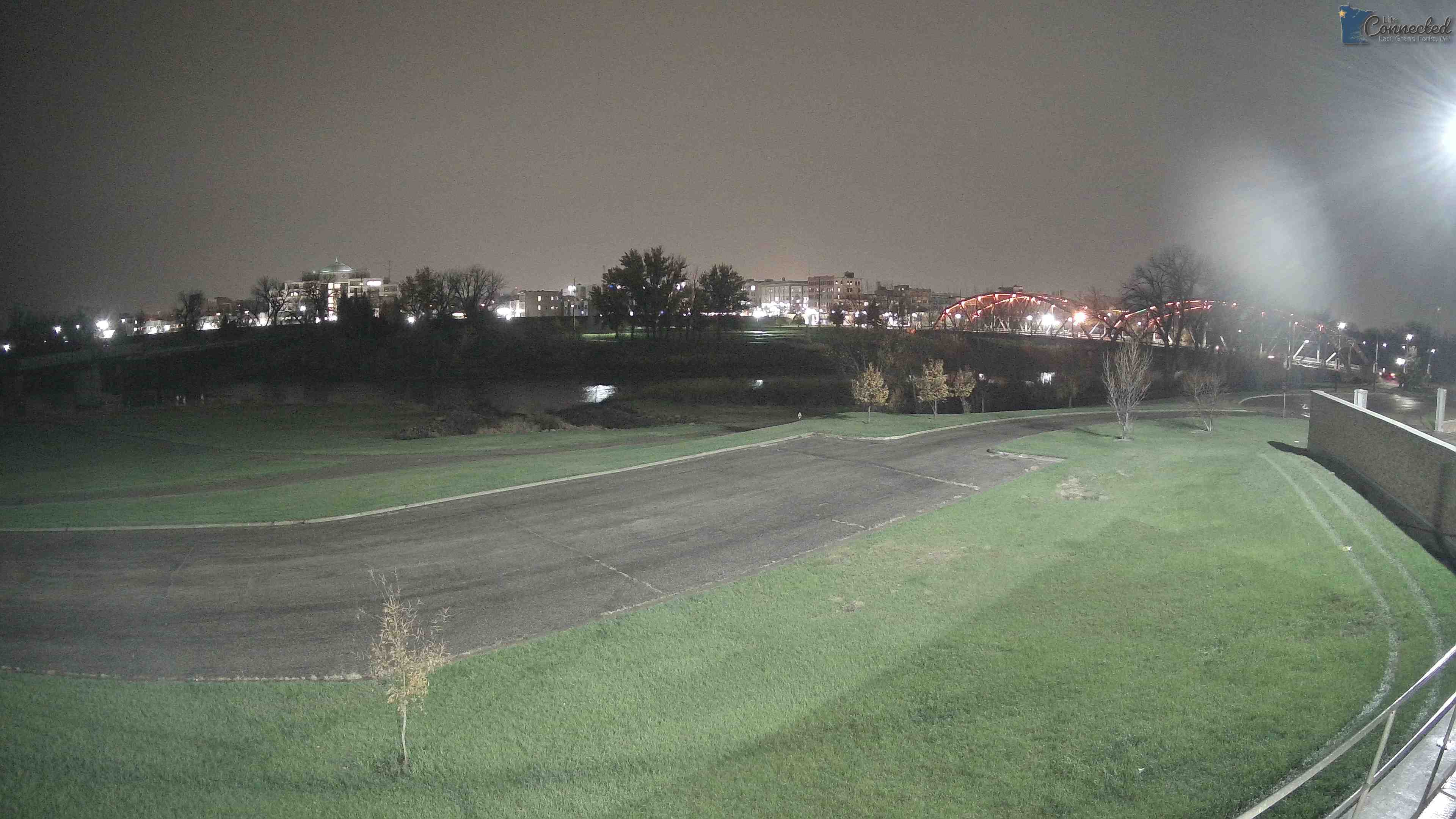
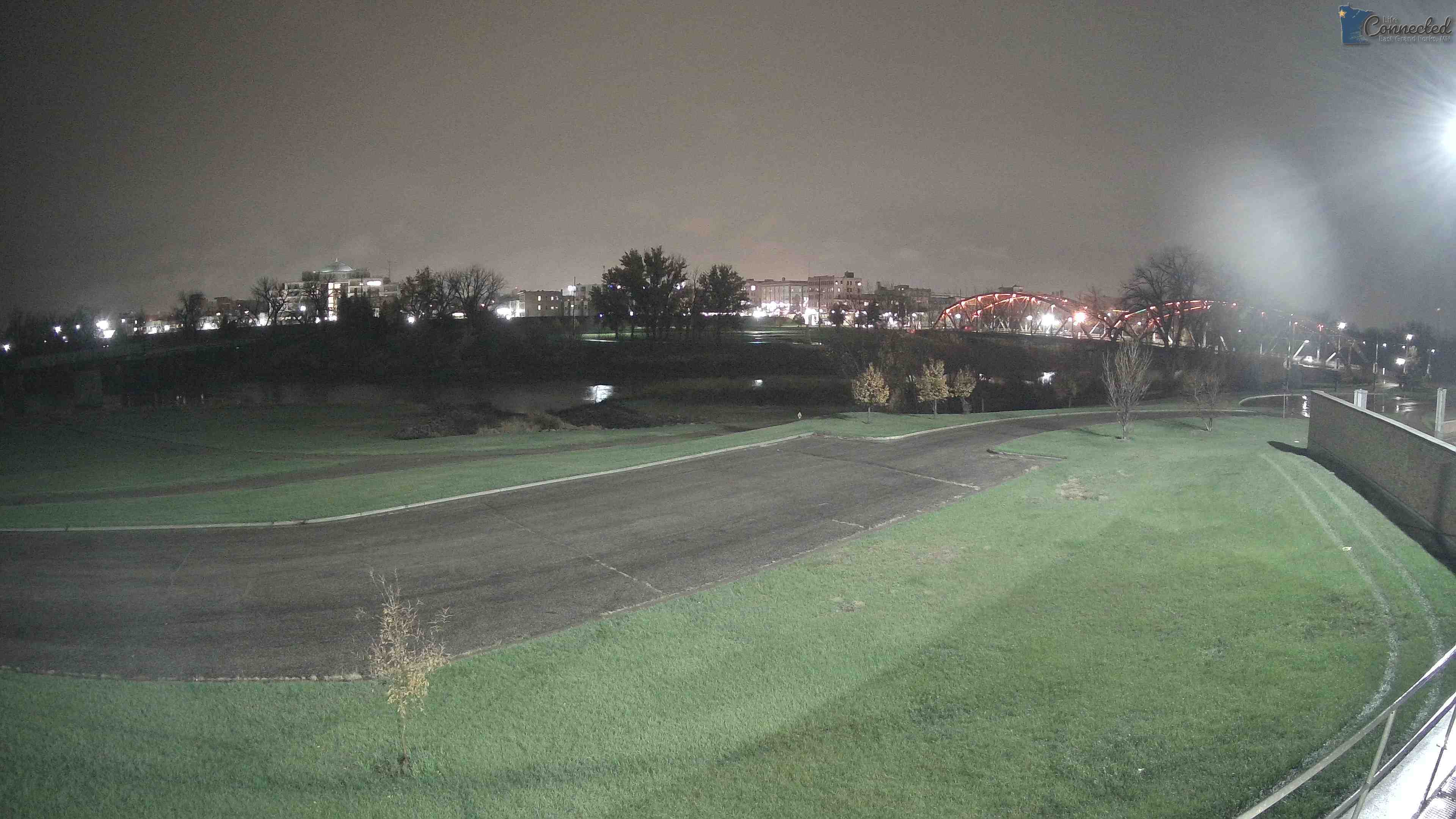
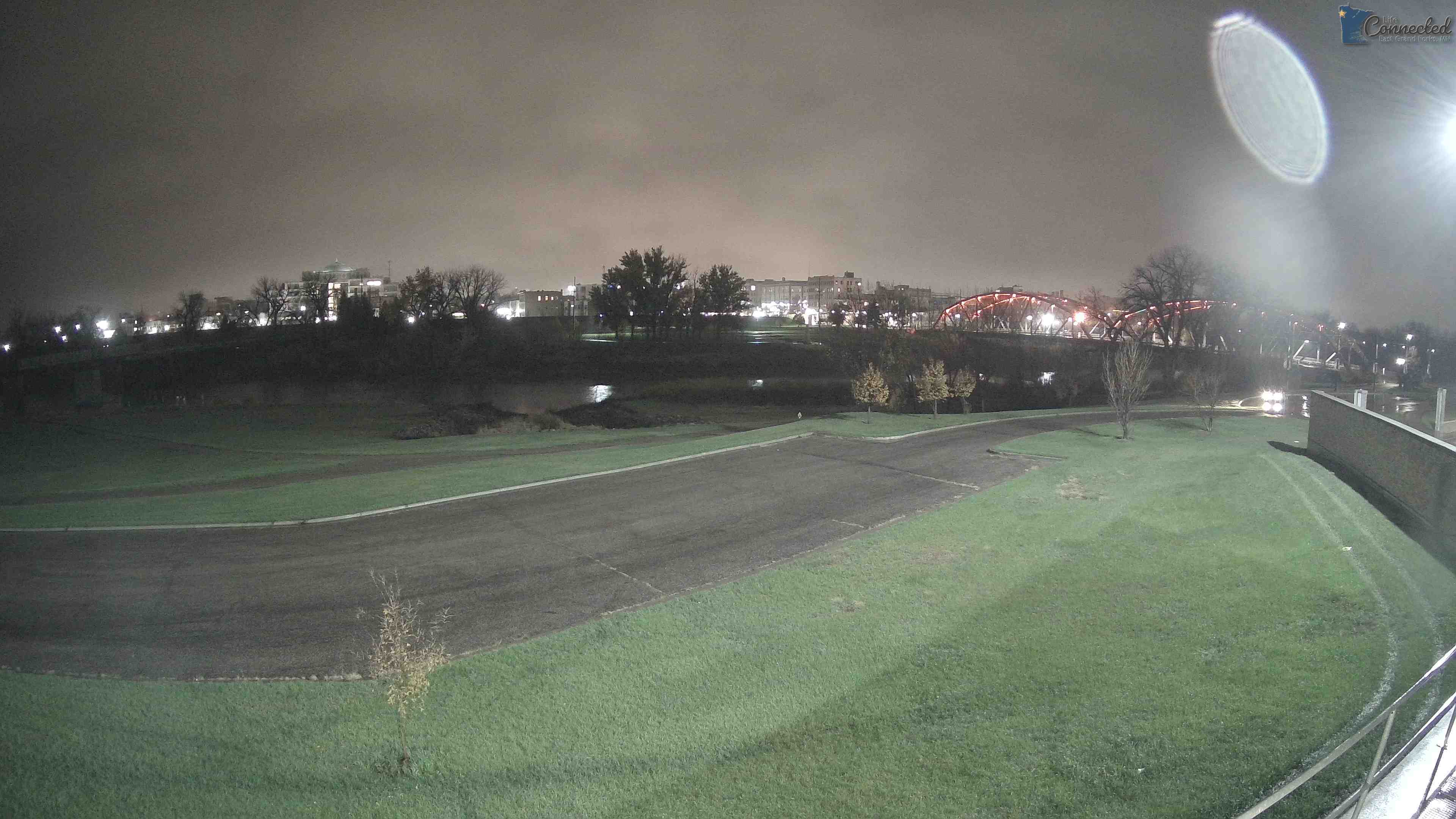
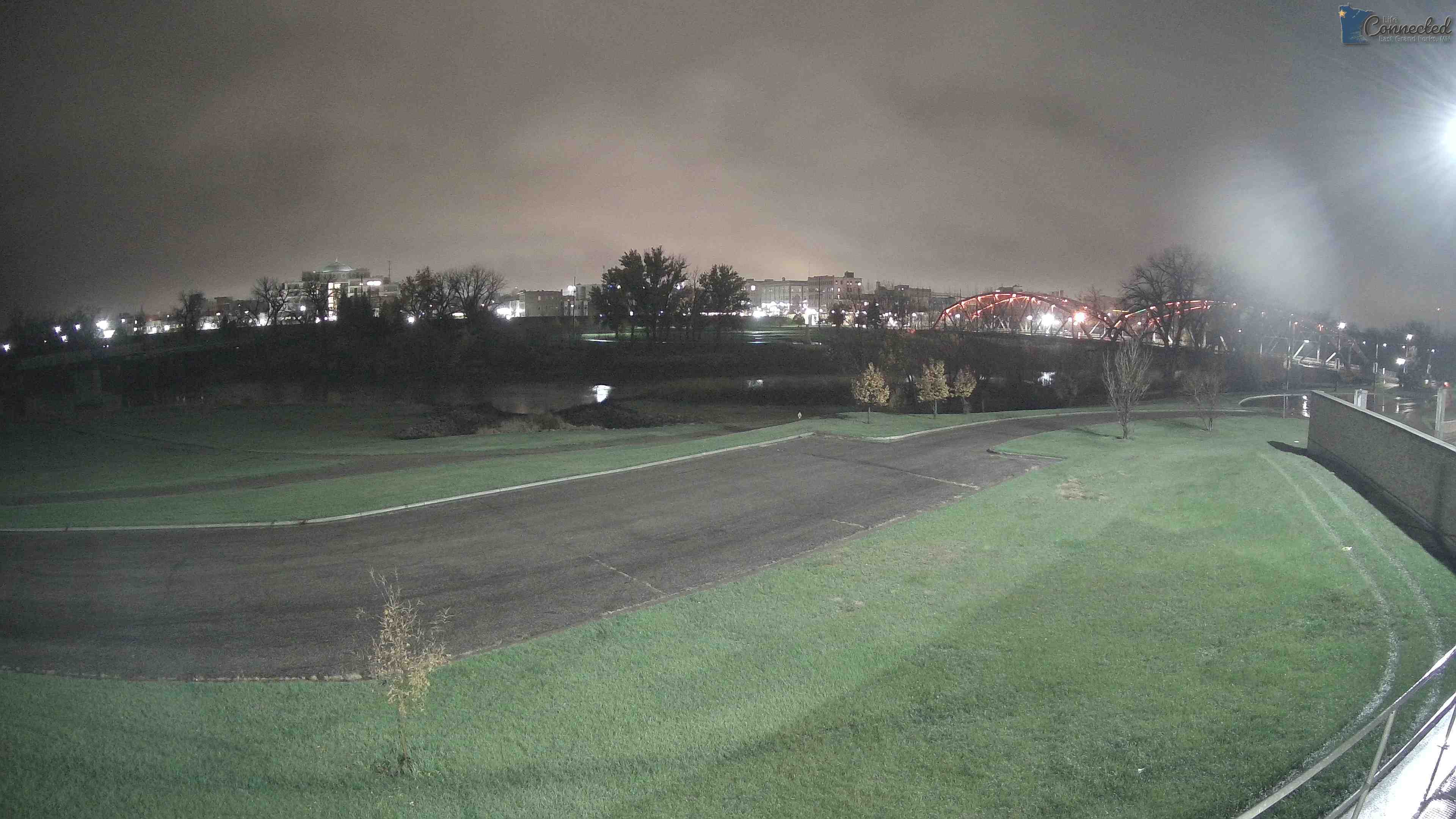
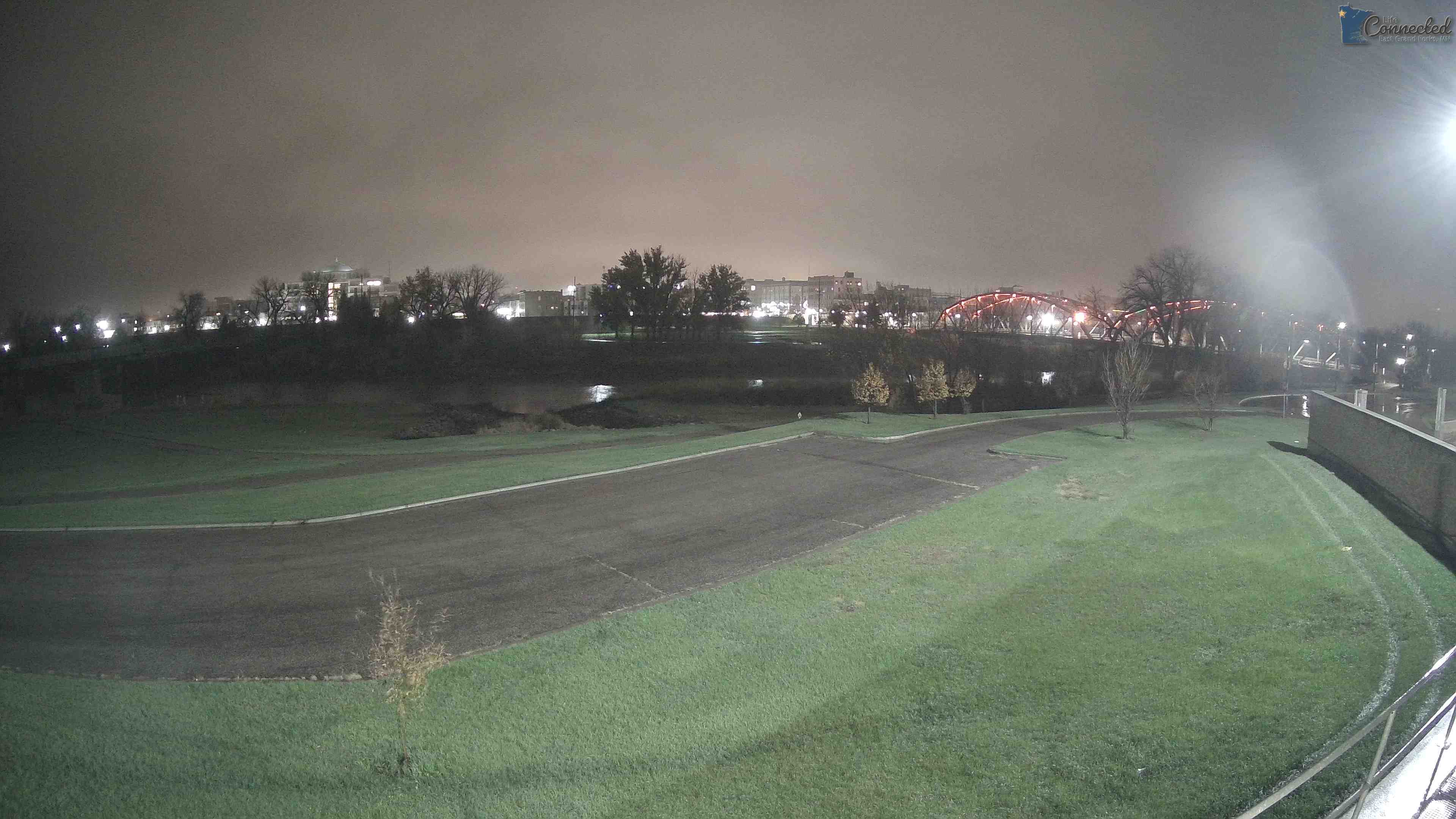
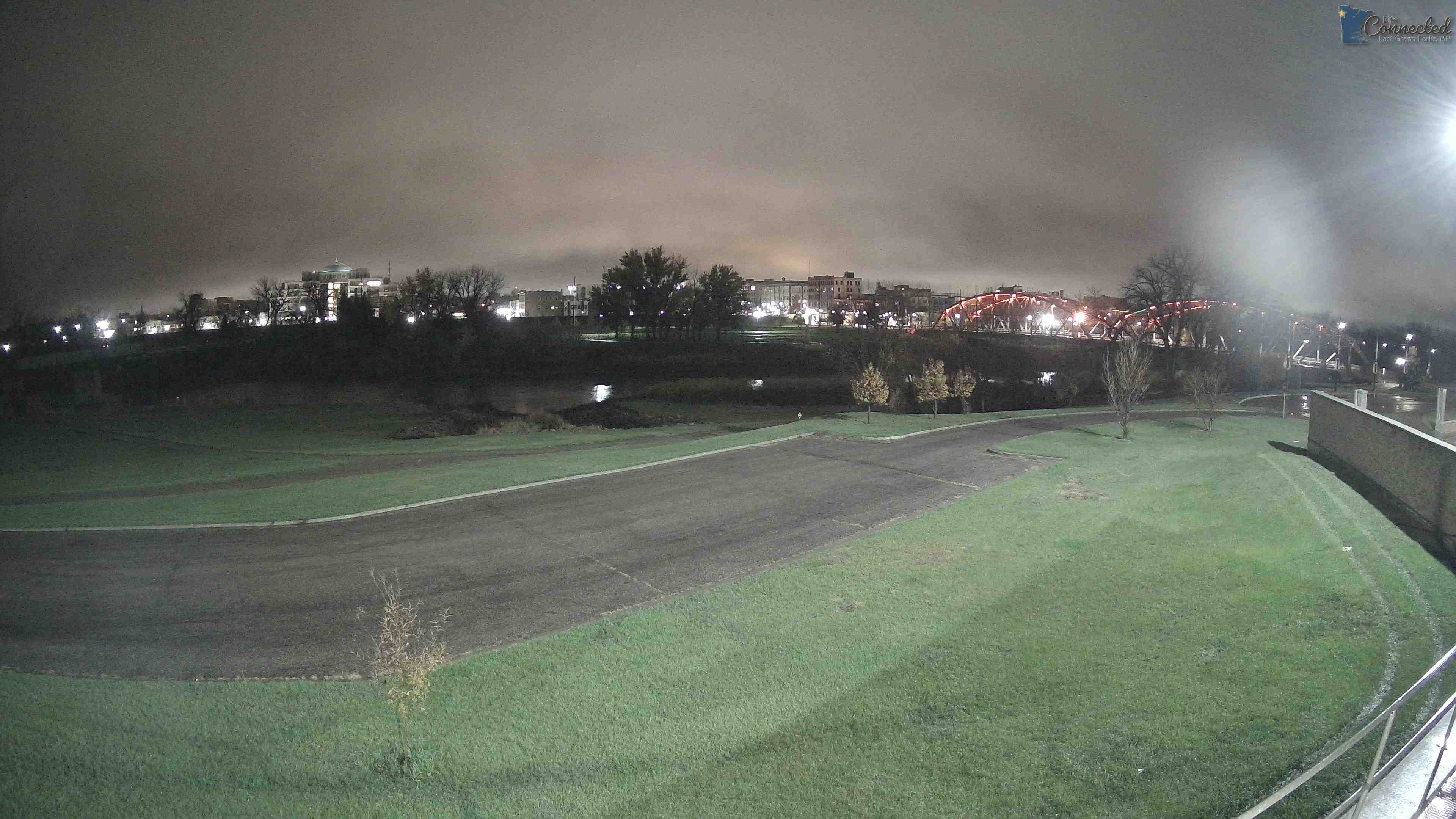
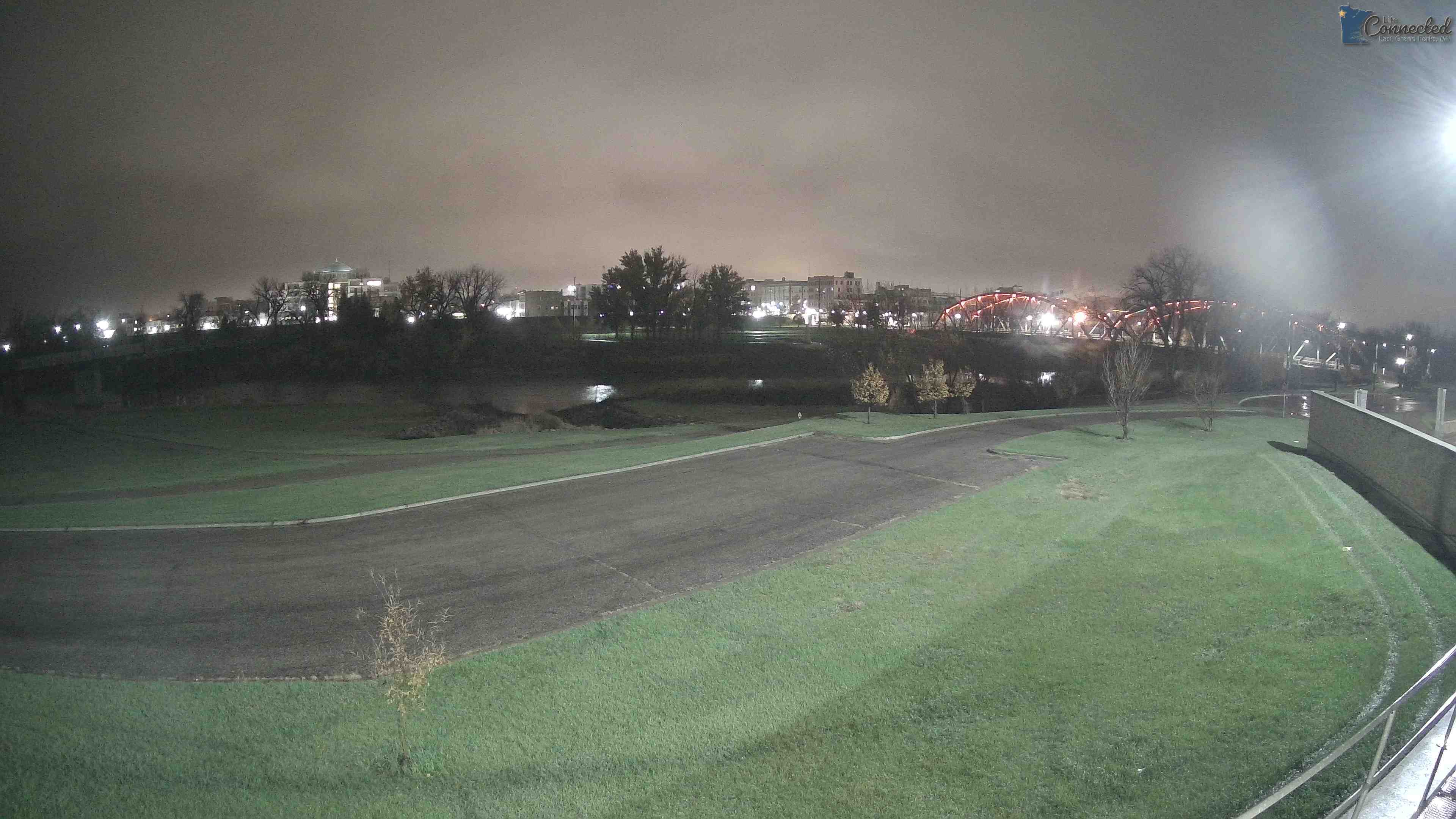
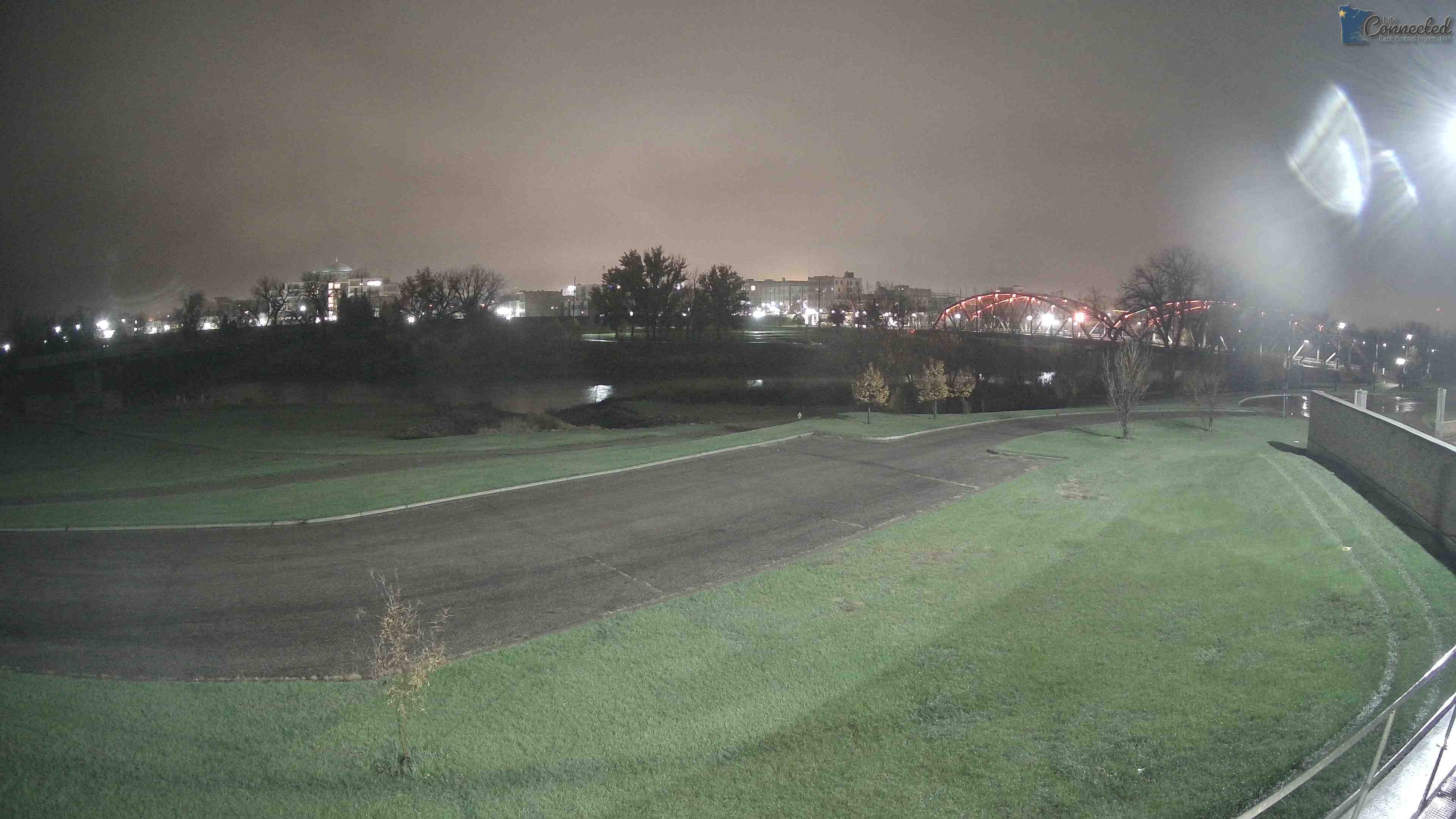
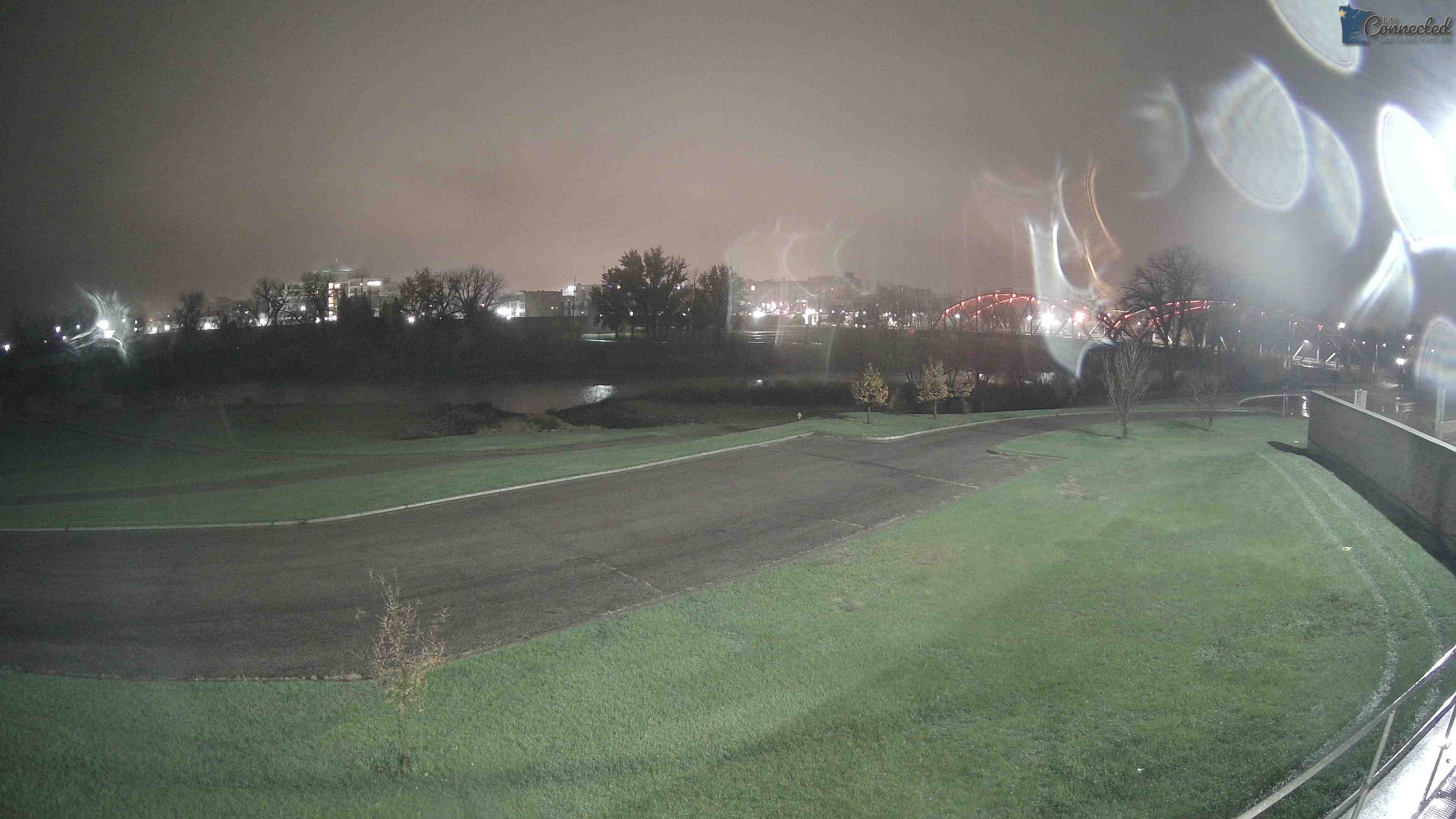
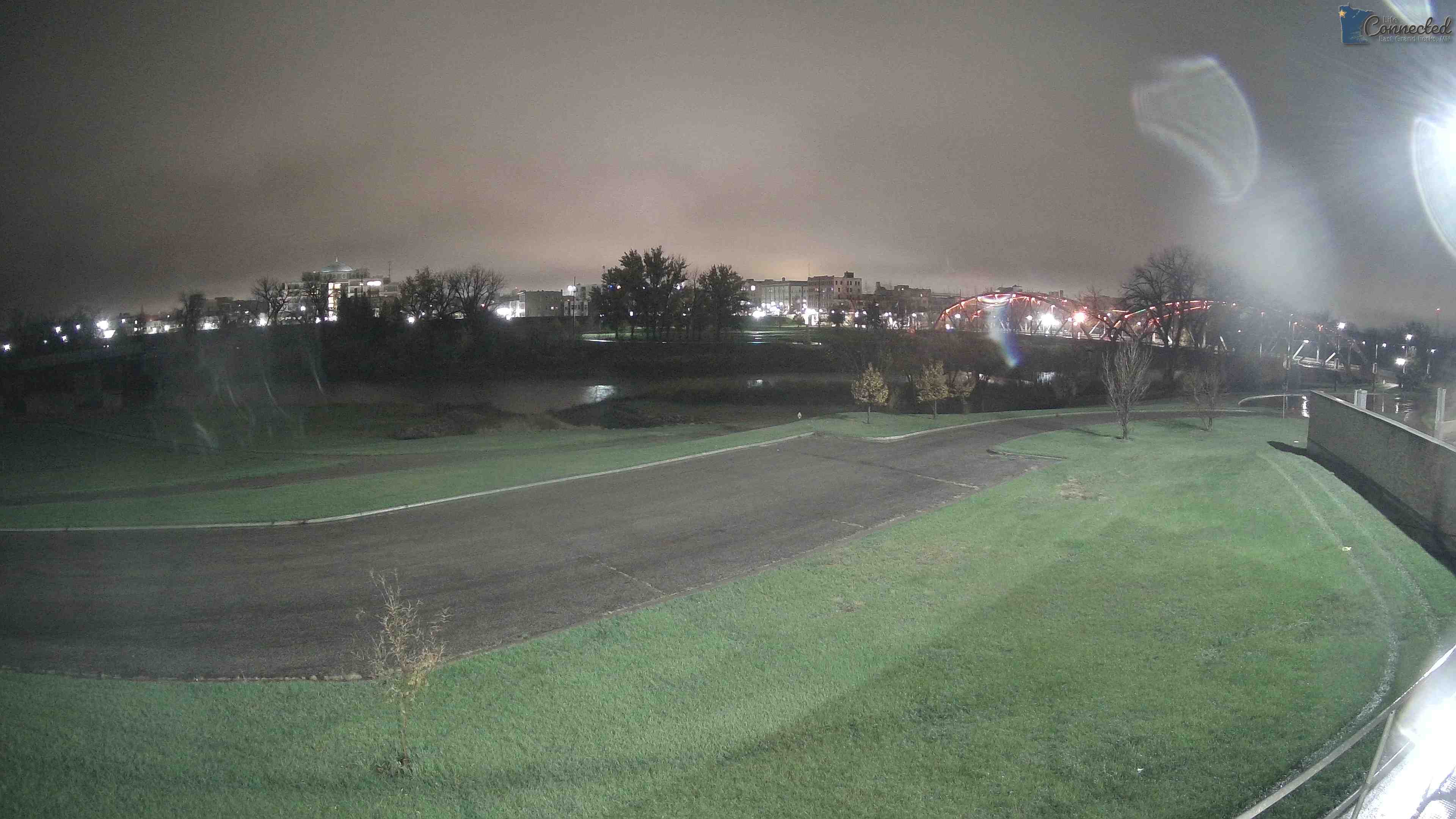
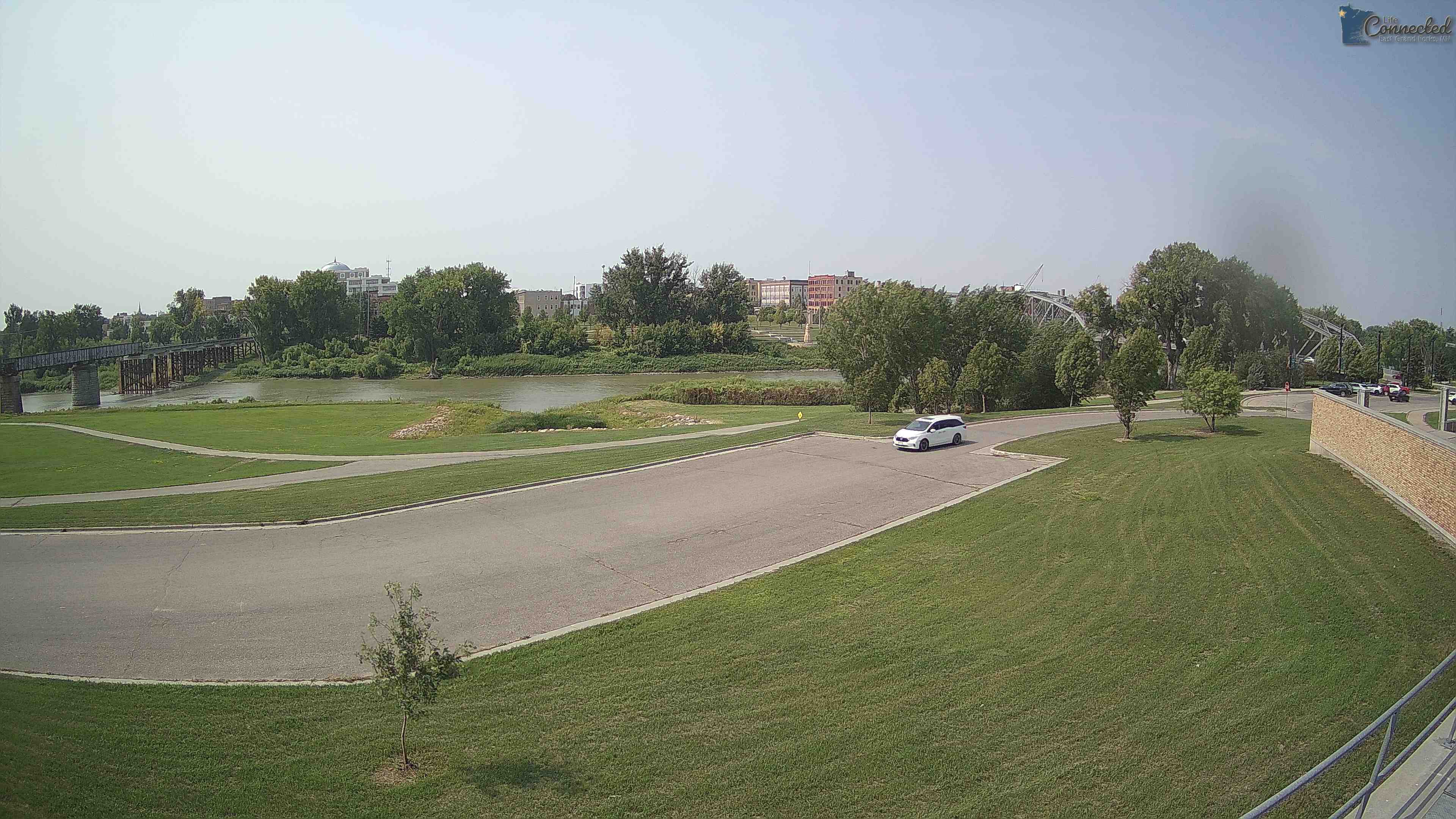
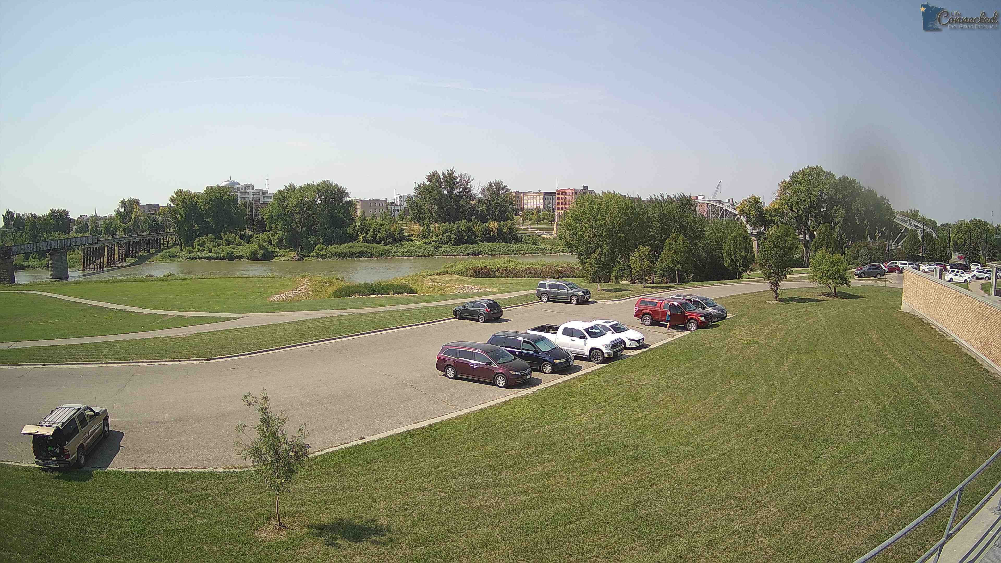
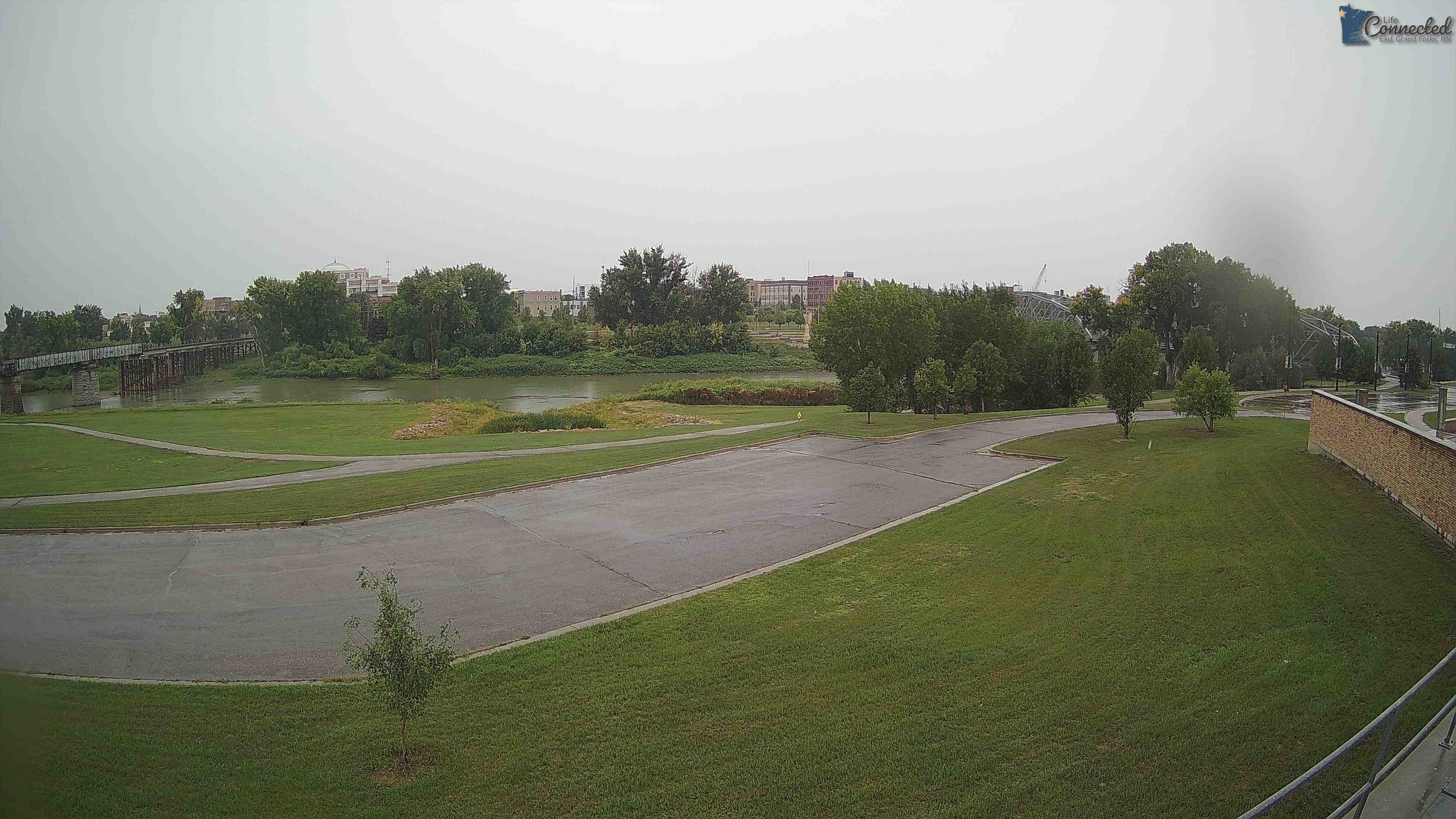
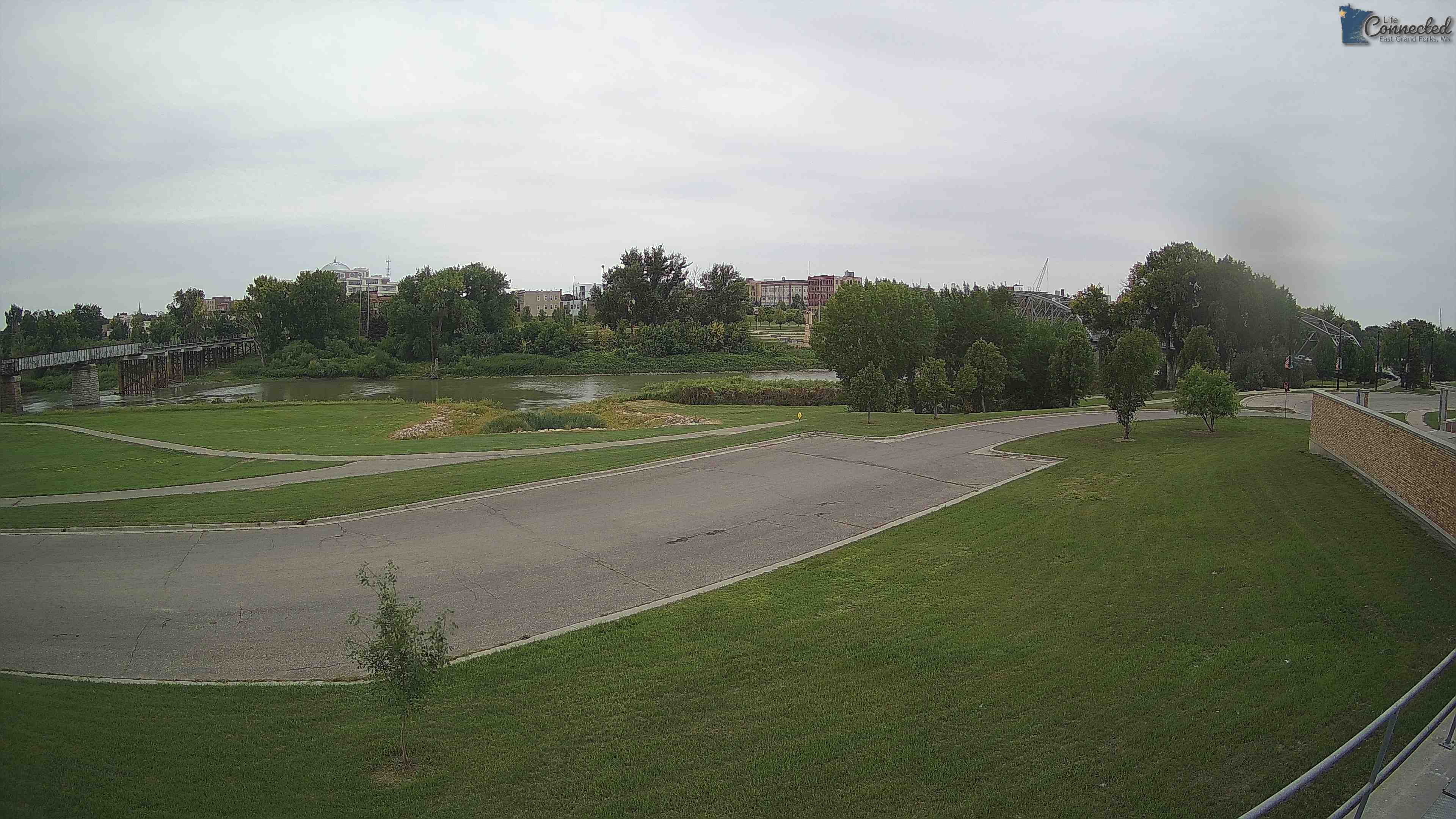
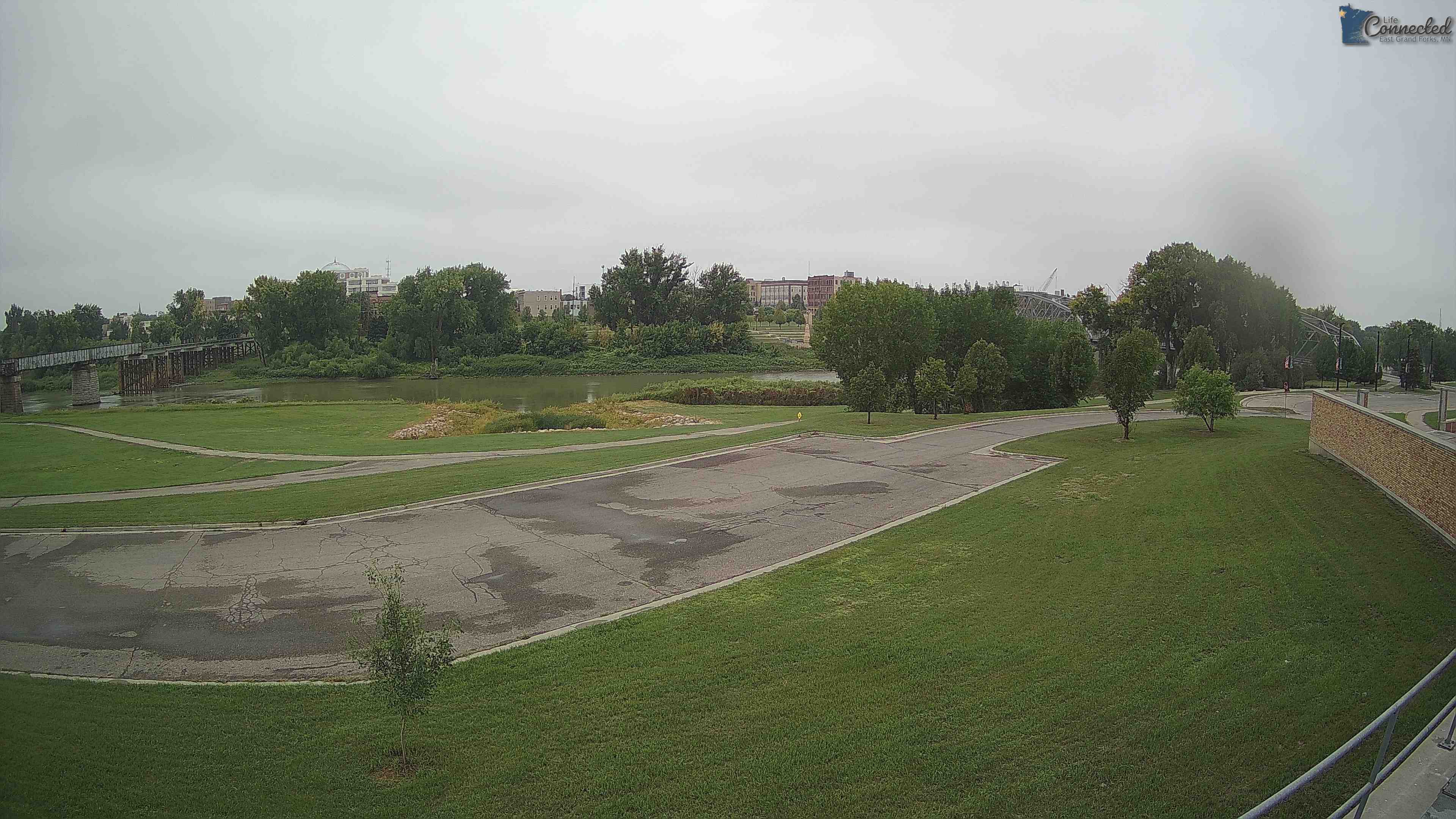
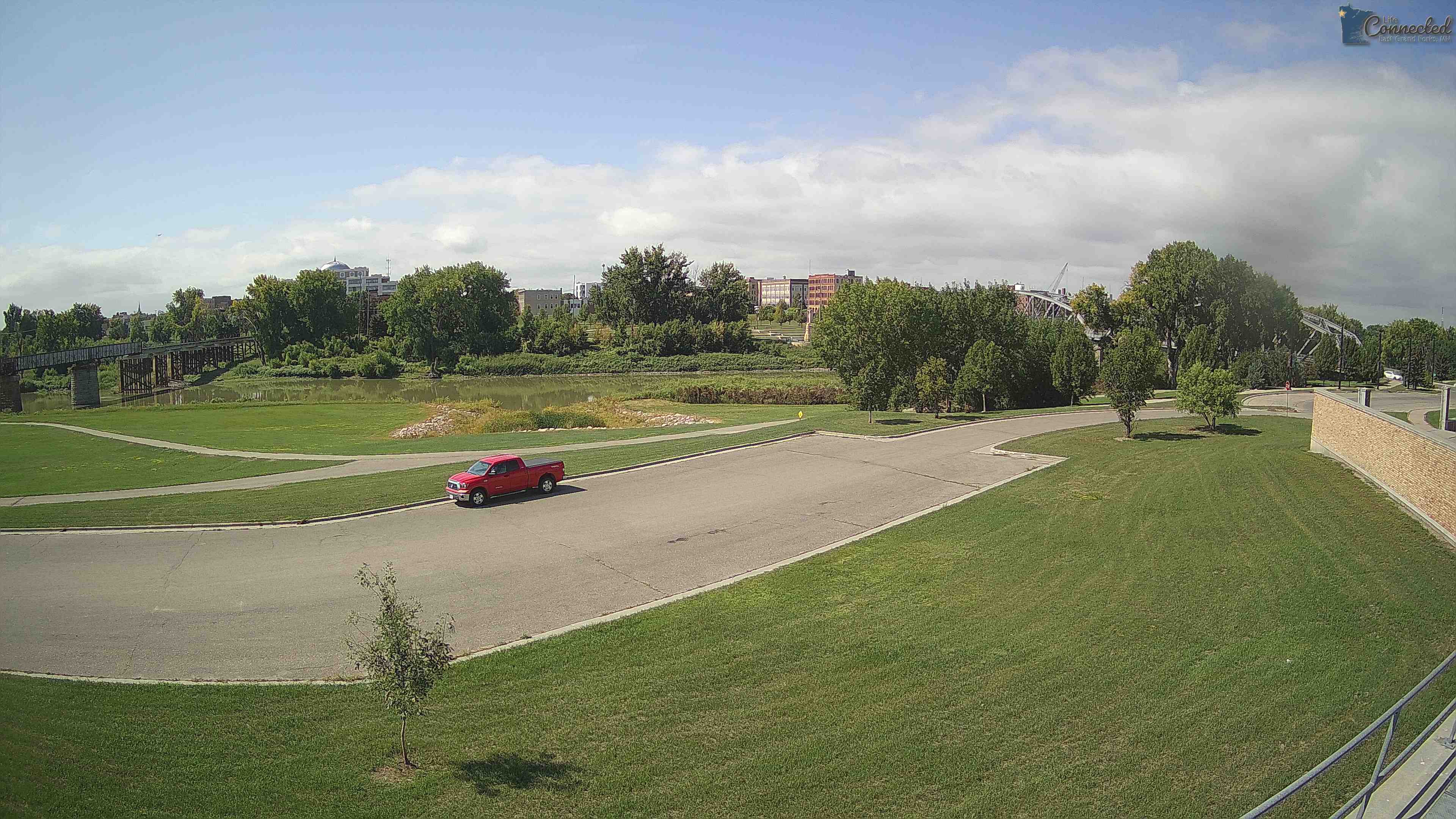
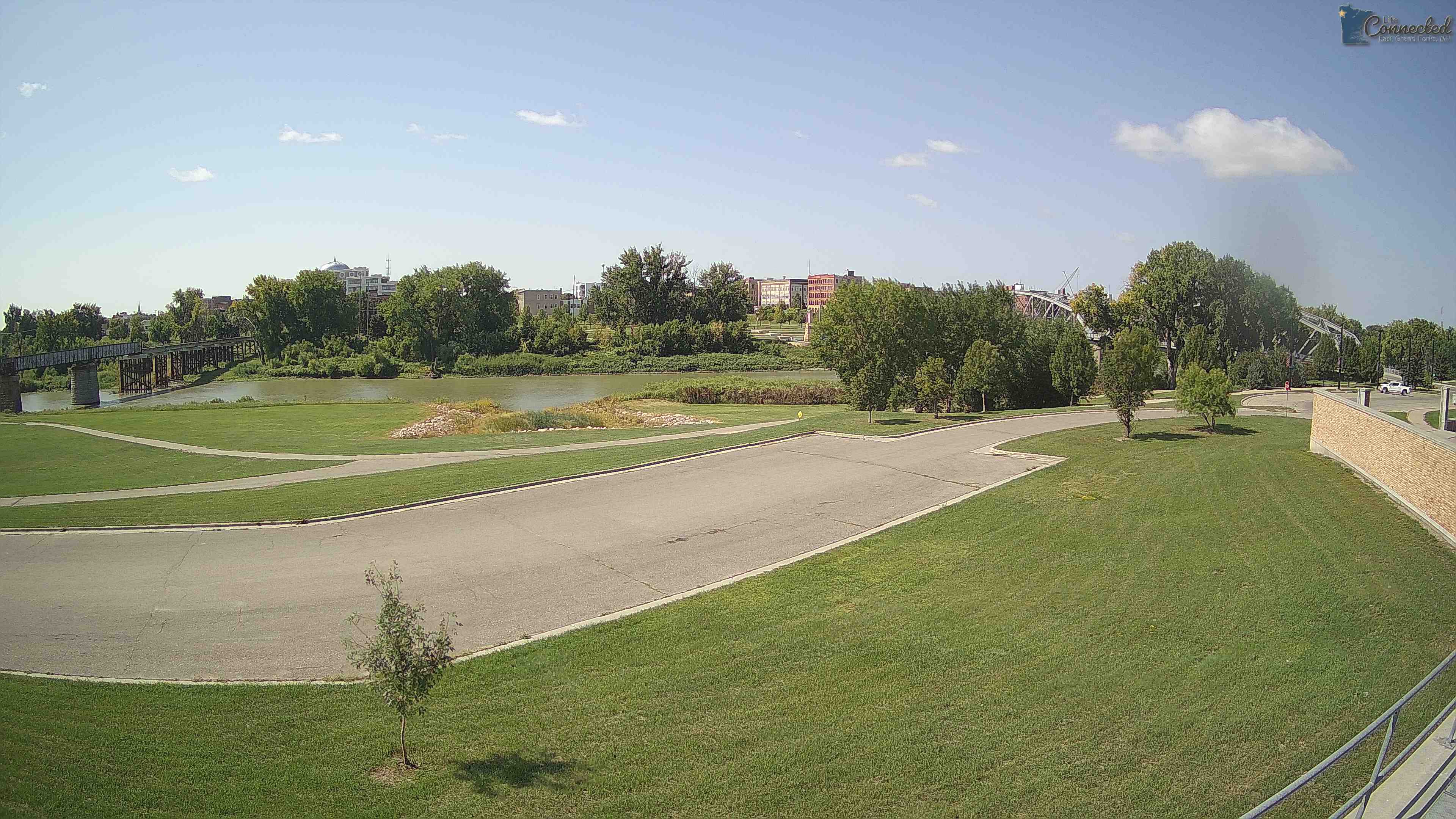
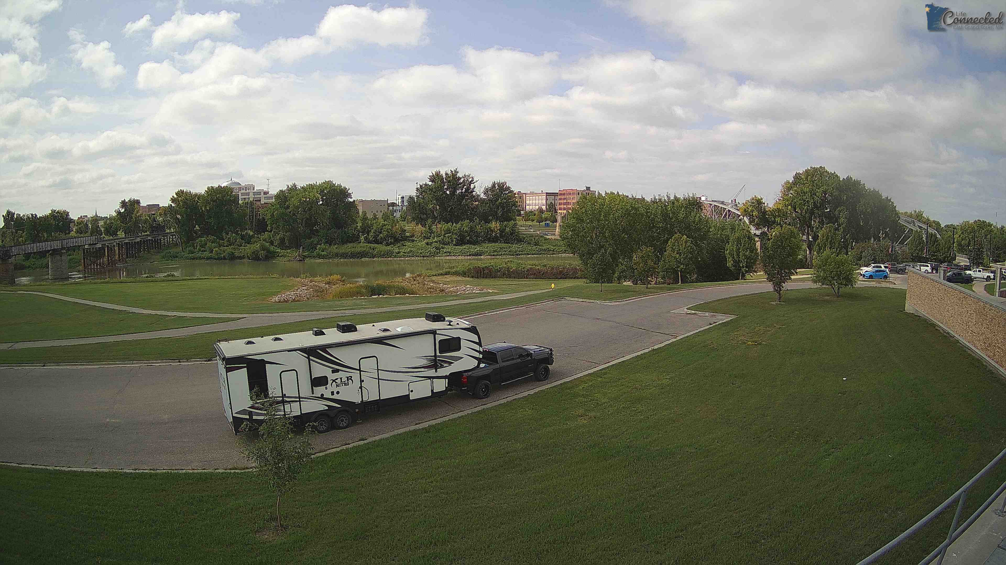
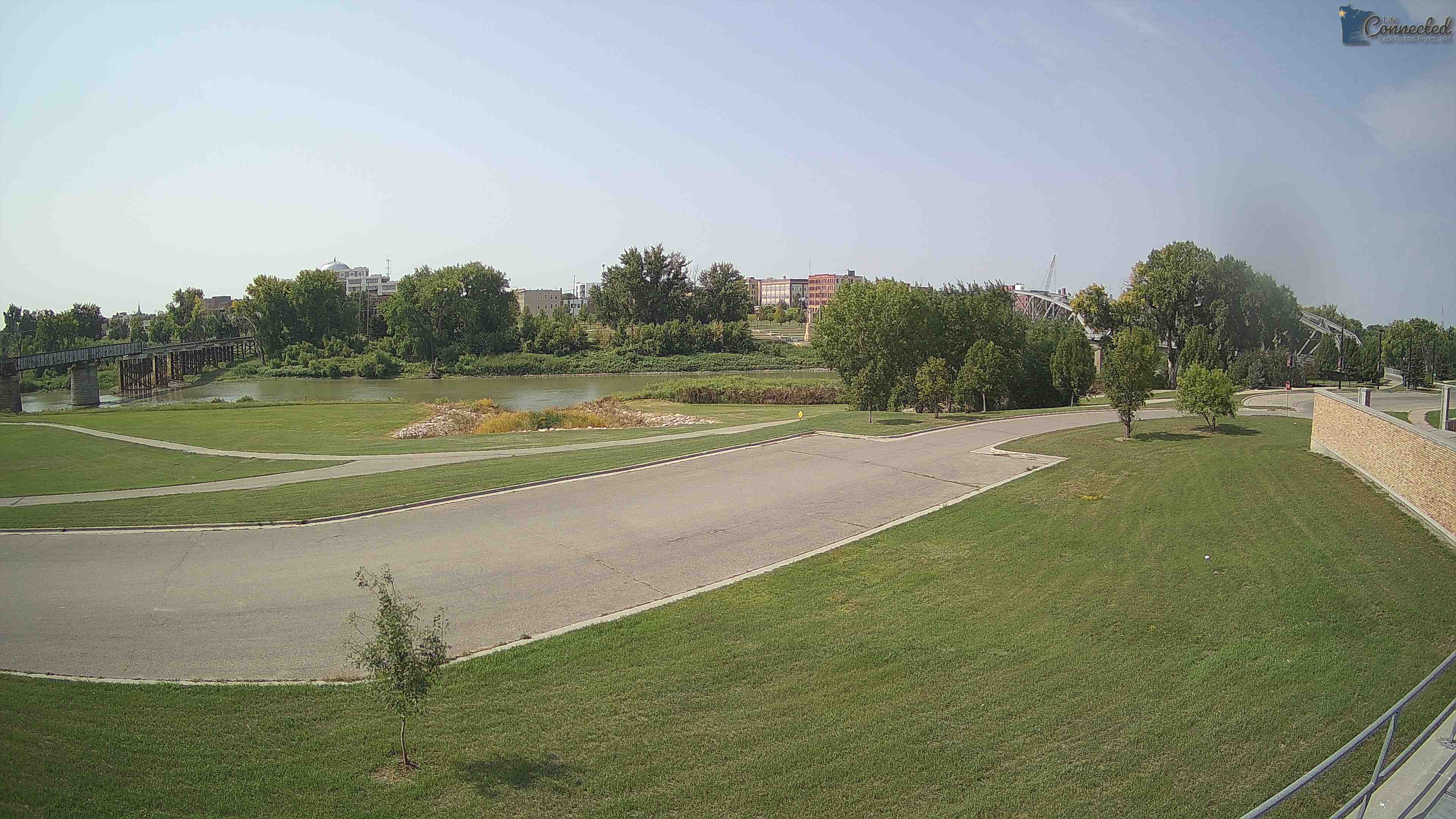
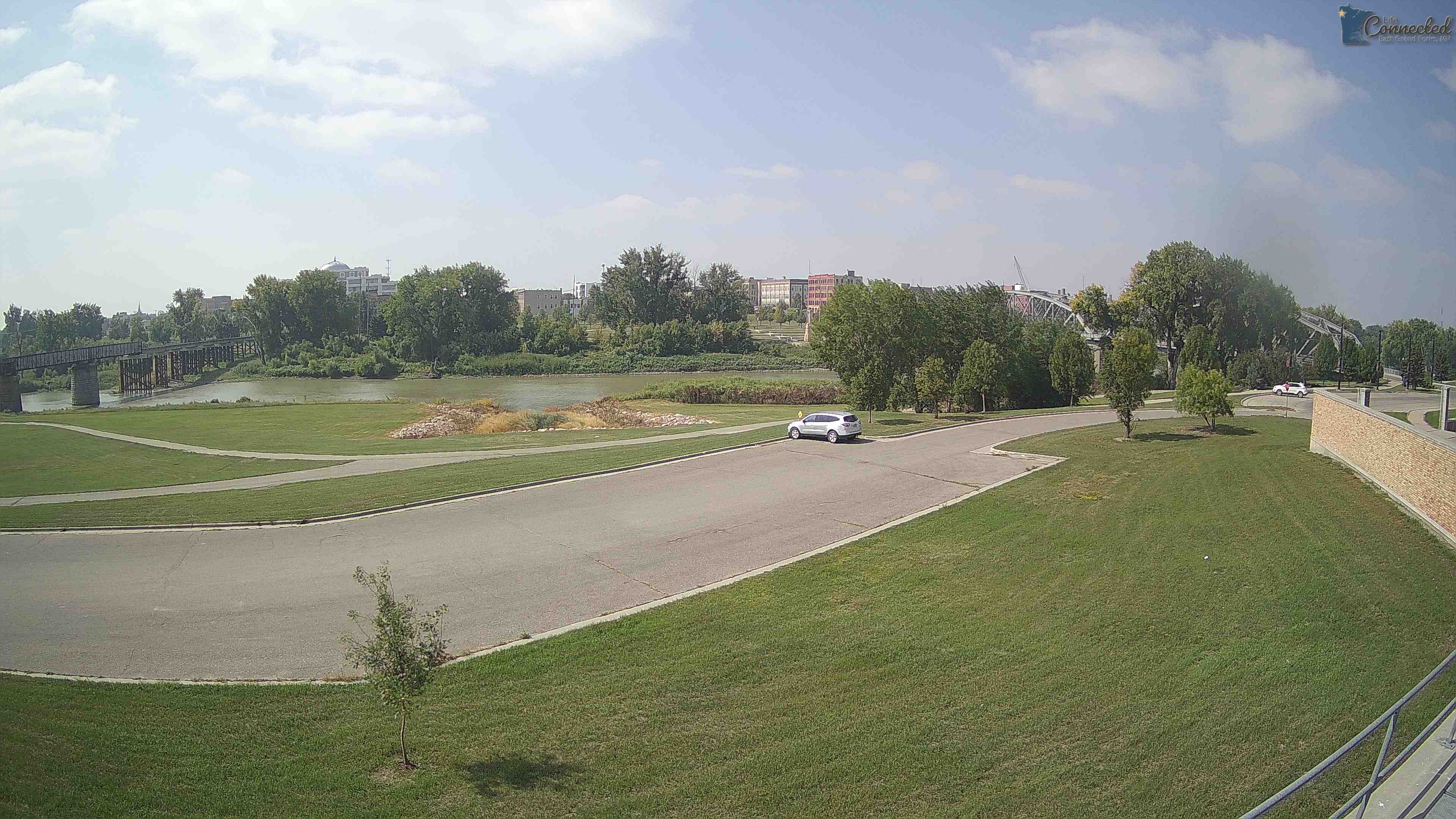
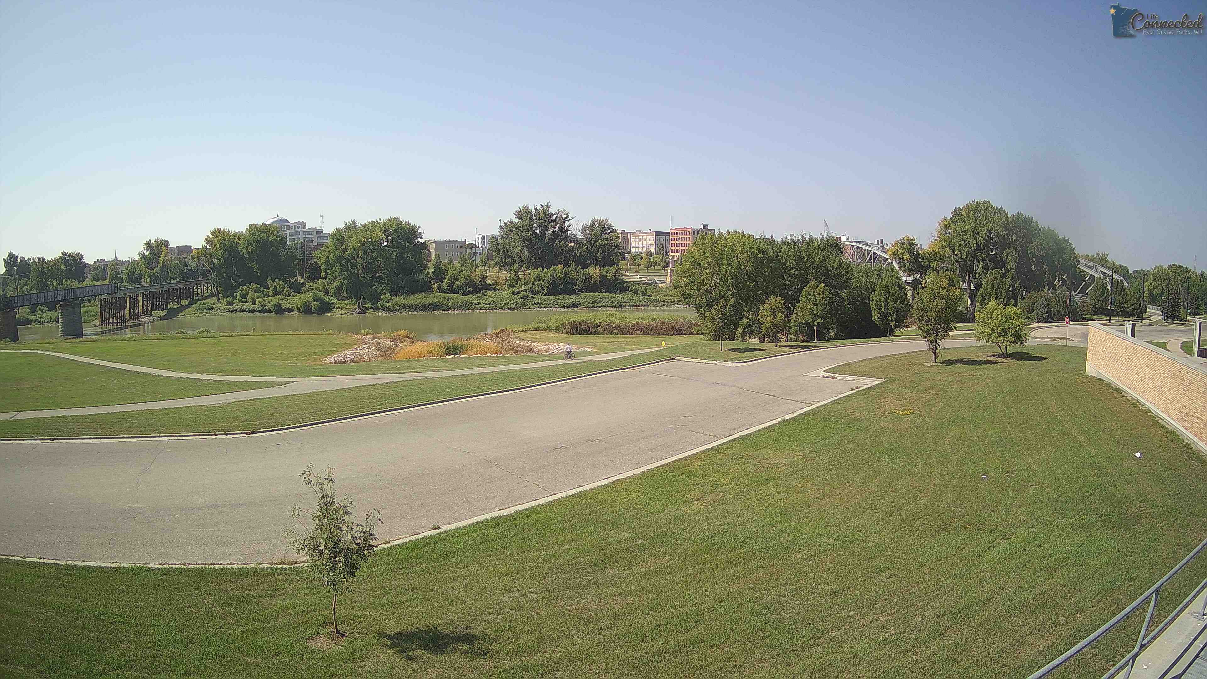
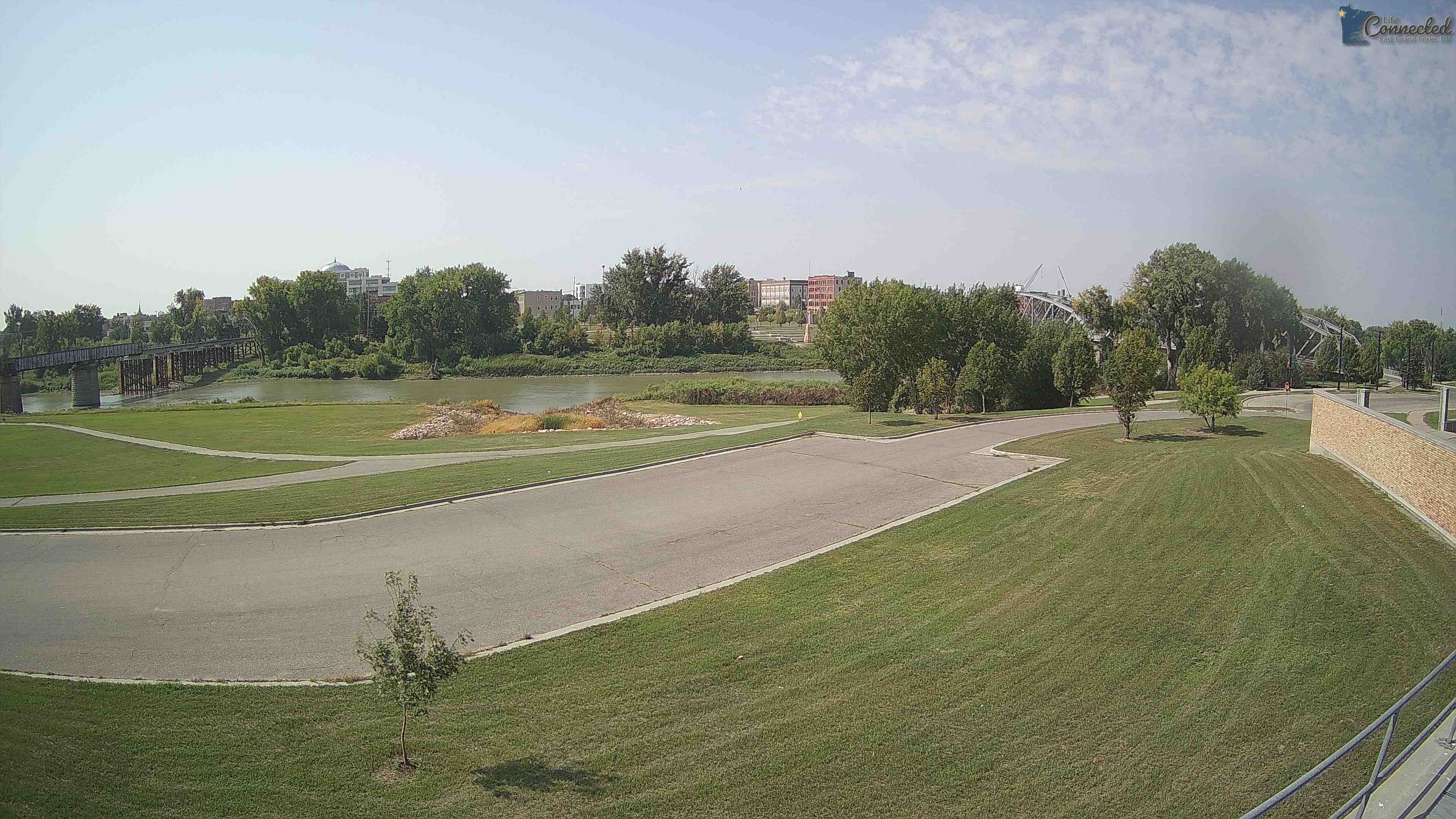
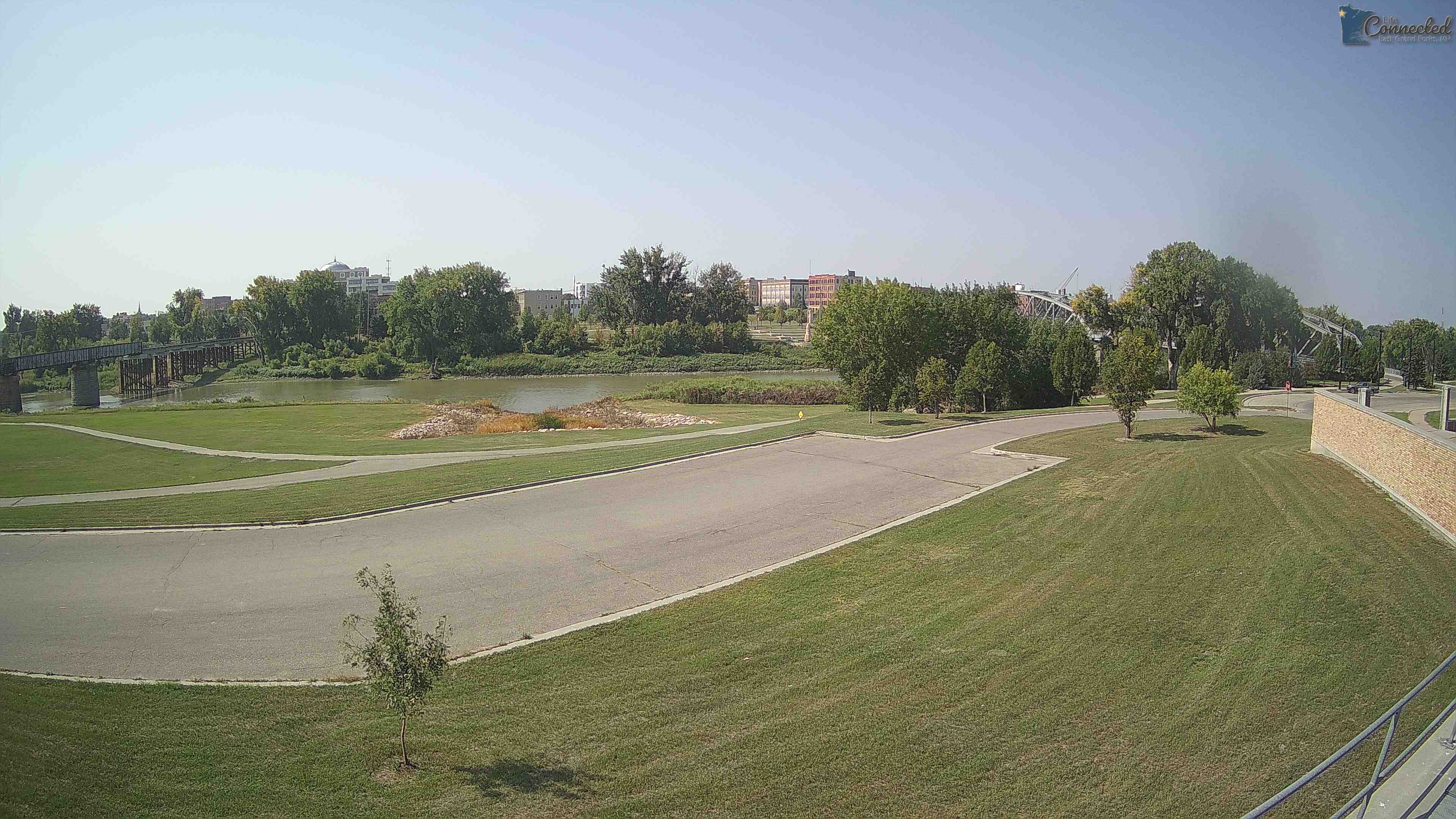
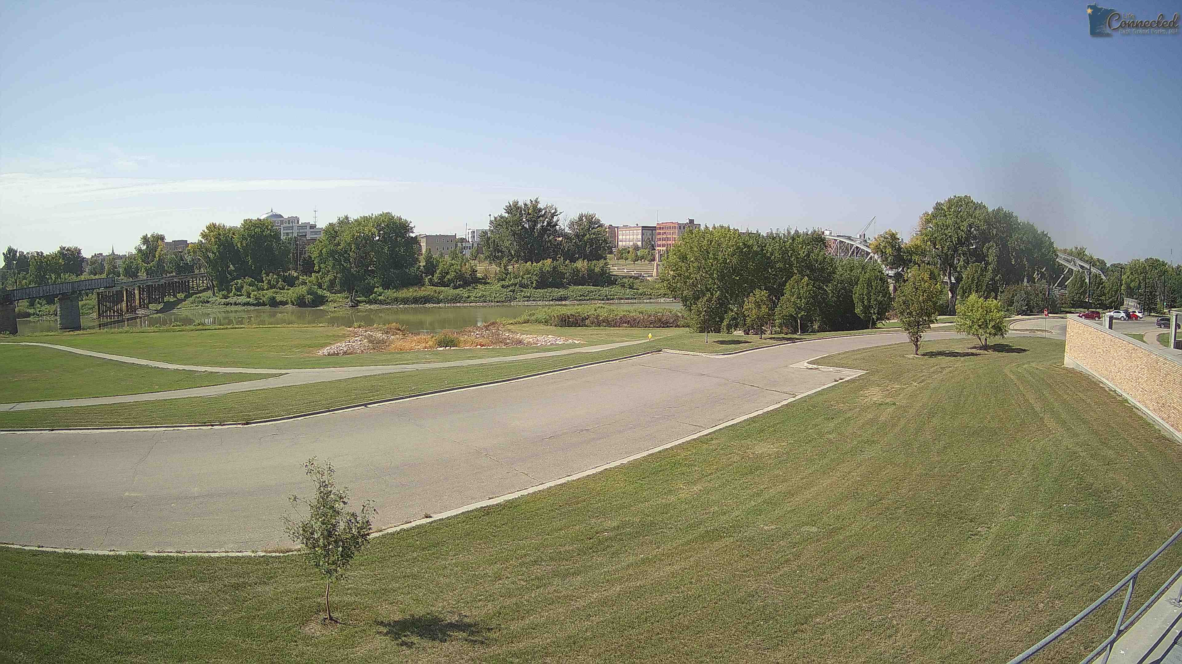
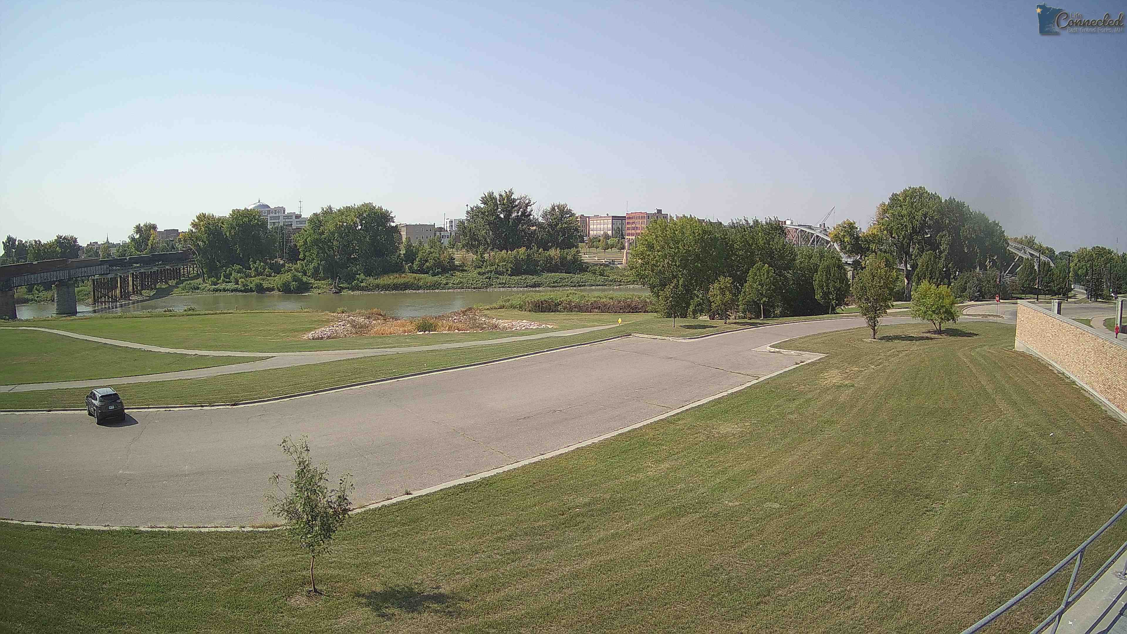
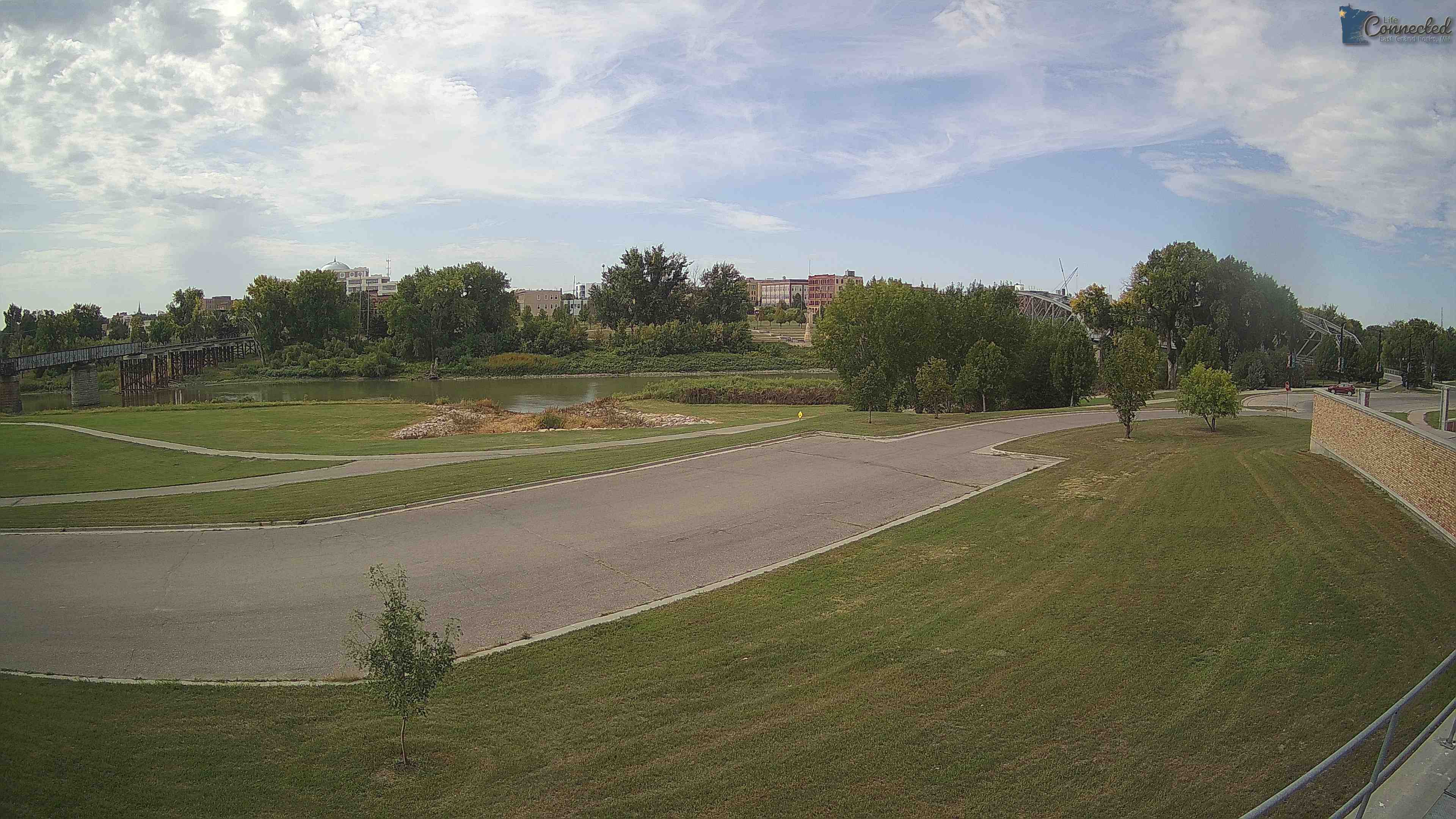
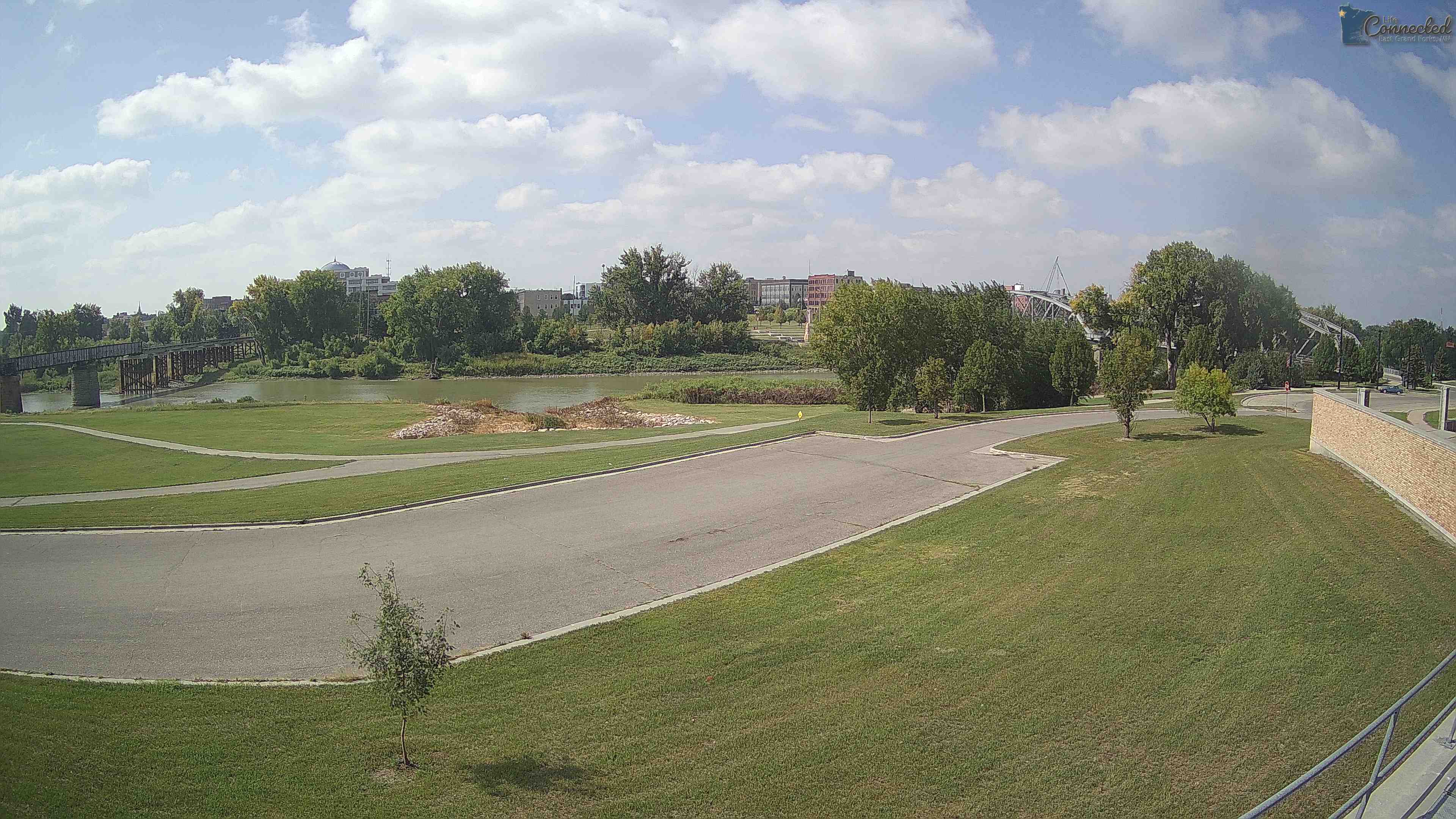
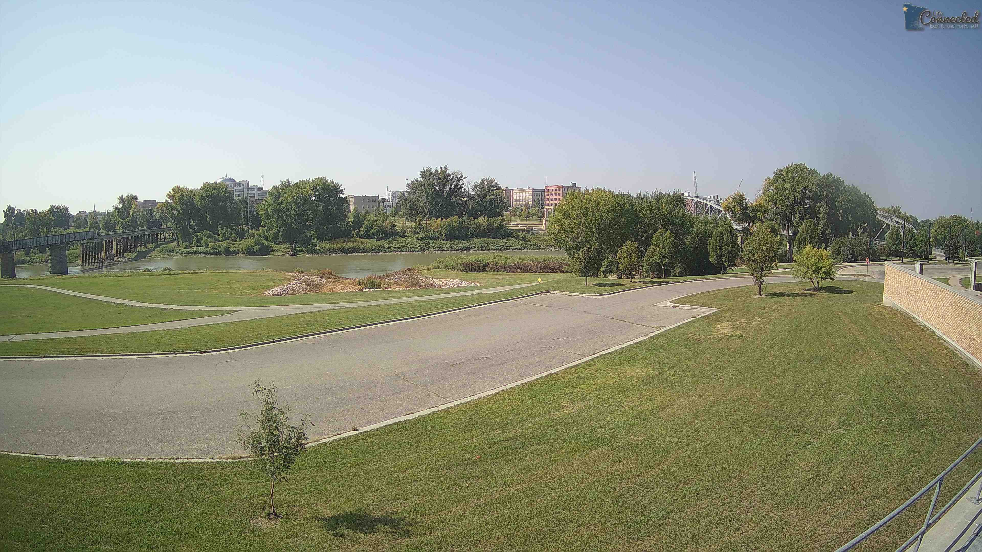
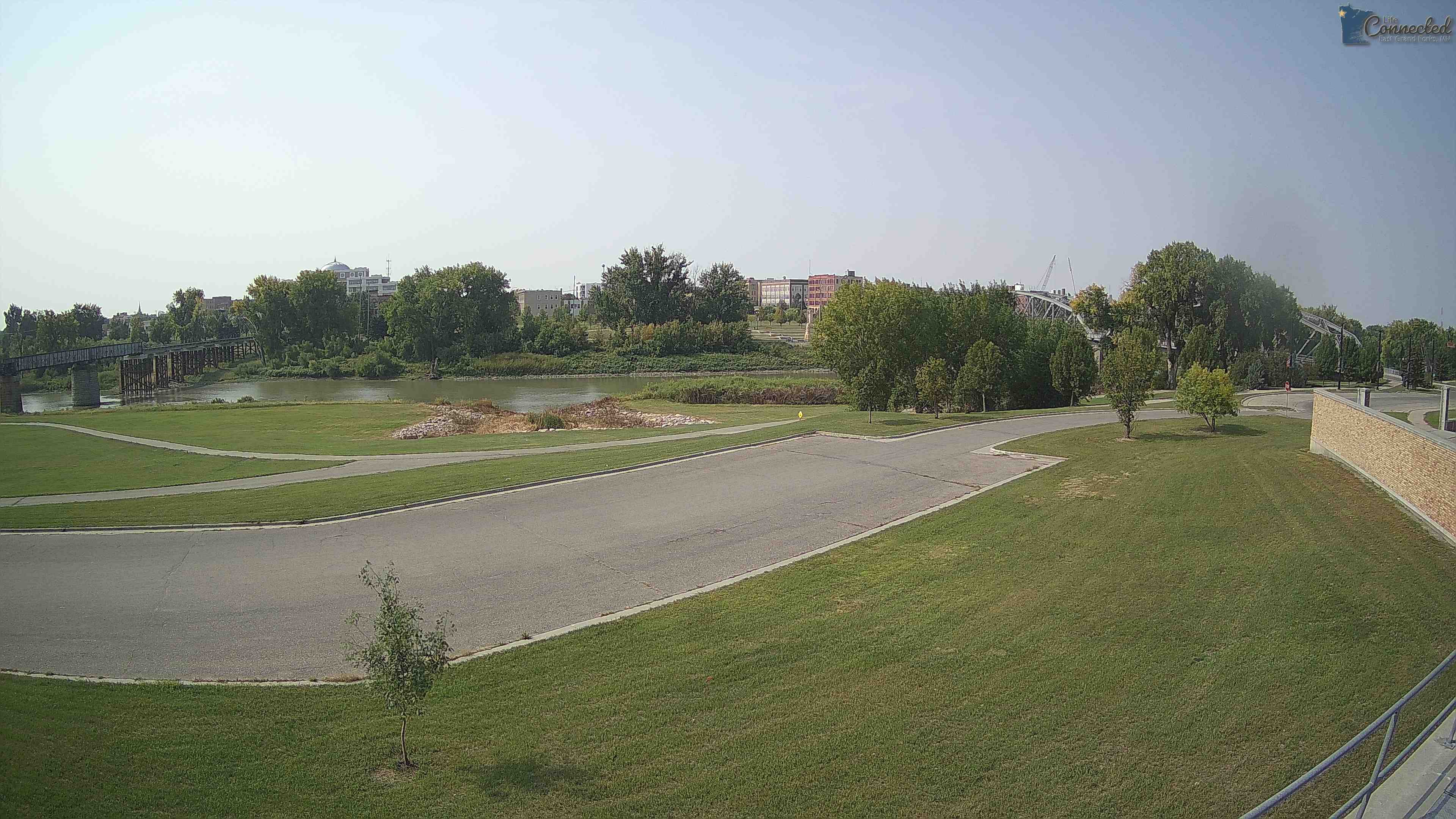
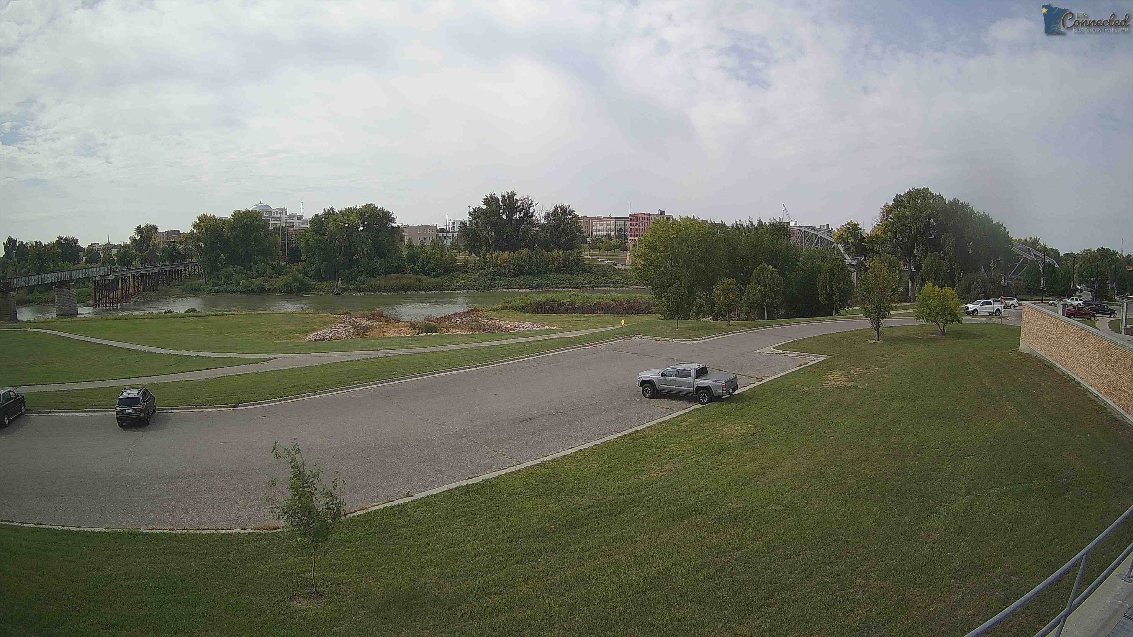
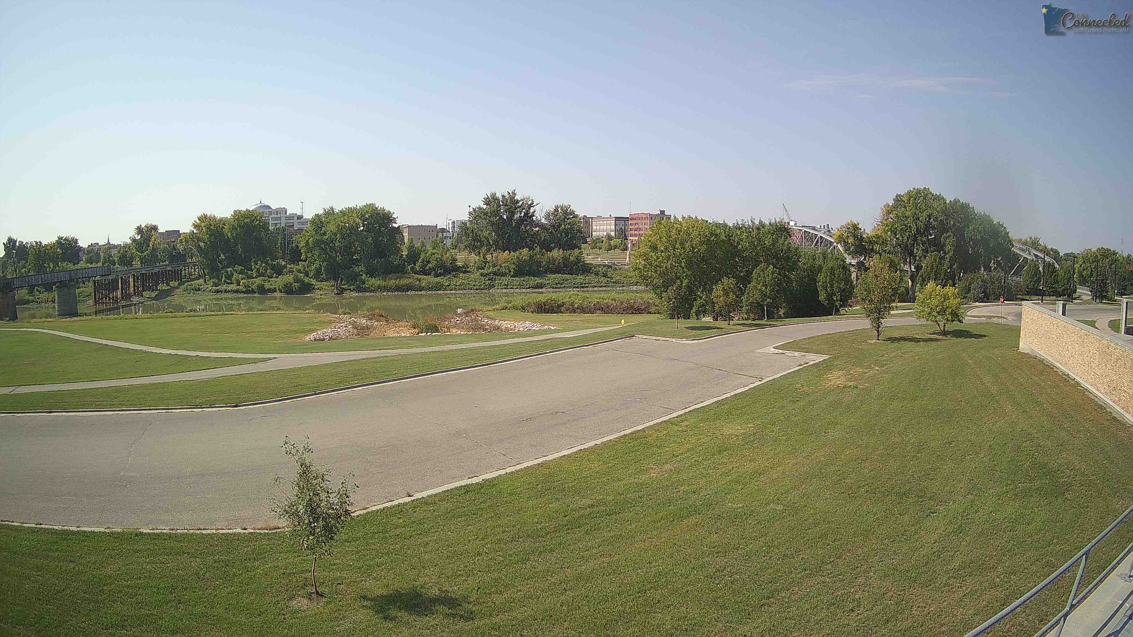
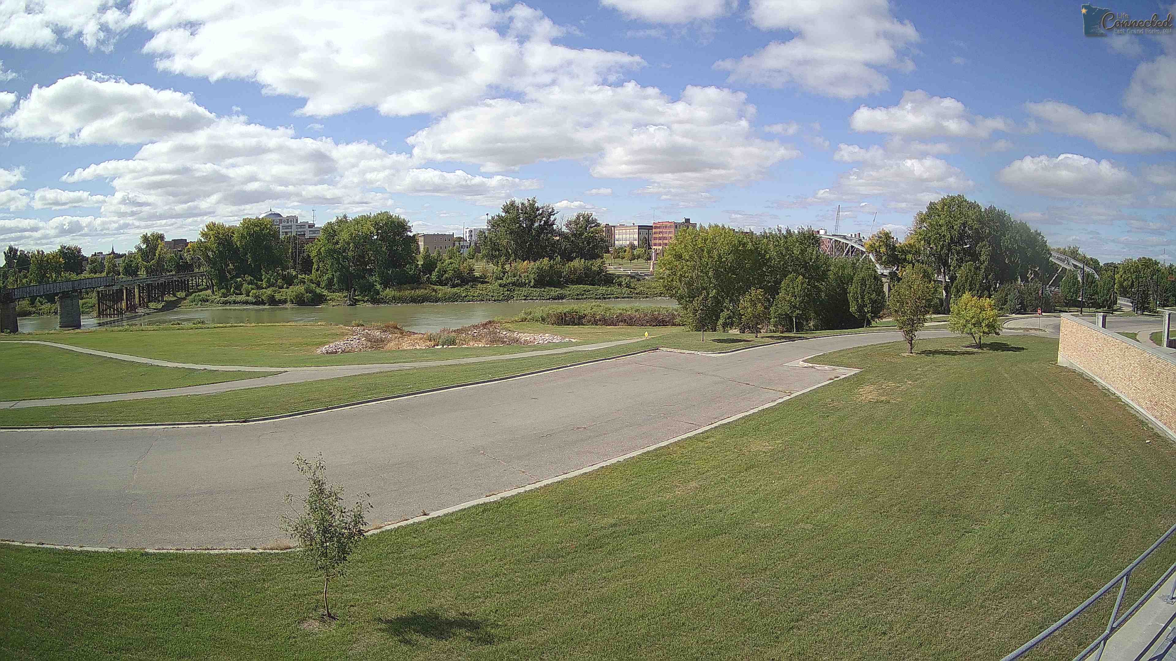
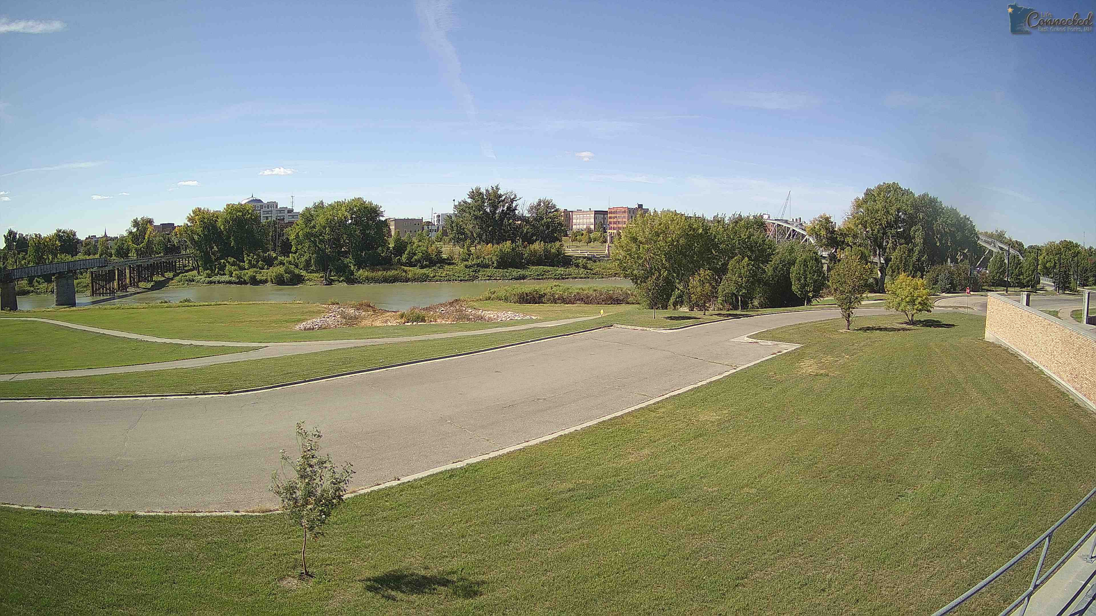
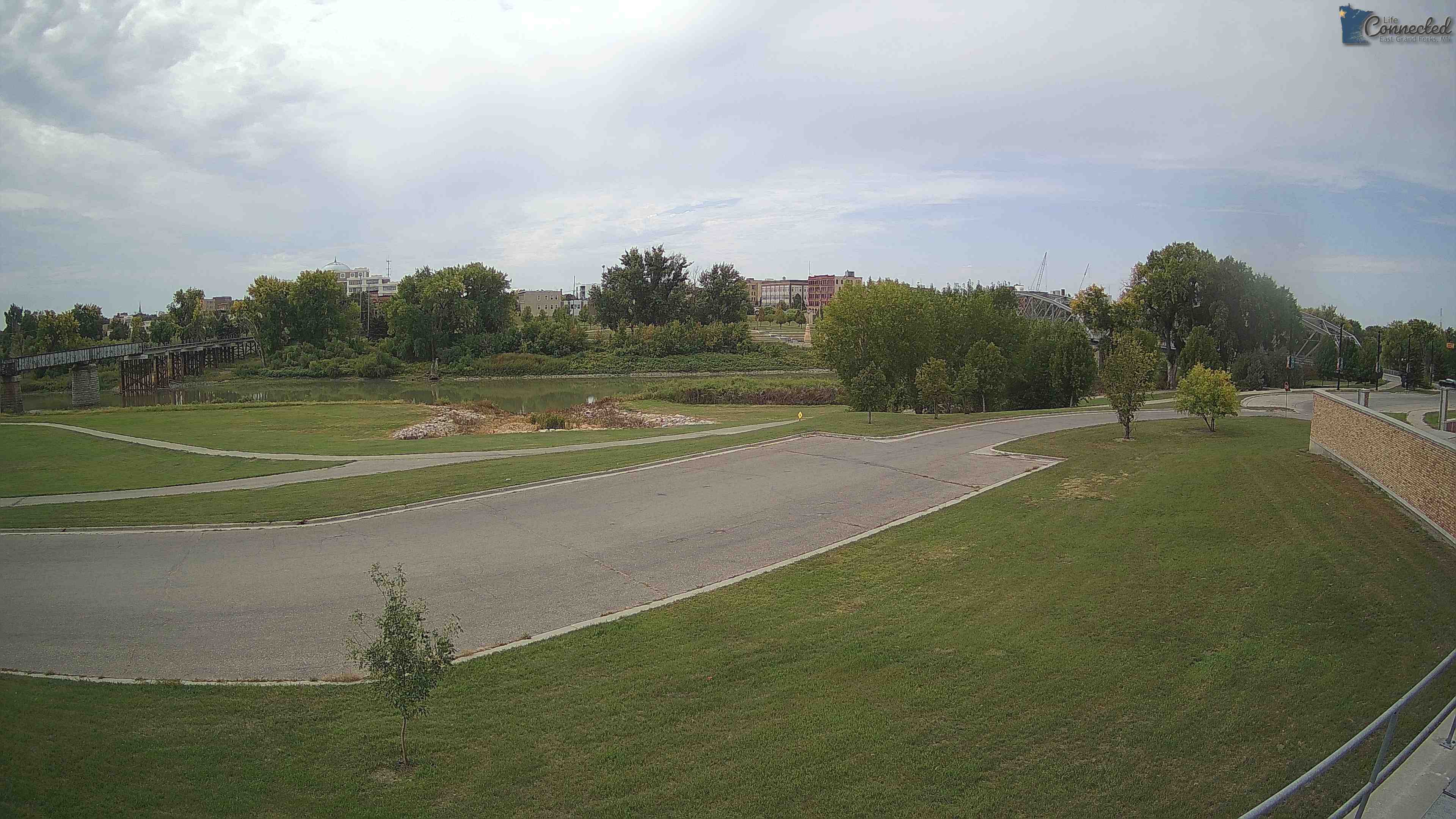
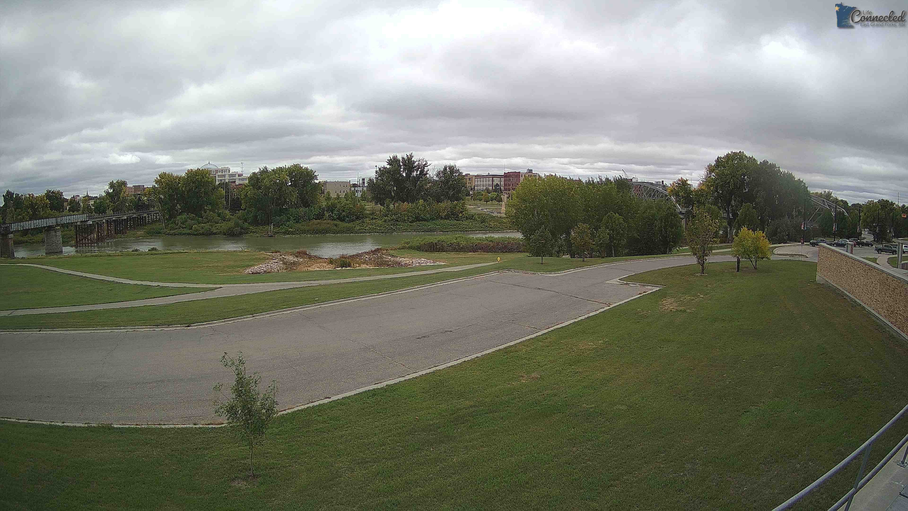
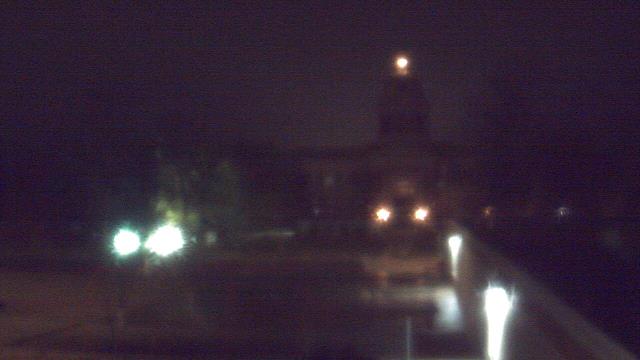
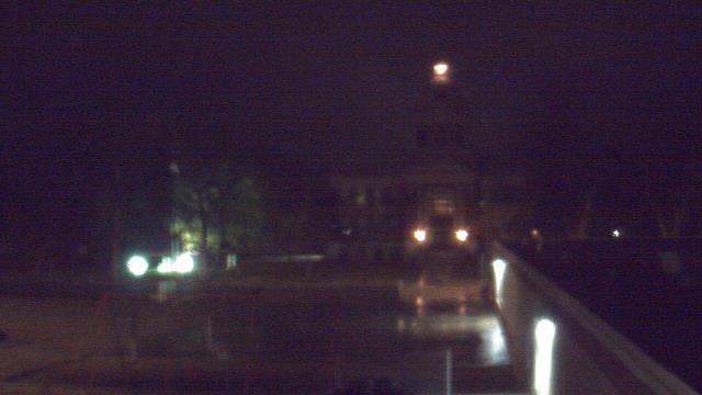
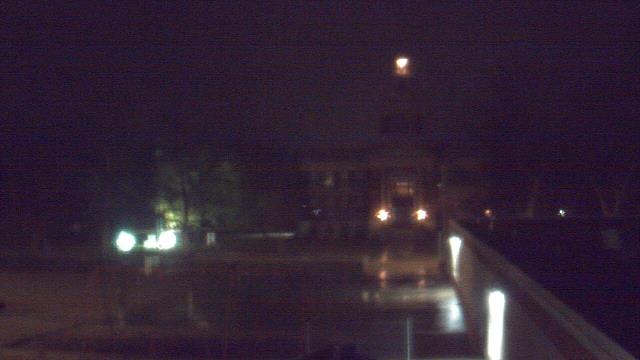
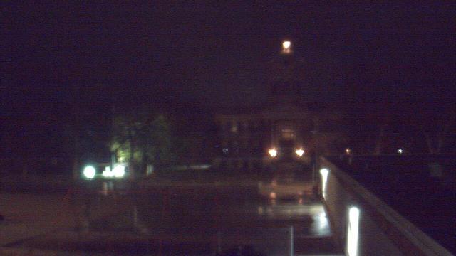
East Grand Forks, Minnesota, USA - 211.1 miles from Popple Creek: Sorlie Bridge - Sorlie Bridge over the Red River of the North, connecting East Grand Forks, MN with Grand Forks, ND.
Operator: City of East Grand Forks
Operator: City of East Grand Forks


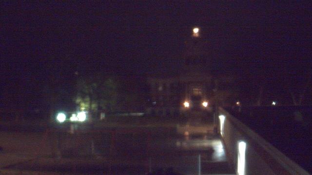
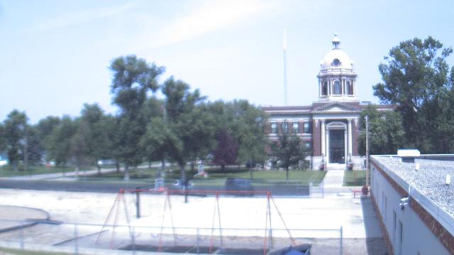
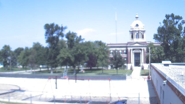
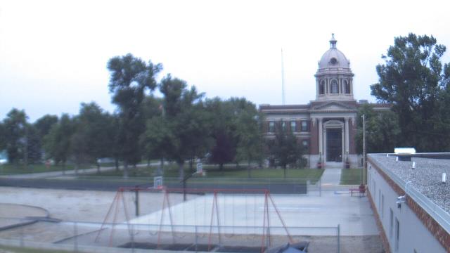
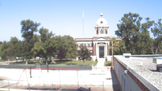
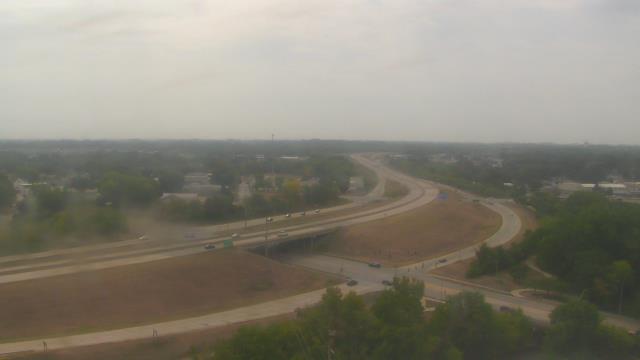
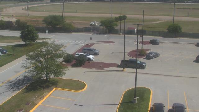
Ellendale, North Dakota, USA - 218 miles from Popple Creek: Ellendale High School - A webcam in Ellendale, North Dakota - camera location: Ellendale High School.
Operator: WeatherBug
Operator: WeatherBug


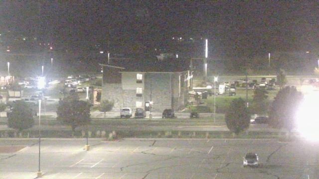
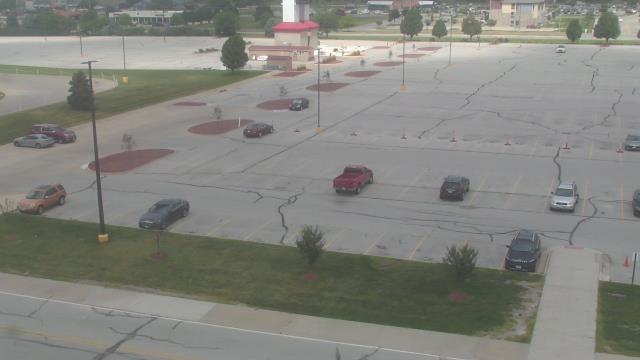
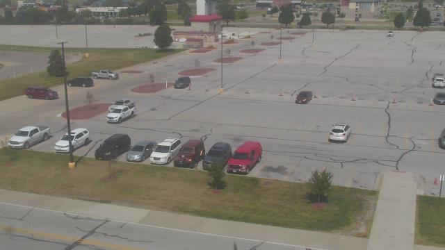
Cedar Falls, Iowa, USA - 229.9 miles from Popple Creek: Cedar Falls Utilities - A webcam in Cedar Falls, Iowa - camera location: Cedar Falls Utilities.
Operator: WeatherBug
Operator: WeatherBug


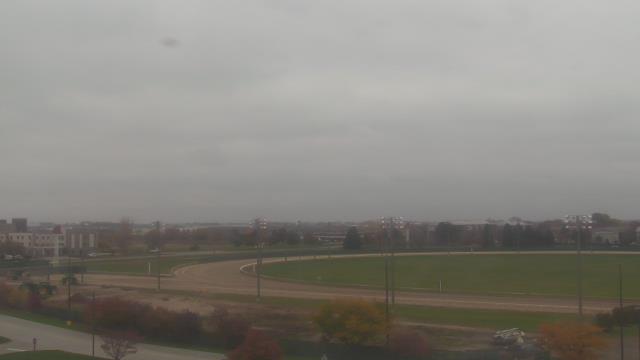
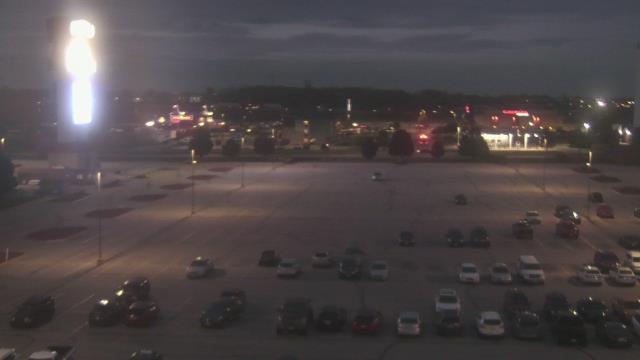
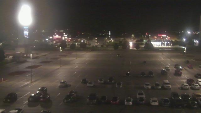
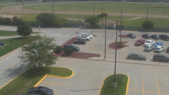
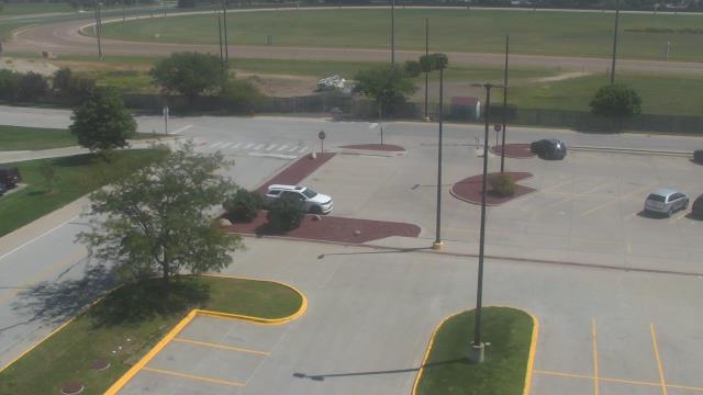
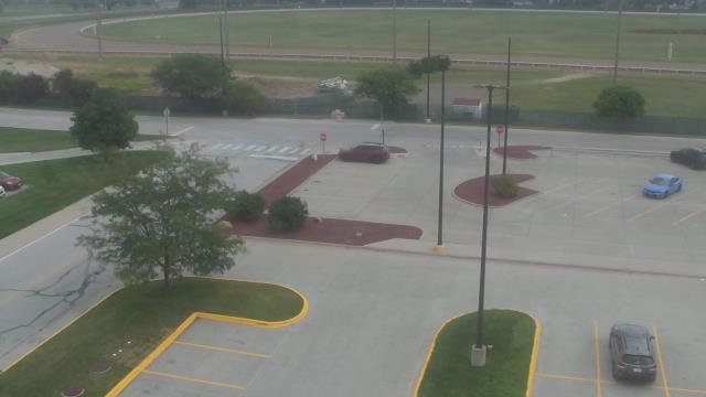
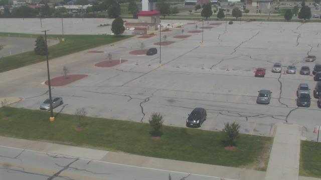
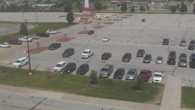
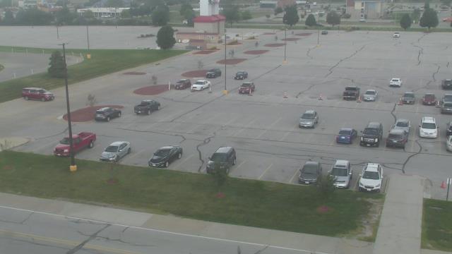
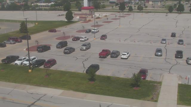
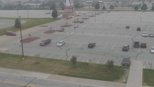
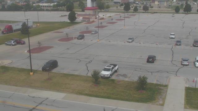
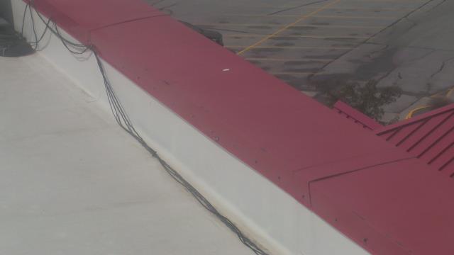
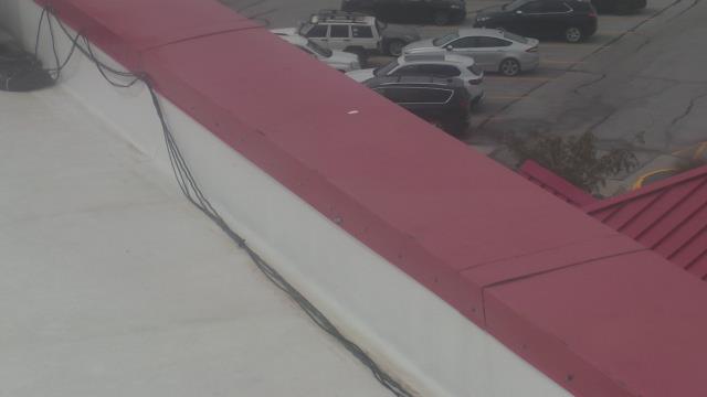
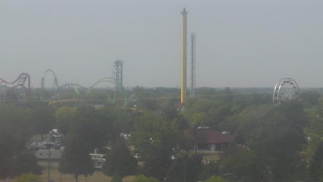
Altoona, Iowa, USA - 279 miles from Popple Creek: Prairie Meadows - Webcam and current weather data - camera location: Prairie Meadows.
Operator: WeatherBug
Operator: WeatherBug


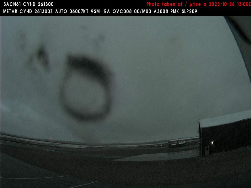
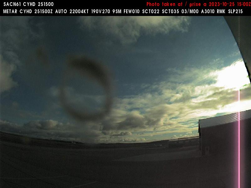
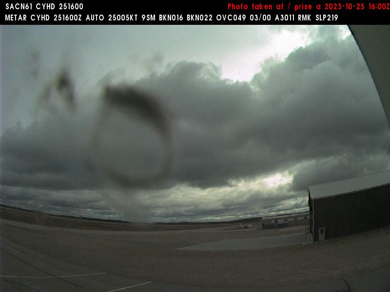
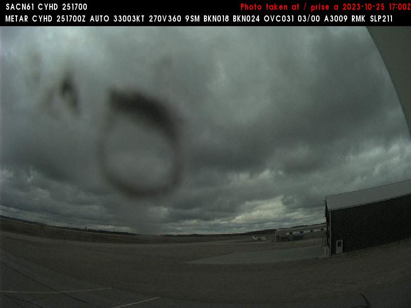
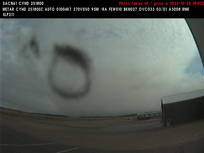
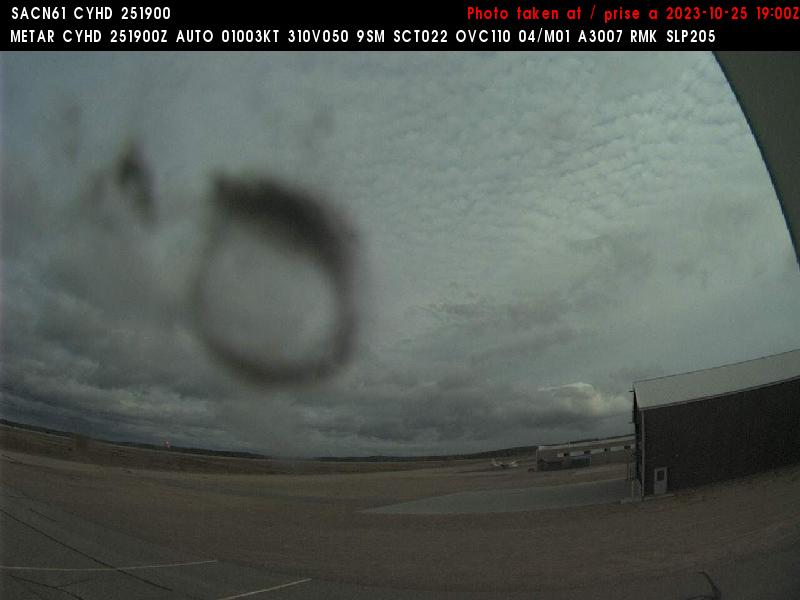
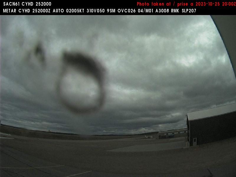
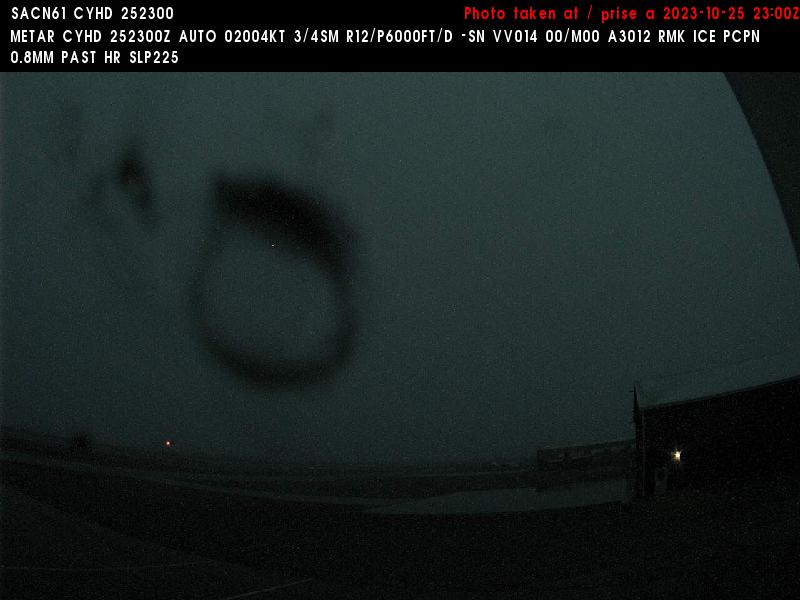
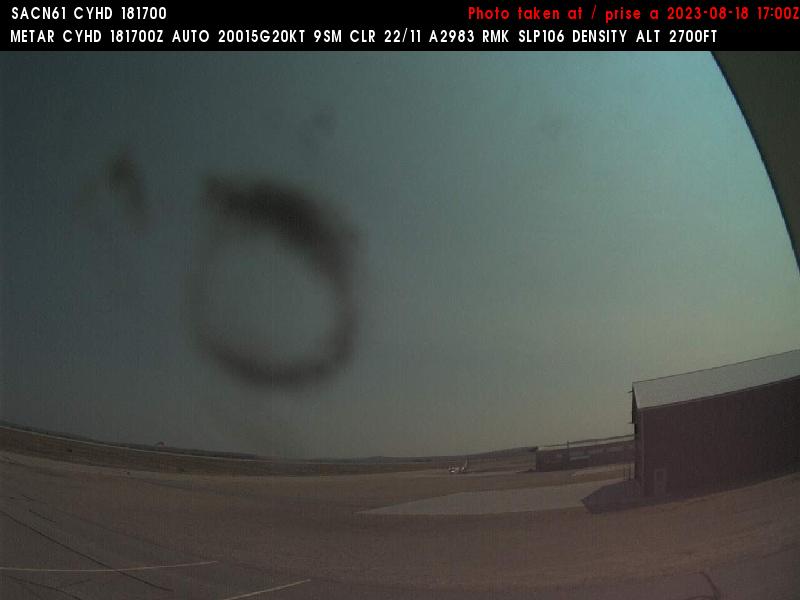
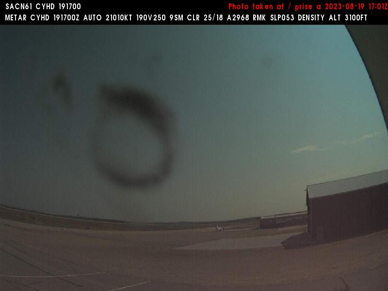
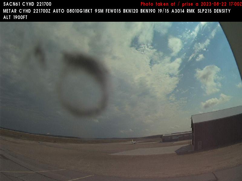
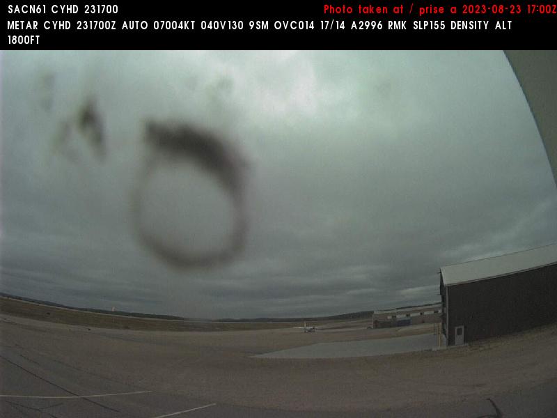
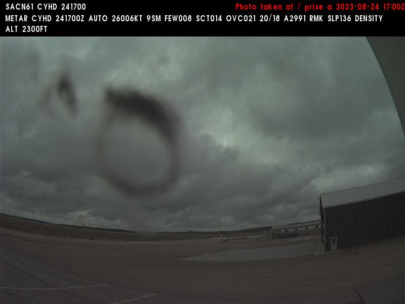
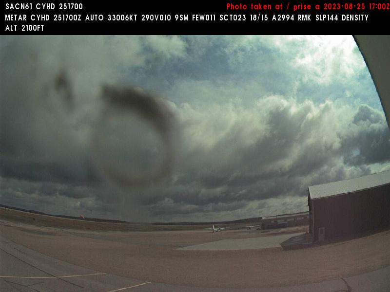
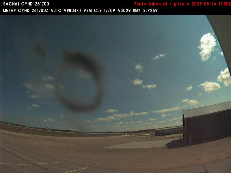
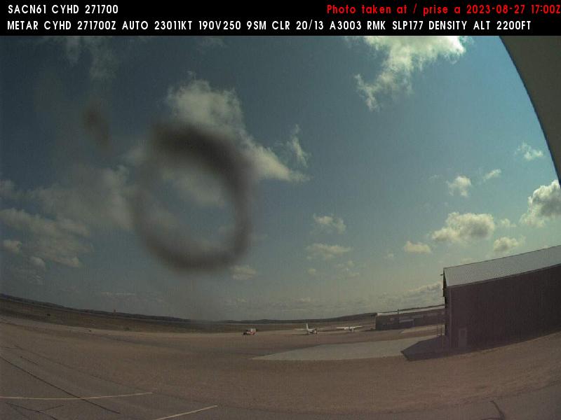
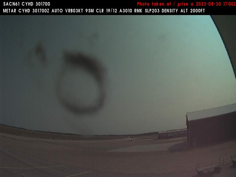
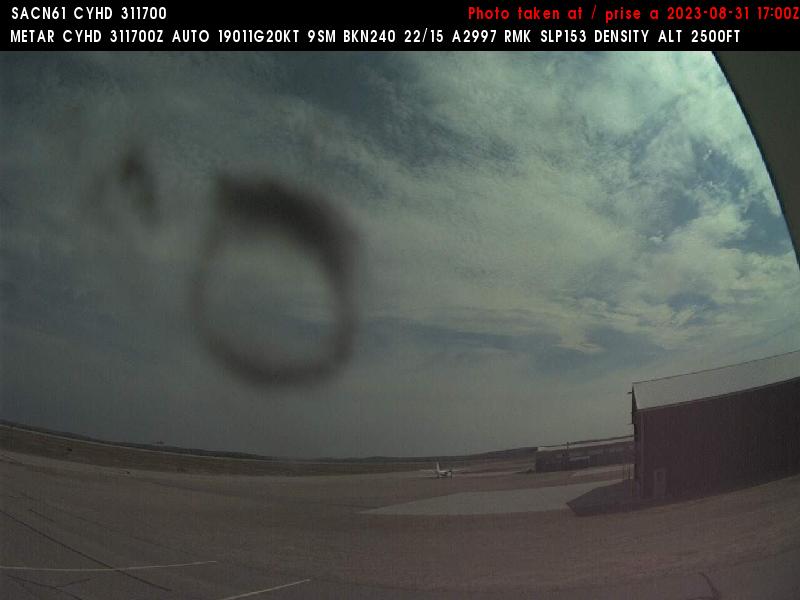
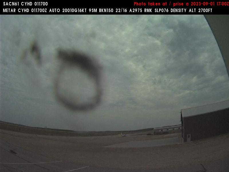
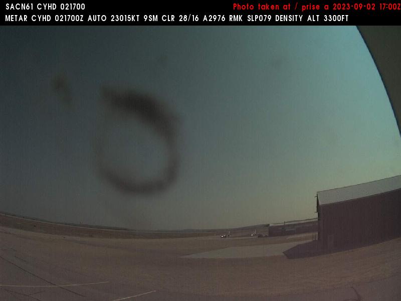
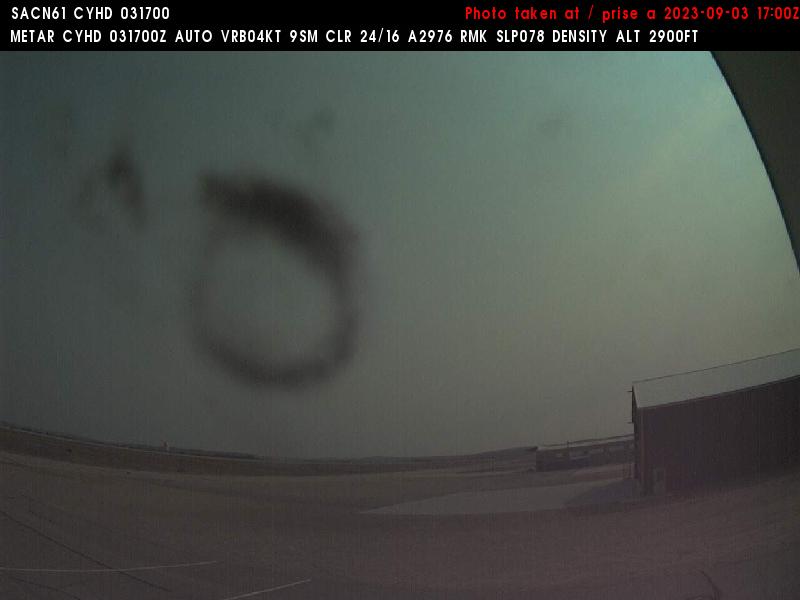
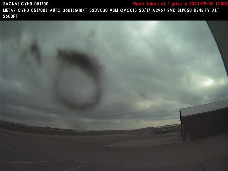
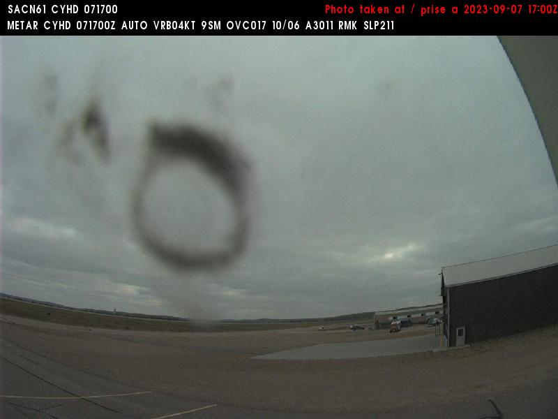
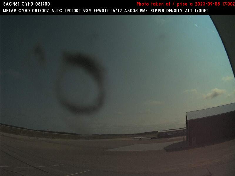
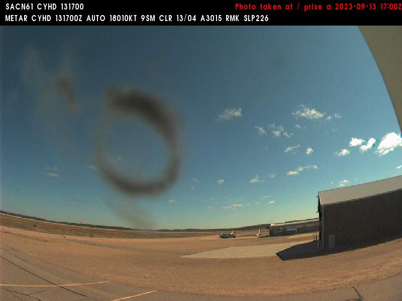
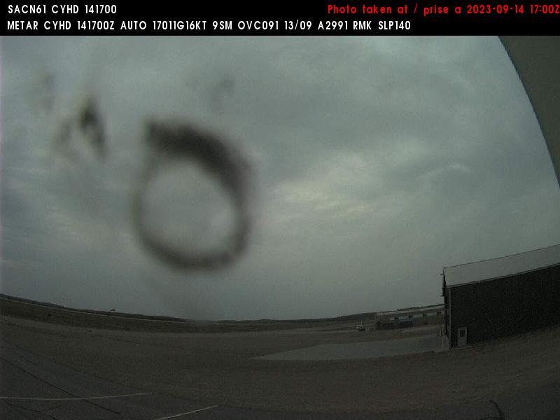
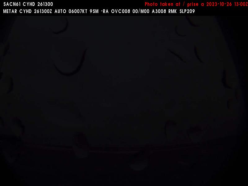
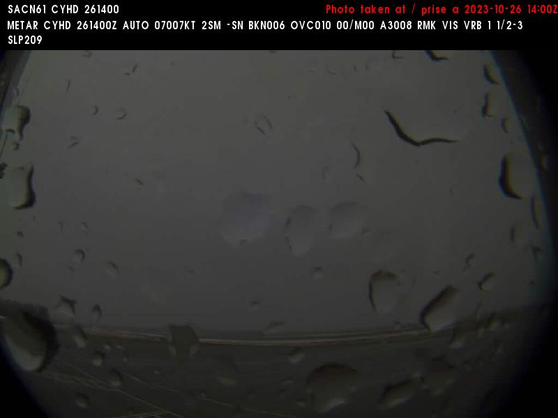
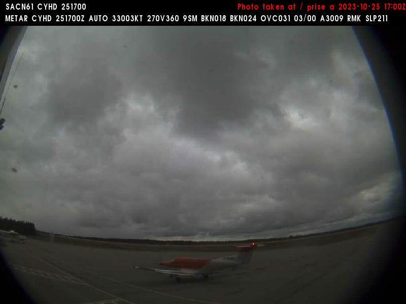
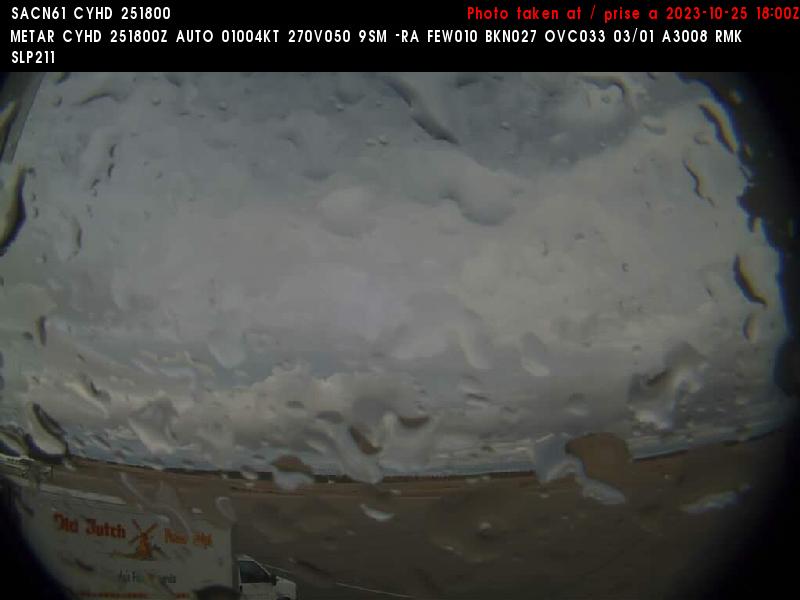
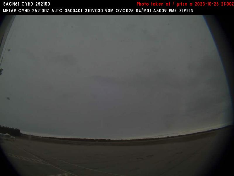
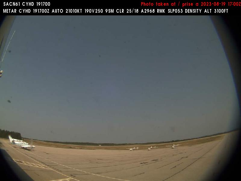
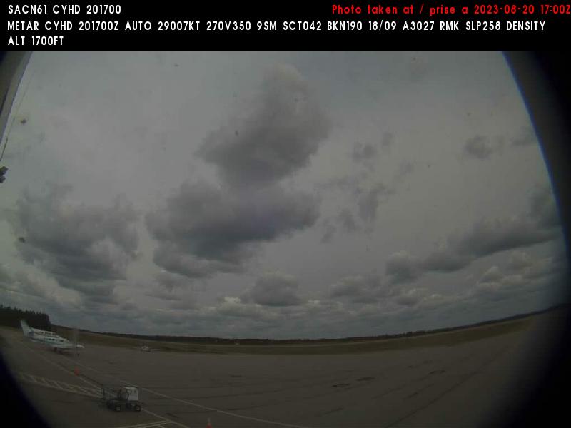
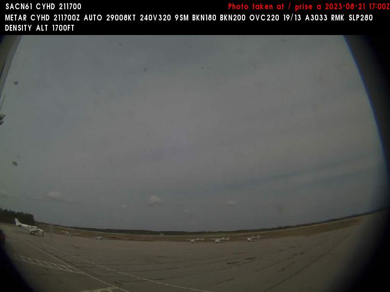
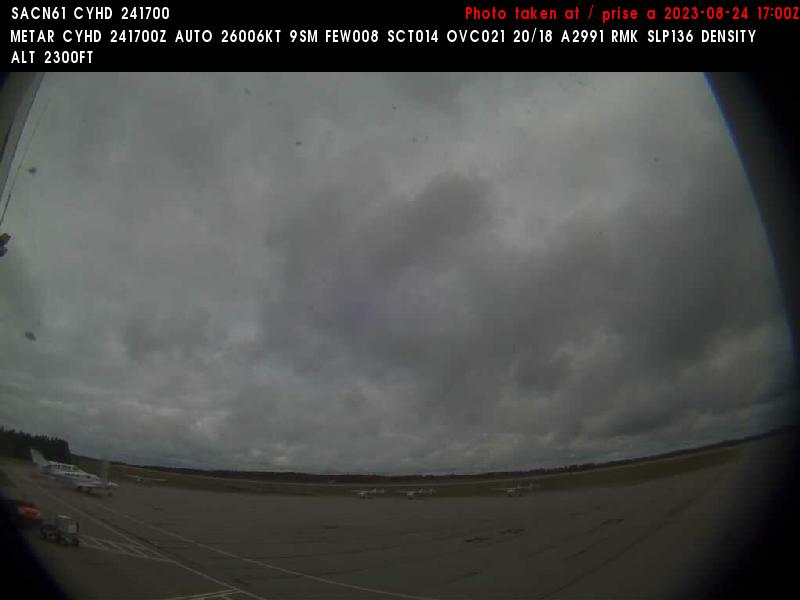
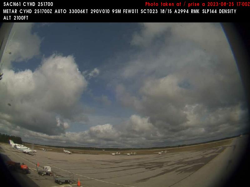
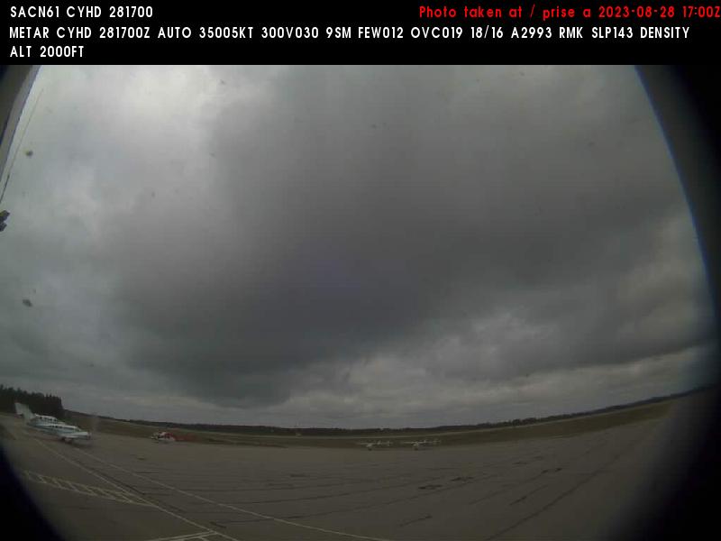
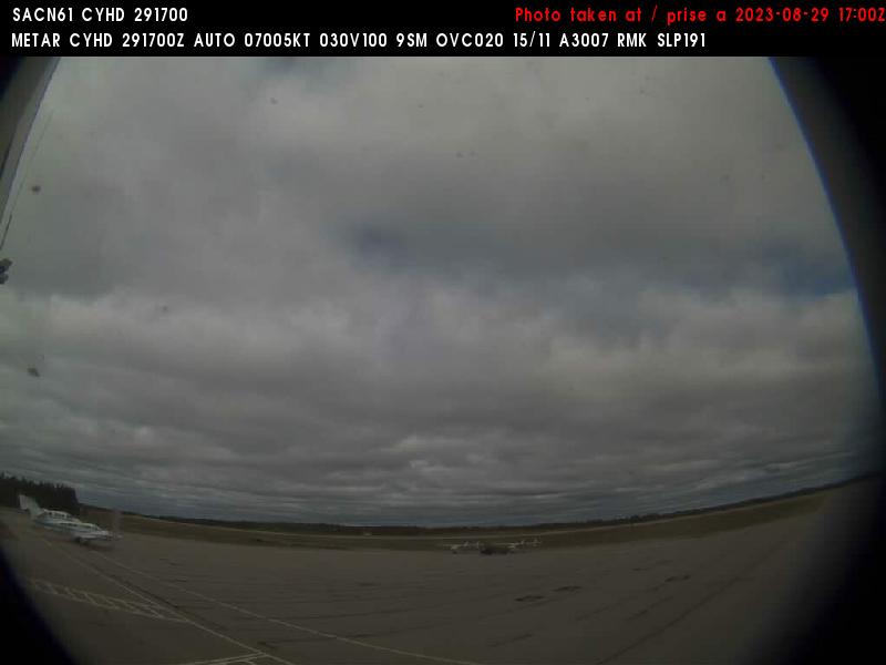
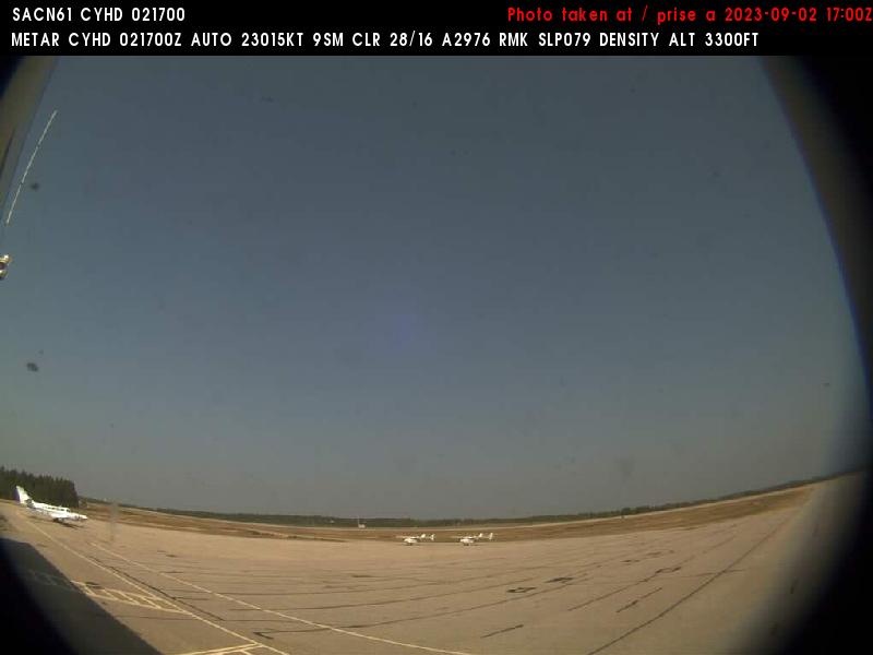
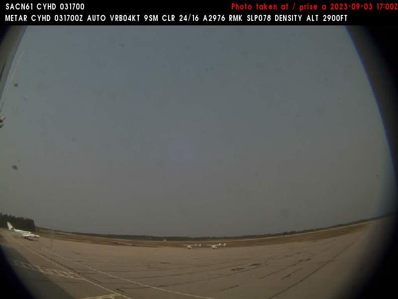
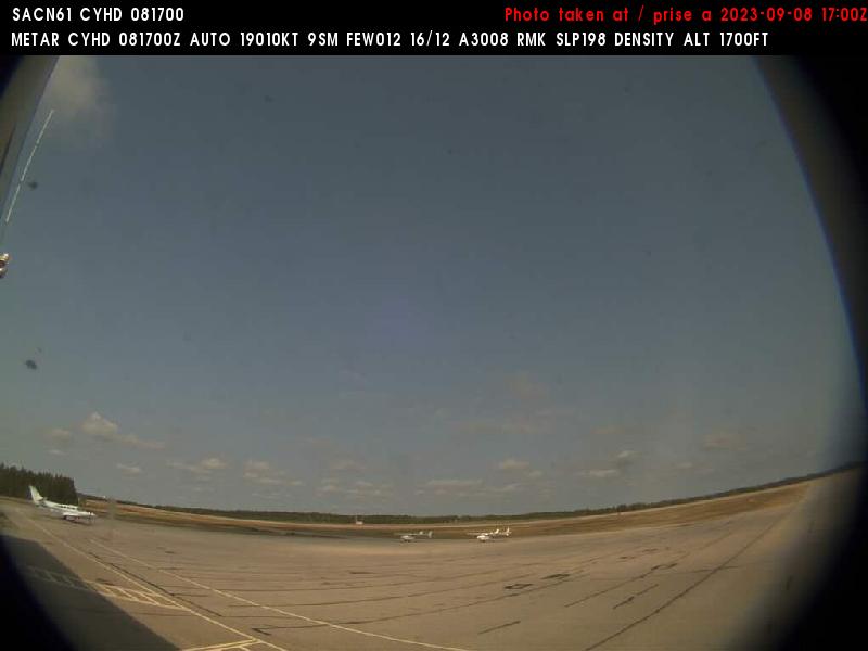
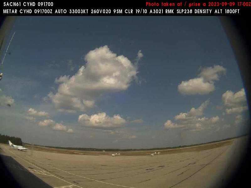
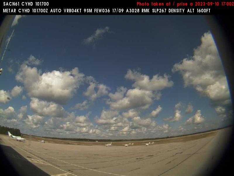
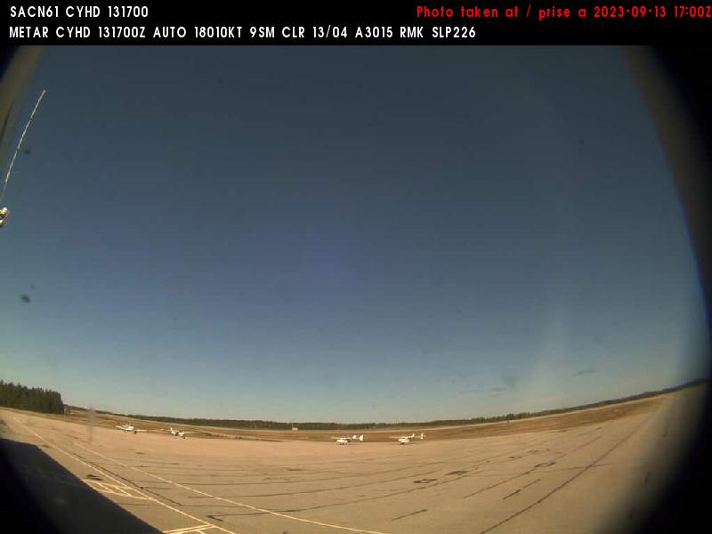
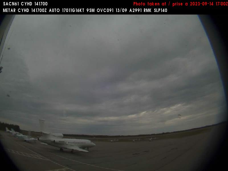
Dryden, Canada - 289.8 miles from Popple Creek: Dryden Regional Airport (CYHD) - A view in eastern direction.
Operator: NAV CANADA
Operator: NAV CANADA

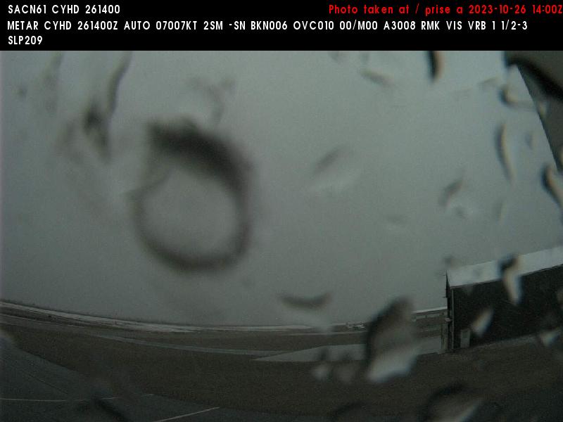
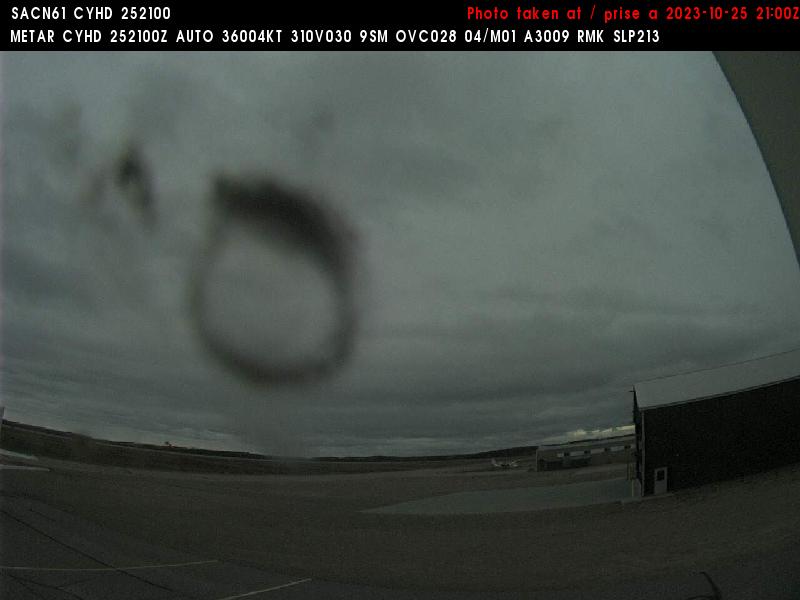
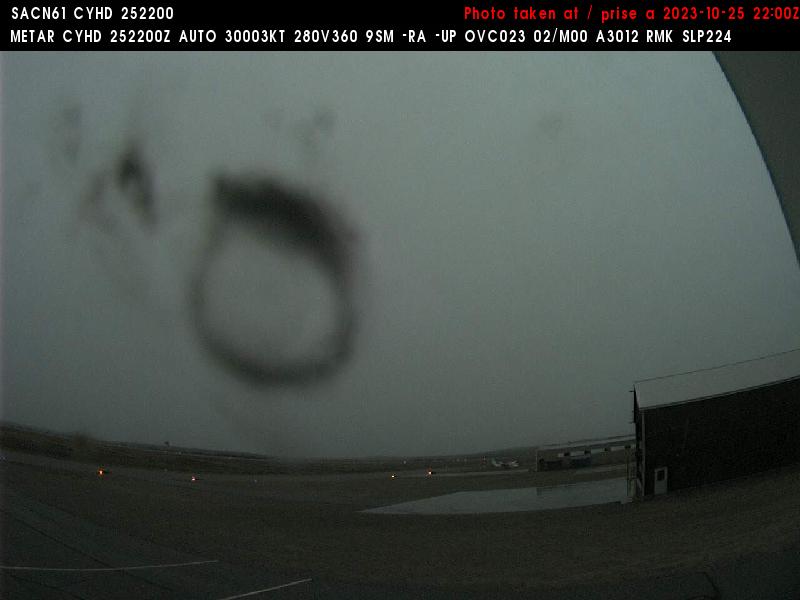


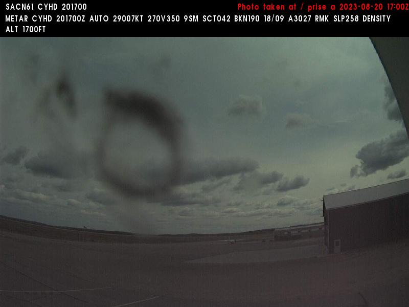
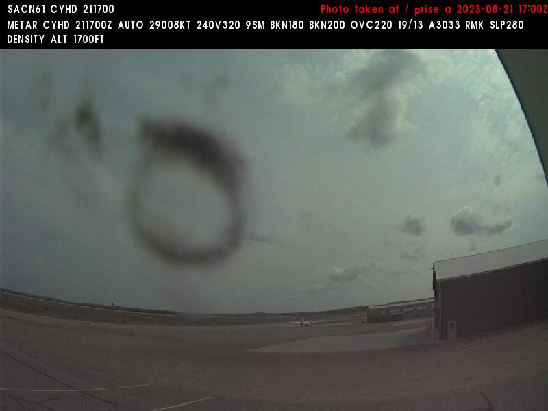
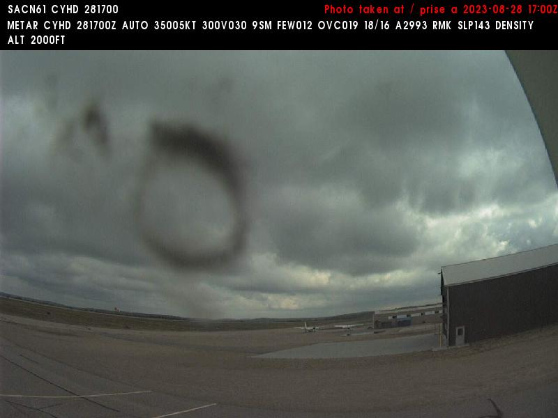
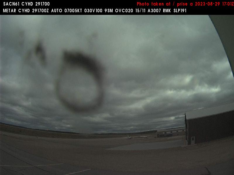


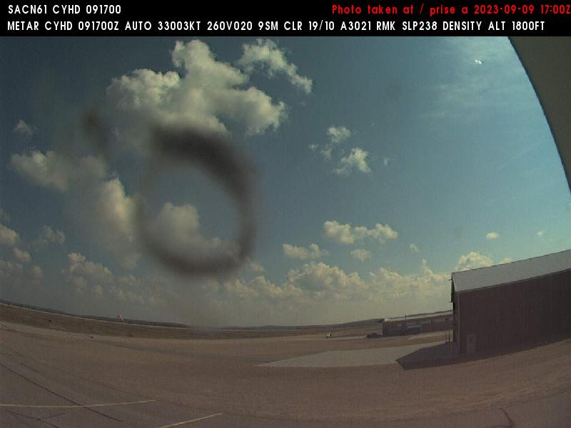
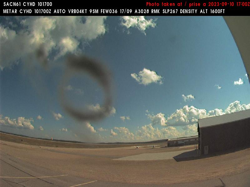
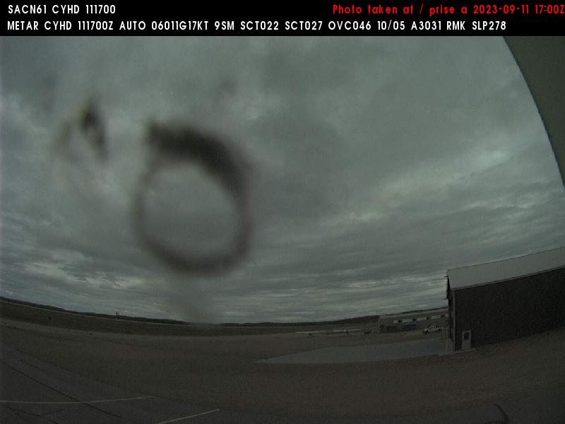
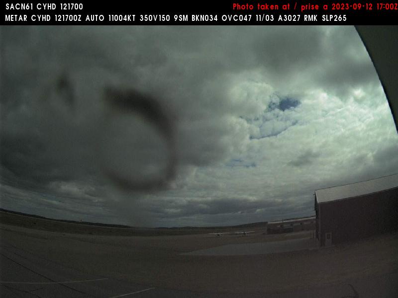
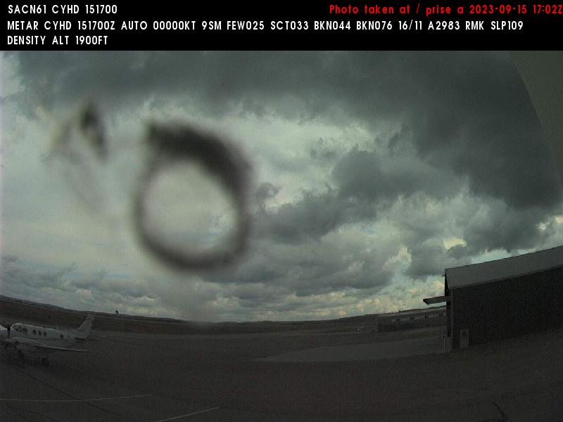
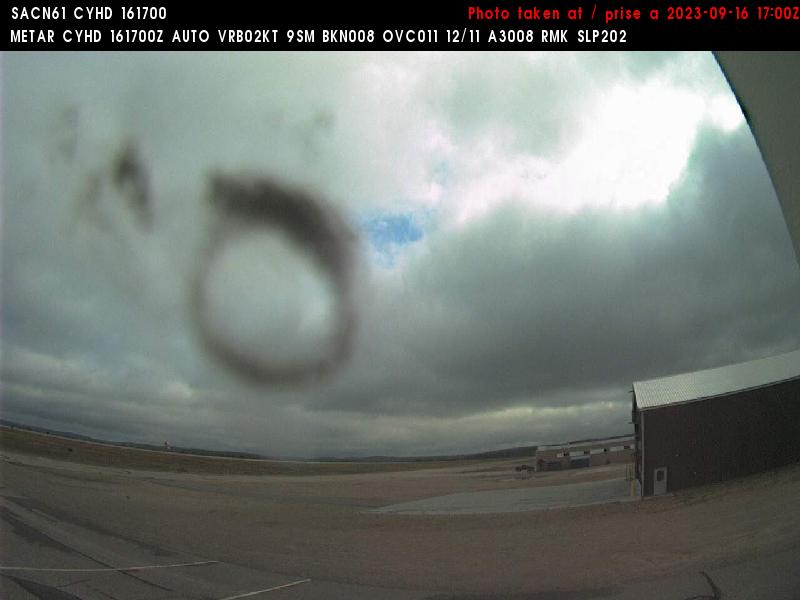

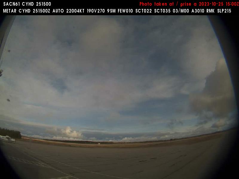
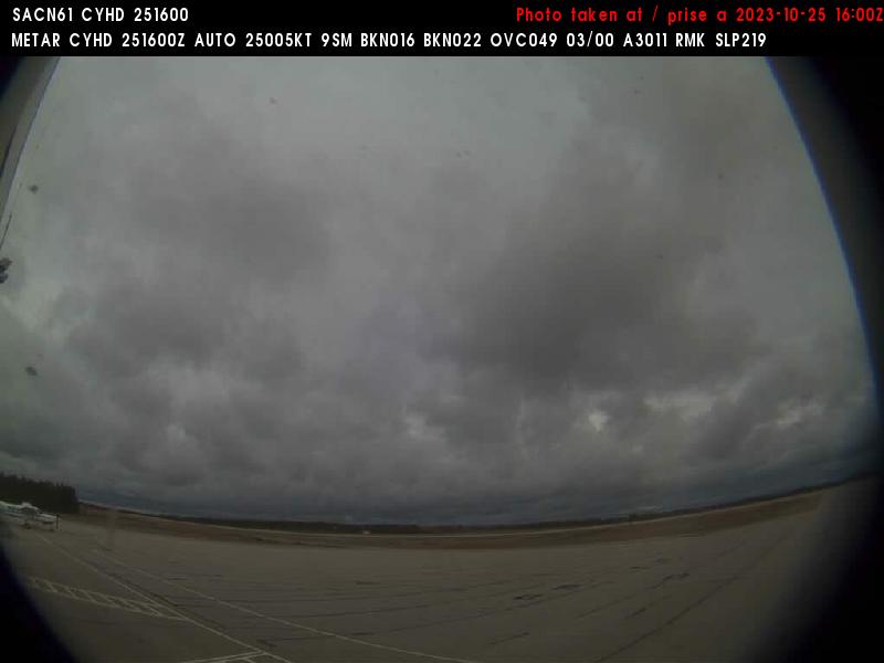
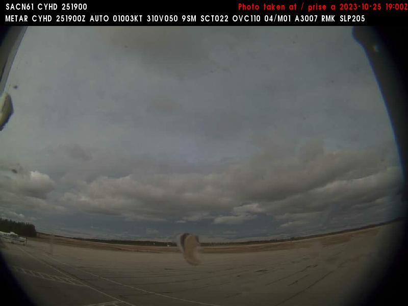
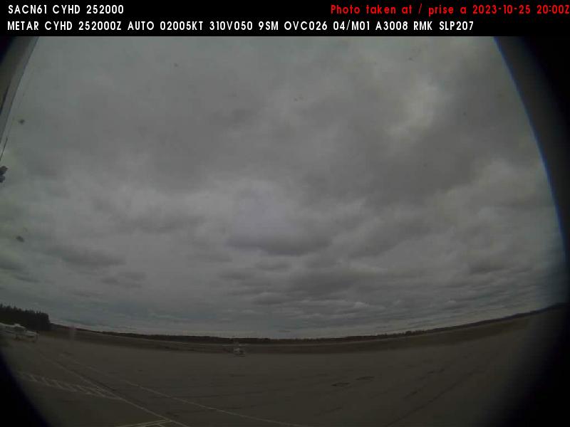
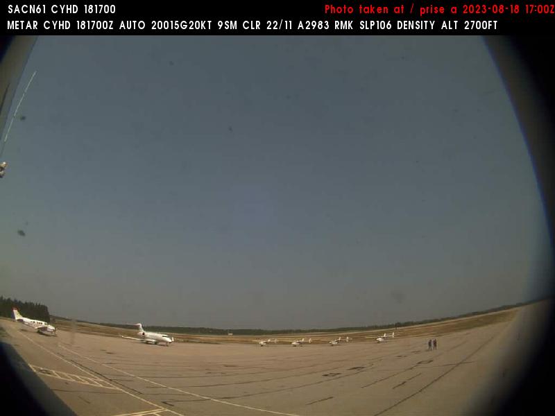
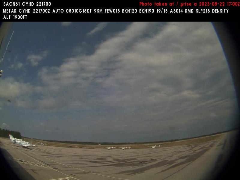
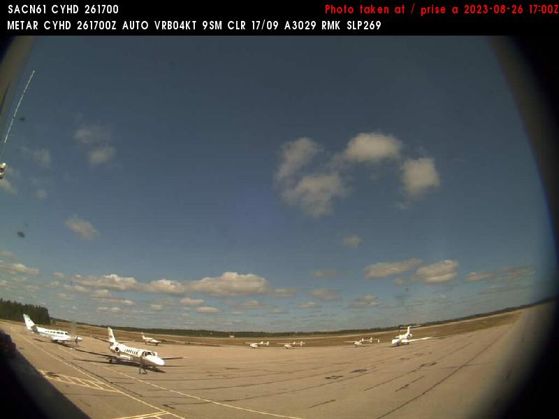
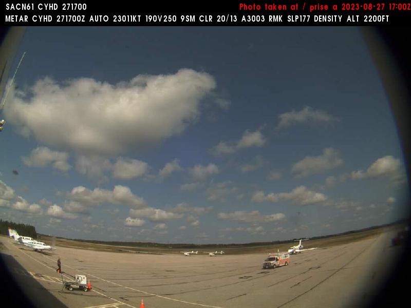
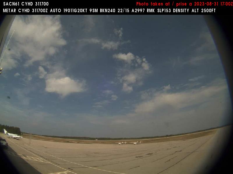
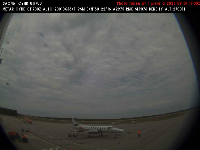
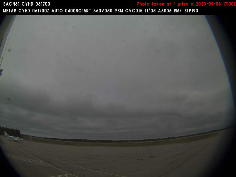
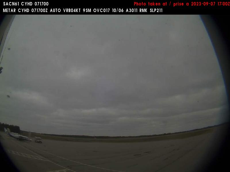
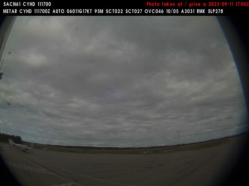
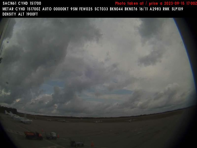
Dryden, Canada - 289.8 miles from Popple Creek: Dryden Regional Airport (CYHD) - A view in northern direction.
Operator: NAV CANADA
Operator: NAV CANADA


Some other places in this country: Ponsford Landing - Poor Farm Landing - Poplar - Port Cargill - Post Town - Prairie Portage - Prairieville - Pratt - Priam - Puposky