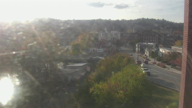
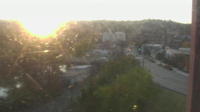
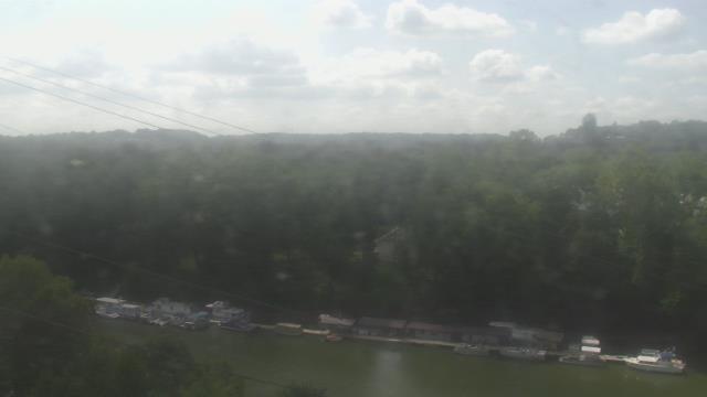
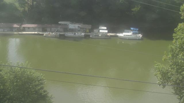
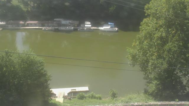
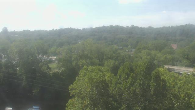
Webcams in the region of Paintsville, Kentucky, USA
The List of Webcams near Paintsville, Kentucky, USA:

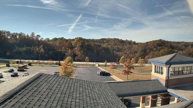
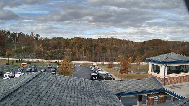
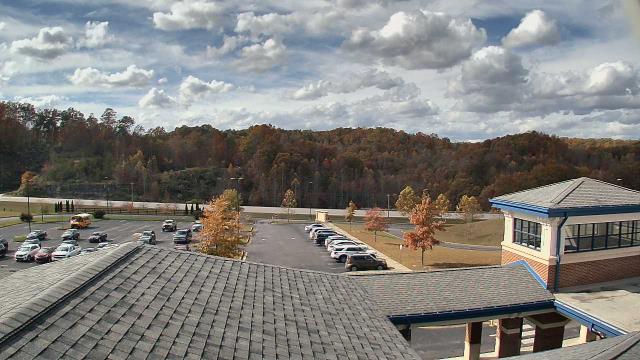
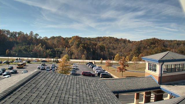
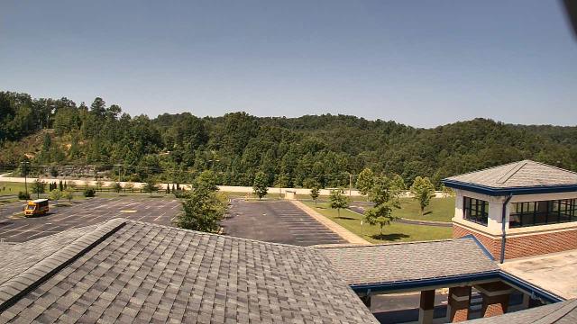
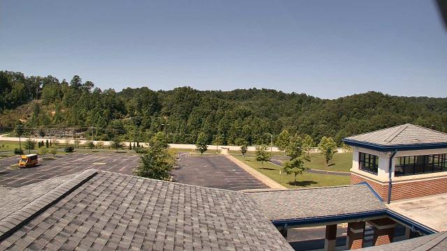
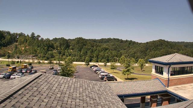
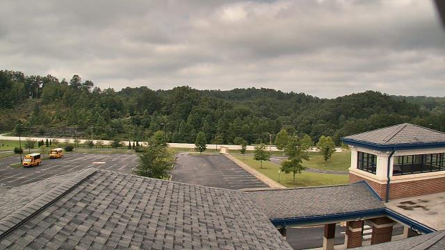
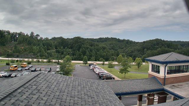
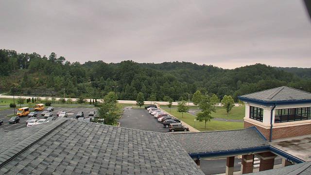
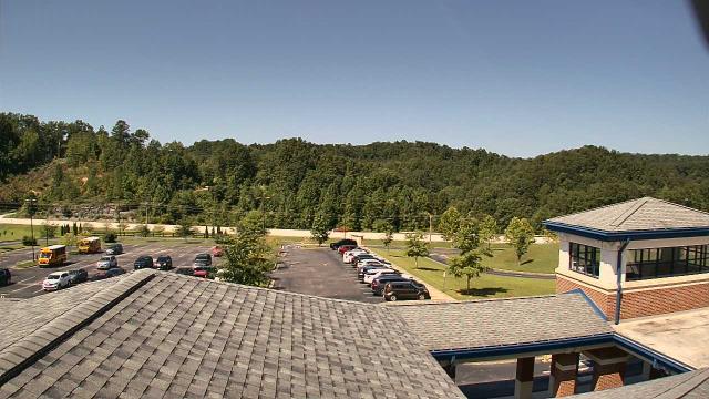
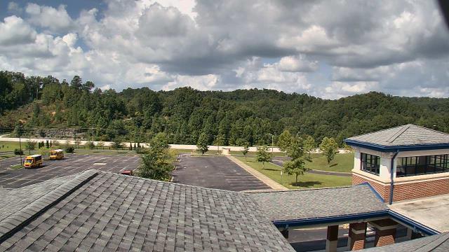
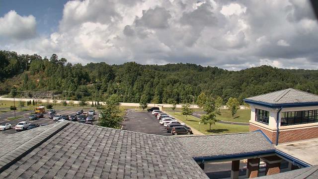
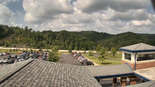
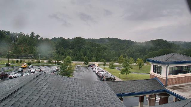
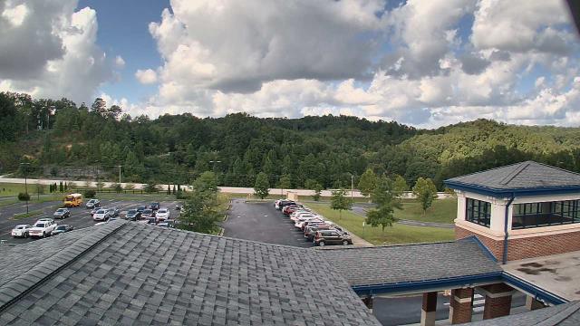
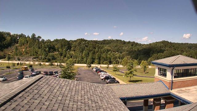
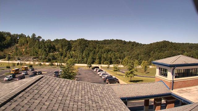
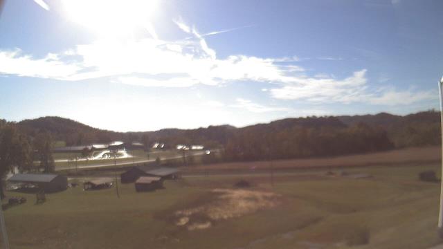
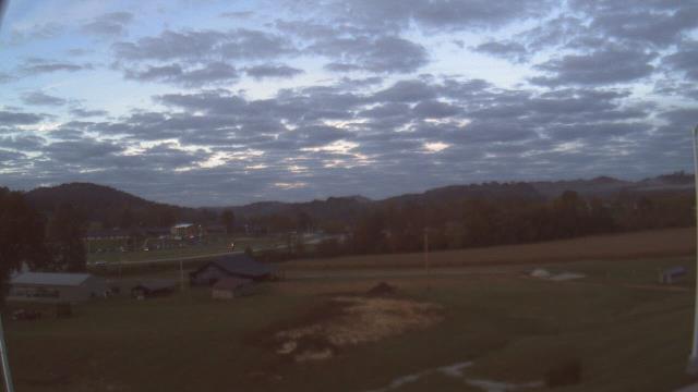
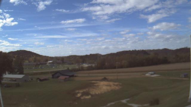
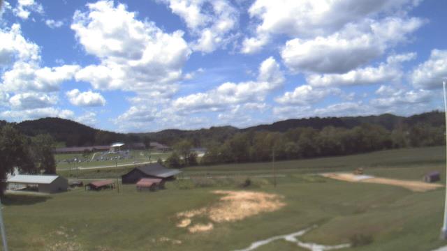
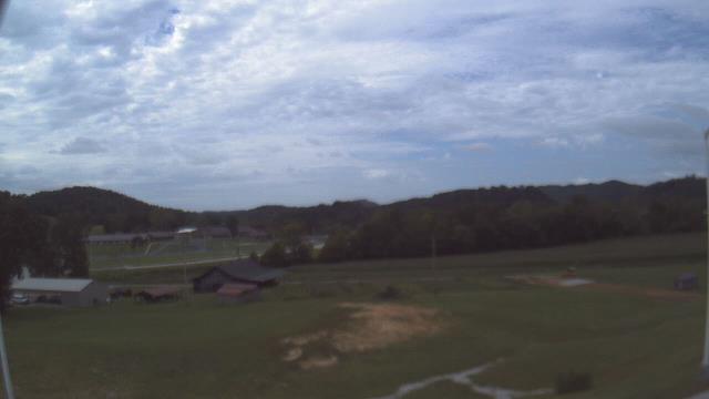
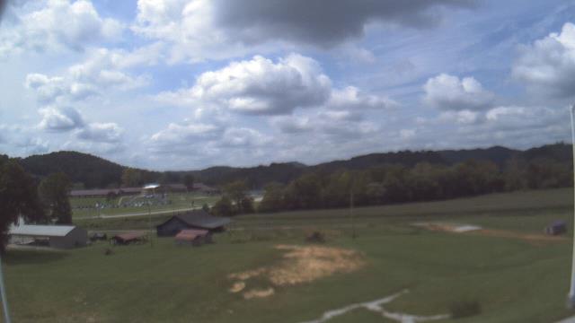
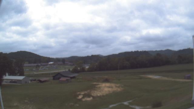
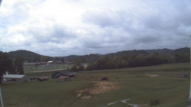
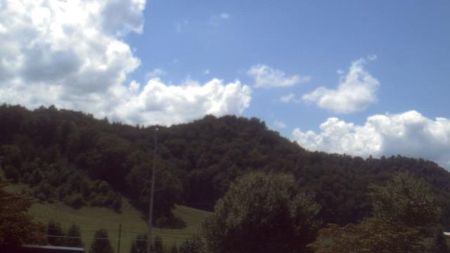
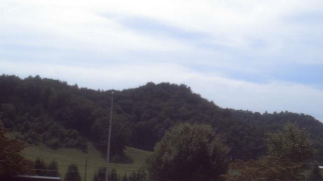
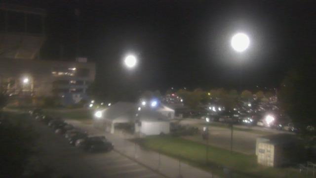
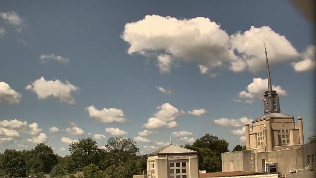
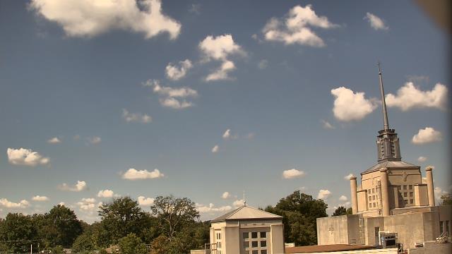
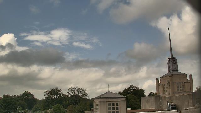
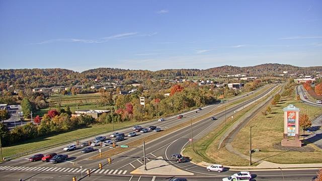
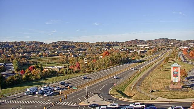
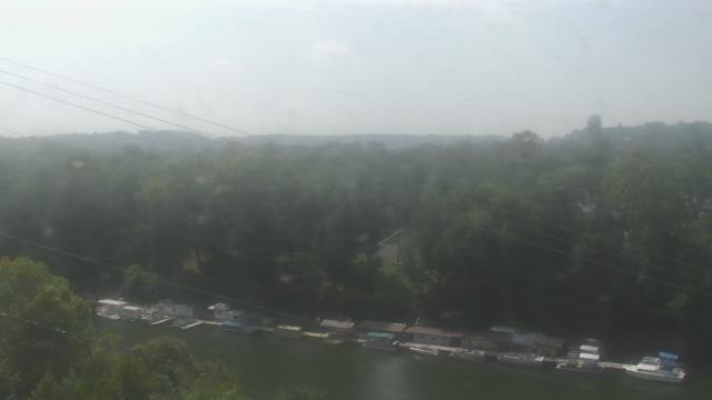
West Liberty, Kentucky, USA - 25.8 miles from Paintsville: West Liberty Elementary School - A webcam in West Liberty, Kentucky - camera location: West Liberty Elementary School.
Operator: WeatherBug
Operator: WeatherBug
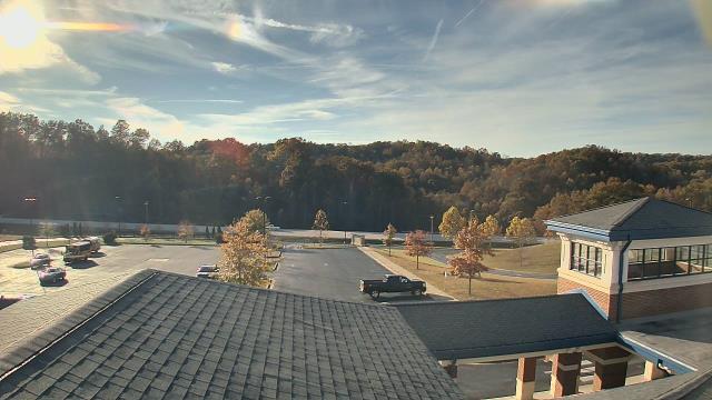
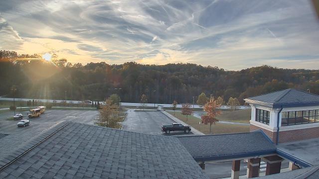


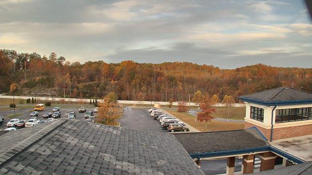
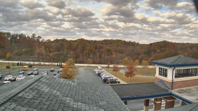
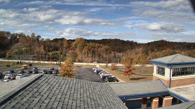
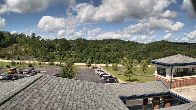
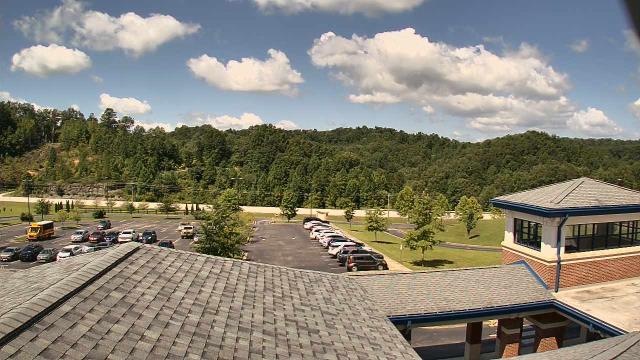
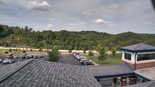
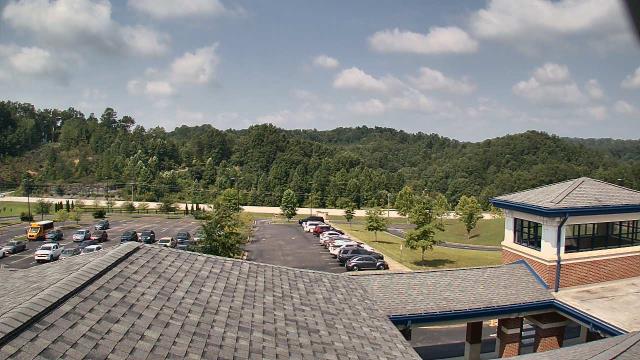
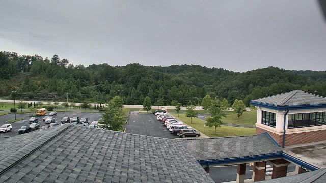
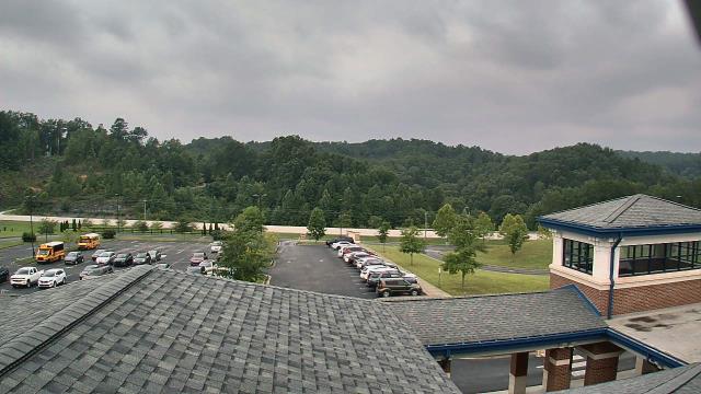
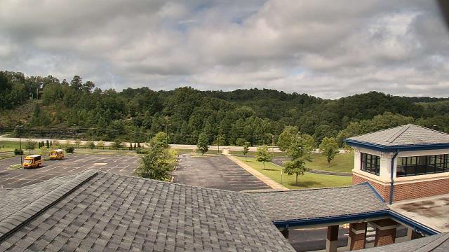


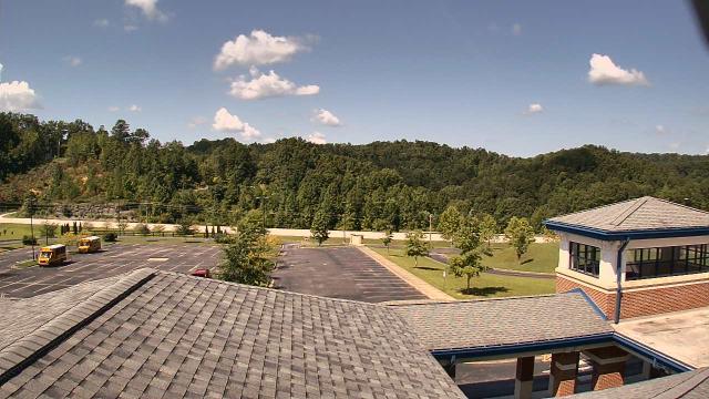


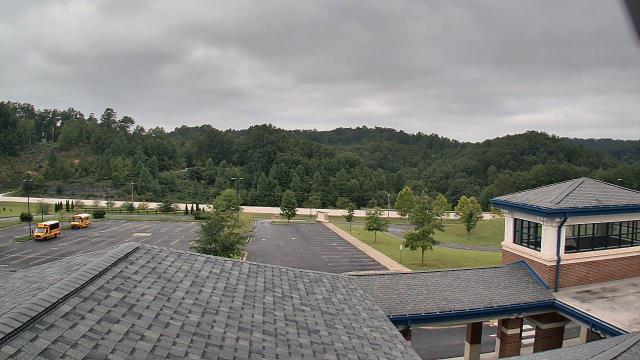
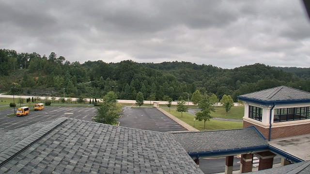

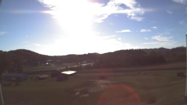
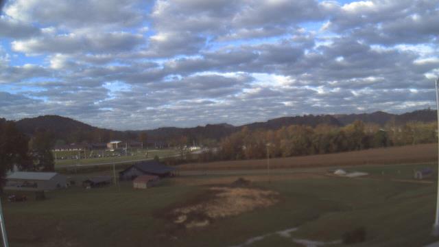
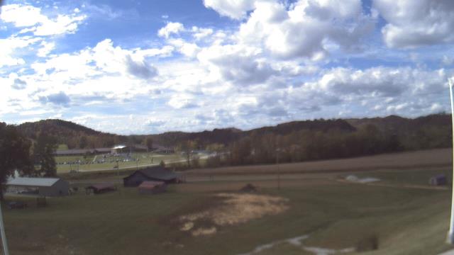
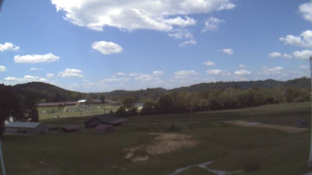
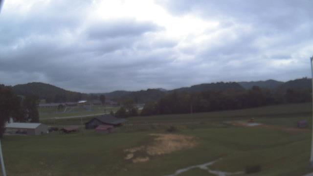
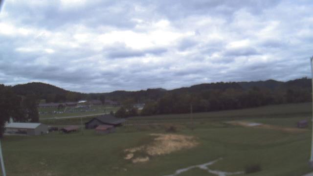
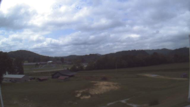
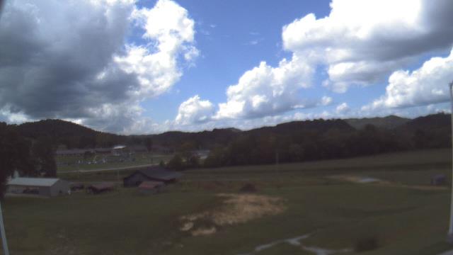
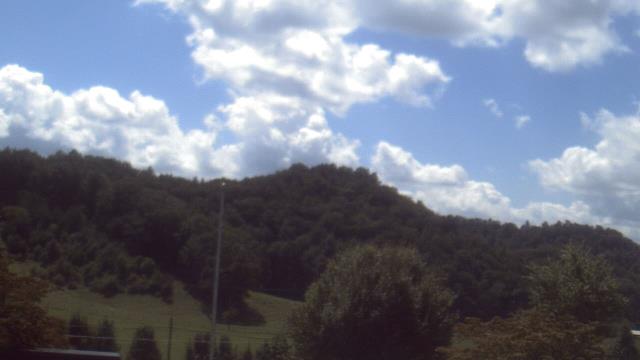
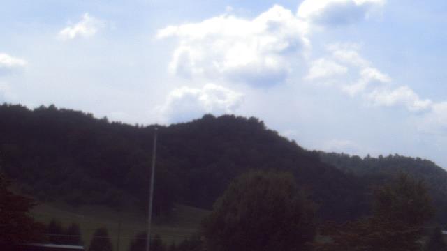
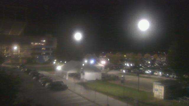
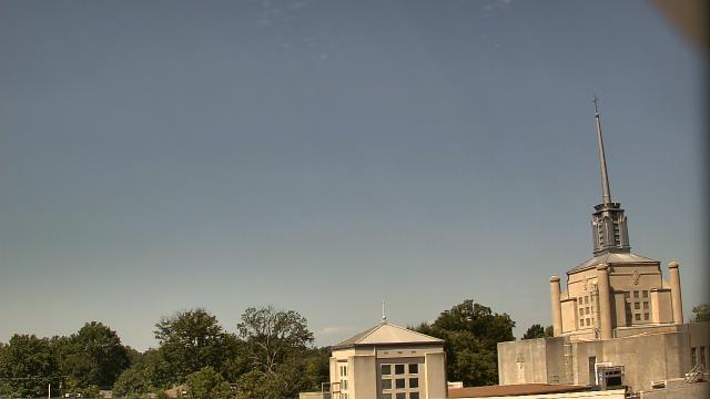
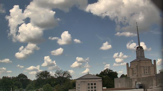
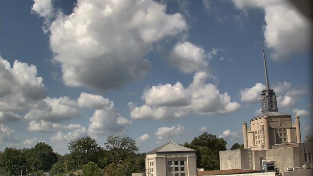
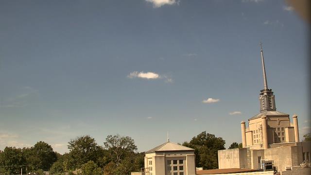
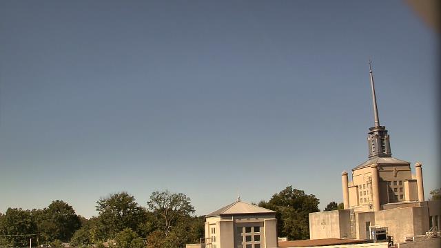
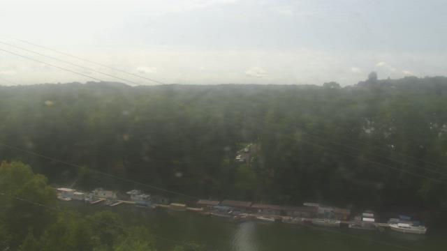
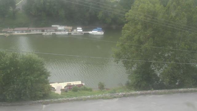
Booneville, Kentucky, USA - 52.9 miles from Paintsville: Owsley Co Jr Sr High School - A webcam in Booneville, Kentucky - camera location: Owsley Co Jr Sr High School.
Operator: WeatherBug
Operator: WeatherBug
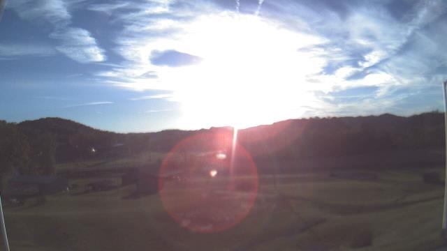
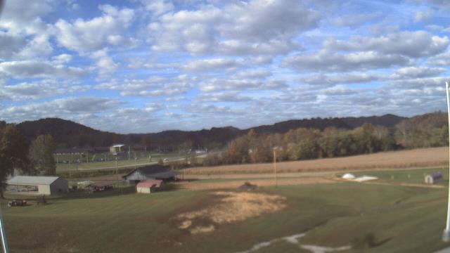
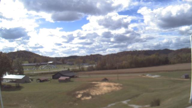
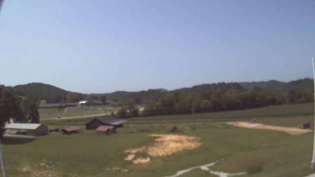

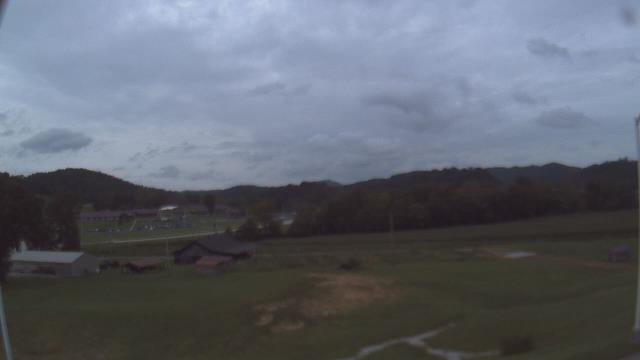
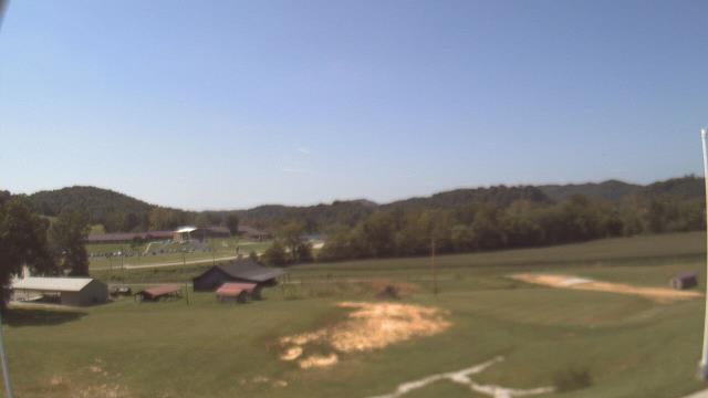

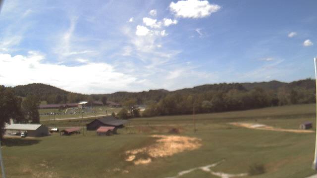

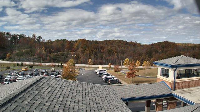
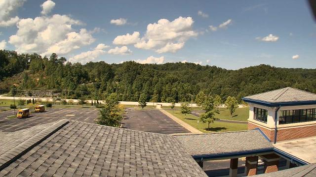
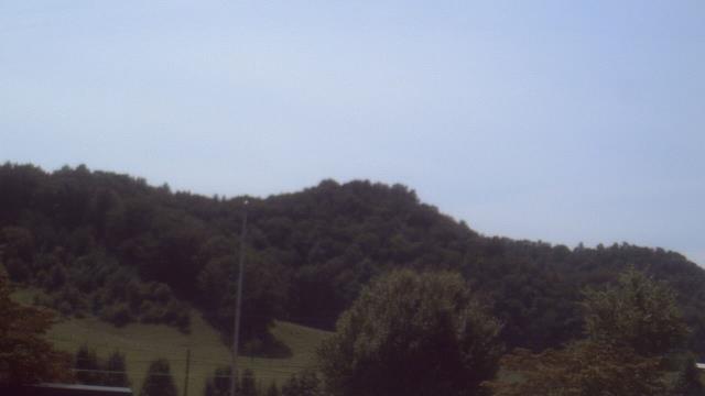
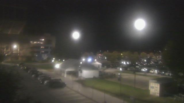
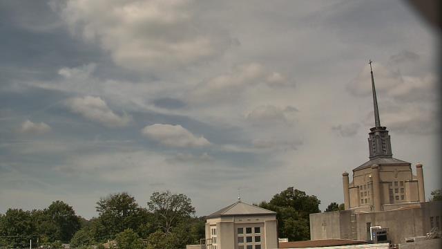
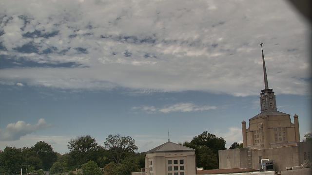
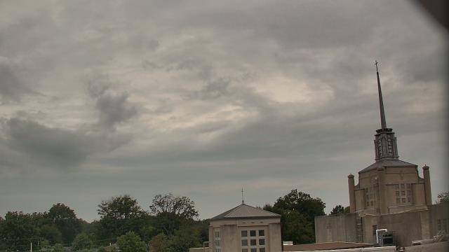
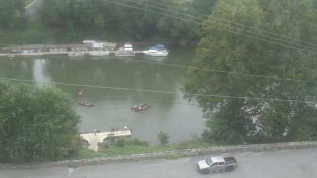
Abingdon, Virginia, USA - 88.9 miles from Paintsville: Watauga Elementary School - A webcam in Abingdon, Virginia - camera location: Watauga Elementary School.
Operator: WeatherBug
Operator: WeatherBug


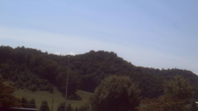


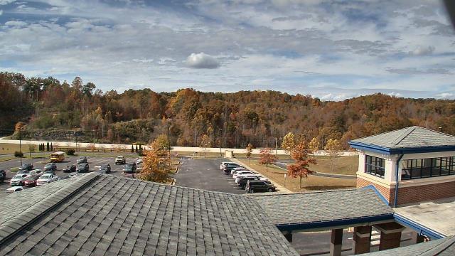
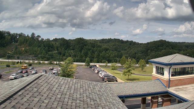
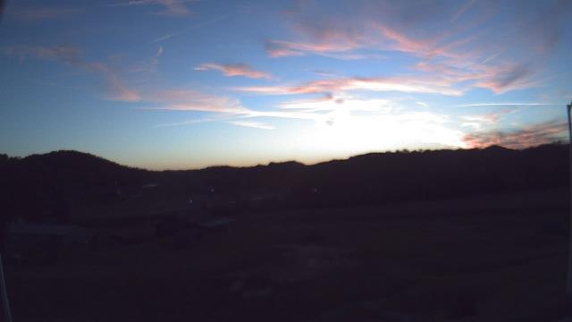
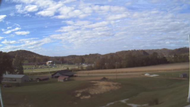
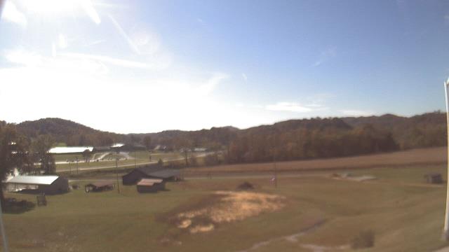
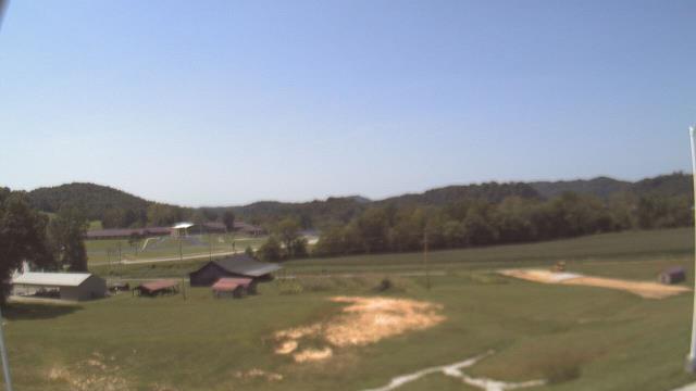
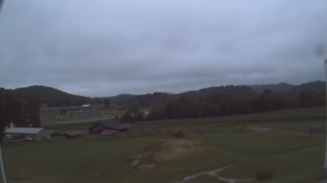
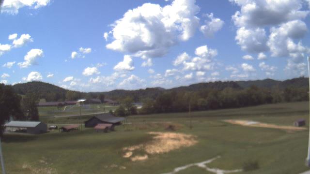
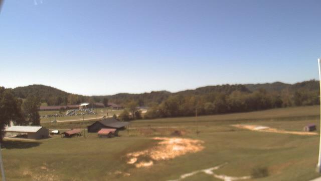
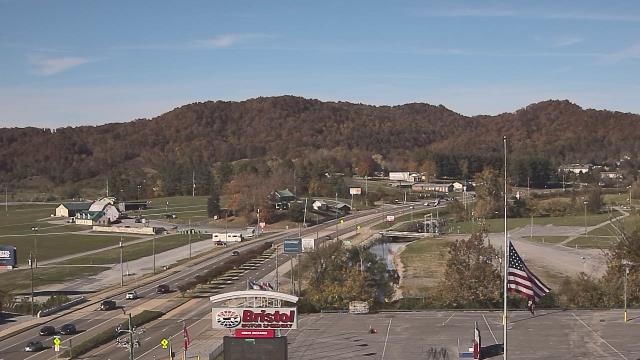
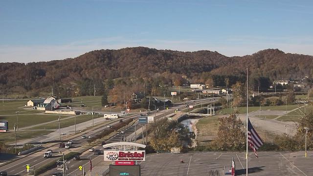
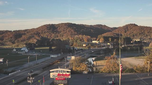
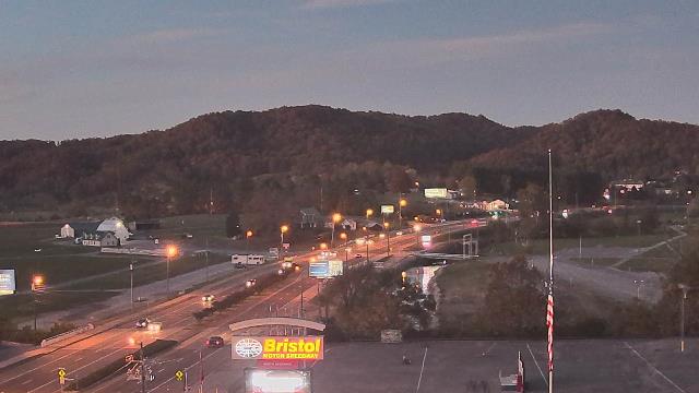
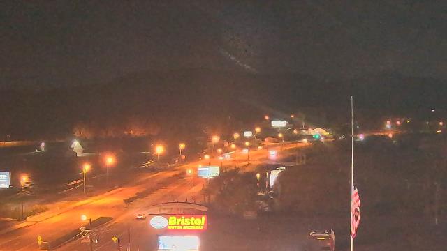
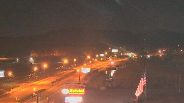
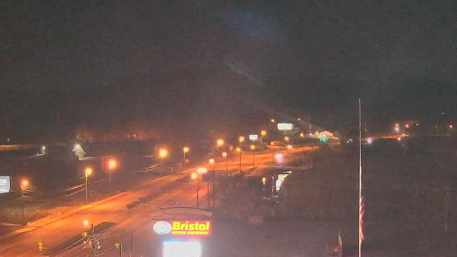
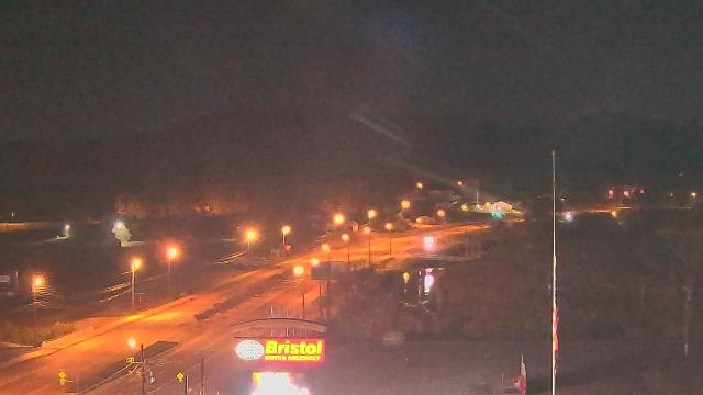
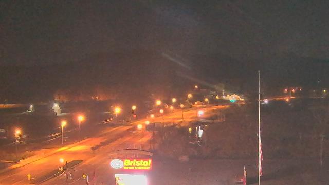
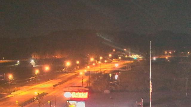
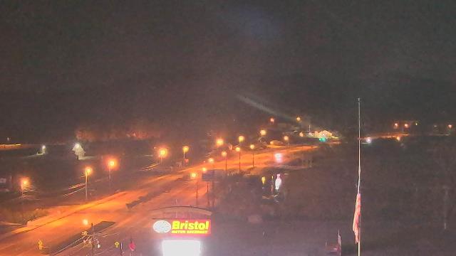
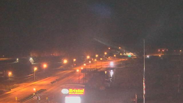
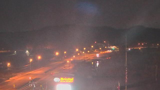
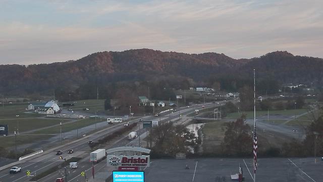
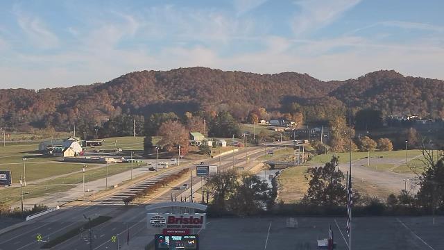
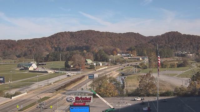
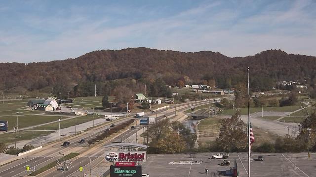
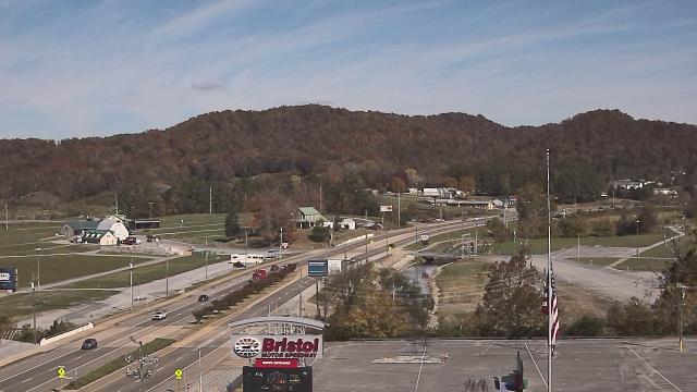
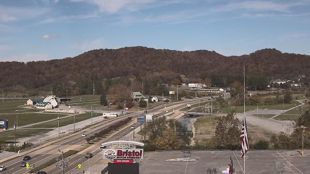
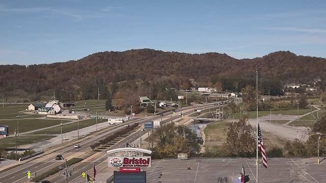
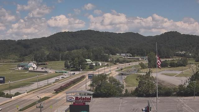
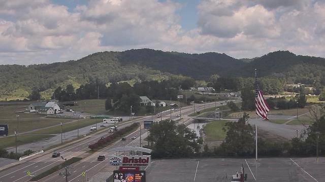
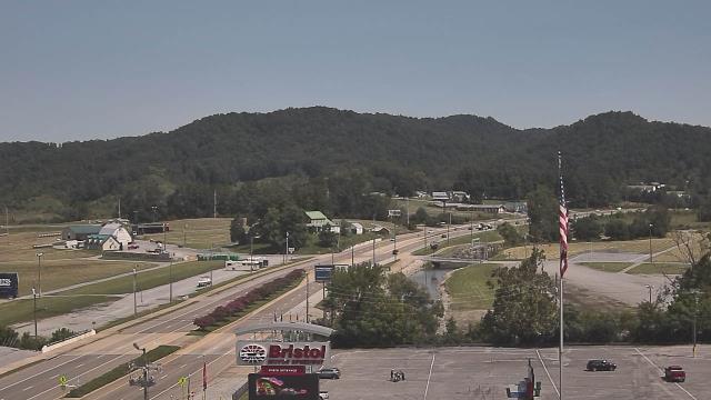
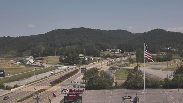
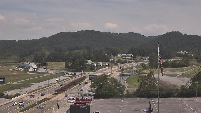
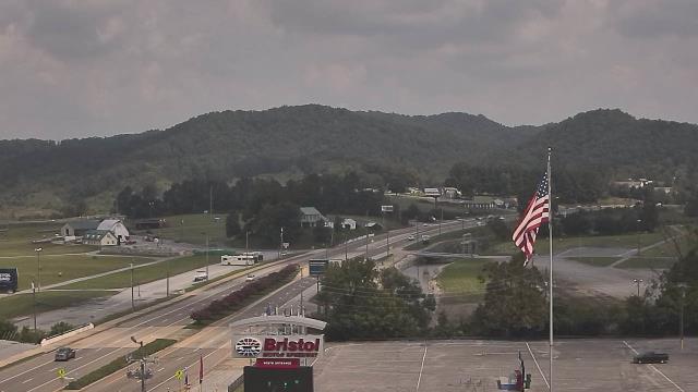
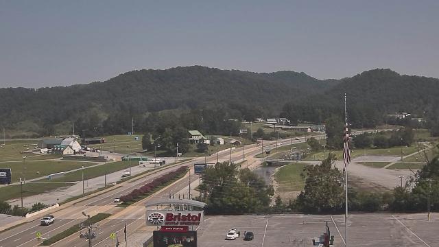
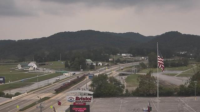
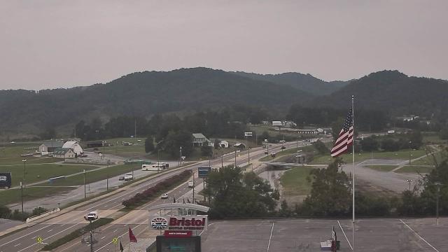
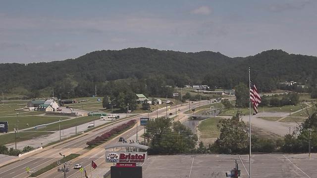
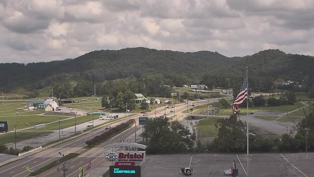
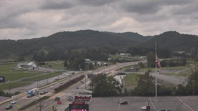
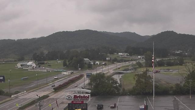
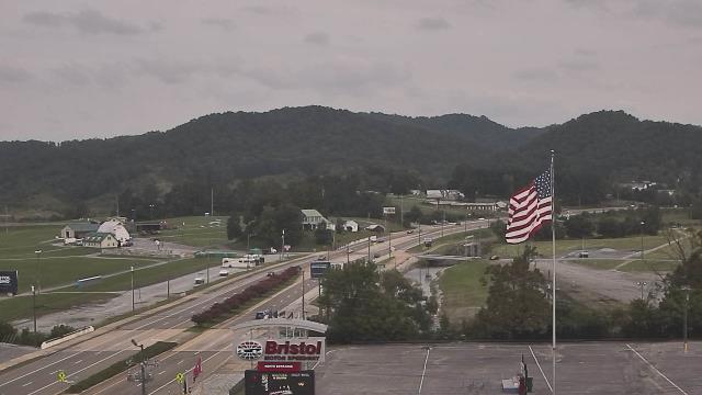
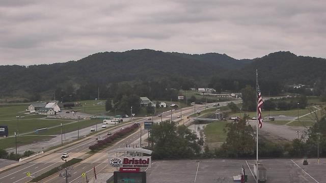
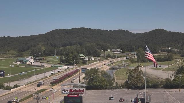
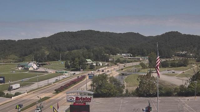
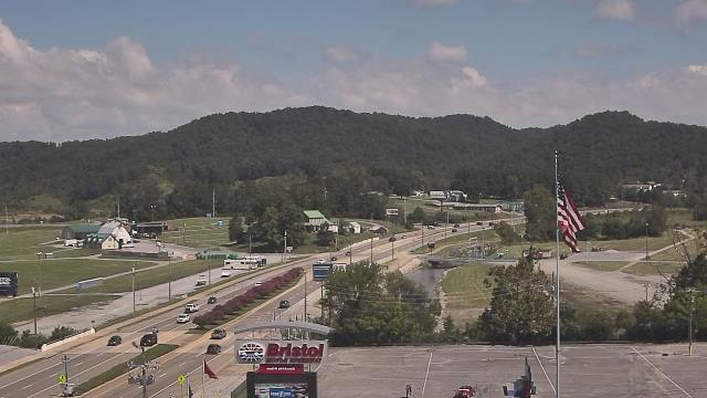
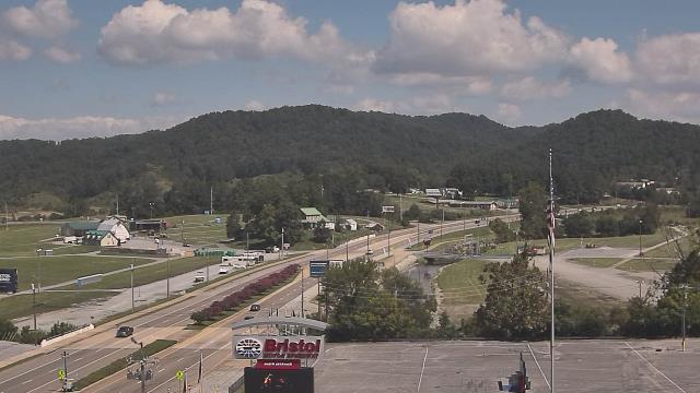
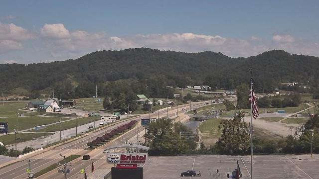
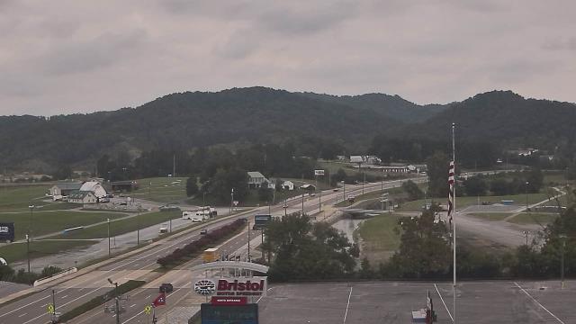
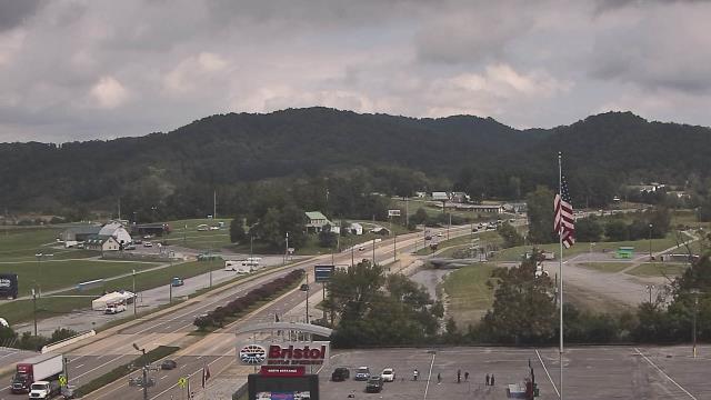
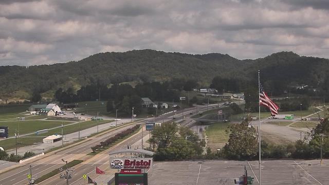
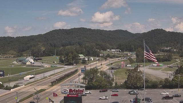
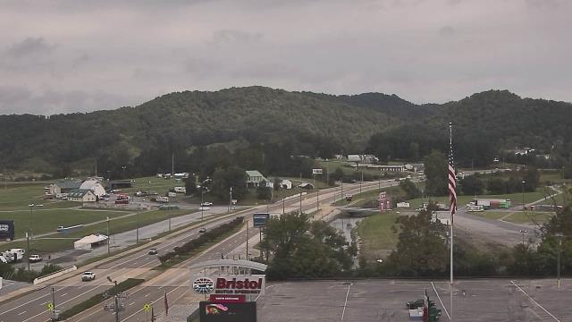
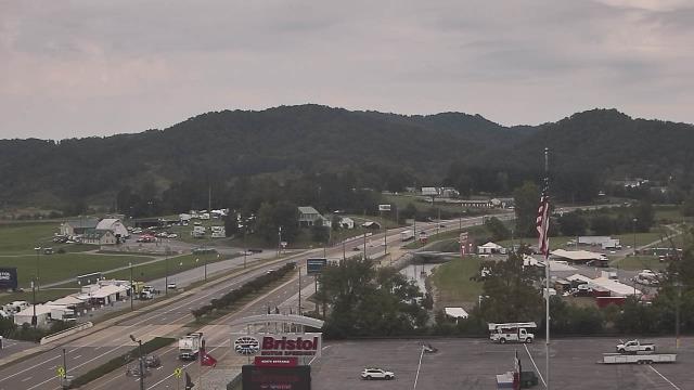
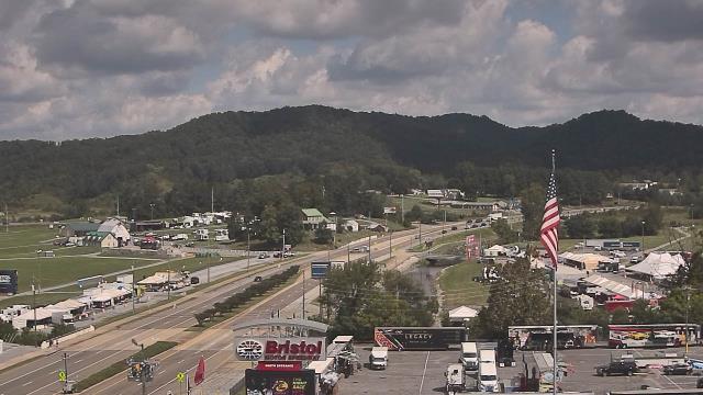
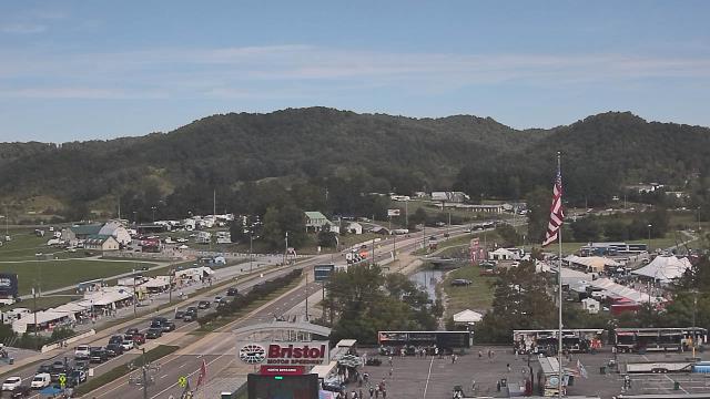
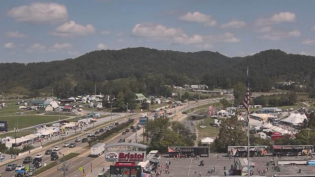
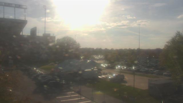
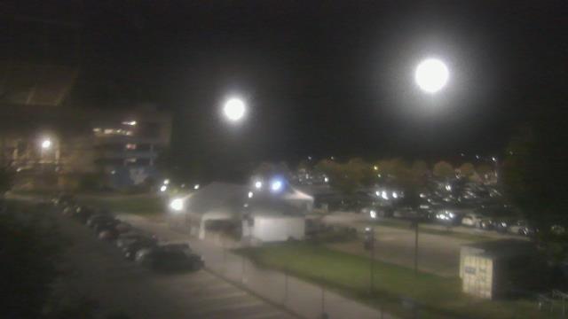
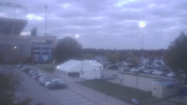
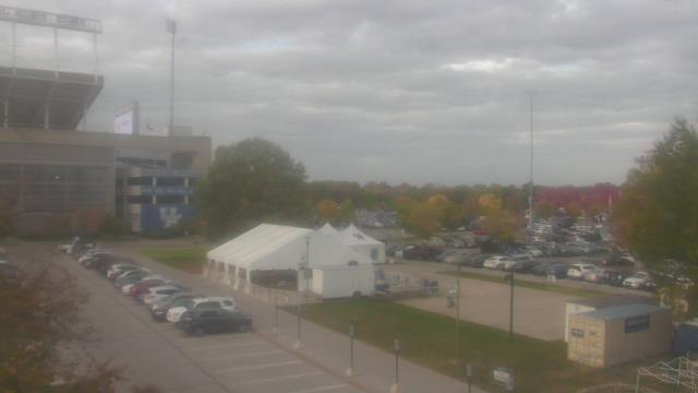
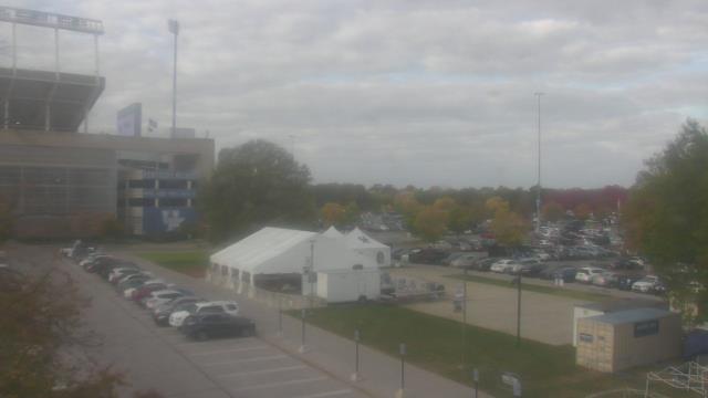
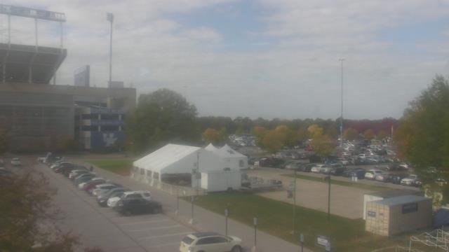
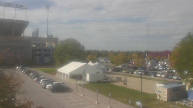
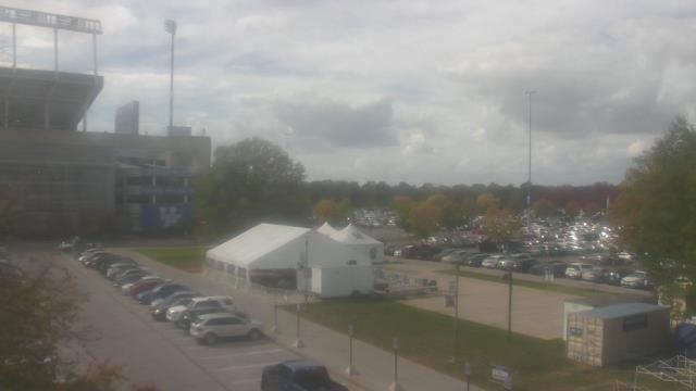
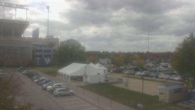
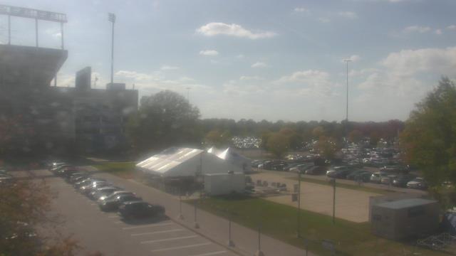
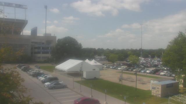
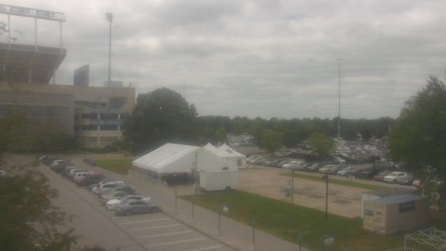
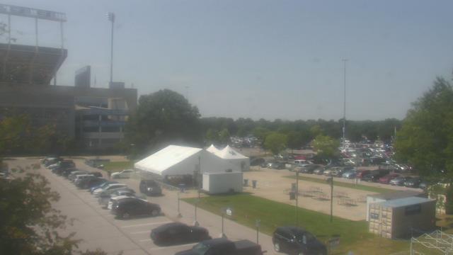
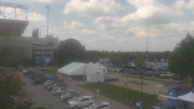
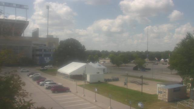
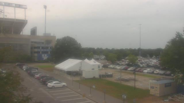
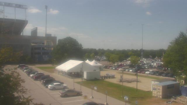
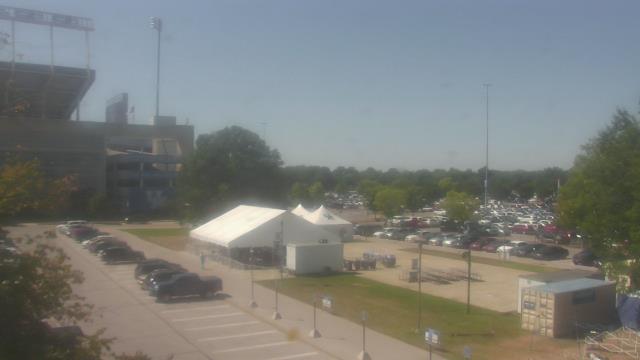
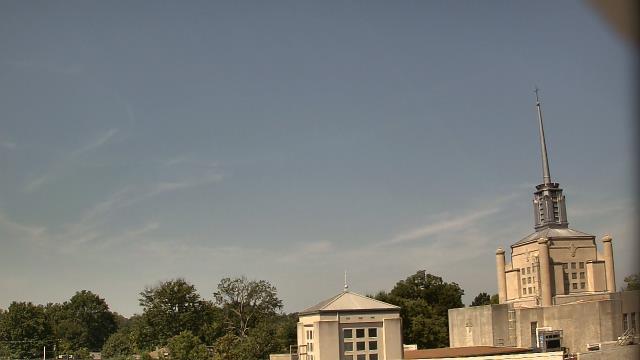
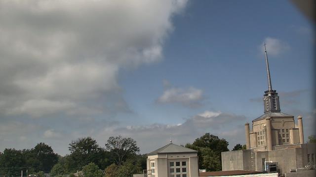
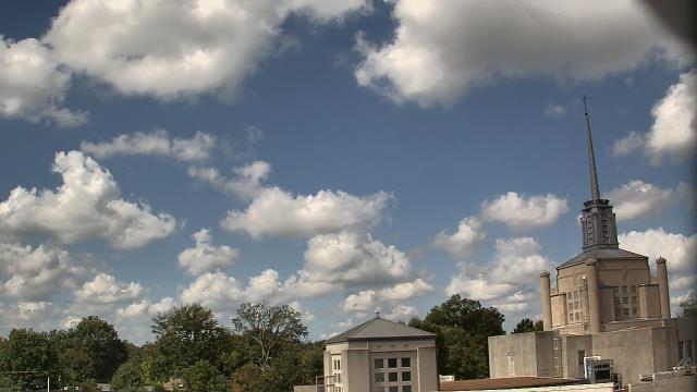
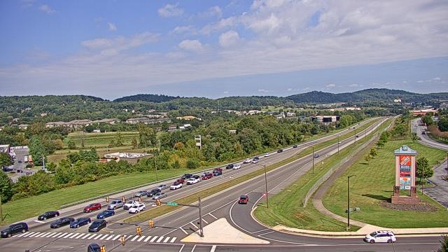
Bristol, Tennessee, USA - 91 miles from Paintsville: Bristol Motor Speedway - A webcam in Bristol, Tennessee - camera location: Bristol Motor Speedway.
Operator: WeatherBug
Operator: WeatherBug


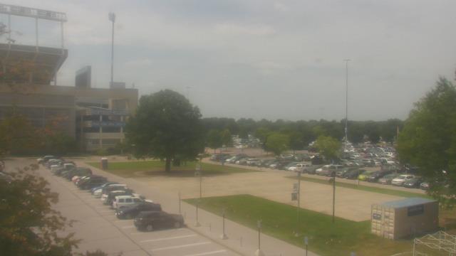
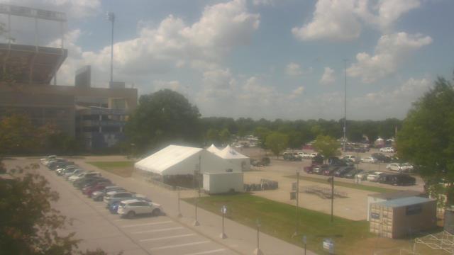
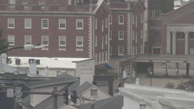
Lexington, Kentucky, USA - 93.2 miles from Paintsville: Bluegrass Community & Technical College - A webcam in Lexington, Kentucky - camera location: Bluegrass Community & Technical College.
Operator: WeatherBug
Operator: WeatherBug


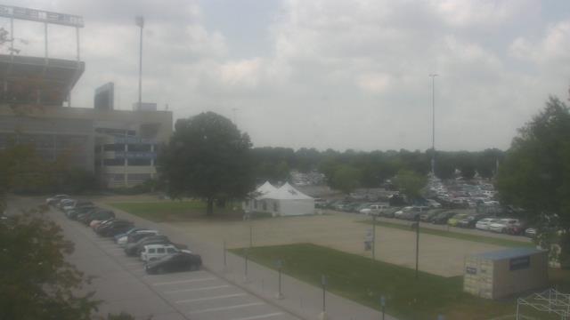


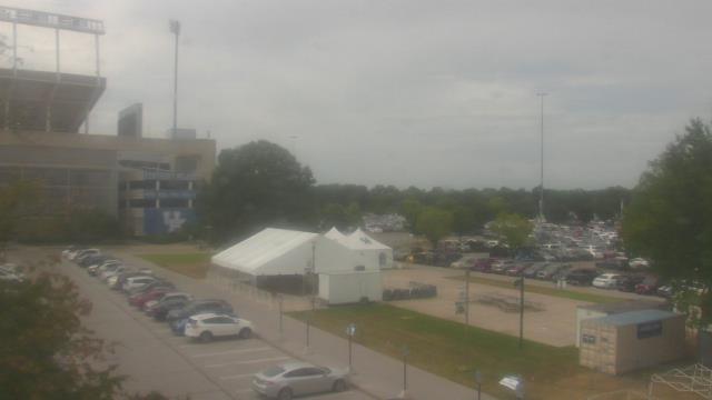


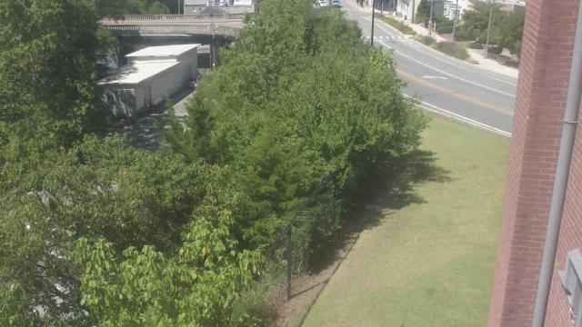
Lexington, Kentucky, USA - 93.2 miles from Paintsville: Christ The King School - A webcam in Lexington, Kentucky - camera location: Christ The King School.
Operator: WeatherBug
Operator: WeatherBug


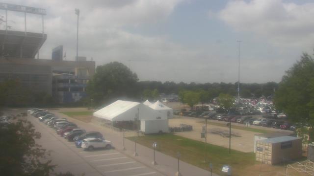
Johnson City, Tennessee, USA - 106.7 miles from Paintsville: Bank of Tennessee - A webcam in Johnson City, Tennessee - camera location: Bank of Tennessee.
Operator: WeatherBug
Operator: WeatherBug


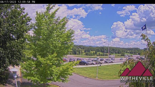
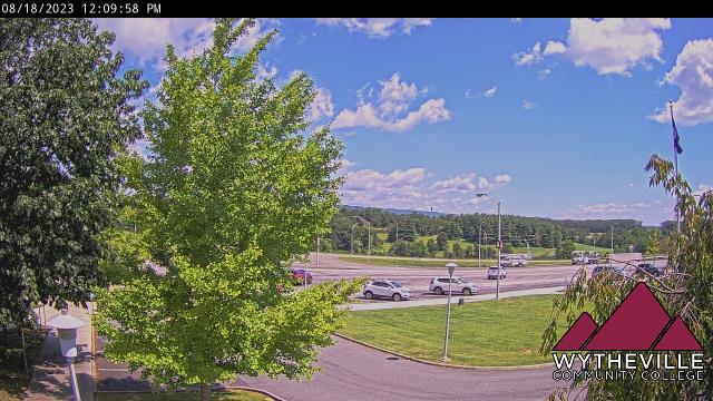
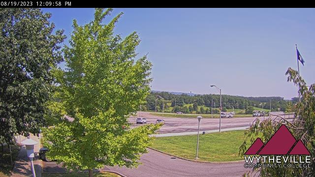
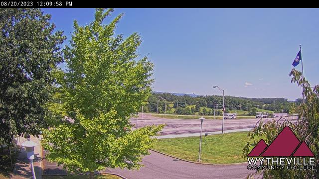
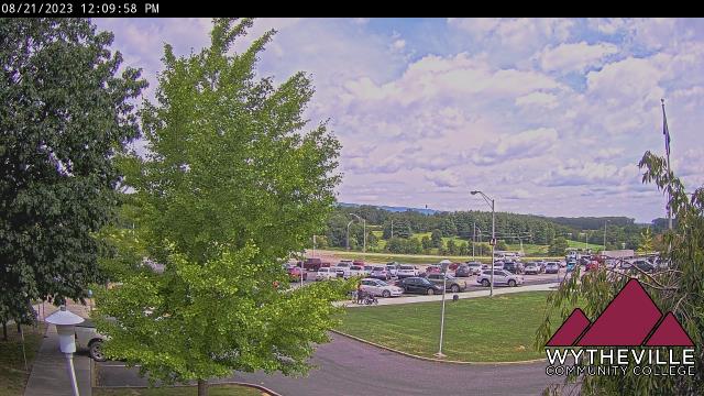
Wytheville, Virginia, USA - 111.8 miles from Paintsville: Wytheville Community College - A webcam in Wytheville, Virginia - camera location: Wytheville Community College.
Operator: WeatherBug
Operator: WeatherBug


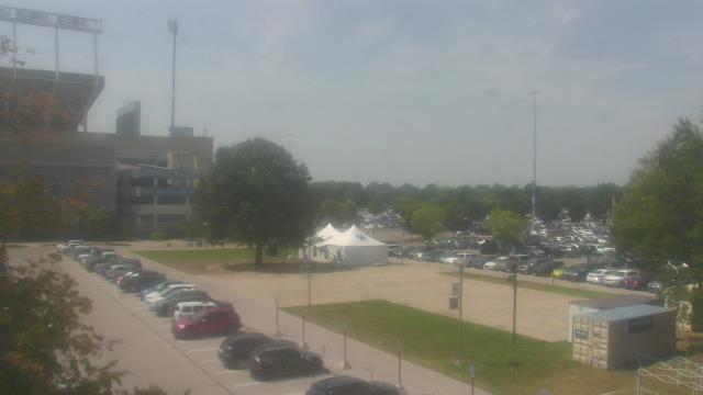
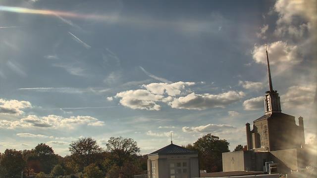
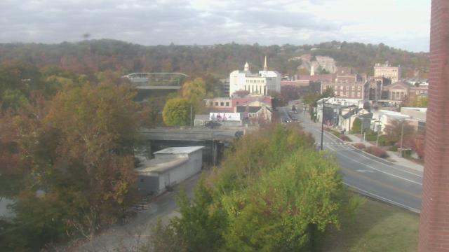
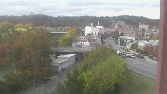
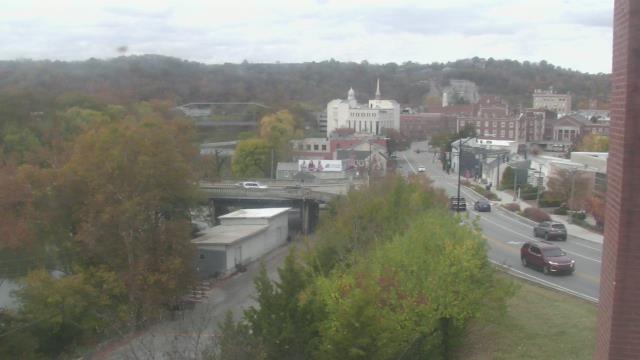
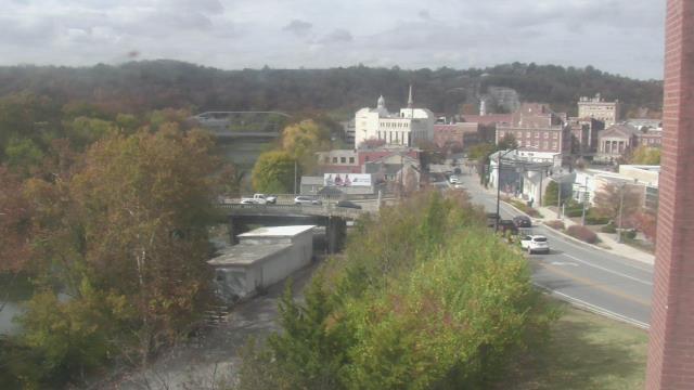
Frankfort, Kentucky, USA - 115.6 miles from Paintsville: Military History Museum - A webcam in Frankfort, Kentucky - camera location: Military History Museum.
Operator: WeatherBug
Operator: WeatherBug


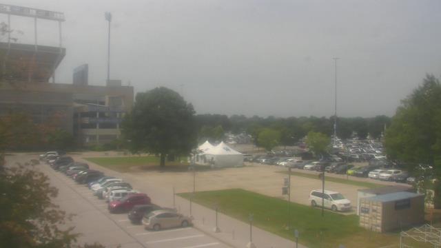
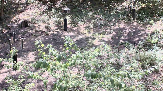
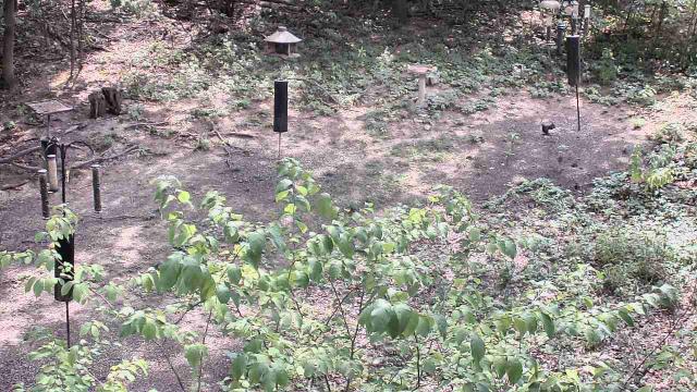
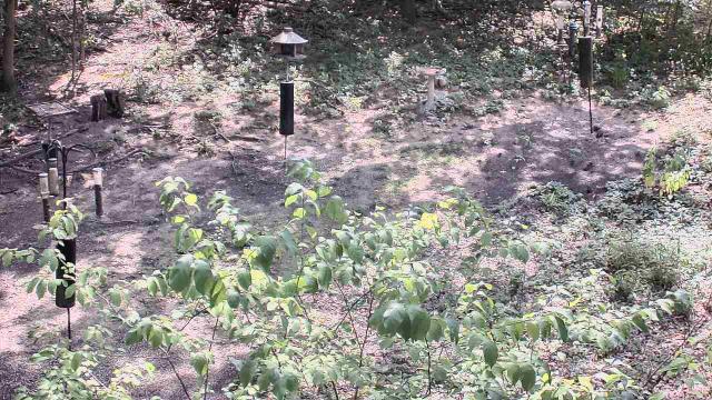
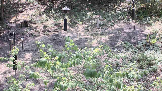
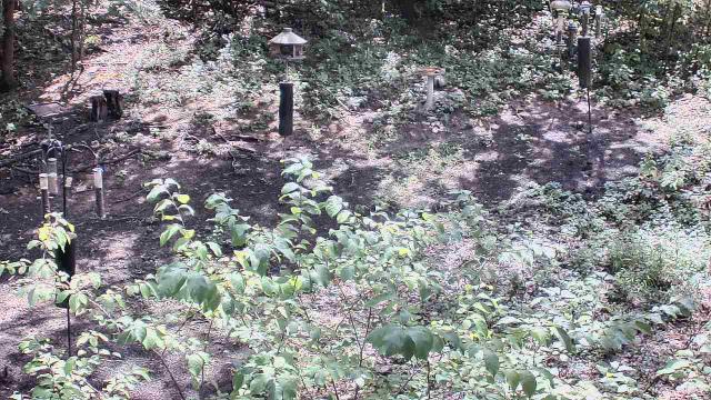
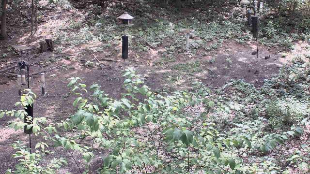
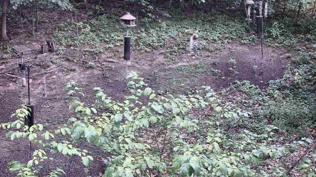
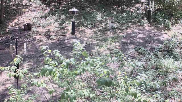
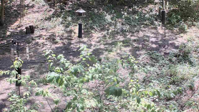
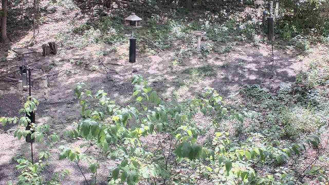
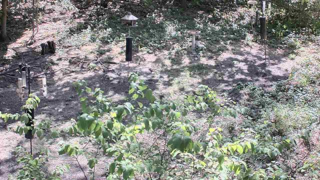
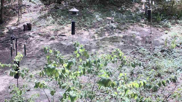
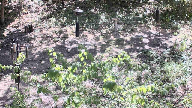
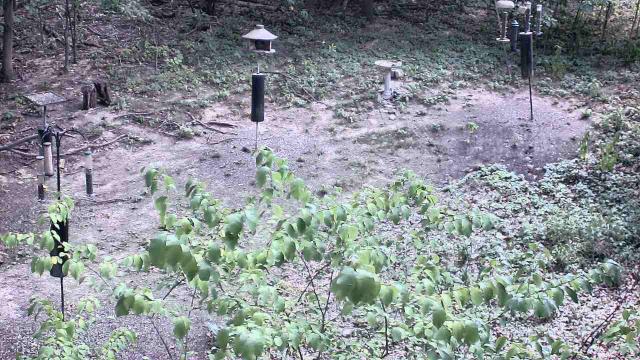
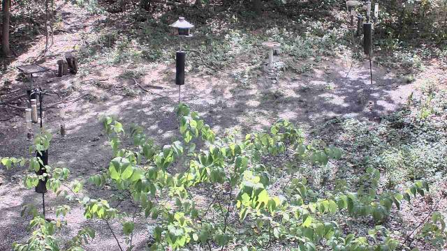
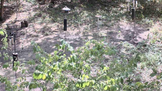
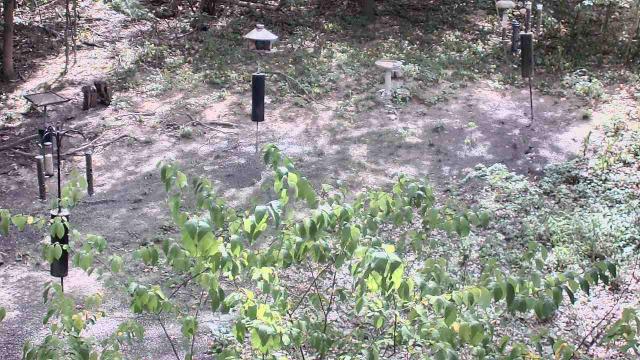
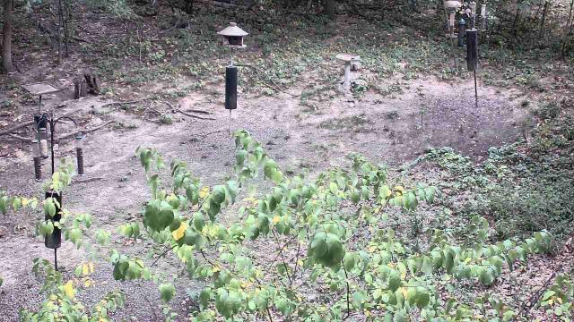
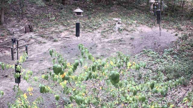
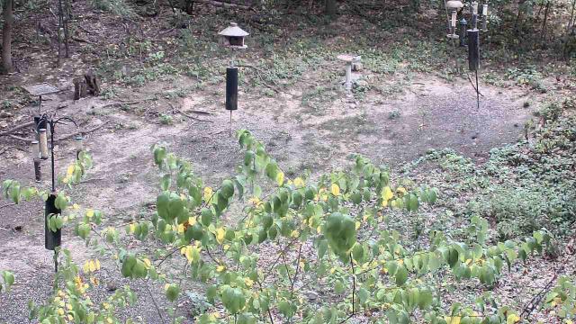
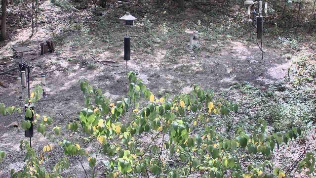
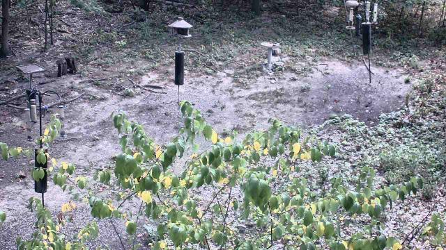
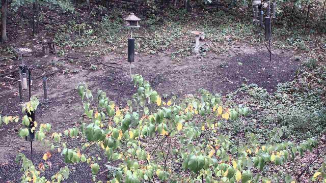
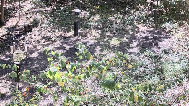
Milford, Ohio, USA - 123.7 miles from Paintsville: Cincinnati Nature Center - A webcam in Milford, Ohio - camera location: Cincinnati Nature Center.
Operator: WeatherBug
Operator: WeatherBug


Some other places in this country: Oxford - Pactolus - Paducah - Paint Lick - Palma - Pansy - Panther - Paradise - Paris - Park City