Webcams in the region of South Boise (historical), Idaho, USA
The List of Webcams near South Boise (historical), Idaho, USA:

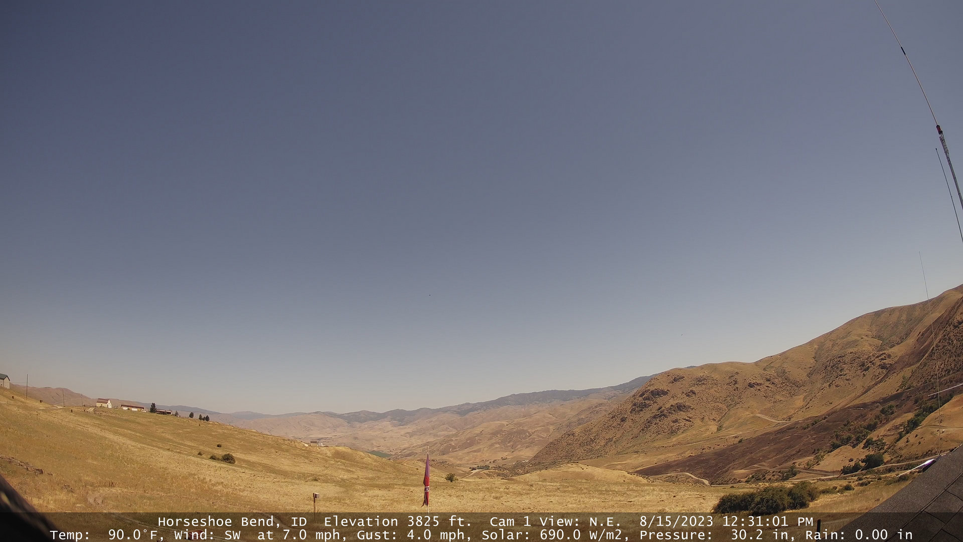
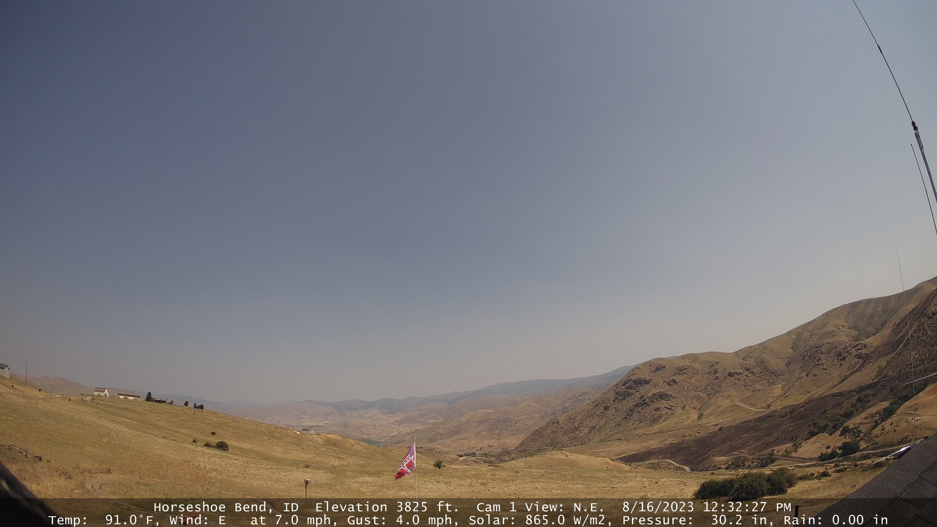
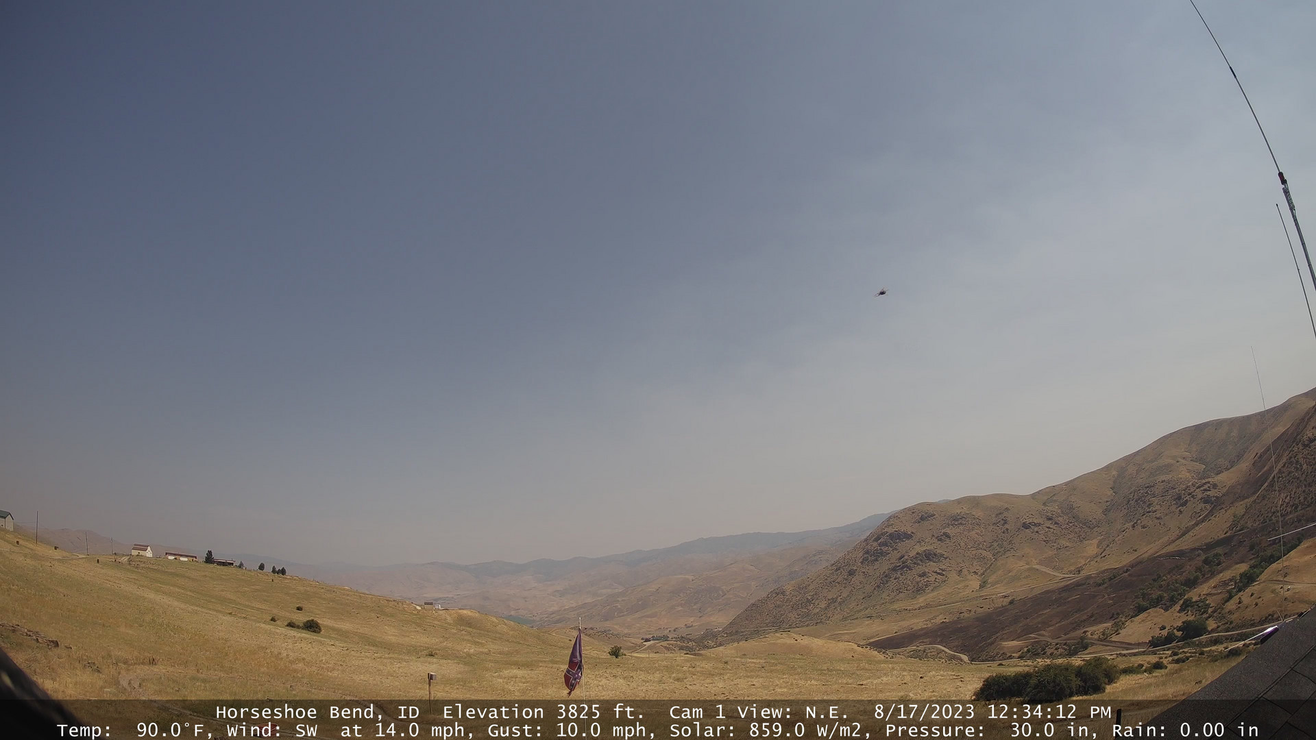
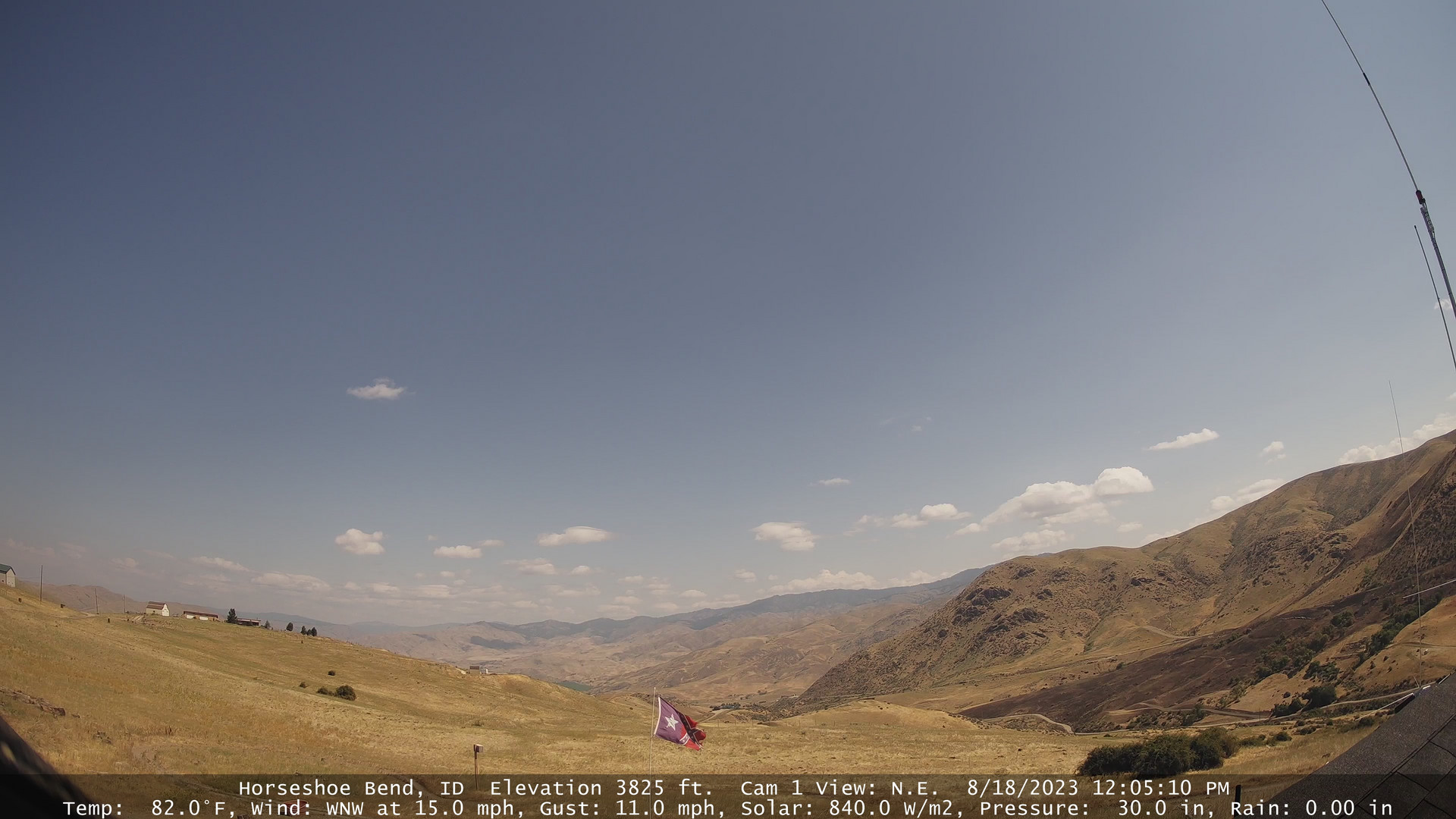
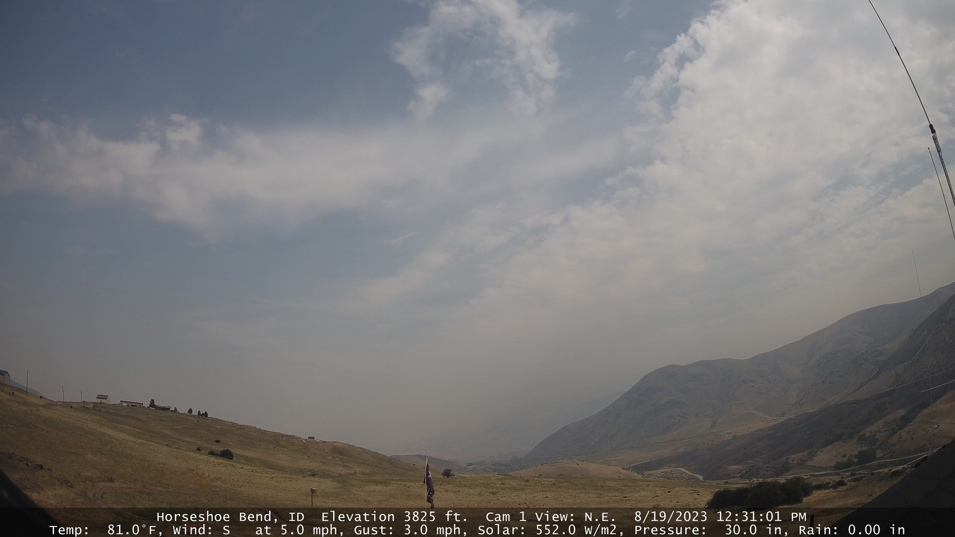
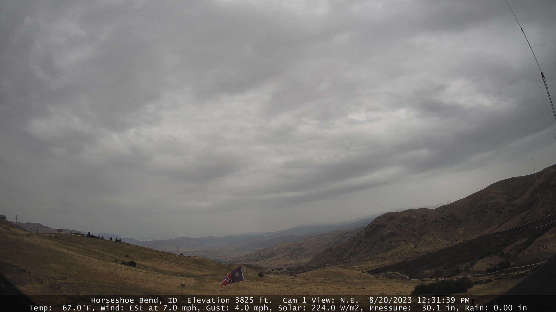
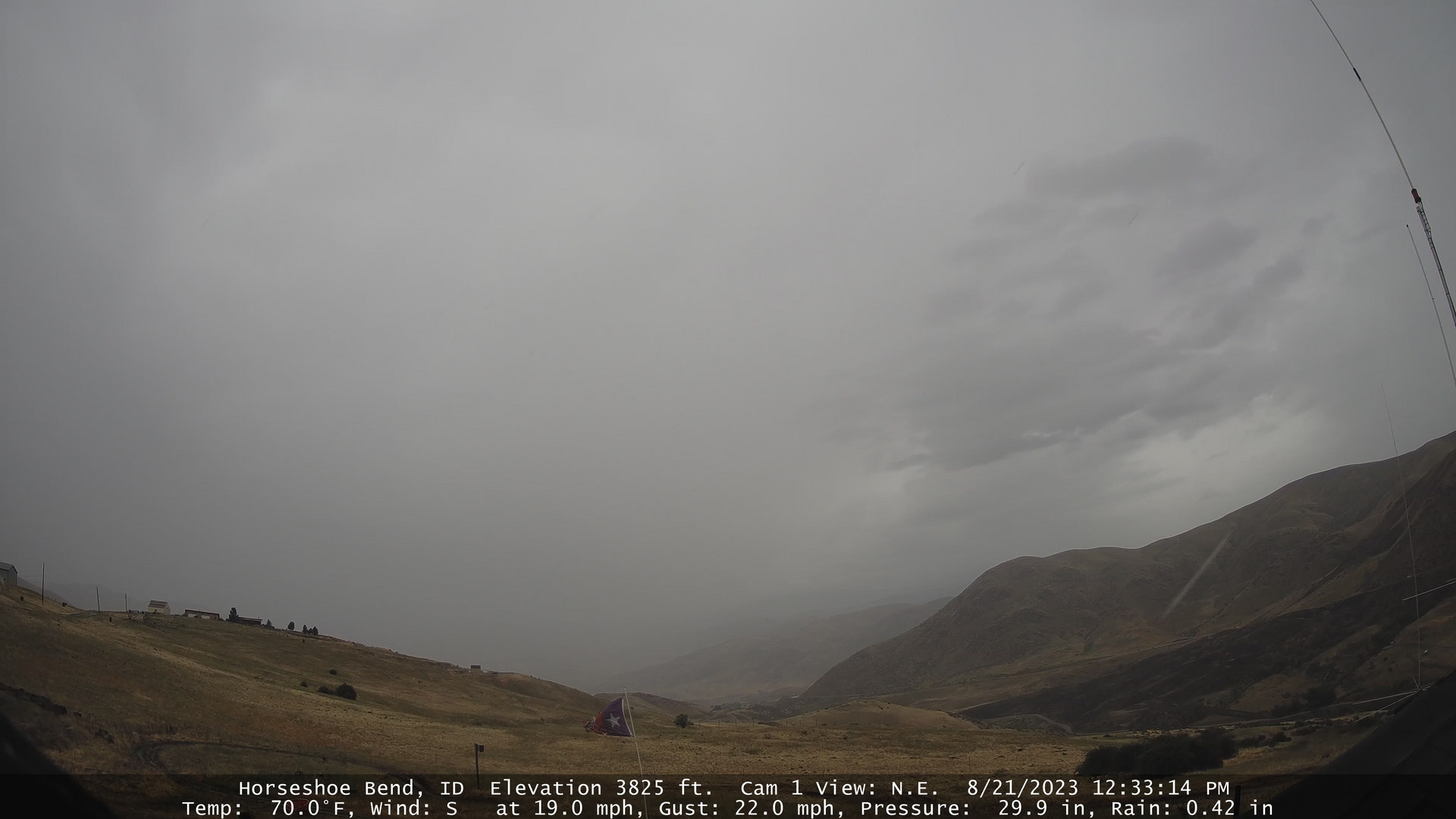
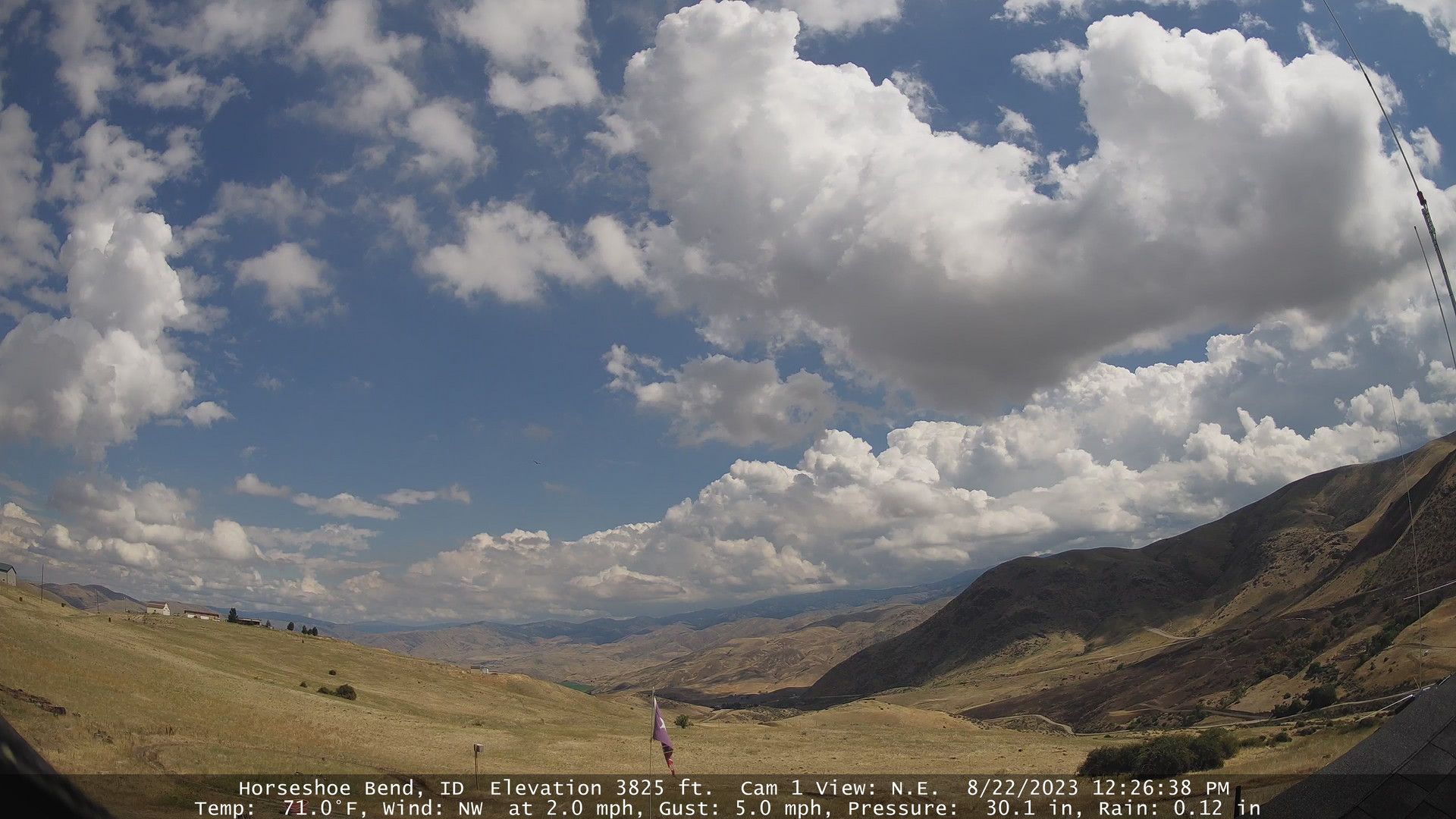
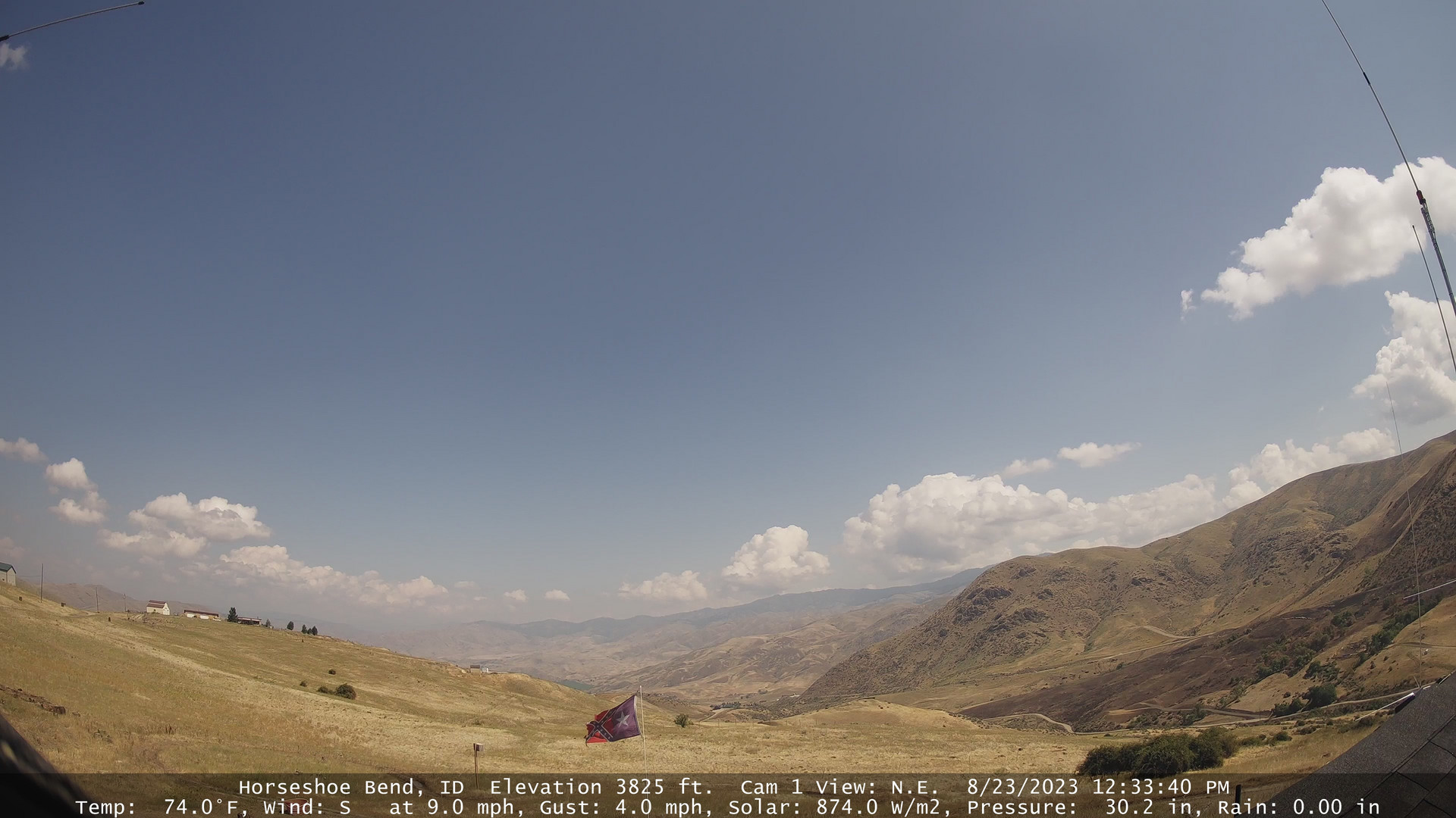
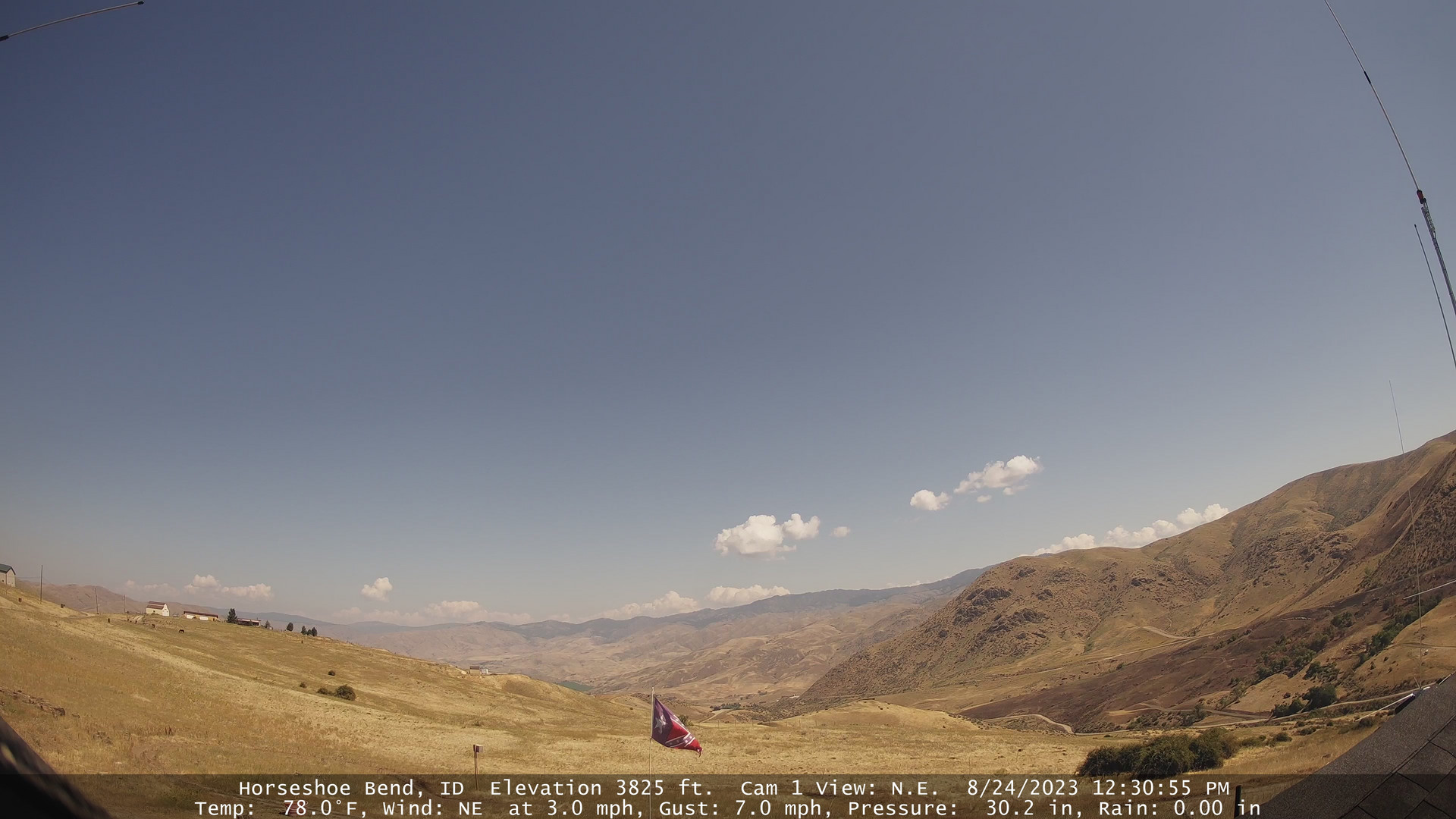
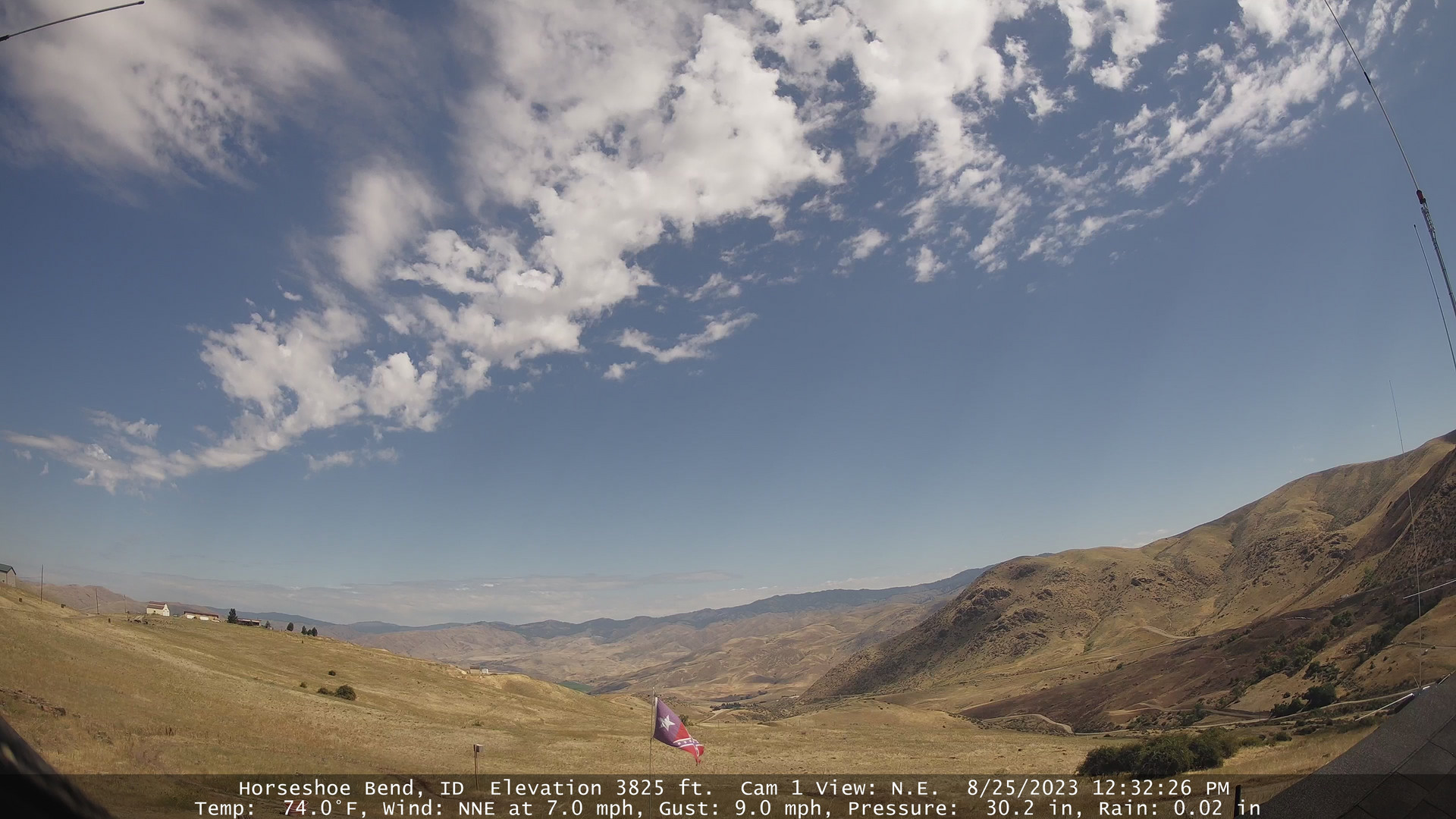
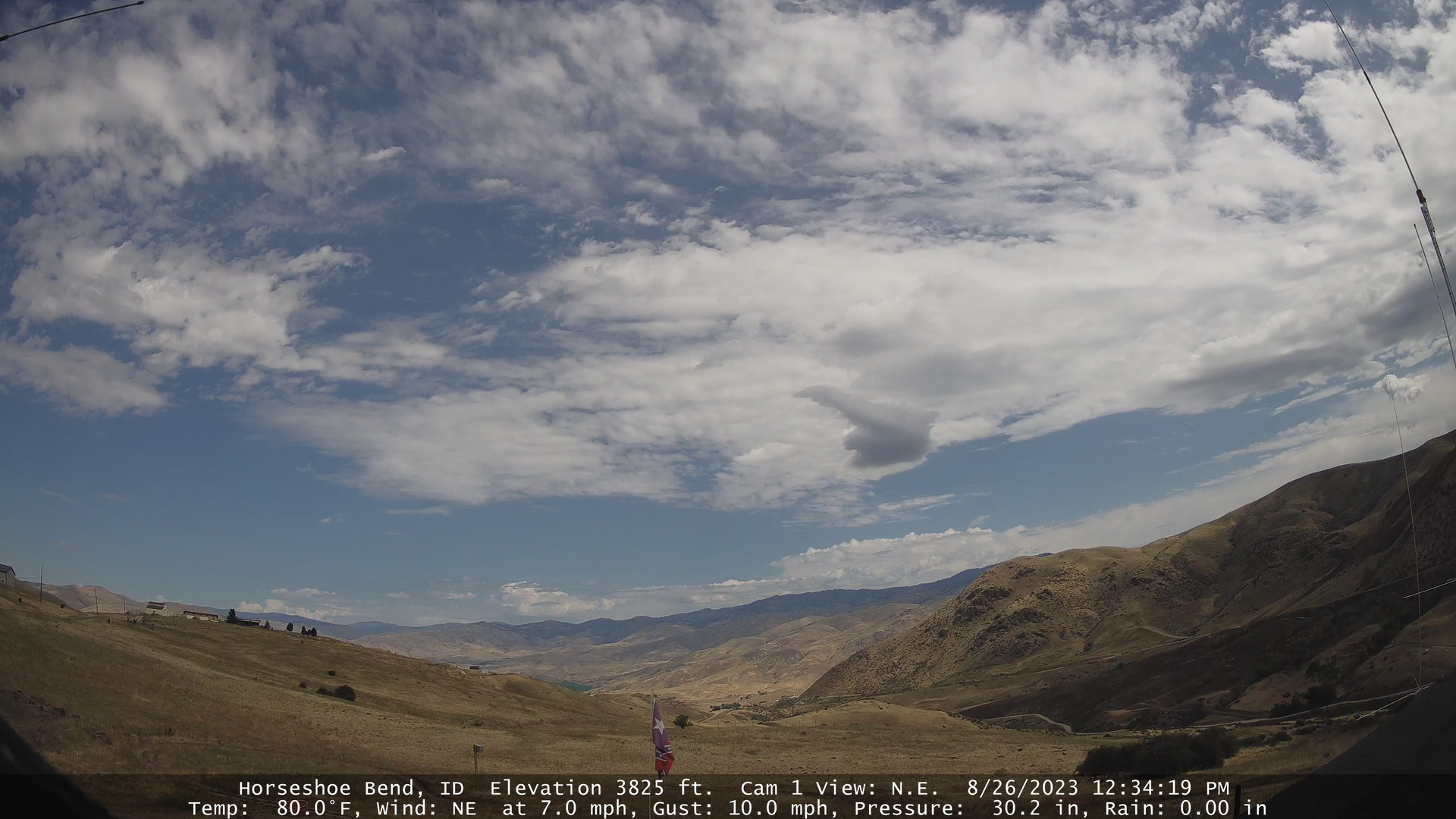
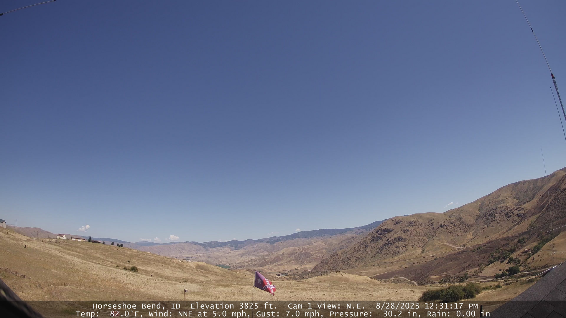
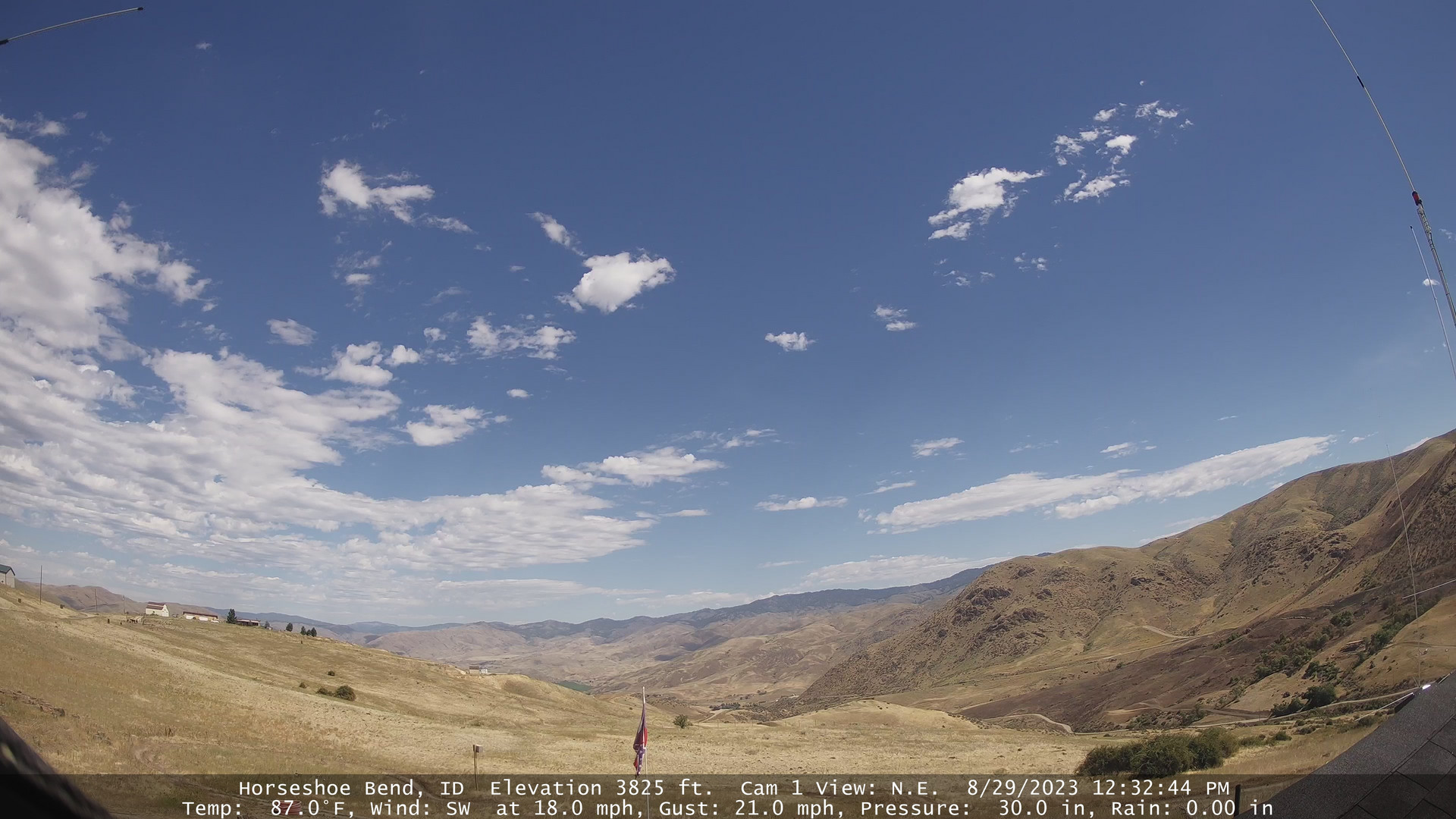
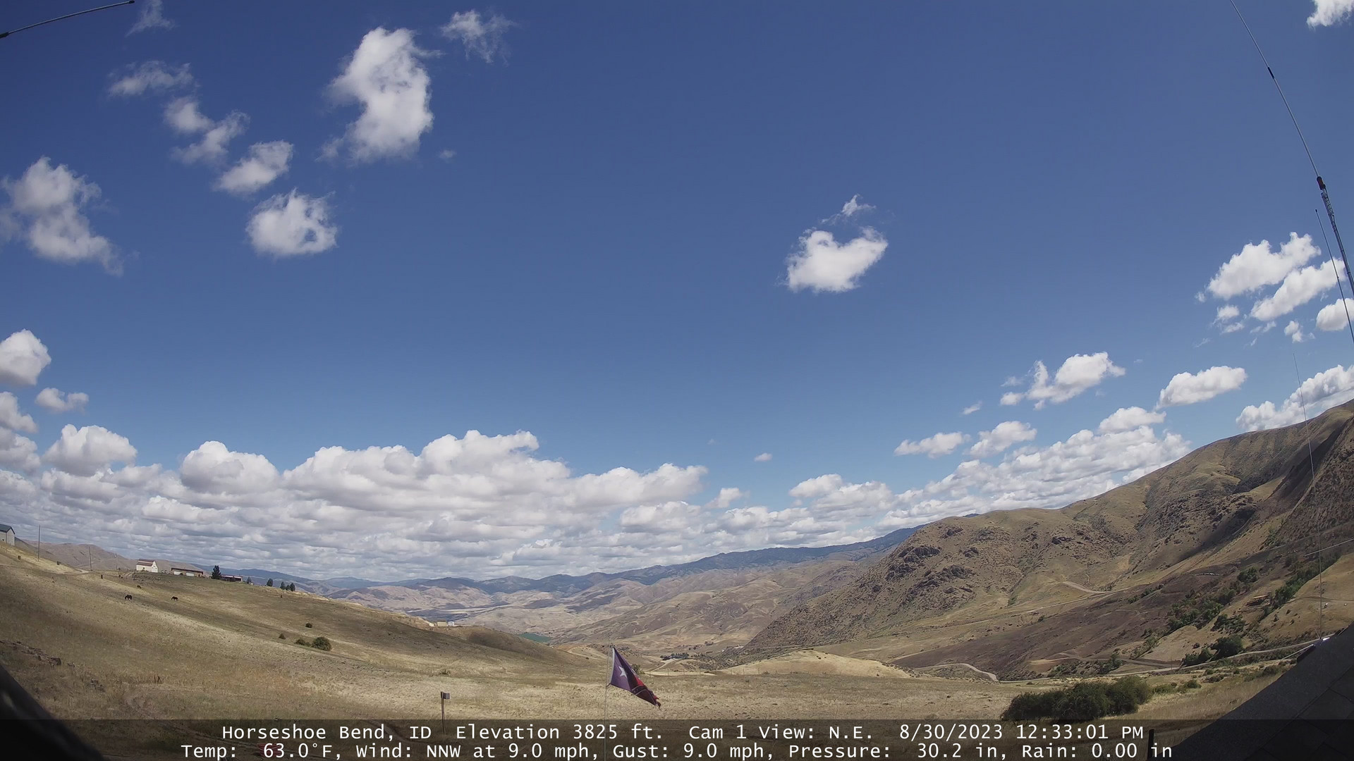
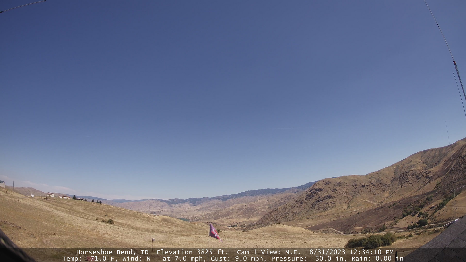
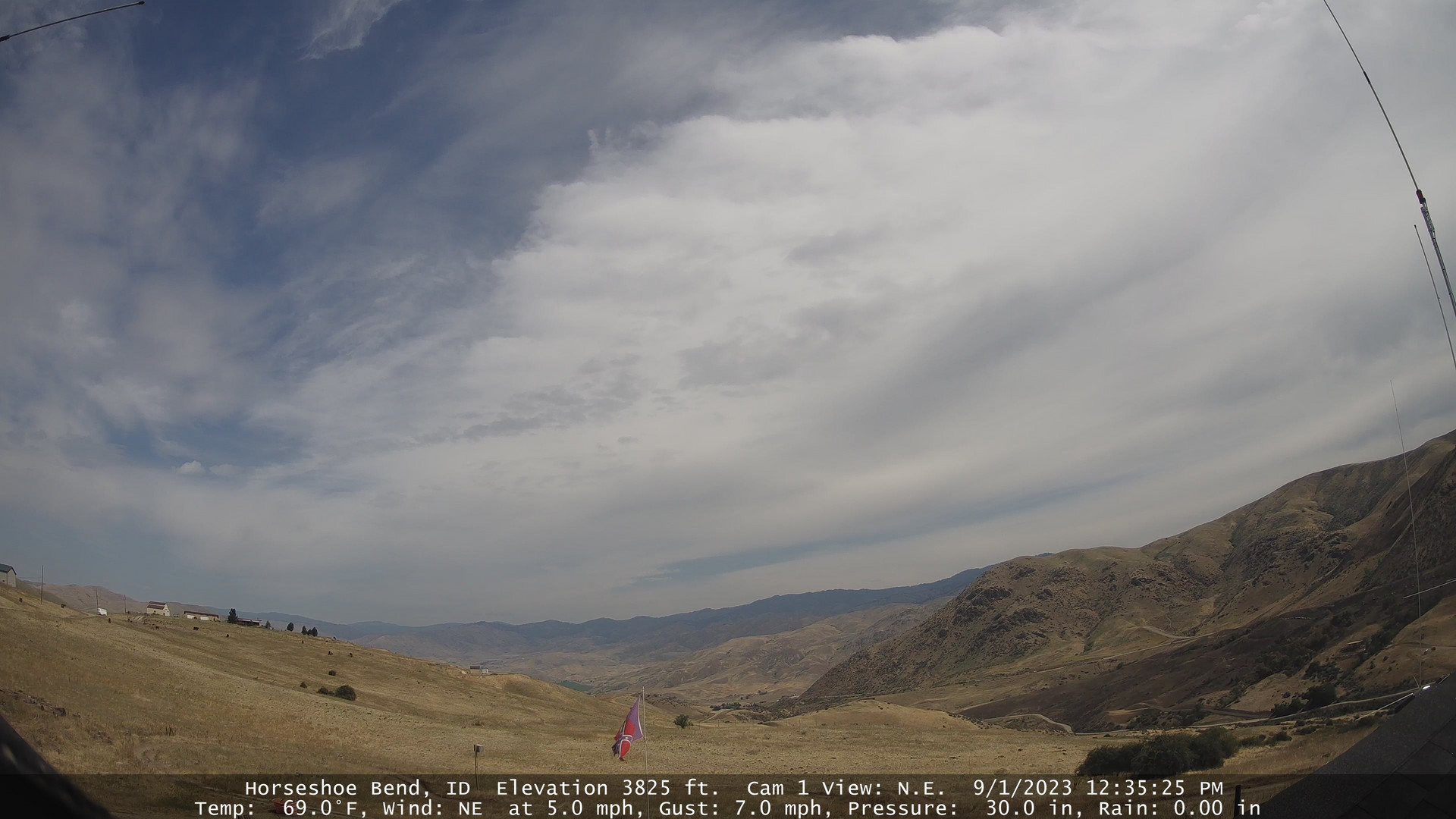
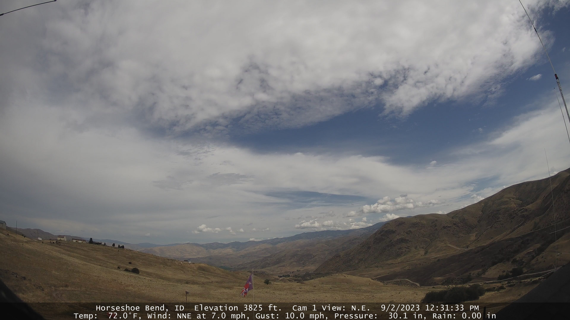
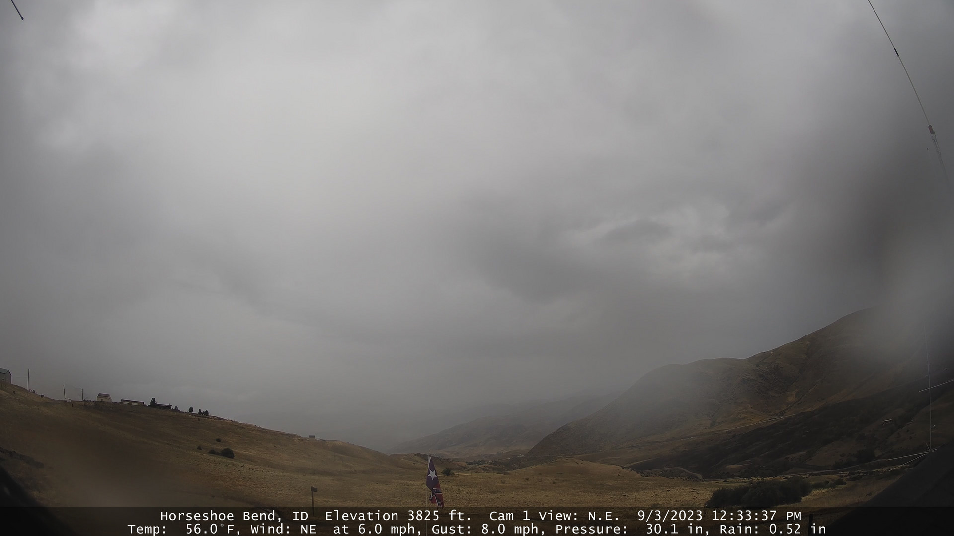
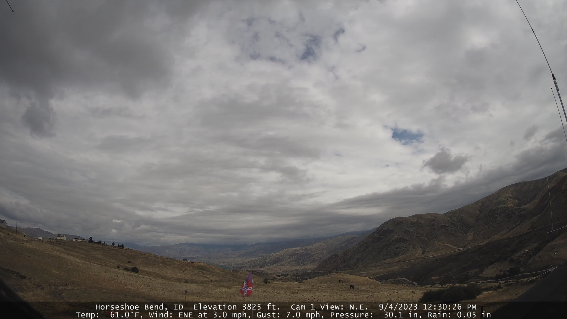
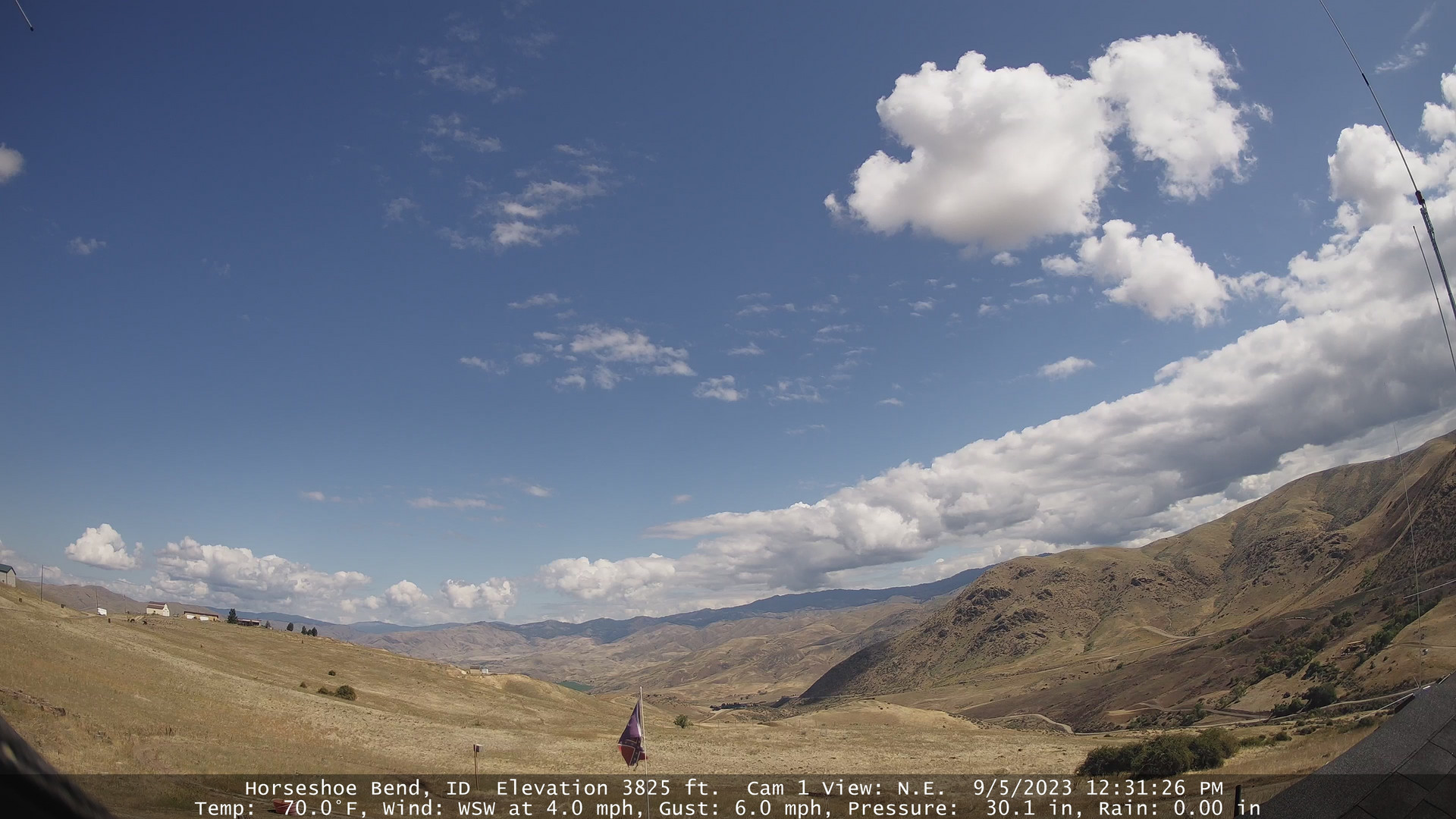
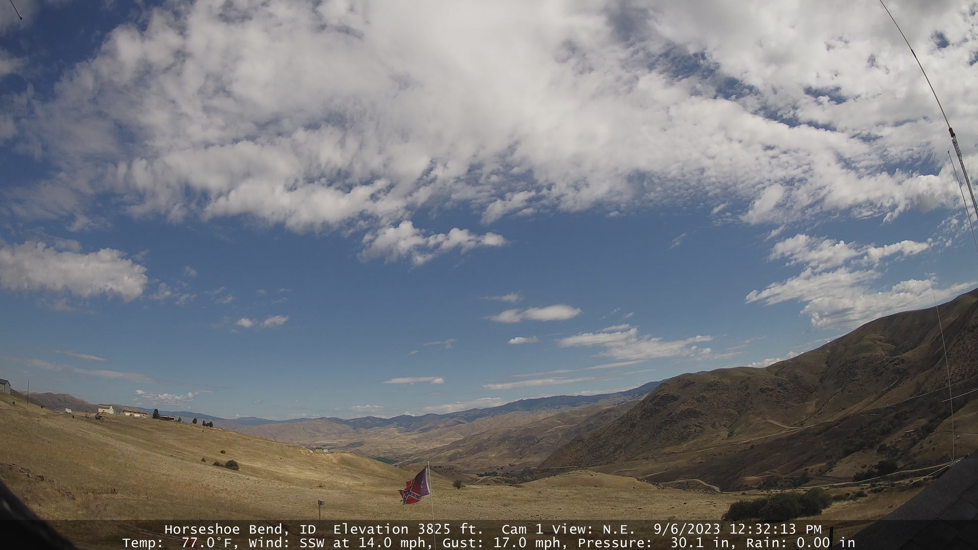
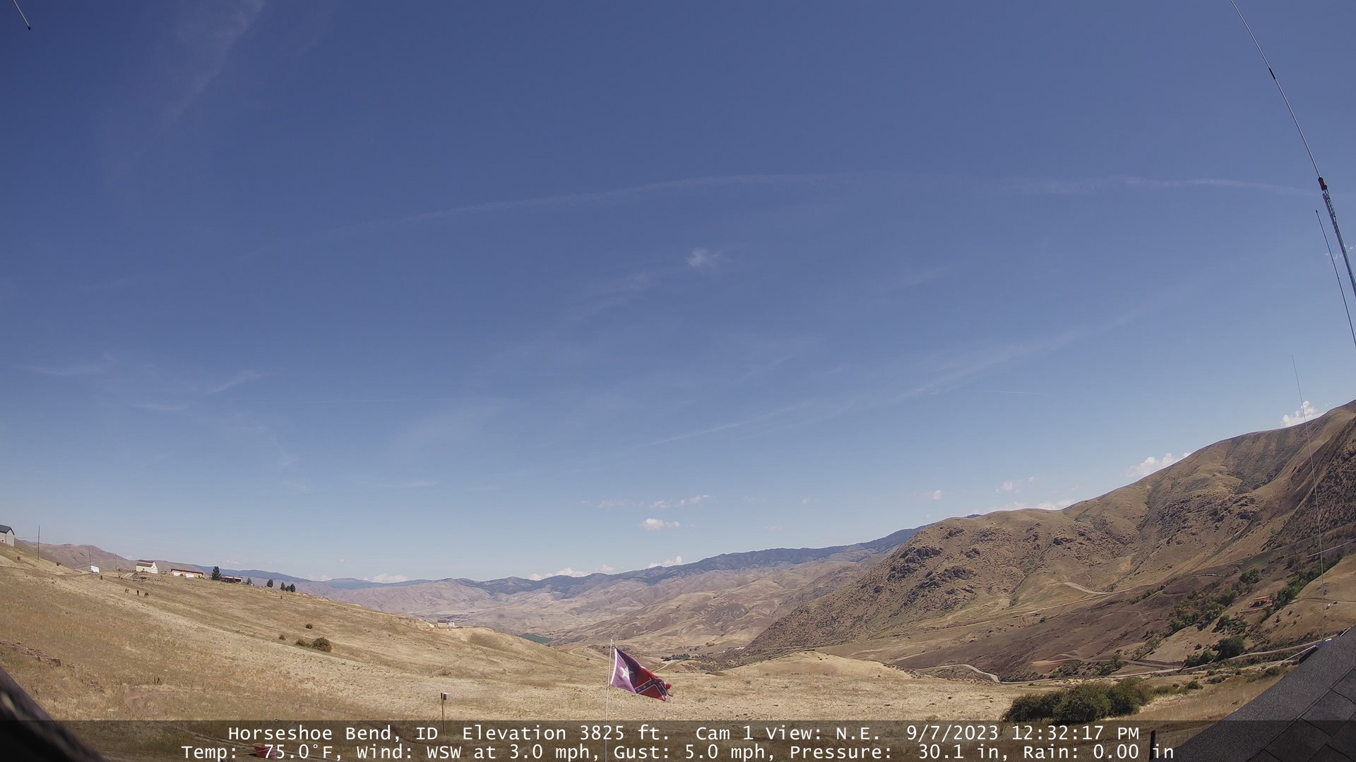
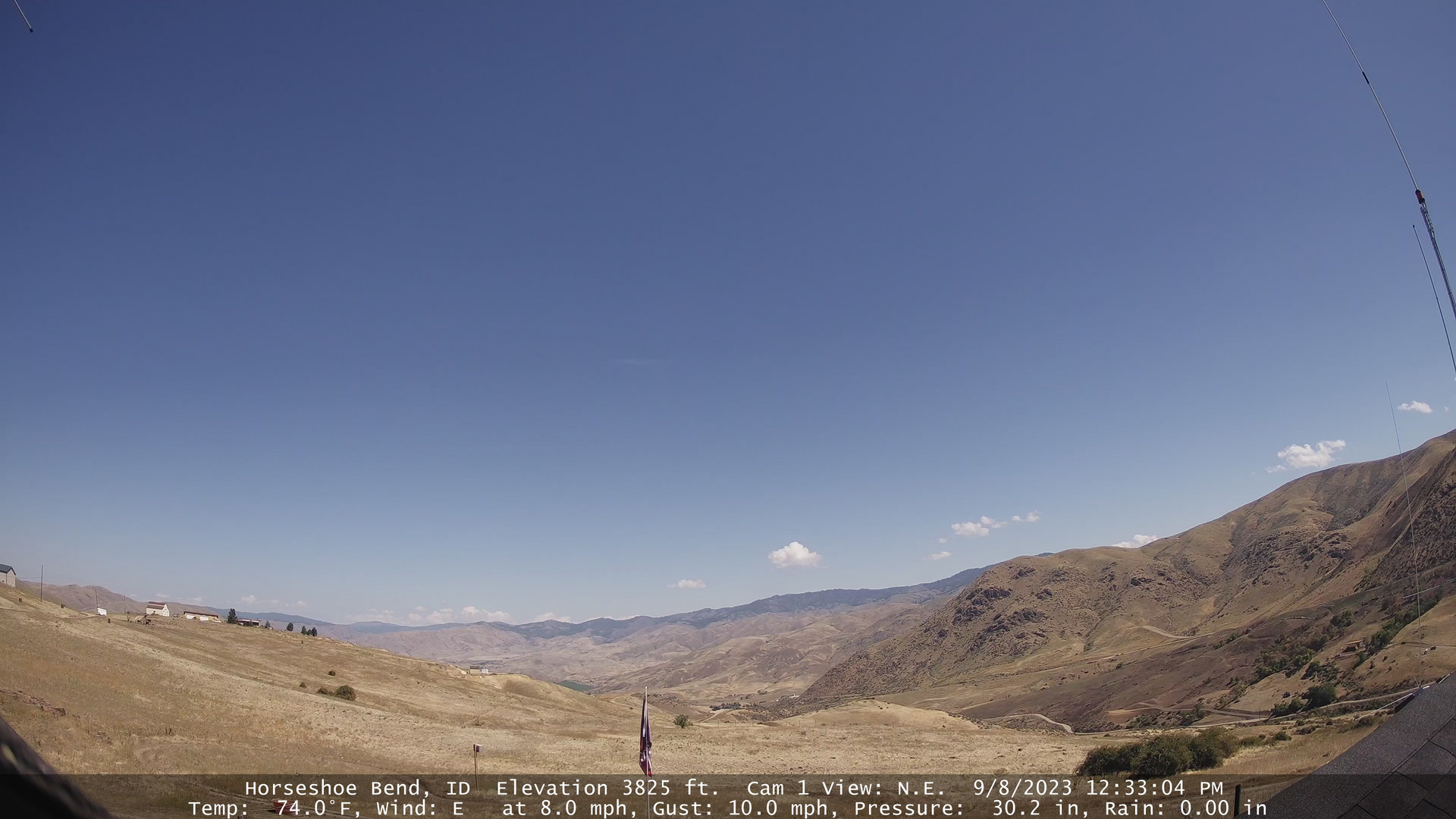
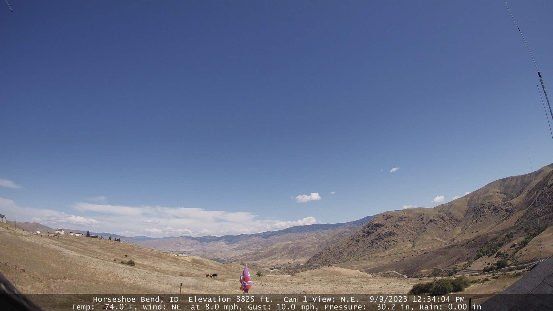
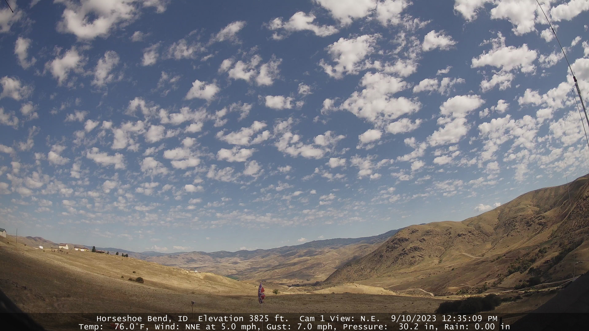
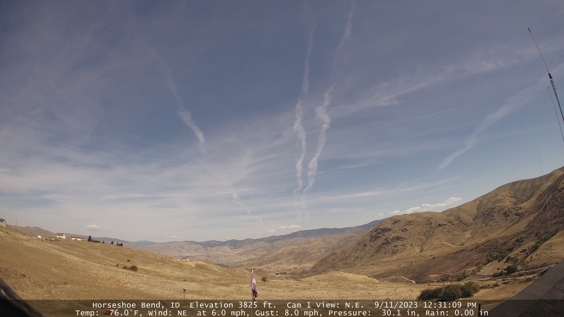
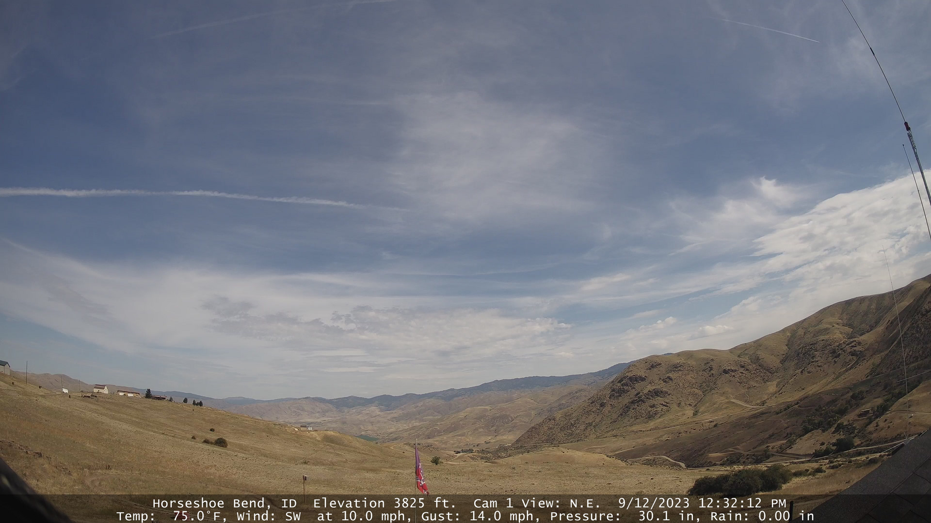
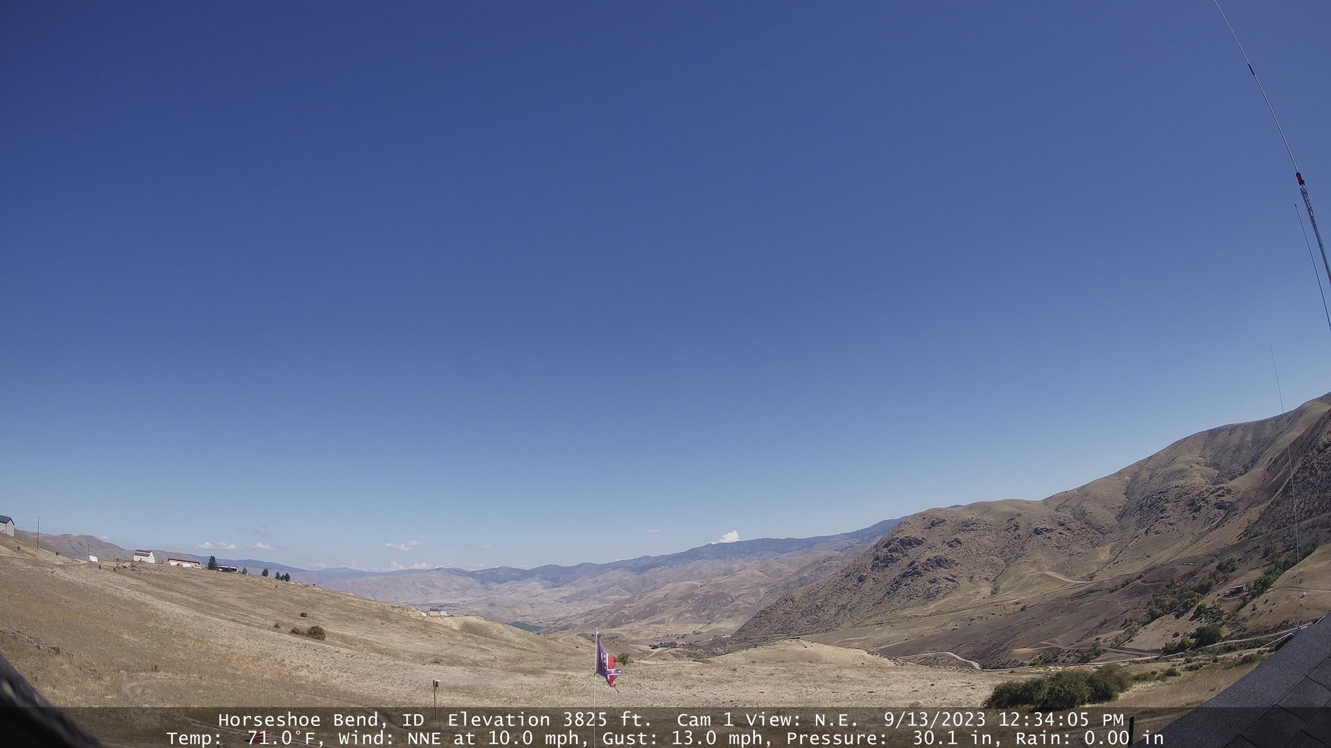
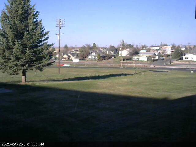
Horseshoe Bend, Idaho, USA - 23.4 miles from South Boise (historical): Horseshoe Bend Weathercam - A view of the mountains above Horseshoe Bend, Idaho.
Operator: Horseshoe Bend Idaho Weather
Operator: Horseshoe Bend Idaho Weather


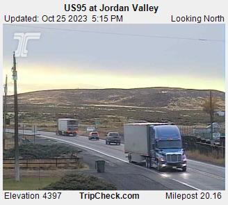
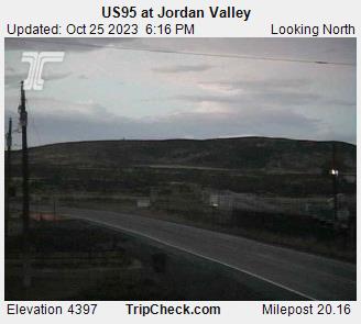
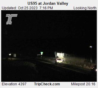
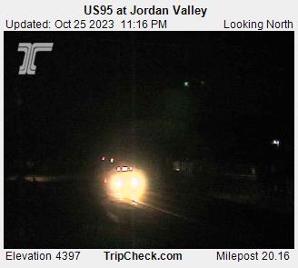
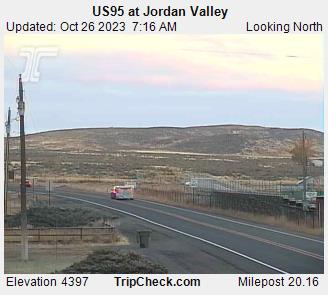
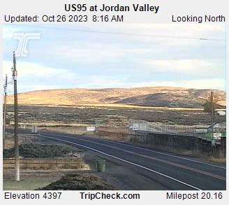
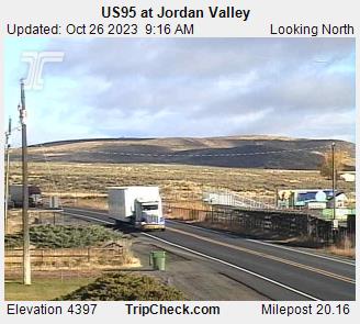
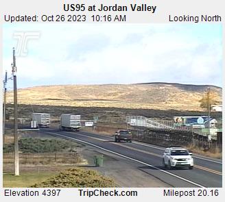
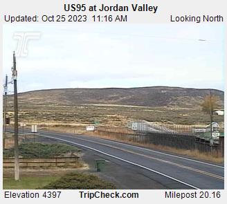
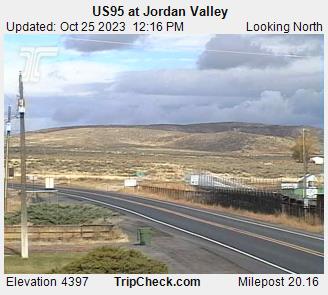
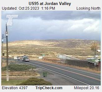
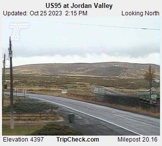
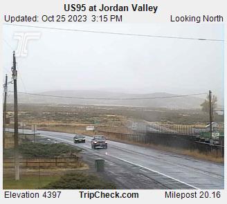
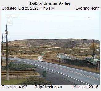
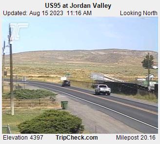
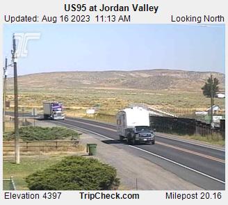
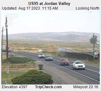
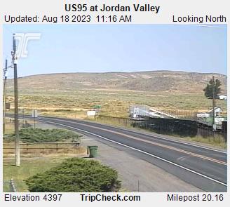
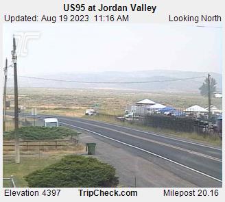
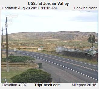
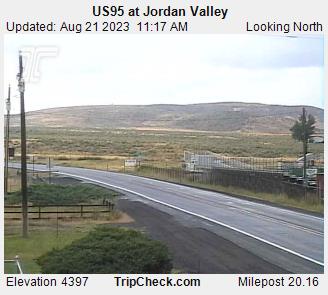
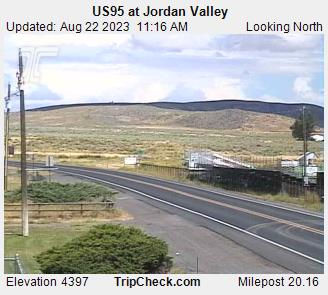
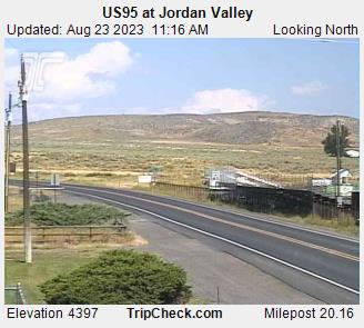
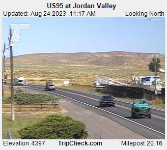
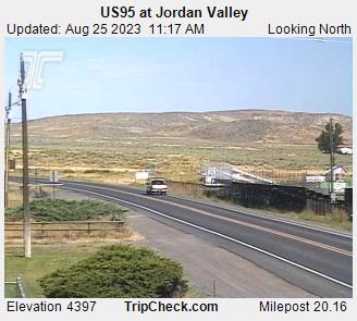
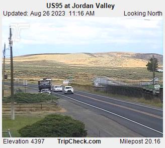
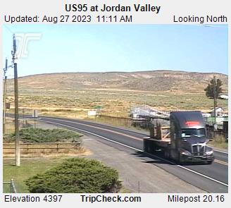
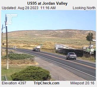
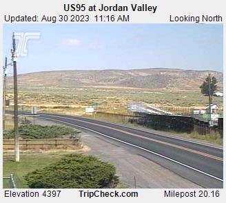
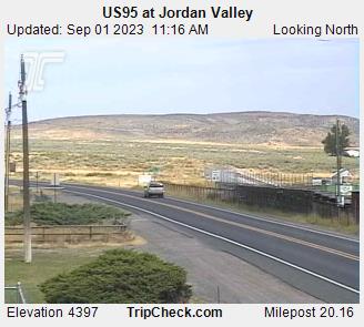
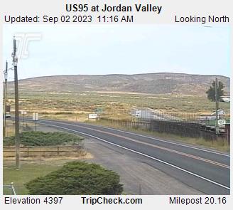
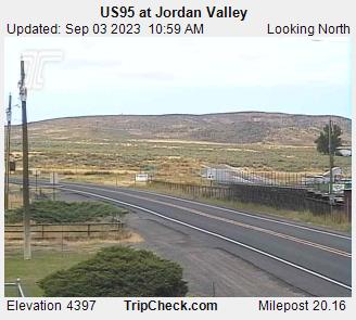
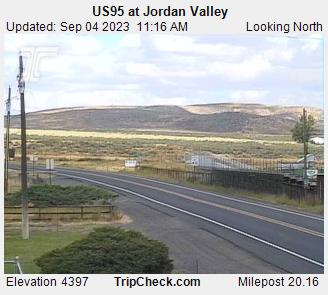
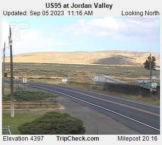
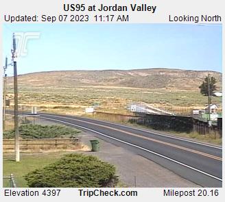
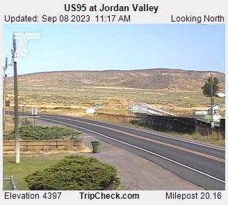
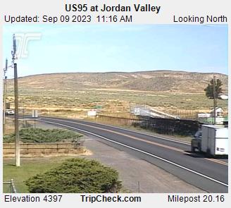
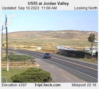
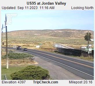
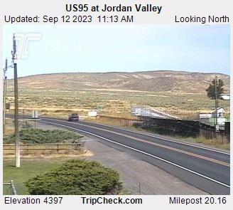
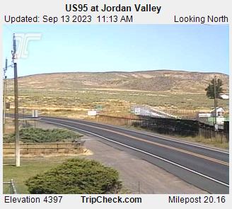
Jordan Valley, Oregon, USA - 61 miles from South Boise (historical): US95 at Jordan Valley - A view of the current traffic situation on the US95.
Operator: Oregon Department of Transportation
Operator: Oregon Department of Transportation


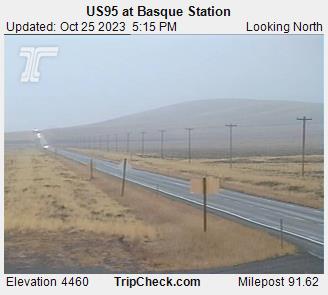
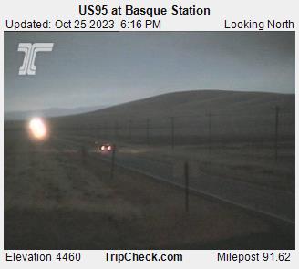
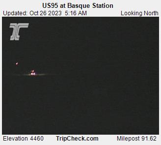
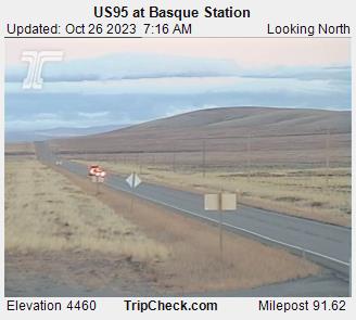
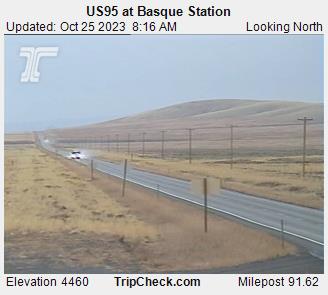
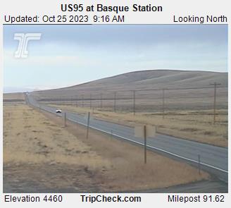
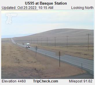
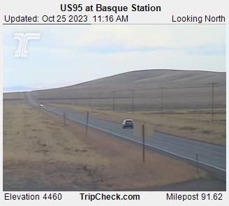
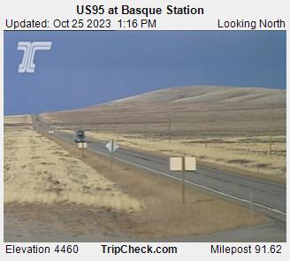
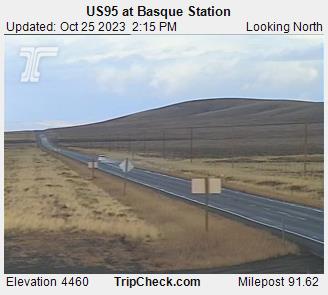
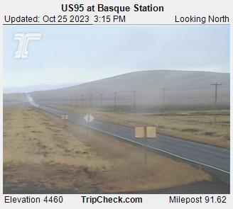
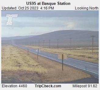
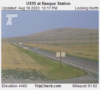
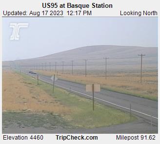
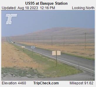
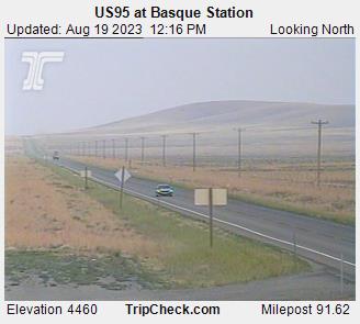
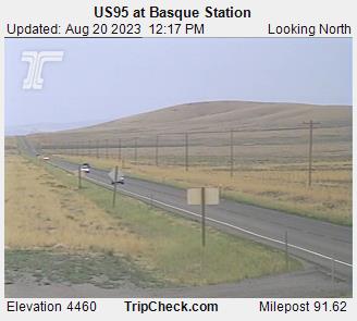
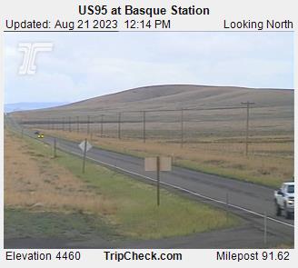
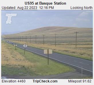
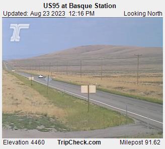
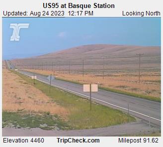
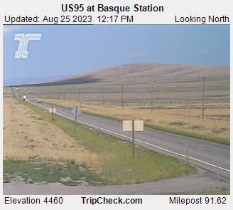
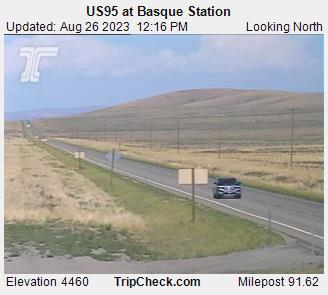
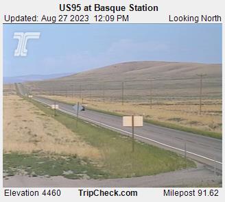
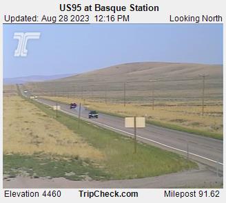
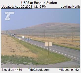
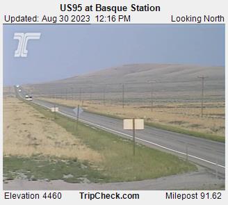
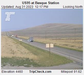
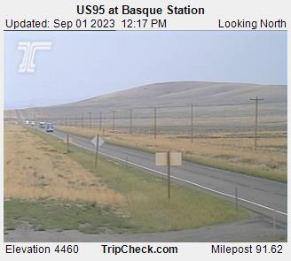
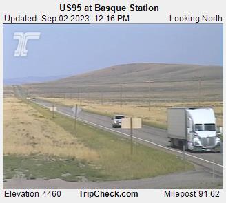
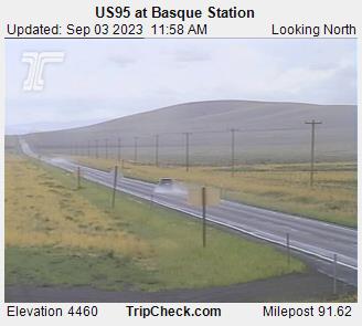
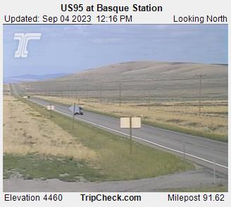
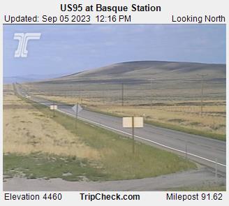
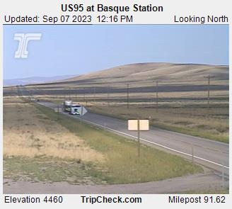
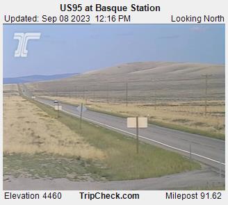
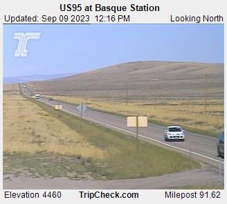
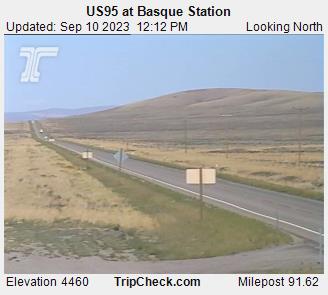
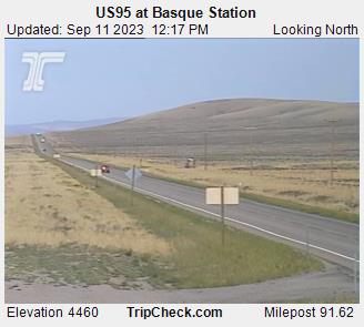
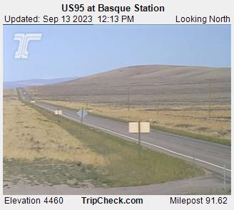
Basque, Oregon, USA - 117.8 miles from South Boise (historical): US95 at Basque Station - A view of the current traffic situation on the US95.
Operator: Oregon Department of Transportation
Operator: Oregon Department of Transportation


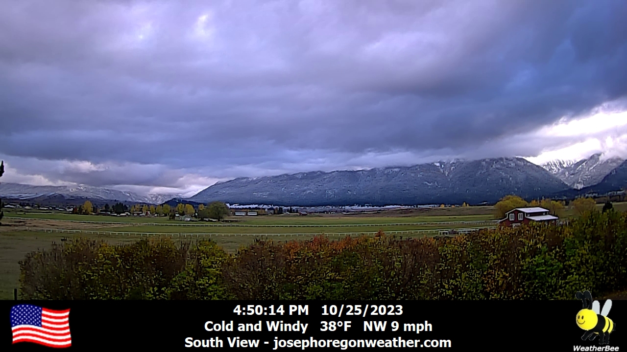
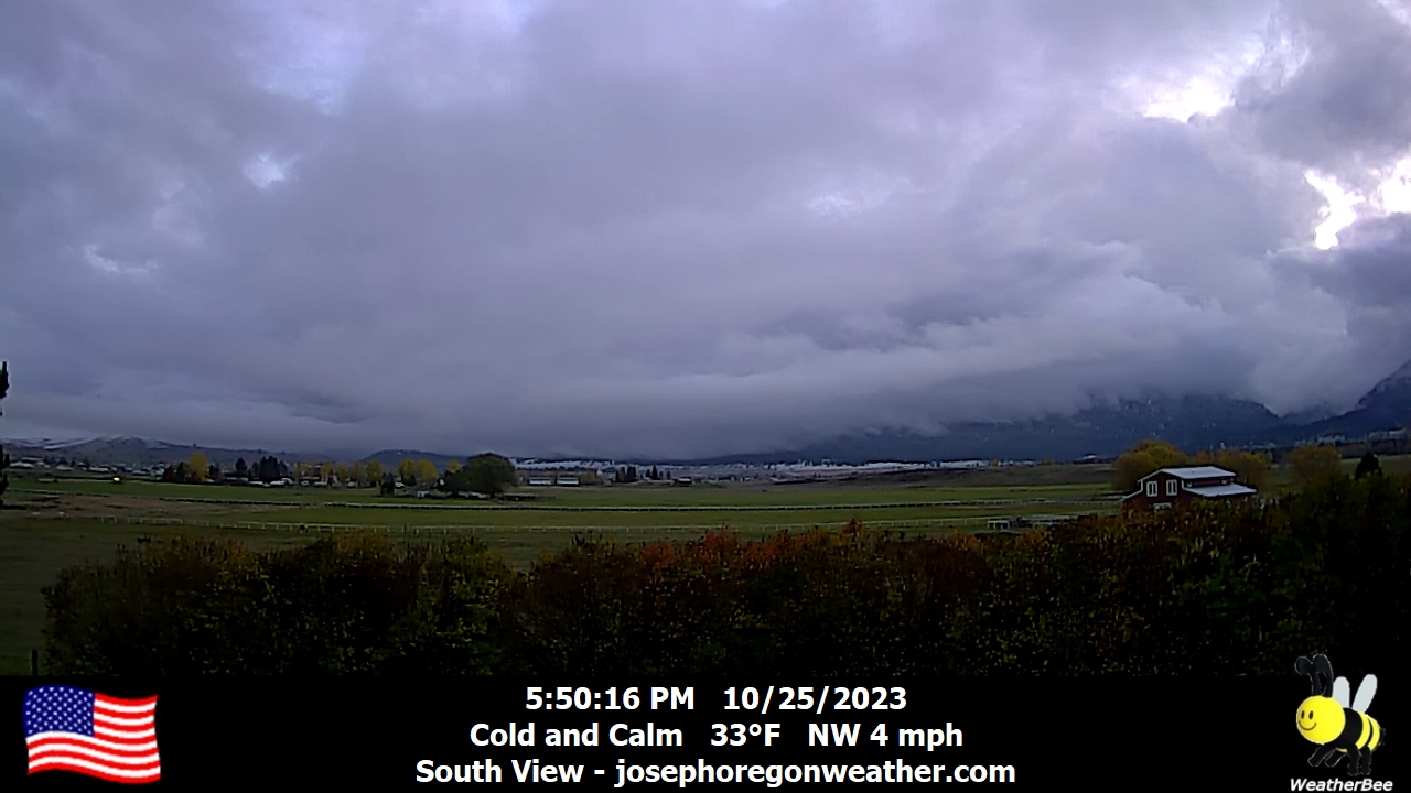
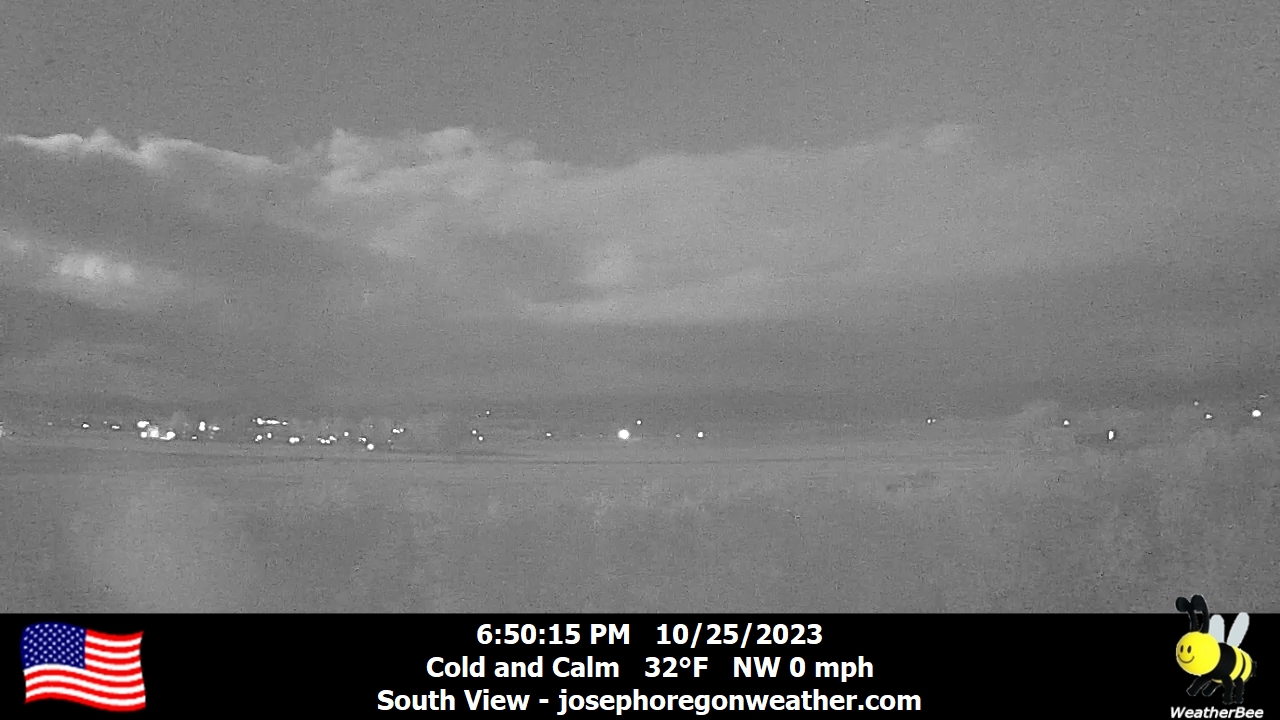
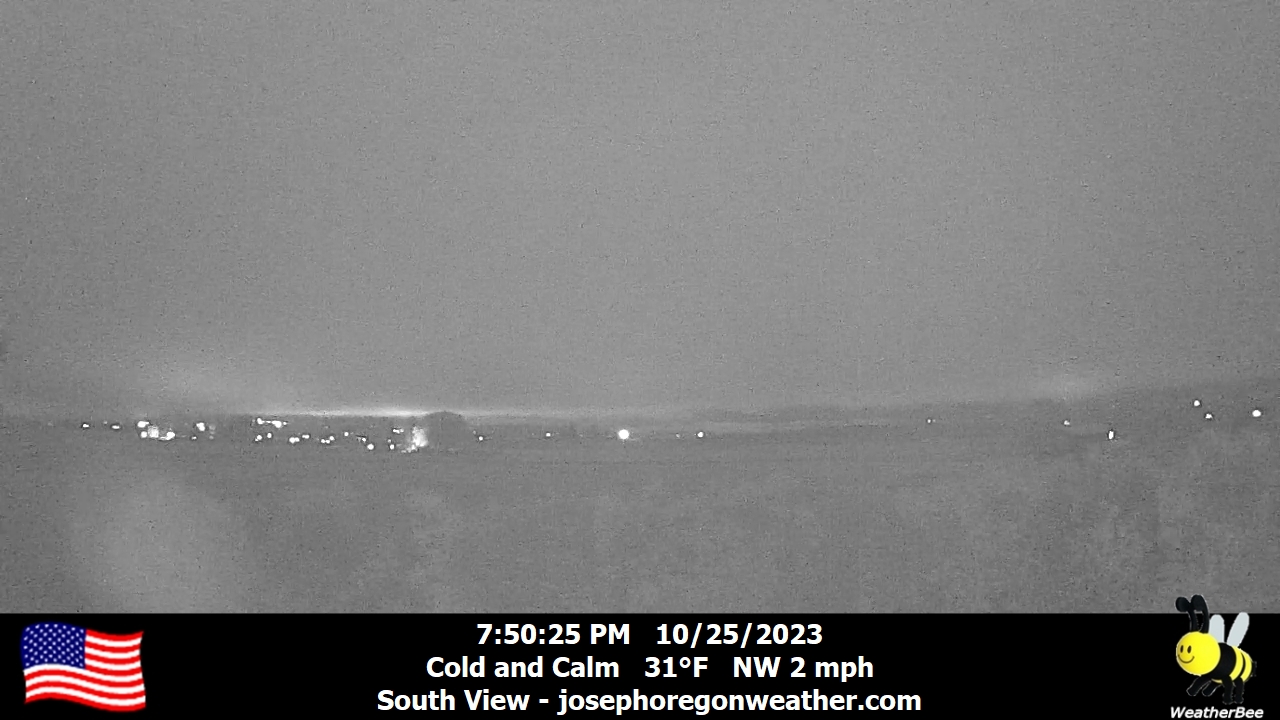
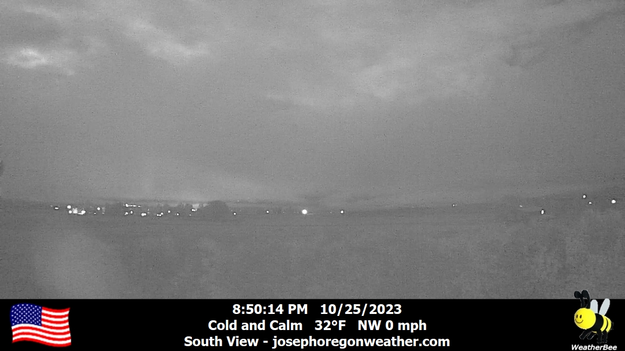
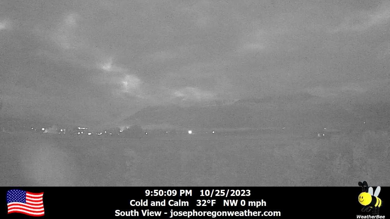
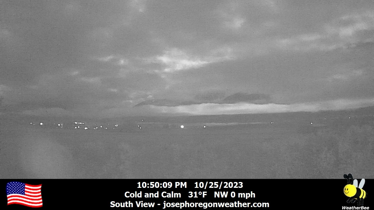
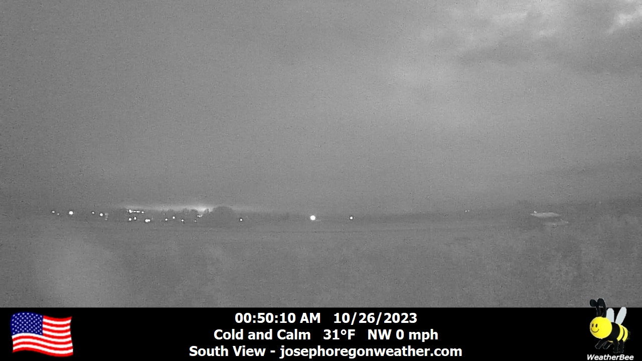
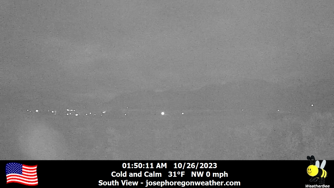
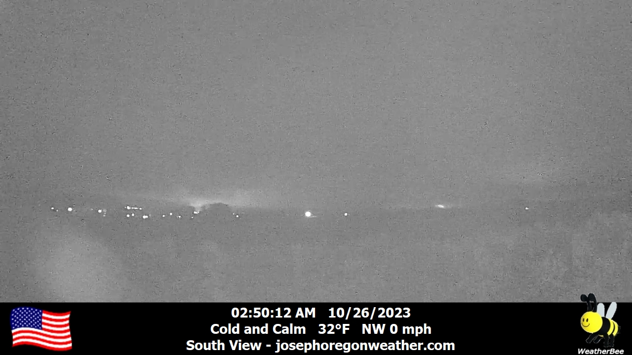
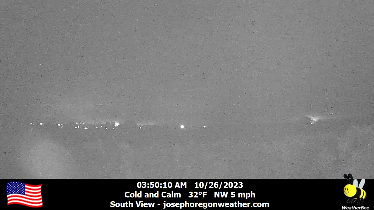
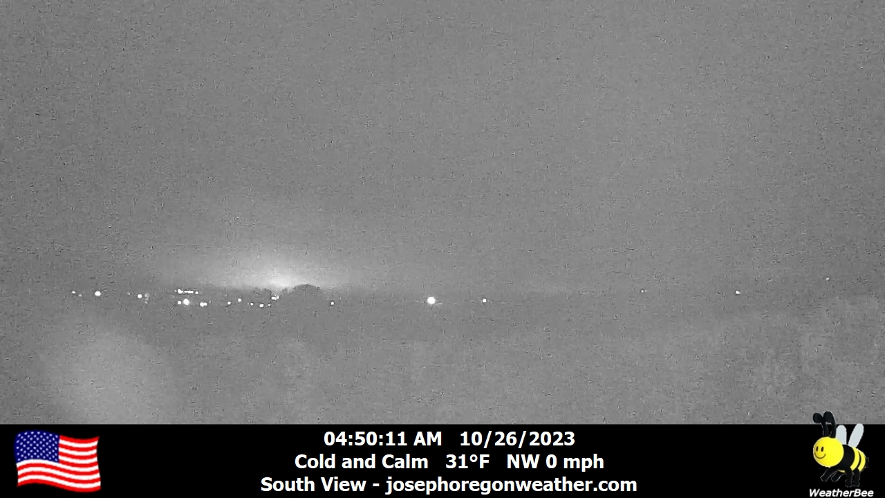
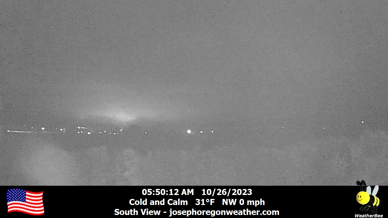
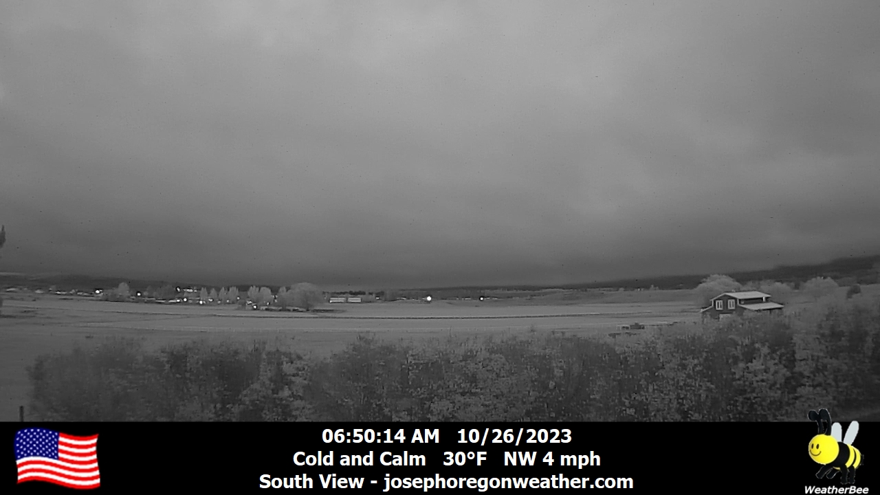
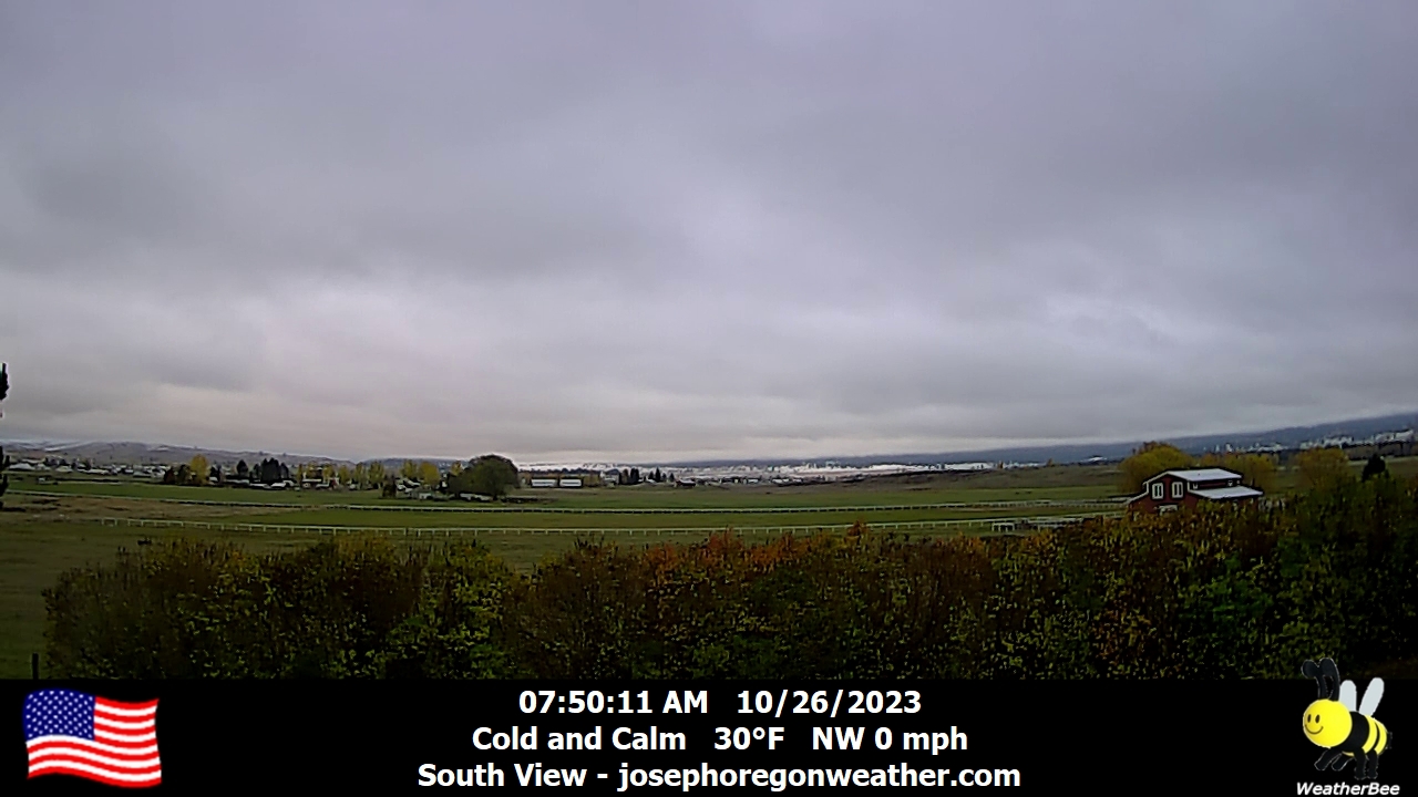
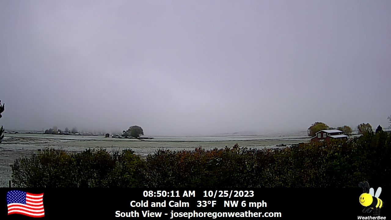
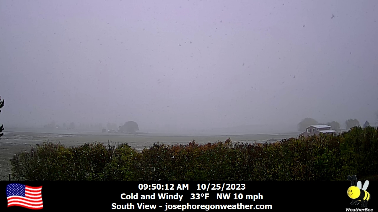
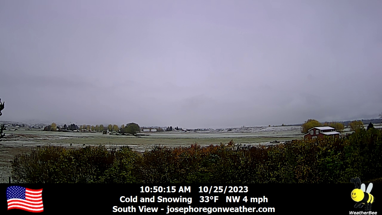
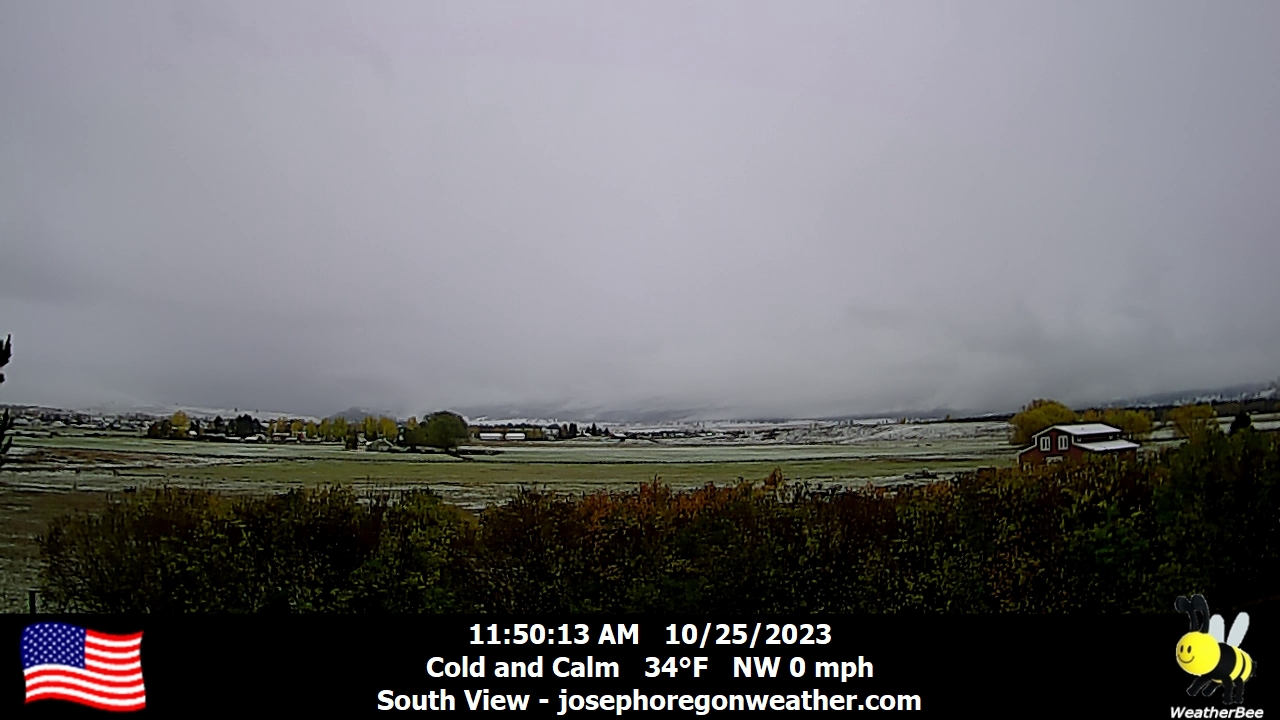
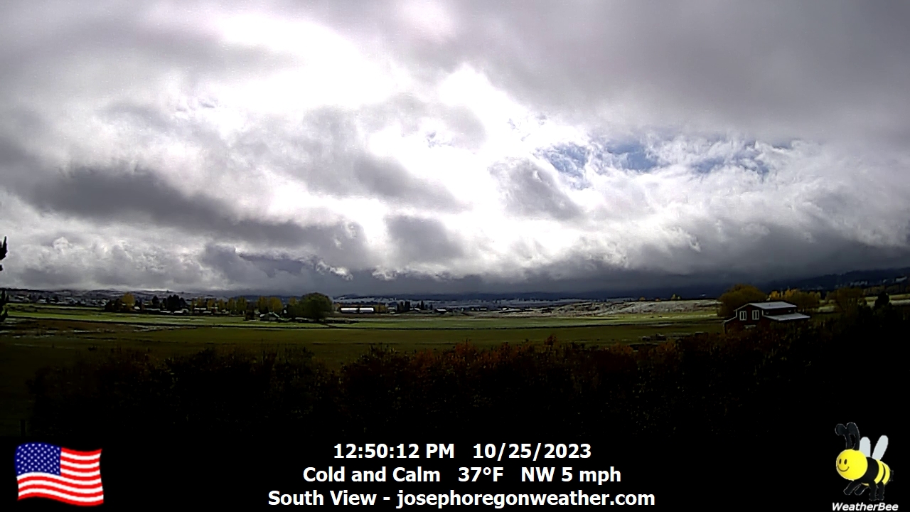
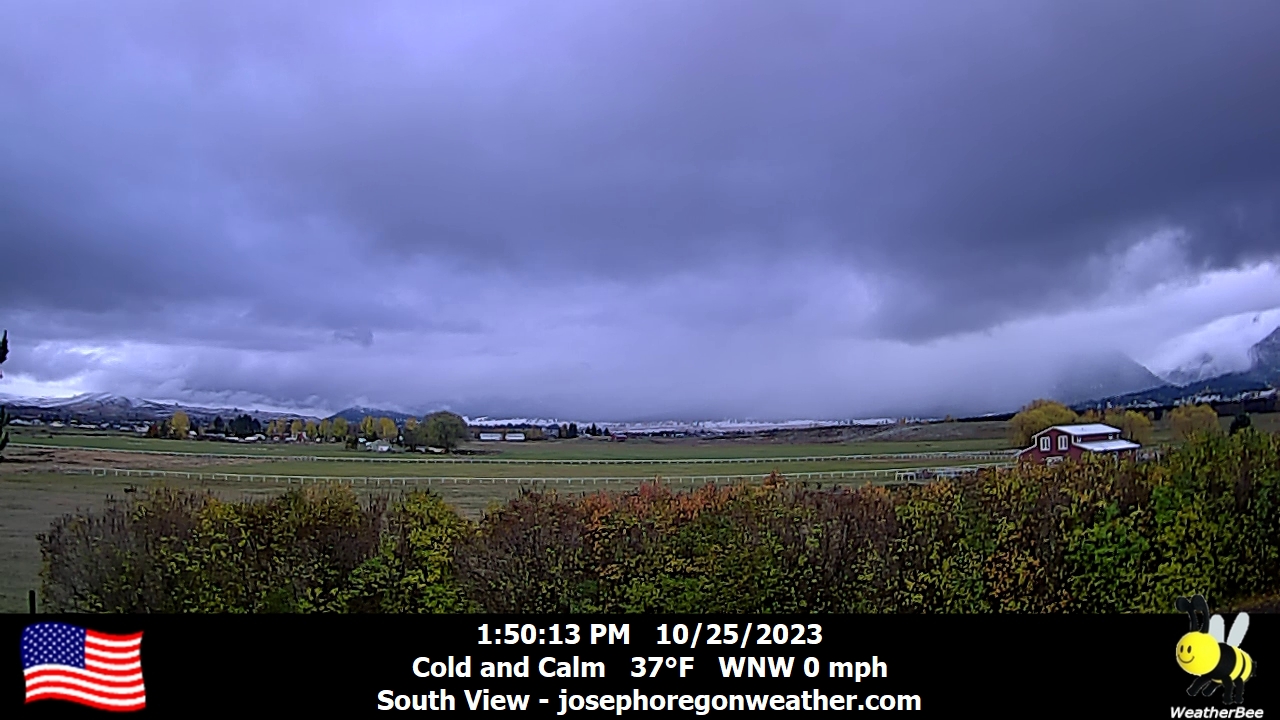
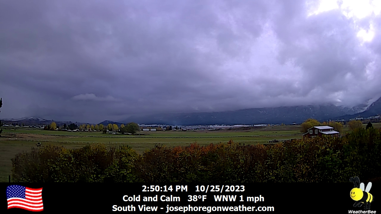
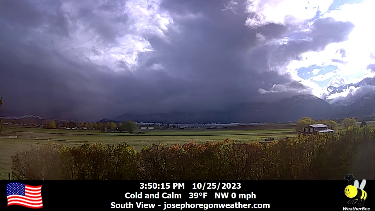
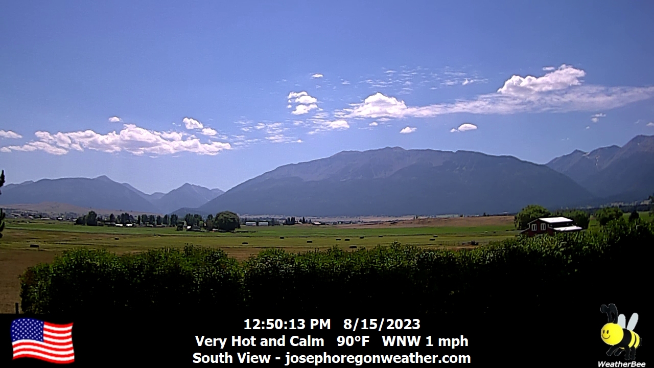
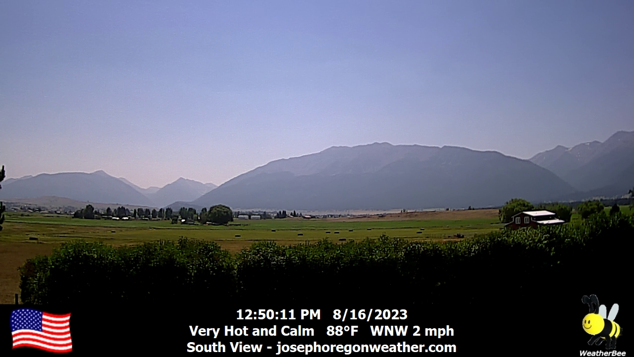
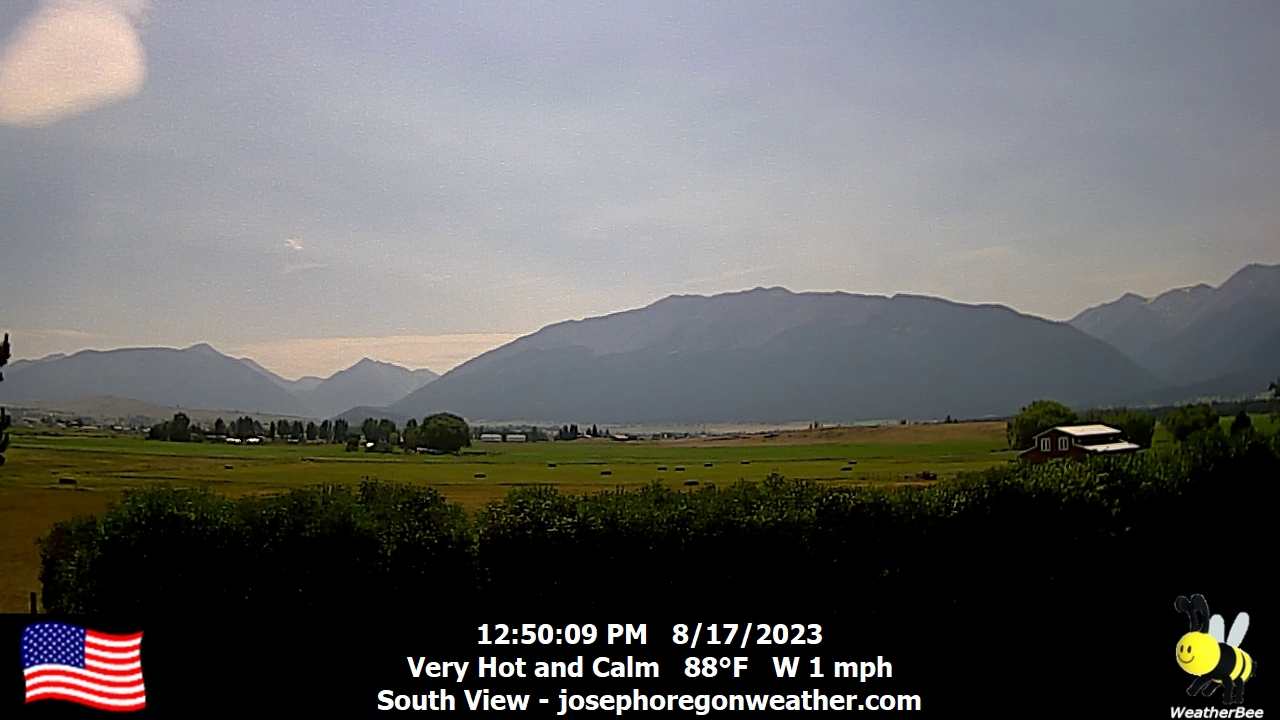
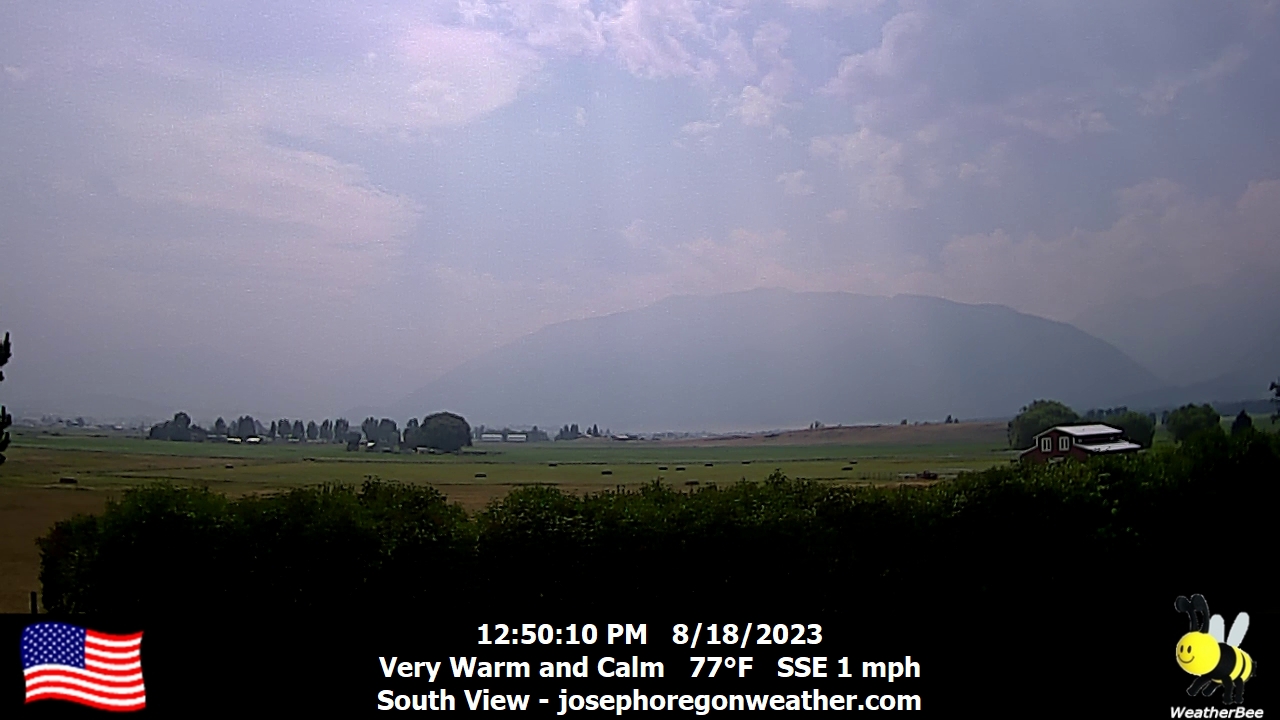
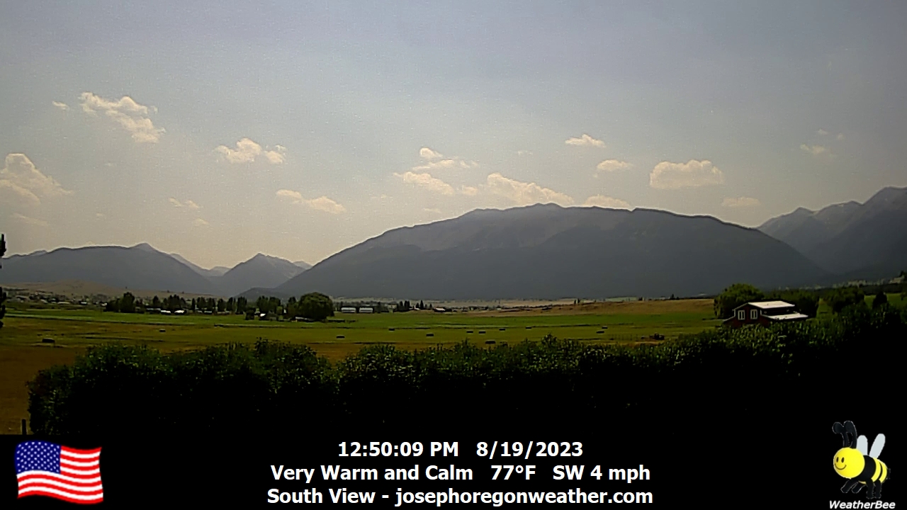
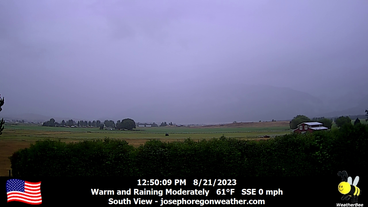
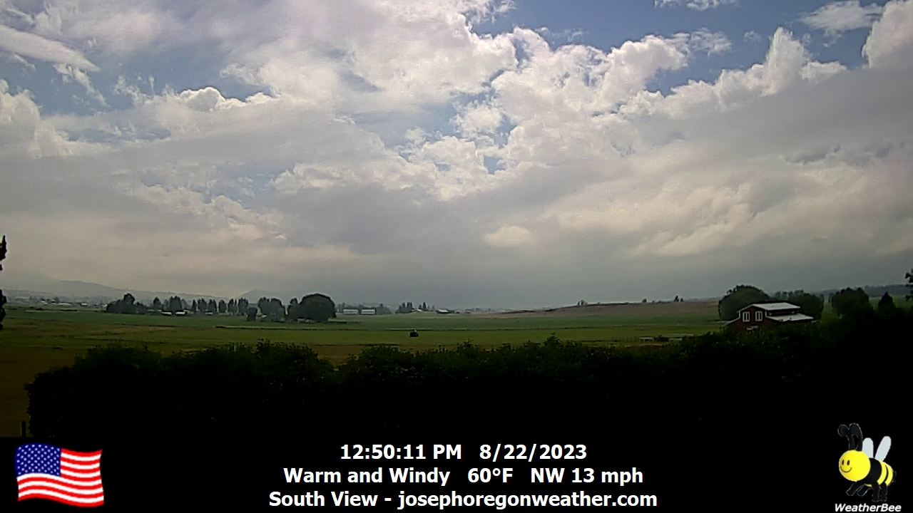
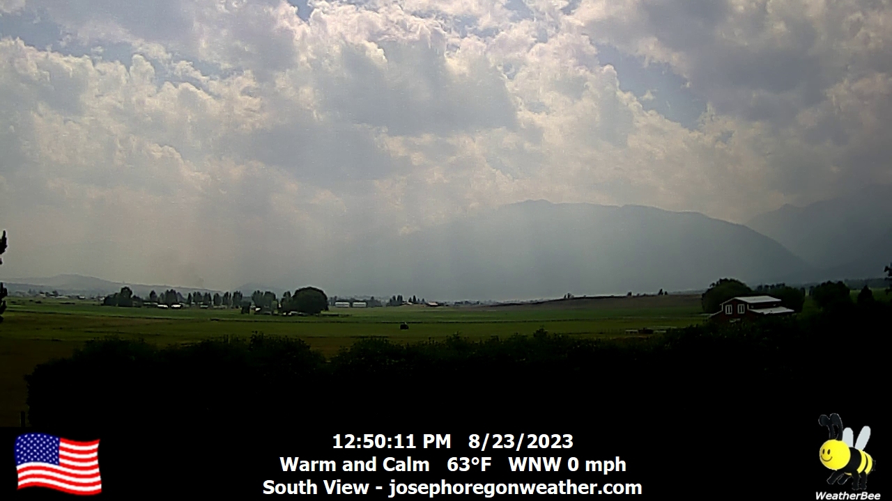
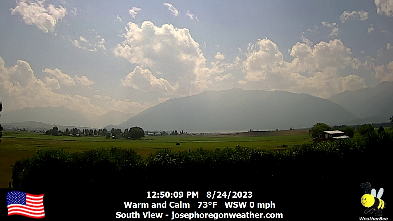
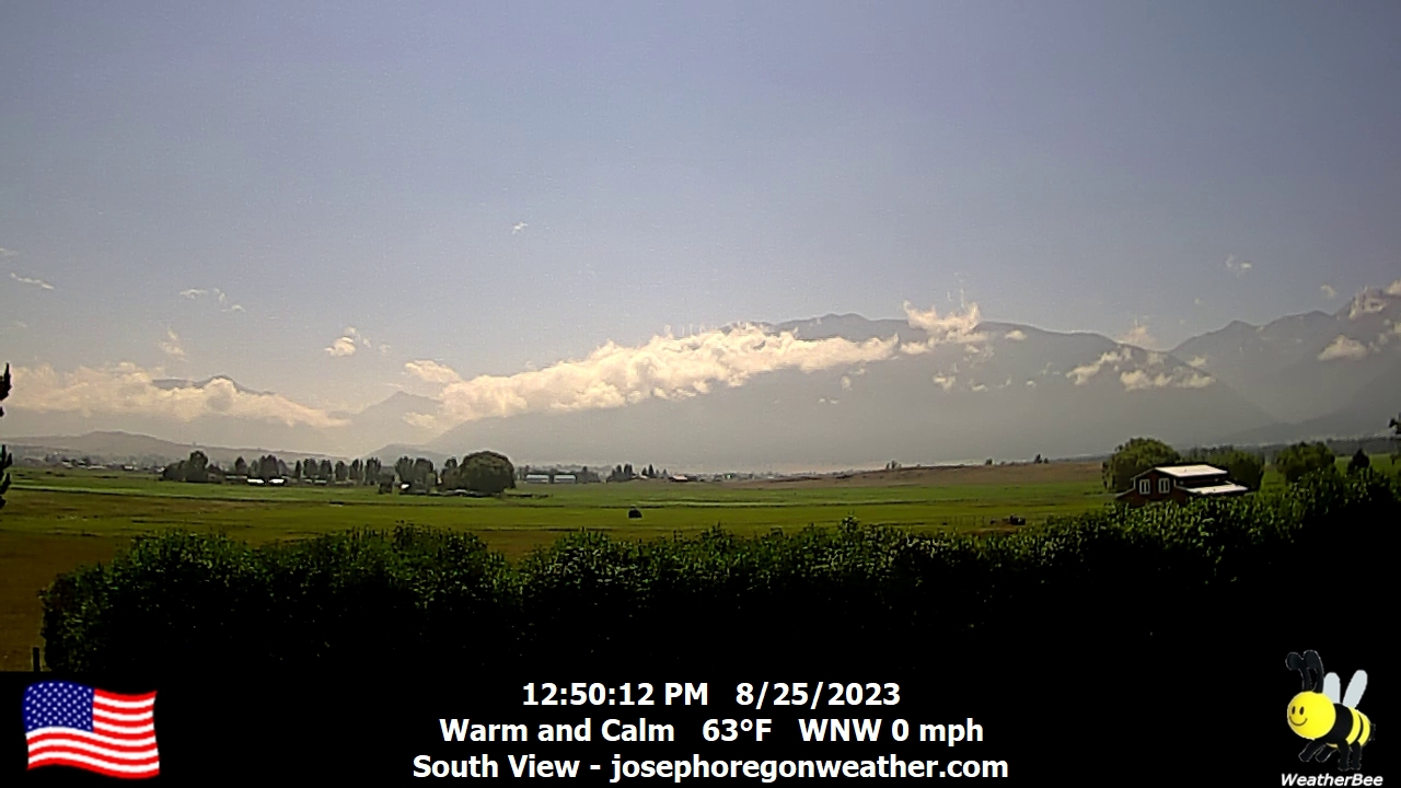
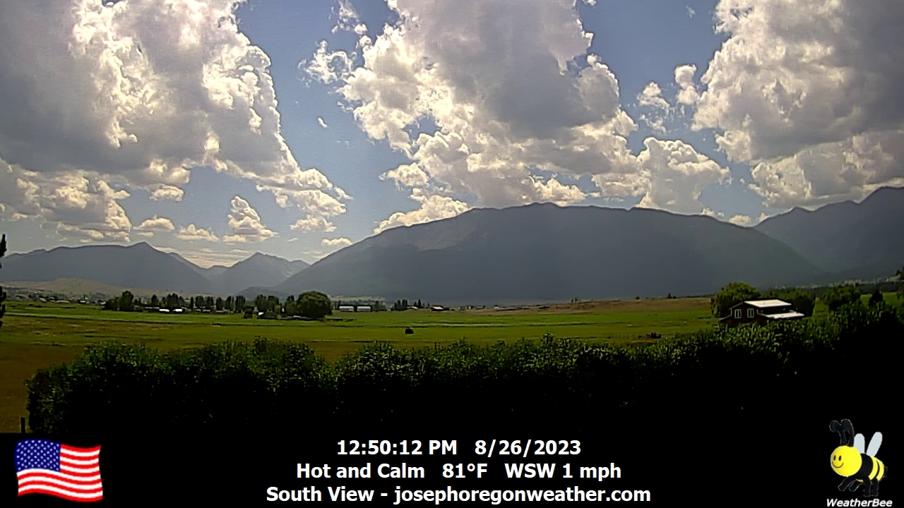
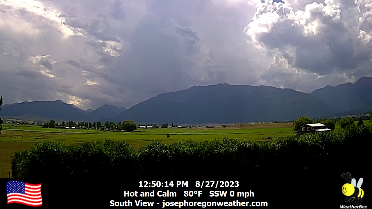
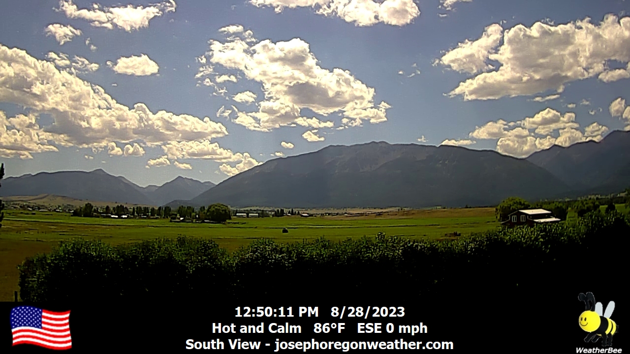
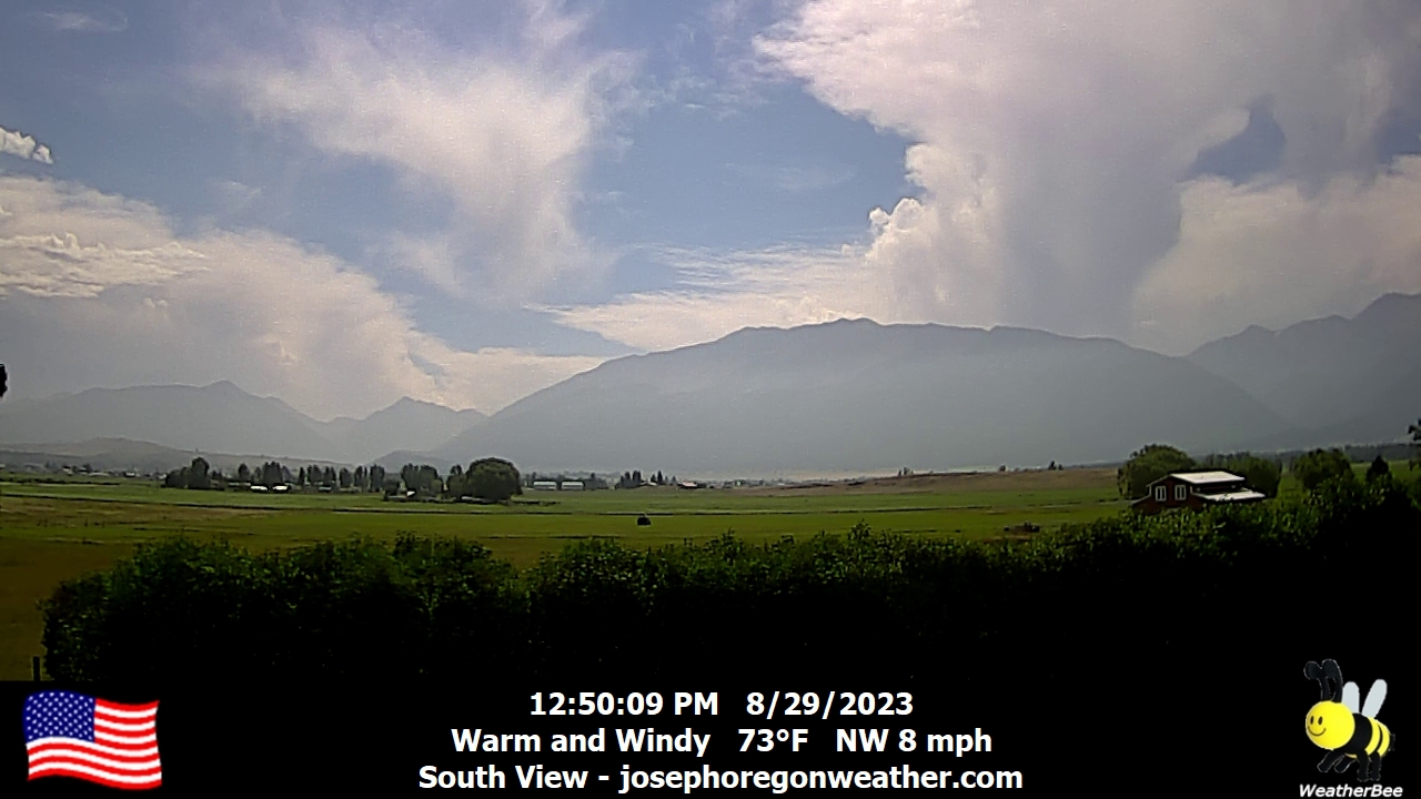
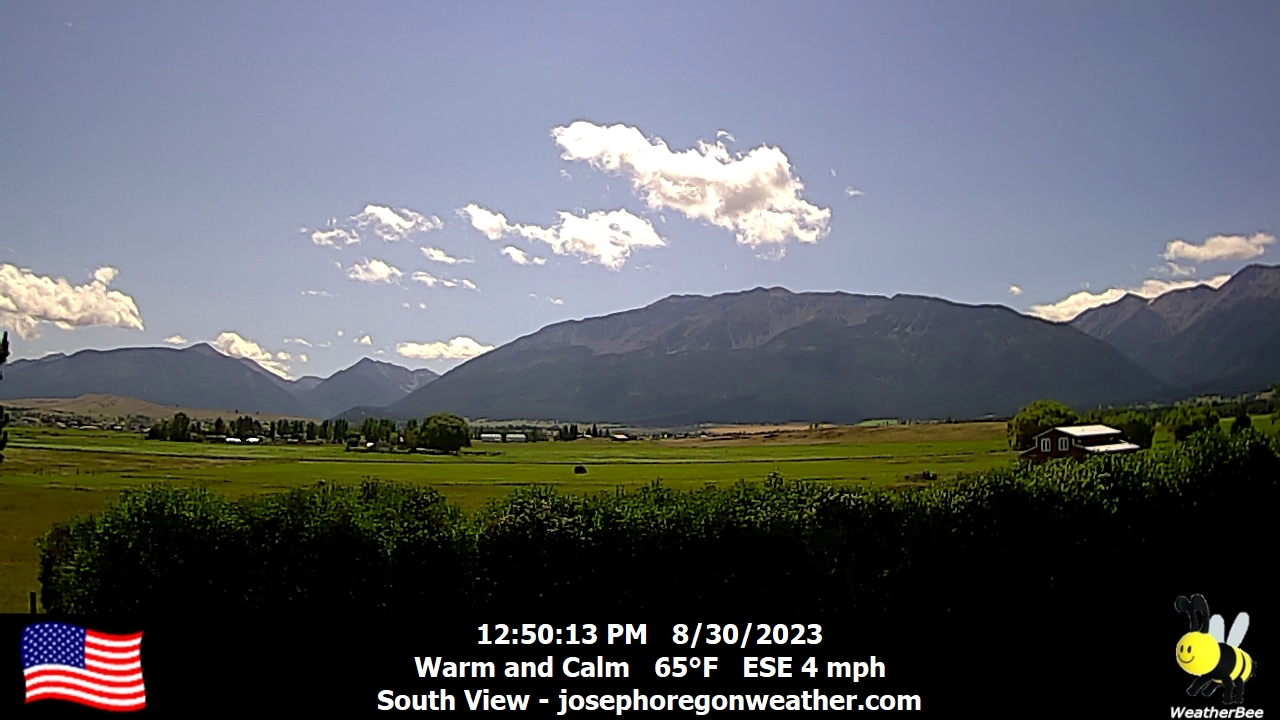
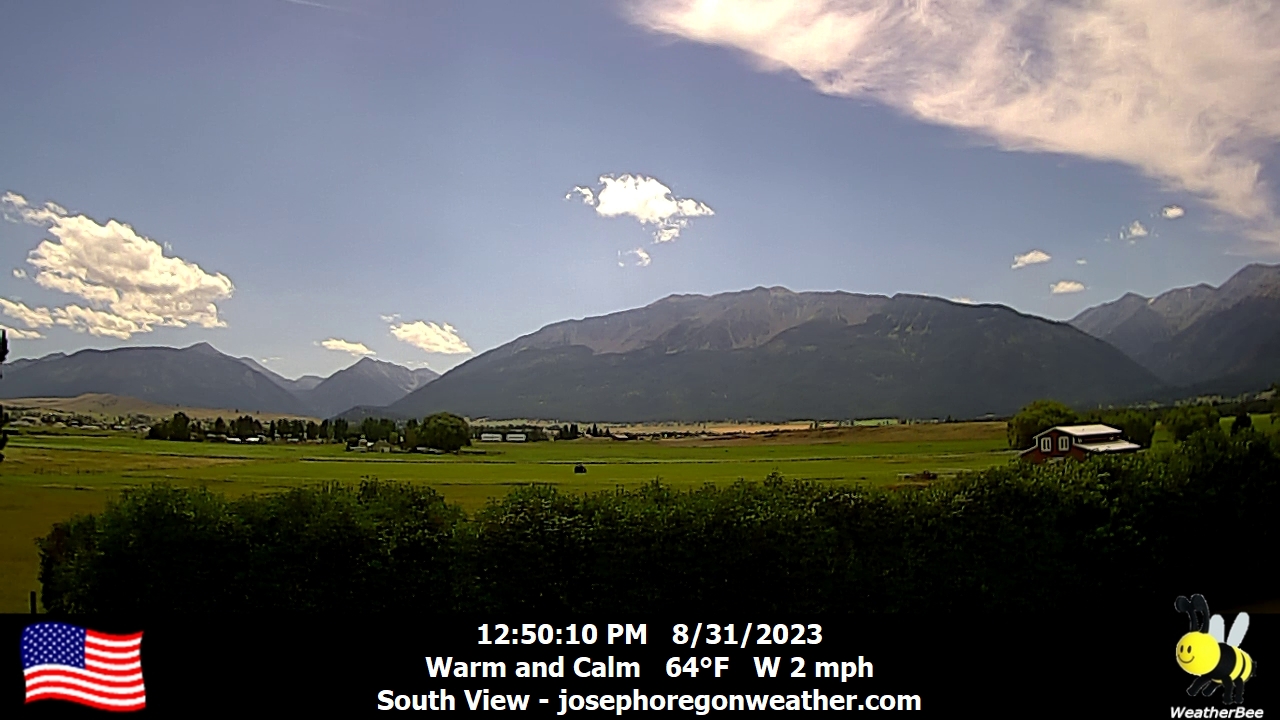
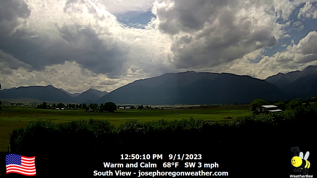
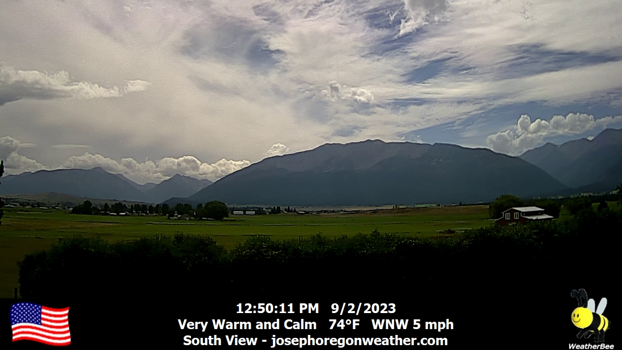
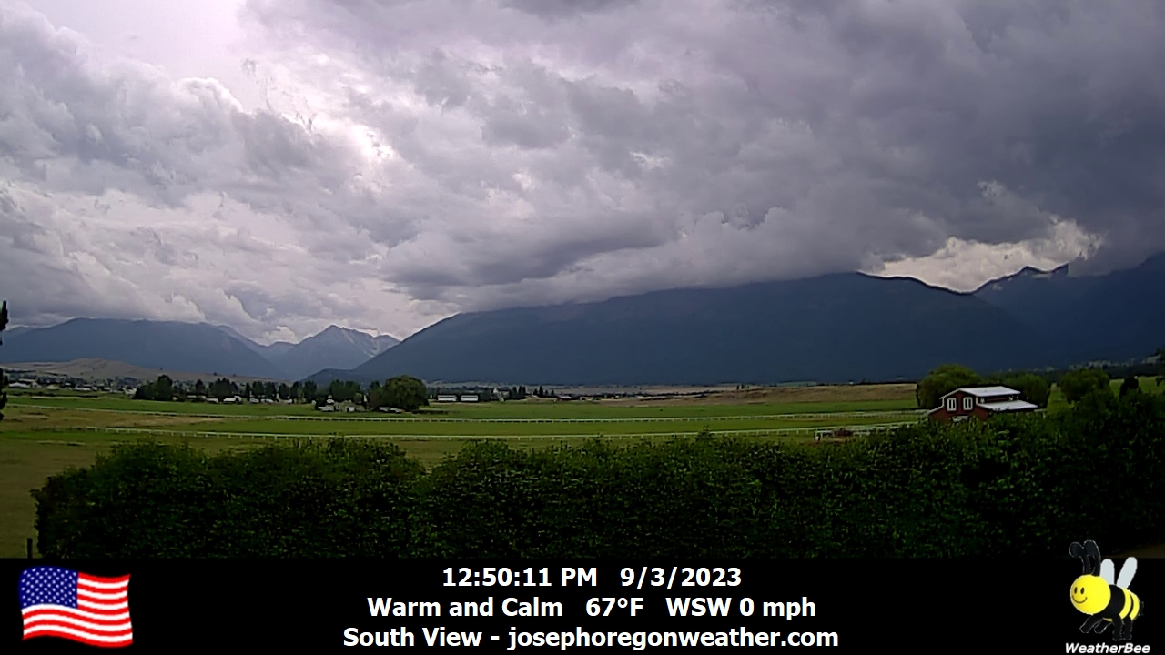
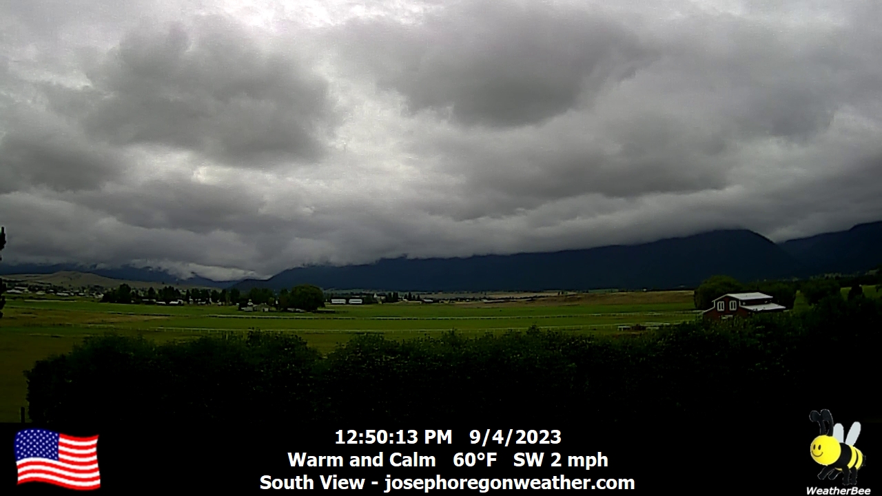
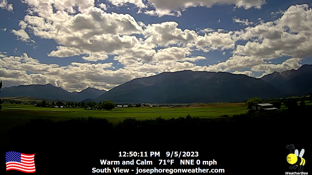
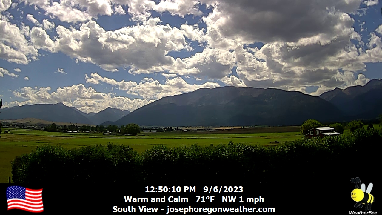
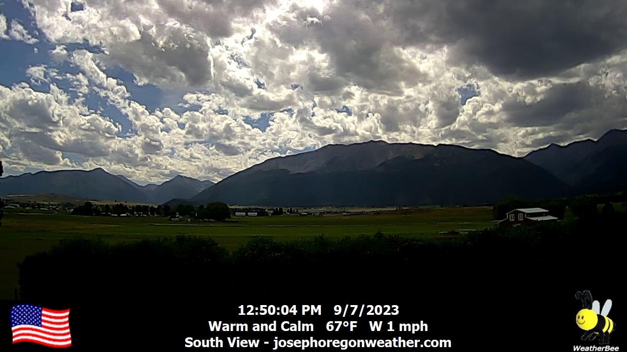
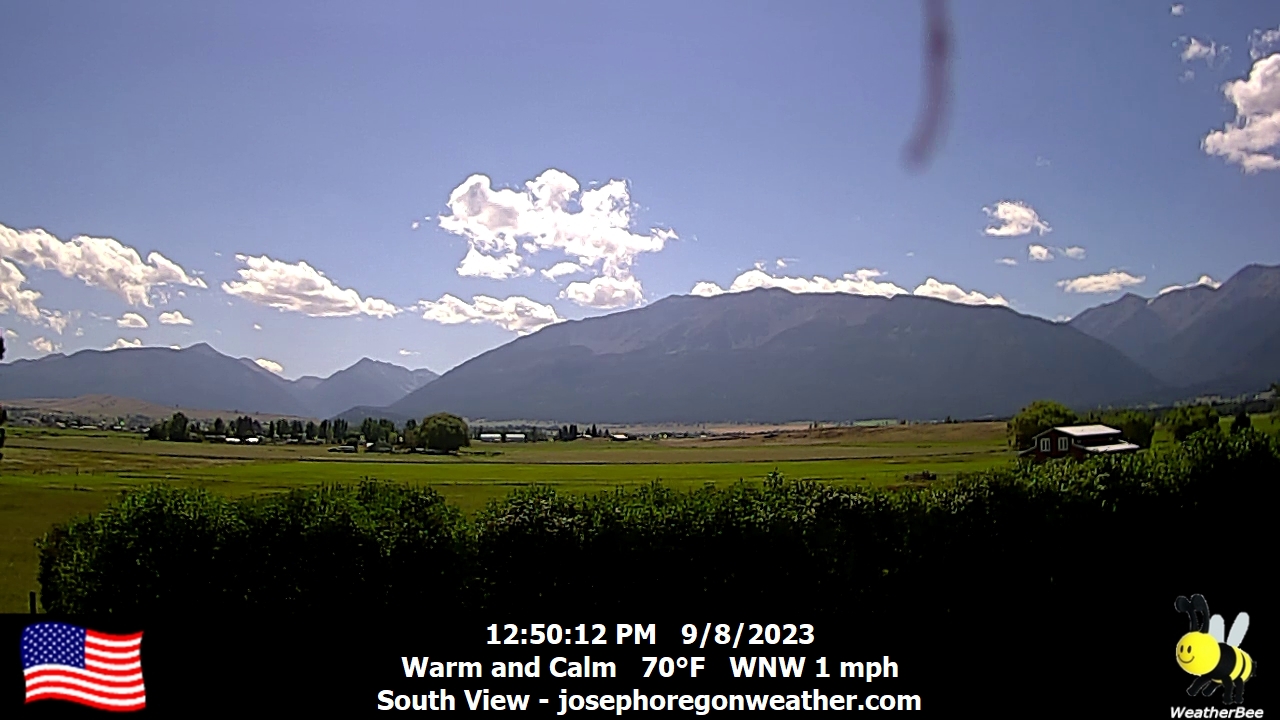
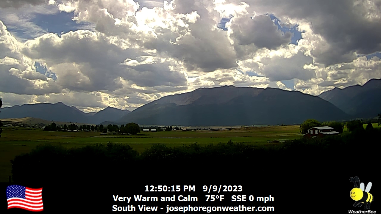
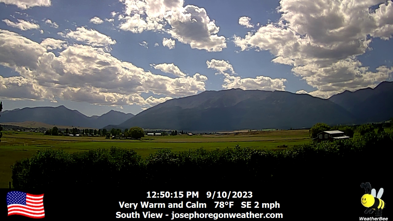
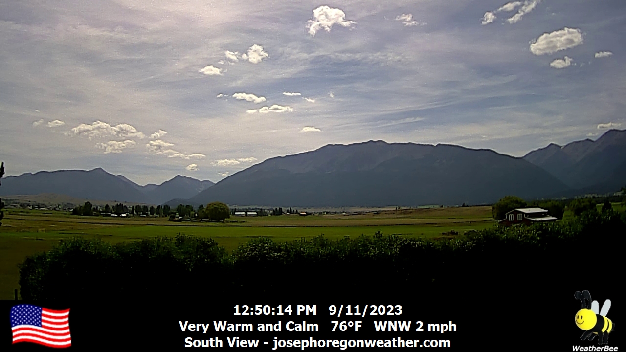
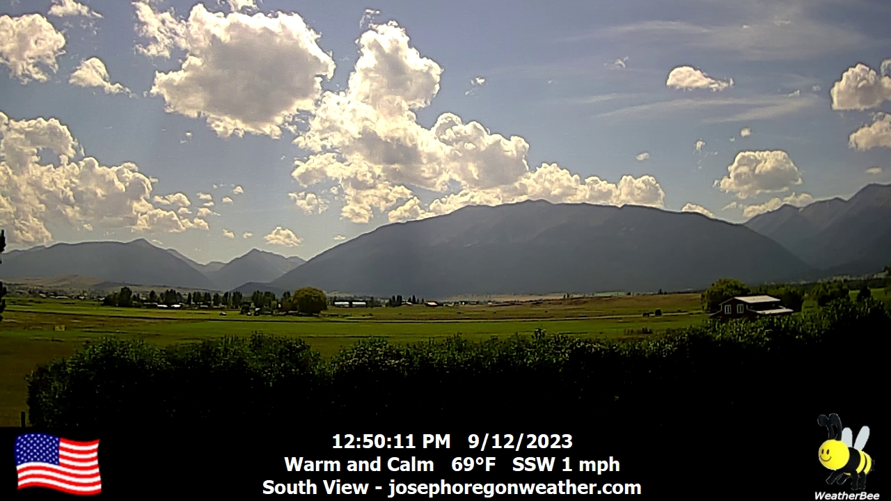
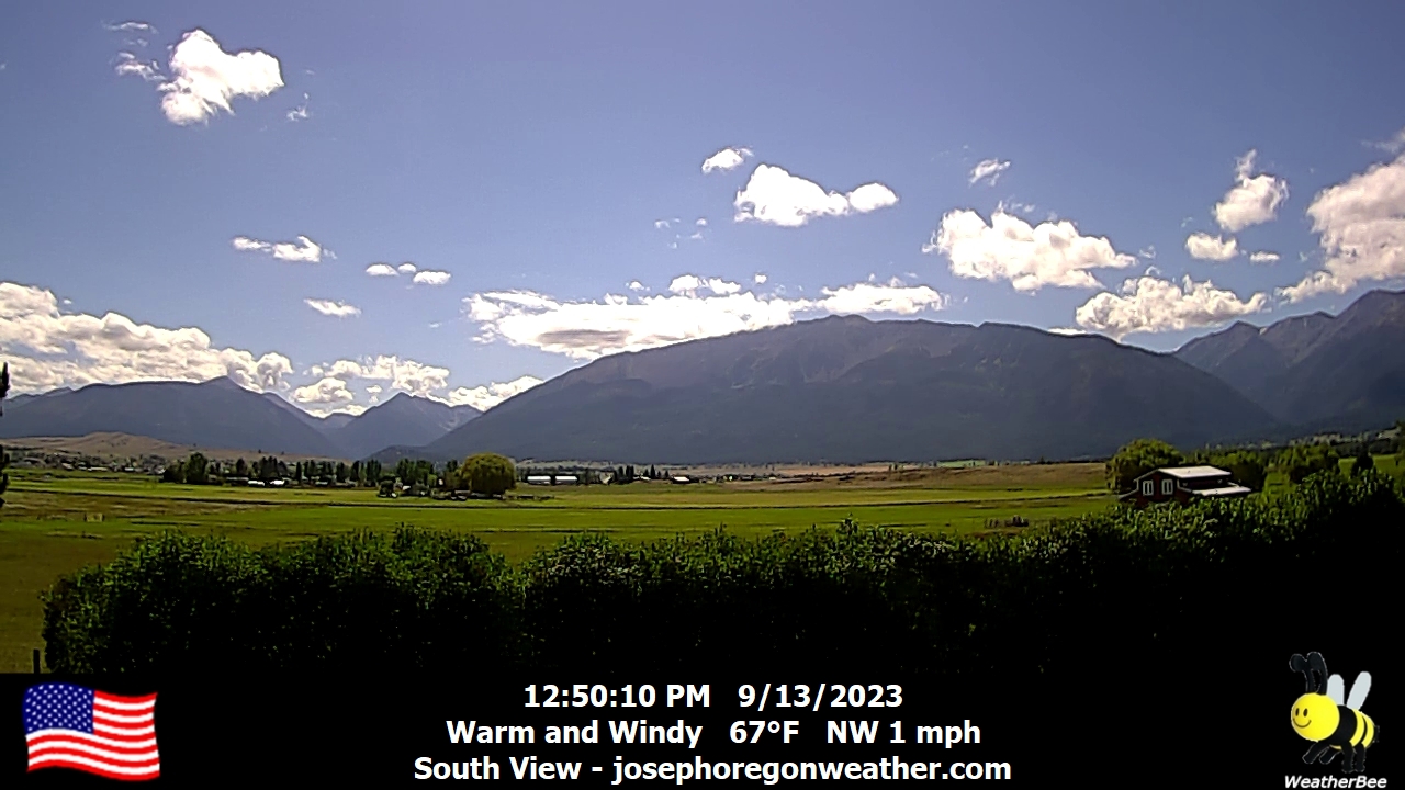
Joseph, Oregon, USA - 133.5 miles from South Boise (historical): Joseph Oregon Weather - A view of the Wallowa Mountains from Joseph, Oregon - with current weather data.
Operator: Joseph Oregon Weather
Operator: Joseph Oregon Weather


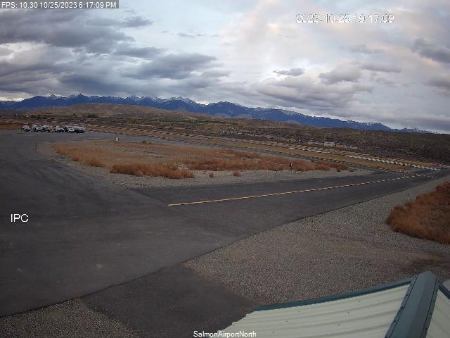
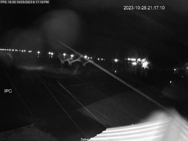
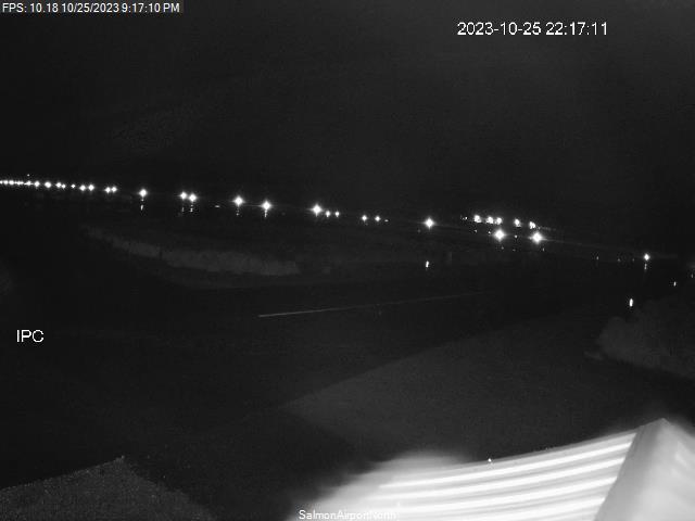
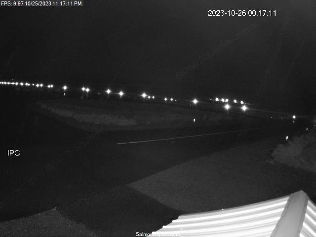
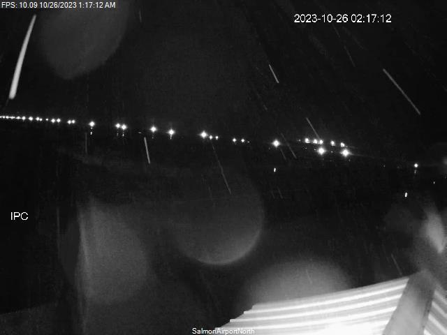
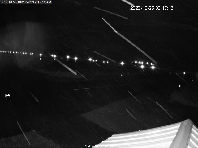
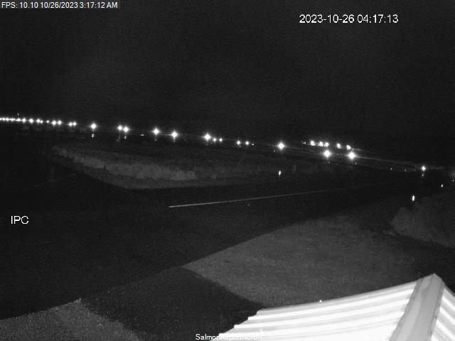
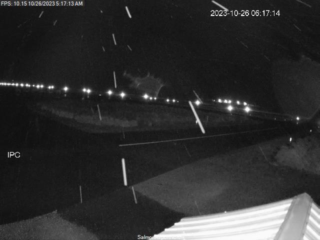
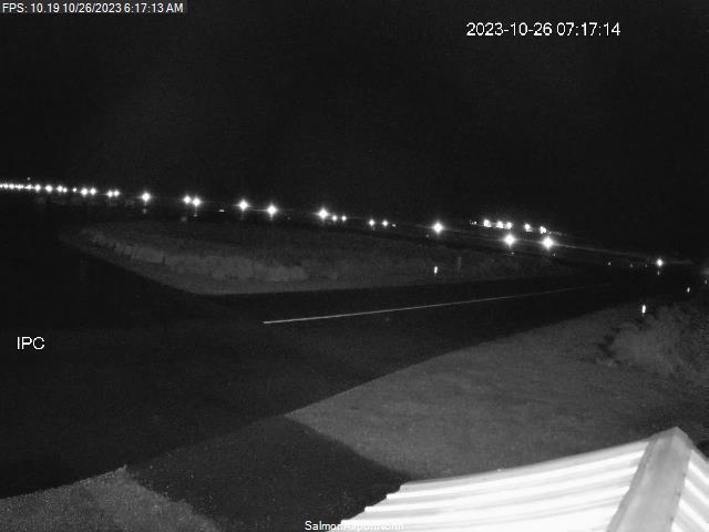
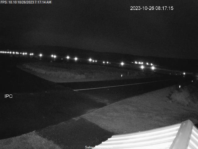
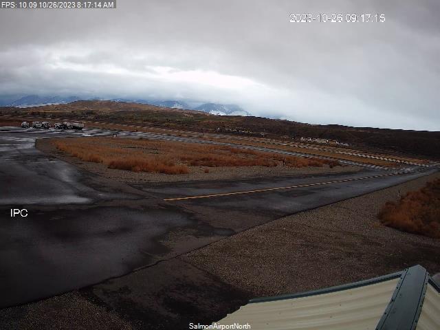
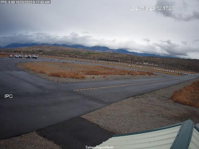
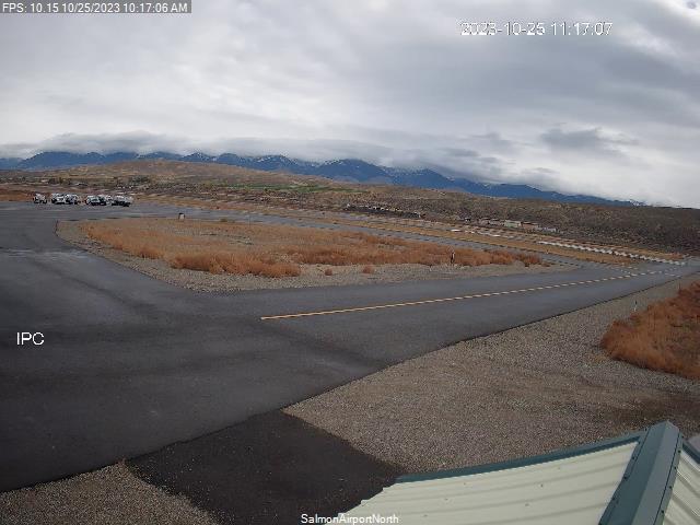
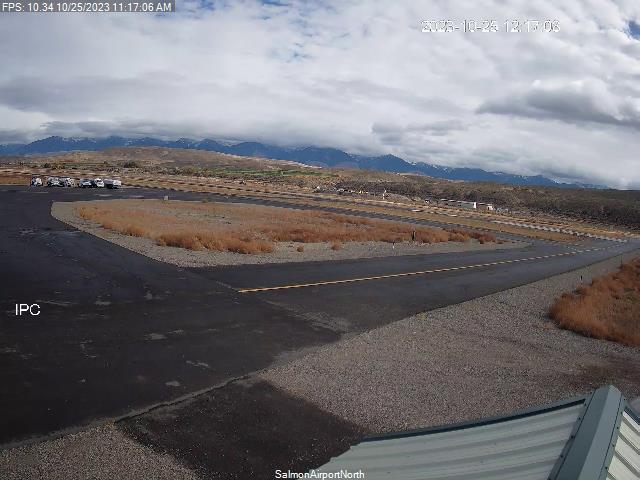
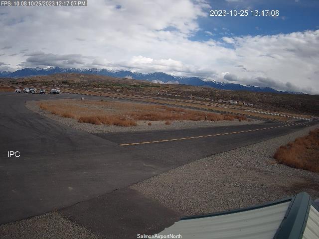
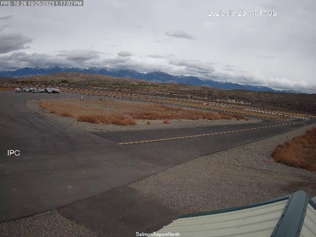
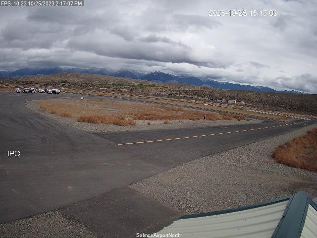
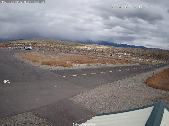
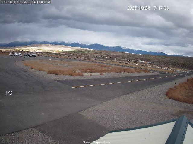
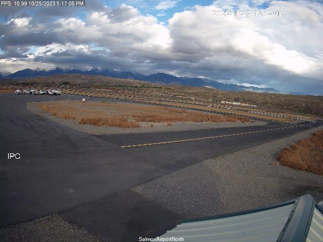
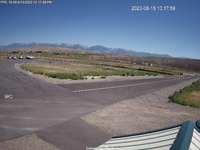
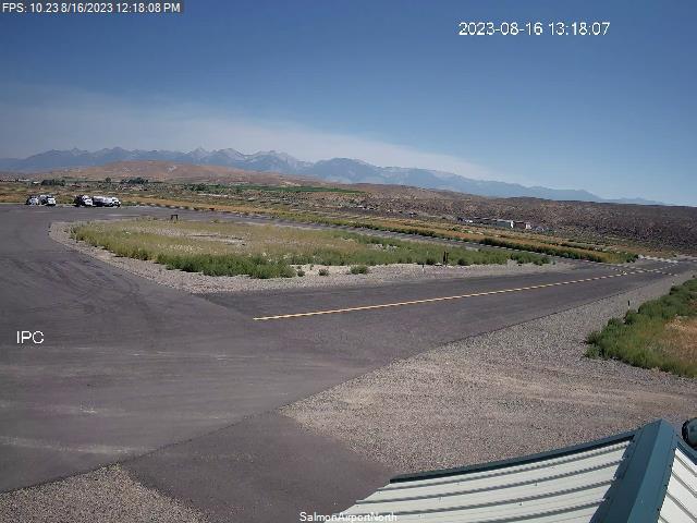
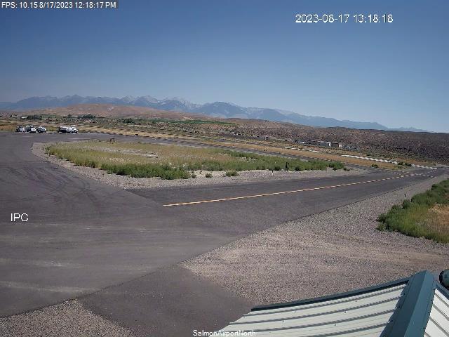
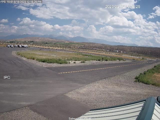
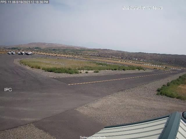
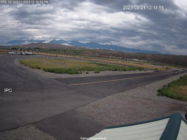
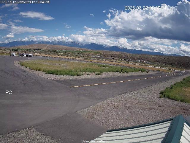
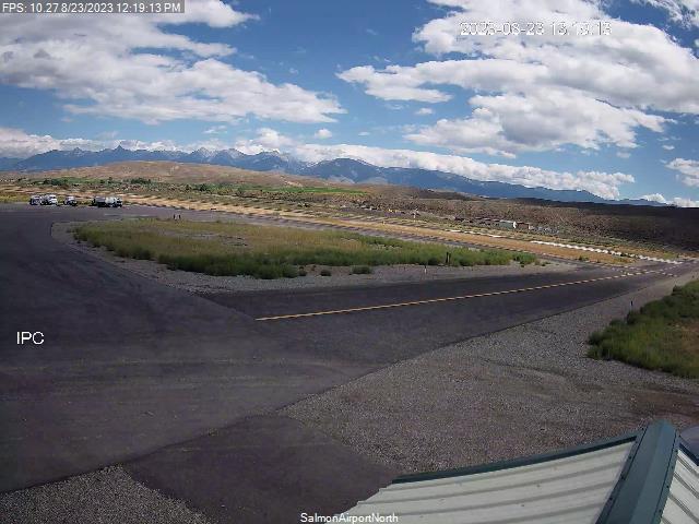
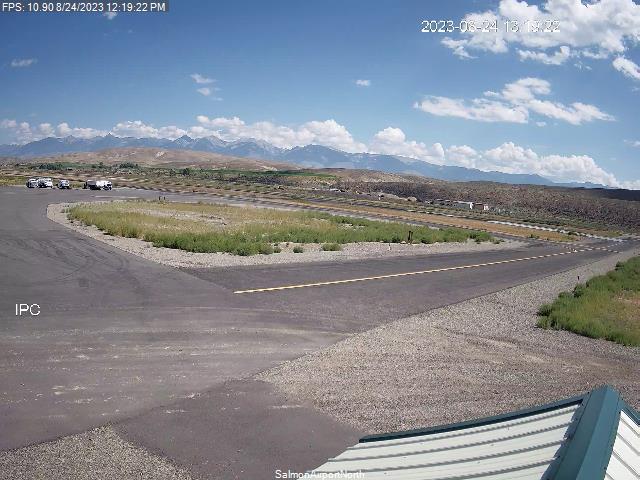
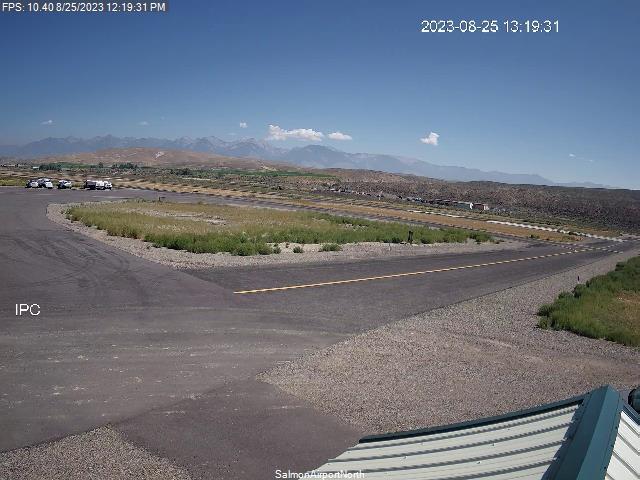
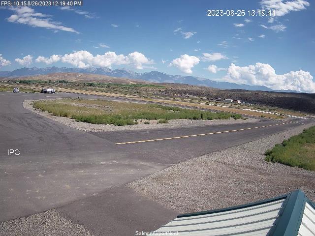
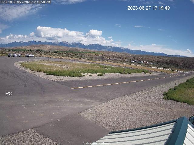
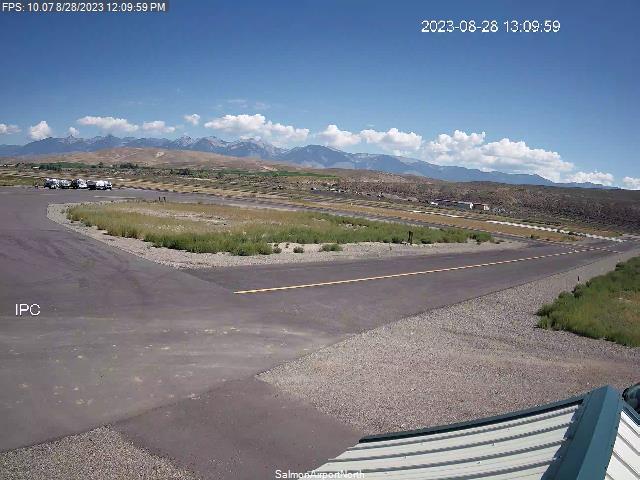
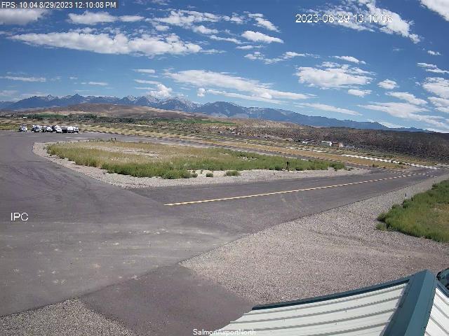
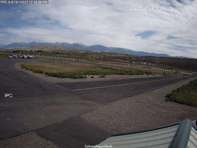
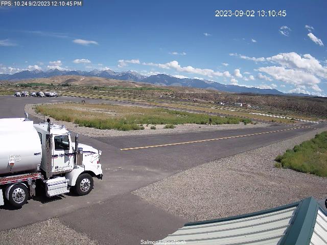
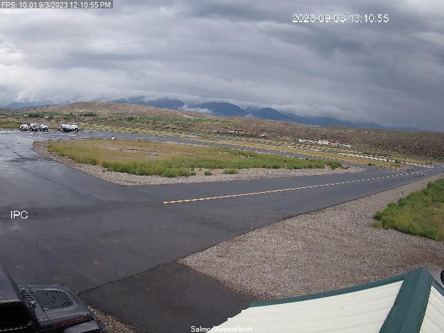
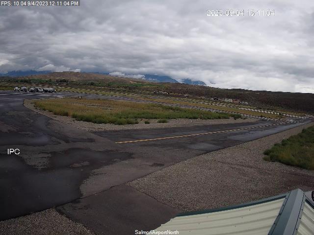
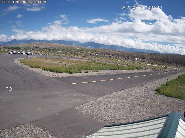
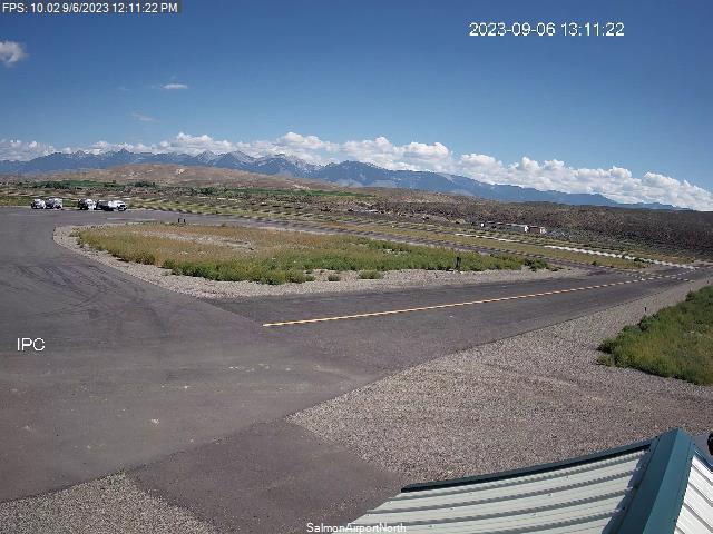
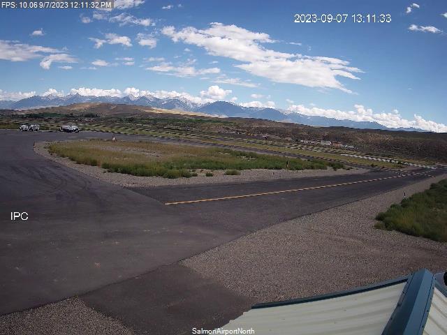
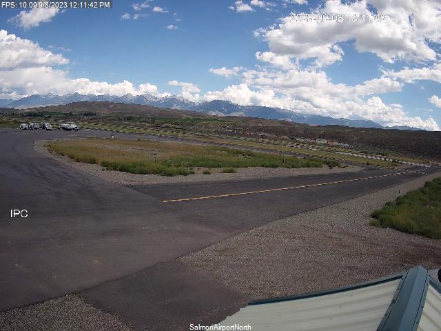
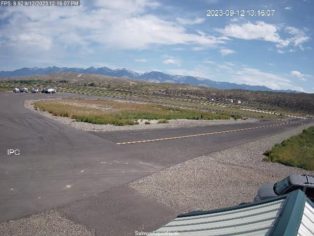
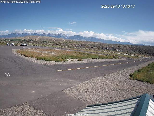
Salmon, Idaho, USA - 157.4 miles from South Boise (historical): Lemhi County Airport - Views north & south from the Airport.
Operator: Lemhi County Airport
Operator: Lemhi County Airport


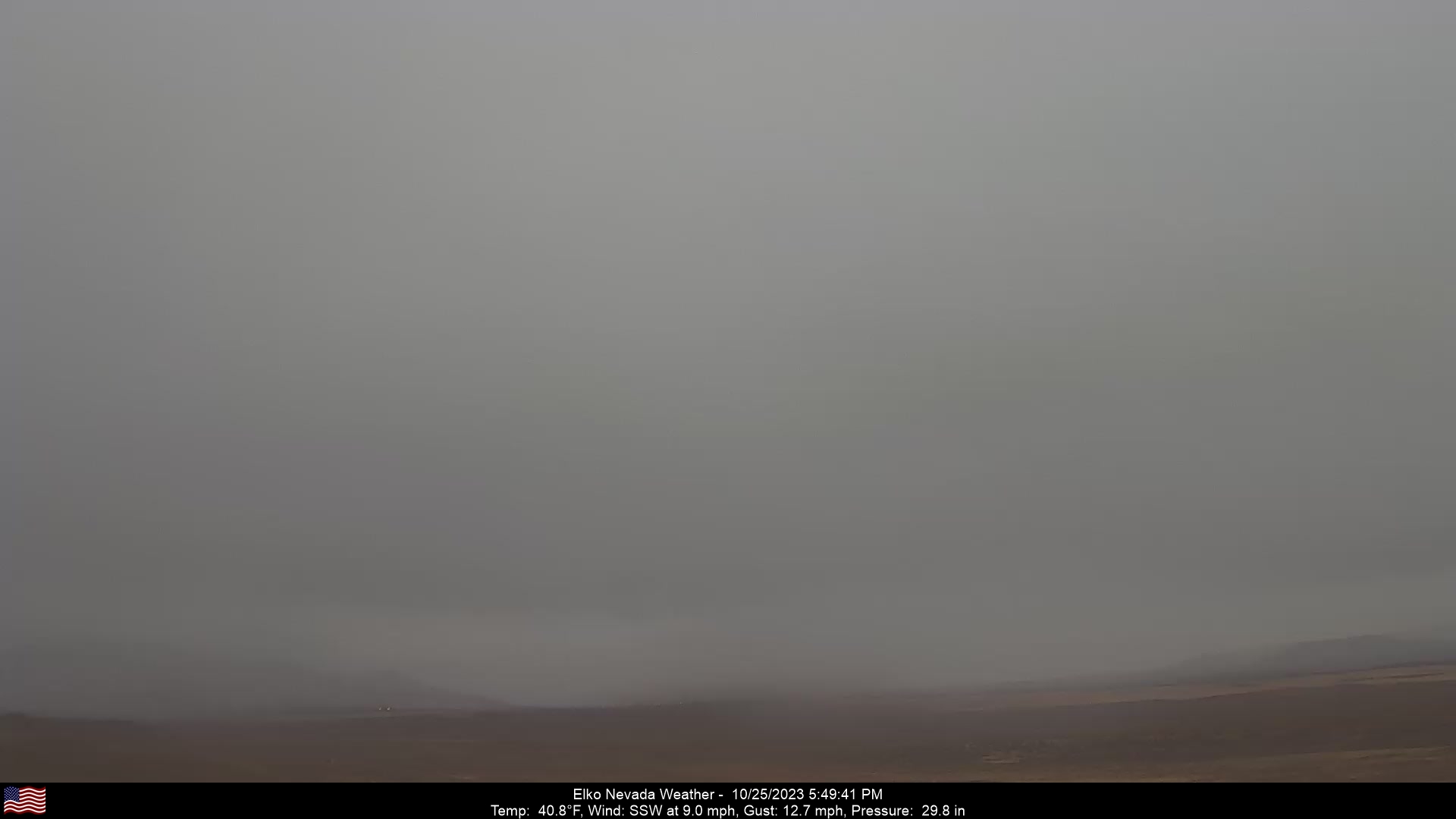
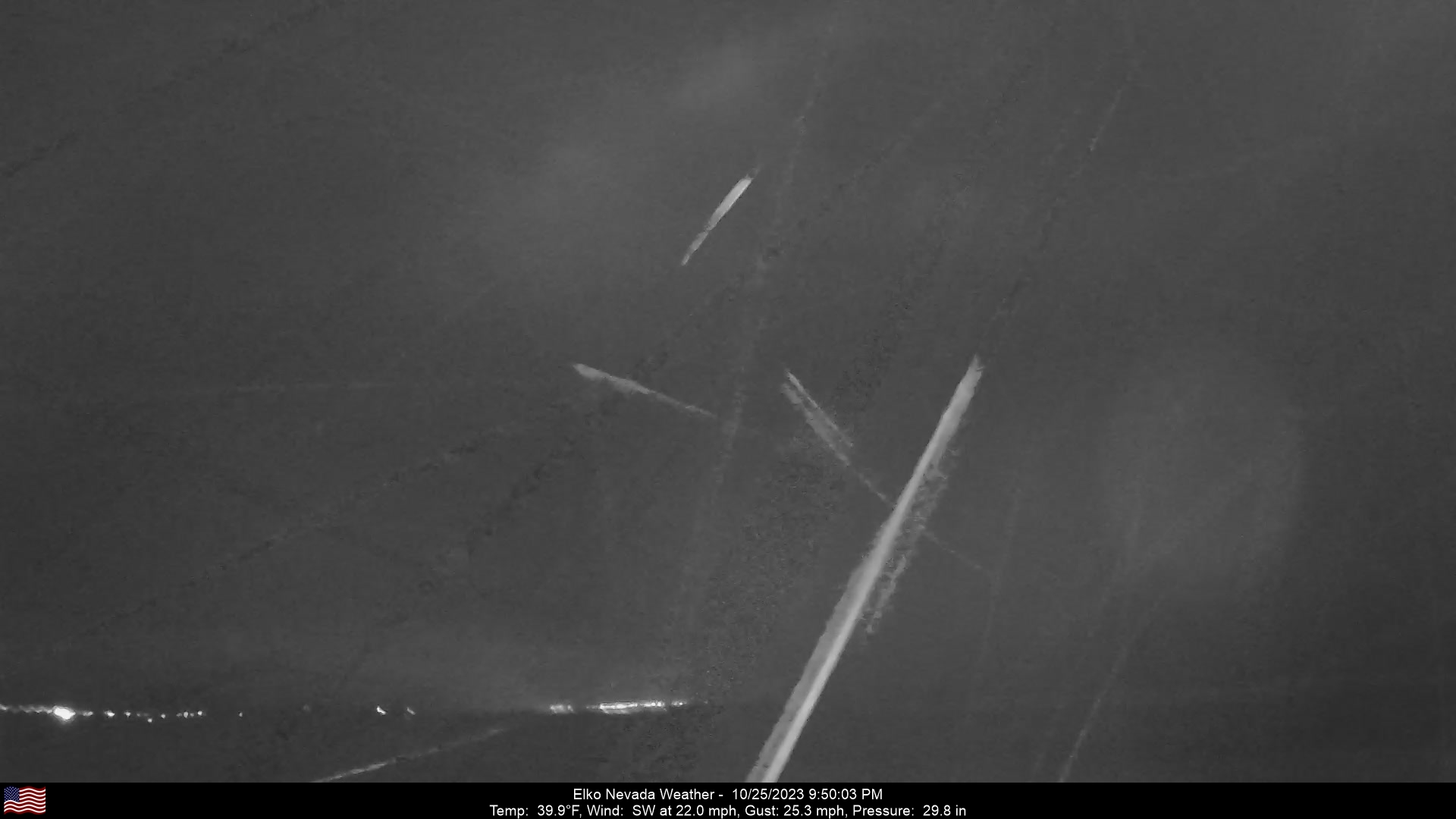
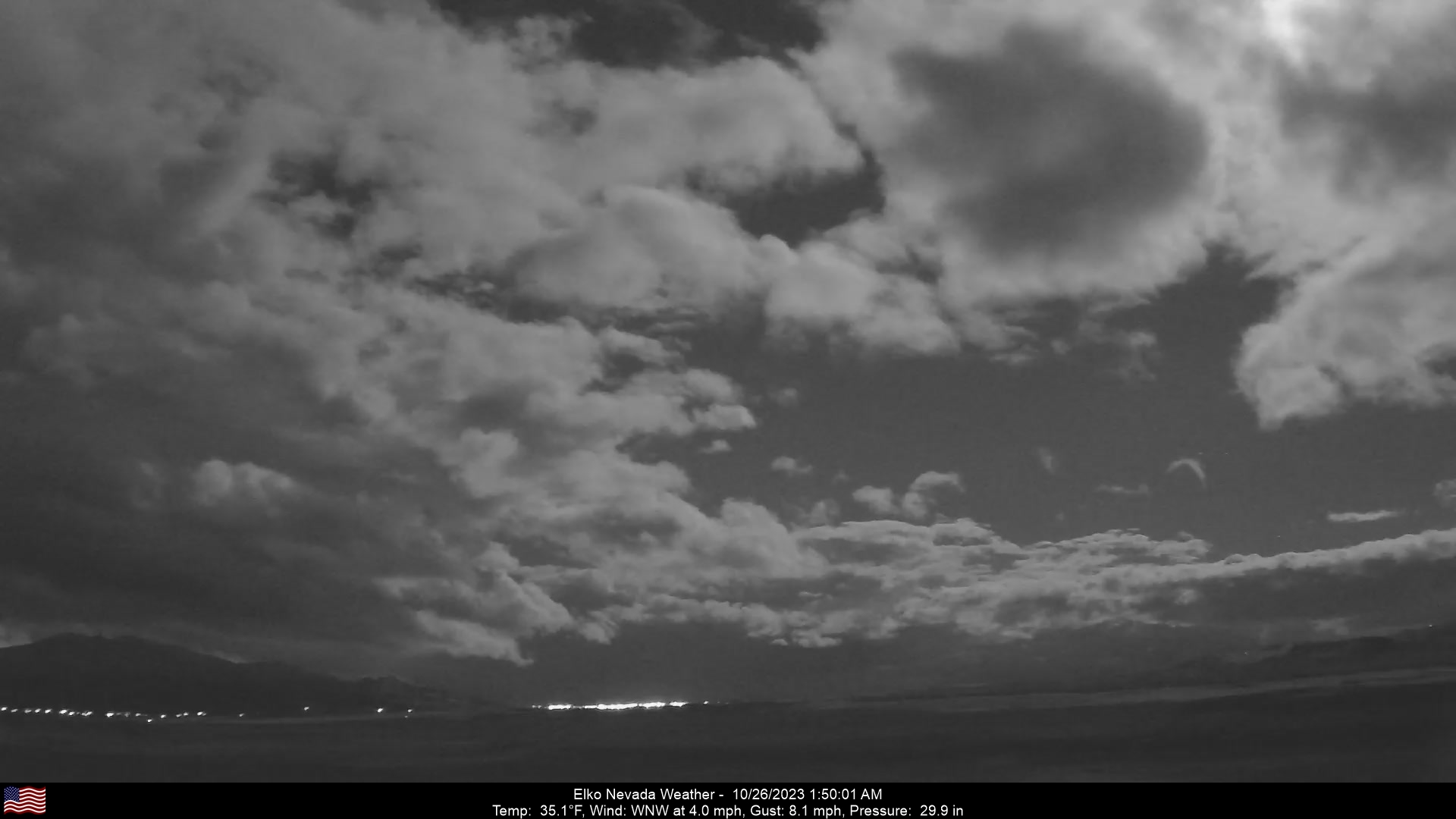
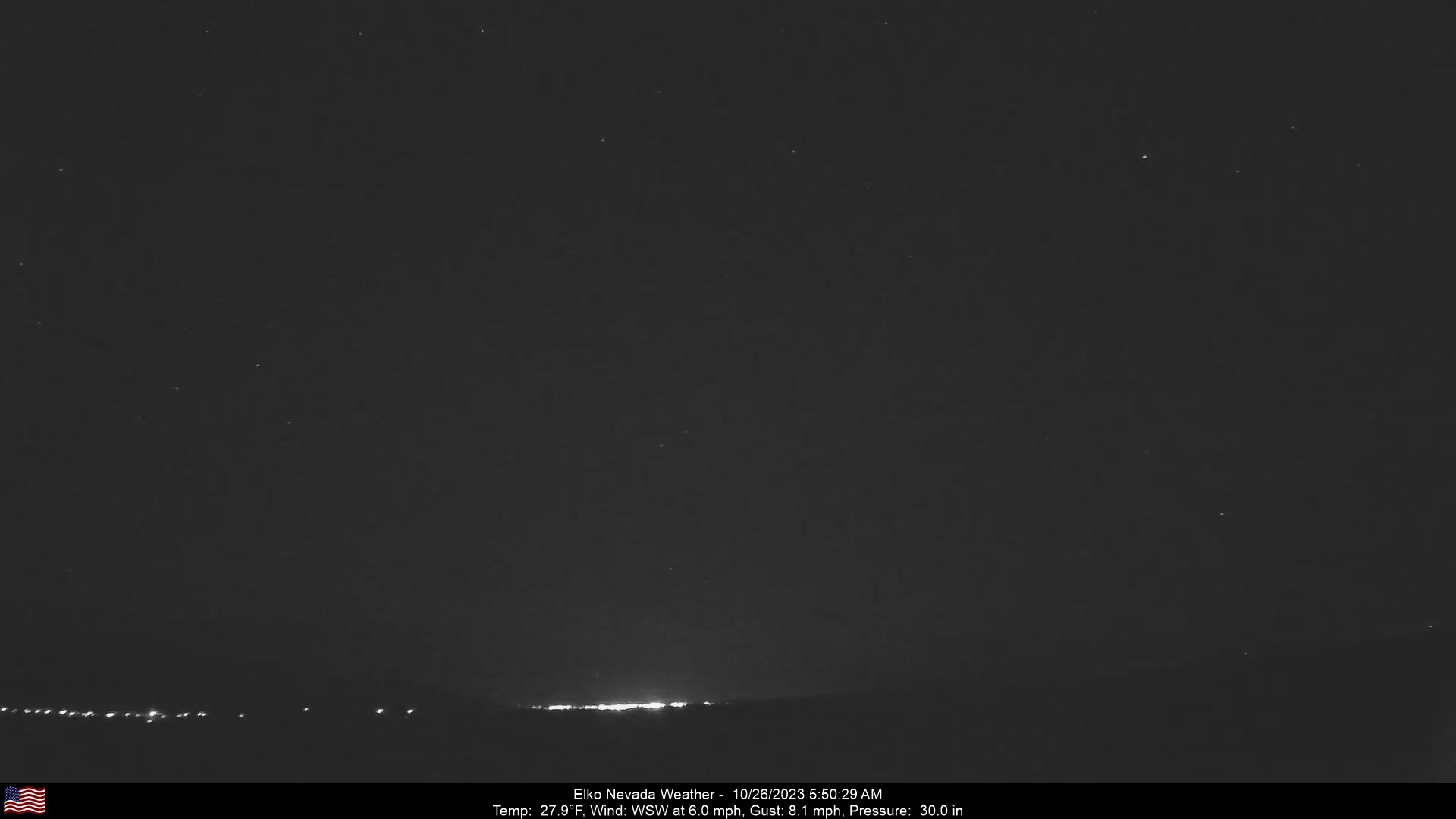
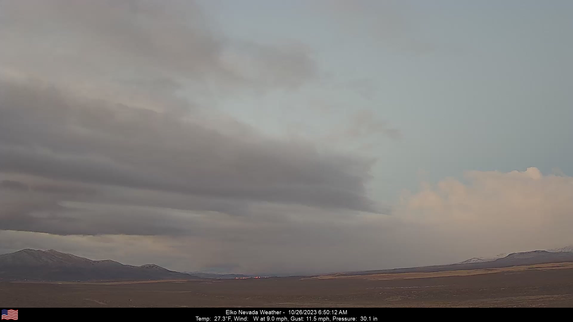
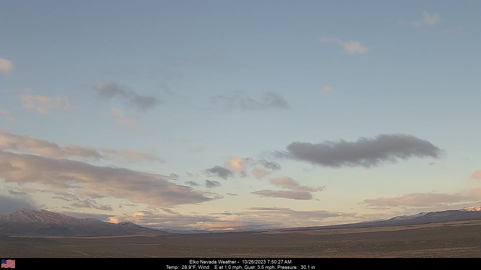
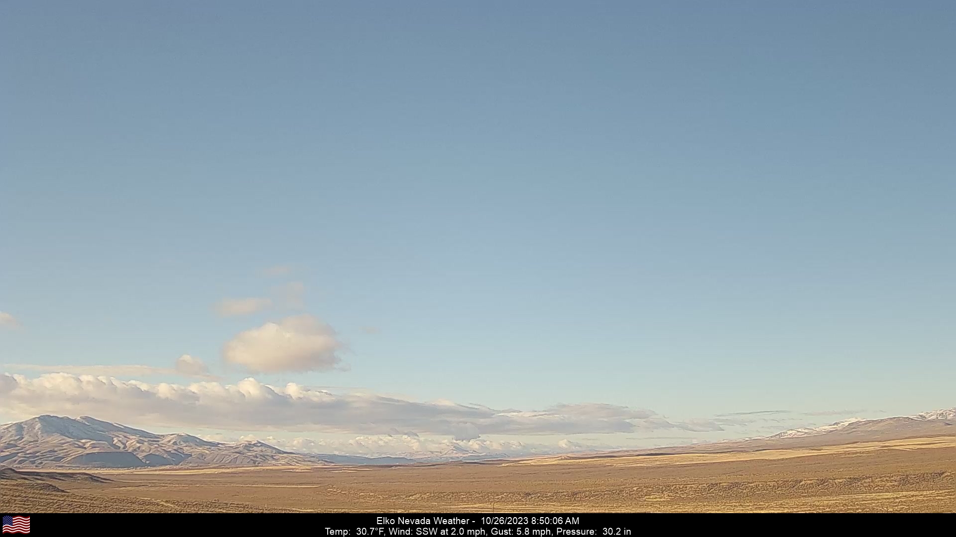
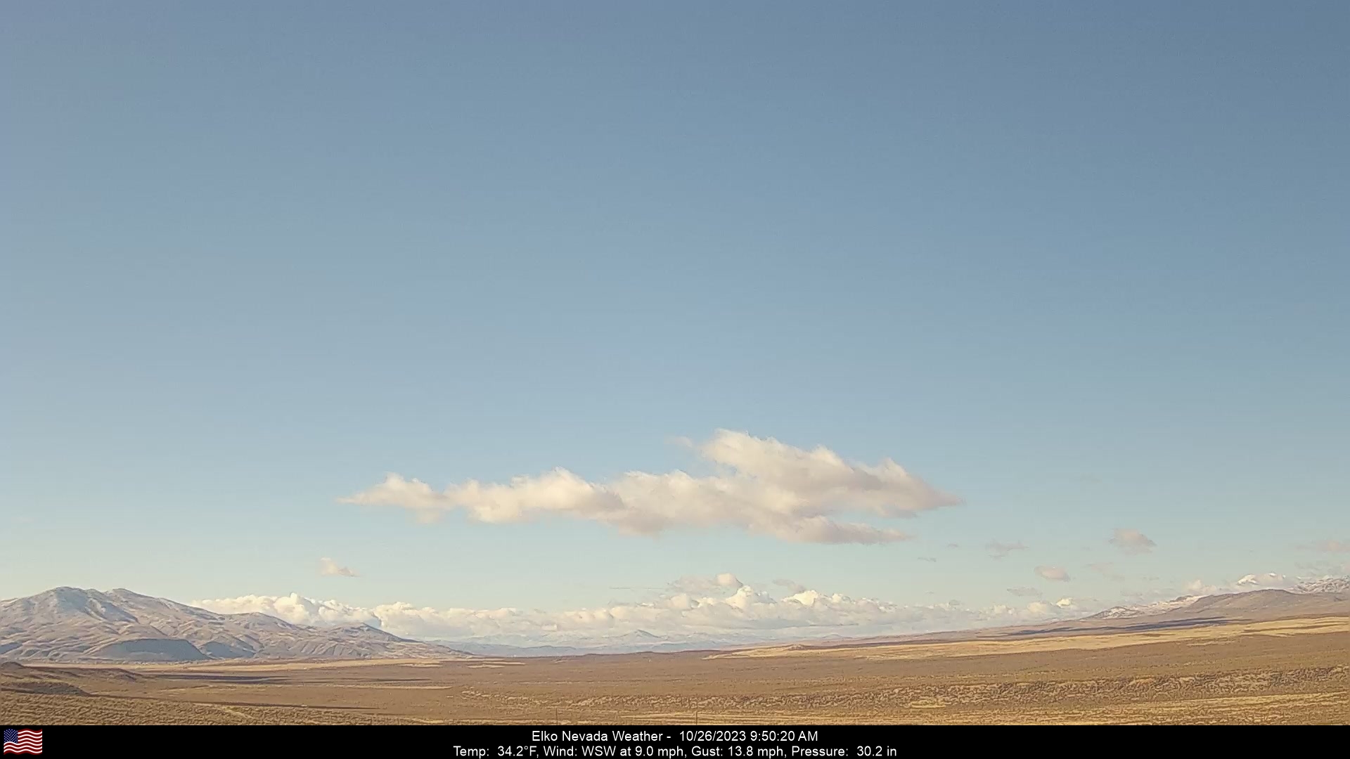
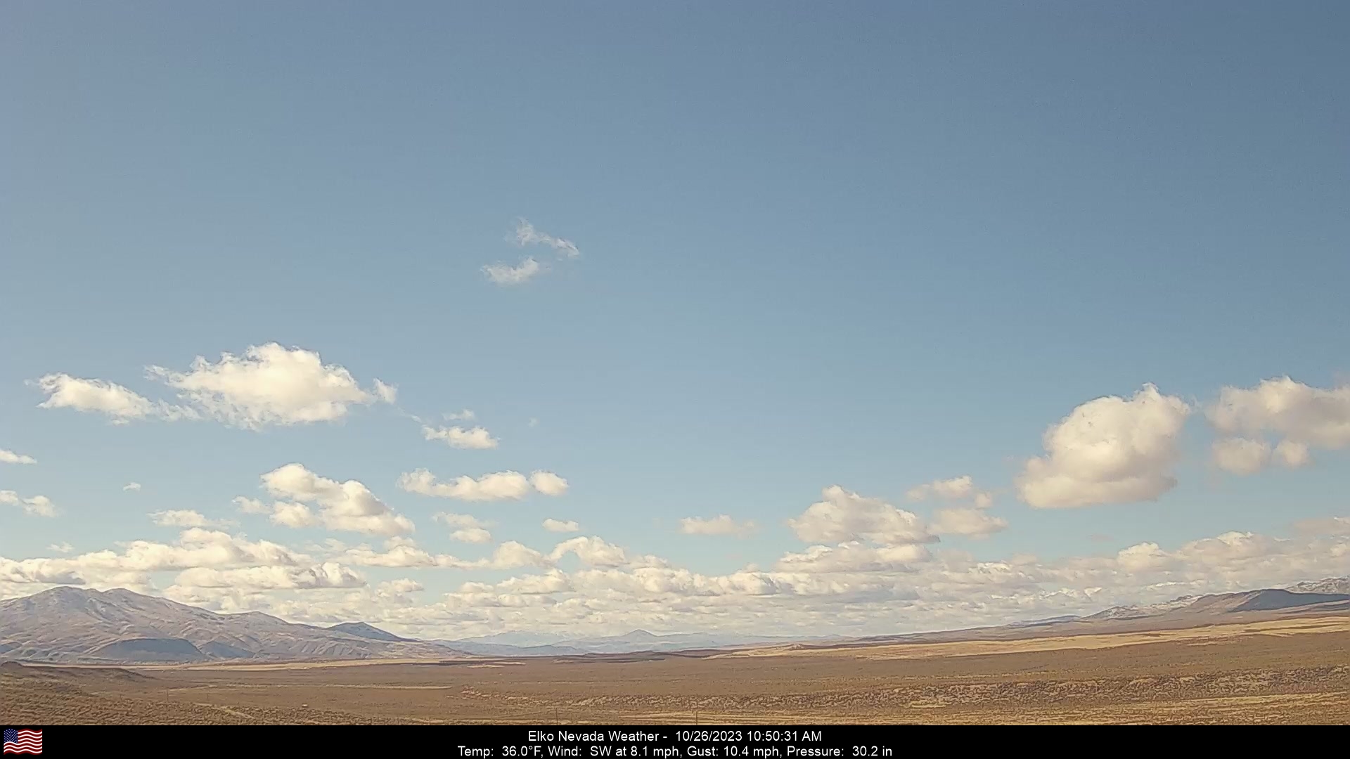
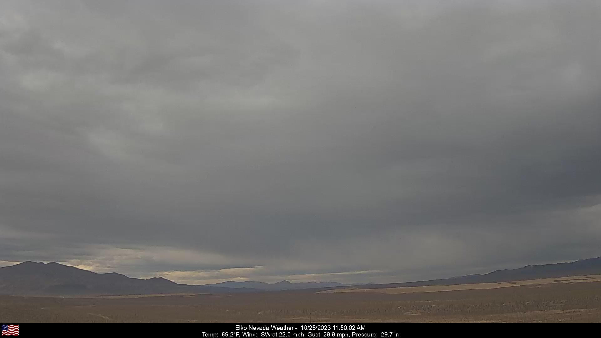
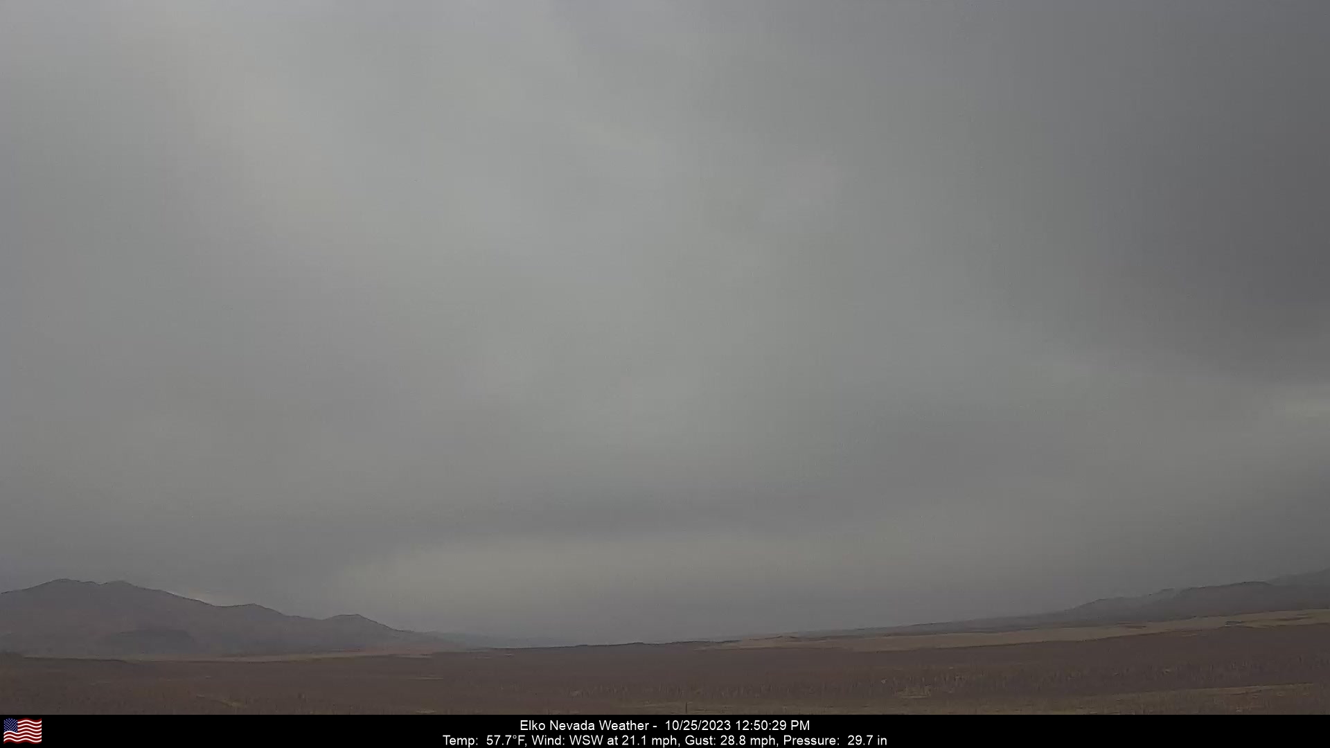
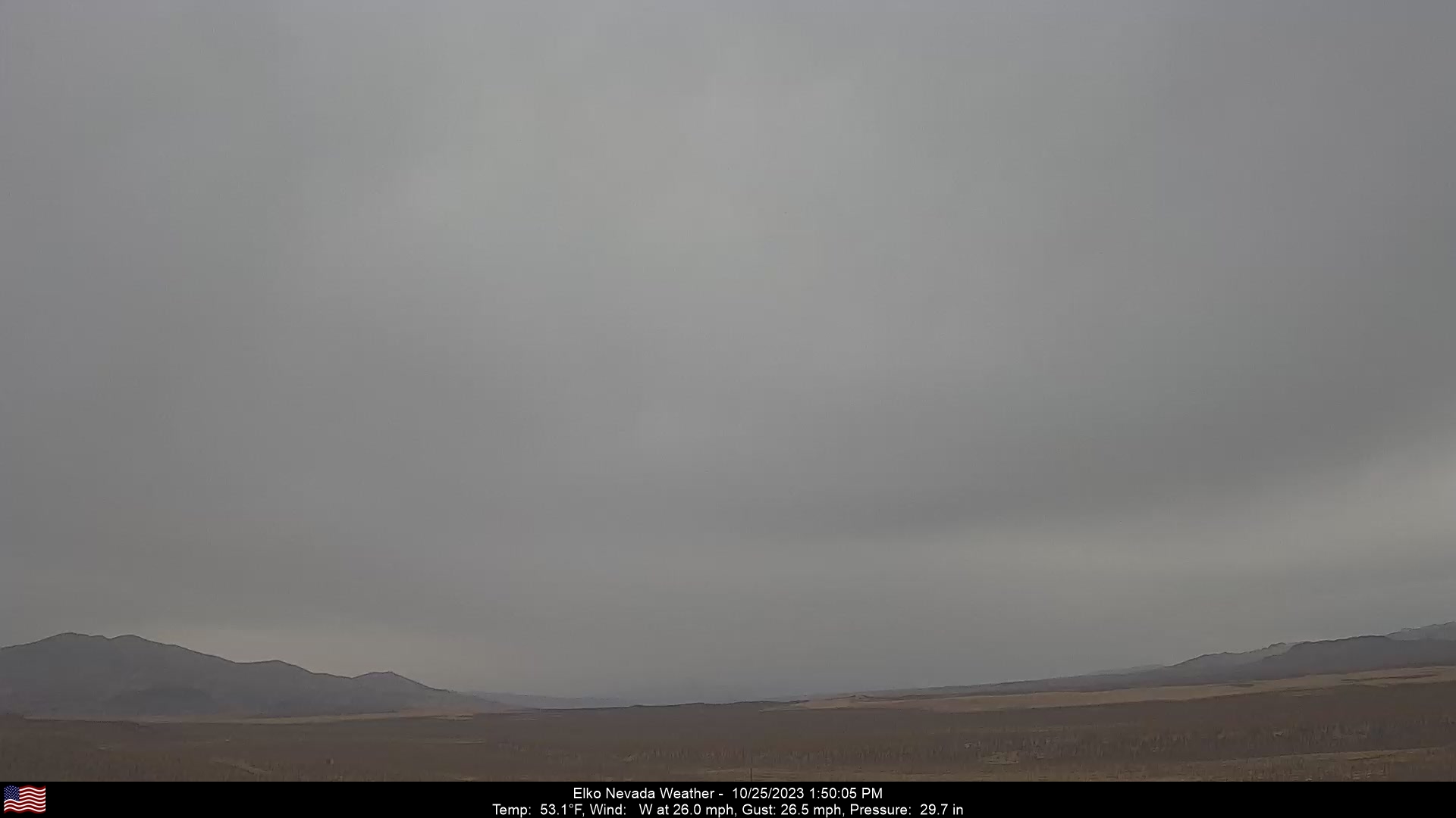
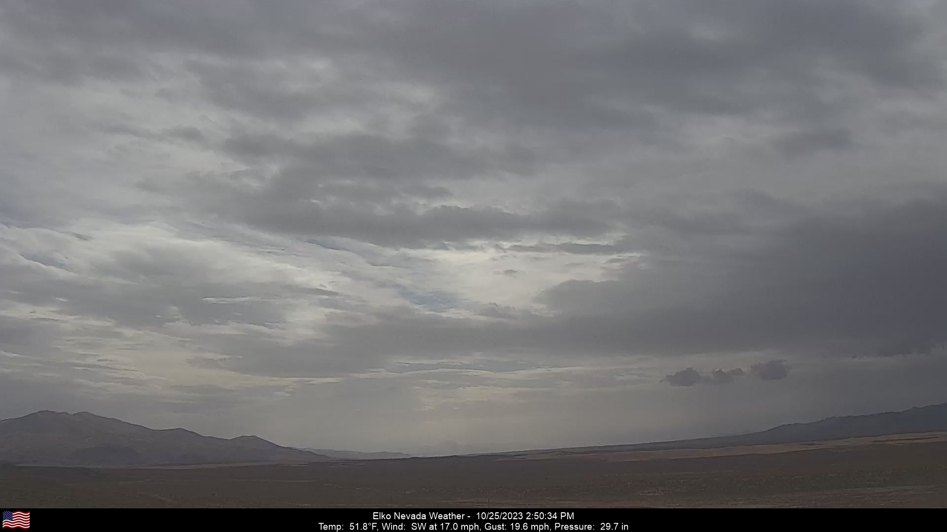
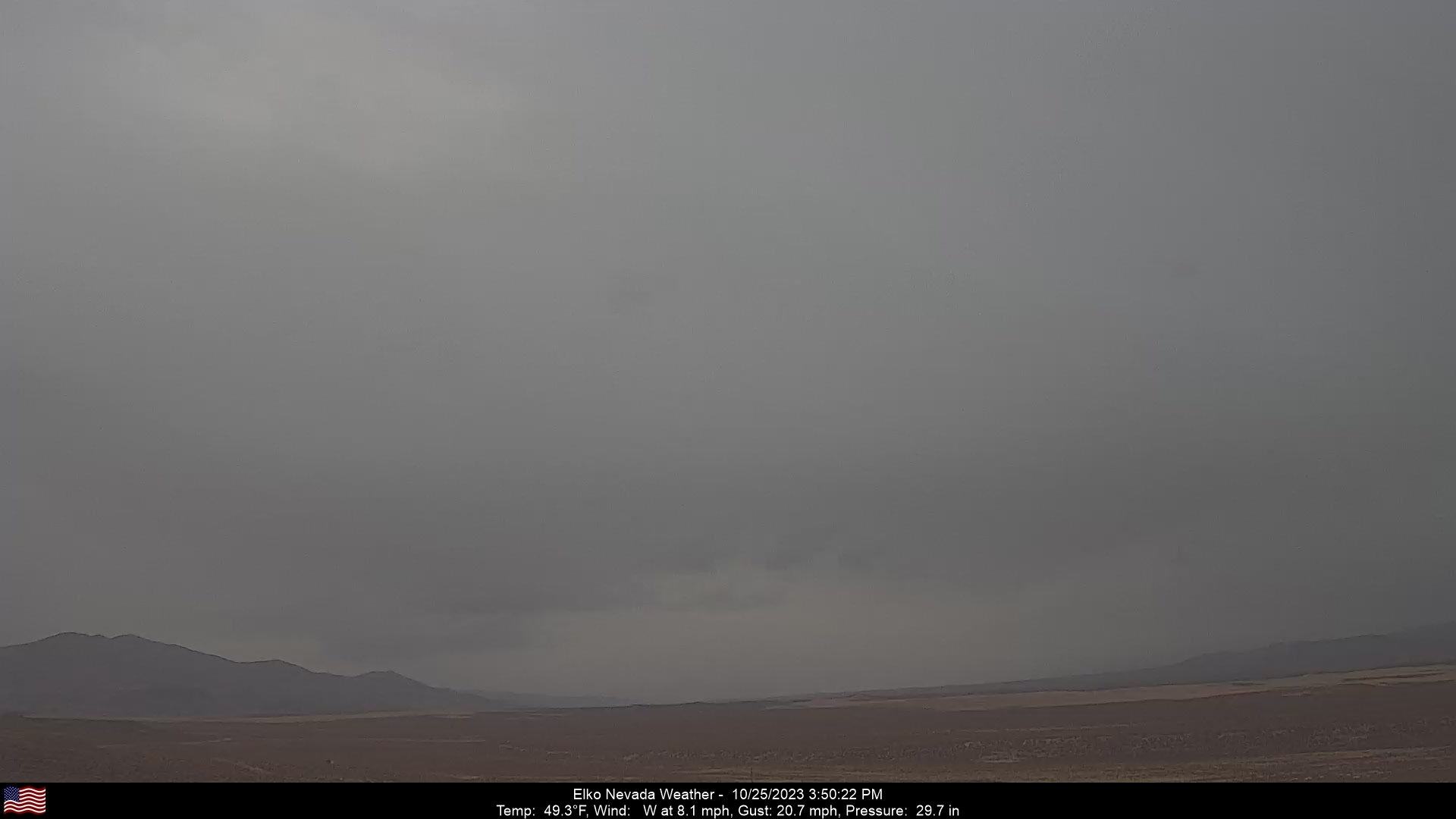
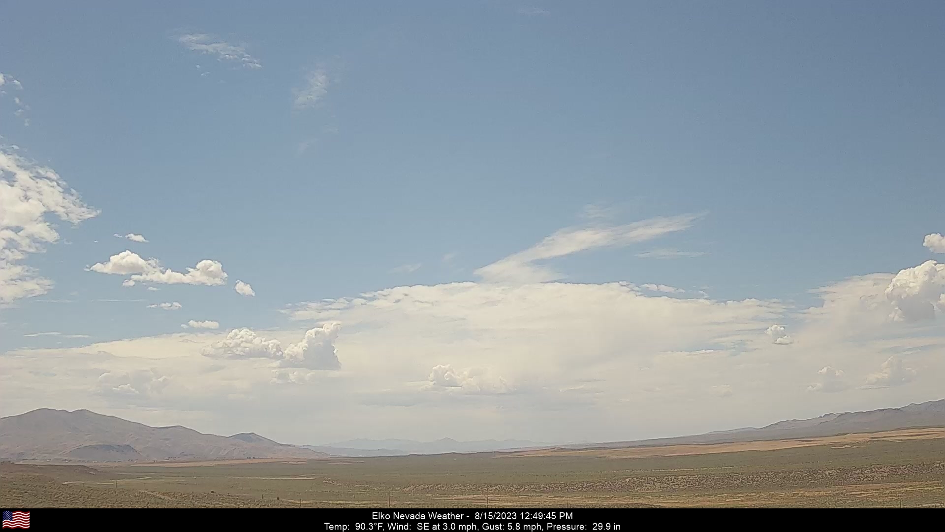
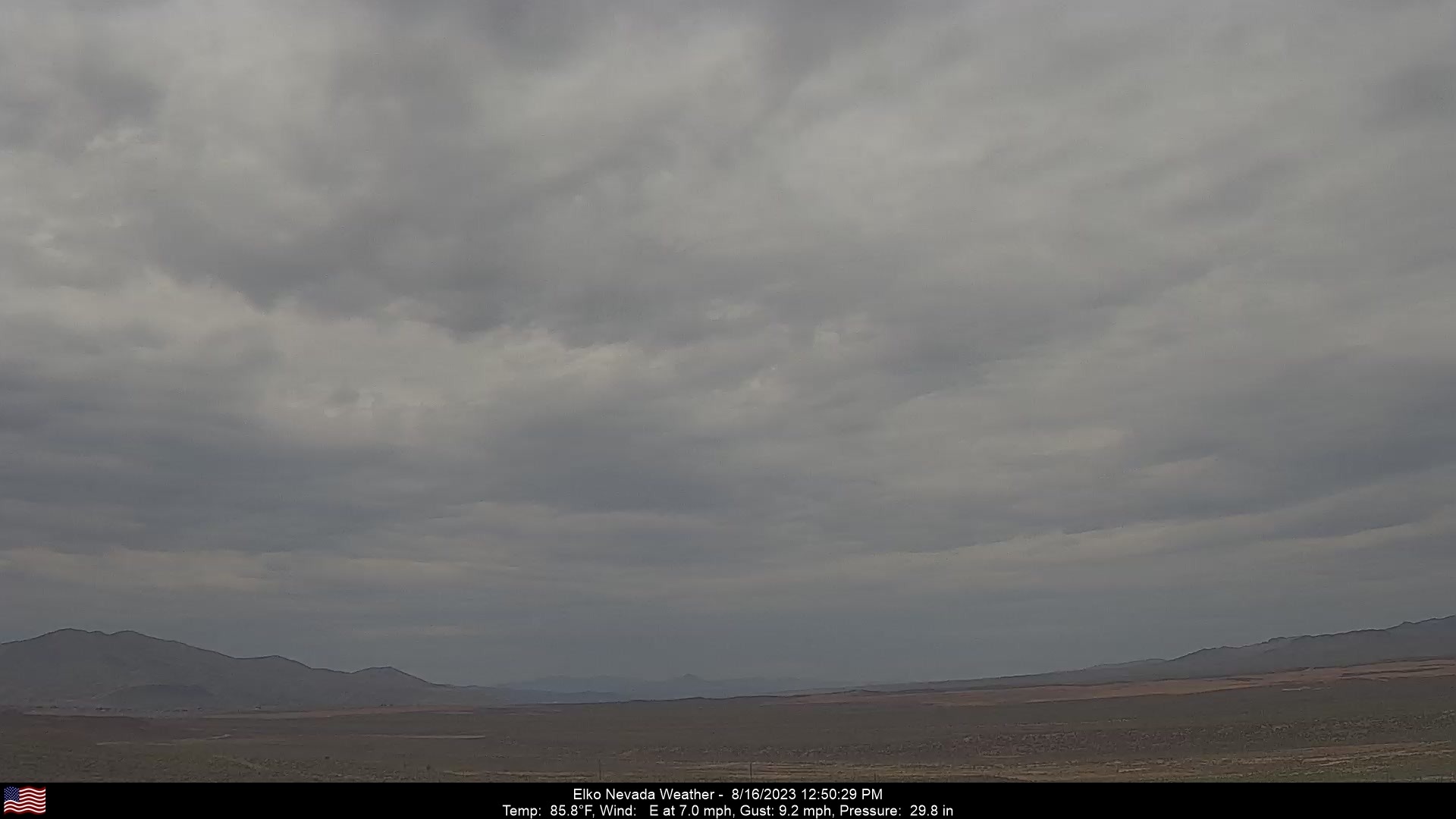
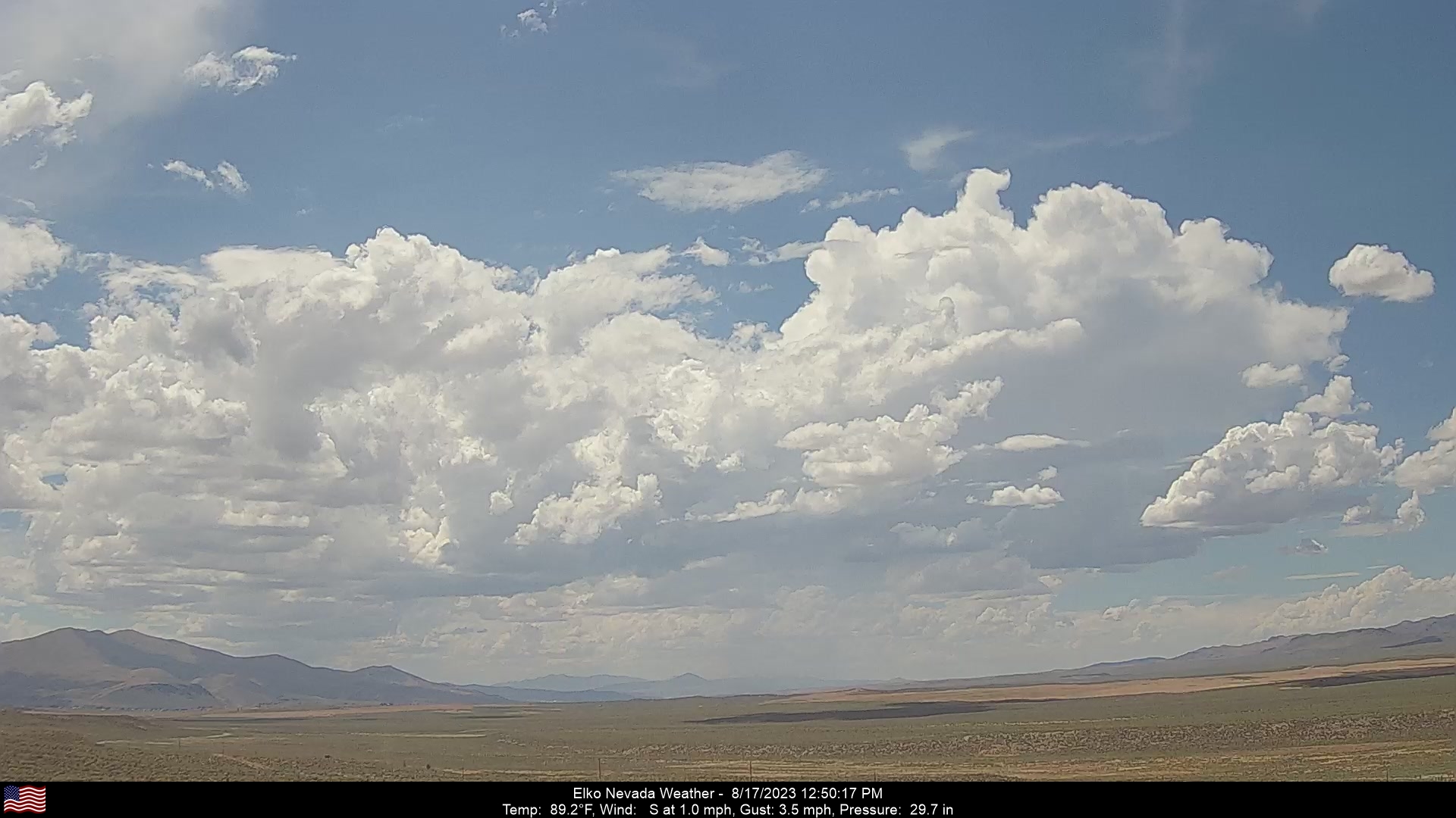
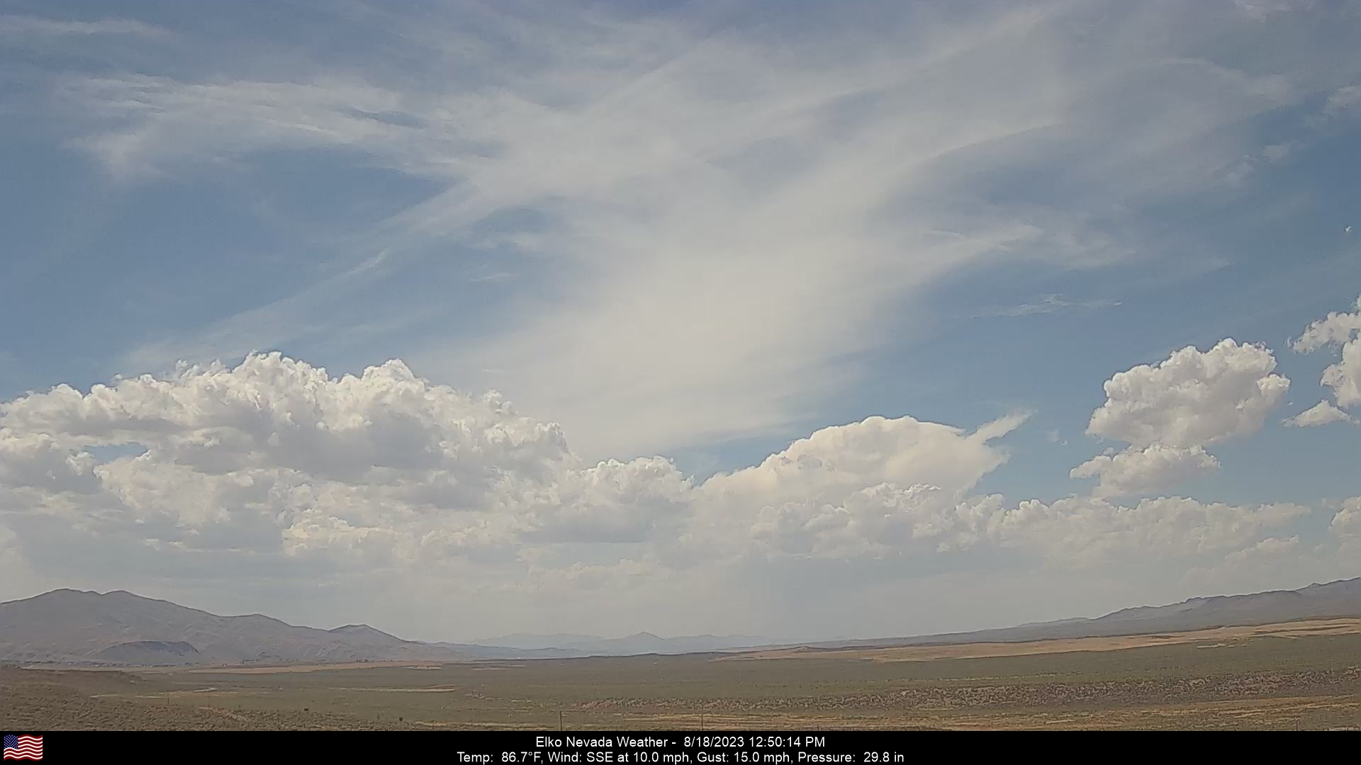
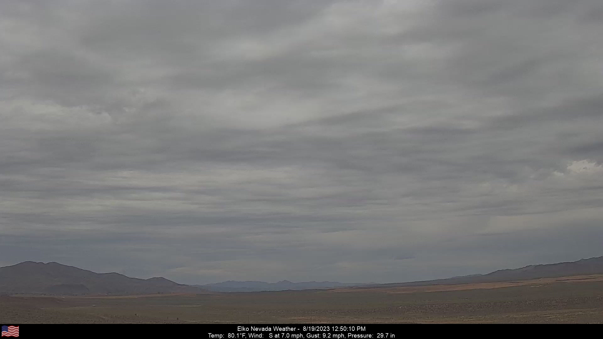
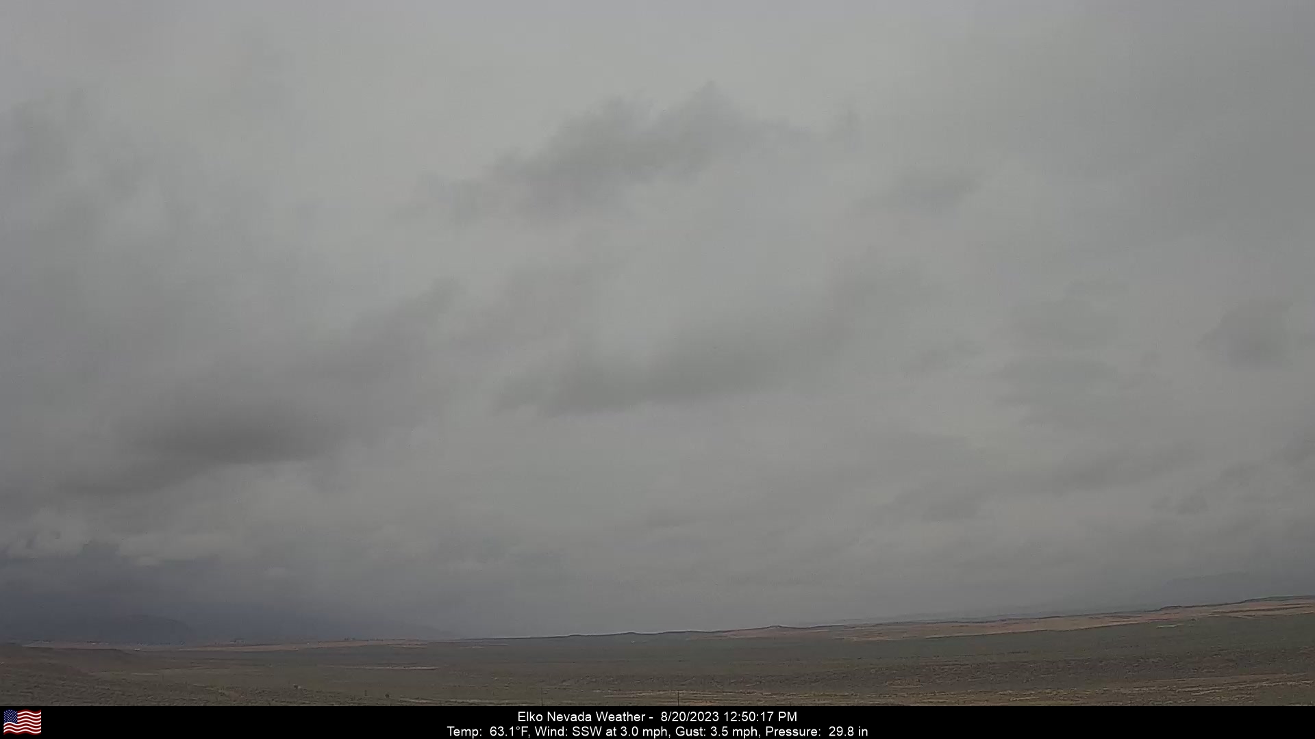
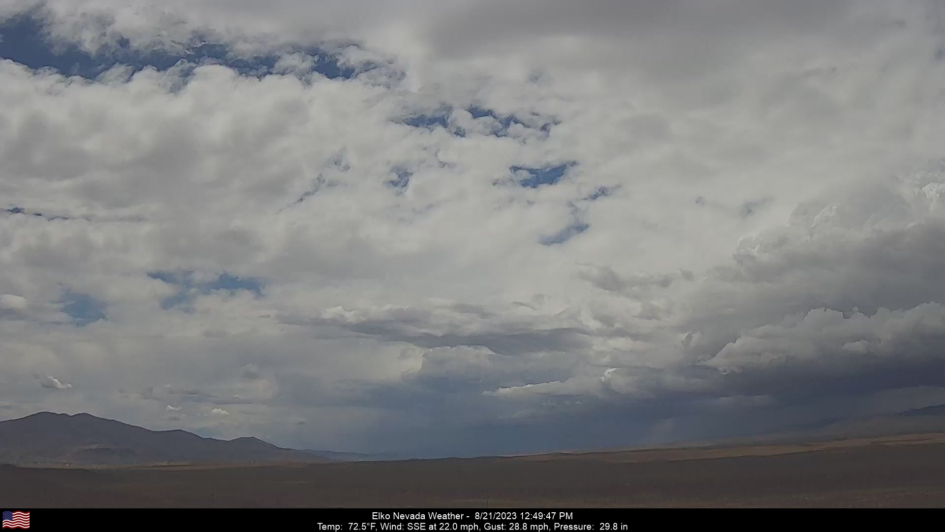
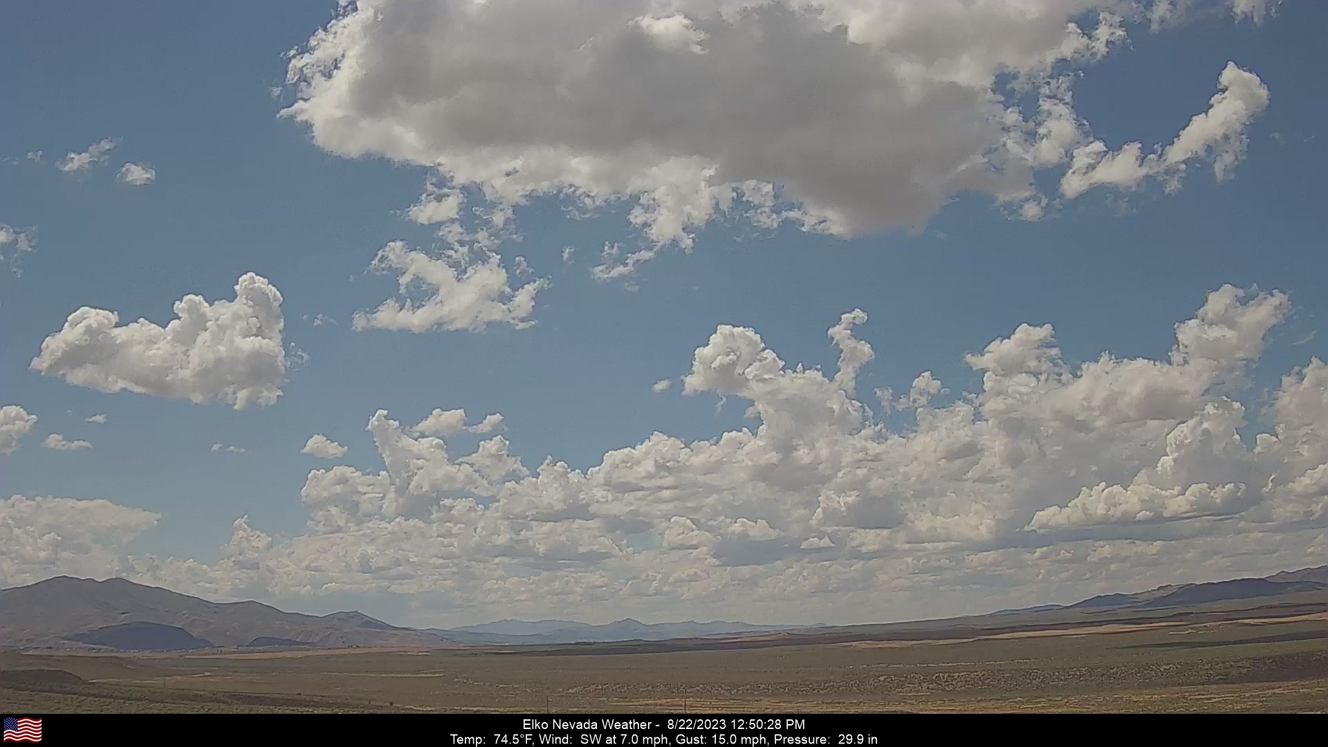
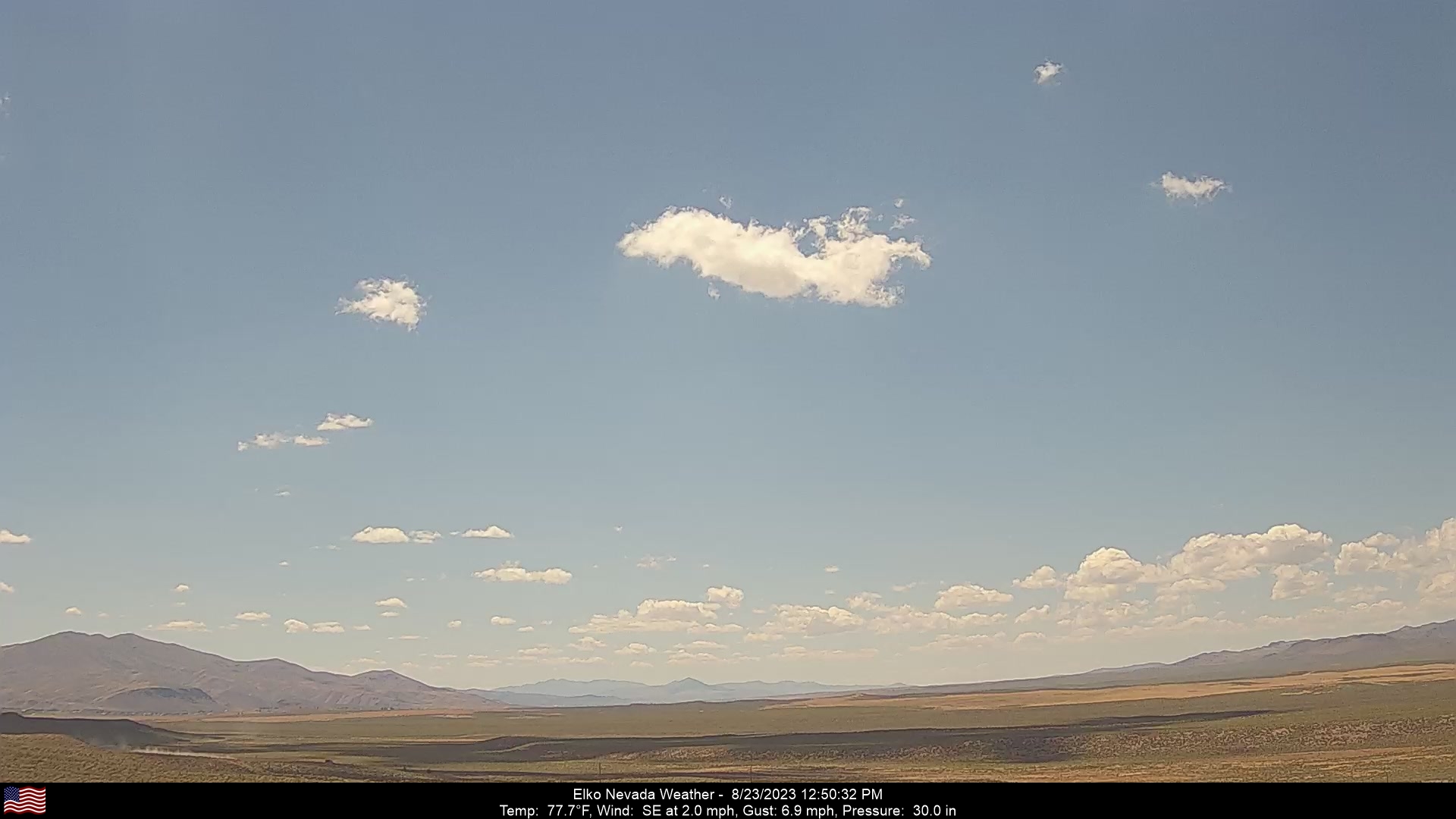
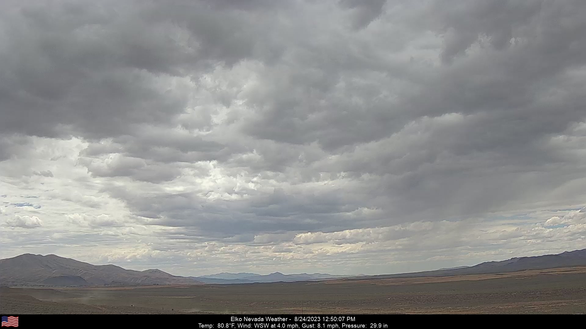
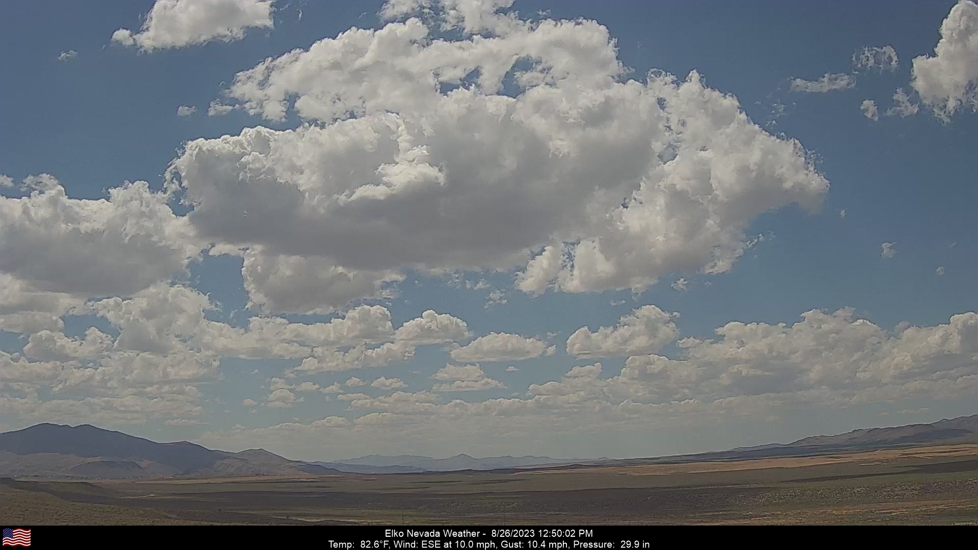
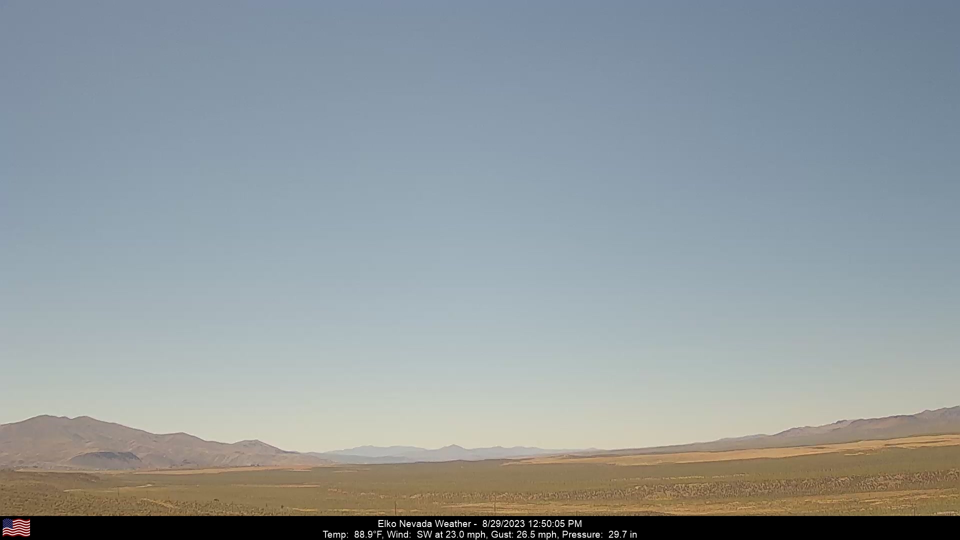
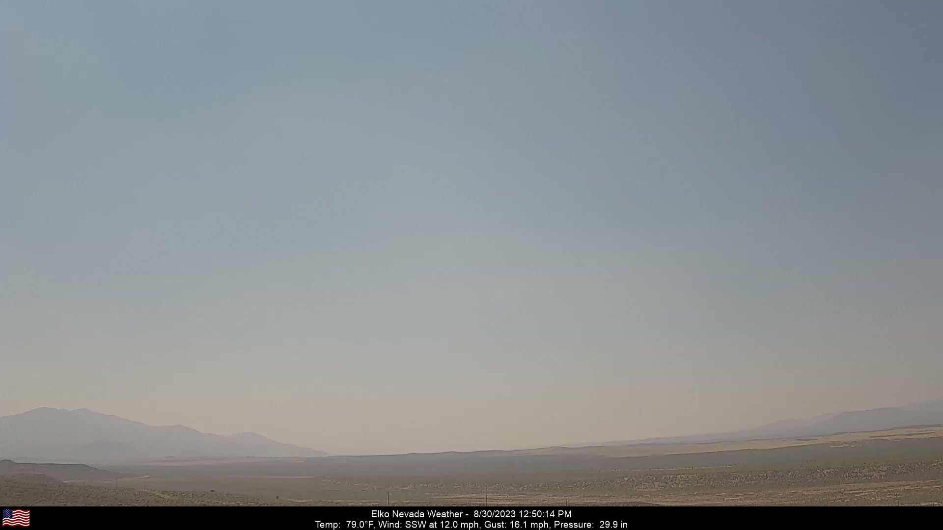
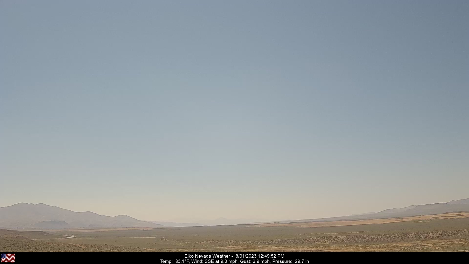
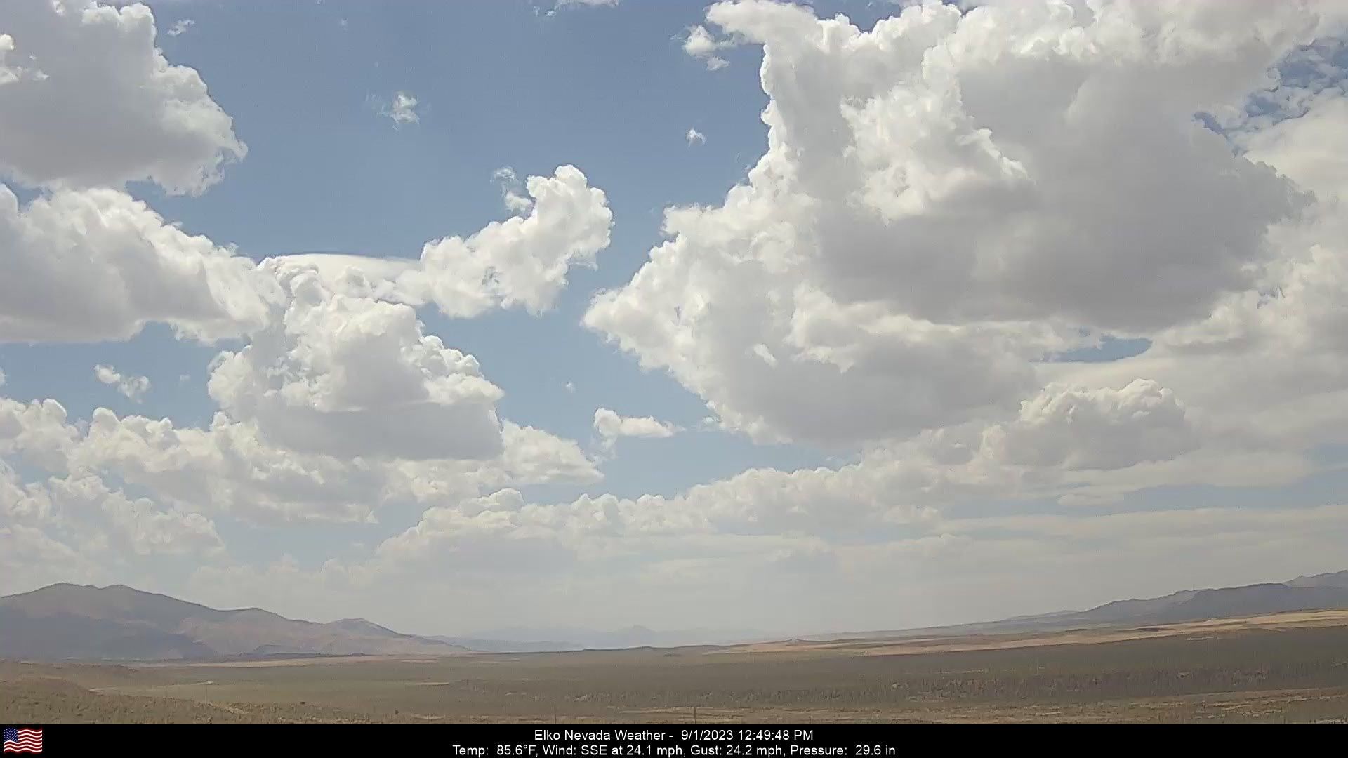
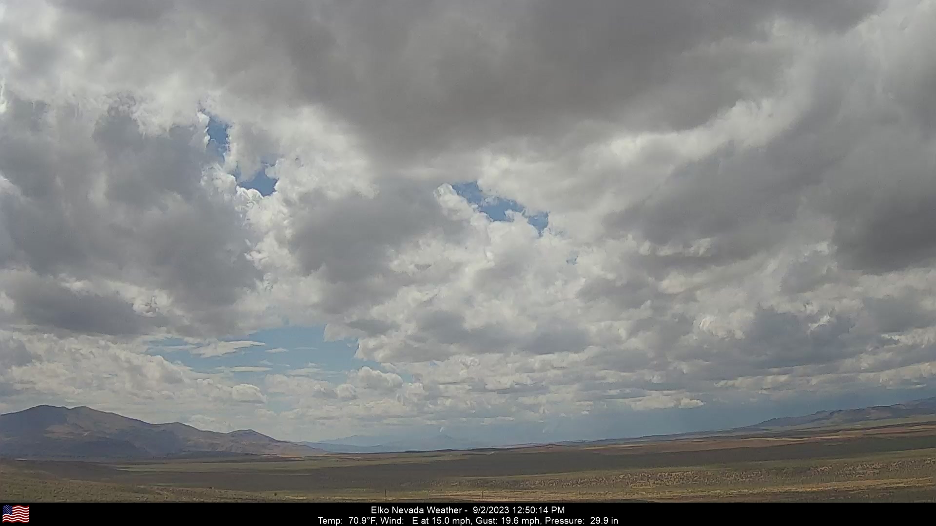
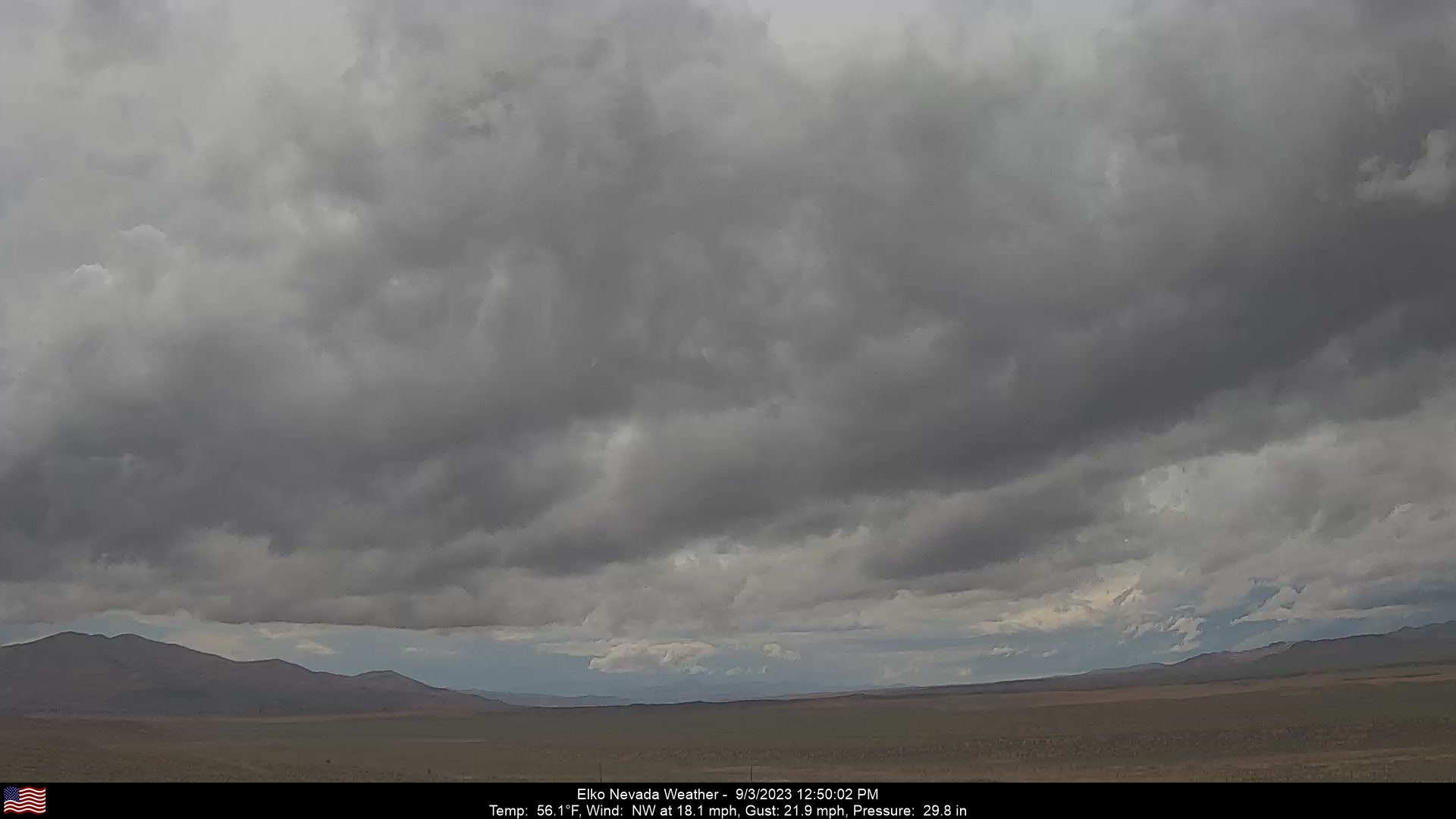
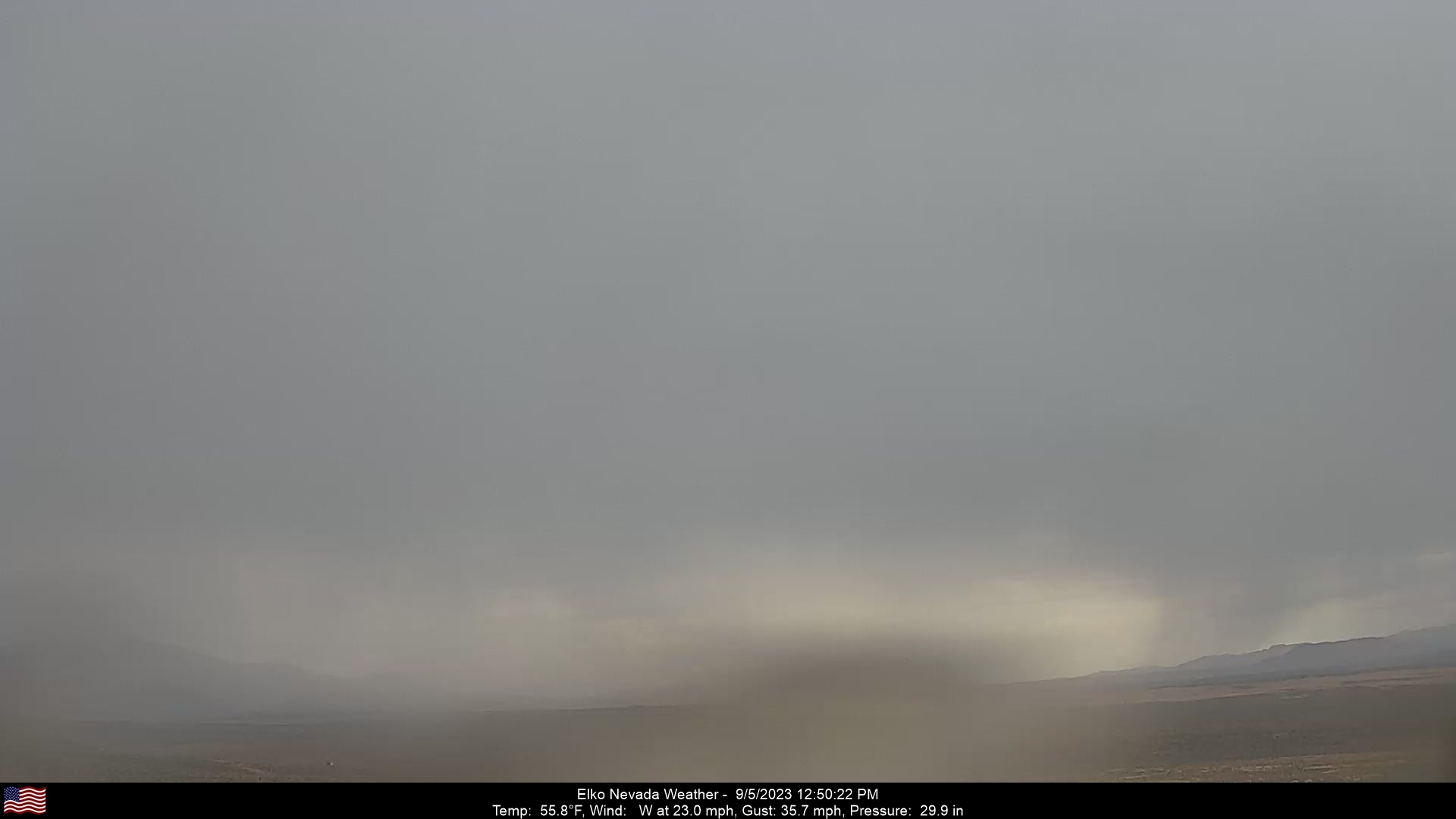
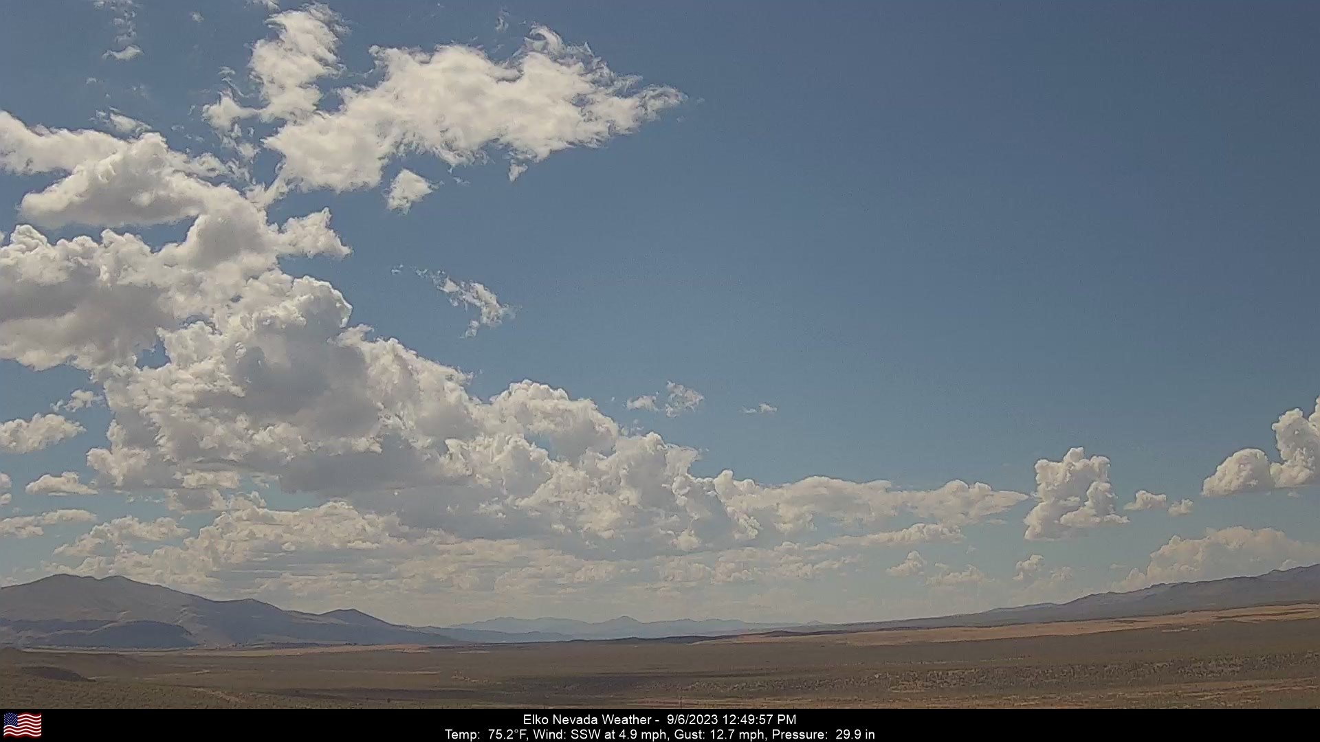
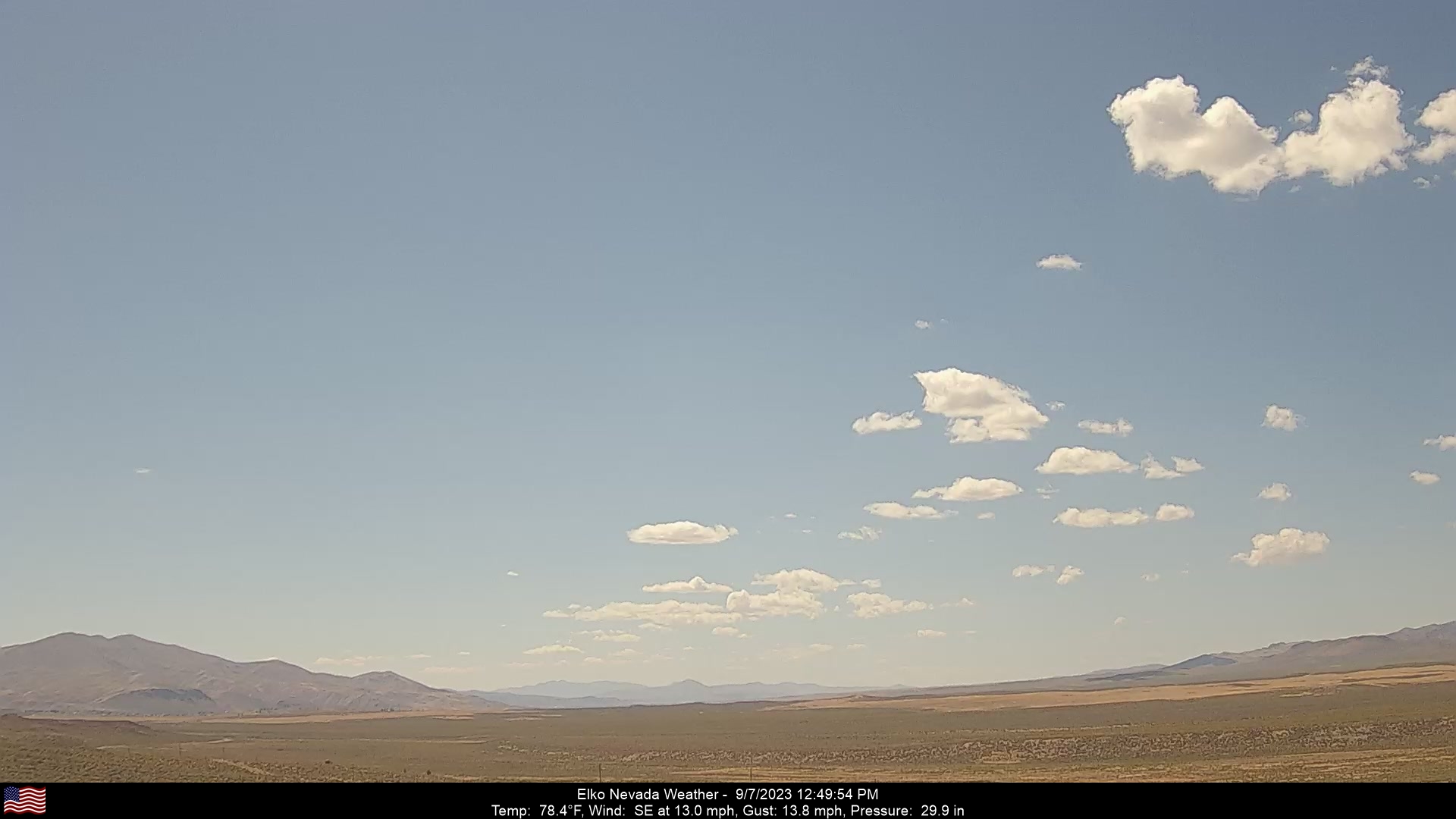
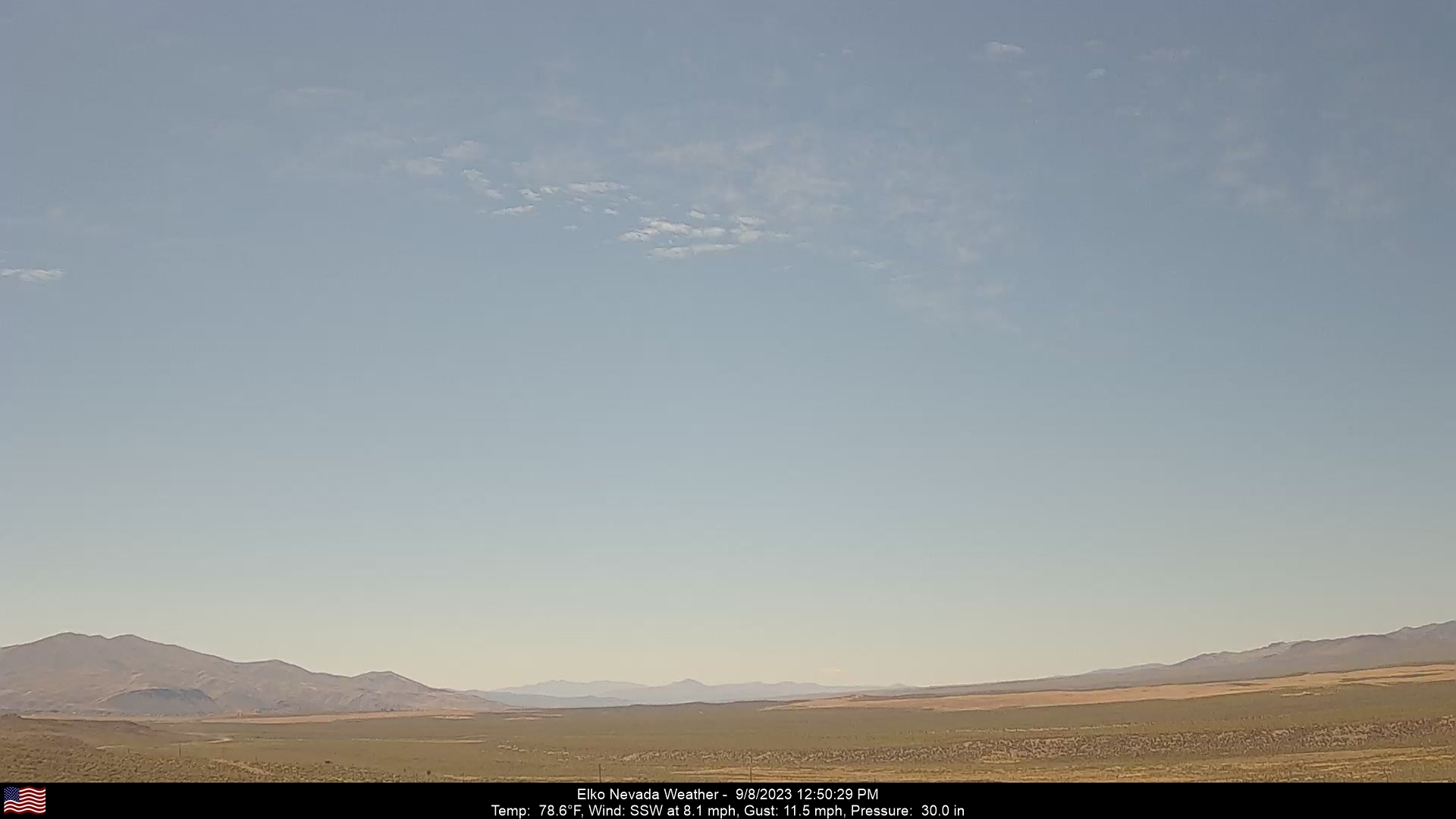
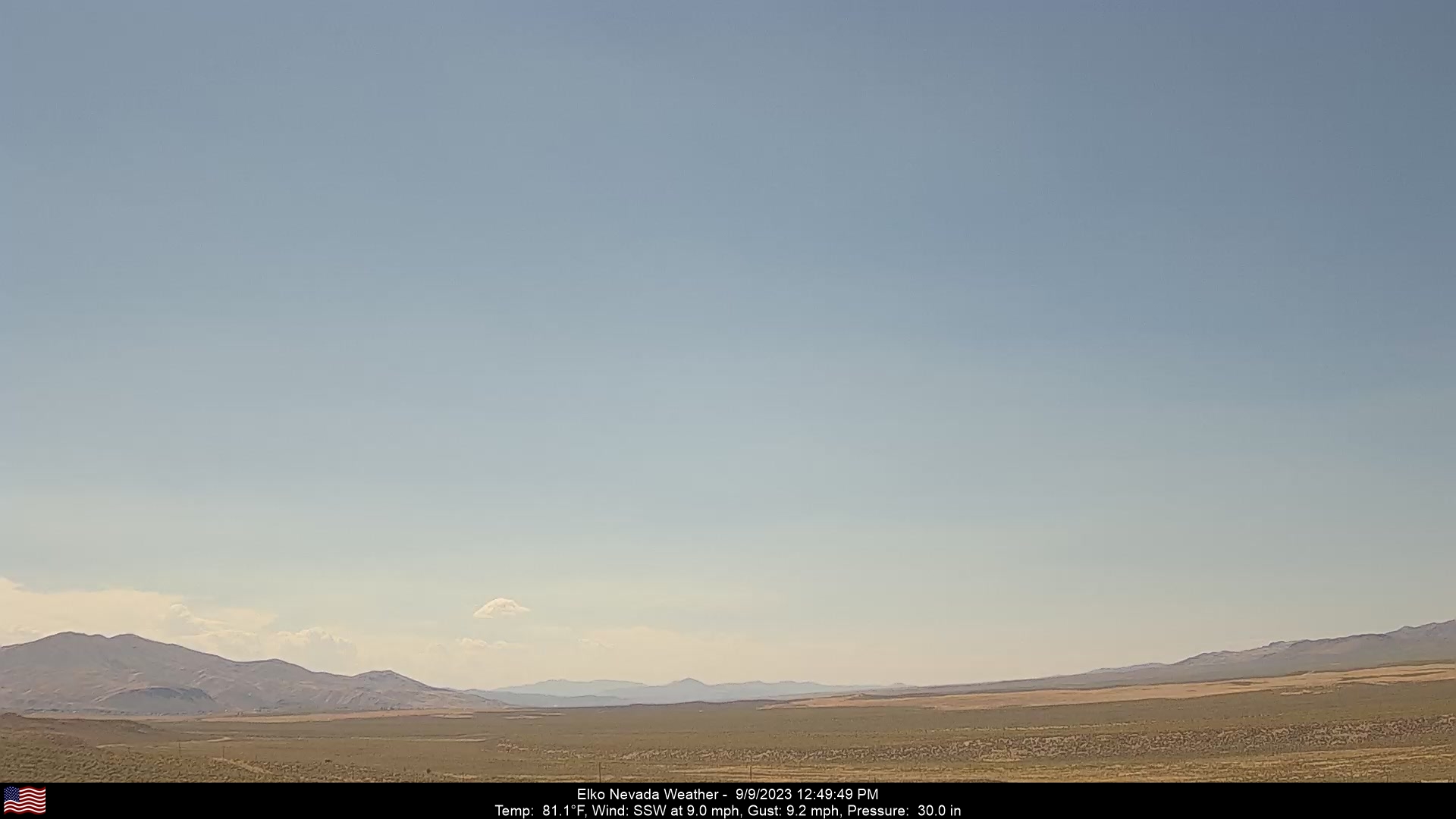
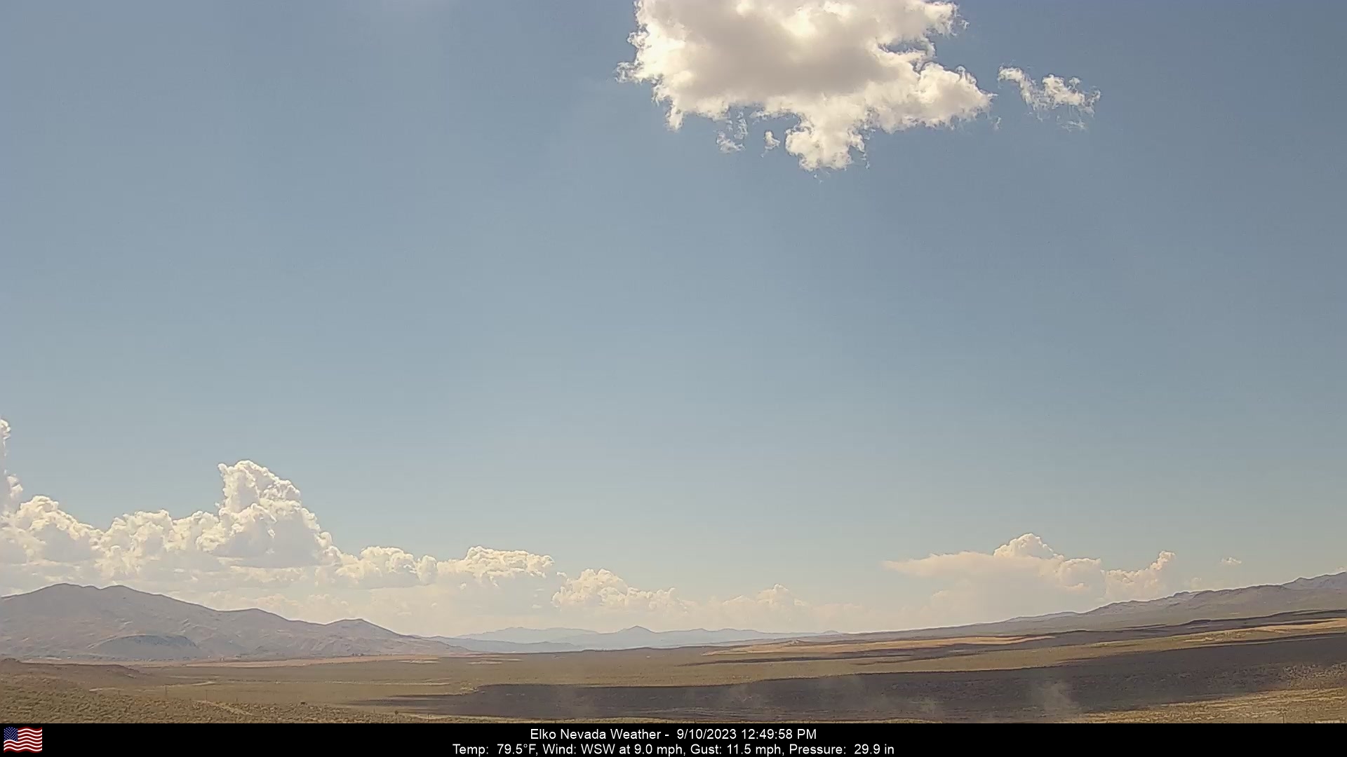
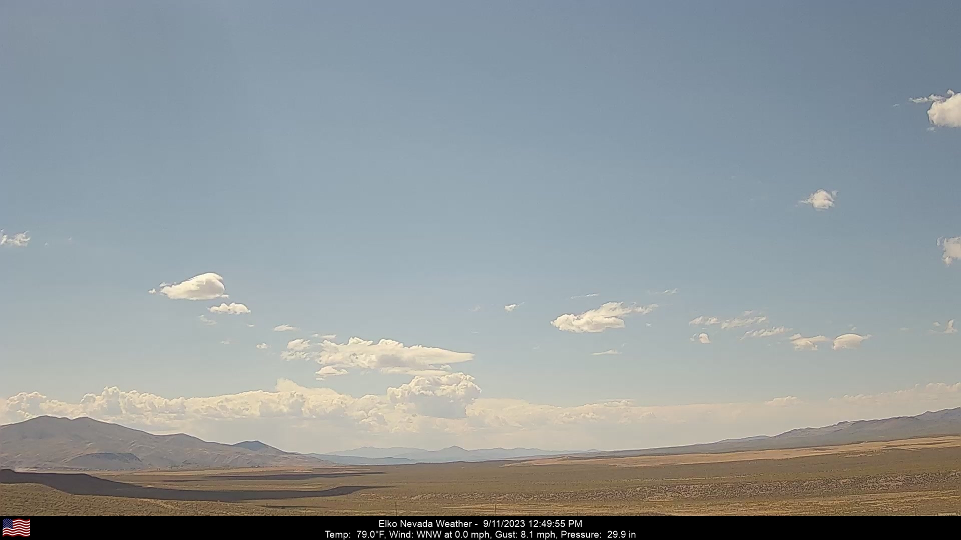
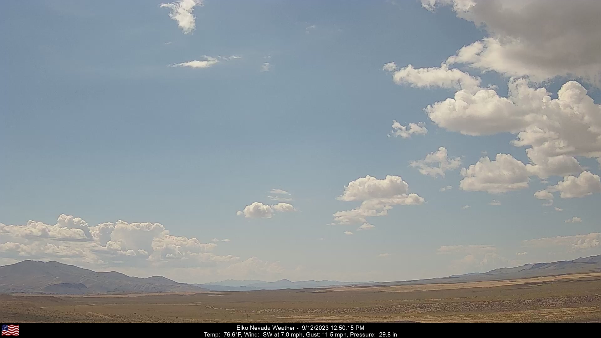
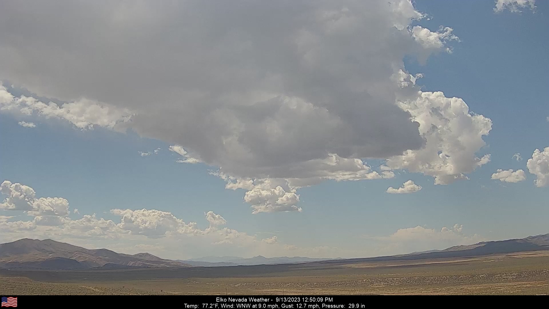
Elko, Nevada, USA - 190.5 miles from South Boise (historical): Elko Nevada Weather - A webcam in Elko, Nevada - Adobe Range, with current weather data.
Operator: Elko Nevada Weather & Store
Operator: Elko Nevada Weather & Store


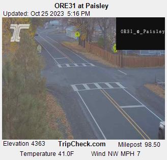
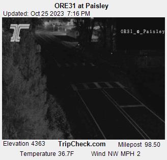
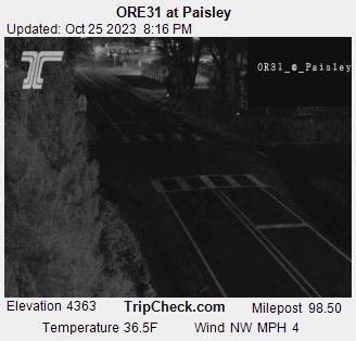
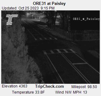
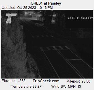
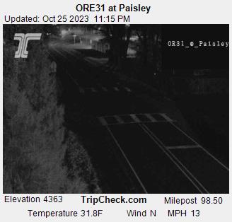
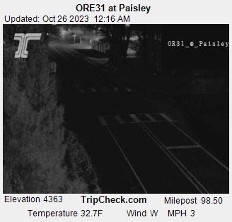
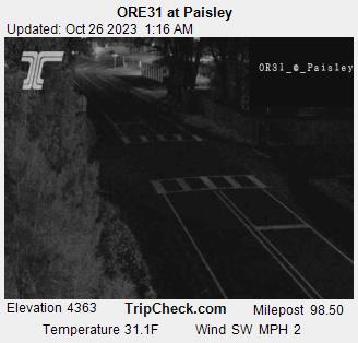
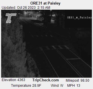
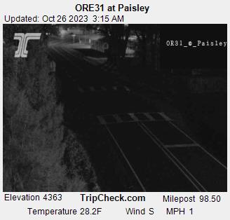
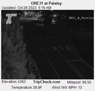
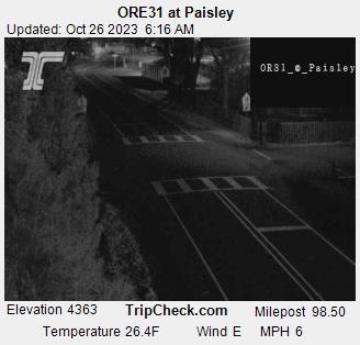
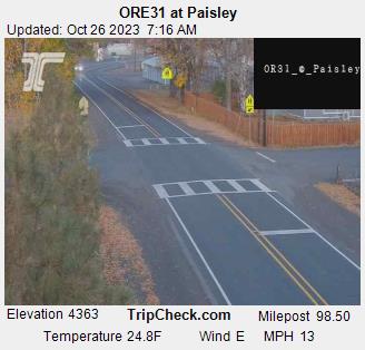
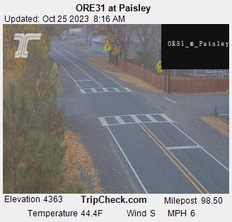
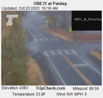
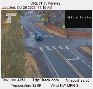
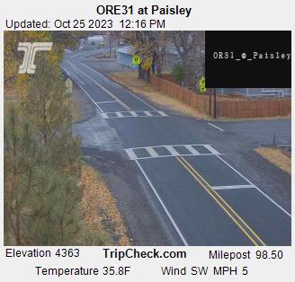
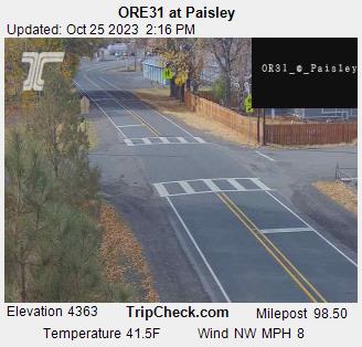
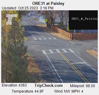
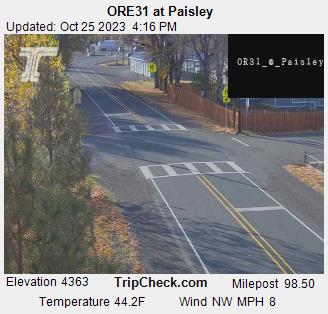
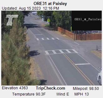
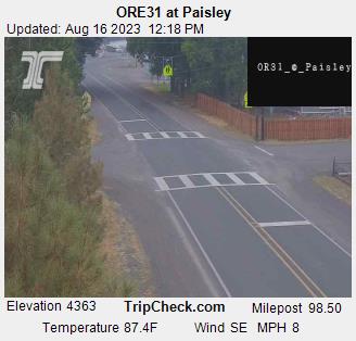
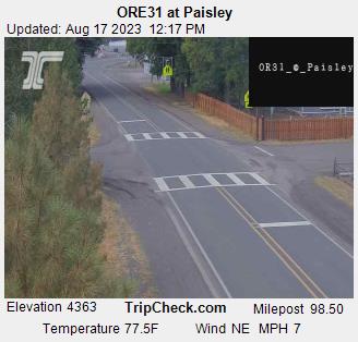
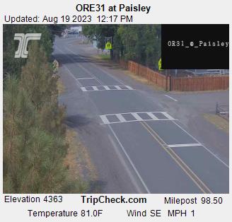
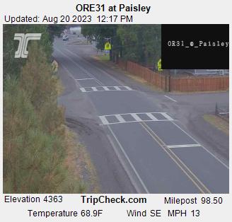
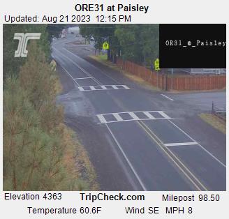
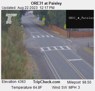
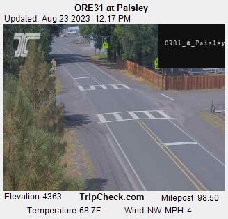
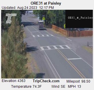
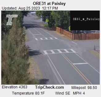
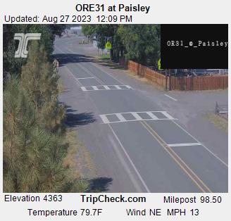
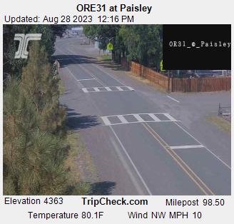
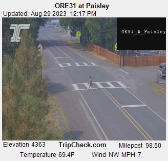
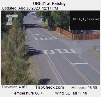
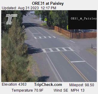
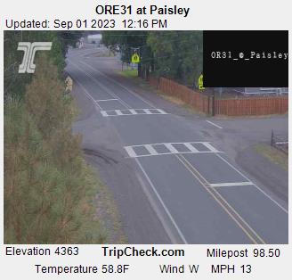
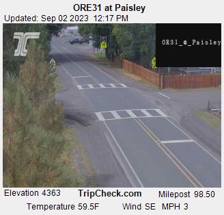
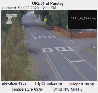
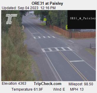
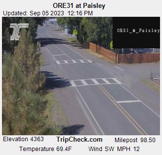
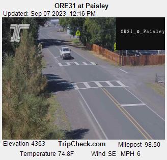
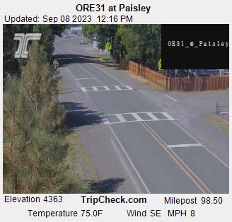
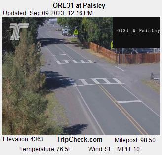
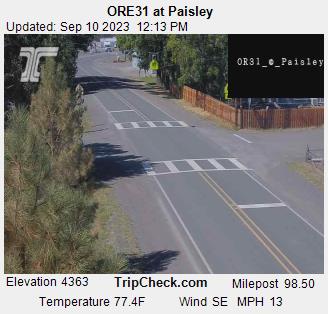
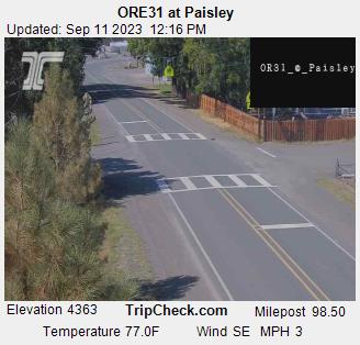
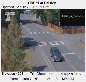
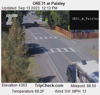
Paisley, Oregon, USA - 229 miles from South Boise (historical): ORE31 at Paisley - A view of the current traffic situation on the ORE31.
Operator: Oregon Department of Transportation
Operator: Oregon Department of Transportation


Condon, Oregon, USA - 229 miles from South Boise (historical): Condon High School - A view in southern direction.
Operator: Condon Schools
Operator: Condon Schools


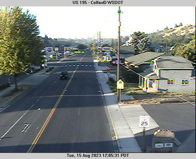
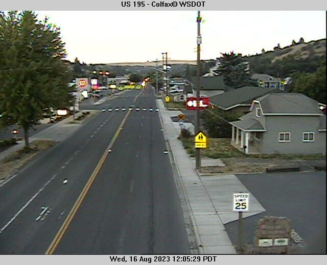
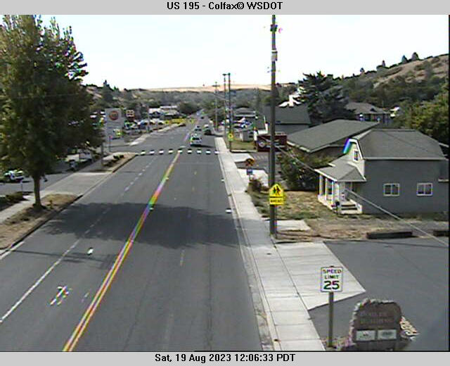
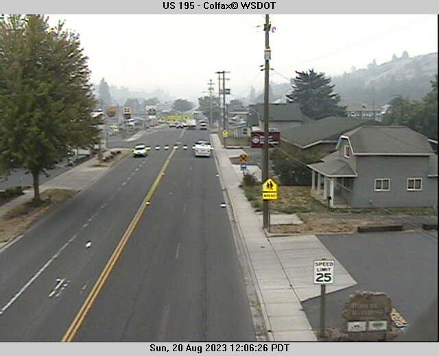
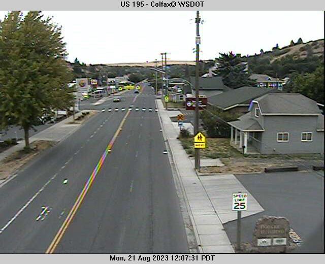
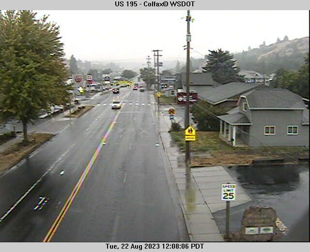
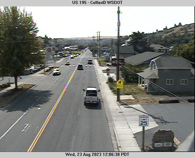
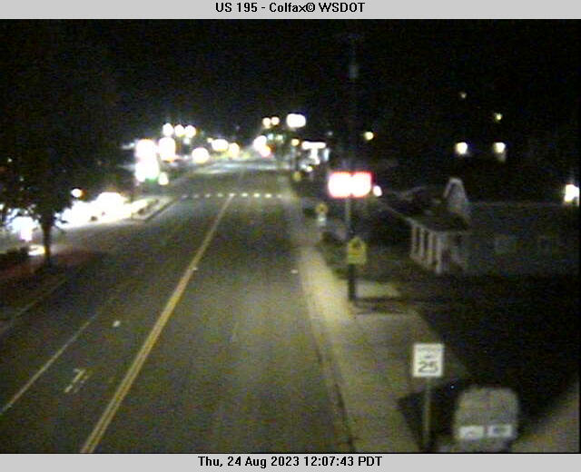
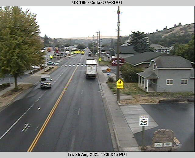
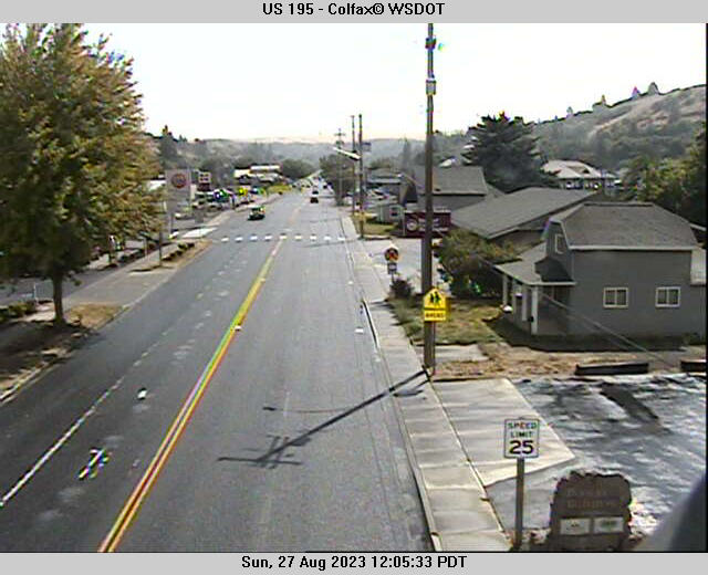
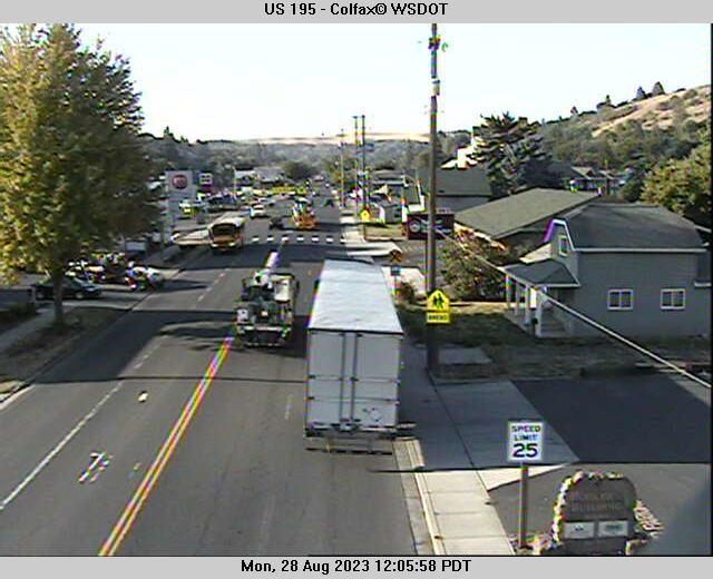
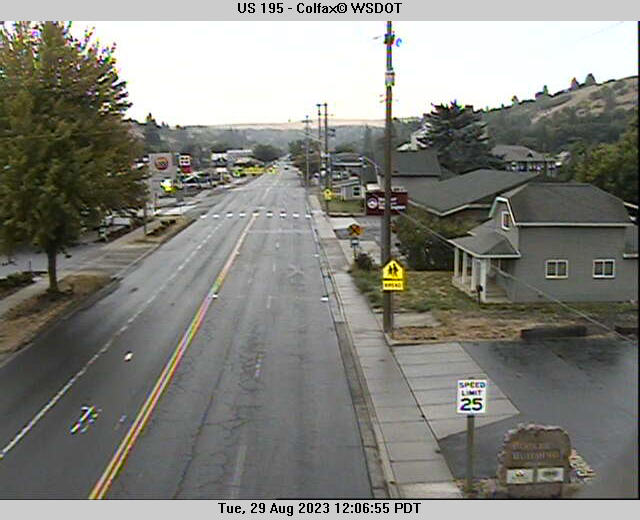
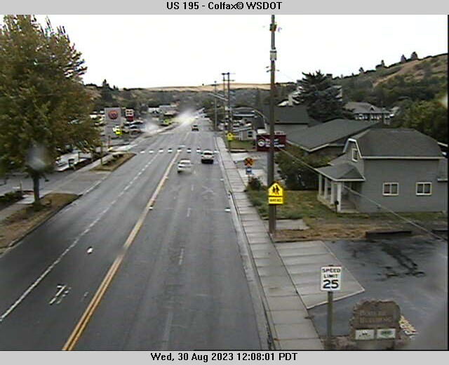
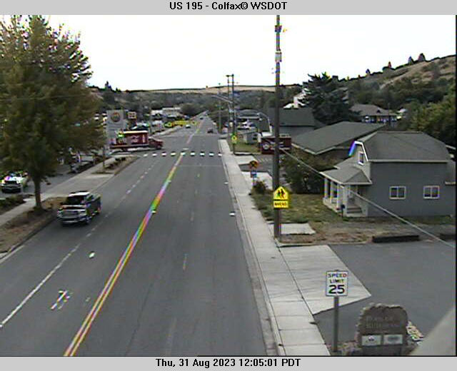
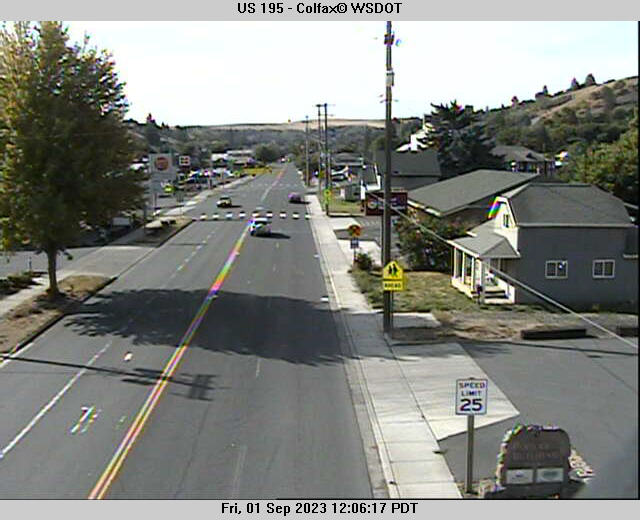
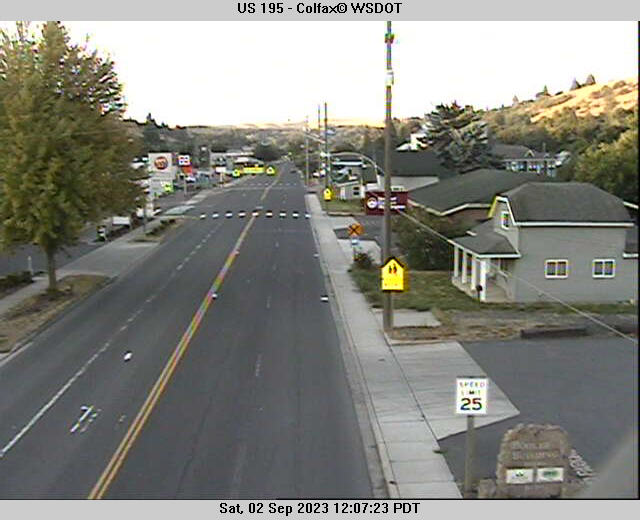
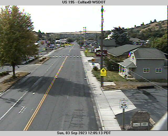
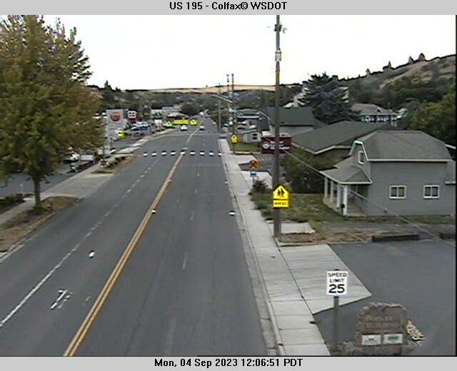
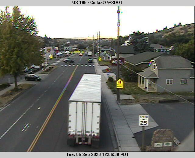
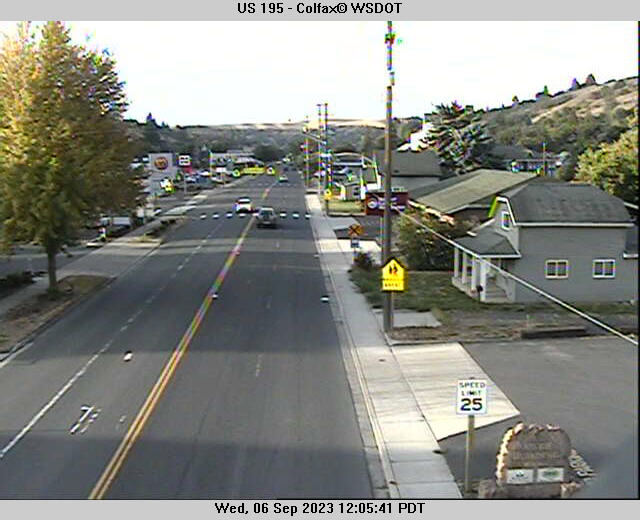
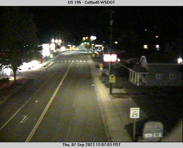
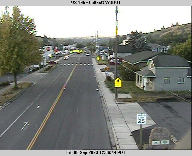
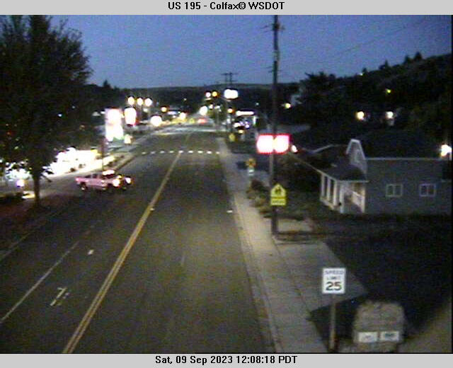
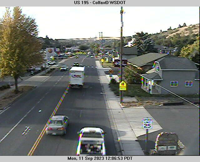
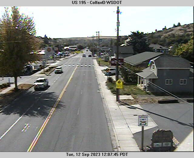
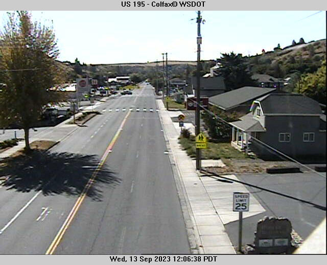
Colfax, Washington, USA - 235.6 miles from South Boise (historical): US 195 - Colfax - A view of the current traffic situation.
Operator: WSDOT
Operator: WSDOT


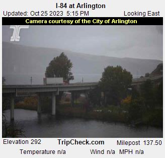
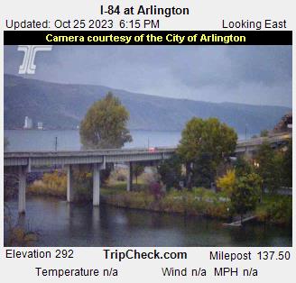
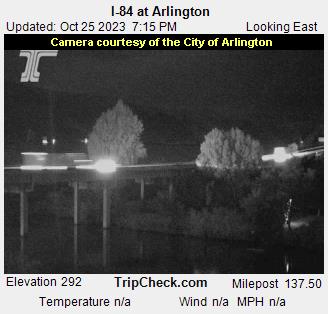
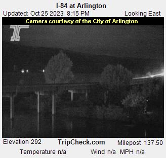
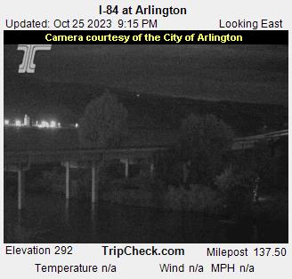
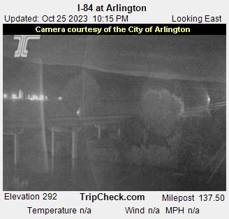
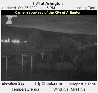
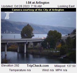
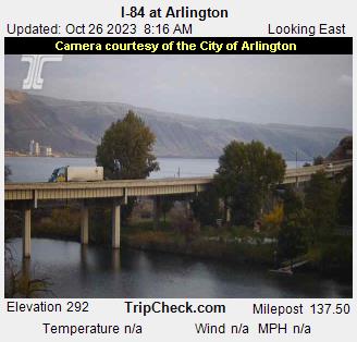
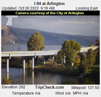
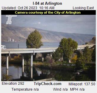
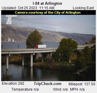
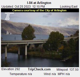
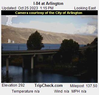
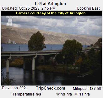
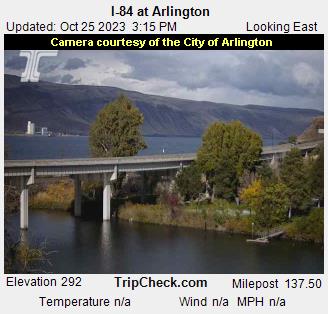
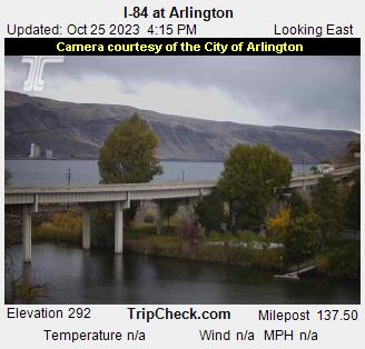
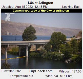
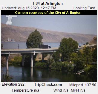
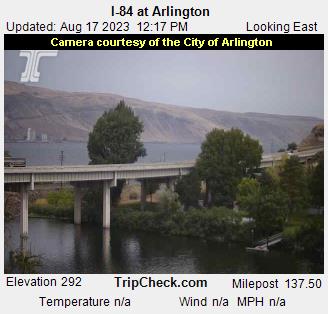
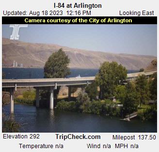
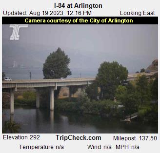
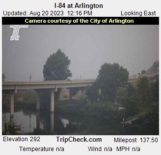
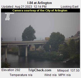
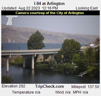
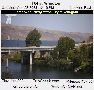
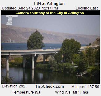
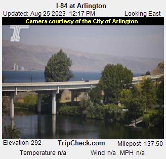
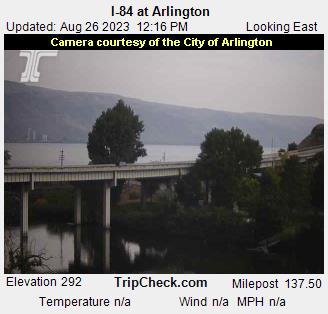
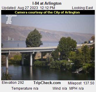
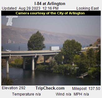
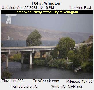
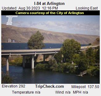
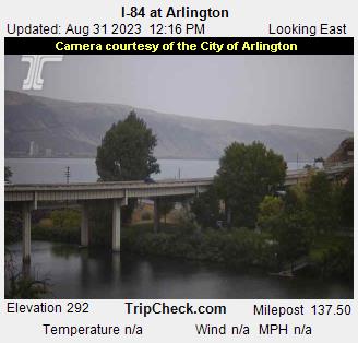
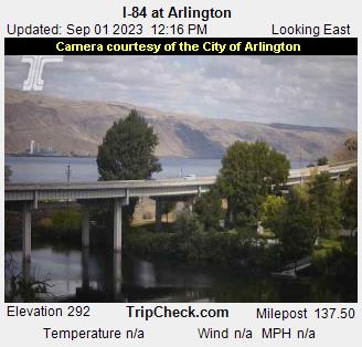
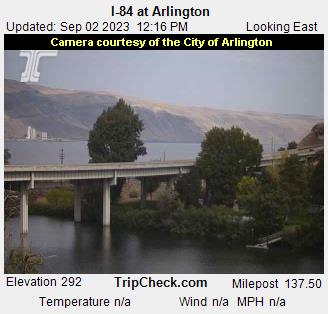
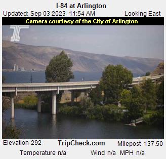
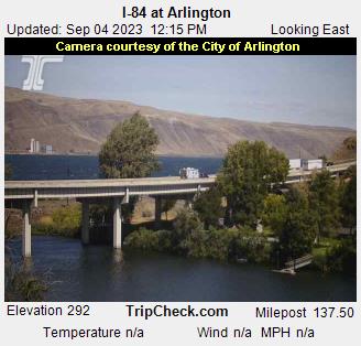
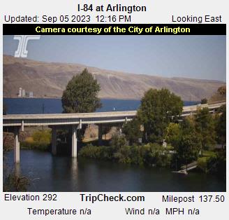
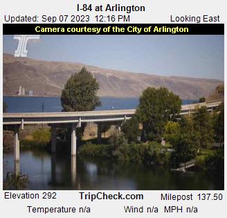
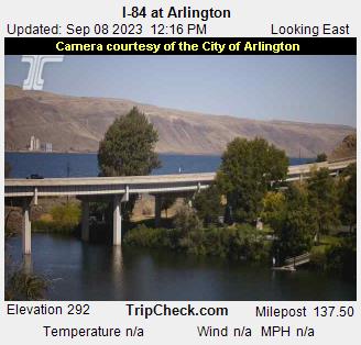
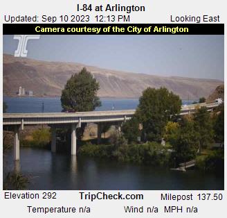
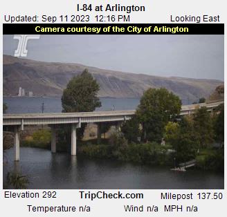
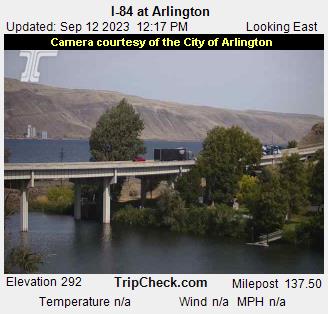
Arlington, Oregon, USA - 247.3 miles from South Boise (historical): I-84 at Arlington - A view of the current traffic situation on the I-84.
Operator: Oregon Department of Transportation
Operator: Oregon Department of Transportation


Some other places in this country: Riverside (historical) - Sweet Sage (historical) - Sunset (historical) - The String - Slocum - Slabtown - Silver Star - Sarilda - Salubria - Tyson Creek Station