Webcams in the region of Cherrylane, Idaho, USA
The List of Webcams near Cherrylane, Idaho, USA:

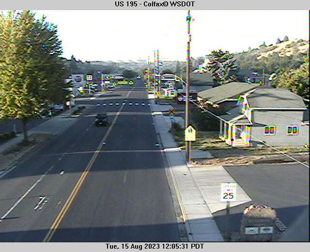
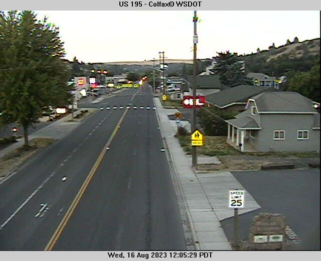
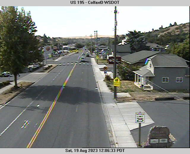
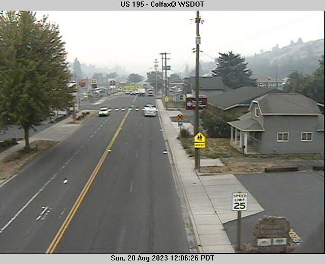
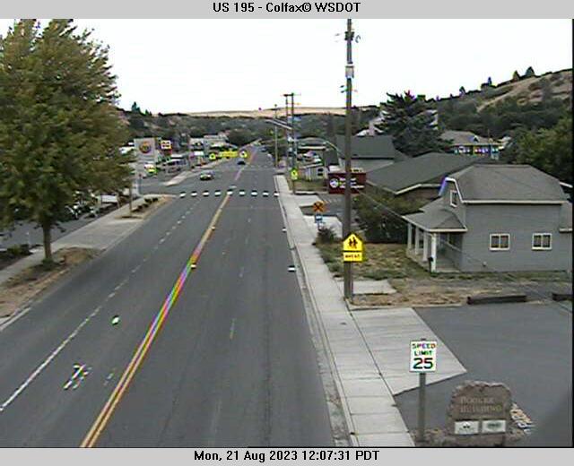
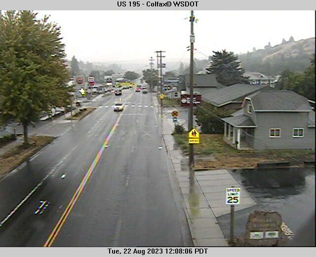
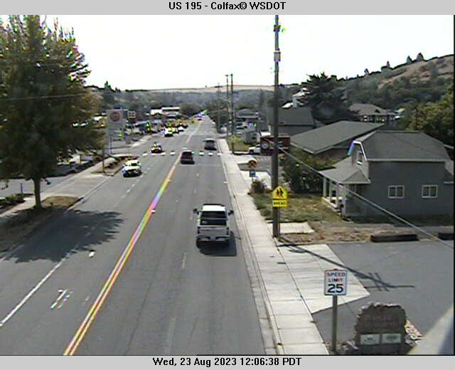
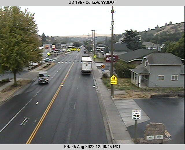
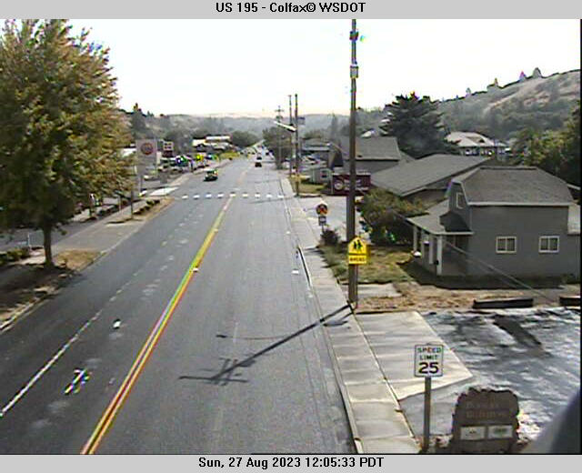
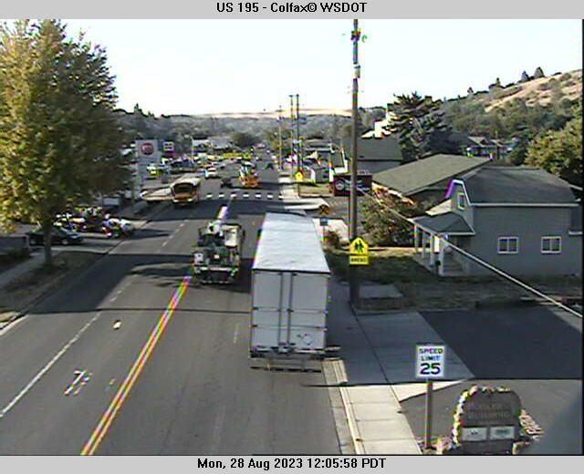
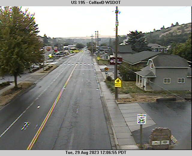
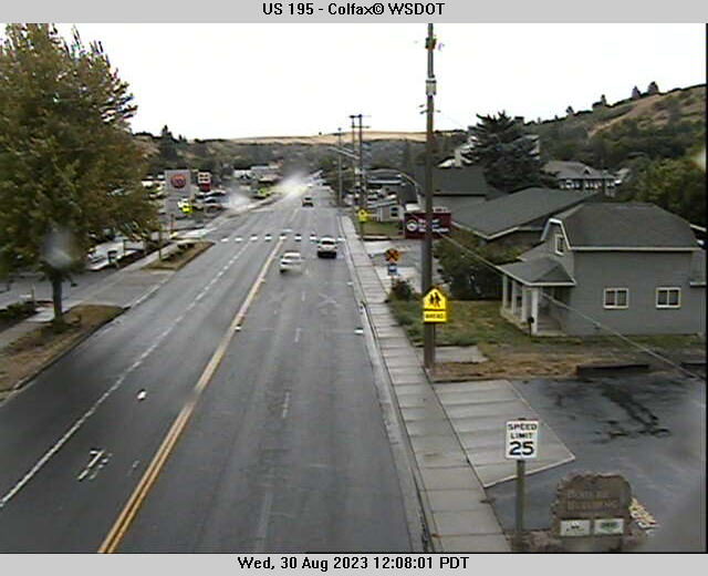
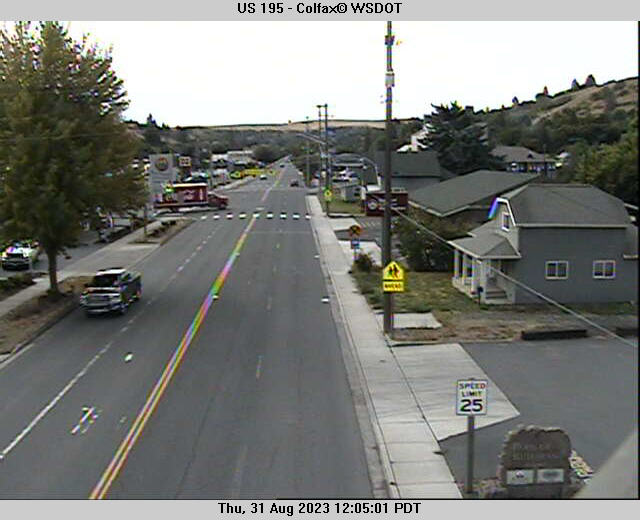
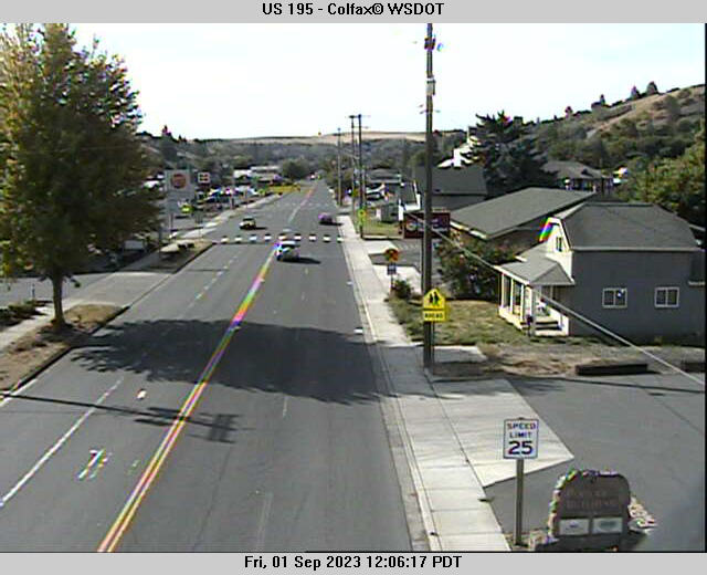
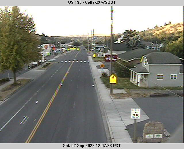
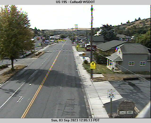
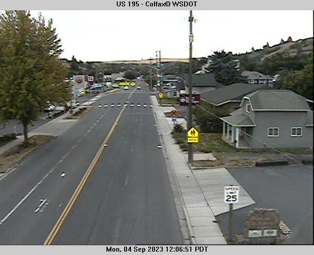
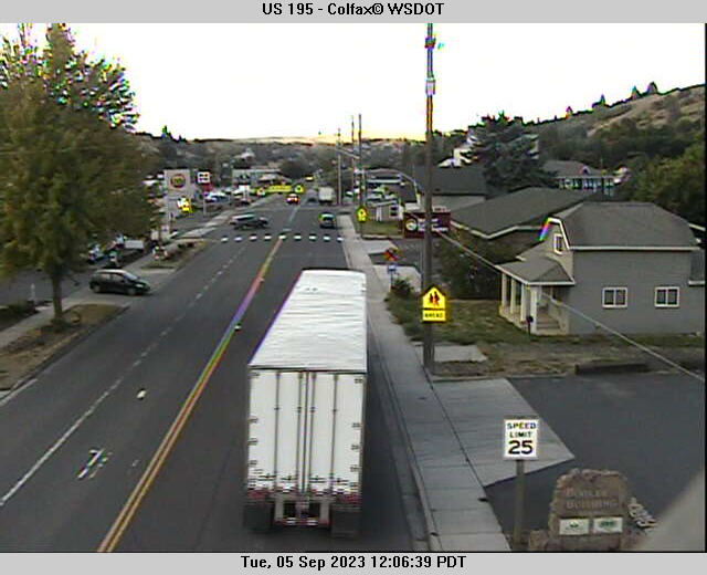
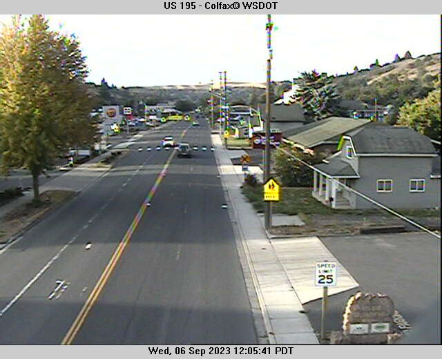
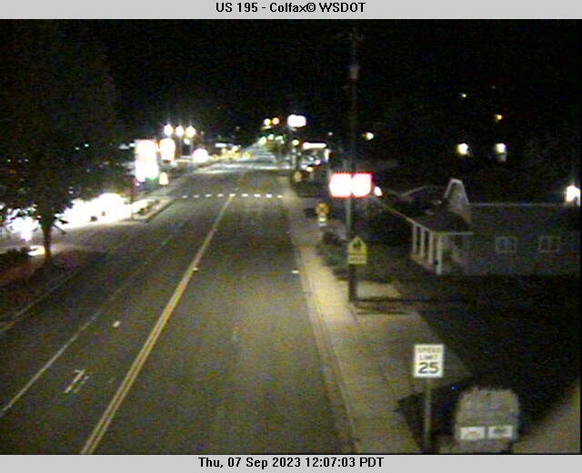
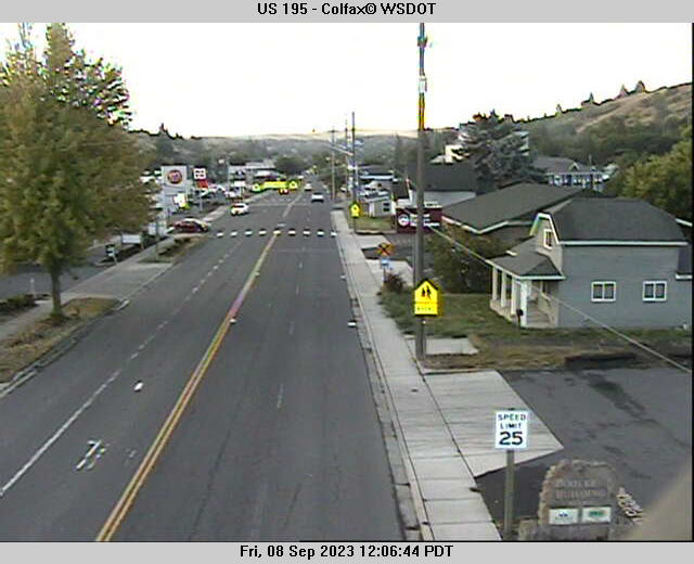
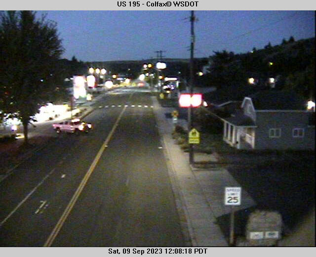
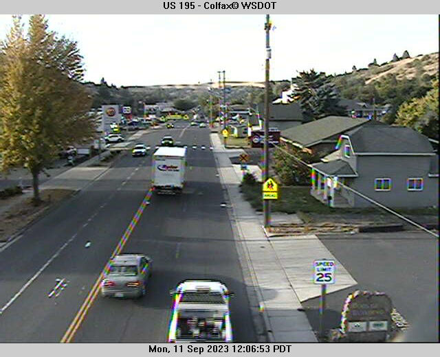
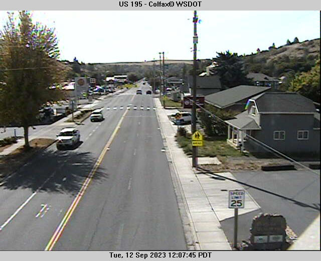
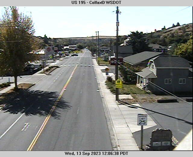
Colfax, Washington, USA - 41 miles from Cherrylane: US 195 - Colfax - A view of the current traffic situation.
Operator: WSDOT
Operator: WSDOT


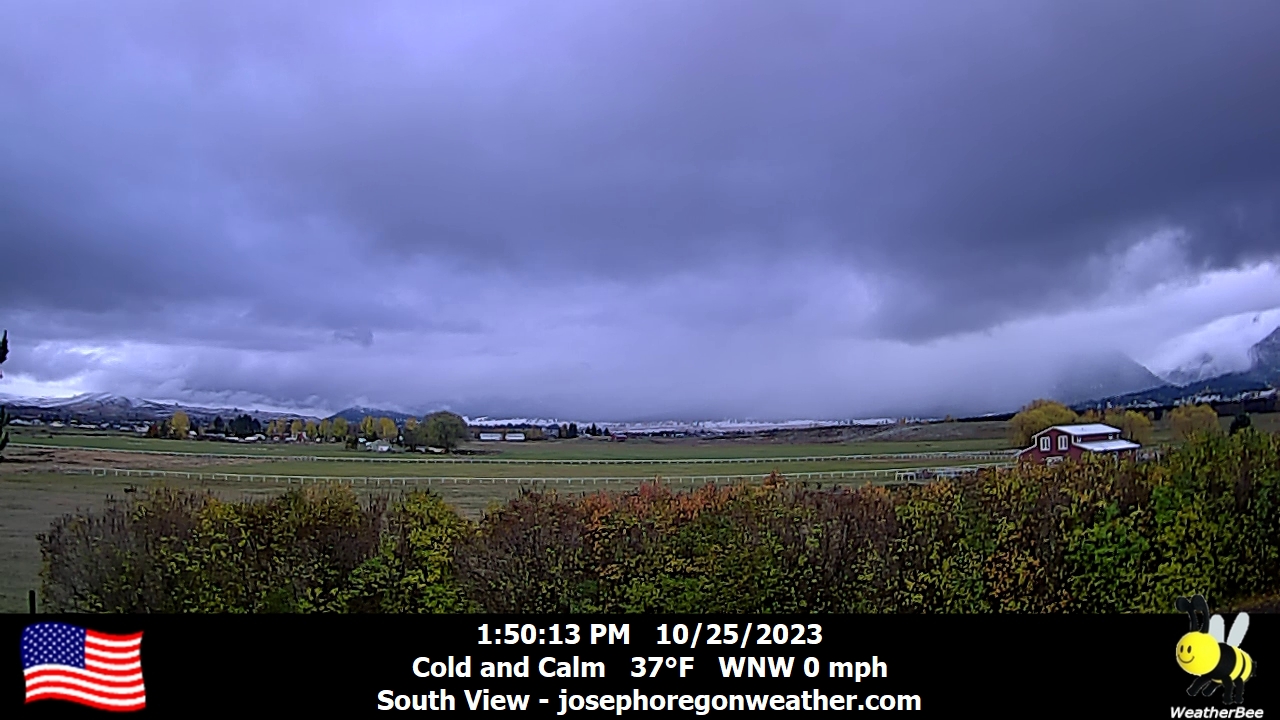
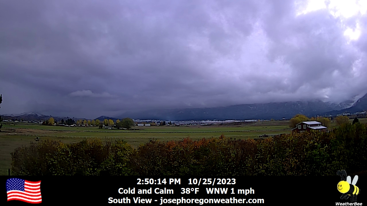
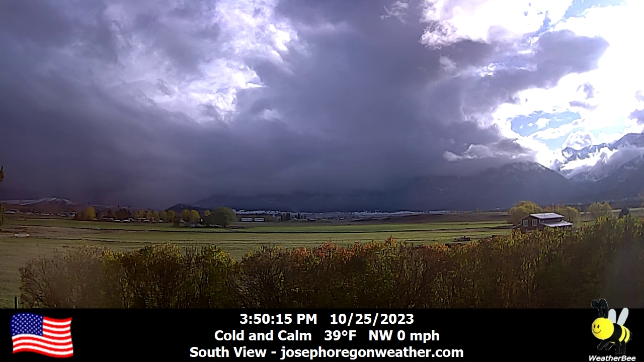
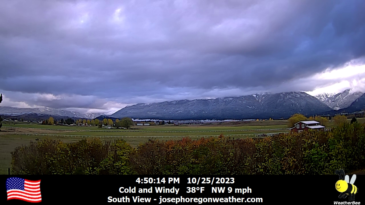
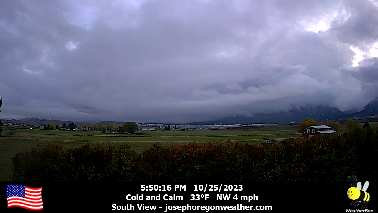
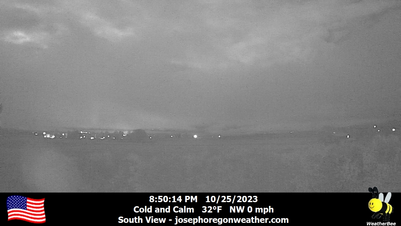
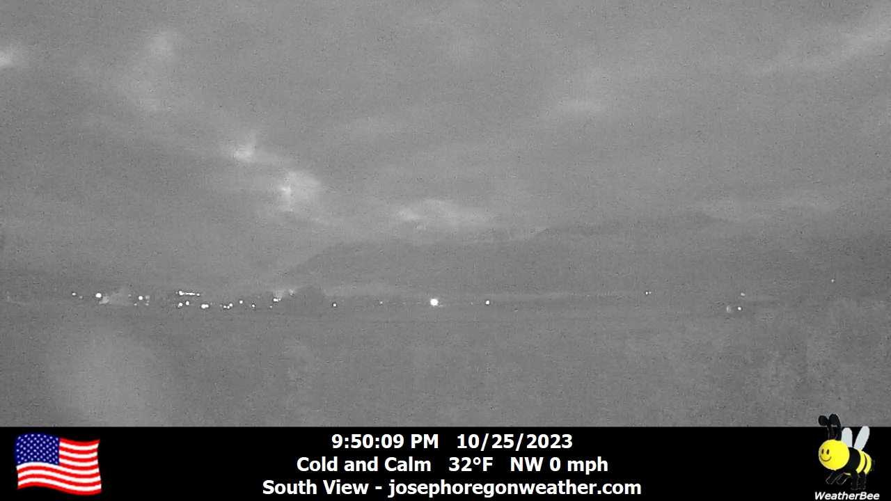
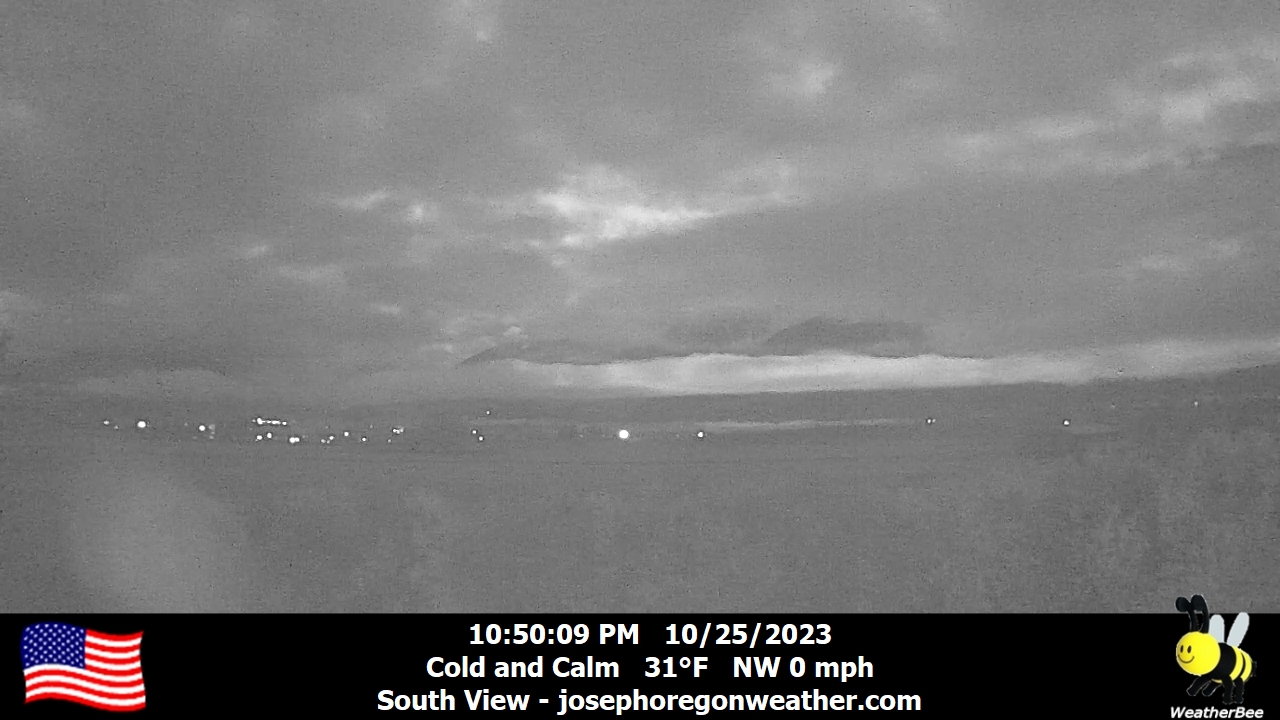
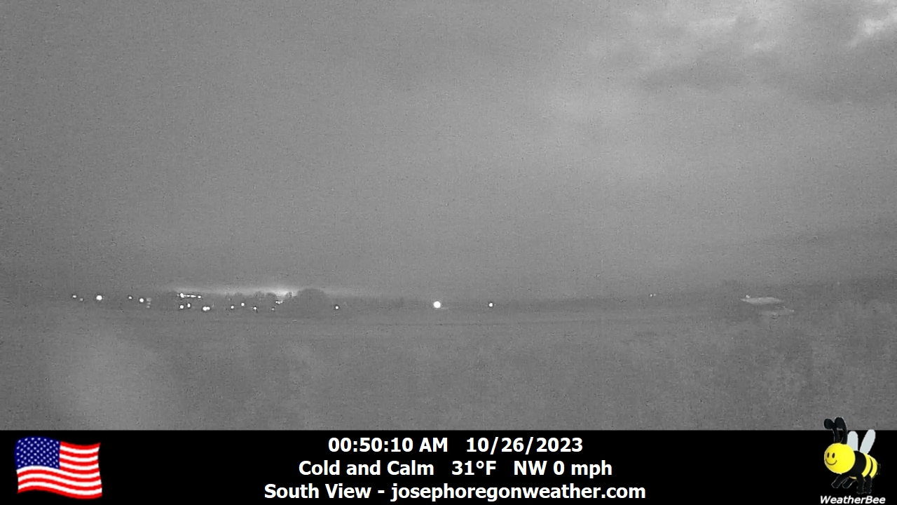
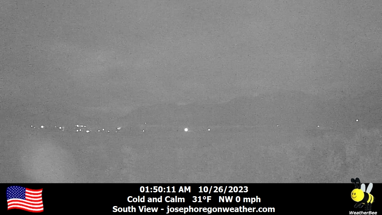
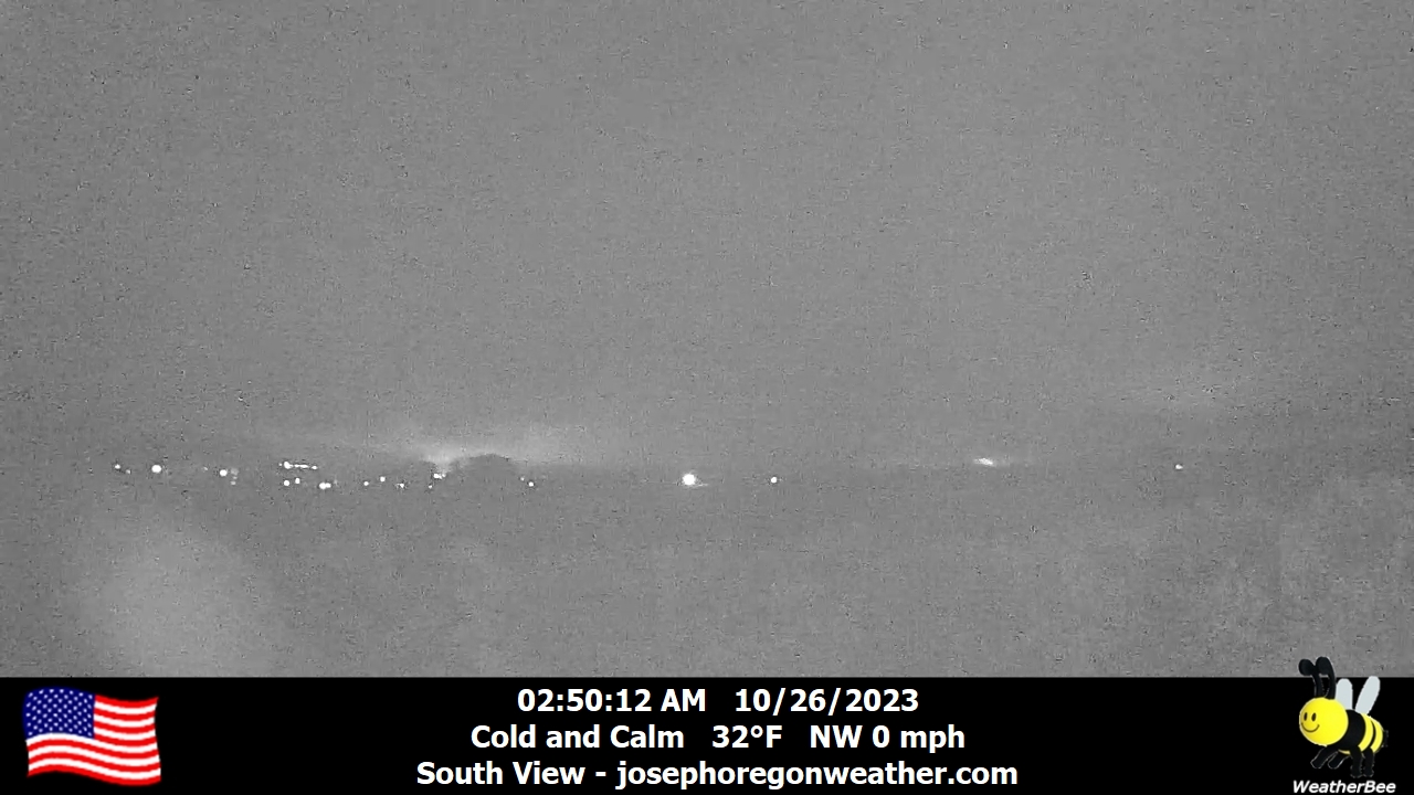
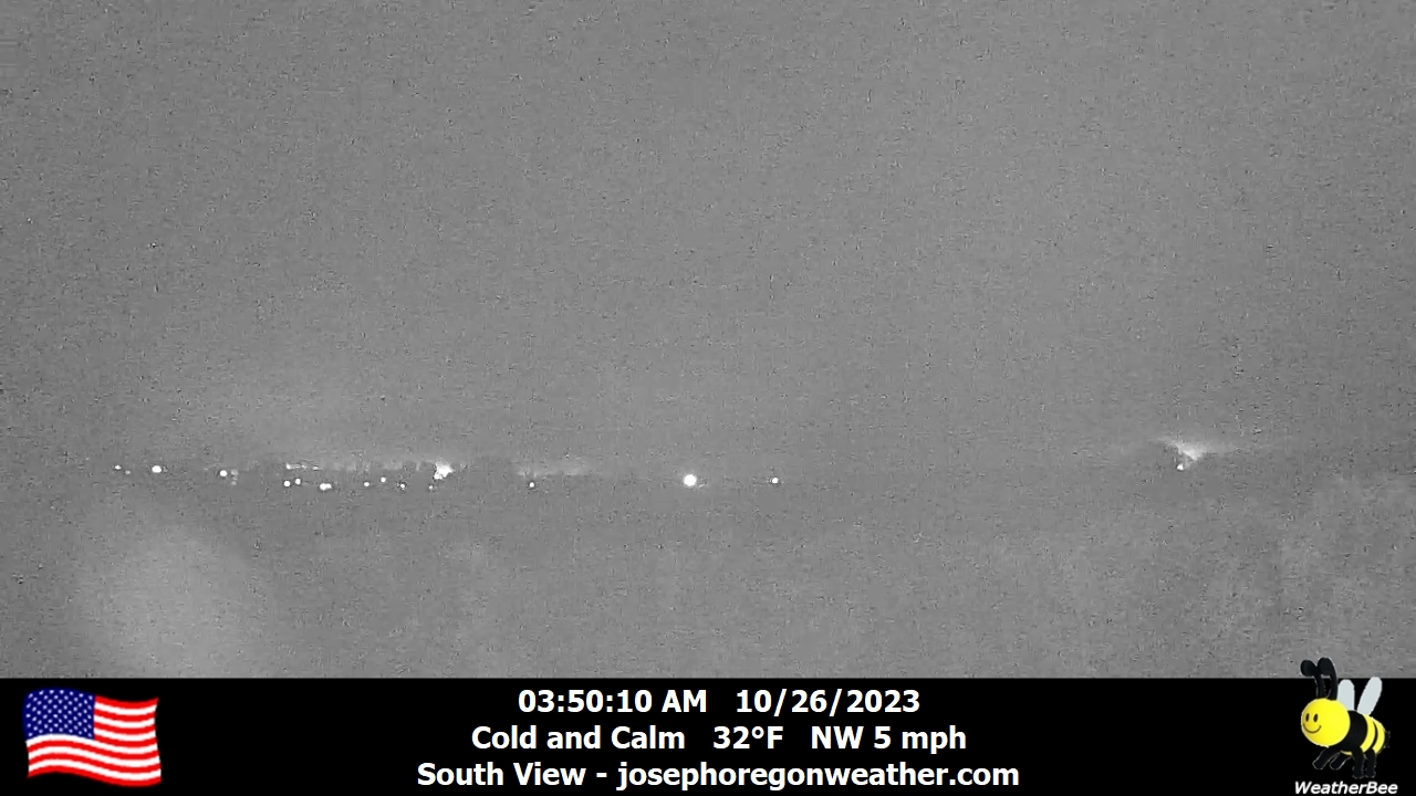
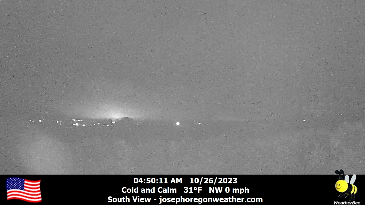
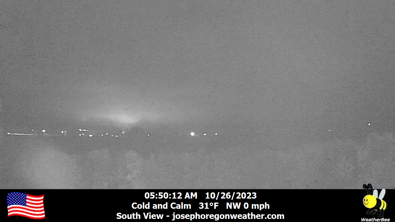
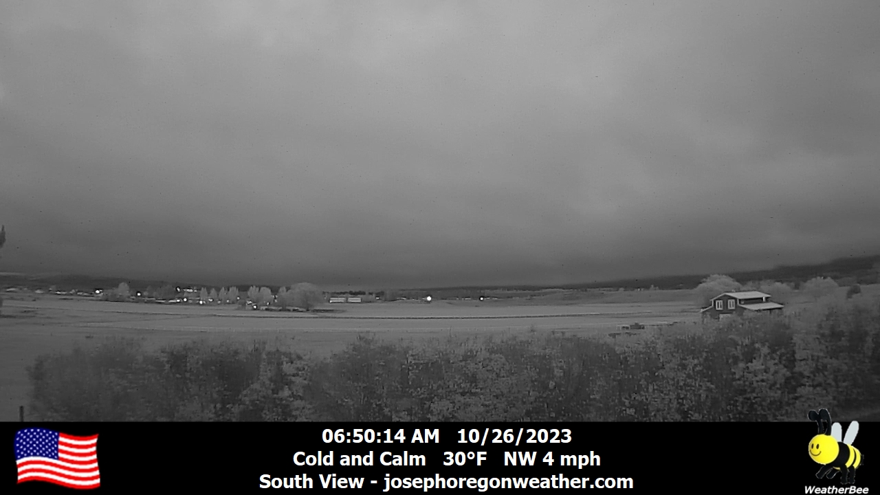
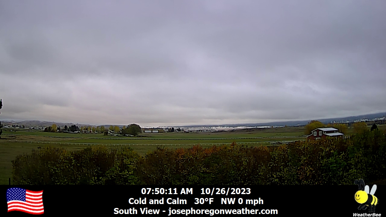
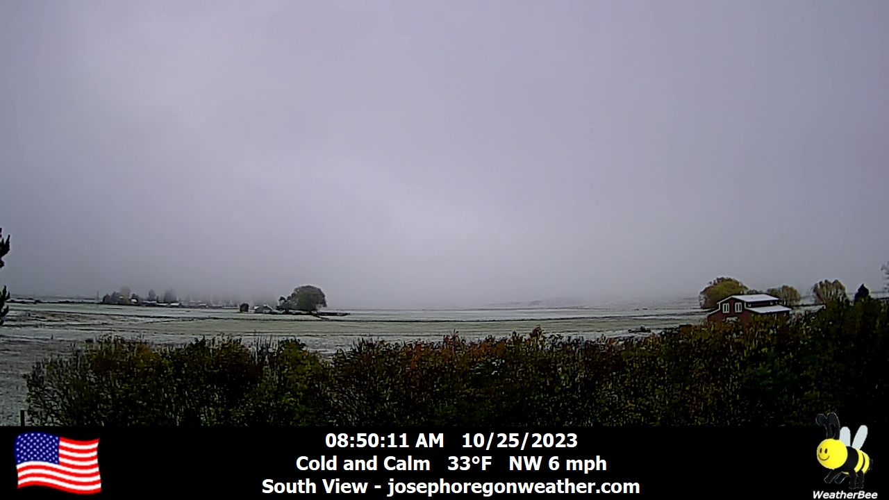
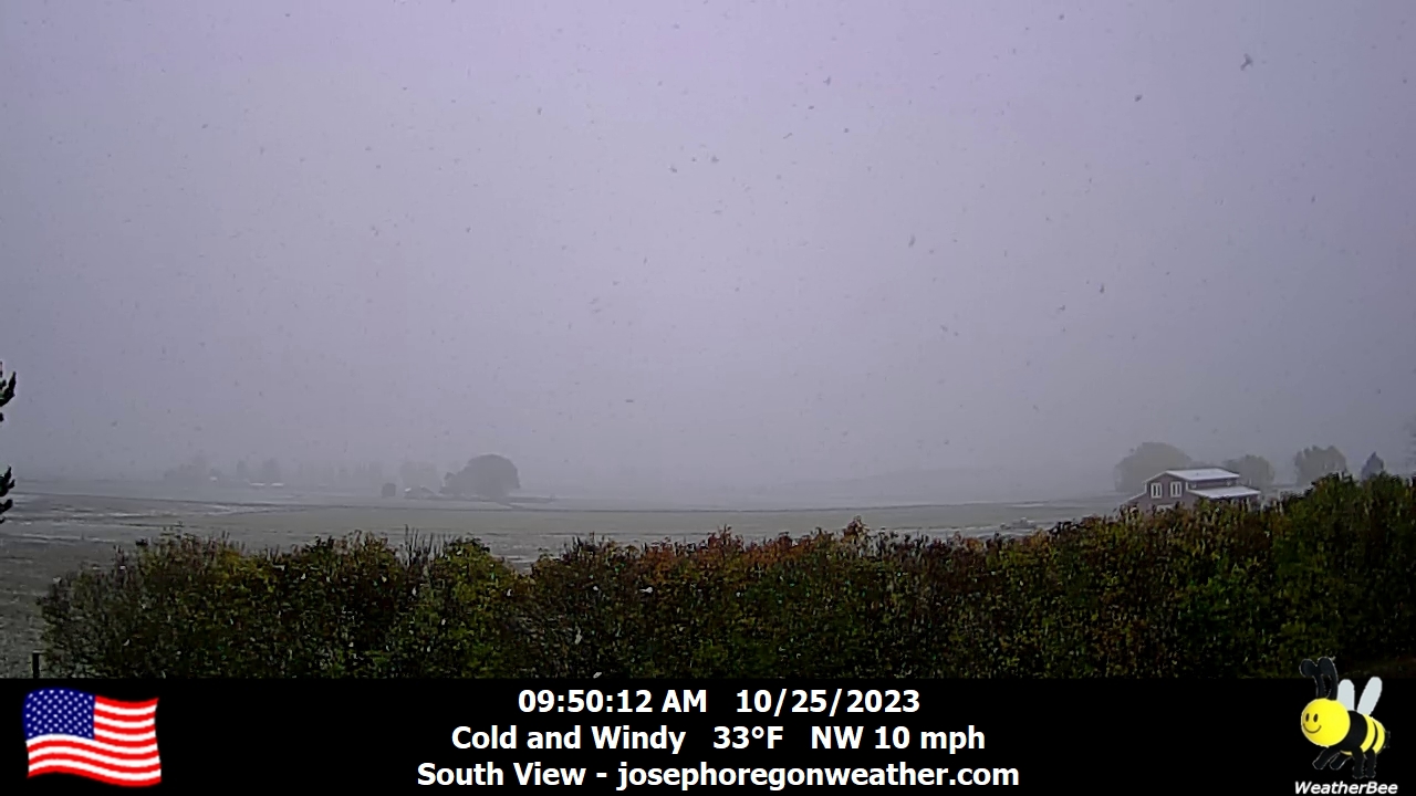
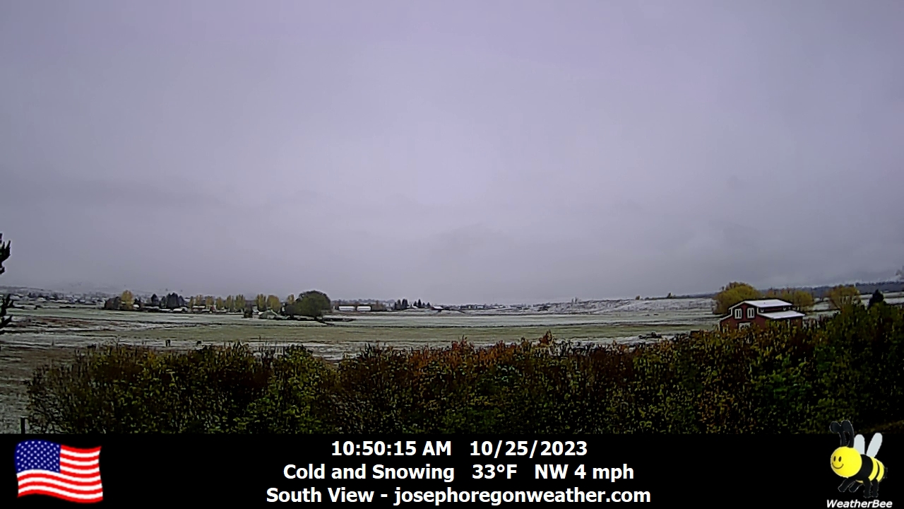
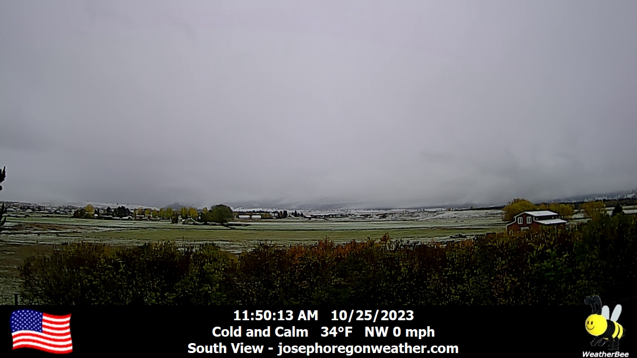
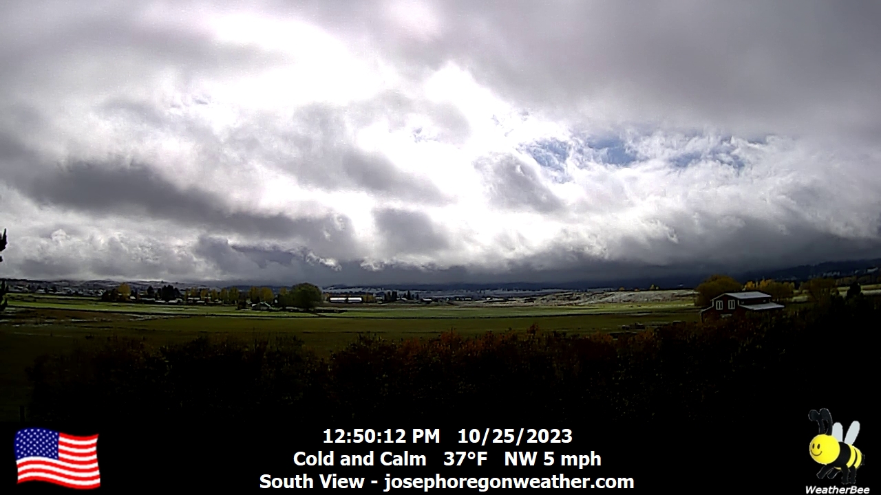
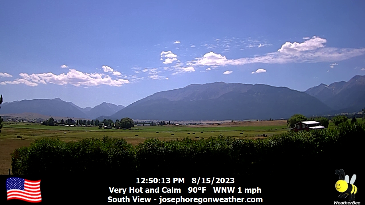
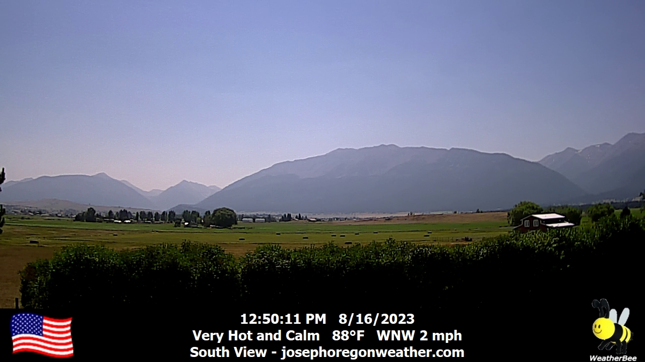
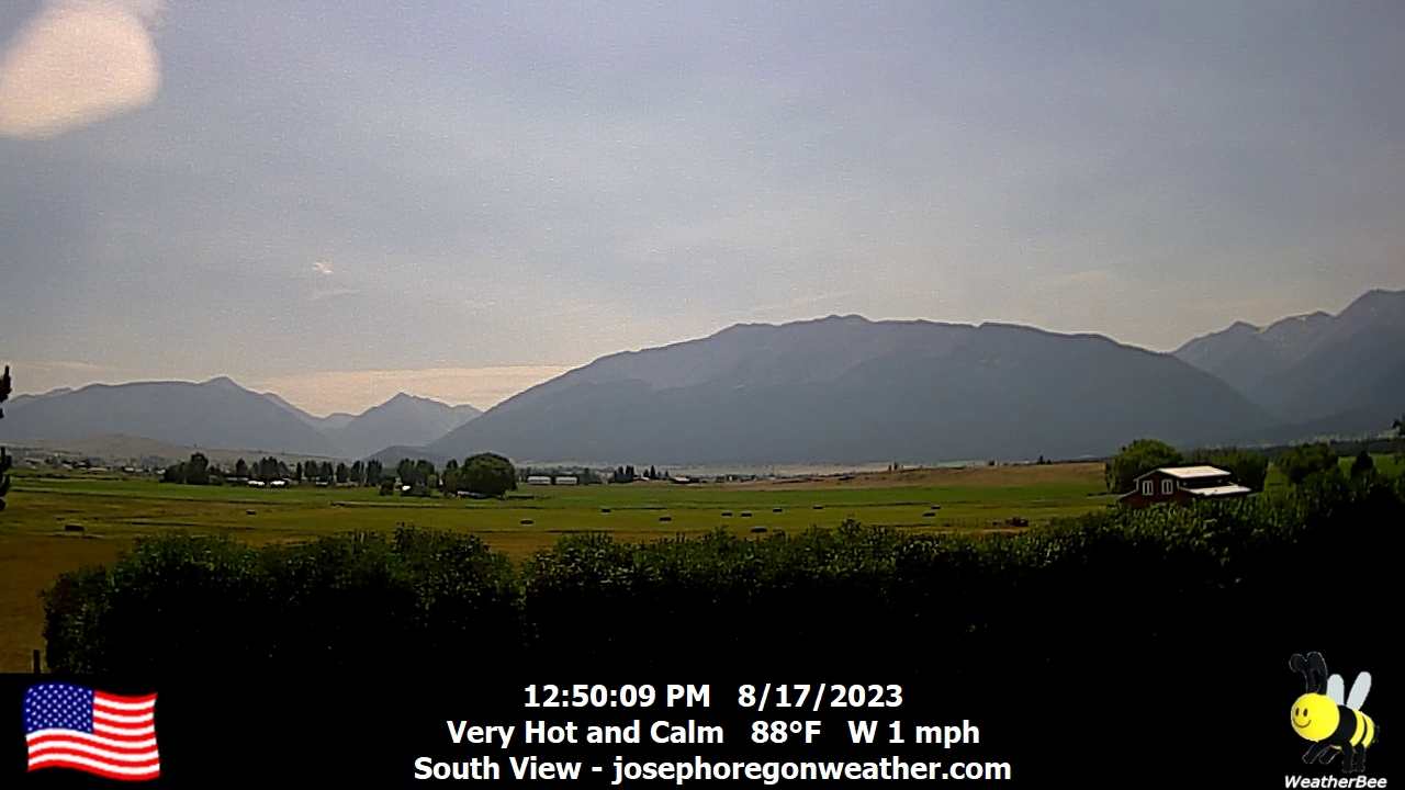
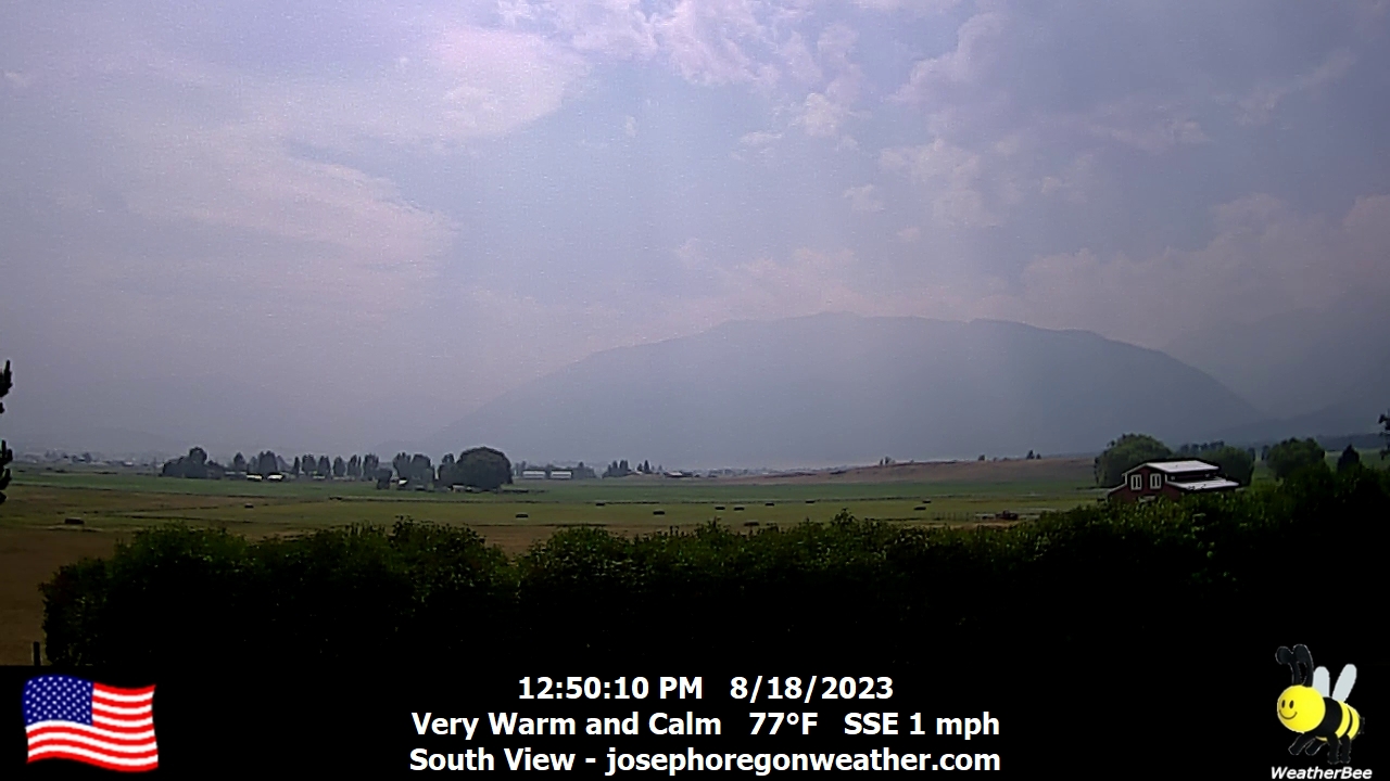
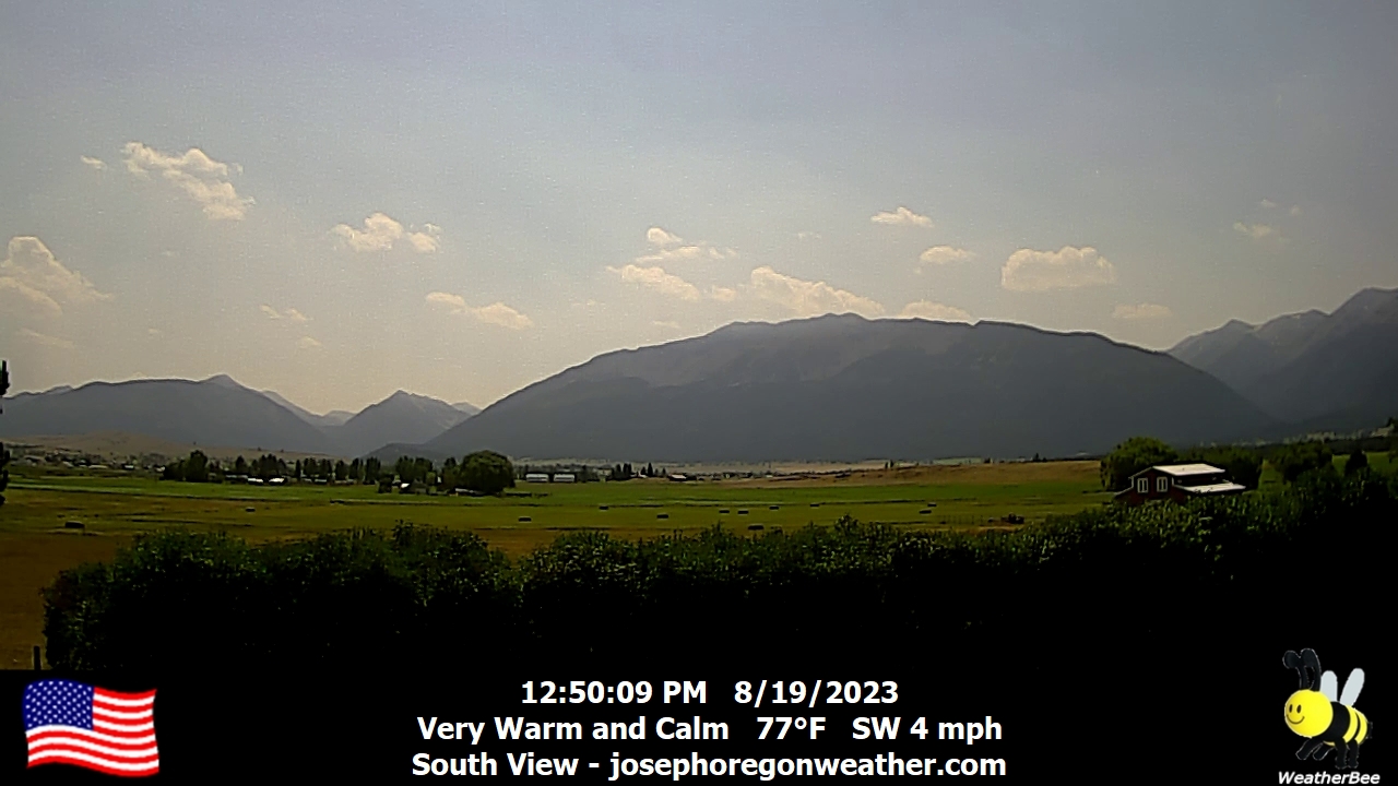
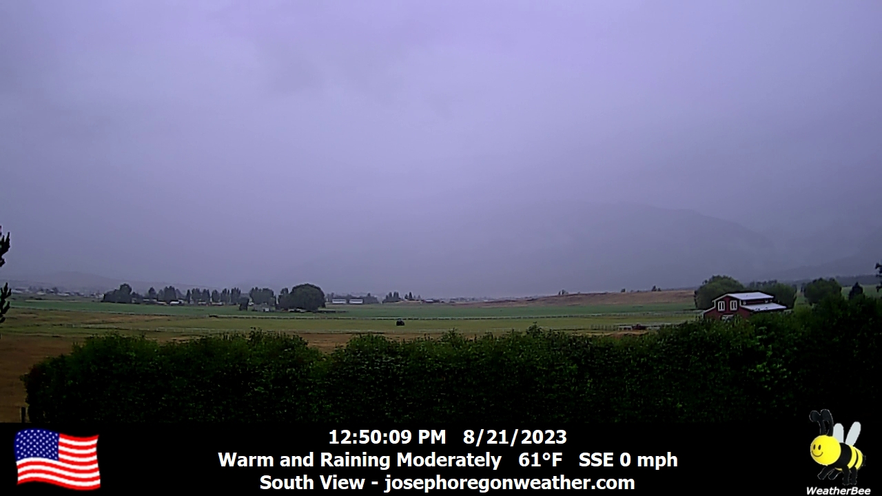
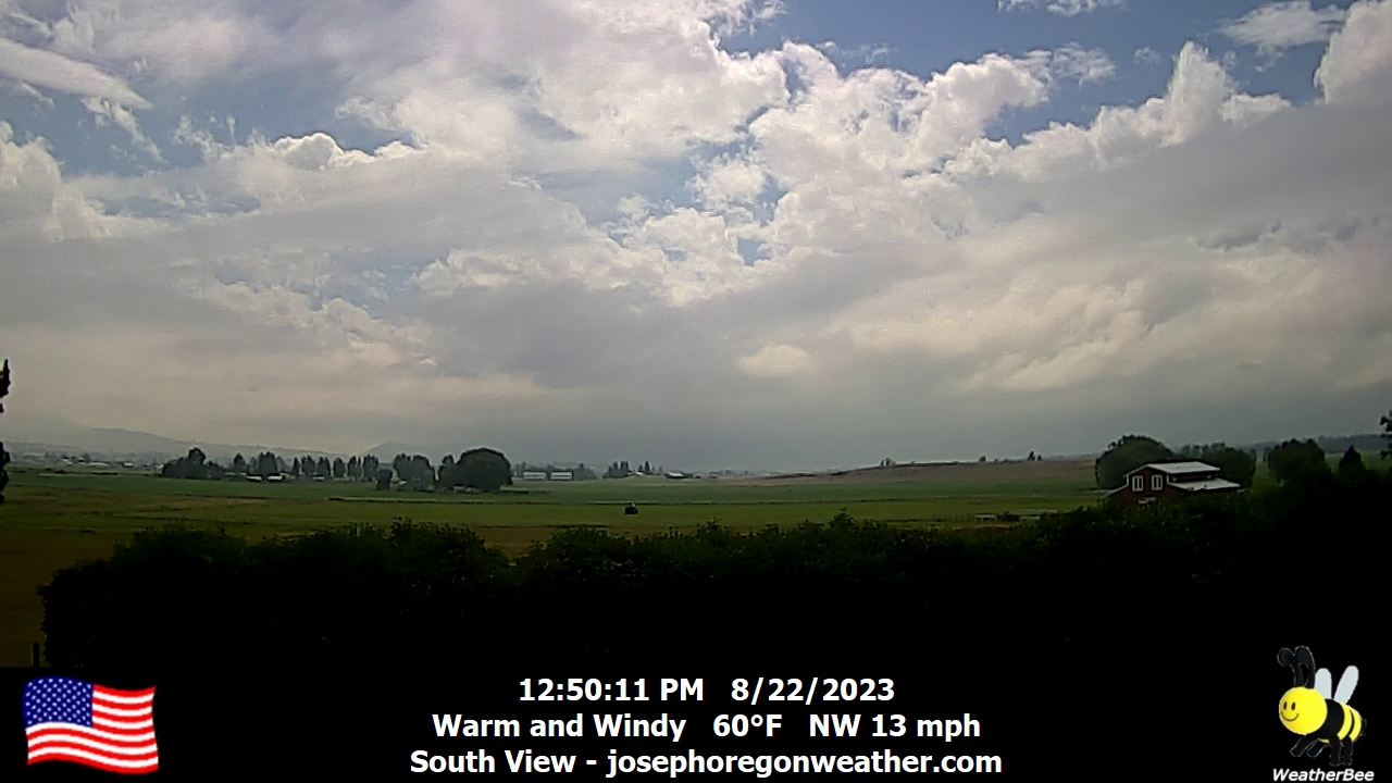
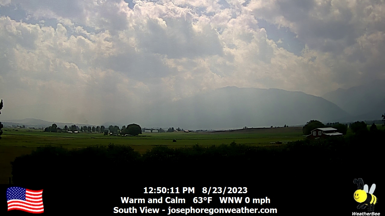
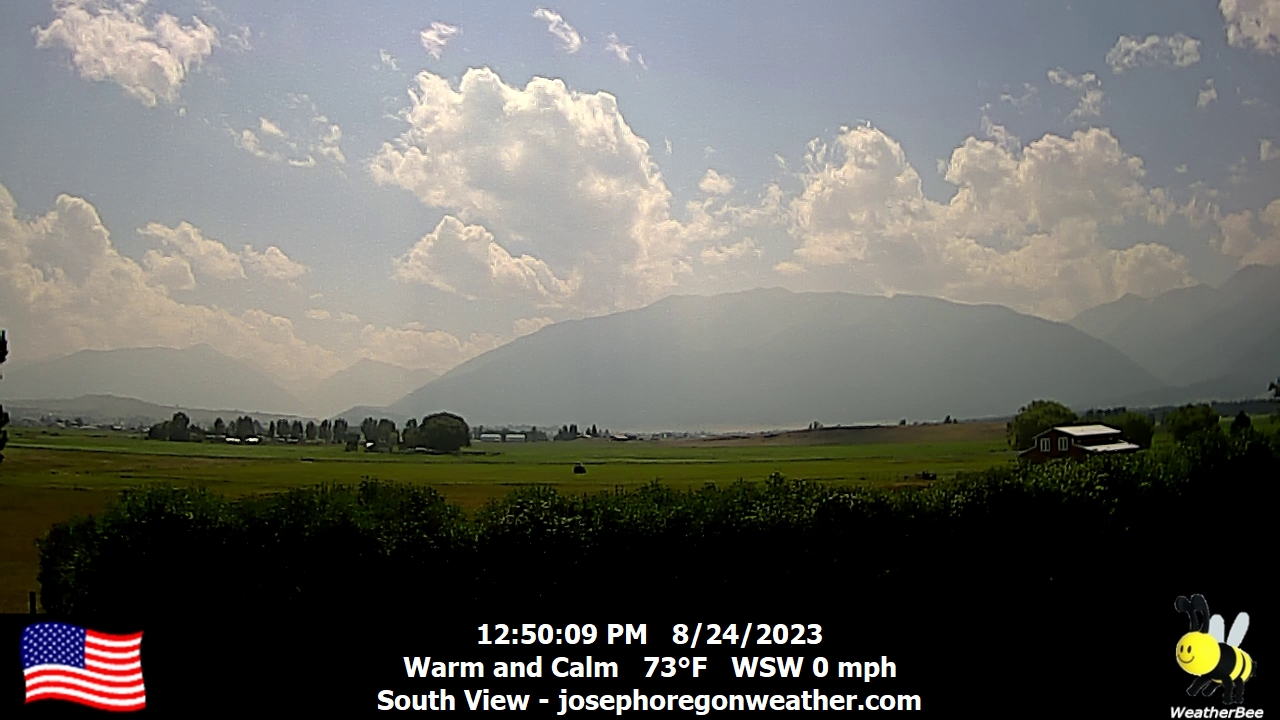
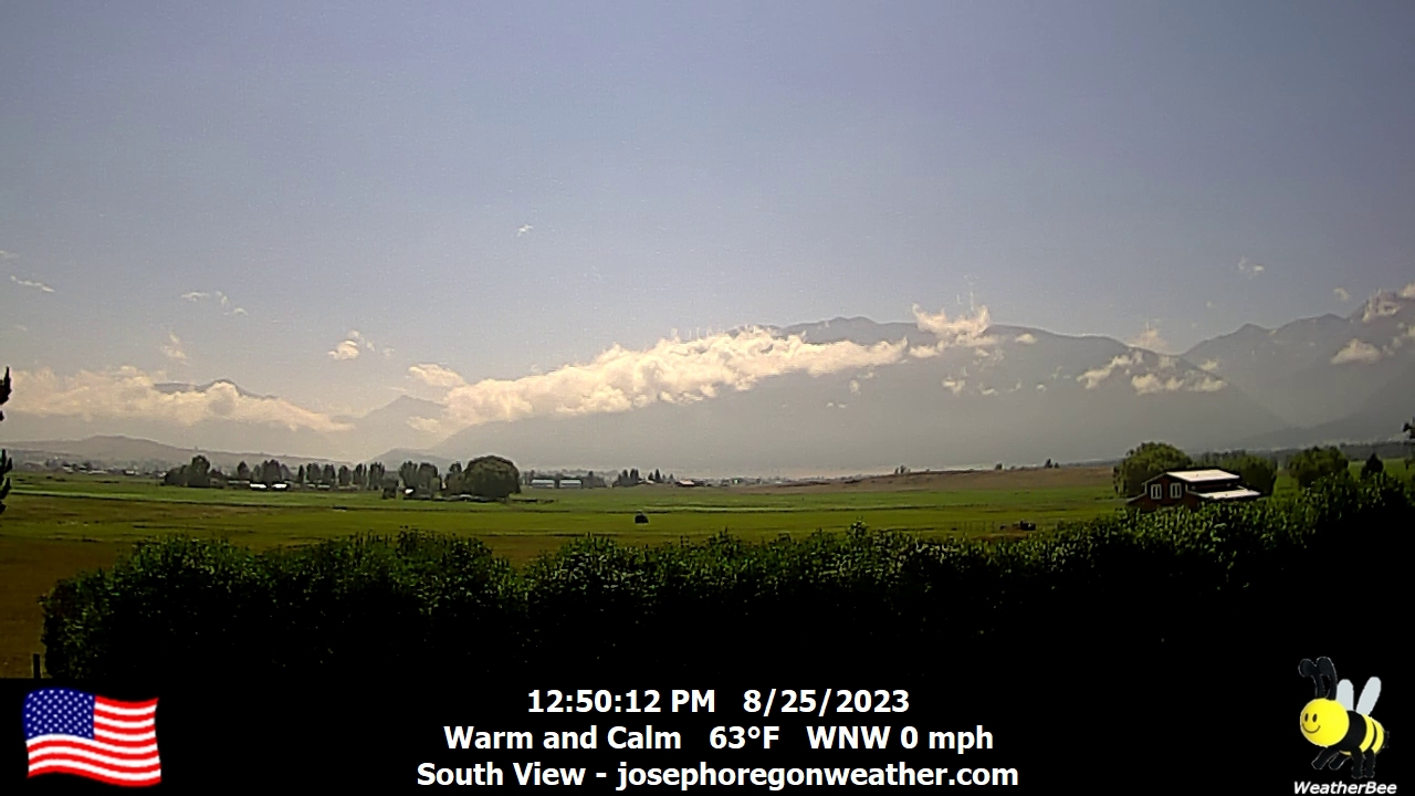
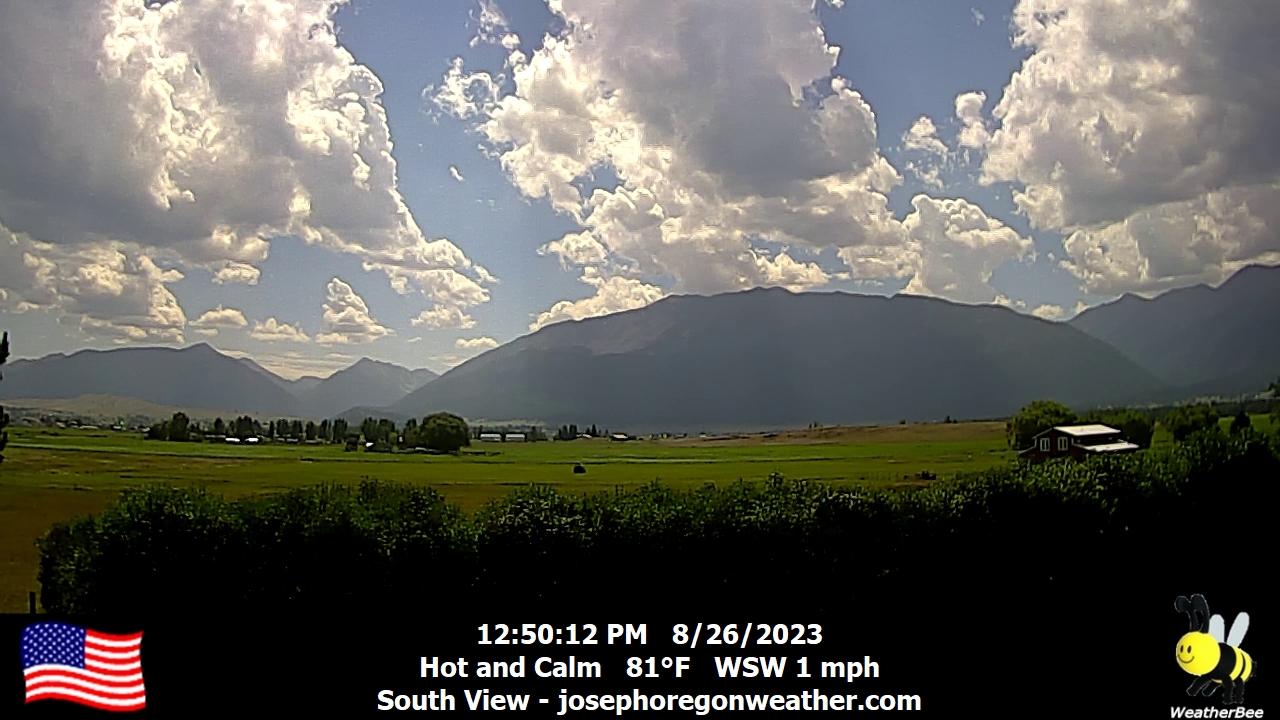
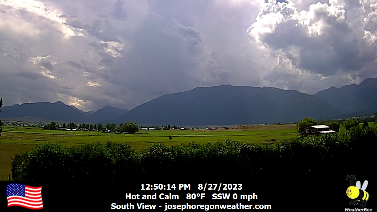
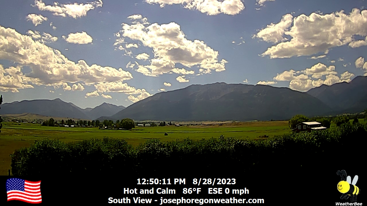
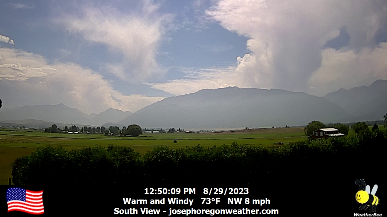
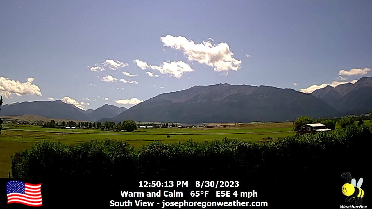
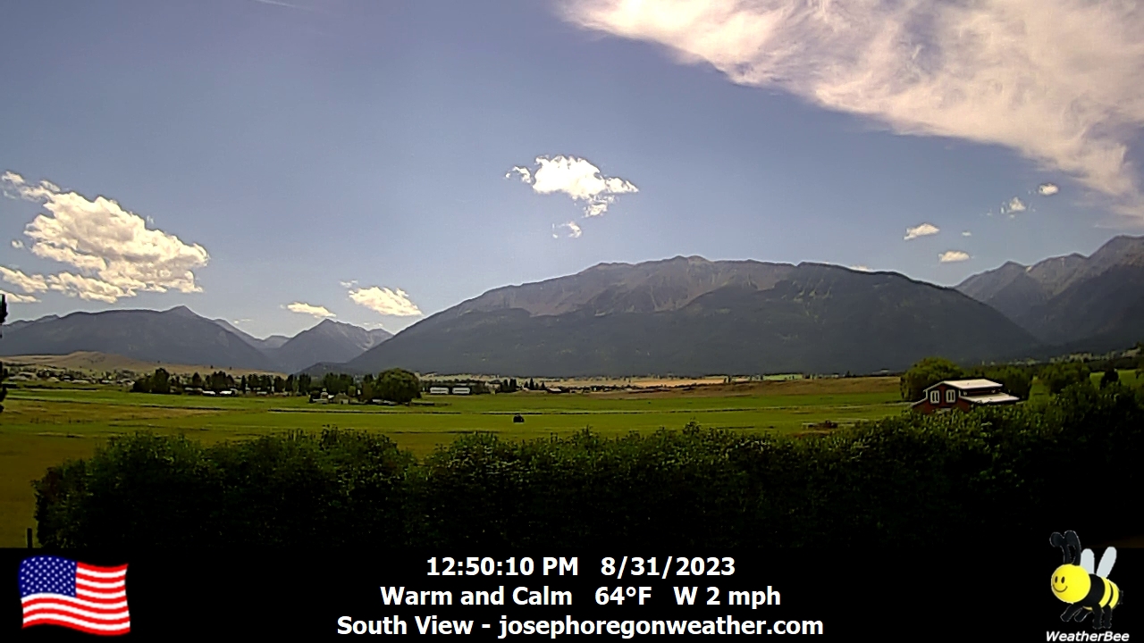
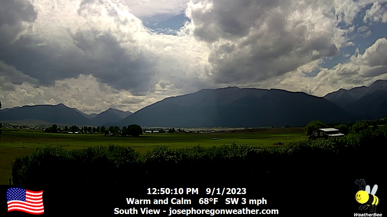
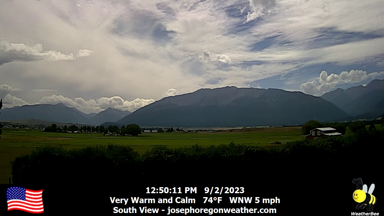
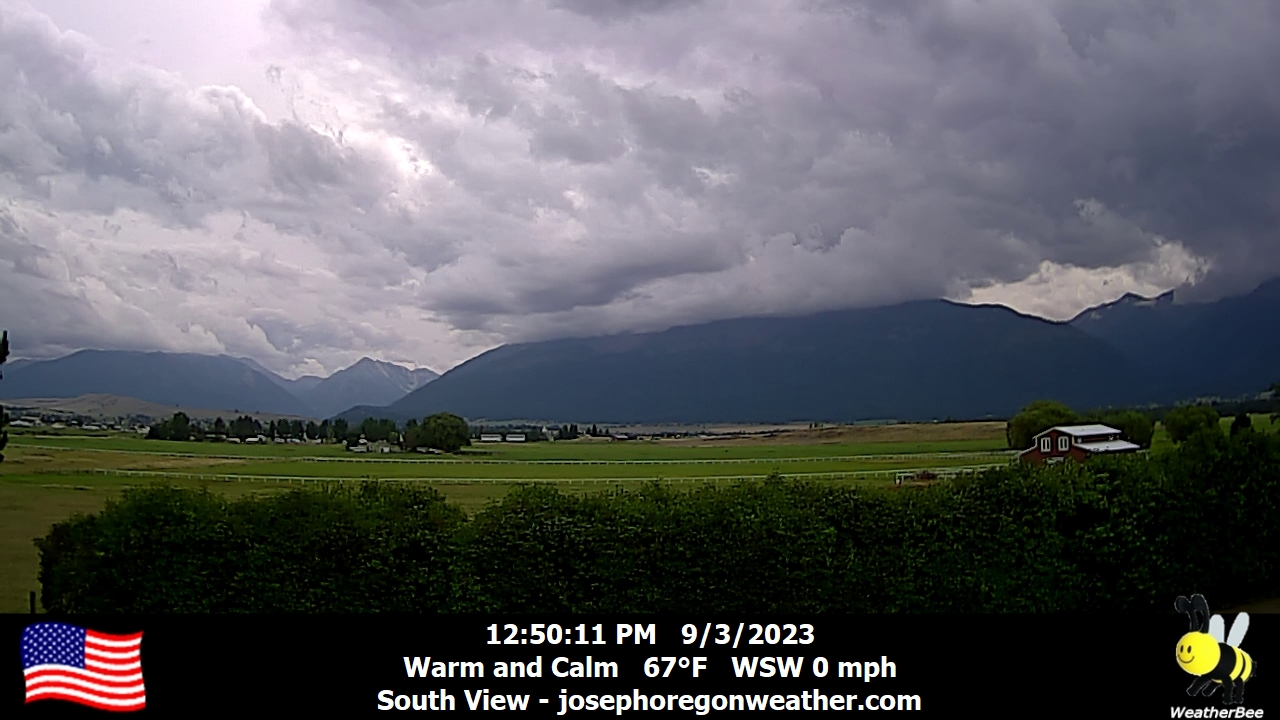
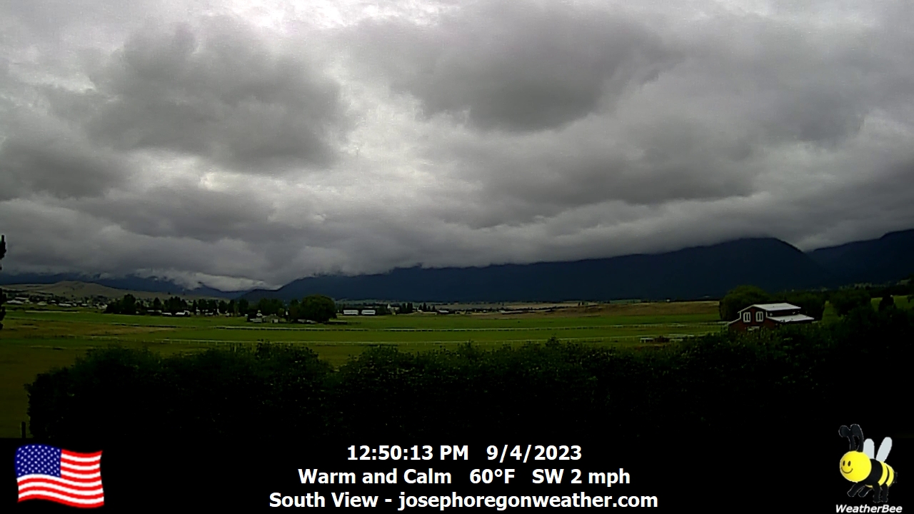
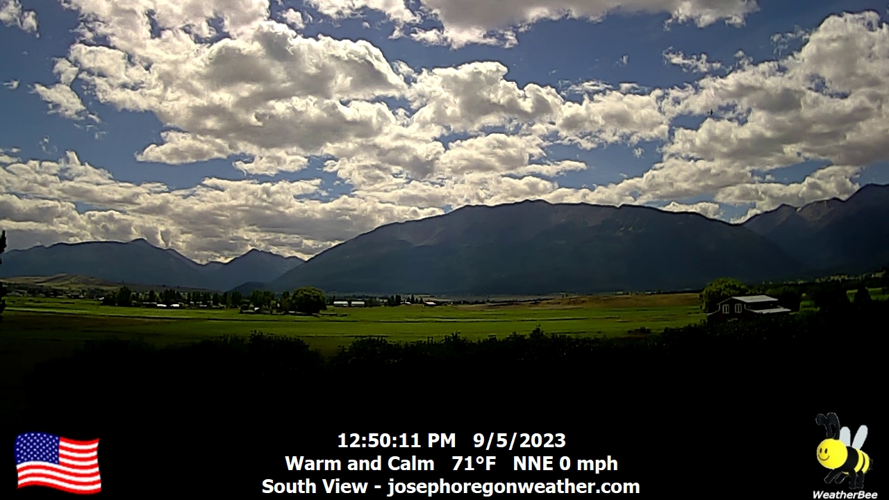
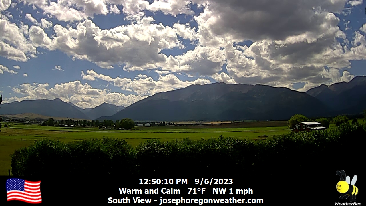
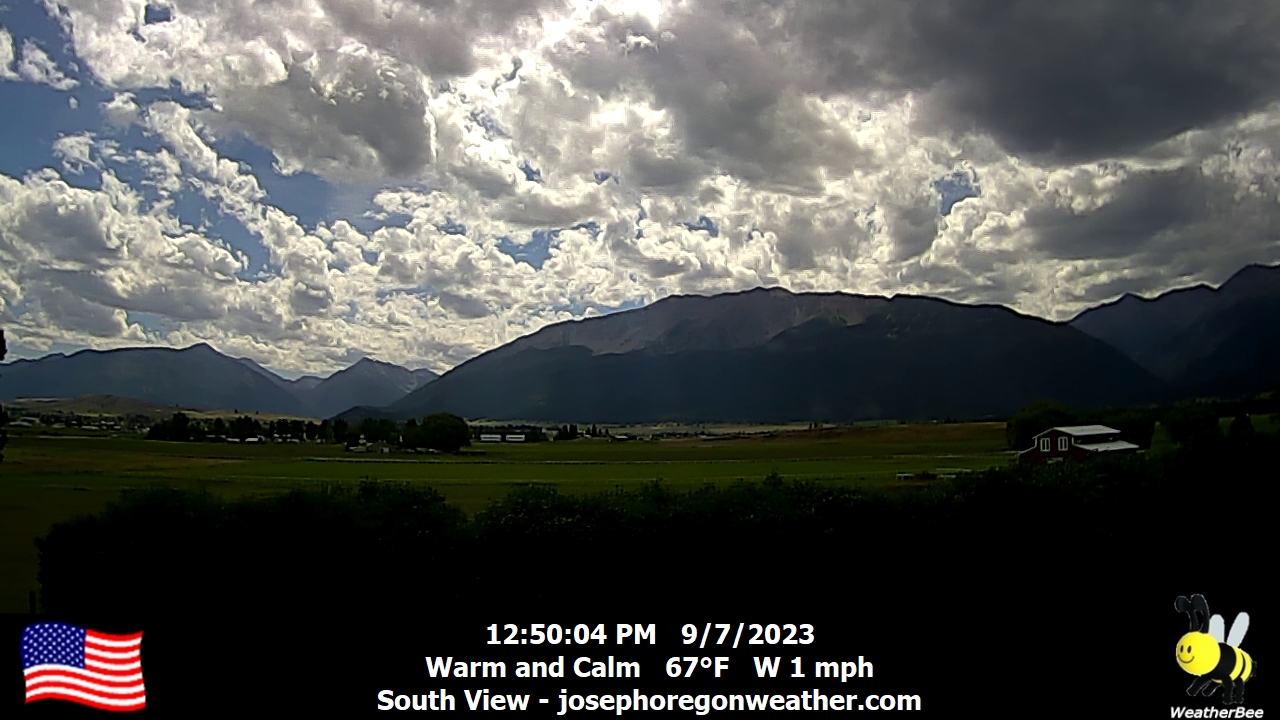
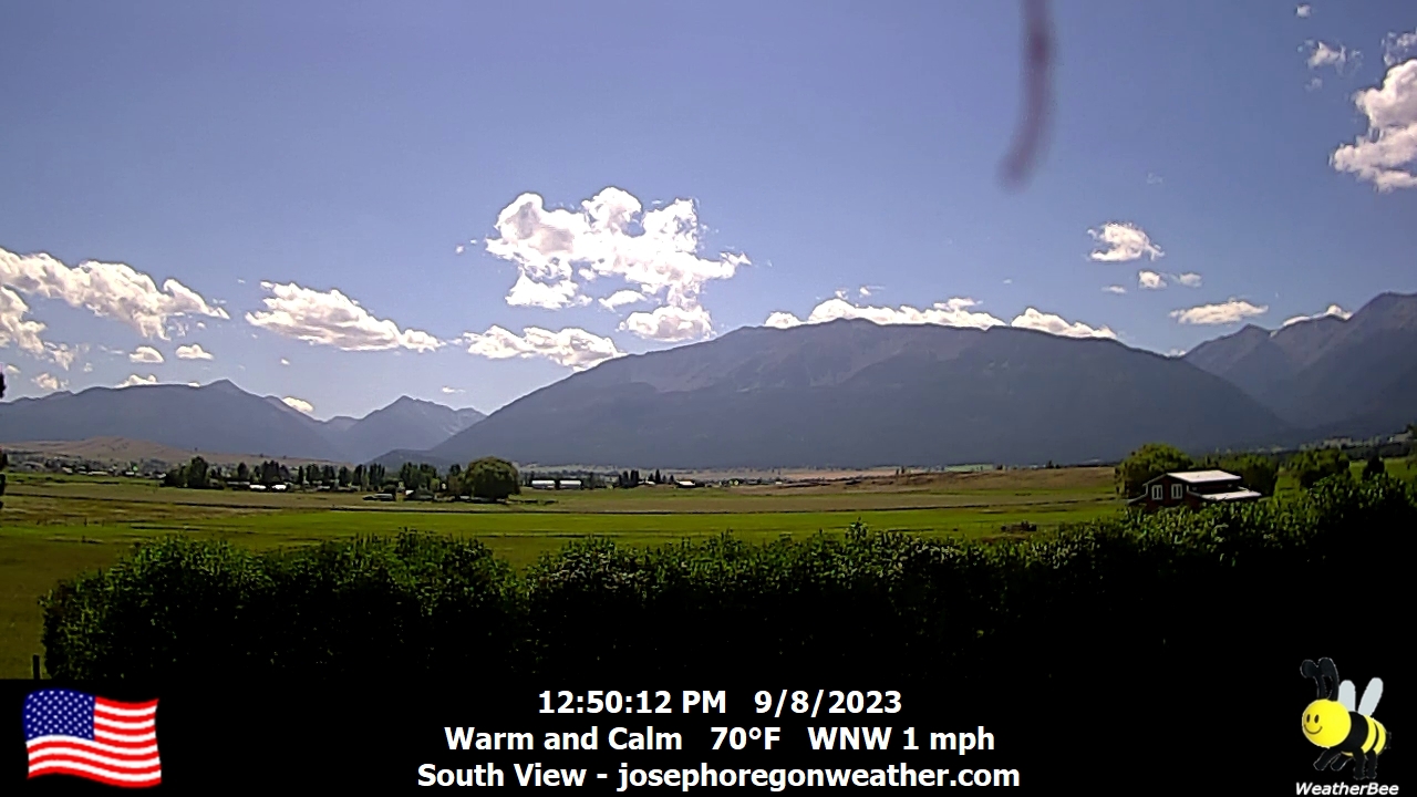
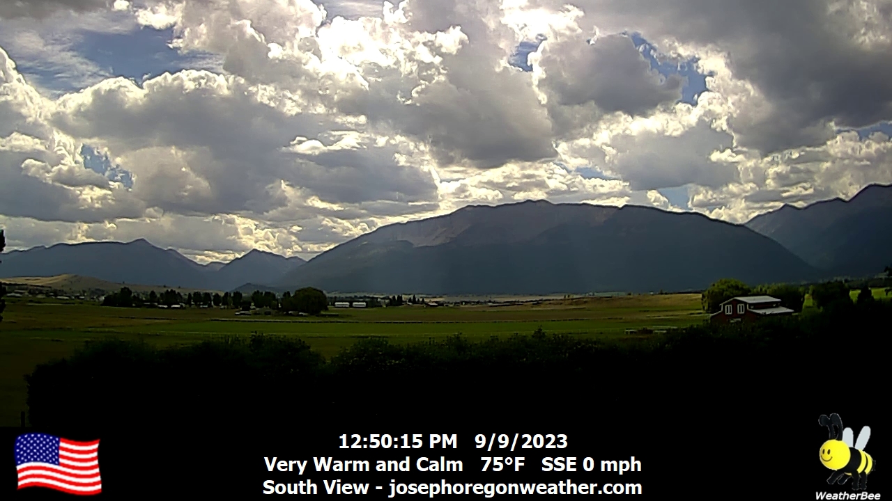
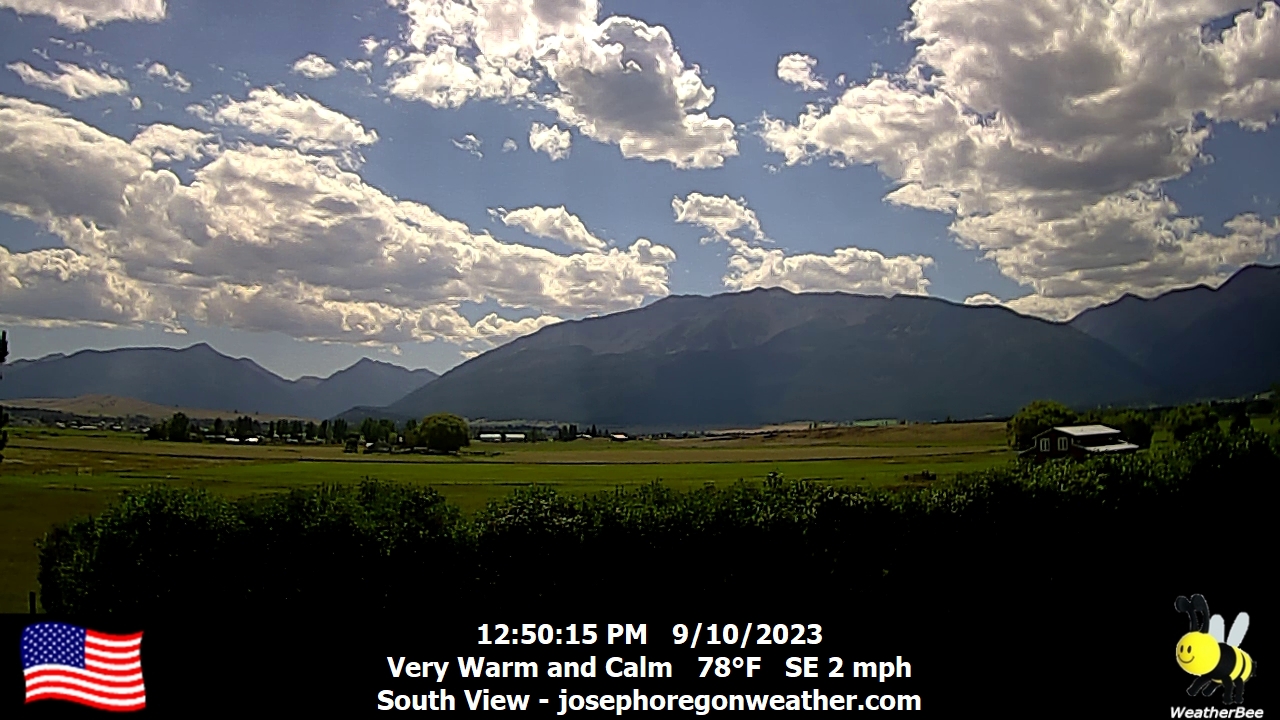
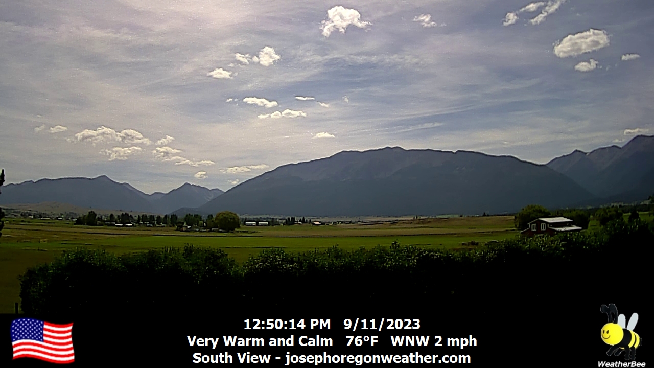
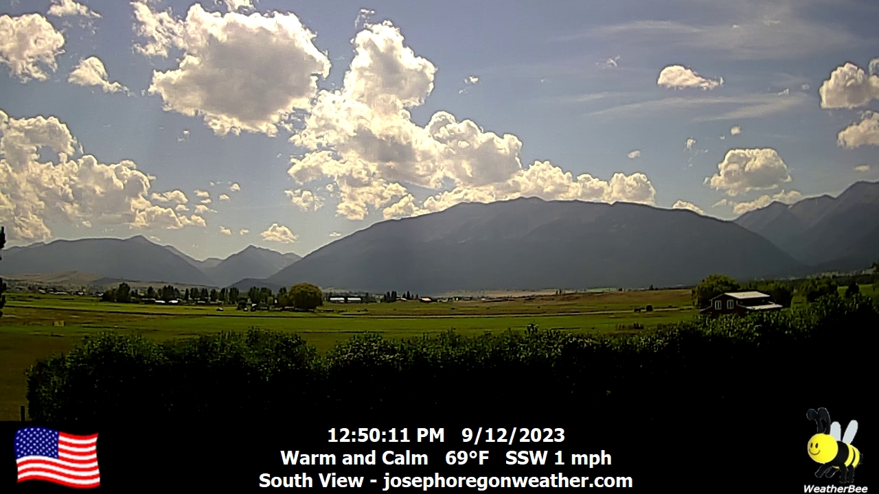
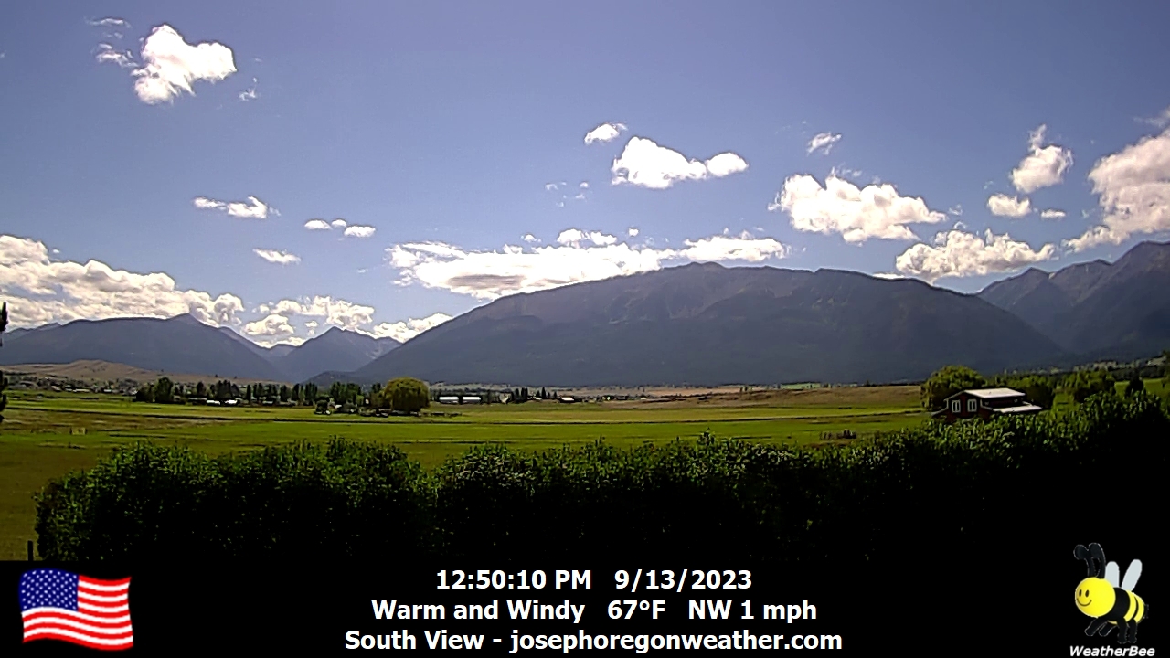
Joseph, Oregon, USA - 84.5 miles from Cherrylane: Joseph Oregon Weather - A view of the Wallowa Mountains from Joseph, Oregon - with current weather data.
Operator: Joseph Oregon Weather
Operator: Joseph Oregon Weather


Colville, Washington, USA - 151.3 miles from Cherrylane: US 395 - Colville - Birch - A view of the current traffic situation.
Operator: WSDOT
Operator: WSDOT


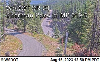
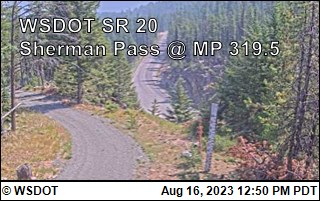
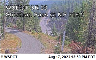
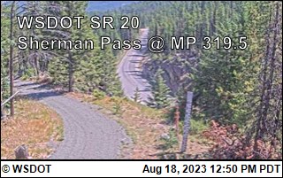
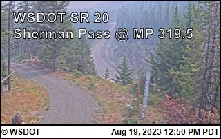
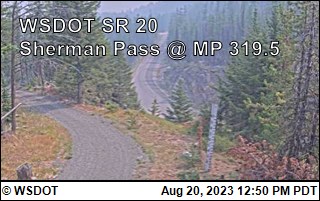
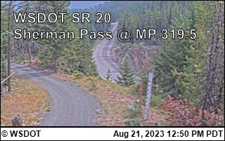
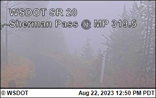
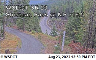
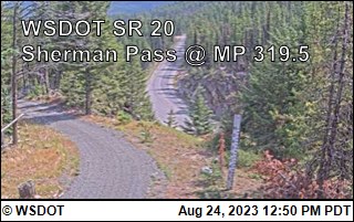
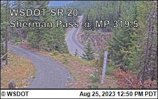
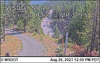
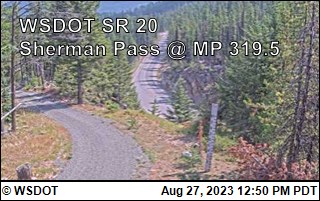
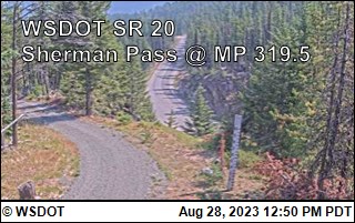
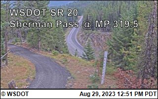
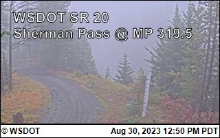
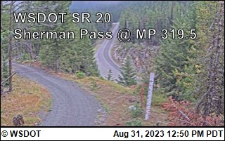
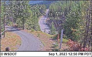
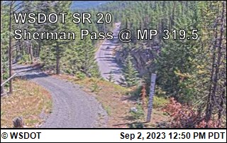
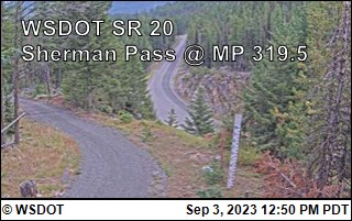
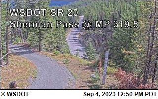
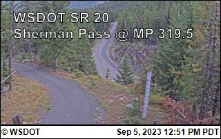
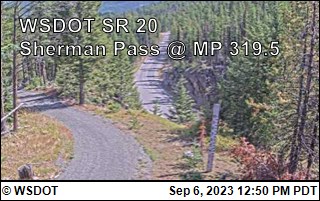
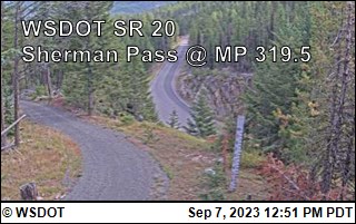
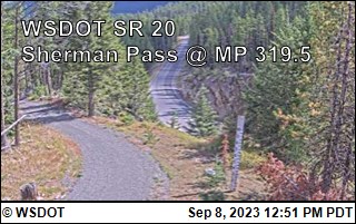
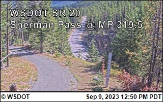
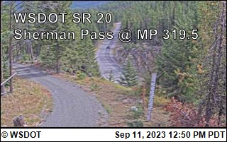
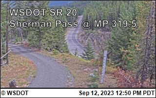
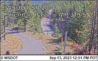
Kettle Falls, Washington, USA - 158 miles from Cherrylane: Sherman Pass on SR-20 @ MP 320 - A view of the current traffic situation.
Operator: WSDOT
Operator: WSDOT


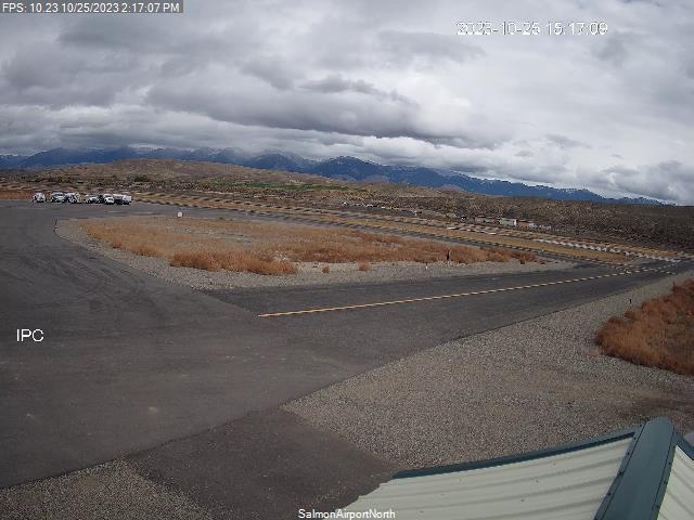
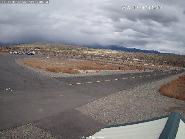
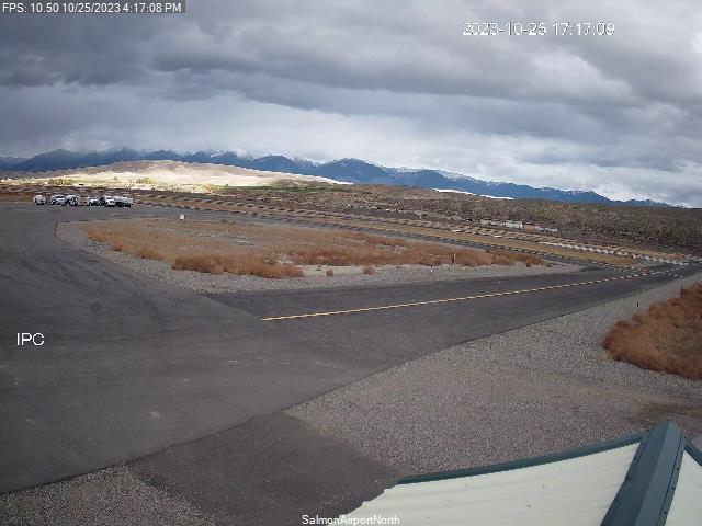
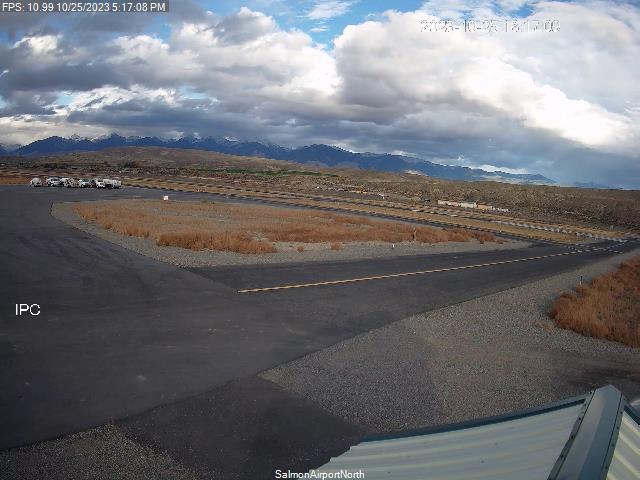
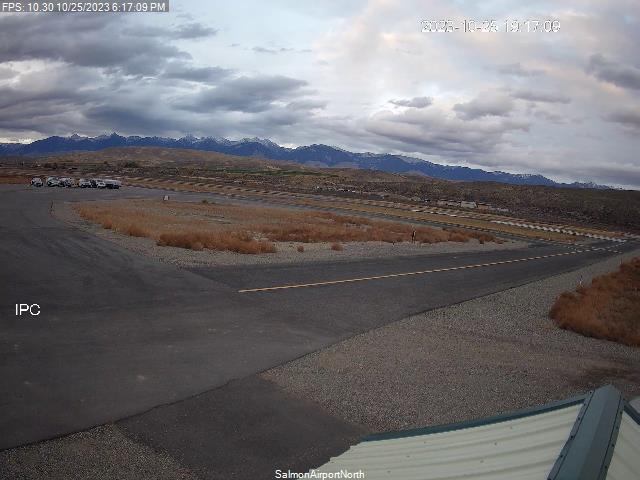
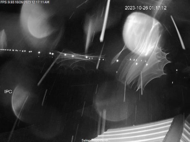
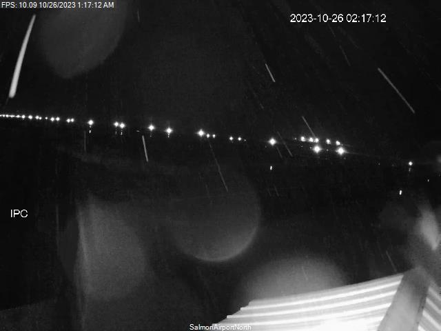
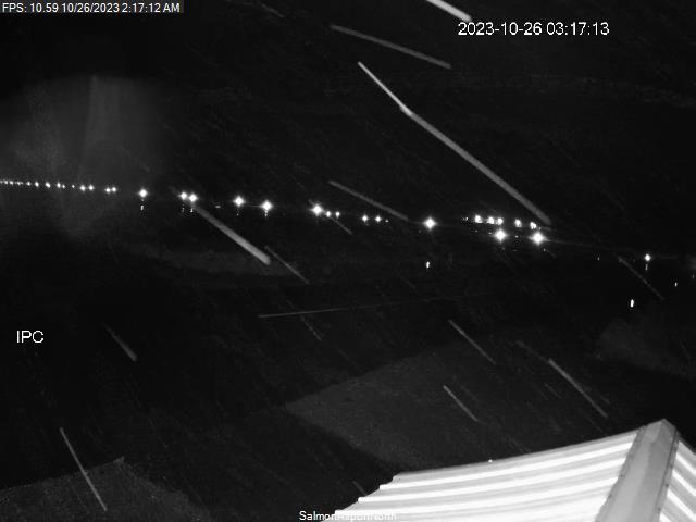
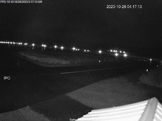
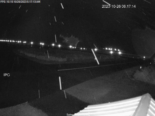
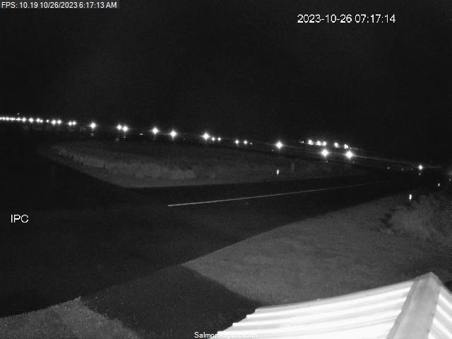
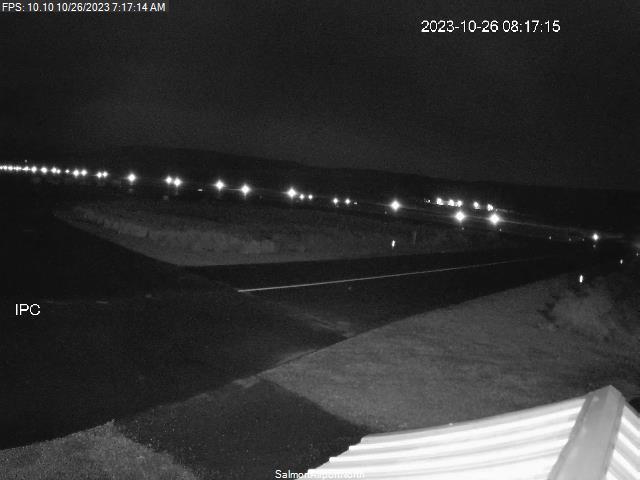
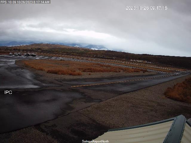
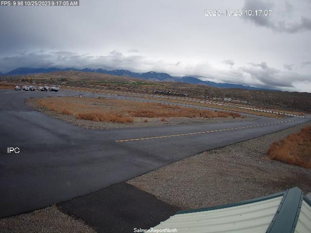
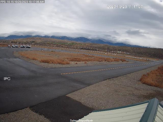
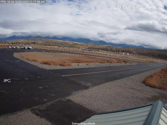
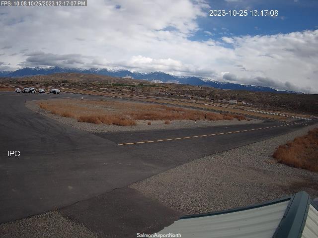
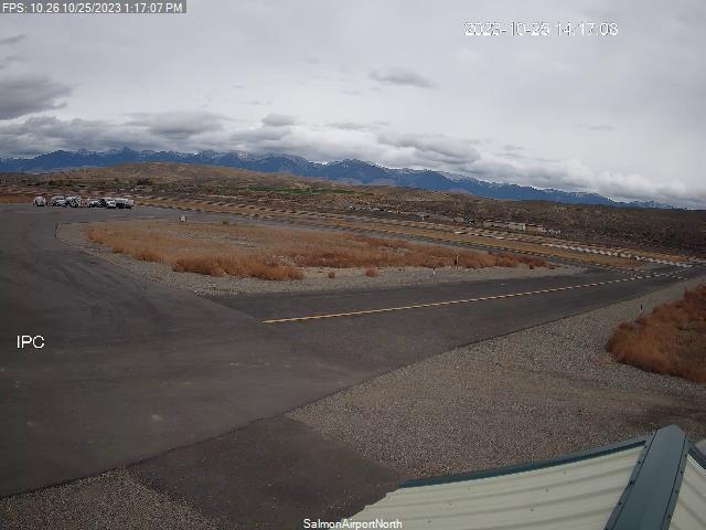
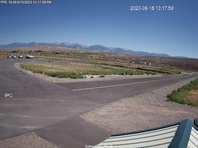
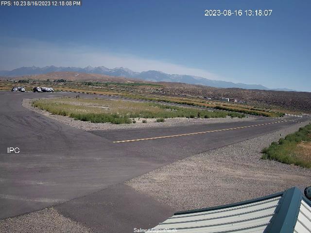
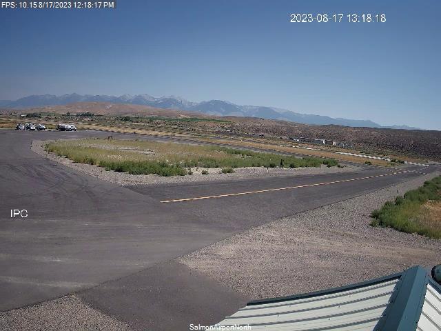
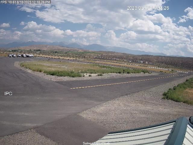
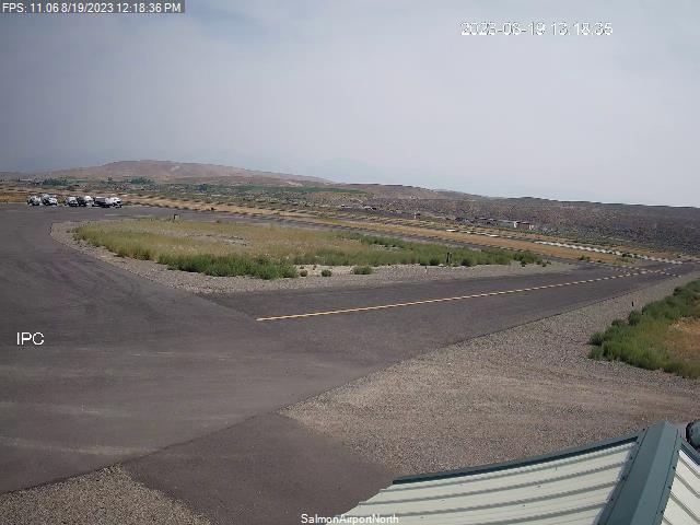
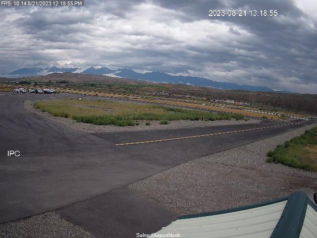
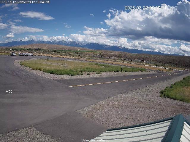
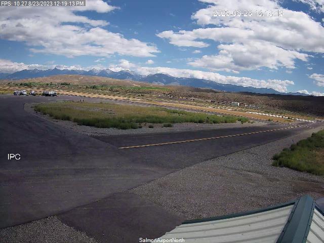
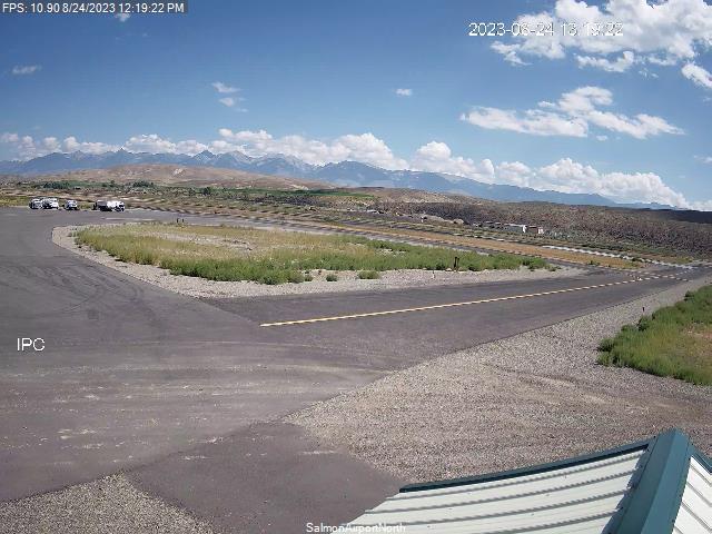
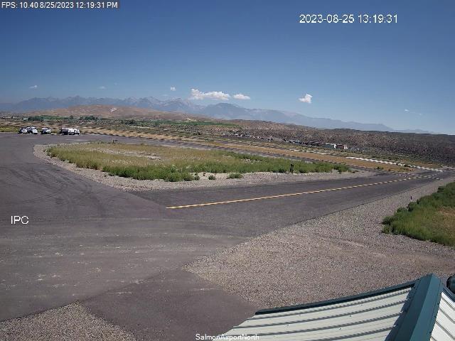
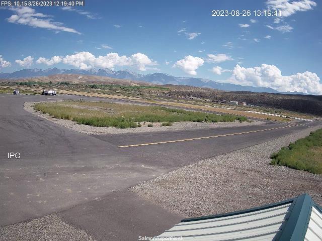
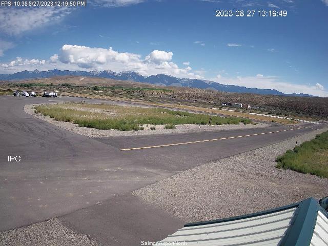
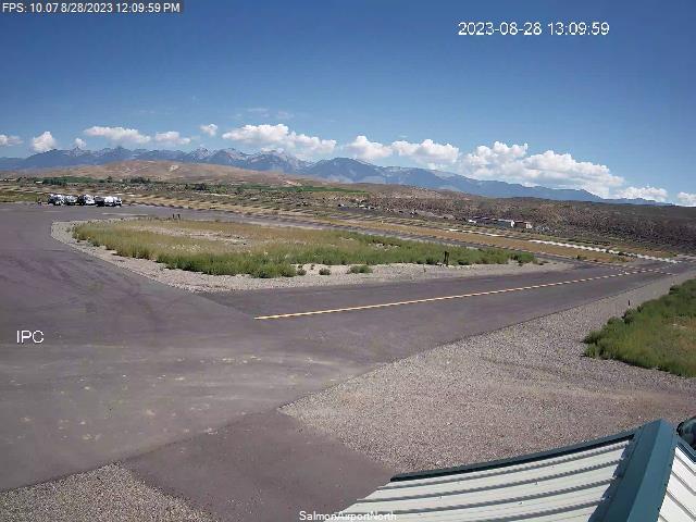
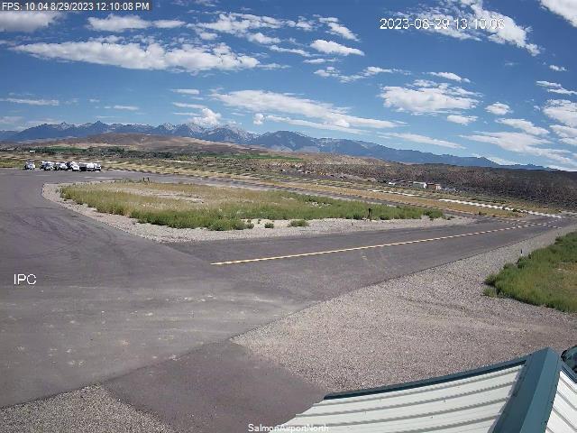
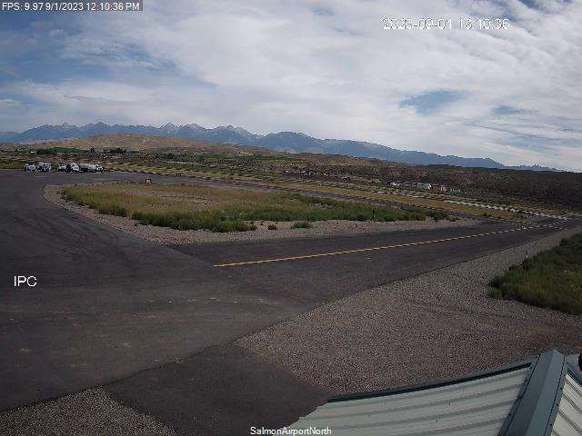
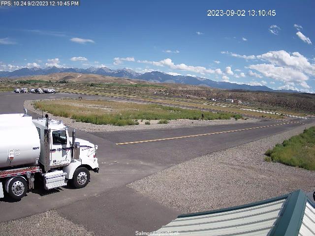
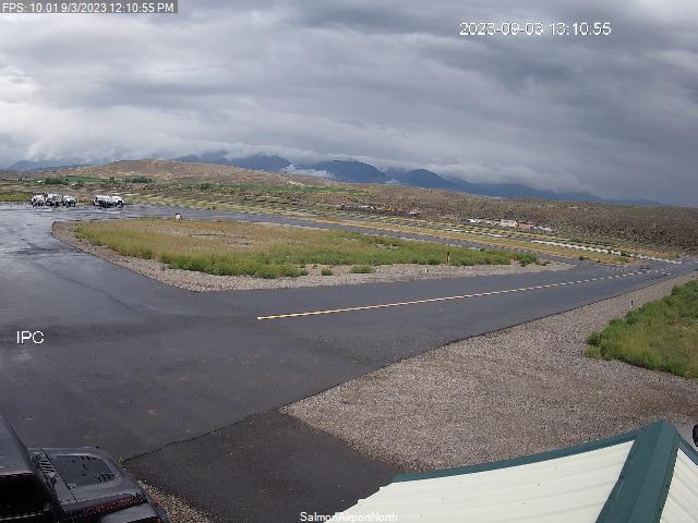
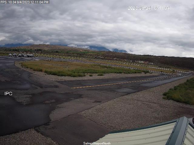
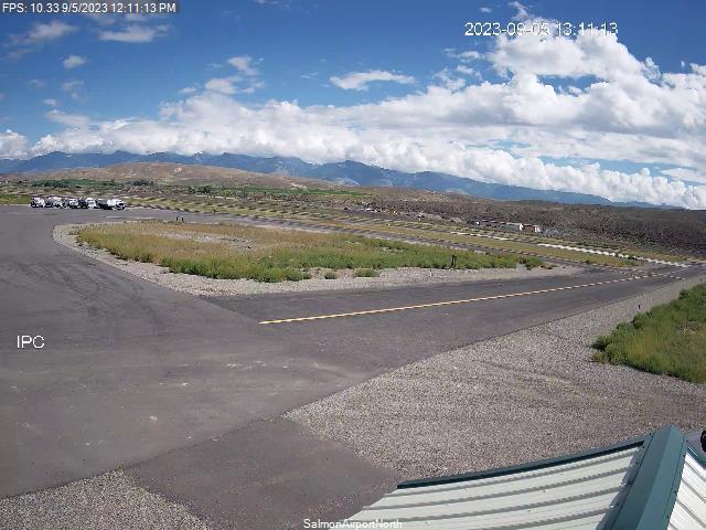
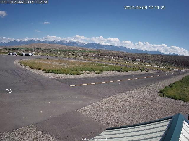
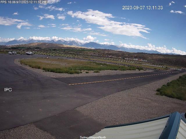
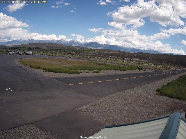
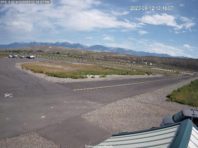
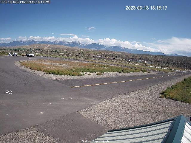
Salmon, Idaho, USA - 163.1 miles from Cherrylane: Lemhi County Airport - Views north & south from the Airport.
Operator: Lemhi County Airport
Operator: Lemhi County Airport


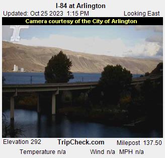
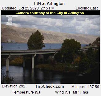
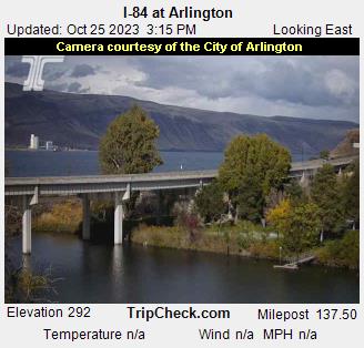
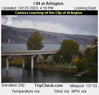
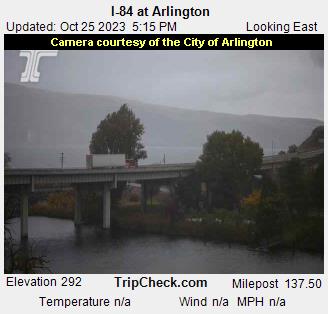
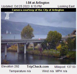
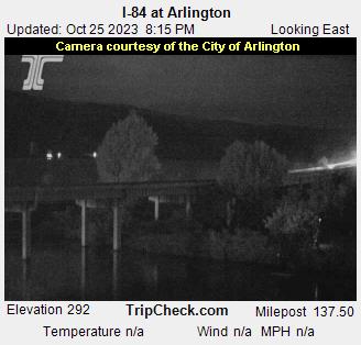
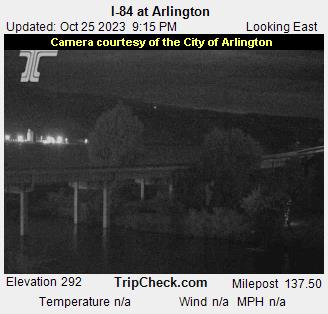
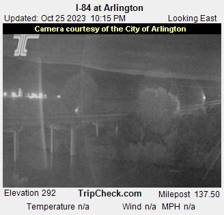
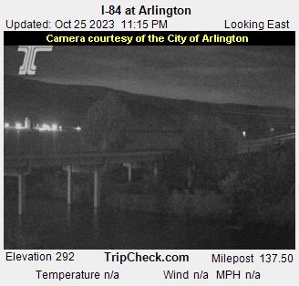
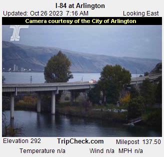
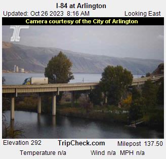
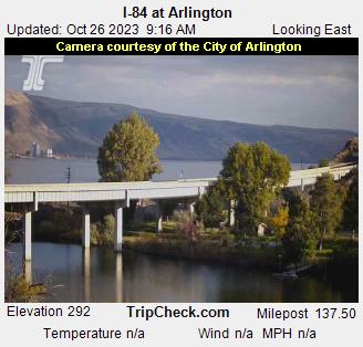
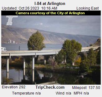
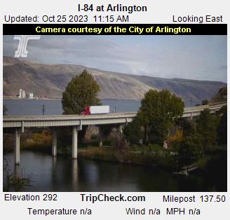
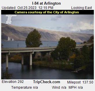
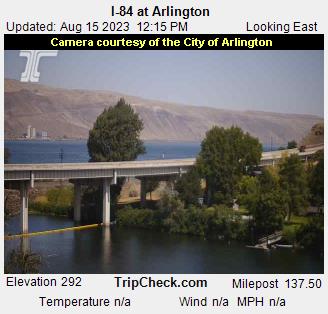
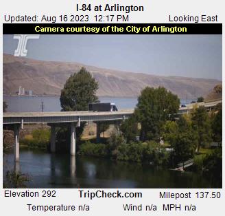
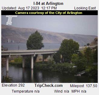
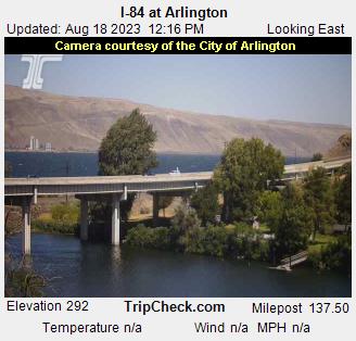
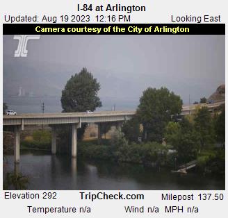
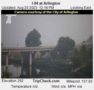
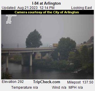
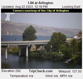
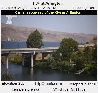
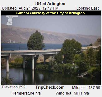
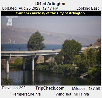
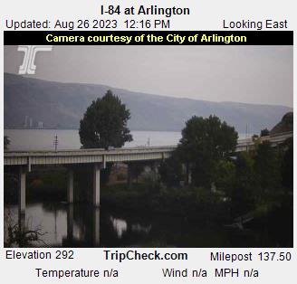
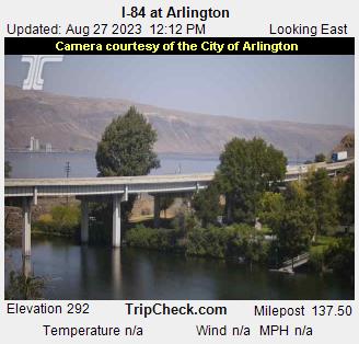
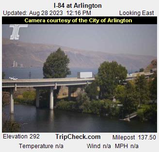
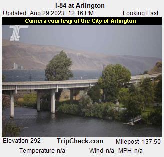
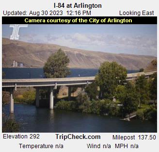
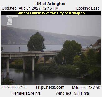
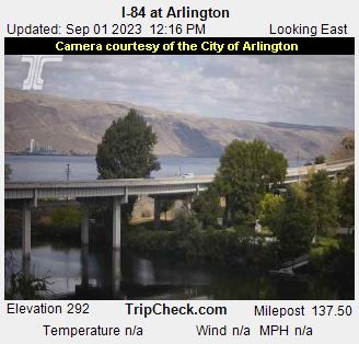
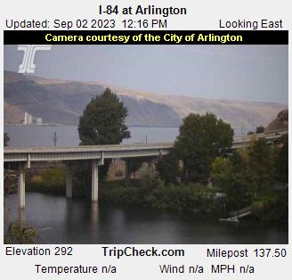
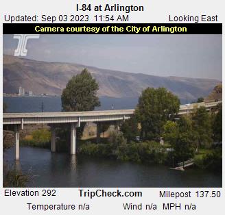
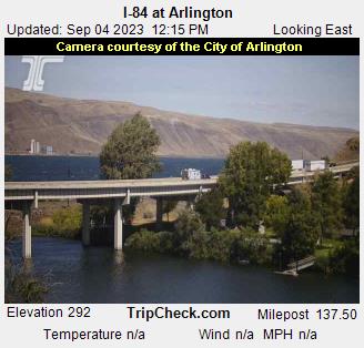
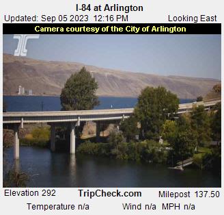
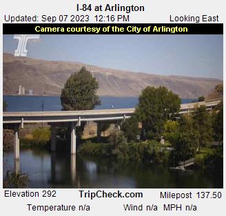
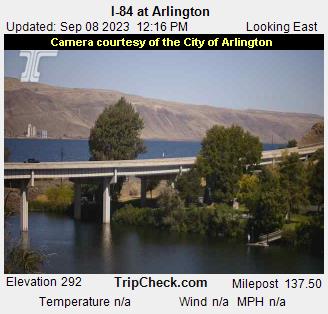
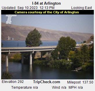
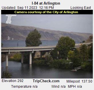
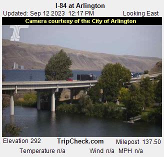
Arlington, Oregon, USA - 177.4 miles from Cherrylane: I-84 at Arlington - A view of the current traffic situation on the I-84.
Operator: Oregon Department of Transportation
Operator: Oregon Department of Transportation


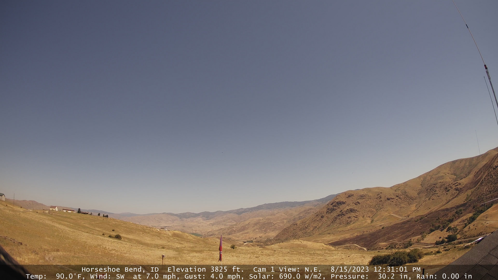
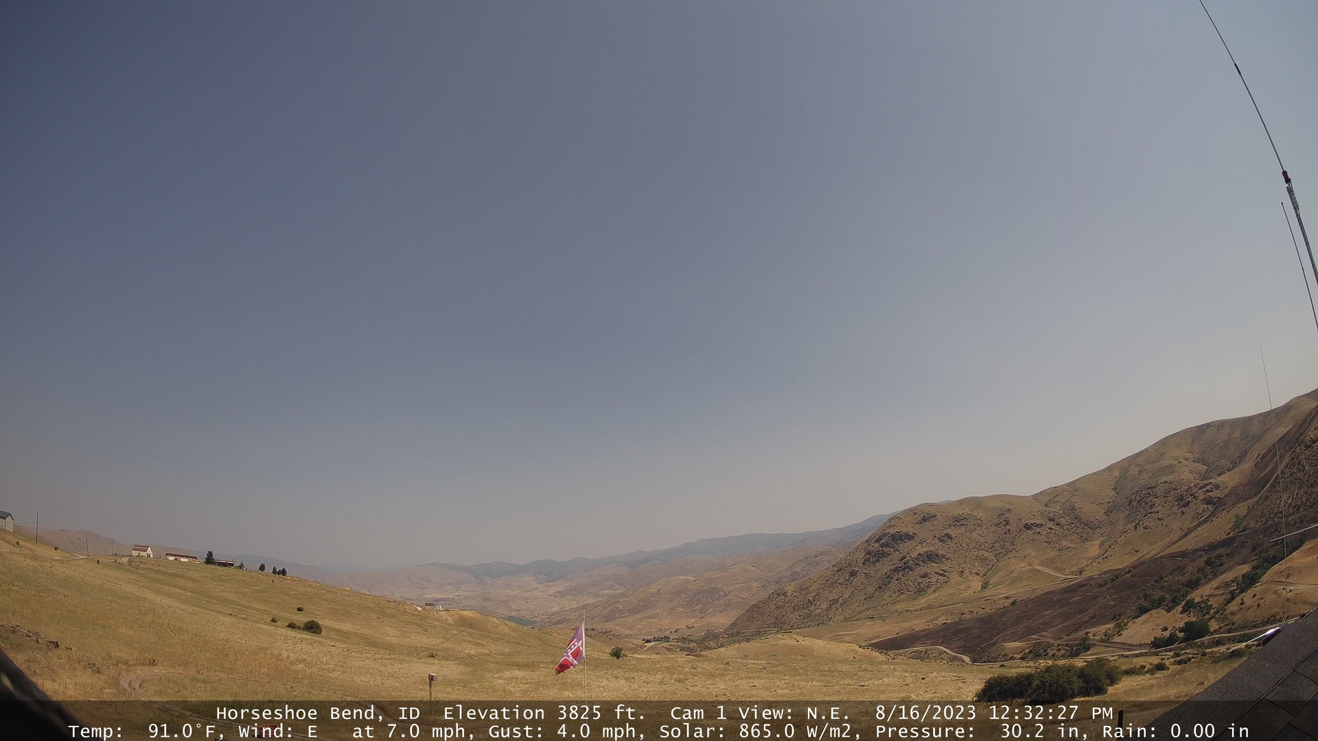
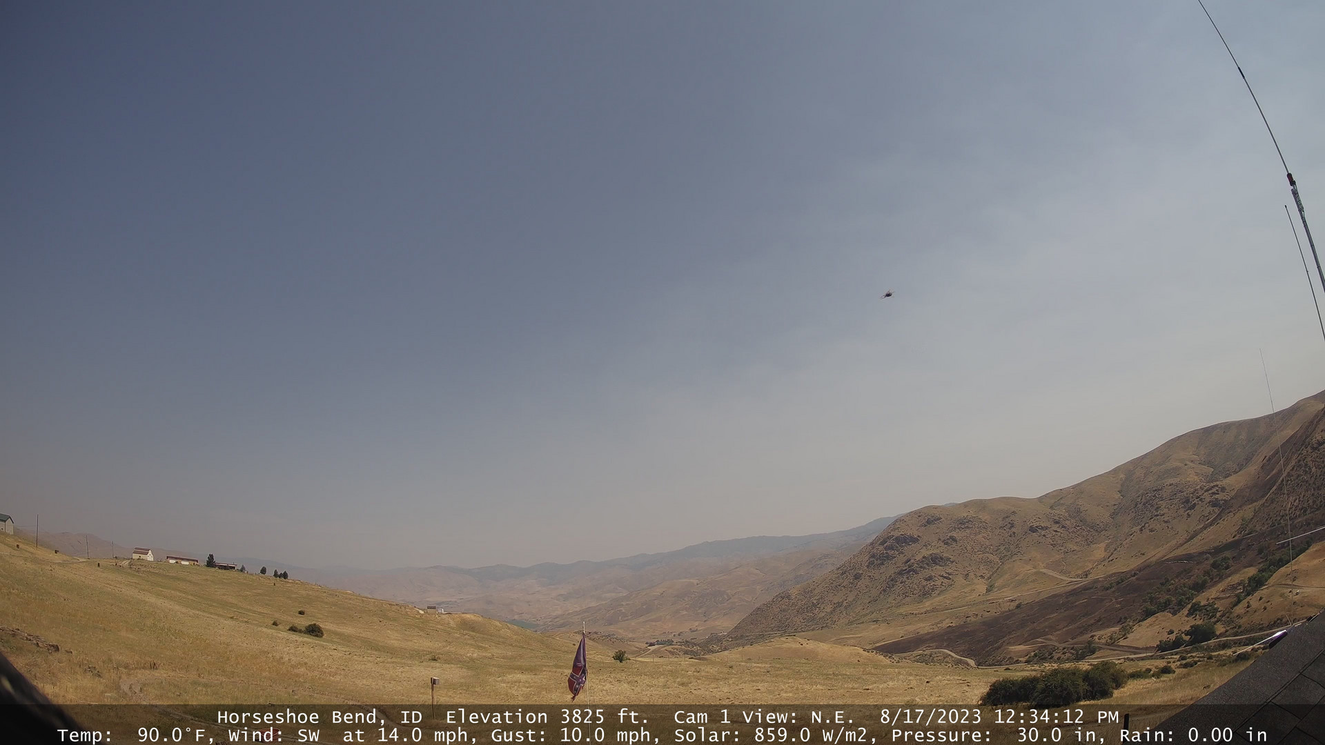
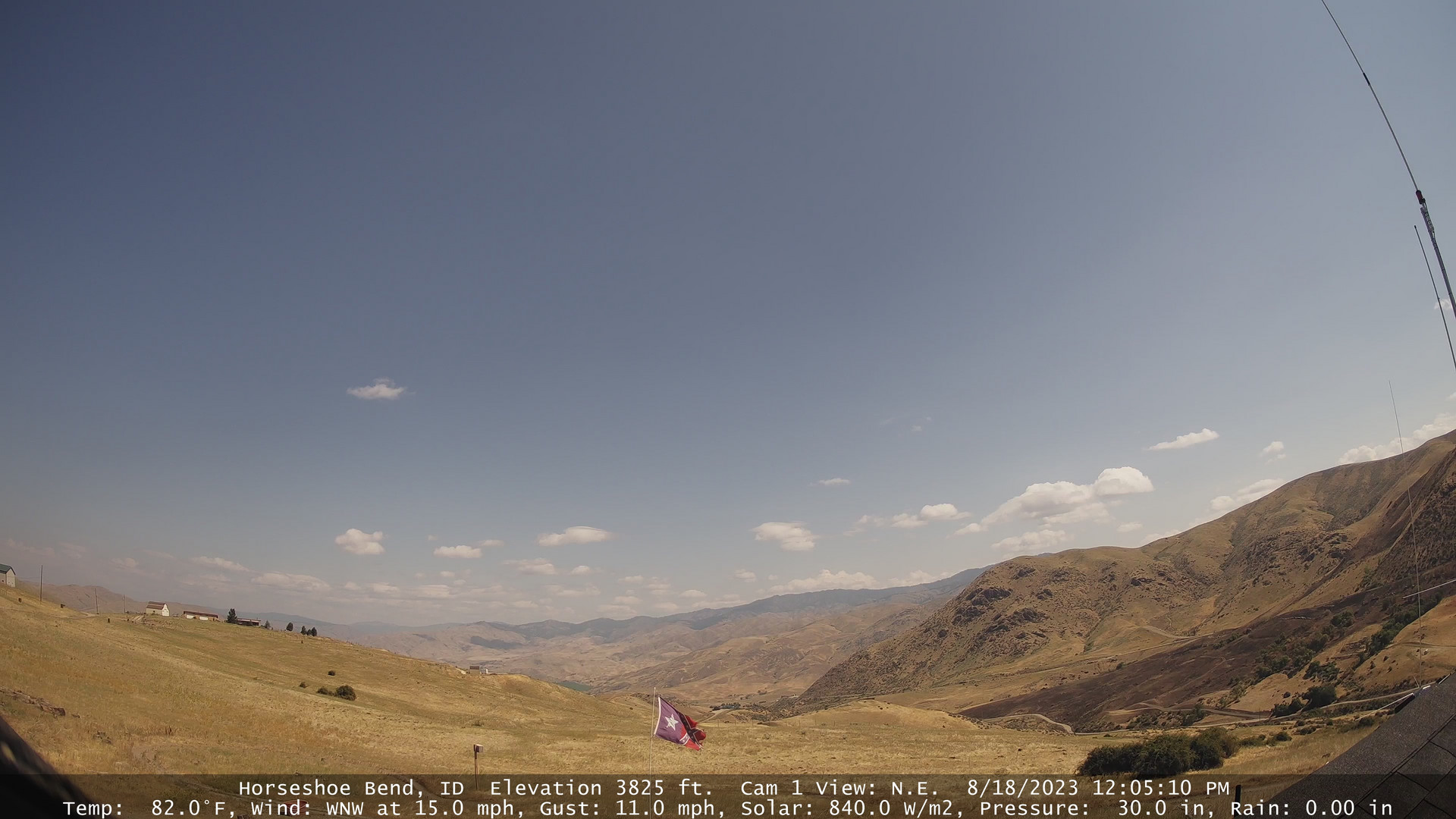
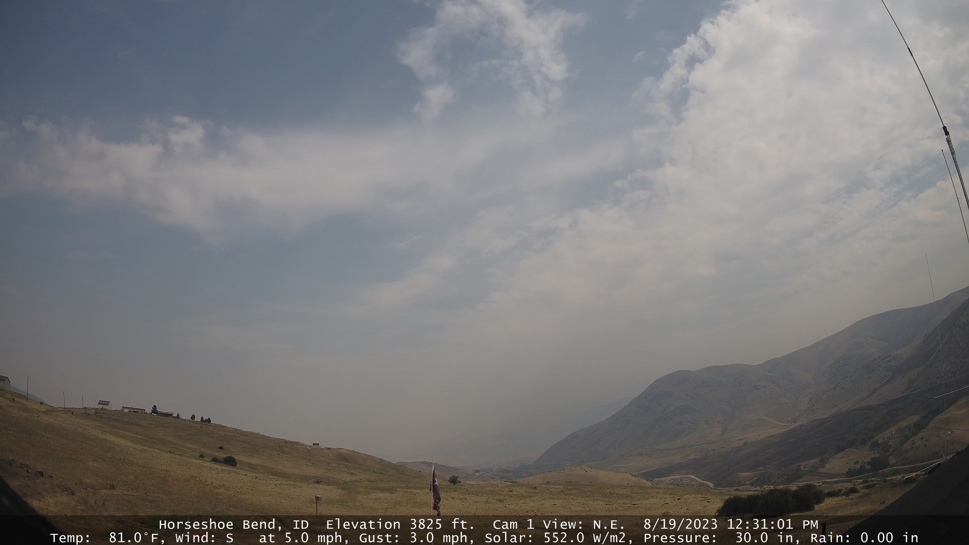
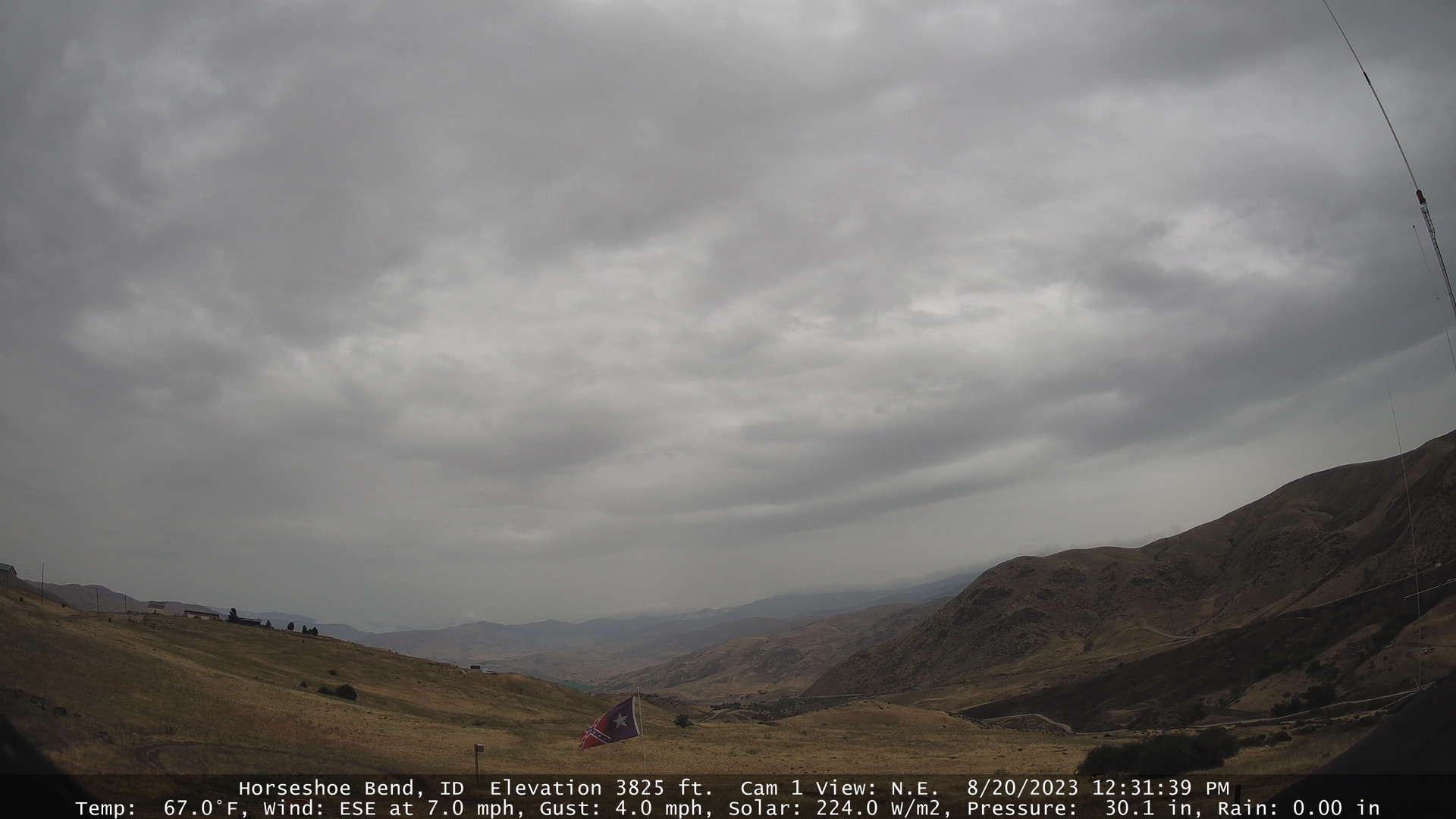
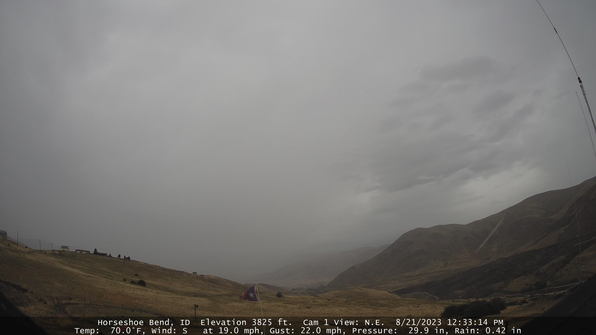
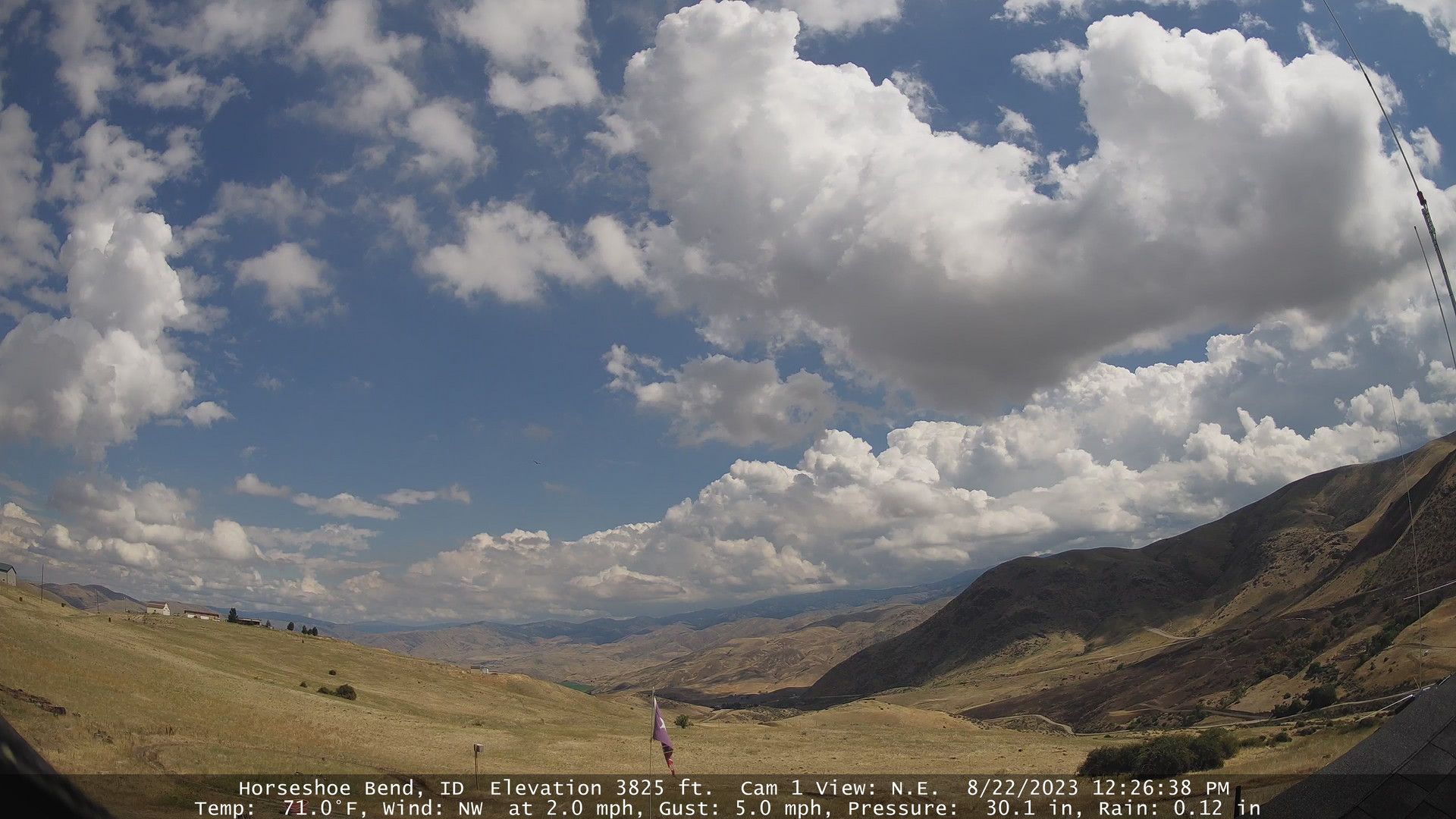
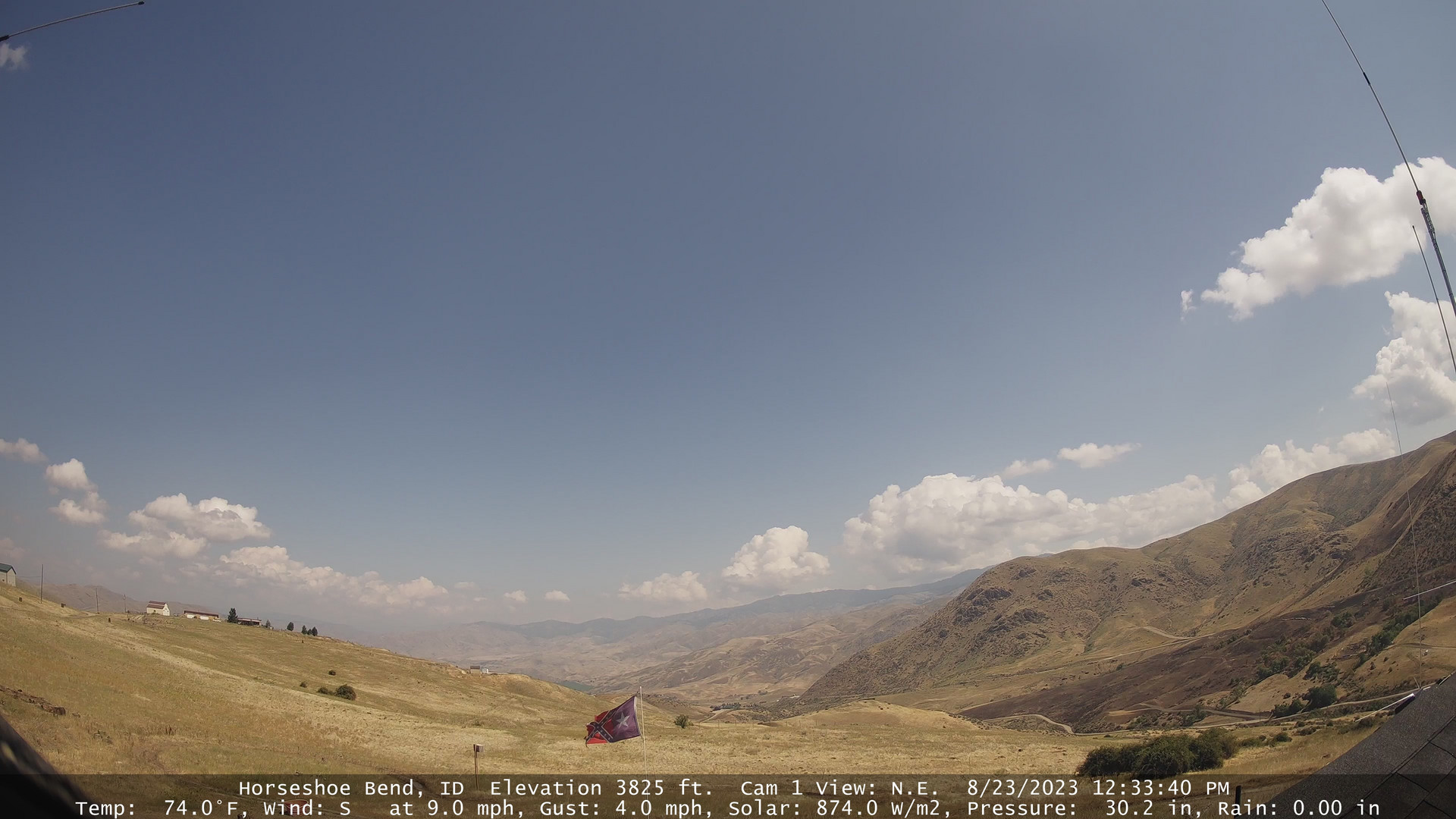
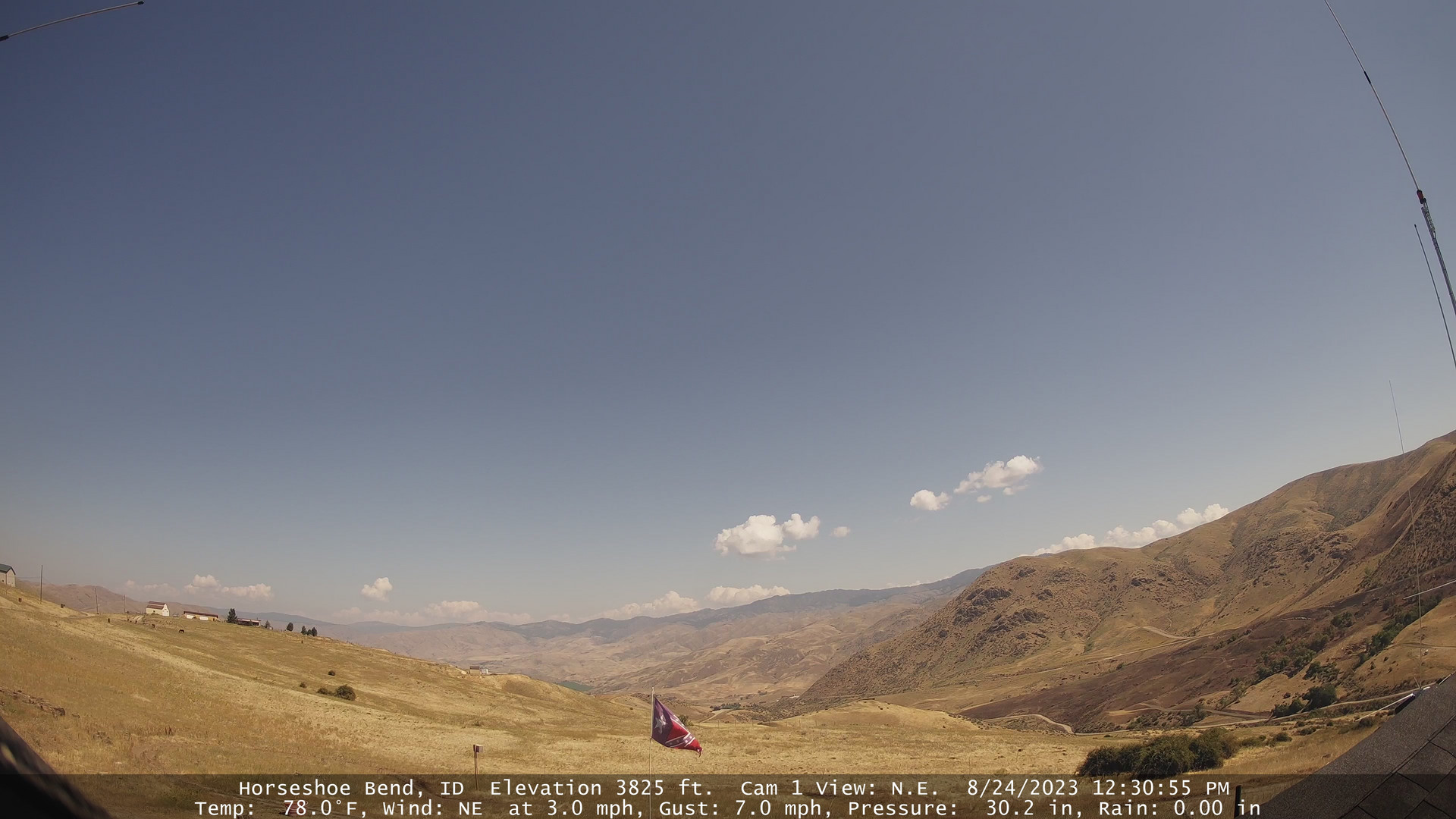
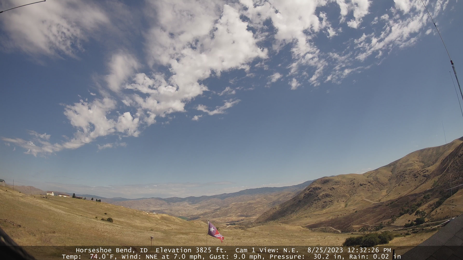
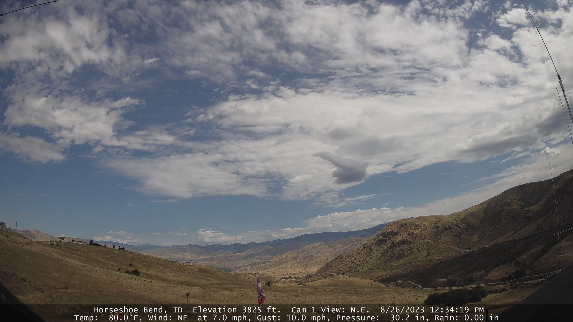
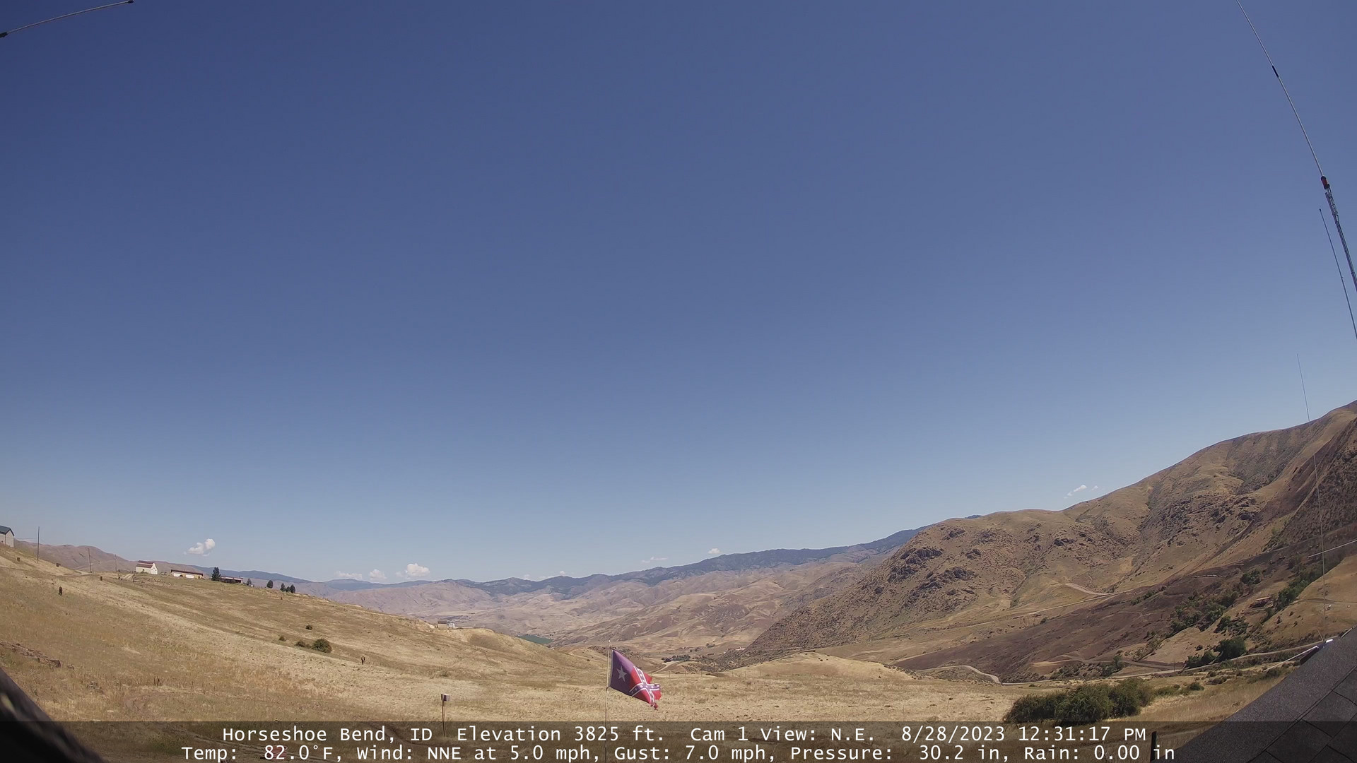
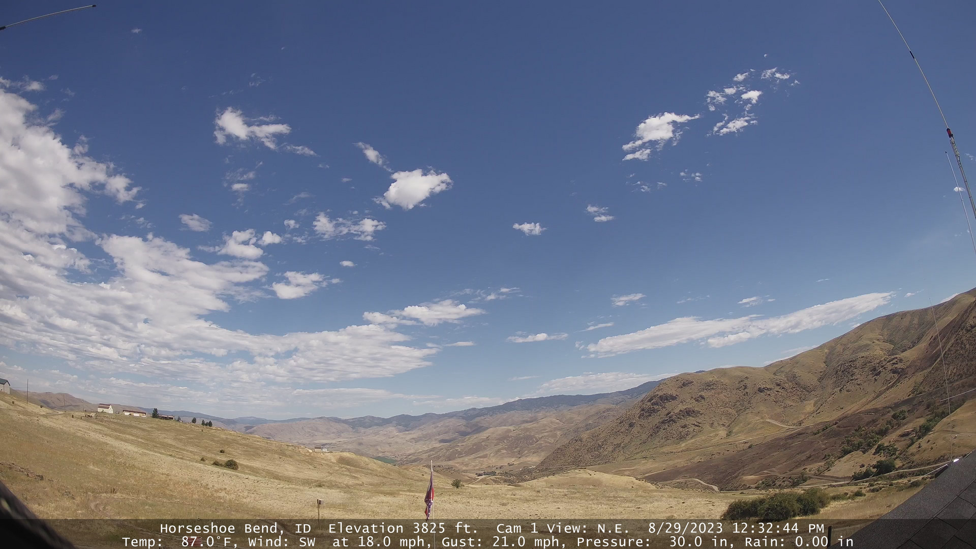
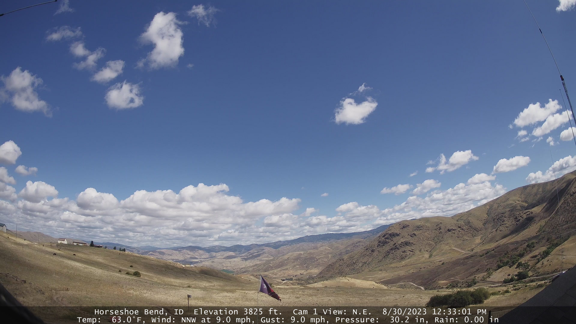
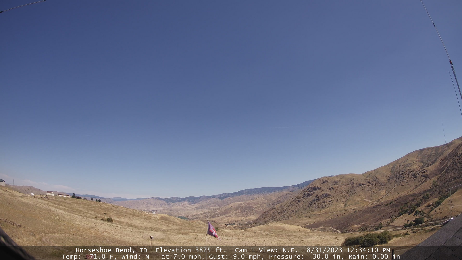
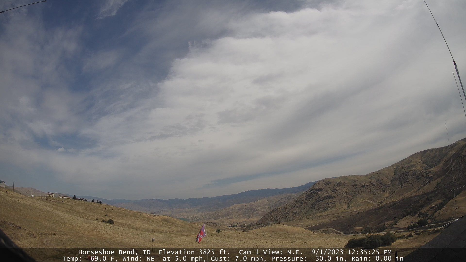
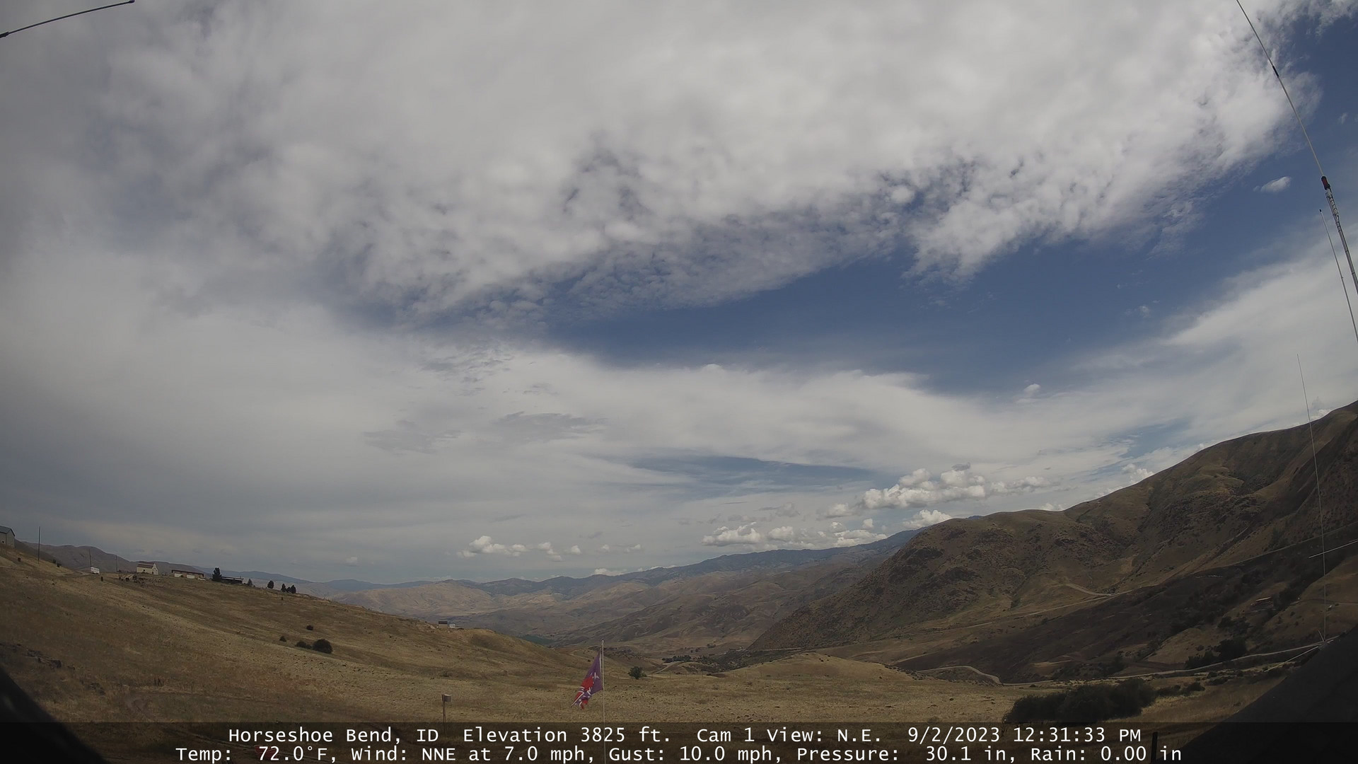
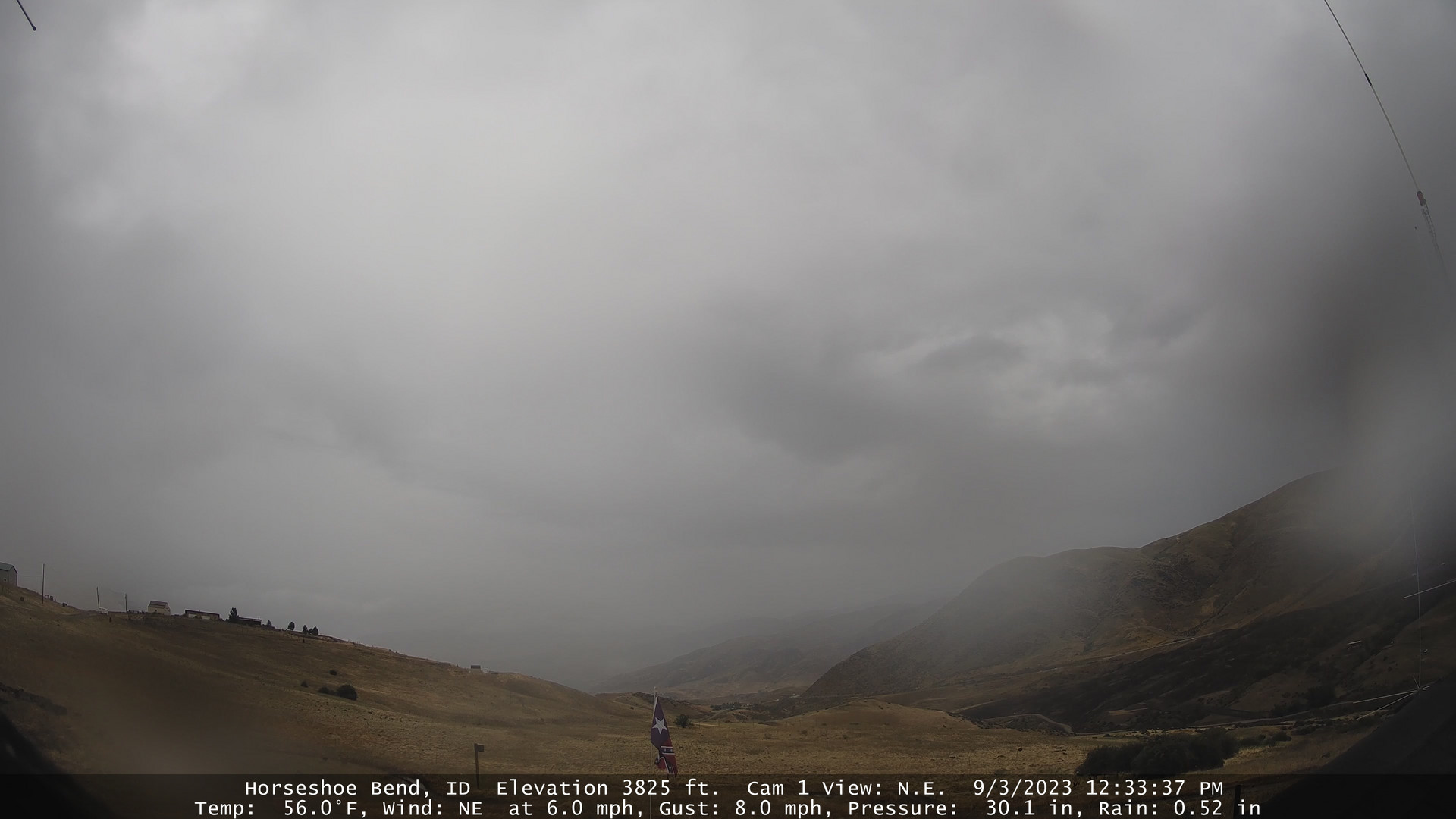
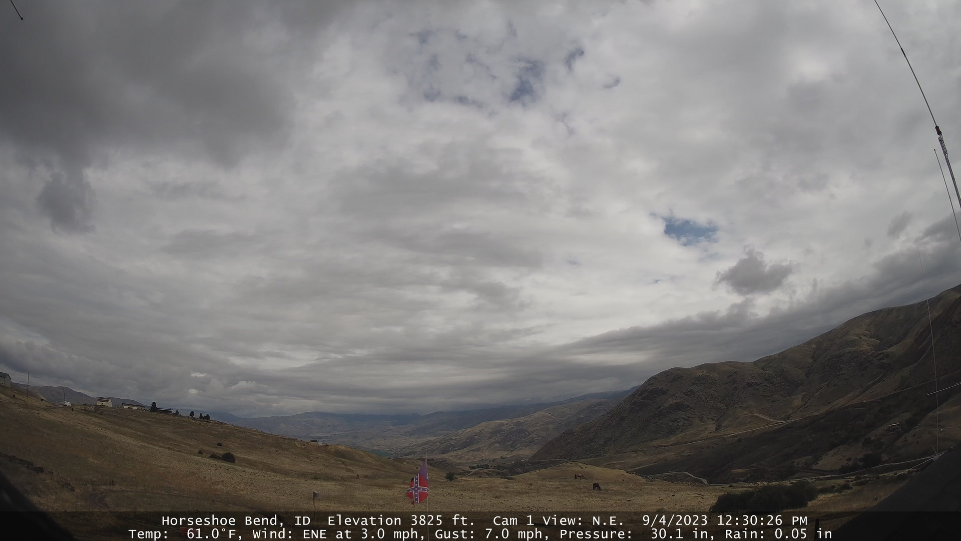
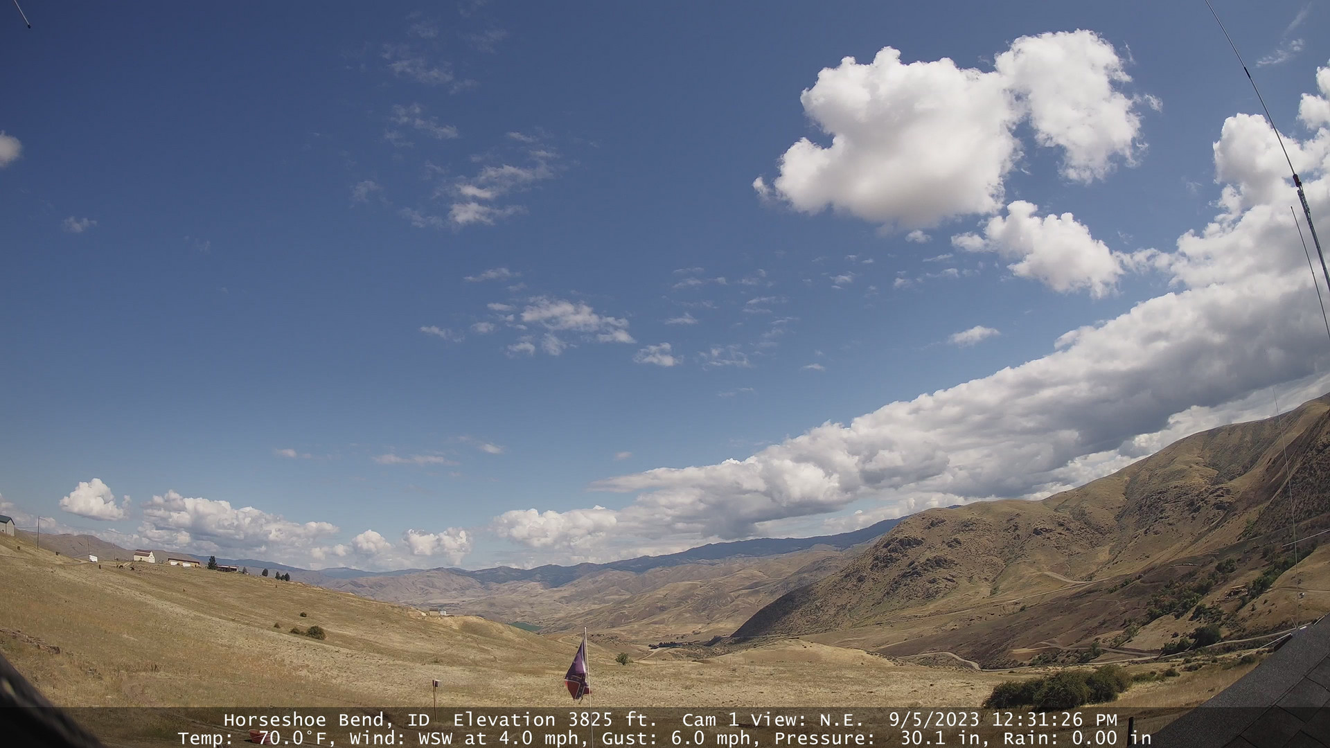
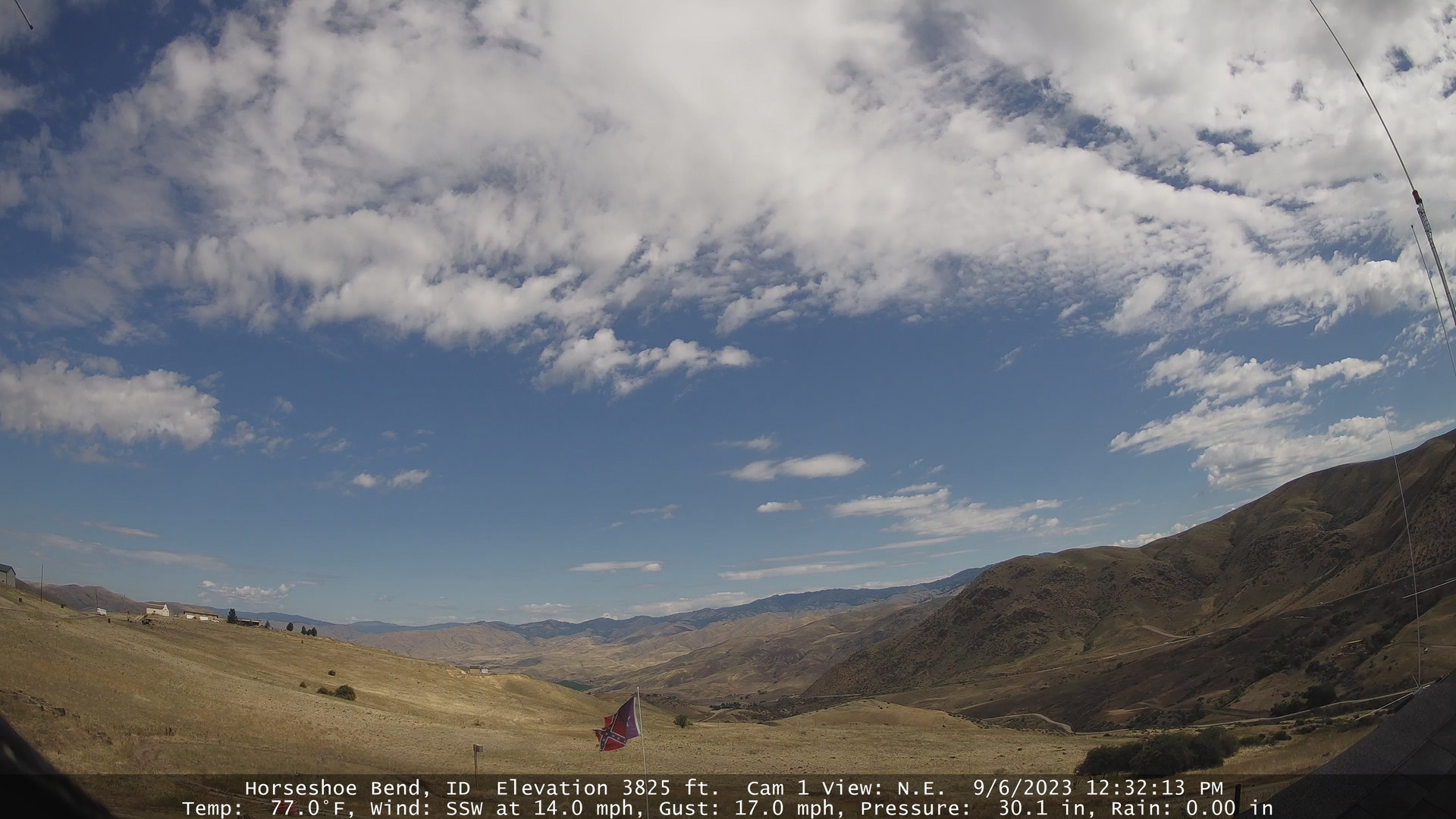
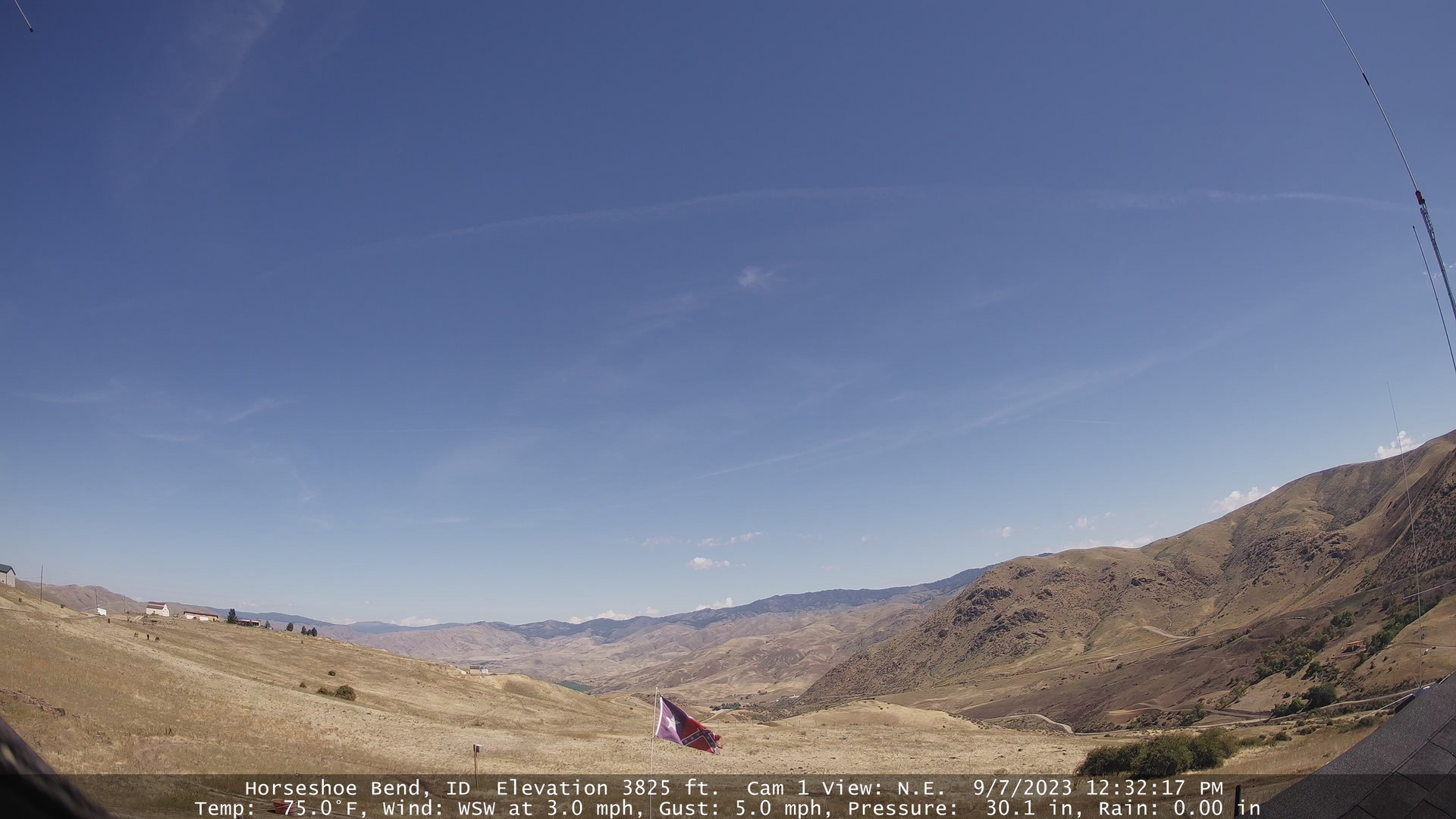
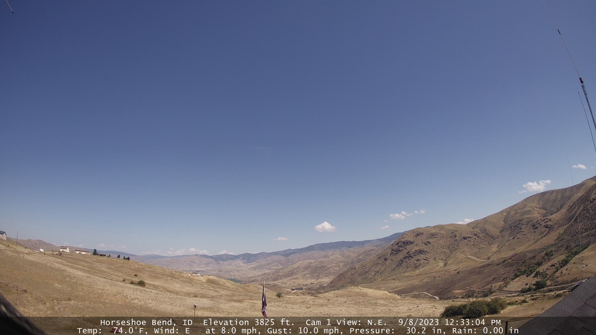
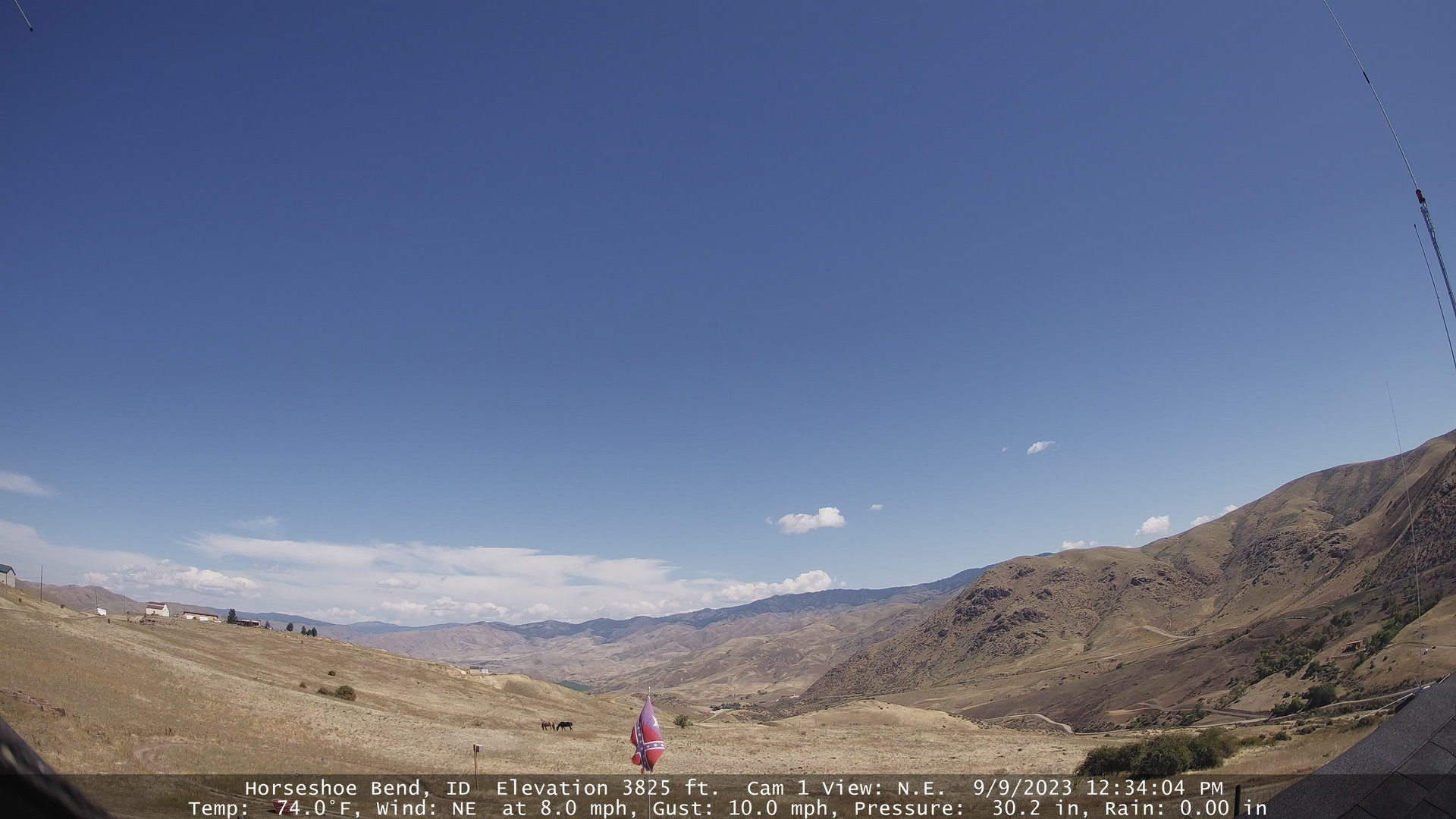
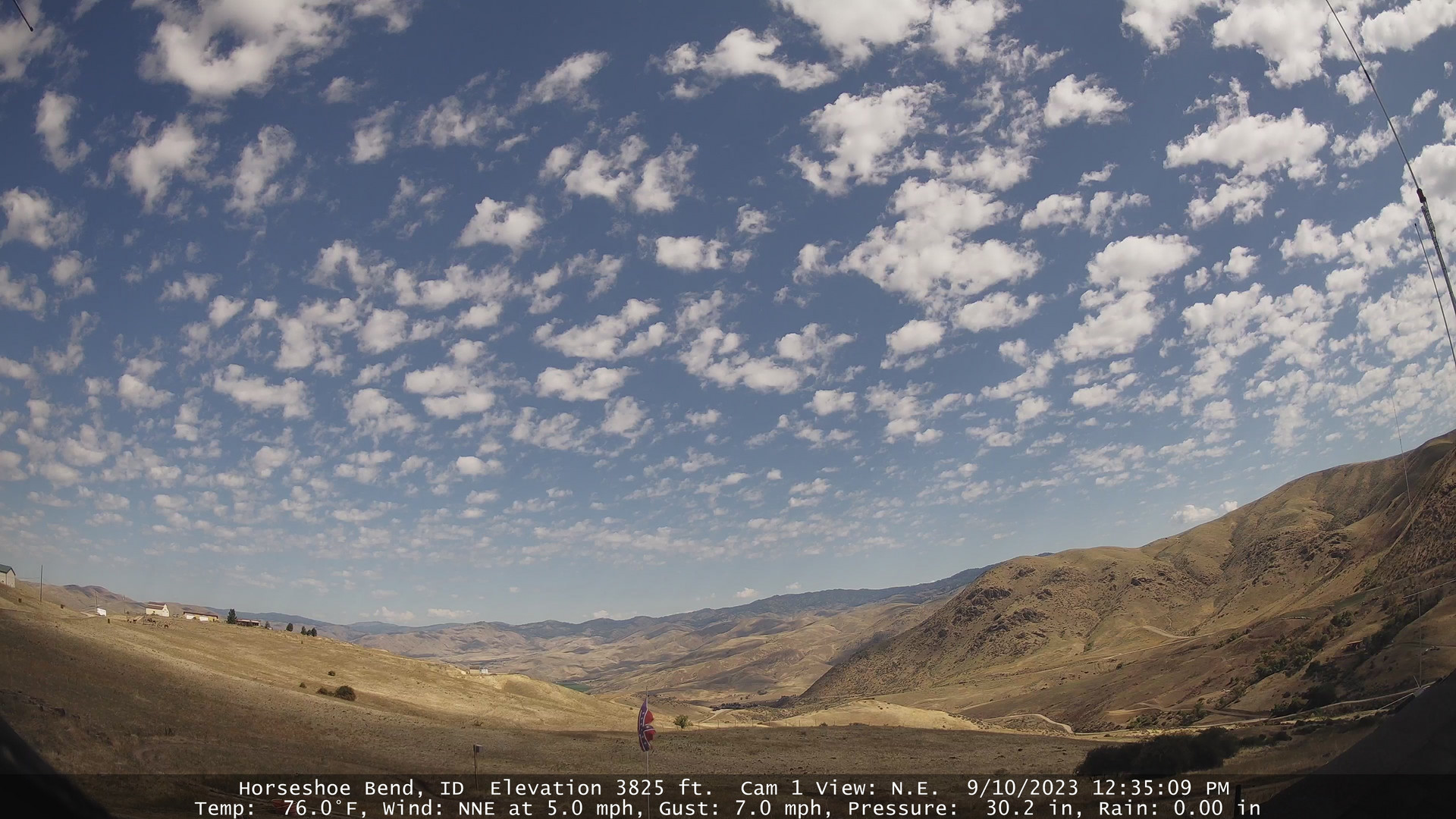
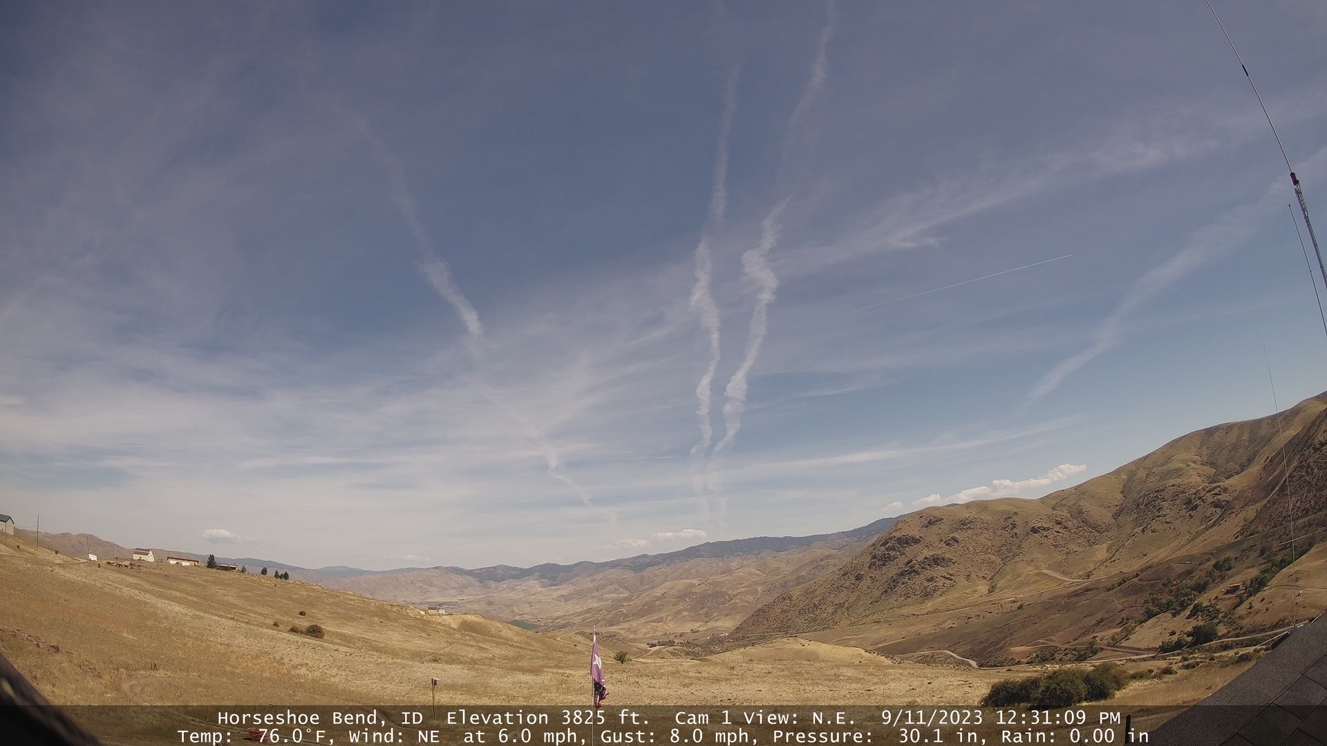
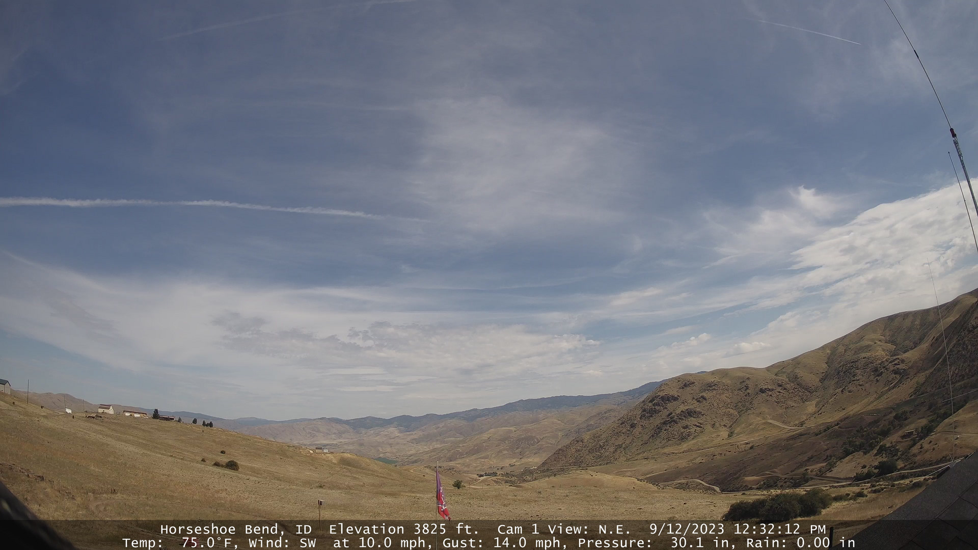
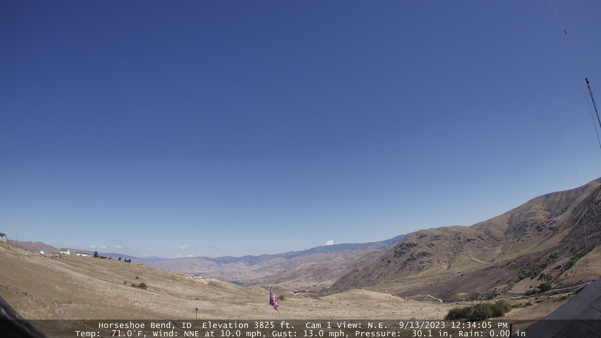
Horseshoe Bend, Idaho, USA - 181.3 miles from Cherrylane: Horseshoe Bend Weathercam - A view of the mountains above Horseshoe Bend, Idaho.
Operator: Horseshoe Bend Idaho Weather
Operator: Horseshoe Bend Idaho Weather


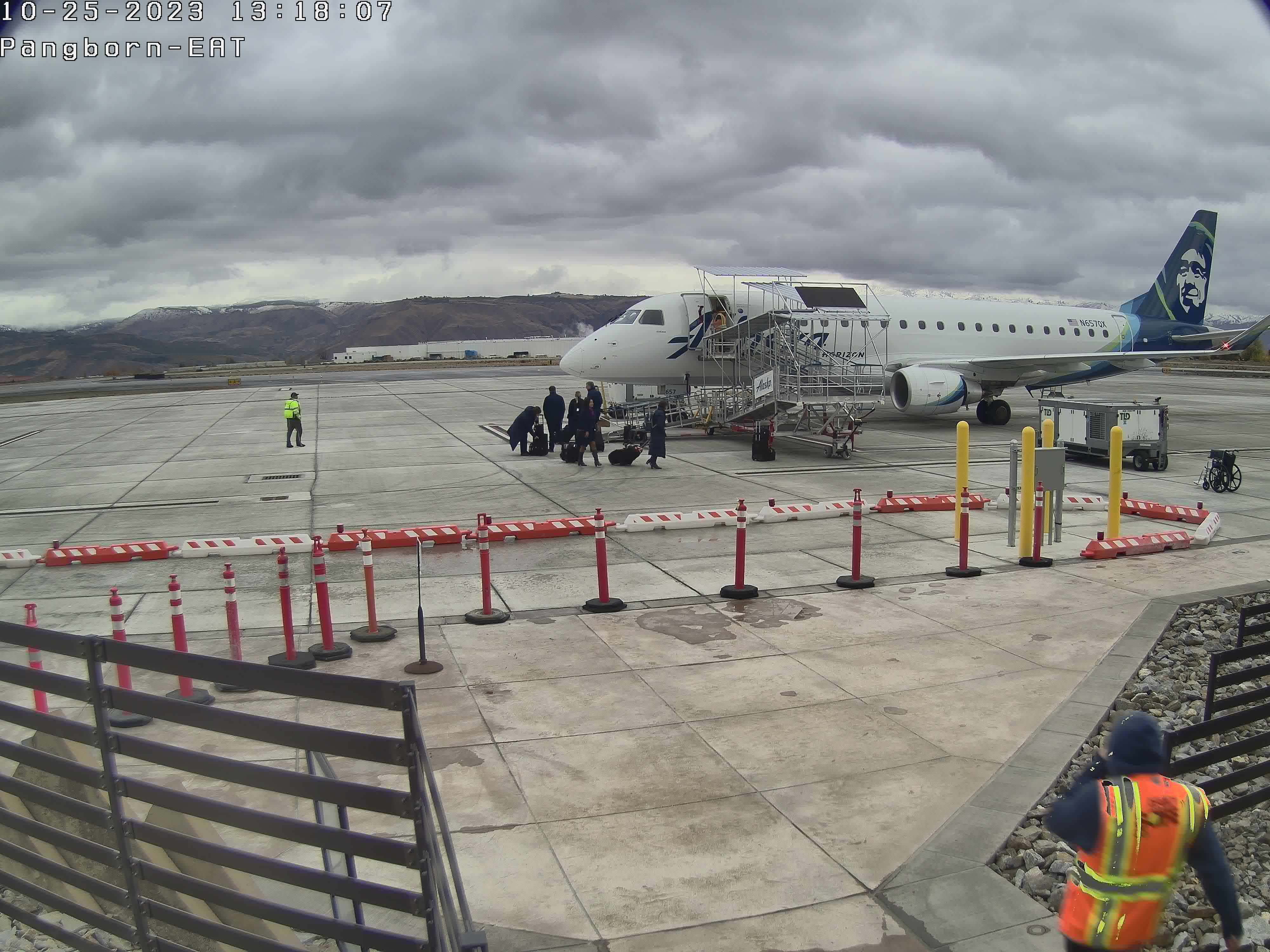
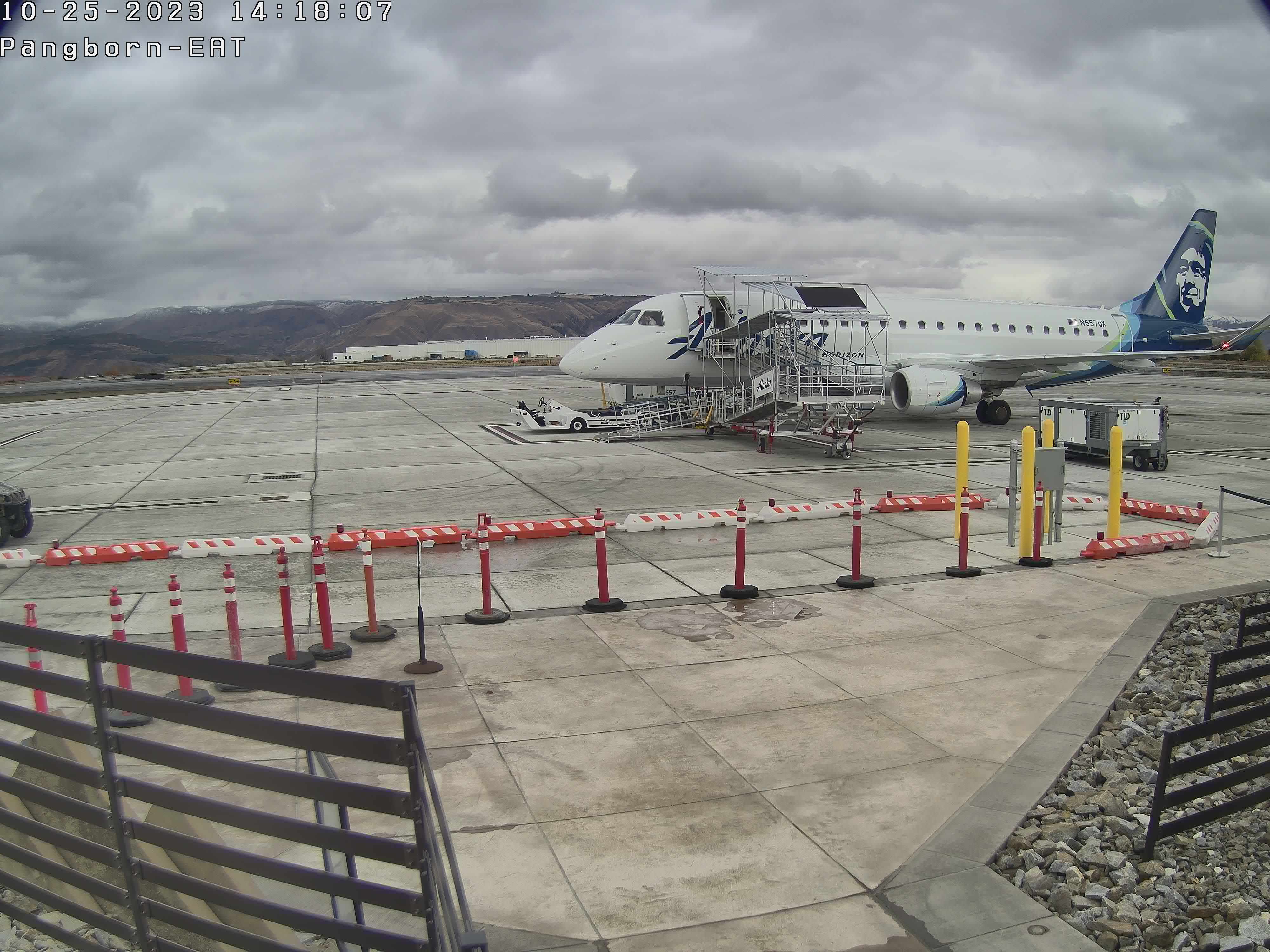
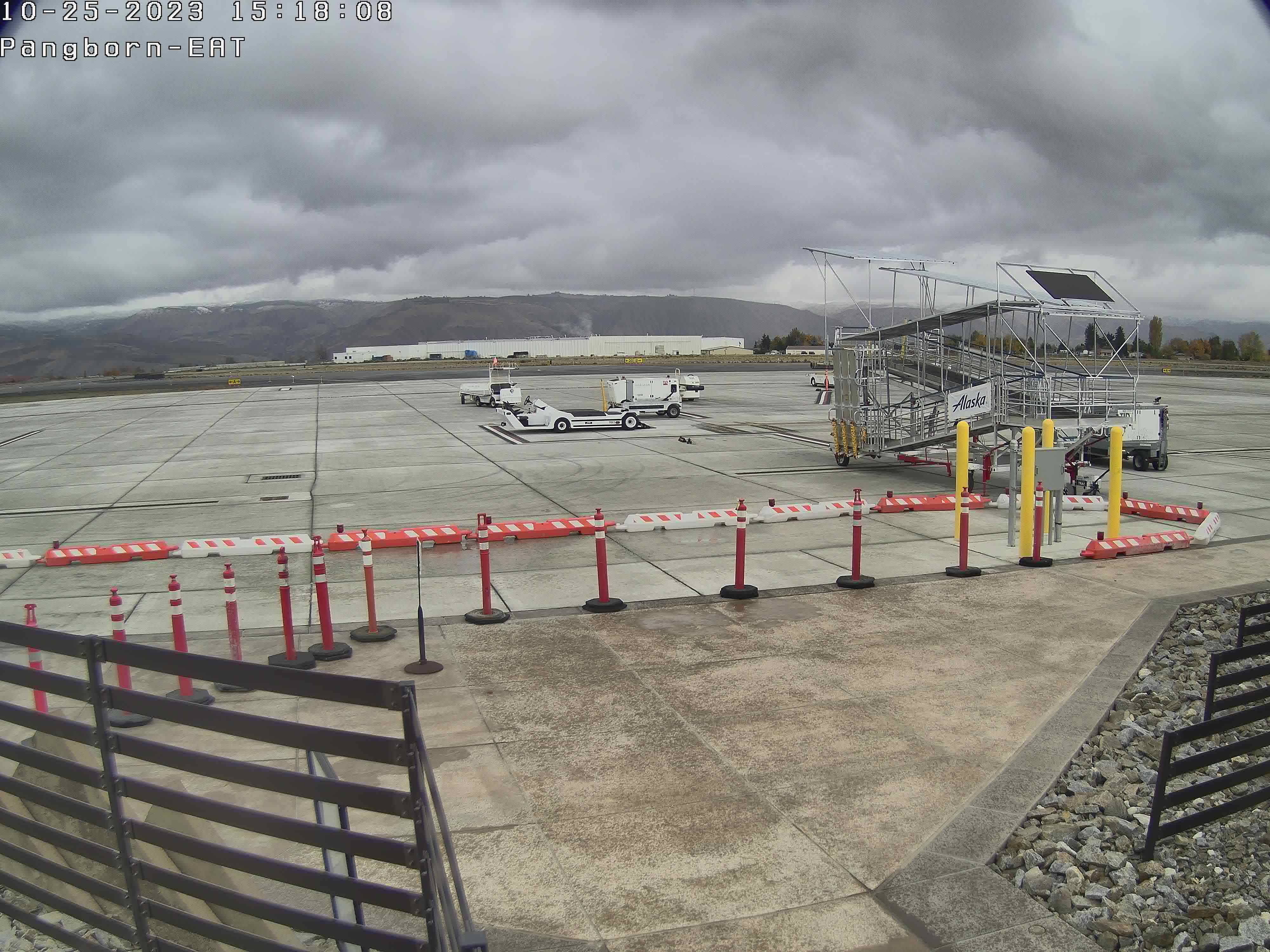
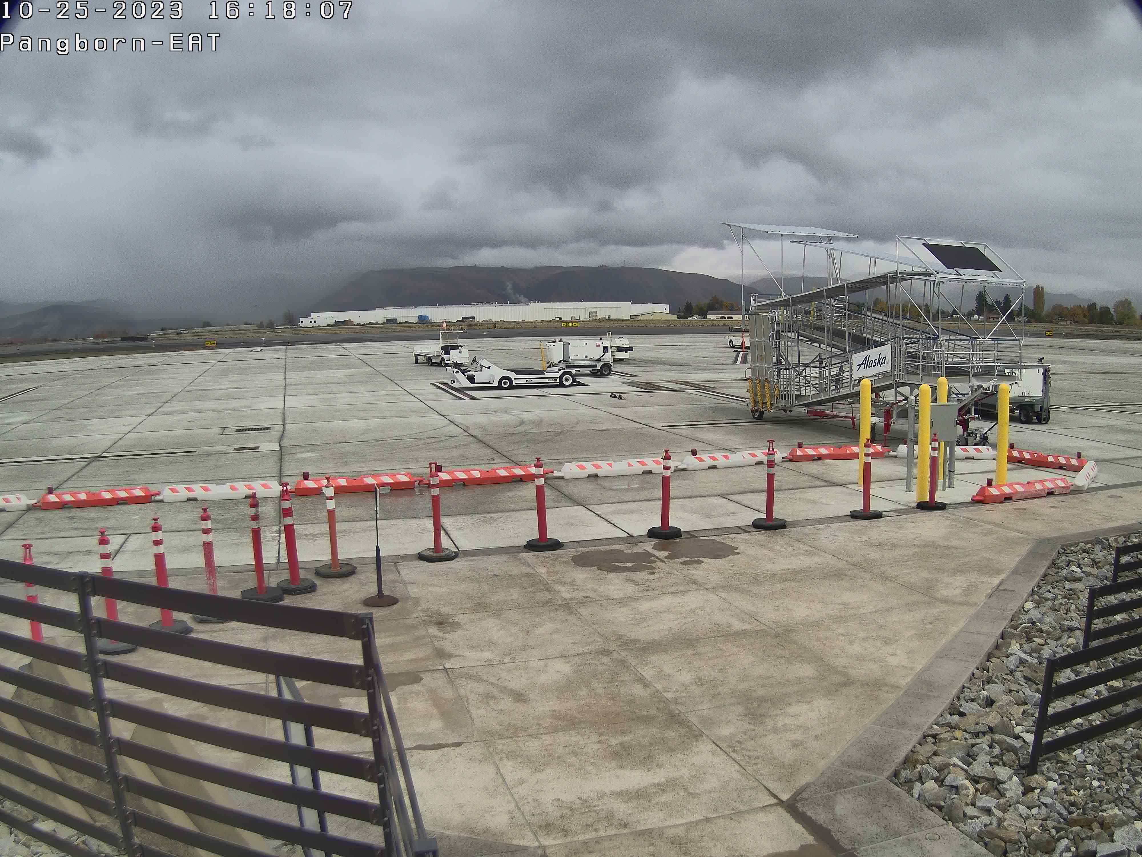
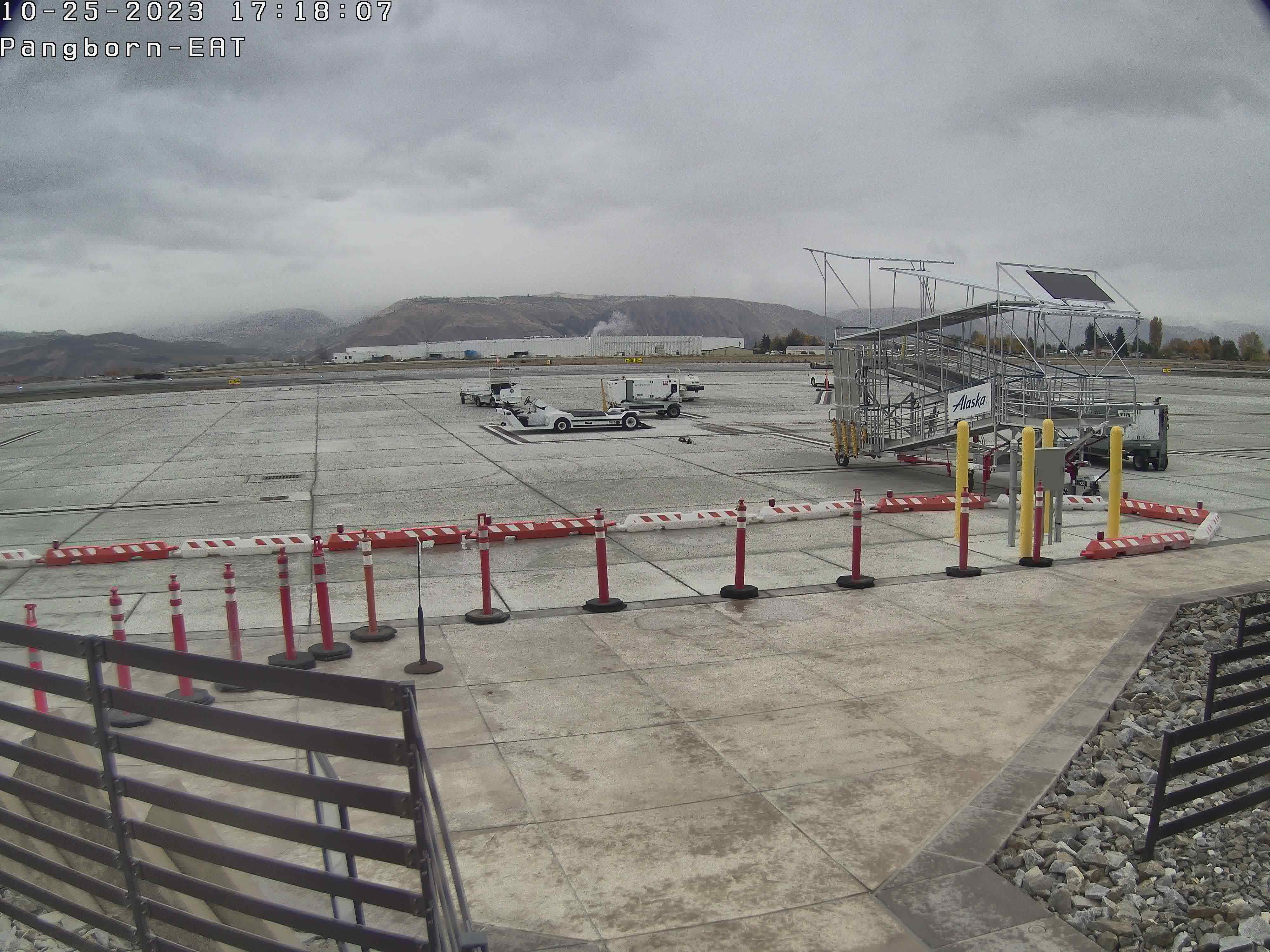
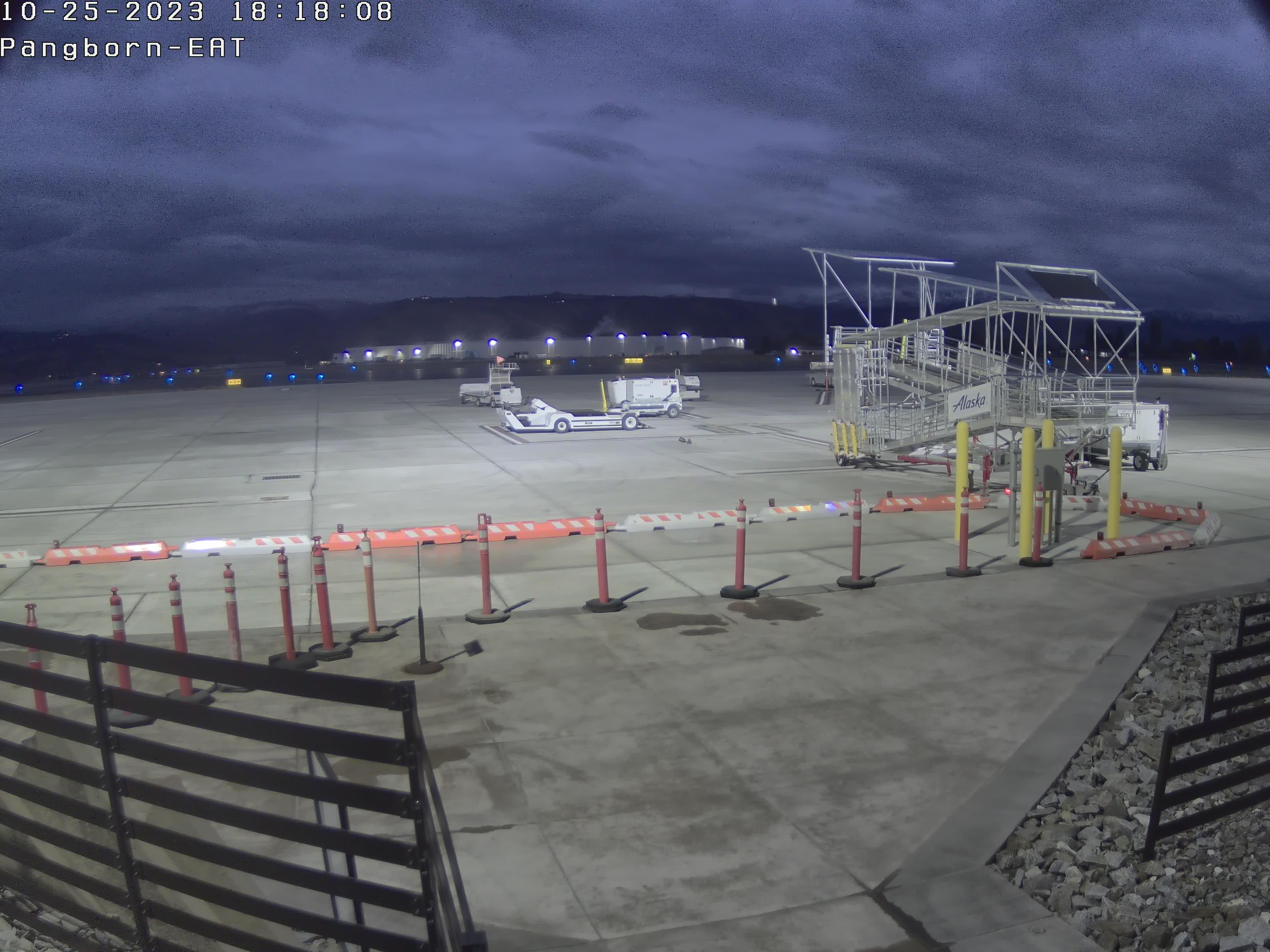
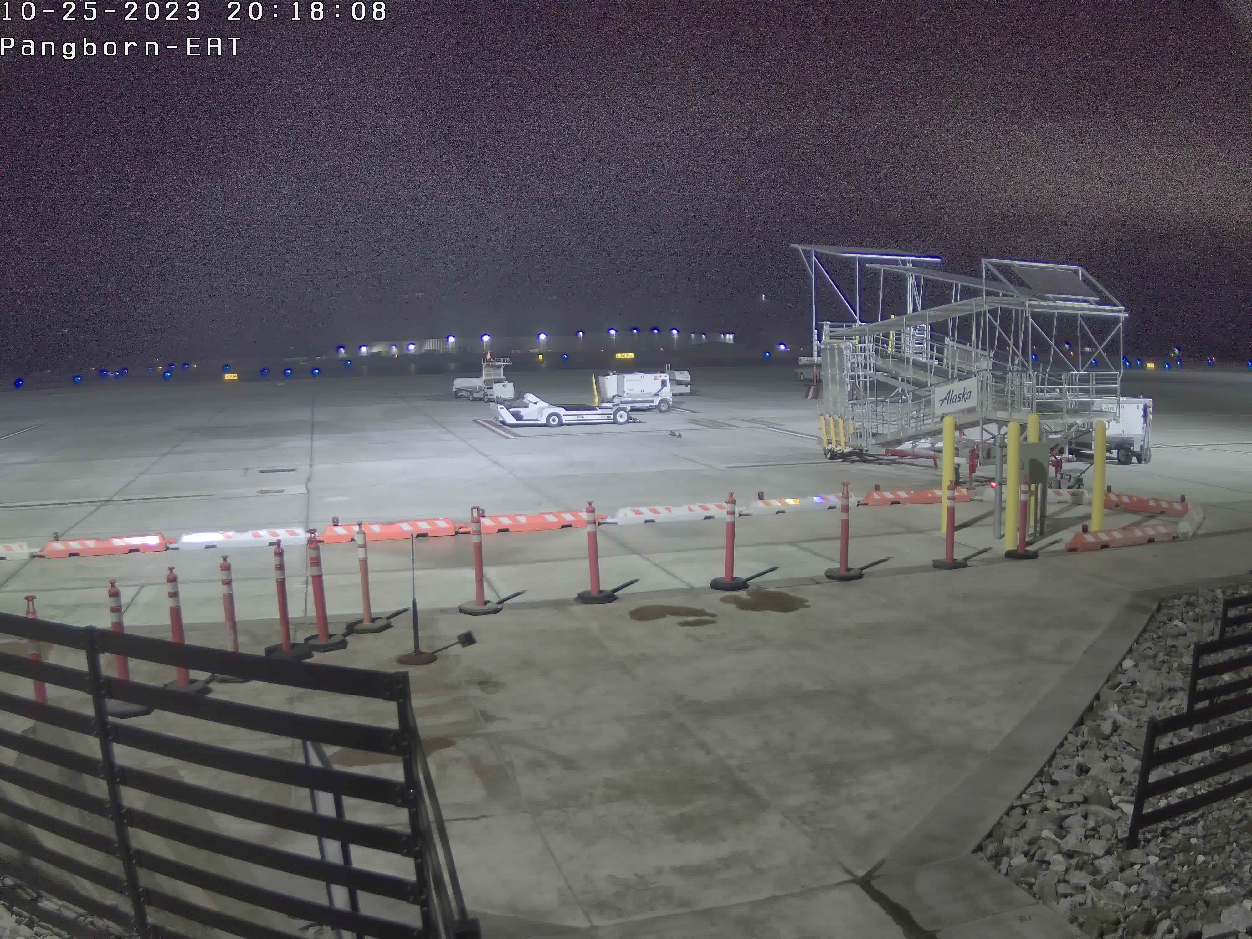
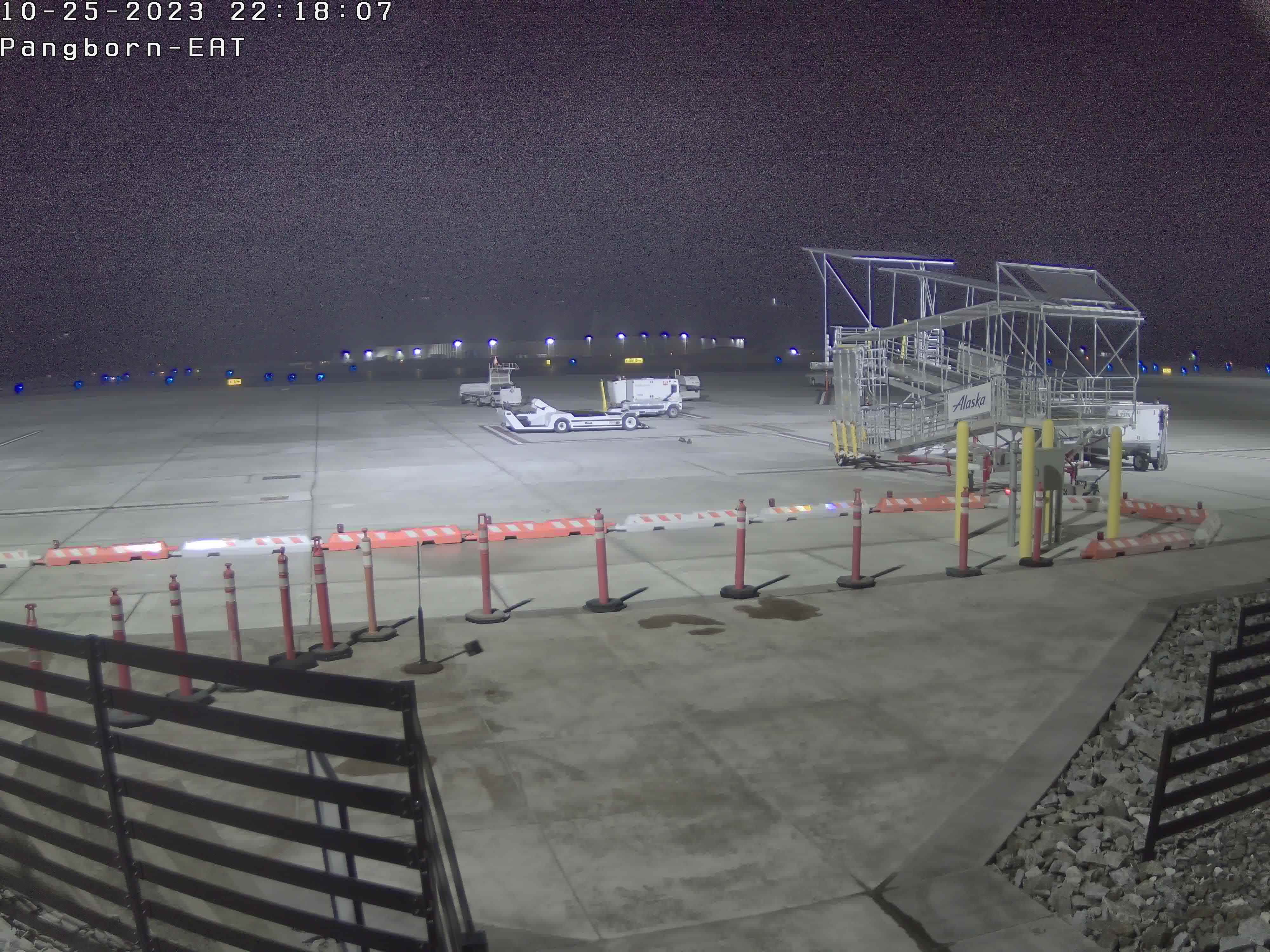
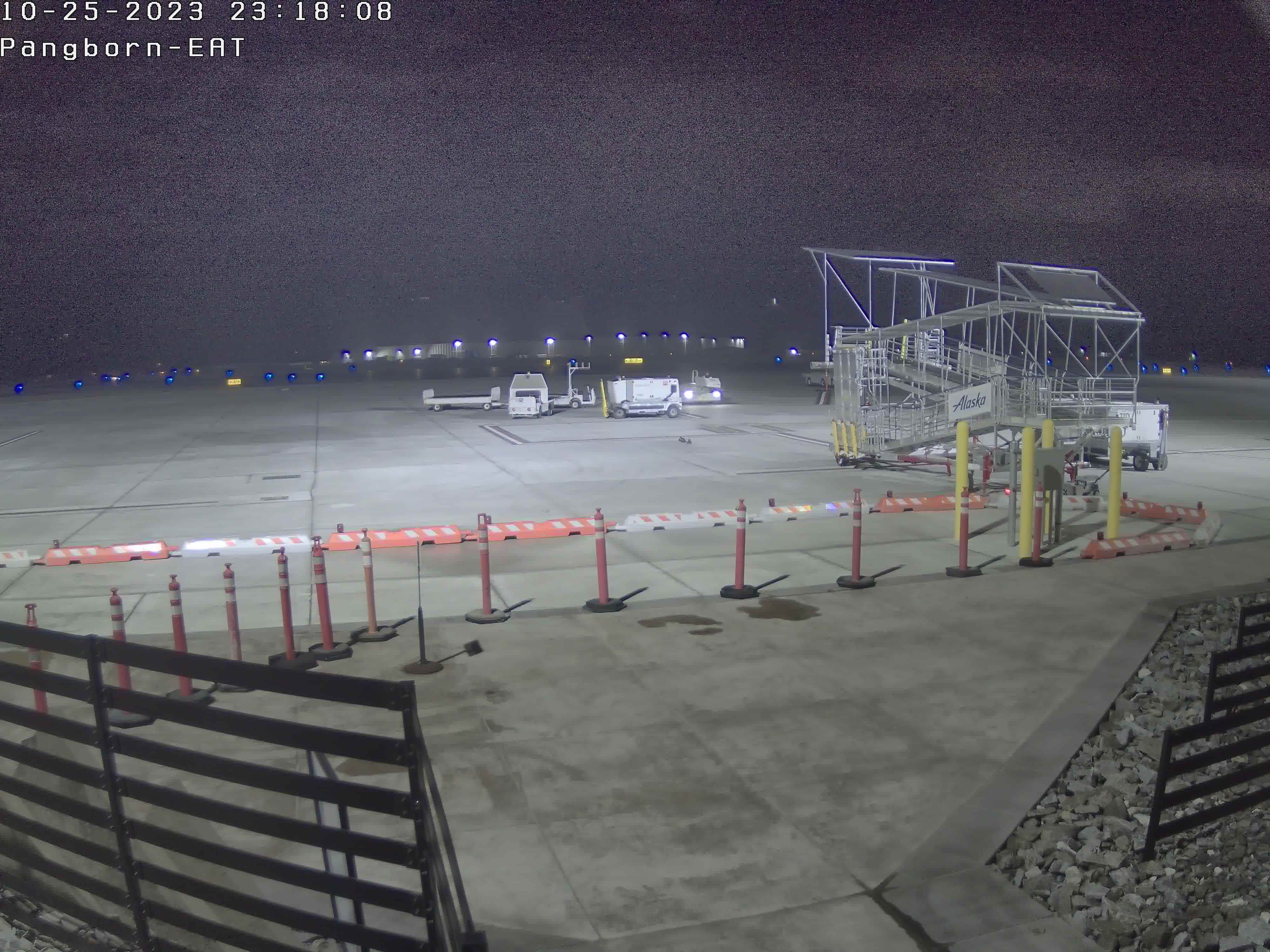
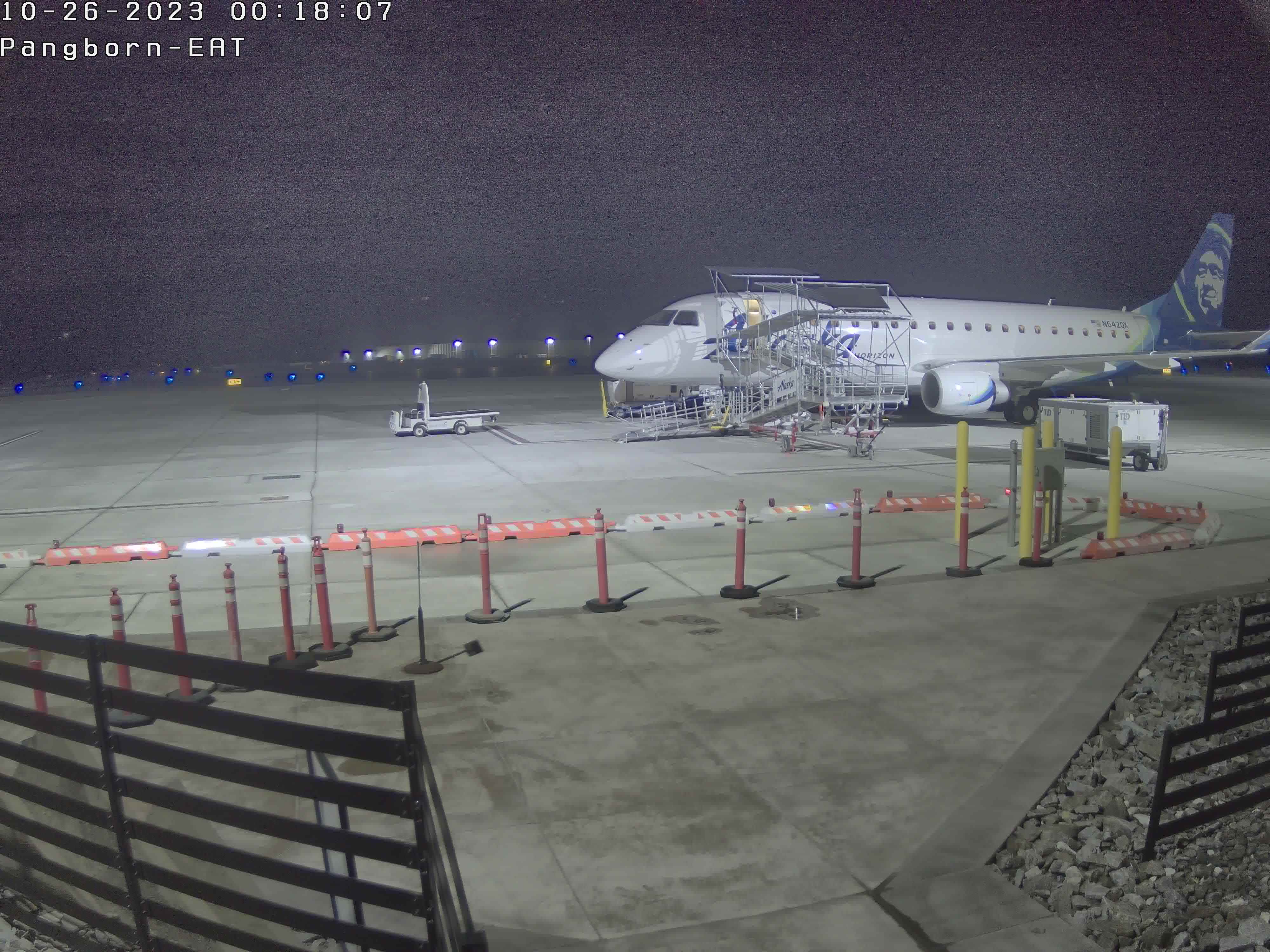
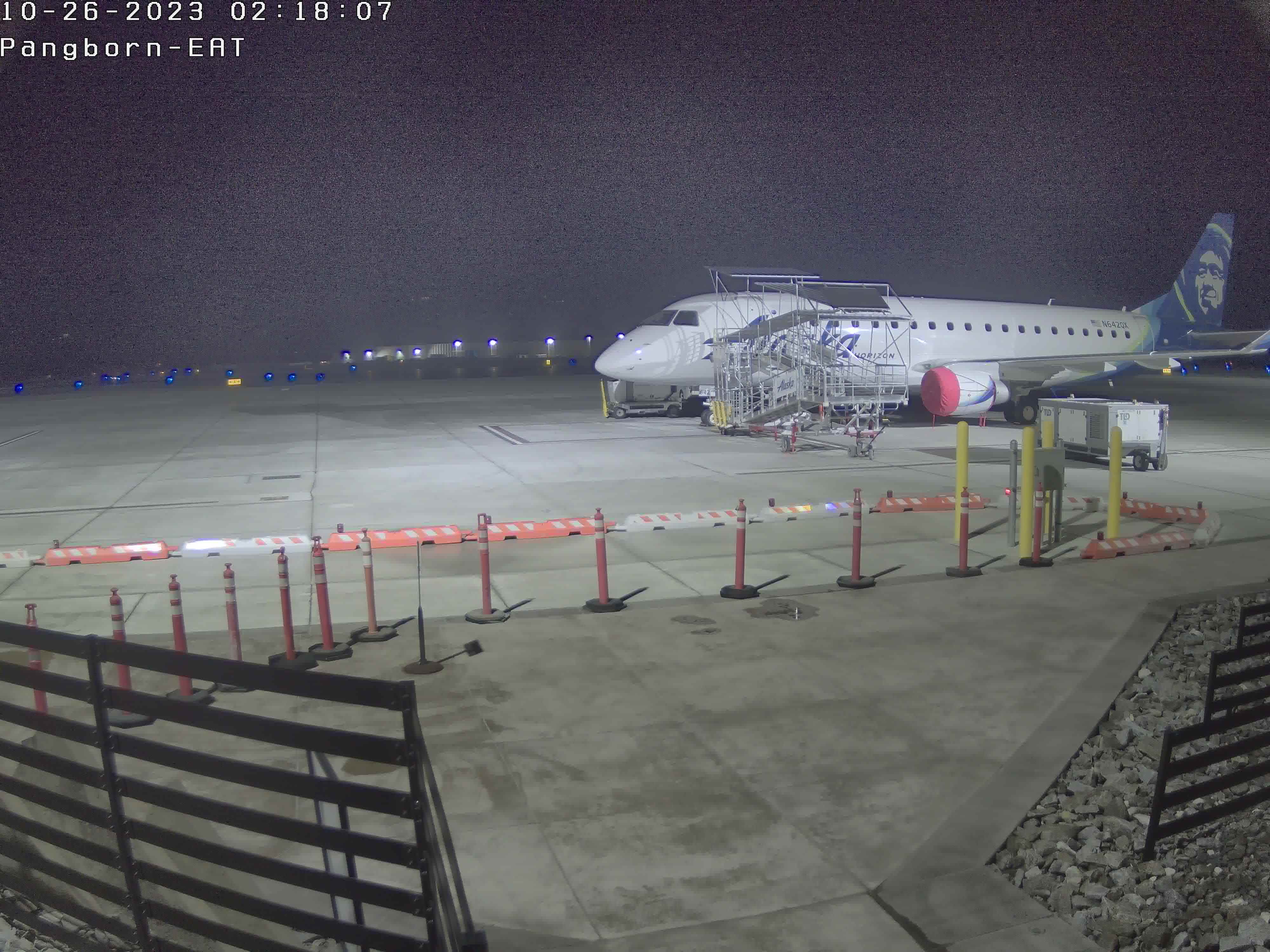
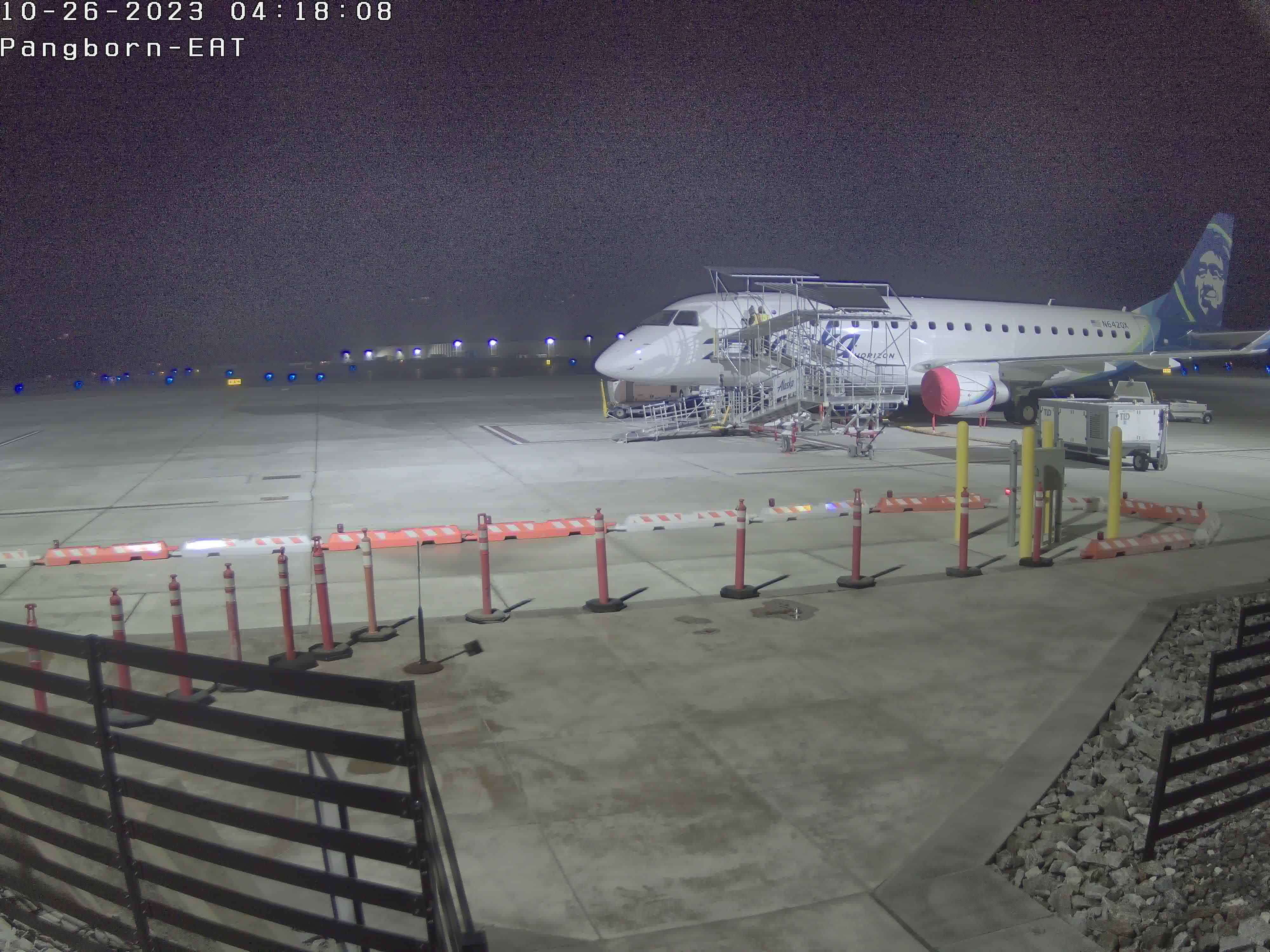
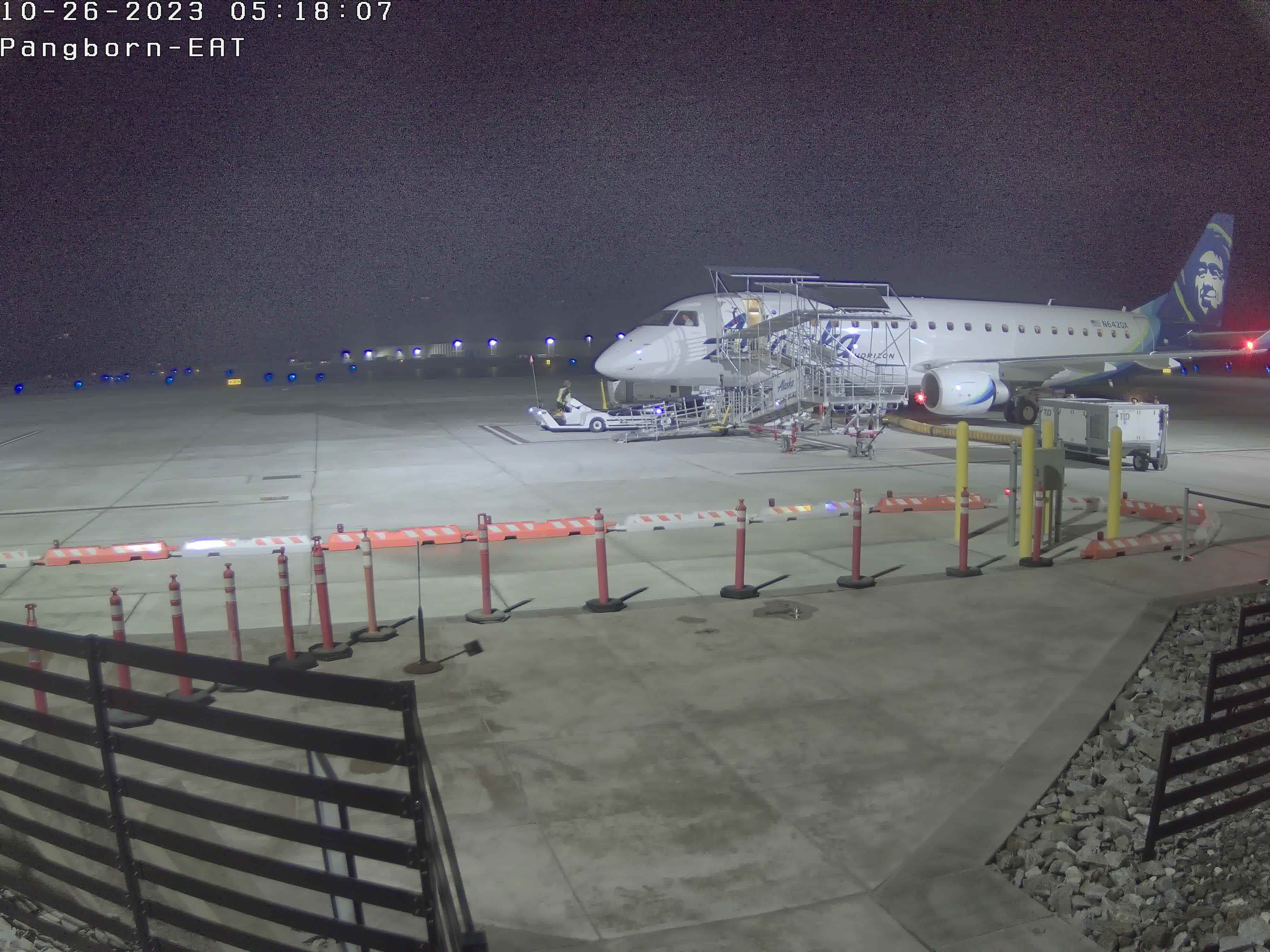
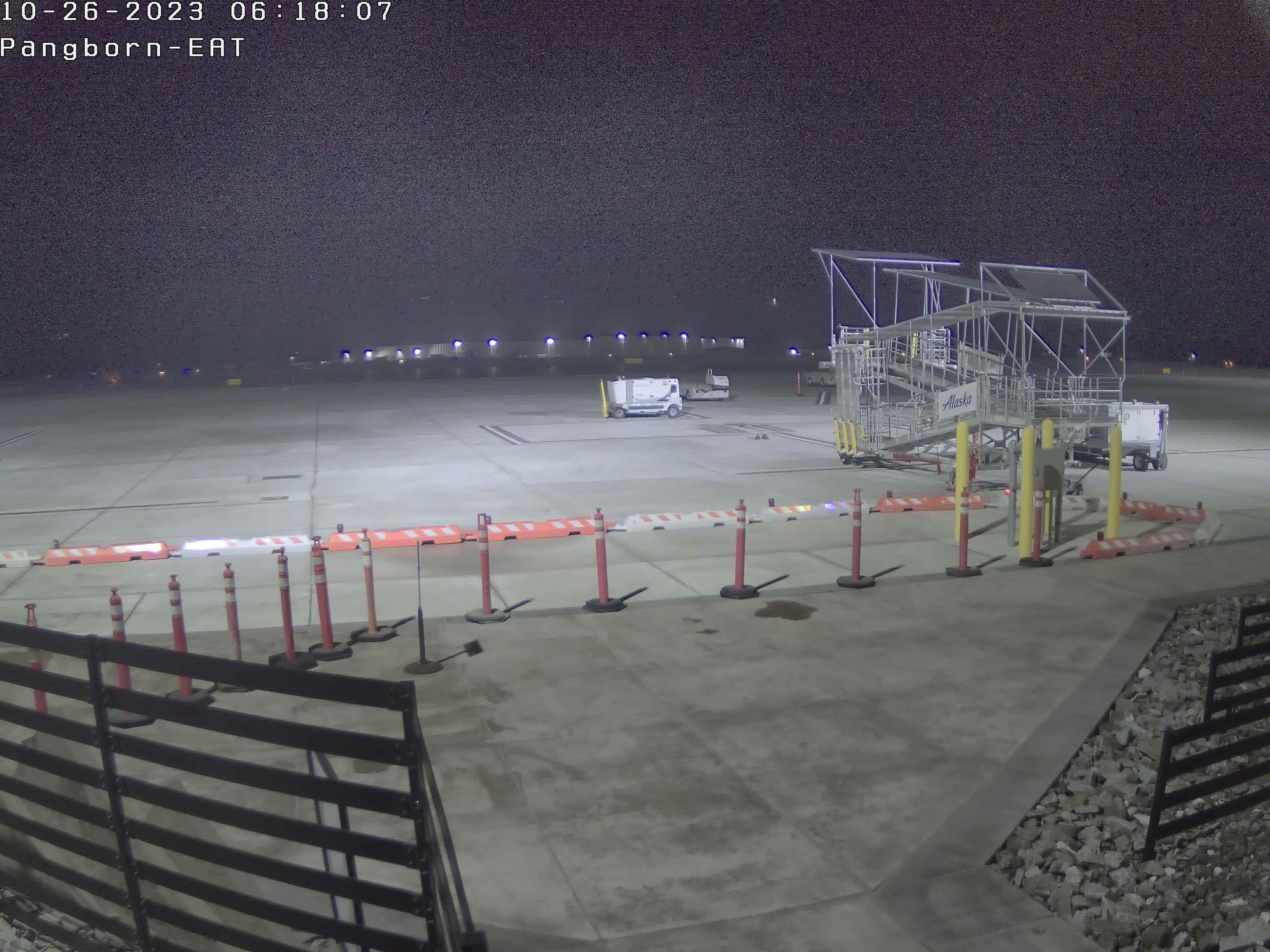
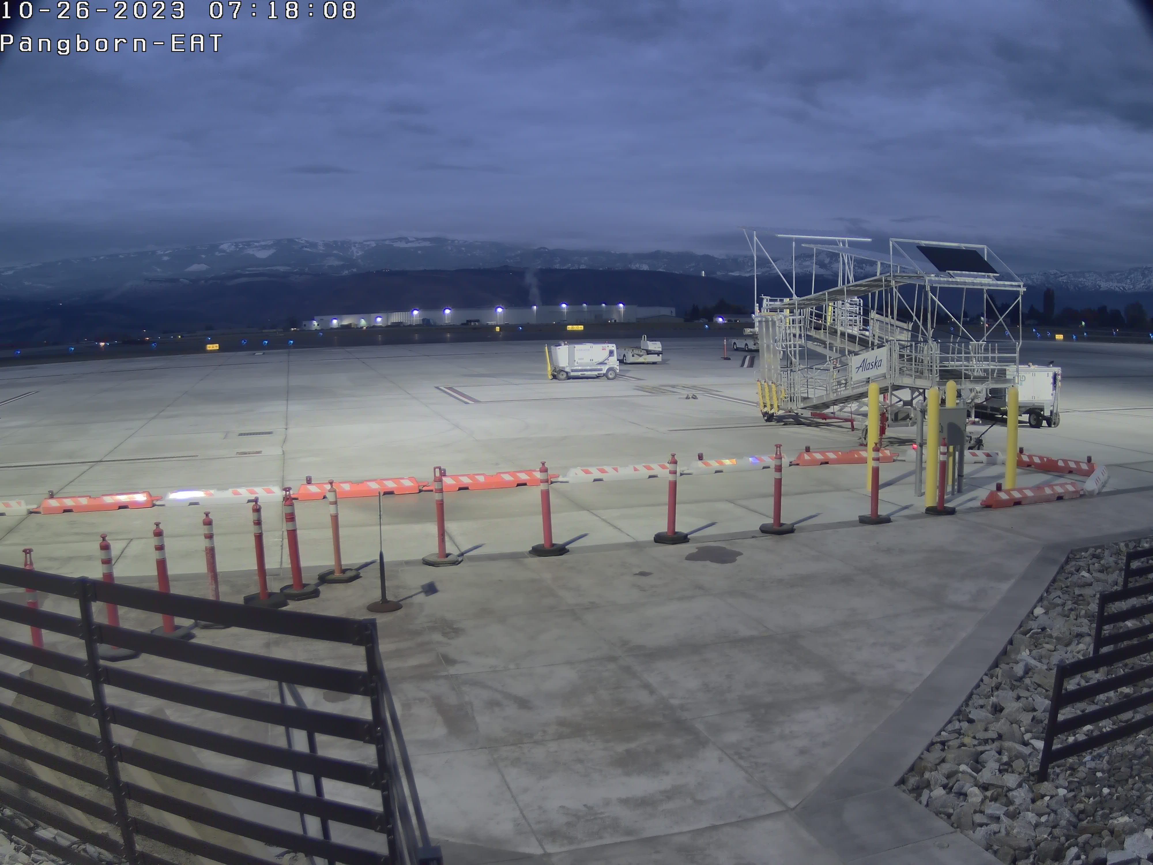
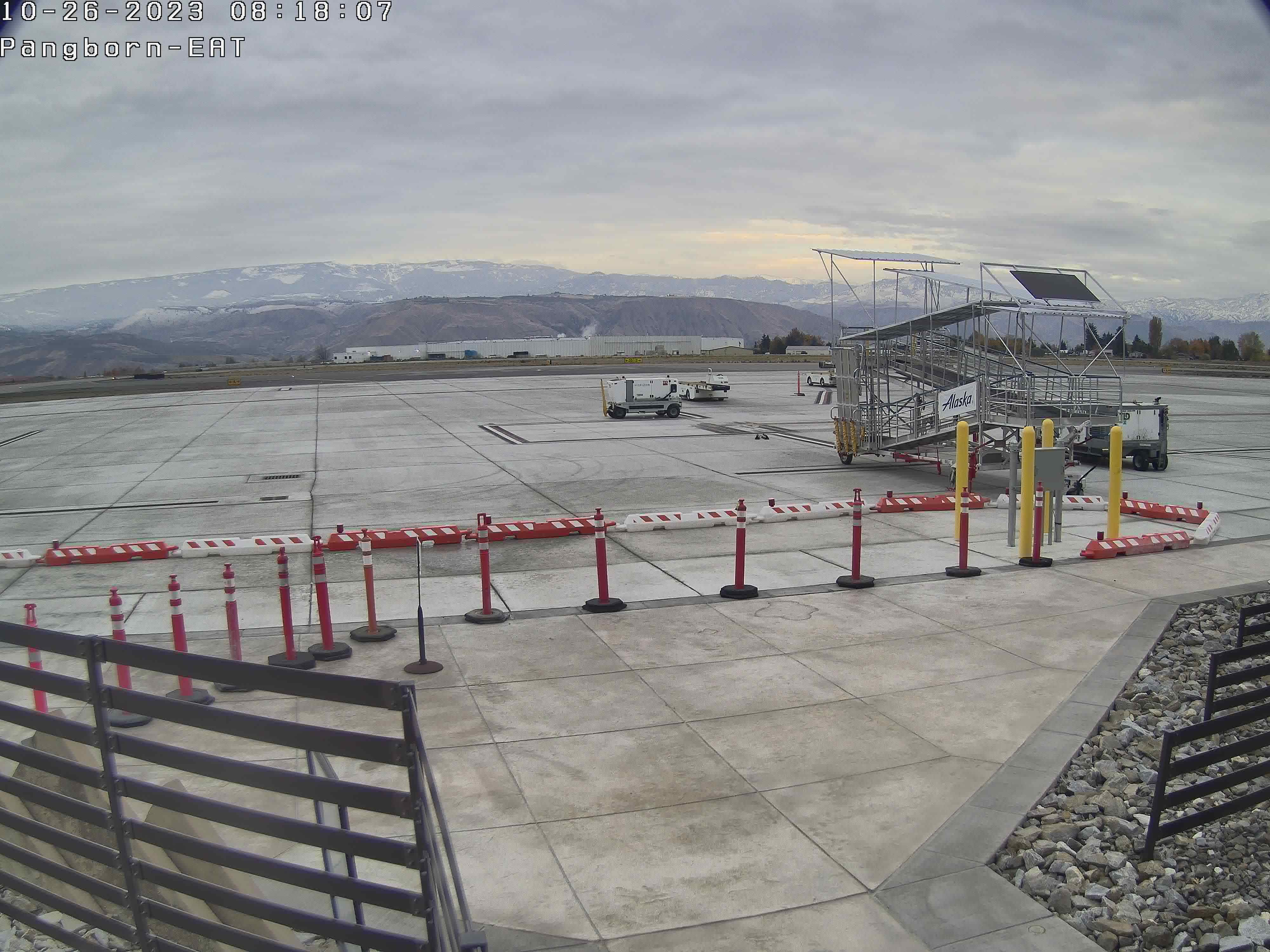
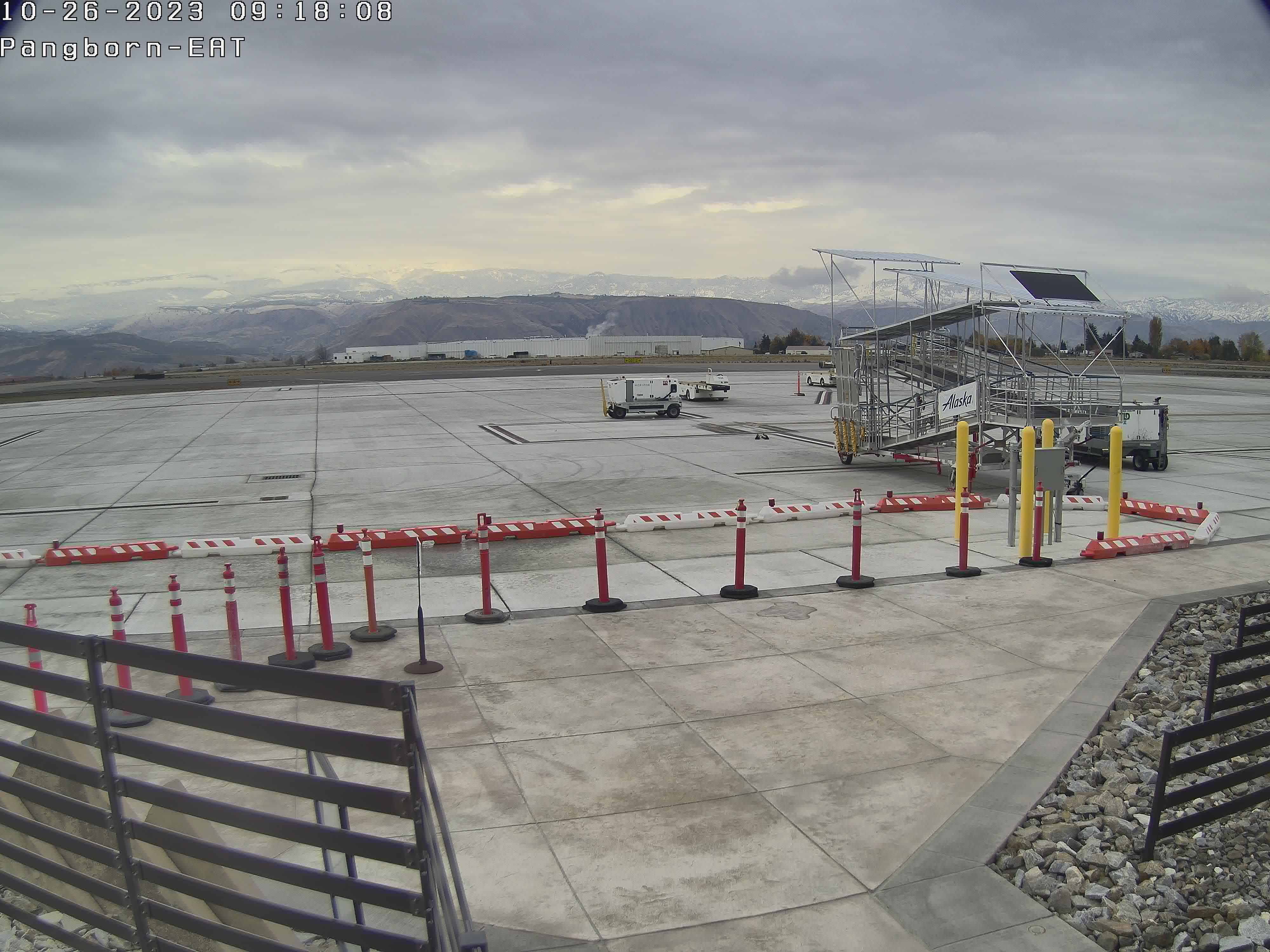
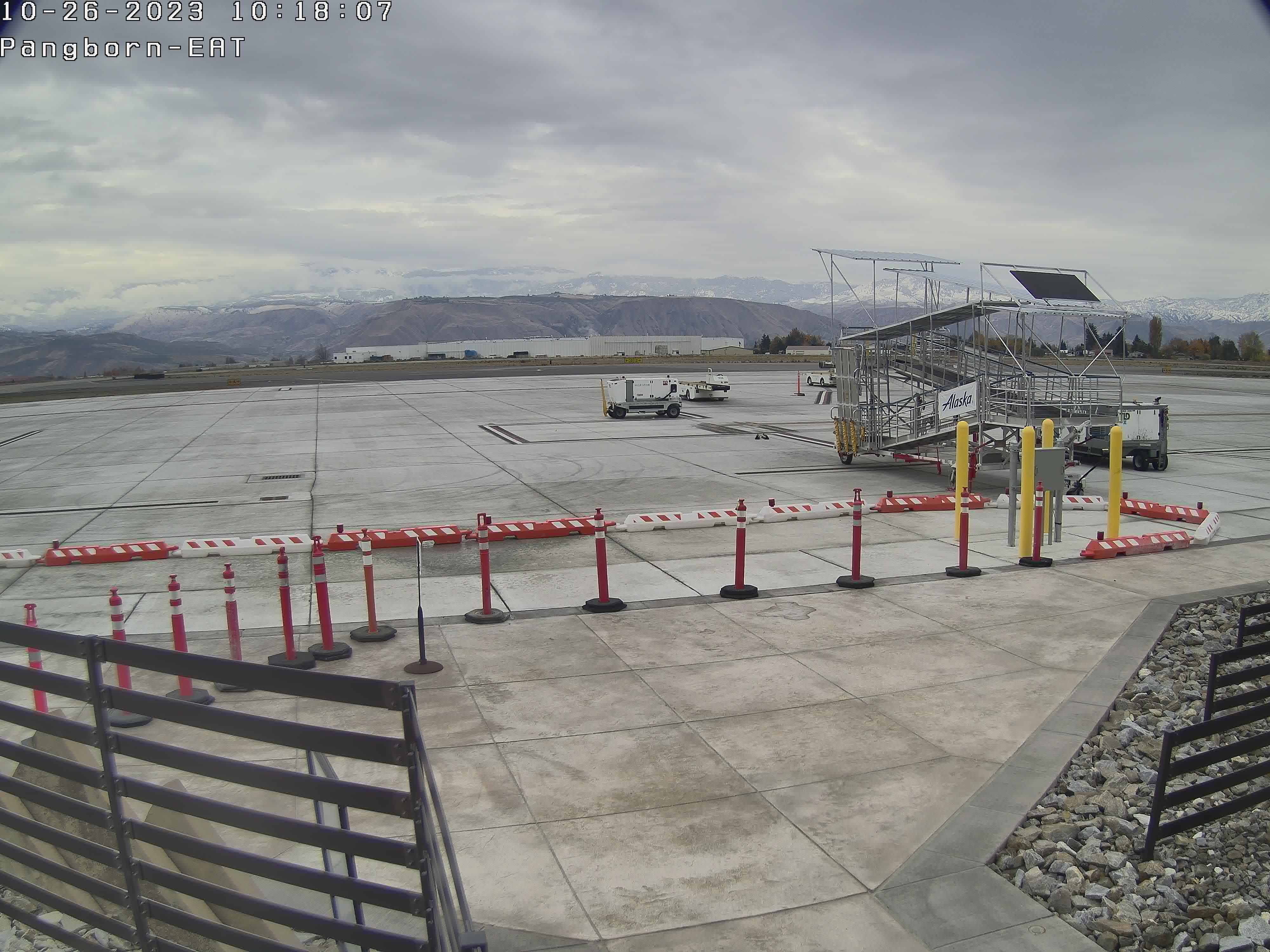
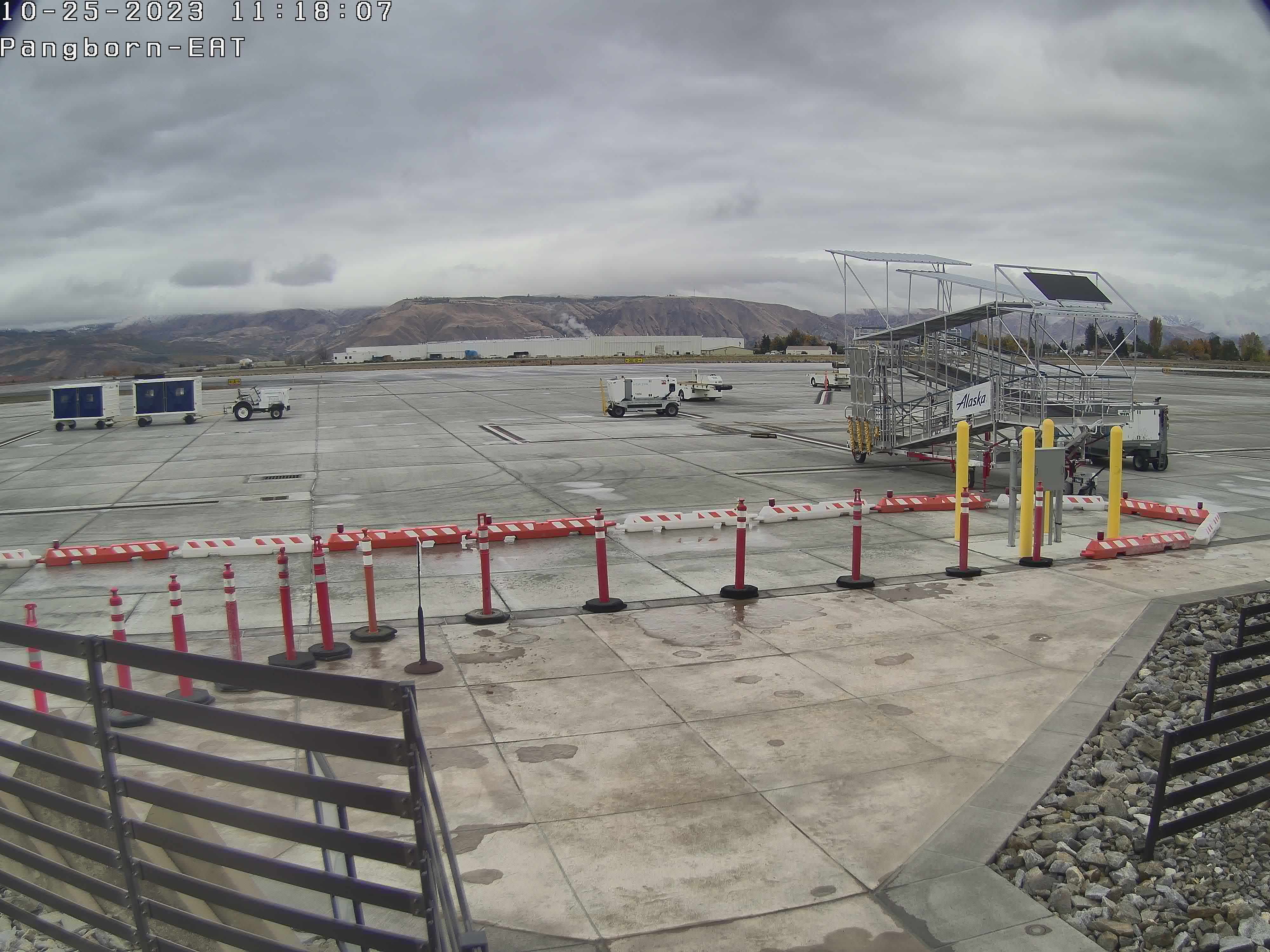
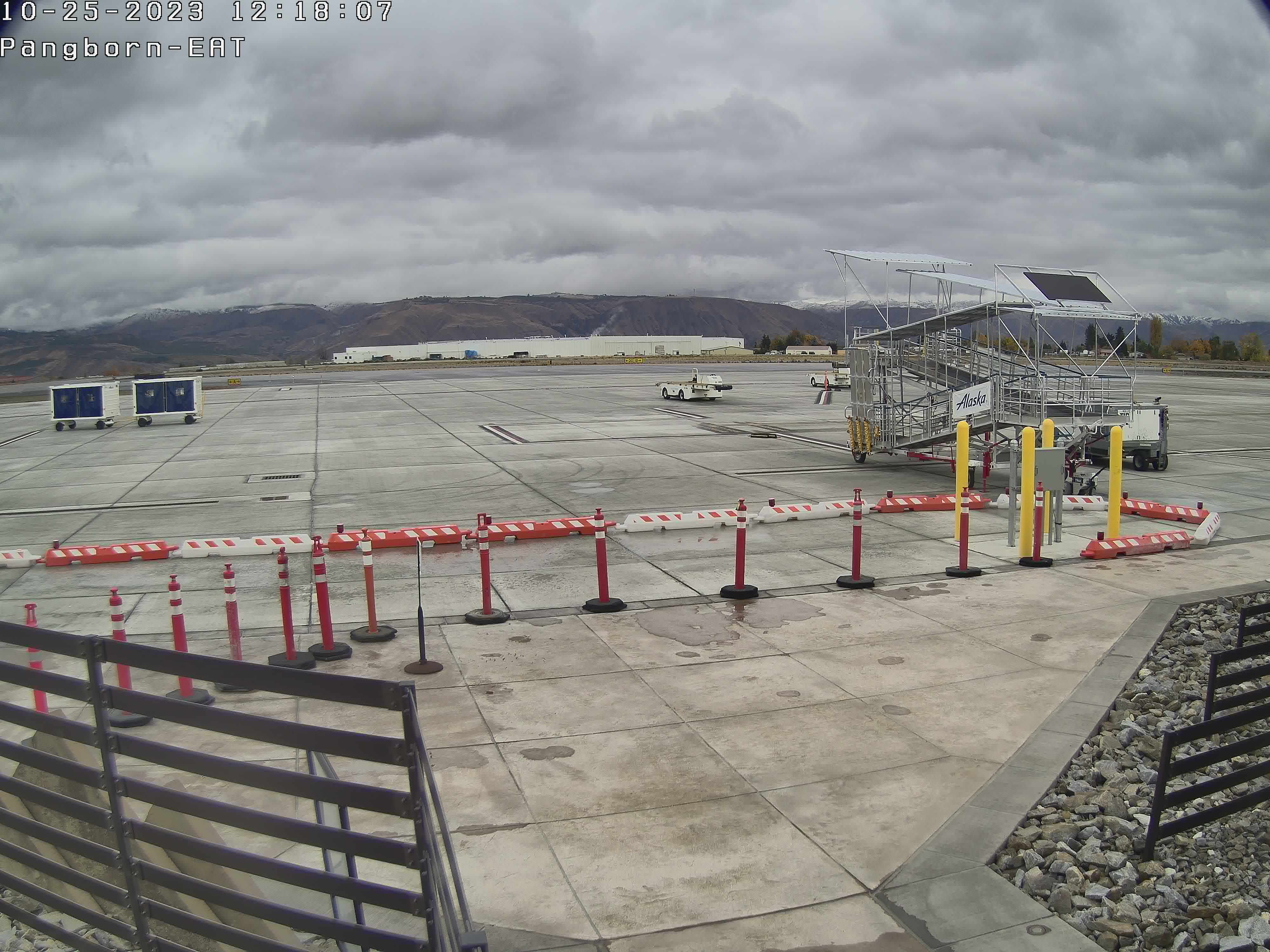
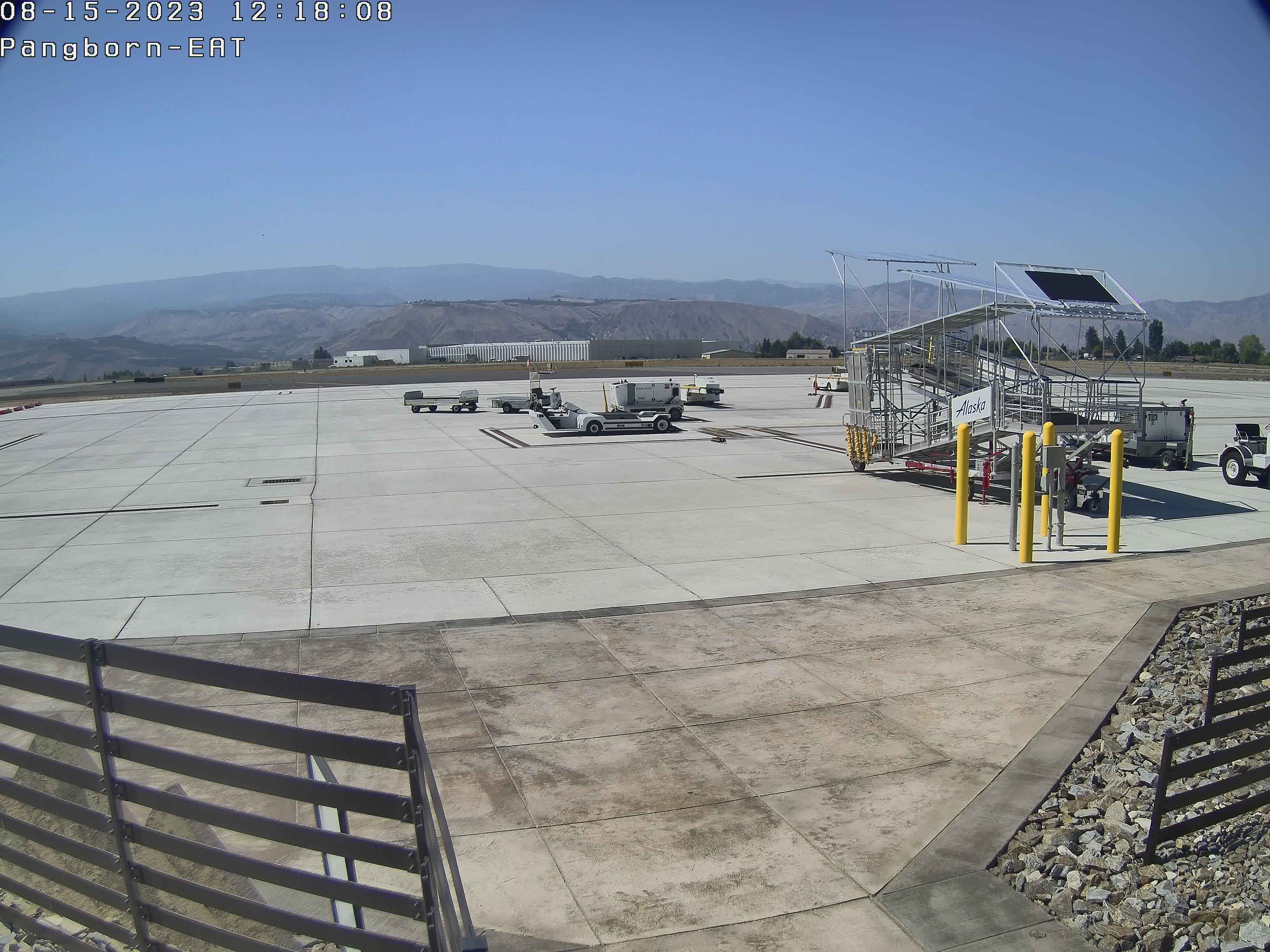
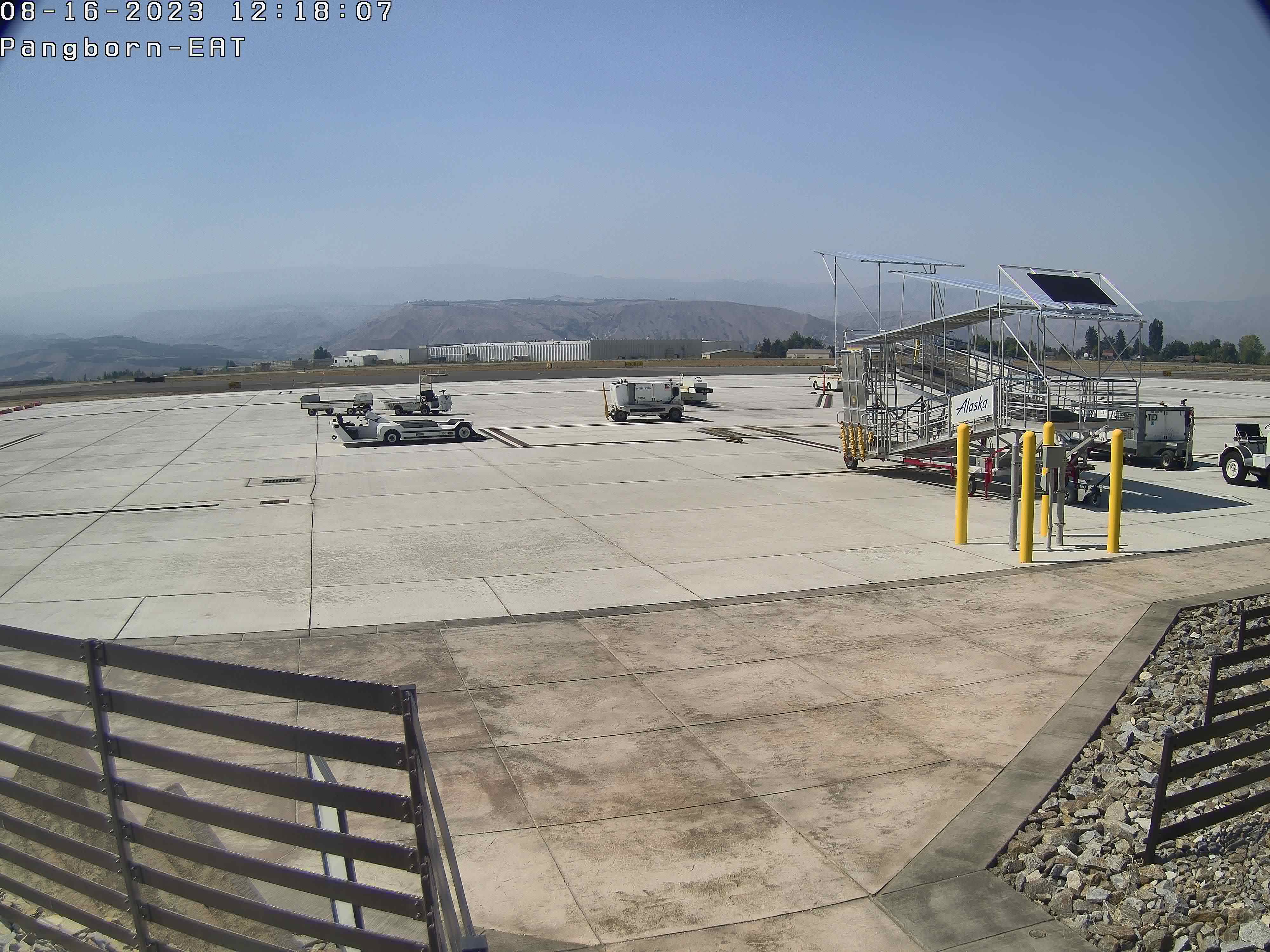
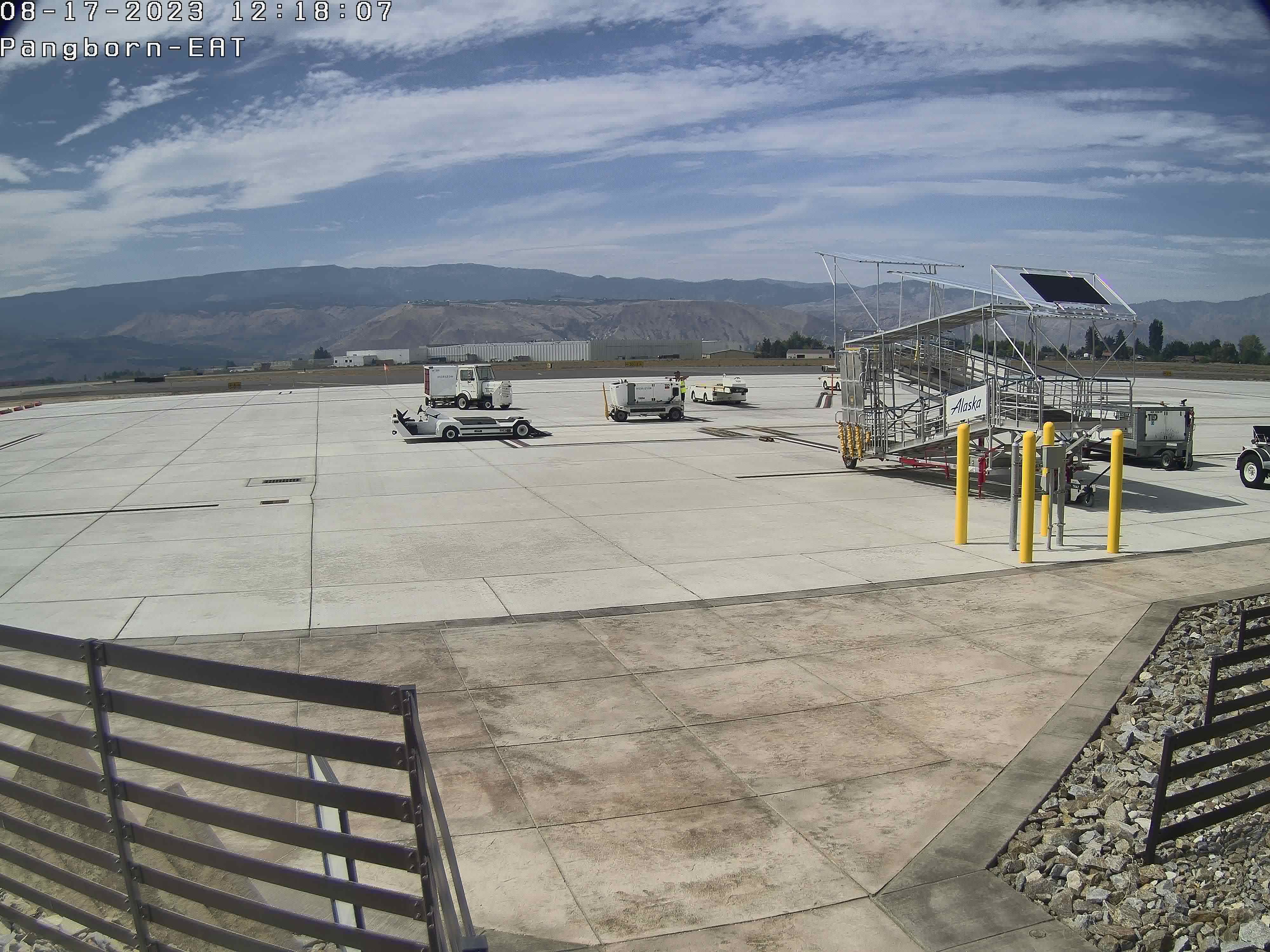
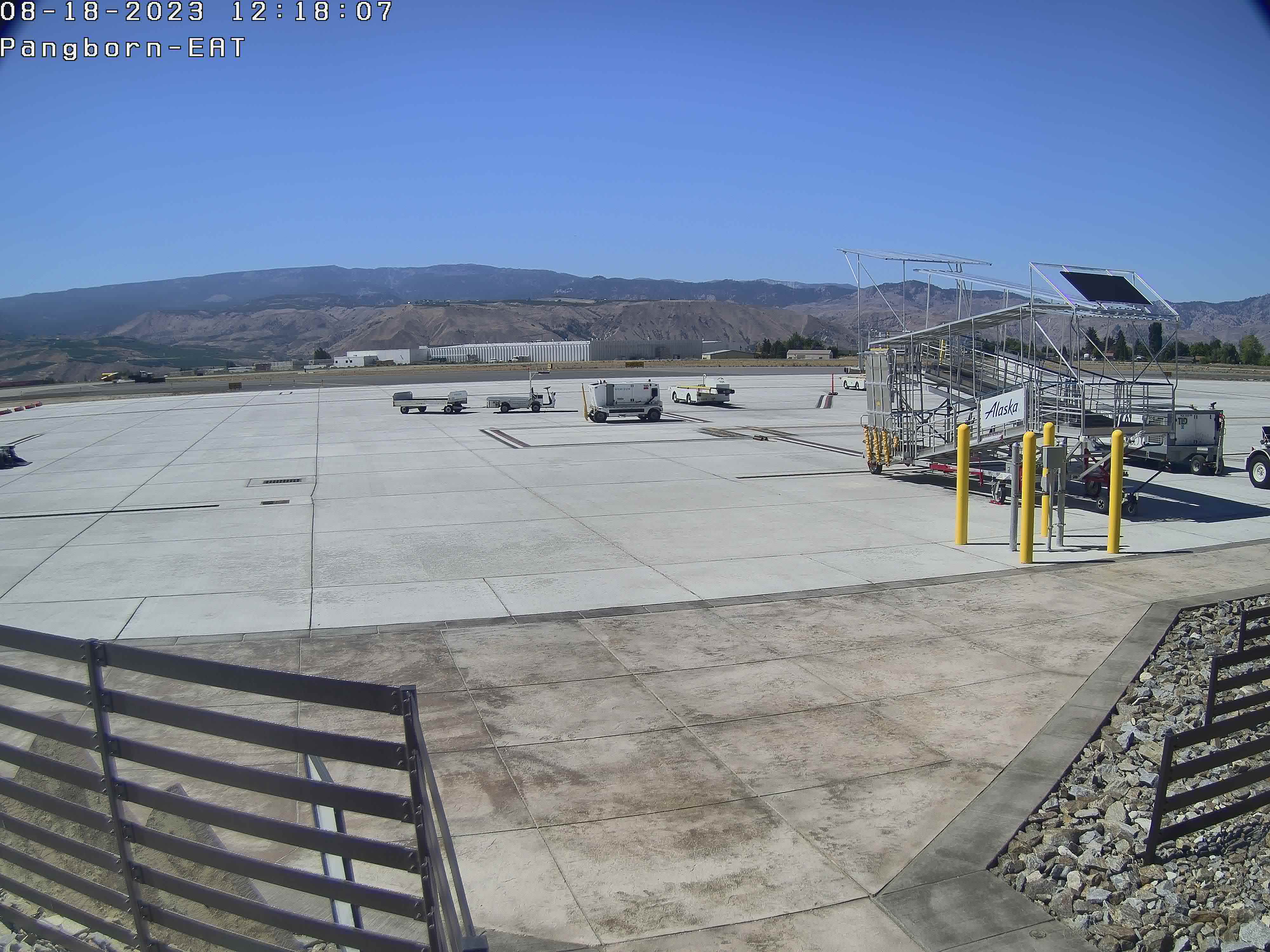
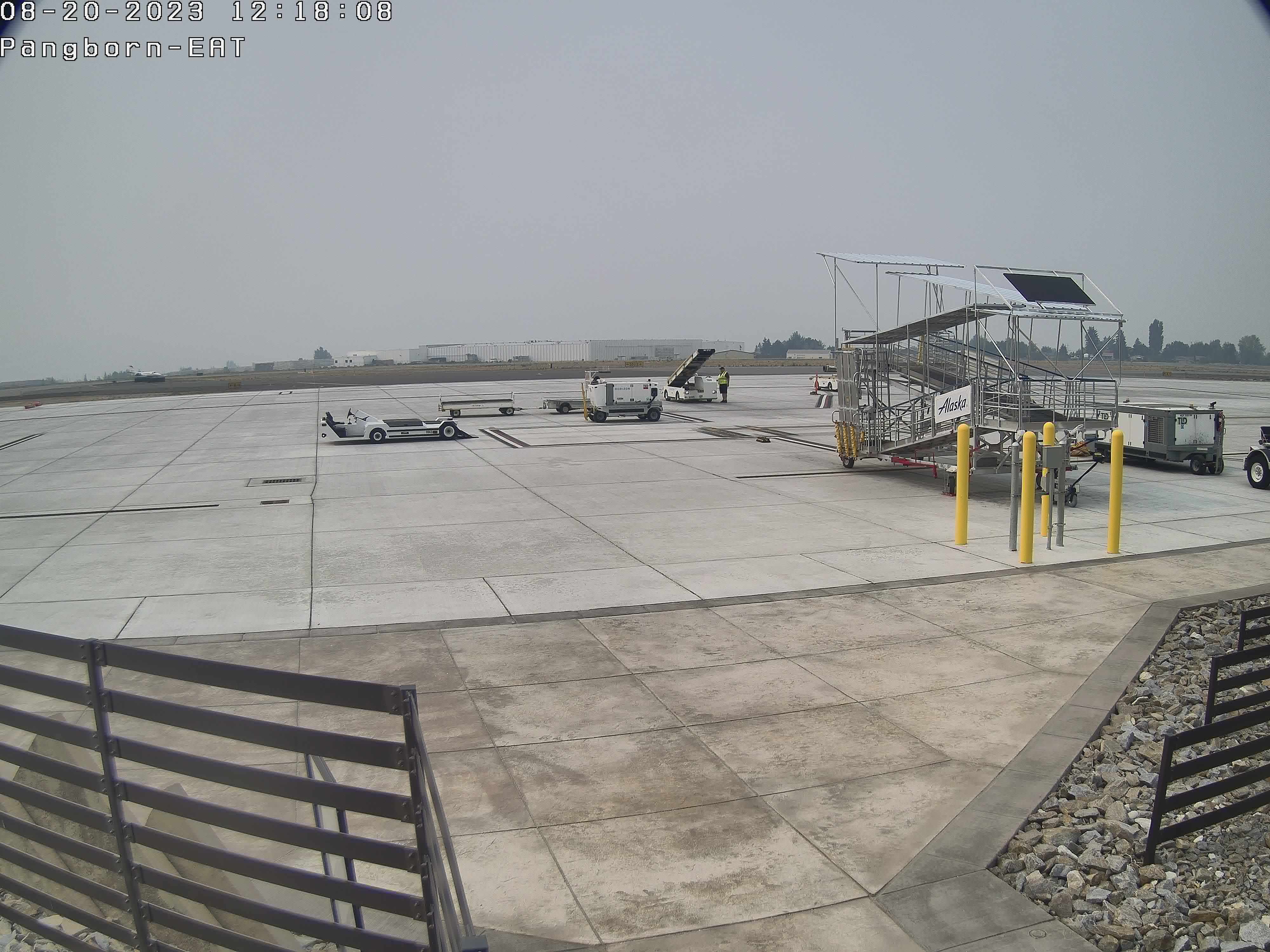
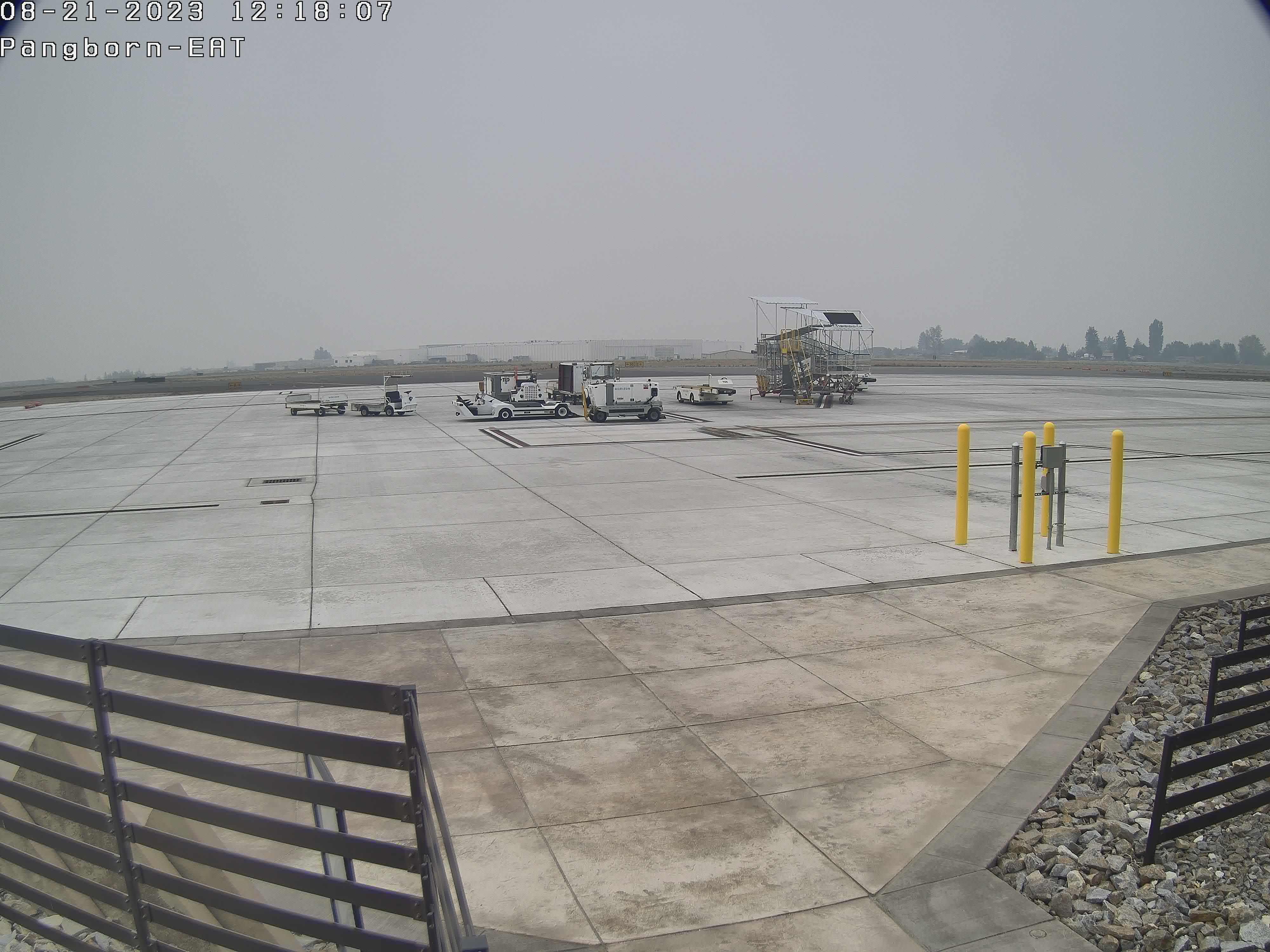
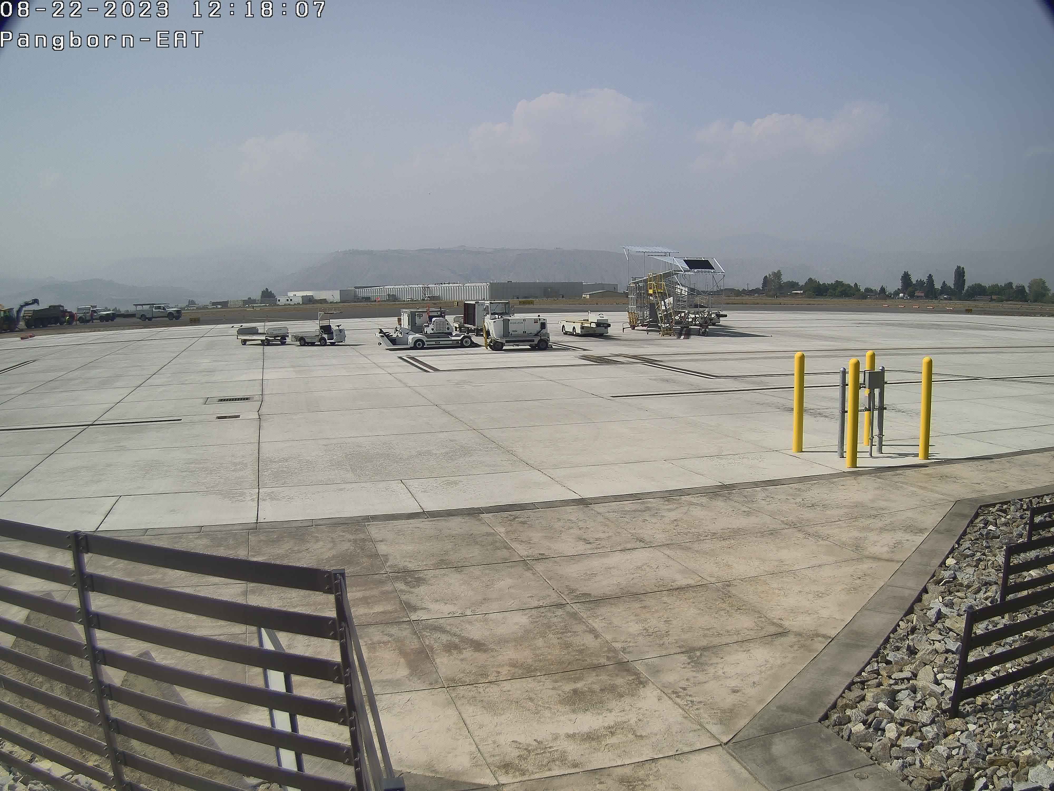
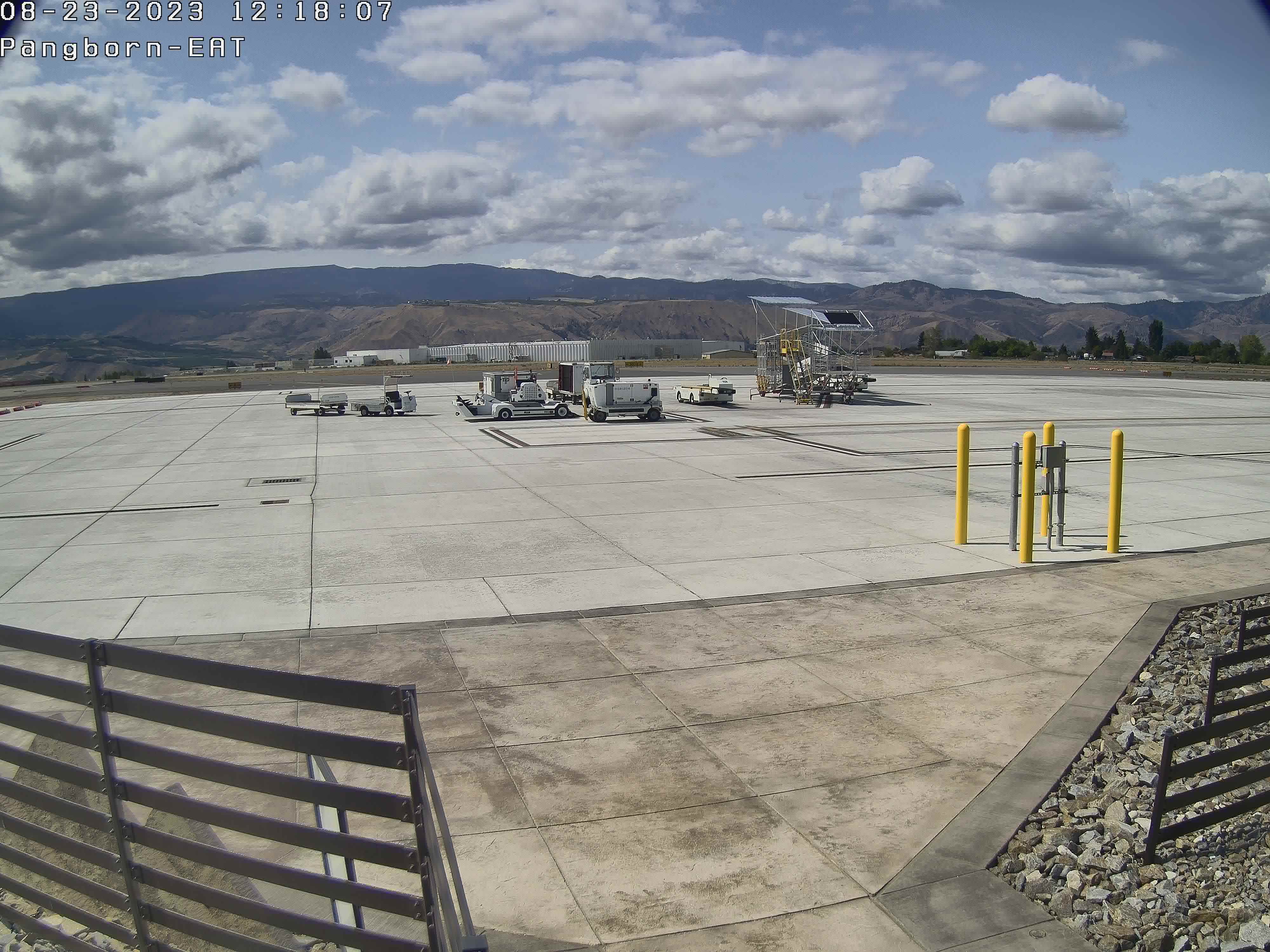
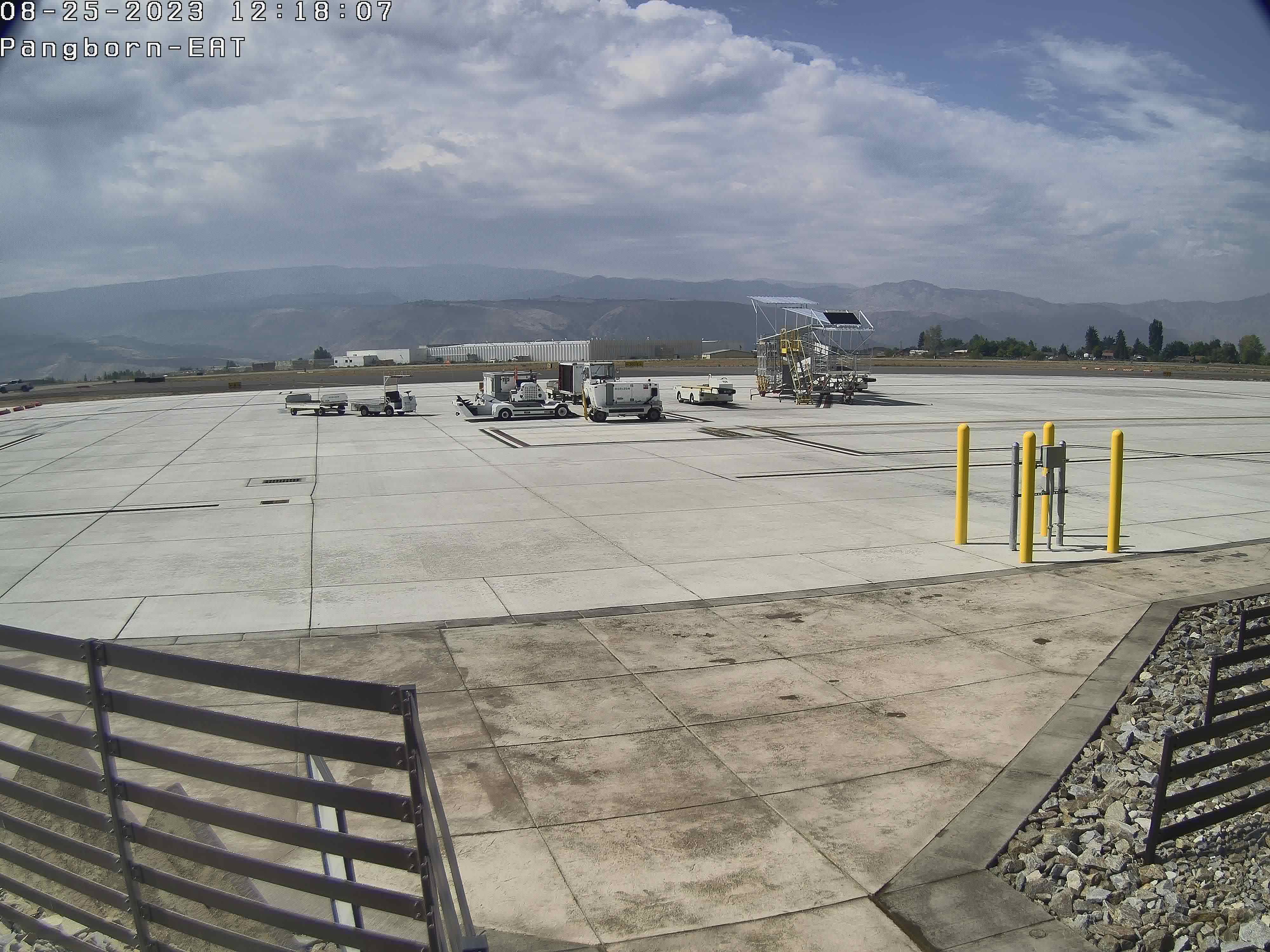
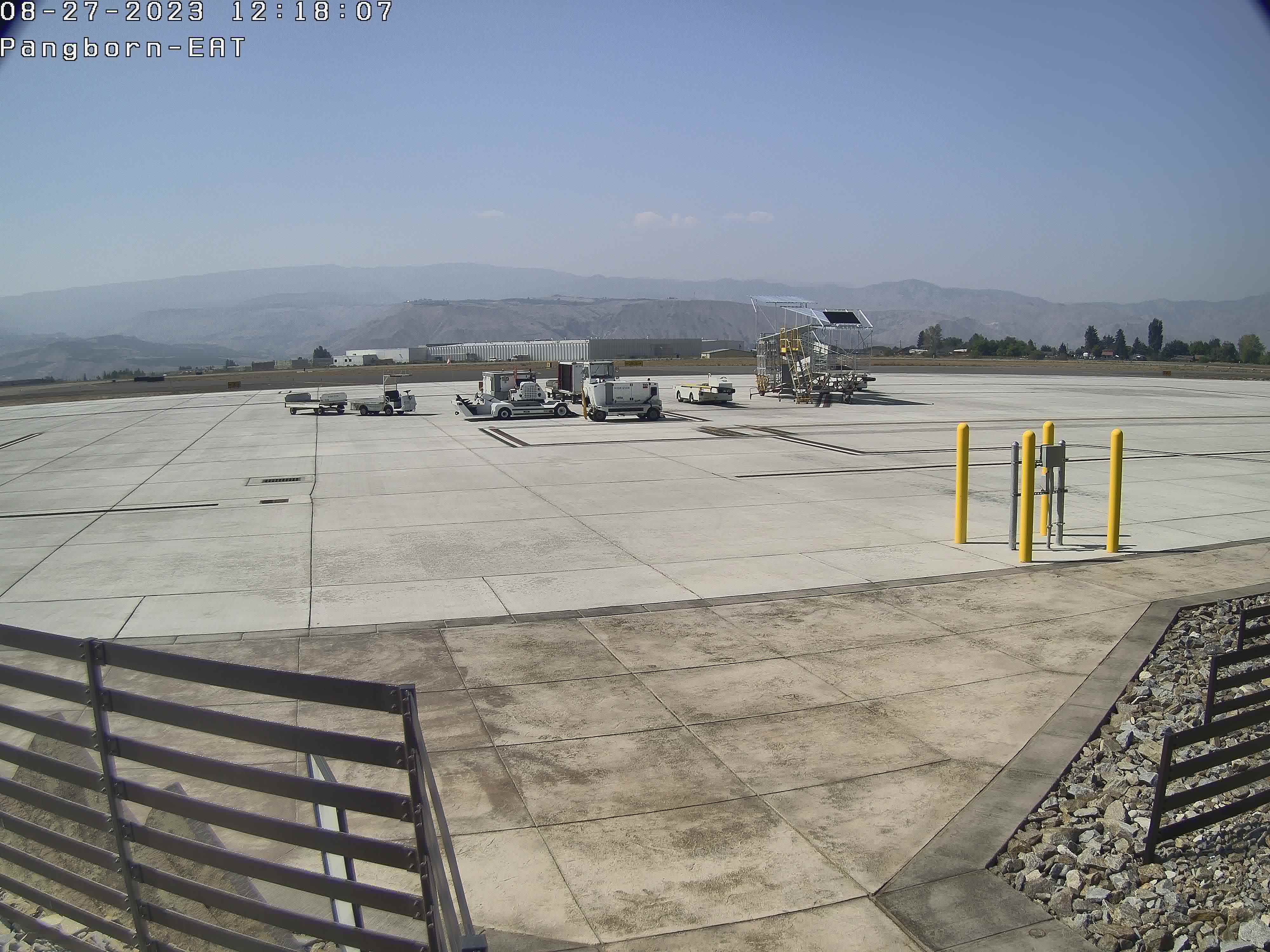
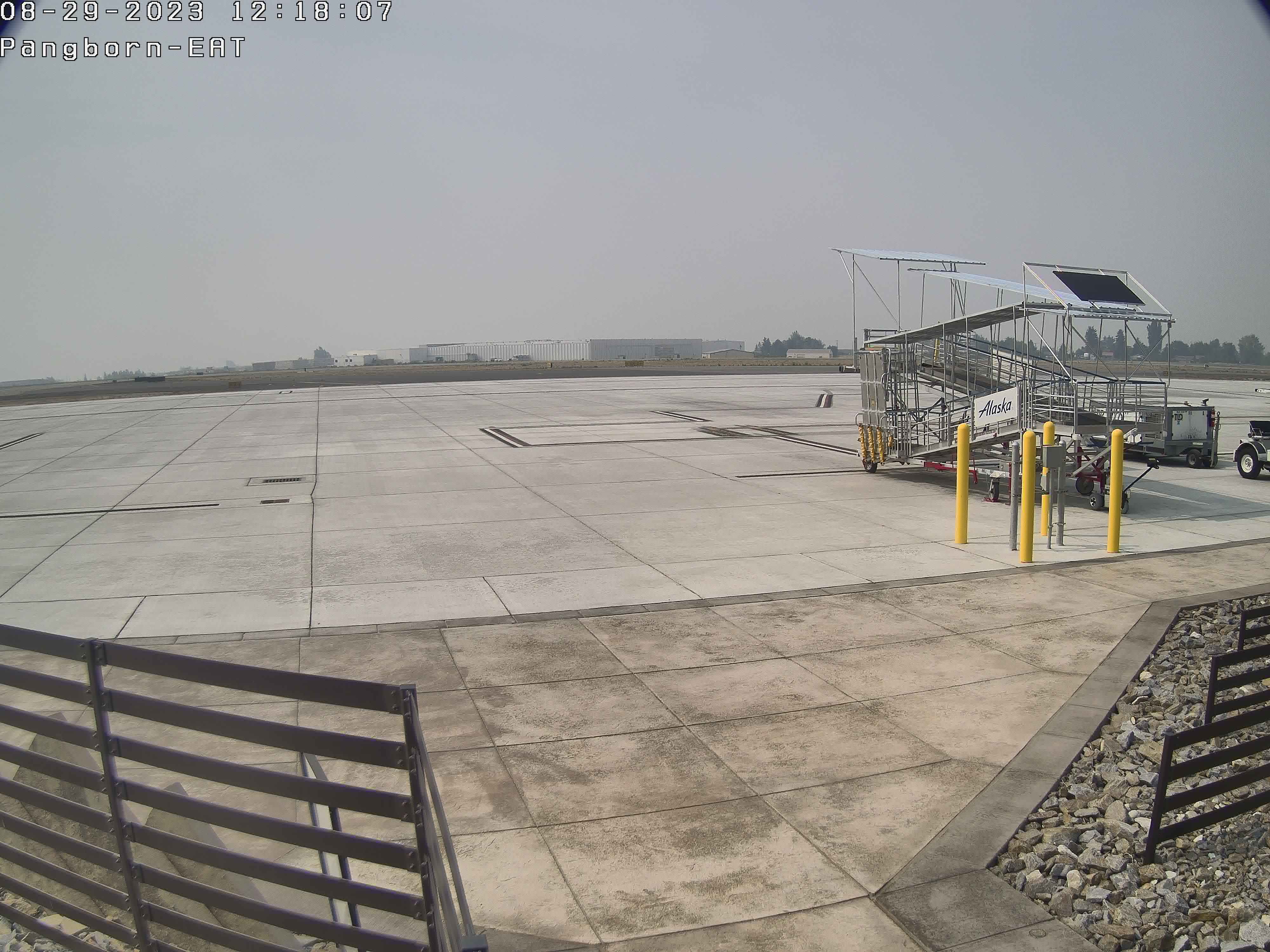
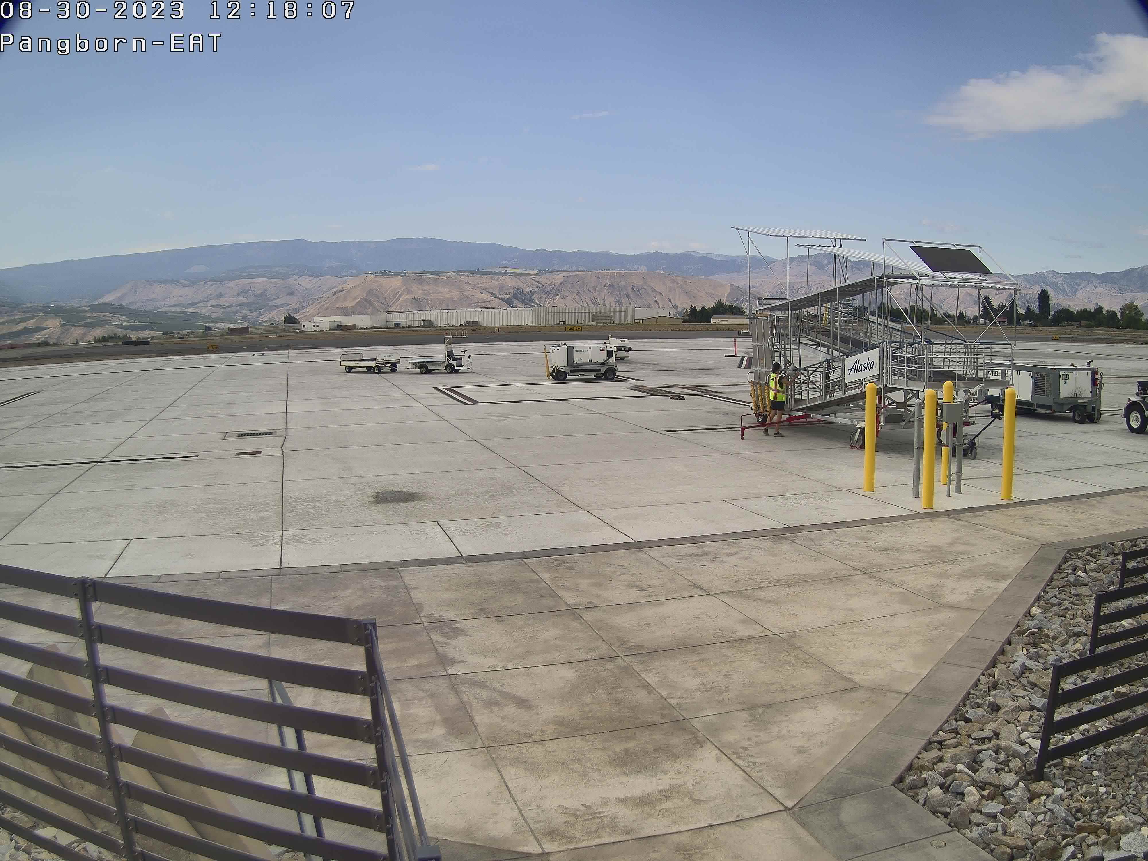
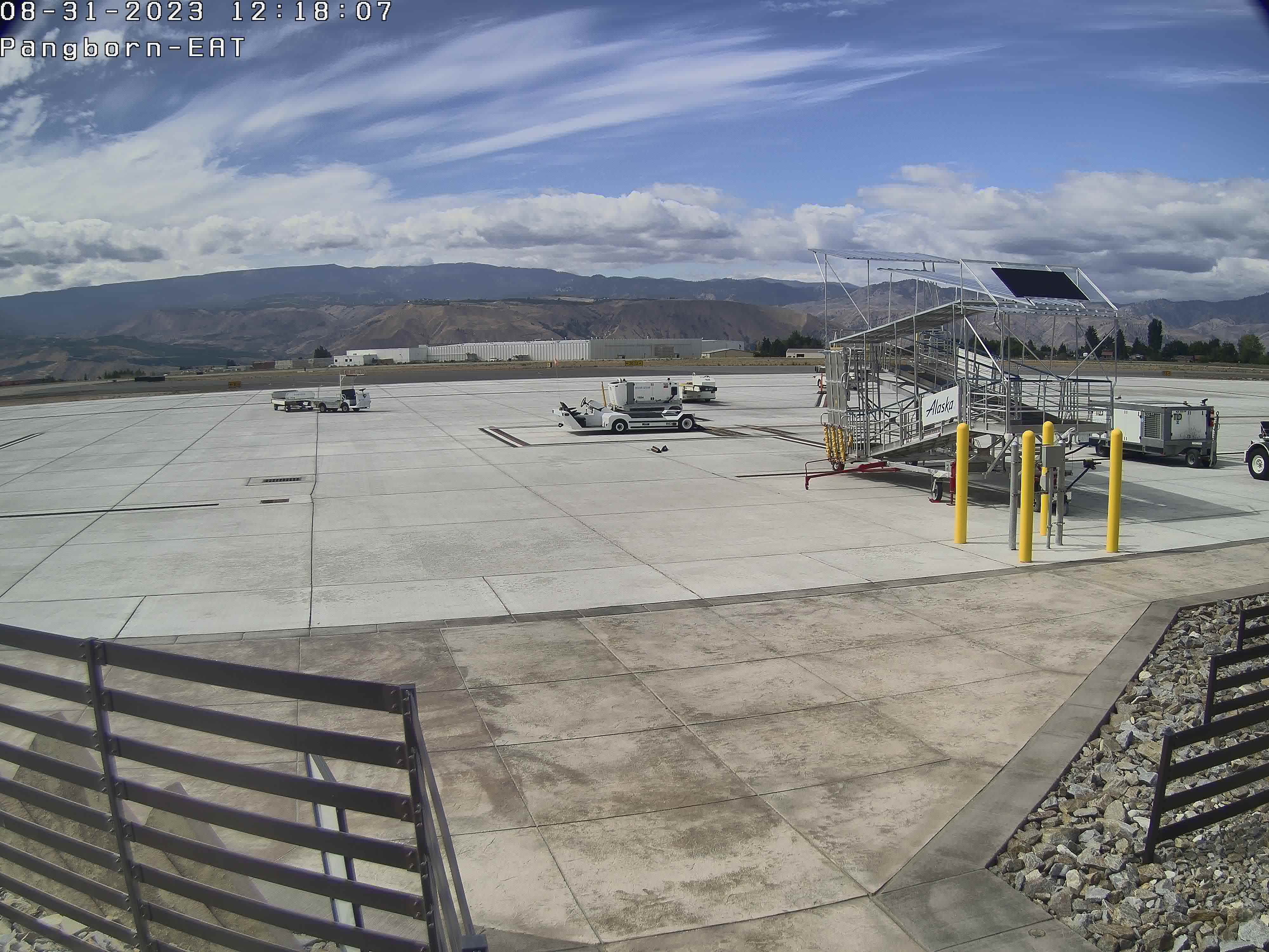
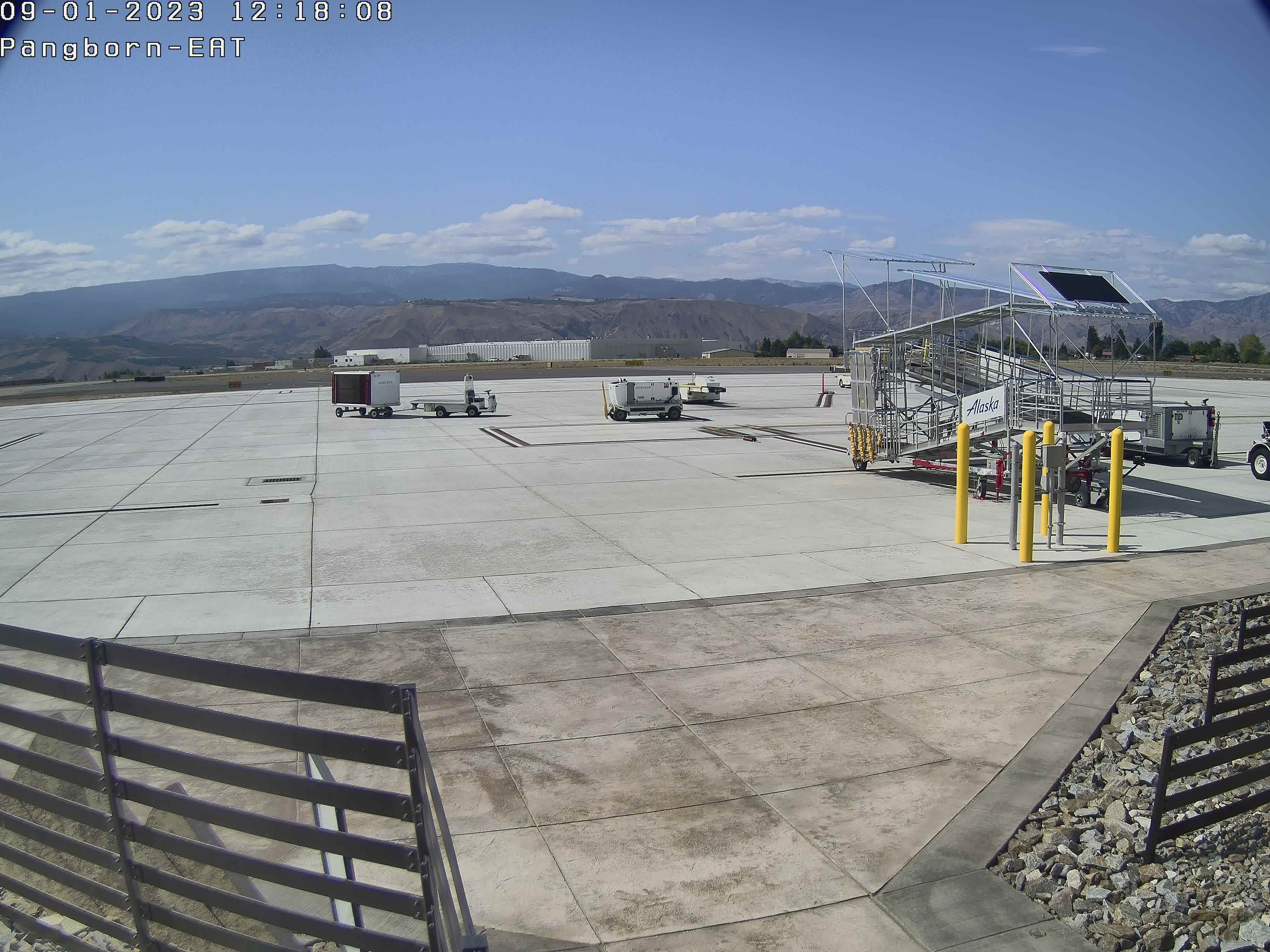
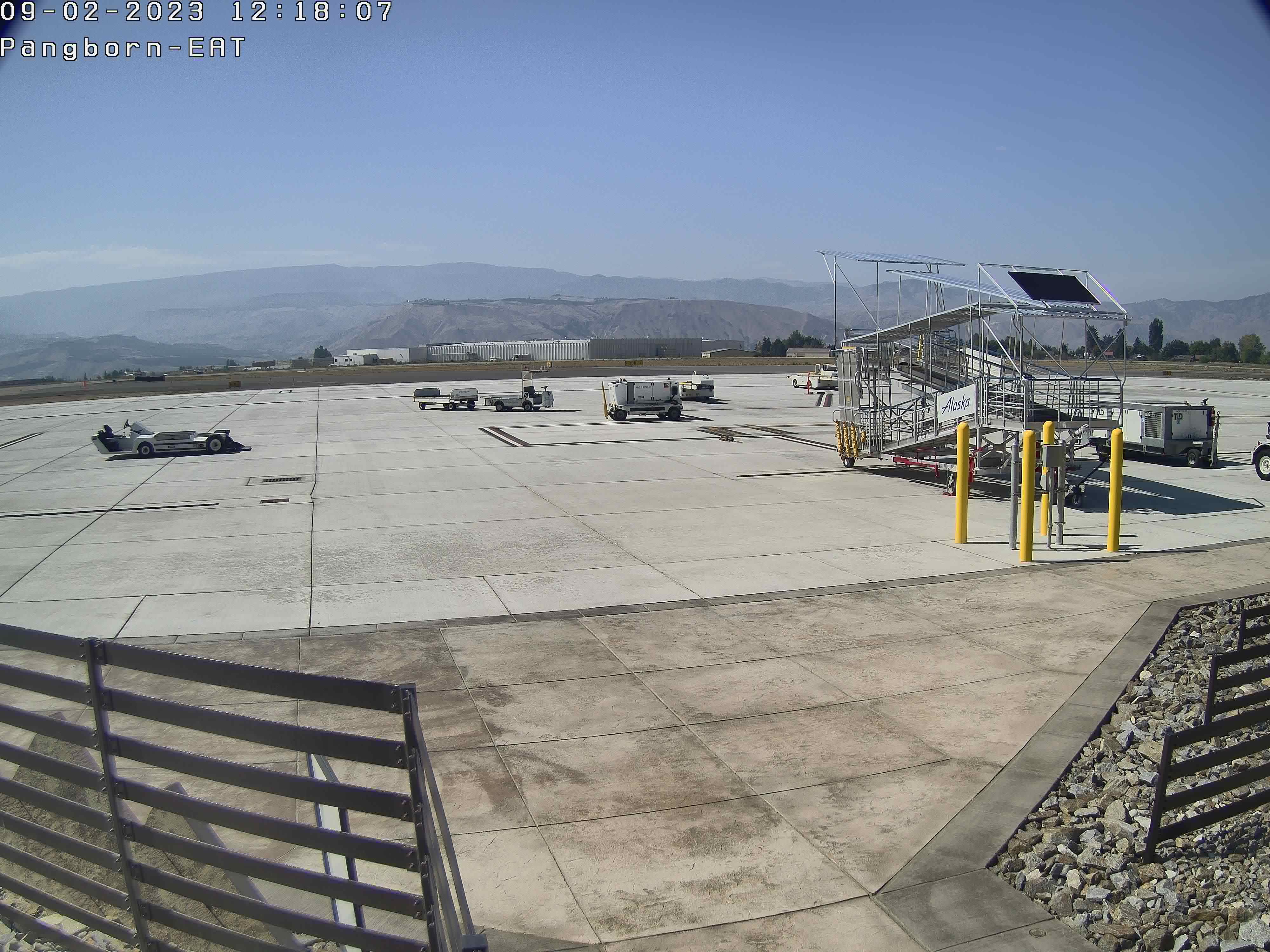
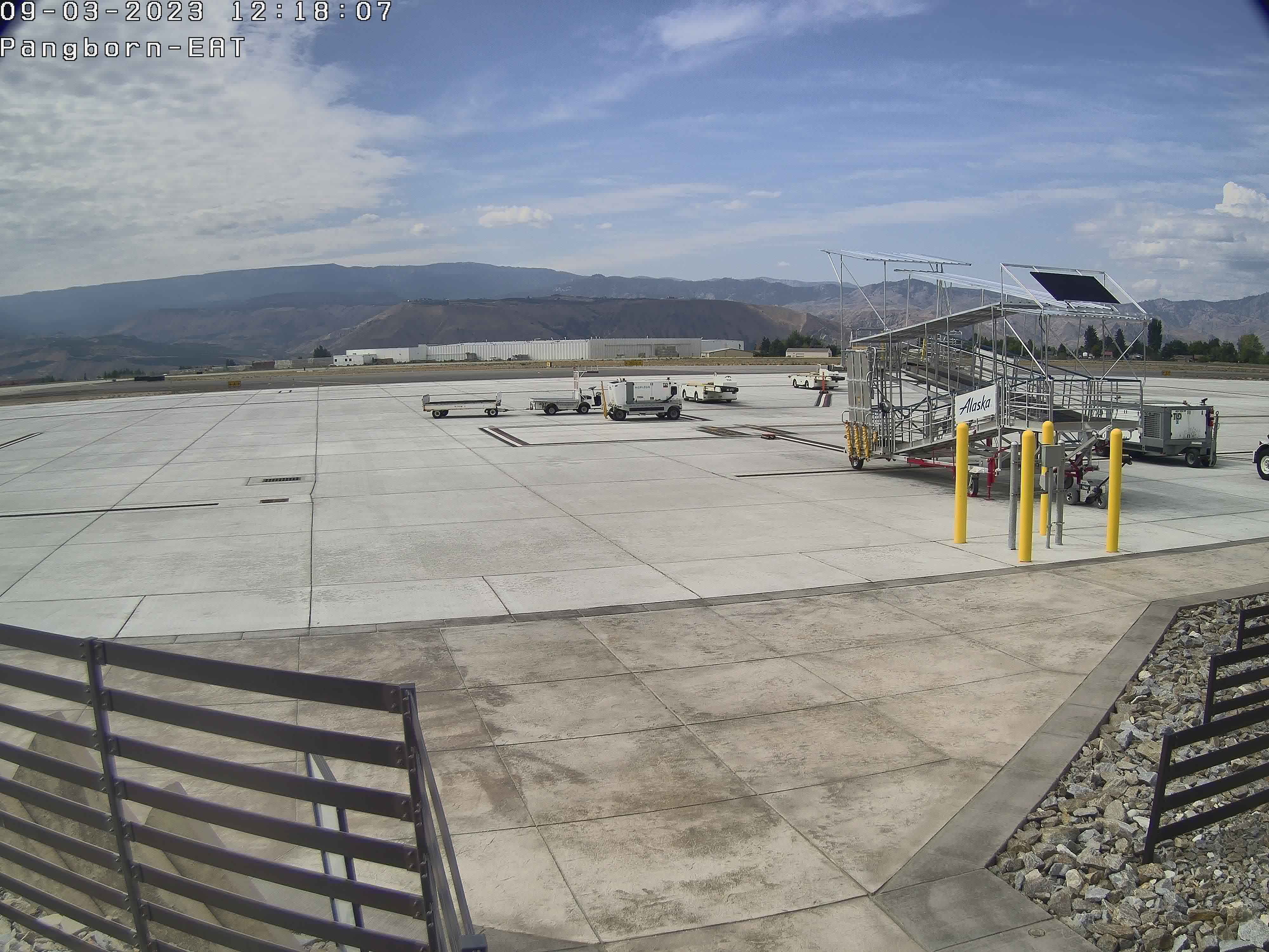
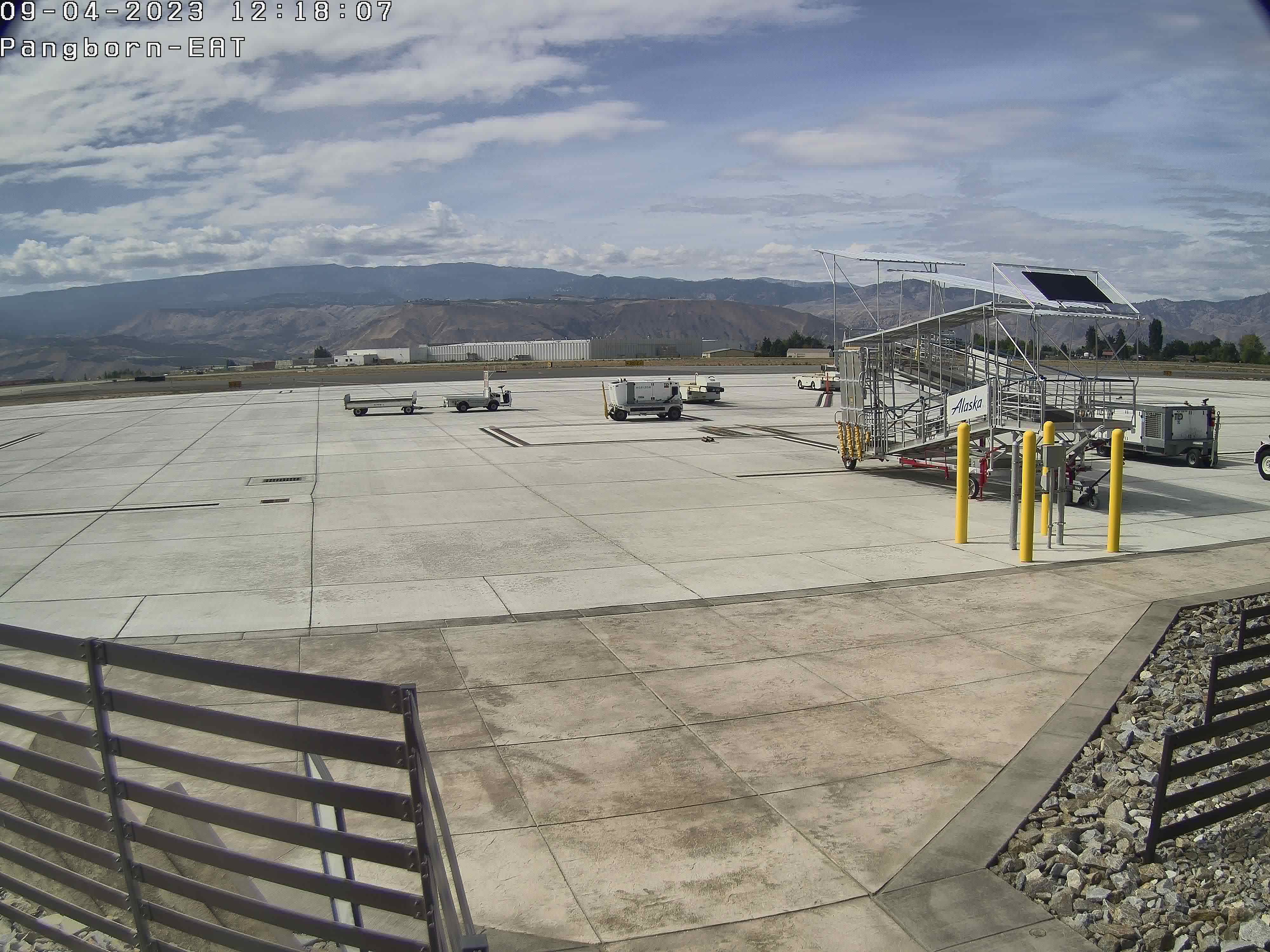
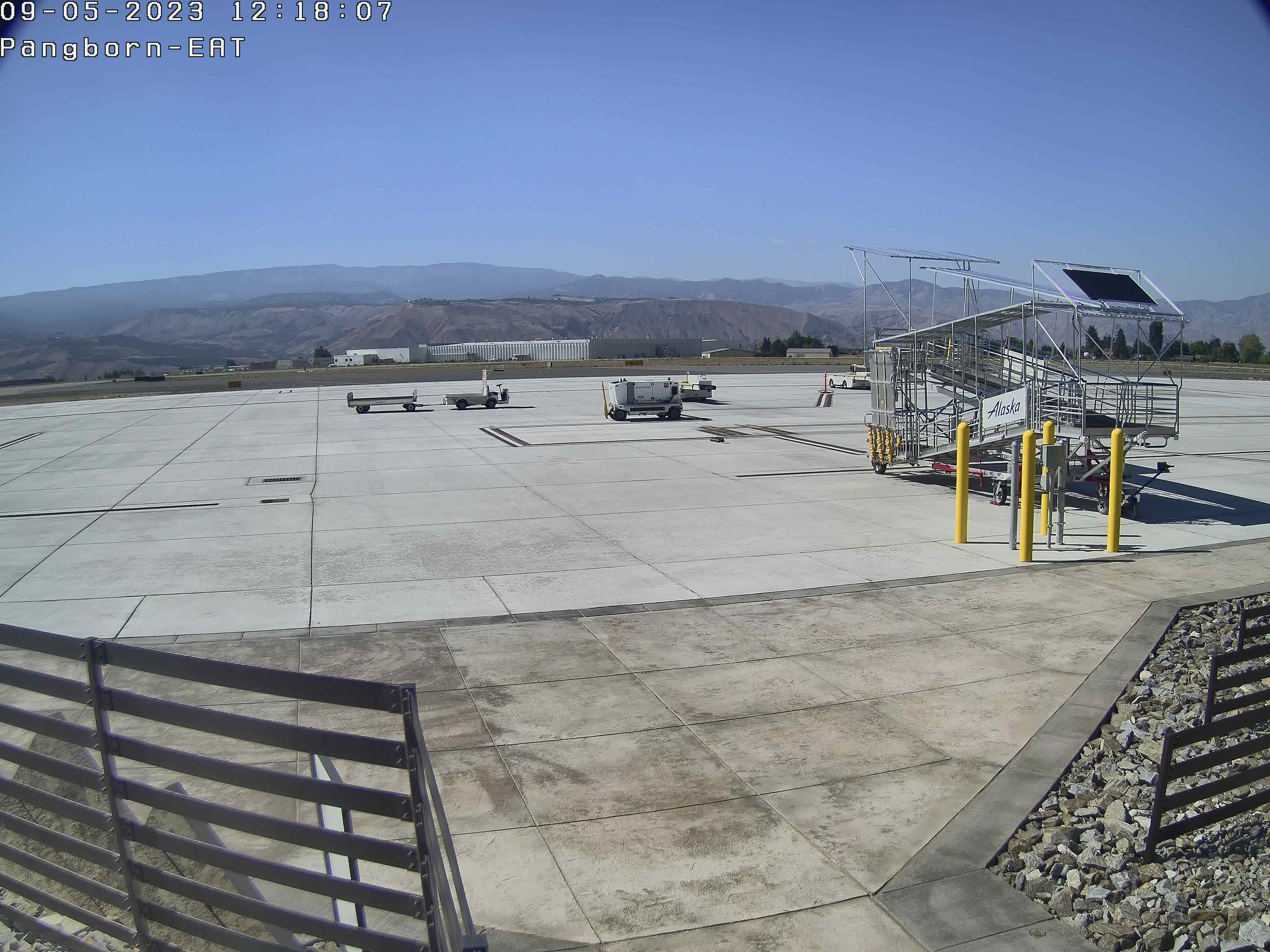
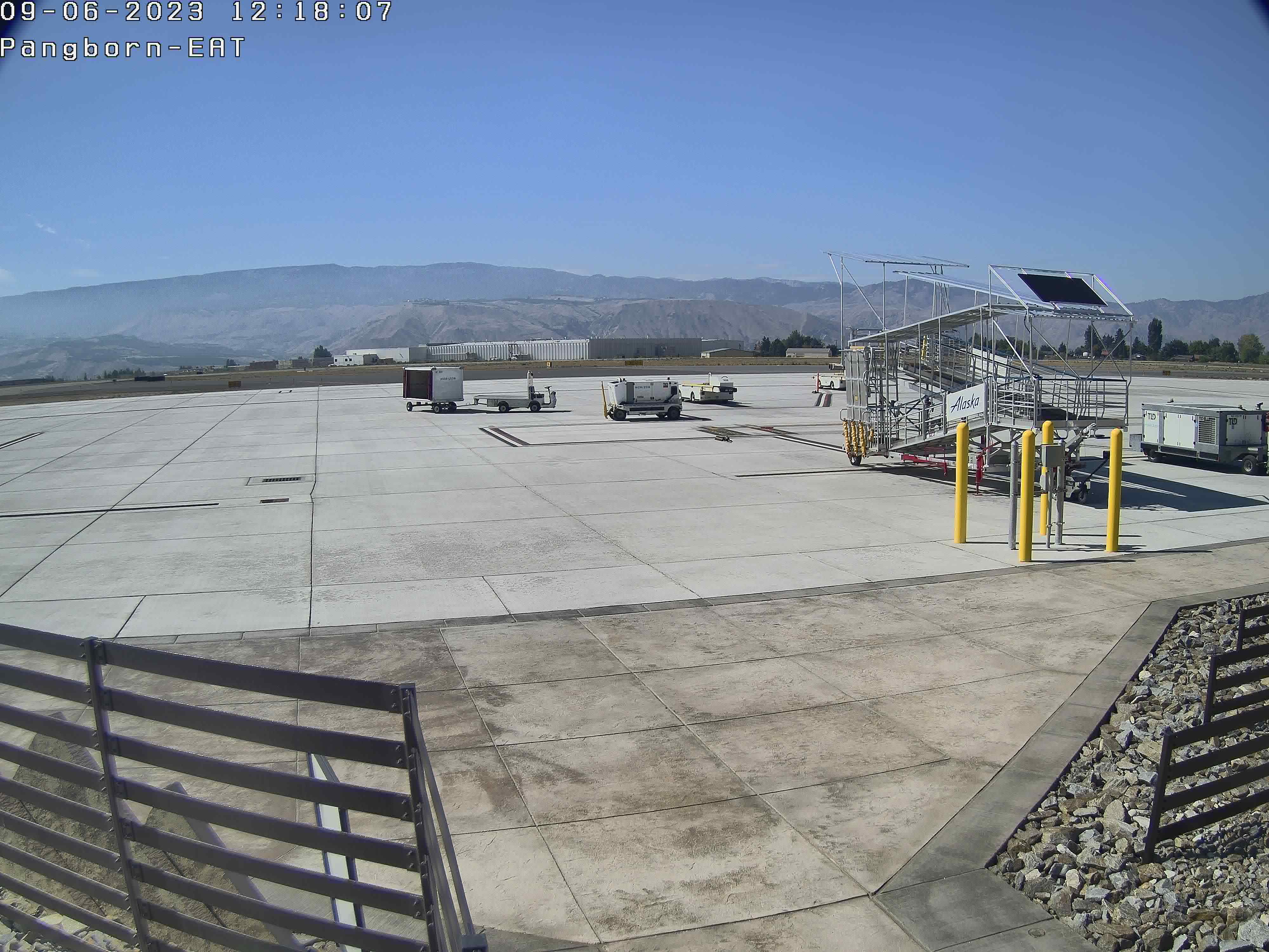
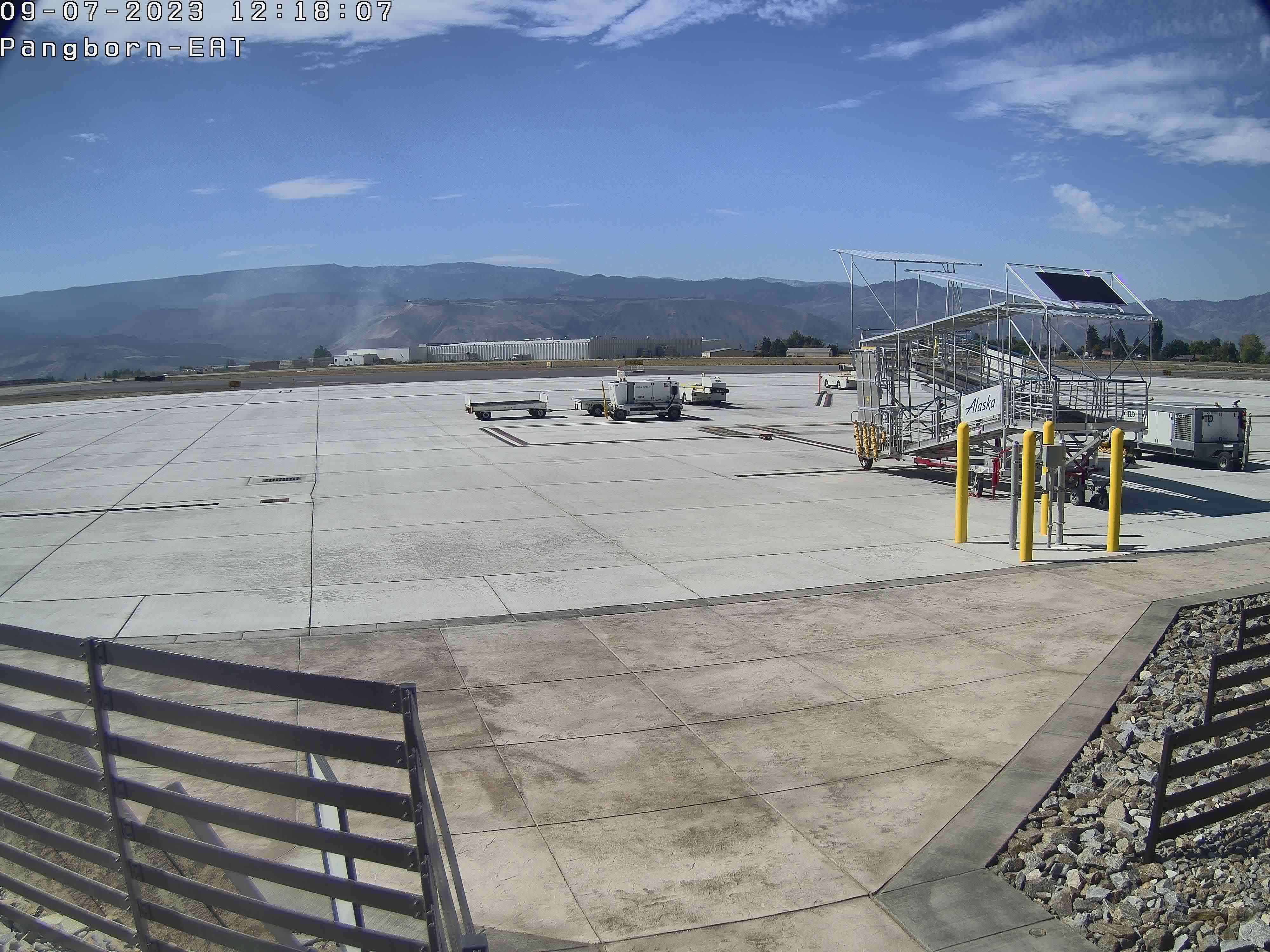
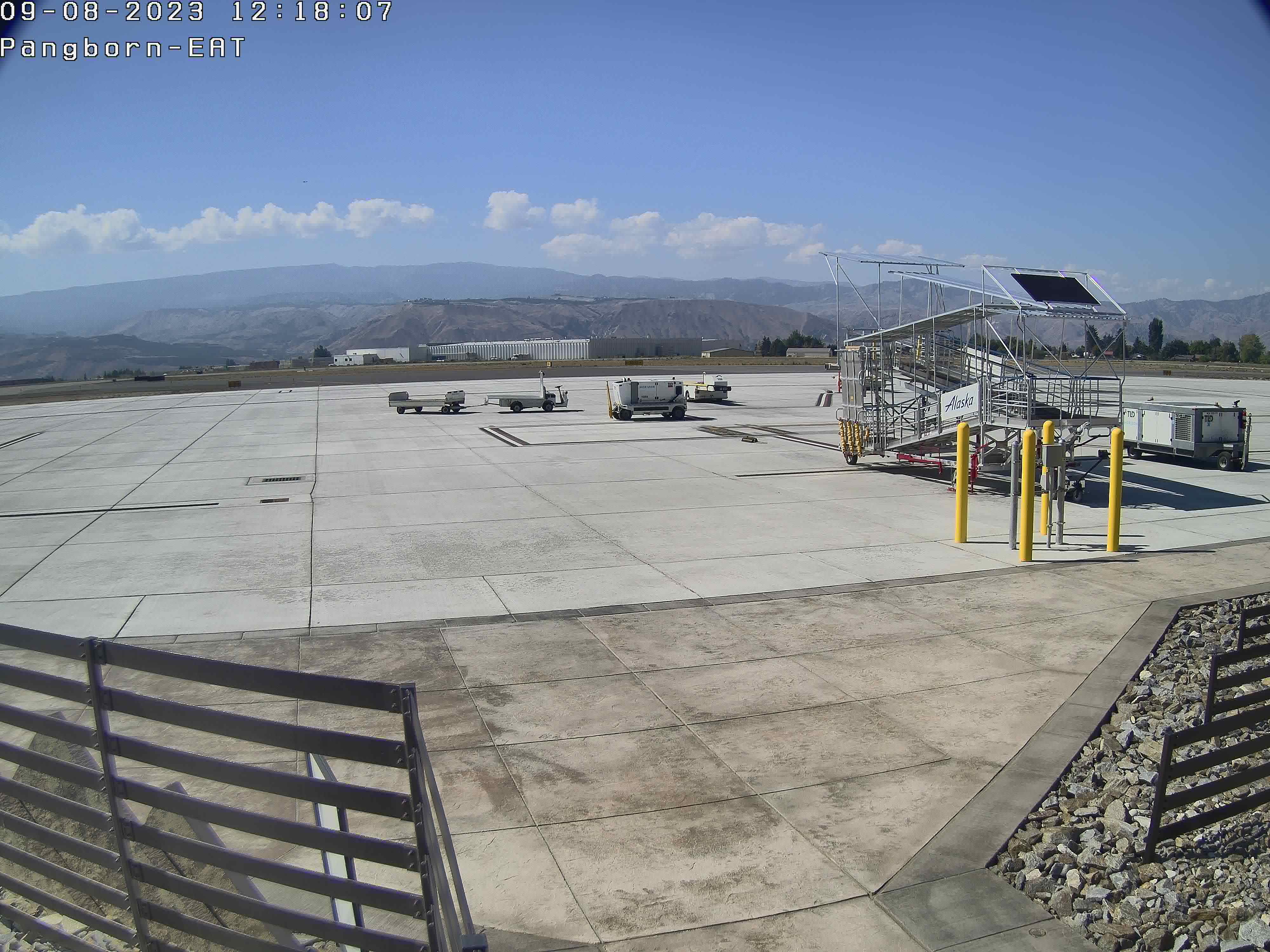
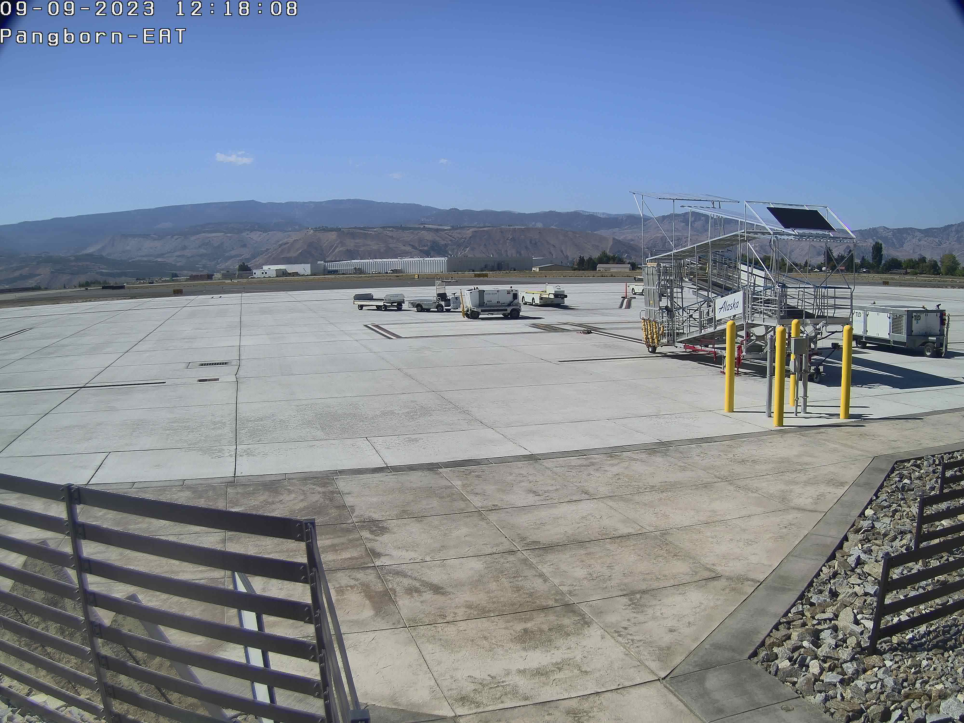
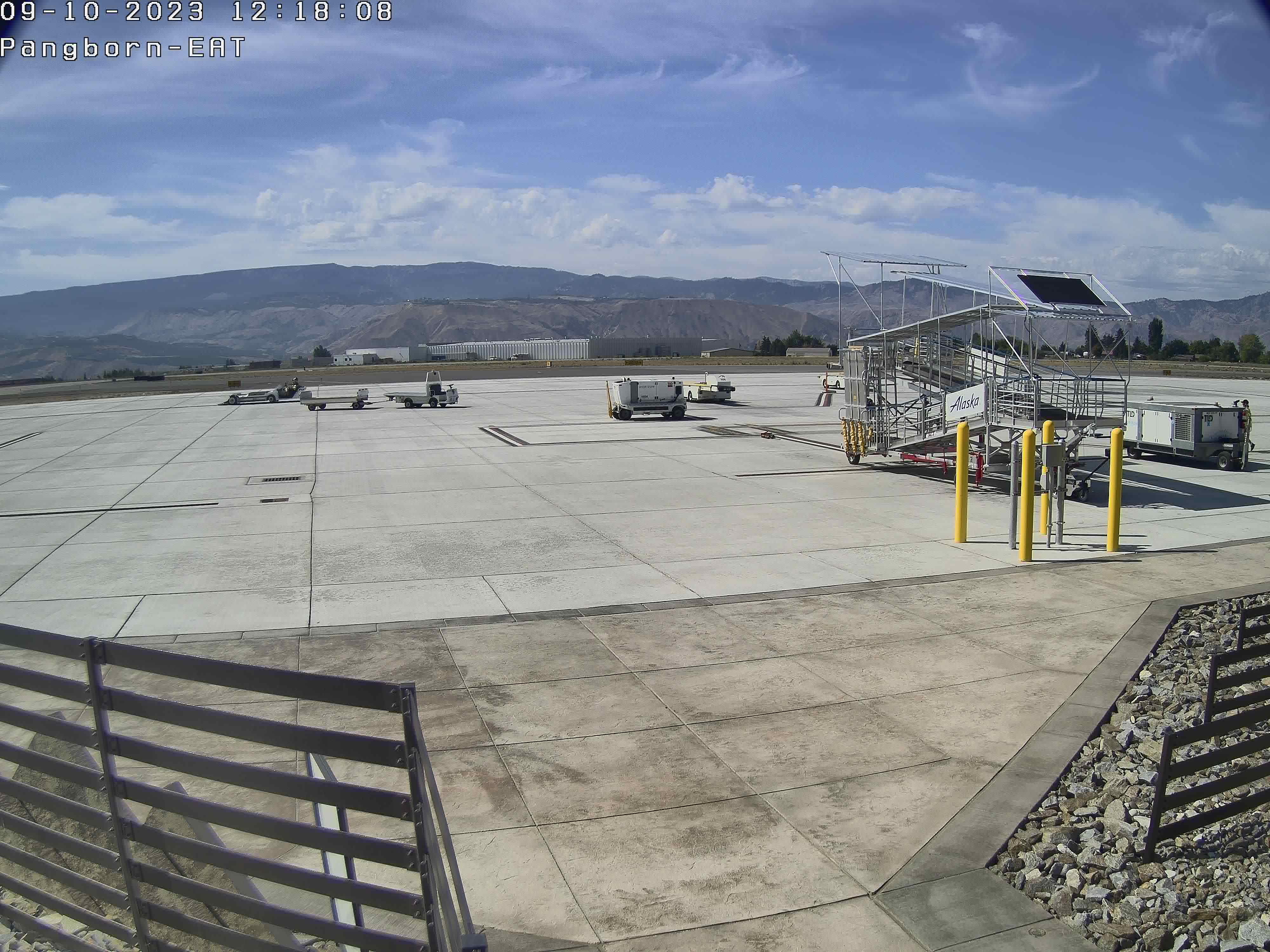
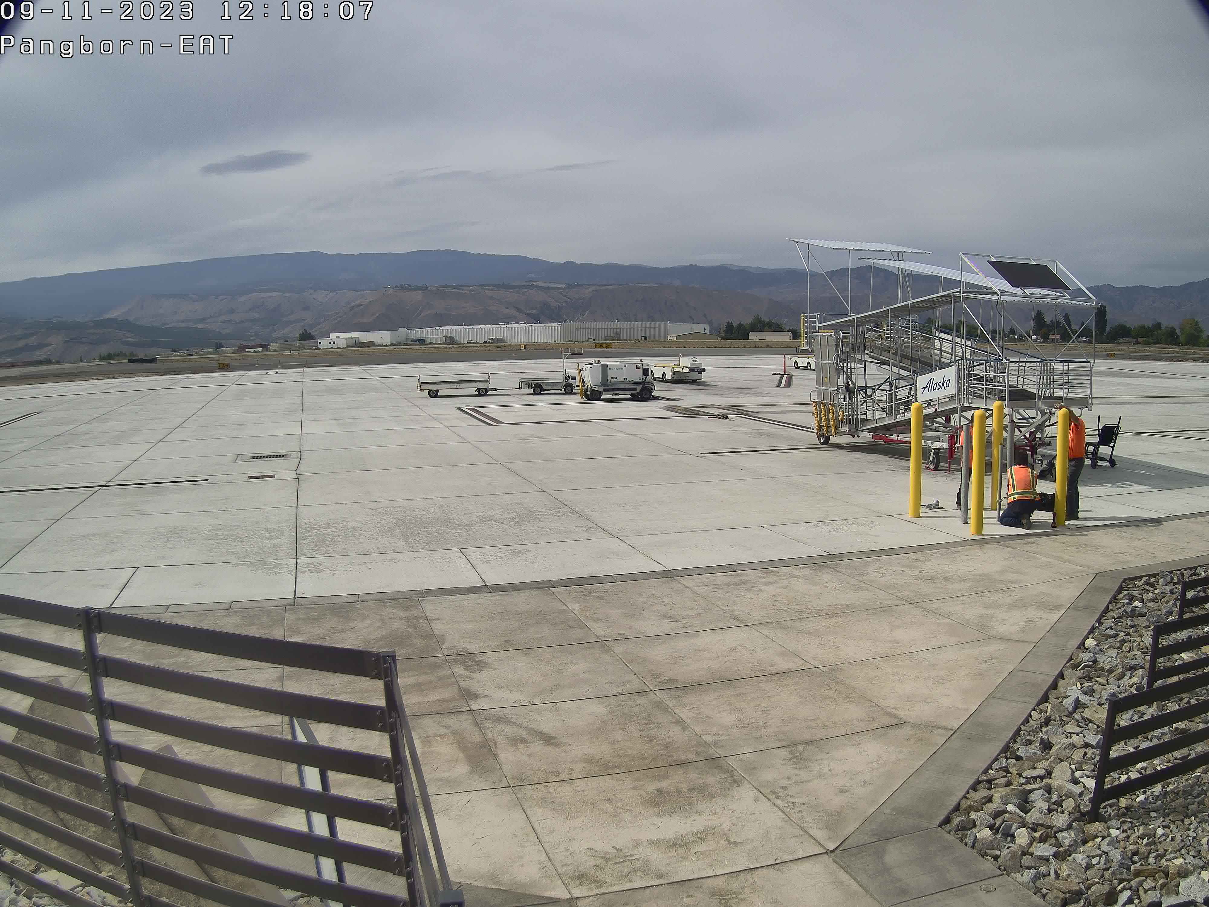
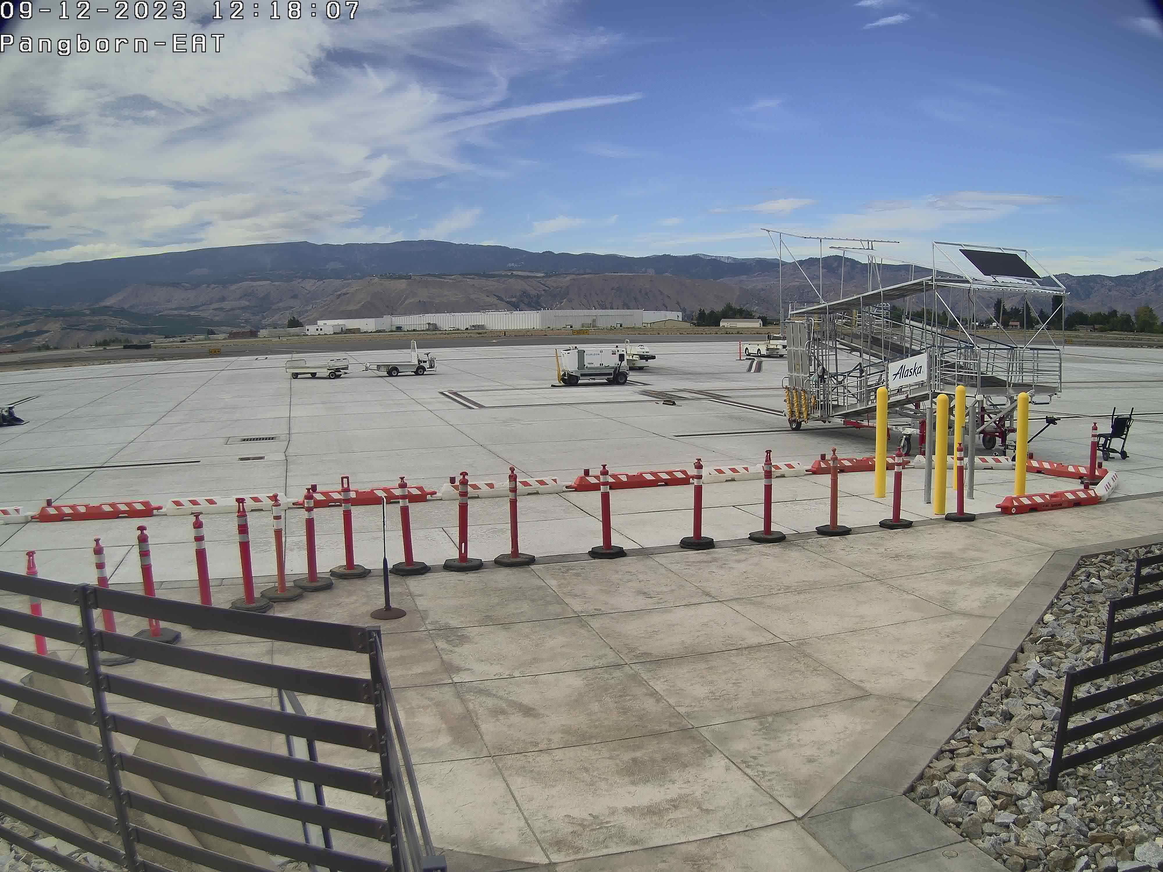
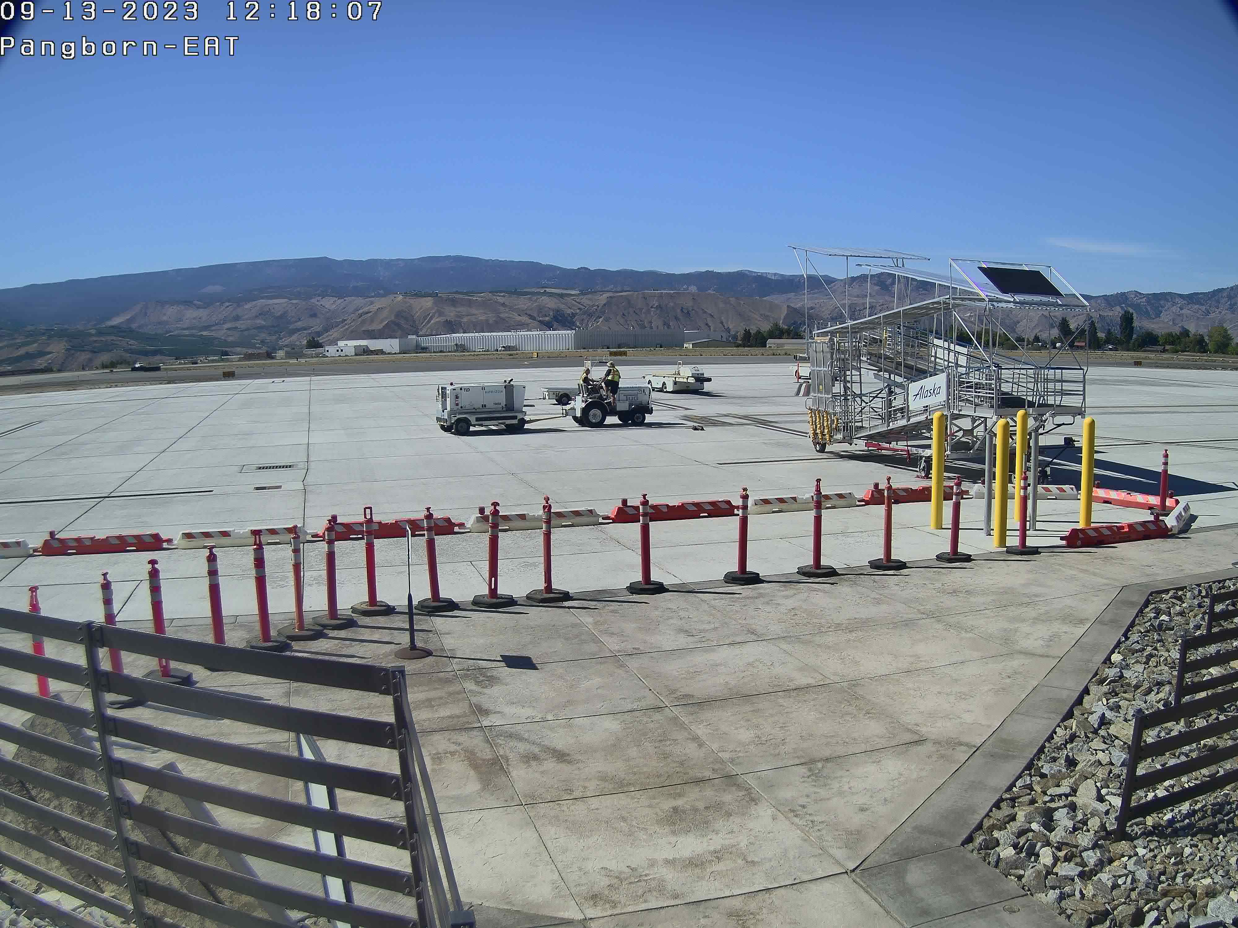
Wenatchee, Washington, USA - 182.1 miles from Cherrylane: Pangborn Memorial Airport
Operator: Pangborn Memorial Airport
Operator: Pangborn Memorial Airport


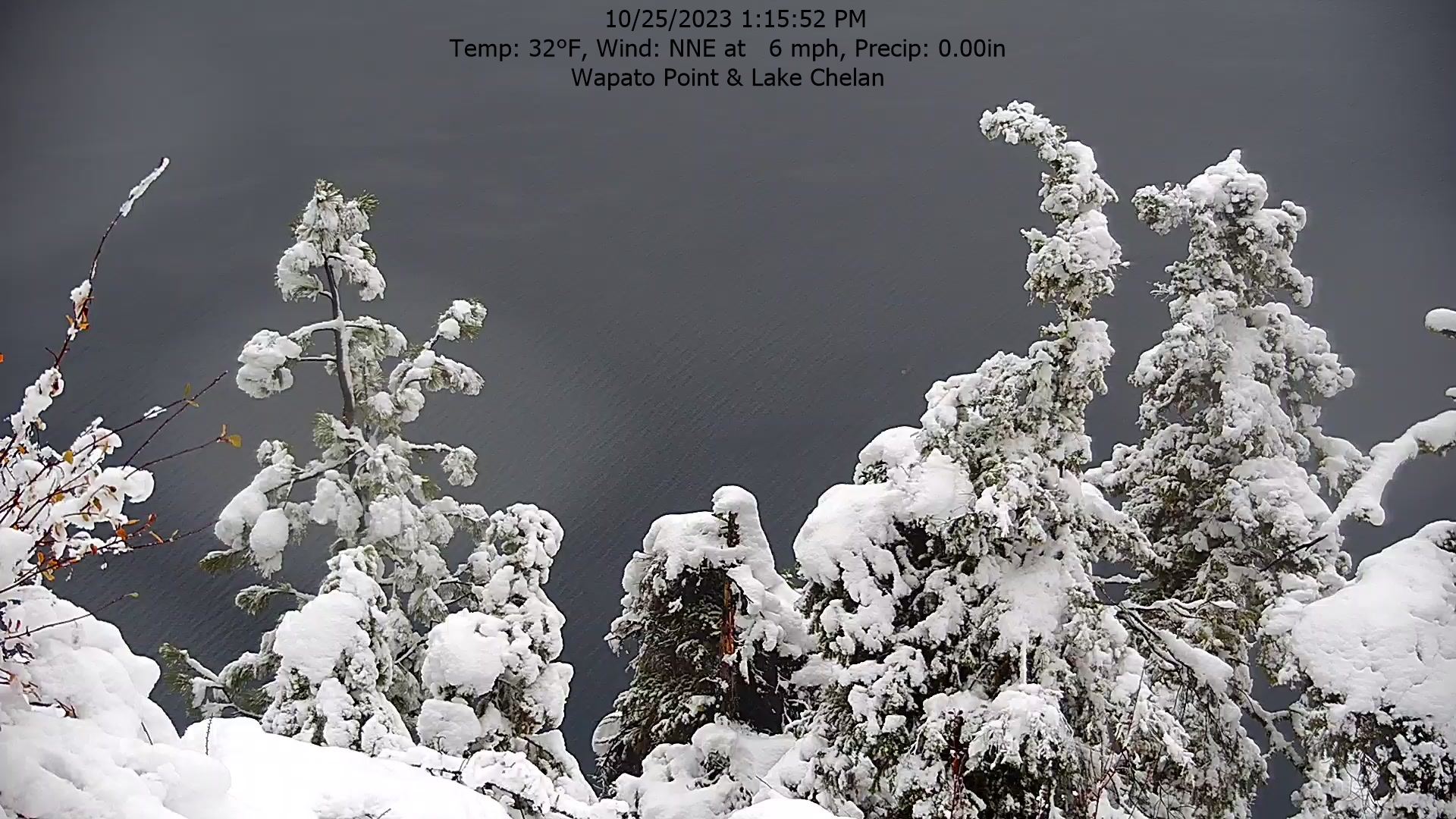
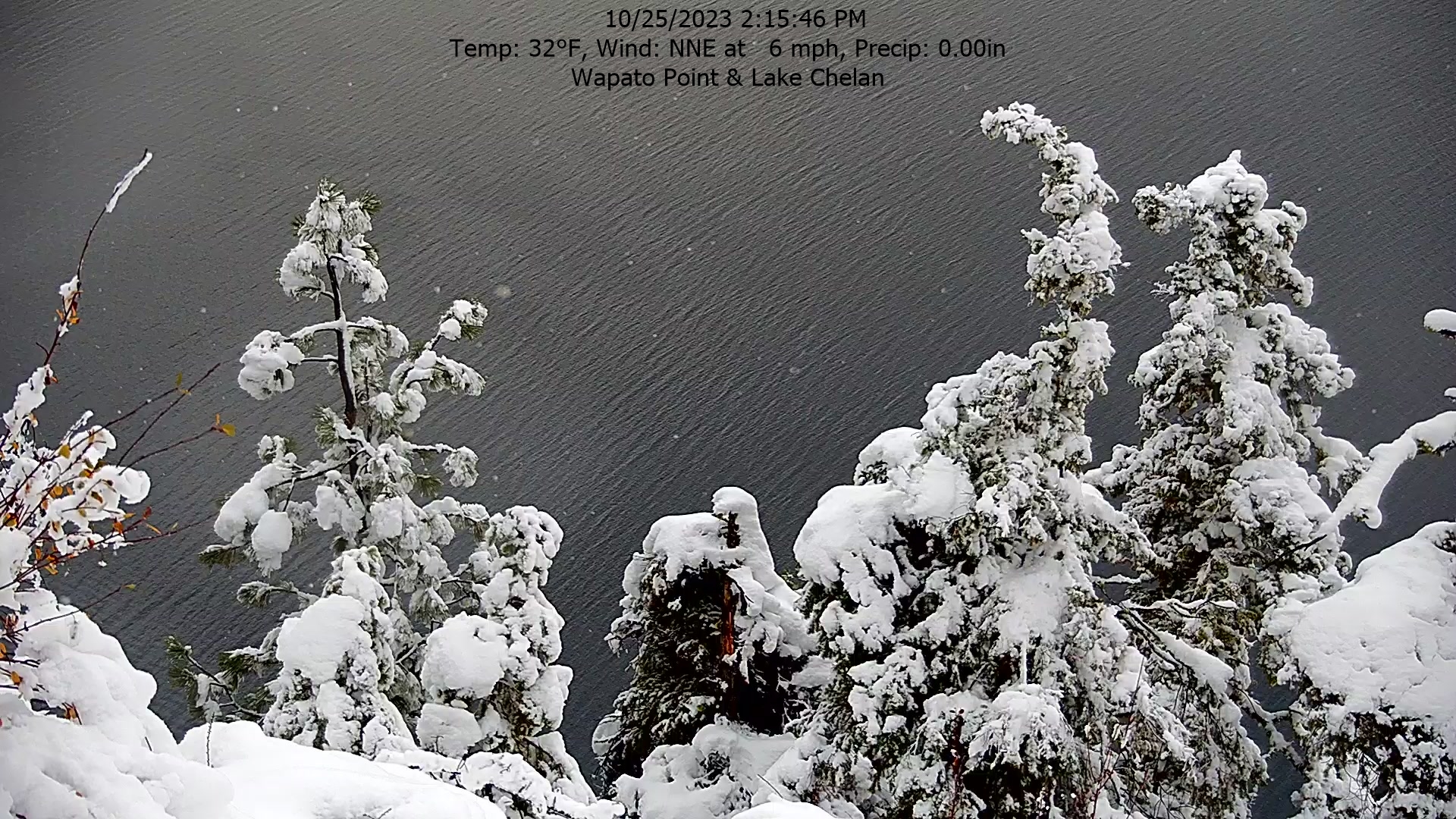
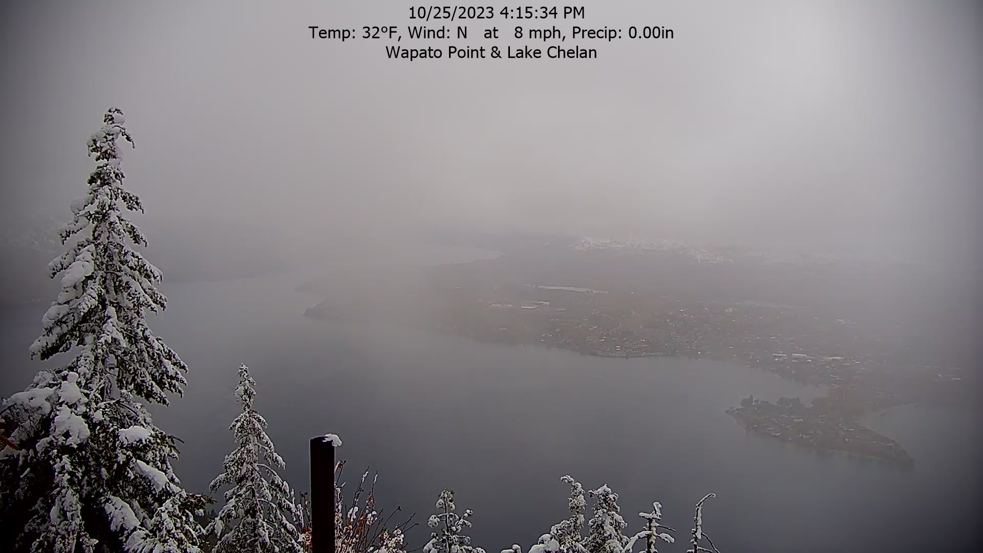
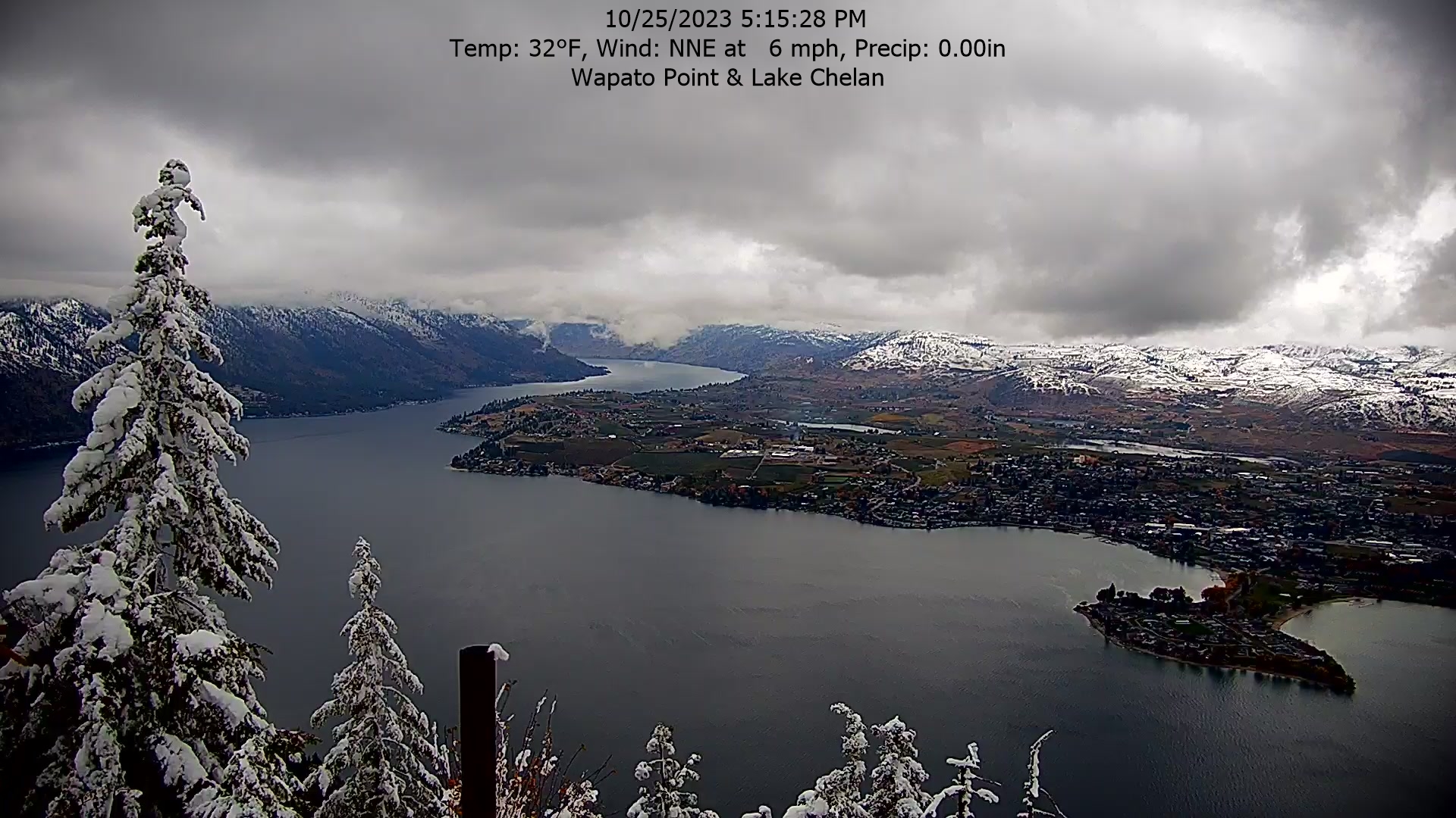
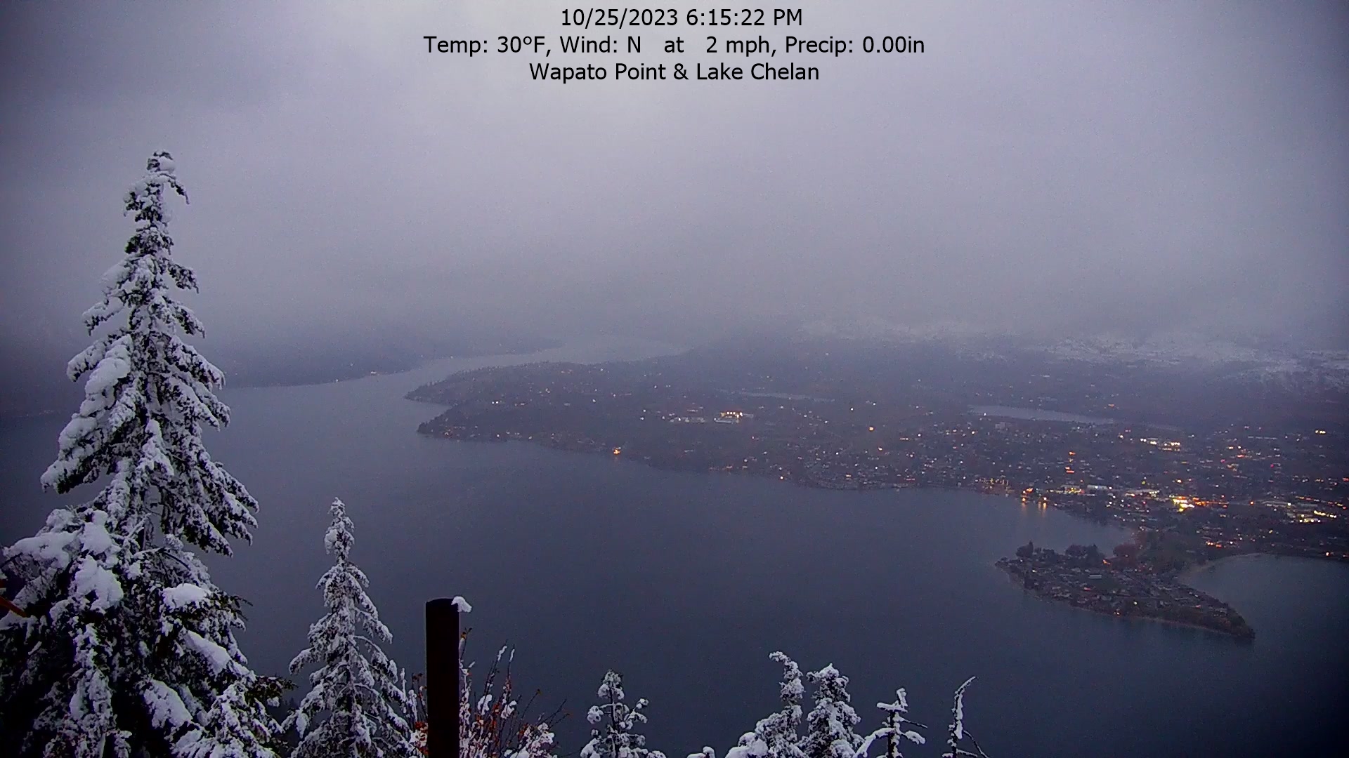
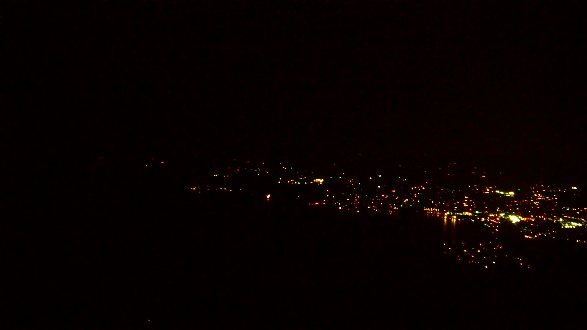
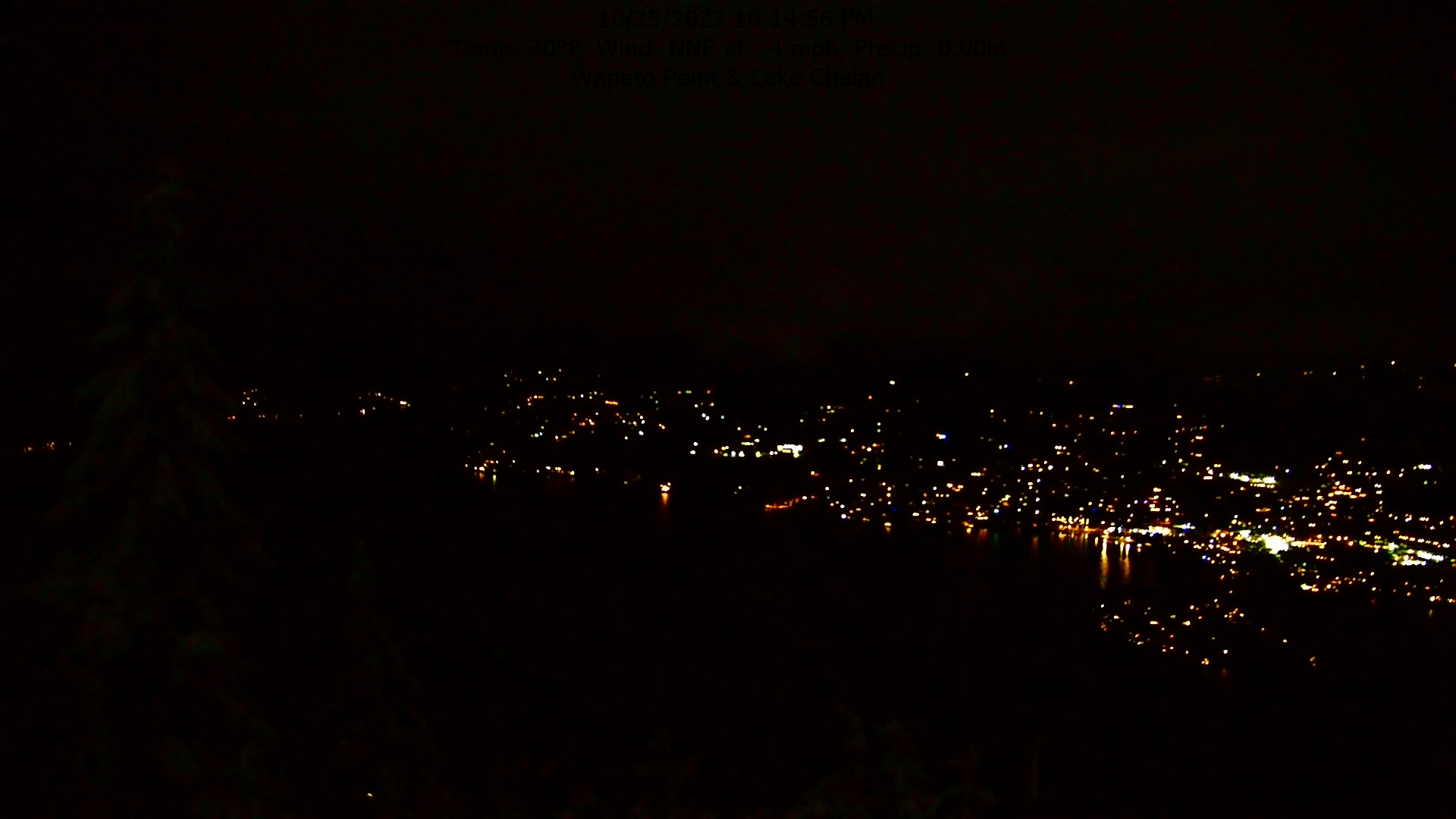
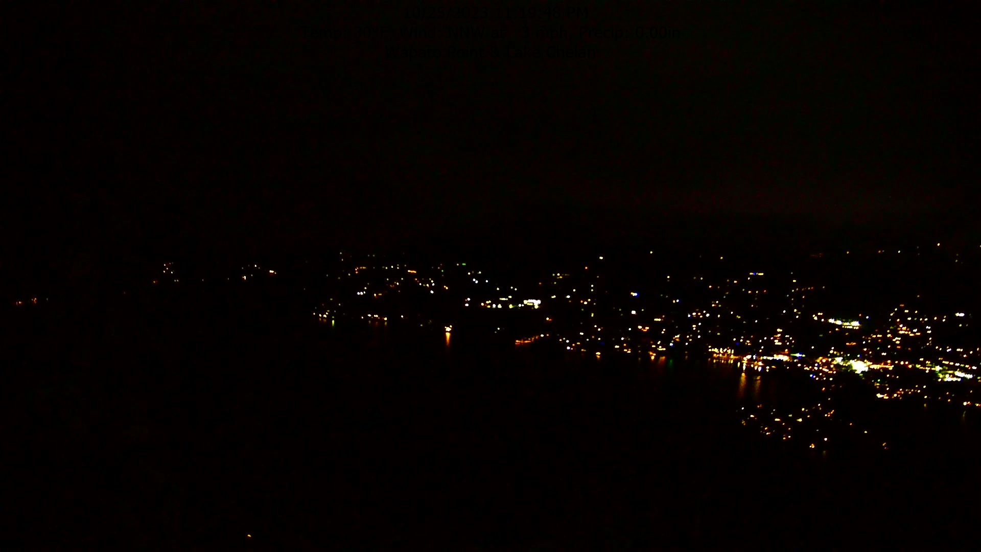
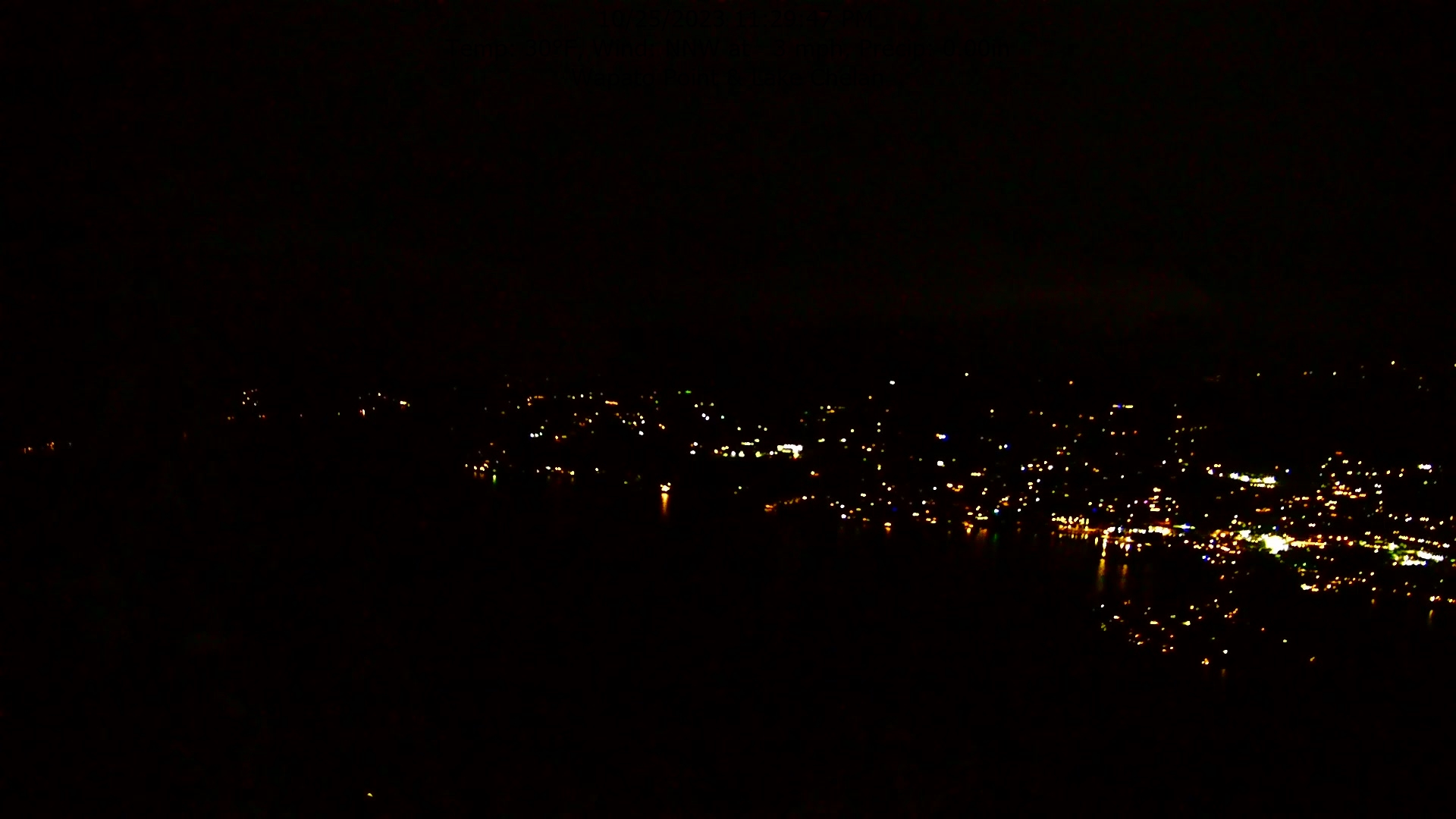
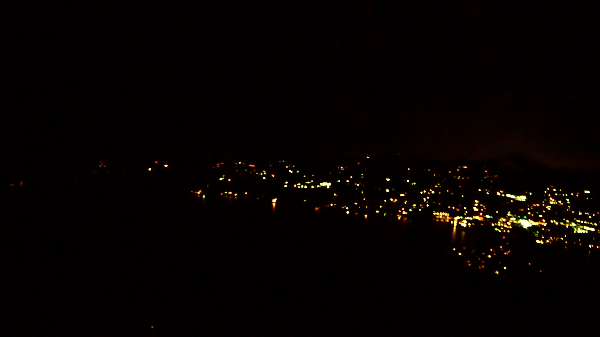
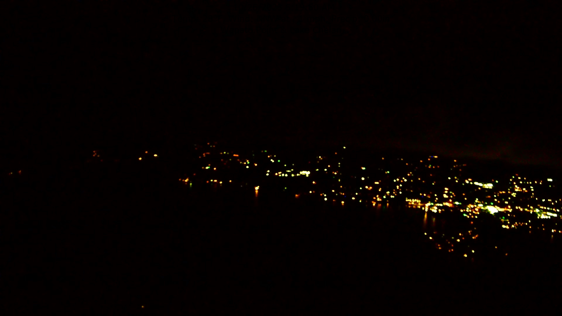
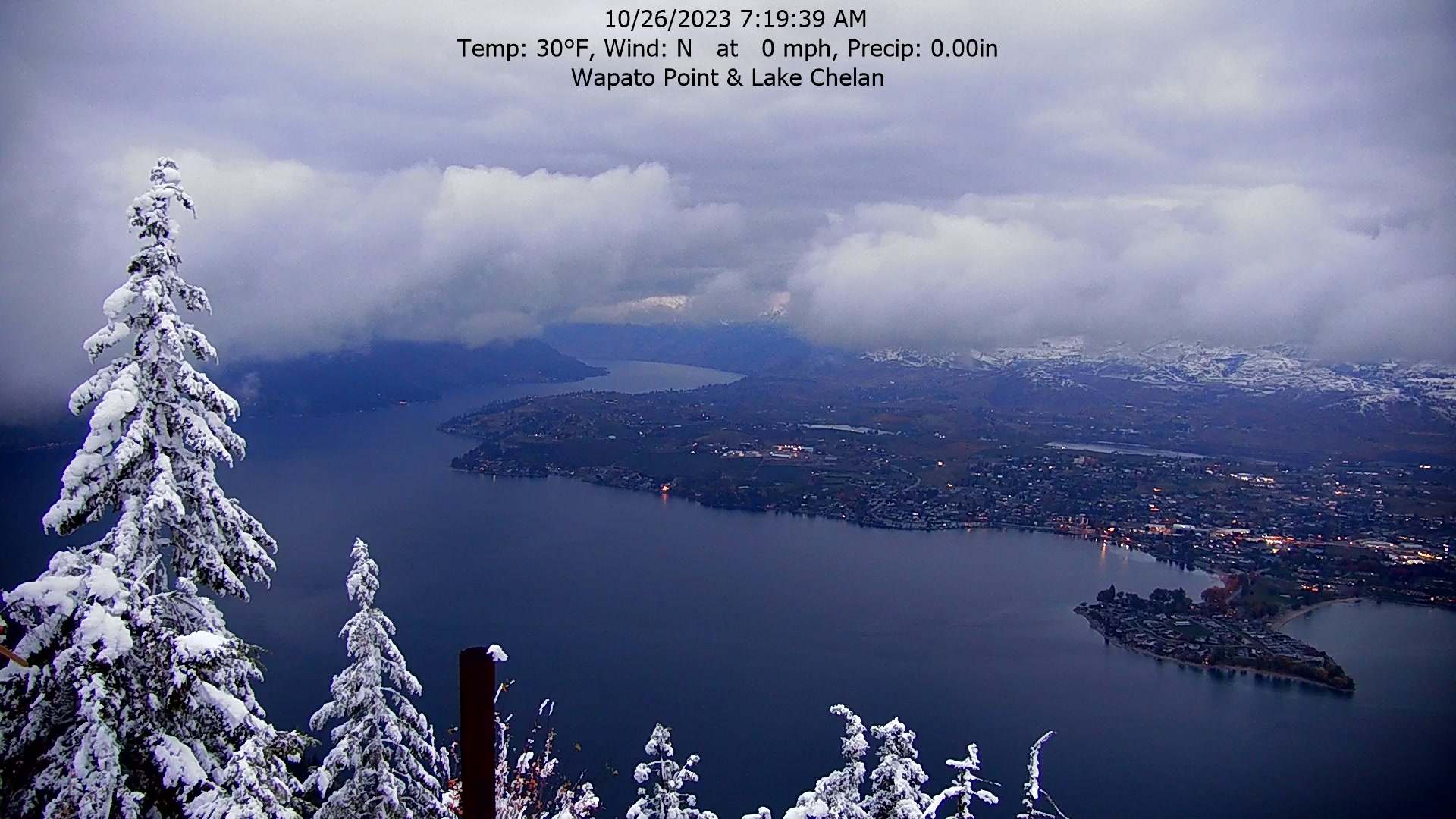
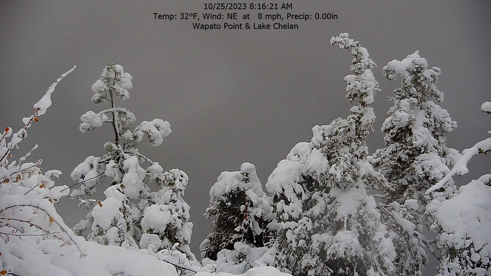
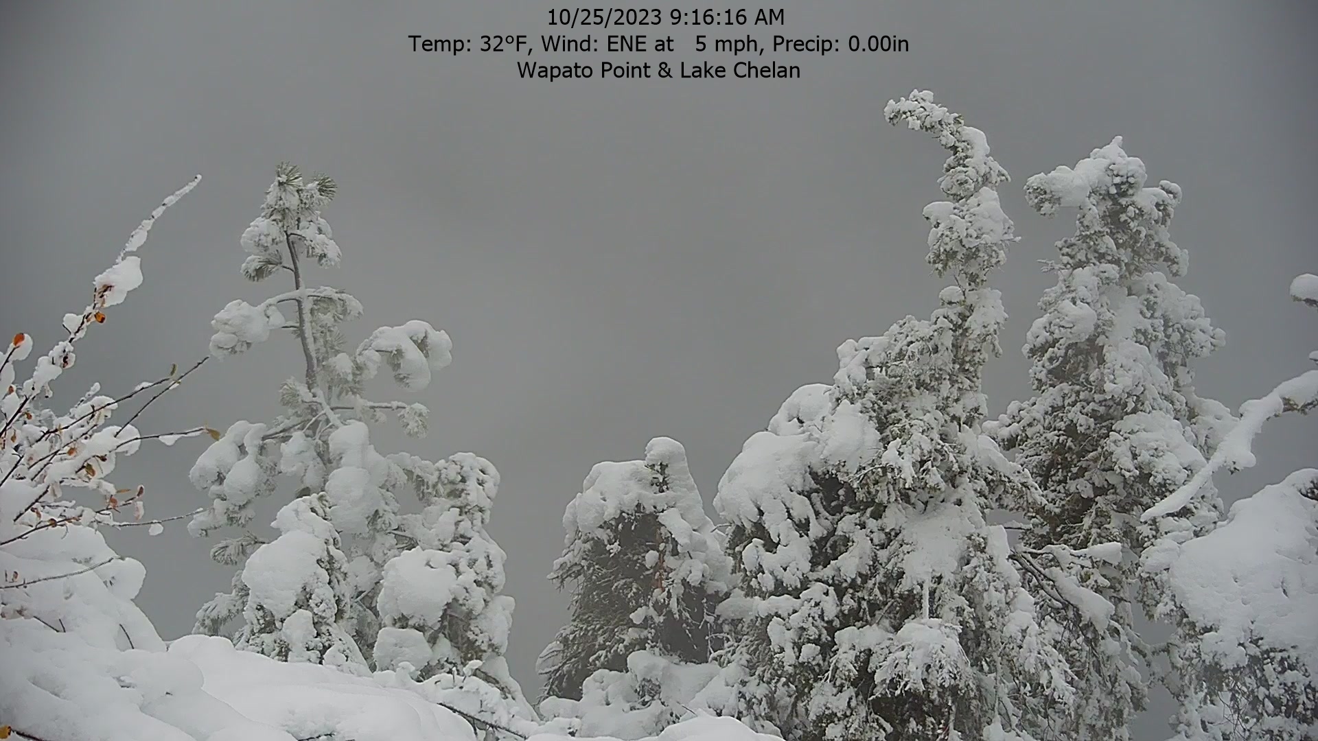
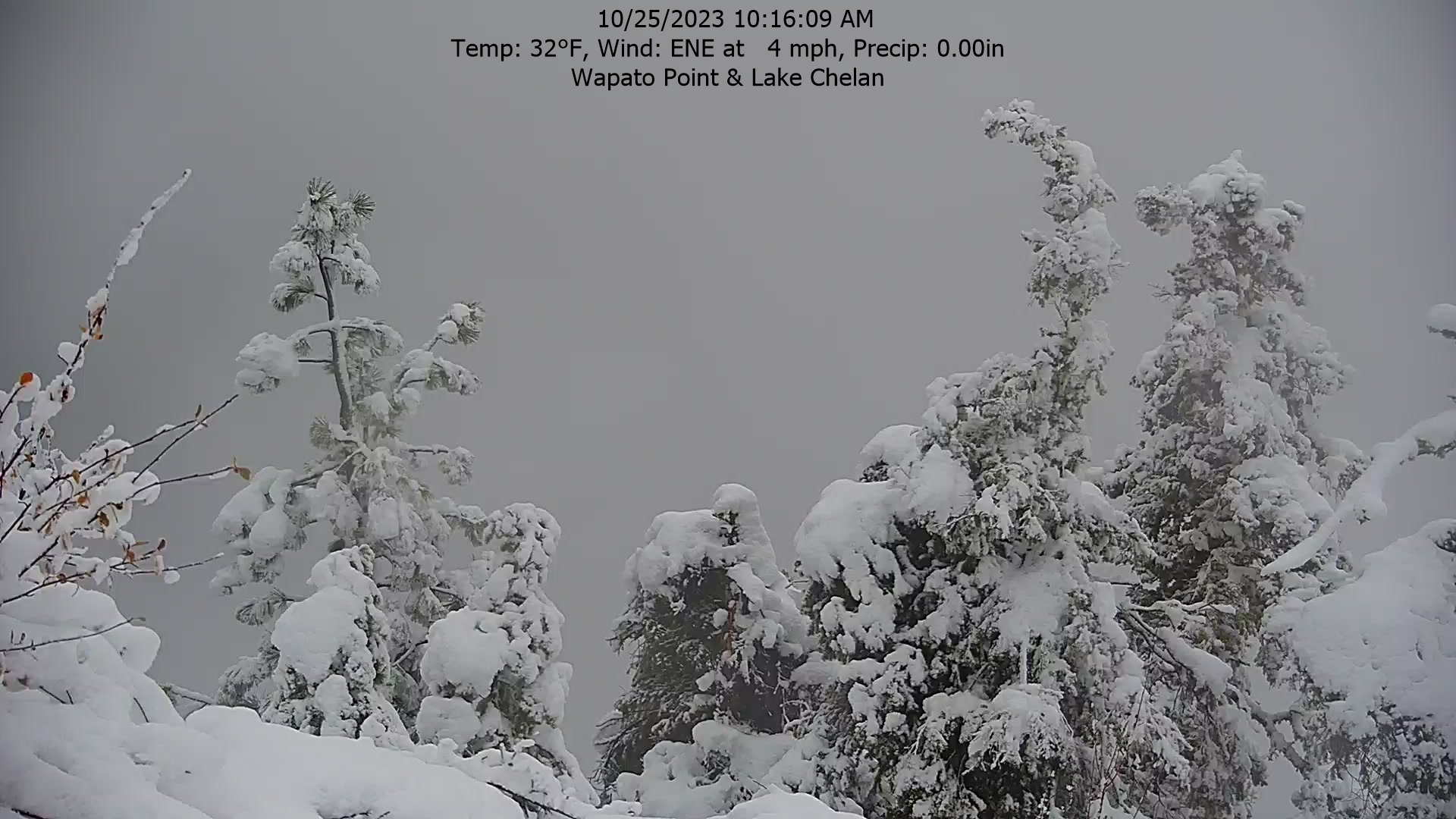
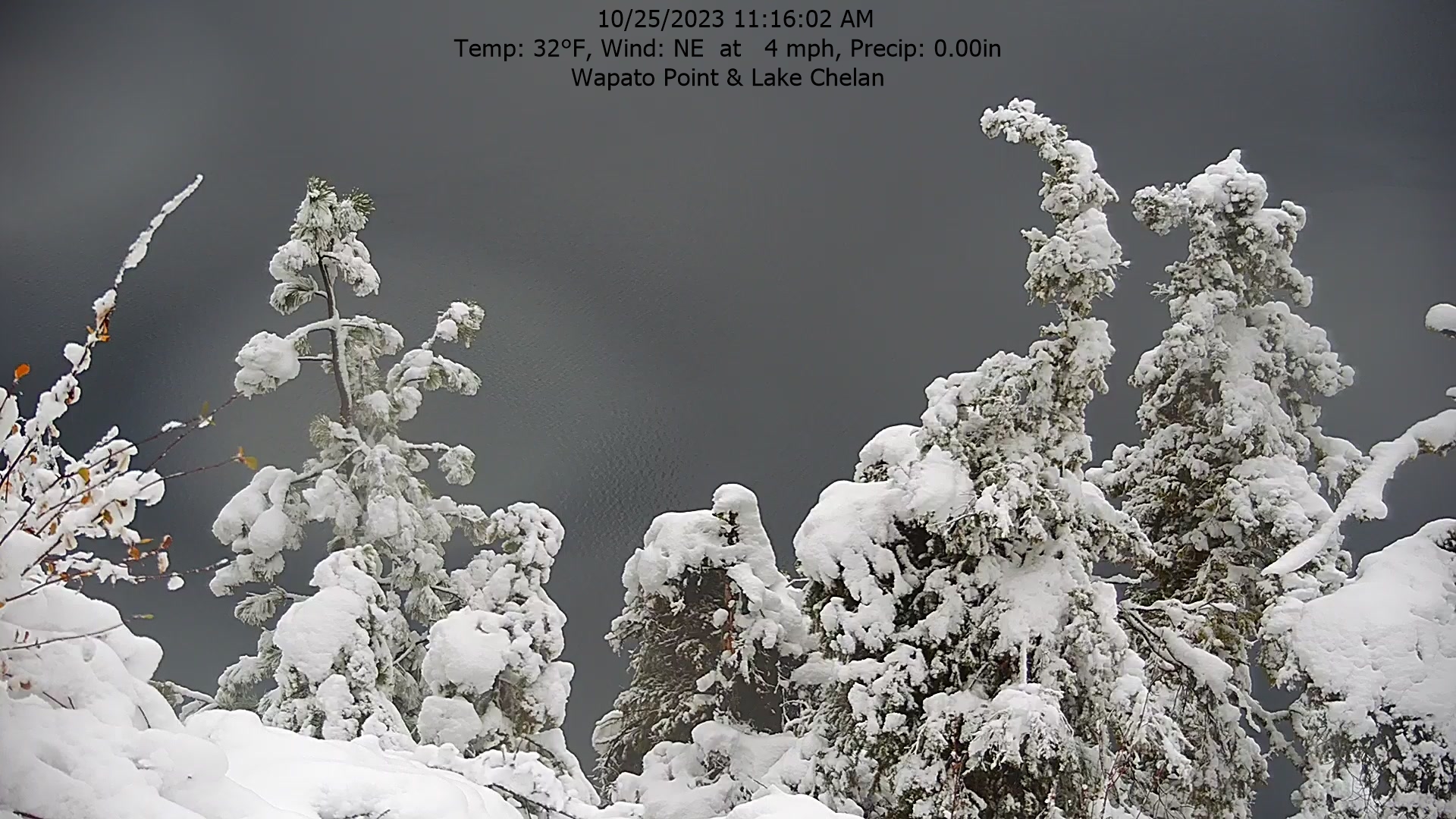
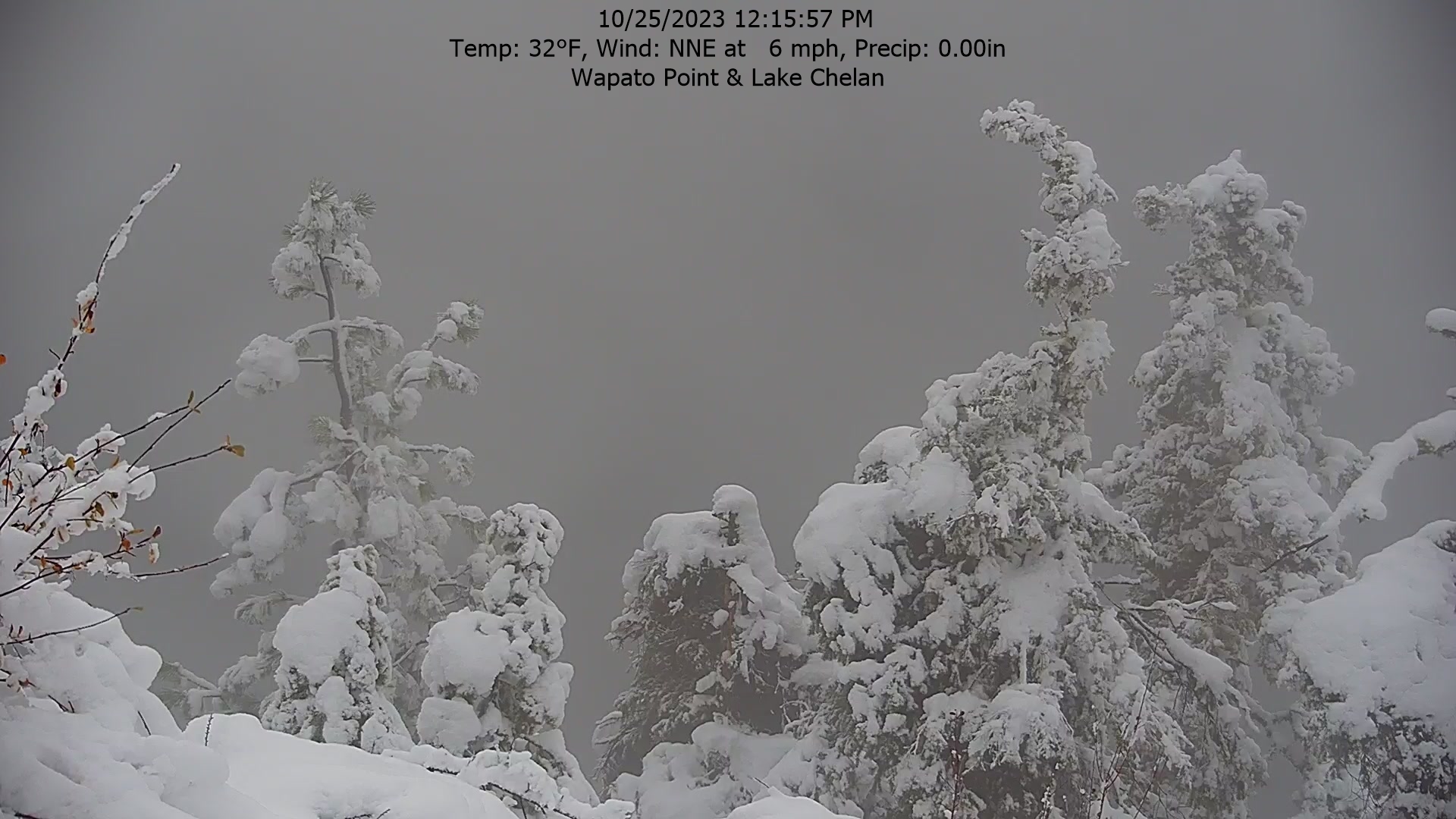
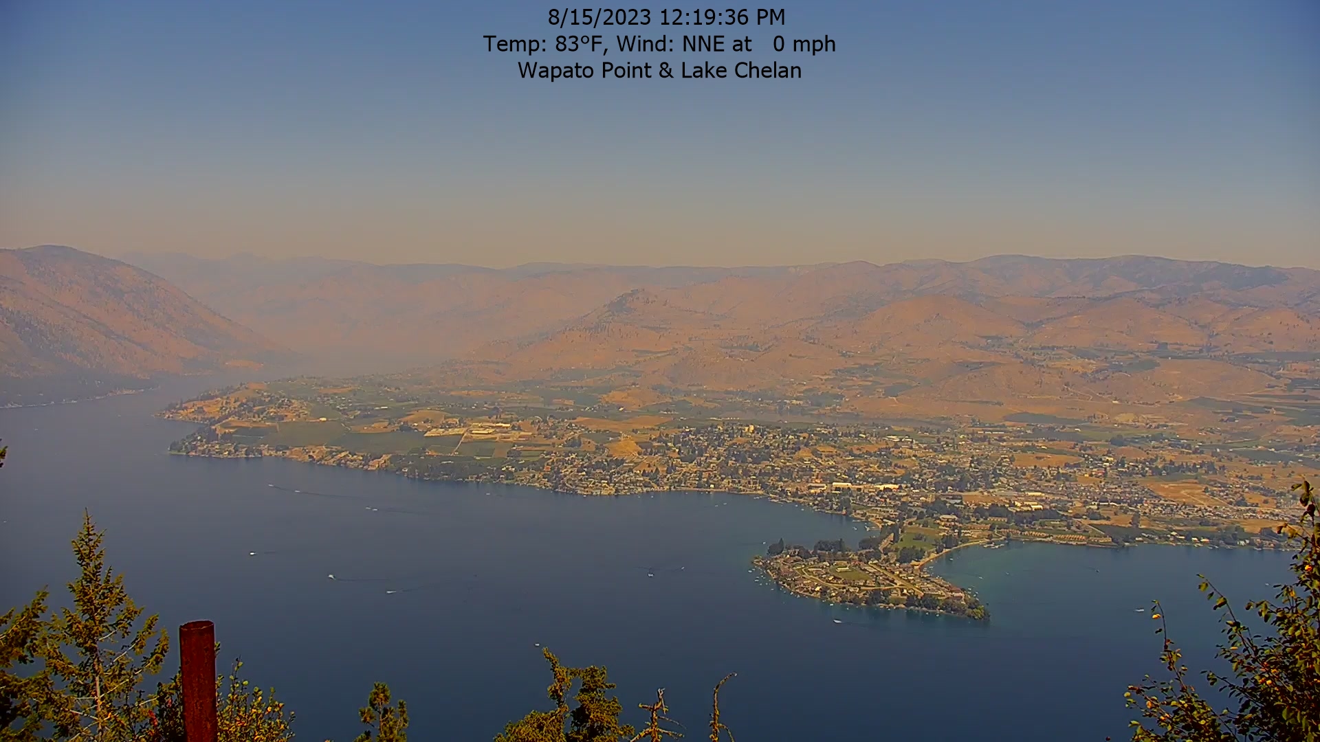
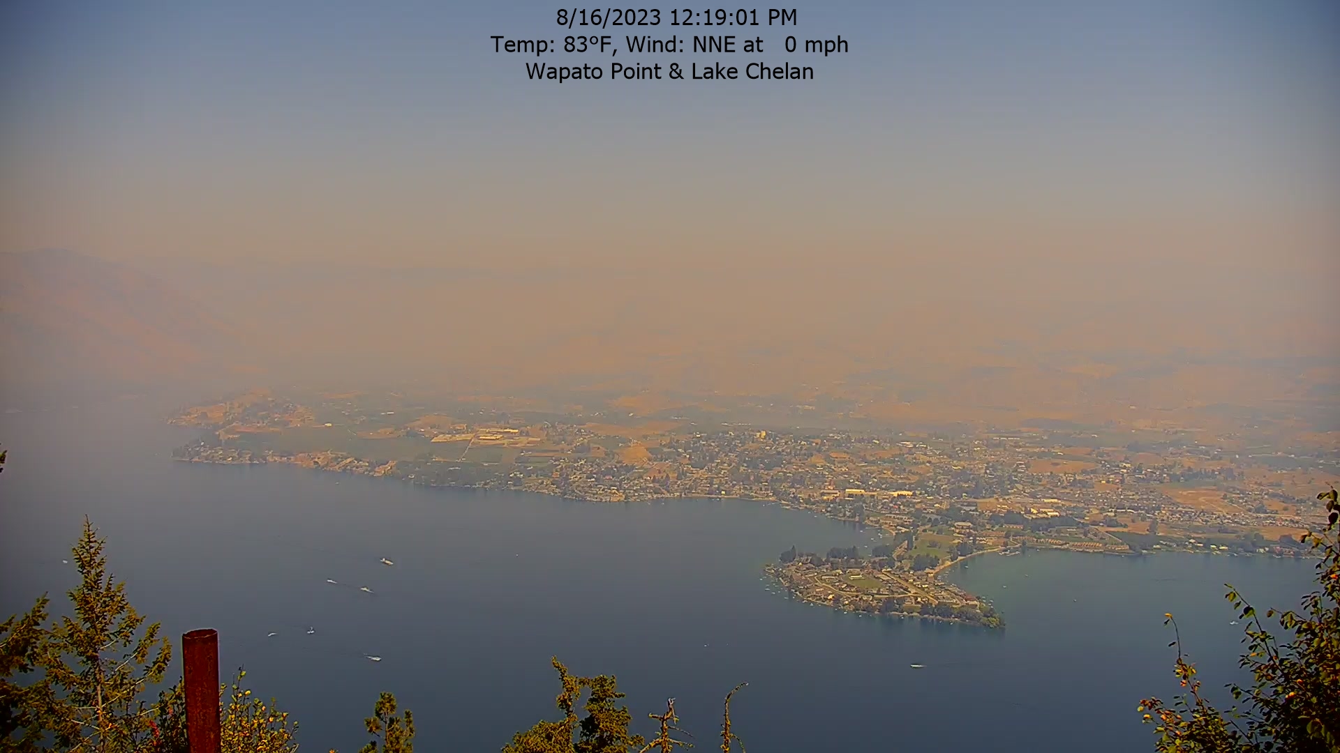
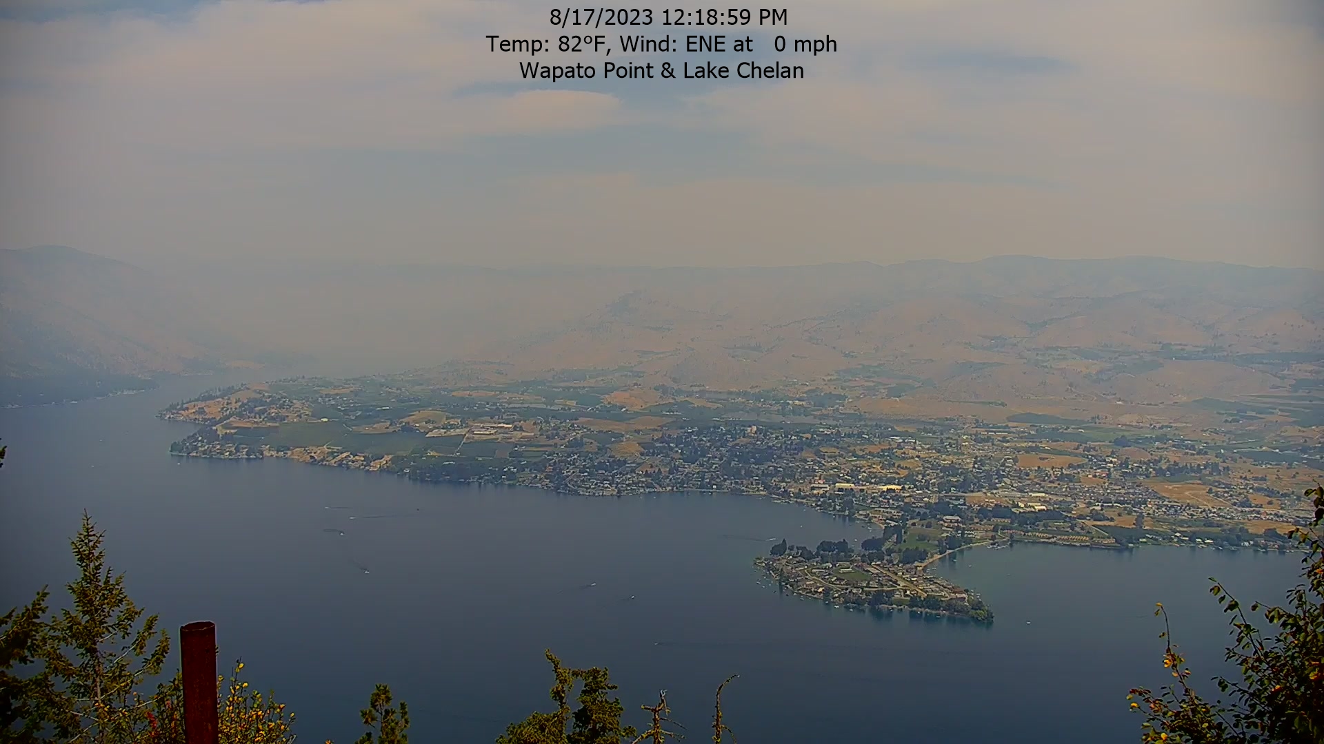
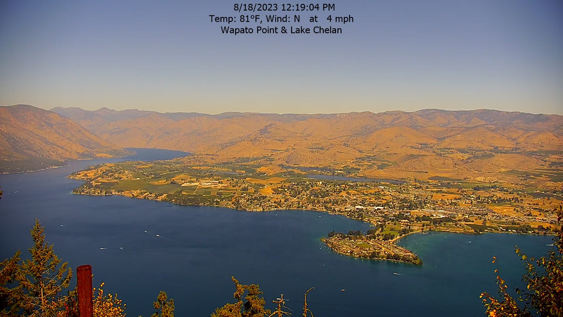
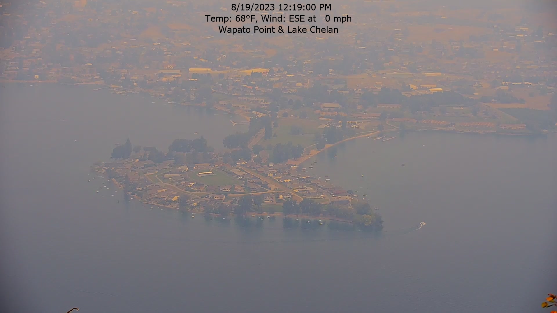
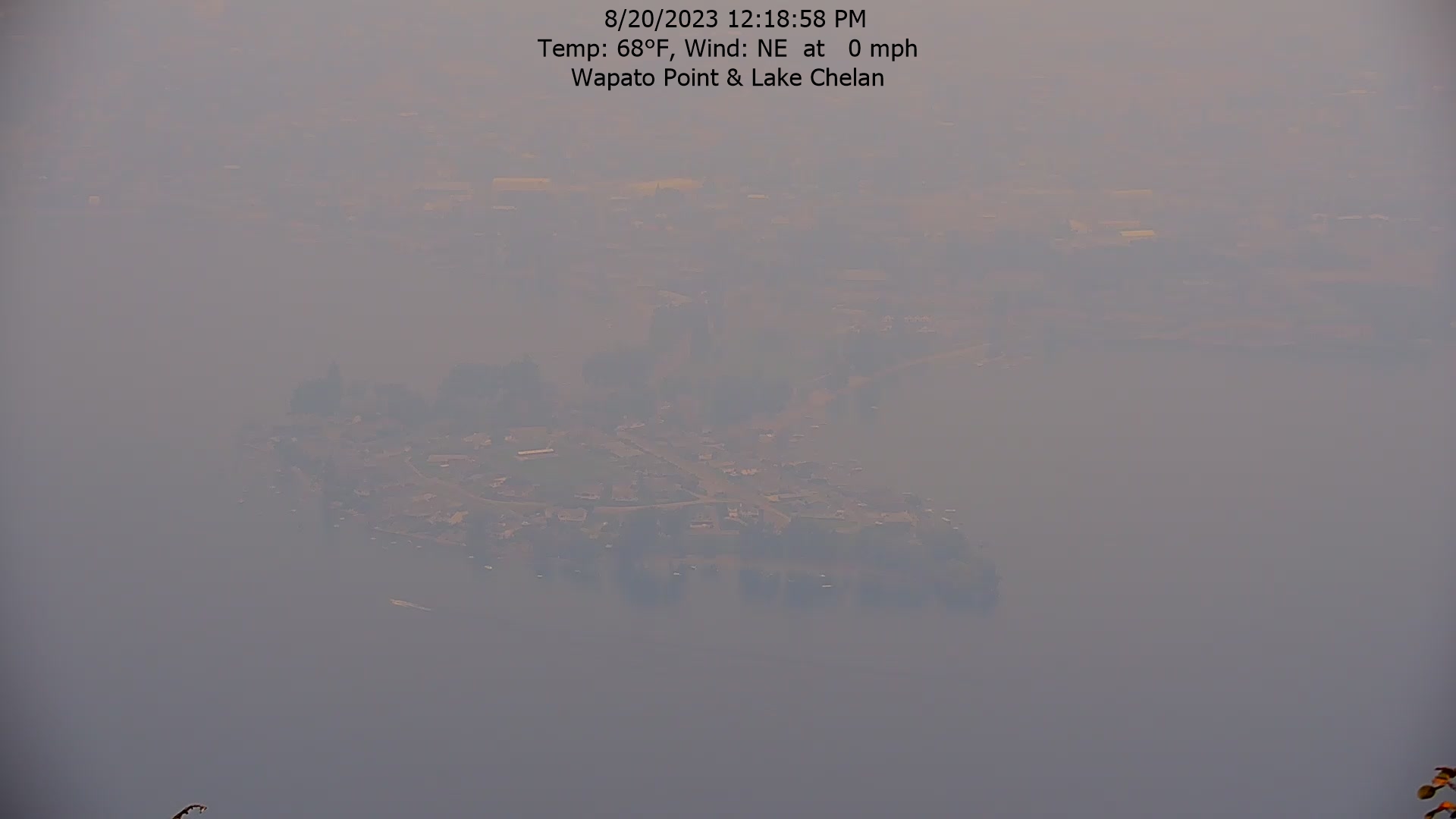
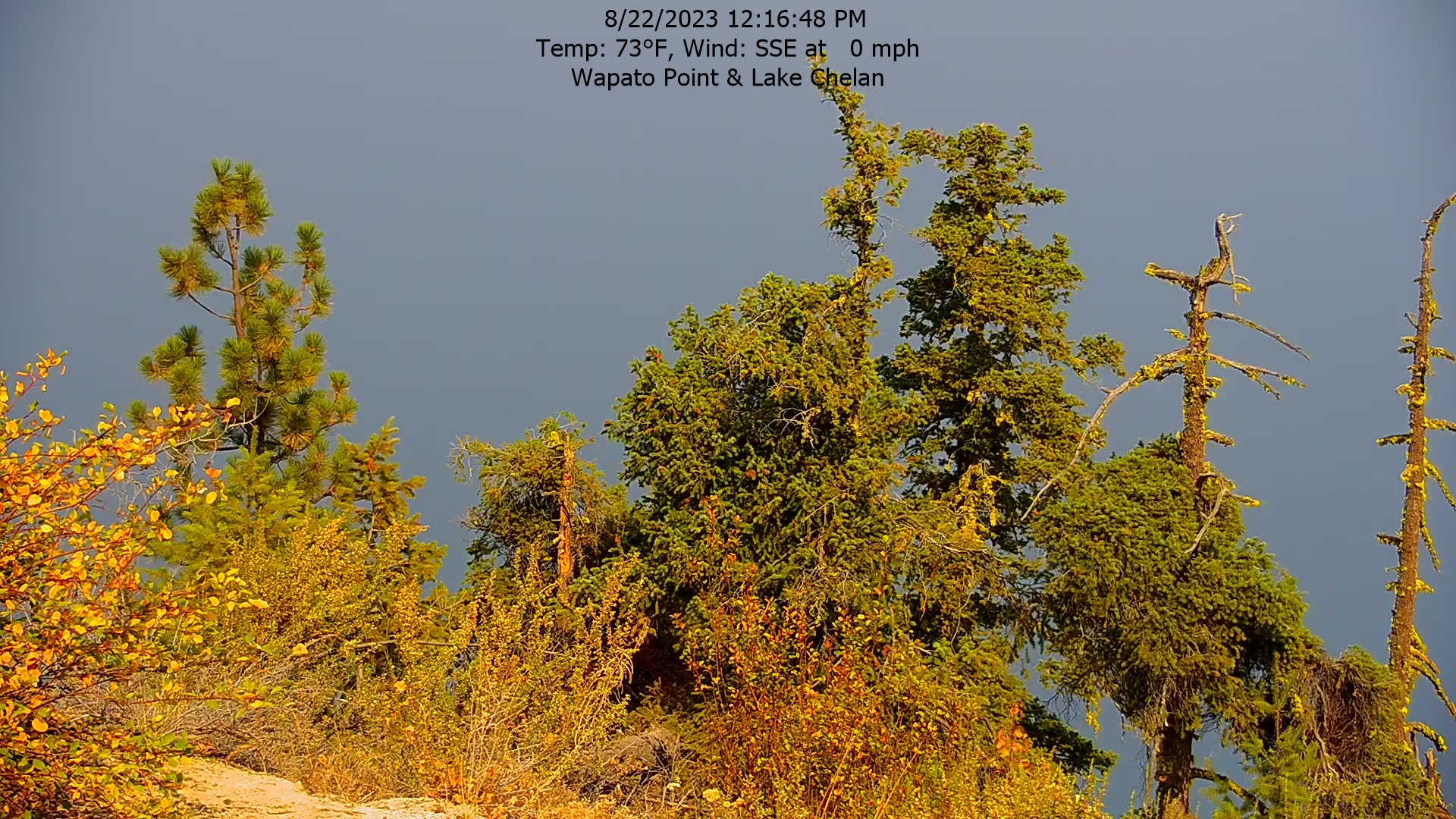
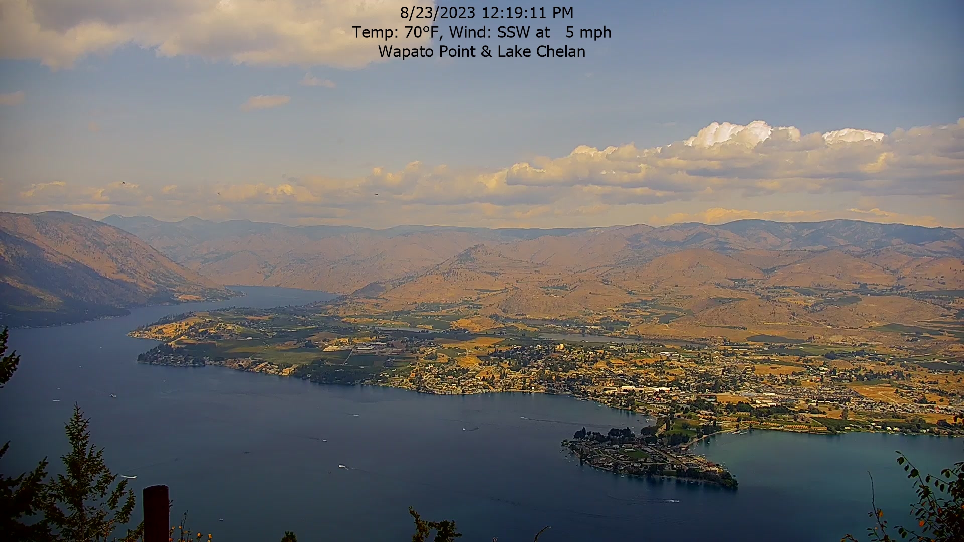
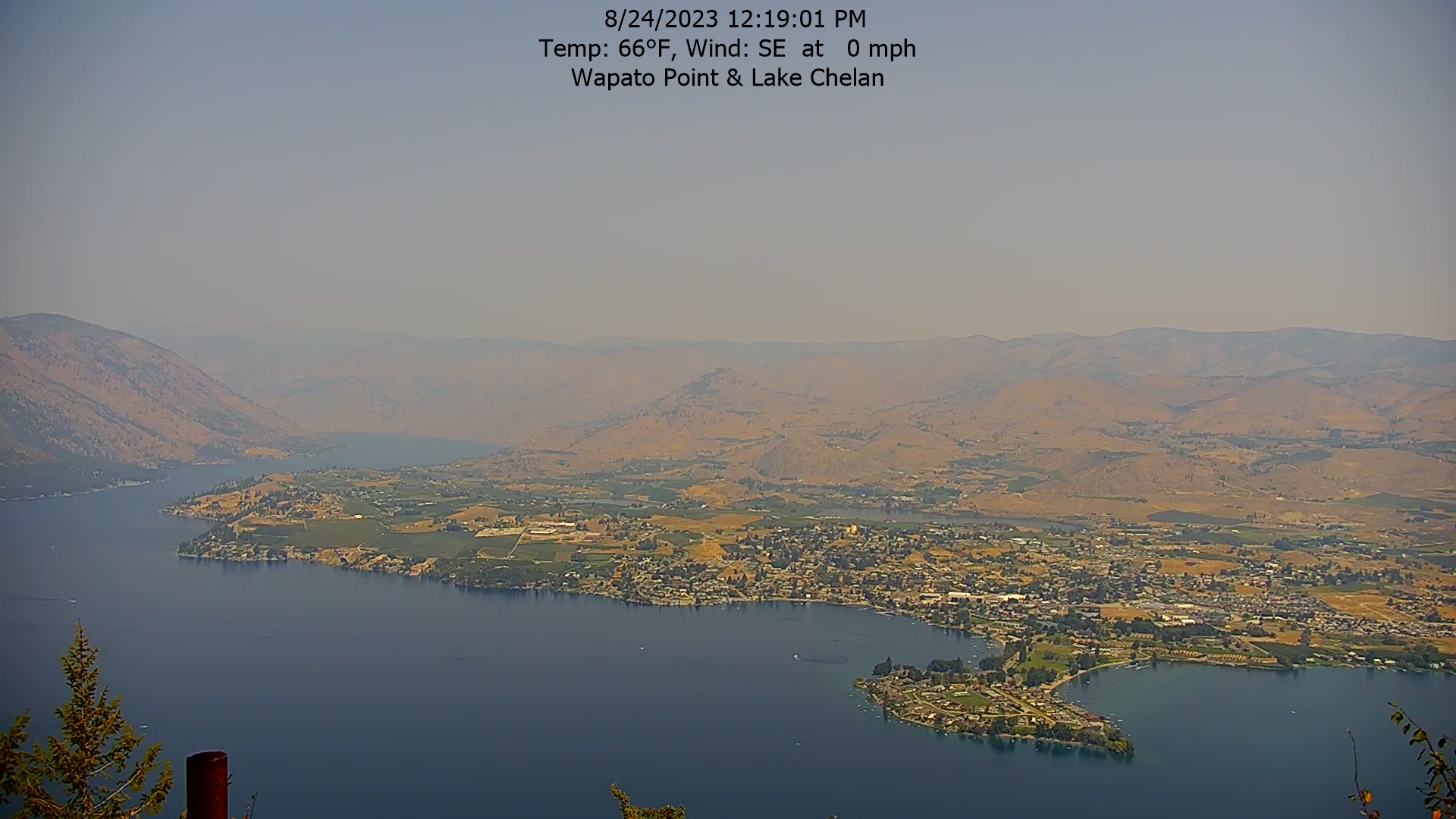
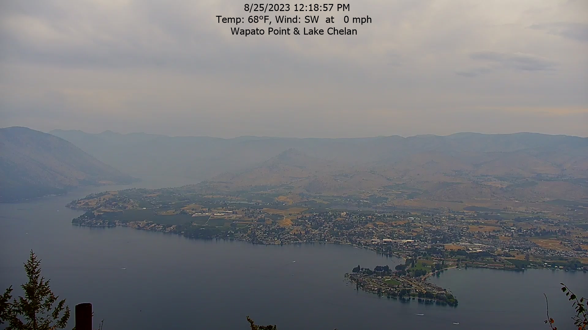
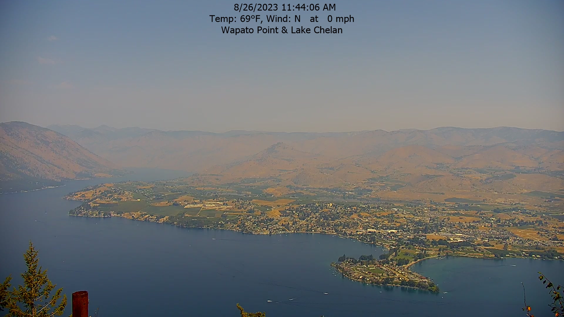
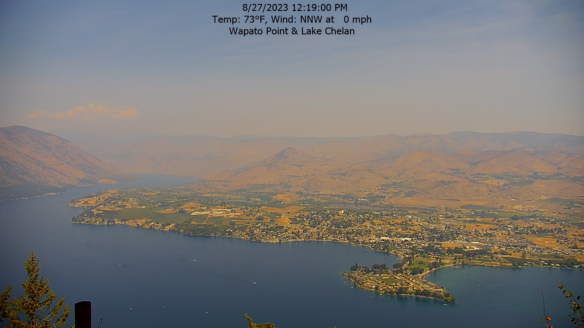
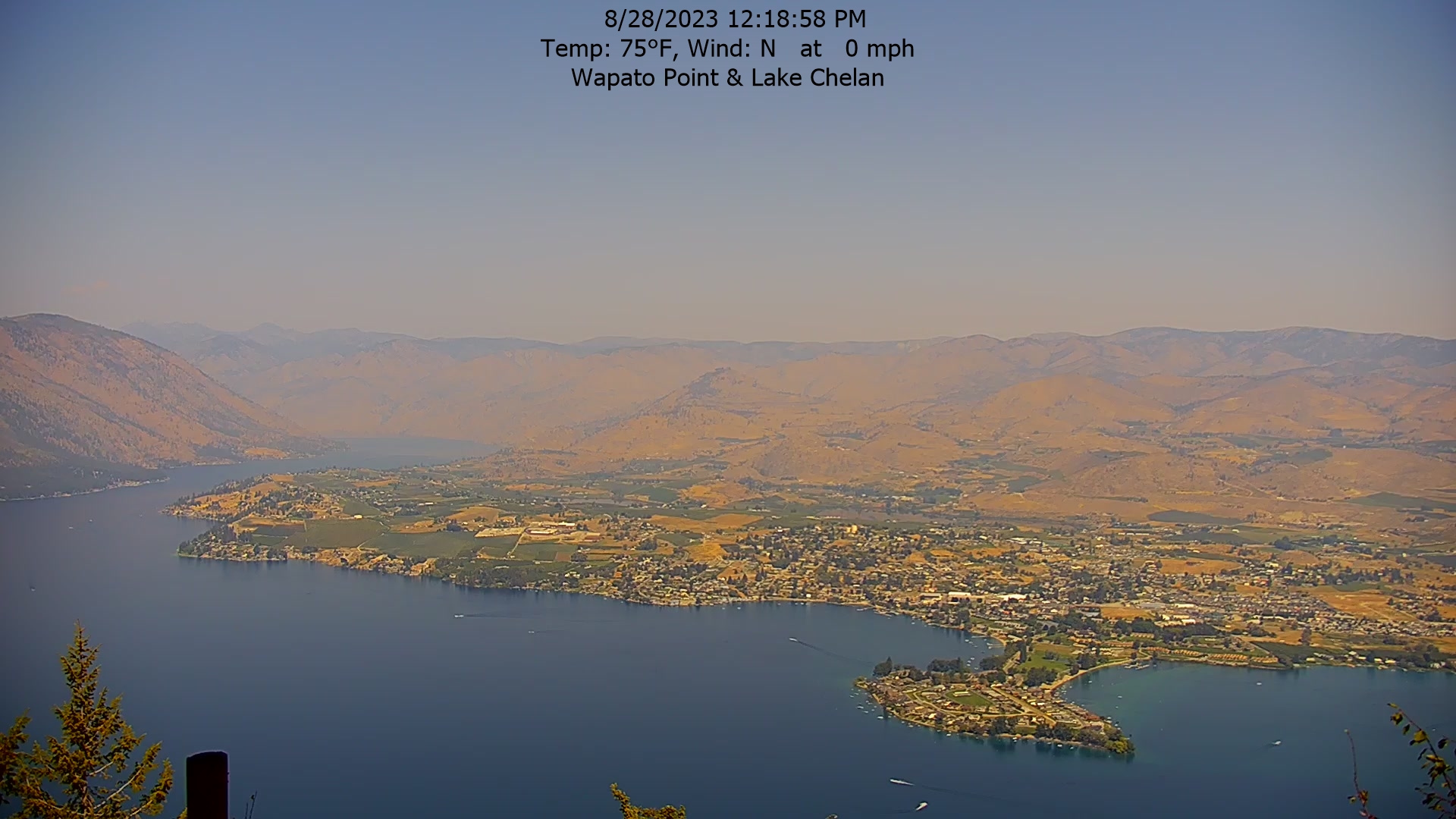
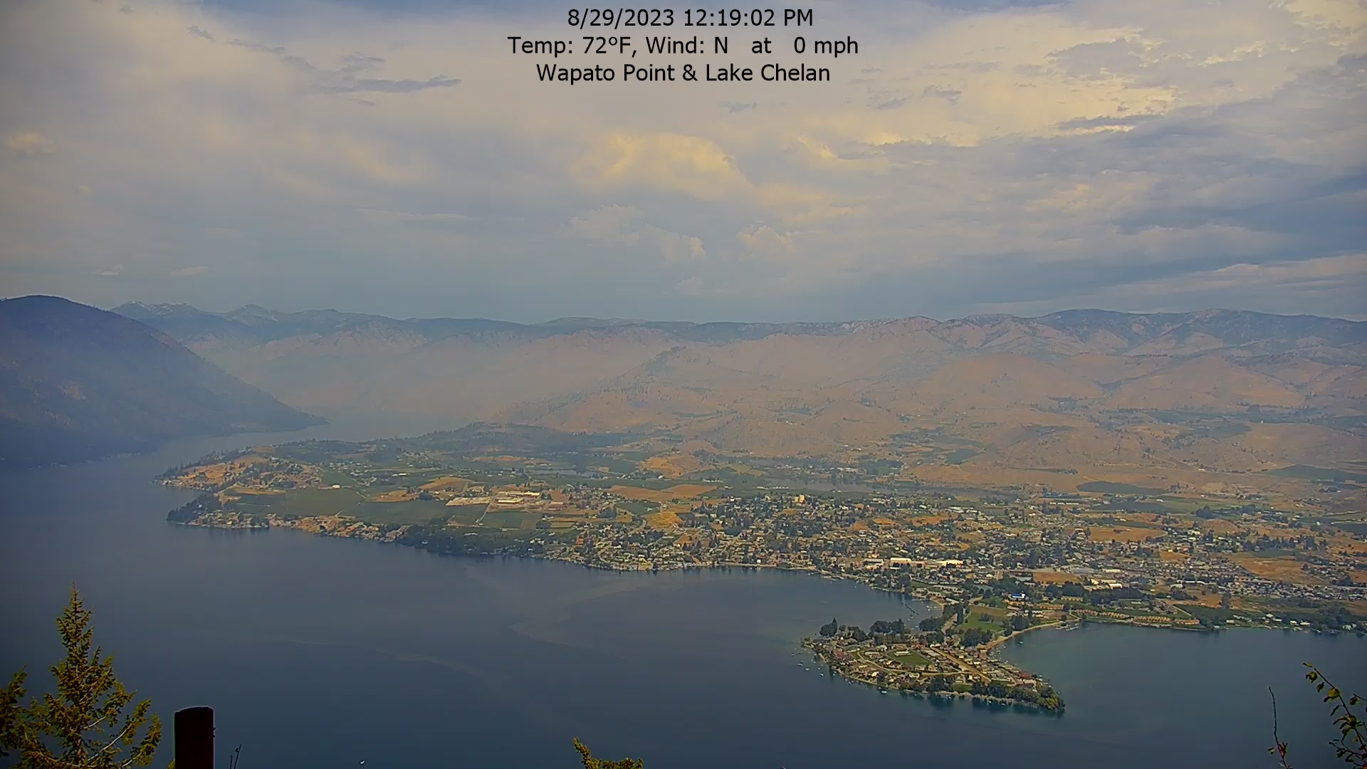
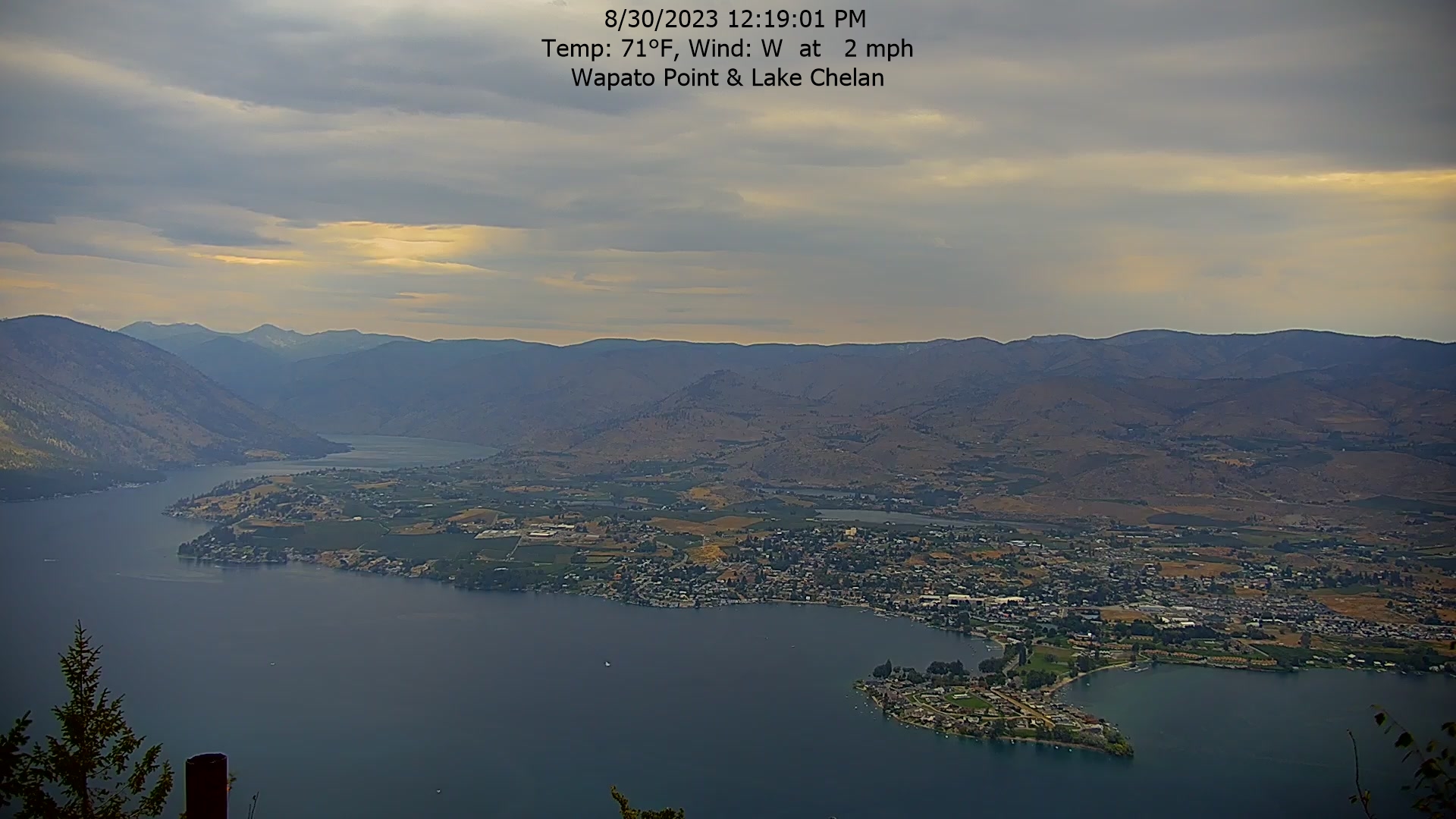
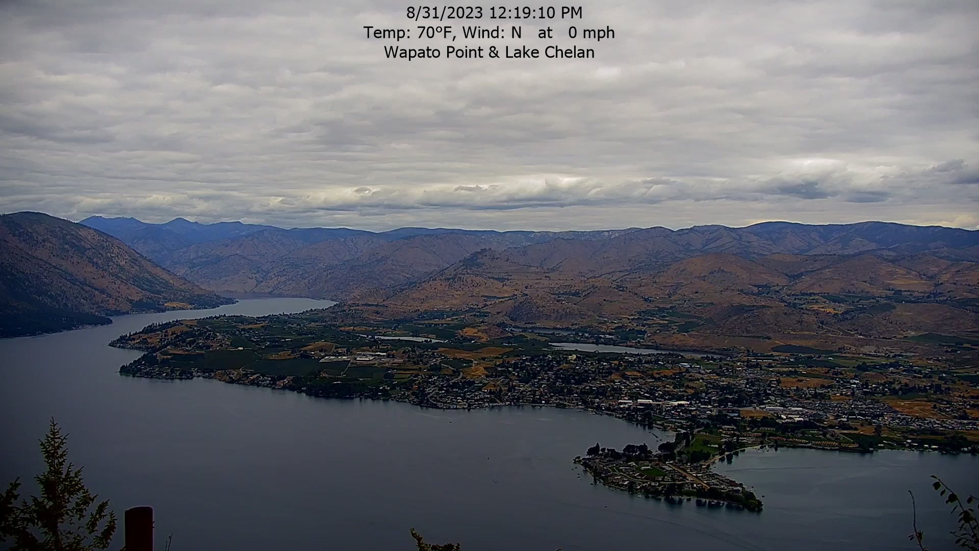
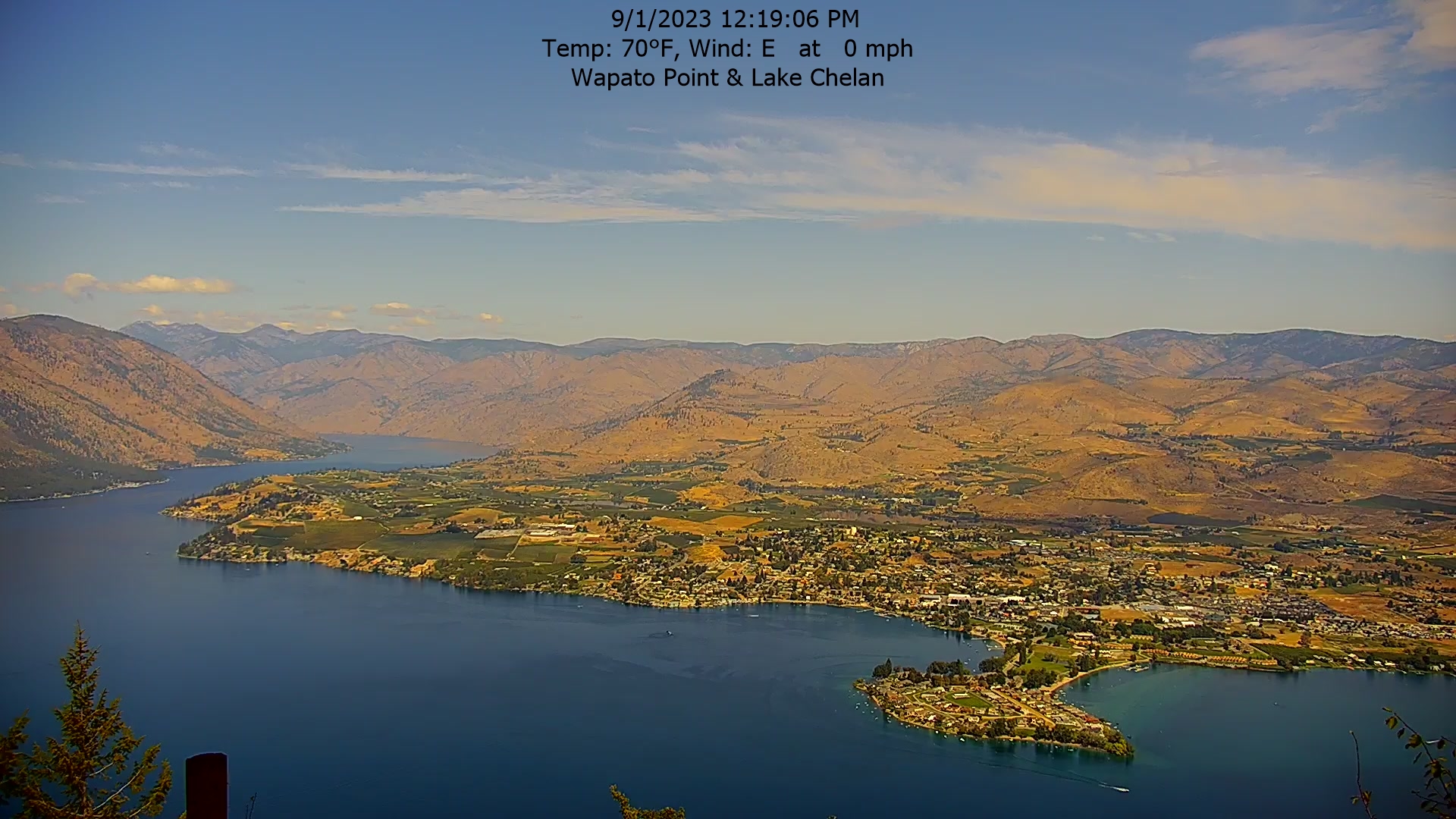
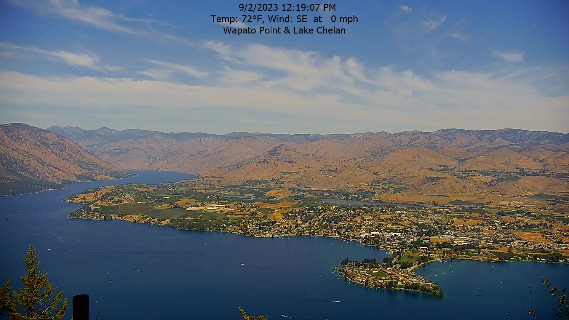
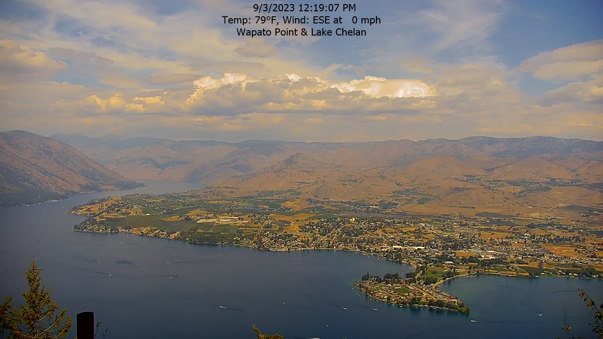
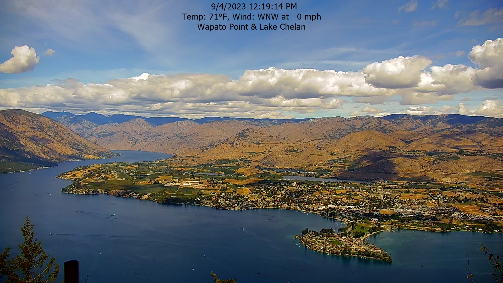
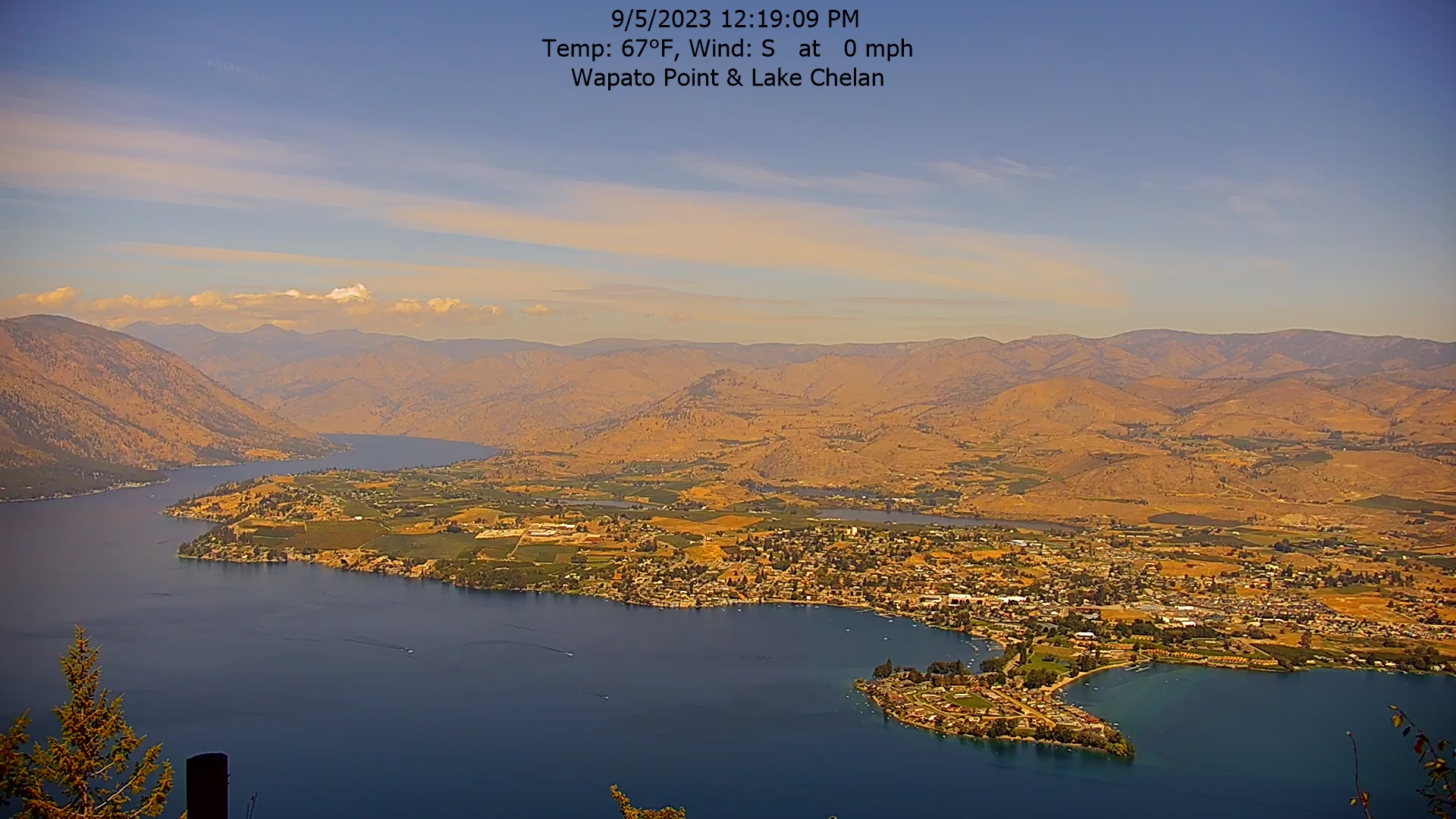
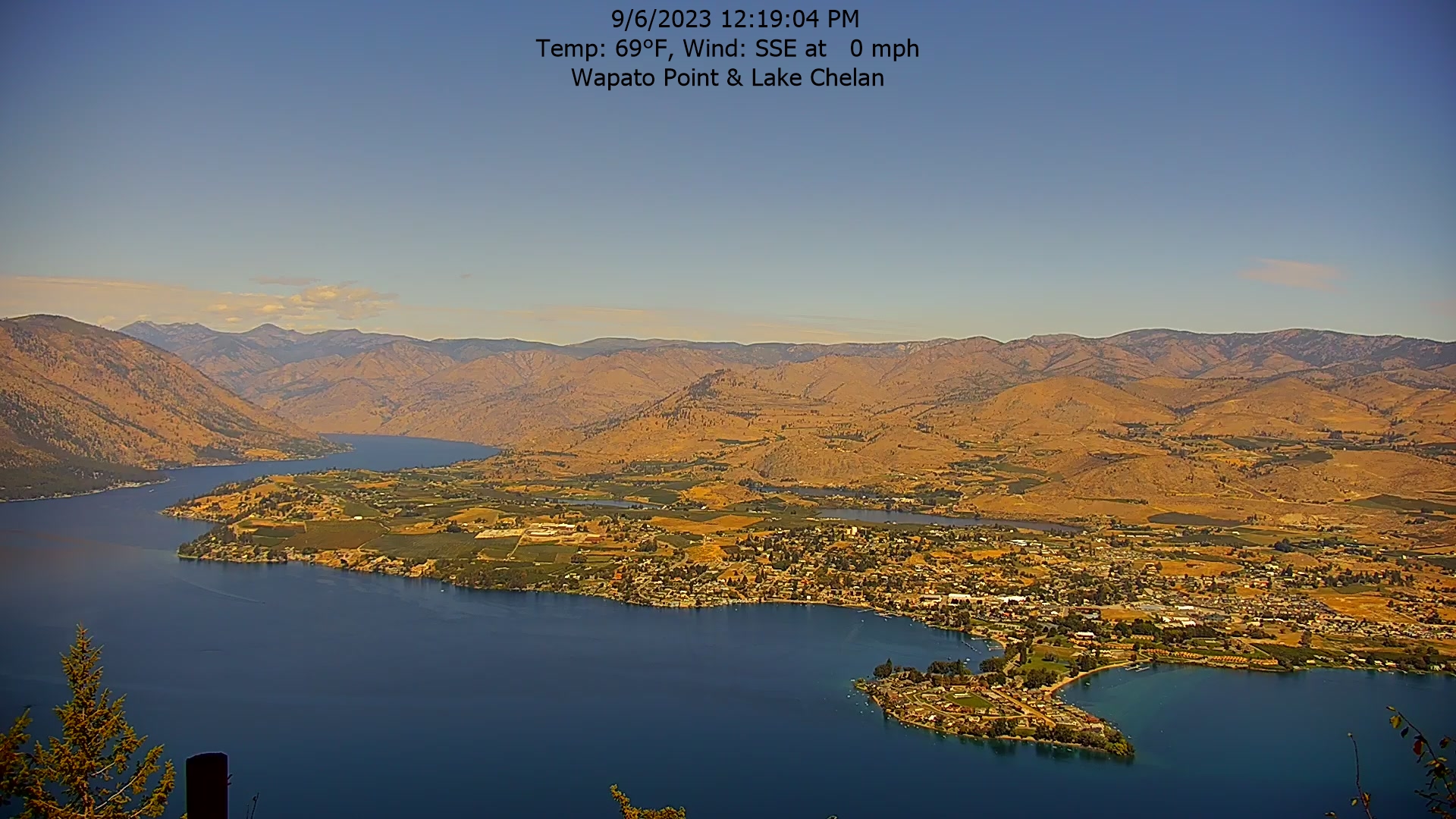
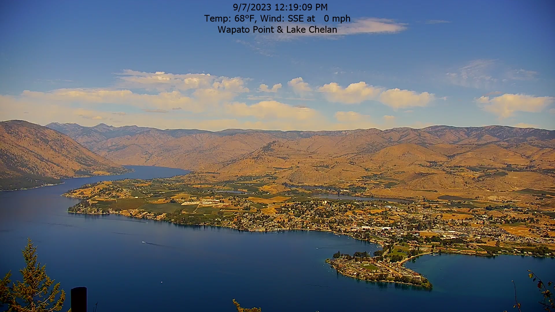
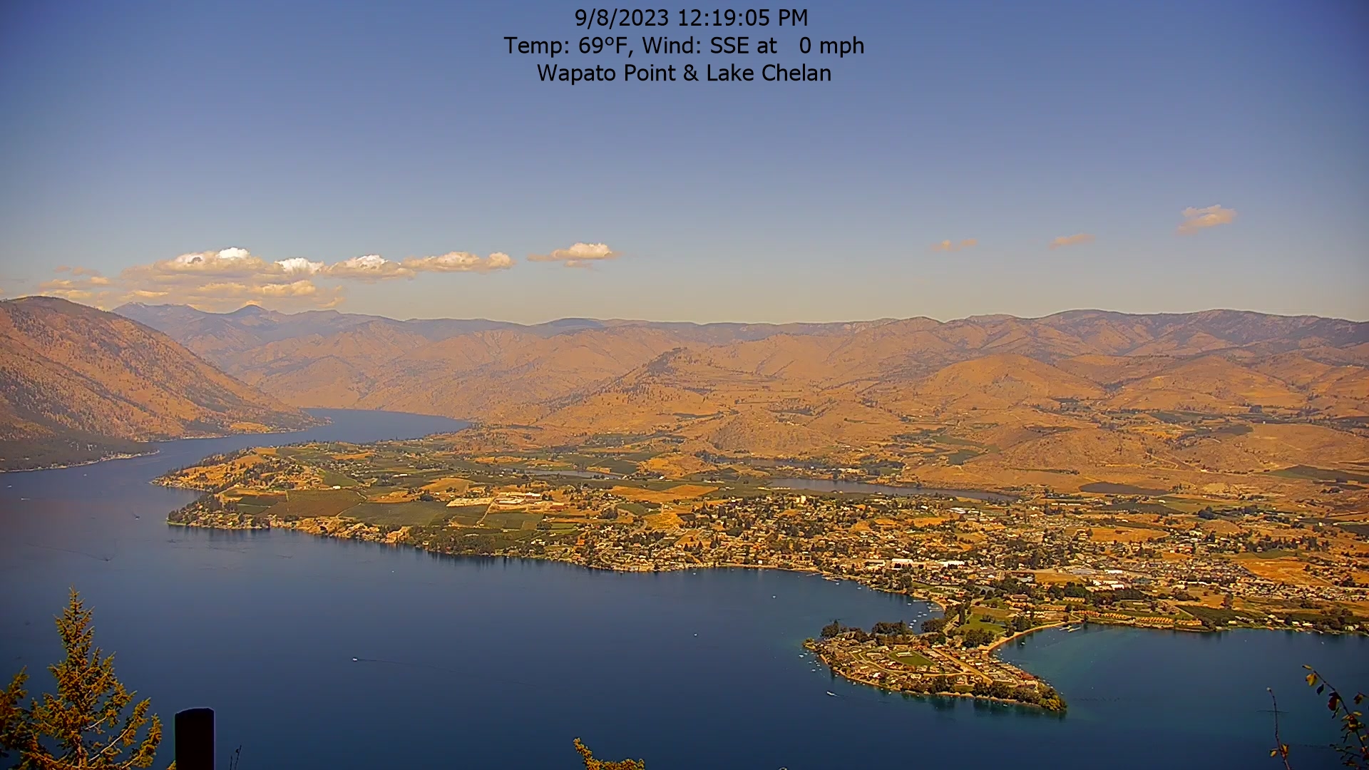
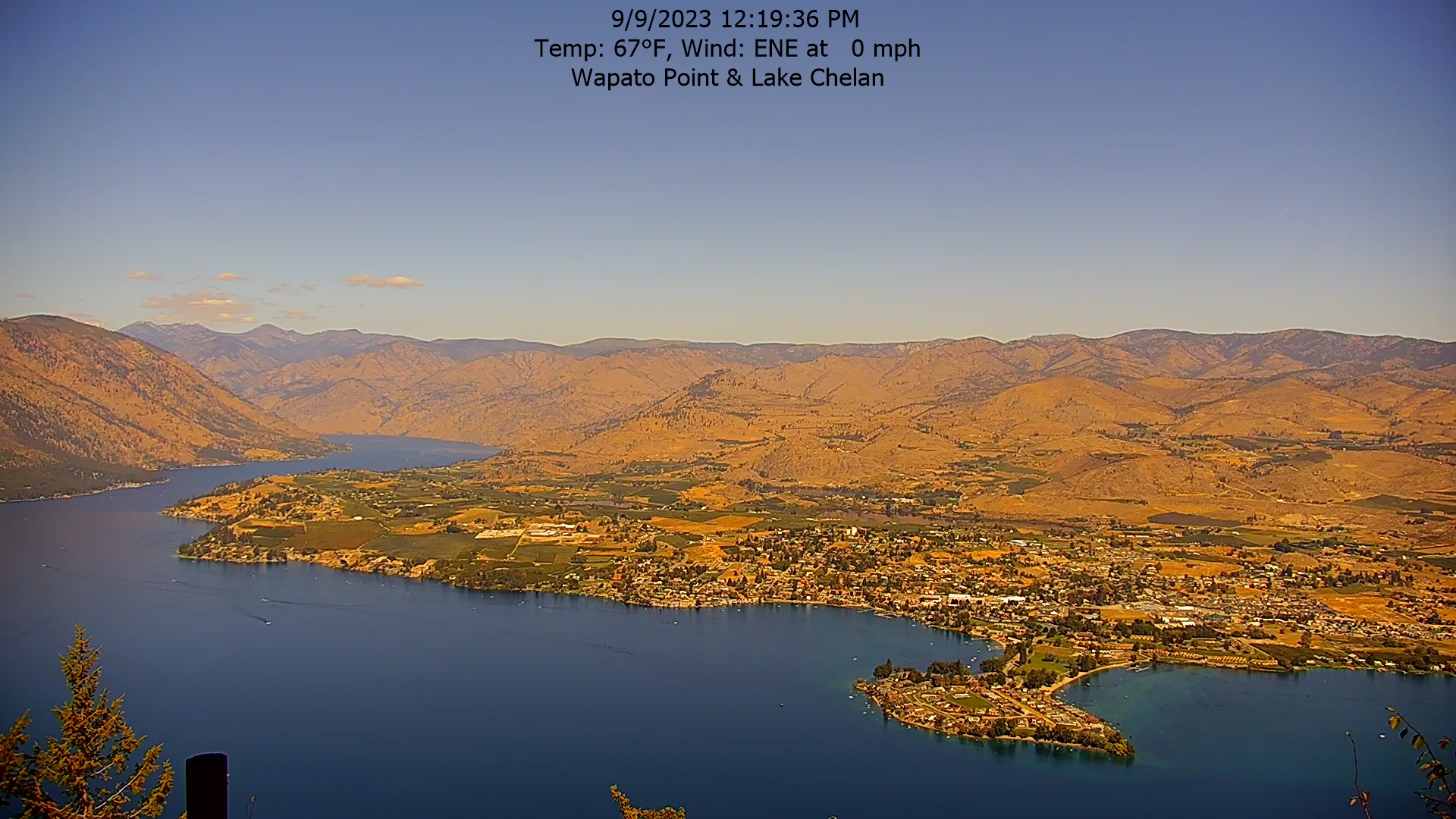
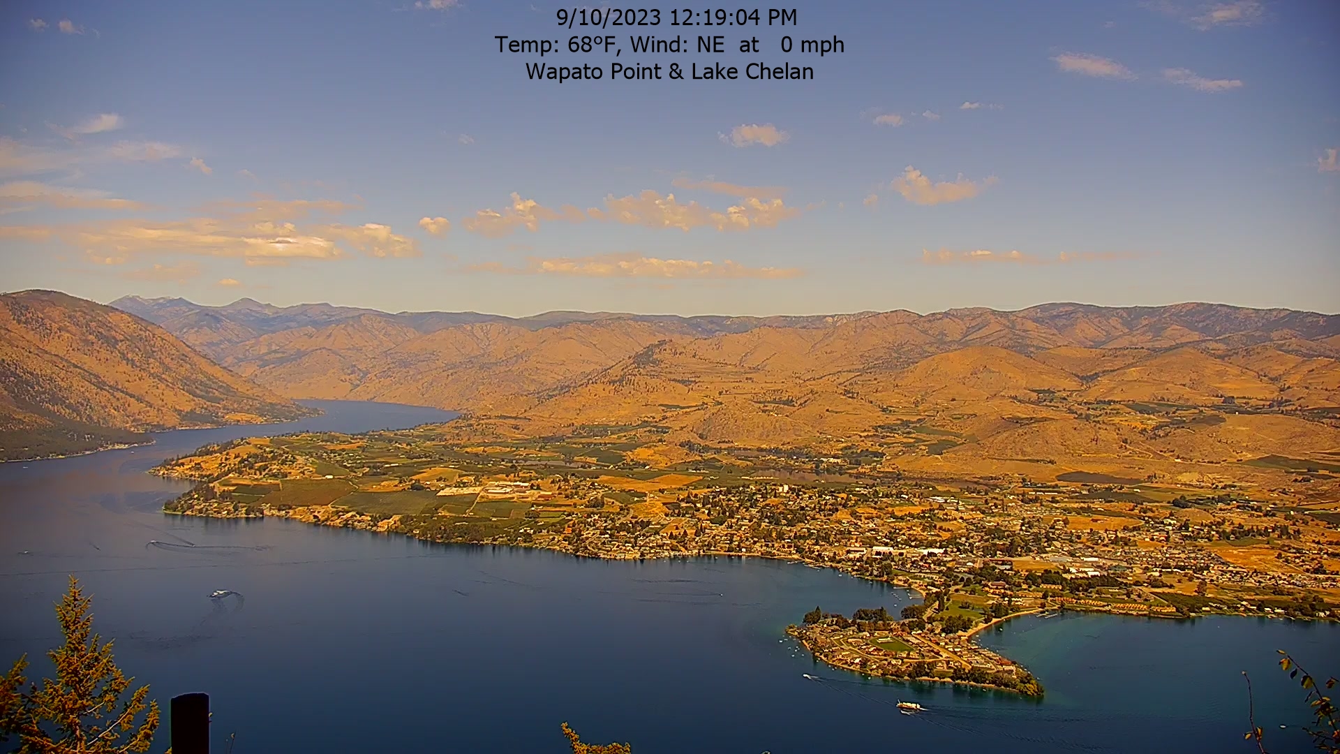
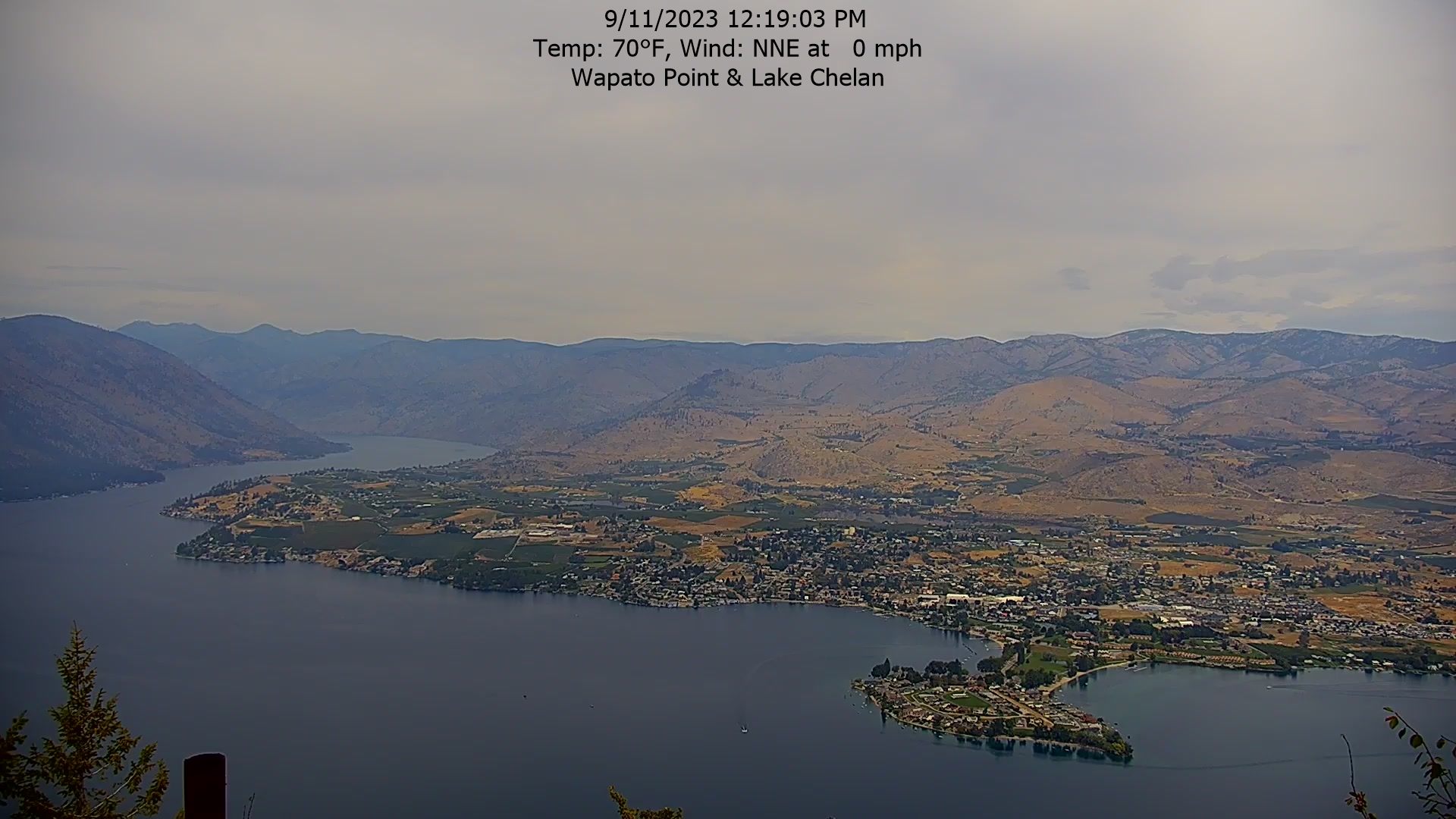
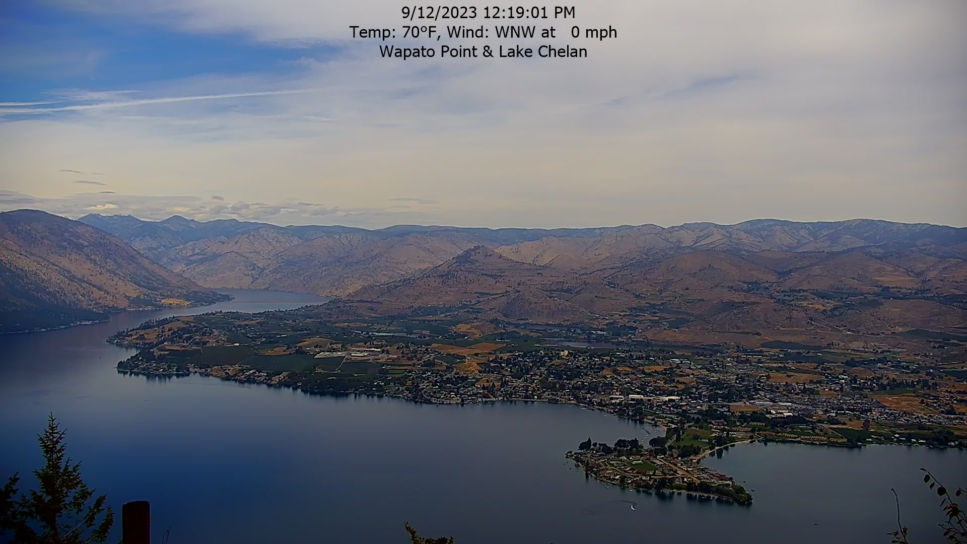
Manson, Washington, USA - 188.6 miles from Cherrylane: Wapato Point, Lake Chelan - The view from the Wapato Point Resort.
Operator: Wapato Point Resort
Operator: Wapato Point Resort


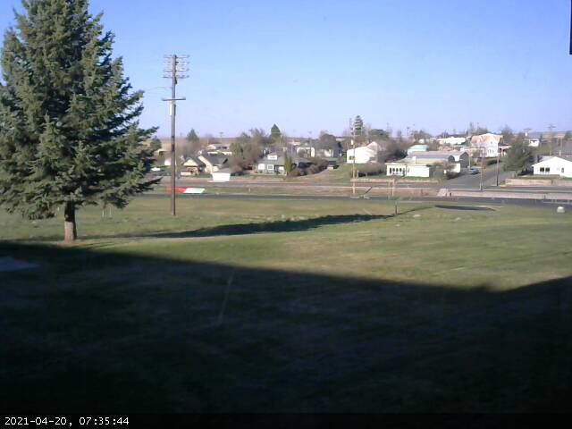
Condon, Oregon, USA - 190.3 miles from Cherrylane: Condon High School - A view in southern direction.
Operator: Condon Schools
Operator: Condon Schools


Some other places in this country: Centerville - Central Cove - Chalk Cut - Chausse - Cherryville - Chesterfield - Chilco - China Hill - Chubbuck - Clark Fork