Webcams in the region of Terra Cotta, District of Columbia, USA
The List of Webcams near Terra Cotta, District of Columbia, USA:

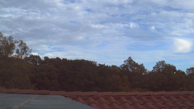
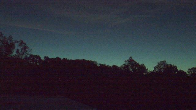
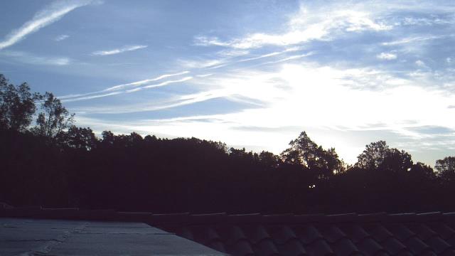
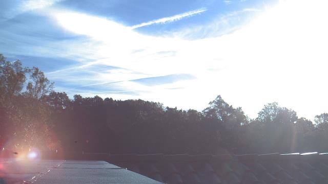
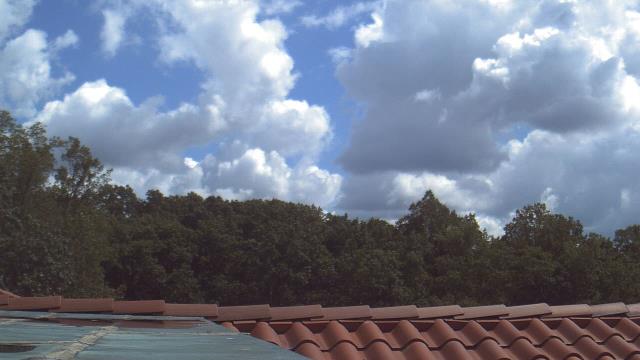
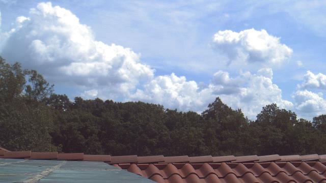
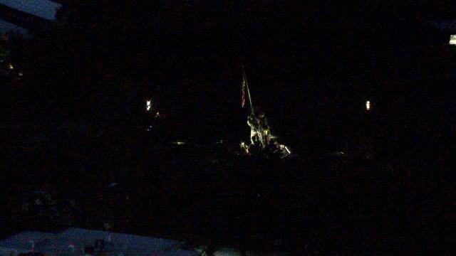
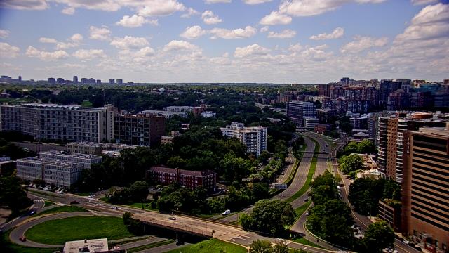
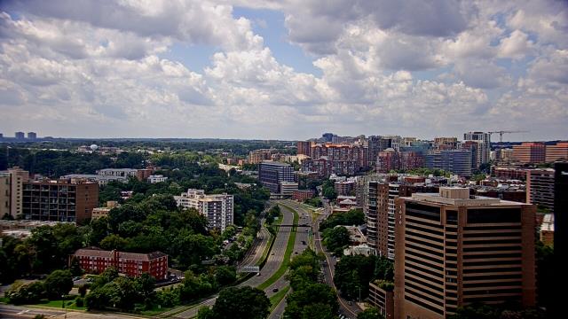
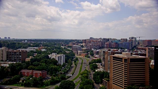
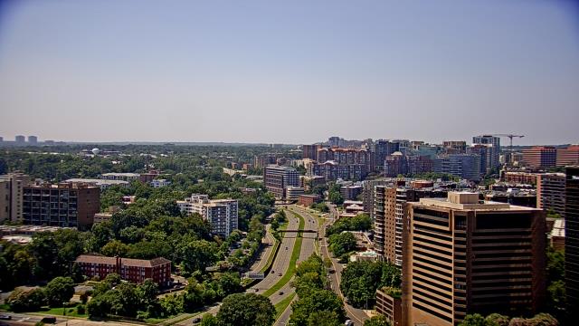
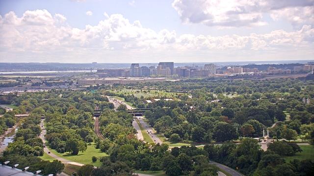
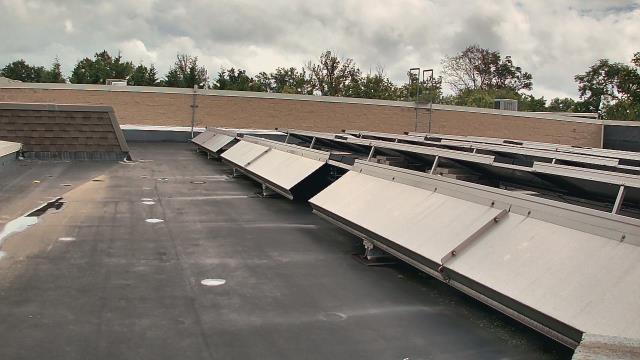
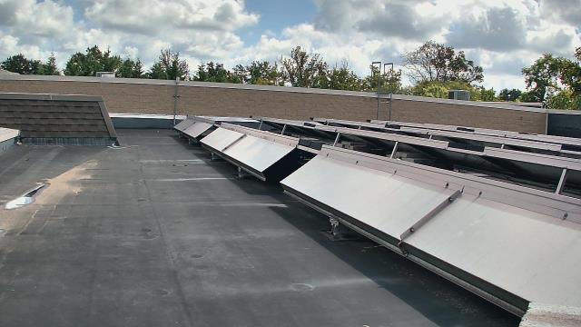
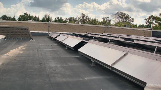
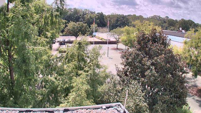
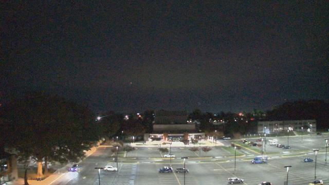
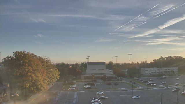
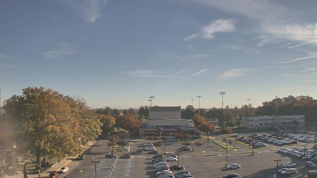
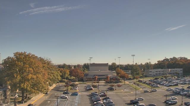
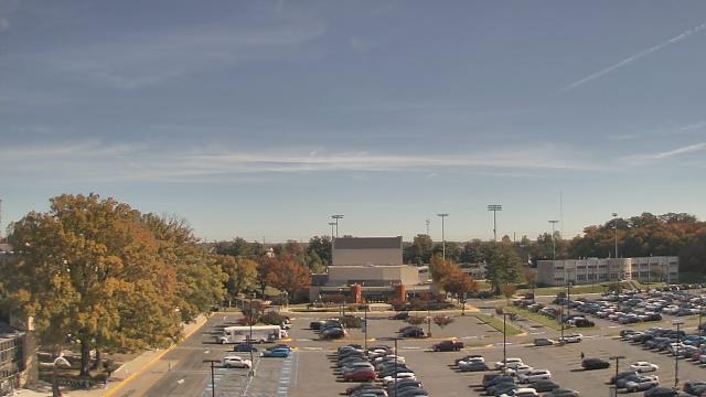
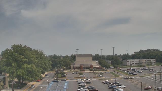
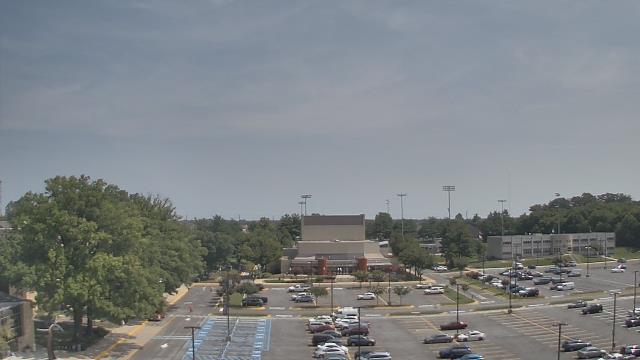
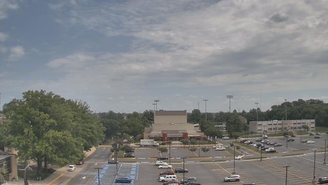
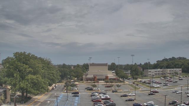
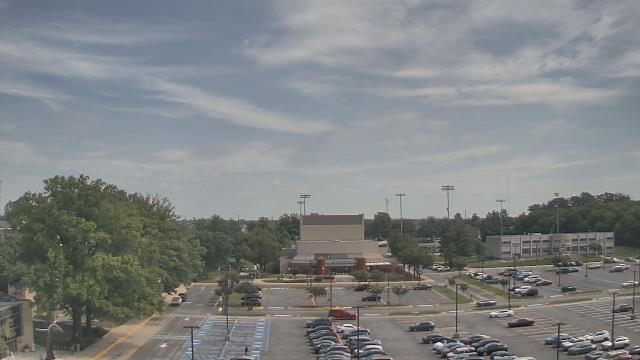
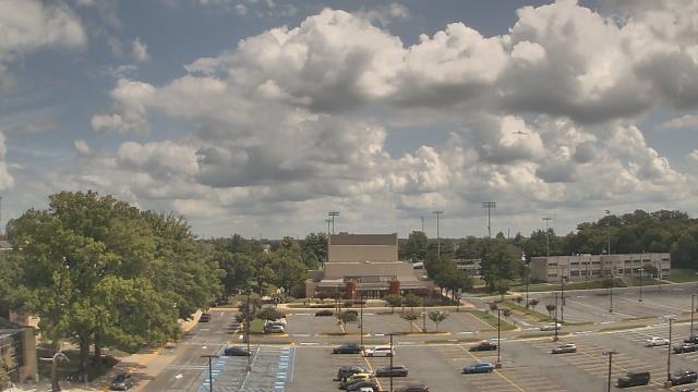
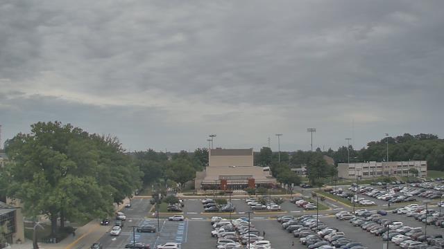
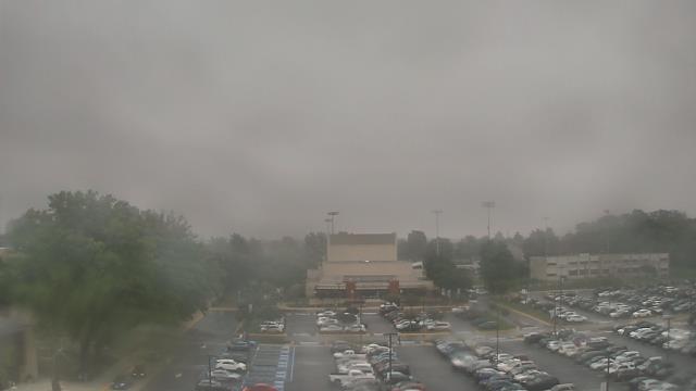
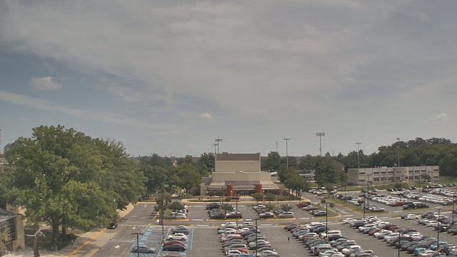
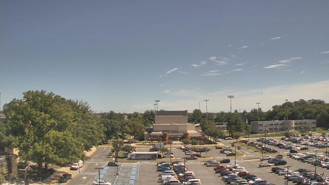
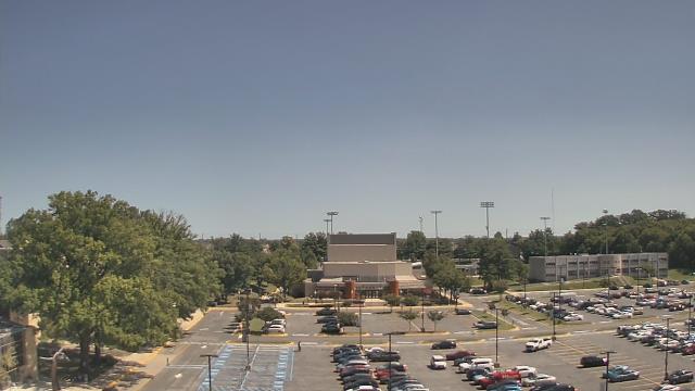
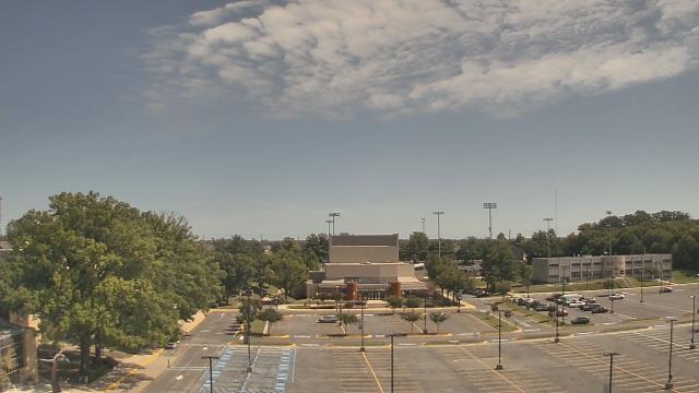
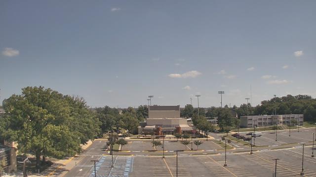
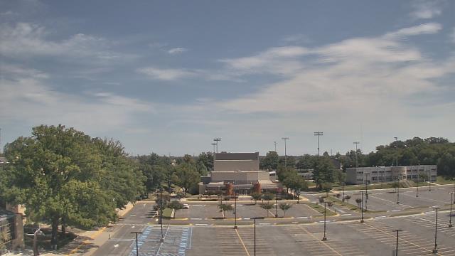
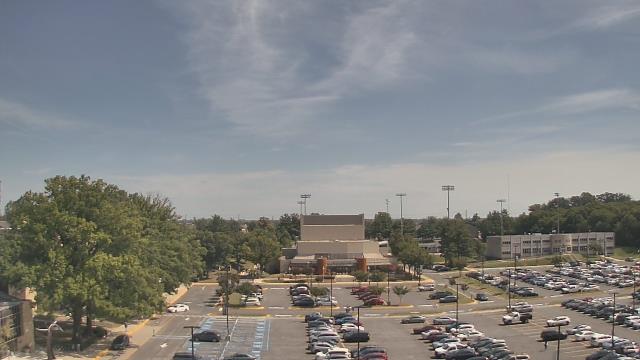
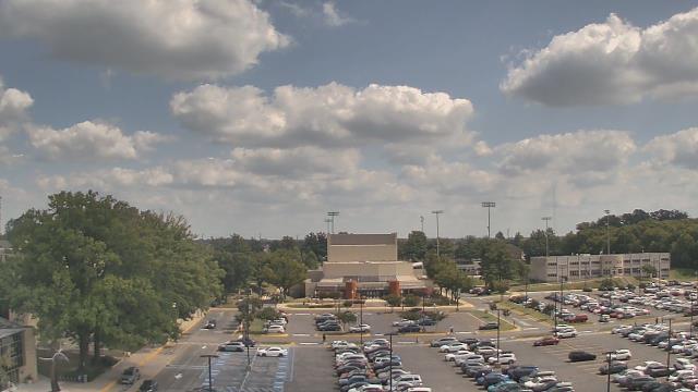
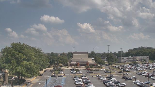
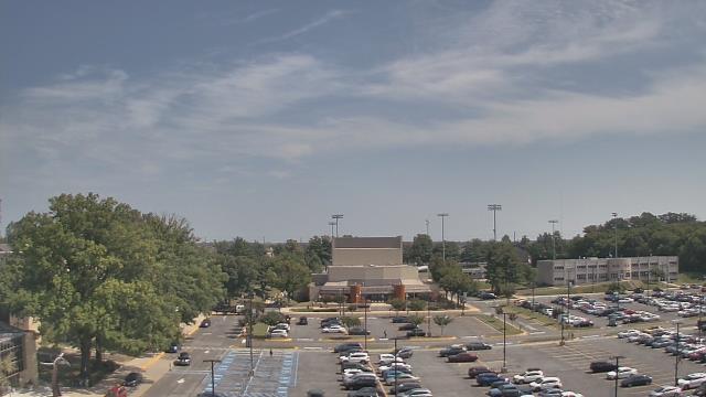
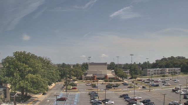
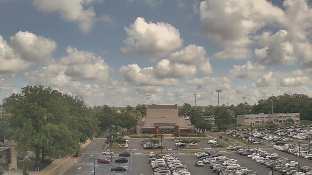
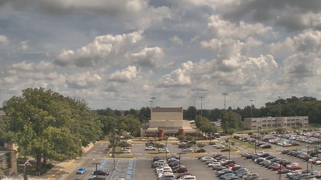
Washington D.C., District of Columbia, USA - 4.5 miles from Terra Cotta: Nationals Park - A webcam in Washington D.C., District of Columbia - camera location: Nationals Park.
Operator: WeatherBug
Operator: WeatherBug


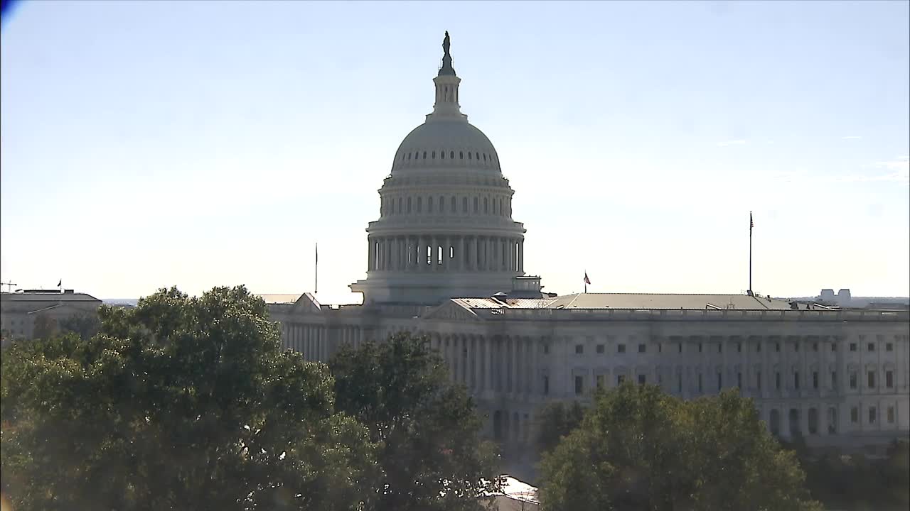
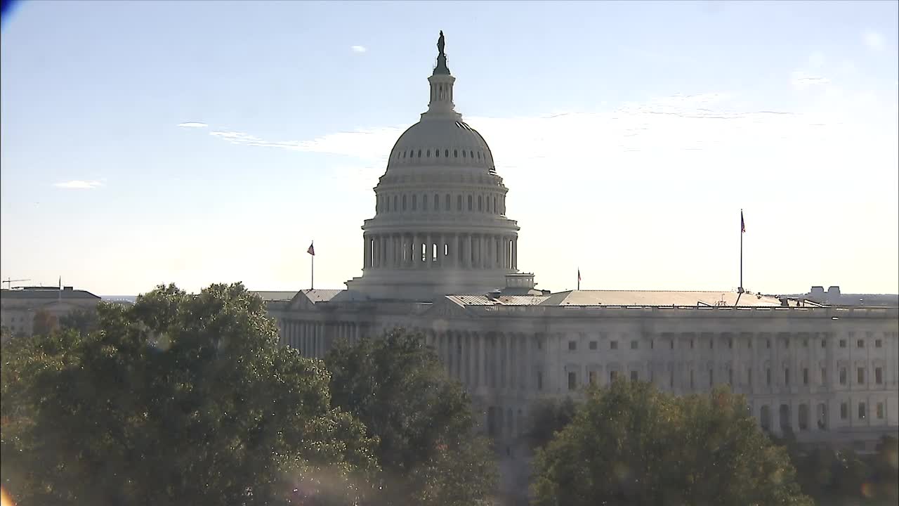
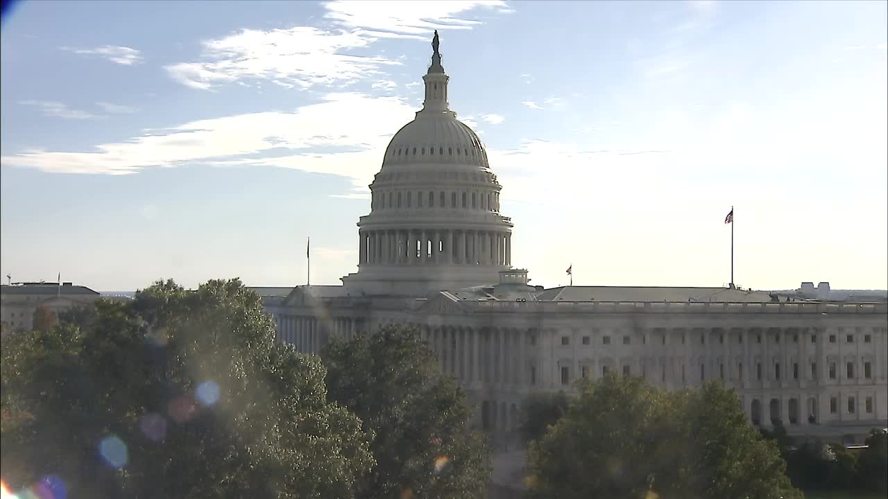
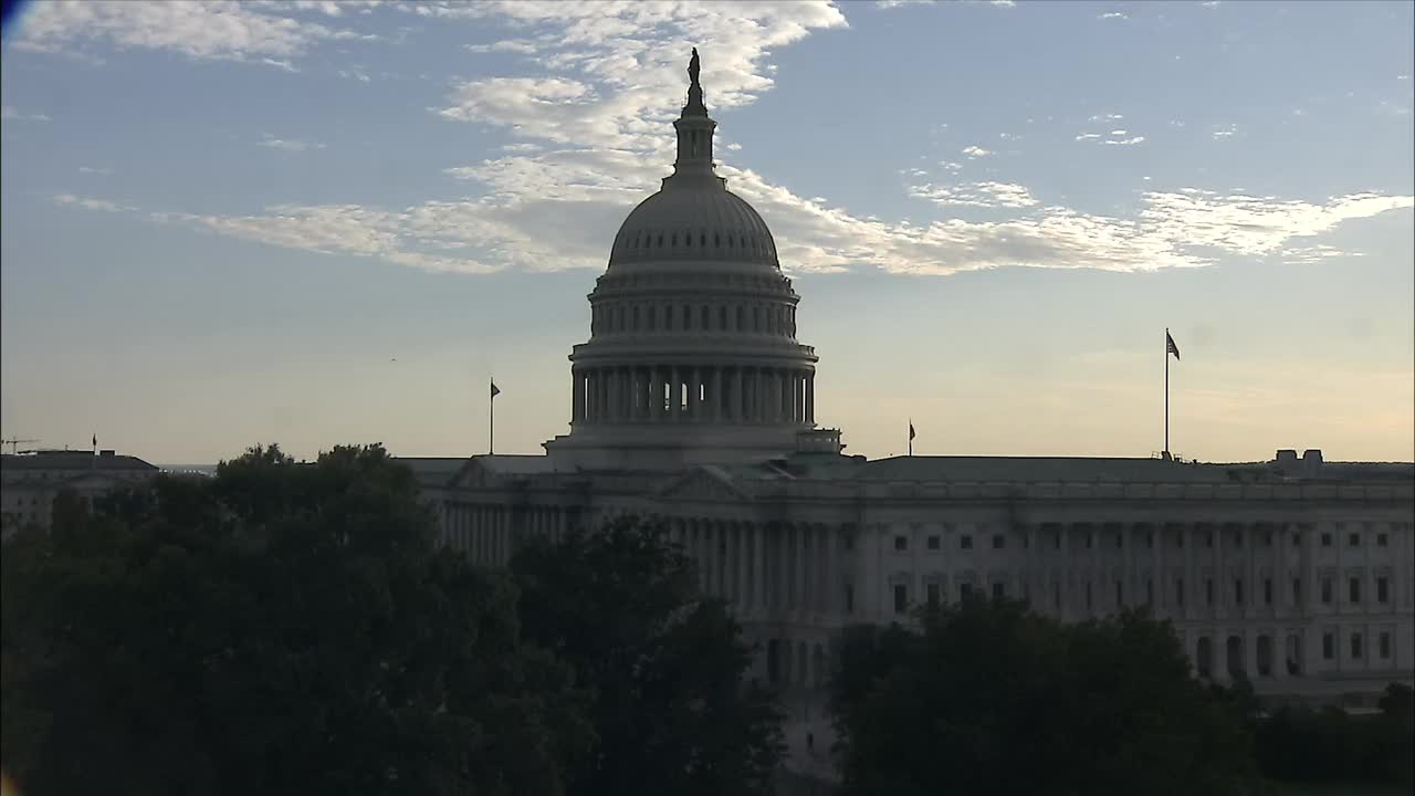
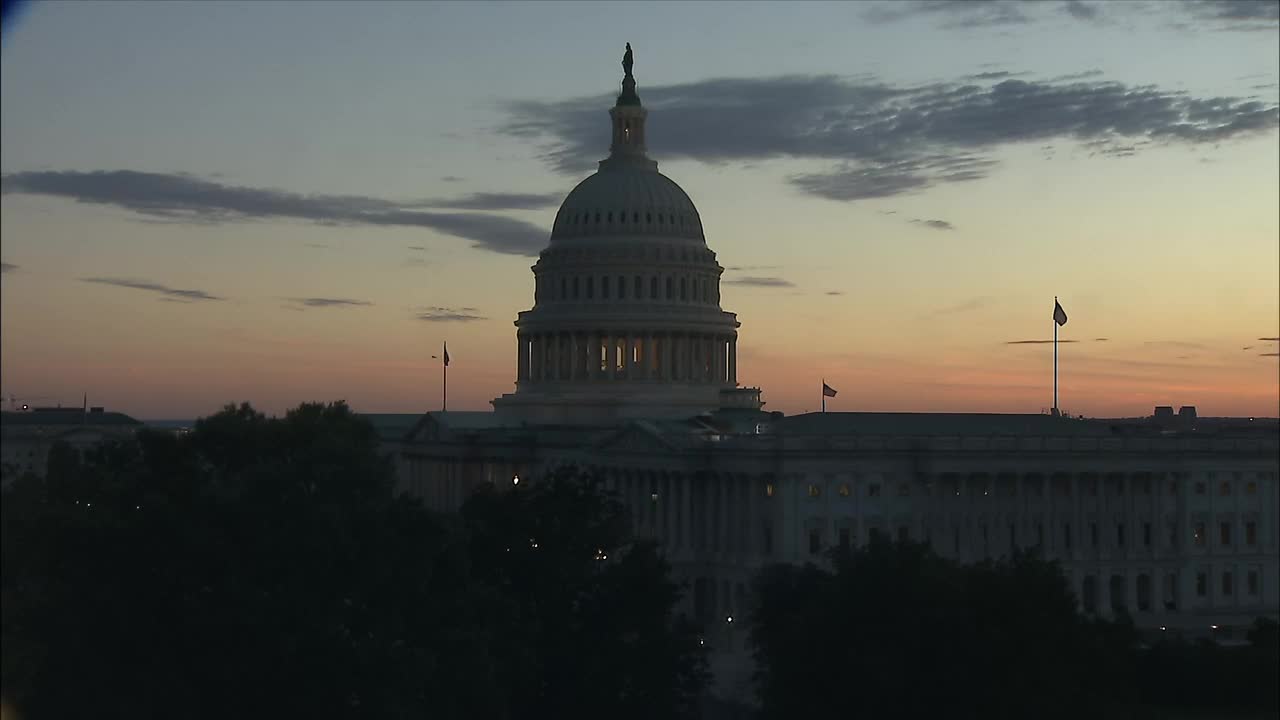
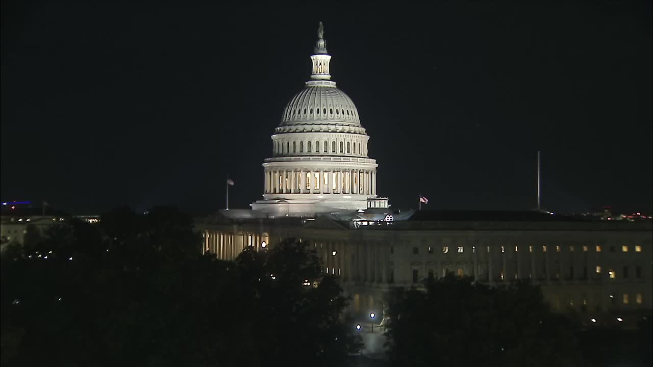
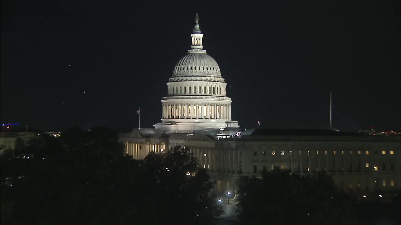
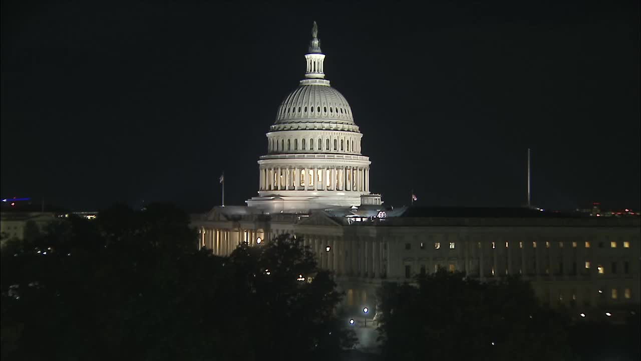
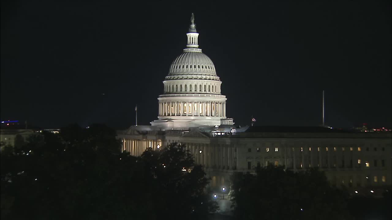
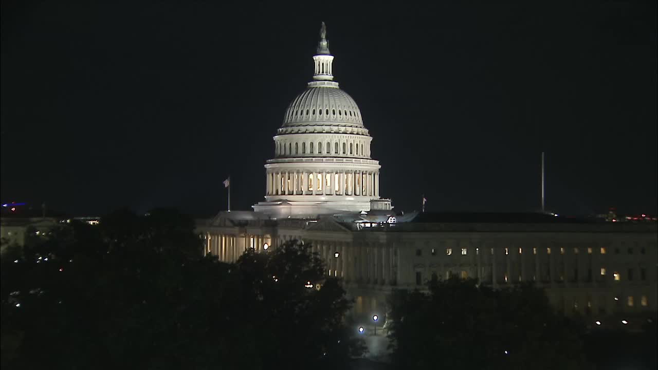
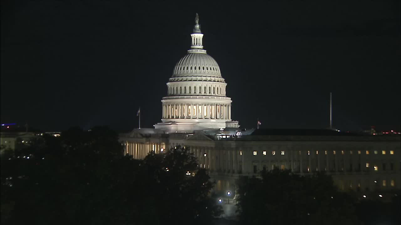
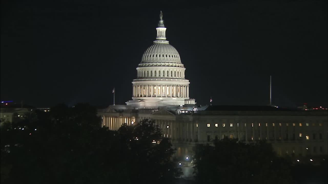
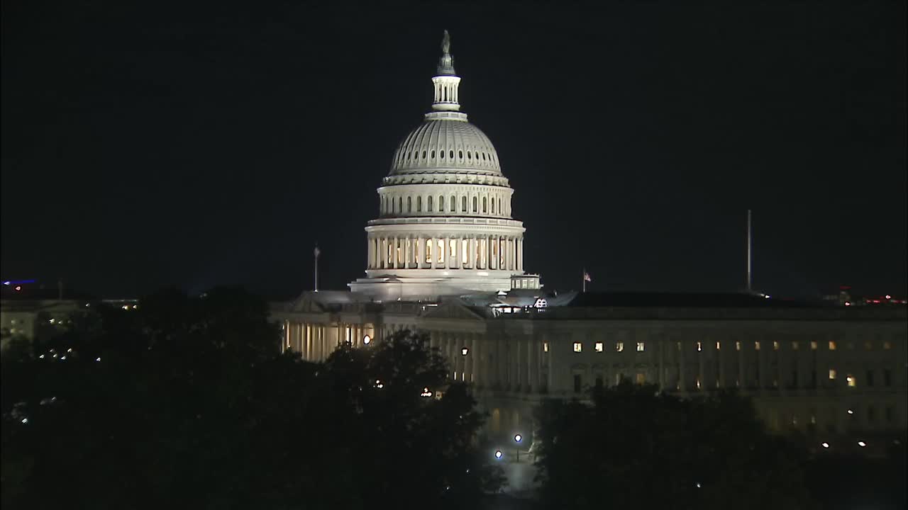
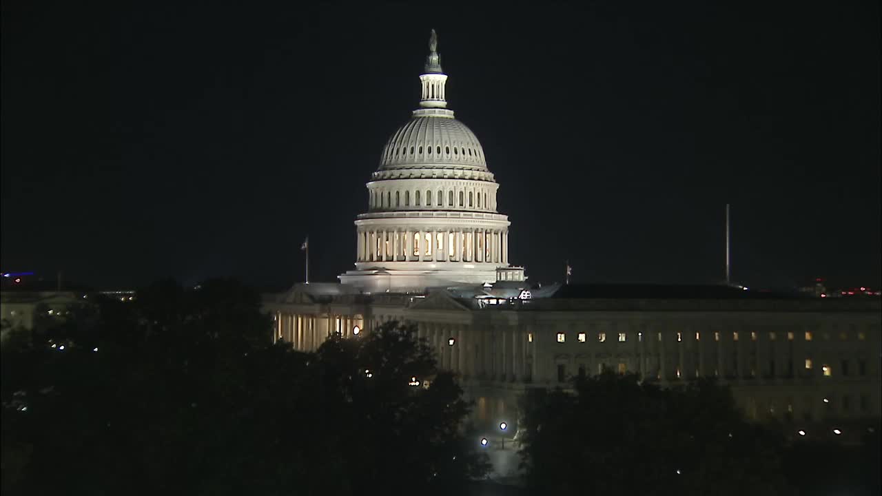
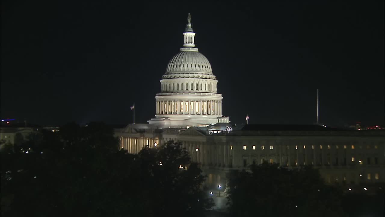
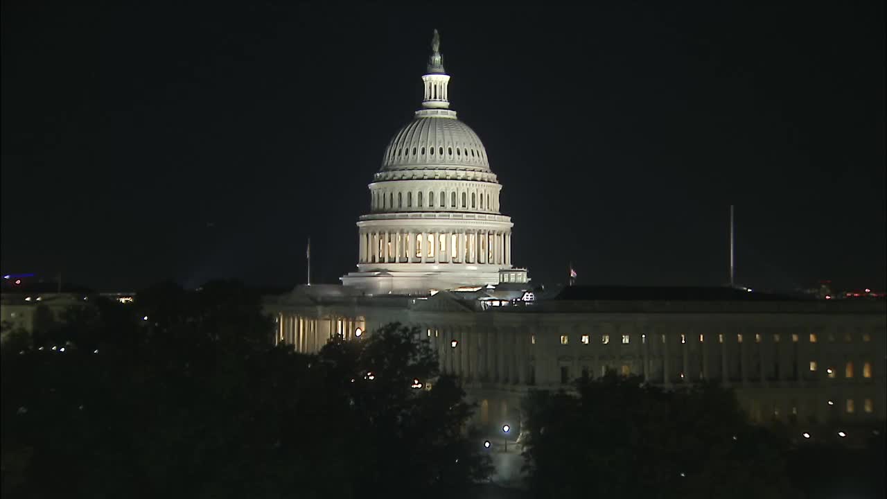
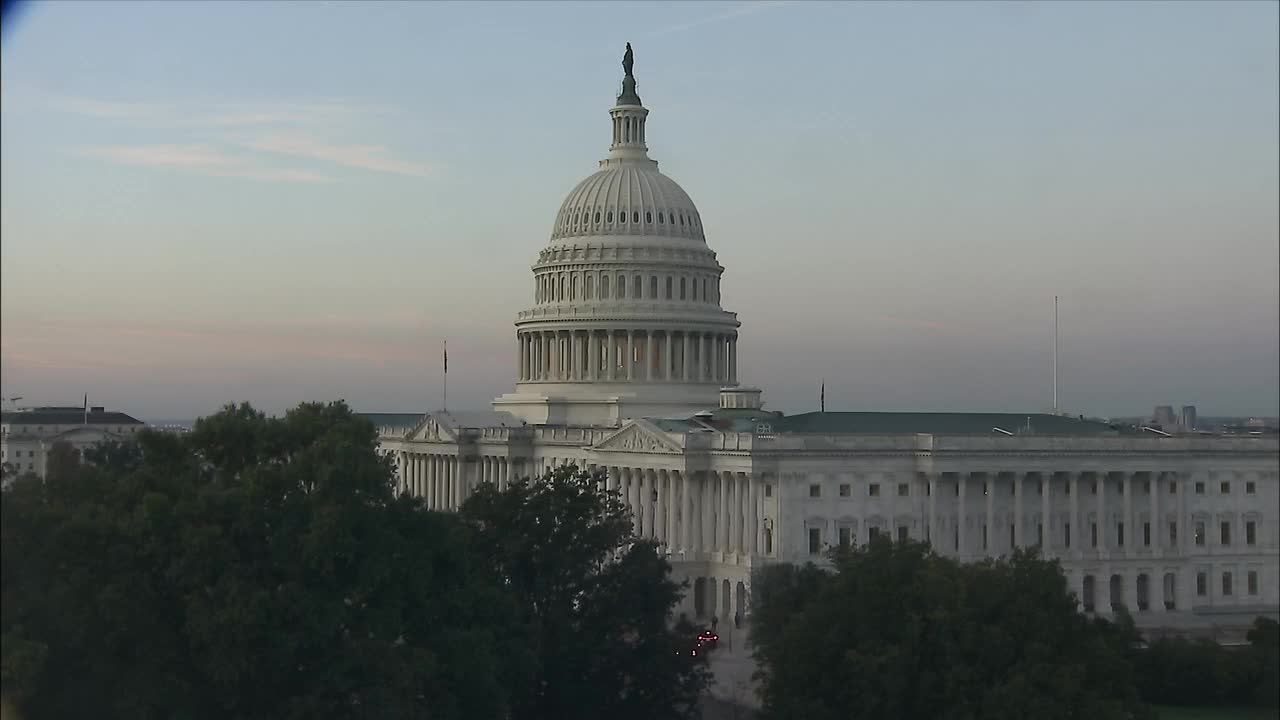
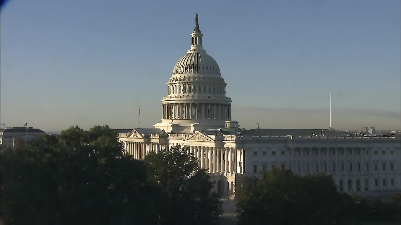
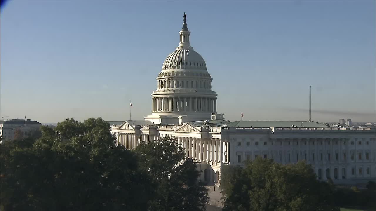
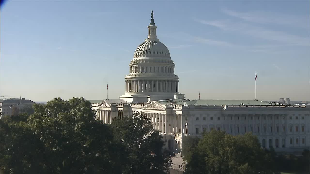
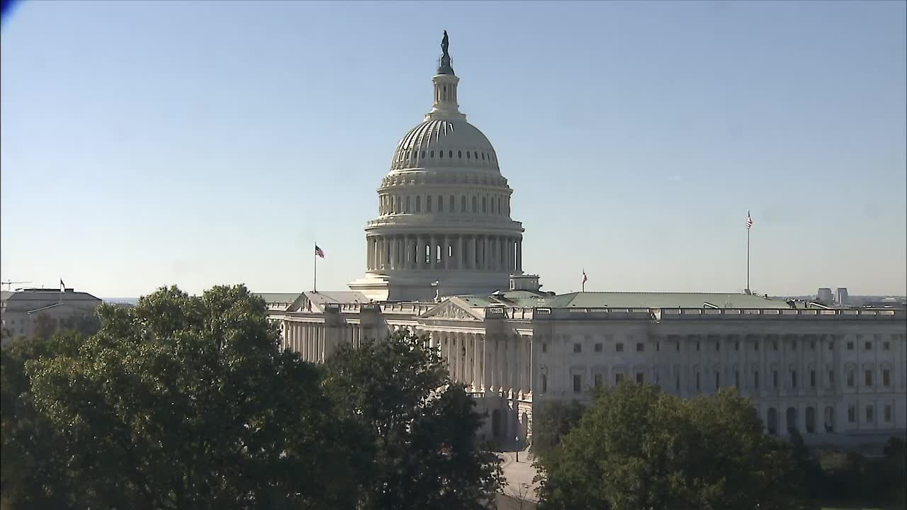
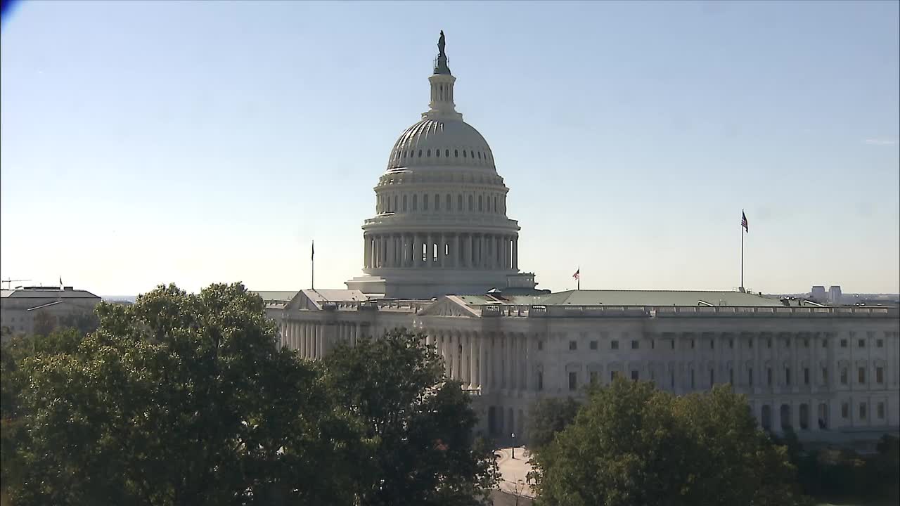
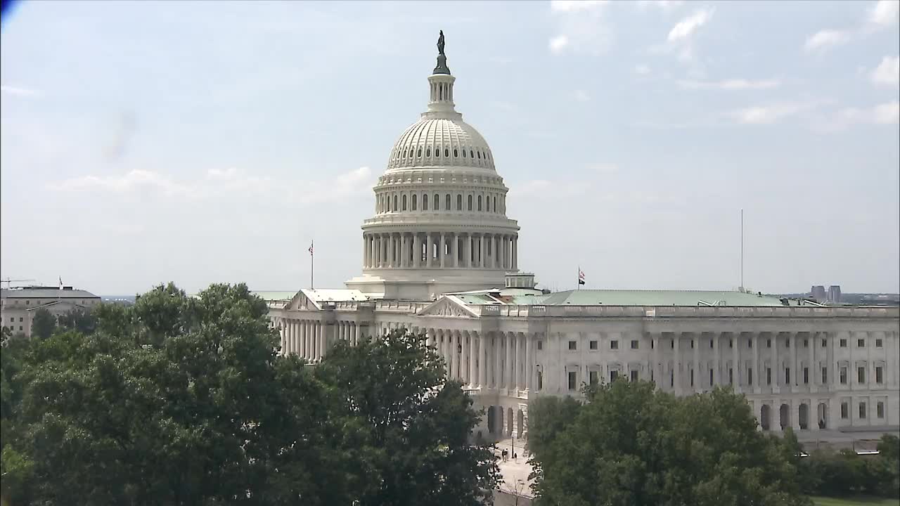
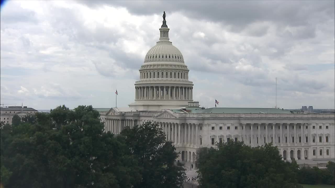
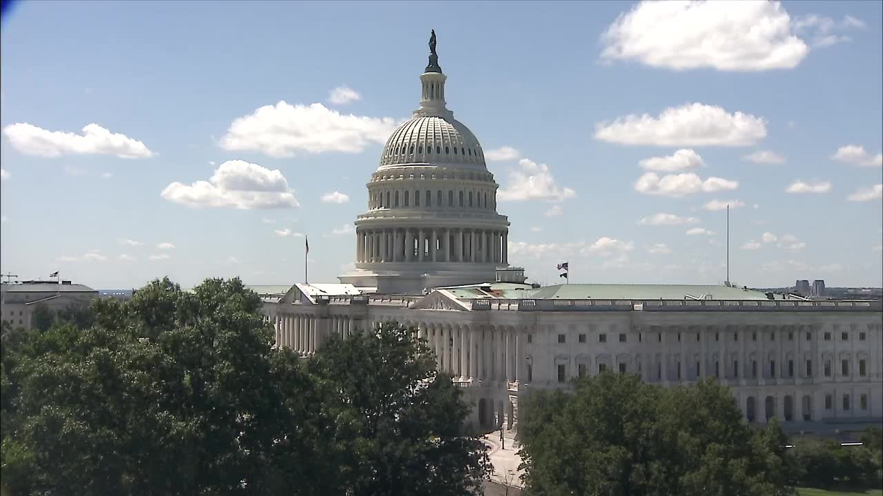
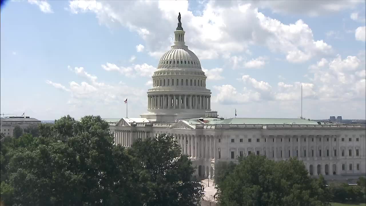
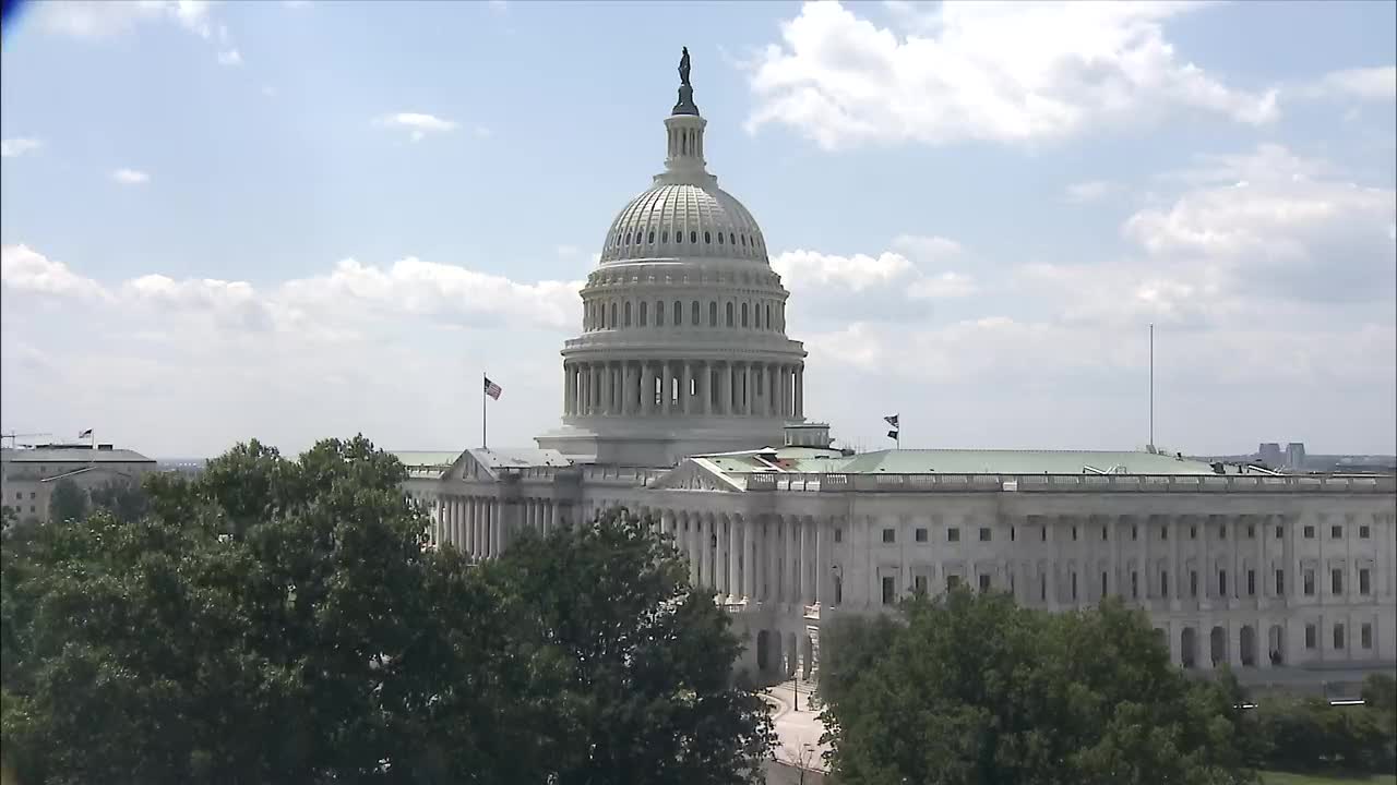
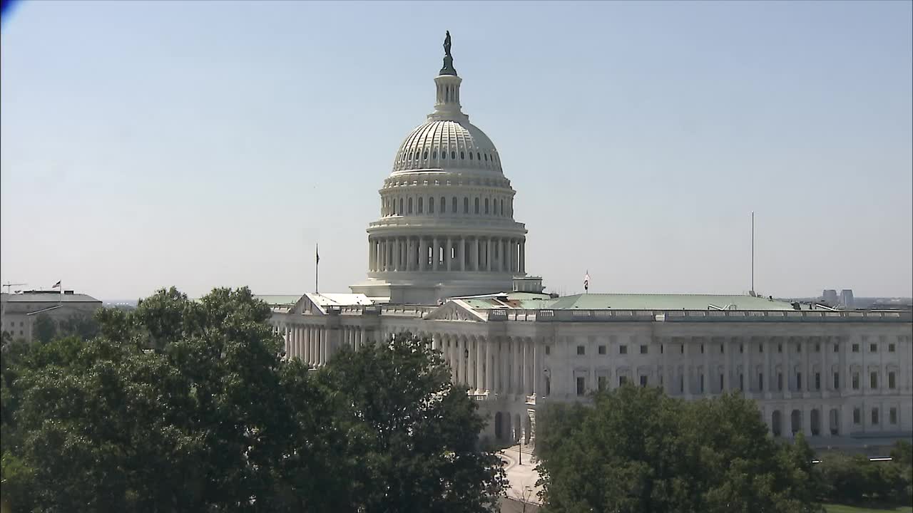
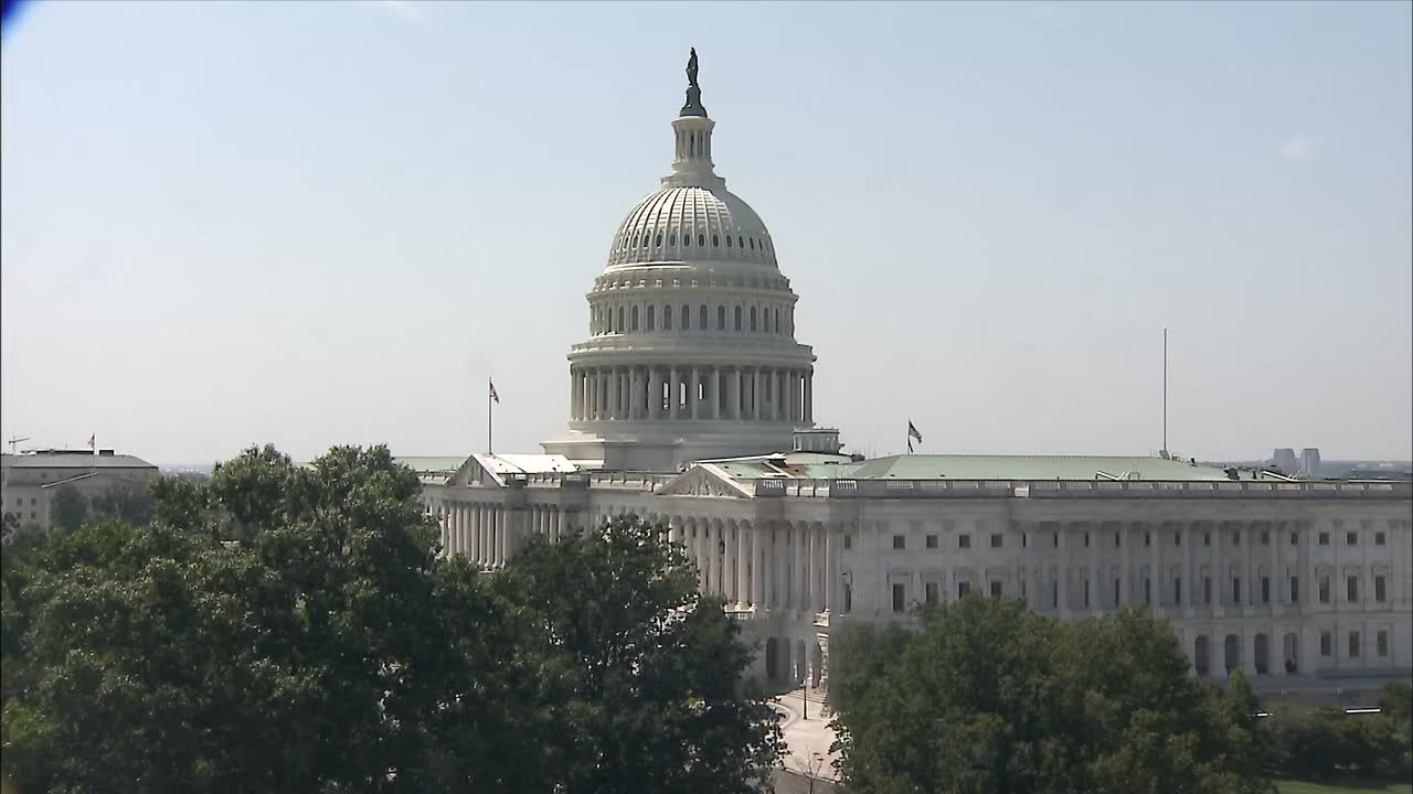
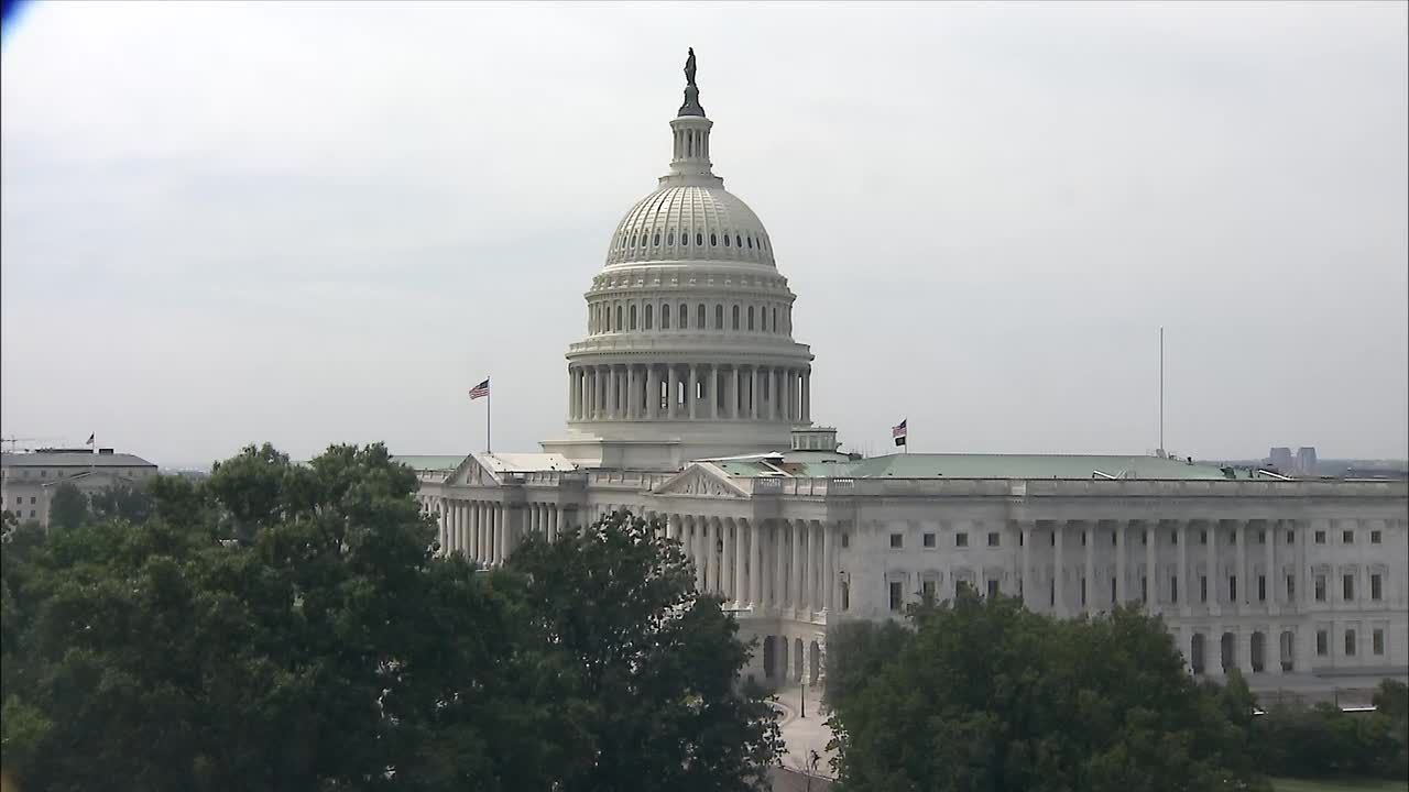
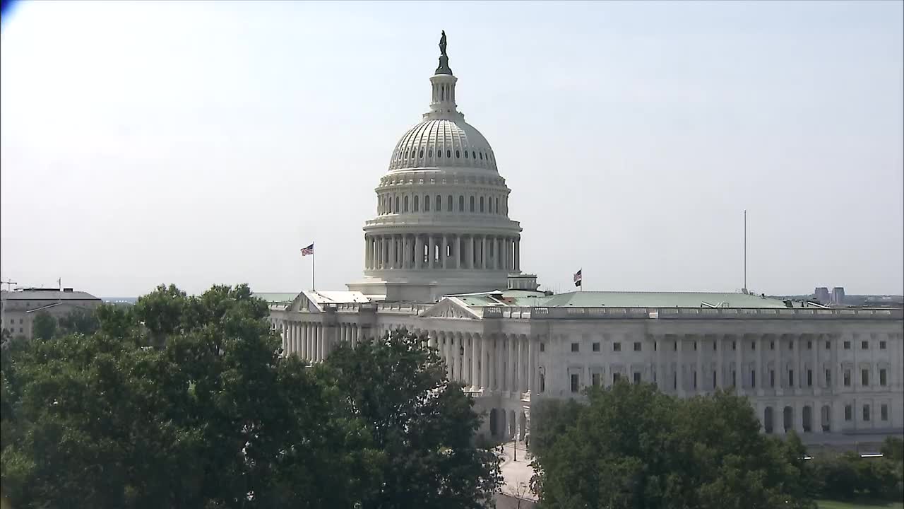
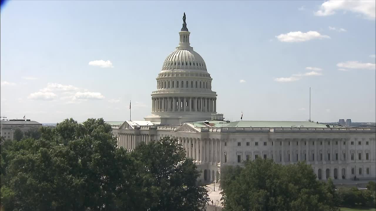
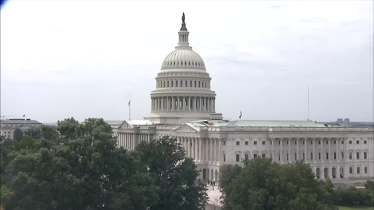
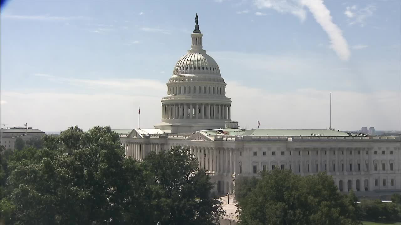
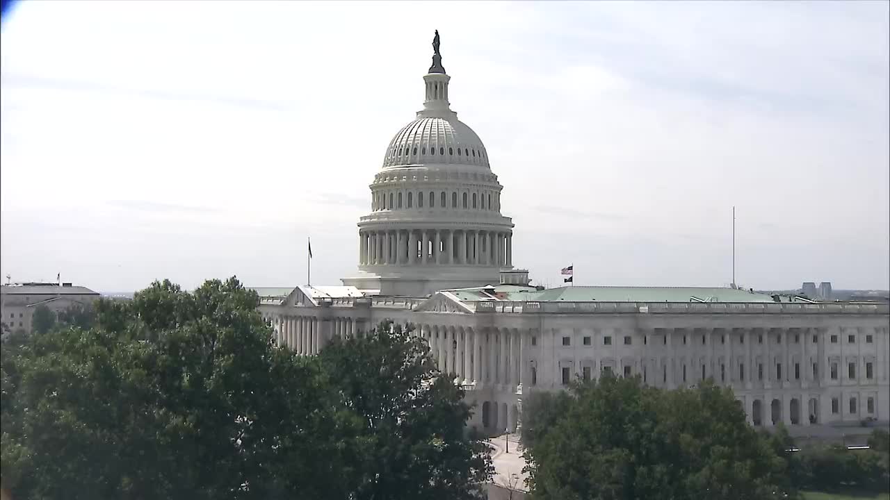
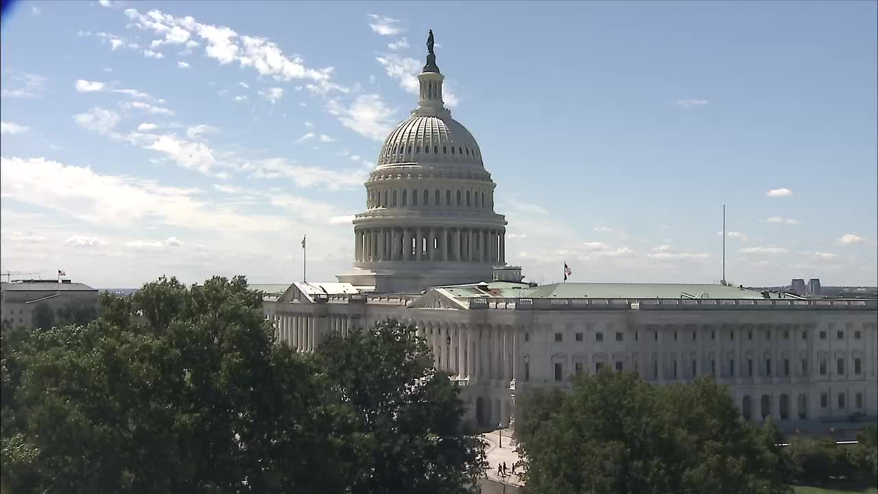
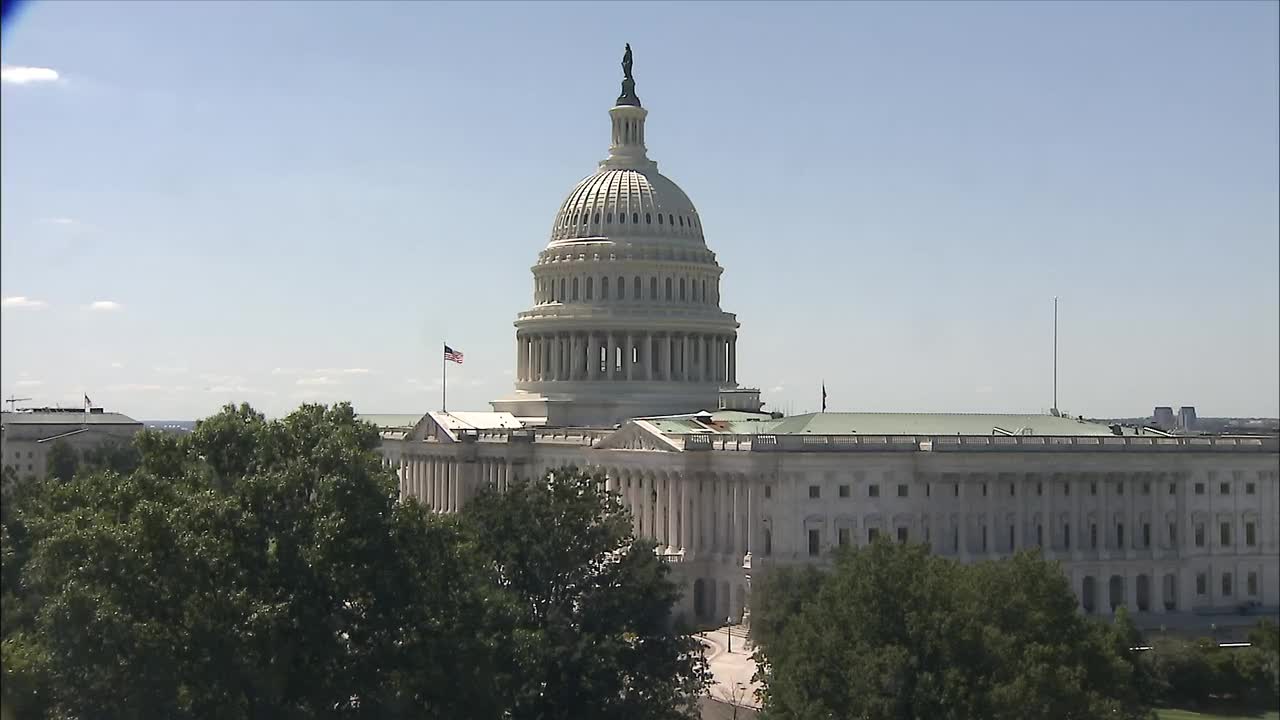
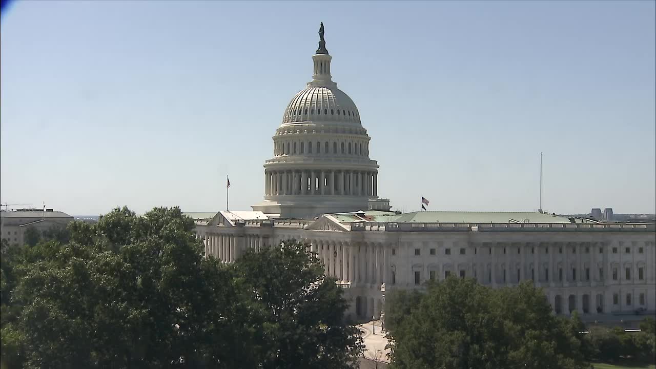
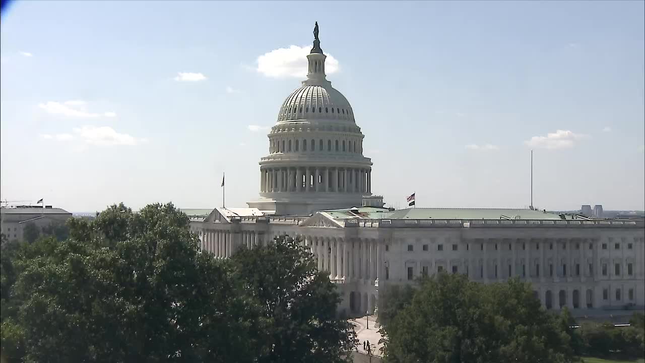
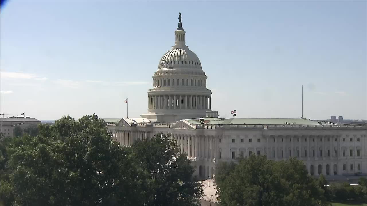
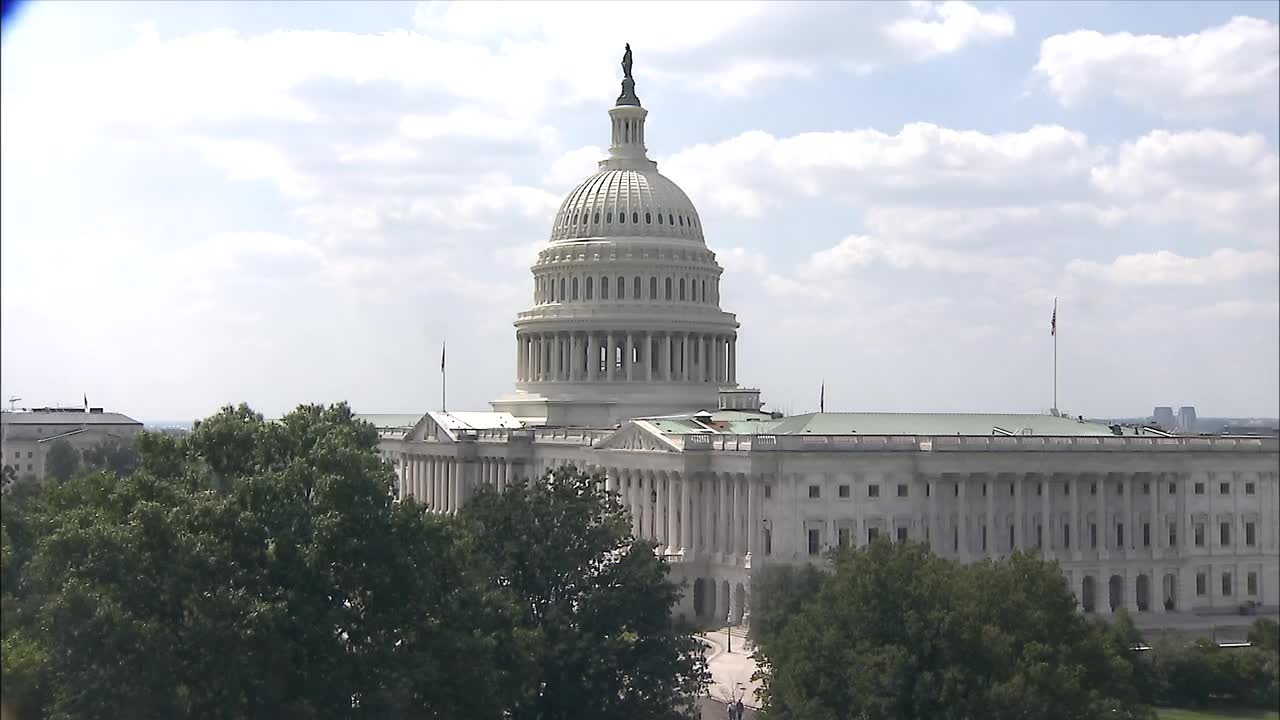
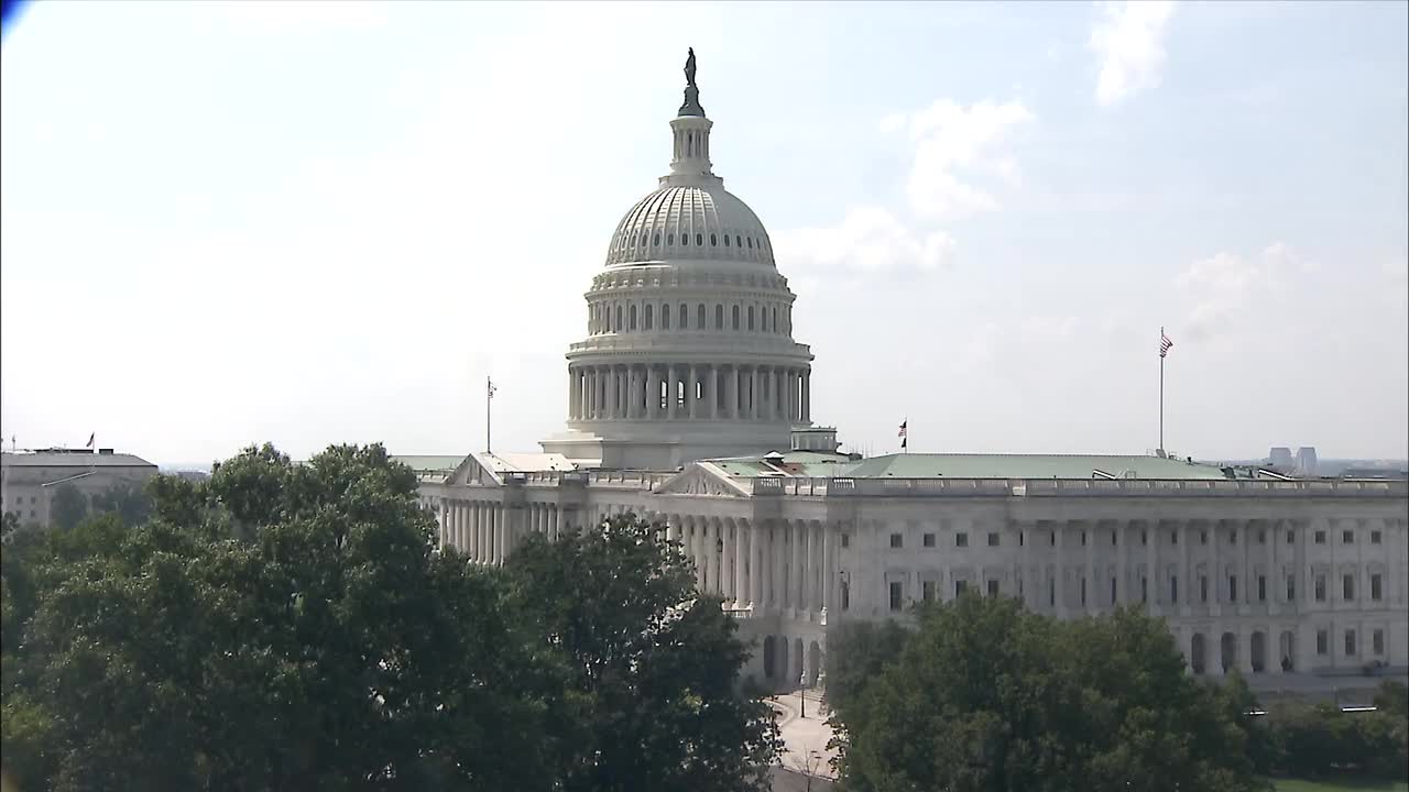
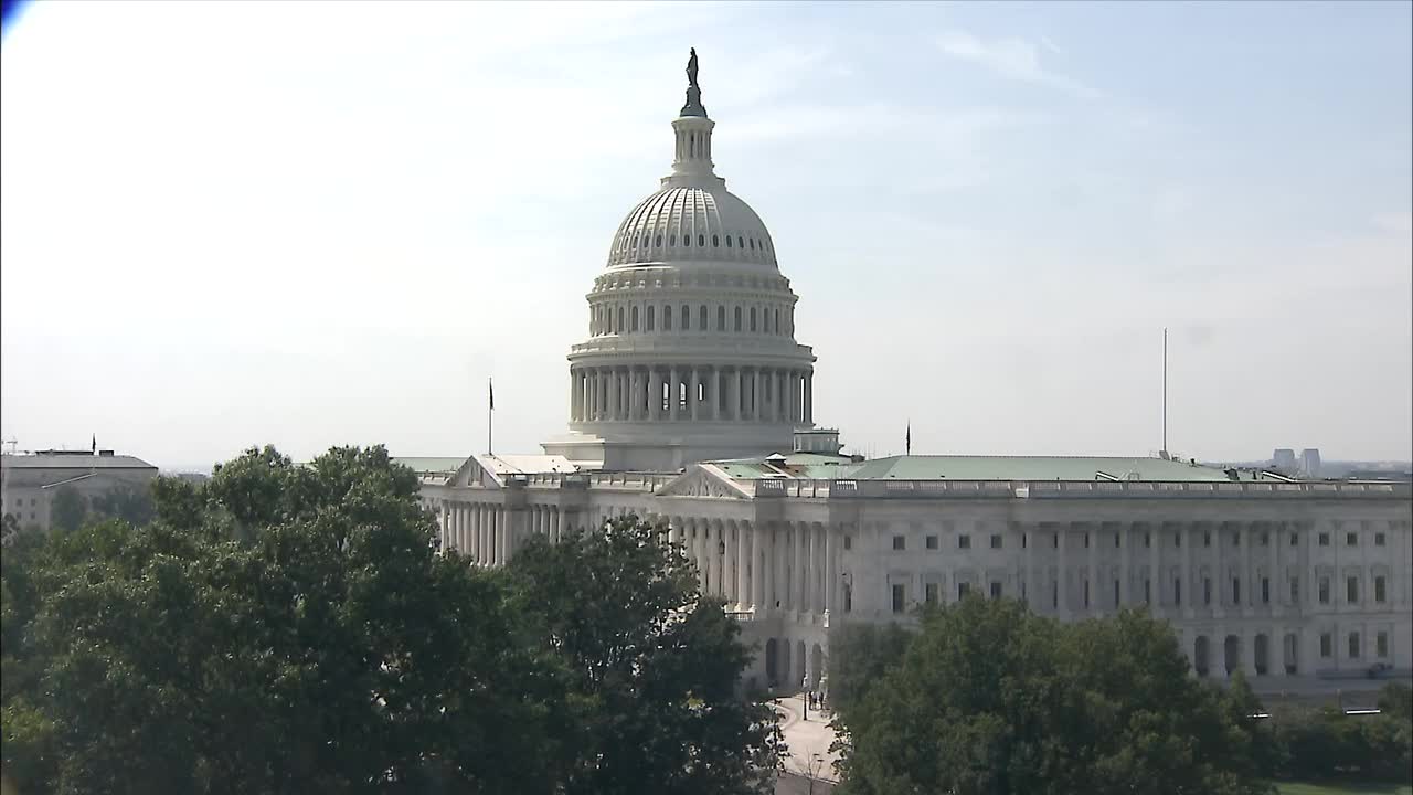
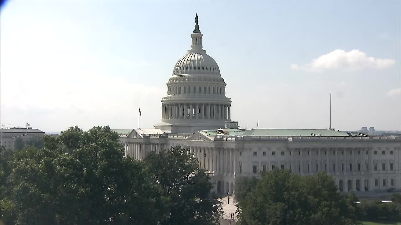
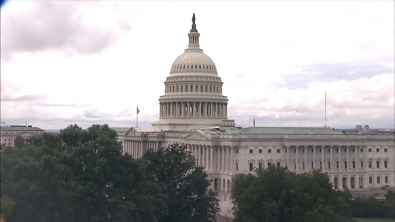
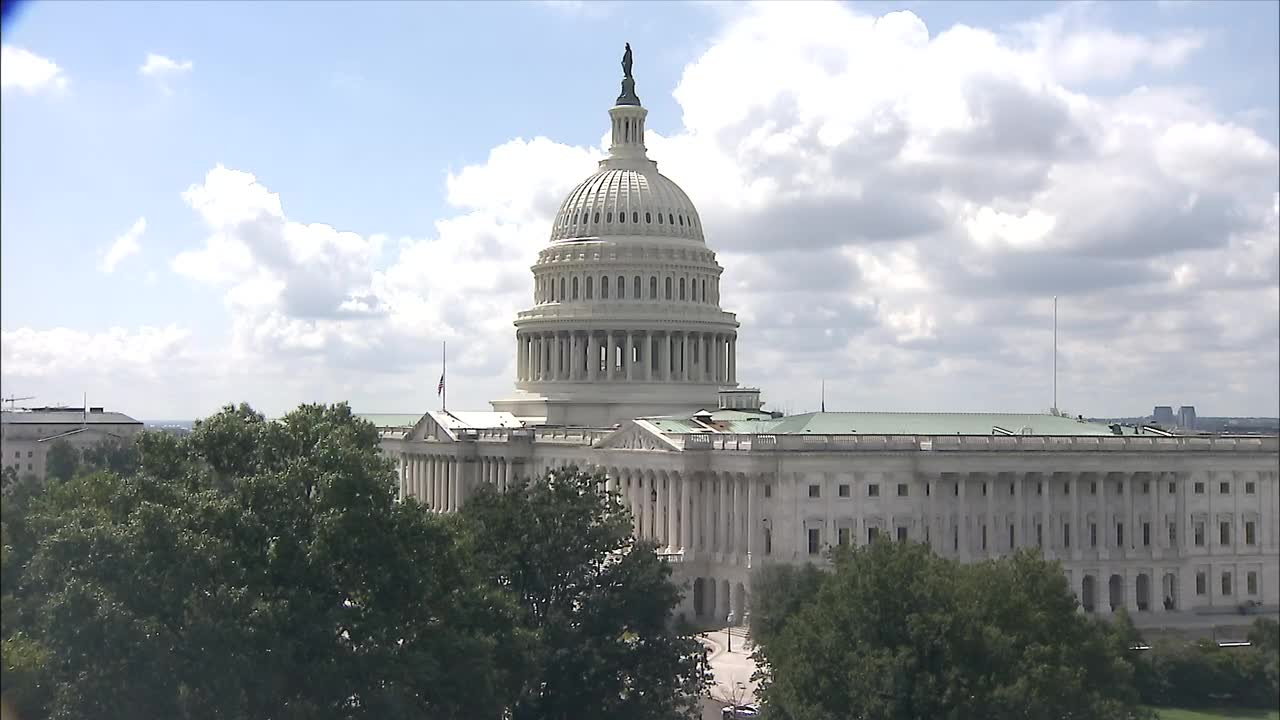
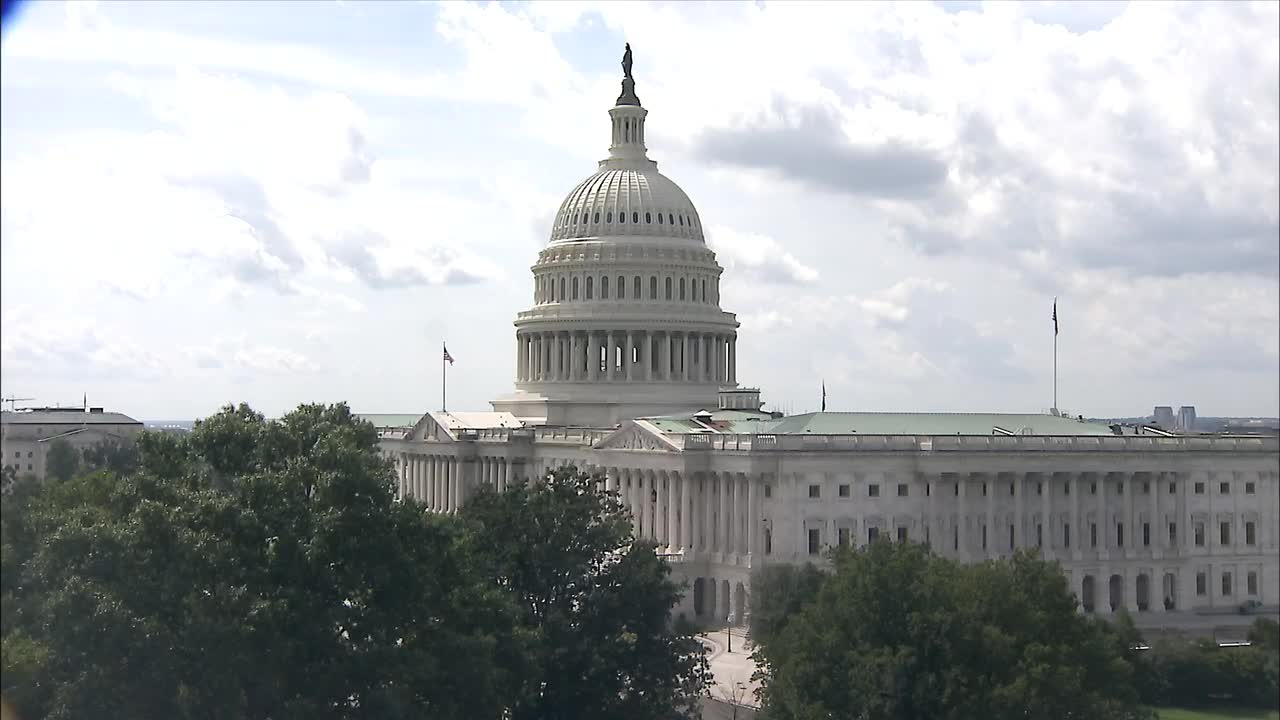
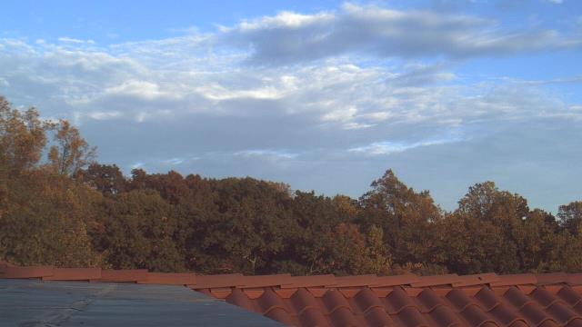
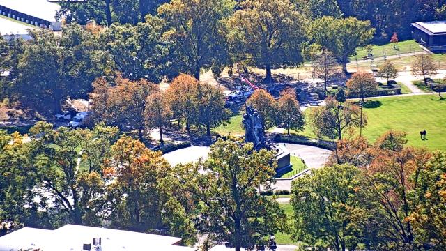
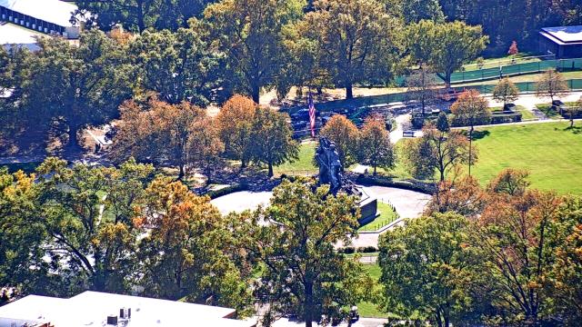
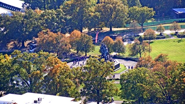
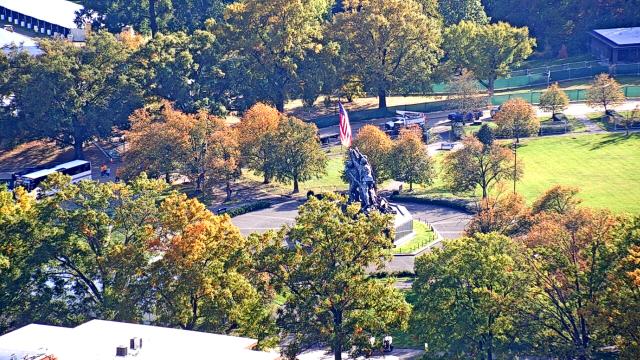
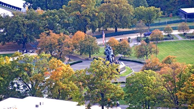
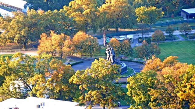
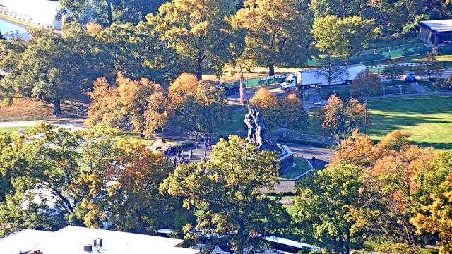
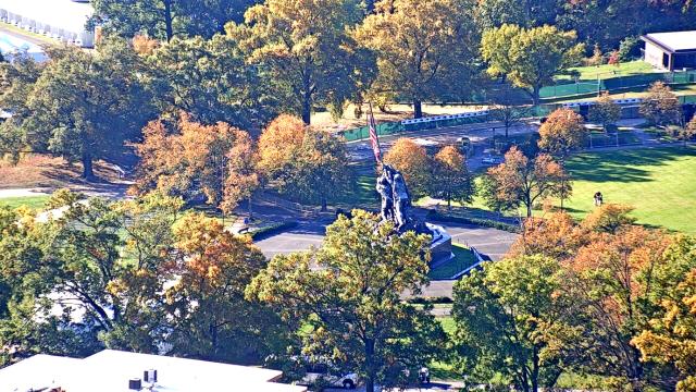
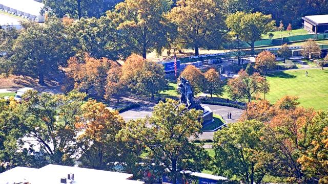
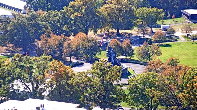
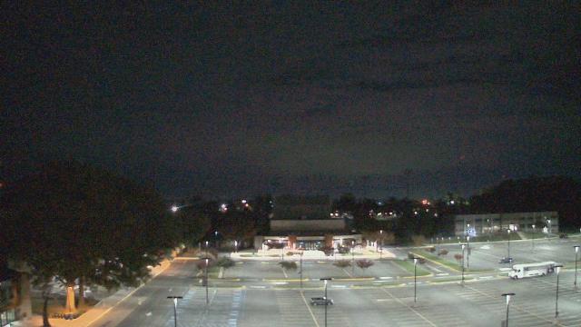
Washington D.C., District of Columbia, USA - 4.5 miles from Terra Cotta: Livestream Capitol
Operator: U.S. Senate
Operator: U.S. Senate


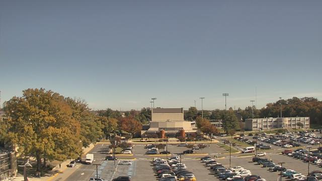
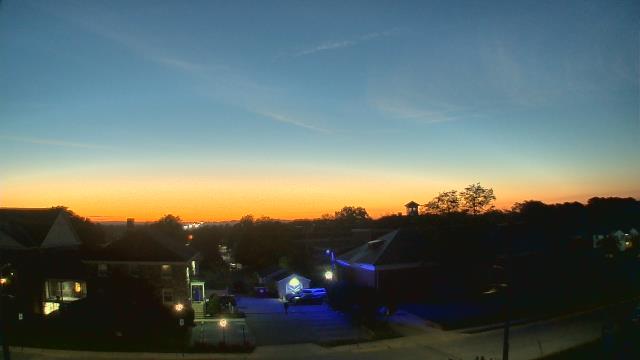
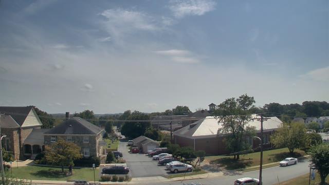
Bethesda, Maryland, USA - 5.8 miles from Terra Cotta: Congressional Country Club - A webcam in Bethesda, Maryland - camera location: Congressional Country Club.
Operator: WeatherBug
Operator: WeatherBug


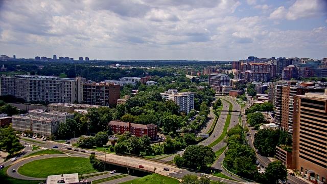
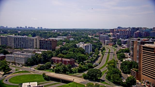
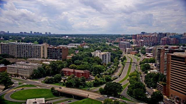
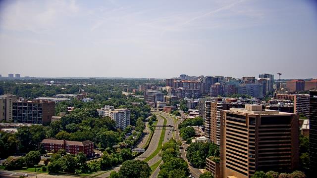
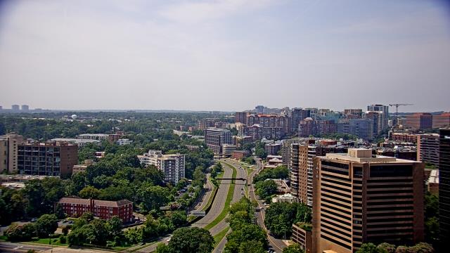
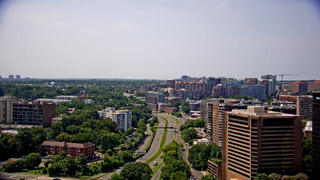
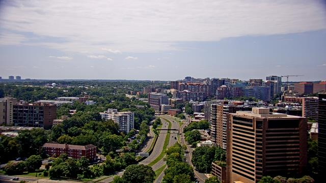
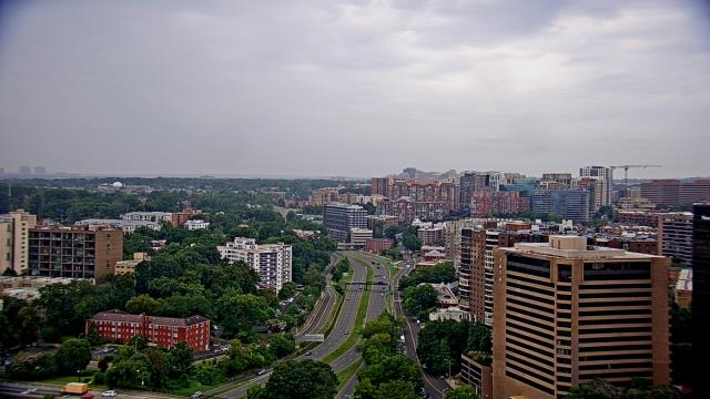
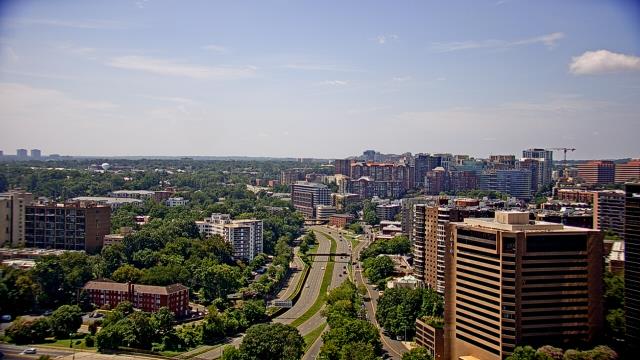
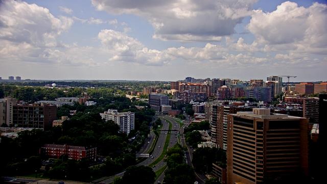
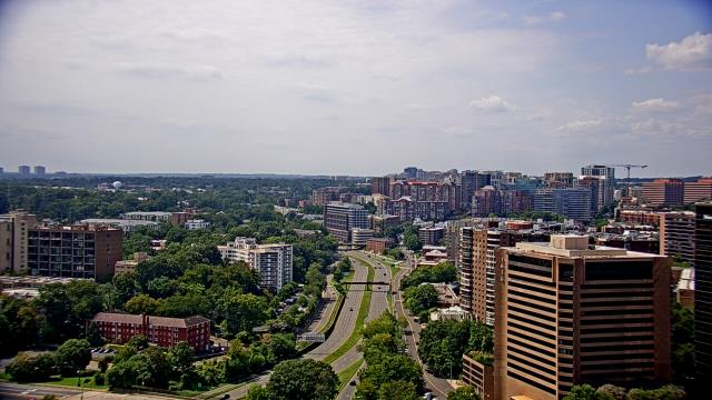
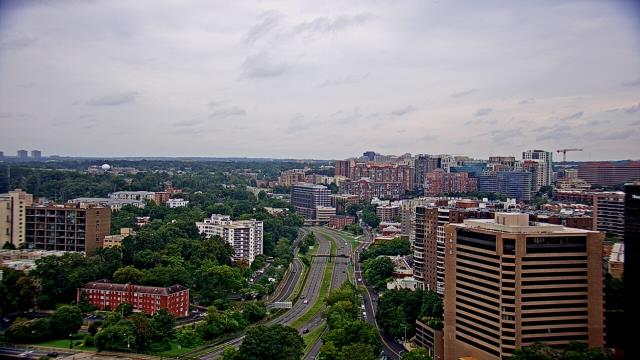
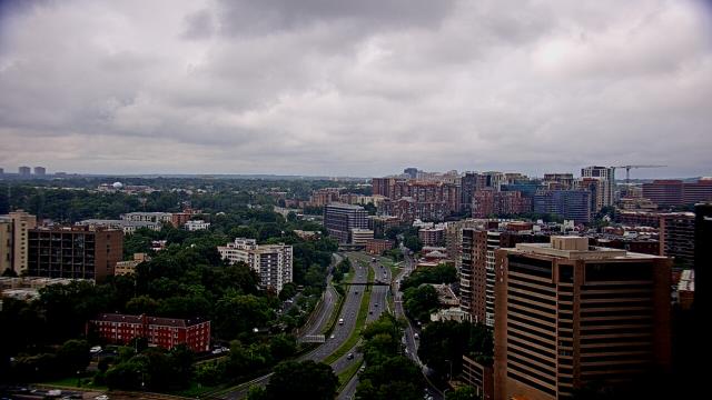
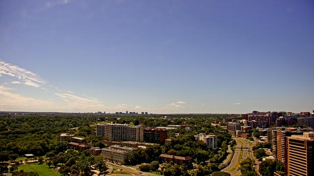
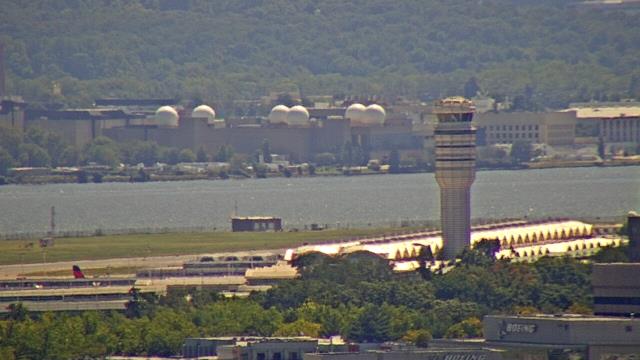
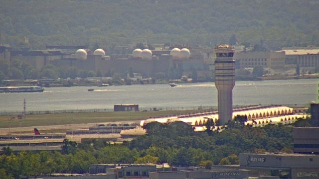
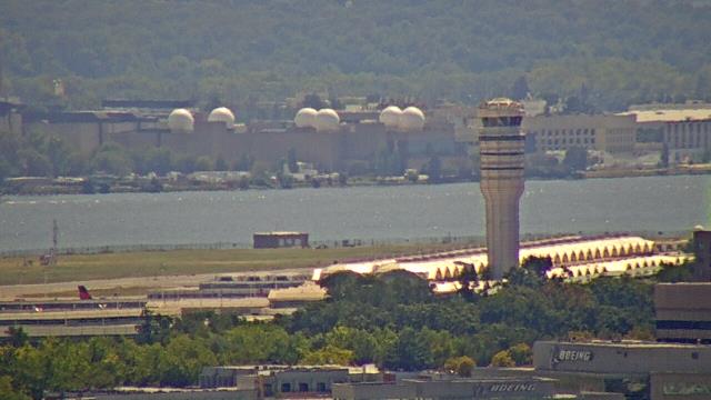
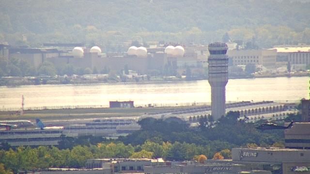
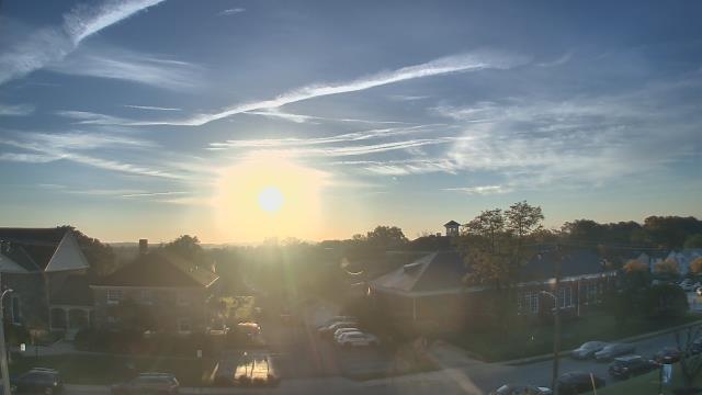
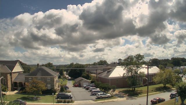
Arlington, Virginia, USA - 7.6 miles from Terra Cotta: WJLA-TV - A webcam in Arlington, Virginia - camera location: WJLA-TV.
Operator: WeatherBug
Operator: WeatherBug


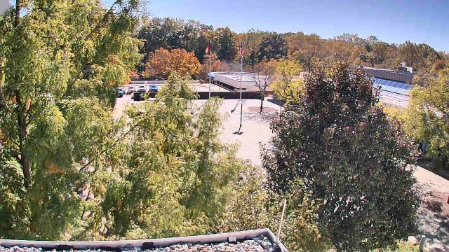
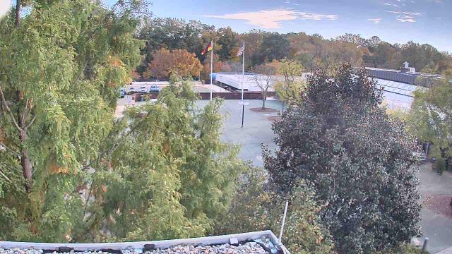
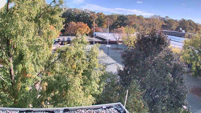
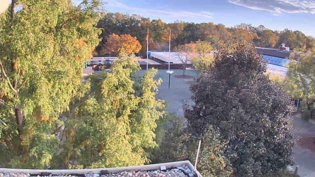
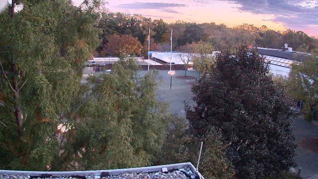
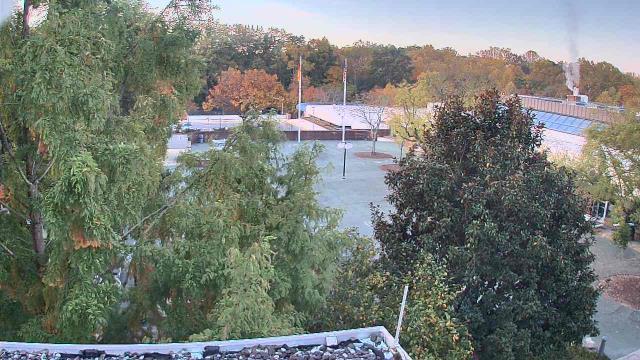
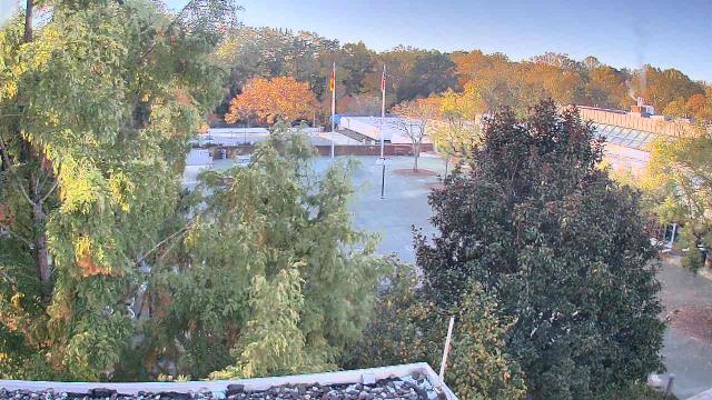
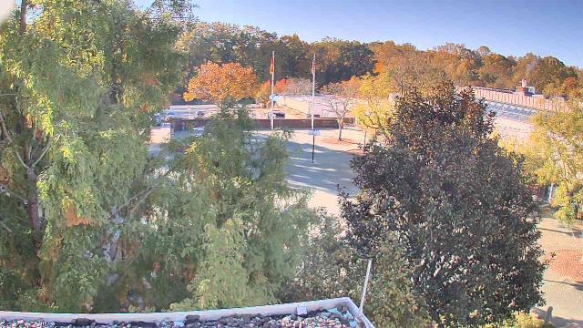
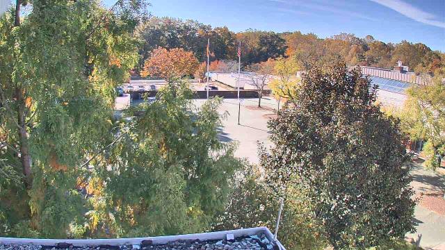
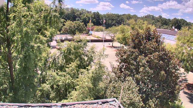
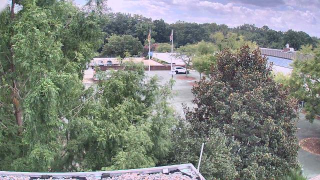
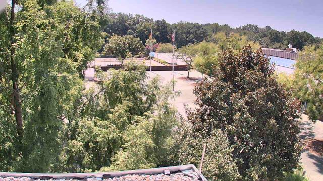
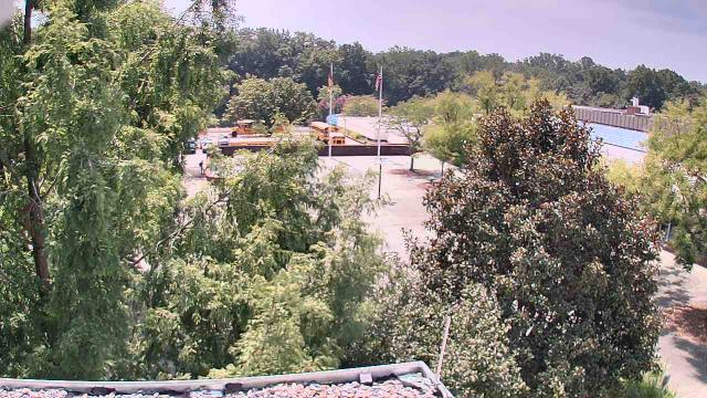
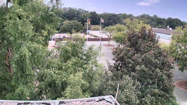
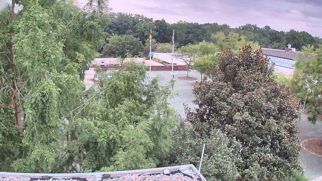
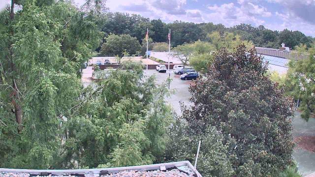
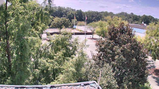
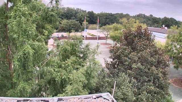
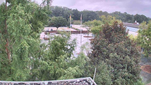
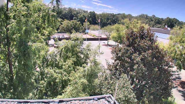
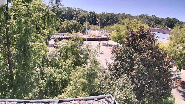
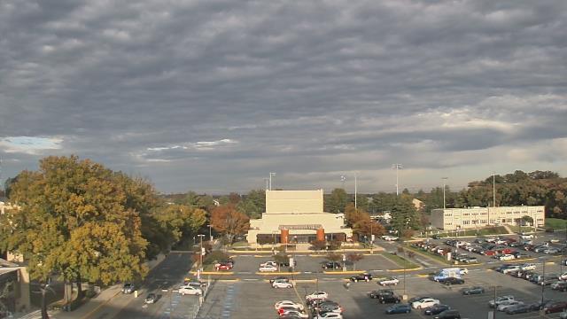
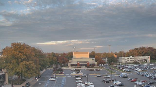
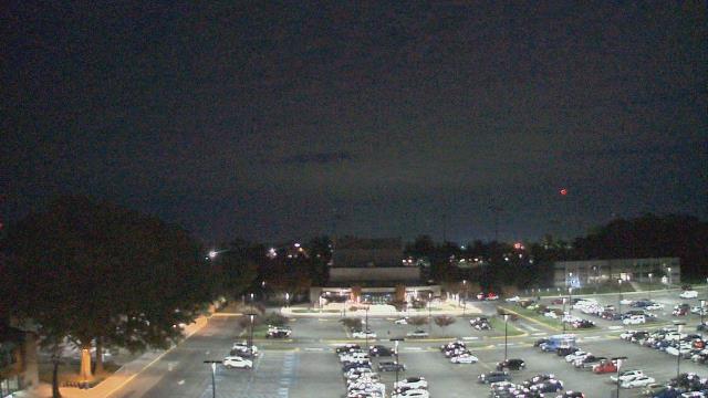
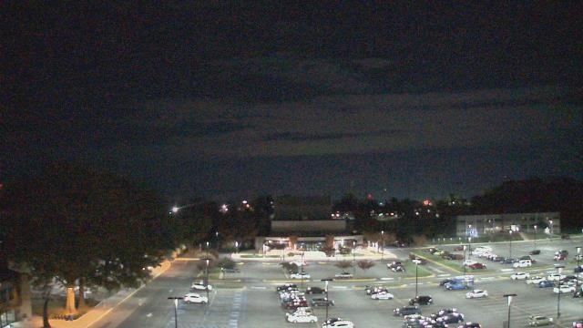
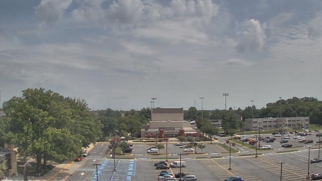
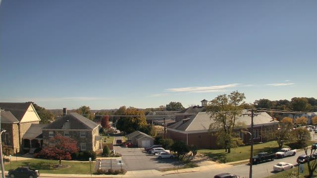
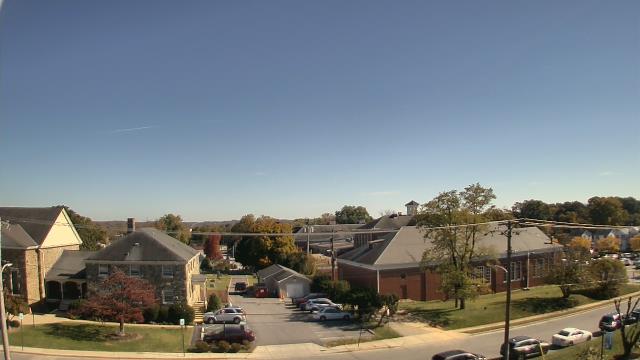
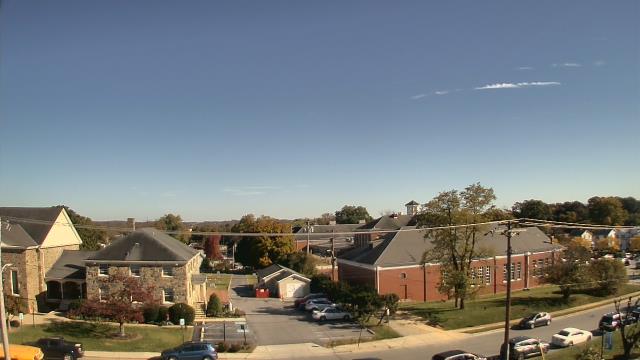
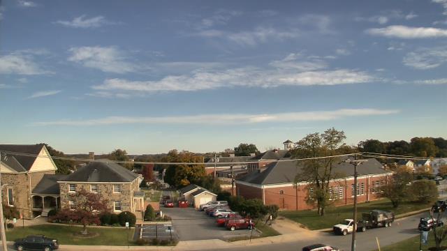
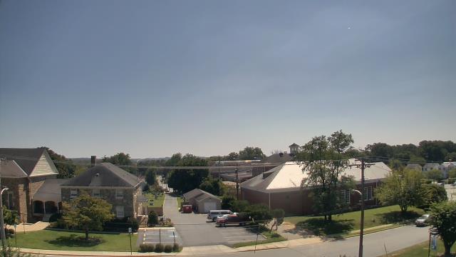
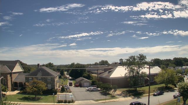
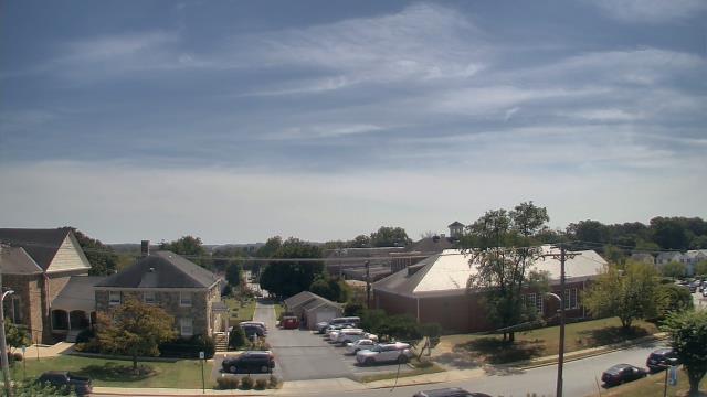
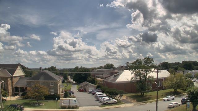
McLean, Virginia, USA - 9.7 miles from Terra Cotta: Langley School - A webcam in Mclean, Virginia - camera location: Langley School.
Operator: WeatherBug
Operator: WeatherBug


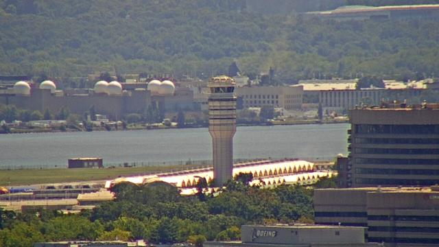
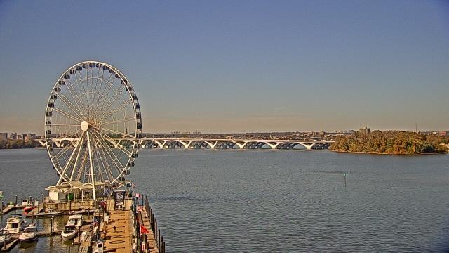
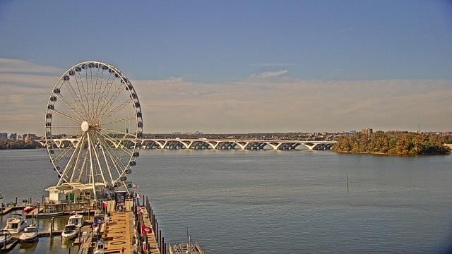
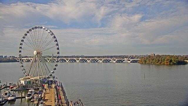
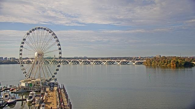
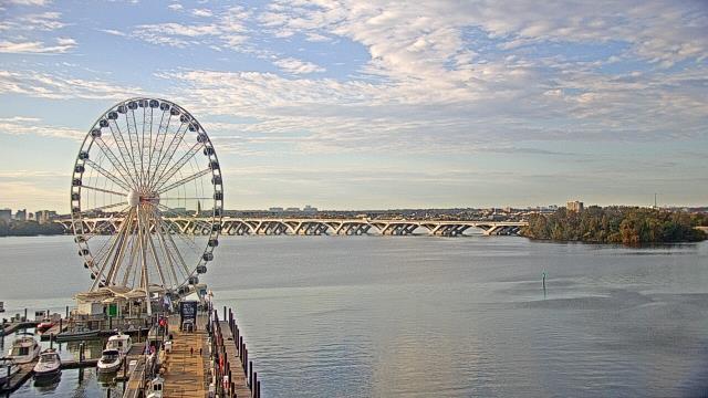
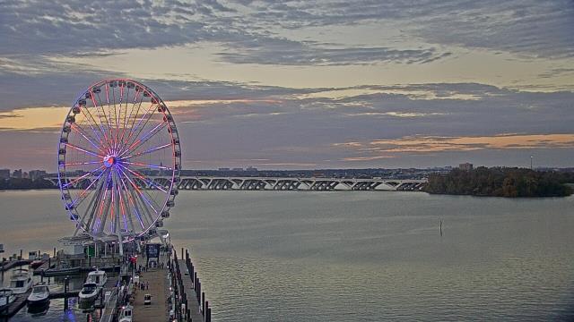
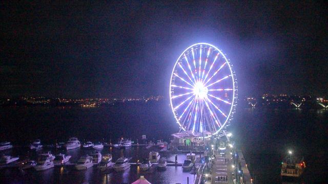
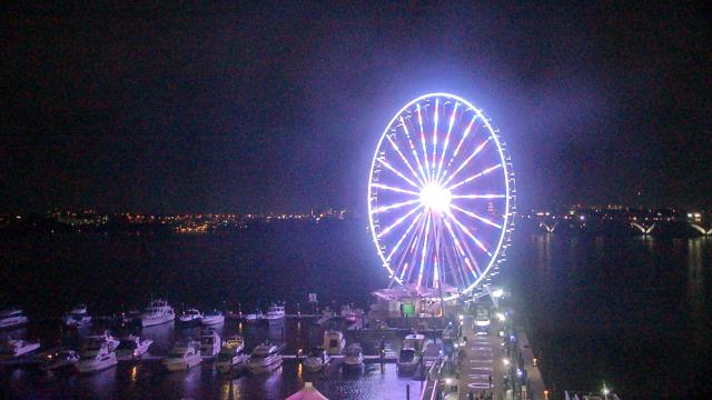
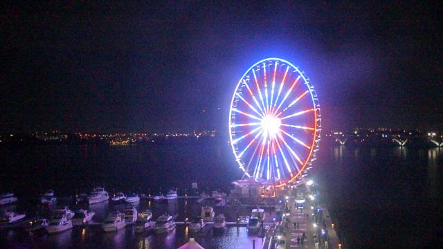
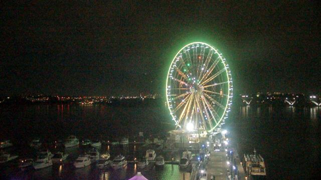
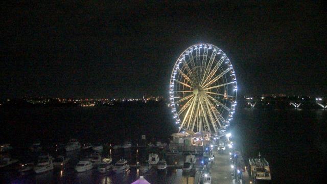
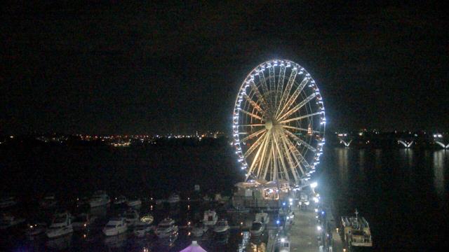
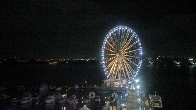
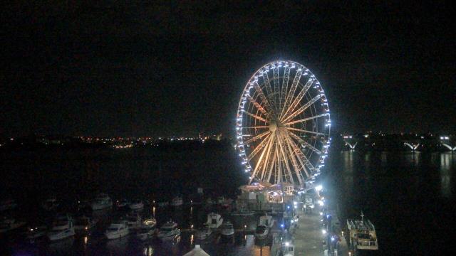
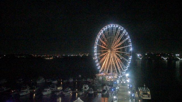
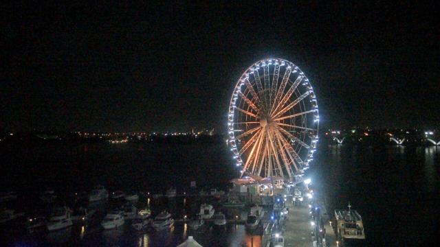
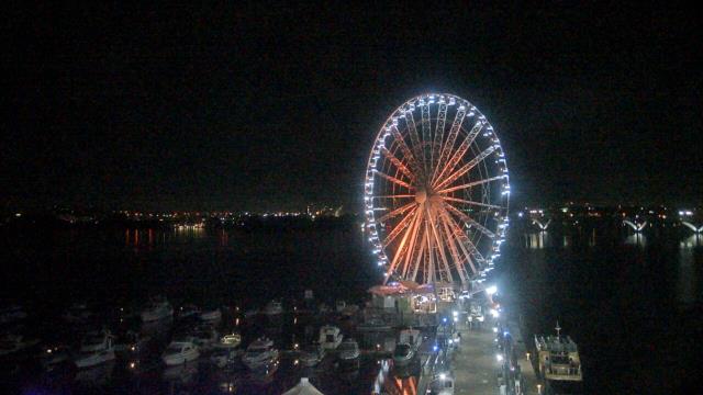
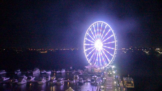
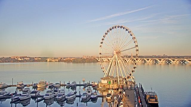
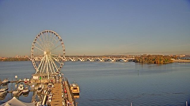
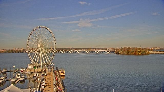
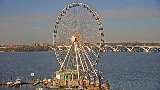
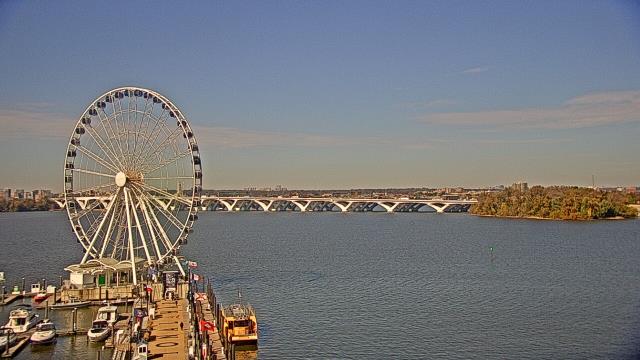
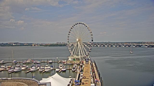
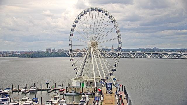
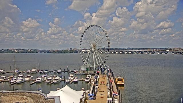
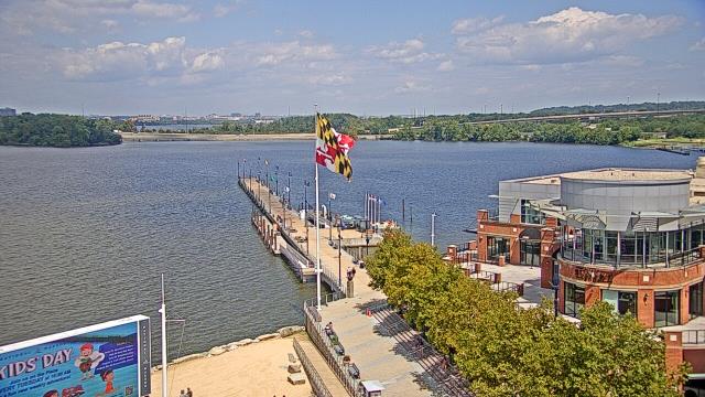
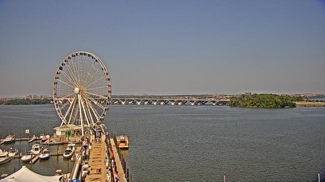
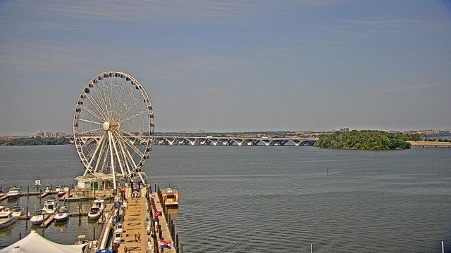
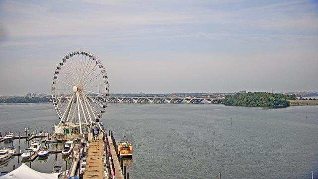
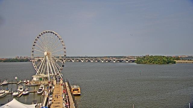
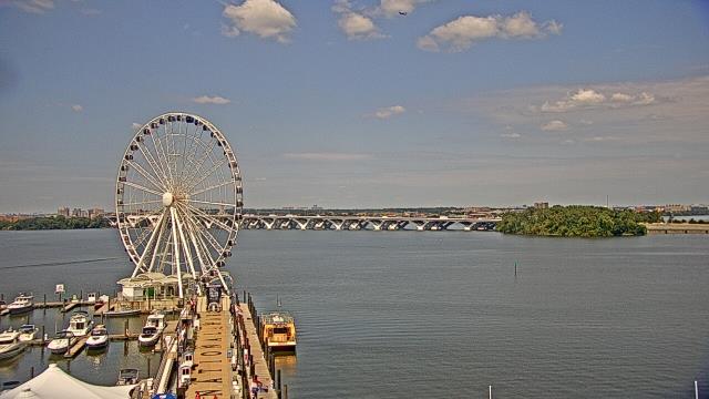
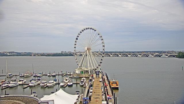
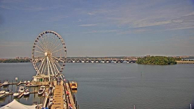
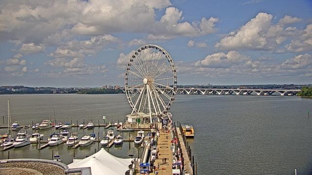
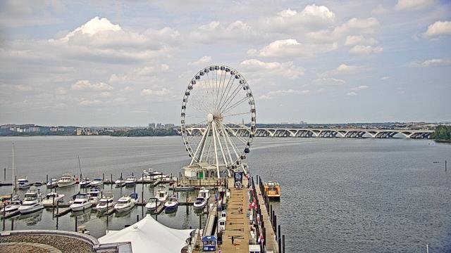
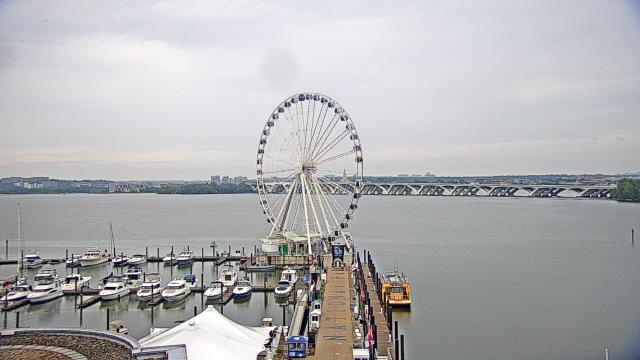
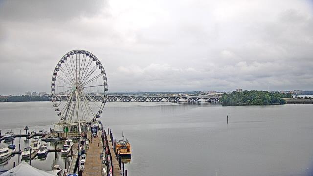
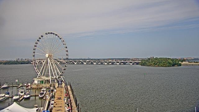
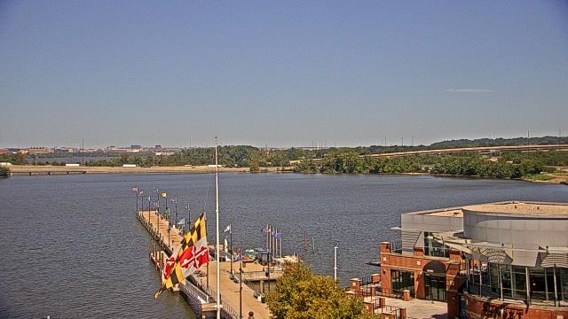
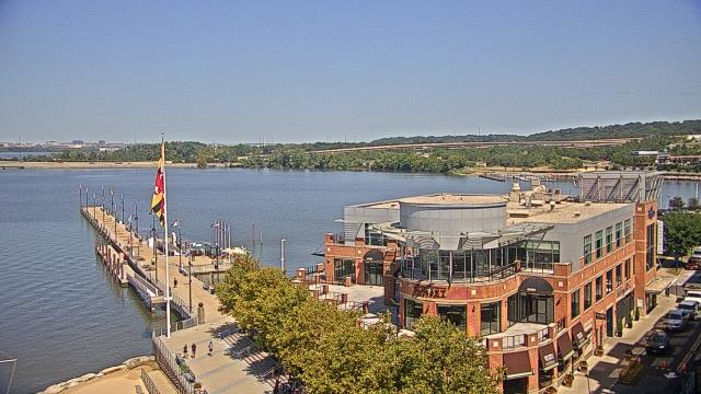
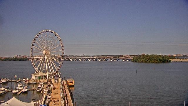
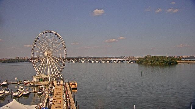
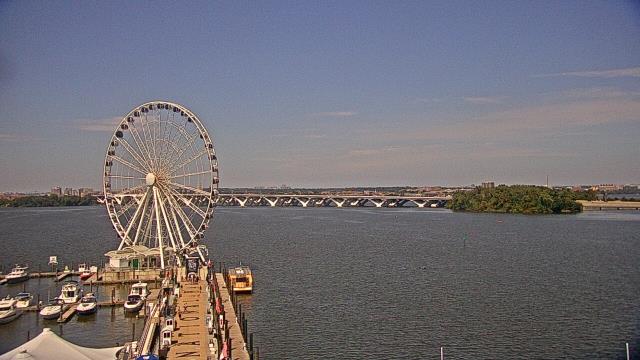
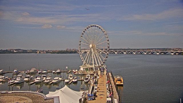
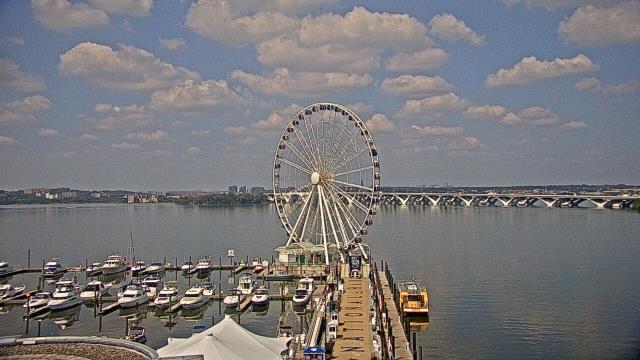
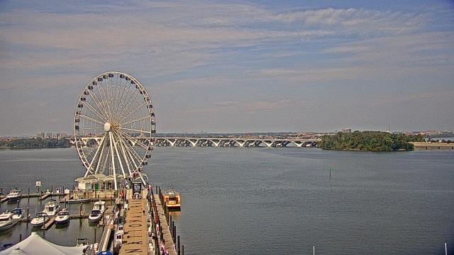
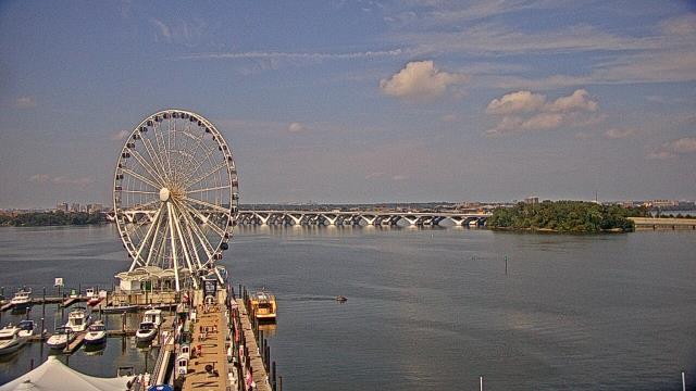
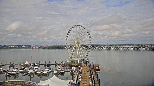
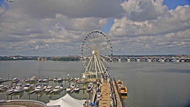
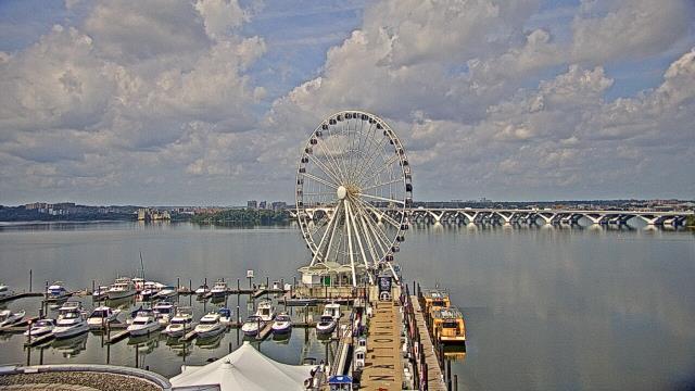
National Harbor, Maryland, USA - 11.6 miles from Terra Cotta: National Harbor - A webcam in National Harbor, Maryland - camera location: National Harbor.
Operator: WeatherBug
Operator: WeatherBug


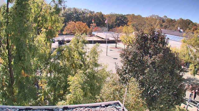
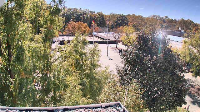
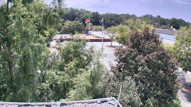
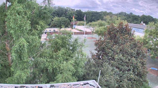
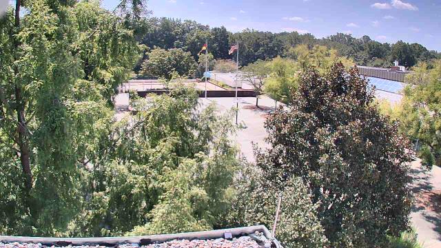
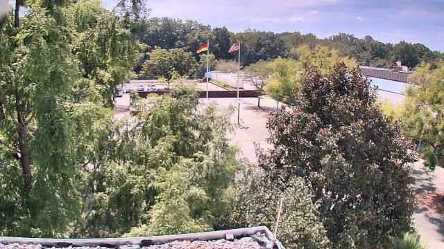
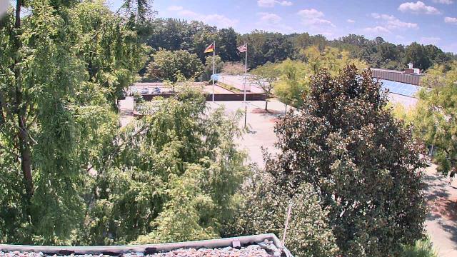
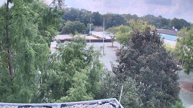
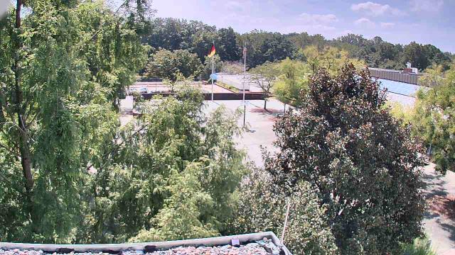
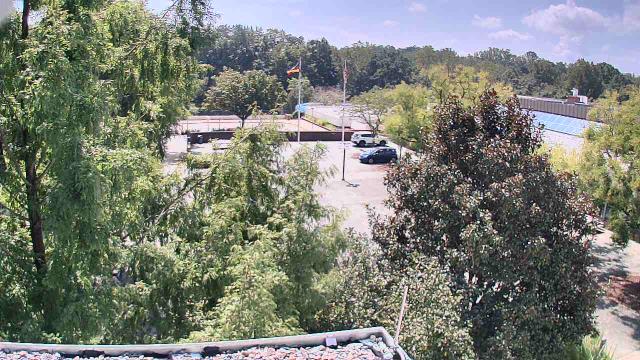
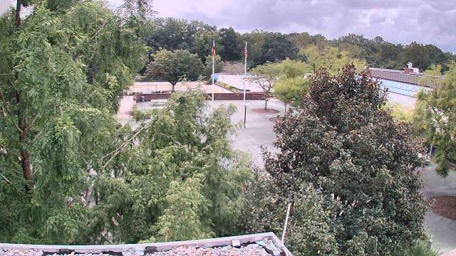
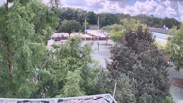
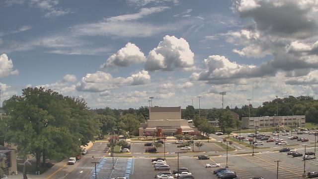
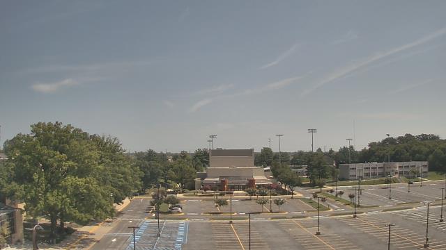
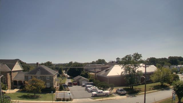
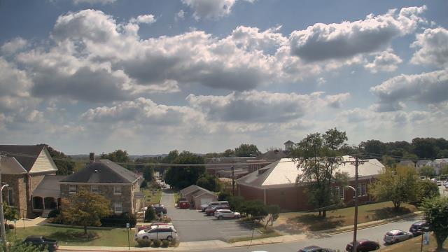
Potomac, Maryland, USA - 12.1 miles from Terra Cotta: German School of Washington - A webcam in Potomac, Maryland - camera location: German School of Washington.
Operator: WeatherBug
Operator: WeatherBug


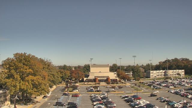
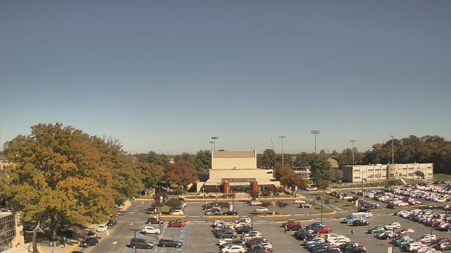
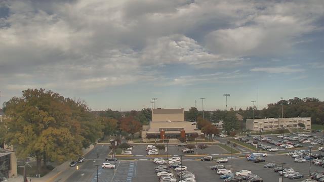
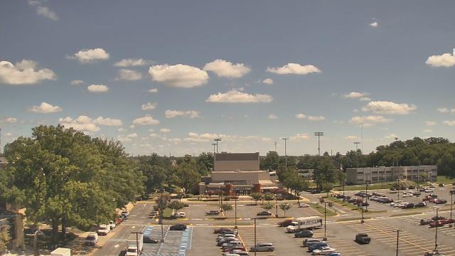
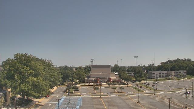
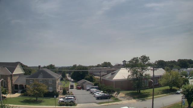
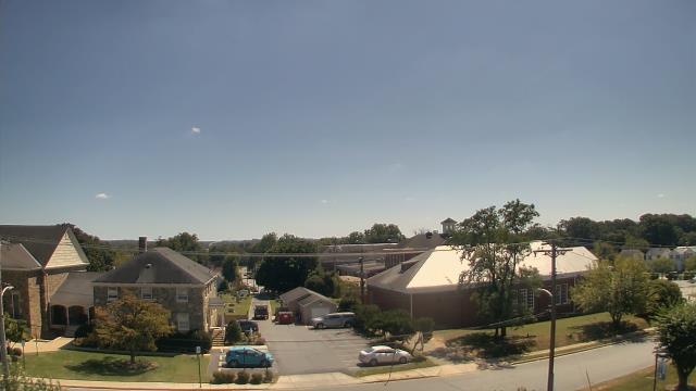
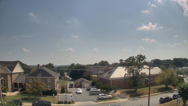
Rockville, Maryland, USA - 12.2 miles from Terra Cotta: Montgomery College Rockville Campus - A webcam in Rockville, Maryland - camera location: Montgomery College Rockville Campus.
Operator: WeatherBug
Operator: WeatherBug


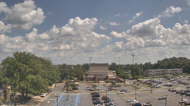


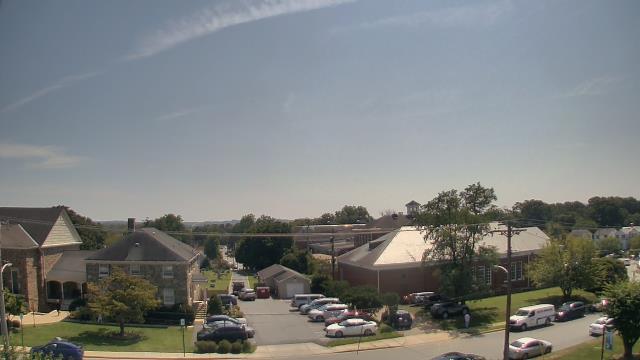
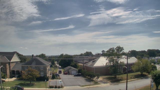
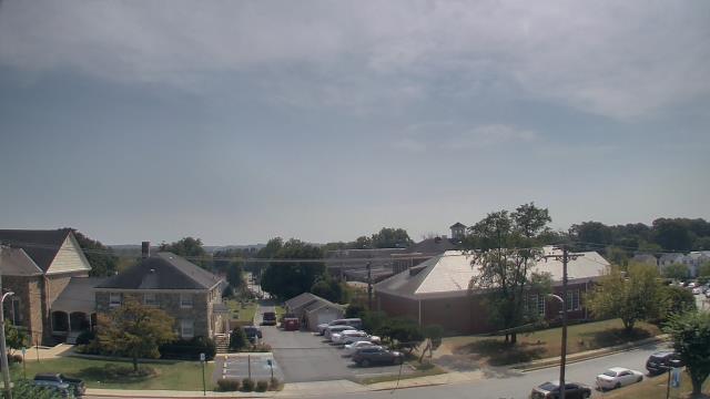
Laurel, Maryland, USA - 12.9 miles from Terra Cotta: St Vincent Pallotti High School - A webcam in Laurel, Maryland - camera location: St Vincent Pallotti High School.
Operator: WeatherBug
Operator: WeatherBug


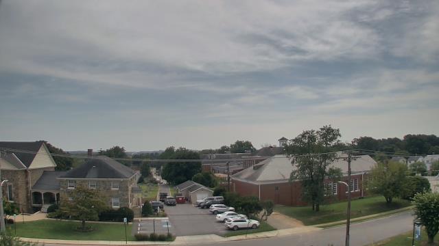


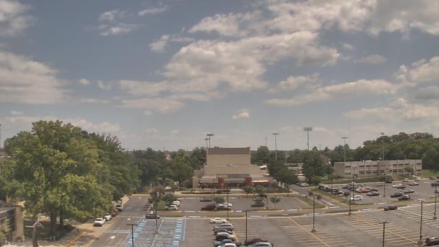
Springfield, Virginia, USA - 15.2 miles from Terra Cotta: Washington Irving Middle School - A webcam in Springfield, Virginia - camera location: Washington Irving Middle School.
Operator: WeatherBug
Operator: WeatherBug


Some other places in this country: Capitol View - Douglass Dwellings - Hillcrest - Langdon - Pennsylvania Avenue Hights - Sauis Addition (historical) - Fernwood Heights (historical) - Fairfax Village - Mount Pleasant - Pinehurst Circle