Webcams in the region of Acquidaneck (historical), Connecticut, USA
The List of Webcams near Acquidaneck (historical), Connecticut, USA:

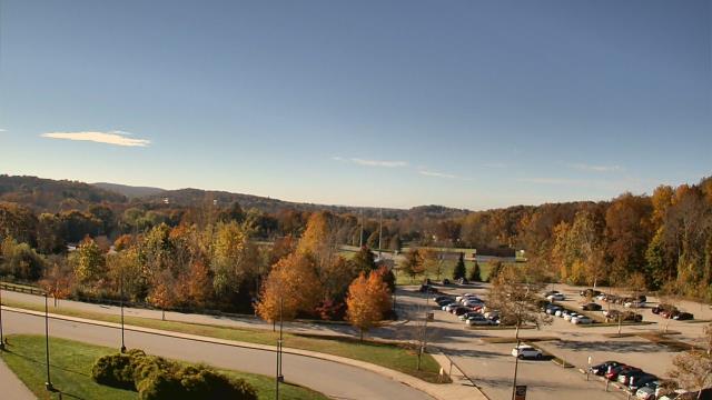
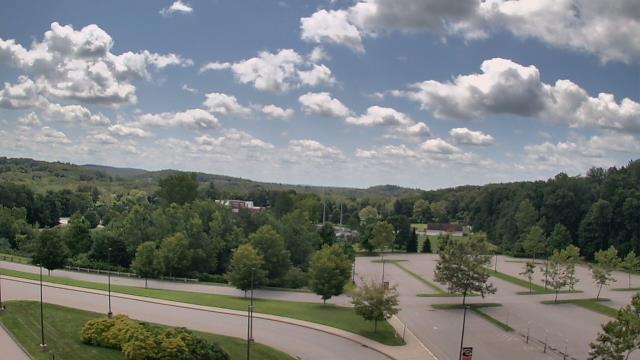
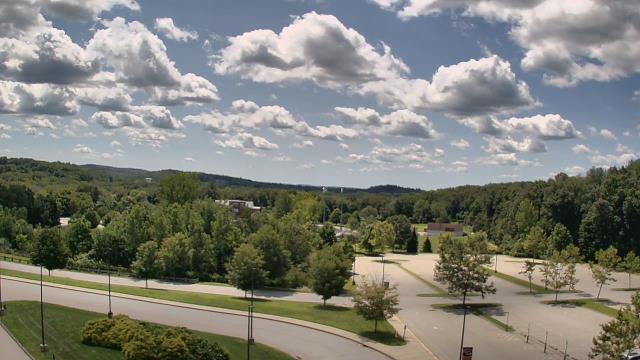
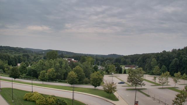
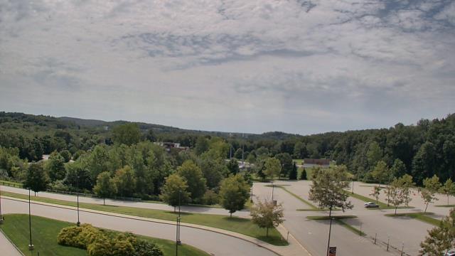
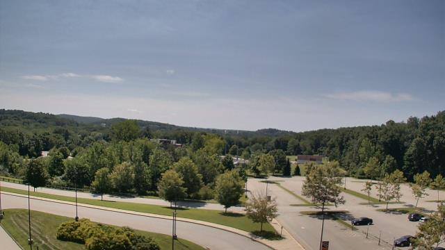
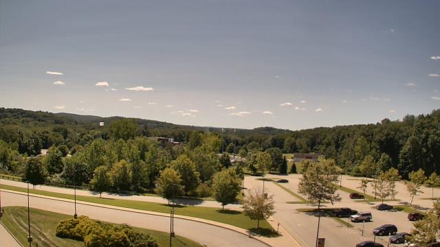
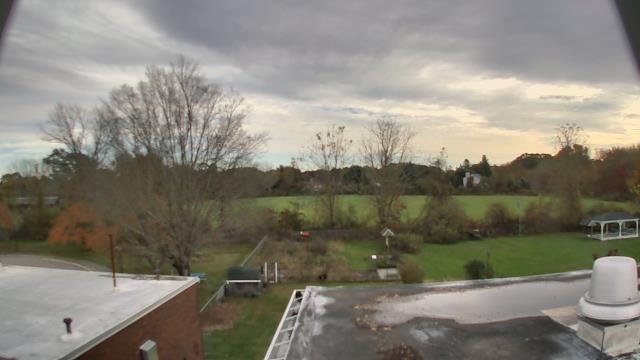
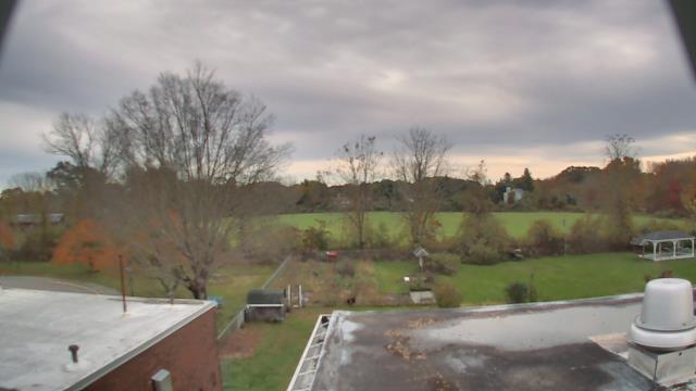
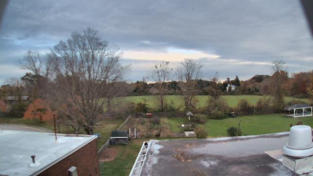
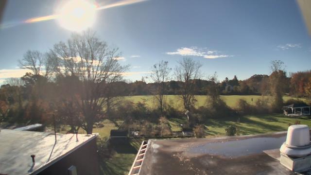
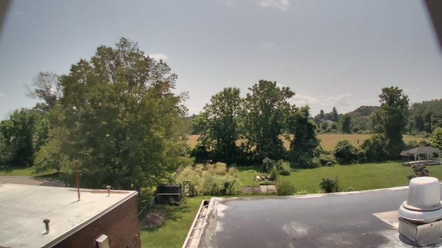
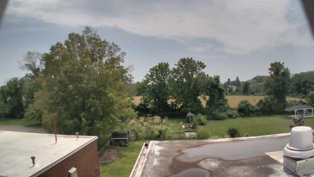
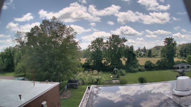
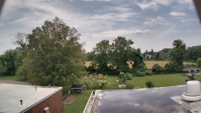
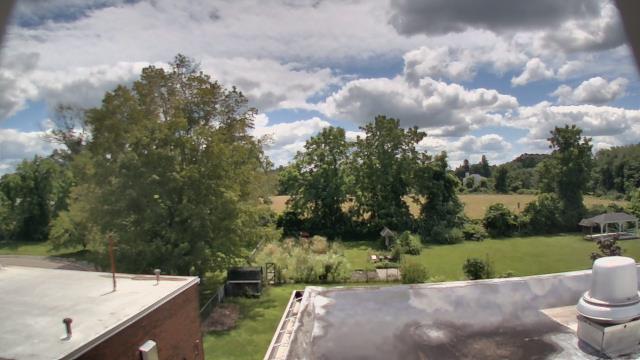
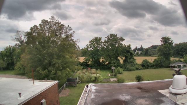
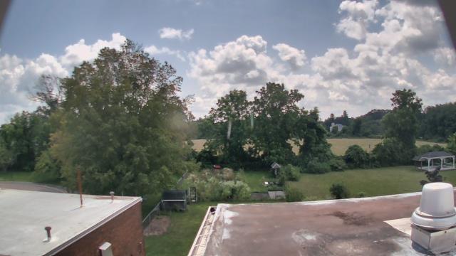
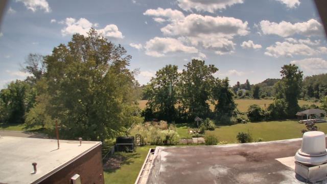
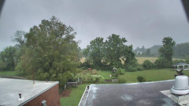
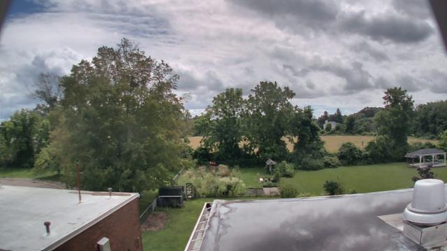
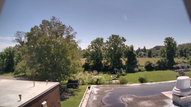
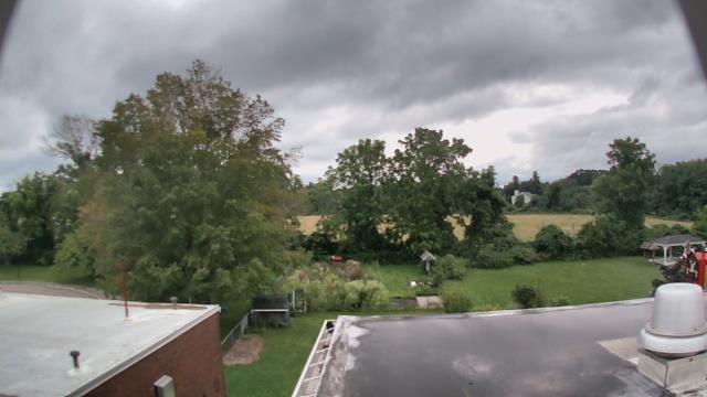
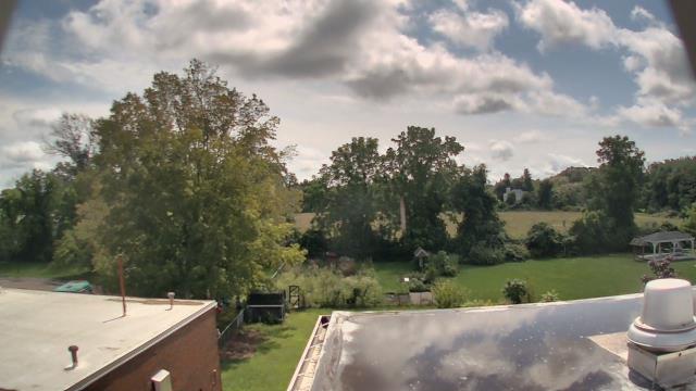
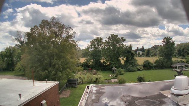
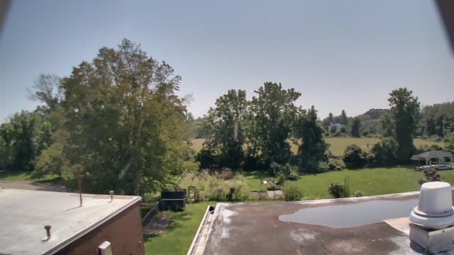
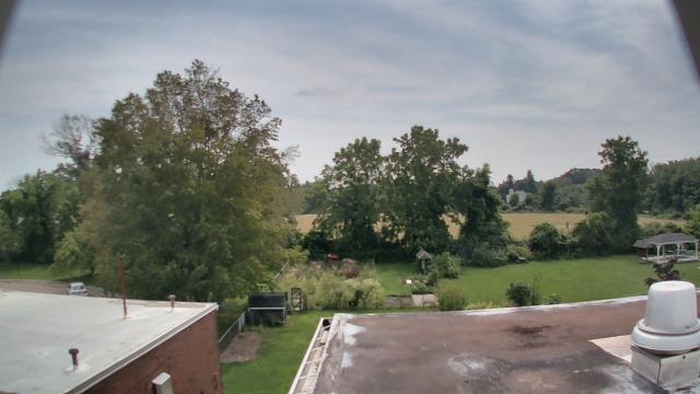
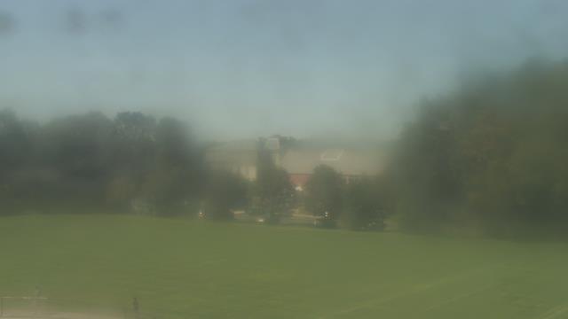
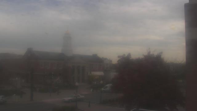
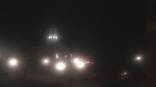
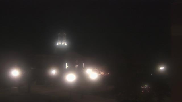
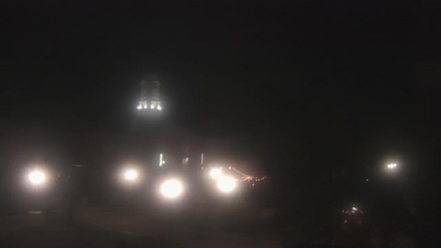
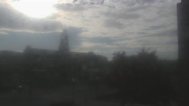
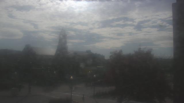
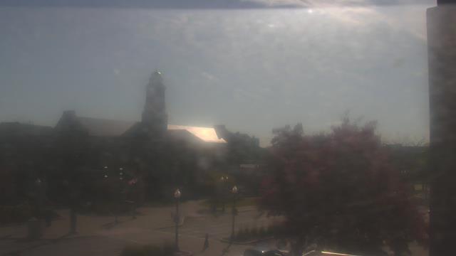
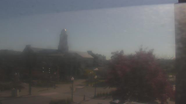
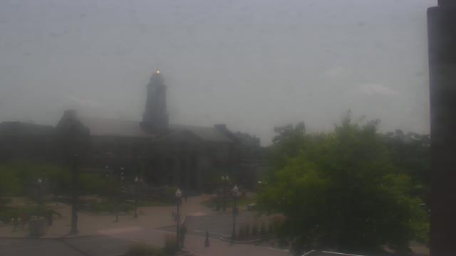
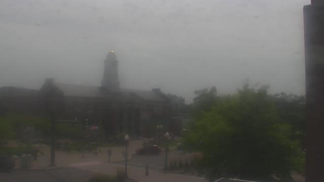
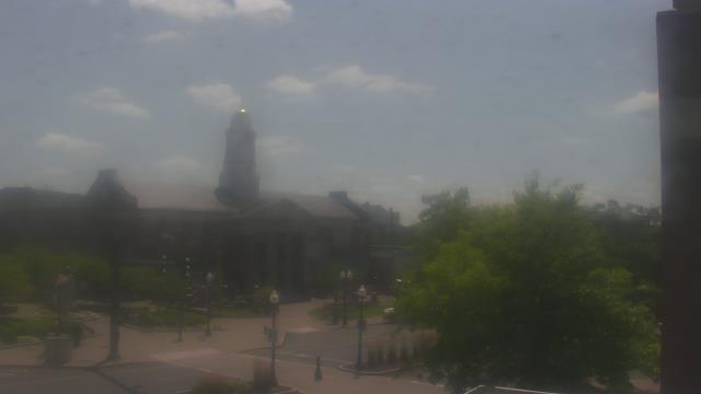
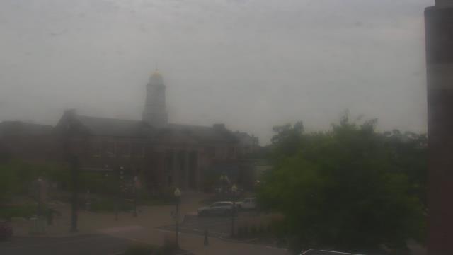
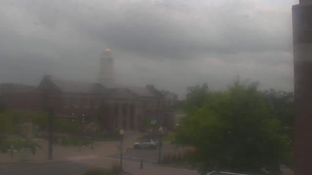
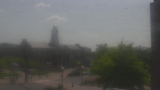
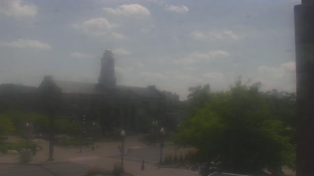
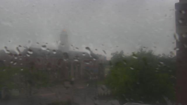
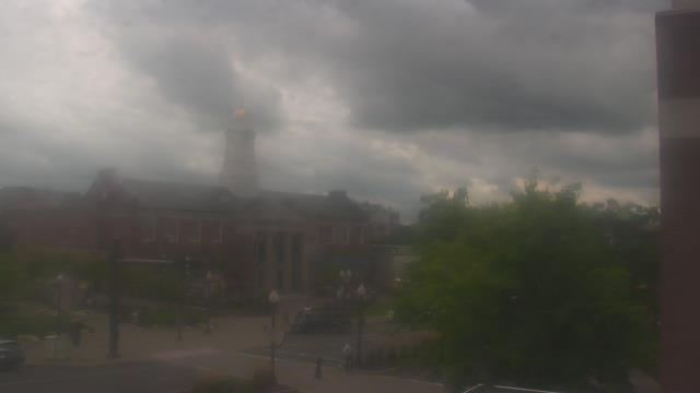
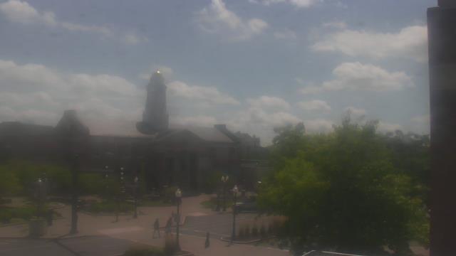
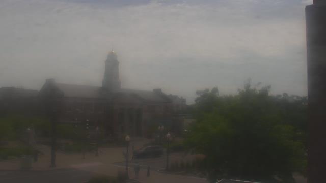
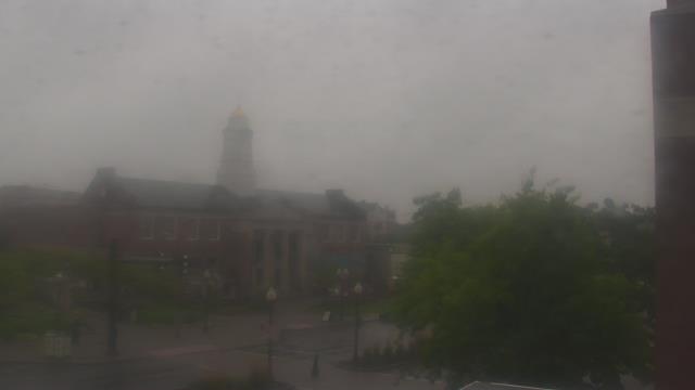
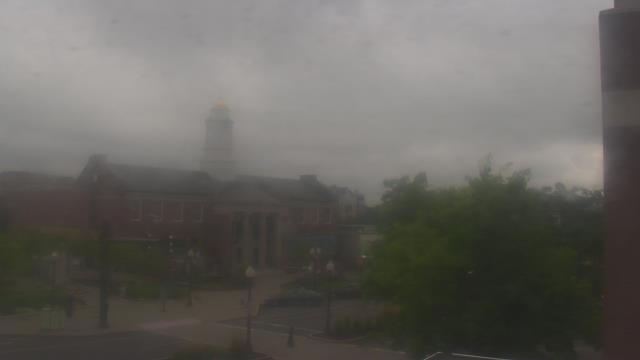
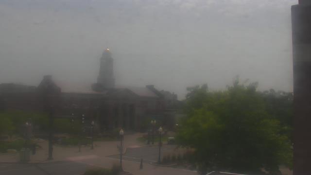
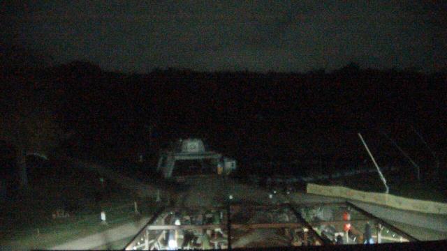
Central Village, Connecticut, USA - 4.9 miles from Acquidaneck (historical): Plainfield High School - A webcam in Central Village, Connecticut - camera location: Plainfield High School.
Operator: WeatherBug
Operator: WeatherBug


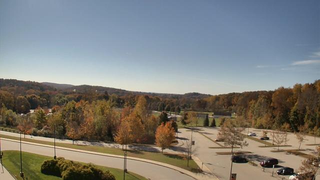

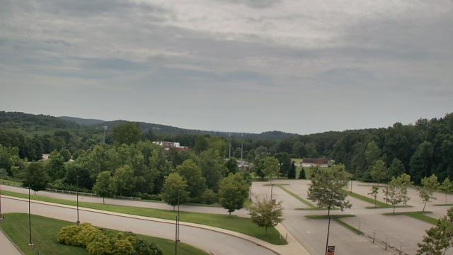
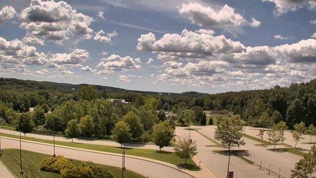

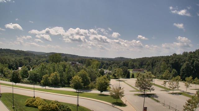
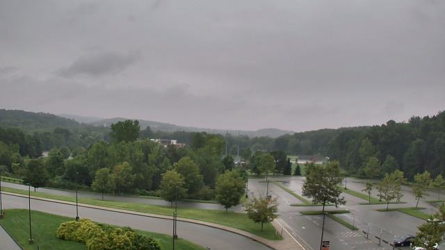

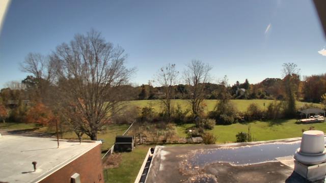
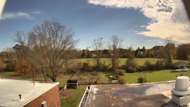
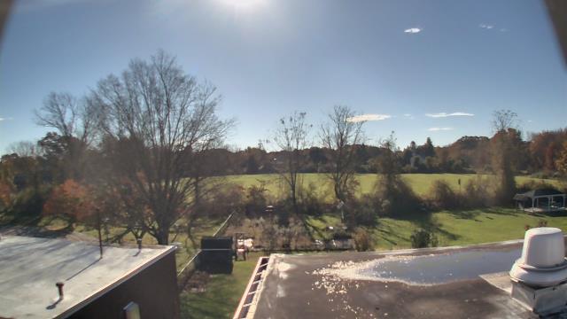
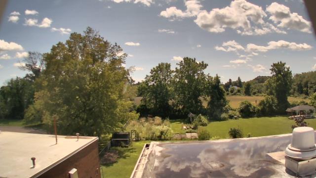
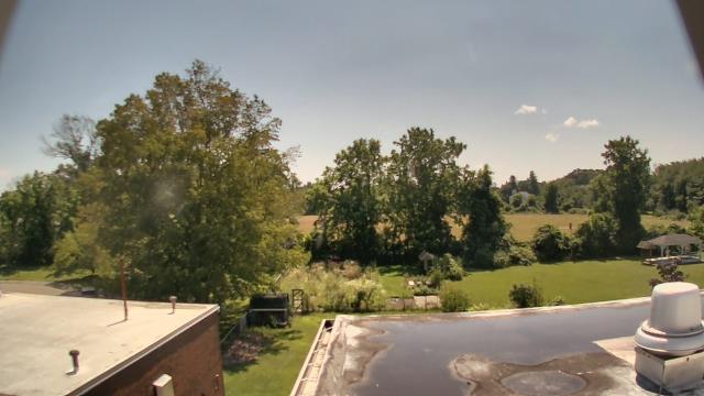
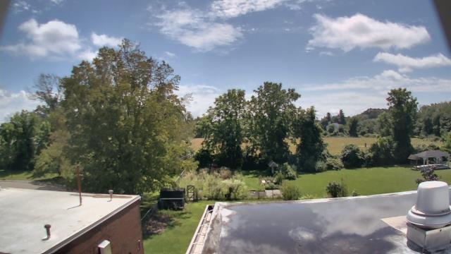
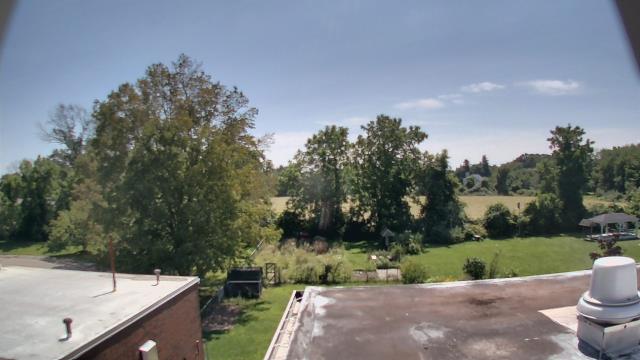
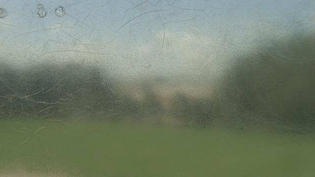
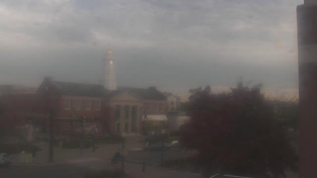
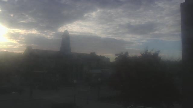
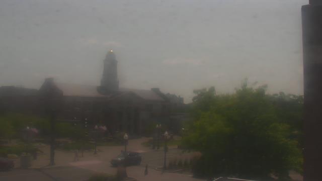
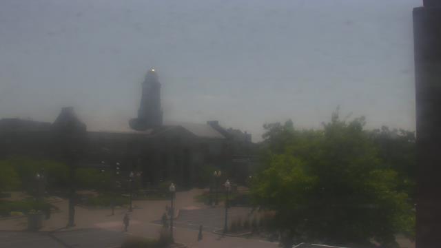
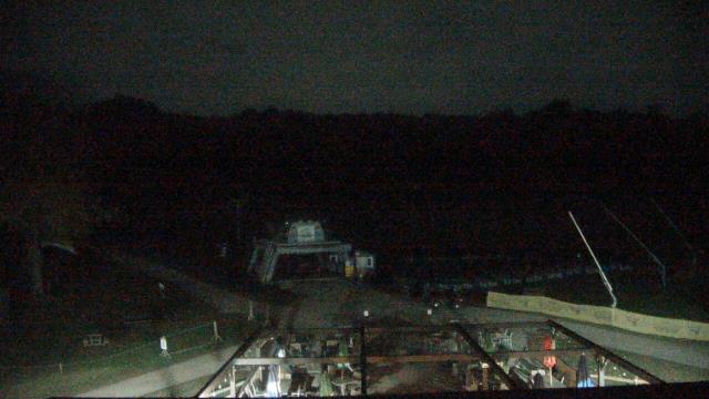
Norwich, Connecticut, USA - 21 miles from Acquidaneck (historical): John M Moriarty Elementary School - A webcam in Norwich, Connecticut - camera location: John M Moriarty Elementary School.
Operator: WeatherBug
Operator: WeatherBug


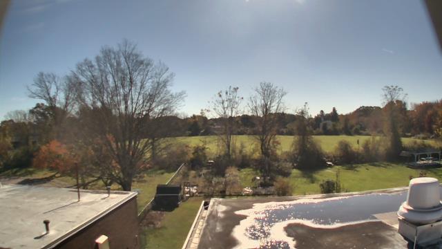

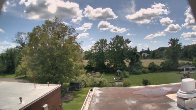
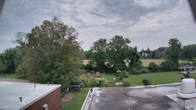
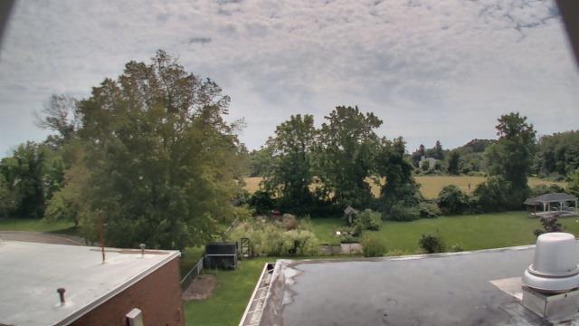

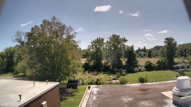

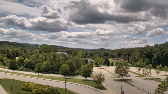
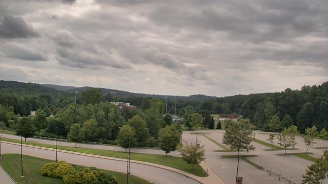
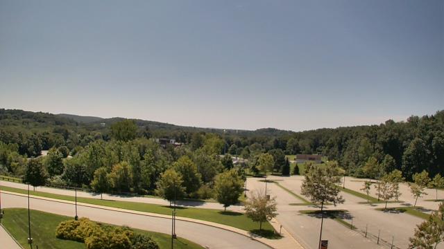
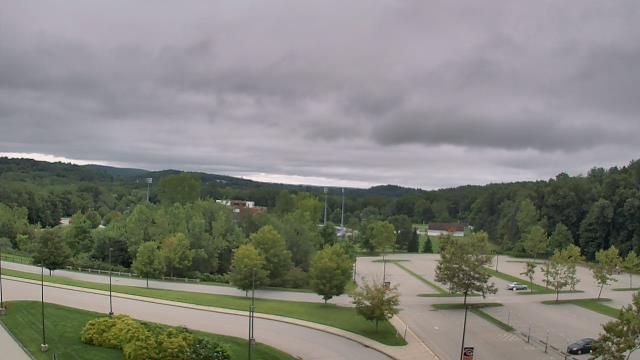
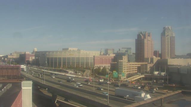
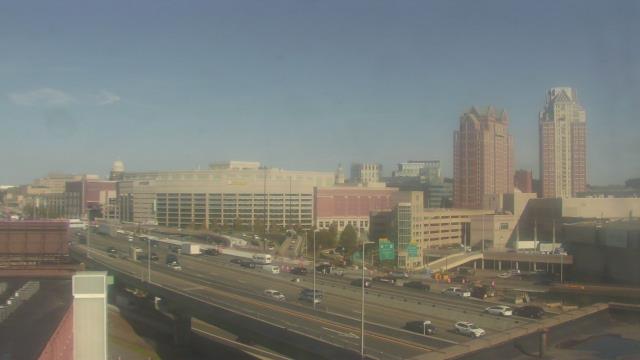
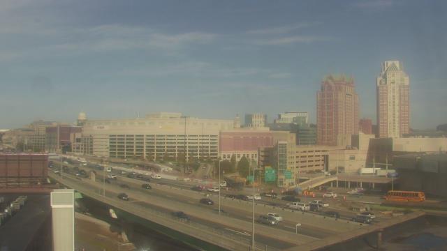
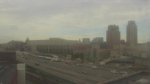
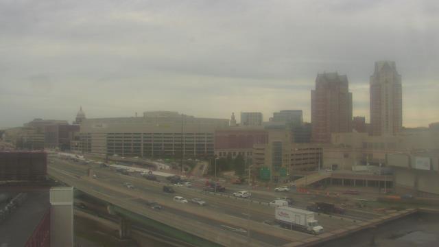
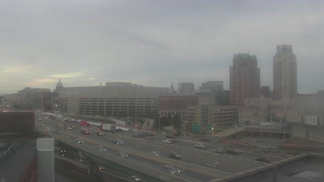
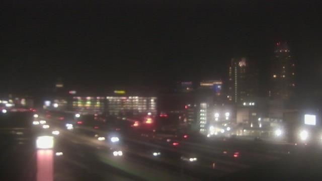
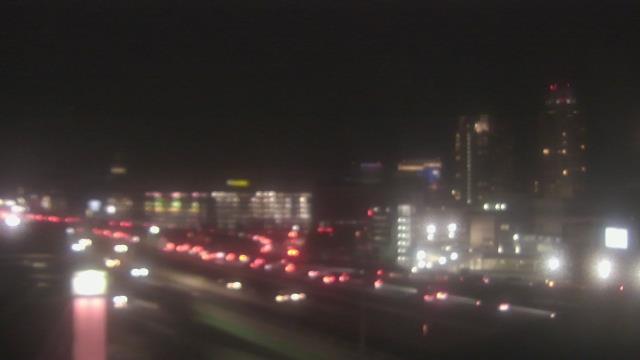
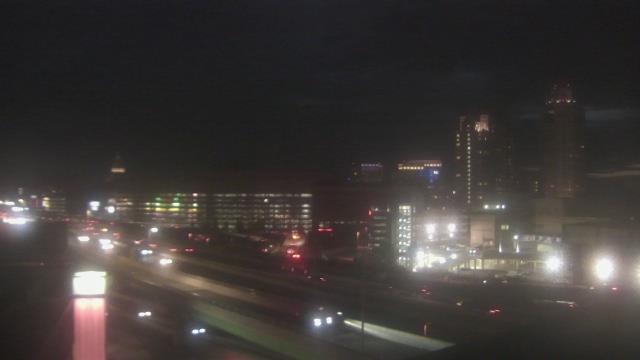
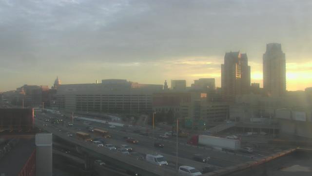
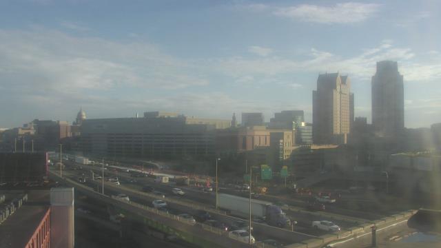
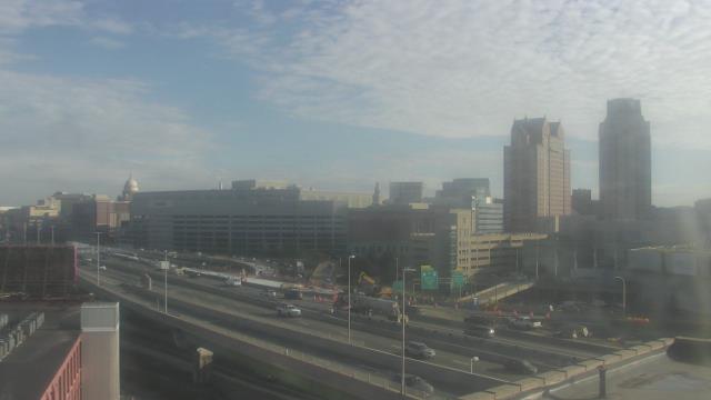
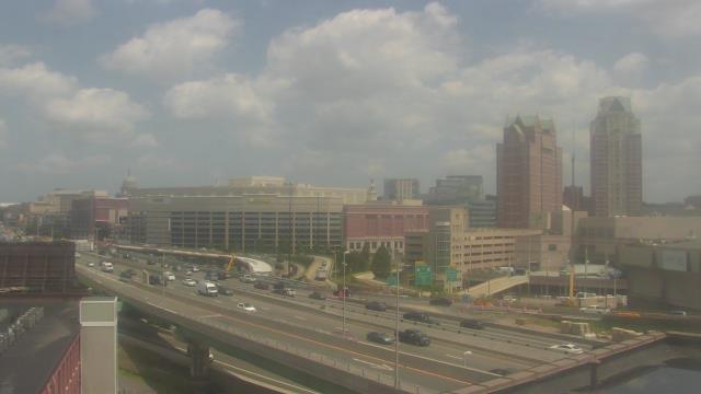
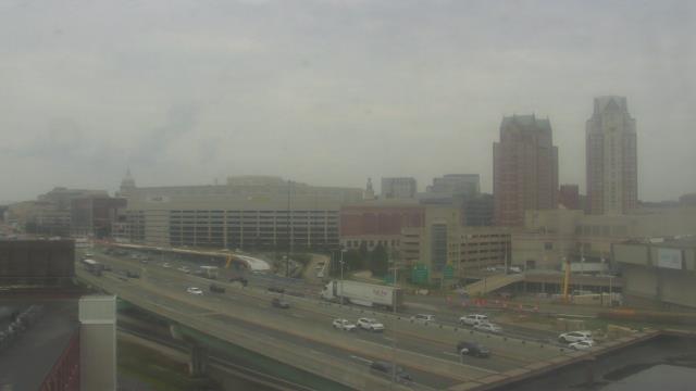
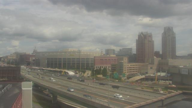
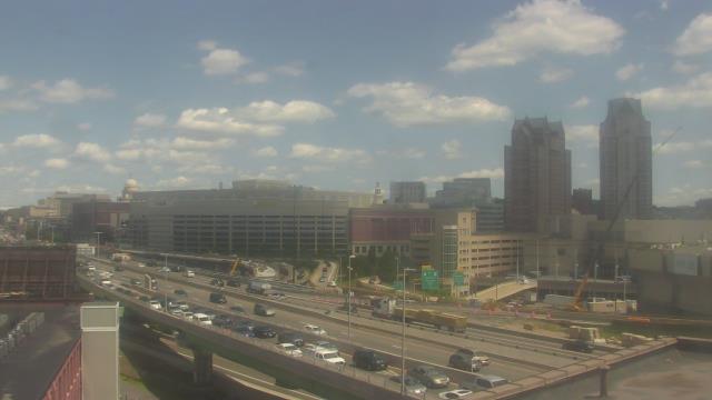
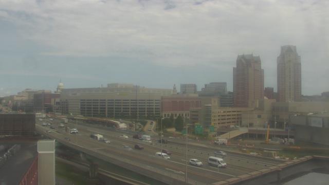
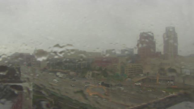
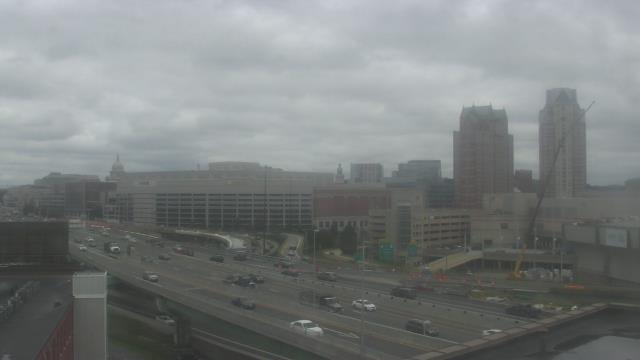
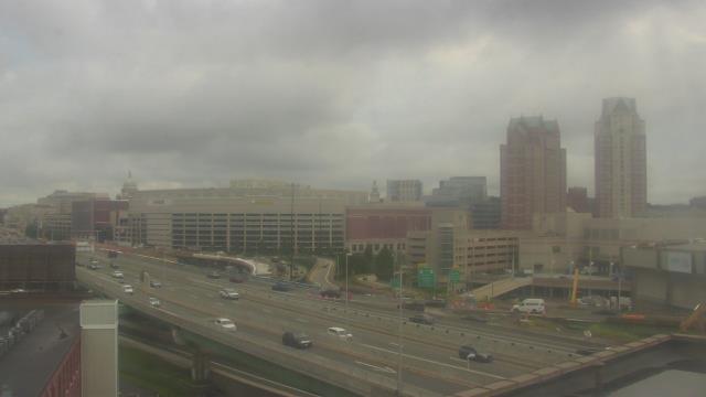
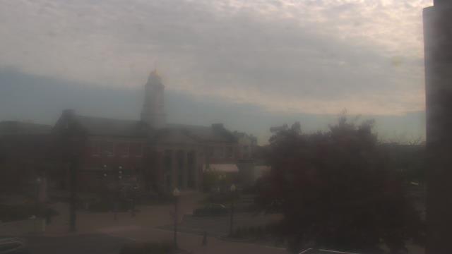
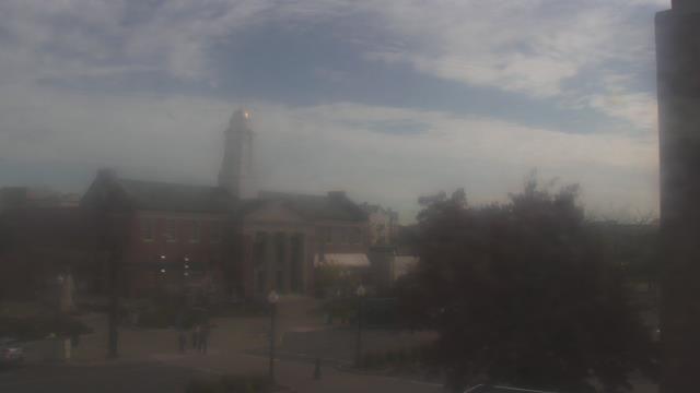
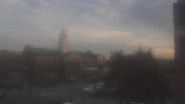
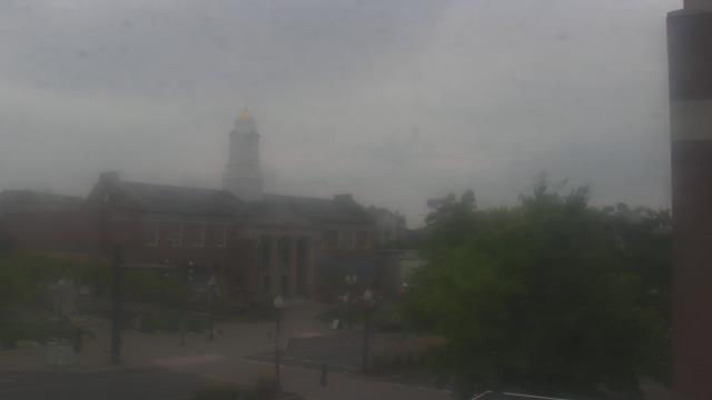
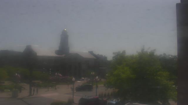
Providence, Rhode Island, USA - 23.7 miles from Acquidaneck (historical): Caprio Law Firm - A webcam in Providence, Rhode Island - camera location: Caprio Law Firm.
Operator: WeatherBug
Operator: WeatherBug


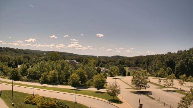
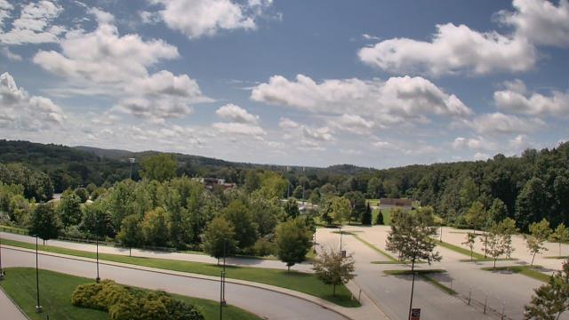
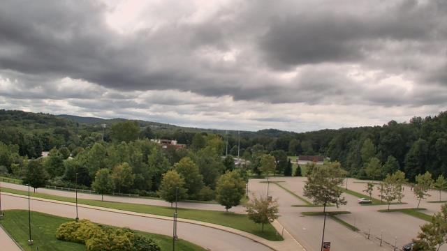
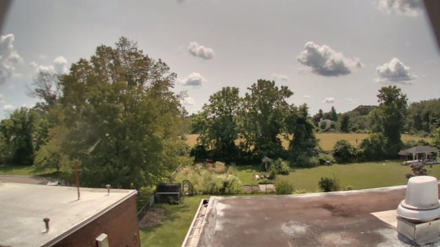
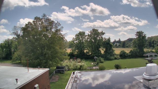
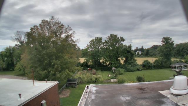
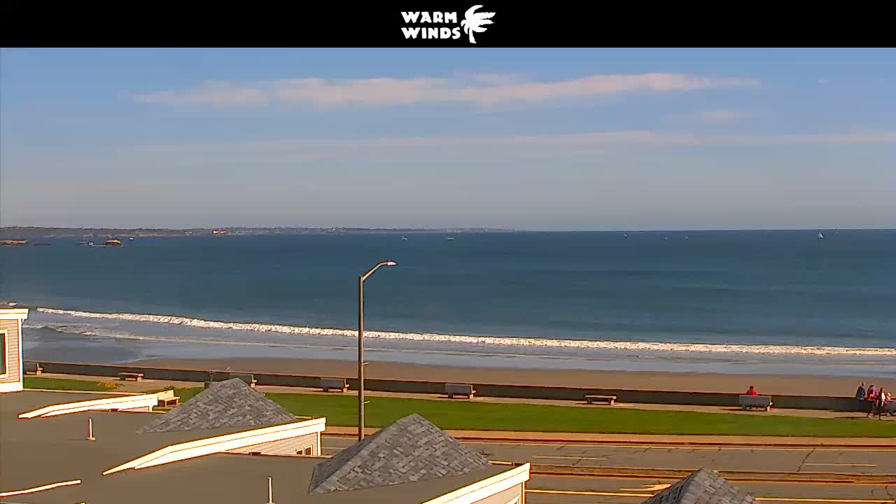
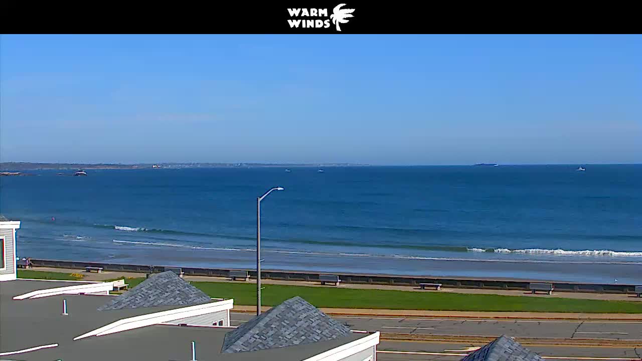
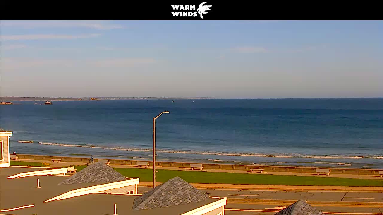
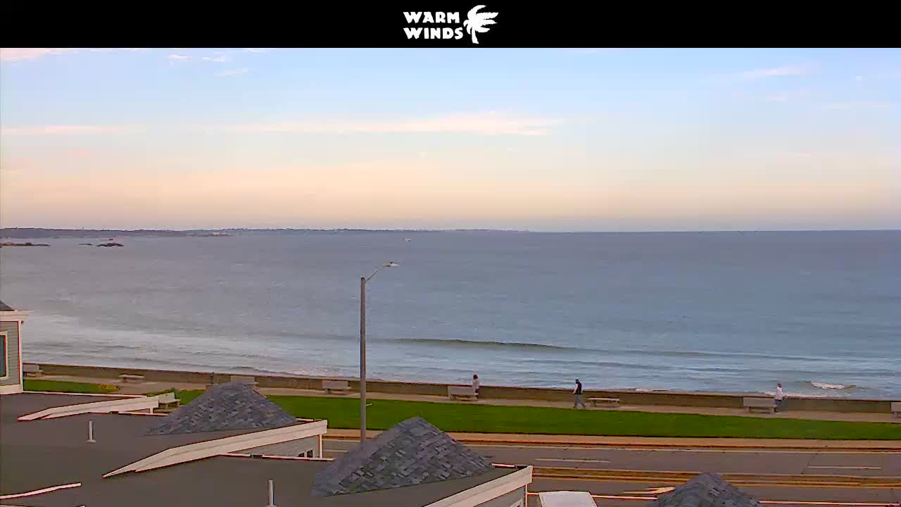
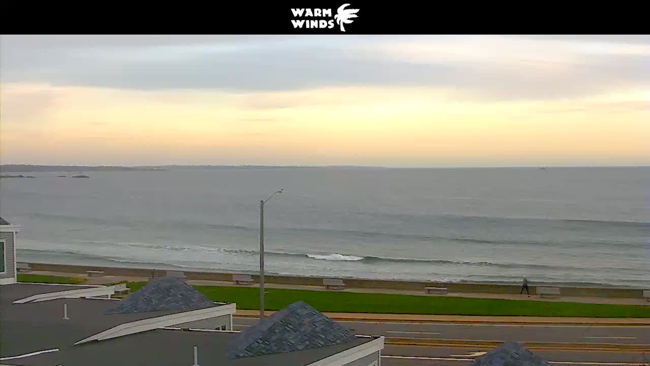
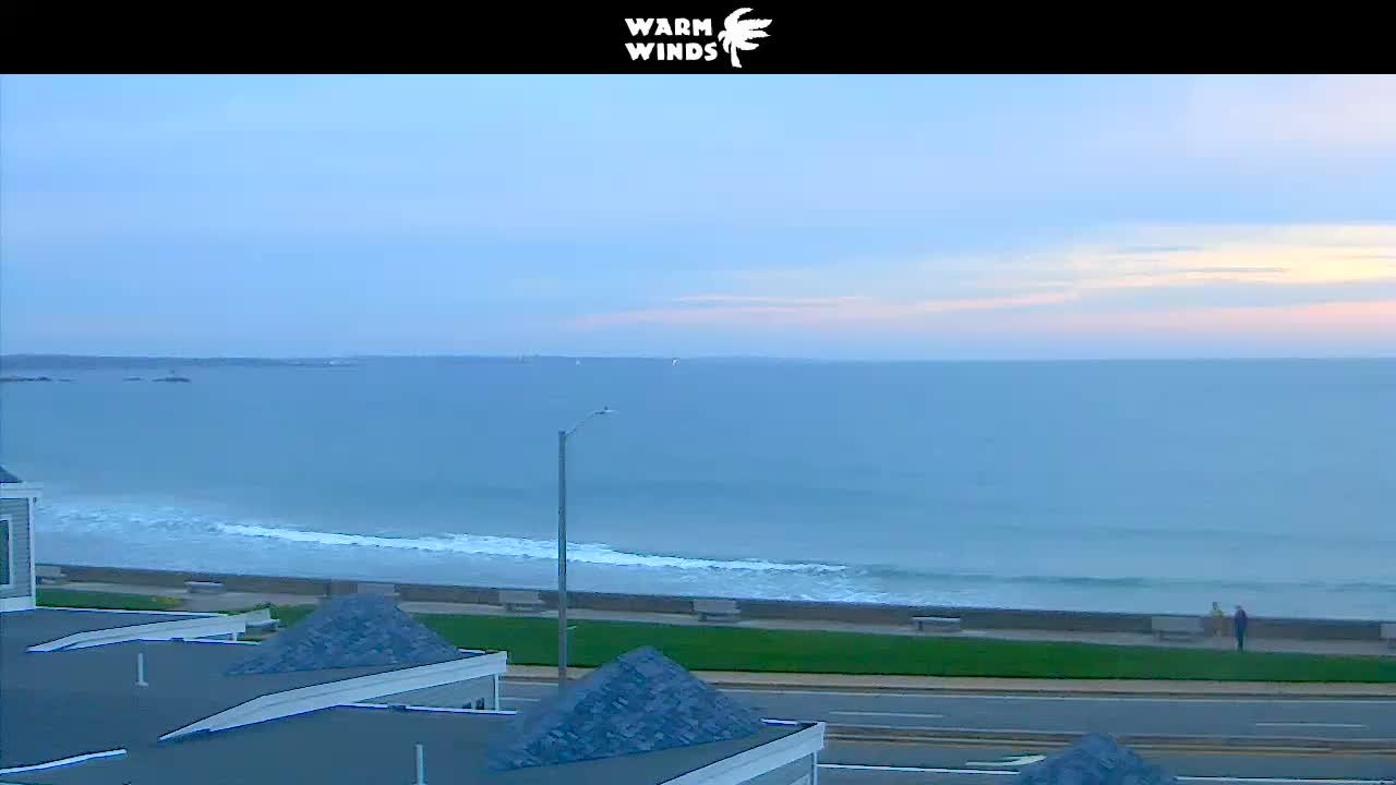
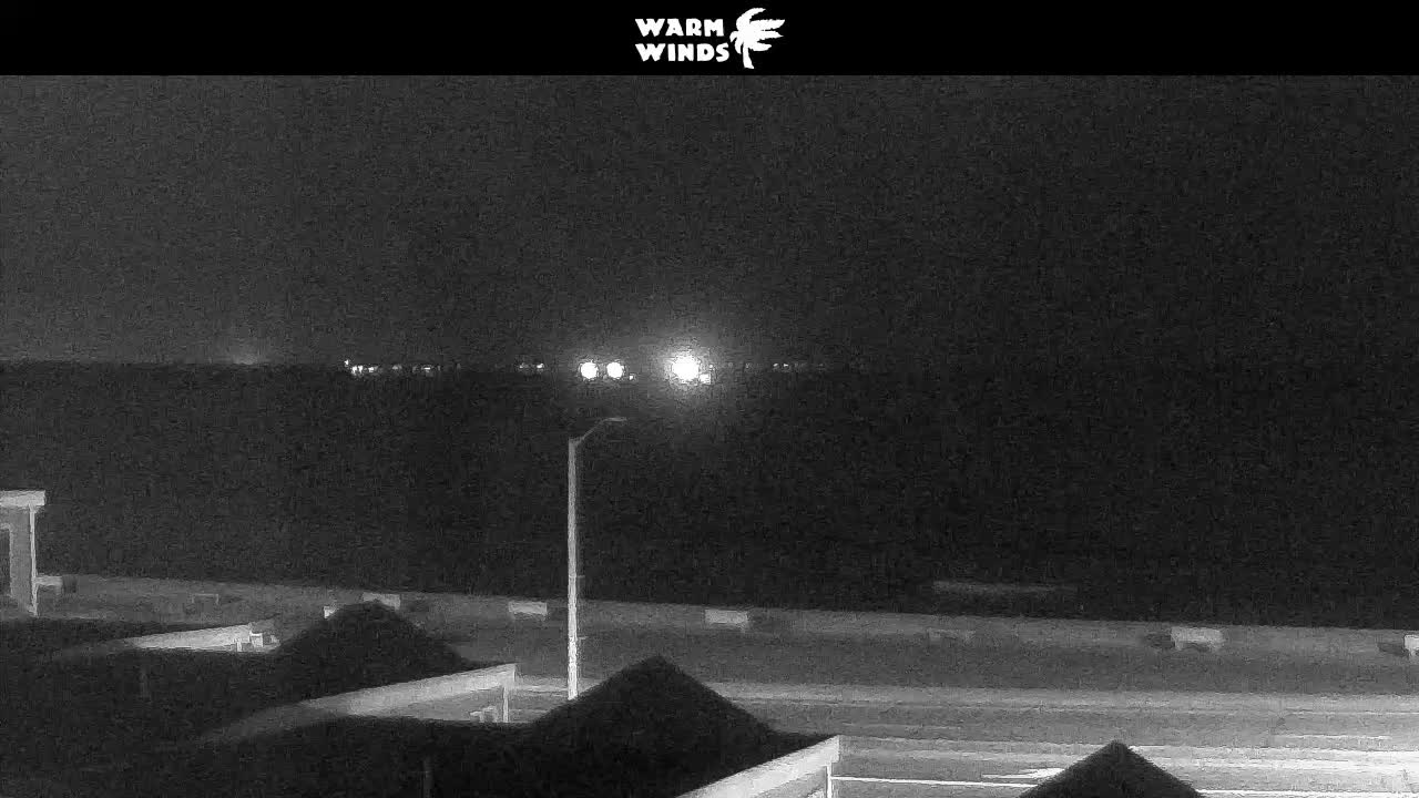
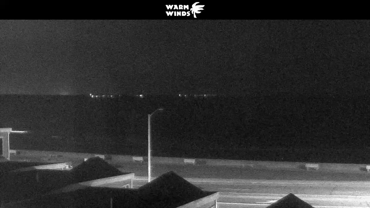
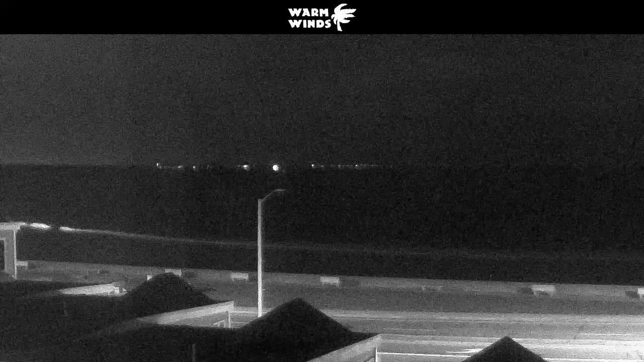
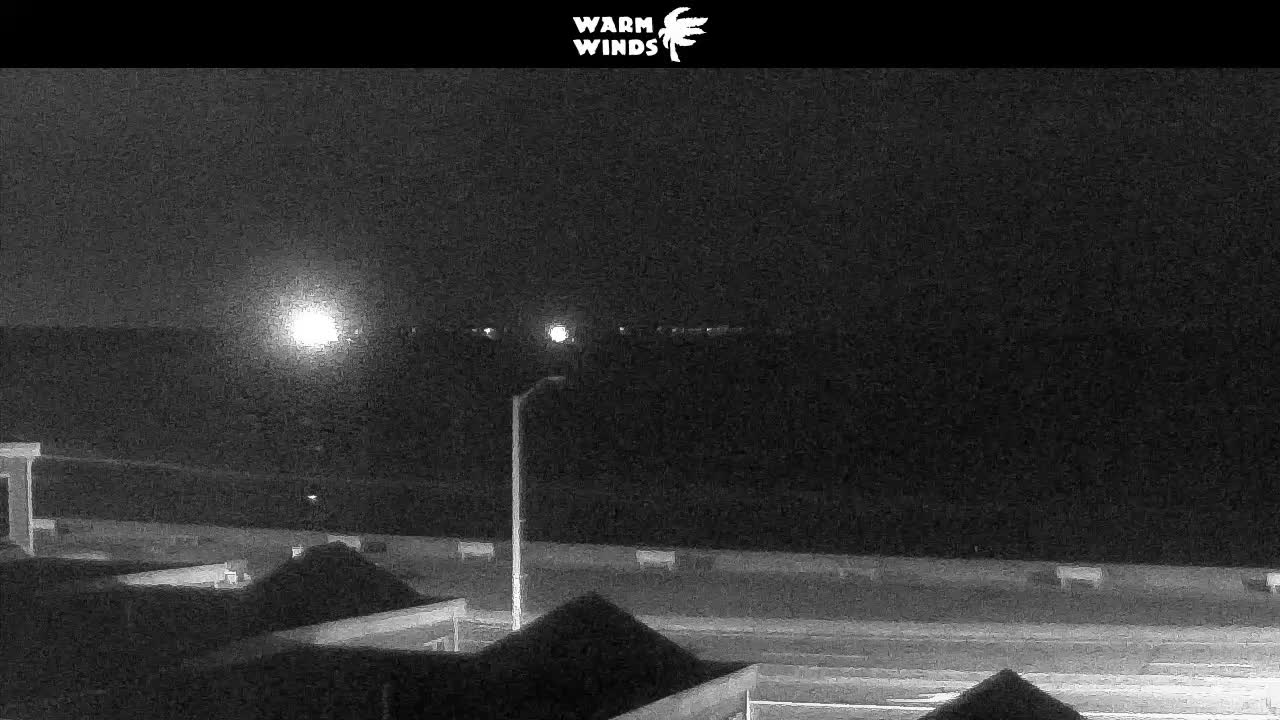
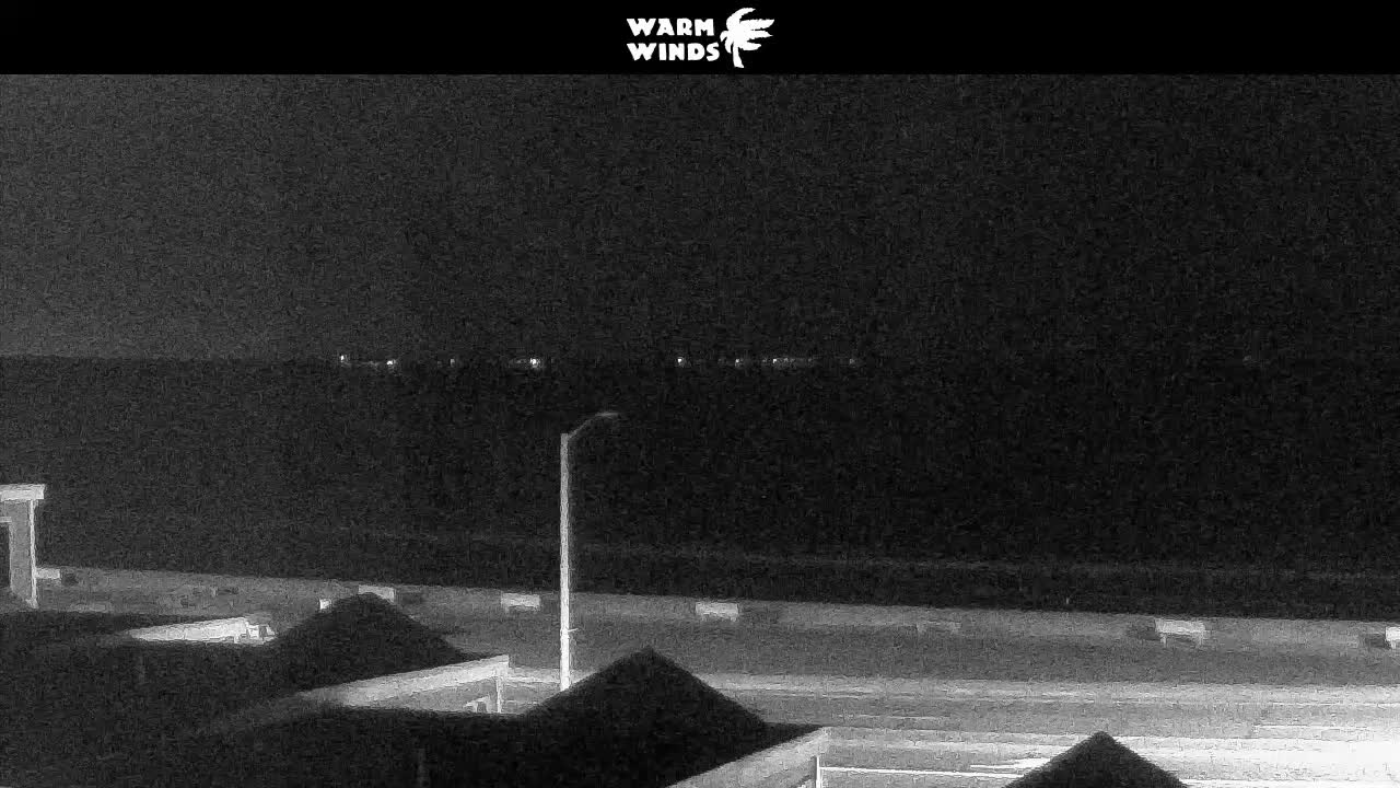
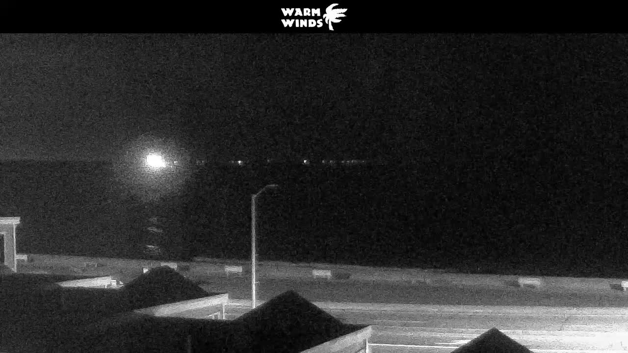
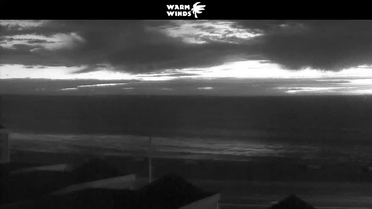
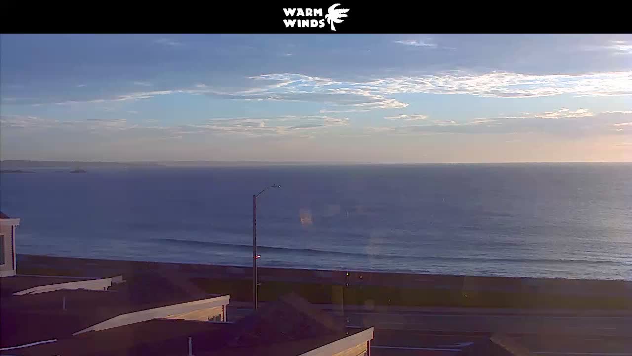
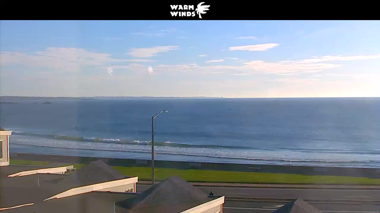
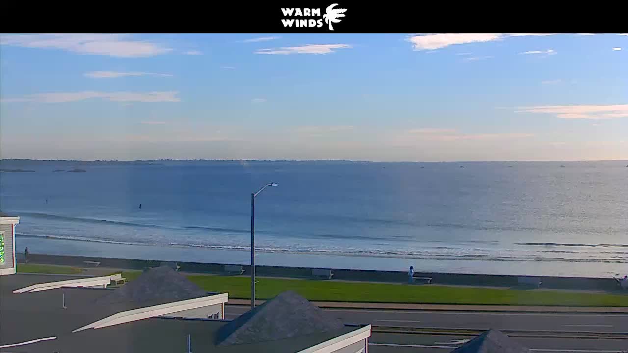
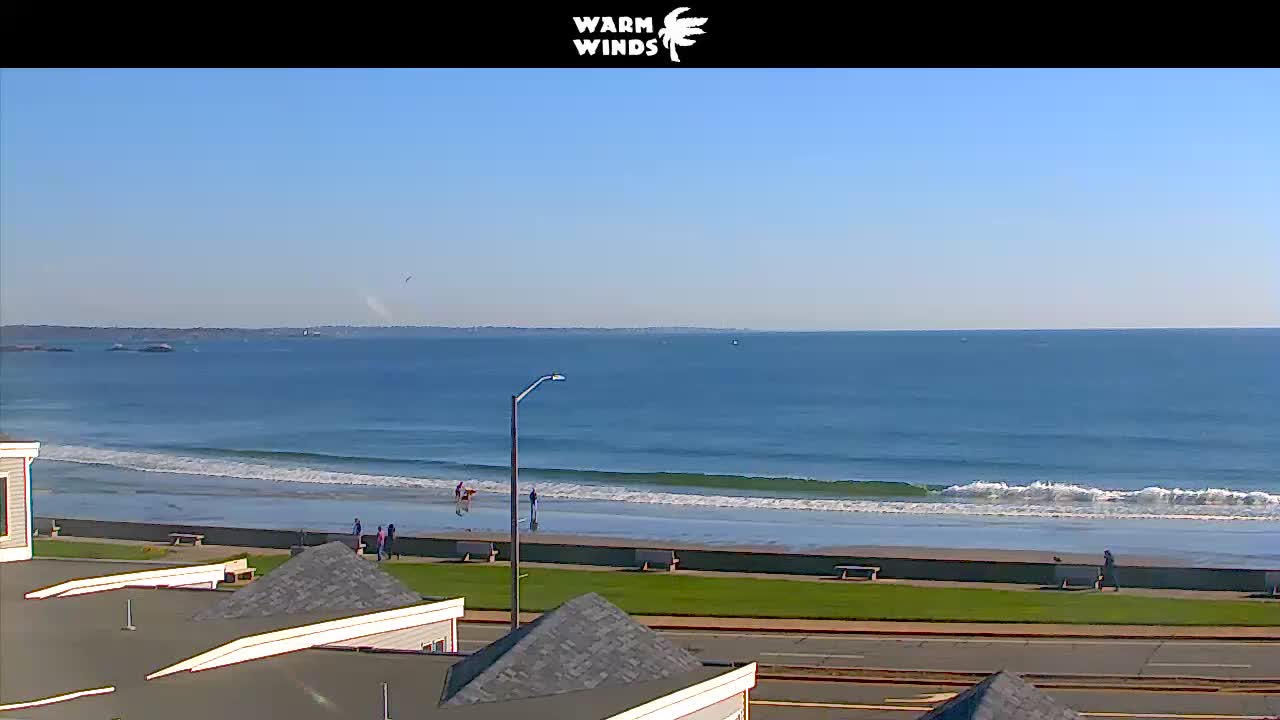
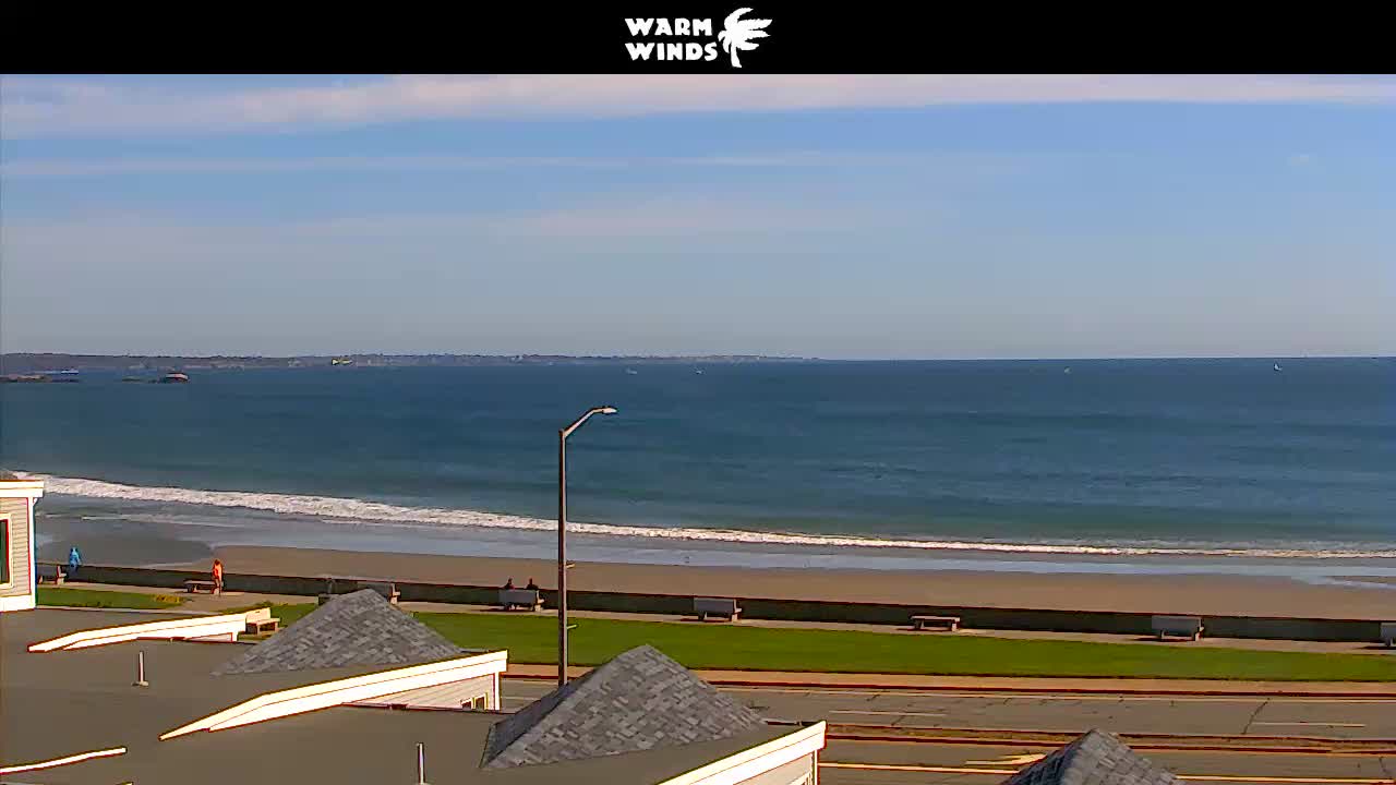
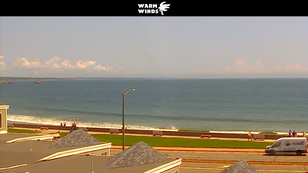
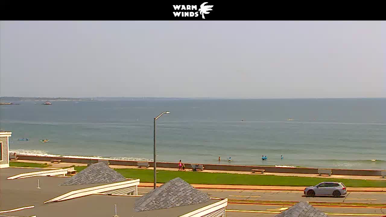
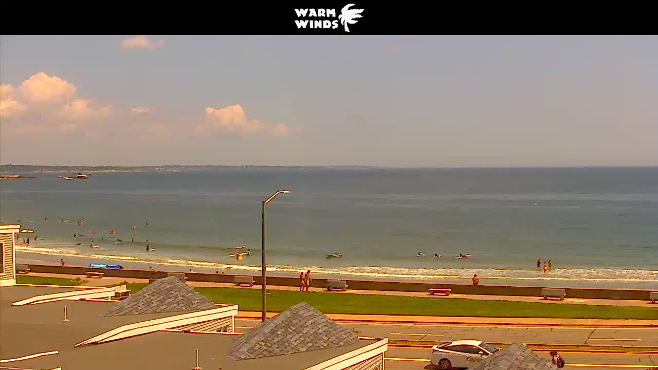
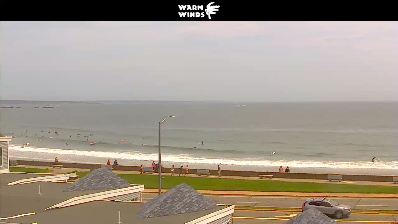
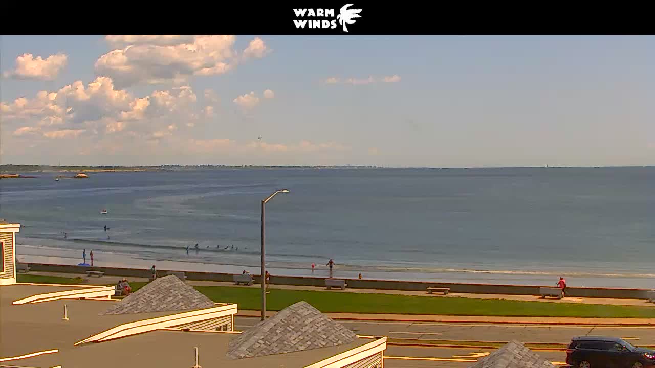
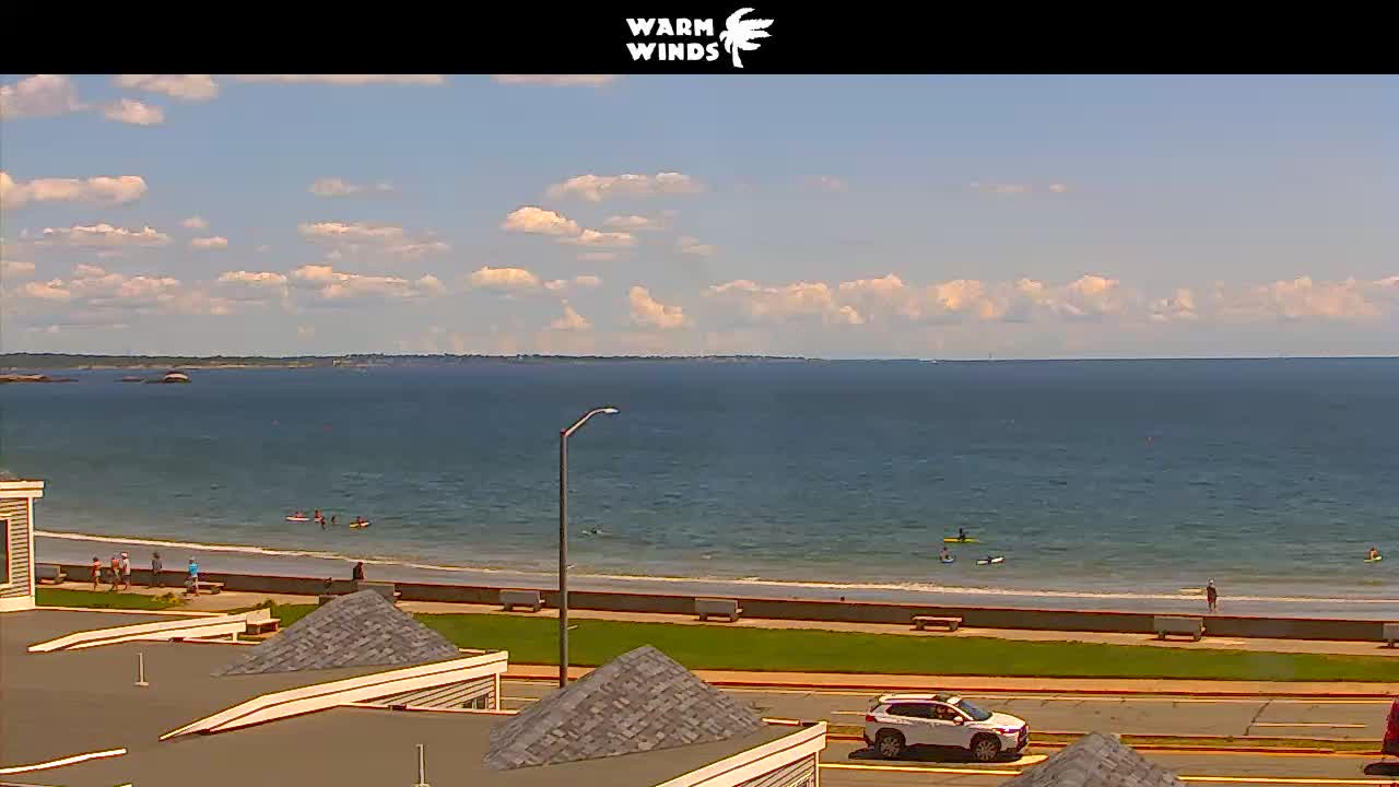
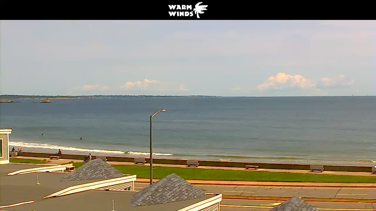
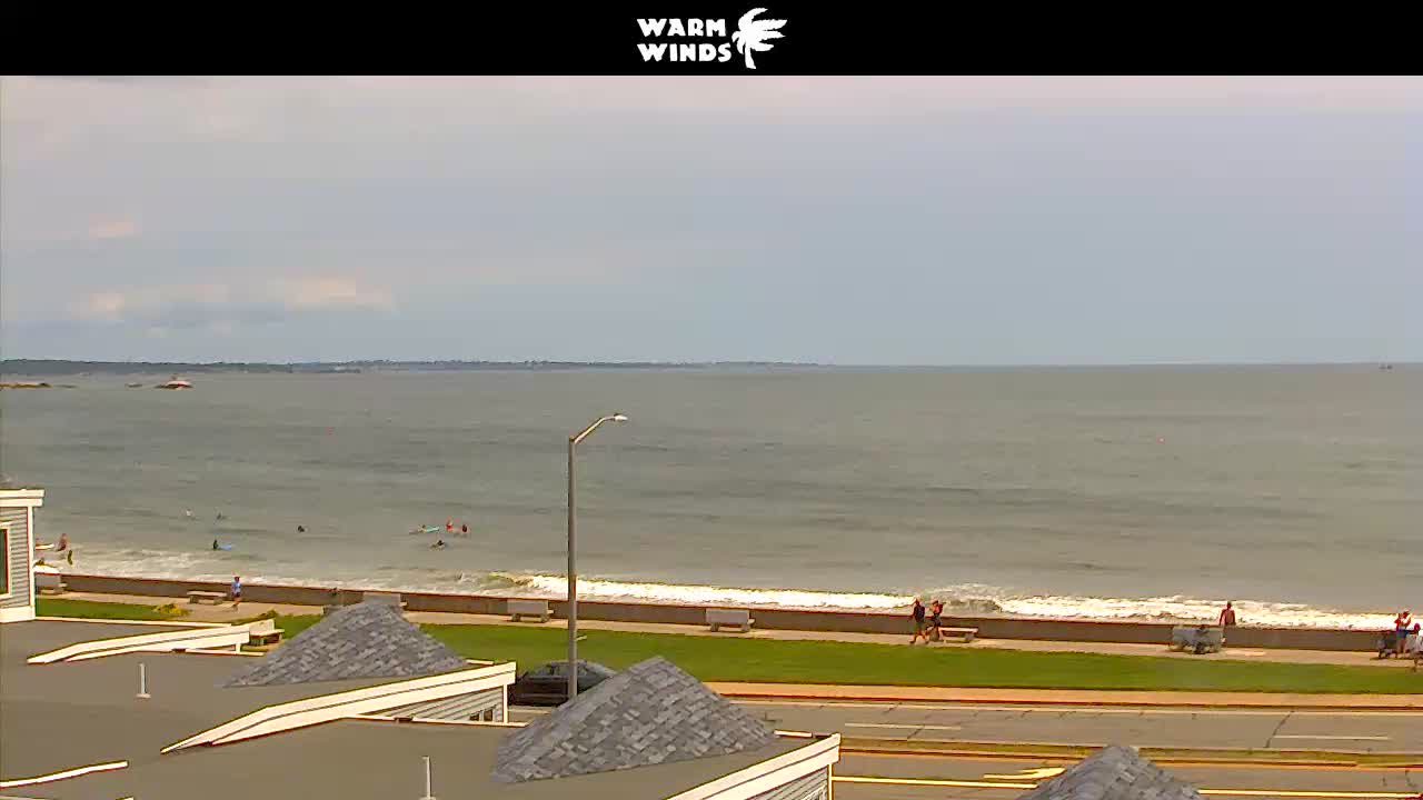
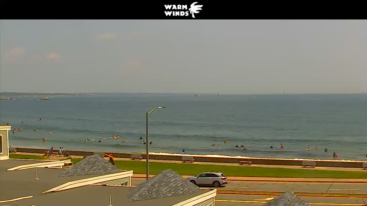
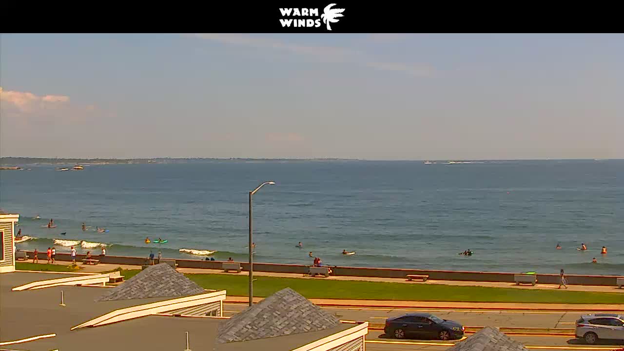
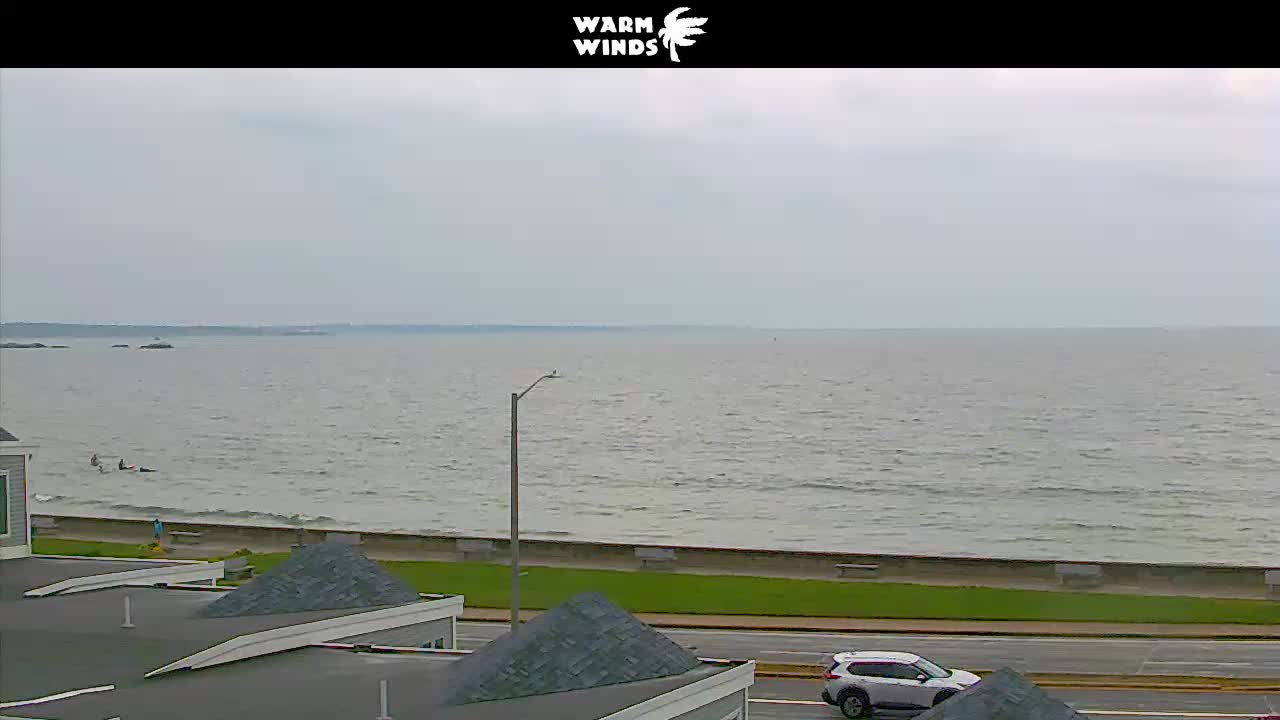
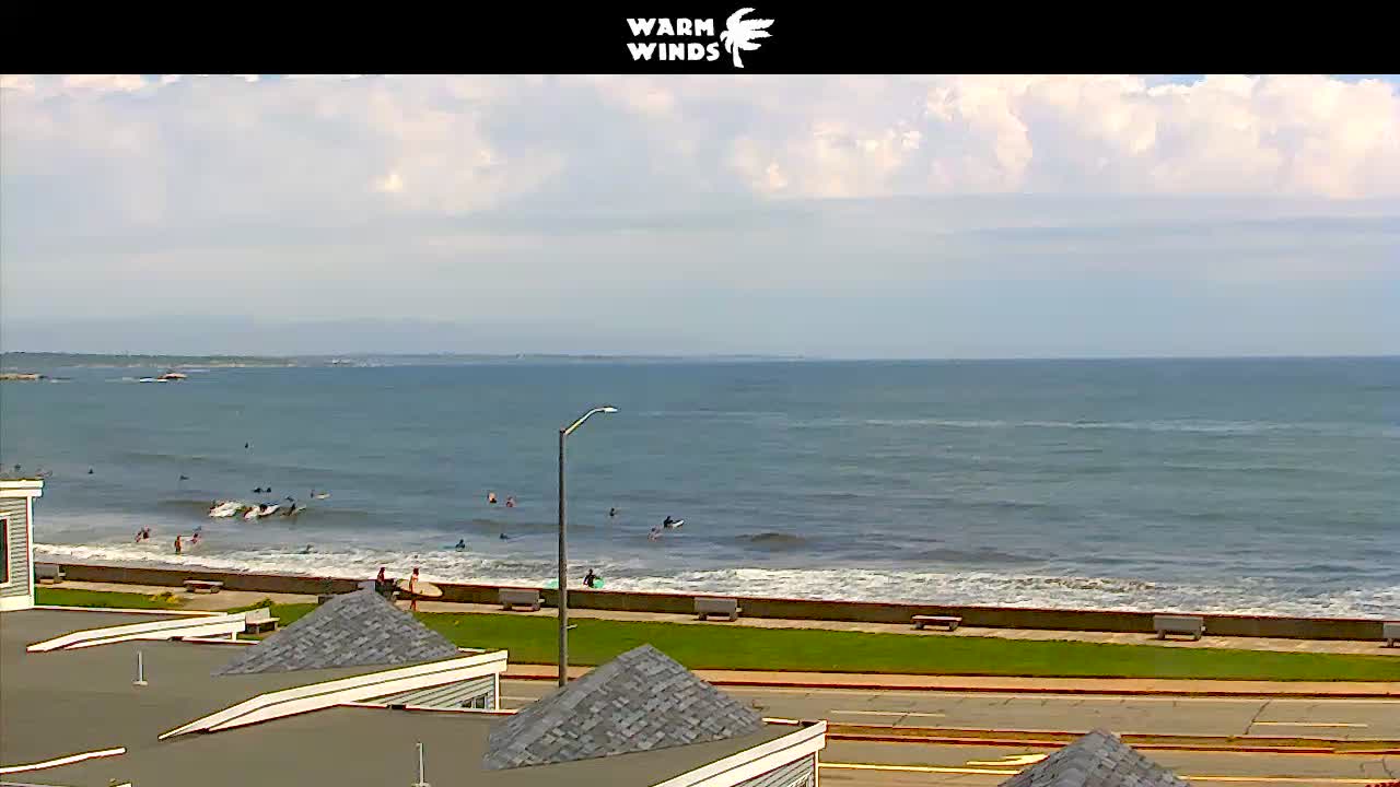
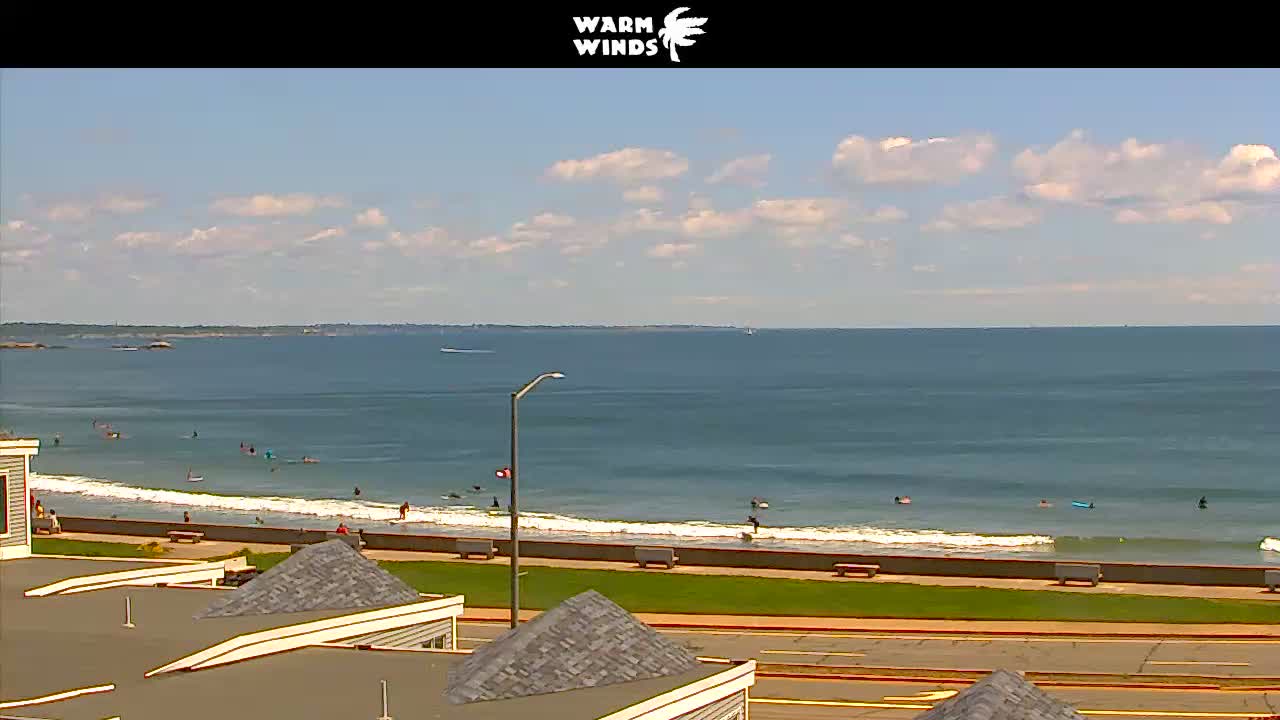
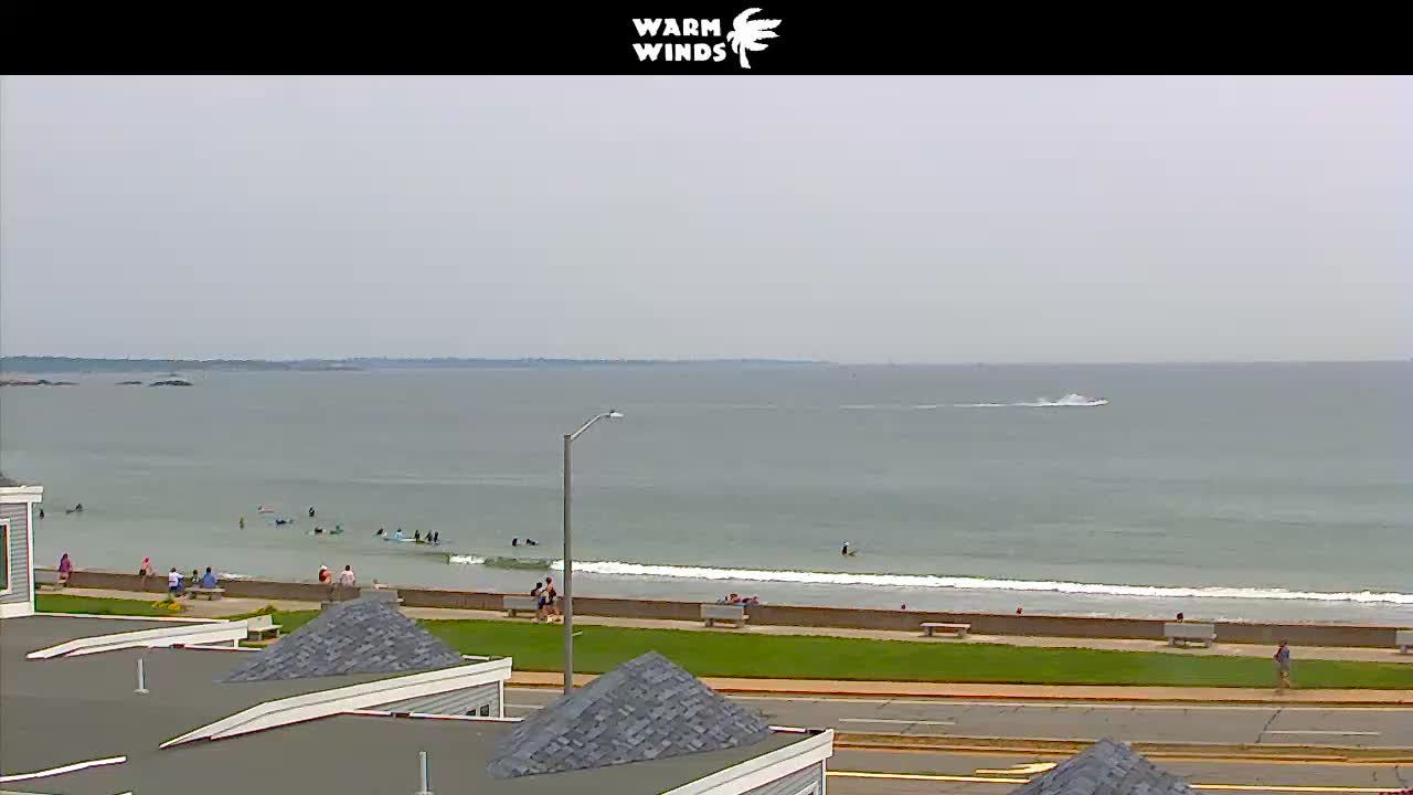
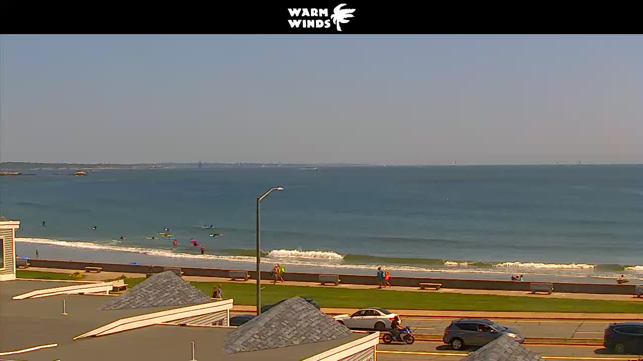
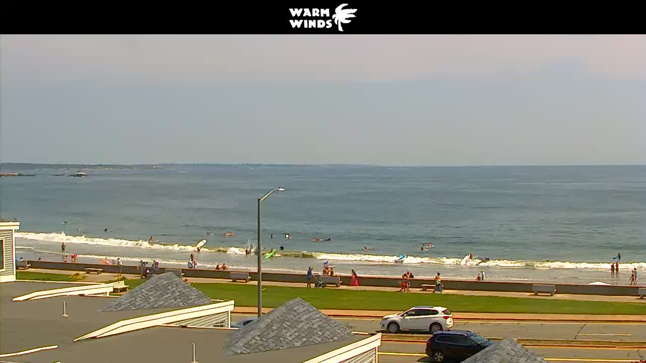
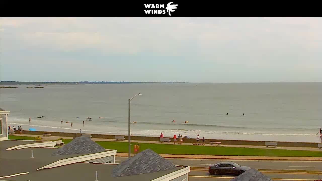
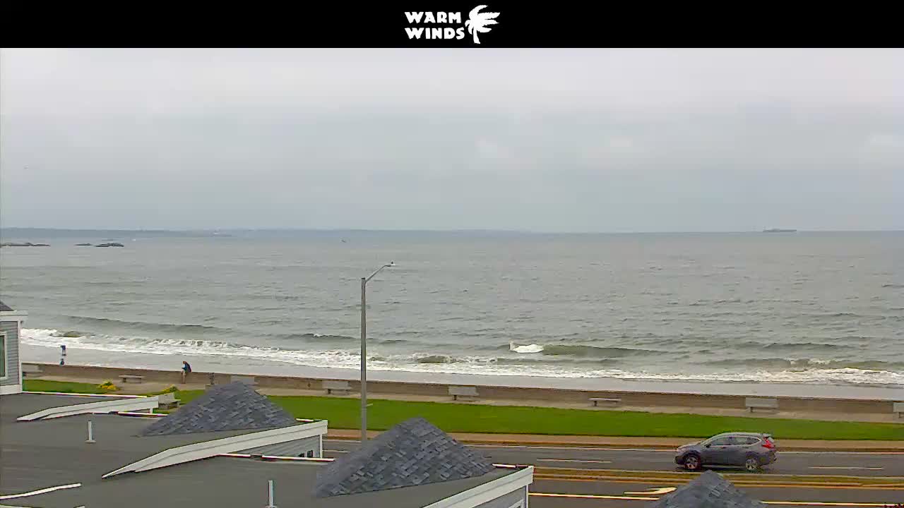
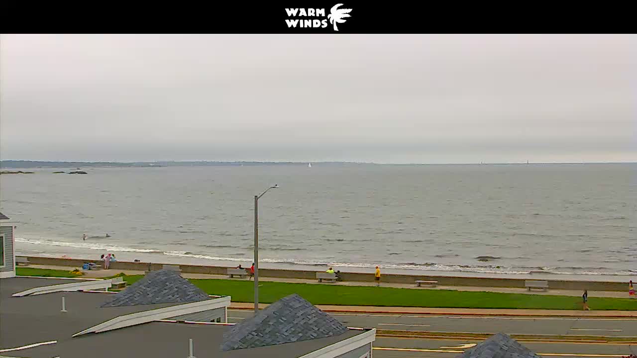
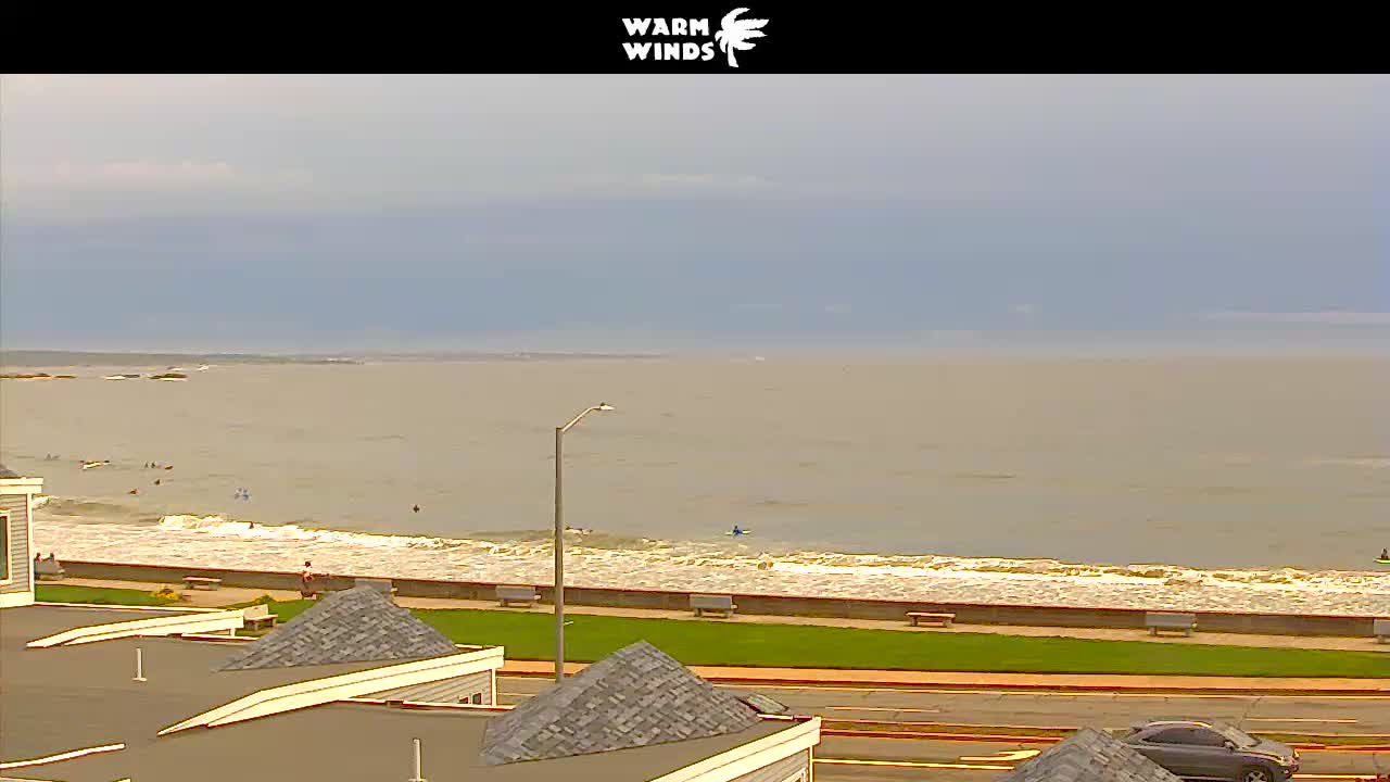
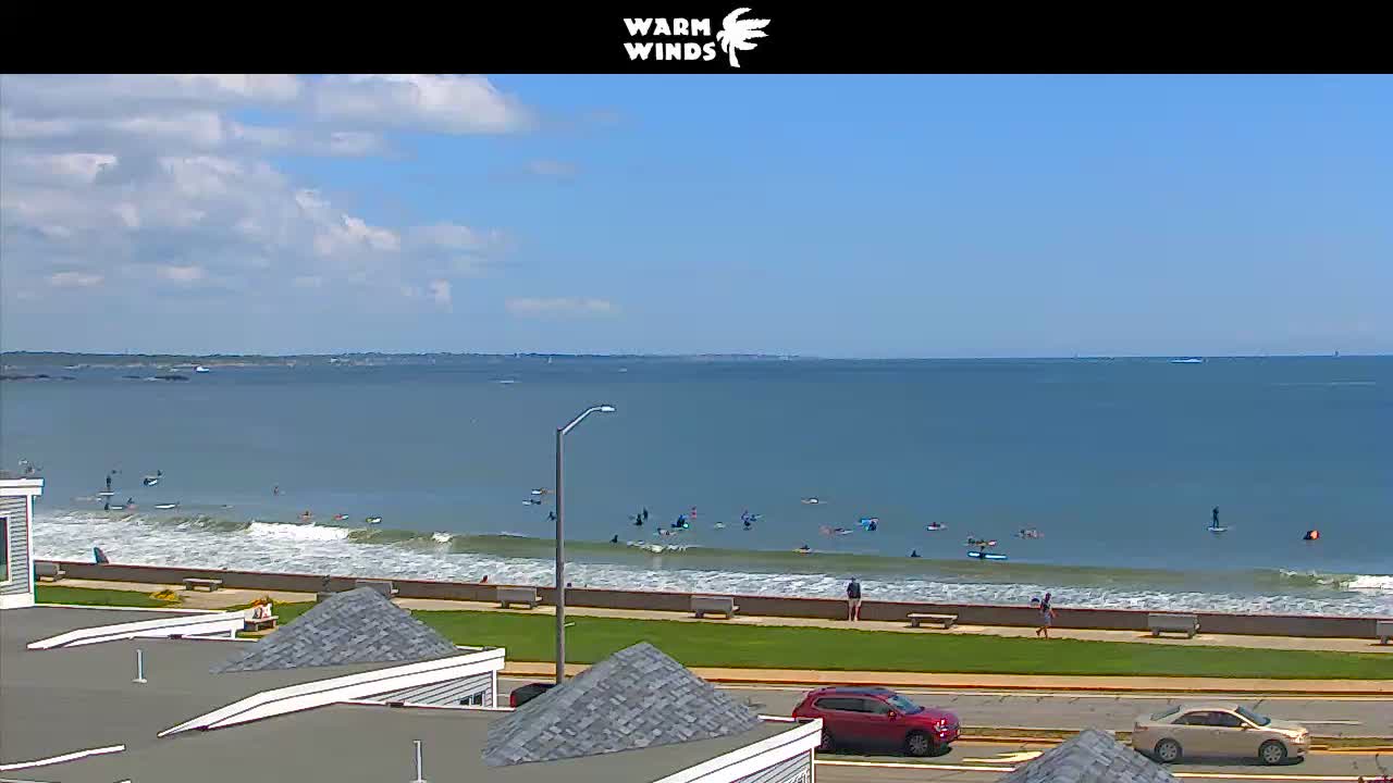
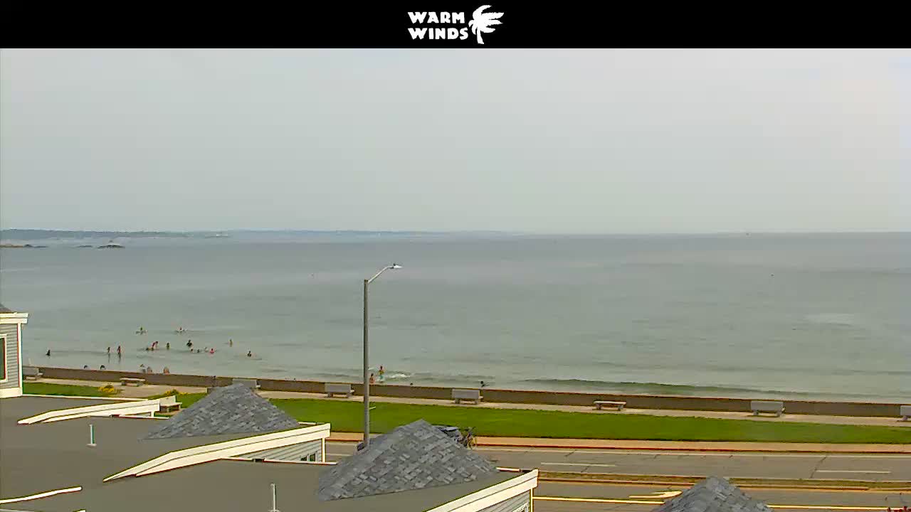
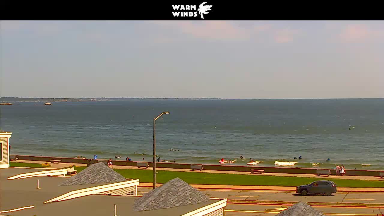
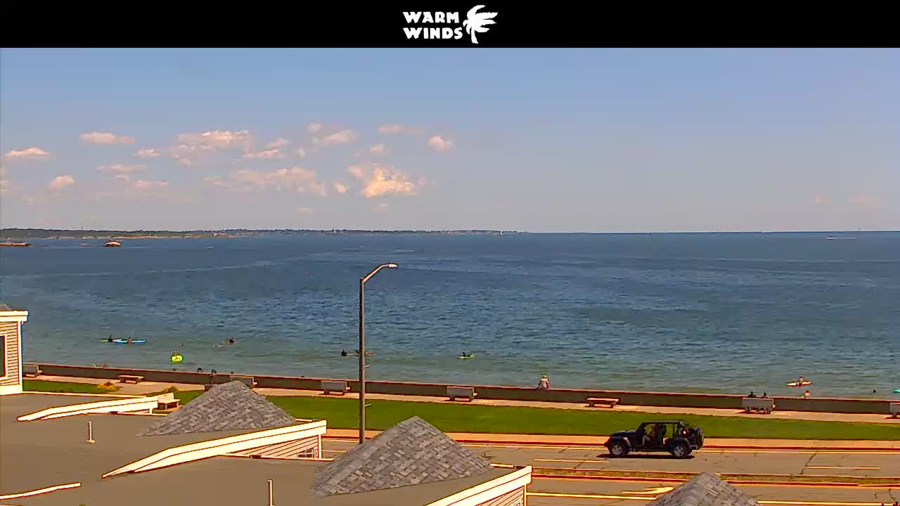
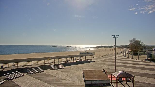
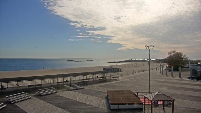
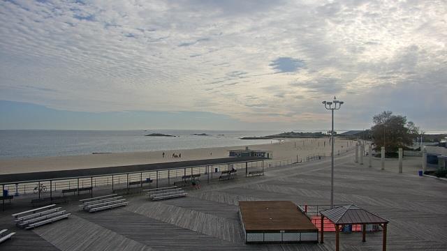
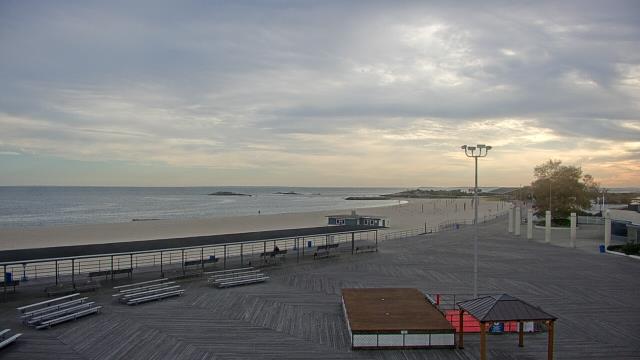
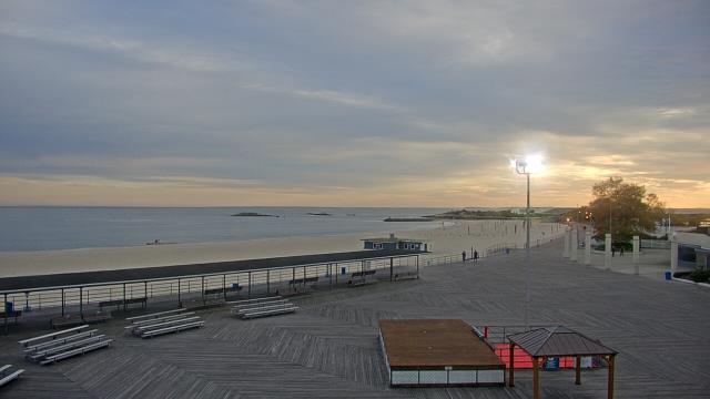
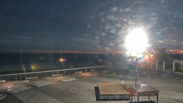
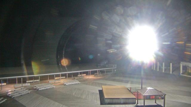
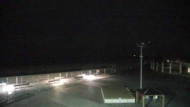
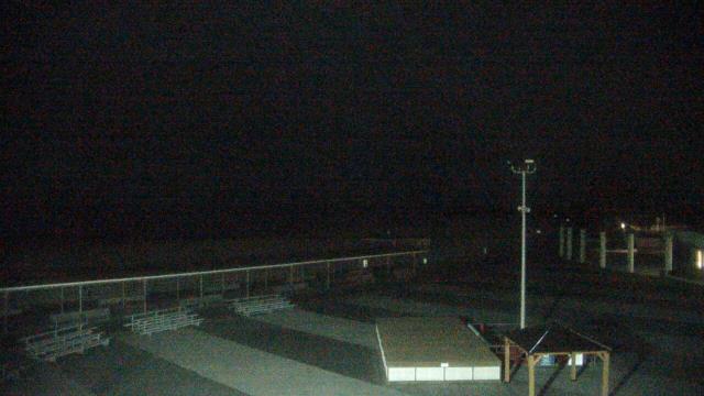
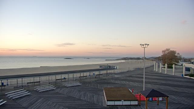
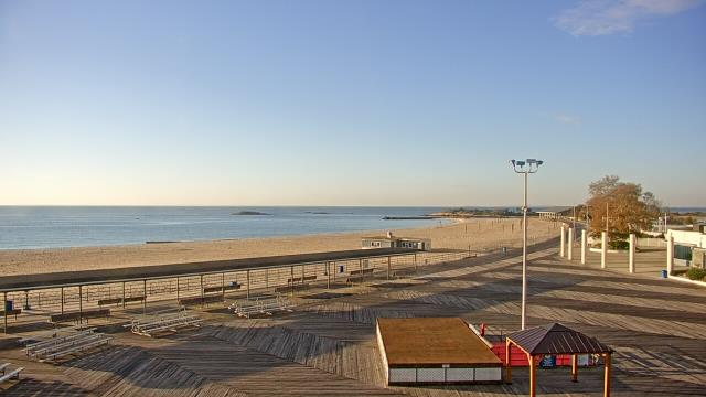
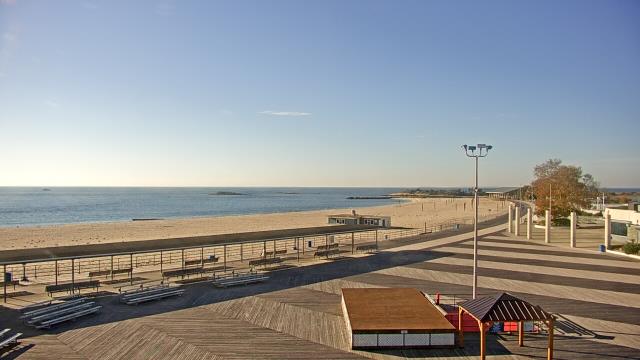
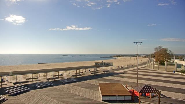
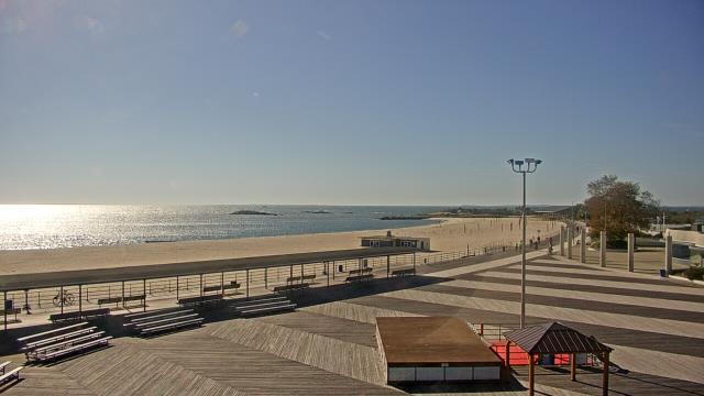
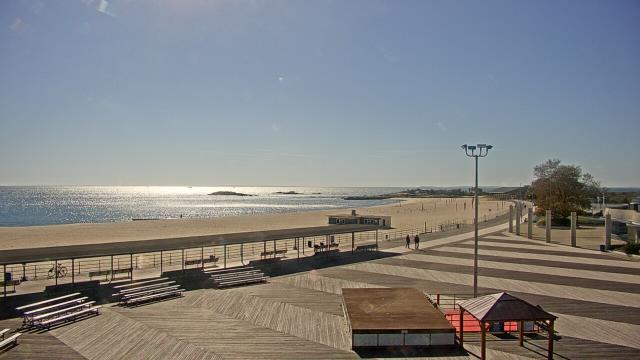
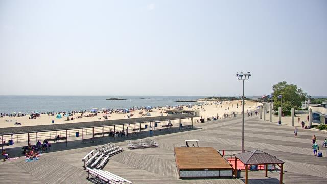
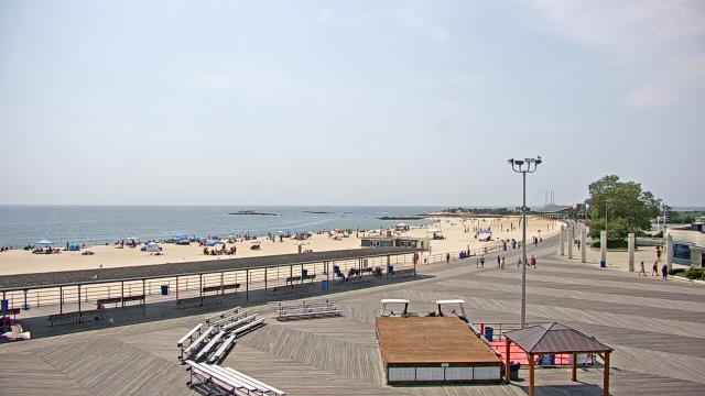
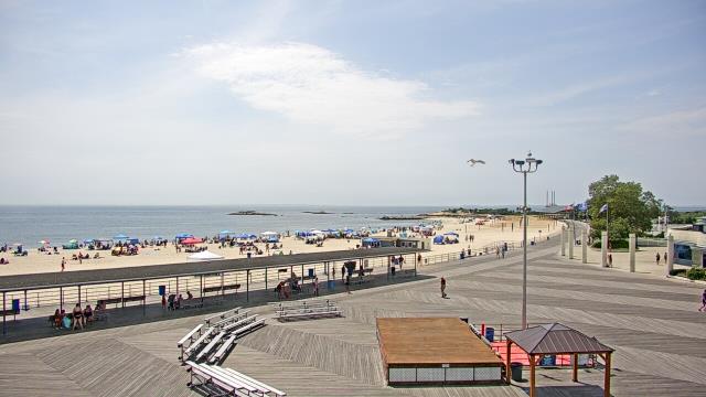
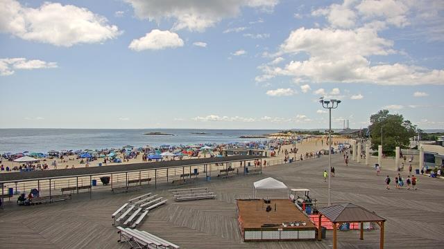
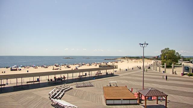
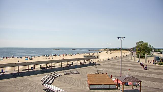
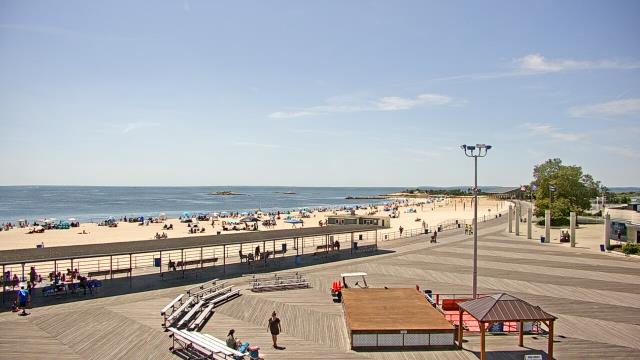
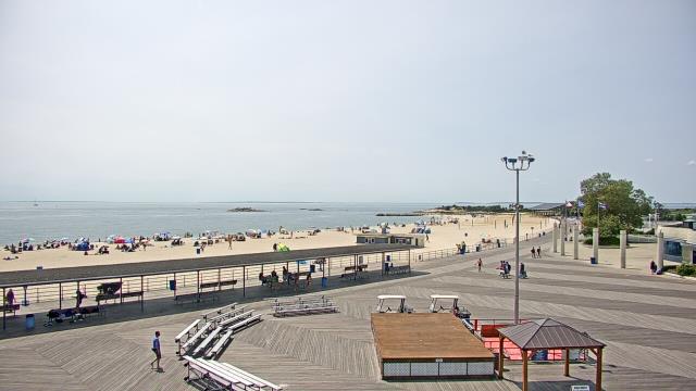
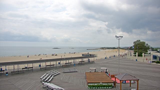
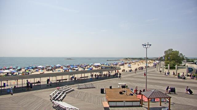
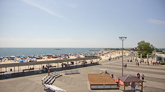
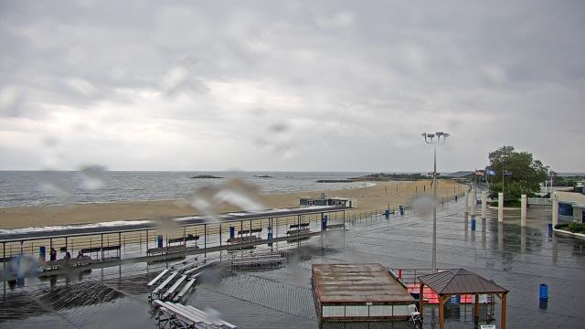
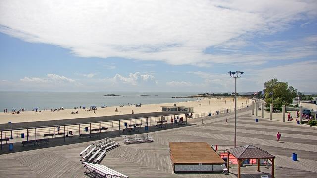
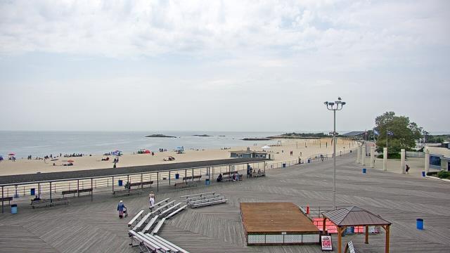
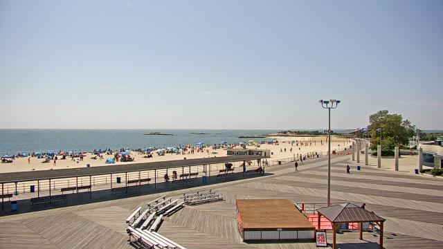
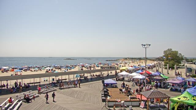
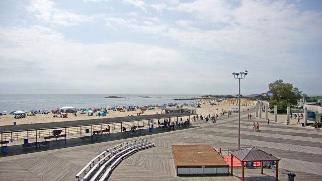
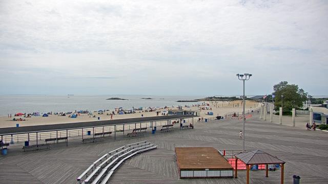
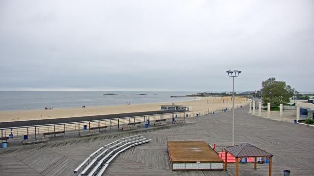
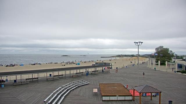
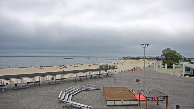
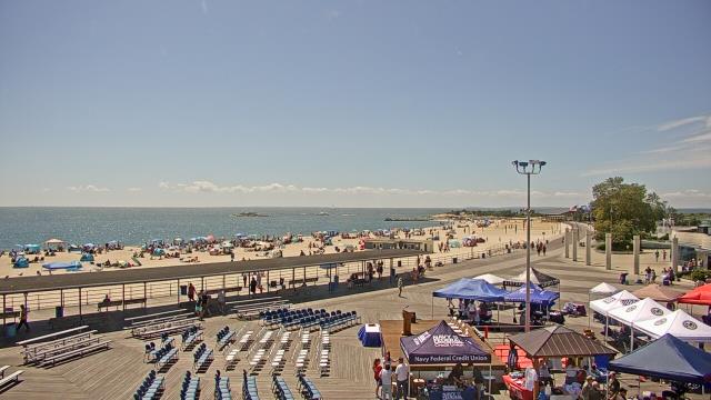
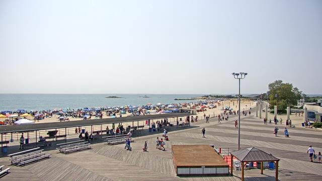
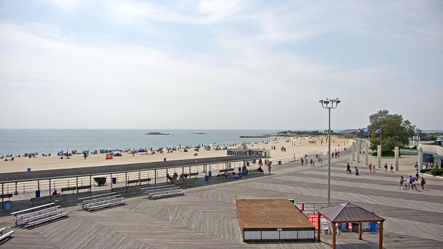
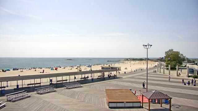
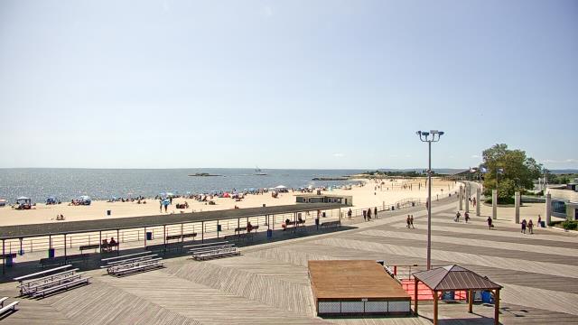
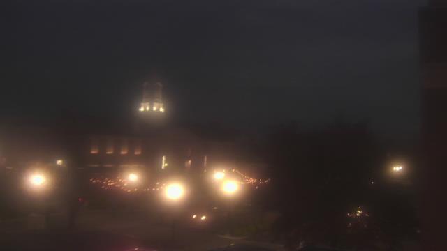
Narragansett, Rhode Island, USA - 31.8 miles from Acquidaneck (historical): Narragansett Surf Cam - Surf cam of Narragansett town beach.
Operator: Warm Winds
Operator: Warm Winds


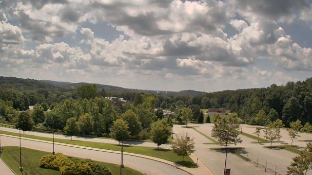
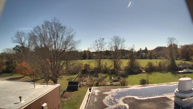
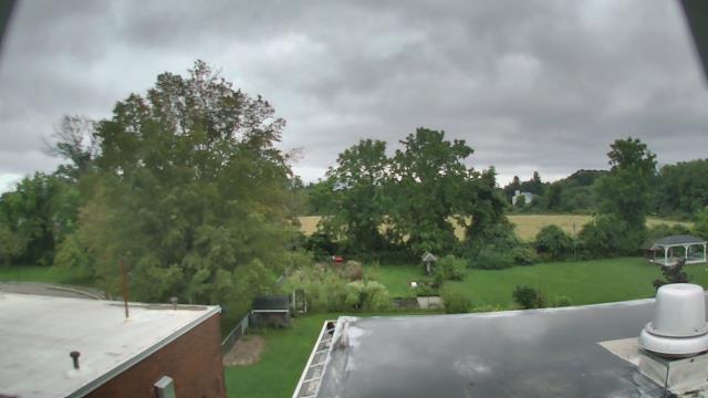
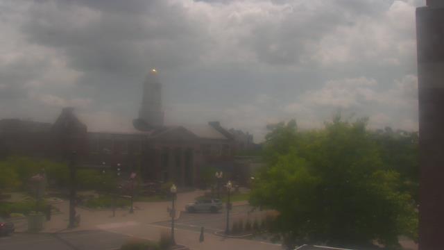
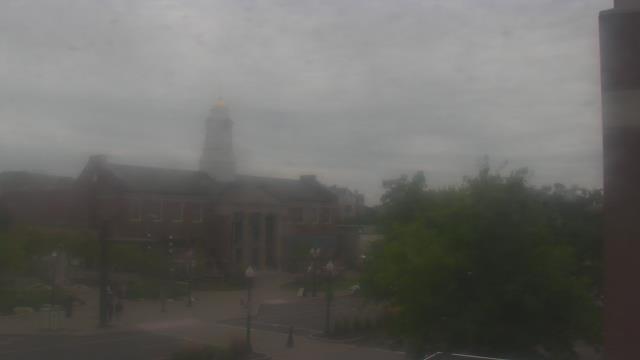
New London, Connecticut, USA - 35 miles from Acquidaneck (historical): Ocean Beach Park - A webcam in New London, Connecticut - camera location: Ocean Beach Park.
Operator: WeatherBug
Operator: WeatherBug


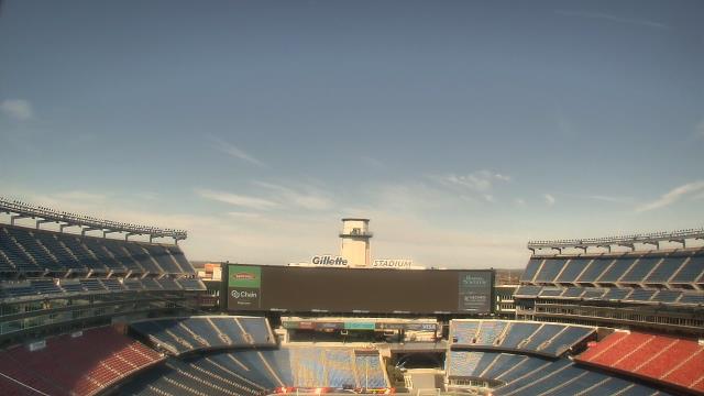
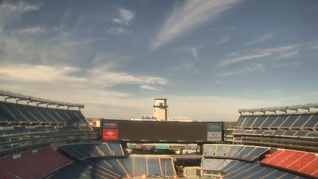
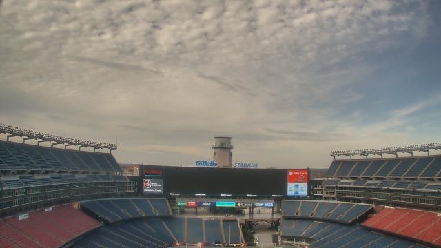
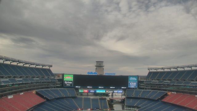
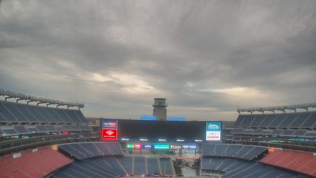
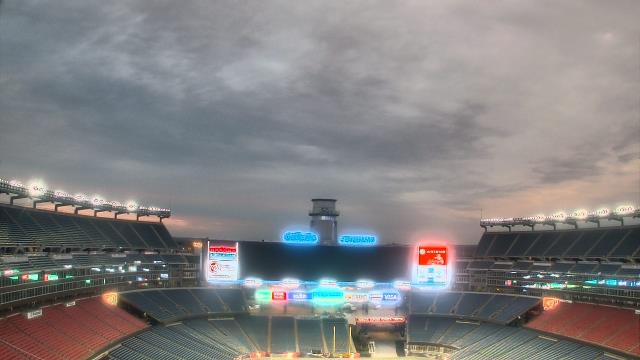
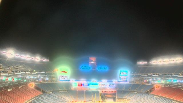
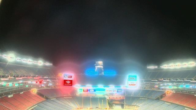
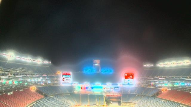
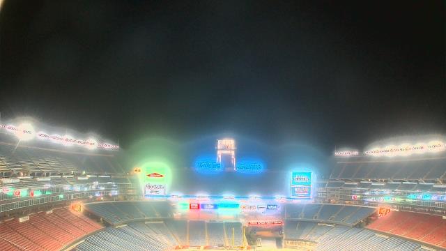
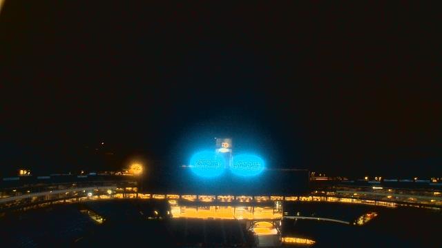
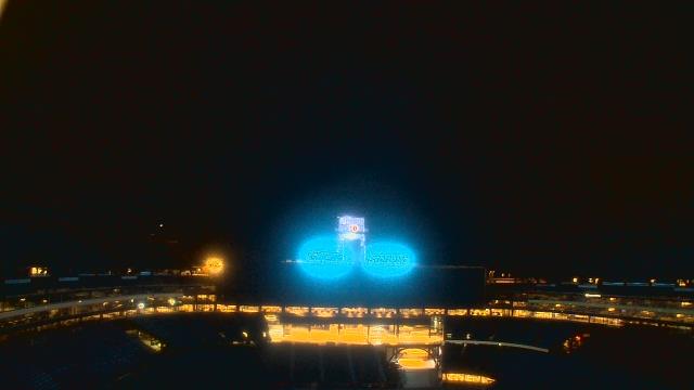
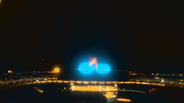
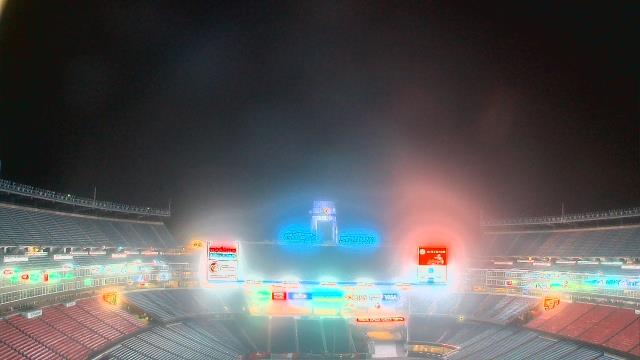
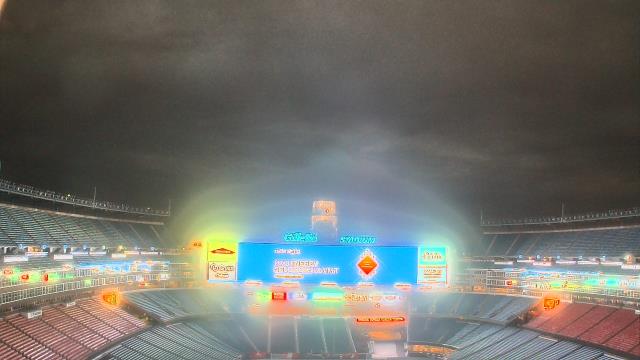
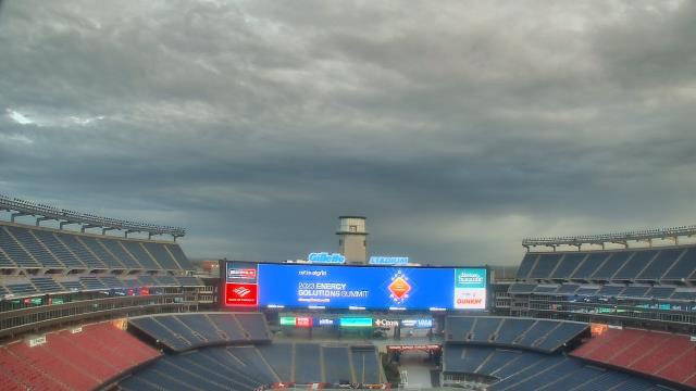
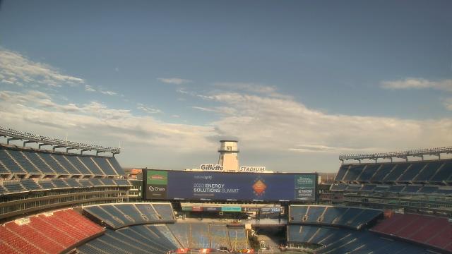
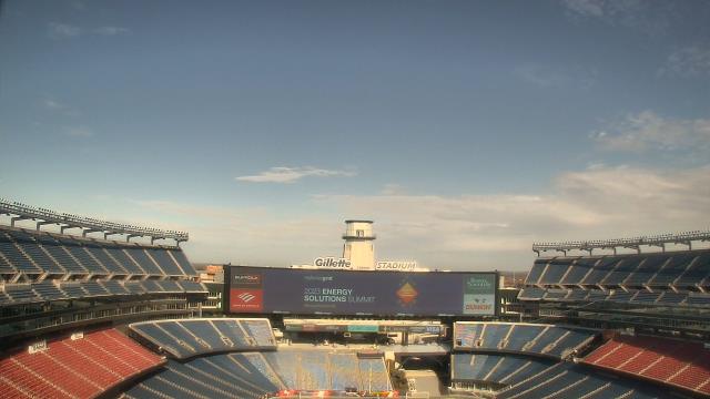
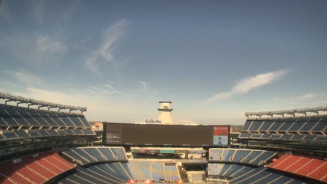
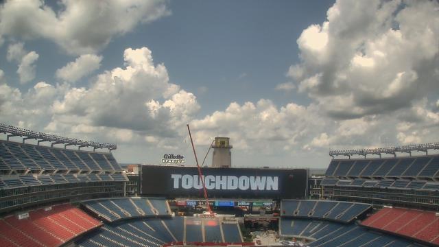
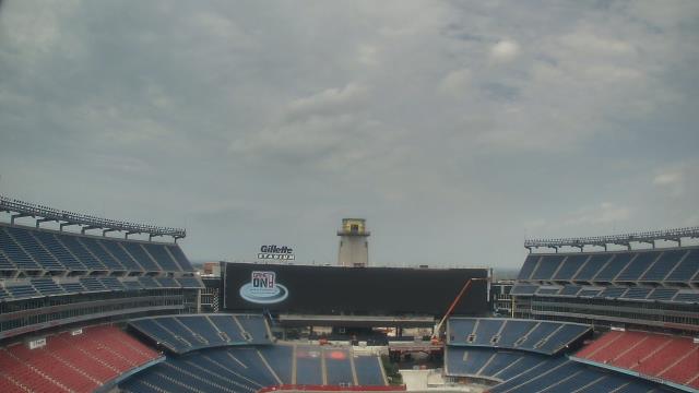
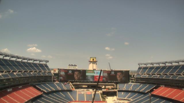
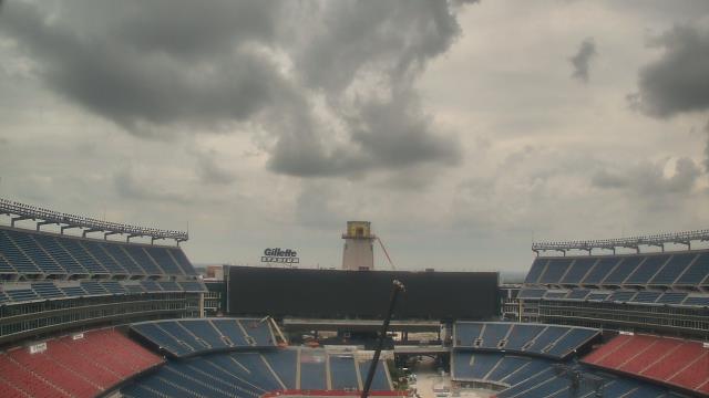
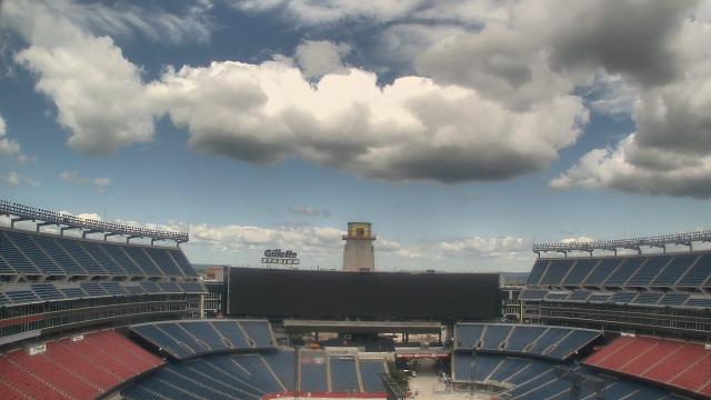
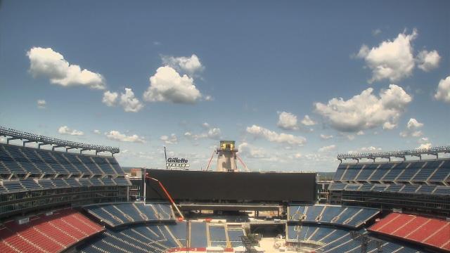
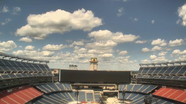
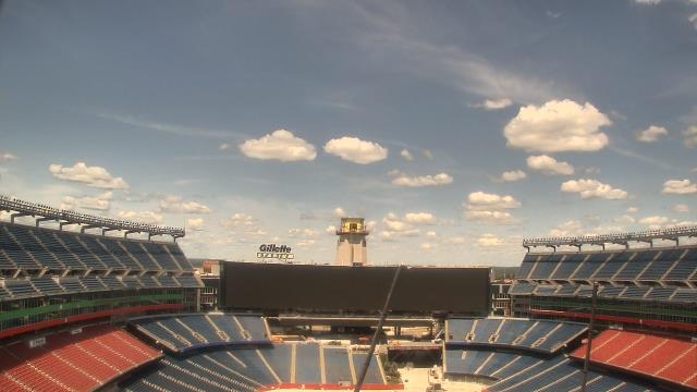
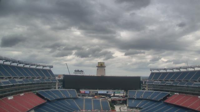
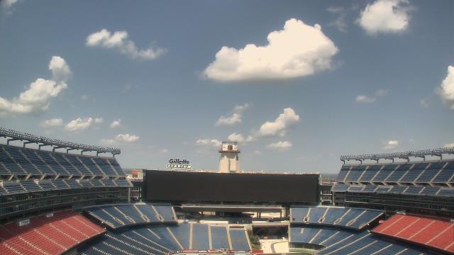
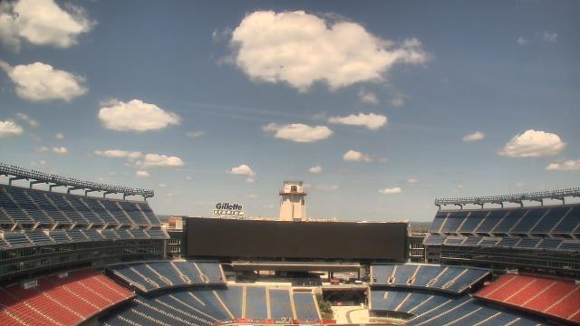
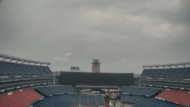
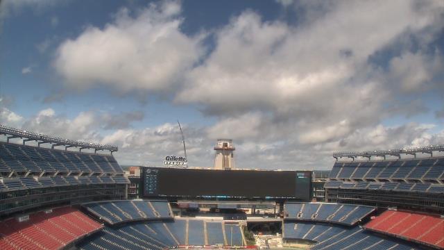
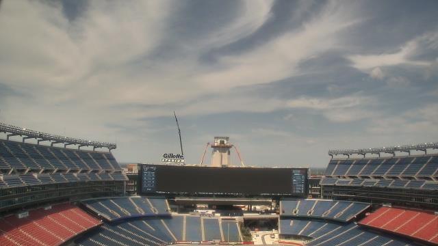
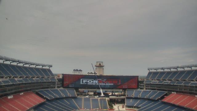
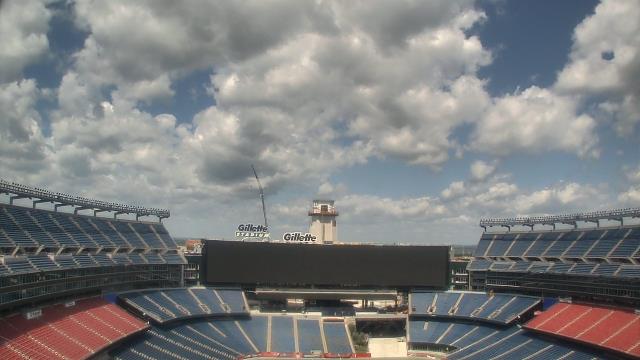
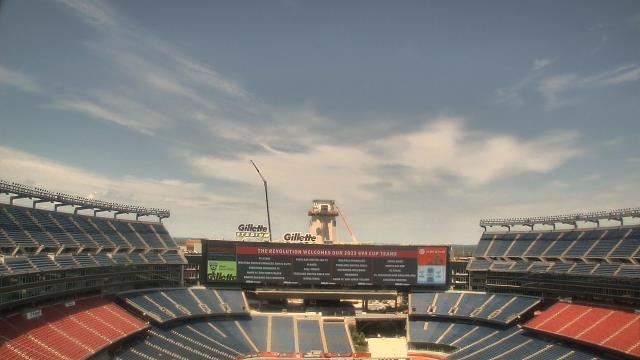
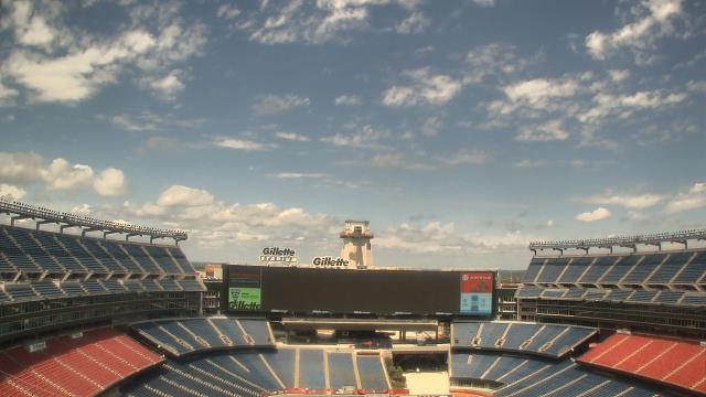
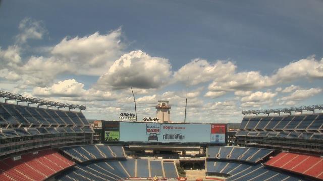
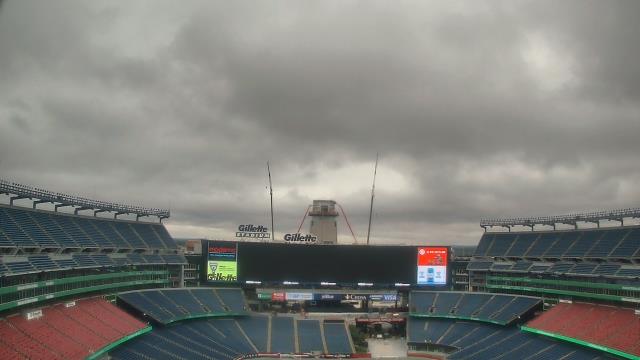
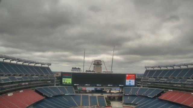
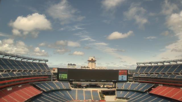
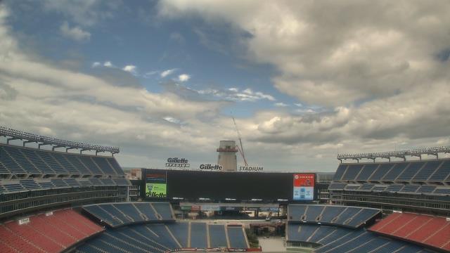
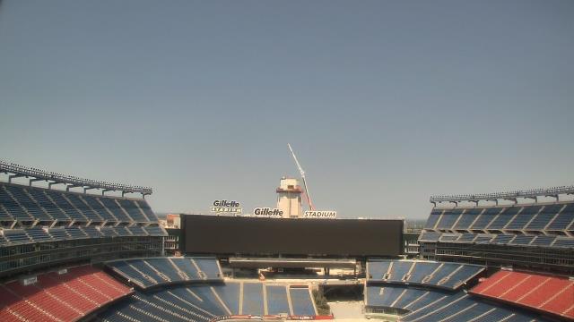
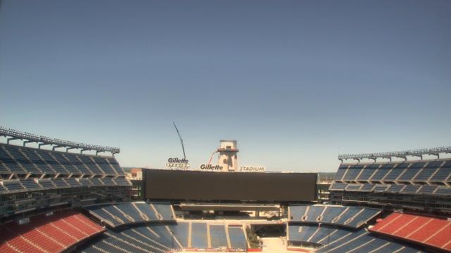
Foxboro, Massachusetts, USA - 37.2 miles from Acquidaneck (historical): Gillette Stadium - A webcam in Foxboro, Massachusetts - camera location: Gillette Stadium.
Operator: WeatherBug
Operator: WeatherBug


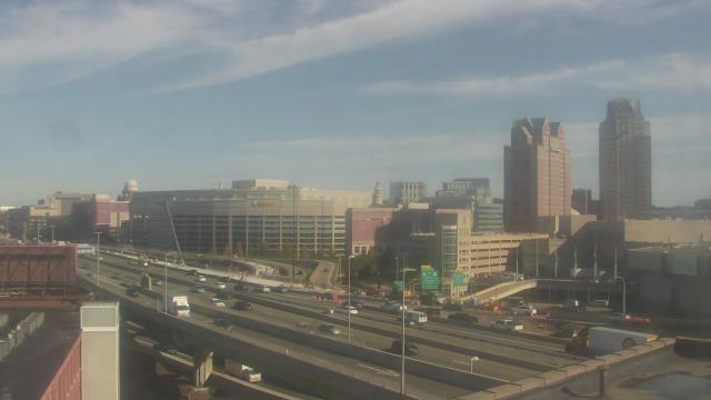
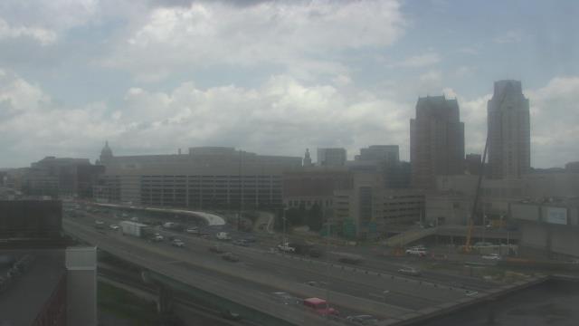
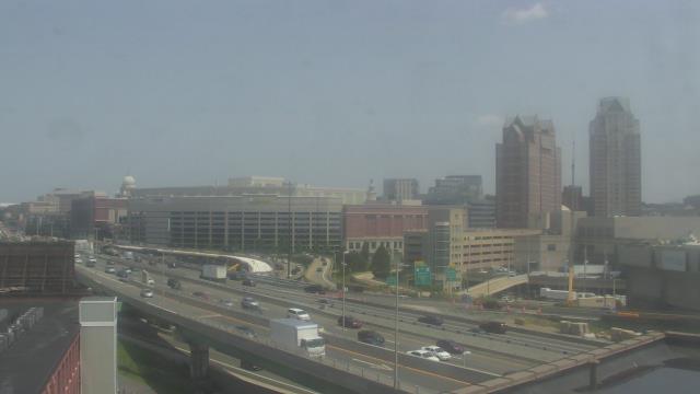
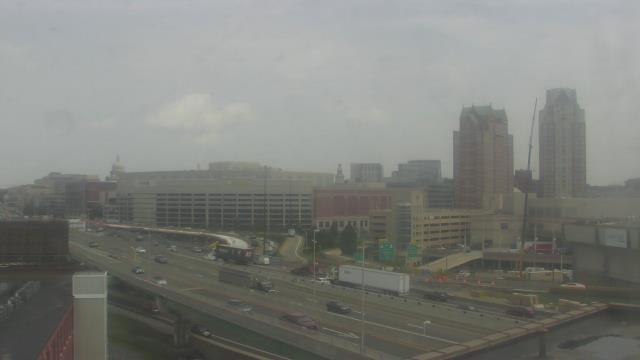
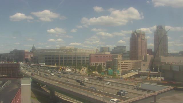
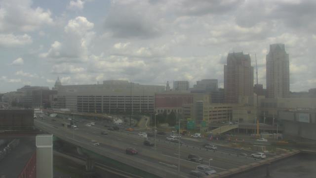
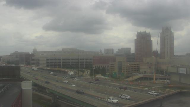
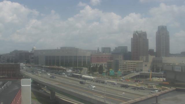
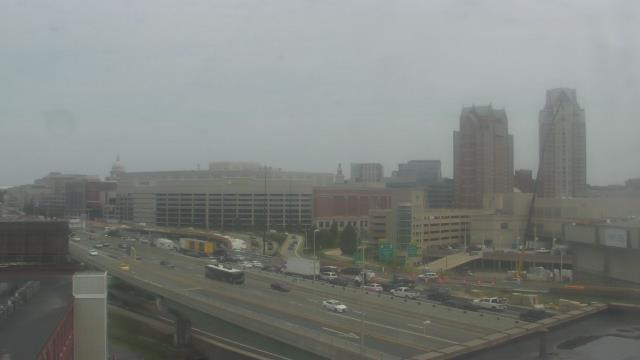
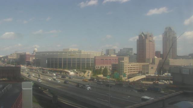
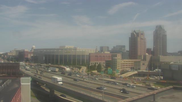
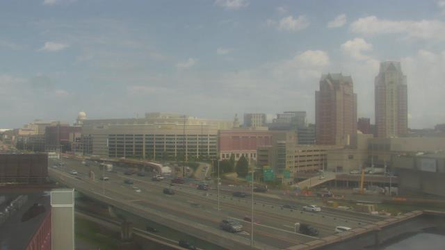
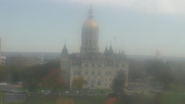
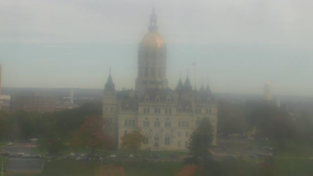
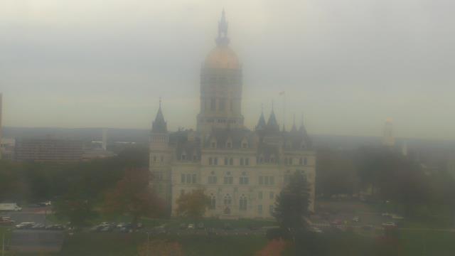
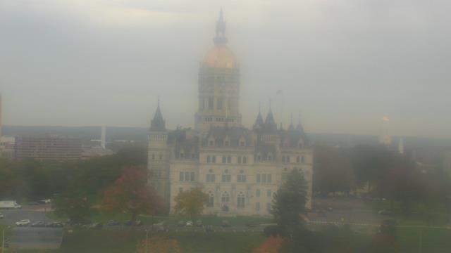
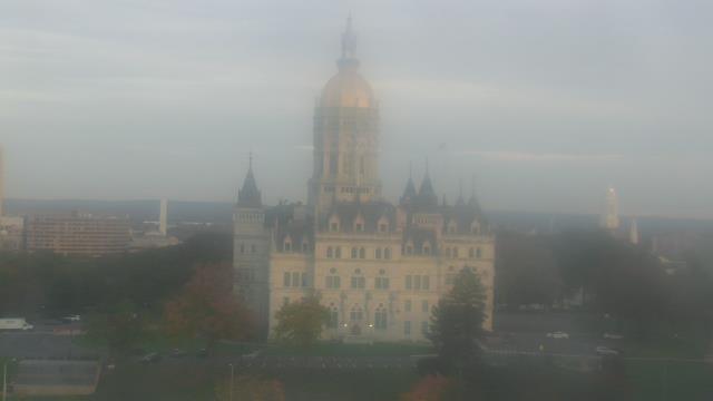
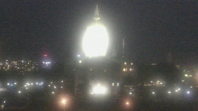
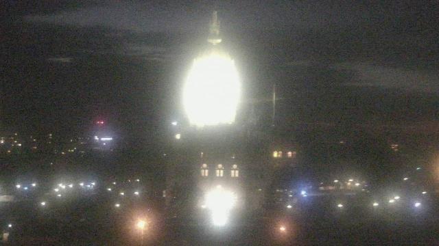
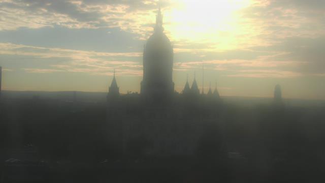
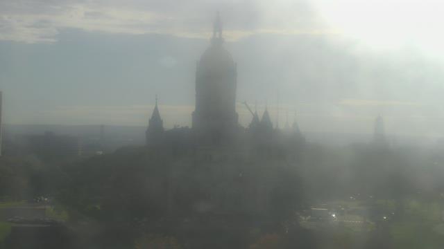
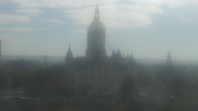
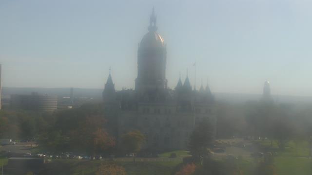
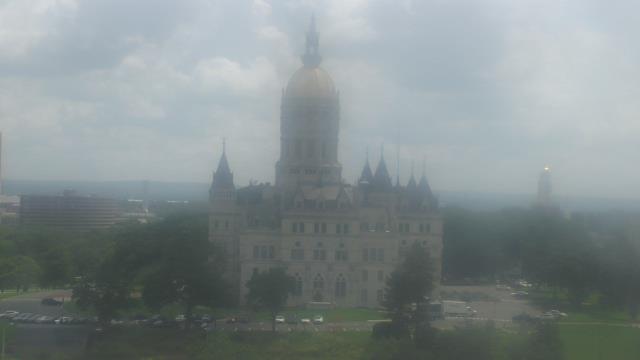
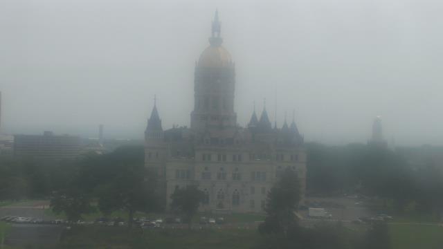
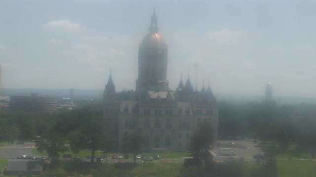
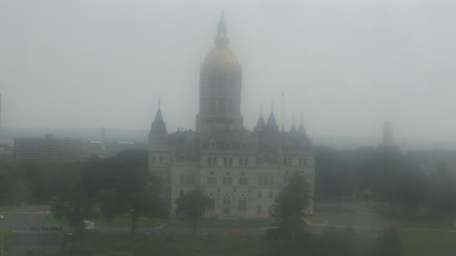
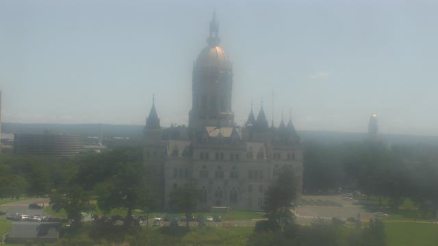
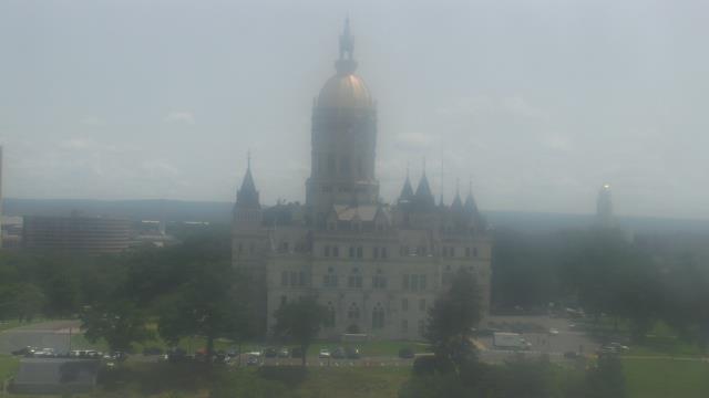
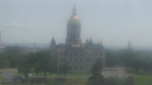
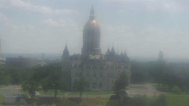
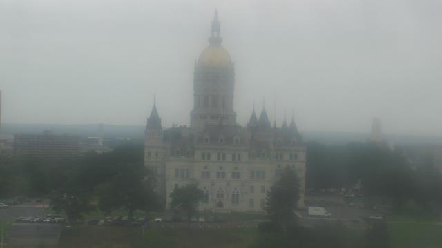
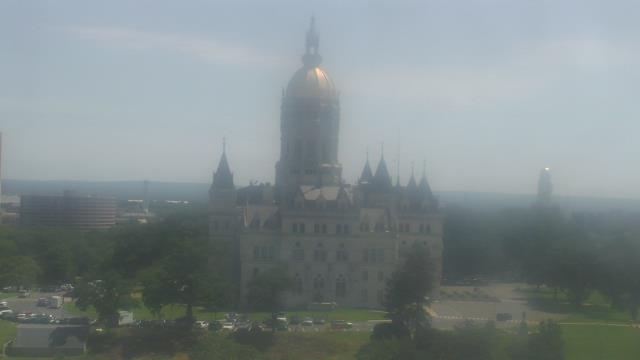
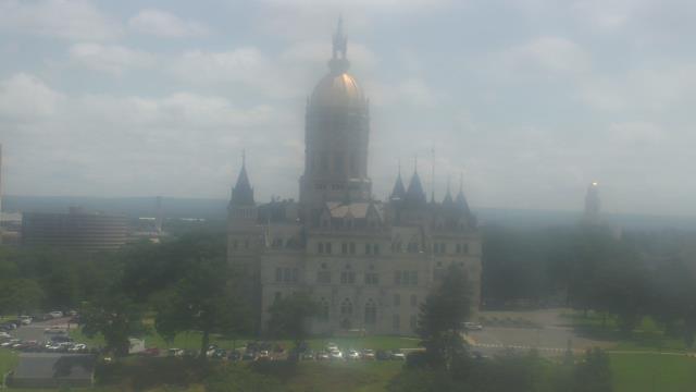
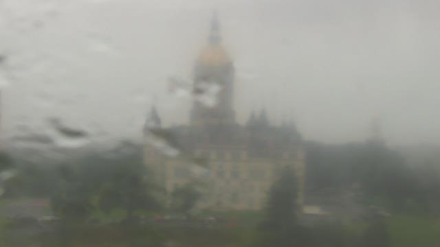
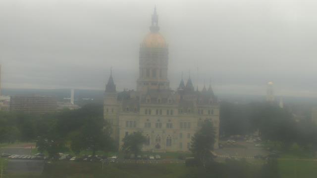
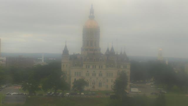
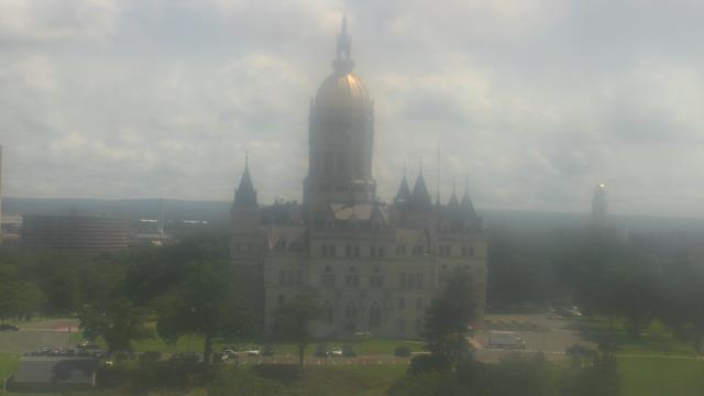
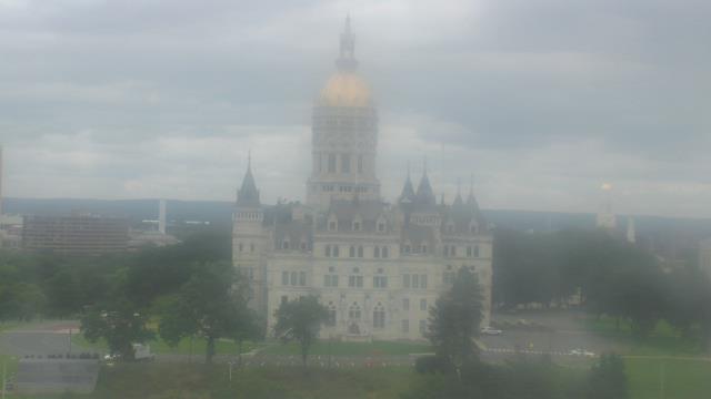
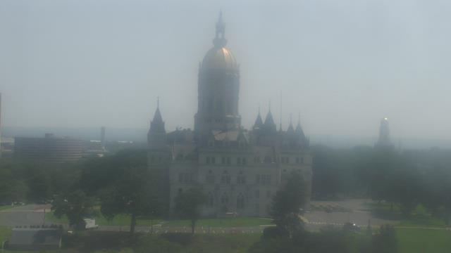
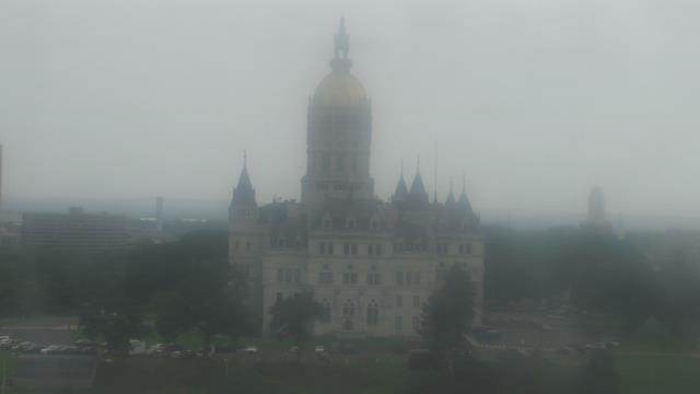
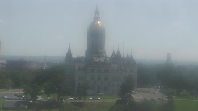
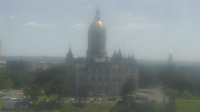
Hartford, Connecticut, USA - 42.1 miles from Acquidaneck (historical): Div of Emergency Management and Homeland Security - A webcam in Hartford, Connecticut - camera location: Div of Emergency Management and Homeland Security.
Operator: WeatherBug
Operator: WeatherBug


Westwood, Massachusetts, USA - 44.3 miles from Acquidaneck (historical): Deerfield School - A webcam in Westwood, Massachusetts - camera location: Deerfield School.
Operator: WeatherBug
Operator: WeatherBug


West Hartford, Connecticut, USA - 45 miles from Acquidaneck (historical): Kaoud Oriental Rugs - A webcam in West Hartford, Connecticut - camera location: Kaoud Oriental Rugs.
Operator: WeatherBug
Operator: WeatherBug


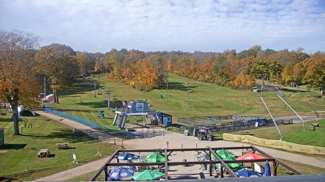
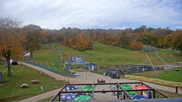
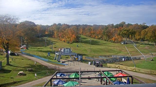
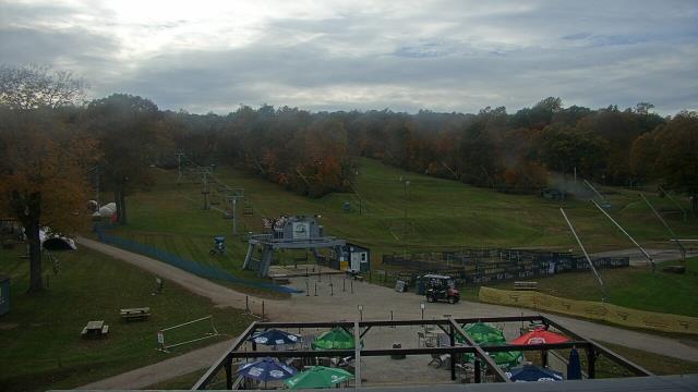
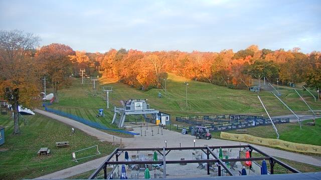
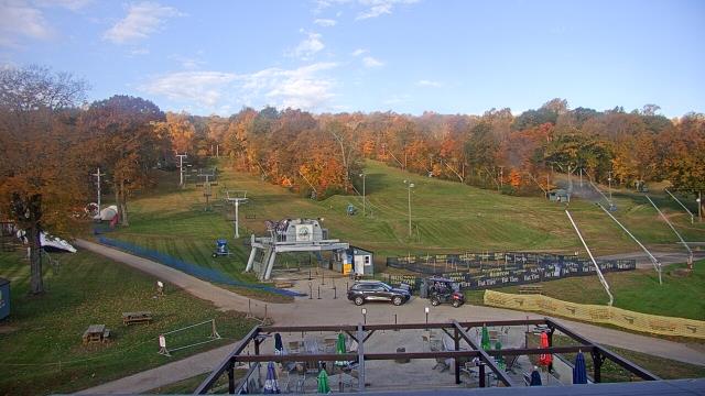
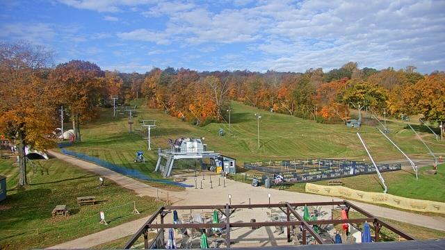
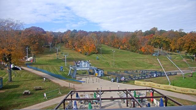
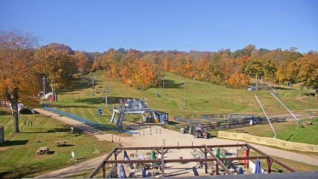
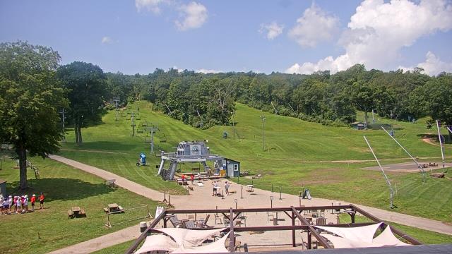
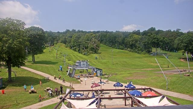
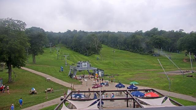
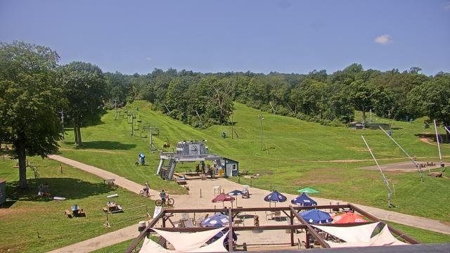
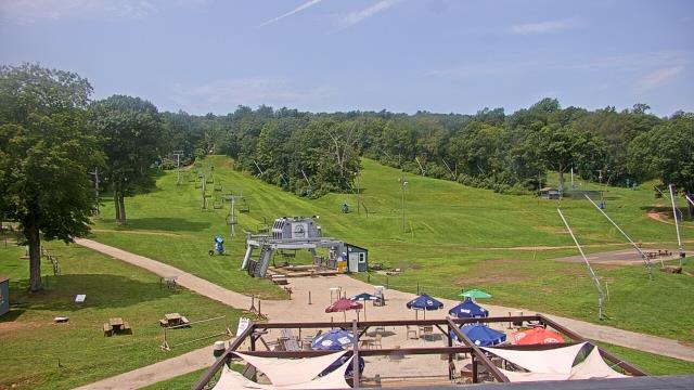
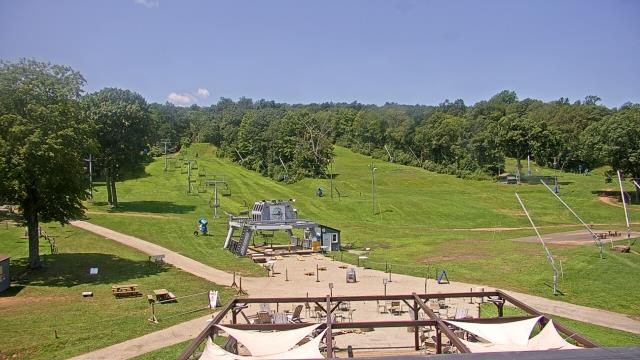
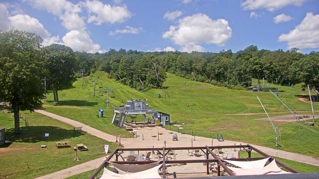
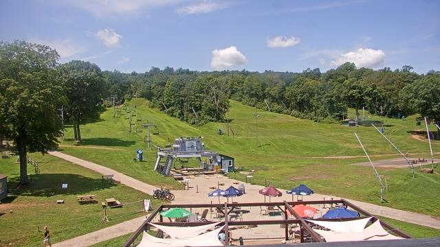
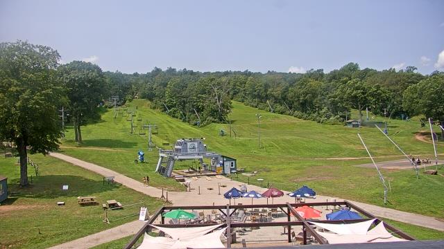
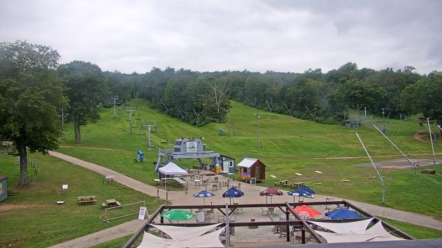
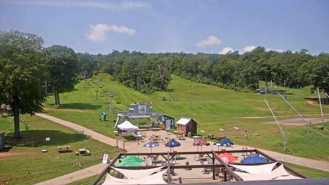
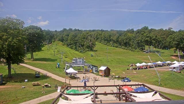
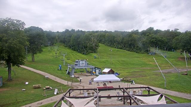
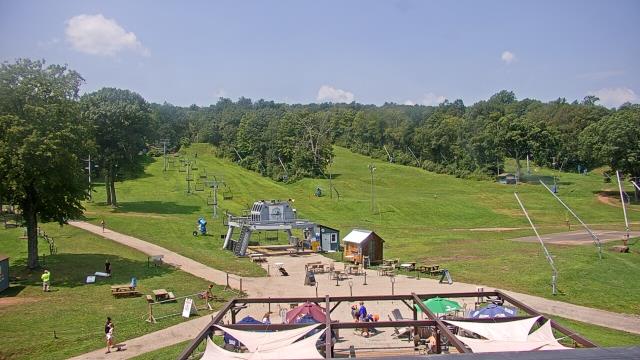
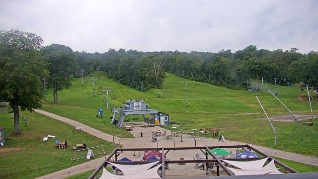
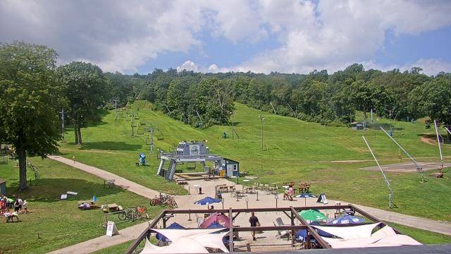
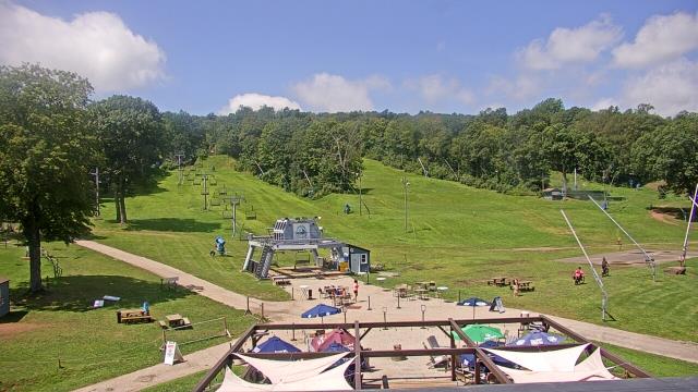
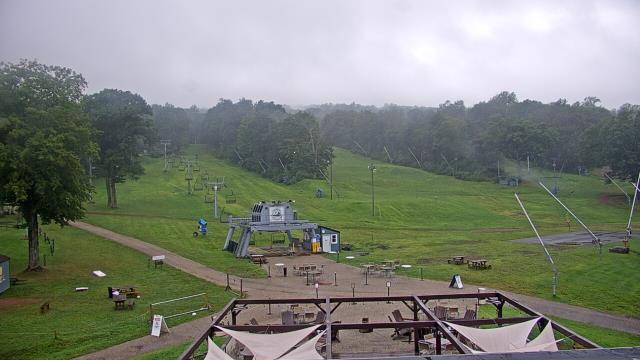
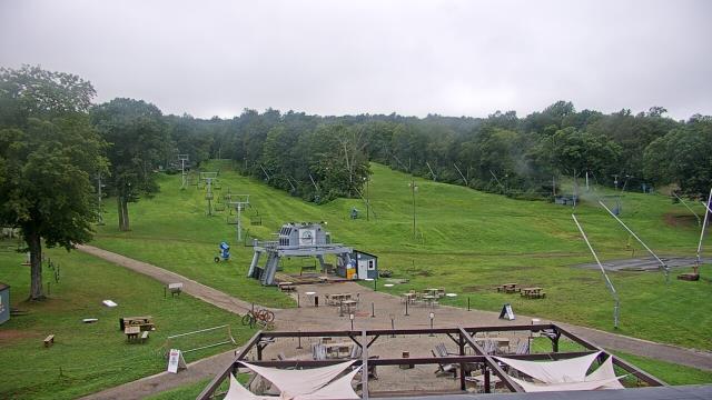
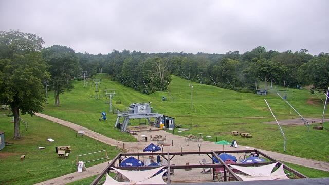
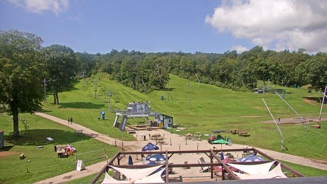
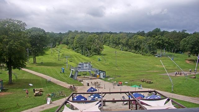
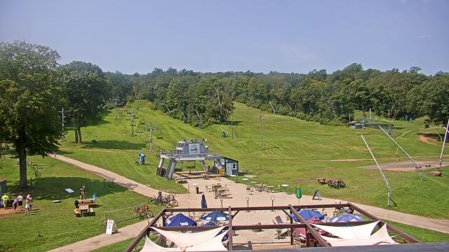
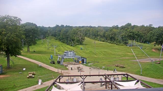
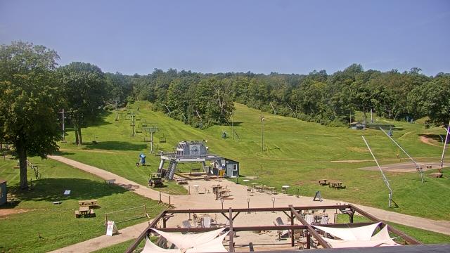
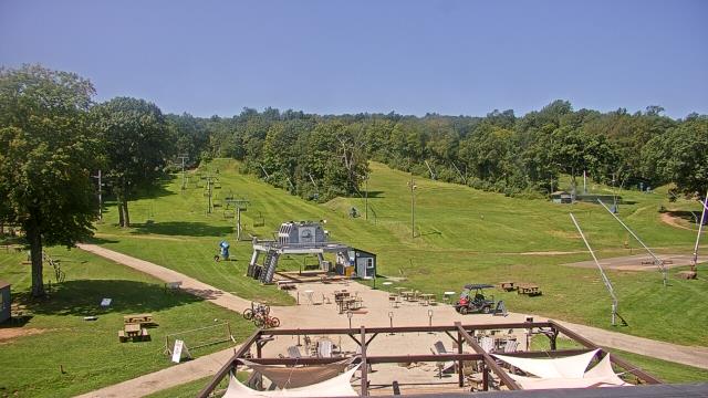
Middlefield, Connecticut, USA - 47.4 miles from Acquidaneck (historical): Powder Ridge Ski Resort - A webcam in Middlefield, Connecticut - camera location: Powder Ridge Ski Resort.
Operator: WeatherBug
Operator: WeatherBug


Some other places in this country: Tiffany Hill Corner - Floral Park - Haywardville - Lake View - Elliotville (historical) - Hamptonville - Johnson Park - Natchaug (historical) - Massomuck (historical) - Bargytown