Webcams in the region of Tatlatunne (historical), California, USA
The List of Webcams near Tatlatunne (historical), California, USA:

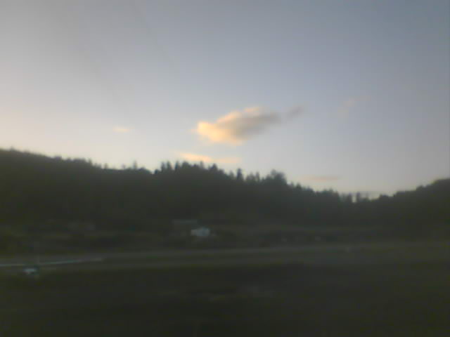
Medford, Oregon, USA - 79.8 miles from Tatlatunne (historical): Medford Weathercam - A live view from Medford, Oregon, with current weather data.
Operator: Ryan's Weather Website - Medford, Oregon
Operator: Ryan's Weather Website - Medford, Oregon


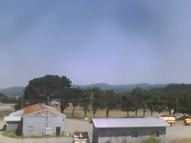
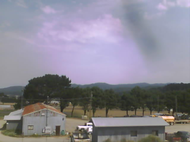
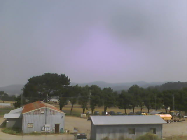
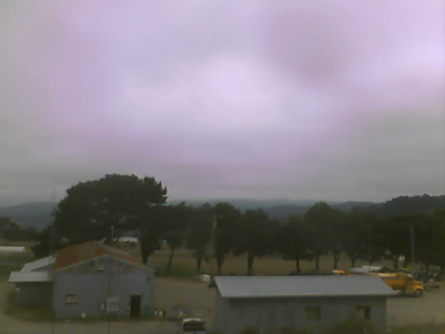
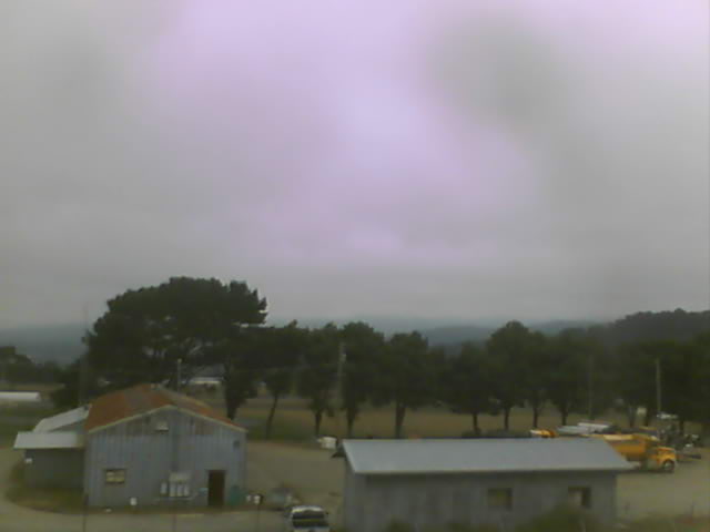
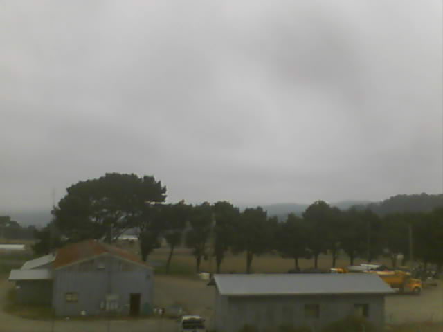
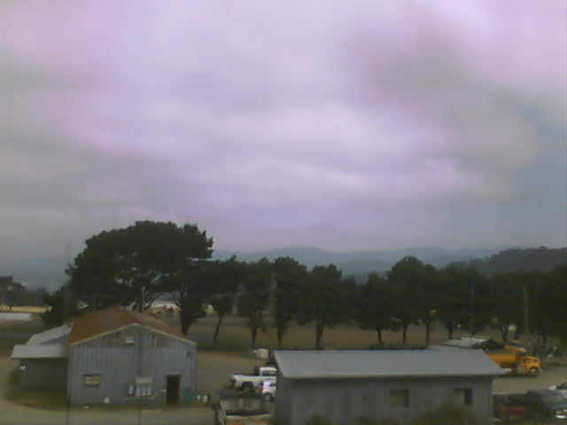
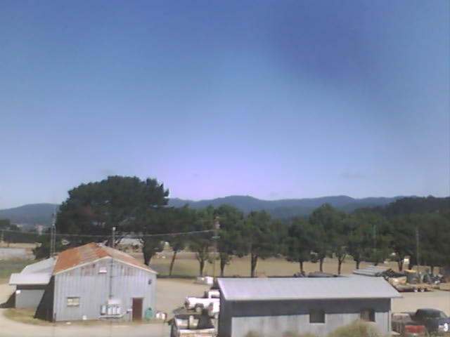
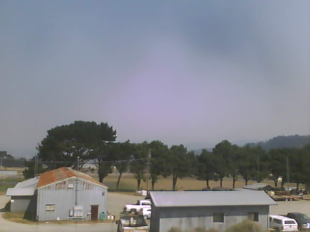
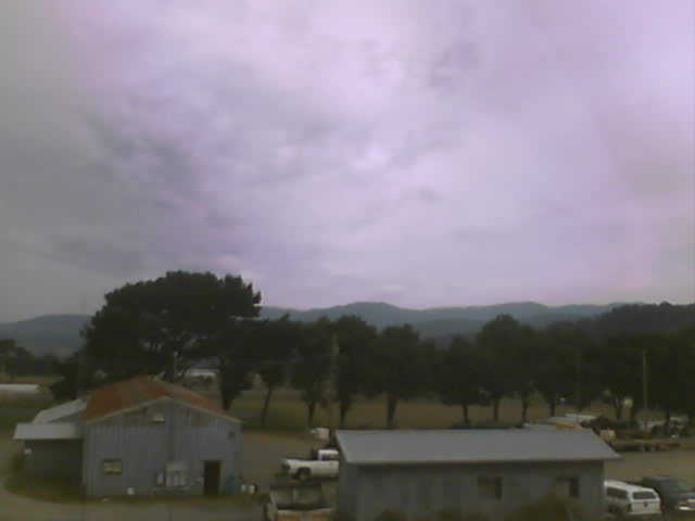
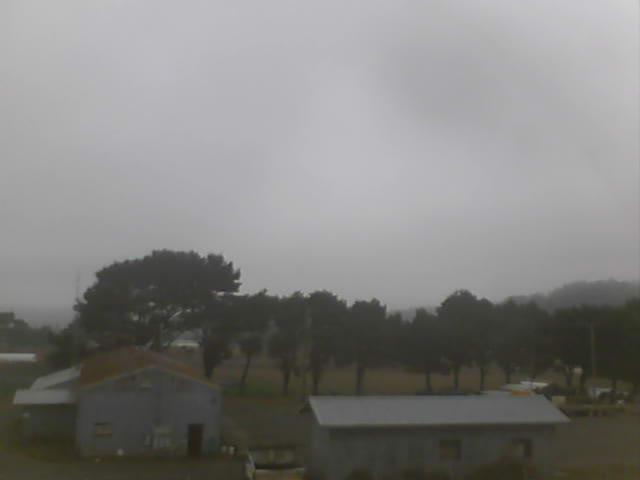
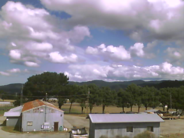
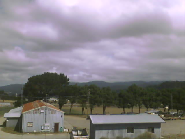
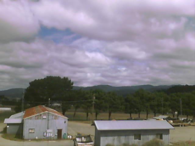
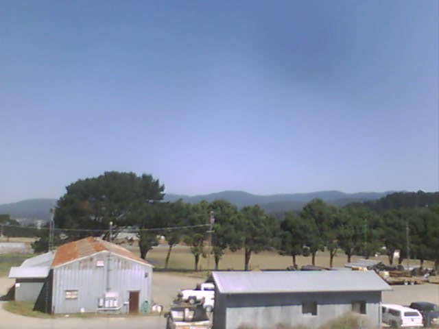
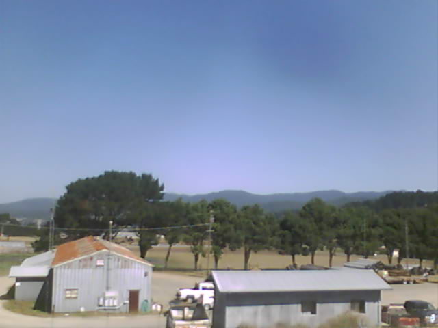
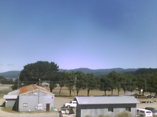
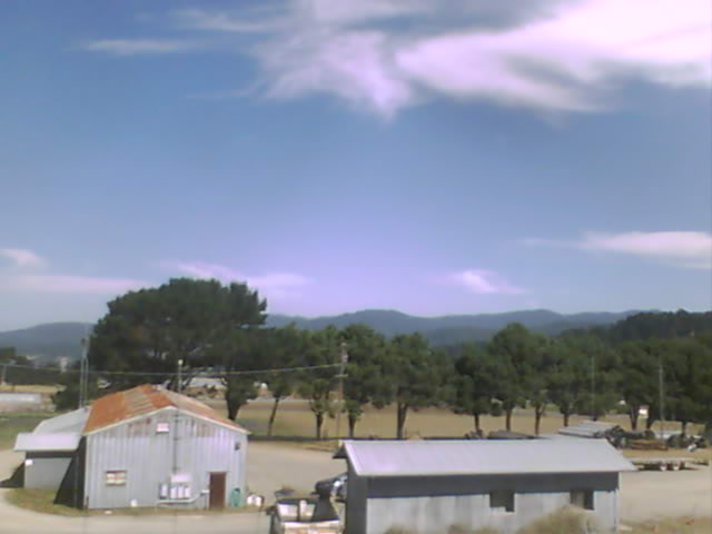
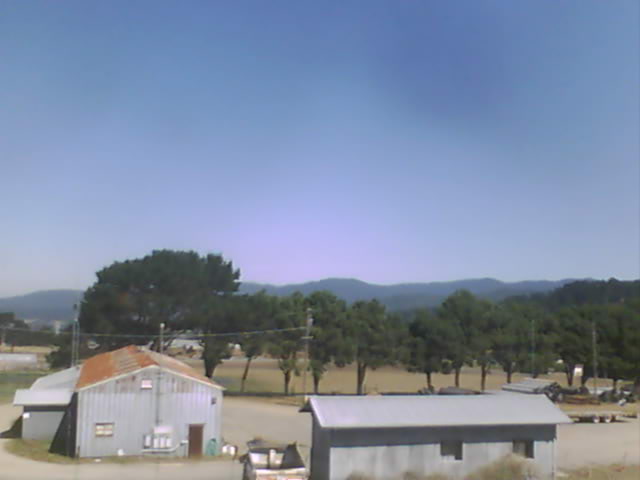
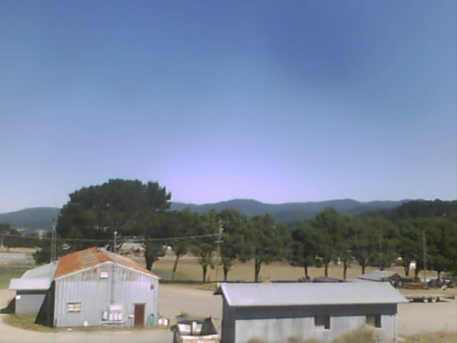
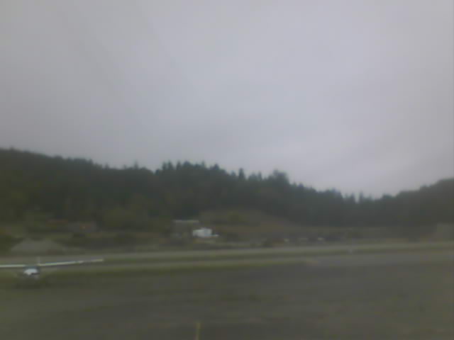
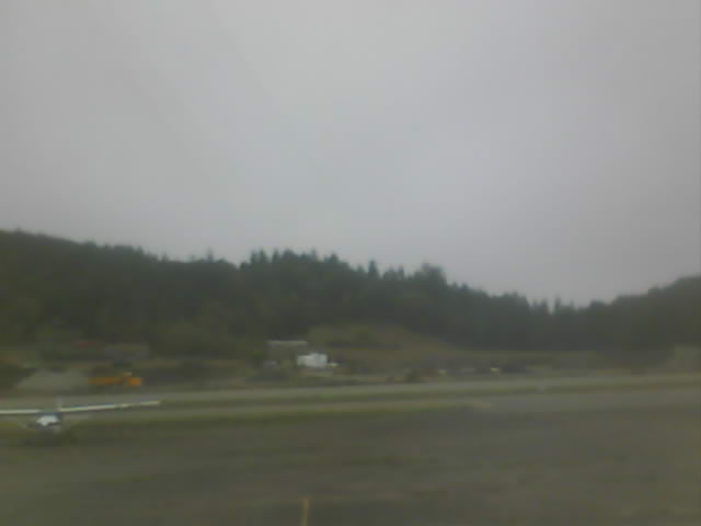
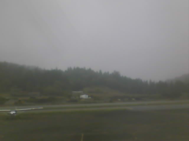
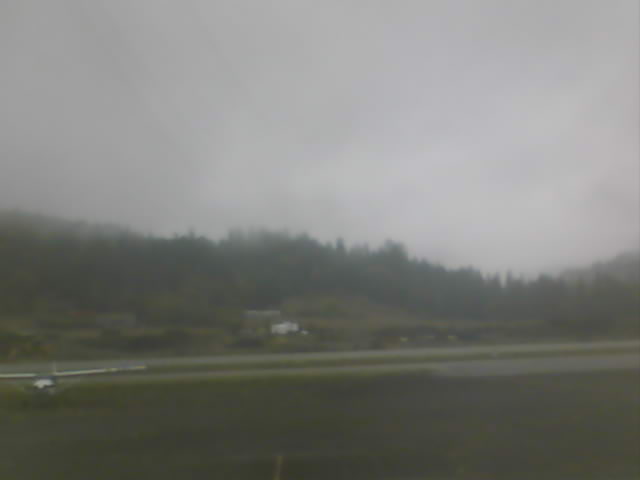
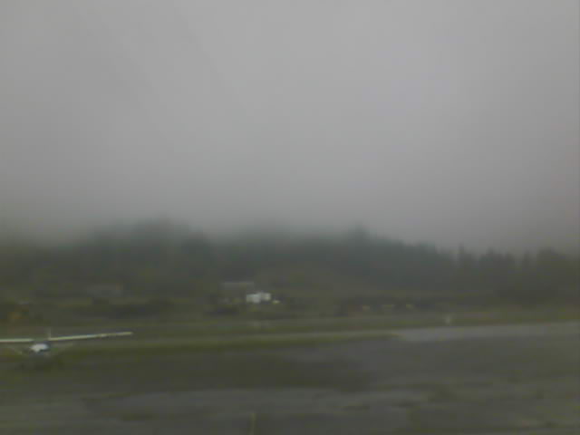
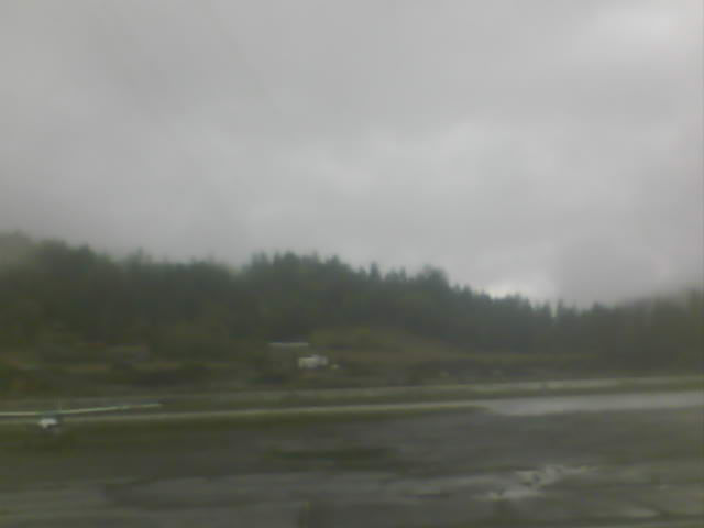
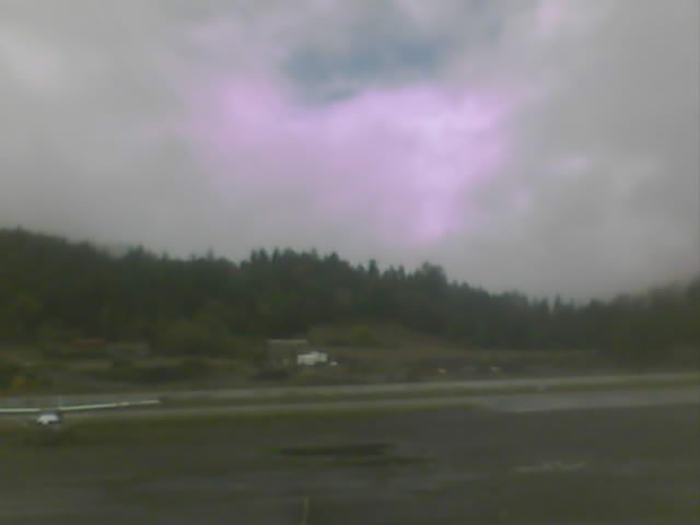
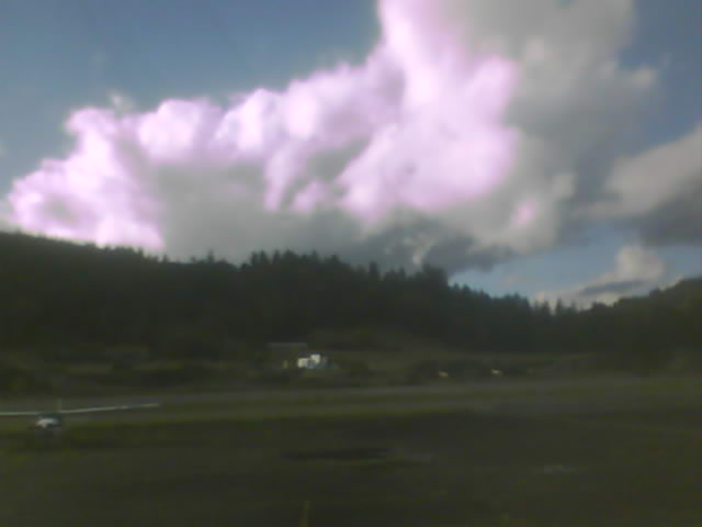
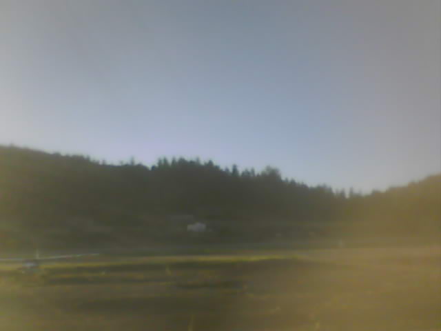
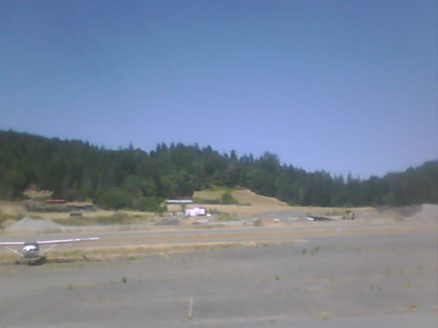
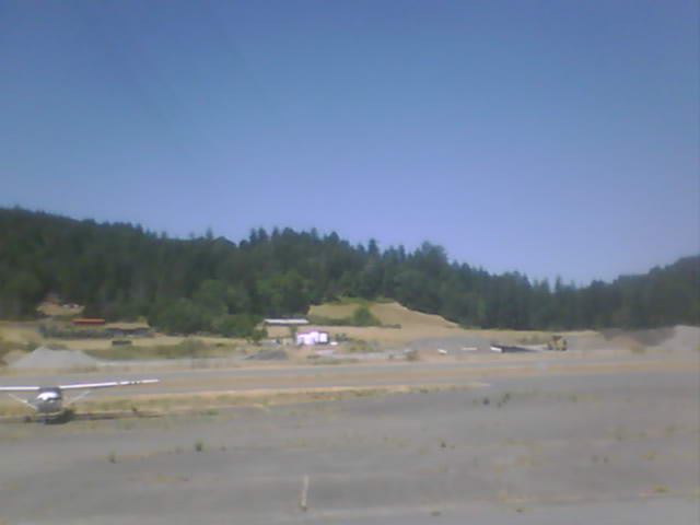
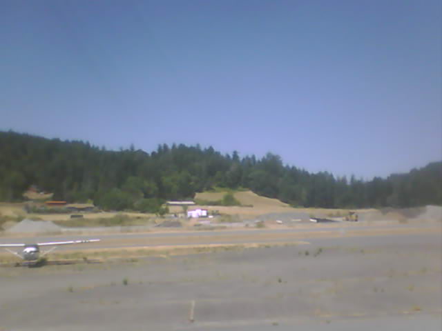
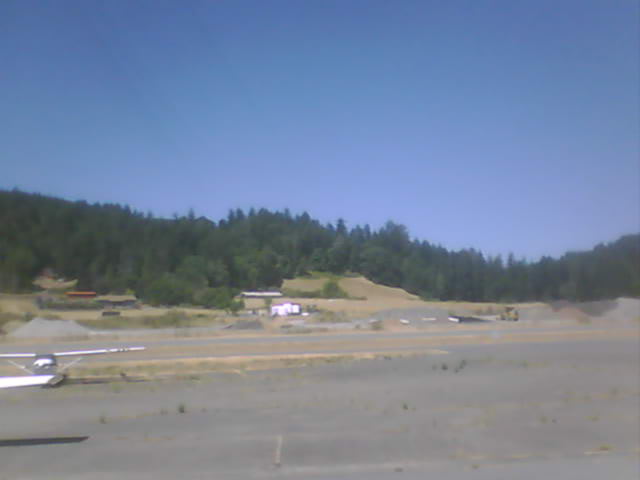
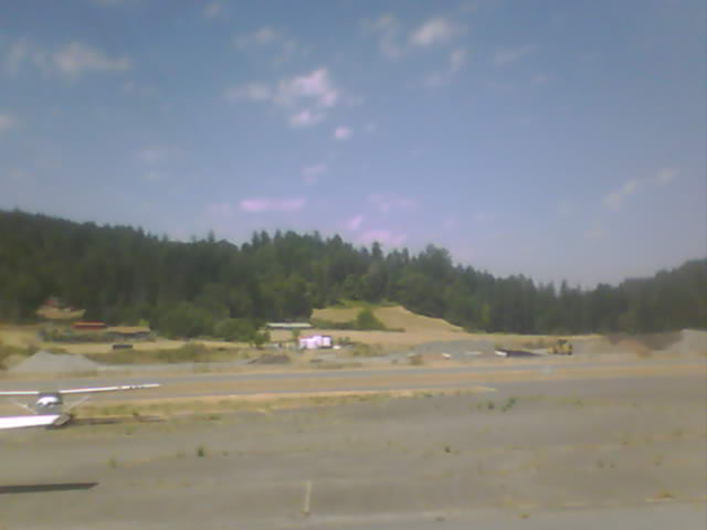
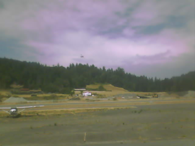
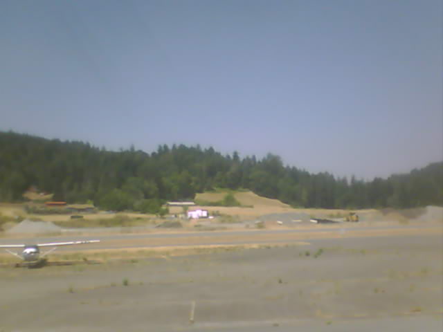
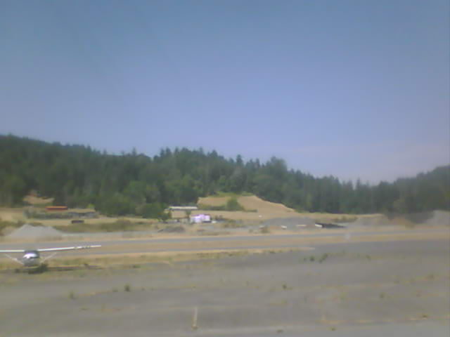
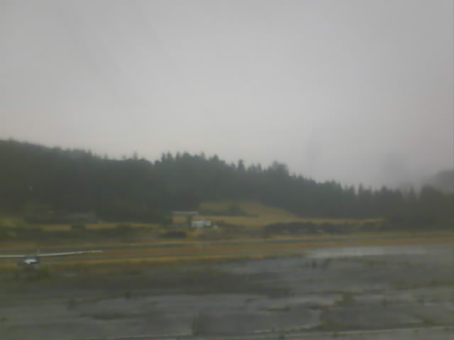
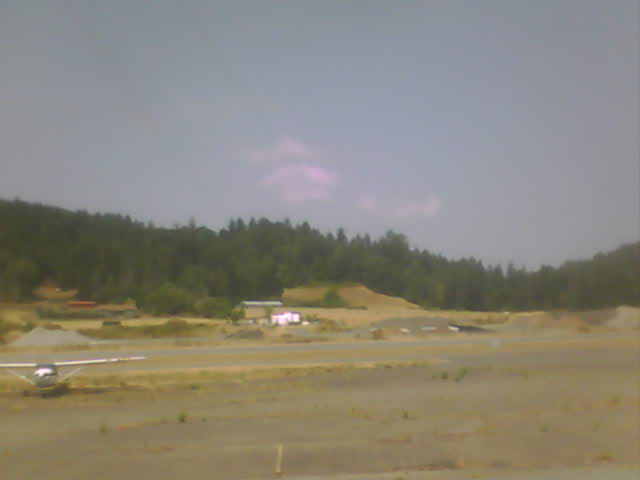
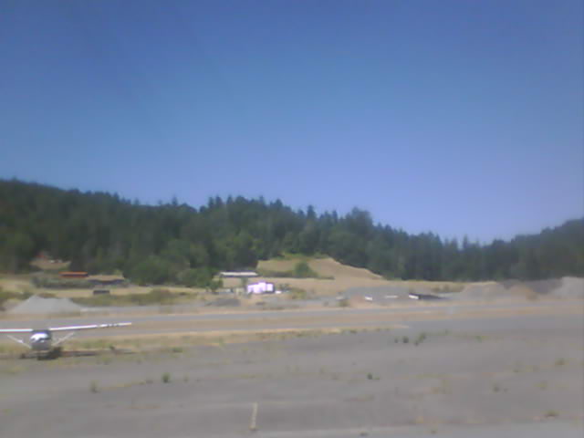
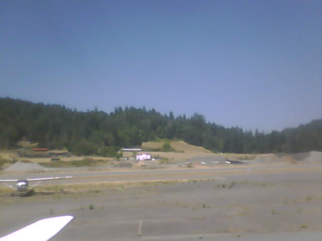
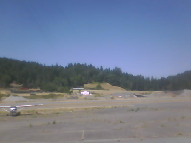
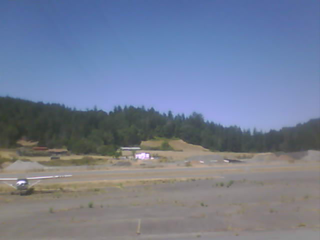
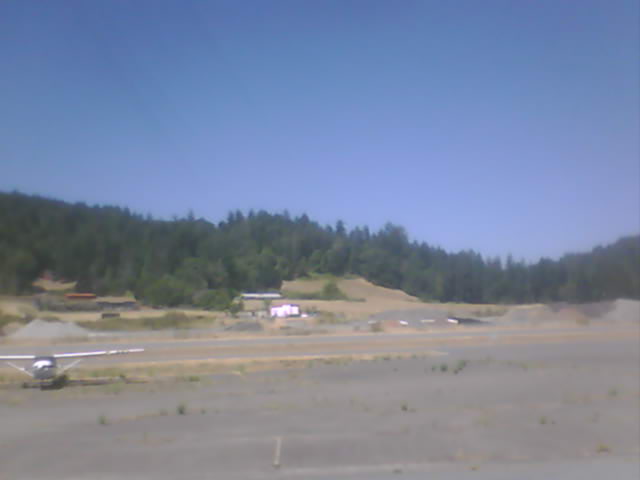
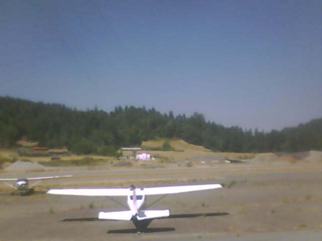
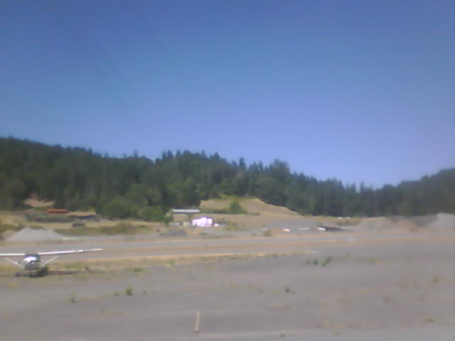
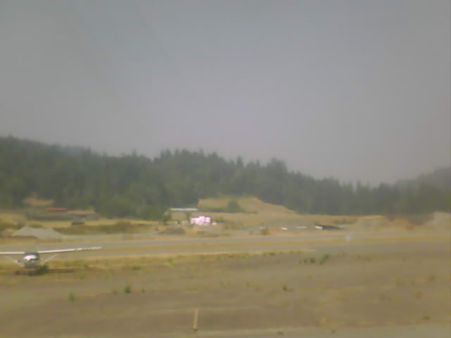
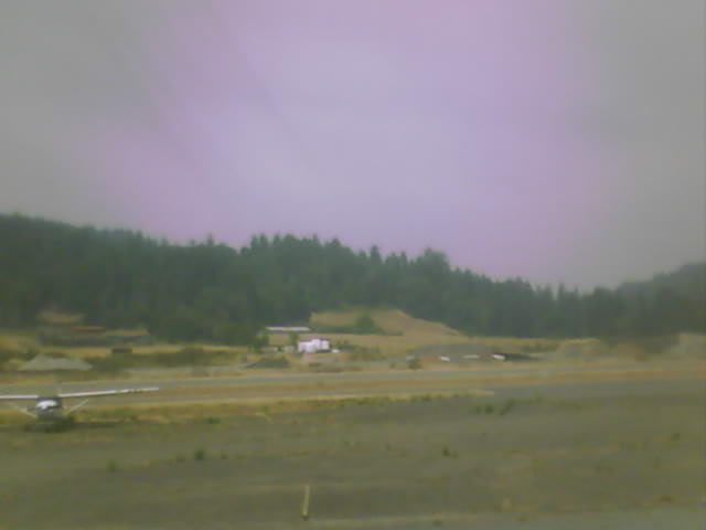
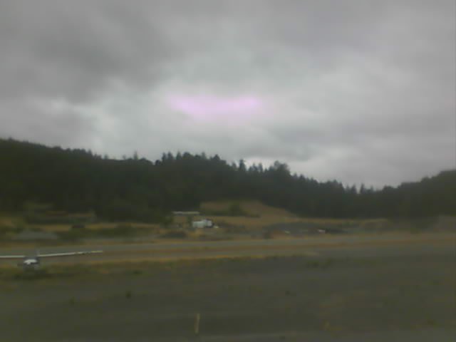
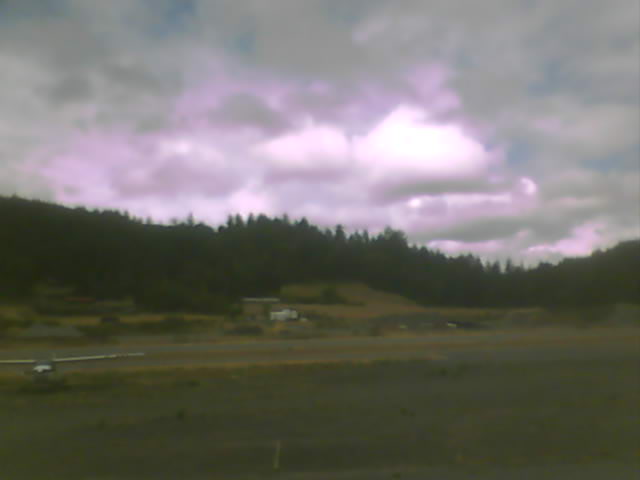
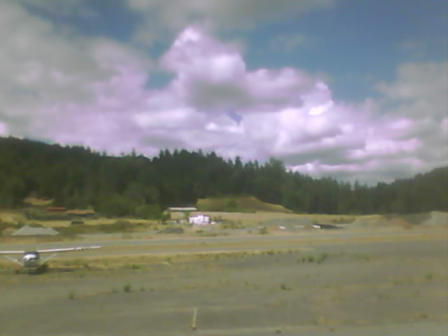
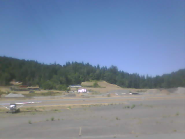
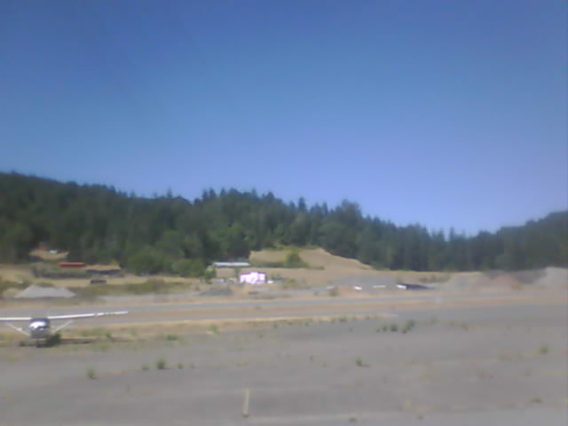
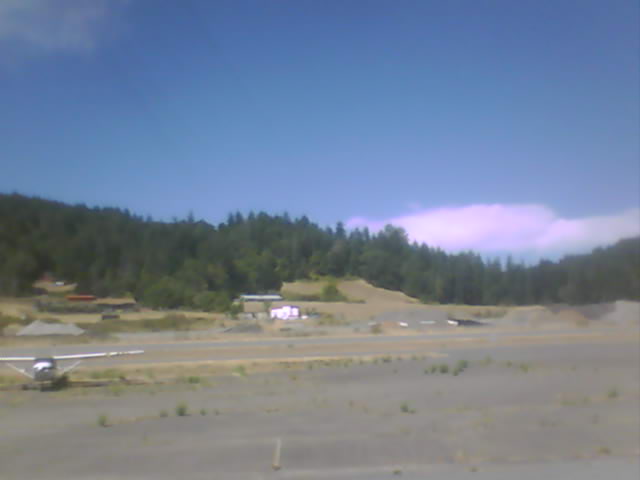
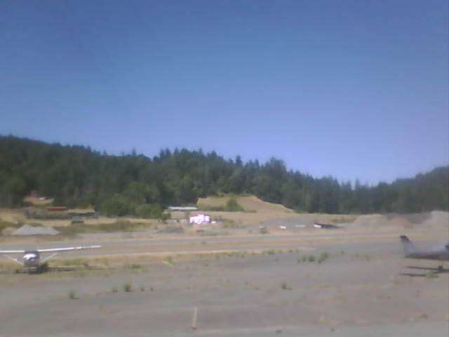
Fortuna, California, USA - 80.1 miles from Tatlatunne (historical): Rohnerville Airport - Different views of the Rohnerville Airport, Fortuna, CA.
Operator: North Coast Aviation
Operator: North Coast Aviation


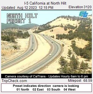
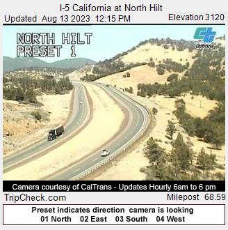
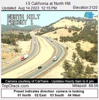
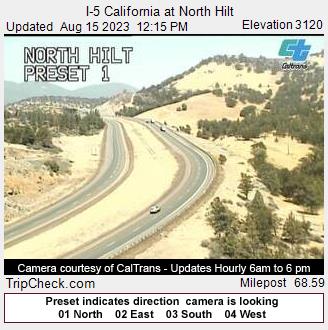
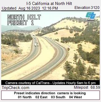
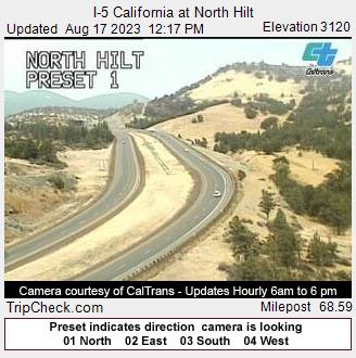
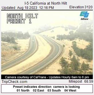
Hilt, California, USA - 84.2 miles from Tatlatunne (historical): I-5 California at North Hilt - A view of the current traffic situation on the I-5.
Operator: Oregon Department of Transportation
Operator: Oregon Department of Transportation


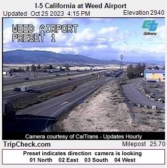
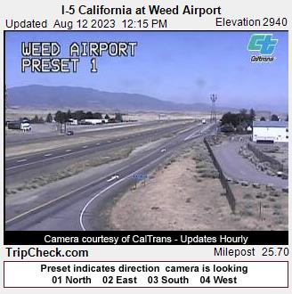
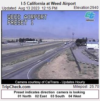
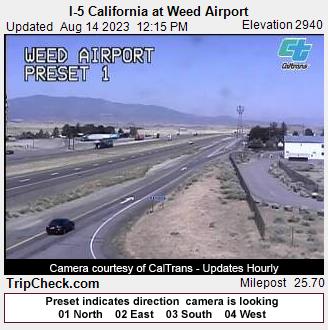
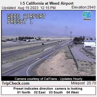
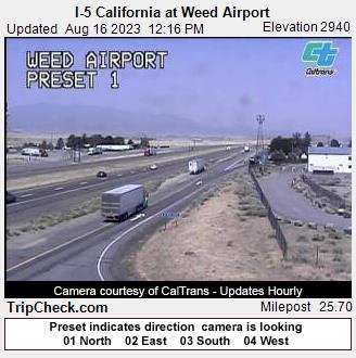
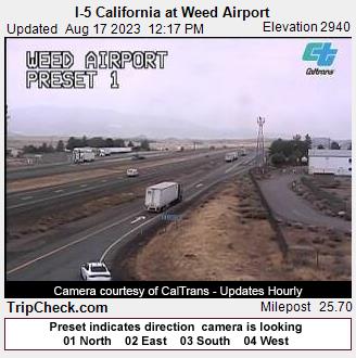
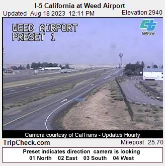
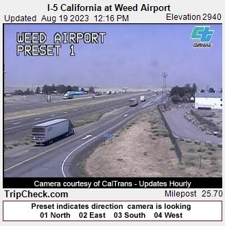
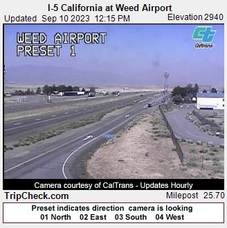
Weed, California, USA - 98 miles from Tatlatunne (historical): I-5 California at Weed Airport - A view of the current traffic situation on the I-5.
Operator: Oregon Department of Transportation
Operator: Oregon Department of Transportation


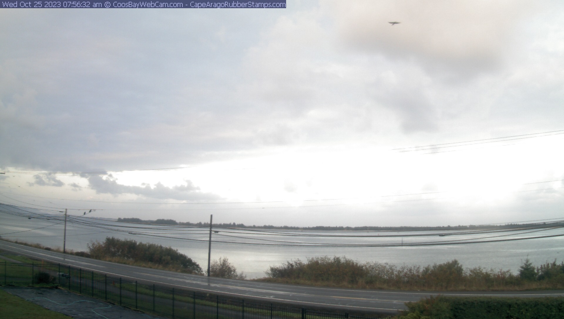
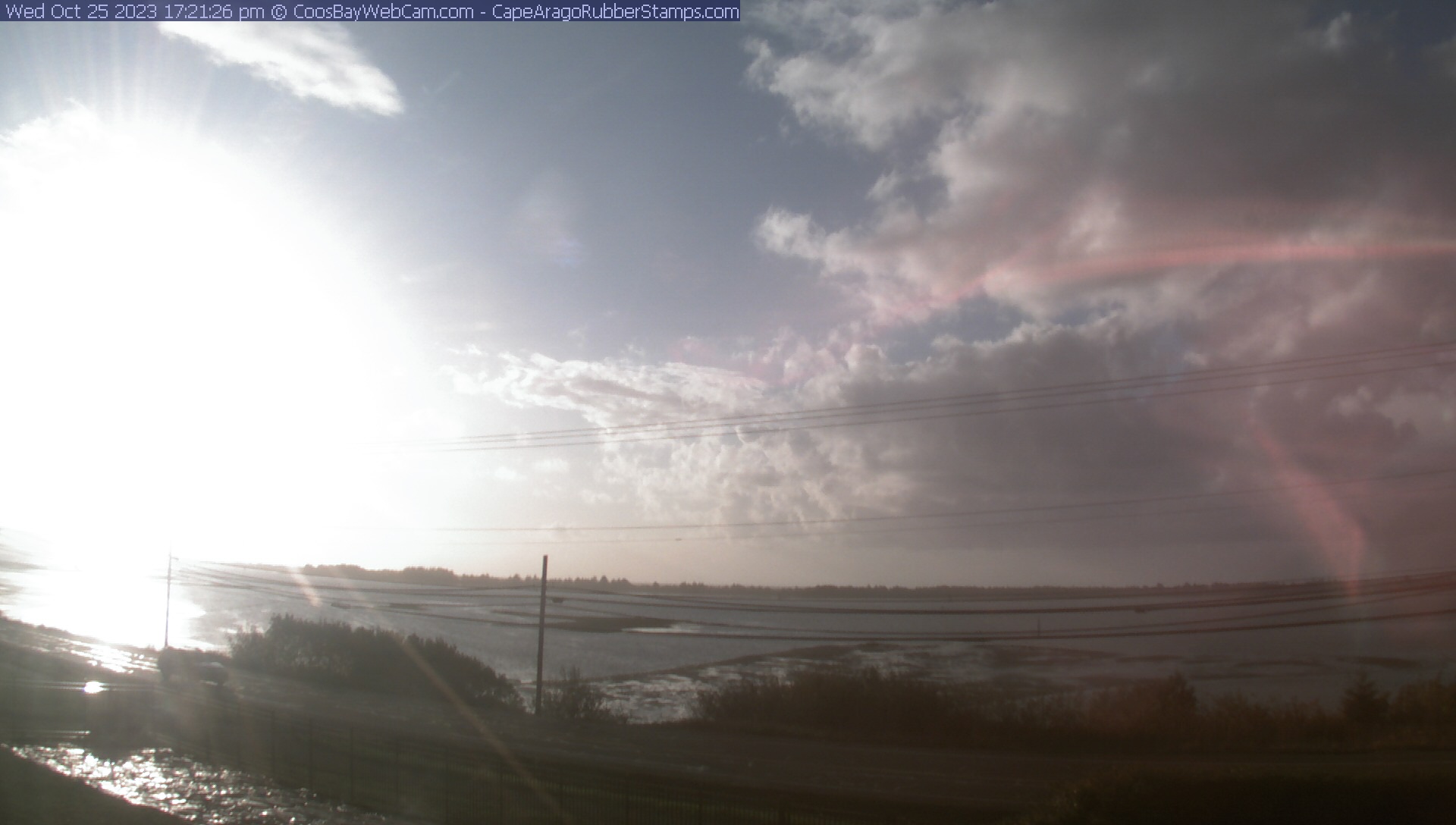
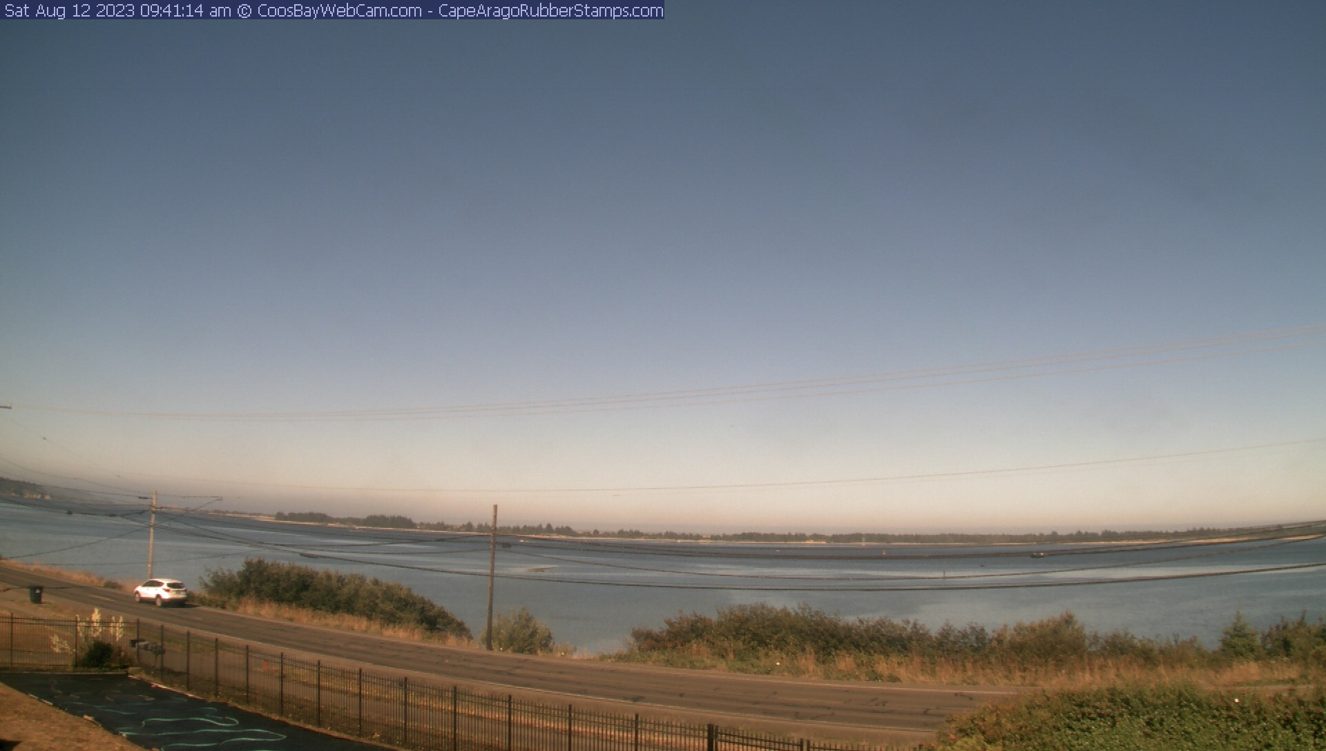
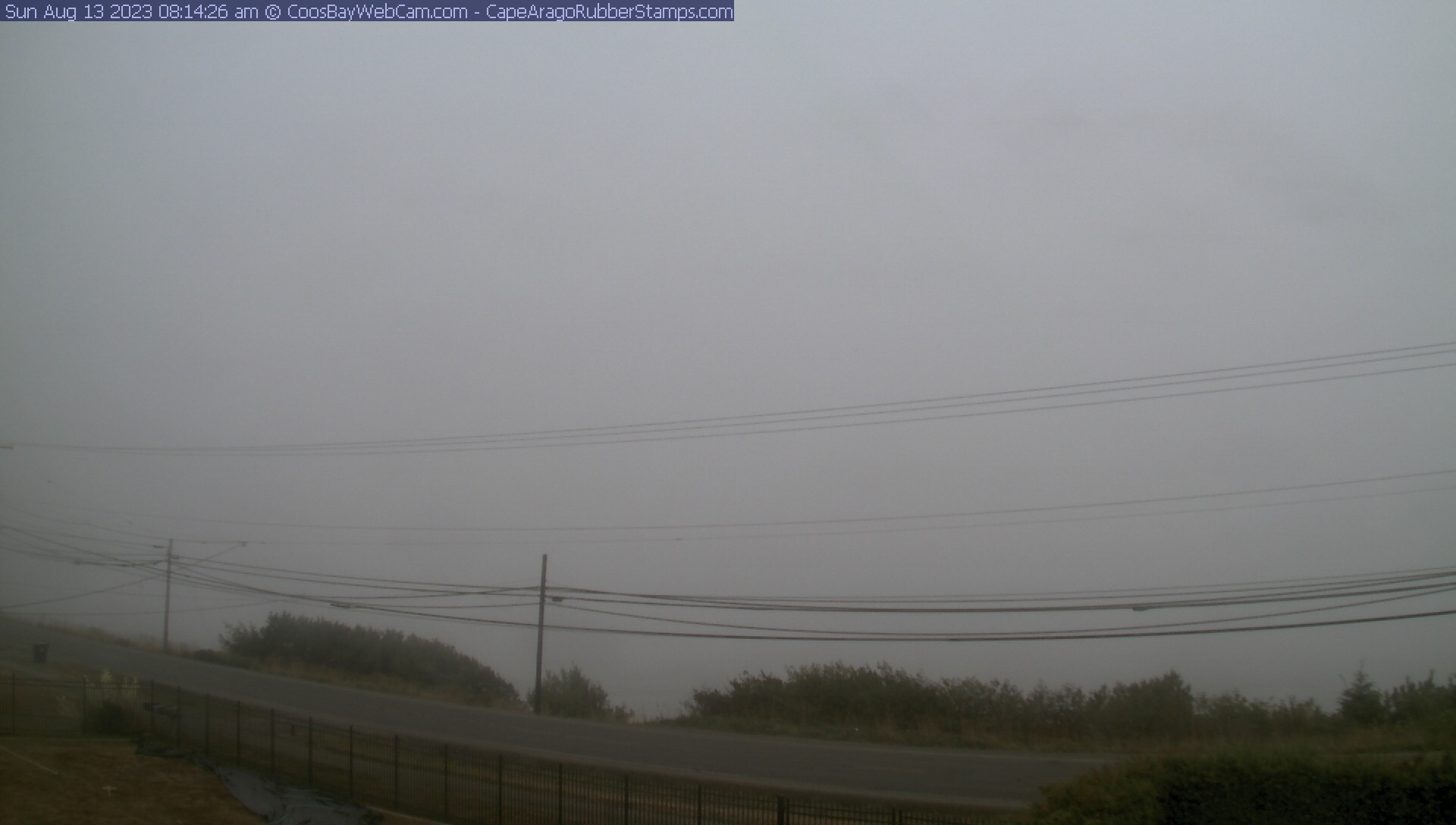
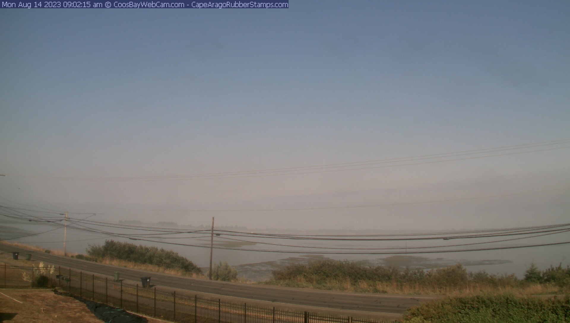
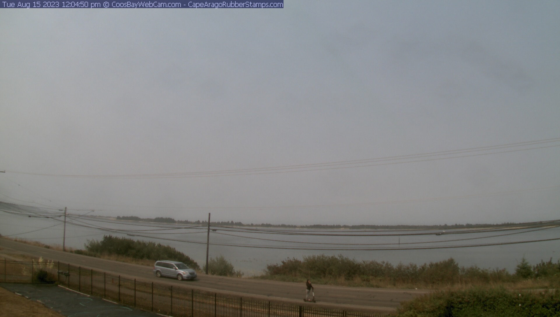
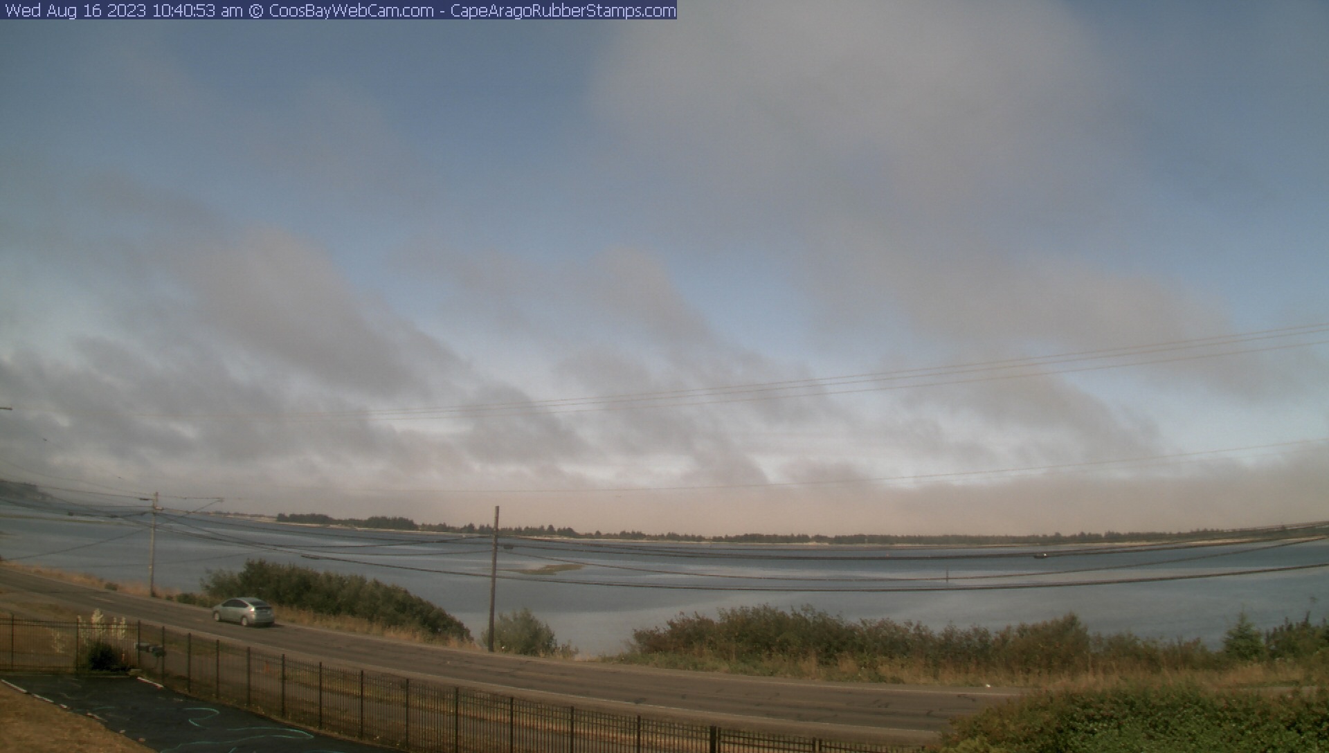
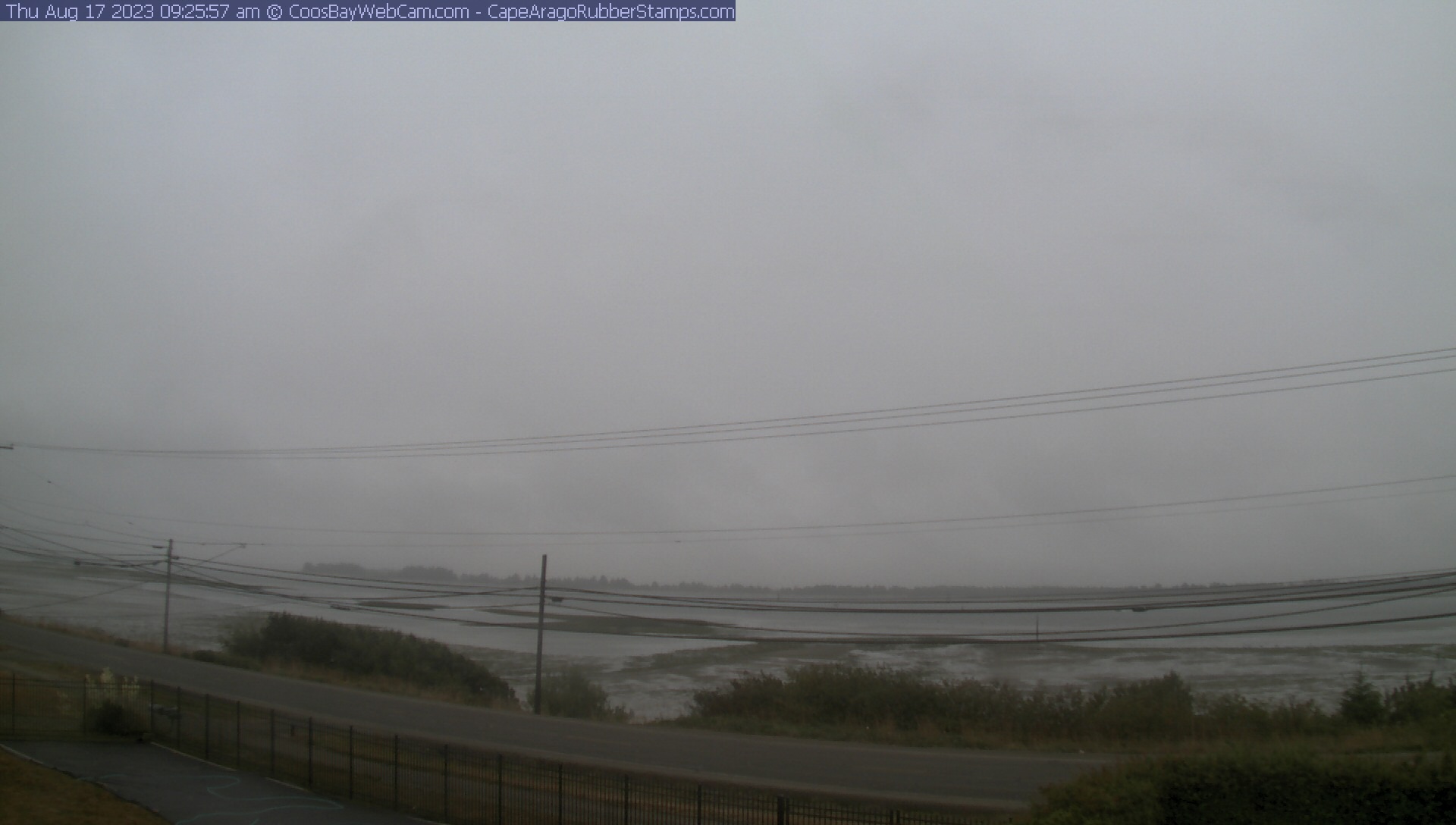
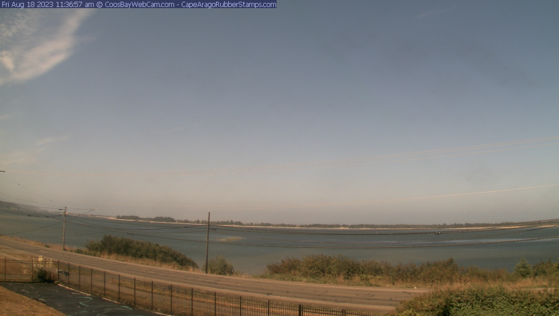
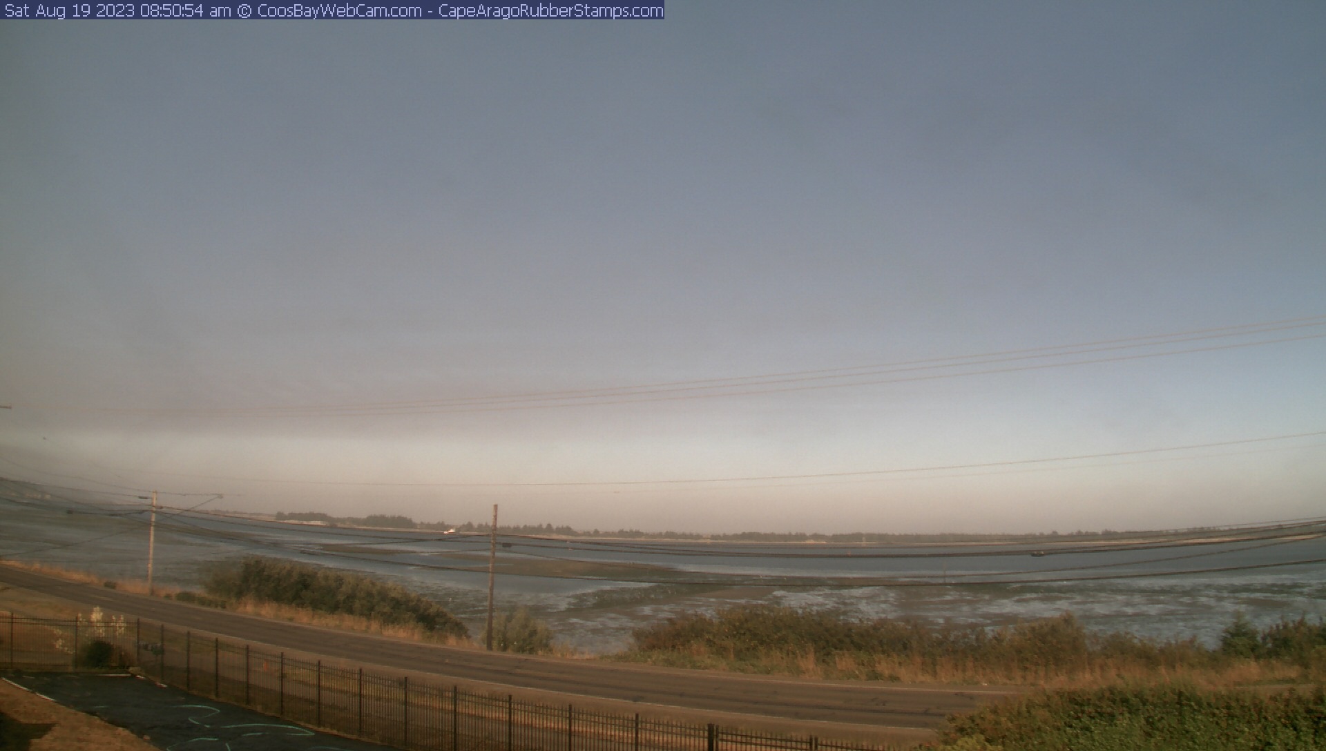
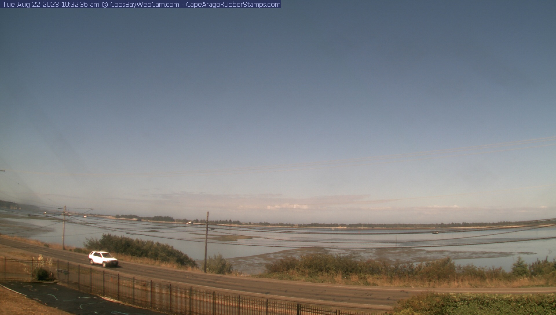
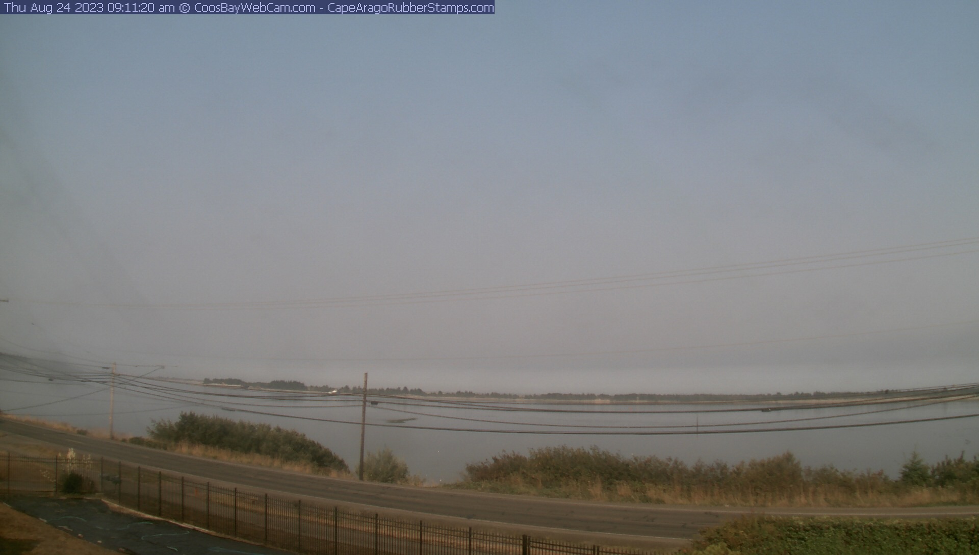
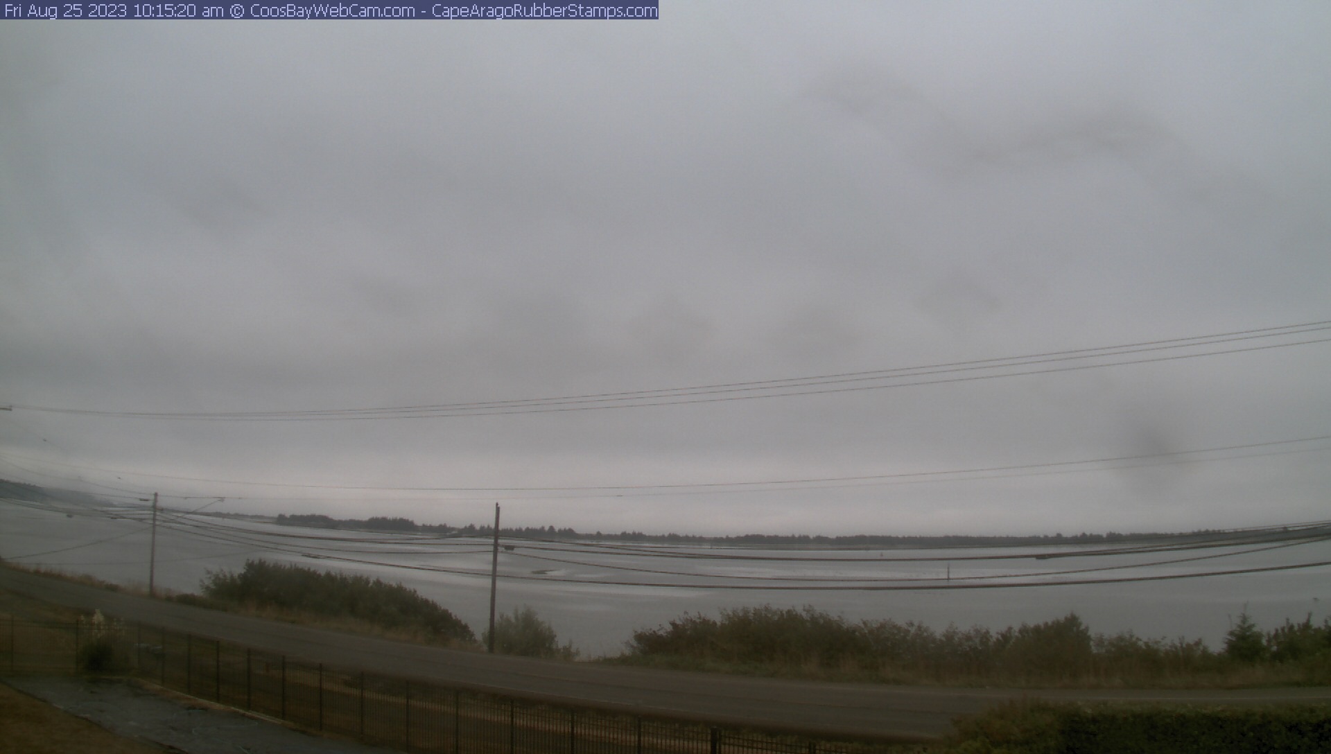
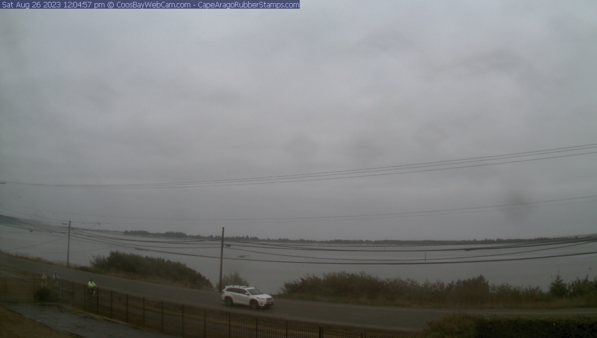
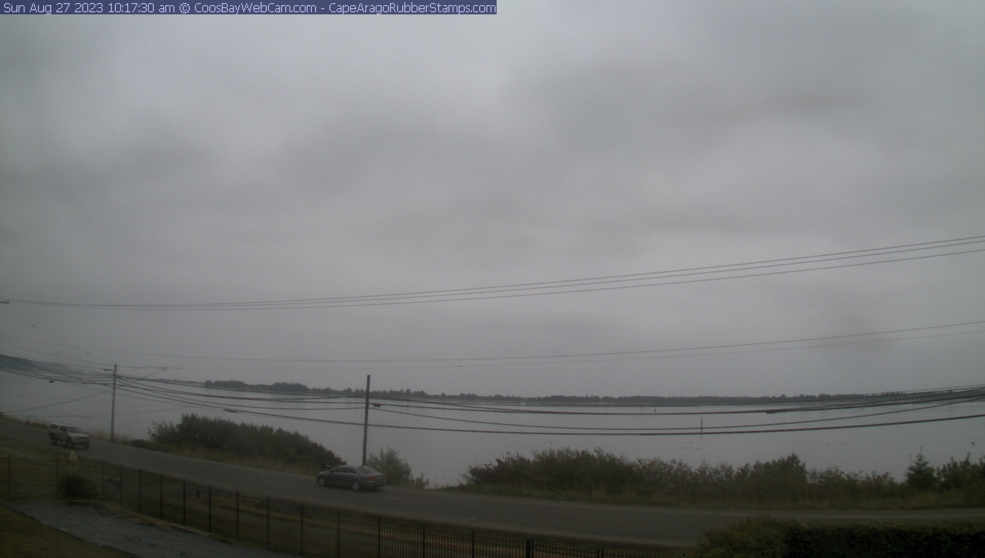
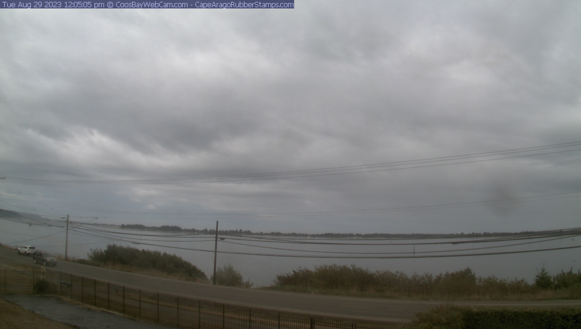
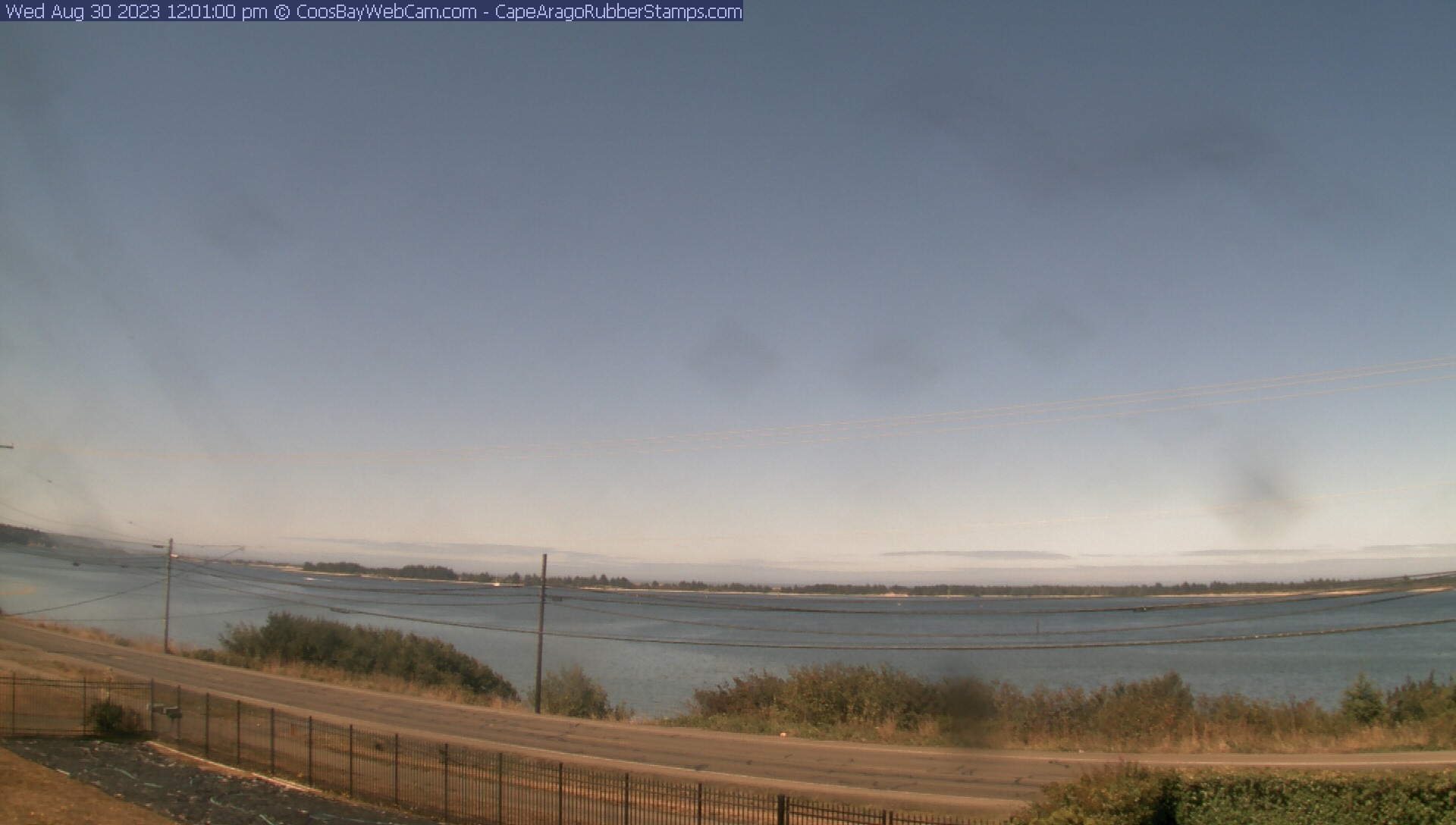
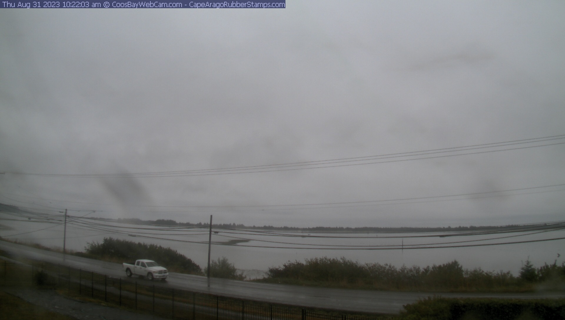
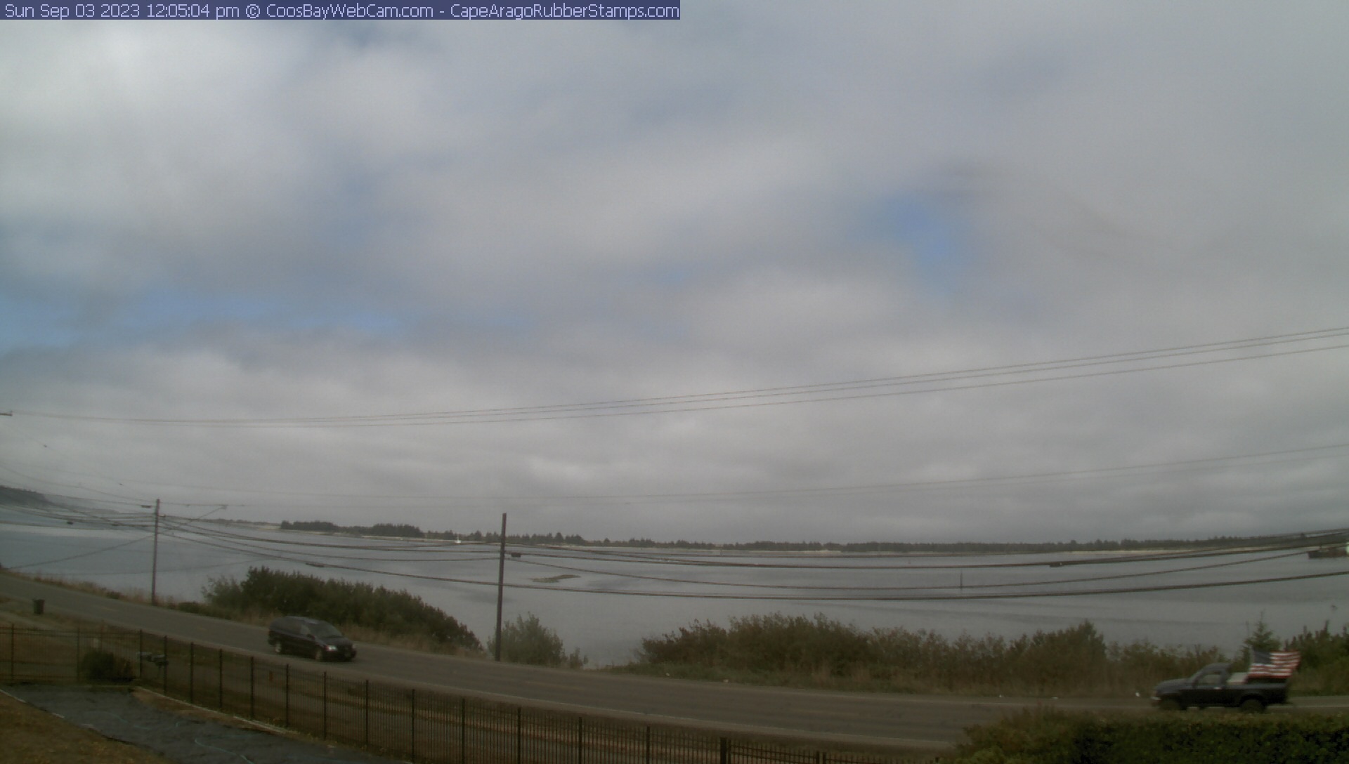
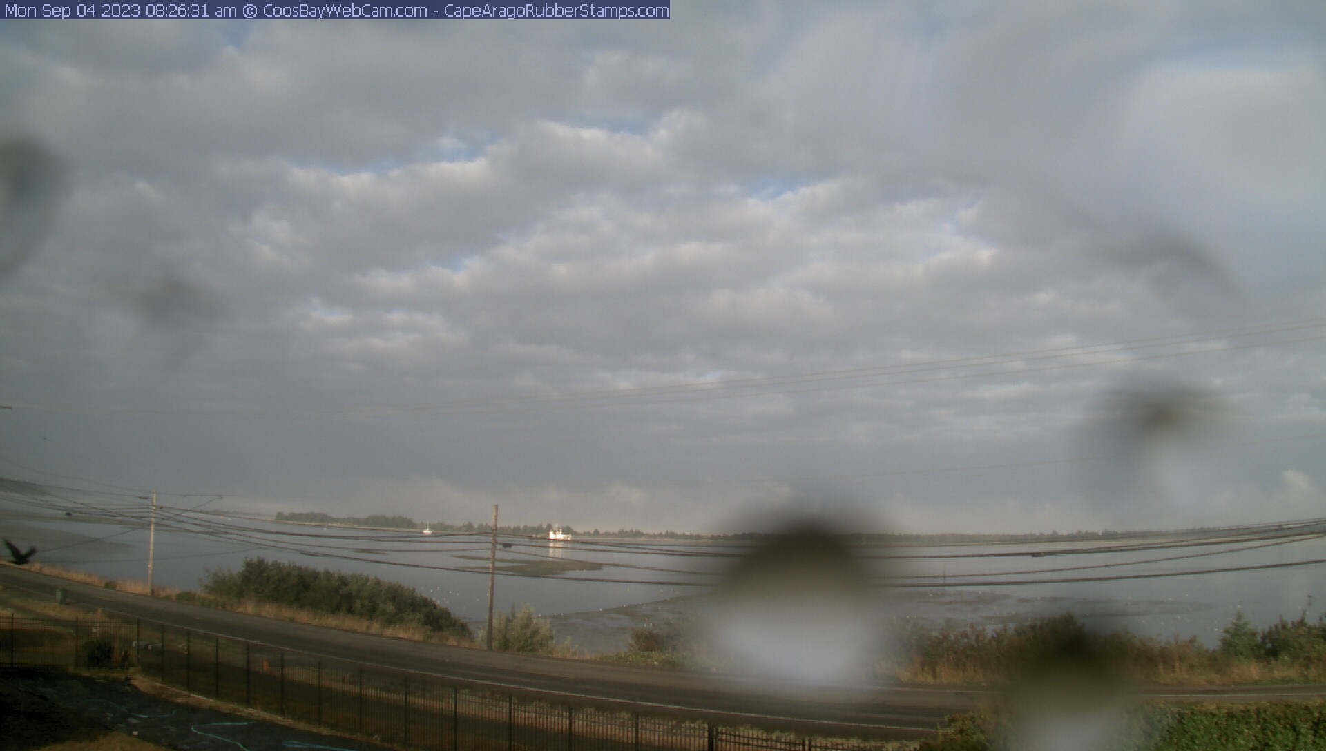
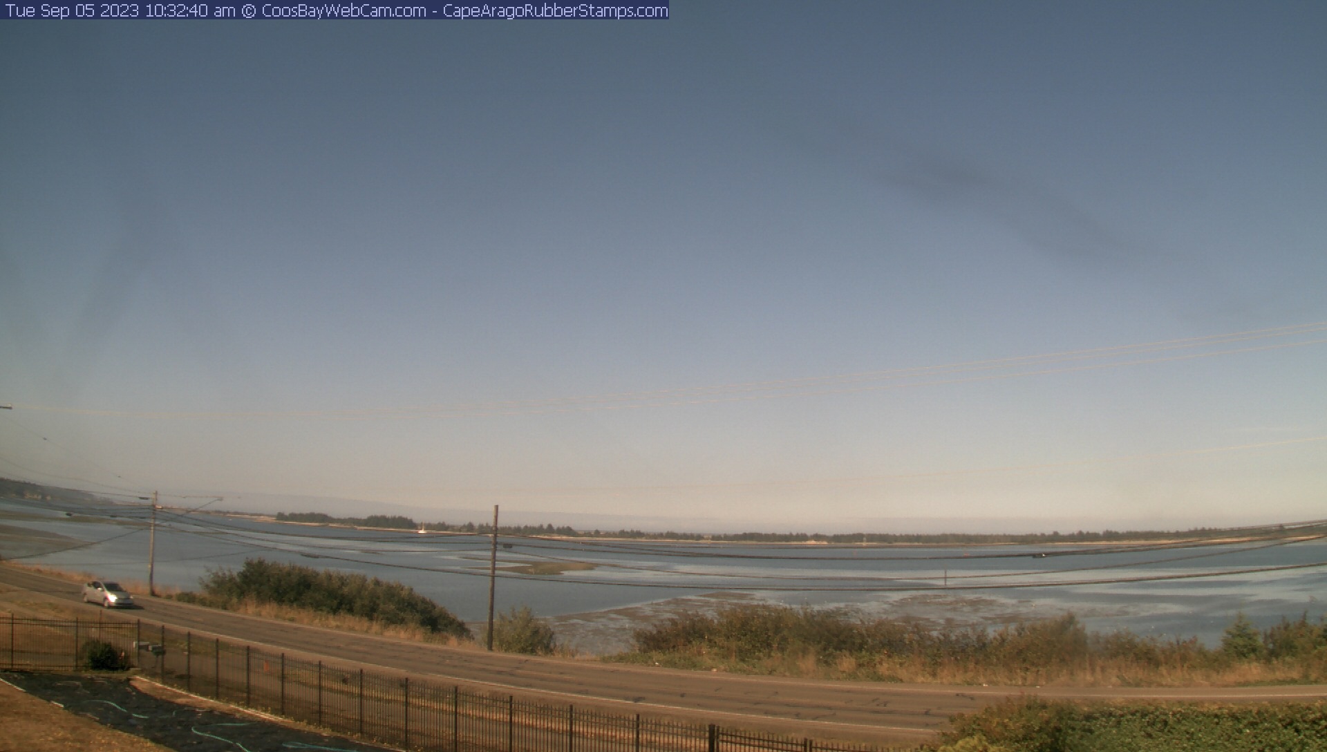
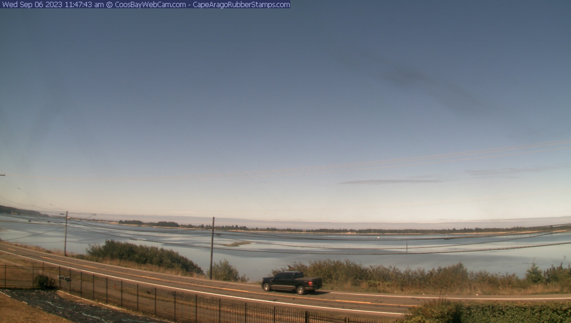
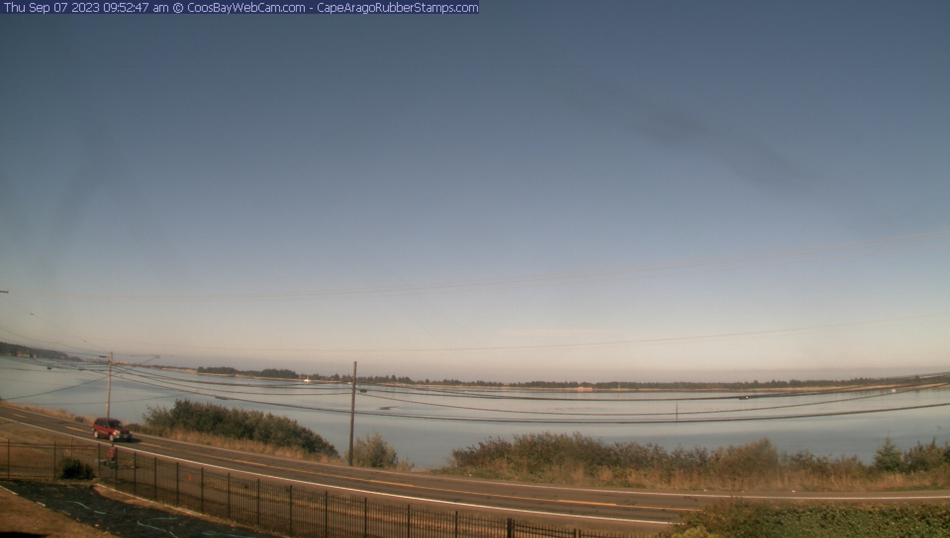
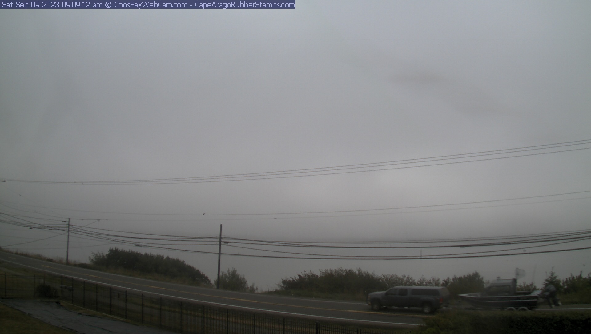
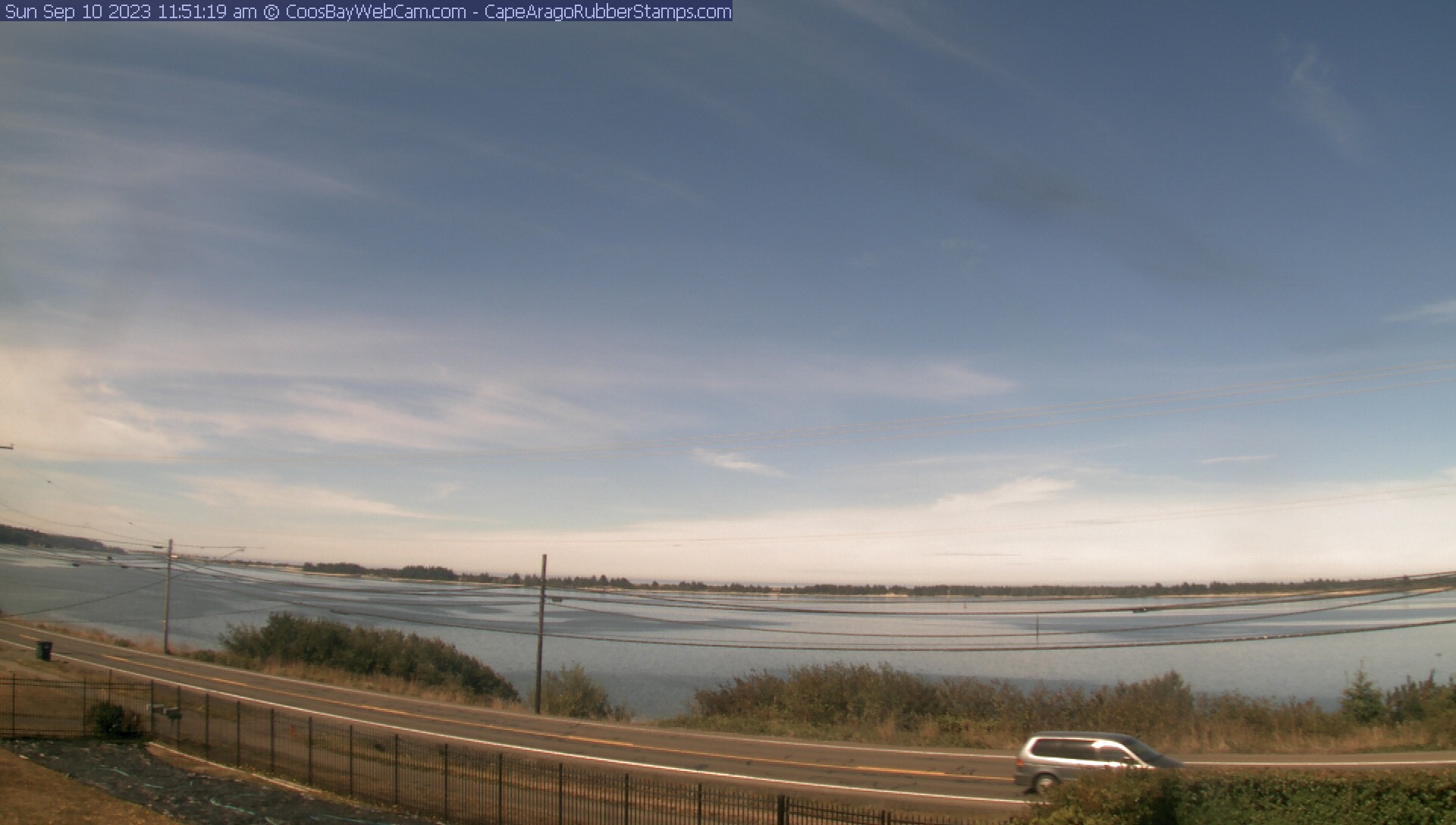
Coos Bay, Oregon, USA - 111.2 miles from Tatlatunne (historical): View of the Coos Bay - A nice panorama view over the Coos Bay.
Operator: CoosBayWebcam.com
Operator: CoosBayWebcam.com


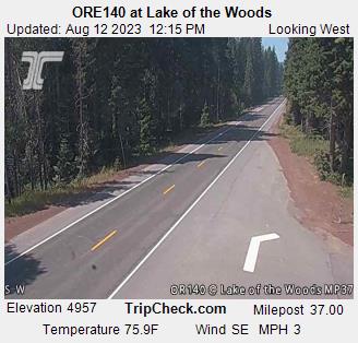
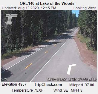
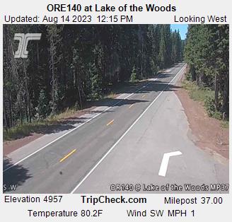
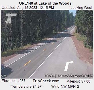
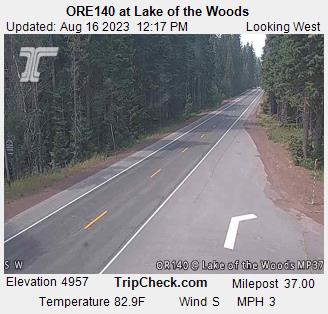
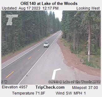
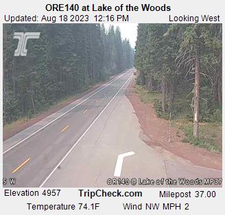
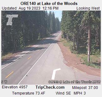
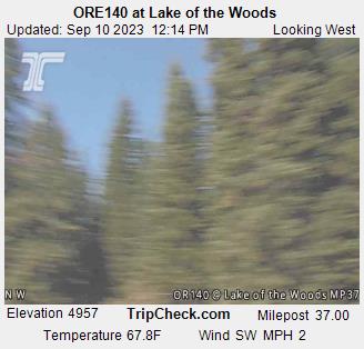
Lake of the Woods, Oregon, USA - 112 miles from Tatlatunne (historical): ORE140 at Lake of the Woods - A view of the current traffic situation on the ORE140.
Operator: Oregon Department of Transportation
Operator: Oregon Department of Transportation


Garberville, California, USA - 116.7 miles from Tatlatunne (historical): Garberville Airport - Several views of Garberville Airport.
Operator: North Coast Aviation
Operator: North Coast Aviation


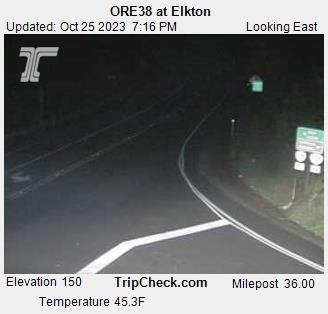
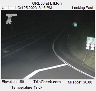
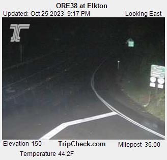
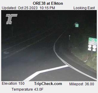
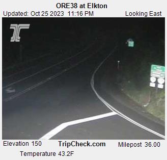
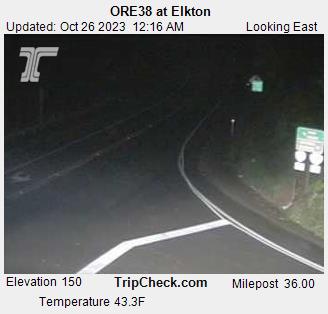
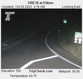
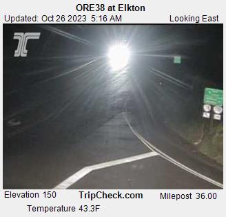
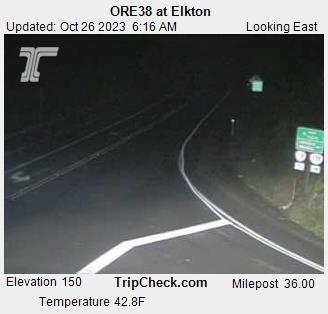
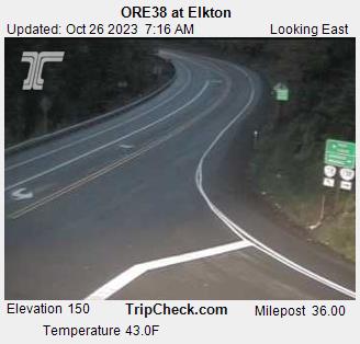
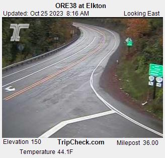
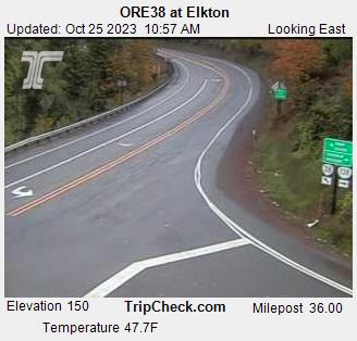
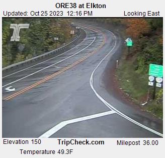
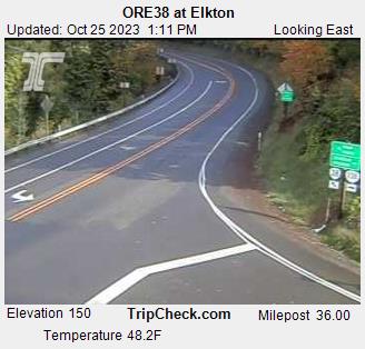
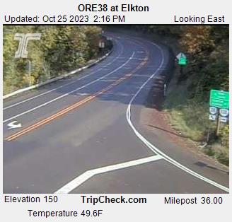
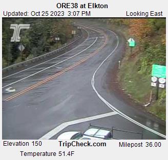
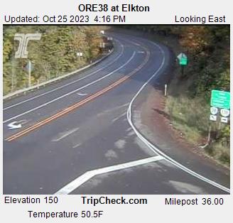
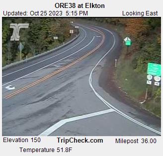
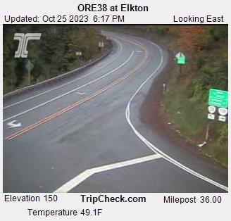
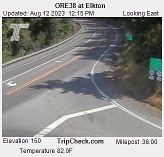
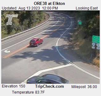
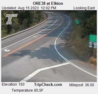
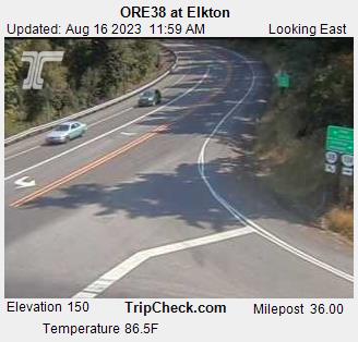
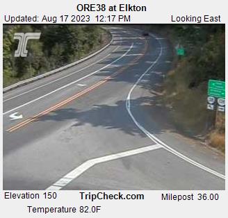
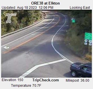
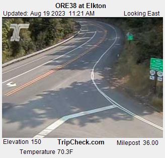
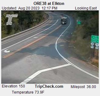
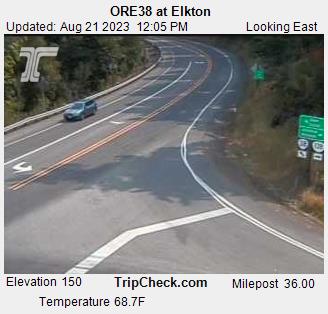
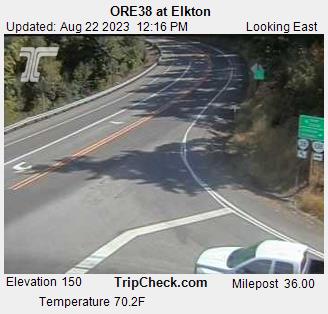
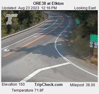
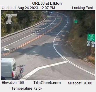
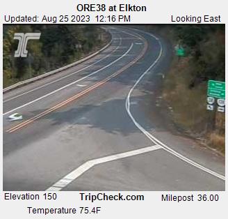
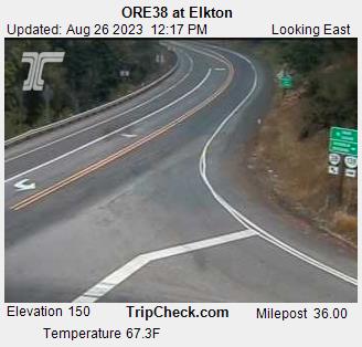
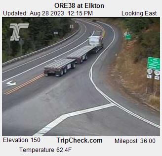
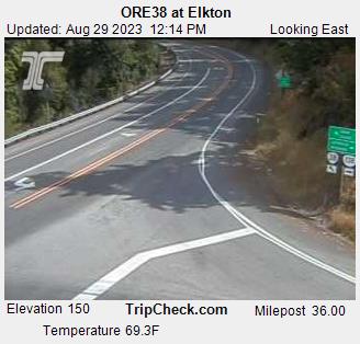
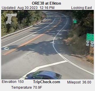
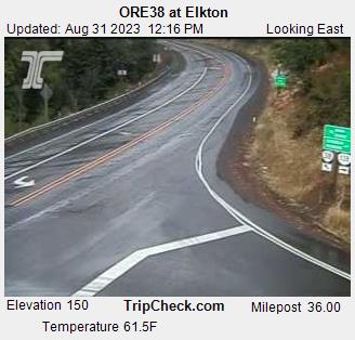
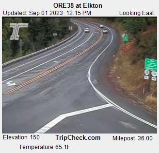
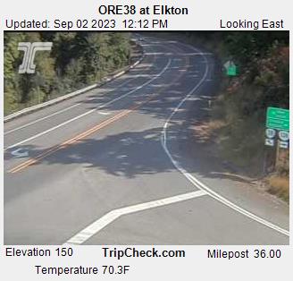
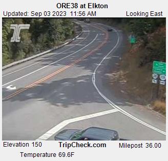
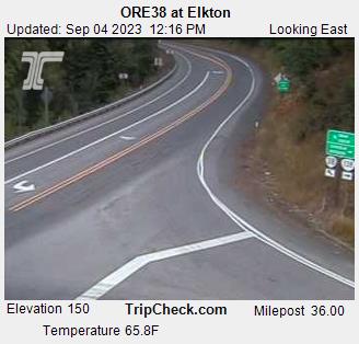
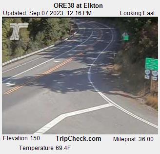
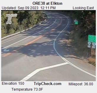
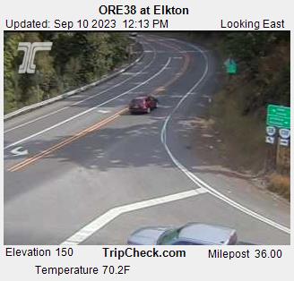
Elkton, Oregon, USA - 134.2 miles from Tatlatunne (historical): ORE38 at Elkton - A view of the current traffic situation on the ORE38.
Operator: Oregon Department of Transportation
Operator: Oregon Department of Transportation


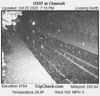
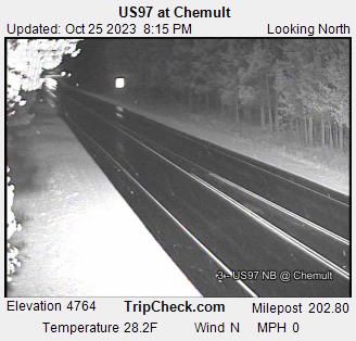
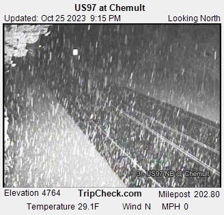
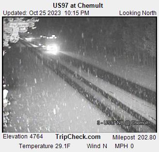
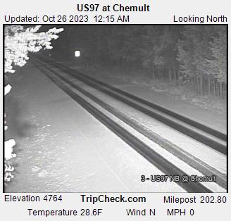
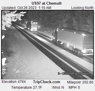
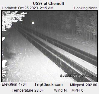
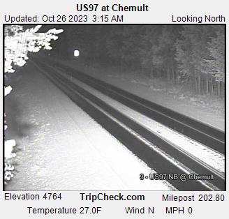
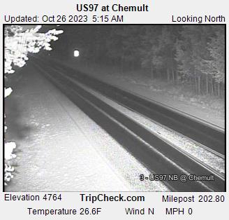
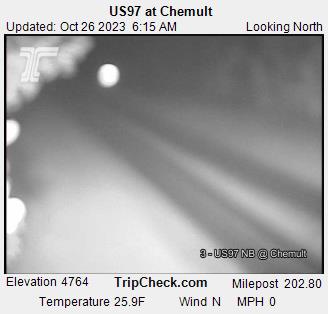
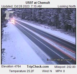
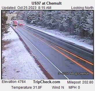
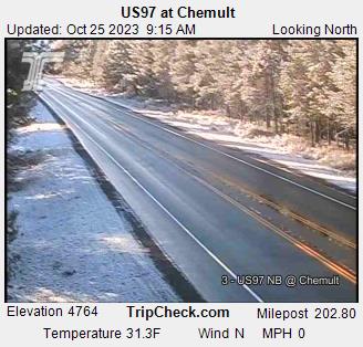
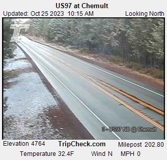
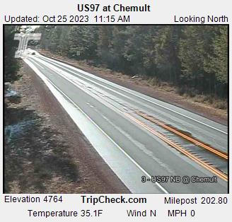
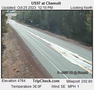
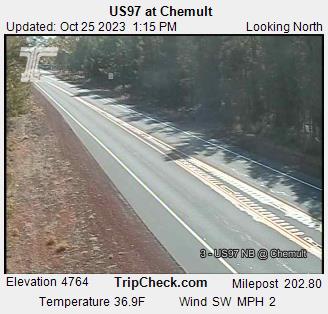
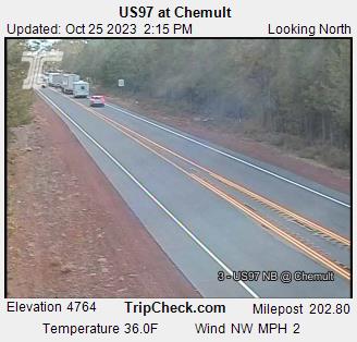
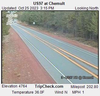
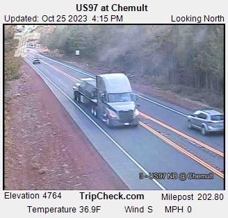
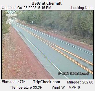
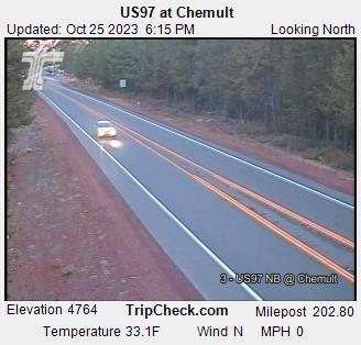
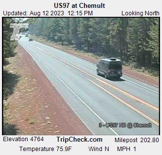
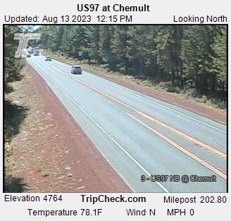
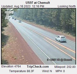
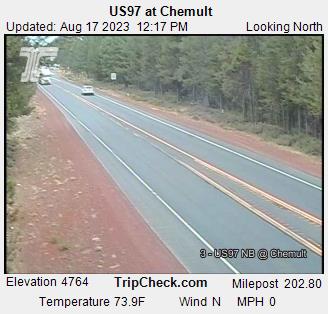
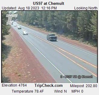
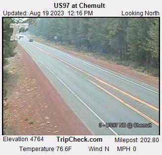
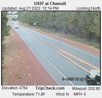
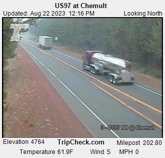
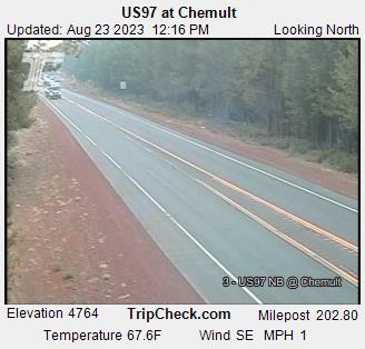
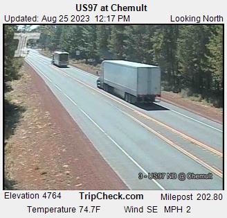
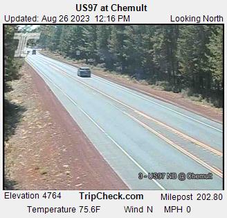
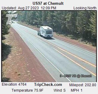
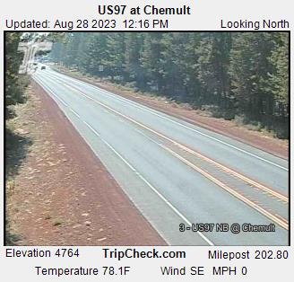
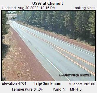
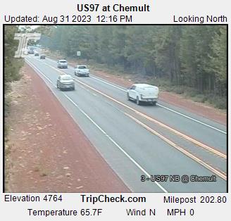
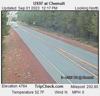
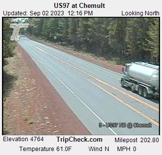
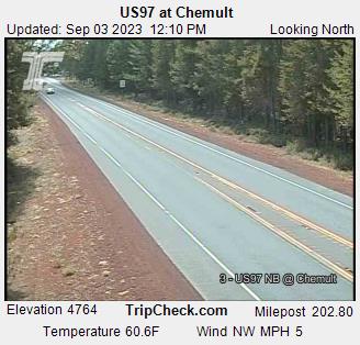
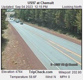
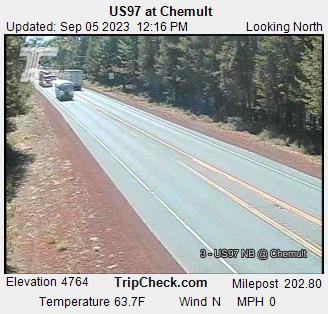
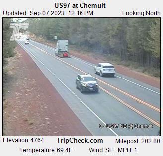
Chemult, Oregon, USA - 160.3 miles from Tatlatunne (historical): US97 at Chemult - A view of the current traffic situation on the US97.
Operator: Oregon Department of Transportation
Operator: Oregon Department of Transportation


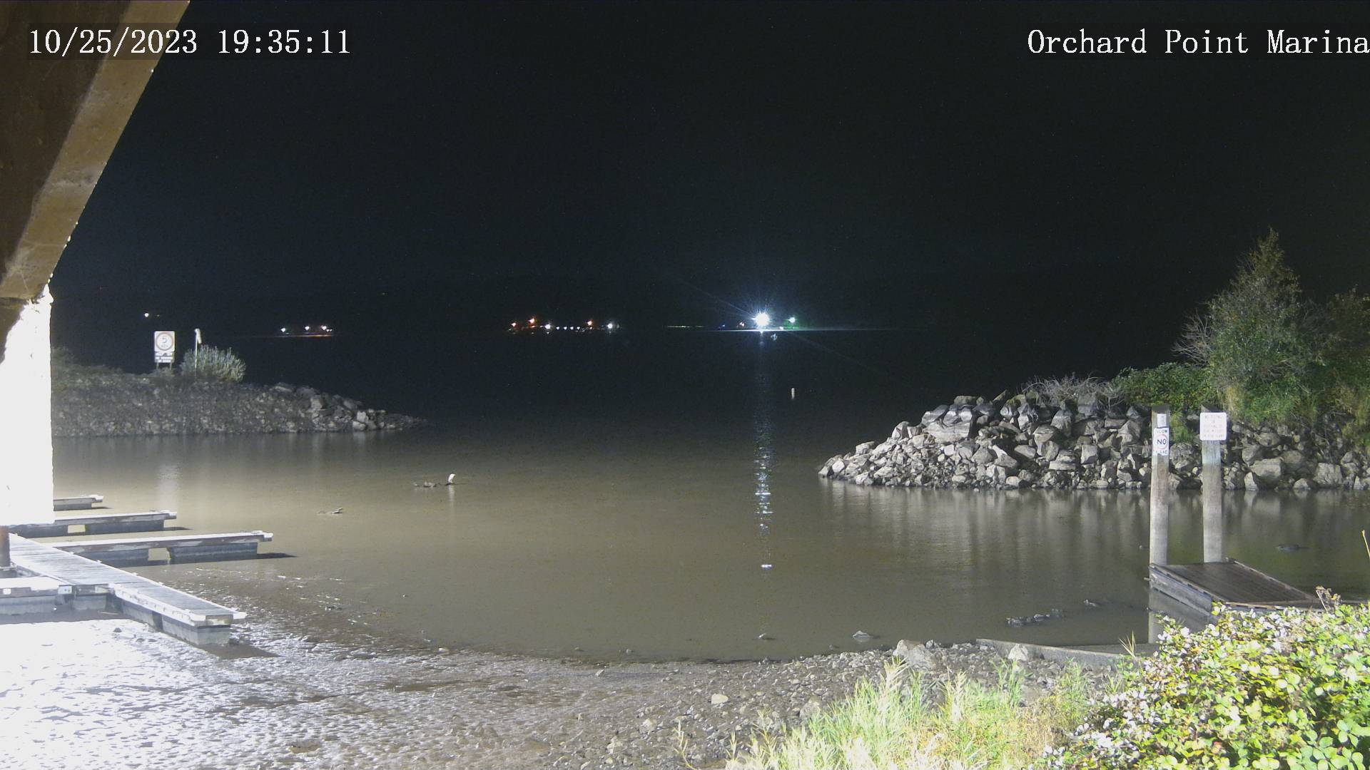
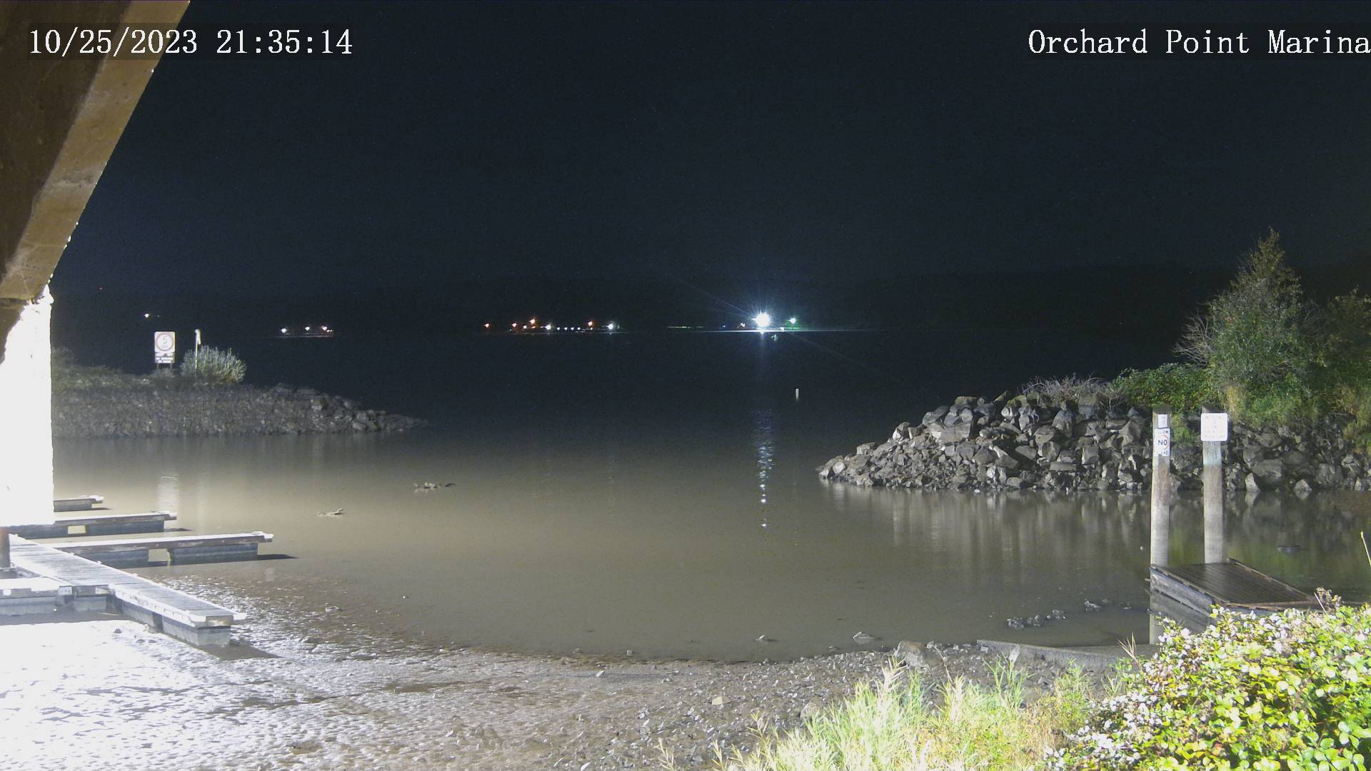
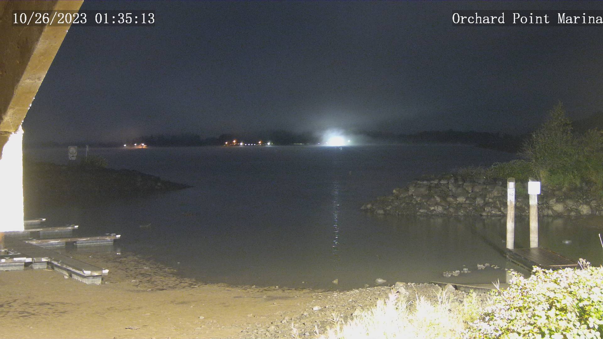
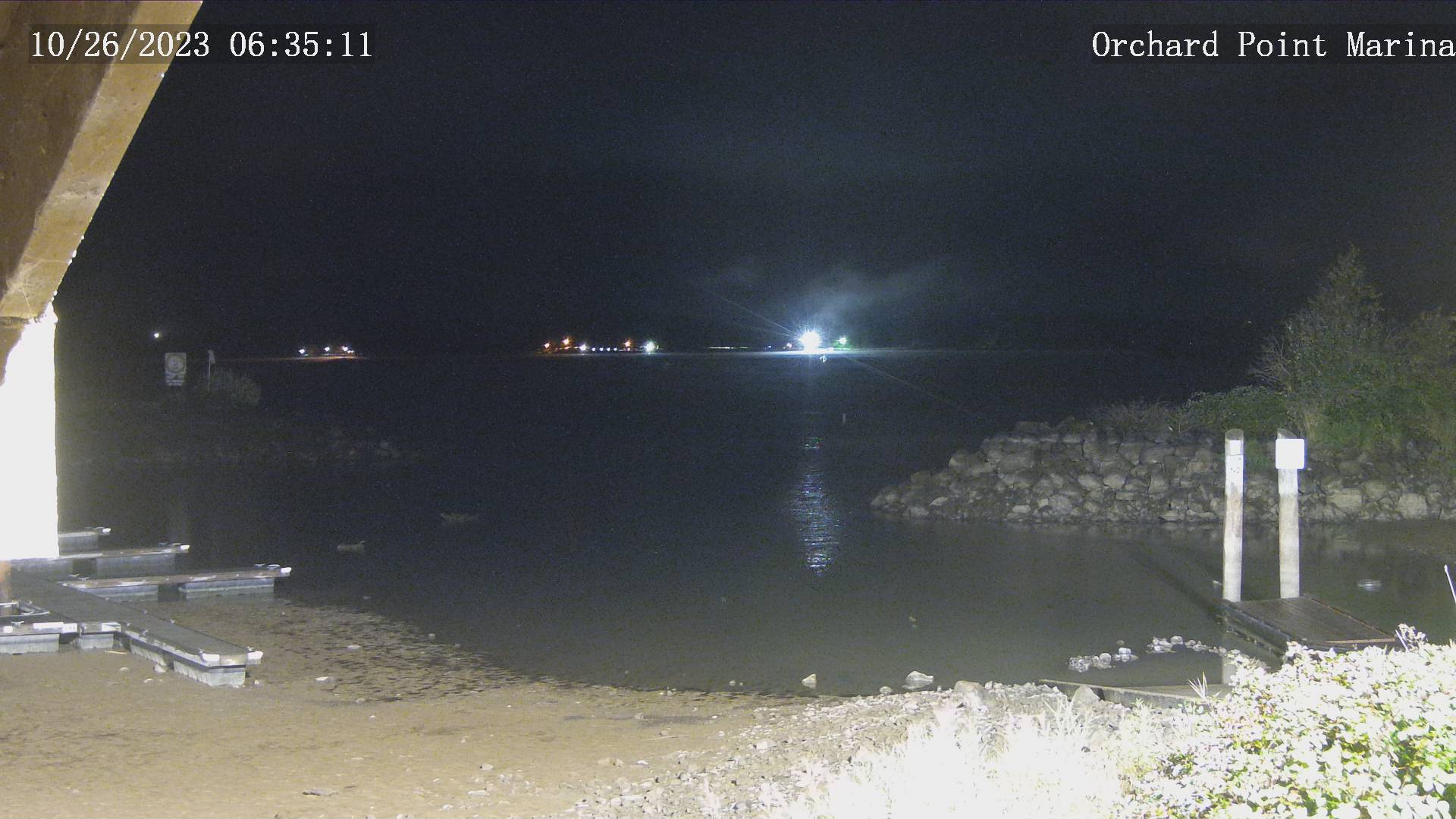
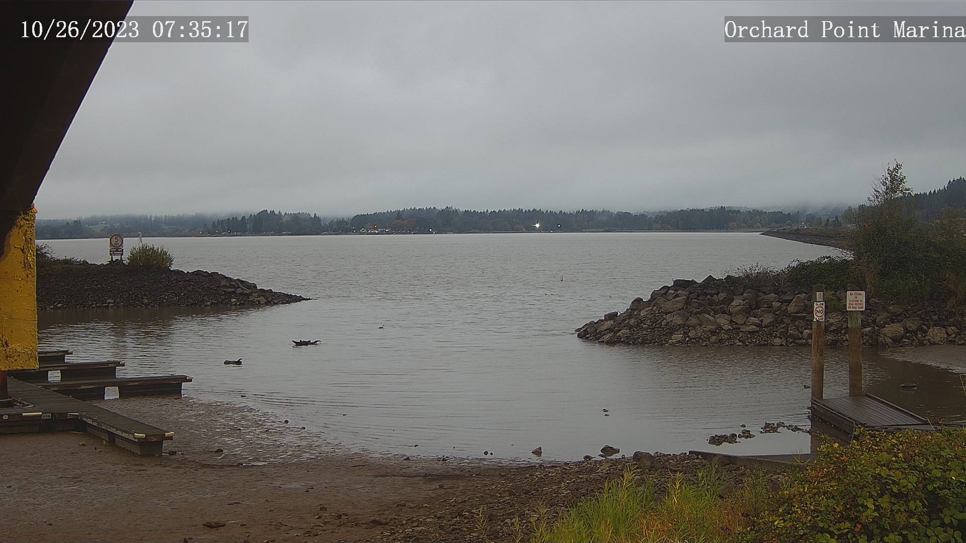
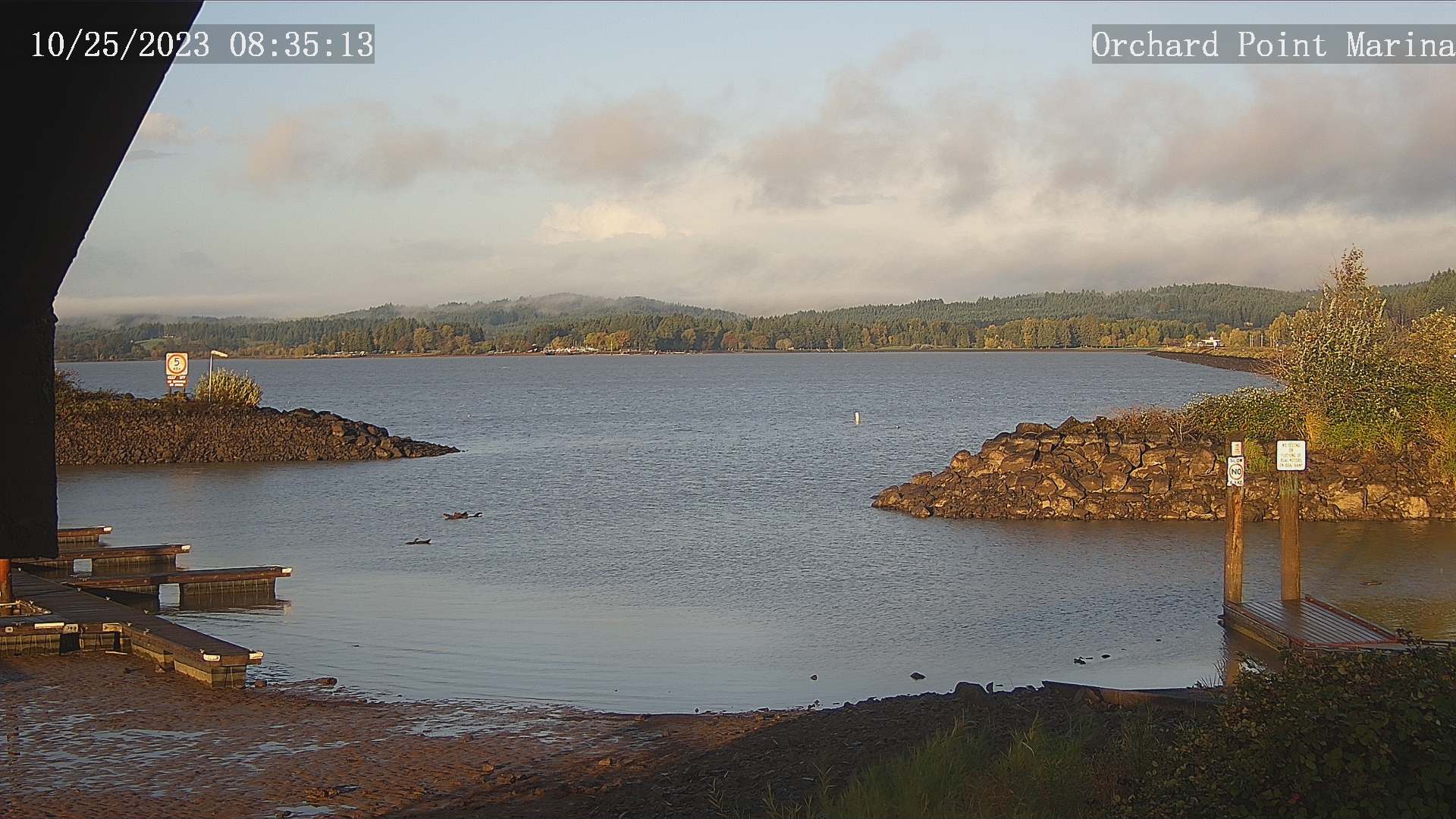
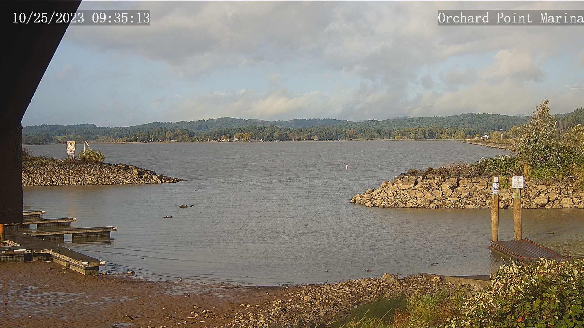
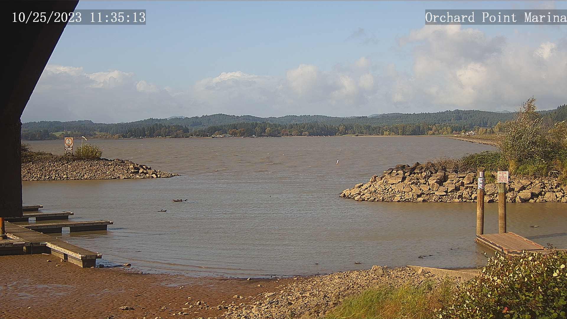
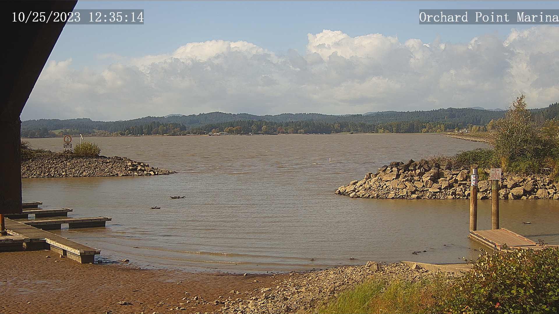
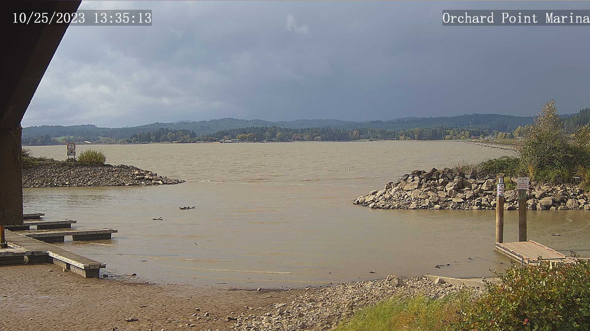
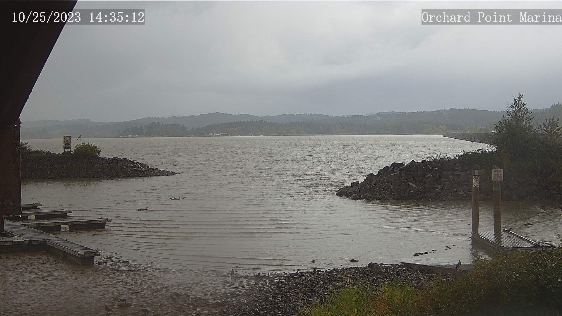
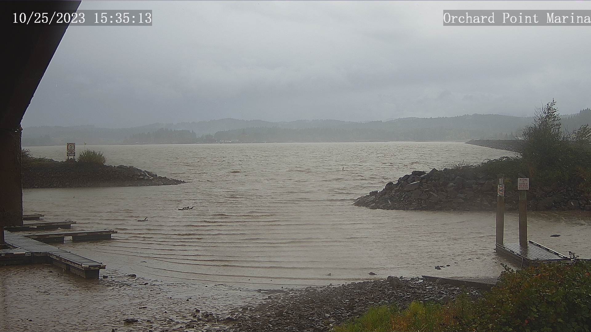
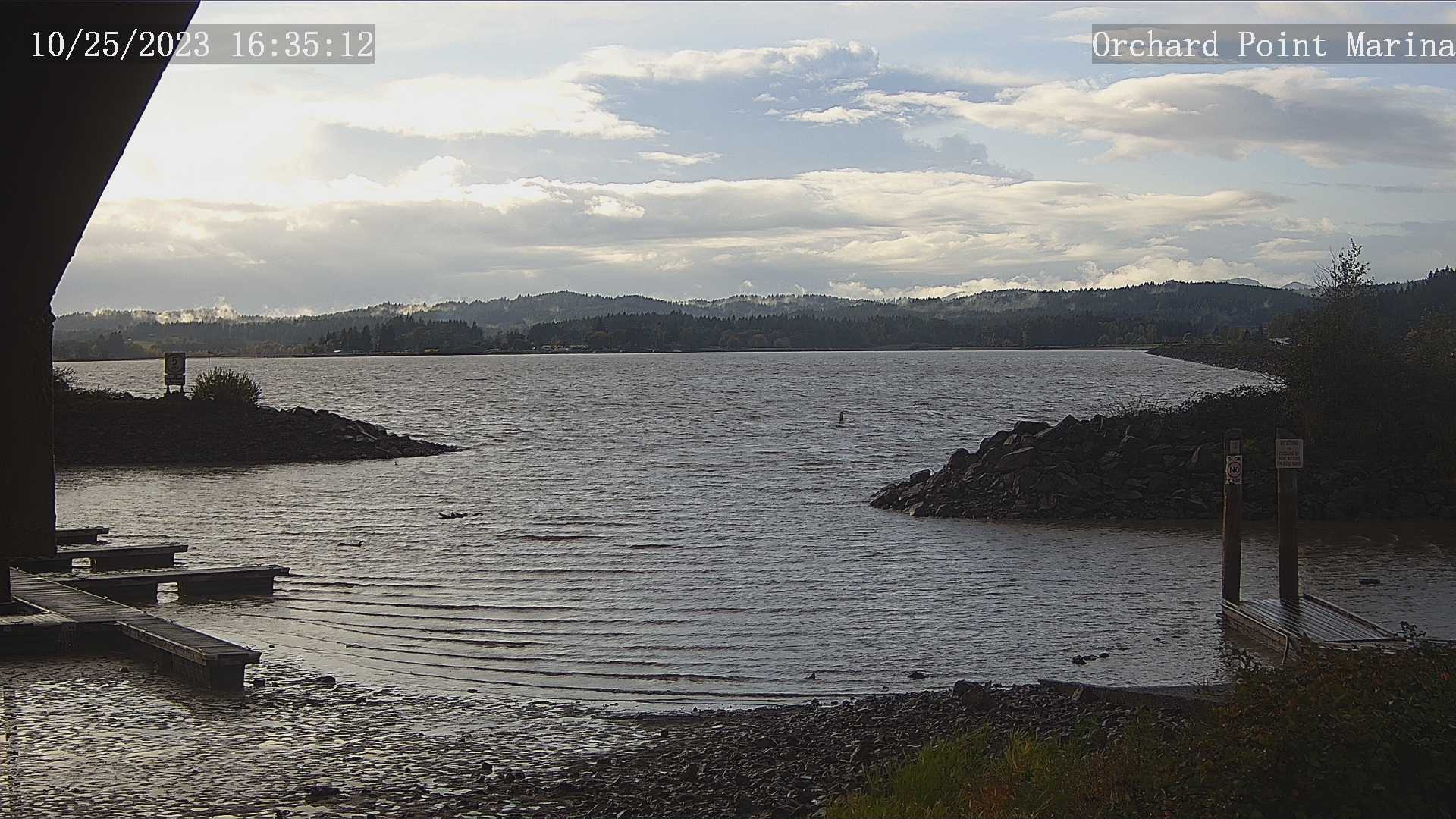
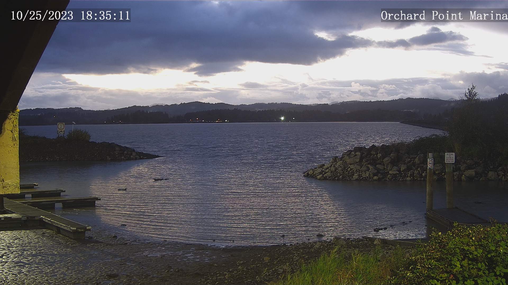
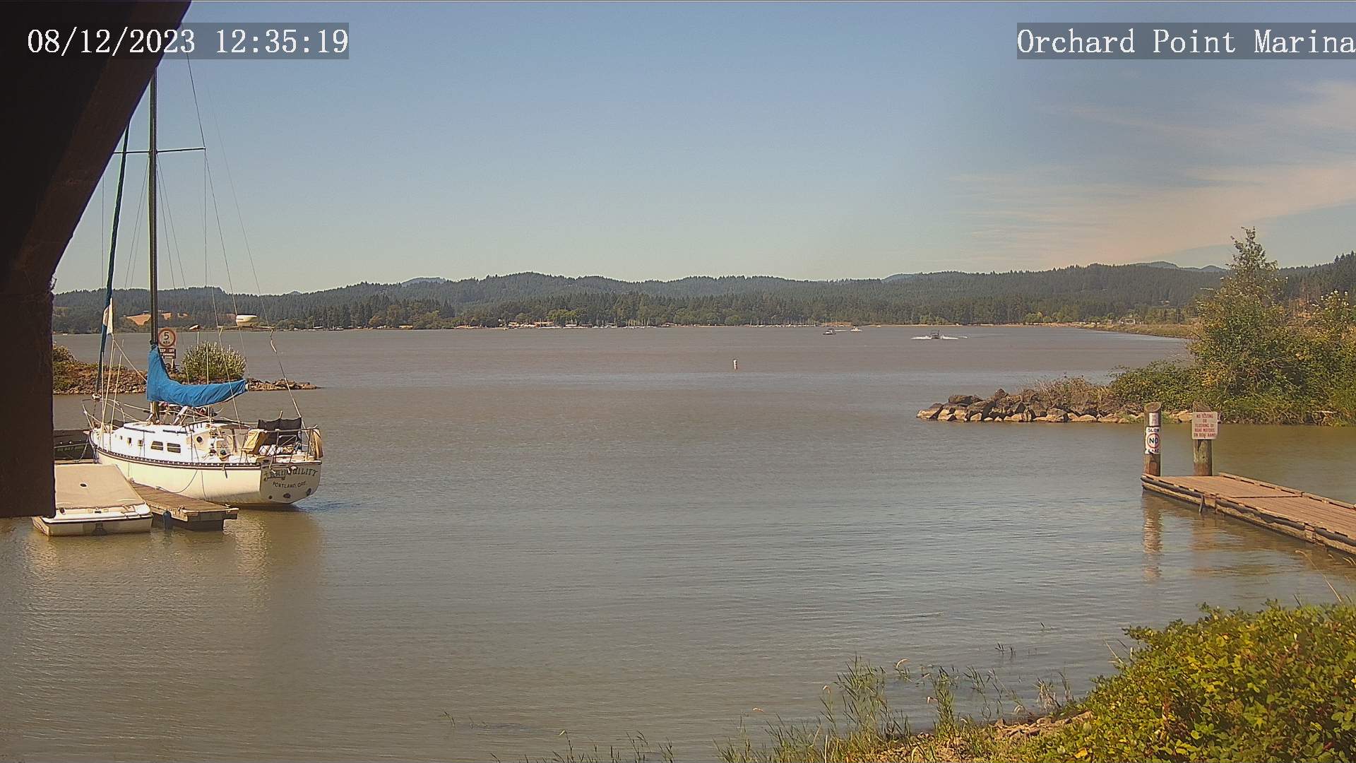
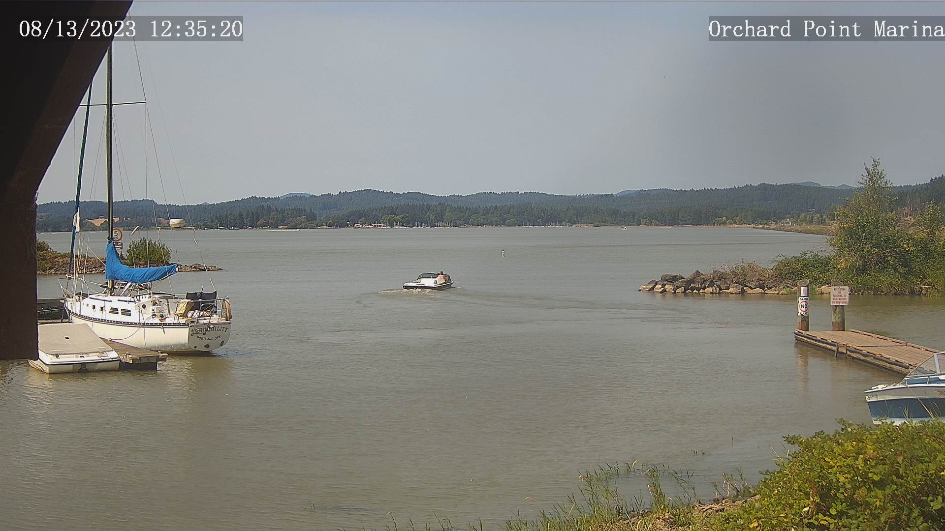
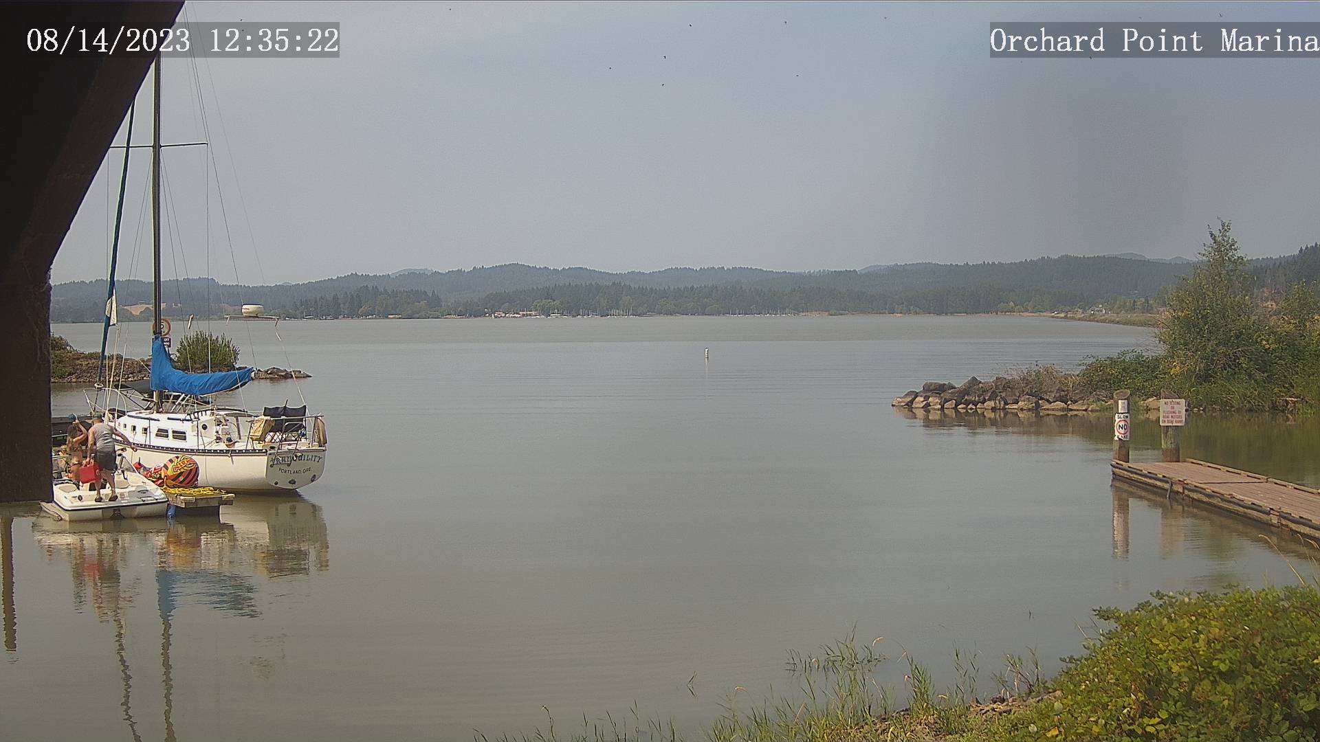
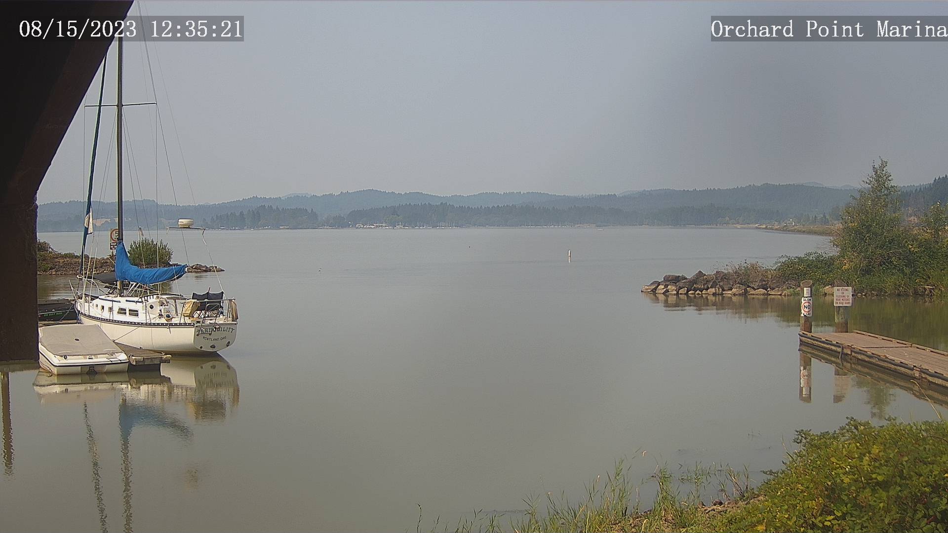
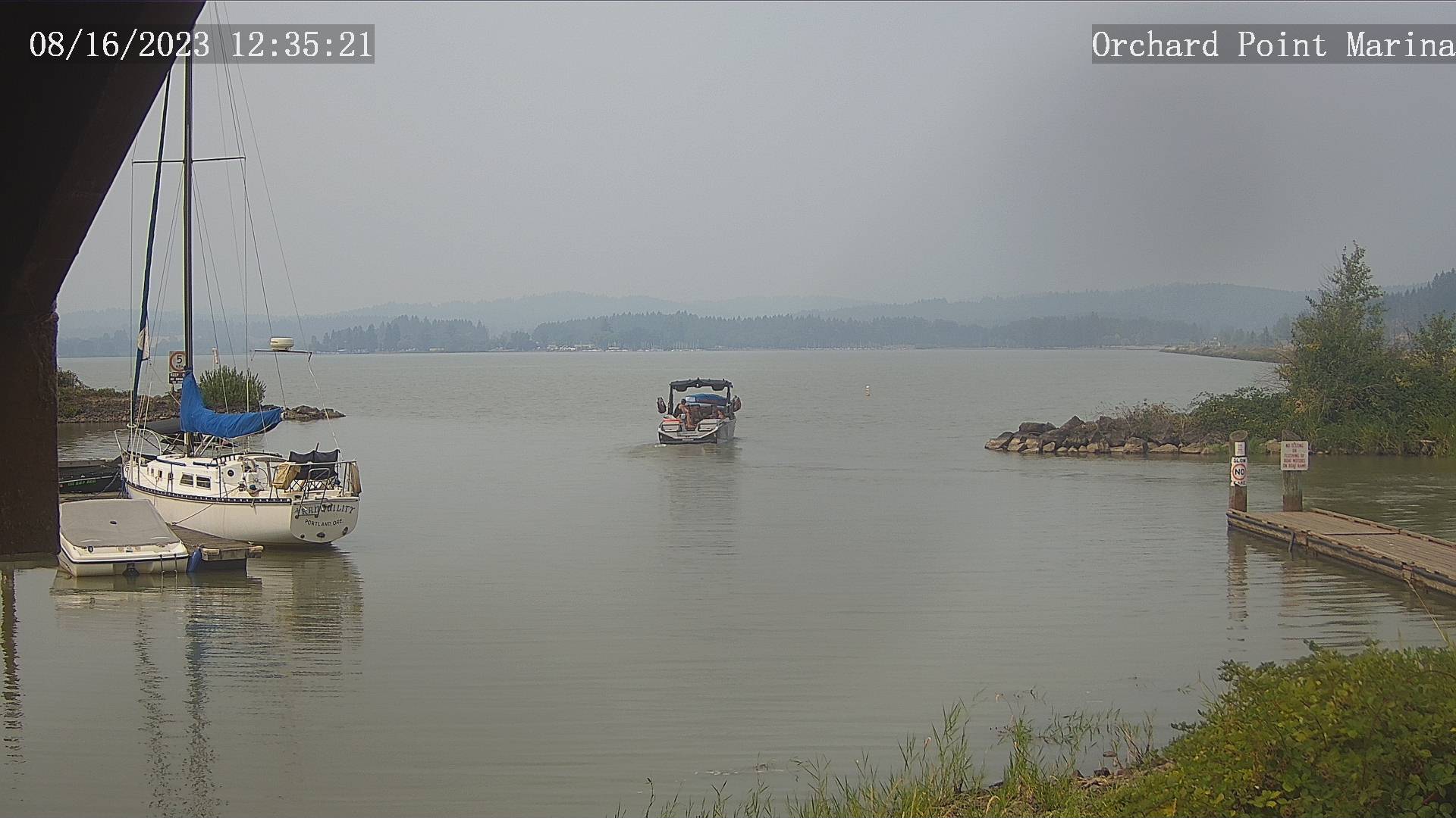
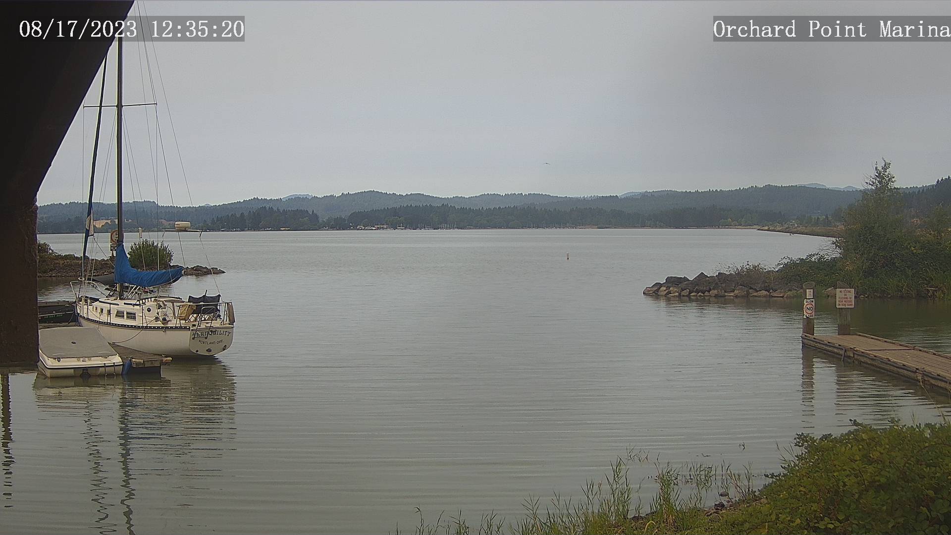
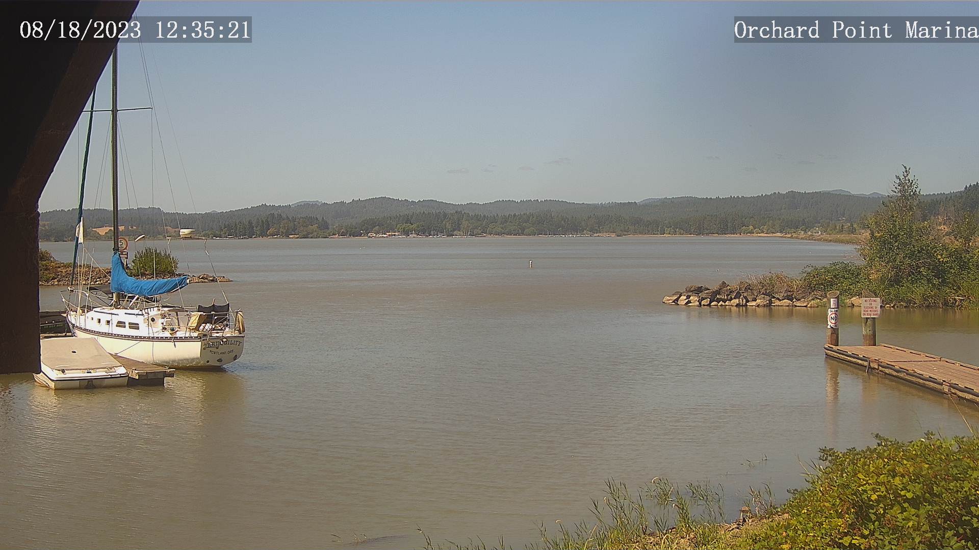
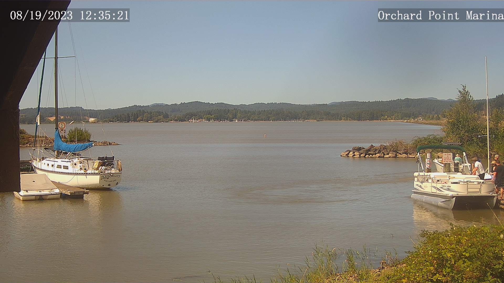
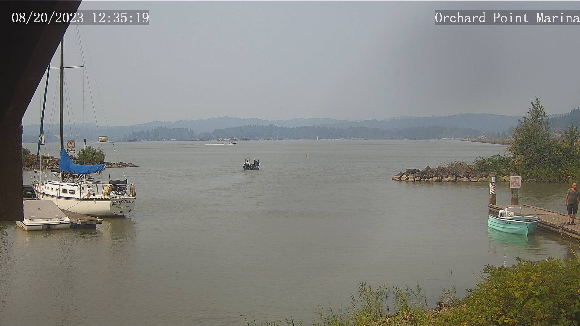
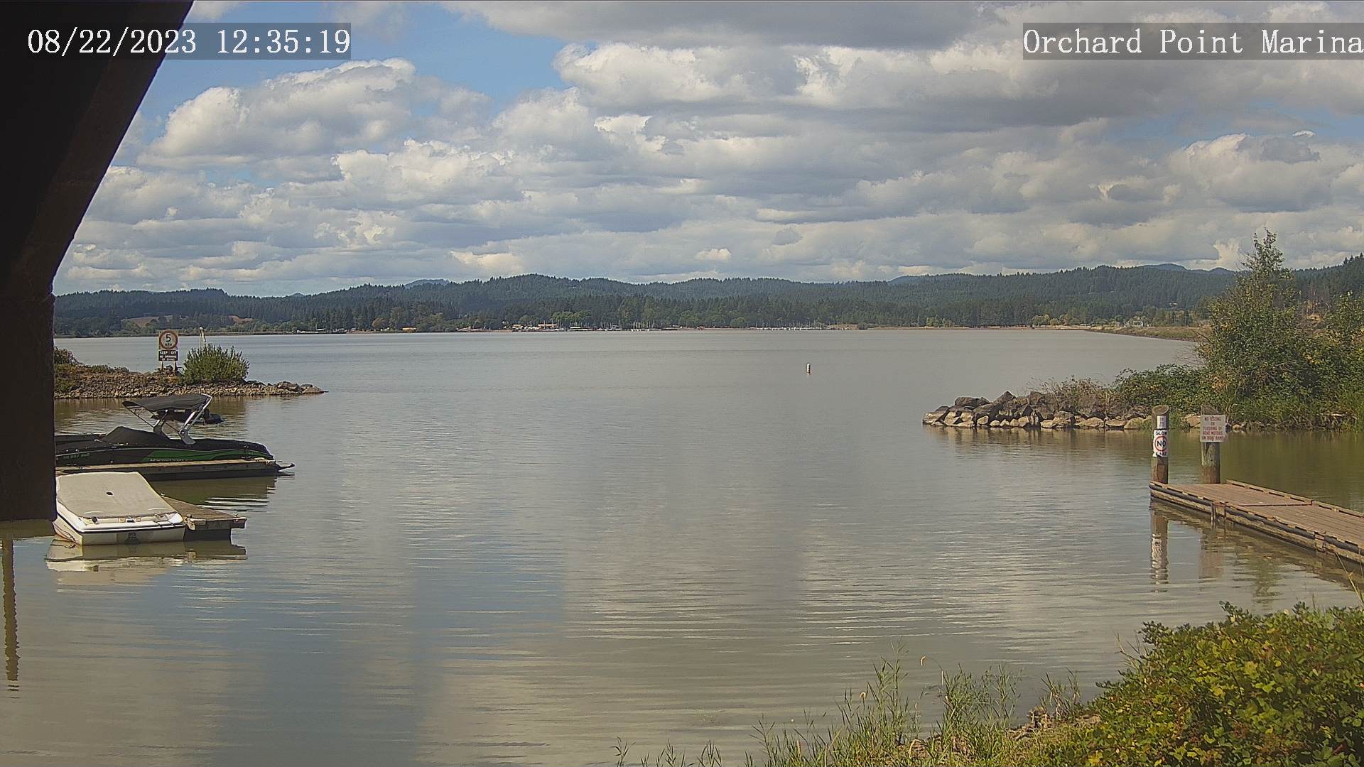
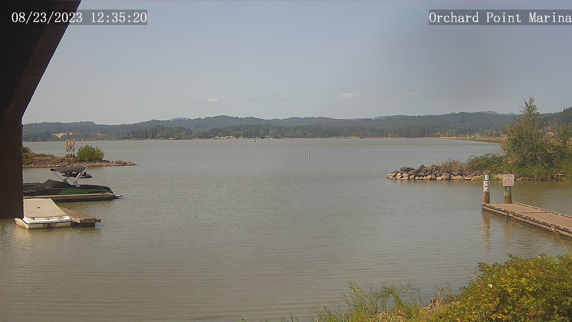
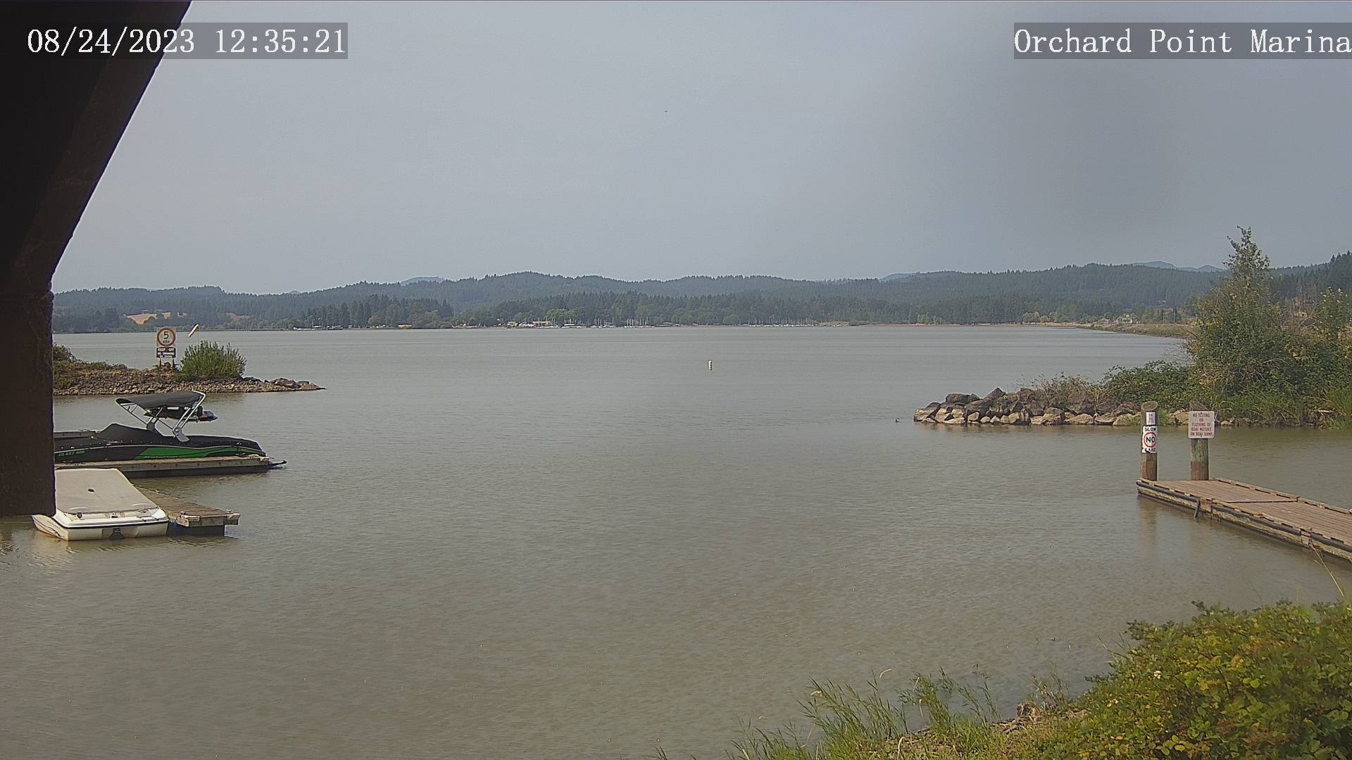
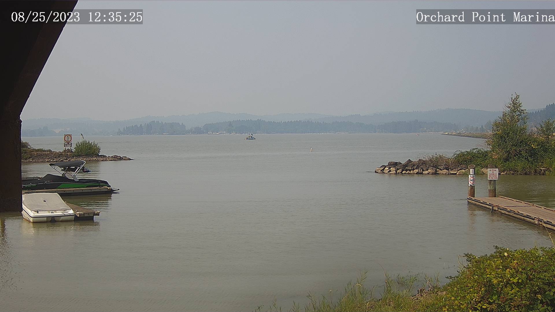
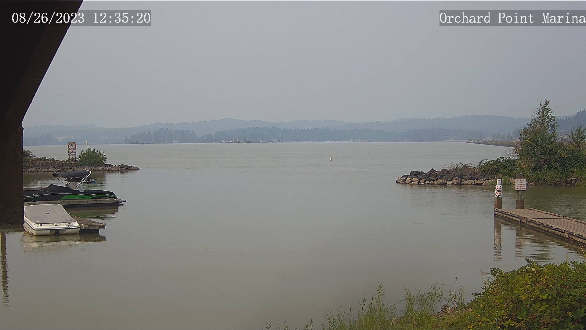
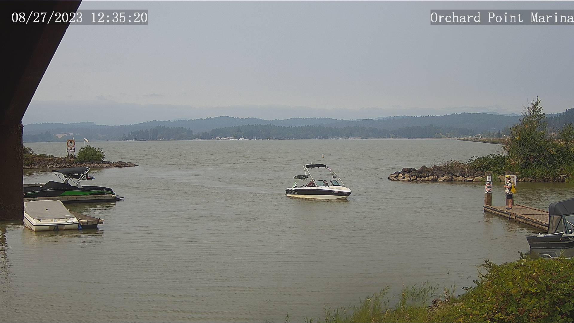
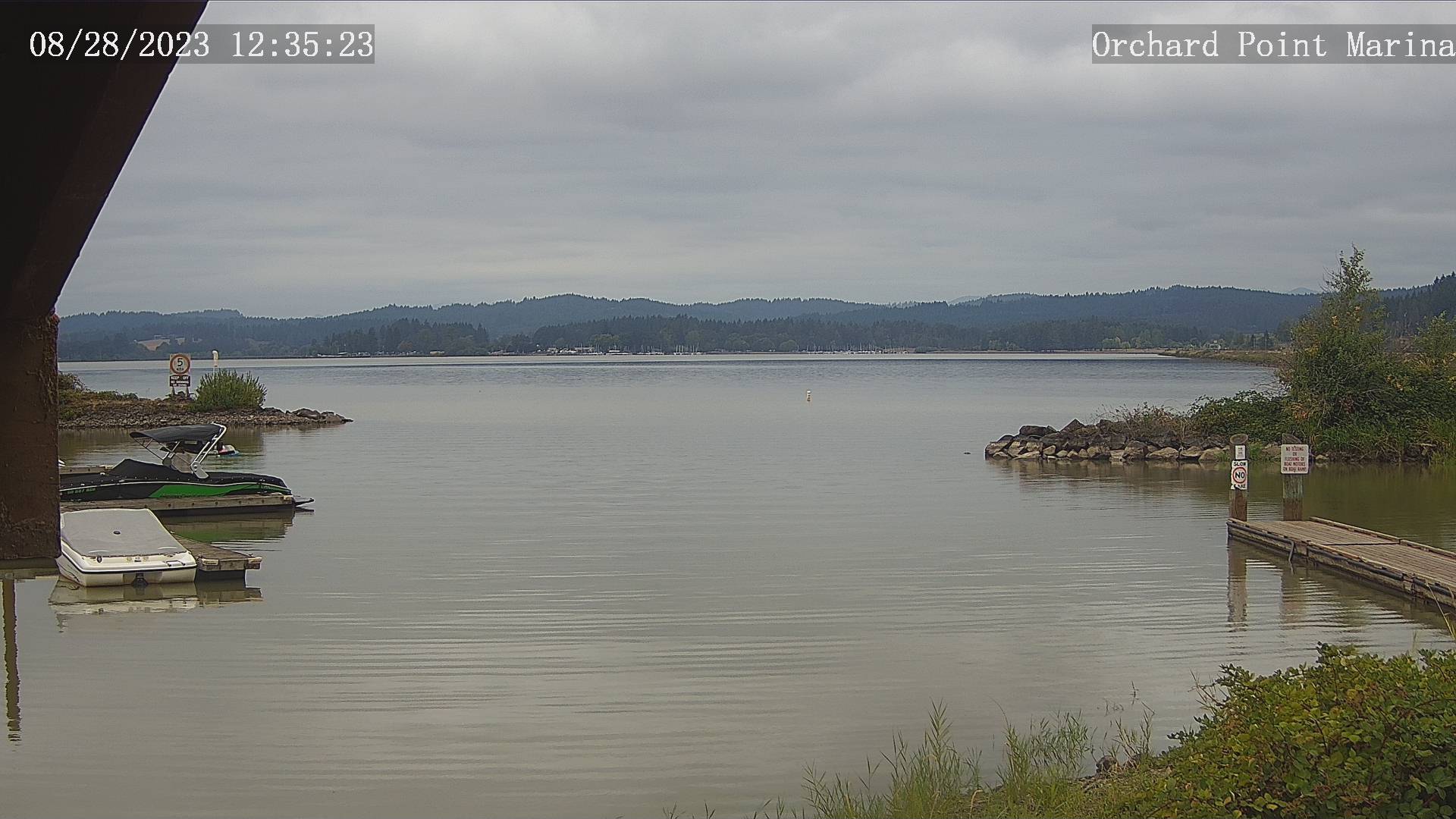
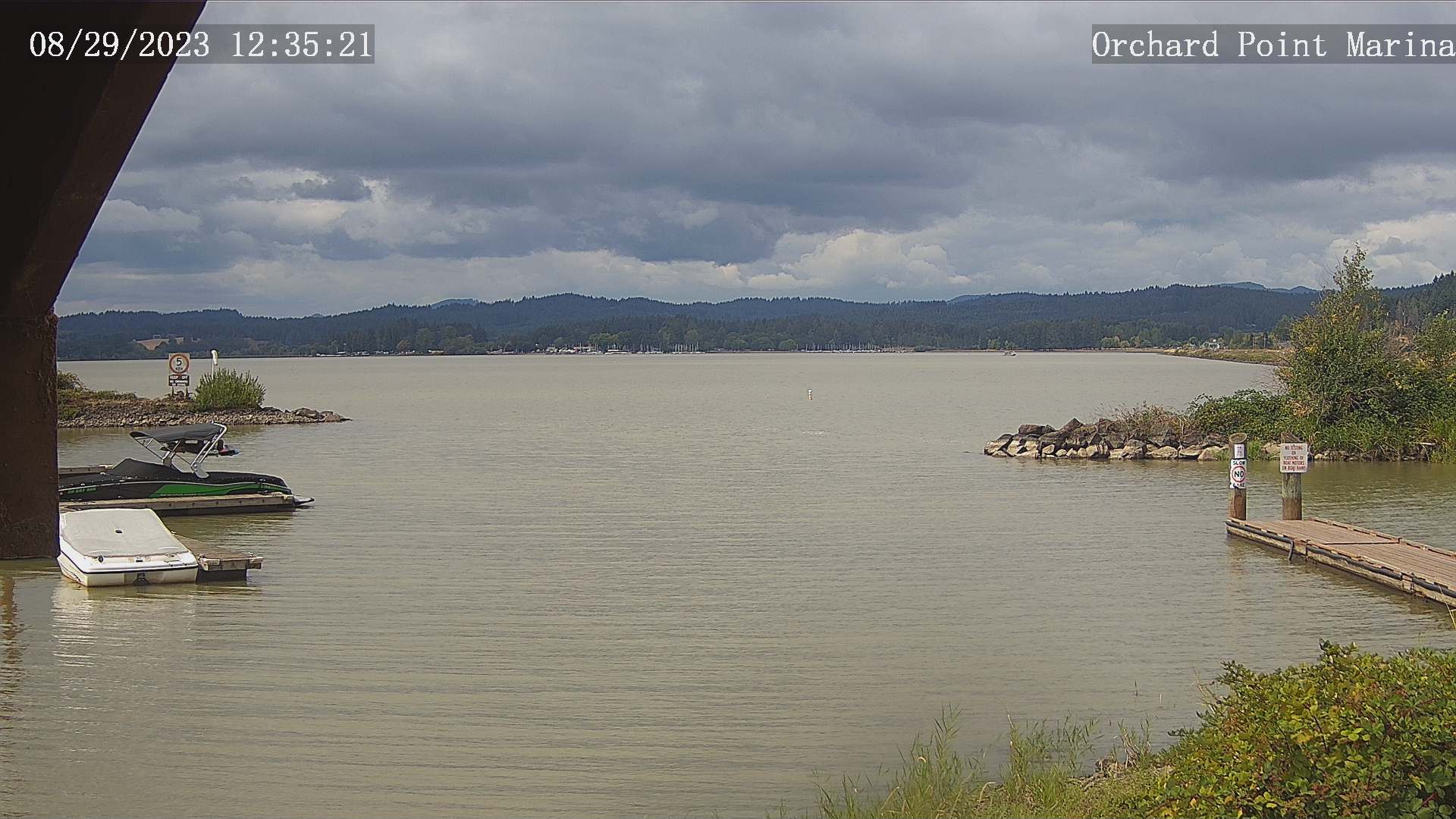
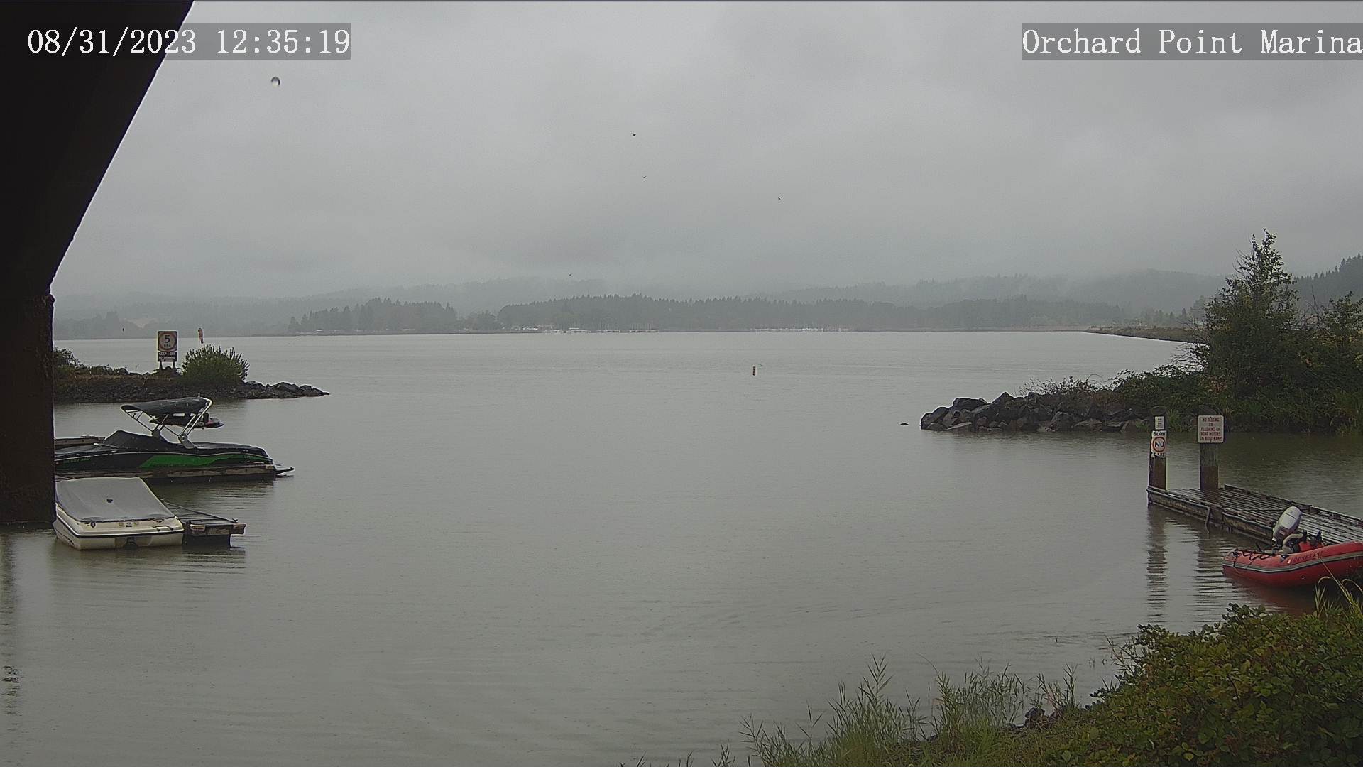
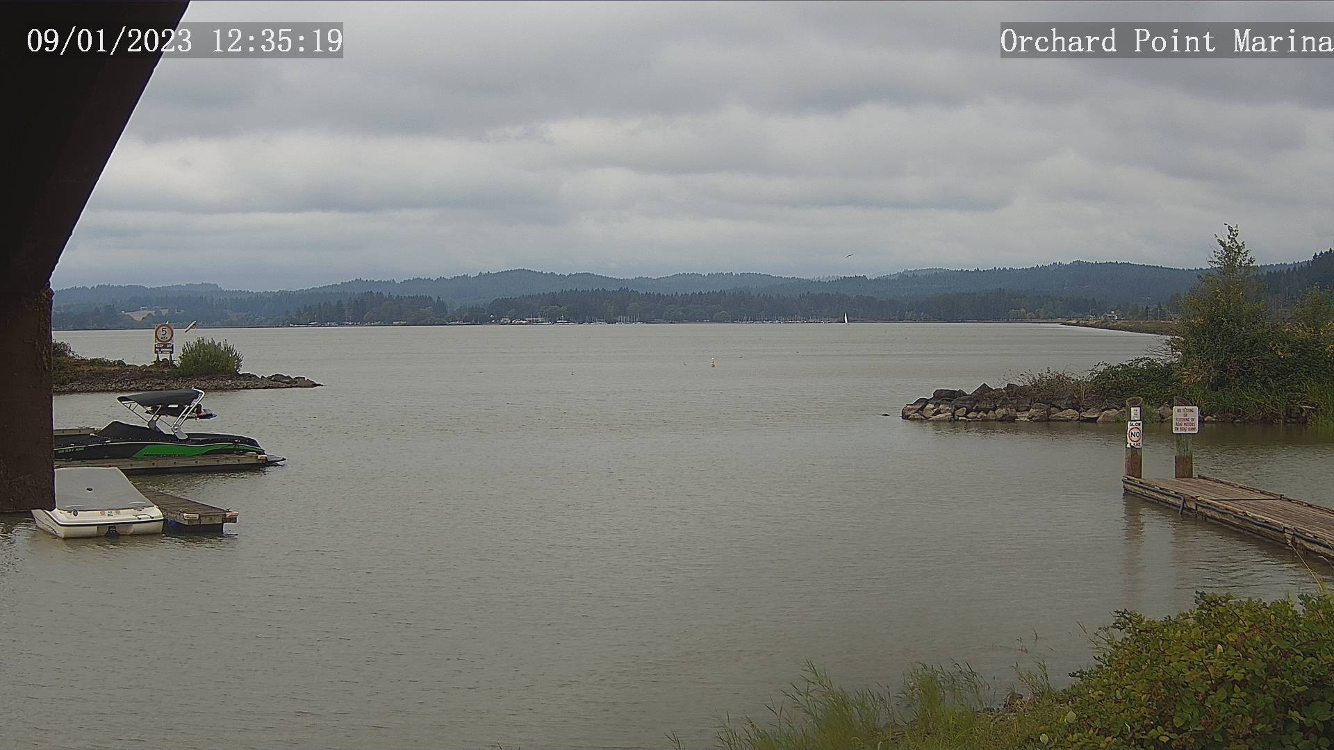
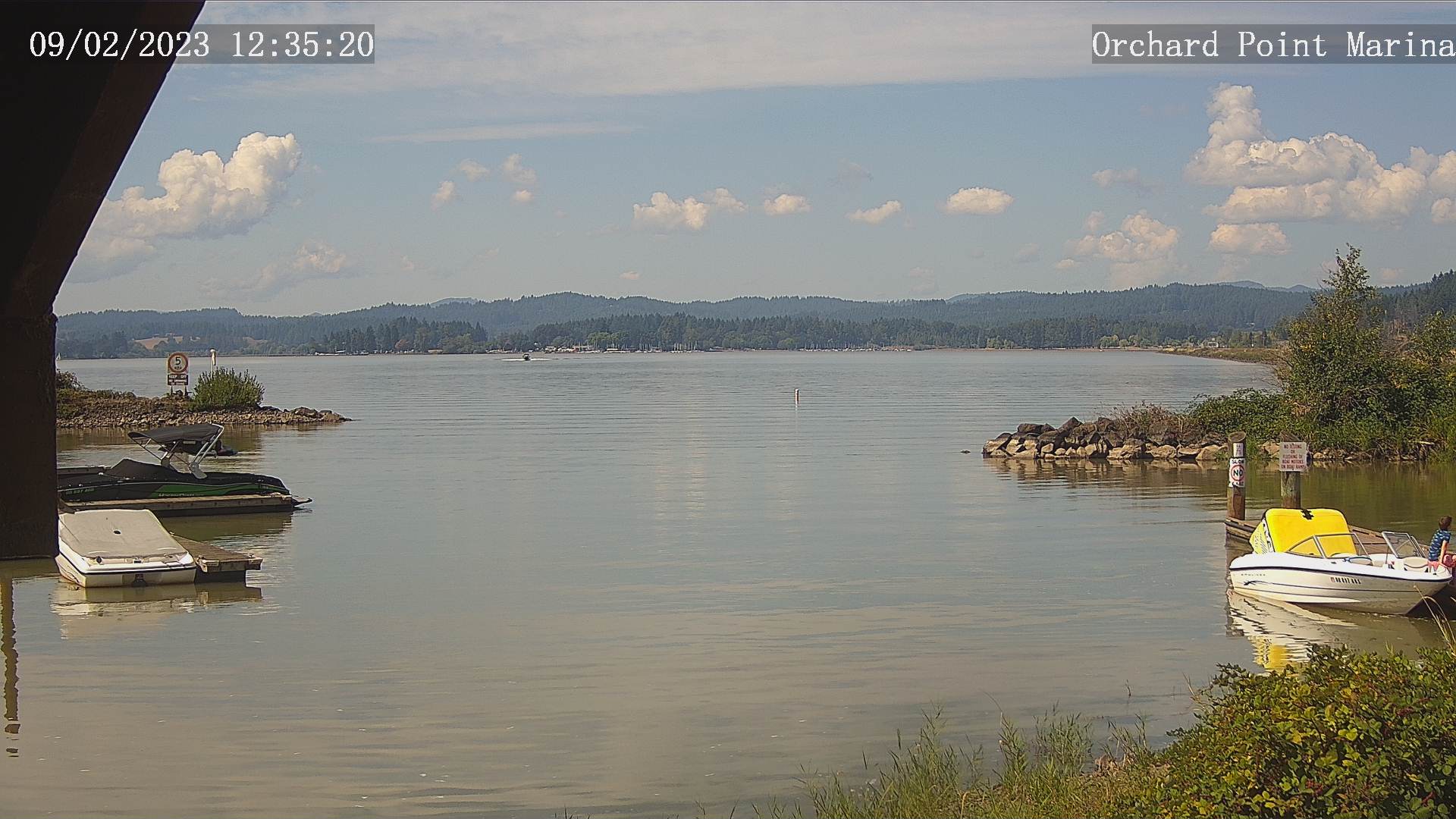
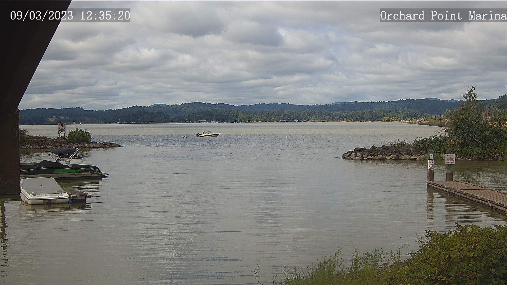
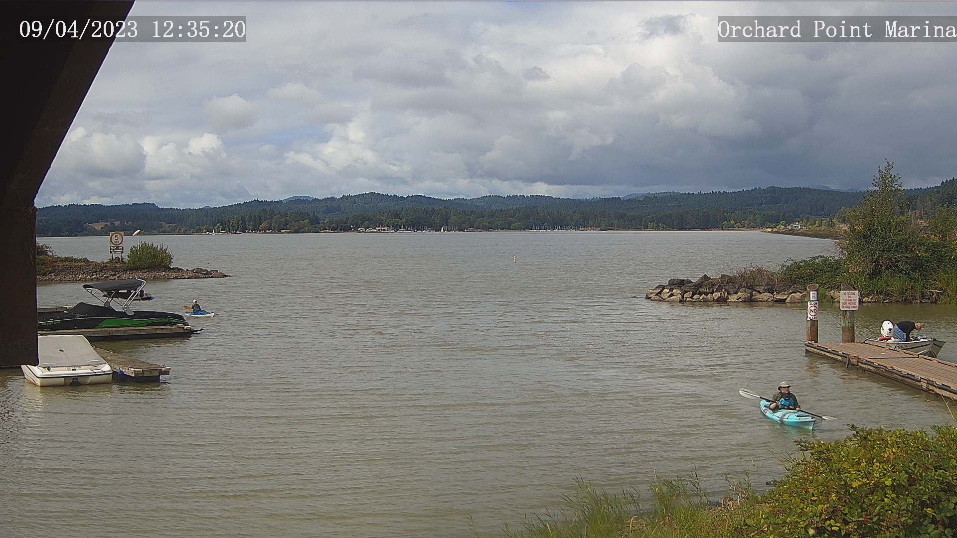
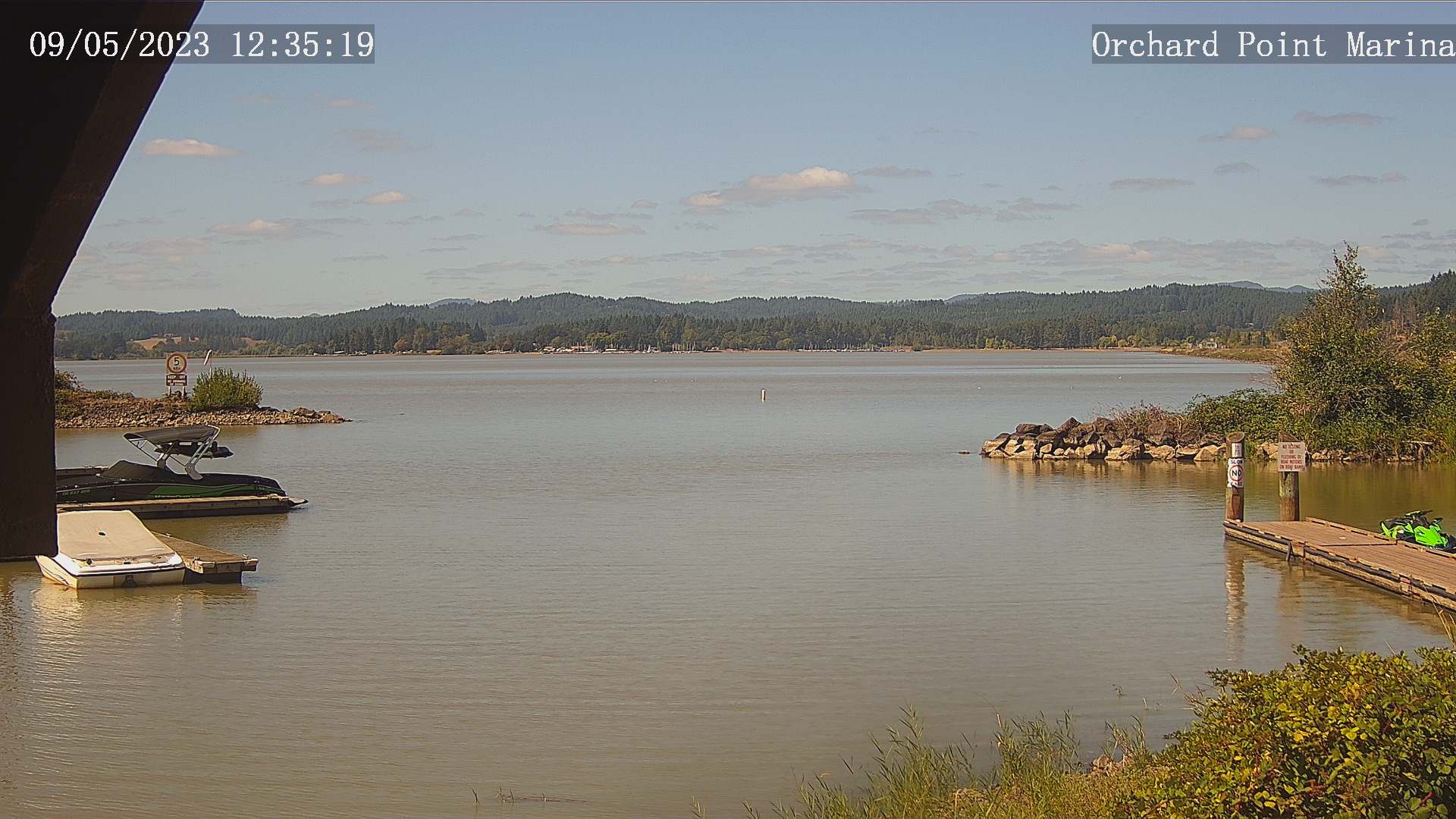
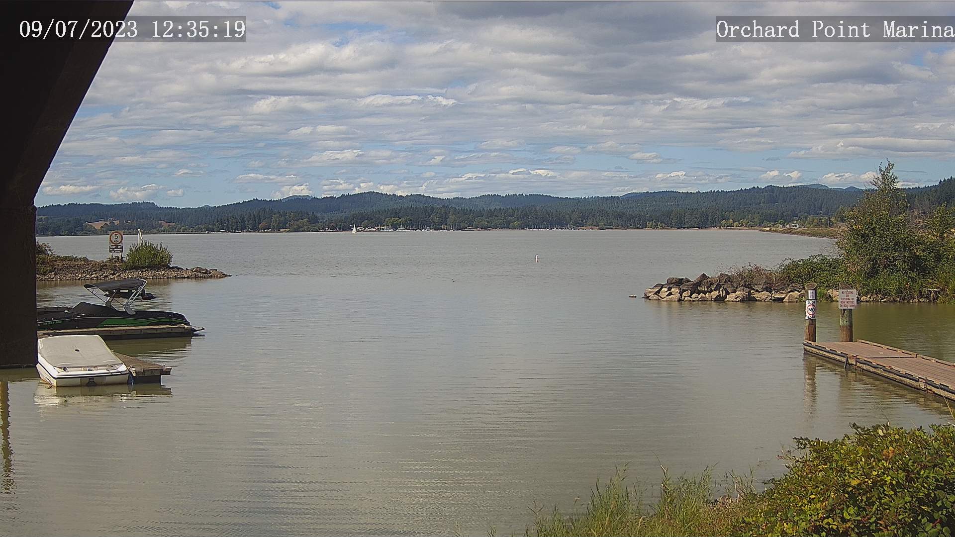
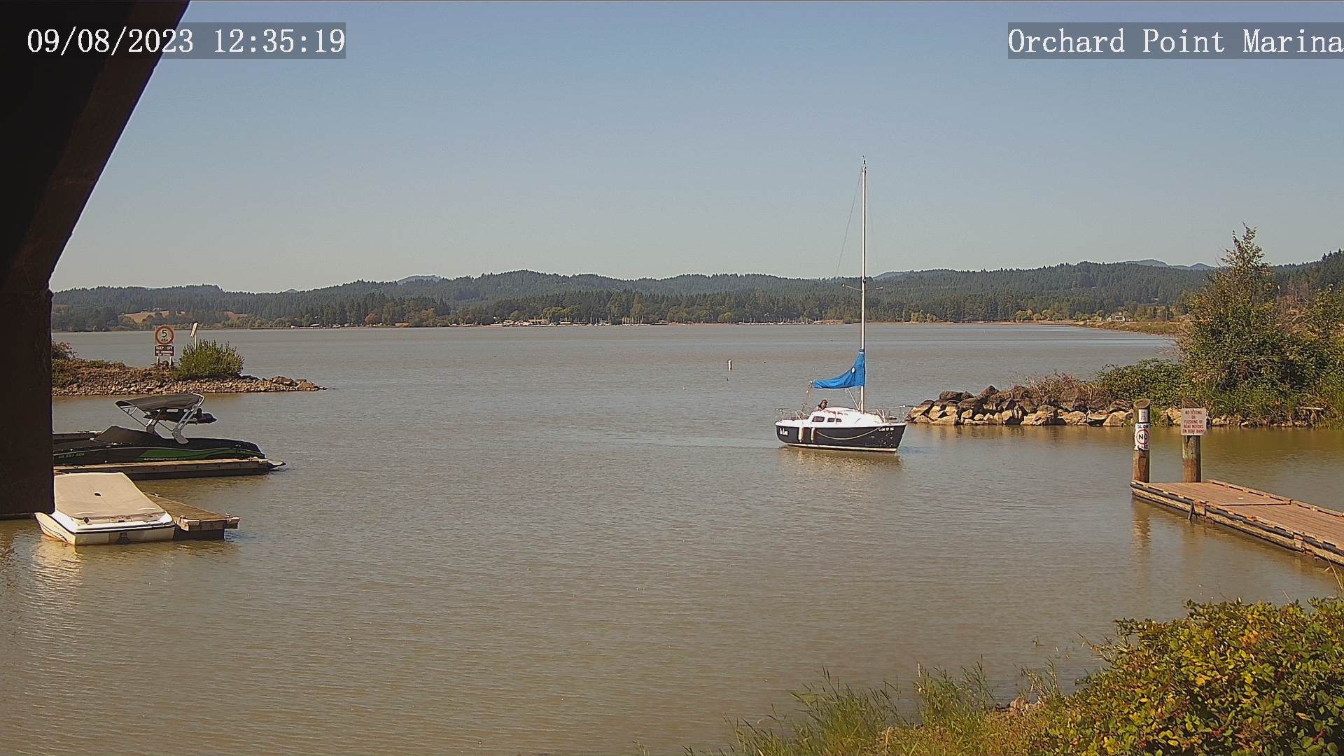
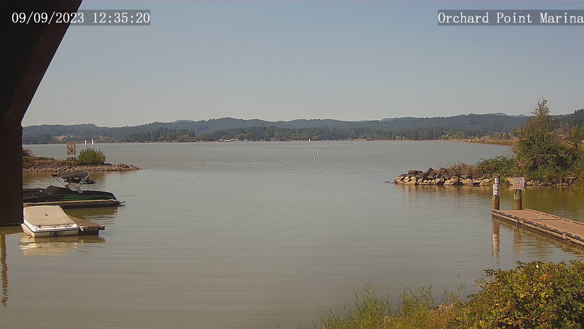
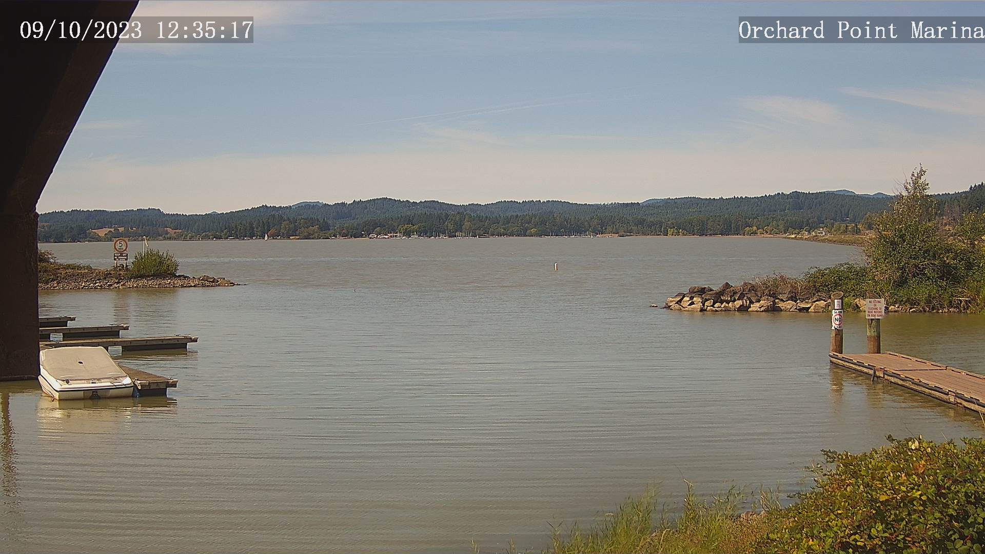
Eugene, Oregon, USA - 168.8 miles from Tatlatunne (historical): Lane County Parks - Orchard Point, Harbor Vista, Mount Pisgah - Views of 3 Lane County parks including Orchard Point, Harbor Vista, Mount Pisgah. Orchard Point is the boat ramp at Fern Ridge. You can see the water conditions and wind sock.
Operator: Lane County
Operator: Lane County


Some other places in this country: Redrock (historical) - Sunny Acres Trailer Park - Pacific Shores - Ore'q (historical) - Table Bluff - Tsurau (historical) - Bluegum - Lyman (historical) - Malton (historical) - Meadowood Estates