Webcams in the region of Tanoak (historical), California, USA
The List of Webcams near Tanoak (historical), California, USA:

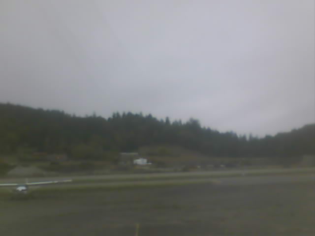
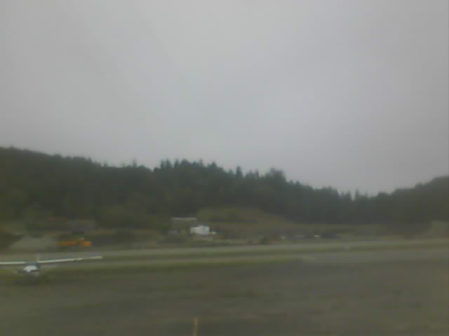
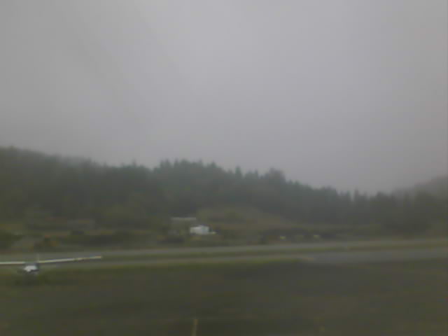
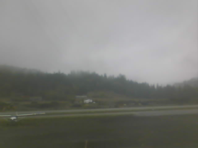
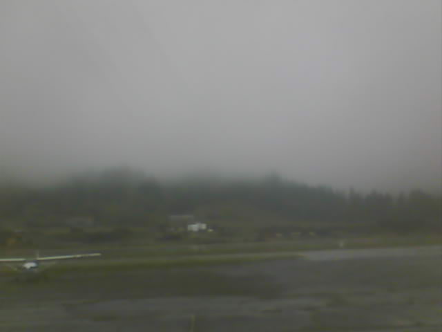
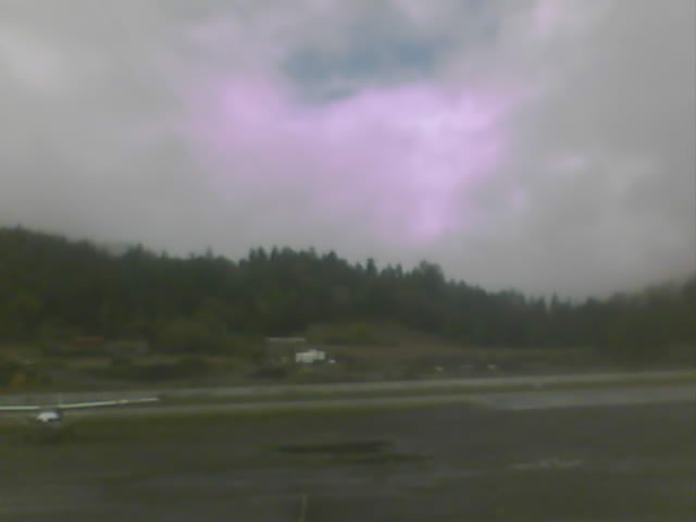
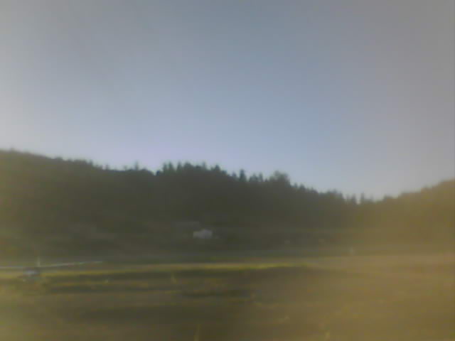
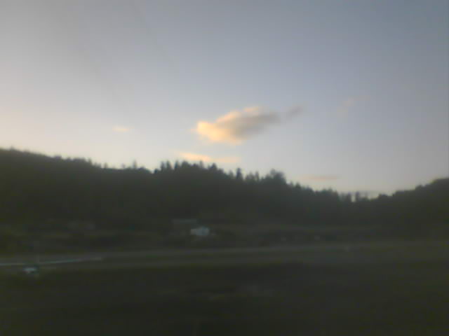
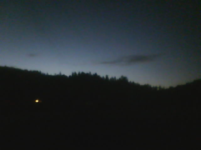
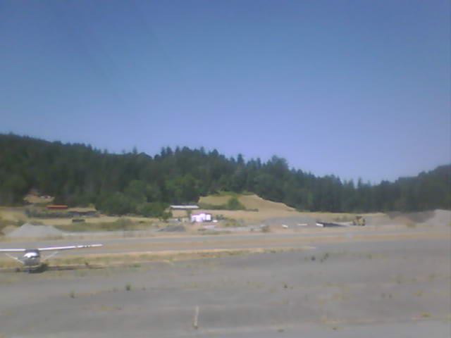
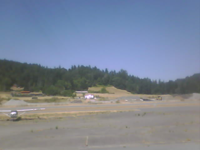
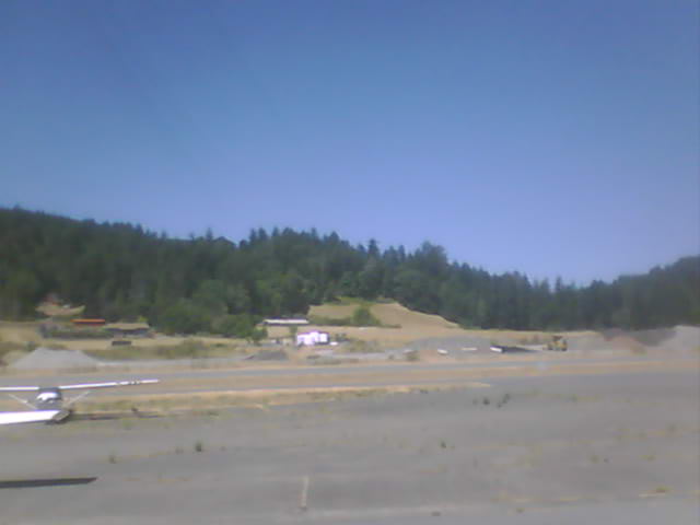
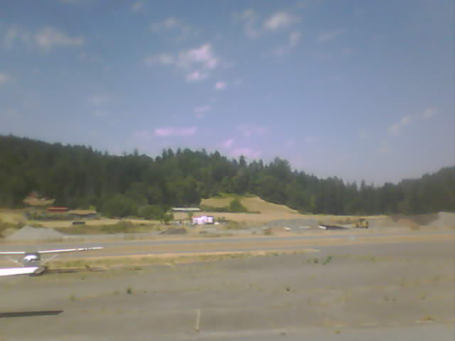
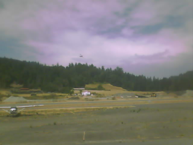
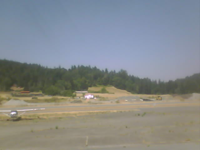
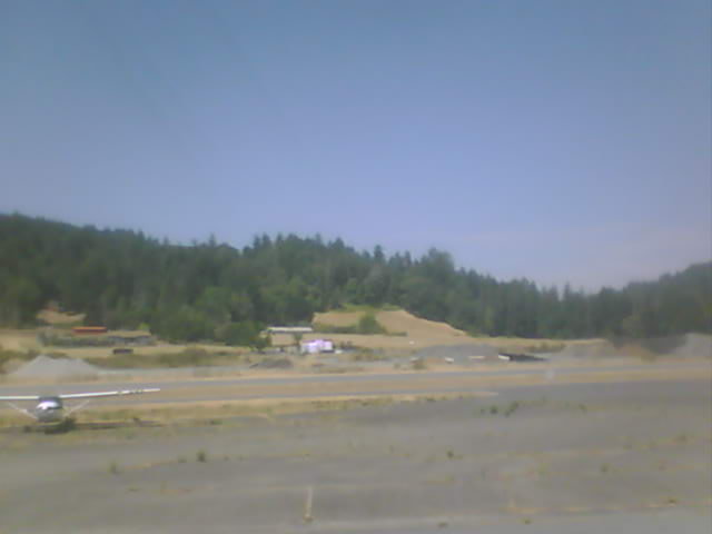
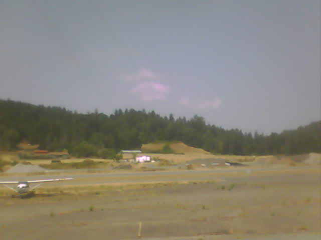
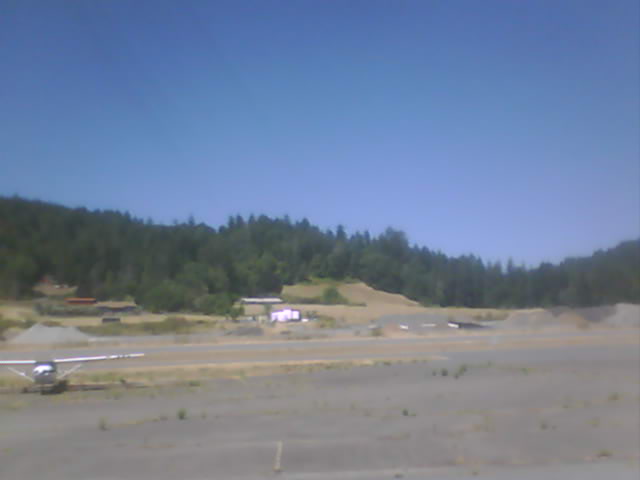
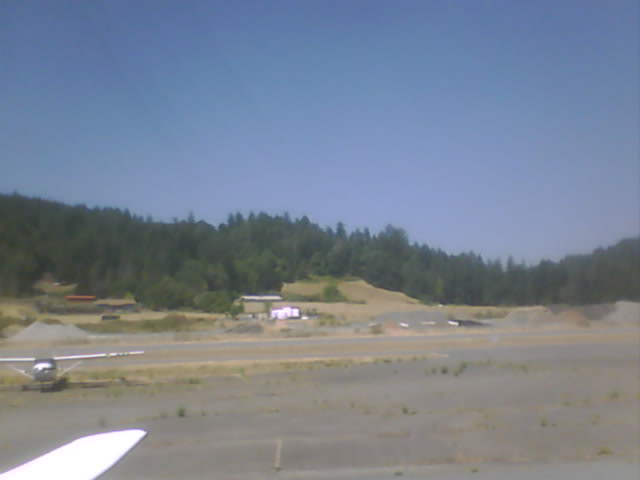
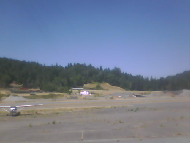
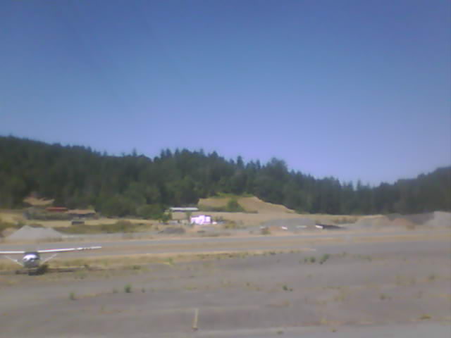
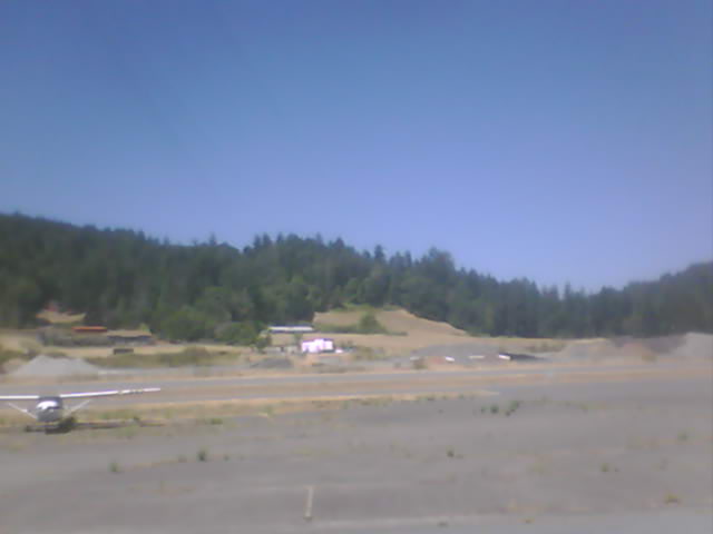
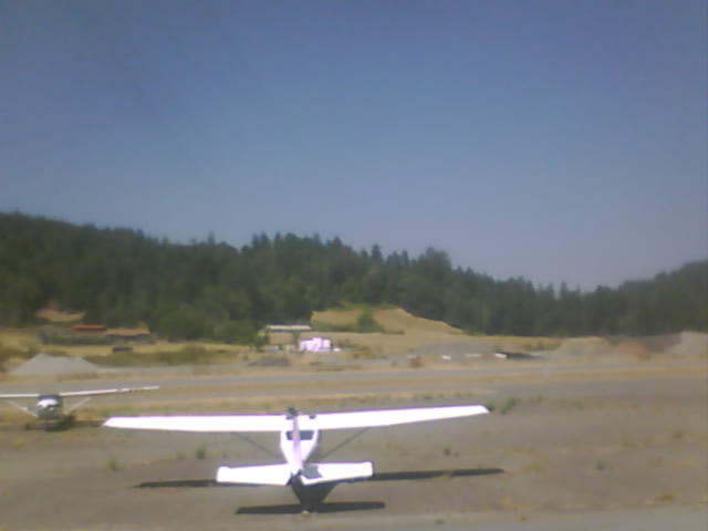
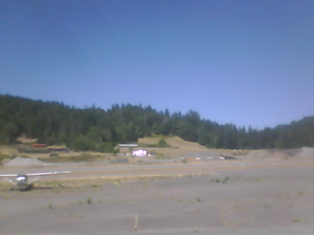
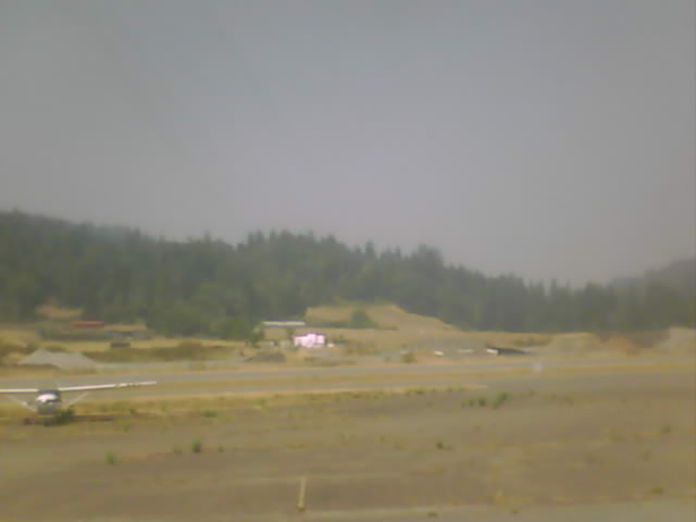
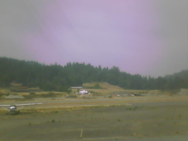
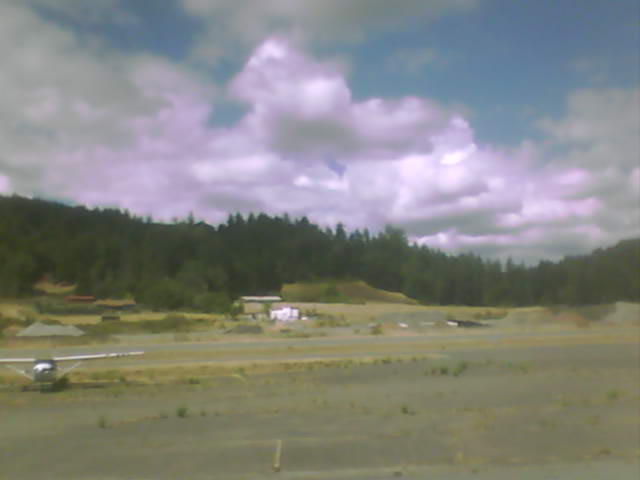
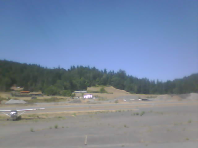
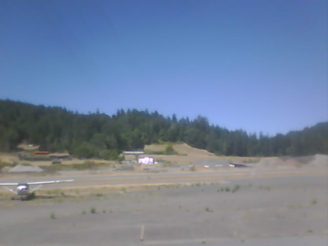
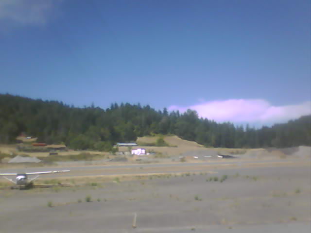
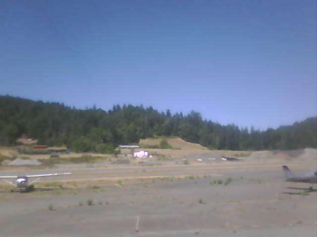
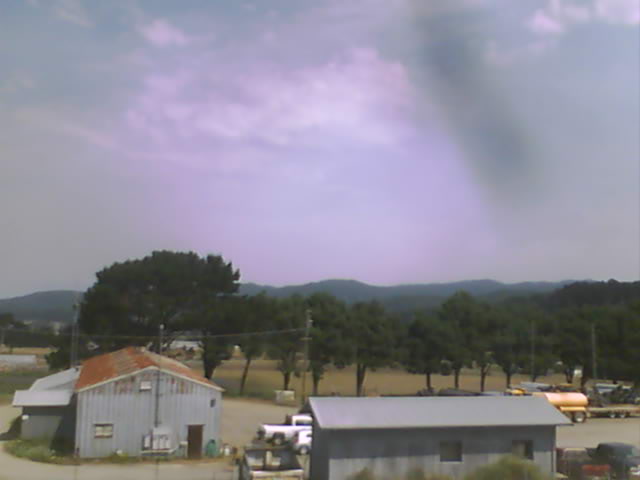
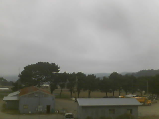
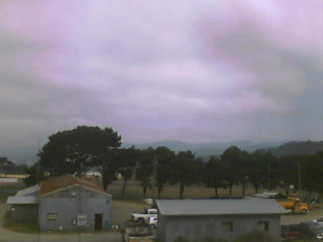
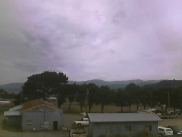
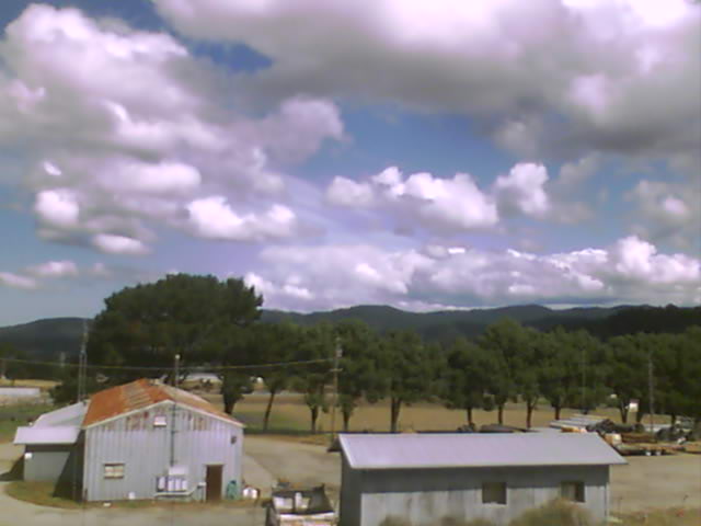
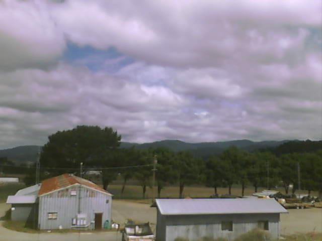
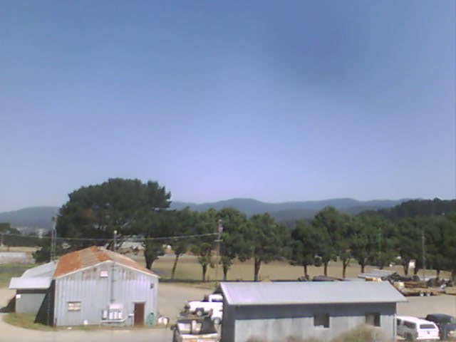
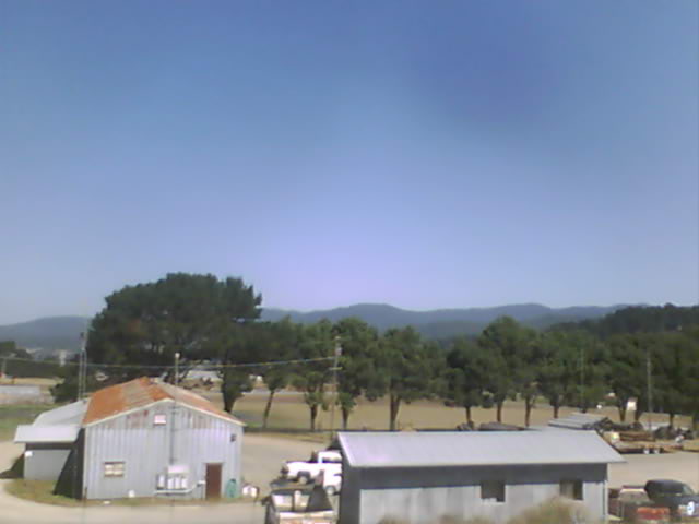
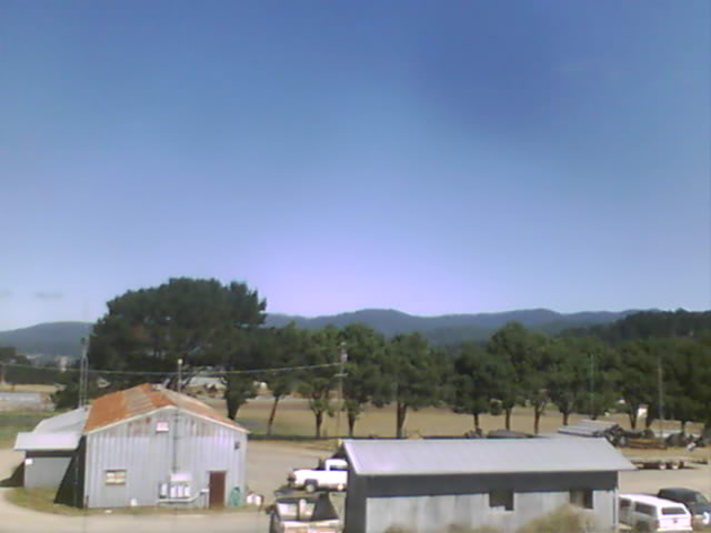
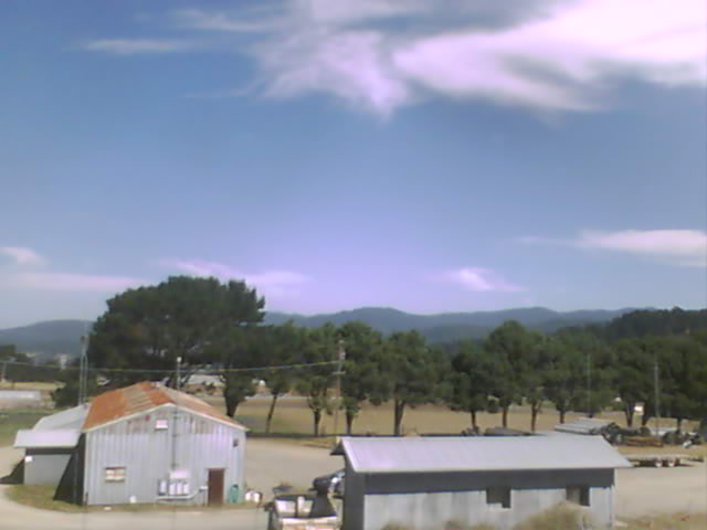
Garberville, California, USA - 15.1 miles from Tanoak (historical): Garberville Airport - Several views of Garberville Airport.
Operator: North Coast Aviation
Operator: North Coast Aviation


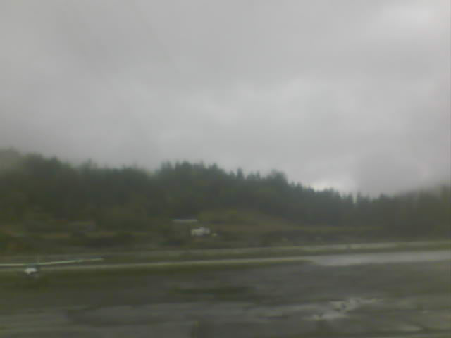

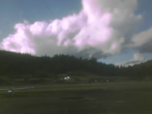
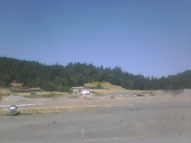

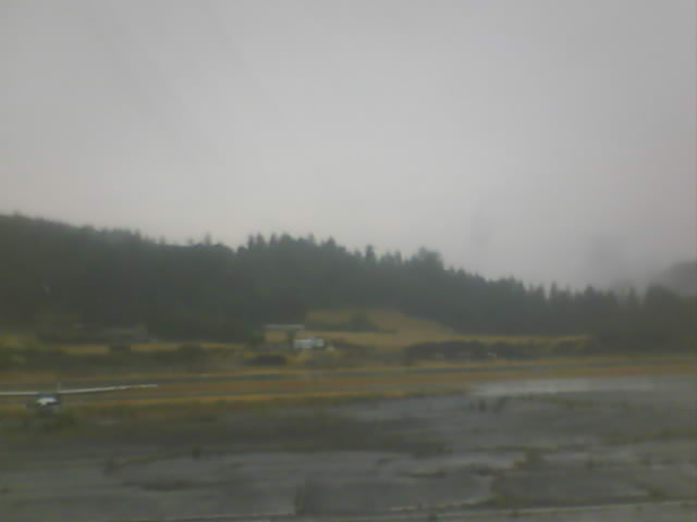
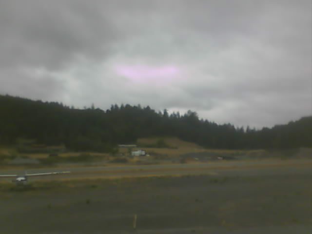
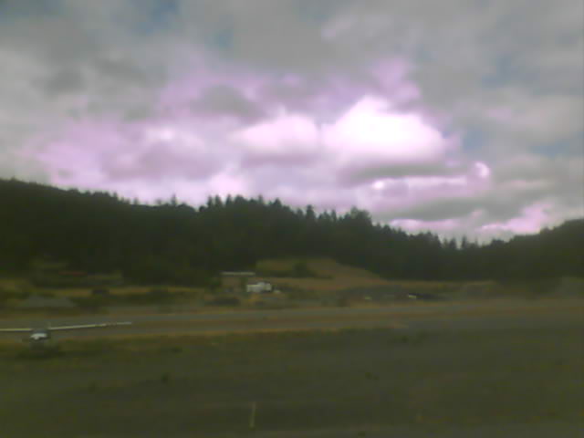


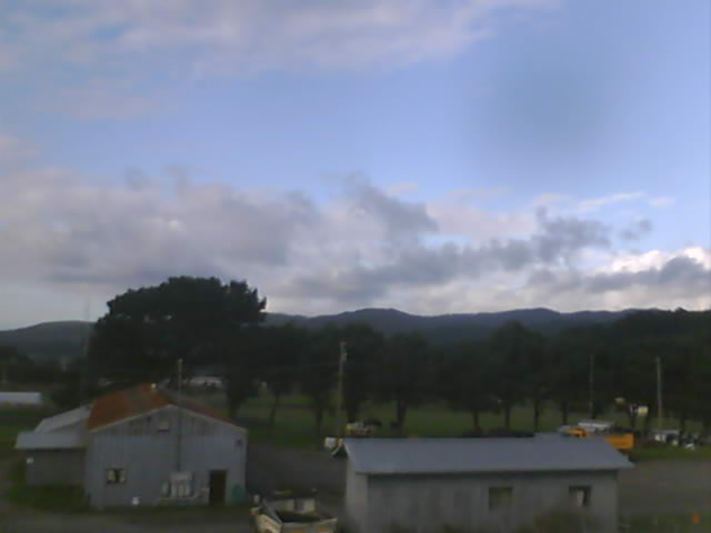
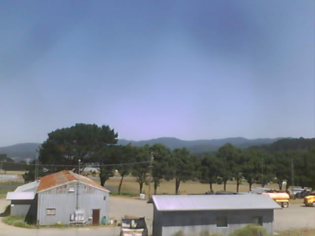
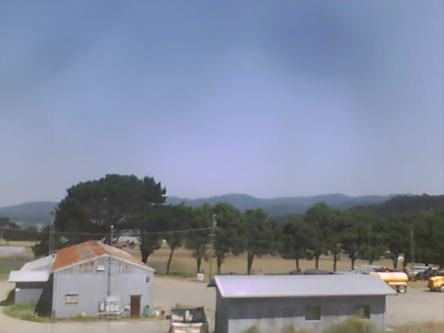
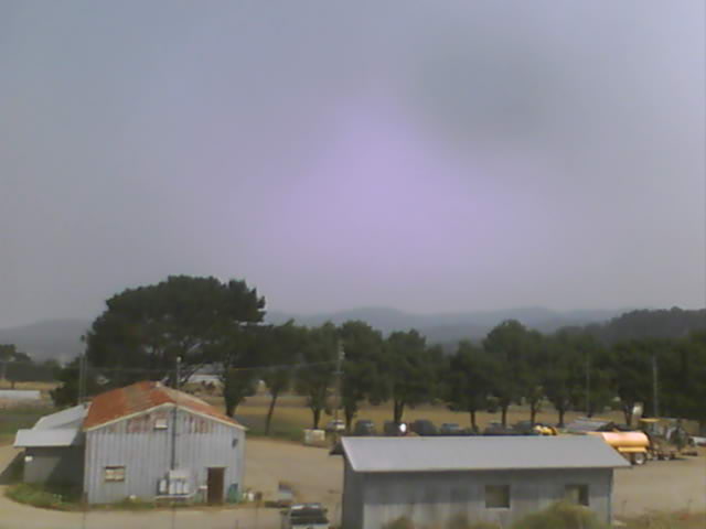
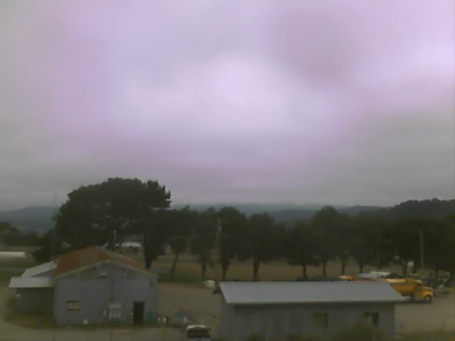
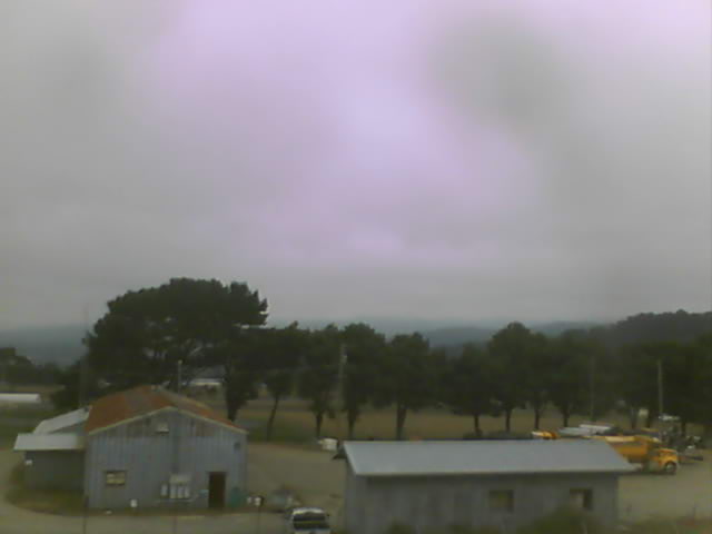
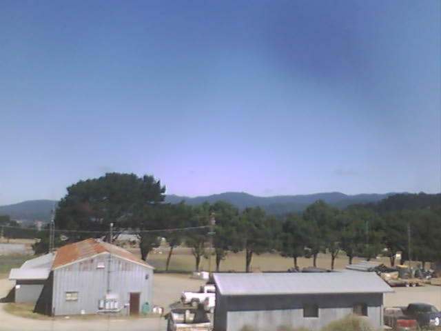
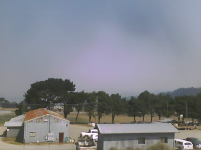
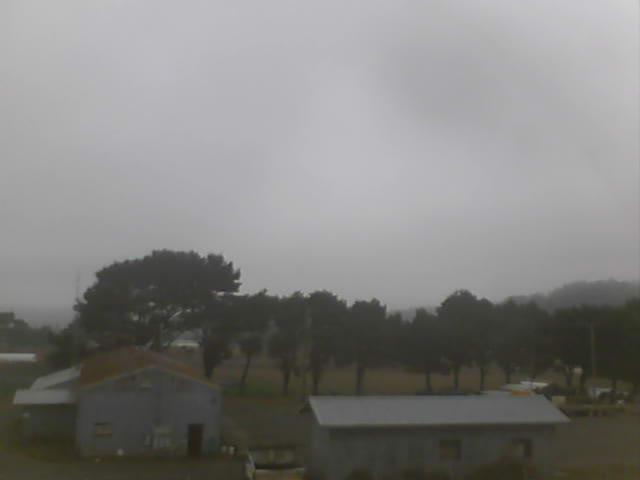
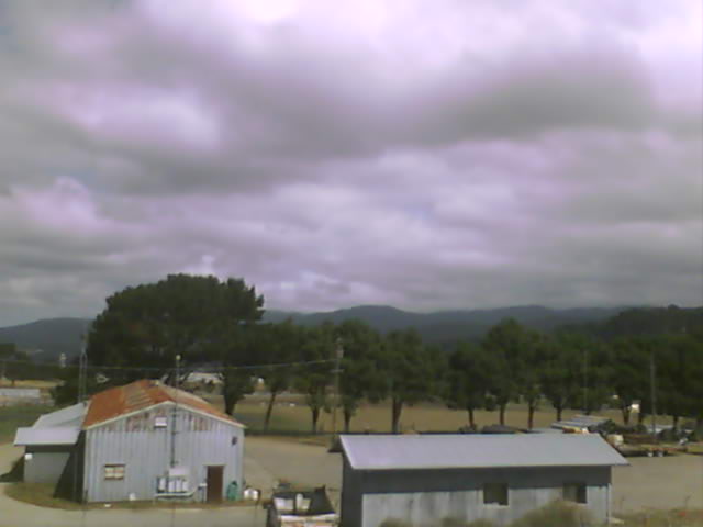
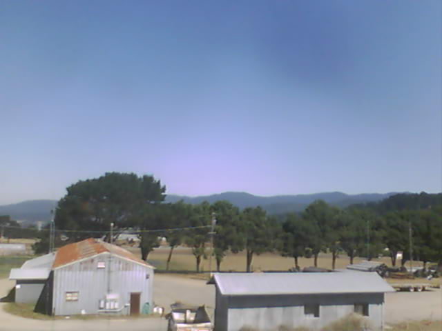
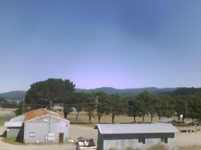
Fortuna, California, USA - 28 miles from Tanoak (historical): Rohnerville Airport - Different views of the Rohnerville Airport, Fortuna, CA.
Operator: North Coast Aviation
Operator: North Coast Aviation


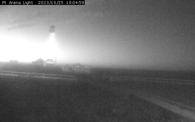
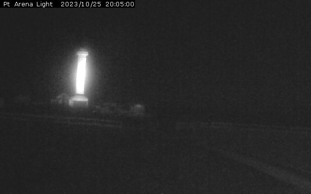
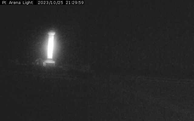
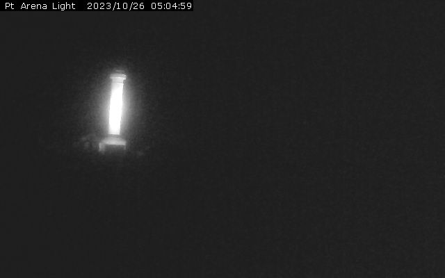
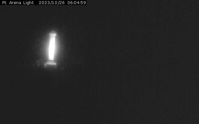
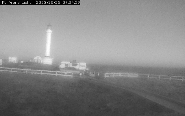
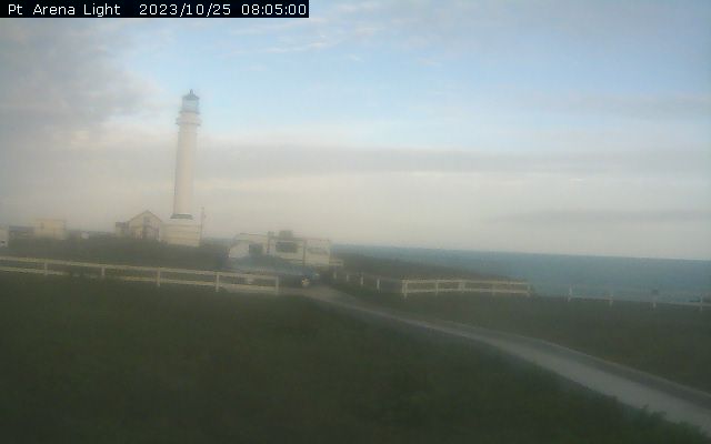
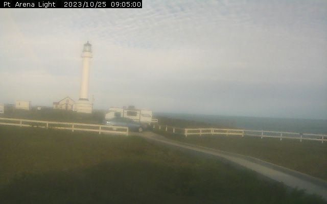
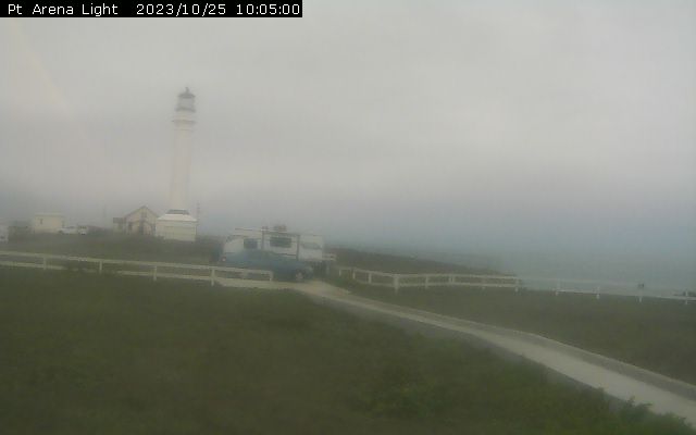
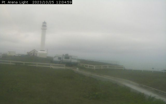
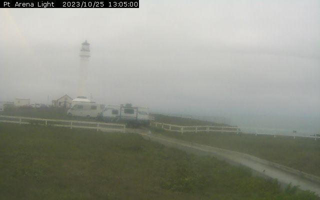
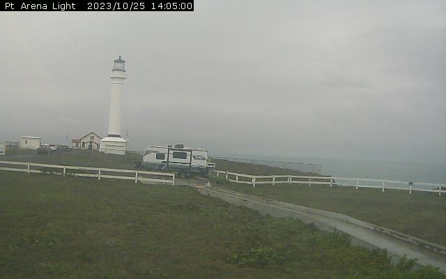
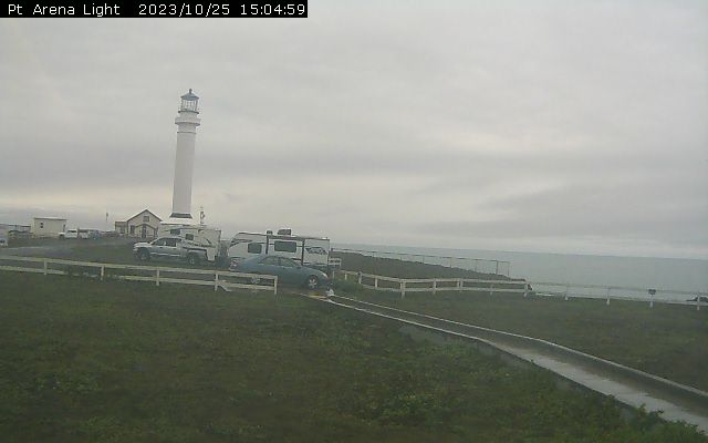
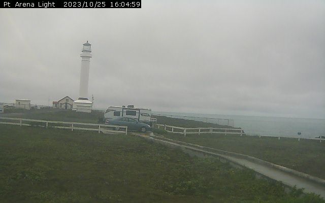
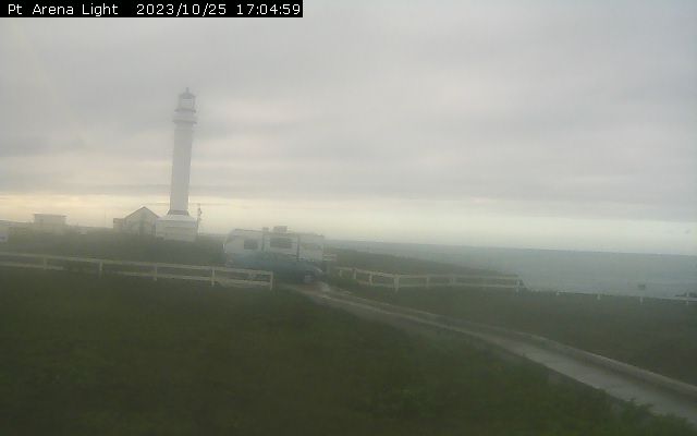
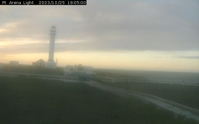
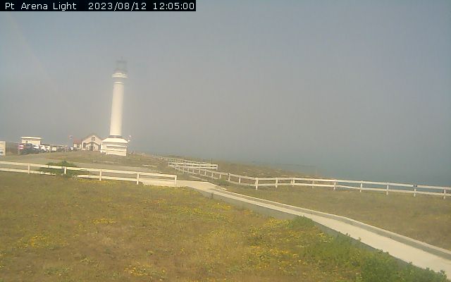
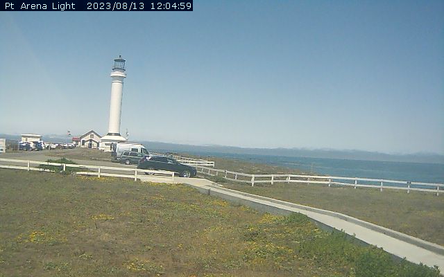
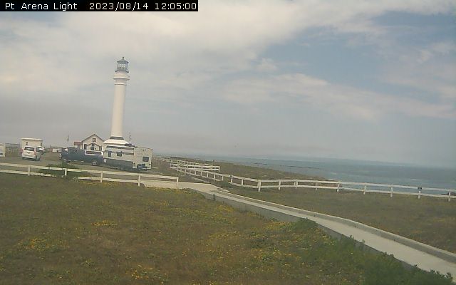
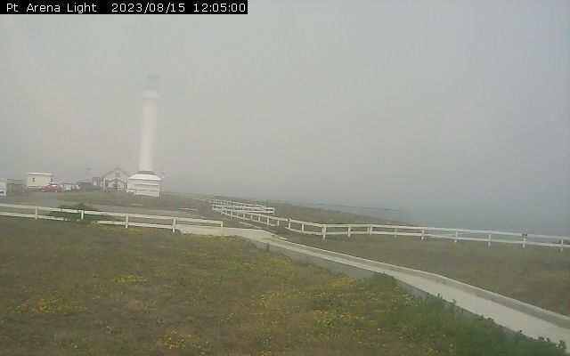
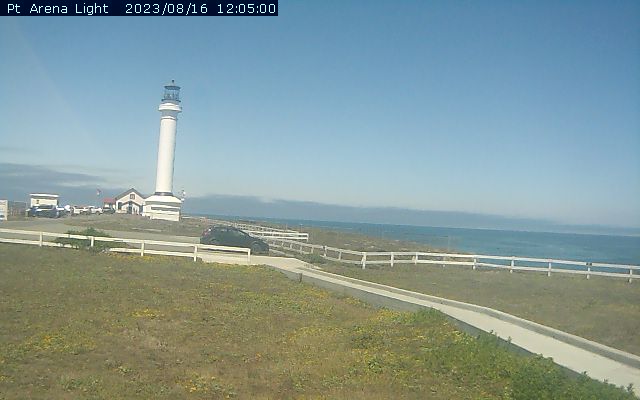
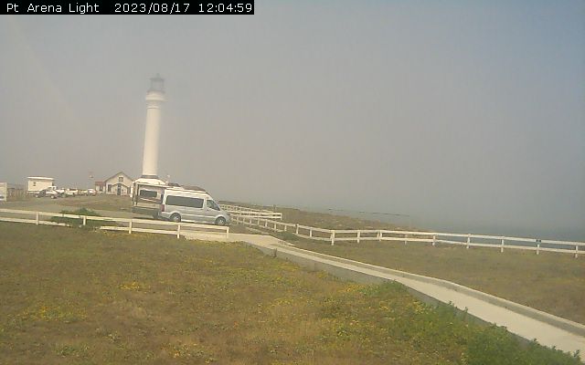
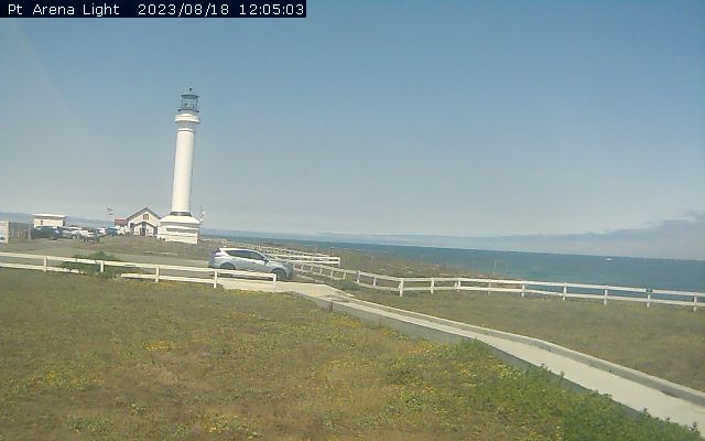
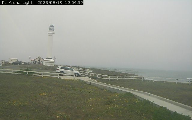
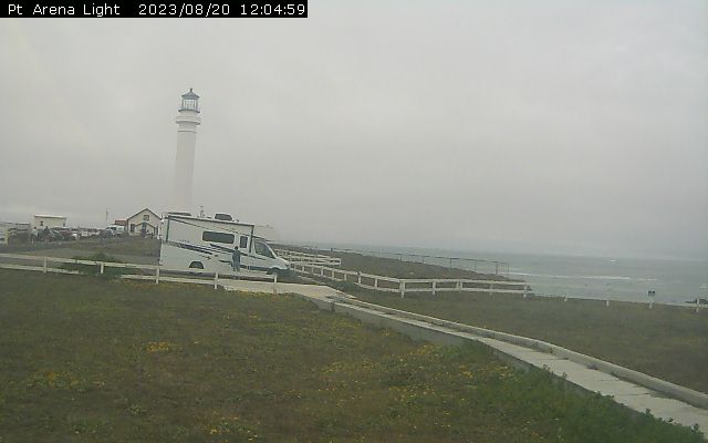
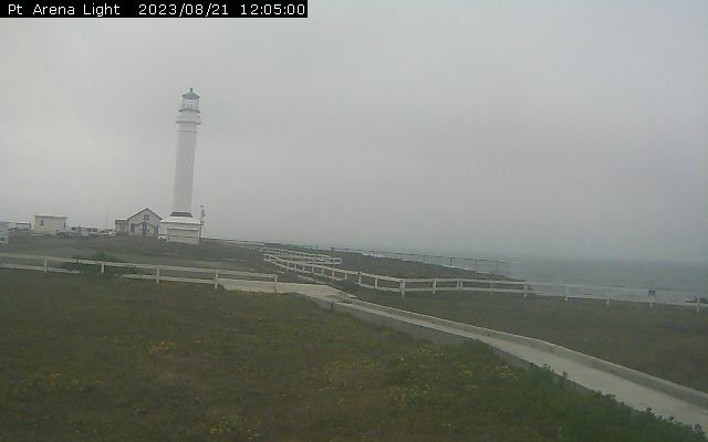
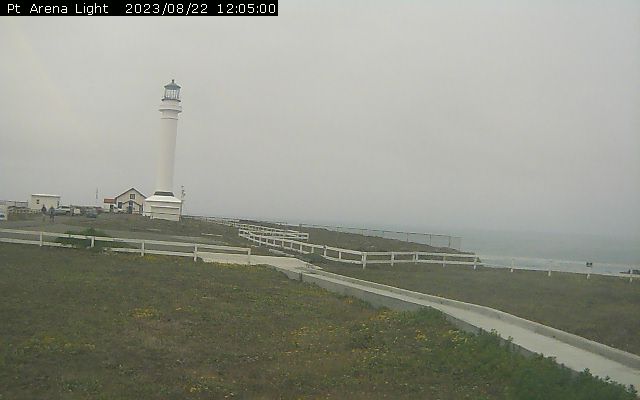
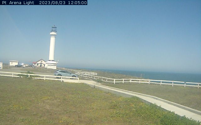
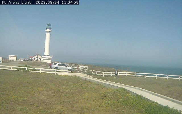
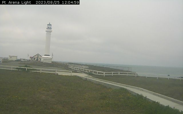
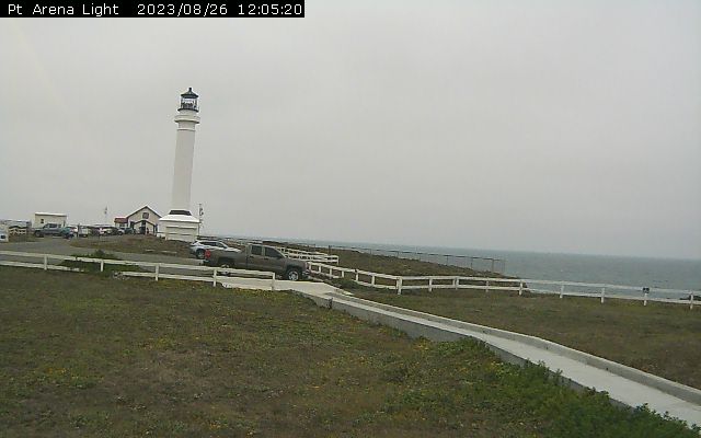
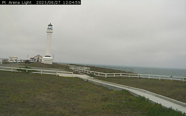
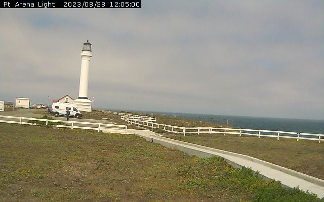
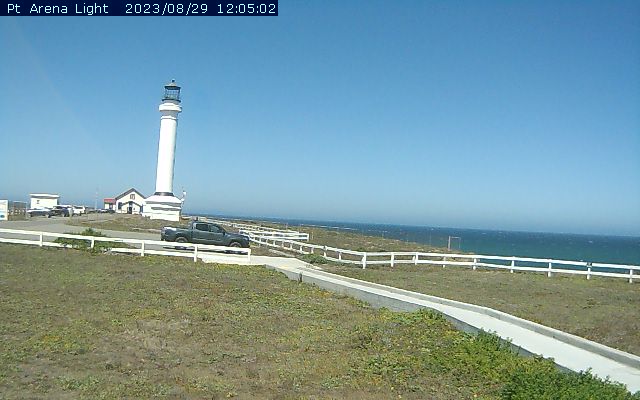
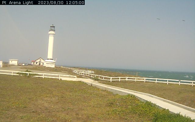
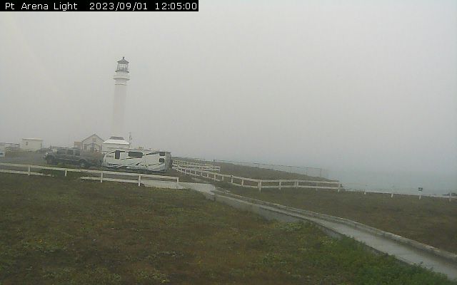
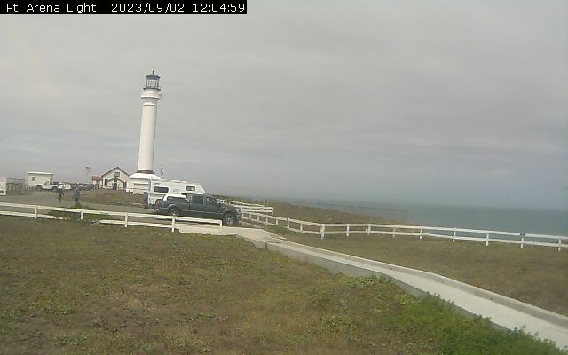
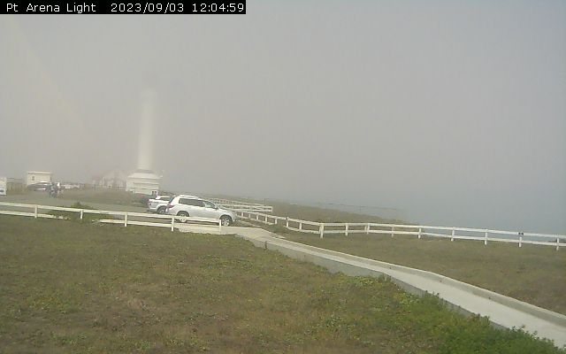
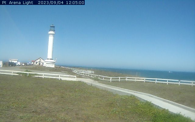
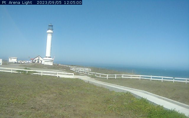
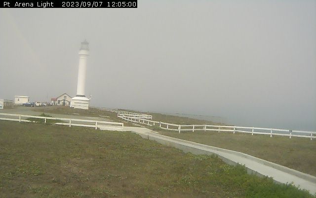
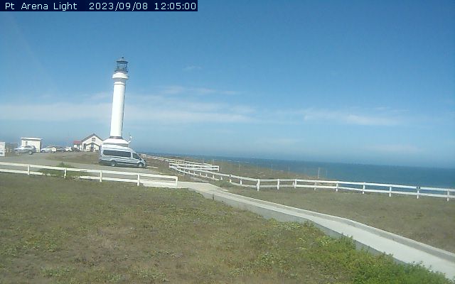
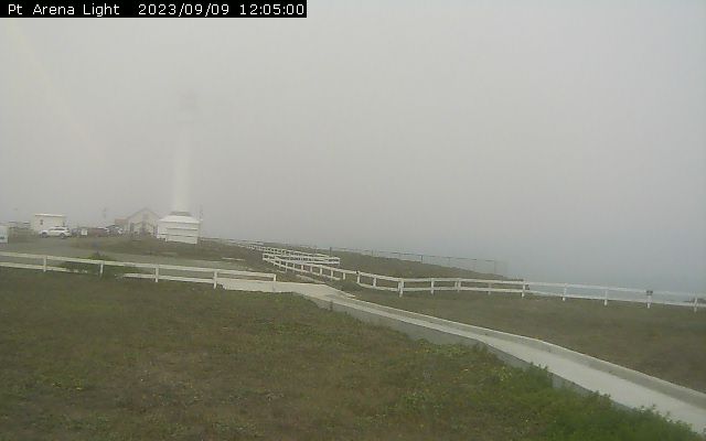
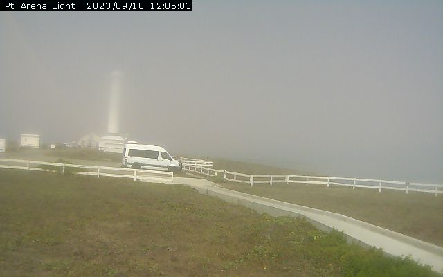
Point Arena, California, USA - 94.2 miles from Tanoak (historical): Point Arena Lighthouse - Set in one of the most spectacular yet peaceful surroundings on the northern California coast, the Point Arena tower is the only Pacific West coast lighthouse of significant height (115 feet) that you can climb to the top! Guided tours of the light station as well as self guided tours of the grounds are available daily. Afterward, spend some time browsing through our Lighthouse Gift store, a shop featuring unique souvenirs, interesting gifts, custom made Abalone Jewelry, beautiful collectibles, and lighthouse clothing.
Operator: North Coast Aviation
Operator: North Coast Aviation


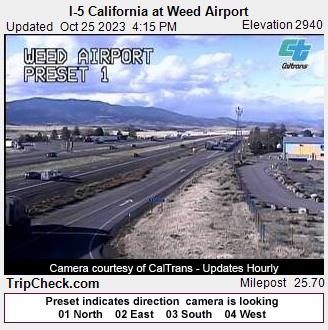
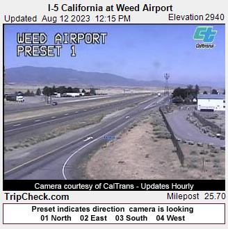
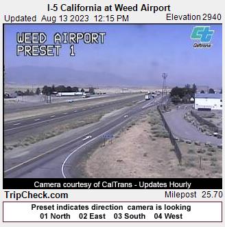
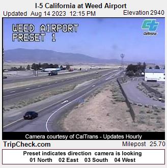
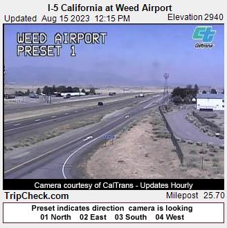
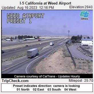
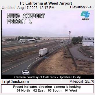
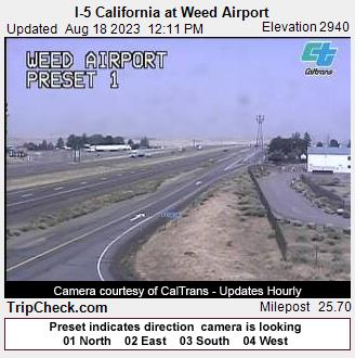
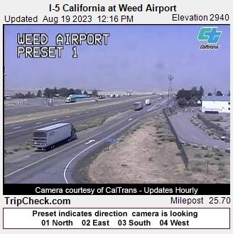
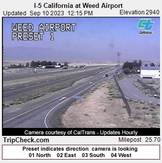
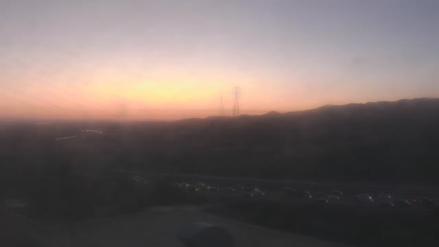
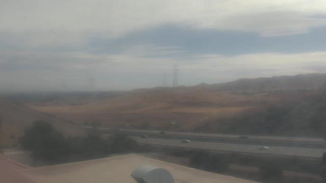
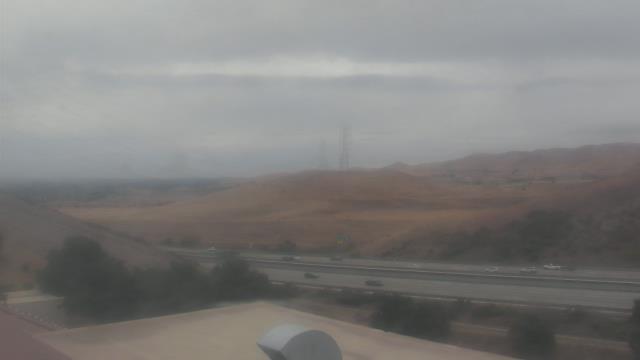
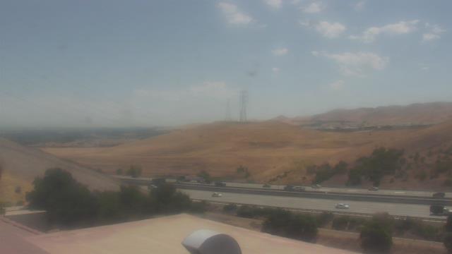
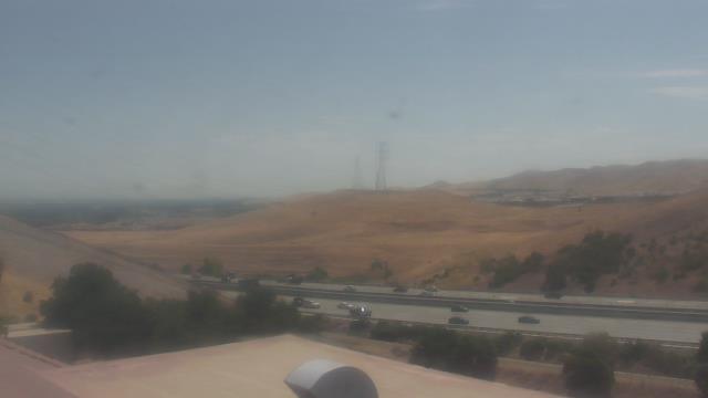
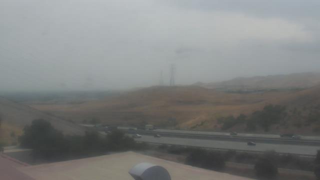
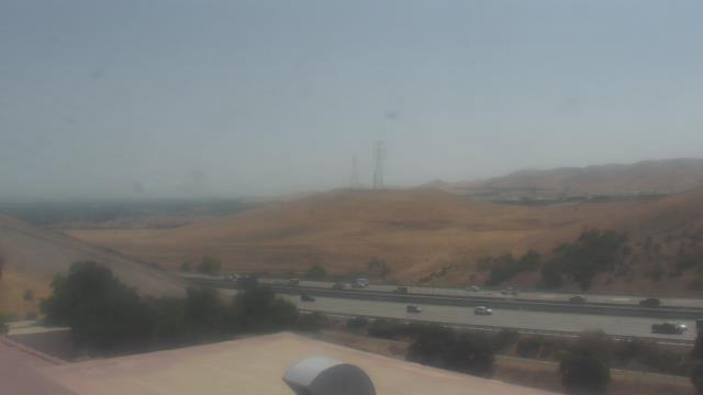
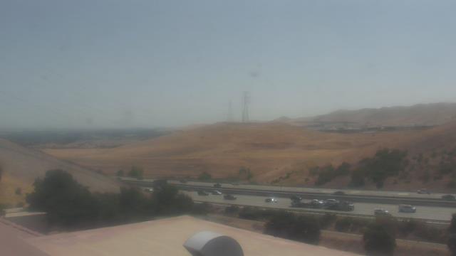
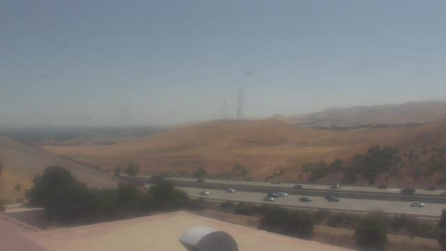
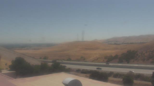
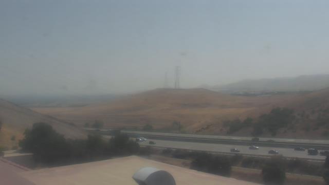
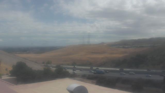
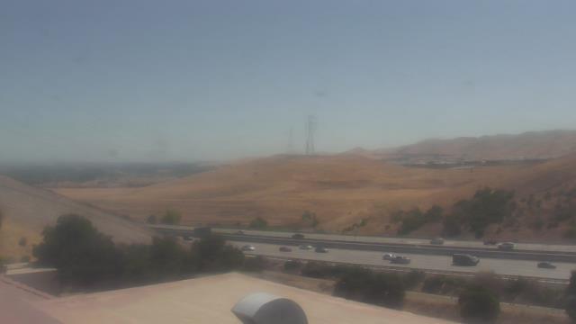
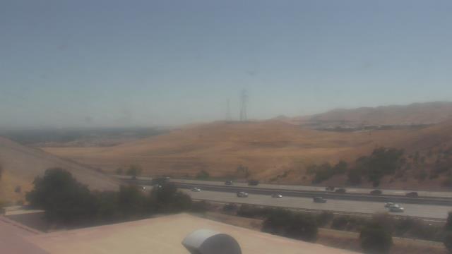
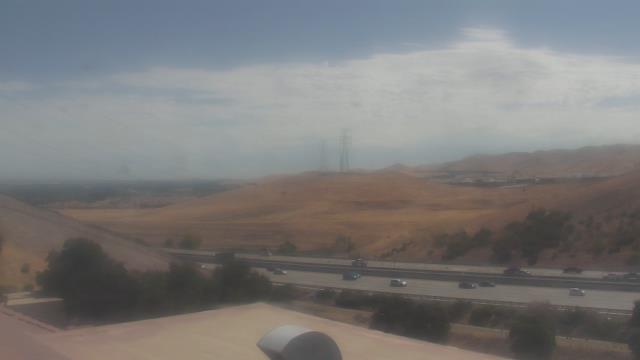
Weed, California, USA - 105.2 miles from Tanoak (historical): I-5 California at Weed Airport - A view of the current traffic situation on the I-5.
Operator: Oregon Department of Transportation
Operator: Oregon Department of Transportation


Lassen Volcanic National Park, California, USA - 123.7 miles from Tanoak (historical): Kohm Yah-mah-nee Visitor Center - A view from the Kohm Yah-mah-nee Visitor Center in the Lassen Volcanic National Park towards Mt. Diller (left) und Pilot Pinnacle (right).
Operator: U.S. National Park Service
Operator: U.S. National Park Service


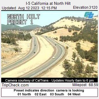
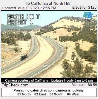
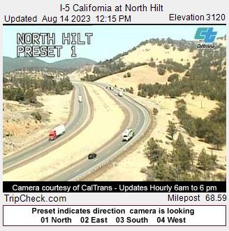
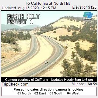
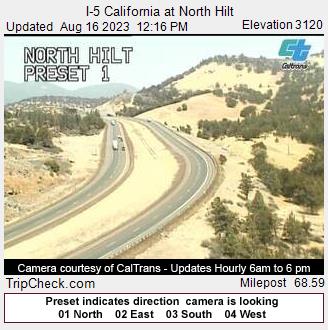
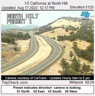
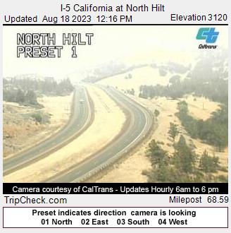
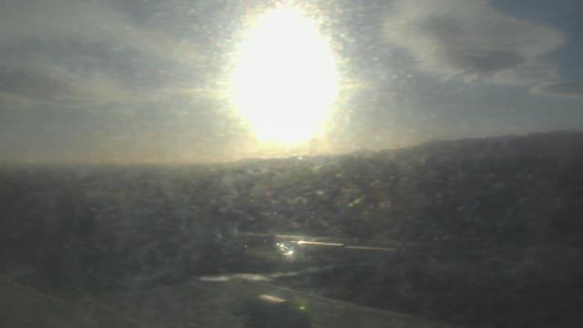
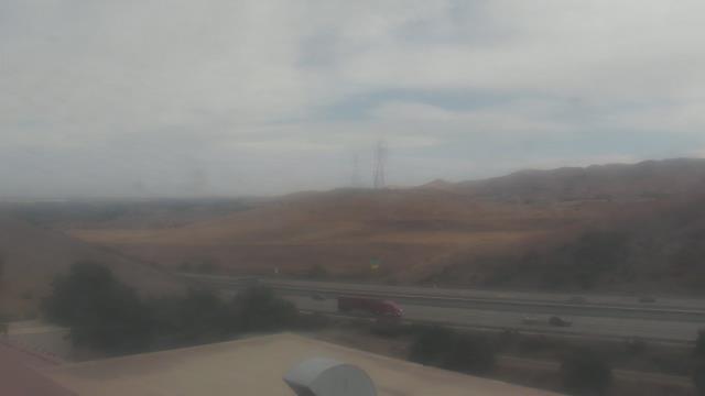
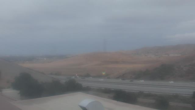
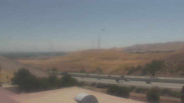
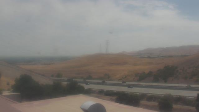
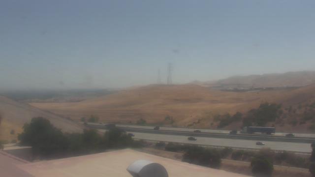
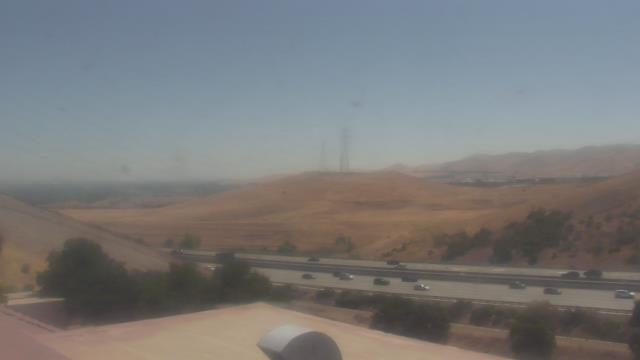
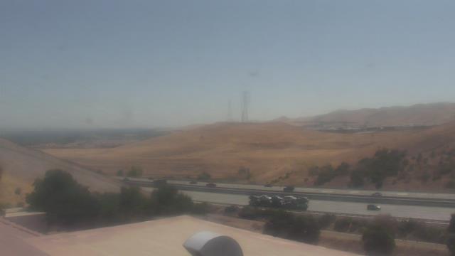
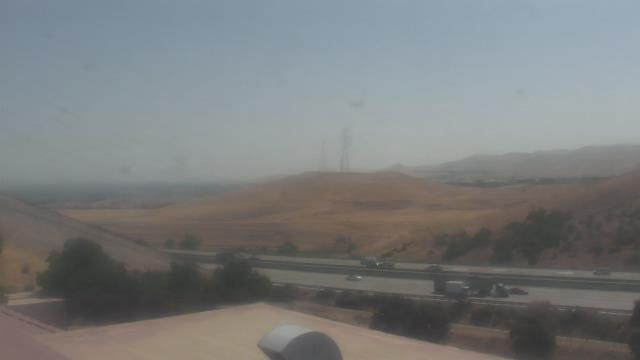
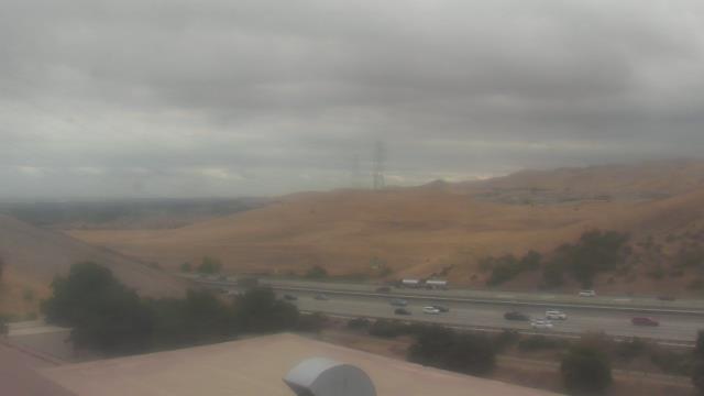
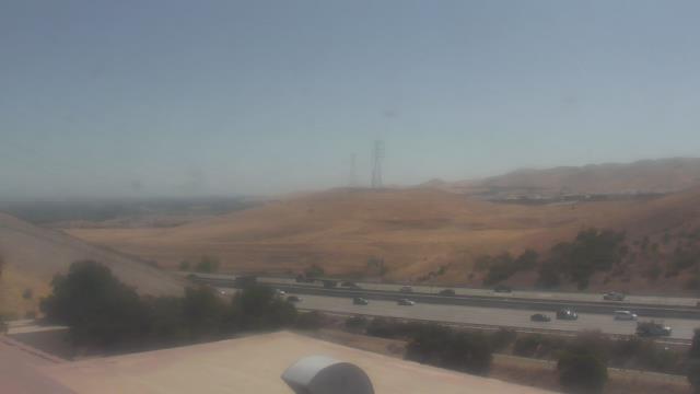
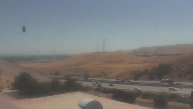
Hilt, California, USA - 130.4 miles from Tanoak (historical): I-5 California at North Hilt - A view of the current traffic situation on the I-5.
Operator: Oregon Department of Transportation
Operator: Oregon Department of Transportation


Medford, Oregon, USA - 146.4 miles from Tanoak (historical): Medford Weathercam - A live view from Medford, Oregon, with current weather data.
Operator: Ryan's Weather Website - Medford, Oregon
Operator: Ryan's Weather Website - Medford, Oregon


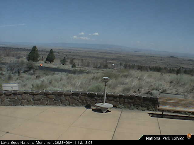
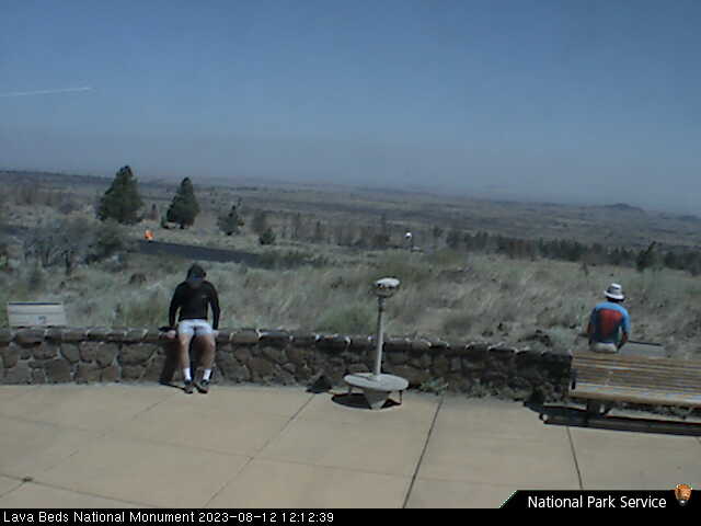
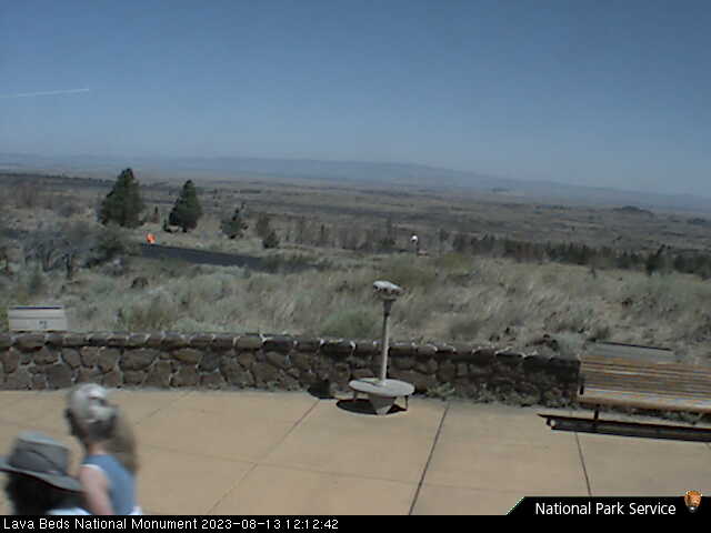
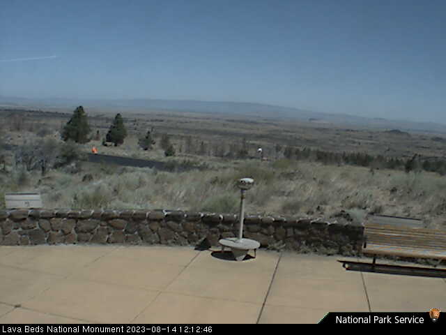
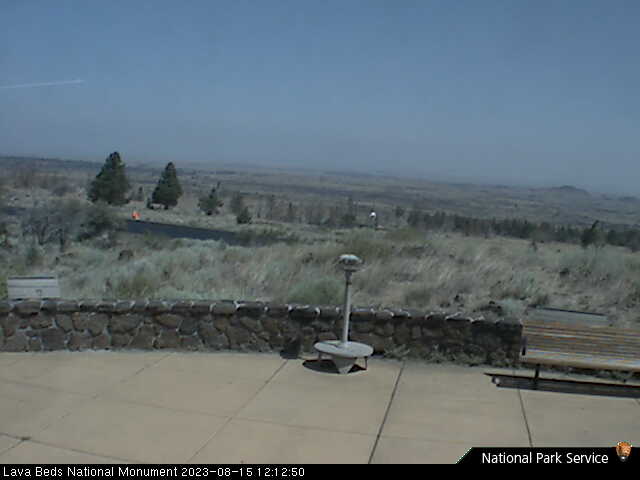
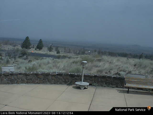
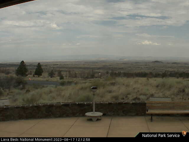
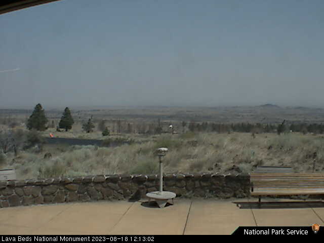
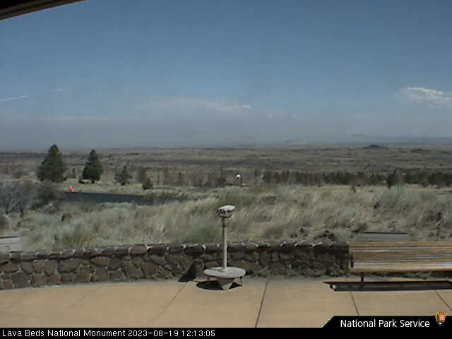
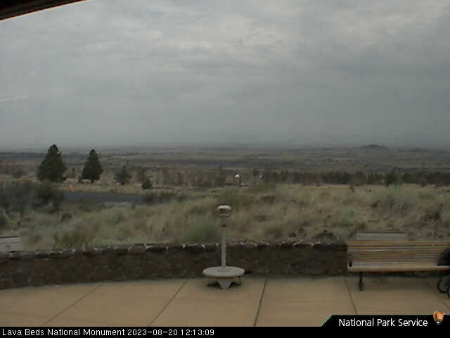
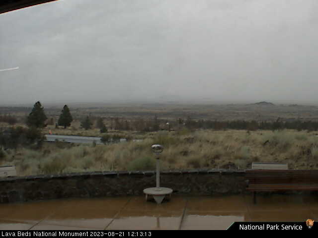
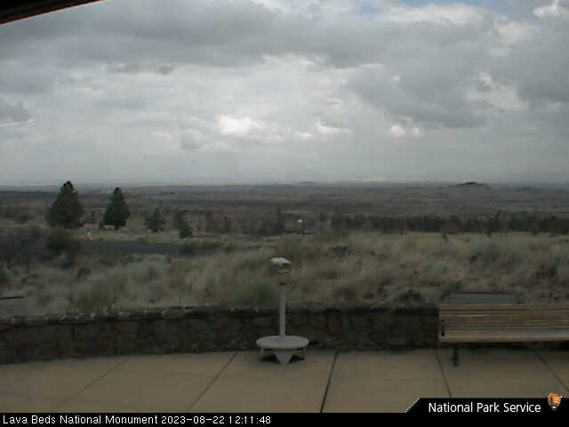
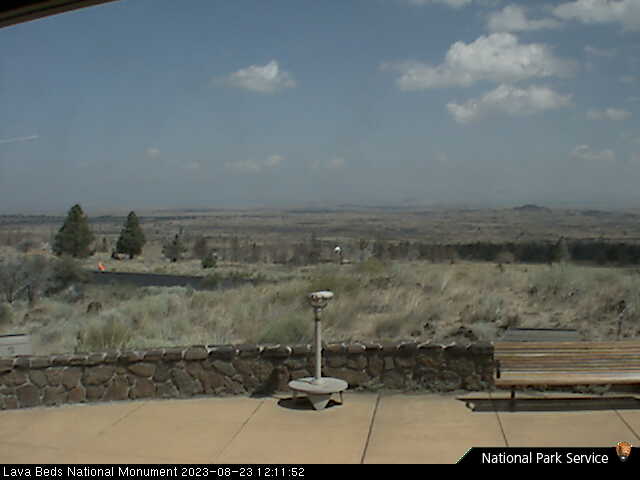
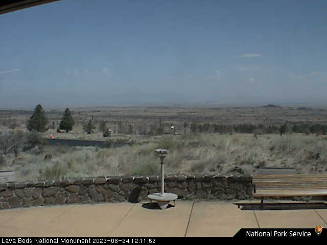
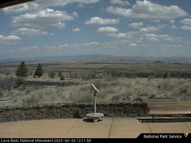
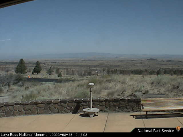
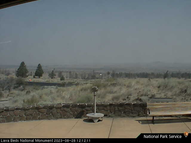
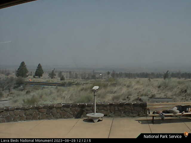
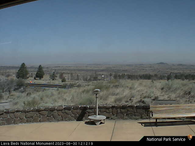
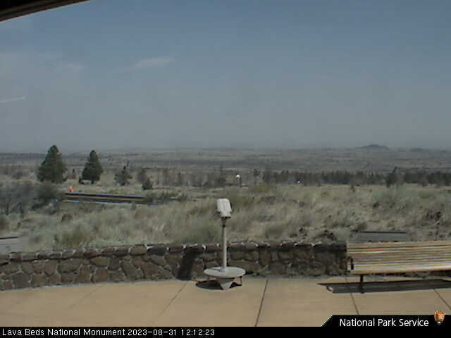
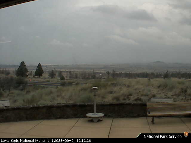
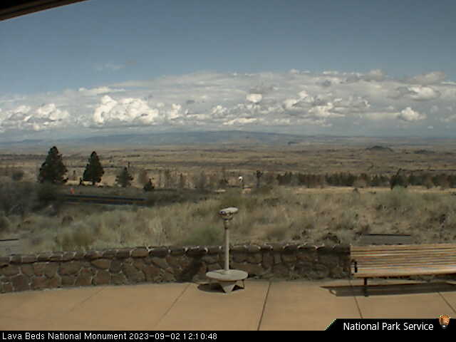
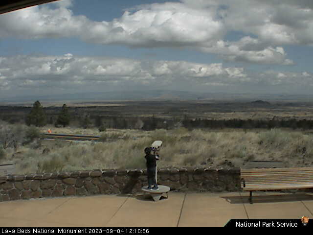
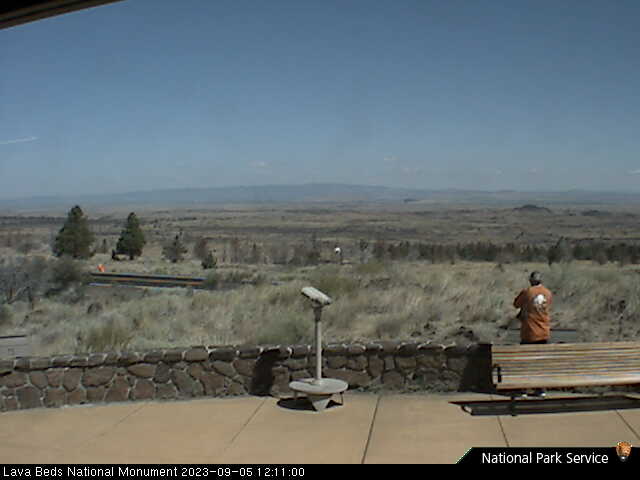
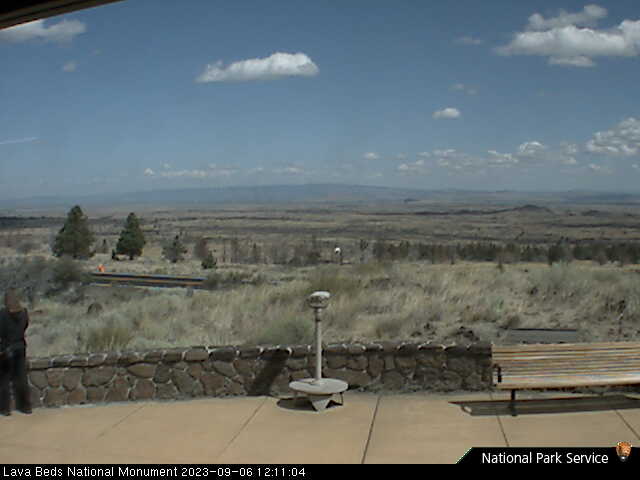
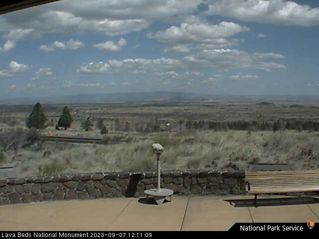
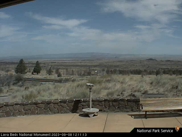
Lava Beds National Monument, California, USA - 153.1 miles from Tanoak (historical): Lava Beds Visitor Center - A view in northern direction from the Lava Beds National Monument Visitor Center.
Operator: U.S. National Park Service
Operator: U.S. National Park Service


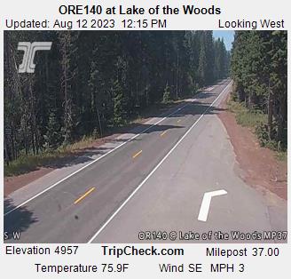
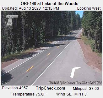
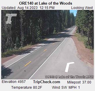
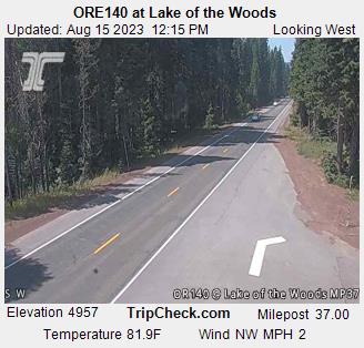
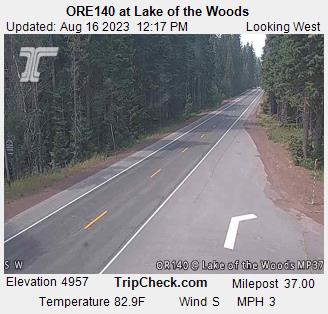
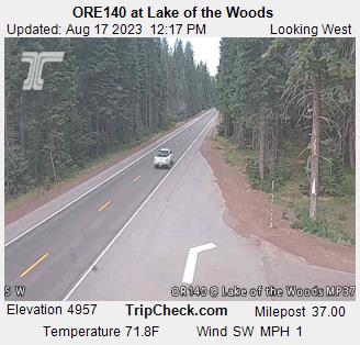
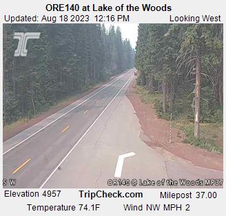
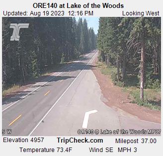
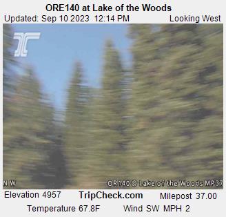
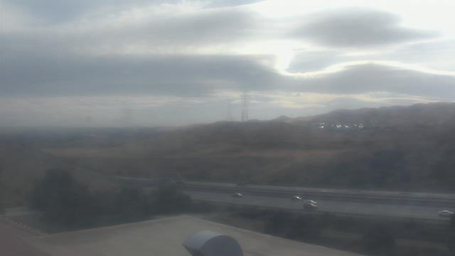
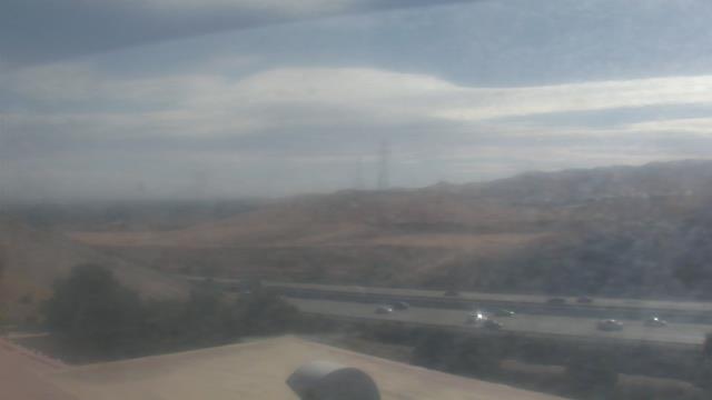
Lake of the Woods, Oregon, USA - 163.8 miles from Tanoak (historical): ORE140 at Lake of the Woods - A view of the current traffic situation on the ORE140.
Operator: Oregon Department of Transportation
Operator: Oregon Department of Transportation


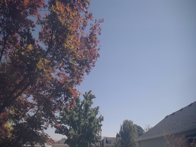
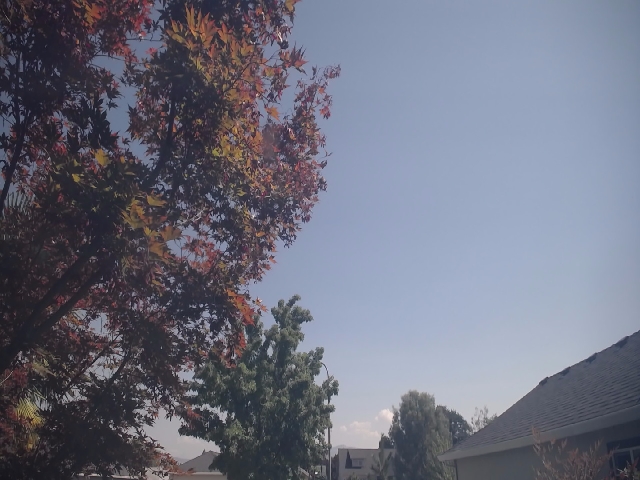
Concord, California, USA - 186.7 miles from Tanoak (historical): Calvary Temple Christian School - A webcam in Concord, California - camera location: Calvary Temple Christian School.
Operator: WeatherBug
Operator: WeatherBug


Some other places in this country: Wigdon Place - Brock Creek (historical) - Eddyville (historical) - Smith (historical) - The Springs - Bender (historical) - Bronge (historical) - Butler (historical) - Caldwell (historical) - Collins (historical)